Road Information |
||
 |
||
| Total Mileage in State: | 258 miles | |
| Eastern End: | At Wisconsin state line | |
| Western End: | At North Dakota state line | |
| Mileage covered in Photos: | 258 miles | |
| Counties covered in Photos: | Washington, Ramsey, Hennepin, Wright, Stearns, Todd, Douglas, Grant, Otter Tail, Wilkin, Clay | |
| Major Junctions in Photos: | I-694/I-494, near Lake Elmo I-35E, in St. Paul I-35W, in Minneapolis I-694/I-494, in Maple Grove US 71, in Sauk Centre US 59, in Fergus Falls US 75, in Moorhead |
|
| Control Cities in Photos: | St. Paul, Minneapolis, Rogers, St. Cloud, Alexandria, Fergus Falls, Moorhead | |
Westbound
- Section 1: Wisconsin Border to Minneapolis (Exit 235A)
- Section 2: Minneapolis (Exit 235A) to St. Michael (Exit 205)
- Section 3: St. Michael (Exit 205) to Sauk Centre (Exit 127)
- Section 4: Sauk Centre (Exit 127) to North Dakota Border
Section 1: Wisconsin Border to Minneapolis (Exit 235A)
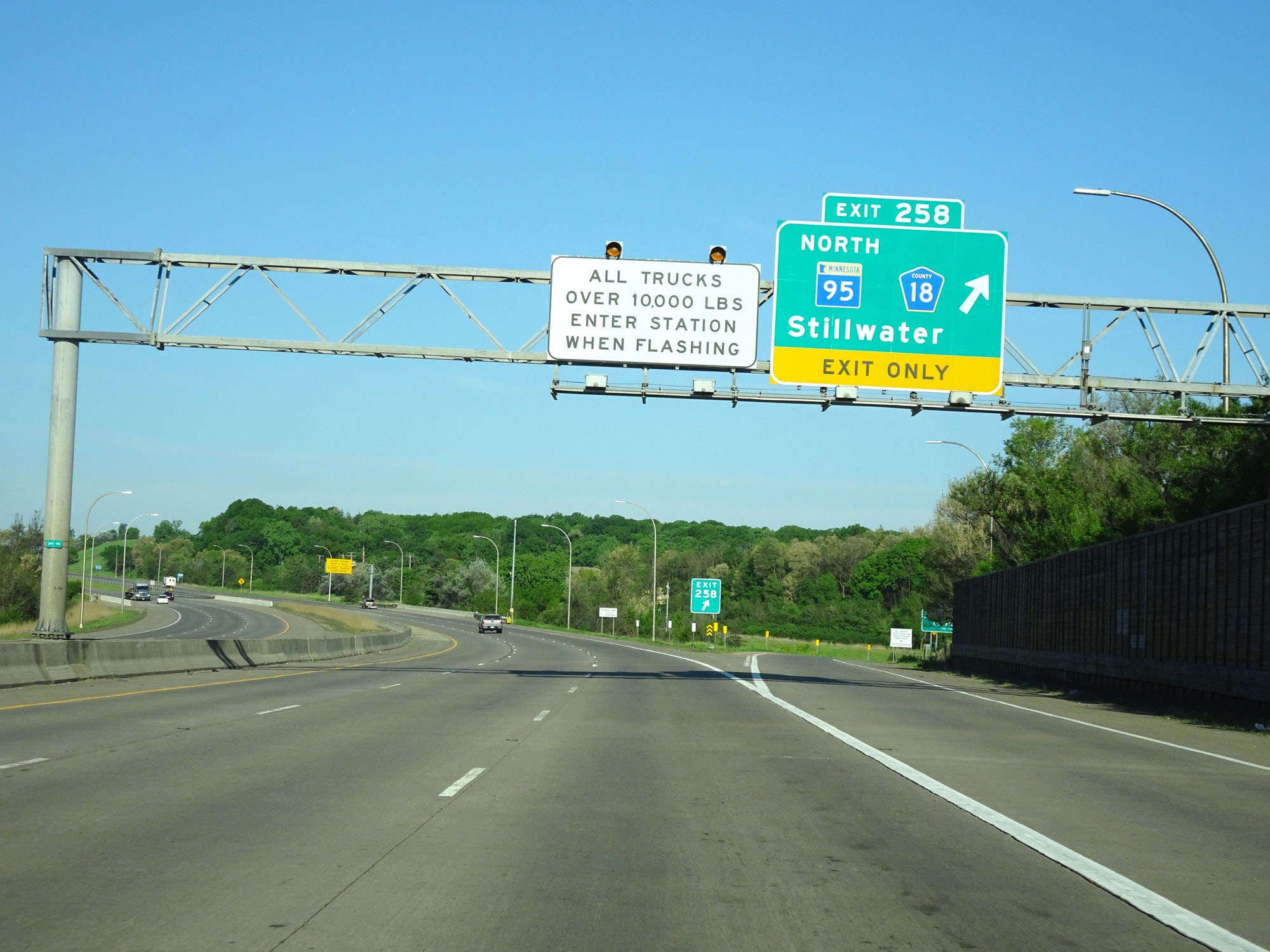 |
Interstate 94 West at Exit 258: MN 95 North / CR 18 - Stillwater (Photo taken 5/22/16). |
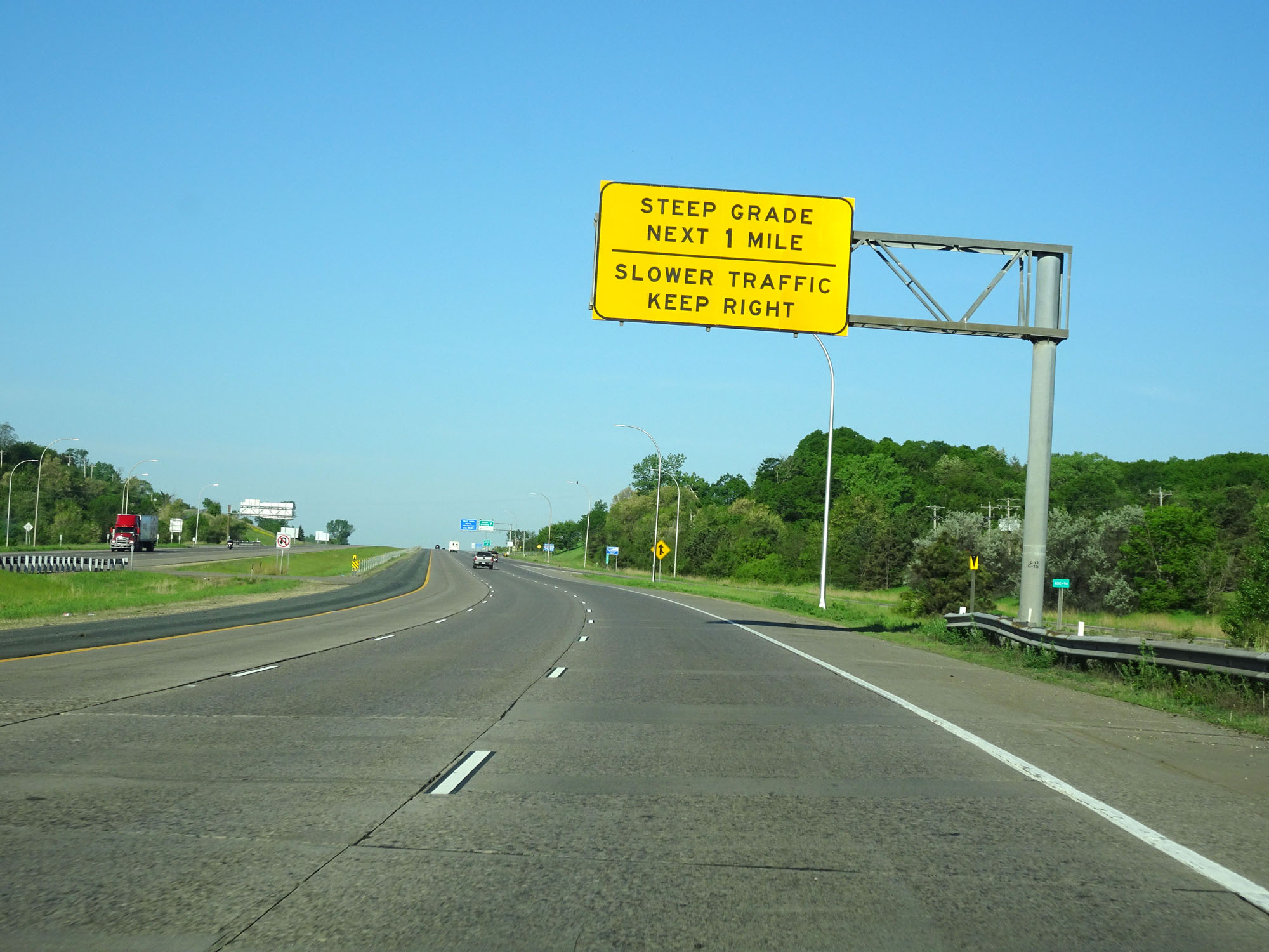 |
Upon entering Minnesota from Wisconsin by crossing the St. Croix River, this overhead sign warns of a steep grade for the next mile. I guess this is what qualifies as a steep grade in the midwest. (Photo taken 5/22/16). |
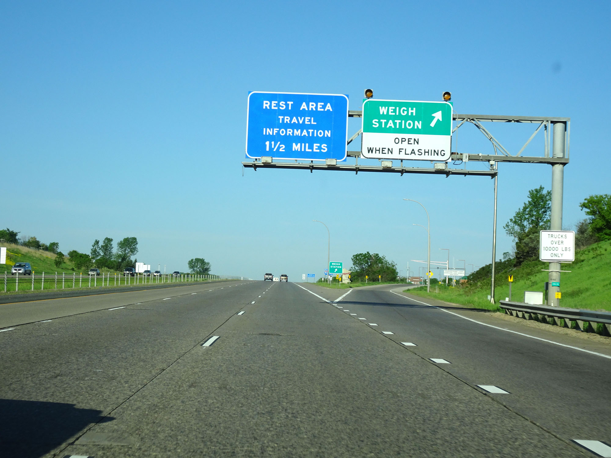 |
Interstate 94 West at the Weigh Station in Washington County. (Photo taken 5/22/16). |
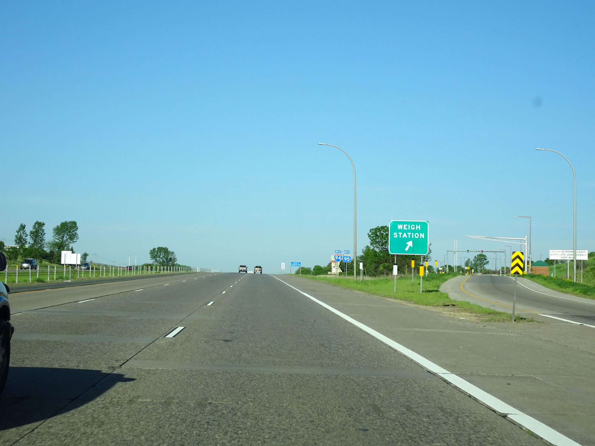 |
A closer view of the ramp to the Weigh Station. (Photo taken 5/22/16). |
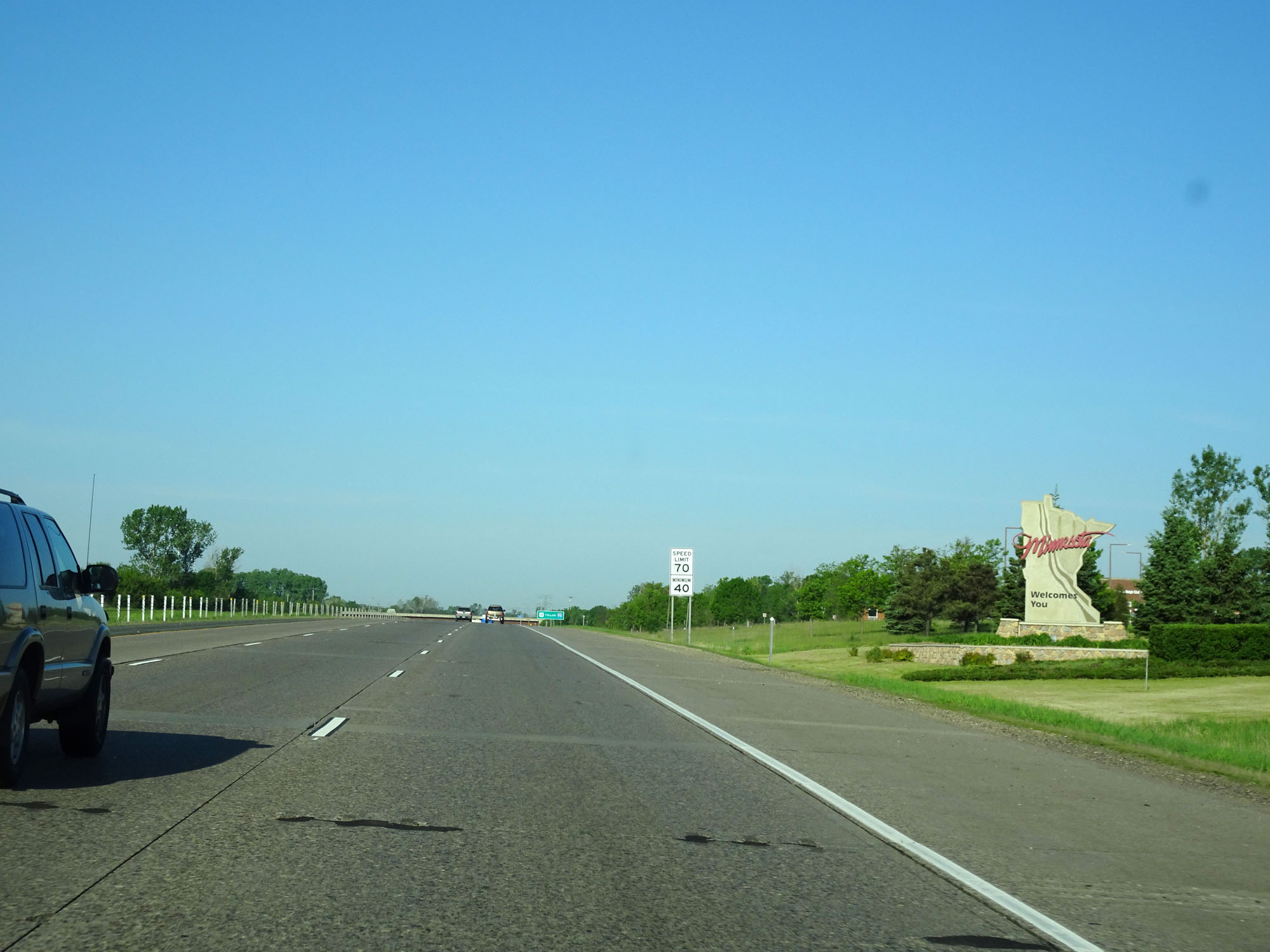 |
Minnesota welcome sign on Interstate 94 West. (Photo taken 5/22/16). |
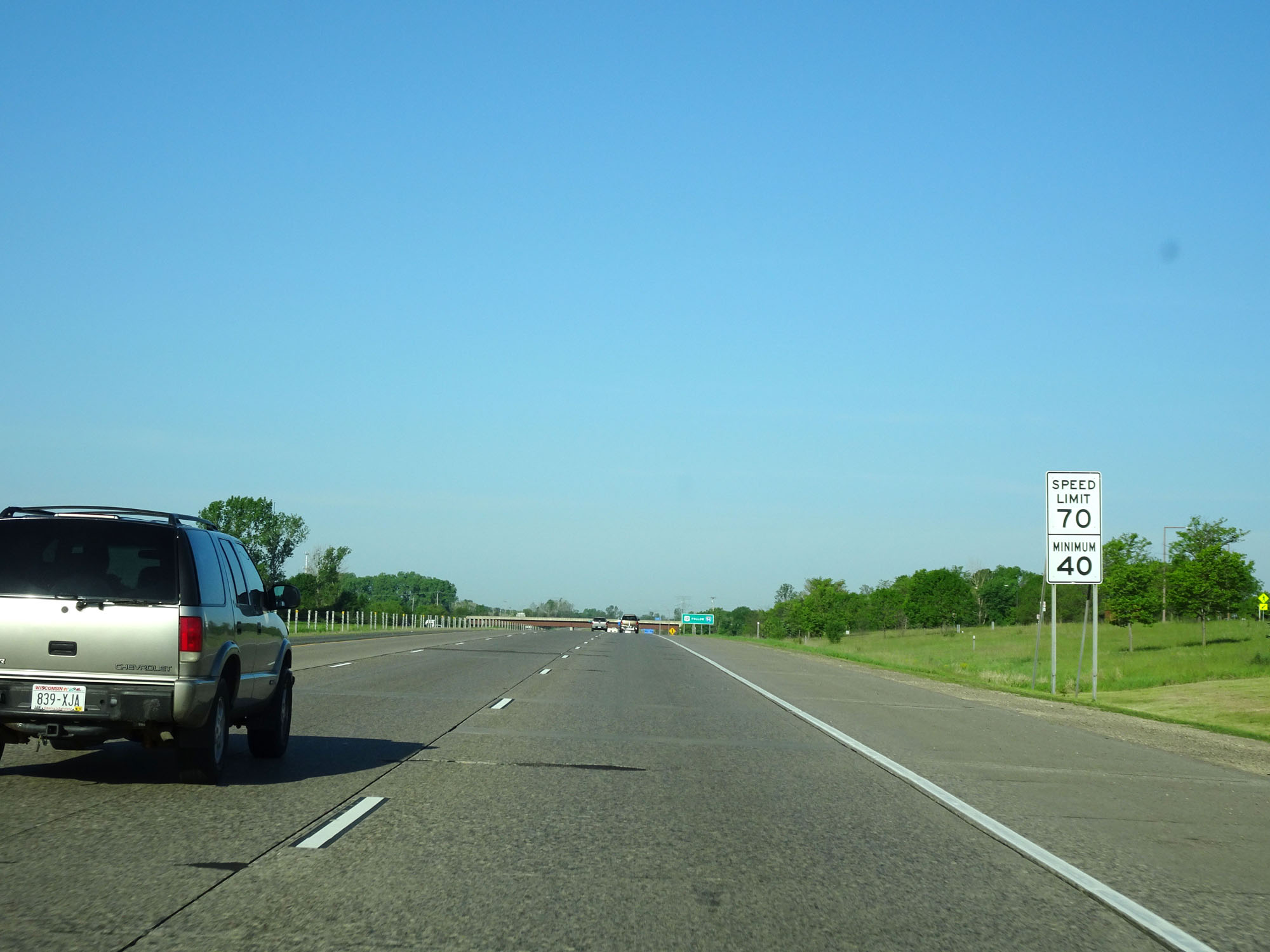 |
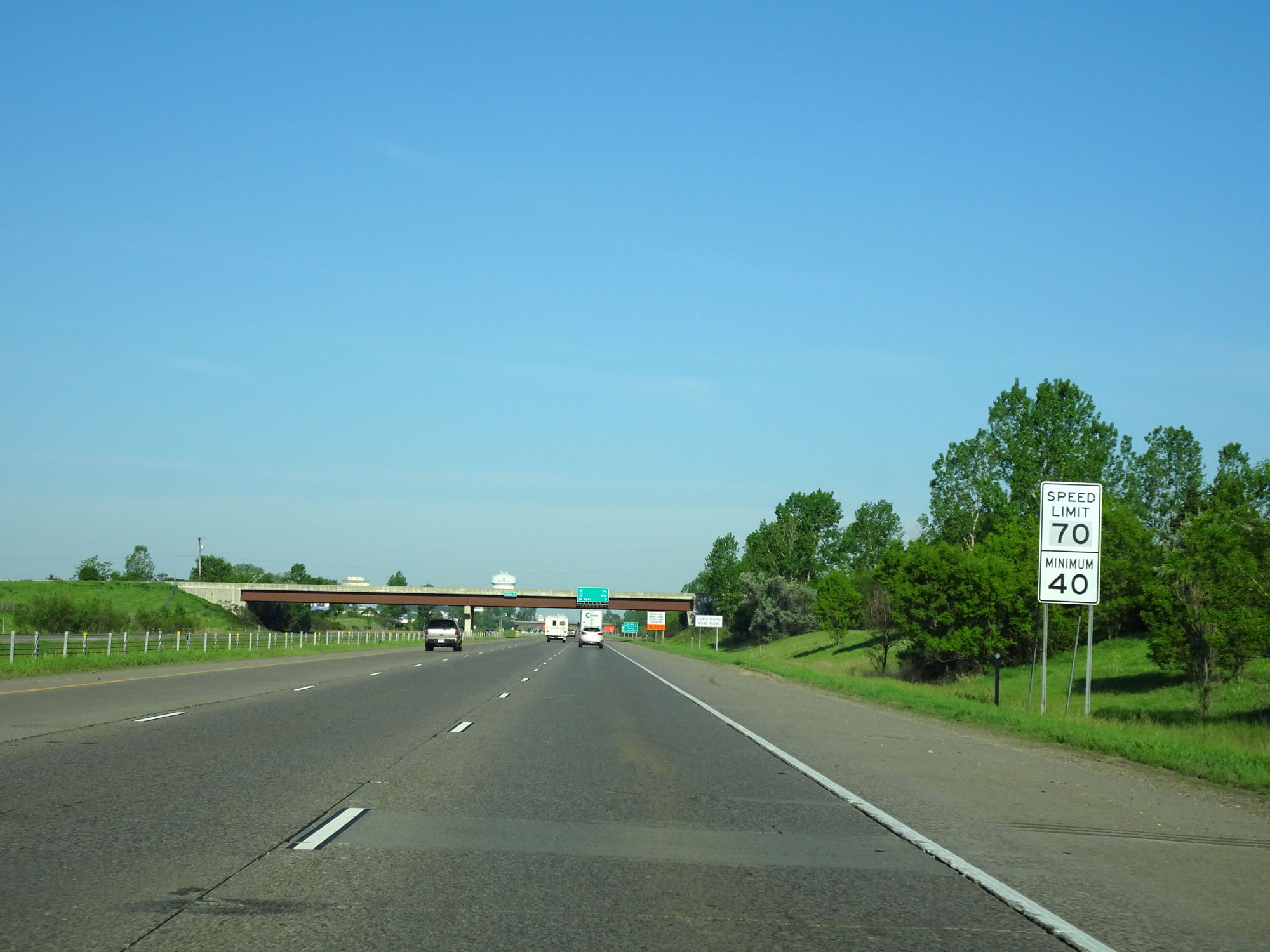
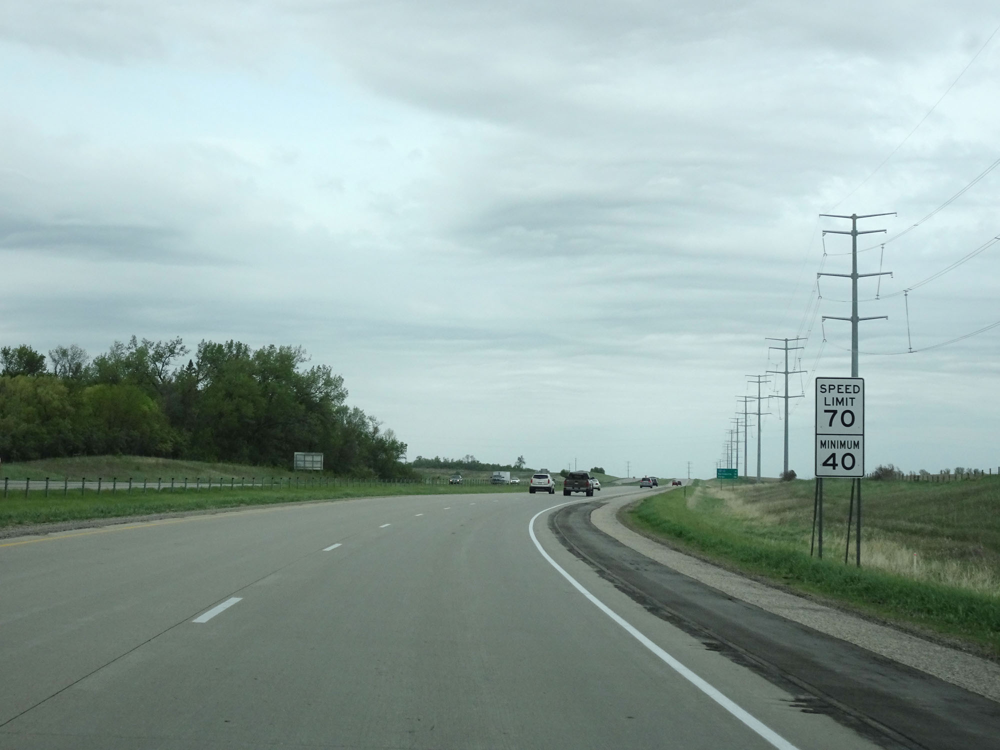
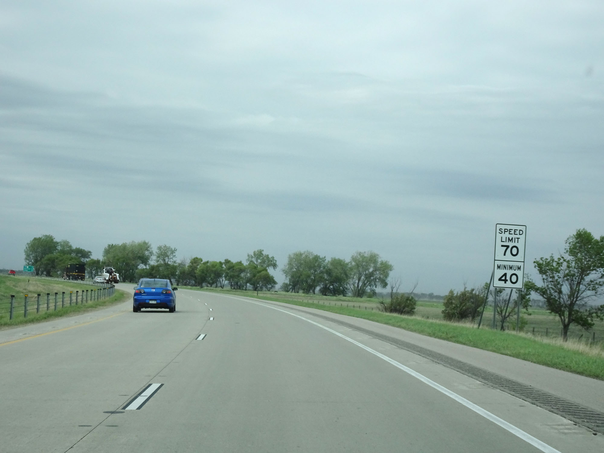
Speed limit signs on Interstate 94 West. The speed limit on most rural Interstate highways in Minnesota is 70 mph with a minimum speed limit of 40 mph. (Photo taken 5/22/16). |
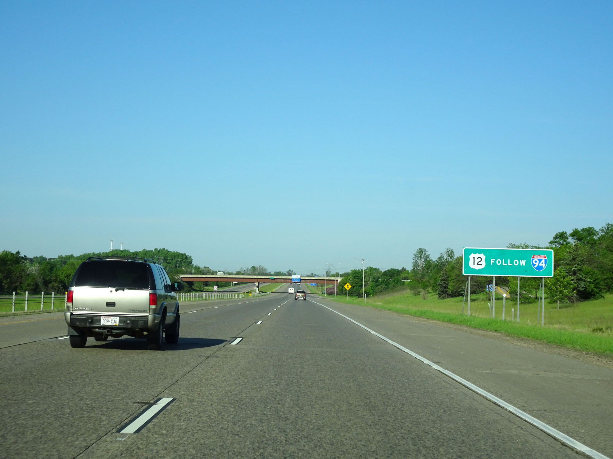 |
Traffic following US 12 should continue to follow Interstate 94. (Photo taken 5/22/16). |
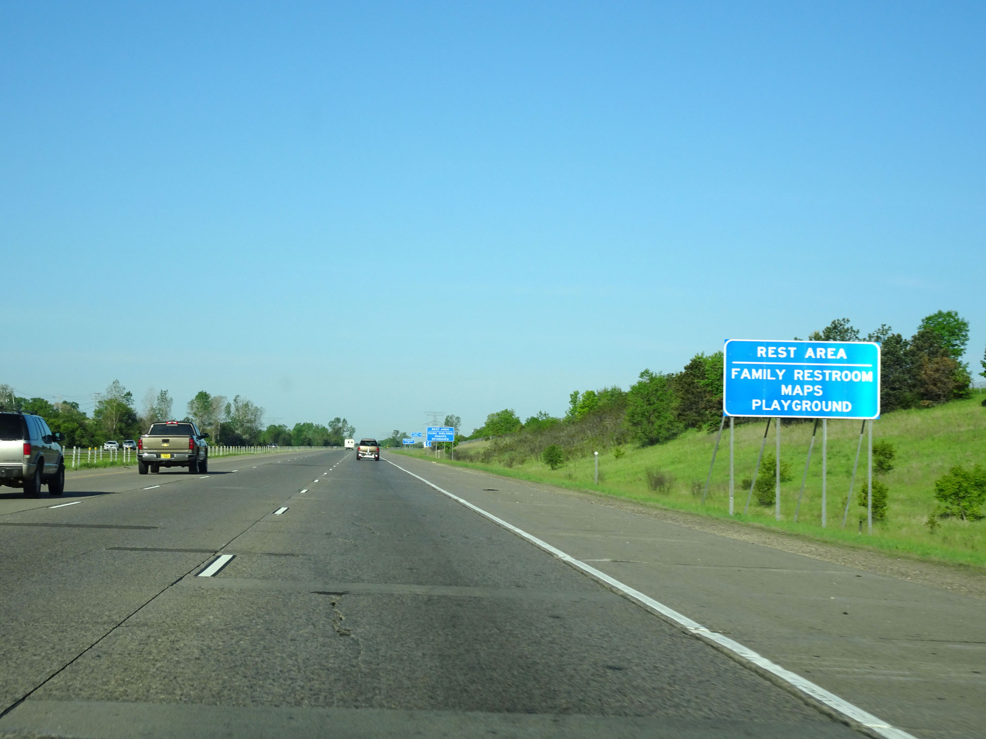 |
The Rest Area / Welcome Center ahead has Family Restrooms, Maps, and even a Playground apparently. (Photo taken 5/22/16). |
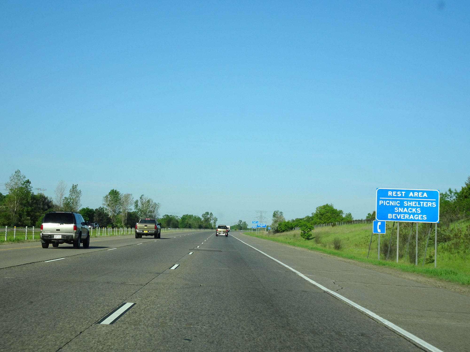 |
This sign lists more amenities available at the Rest Area ahead. (Photo taken 5/22/16). |
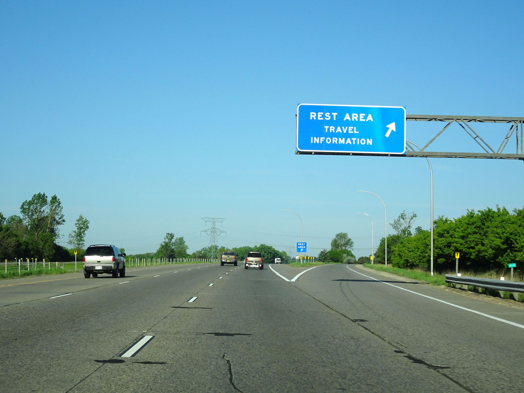 |
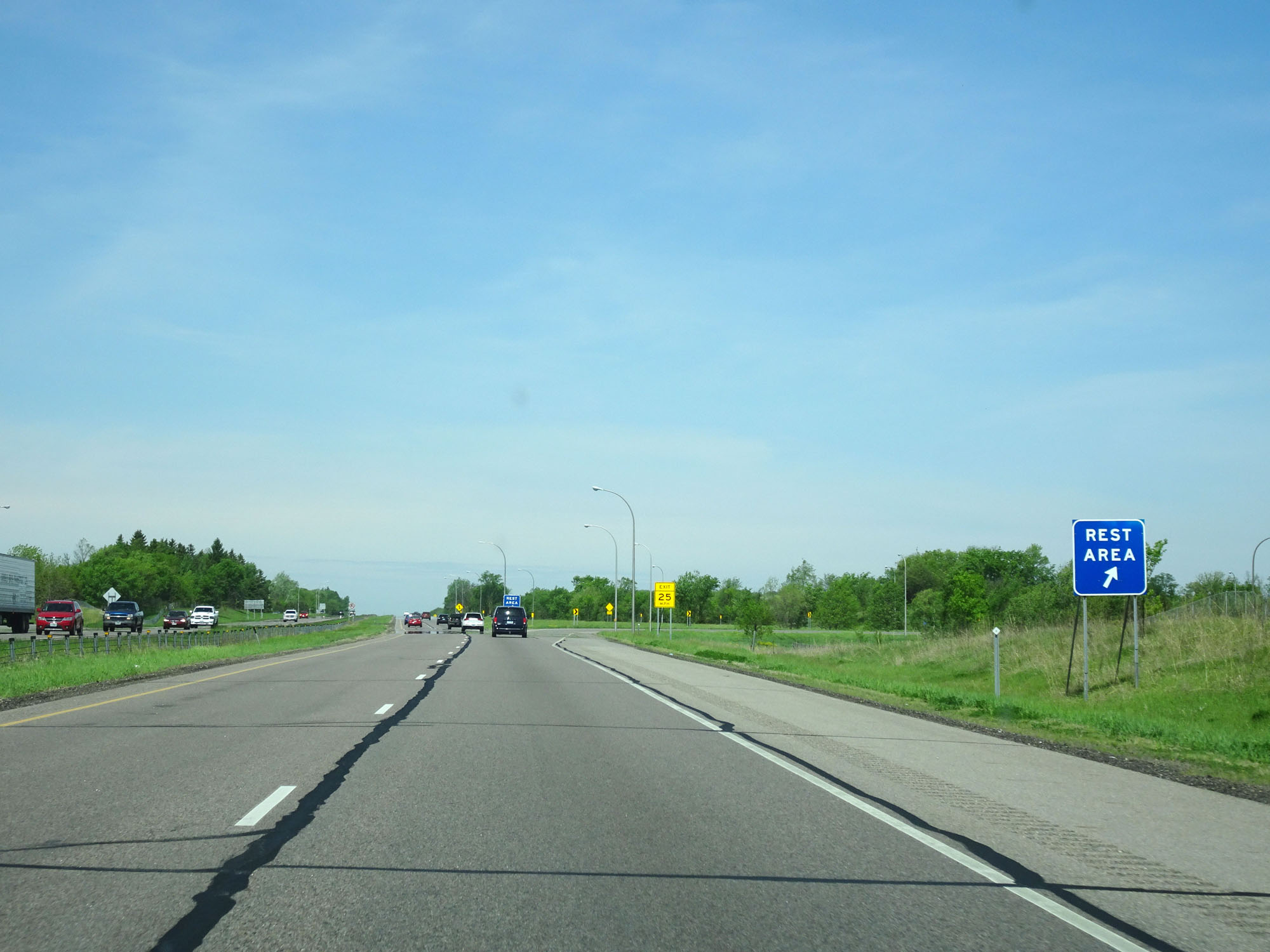
Interstate 94 West at the Rest Area / Welcome Center in Washington County. (Photo taken 5/22/16). |
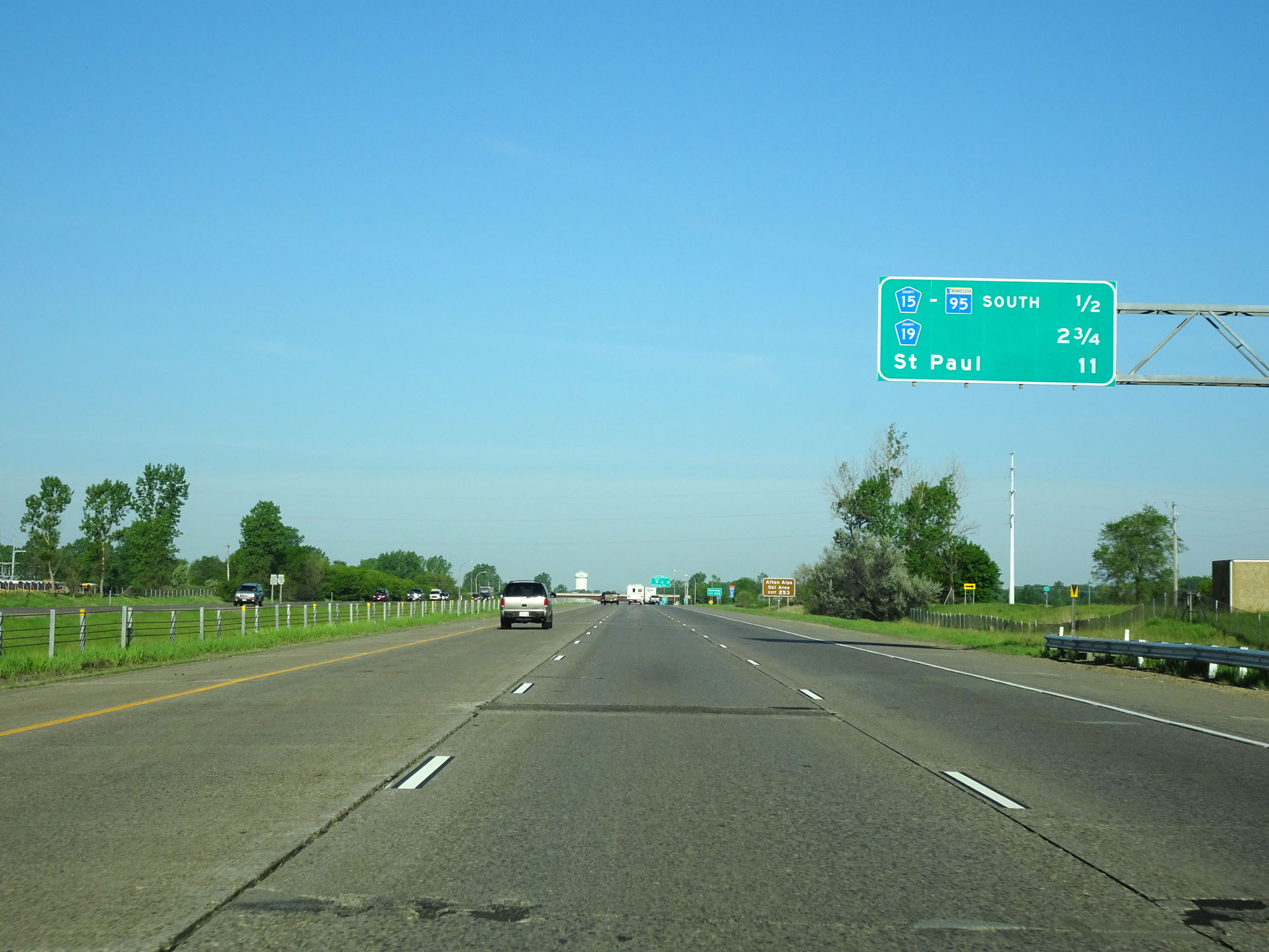 |
Overhead mileage sign on Interstate 94 West. It's 11 miles to St. Paul. (Photo taken 5/22/16). |
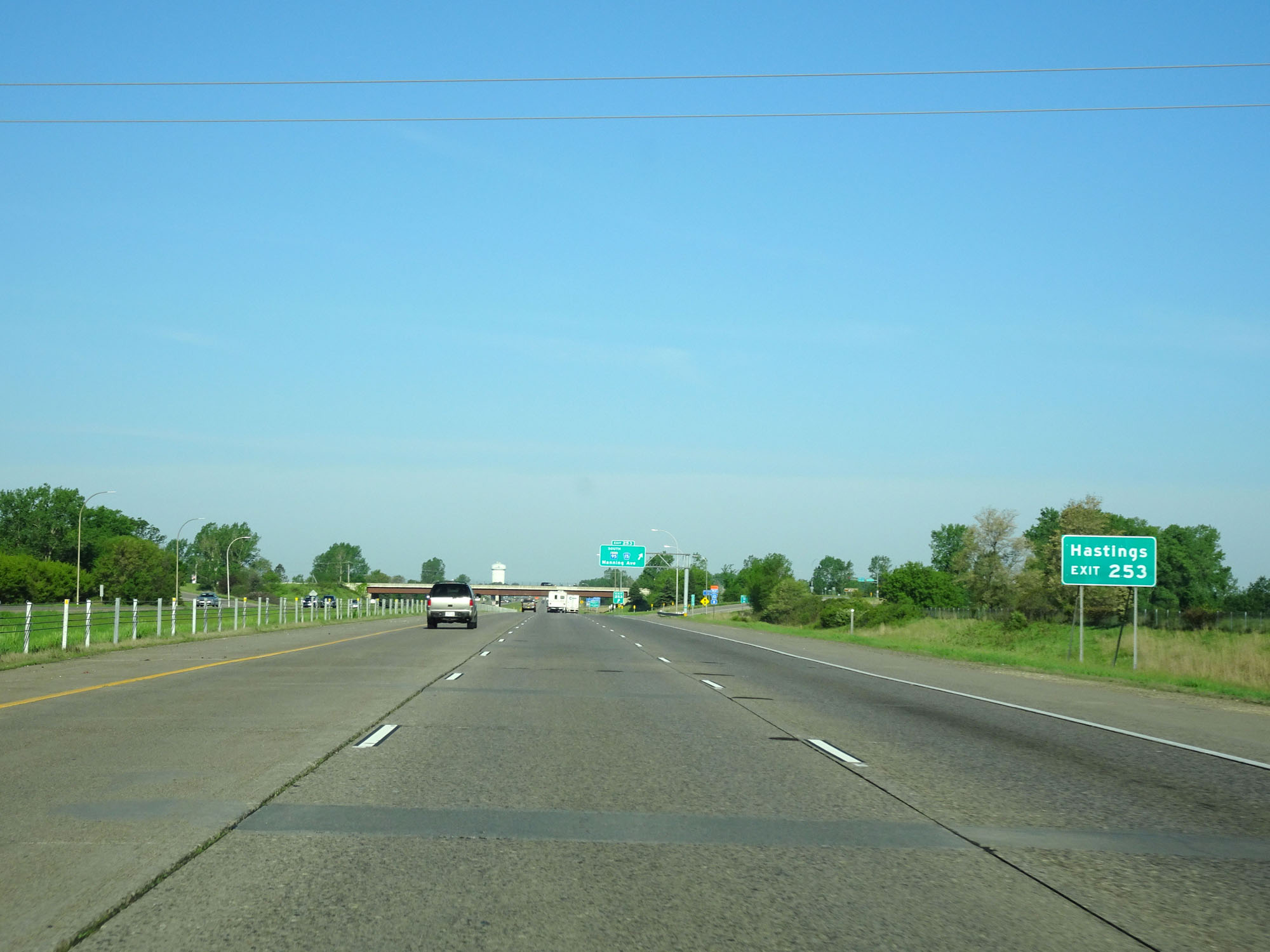 |
Take Exit 253 to Hastings. (Photo taken 5/22/16). |
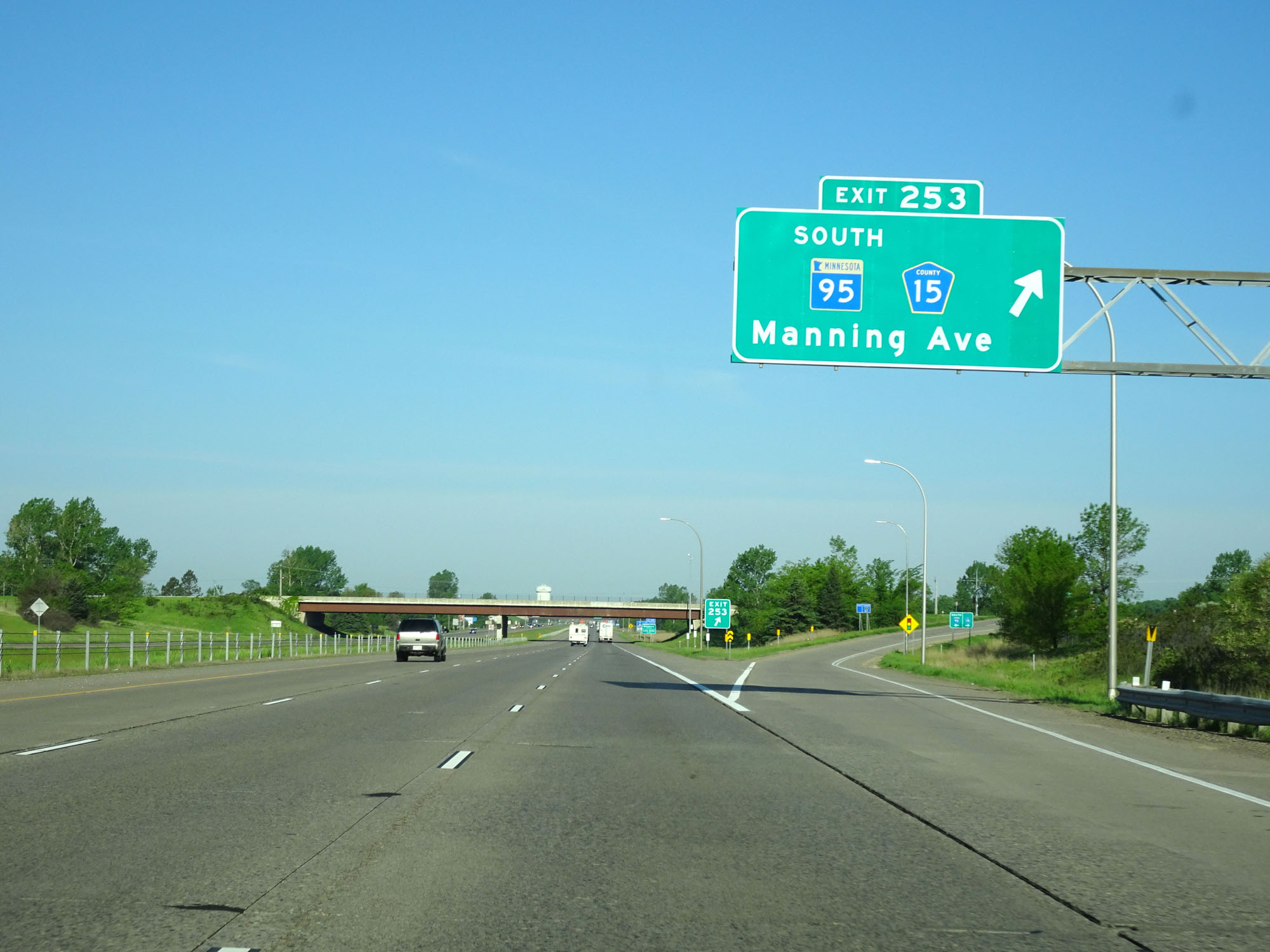 |
Interstate 94 West at Exit 253: MN 95 South / CR 15 - Manning Ave (Photo taken 5/22/16). |
 |
Interstate 94 West reassurance shield. (Photo taken 5/22/16). |
 |
The speed limits remain 70 mph maximum and 40 mph minimum. (Photo taken 5/22/16). |
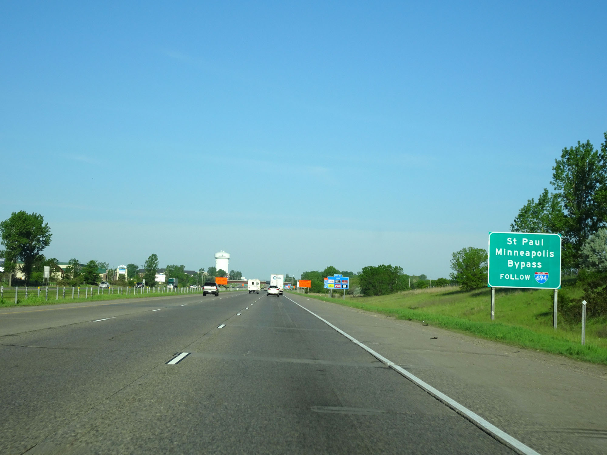 |
Follow Interstate 694 to bypass downtown Minneapolis and St. Paul. (Photo taken 5/22/16). |
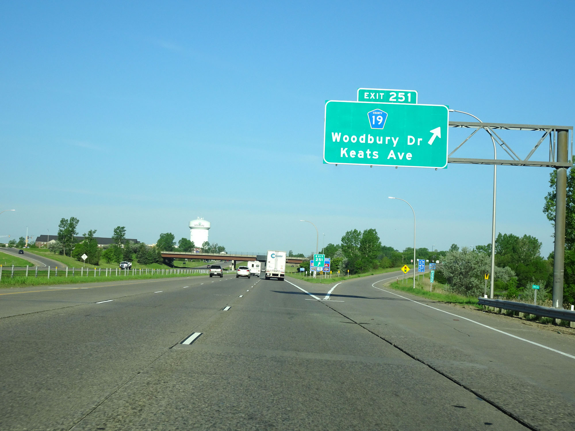 |
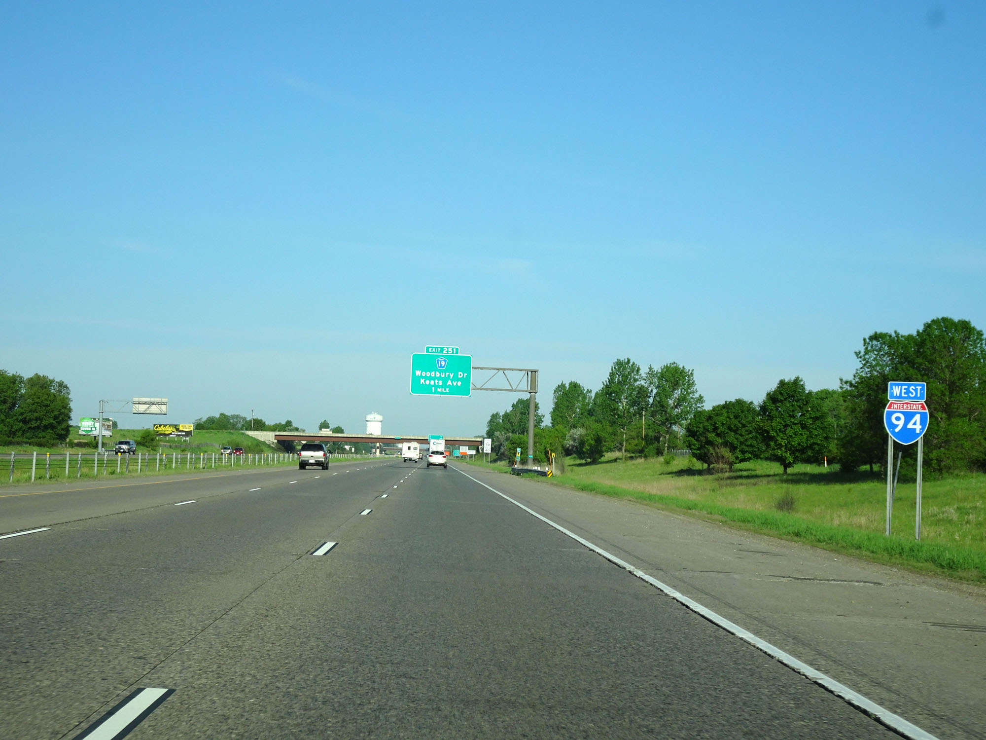
Interstate 94 West at Exit 251: CR 19 - Woodbury Dr / Keats Ave (Photo taken 5/22/16). |
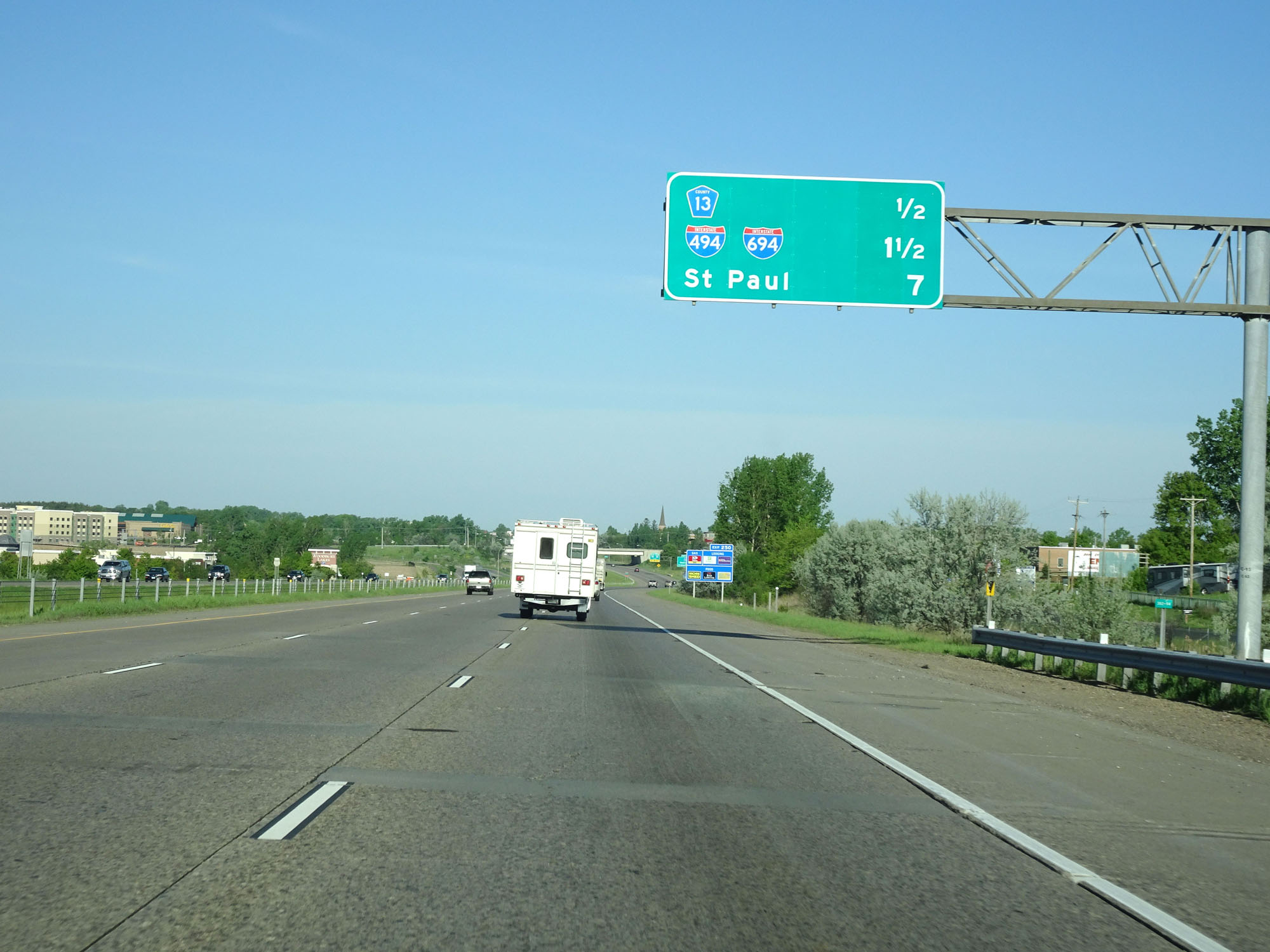 |
The junction of Interstate 494 / Interstate 694 is 1 1/2 miles ahead. (Photo taken 5/22/16). |
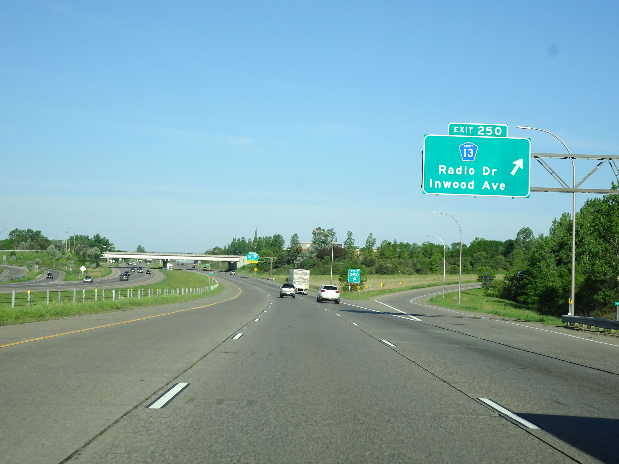 |
Interstate 94 West at Exit 250: CR 13 - Radio Dr / Inwood Ave (Photo taken 5/22/16). |
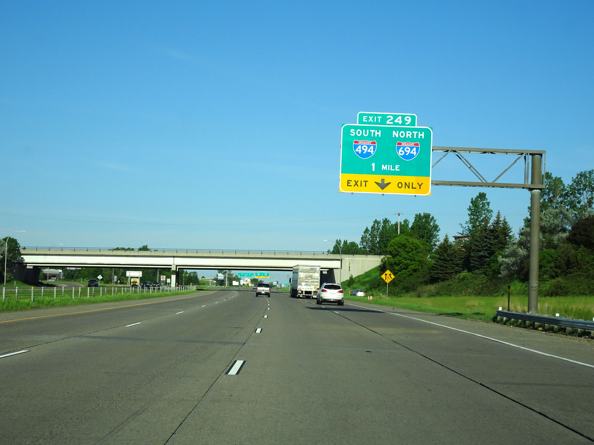 |
Interstate 94 West approaching Exit 249 - 1 mile. (Photo taken 5/22/16). |
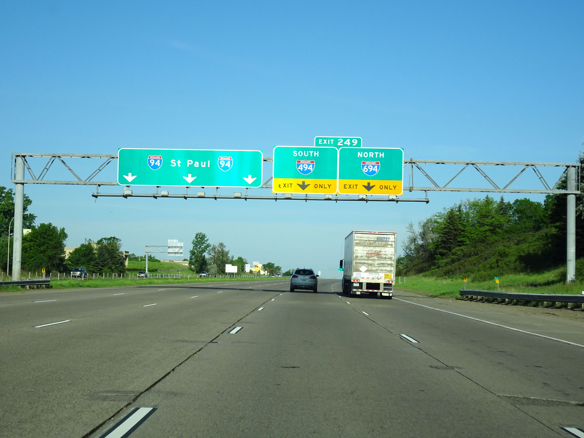 |
Stay to the far right for Interstate 694 North. Stay in the 2nd lane from the right for Interstate 494 South. In combination, I-494 and I-694 form a lengthy loop around the Twin Cities. (Photo taken 5/22/16). |
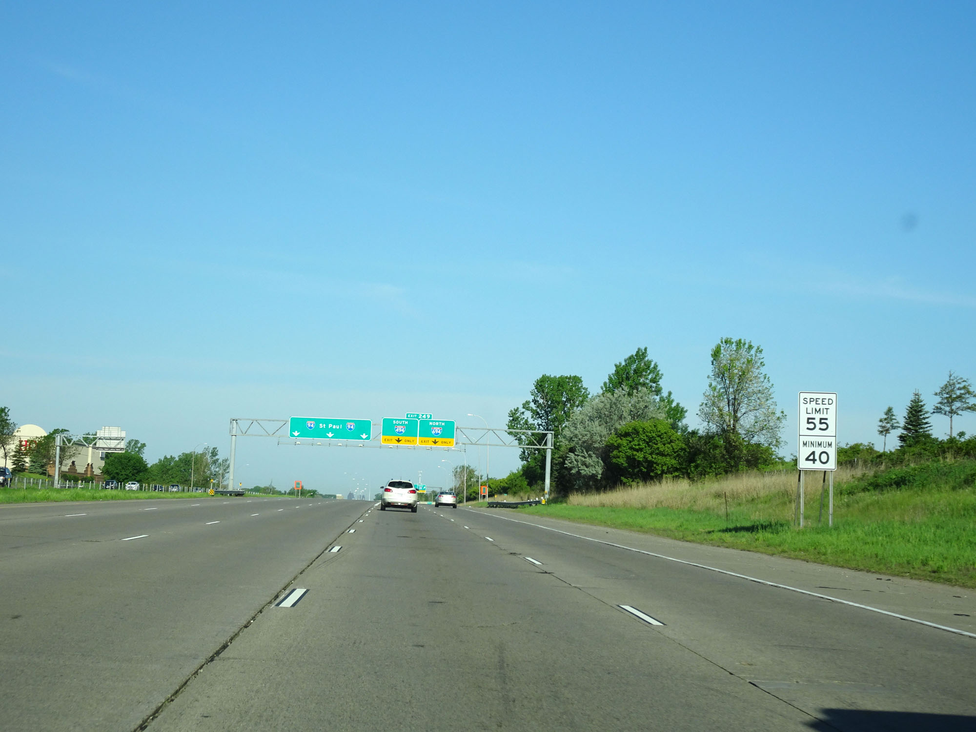 |
Approaching Exit 249, the speed limit decreases to 55 mph. The minimum speed limit is still 40 mph. (Photo taken 5/22/16). |
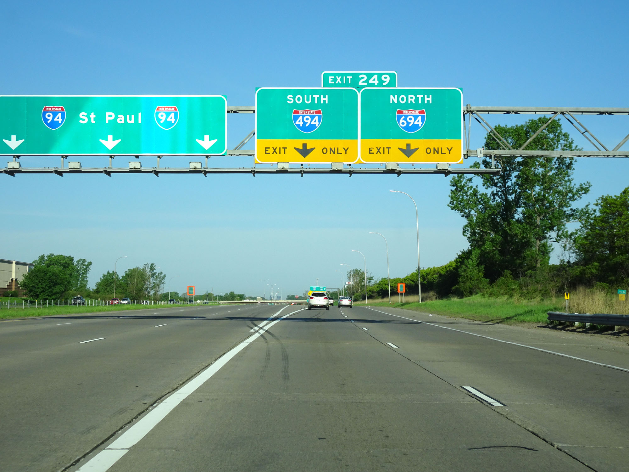 |
Interstate 94 West at Exit 249: Interstate 494 South / Interstate 694 North (Photo taken 5/22/16). |
 |
Interstate 94 West at Exit 247: MN 120 - Century Ave (Photo taken 5/22/16). |
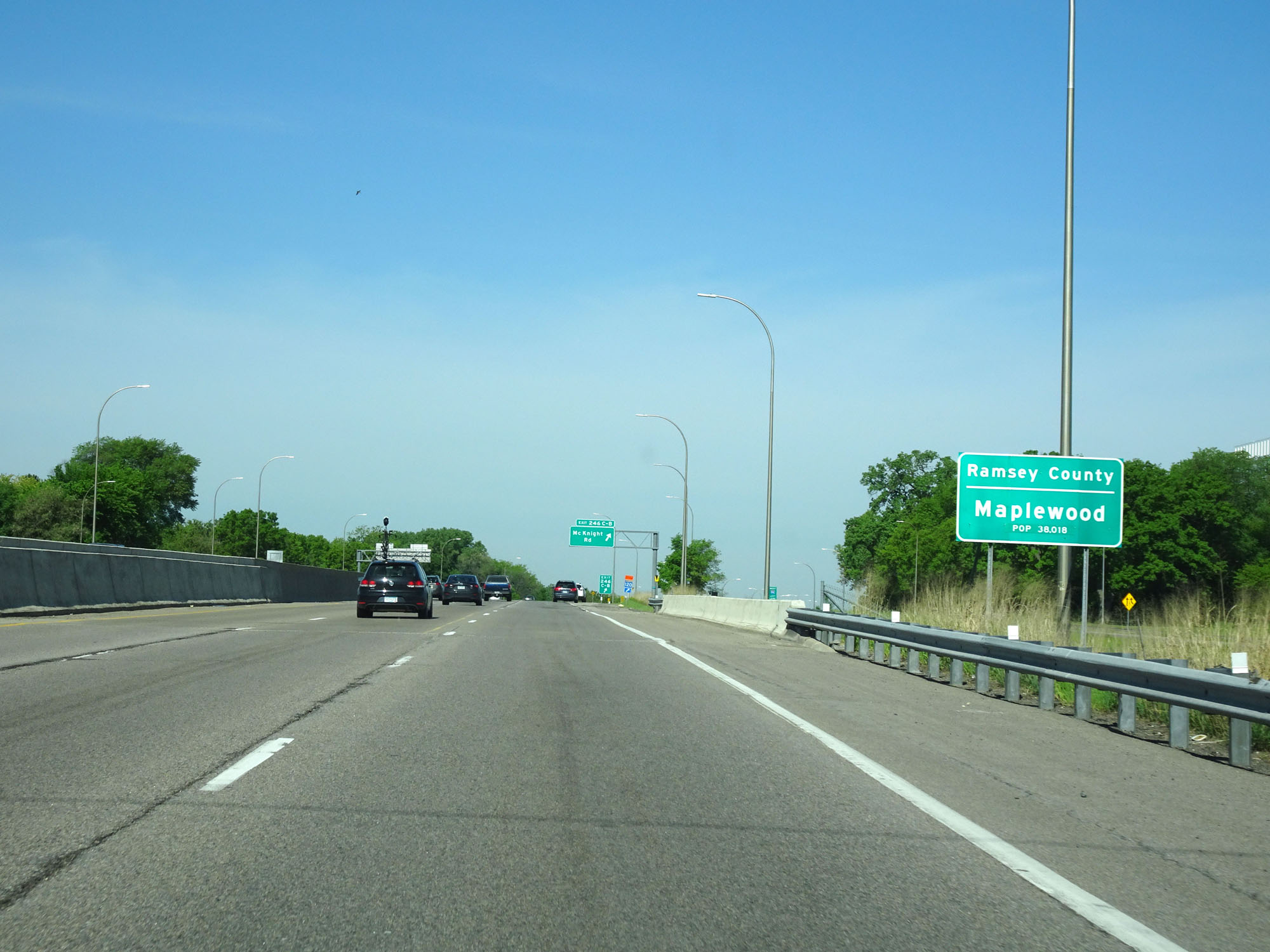 |
Interstate 94 West as it enters Ramsey County and the Maplewood city limits. (Photo taken 5/22/16). |
 |
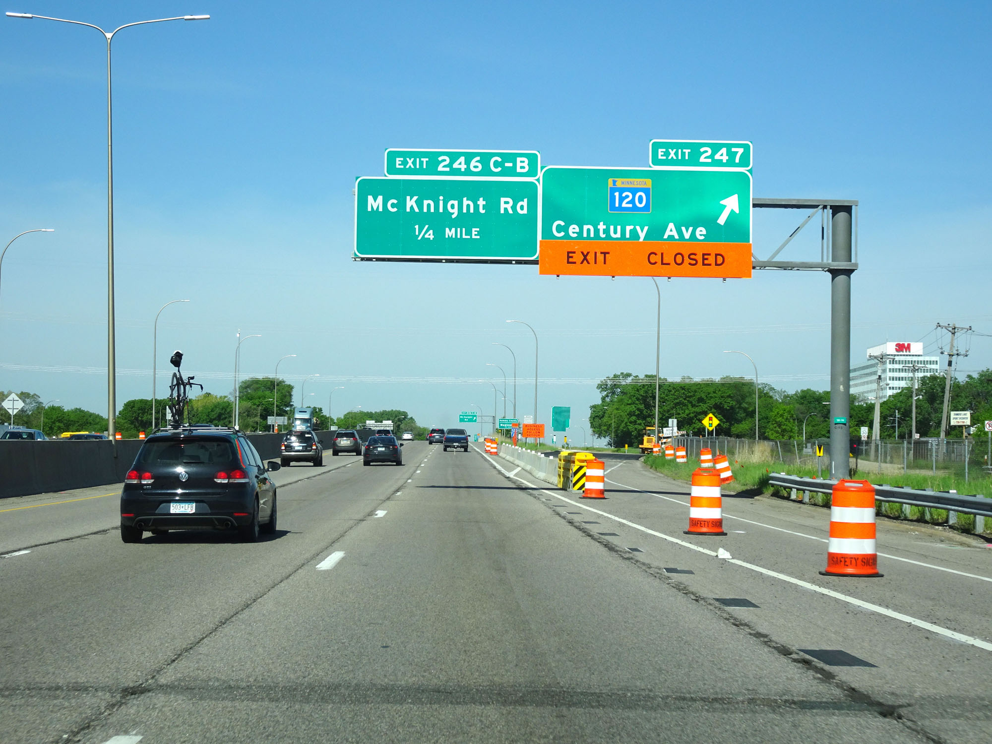
Interstate 94 West at Exits 246C-B: McKnight Rd (Photo taken 5/22/16). |
 |
Interstate 94 West reassurance shield. (Photo taken 5/22/16). |
 |
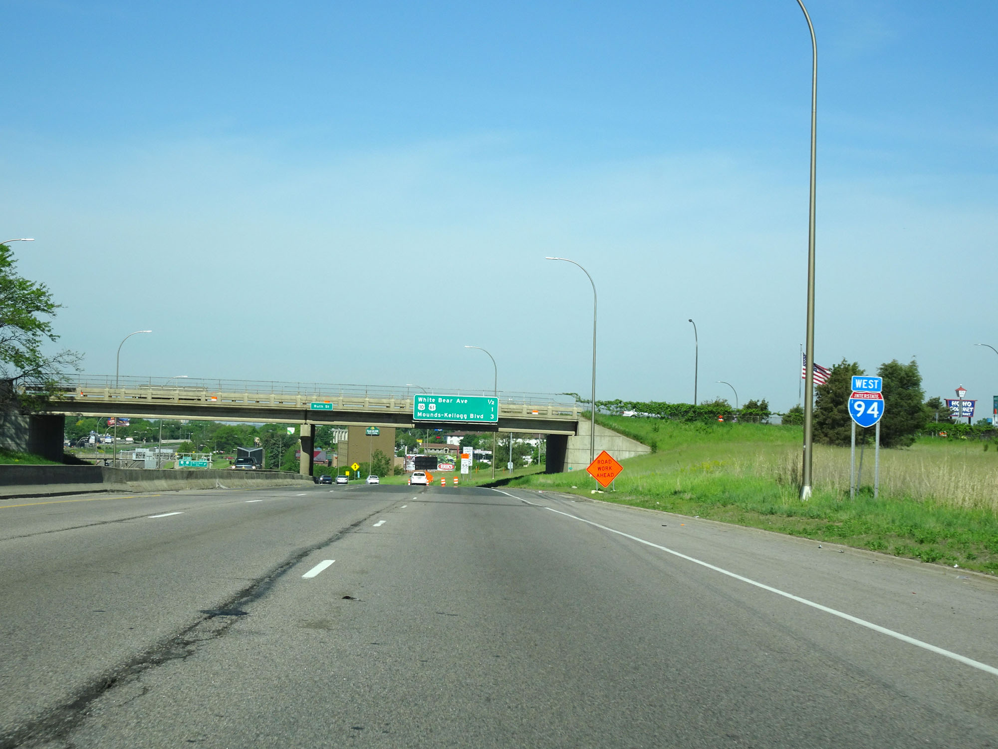
Interstate 94 West at Exit 245: White Bear Ave (Photo taken 5/22/16). |
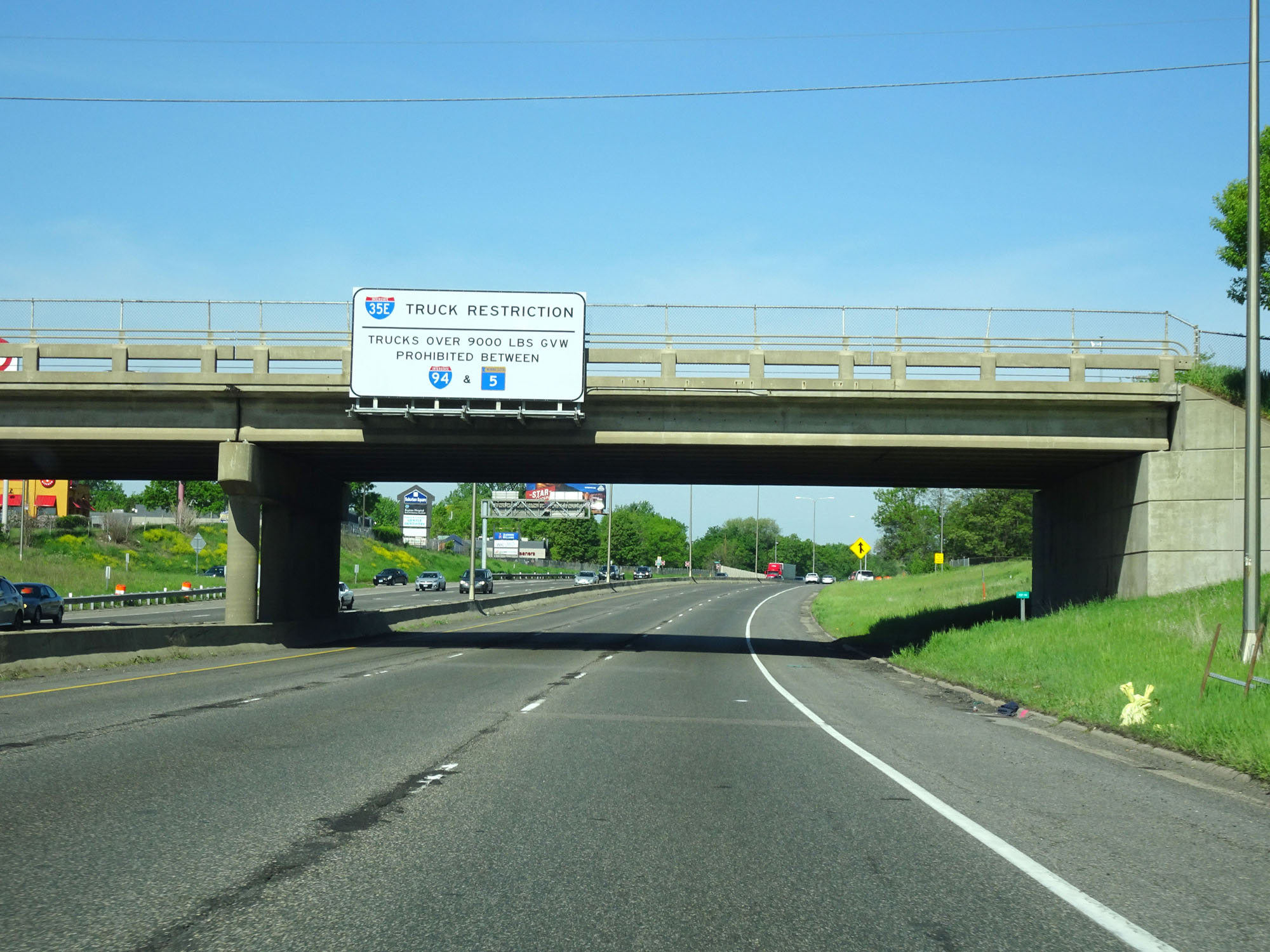 |
Trucks over 9,000 lbs Gross Vehicle Weight are prohibited on Interstate 35E from Interstate 94 to MN 5. (Photo taken 5/22/16). |
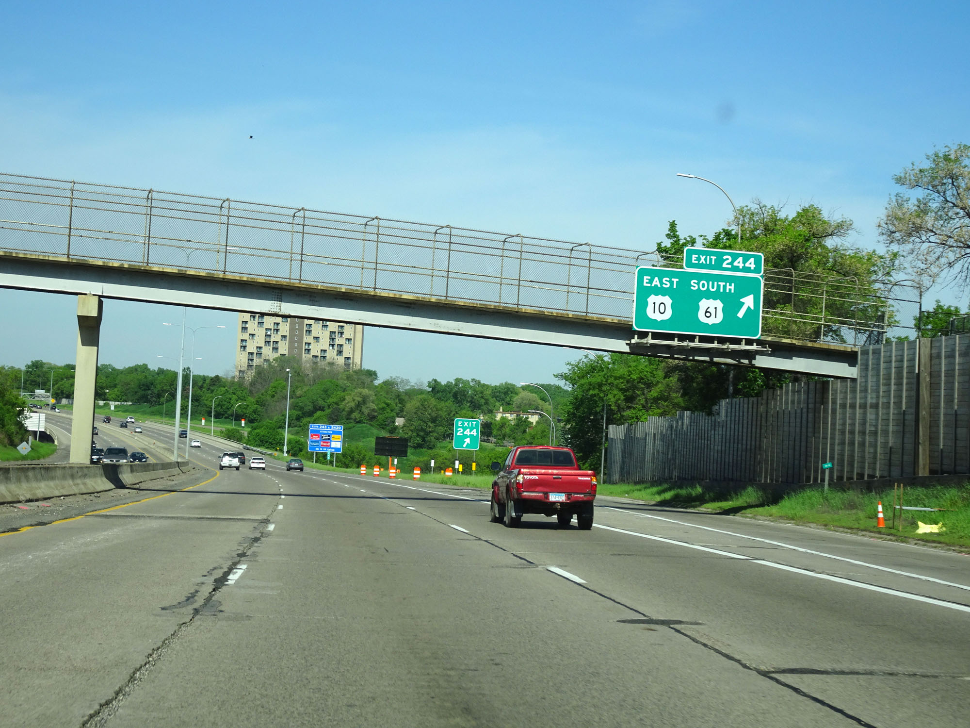 |
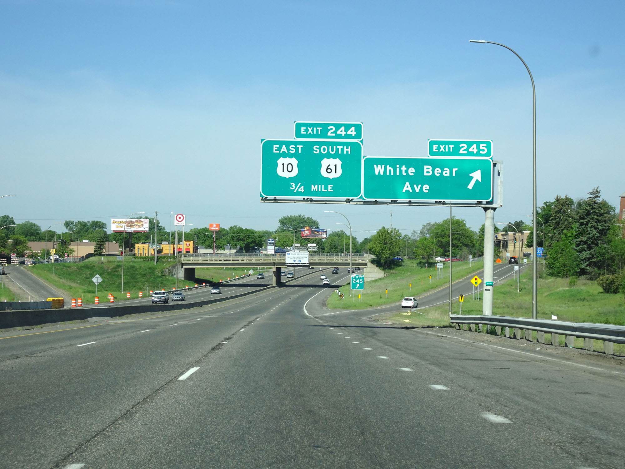
Interstate 94 West at Exit 244: US 10 East / US 61 South (Photo taken 5/22/16). |
 |
Interstate 94 West at mile marker 245. (Photo taken 5/22/16). |
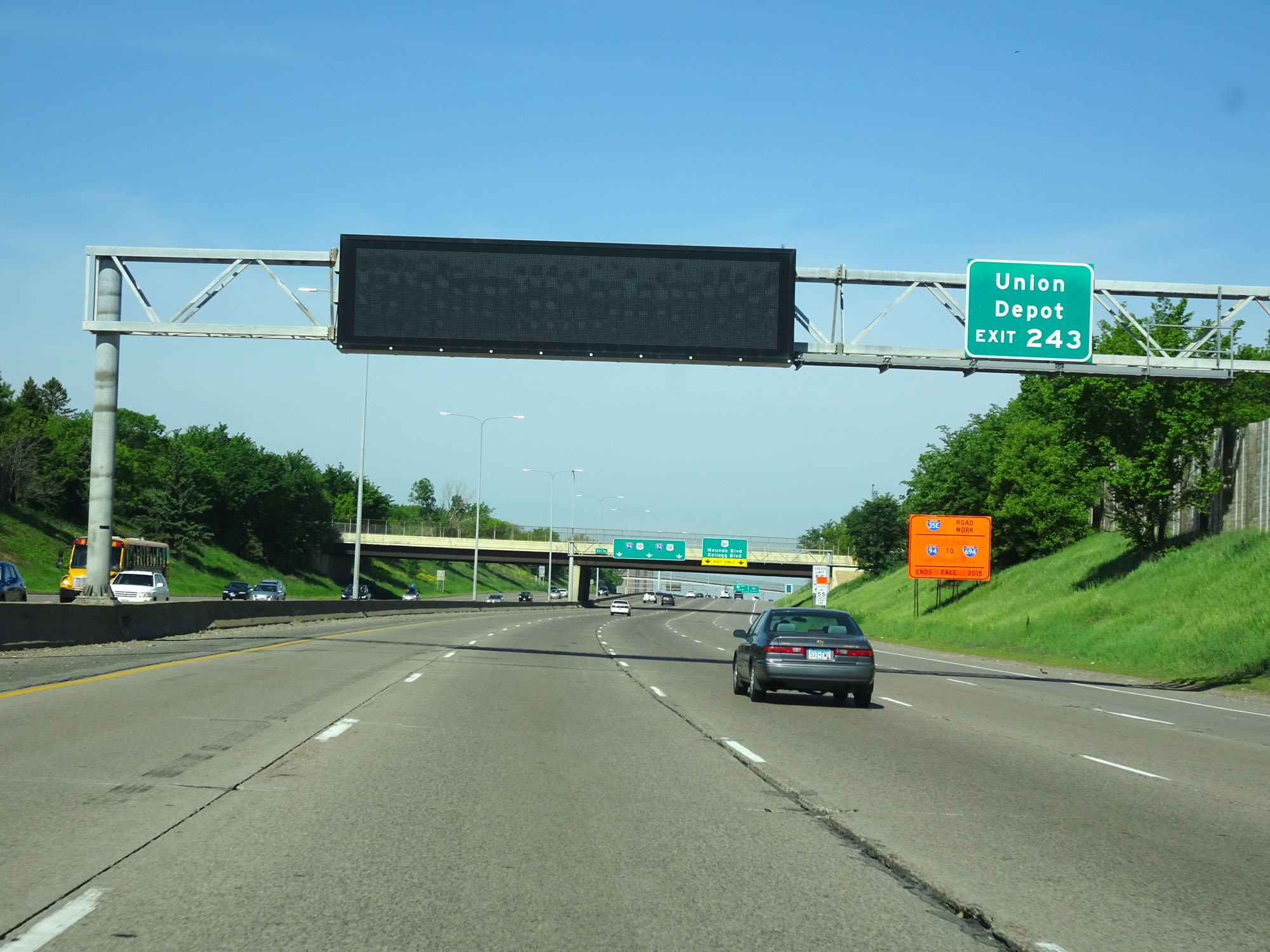 |
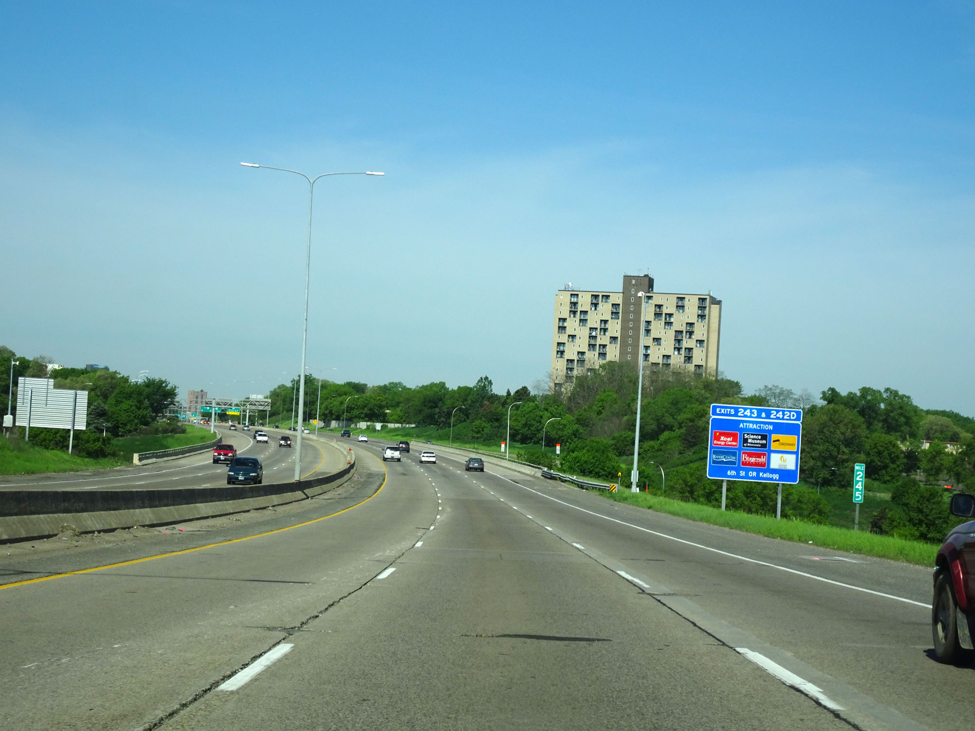
Take Exit 243 to Union Depot. (Photo taken 5/22/16). |
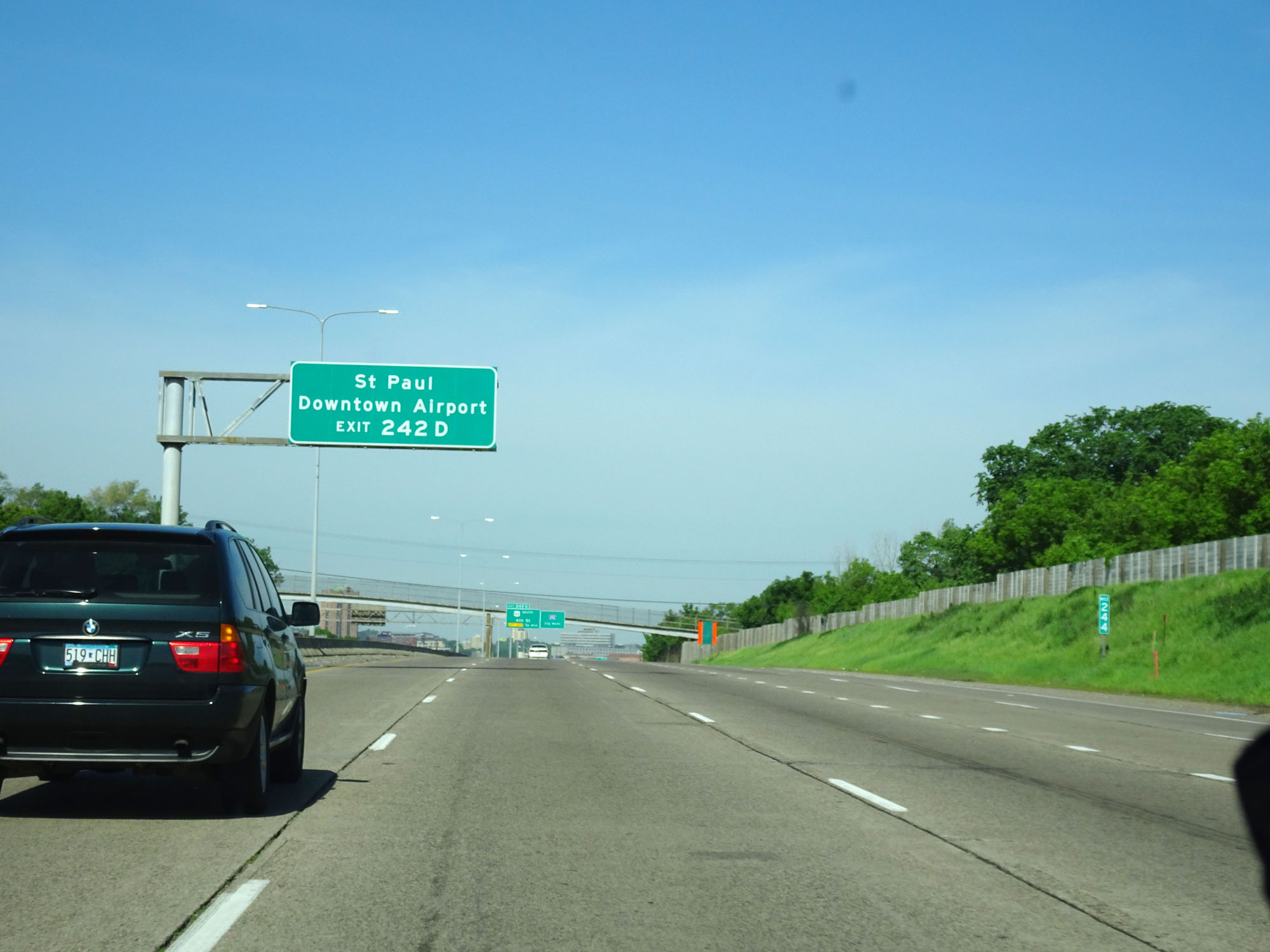 |
Take Exit 242D to St. Paul Downtown Airport. (Photo taken 5/22/16). |
 |
Interstate 94 West approaching the junction of Interstate 35E - 1 1/2 miles. (Photo taken 5/22/16). |
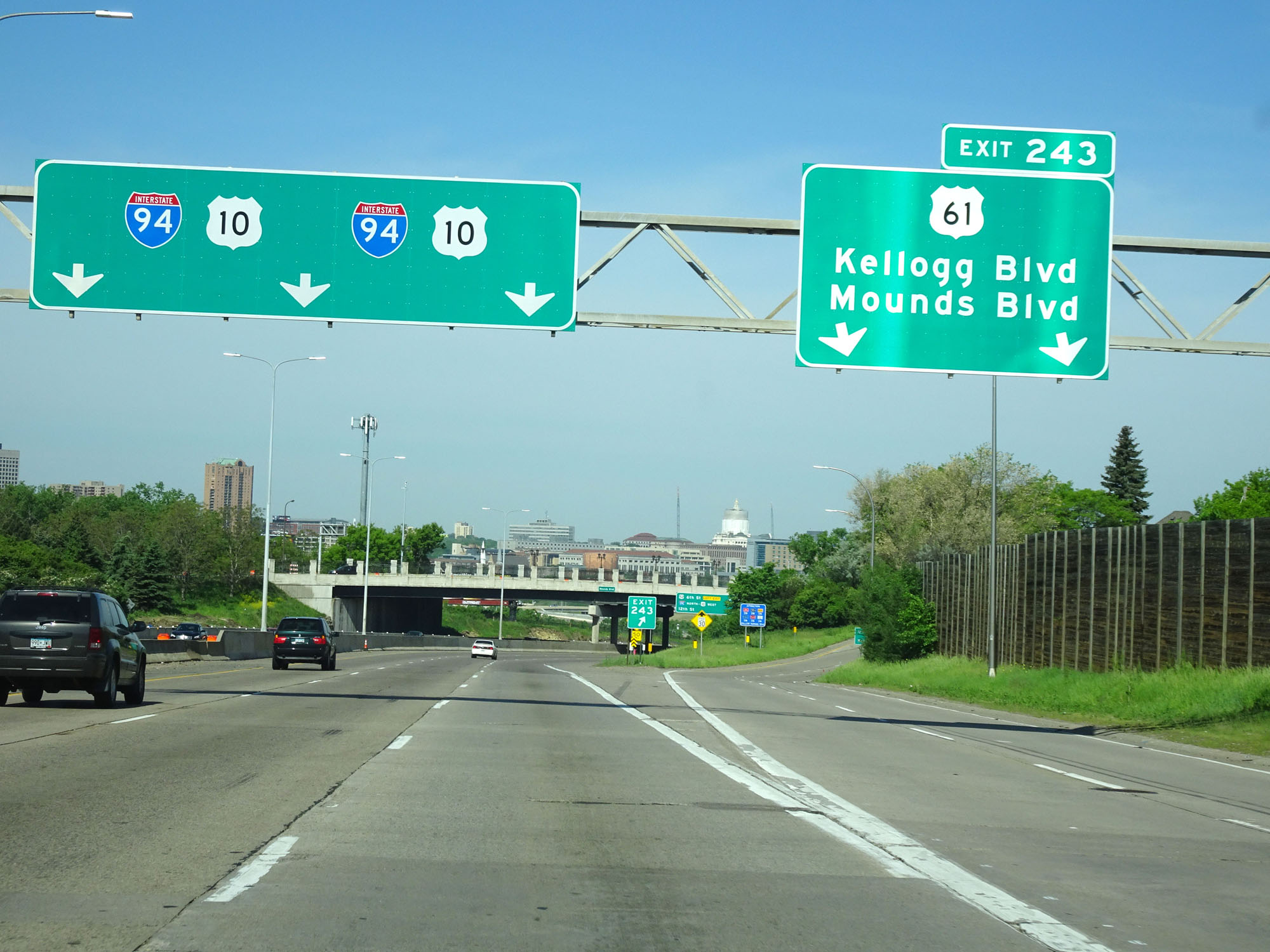 |
Interstate 94 West at Exit 243: US 61 - Kellogg Blvd / Mounds Blvd (Photo taken 5/22/16). |
 |
Interstate 94 West as it curves to the north briefly. (Photo taken 5/22/16). |
 |
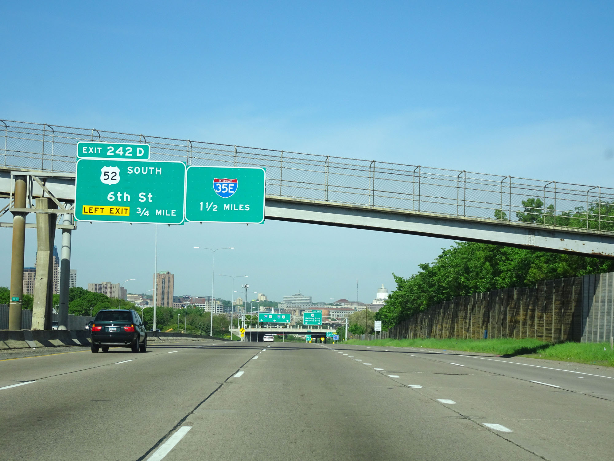
Interstate 94 West at Exit 242D: US 52 South - 6th St (Photo taken 5/22/16). |
 |
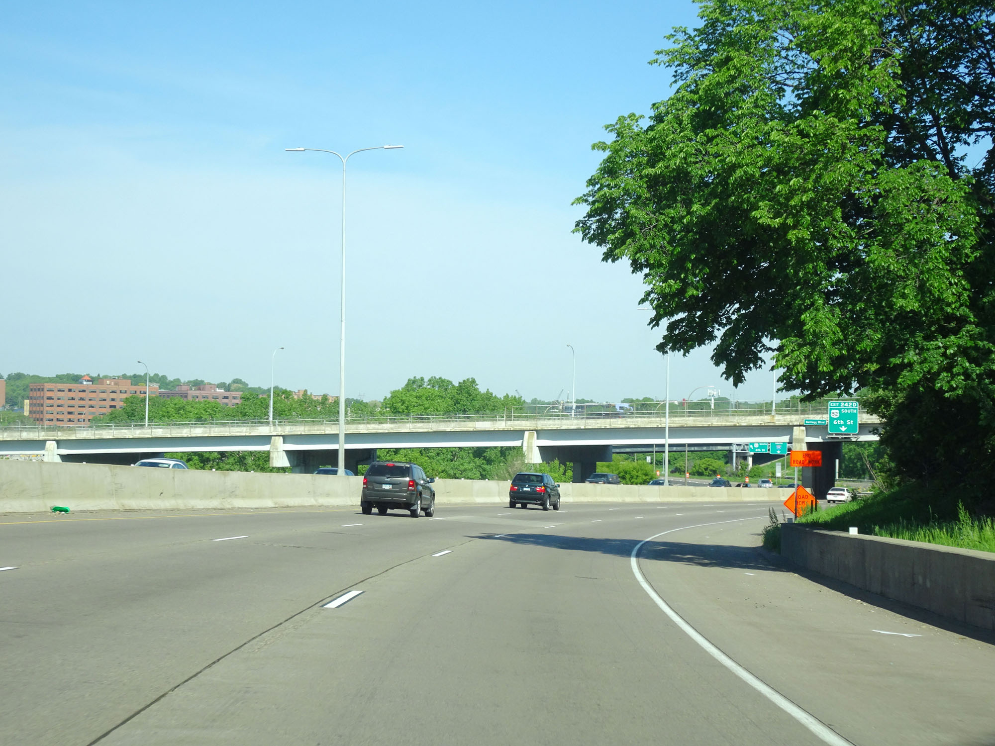
View of downtown St. Paul on Interstate 94 West. (Photo taken 5/22/16). |
 |
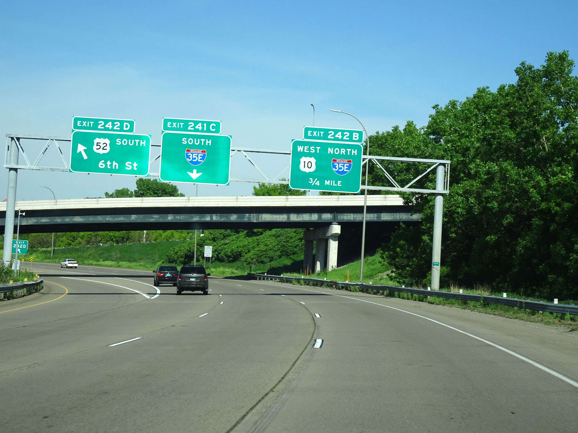
Interstate 94 West at Exit 242B: Interstate 35E North / US 10 West (Photo taken 5/22/16). |
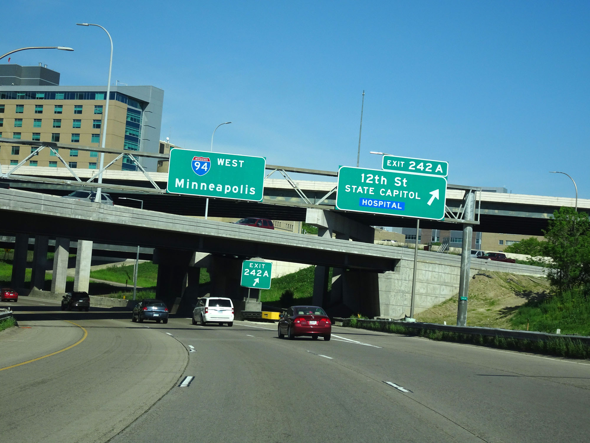 |
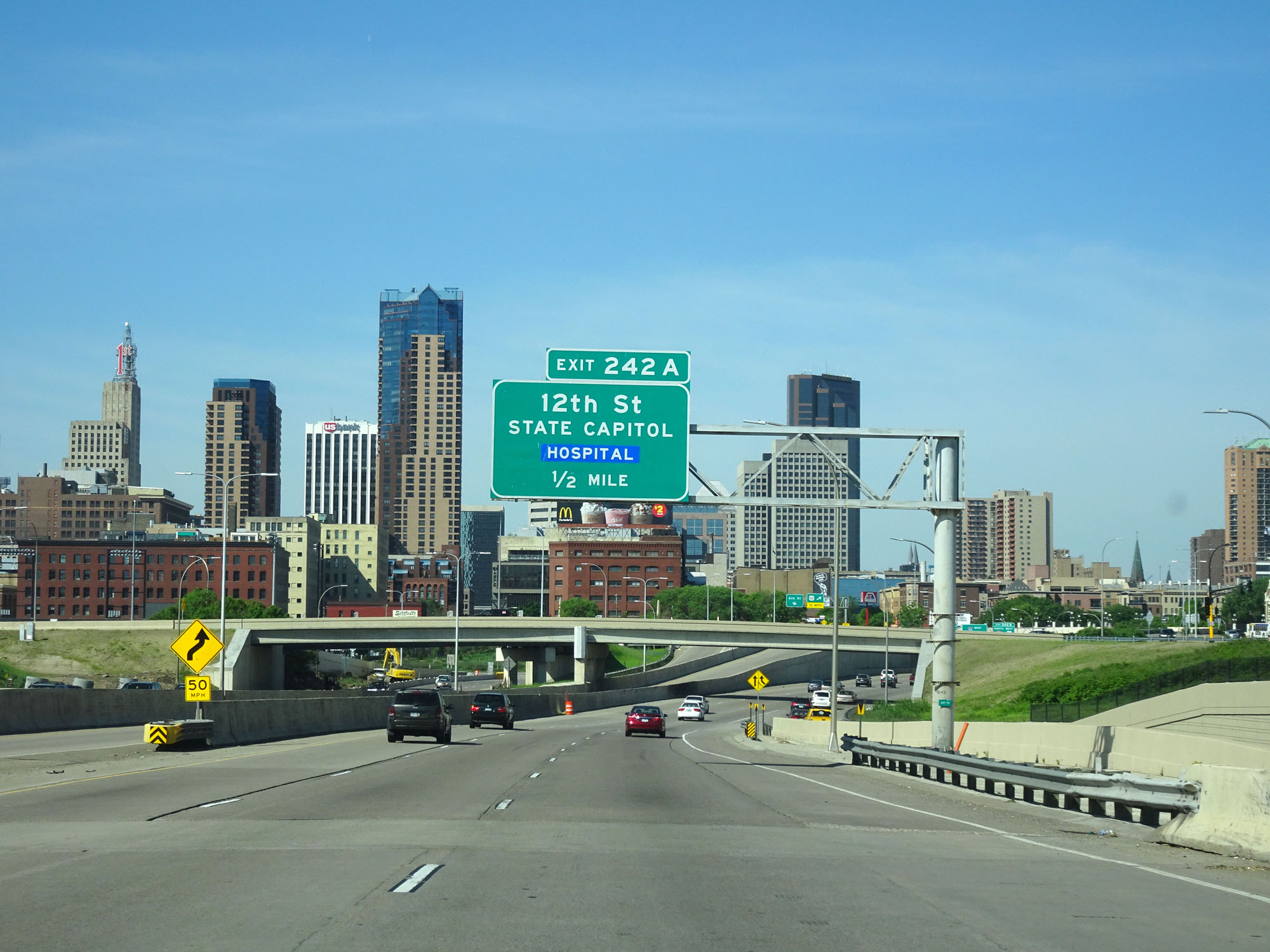
Interstate 94 West at Exit 242A: 12th St / State Capitol (Photo taken 5/22/16). |
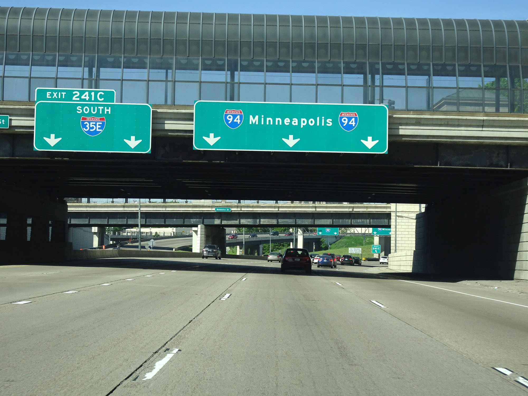 |
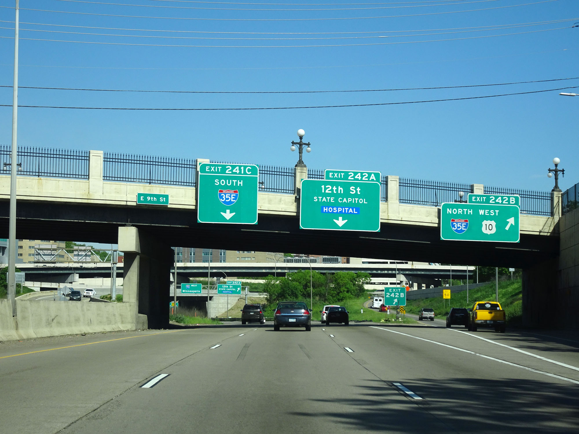
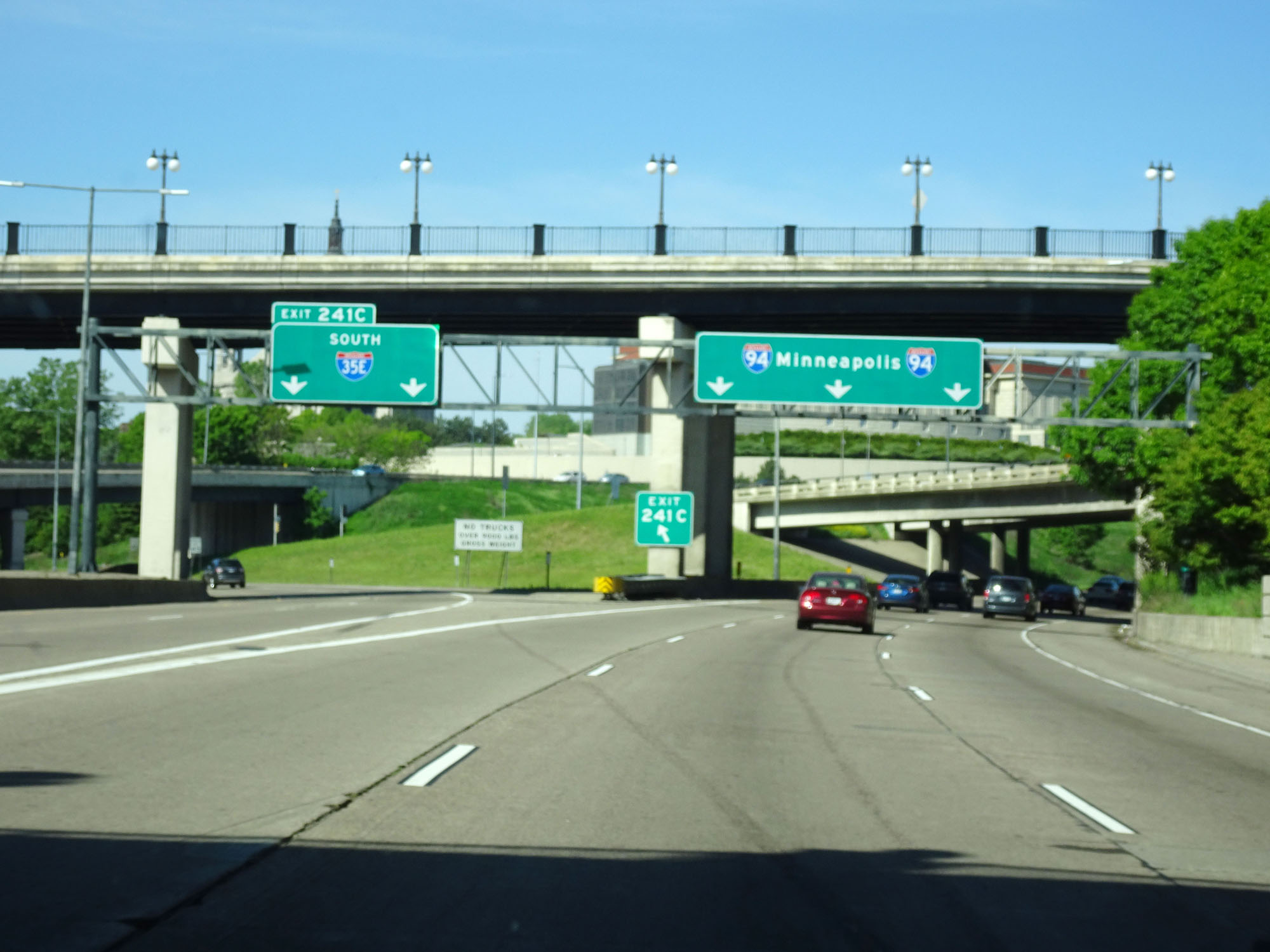
Interstate 94 West at Exit 241C: Interstate 35E South (Photo taken 5/22/16). |
 |
View of the ramp for Exit 241C to Interstate 35E South. (Photo taken 5/22/16). |
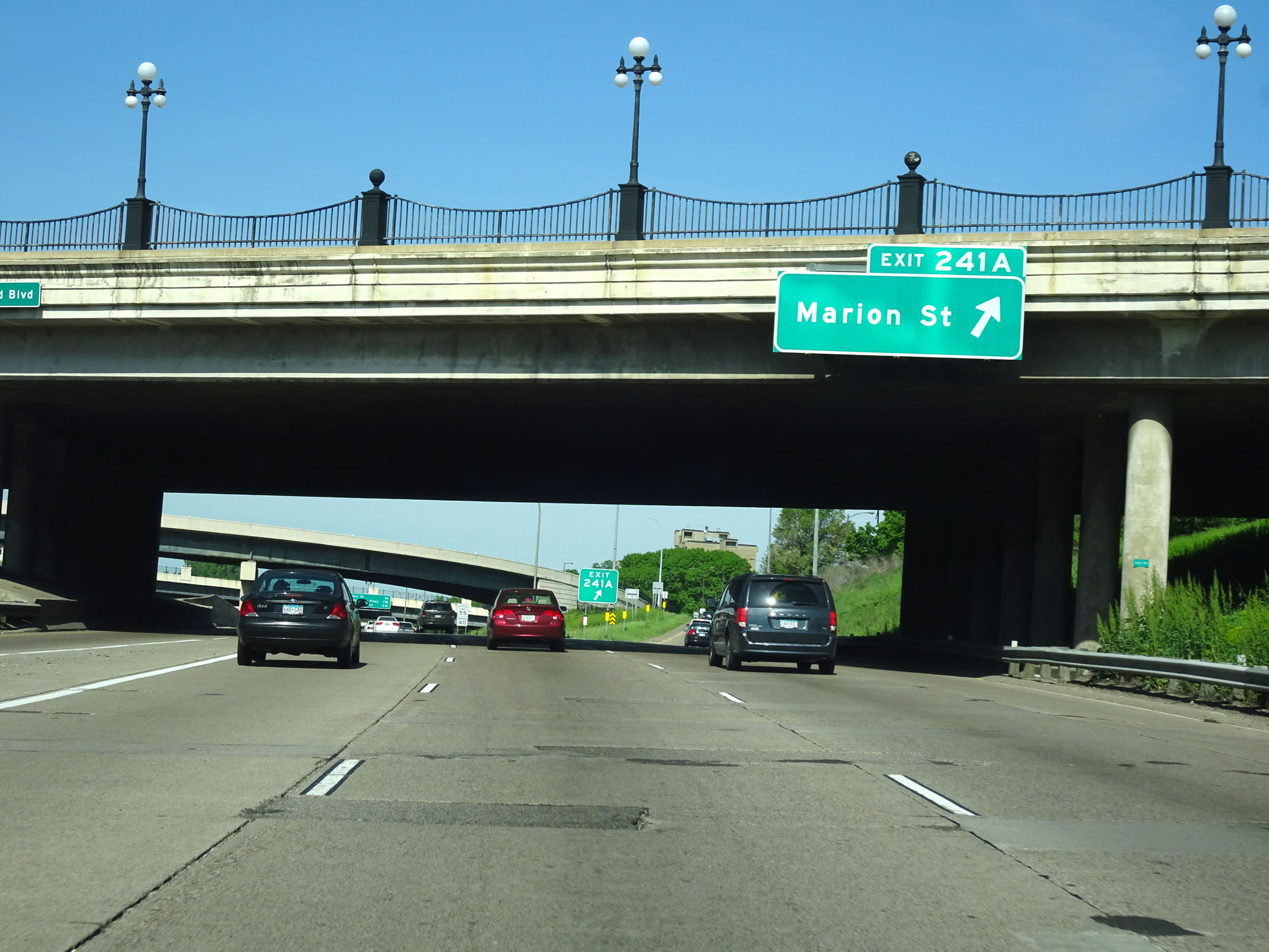 |
Interstate 94 West at Exit 241A: Marion St (Photo taken 5/22/16). |
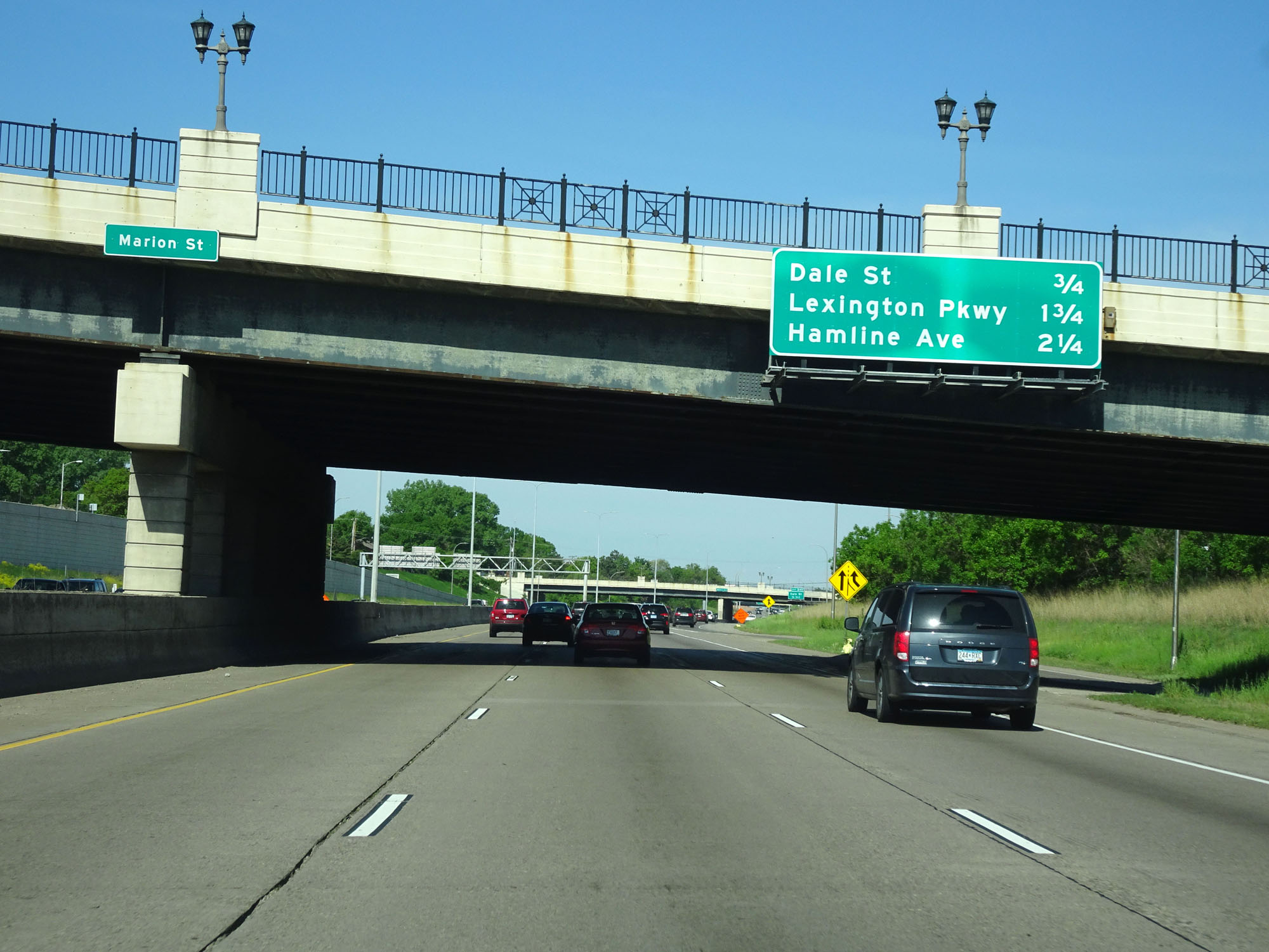 |
Mileage sign listing the distances to the three upcoming St. Paul exits. (Photo taken 5/22/16). |
 |
Interstate 94 West at Exit 240: Dale St (Photo taken 5/22/16). |
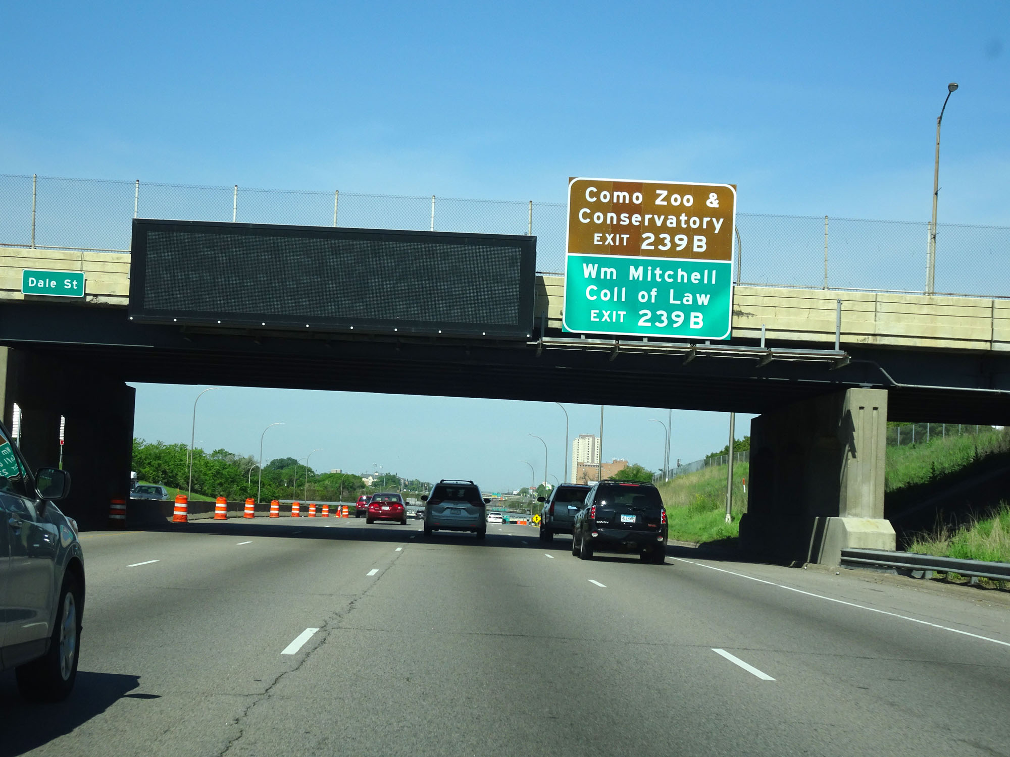 |
Take Exit 239B to Como Zoo & Conservatory and William Mitchell College of Law. (Photo taken 5/22/16). |
 |
Interstate 94 West at mile marker 240. (Photo taken 5/22/16). |
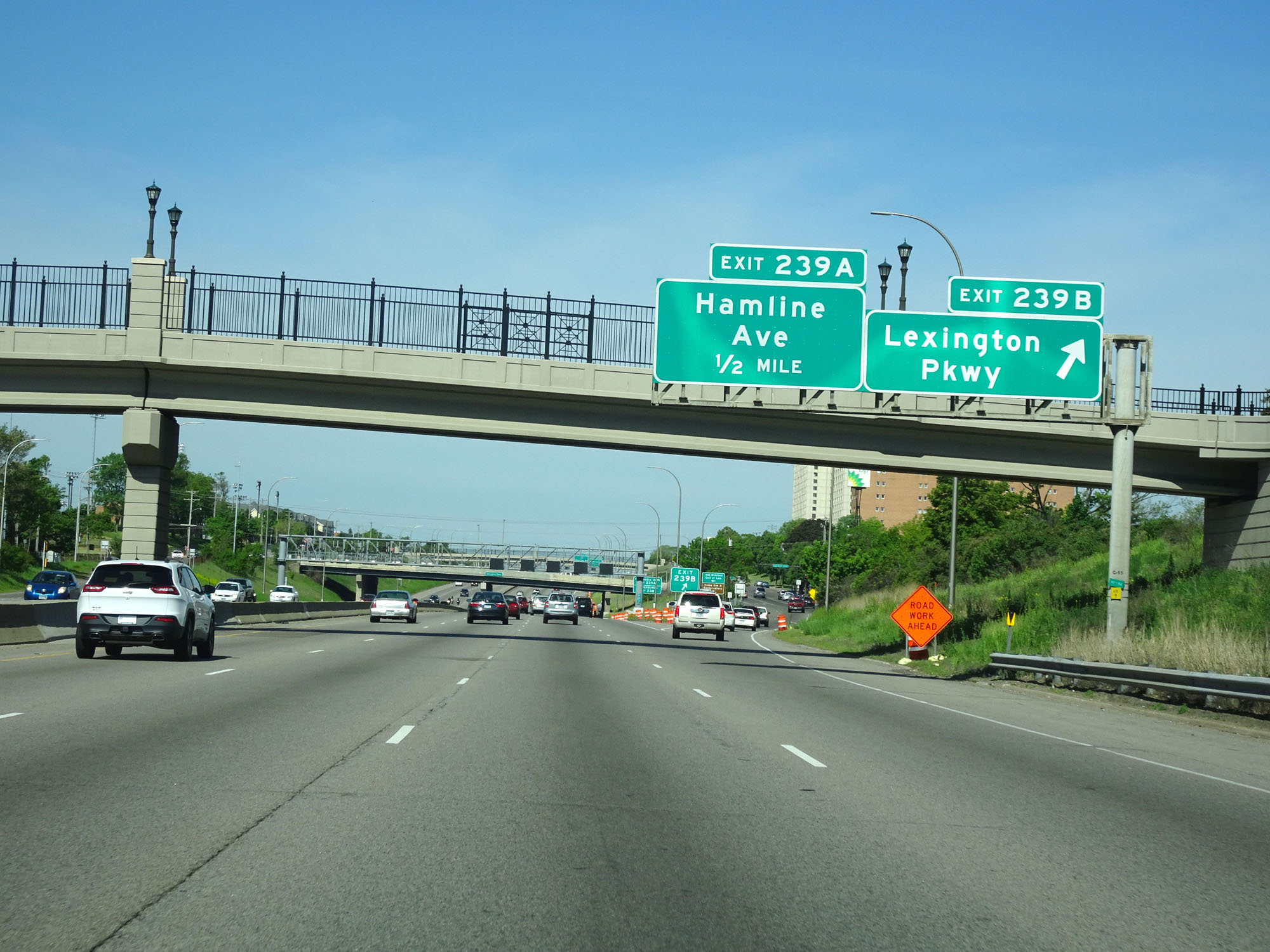 |
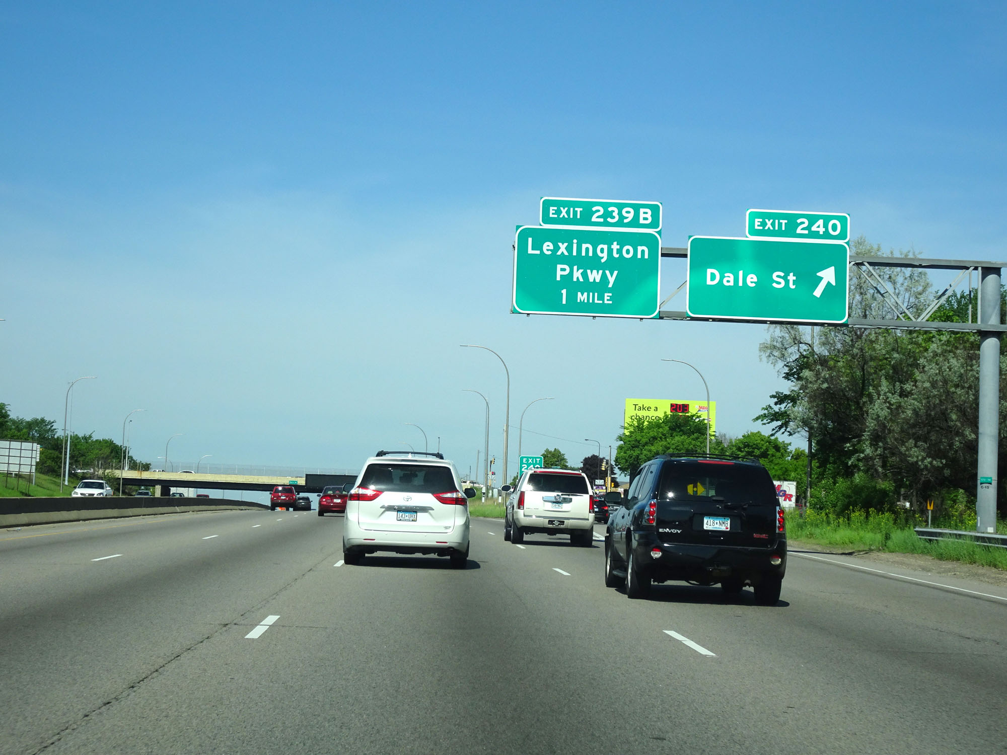
Interstate 94 West at Exit 239B: Lexington Pkwy (Photo taken 5/22/16). |
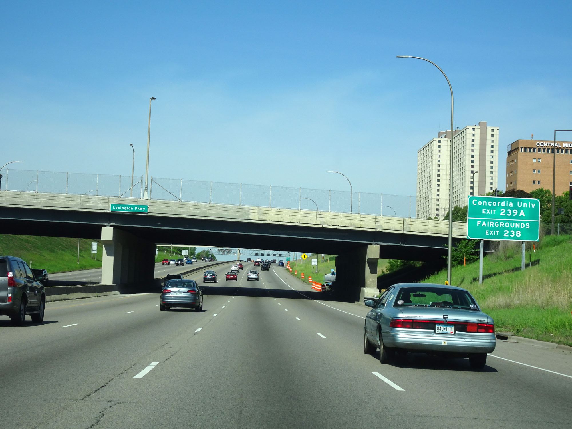 |
Take Exit 239A to Concordia University. Take Exit 238 to the Fairgrounds. (Photo taken 5/22/16). |
 |
Interstate 94 West at Exit 239A: Hamline Ave (Photo taken 5/22/16). |
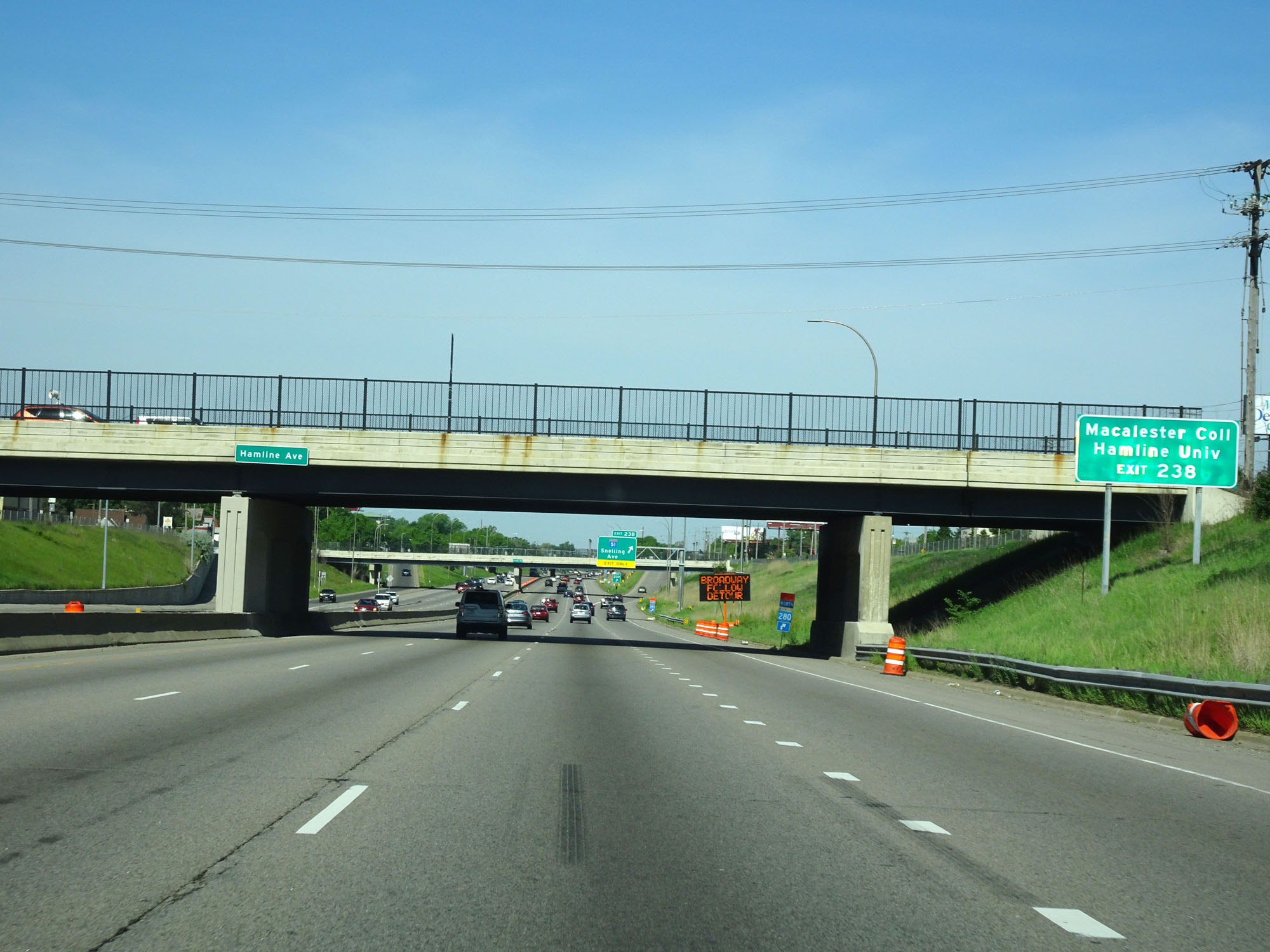 |
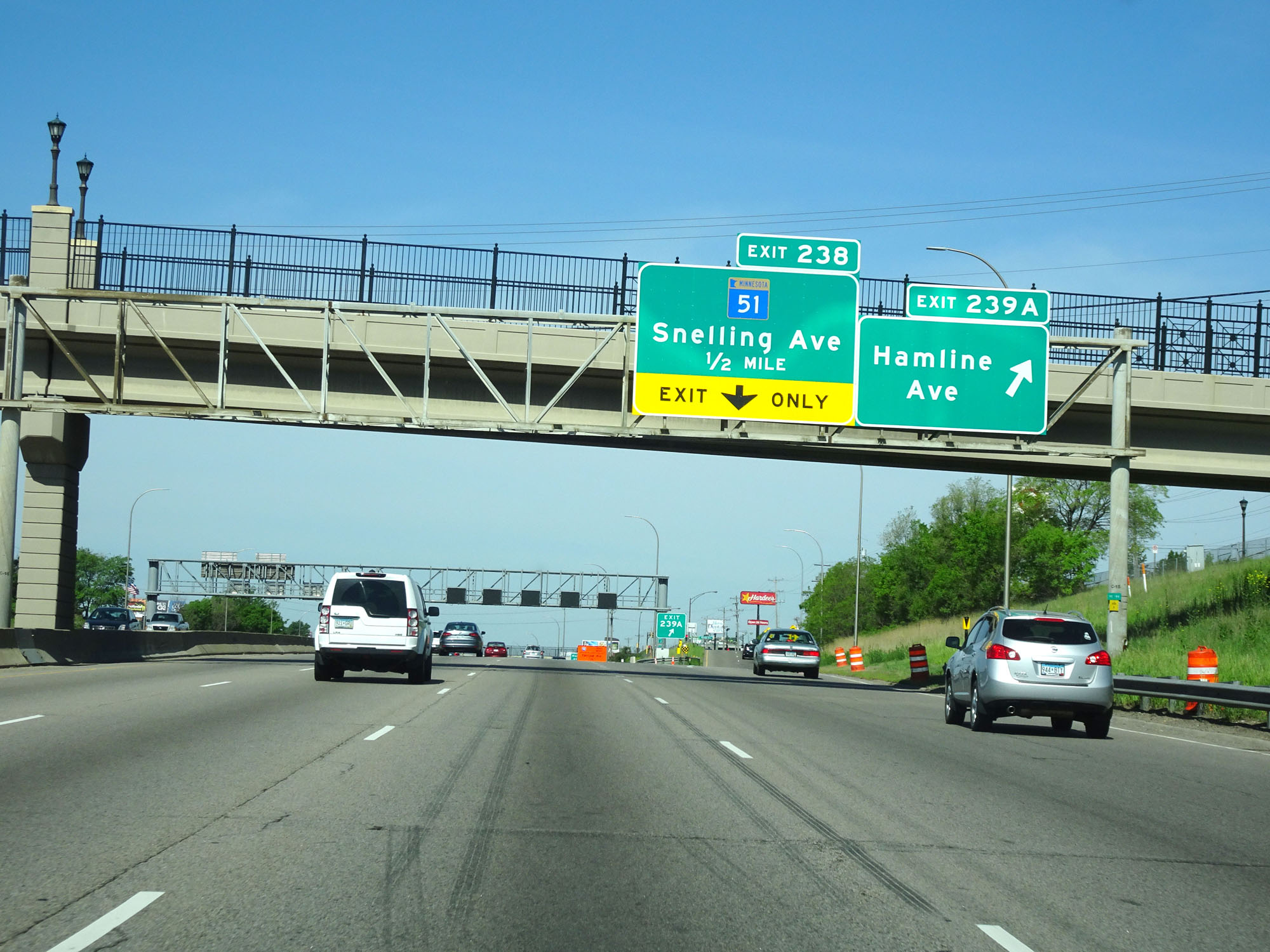
Take Exit 238 to Macalester College and Hamline University. (Photo taken 5/22/16). |
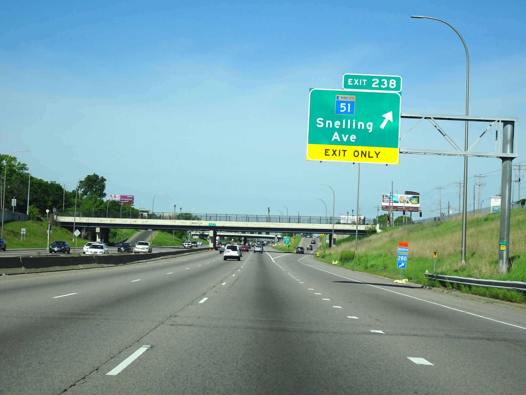 |
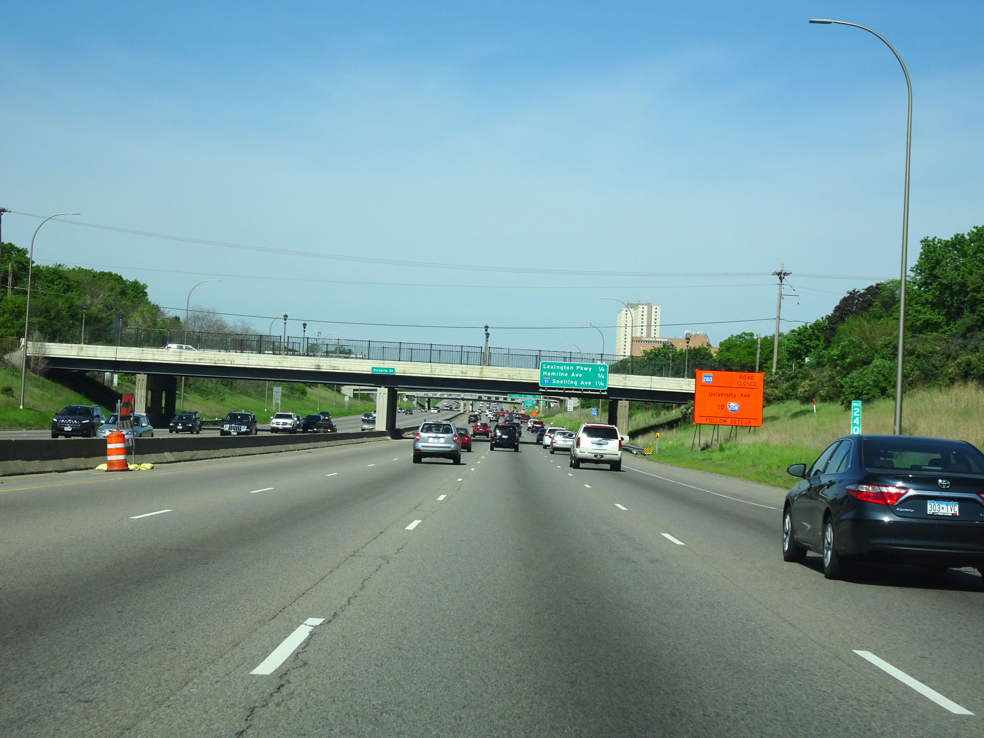
Interstate 94 West at Exit 238: MN 51 - Snelling Ave (Photo taken 5/22/16). |
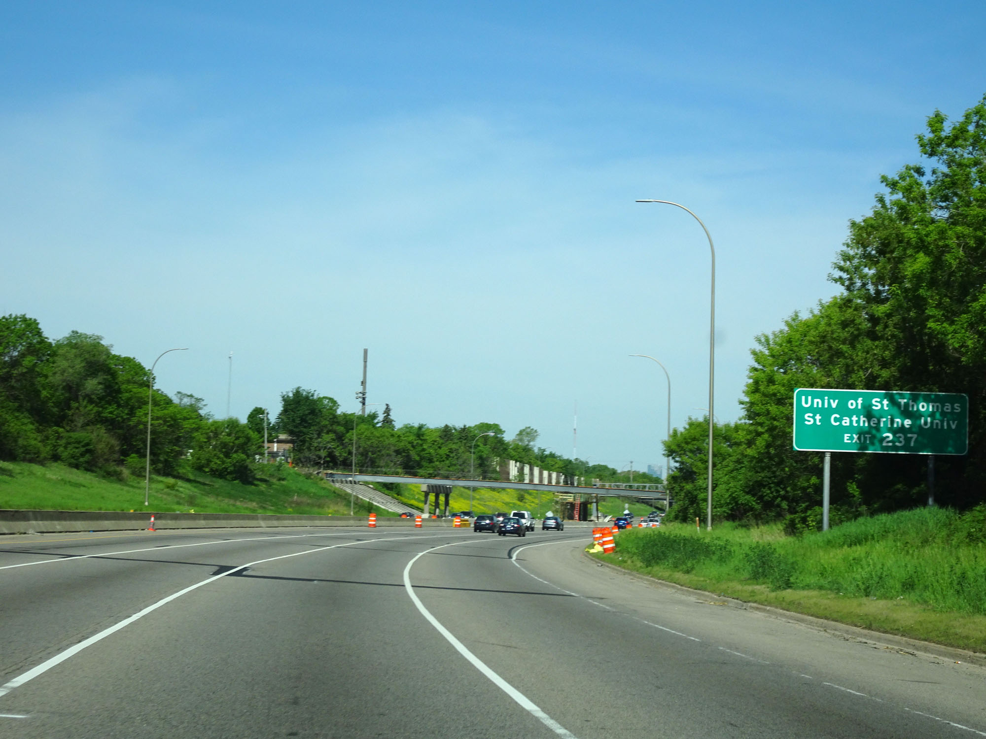 |
Take Exit 237 to University of St. Thomas and St. Catherine University. (Photo taken 5/22/16). |
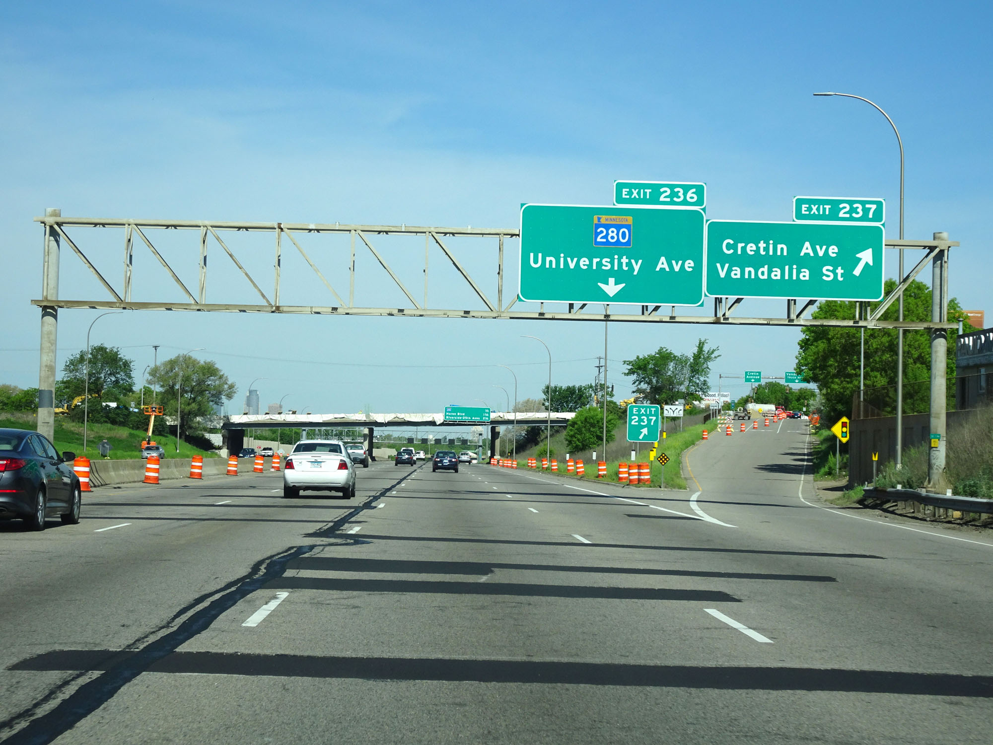 |
Interstate 94 West at Exit 237: Cretin Ave / Vandalia St (Photo taken 5/22/16). |
 |
Interstate 94 West approaching Exit 236 - 1/4 mile. (Photo taken 5/22/16). |
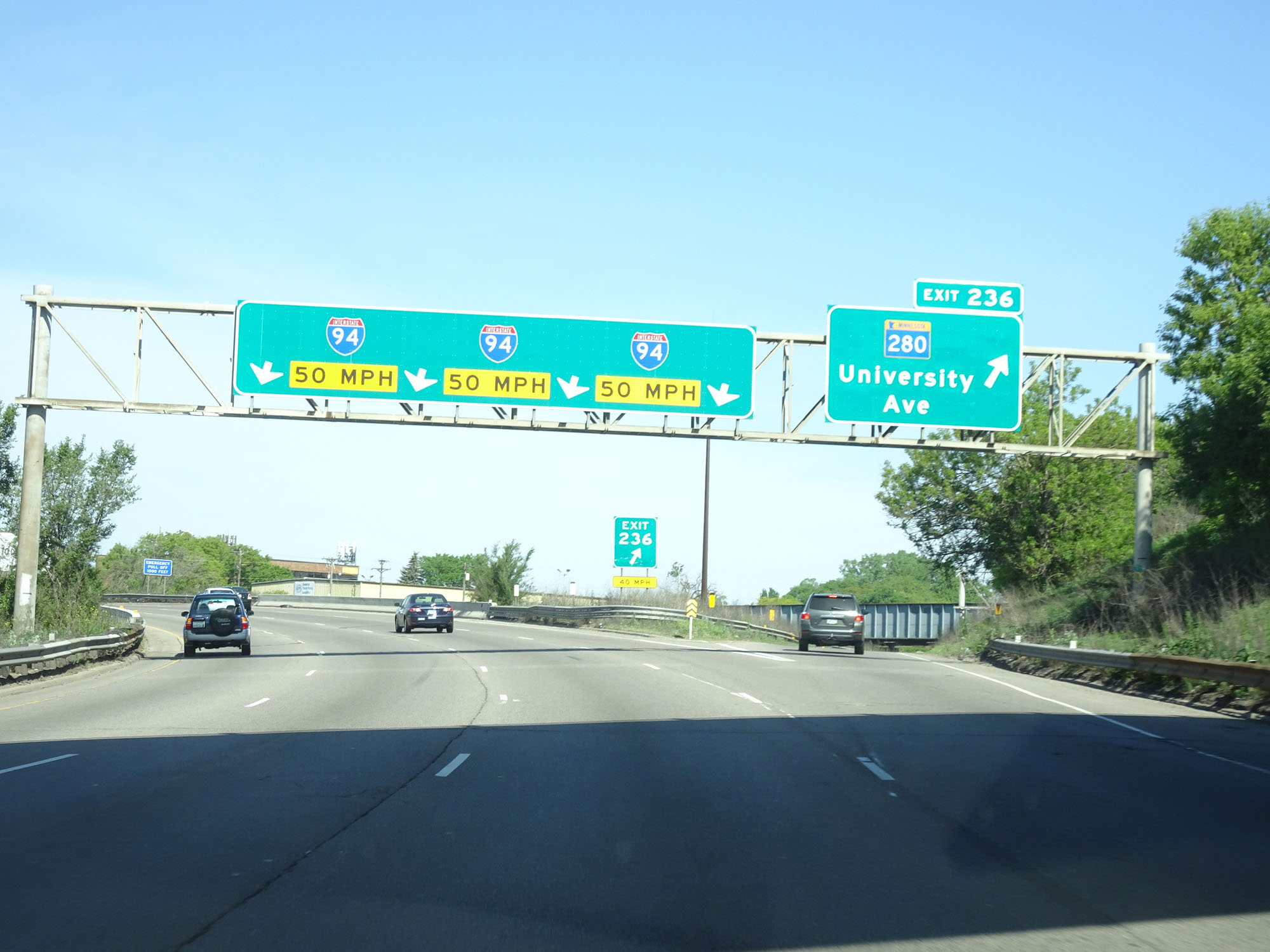 |
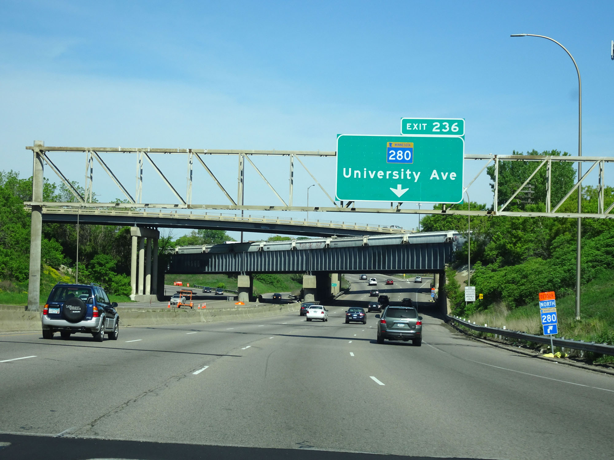
Interstate 94 West at Exit 236: MN 280 - University Ave (Photo taken 5/22/16). |
 |
View on Interstate 94 West as it curves to the west. (Photo taken 5/22/16). |
 |
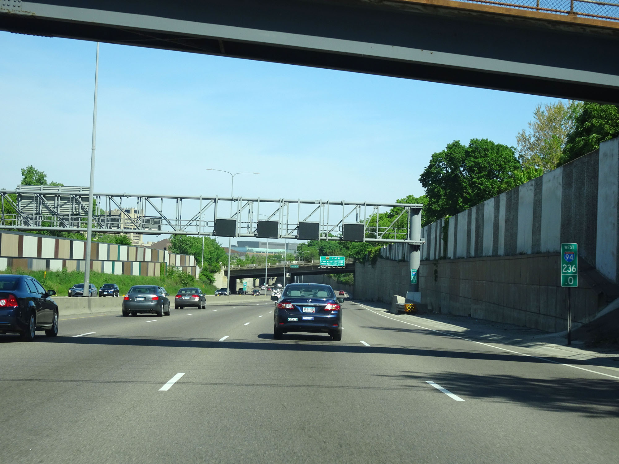
Interstate 94 West at mile marker 236.4. (Photo taken 5/22/16). |
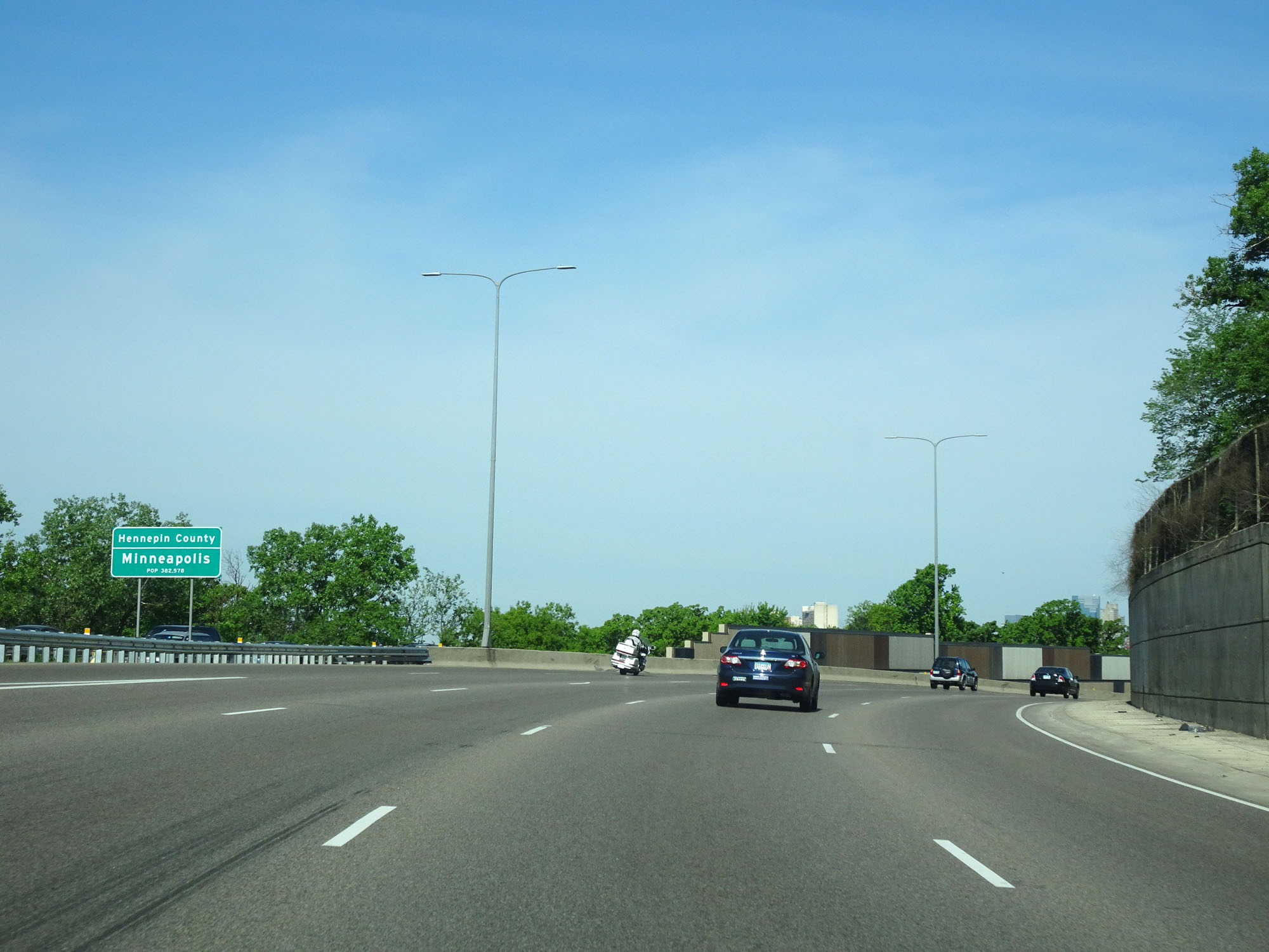 |
Interstate 94 West as it enters Hennepin County and the Minneapolis city limits. (Photo taken 5/22/16). |
 |
Interstate 94 West at mile marker 236. (Photo taken 5/22/16). |
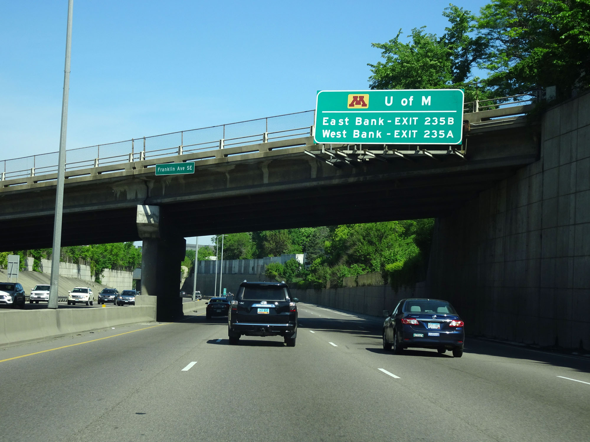 |
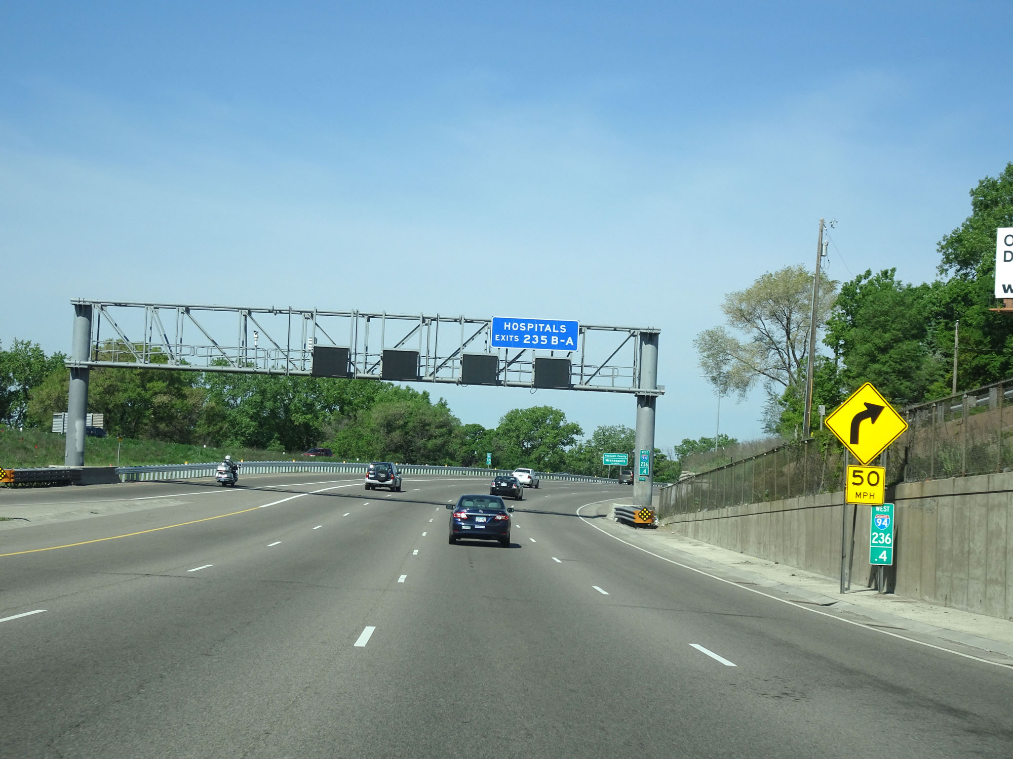
Use either of the two exits listed on this overhead sign to the University of Minnesota. (Photo taken 5/22/16). |
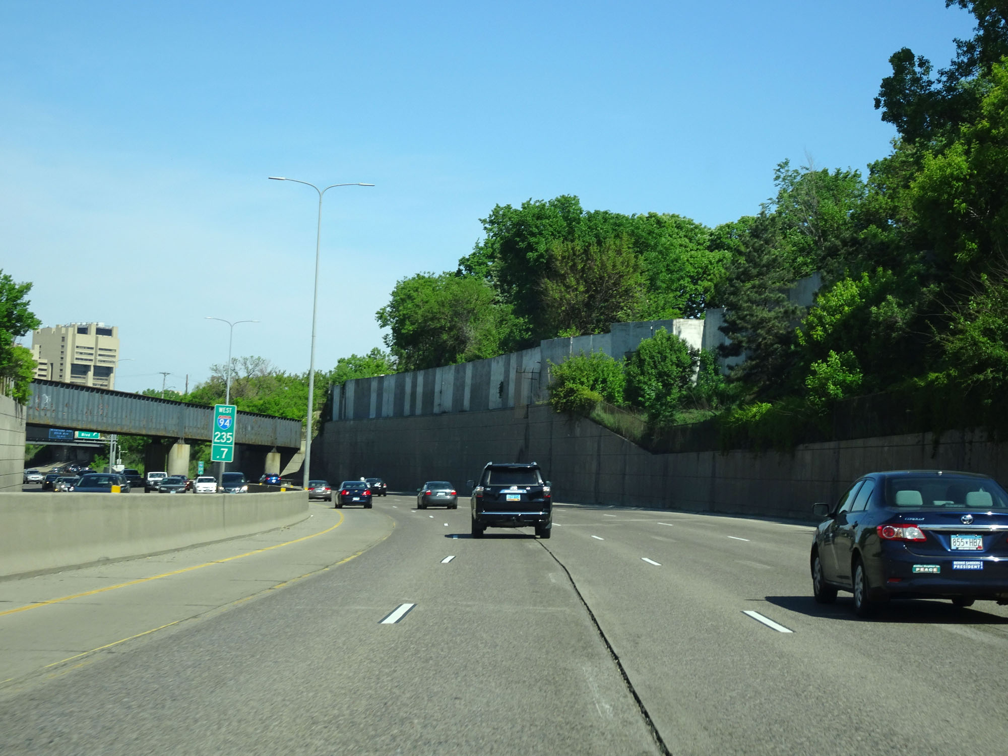 |
Interstate 94 West at mile marker 235.7. (Photo taken 5/22/16). |
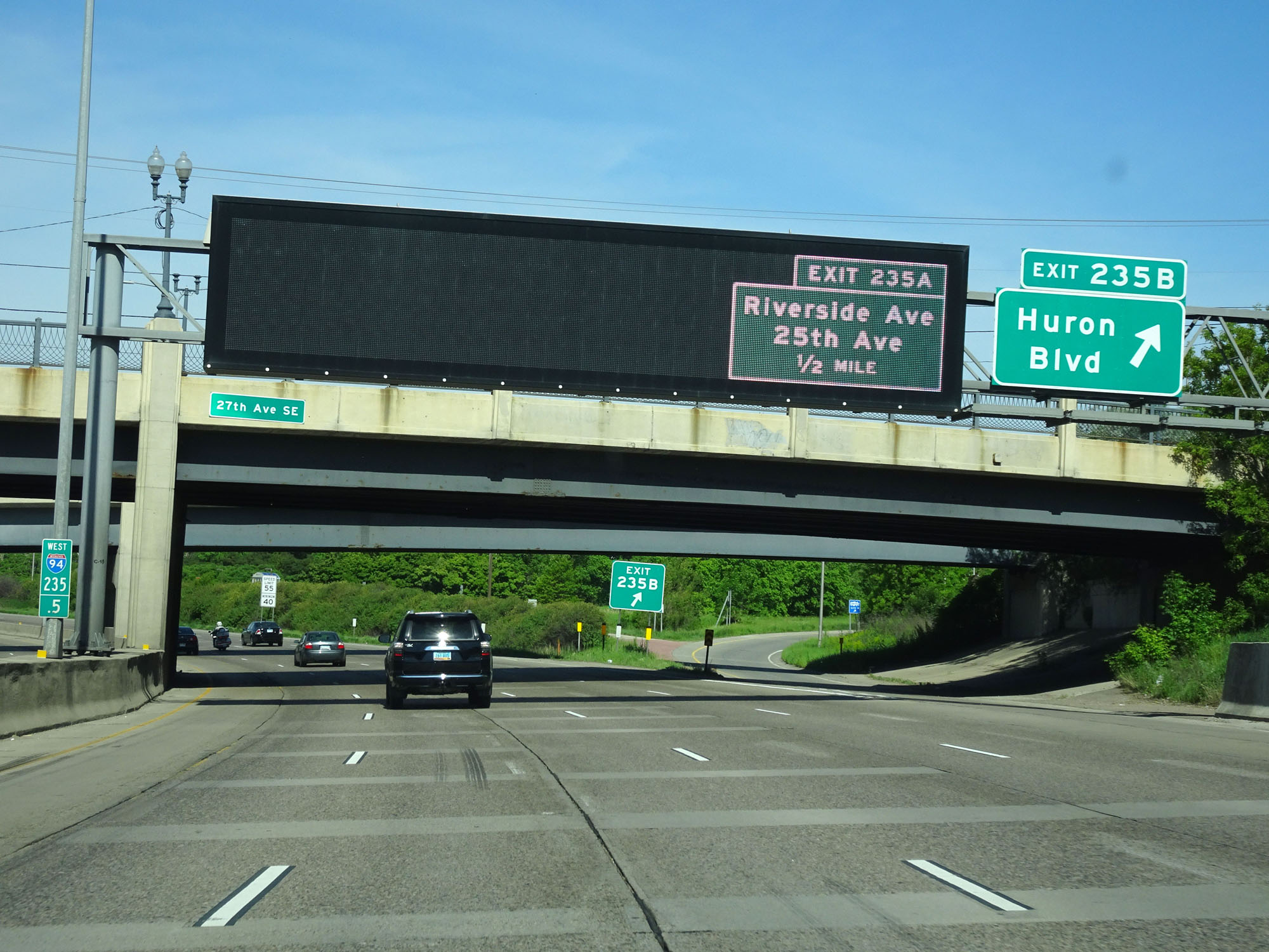 |
Interstate 94 West at Exit 235B: Huron Blvd (Photo taken 5/22/16). |
 |
Interstate 94 West at Exit 235A: Riverside Ave / 25th Ave (Photo taken 5/22/16). |
Section 2: Minneapolis (Exit 235A) to St. Michael (Exit 205)
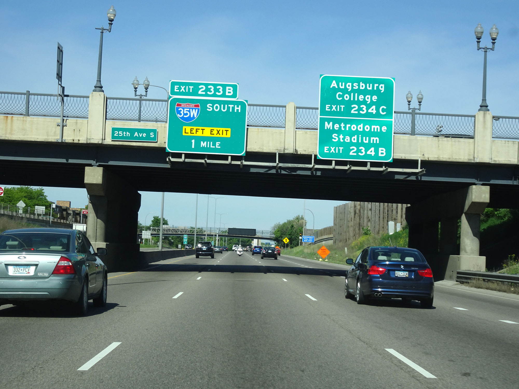 |
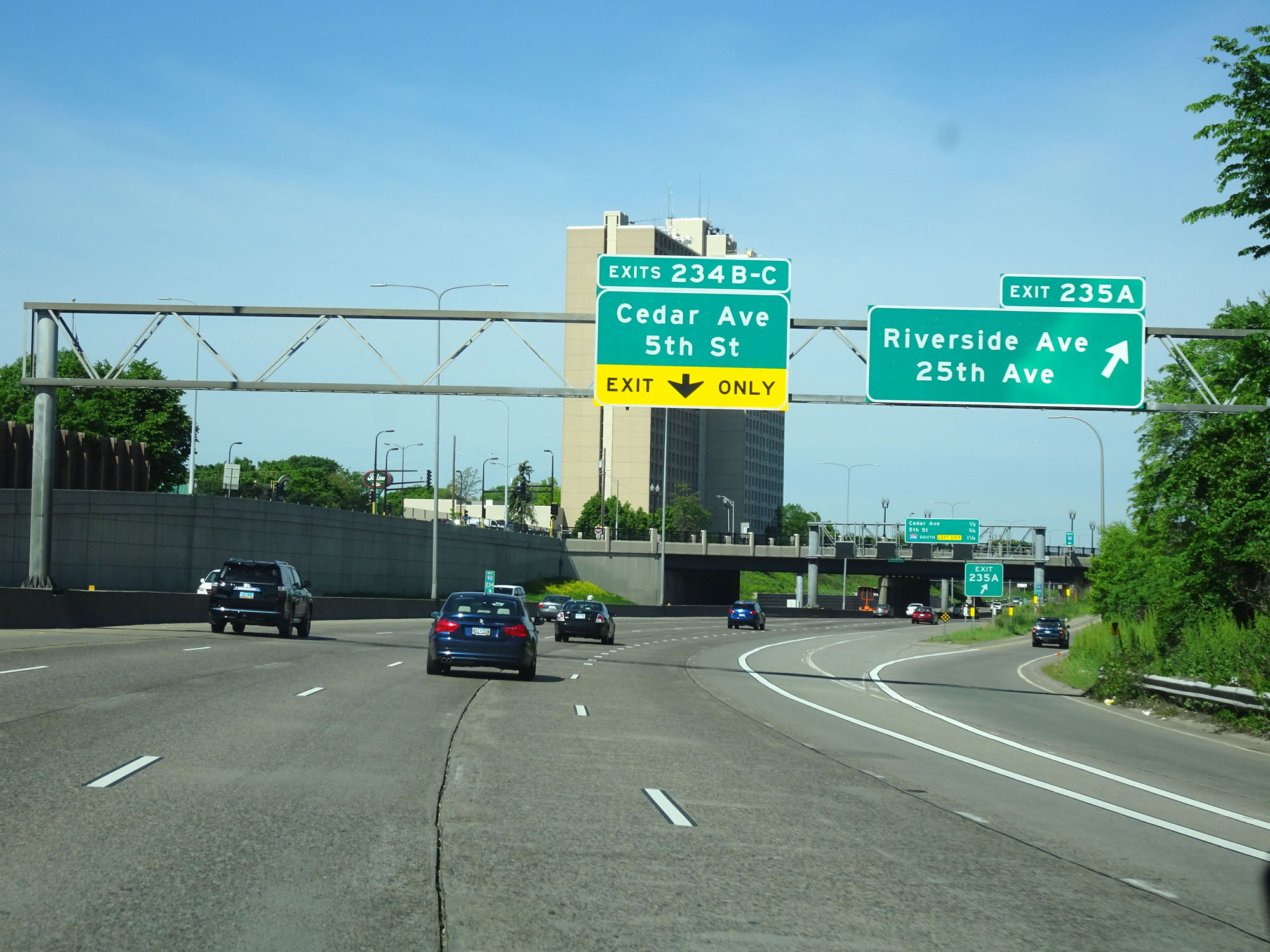
Take Exit 234C to Augsburg College. Take Exit 234B to Metrodome Stadium. (Photo taken 5/22/16). |
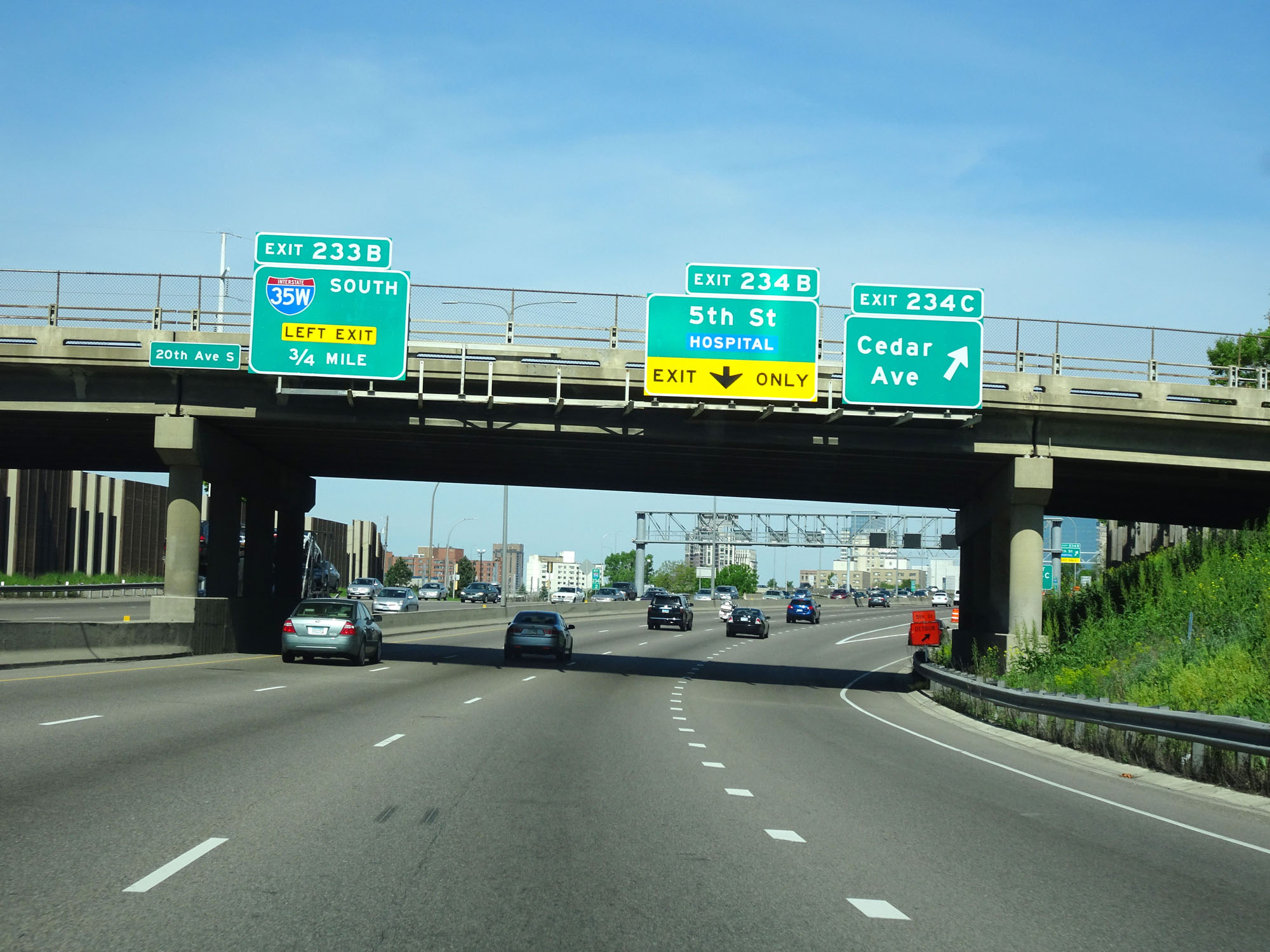 |
Interstate 94 West at Exit 234C: Cedar Ave (Photo taken 5/22/16). |
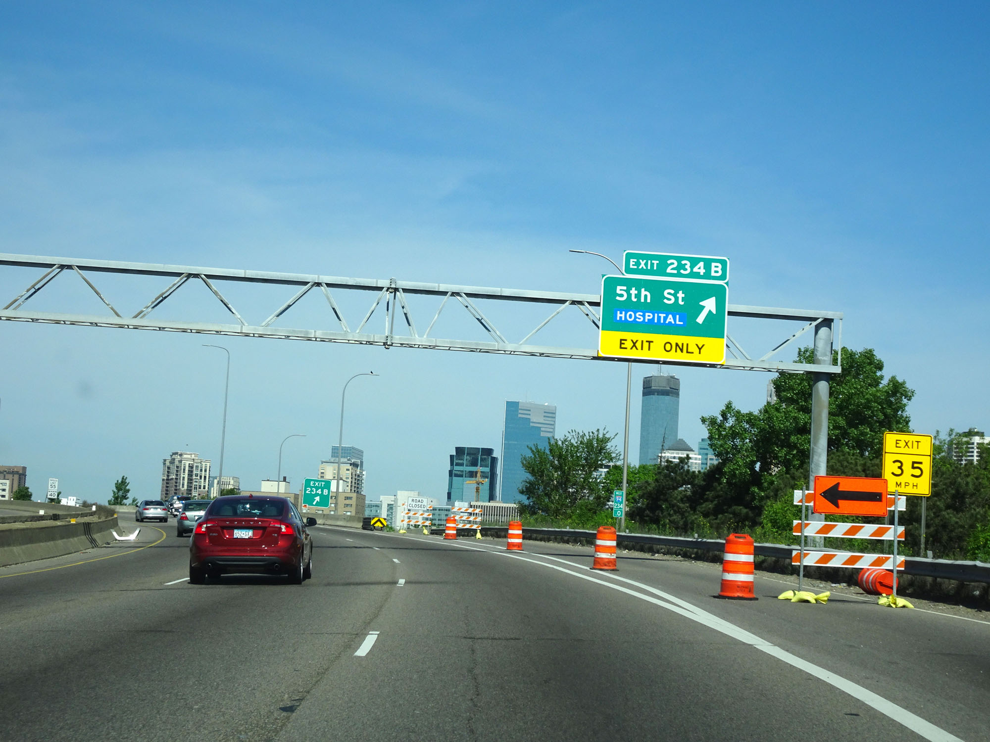 |
Interstate 94 West at Exit 234B: 5th St (Photo taken 5/22/16). |
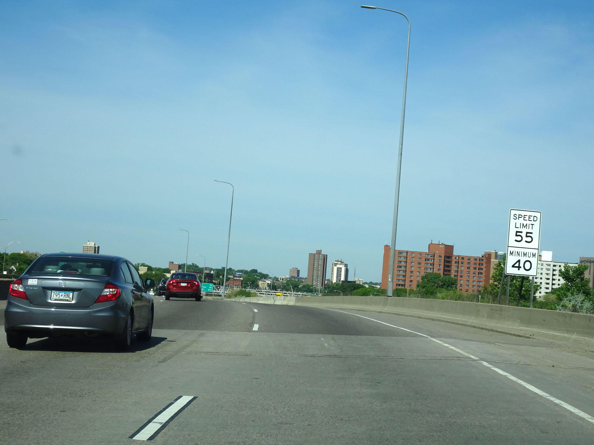 |
The speed limit remains 55 mph with a minimum speed limit of 40 mph in downtown Minneapolis. (Photo taken 5/22/16). |
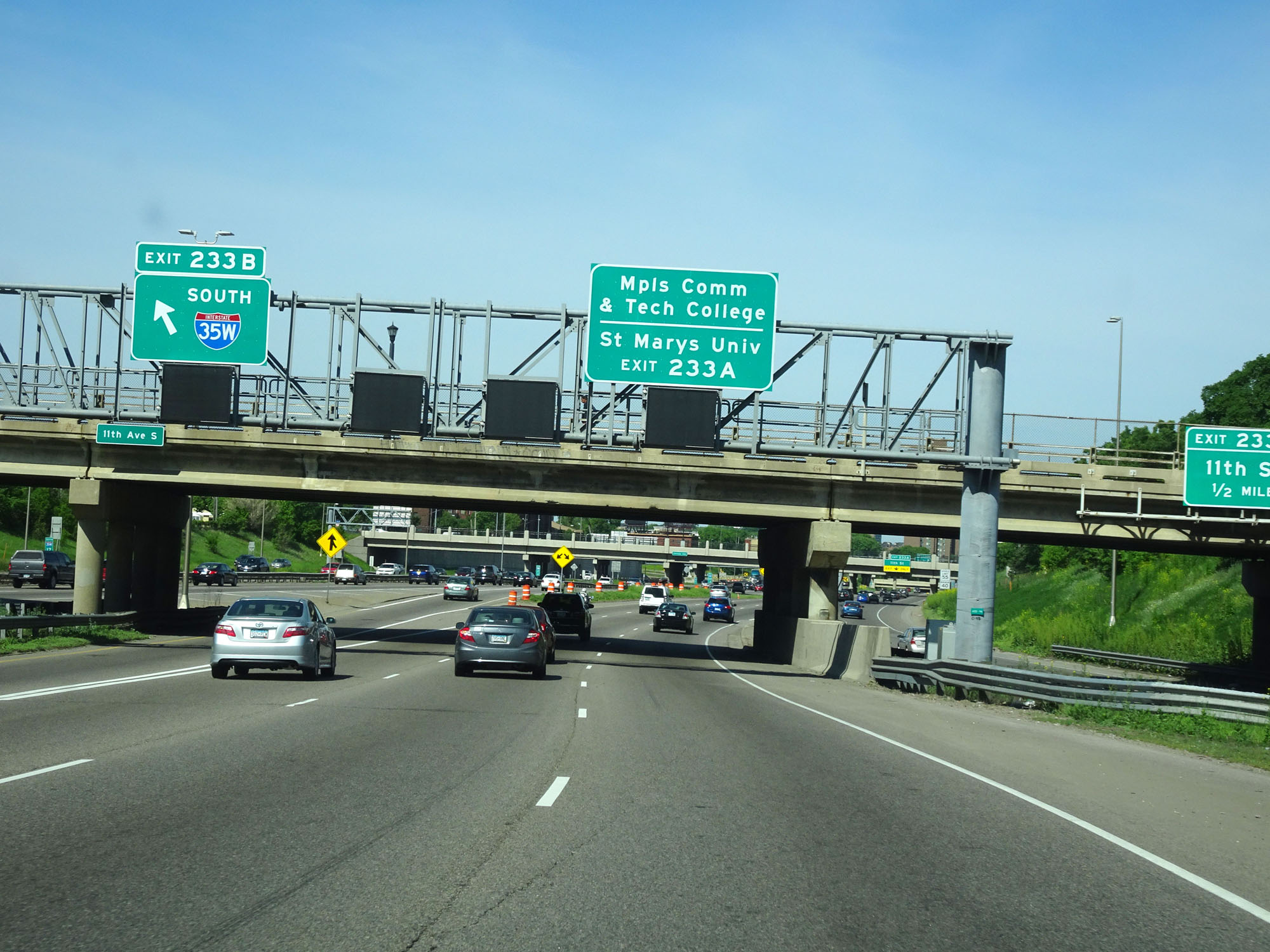 |
Take Exit 233A to Minneapolis Community & Tech College as well as St. Marys University. (Photo taken 5/22/16). |
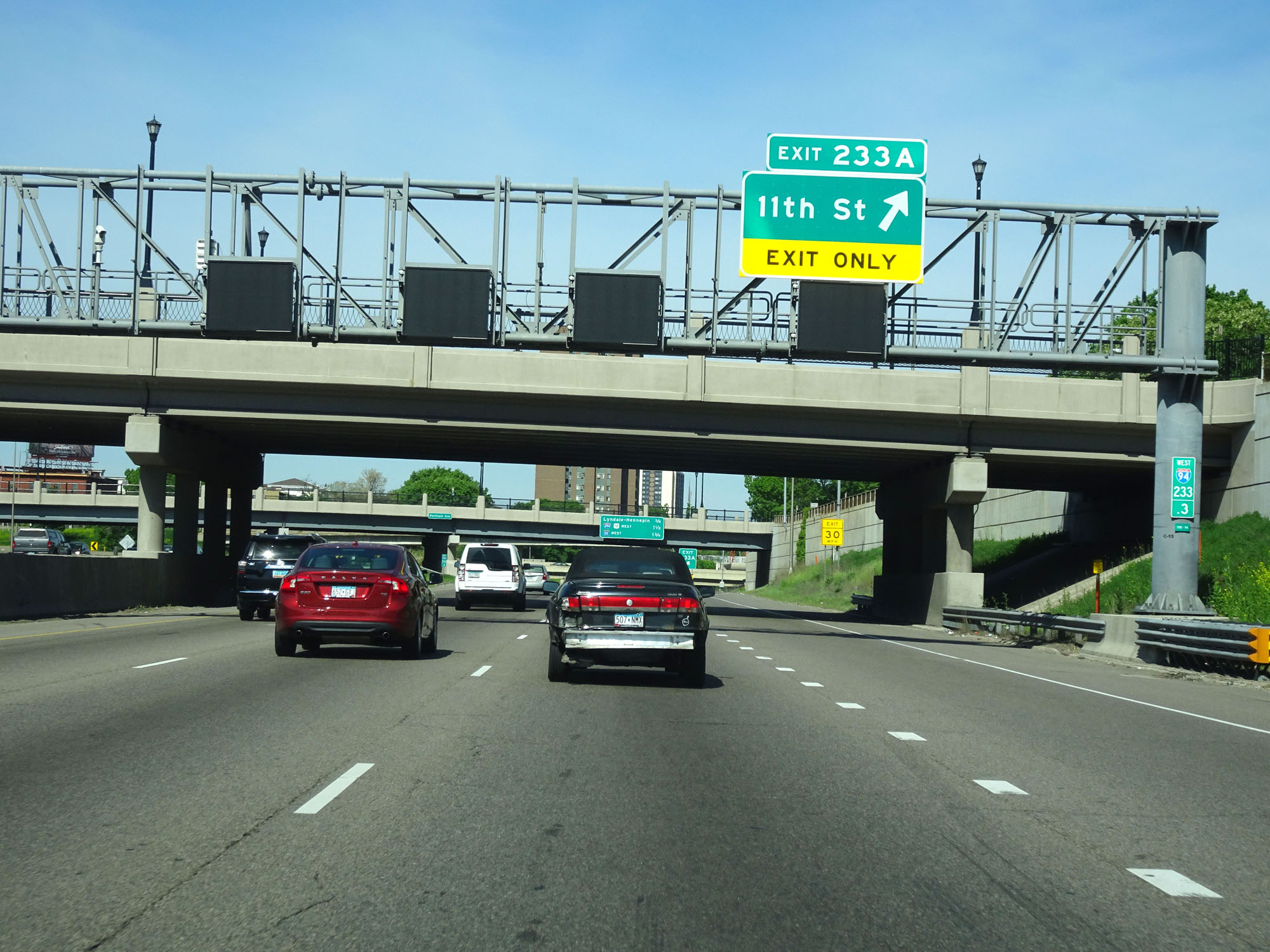 |
Interstate 94 West at Exit 233A: 11th St (Photo taken 5/22/16). |
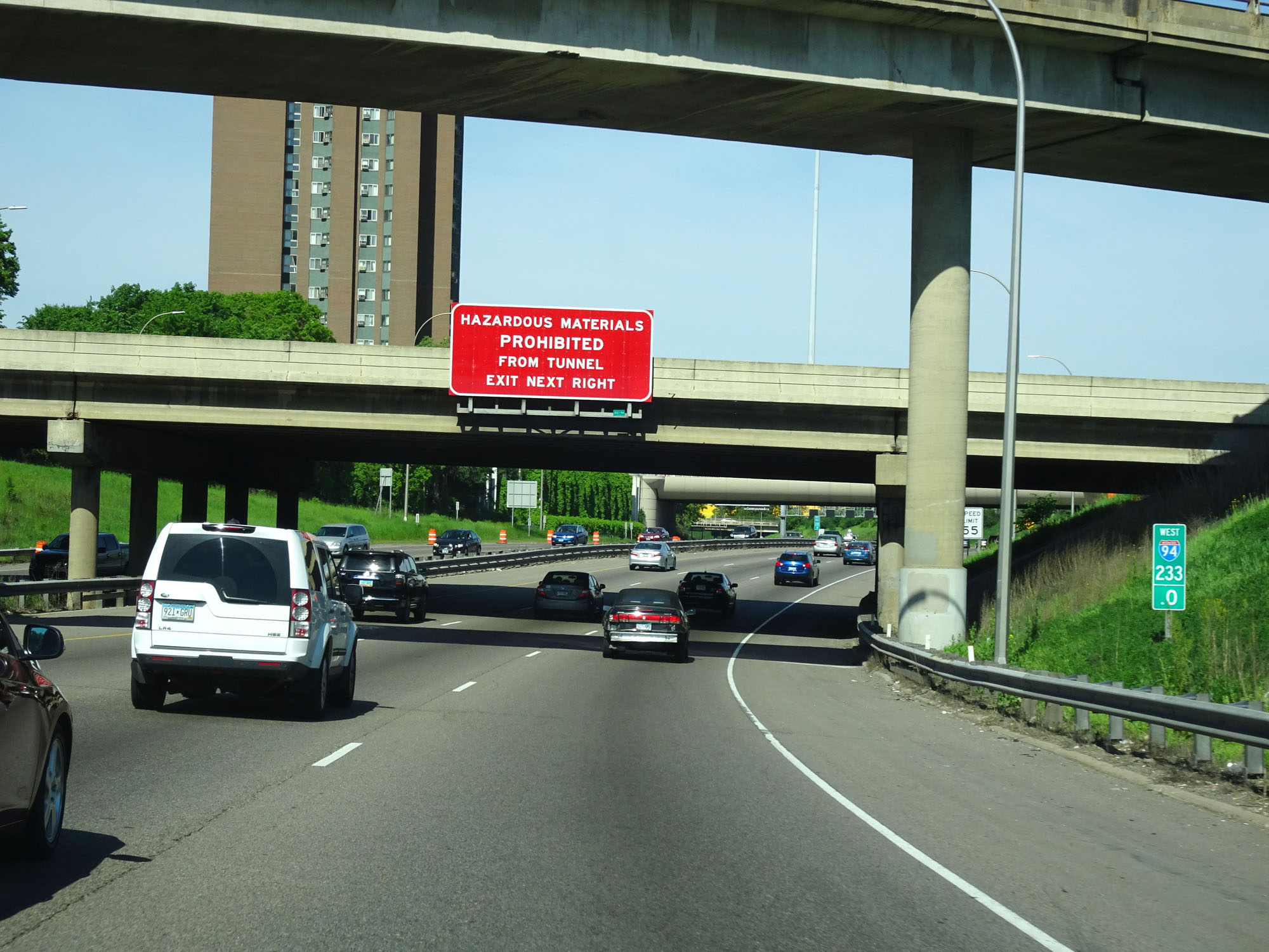 |
Hazardous materials are prohibited through the Lowry Hill Tunnel ahead. Any trucks carrying HazMat must use the next exit. (Photo taken 5/22/16). |
 |
Interstate 94 West approaching Exit 231A - 1 mile. (Photo taken 5/22/16). |
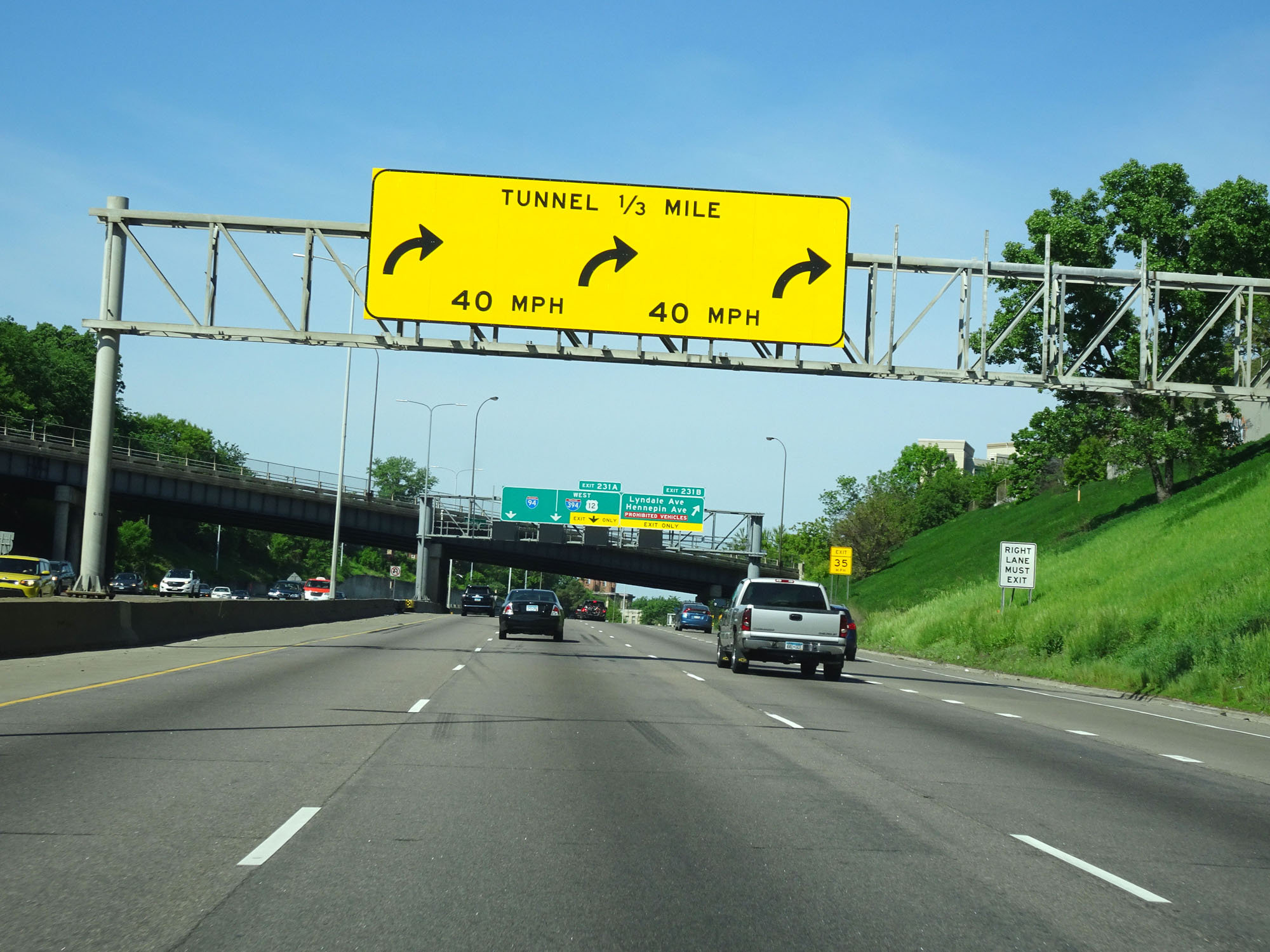 |
Interstate 94 makes a sharp curve to the north ahead before entering the Lowry Hill Tunnel. The advised speed around the curve is 40 mph. (Photo taken 5/22/16). |
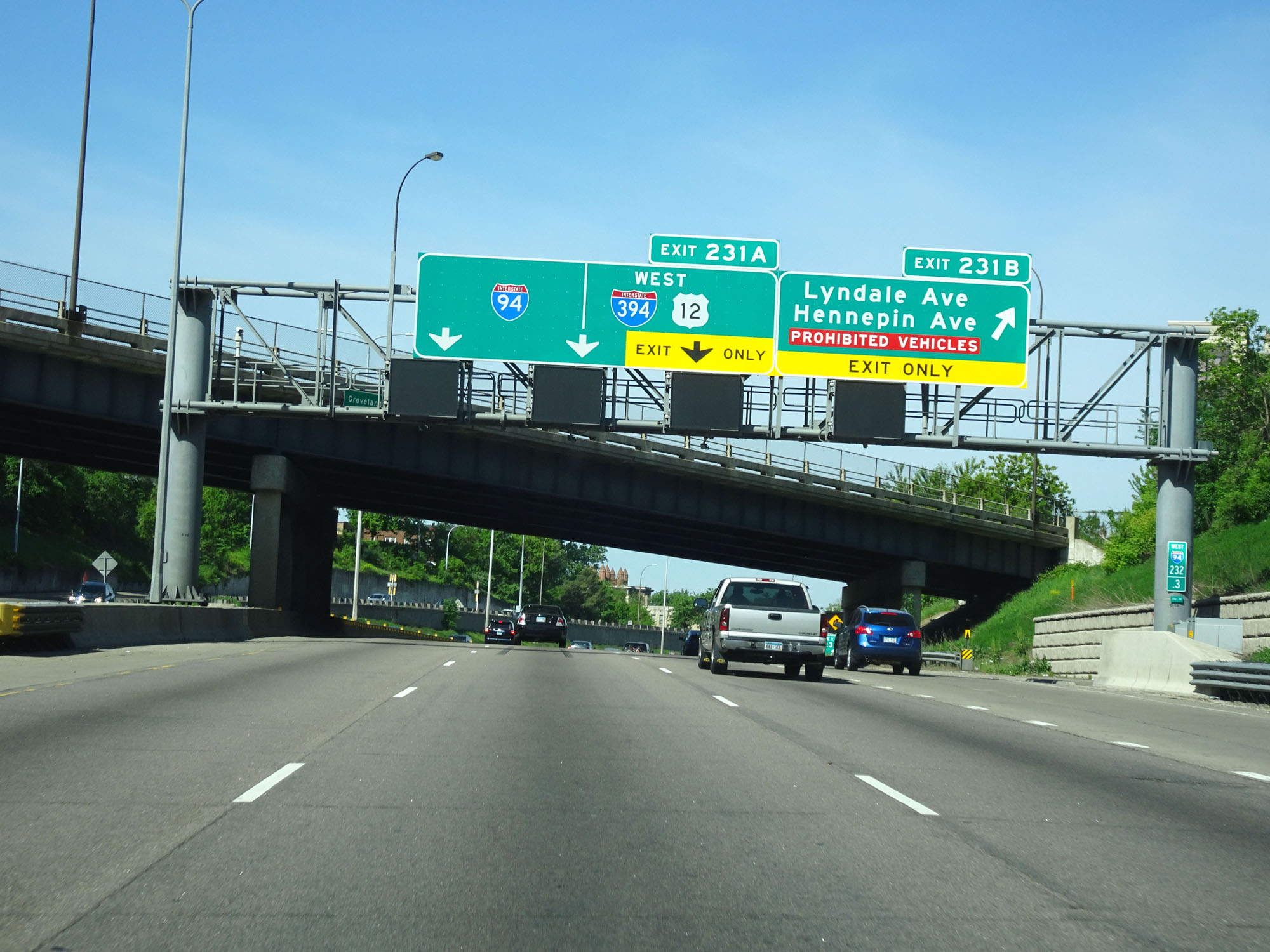 |
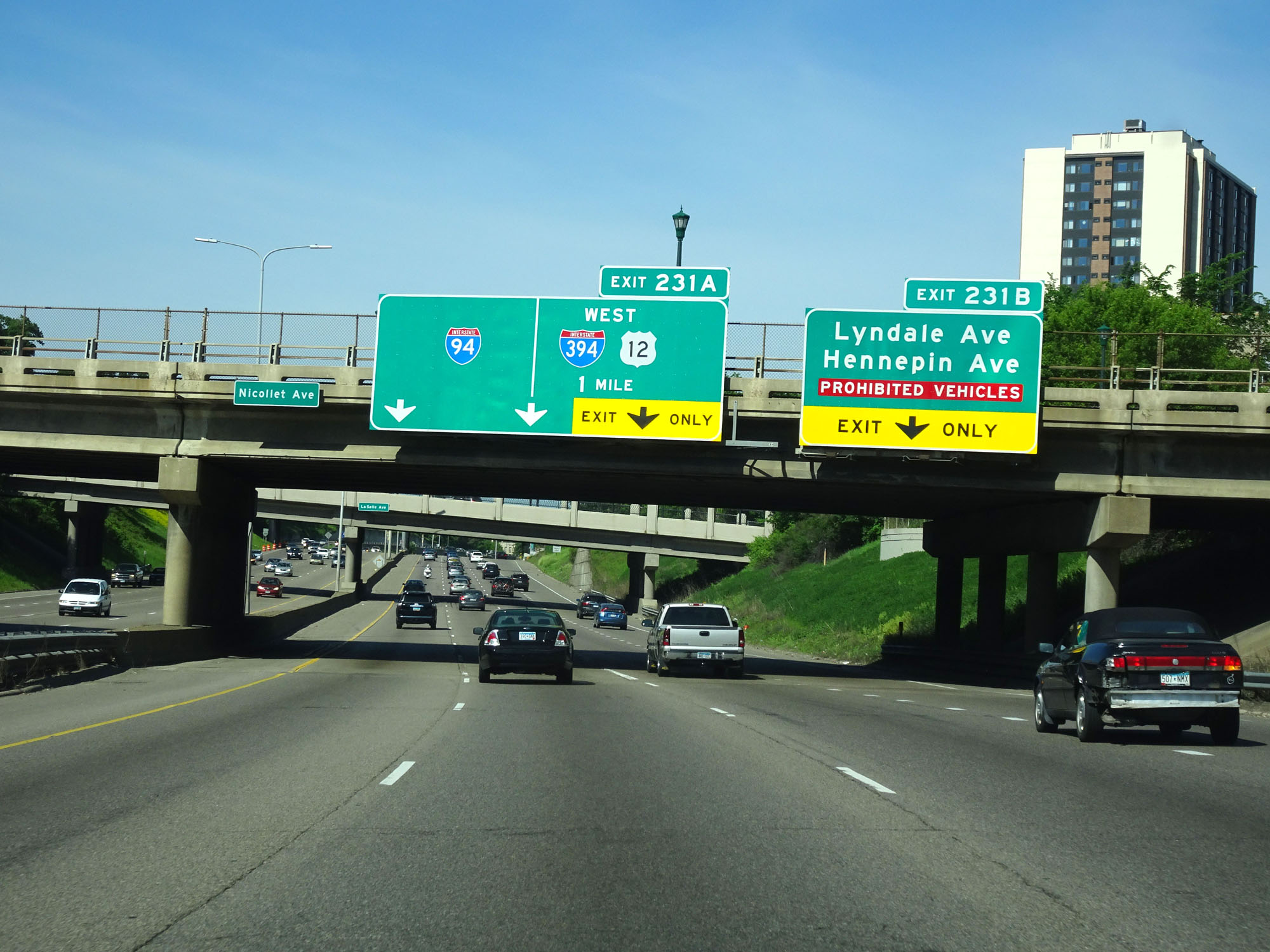
Interstate 94 West at Exit 231B: Lyndale Ave / Hennepin Ave / Prohibited Vehicles (Photo taken 5/22/16). |
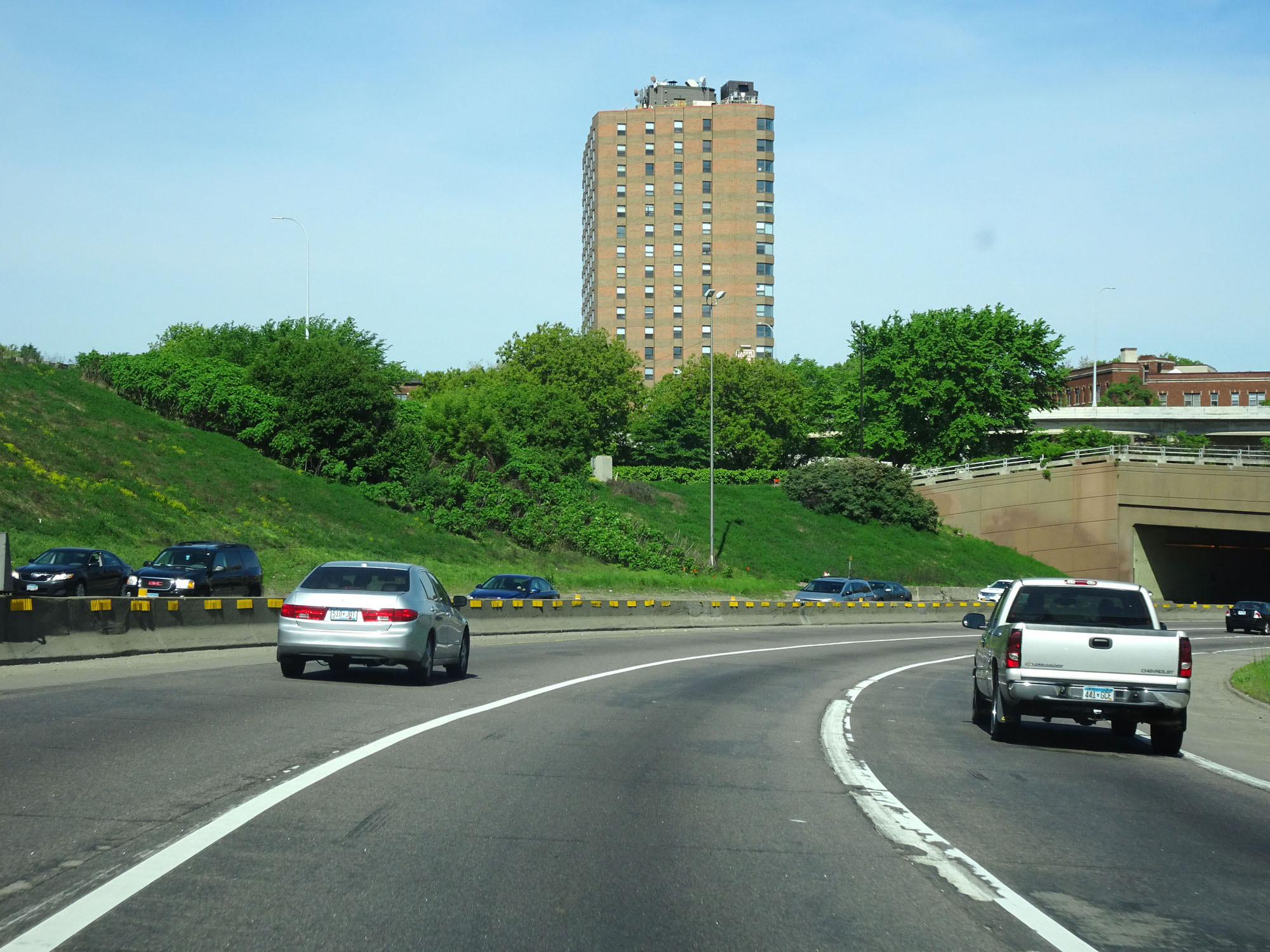 |
Interstate 94 West as it makes the sharp curve to the north, just before entering the Lowry Hill Tunnel. (Photo taken 5/22/16). |
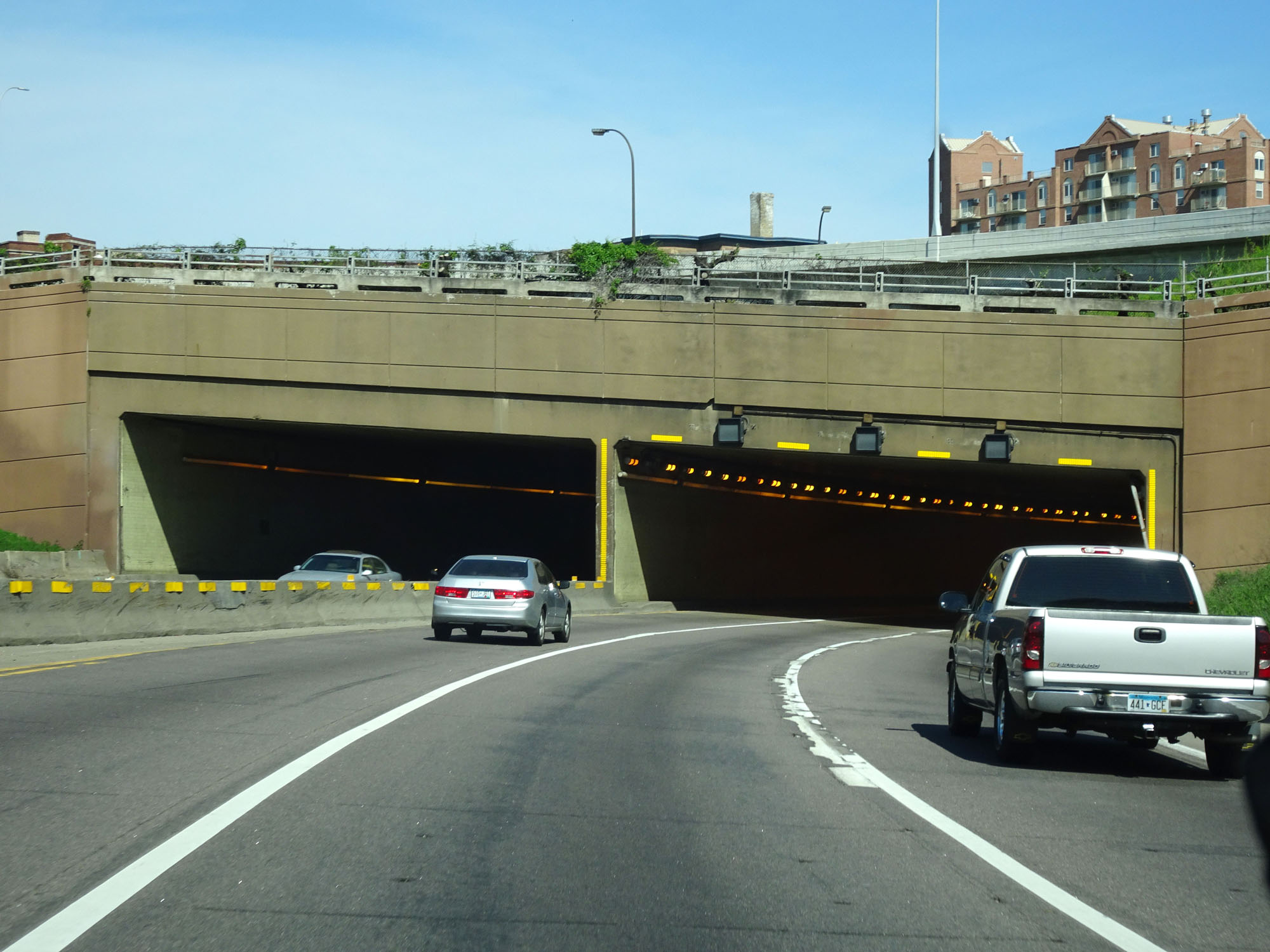 |
Interstate 94 West as it prepares to enter the Lowry Hill Tunnel in Minneapolis. (Photo taken 5/22/16). |
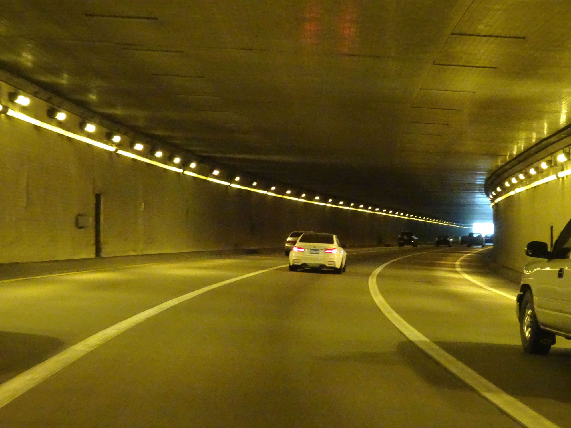 |
View from inside the Lowry Hill Tunnel on Interstate 94 West in Minneapolis. (Photo taken 5/22/16). |
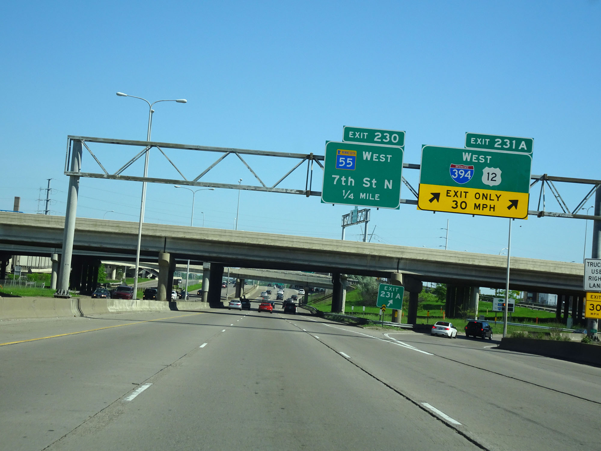 |
Interstate 94 West at Exit 231A: Interstate 394 West / US 12 West (Photo taken 5/22/16). |
 |
Interstate 94 West at Exit 230: MN 55 West - 7th St N (Photo taken 5/22/16). |
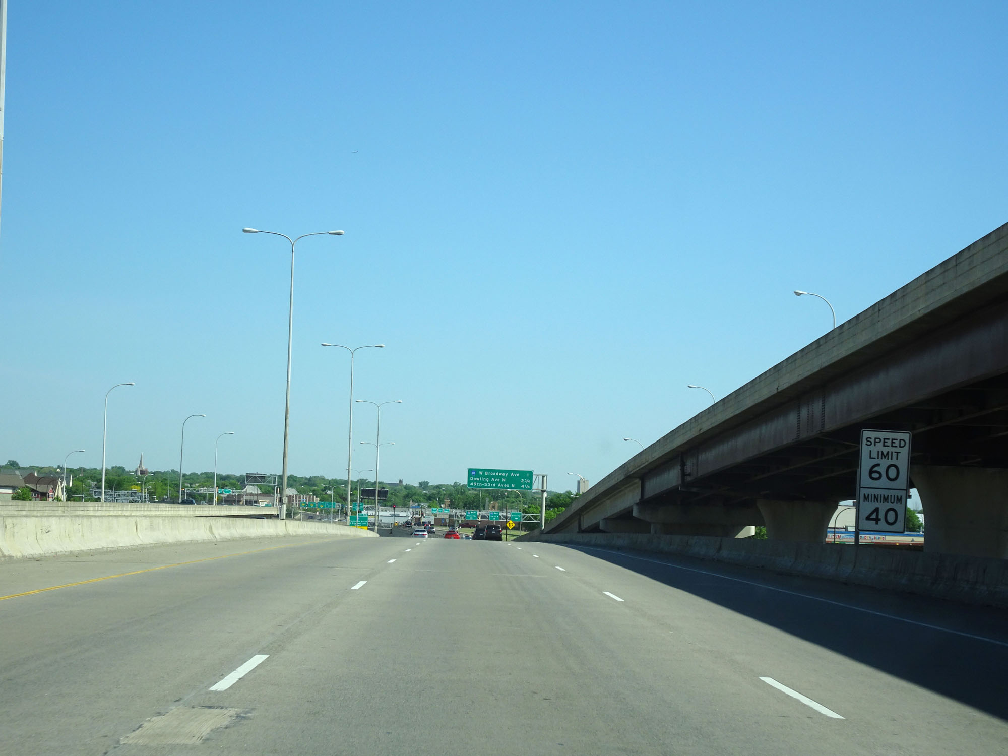 |
North/West of Exit 230, the speed limit gets a slight bump up to 60 mph. The minimum speed limit remains 40 mph. (Photo taken 5/22/16). |
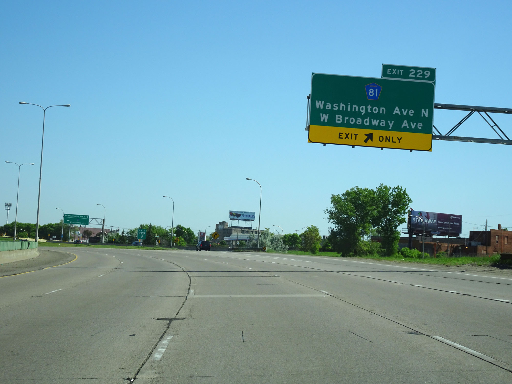 |
Interstate 94 West at Exit 229: CR 81 - Washington Ave N / W Broadway Ave (Photo taken 5/22/16). |
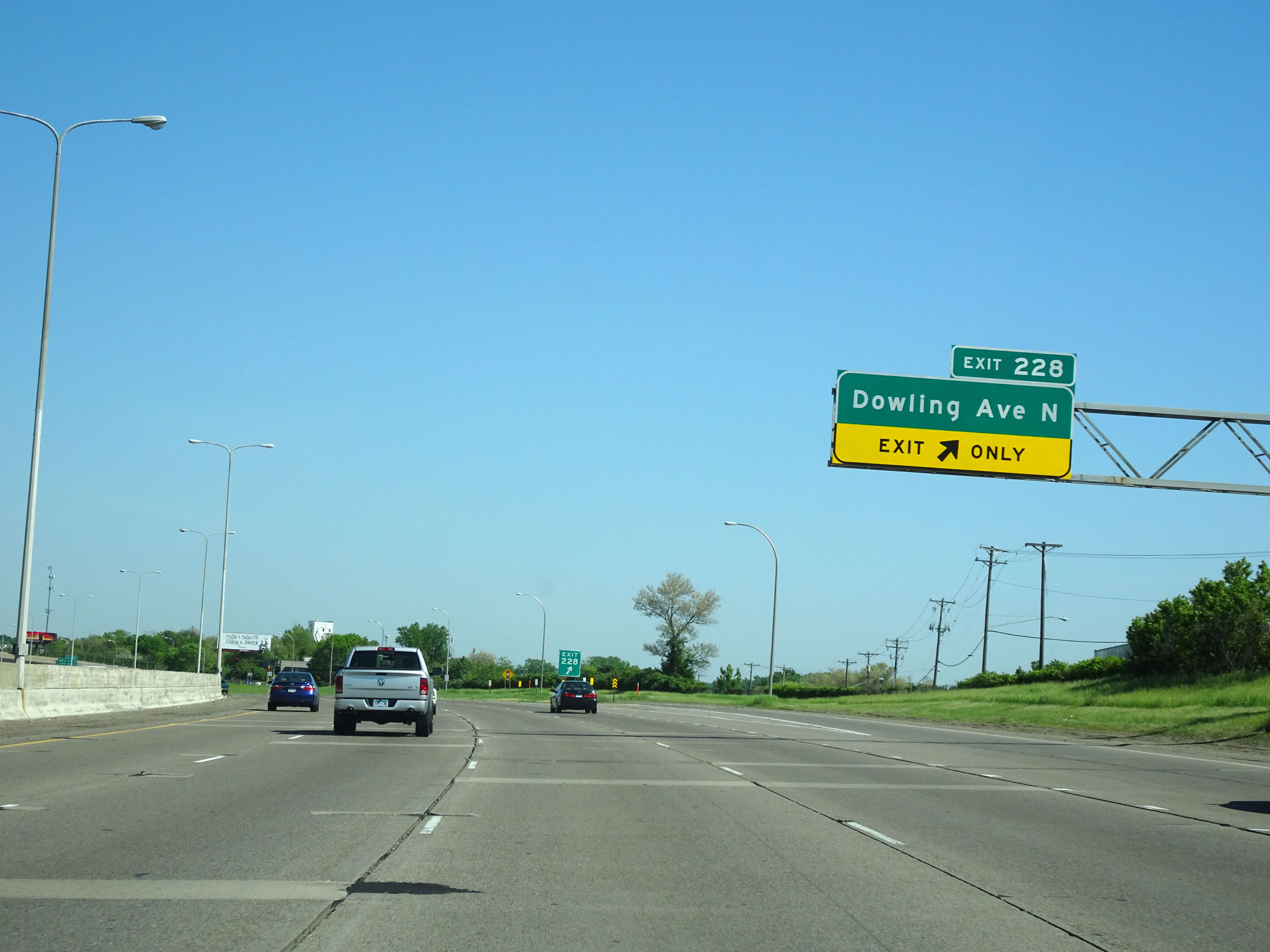 |
Interstate 94 West at Exit 228: Dowling Ave N (Photo taken 5/22/16). |
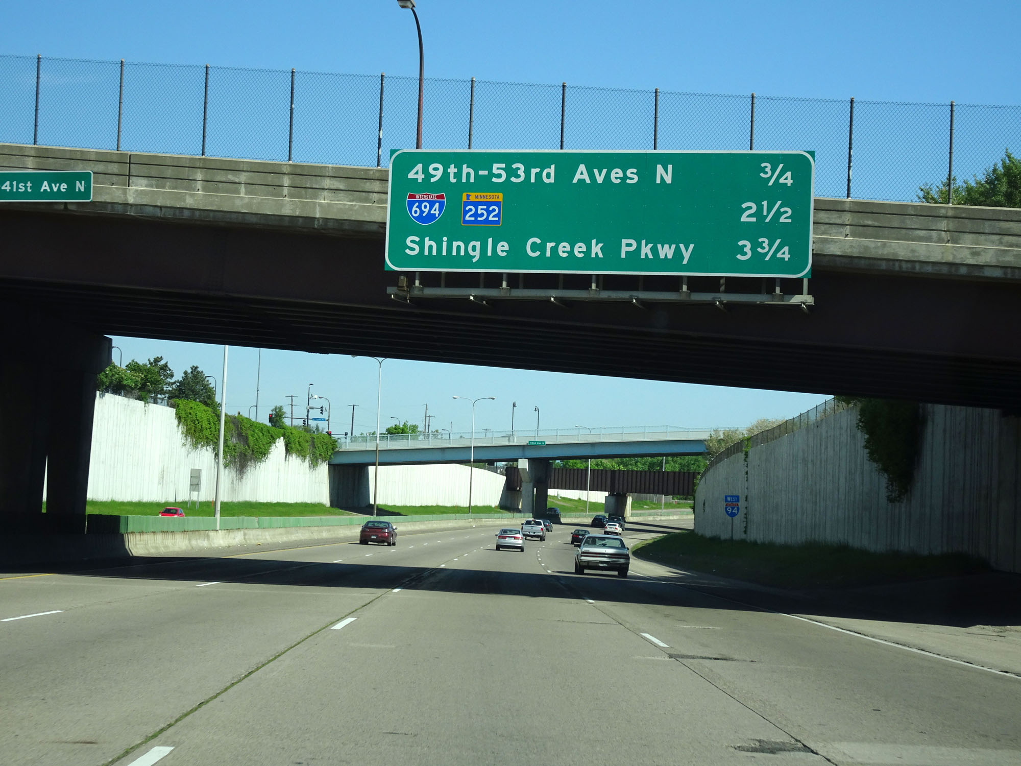 |
Overhead mileage sign listing the distances to the next three interchanges on Interstate 94 West. (Photo taken 5/22/16). |
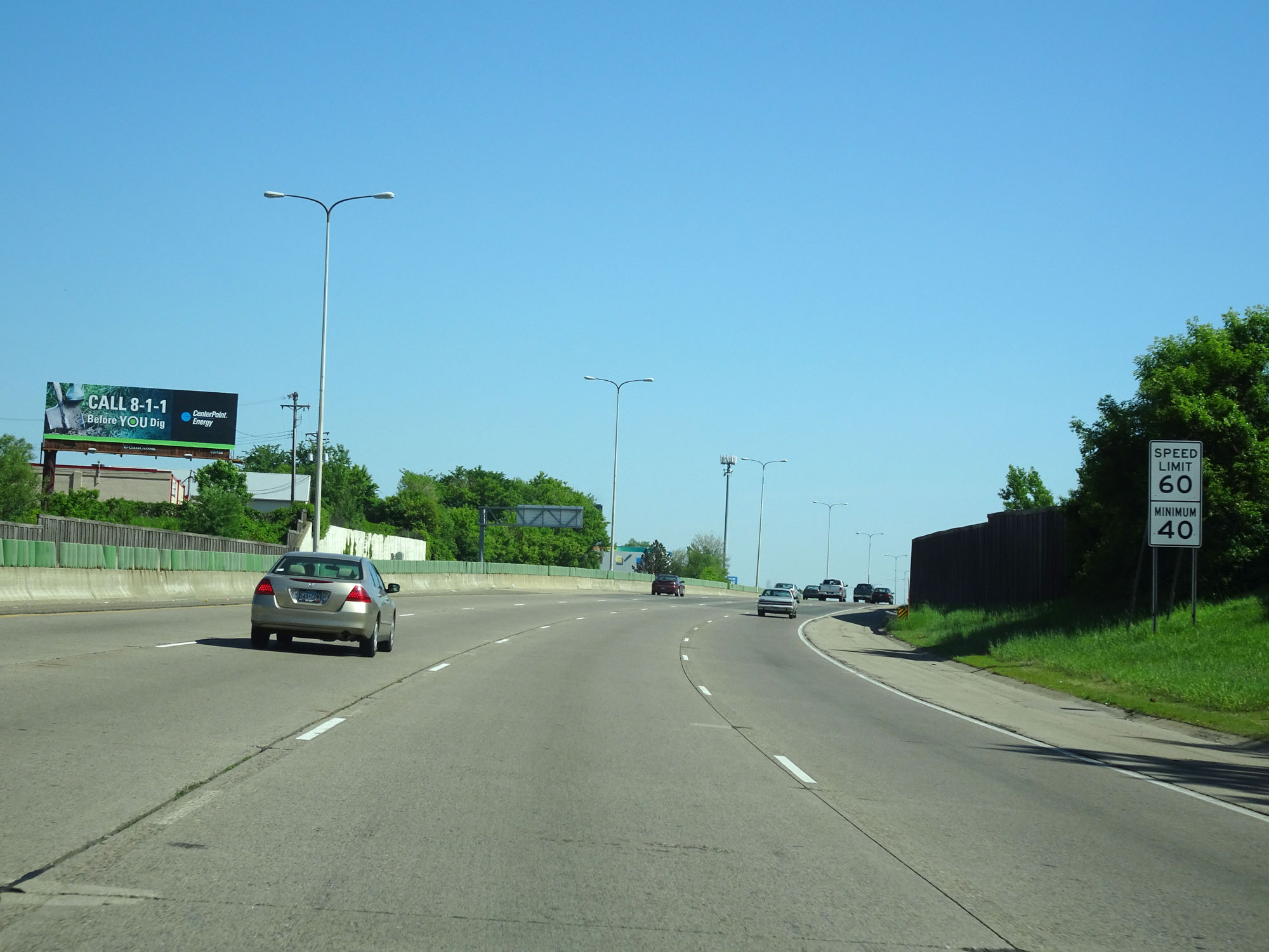 |
The speed limits remain 60 mph maximum and 40 mph minimum. (Photo taken 5/22/16). |
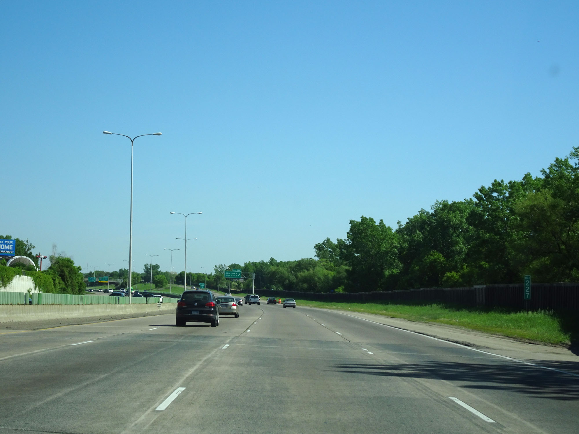 |
Interstate 94 West at mile marker 227. (Photo taken 5/22/16). |
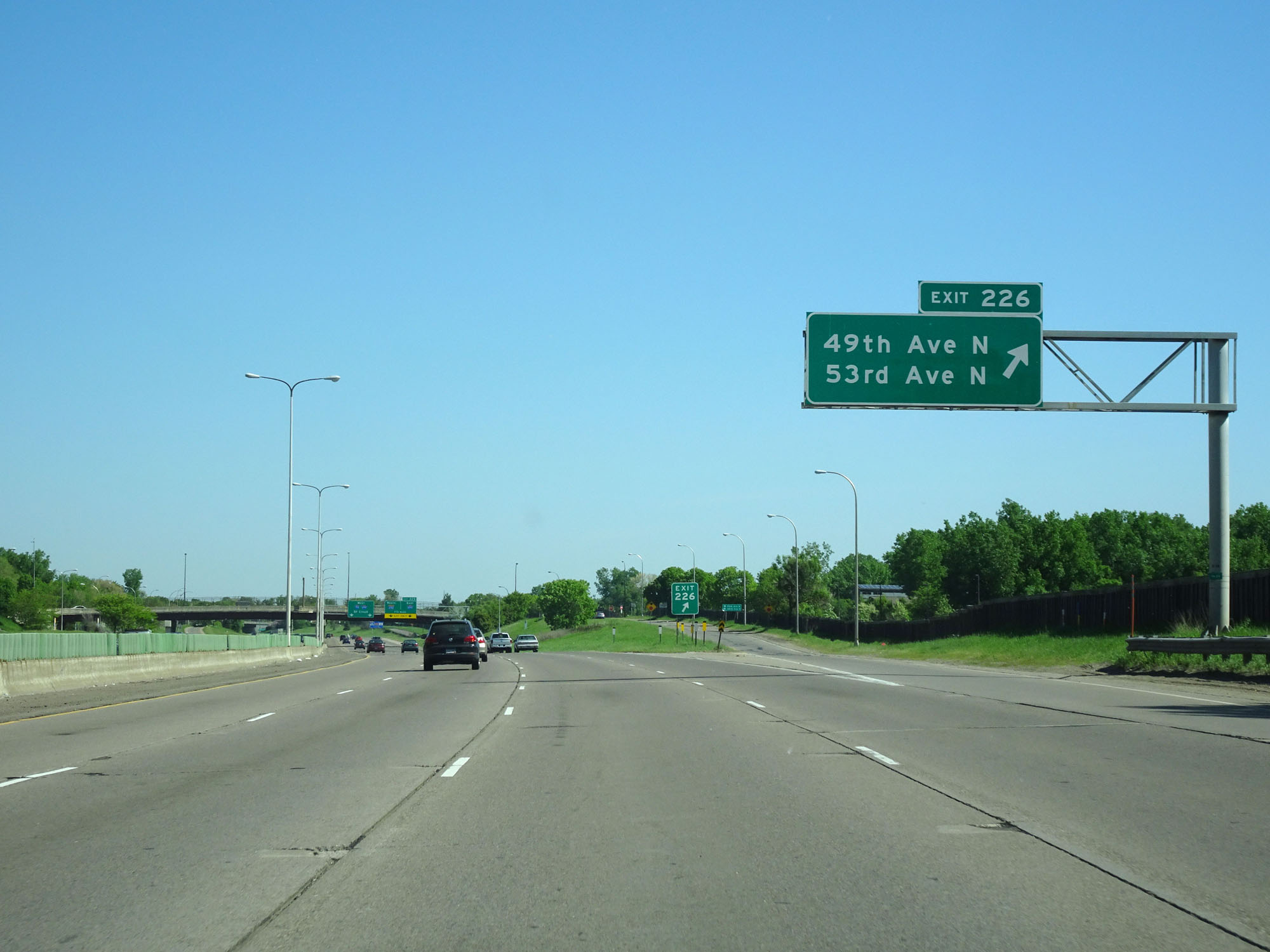 |
Interstate 94 West at Exit 226: 49th Ave N / 53rd Ave N (Photo taken 5/22/16). |
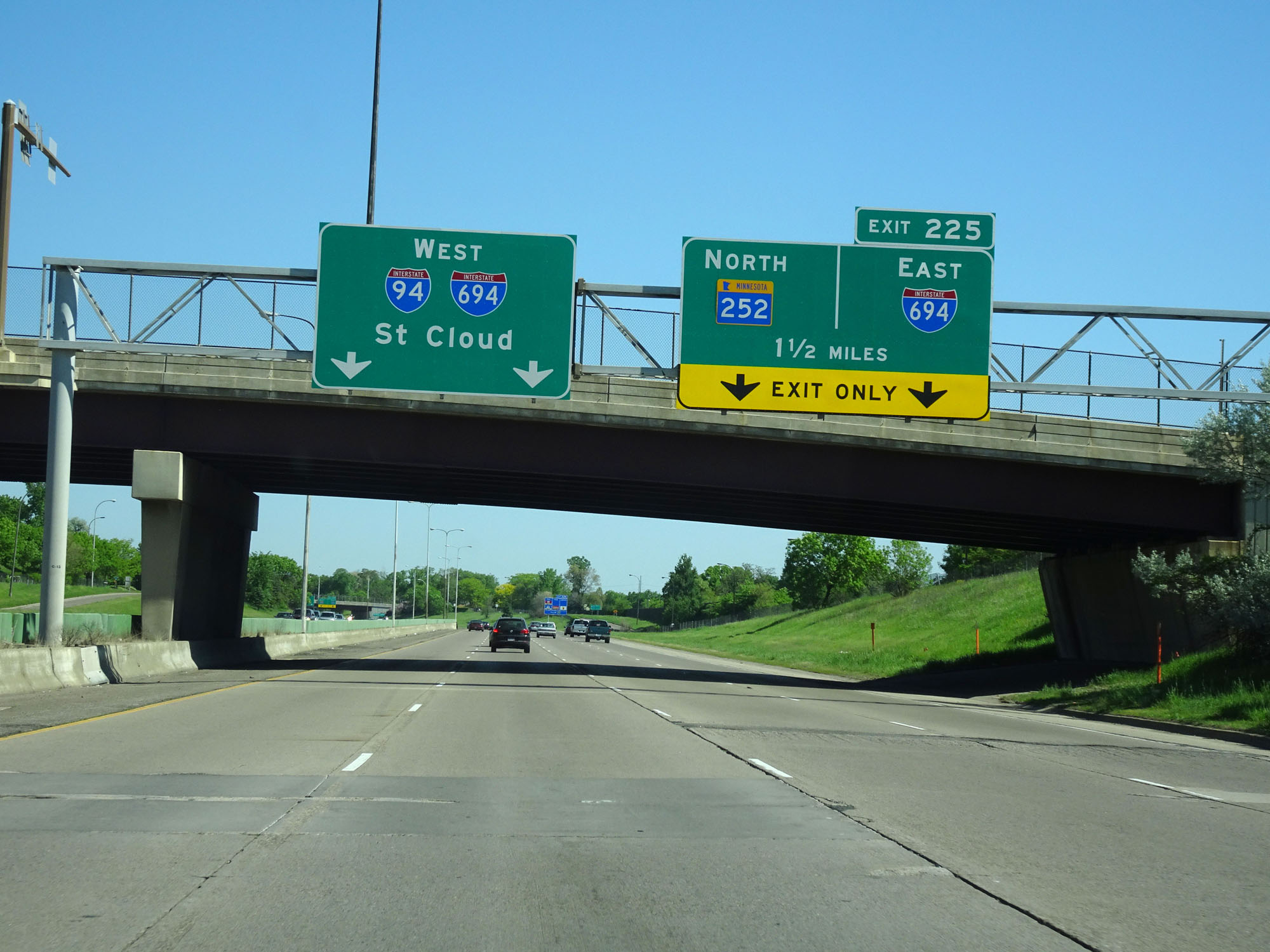 |
Interstate 94 West approaching Exit 225 - 1 1/2 miles. (Photo taken 5/22/16). |
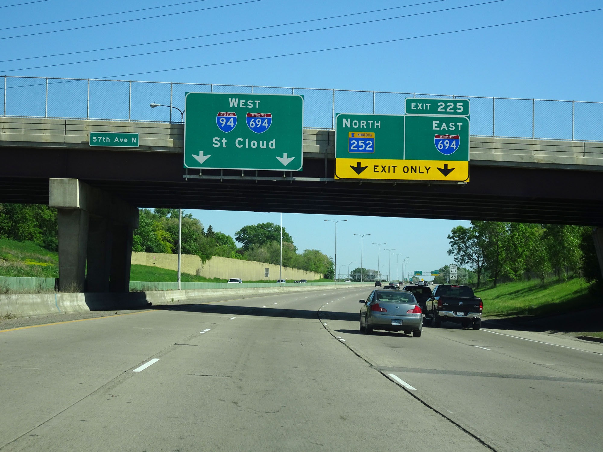 |
Interstate 94 West will run concurrently with Interstate 694 West ahead. (Photo taken 5/22/16). |
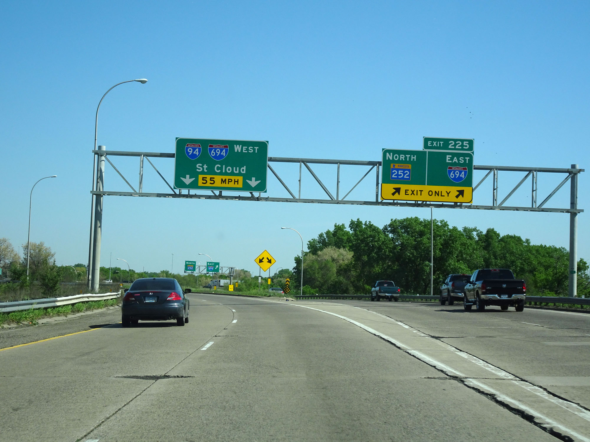 |
Interstate 94 West at Exit 225: Interstate 694 East / MN 252 North (Photo taken 5/22/16). |
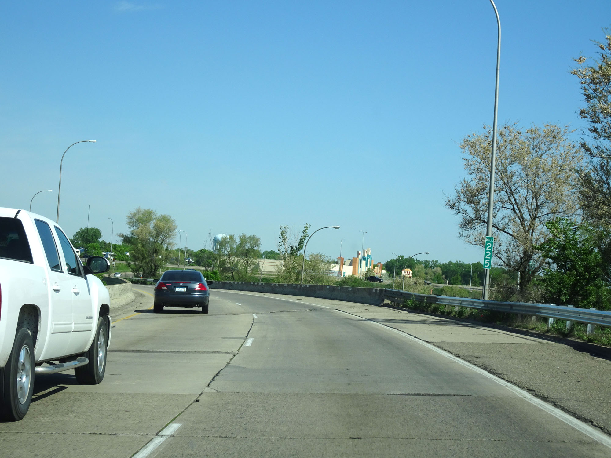 |
Interstate 94 West at mile marker 225. (Photo taken 5/22/16). |
 |
View on Interstate 94 West as it prepares to merge into Interstate 694 West (Outer Loop) from the left. (Photo taken 5/22/16). |
 |
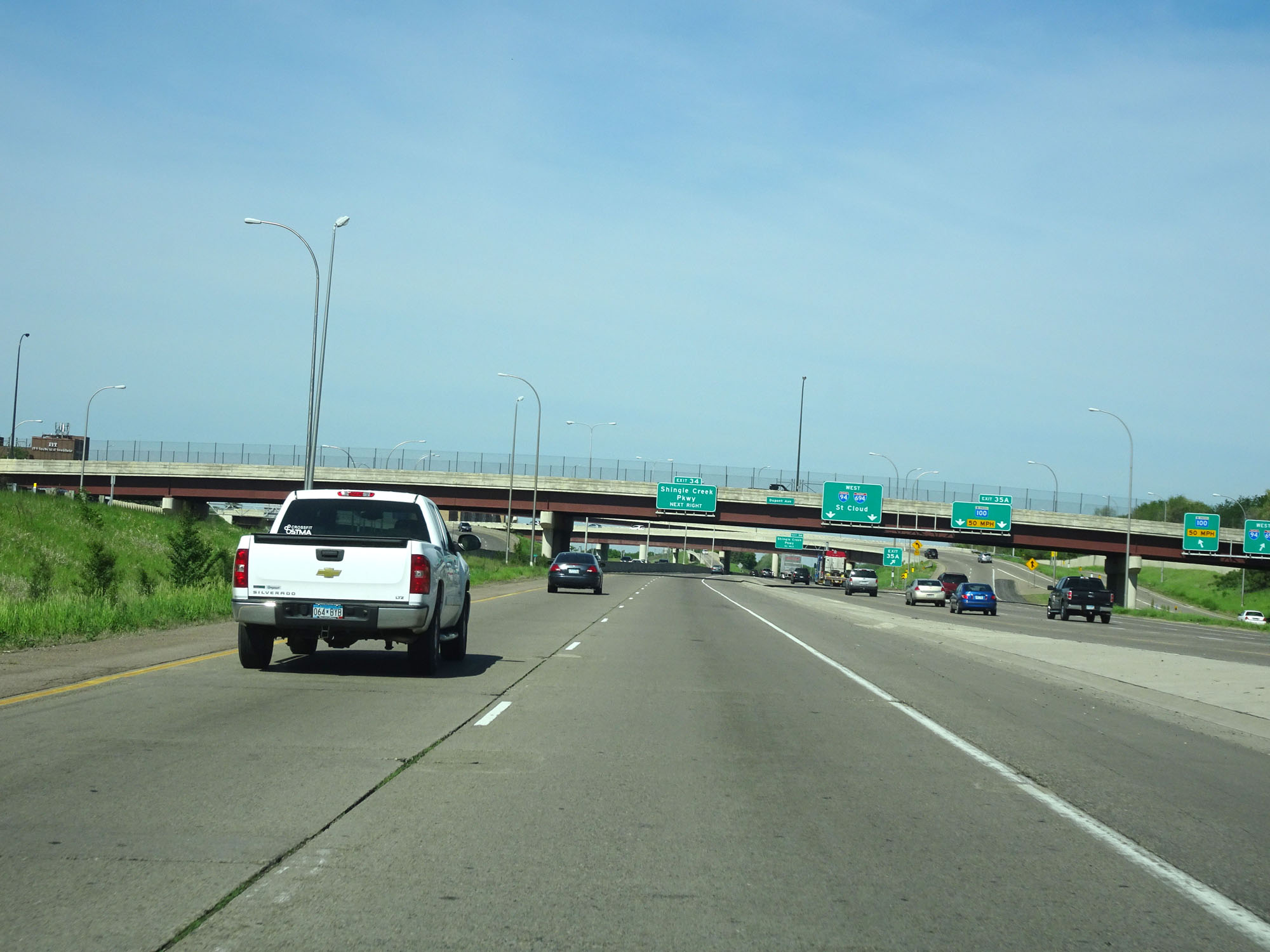
View of the ramp for Exit 35A from Interstate 694 Outer Loop (West). During the I-94/I-694 concurrency, the exit numbers and mileage are based on I-694. (Photo taken 5/22/16). |
 |
Interstate 94 West / Interstate 694 Outer Loop (West) at mile marker 35. (Photo taken 5/22/16). |
 |
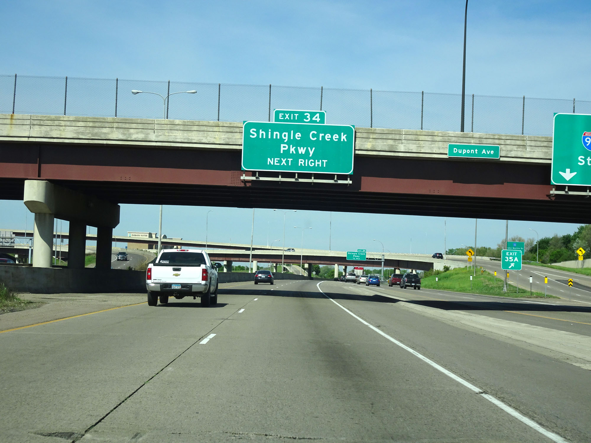
Interstate 94 West / Interstate 694 Outer Loop (West) at Exit 34: Shingle Creek Pkwy (Photo taken 5/22/16). |
 |
Interstate 94 West / Interstate 694 West reassurance shields. (Photo taken 5/22/16). |
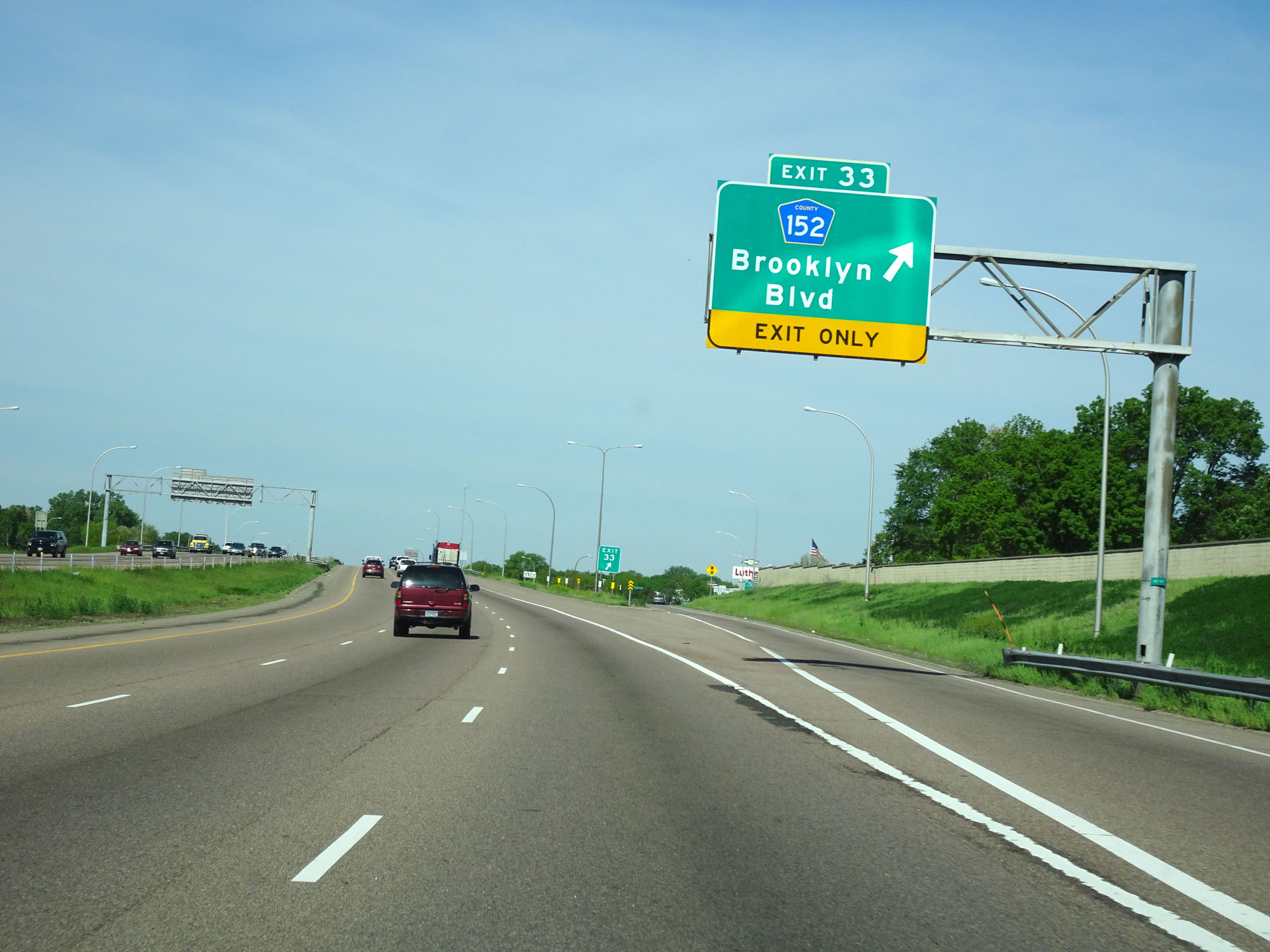 |
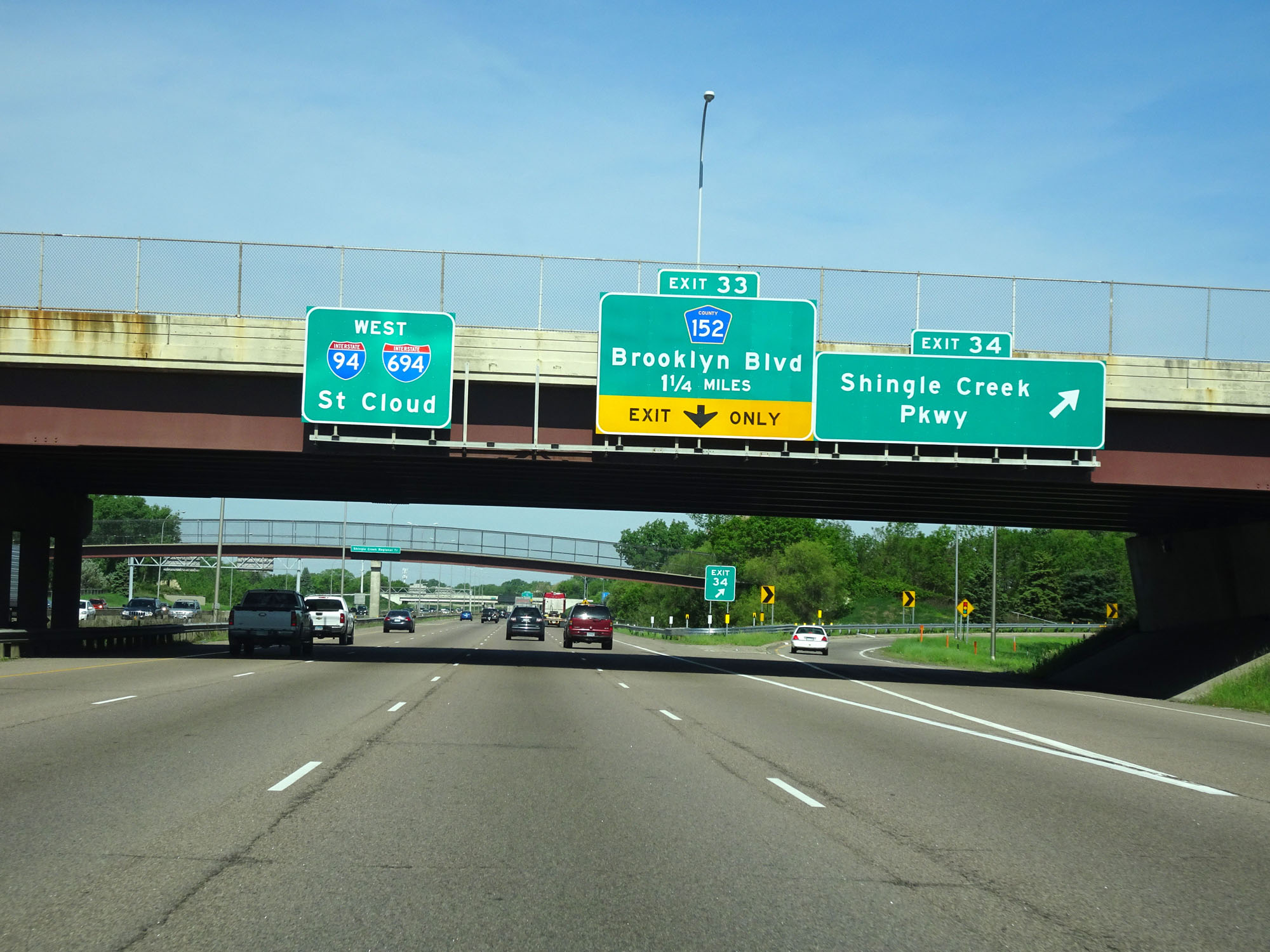
Interstate 94 West / Interstate 694 Outer Loop (West) at Exit 33: CR 152 - Brooklyn Blvd (Photo taken 5/22/16). |
 |
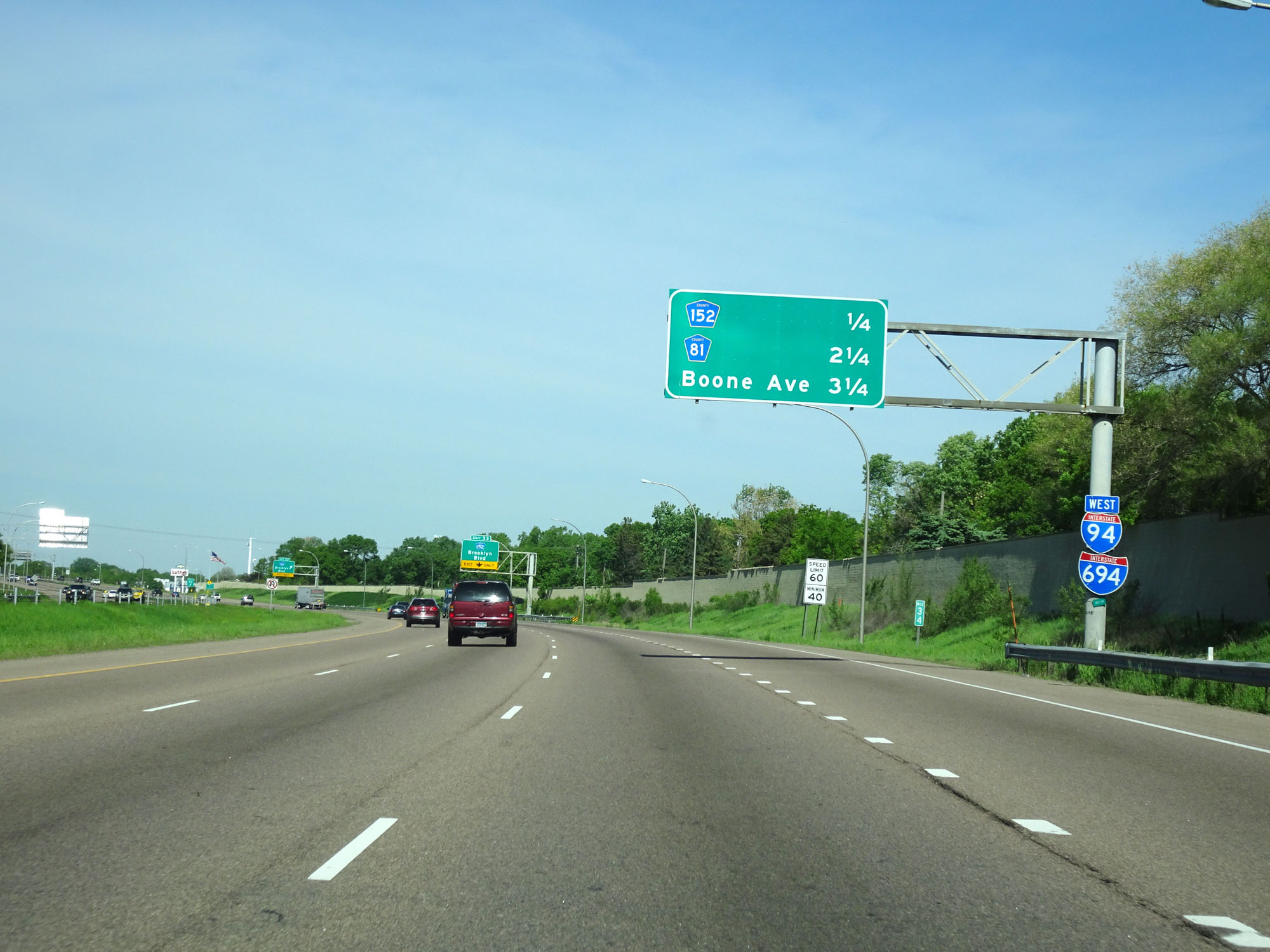
Interstate 94 West / Interstate 694 Outer Loop (West) at mile marker 33. (Photo taken 5/22/16). |
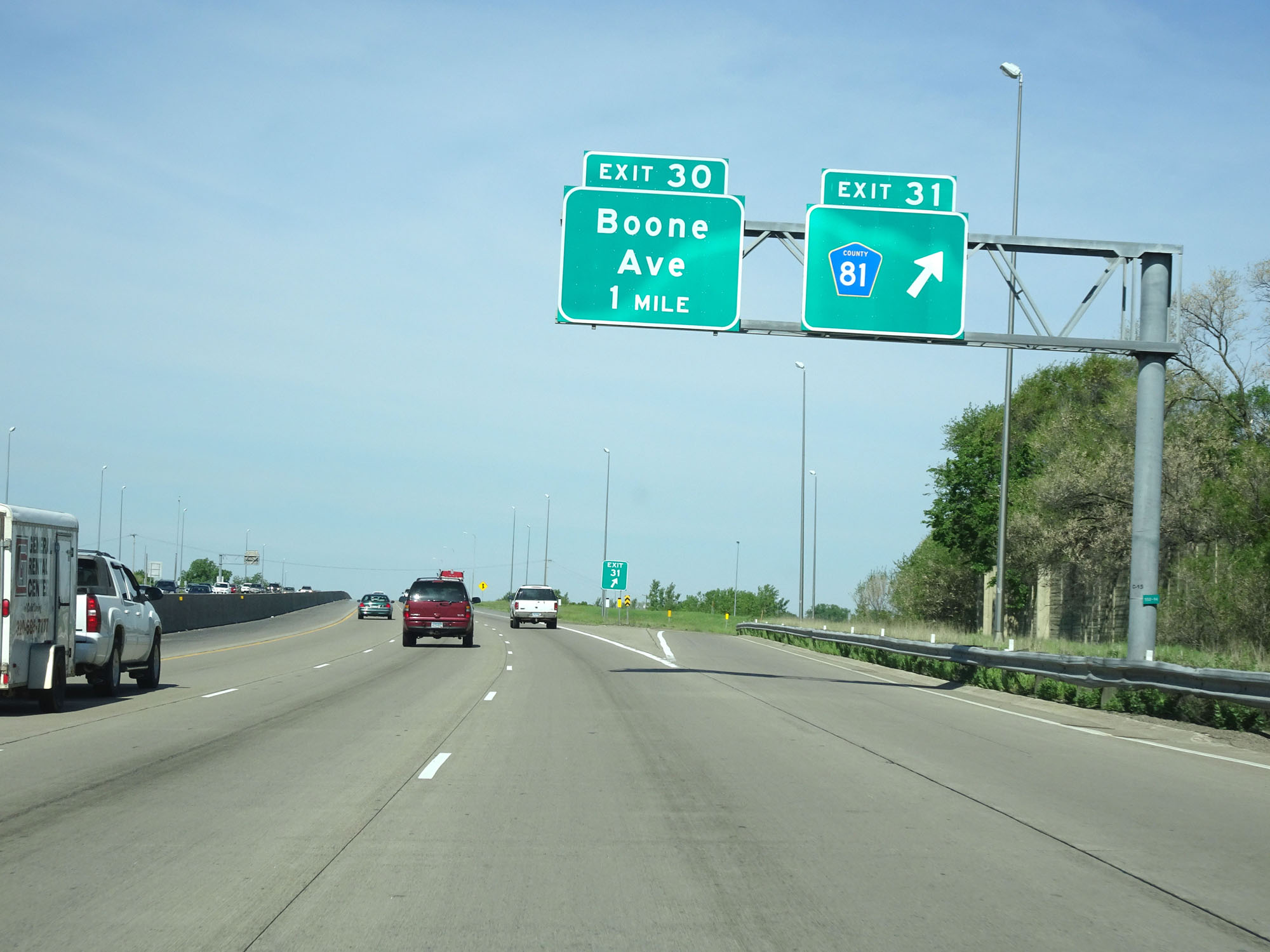 |
Interstate 94 West / Interstate 694 Outer Loop (West) at Exit 31: CR 81 (Photo taken 5/22/16). |
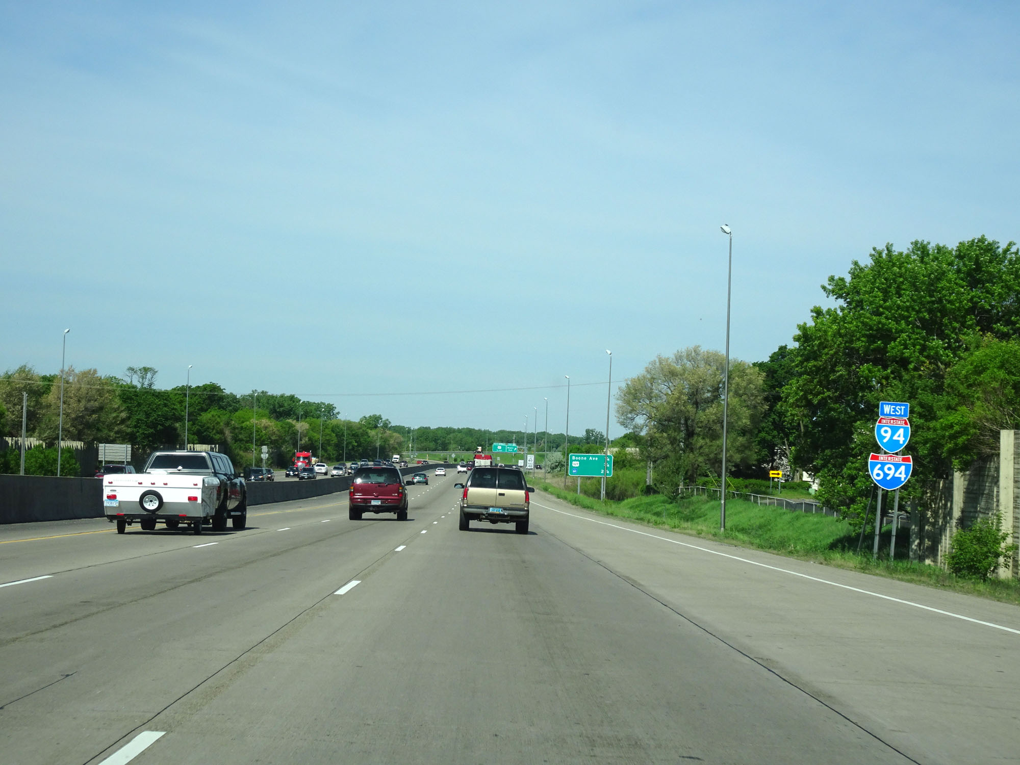 |
Another set of Interstate 94 West / Interstate 694 West reassurance shields. (Photo taken 5/22/16). |
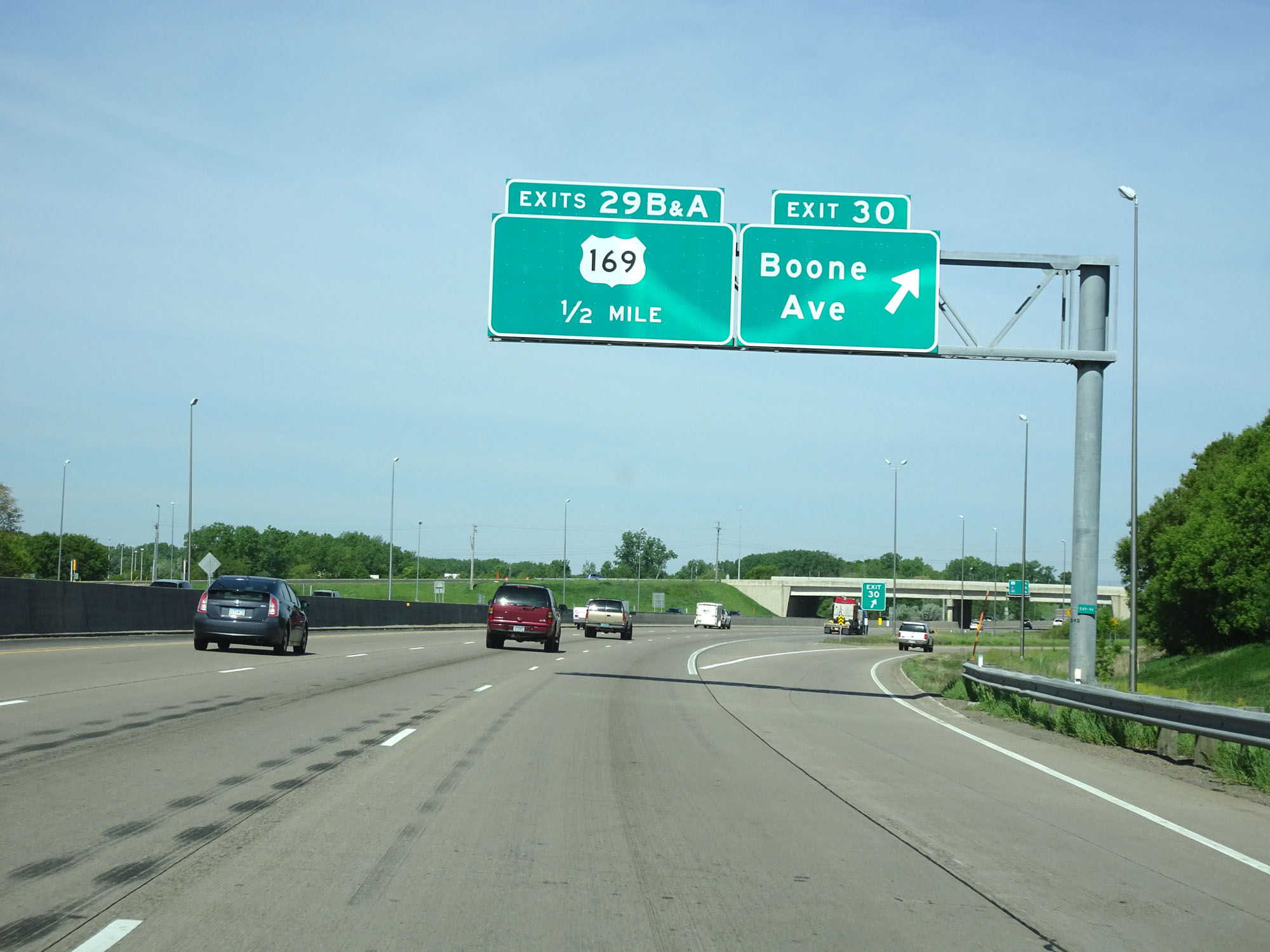 |
Interstate 94 West / Interstate 694 Outer Loop (West) at Exit 30: Boone Ave (Photo taken 5/22/16). |
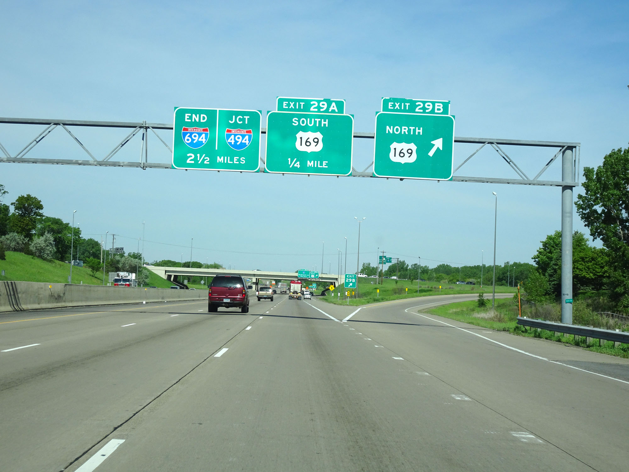 |
Interstate 94 West / Interstate 694 Outer Loop (West) at Exit 29B: US 169 North (Photo taken 5/22/16). |
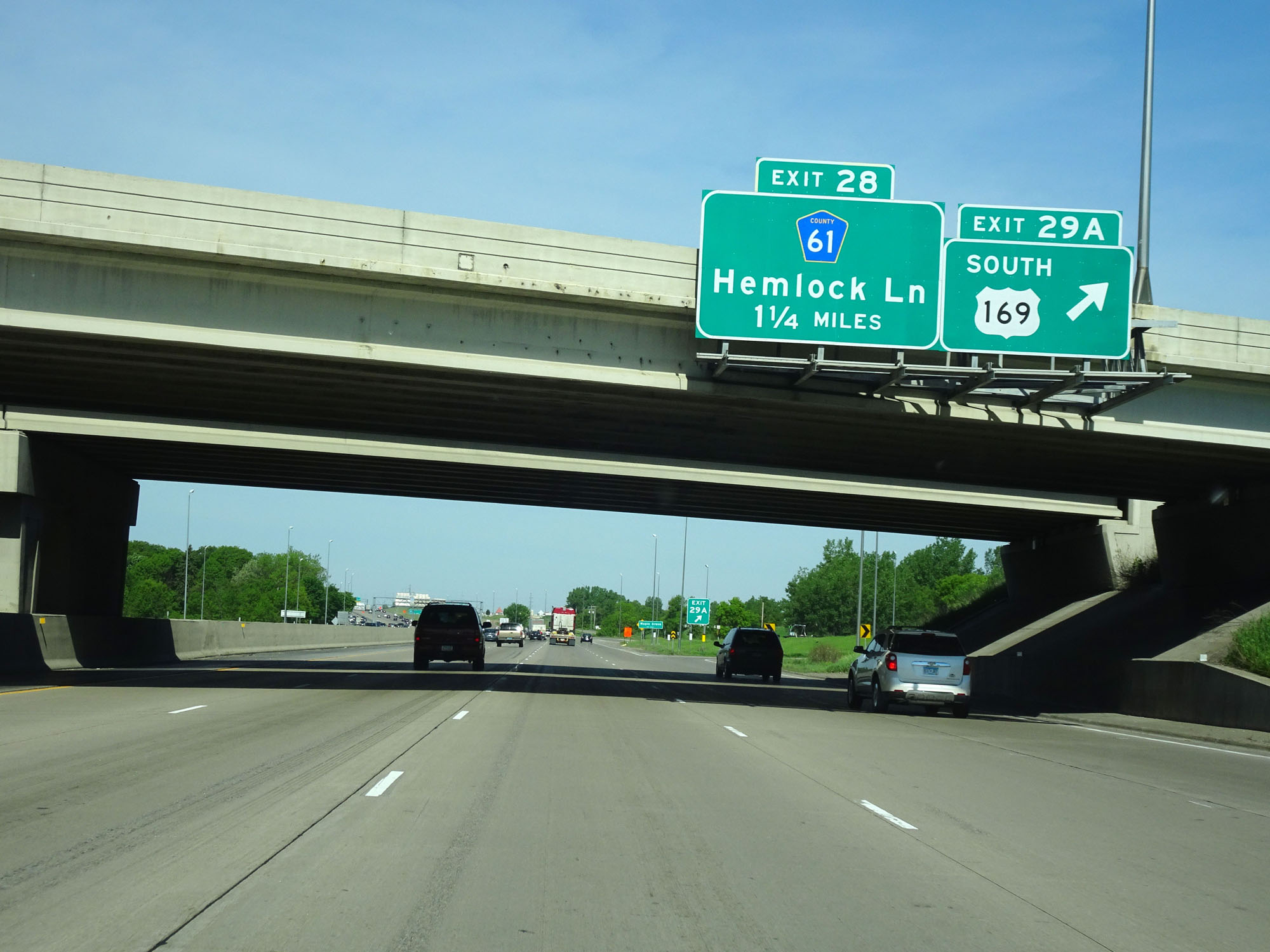 |
Interstate 94 West / Interstate 694 Outer Loop (West) at Exit 29A: US 169 South (Photo taken 5/22/16). |
 |
Interstate 94 West / Interstate 694 Outer Loop (West) at Exit 28: CR 61 - Hemlock Ln (Photo taken 5/22/16). |
 |
Interstate 94 West / Interstate 694 Outer Loop (West) approaching Exit 27 - 1/2 mile. (Photo taken 5/22/16). |
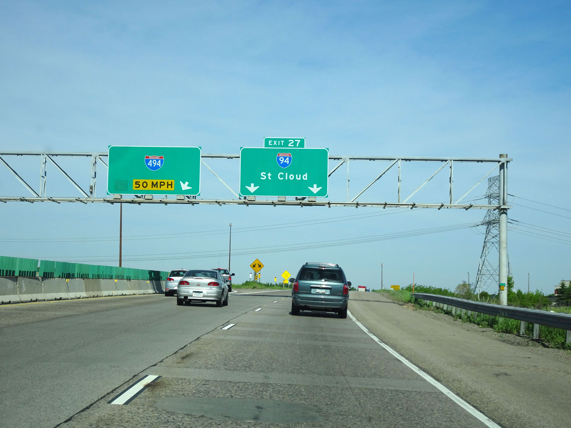 |
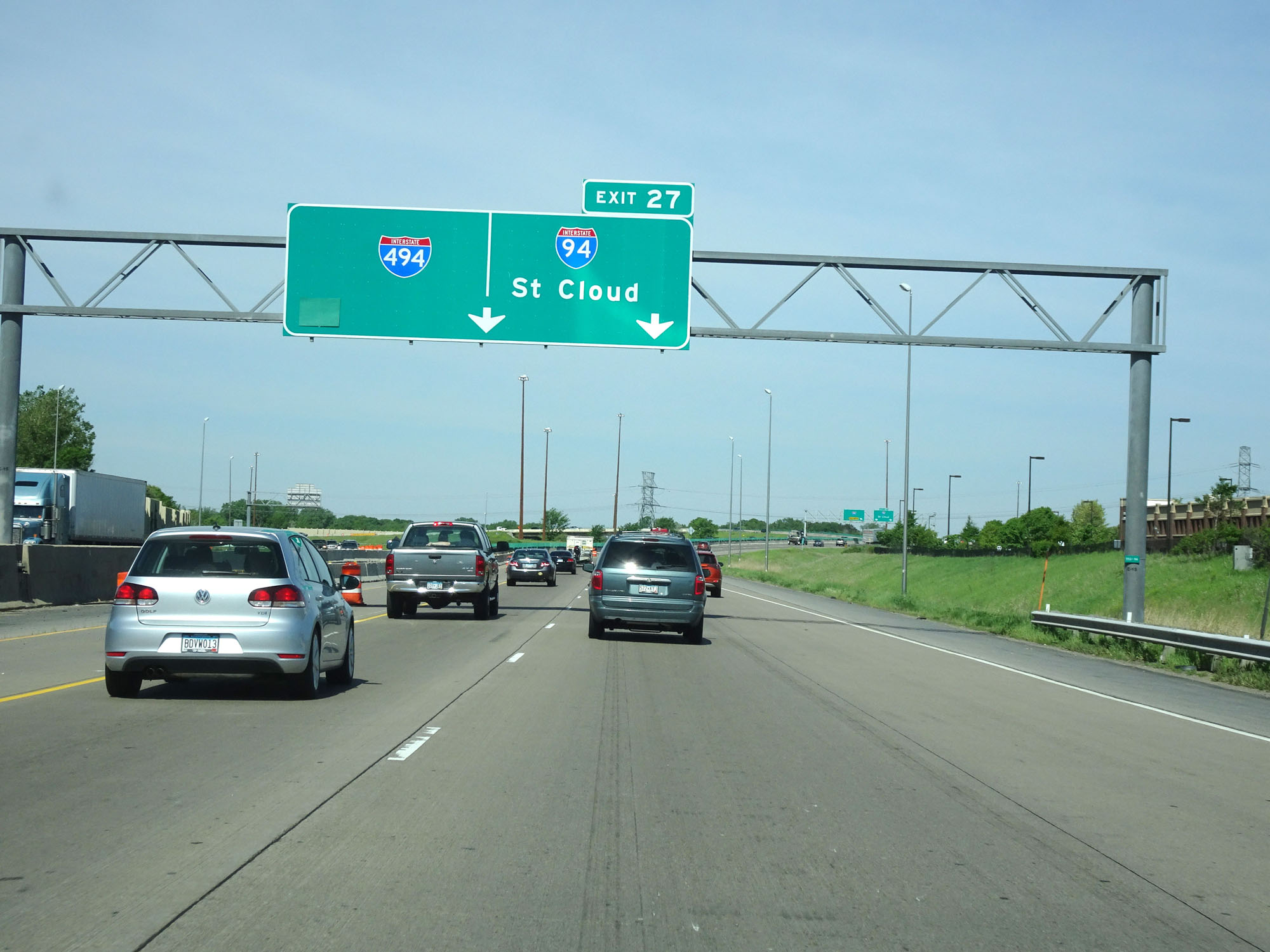
Interstate 94 West / Interstate 694 Outer Loop (West) at Exit 27: Interstate 94 West - St Cloud (Photo taken 5/22/16). |
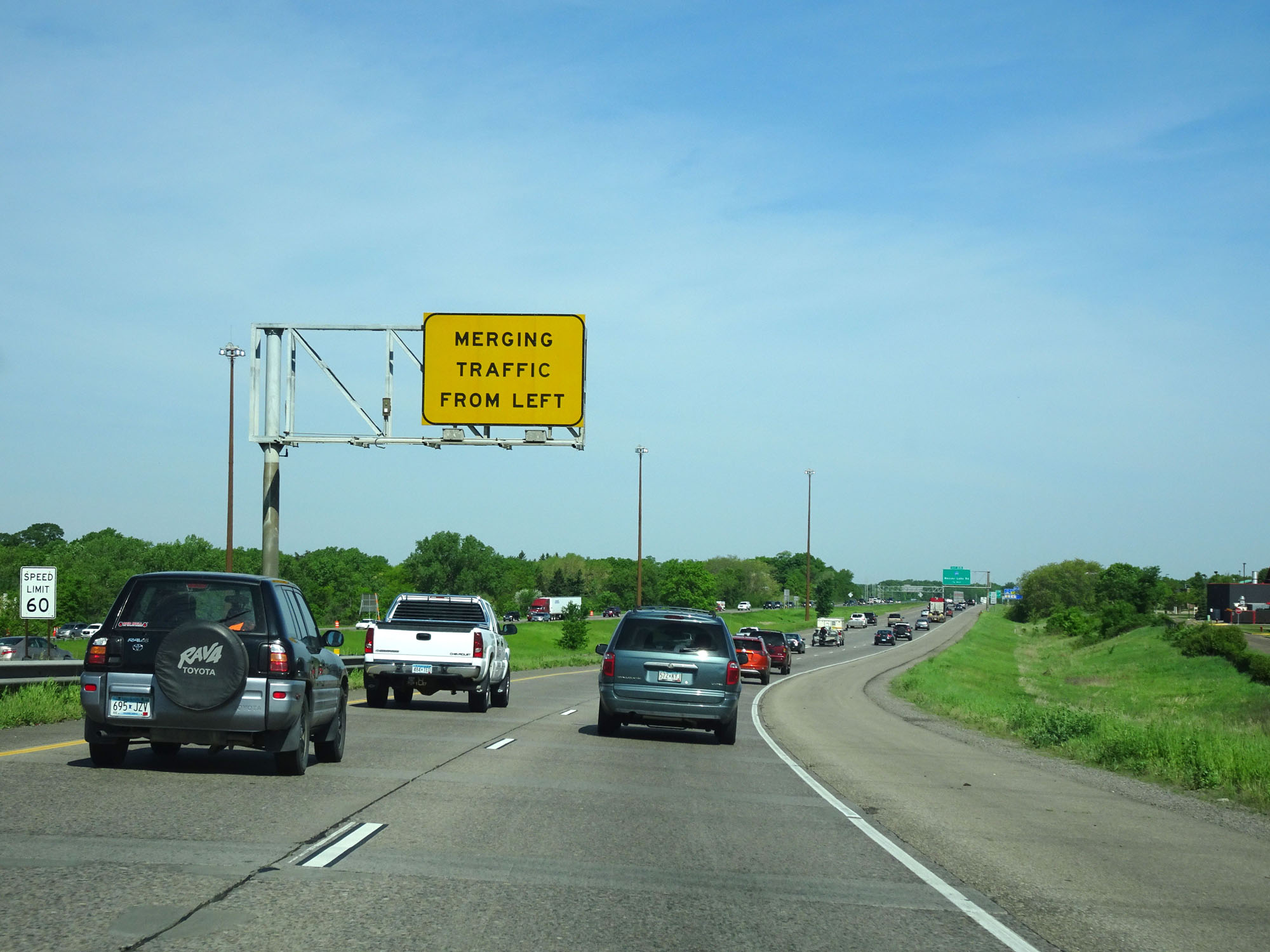 |
View on Interstate 94 West as it departs from Interstate 694 / Interstate 494. (Photo taken 5/22/16). |
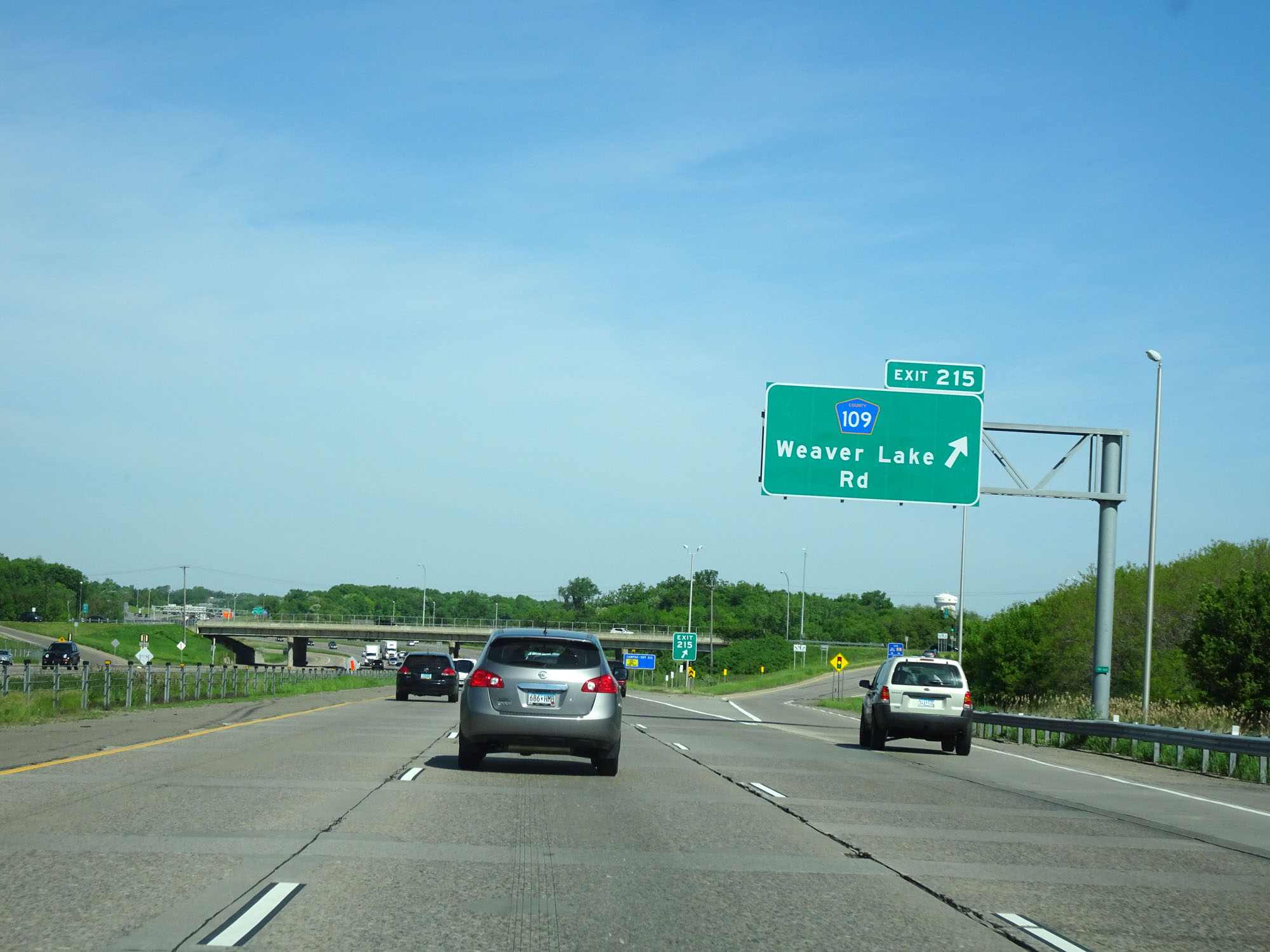 |
Interstate 94 West at Exit 215: CR 109 - Weaver Lake Rd (Photo taken 5/22/16). |
 |
Interstate 94 West reassurance shield. (Photo taken 5/22/16). |
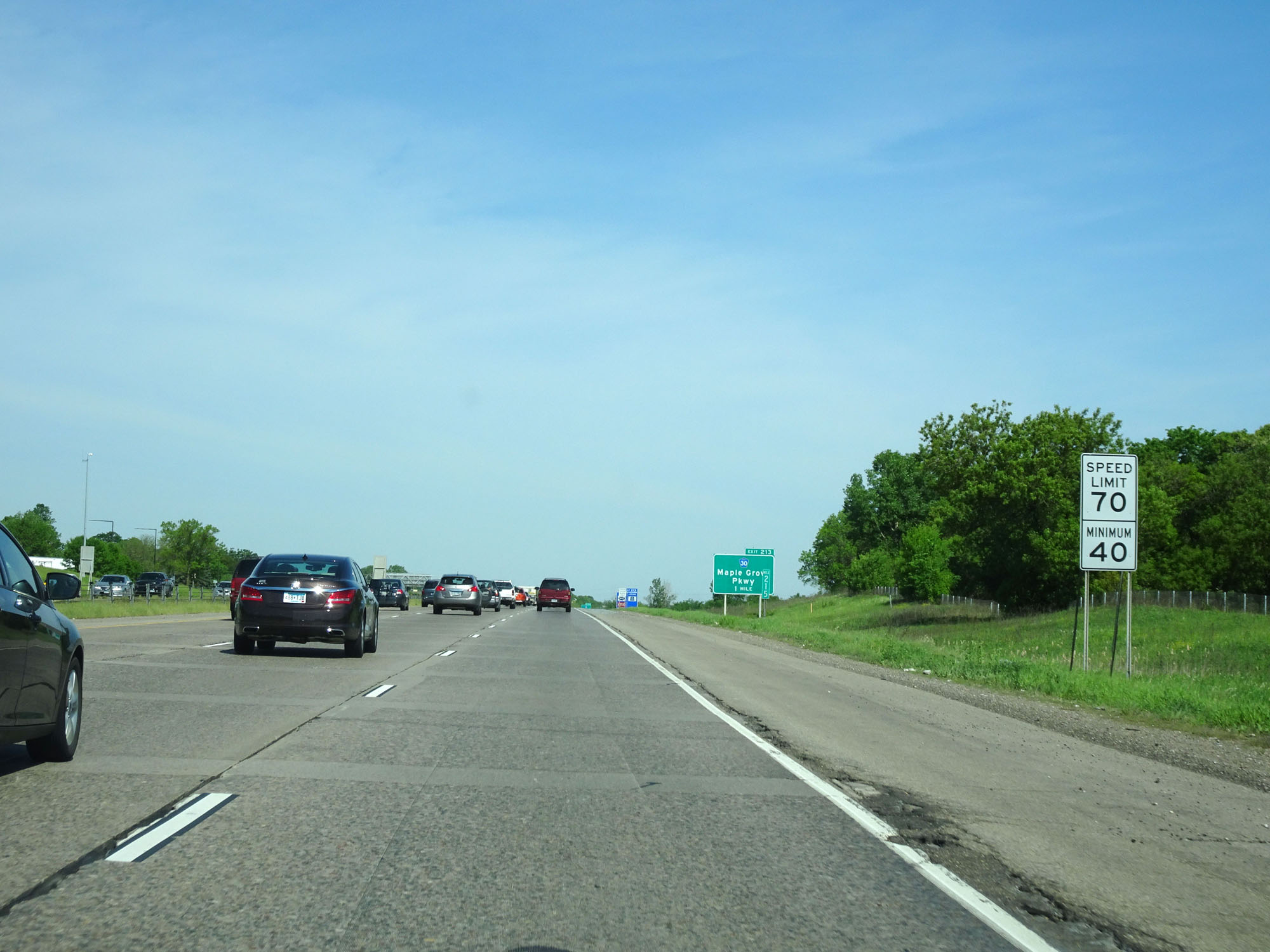 |
West of Exit 215, the standard rural speed limit of 70 mph resumes. The minimum speed limit remains 40 mph as usual. (Photo taken 5/22/16). |
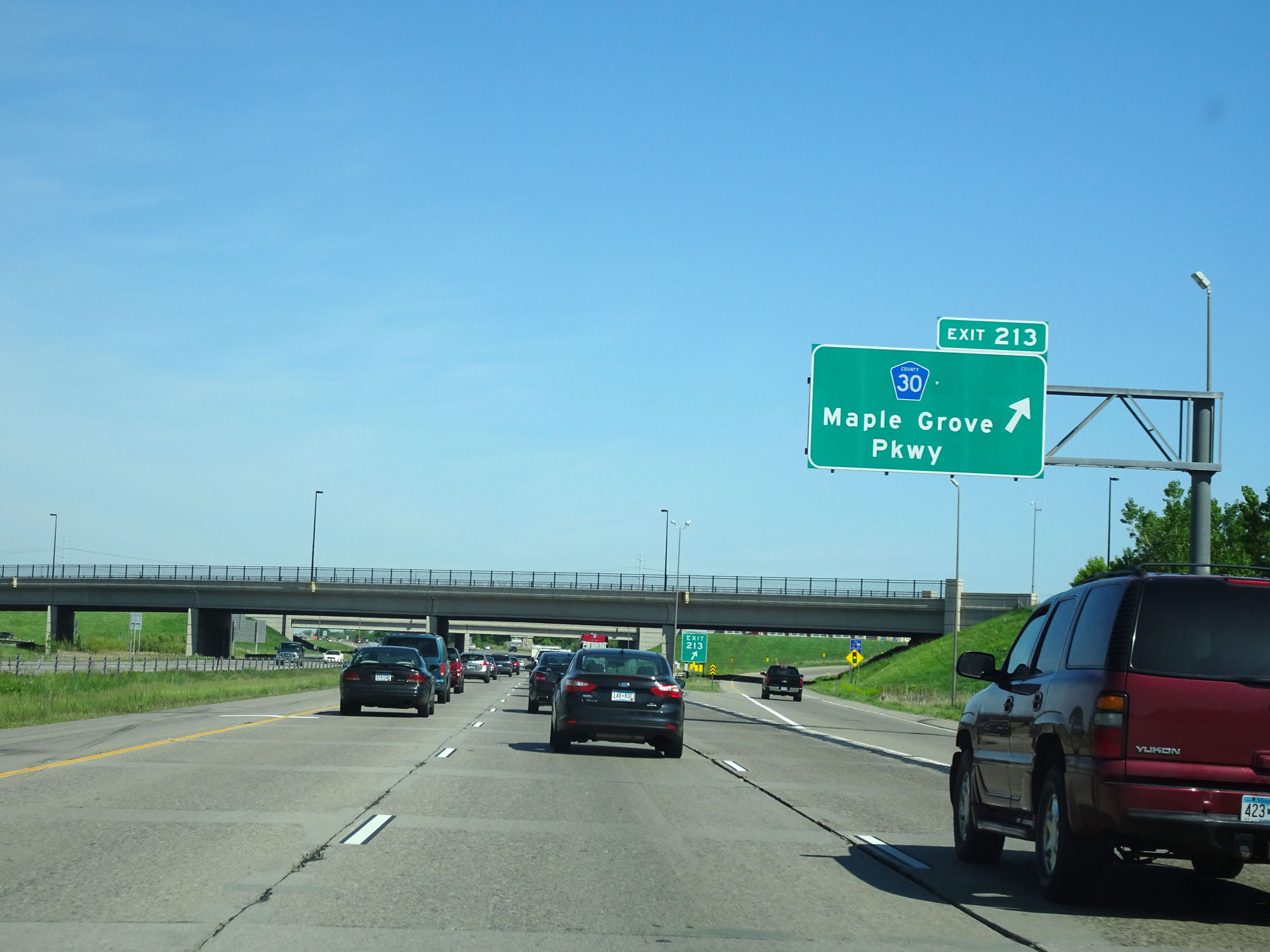 |
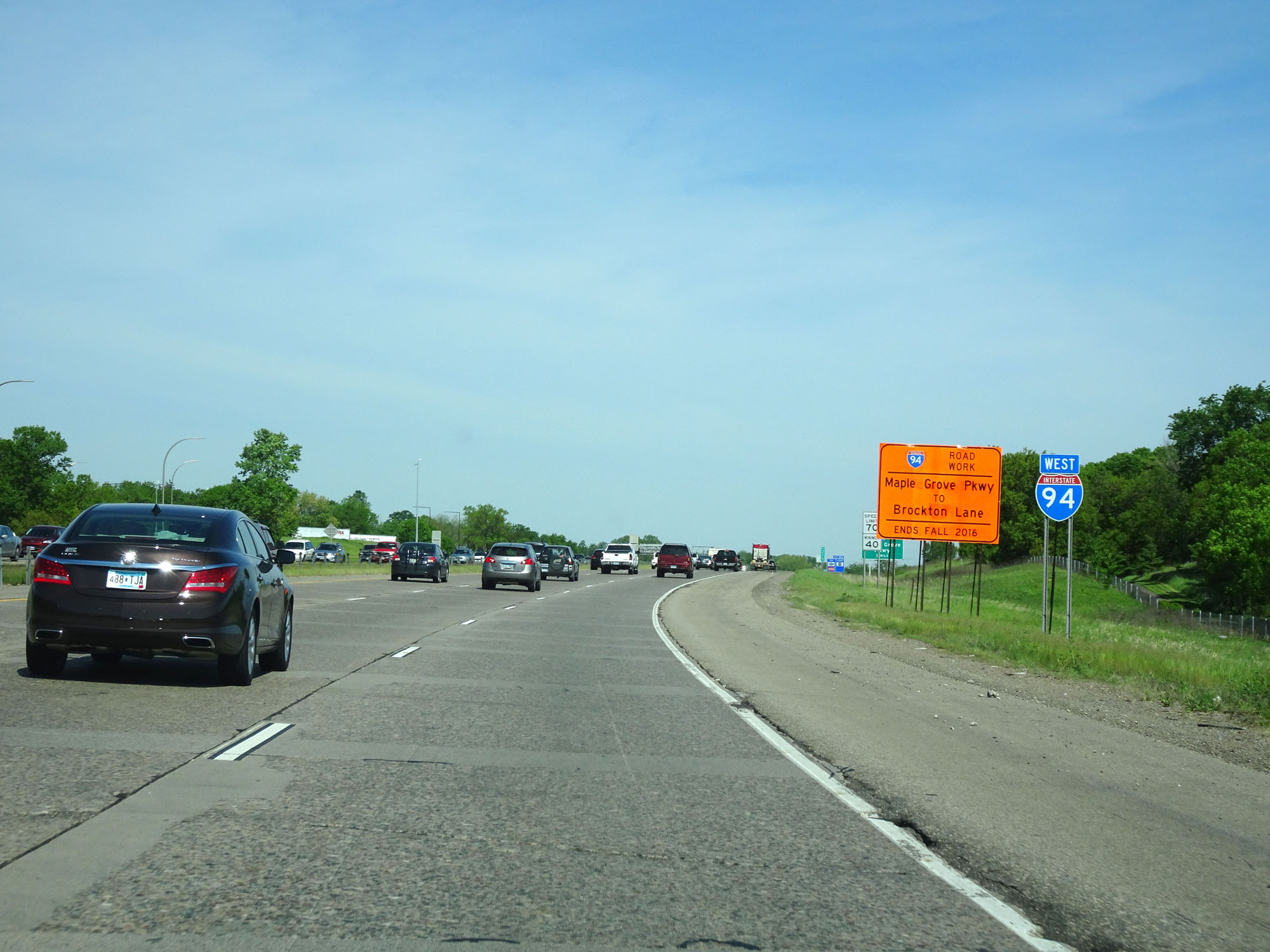
Interstate 94 West at Exit 213: CR 30 - Maple Grove Pkwy (Photo taken 5/22/16). |
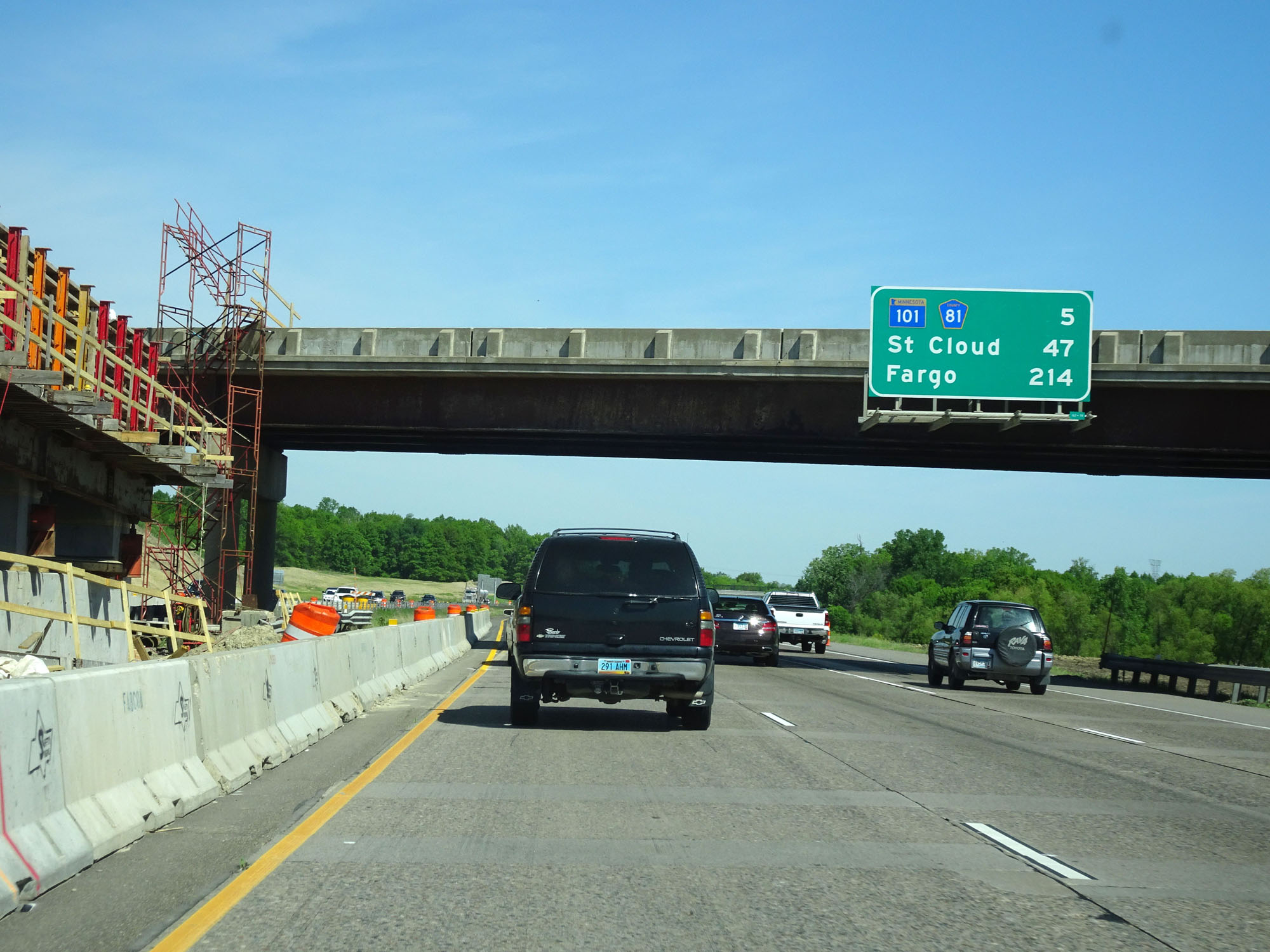 |
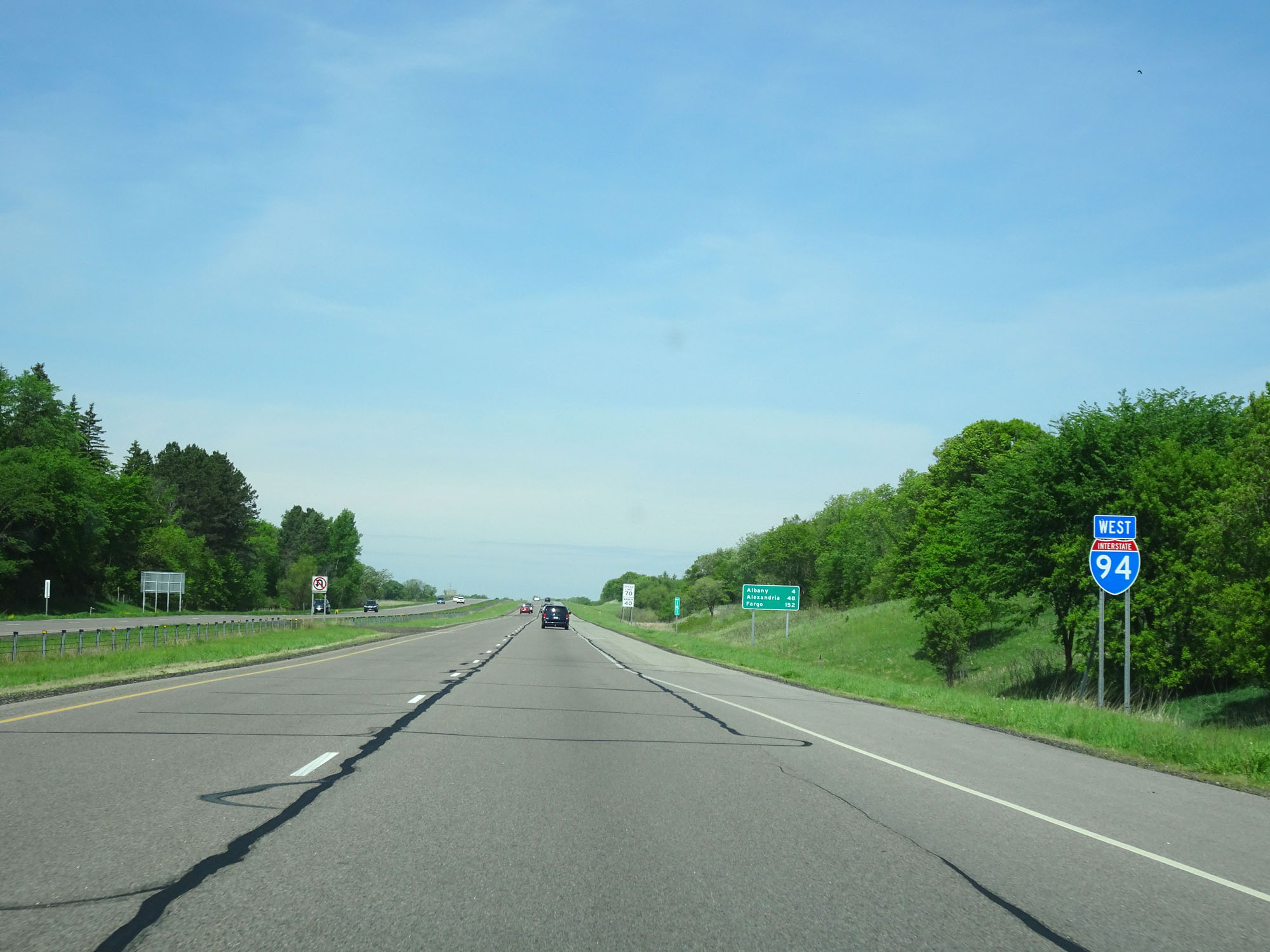
Overhead mileage sign on Interstate 94 West. It's 5 miles to the junction of MN 101/CR 81, 47 miles to St. Cloud, and 214 miles to Fargo. (Photo taken 5/22/16). |
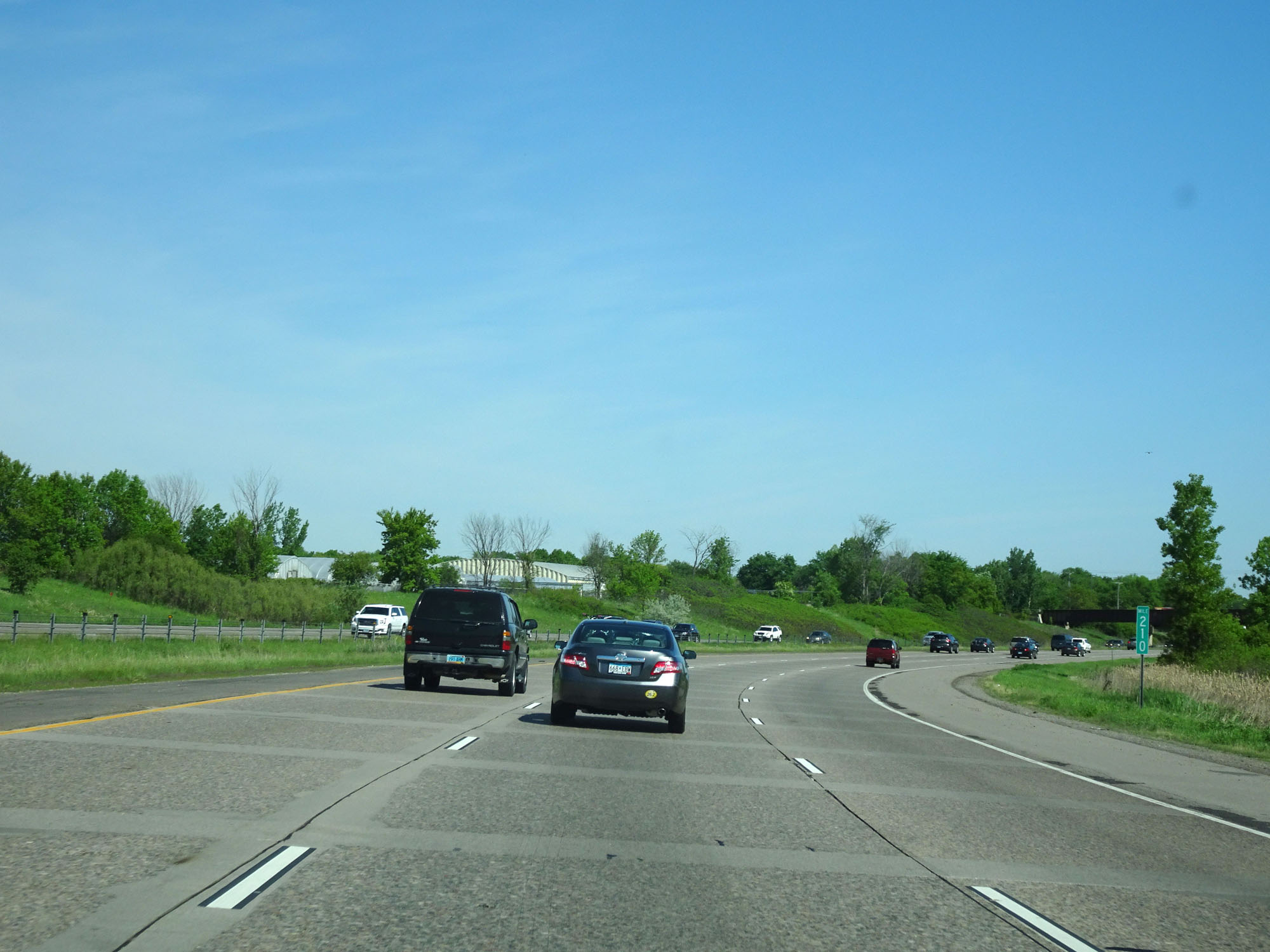 |
Interstate 94 West at mile marker 210. (Photo taken 5/22/16). |
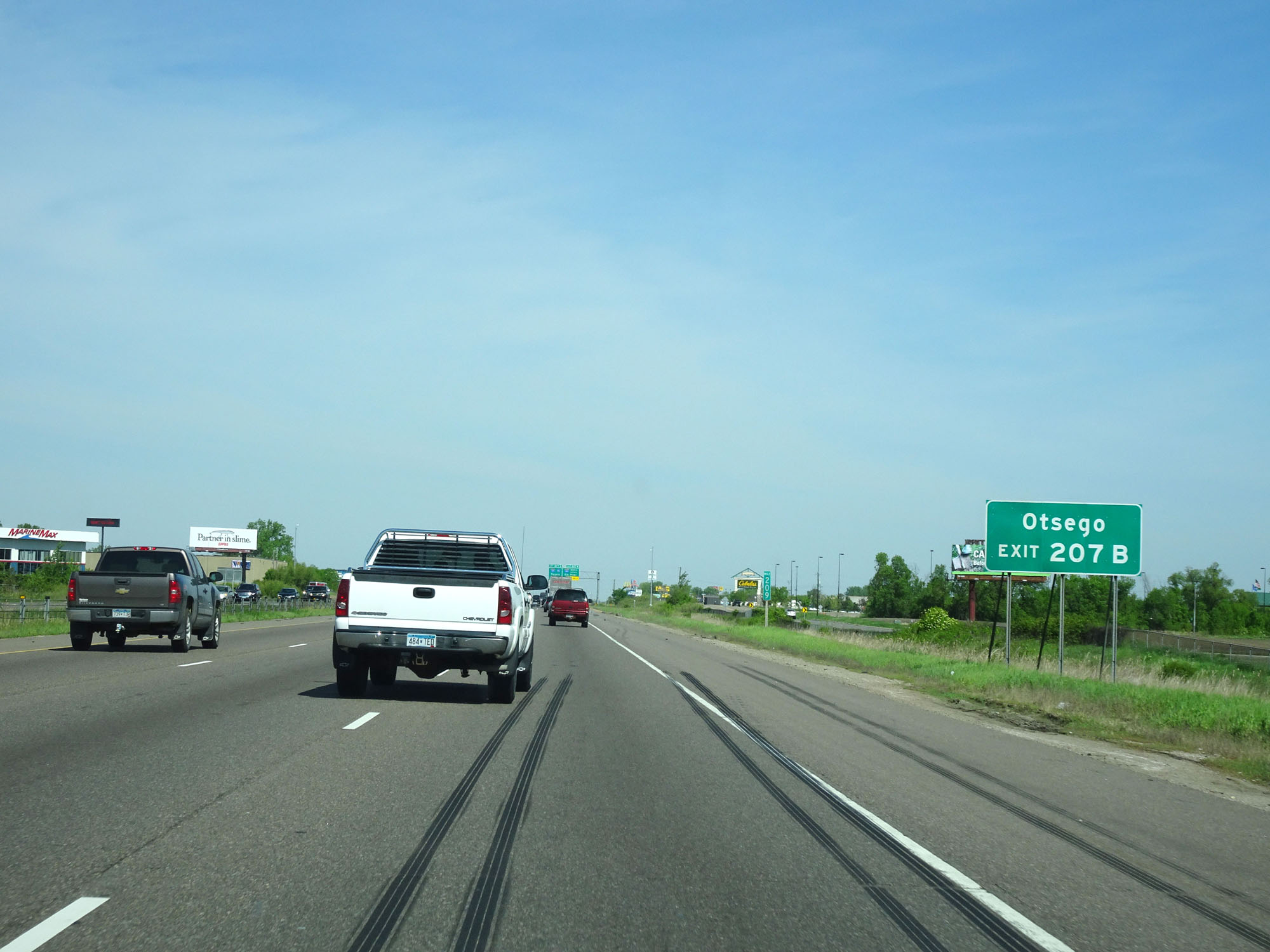 |
Take Exit 207B to Otsego. (Photo taken 5/22/16). |
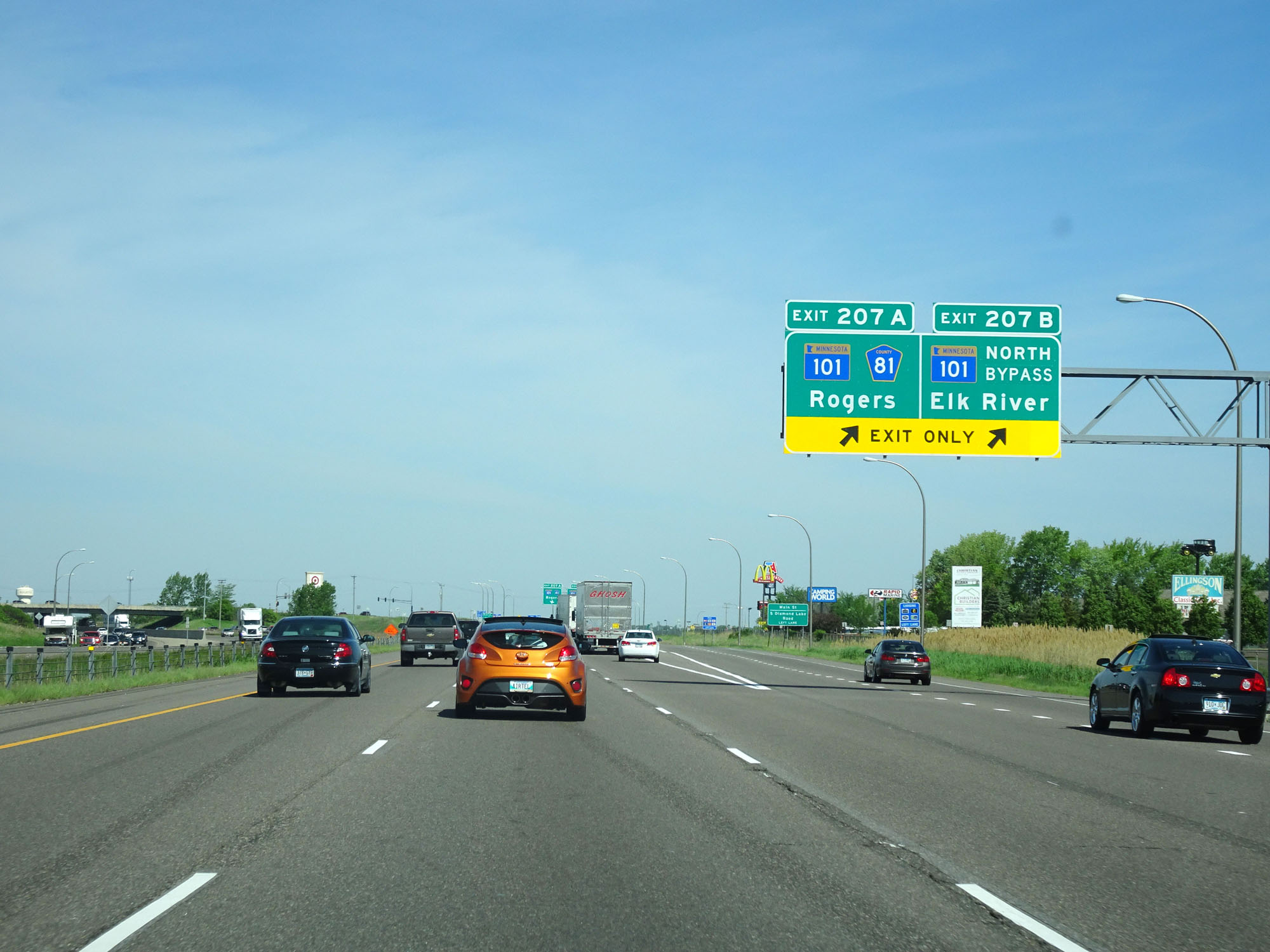 |
Interstate 94 West at Exit 207A: MN 101 / CR 81 - Rogers; Exit 207B: MN 101 Bypass North - Elk River (Photo taken 5/22/16). |
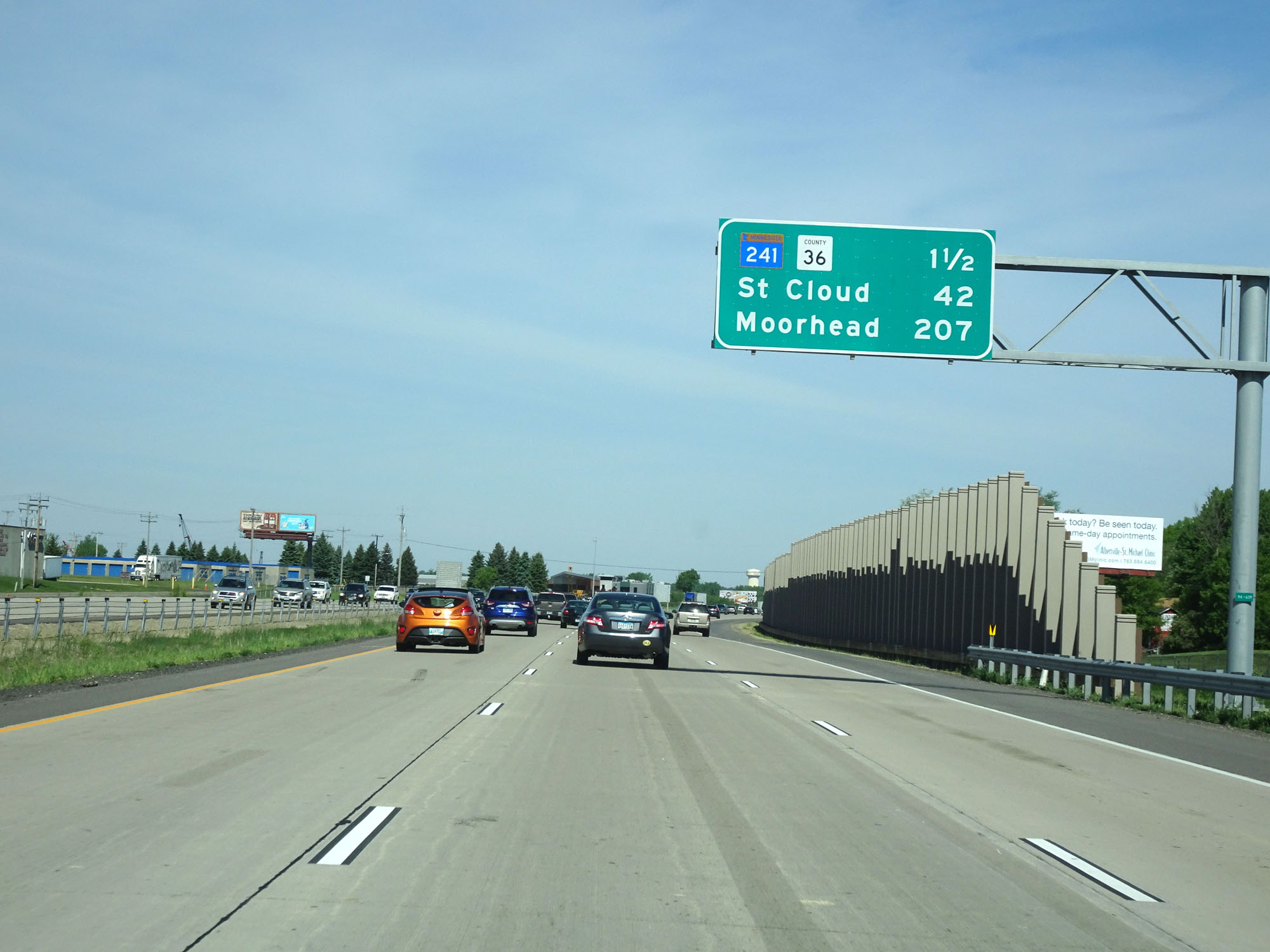 |
Another overhead mileage sign on Interstate 94 West. It's 1 1/2 miles to the junction of MN 241/CR 36, 42 miles to St. Cloud, and 207 miles to Moorhead. (Photo taken 5/22/16). |
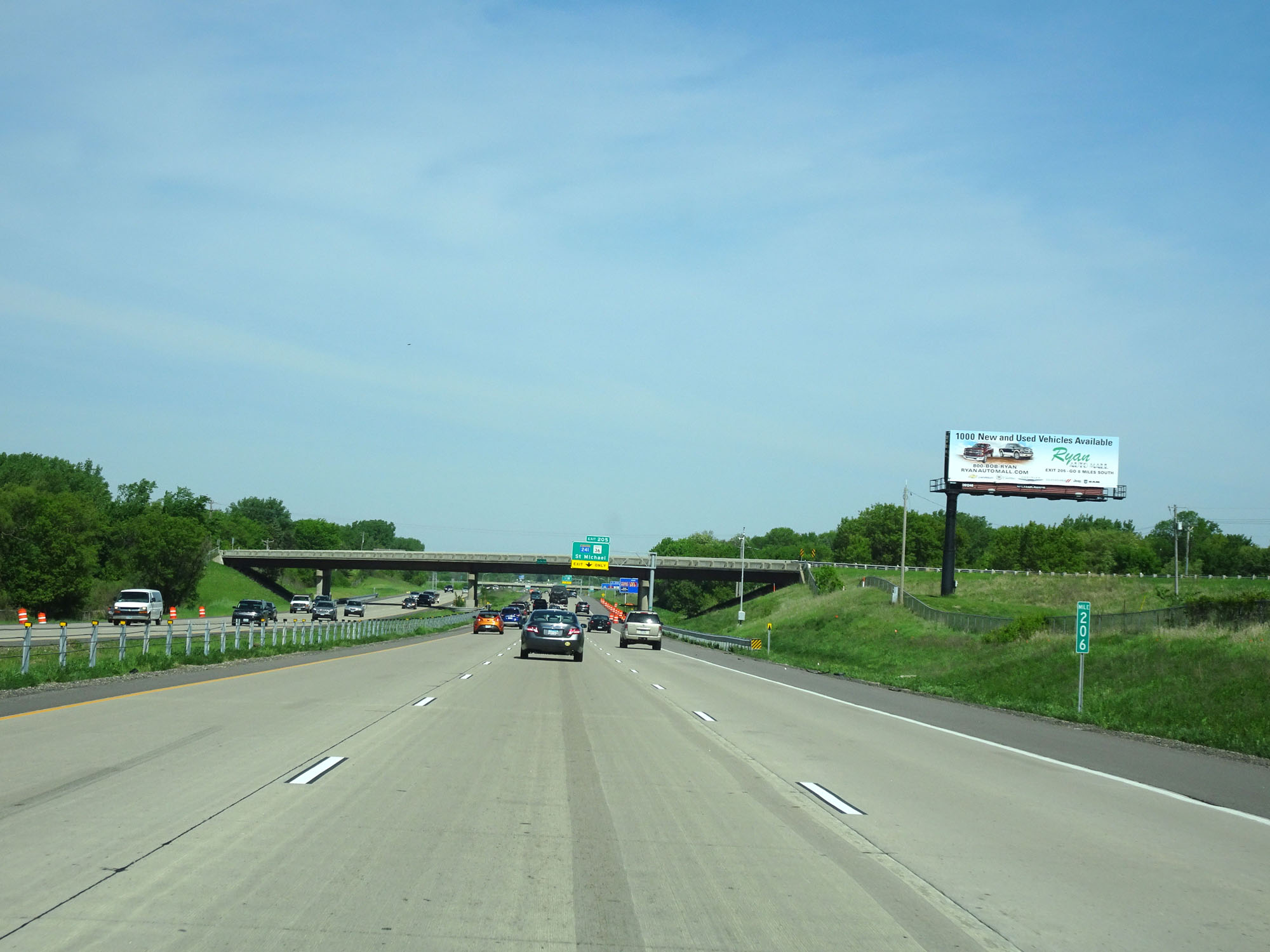 |
Interstate 94 West at mile marker 206. (Photo taken 5/22/16). |
 |
Interstate 94 West as it enters Wright County. (Photo taken 5/22/16). |
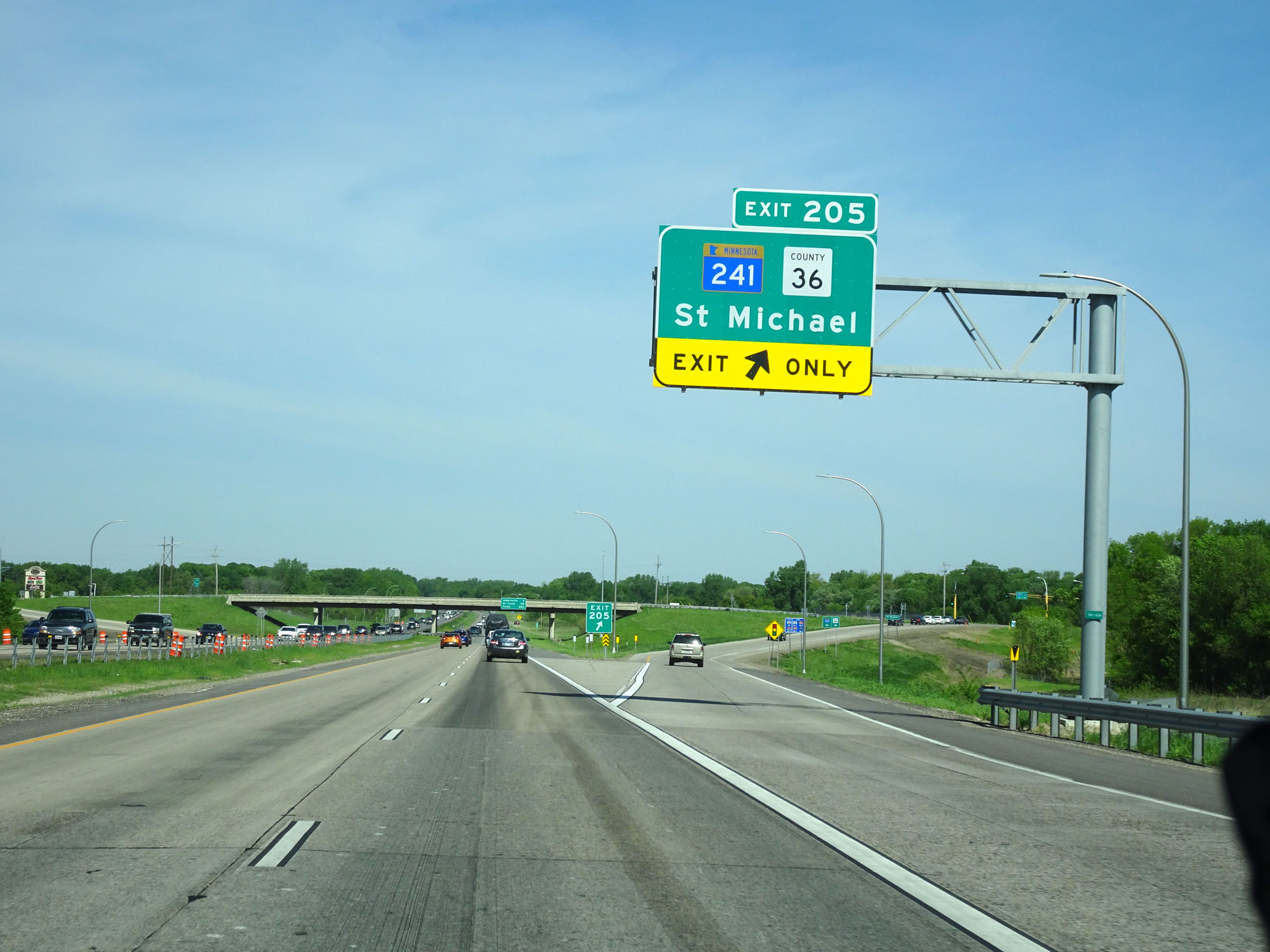 |
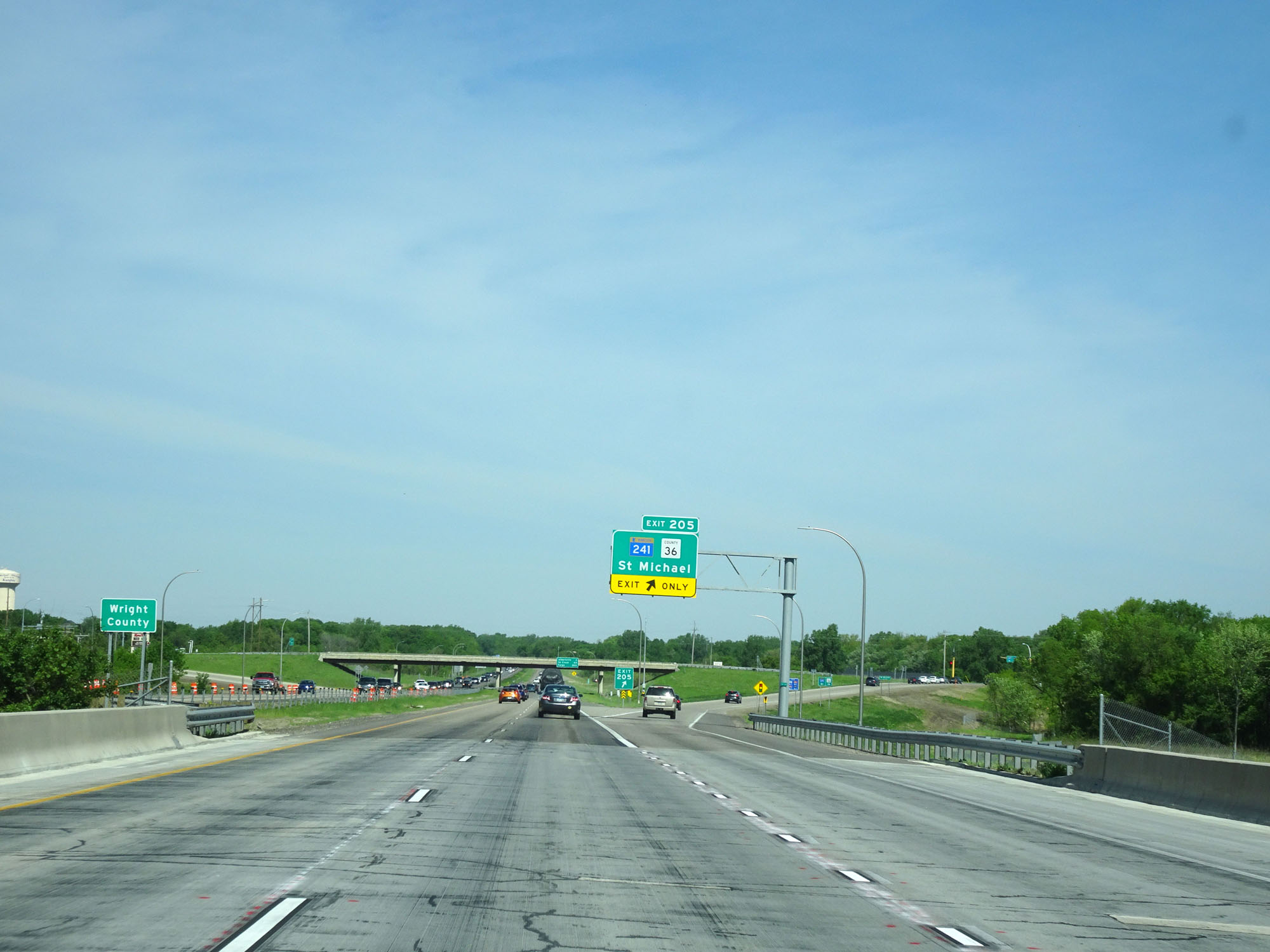
Interstate 94 West at Exit 205: MN 241 / CR 36 - St Michael (Photo taken 5/22/16). |
Section 3: St. Michael (Exit 205) to Sauk Centre (Exit 127)
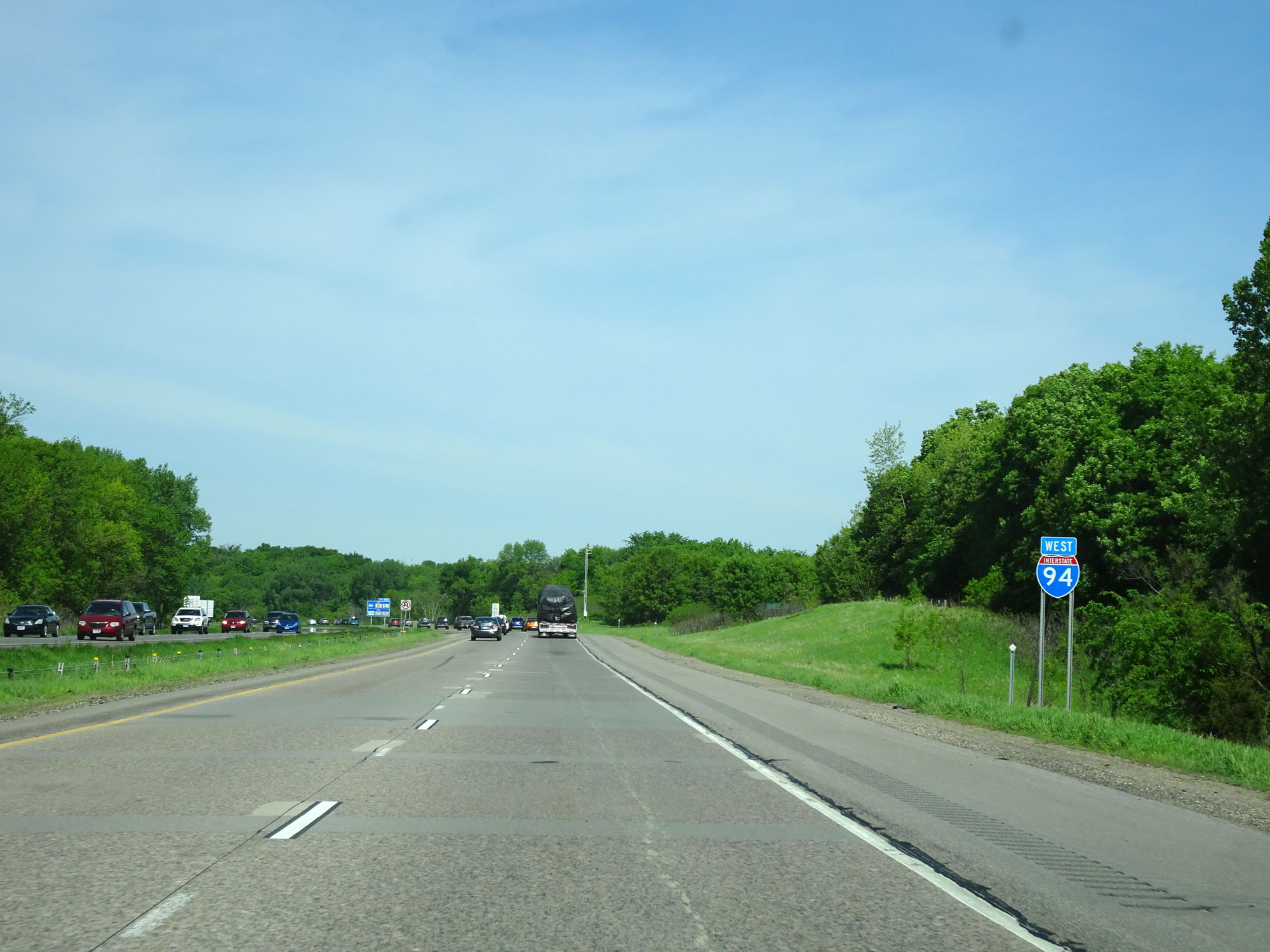 |
Interstate 94 West reassurance shield. (Photo taken 5/22/16). |
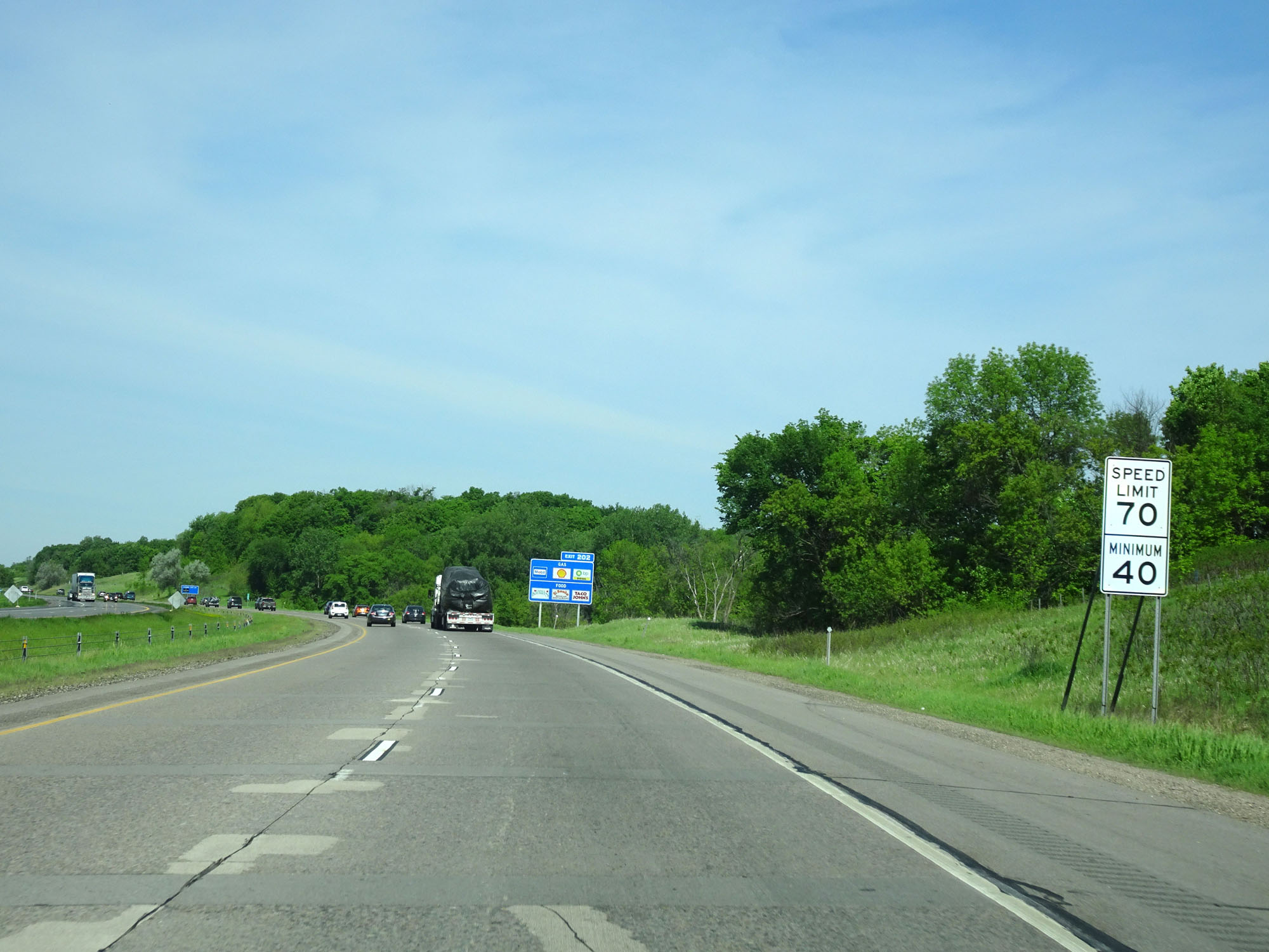 |
The speed limit remains 70 mph with a minimum speed limit of 40 mph. (Photo taken 5/22/16). |
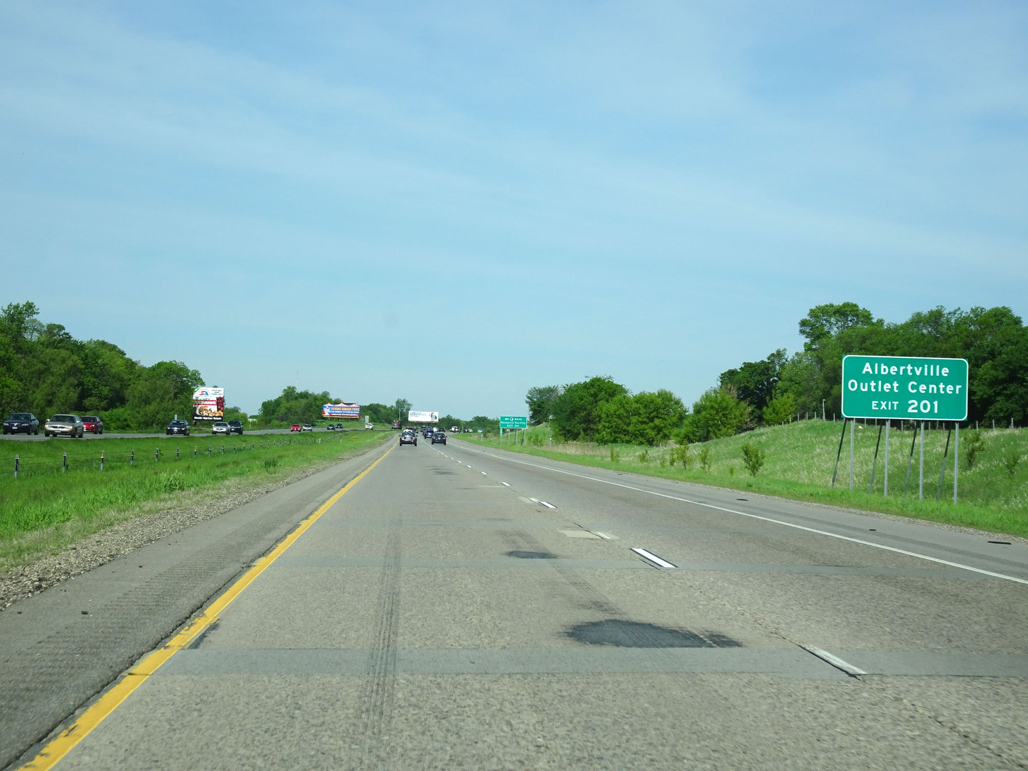 |
Take Exit 201 to Albertville Outlet Center. (Photo taken 5/22/16). |
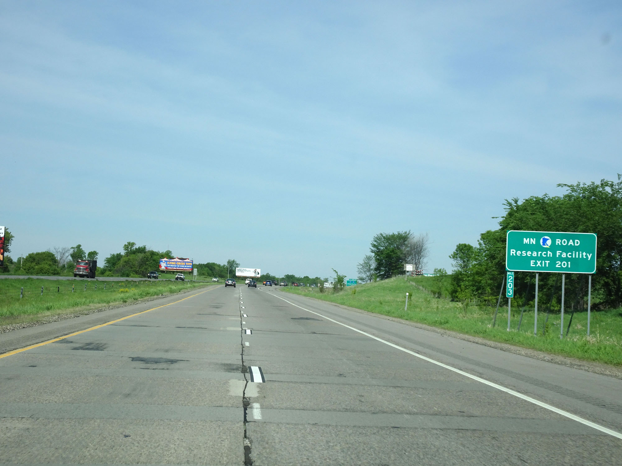 |
Also take Exit 201 to the Minnesota Road Research Facility. (Photo taken 5/22/16). |
 |
Interstate 94 West at Exits 202-201: CR 37 / CR 19 - Albertville (Photo taken 5/22/16). |
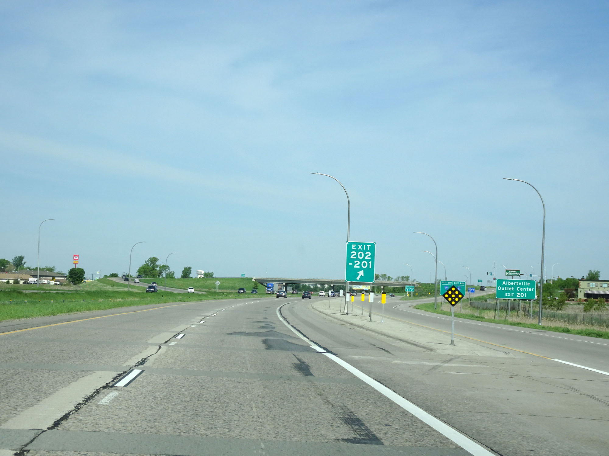 |
Gore point signage for Exits 202-201. (Photo taken 5/22/16). |
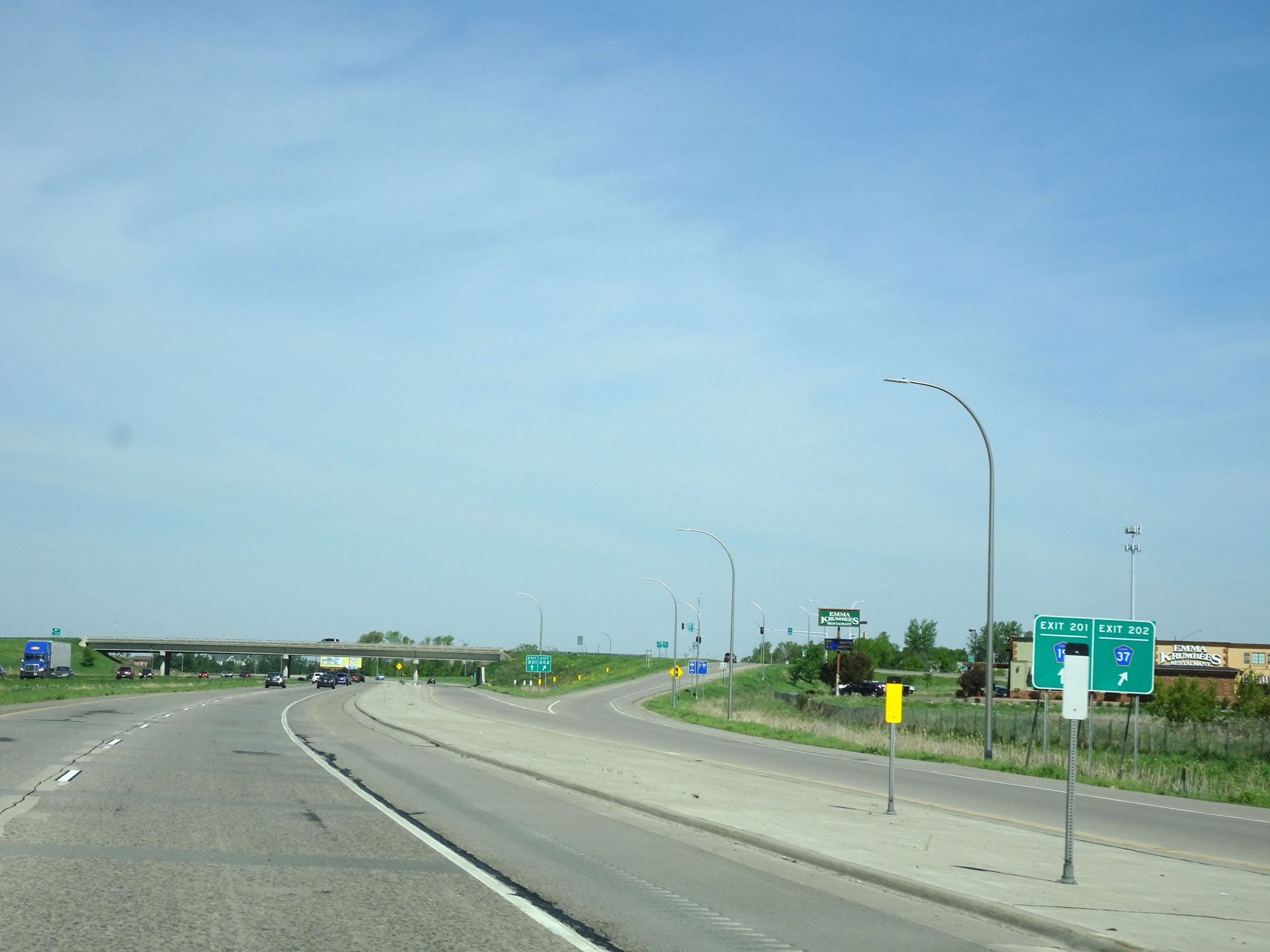 |
Interstate 94 West at Exit 202: CR 37 (Photo taken 5/22/16). |
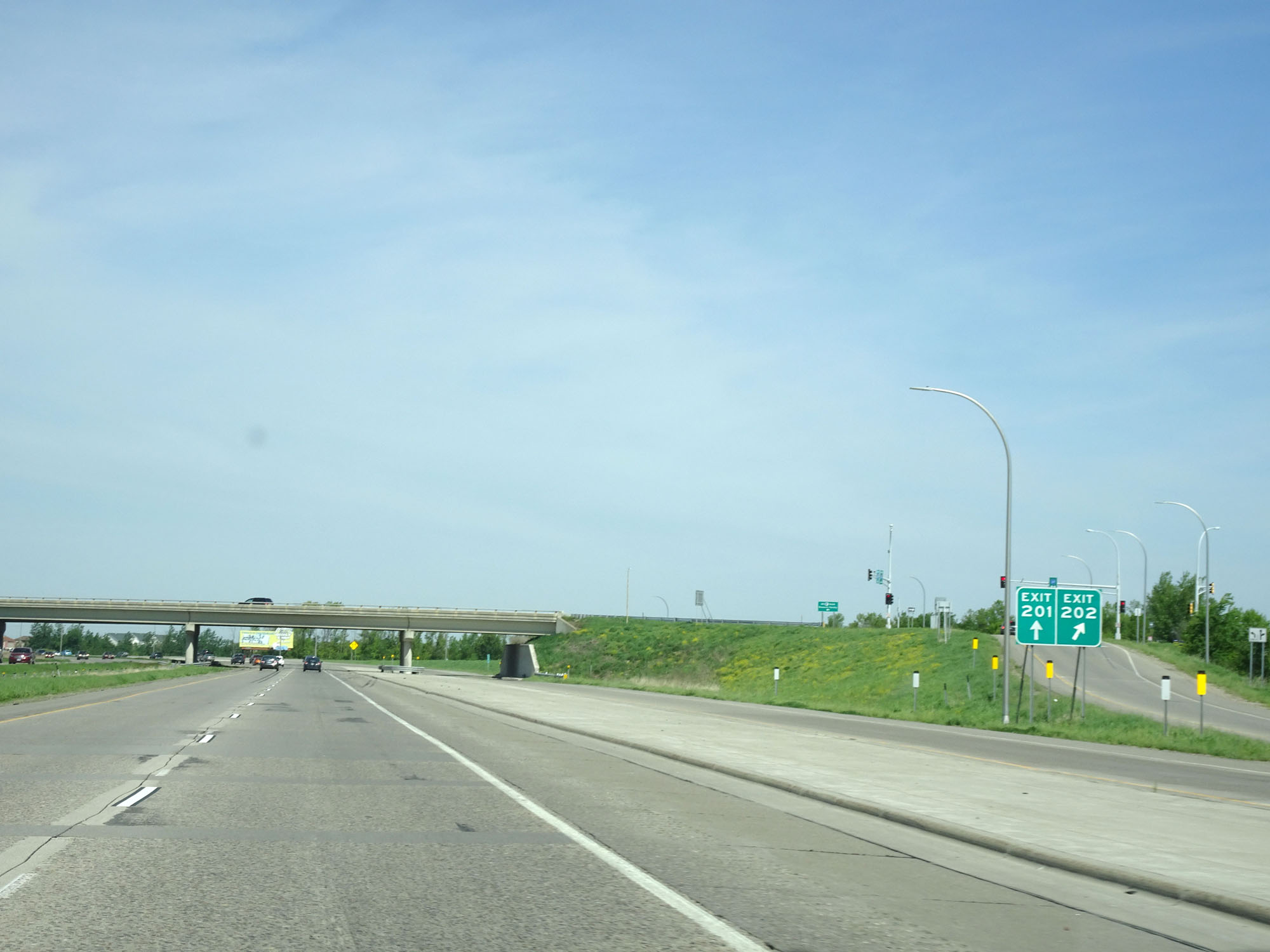 |
View of the ramps for Exits 202 and 201. (Photo taken 5/22/16). |
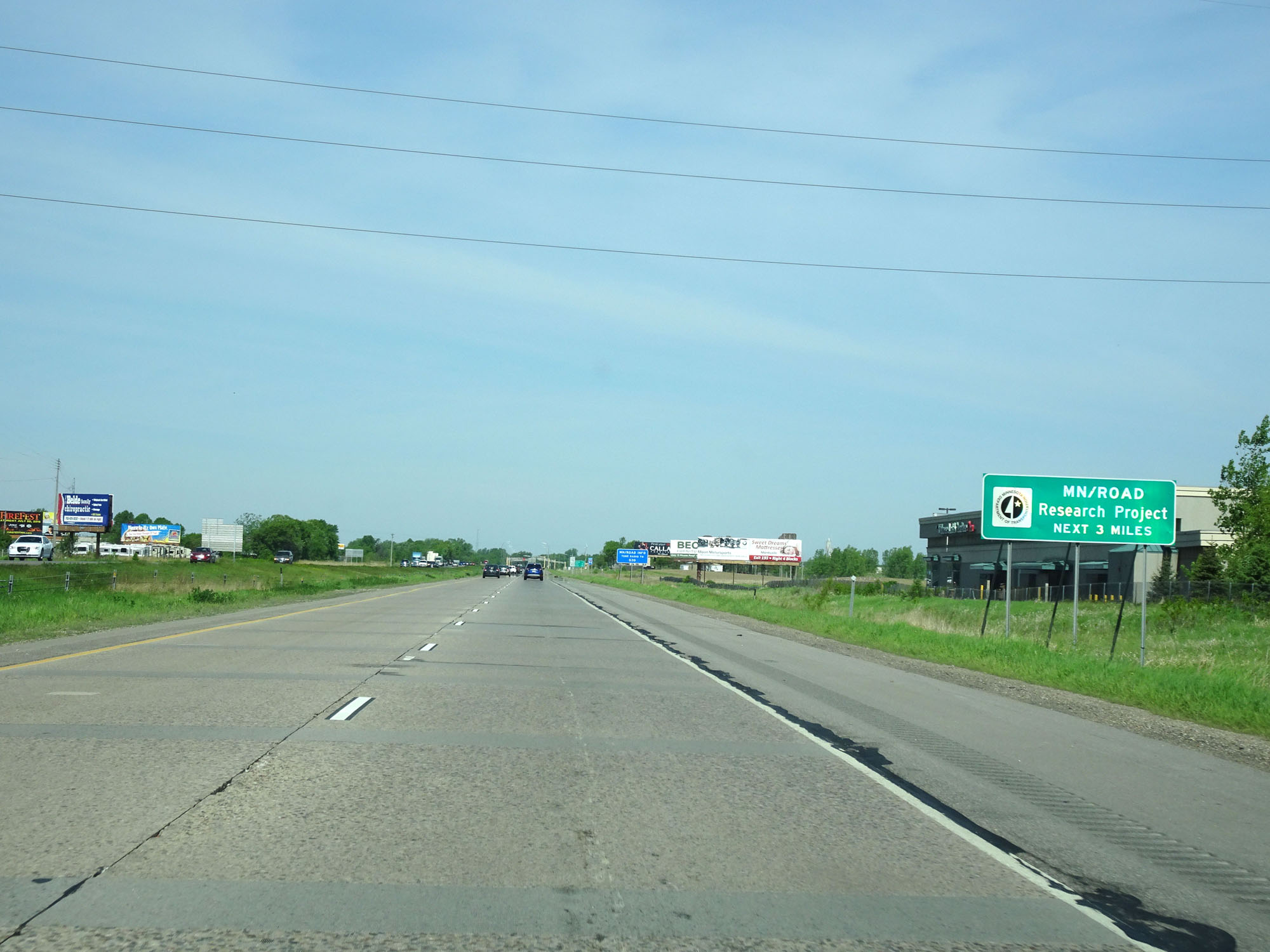 |
The next 3 miles of Interstate 94 are used as a Minnesota Road Research Project. (Photo taken 5/22/16). |
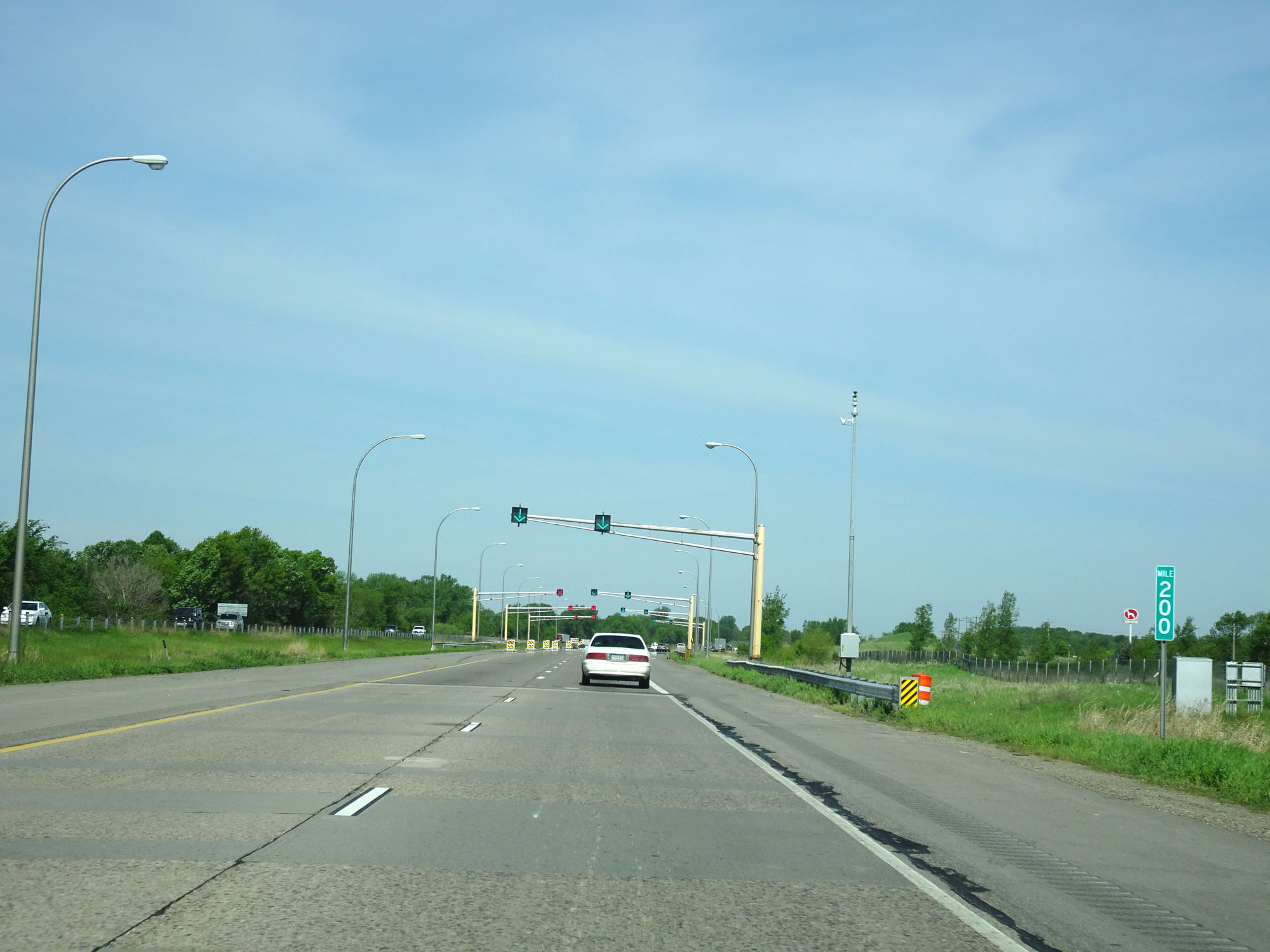 |
Interstate 94 West at mile marker 200. (Photo taken 5/22/16). |
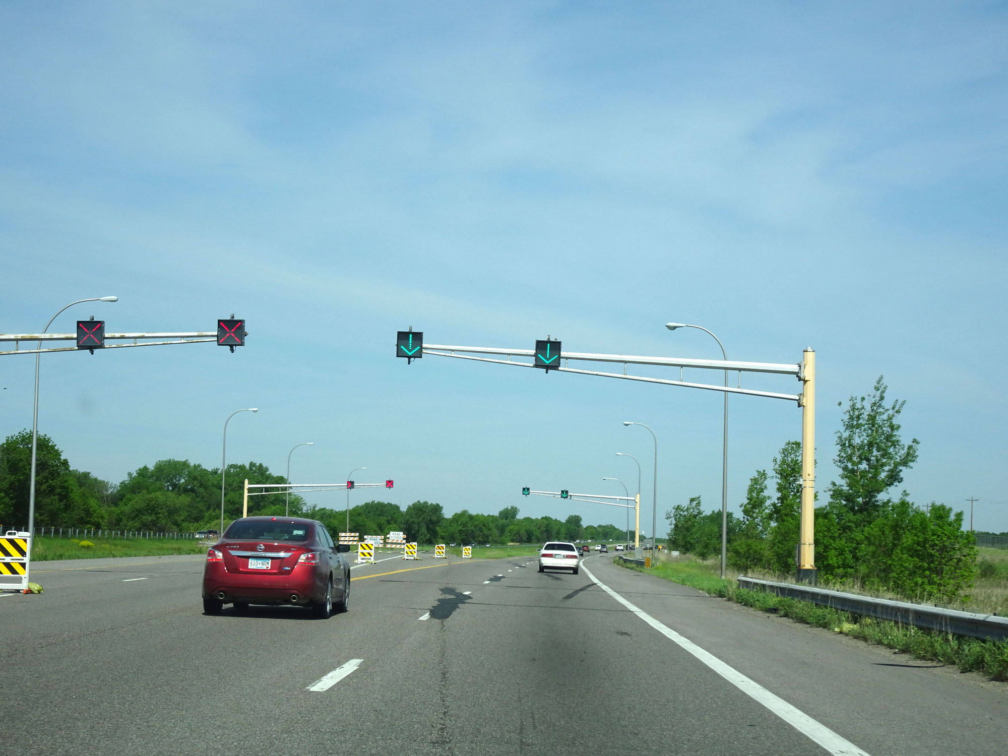 |
During this road research project stretch, we can see lane signals being tested here. (Photo taken 5/22/16). |
 |
Interstate 94 West at mile marker 198. (Photo taken 5/22/16). |
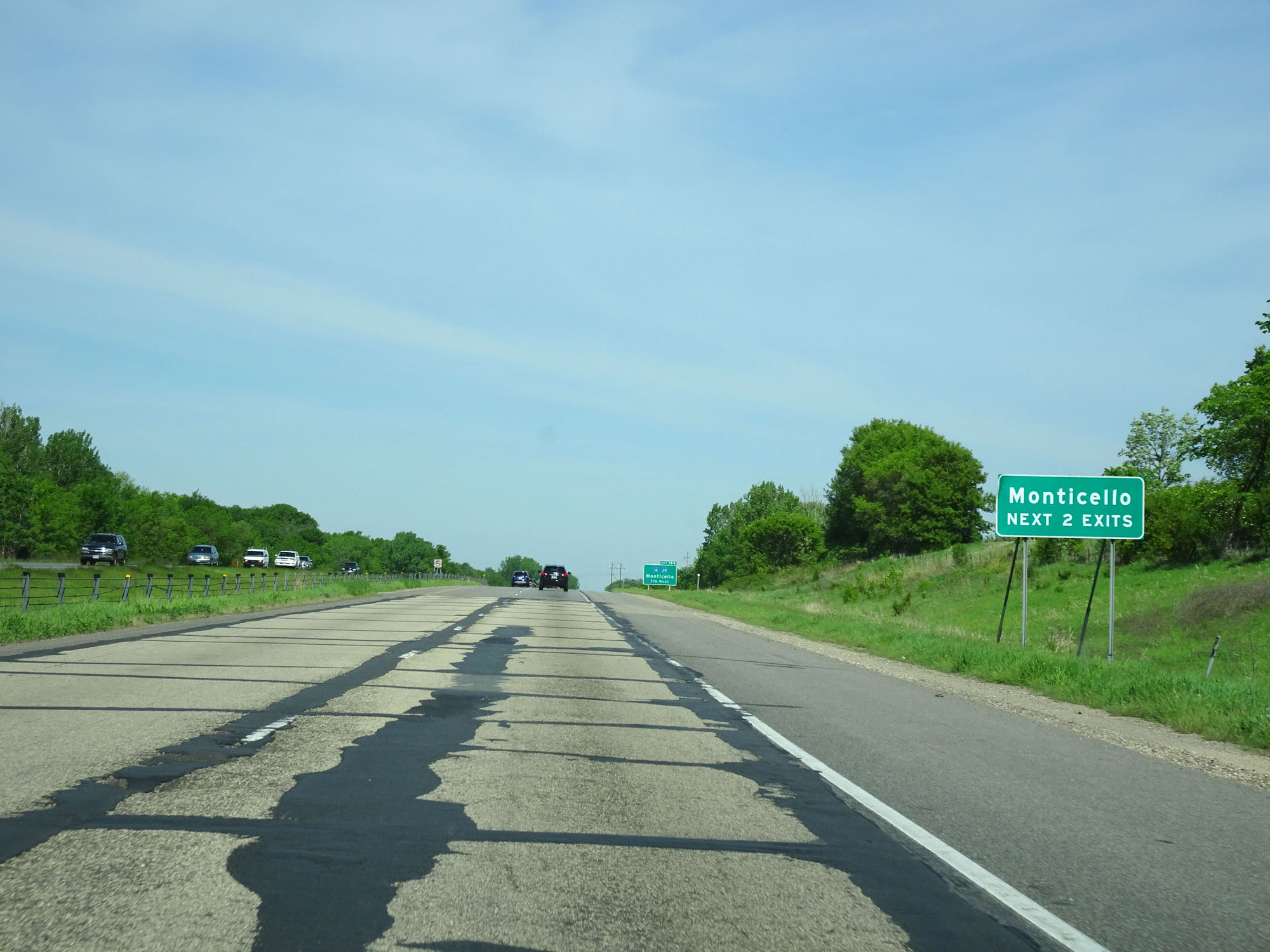 |
Take either of the next 2 exits to Monticello. (Photo taken 5/22/16). |
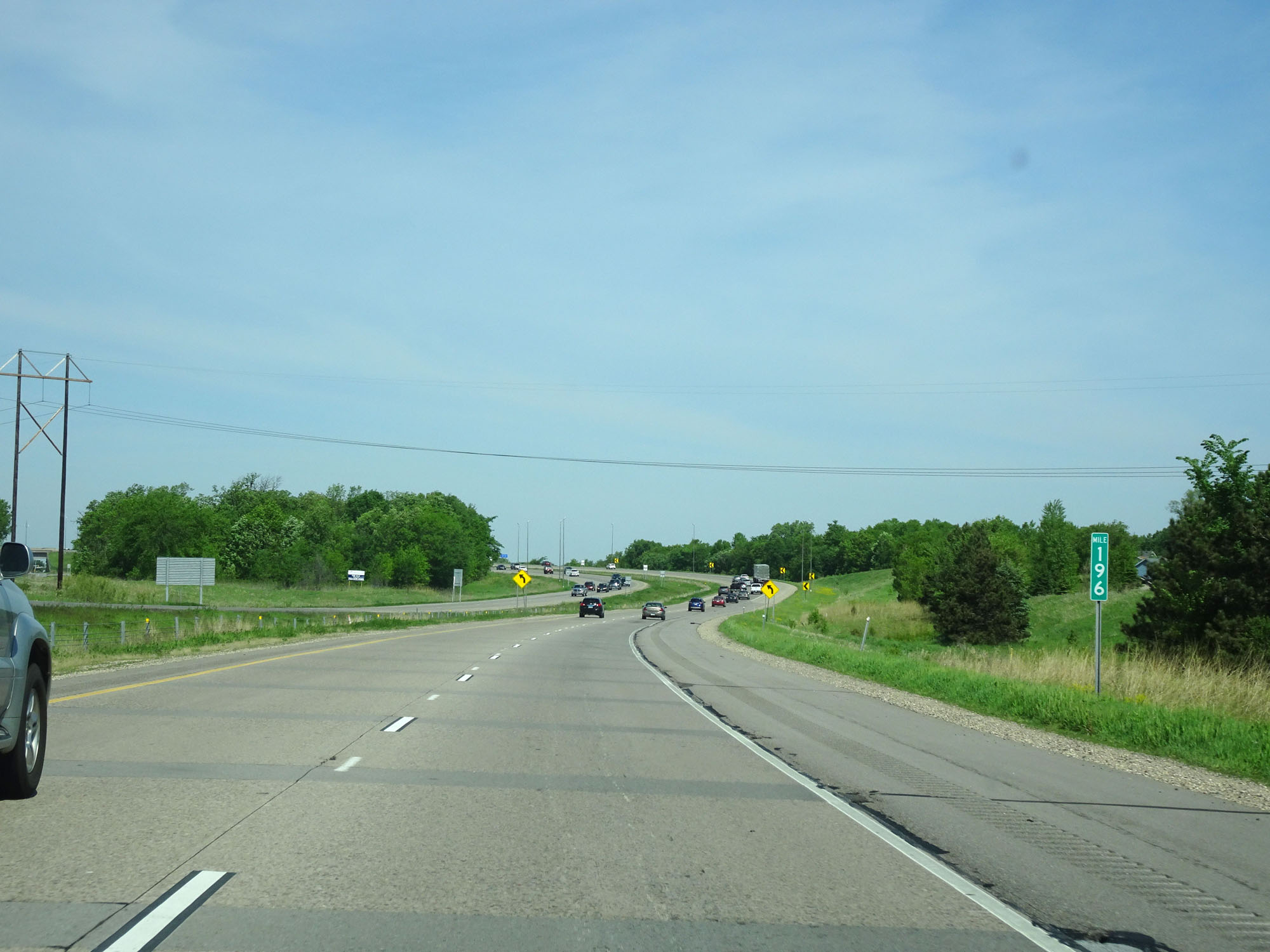 |
Interstate 94 West at mile marker 196. (Photo taken 5/22/16). |
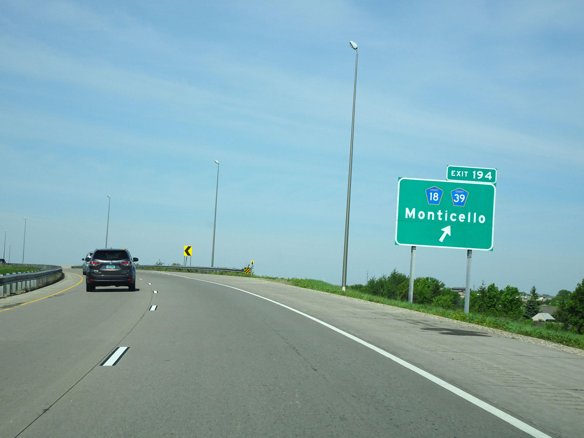 |
Interstate 94 West at Exit 194: CR 18 / CR 39 - Monticello (Photo taken 5/22/16). |
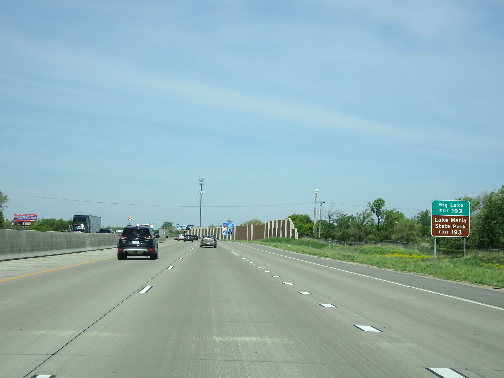 |
Take Exit 193 to Big Lake and Lake Maria State Park. (Photo taken 5/22/16). |
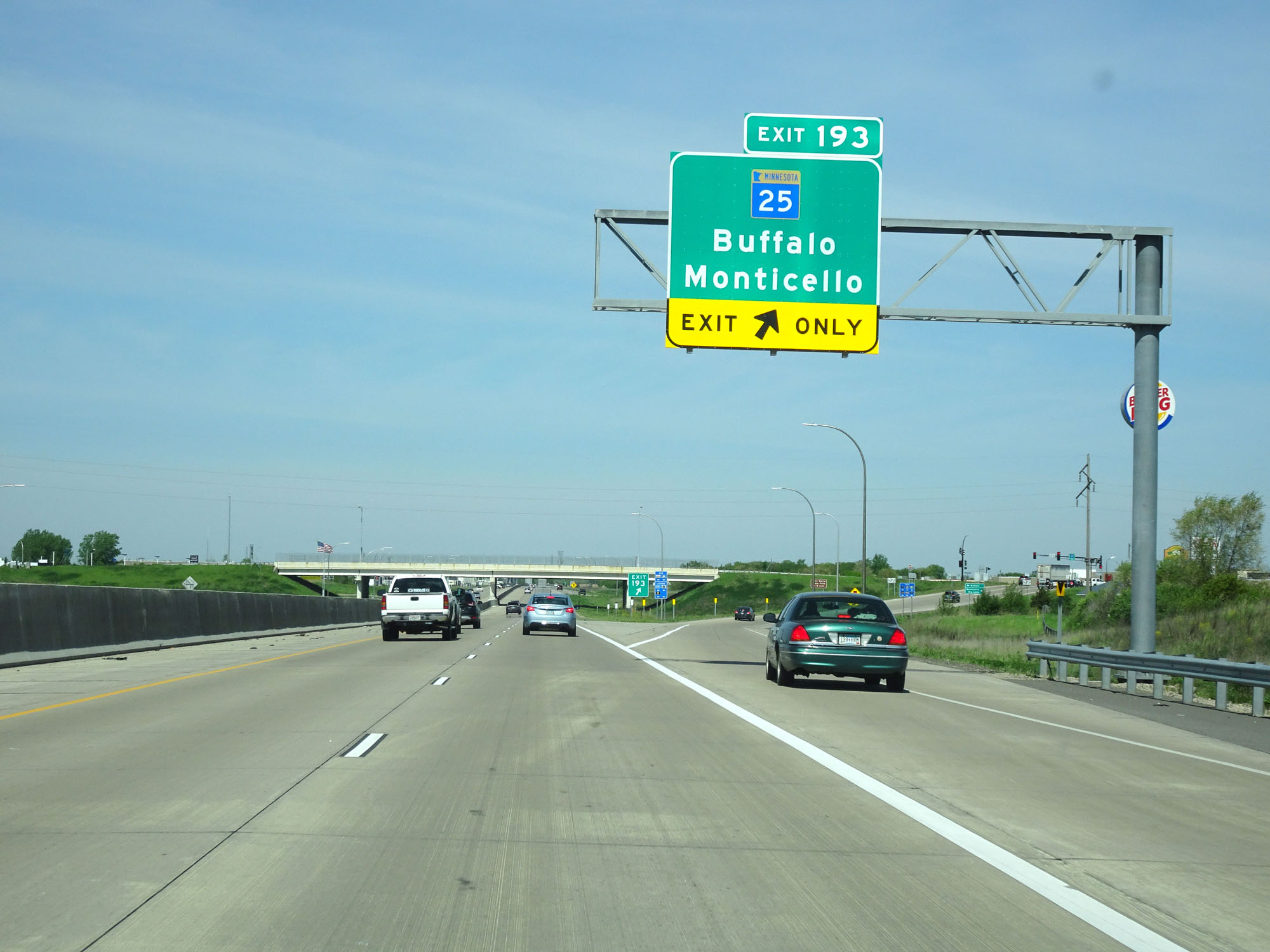 |
Interstate 94 West at Exit 193: MN 25 - Buffalo / Monticello (Photo taken 5/22/16). |
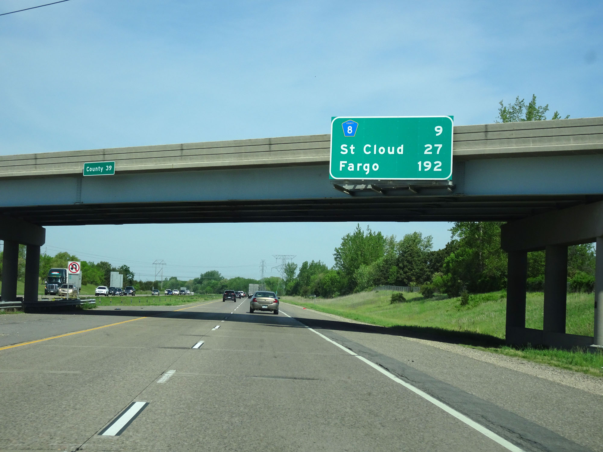 |
Overhead mileage sign on Interstate 94 West. It's 9 miles to the junction of CR 8, 27 miles to St Cloud, and 192 miles to Fargo. (Photo taken 5/22/16). |
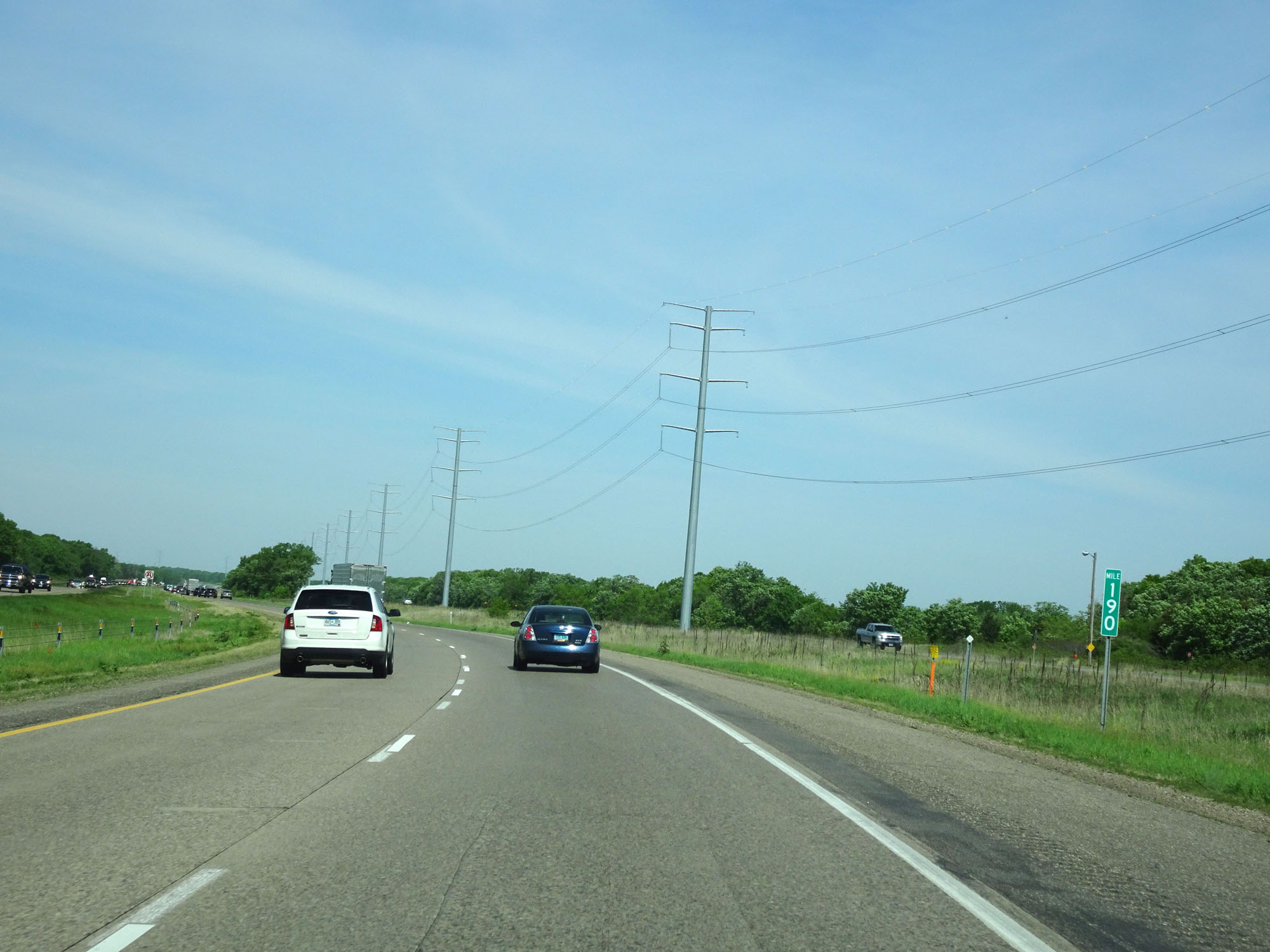 |
Interstate 94 West at mile marker 190. (Photo taken 5/22/16). |
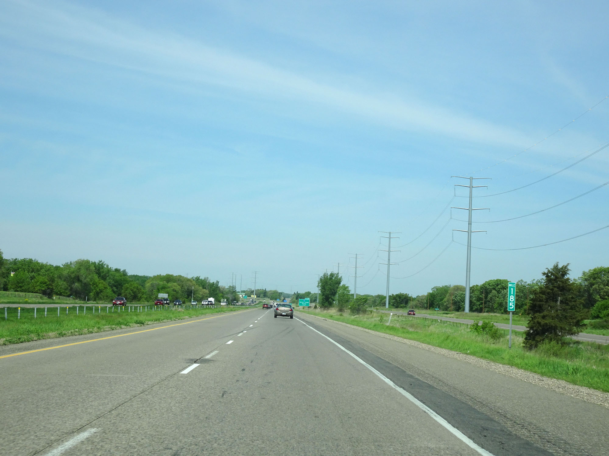 |
Interstate 94 West at mile marker 185. (Photo taken 5/22/16). |
 |
Take Exit 183 to Maple Lake. (Photo taken 5/22/16). |
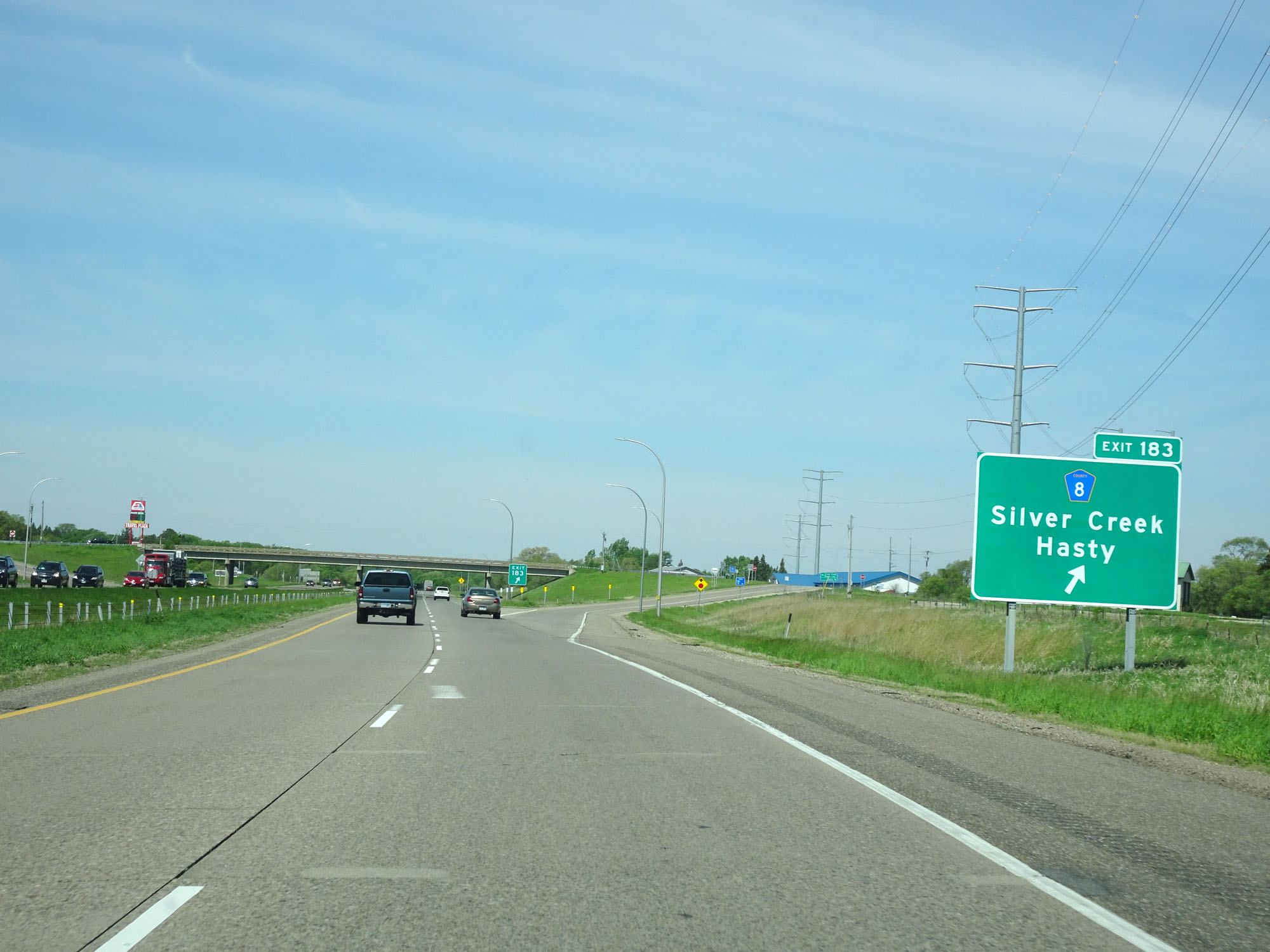 |
Interstate 94 West at Exit 183: CR 8 - Silver Creek / Hasty (Photo taken 5/22/16). |
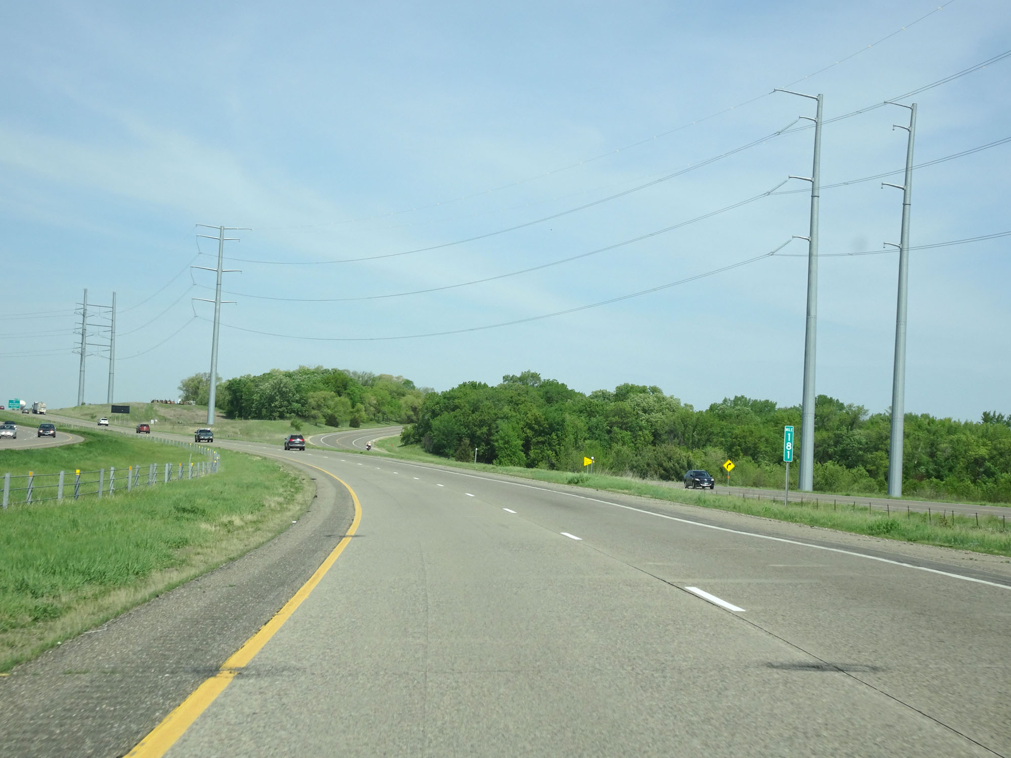 |
Interstate 94 West at mile marker 181. (Photo taken 5/22/16). |
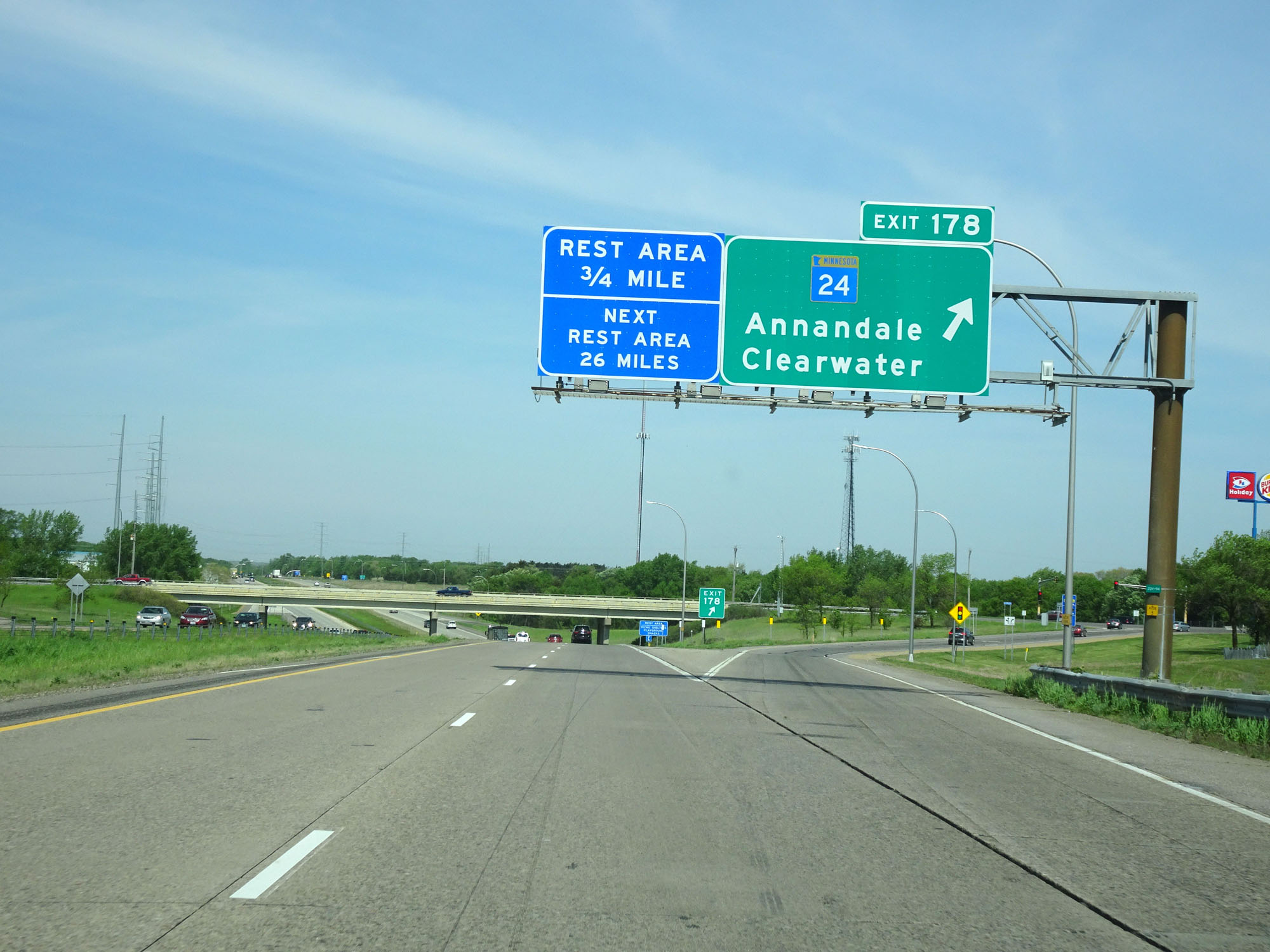 |
Interstate 94 West at Exit 178: MN 24 - Annandale / Clearwater (Photo taken 5/22/16). |
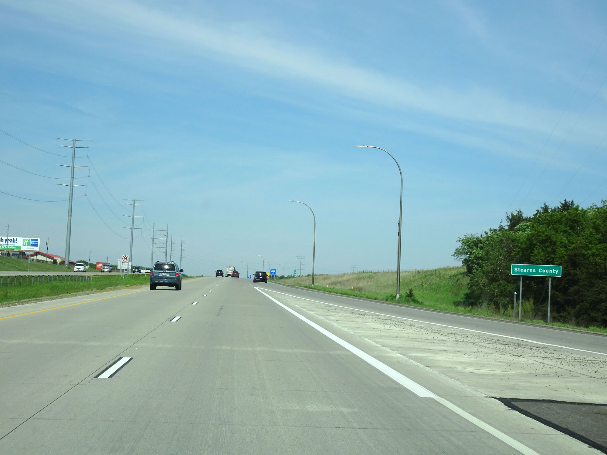 |
Interstate 94 West entering Stearns County. (Photo taken 5/22/16). |
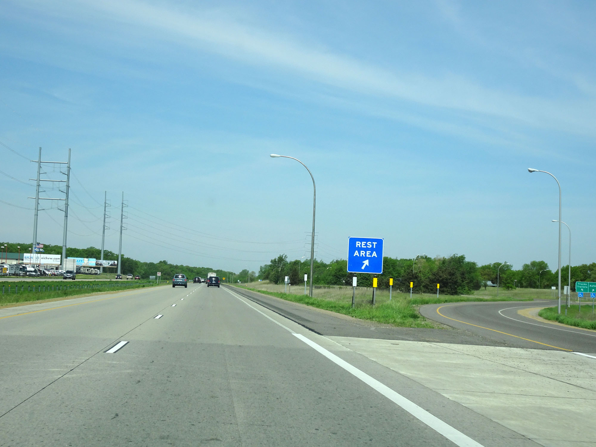 |
Interstate 94 West at the Rest Area in Stearns County. (Photo taken 5/22/16). |
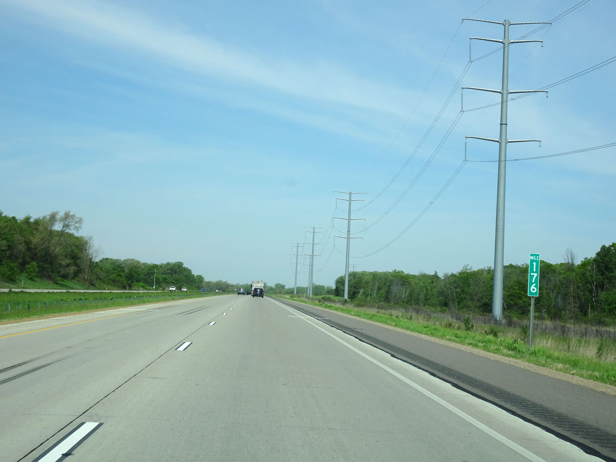 |
Interstate 94 West at mile marker 176. (Photo taken 5/22/16). |
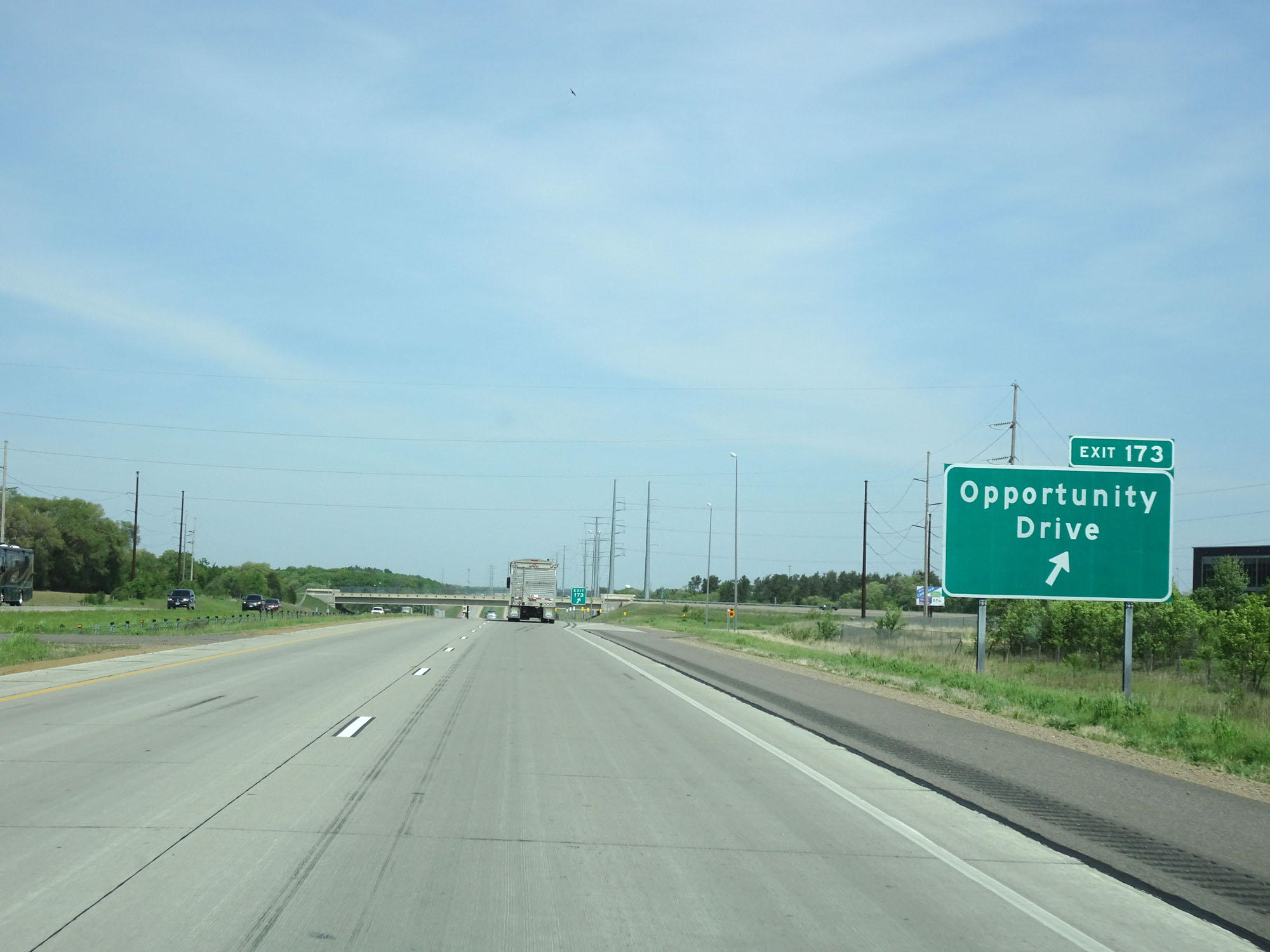 |
Interstate 94 West at Exit 173: Opportunity Drive (Photo taken 5/22/16). |
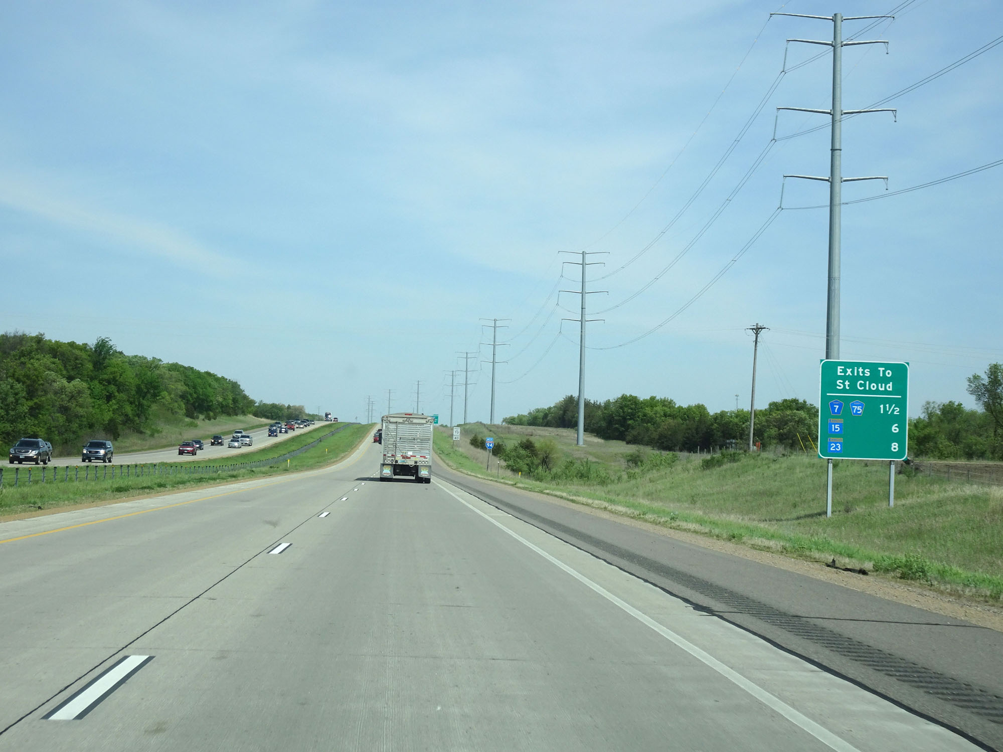 |
Sign listing the distances to the three upcoming exits to St Cloud. (Photo taken 5/22/16). |
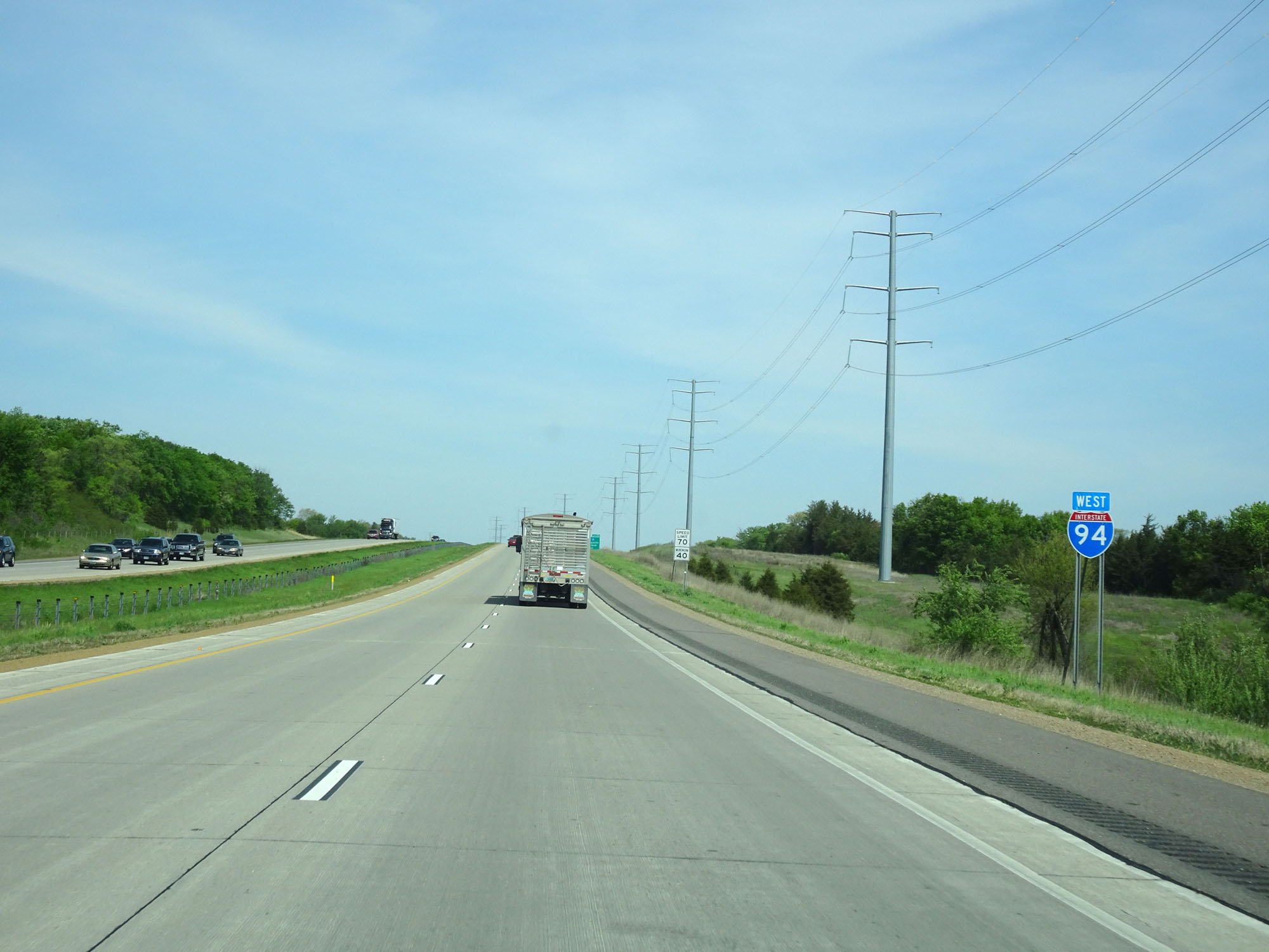 |
Interstate 94 West reassurance shield. (Photo taken 5/22/16). |
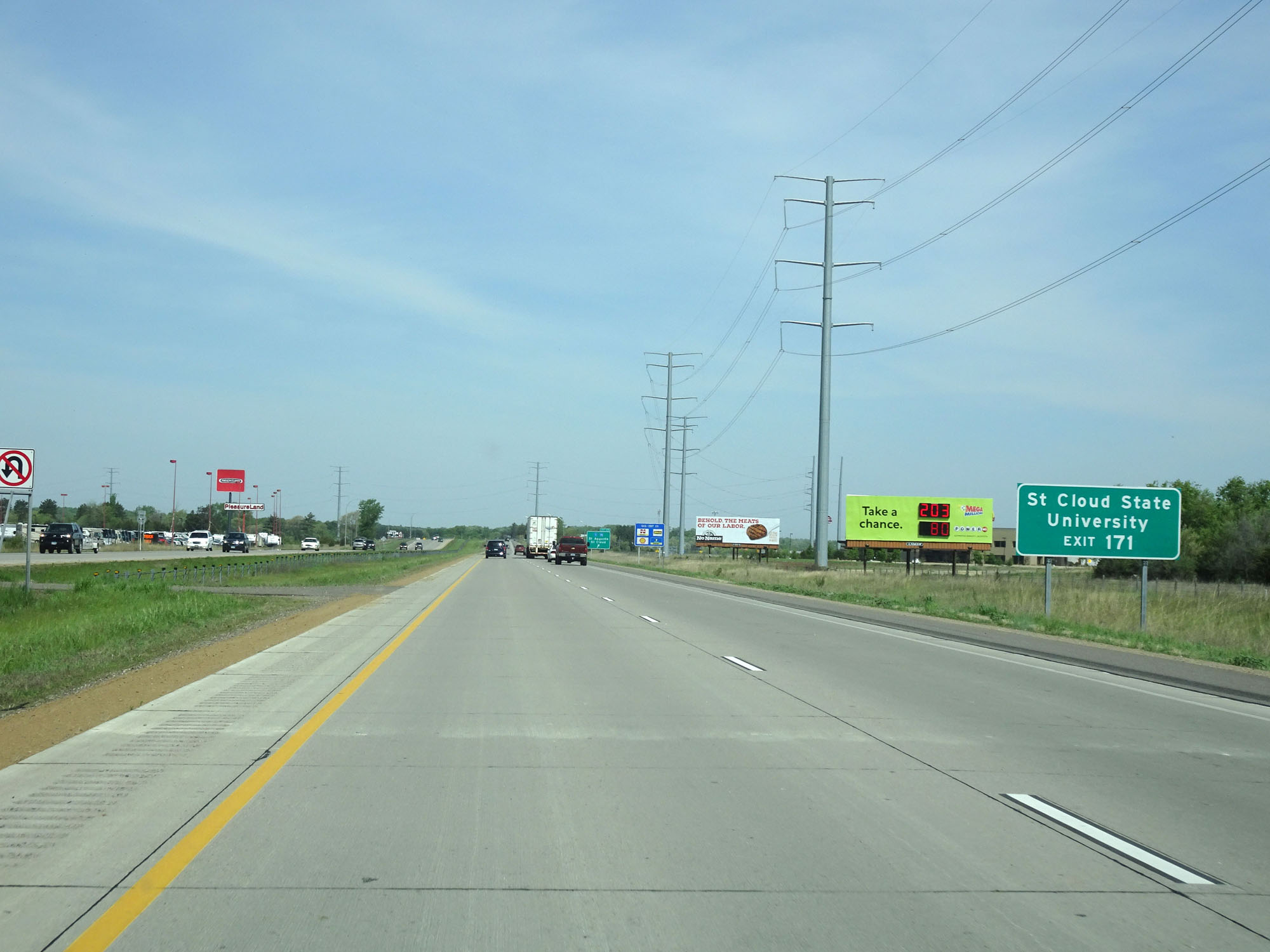 |
Take Exit 171 to St Cloud State University. (Photo taken 5/22/16). |
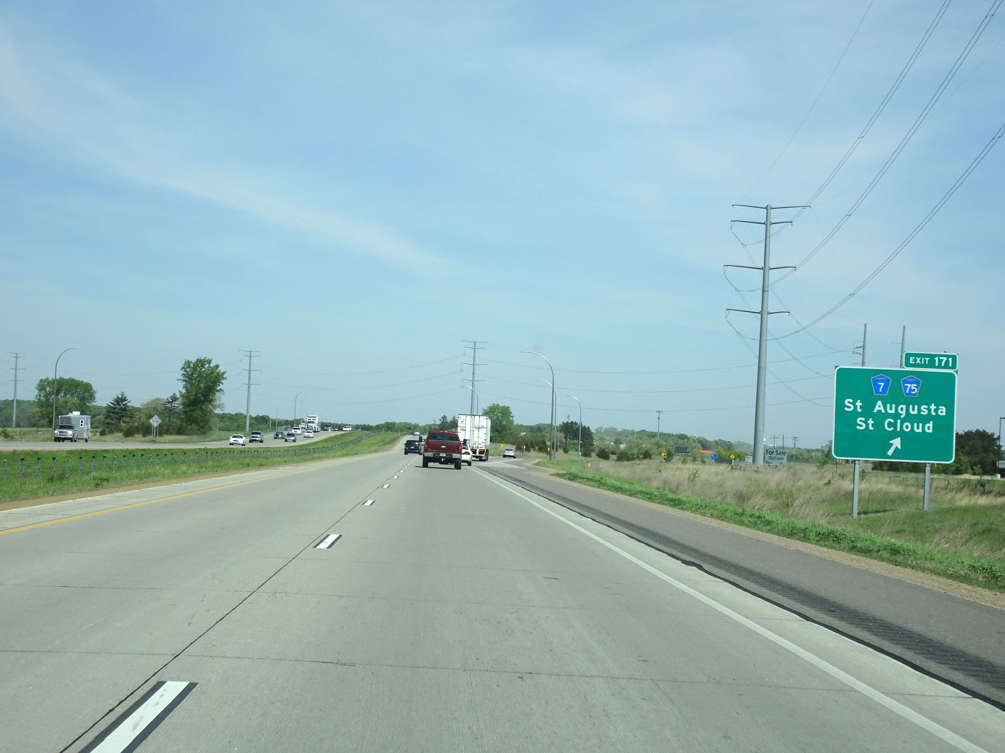 |
Interstate 94 West at Exit 171: CR 7 / CR 75 - St Augusta / St Cloud (Photo taken 5/22/16). |
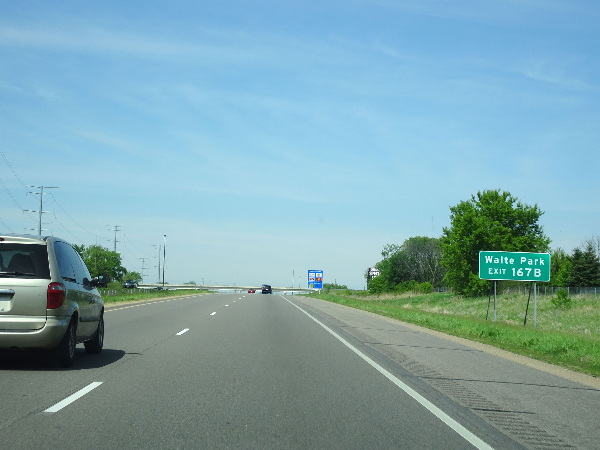 |
Take Exit 167B to Waite Park. (Photo taken 5/22/16). |
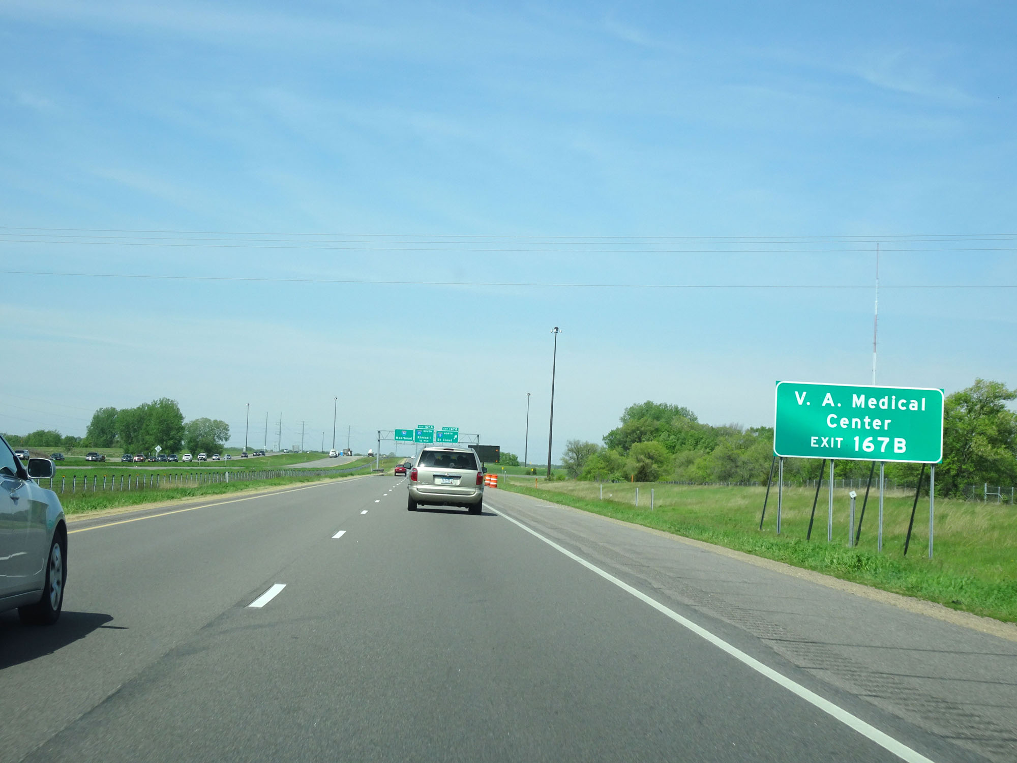 |
Also take Exit 167B to the V.A. Medical Center. (Photo taken 5/22/16). |
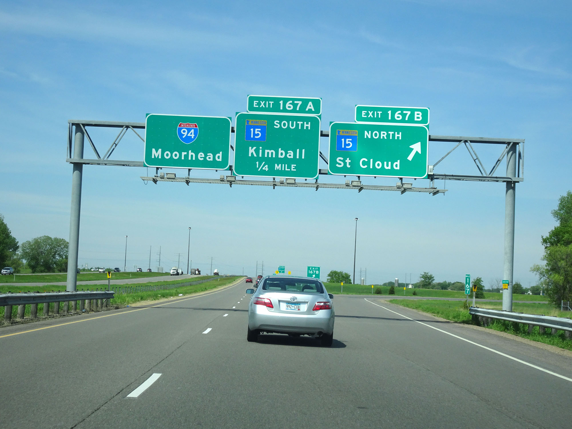 |
Interstate 94 West at Exit 167B: MN 15 North - St Cloud (Photo taken 5/22/16). |
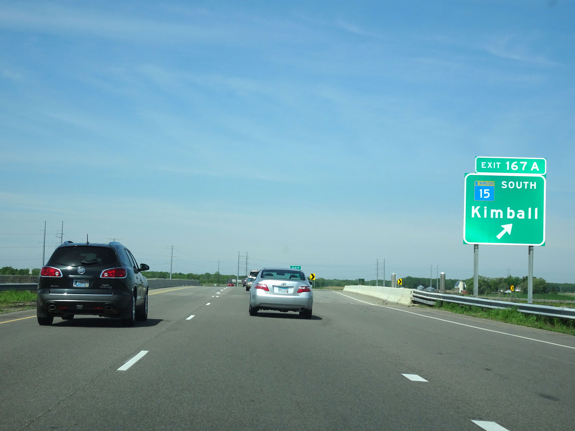 |
Interstate 94 West at Exit 167A: MN 15 South - Kimball (Photo taken 5/22/16). |
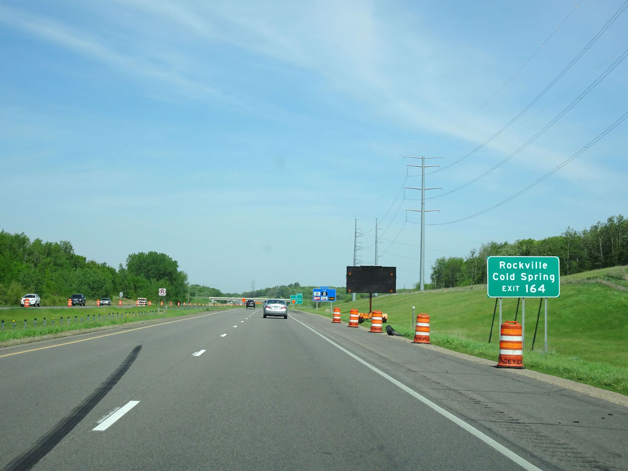 |
Take Exit 164 to Rockville and Cold Spring. (Photo taken 5/22/16). |
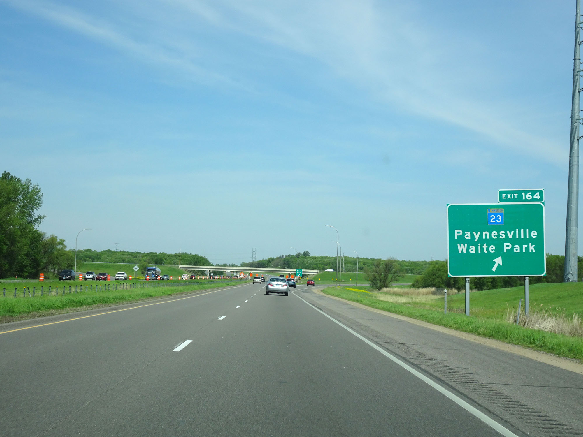 |
Interstate 94 West at Exit 164: MN 23 - Paynesville / Waite Park (Photo taken 5/22/16). |
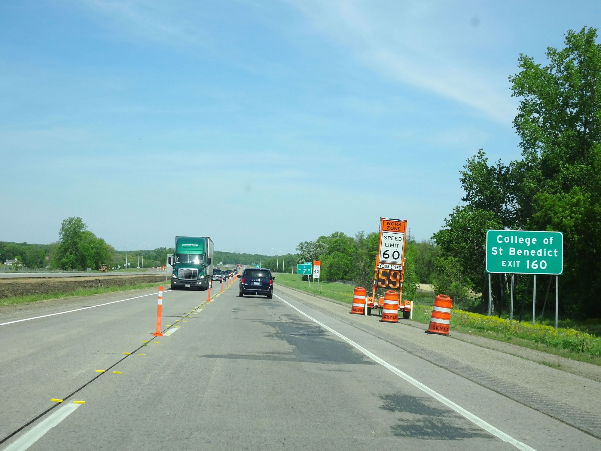 |
Take Exit 160 to College of St Benedict. (Photo taken 5/22/16). |
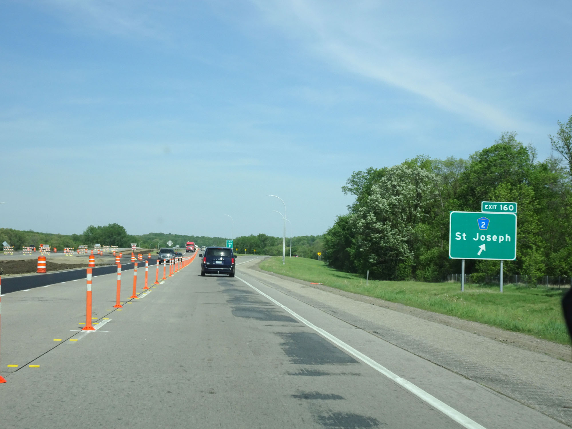 |
Interstate 94 West at Exit 160: CR 2 - St Joseph (Photo taken 5/22/16). |
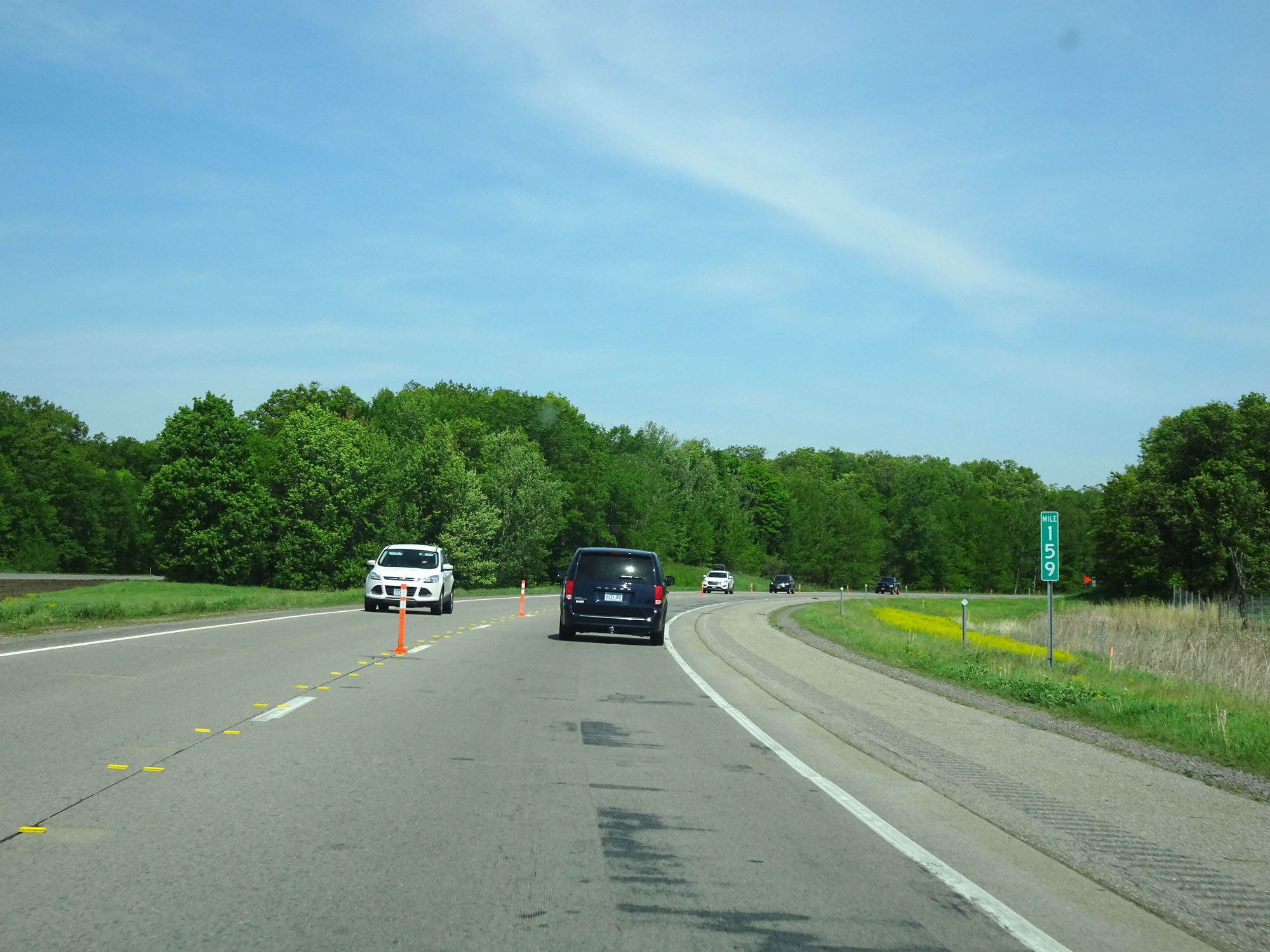 |
Interstate 94 West at mile marker 159. (Photo taken 5/22/16). |
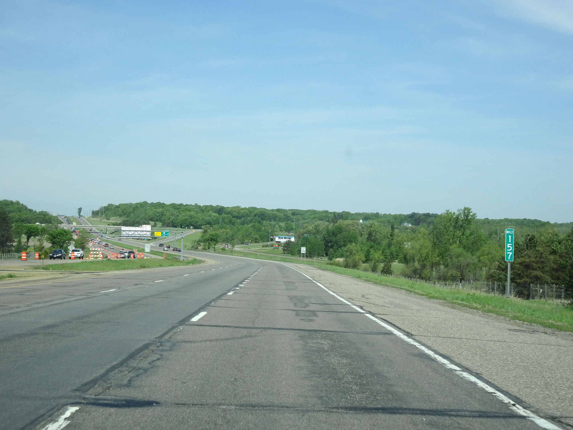 |
Interstate 94 West at mile marker 157. (Photo taken 5/22/16). |
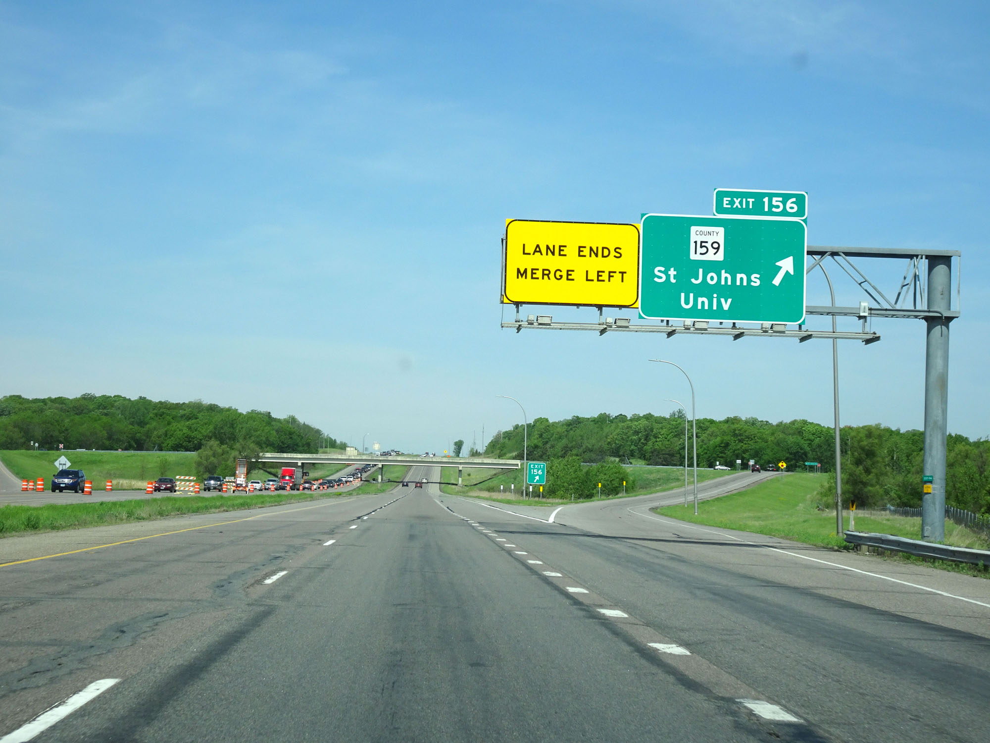 |
Interstate 94 West at Exit 156: CR 159 - St Johns University (Photo taken 5/22/16). |
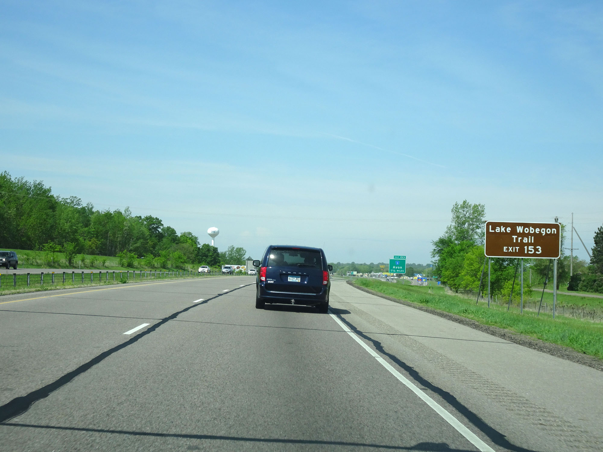 |
Take Exit 153 to Lake Wobegon Trail. (Photo taken 5/22/16). |
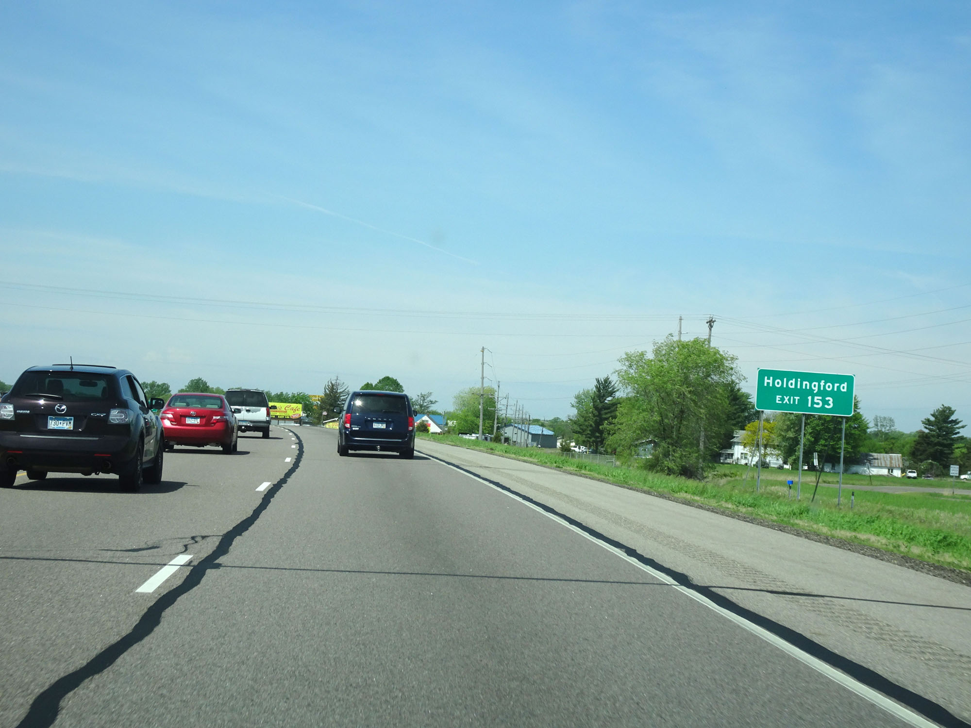 |
Also take Exit 153 to Holdingford. (Photo taken 5/22/16). |
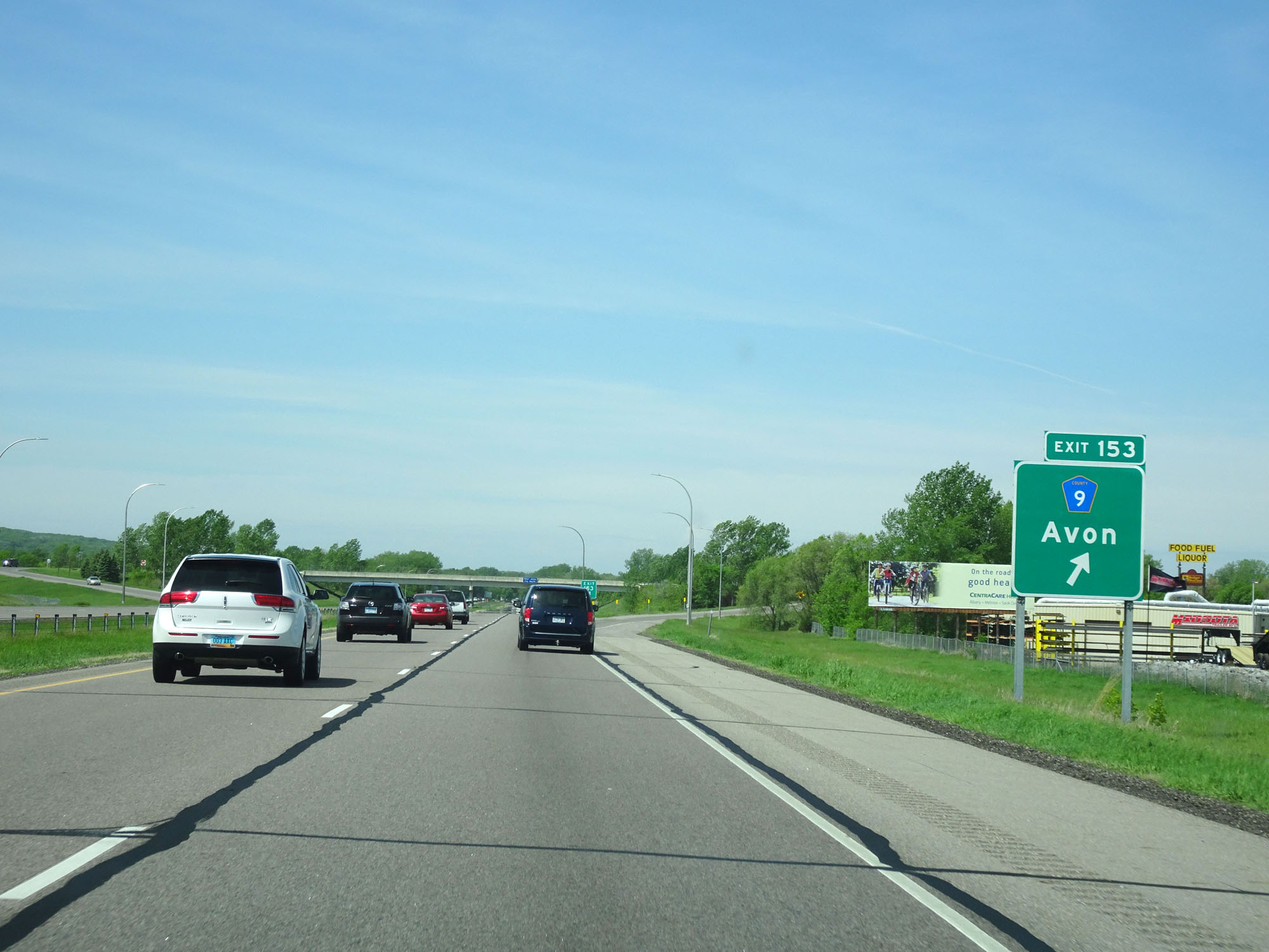 |
Interstate 94 West at Exit 153: CR 9 - Avon (Photo taken 5/22/16). |
 |
Interstate 94 West at a second Rest Area in Stearns County. (Photo taken 5/22/16). |
 |
Interstate 94 West reassurance shield. (Photo taken 5/22/16). |
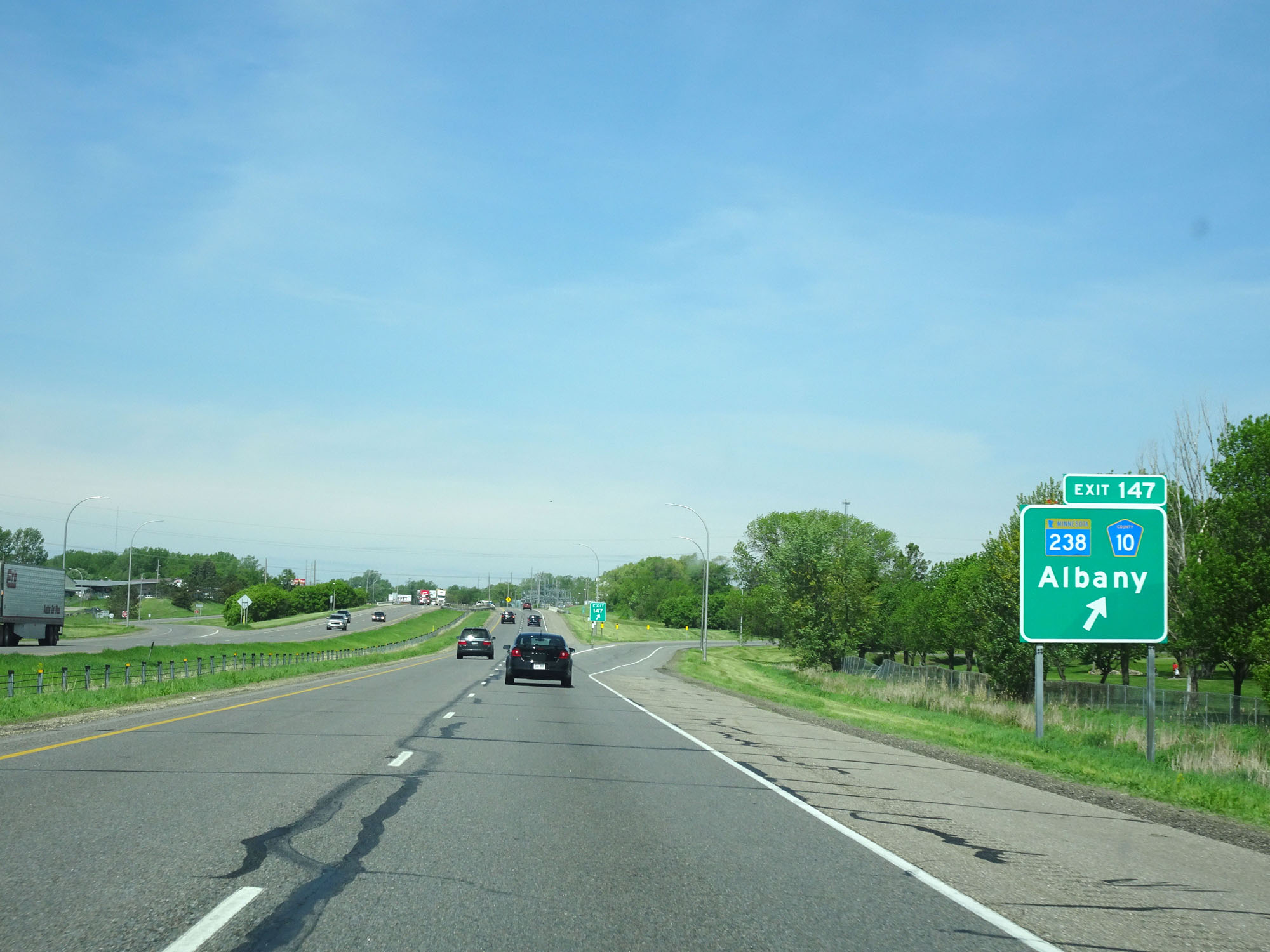 |
Interstate 94 West at Exit 147: MN 238 / CR 10 - Albany (Photo taken 5/22/16). |
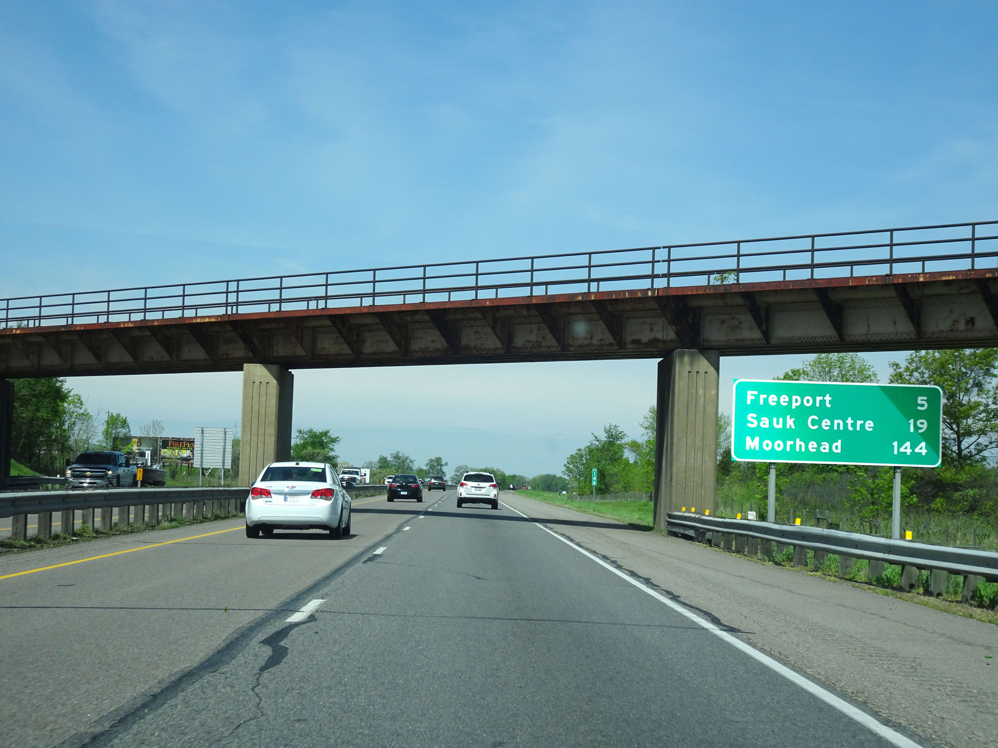 |
Mileage sign on Interstate 94 West. It's 5 miles to Freeport, 19 miles to Sauk Centre, and 144 miles to Moorhead. (Photo taken 5/22/16). |
 |
Interstate 94 West at mile marker 143. (Photo taken 5/22/16). |
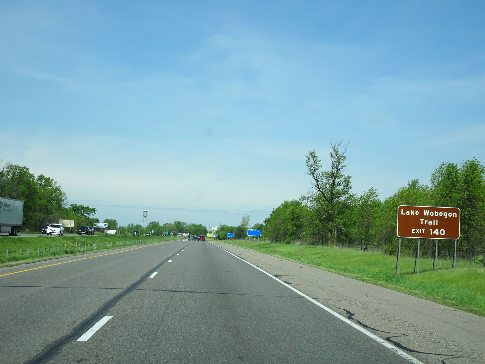 |
Take Exit 140 to Lake Wobegon Trail. (Photo taken 5/22/16). |
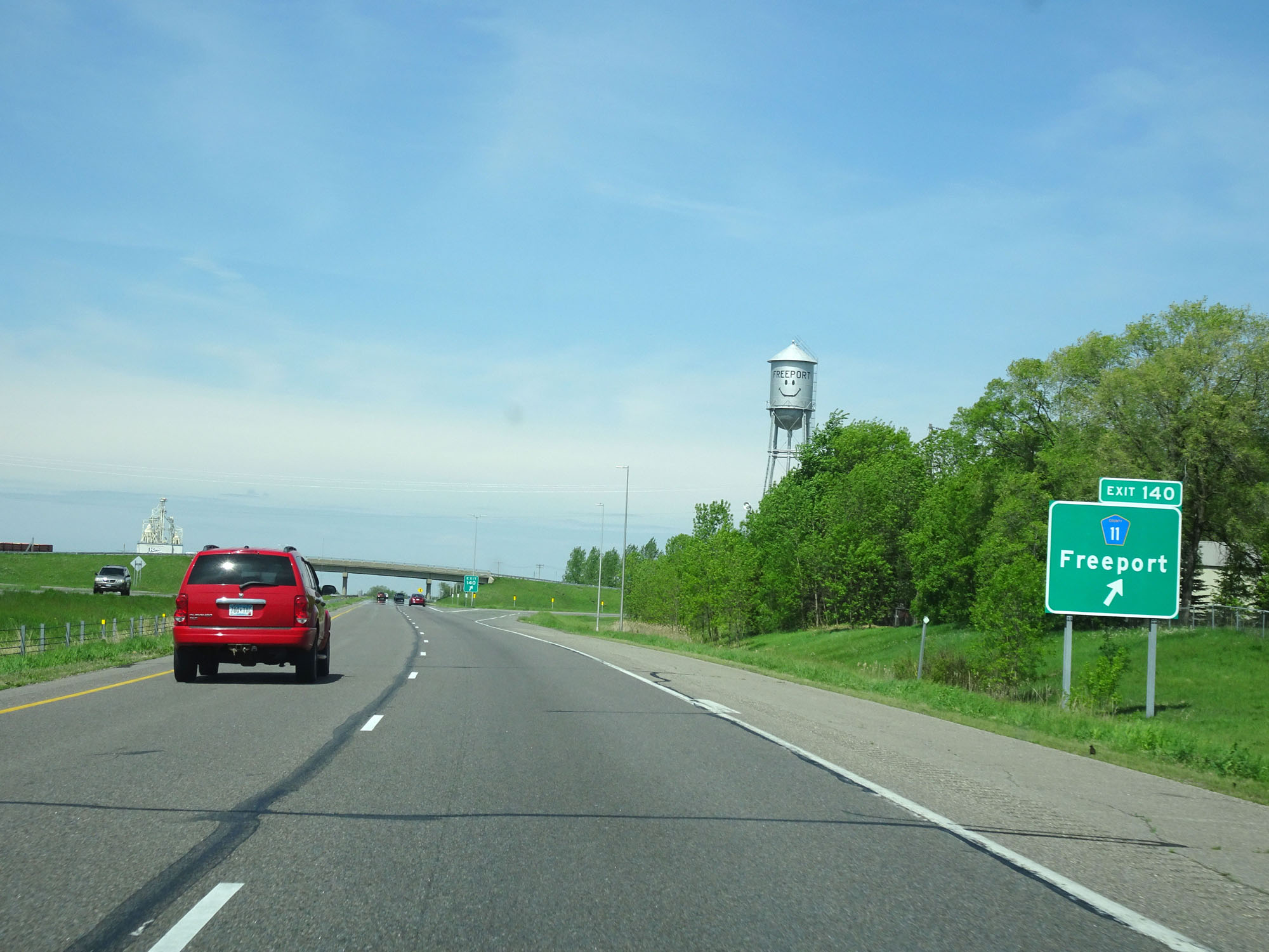 |
Interstate 94 West at Exit 140: CR 11 - Freeport (Photo taken 5/22/16). |
 |
Another Interstate 94 West reassurance shield. (Photo taken 5/22/16). |
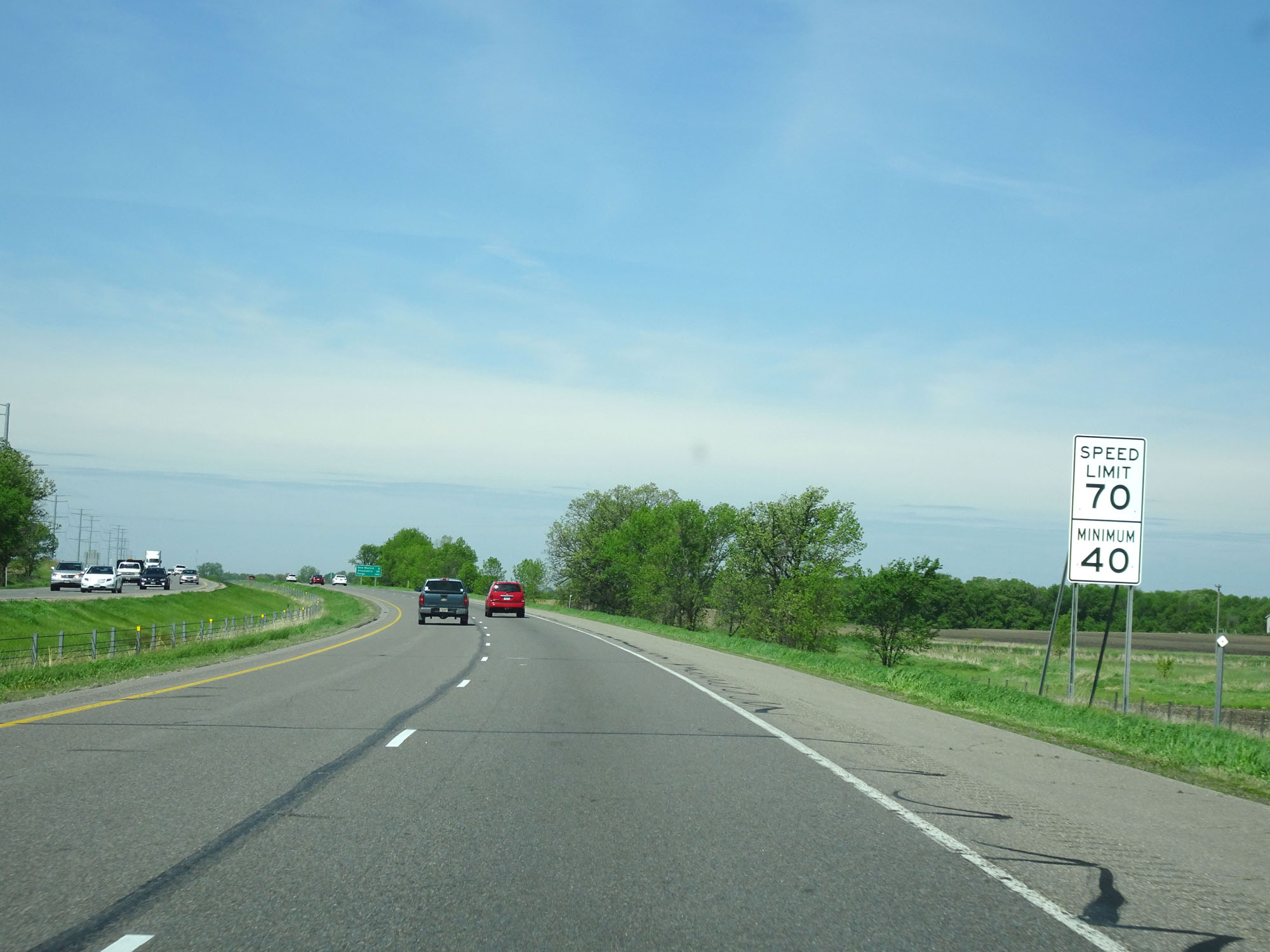 |
The speed limits remain 70 mph maximum and 40 mph minimum. (Photo taken 5/22/16). |
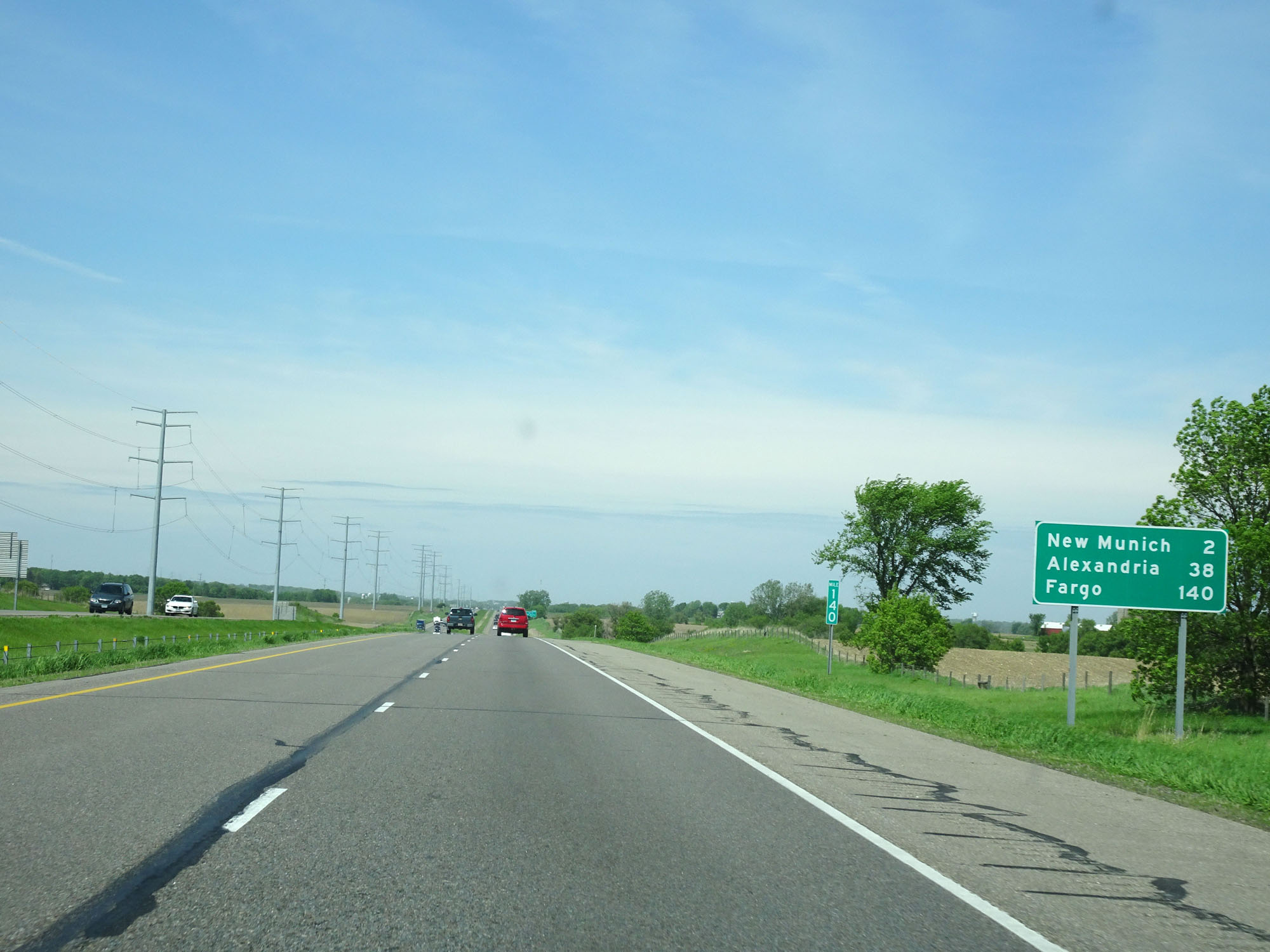 |
Mileage sign on Interstate 94 West. It's 2 miles to New Munich, 38 miles to Alexandria, and 140 miles to Fargo. (Photo taken 5/22/16). |
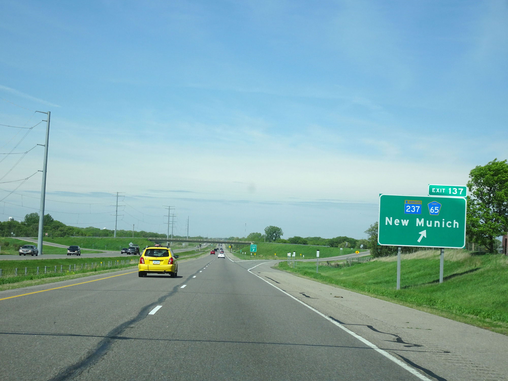 |
Interstate 94 West at Exit 137: MN 237 / CR 65 - New Munich (Photo taken 5/22/16). |
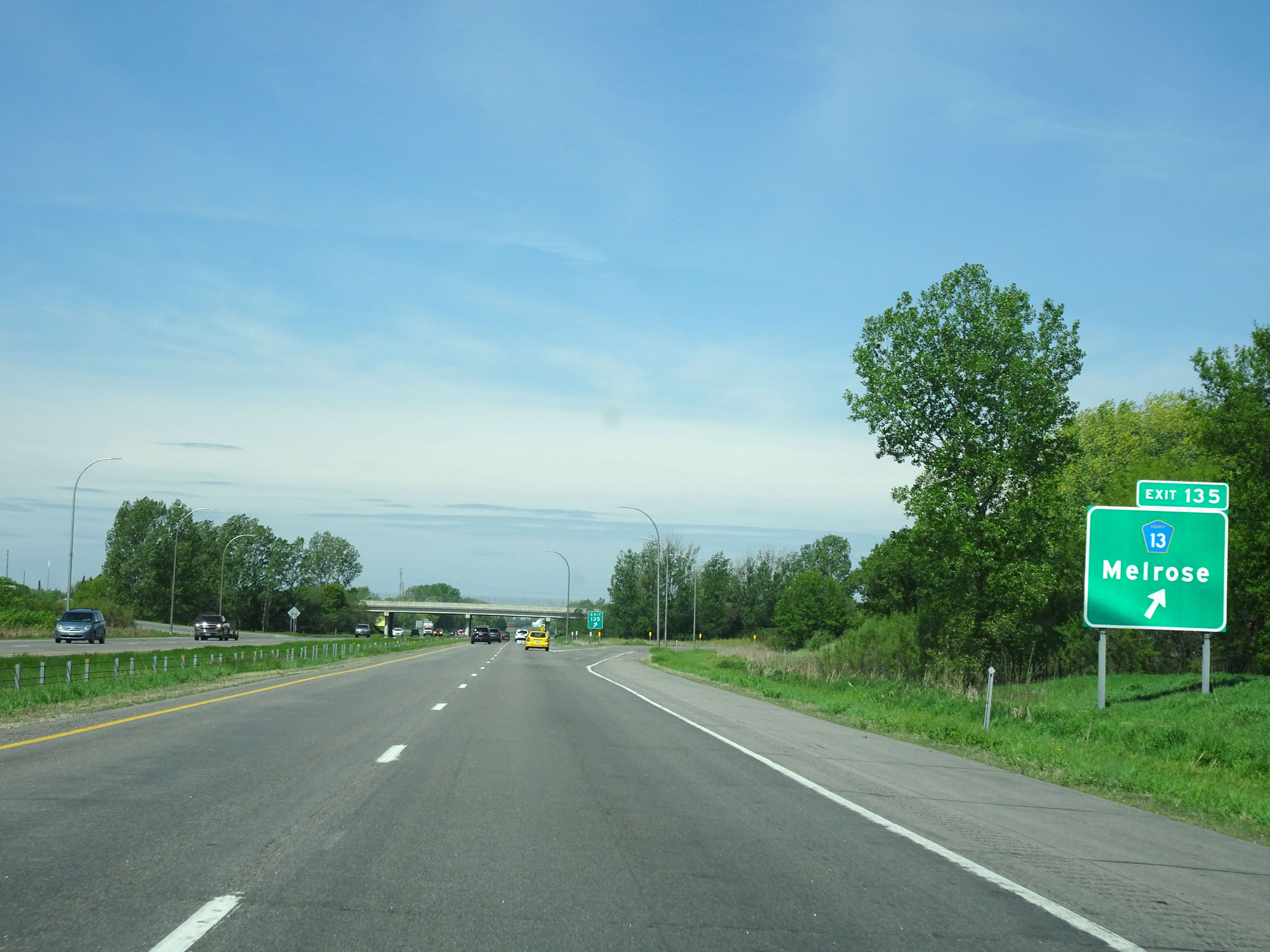 |
Interstate 94 West at Exit 135: CR 13 - Melrose (Photo taken 5/22/16). |
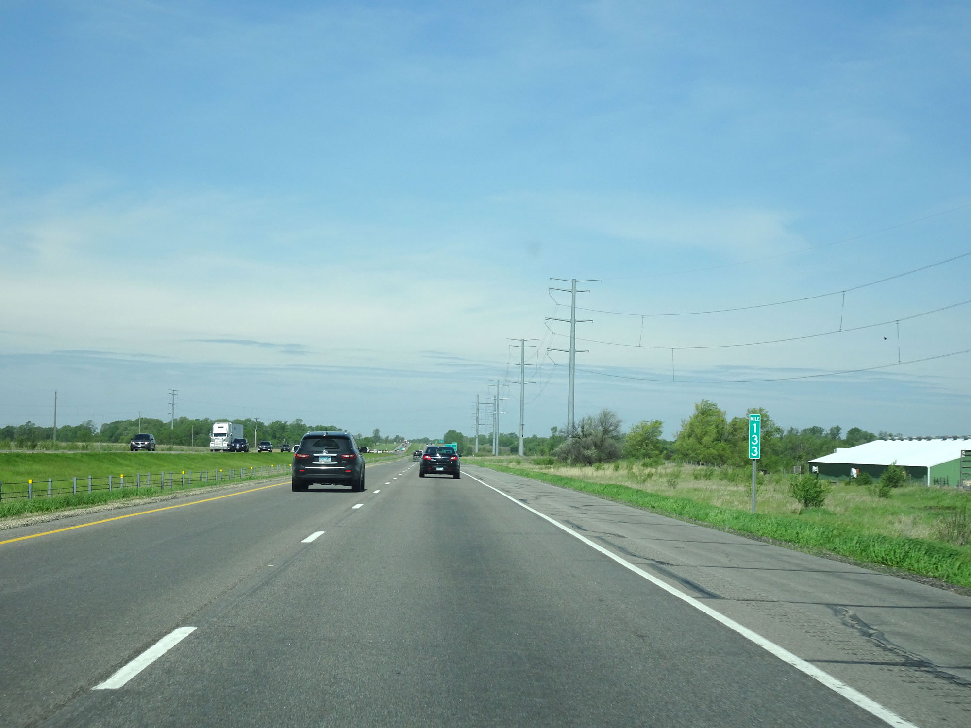 |
Interstate 94 West at mile marker 133. (Photo taken 5/22/16). |
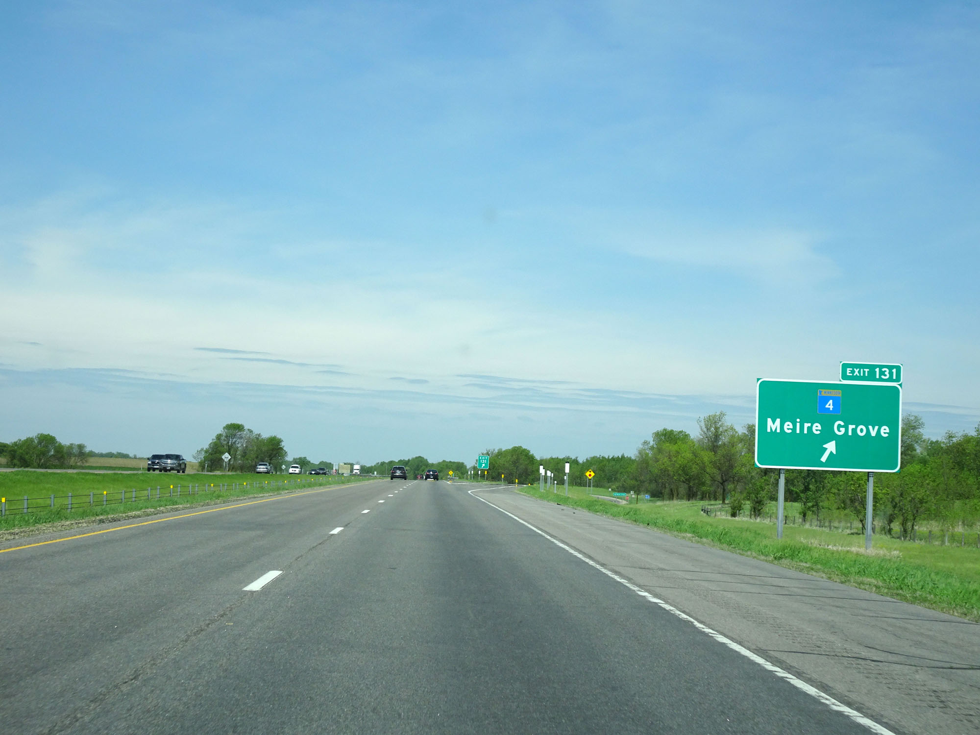 |
Interstate 94 West at Exit 131: MN 4 - Meire Grove (Photo taken 5/22/16). |
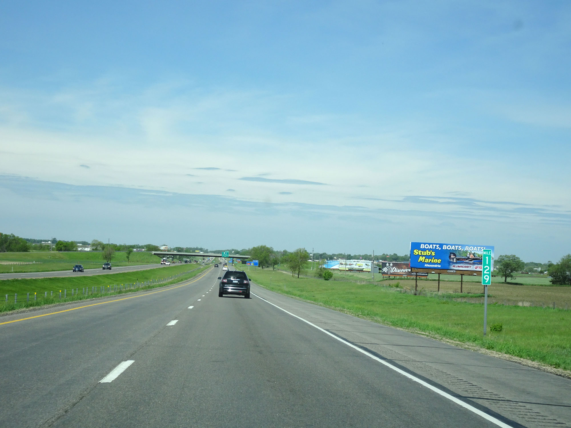 |
Interstate 94 West at mile marker 129. (Photo taken 5/22/16). |
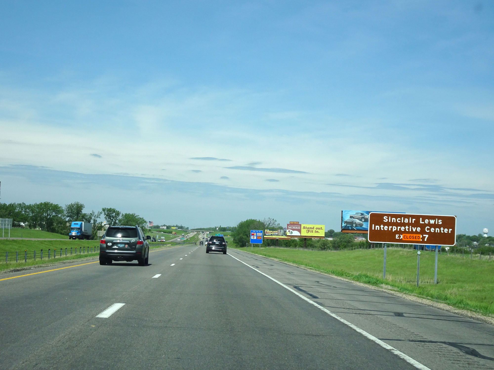 |
Take Exit 127 to Sinclair Lewis Interpretive Center. (Photo taken 5/22/16). |
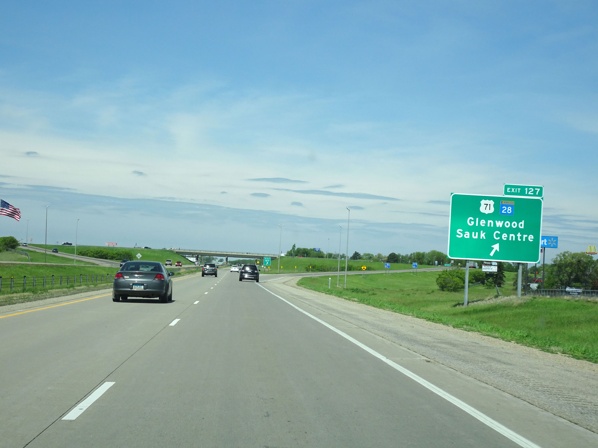 |
Interstate 94 West at Exit 127: US 71 / MN 28 - Glenwood / Sauk Centre (Photo taken 5/22/16). |
Section 4: Sauk Centre (Exit 127) to North Dakota Border
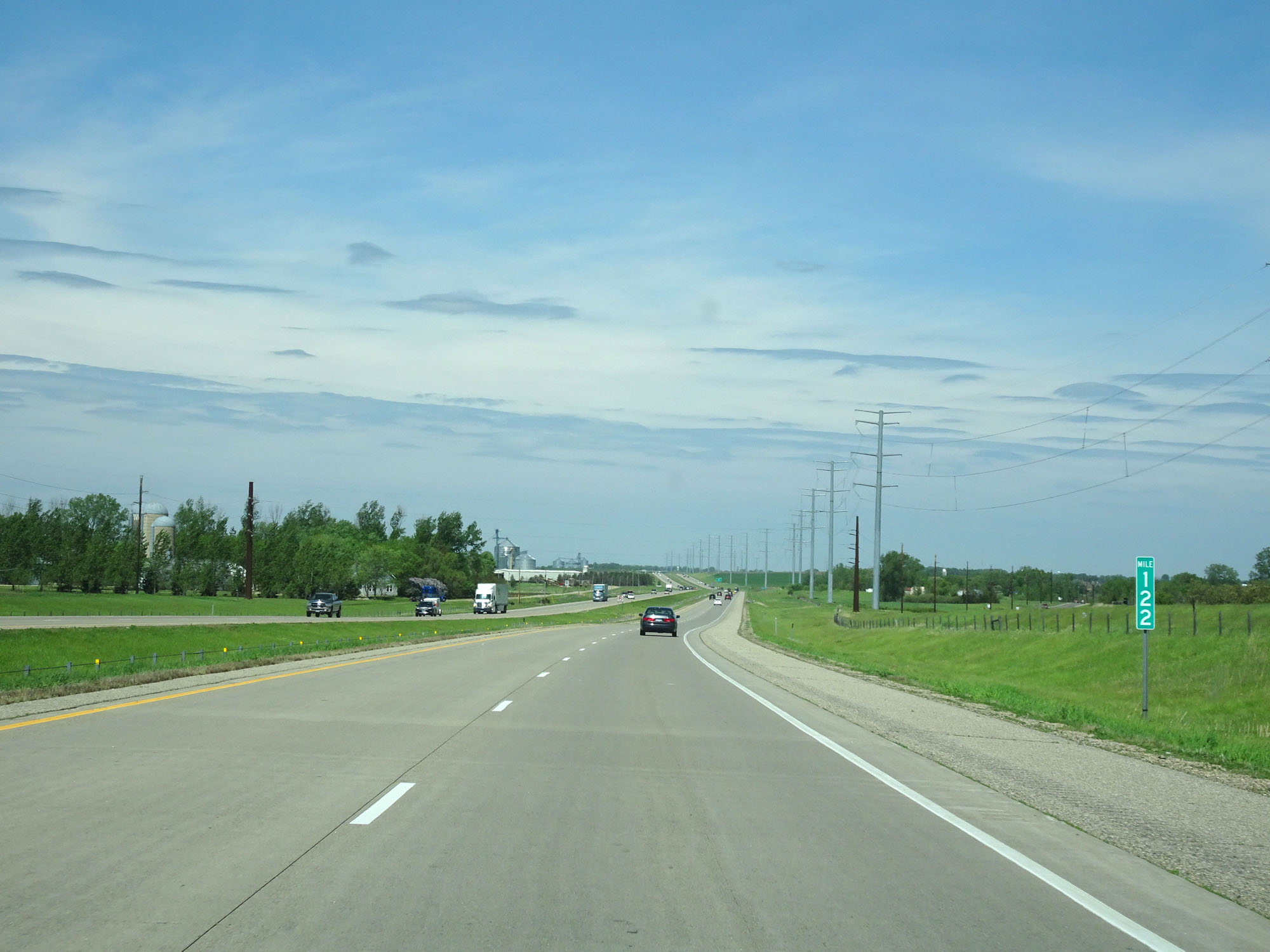 |
Interstate 94 West at mile marker 122. (Photo taken 5/22/16). |
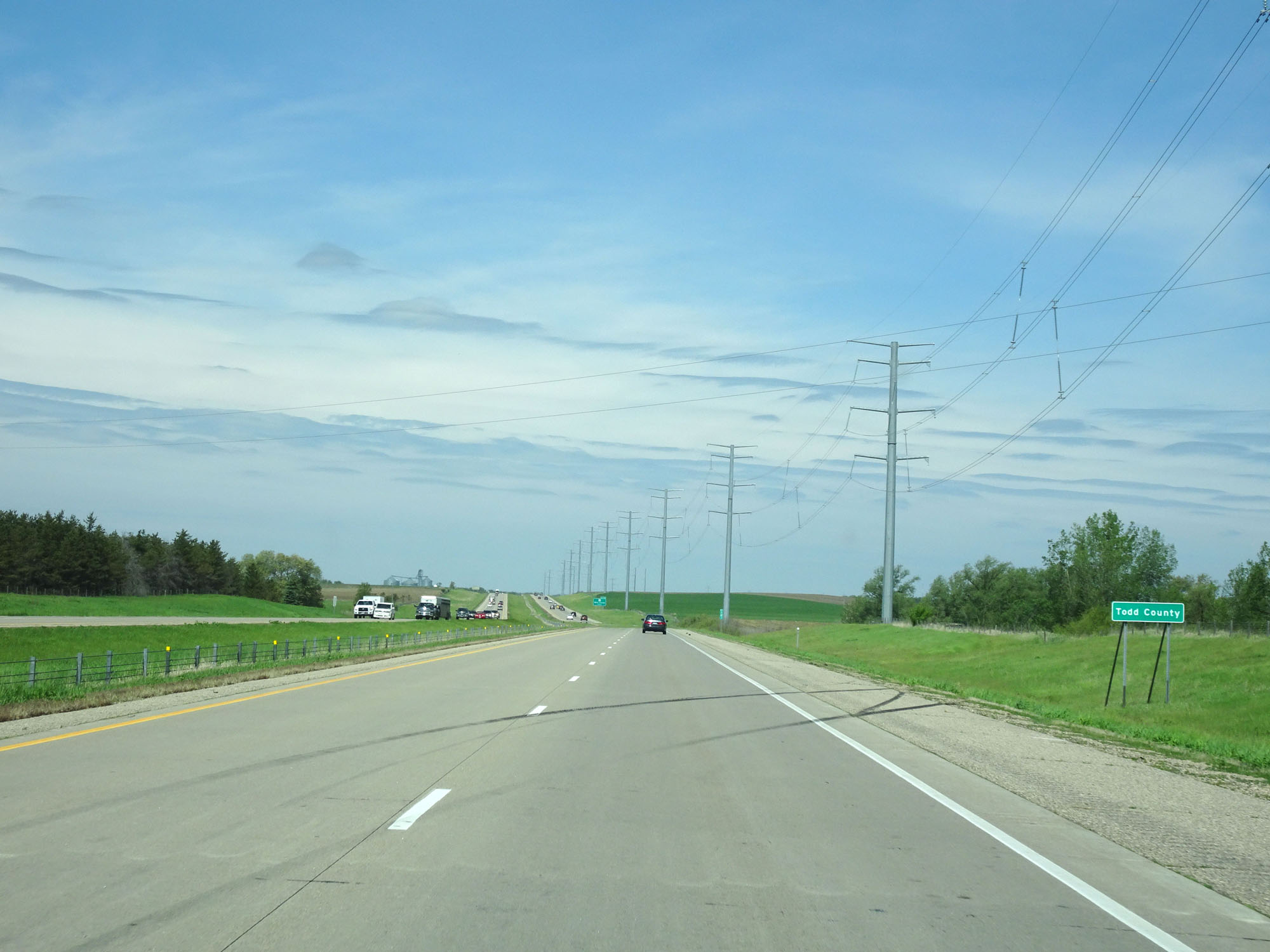 |
Interstate 94 West entering Todd County. (Photo taken 5/22/16). |
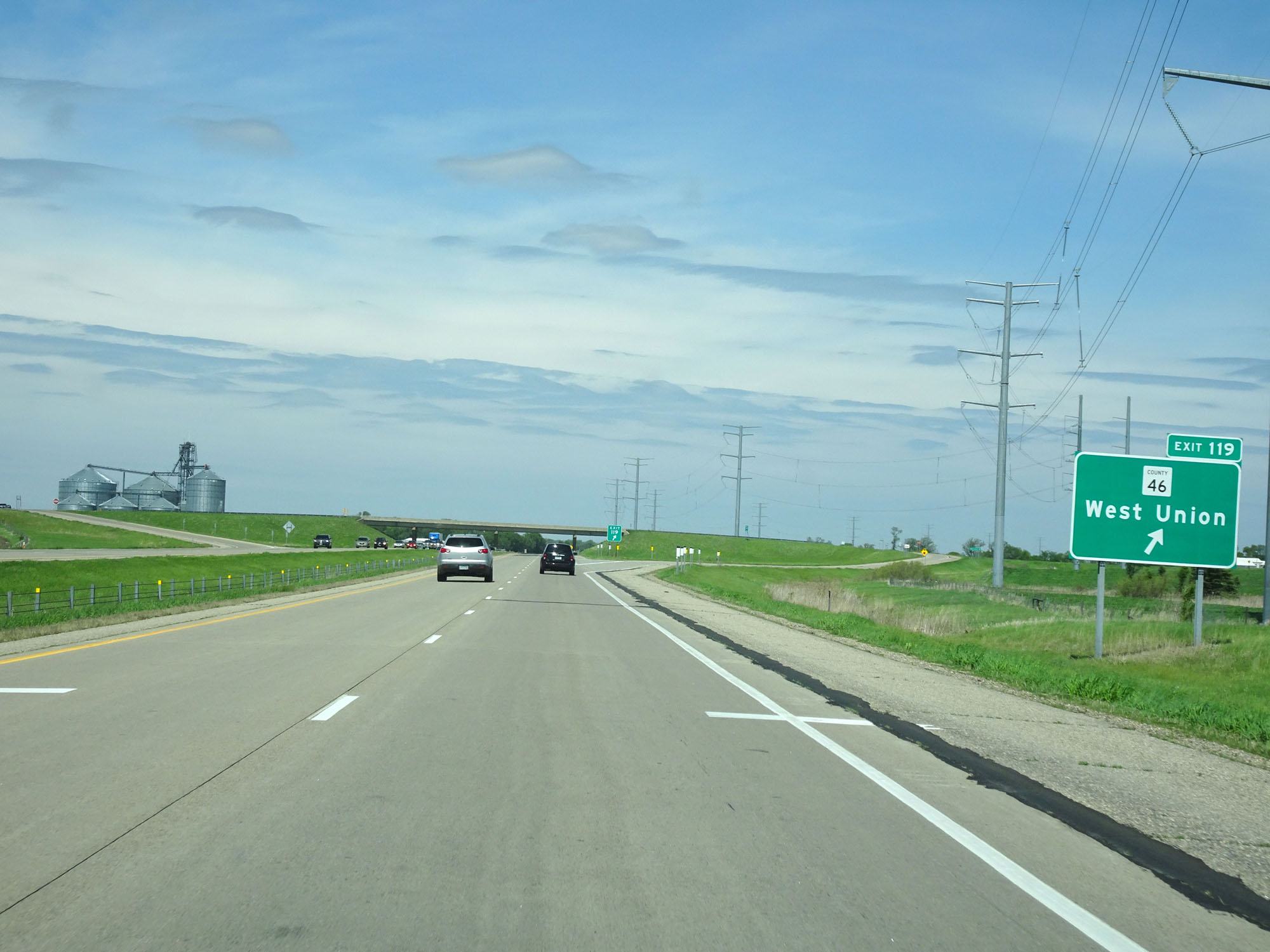 |
Interstate 94 West at Exit 119: CR 46 - West Union (Photo taken 5/22/16). |
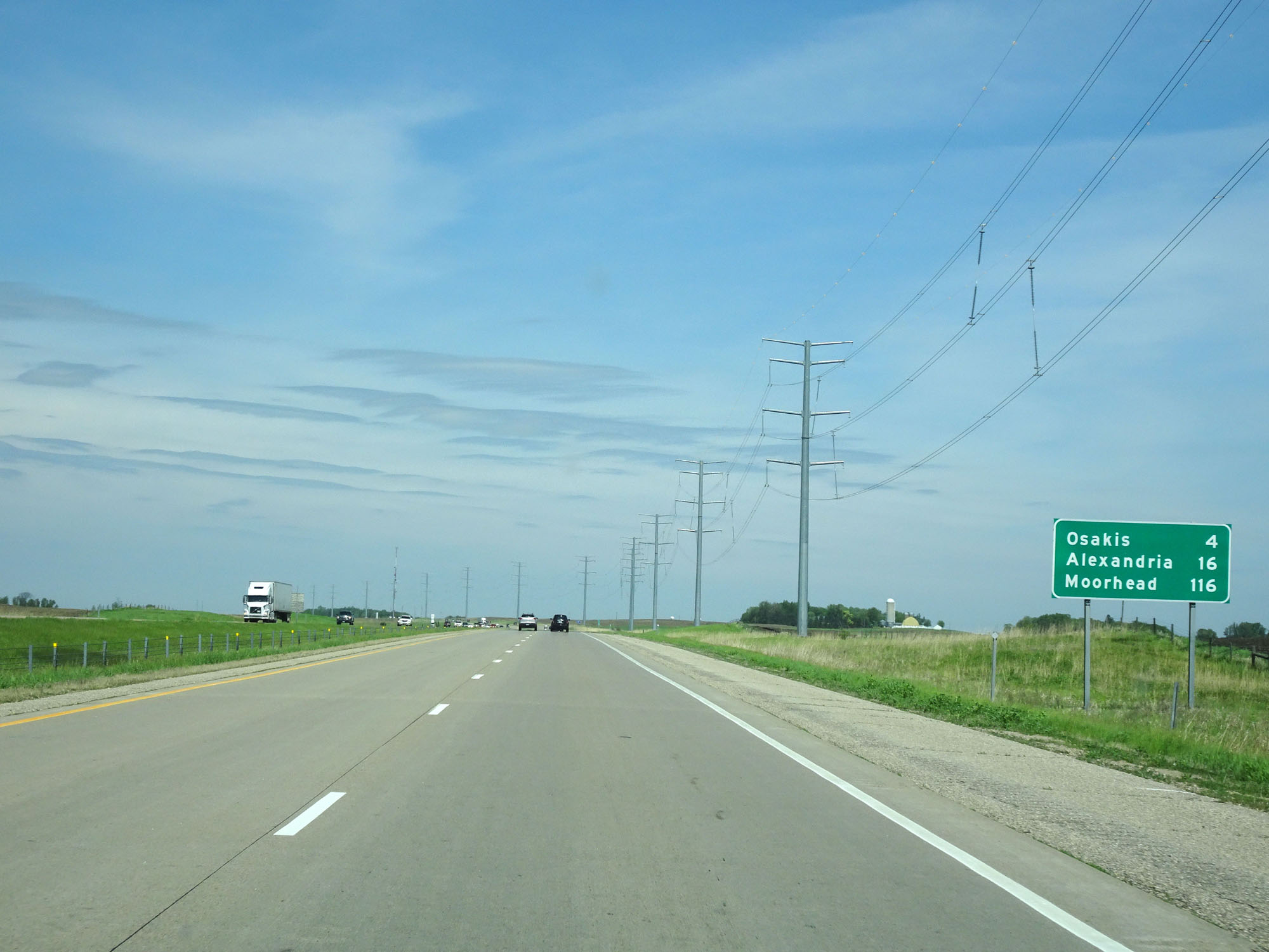 |
Mileage sign on Interstate 94 West. It's 4 miles to Osakis, 16 miles to Alexandria, and 116 miles to Moorhead. (Photo taken 5/22/16). |
 |
Interstate 94 West entering Douglas County. (Photo taken 5/22/16). |
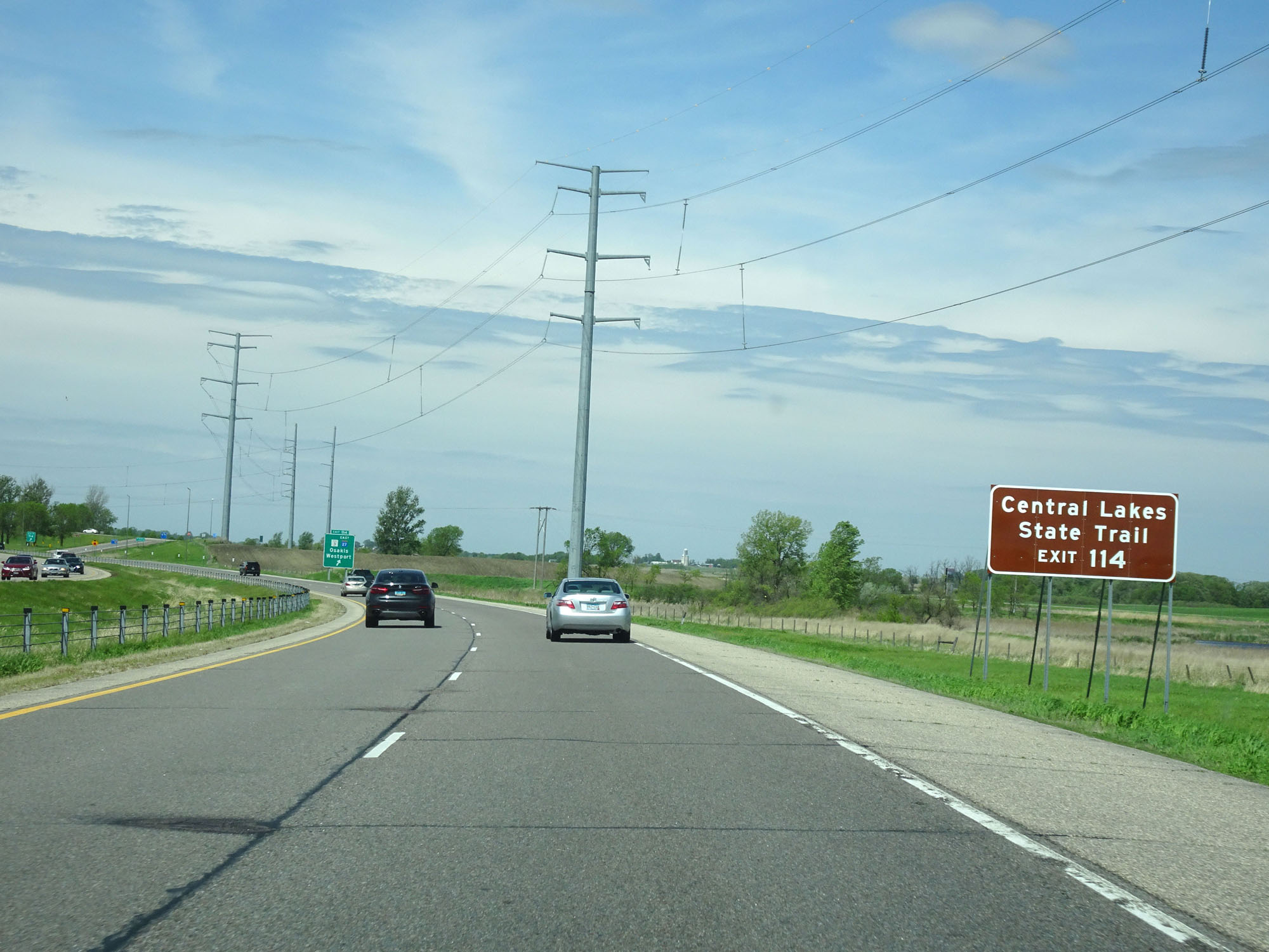 |
Take Exit 114 to Central Lakes State Trail. (Photo taken 5/22/16). |
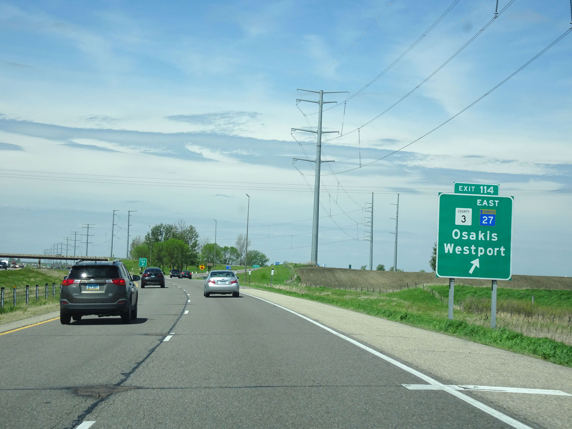 |
Interstate 94 West at Exit 114: CR 3 / MN 27 East - Osakis / Westport (Photo taken 5/22/16). |
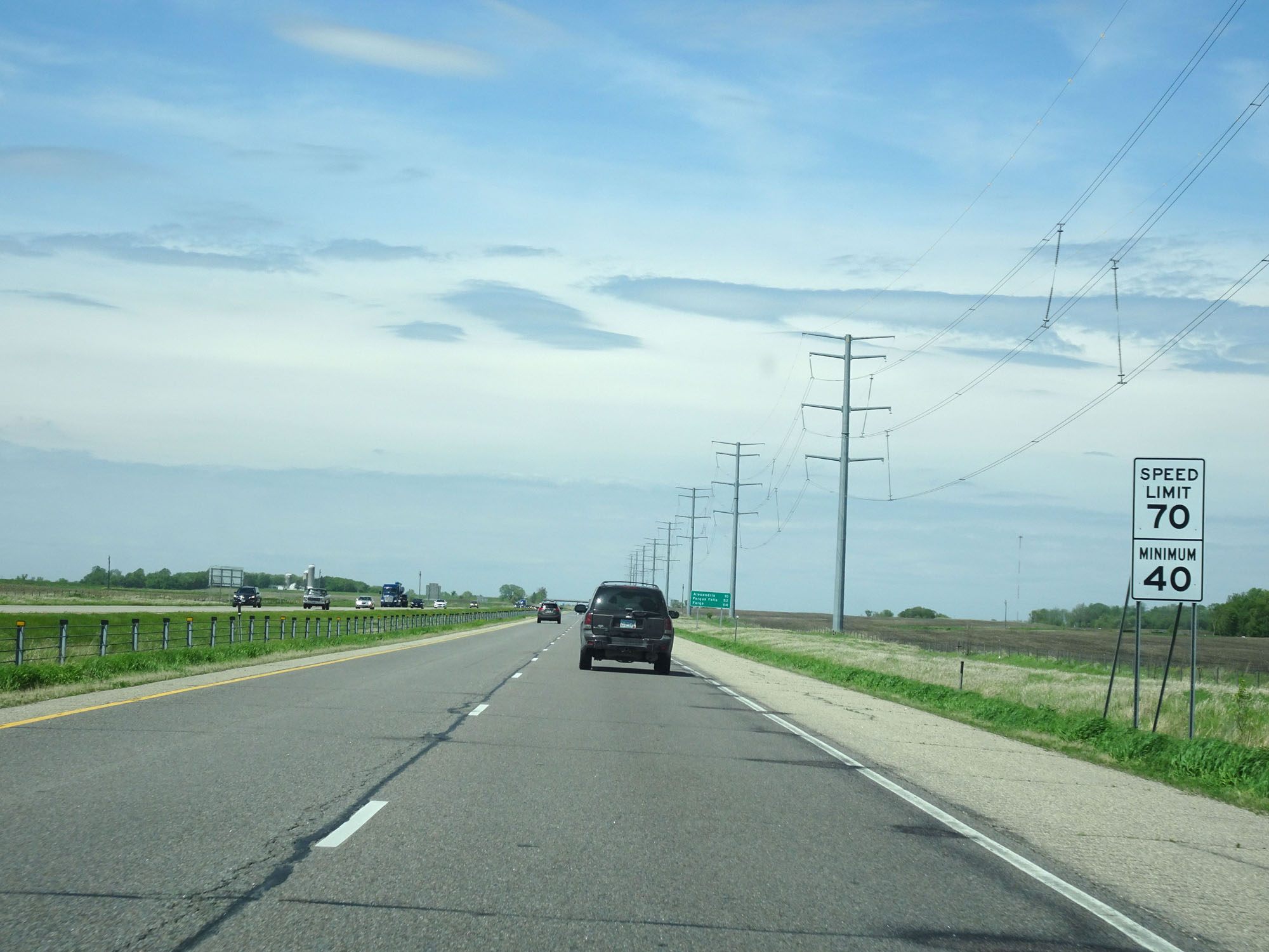 |
Speed Limit - 70 mph. Minimum speed limit - 40 mph. (Photo taken 5/22/16). |
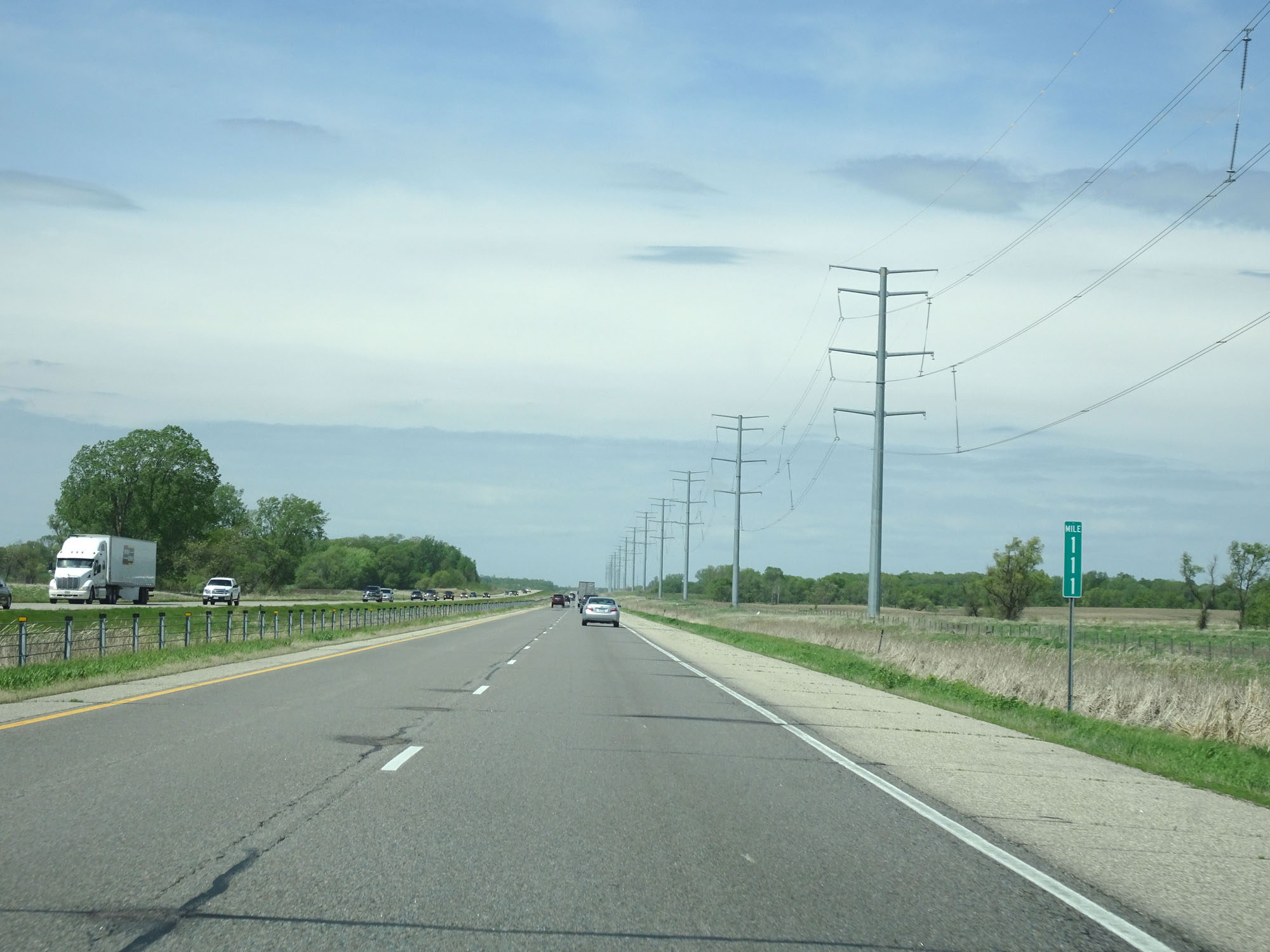 |
Interstate 94 West at mile marker 111. (Photo taken 5/22/16). |
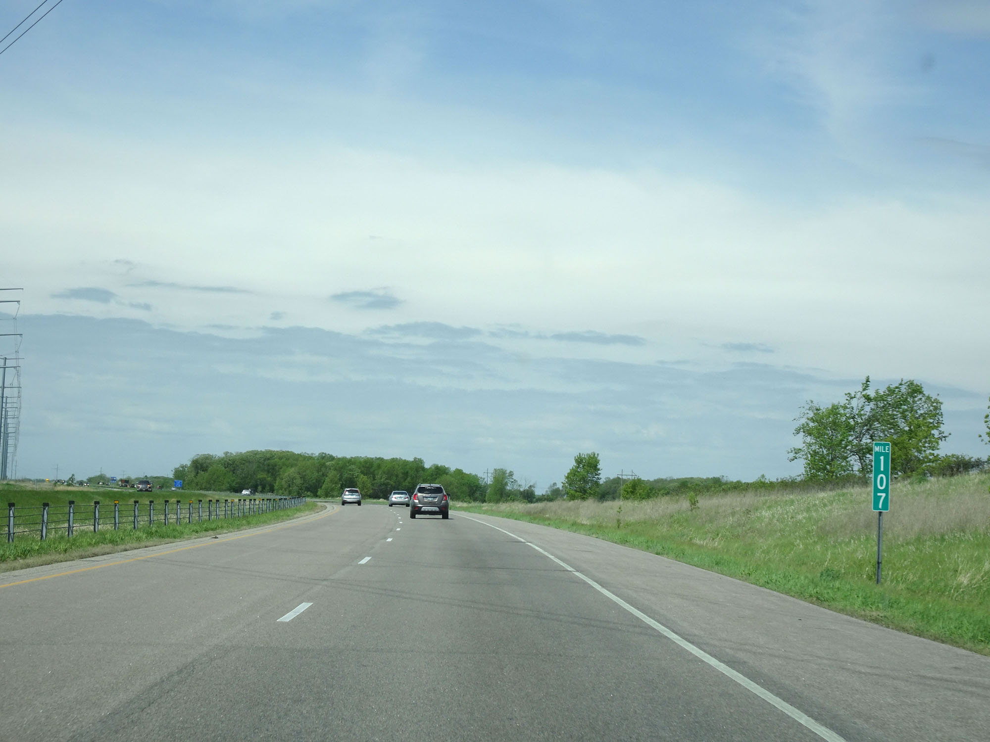 |
Interstate 94 West at mile marker 107. (Photo taken 5/22/16). |
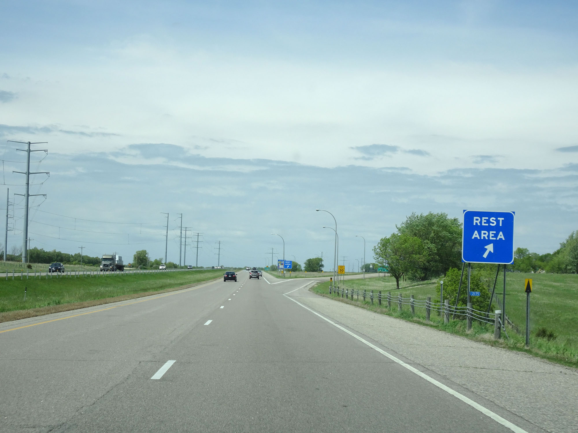 |
Interstate 94 West at the Rest Area in Douglas County. (Photo taken 5/22/16). |
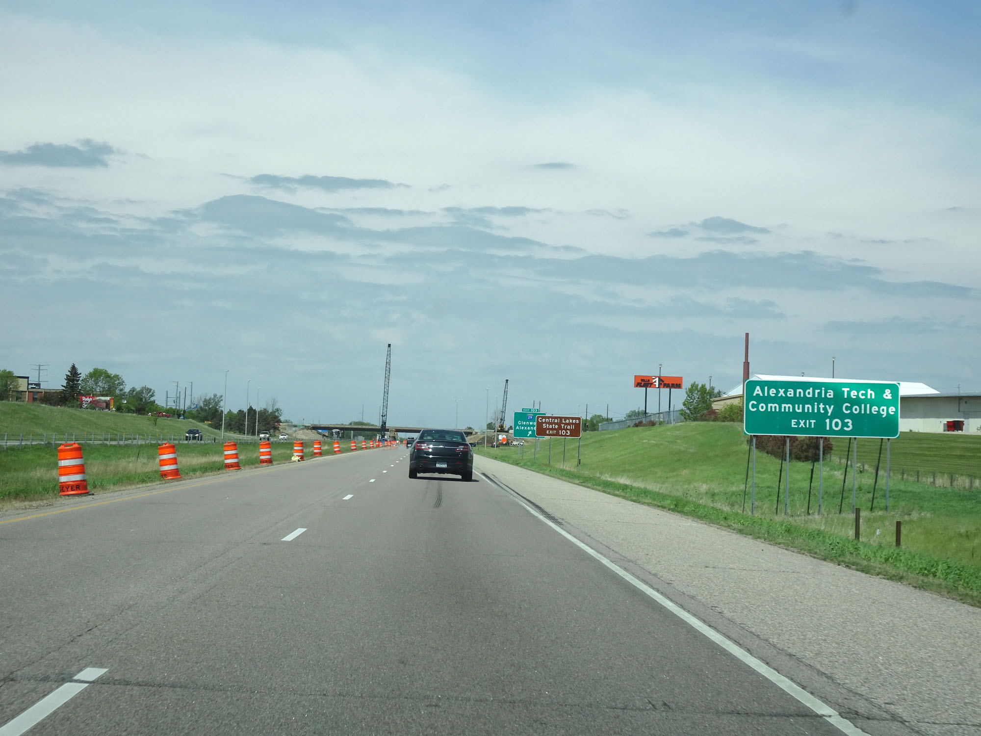 |
Take Exit 103 to Alexandria Tech & Community College. (Photo taken 5/22/16). |
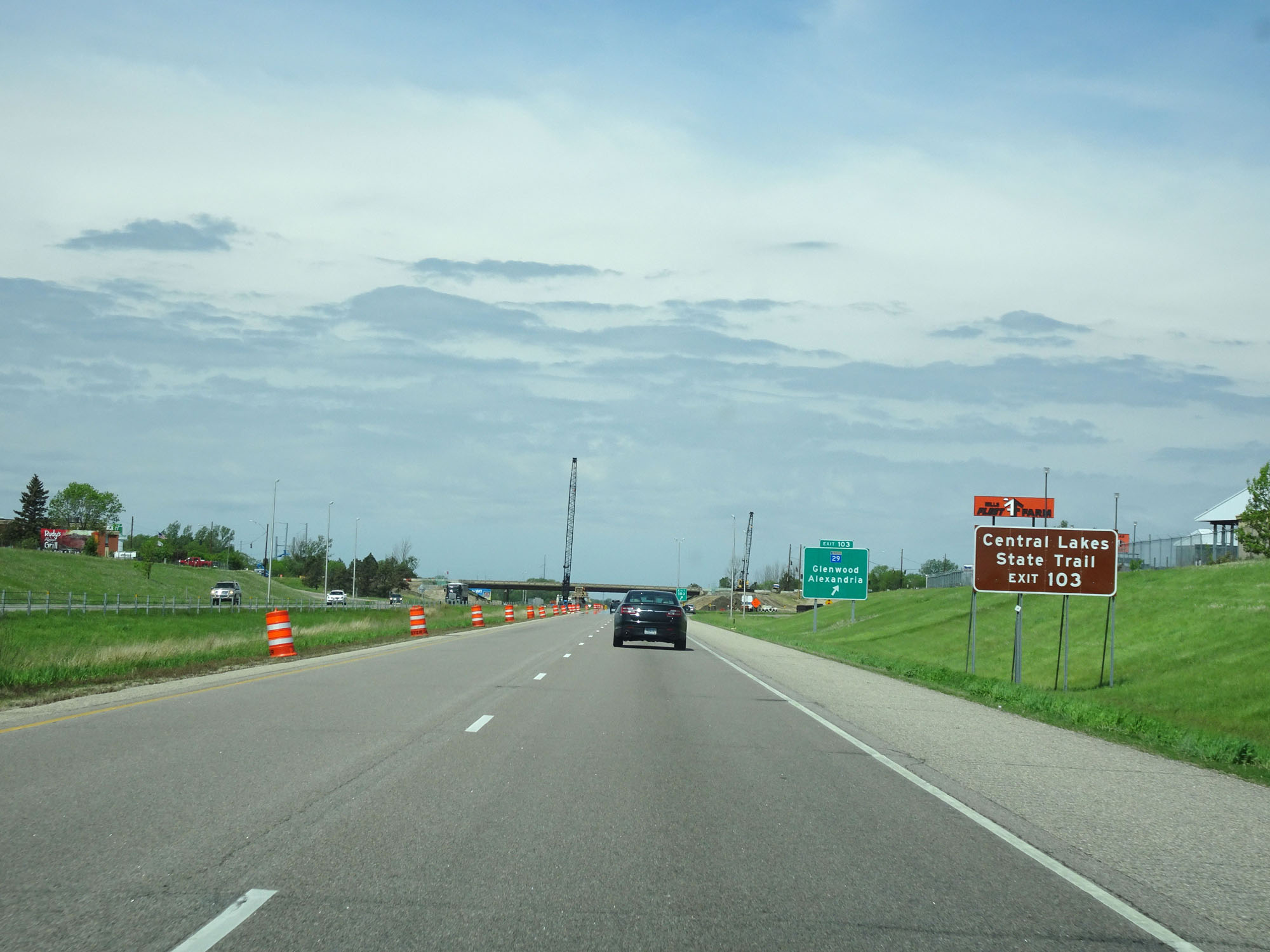 |
Also take Exit 103 to Central Lakes State Trail. (Photo taken 5/22/16). |
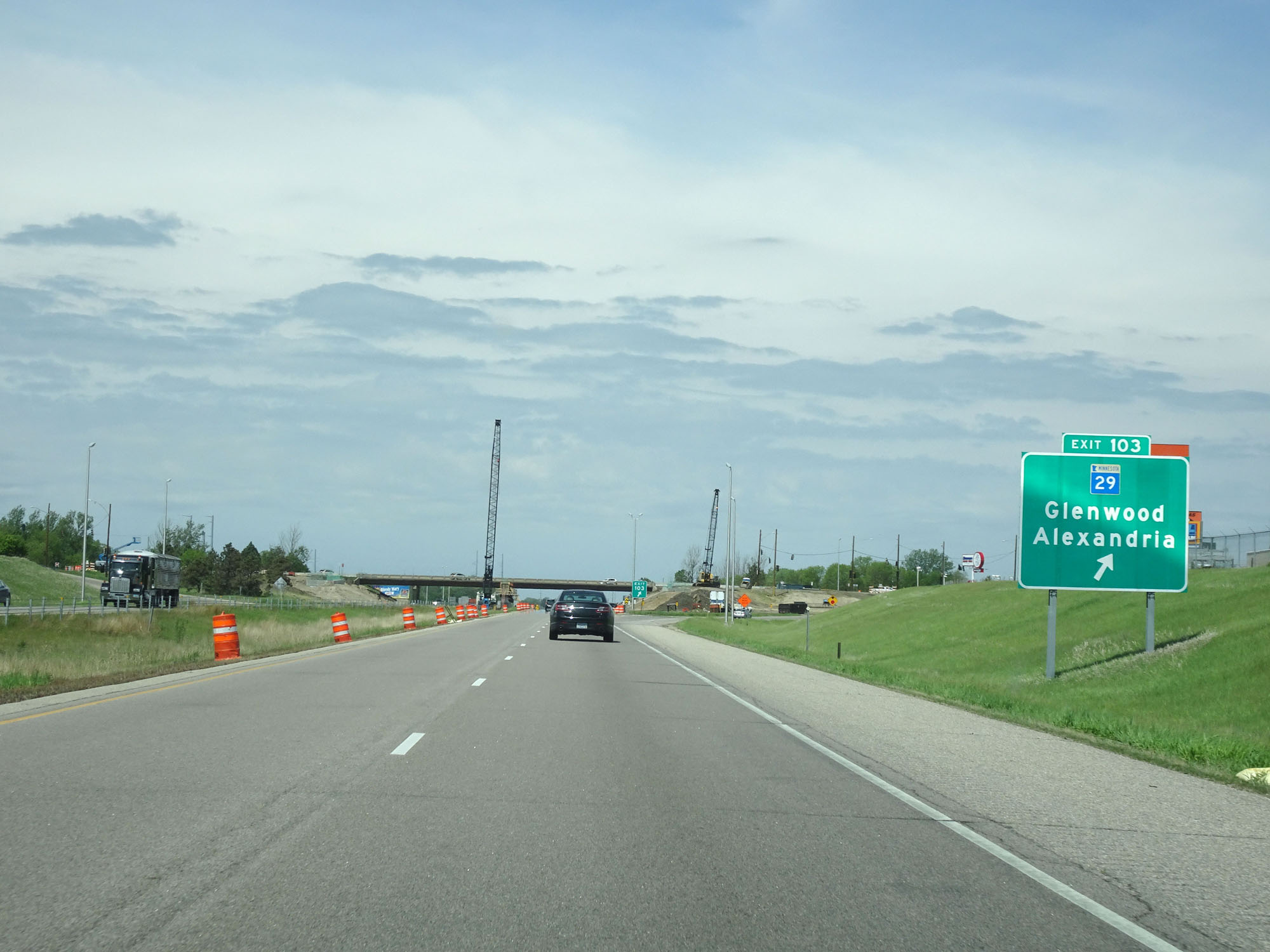 |
Interstate 94 West at Exit 103: MN 29 - Glenwood / Alexandria (Photo taken 5/22/16). |
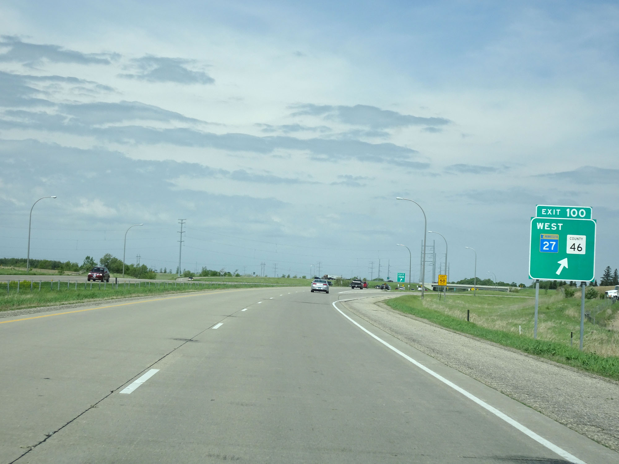 |
Interstate 94 West at Exit 100: MN 27 West / CR 46 (Photo taken 5/22/16). |
 |
Interstate 94 West at Exit 97: MN 114 / CR 40 - Lowry / Garfield (Photo taken 5/22/16). |
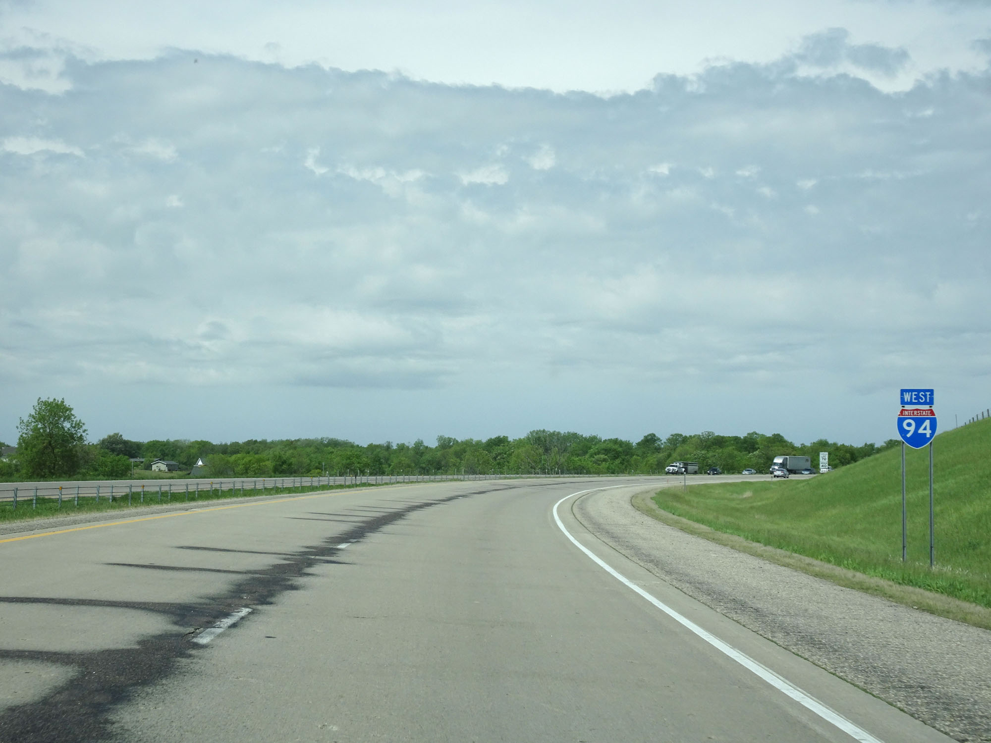 |
Interstate 94 West reassurance shield. (Photo taken 5/22/16). |
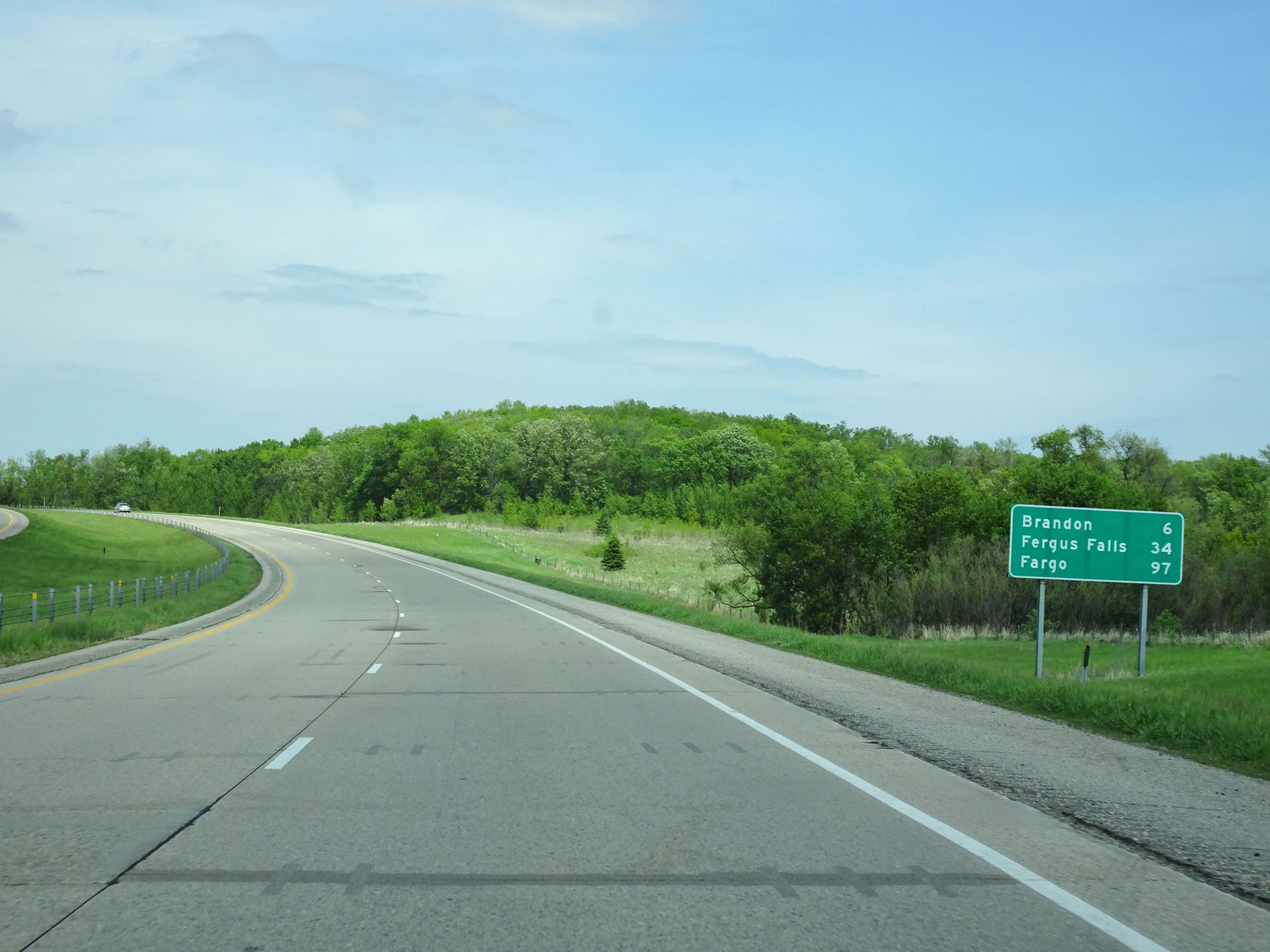 |
Mileage sign on Interstate 94 West. It's 6 miles to Brandon, 34 miles to Fergus Falls, and 97 miles to Fargo. (Photo taken 5/22/16). |
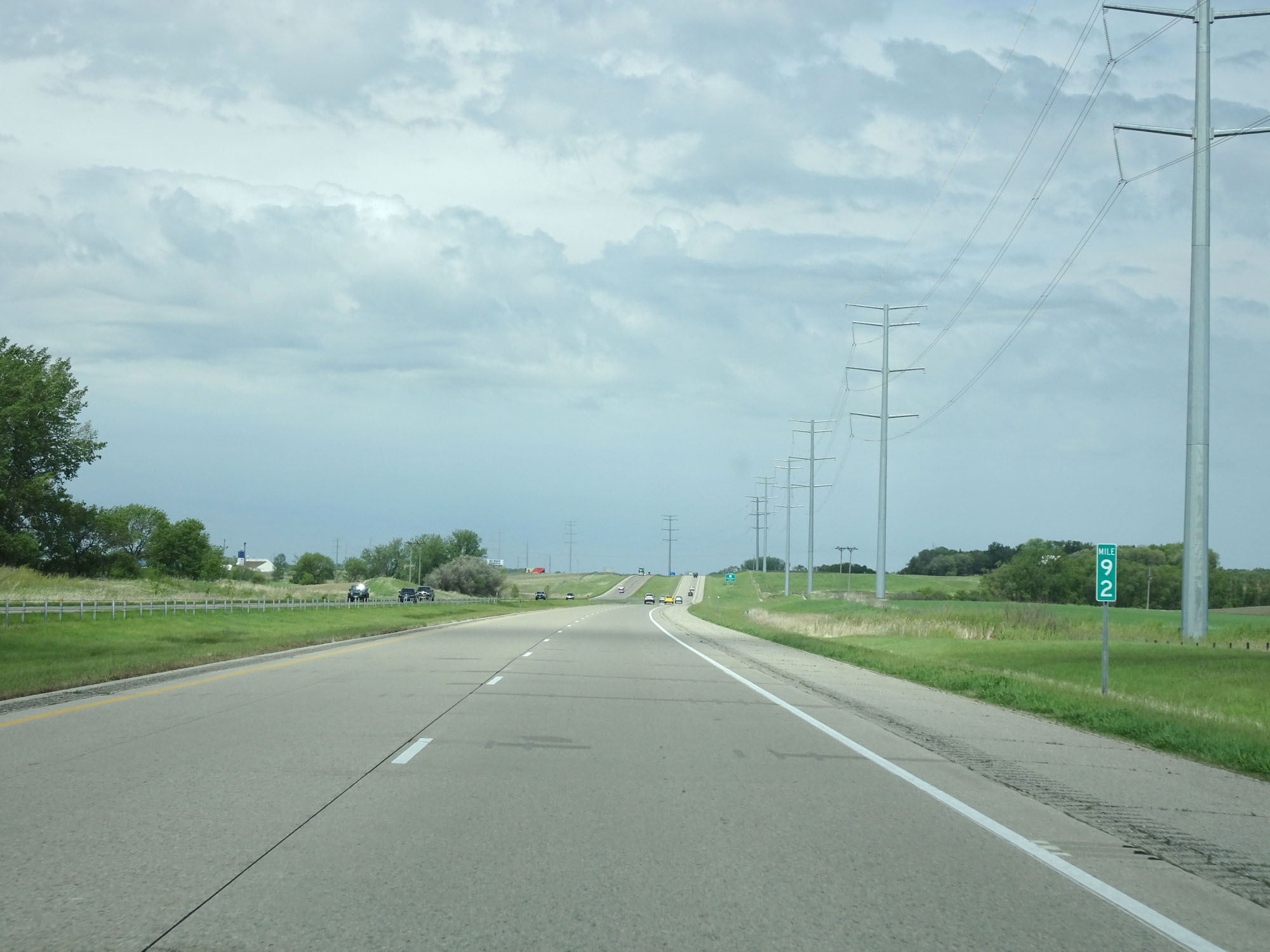 |
Interstate 94 West at mile marker 92. (Photo taken 5/22/16). |
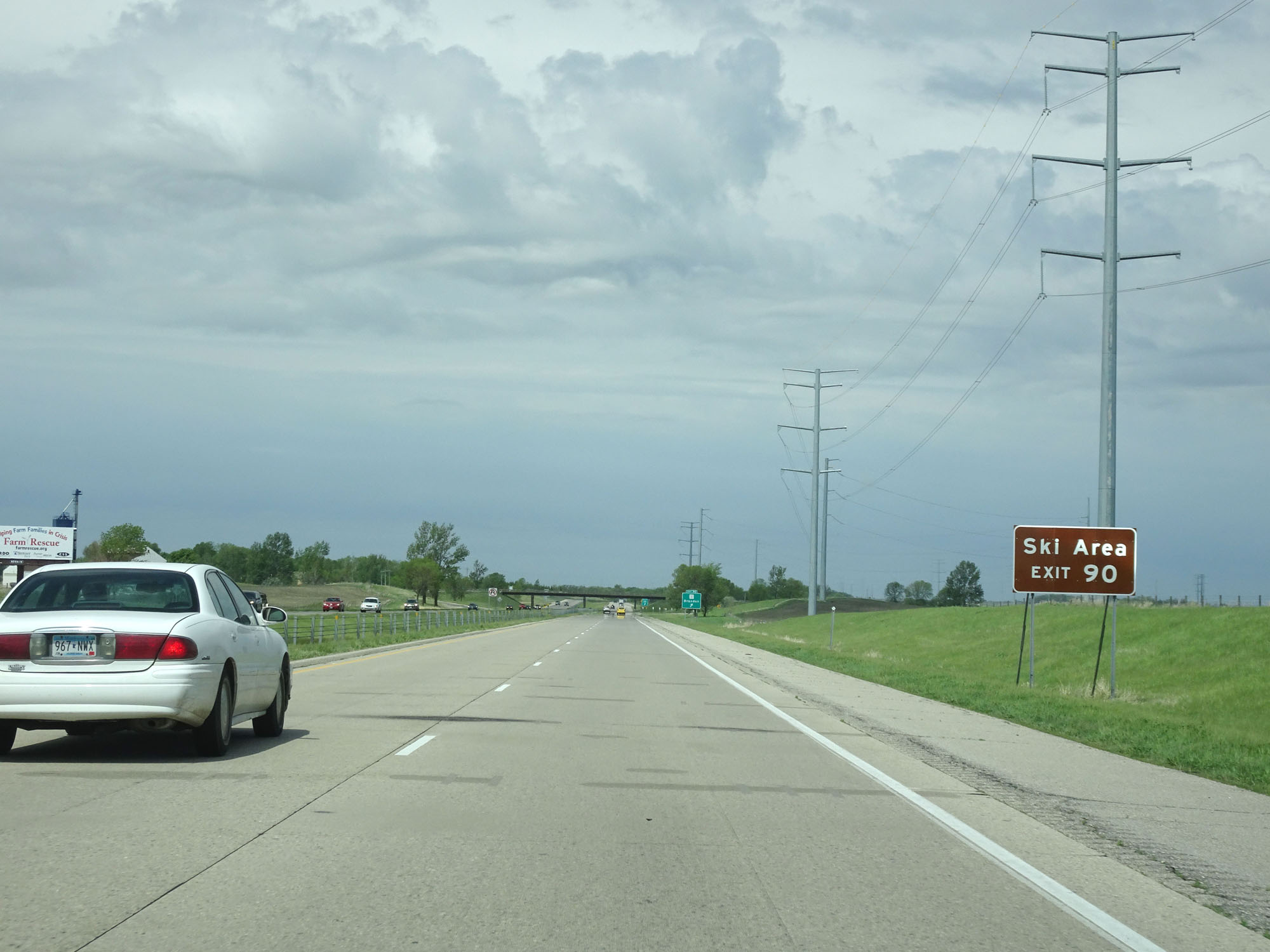 |
Take Exit 90 to the Ski Area. (Photo taken 5/22/16). |
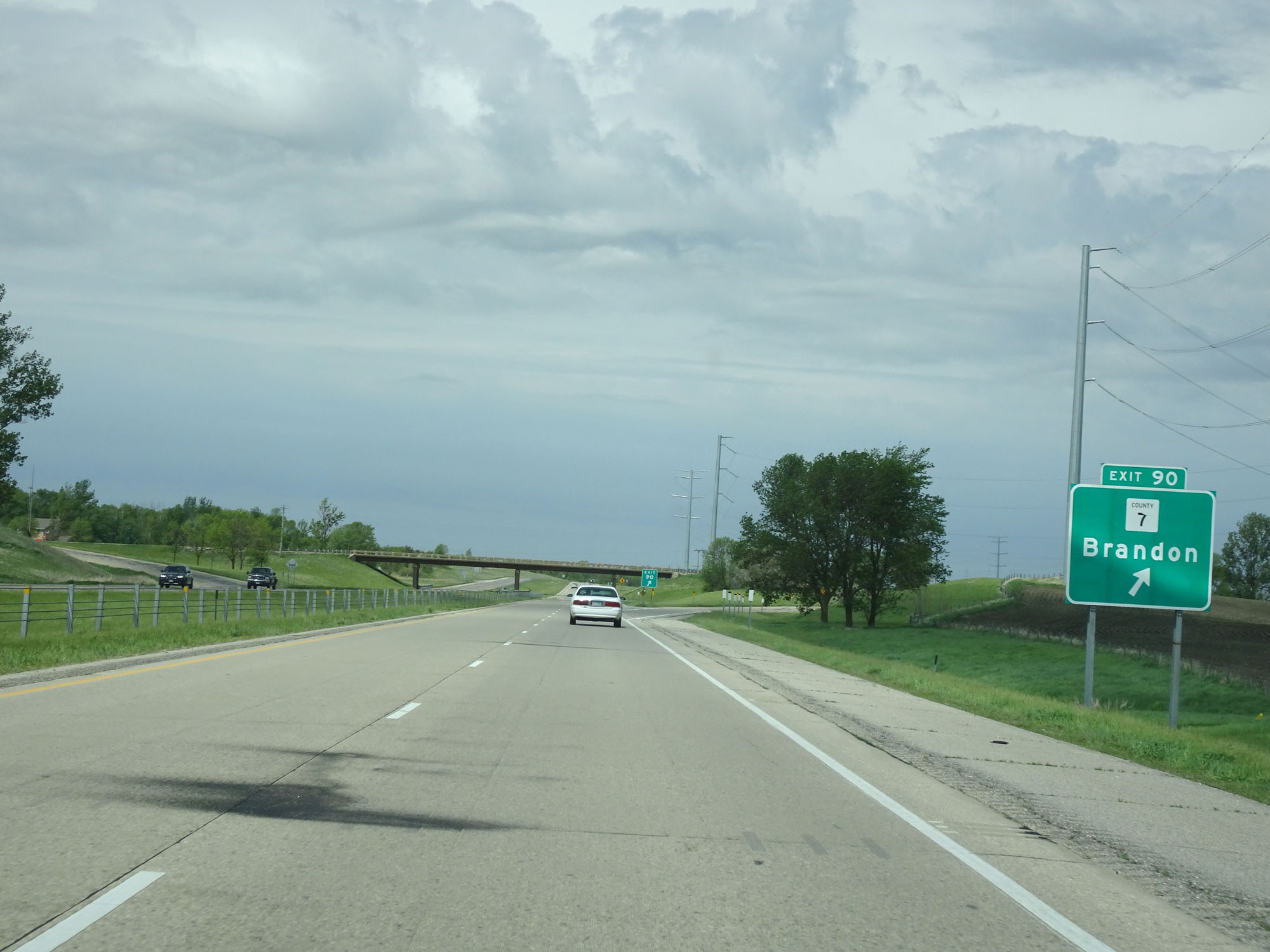 |
Interstate 94 West at Exit 90: CR 7 - Brandon (Photo taken 5/22/16). |
 |
Interstate 94 West at mile marker 89. (Photo taken 5/22/16). |
 |
Interstate 94 West at mile marker 86. (Photo taken 5/22/16). |
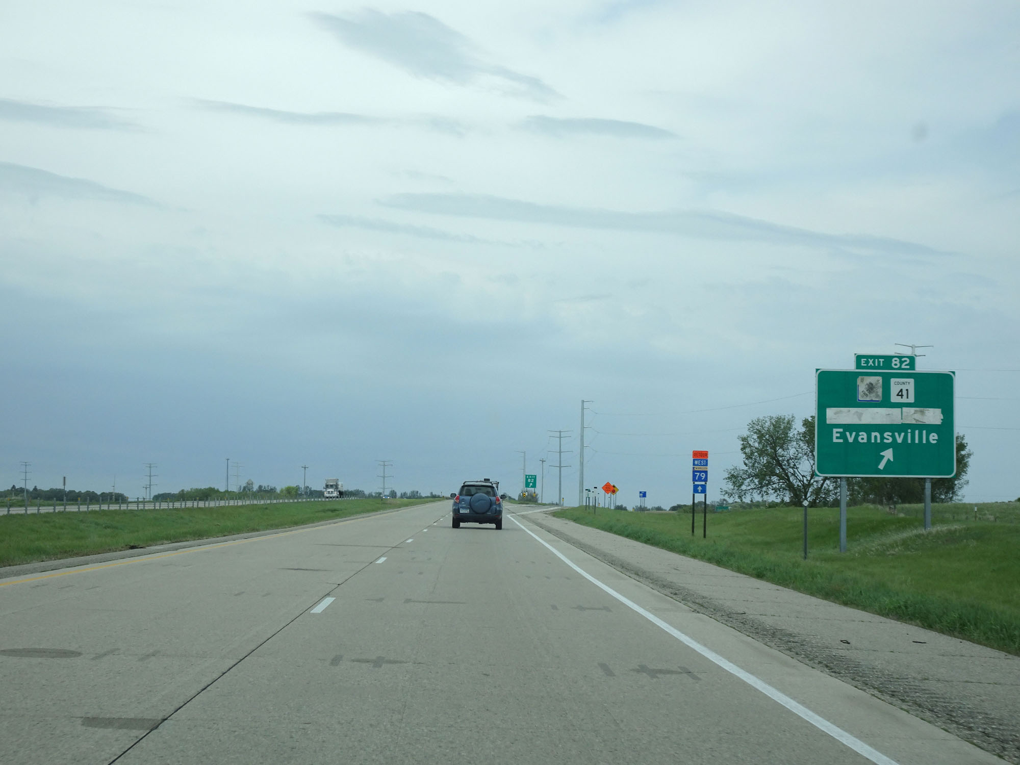 |
Interstate 94 West at Exit 82: MN 74 / CR 41 - Elbow Lake / Evansville (Photo taken 5/22/16). |
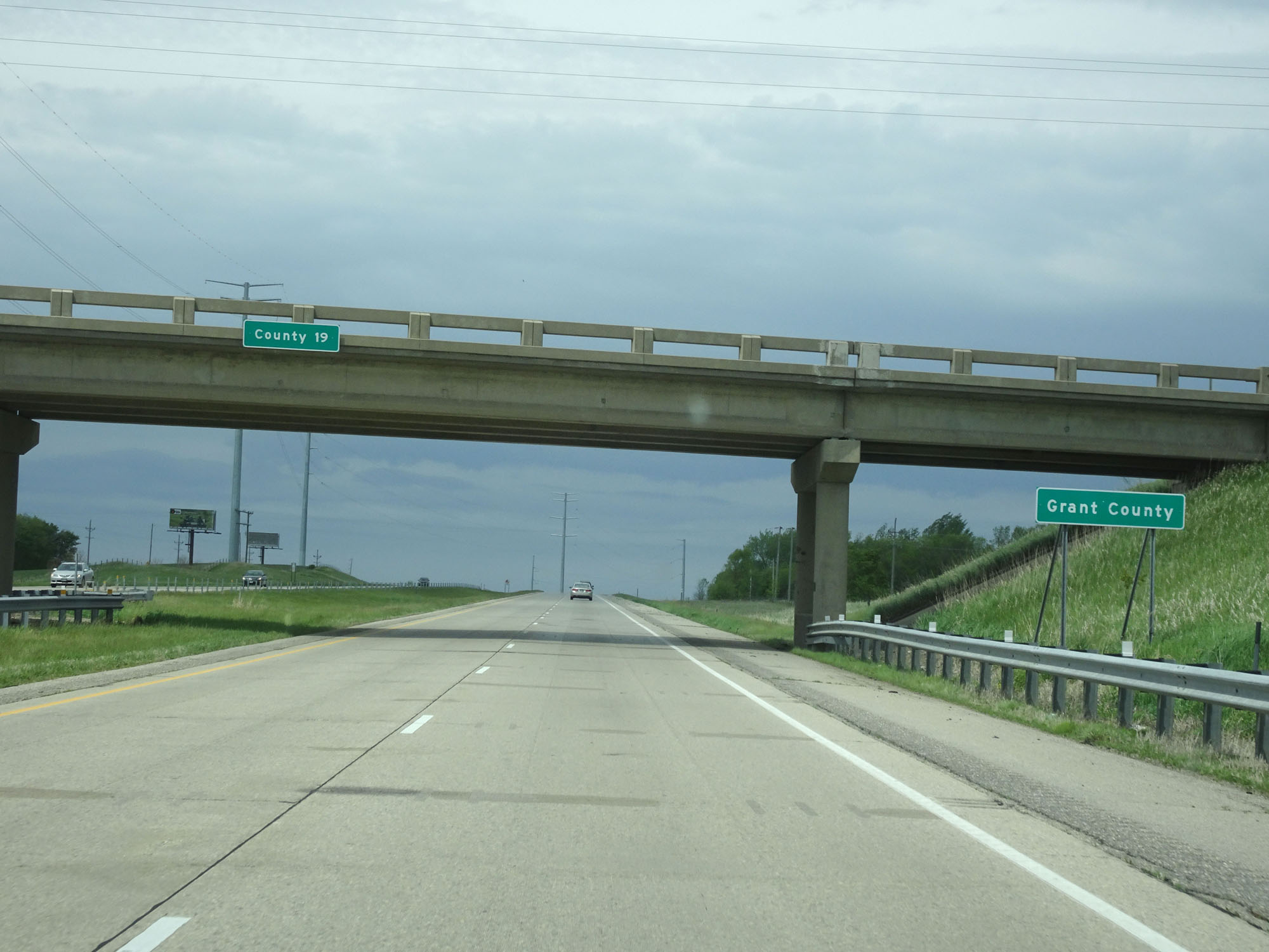 |
Interstate 94 West entering Grant County. (Photo taken 5/22/16). |
 |
Interstate 94 West at mile marker 80. (Photo taken 5/22/16). |
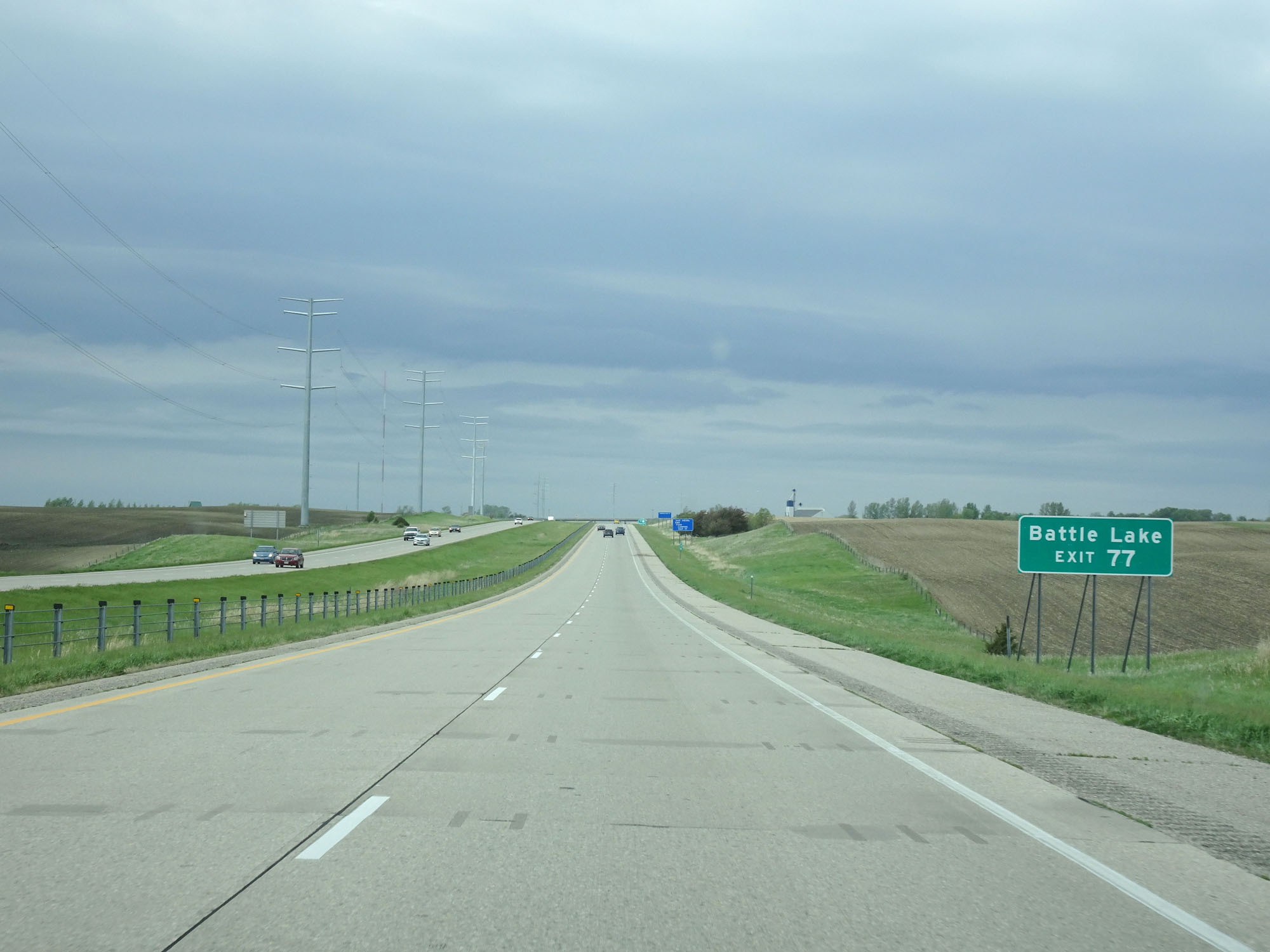 |
Take Exit 77 to Battle Lake. (Photo taken 5/22/16). |
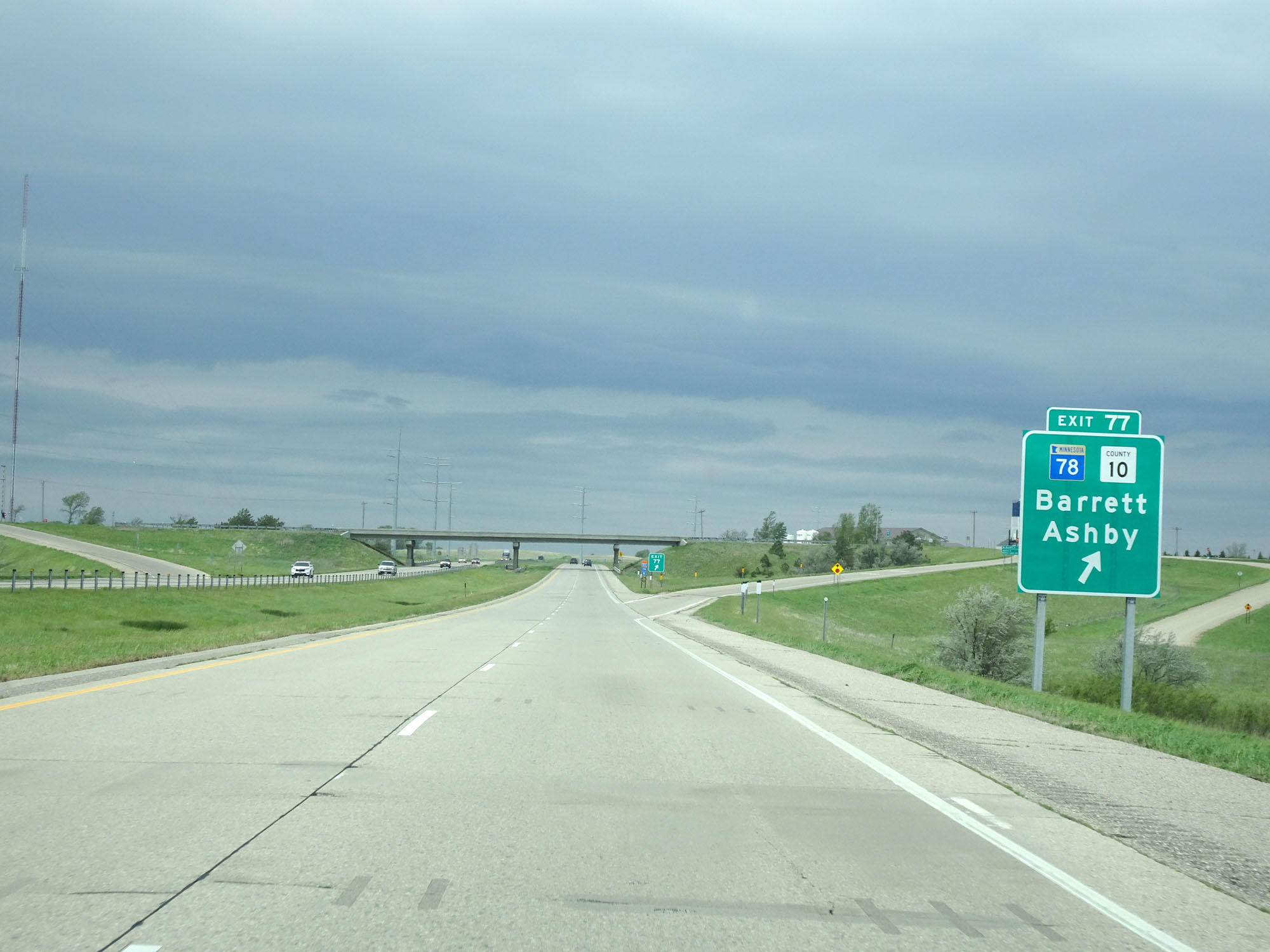 |
Interstate 94 West at Exit 77: MN 78 / CR 10 - Barrett / Ashby (Photo taken 5/22/16). |
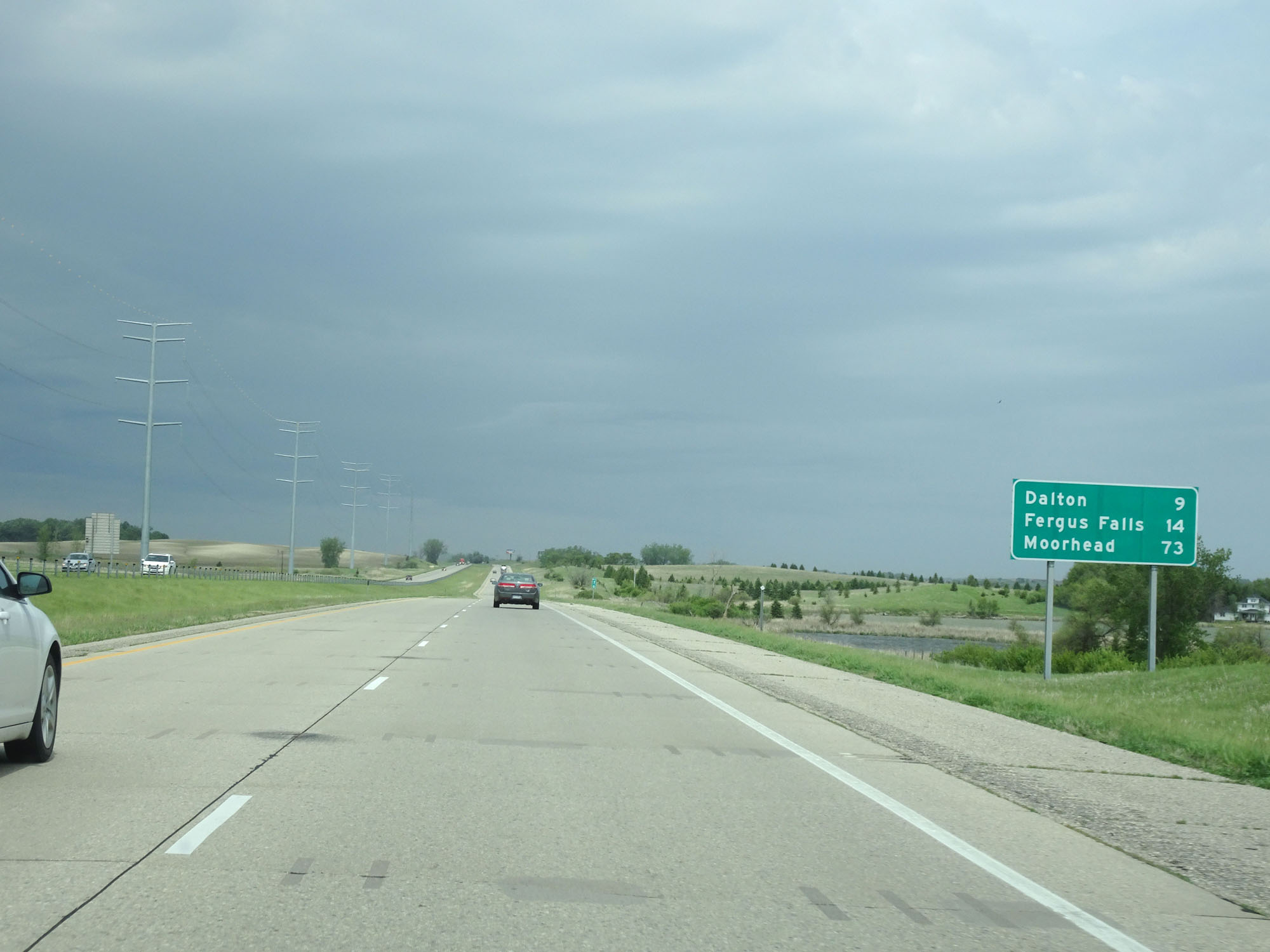 |
Mileage sign on Interstate 94 West. It's 9 miles to Dalton, 14 miles to Fergus Falls, and 73 miles to Moorhead. (Photo taken 5/22/16). |
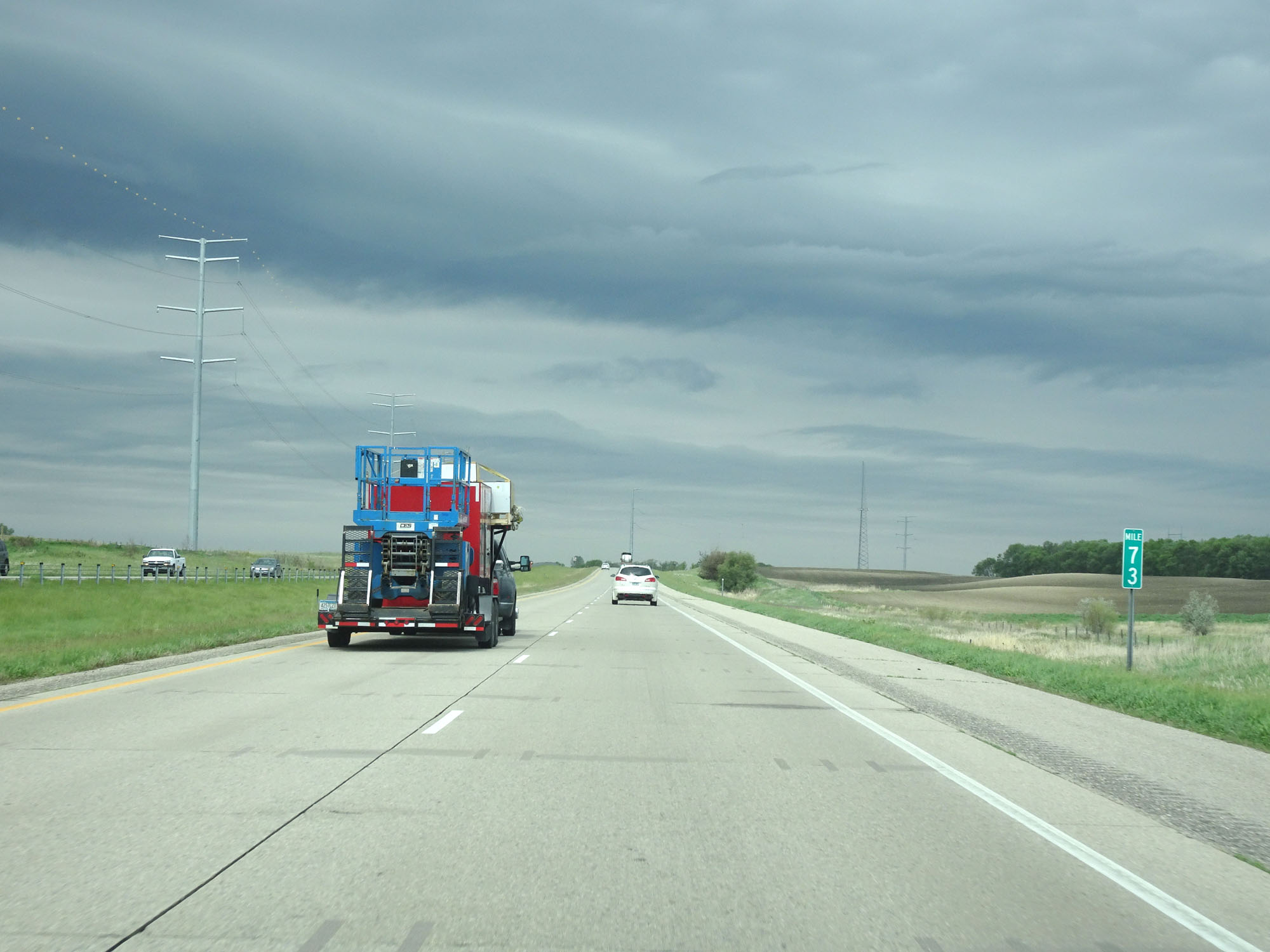 |
Interstate 94 West at mile marker 73. (Photo taken 5/22/16). |
 |
Interstate 94 West as it enters Otter Tail County at mile marker 71. (Photo taken 5/22/16). |
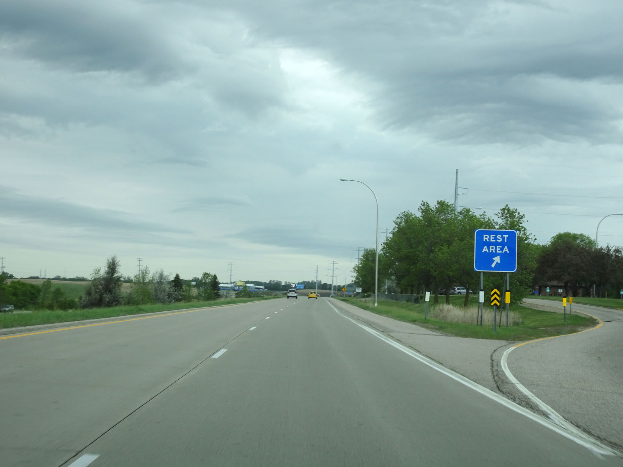 |
Interstate 94 West at the Rest Area in Otter Tail County. (Photo taken 5/22/16). |
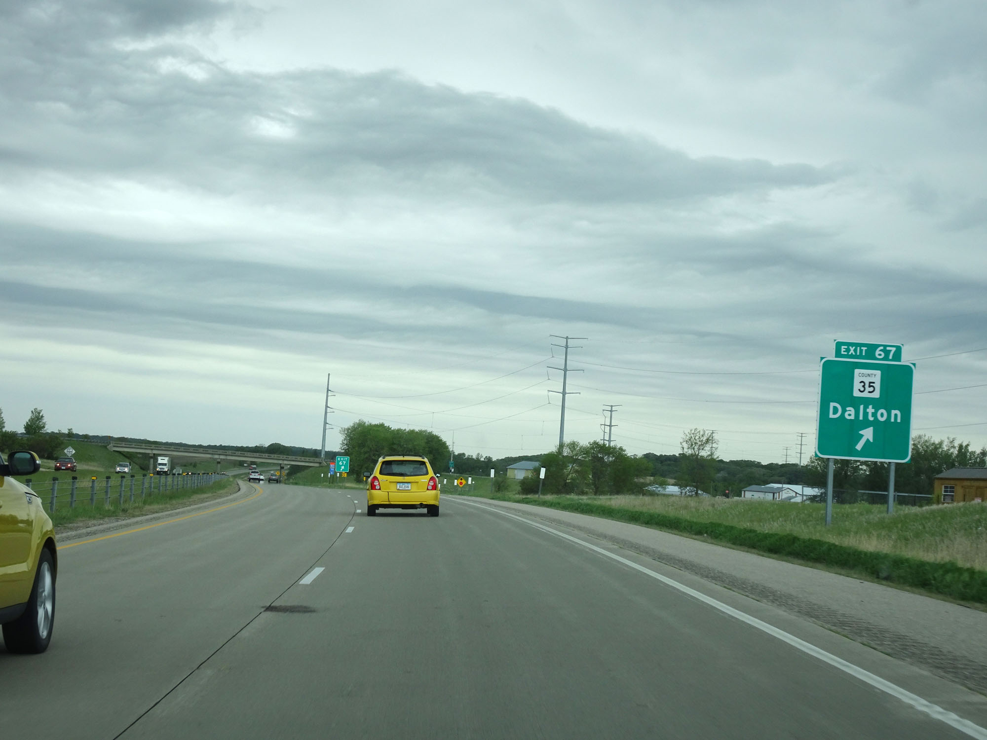 |
Interstate 94 West at Exit 67: CR 35 - Dalton (Photo taken 5/22/16). |
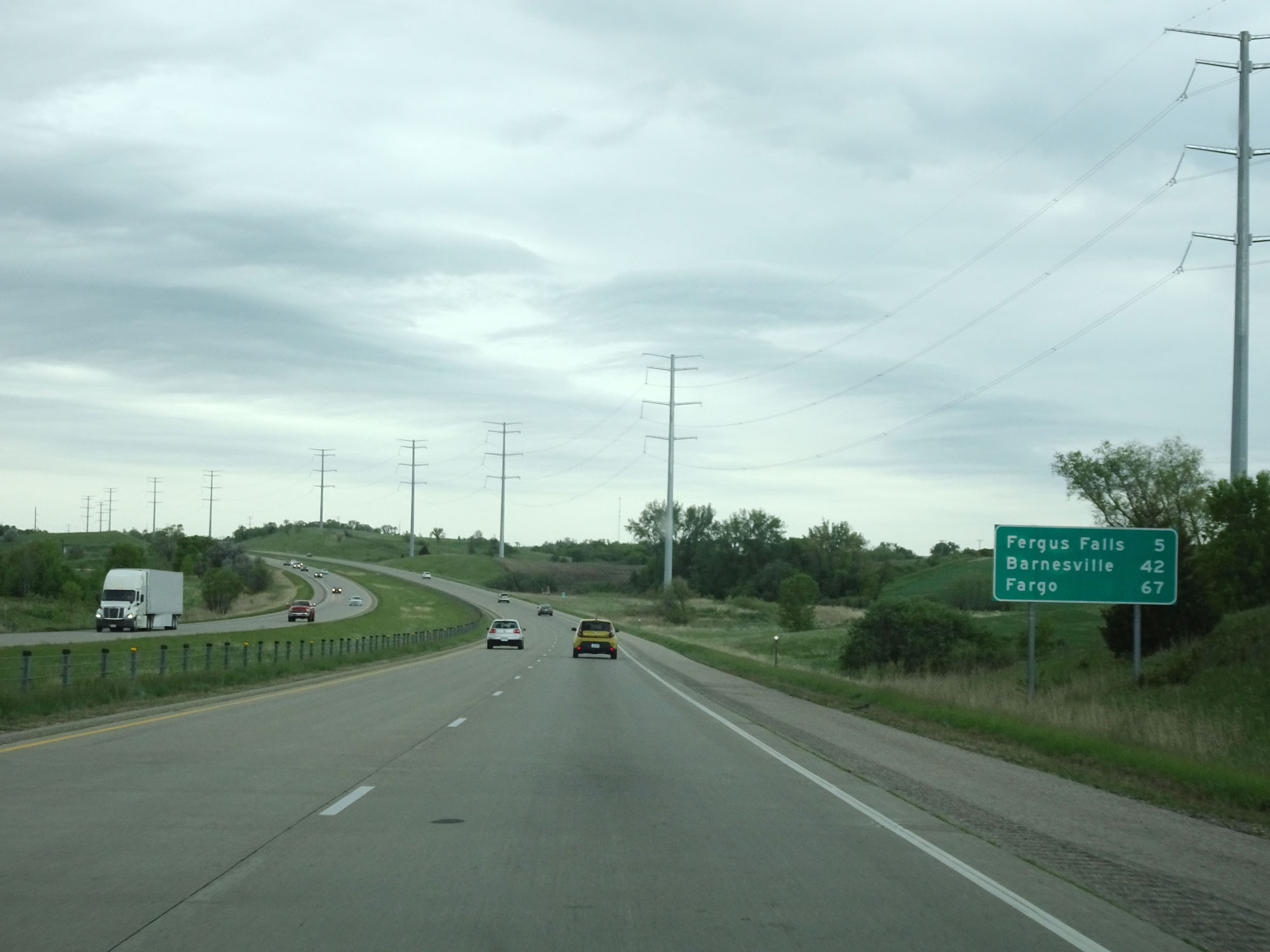 |
Mileage sign on Interstate 94 West. It's 5 miles to Fergus Falls, 42 miles to Barnesville, and 67 miles to Fargo. (Photo taken 5/22/16). |
 |
Interstate 94 West at mile marker 65. (Photo taken 5/22/16). |
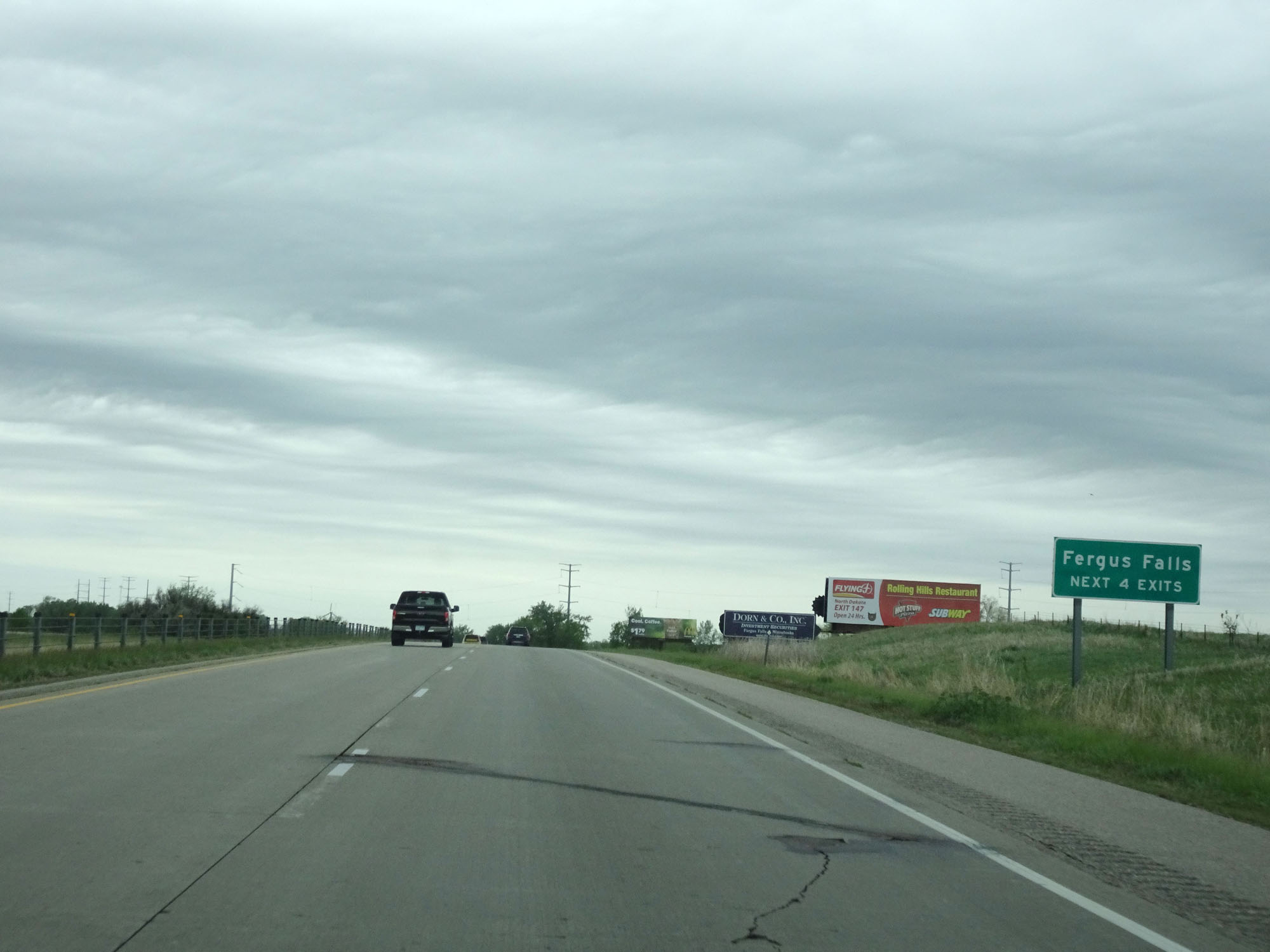 |
Take any of the next 4 exits to Fergus Falls. (Photo taken 5/22/16). |
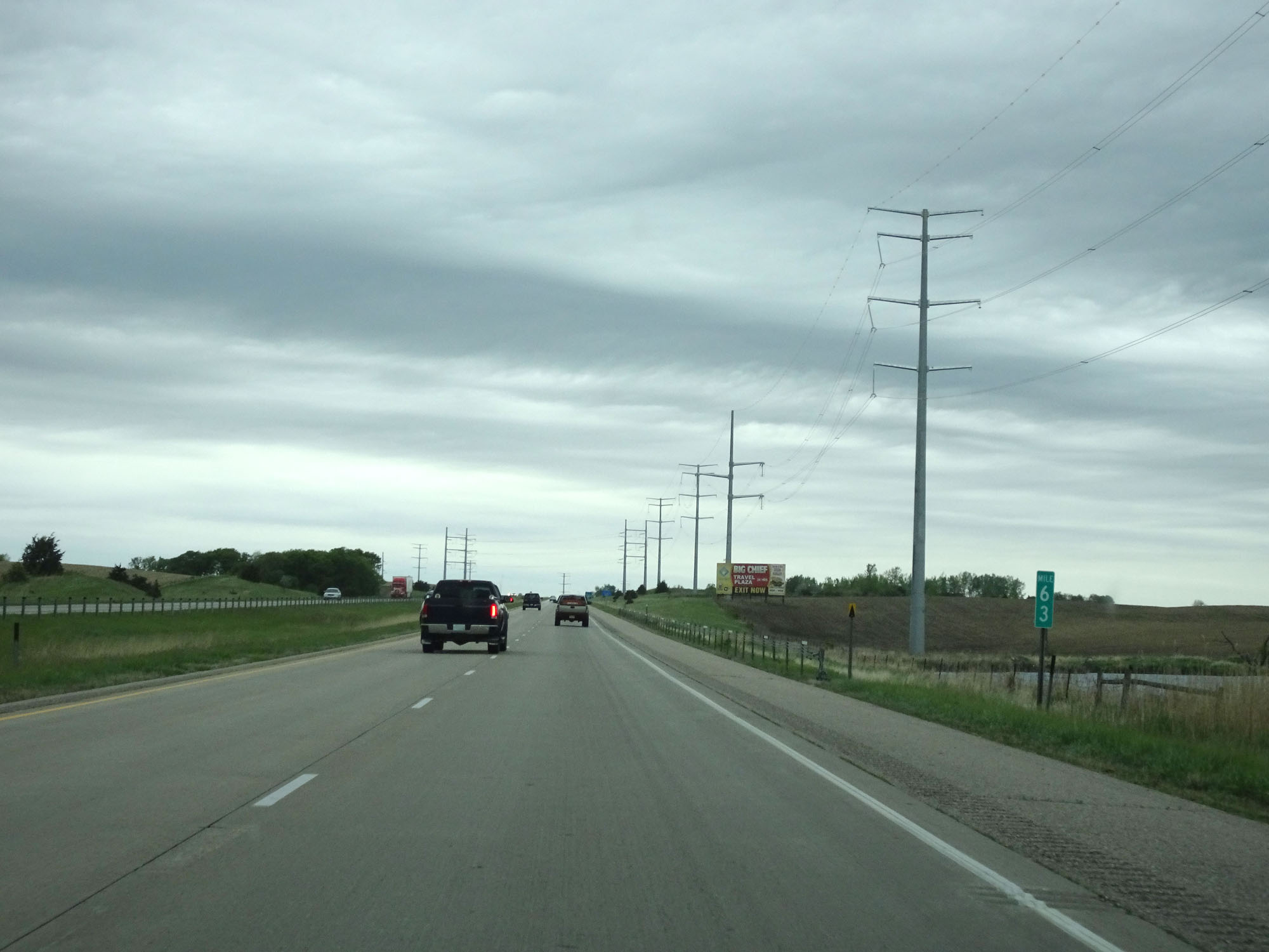 |
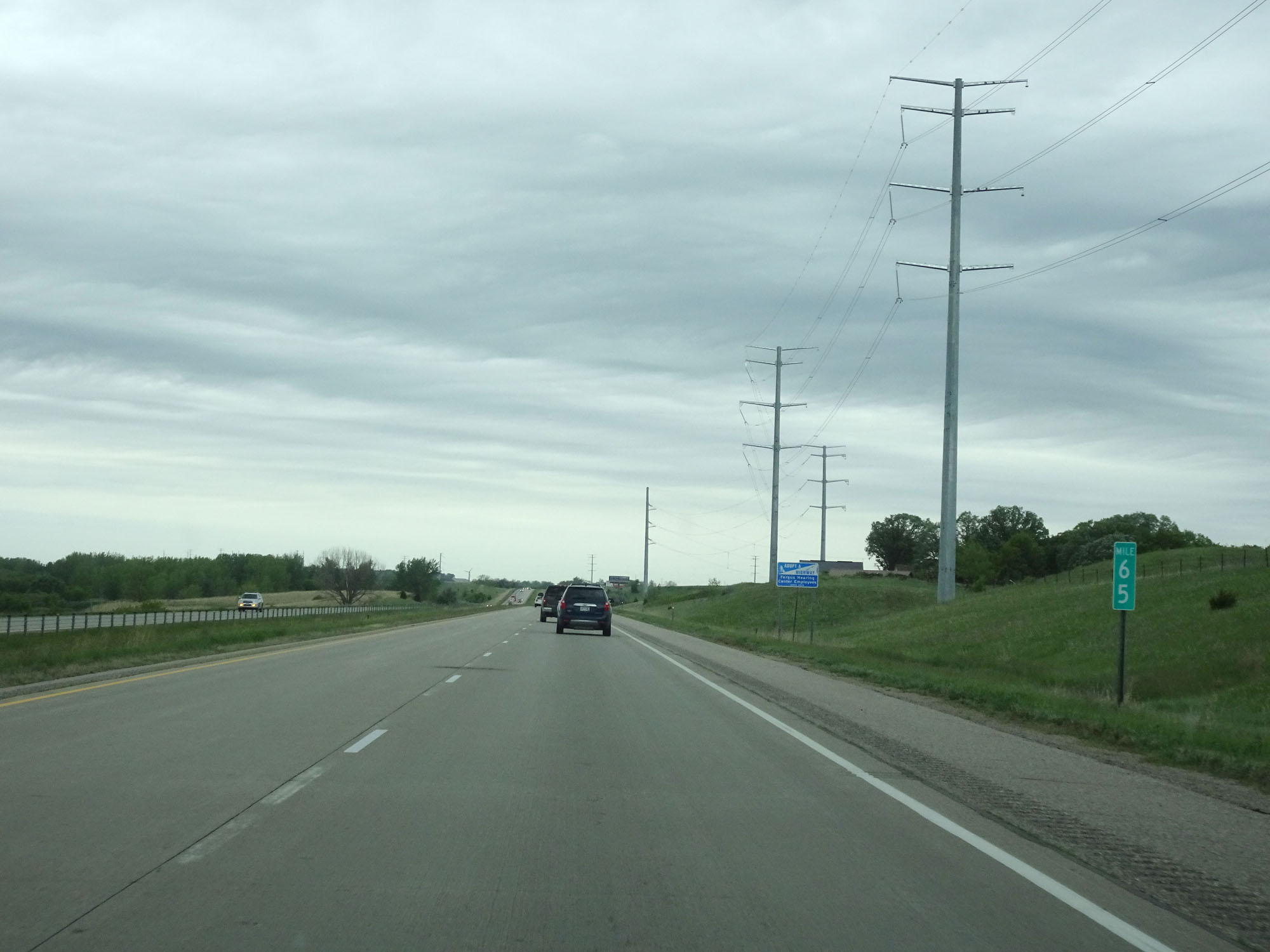
Interstate 94 West at mile marker 63. (Photo taken 5/22/16). |
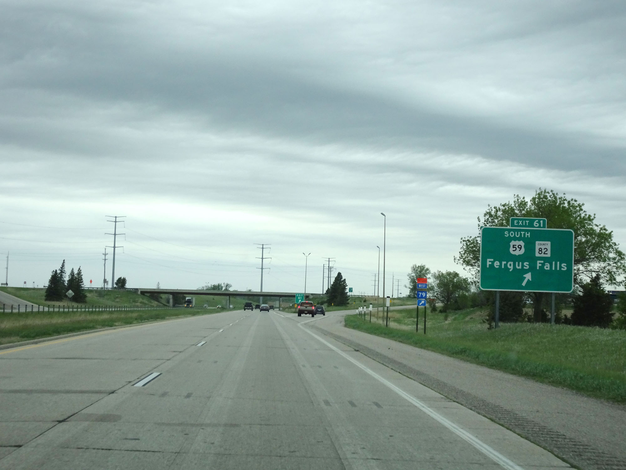 |
Interstate 94 West at Exit 61: US 59 South / CR 82 - Fergus Falls (Photo taken 5/22/16). |
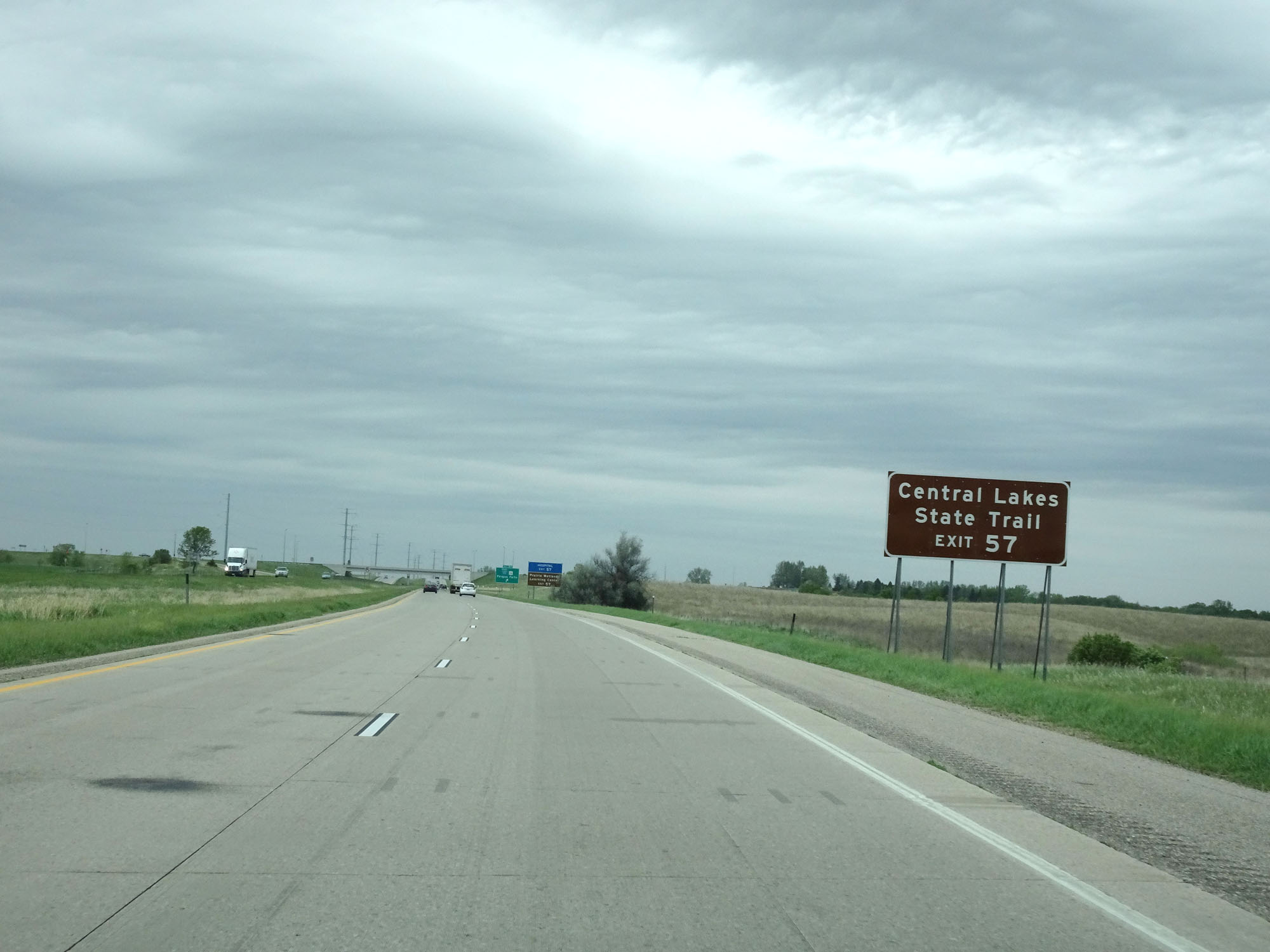 |
Take Exit 57 to Central Lakes State Trail. (Photo taken 5/22/16). |
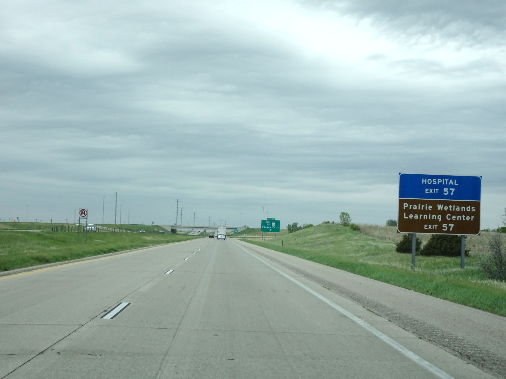 |
Also take Exit 57 to Prairie Wetlands Learning Center. (Photo taken 5/22/16). |
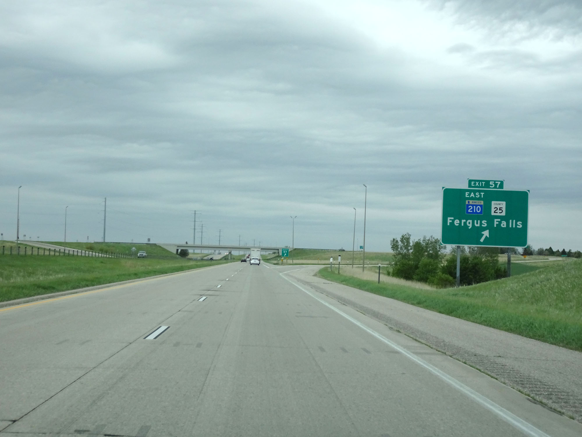 |
Interstate 94 West at Exit 57: MN 210 East / CR 25 - Fergus Falls (Photo taken 5/22/16). |
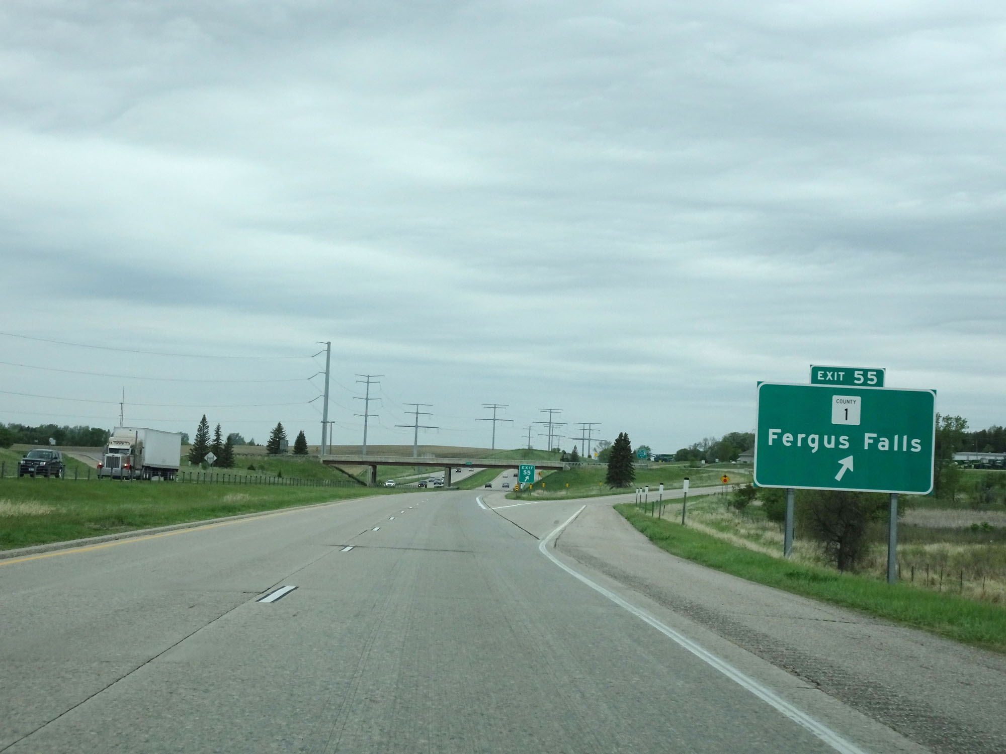 |
Interstate 94 West at Exit 55: CR 1 - Fergus Falls (Photo taken 5/22/16). |
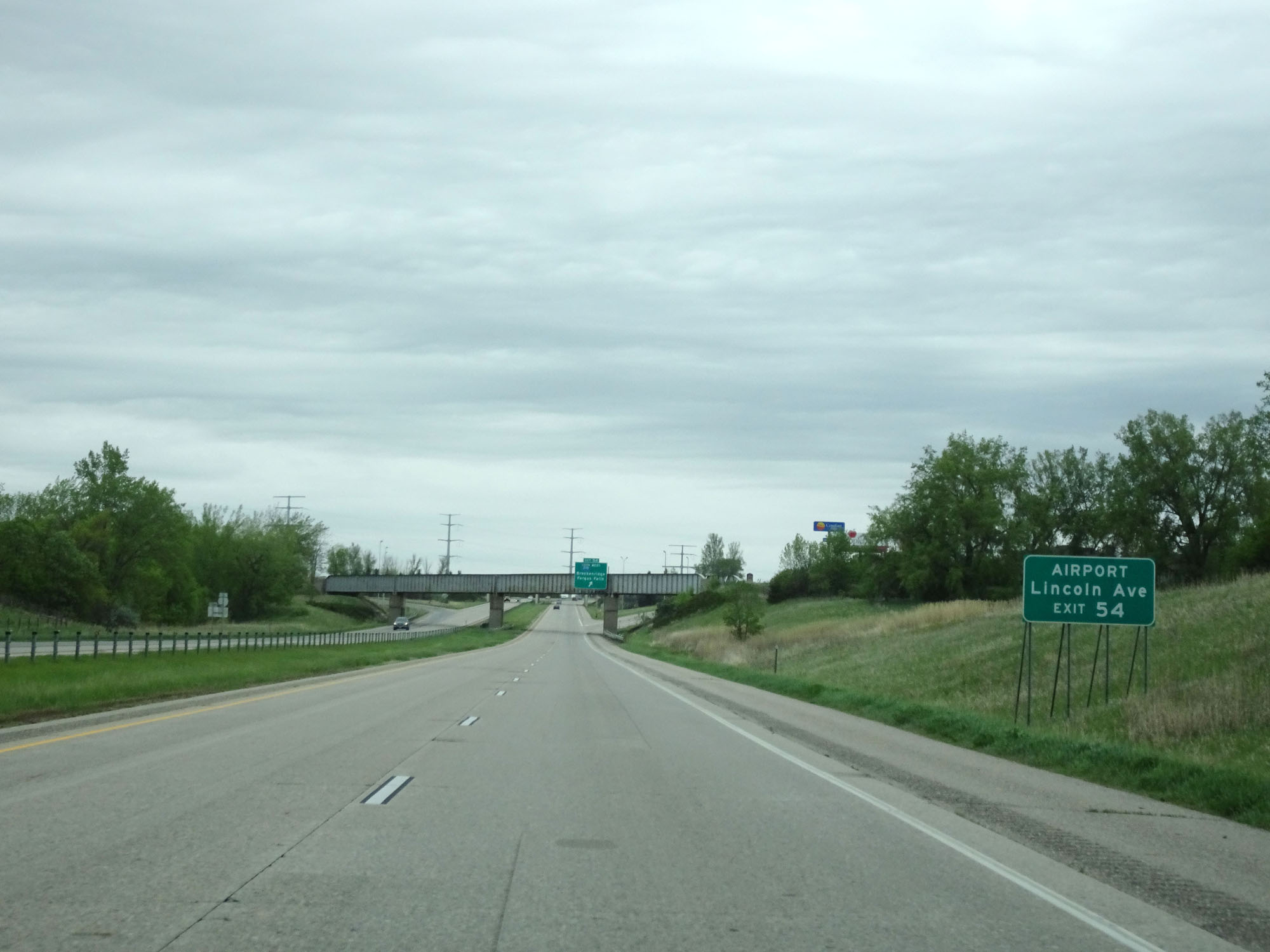 |
Take Exit 54 to the Airport and Lincoln Ave. (Photo taken 5/22/16). |
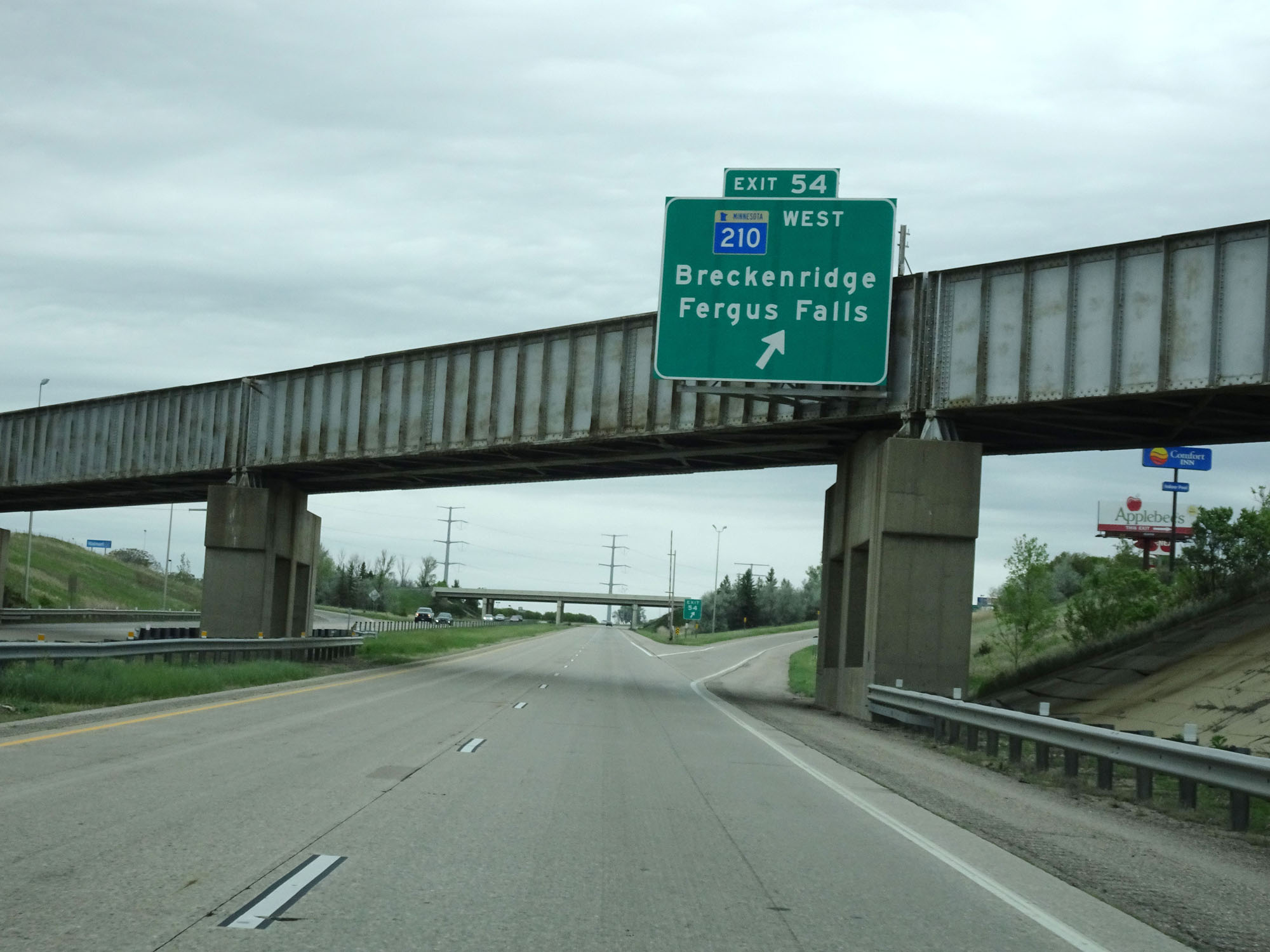 |
Interstate 94 West at Exit 54: MN 210 West - Breckenridge / Fergus Falls (Photo taken 5/22/16). |
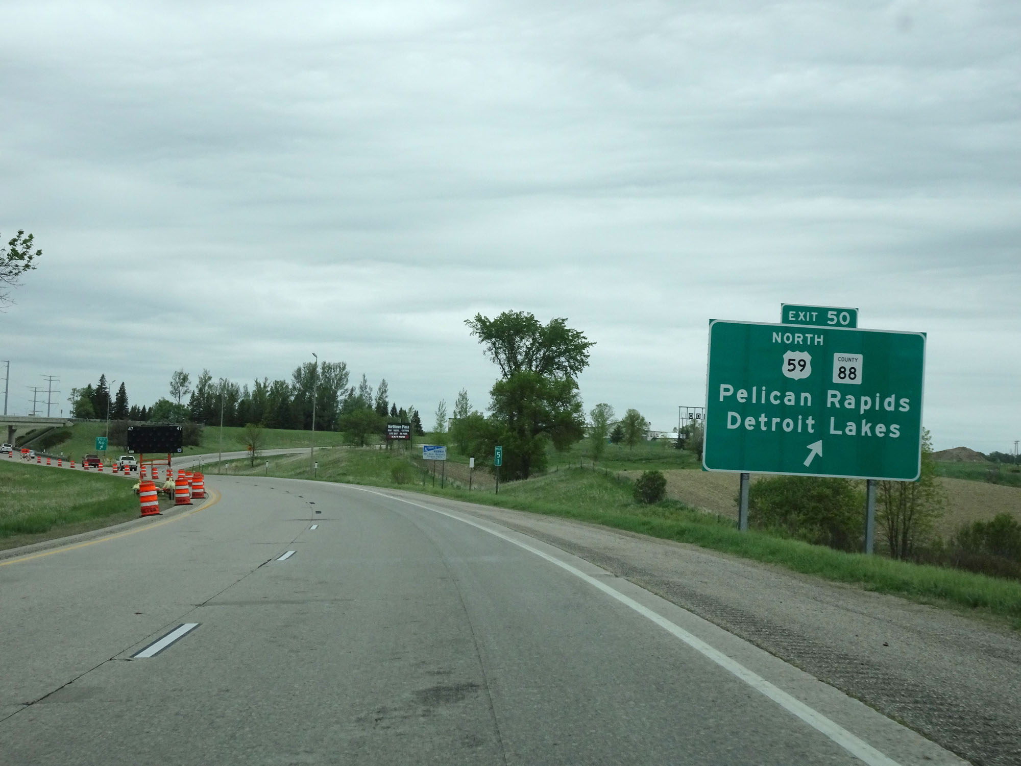 |
Interstate 94 West at Exit 50: US 59 North / CR 88 - Pelican Rapids / Detroit Lakes (Photo taken 5/22/16). |
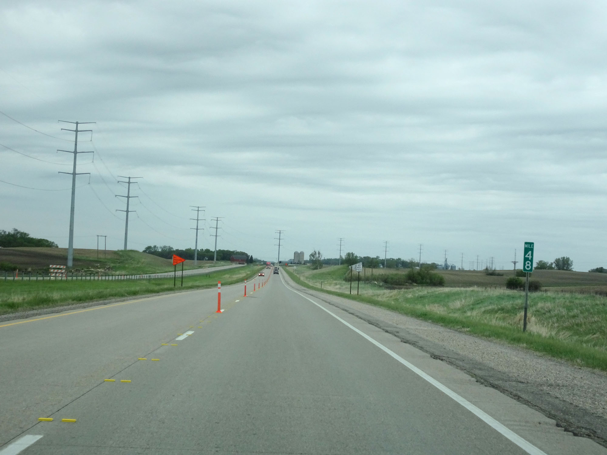 |
Interstate 94 West at mile marker 48. (Photo taken 5/22/16). |
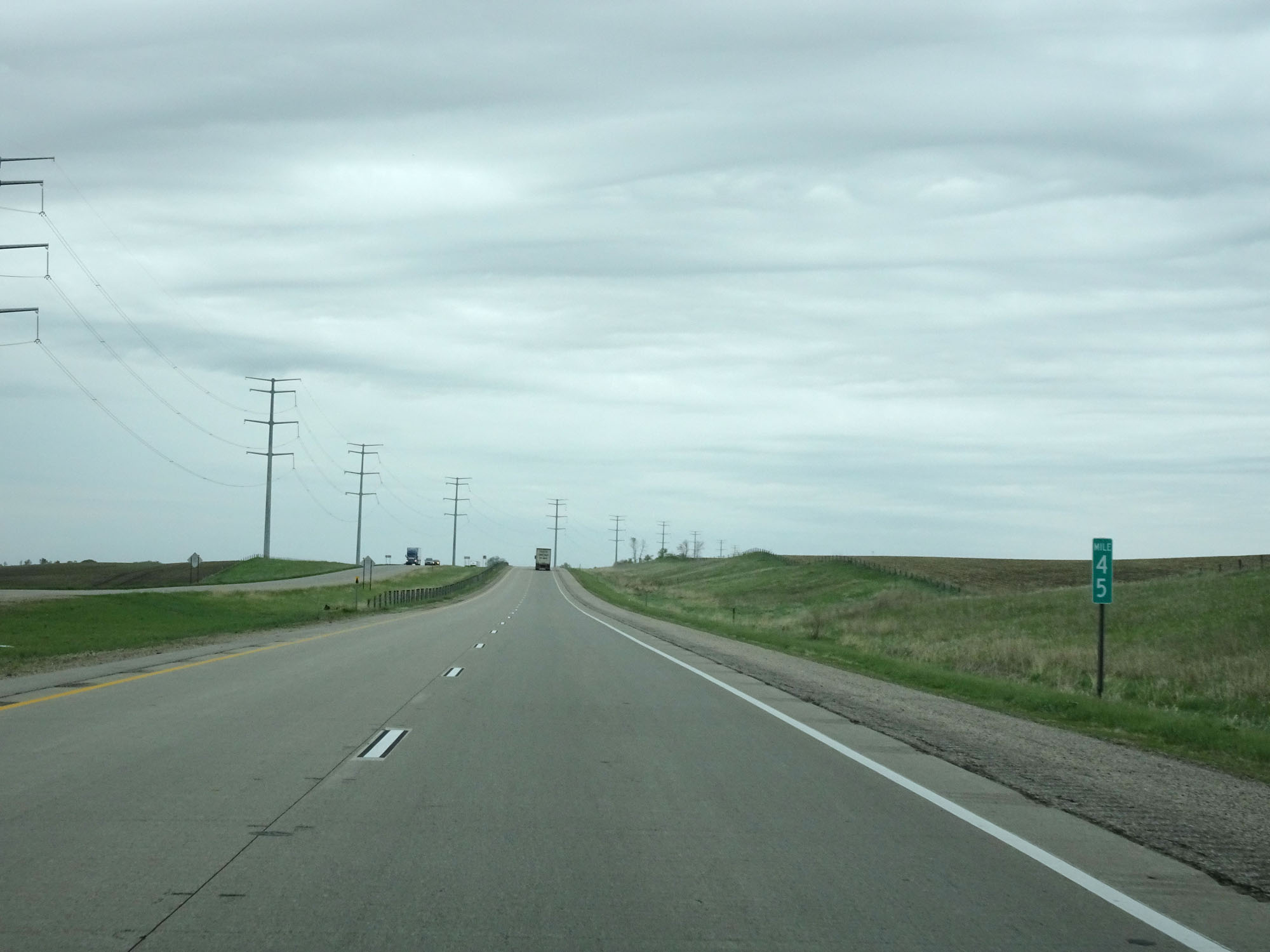 |
Interstate 94 West at mile marker 45. (Photo taken 5/22/16). |
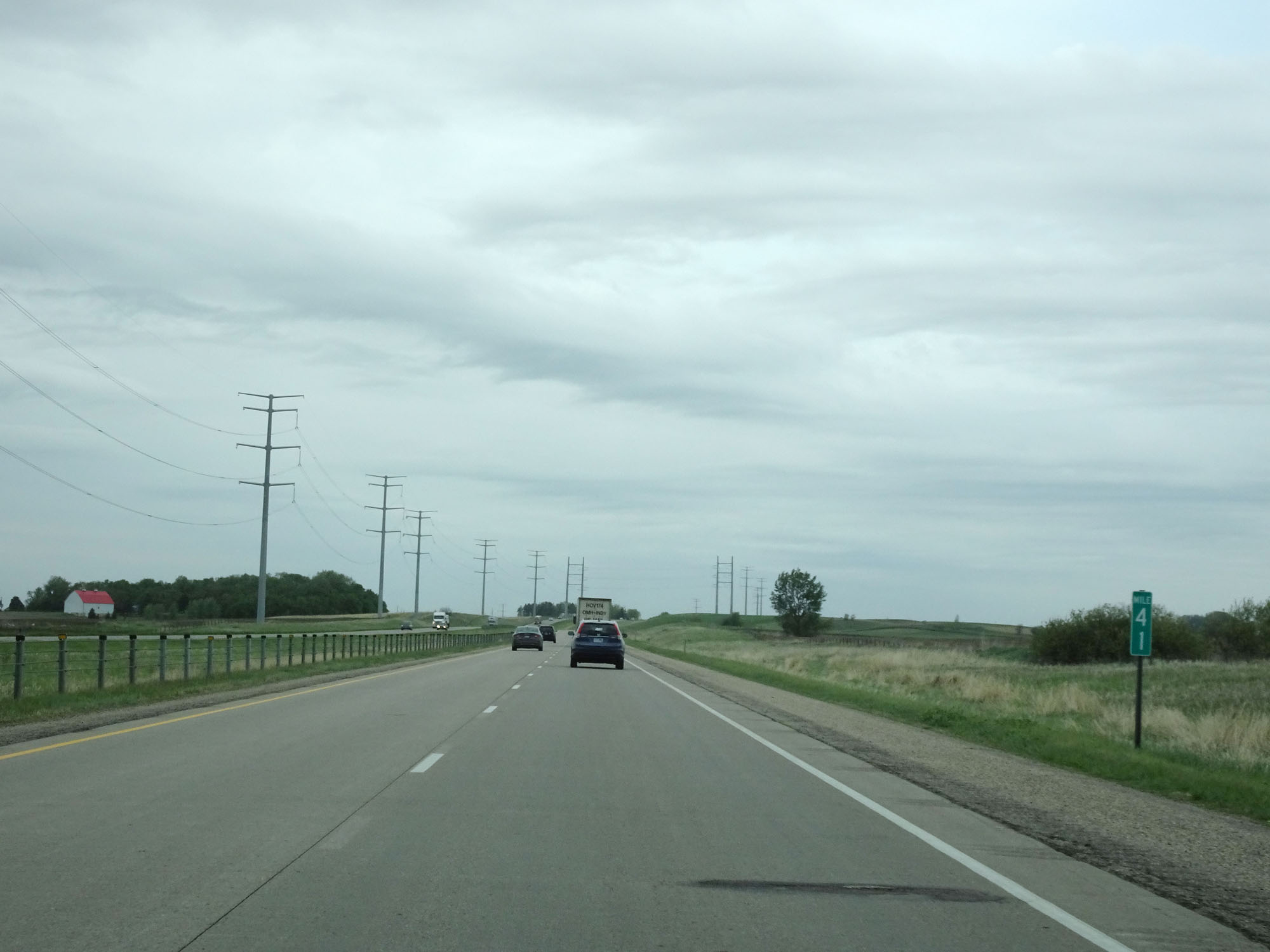 |
Interstate 94 West at mile marker 41. (Photo taken 5/22/16). |
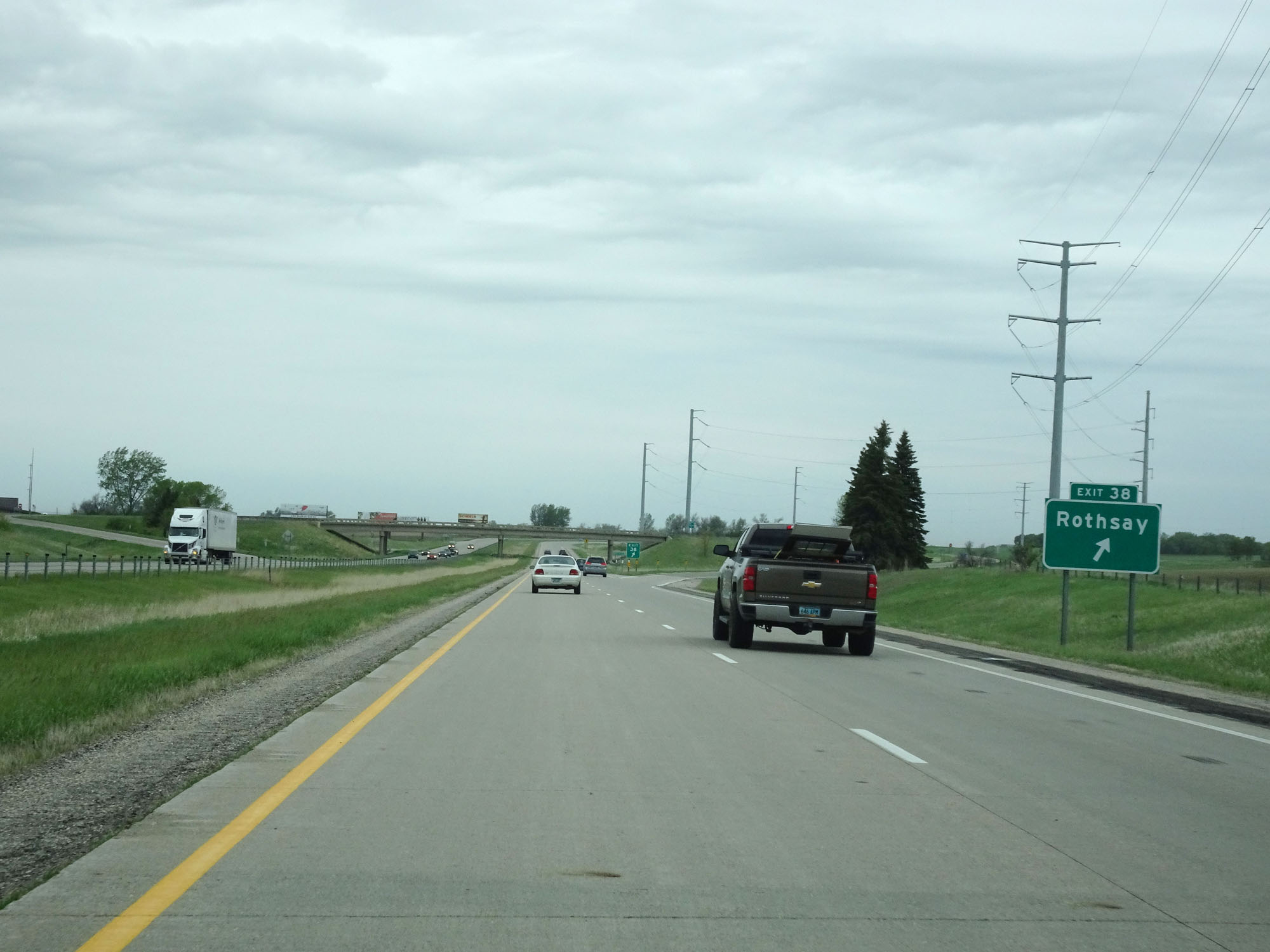 |
Interstate 94 West at Exit 38: Rothsay (Photo taken 5/22/16). |
 |
Interstate 94 West entering Wilkin County. (Photo taken 5/22/16). |
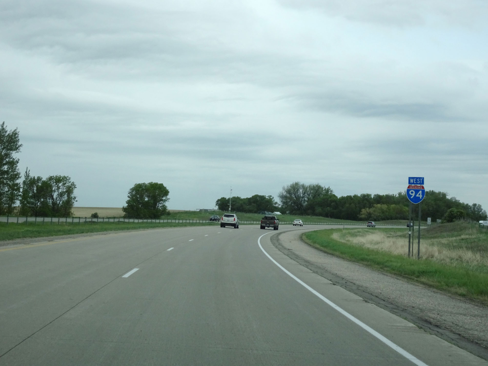 |
Interstate 94 West reassurance shield. (Photo taken 5/22/16). |
 |
The speed limits remain 70 mph maximum and 40 mph minimum. (Photo taken 5/22/16). |
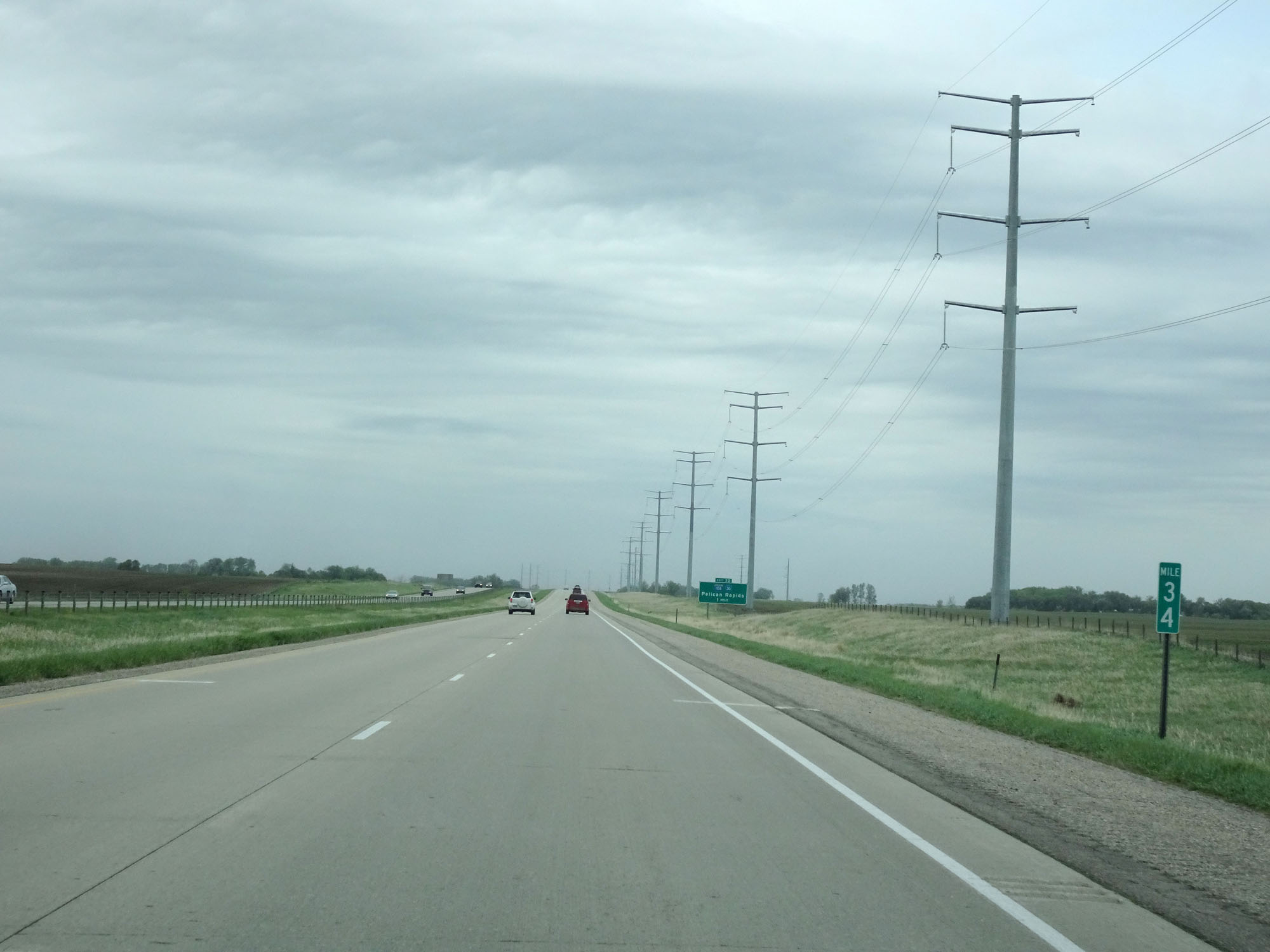 |
Interstate 94 West at mile marker 34. (Photo taken 5/22/16). |
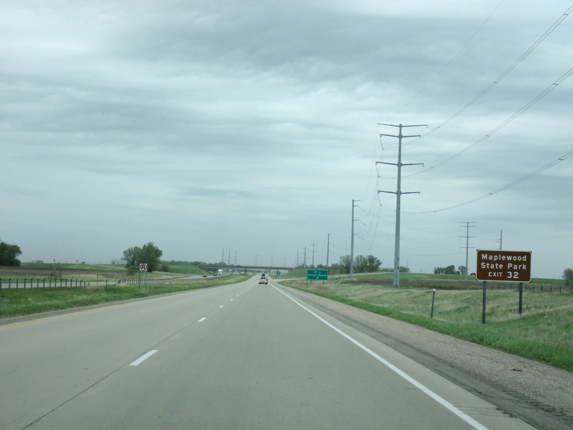 |
Take Exit 32 to Maplewood State Park. (Photo taken 5/22/16). |
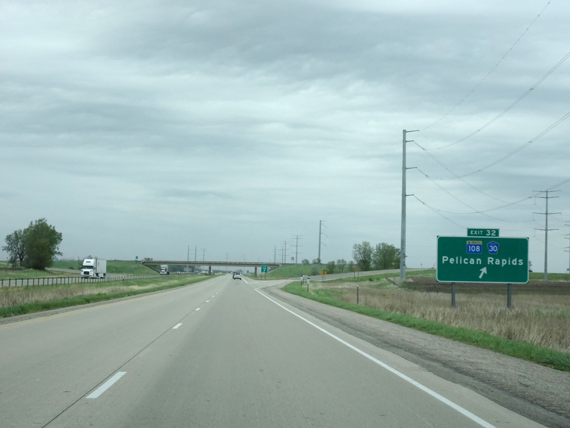 |
Interstate 94 West at Exit 32: MN 108 / CR 30 - Pelican Rapids (Photo taken 5/22/16). |
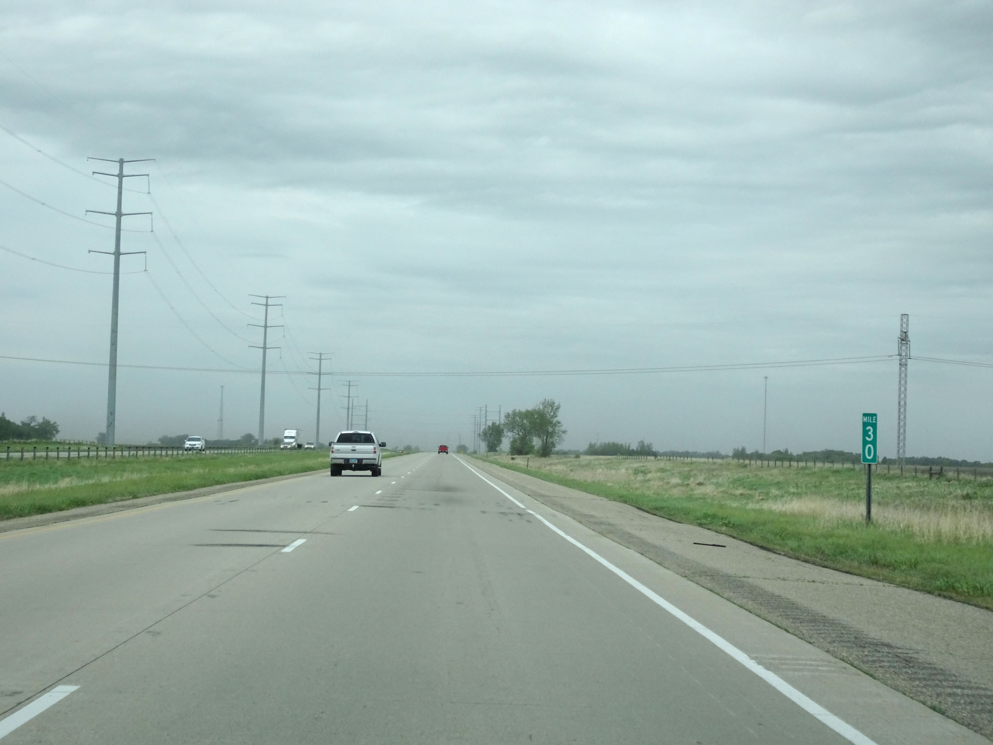 |
Interstate 94 West at mile marker 30. (Photo taken 5/22/16). |
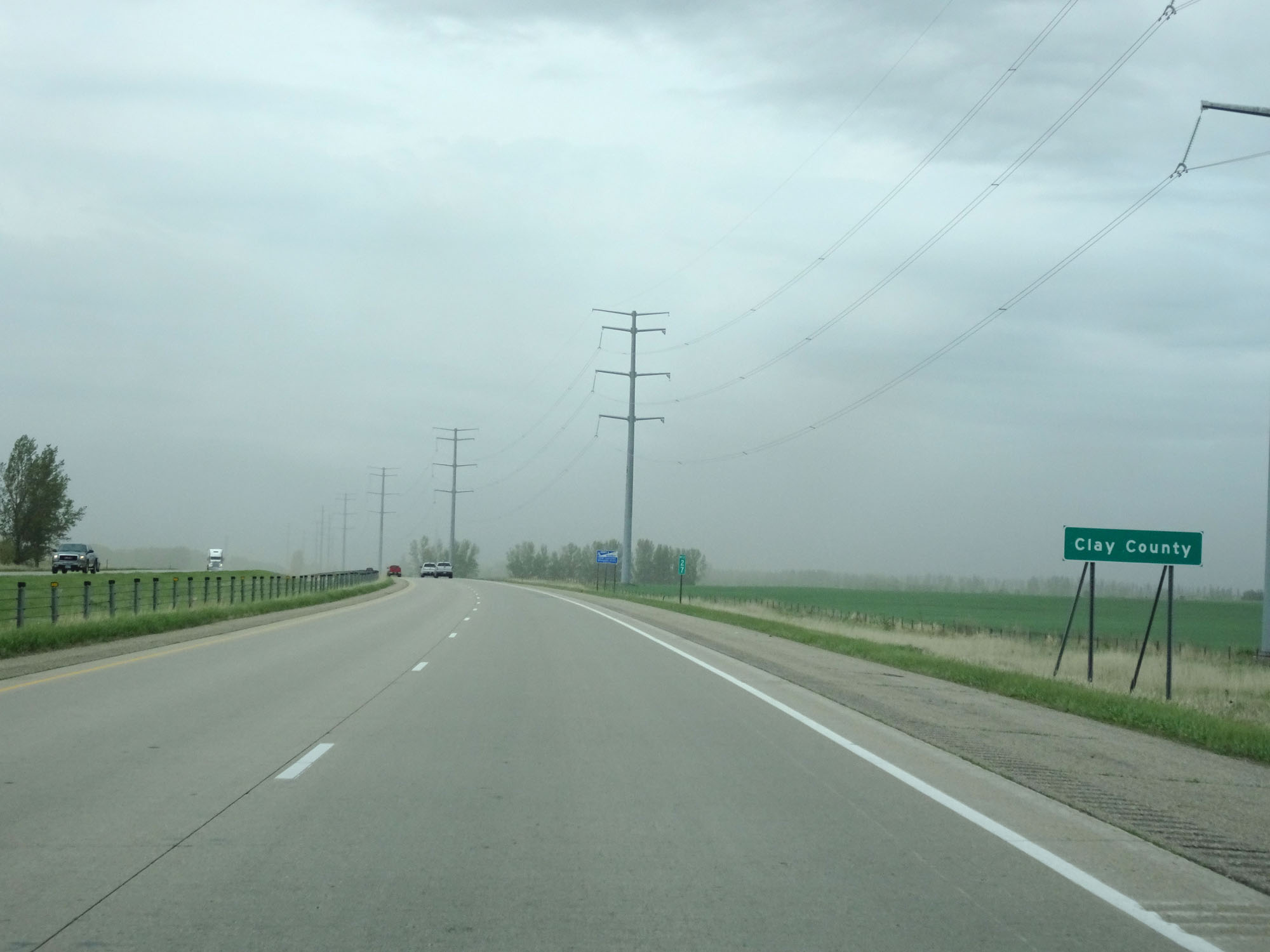 |
Interstate 94 West entering Clay County. (Photo taken 5/22/16). |
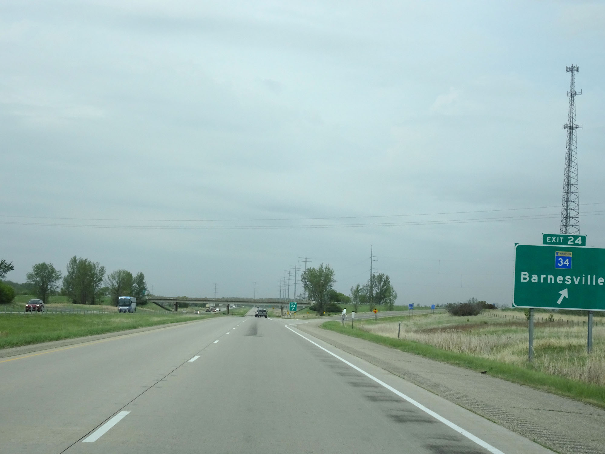 |
Interstate 94 West at Exit 24: MN 34 - Barnesville (Photo taken 5/22/16). |
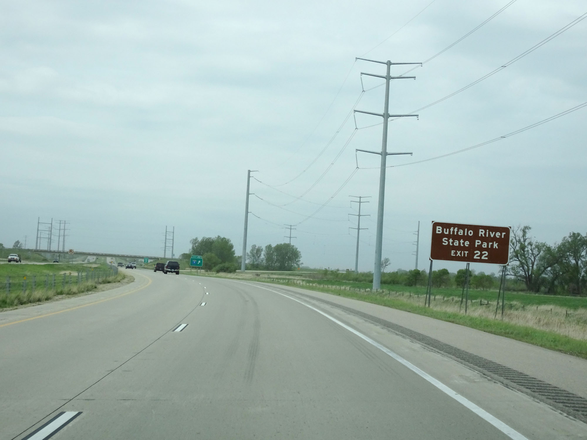 |
Take Exit 22 to Buffalo River State Park. (Photo taken 5/22/16). |
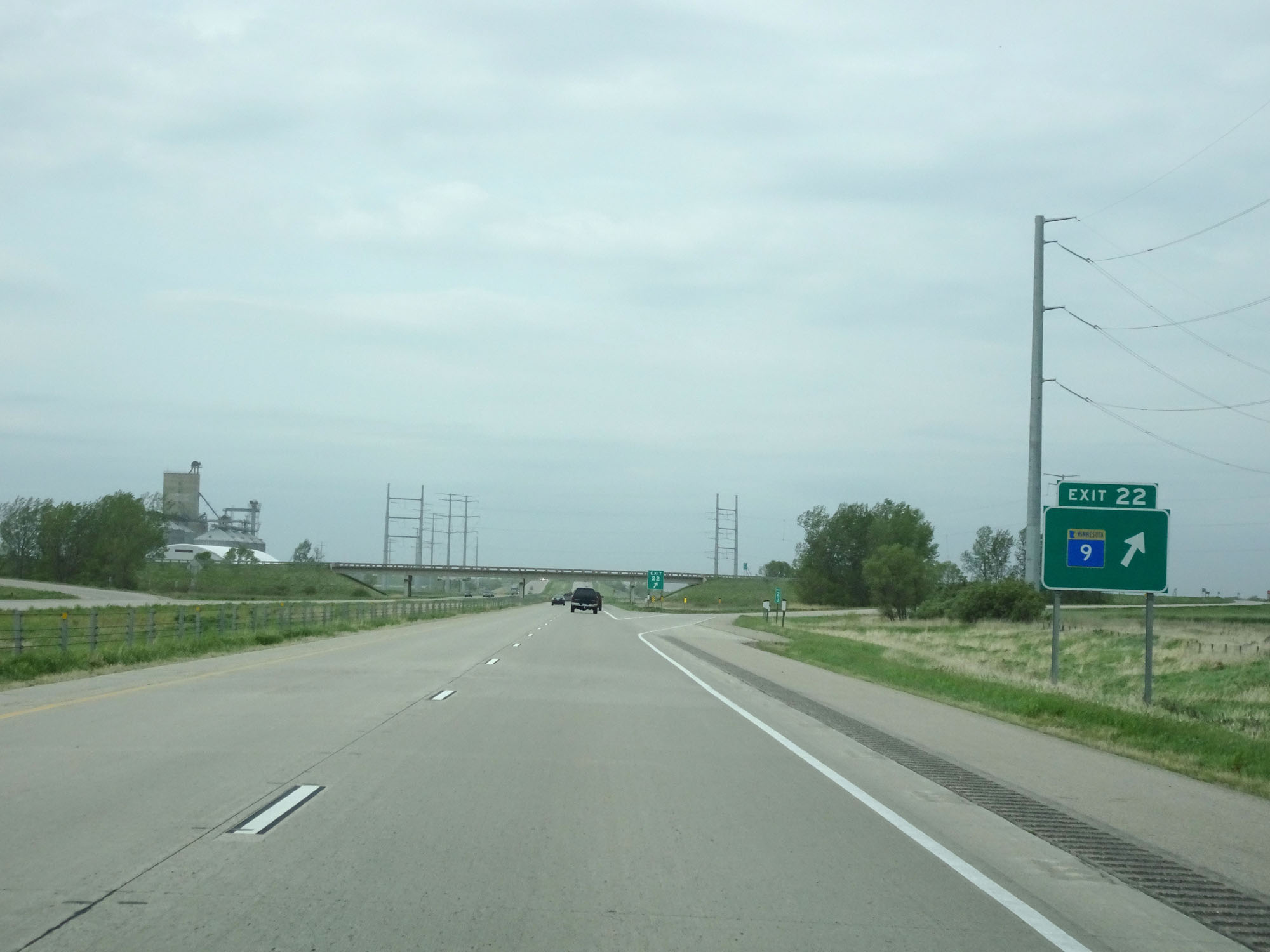 |
Interstate 94 West at Exit 22: MN 9 (Photo taken 5/22/16). |
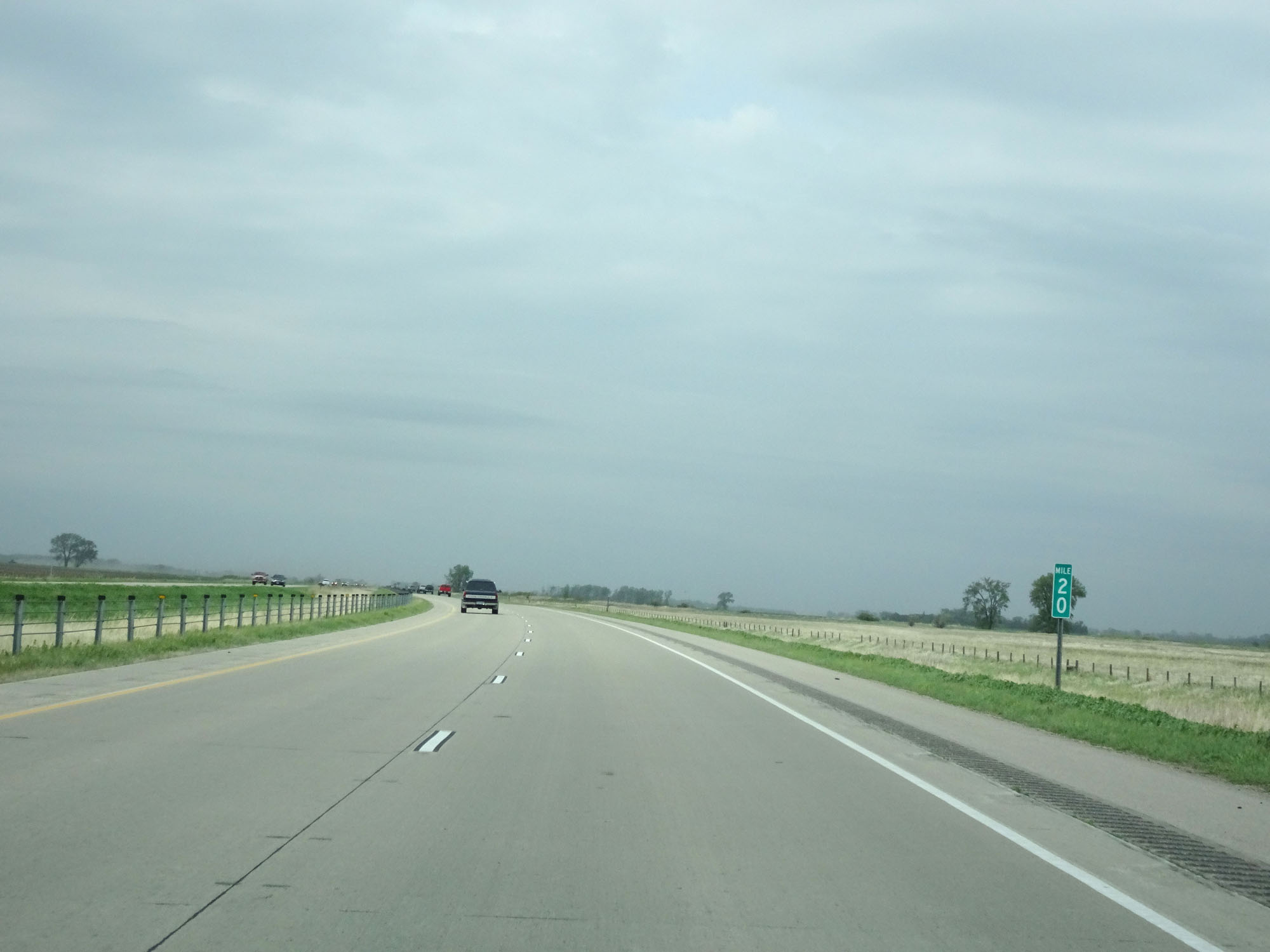 |
Interstate 94 West at mile marker 20. (Photo taken 5/22/16). |
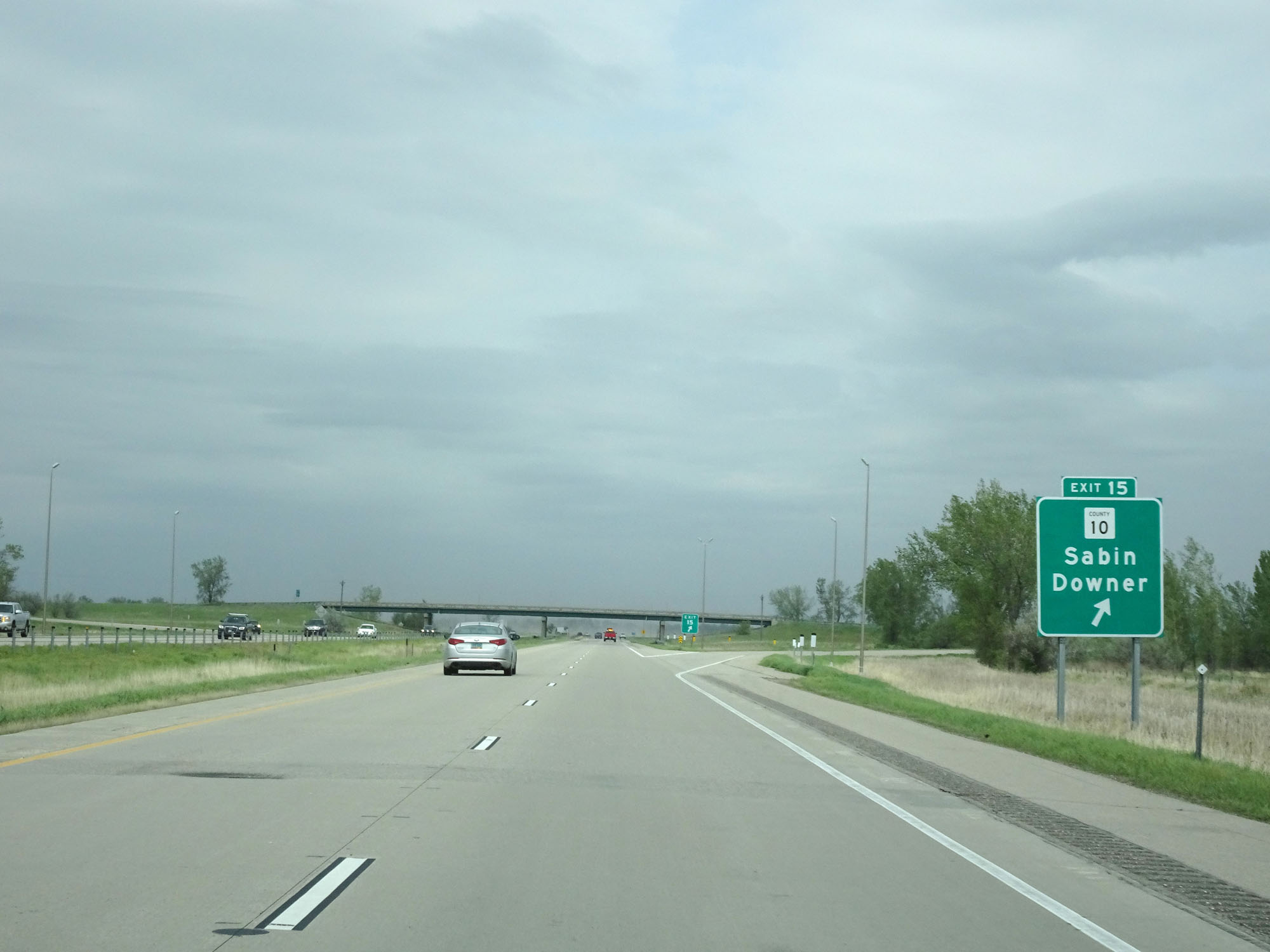 |
Interstate 94 West at Exit 15: CR 10 - Sabin / Downer (Photo taken 5/22/16). |
 |
Interstate 94 West reassurance shield. (Photo taken 5/22/16). |
 |
Speed Limit - 70 mph. Minimum speed limit - 40 mph. (Photo taken 5/22/16). |
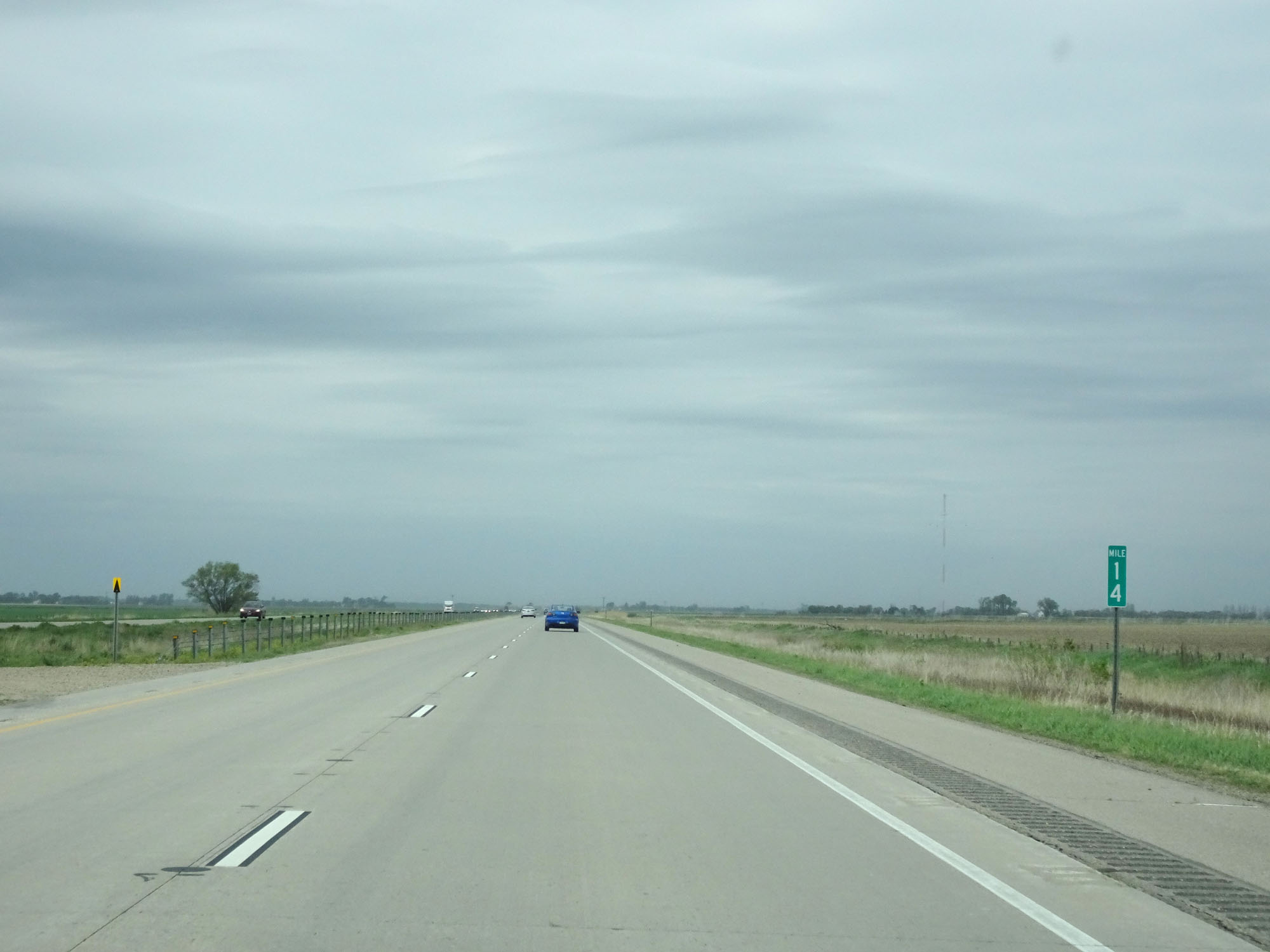 |
Interstate 94 West at mile marker 14. (Photo taken 5/22/16). |
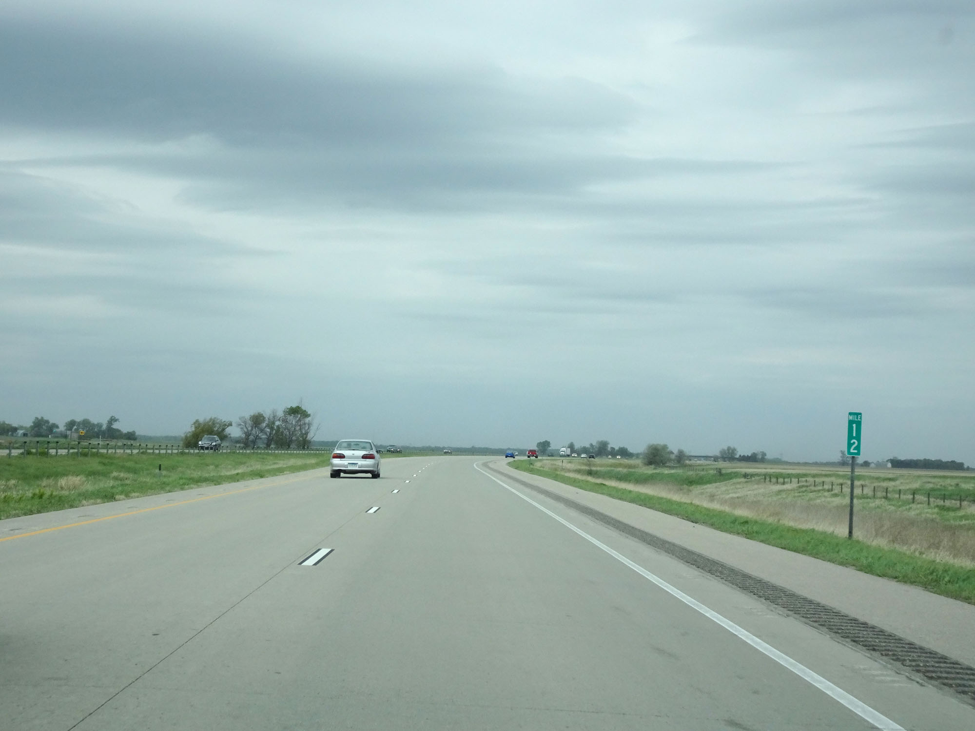 |
Interstate 94 West at mile marker 12. (Photo taken 5/22/16). |
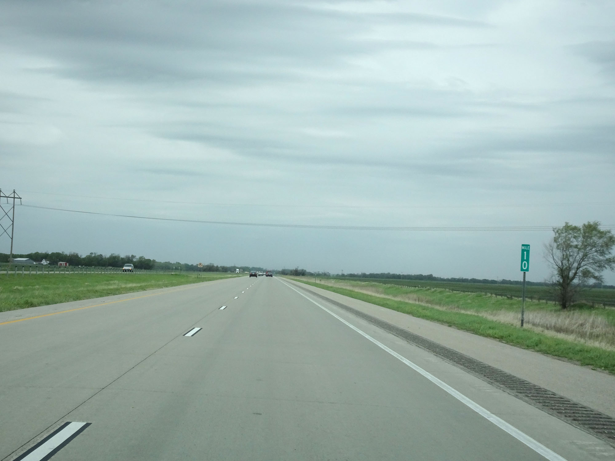 |
Interstate 94 West at mile marker 10. (Photo taken 5/22/16). |
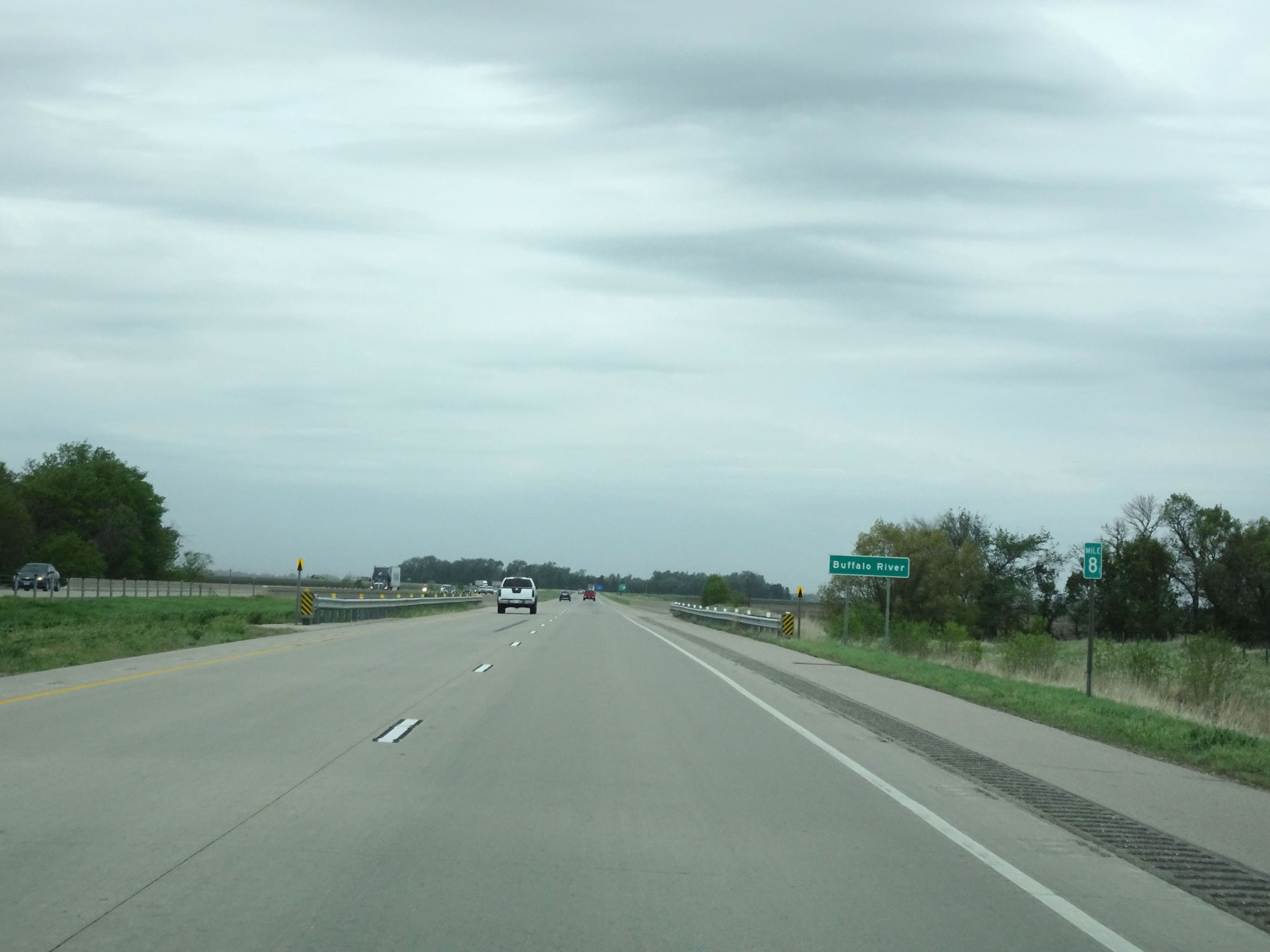 |
Interstate 94 West at mile marker 8. (Photo taken 5/22/16). |
 |
Take Exit 6 to Glyndon and Dilworth. (Photo taken 5/22/16). |
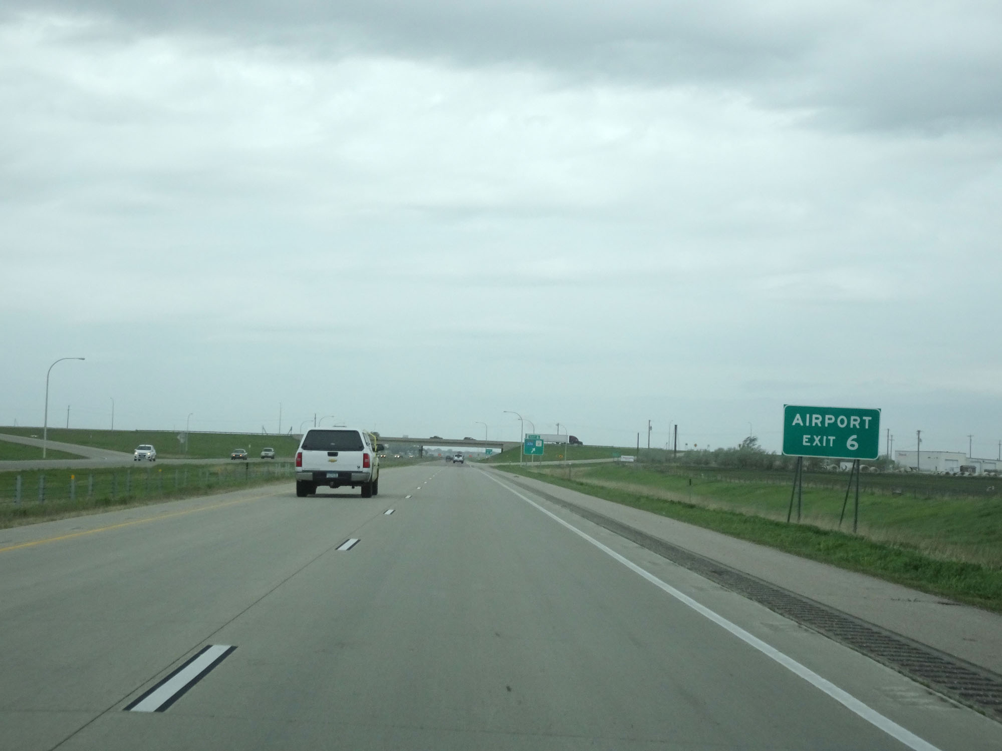 |
Also take Exit 6 to the Airport. (Photo taken 5/22/16). |
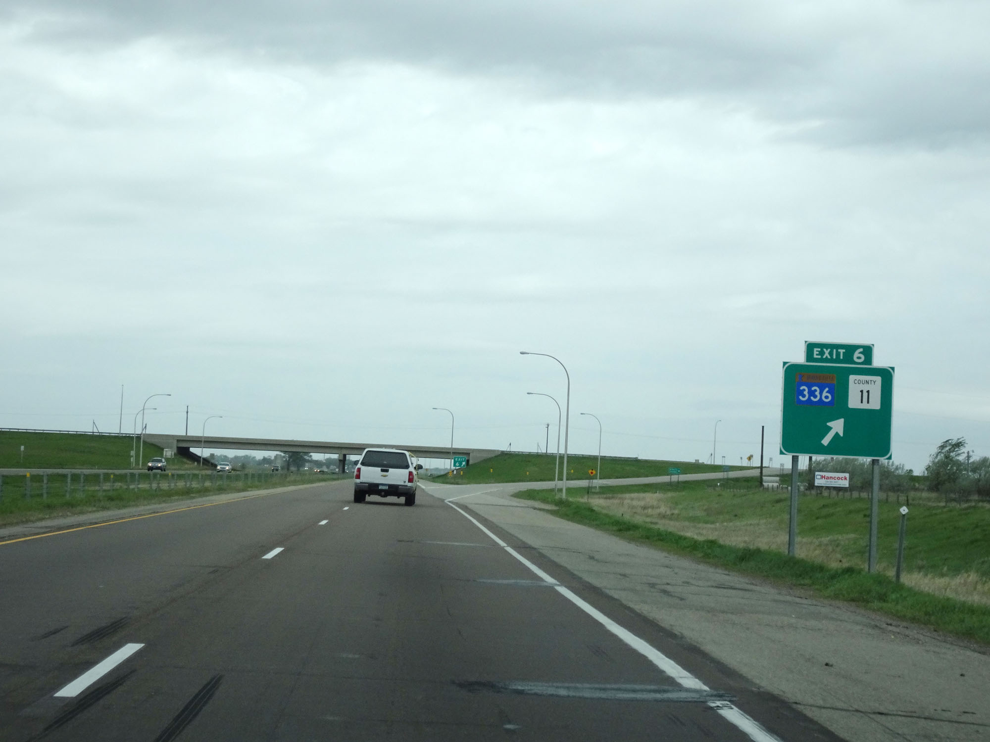 |
Interstate 94 West at Exit 6: MN 336 / CR 11 (Photo taken 5/22/16). |
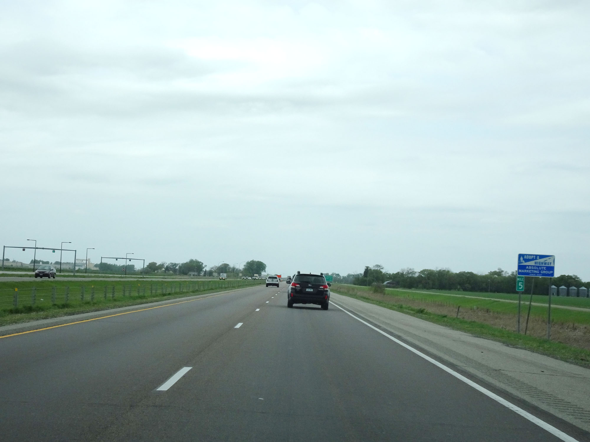 |
Interstate 94 West at mile marker 5. (Photo taken 5/22/16). |
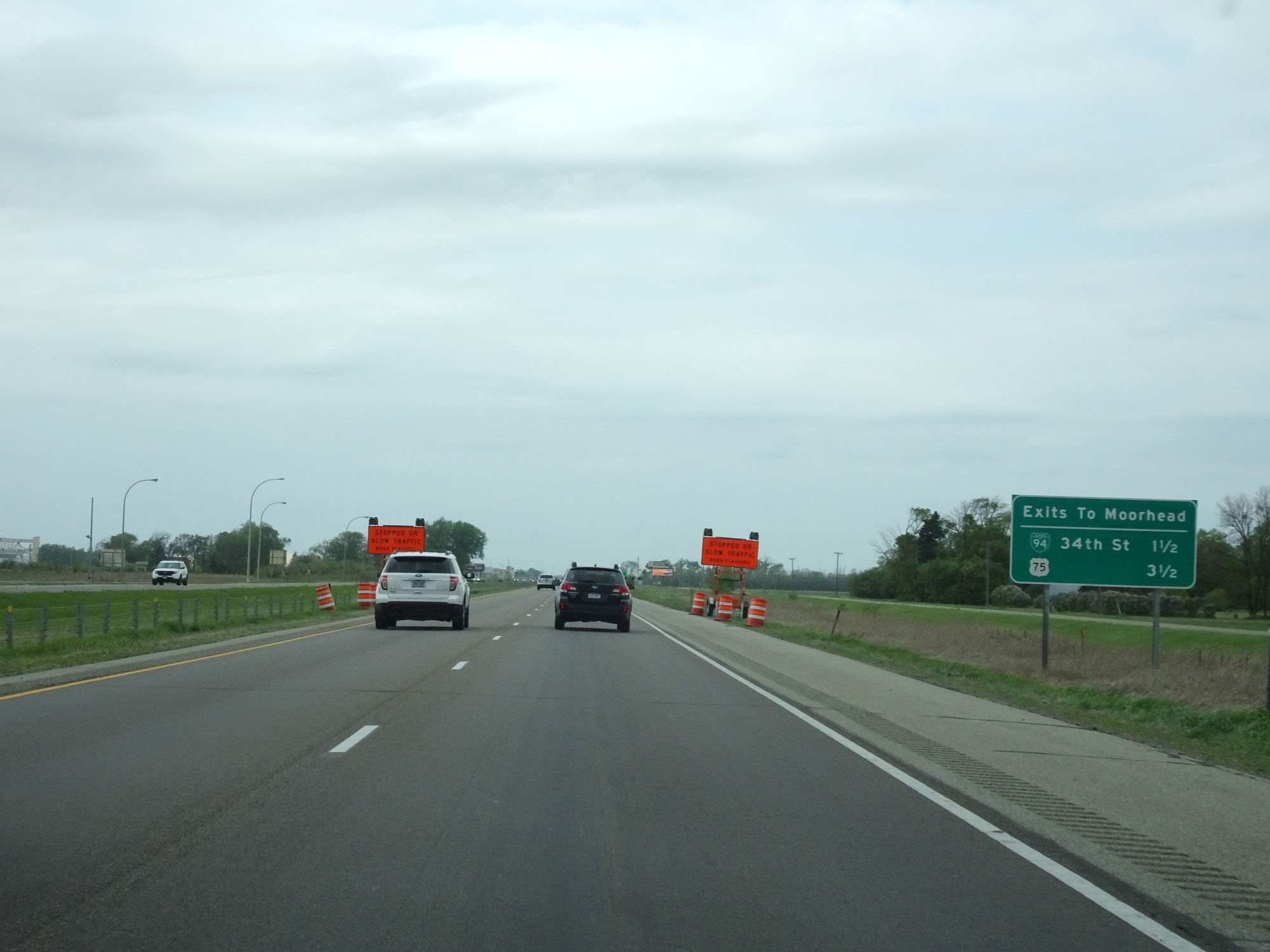 |
Sign listing the distances to the two upcoming exits to Moorhead. (Photo taken 5/22/16). |
 |
Interstate 94 West at mile marker 4. (Photo taken 5/22/16). |
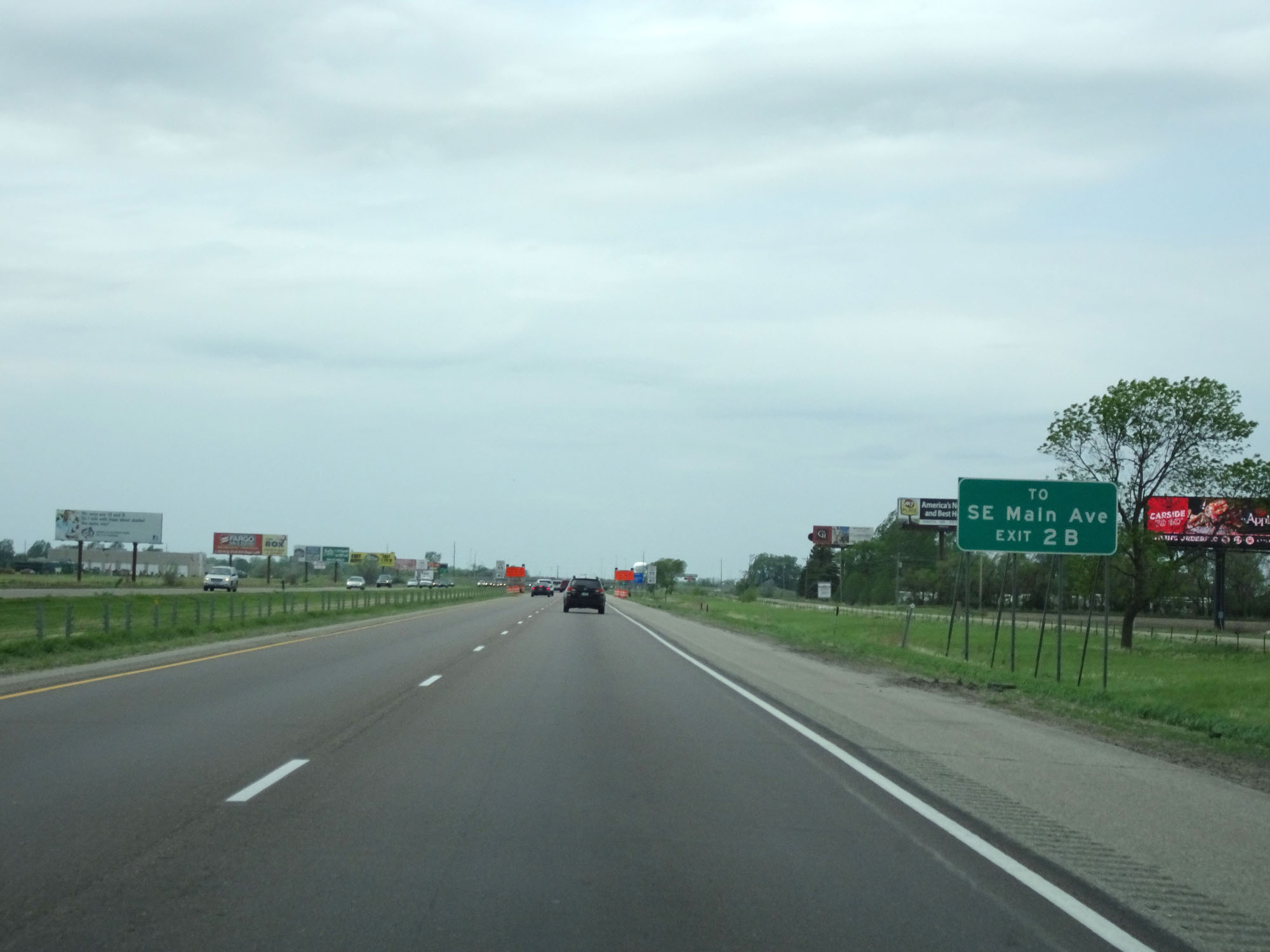 |
Take Exit 2B to SE Main Ave. (Photo taken 5/22/16). |
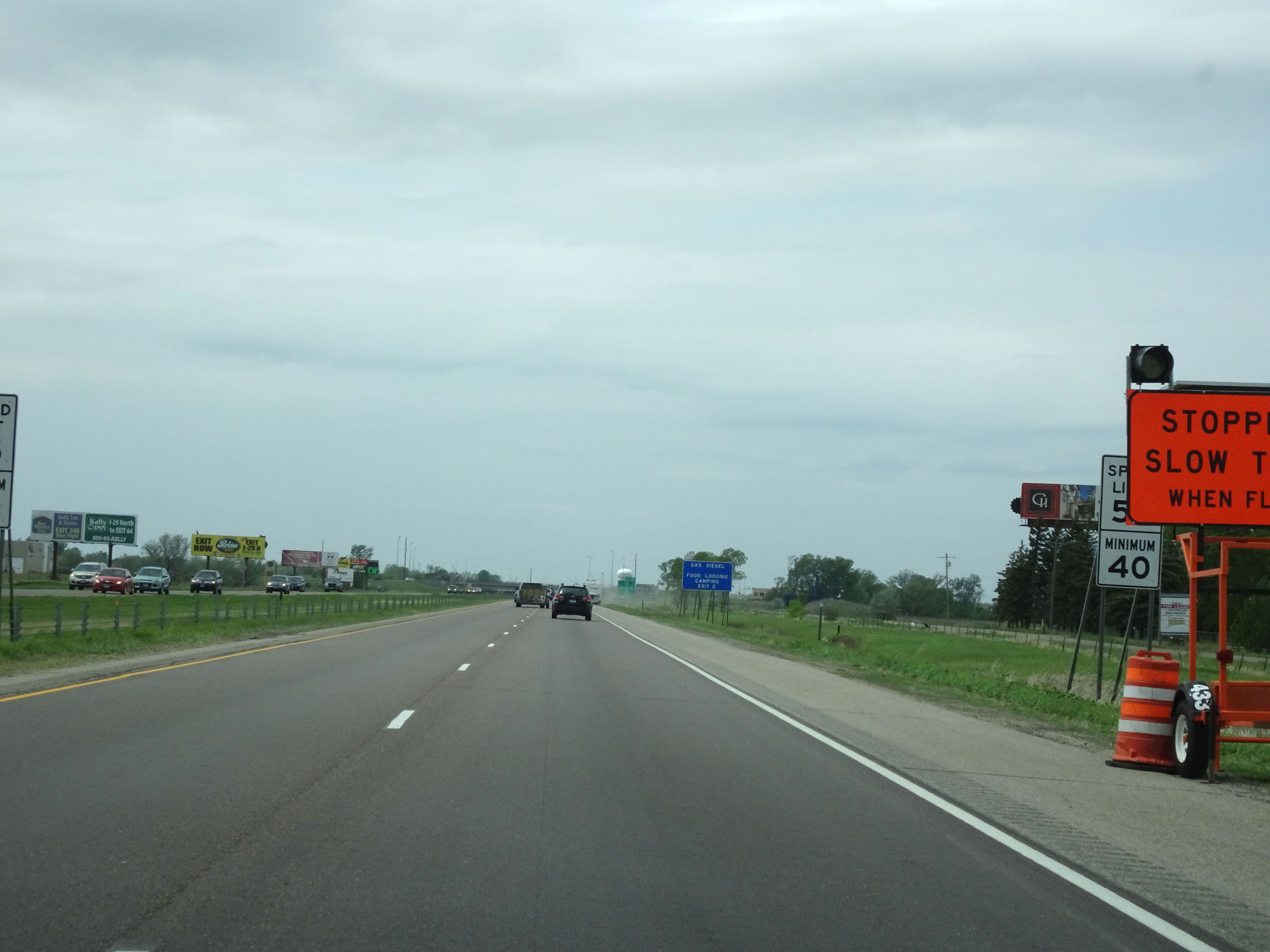 |
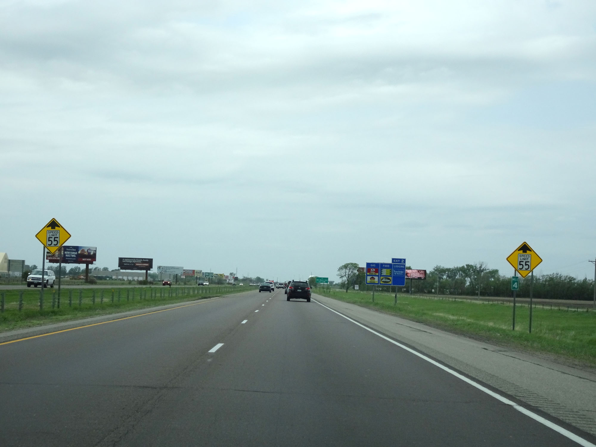
Approaching Moorhead, the speed limit decreases to 55 mph. The 40 mph minimum speed limit remains in effect as always. (Photo taken 5/22/16). |
 |
Interstate 94 West at Exit 2B: Interstate 94 Business Loop - 34th St (Photo taken 5/22/16). |
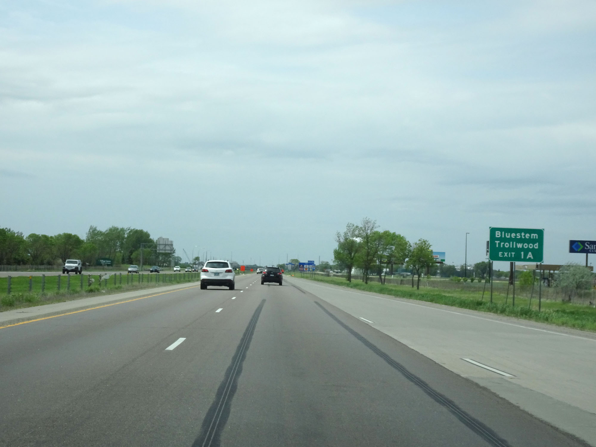 |
Take Exit 1A to Bluestem and Trollwood. (Photo taken 5/22/16). |
 |
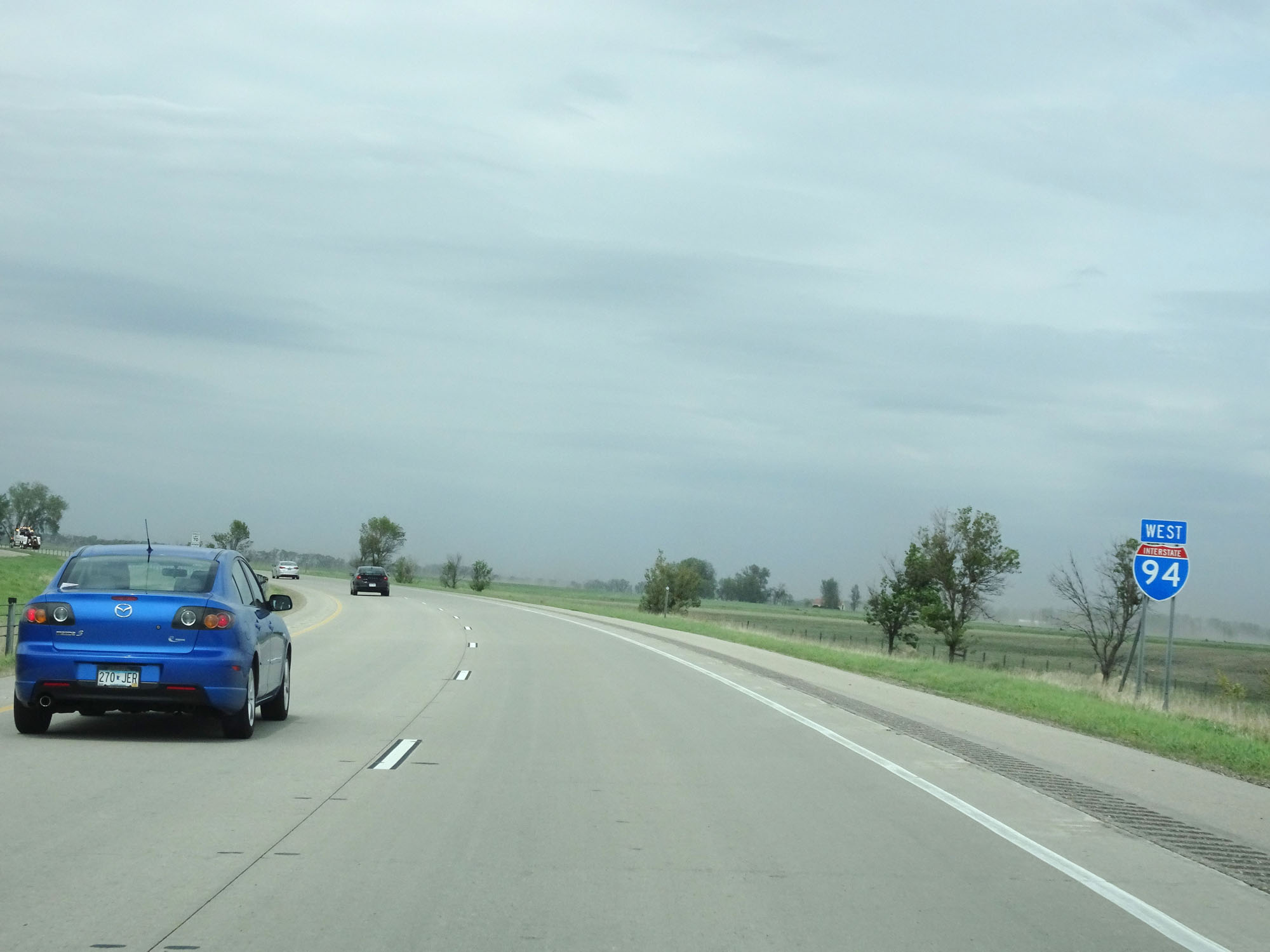
The speed limit remains 55 mph for the rest of Interstate 94's duration in Minnesota. (Photo taken 5/22/16). |
 |
Interstate 94 West approaching Exit 1A - 1 mile. (Photo taken 5/22/16). |
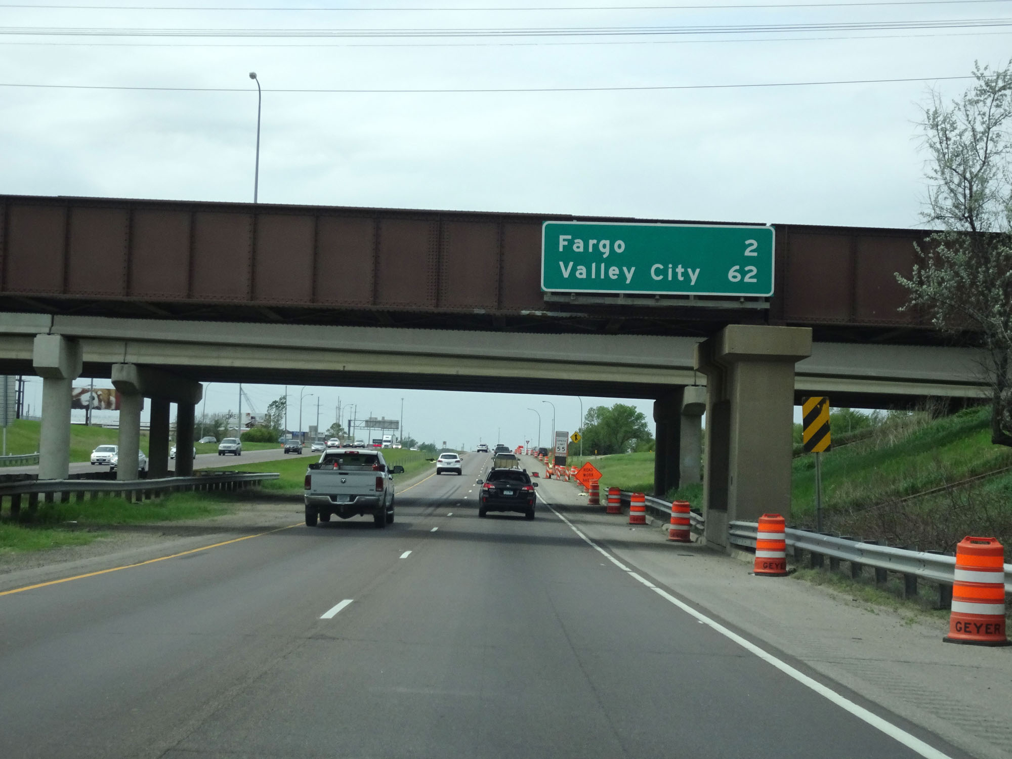 |
Overhead mileage sign on Interstate 94 West. It's 2 miles to Fargo and 62 miles to Valley City. (Photo taken 5/22/16). |
 |
Interstate 94 West at Exit 1A: US 75 - Moorhead (Photo taken 5/22/16). |
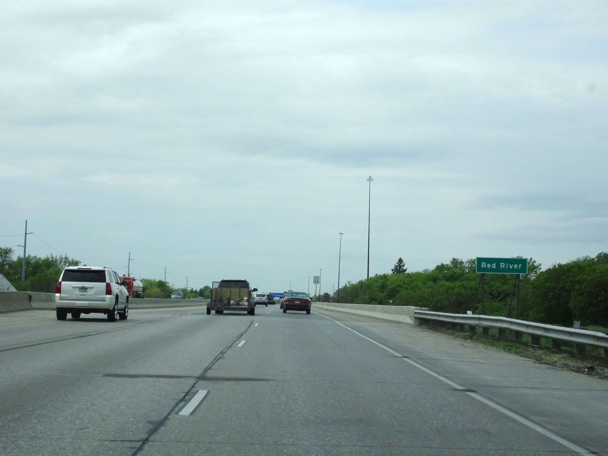 |
Interstate 94 West as it prepares to cross the Red River and into North Dakota. (Photo taken 5/22/16). |