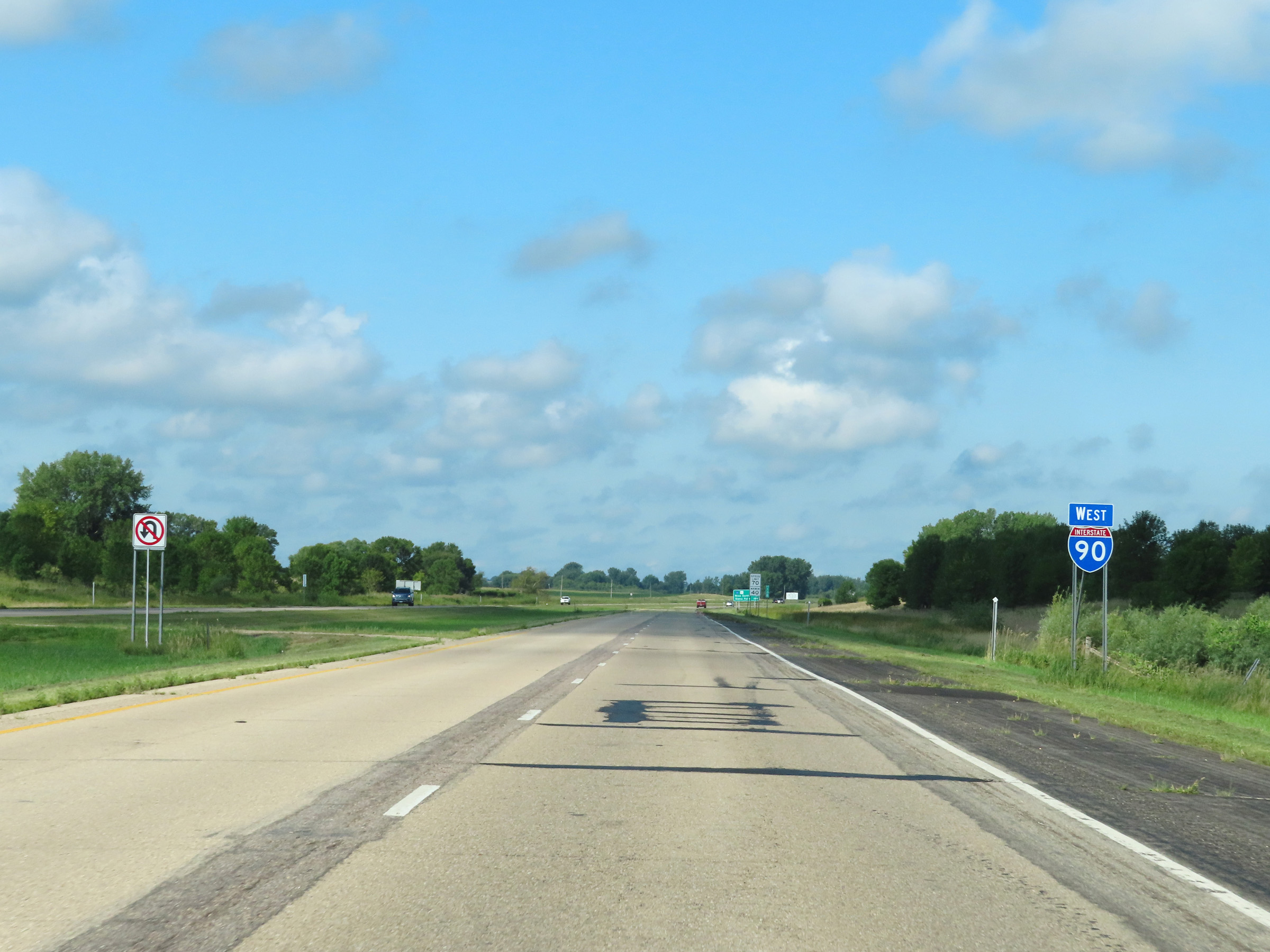
Road Information |
||
 |
||
| Total Mileage in State: | 276 miles | |
| Eastern End: | At Wisconsin state line | |
| Western End: | At South Dakota state line | |
| Mileage covered in Photos: | 276 miles | |
| Counties covered in Photos: | Winona, Olmsted, Mower, Freeborn, Faribault, Martin, Jackson, Nobles, Rock | |
| Major Junctions in Photos: | US 52, near Rochester US 218, in Austin I-35, near Albert Lea US 71, in Jackson US 59, in Worthington |
|
| Control Cities in Photos: | Dakota, Rochester, Austin, Albert Lea, Jackson, Worthington | |
Westbound
- Section 1: Wisconsin Border to Rochester (Exit 218)
- Section 2: Rochester (Exit 218) to Austin (Exit 175)
- Section 3: Austin (Exit 175) to Blue Earth (Exit 119)
- Section 4: Blue Earth (Exit 119) to Worthington (Exit 45)
- Section 5: Worthington (Exit 45) to South Dakota Border
Section 1: Wisconsin Border to Rochester (Exit 218)
 |
Interstate 90 West as it crosses the Mississippi River on the Dresbach Bridge, which carries I-90 West traffic from Wisconsin into Minnesota. (Photo taken 8/16/22). |
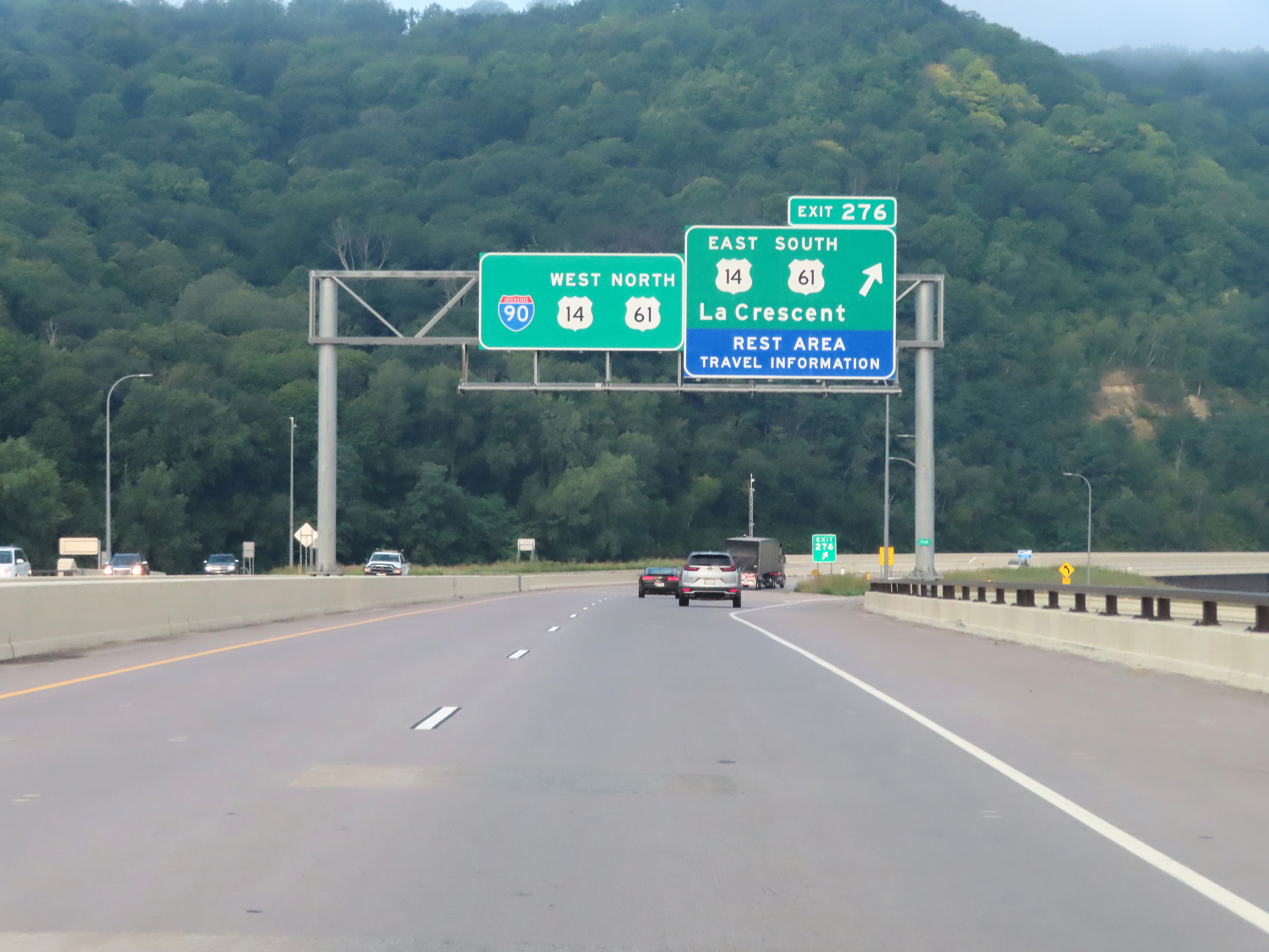 |
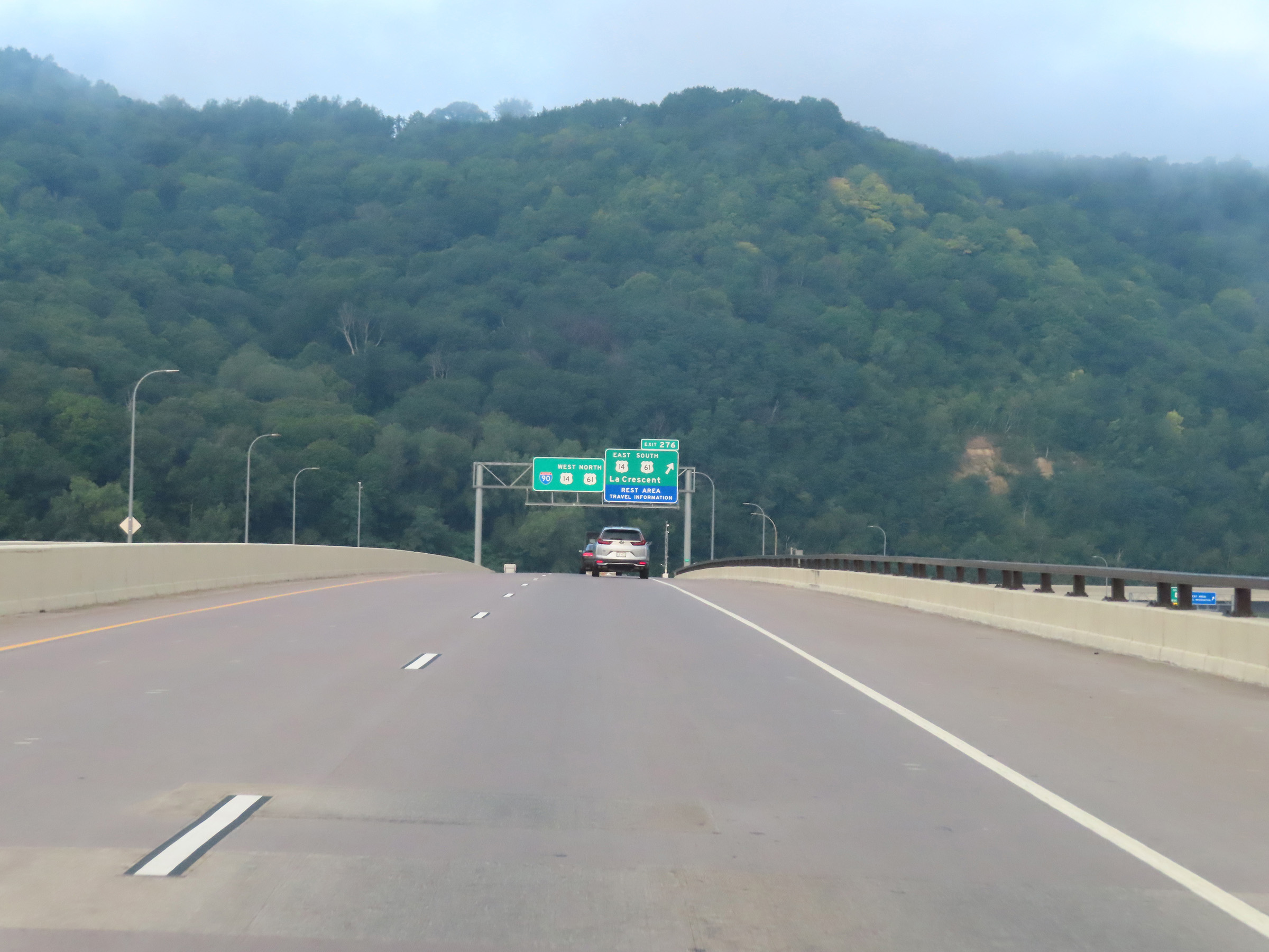
Interstate 90 West at Exit 276: US 14 East / US 61 South - La Crescent / Rest Area (Photo taken 8/16/22). |
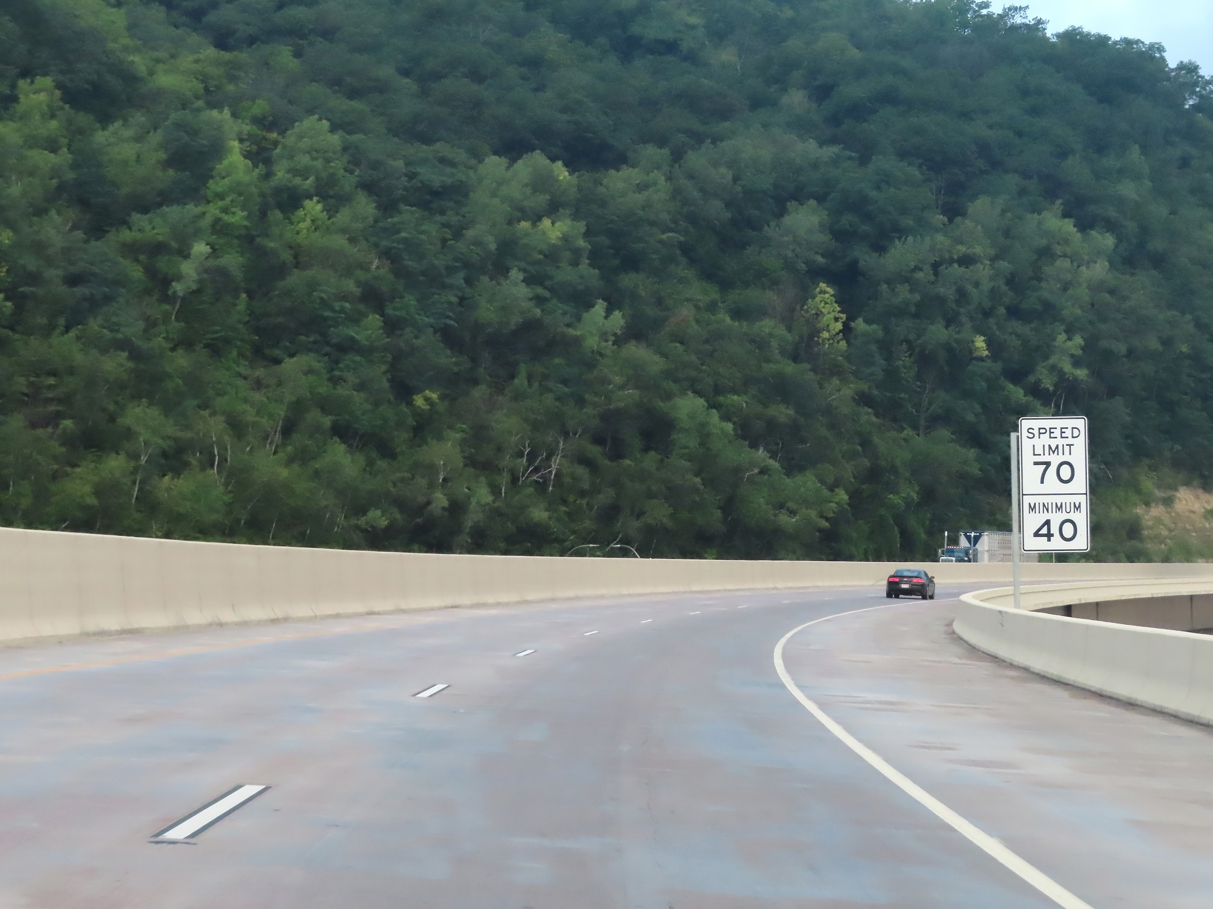 |
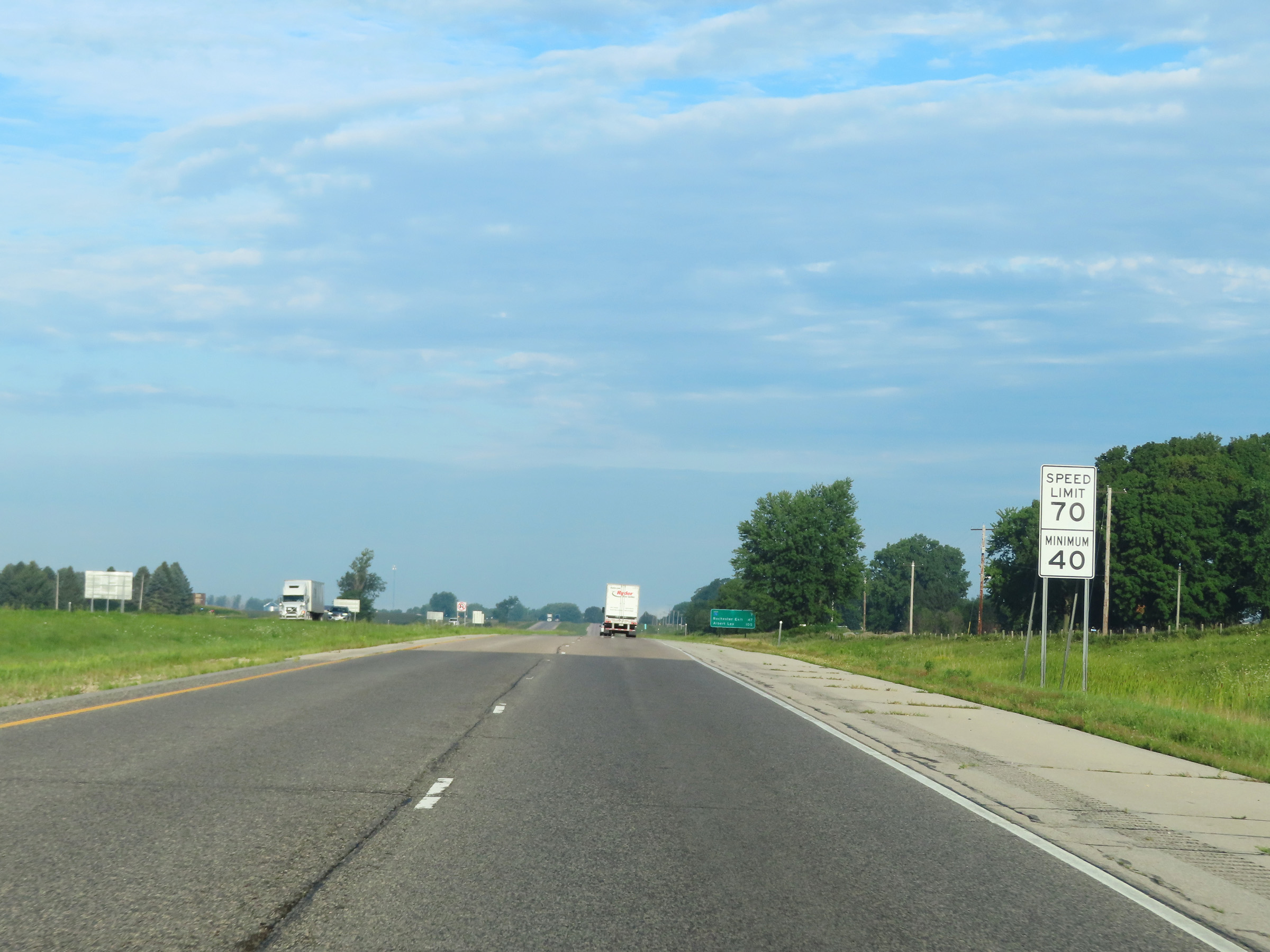
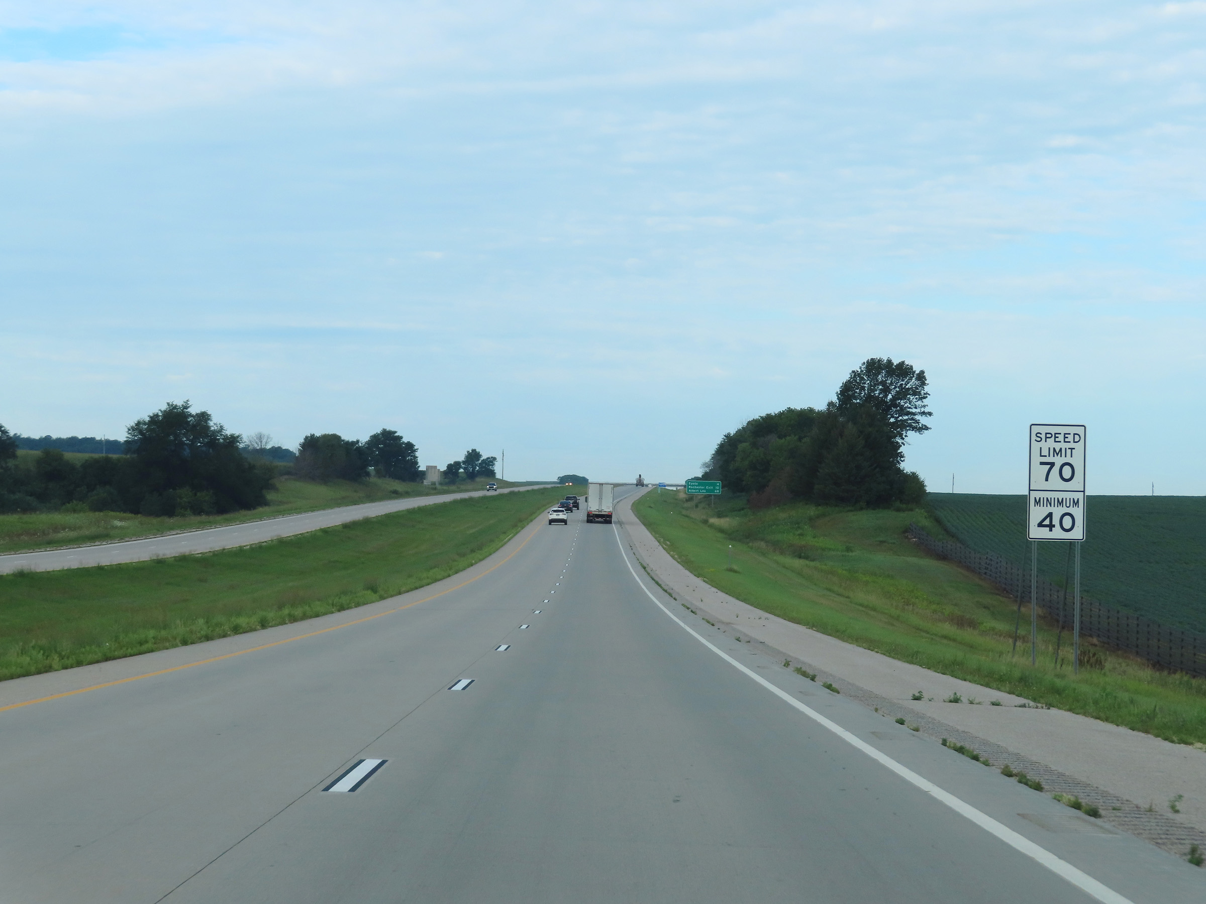
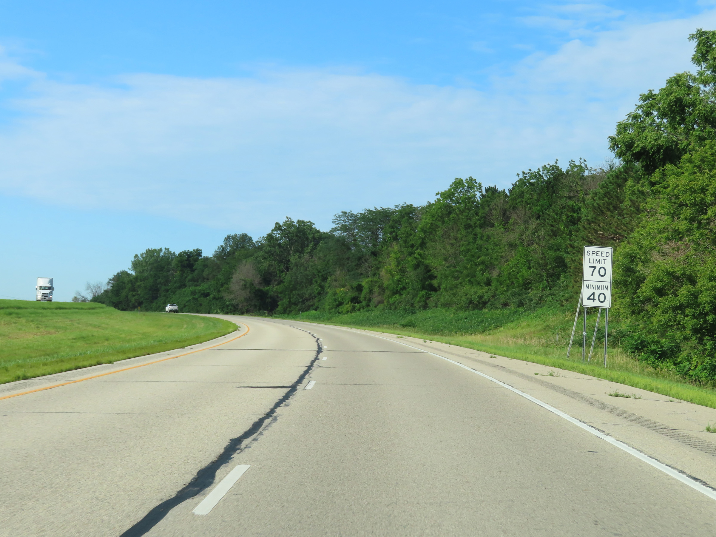
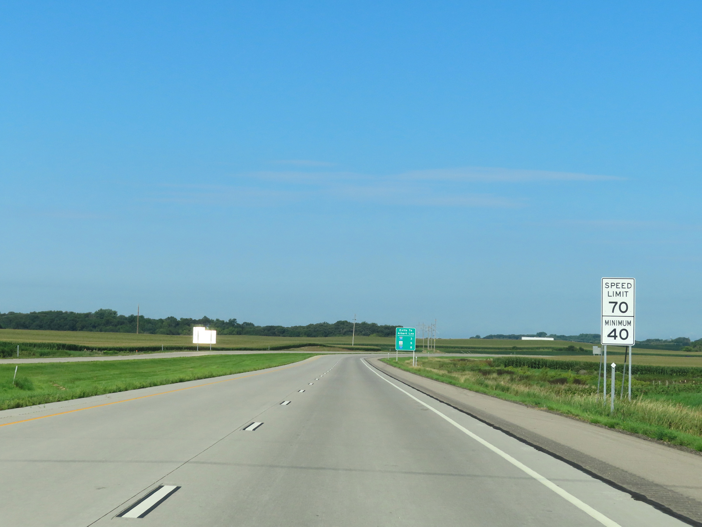
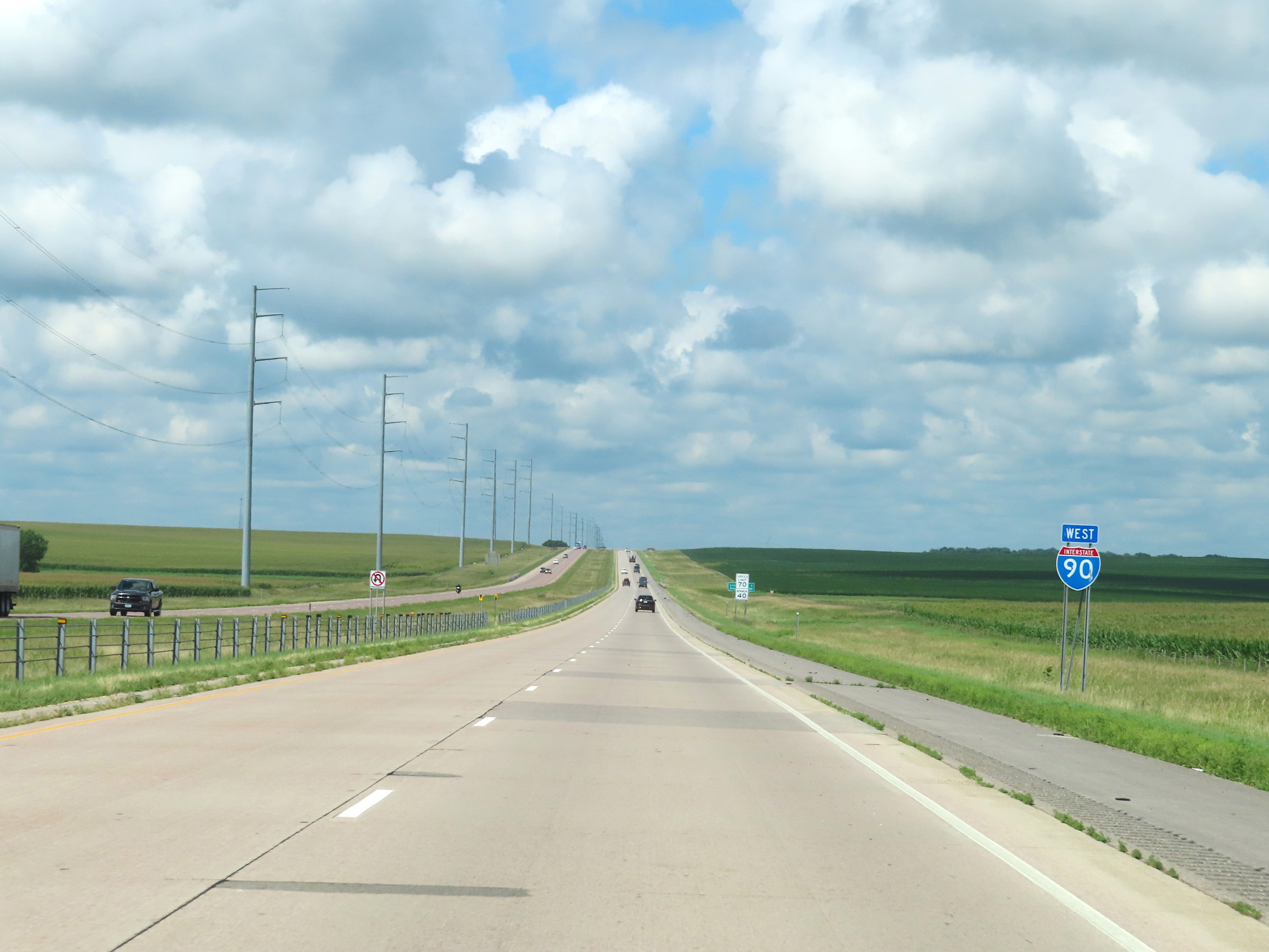
The speed limits on Interstate 90 West in Minnesota start out at 70 mph maximum and 40 mph minimum. These are the standard speed limits on most rural Interstate highways in Minnesota. (Photo taken 8/16/22). |
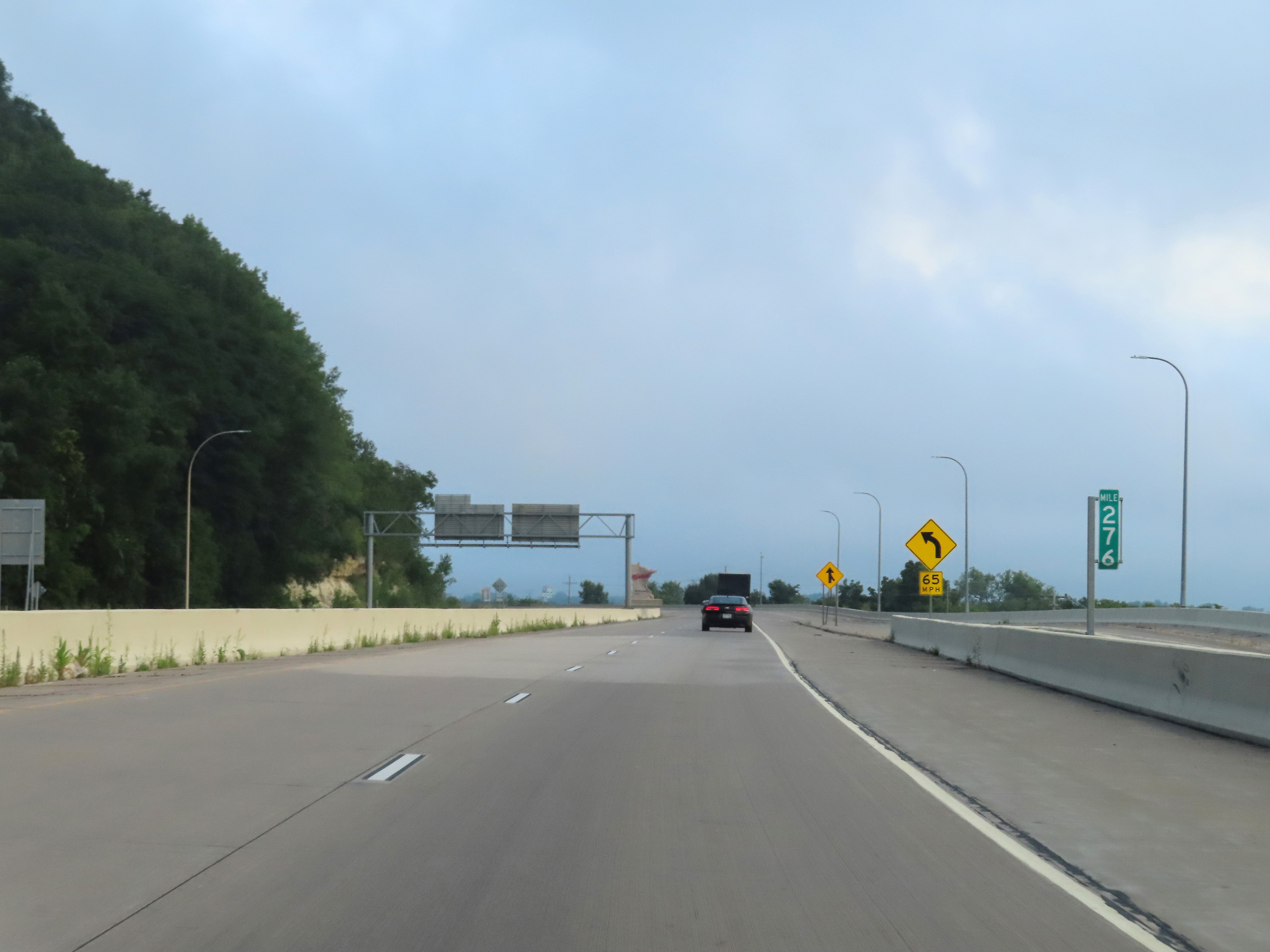 |
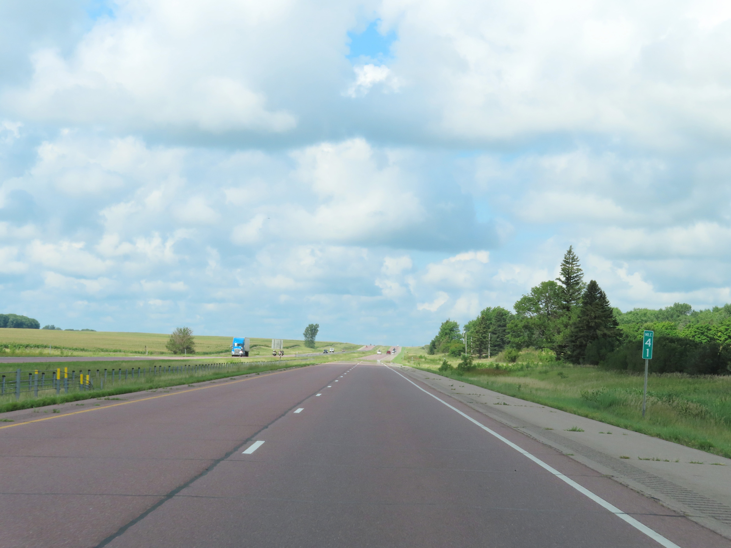
View on Interstate 90 West at mile marker 276, as it begins to climb up out of the Mississippi River valley. (Photo taken 8/16/22). |
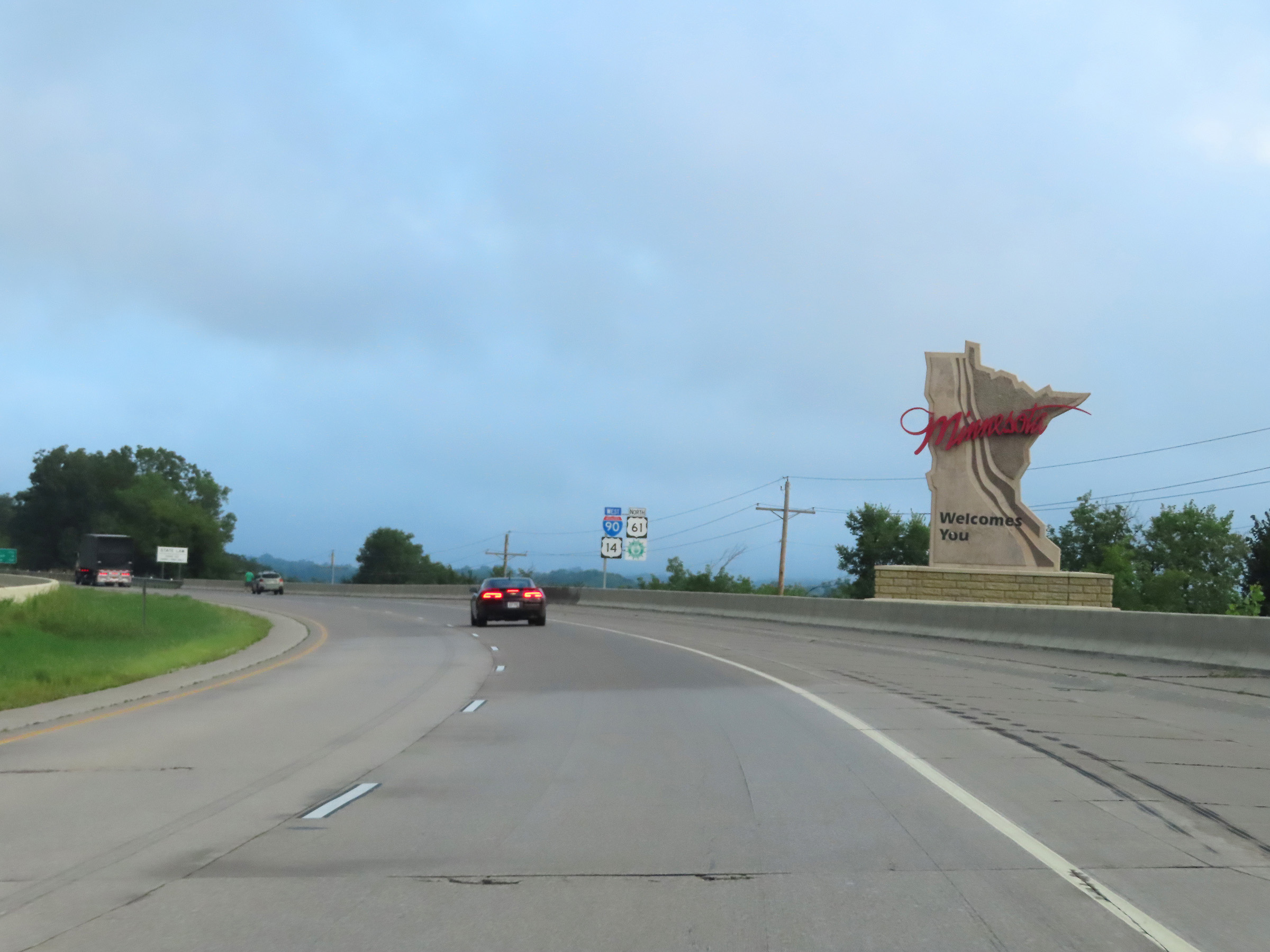 |
Minnesota welcome sign on Interstate 90 West, beginning its climb out of the Mississippi River valley. (Photo taken 8/16/22). |
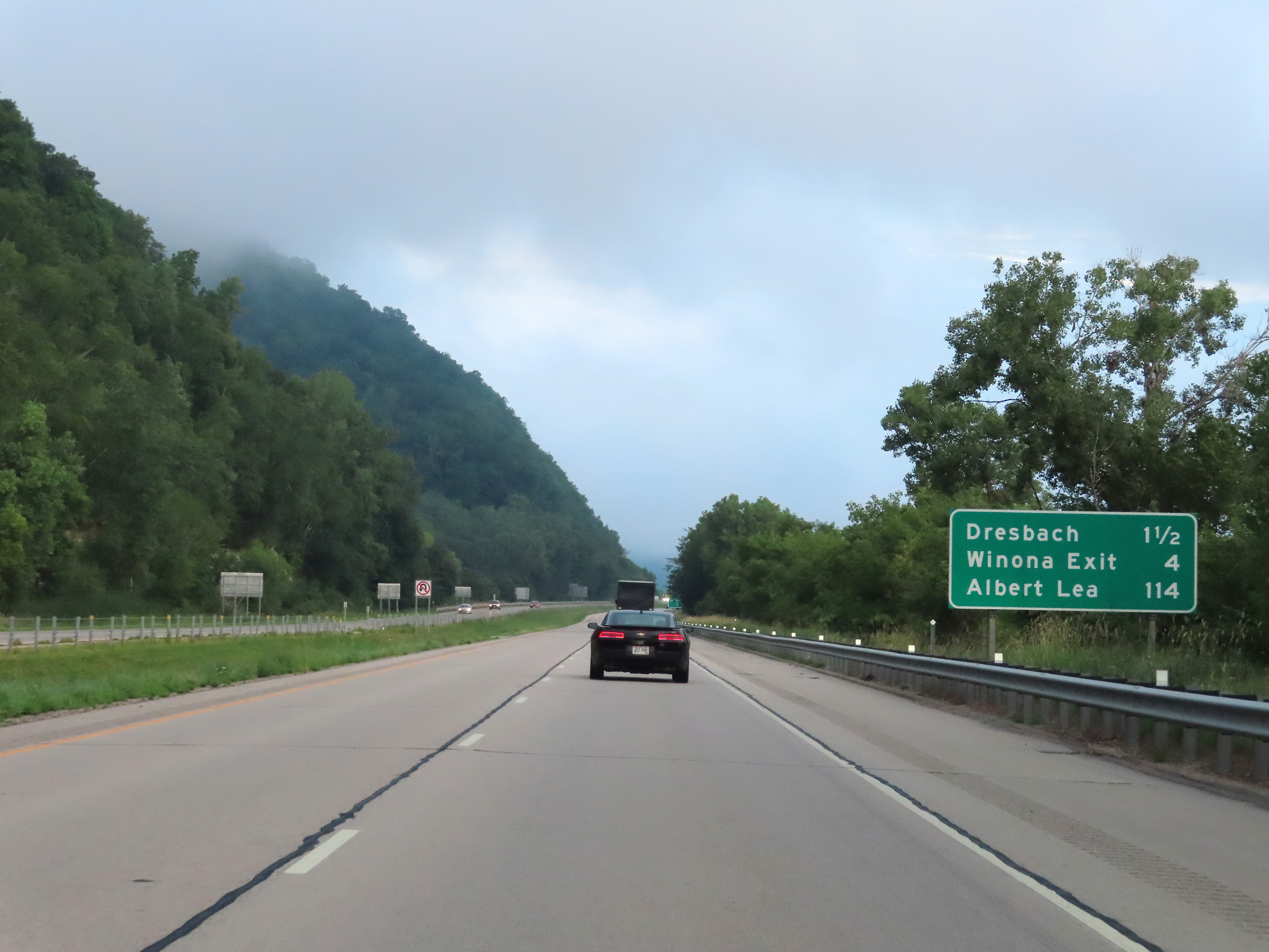 |
Mileage sign on Interstate 90 West. It's 1 1/2 miles to Exits 273B-A (Dresbach), 4 miles to Exit 270 (Winona), and 114 miles to Albert Lea. (Photo taken 8/16/22). |
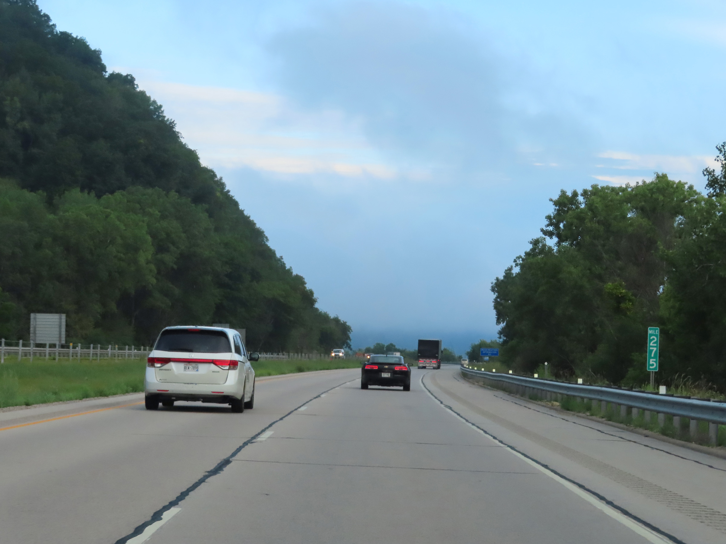 |
Interstate 90 West at mile marker 275, climbing west out of the Mississippi River valley. (Photo taken 8/16/22). |
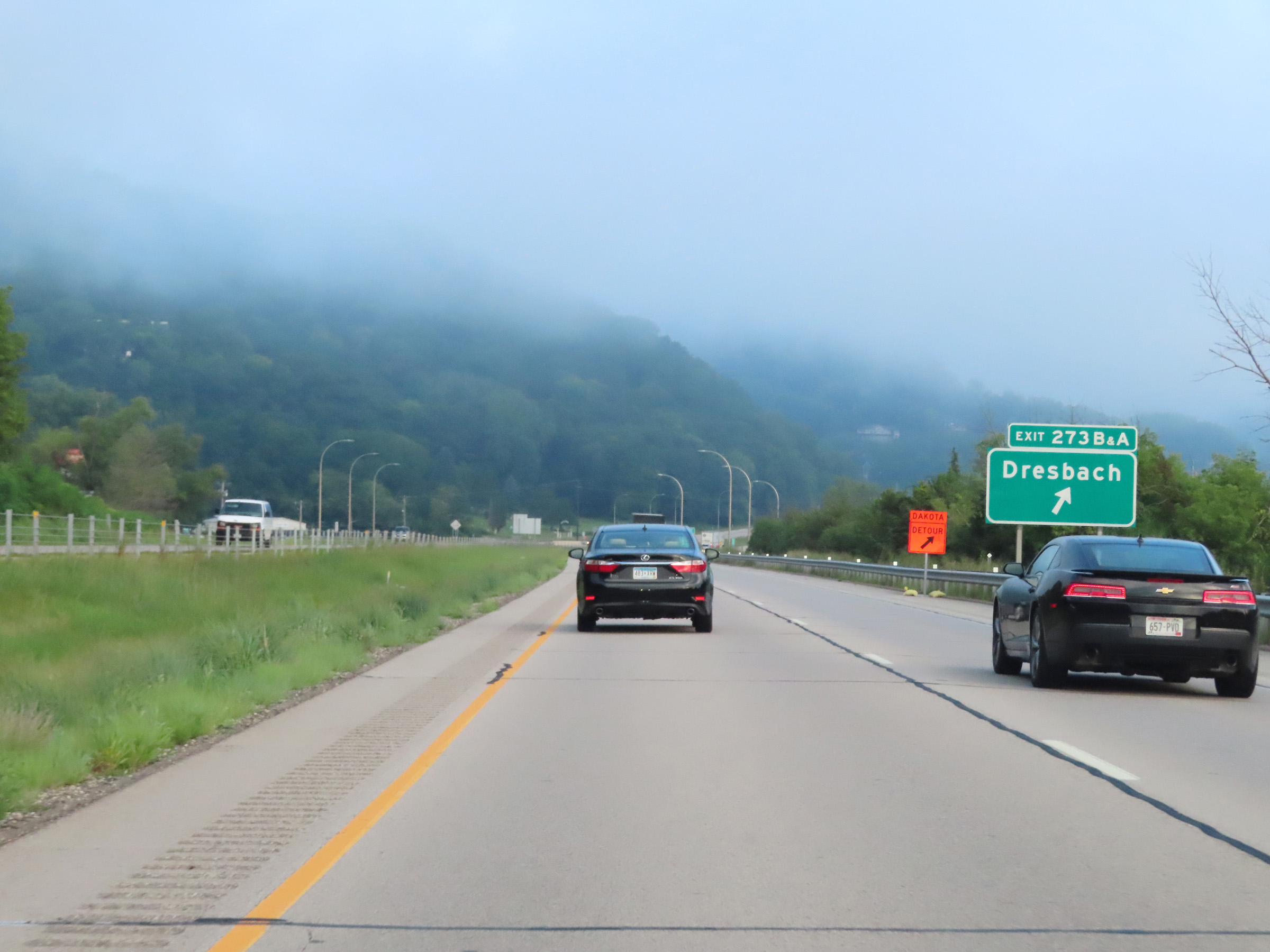 |
Interstate 90 West at Exits 273B-A: Dresbach (Photo taken 8/16/22). |
 |
Advance signage for Exit 270 - 2 miles ahead. (Photo taken 8/16/22). |
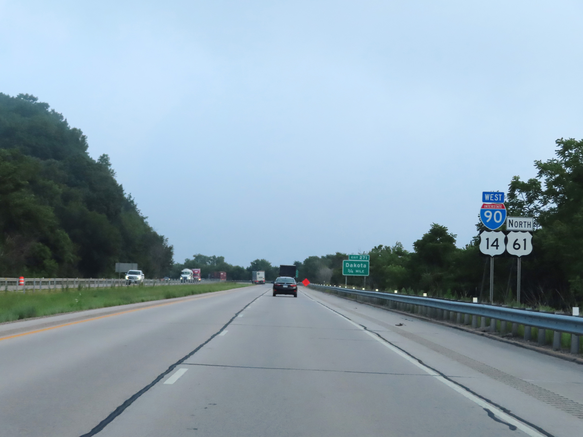 |
Interstate 90 West reassurance shield along with US 14 West / US 61 North reassurance markers. (Photo taken 8/16/22). |
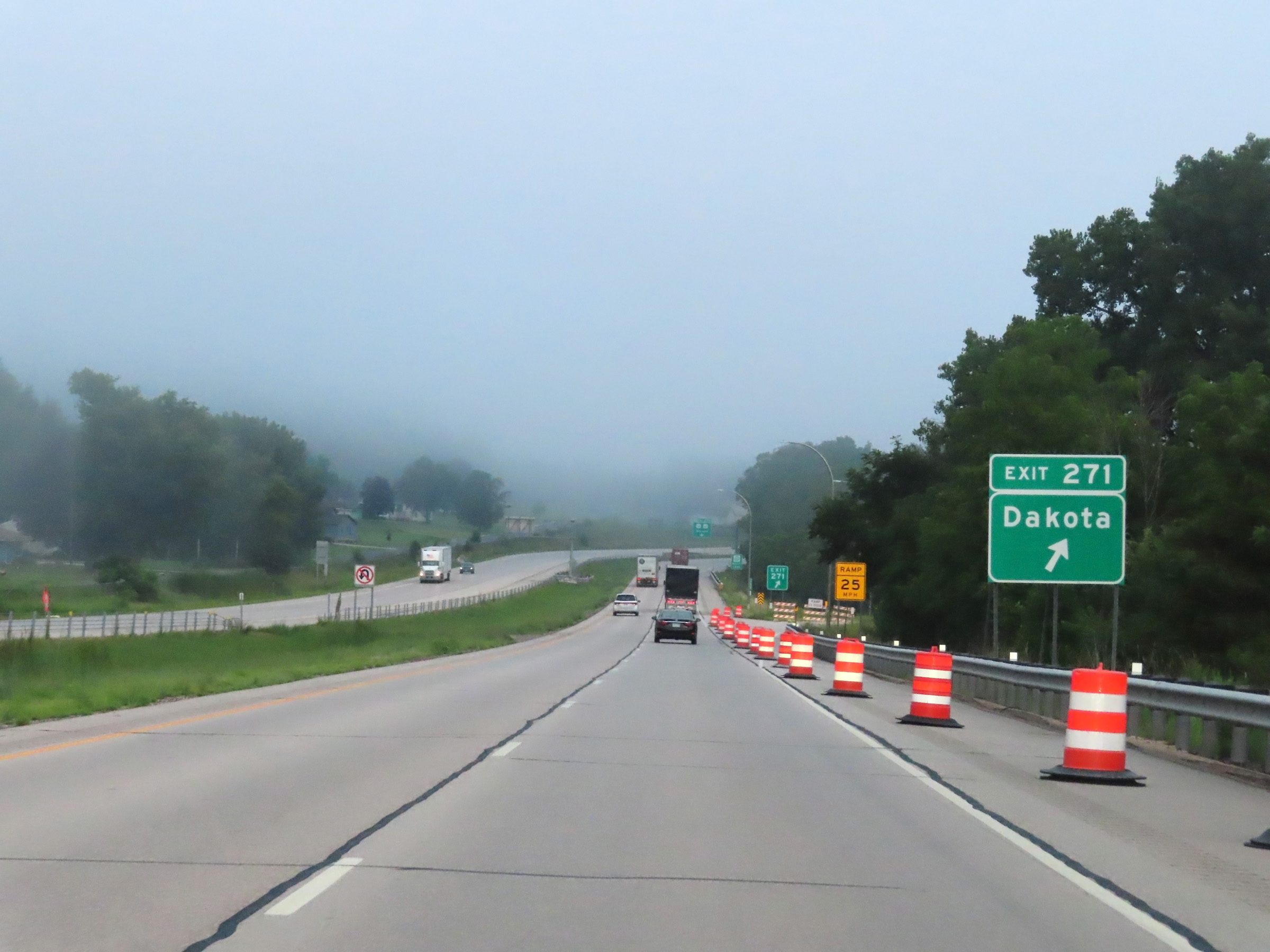 |
Interstate 90 West at Exit 271: Dakota (Photo taken 8/16/22). |
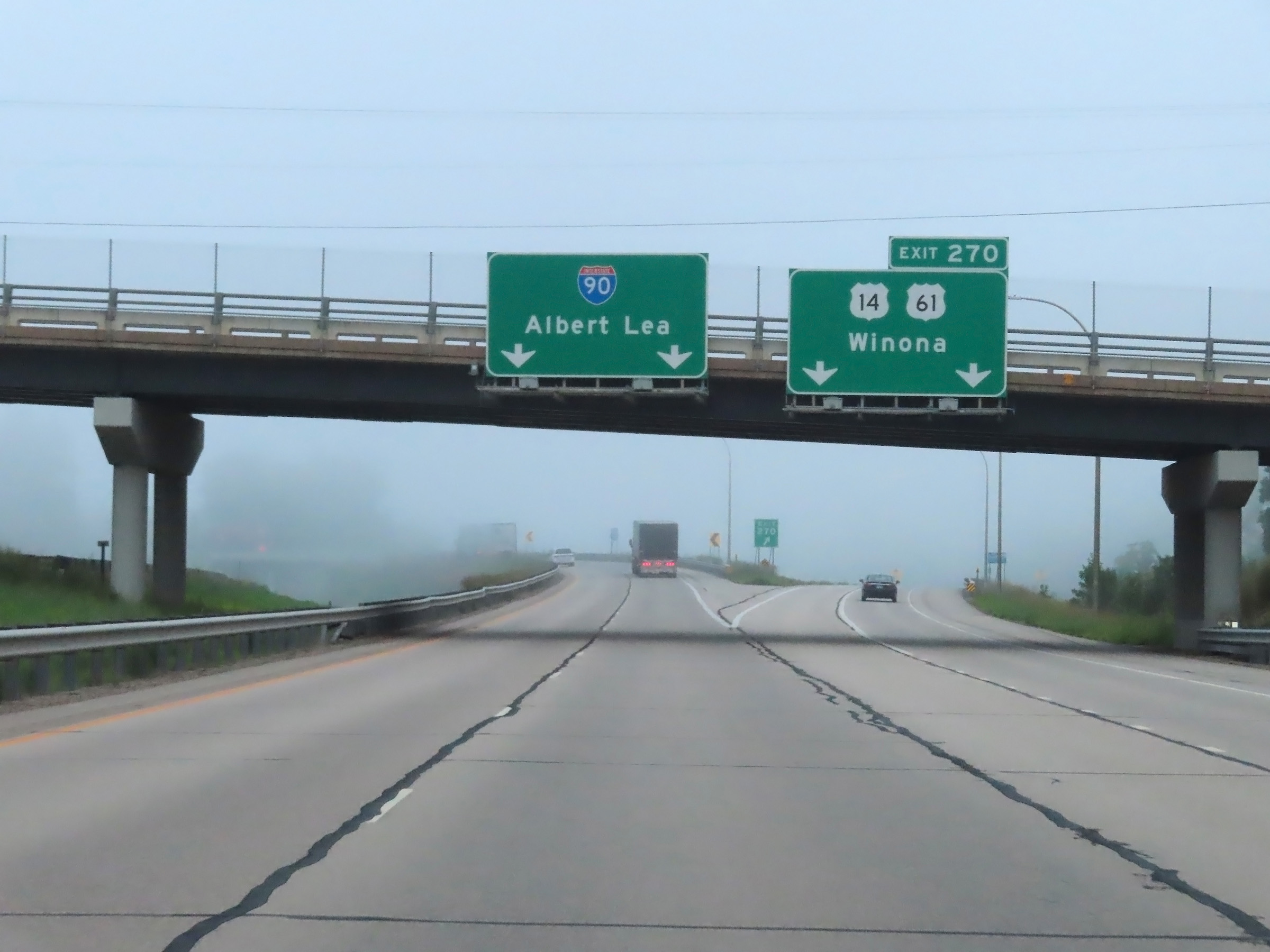 |
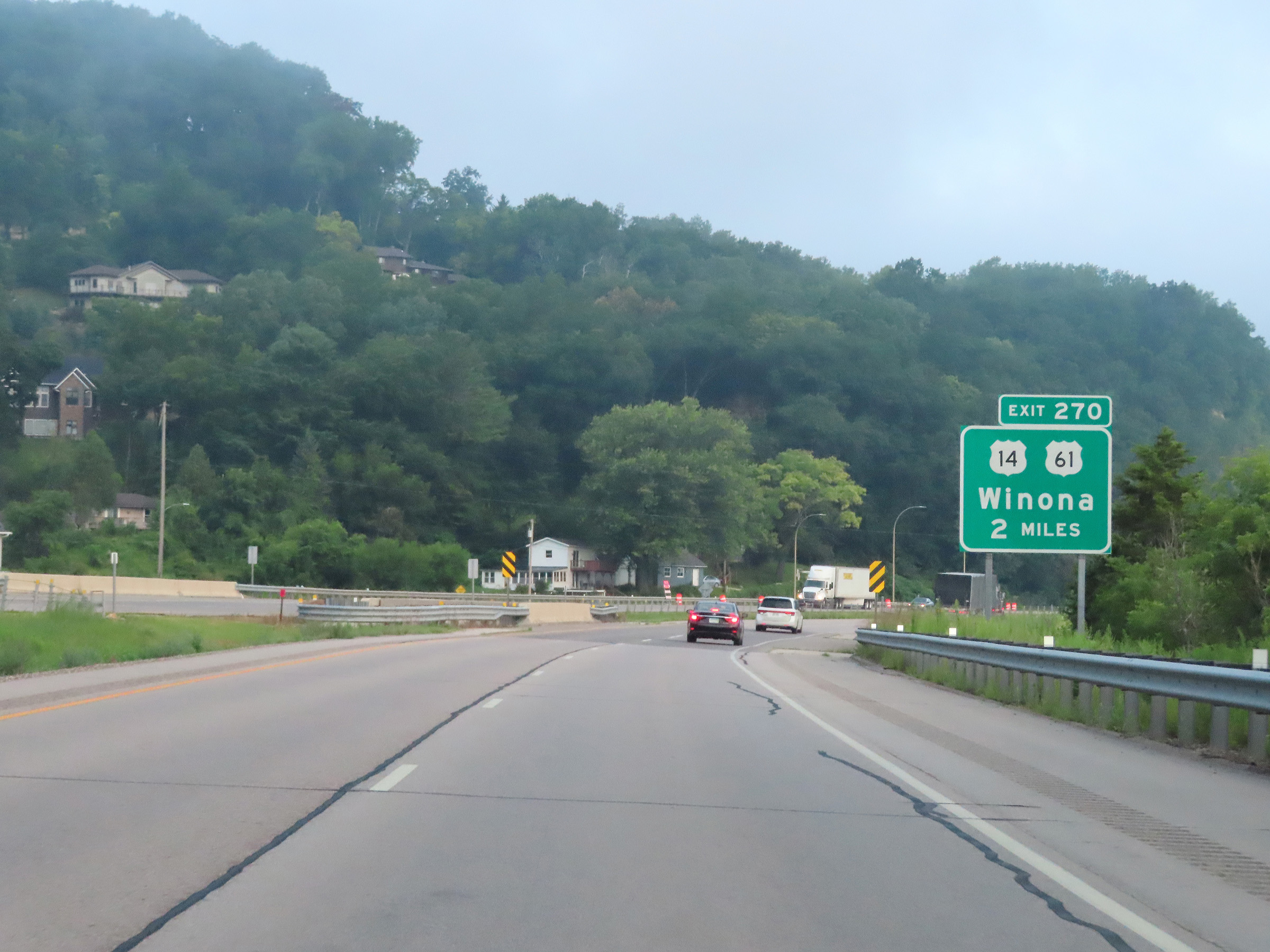
Interstate 90 West at Exit 270: US 14 West / US 61 North - Winona (Photo taken 8/16/22). |
 |
Mile marker 270 on Interstate 90 West as it continues to climb up out of the Mississippi River valley. (Photo taken 8/16/22). |
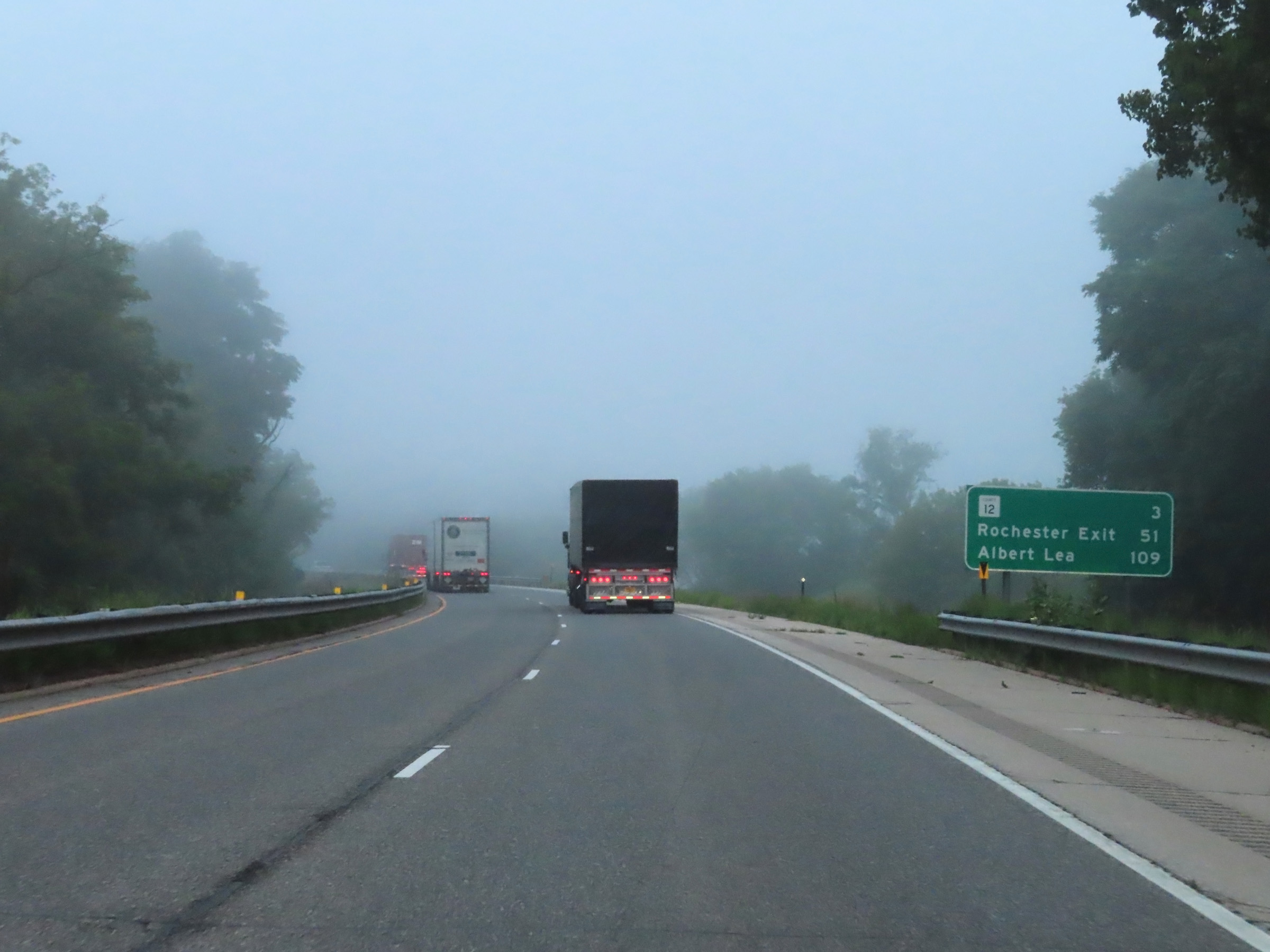 |
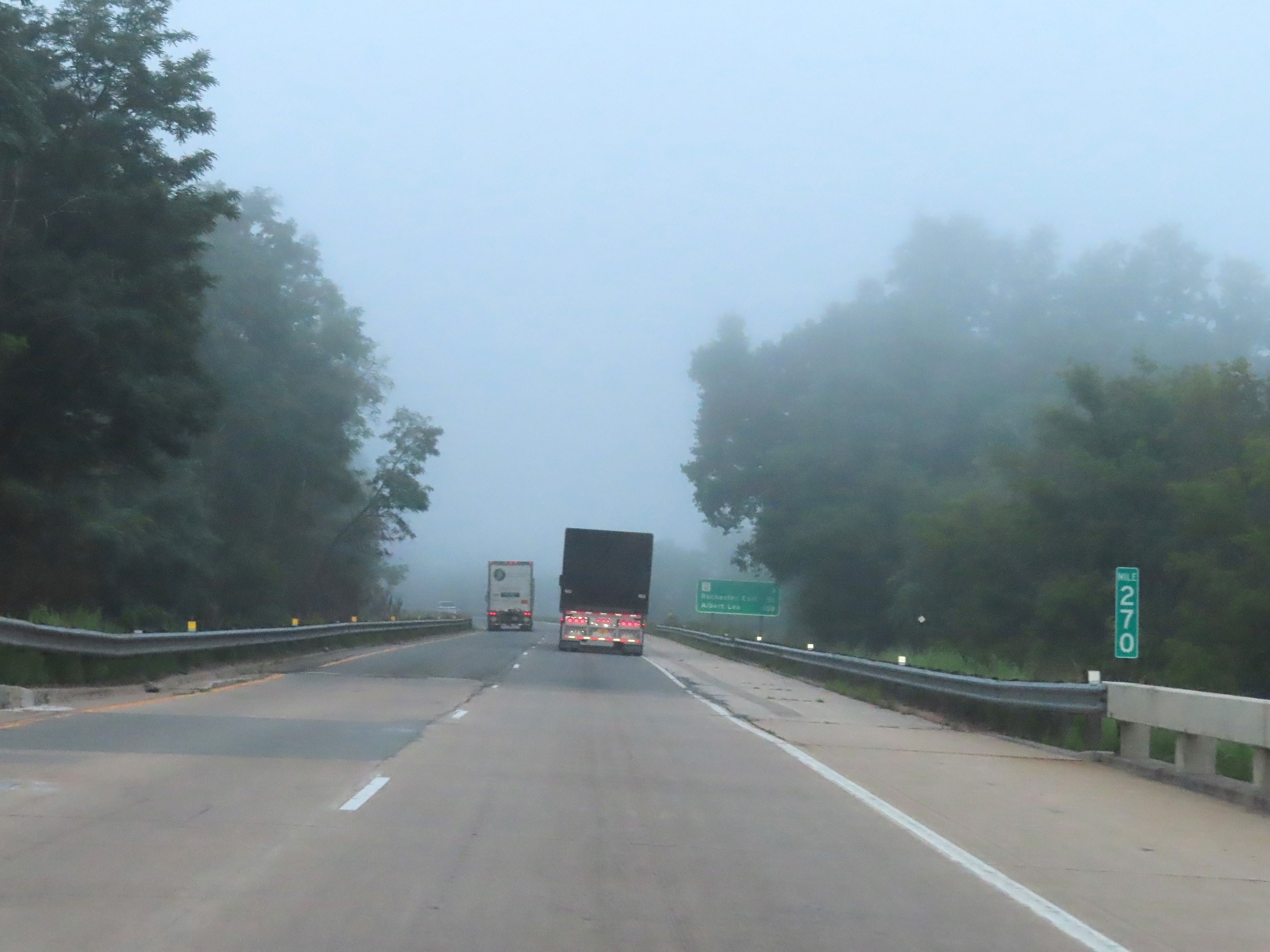
Another mileage sign on Interstate 90 West. It's 3 miles to the junction of CR 12, 51 miles to Exit 218 to Rochester, and 109 miles to Albert Lea. (Photo taken 8/16/22). |
 |
Interstate 90 West at mile marker 268. (Photo taken 8/16/22). |
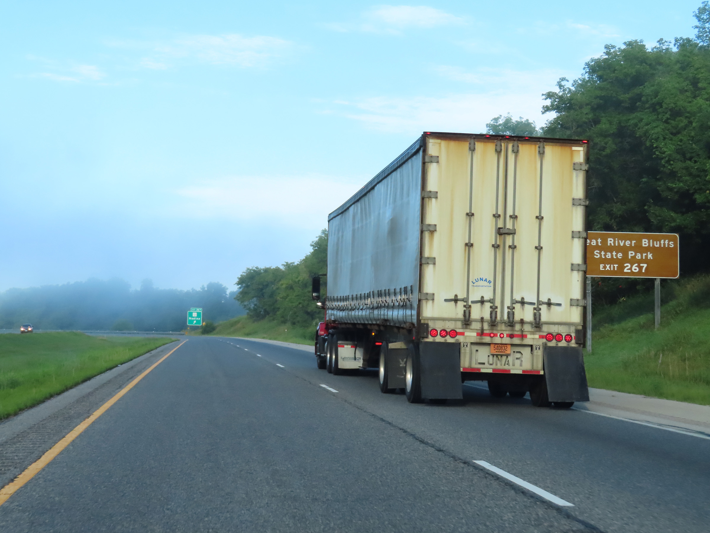 |
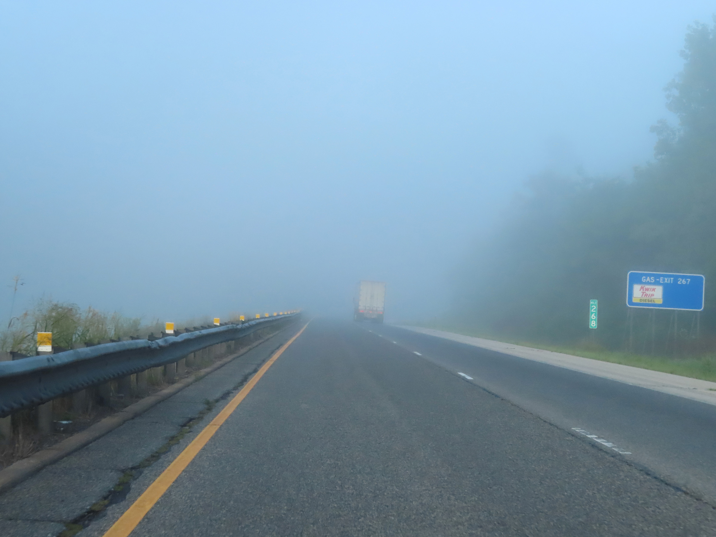
Take Exit 267 to Great River Bluffs State Park. (Photo taken 8/16/22). |
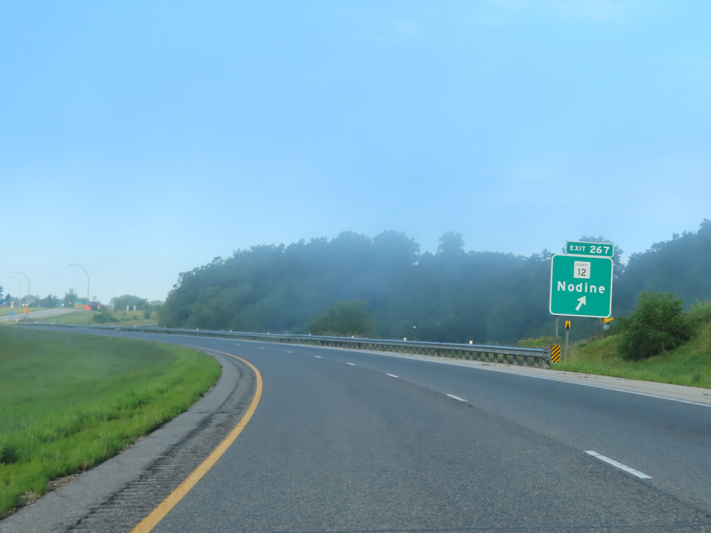 |
Interstate 90 West at Exit 267: CR 12 - Nodine (Photo taken 8/16/22). |
 |
View on Interstate 90 West at mile marker 267, as it nears the top of its climb out of the Mississippi River valley. (Photo taken 8/16/22). |
 |
Another Interstate 90 West reassurance shield. (Photo taken 8/16/22). |
 |
The speed limits remain 70 mph maximum and 40 mph minimum. (Photo taken 8/16/22). |
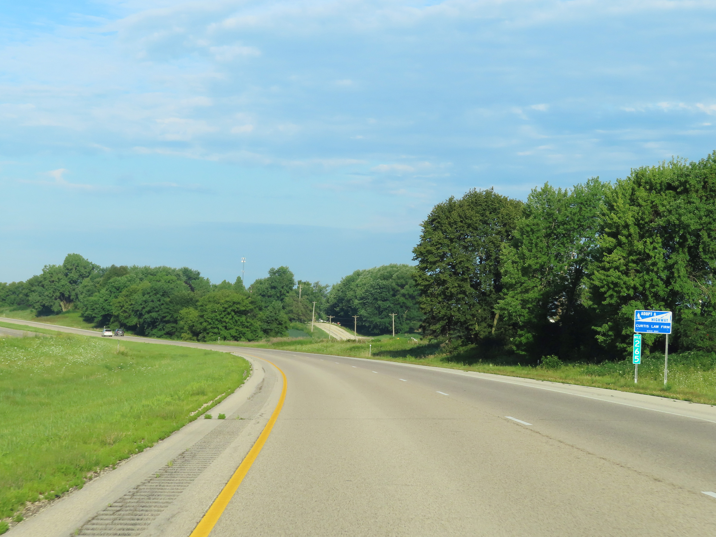 |
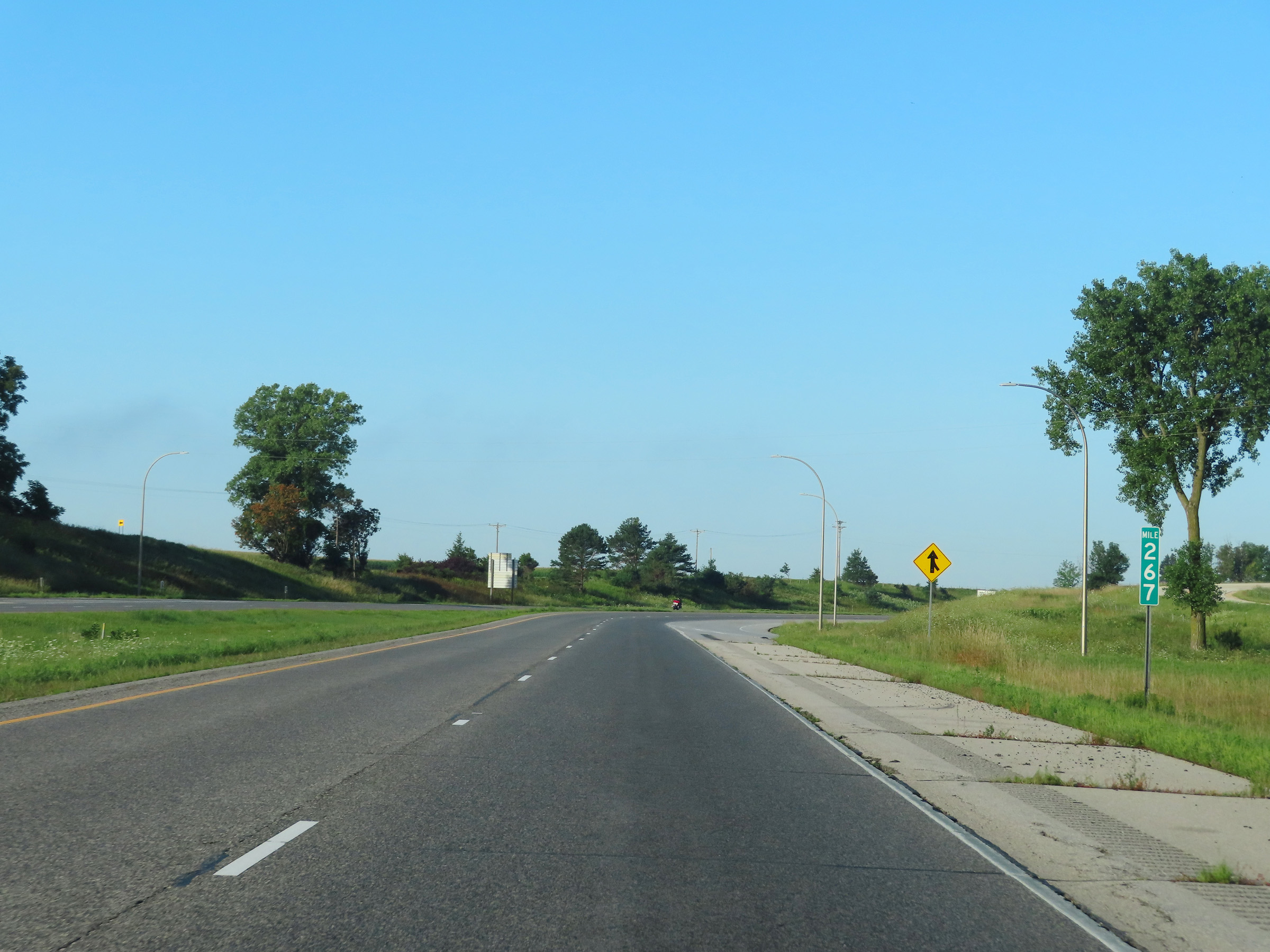
View on Interstate 90 West at mile marker 265. (Photo taken 8/16/22). |
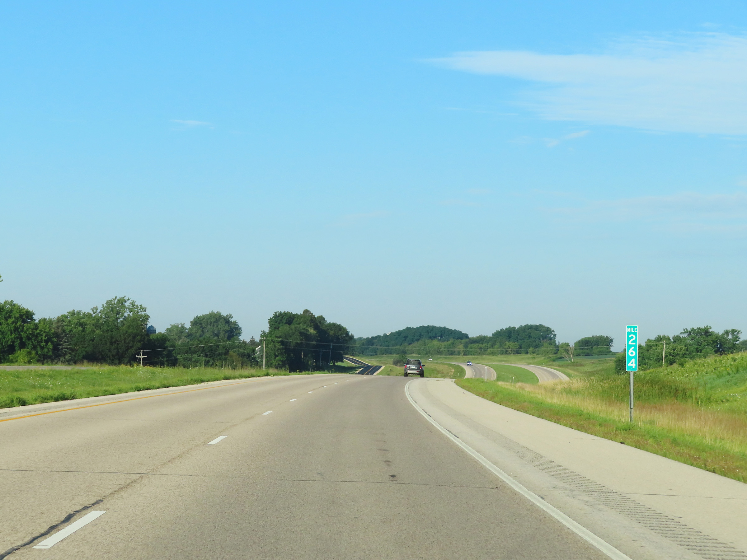 |
Mile marker 264 on Interstate 90 West in Winona County. (Photo taken 8/16/22). |
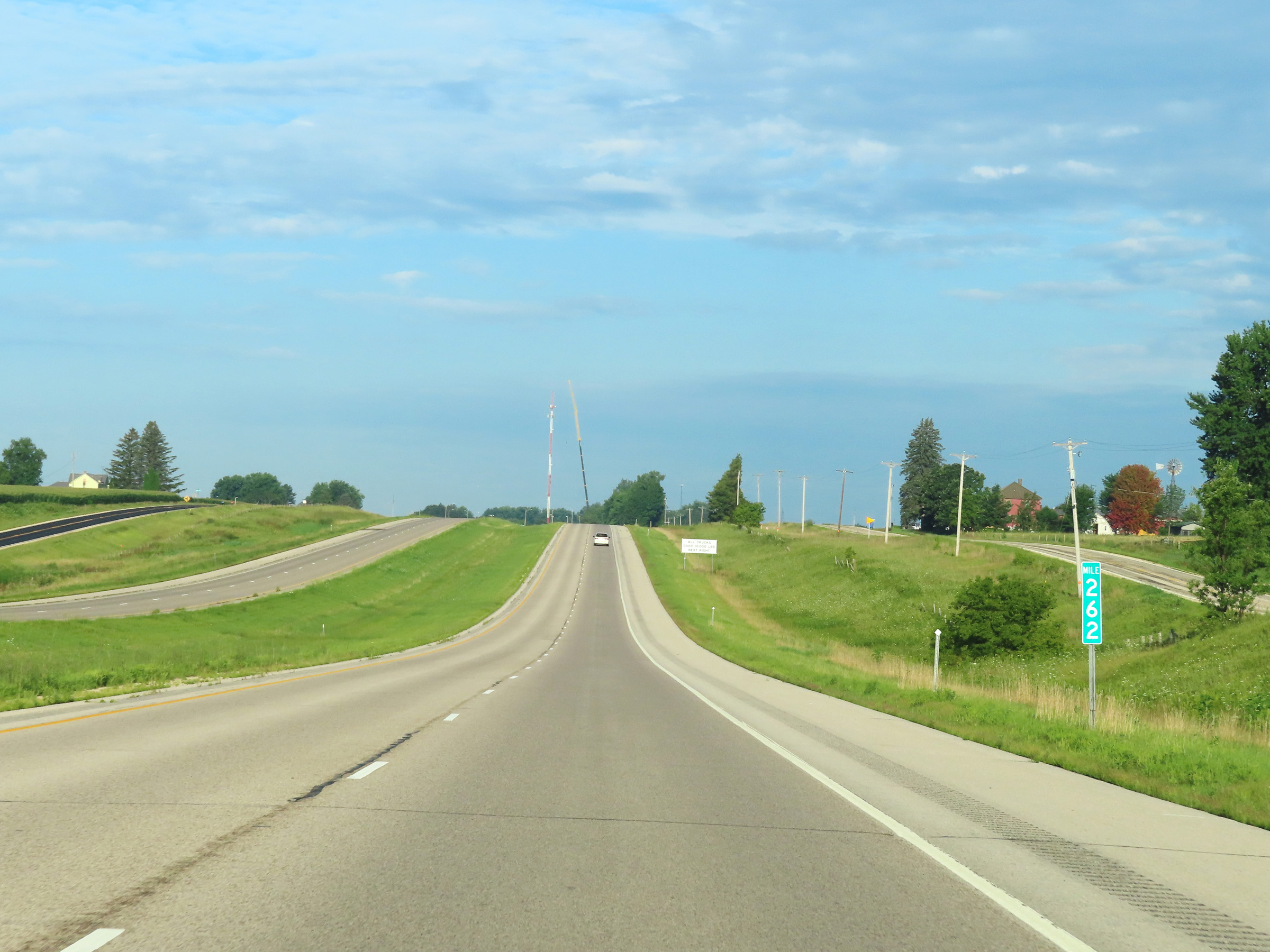 |
Interstate 90 West at mile marker 262. (Photo taken 8/16/22). |
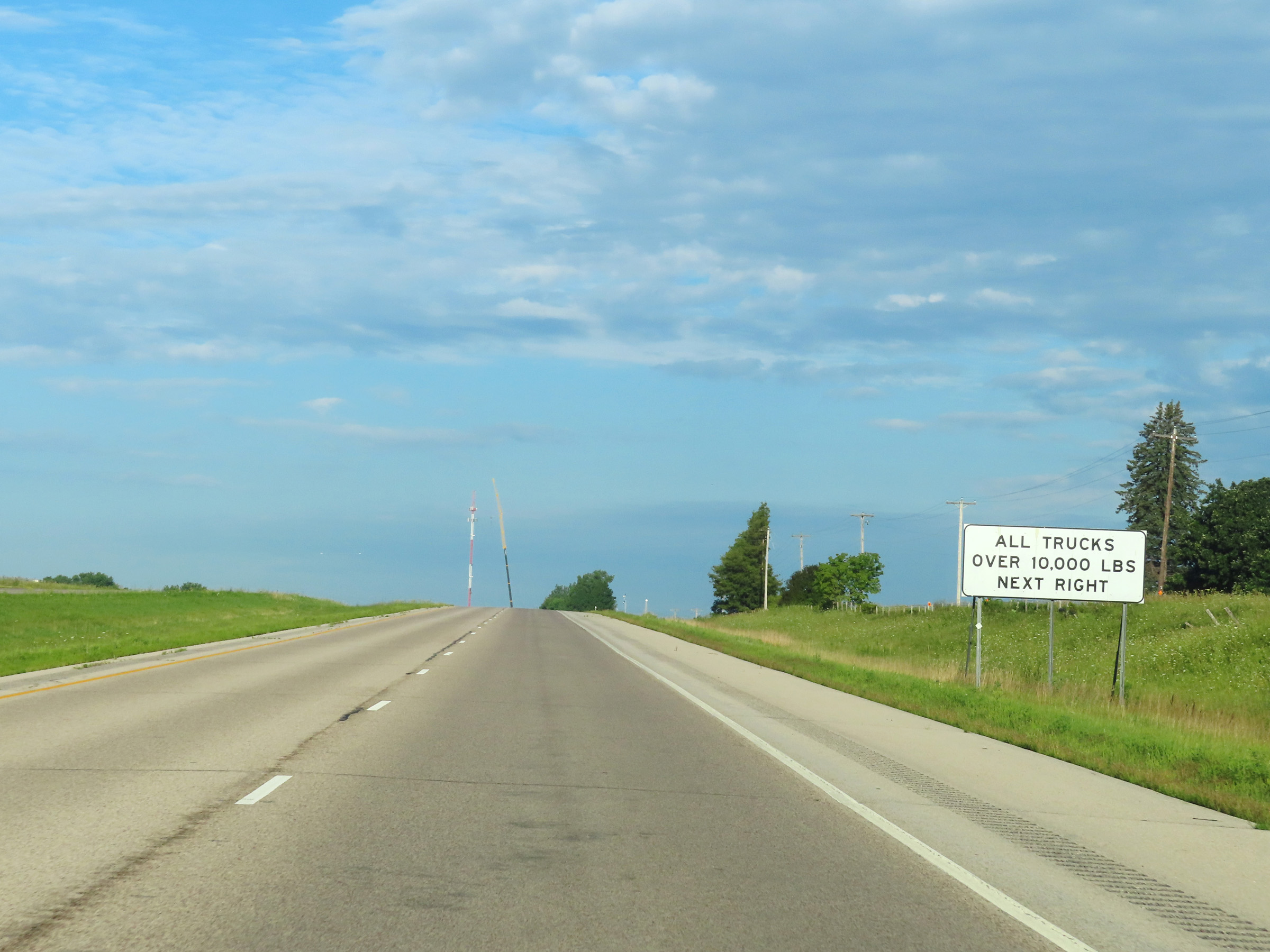 |
All trucks over 10,000 lbs must enter the Weigh Station ahead when open. (Photo taken 8/16/22). |
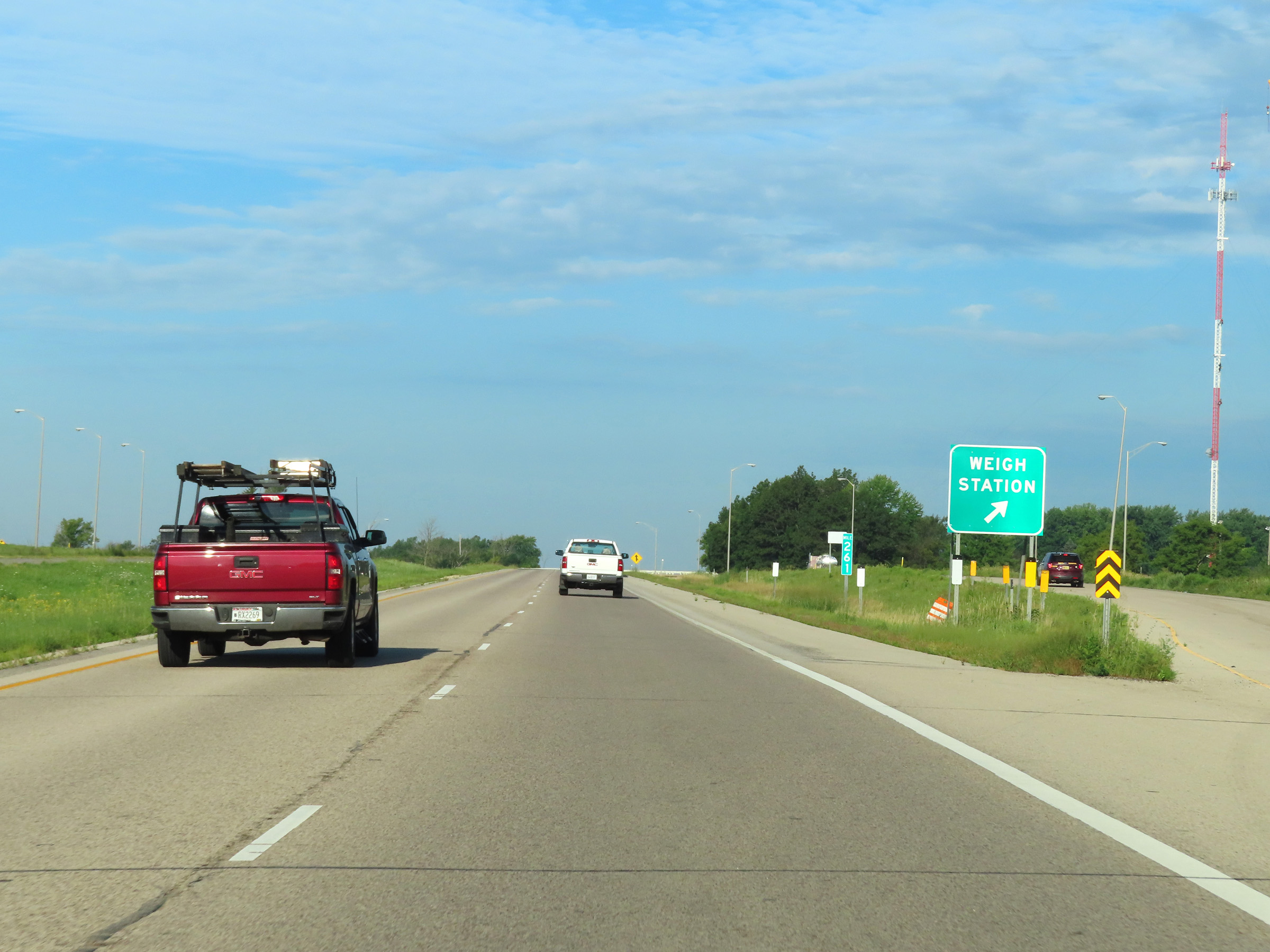 |
Weigh Station on Interstate 90 West at mile marker 261 in Winona County. (Photo taken 8/16/22). |
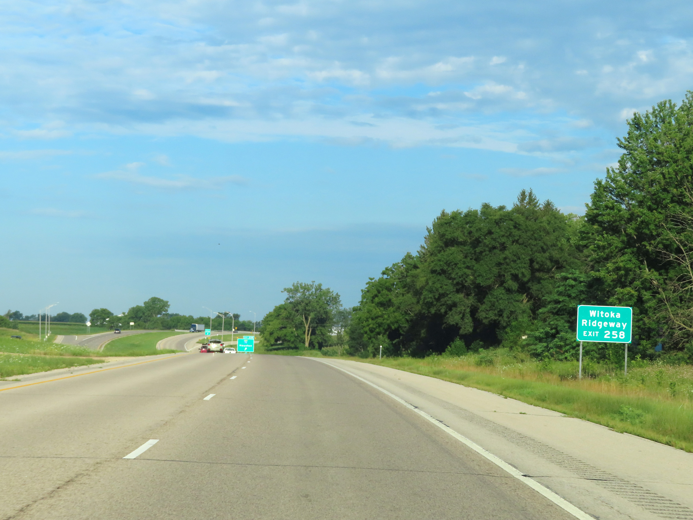 |
Take Exit 258 to Witoka and Ridgeway. (Photo taken 8/16/22). |
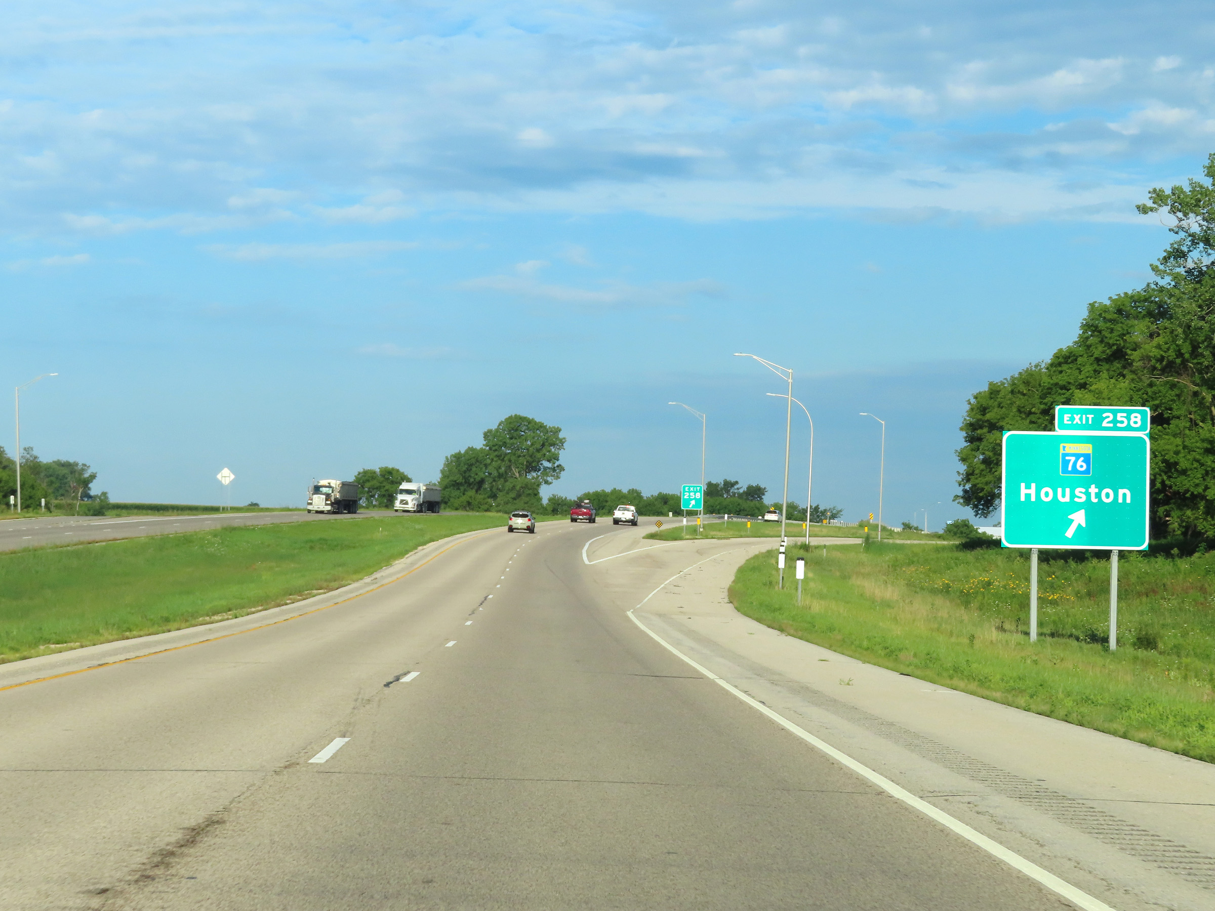 |
Interstate 90 West at Exit 258: MN 76 - Houston (Photo taken 8/16/22). |
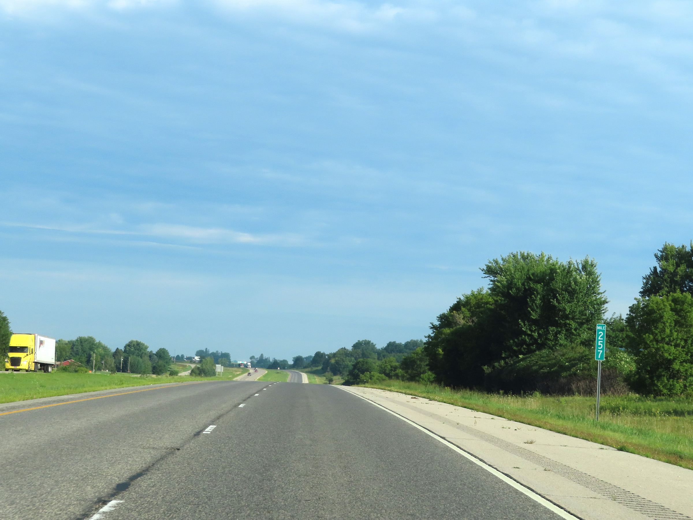 |
View on Interstate 90 West at mile marker 257. (Photo taken 8/16/22). |
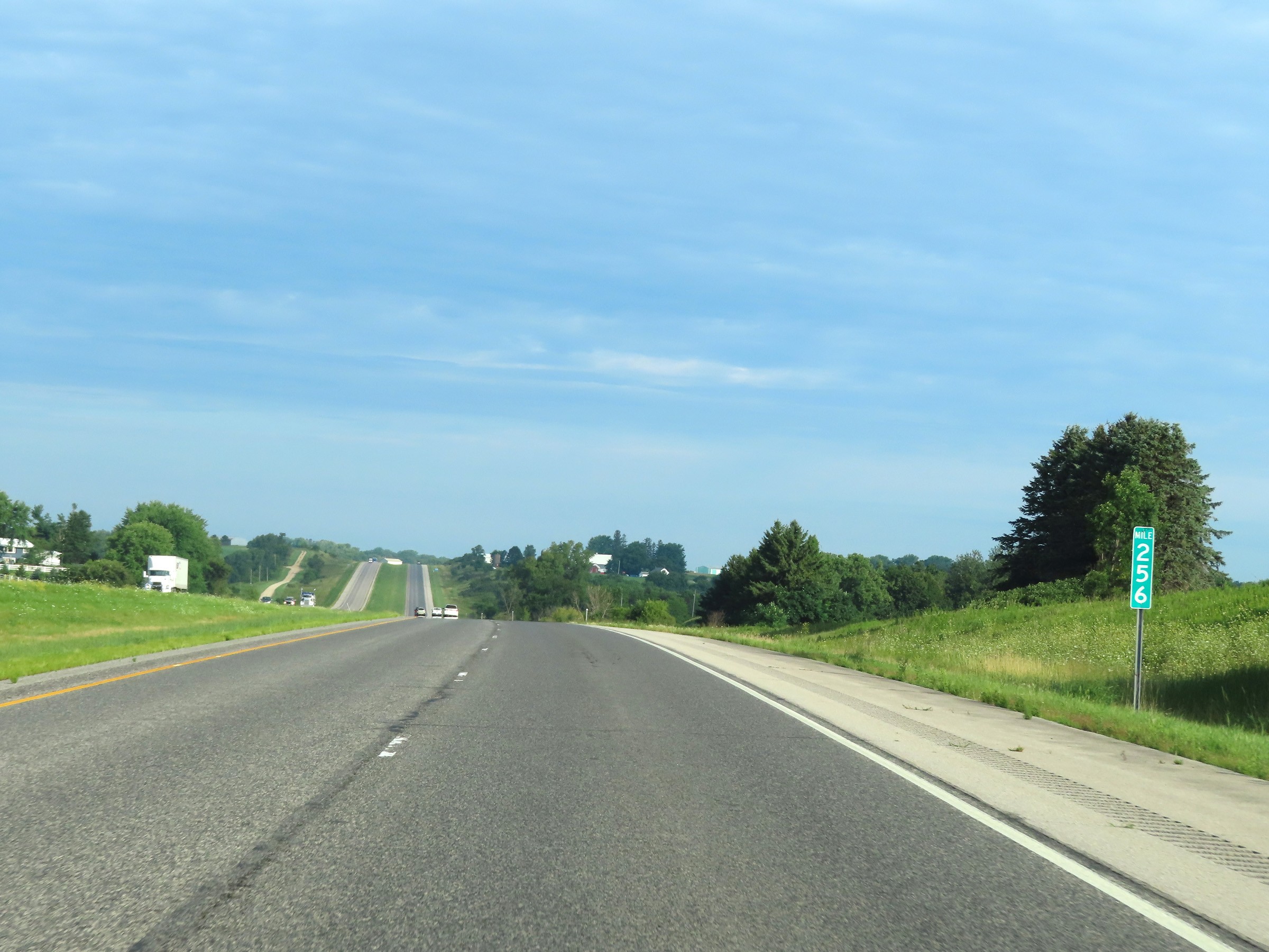 |
Mile marker 256 on Interstate 90 West in Winona County. (Photo taken 8/16/22). |
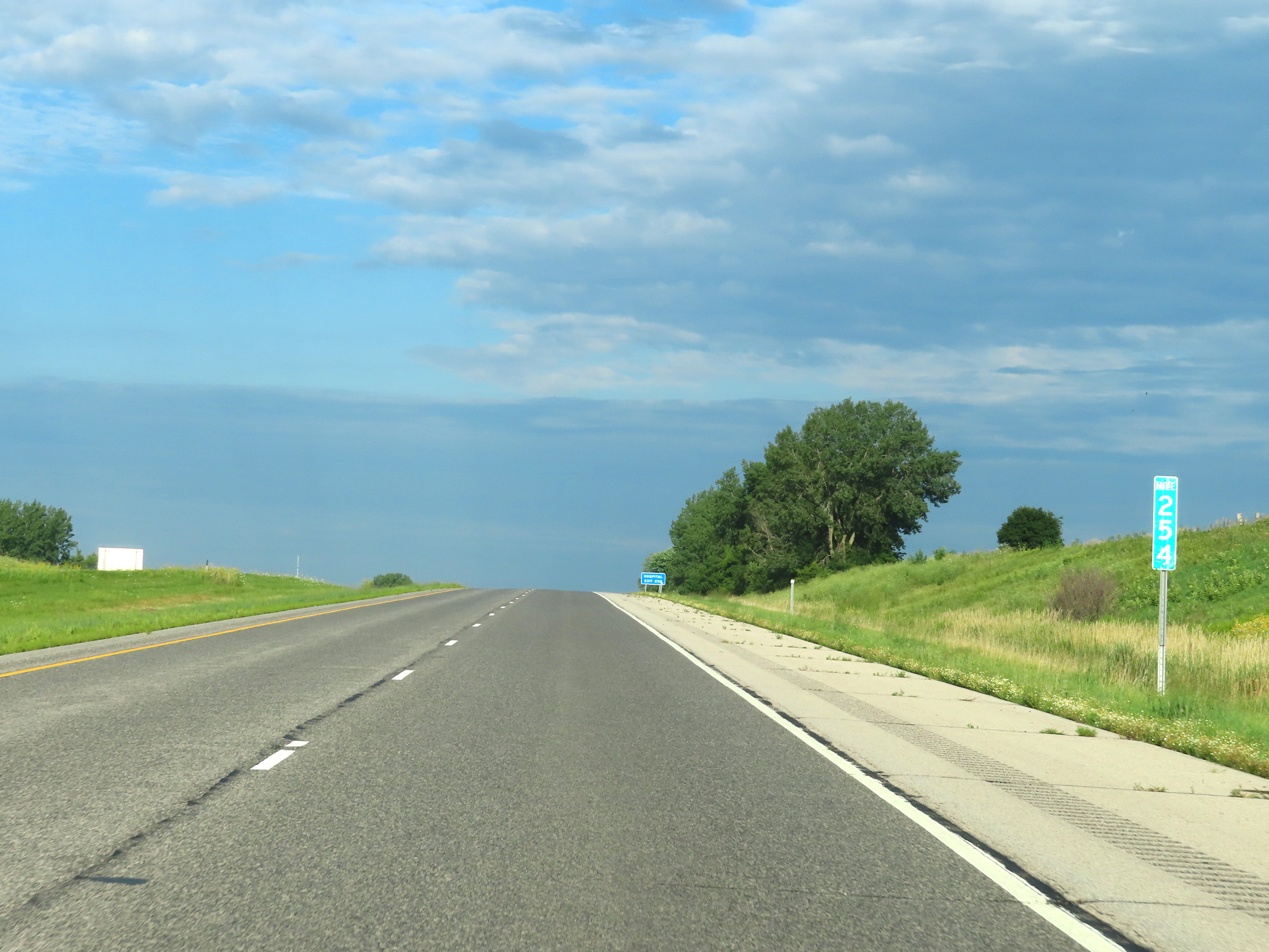 |
Interstate 90 West at mile marker 254. (Photo taken 8/16/22). |
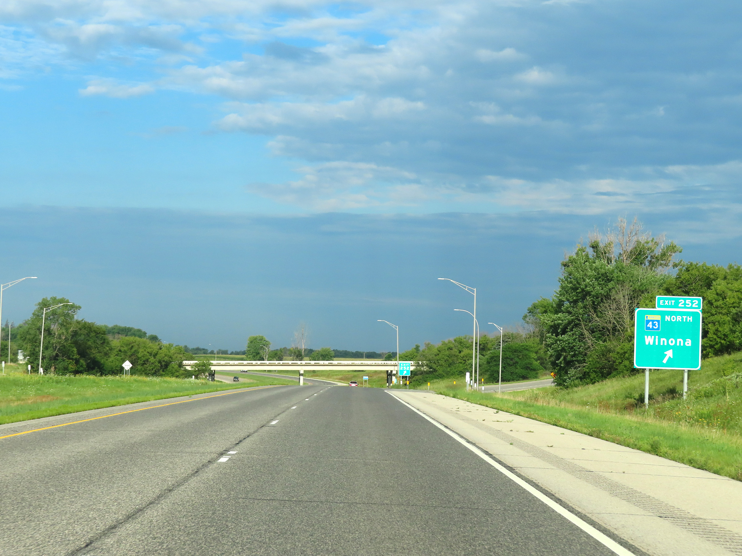 |
Interstate 90 West at Exit 252: MN 43 North - Winona (Photo taken 8/16/22). |
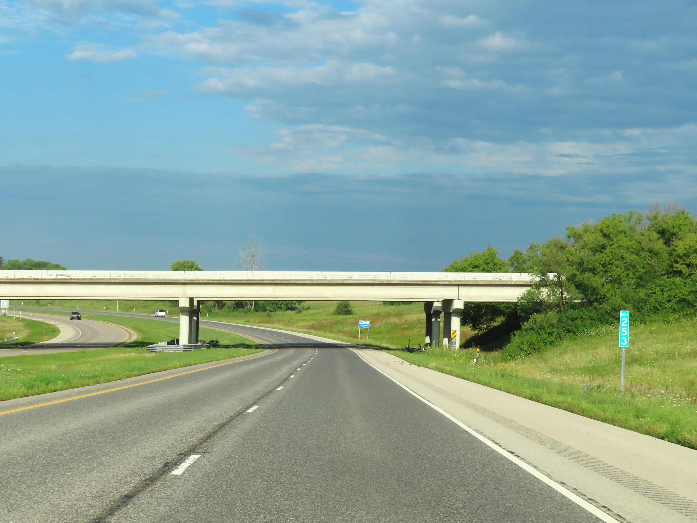 |
Interstate 90 West at mile marker 253. (Photo taken 8/16/22). |
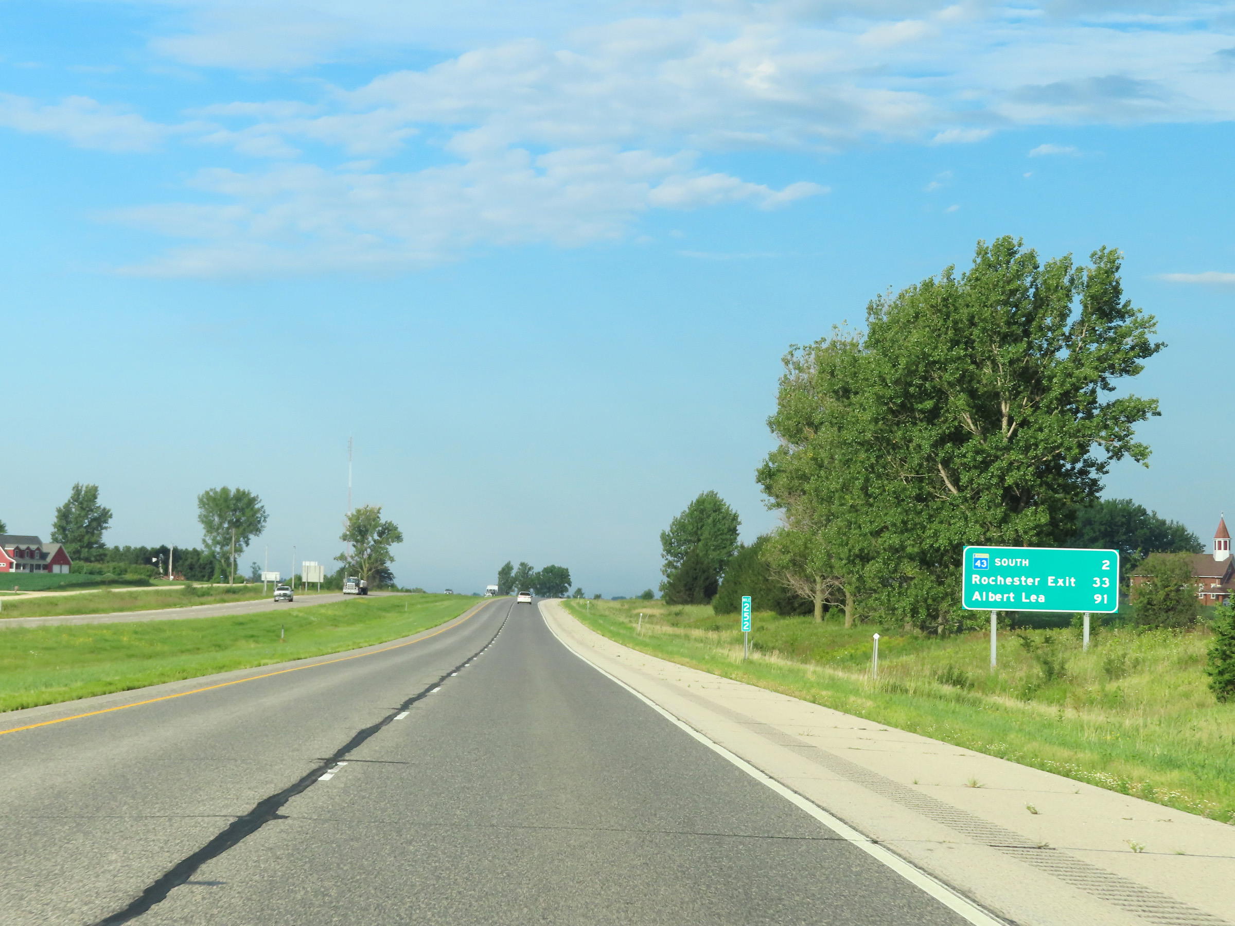 |
Mileage sign at mile marker 252. It's 2 miles to the junction of MN 43 South, 33 miles to Exit 218 (US 52) to Rochester, and 91 miles to Albert Lea. (Photo taken 8/16/22). |
 |
View on Interstate 90 West at mile marker 251. (Photo taken 8/16/22). |
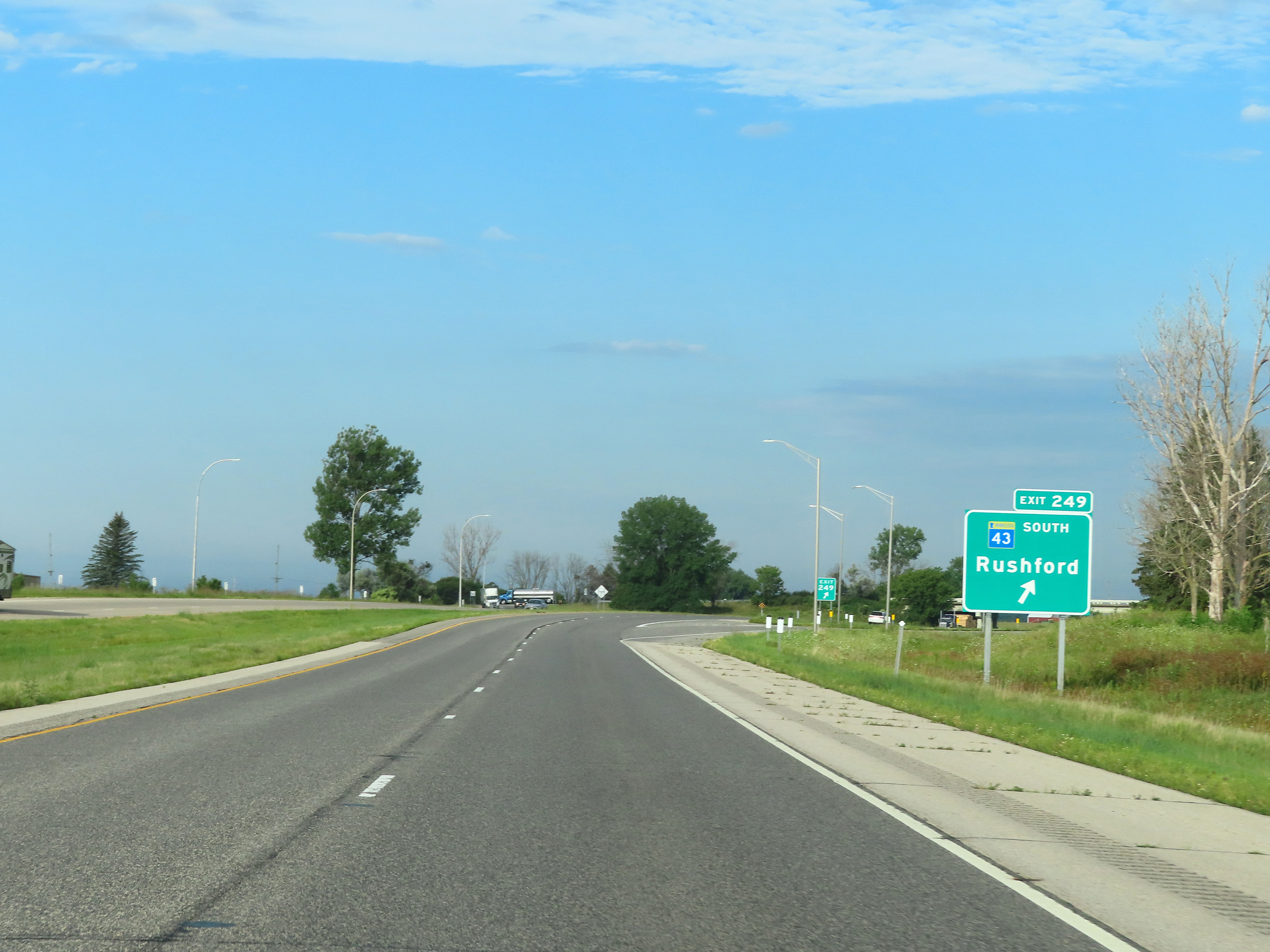 |
Interstate 90 West at Exit 249: MN 43 South - Rushford (Photo taken 8/16/22). |
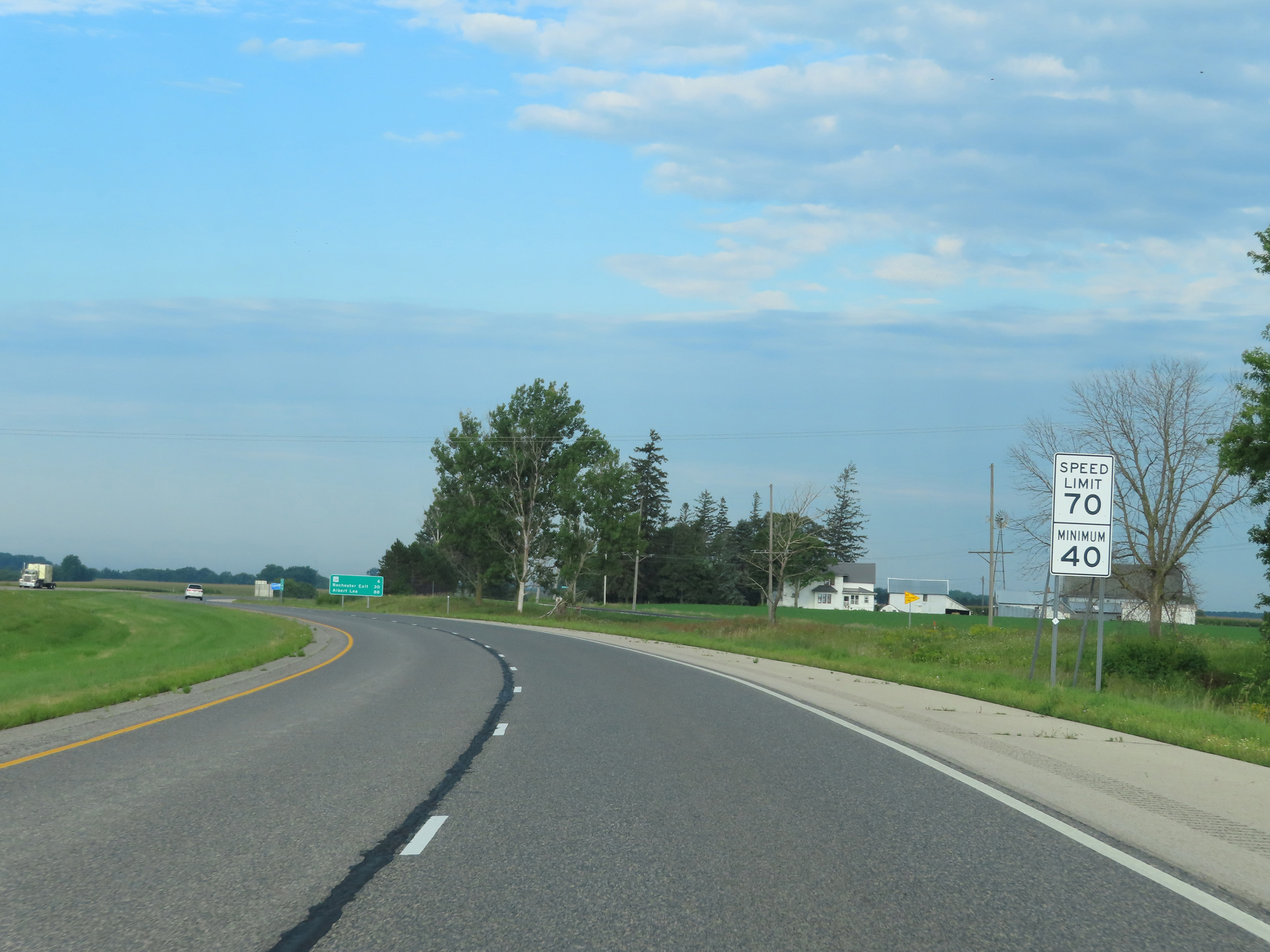 |
Speed limit signs on Interstate 90 West. The speed limits remain the rural standard 70 mph maximum and 40 mph minimum. (Photo taken 8/16/22). |
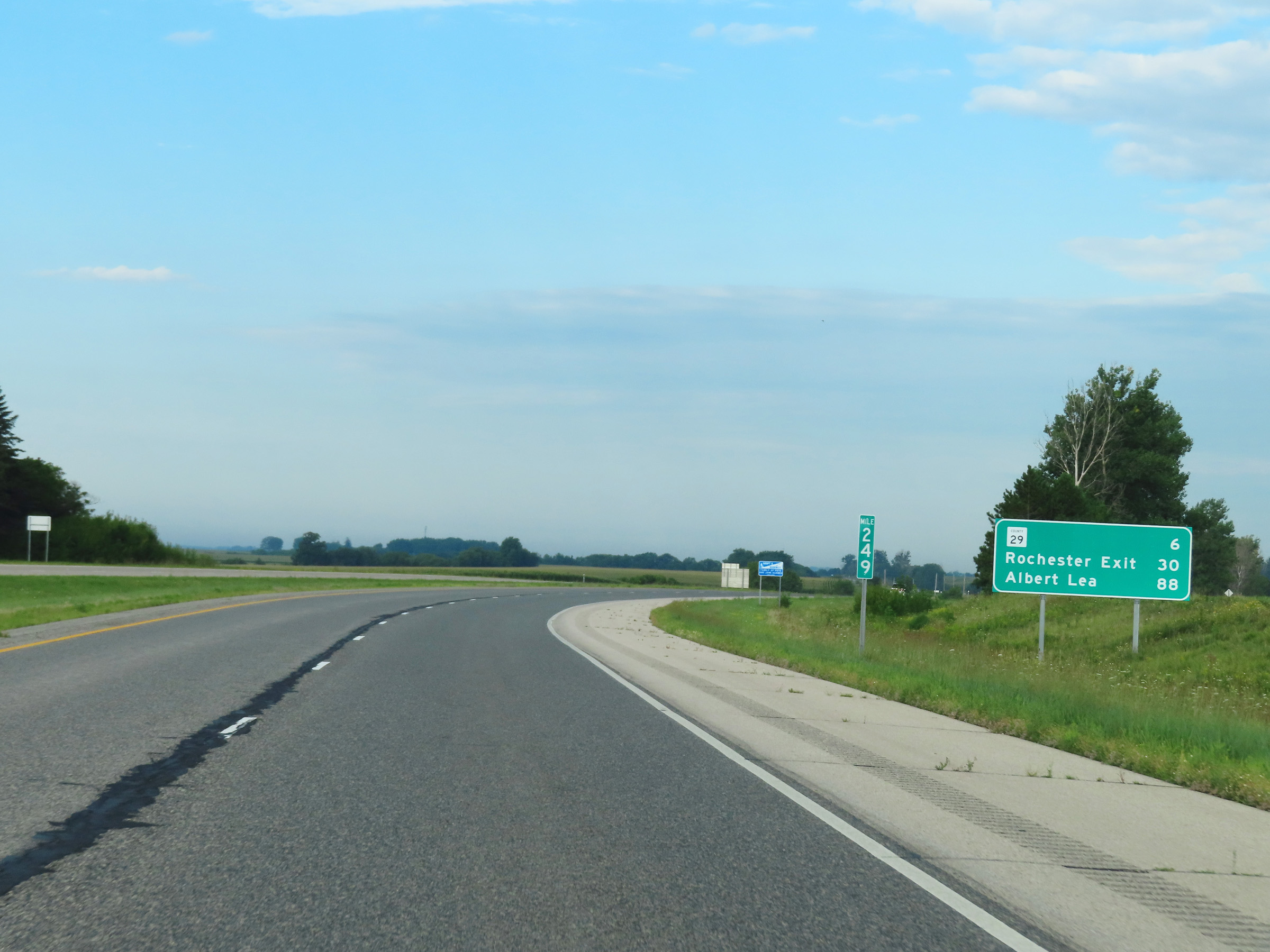 |
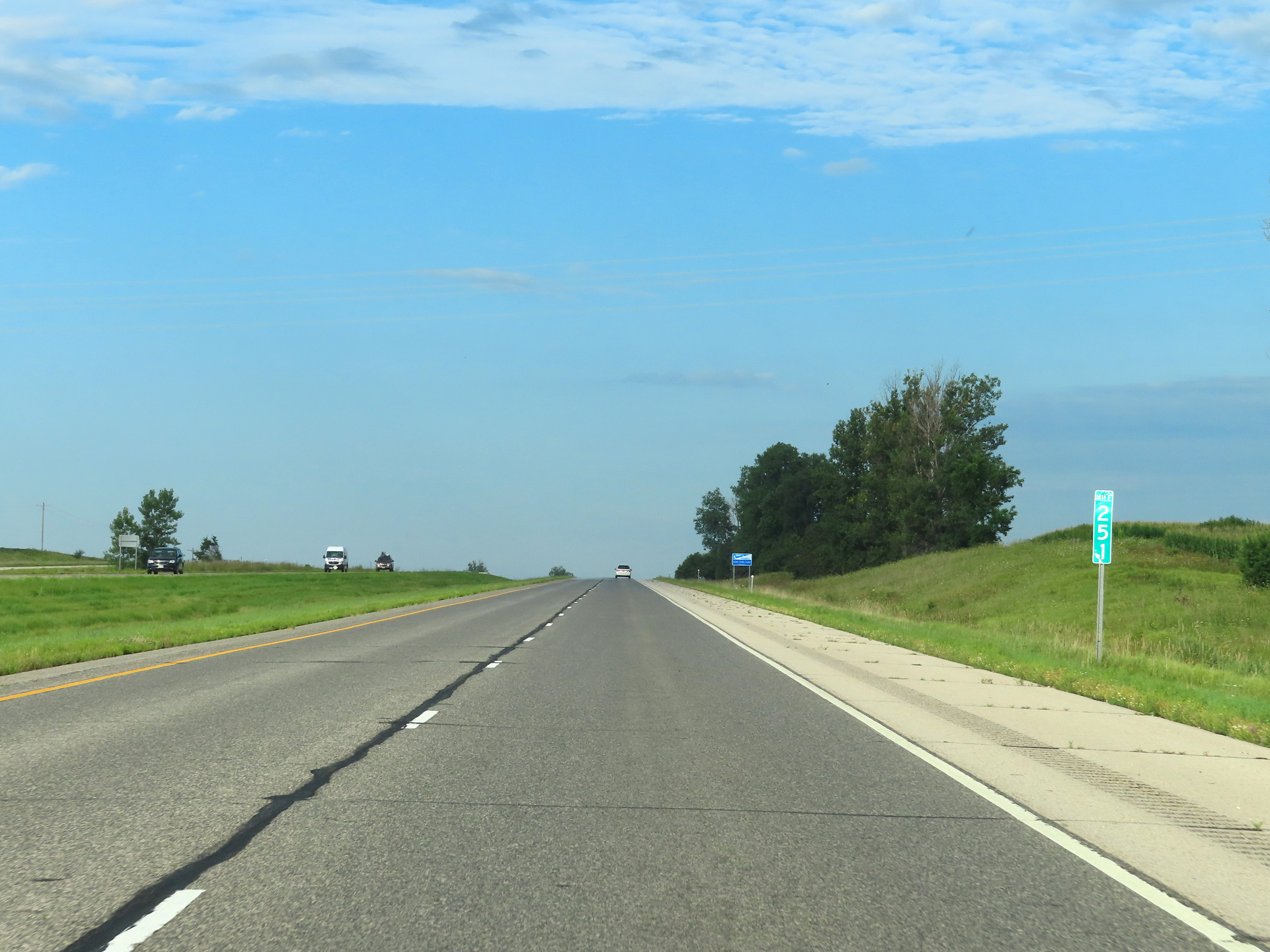
Mile marker 249 on Interstate 90 West in Winona County. (Photo taken 8/16/22). |
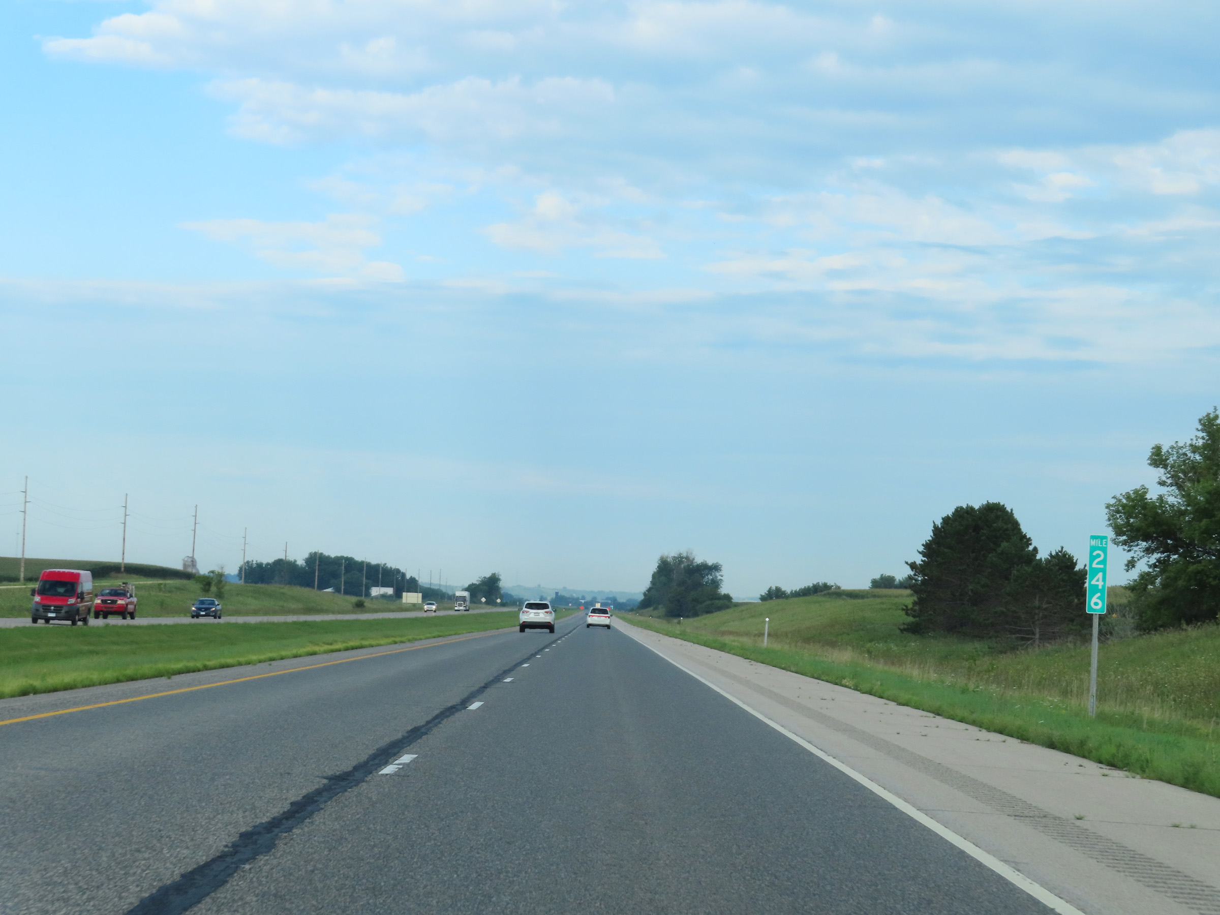 |
View on Interstate 90 West at mile marker 246. (Photo taken 8/16/22). |
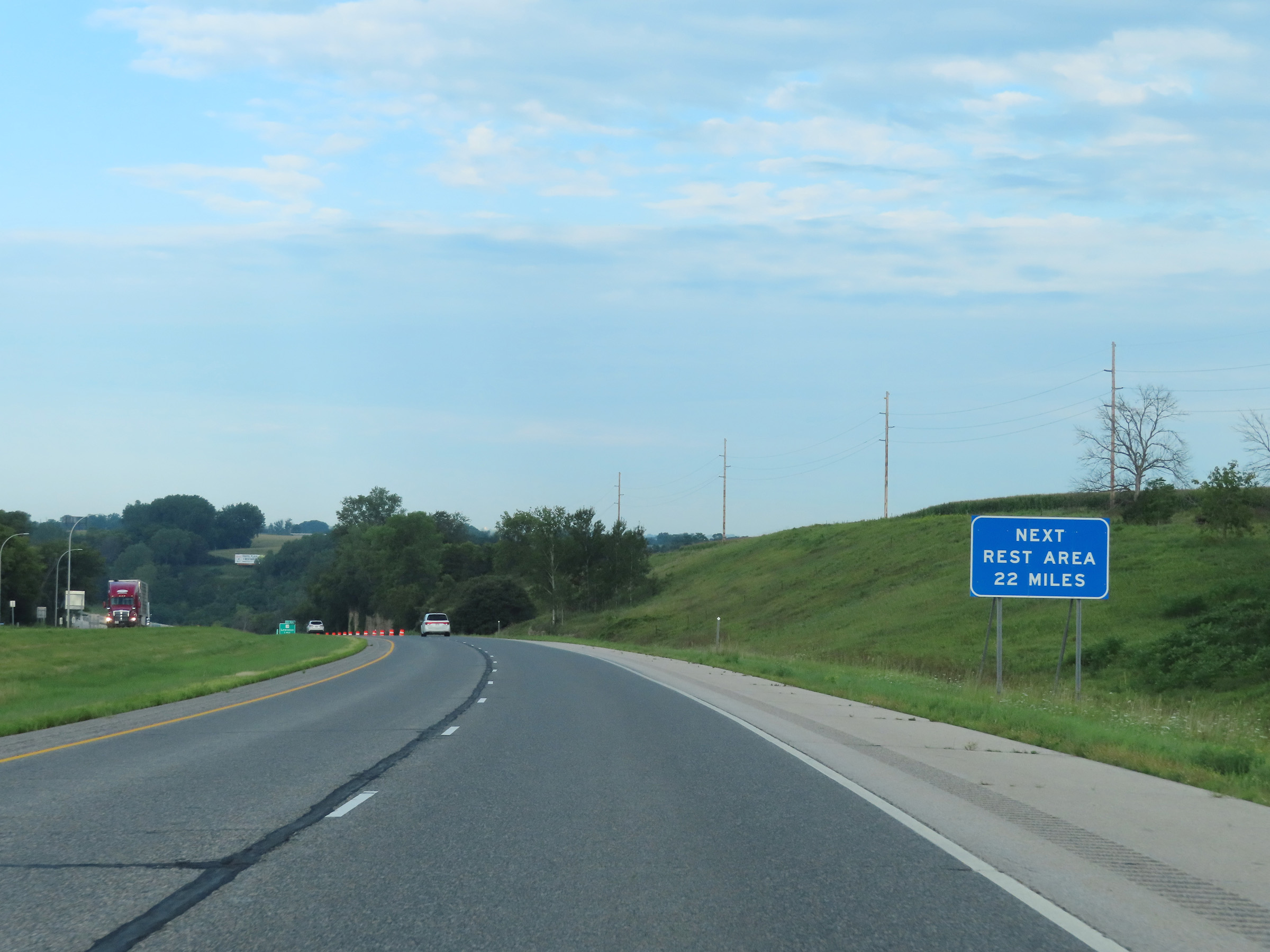 |
The next Rest Area on Interstate 90 West is 22 miles ahead. (Photo taken 8/16/22). |
 |
View on Interstate 90 West at mile marker 244. (Photo taken 8/16/22). |
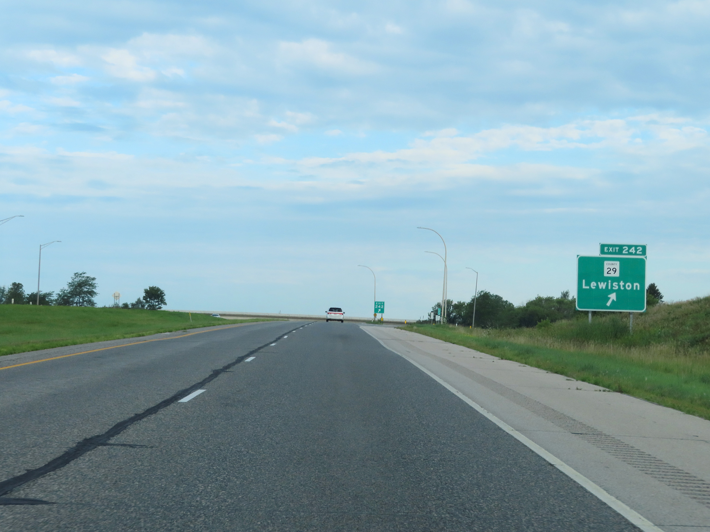 |
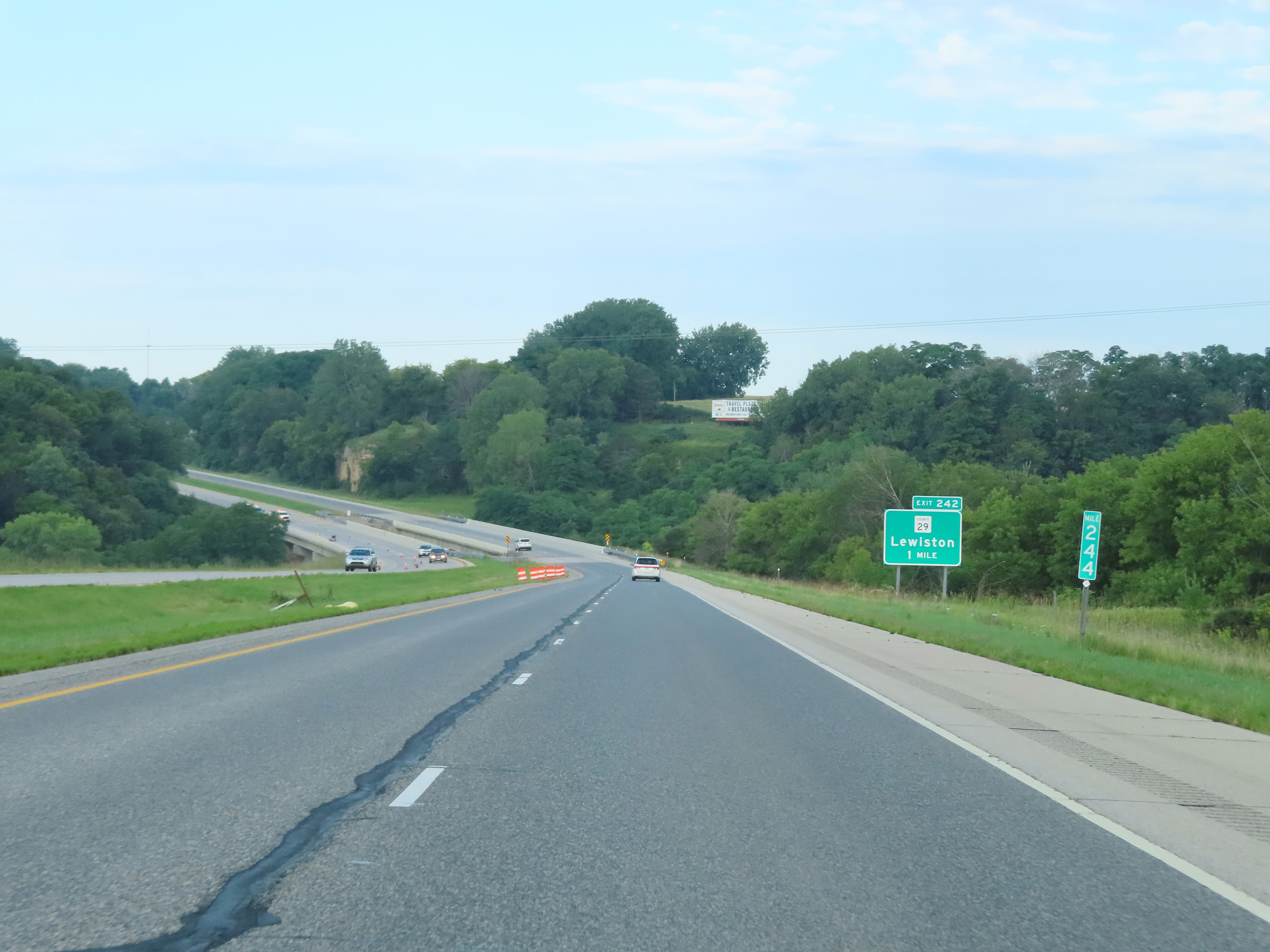
Interstate 90 West at Exit 242: CR 29 - Lewiston (Photo taken 8/16/22). |
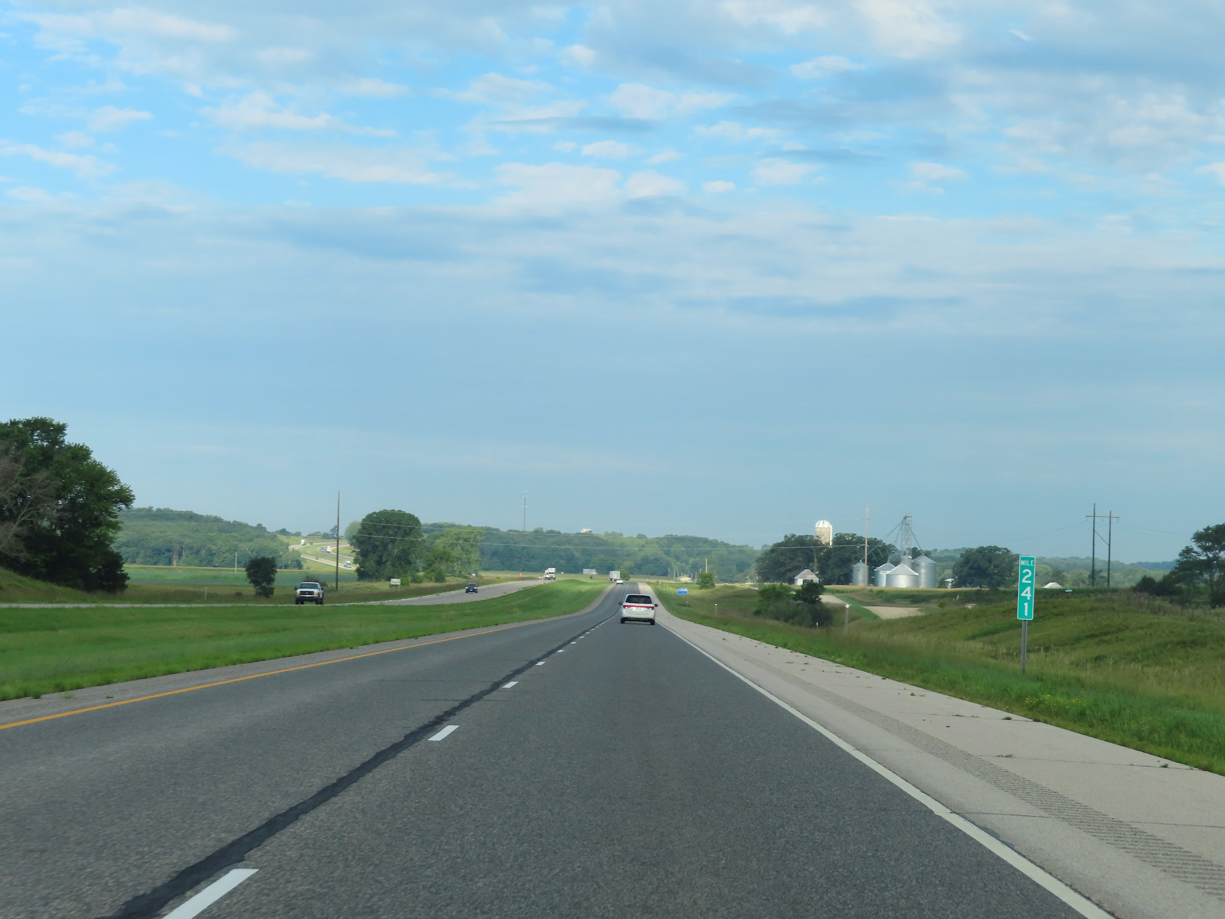 |
Mile marker 241 on Interstate 90 West in Winona County. (Photo taken 8/16/22). |
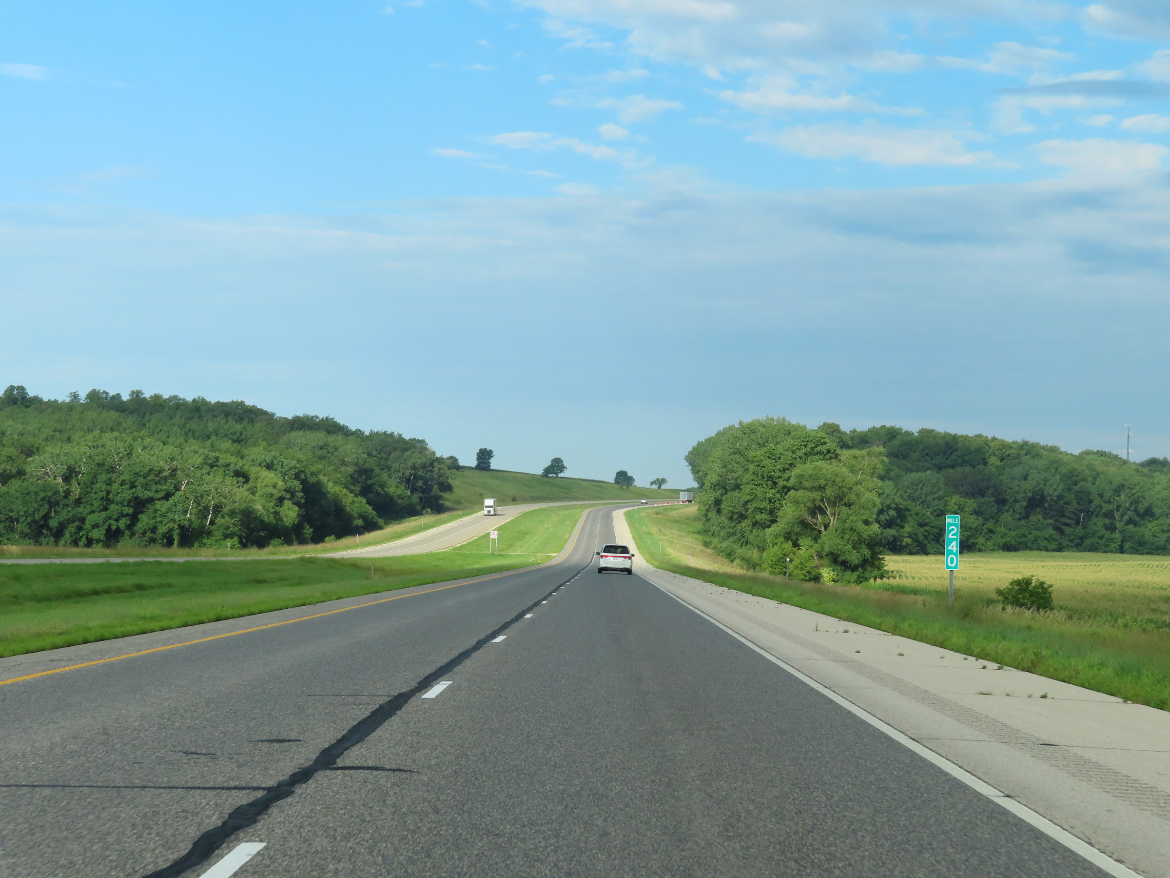 |
View on Interstate 90 West at mile marker 240. (Photo taken 8/16/22). |
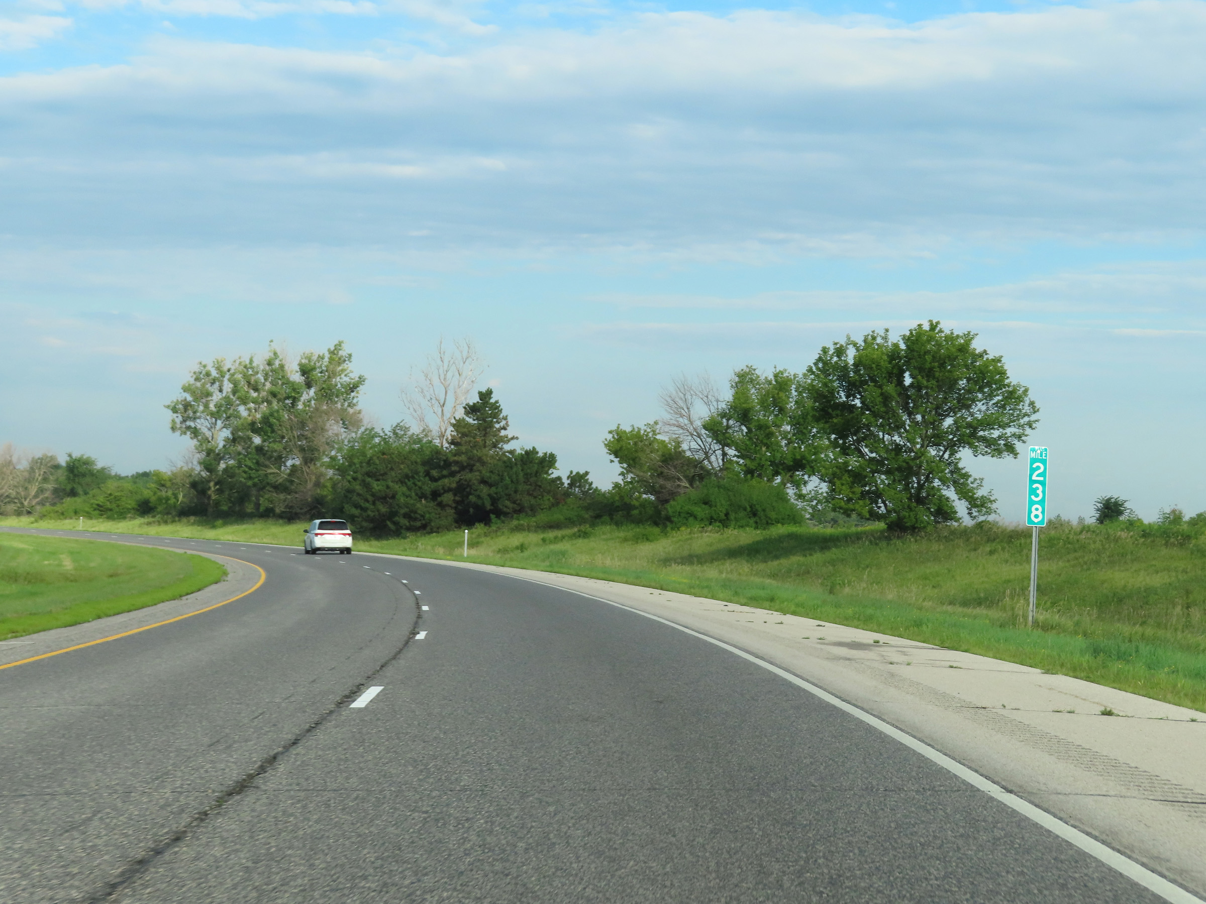 |
Interstate 90 West at mile marker 238. (Photo taken 8/16/22). |
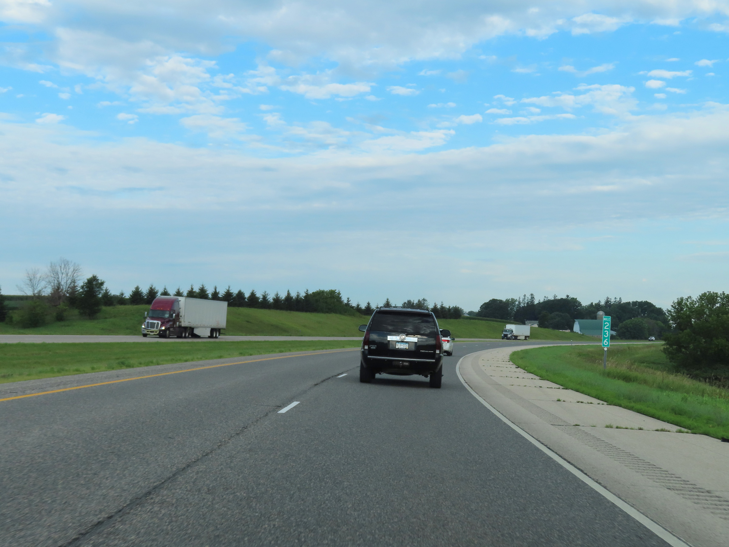 |
Interstate 90 West at mile marker 236. (Photo taken 8/16/22). |
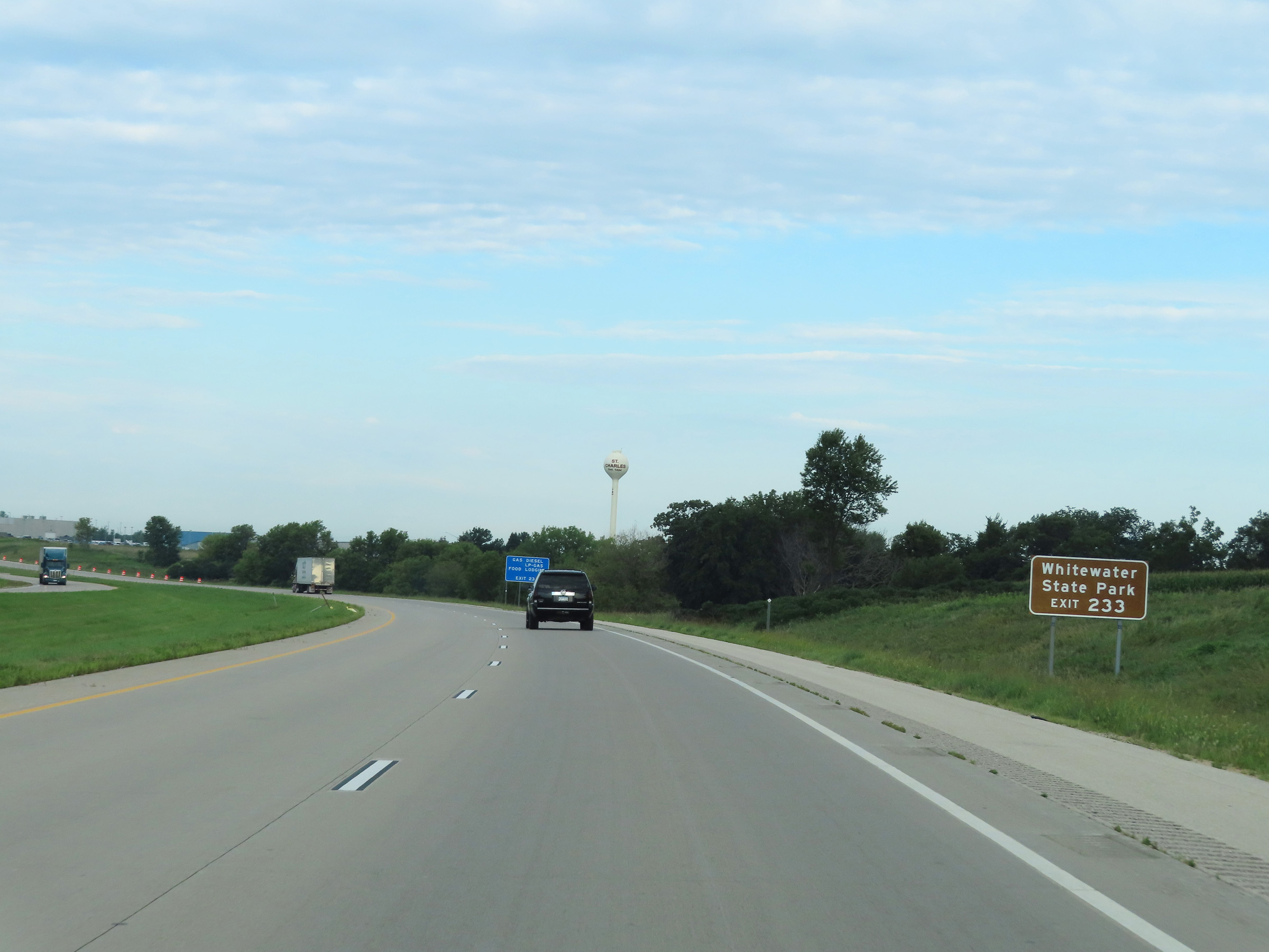 |
Take Exit 233 to Whitewater State Park. (Photo taken 8/16/22). |
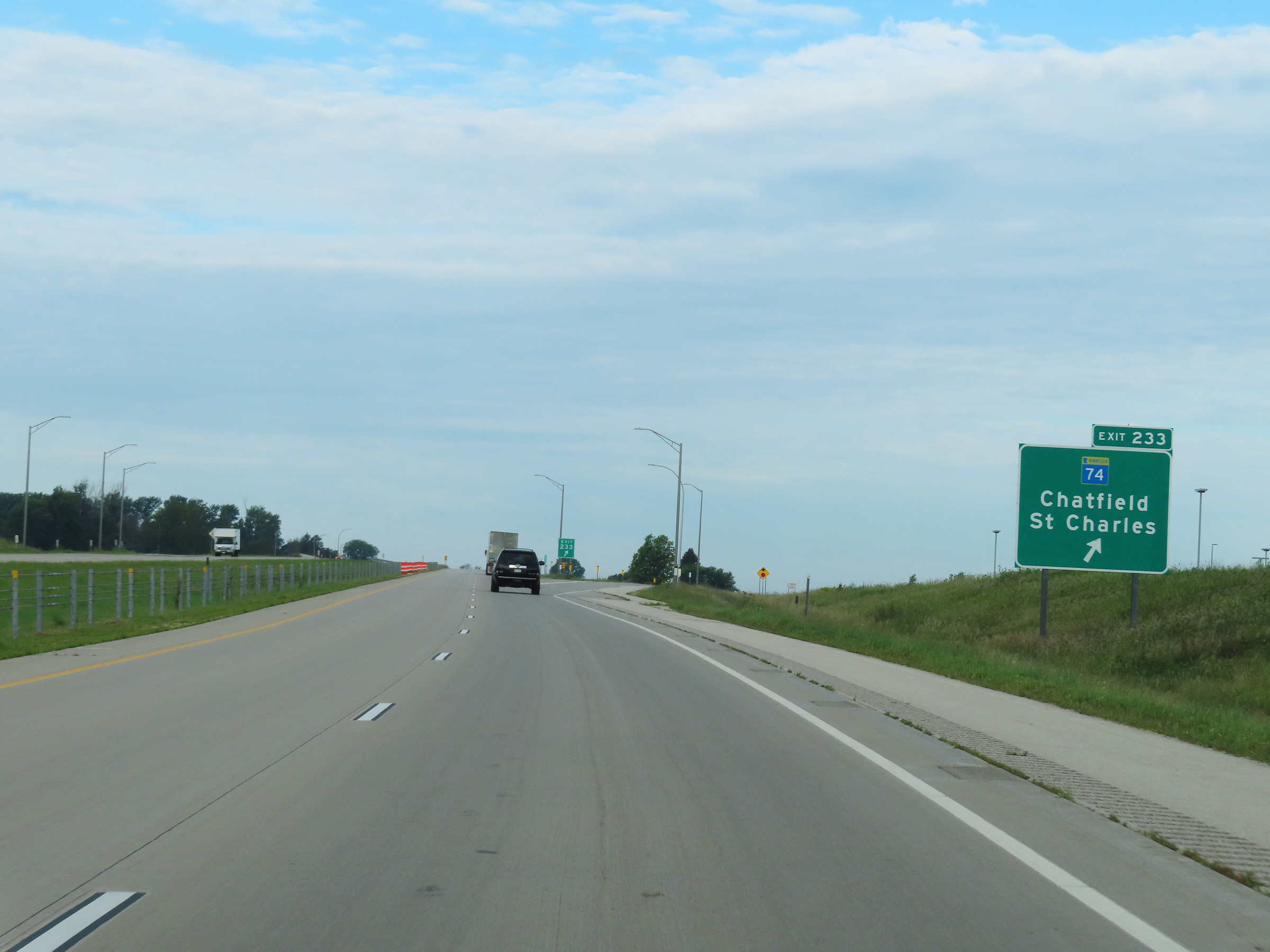 |
Interstate 90 West at Exit 233: MN 74 - Chatfield / St. Charles (Photo taken 8/16/22). |
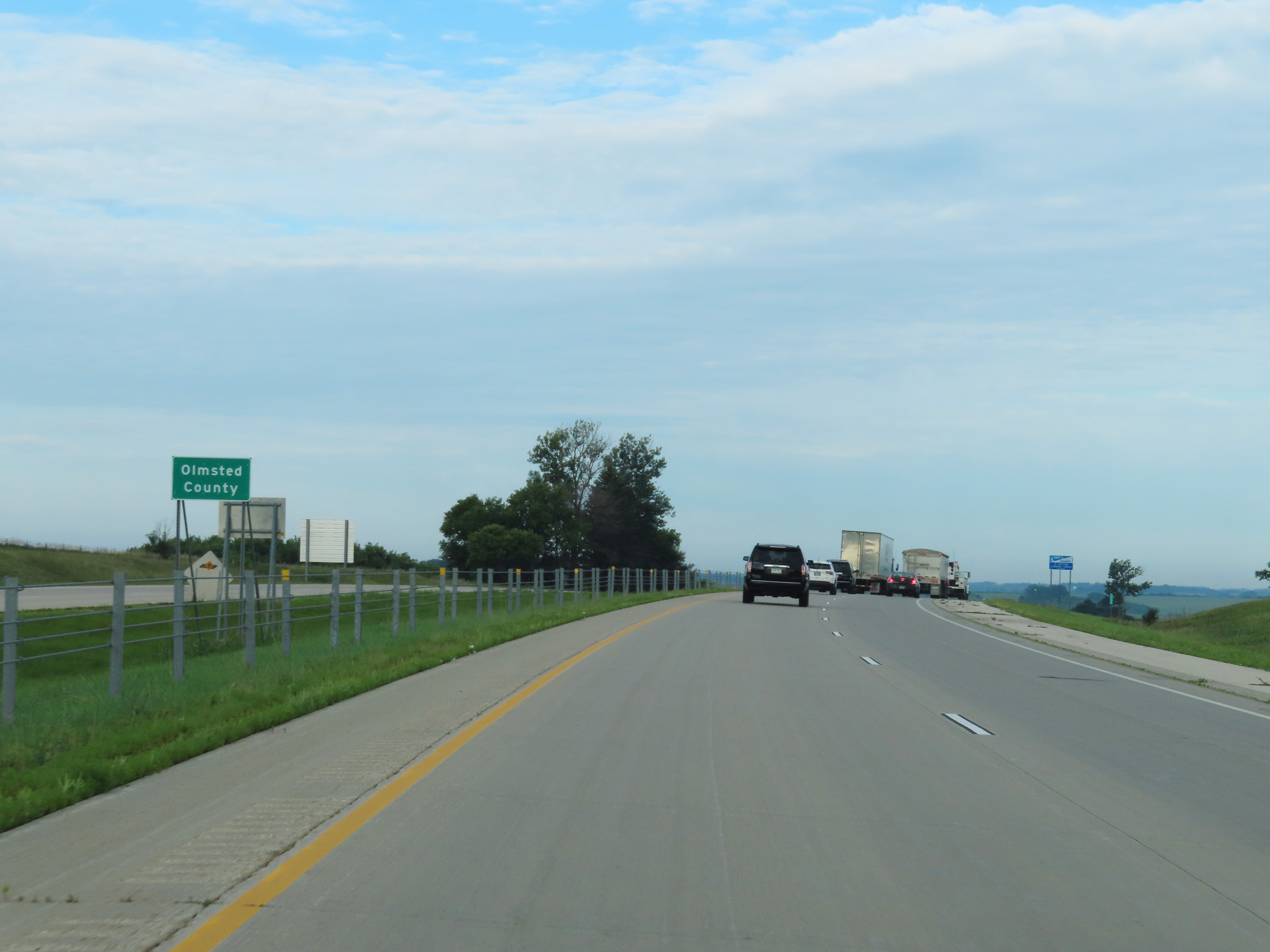 |
West of Exit 233, Interstate 90 West enters Olmsted County. (Photo taken 8/16/22). |
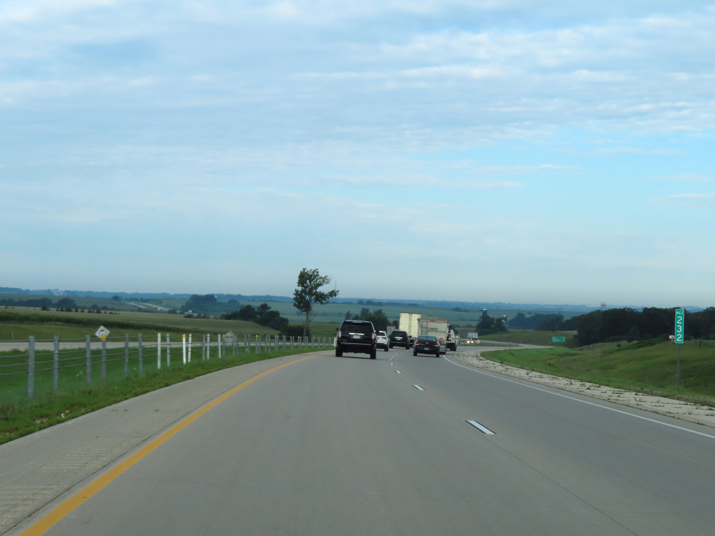 |
Interstate 90 West at mile marker 232. (Photo taken 8/16/22). |
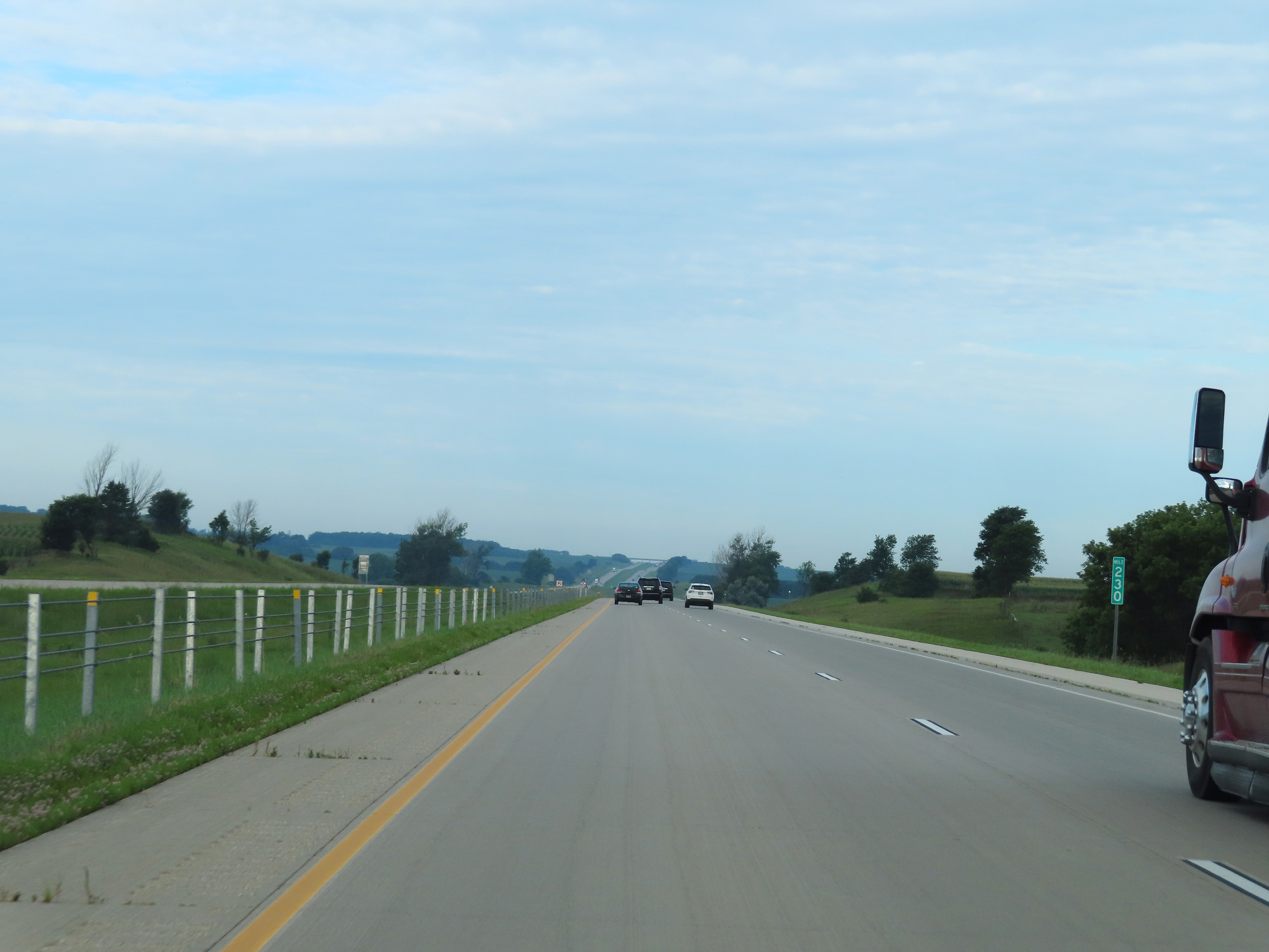 |
View on Interstate 90 West at mile marker 230. (Photo taken 8/16/22). |
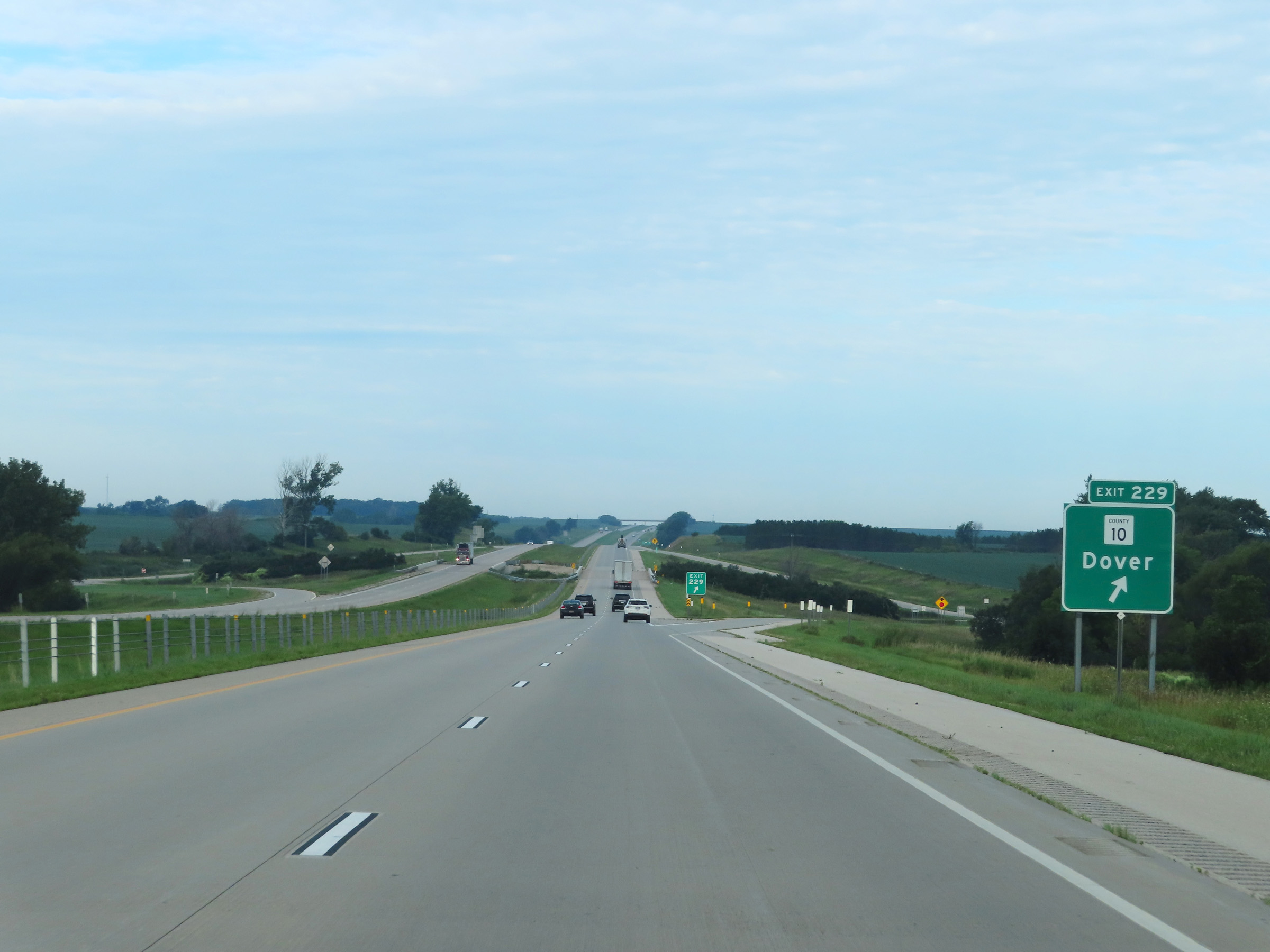 |
Interstate 90 West at Exit 229: CR 10 - Dover (Photo taken 8/16/22). |
 |
Interstate 90 West reassurance shield in Olmsted County. (Photo taken 8/16/22). |
 |
Speed limit signage on Interstate 90 West in Olmsted County. The speed limits remain the rural standard 70 mph maximum and 40 mph minimum. (Photo taken 8/16/22). |
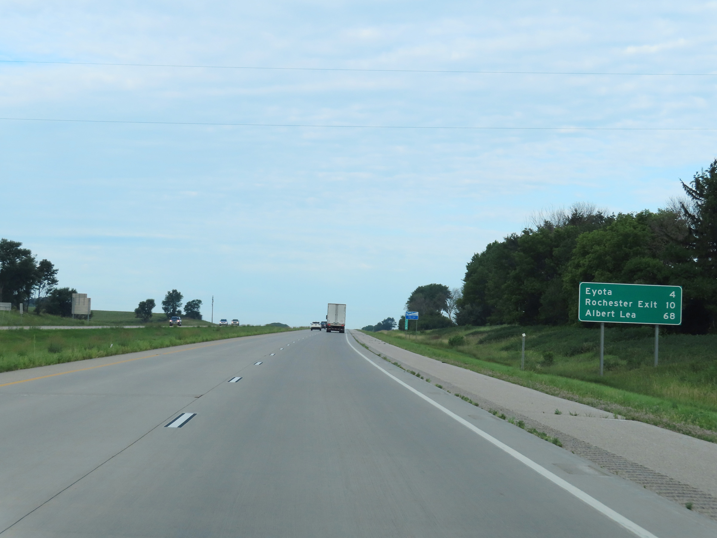 |
Mileage sign on Interstate 90 West at mile marker 228. It's 4 miles to Eyota, 10 miles to Exit 218 (US 52 to Rochester), and 68 miles to Albert Lea. (Photo taken 8/16/22). |
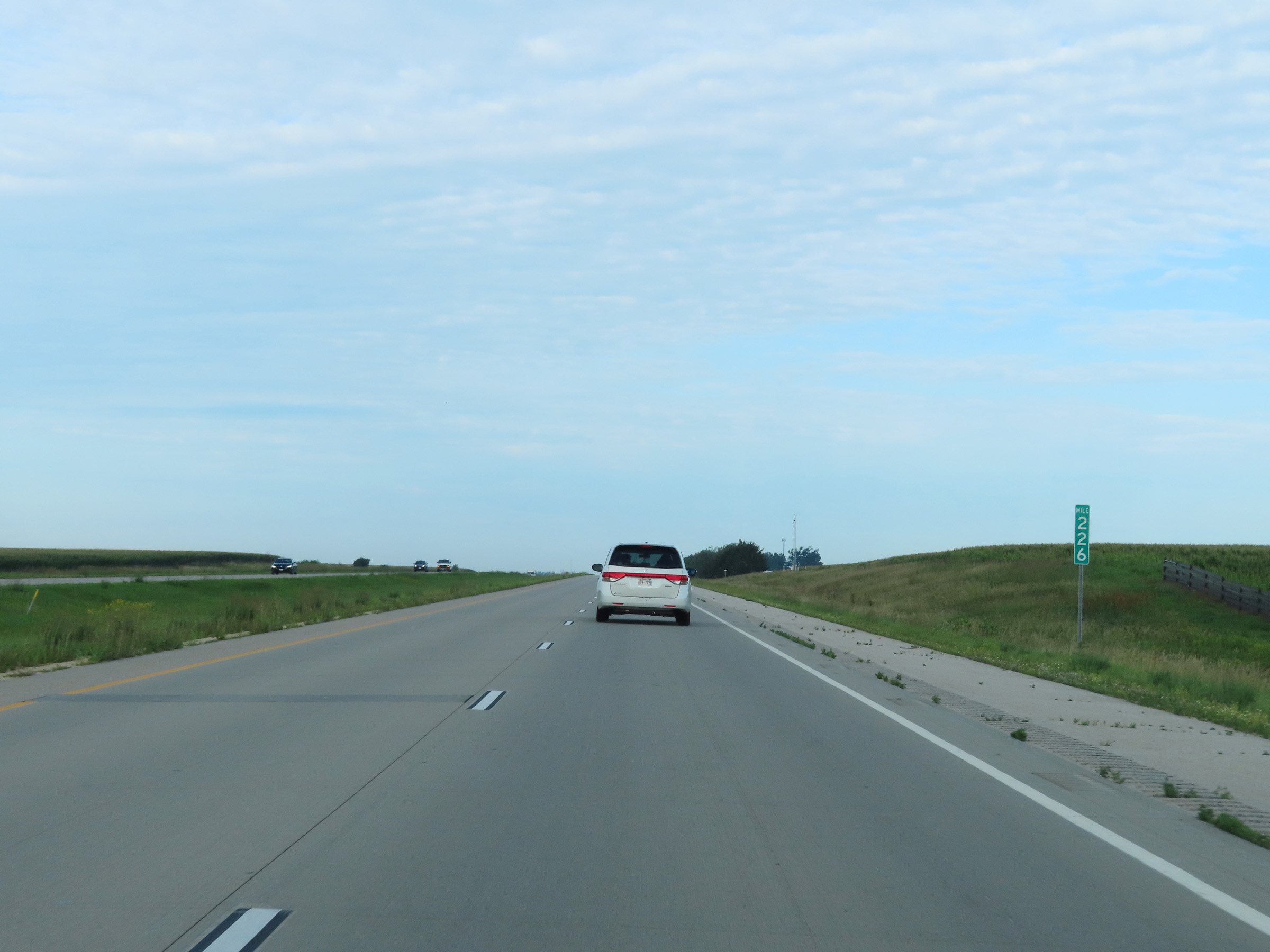 |
Interstate 90 West at mile marker 226. (Photo taken 8/16/22). |
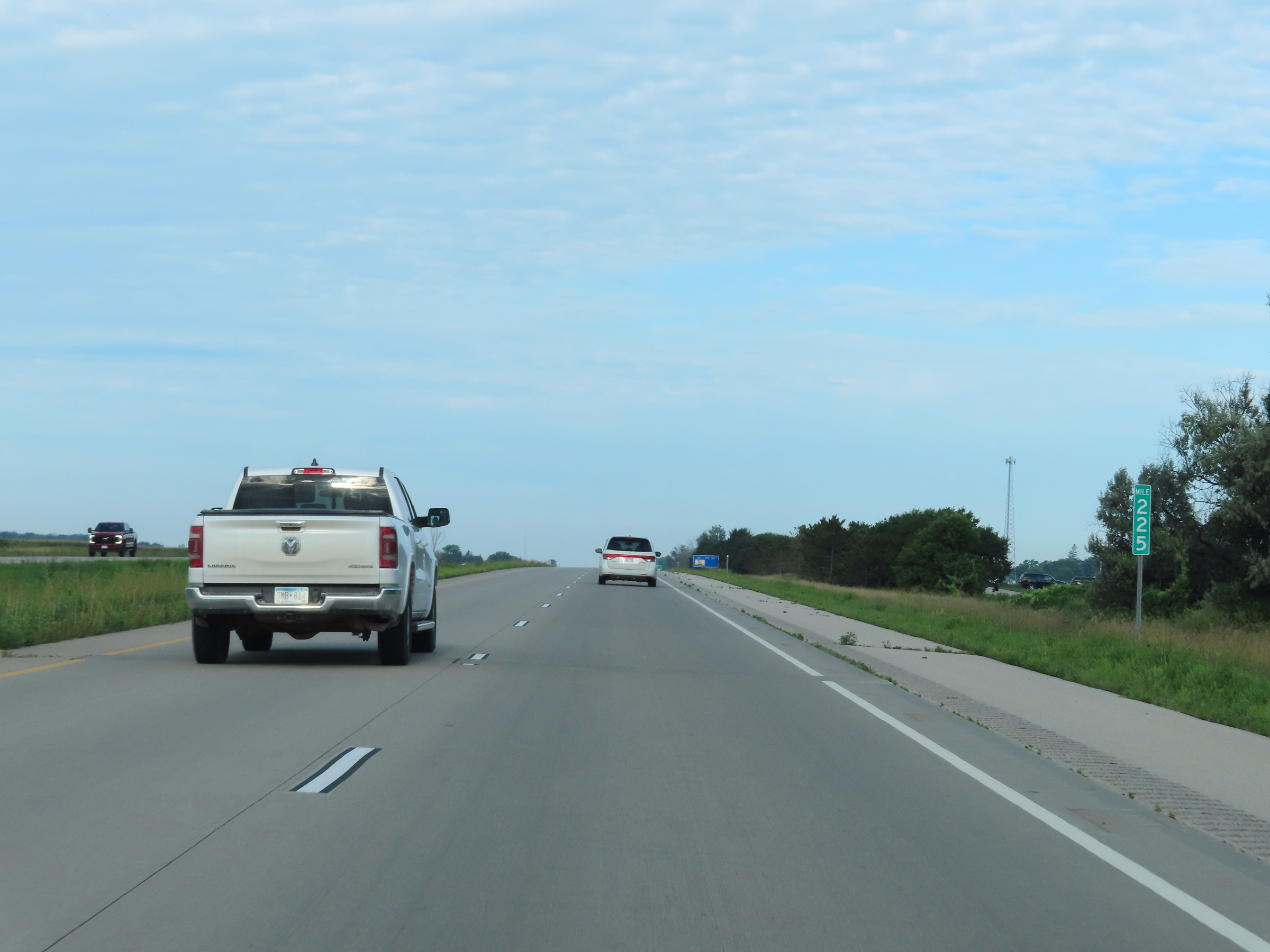 |
Mile marker 225 on Interstate 90 West in Olmsted County. (Photo taken 8/16/22). |
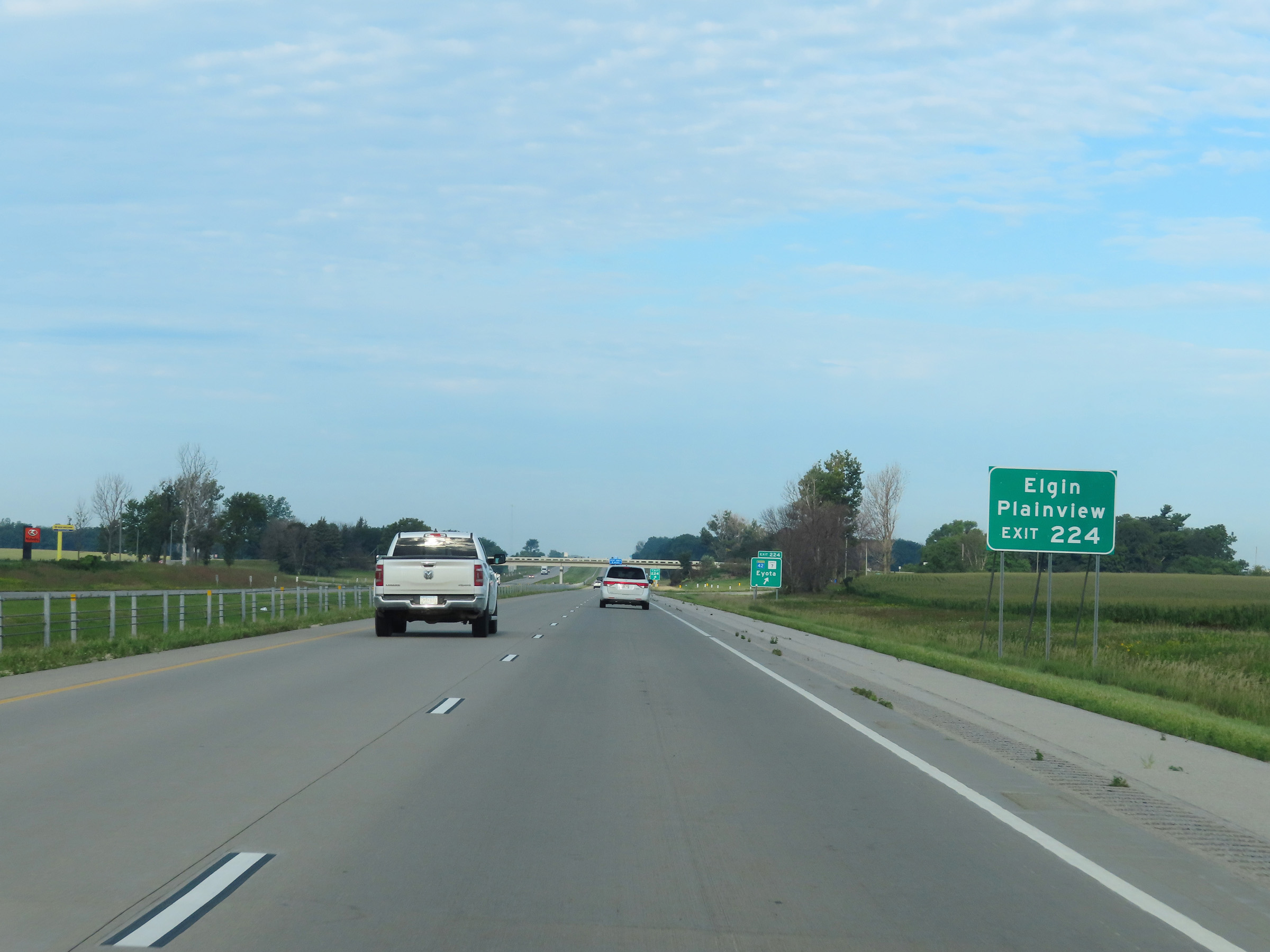 |
Take Exit 224 to Elgin and Plainview. (Photo taken 8/16/22). |
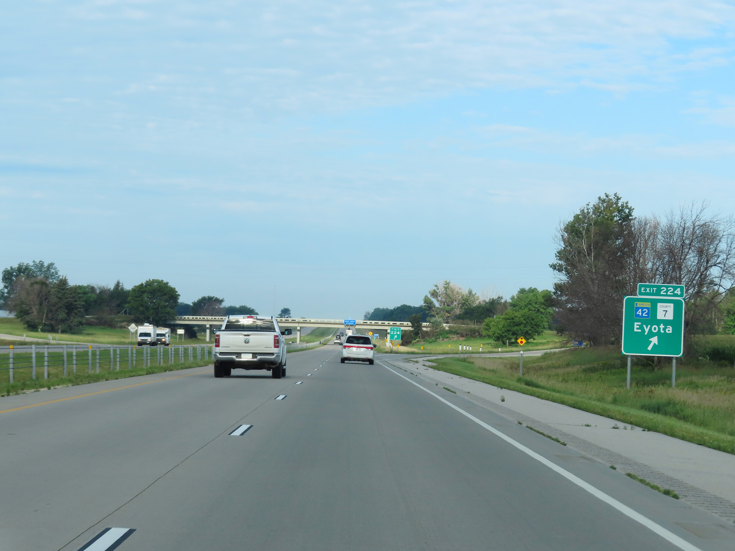 |
Interstate 90 West at Exit 224: MN 42 / CR 7 - Eyota (Photo taken 8/16/22). |
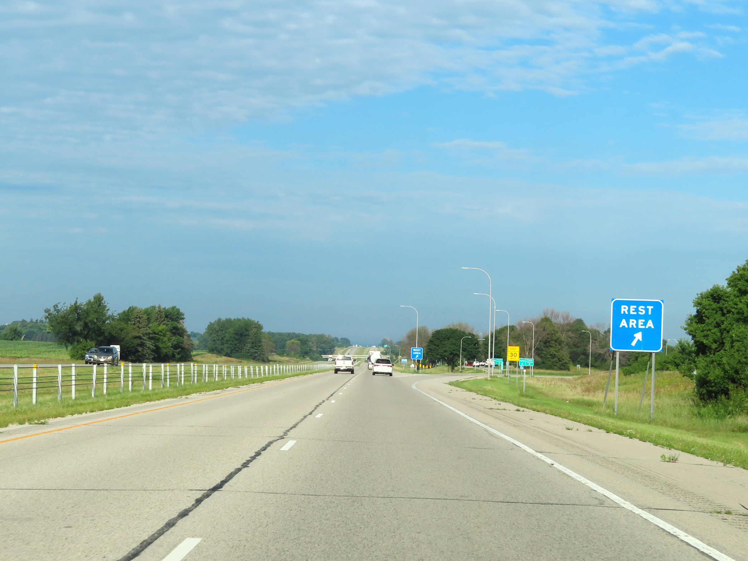 |
Rest Area on Interstate 90 West in Olmsted County. (Photo taken 8/16/22). |
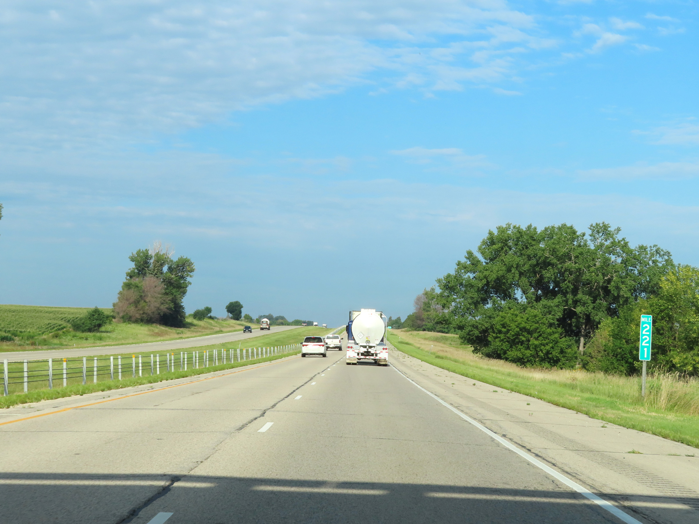 |
Mile marker 221 on Interstate 90 West in Olmsted County. (Photo taken 8/16/22). |
 |
Interstate 90 West approaching Exit 218 - 1 mile. (Photo taken 8/16/22). |
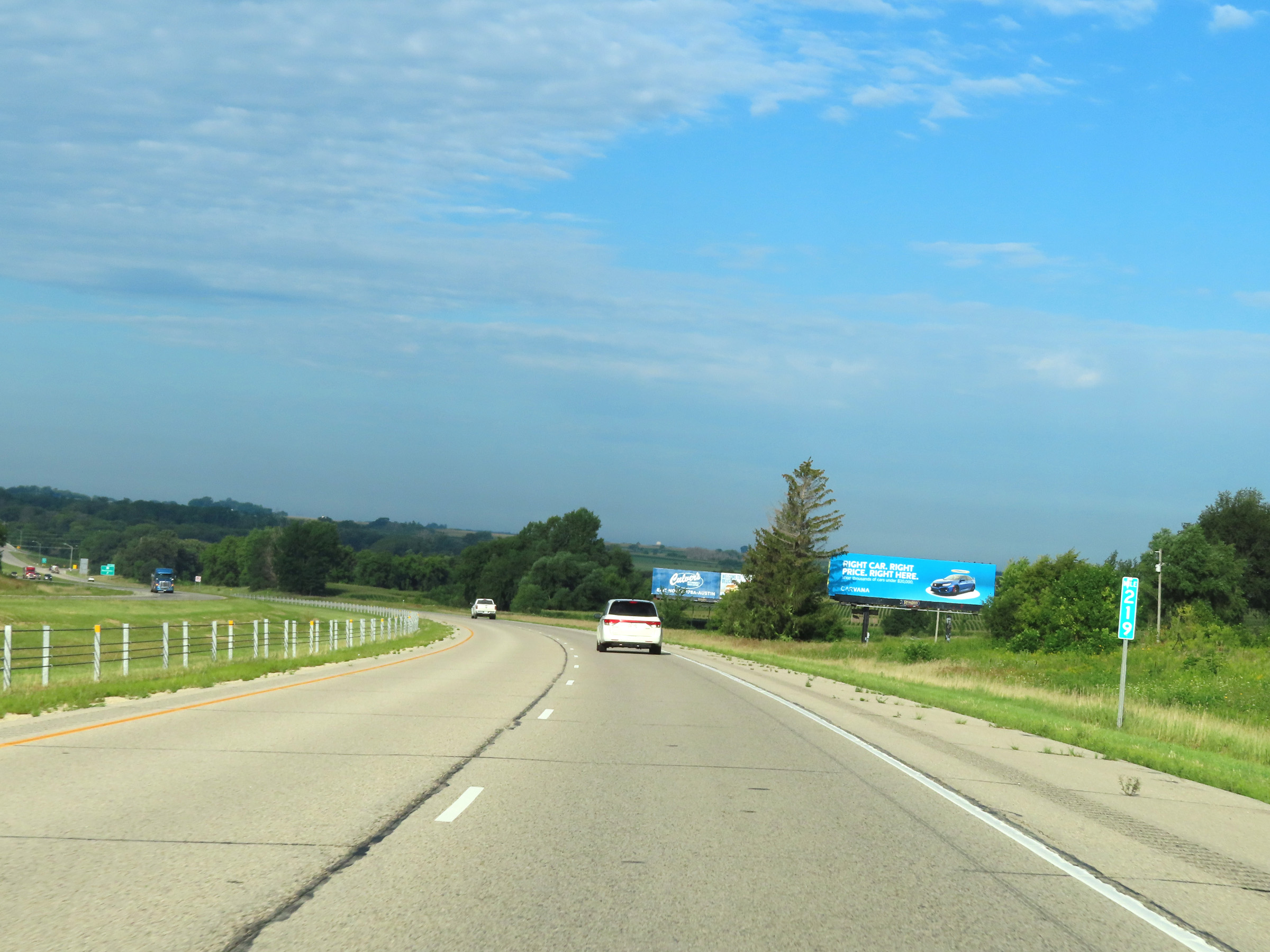 |
View on Interstate 90 West at mile marker 219. (Photo taken 8/16/22). |
 |
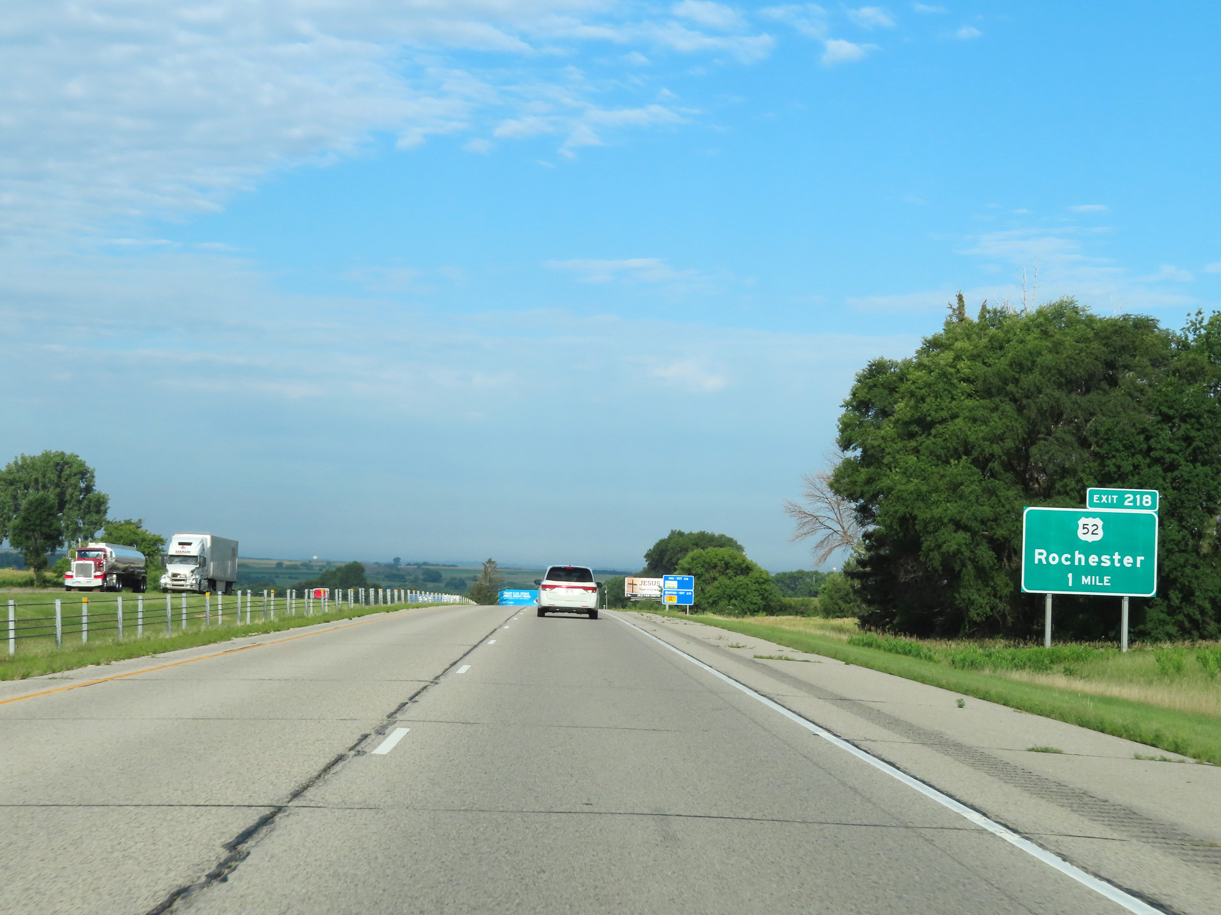
Interstate 90 West at Exit 218: US 52 - Rochester (Photo taken 8/16/22). |
Section 2: Rochester (Exit 218) to Austin (Exit 175)
 |
Another Interstate 90 West reassurance shield. (Photo taken 8/16/22). |
 |
Speed limit signs west of the junction of US 52 at Exit 218. The speed limits remain 70 mph maximum and 40 mph minimum. (Photo taken 8/16/22). |
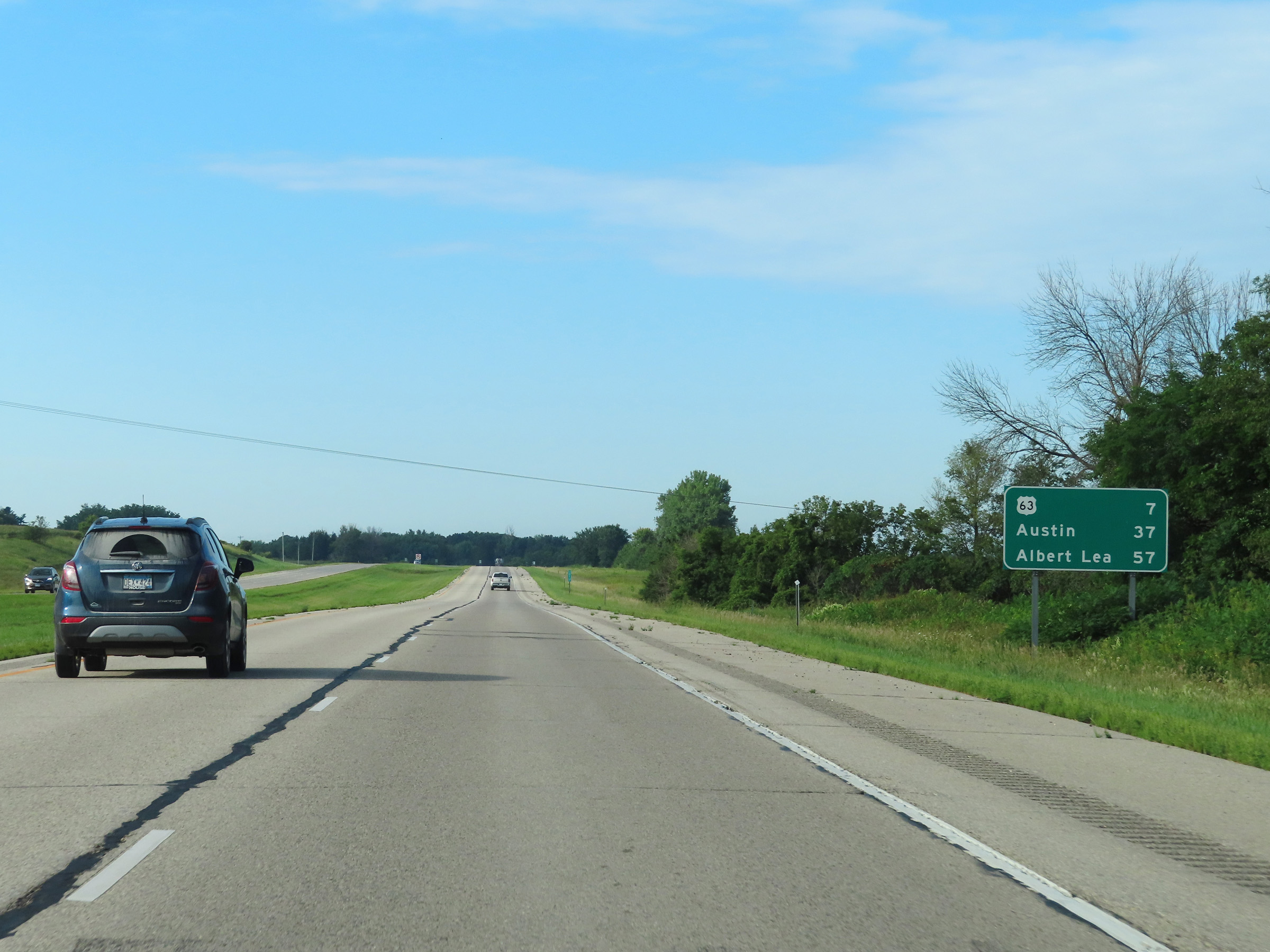 |
Mileage sign on Interstate 90 West near mile marker 217. It's 7 miles to the junction of US 63, 37 miles to Austin, and 57 miles to Albert Lea. (Photo taken 8/16/22). |
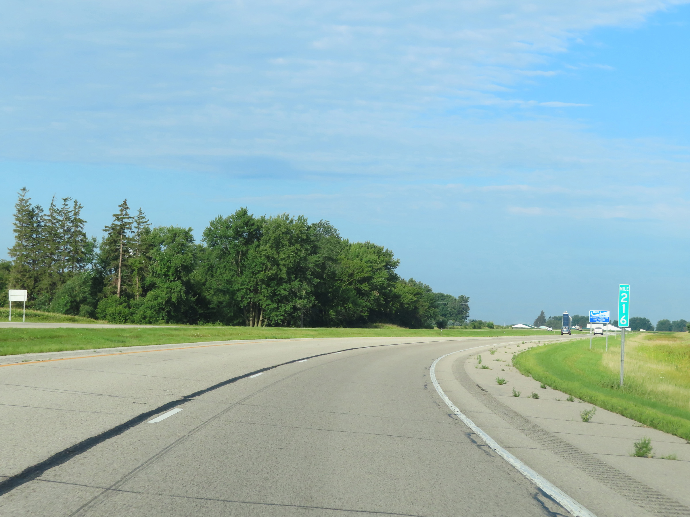 |
View on Interstate 90 West at mile marker 216. (Photo taken 8/16/22). |
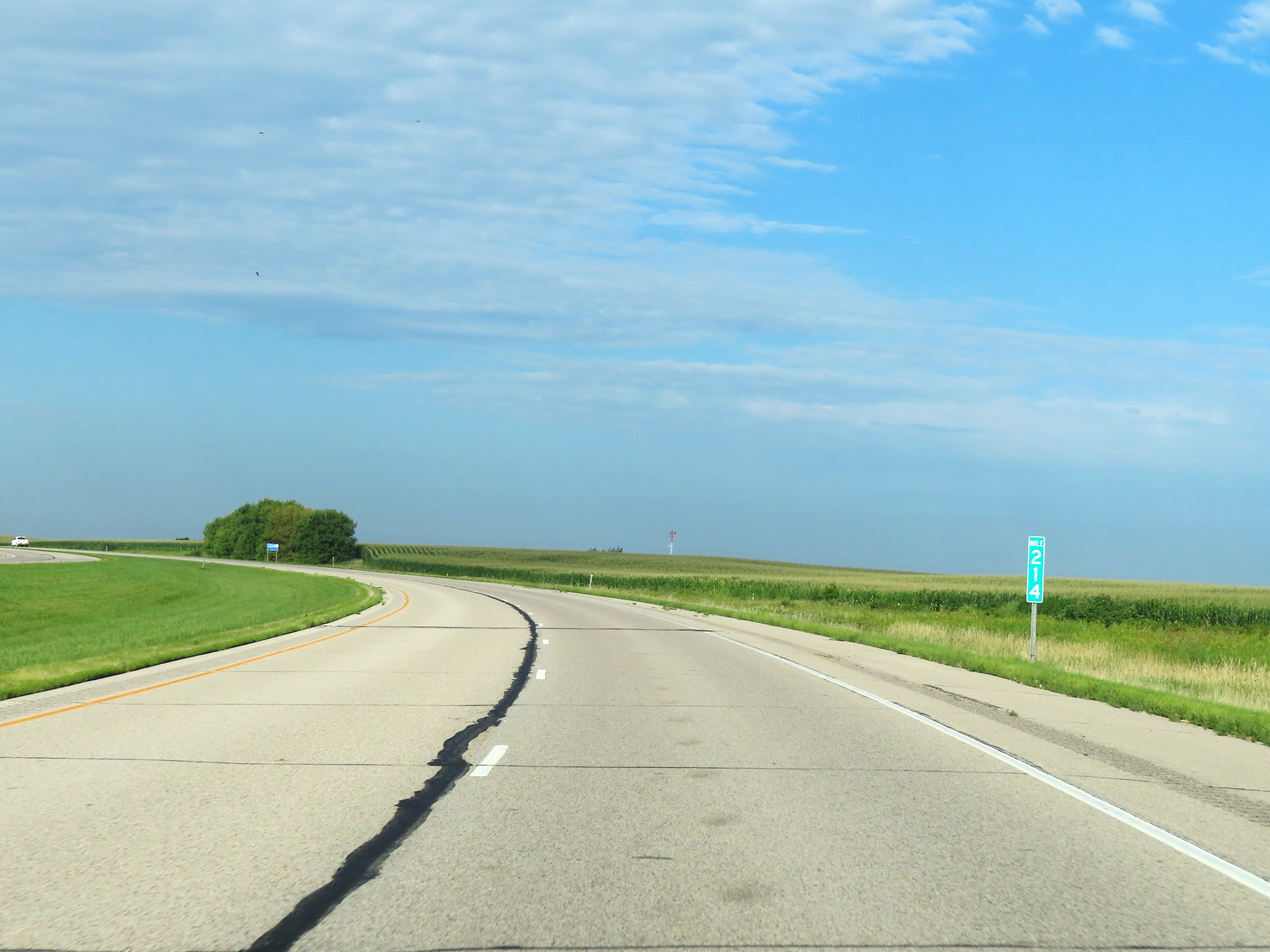 |
Interstate 90 West at mile marker 214. (Photo taken 8/16/22). |
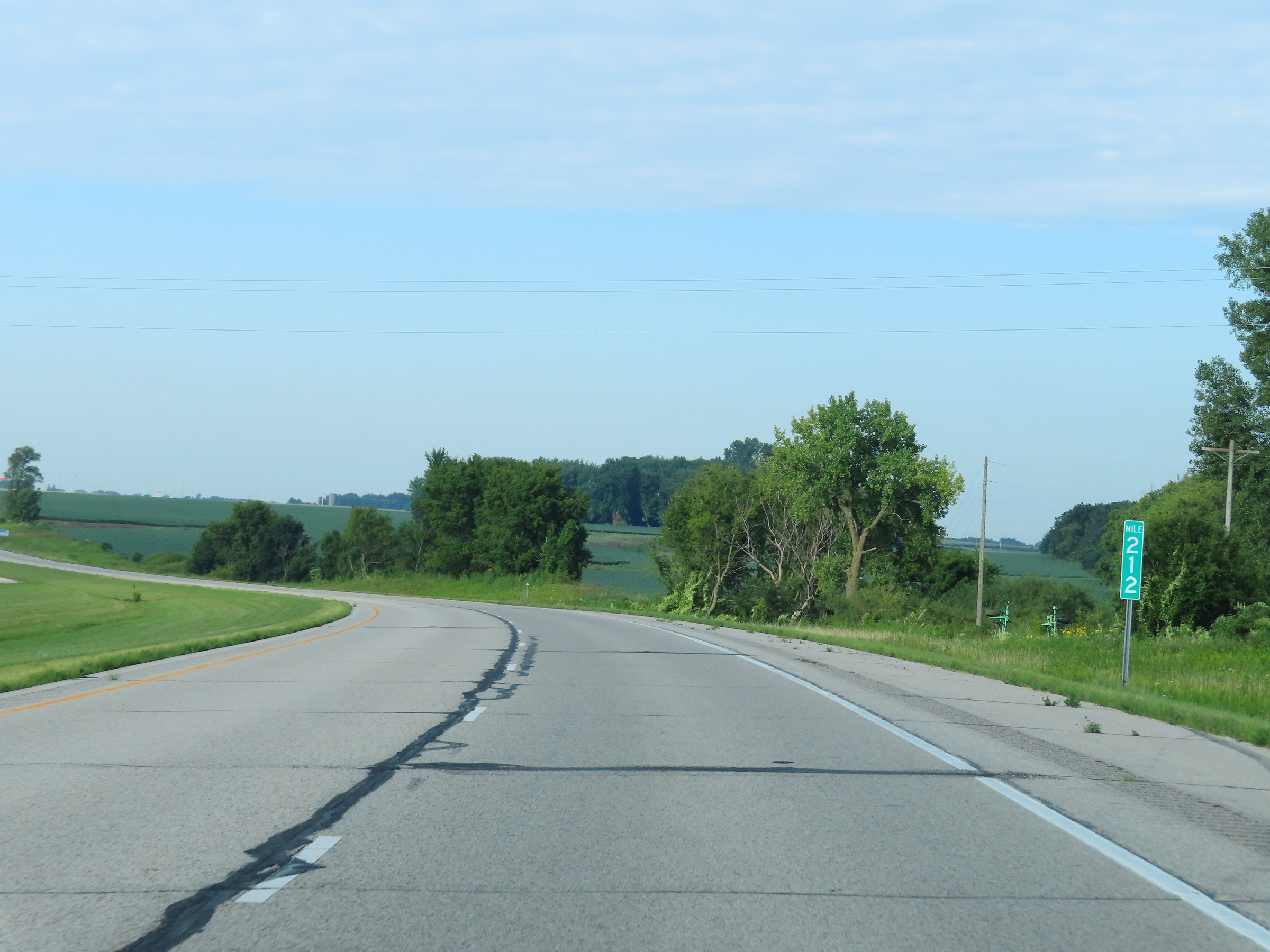 |
View on Interstate 90 West at mile marker 212. (Photo taken 8/16/22). |
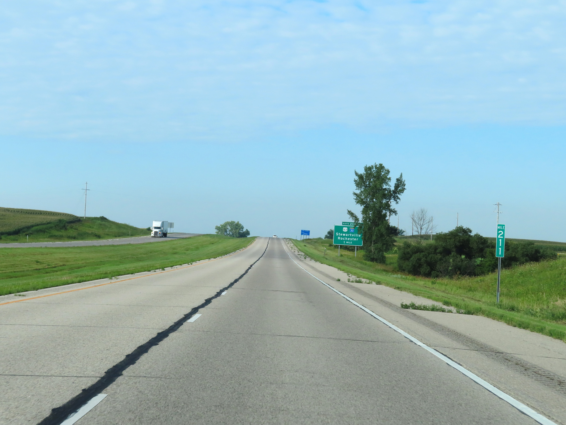 |
Mile marker 211 on Interstate 90 West in Olmsted County. (Photo taken 8/16/22). |
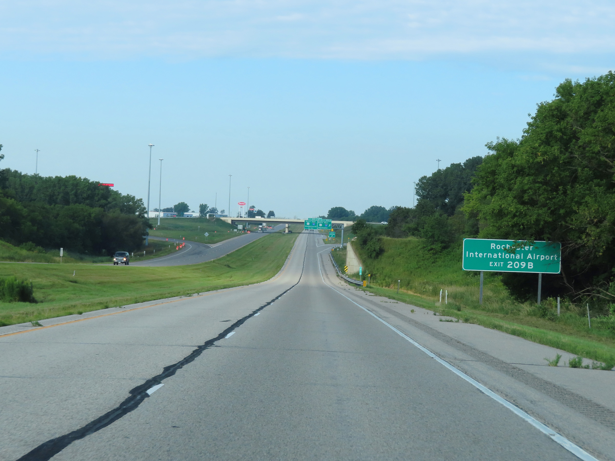 |
Take Exit 209B (US 63 North) to Rochester International Airport. (Photo taken 8/16/22). |
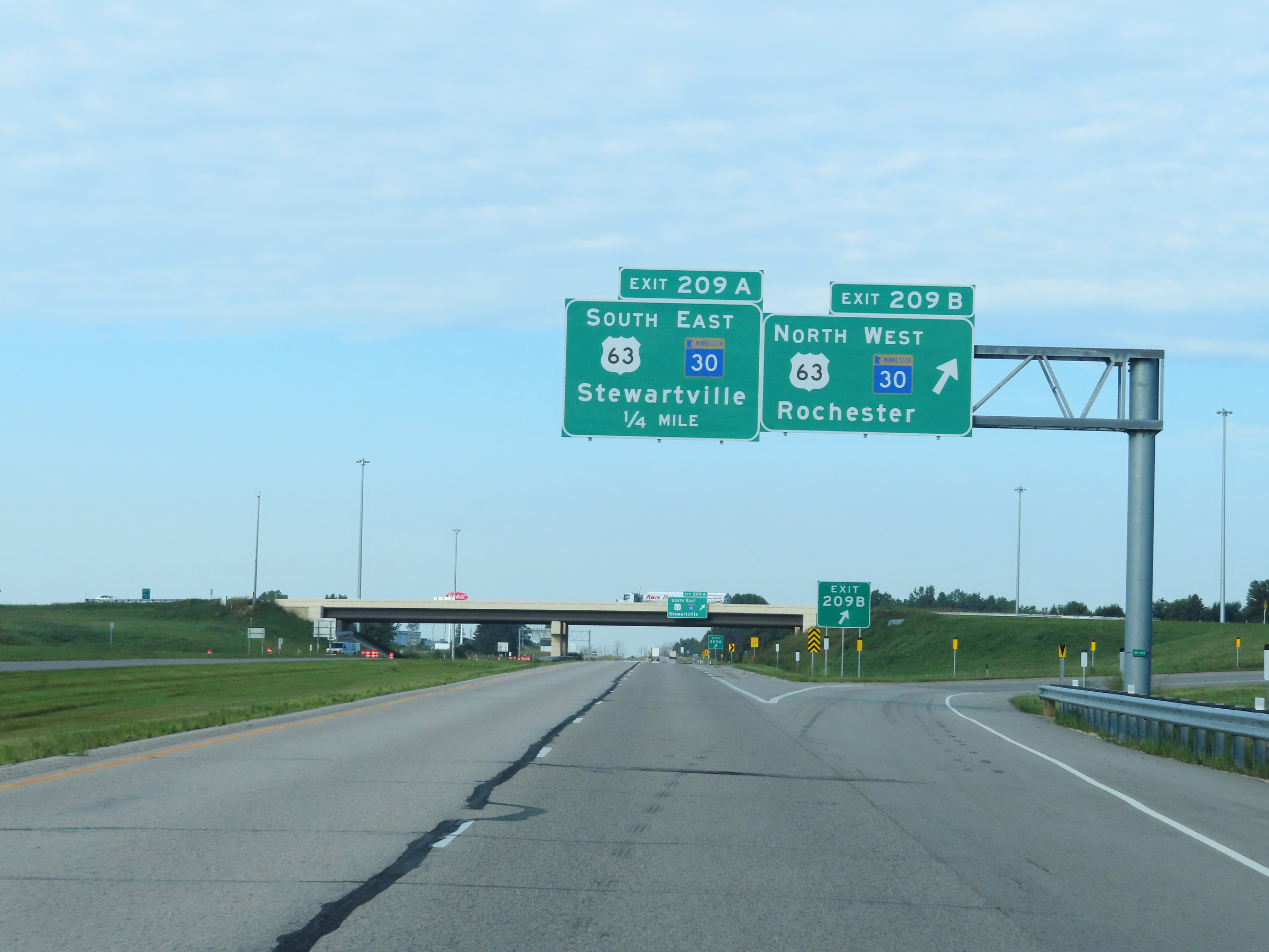 |
Interstate 90 West at Exit 209B: US 63 North / MN 30 West - Rochester (Photo taken 8/16/22). |
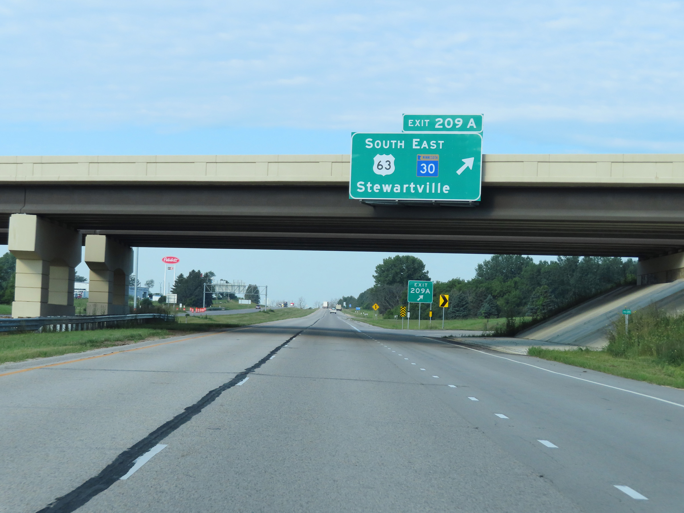 |
Interstate 90 West at Exit 209A: US 63 South / MN 30 East - Stewartville (Photo taken 8/16/22). |
 |
View on Interstate 90 West at mile marker 208. (Photo taken 8/16/22). |
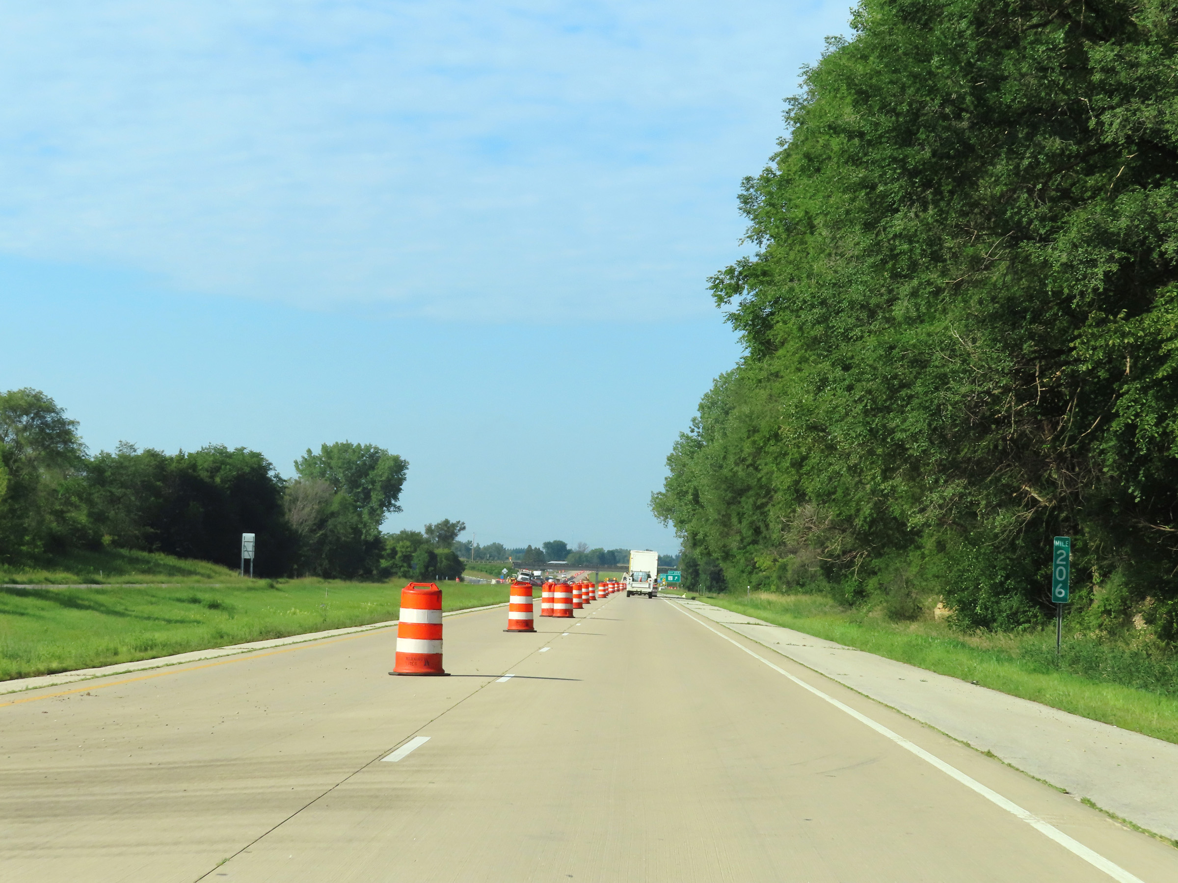 |
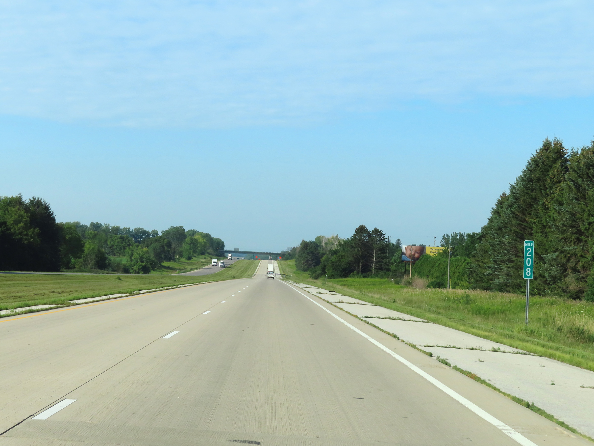
Mile marker 206 on Interstate 90 West in Olmsted County. (Photo taken 8/16/22). |
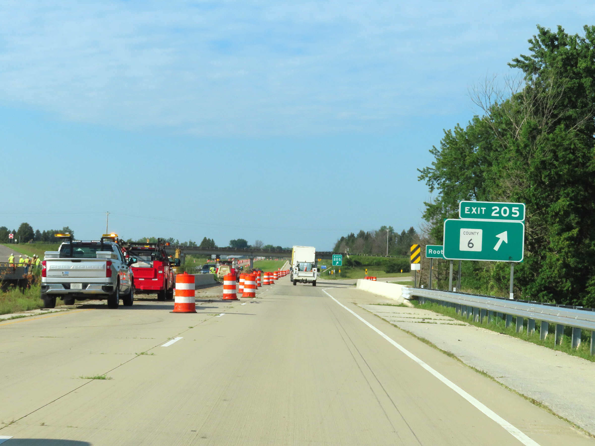 |
Interstate 90 West at Exit 205: CR 6 (Photo taken 8/16/22). |
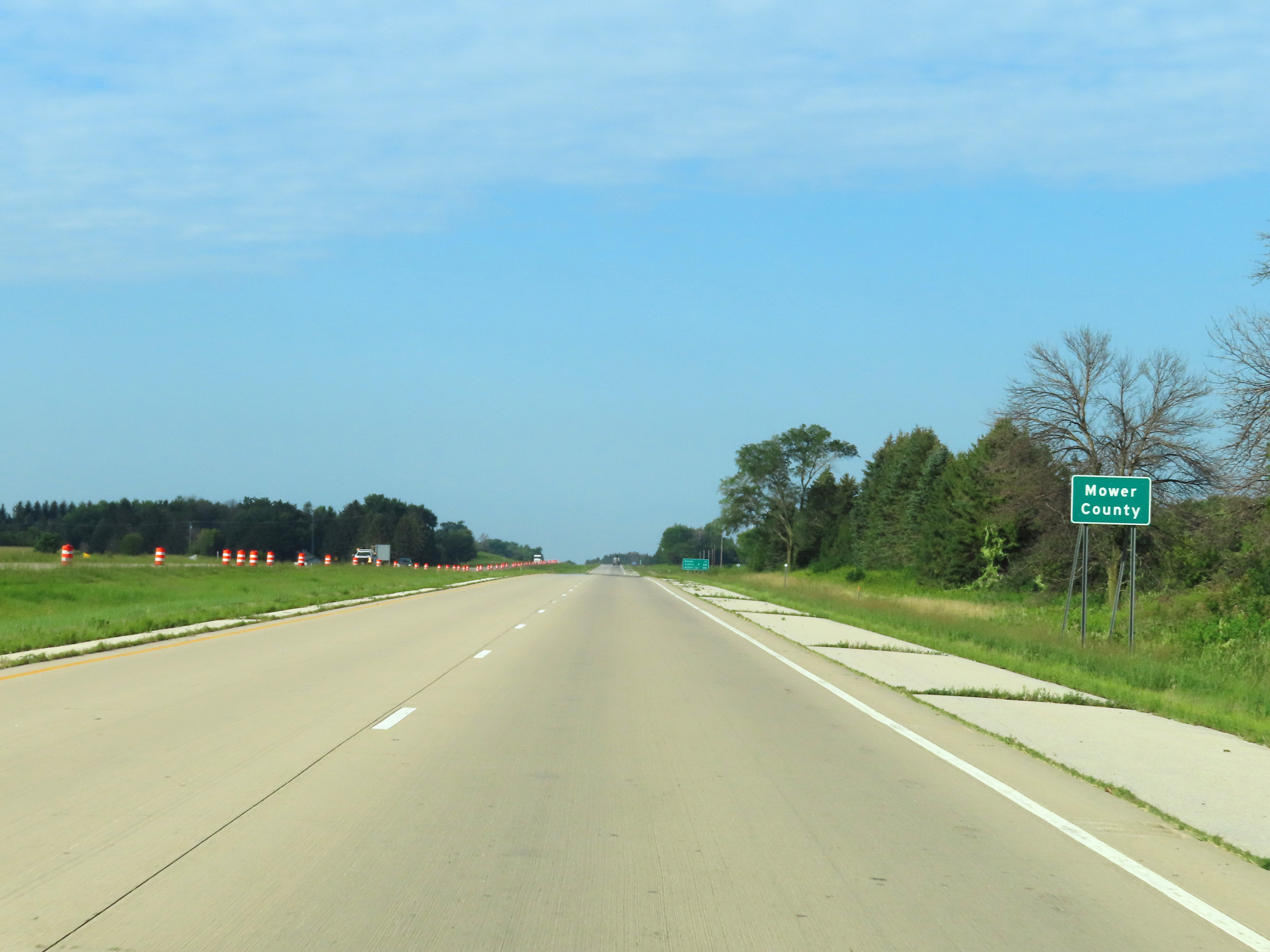 |
Interstate 90 West as it enters Mower County. (Photo taken 8/16/22). |
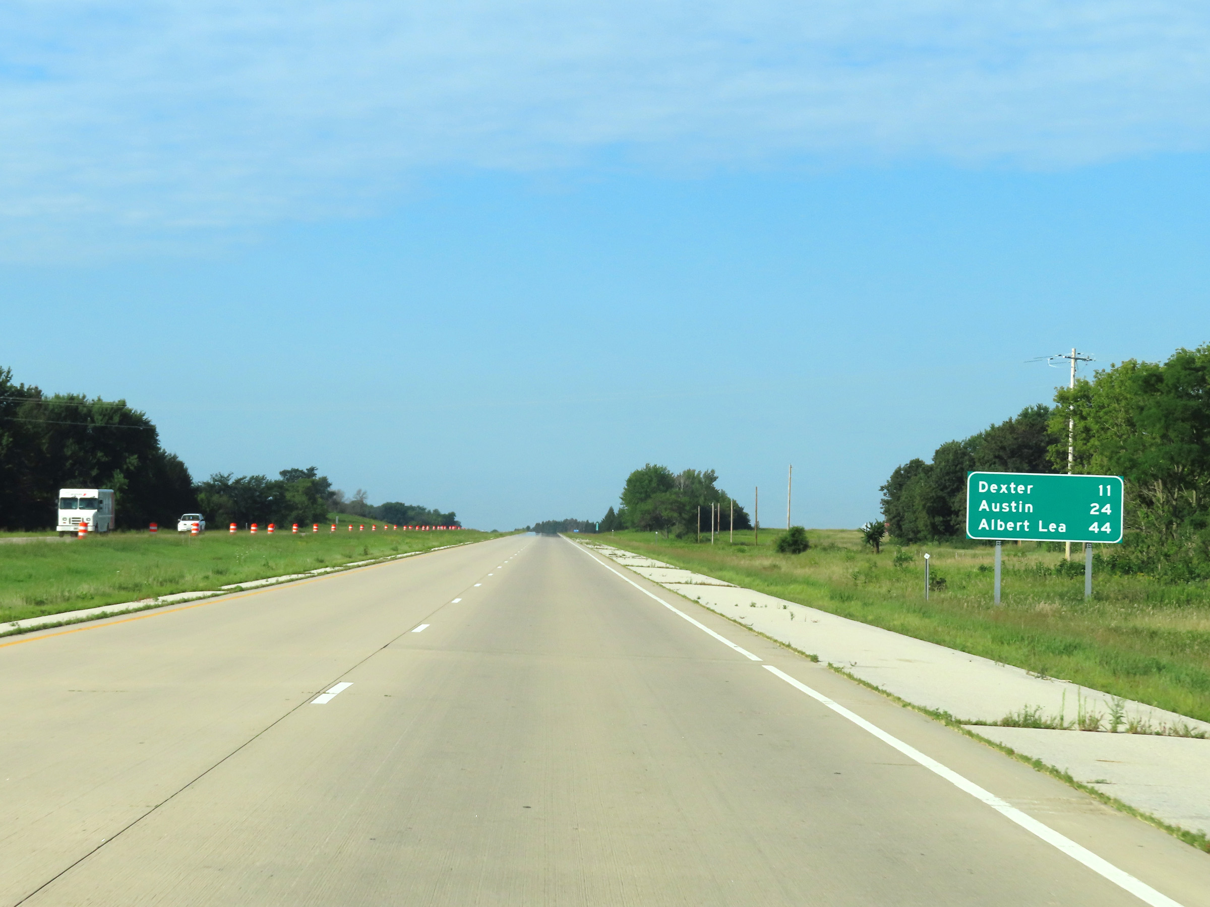 |
Mileage sign on Interstate 90 West in Mower County. It's 11 miles to Dexter, 24 miles to Austin, and 44 miles to Albert Lea. (Photo taken 8/16/22). |
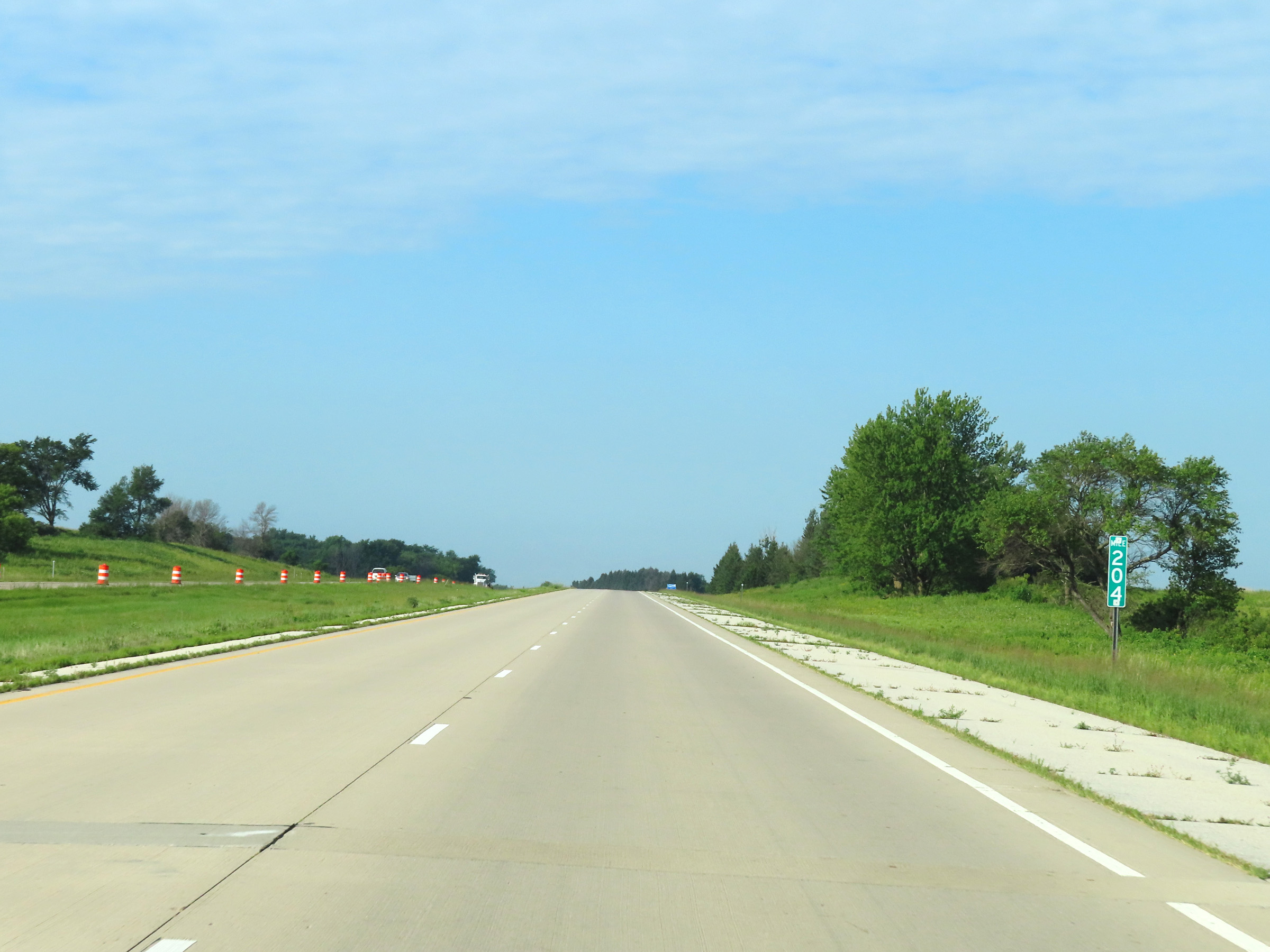 |
Interstate 90 West at mile marker 204. (Photo taken 8/16/22). |
 |
Mile marker 202 on Interstate 90 West in Mower County. (Photo taken 8/16/22). |
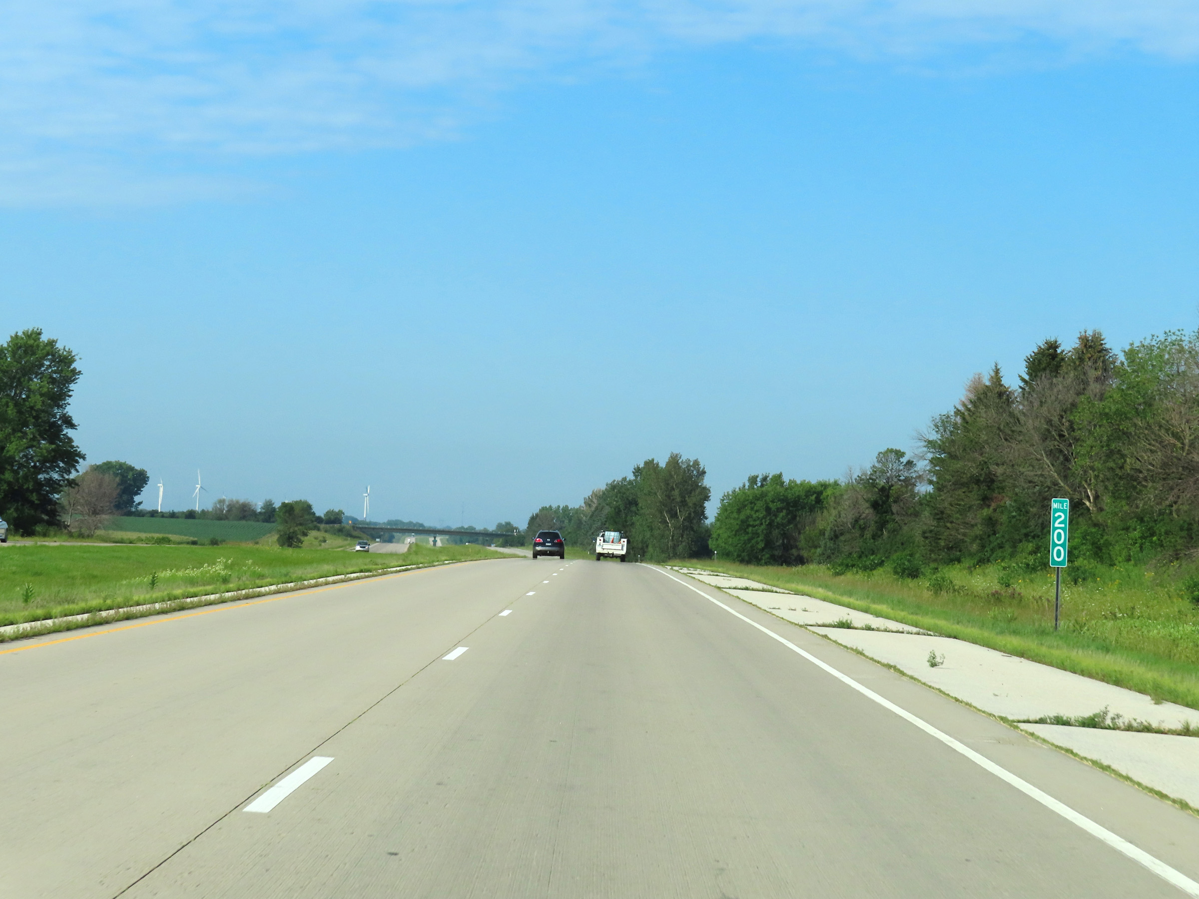 |
View on Interstate 90 West at mile marker 200. (Photo taken 8/16/22). |
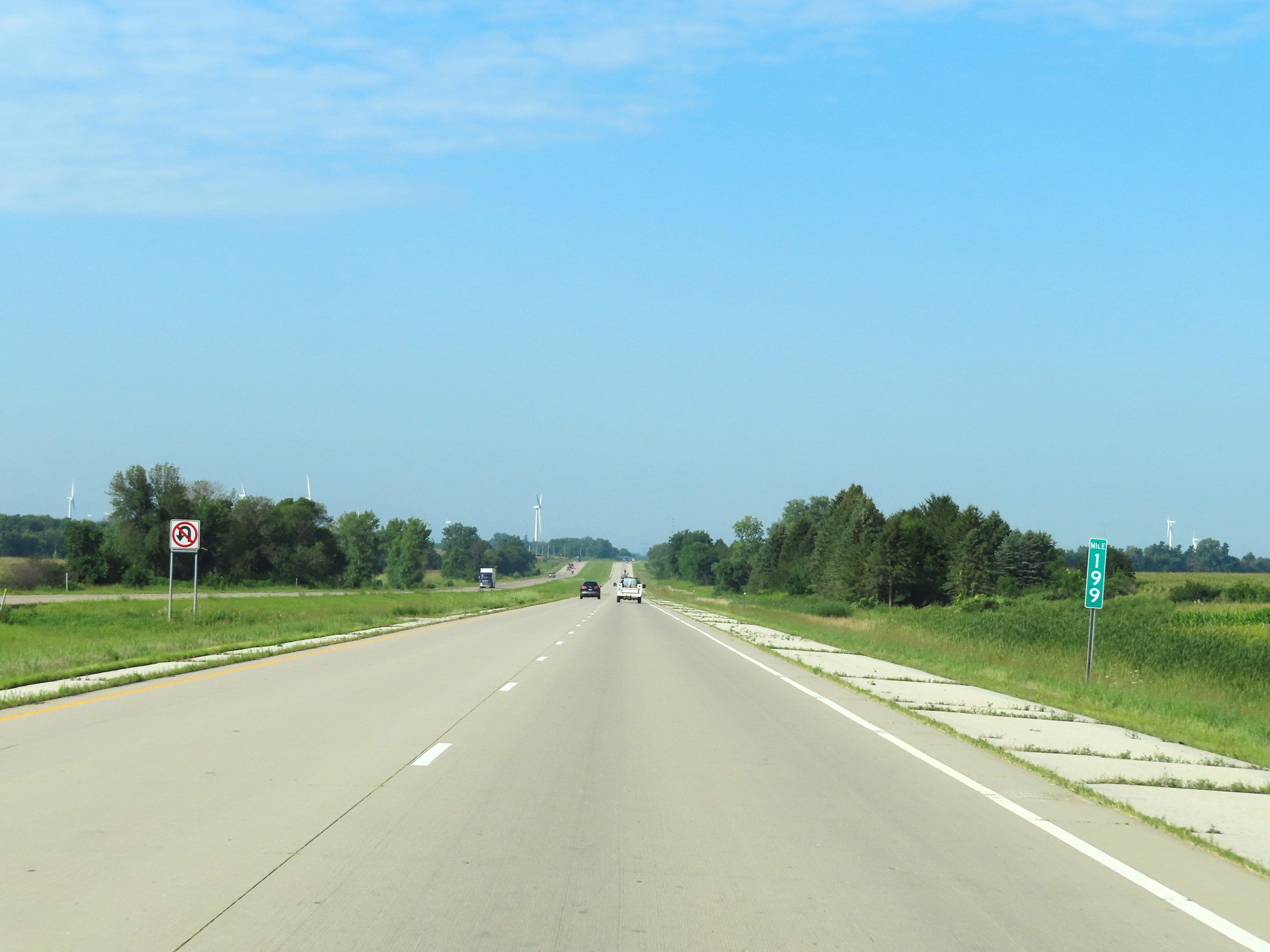 |
Interstate 90 West at mile marker 199. (Photo taken 8/16/22). |
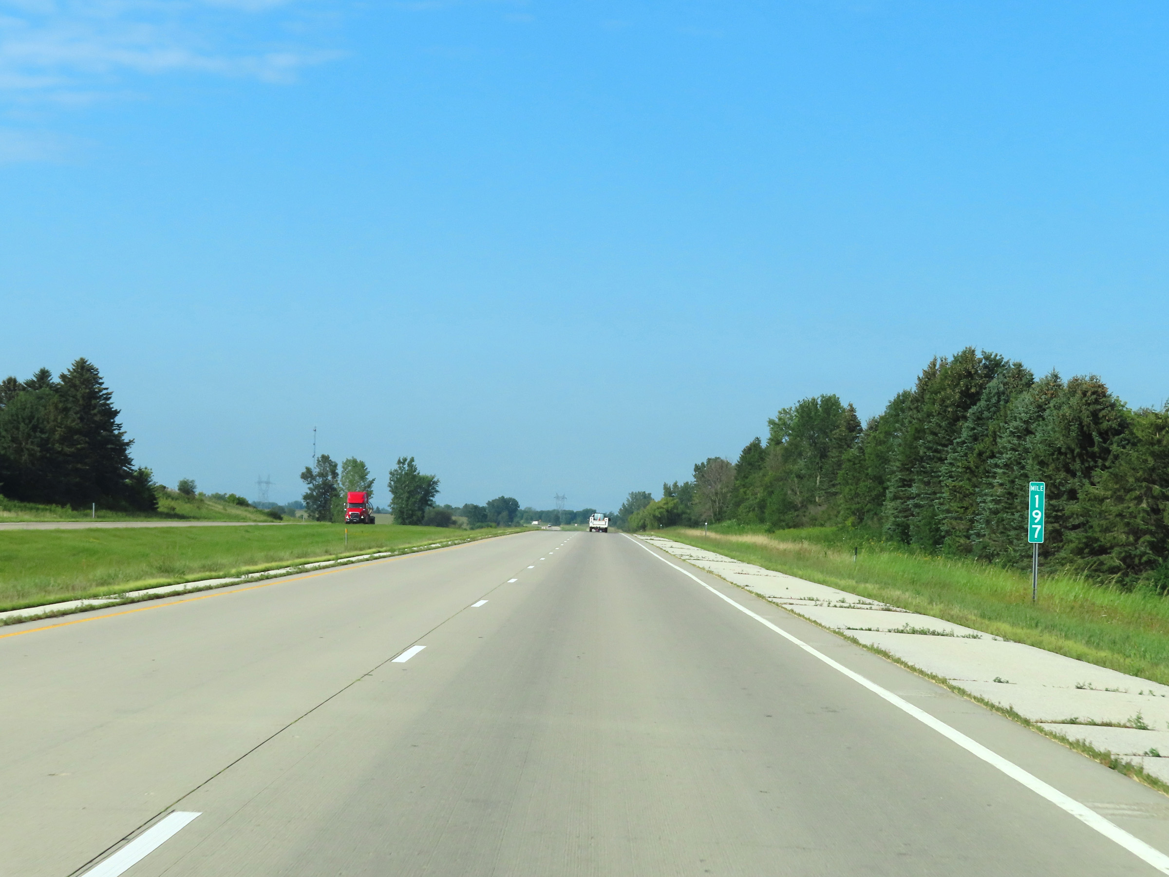 |
View on Interstate 90 West at mile marker 197. (Photo taken 8/16/22). |
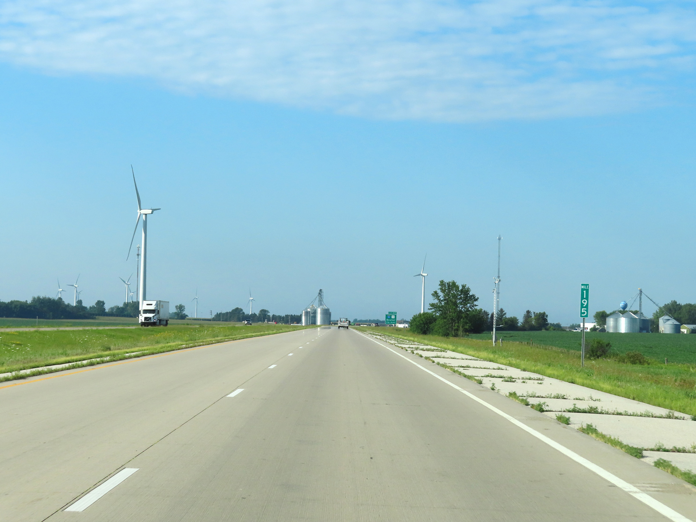 |
Mile marker 195 on Interstate 90 West in Mower County. (Photo taken 8/16/22). |
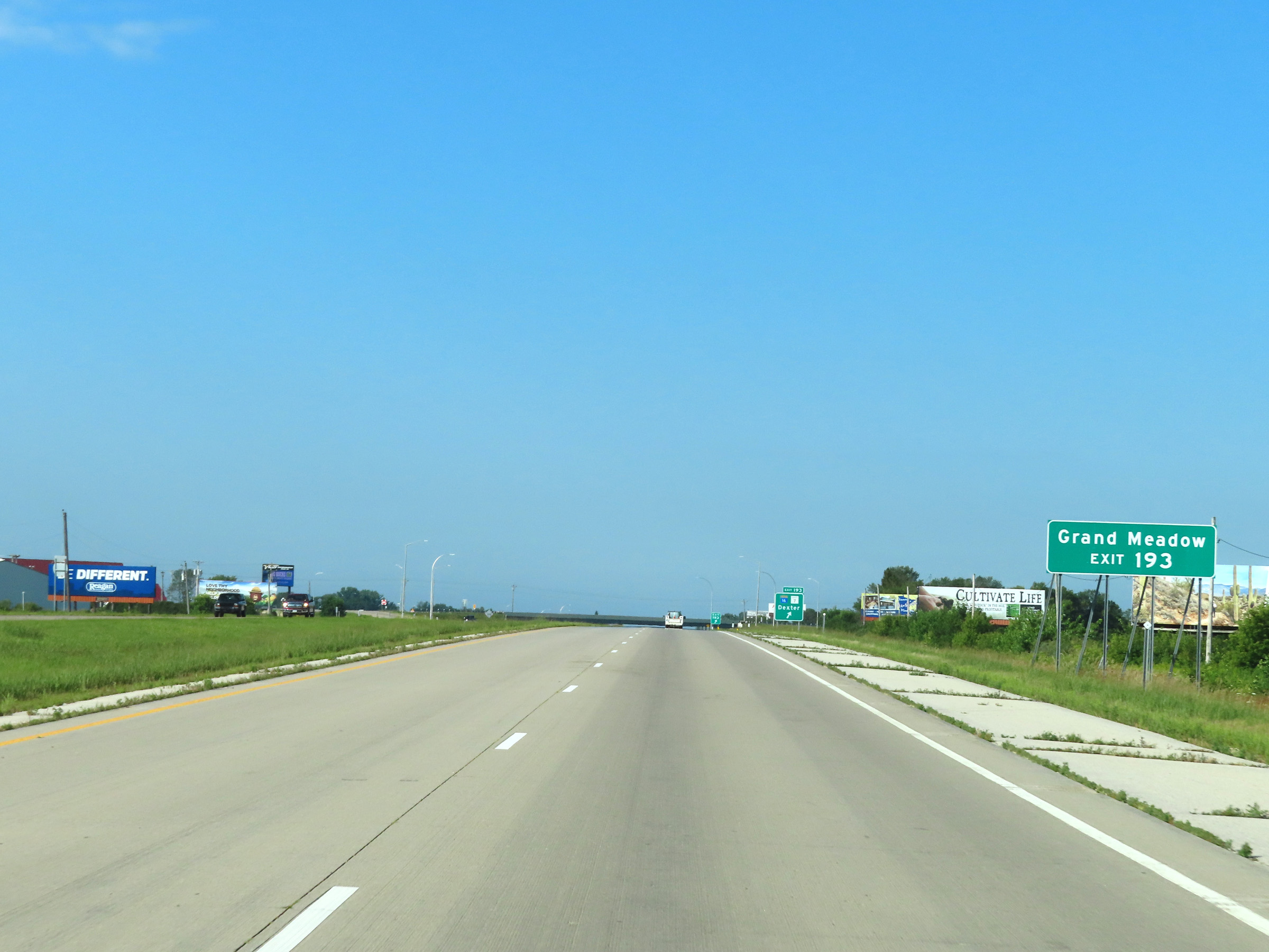 |
Take Exit 193 to Grand Meadow. (Photo taken 8/16/22). |
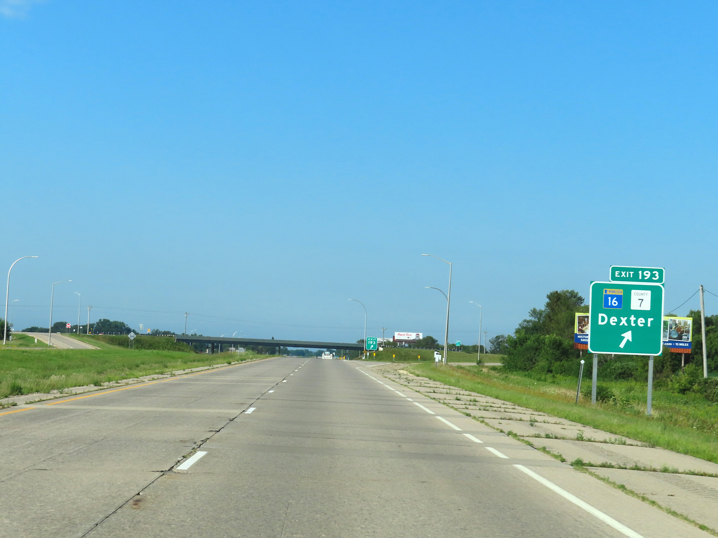 |
Interstate 90 West at Exit 193: MN 16 / CR 7 - Dexter (Photo taken 8/16/22). |
 |
Interstate 90 West reassurance shield. (Photo taken 8/16/22). |
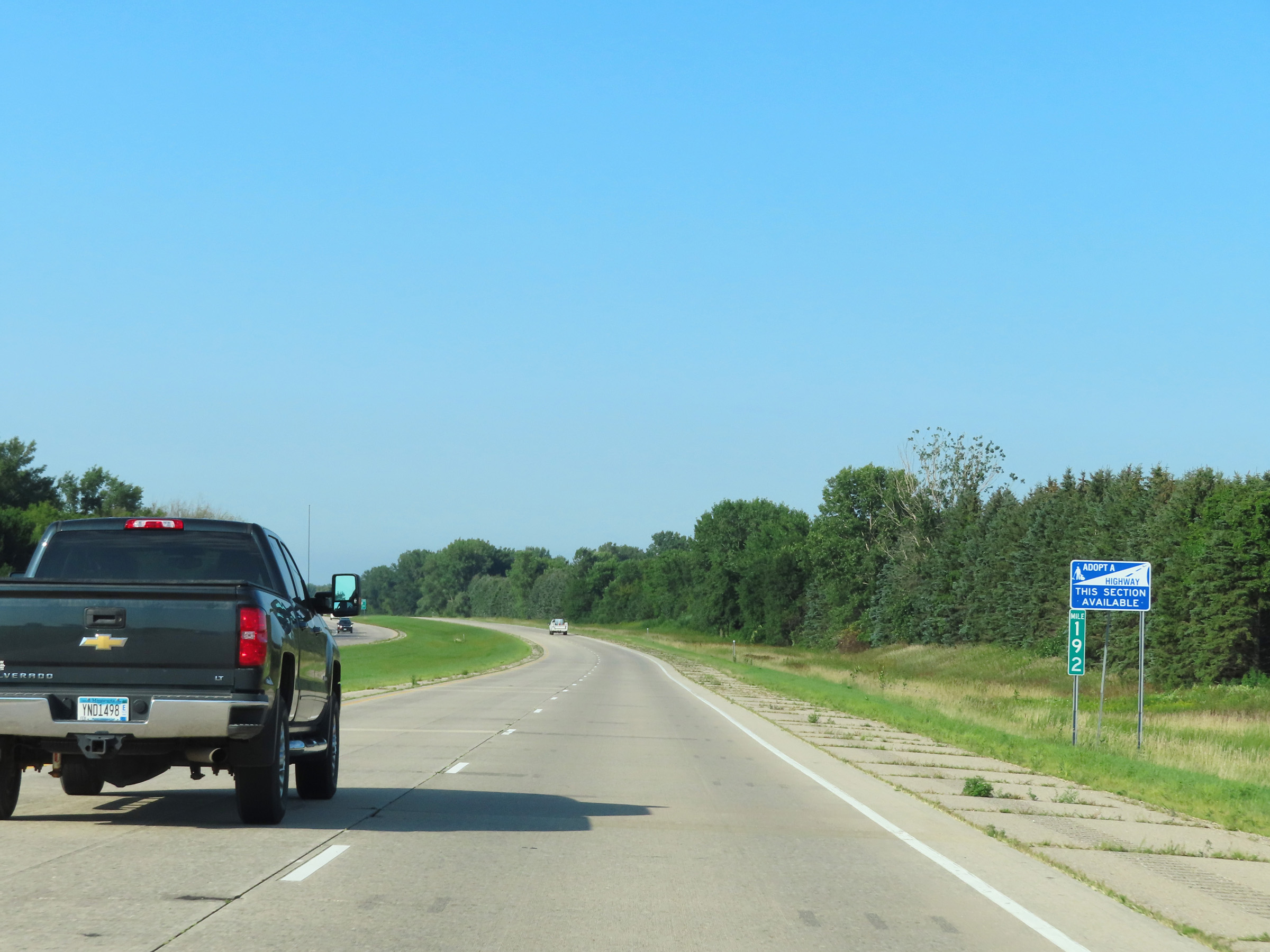 |
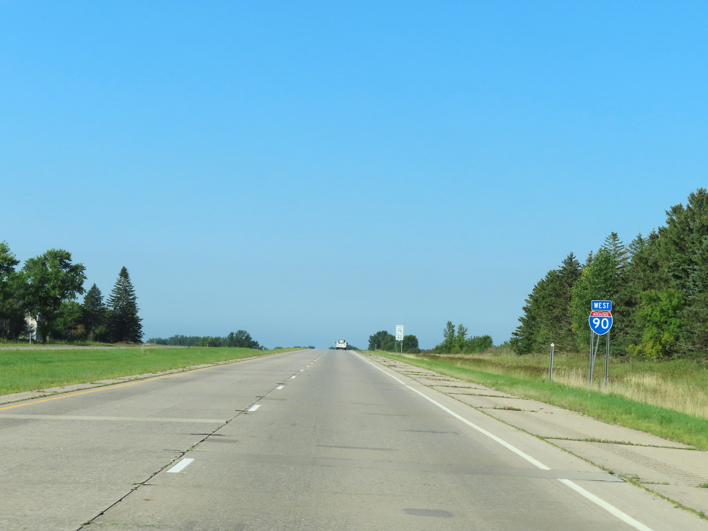
View on Interstate 90 West at mile marker 192. (Photo taken 8/16/22). |
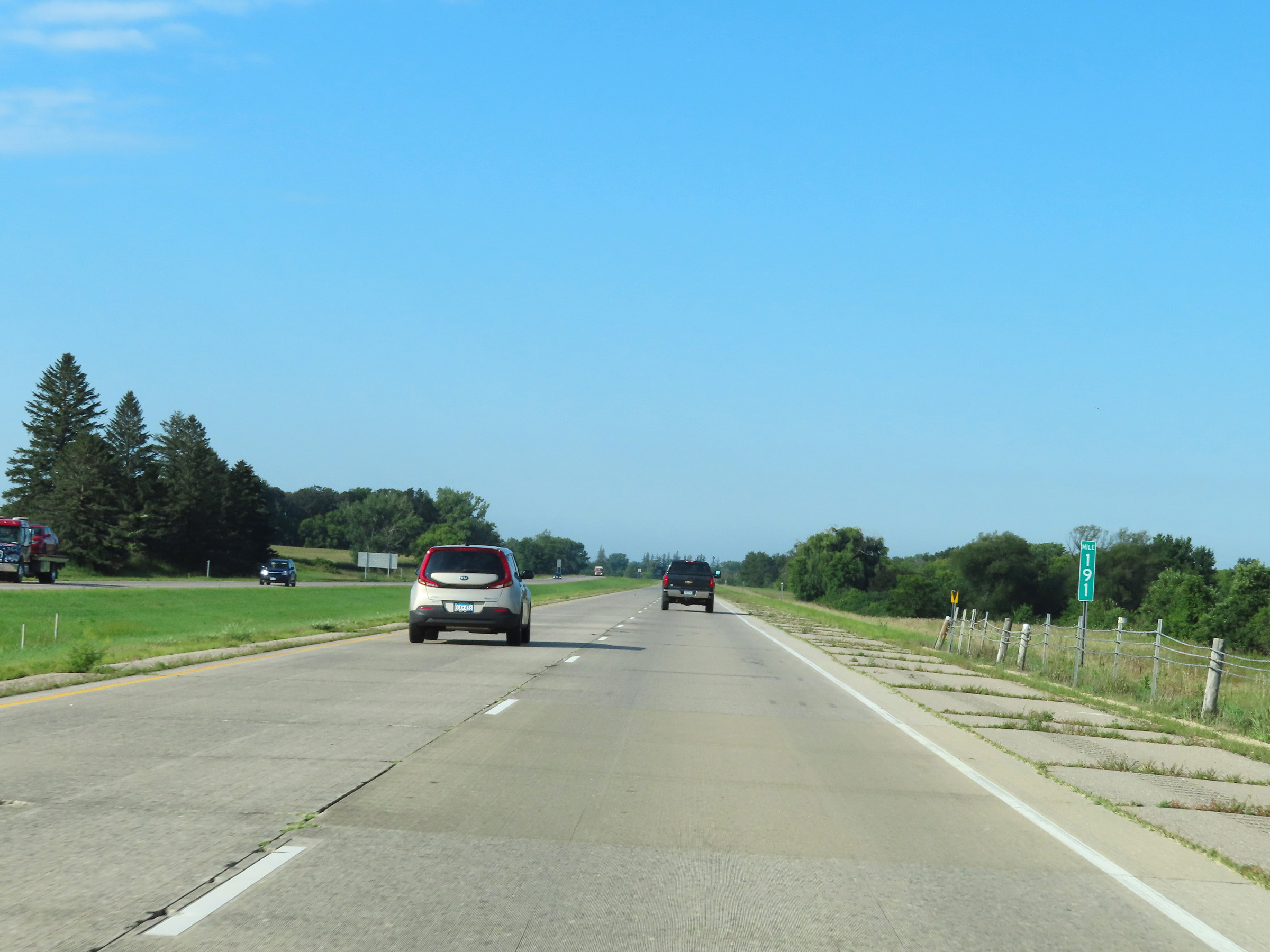 |
Mile marker 191 on Interstate 90 West in Mower County. (Photo taken 8/16/22). |
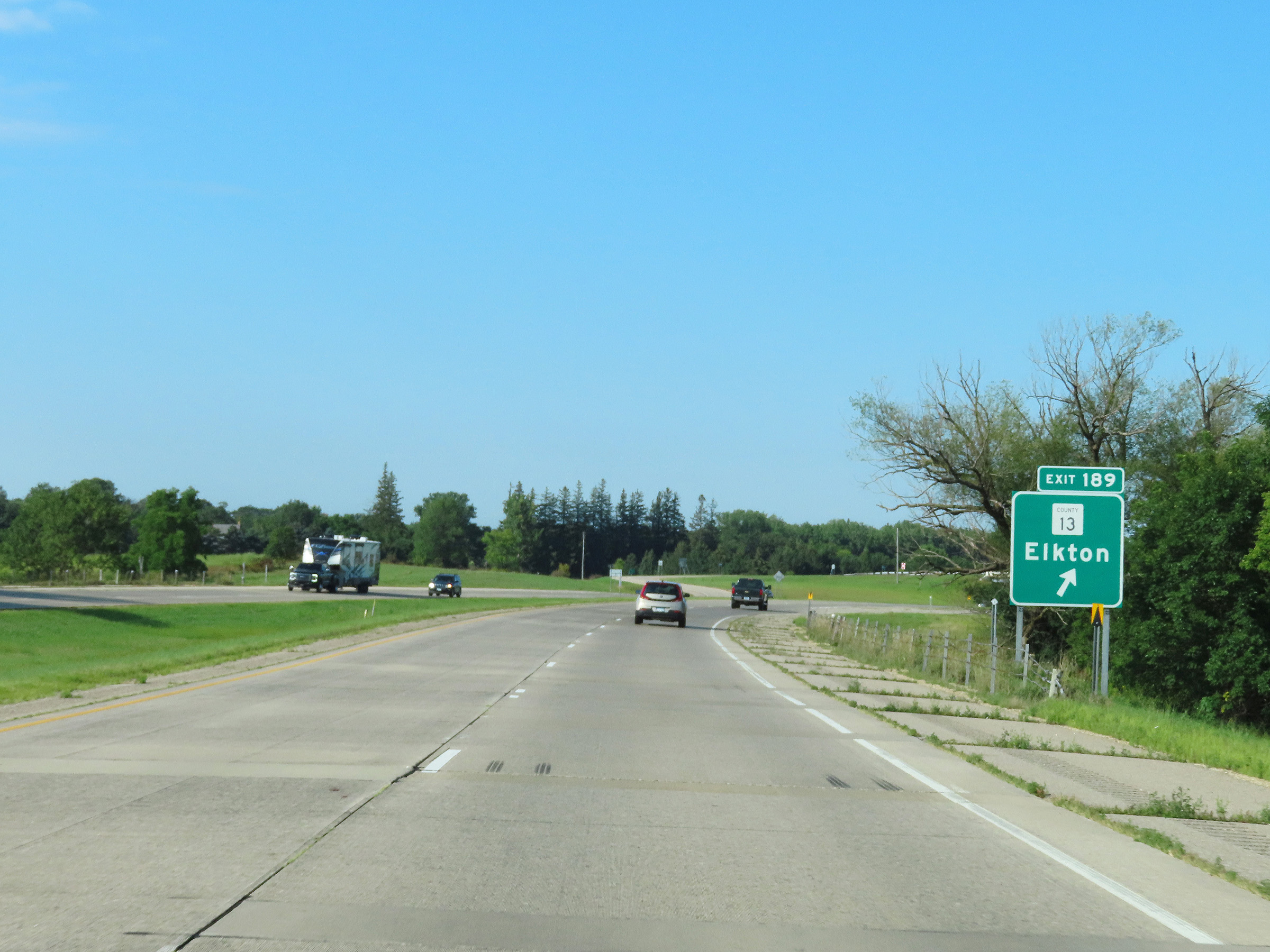 |
Interstate 90 West at Exit 189: CR 13 - Elkton (Photo taken 8/16/22). |
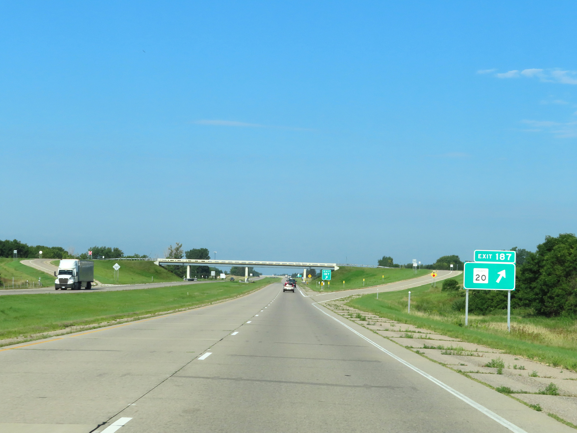 |
Interstate 90 West at Exit 187: CR 20 (Photo taken 8/16/22). |
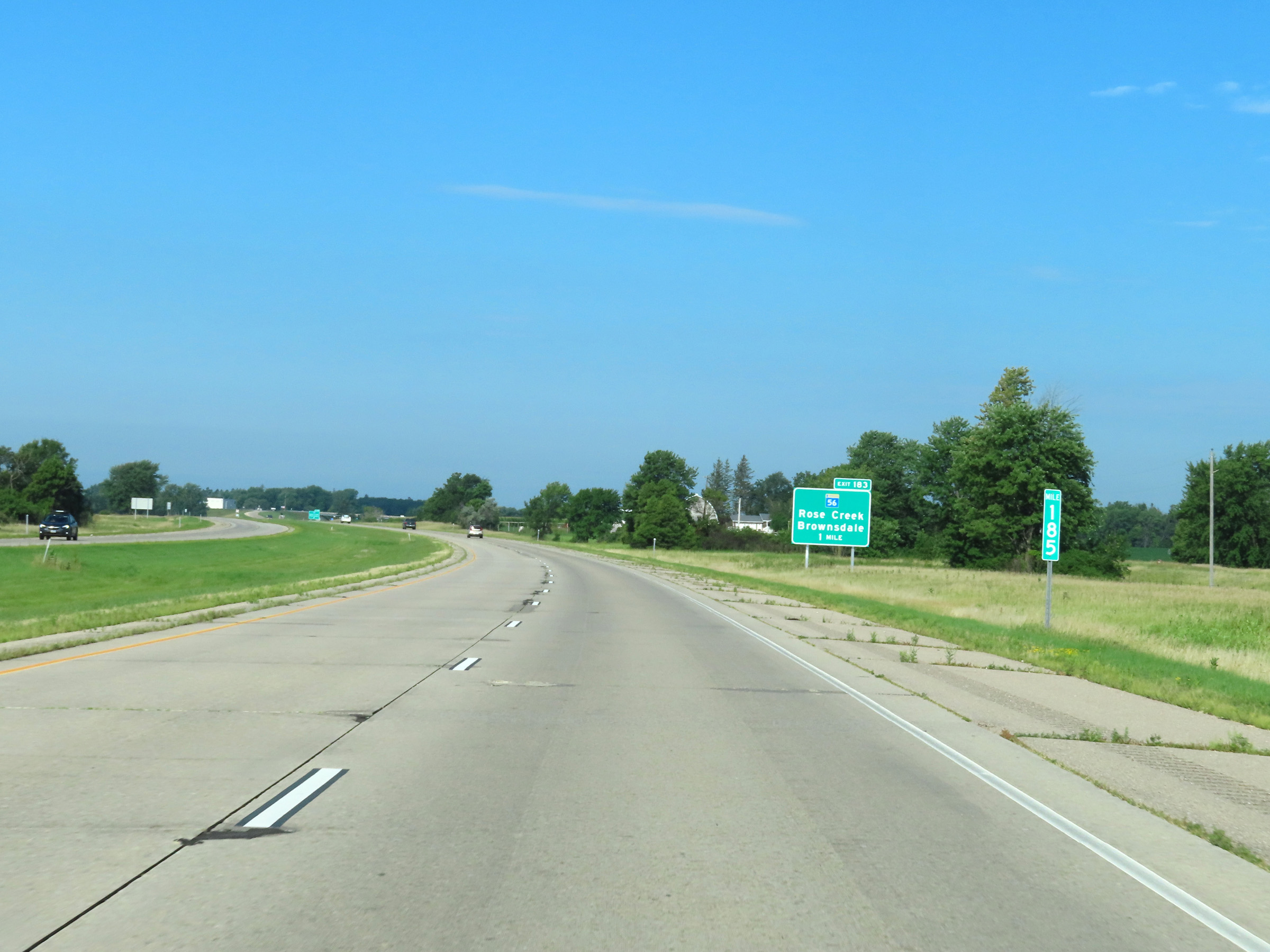 |
View on Interstate 90 West at mile marker 185. (Photo taken 8/16/22). |
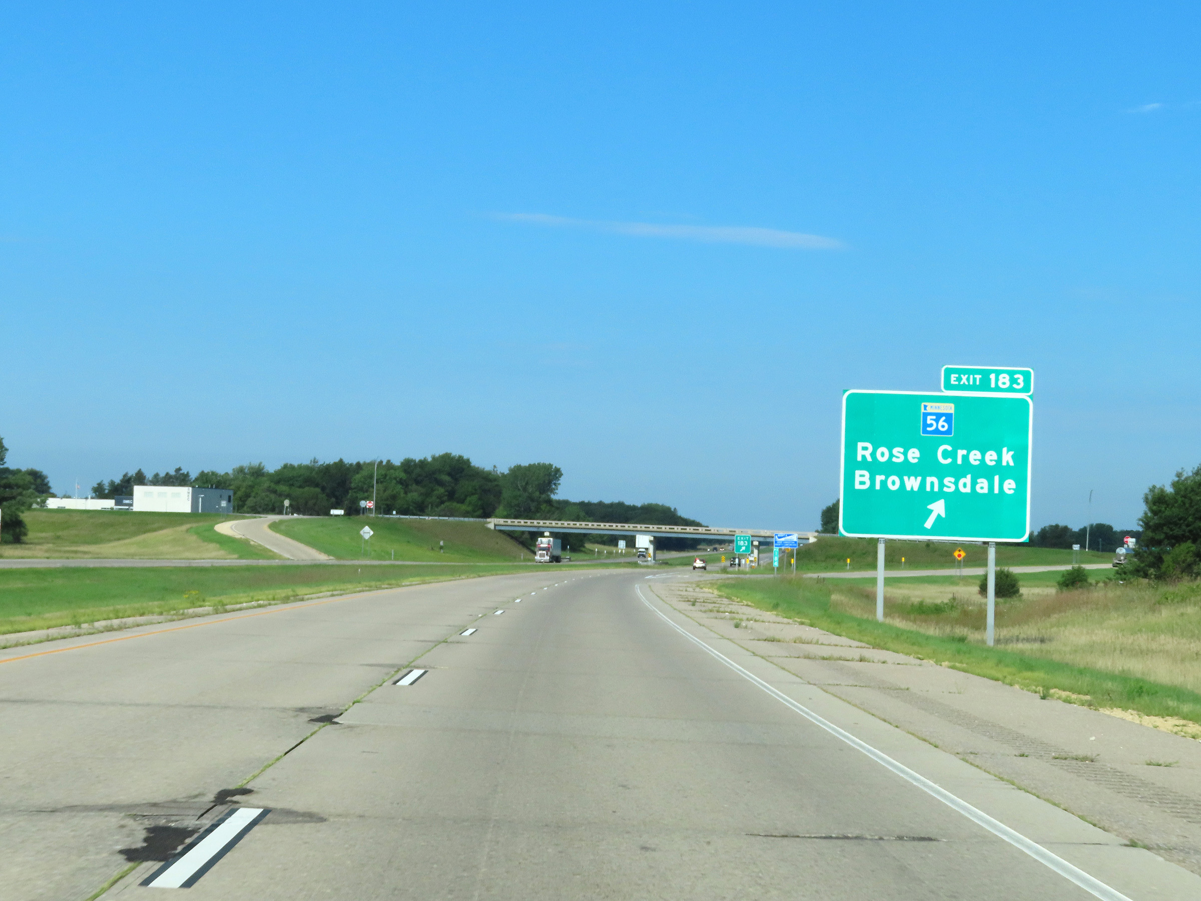 |
Interstate 90 West at Exit 183: MN 56 - Rose Creek / Brownsdale (Photo taken 8/16/22). |
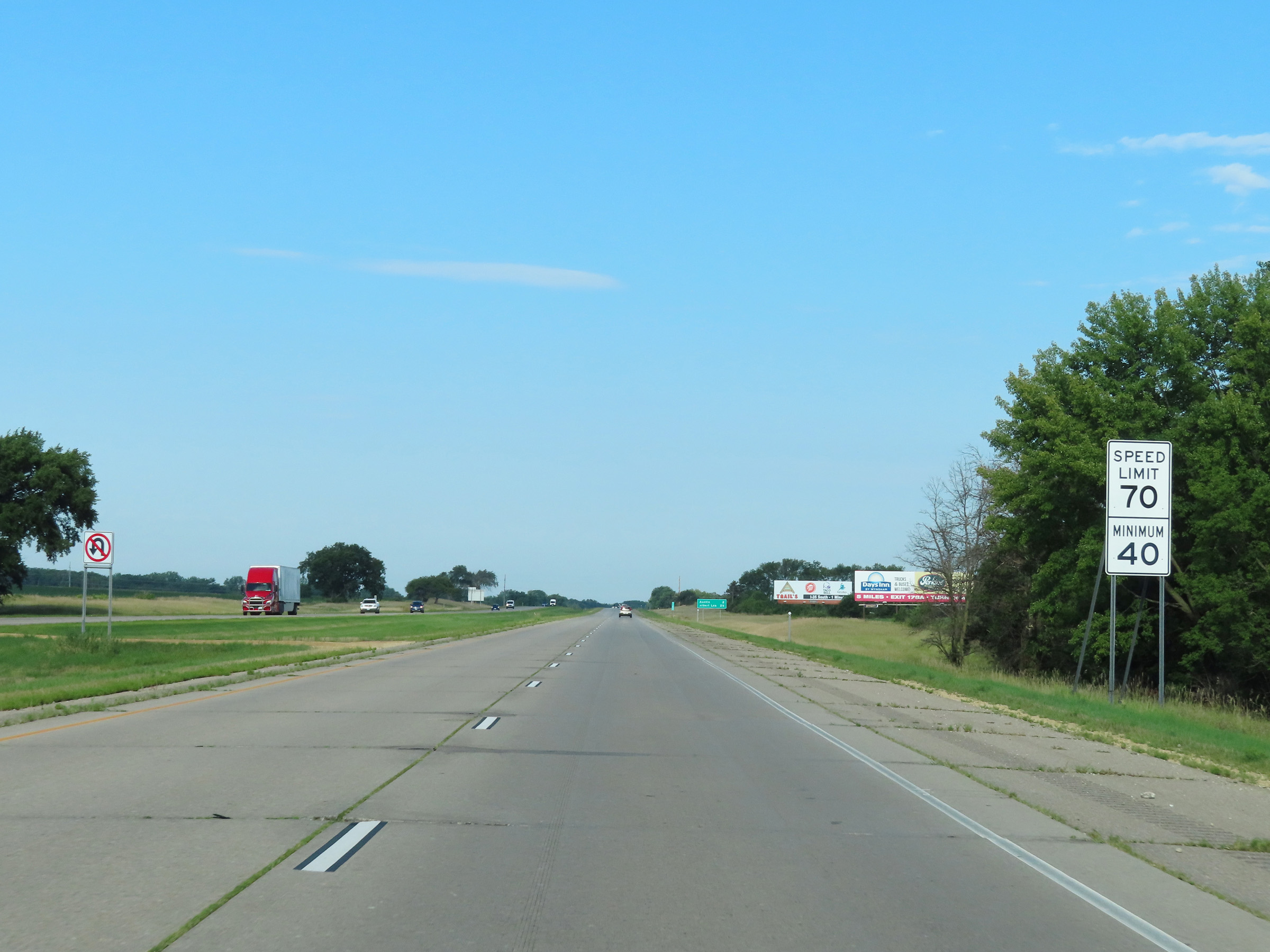 |
Speed limit signs on Interstate 90 West. The speed limits are 70 mph maximum and 40 mph minimum. (Photo taken 8/16/22). |
 |
Take any of the next 7 exits to Austin. (Photo taken 8/16/22). |
 |
View on Interstate 90 West at mile marker 182. (Photo taken 8/16/22). |
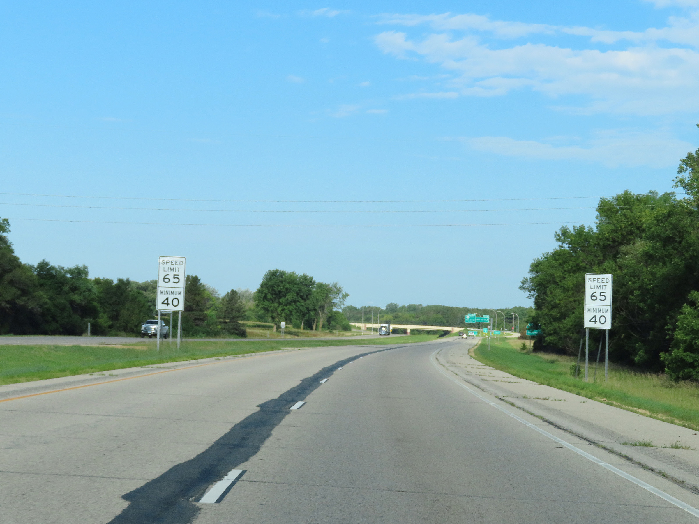 |
Entering the Austin area, the maximum speed limit on Interstate 90 West decreases to 65 mph. The minimum speed limit remains 40 mph. (Photo taken 8/16/22). |
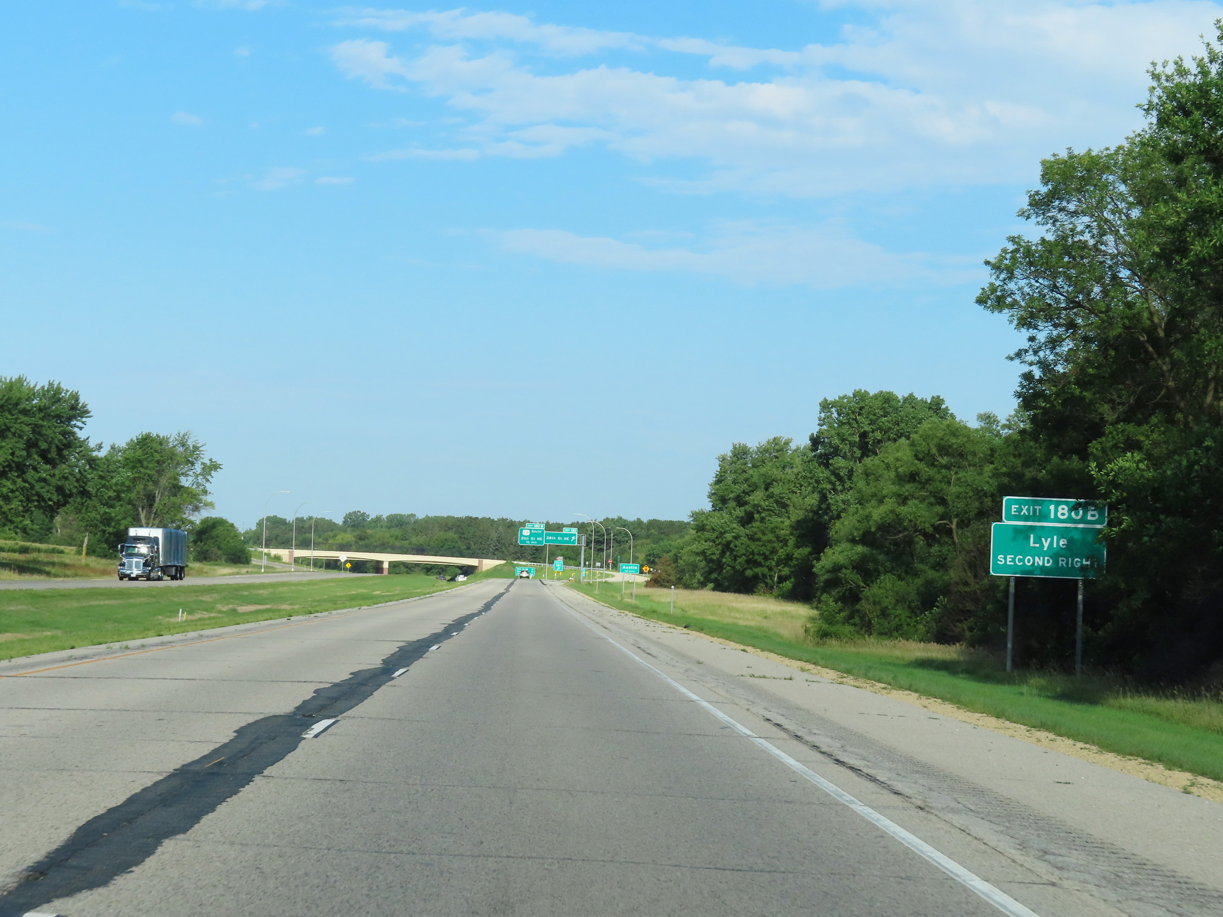 |
Take Exit 108B (US 218 South) to Lyle. (Photo taken 8/16/22). |
 |
Interstate 90 West as it officially enters the Austin city limits. (Photo taken 8/16/22). |
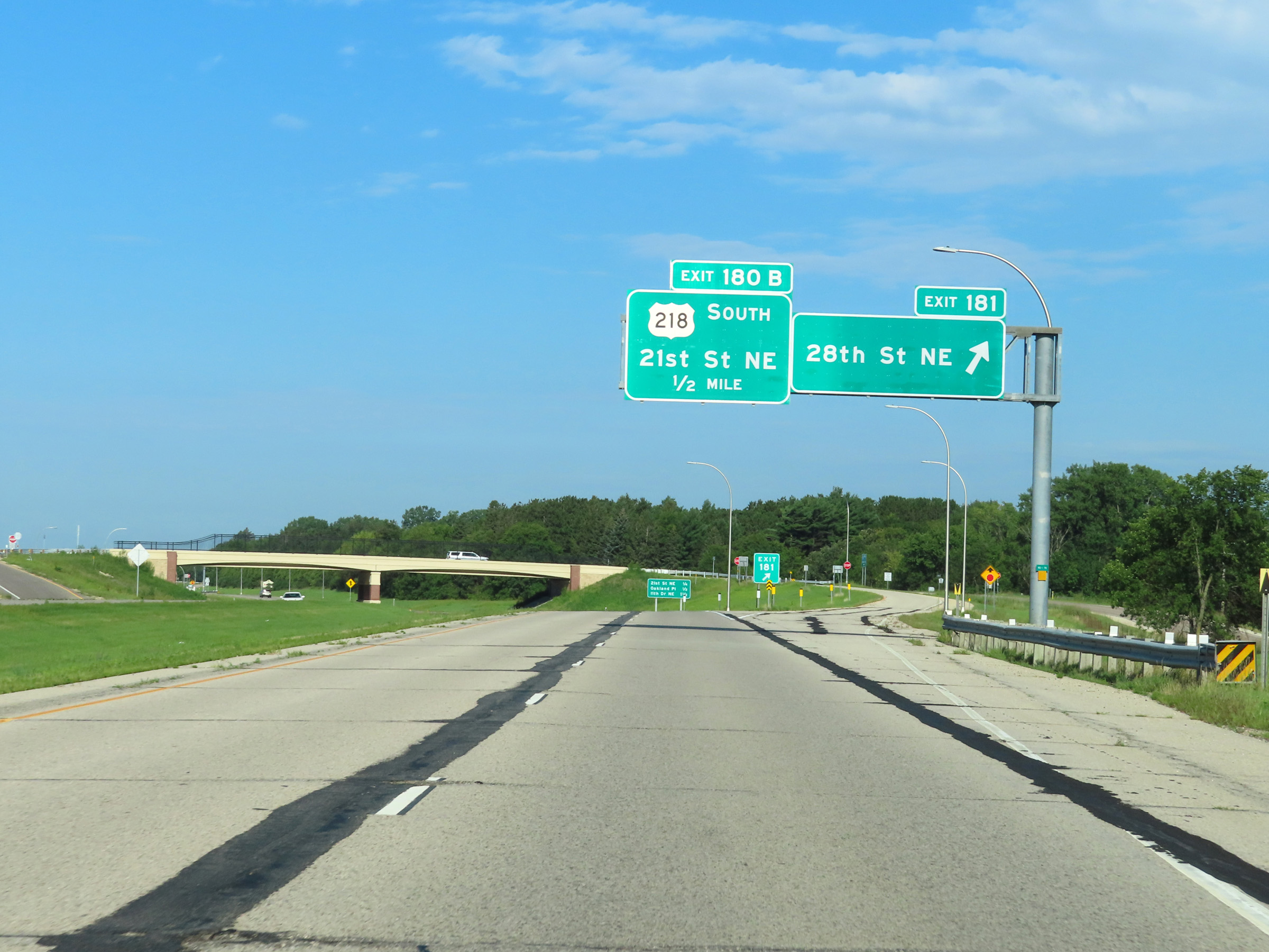 |
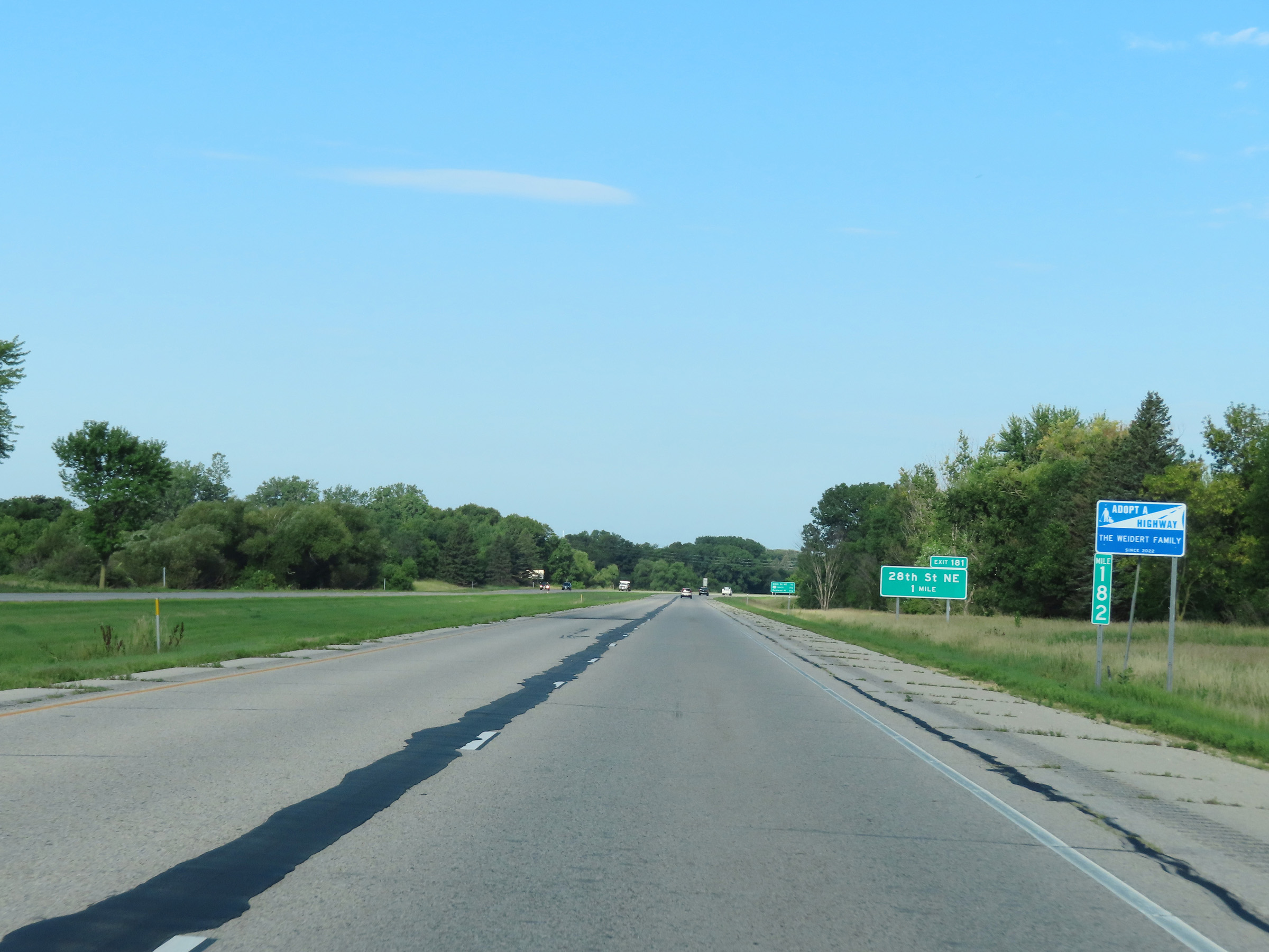
Interstate 90 West at Exit 181: 28th St NE (Photo taken 8/16/22). |
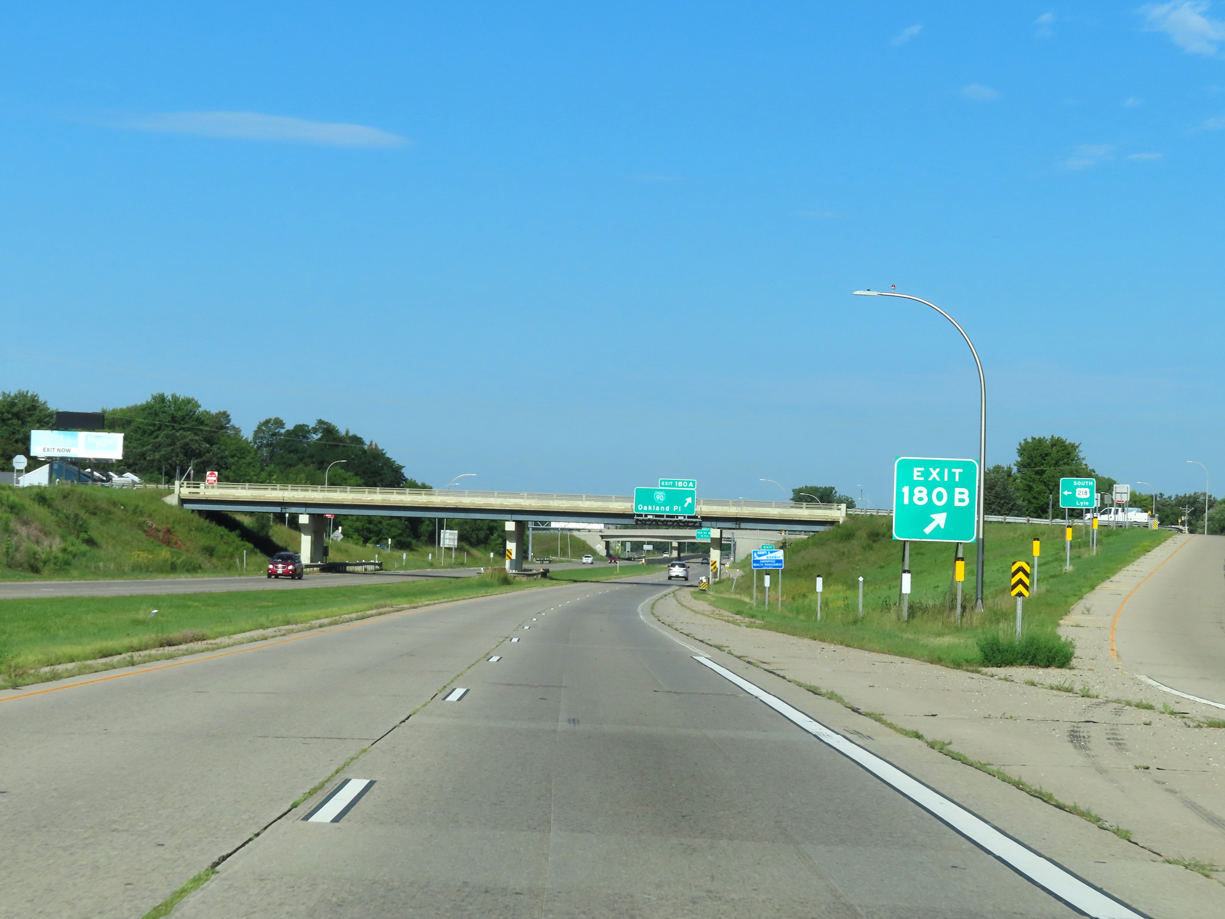 |
Interstate 90 West at Exit 180B: US 218 South - 21st St NE (Photo taken 8/16/22). |
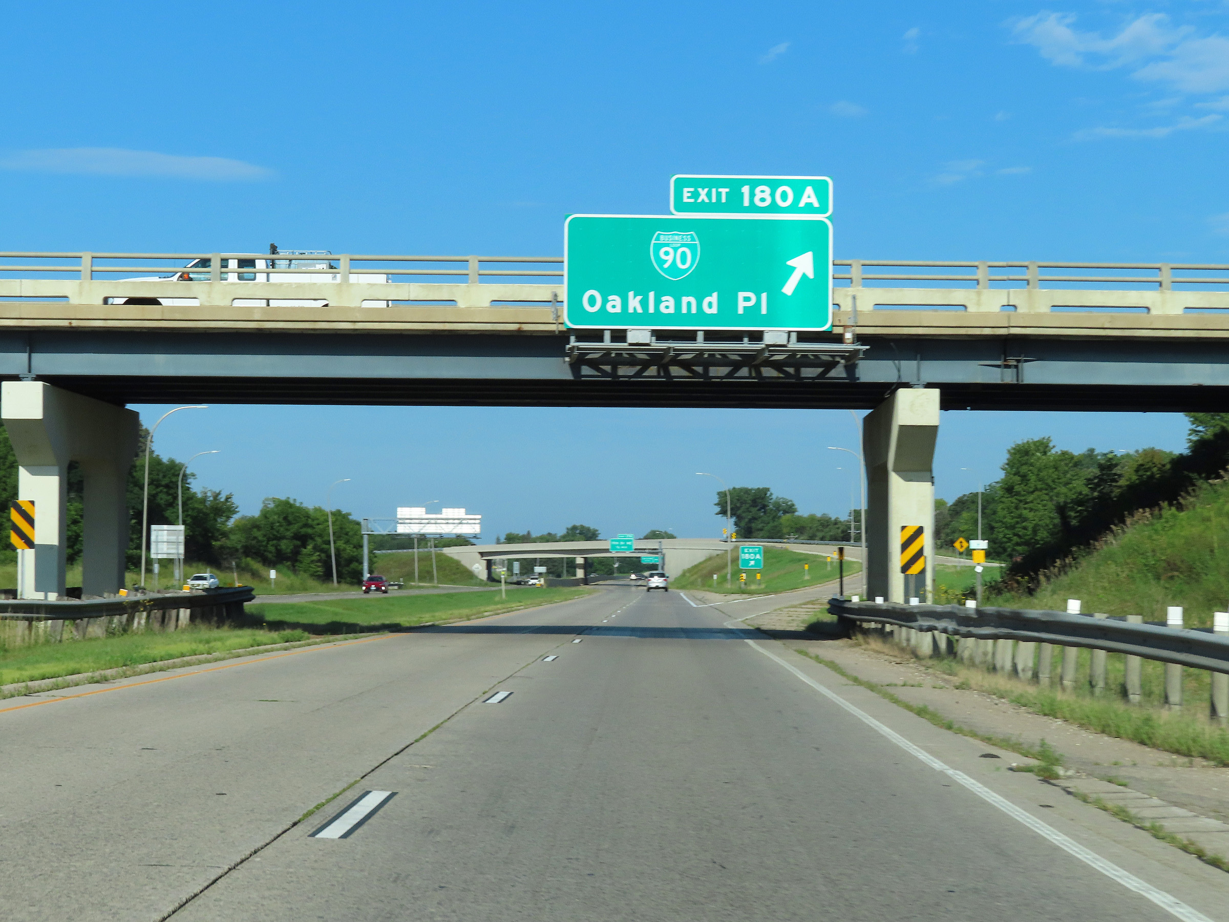 |
Interstate 90 West at Exit 180A: Interstate 90 Business Loop - Oakland Pl (Photo taken 8/16/22). |
 |
Interstate 90 West at Exit 179: 11th Dr NE (Photo taken 8/16/22). |
 |
The speed limits remain 65 mph maximum and 40 mph minimum through the Austin area on Interstate 90 West. (Photo taken 8/16/22). |
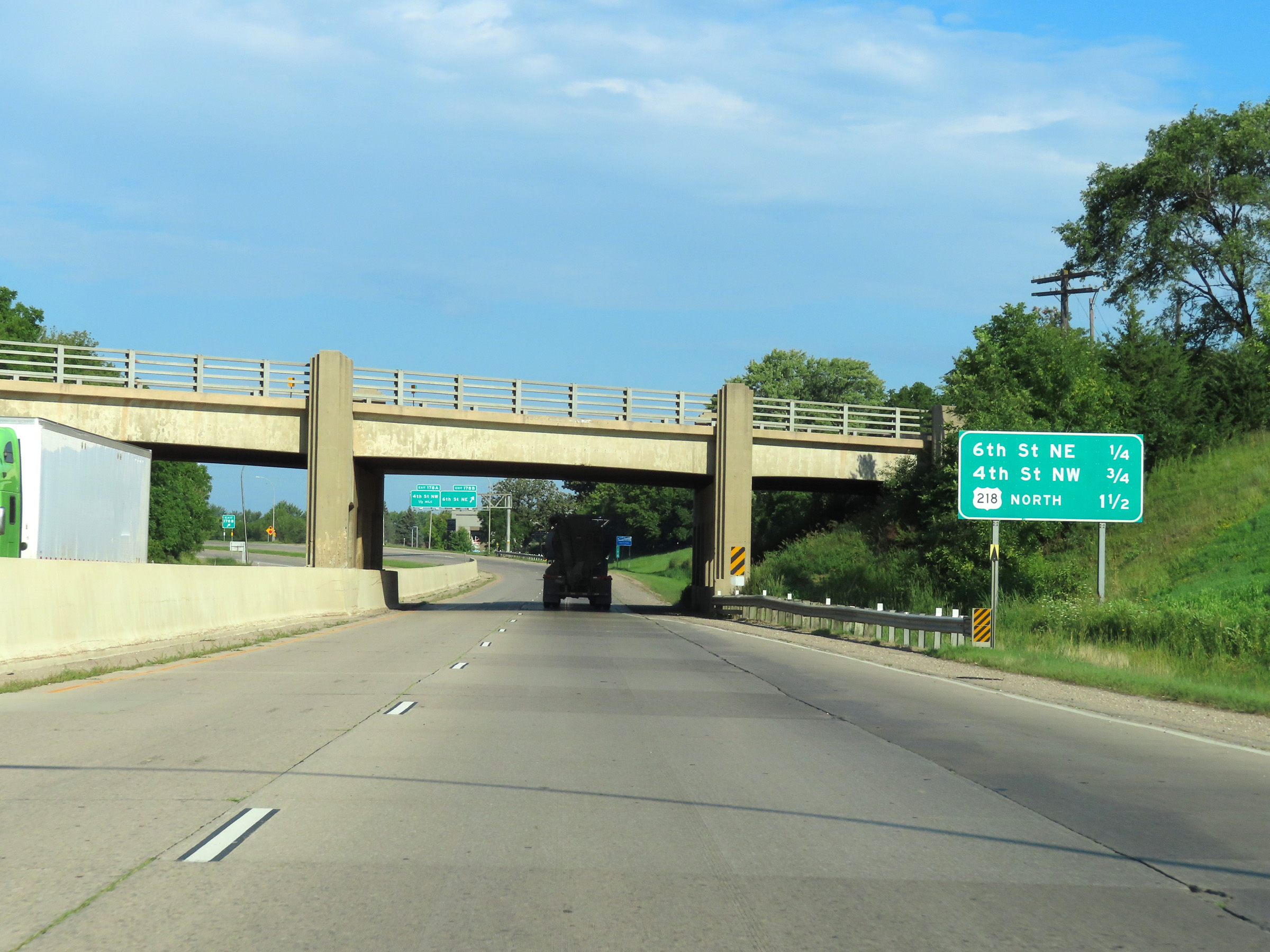 |
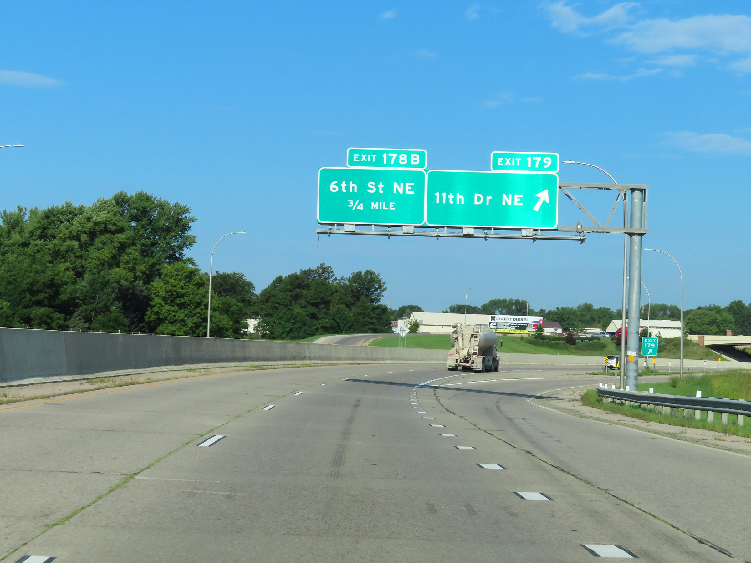
Mileage sign listing the distances to the three remaining Austin exits on Interstate 90 West. (Photo taken 8/16/22). |
 |
Interstate 90 West at Exit 178B: 6th St NE (Photo taken 8/16/22). |
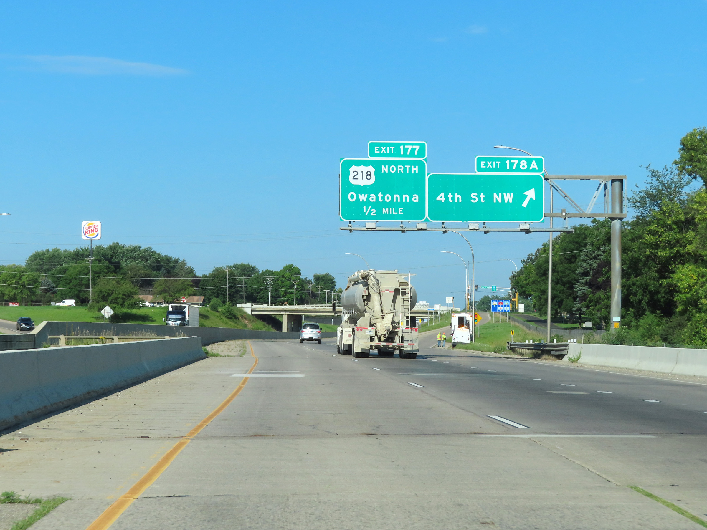 |
Interstate 90 West at Exit 178A: 4th St NW (Photo taken 8/16/22). |
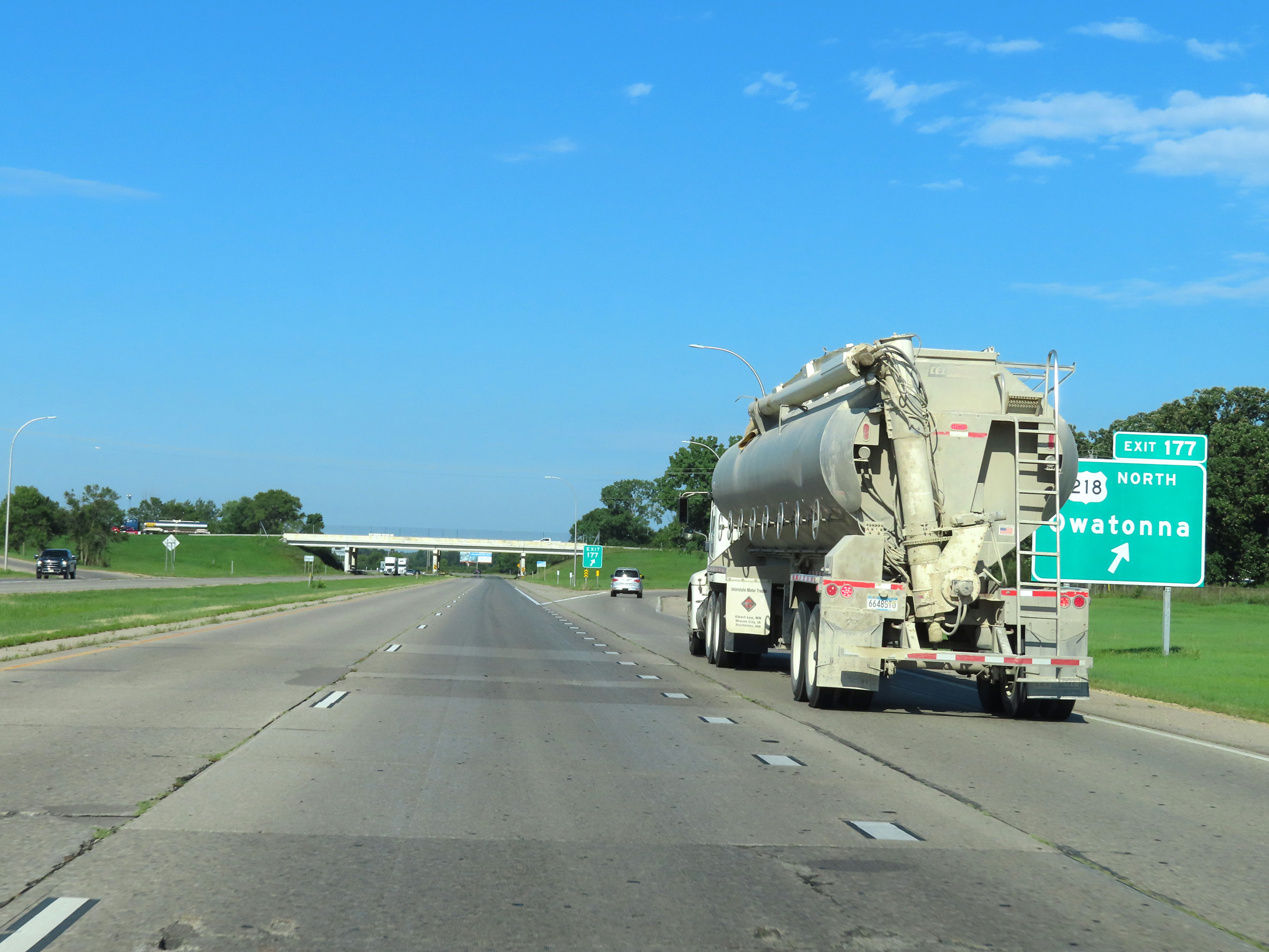 |
Interstate 90 West at Exit 177: US 218 North - Owatonna (Photo taken 8/16/22). |
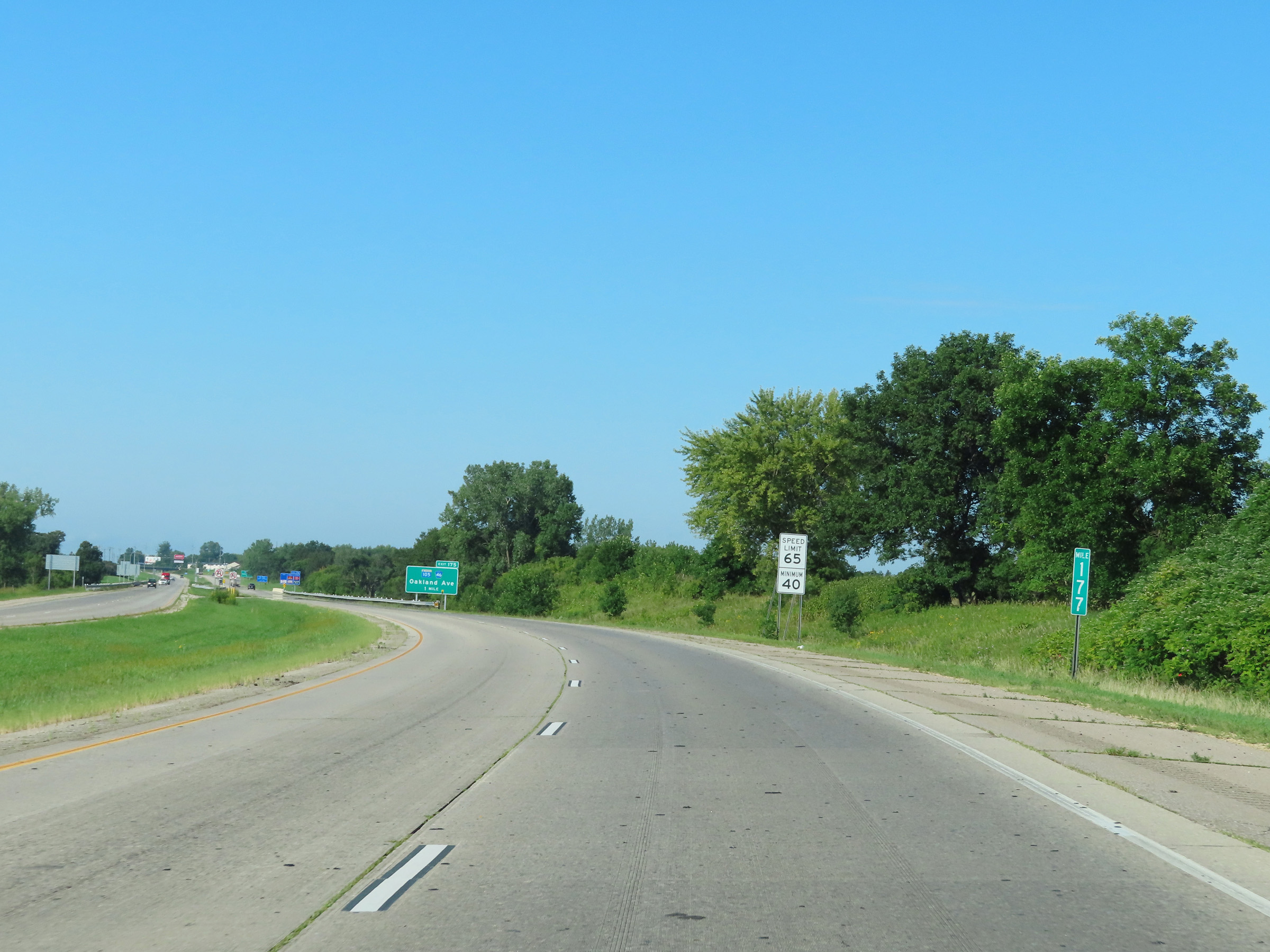 |
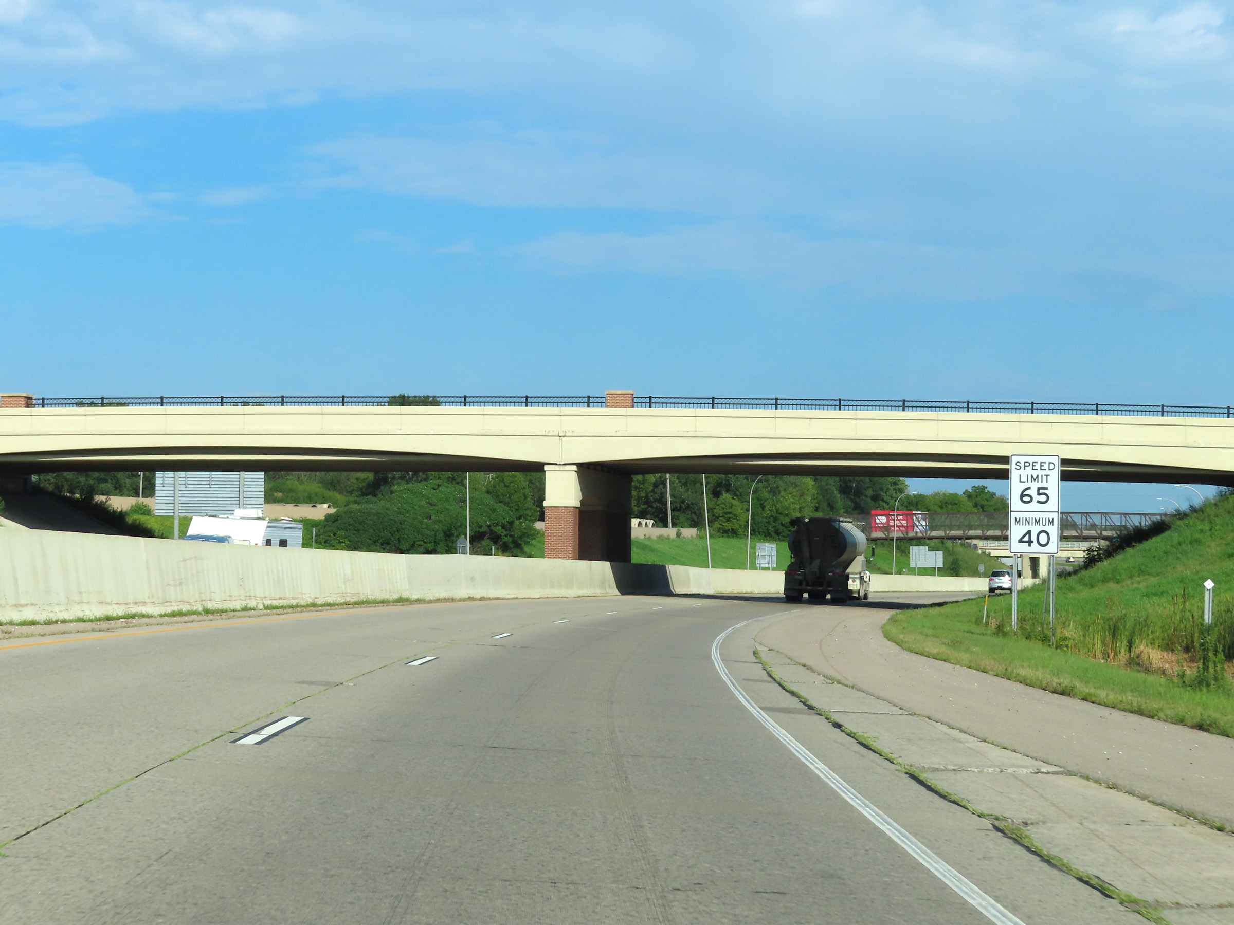
Mile marker 177 on Interstate 90 West in Mower County, as it begins to leave the Austin area. (Photo taken 8/16/22). |
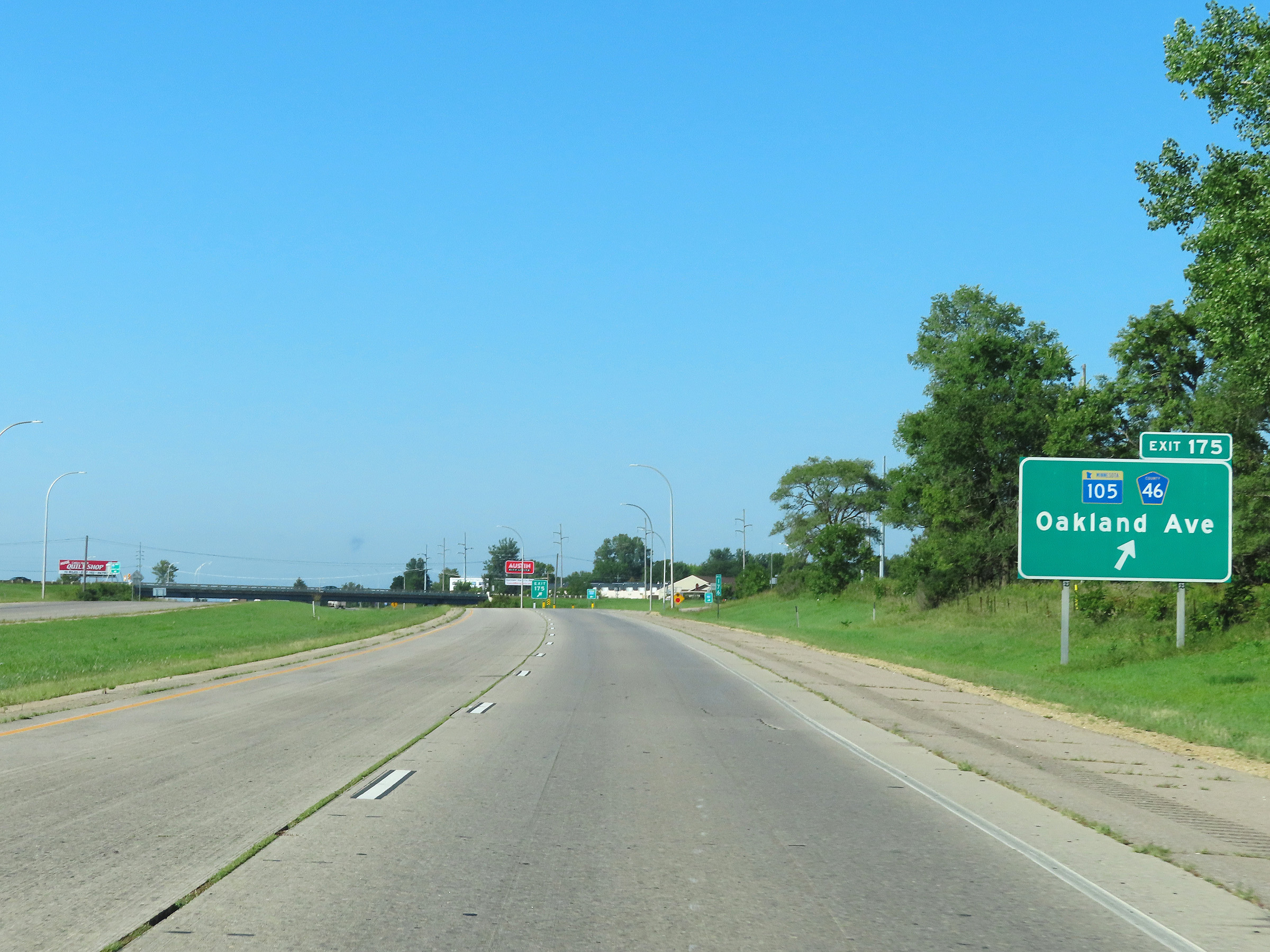 |
Interstate 90 West at Exit 175: MN 105 / CR 46 - Oakland Ave (Photo taken 8/16/22). |
Section 3: Austin (Exit 175) to Blue Earth (Exit 119)
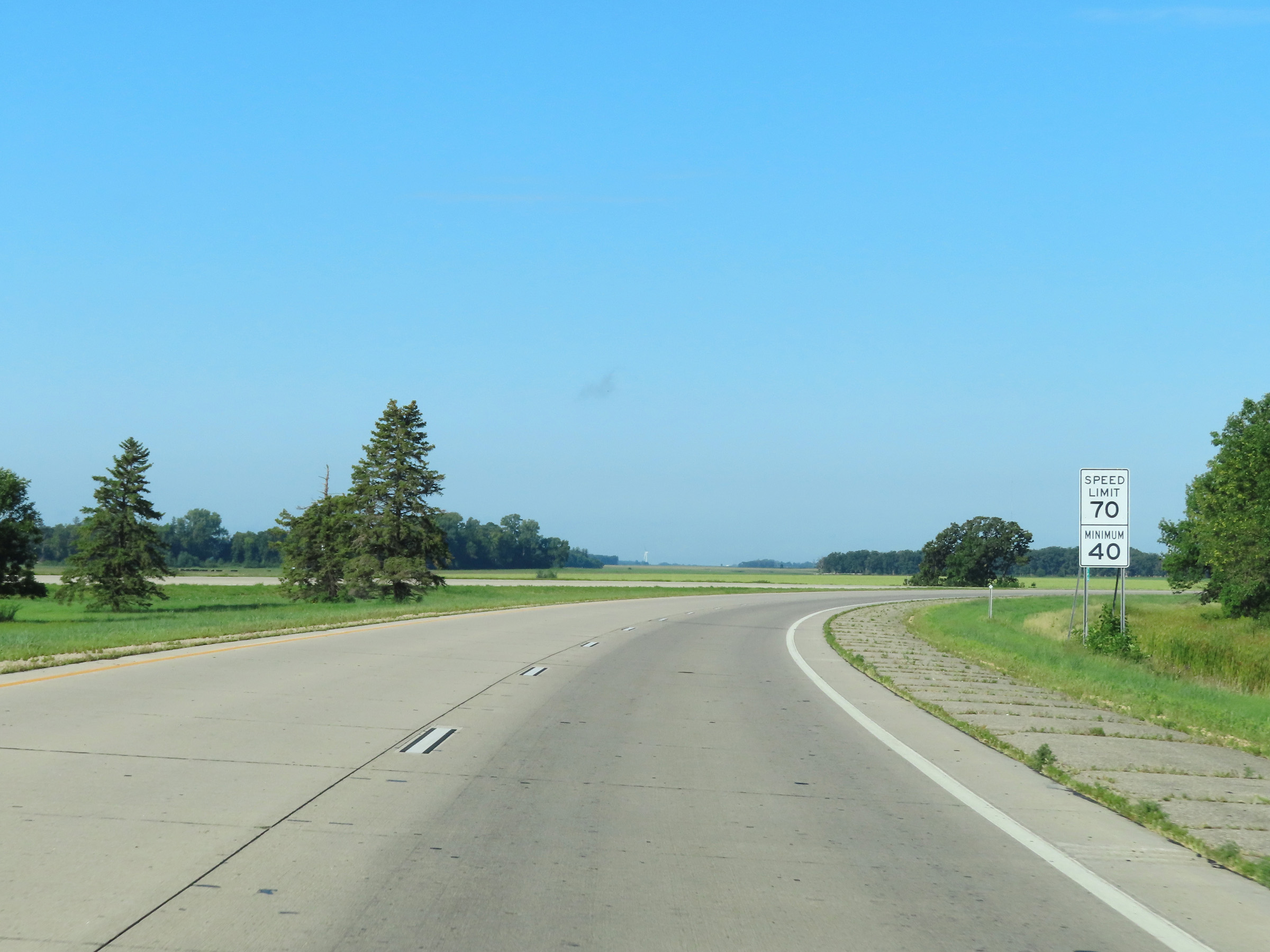 |
West of Exit 175, the maximum speed limit increases to 70 mph once again as Interstate 90 West leaves the Austin area. The minimum speed limit remains 40 mph as usual. (Photo taken 8/16/22). |
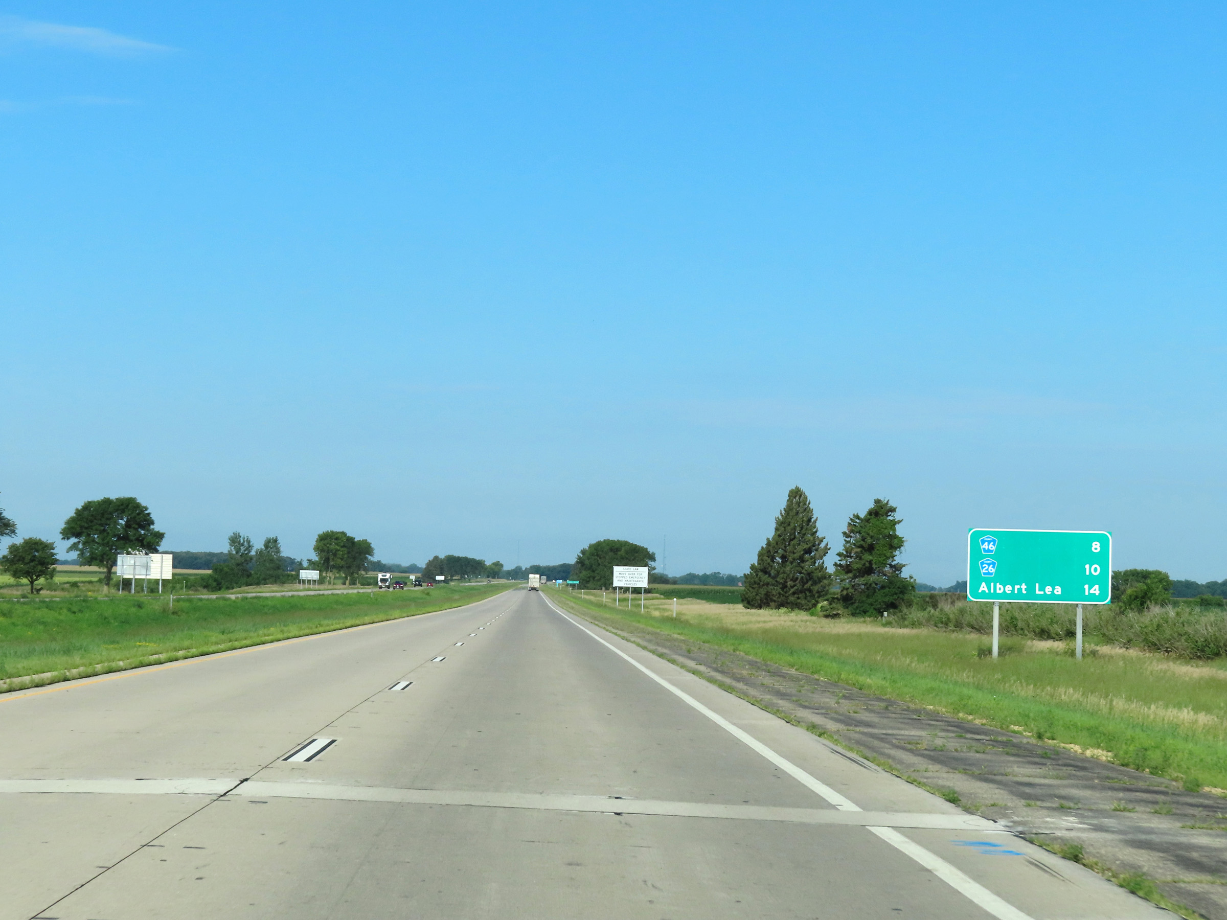 |
Mileage sign on Interstate 90 West as it leaves the Austin area. It's 8 miles to the junction of CR 46, 10 miles to the junction of CR 26, and 14 miles to Albert Lea. (Photo taken 8/16/22). |
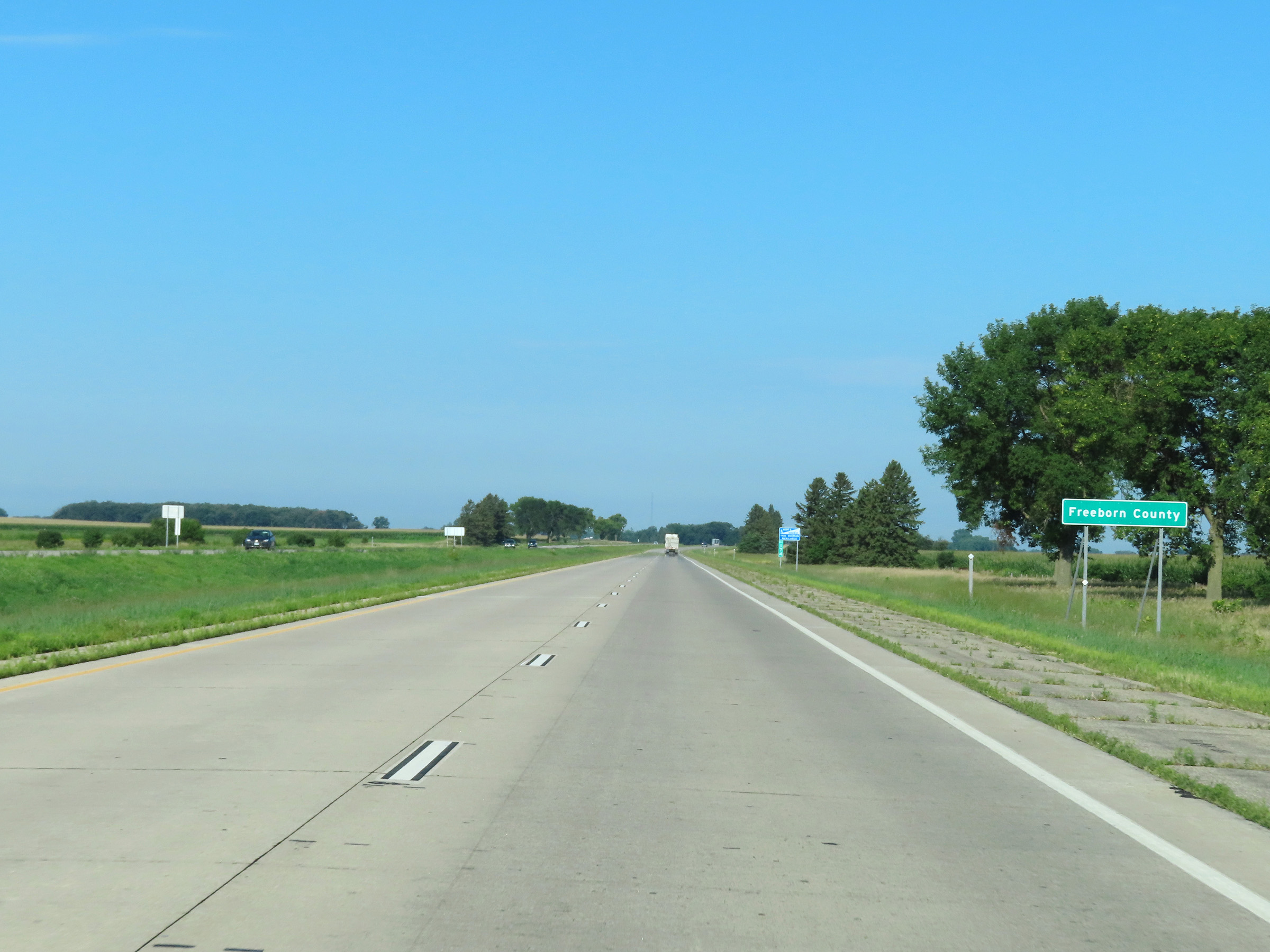 |
Near mile marker 174, Interstate 90 West enters Freeborn County. (Photo taken 8/16/22). |
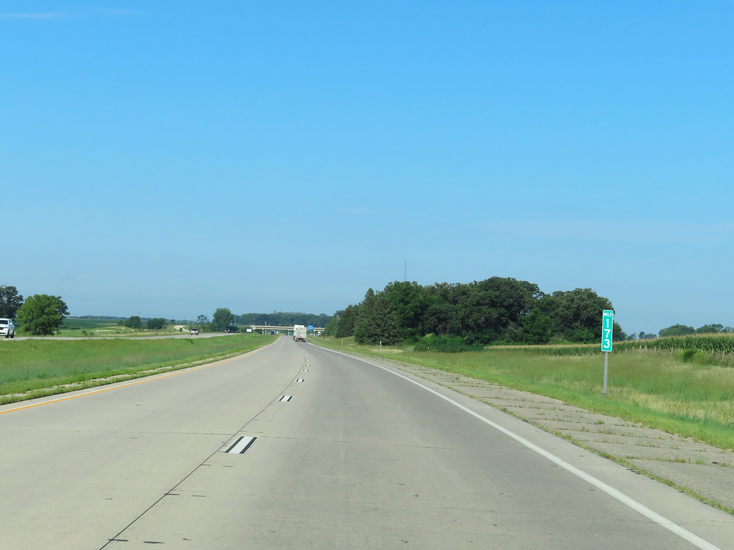 |
View on Interstate 90 West at mile marker 173. (Photo taken 8/16/22). |
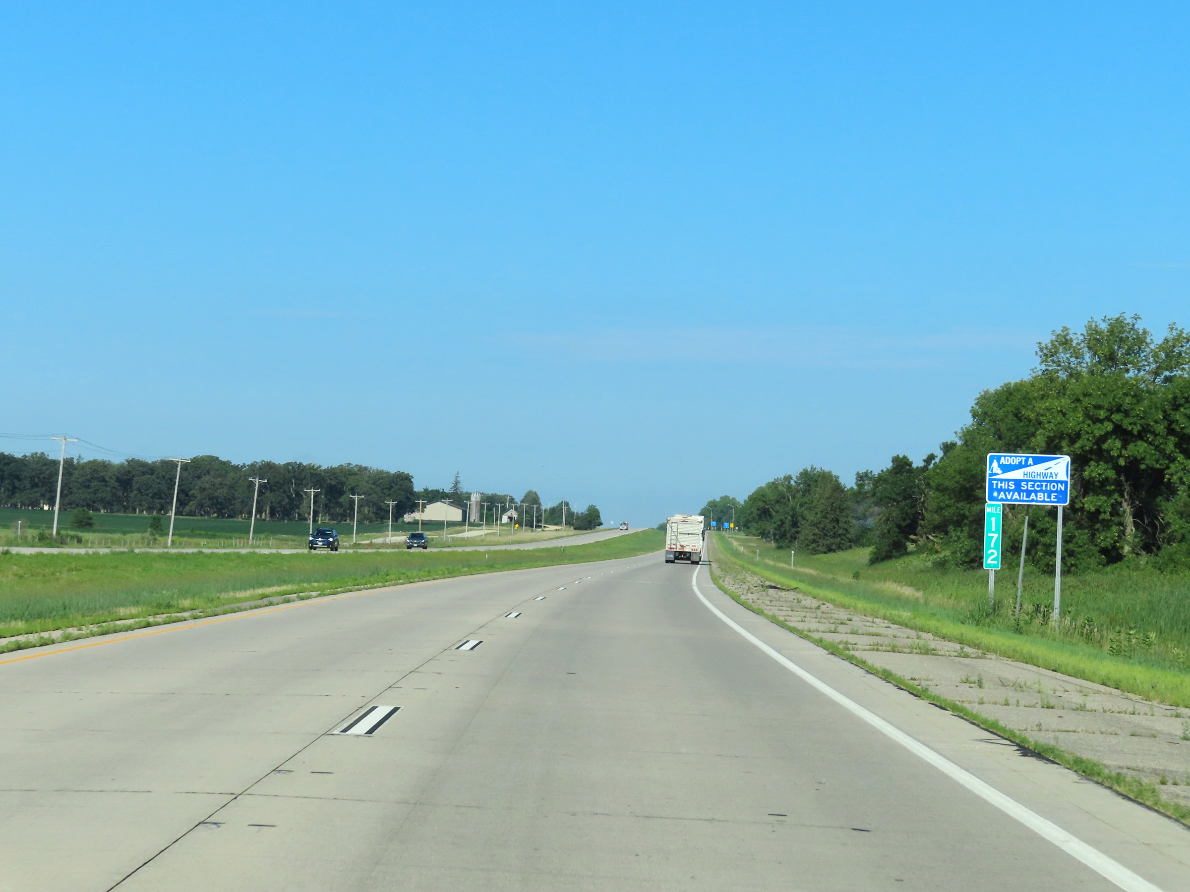 |
Interstate 90 West at mile marker 172. (Photo taken 8/16/22). |
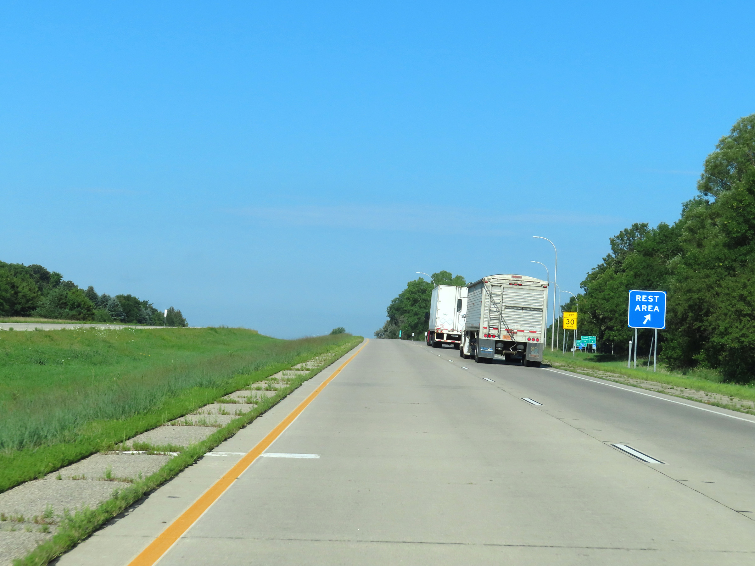 |
Rest Area on Interstate 90 West in Freeborn County. (Photo taken 8/16/22). |
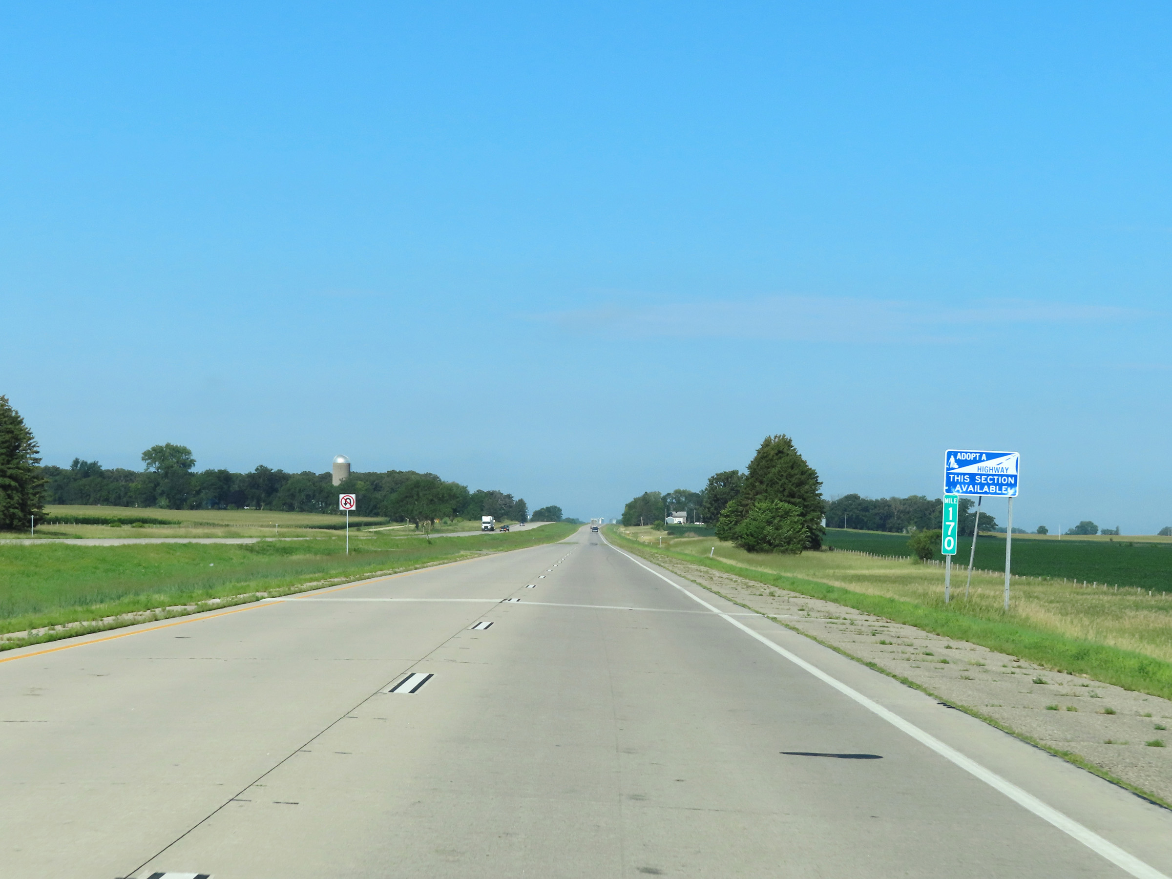 |
View on Interstate 90 West at mile marker 170. (Photo taken 8/16/22). |
 |
Mile marker 167 on Interstate 90 West in Freeborn County. (Photo taken 8/16/22). |
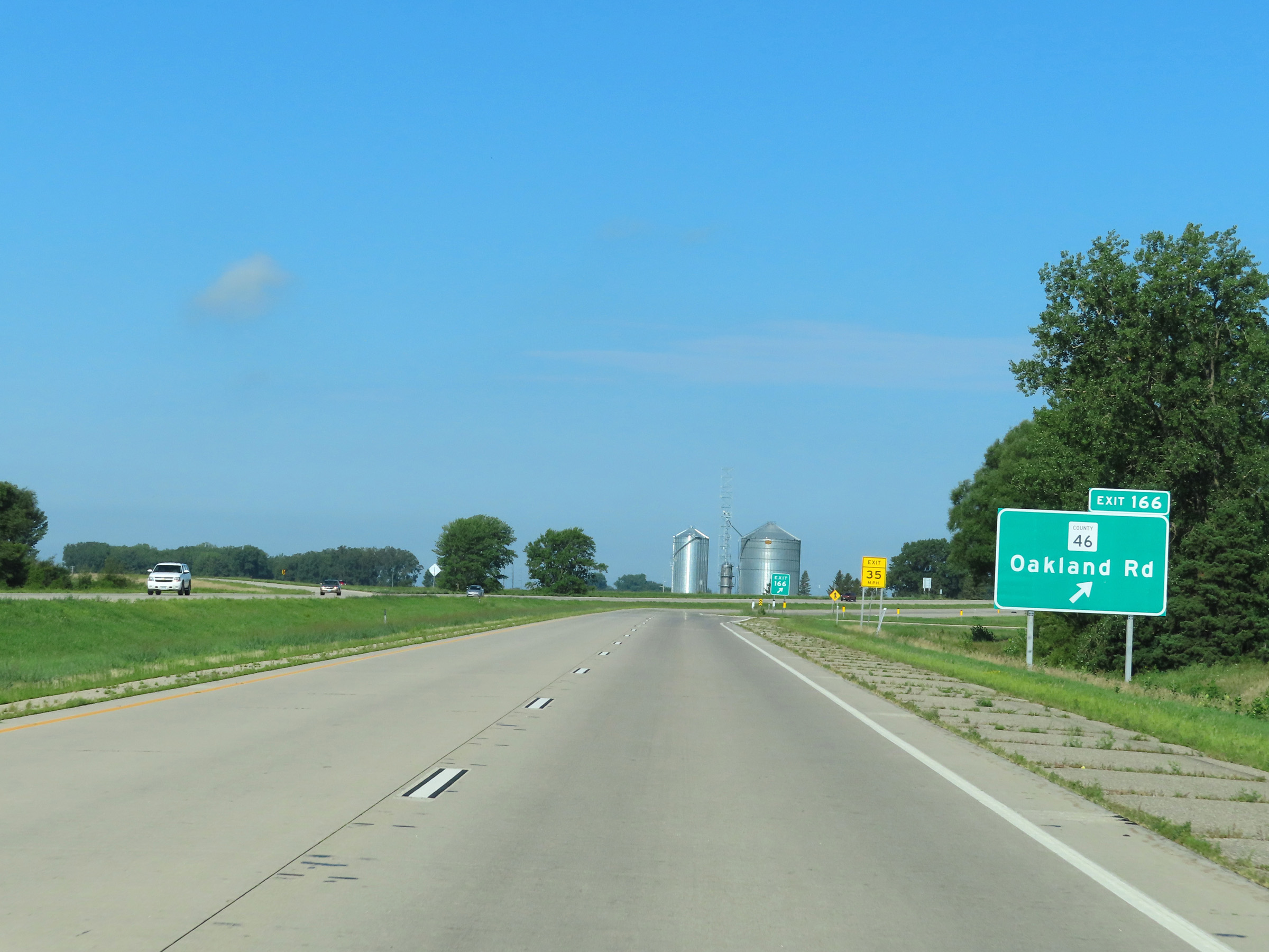 |
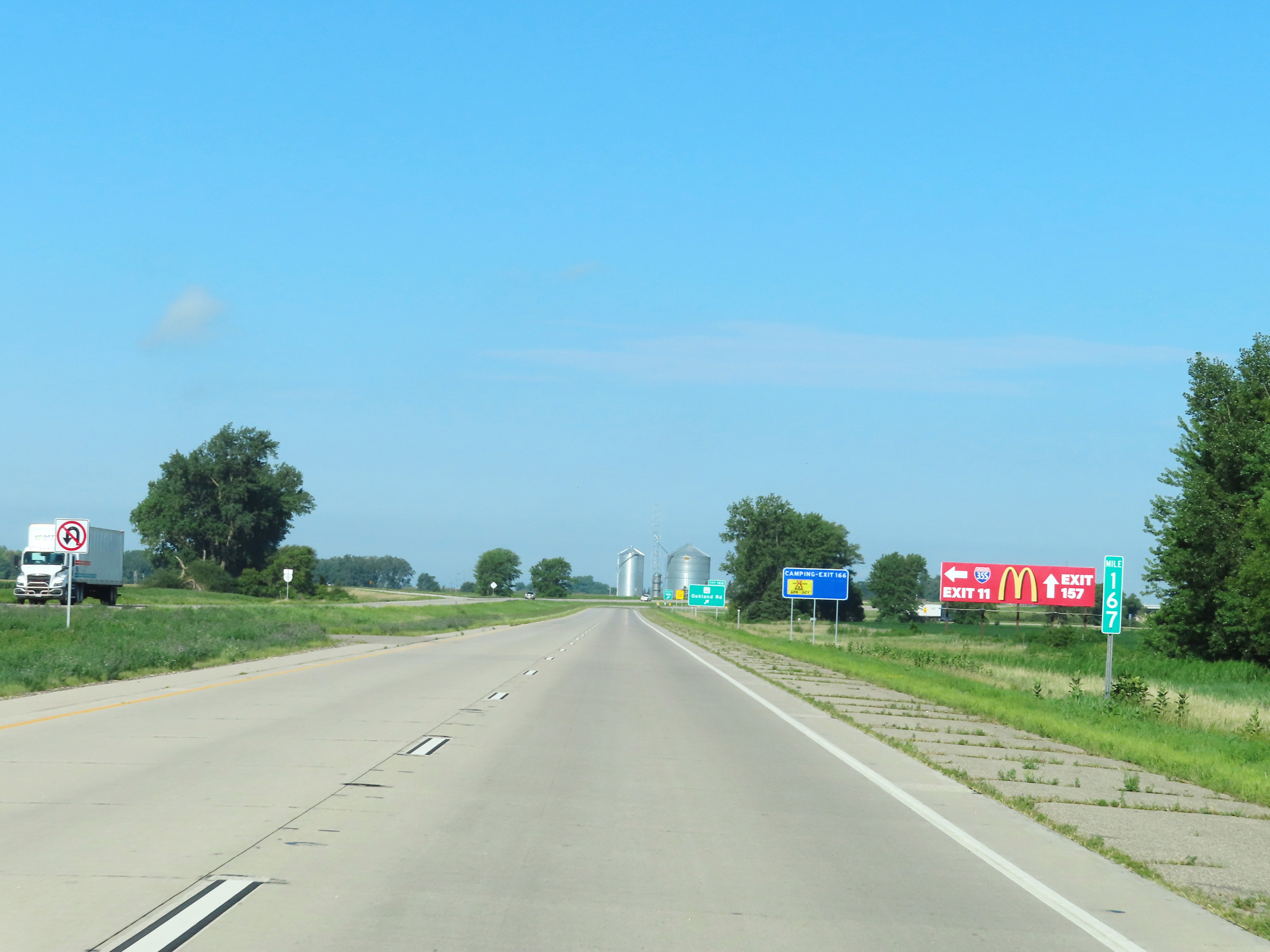
Interstate 90 West at Exit 166: CR 46 - Oakland Rd (Photo taken 8/16/22). |
 |
View on Interstate 90 West at mile marker 166. (Photo taken 8/16/22). |
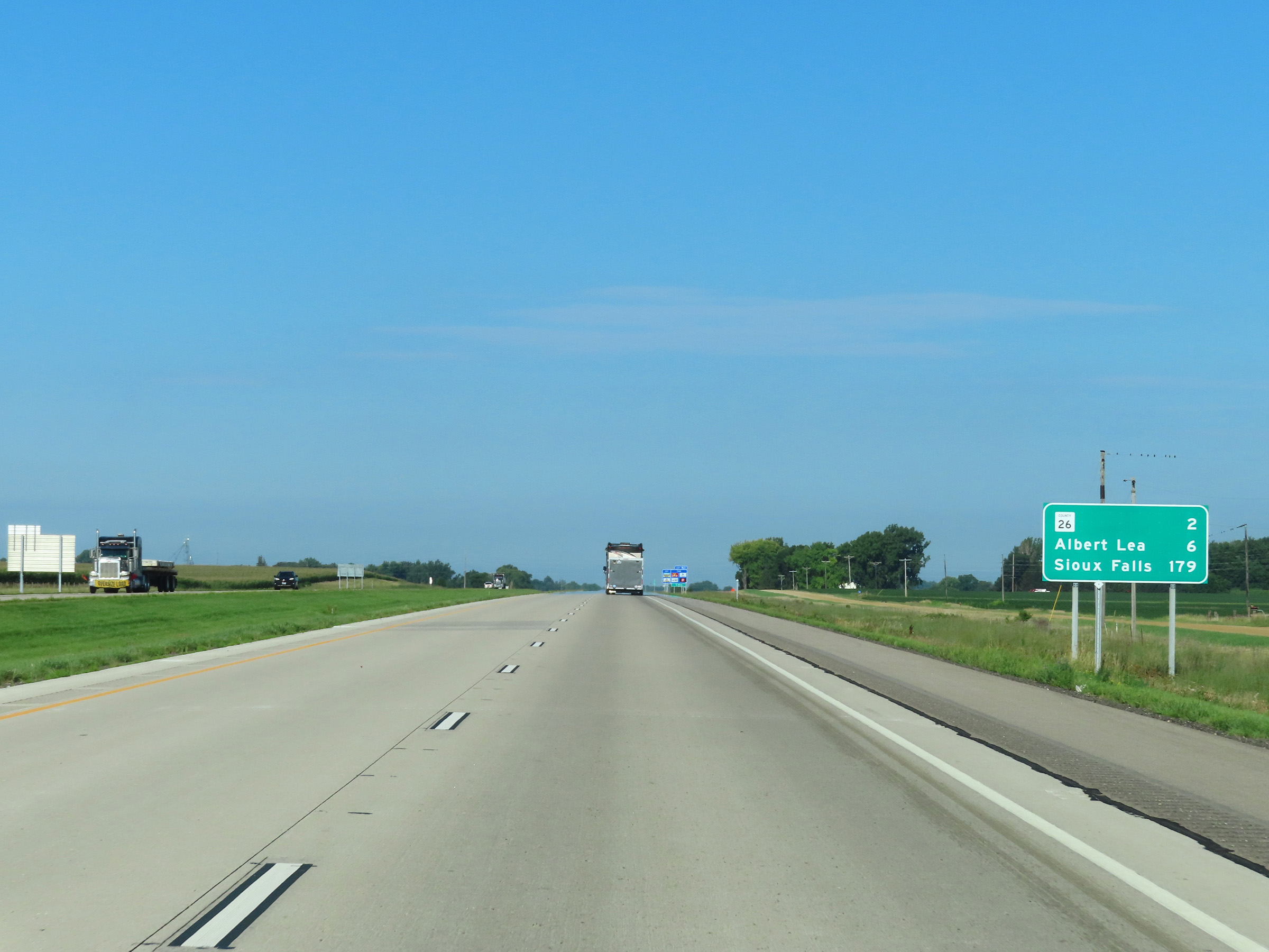 |
Mileage sign on Interstate 90 West. It's 2 miles to the junction of CR 26, 6 miles to Albert Lea, and 179 miles to Sioux Falls. (Photo taken 8/16/22). |
 |
Take Exit 163 to Myre-Big Island State Park. (Photo taken 8/16/22). |
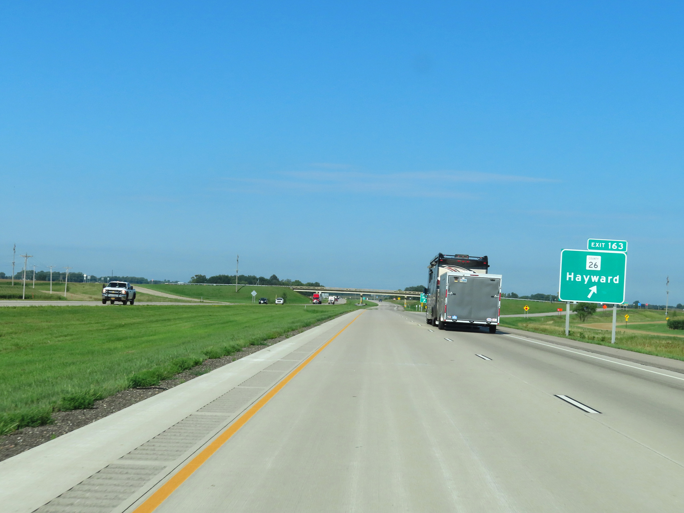 |
Interstate 90 West at Exit 163: CR 26 - Hayward (Photo taken 8/16/22). |
 |
Another Interstate 90 West reassurance shield in Freeborn County. (Photo taken 8/16/22). |
 |
The speed limits remain the rural standard 70 mph maximum and 40 mph minimum. (Photo taken 8/16/22). |
 |
Mileage sign listing the distances to the next three exits to Albert Lea on Interstate 90 West. (Photo taken 8/16/22). |
 |
View on Interstate 90 West at mile marker 162. (Photo taken 8/16/22). |
 |
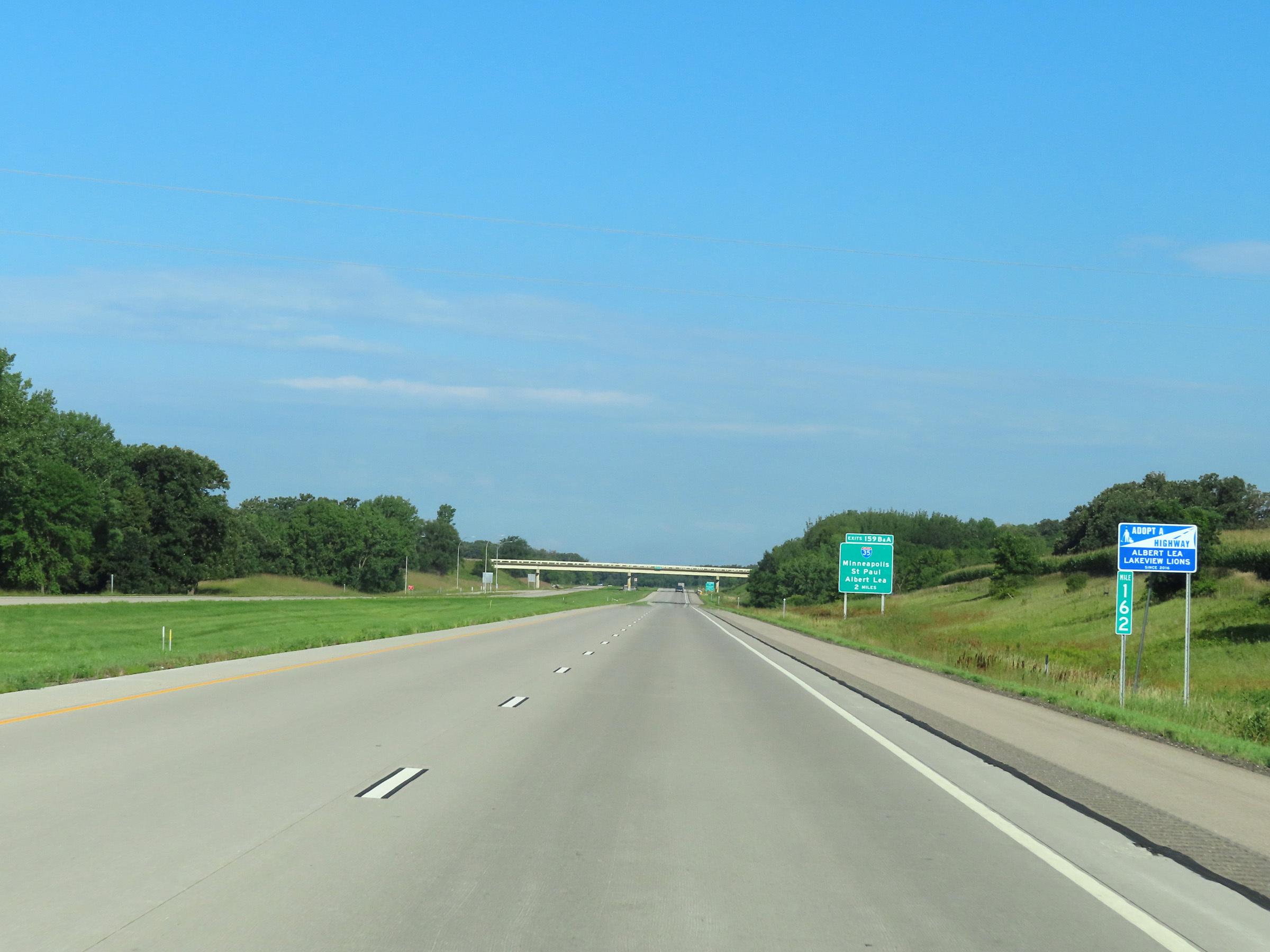
Interstate 90 West approaching the junction of Interstate 35 at Exits 159B-A - 1 mile. (Photo taken 8/16/22). |
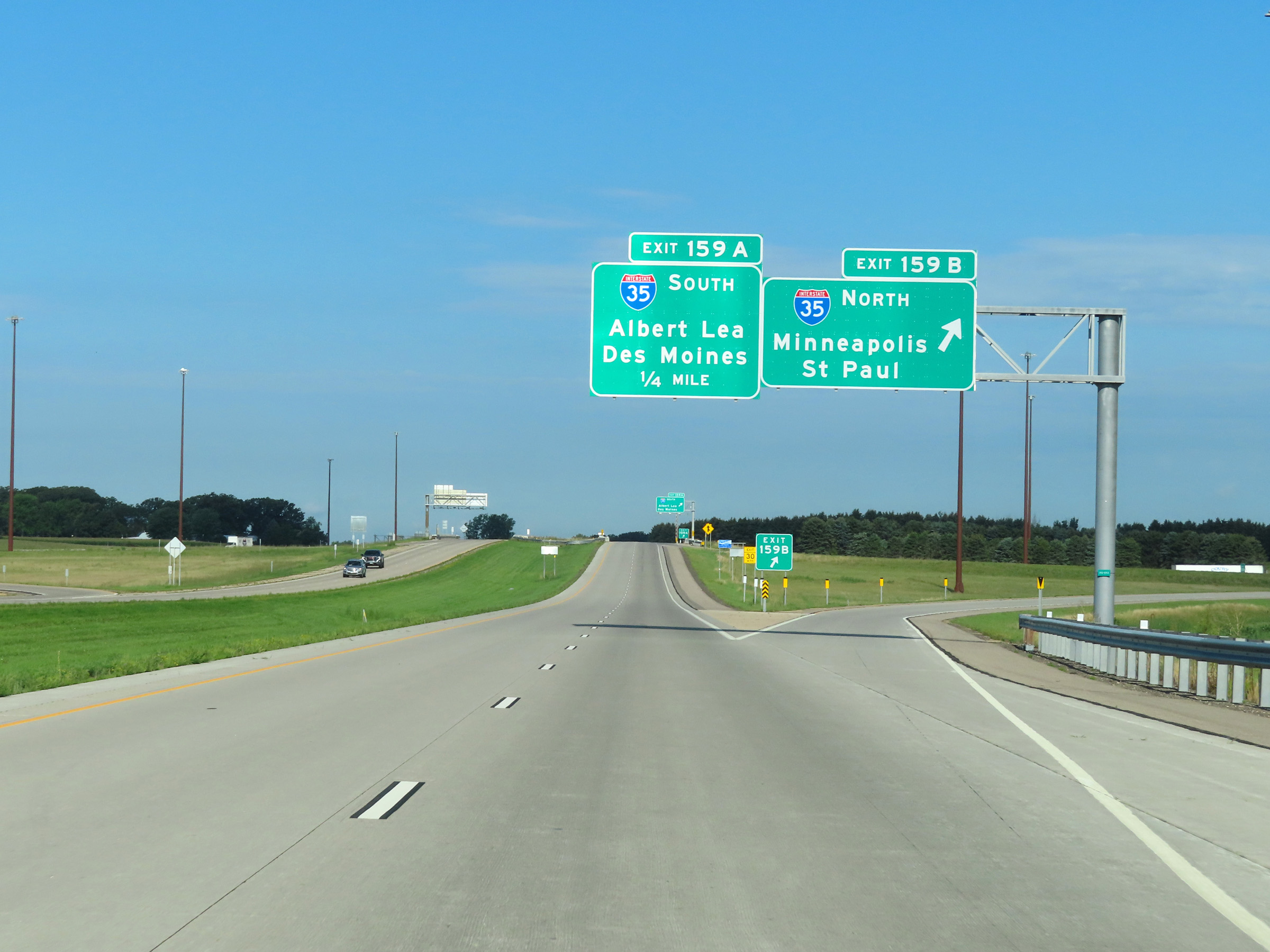 |
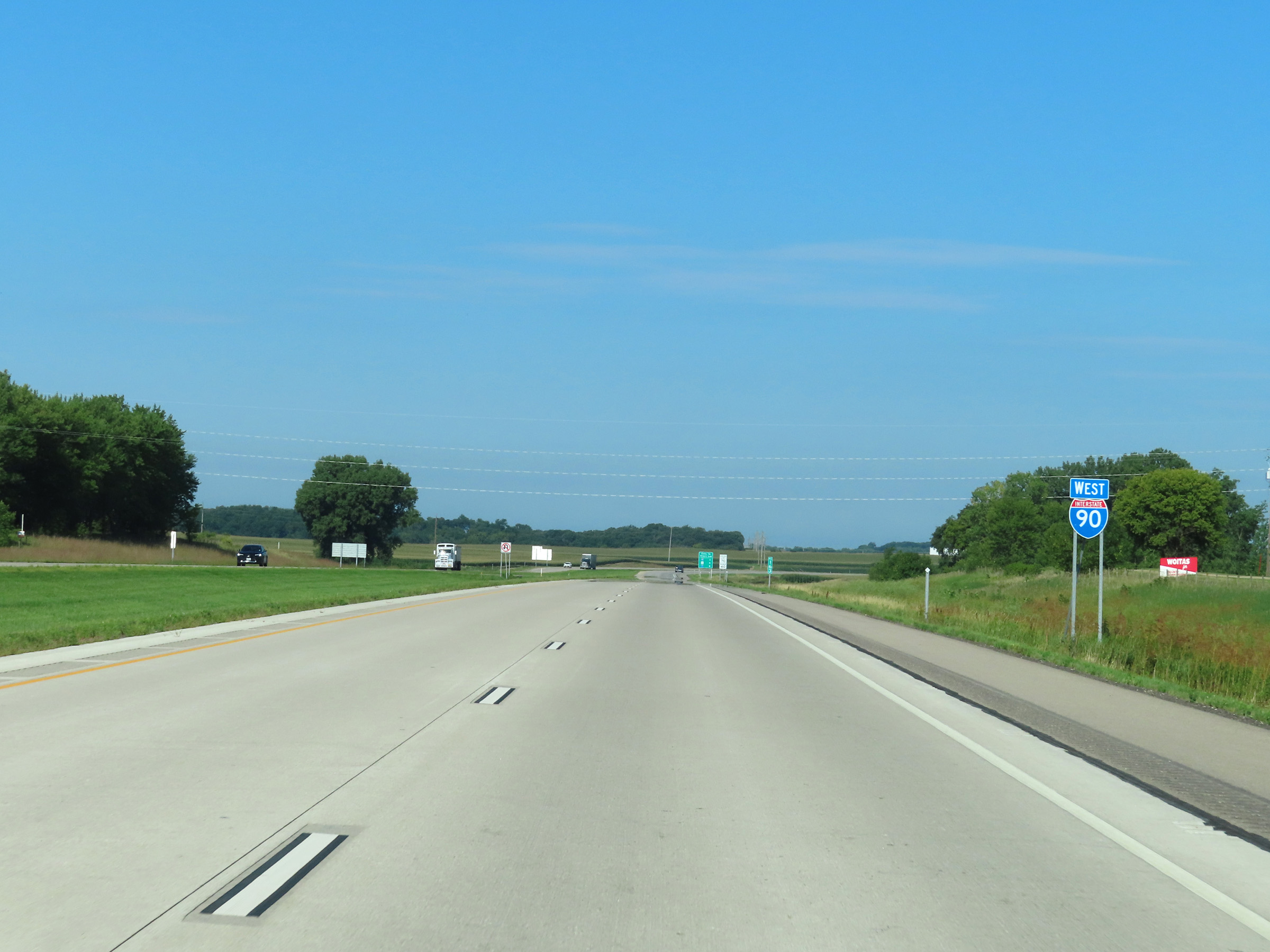
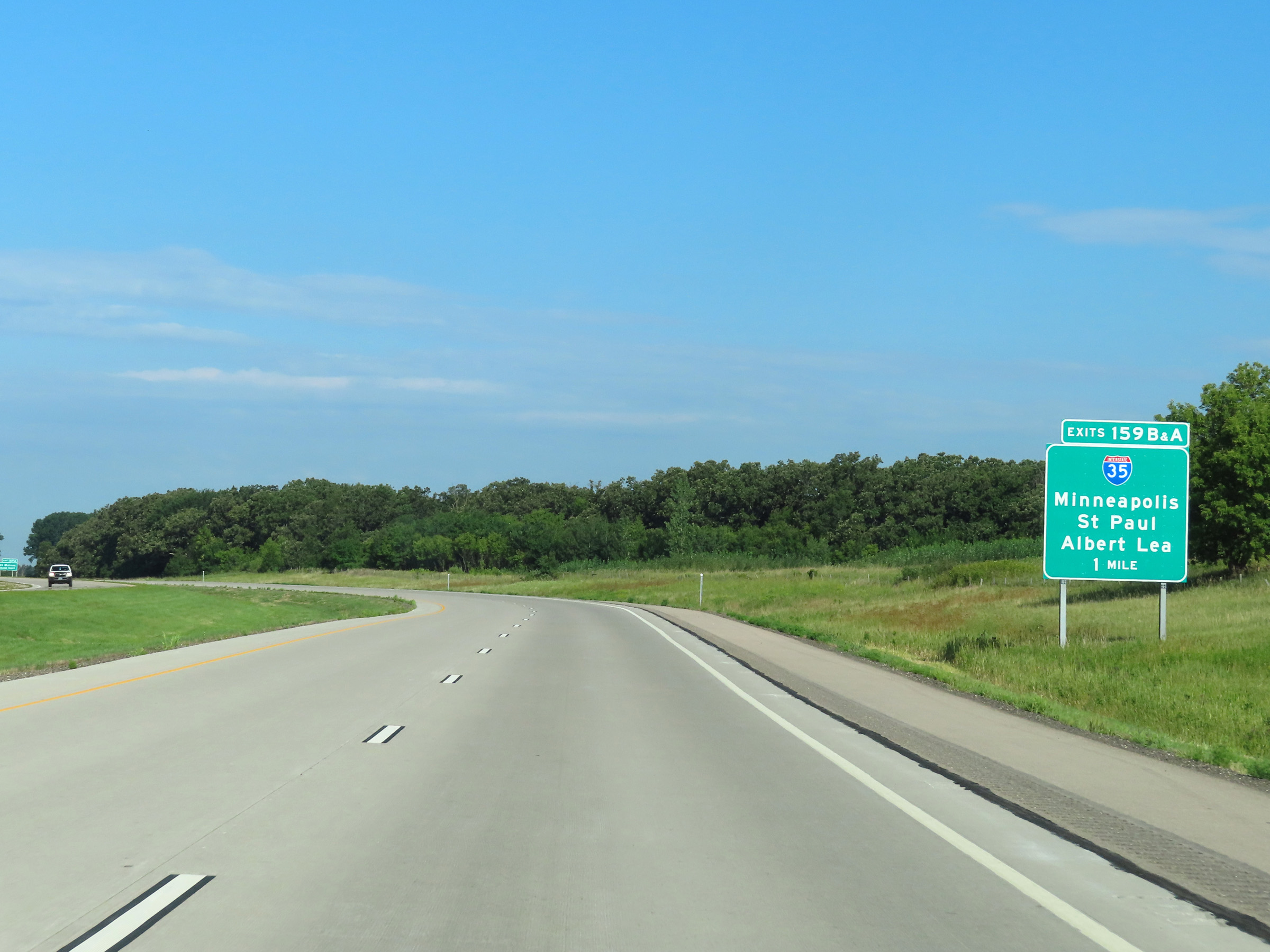
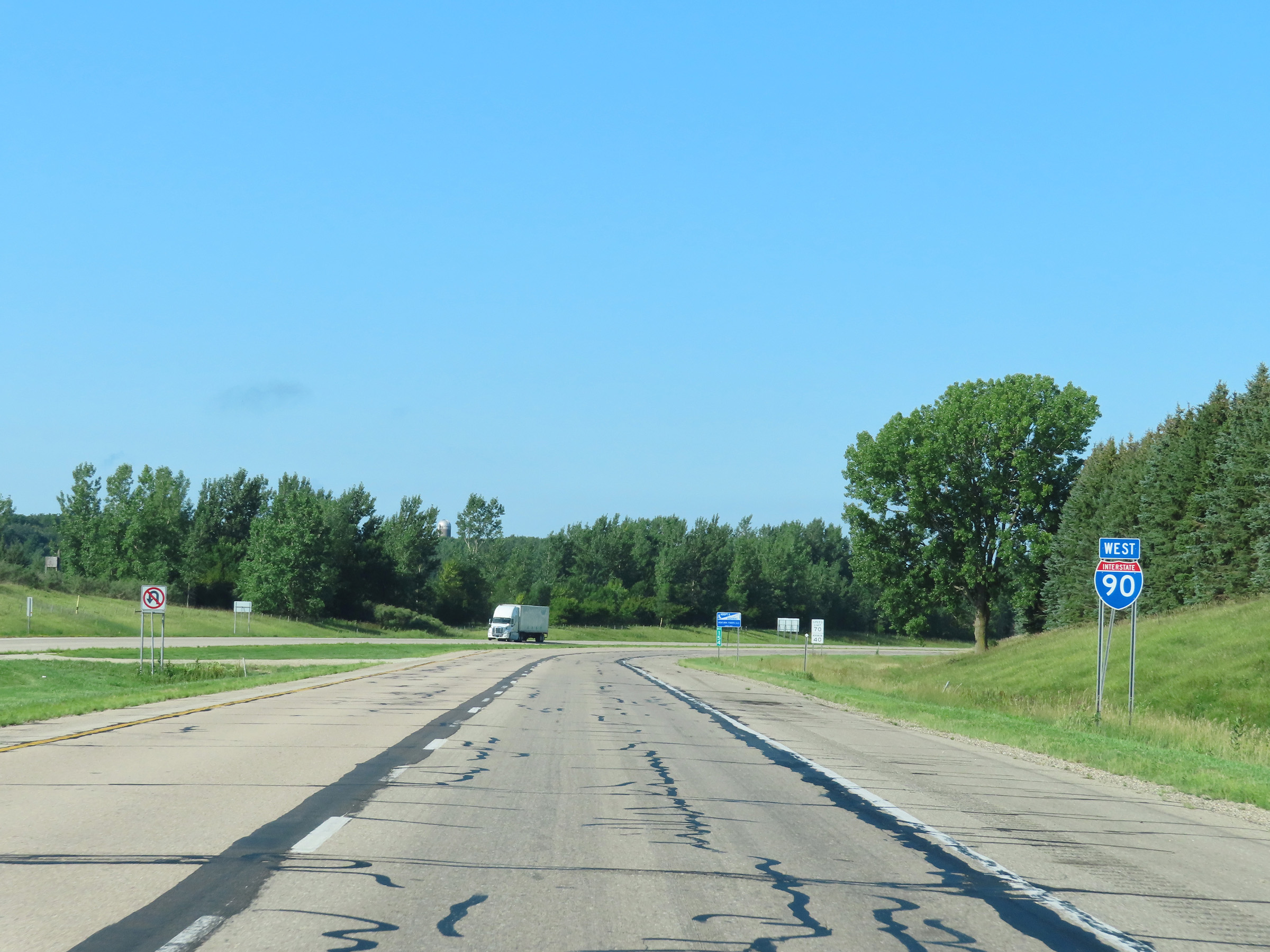
Interstate 90 West at Exit 159B: Interstate 35 North - Minneapolis / St. Paul (Photo taken 8/16/22). |
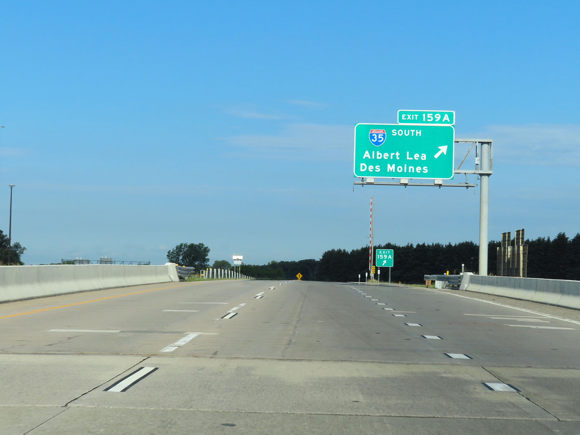 |
Interstate 90 West at Exit 159A: Interstate 35 South - Albert Lea / Des Moines (Photo taken 8/16/22). |
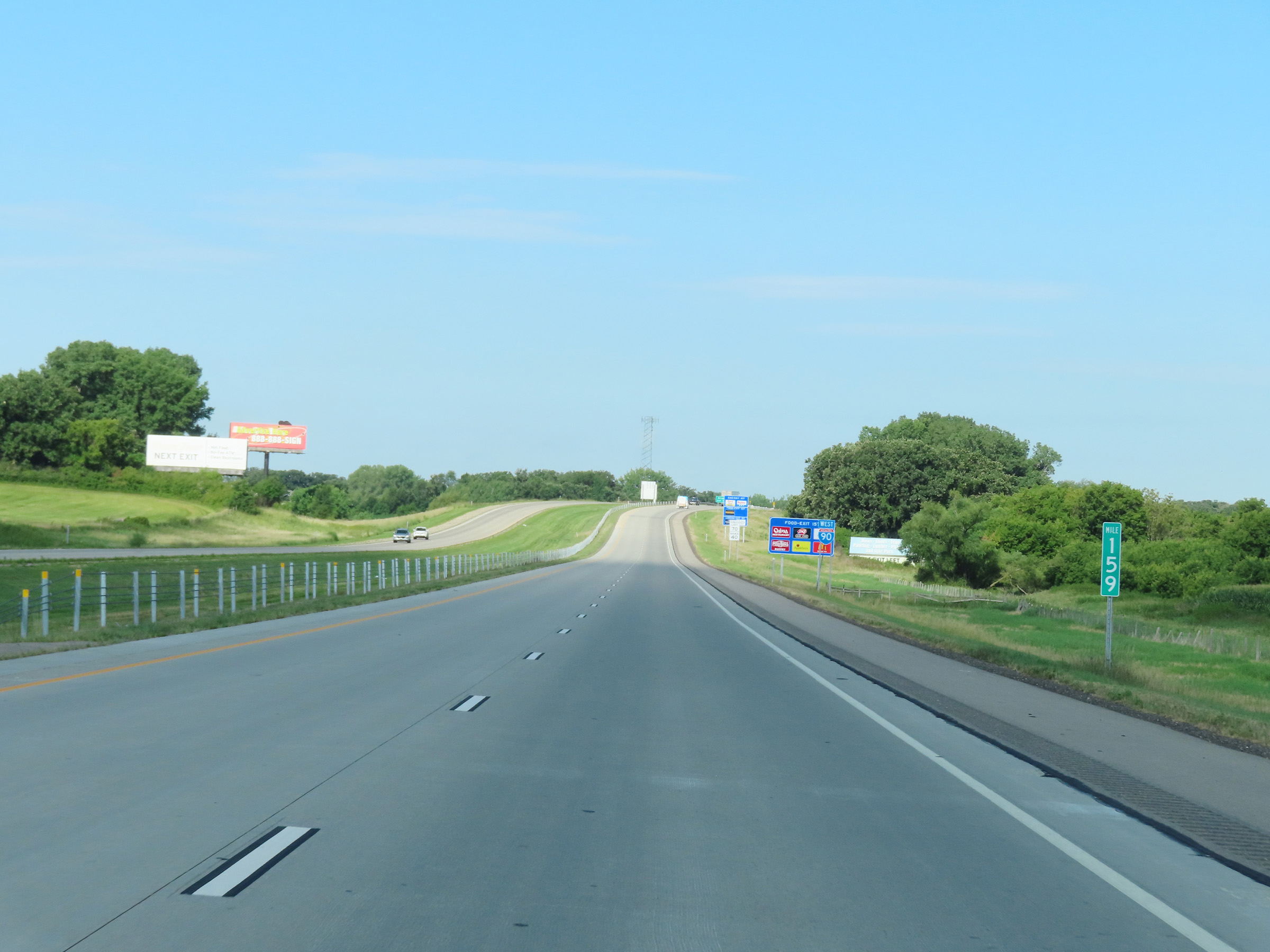 |
View on Interstate 90 West at mile marker 159. (Photo taken 8/16/22). |
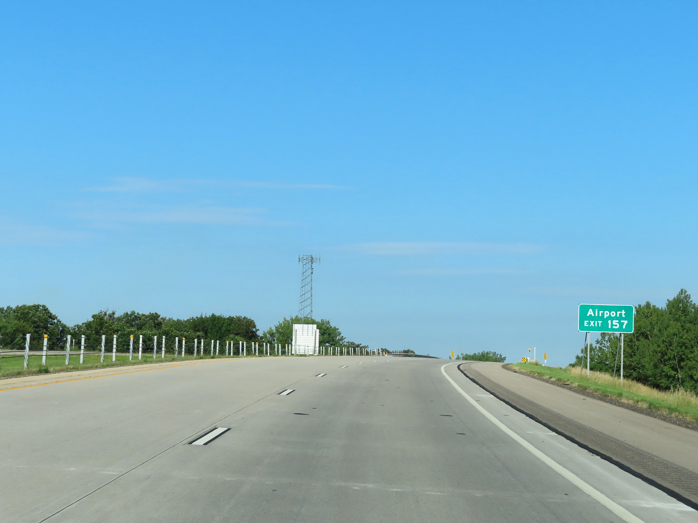 |
Take Exit 157 to the Airport. (Photo taken 8/16/22). |
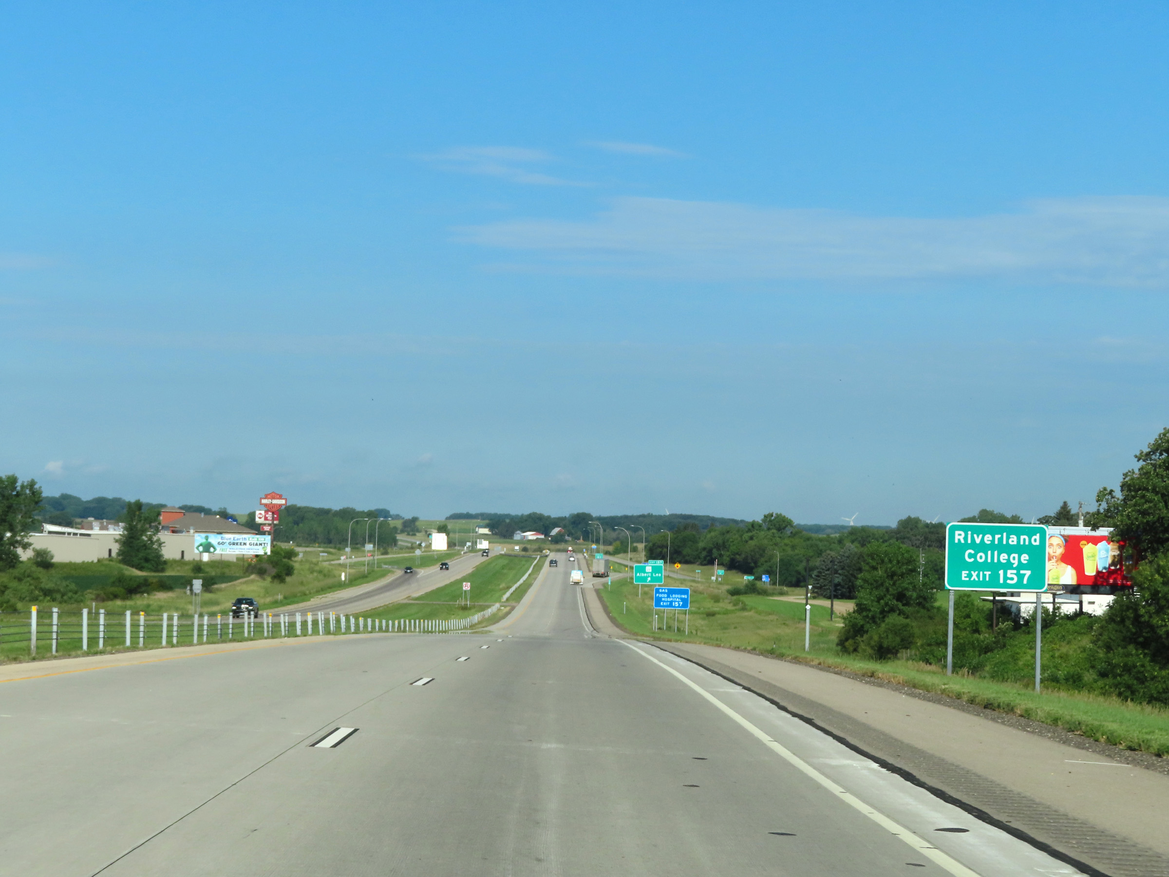 |
Also take Exit 157 to Riverland College. (Photo taken 8/16/22). |
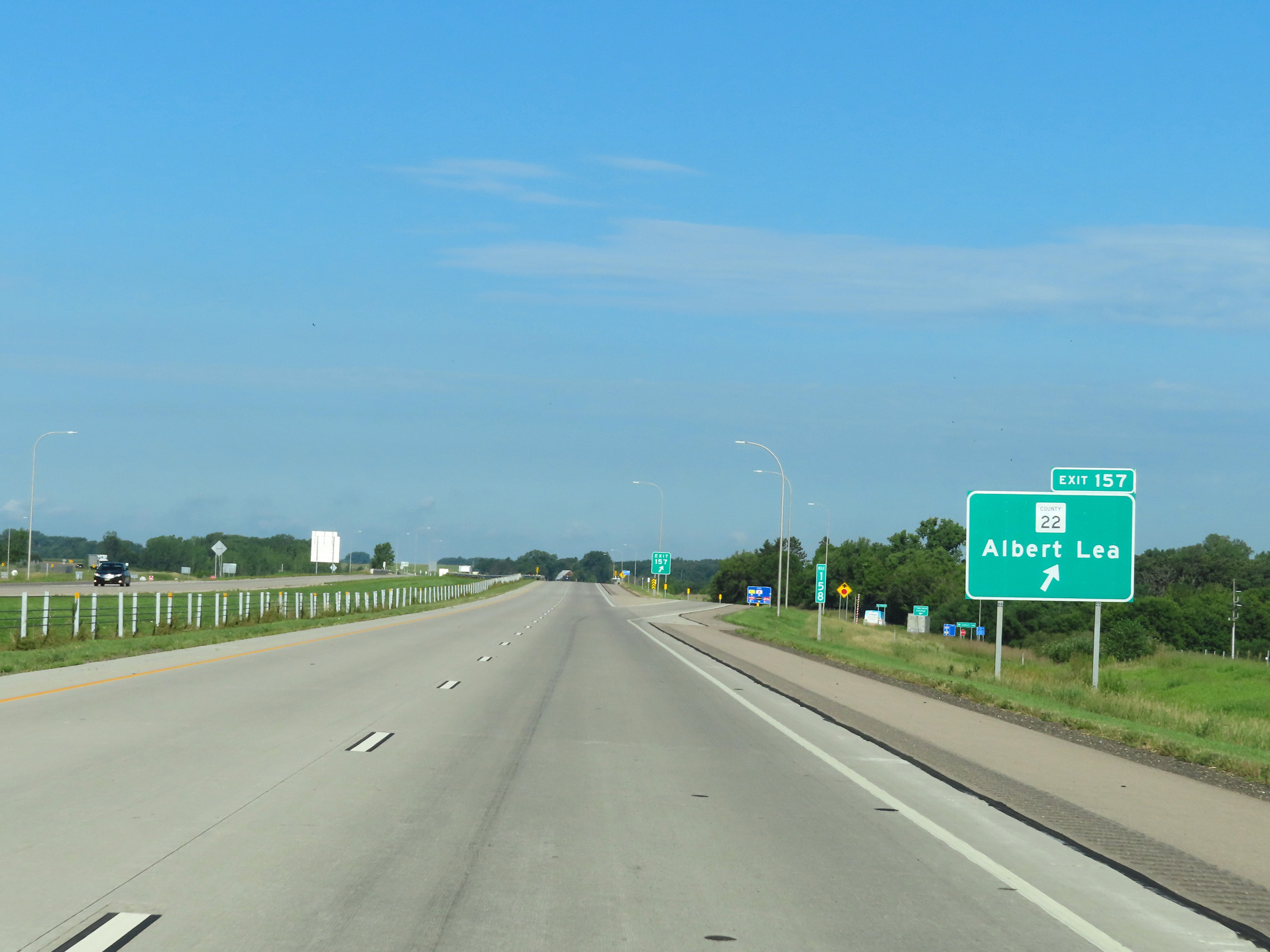 |
Interstate 90 West at Exit 157: CR 22 - Albert Lea (Photo taken 8/16/22). |
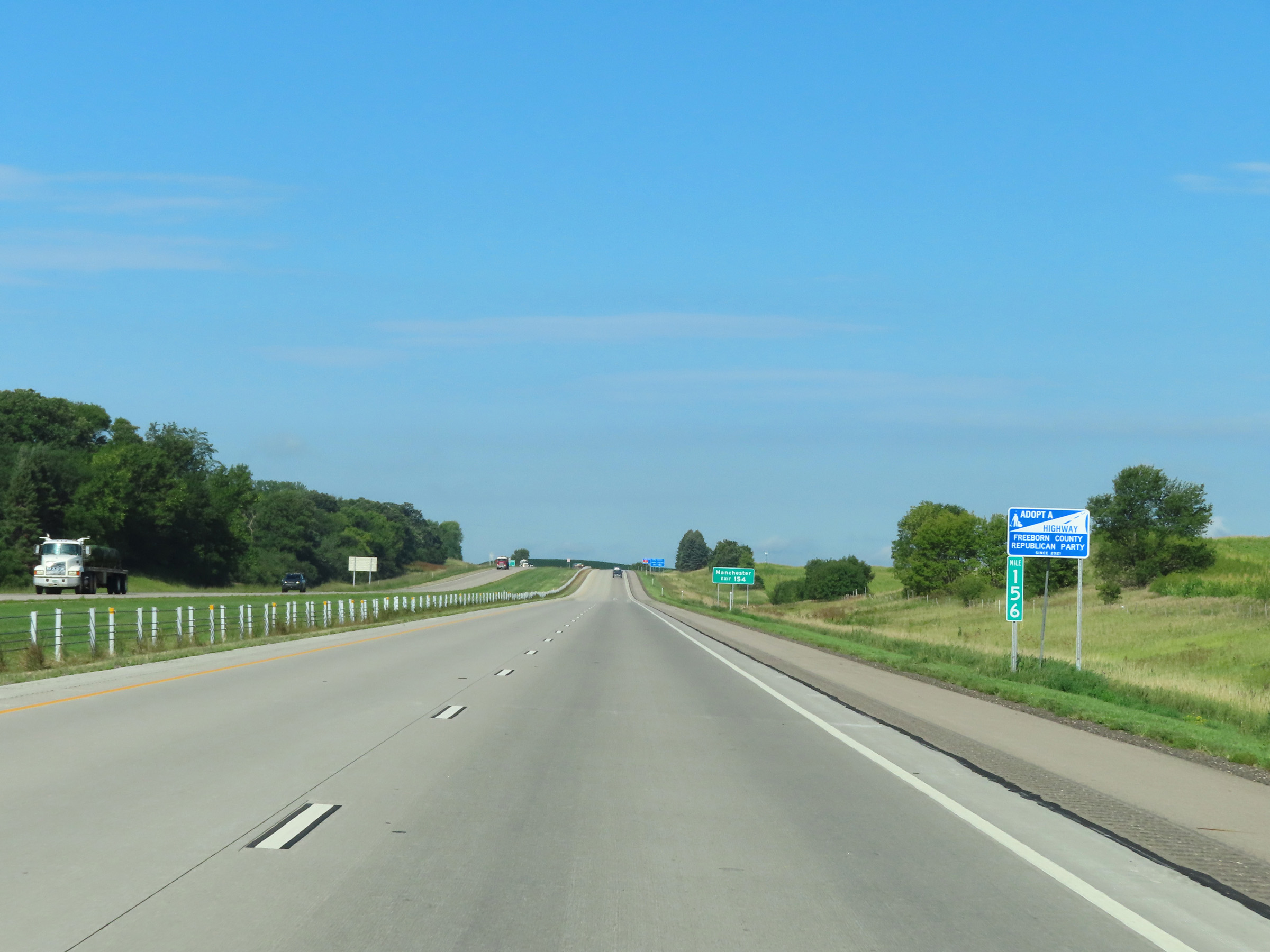 |
Interstate 90 West at mile marker 156. (Photo taken 8/16/22). |
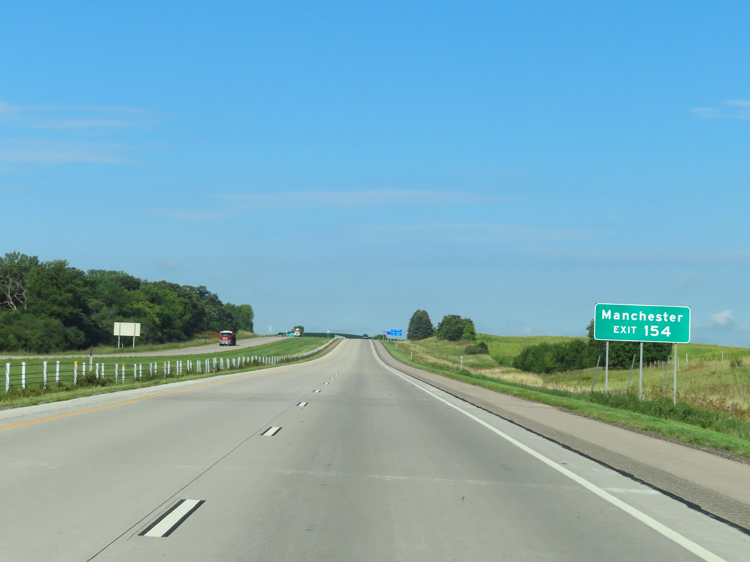 |
Take Exit 154 to Manchester. (Photo taken 8/16/22). |
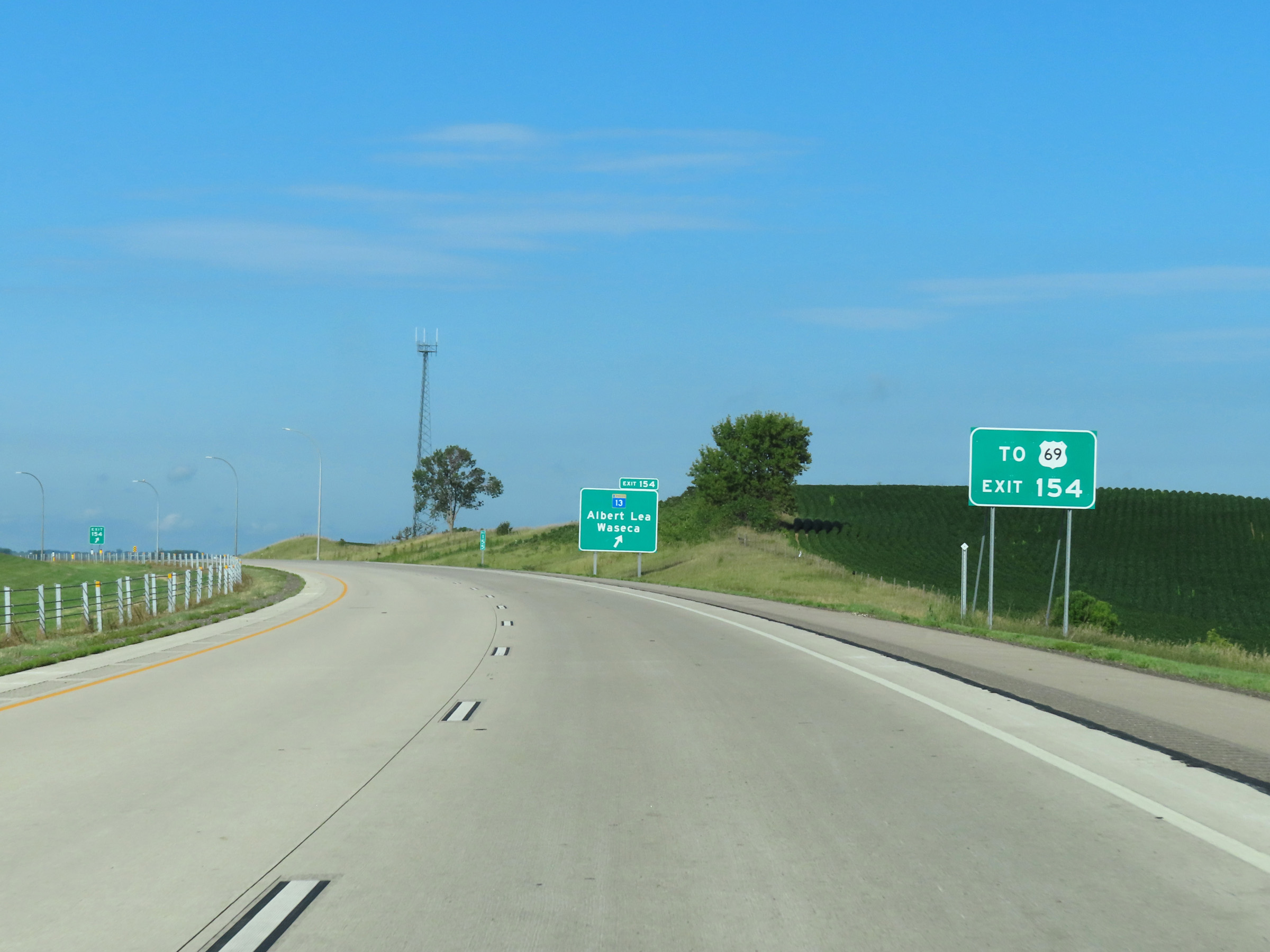 |
Also take Exit 154 to US 69. (Photo taken 8/16/22). |
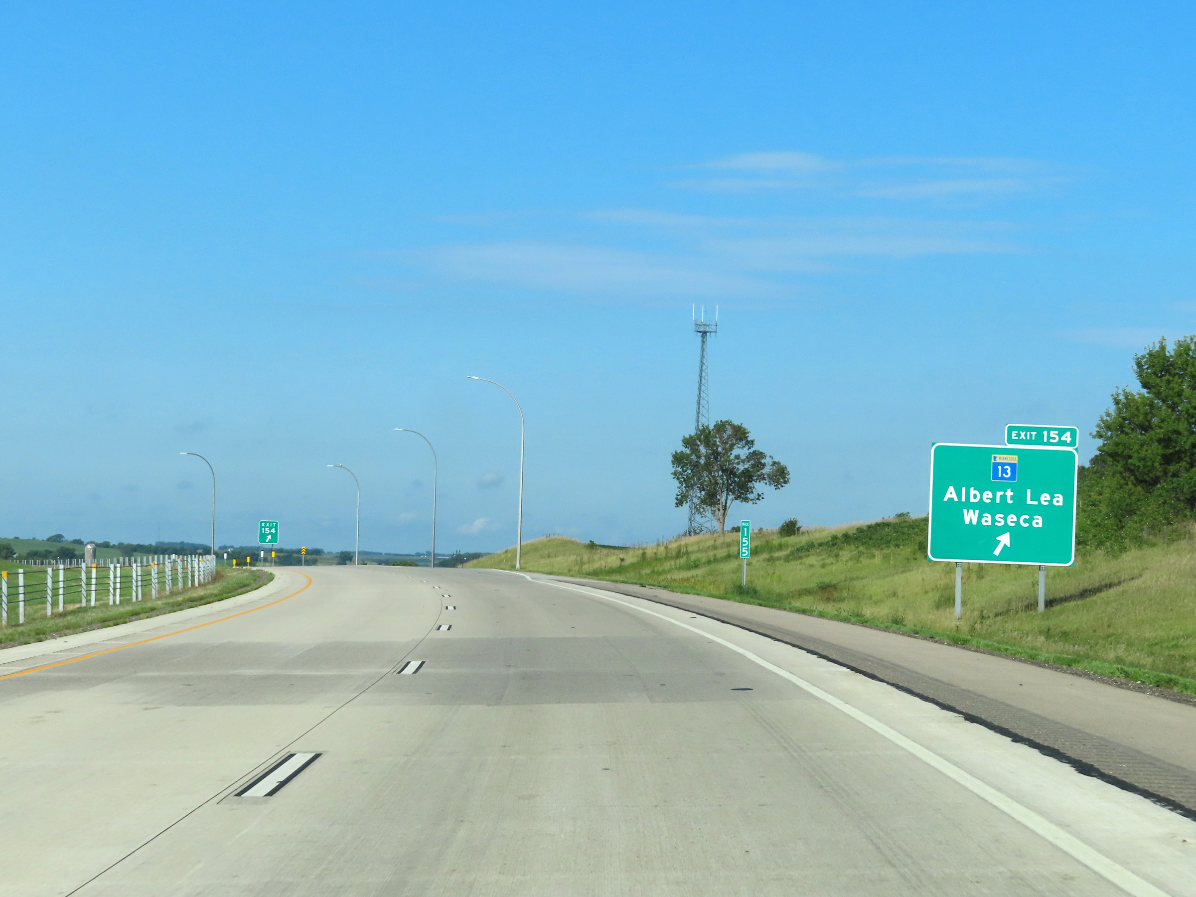 |
Interstate 90 West at Exit 154: MN 13 - Albert Lea / Waseca (Photo taken 8/16/22). |
 |
Interstate 90 West reassurance shield at mile marker 154 in Freeborn County. (Photo taken 8/16/22). |
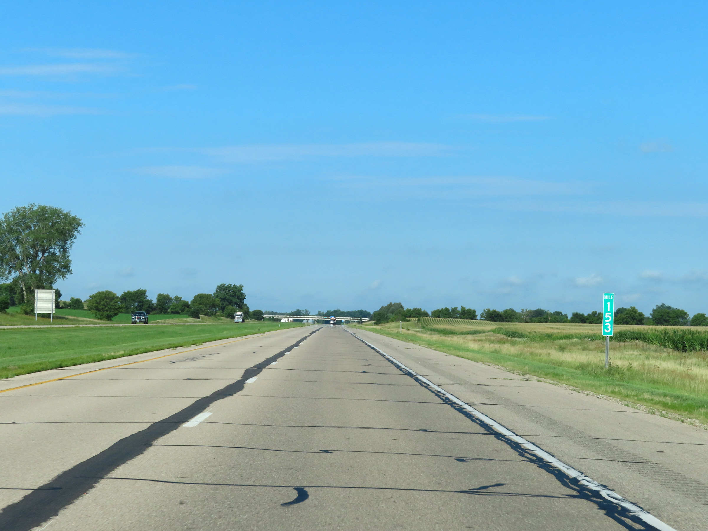 |
View on Interstate 90 West at mile marker 153. (Photo taken 8/16/22). |
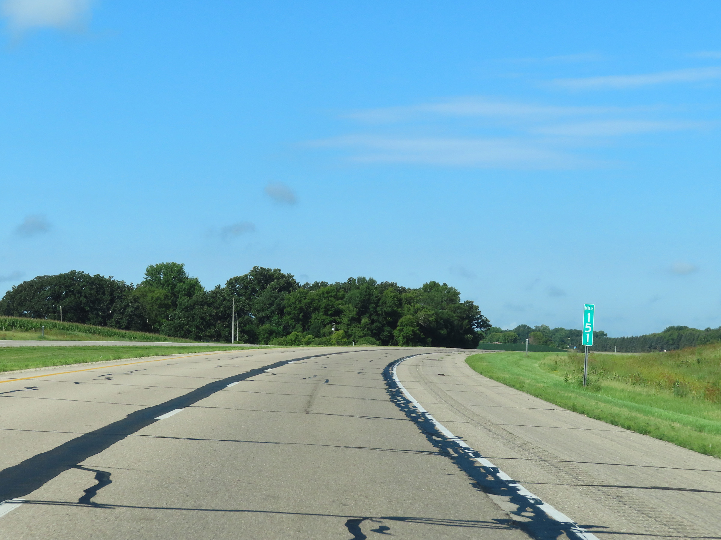 |
Mile marker 151 on Interstate 90 West in Freeborn County. (Photo taken 8/16/22). |
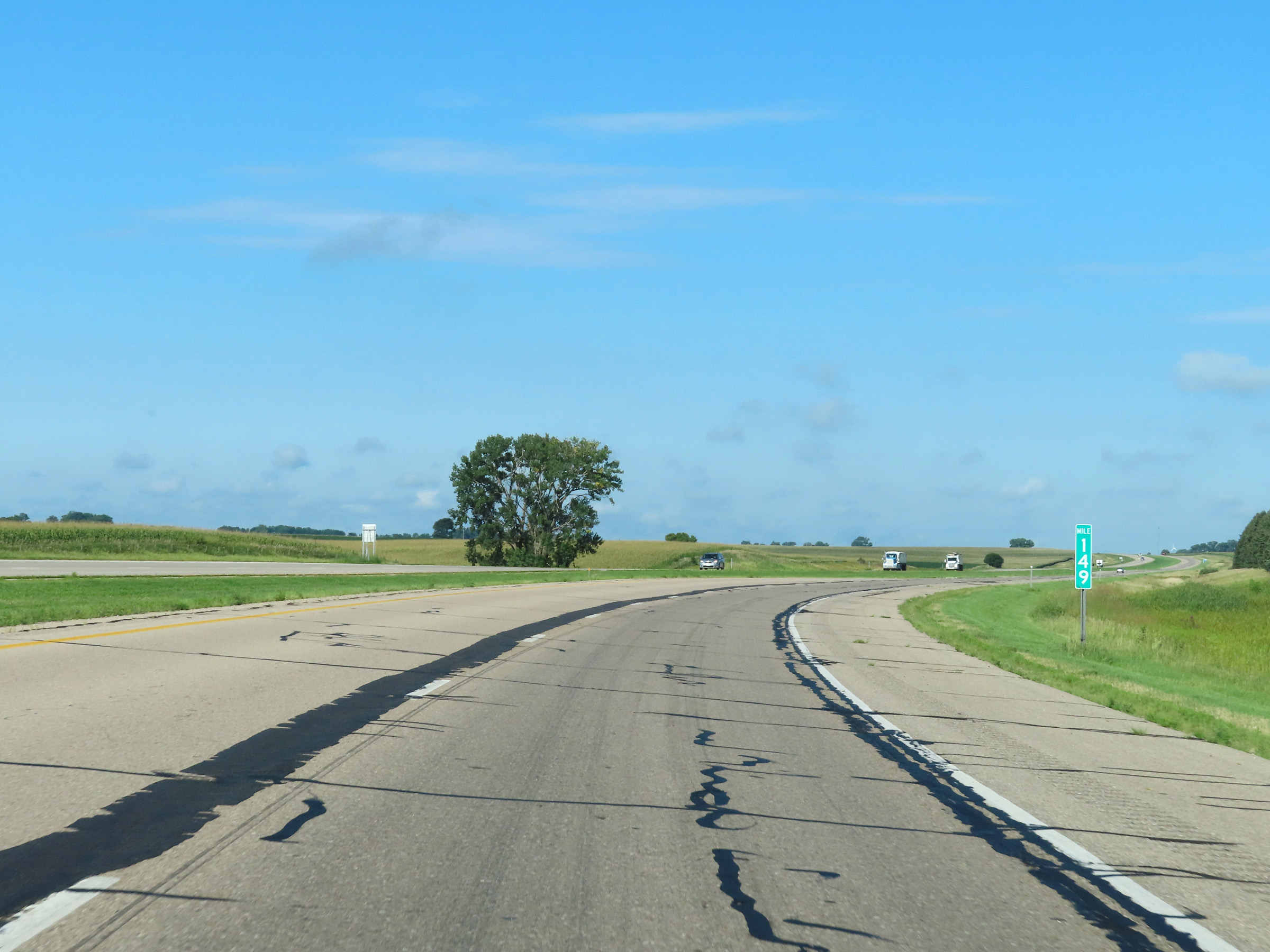 |
Interstate 90 West at mile marker 149. (Photo taken 8/16/22). |
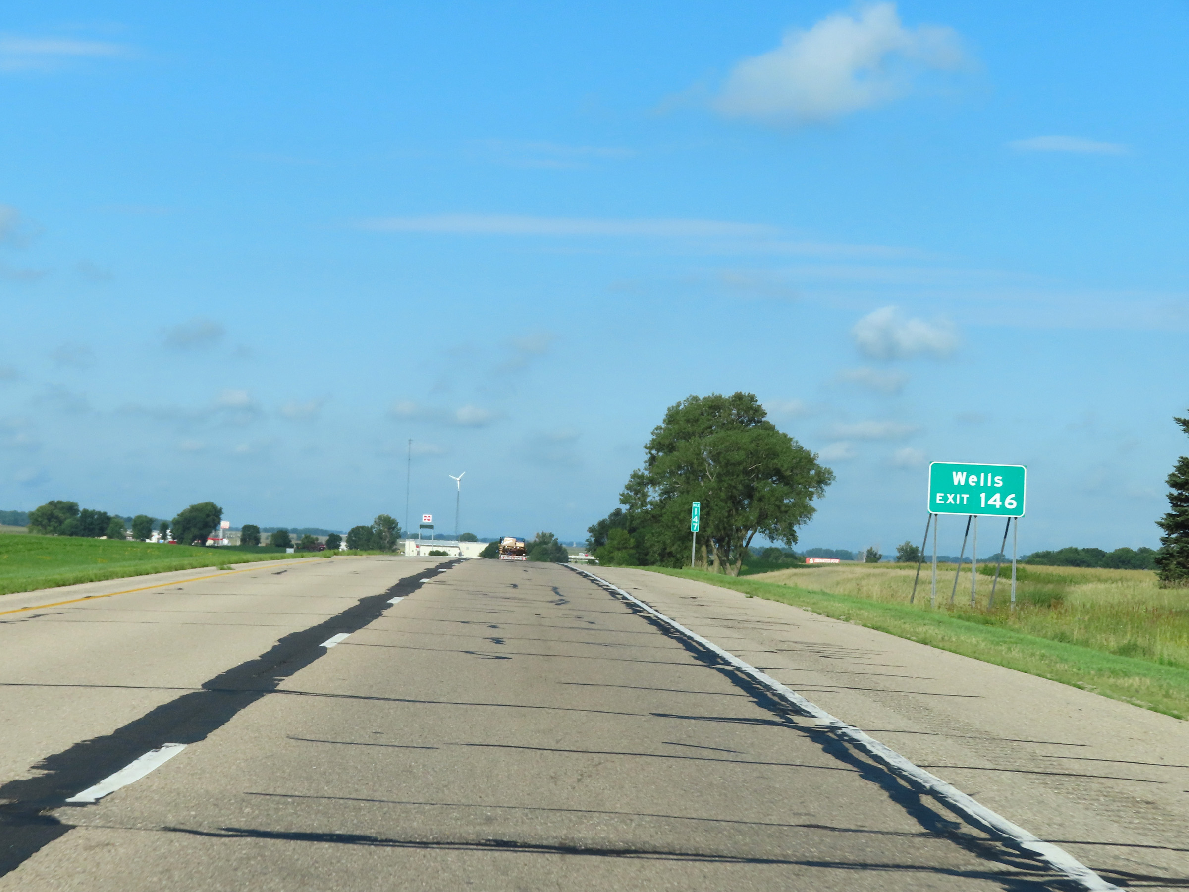 |
Take Exit 146 to Wells. (Photo taken 8/16/22). |
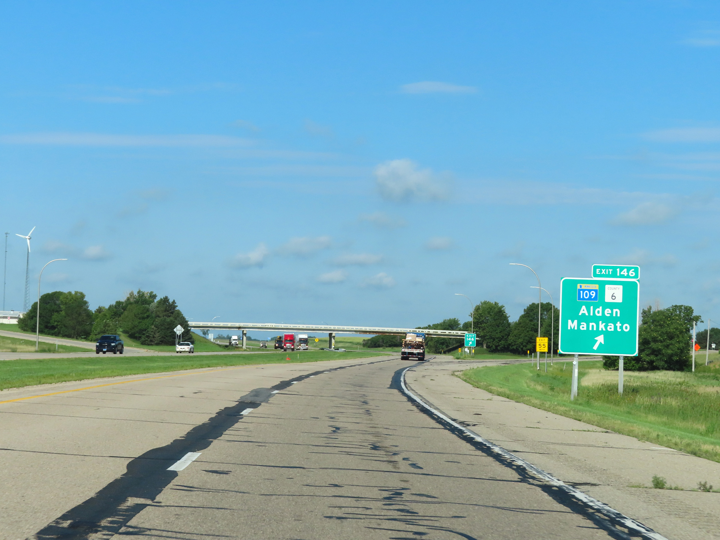 |
Interstate 90 West at Exit 146: MN 109 / CR 6 - Alden / Mankato (Photo taken 8/16/22). |
 |
View on Interstate 90 West at mile marker 145. (Photo taken 8/16/22). |
 |
Mile marker 143 on Interstate 90 West in western Freeborn County. (Photo taken 8/16/22). |
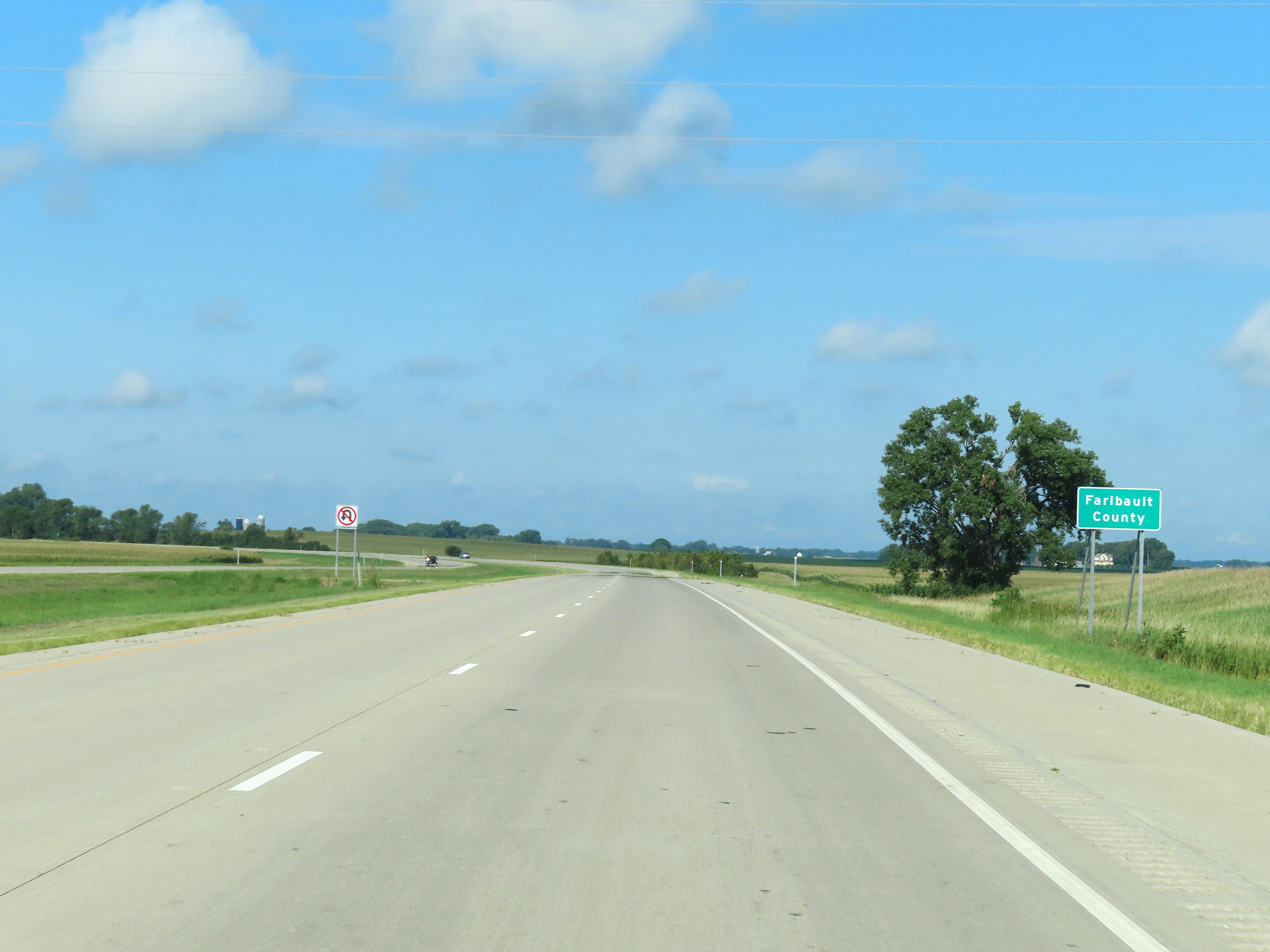 |
Interstate 90 West as it enters Faribault County. (Photo taken 8/16/22). |
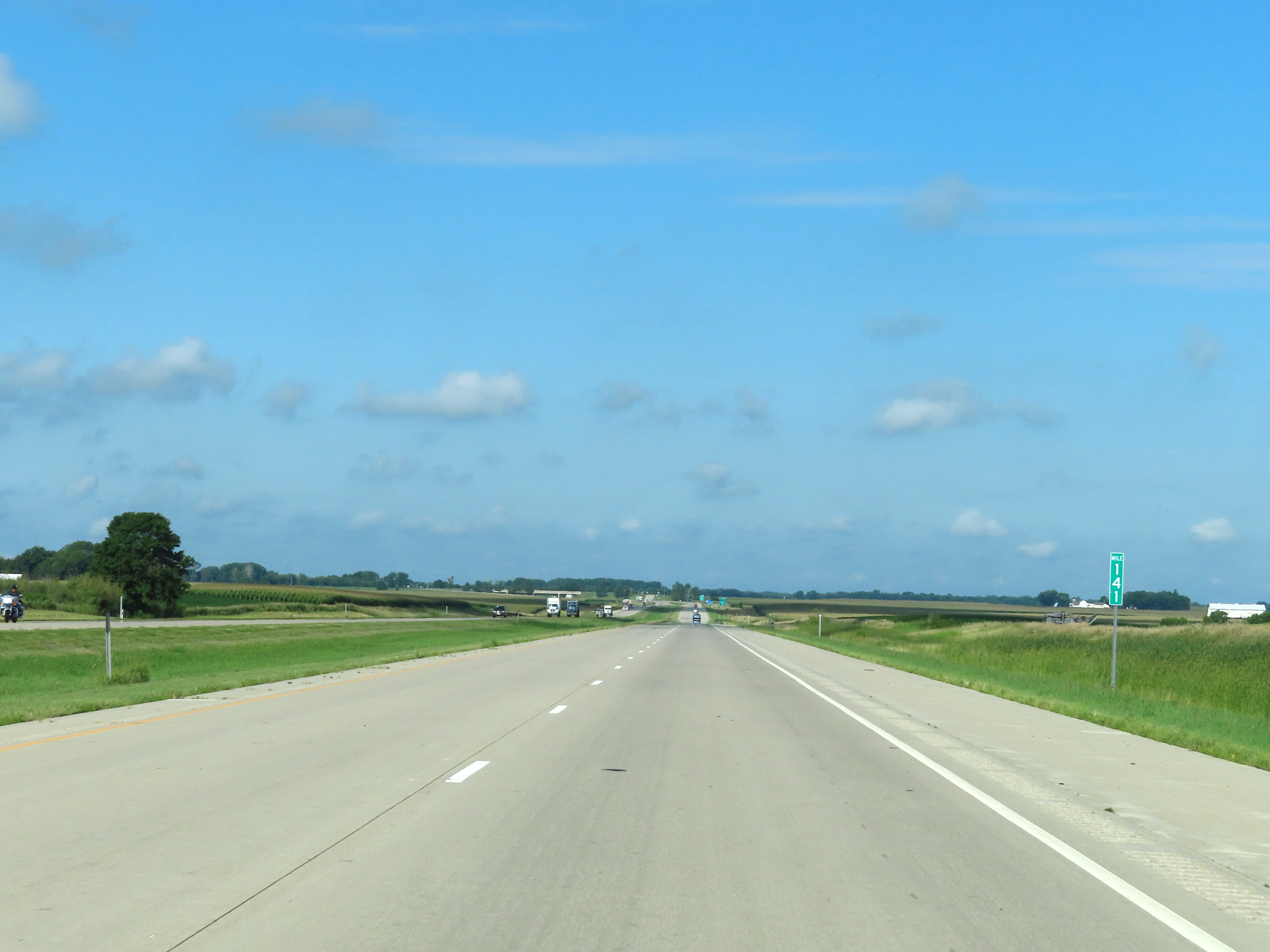 |
View on Interstate 90 West at mile marker 141. (Photo taken 8/16/22). |
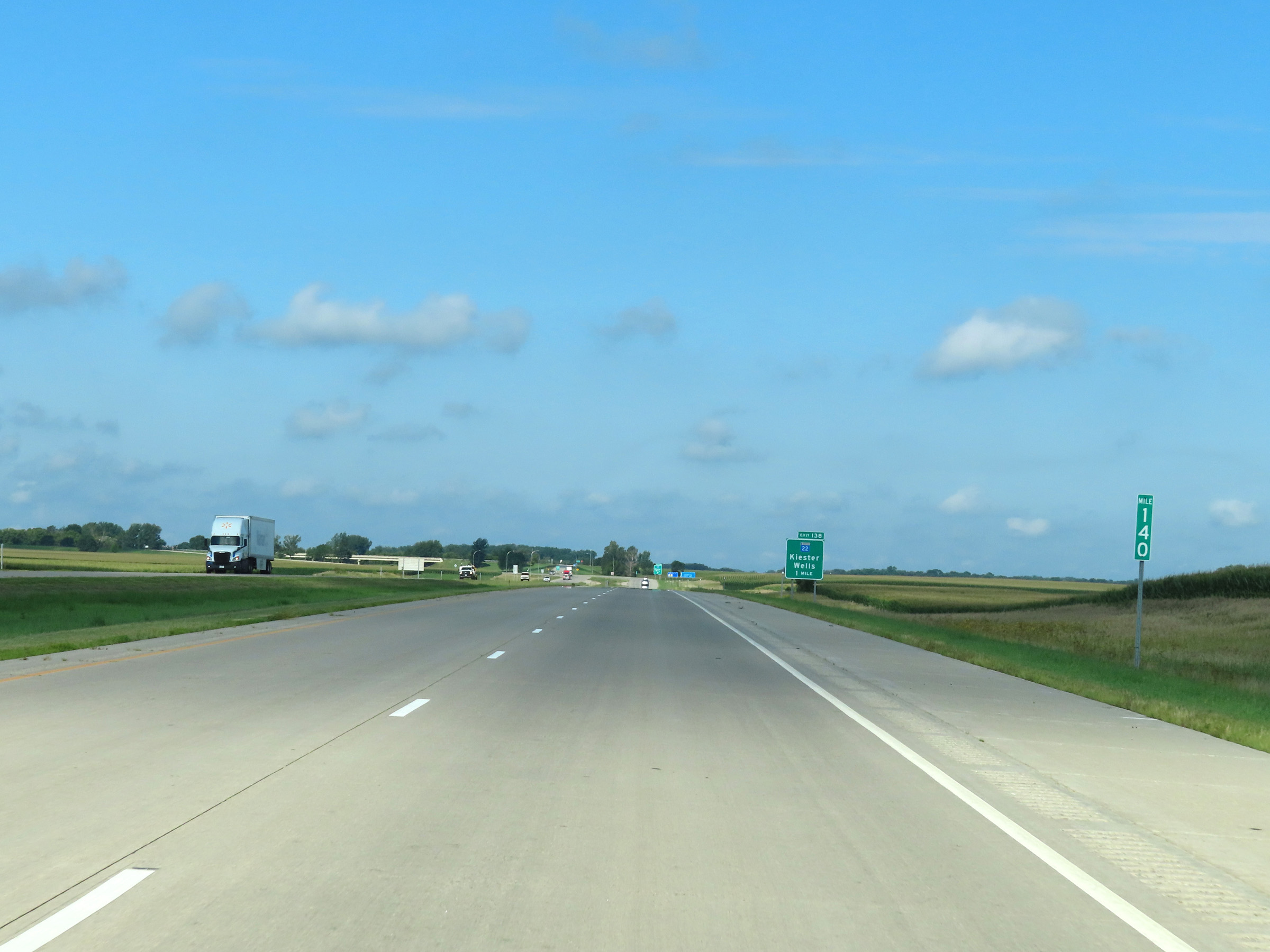 |
Mile marker 140 on Interstate 90 West in Faribault County. (Photo taken 8/16/22). |
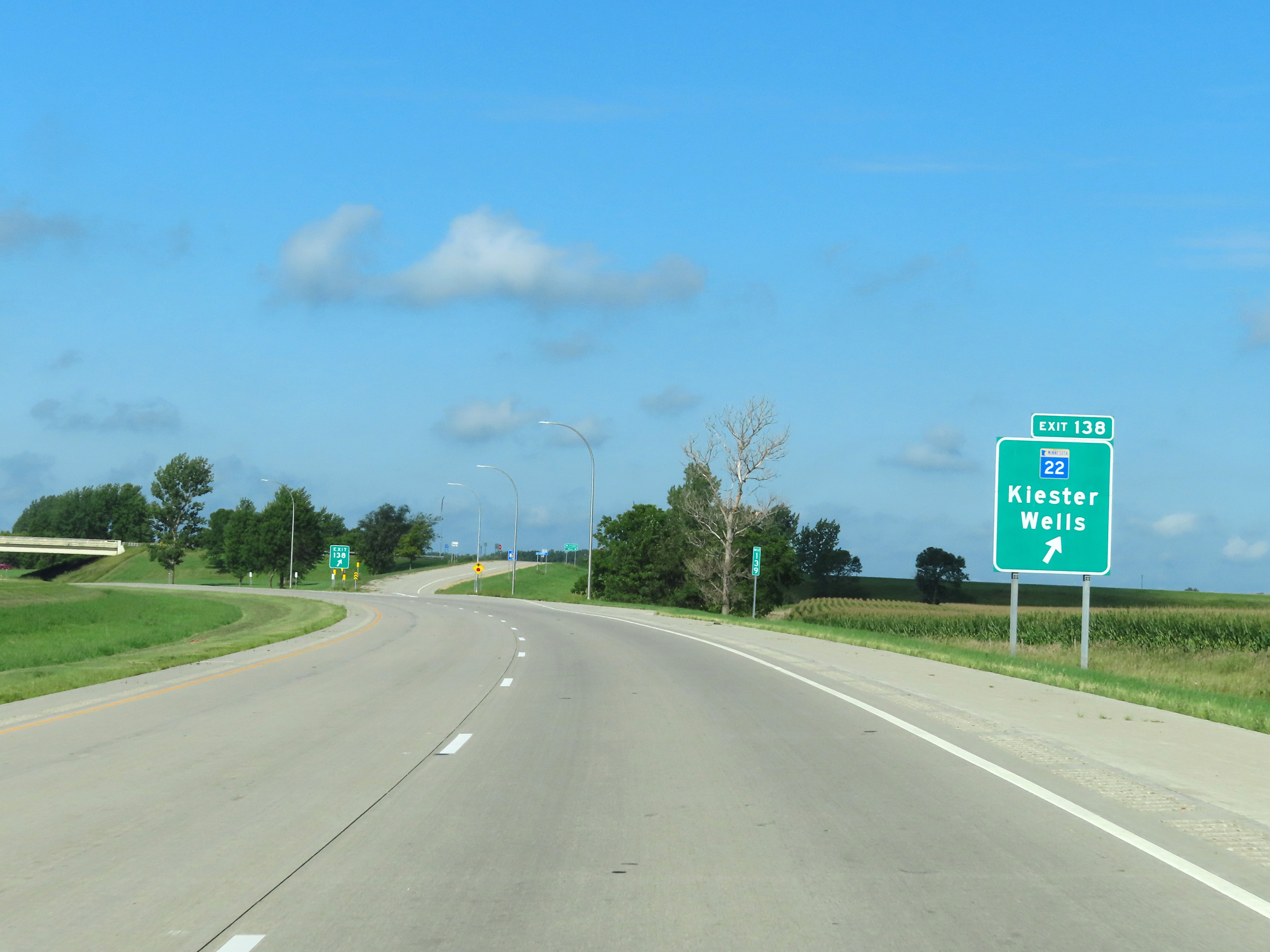 |
Interstate 90 West at Exit 138: MN 22 - Kiester / Wells (Photo taken 8/16/22). |
 |
Intertate 90 West reassurance shield, just before mile marker 138. (Photo taken 8/16/22). |
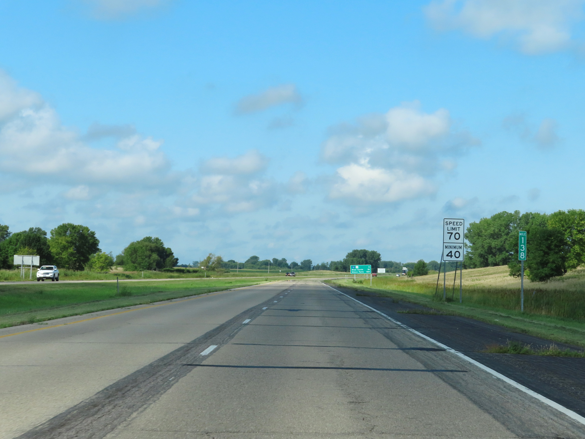 |
Speed limit signs at mile marker 138. The speed limits on Interstate 90 West remain 70 mph maximum and 40 mph minimum. (Photo taken 8/16/22). |
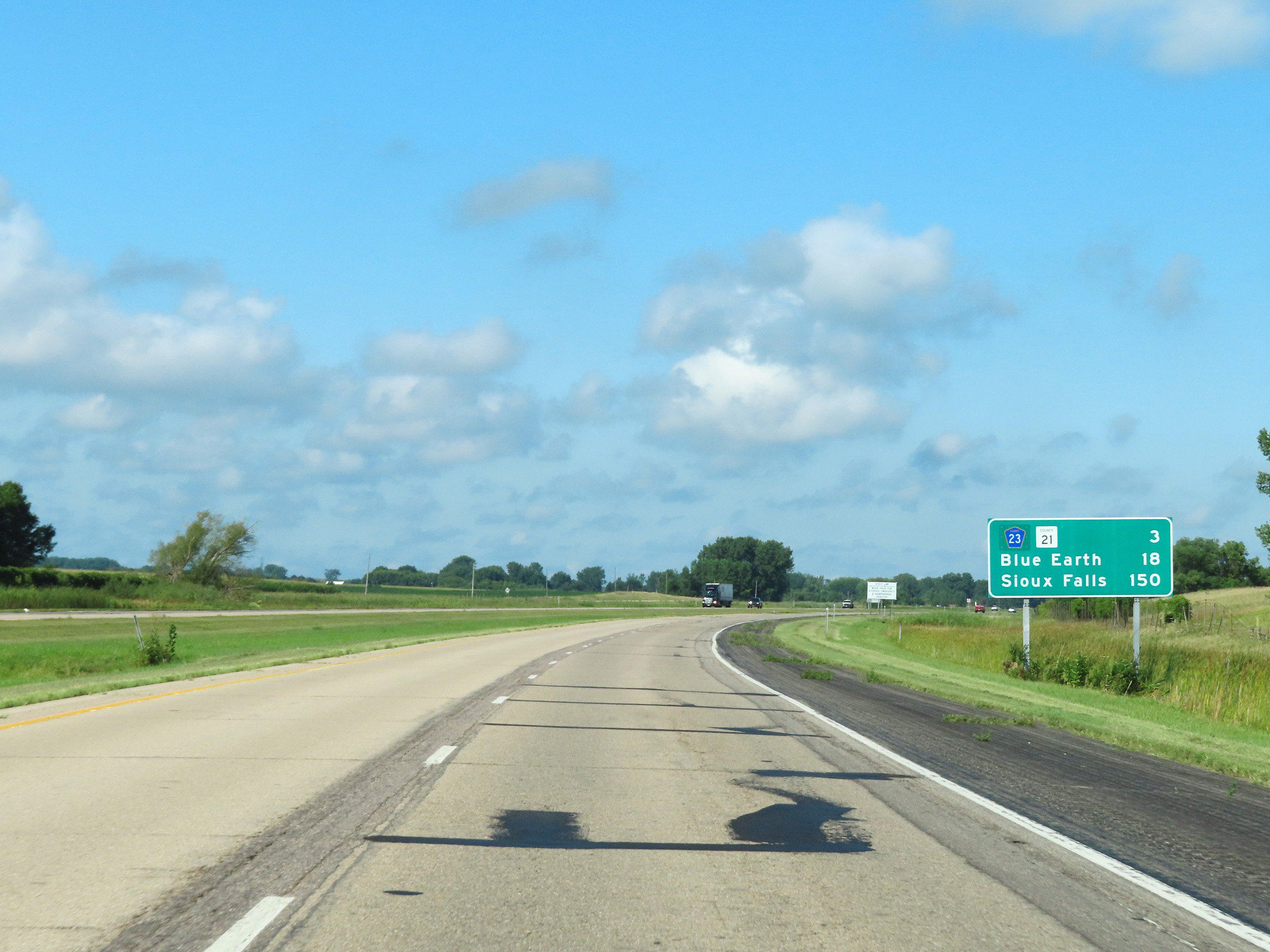 |
Mileage sign on Interstate 90 West in Faribault County. It's 3 miles to the next exit (CR 23 / CR 21), 18 miles to Blue Earth, and 150 miles to Sioux Falls. (Photo taken 8/16/22). |
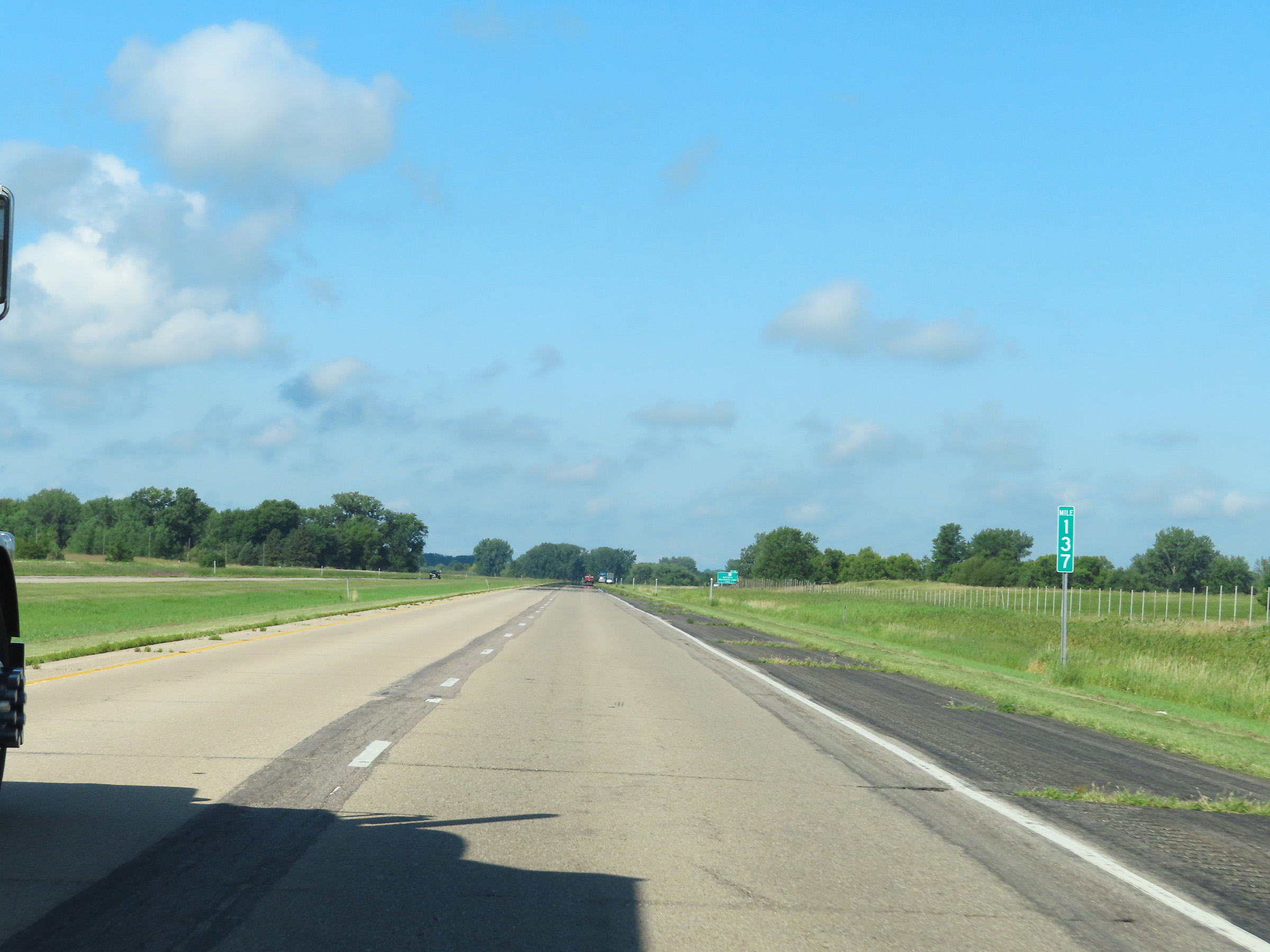 |
View on Interstate 90 West at mile marker 137. (Photo taken 8/16/22). |
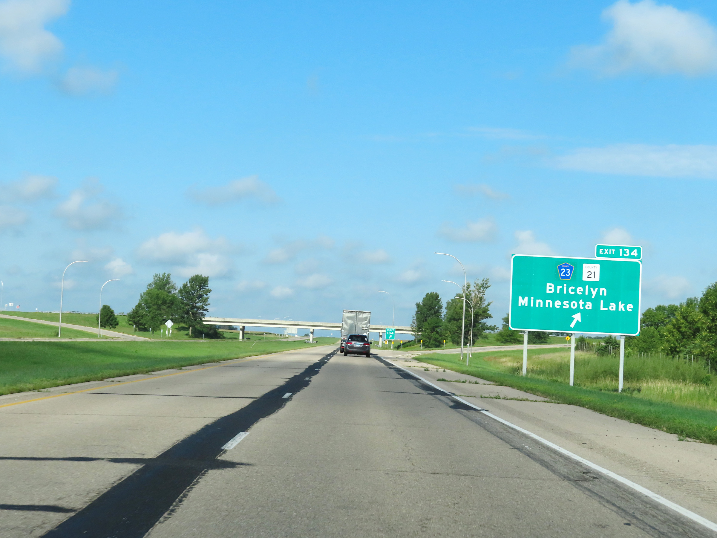 |
Interstate 90 West at Exit 134: CR 23 / CR 21 - Bricelyn / Minnesota Lake (Photo taken 8/16/22). |
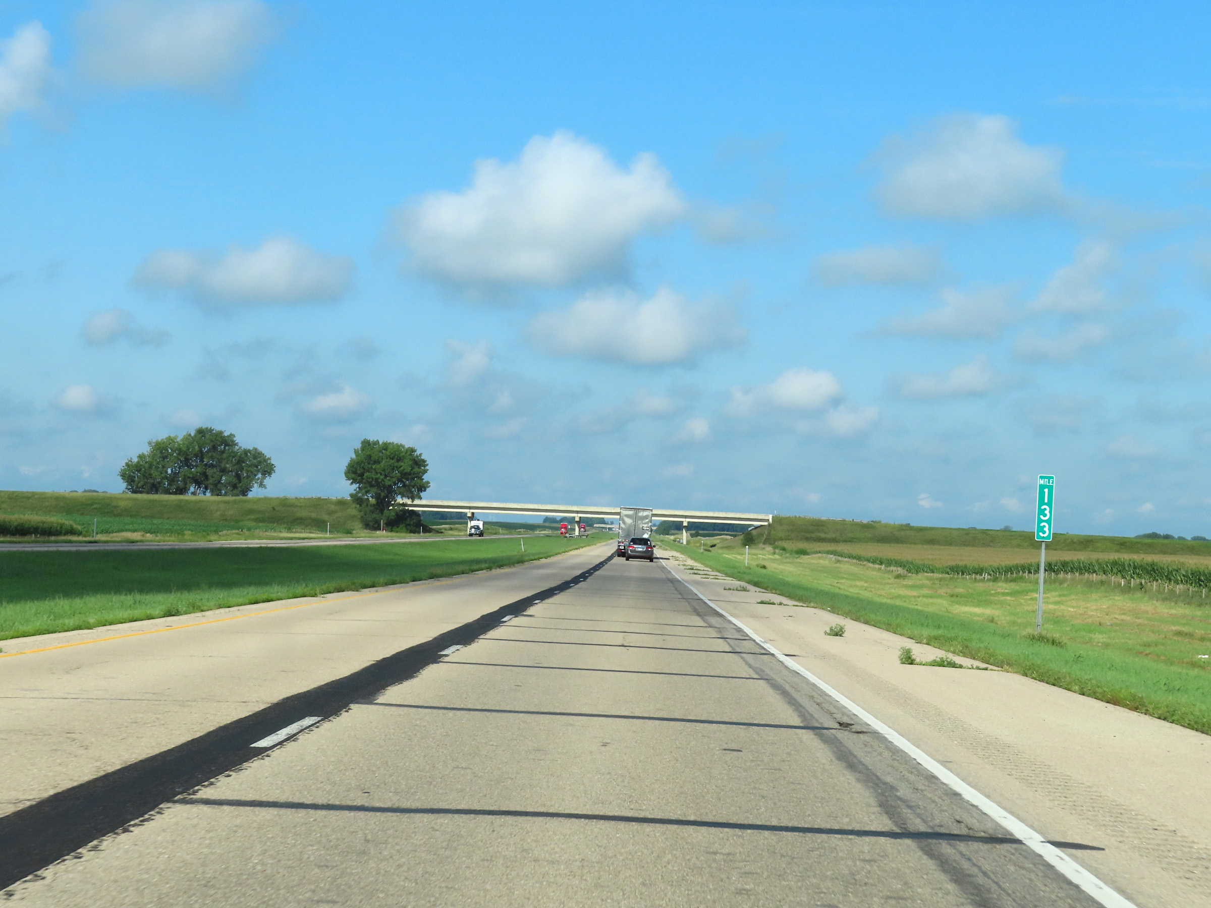 |
Interstate 90 West at mile marker 133. (Photo taken 8/16/22). |
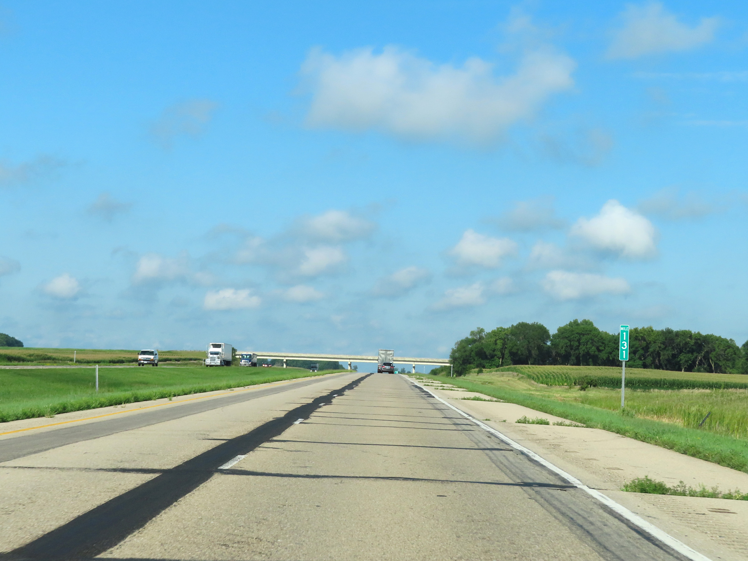 |
View on Interstate 90 West at mile marker 131. (Photo taken 8/16/22). |
 |
Interstate 90 West at Exit 128: CR 17 - Frost / Easton (Photo taken 8/16/22). |
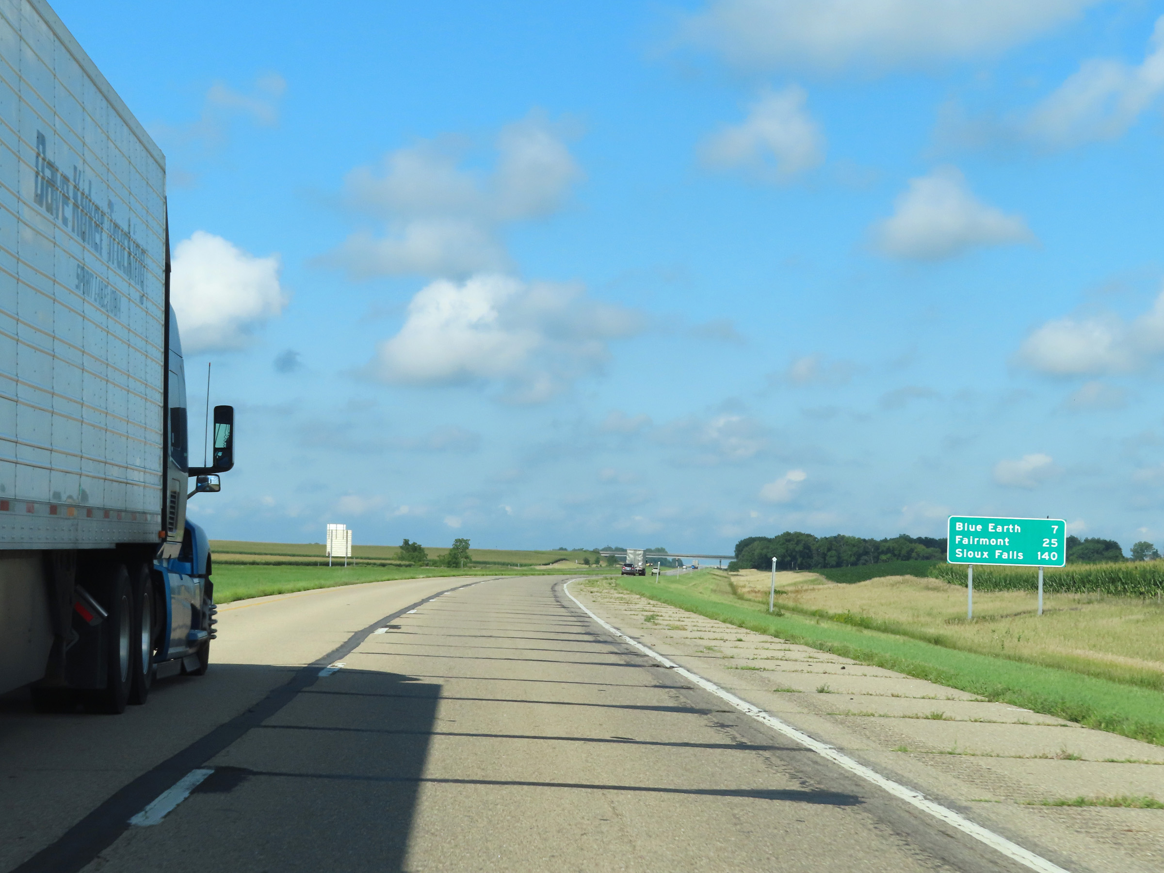 |
Mileage sign on Interstate 90 West. It's 7 miles to Blue Earth, 25 miles to Fairmont, and 140 miles to Sioux Falls. (Photo taken 8/16/22). |
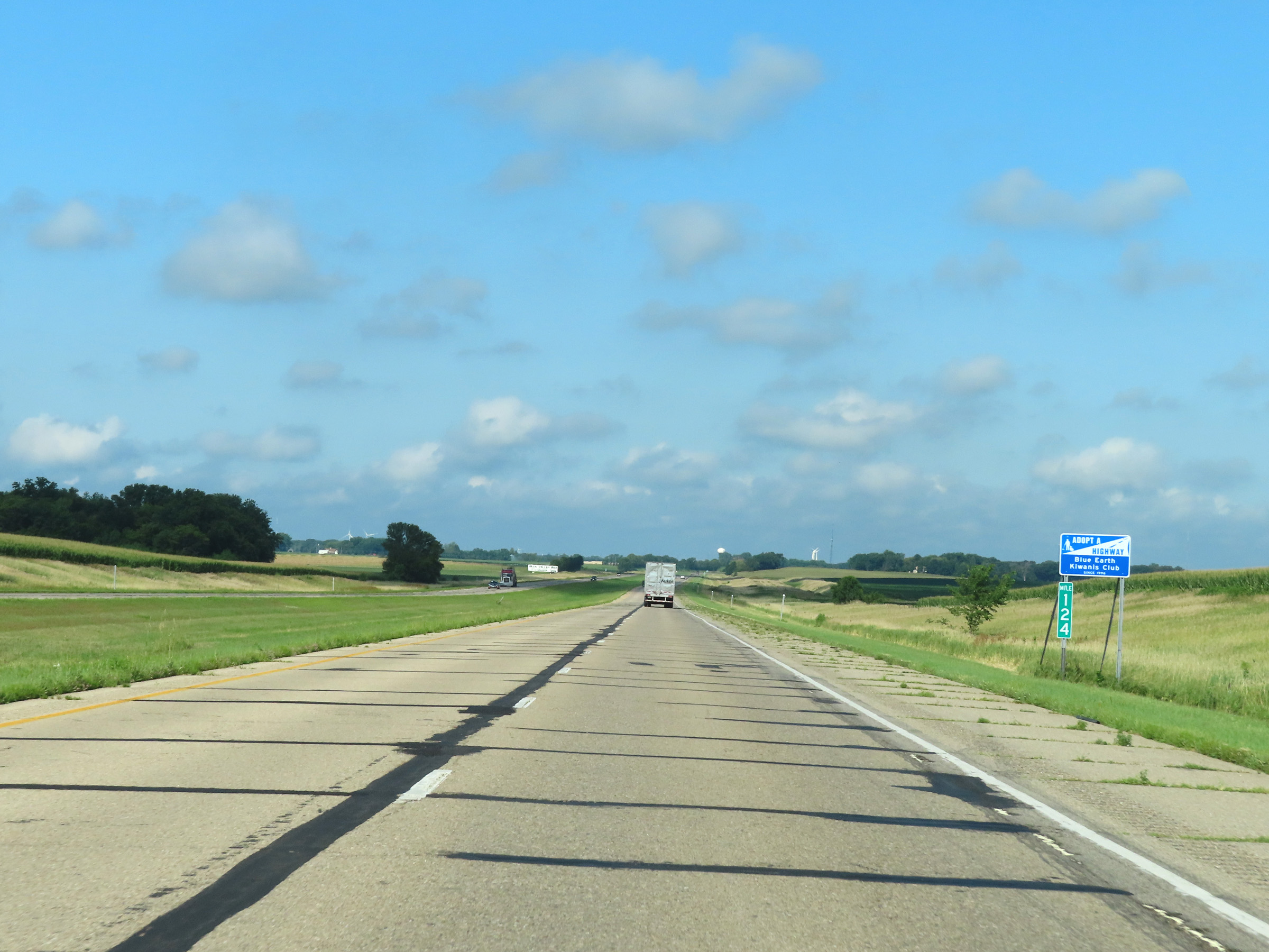 |
Mile marker 124 on Interstate 90 West in Faribault County. (Photo taken 8/16/22). |
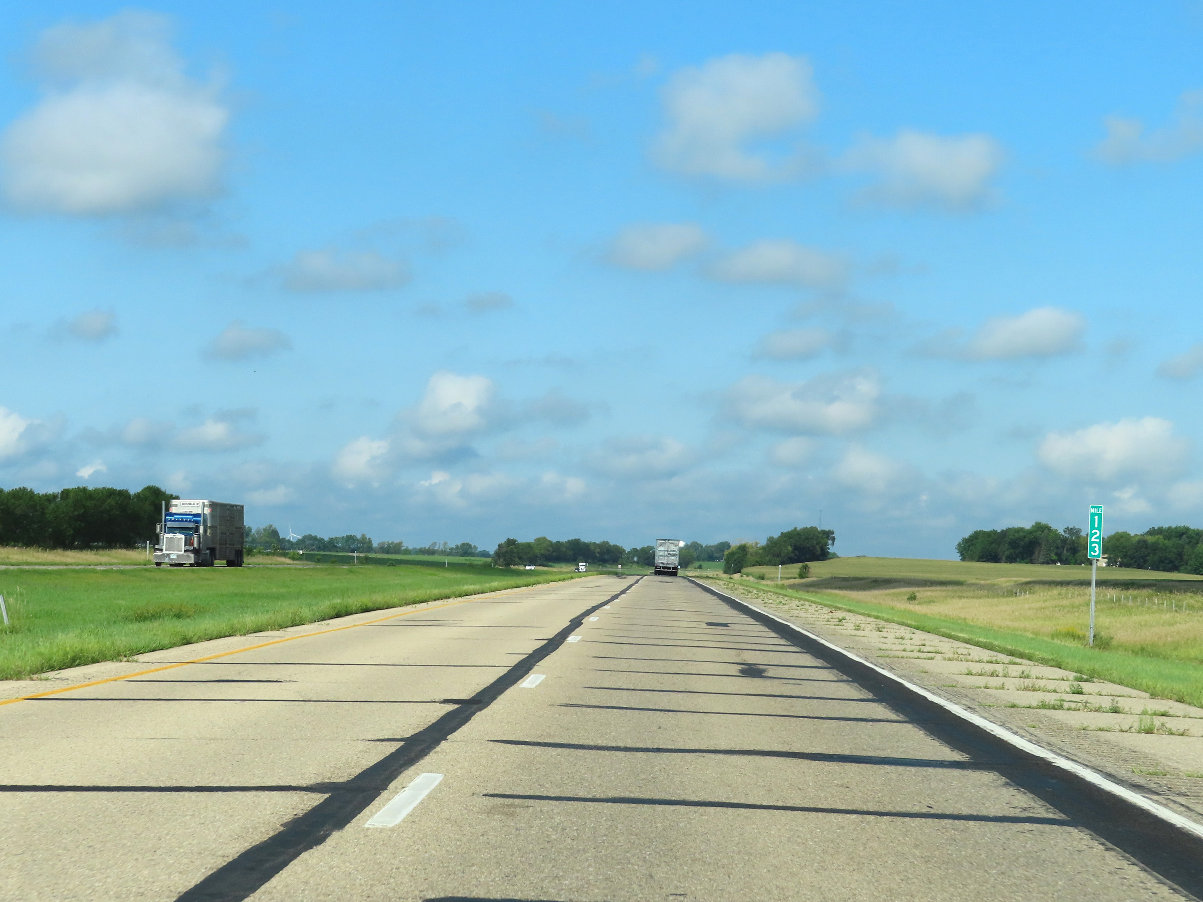 |
View on Interstate 90 West at mile marker 123. (Photo taken 8/16/22). |
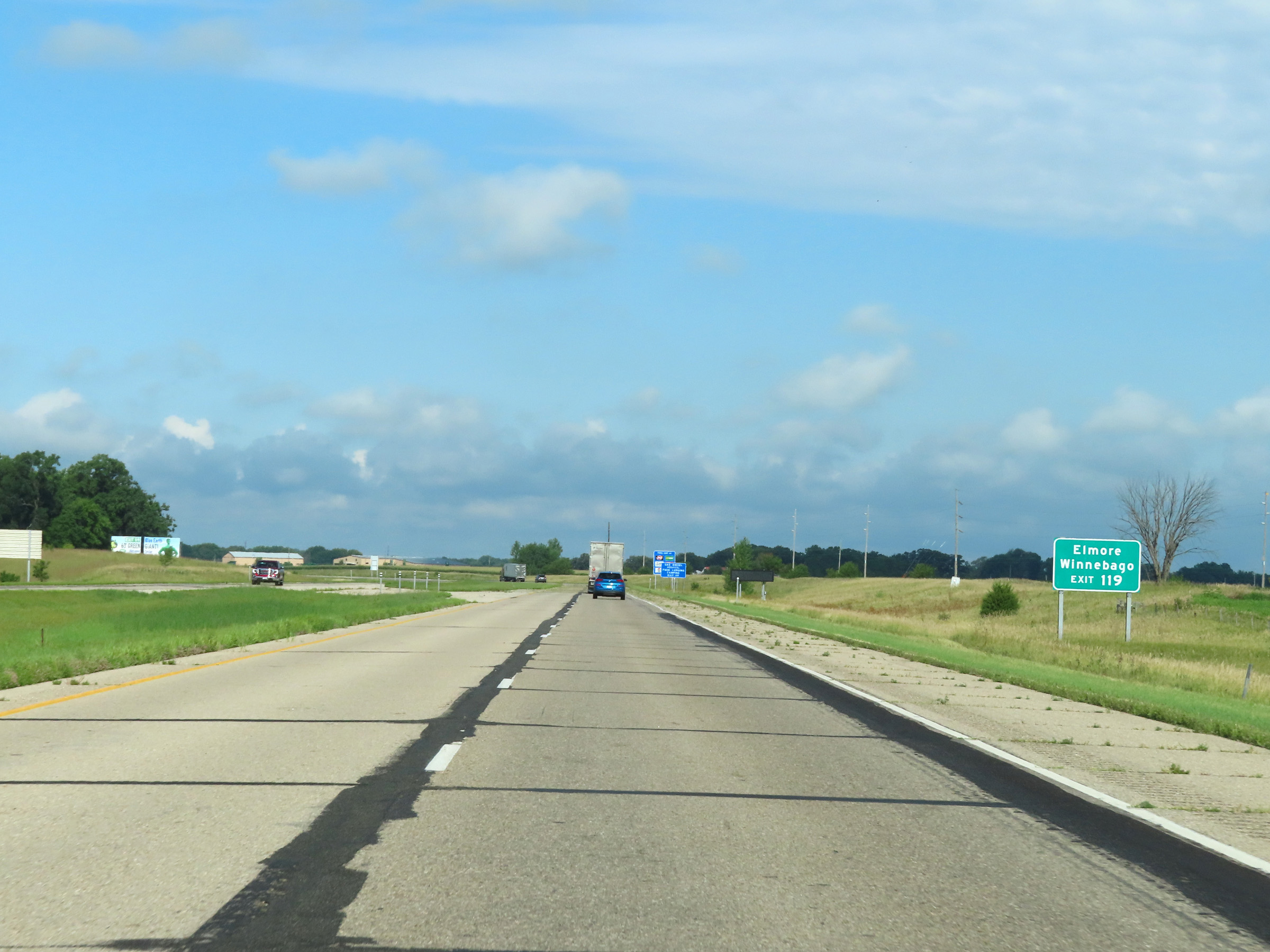 |
Take Exit 119 to Elmore and Winnebago. (Photo taken 8/16/22). |
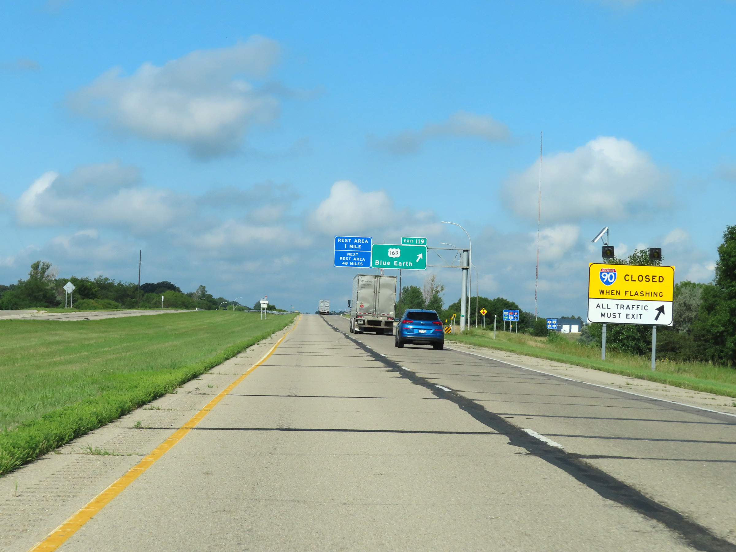 |
When the lights on this sign are flashing, Interstate 90 West is closed ahead and all traffic must exit at Exit 119. This is the first one of these signs seen heading west on I-90. (Photo taken 8/16/22). |
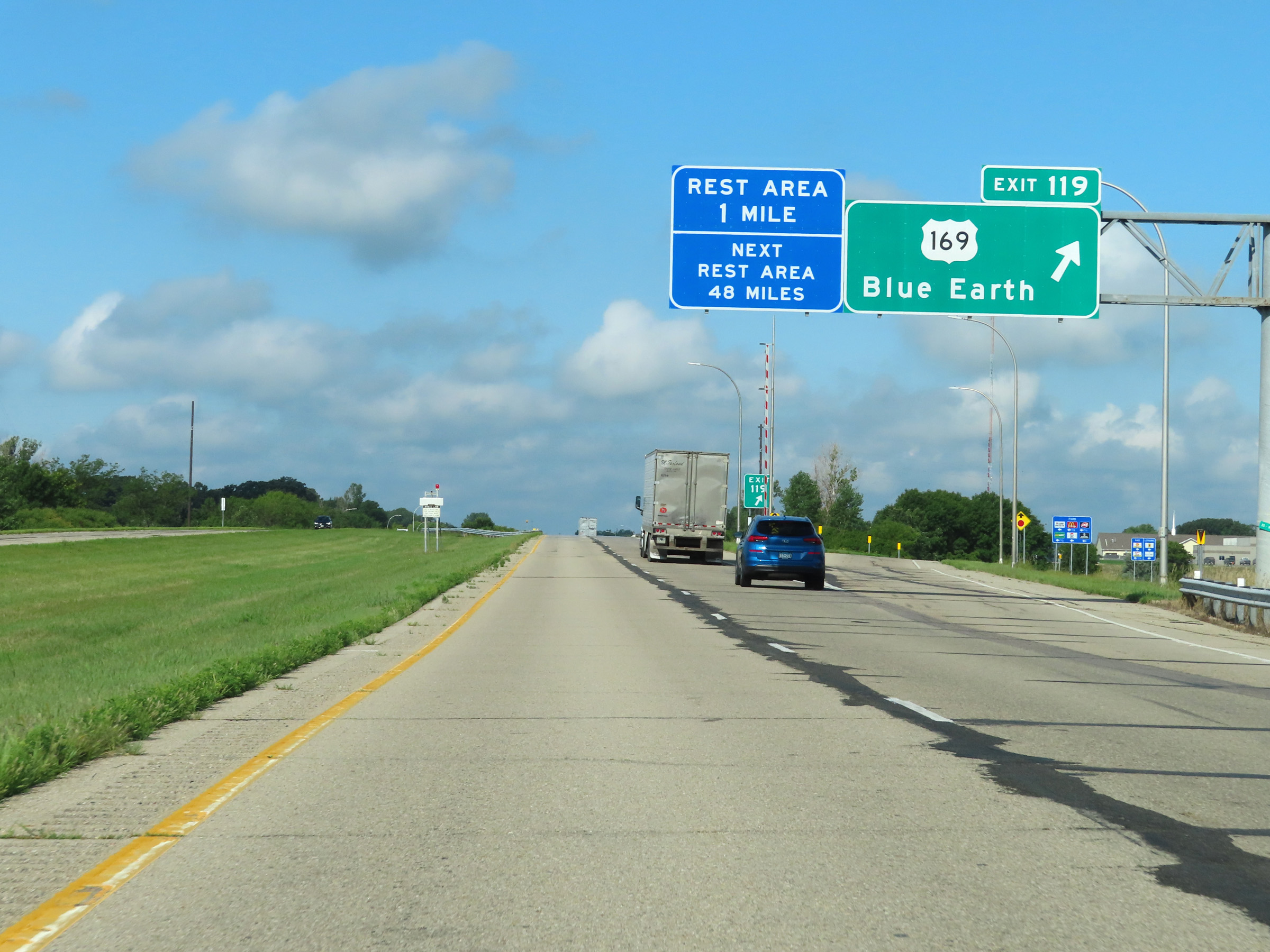 |
Interstate 90 West at Exit 119: US 169 - Blue Earth (Photo taken 8/16/22). |
Section 4: Blue Earth (Exit 119) to Worthington (Exit 45)
 |
Rest Area on Interstate 90 West in Faribault County. (Photo taken 8/16/22). |
 |
View on Interstate 90 West at mile marker 118. (Photo taken 8/16/22). |
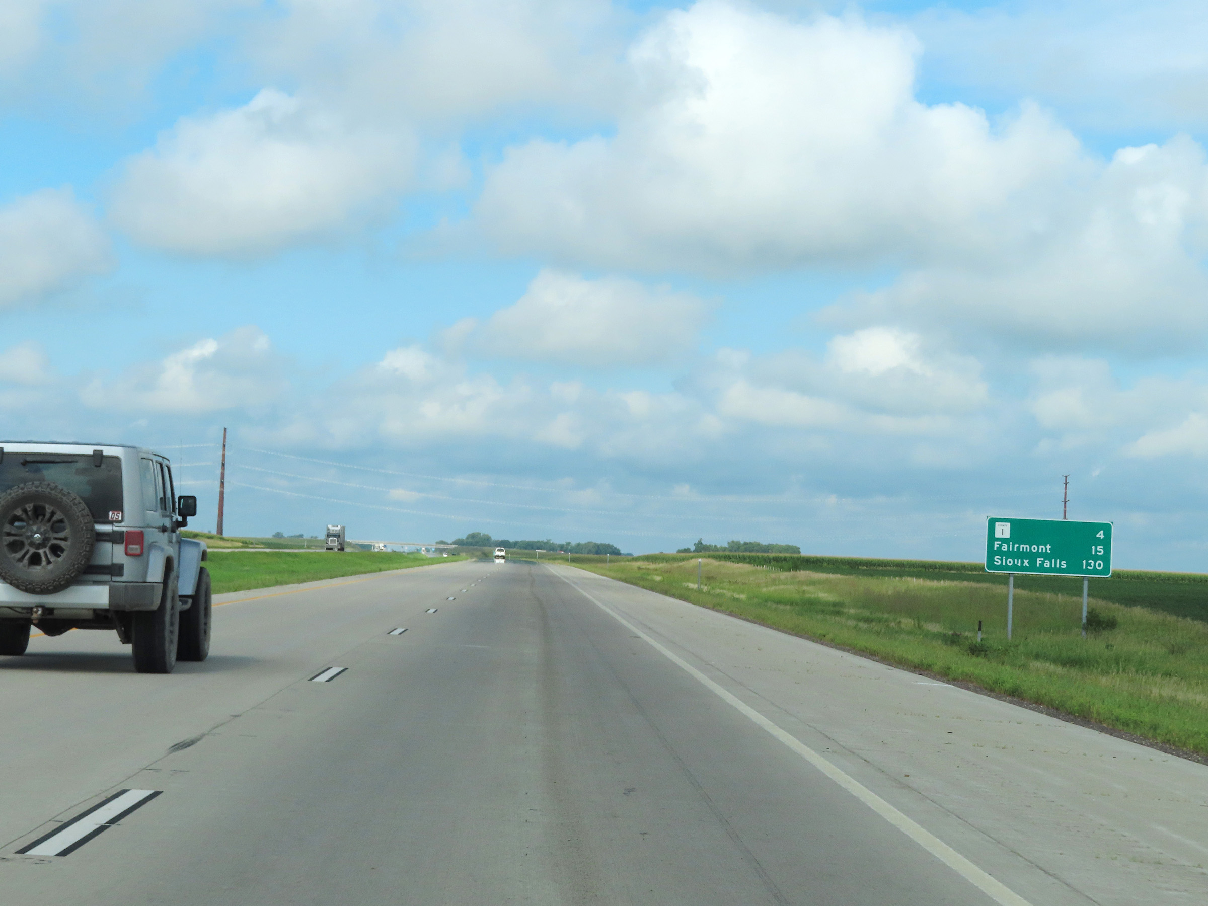 |
Mileage sign on Interstate 90 West. It's 4 miles to the junction of CR 1, 15 miles to Fairmont, and 130 miles to Sioux Falls. (Photo taken 8/16/22). |
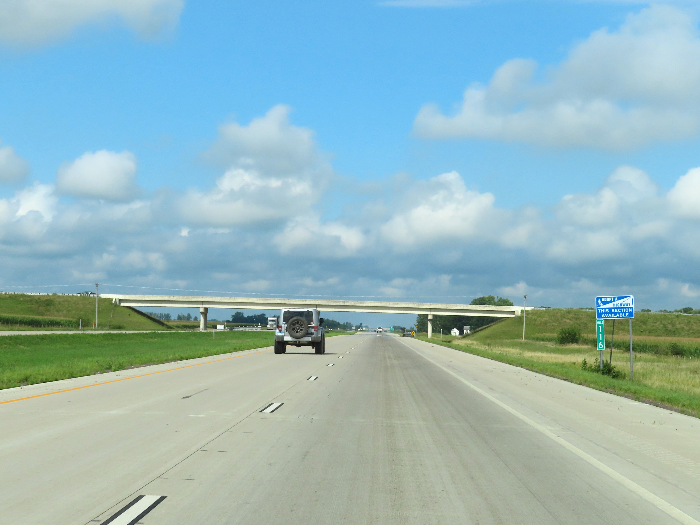 |
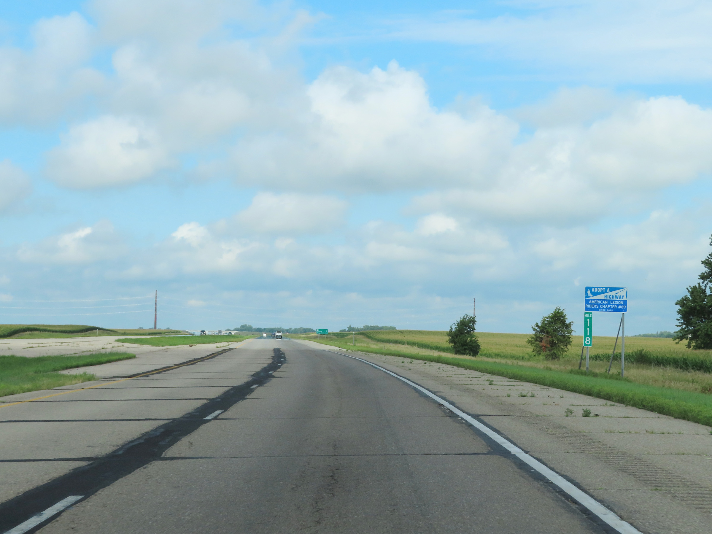
Mile marker 116 on Interstate 90 West in Faribault County. (Photo taken 8/16/22). |
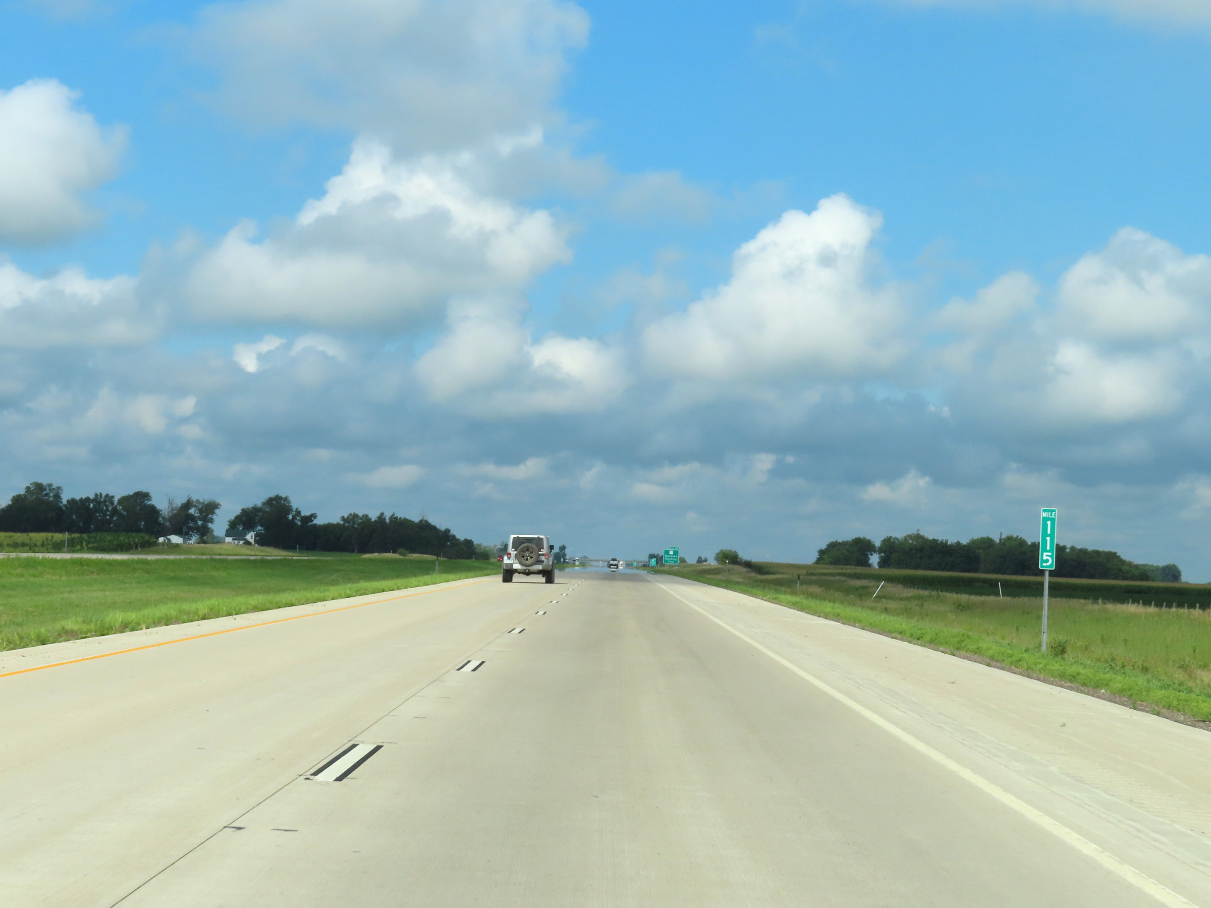 |
Interstate 90 West at mile marker 115. (Photo taken 8/16/22). |
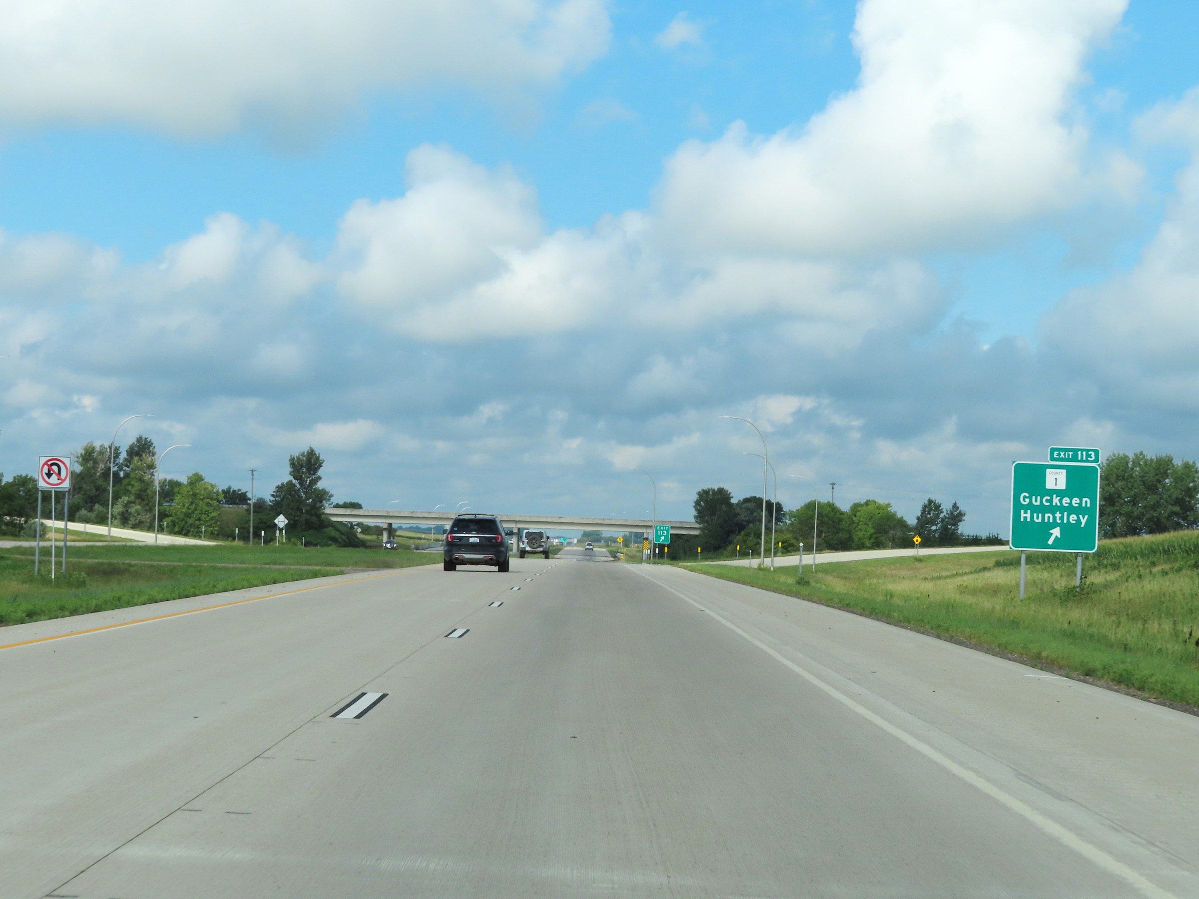 |
Interstate 90 West at Exit 113: CR 1 - Guckeen / Huntley (Photo taken 8/16/22). |
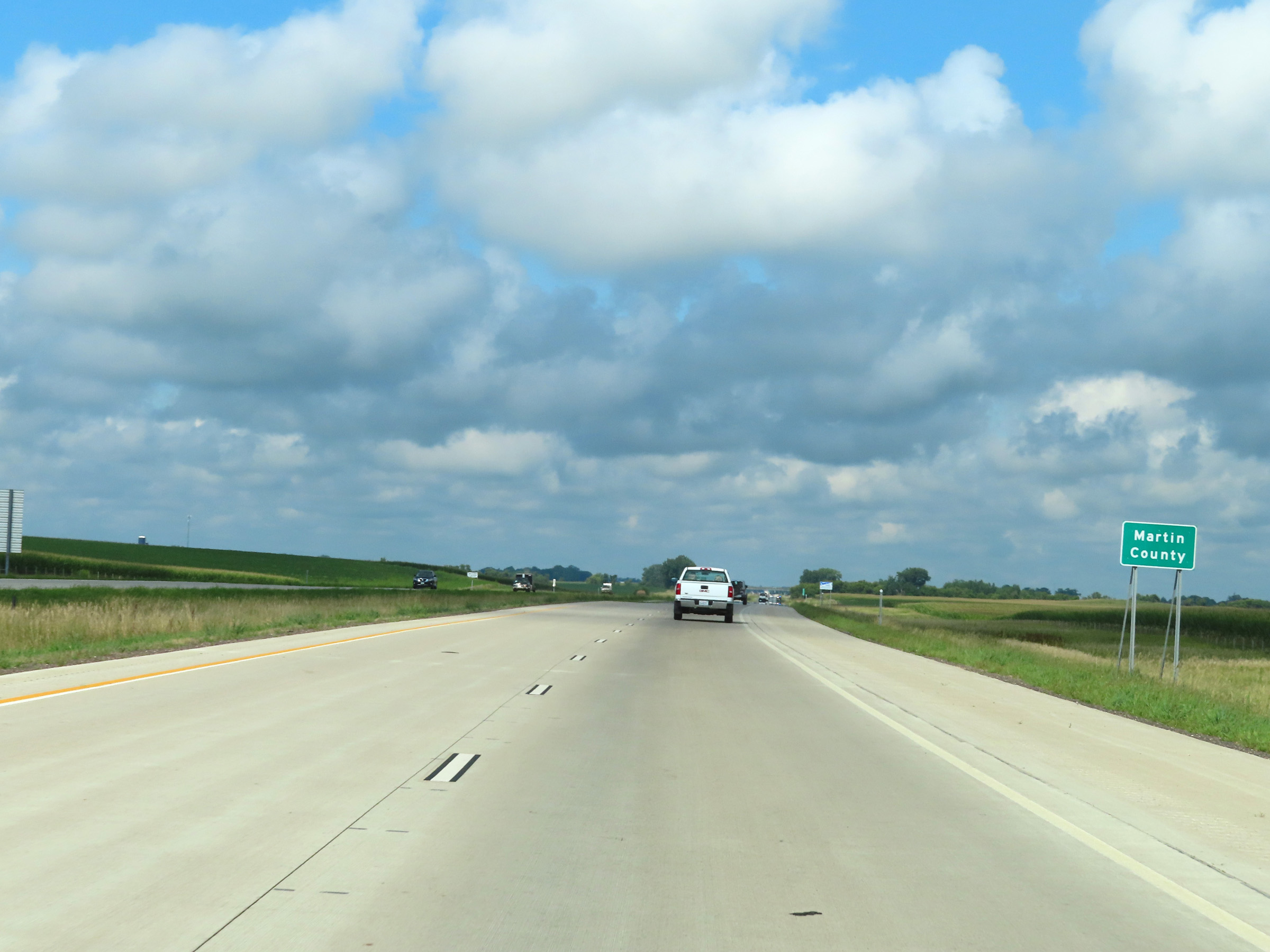 |
West of Exit 113, Interstate 90 West enters Martin County. (Photo taken 8/16/22). |
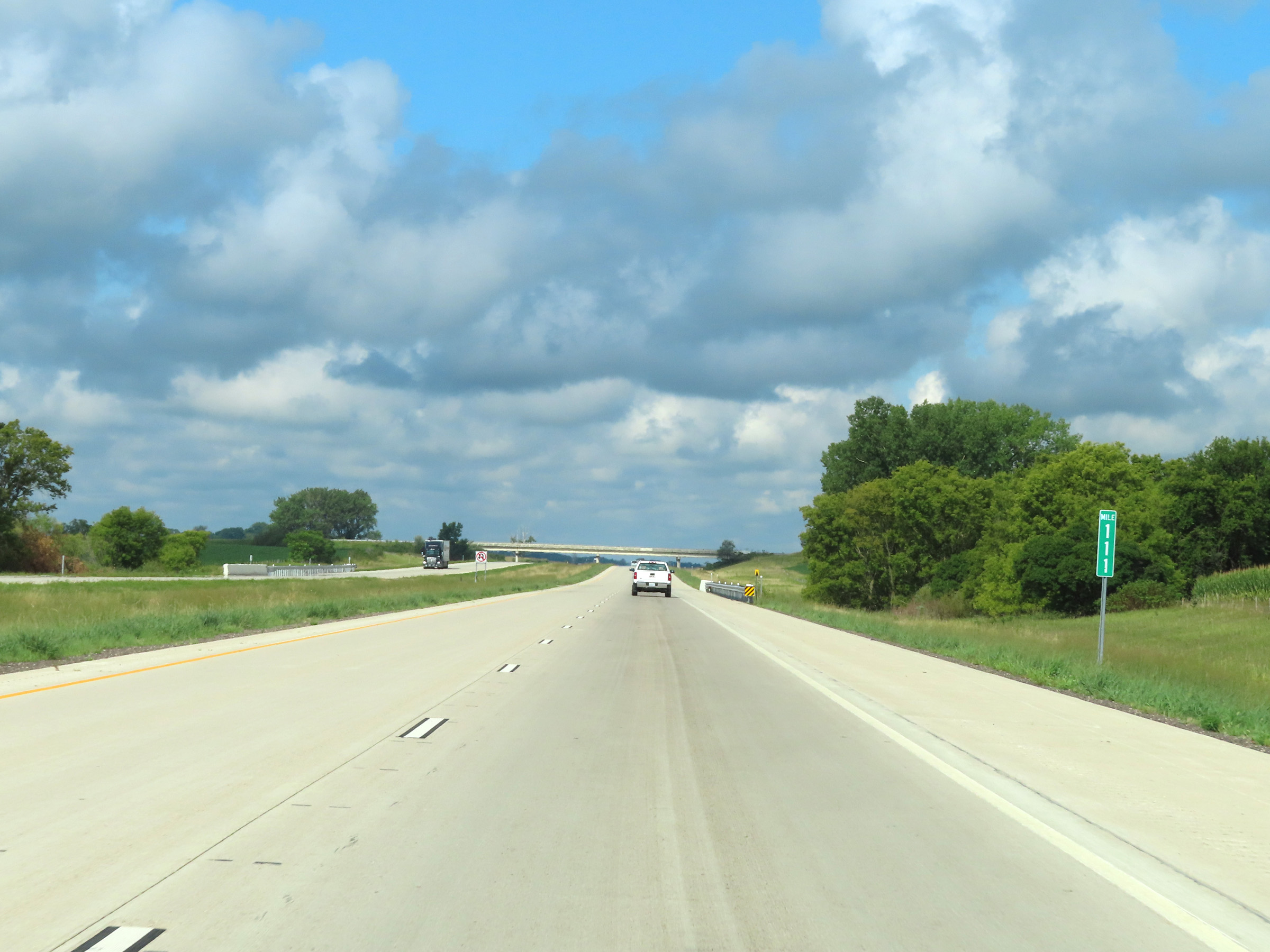 |
View on Interstate 90 West at mile marker 111. (Photo taken 8/16/22). |
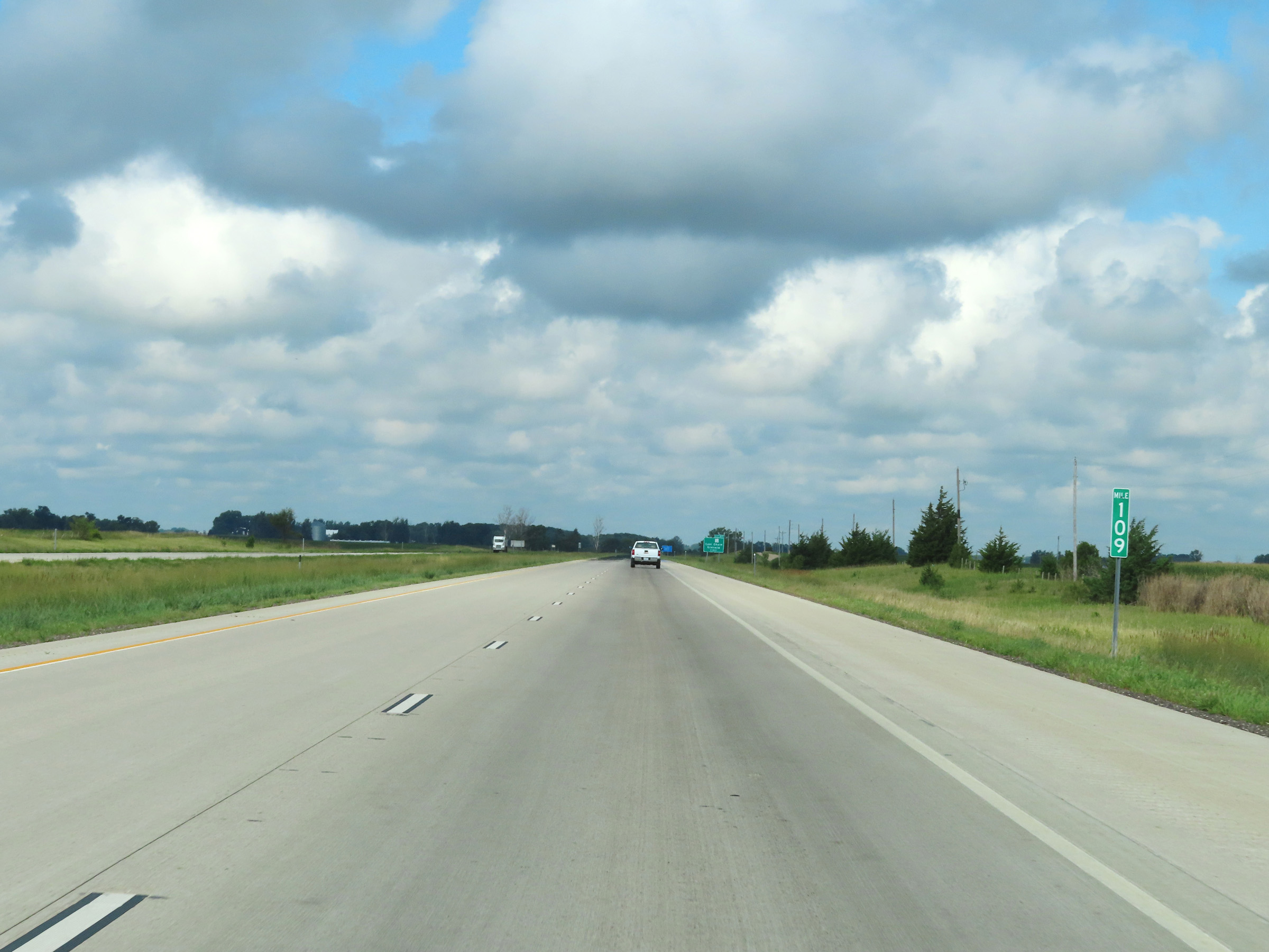 |
Mile marker 109 on Interstate 90 West in Martin County. (Photo taken 8/16/22). |
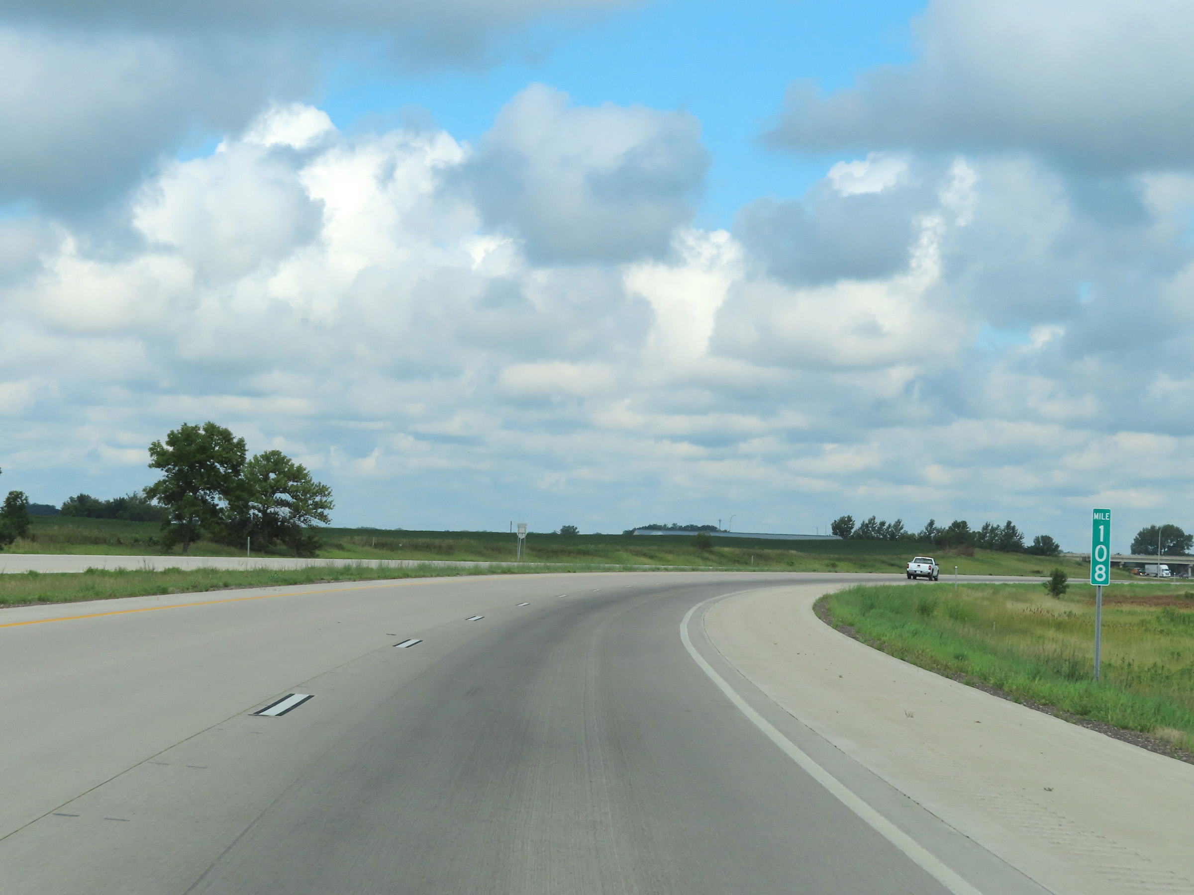 |
Interstate 90 West at mile marker 108. (Photo taken 8/16/22). |
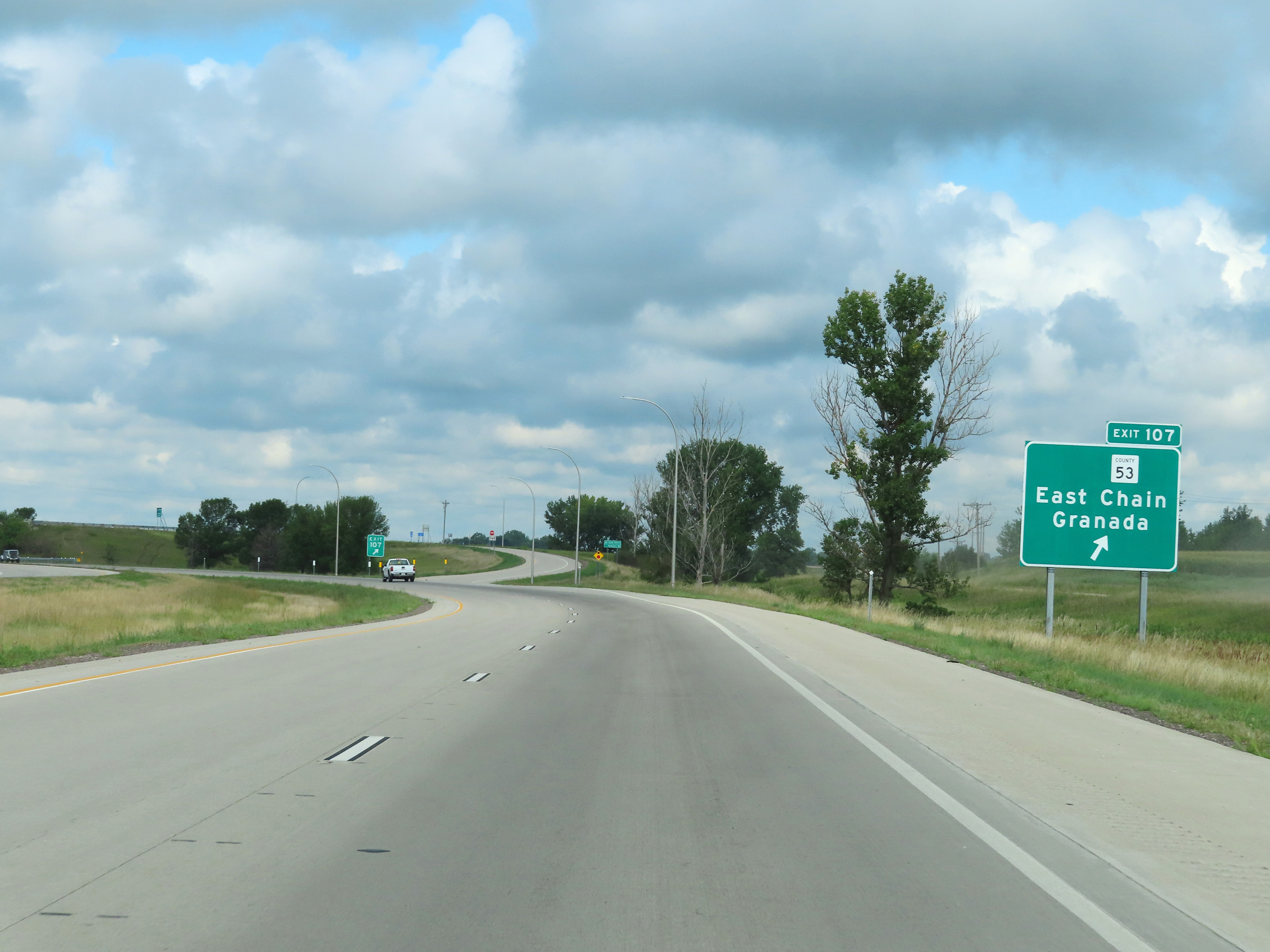 |
Interstate 90 West at Exit 107: CR 53 - East Chain / Granada (Photo taken 8/16/22). |
 |
Interstate 90 West reassurance shield. (Photo taken 8/16/22). |
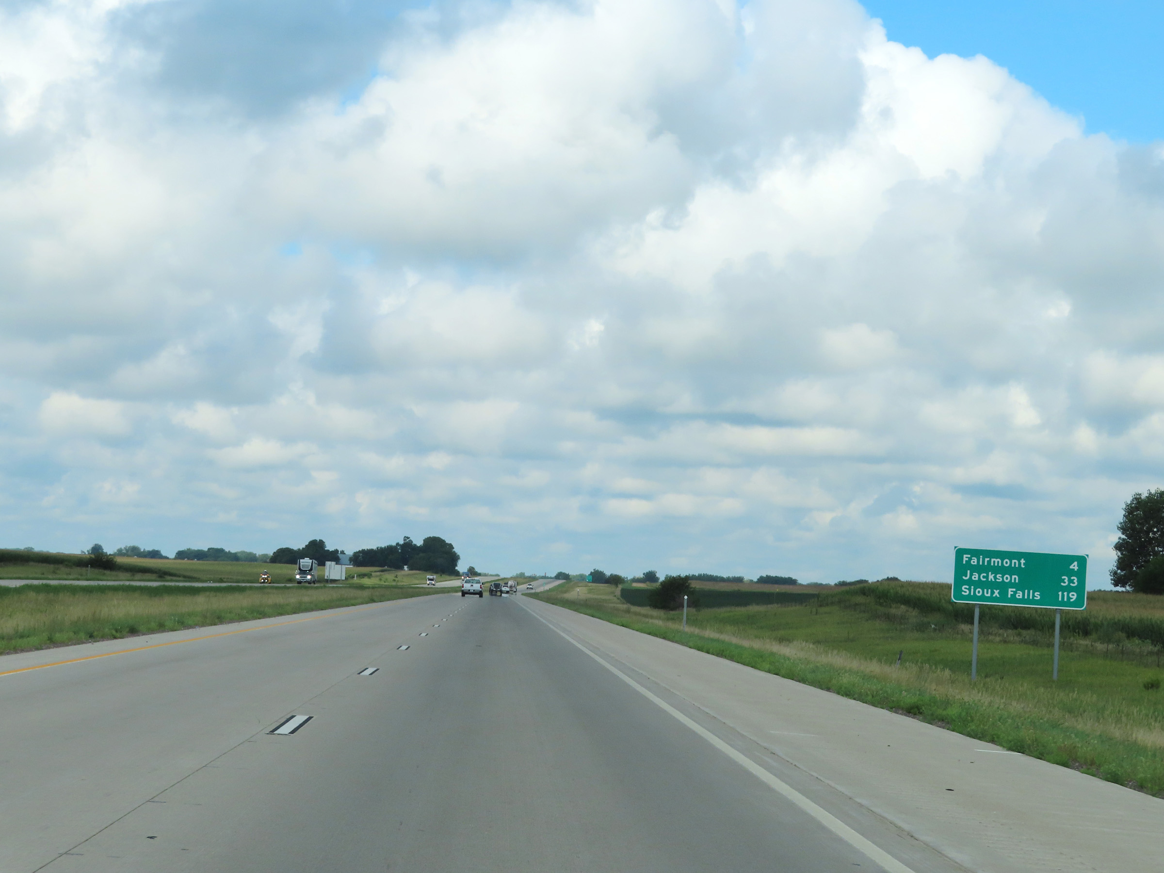 |
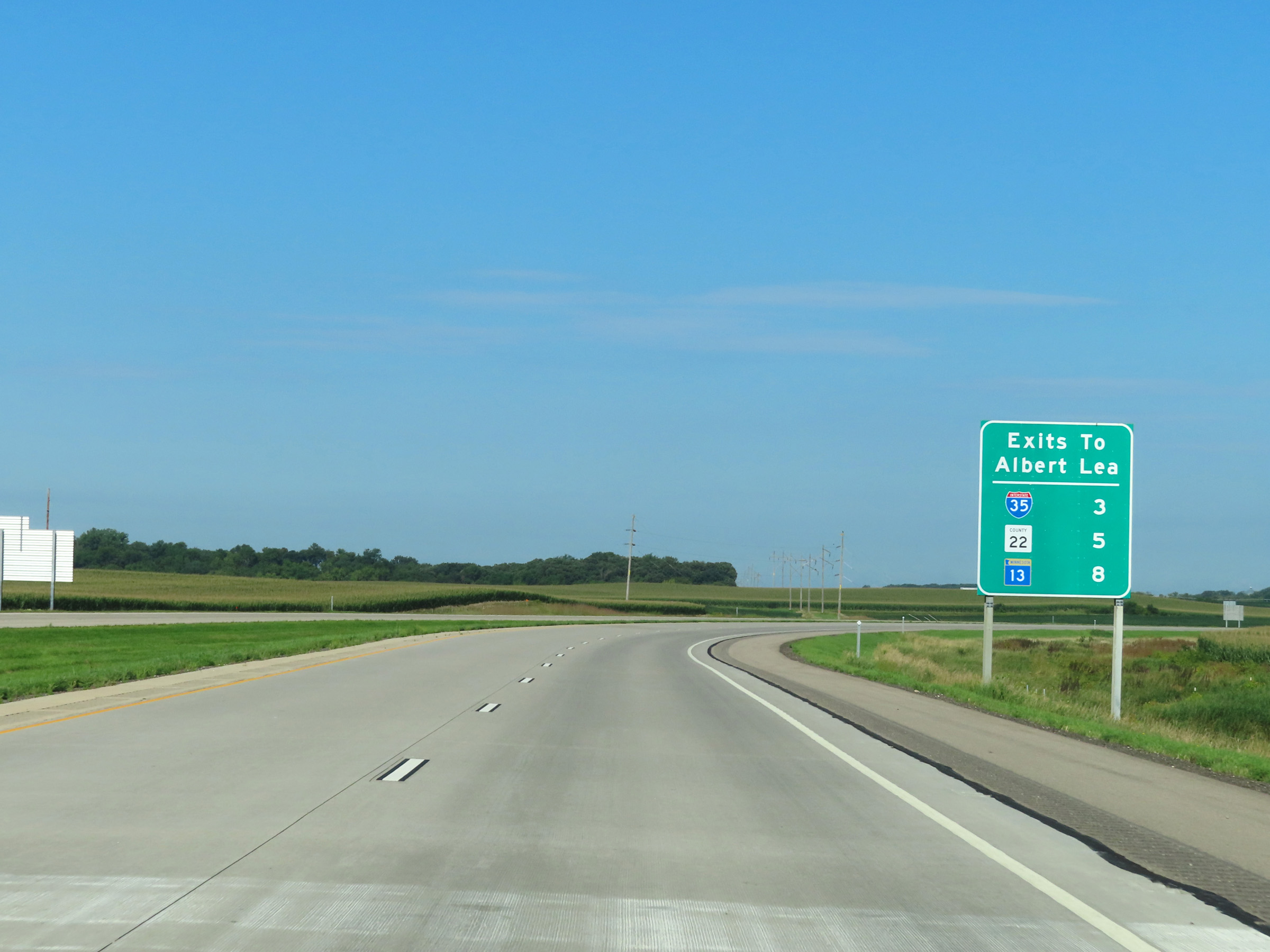
Mileage sign on Interstate 90 West in Martin County. It's 4 miles to Fairmont, 33 miles to Jackson, and 119 miles to Sioux Falls. (Photo taken 8/16/22). |
 |
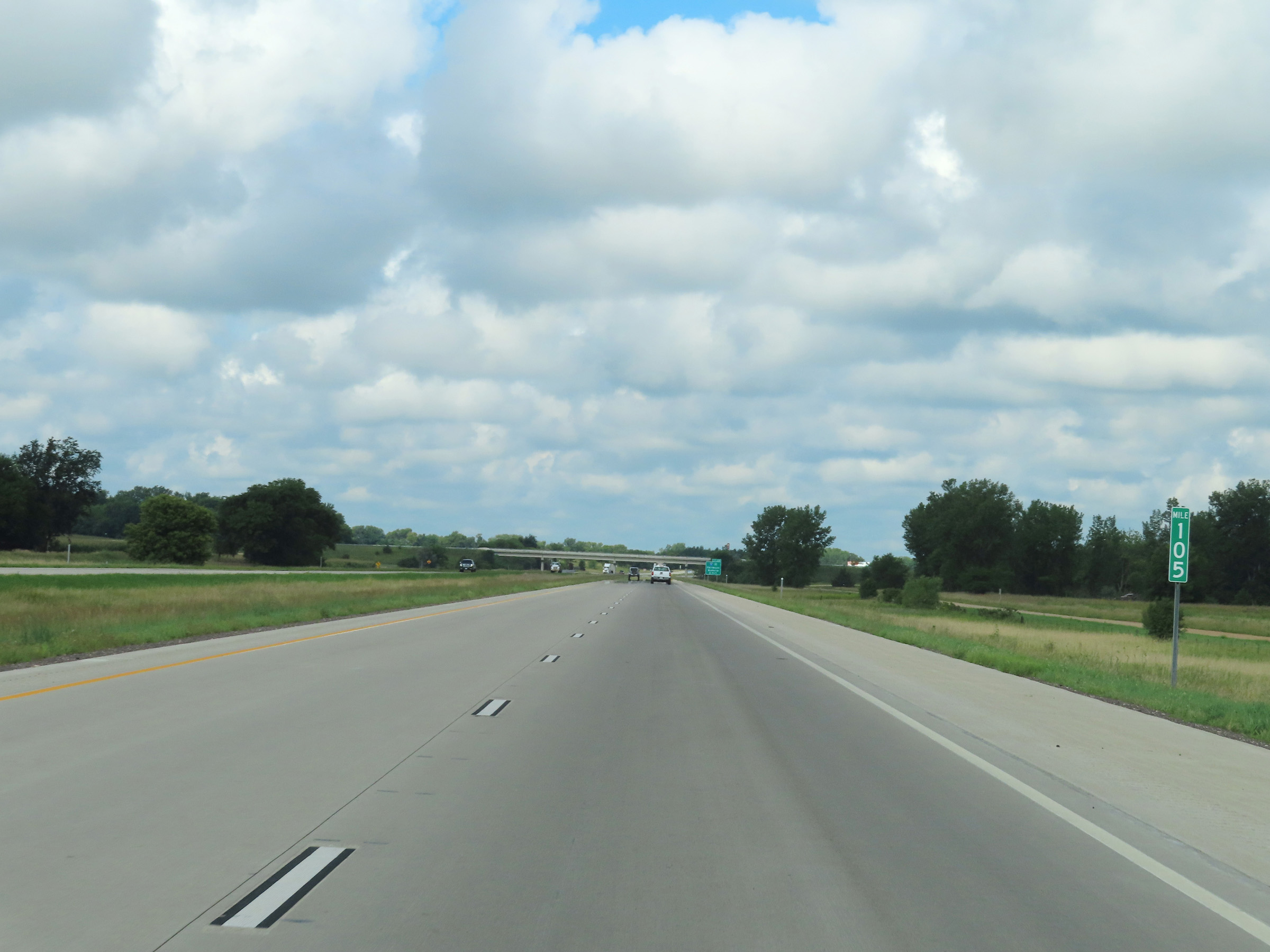
View on Interstate 90 West at mile marker 106. (Photo taken 8/16/22). |
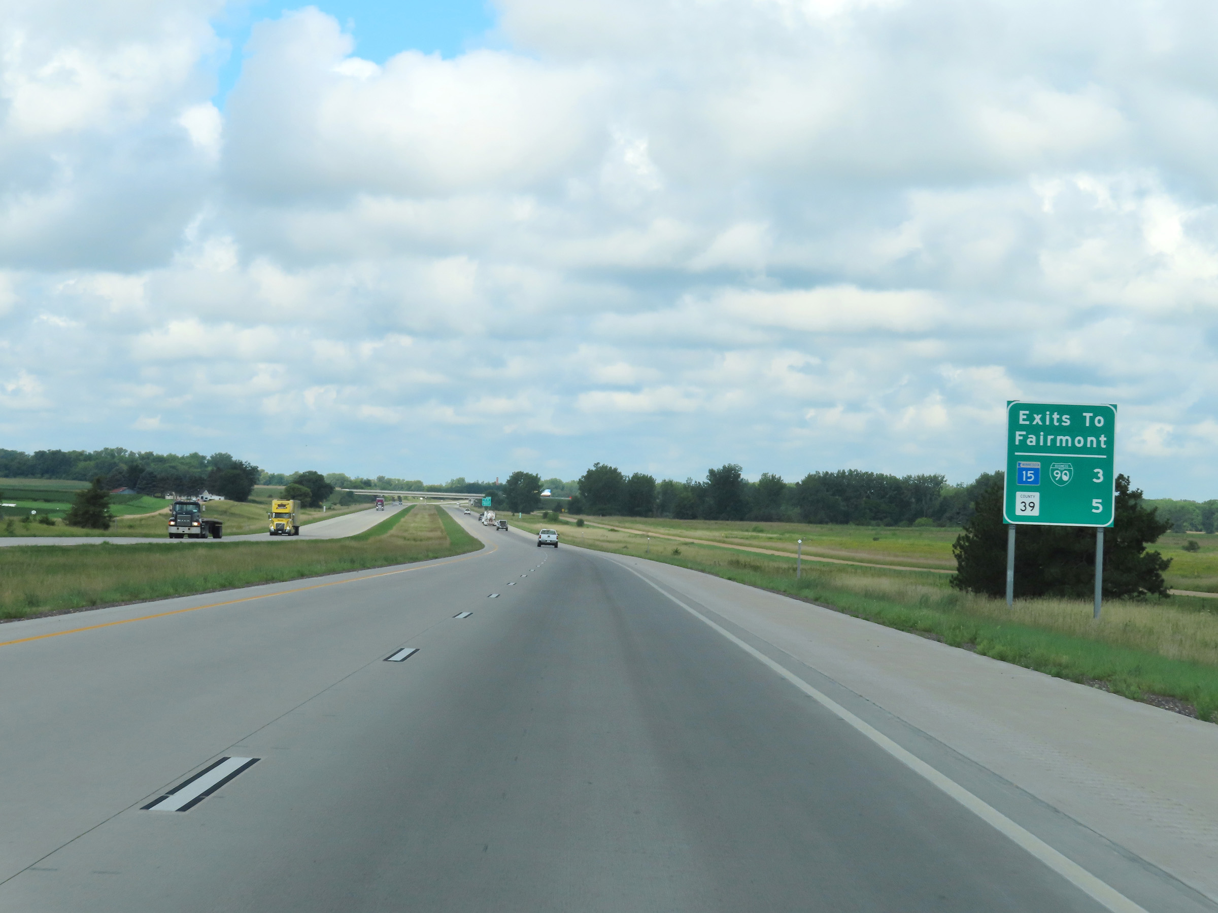 |
Mileage sign listing the distances to the two upcoming exits to Fairmont on Interstate 90 West. (Photo taken 8/16/22). |
 |
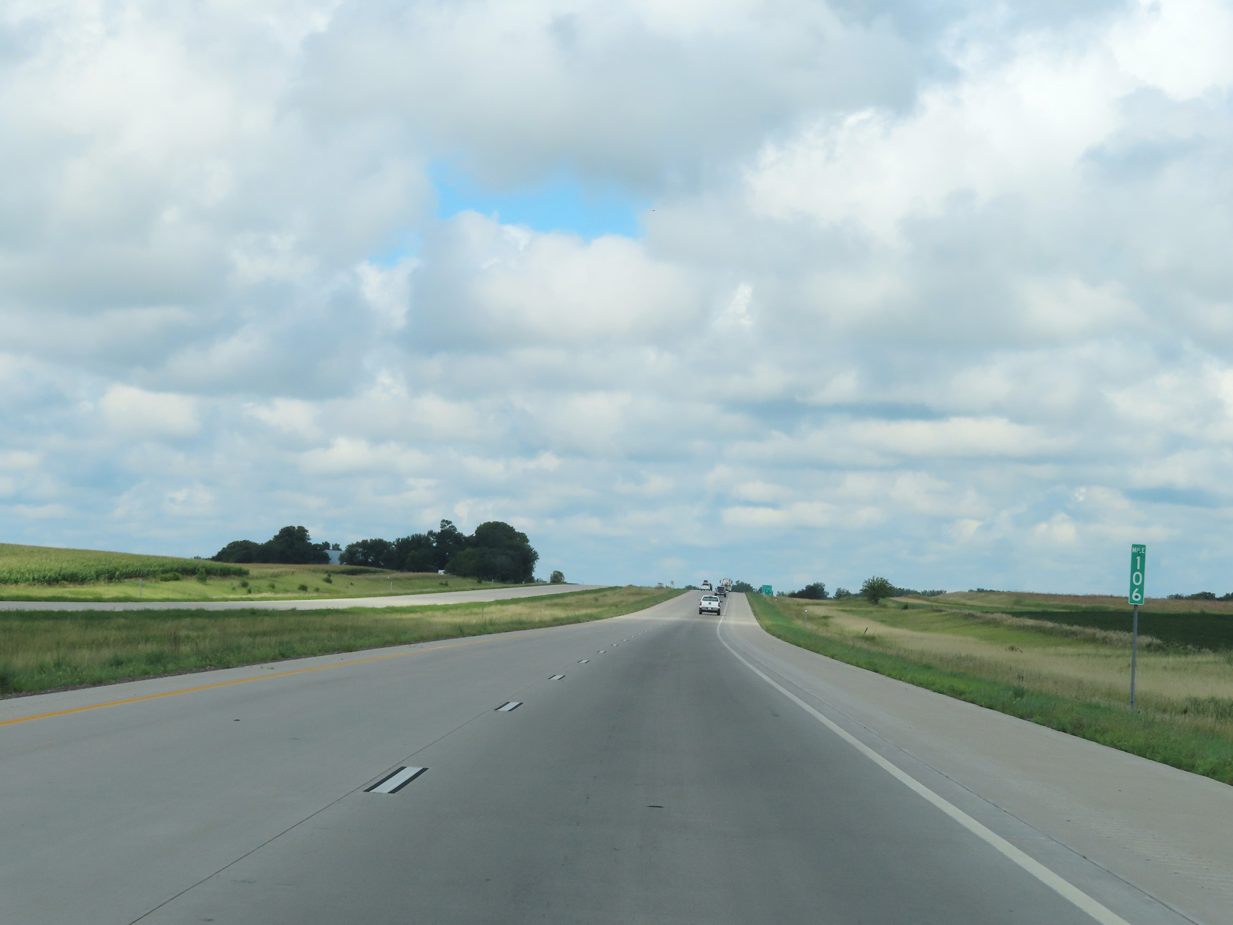
Interstate 90 West at mile marker 105. (Photo taken 8/16/22). |
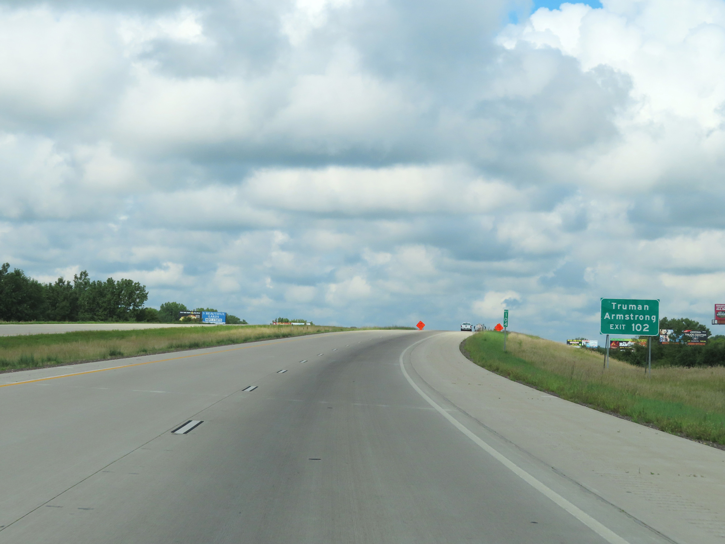 |
Take Exit 102 to Truman and Armstrong. (Photo taken 8/16/22). |
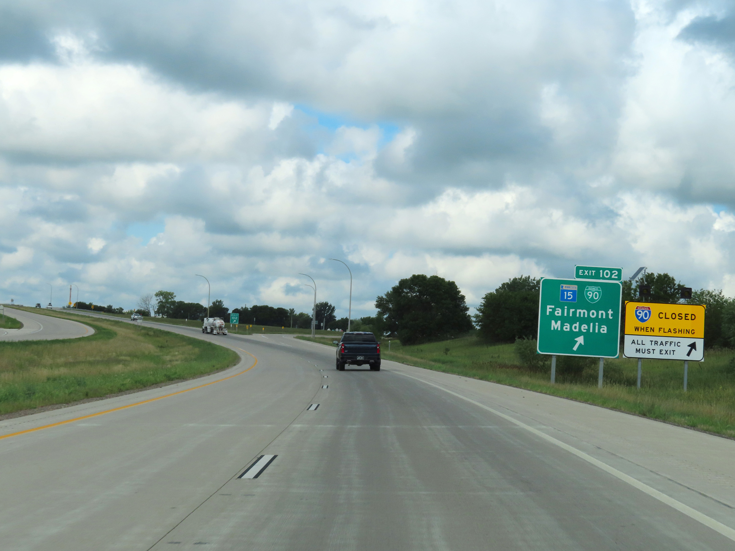 |
Interstate 90 West at Exit 102: MN 15 / Interstate 90 Business Loop - Fairmont / Madelia (Photo taken 8/16/22). |
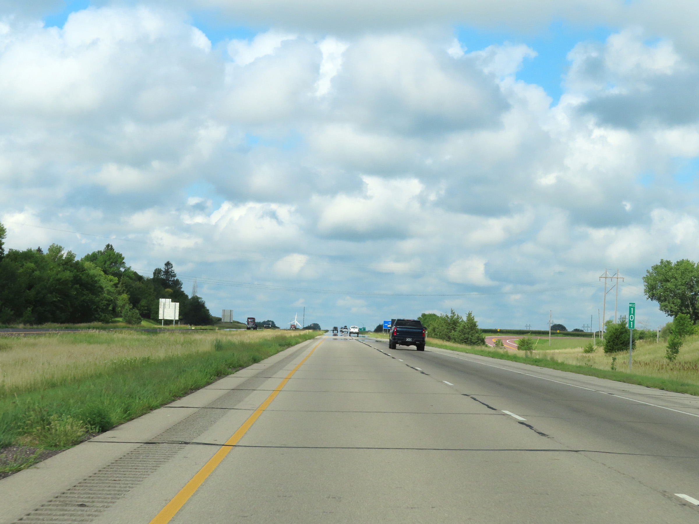 |
View on Interstate 90 West at mile marker 101. (Photo taken 8/16/22). |
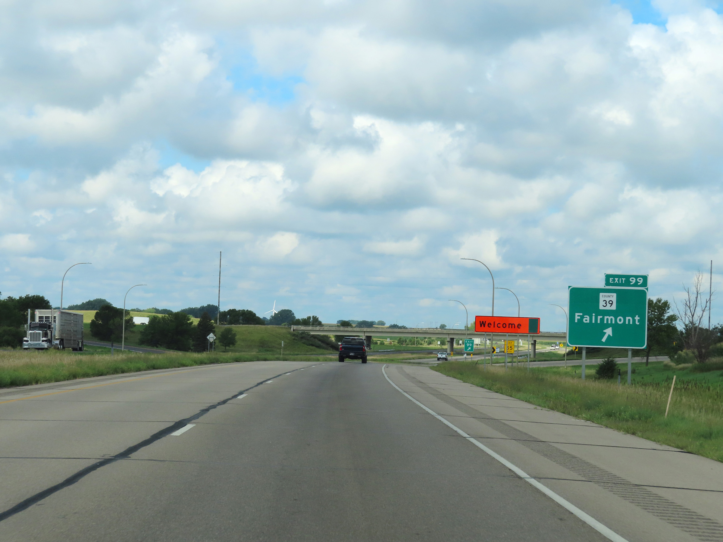 |
Interstate 90 West at Exit 99: CR 39 - Fairmont (Photo taken 8/16/22). |
 |
Mile marker 98 on Interstate 90 West in Martin County. (Photo taken 8/16/22). |
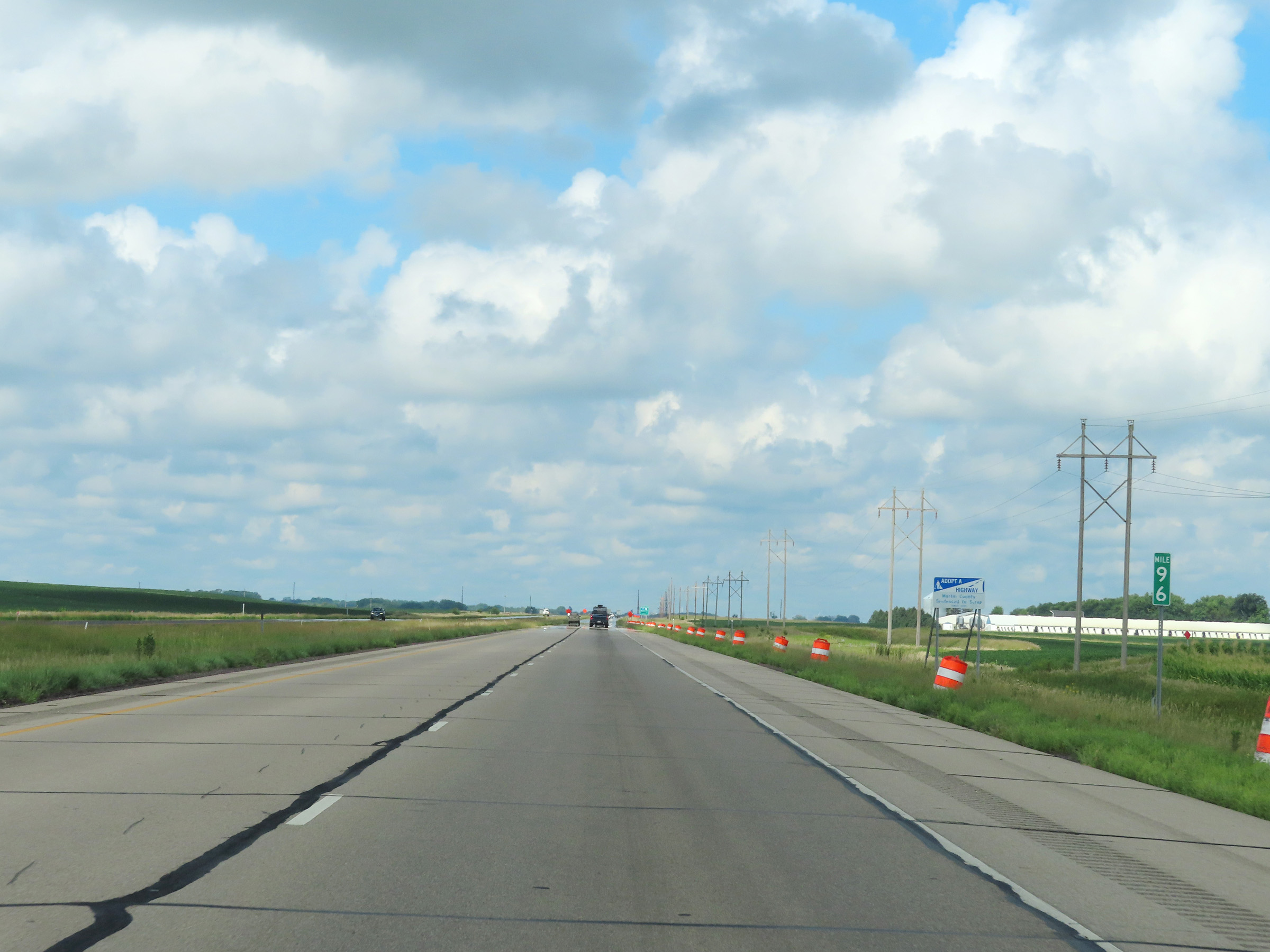 |
View on Interstate 90 West at mile marker 96. (Photo taken 8/16/22). |
 |
Interstate 90 West at mile marker 95. (Photo taken 8/16/22). |
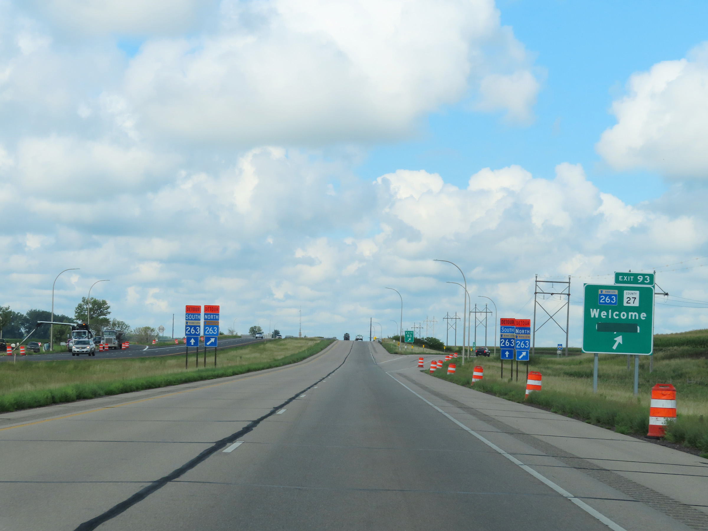 |
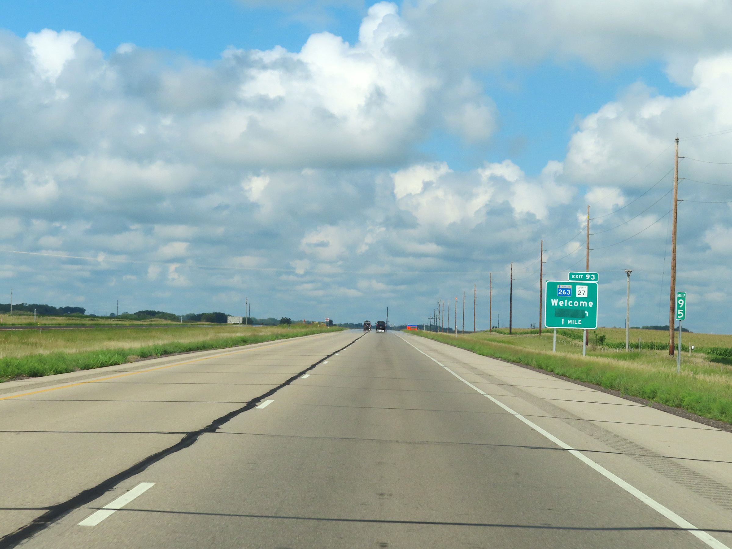
Interstate 90 West at Exit 93: MN 263 / CR 27 - Welcome / Ceylon (Photo taken 8/16/22). |
 |
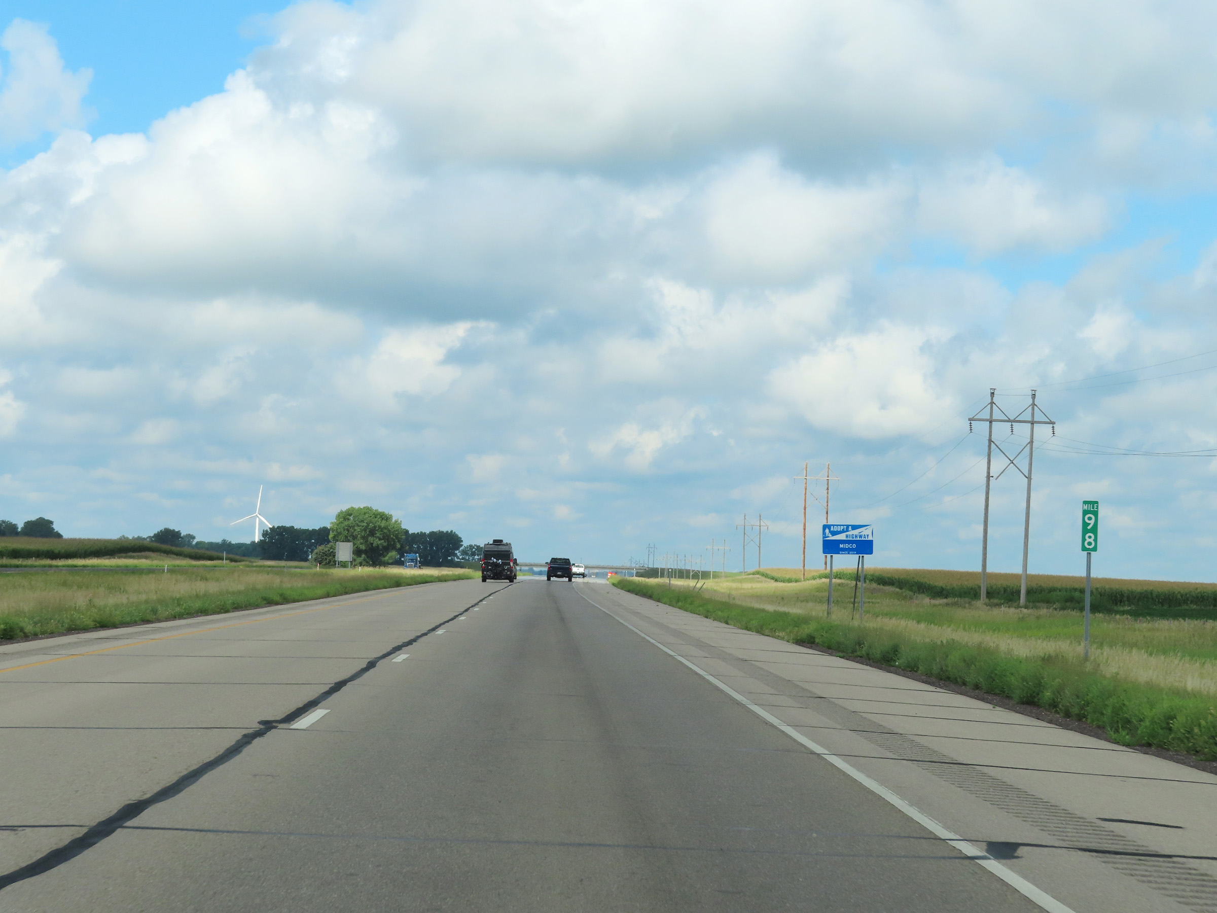
Mile marker 92 on Interstate 90 West in Martin County. (Photo taken 8/16/22). |
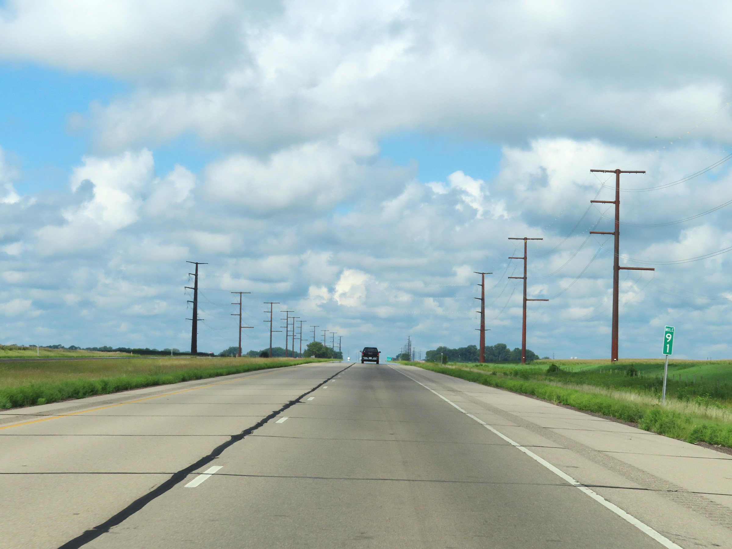 |
Interstate 90 West at mile marker 91. (Photo taken 8/16/22). |
 |
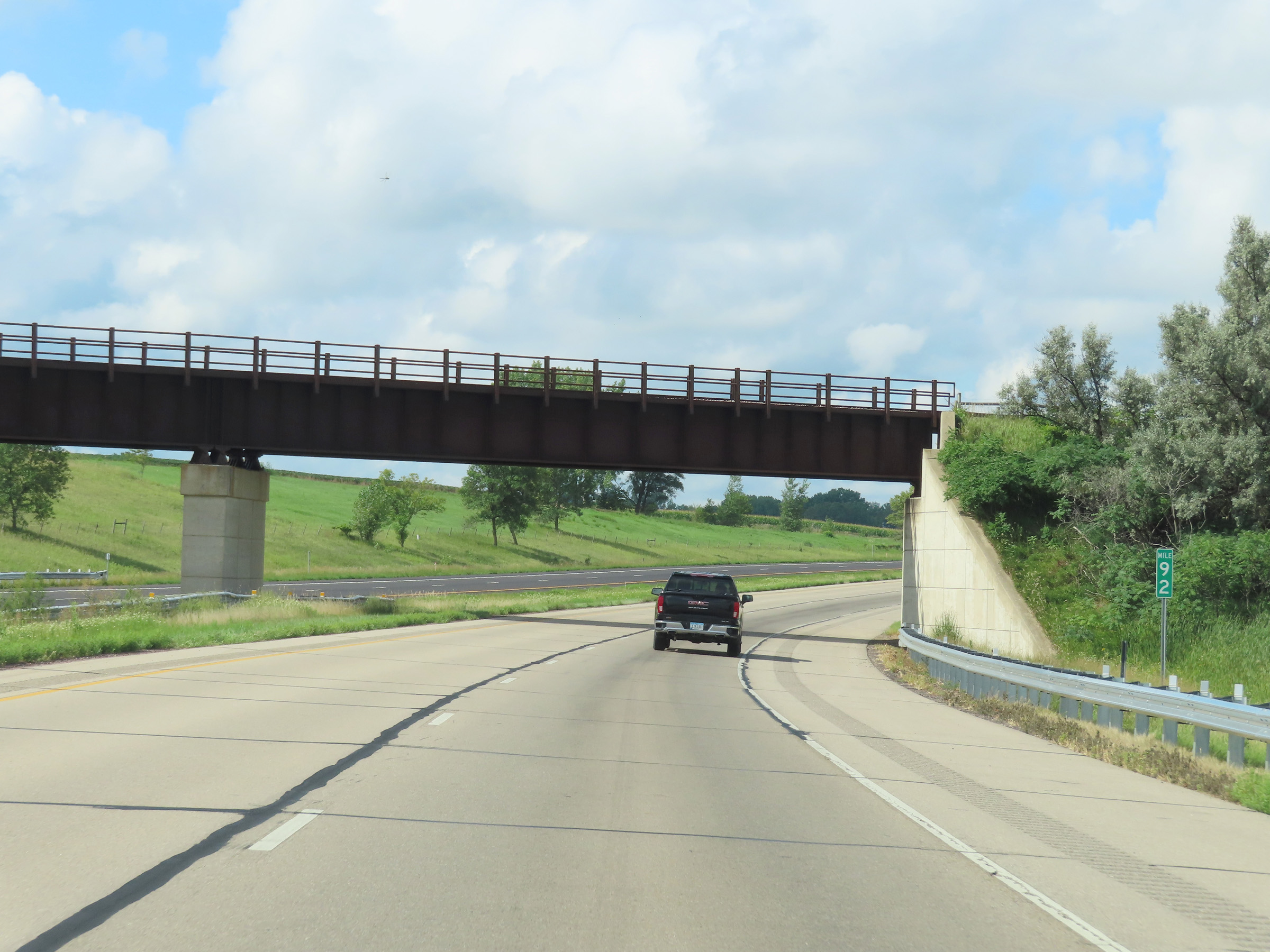
Mile marker 89 on Interstate 90 West in Martin County. (Photo taken 8/16/22). |
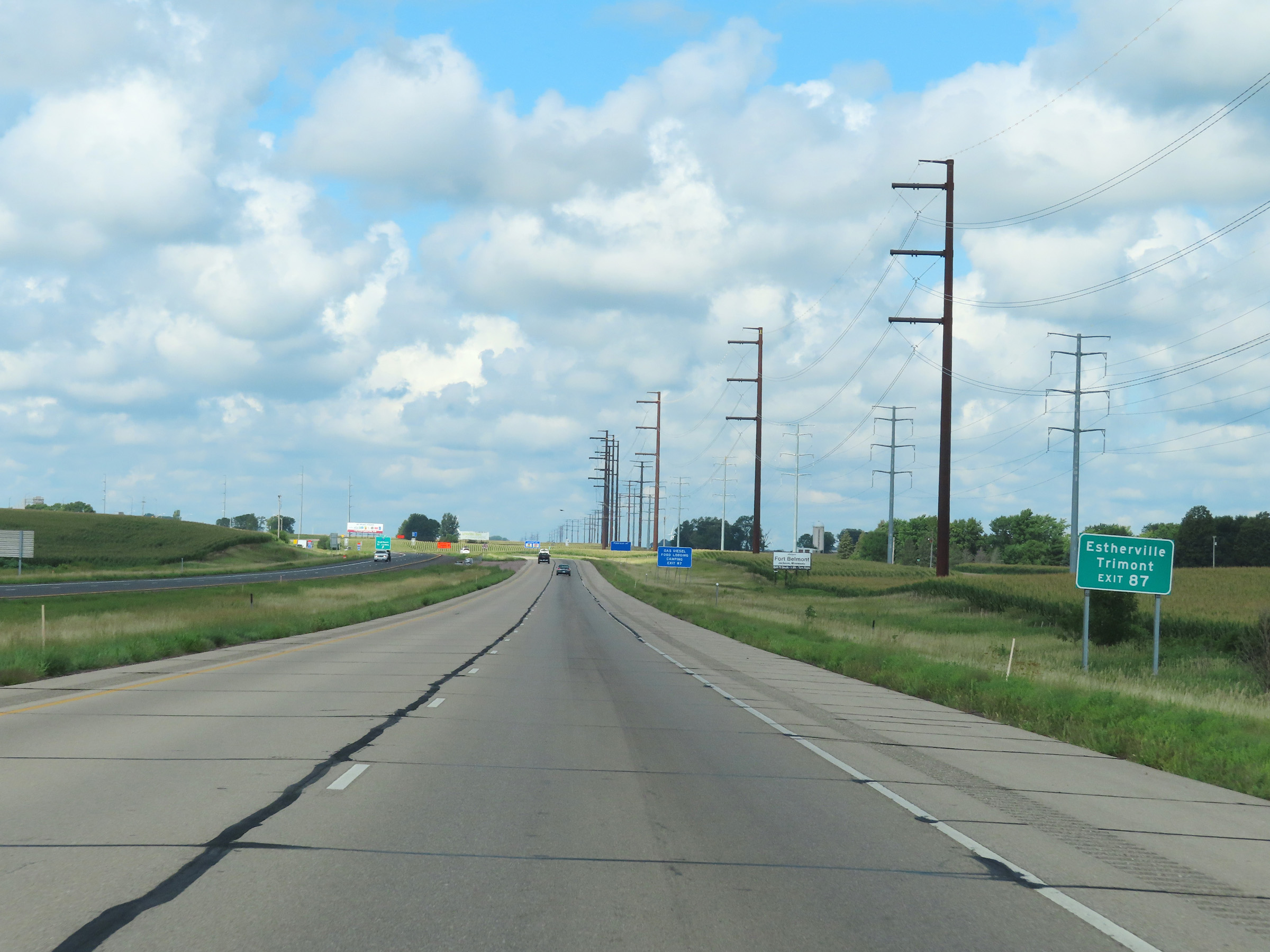 |
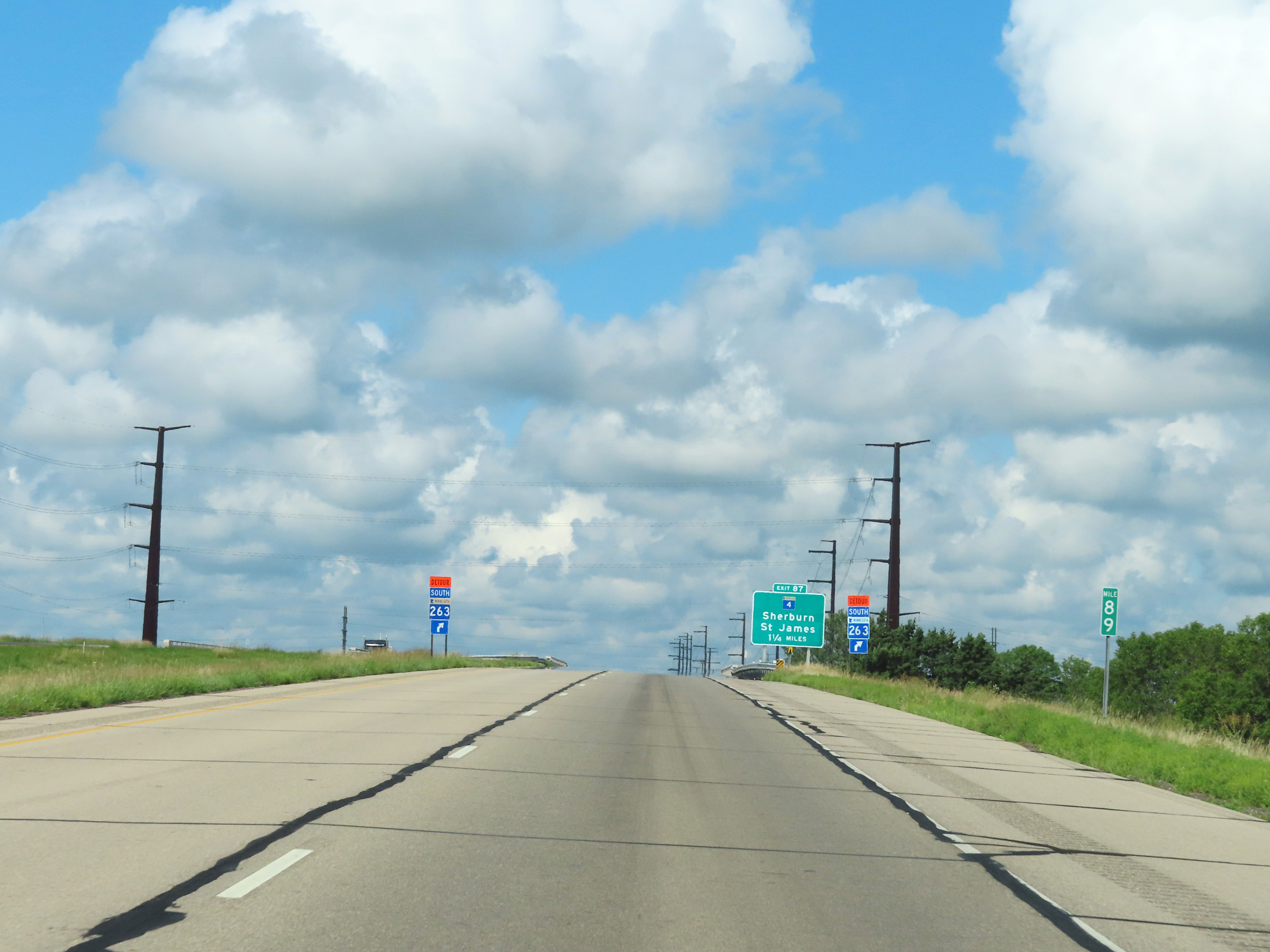
Take Exit 87 to Estherville and Trimont. (Photo taken 8/16/22). |
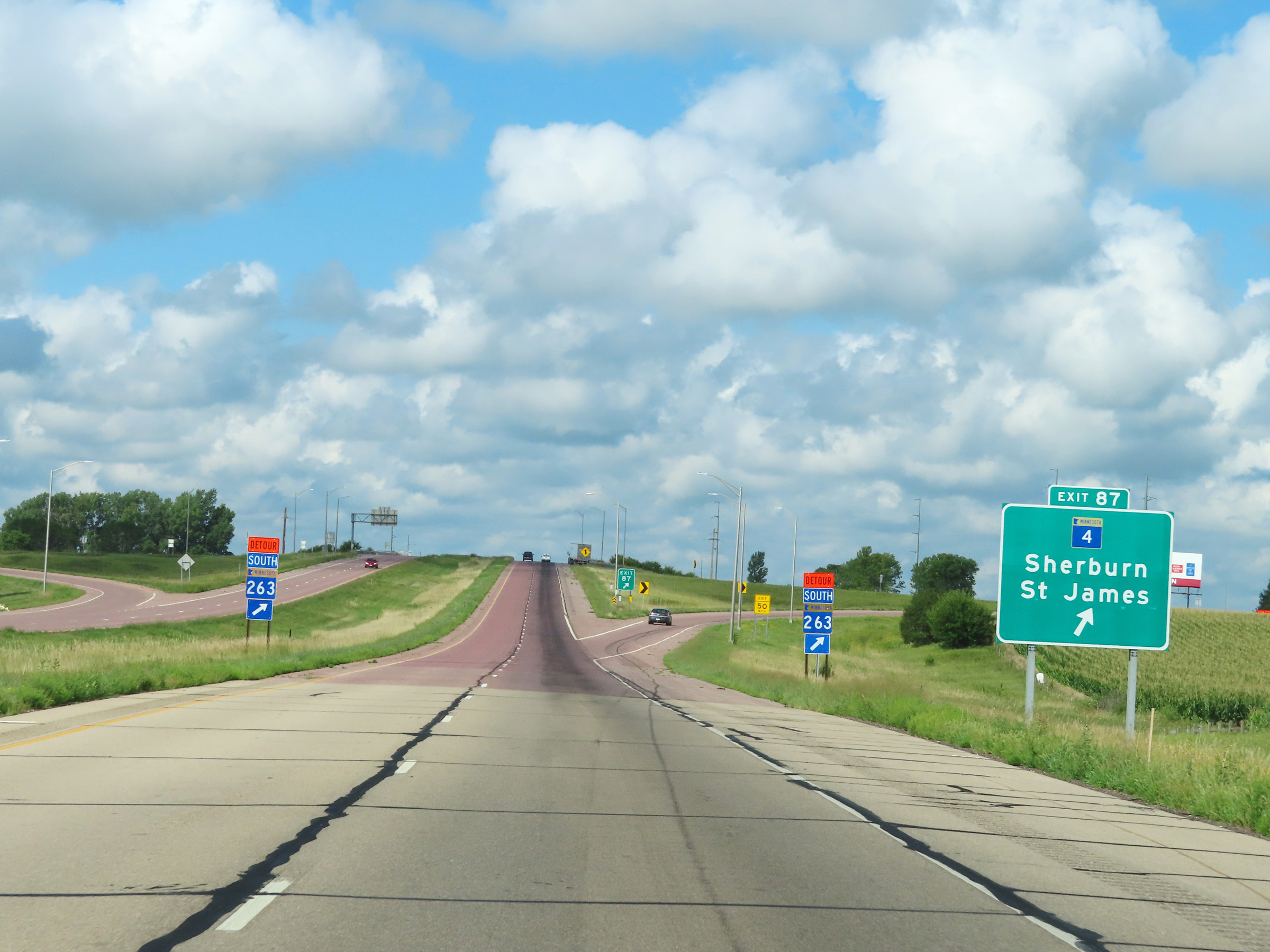 |
Interstate 90 West at Exit 87: MN 4 - Sherburn / St. James (Photo taken 8/16/22). |
 |
Another Interstate 90 West reassurance shield, near mile marker 87. (Photo taken 8/16/22). |
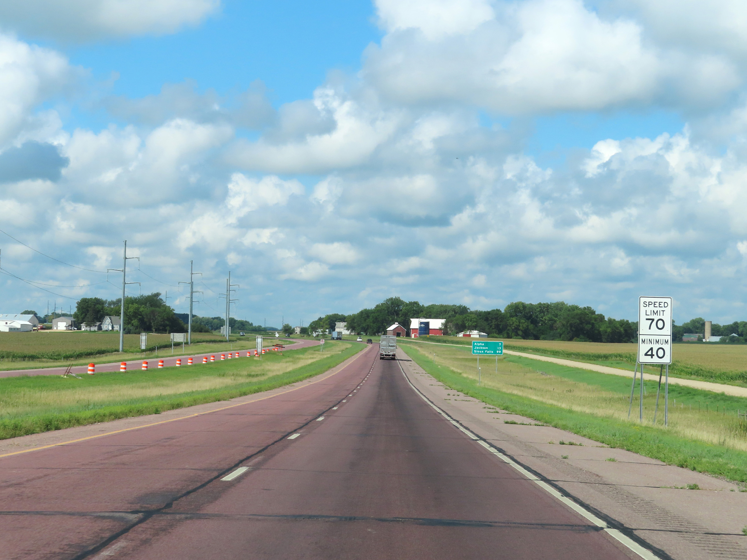 |
Speed limit signs just beyond mile marker 87 on Interstate 90 West. The speed limits remain the rural standard 70 mph maximum and 40 mph minimum. (Photo taken 8/16/22). |
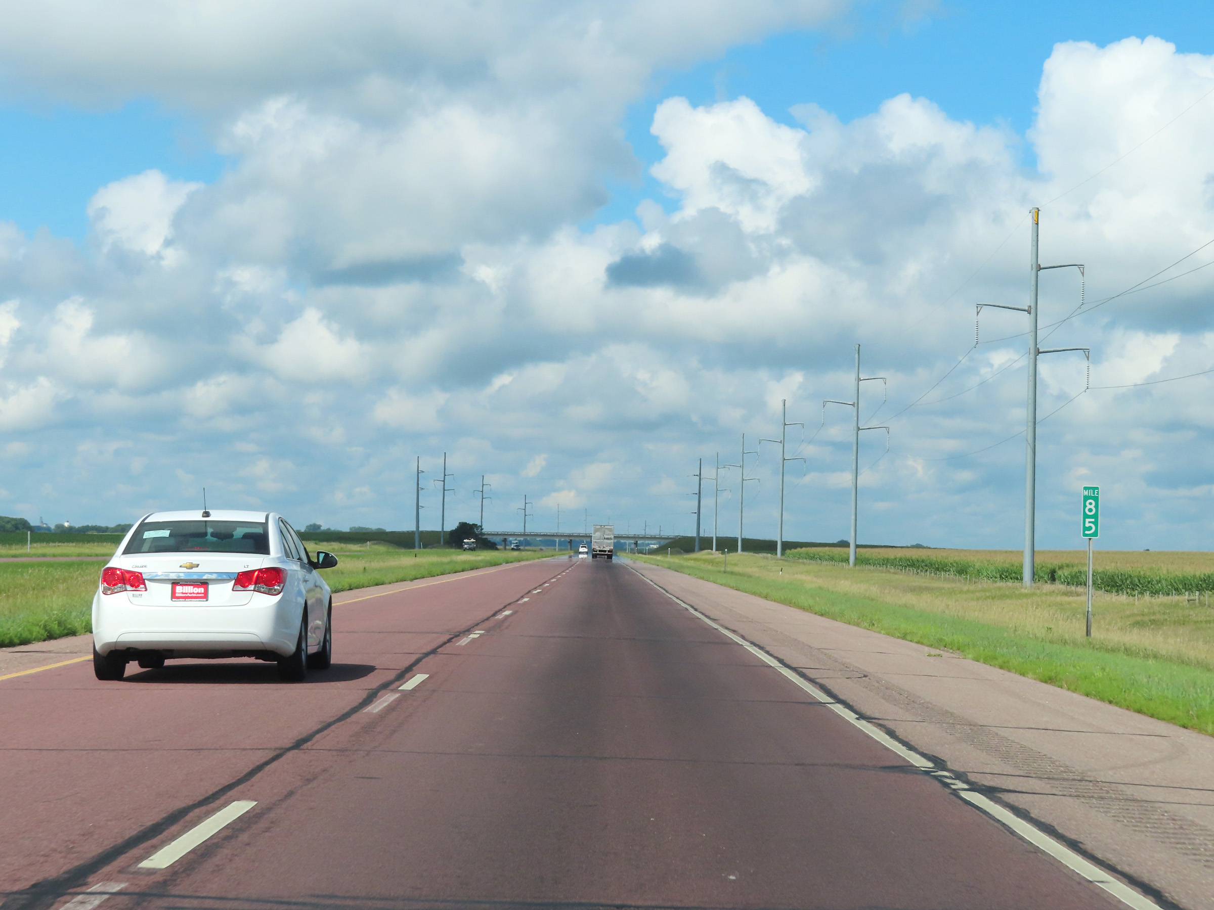 |
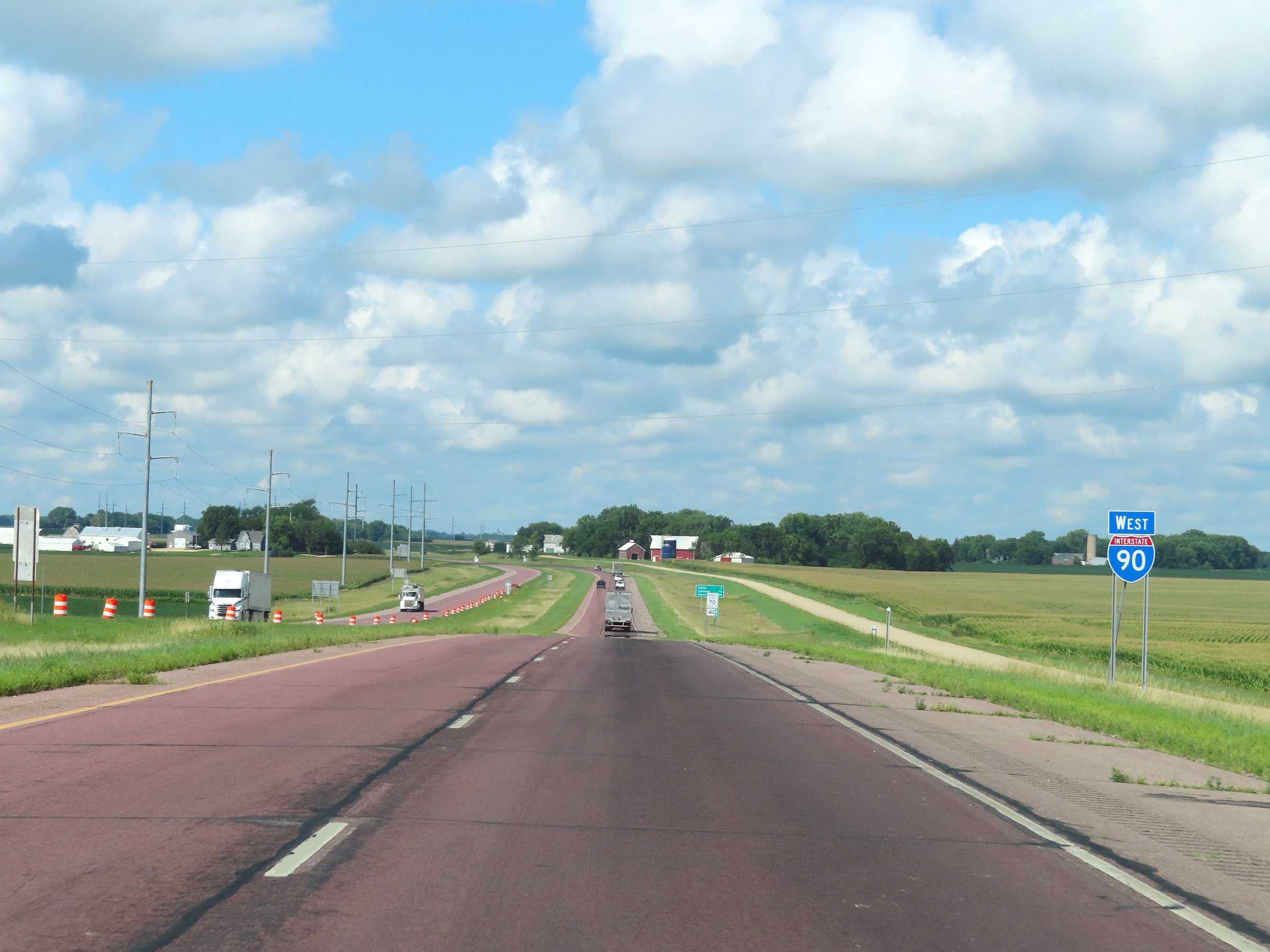
Interstate 90 West at mile marker 85. (Photo taken 8/16/22). |
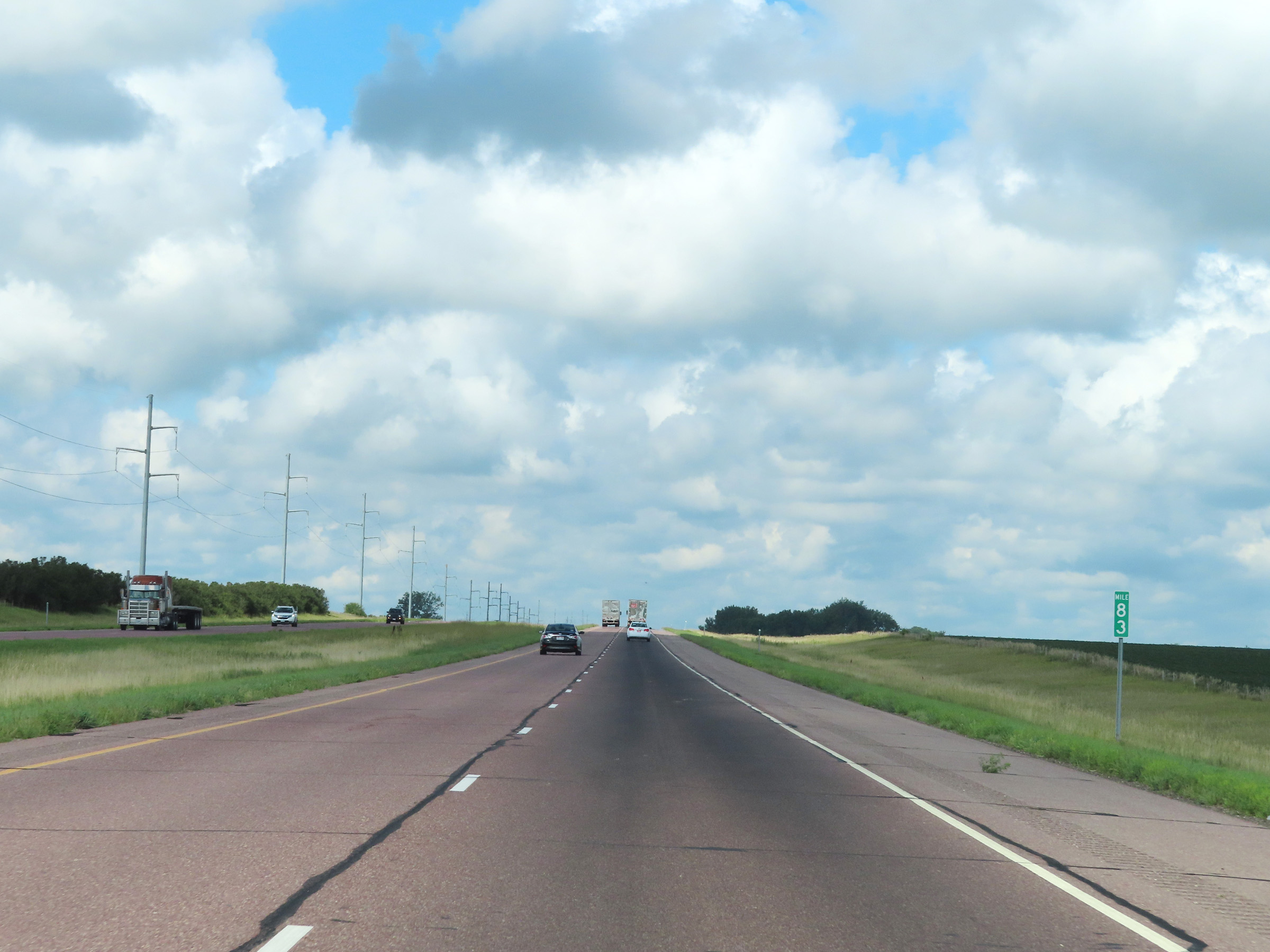 |
View on Interstate 90 West at mile marker 83. (Photo taken 8/16/22). |
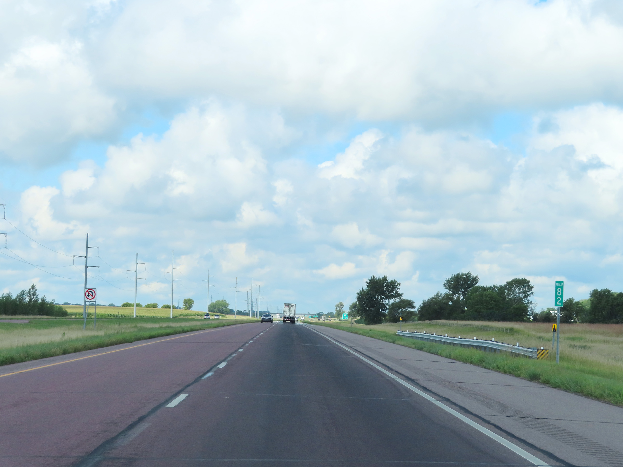 |
Mile marker 82 on Interstate 90 West in Martin County. (Photo taken 8/16/22). |
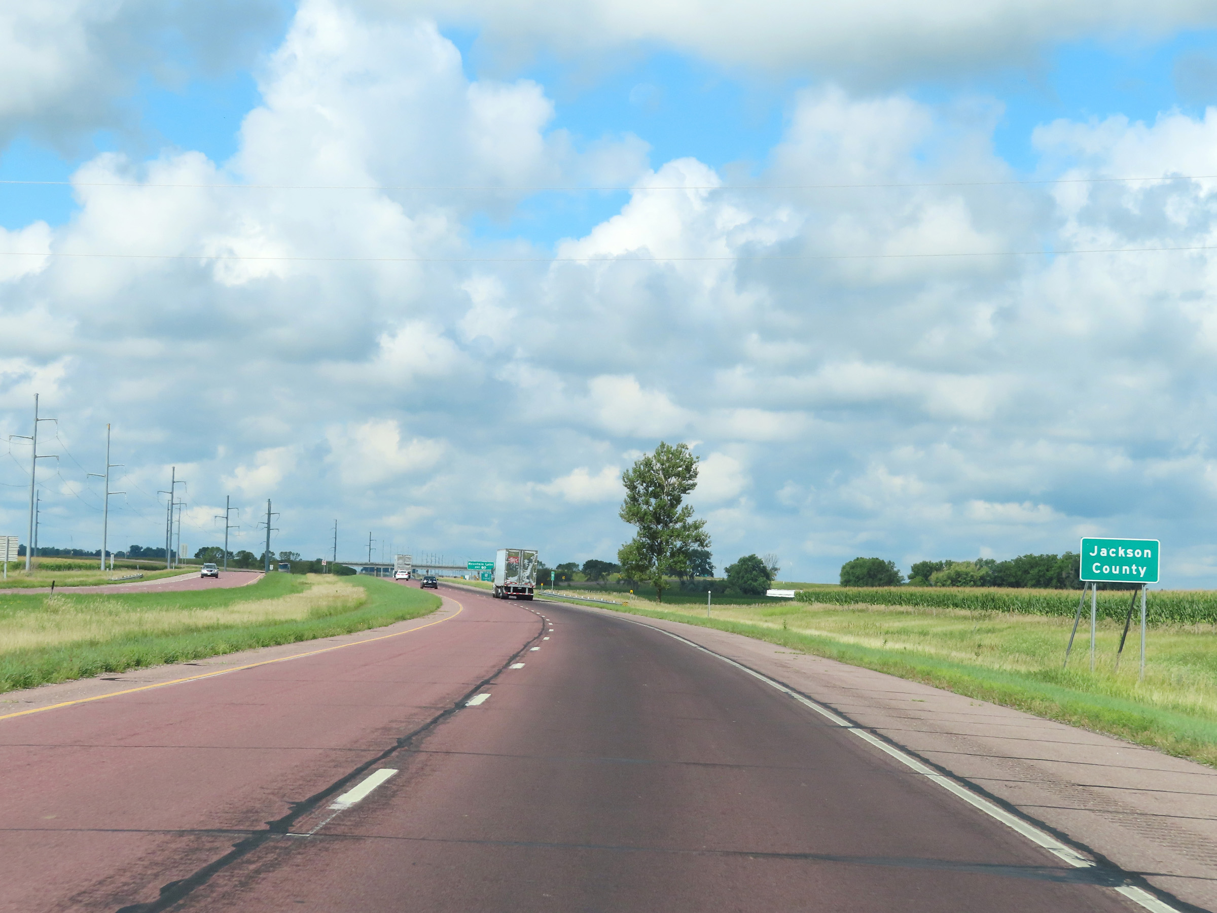 |
Interstate 90 West as it enters Jackson County. (Photo taken 8/16/22). |
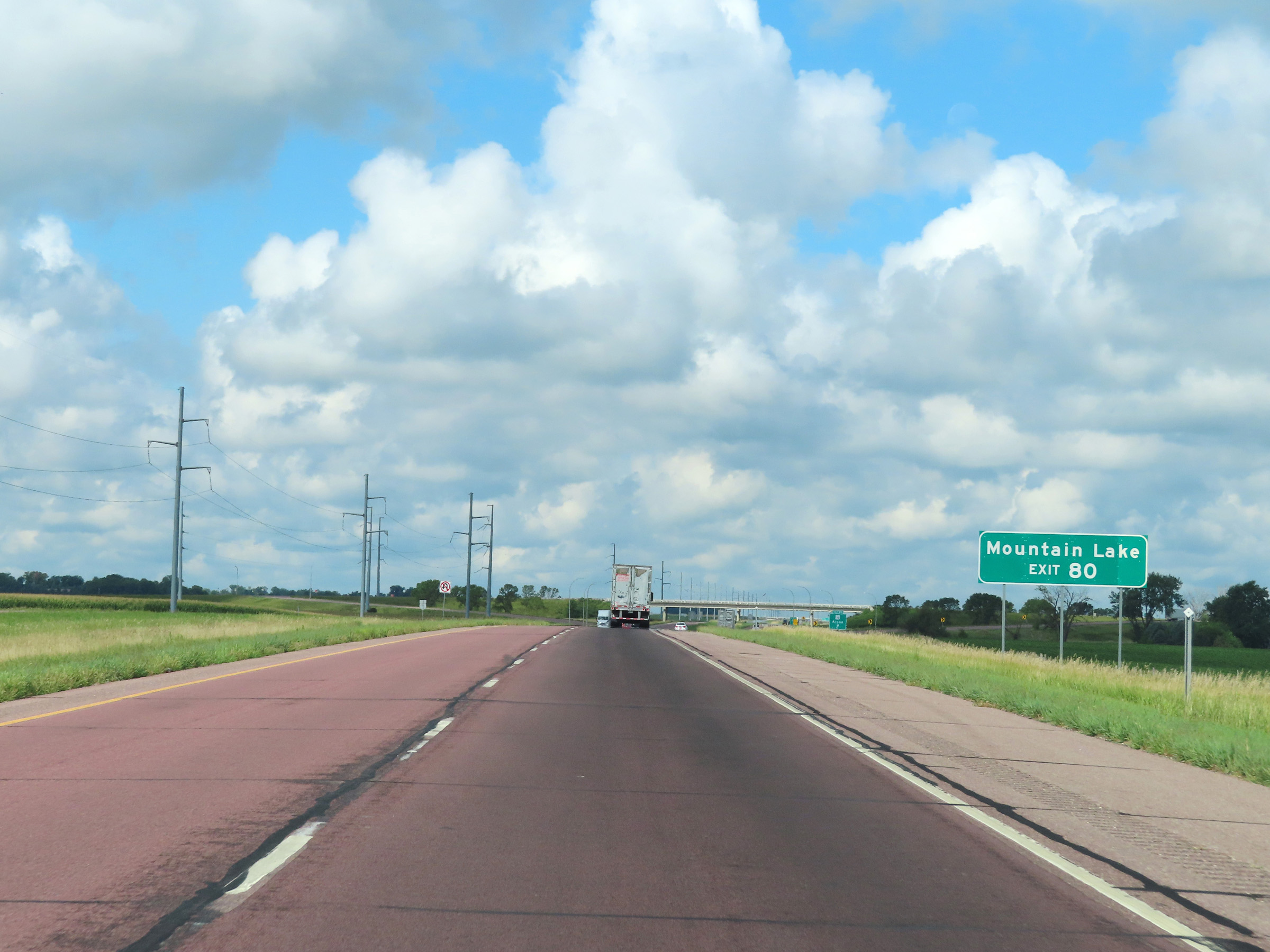 |
Take Exit 80 to Mountain Lake. (Photo taken 8/16/22). |
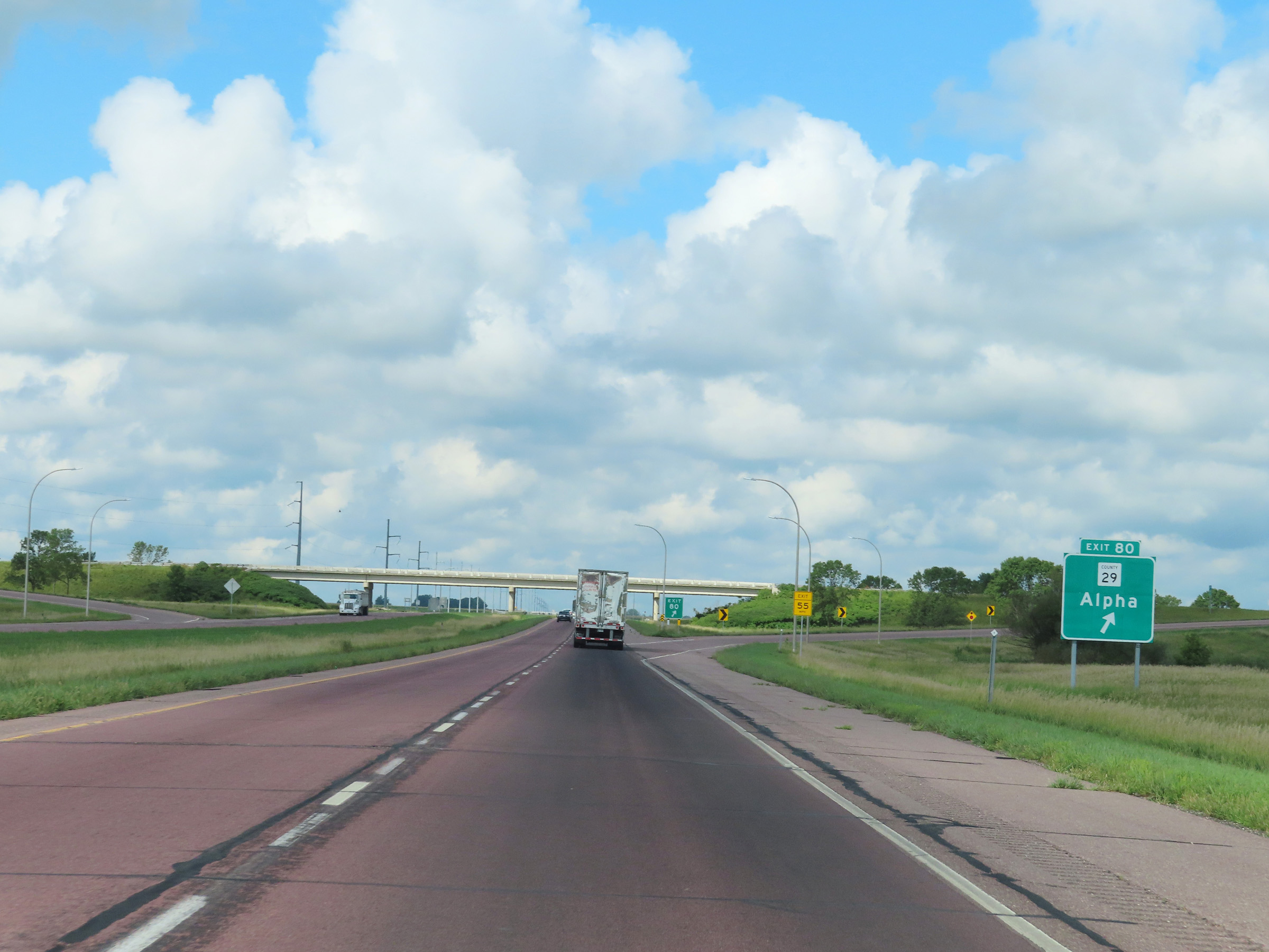 |
Interstate 90 West at Exit 80: CR 29 - Alpha (Photo taken 8/16/22). |
 |
View on Interstate 90 West at mile marker 79. (Photo taken 8/16/22). |
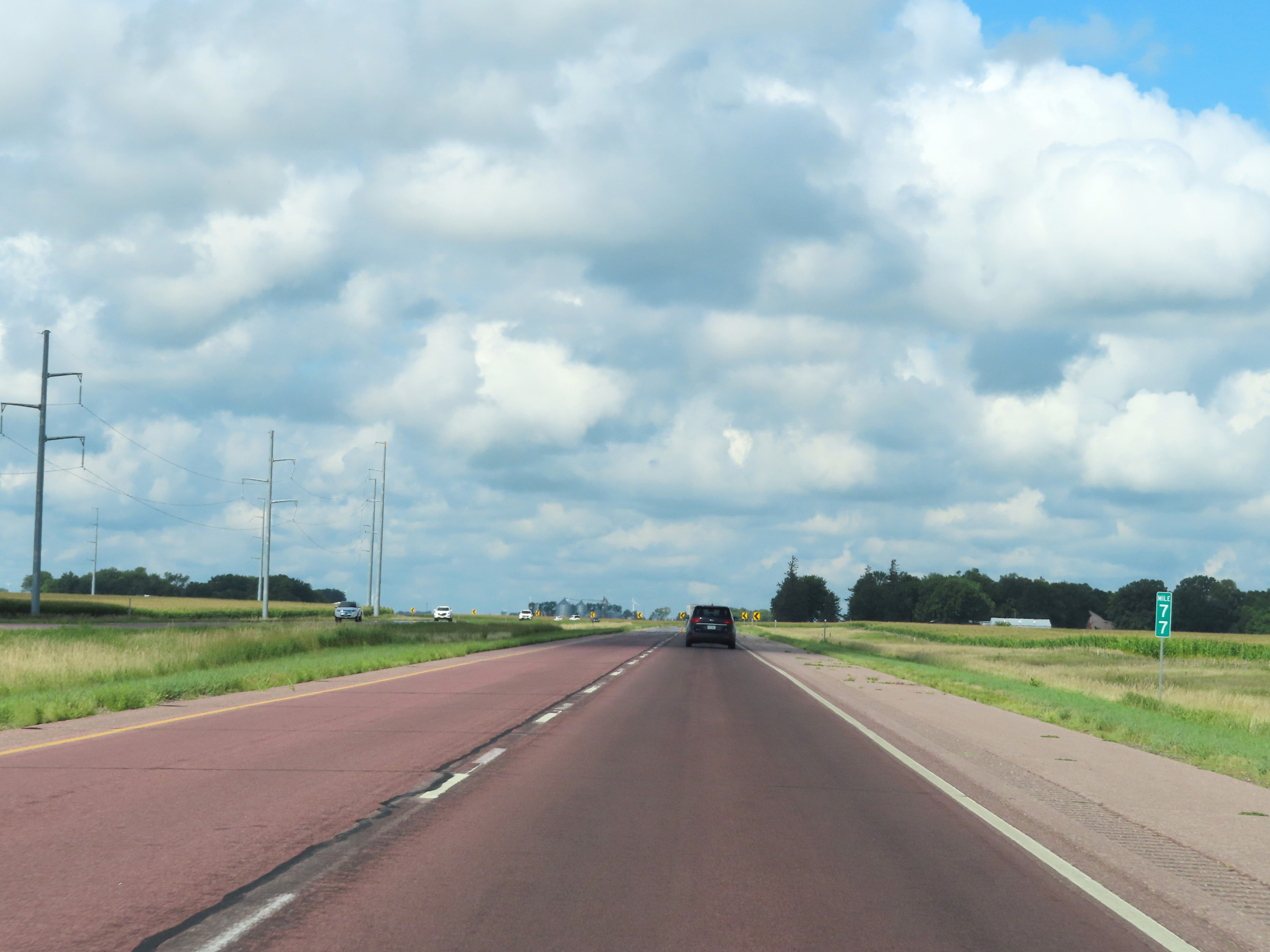 |
Mile marker 77 on Interstate 90 West in Jackson County. (Photo taken 8/16/22). |
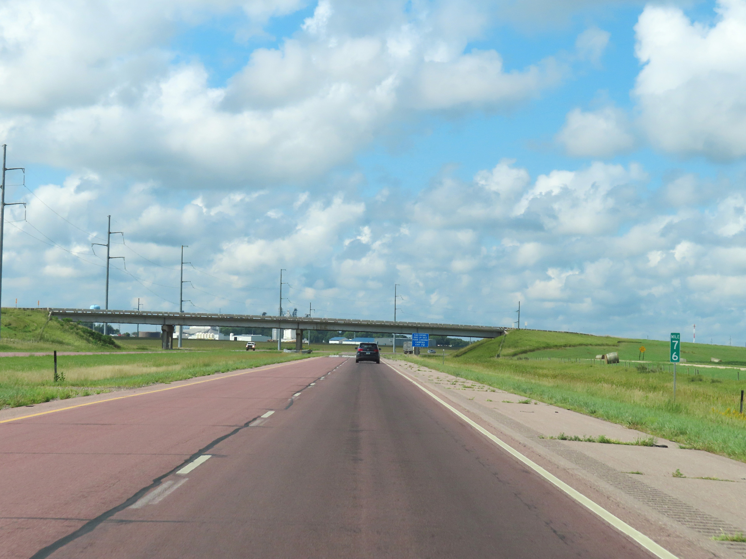 |
Interstate 90 West at mile marker 76. (Photo taken 8/16/22). |
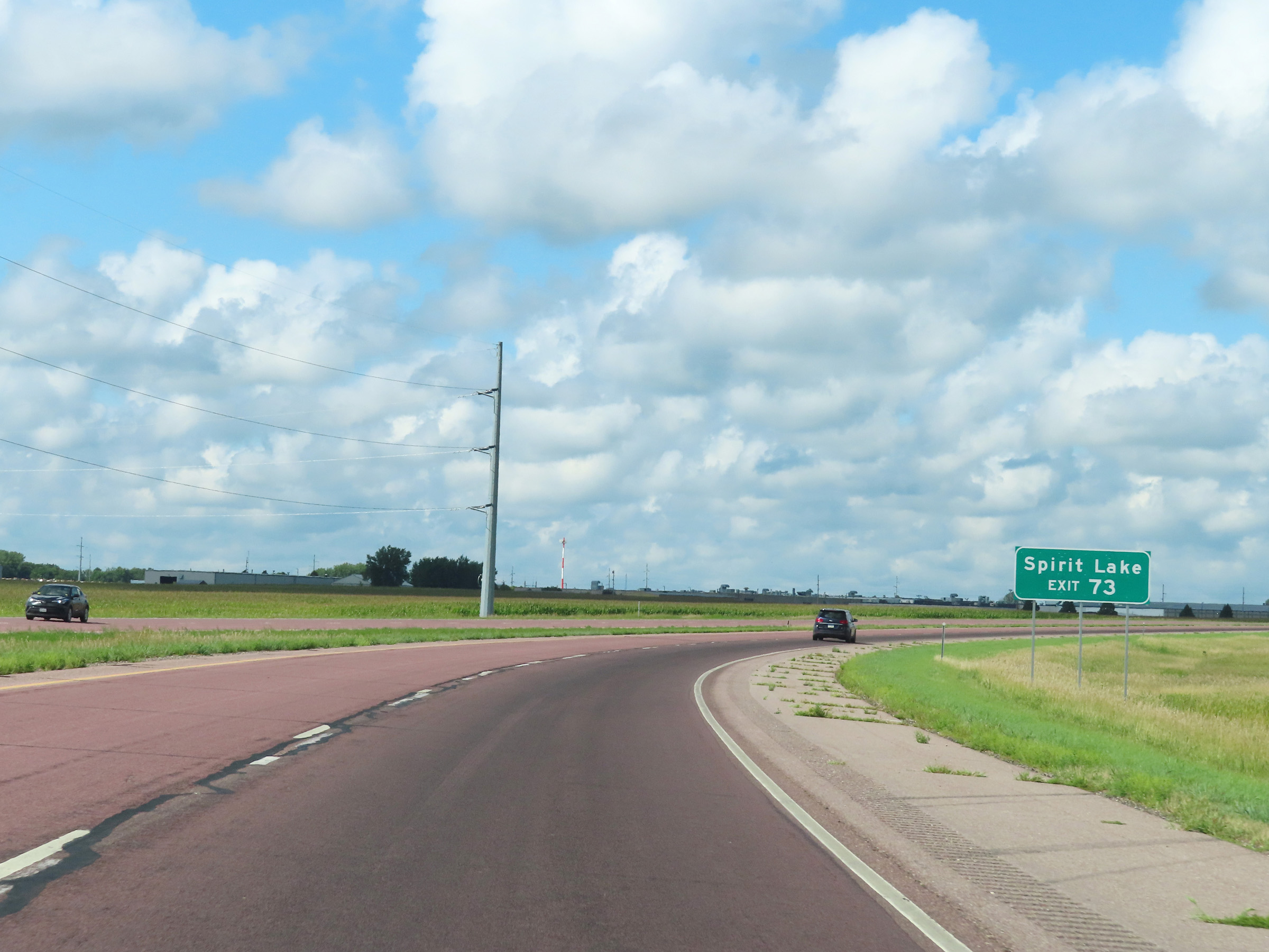 |
Take Exit 73 to Spirit Lake. (Photo taken 8/16/22). |
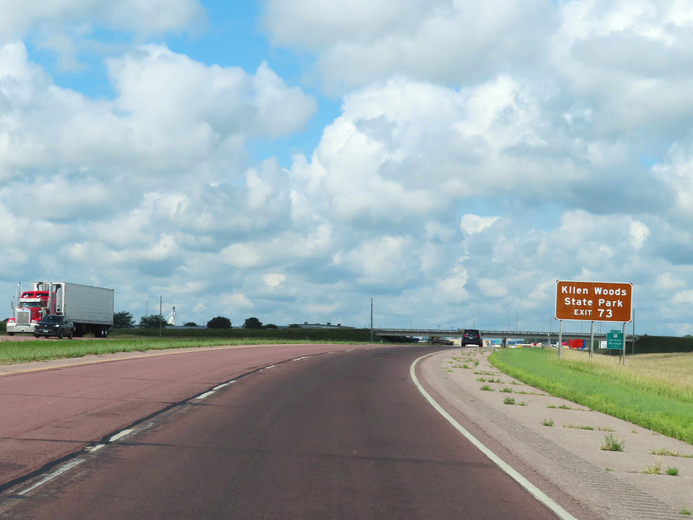 |
Also take Exit 73 to Kilen Woods State Park. (Photo taken 8/16/22). |
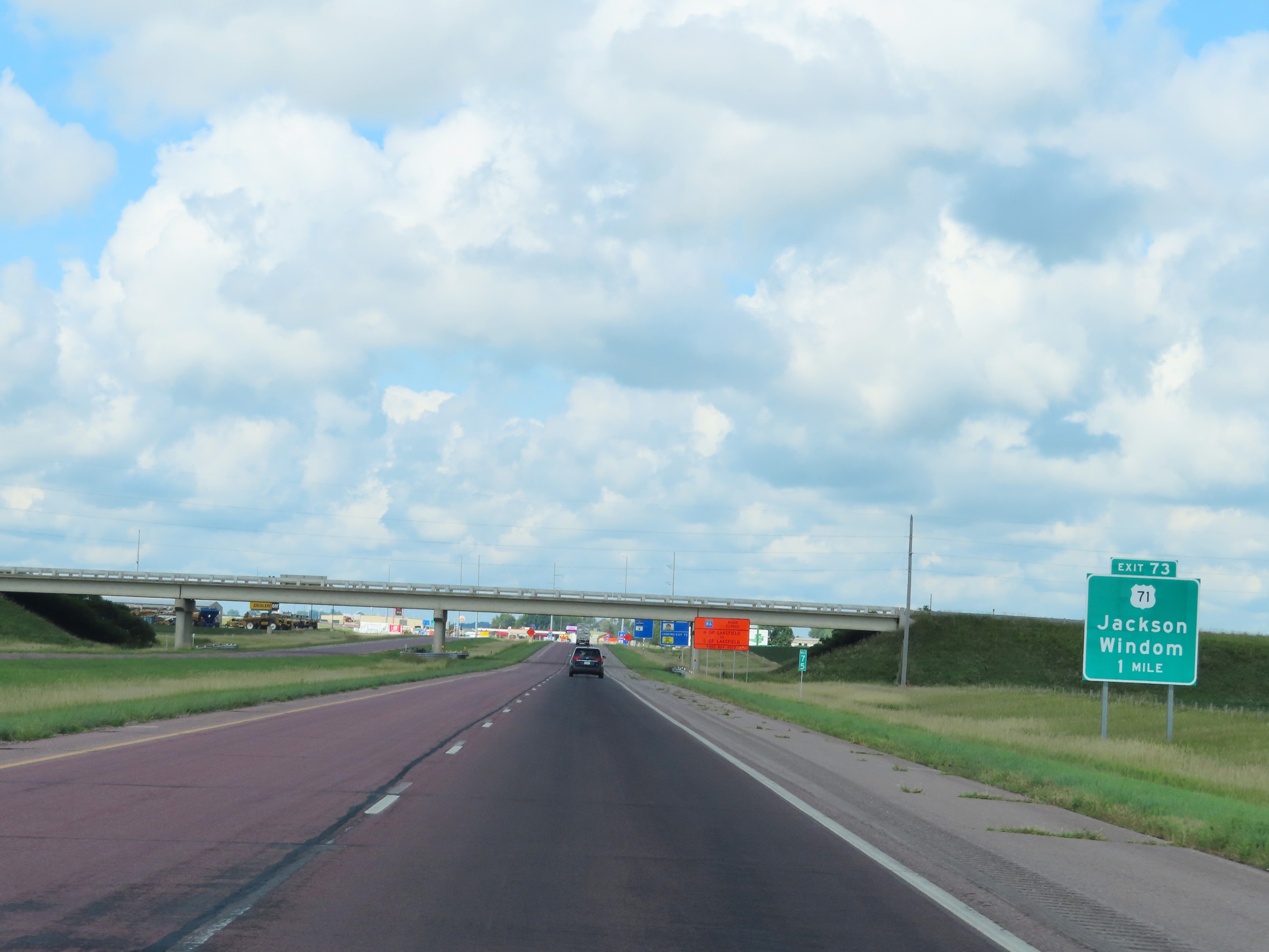 |
Interstate 90 West approaching Exit 73 - 1 mile. (Photo taken 8/16/22). |
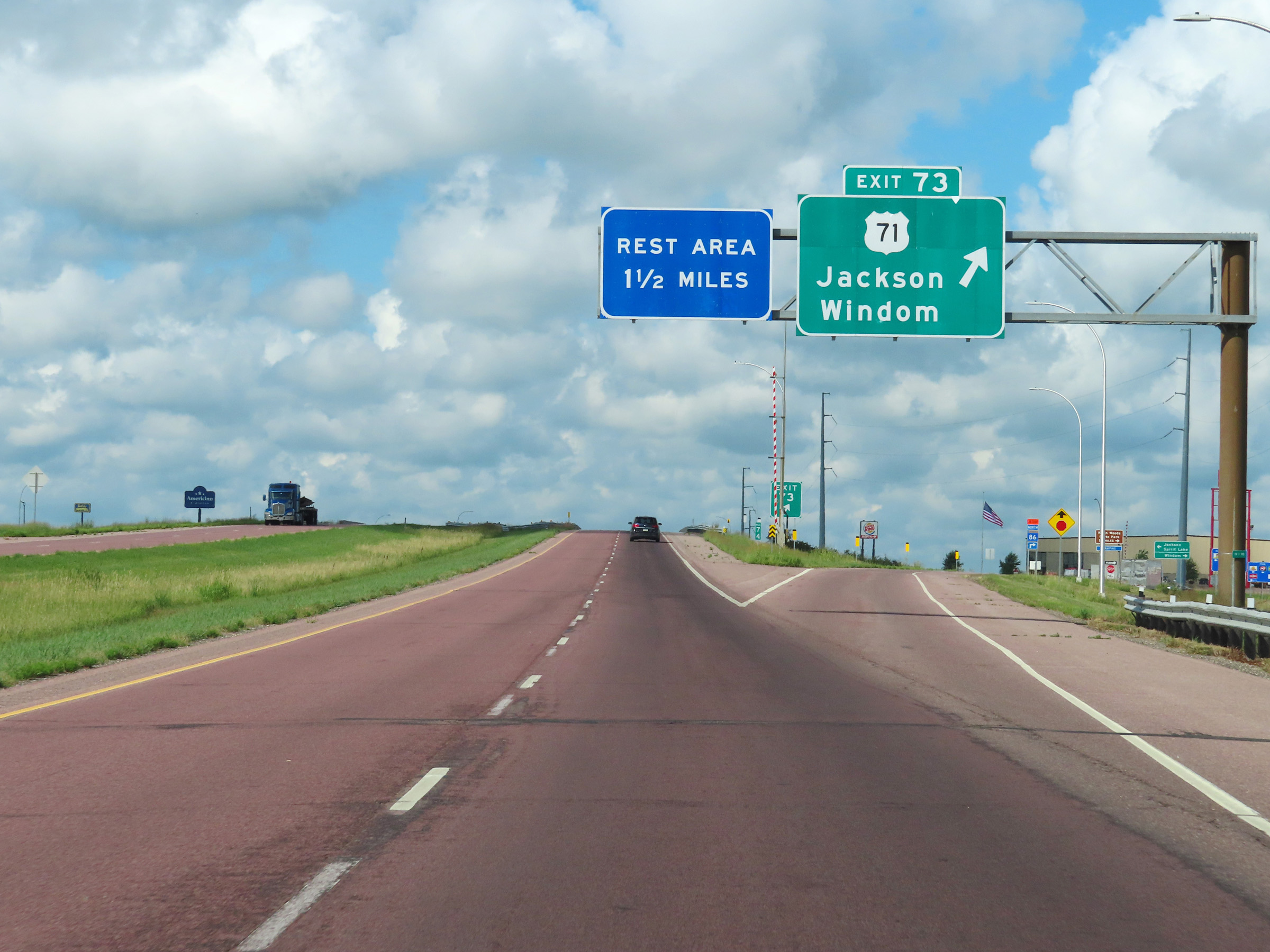 |
Interstate 90 West at Exit 73: US 71 - Jackson / Windom (Photo taken 8/16/22). |
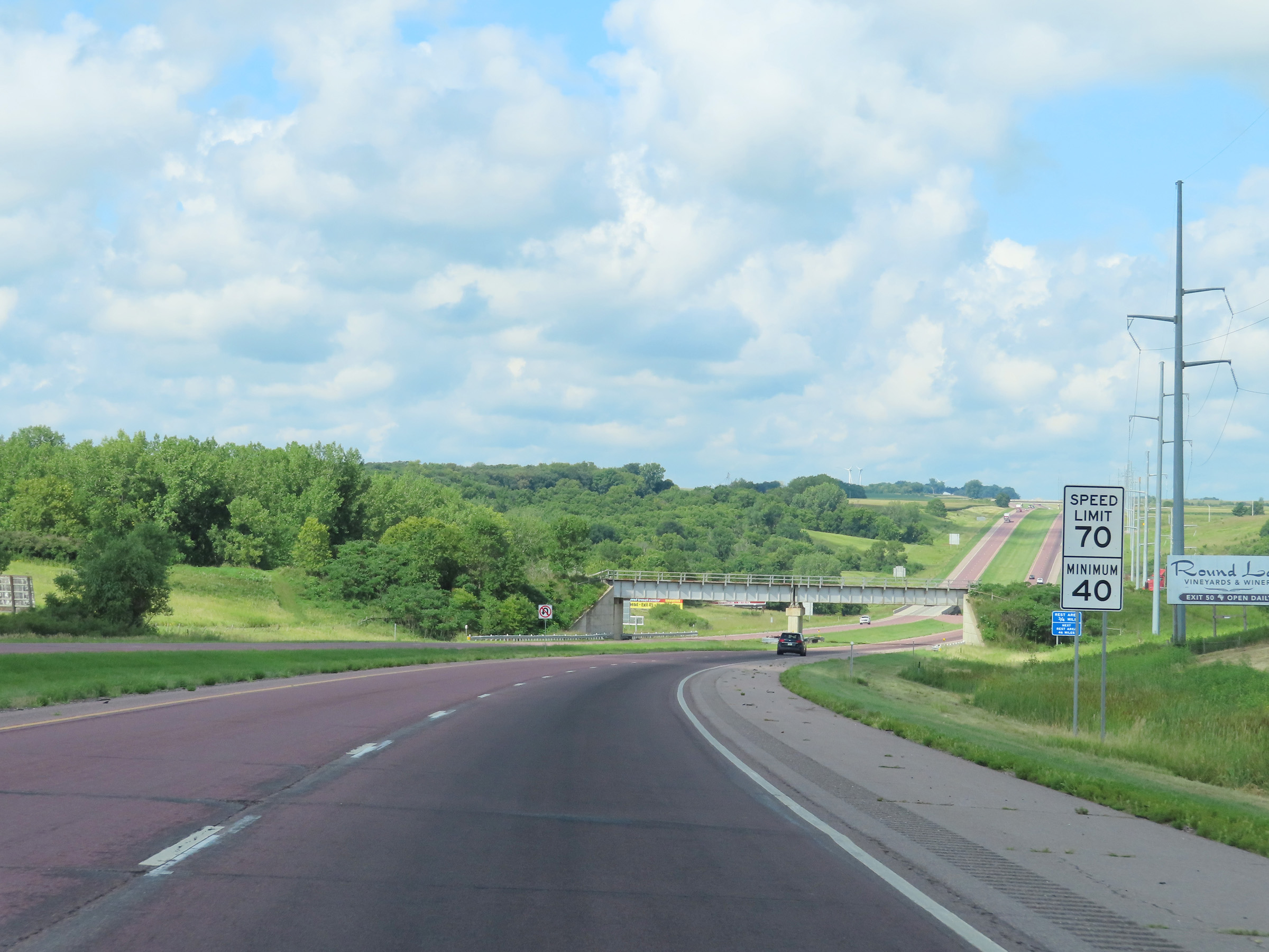 |
Speed limit signs on Interstate 90 West in Jackson County. The speed limits remain the rural standard 70 mph maximum and 40 mph minimum. (Photo taken 8/16/22). |
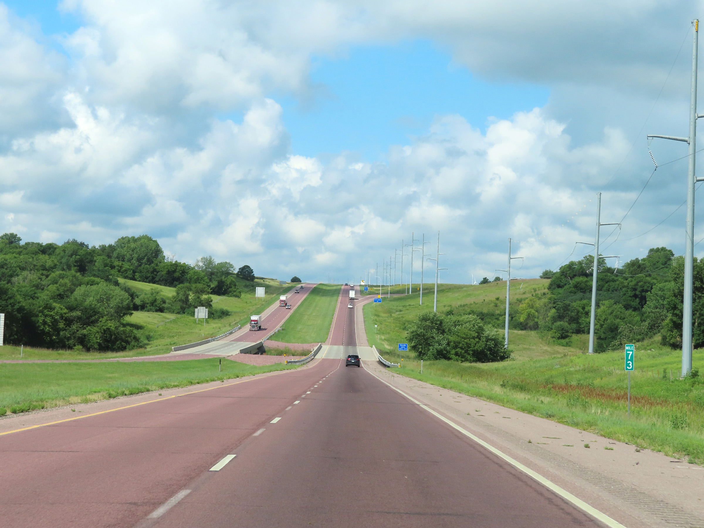 |
View on Interstate 90 West at mile marker 73. (Photo taken 8/16/22). |
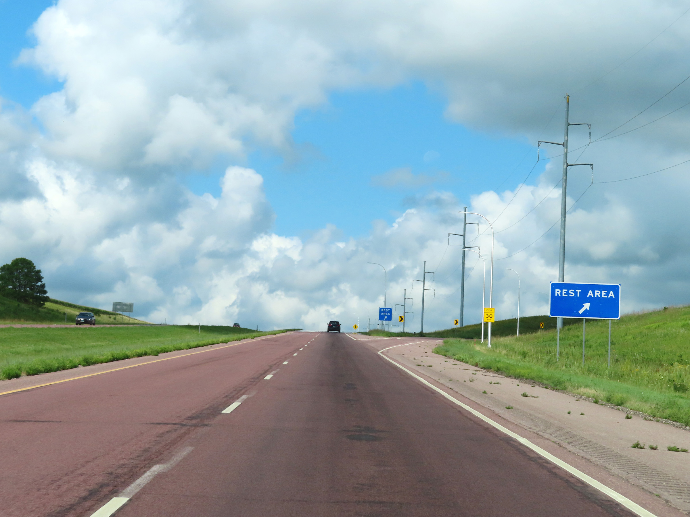 |
Rest Area on Interstate 90 West in Jackson County. (Photo taken 8/16/22). |
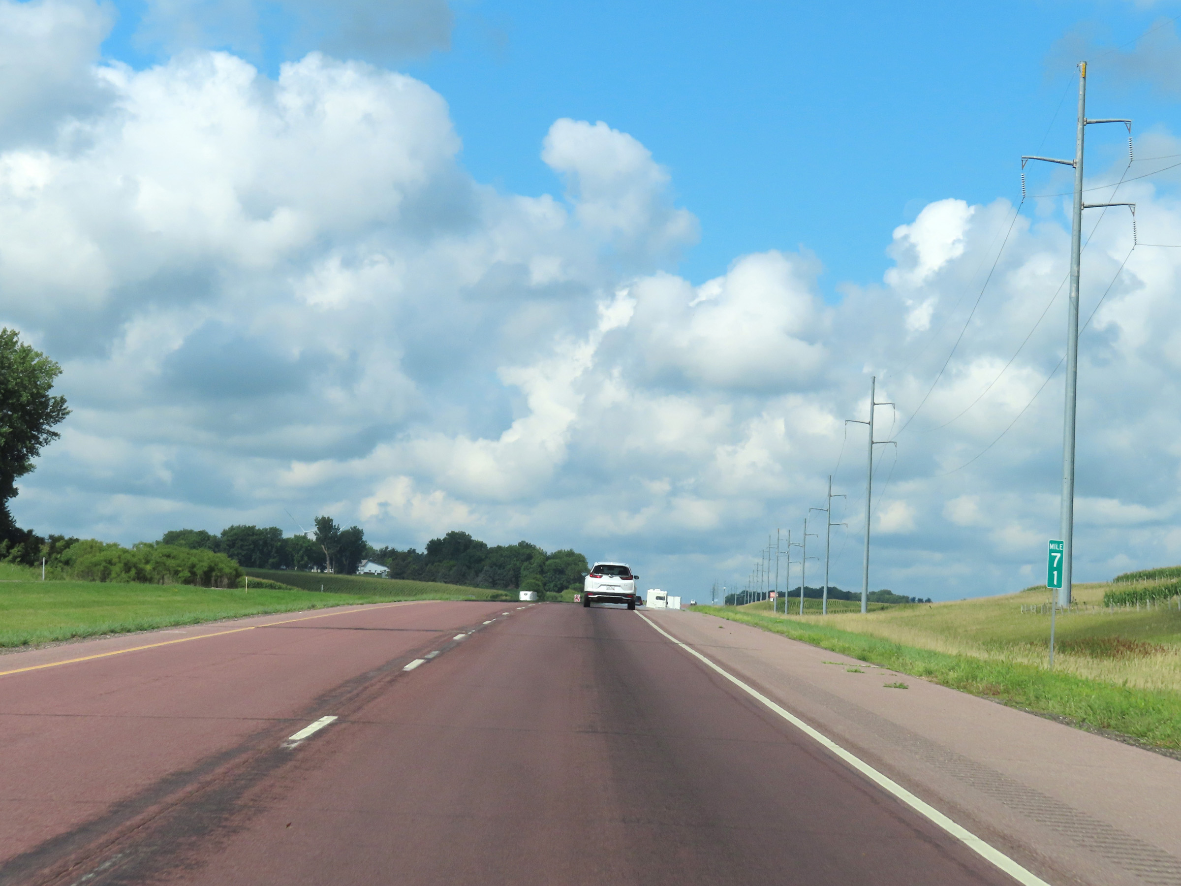 |
Interstate 90 West at mile marker 71. (Photo taken 8/16/22). |
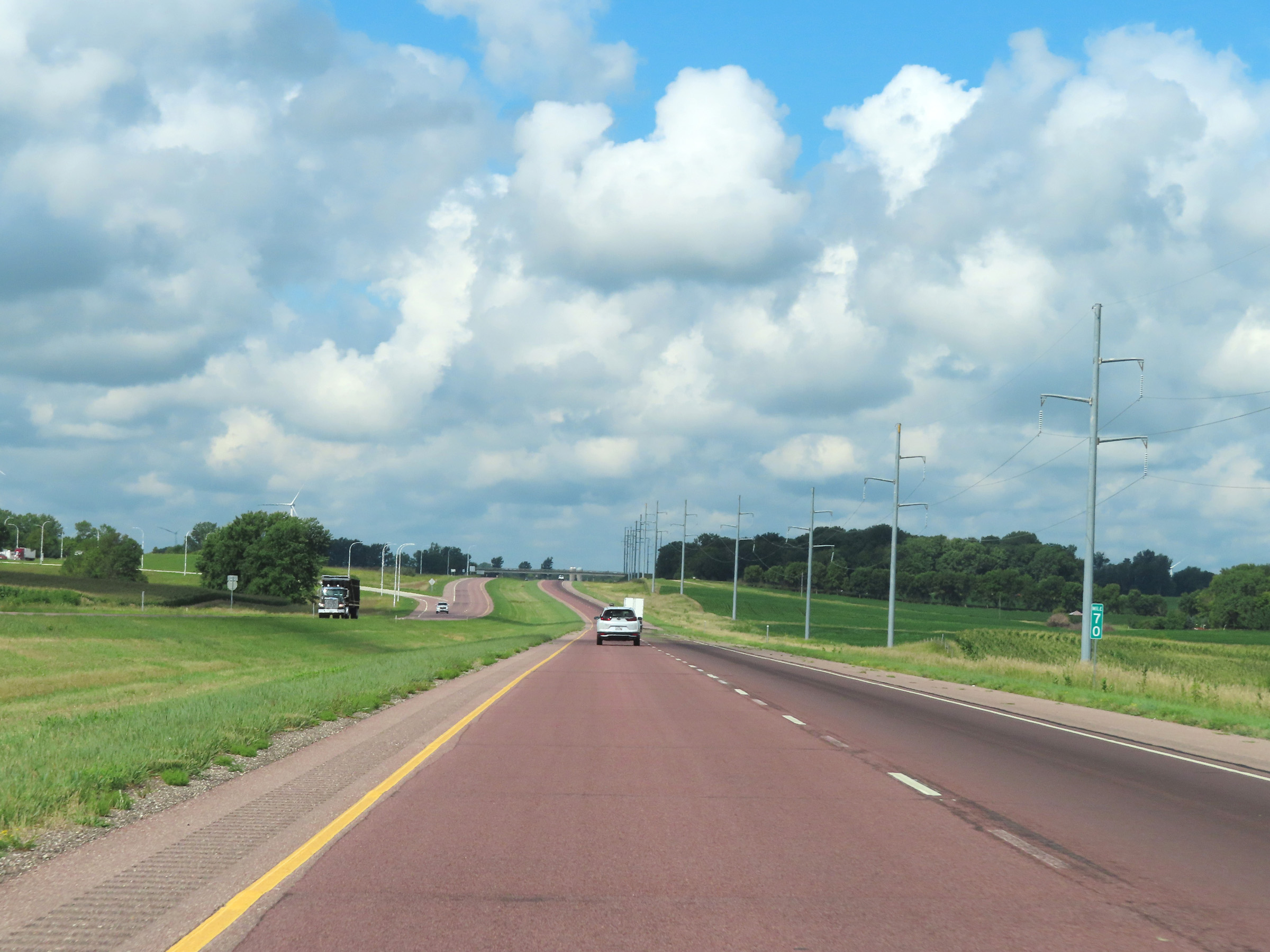 |
View on Interstate 90 West at mile marker 70. (Photo taken 8/16/22). |
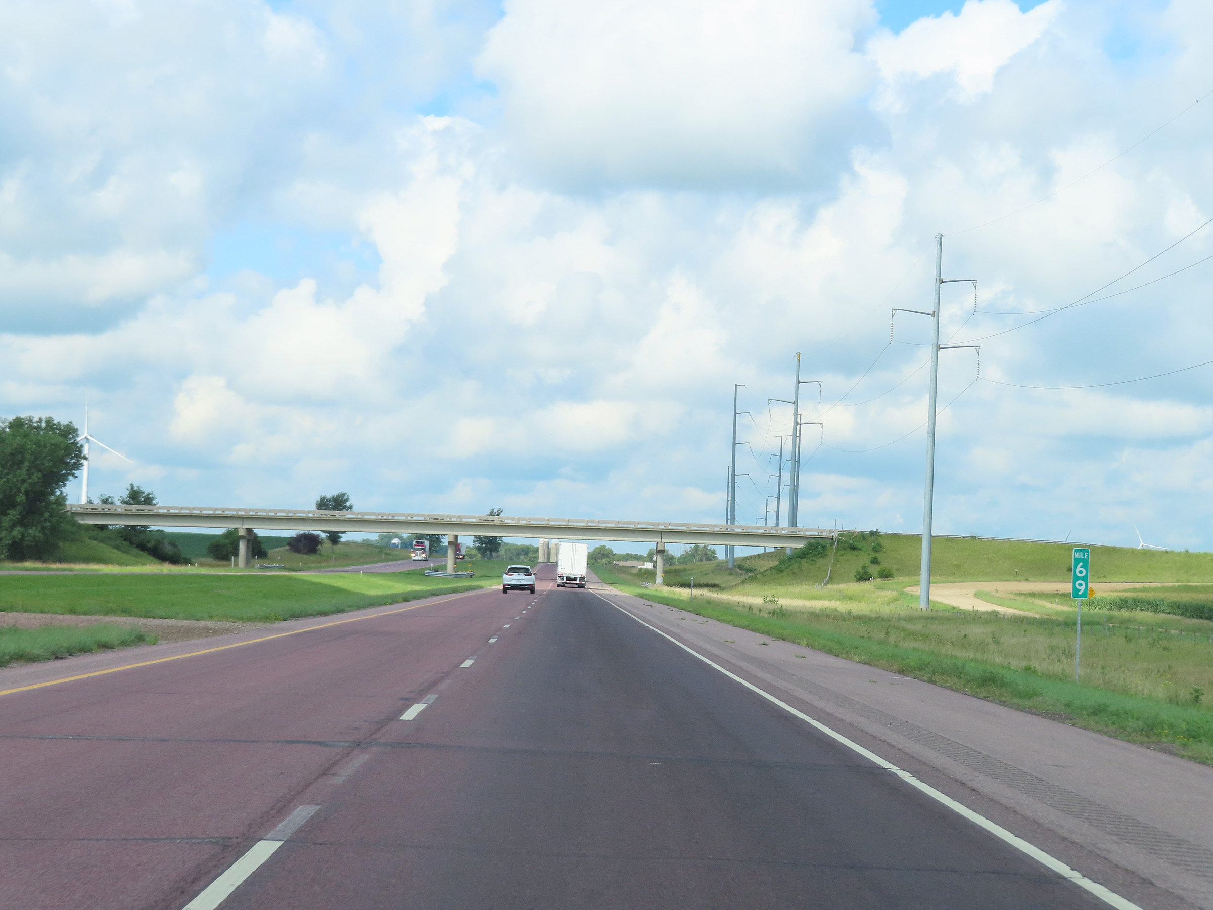 |
Mile marker 69 on Interstate 90 West in Jackson County. (Photo taken 8/16/22). |
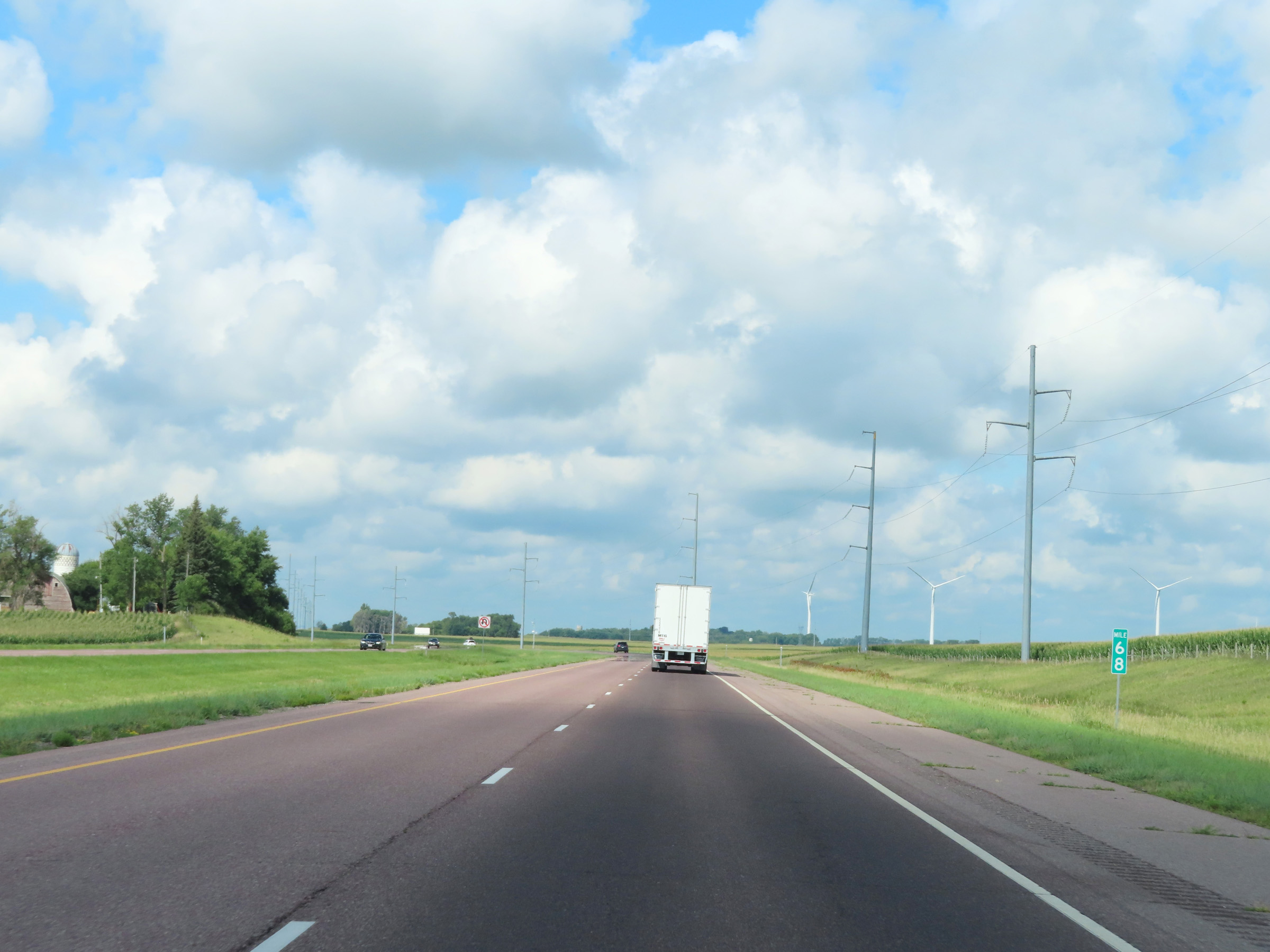 |
Interstate 90 West at mile marker 68. (Photo taken 8/16/22). |
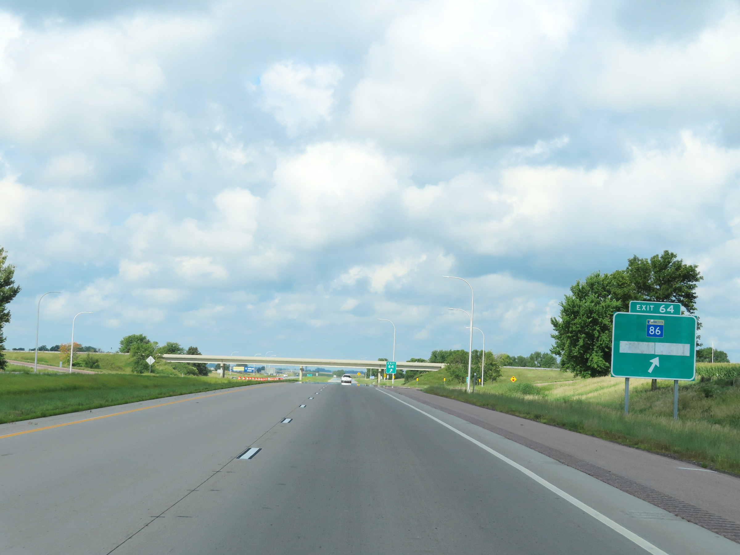 |
Interstate 90 West at Exit 64: MN 86 - Lakefield (Photo taken 8/16/22). |
 |
Interstate 90 West reassurance shield just west of Exit 64. (Photo taken 8/16/22). |
 |
Mileage sign on Interstate 90 West. It's 6 miles to the junction of CR 9, 19 miles to Worthington, and 76 miles to Sioux Falls. (Photo taken 8/16/22). |
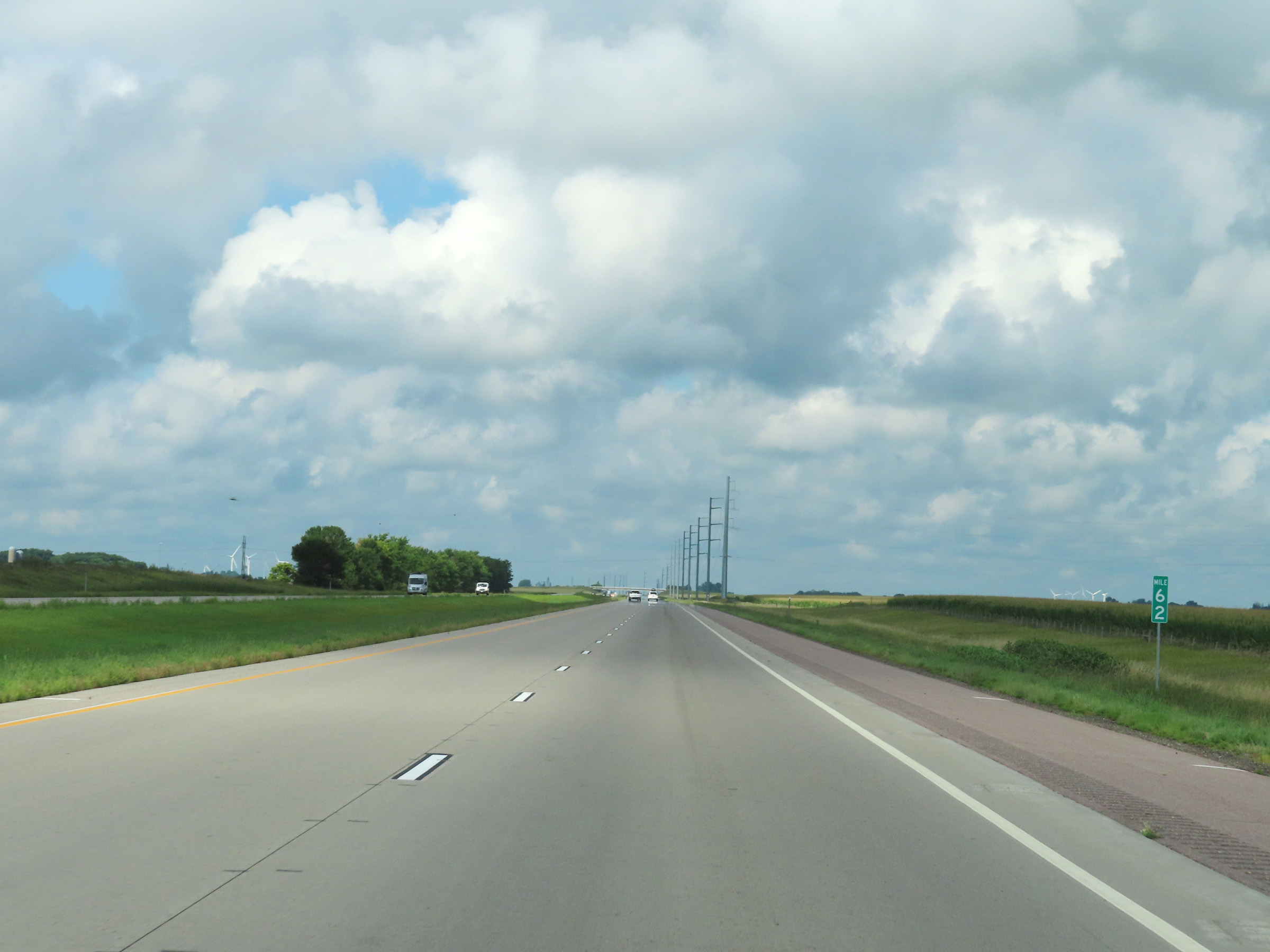 |
View on Interstate 90 West at mile marker 62. (Photo taken 8/16/22). |
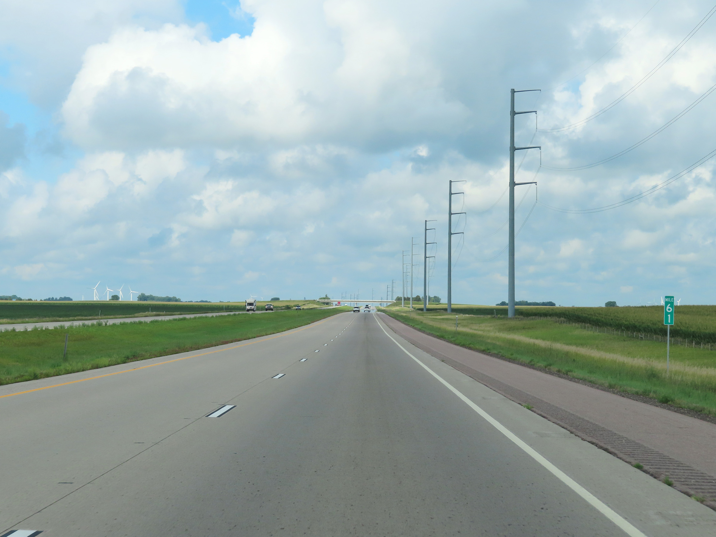 |
Interstate 90 West at mile marker 61. (Photo taken 8/16/22). |
 |
Mile marker 59 on Interstate 90 West in Jackson County. (Photo taken 8/16/22). |
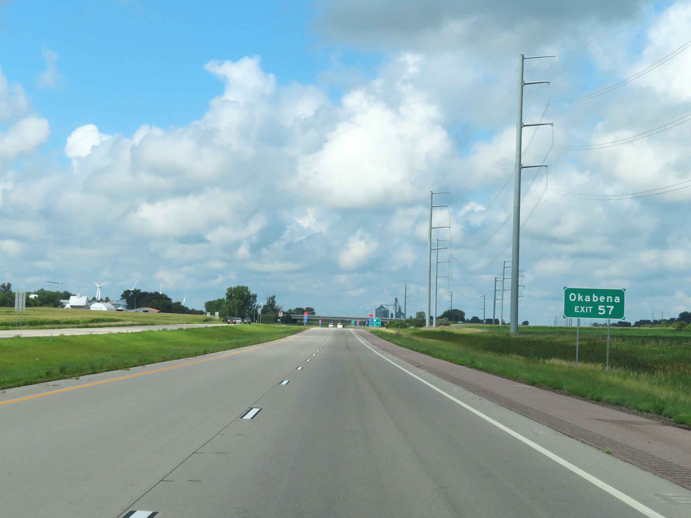 |
Take Exit 57 to Okabena. (Photo taken 8/16/22). |
 |
Interstate 90 West at Exit 57: CR 9 - Heron Lake (Photo taken 8/16/22). |
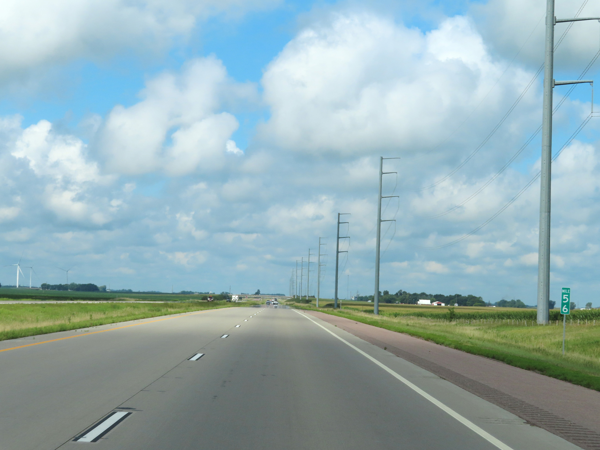 |
View on Interstate 90 West at mile marker 56. (Photo taken 8/16/22). |
 |
Interstate 90 West at mile marker 54. (Photo taken 8/16/22). |
 |
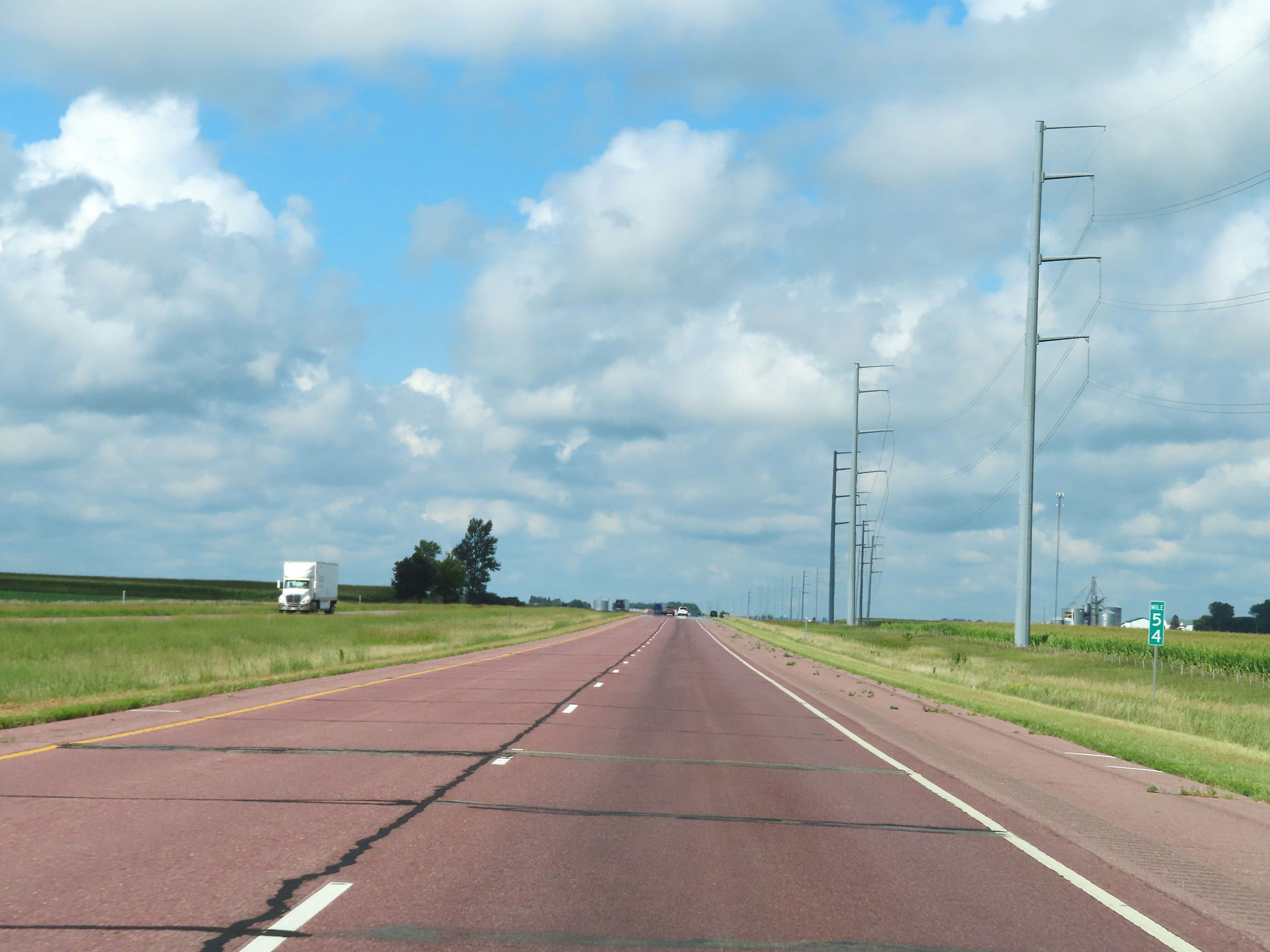
Mile marker 53 on Interstate 90 West in Jackson County. (Photo taken 8/16/22). |
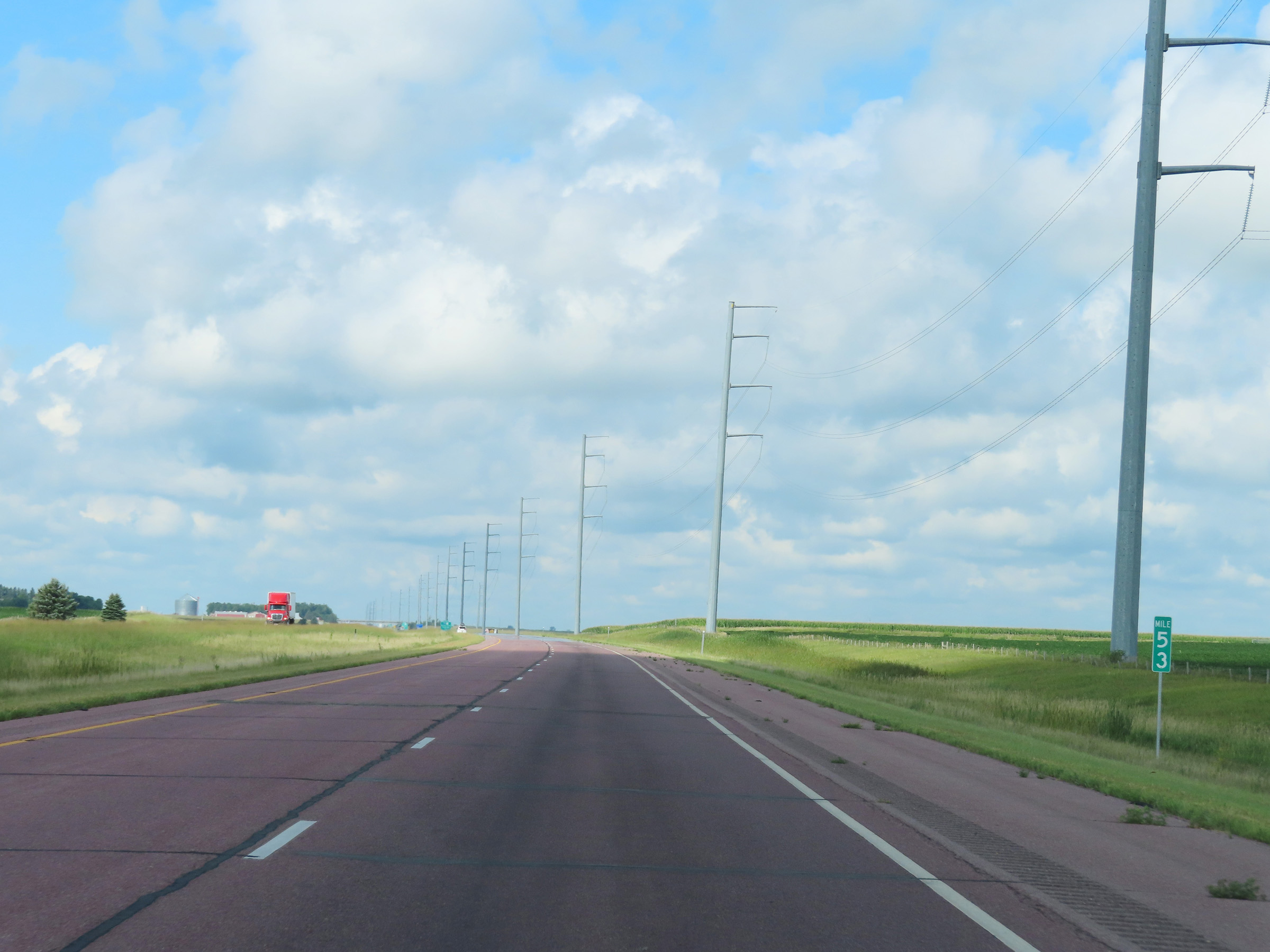
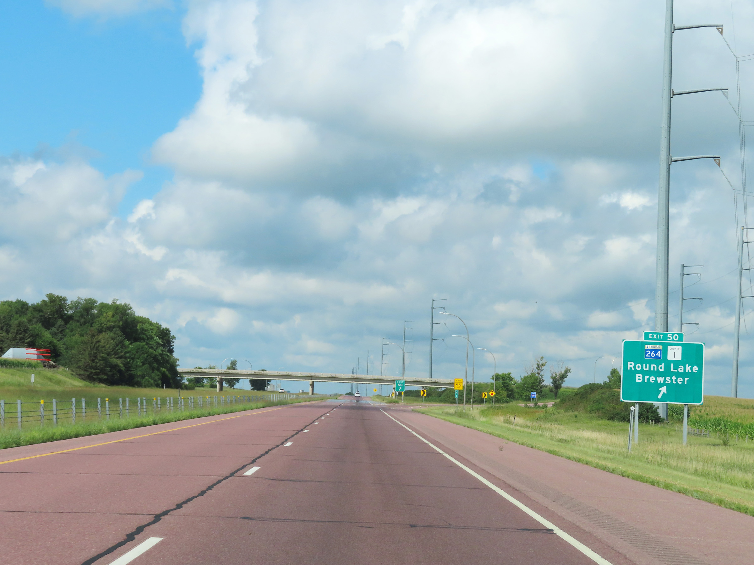 |
Interstate 90 West at Exit 50: MN 264 / CR 1 - Round Lake / Brewster (Photo taken 8/16/22). |
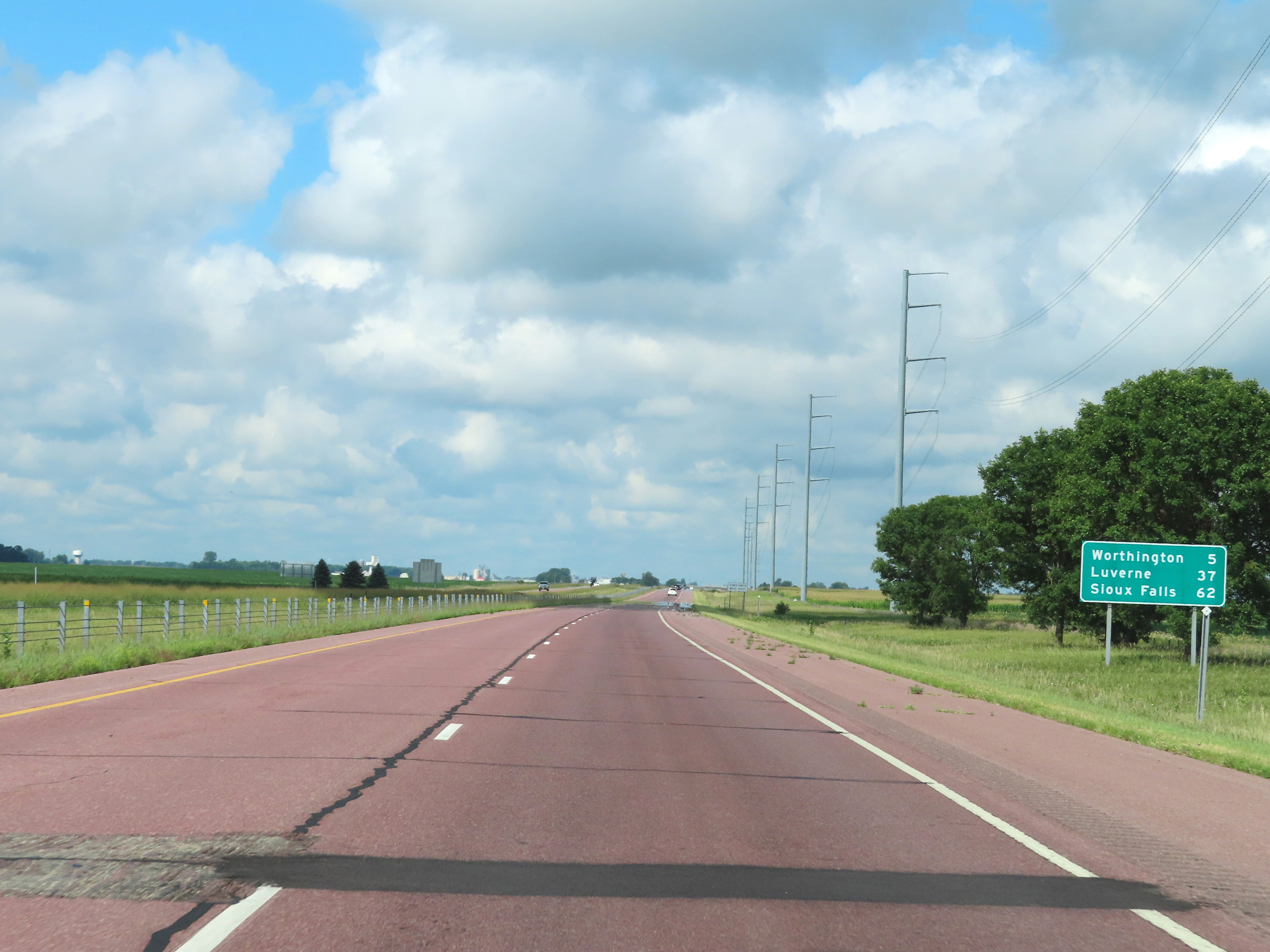 |
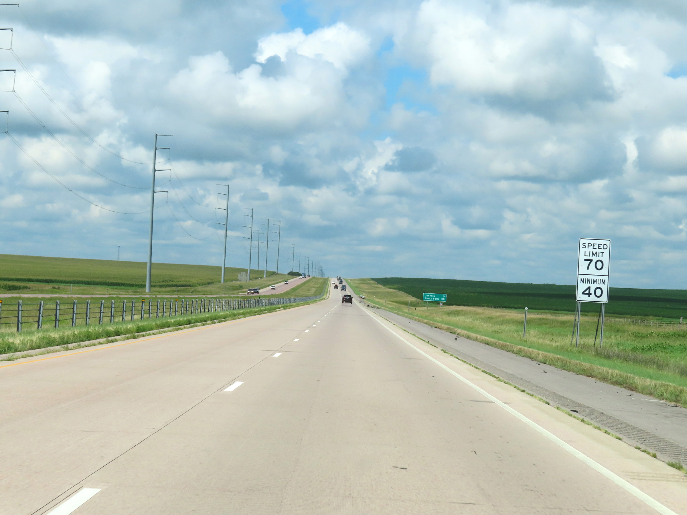
Mileage sign on Interstate 90 West. It's 5 miles to Worthington, 37 miles to Luverne, and 62 miles to Sioux Falls. (Photo taken 8/16/22). |
 |
View on Interstate 90 West at mile marker 49. (Photo taken 8/16/22). |
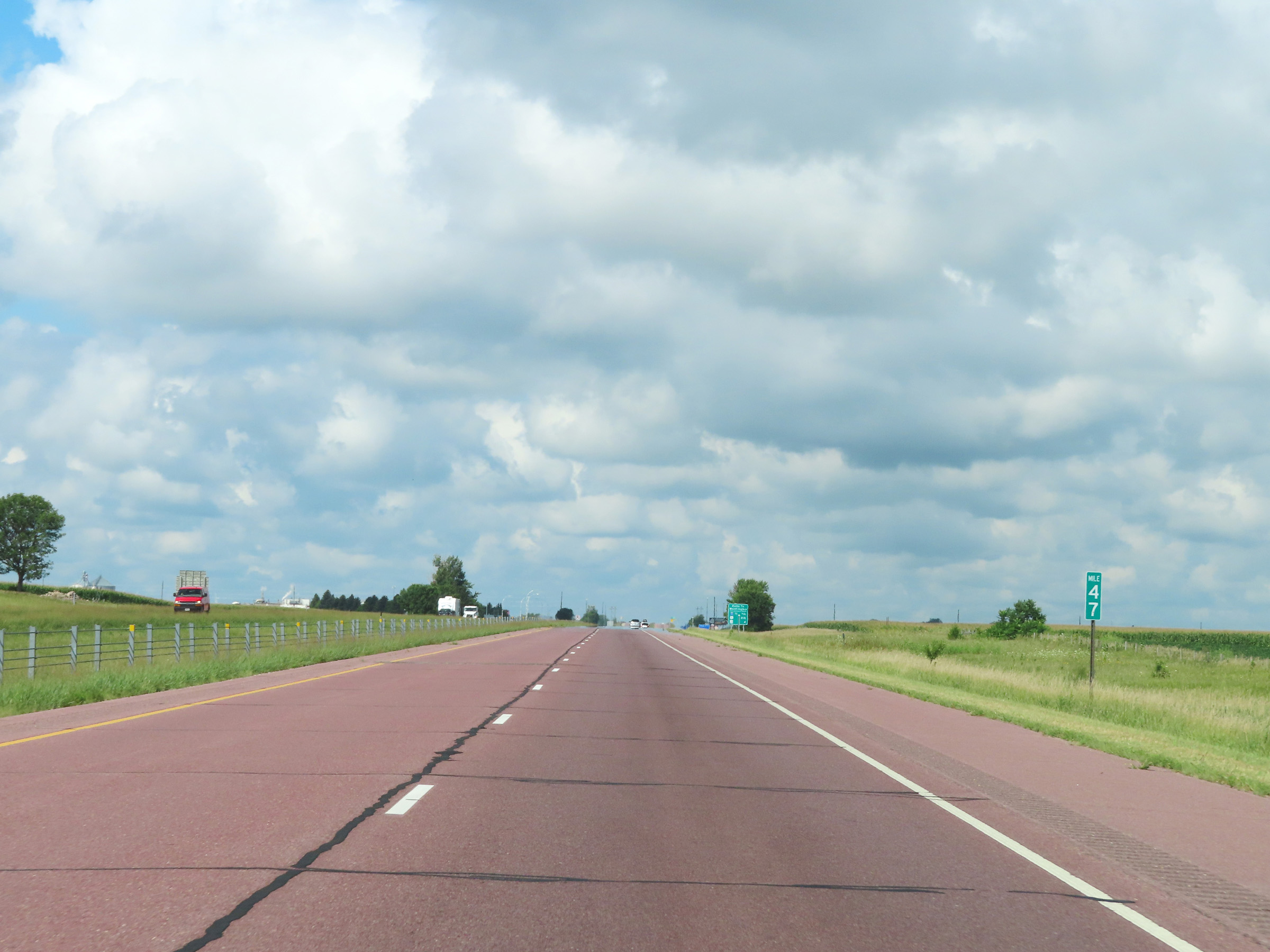 |
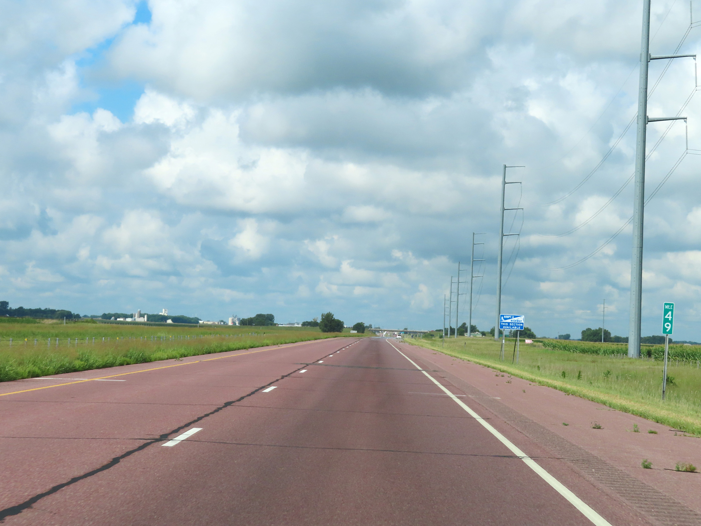
Interstate 90 West at mile marker 47. (Photo taken 8/16/22). |
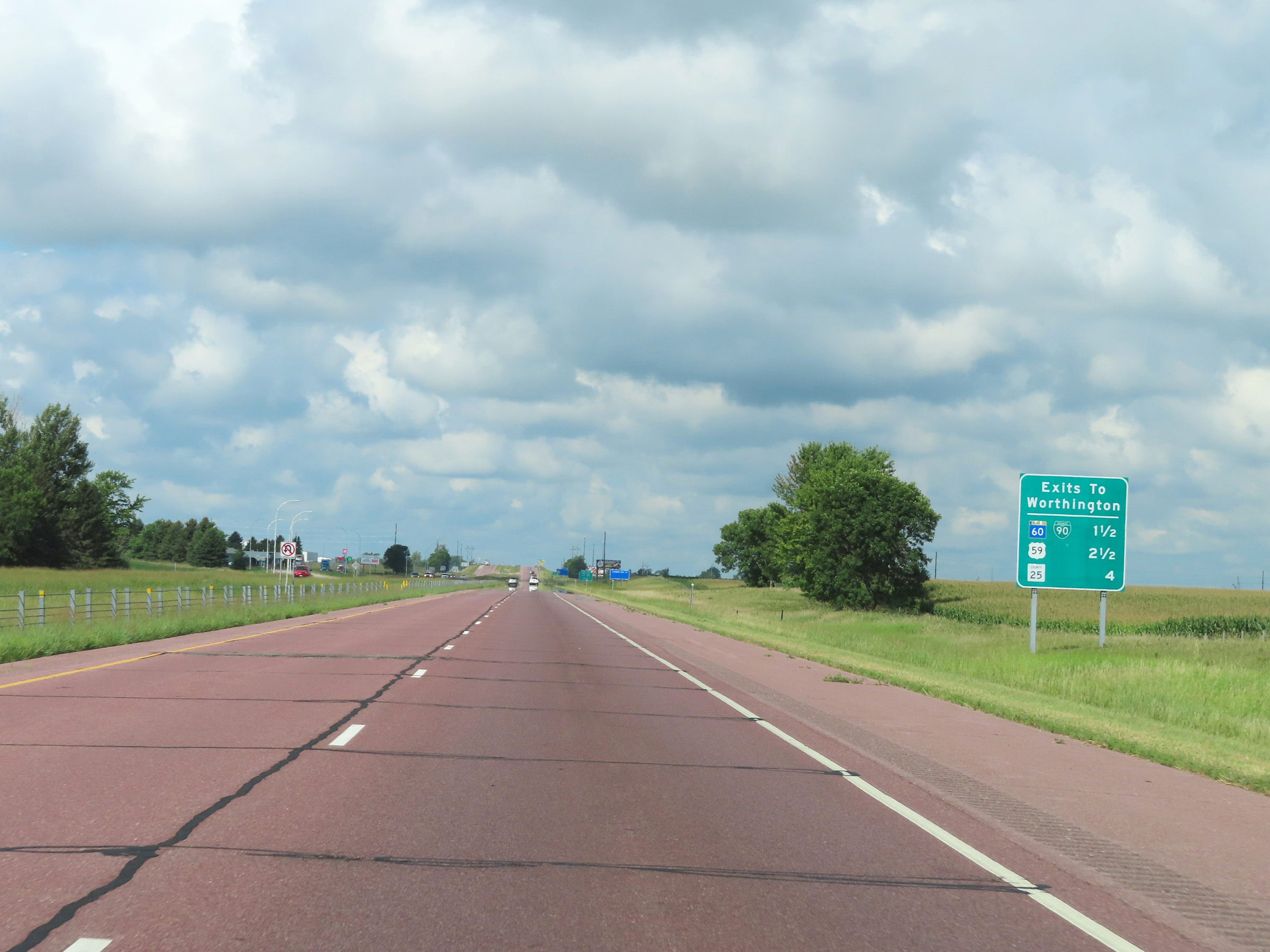 |
Mileage sign listing the distances to the three upcoming exits on Interstate 90 West to Worthington. (Photo taken 8/16/22). |
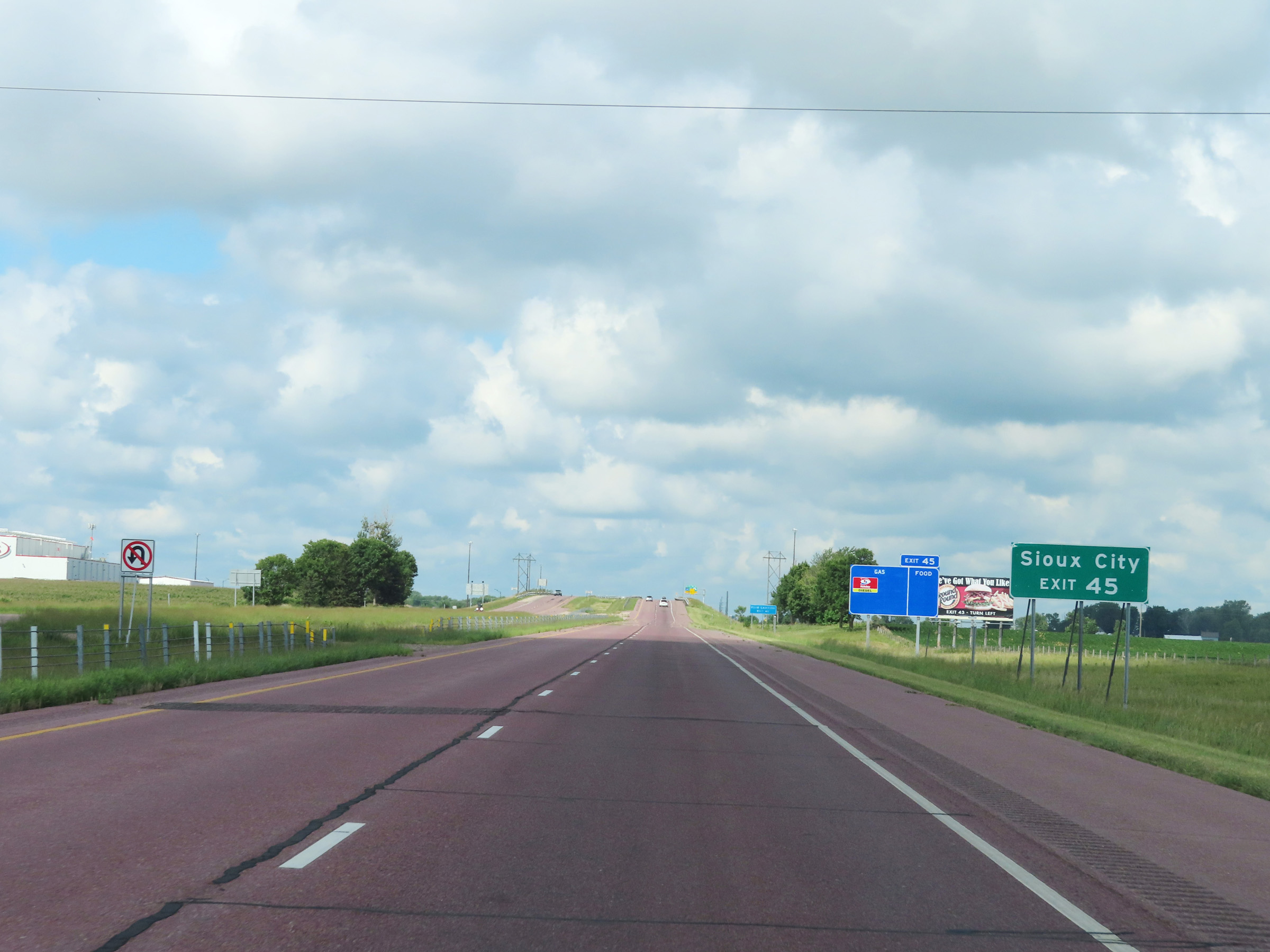 |
Take Exit 45 to Sioux City. (Photo taken 8/16/22). |
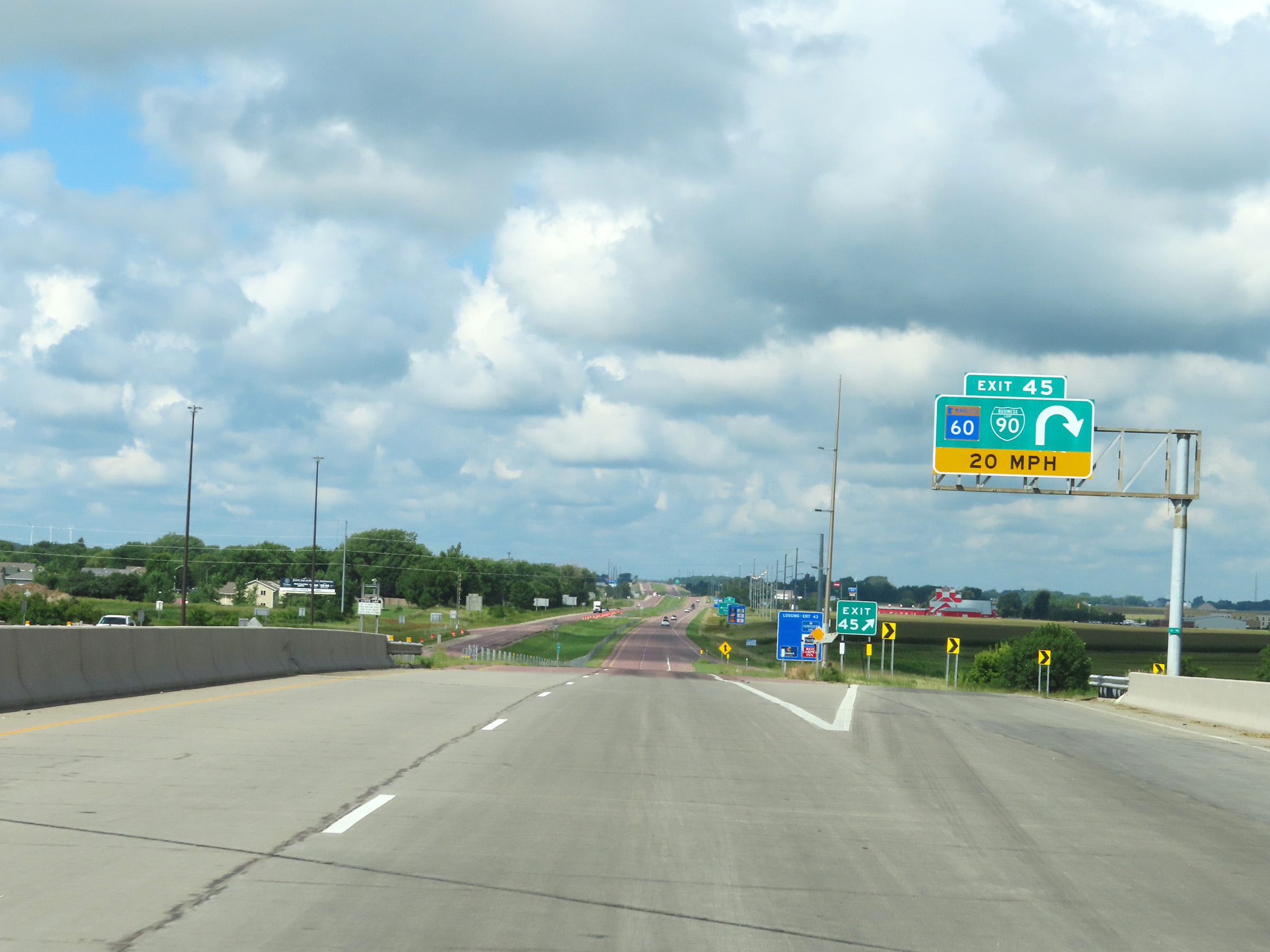 |
Interstate 90 West at Exit 45: MN 60 / Interstate 90 Business Loop (Photo taken 8/16/22). |
Section 5: Worthington (Exit 45) to South Dakota Border
 |
Take Exit 43 to Fulda. (Photo taken 8/16/22). |
 |
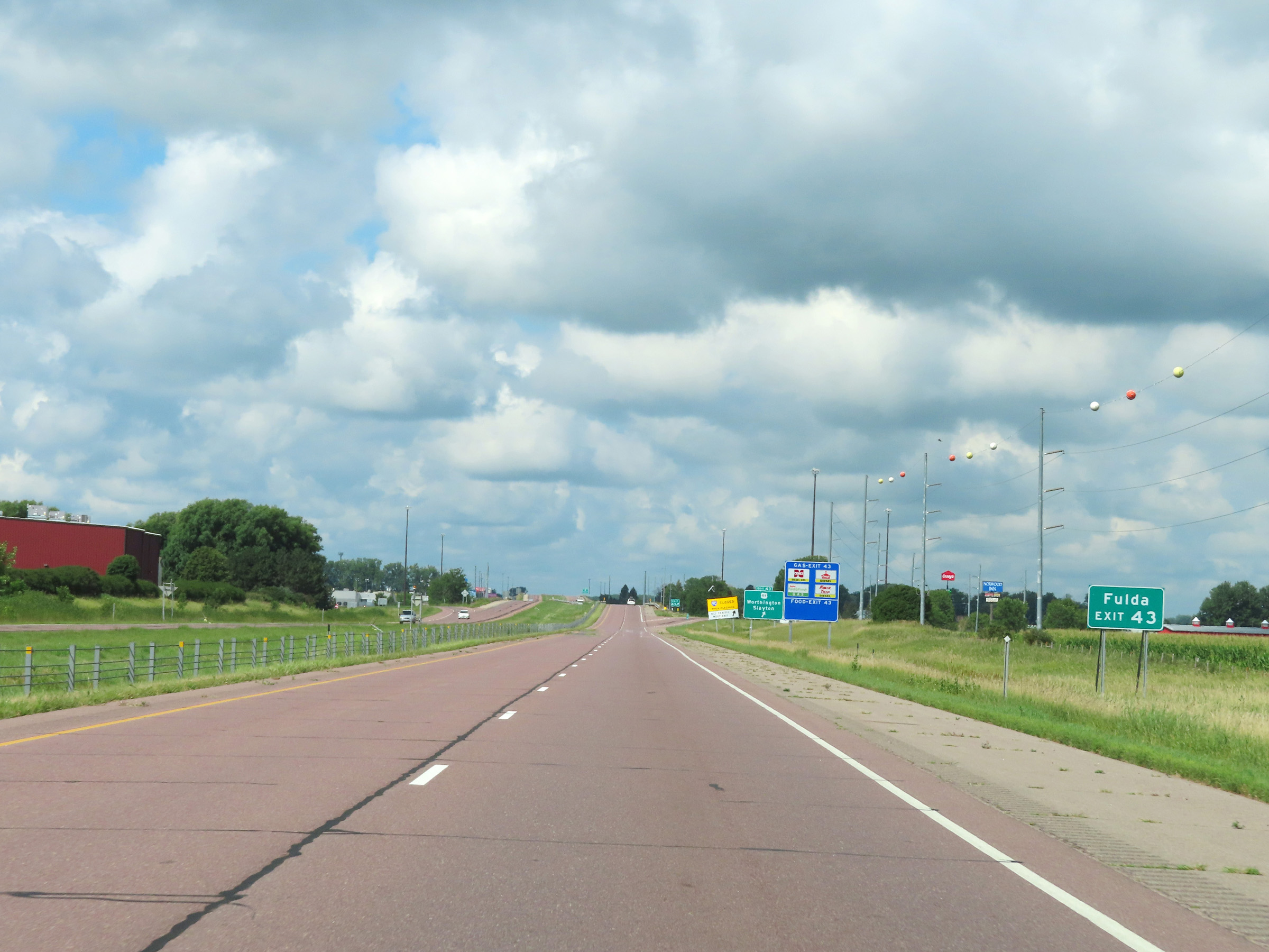
Interstate 90 West at Exit 43: US 59 - Worthington / Slayton (Photo taken 8/16/22). |
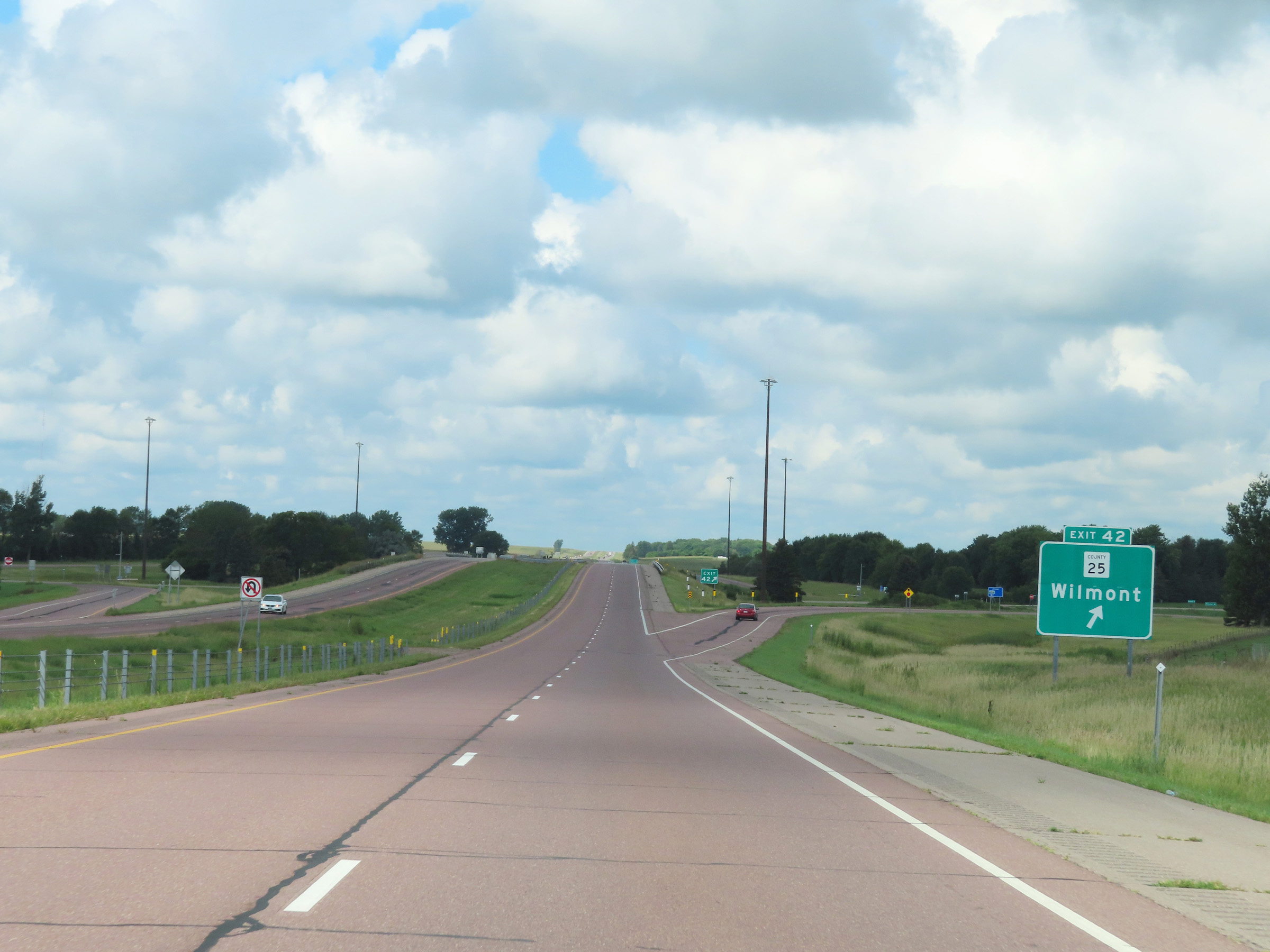 |
Interstate 90 West at Exit 42: CR 25 - Wilmont (Photo taken 8/16/22). |
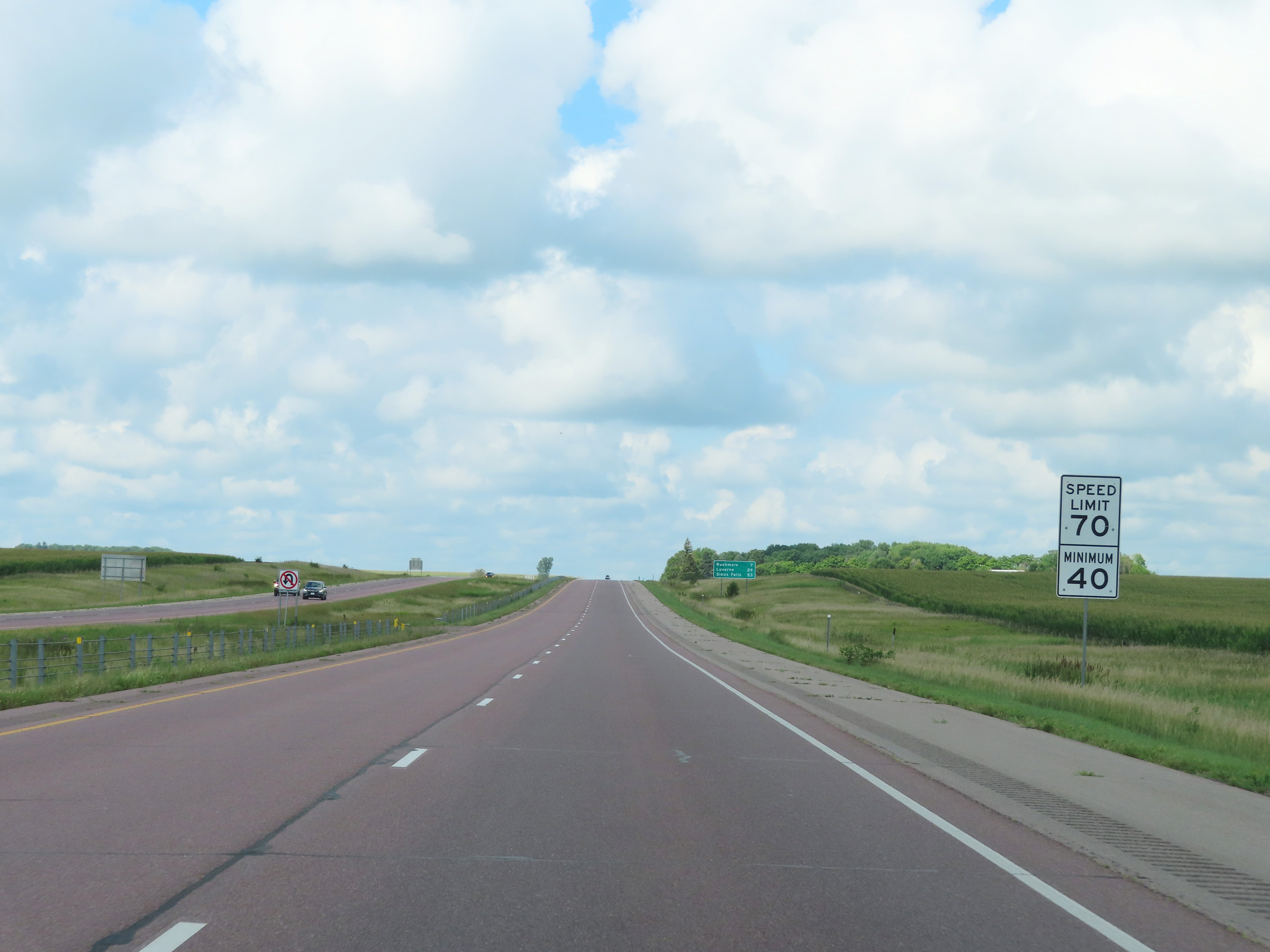 |
Speed limit signs on Interstate 90 West. The speed limits remain 70 mph maximum and 40 mph minimum. (Photo taken 8/16/22). |
 |
View on Interstate 90 West at mile marker 41. (Photo taken 8/16/22). |
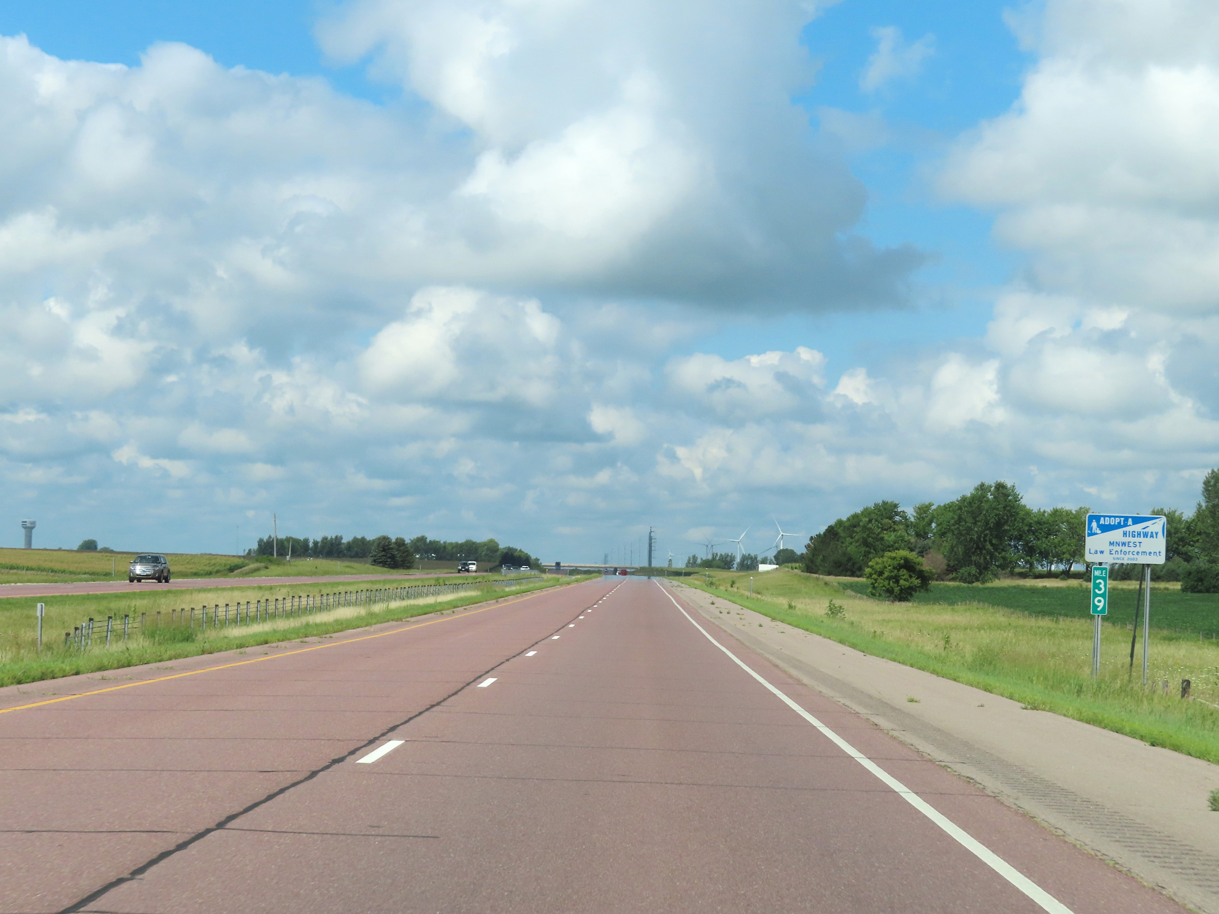 |
Mile marker 39 on Interstate 90 West in Nobles County. (Photo taken 8/16/22). |
 |
View on Interstate 90 West at mile marker 37. (Photo taken 8/16/22). |
 |
Interstate 90 West at mile marker 35. (Photo taken 8/16/22). |
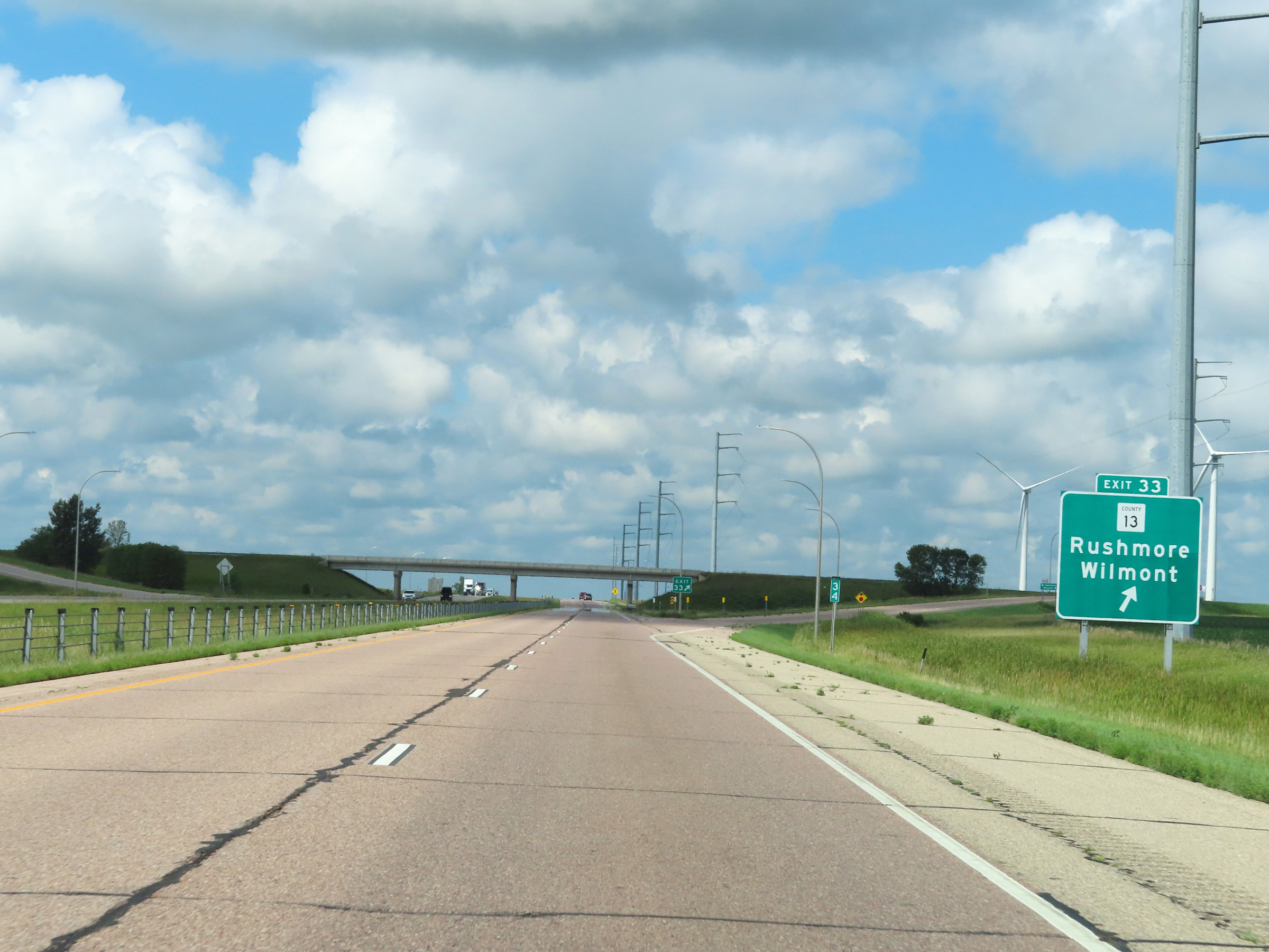 |
Interstate 90 West at Exit 33: CR 13 - Rushmore / Wilmont (Photo taken 8/16/22). |
 |
Another Interstate 90 West reassurance shield. (Photo taken 8/16/22). |
 |
View on Interstate 90 West at mile marker 31. (Photo taken 8/16/22). |
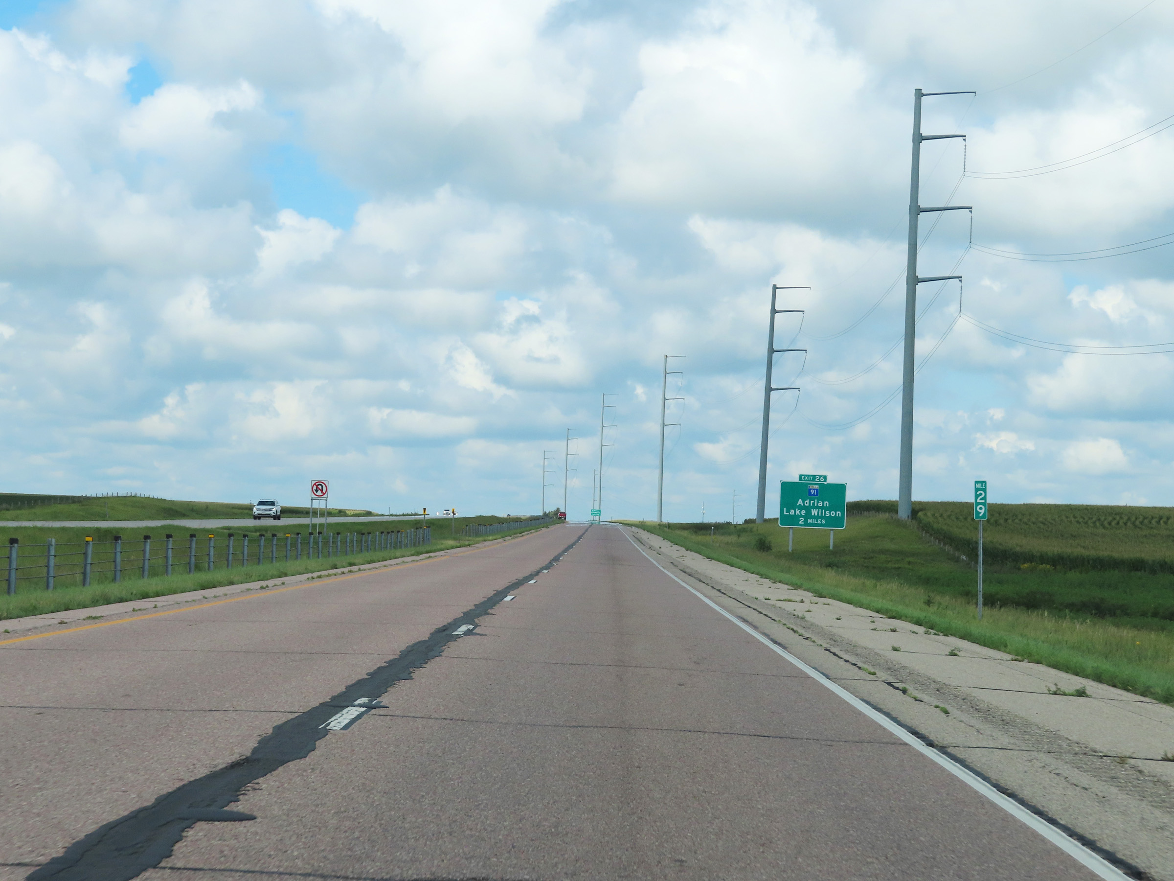 |
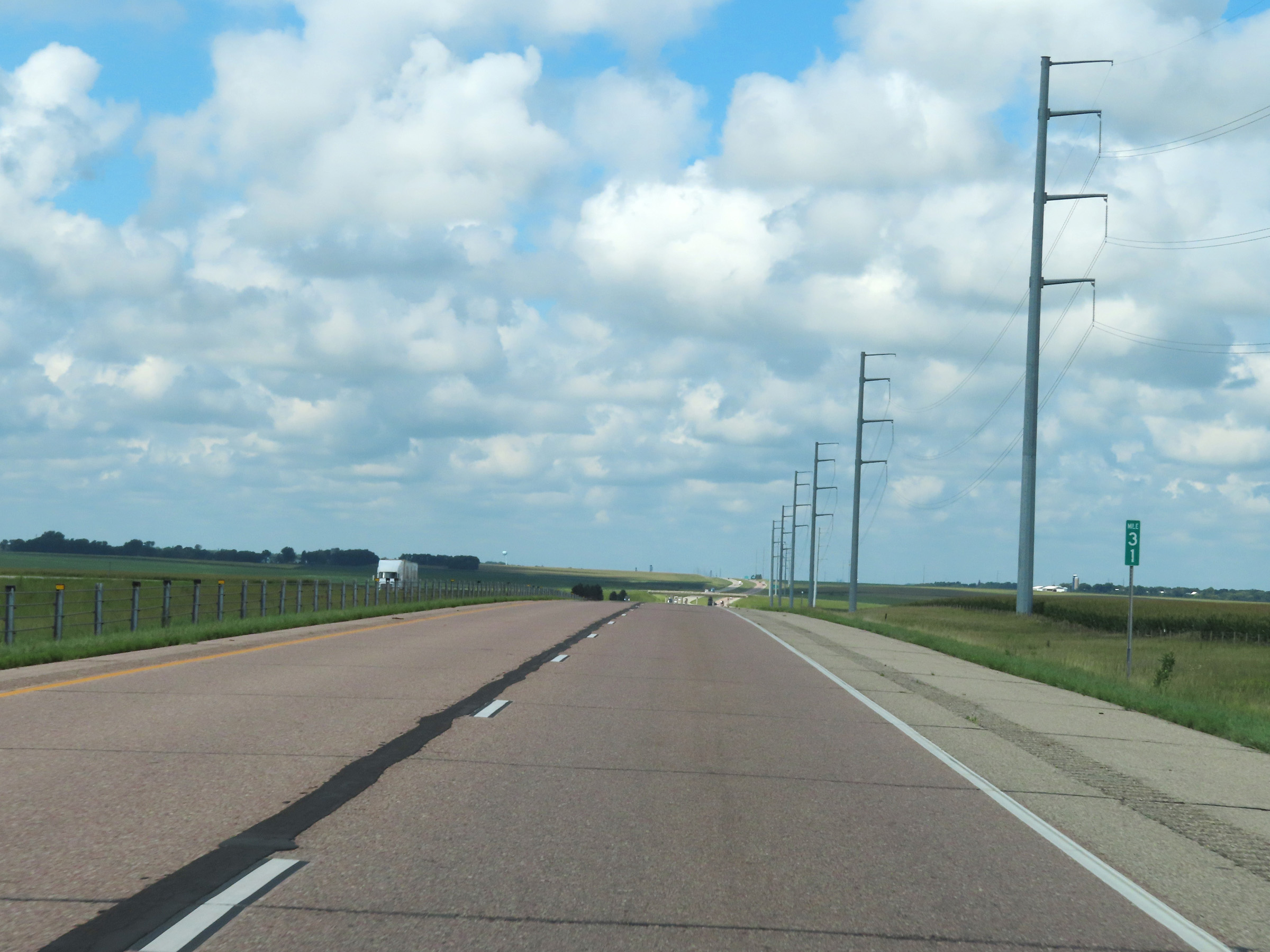
Mile marker 29 on Interstate 90 West in Nobles County. (Photo taken 8/16/22). |
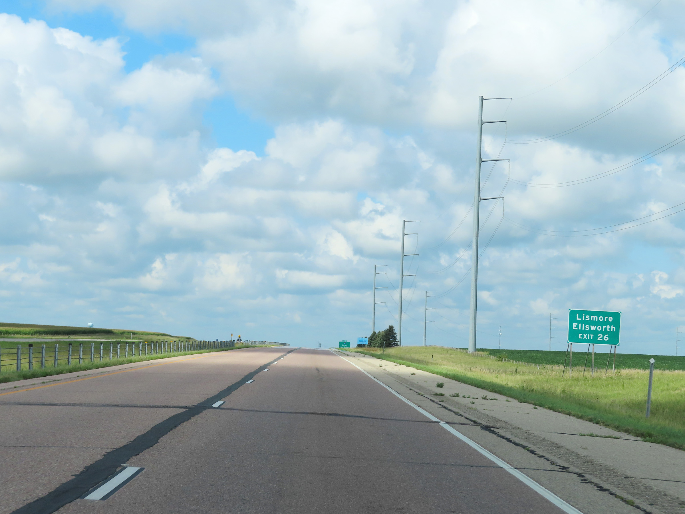 |
Take Exit 26 to Lismore and Ellsworth. (Photo taken 8/16/22). |
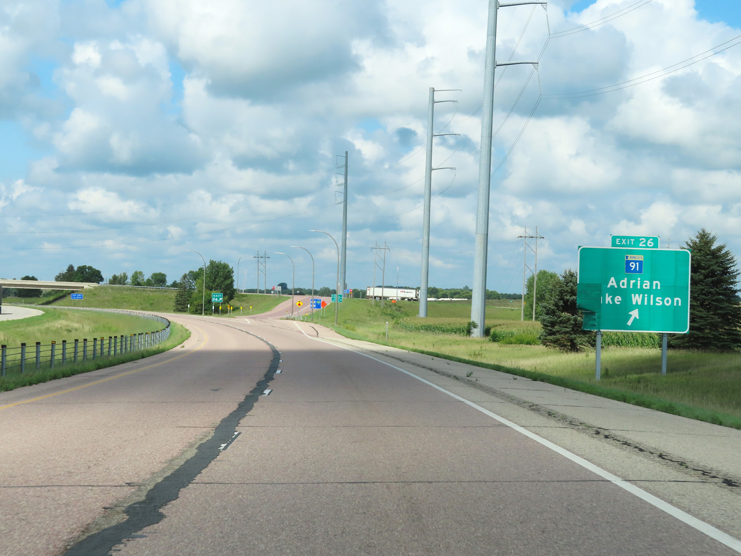 |
Interstate 90 West at Exit 26: MN 91 - Adrian / Lake Wilson (Photo taken 8/16/22). |
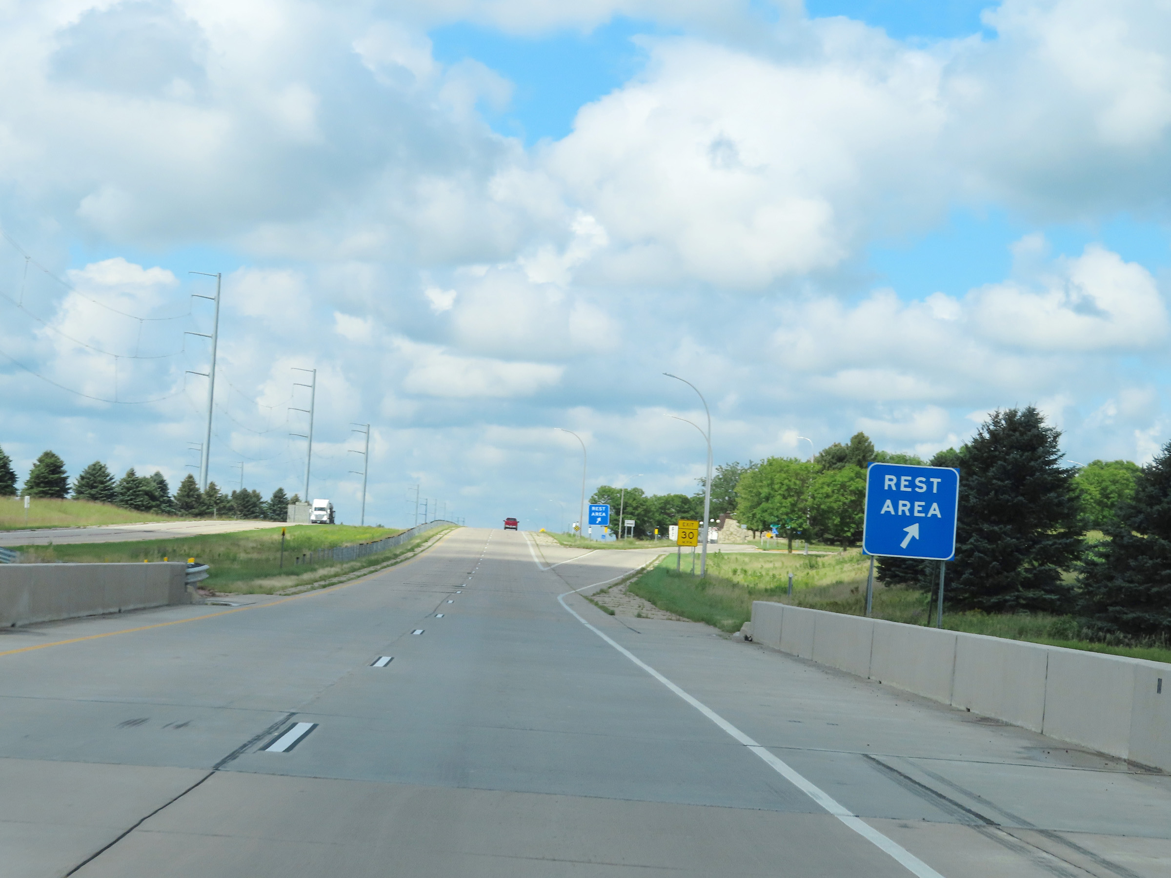 |
Rest Area on Interstate 90 West in Nobles County. (Photo taken 8/16/22). |
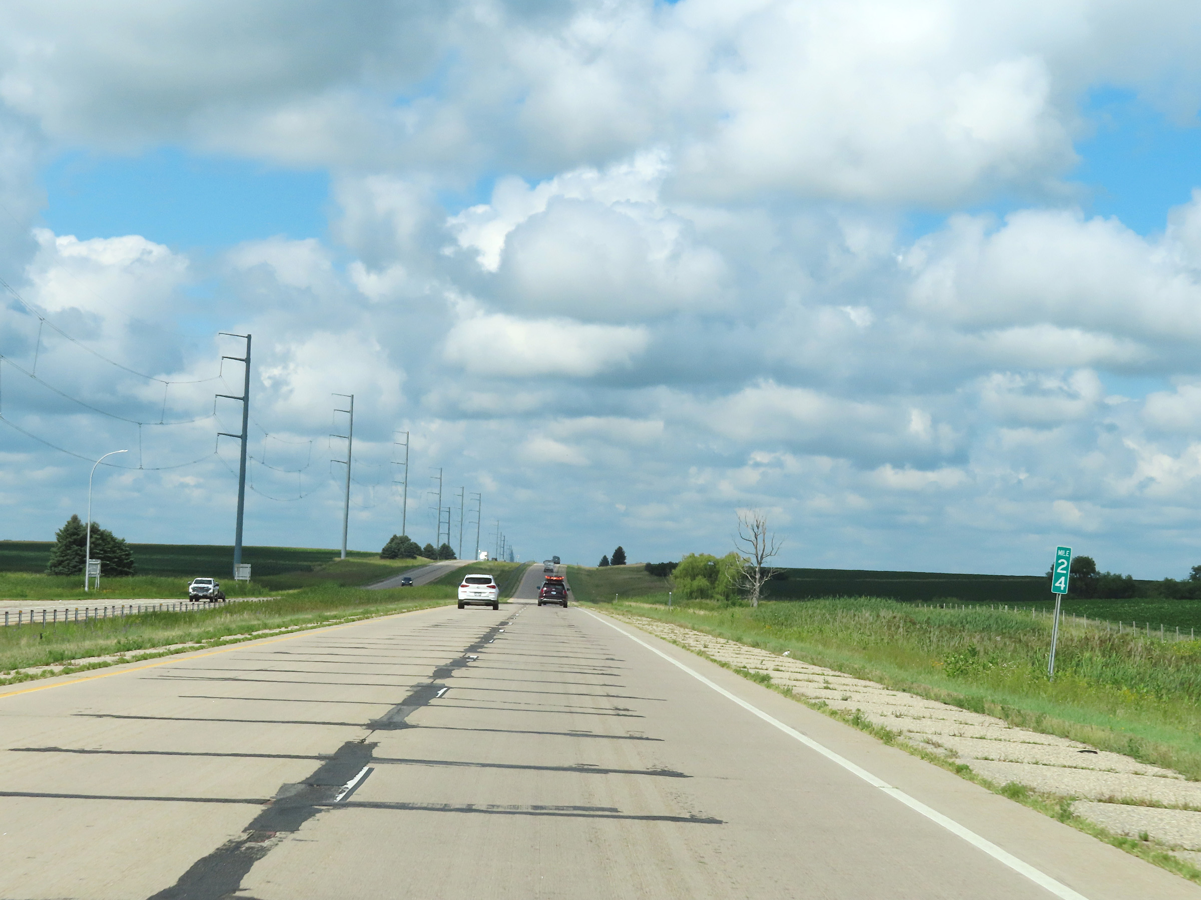 |
View on Interstate 90 West at mile marker 24. (Photo taken 8/16/22). |
 |
Interstate 90 West at mile marker 23. (Photo taken 8/16/22). |
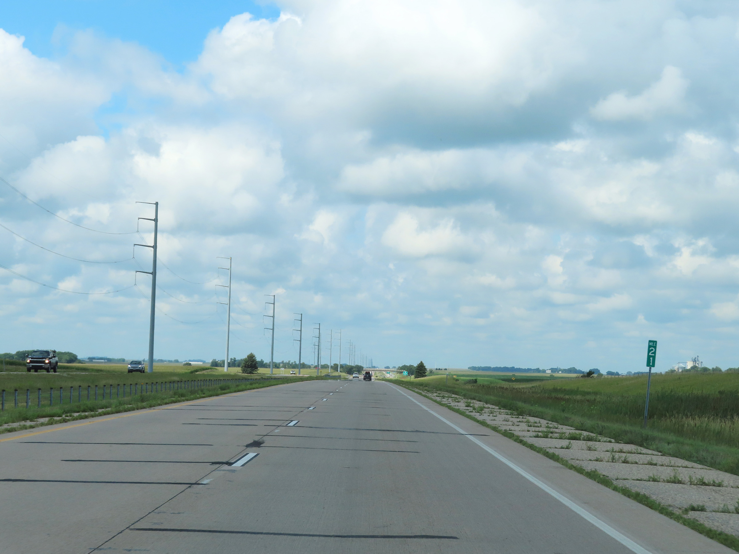 |
Interstate 90 West at mile marker 21. (Photo taken 8/16/22). |
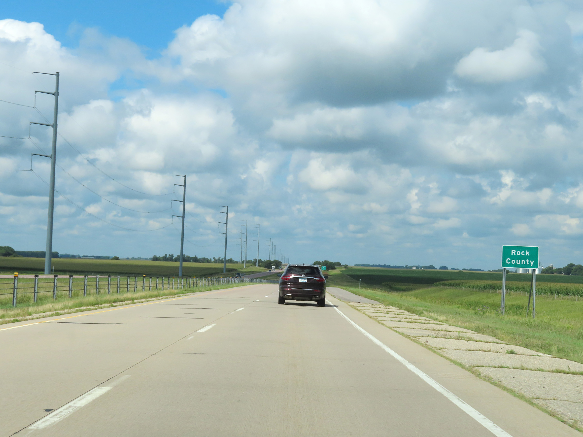 |
Interstate 90 West as it enters Rock County. (Photo taken 8/16/22). |
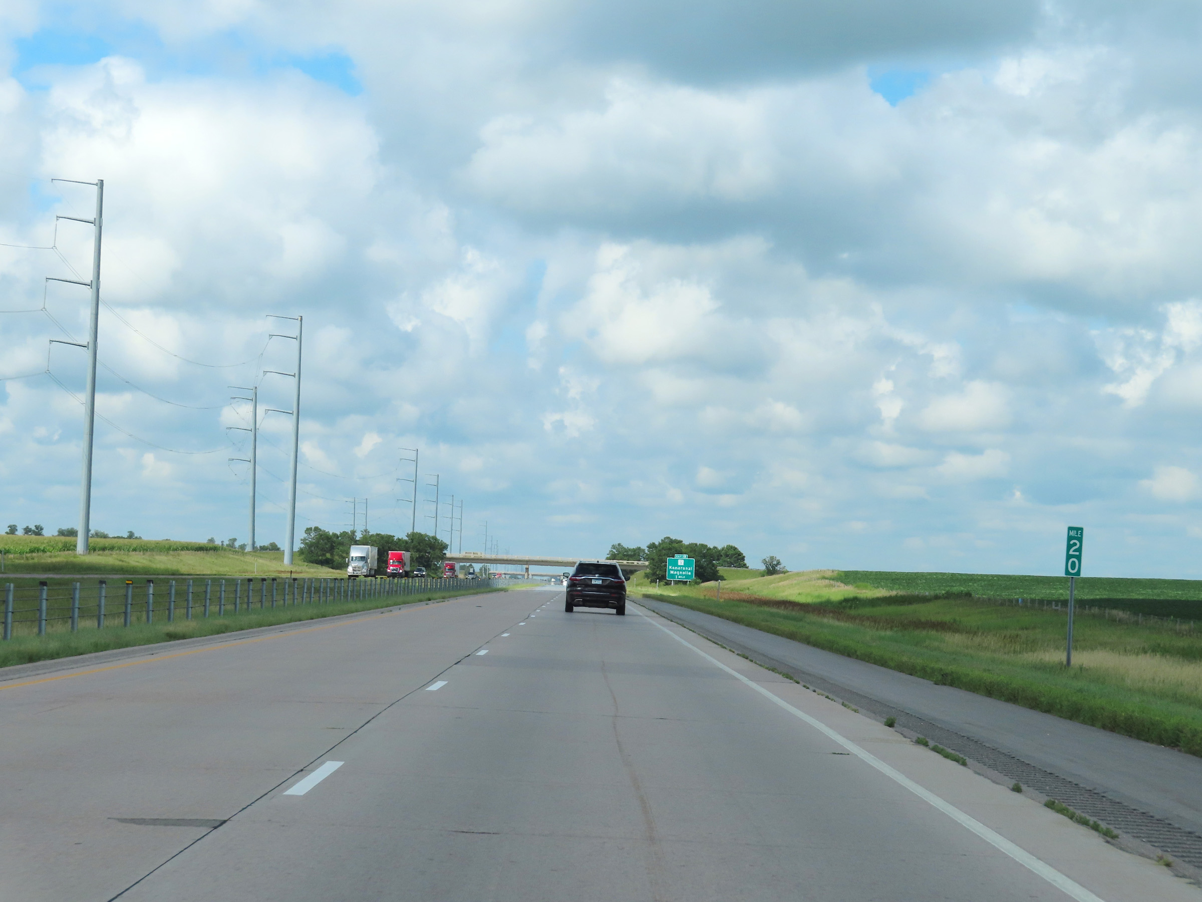 |
View on Interstate 90 West at mile marker 20. (Photo taken 8/16/22). |
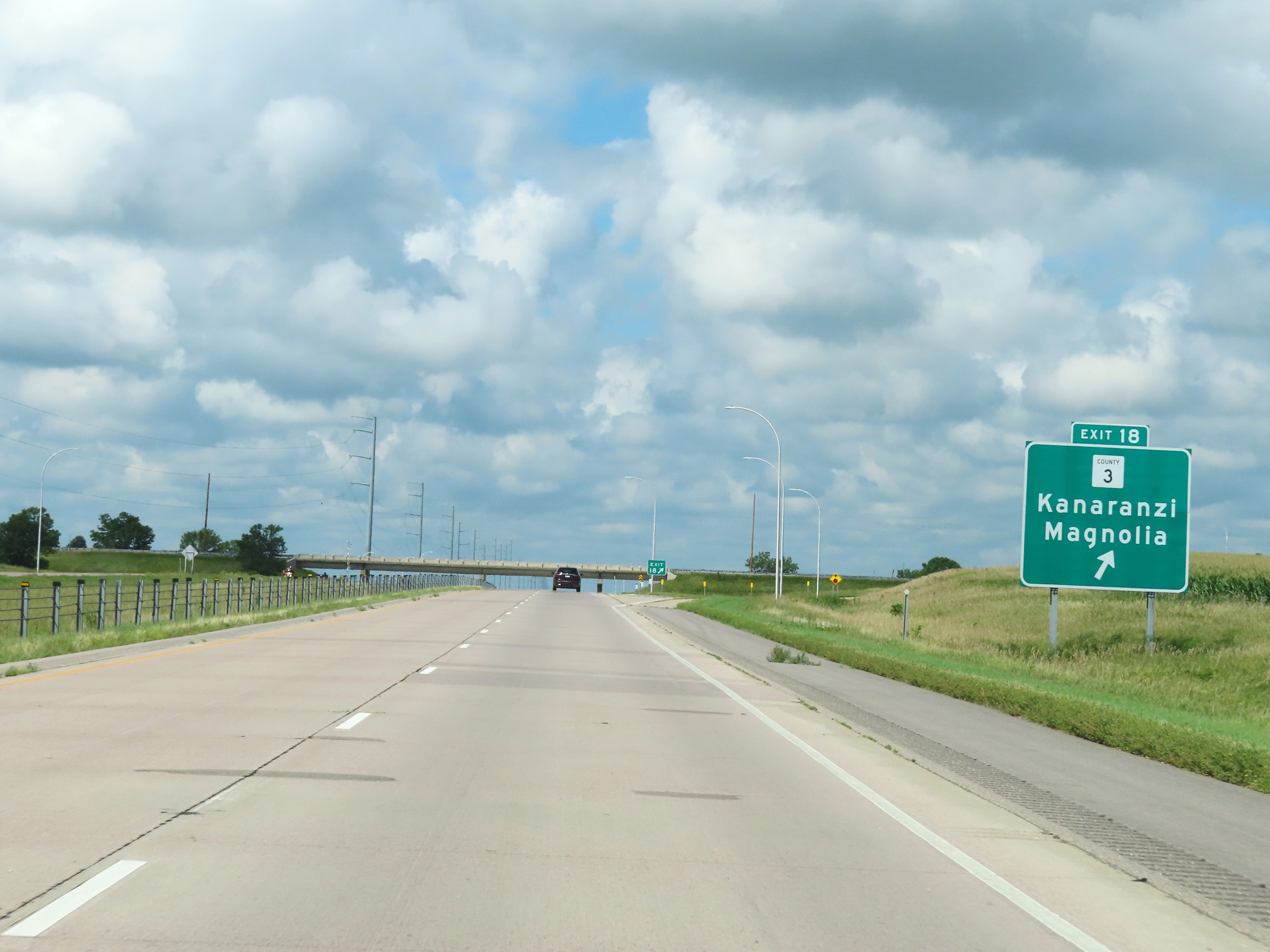 |
Interstate 90 West at Exit 18: CR 3 - Kanaranzi / Magnolia (Photo taken 8/16/22). |
 |
Interstate 90 West reassurance shield in Rock County. (Photo taken 8/16/22). |
 |
The speed limits remain the rural standard 70 mph maximum and 40 mph minimum. (Photo taken 8/16/22). |
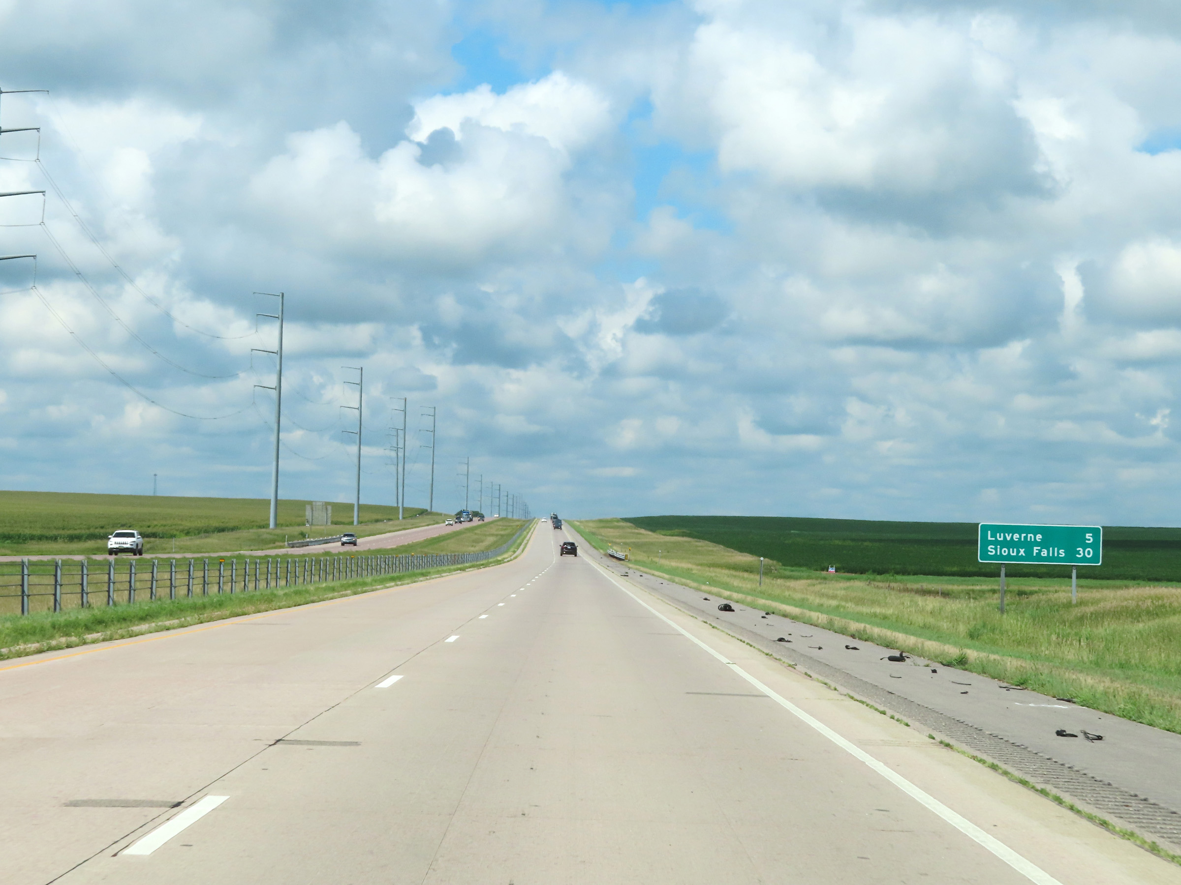 |
Mileage sign on Interstate 90 West. It's 5 miles to Luverne and 30 miles to Sioux Falls. (Photo taken 8/16/22). |
 |
View on Interstate 90 West at mile marker 15. (Photo taken 8/16/22). |
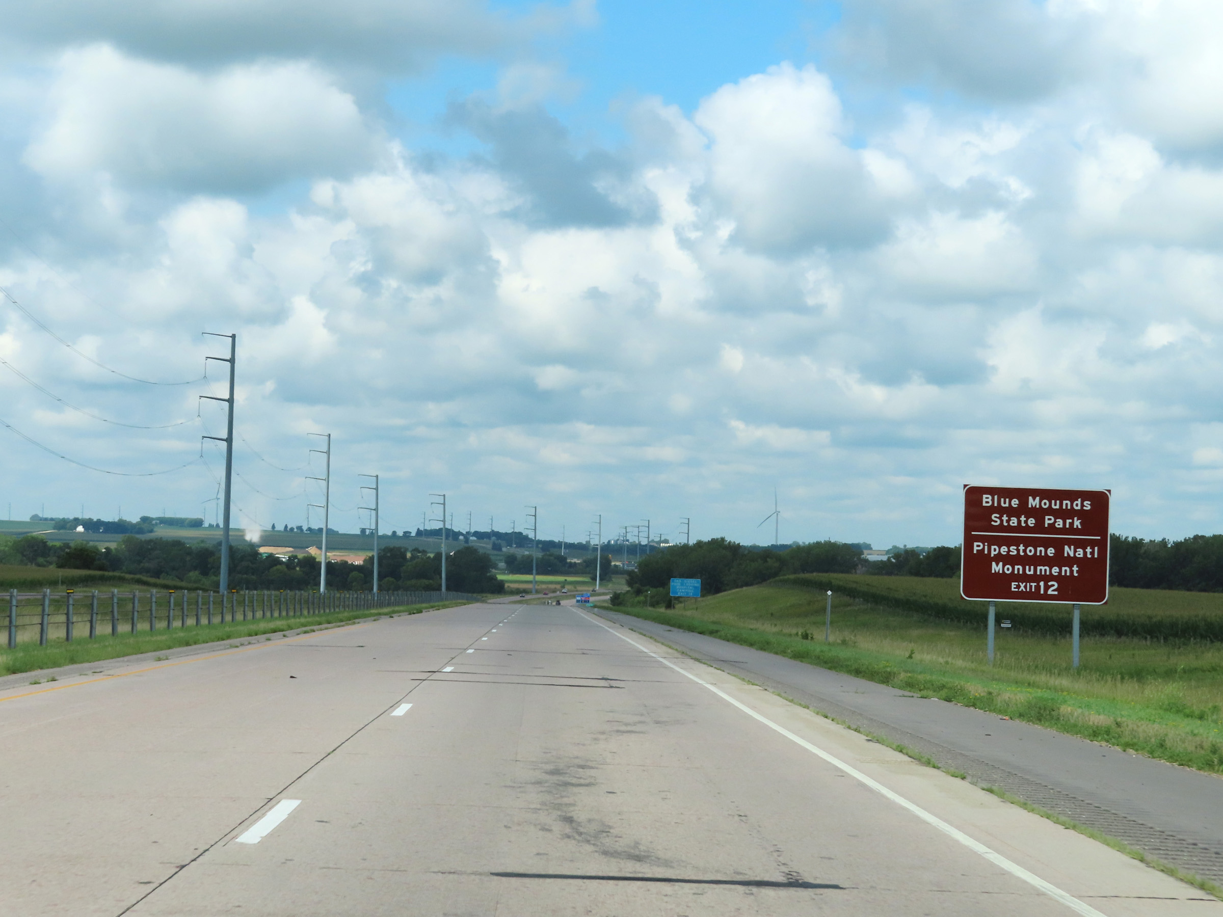 |
Take Exit 12 to Blue Mounds State Park and Pipestone National Monument. (Photo taken 8/16/22). |
 |
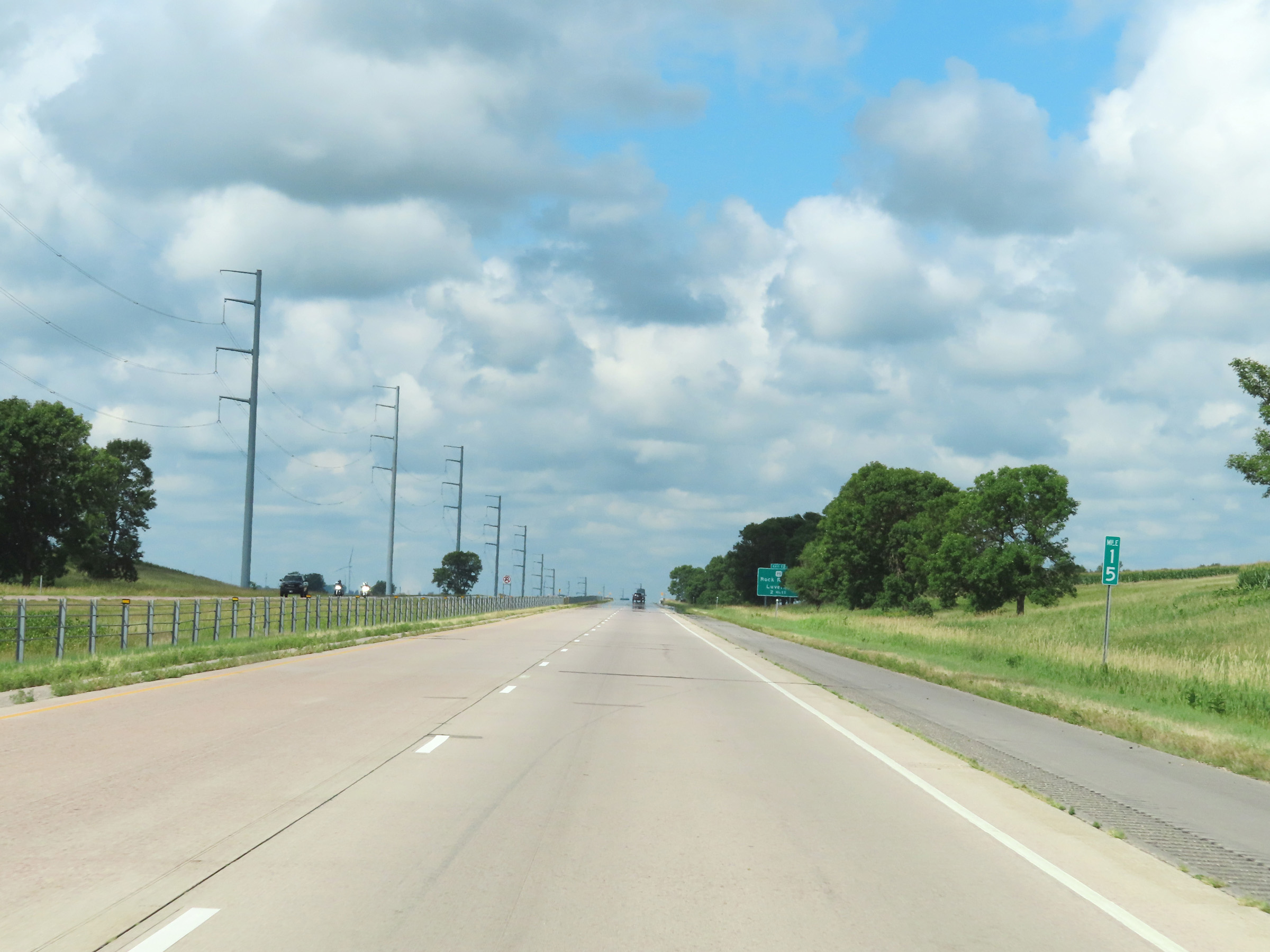
Mile marker 14 on Interstate 90 West in Rock County. (Photo taken 8/16/22). |
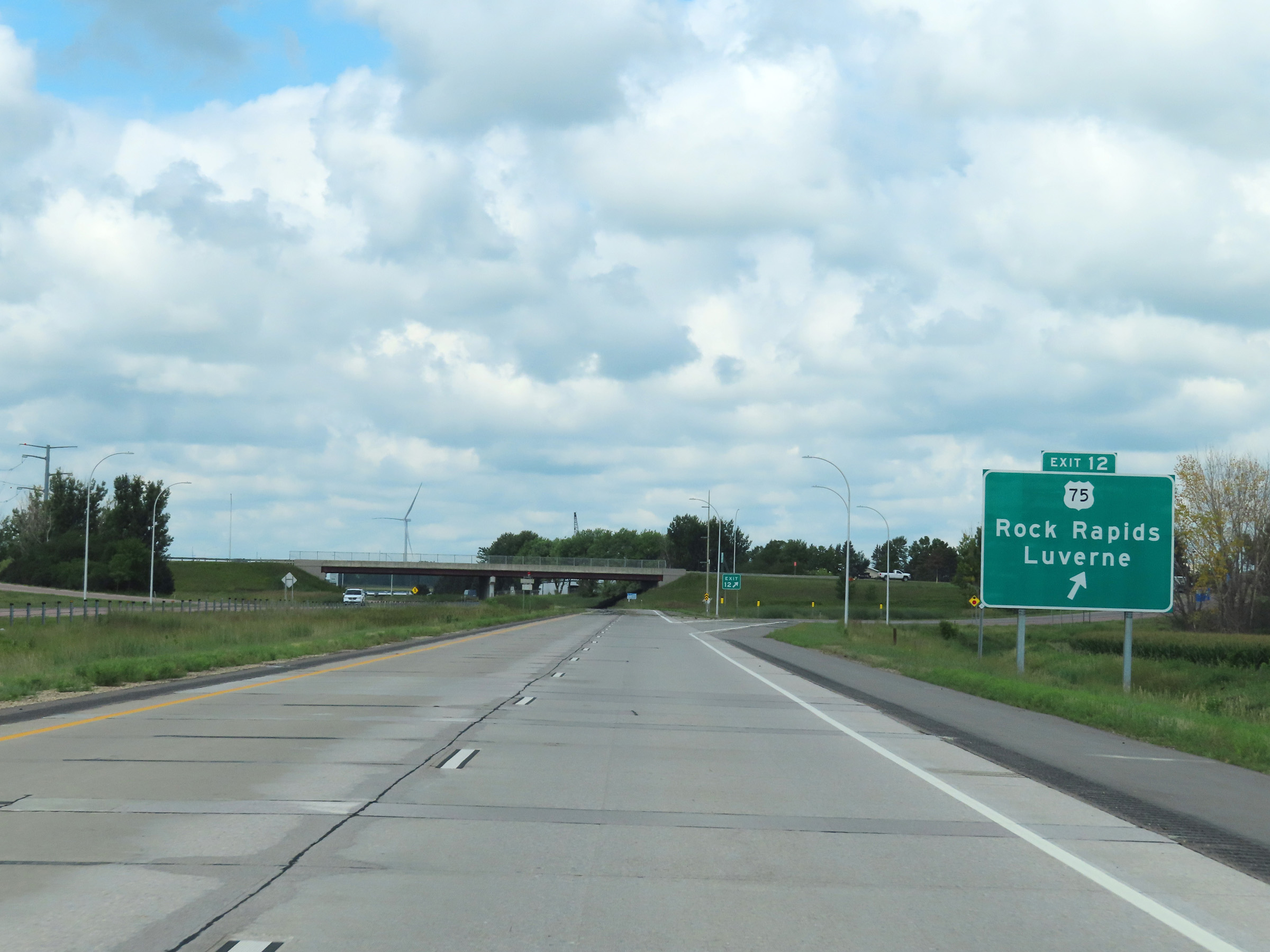 |
Interstate 90 West at Exit 12: US 75 - Rock Rapids / Luverne (Photo taken 8/16/22). |
 |
Interstate 90 West at mile marker 11. (Photo taken 8/16/22). |
 |
Mile marker 9 on Interstate 90 West in Rock County. (Photo taken 8/16/22). |
 |
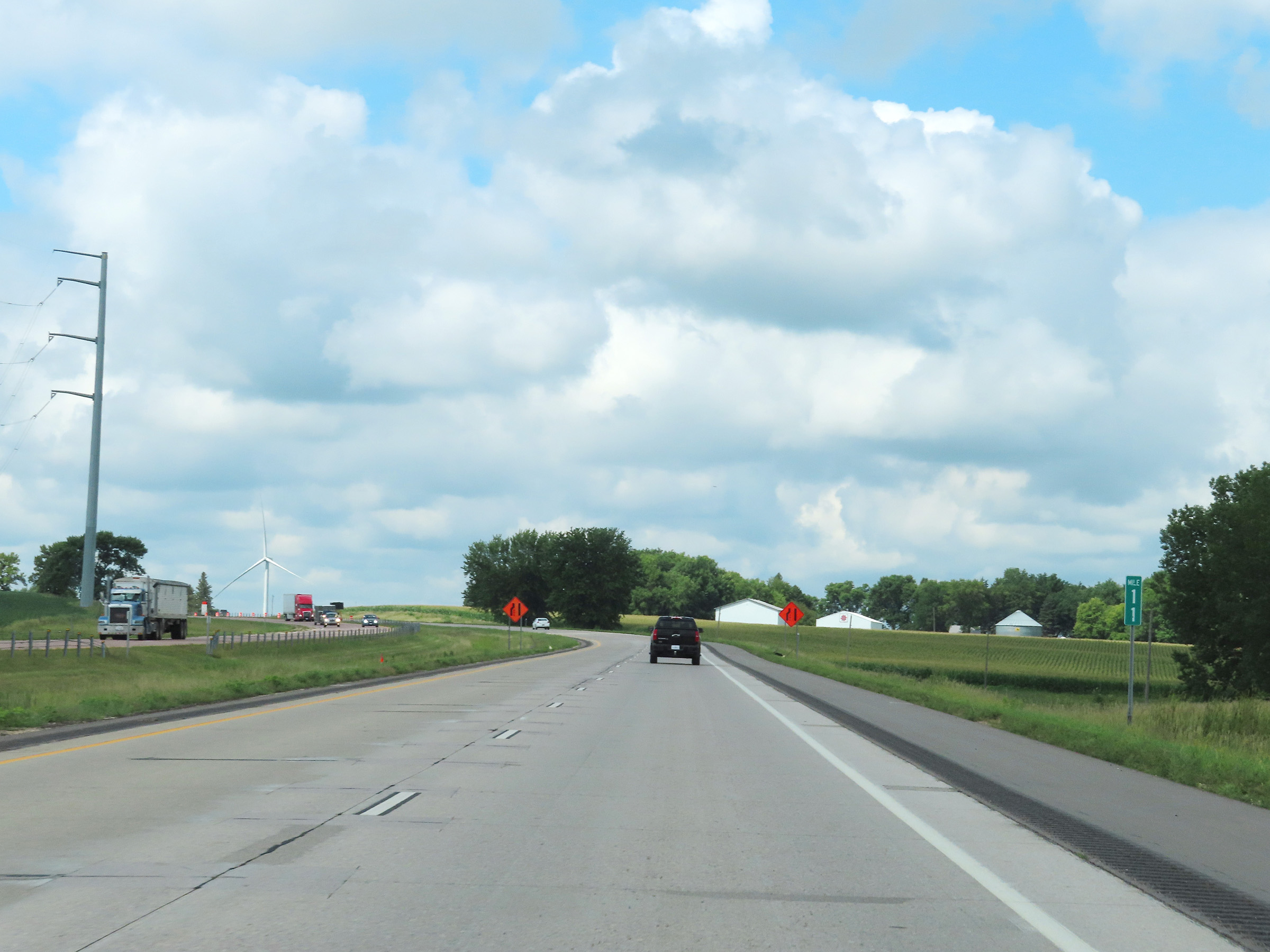
View on Interstate 90 West at mile marker 7. (Photo taken 8/16/22). |
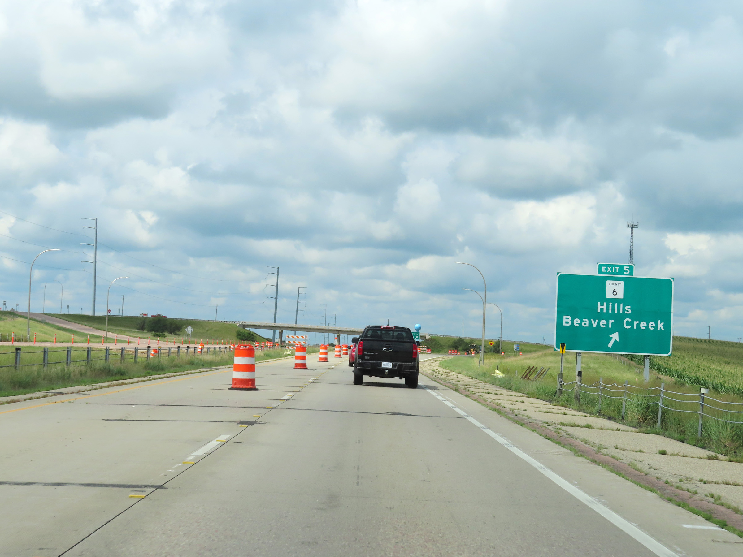 |
Interstate 90 West at Exit 5: CR 6 - Hills / Beaver Creek (Photo taken 8/16/22). |
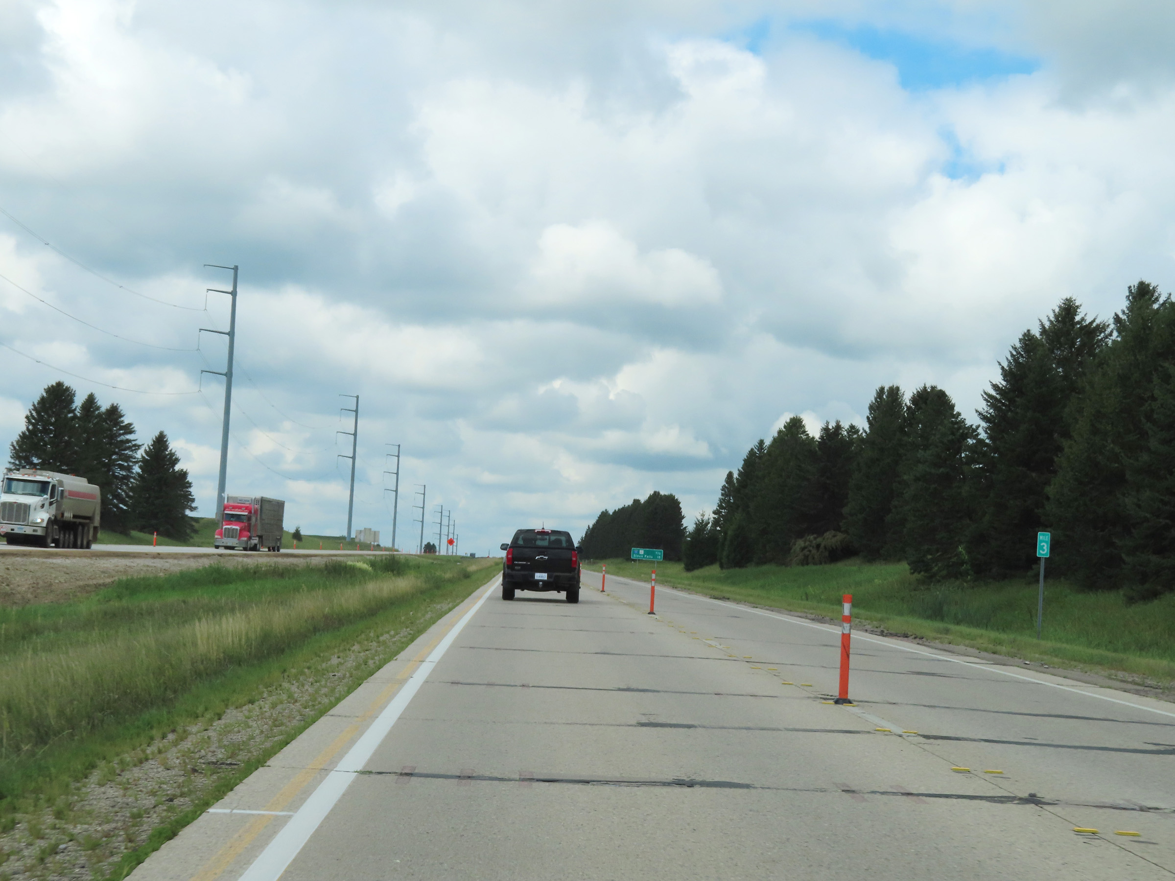 |
Interstate 90 West at mile marker 3. (Photo taken 8/16/22). |
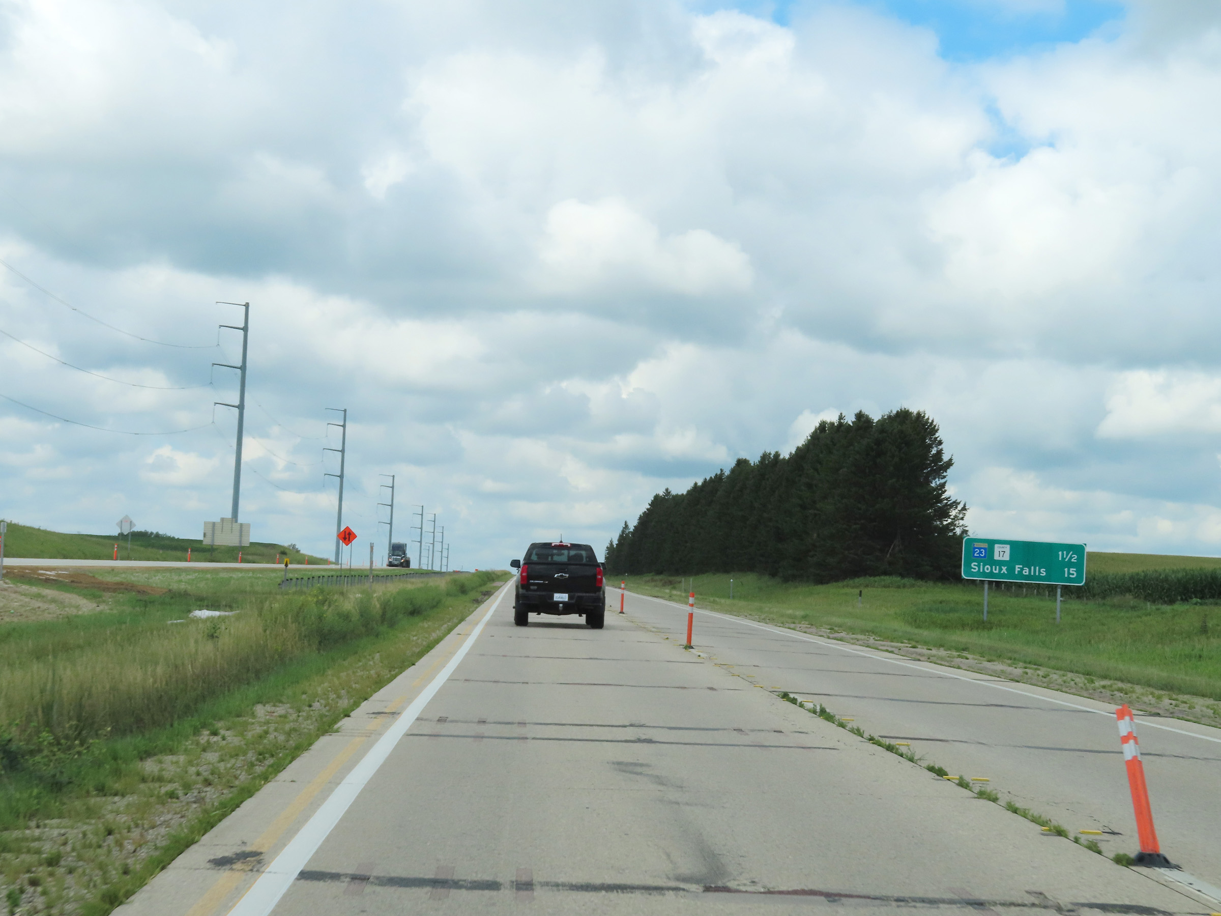 |
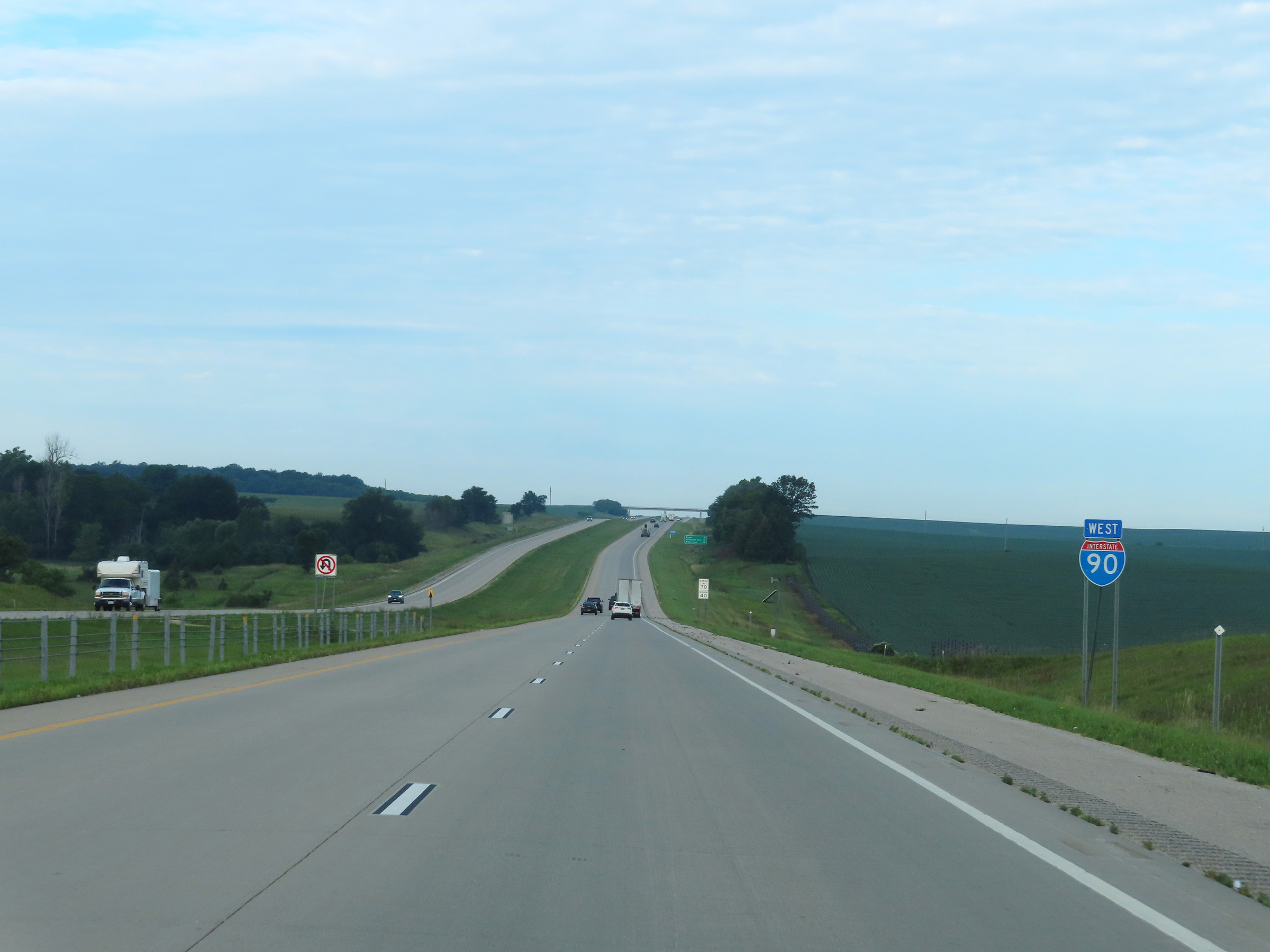
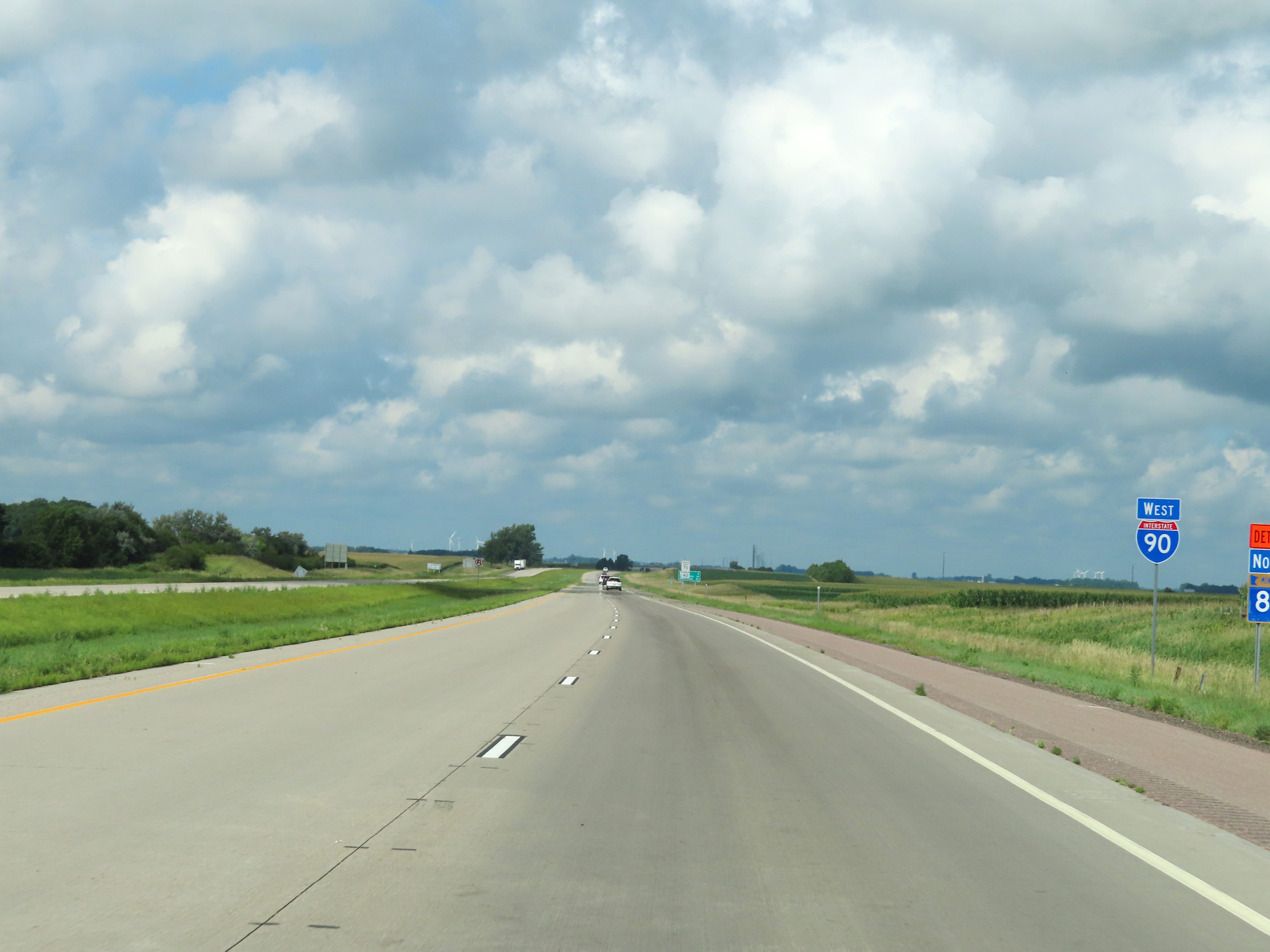
There is one exit remaining on Interstate 90 West in Minnesota. Sioux Falls is now just 15 miles ahead. (Photo taken 8/16/22). |
 |
View on Interstate 90 West at mile marker 2. (Photo taken 8/16/22). |
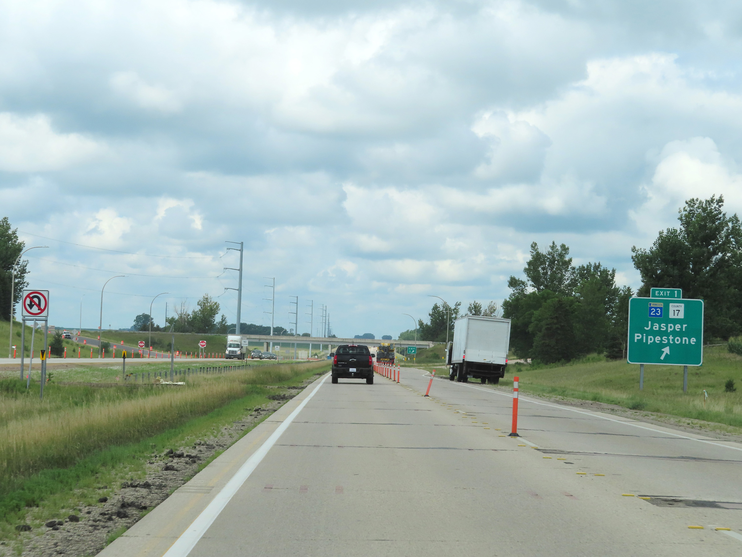 |
Interstate 90 West at Exit 1: MN 23 / CR 17 - Jasper / Pipestone (Photo taken 8/16/22). |
 |
Interstate 90 West at mile marker 1. (Photo taken 8/16/22). |
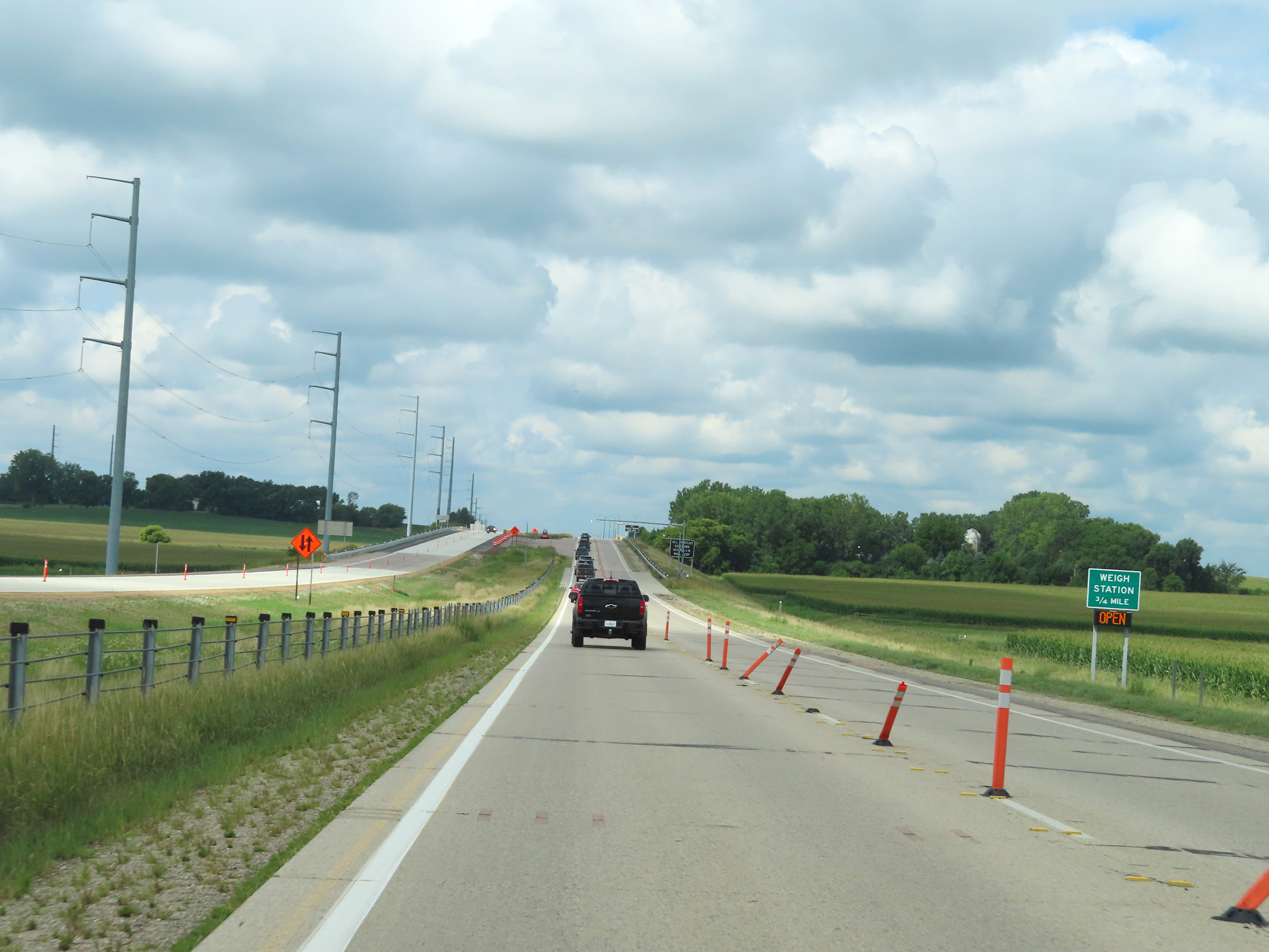 |
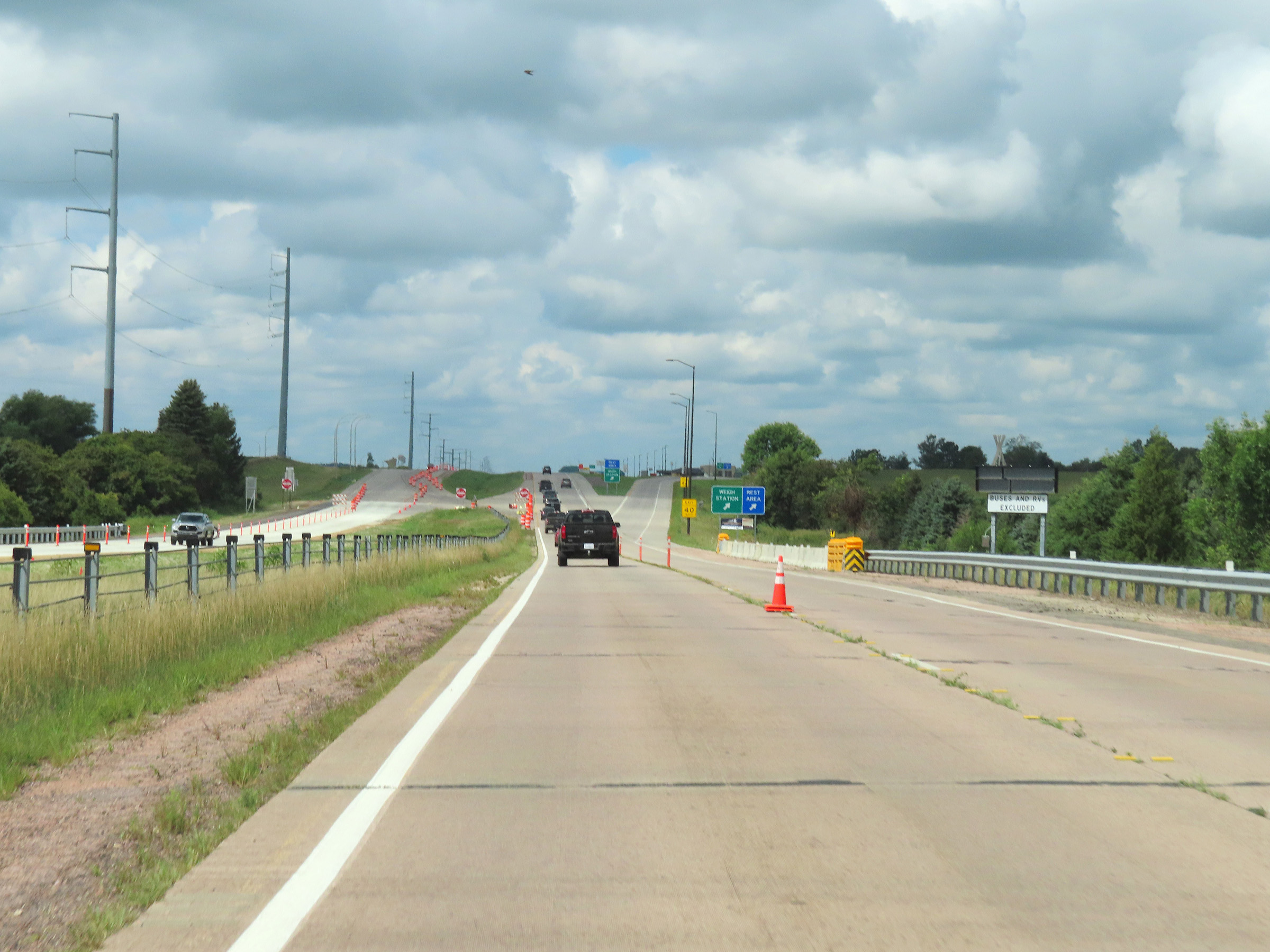
The Weigh Station 3/4 mile ahead is after entering South Dakota. However, the ramp to it begins in Minnesota. (Photo taken 8/16/22). |
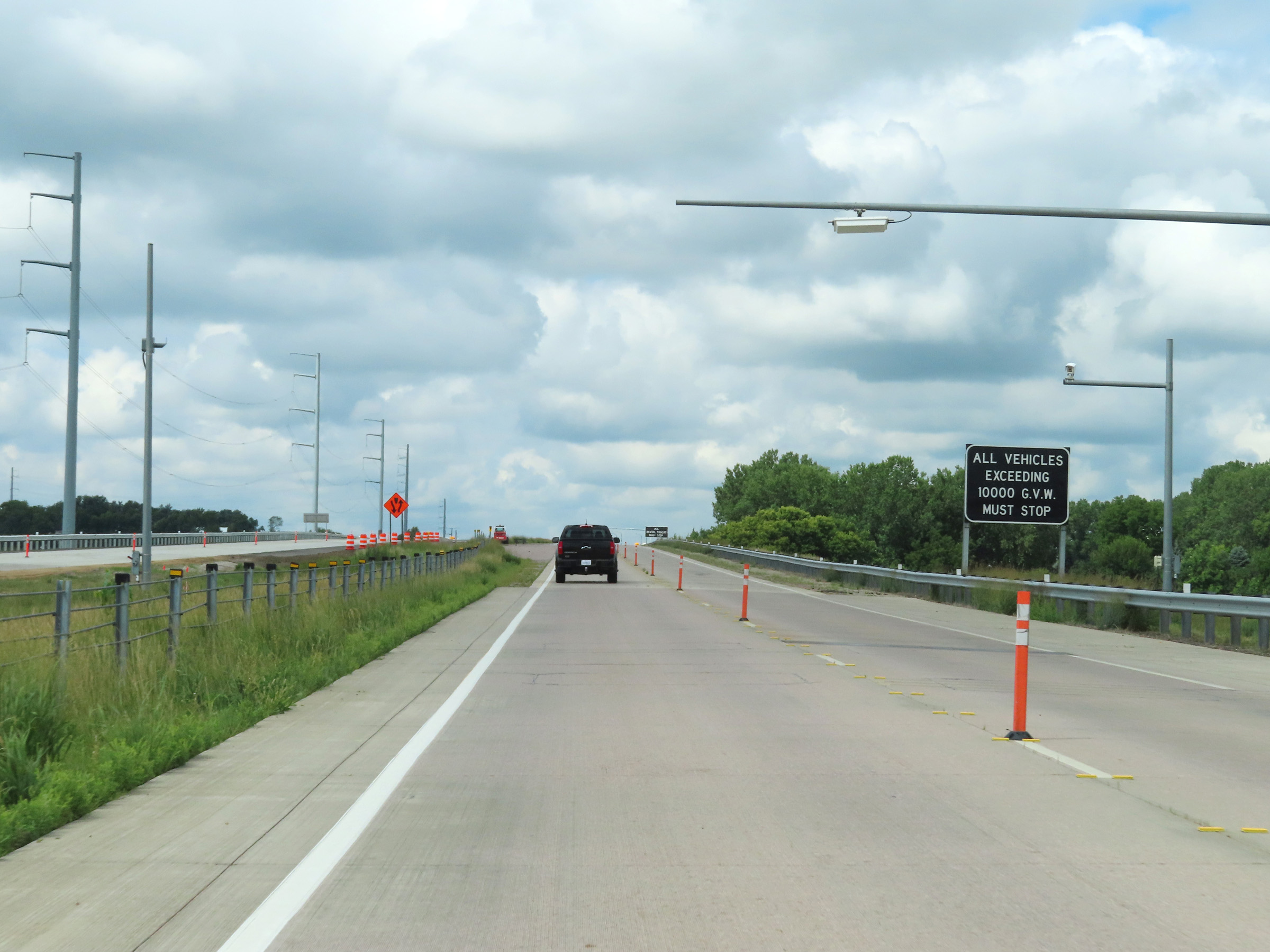 |
All vehicles exceeding 10,000 lbs Gross Vehicle Weight must stop at the Weigh Station when it's open. (Photo taken 8/16/22). |
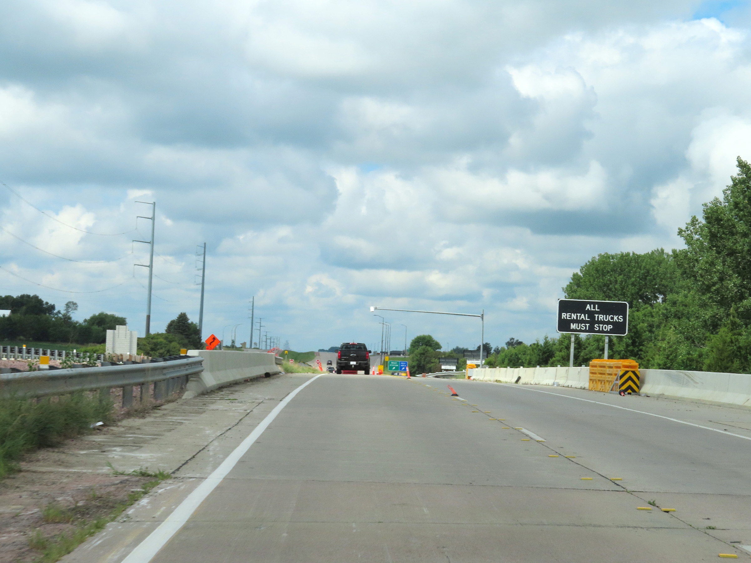 |
All rental trucks must also stop at the Weigh Station. (Photo taken 8/16/22). |
 |
View on Interstate 90 West approching the South Dakota state line, which is just after the ramp to the Weigh Station ahead. (Photo taken 8/16/22). |
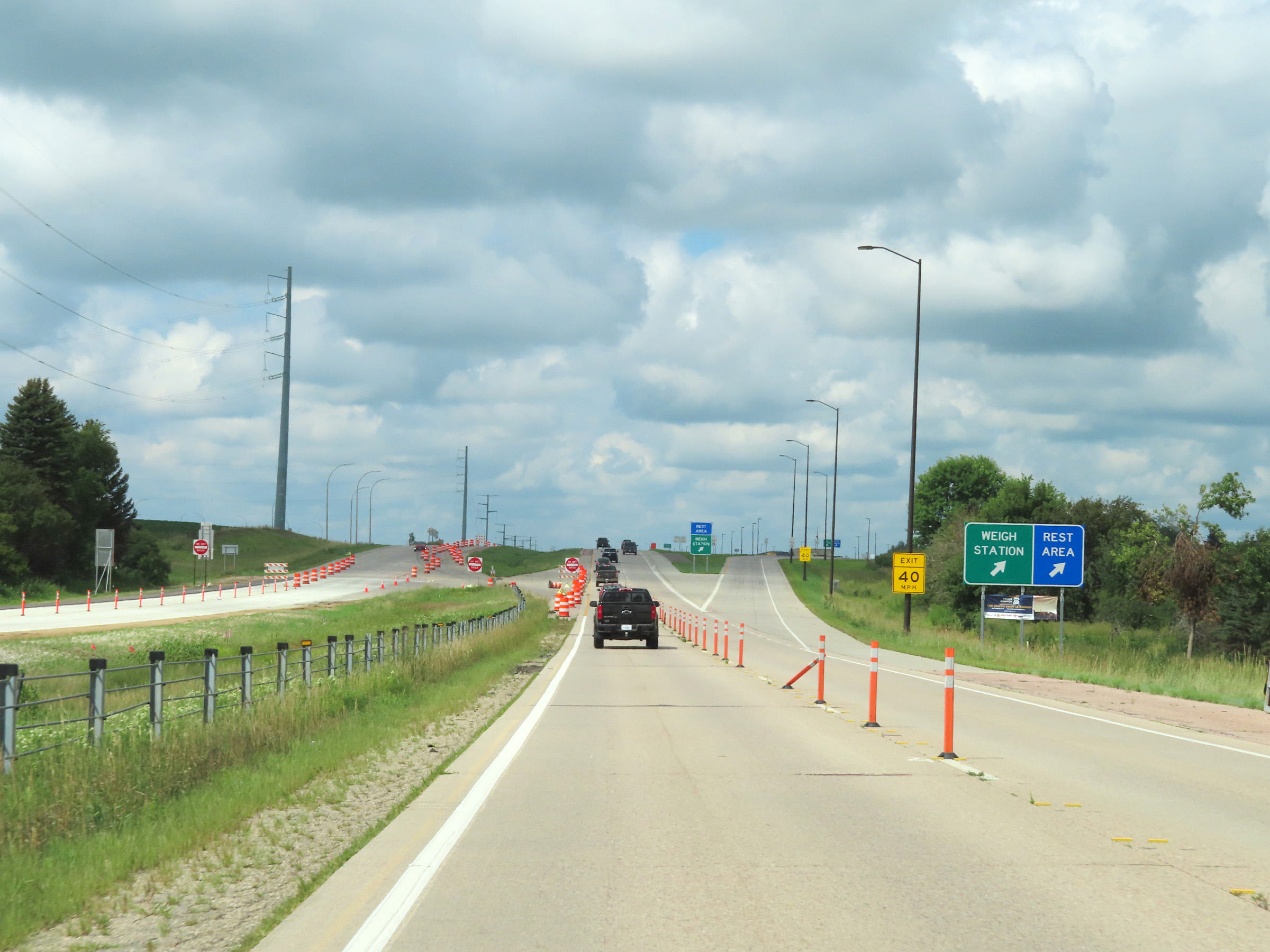 |
At the ramp to the Weigh Station / Rest Area, Interstate 90 West prepares to leave Minnesota to enter South Dakota. (Photo taken 8/16/22). |