Road Information |
||
 |
||
| Total Mileage in State: | 220 miles | |
| Northern End: | At MN 61, in Duluth | |
| Southern End: | At Iowa state line | |
| Mileage covered in Photos: | 220 miles | |
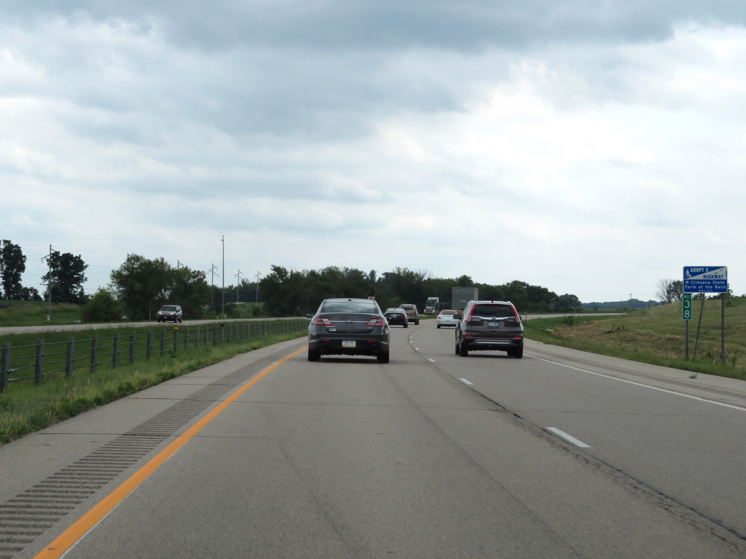
| Counties covered in Photos: | St. Louis, Carlton, Pine, Chisago, Washington, Anoka, Dakota, Scott, Rice, Steele, Freeborn | |
| Major Junctions in Photos: | I-535, in Duluth US 2, in Duluth I-35E/I-35W, in Columbus US 14, in Owatonna I-90, near Albert Lea |
|
| Control Cities in Photos: | Duluth, Hinckley, Columbus, Burnsville, Lakeville, Faribault, Owatonna, Albert Lea | |
Southbound
- Section 1: Duluth to Cloquet (Exit 237)
- Section 2: Cloquet (Exit 237) to Hinckley (Exit 183)
- Section 3: Hinckley (Exit 183) to Interstate 35E / Interstate 35W (Exit 127, Columbus)
- Section 4: Interstate 35E / Interstate 35W (Exit 88A, Burnsville) to Owatonna (Exit 40A)
- Section 5: Owatonna (Exit 40A) to Iowa Border
Section 1: Duluth to Cloquet (Exit 237)
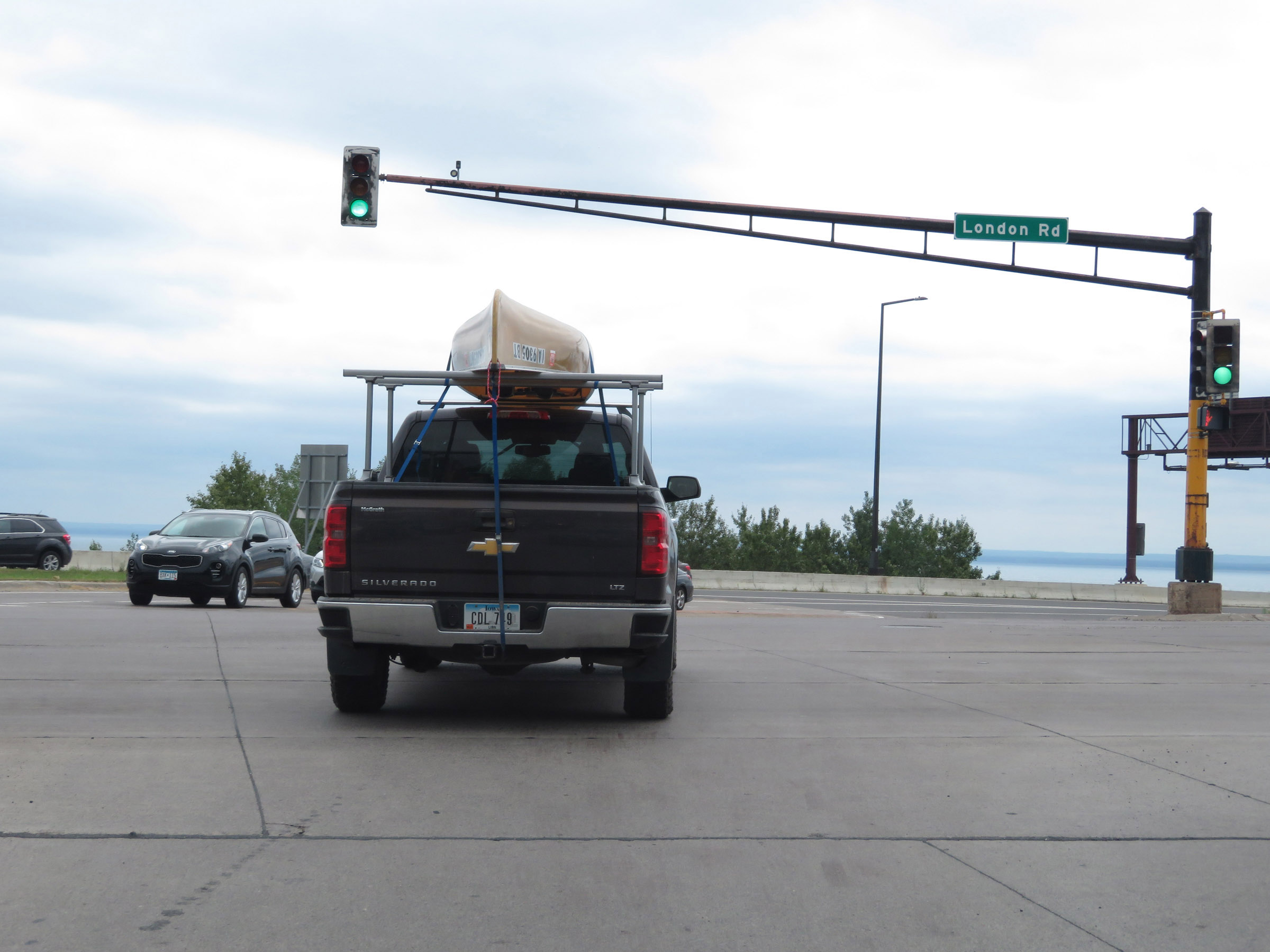 |
The national beginning of Interstate 35 South is here, at MN 61 (to the left) and London Rd in Duluth. Going straight through this signal will take you right onto I-35 South. (Photo taken 8/7/20). |
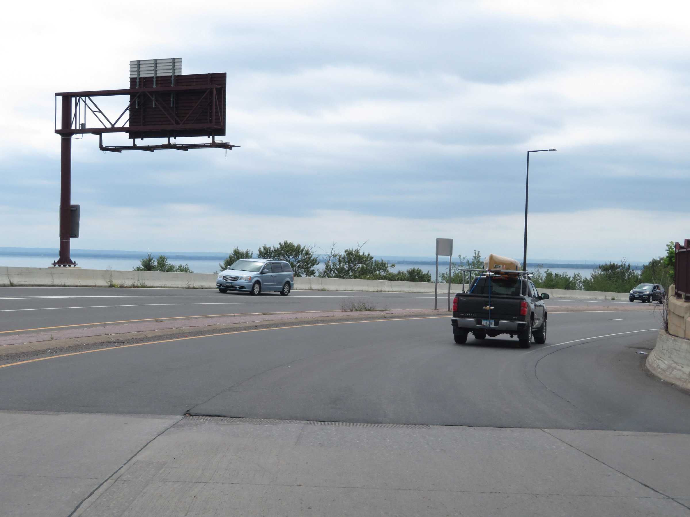 |
Interstate 35 South as it begins, curving to the south and providing this view of Lake Superior. (Photo taken 8/7/20). |
 |
View on Interstate 35 South in Duluth, as it runs alongside Lake Superior. (Photo taken 8/7/20). |
 |
Another view on Interstate 35 South in Duluth, shortly after it begins. (Photo taken 8/7/20). |
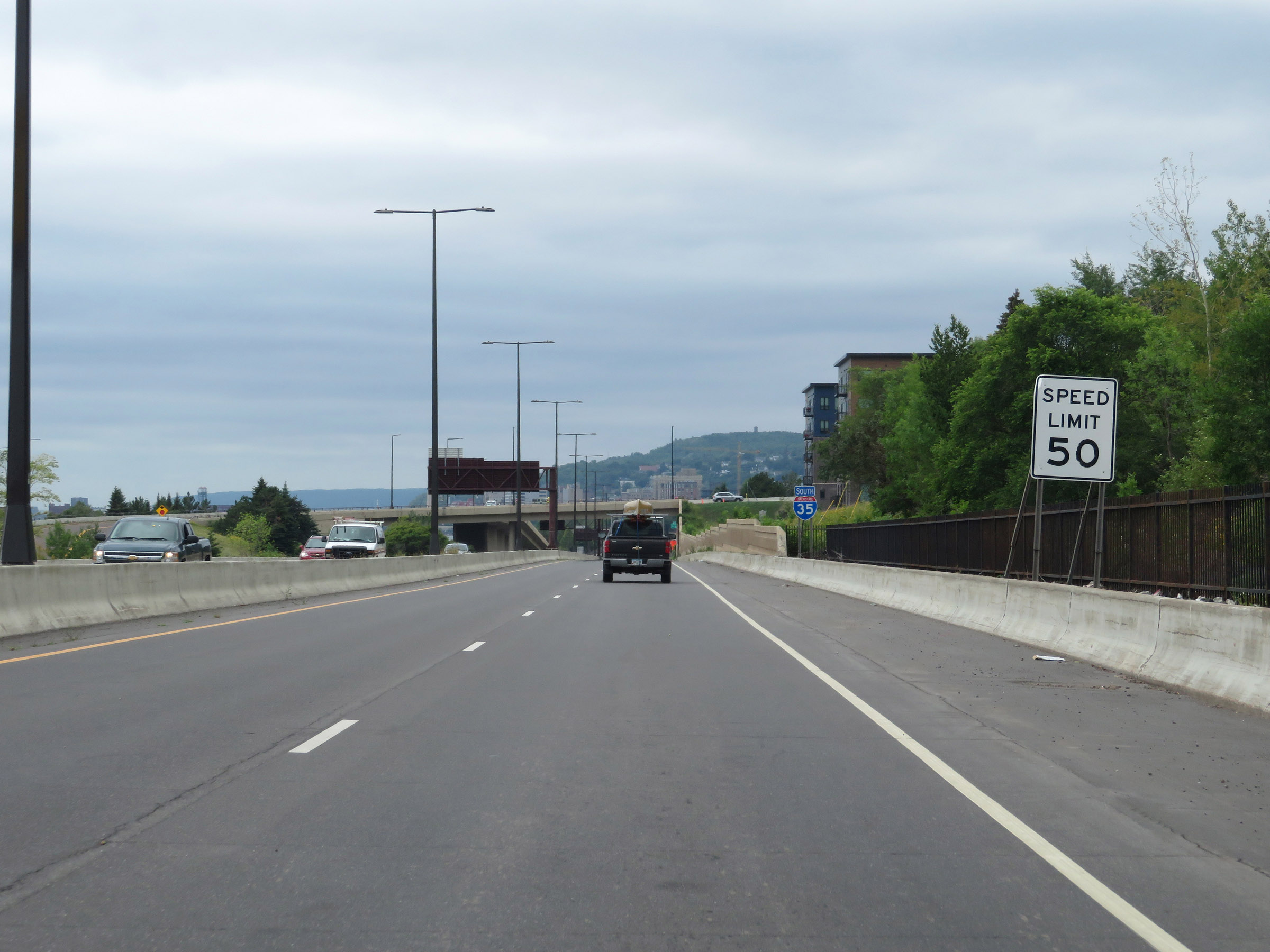 |
The speed limit on Interstate 35 South starts out at 50 mph in Duluth. (Photo taken 8/7/20). |
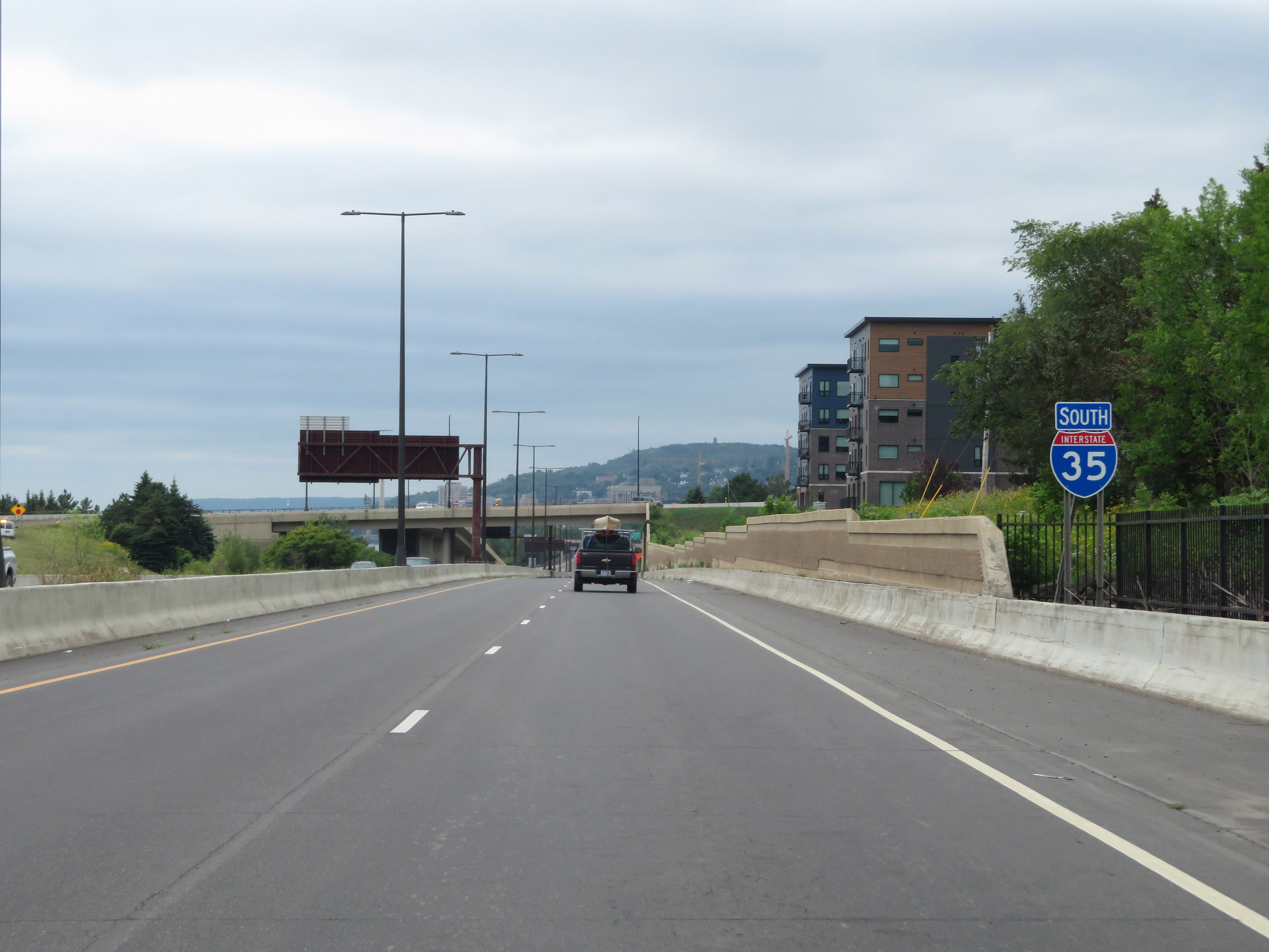 |
Interstate 35 South reassurance shield. (Photo taken 8/7/20). |
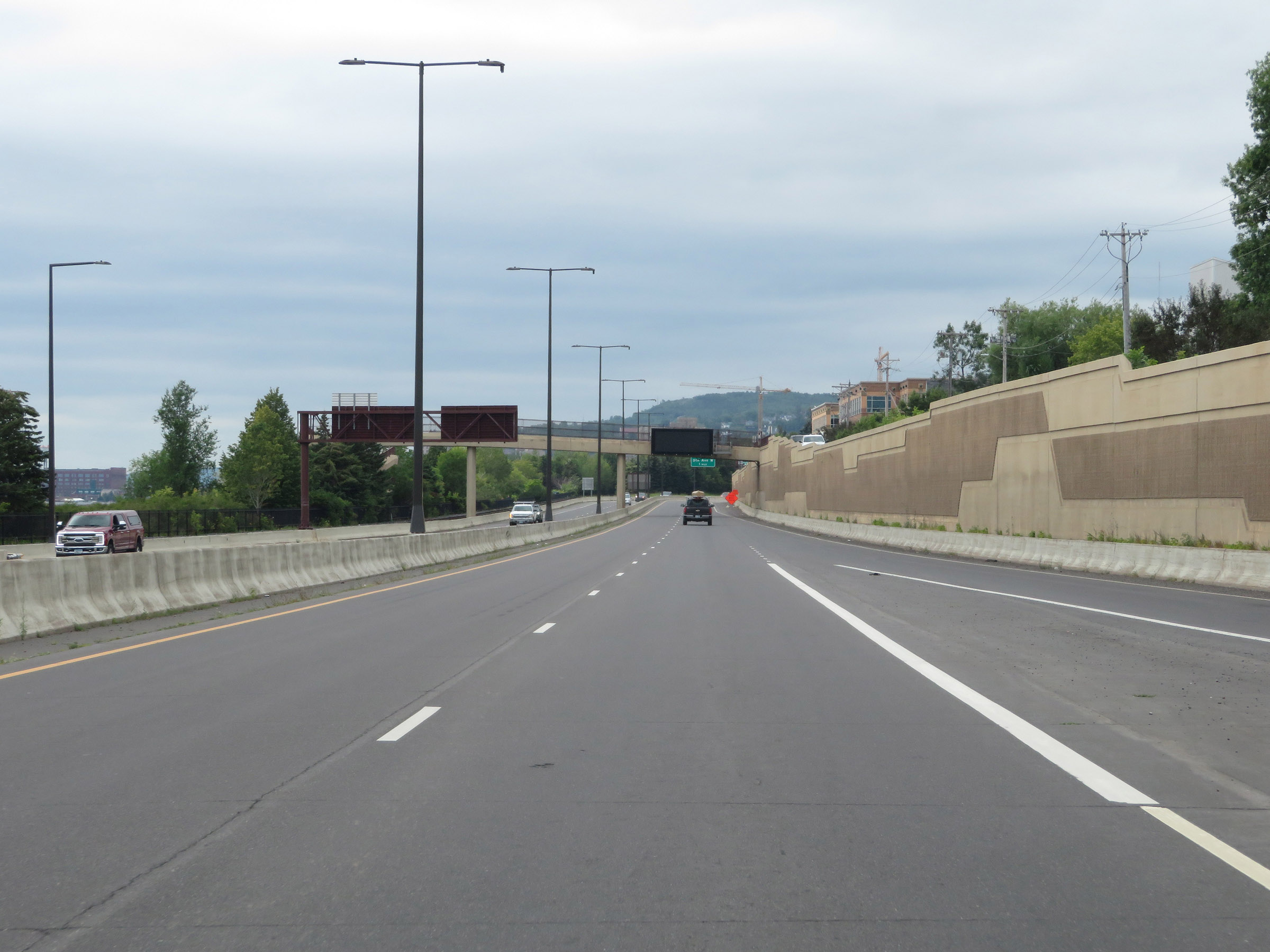 |
View on Interstate 35 South as traffic from S 21st Ave E merges into it on the right. (Photo taken 8/7/20). |
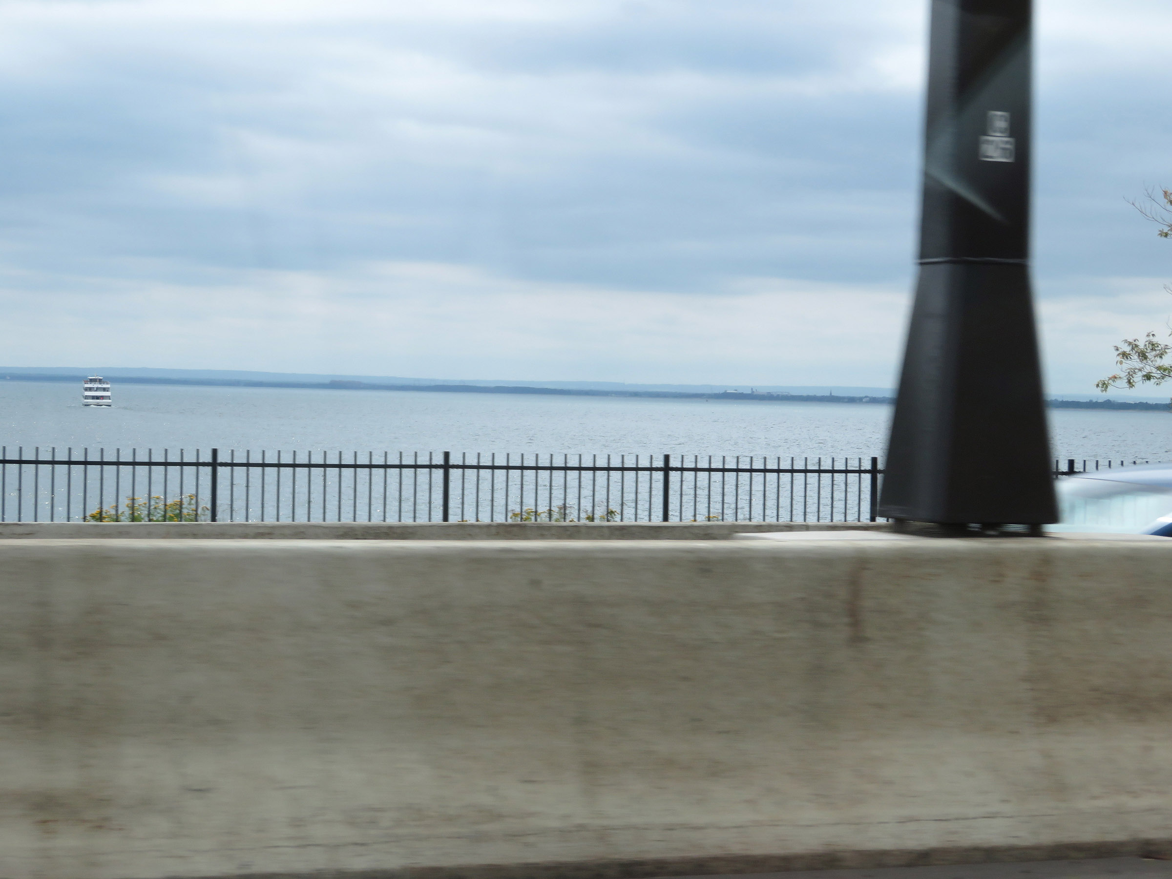 |
A view of Lake Superior from Interstate 35 South, looking to the east. (Photo taken 8/7/20). |
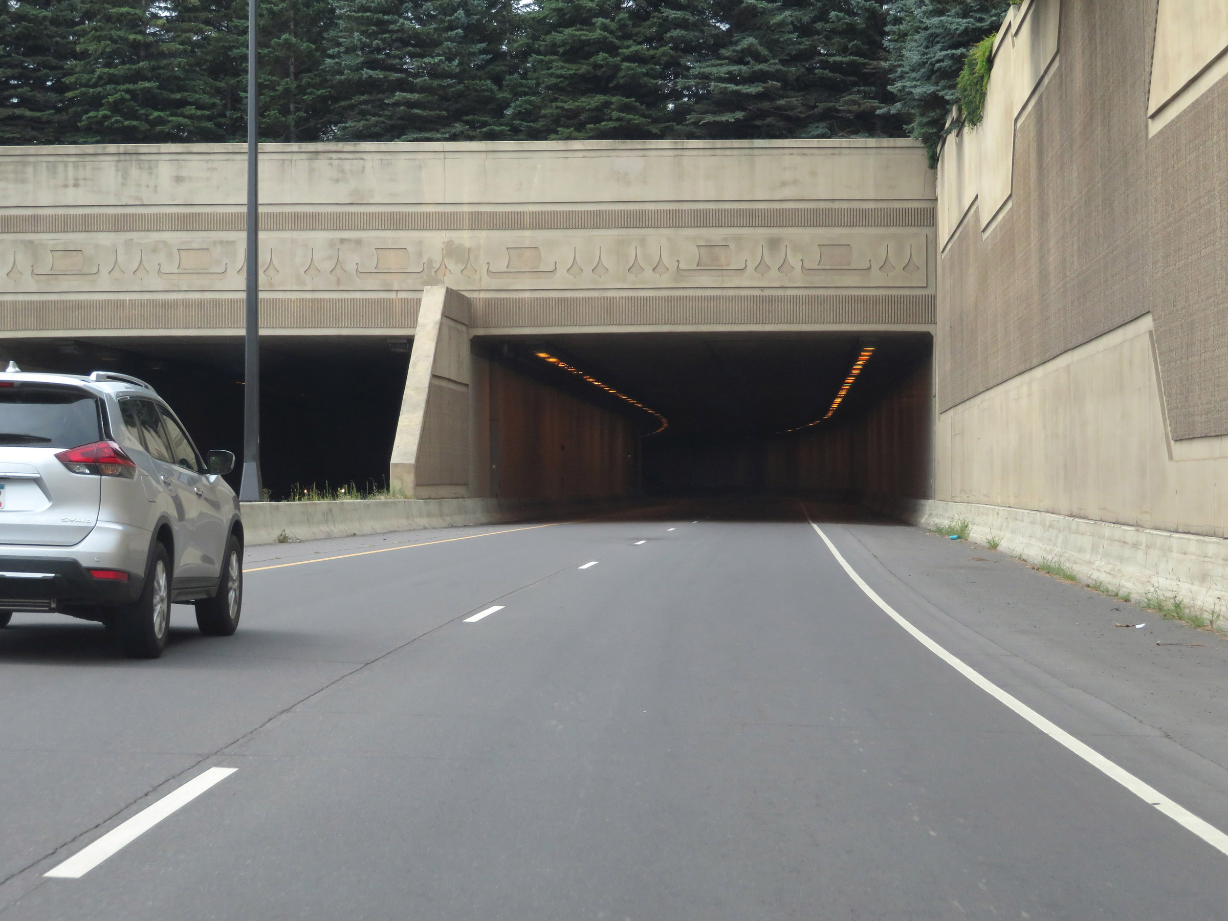 |
In Duluth, Interstate 35 passes through a series of short tunnels. This first one ahead tunnels underneath Duluth Rose Garden and the Lakewalk. (Photo taken 8/7/20). |
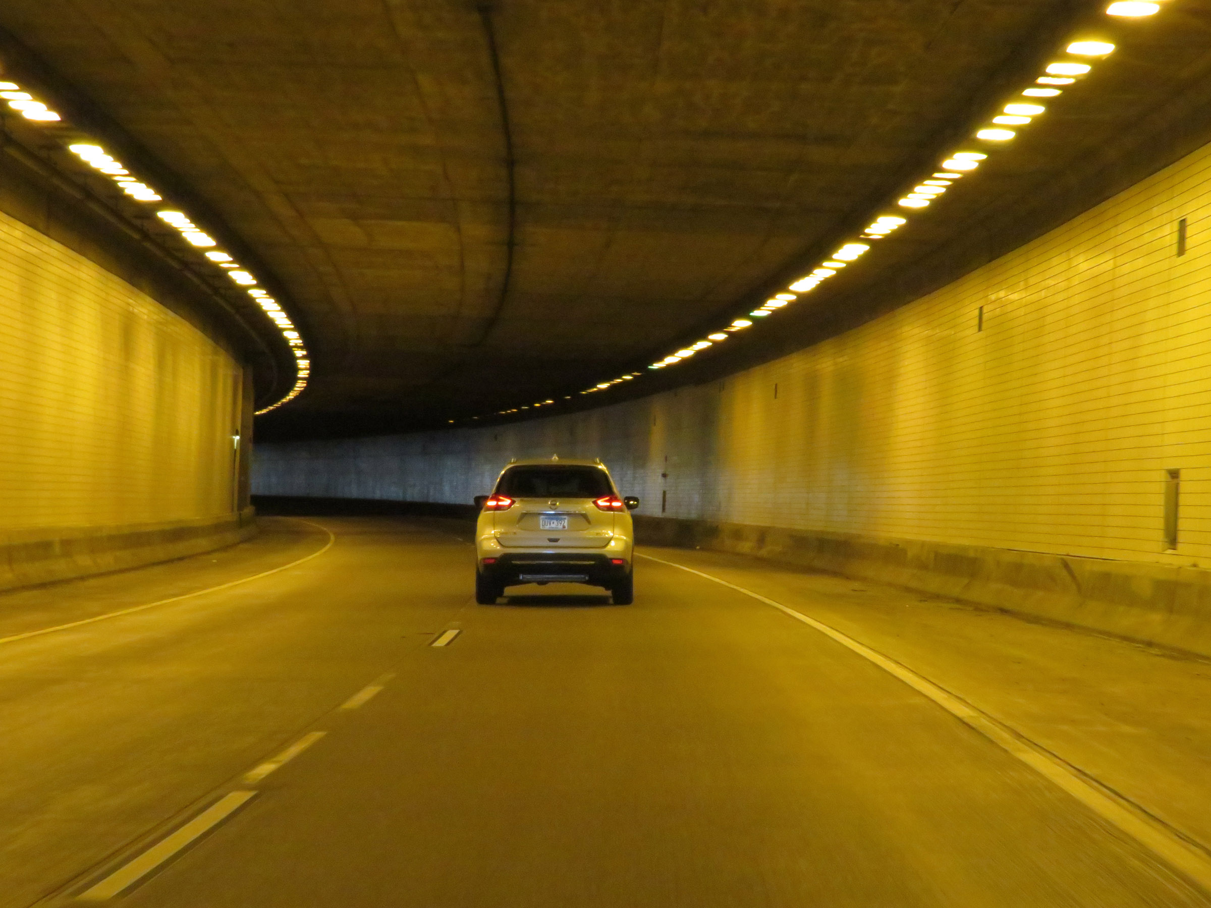 |
A view inside this first tunnel on Interstate 35 South, below Duluth Rose Garden. (Photo taken 8/7/20). |
 |
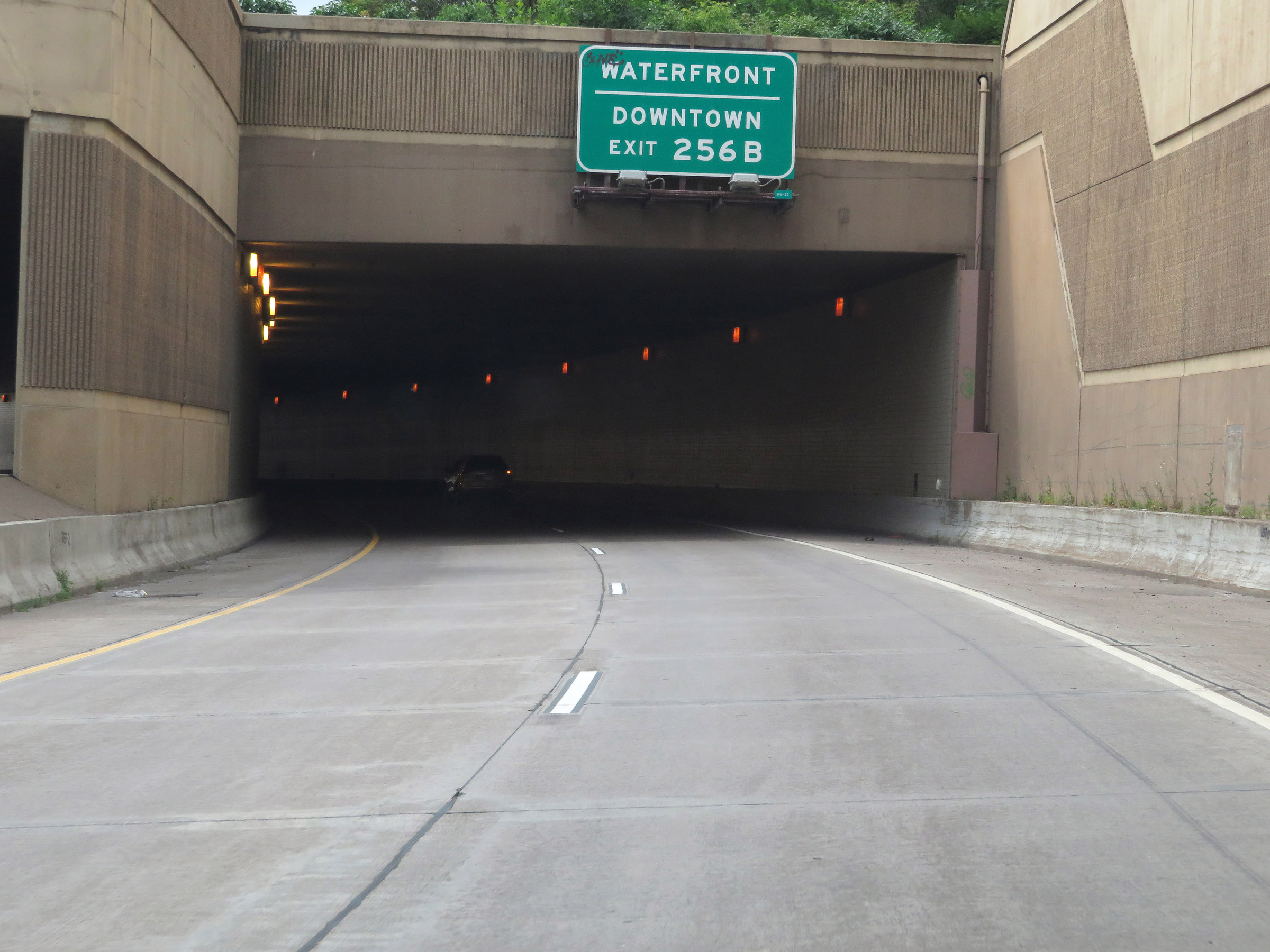
Advance signage for Exit 256B, which is the first southbound exit on Interstate 35 South, as we prepare to enter the second short tunnel. This one takes I-35 under Jay Cooke Plaza. (Photo taken 8/7/20). |
 |
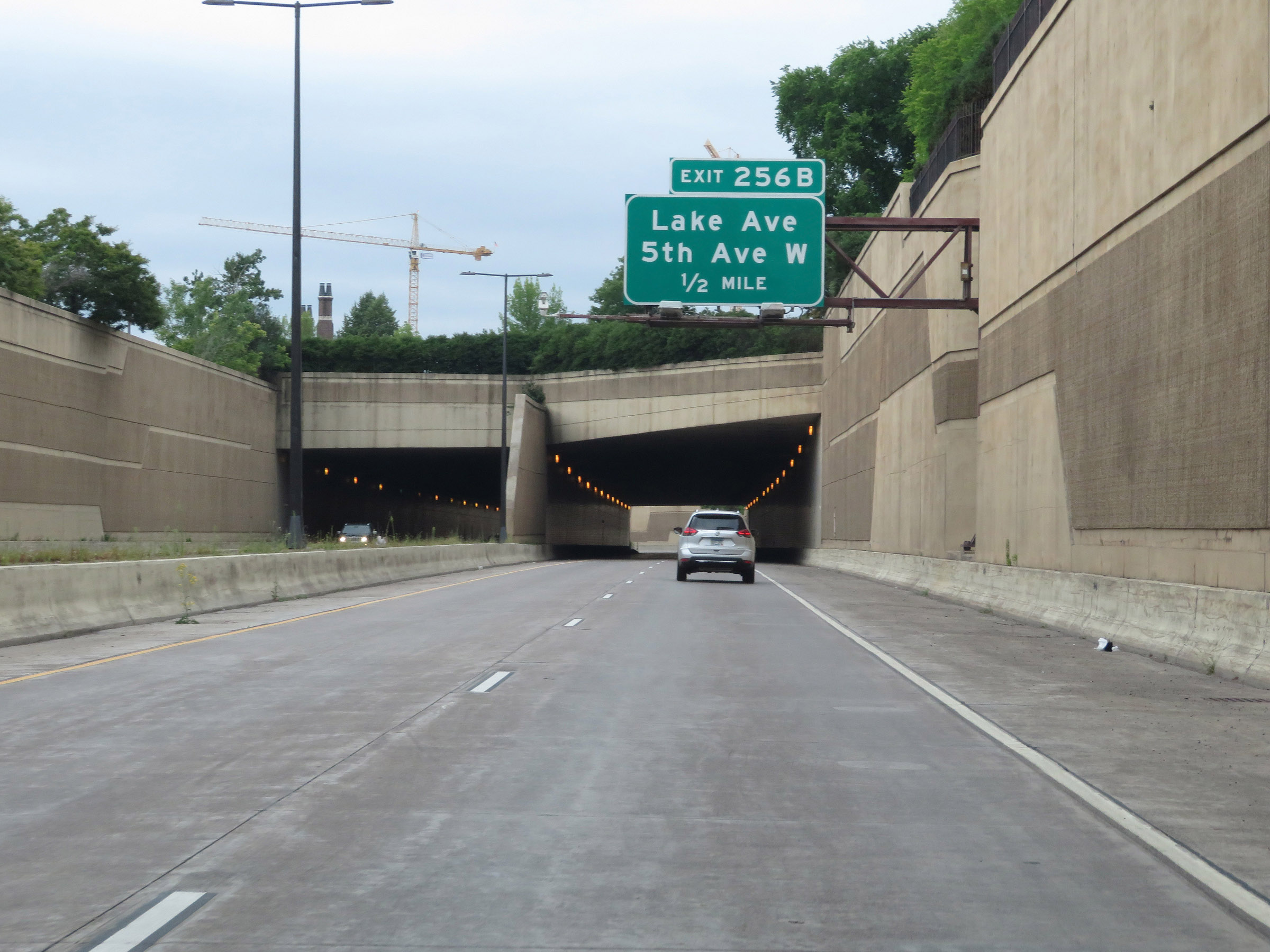
View on Interstate 35 South as it approaches the third short tunnel ahead. This third tunnel is known as the Brewery Historic District Tunnel. (Photo taken 8/7/20). |
 |
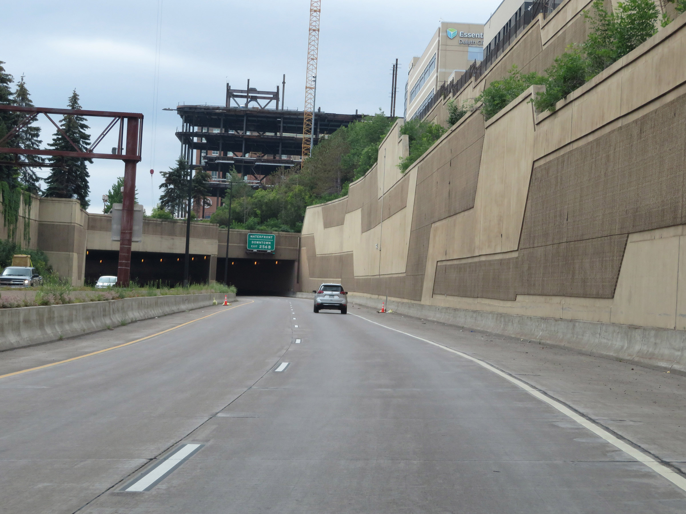
Take Exit 256B to the Waterfront and Downtown Duluth. (Photo taken 8/7/20). |
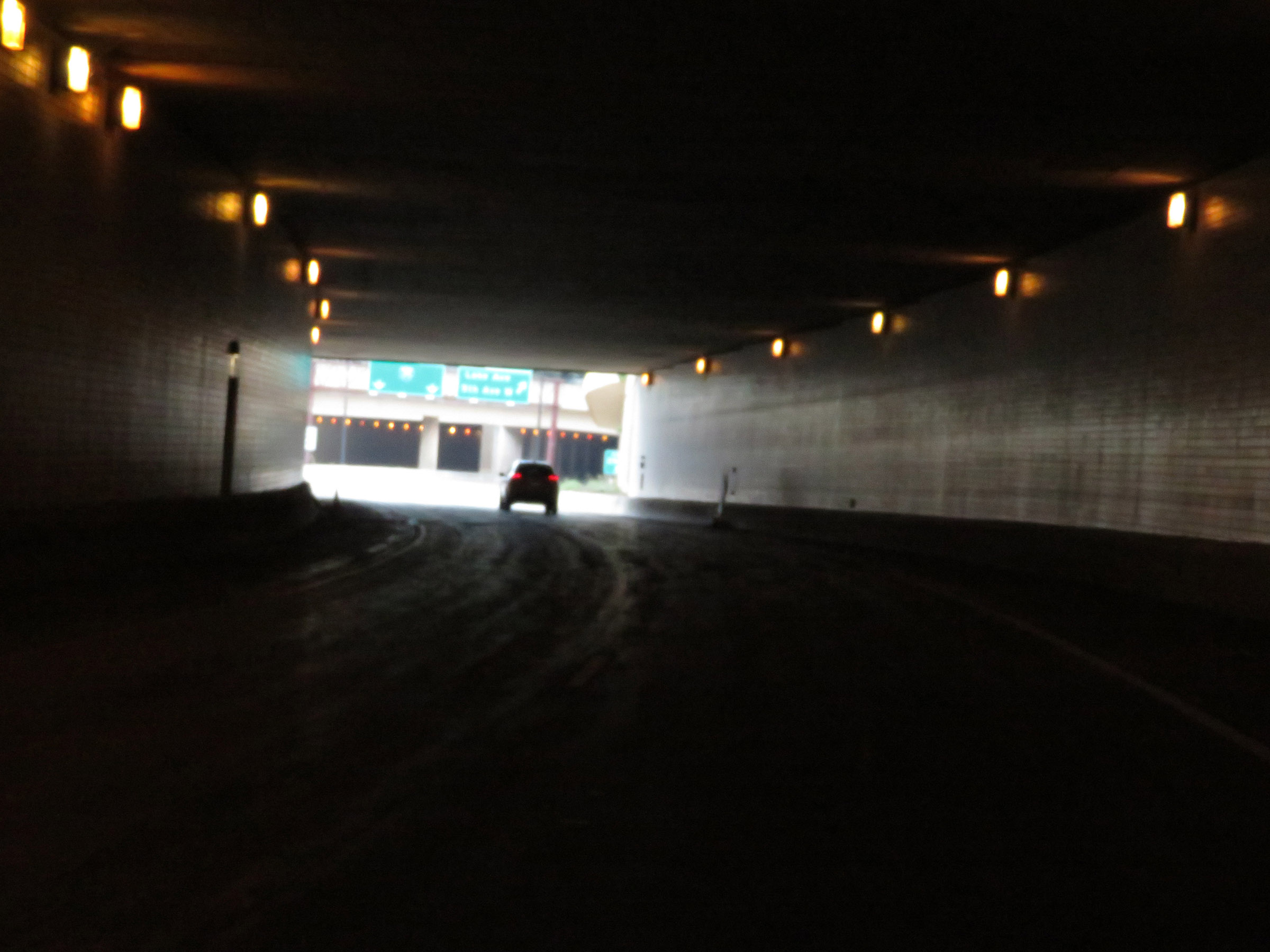 |
View on Interstate 35 South as it passes through the Brewery Historic District Tunnel. (Photo taken 8/7/20). |
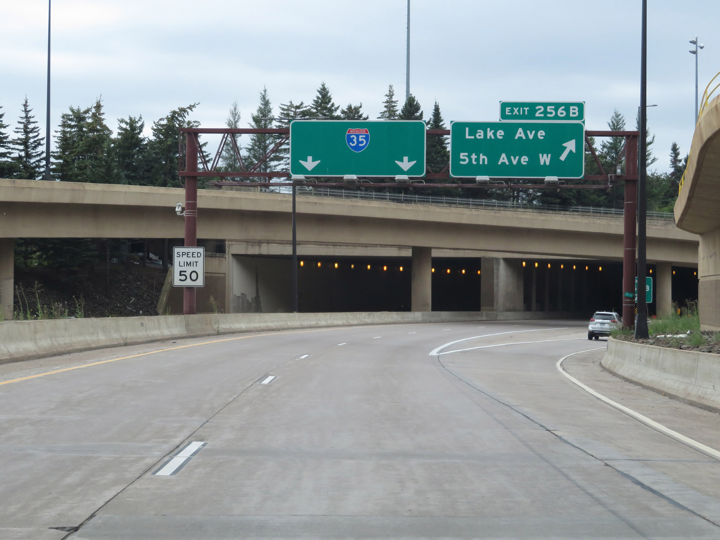 |
Interstate 35 South at Exit 256B: Lake Ave / 5th Ave W (Photo taken 8/7/20). |
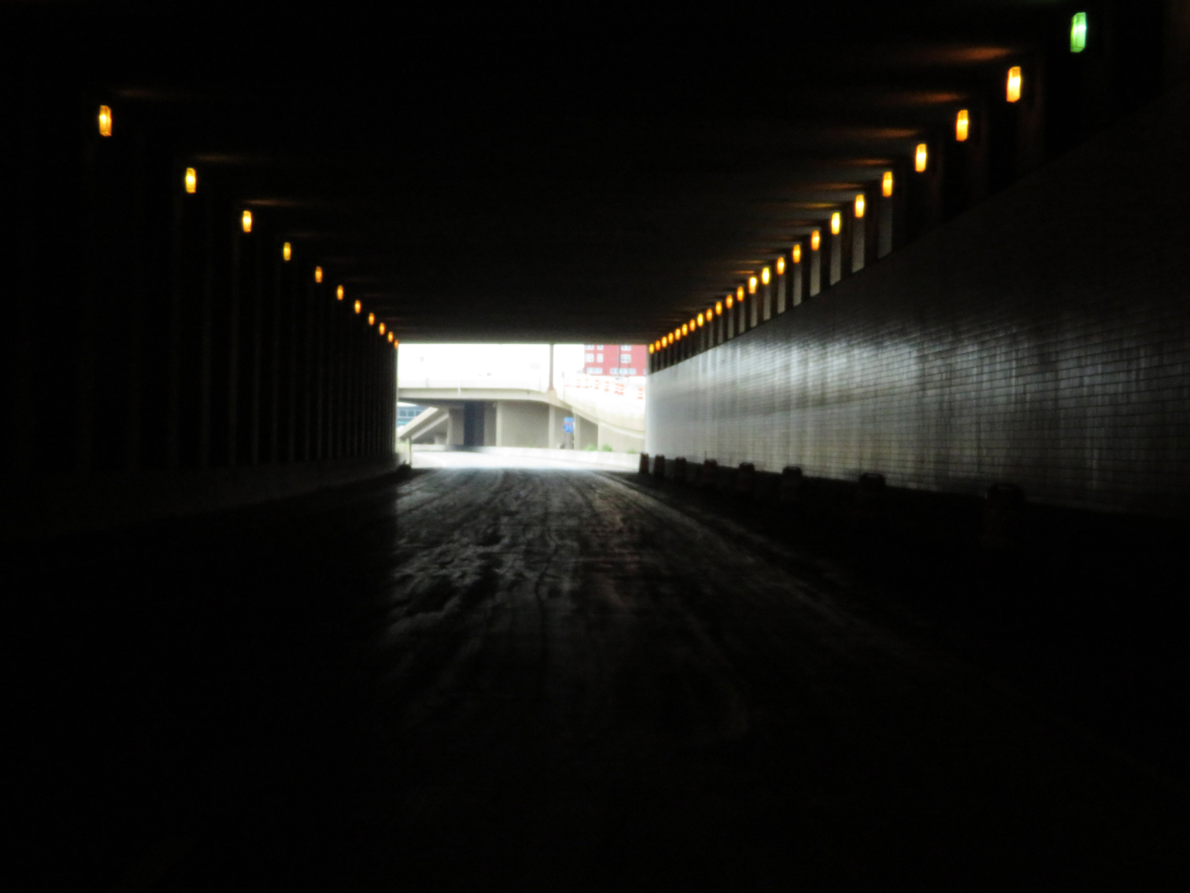 |
Interstate 35 South as it passes through the fourth and final short tunnel in Duluth. This tunnel takes I-35 South under Gichi-ode' Akiing. (Photo taken 8/7/20). |
 |
Another Interstate 35 South reassurance shield in Duluth. (Photo taken 8/7/20). |
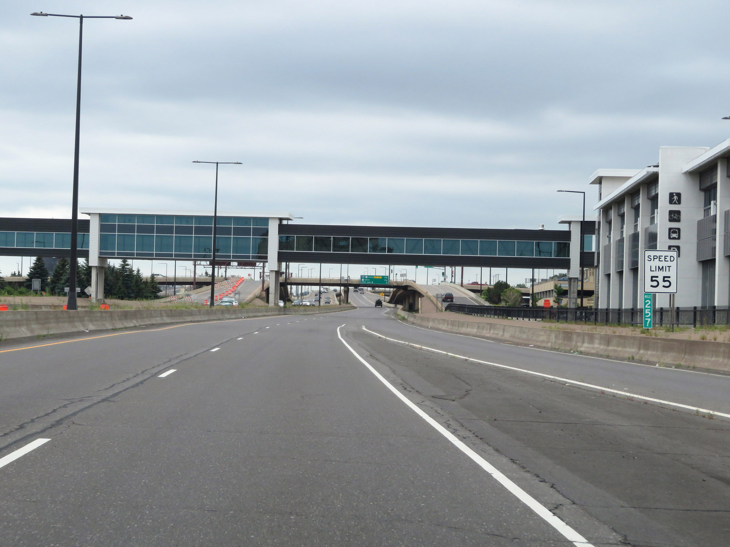 |
At mile marker 257, the speed limit increases slightly to 55 mph. (Photo taken 8/7/20). |
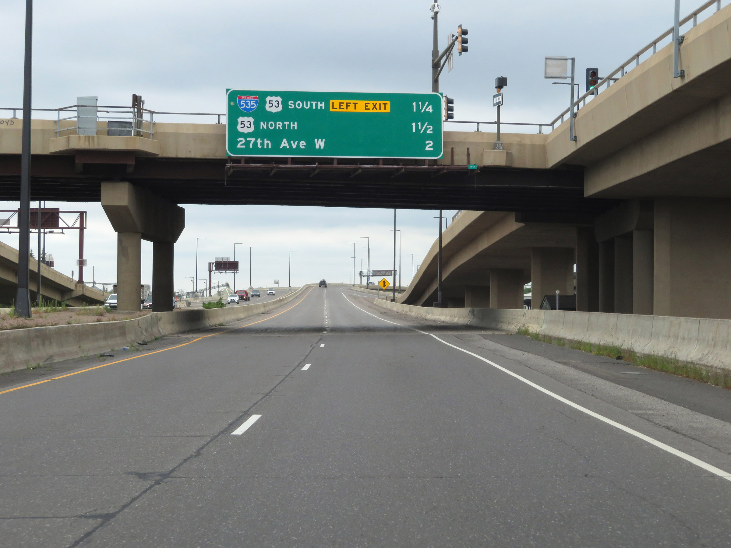 |
Overhead mileage sign listing the distances to the three upcoming interchanges on Interstate 35 South. (Photo taken 8/7/20). |
 |
Interstate 35 South approaching Exit 255B - 1/2 mile on the left. (Photo taken 8/7/20). |
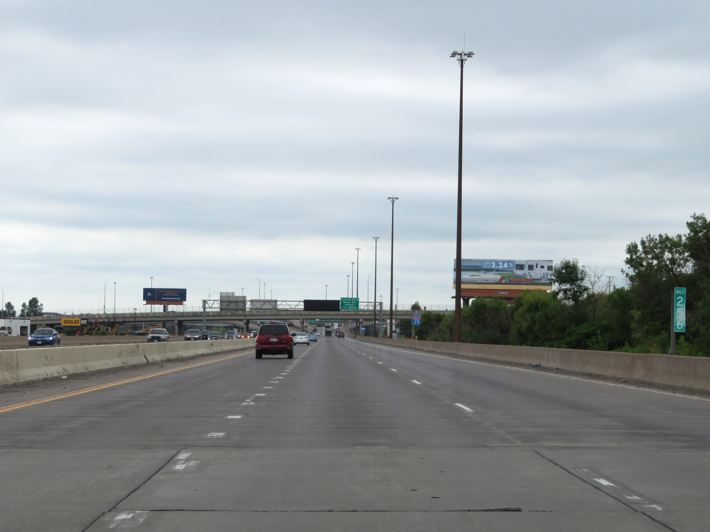 |
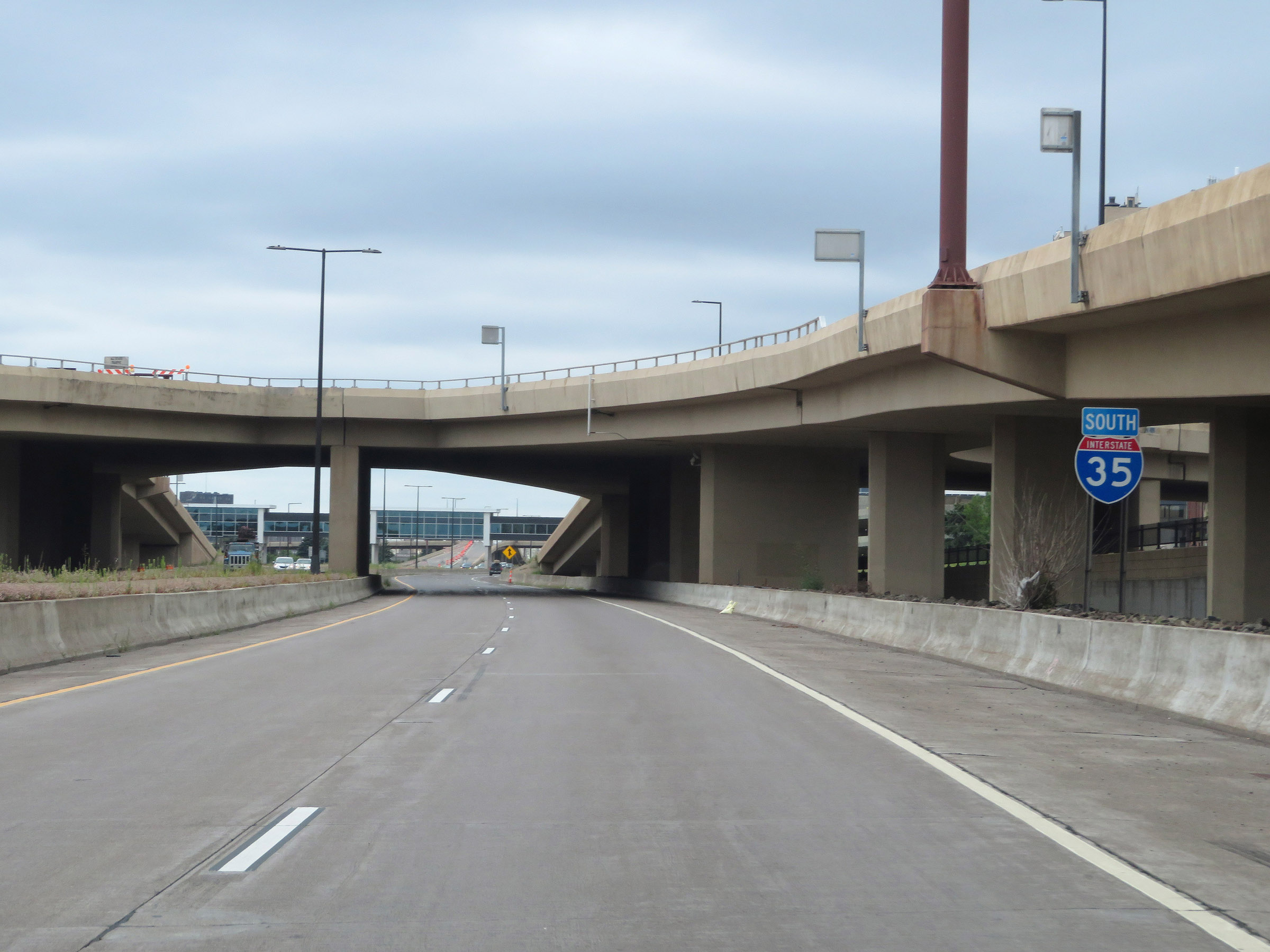
Interstate 35 South at mile marker 256. Traffic to Interstate 535 South should move to the leftmost lane at this point. (Photo taken 8/7/20). |
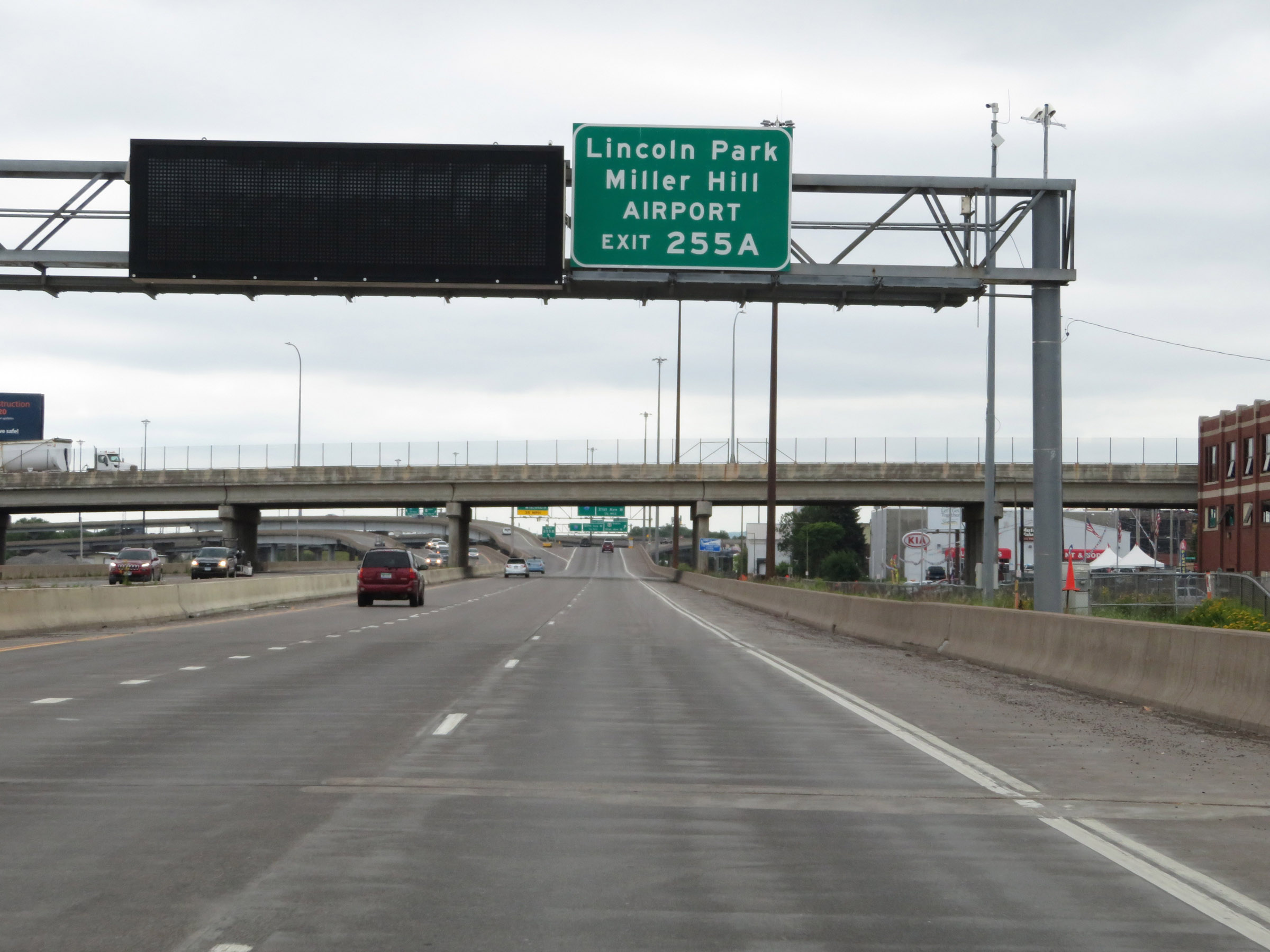 |
Take Exit 255A (US 53 North) to Lincoln Park, Miller Hill, and the Airport. (Photo taken 8/7/20). |
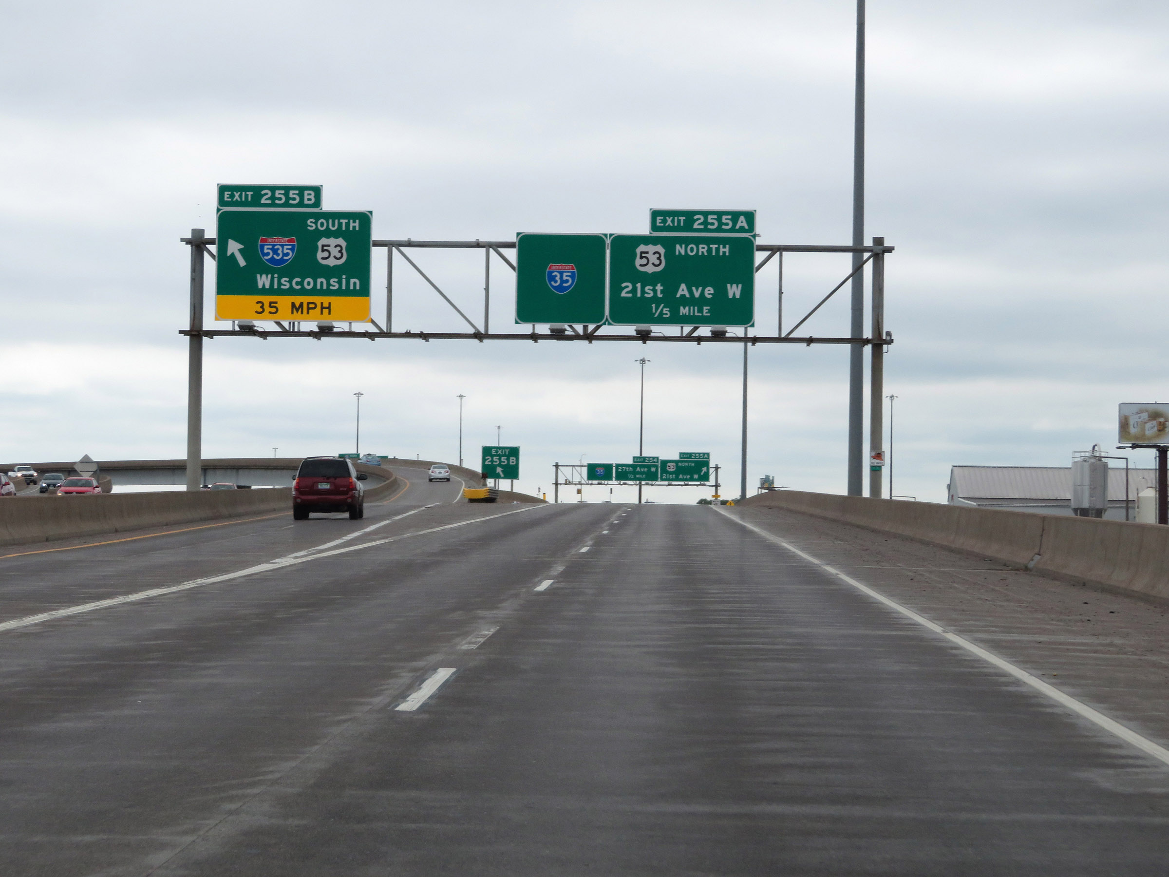 |
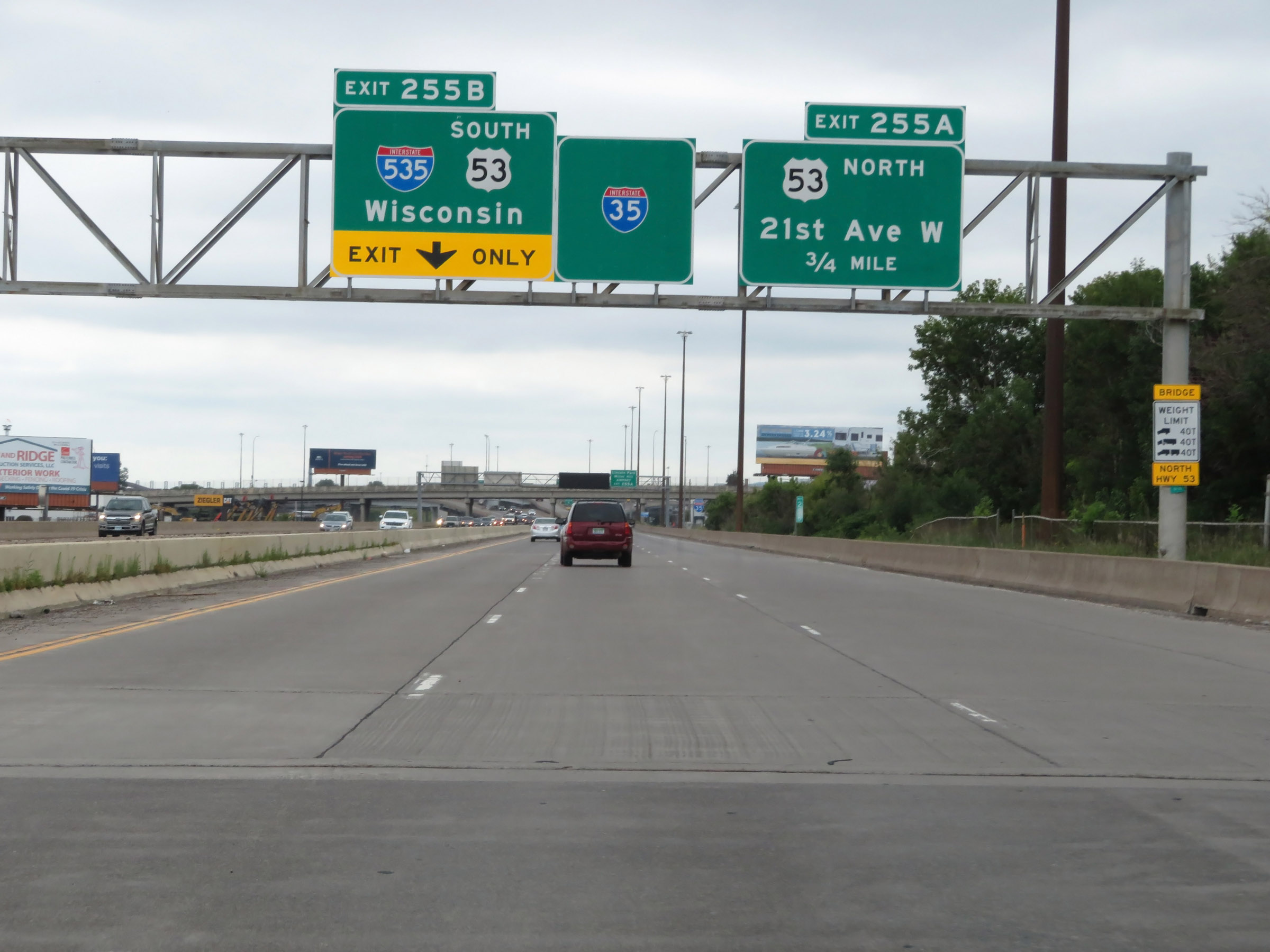
Interstate 35 South at Exit 255B: Interstate 535 South / US 53 South - Wisconsin (Photo taken 8/7/20). |
 |
Interstate 35 South at Exit 255A: US 53 North - 21st Ave W (Photo taken 8/7/20). |
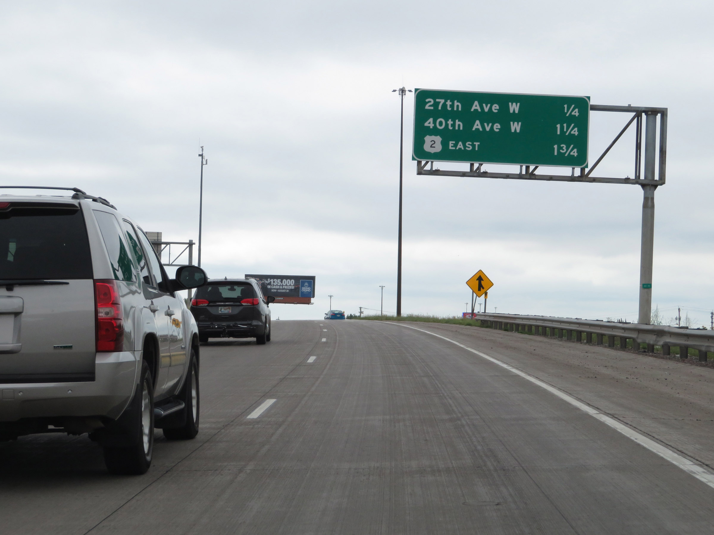 |
Another overhead mileage sign listing the distances to the next three interchanges on Interstate 35 South. (Photo taken 8/7/20). |
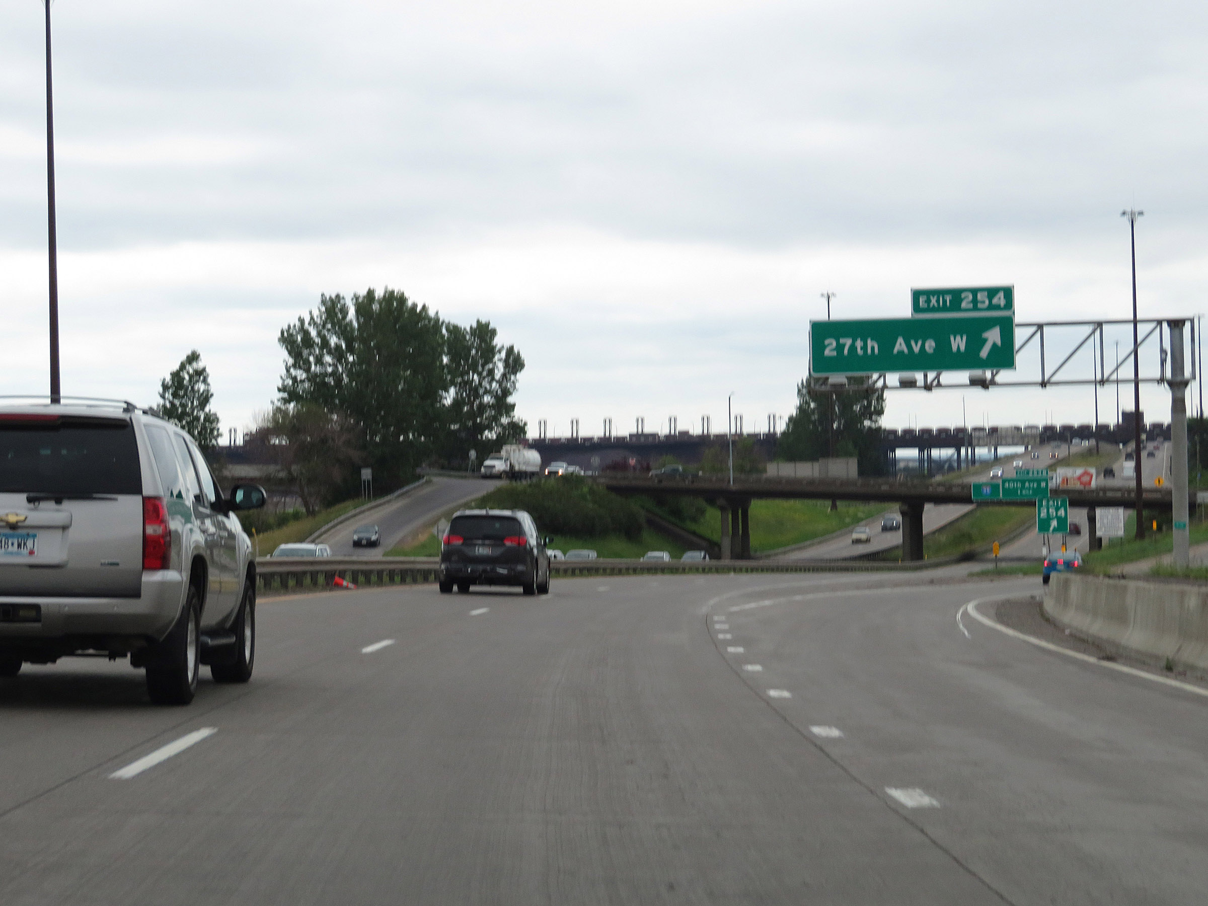 |
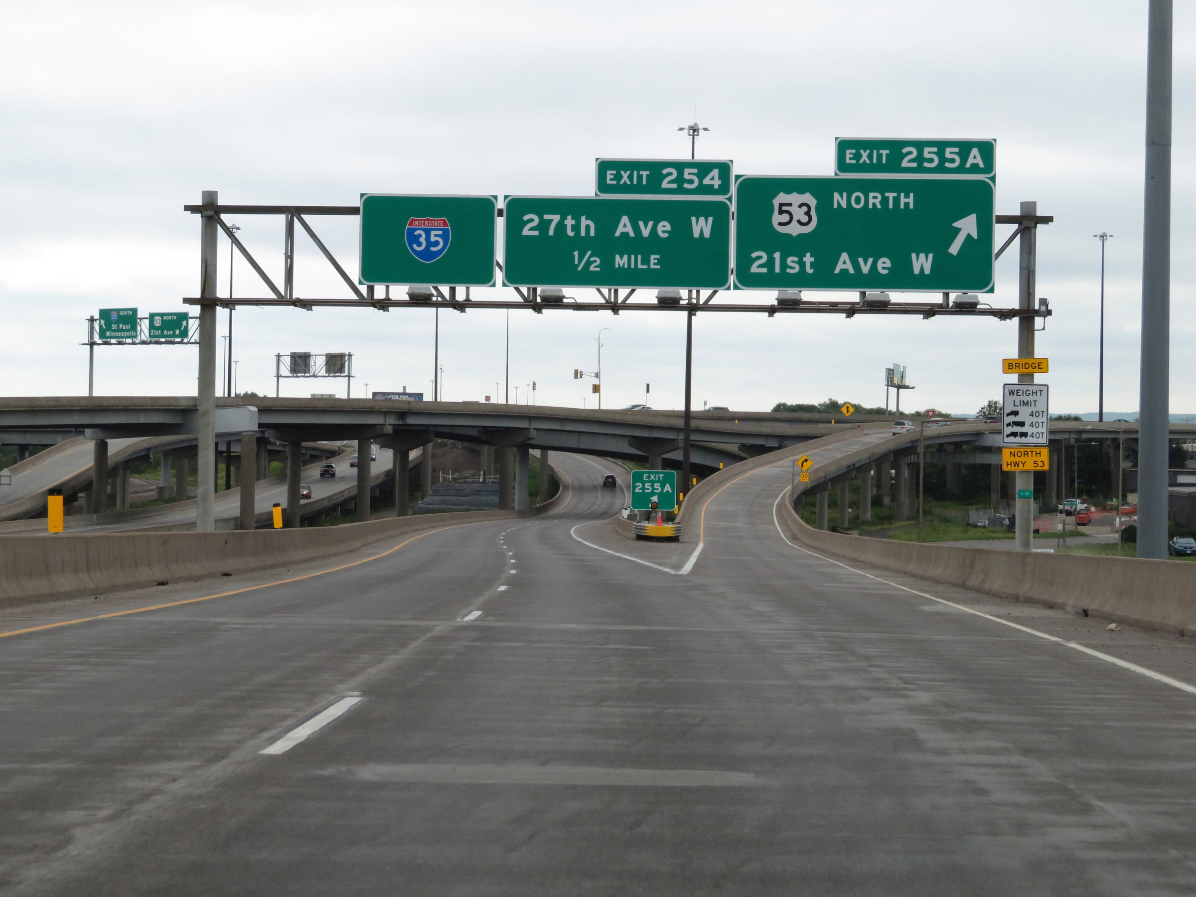
Interstate 35 South at Exit 254: 27th Ave W (Photo taken 8/7/20). |
 |
View of the ramp for Exit 254. (Photo taken 8/7/20). |
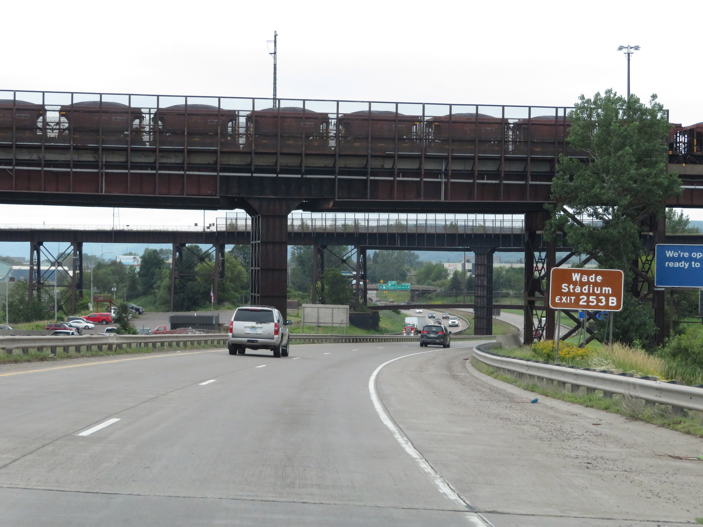 |
Take Exit 253B to Wade Stadium. (Photo taken 8/7/20). |
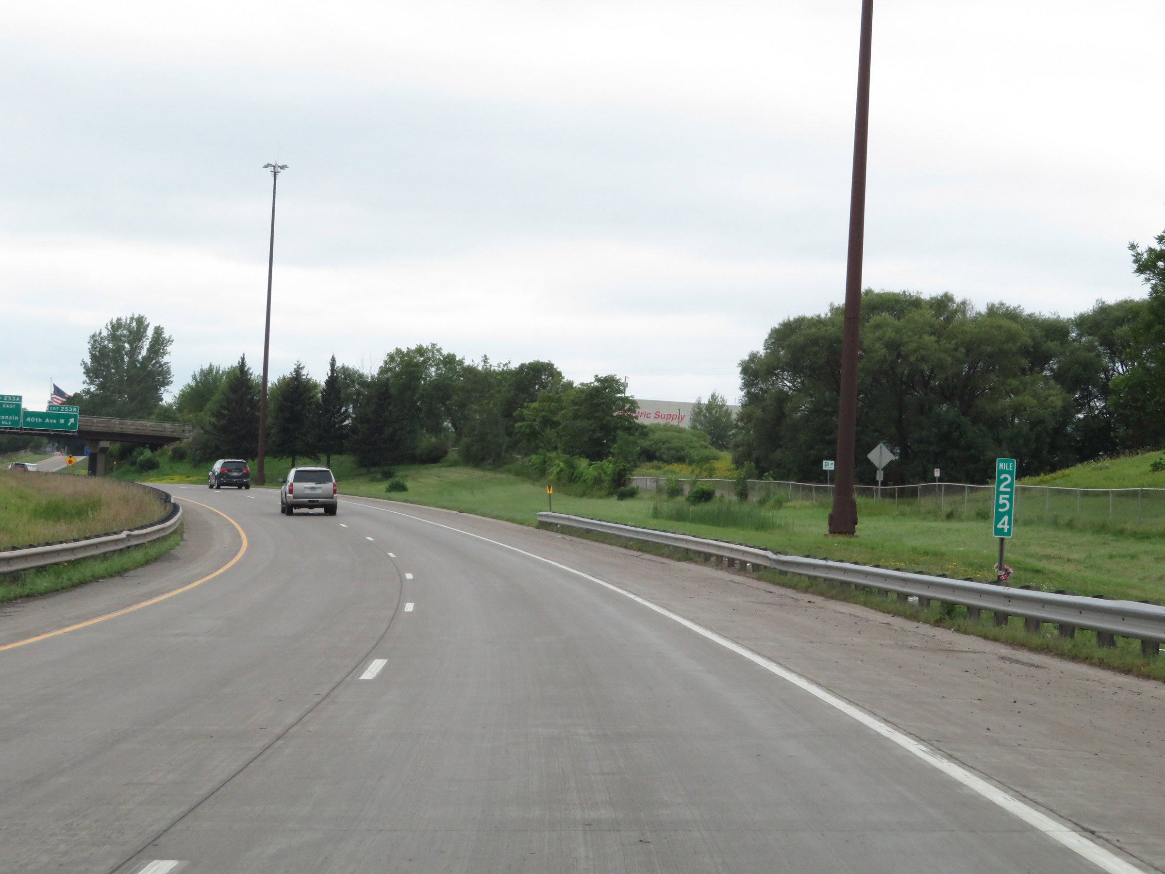 |
View on Interstate 35 South at mile marker 254. (Photo taken 8/7/20). |
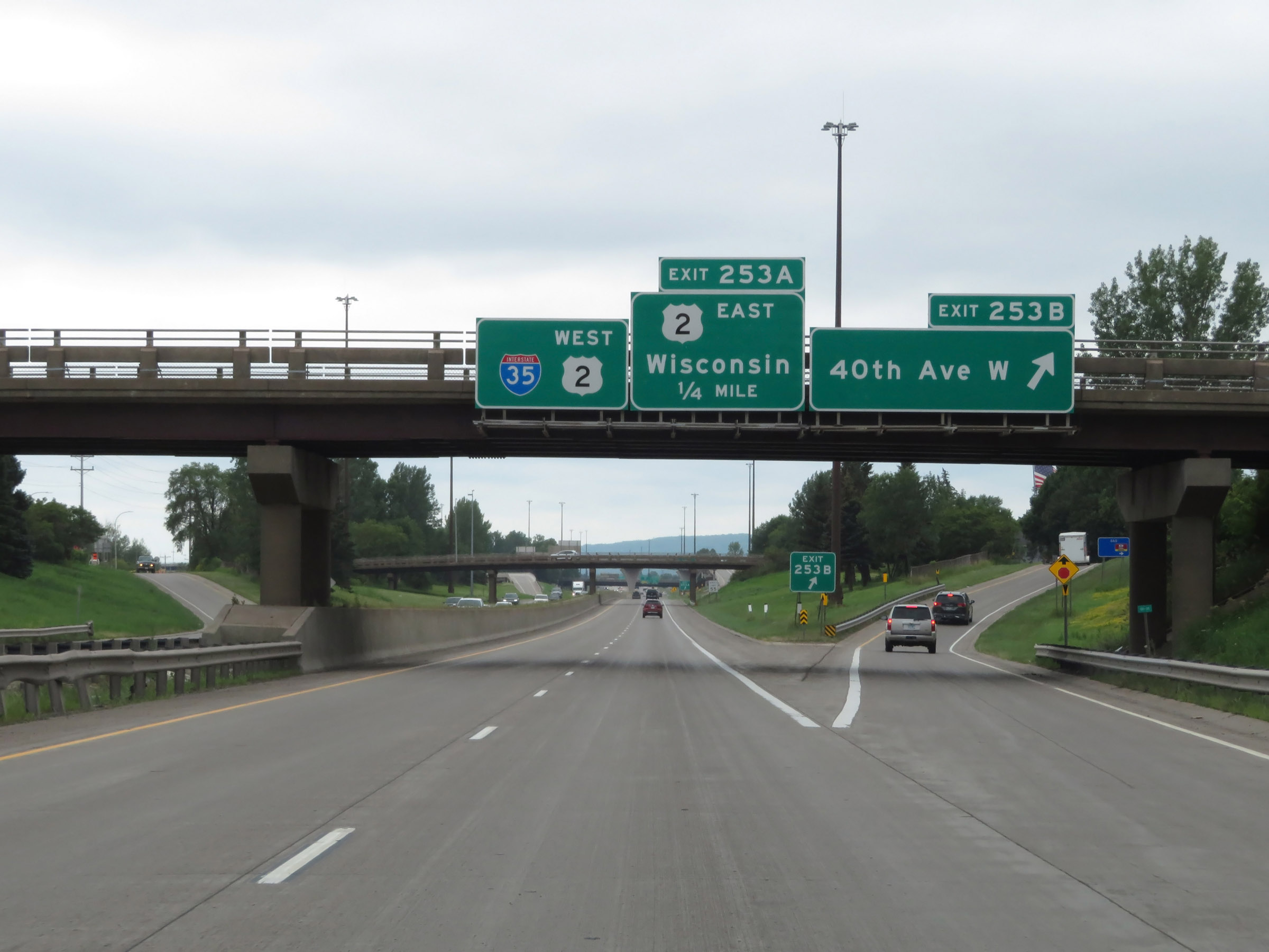 |
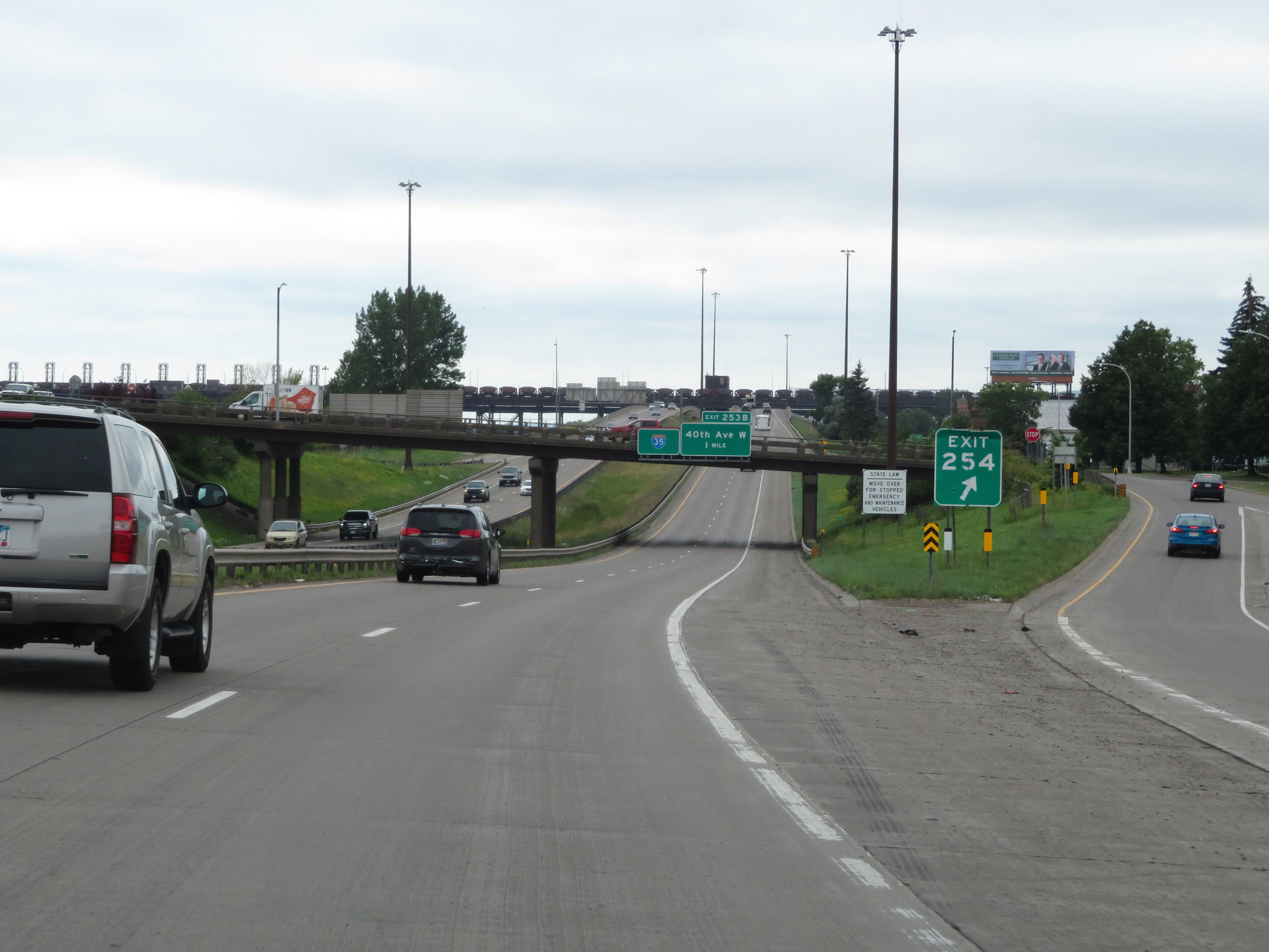
Interstate 35 South at Exit 253B: 40th Ave W (Photo taken 8/7/20). |
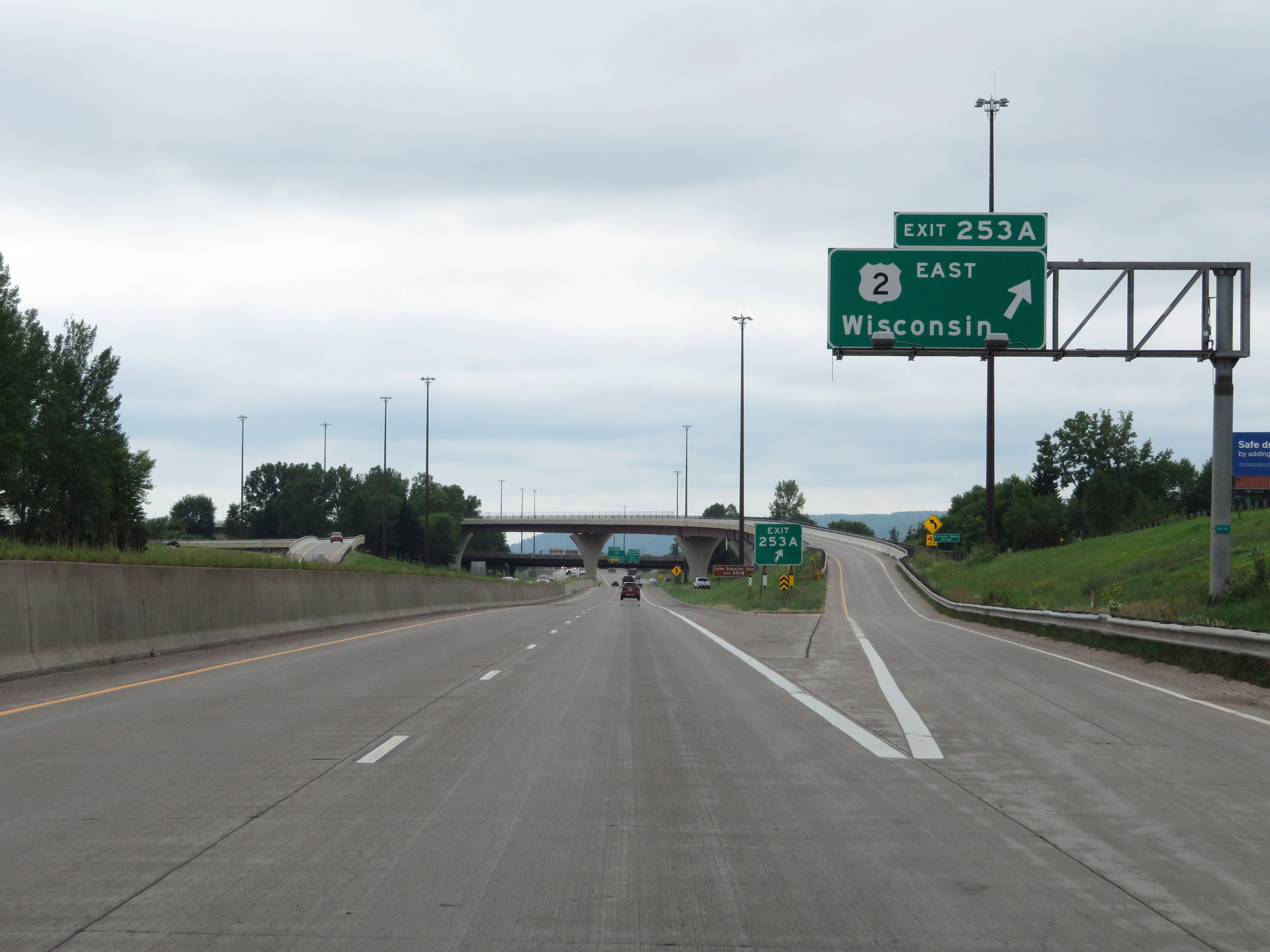 |
Interstate 35 South at Exit 253A: US 2 East - Wisconsin (Photo taken 8/7/20). |
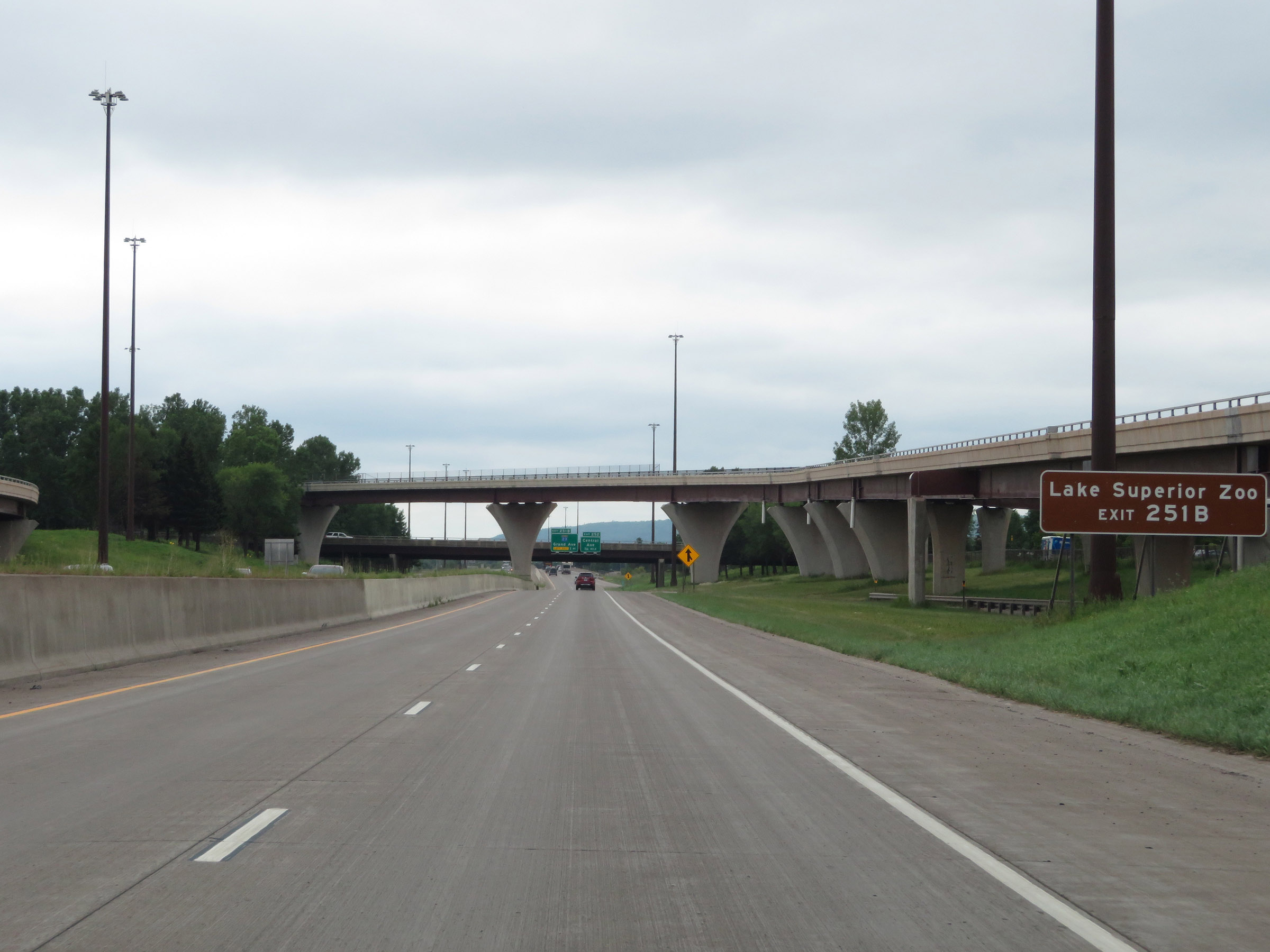 |
Take Exit 251B to Lake Superior Zoo. (Photo taken 8/7/20). |
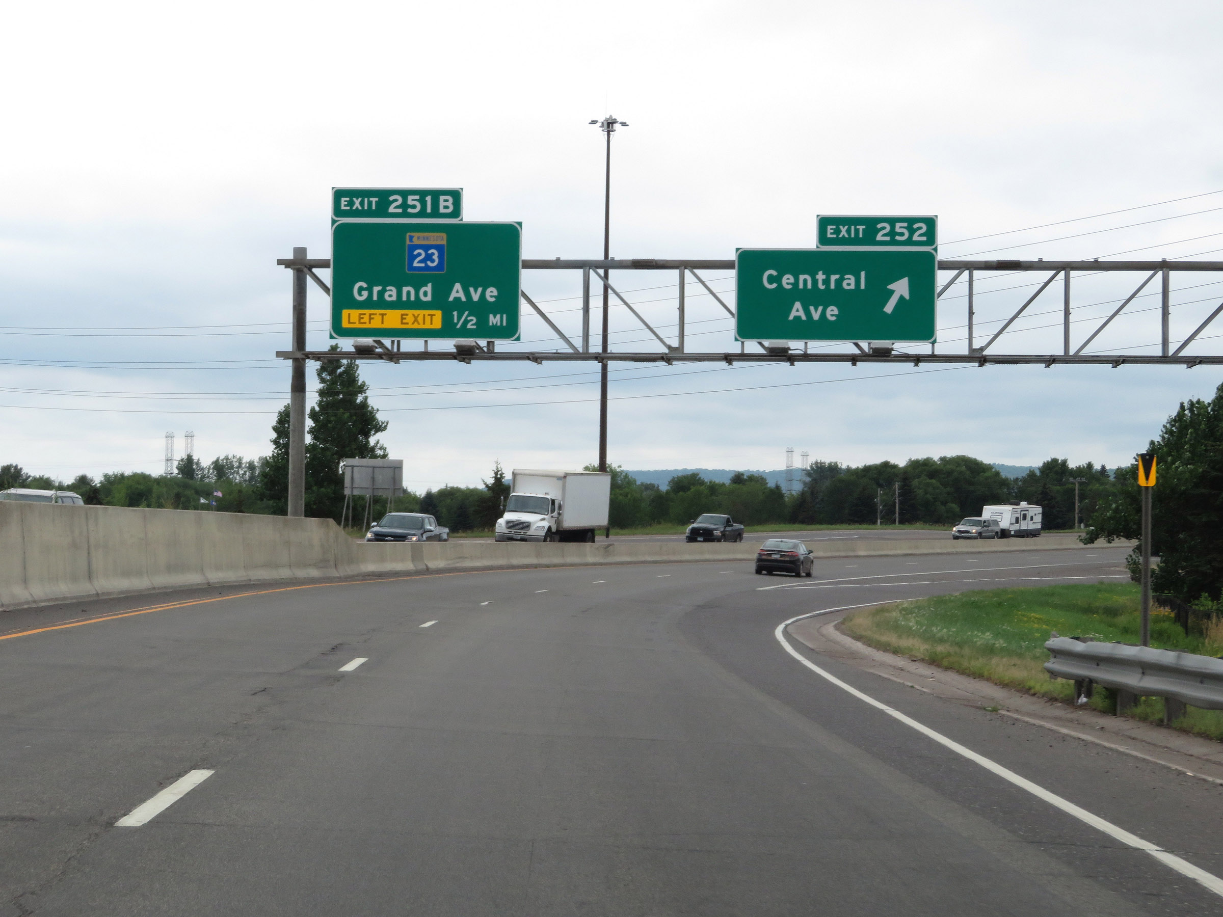 |
Interstate 35 South at Exit 252: Central Ave (Photo taken 8/7/20). |
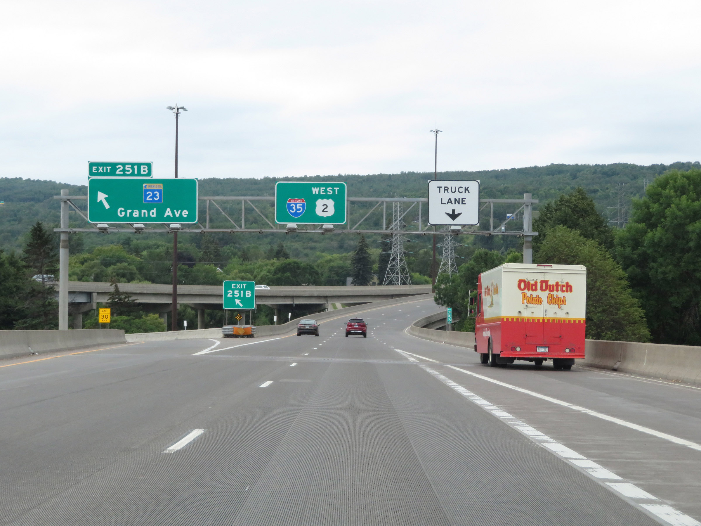 |
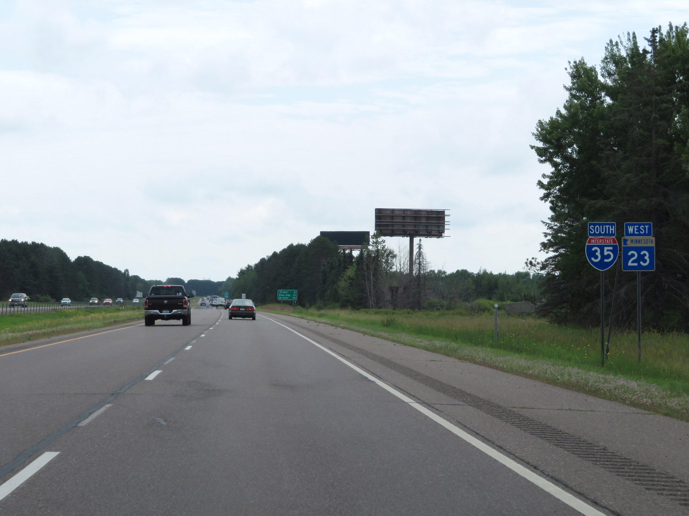
Interstate 35 South at Exit 251B: MN 23 - Grand Ave (Photo taken 8/7/20). |
 |
South of Exit 251B, Interstate 35 South begins what will be a roughly 1 1/2 mile climb out of the Duluth area. As such, the on ramp from W Michigan St continues as a truck climbing lane. (Photo taken 8/7/20). |
 |
The speed limit remains 55 mph. (Photo taken 8/7/20). |
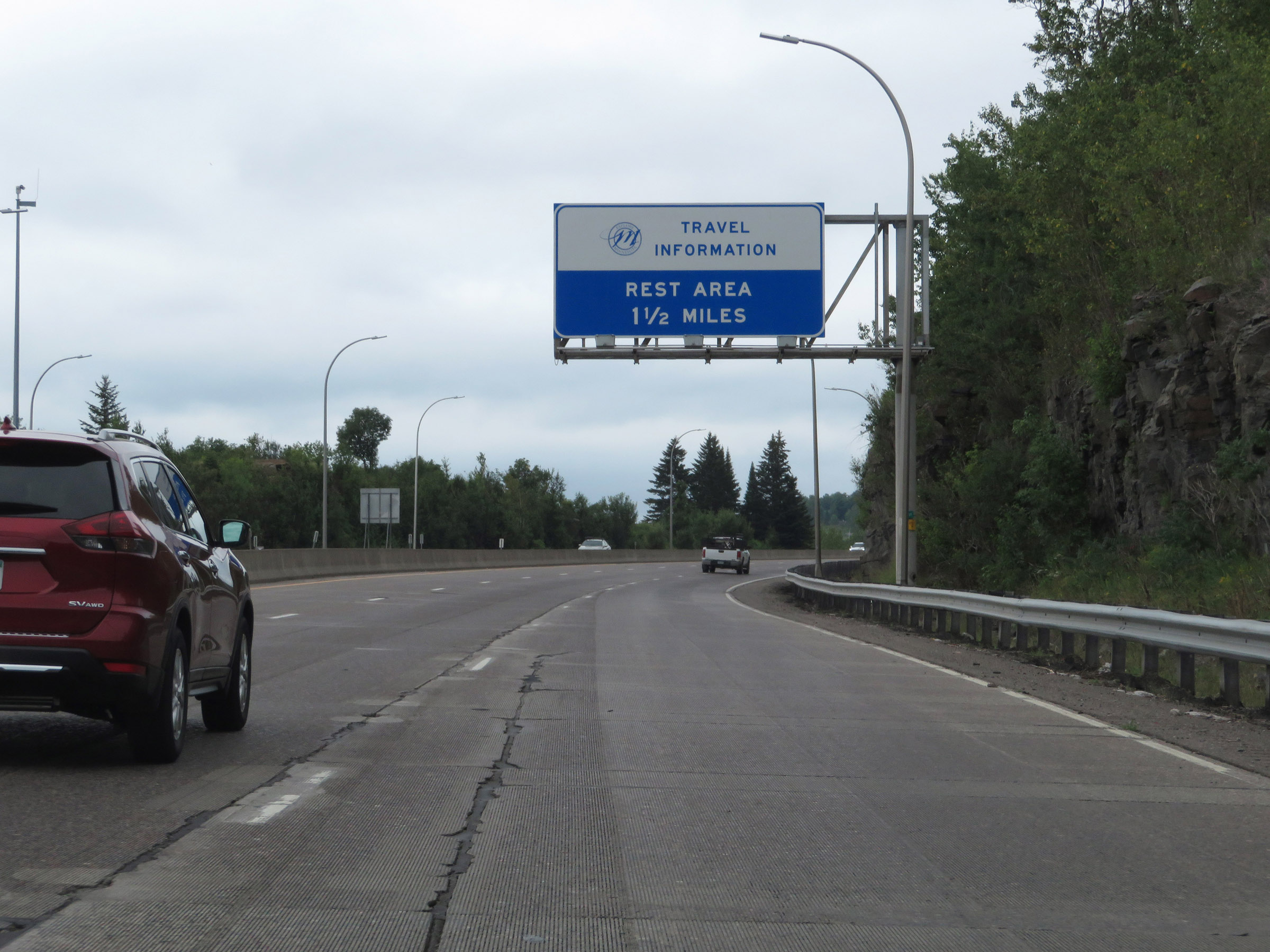 |
A Rest Area exits 1 1/2 miles ahed off Exit 249, at the top of this grade. (Photo taken 8/7/20). |
 |
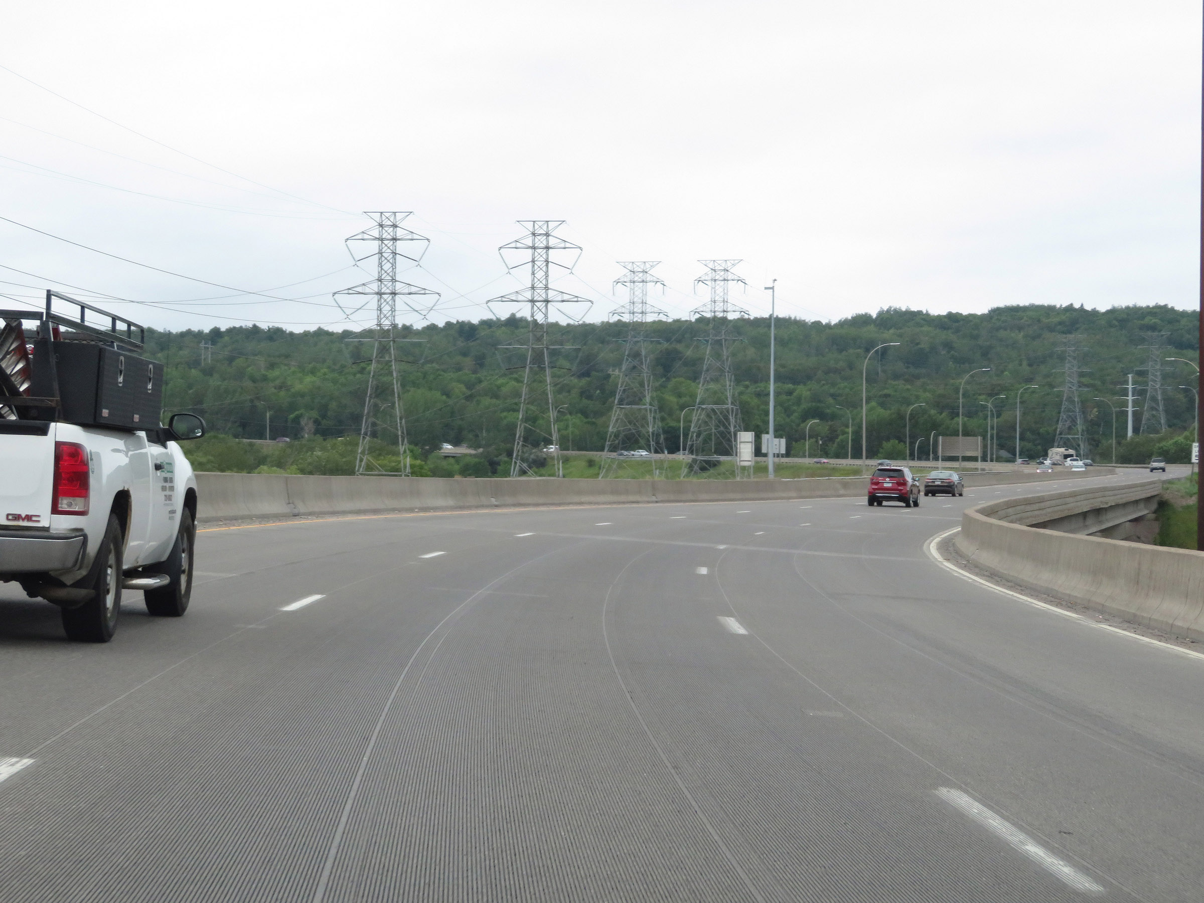
View on Interstate 35 South as it continues to climb the grade out of the Duluth area. (Photo taken 8/7/20). |
 |
Interstate 35 South at mile marker 251. (Photo taken 8/7/20). |
 |
The truck climbing lane comes to an end ahead as it becomes an exit only lane for Exit 250. (Photo taken 8/7/20). |
 |
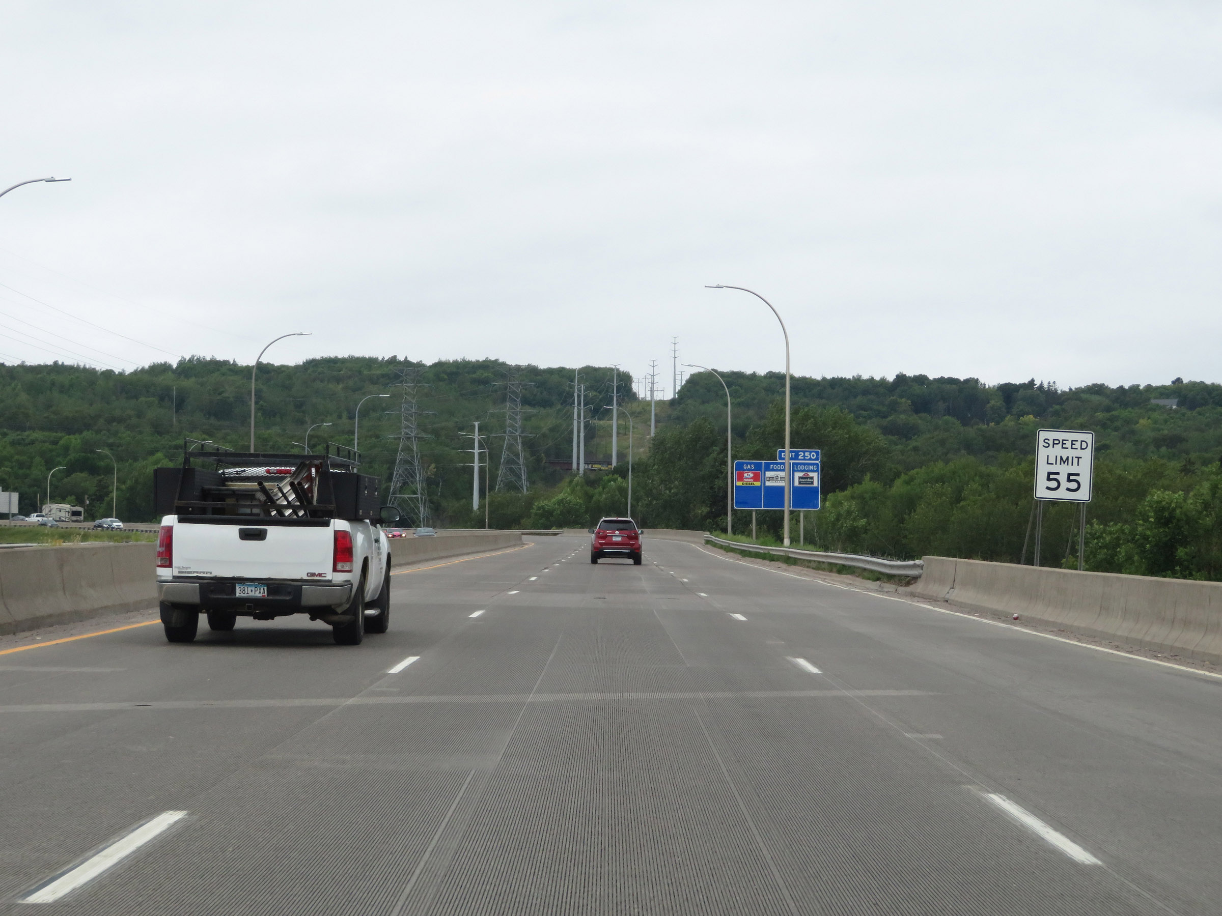
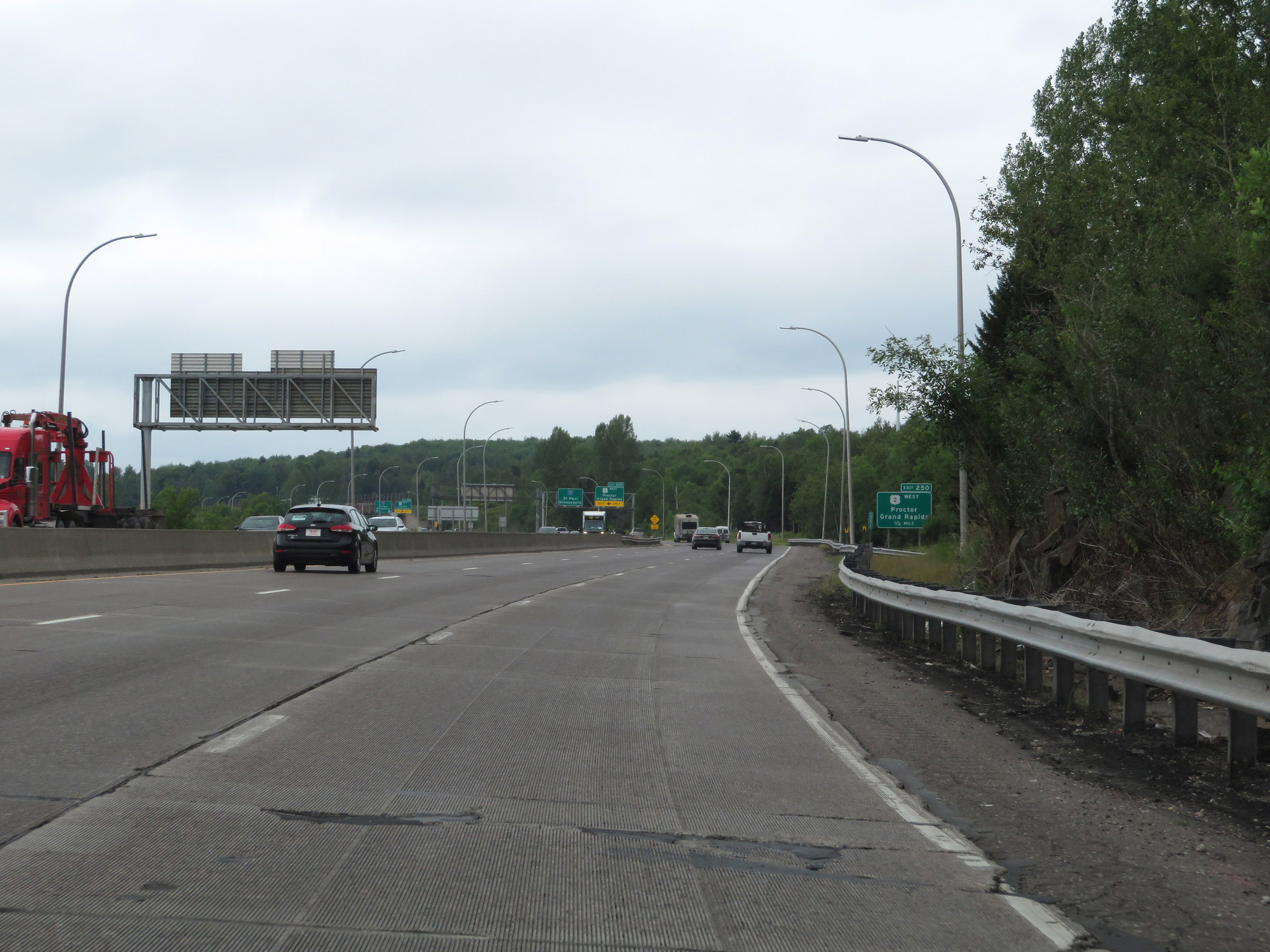
Interstate 35 South approaching Exit 250. (Photo taken 8/7/20). |
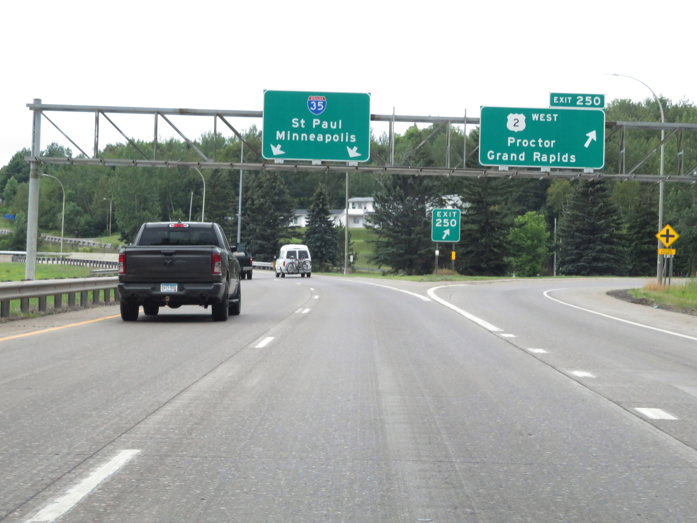 |
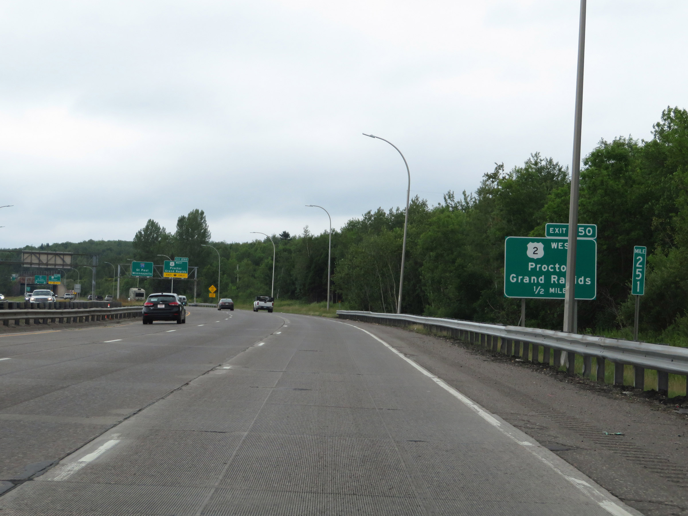
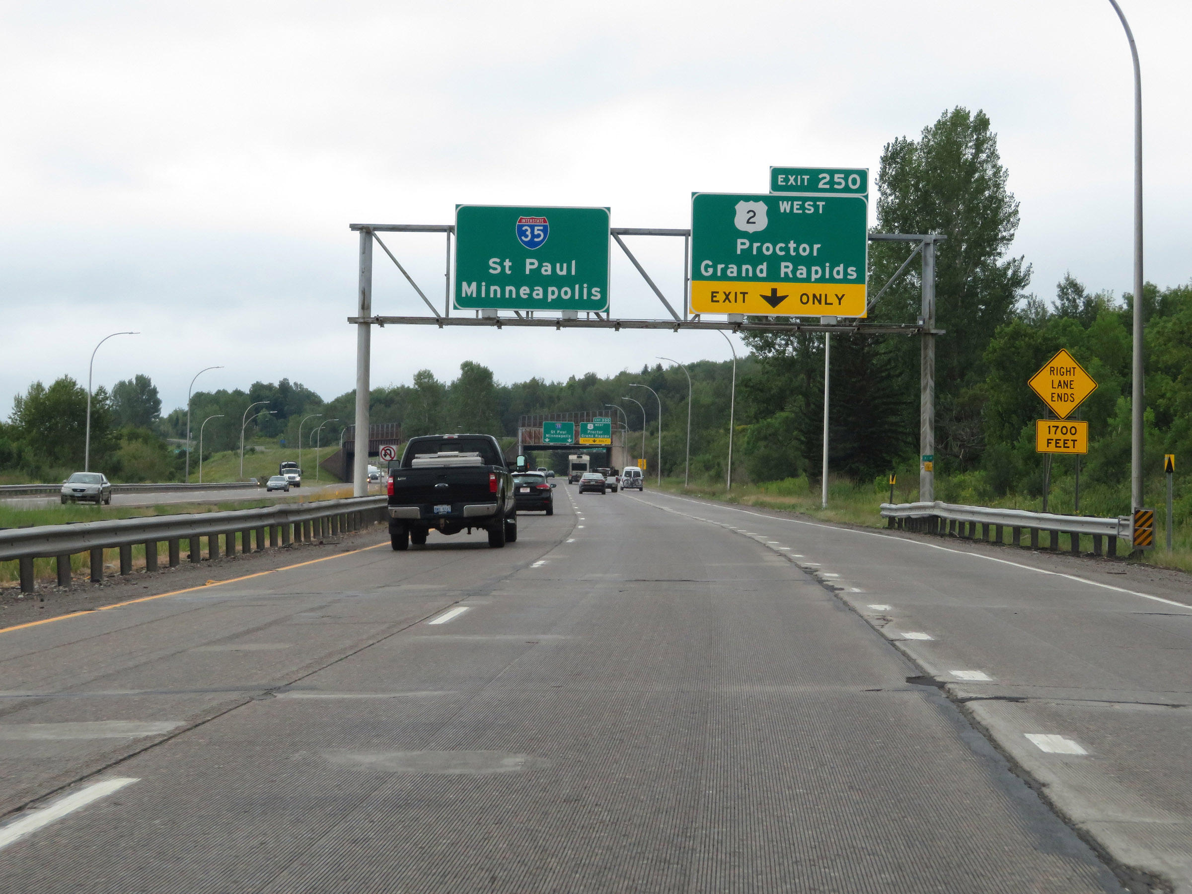
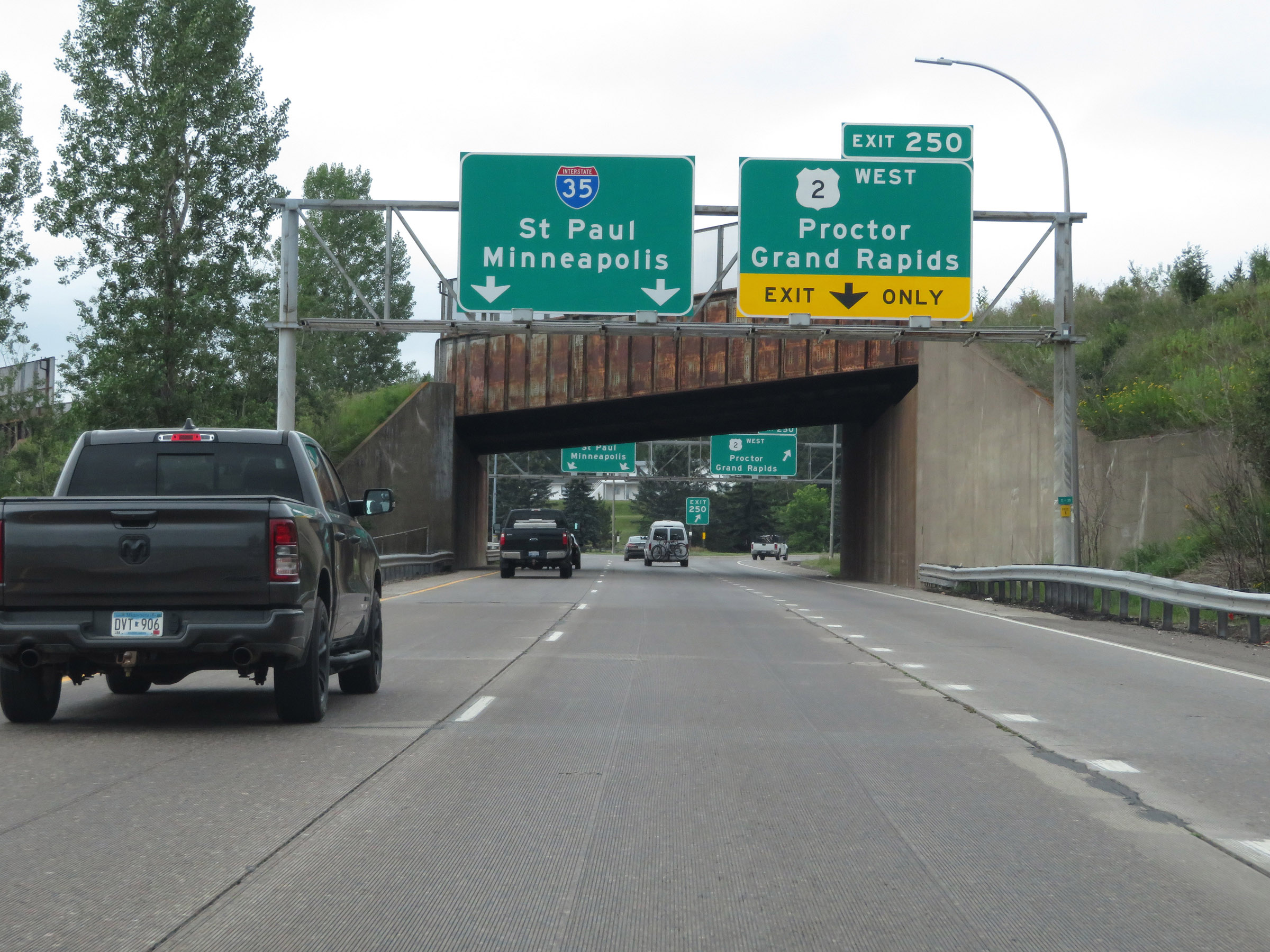
Interstate 35 South at Exit 250: US 2 West - Proctor / Grand Rapids (Photo taken 8/7/20). |
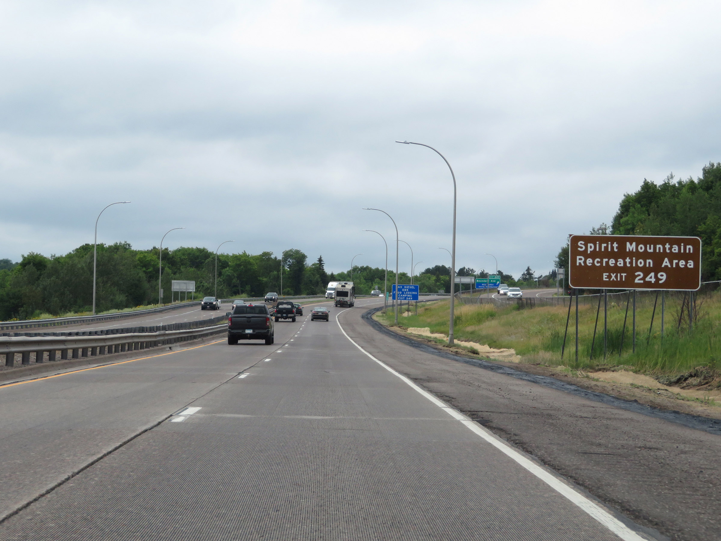 |
Take Exit 249 to Spirit Mountain Recreation Area. (Photo taken 8/7/20). |
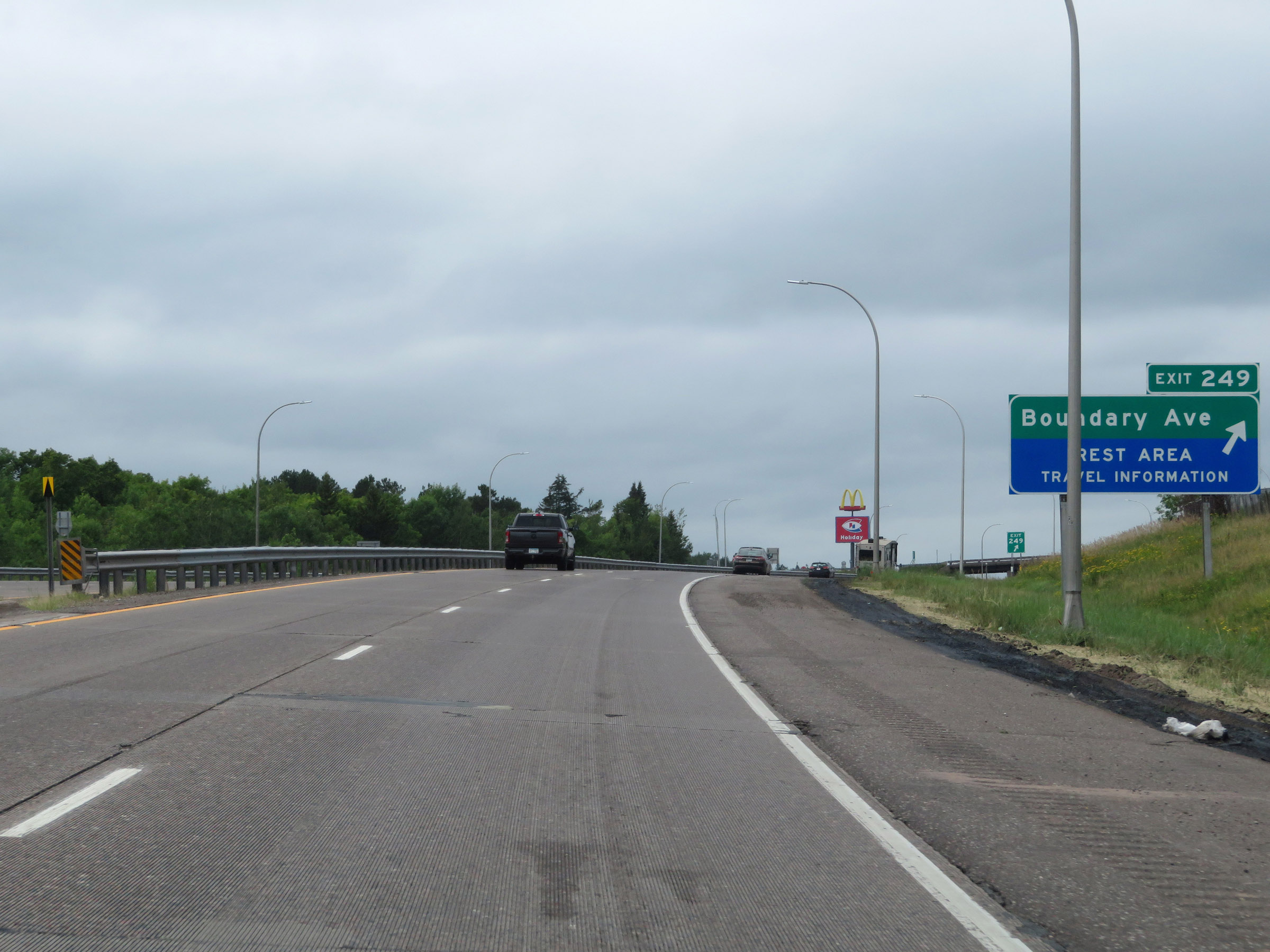 |
Interstate 35 South at Exit 249: Boundary Ave / Rest Area (Photo taken 8/7/20). |
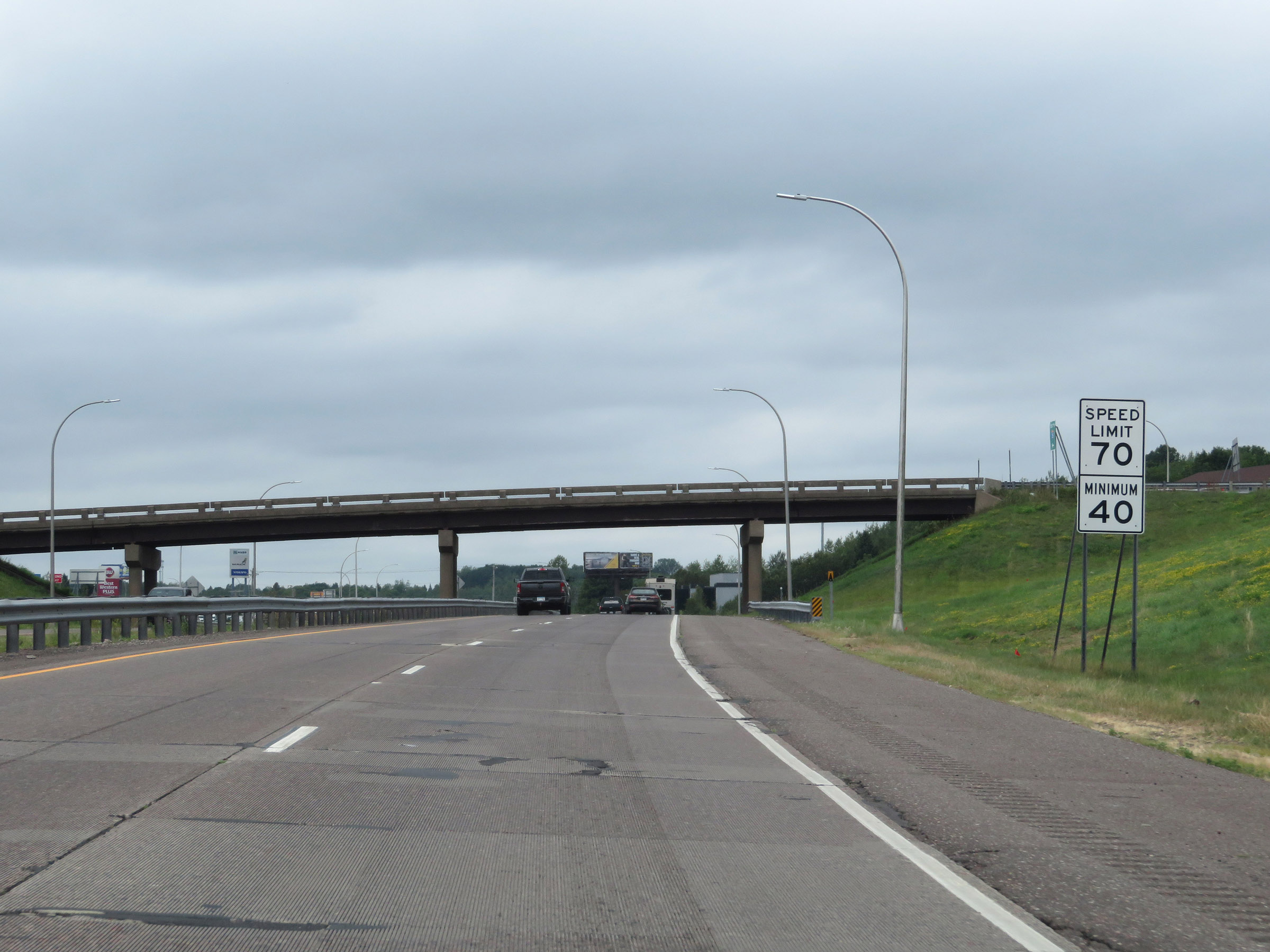 |
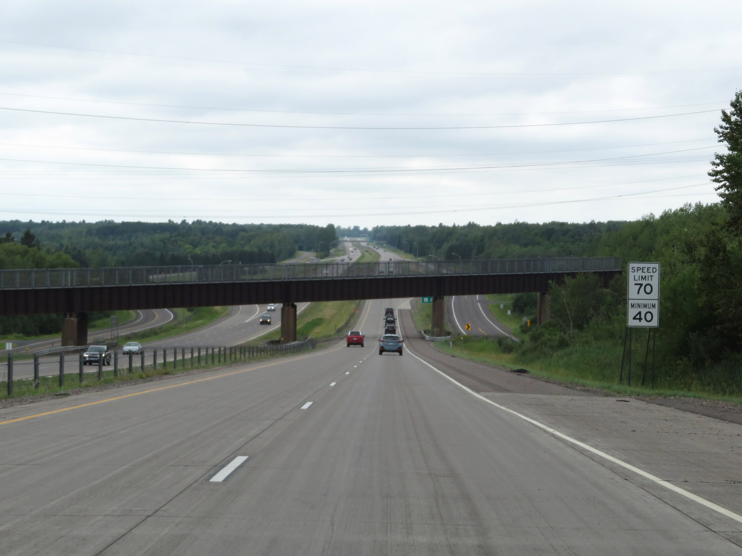
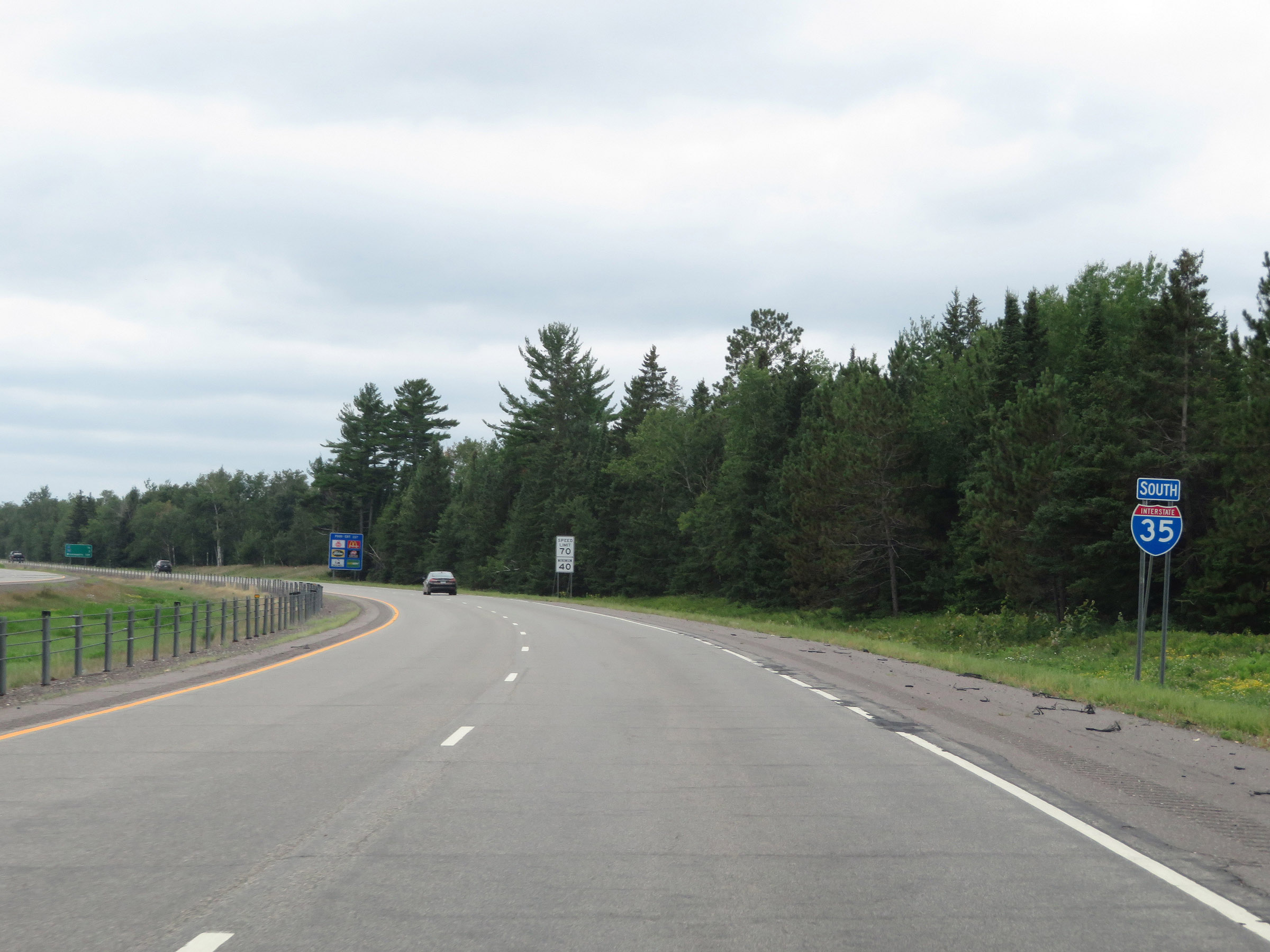
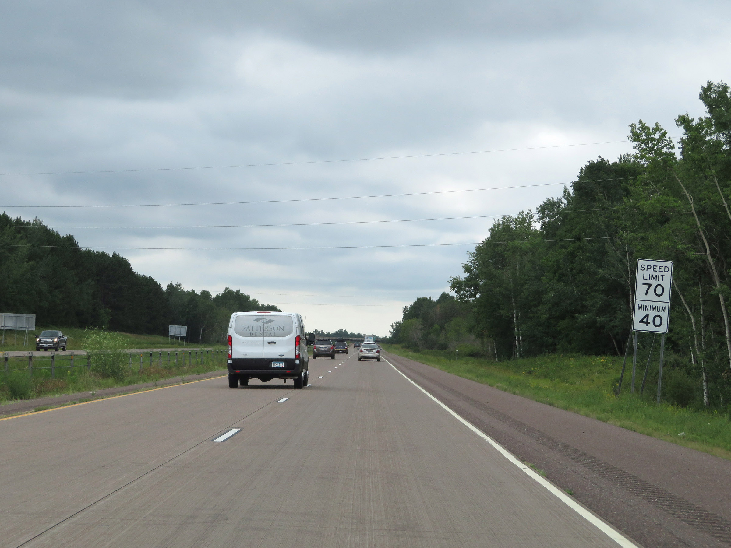
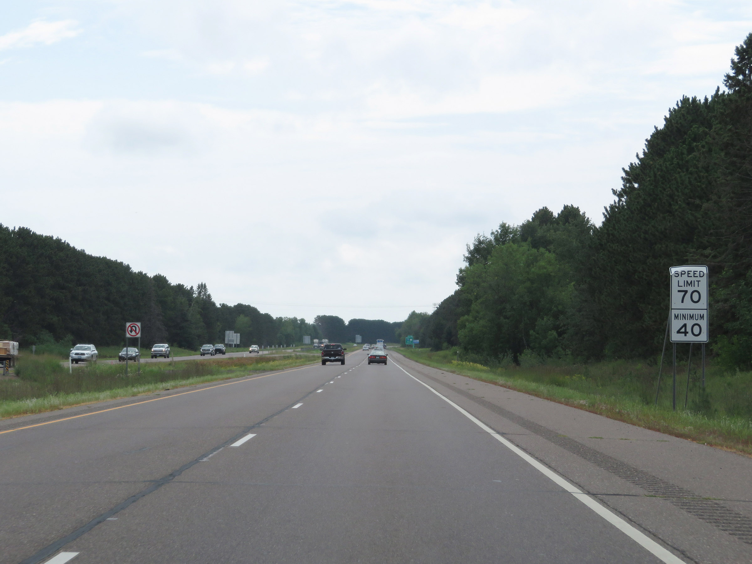
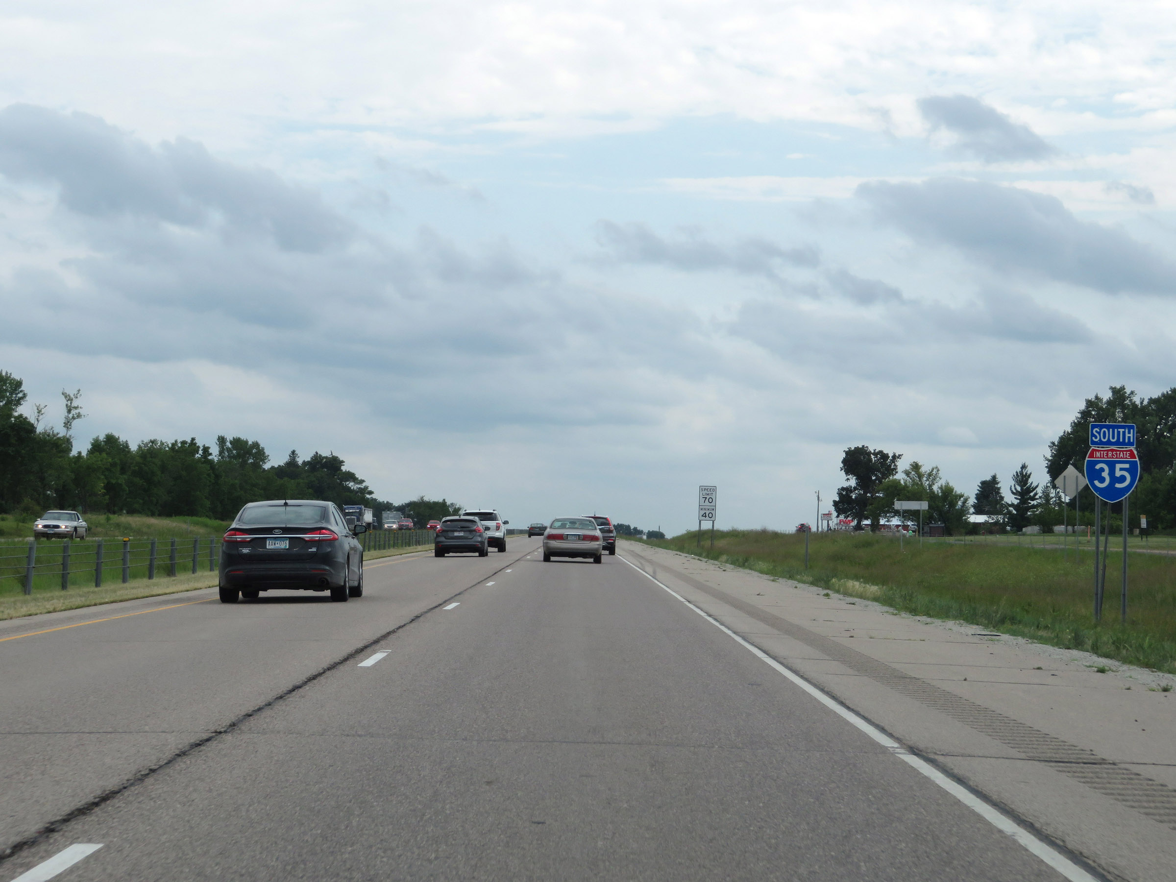
As Interstate 35 South reaches the top of the grade just beyond Exit 249, the maximum speed limit increases to 70 mph with a minimum speed limit of 40 mph. These are the standard speed limits on most rural Interstate highways in Minnesota. (Photo taken 8/7/20). |
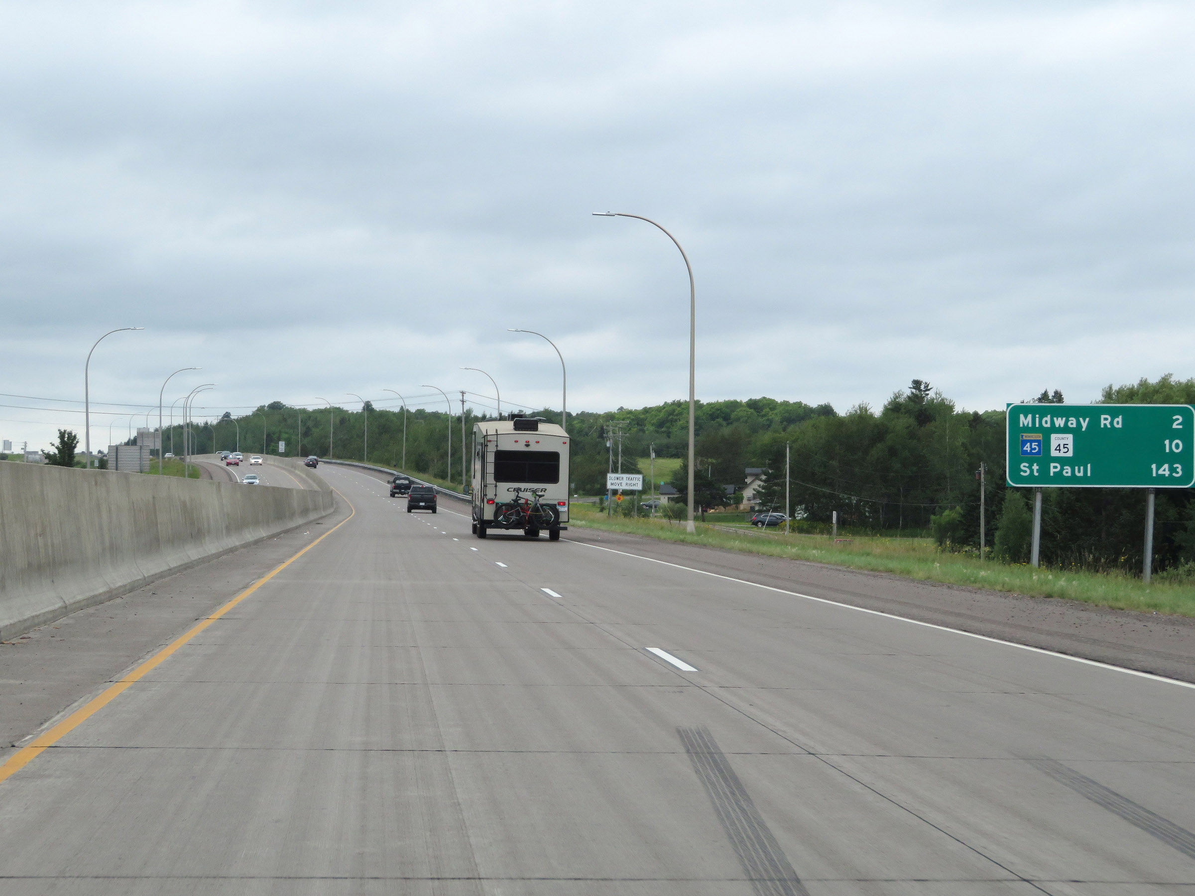 |
Mileage sign on Interstate 35 South. It's 2 miles to the junction of Midway Rd, 10 miles to the junction of MN 45 / CR 45, and 143 miles to St. Paul. (Photo taken 8/7/20). |
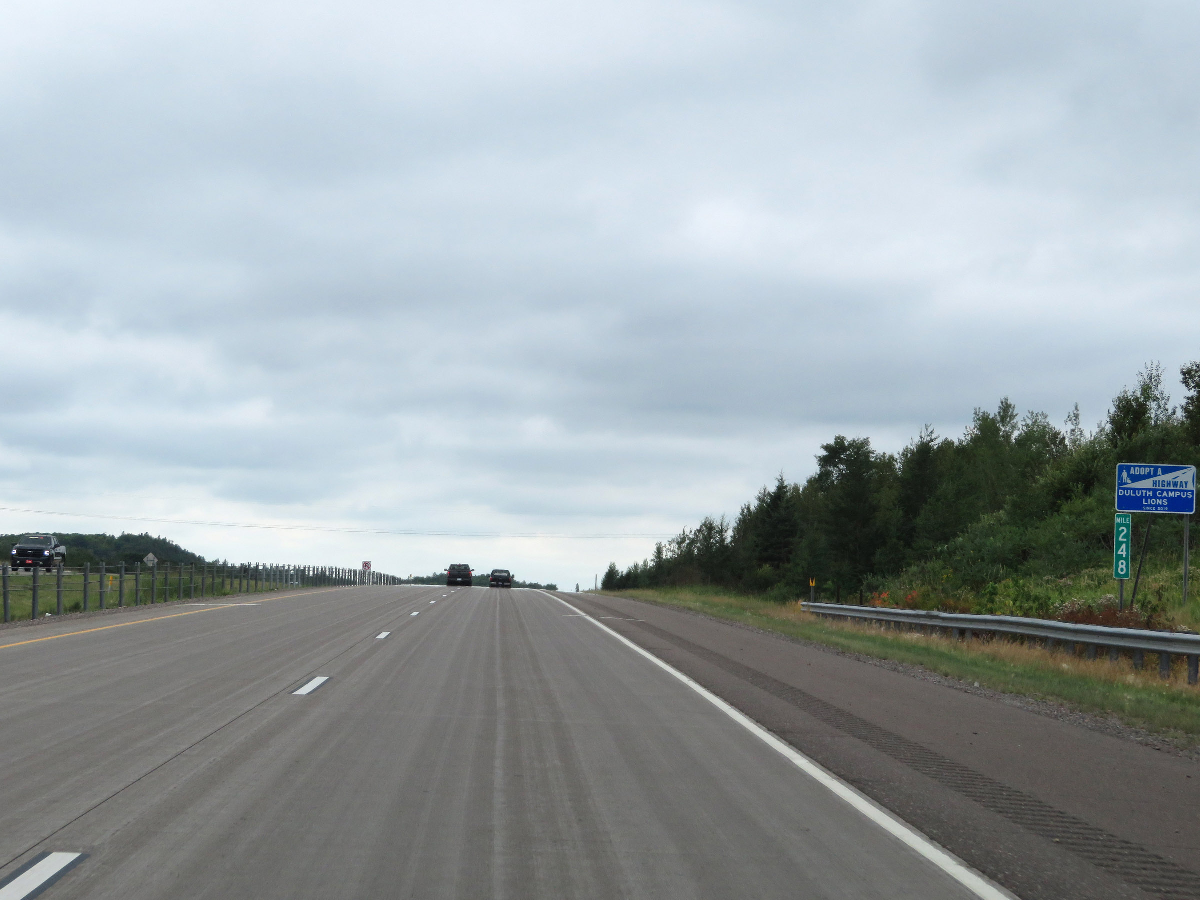 |
View on Interstate 35 South at mile marker 248. (Photo taken 8/7/20). |
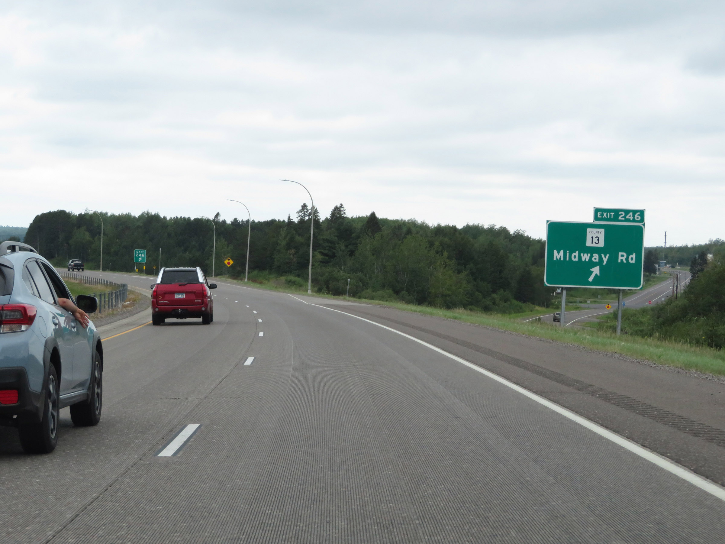 |
Interstate 35 South at Exit 246: CR 13 - Midway Rd (Photo taken 8/7/20). |
 |
The speed limits remain 70 mph maximum and 40 mph minimum. (Photo taken 8/7/20). |
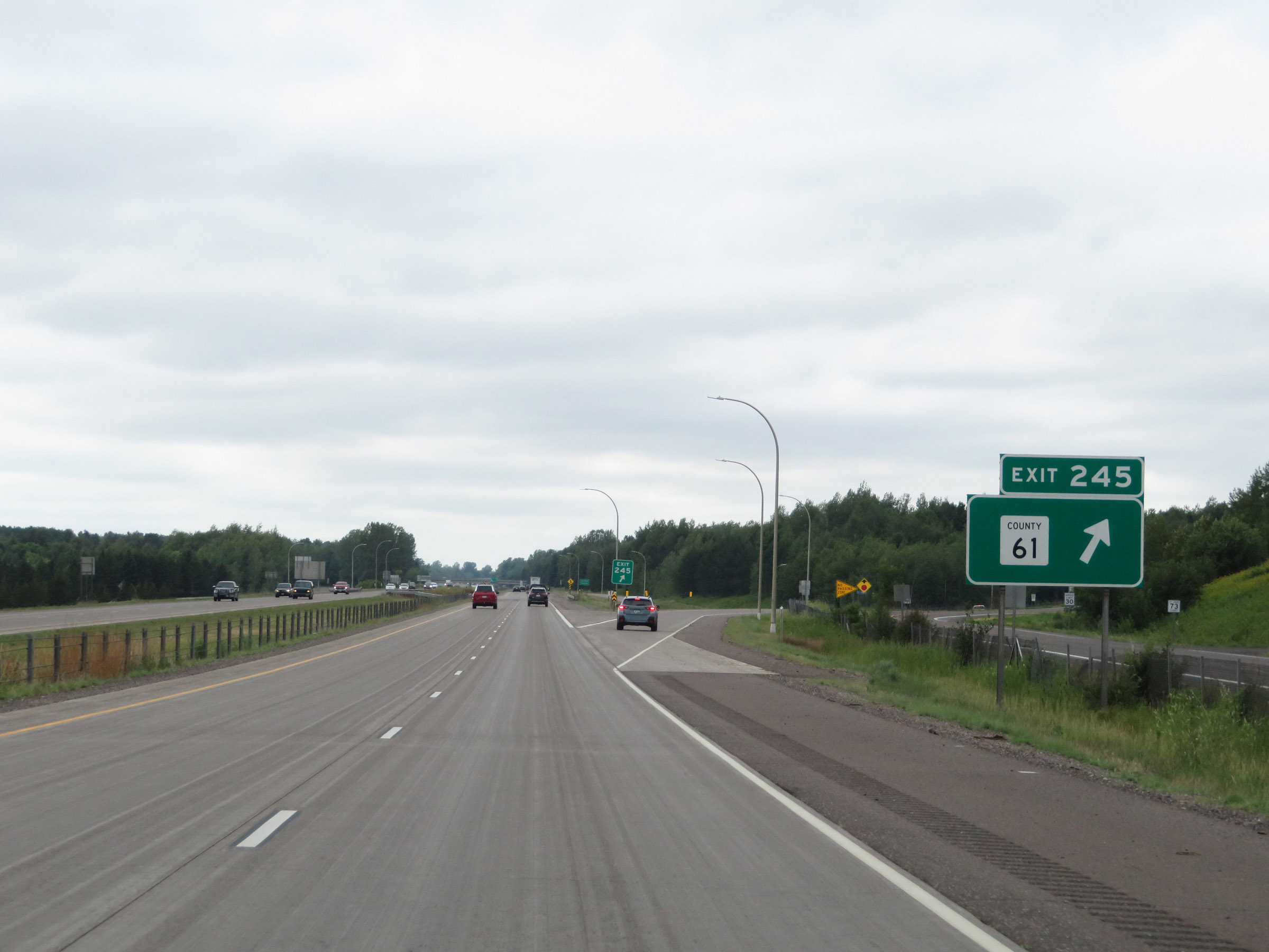 |
Interstate 35 South at Exit 245: CR 61 (Photo taken 8/7/20). |
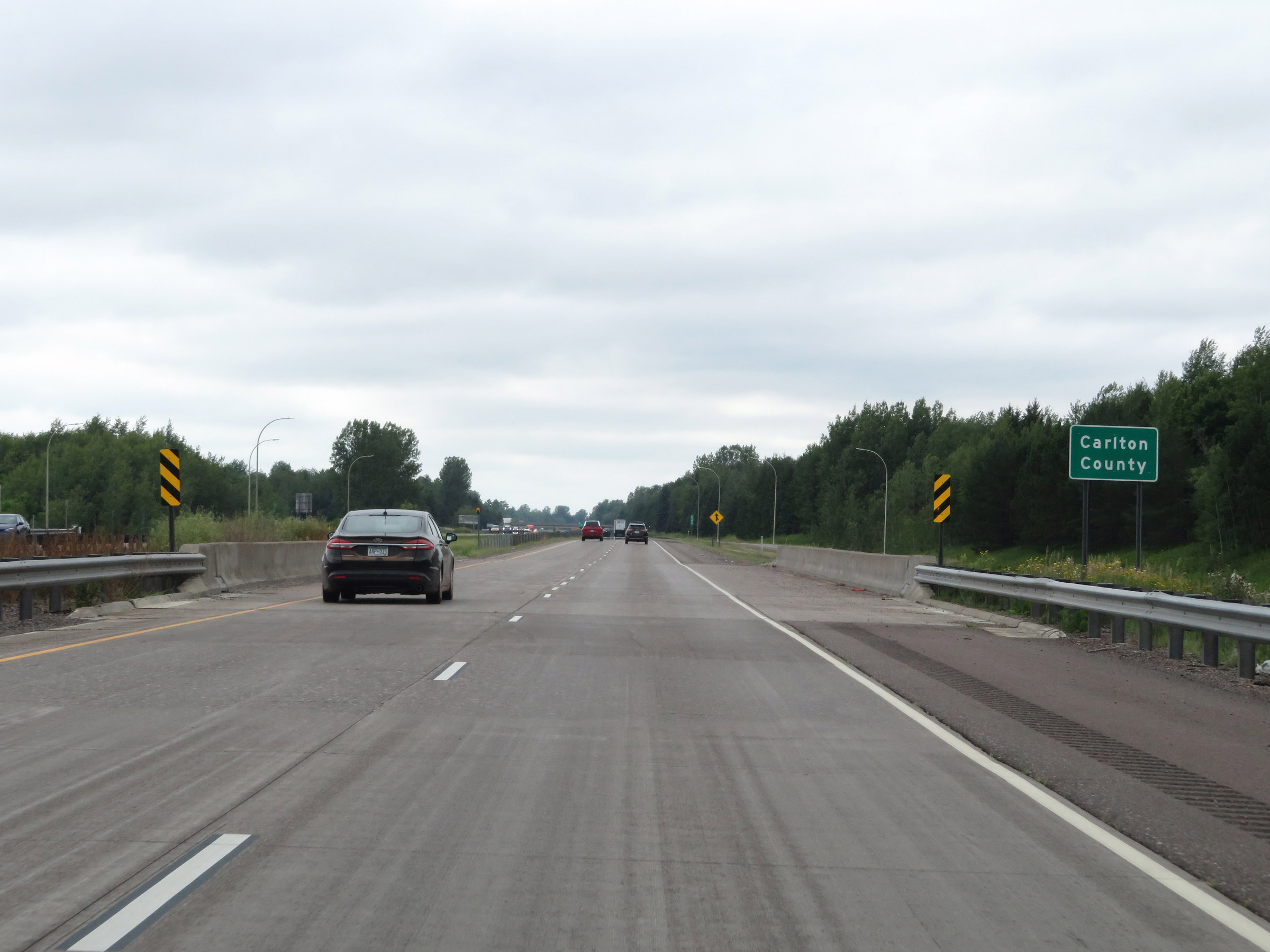 |
Interstate 35 South as it enters Carlton County. (Photo taken 8/7/20). |
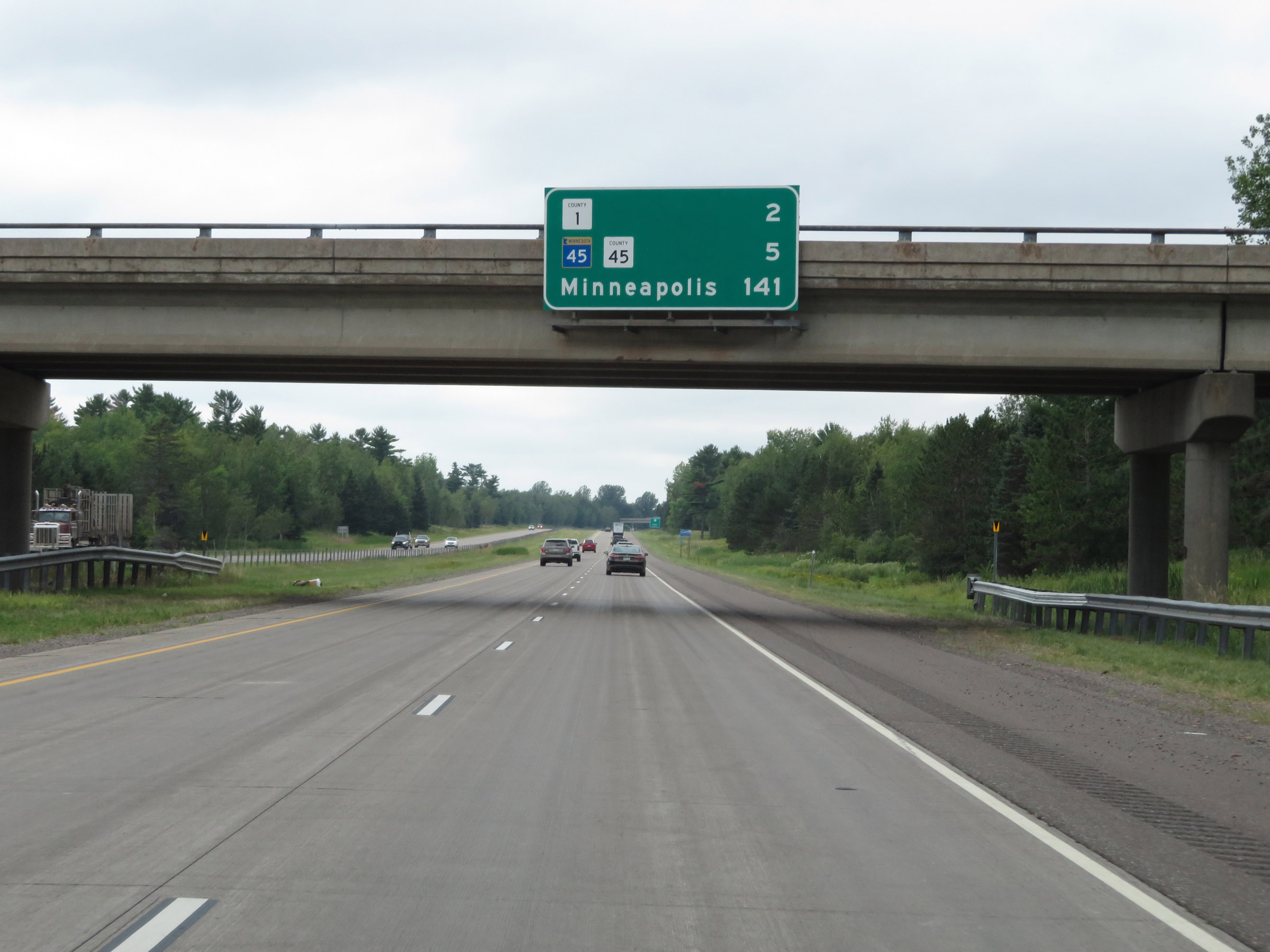 |
Overhead mileage sign on Interstate 35 South. It's 2 miles to the junction of CR 1, 5 miles to the junction of MN 45 / CR 45, and 141 miles to Minneapolis. (Photo taken 8/7/20). |
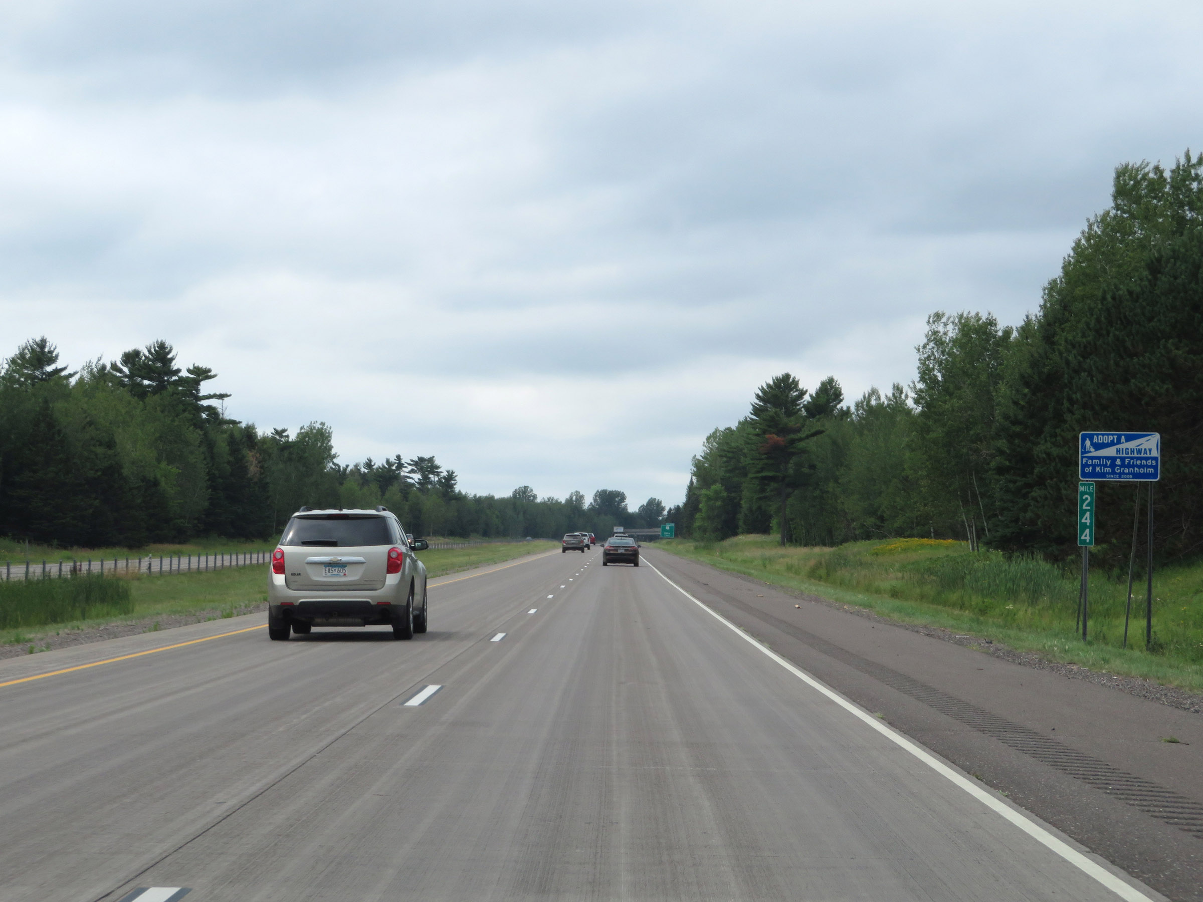 |
View on Interstate 35 South at mile marker 244. (Photo taken 8/7/20). |
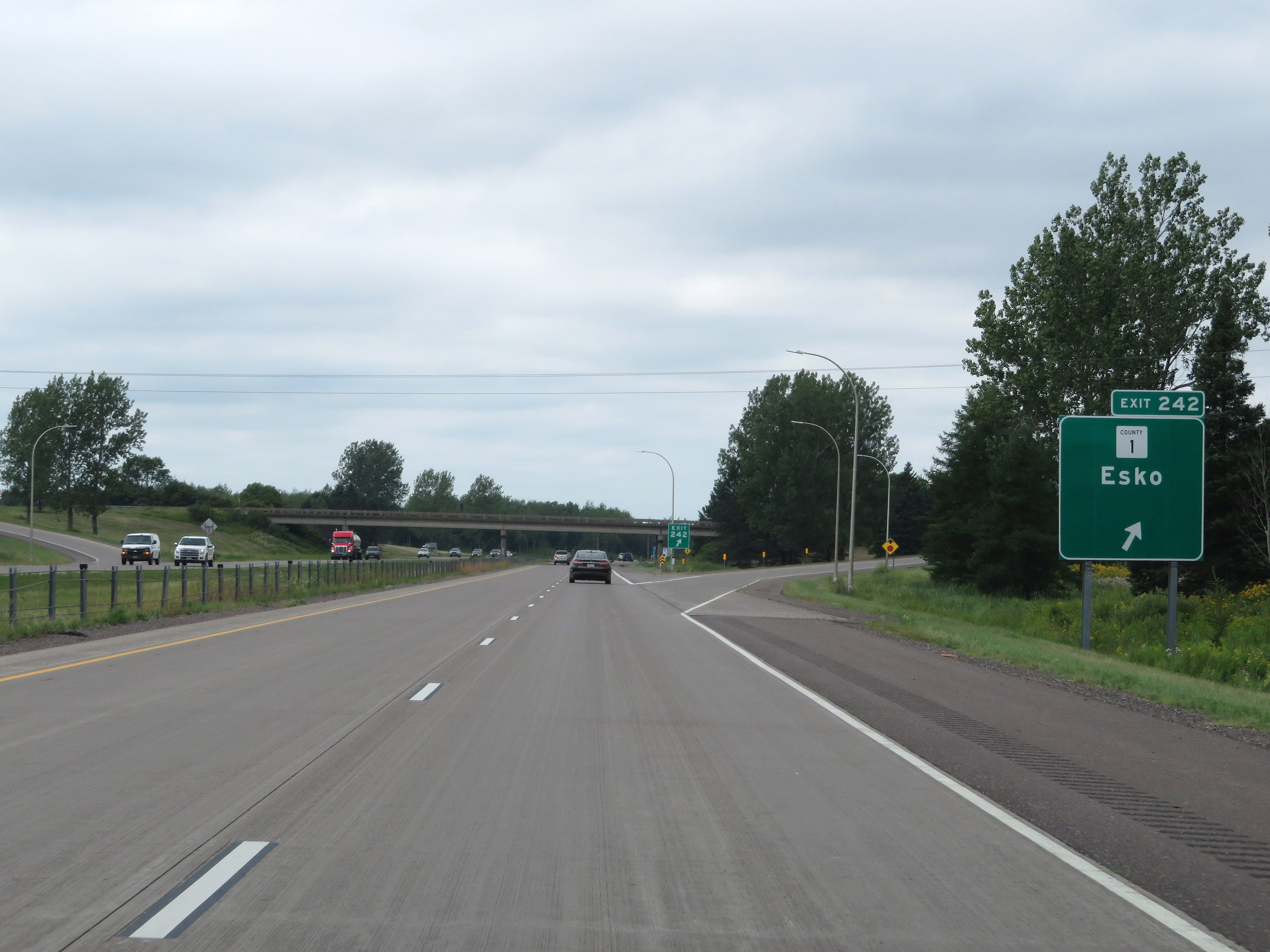 |
Interstate 35 South at Exit 242: CR 1 - Esko (Photo taken 8/7/20). |
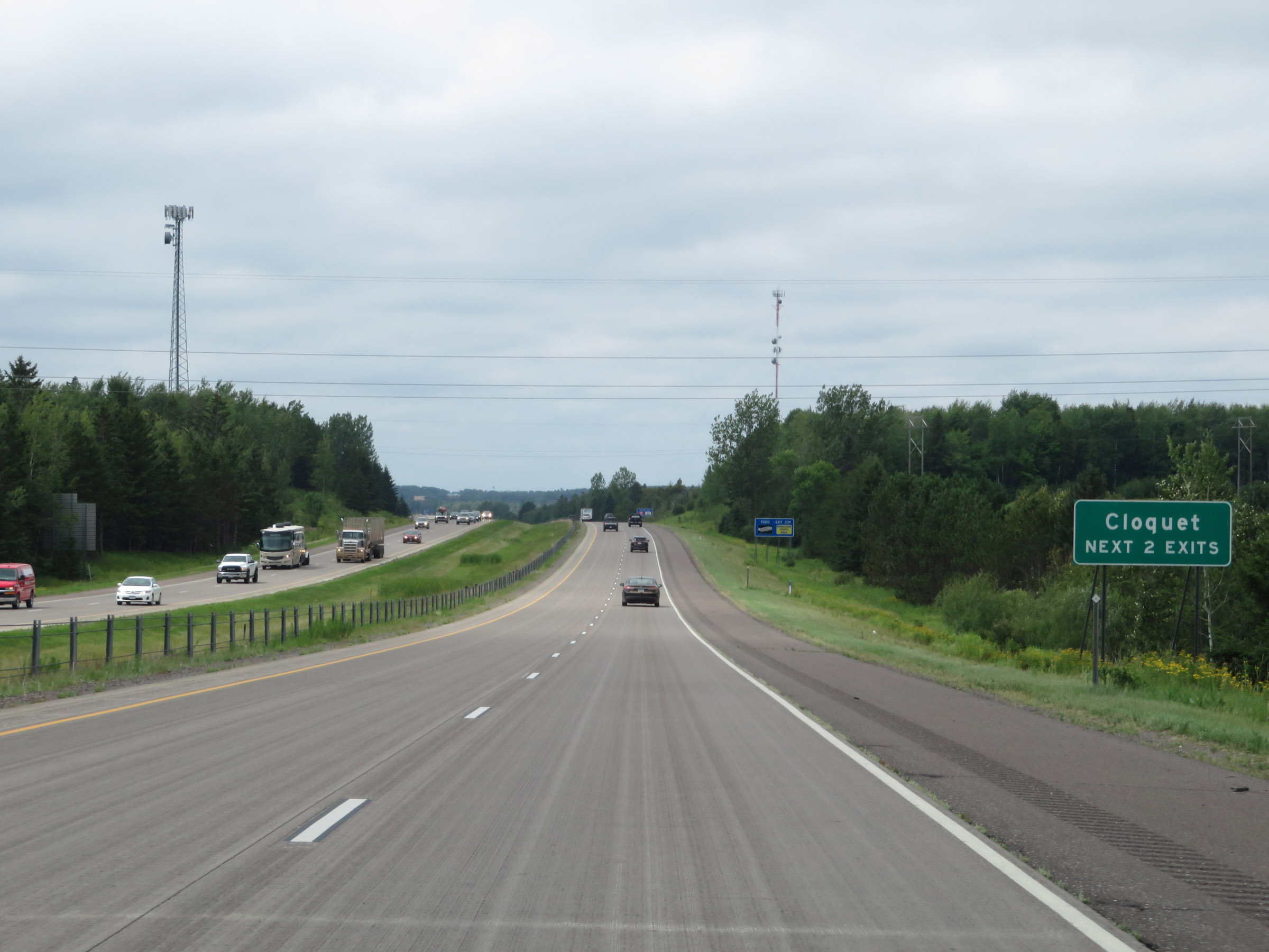 |
Take either of the next 2 exits to Cloquet. (Photo taken 8/7/20). |
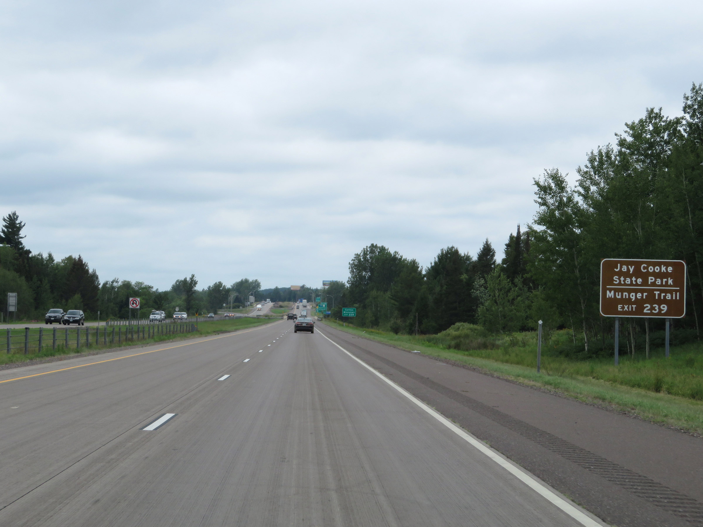 |
Take Exit 239 to Jay Cooke State Park and Munger Trail. (Photo taken 8/7/20). |
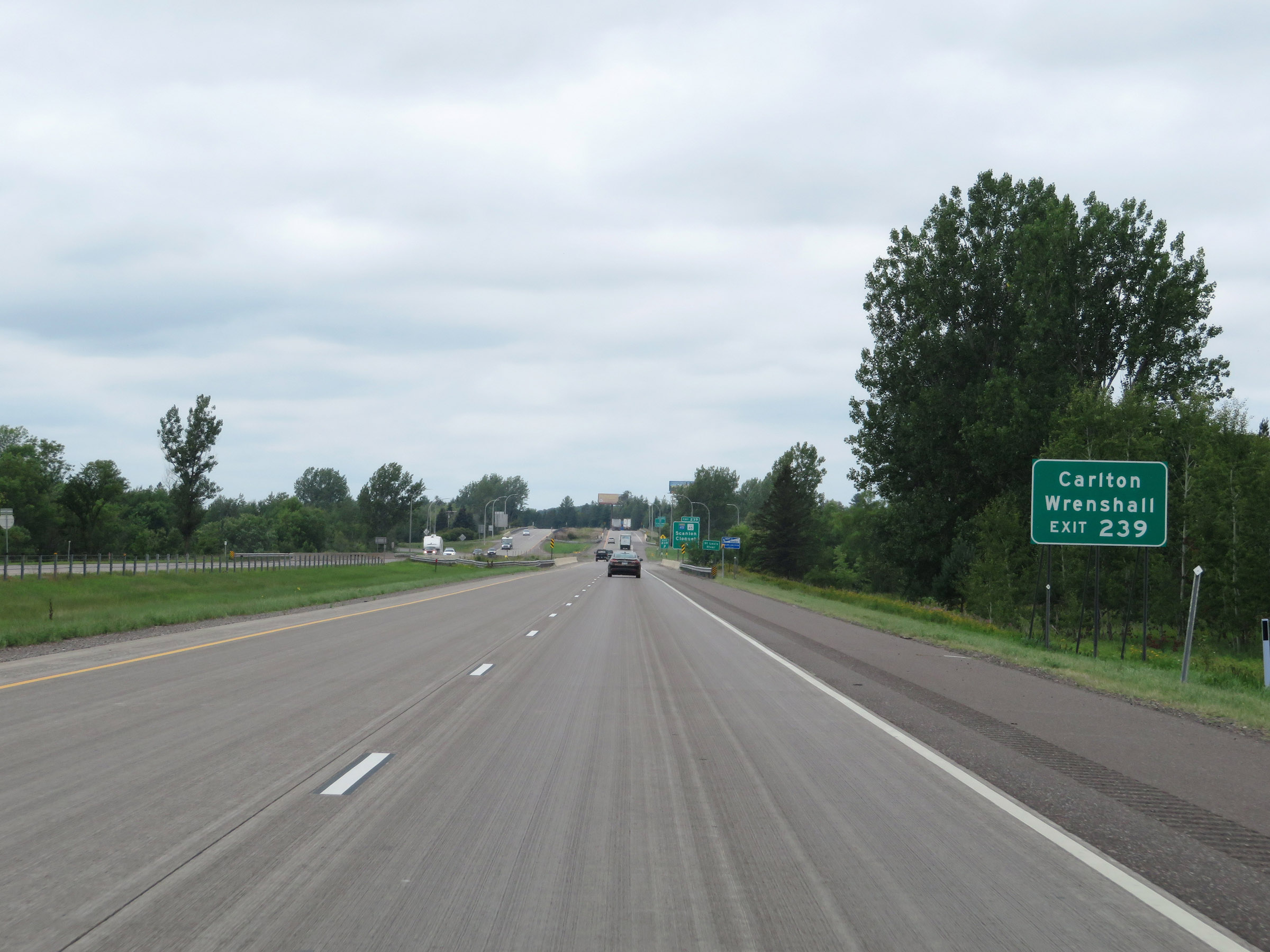 |
Also take Exit 239 to Carlton and Wrenshall. (Photo taken 8/7/20). |
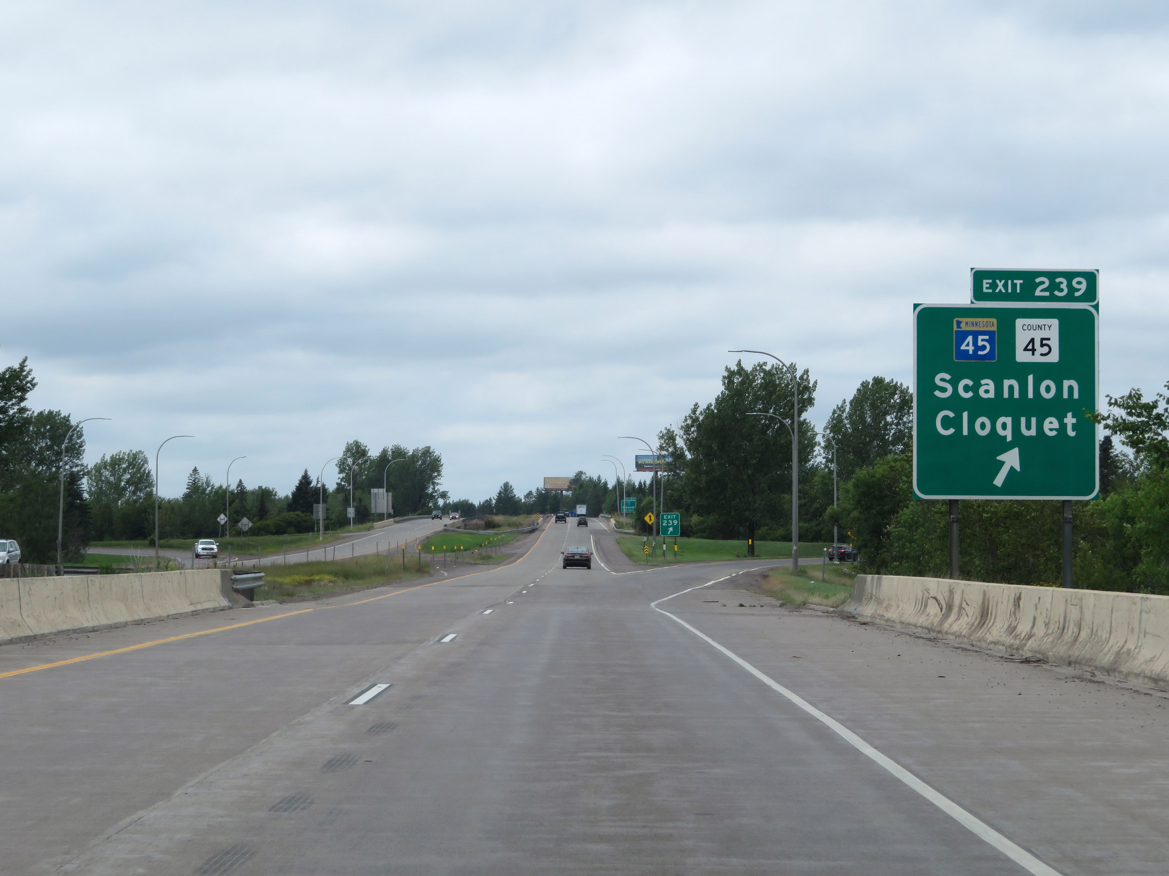 |
Interstate 35 South at Exit 239: MN 45 / CR 45 - Scanlon / Cloquet (Photo taken 8/7/20). |
 |
Interstate 35 South approaching Exit 237 - 1 1/4 miles. (Photo taken 8/7/20). |
 |
Interstate 35 South reassurance shield. (Photo taken 8/7/20). |
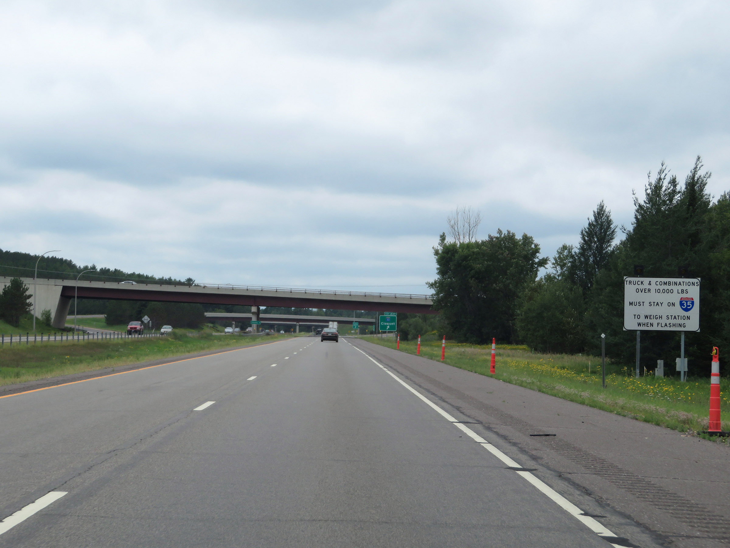 |
When the lights on this sign are flashing, the Weigh Station to the south of Exit 237 is open and all trucks and combinations over 10,000 pounds must remain on Interstate 35 South to proceed to the scales. (Photo taken 8/7/20). |
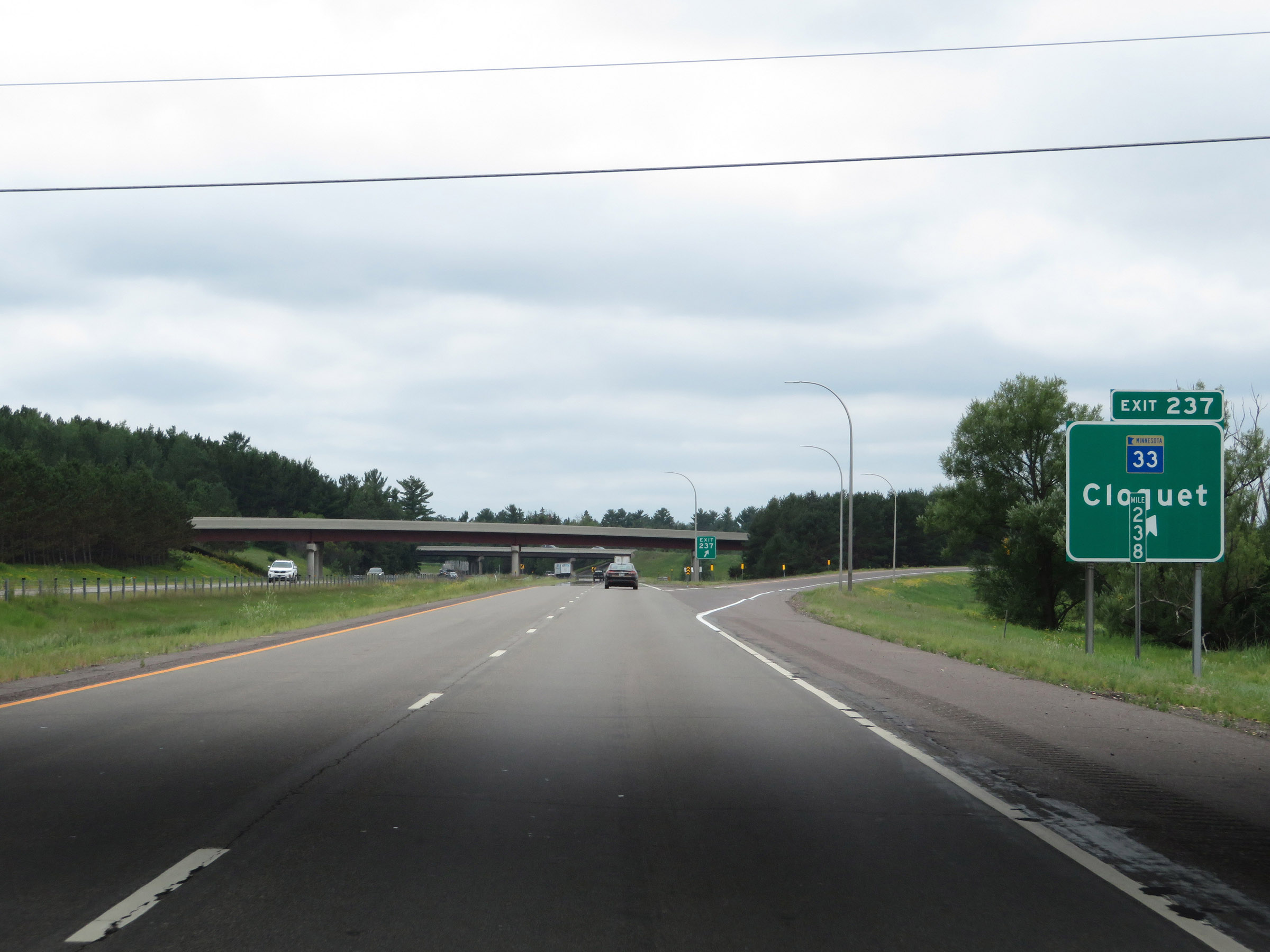 |
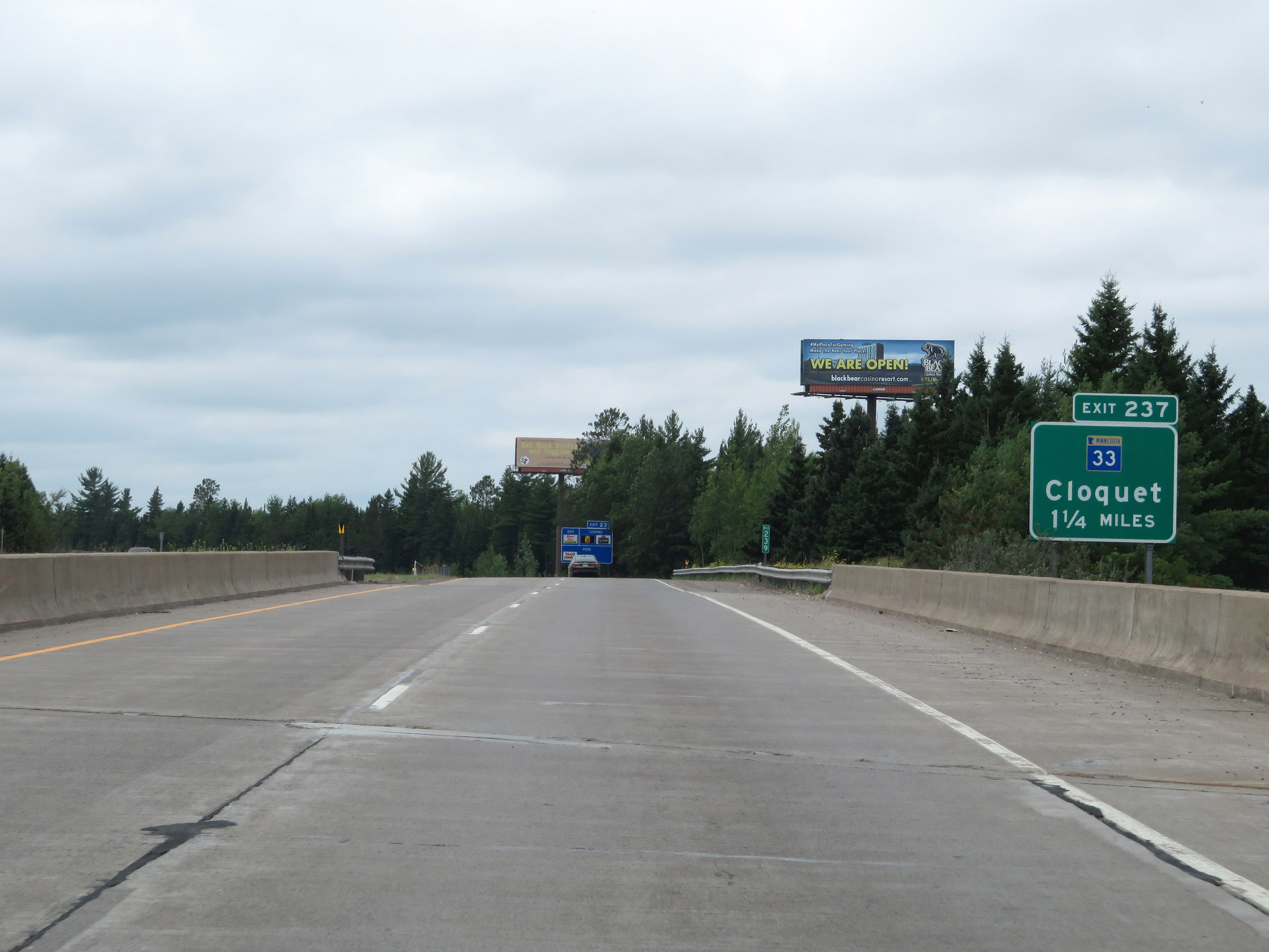
Interstate 35 South at Exit 237: MN 33 - Cloquet (Photo taken 8/7/20). |
Section 2: Cloquet (Exit 237) to Hinckley (Exit 183)
 |
Weigh Station on Interstate 35 South in Carlton County. (Photo taken 8/7/20). |
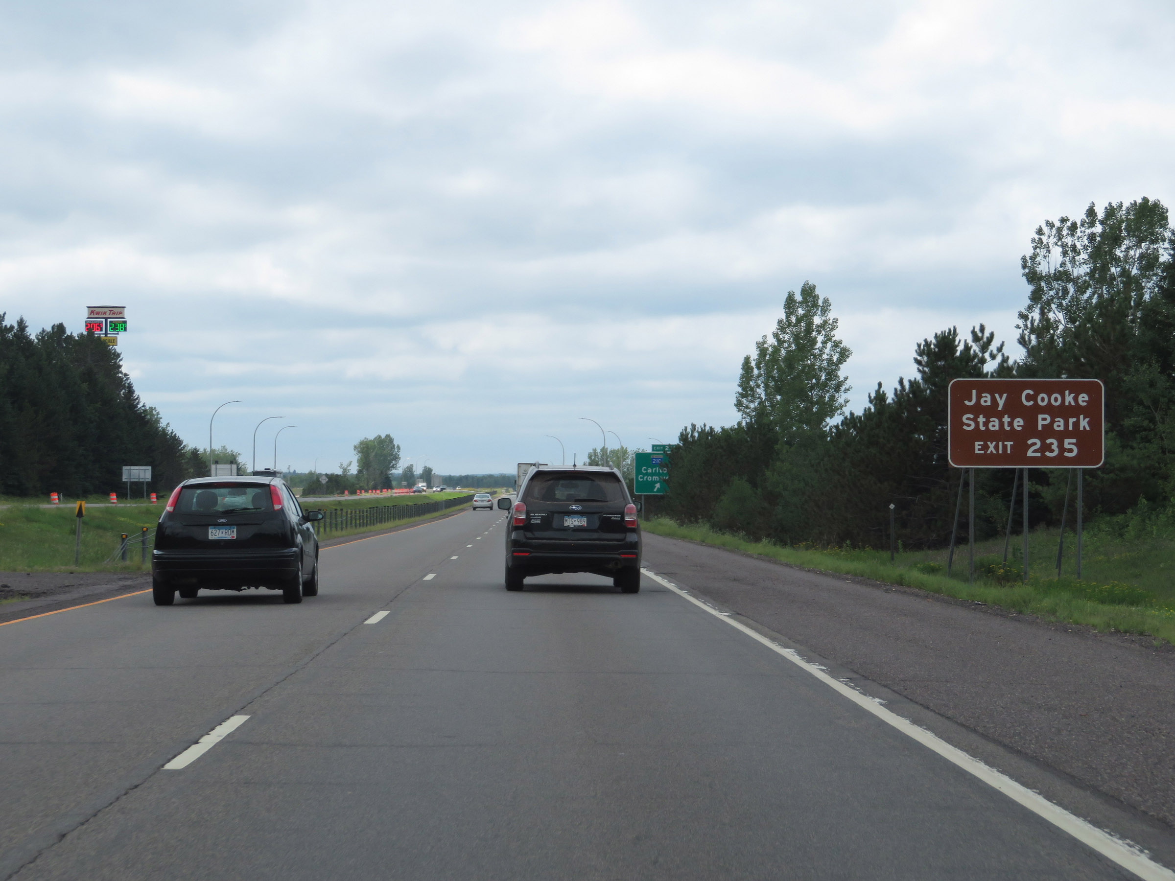 |
Take Exit 235 to Jay Cooke State Park. (Photo taken 8/7/20). |
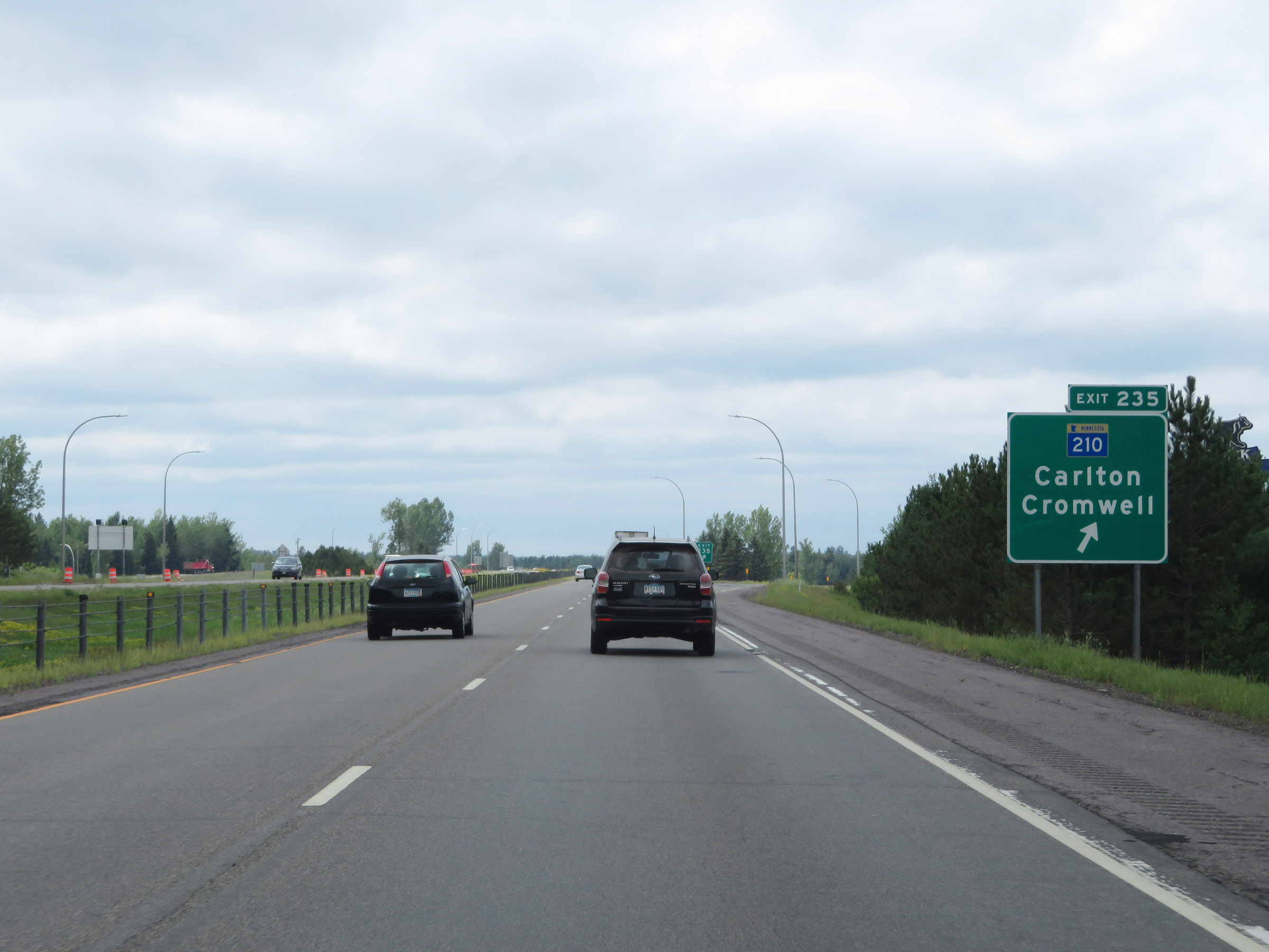 |
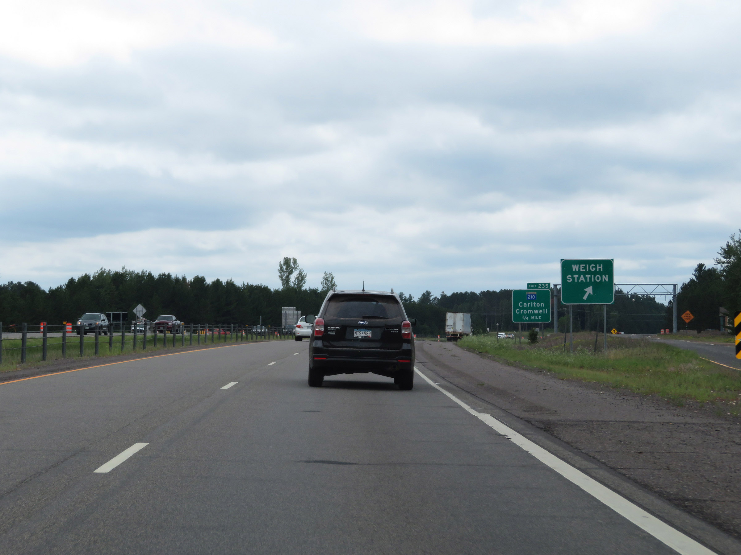
Interstate 35 South at Exit 235: MN 210 - Carlton / Cromwell (Photo taken 8/7/20). |
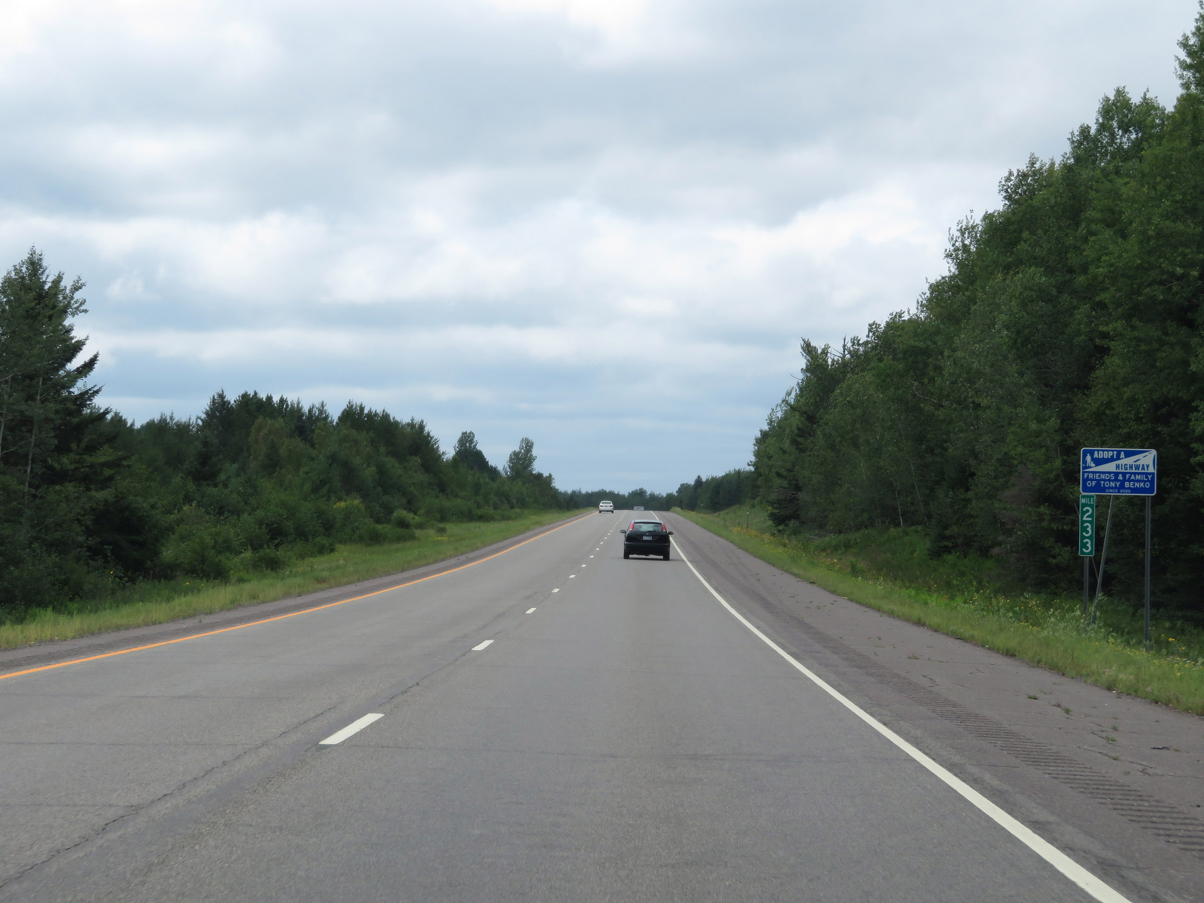 |
View on Interstate 35 South at mile marker 233. (Photo taken 8/7/20). |
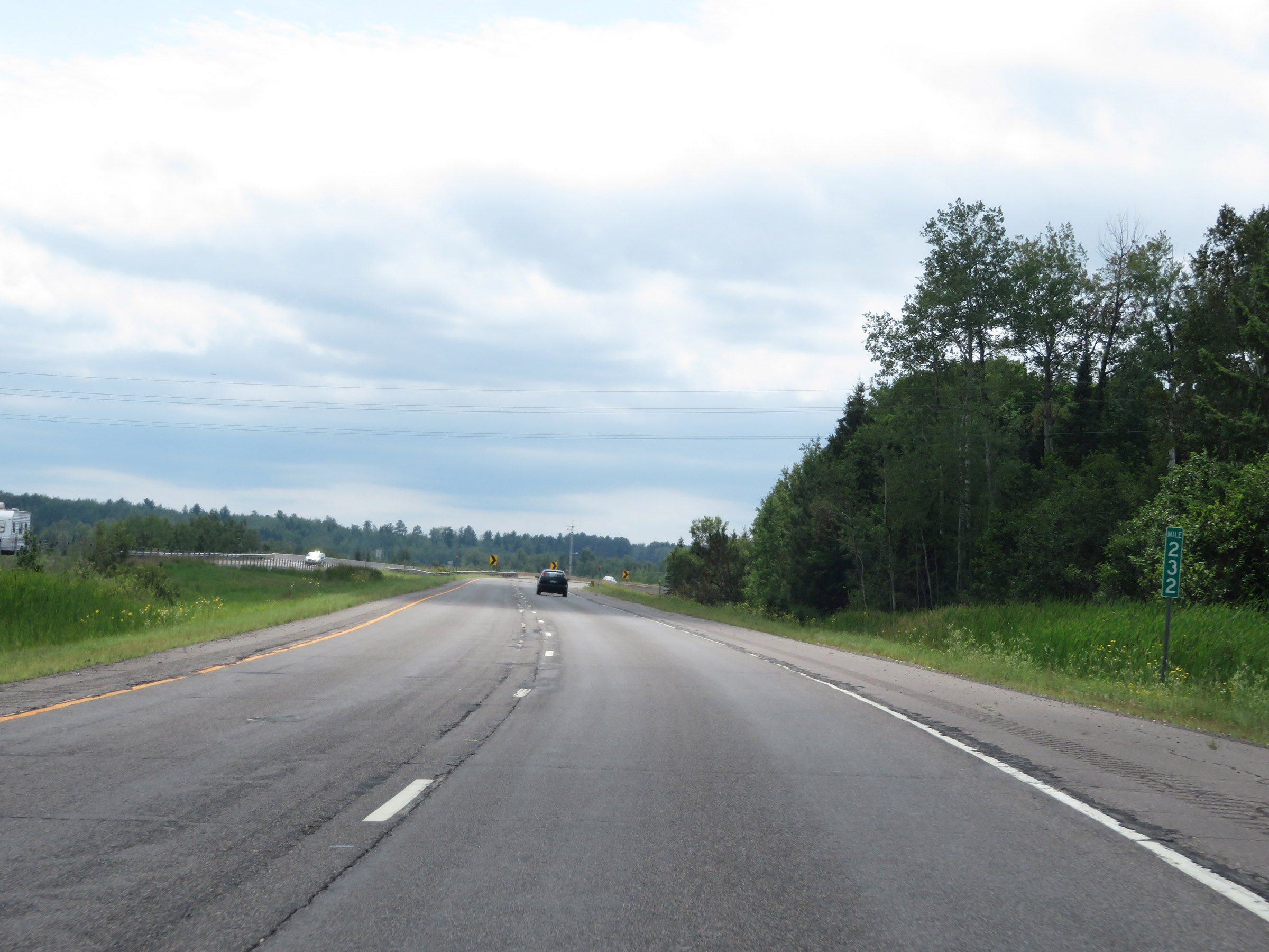 |
Interstate 35 South at mile marker 232. (Photo taken 8/7/20). |
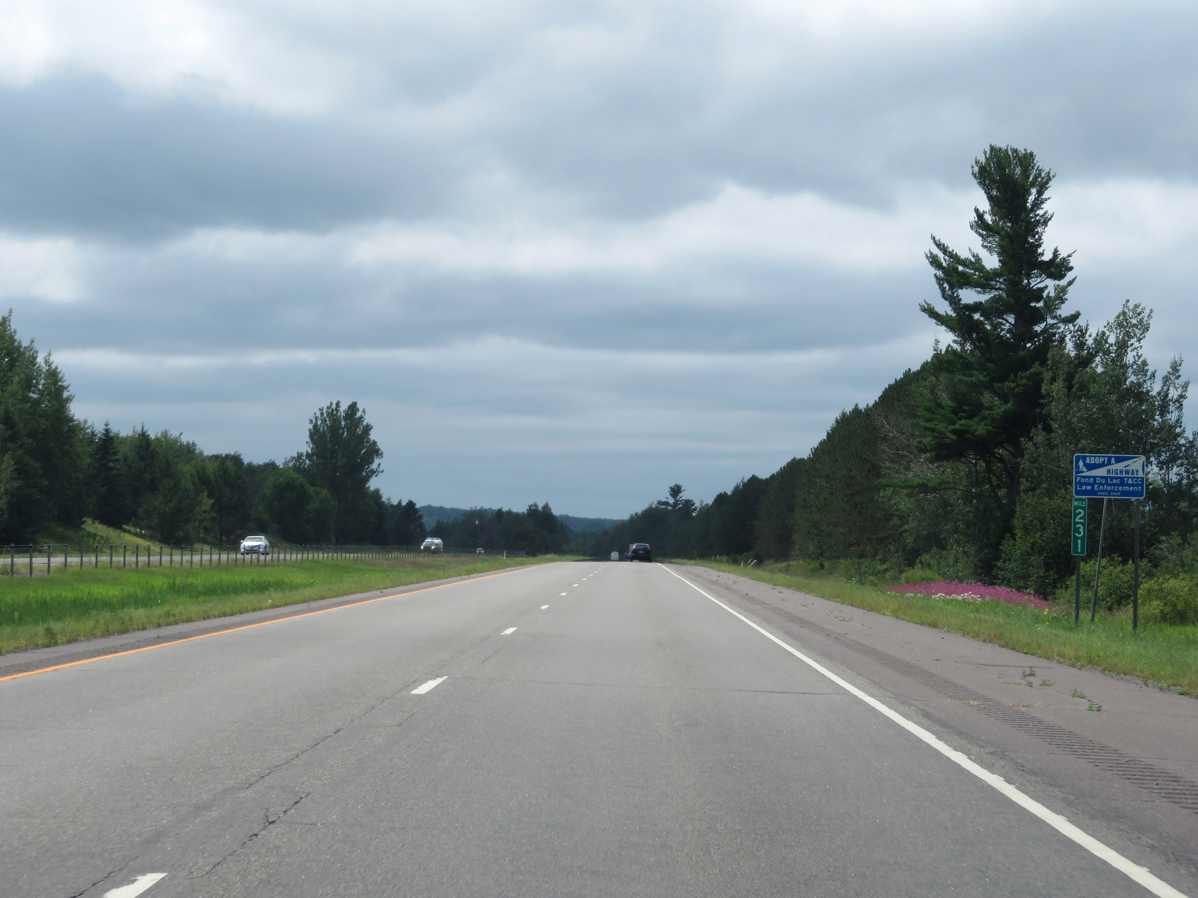 |
Mile marker 231 on Interstate 35 South in Carlton County. (Photo taken 8/7/20). |
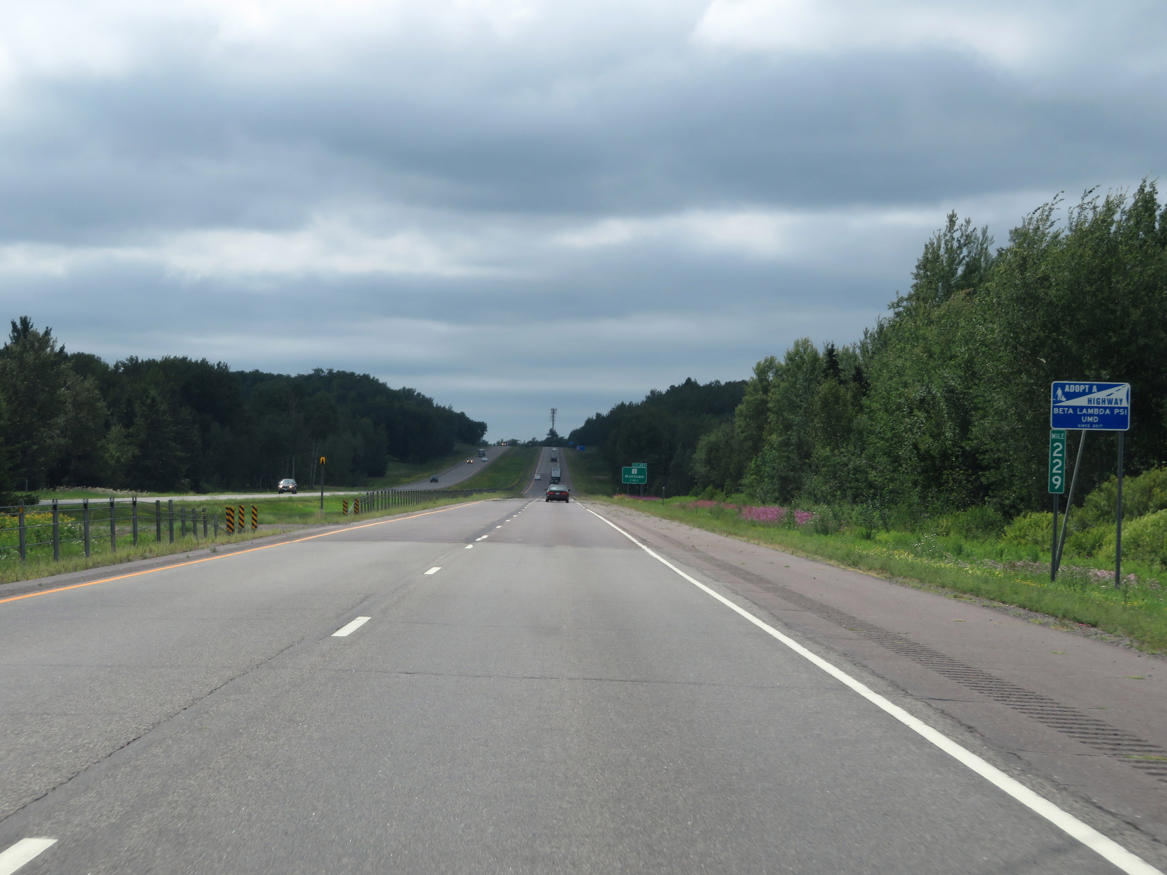 |
View on Interstate 35 South at mile marker 229. (Photo taken 8/7/20). |
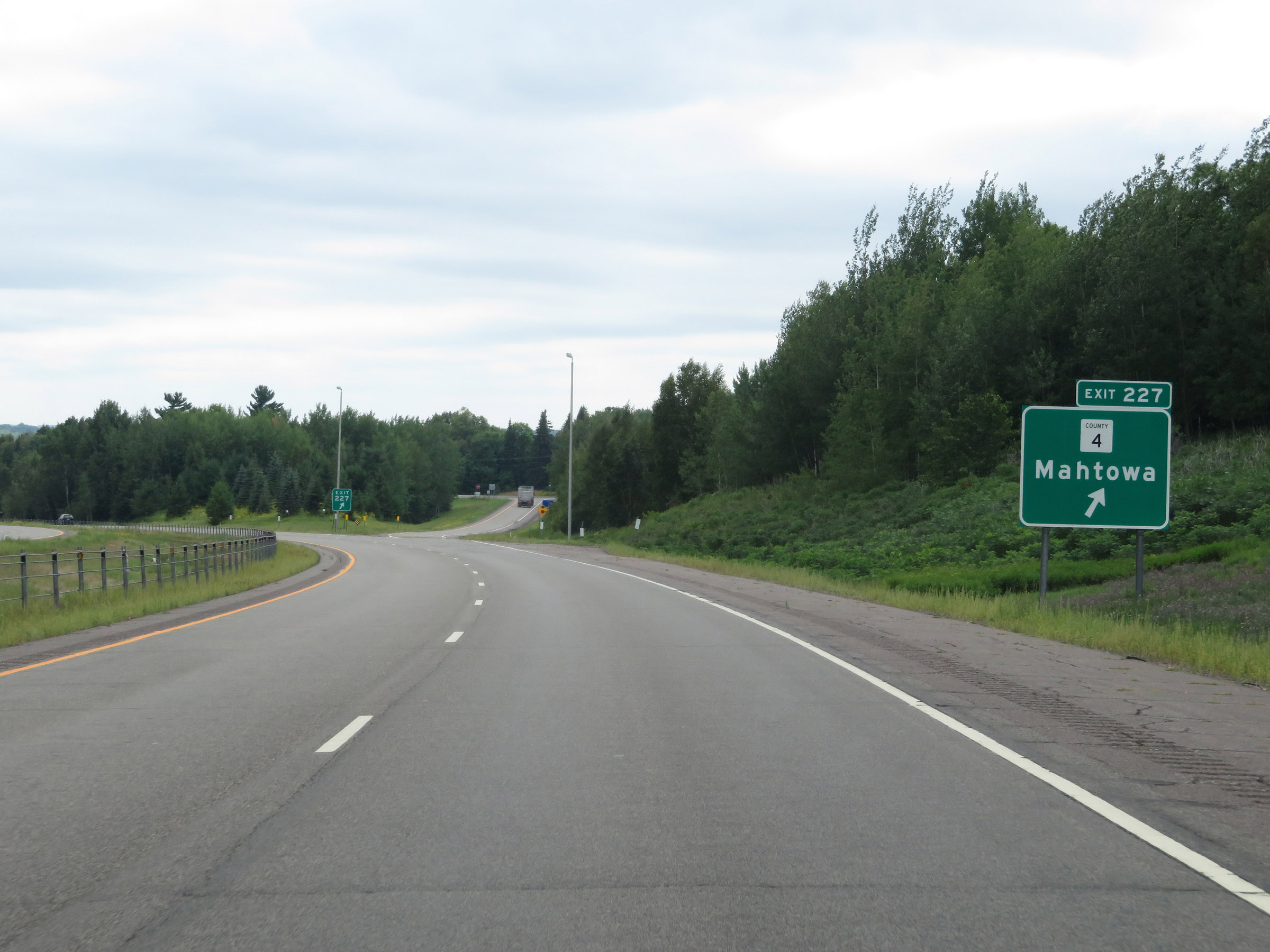 |
Interstate 35 South at Exit 227: CR 4 - Mahtowa (Photo taken 8/7/20). |
 |
The next Rest Area on Interstate 35 South is 17 miles ahead. (Photo taken 8/7/20). |
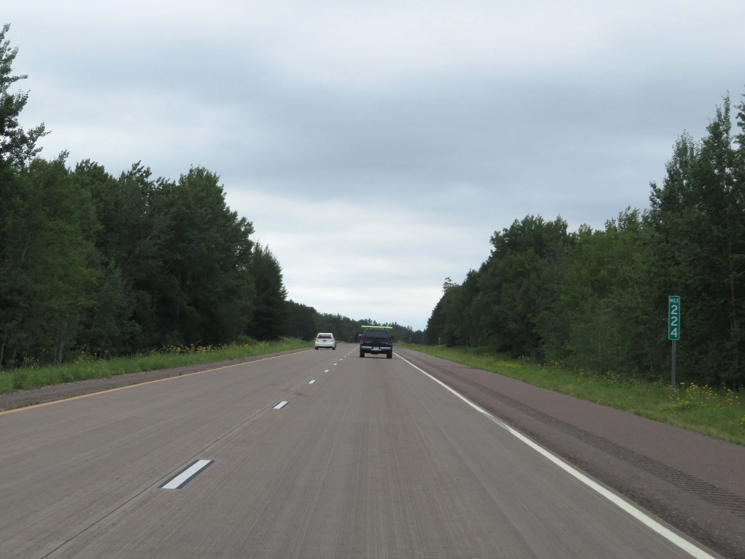 |
Interstate 35 South at mile marker 224. (Photo taken 8/7/20). |
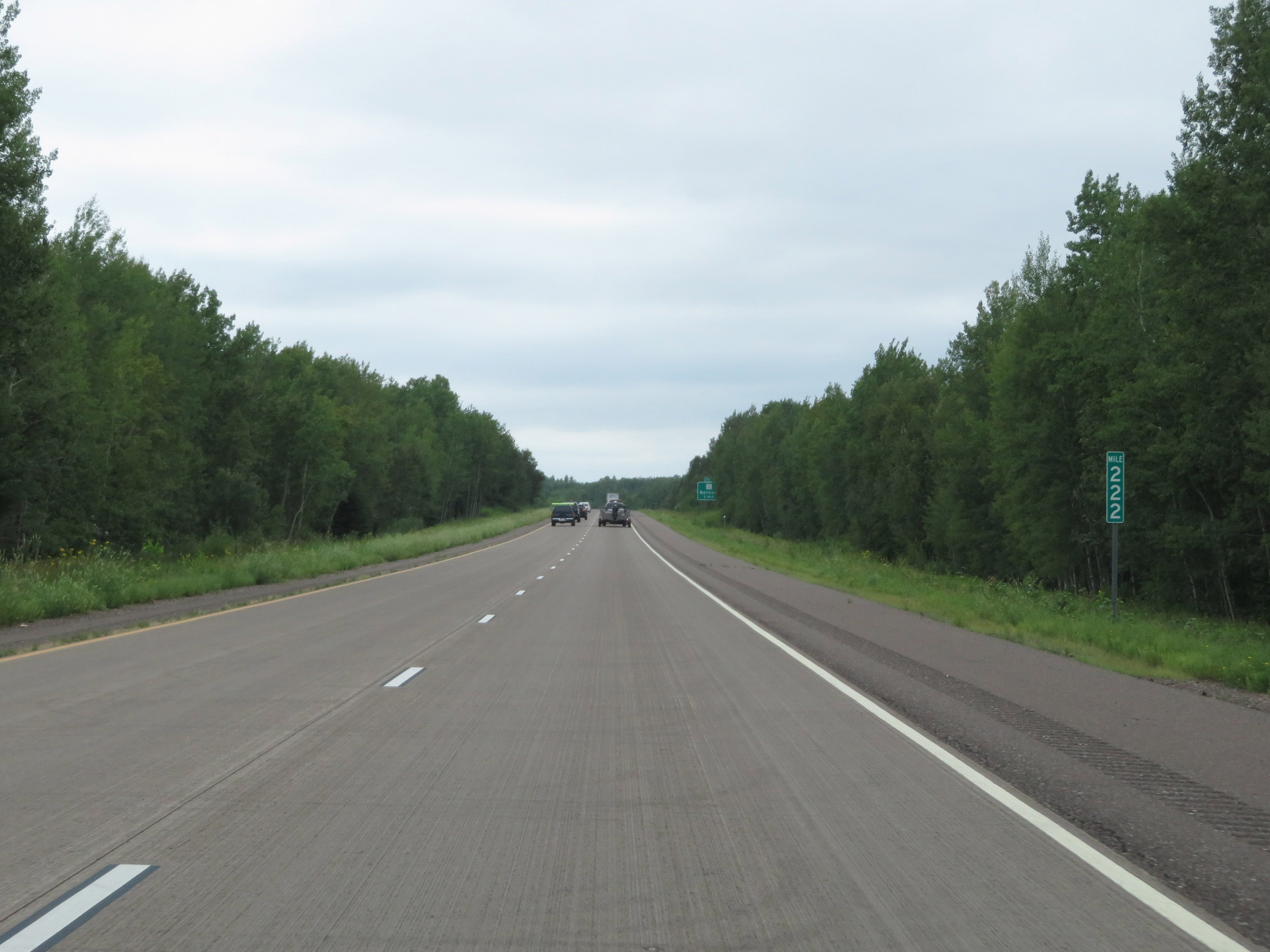 |
View on Interstate 35 South at mile marker 222. (Photo taken 8/7/20). |
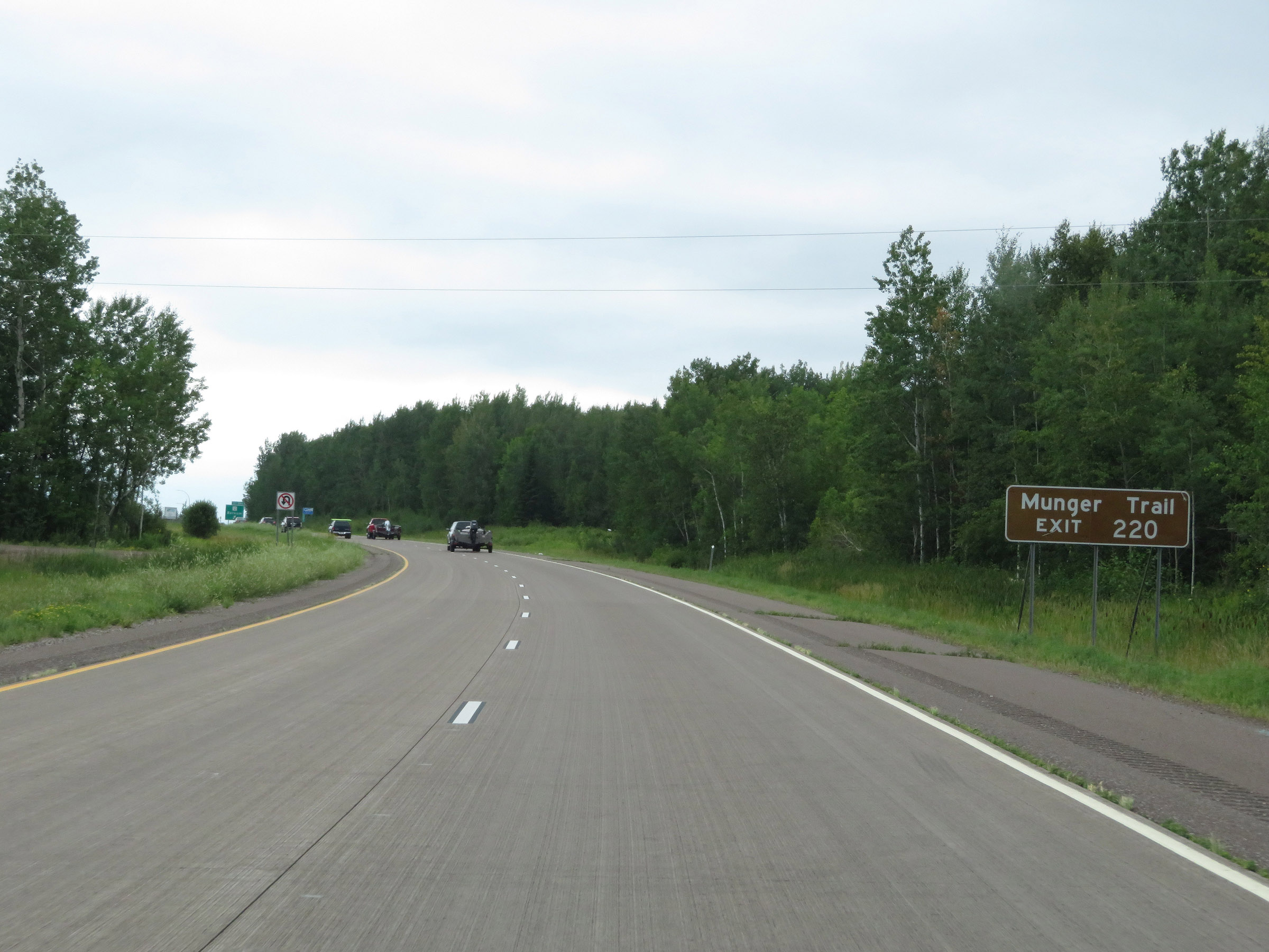 |
Take Exit 220 to Munger Trail. (Photo taken 8/7/20). |
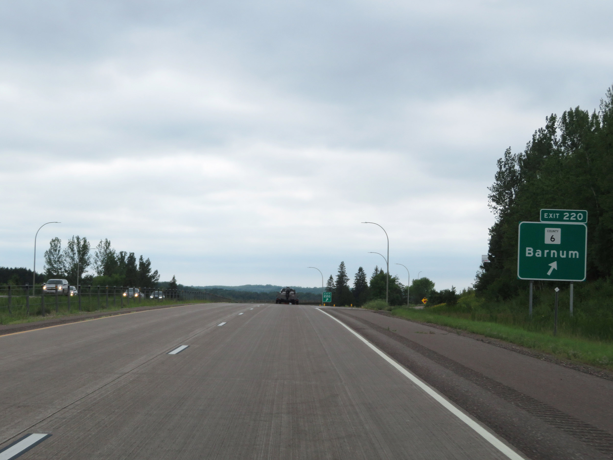 |
Interstate 35 South at Exit 220: CR 6 - Barnum (Photo taken 8/7/20). |
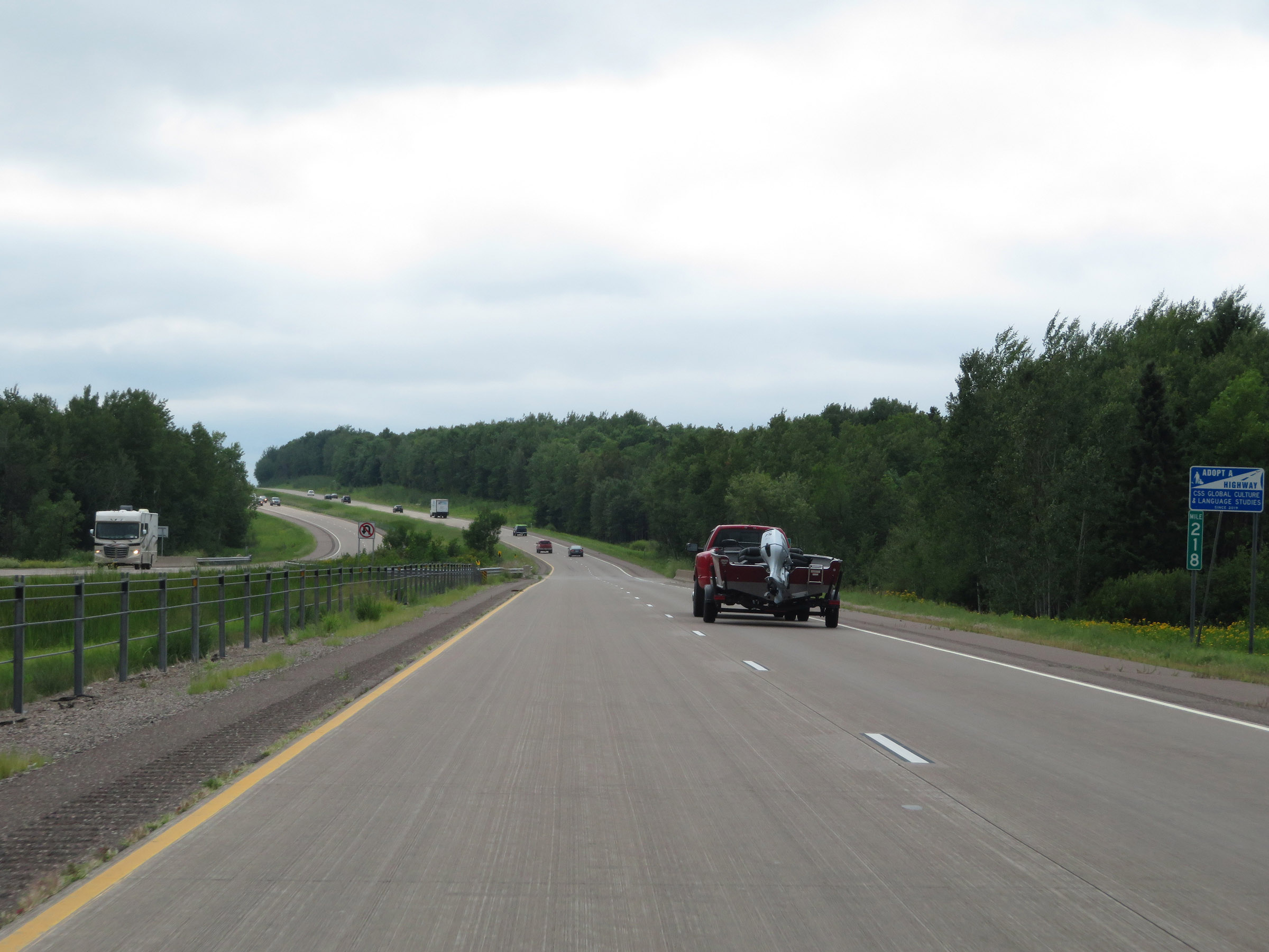 |
View on Interstate 35 South at mile marker 218. (Photo taken 8/7/20). |
 |
Interstate 35 South at mile marker 217. (Photo taken 8/7/20). |
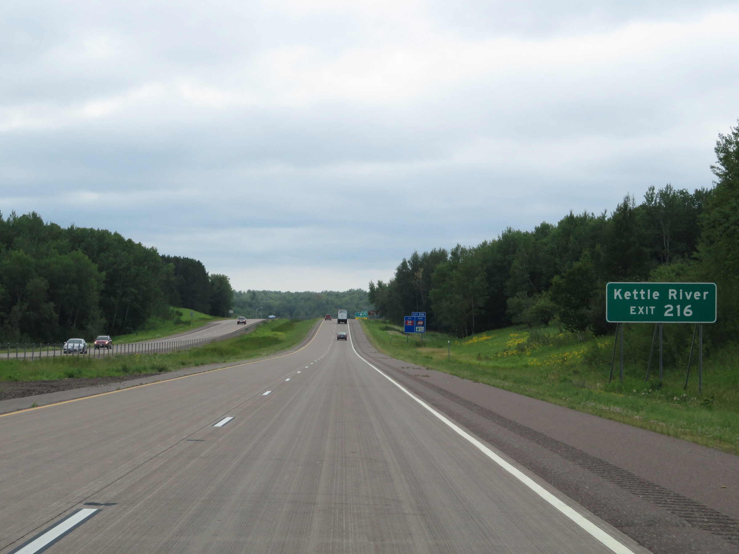 |
Take Exit 216 to Kettle River. (Photo taken 8/7/20). |
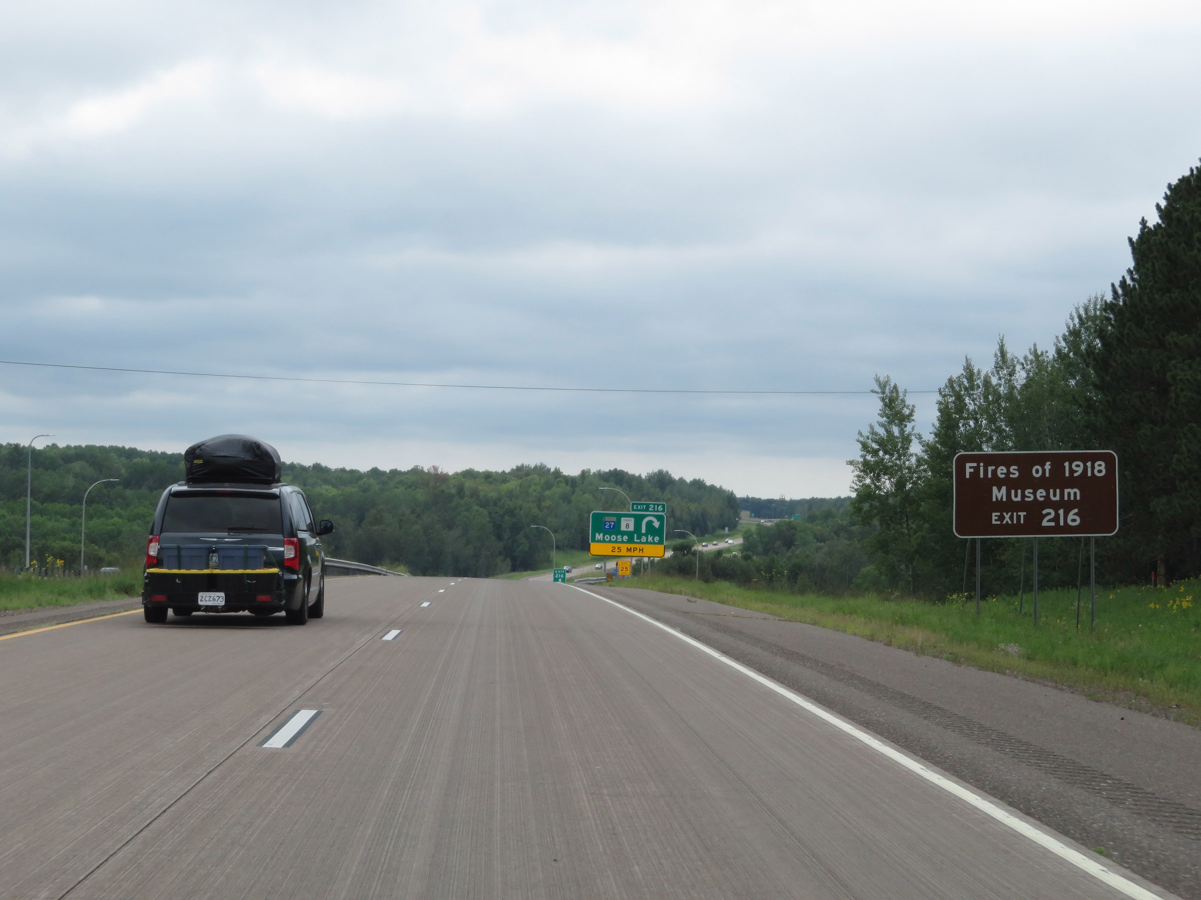 |
Also take Exit 216 to the First of 1918 Museum. (Photo taken 8/7/20). |
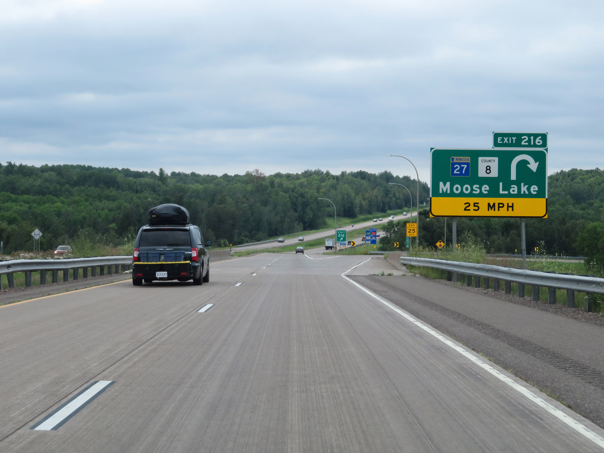 |
Interstate 35 South at Exit 216: MN 27 / CR 8 - Moose Lake (Photo taken 8/7/20). |
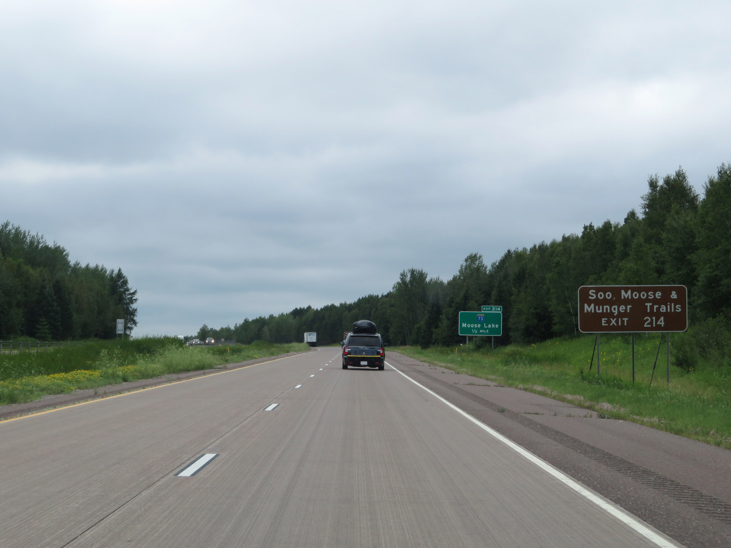 |
Take Exit 214 to the Soo, Moose, and Munger Trails. (Photo taken 8/7/20). |
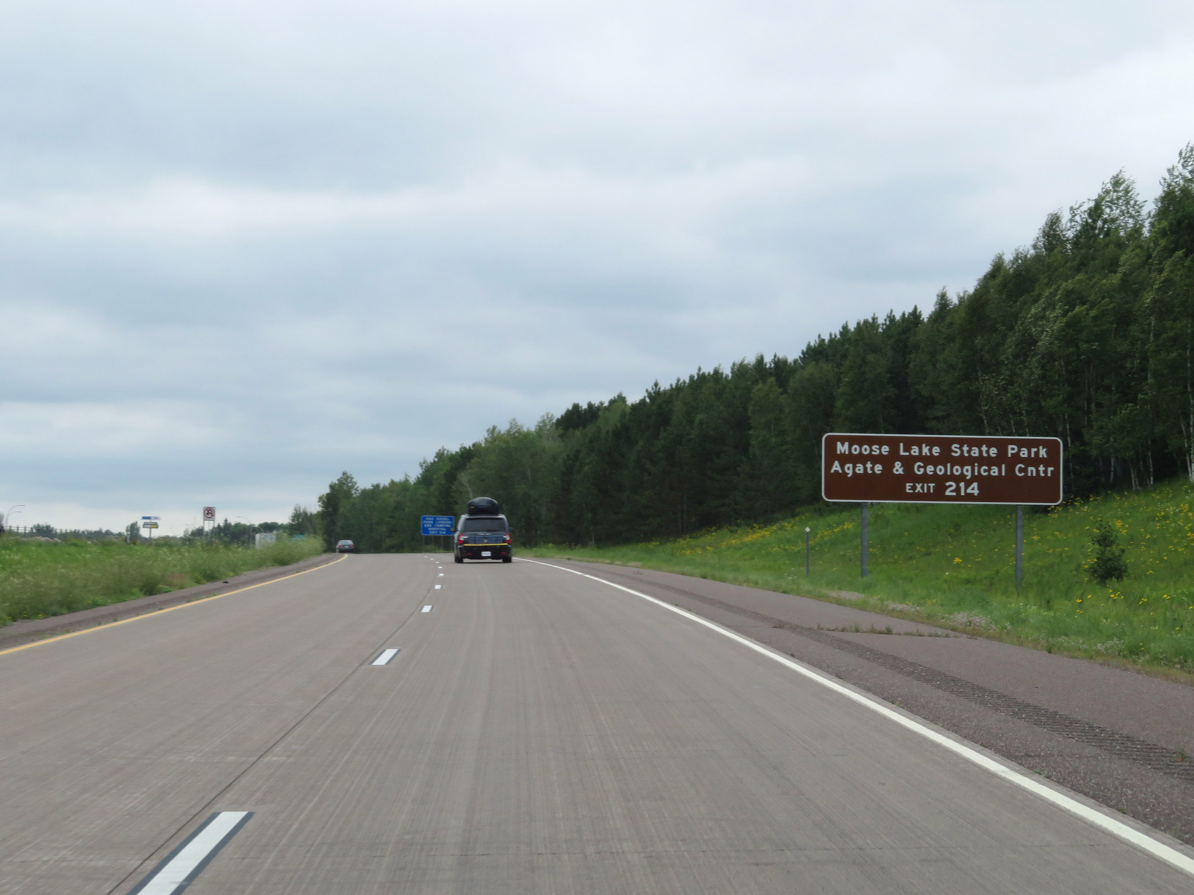 |
Also take Exit 214 to Moose Lake State Park Agate & Geological Center. (Photo taken 8/7/20). |
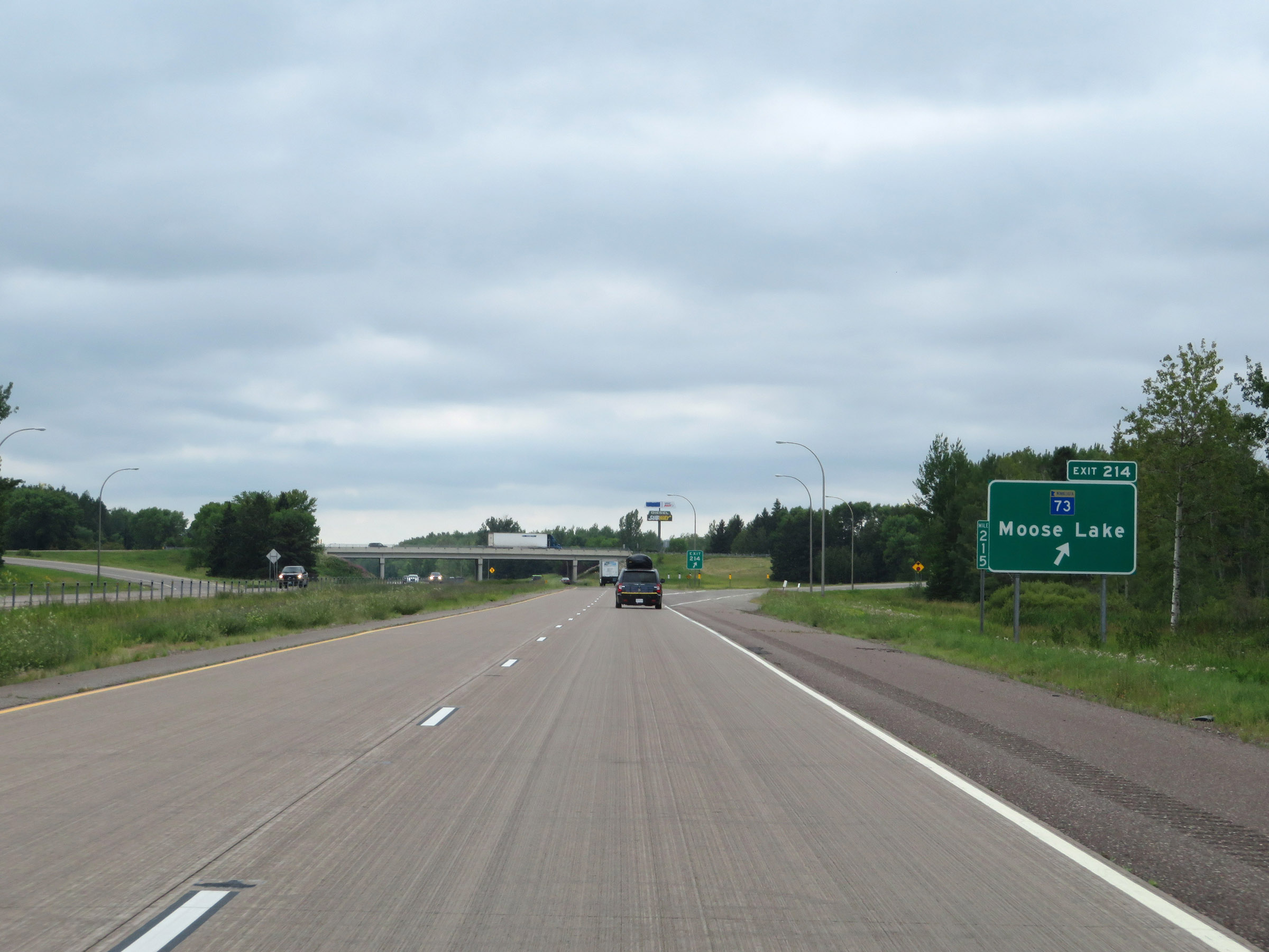 |
Interstate 35 South at Exit 214: MN 73 - Moose Lake (Photo taken 8/7/20). |
 |
Another Interstate 35 South reassurance shield. (Photo taken 8/7/20). |
 |
The speed limits remain 70 mph maximum and 40 mph minimum. (Photo taken 8/7/20). |
 |
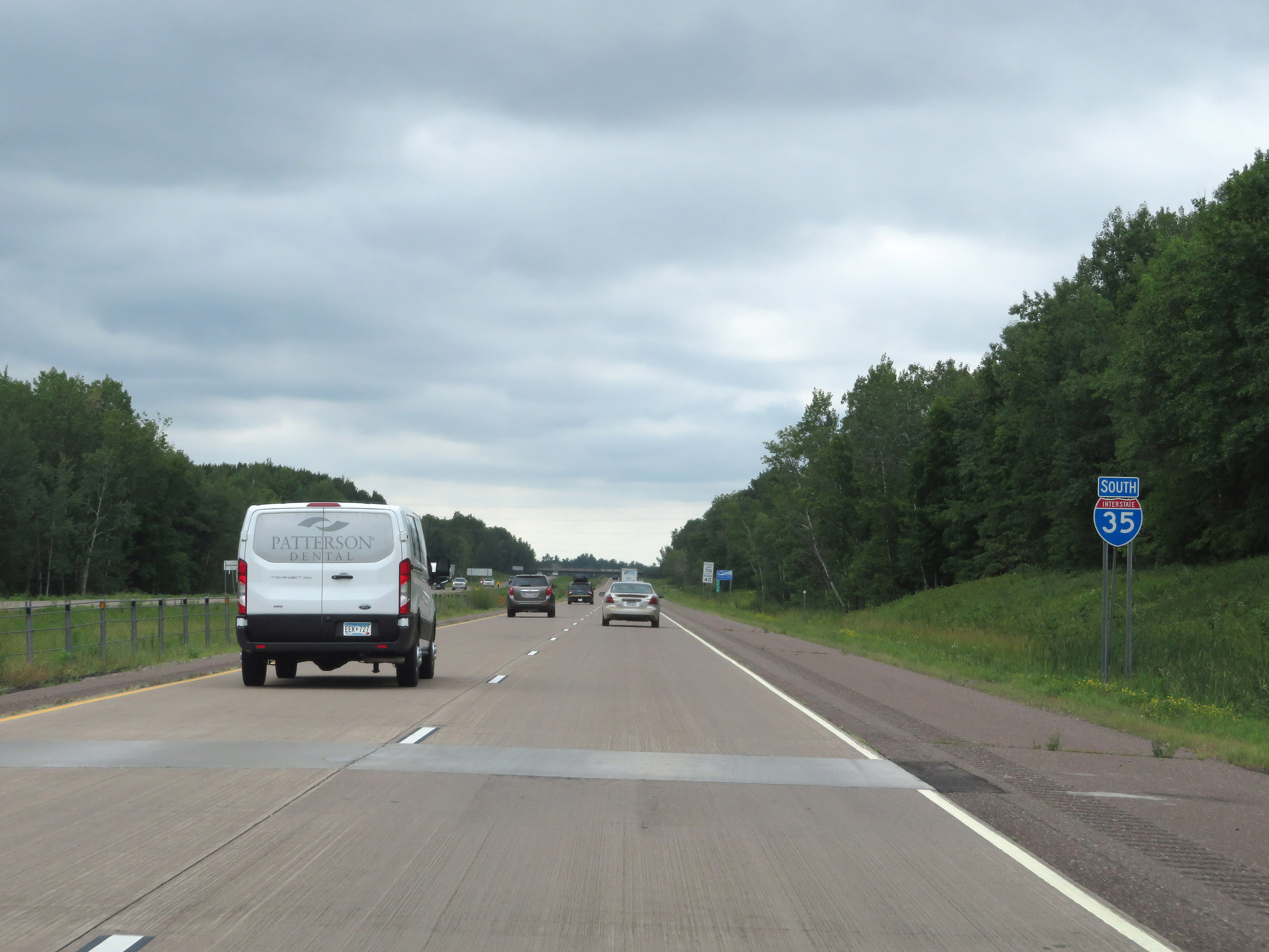
Entering Pine County on Interstate 35 South. (Photo taken 8/7/20). |
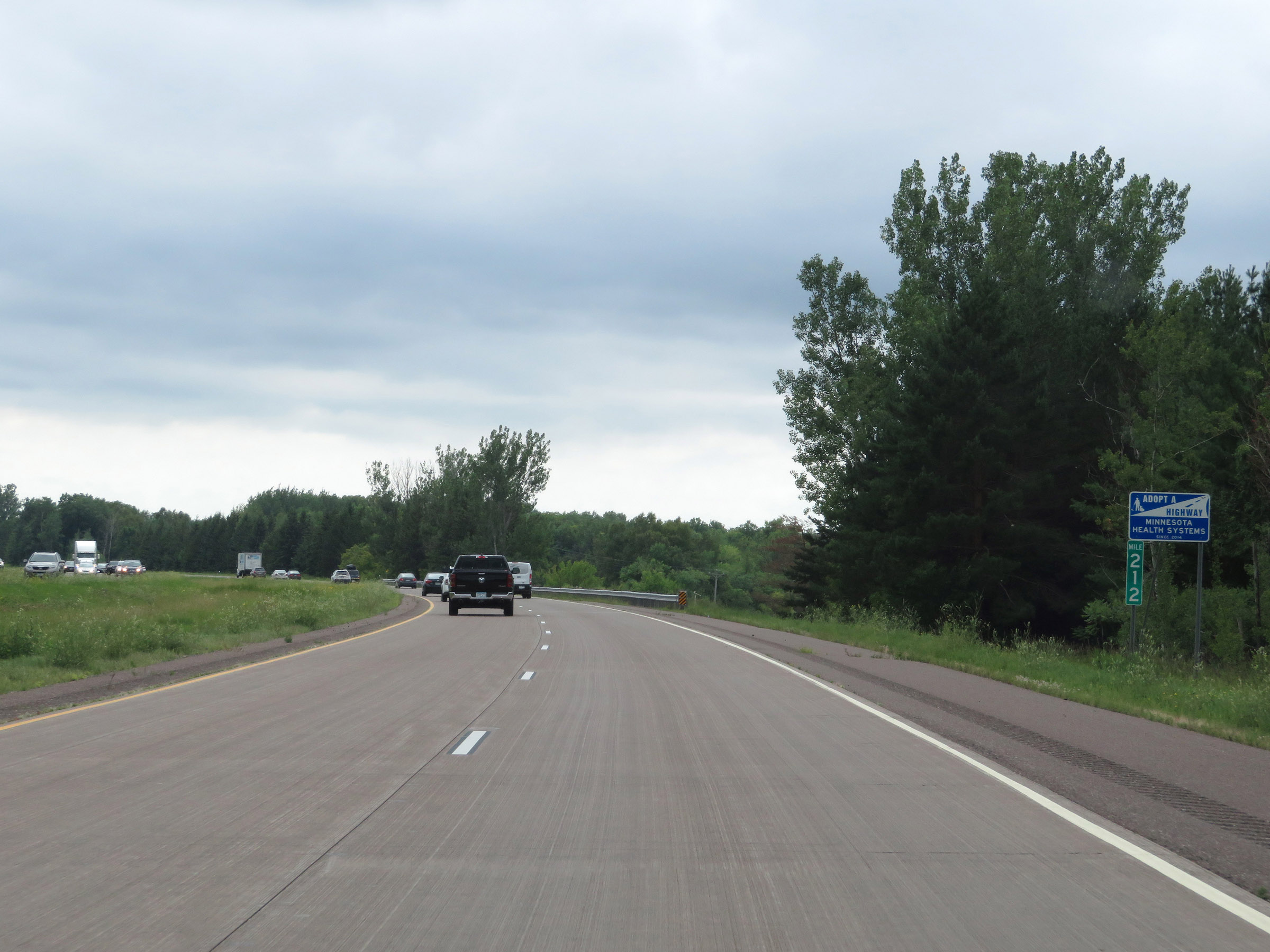 |
View on Interstate 35 South at mile marker 212. (Photo taken 8/7/20). |
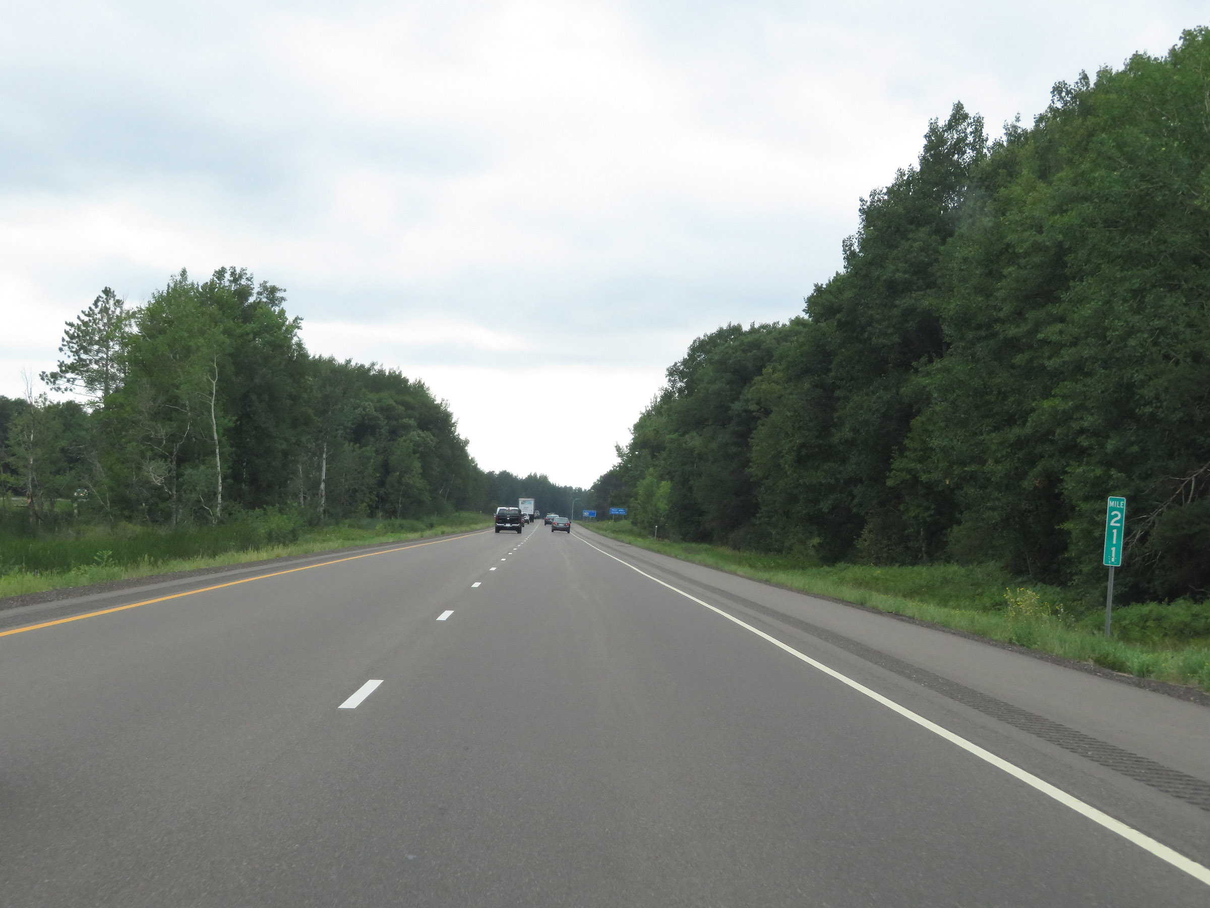 |
Interstate 35 South at mile marker 211. (Photo taken 8/7/20). |
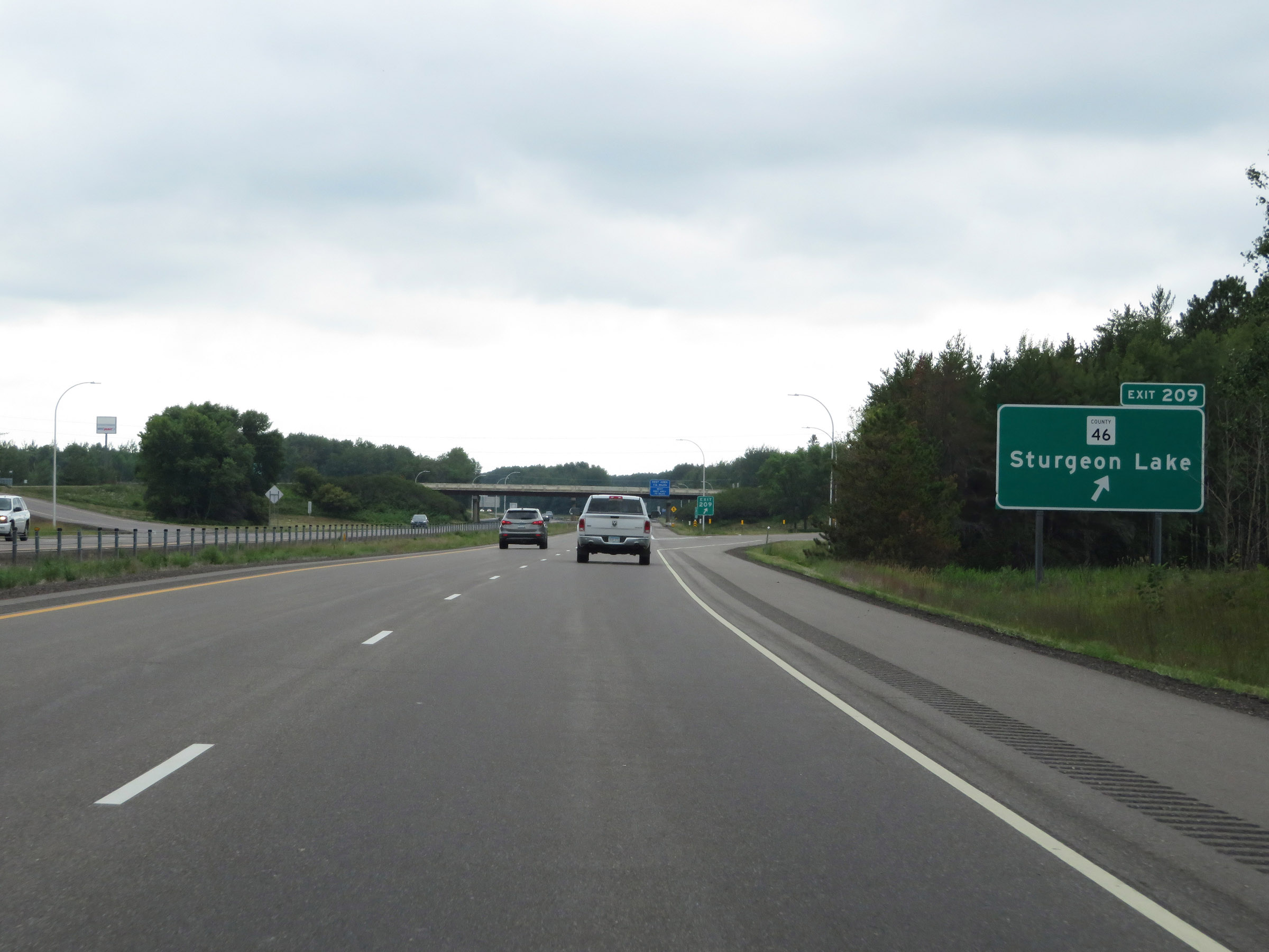 |
Interstate 35 South at Exit 209: CR 46 - Sturgeon Lake (Photo taken 8/7/20). |
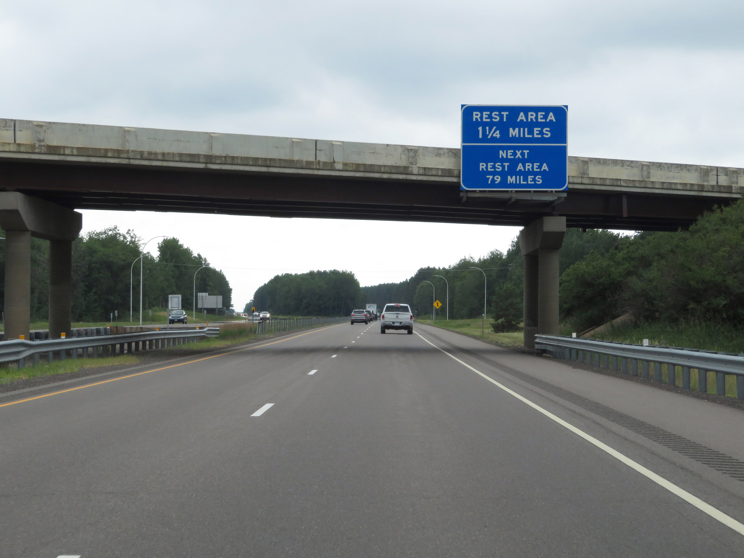 |
The next Rest Area after the one coming up in 1 1/2 miles is 79 miles ahead on Interstate 35 South. (Photo taken 8/7/20). |
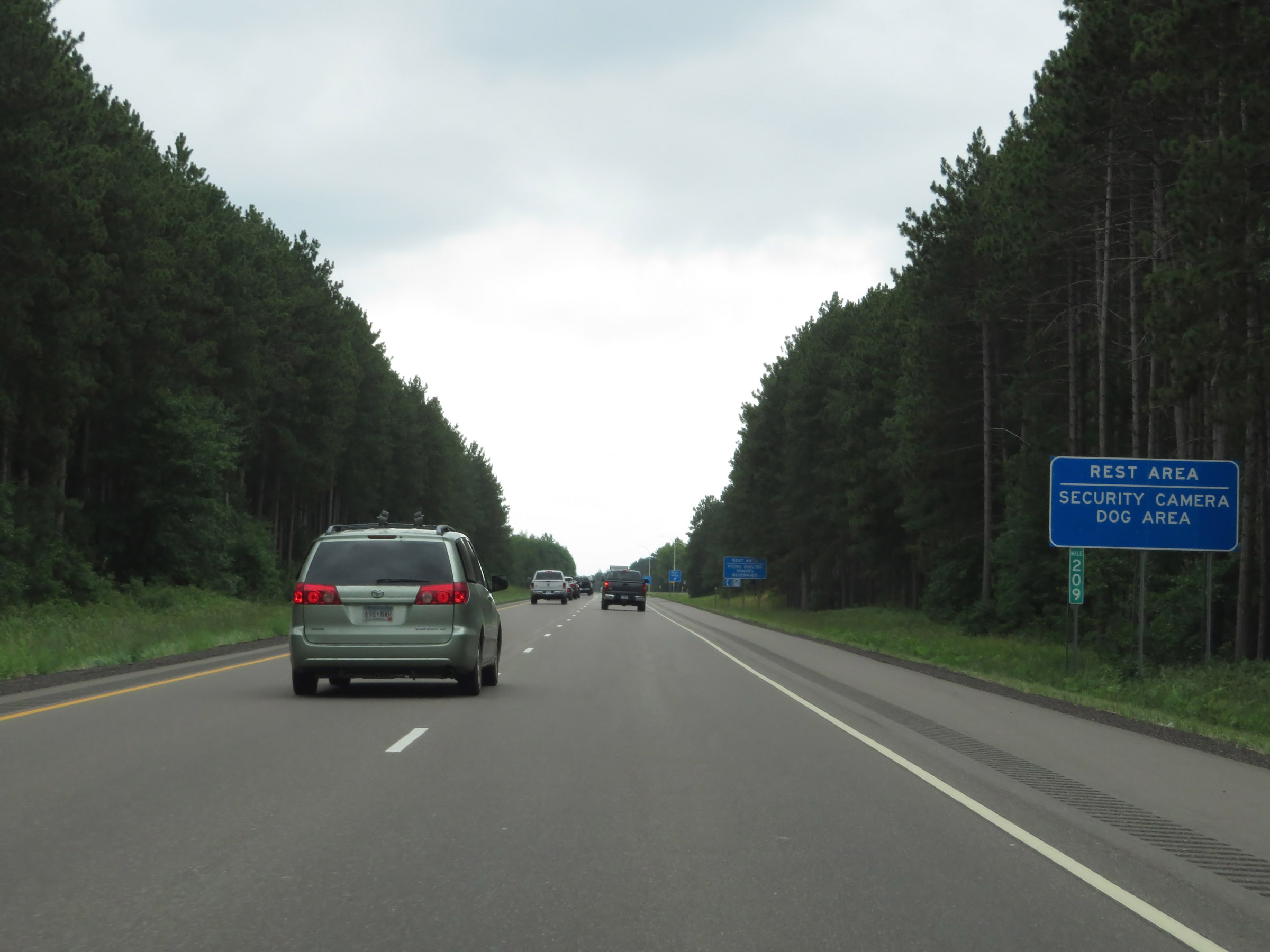 |
The upcoming Rest Area has security cameras and a dog area. (Photo taken 8/7/20). |
 |
Interstate 35 South at the Rest Area in Pine County. (Photo taken 8/7/20). |
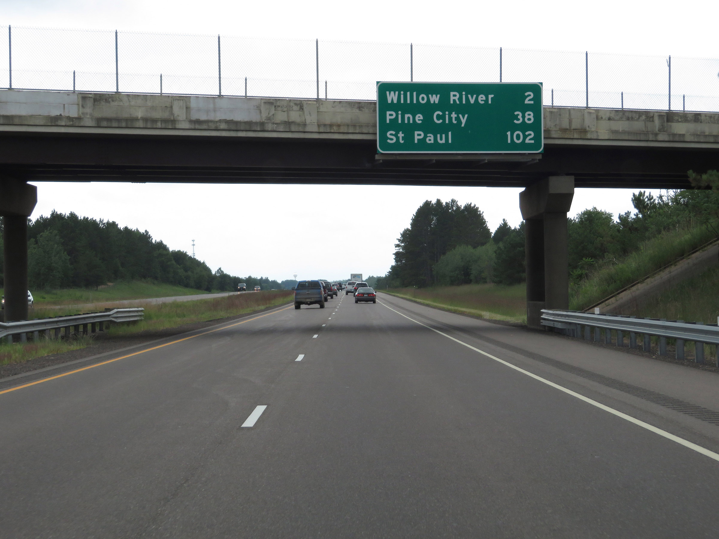 |
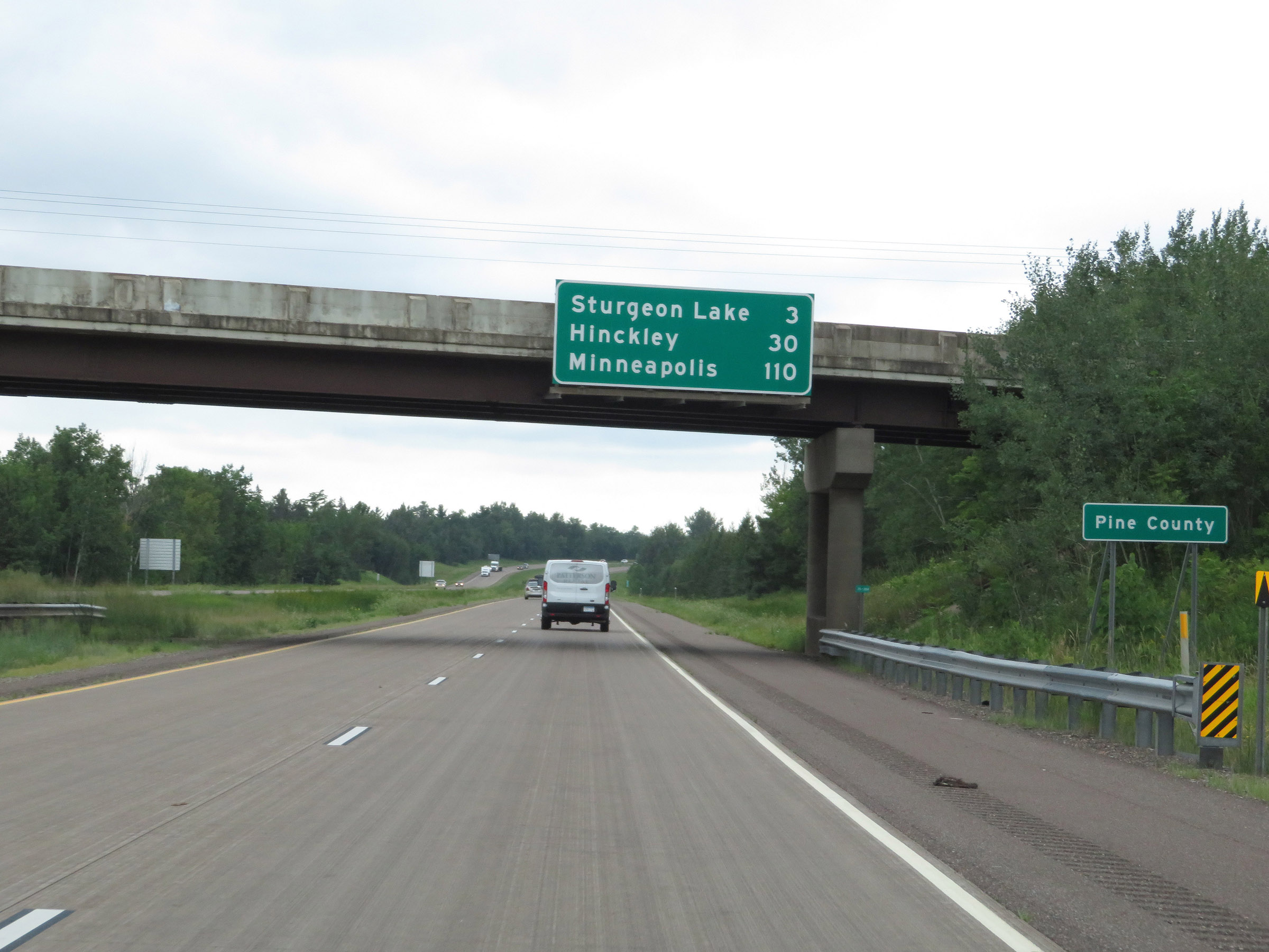
Overhead mileage sign on Interstate 35 South. It's 2 miles to Willow River, 38 miles to Pine City, and 102 miles to St. Paul. (Photo taken 8/7/20). |
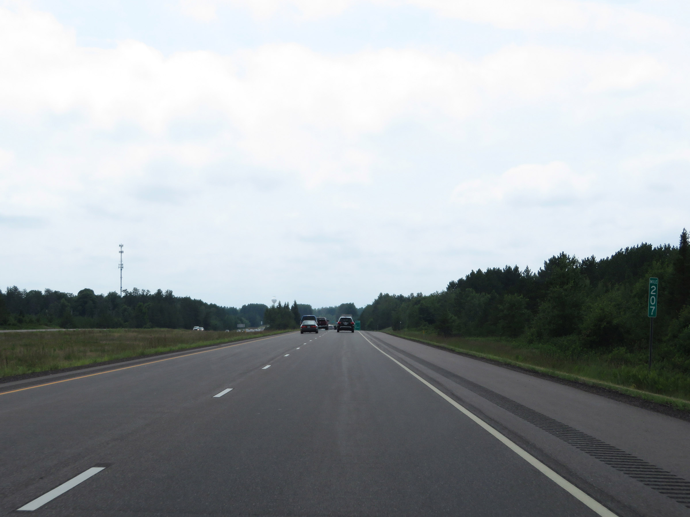 |
View on Interstate 35 South at mile marker 207. (Photo taken 8/7/20). |
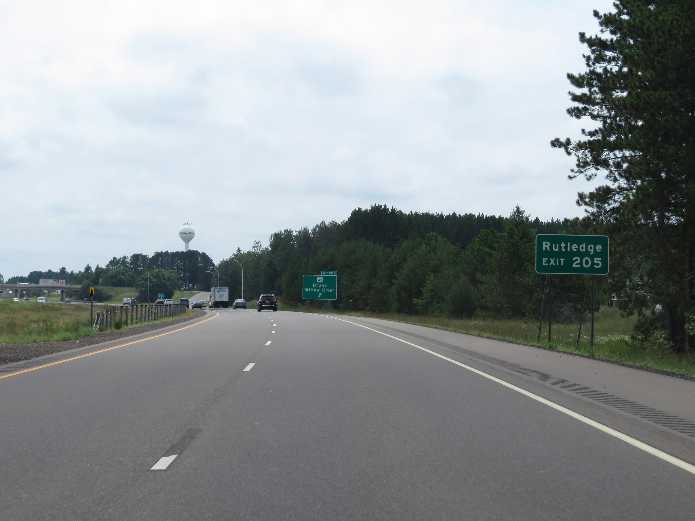 |
Take Exit 205 to Rutledge. (Photo taken 8/7/20). |
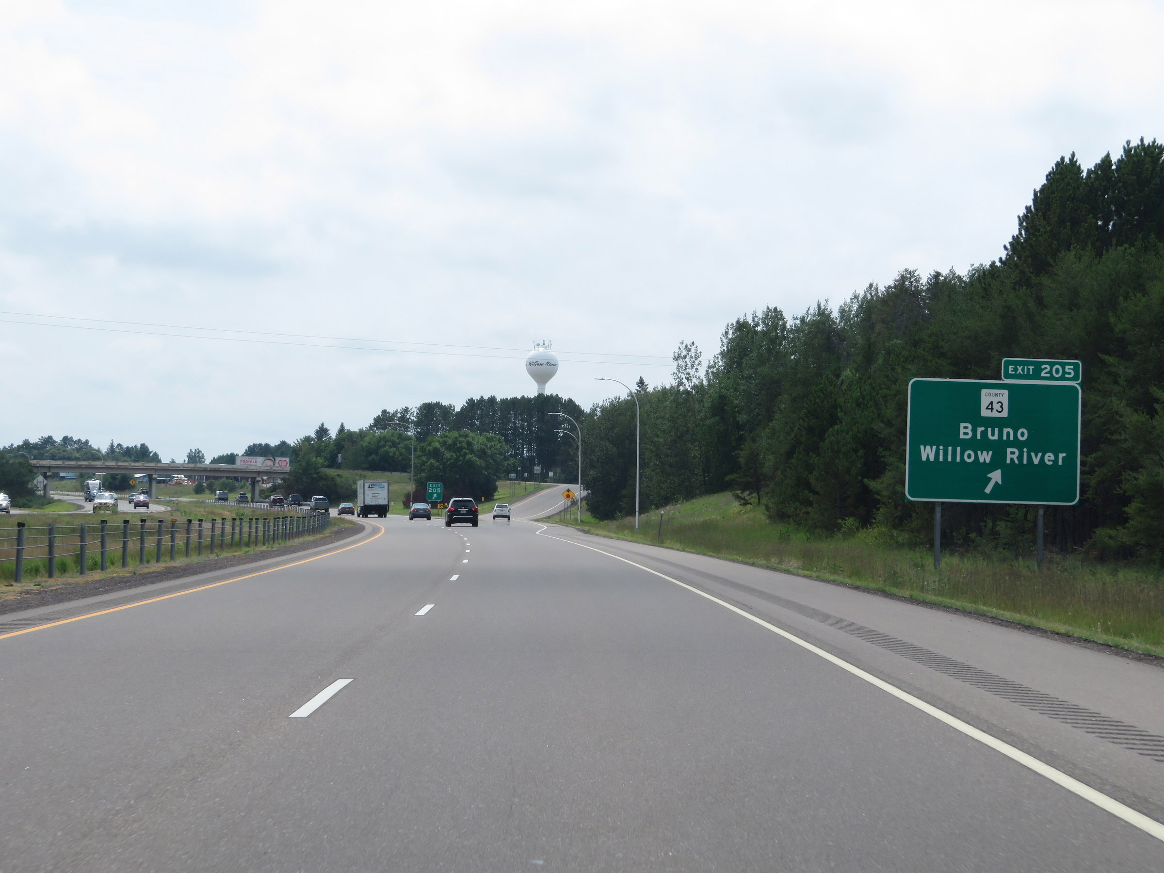 |
Interstate 35 South at Exit 205: CR 43 - Bruno / Willow River (Photo taken 8/7/20). |
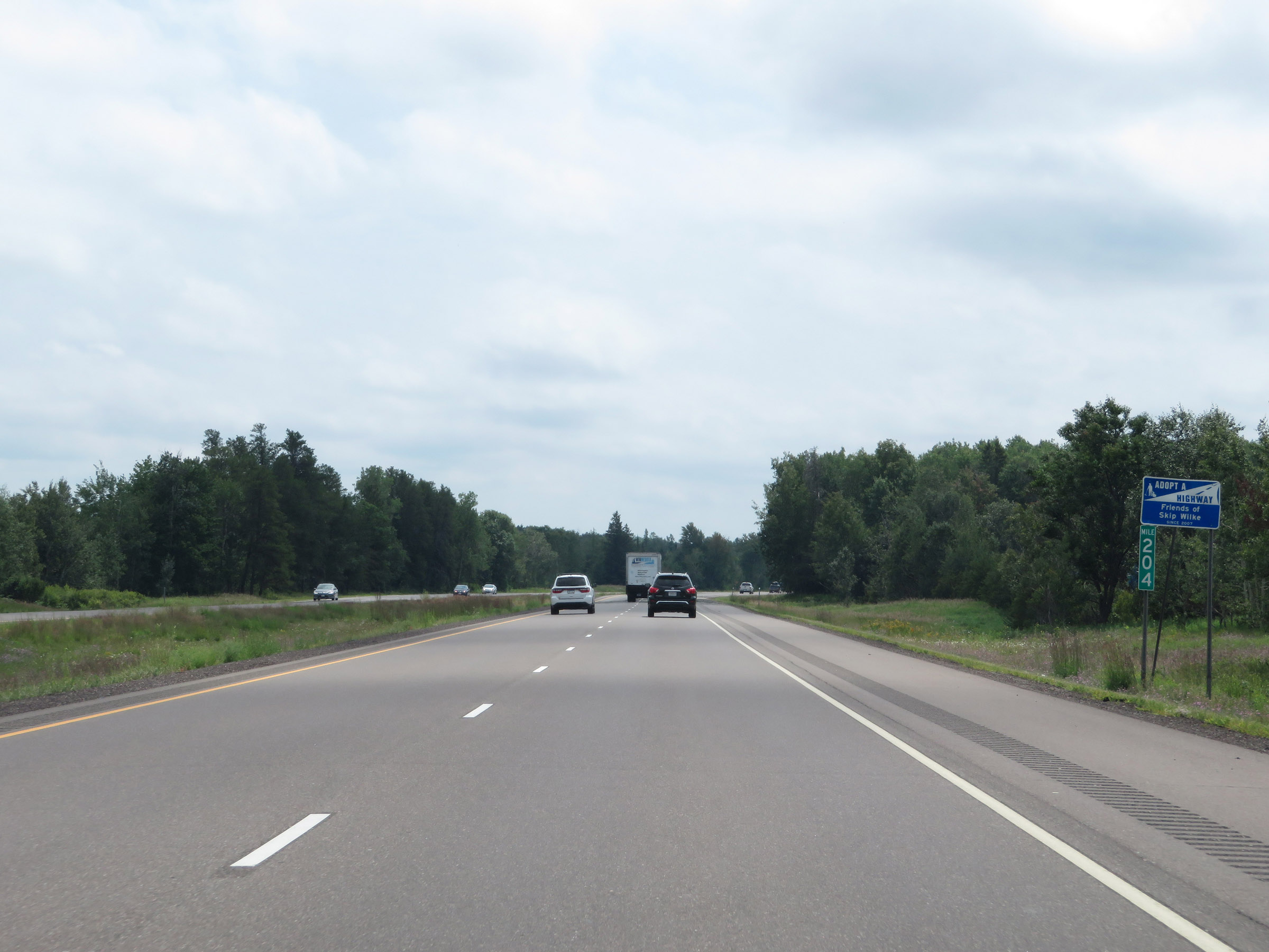 |
Interstate 35 South at mile marker 204. (Photo taken 8/7/20). |
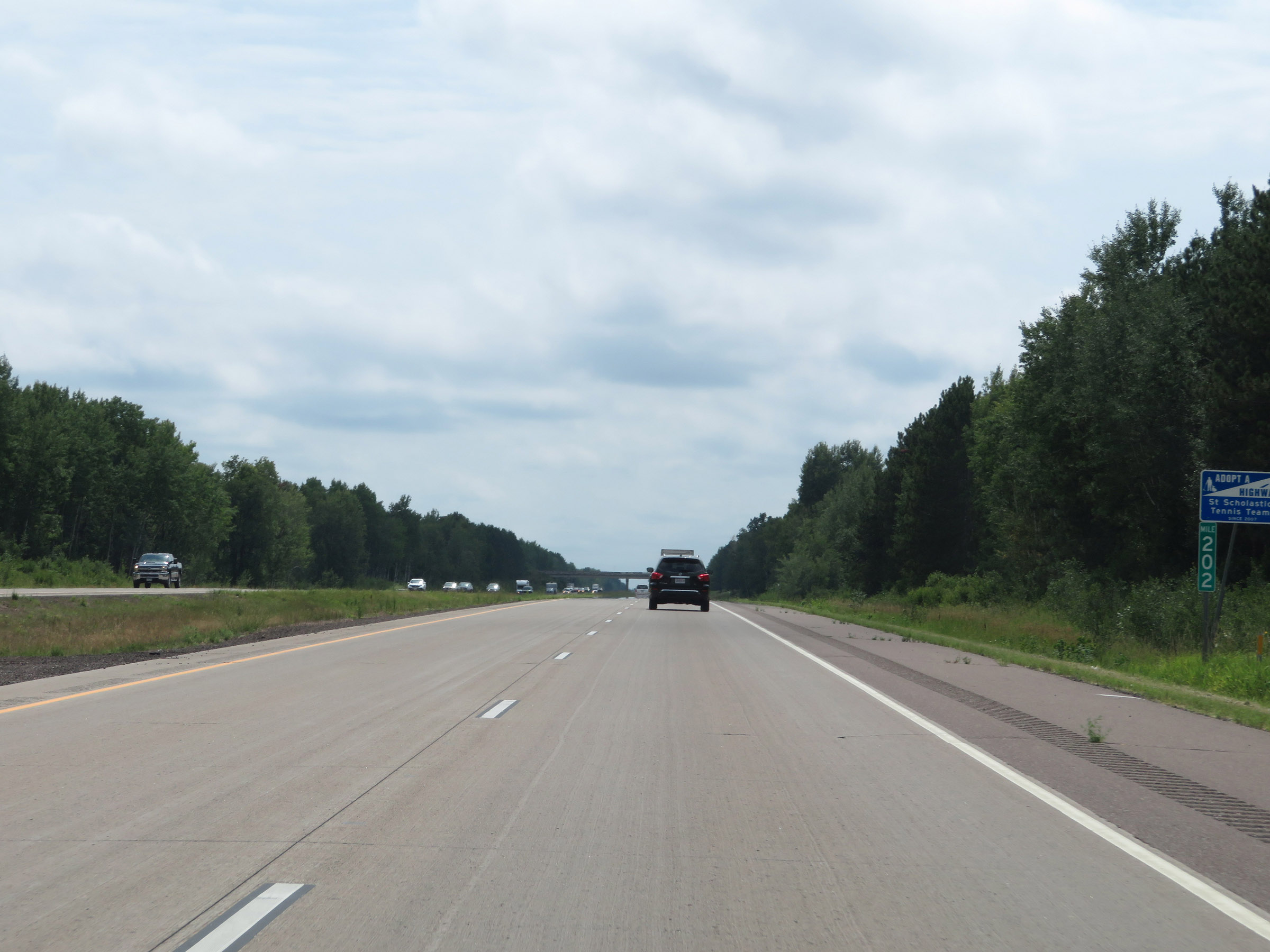 |
Mile marker 202 on Interstate 35 South in Pine County. (Photo taken 8/7/20). |
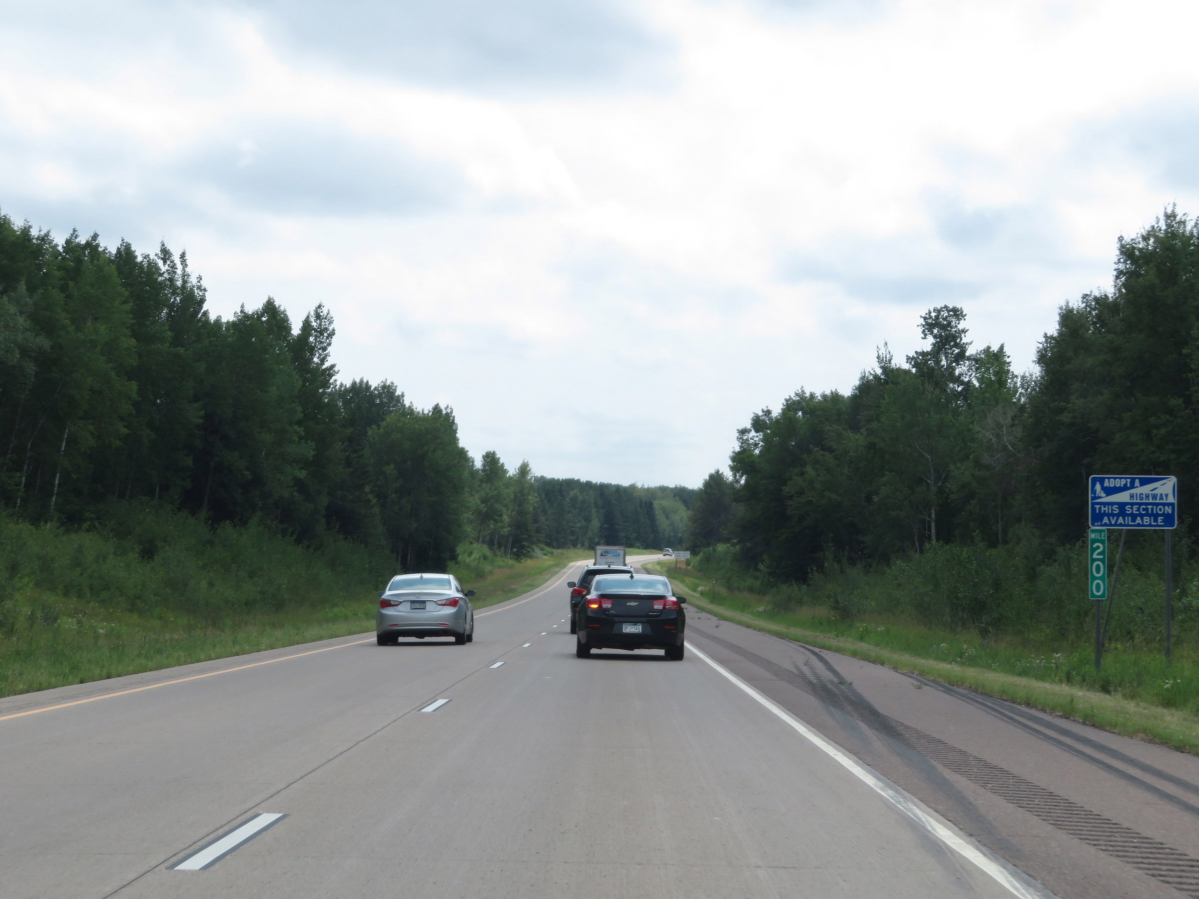 |
View on Interstate 35 South at mile marker 200. (Photo taken 8/7/20). |
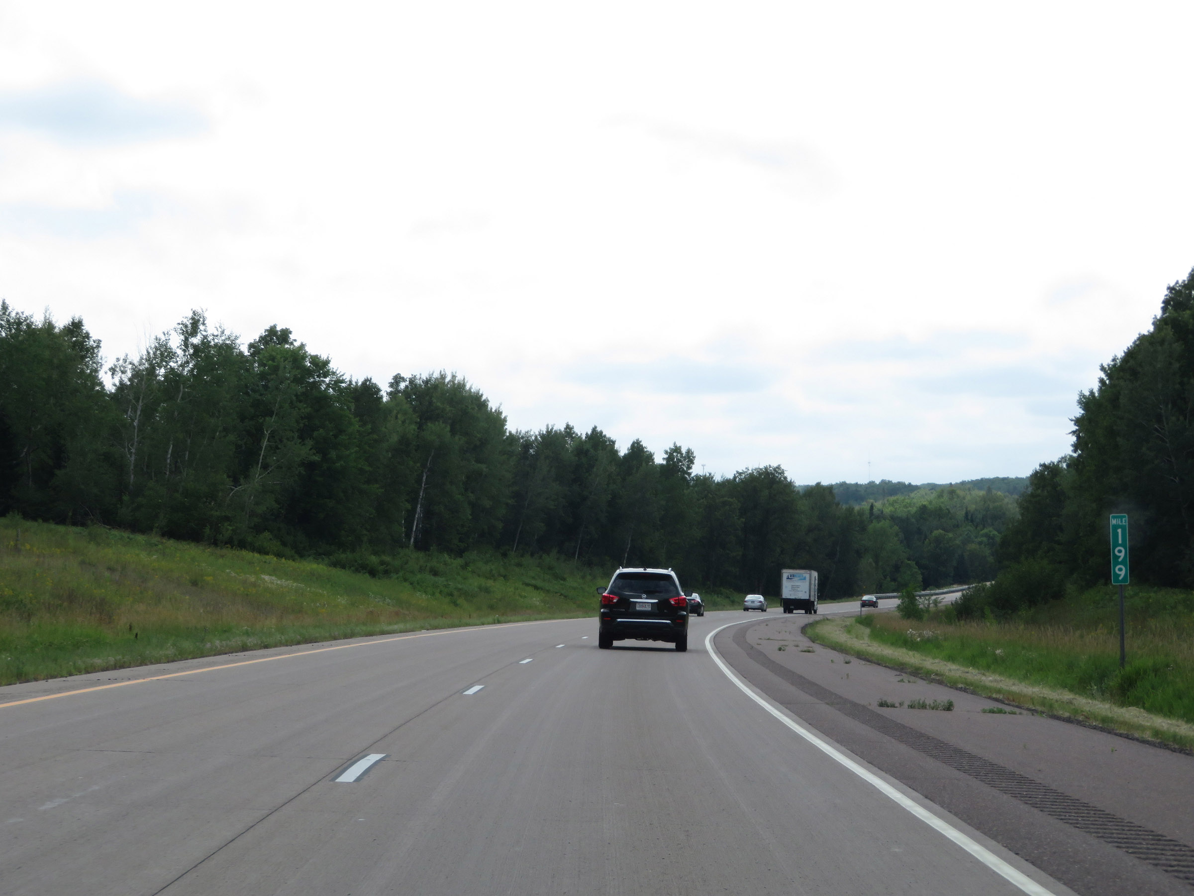 |
Interstate 35 South at mile marker 199. (Photo taken 8/7/20). |
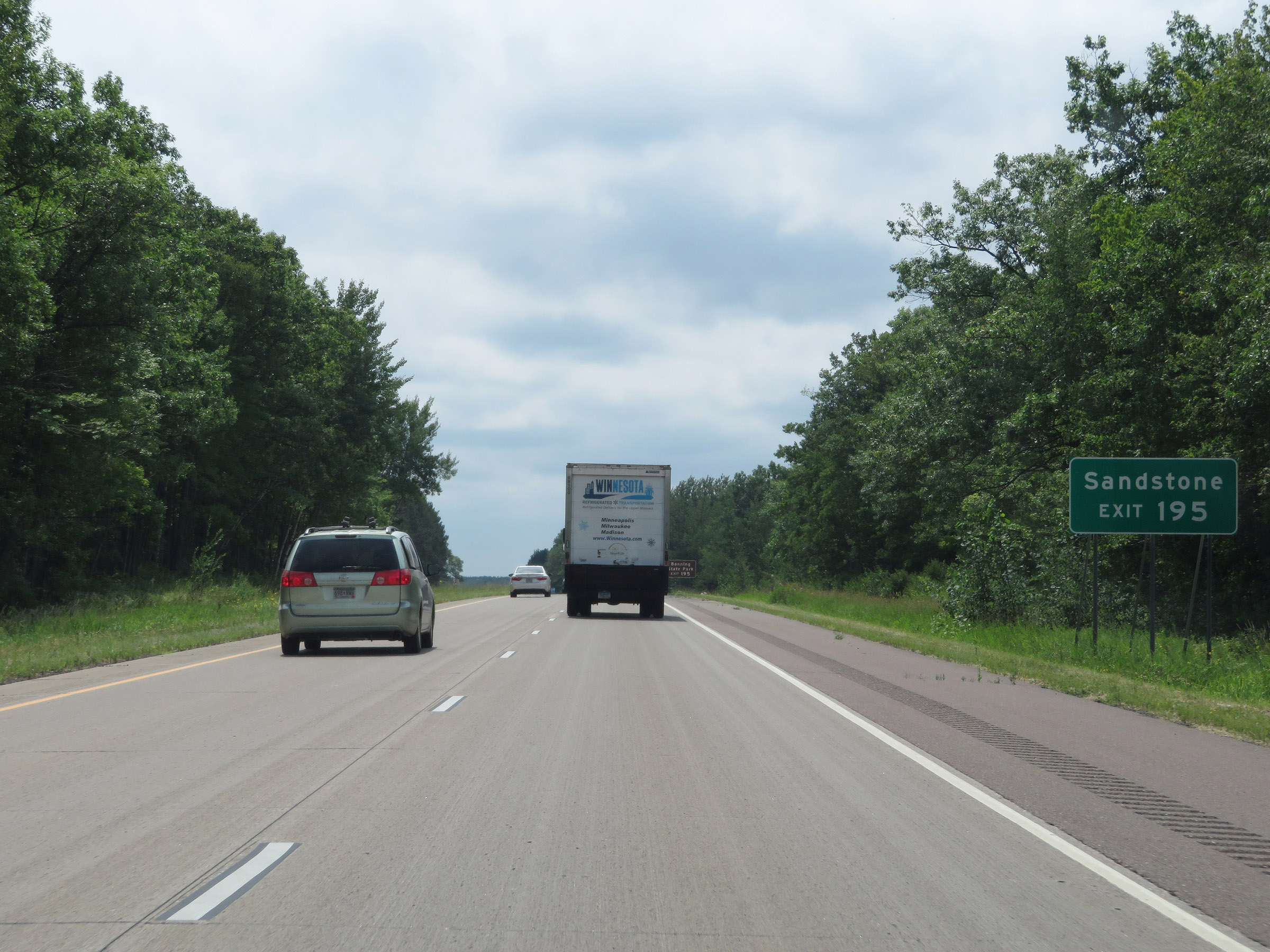 |
Take Exit 195 to Sandstone. (Photo taken 8/7/20). |
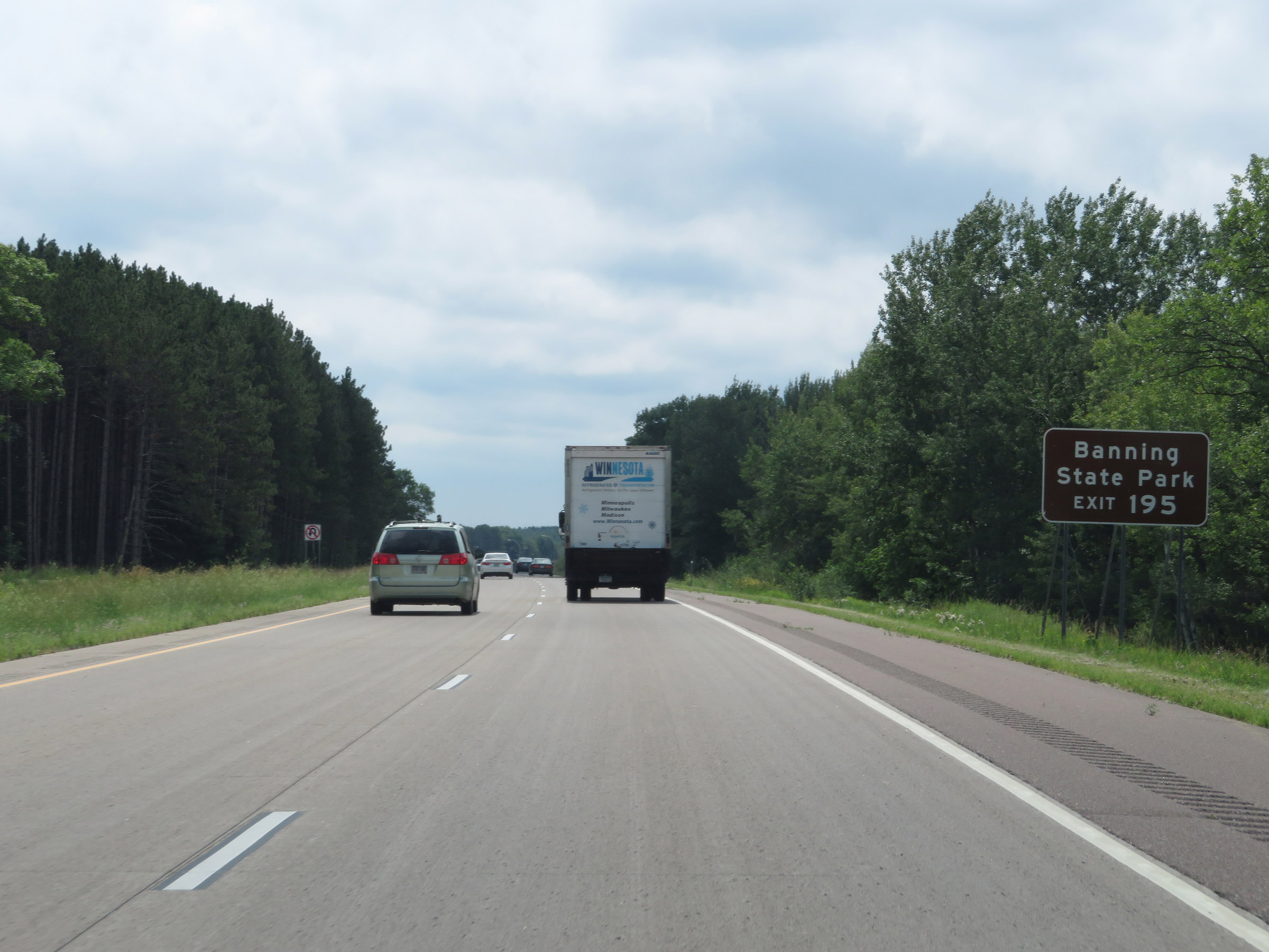 |
Also take Exit 195 to Banning State Park. (Photo taken 8/7/20). |
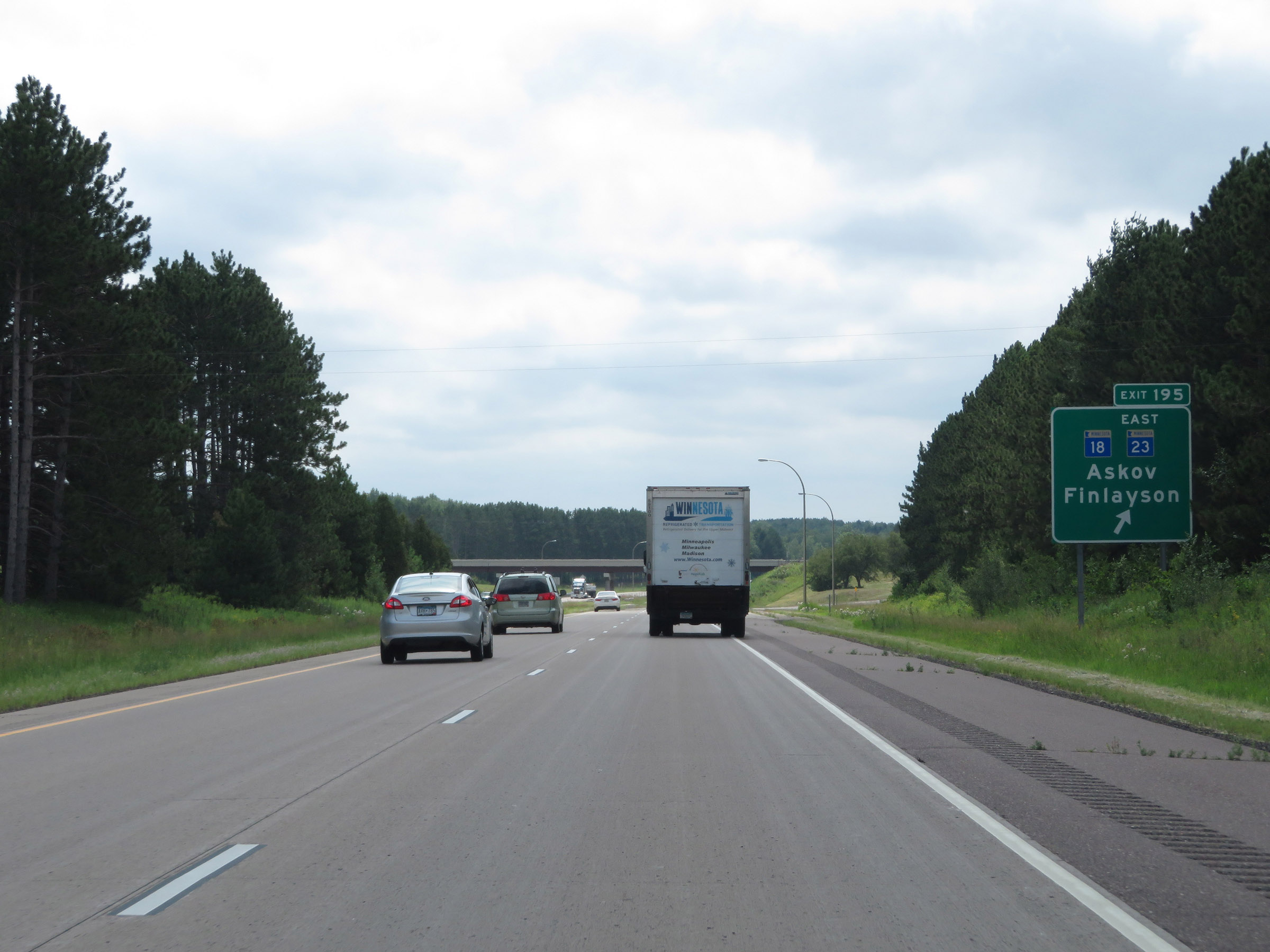 |
Interstate 35 South at Exit 195: MN 18 / MN 23 East - Askov / Finlayson (Photo taken 8/7/20). |
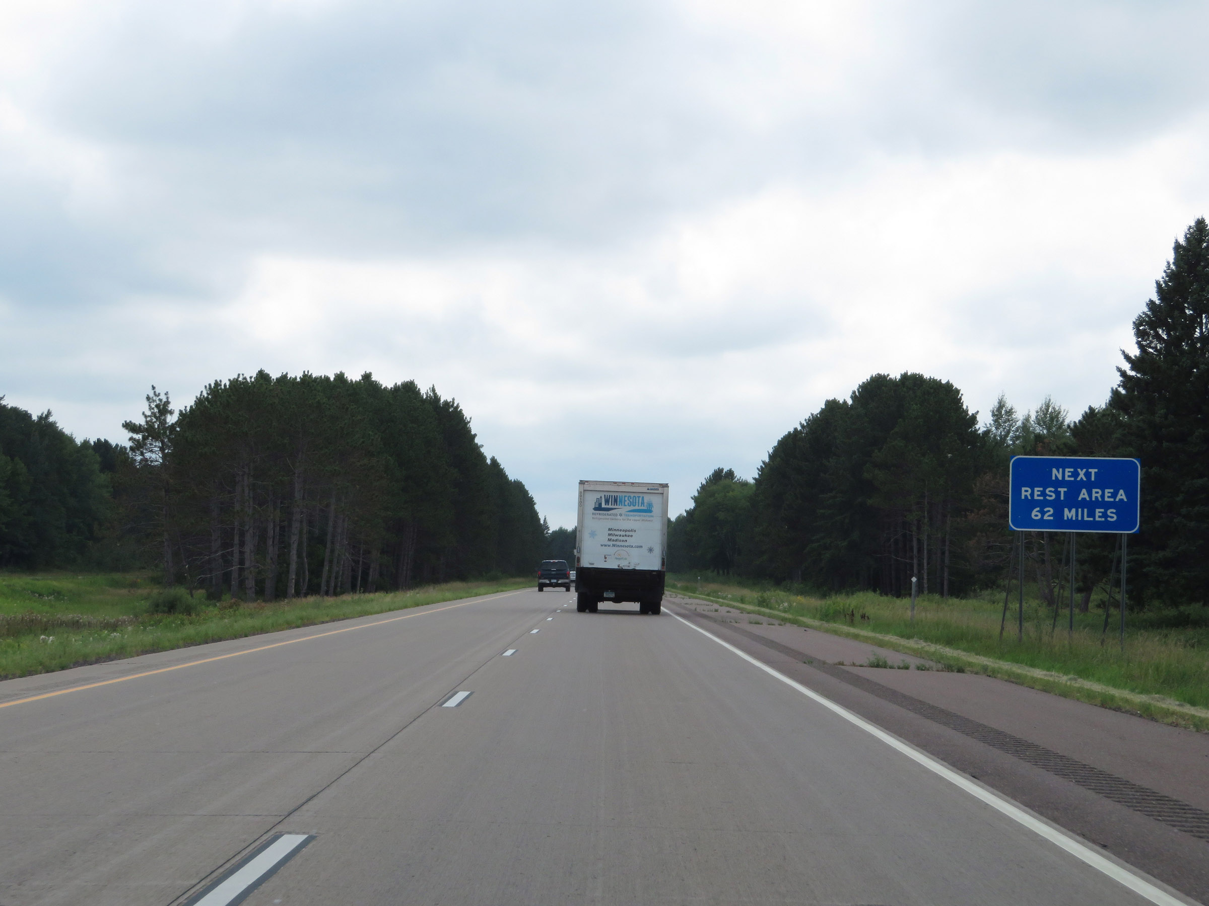 |
The next Rest Area on Interstate 35 South is 62 miles ahead. (Photo taken 8/7/20). |
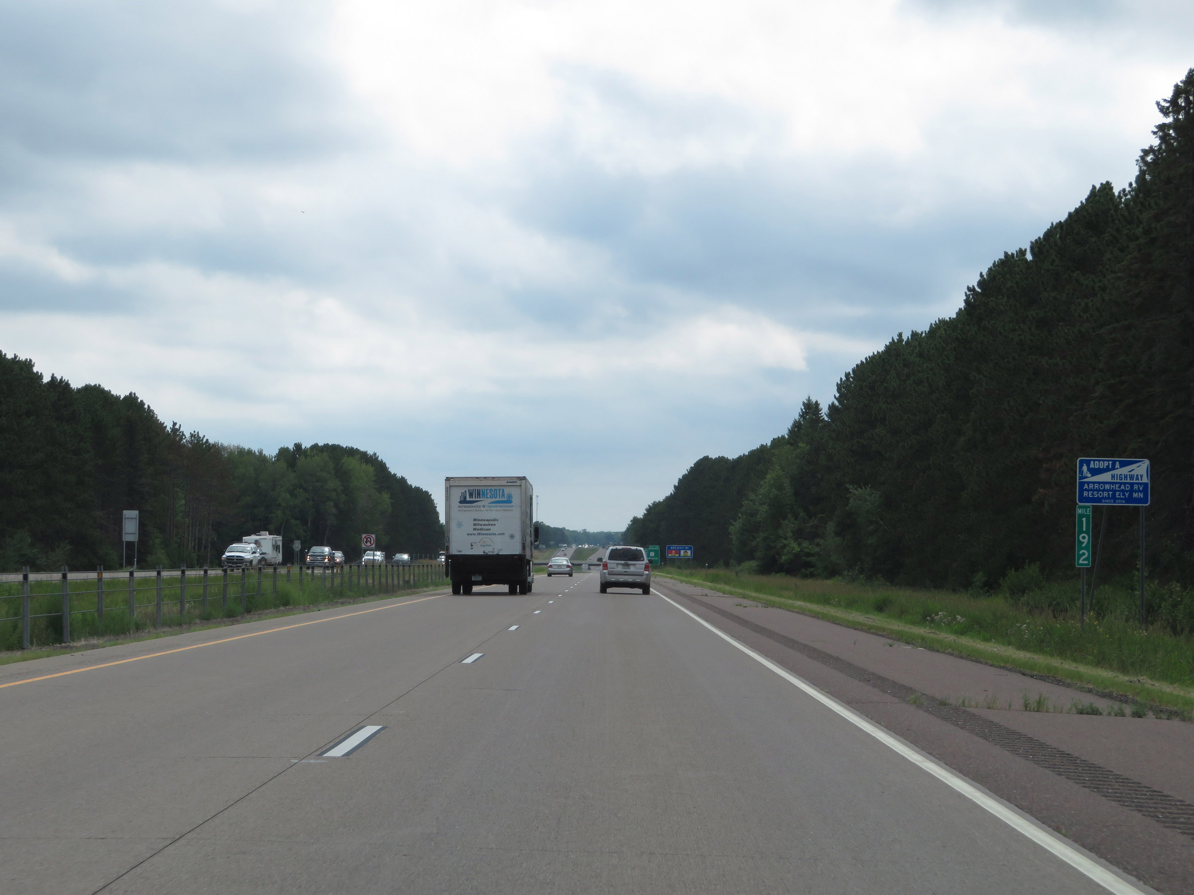 |
View on Interstate 35 South at mile marker 192. (Photo taken 8/7/20). |
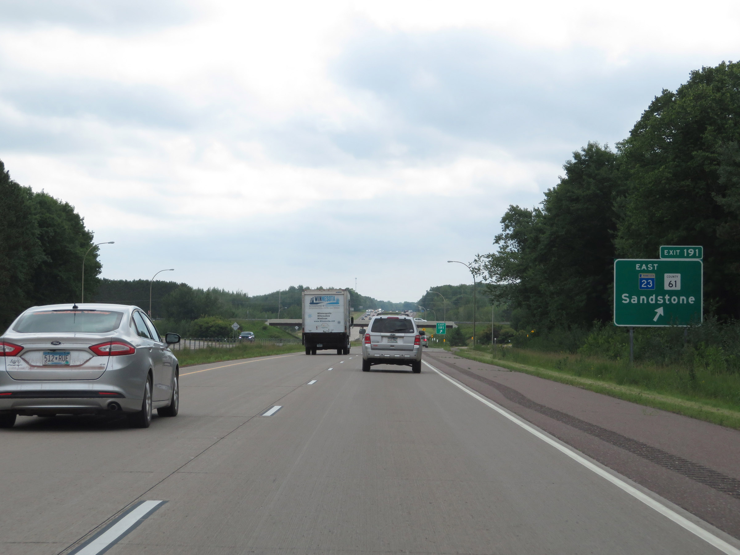 |
Interstate 35 South at Exit 191: MN 23 East / CR 61 - Sandstone (Photo taken 8/7/20). |
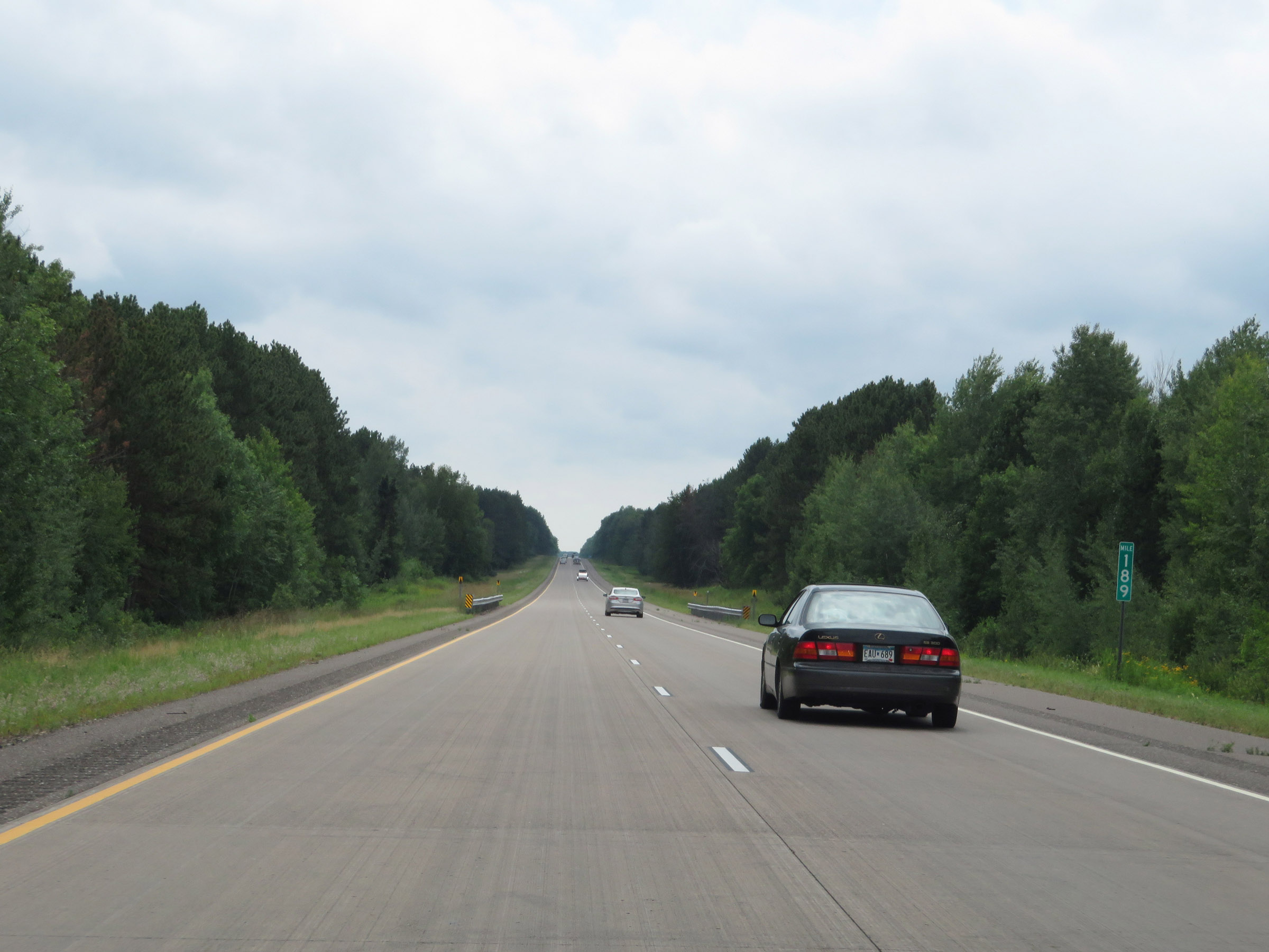 |
Interstate 35 South at mile marker 189. (Photo taken 8/7/20). |
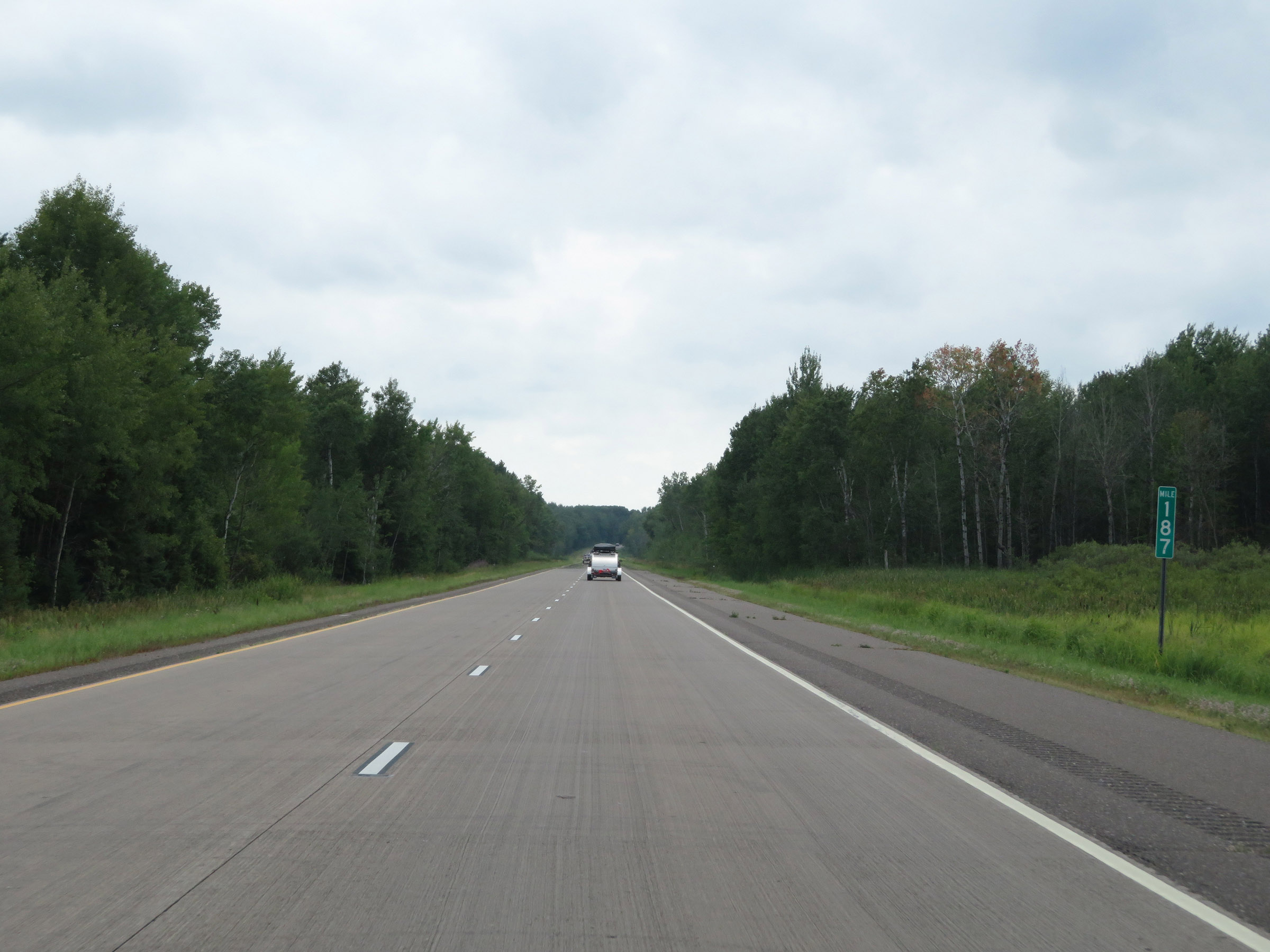 |
Mile marker 187 on Interstate 35 South in Pine County. (Photo taken 8/7/20). |
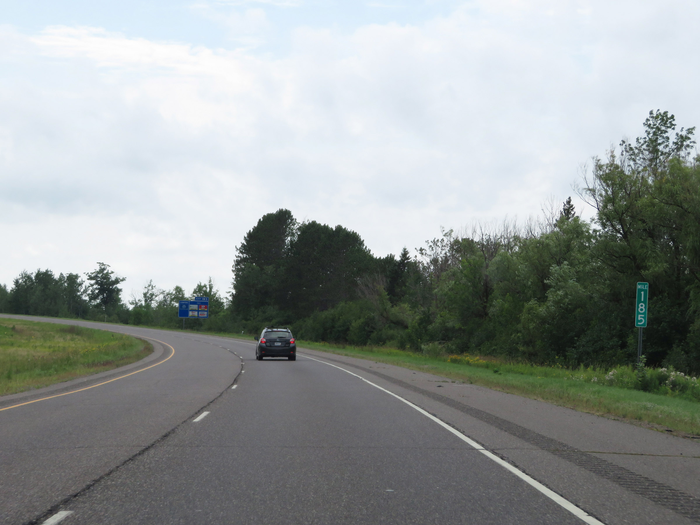 |
View on Interstate 35 South at mile marker 185. (Photo taken 8/7/20). |
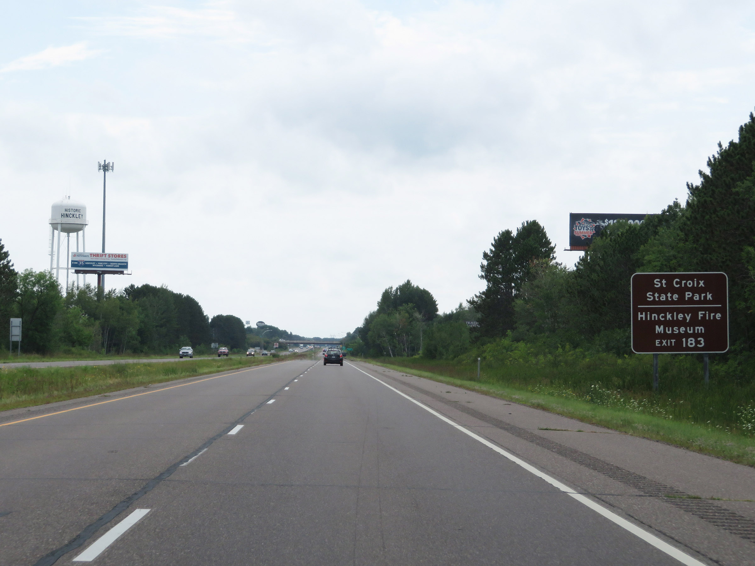 |
Take Exit 183 to St. Croix State Park and the Hinckley Fire Museum. (Photo taken 8/7/20). |
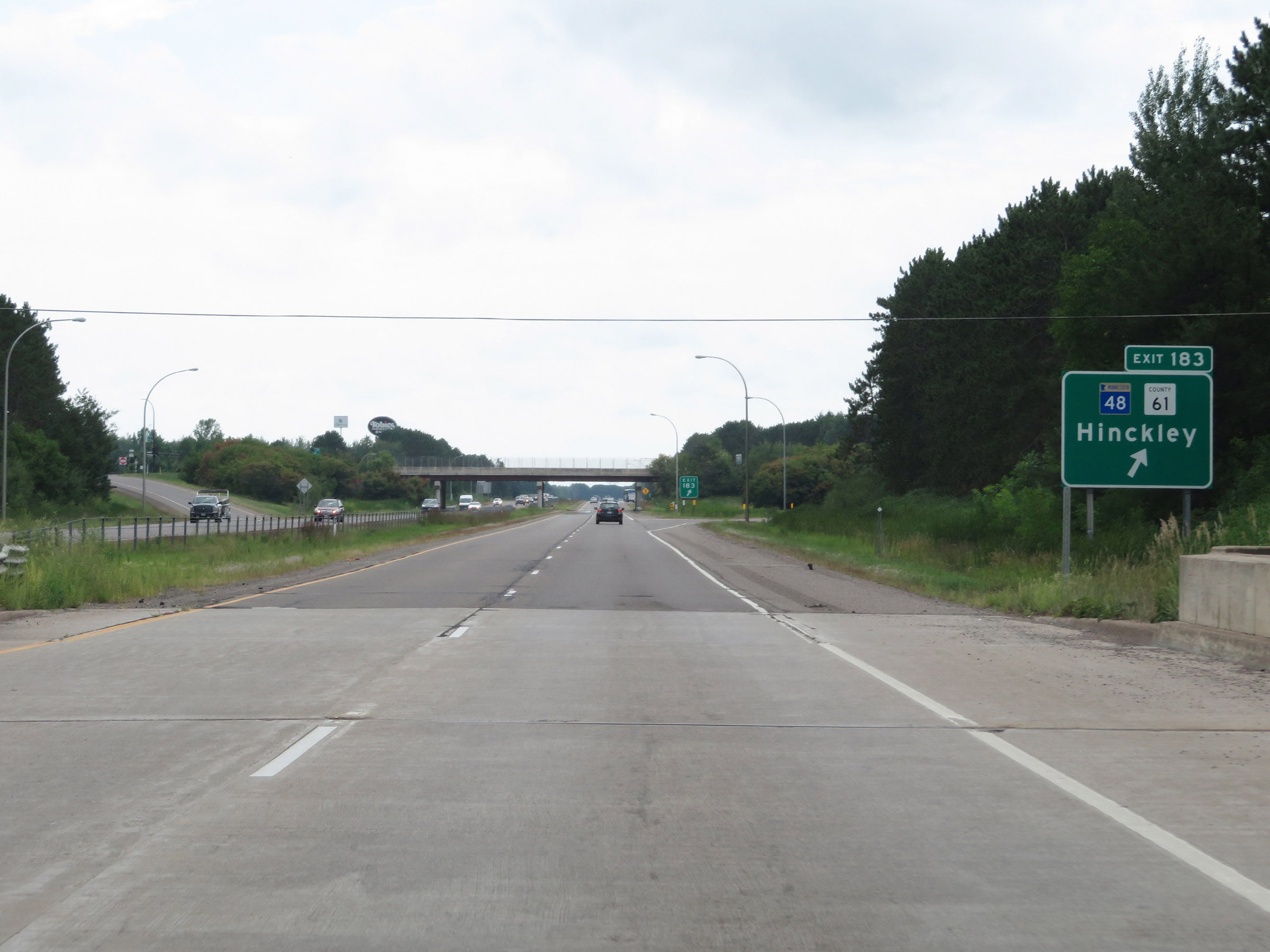 |
Interstate 35 South at Exit 183: MN 48 / CR 61 - Hinckley (Photo taken 8/7/20). |
Section 3: Hinckley (Exit 183) to Interstate 35E / Interstate 35W (Exit 127, Columbus)
 |
Interstate 35 South reassurance shield. (Photo taken 8/7/20). |
 |
The speed limits remain 70 mph maximum and 40 mph minimum. (Photo taken 8/7/20). |
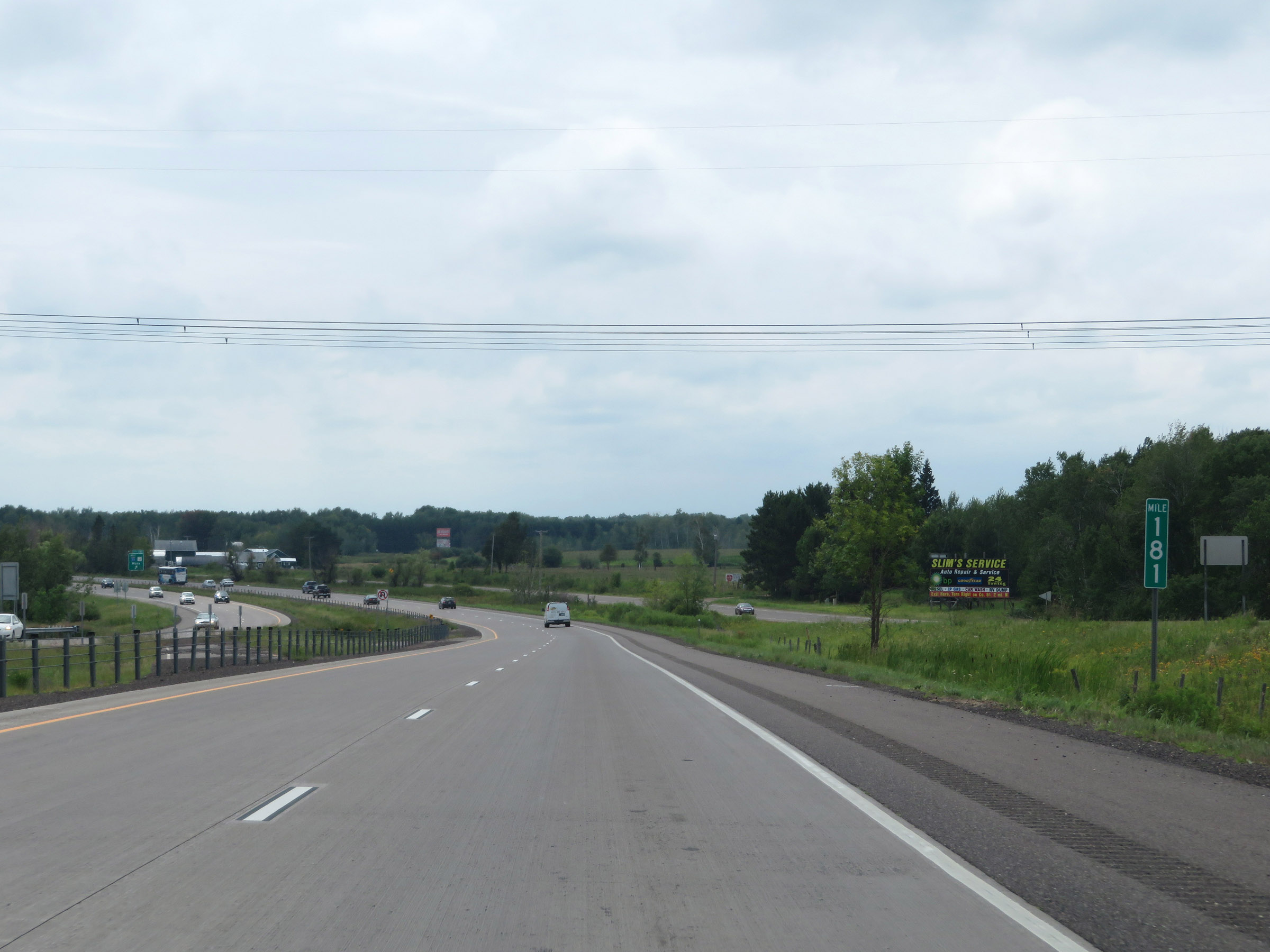 |
View on Interstate 35 South at mile marker 181. (Photo taken 8/7/20). |
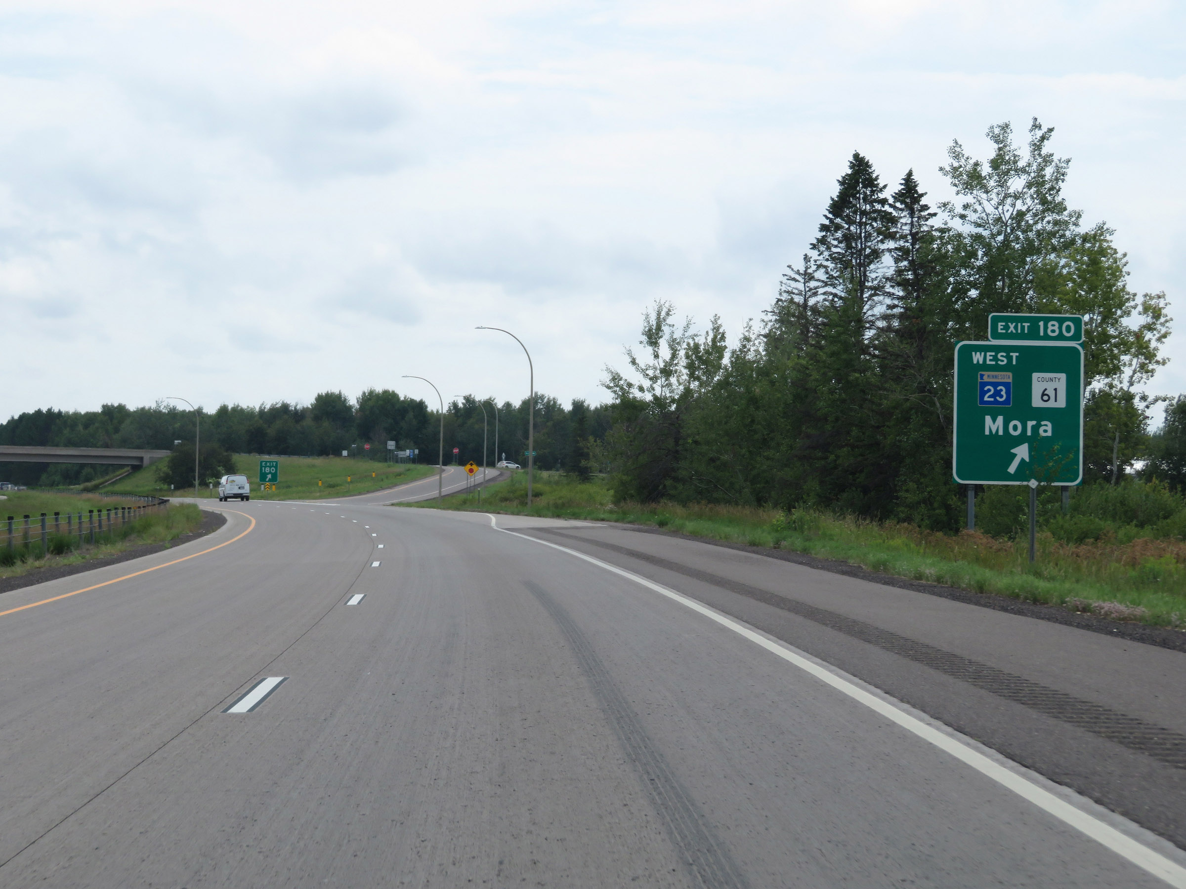 |
Interstate 35 South at Exit 180: MN 23 West / CR 61 - Mora (Photo taken 8/7/20). |
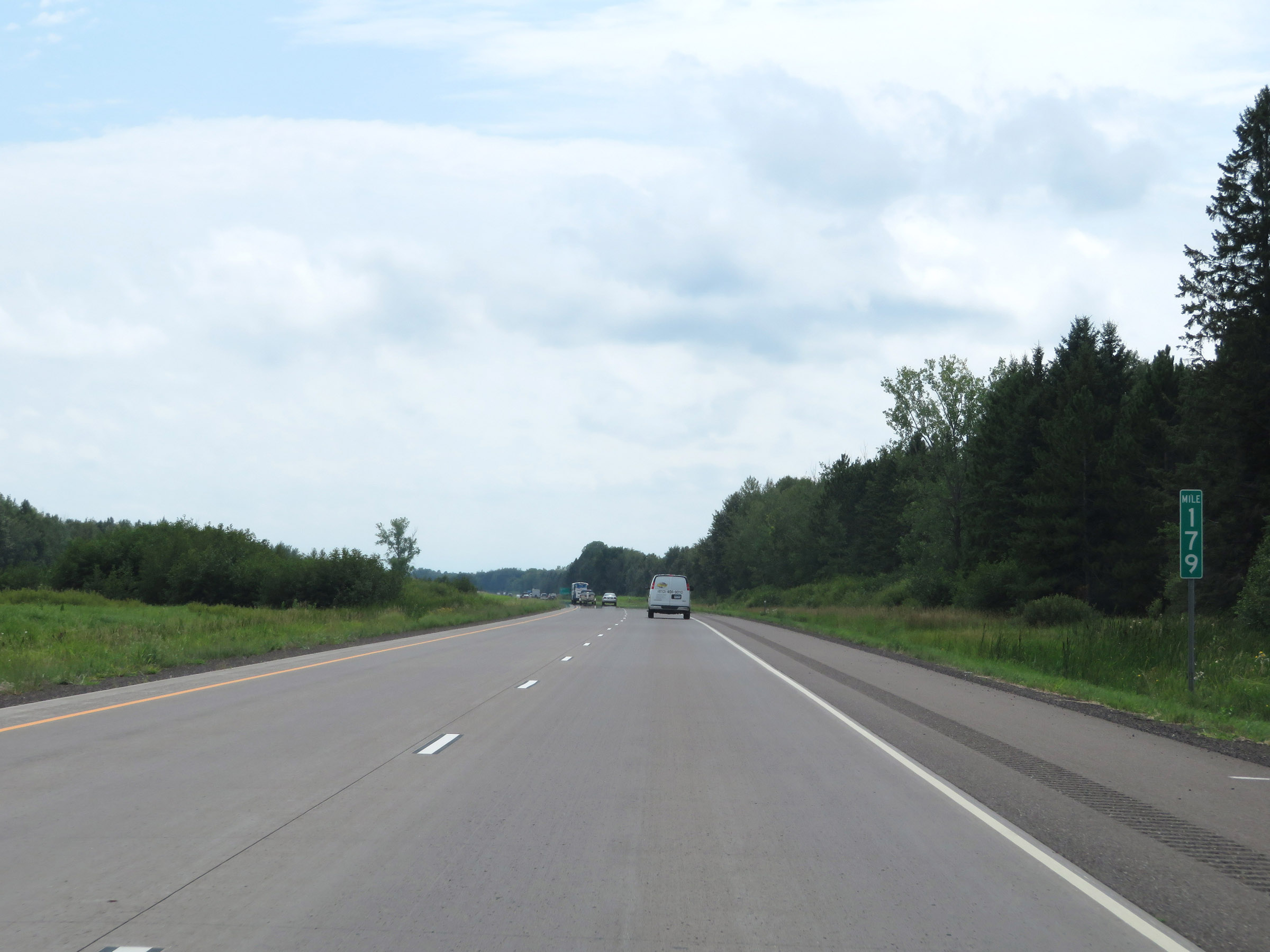 |
Interstate 35 South at mile marker 179. (Photo taken 8/7/20). |
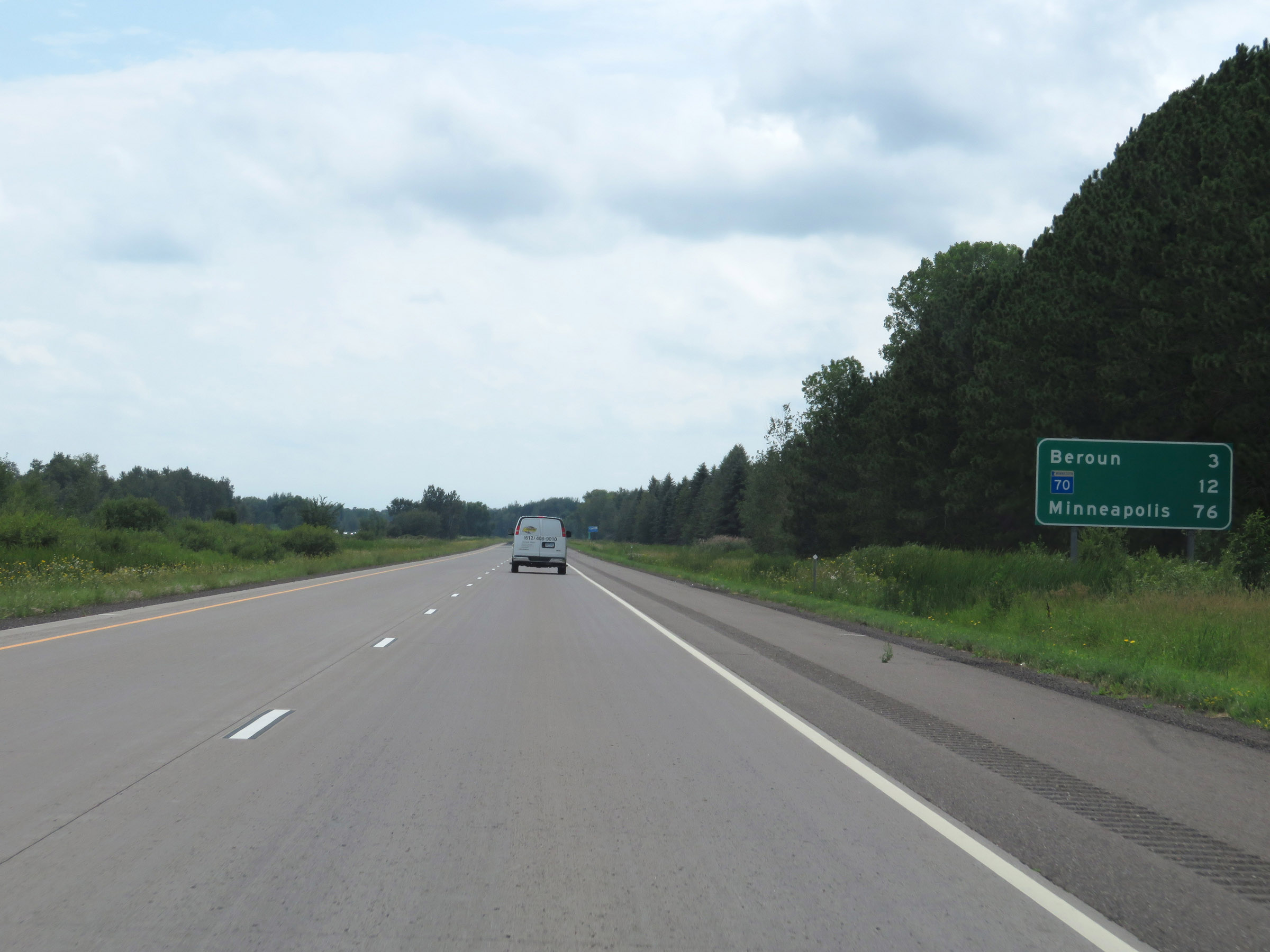 |
Mileage sign on Interstate 35 South. It's 3 miles to Beroun, 12 miles to the junction of MN 70, and 76 miles to Minneapolis. (Photo taken 8/7/20). |
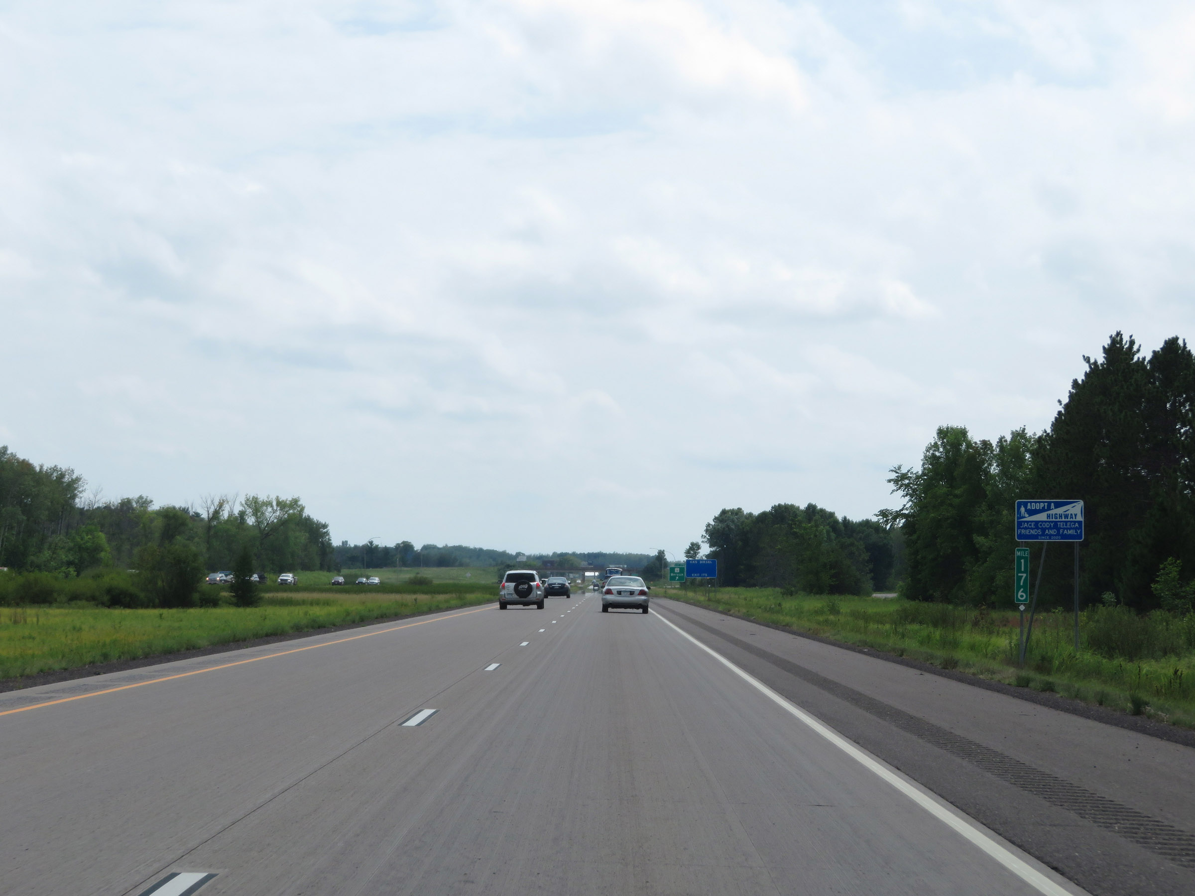 |
View on Interstate 35 South at mile marker 176. (Photo taken 8/7/20). |
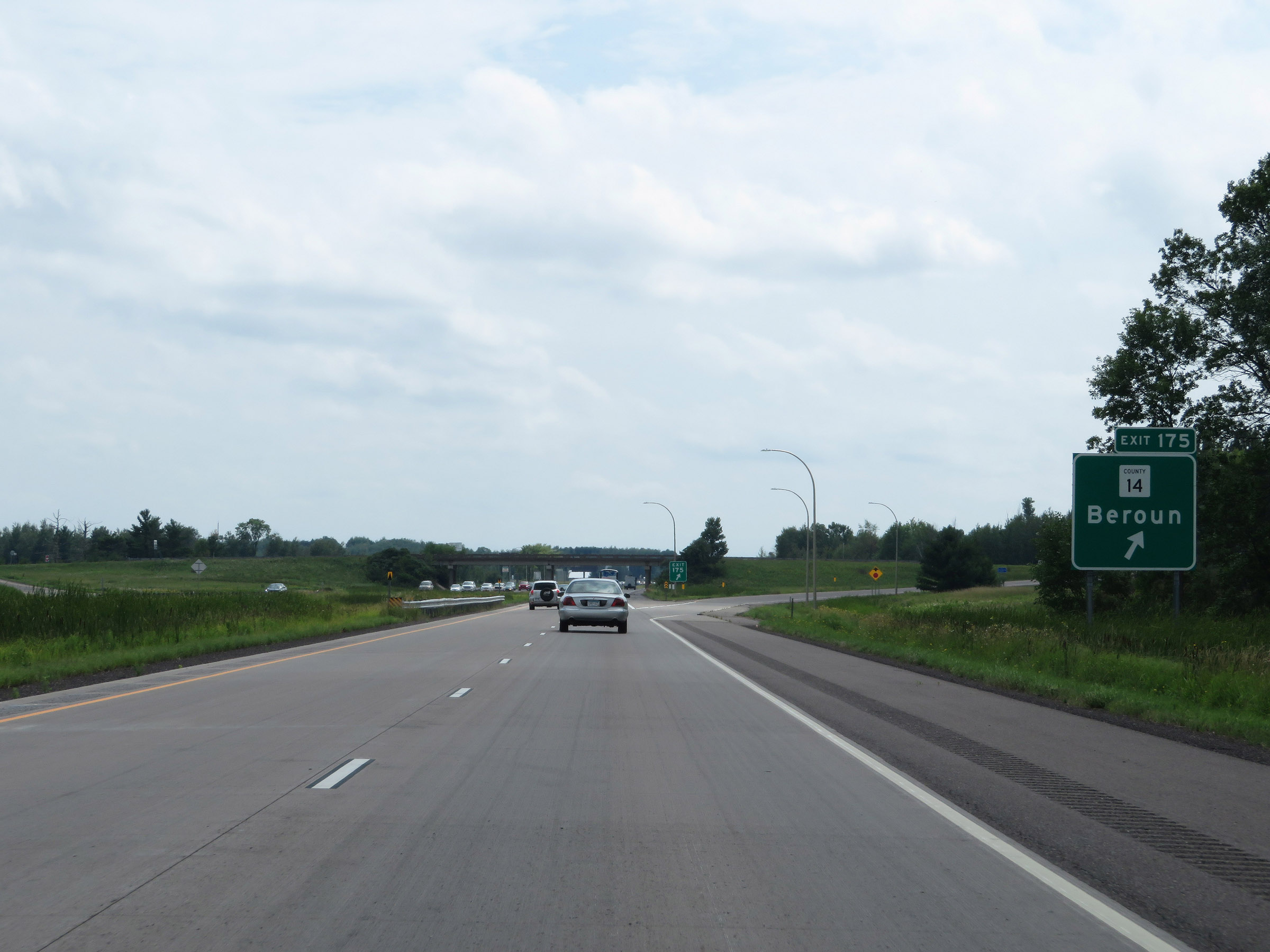 |
Interstate 35 South at Exit 175: CR 14 - Beroun (Photo taken 8/7/20). |
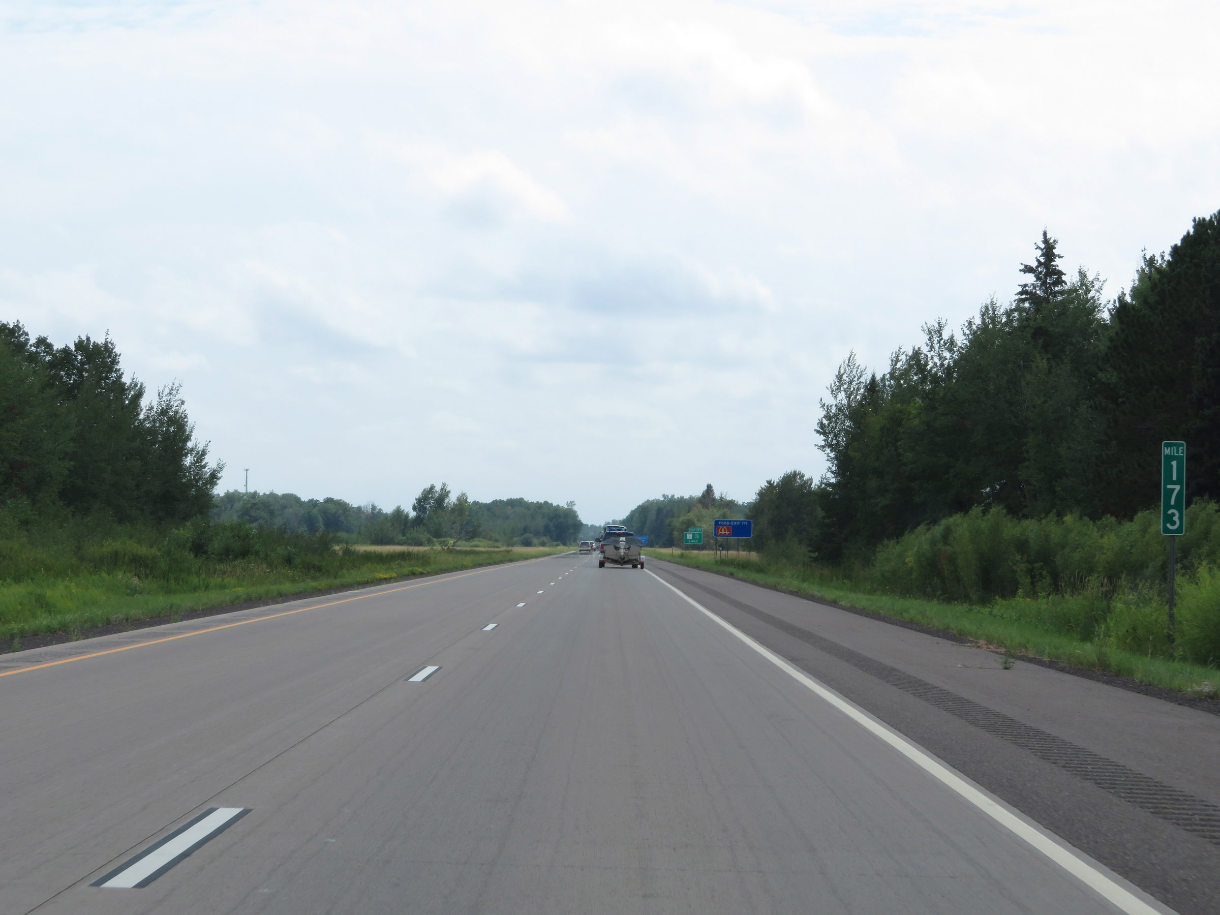 |
Interstate 35 South at mile marker 173. (Photo taken 8/7/20). |
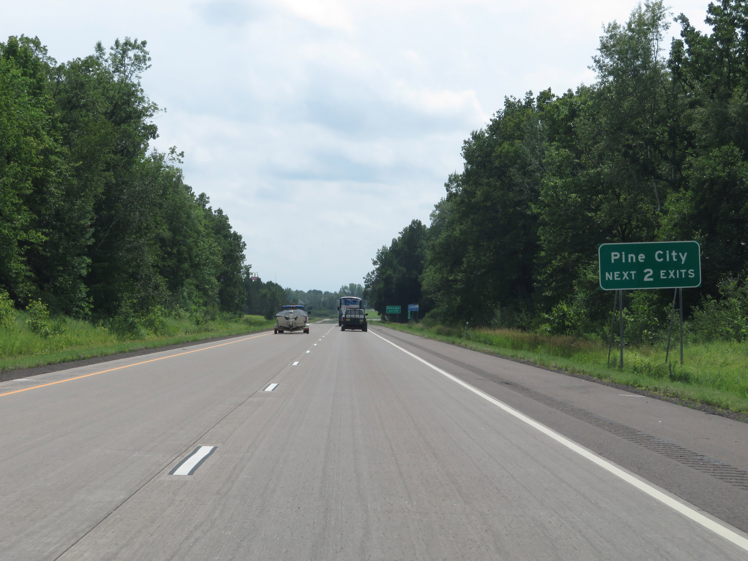 |
Take either of the next 2 exits to Pine City. (Photo taken 8/7/20). |
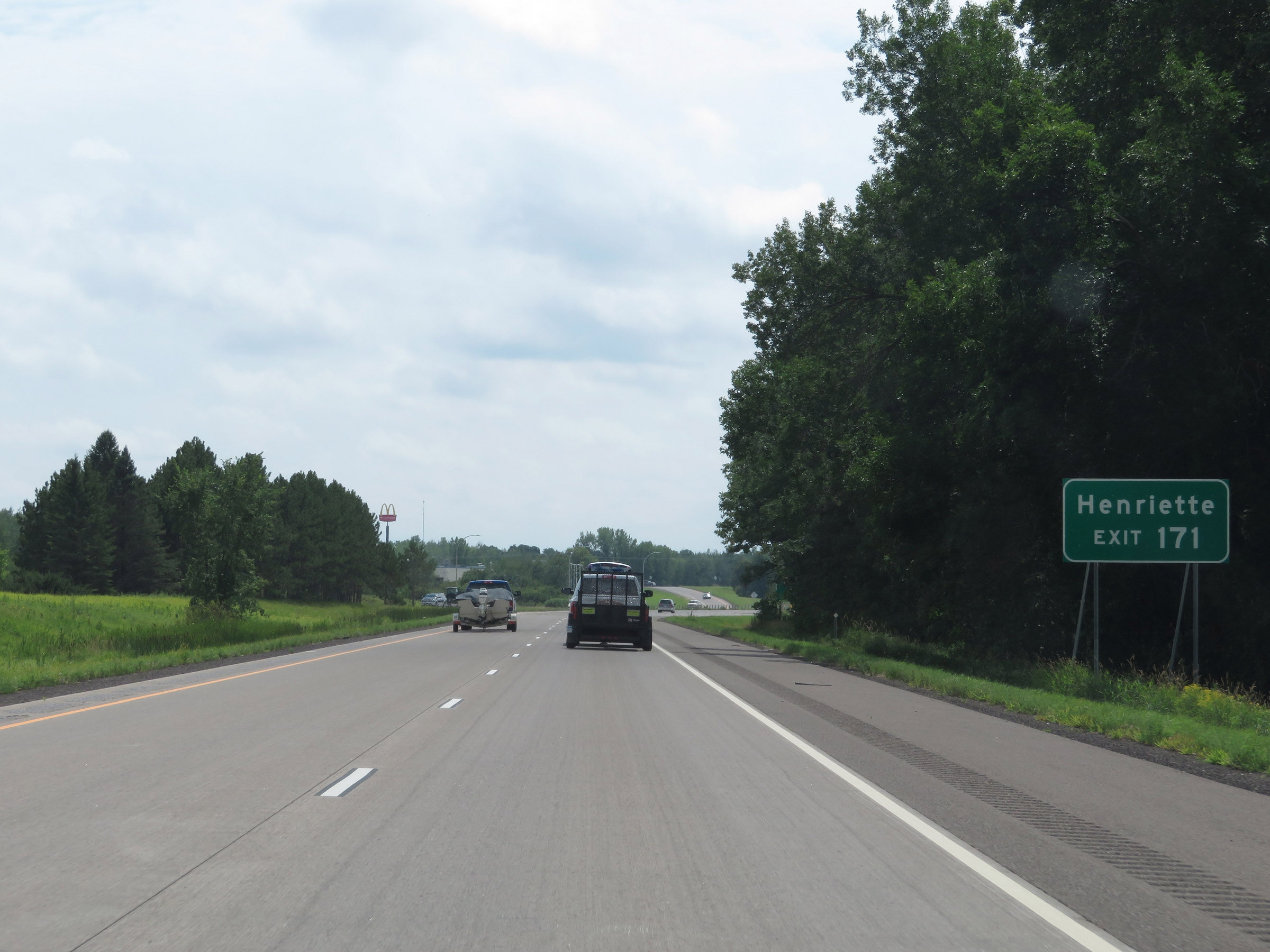 |
Take Exit 171 to Henriette. (Photo taken 8/7/20). |
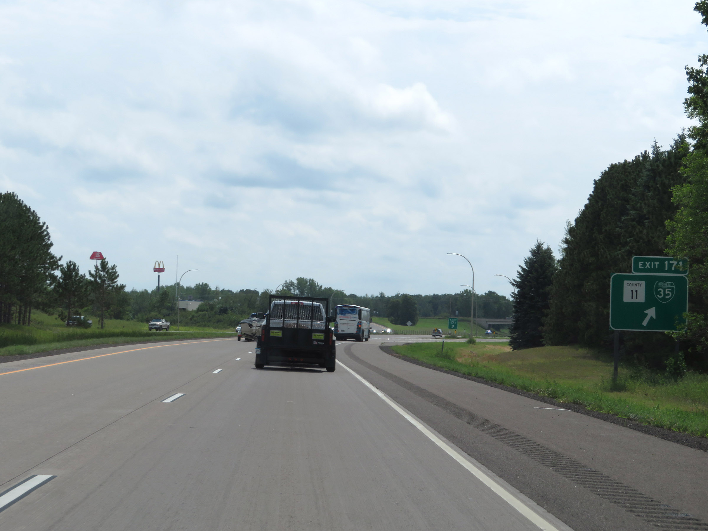 |
Interstate 35 South at Exit 171: CR 11 / Interstate 35 Business Loop (Photo taken 8/7/20). |
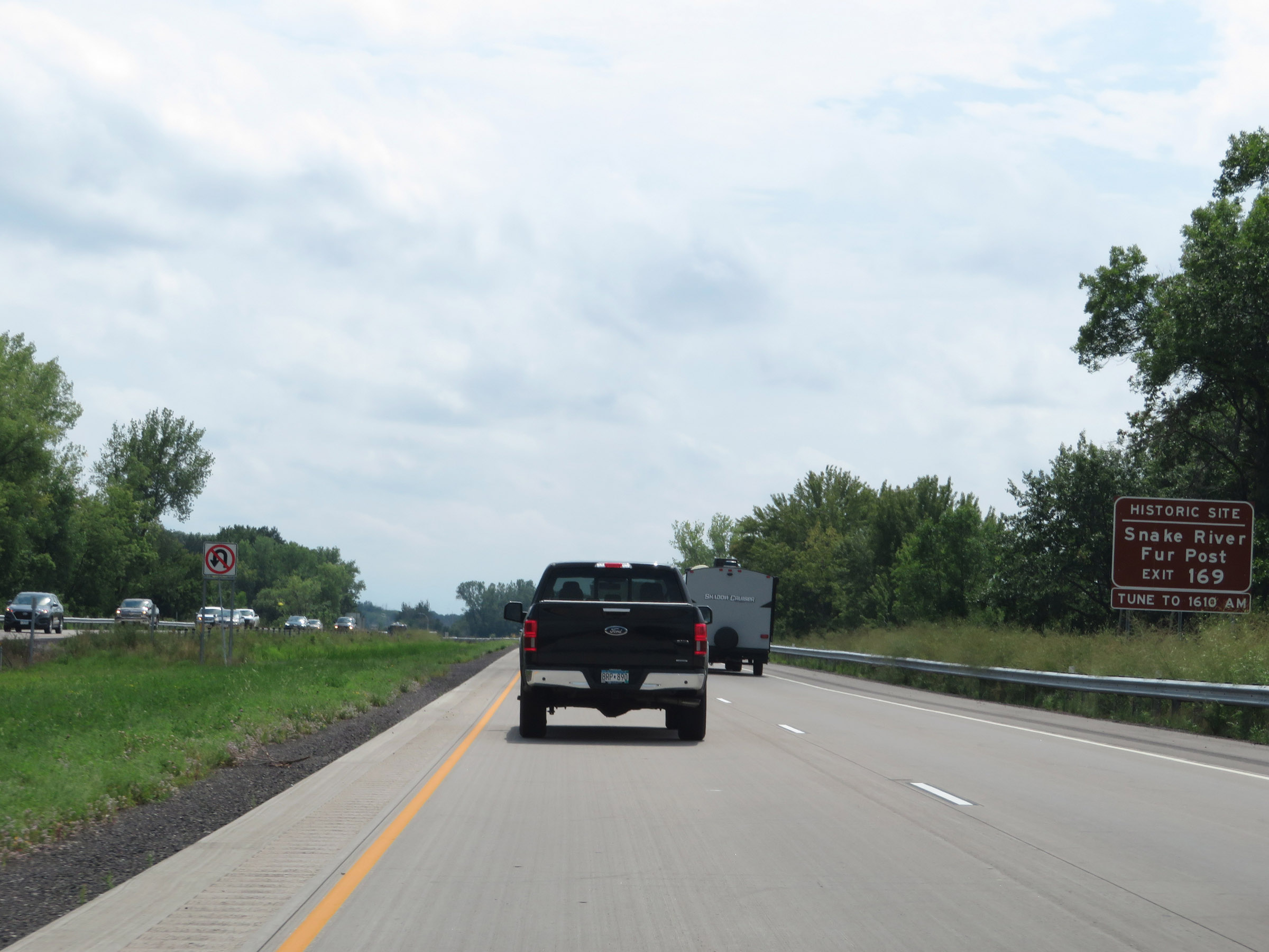 |
Take Exit 169 to Snake River Fur Post Historic Site. (Photo taken 8/7/20). |
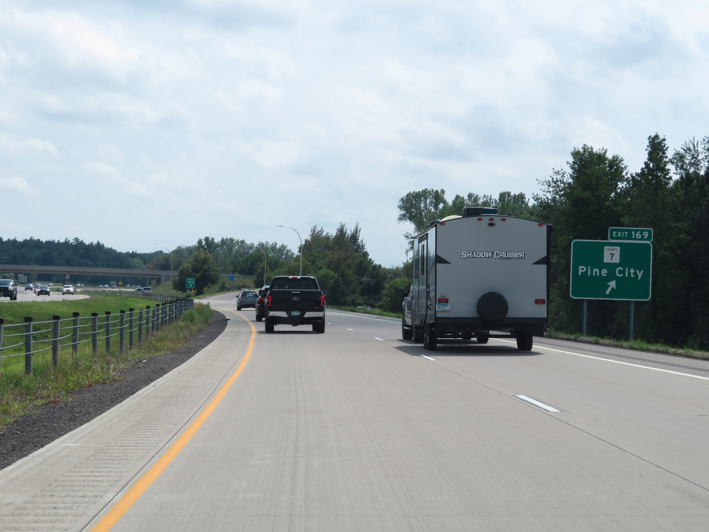 |
Interstate 35 South at Exit 169: CR 7 - Pine City (Photo taken 8/7/20). |
 |
View on Interstate 35 South at mile marker 168. (Photo taken 8/7/20). |
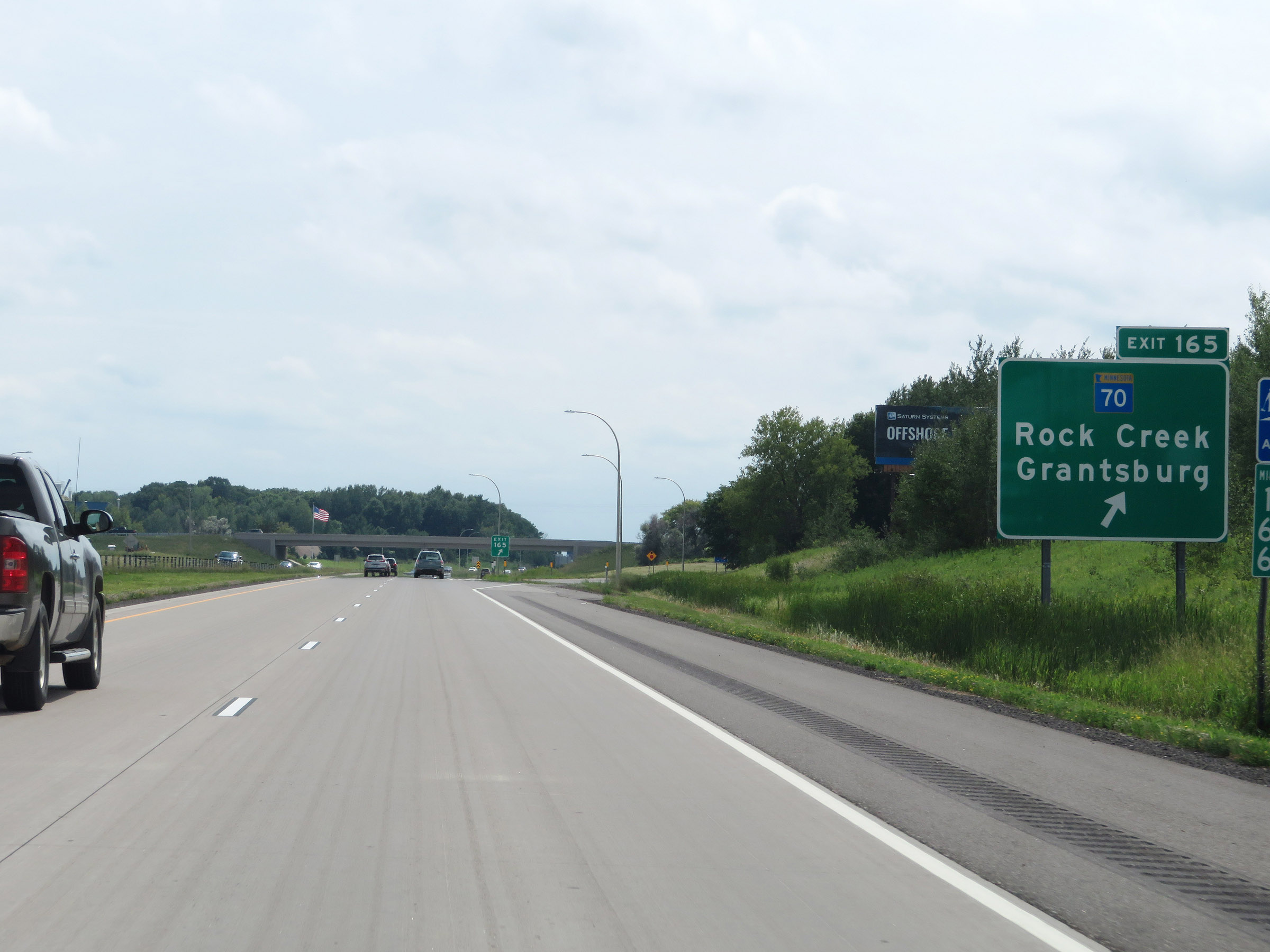 |
Interstate 35 South at Exit 165: MN 70 - Rock Creek / Grantsburg (Photo taken 8/7/20). |
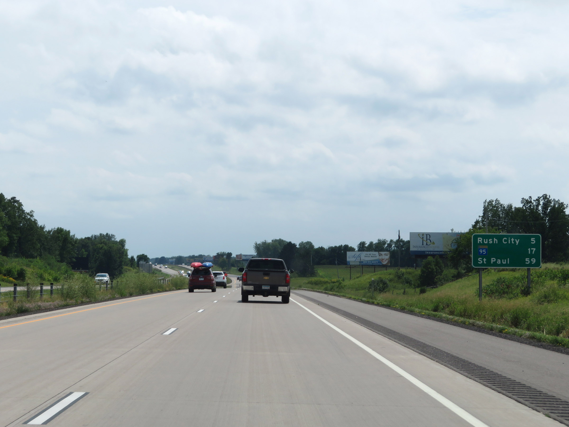 |
Mileage sign on Interstate 35 South, approaching the county line. It's 5 miles to Rush City, 17 miles to the junction of MN 95, and 59 miles to Saint Paul. (Photo taken 8/7/20). |
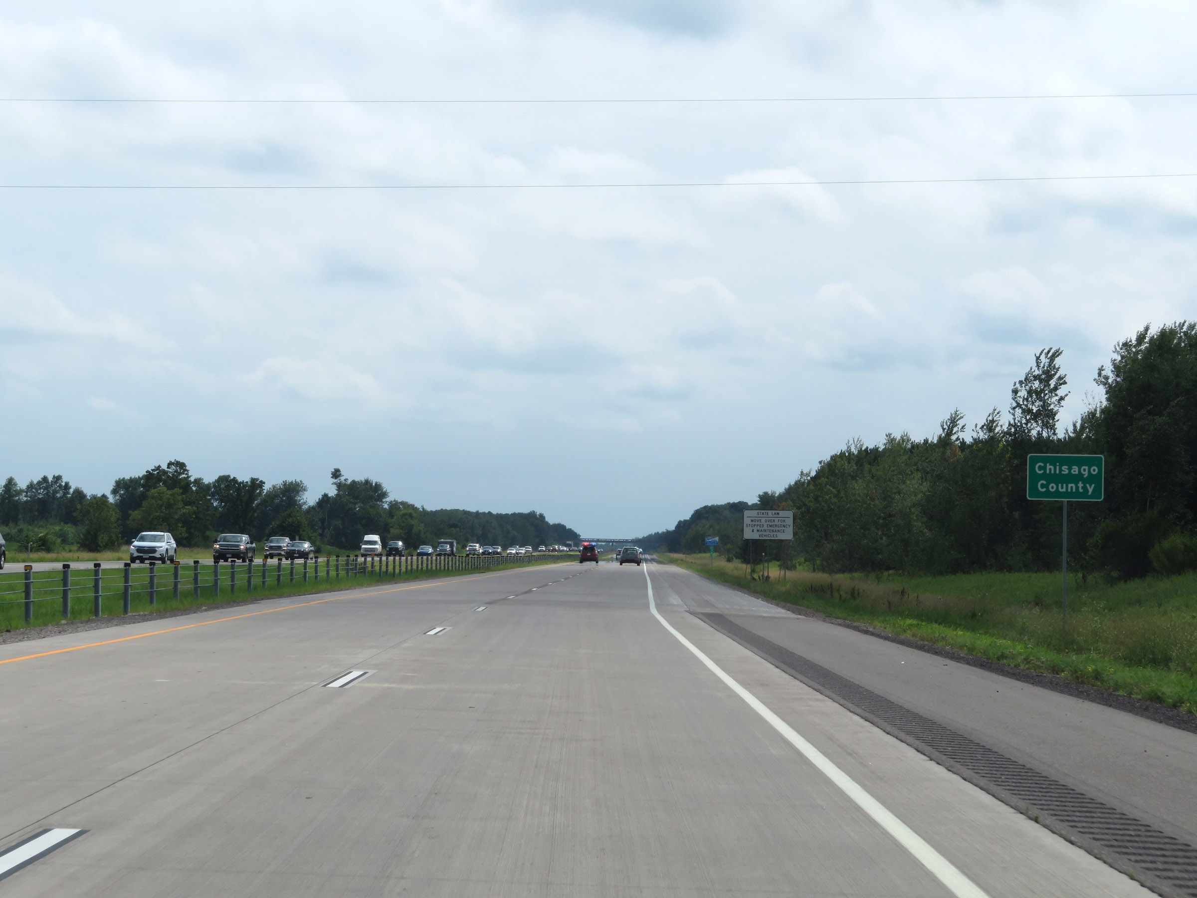 |
Interstate 35 South as it enters Chisago County. (Photo taken 8/7/20). |
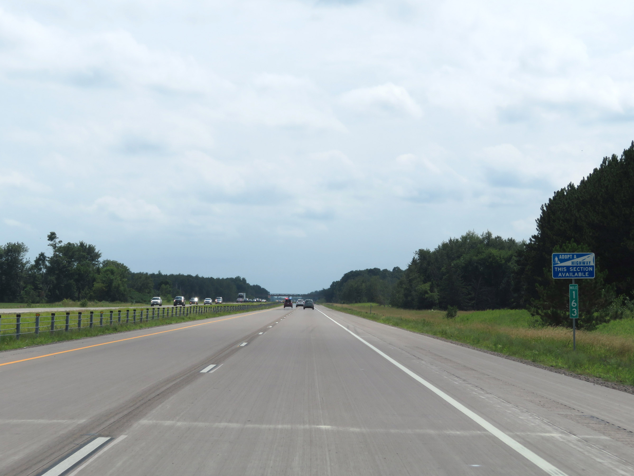 |
View on Interstate 35 South at mile marker 163. (Photo taken 8/7/20). |
 |
Mile marker 161 on Interstate 35 South in Chisago County. (Photo taken 8/7/20). |
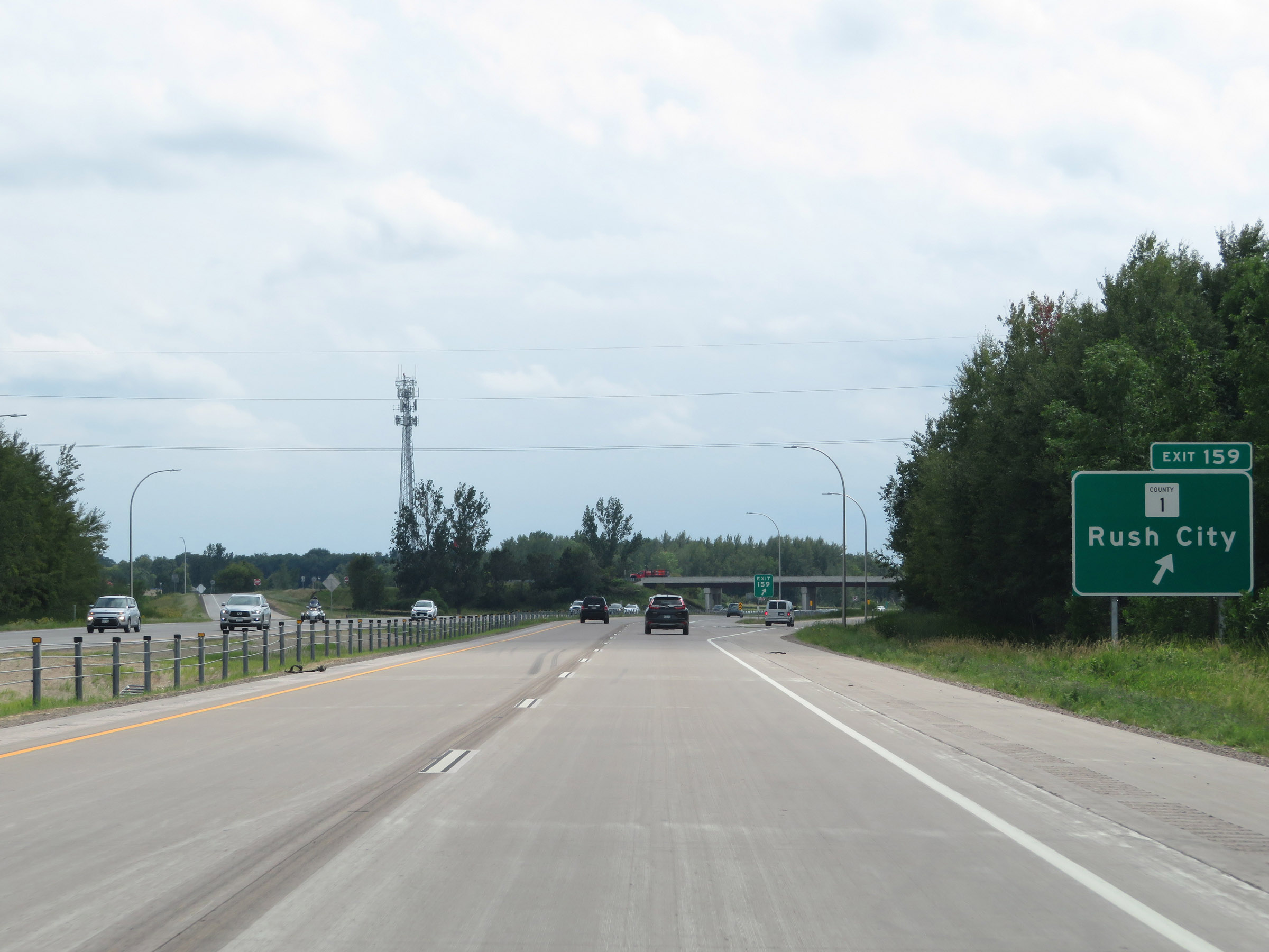 |
Interstate 35 South at Exit 159: CR 1 - Rush City (Photo taken 8/7/20). |
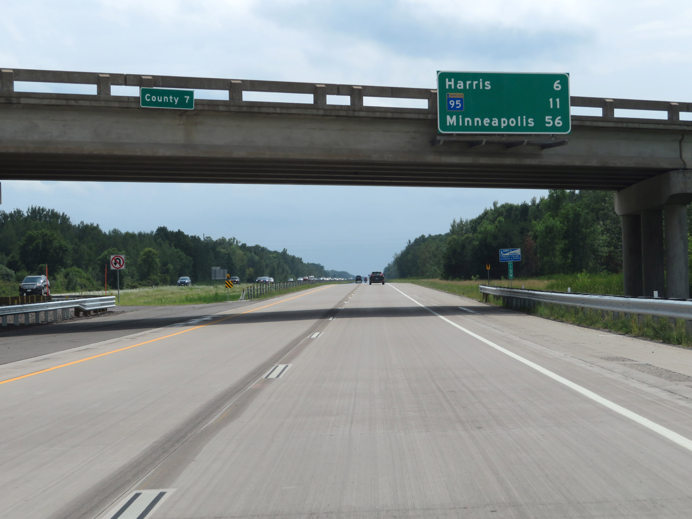 |
Overhead mileage sign on Interstate 35 South. It's 6 miles to Harris, 11 miles to the junction of MN 95, and 56 miles to Minneapolis. (Photo taken 8/7/20). |
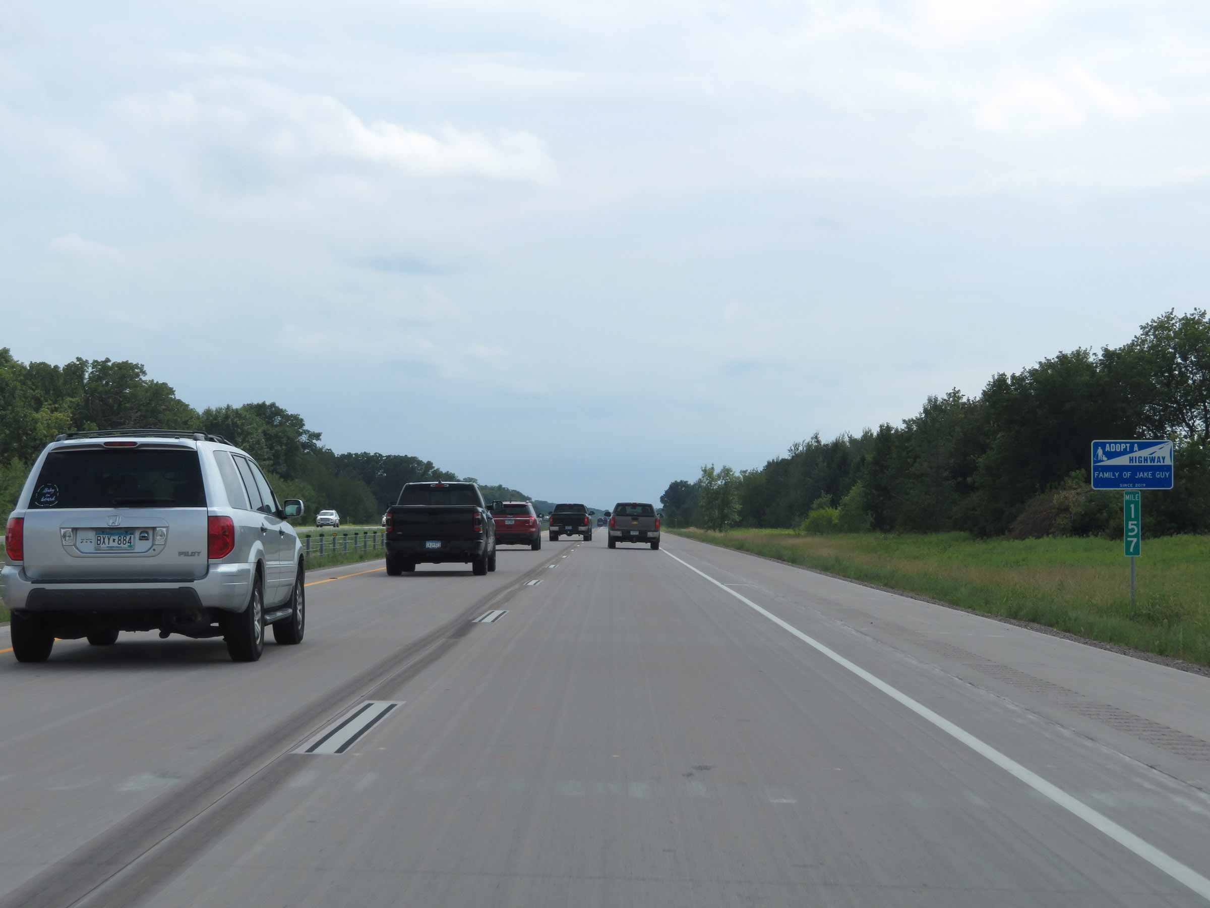 |
View on Interstate 35 South at mile marker 157. (Photo taken 8/7/20). |
 |
Interstate 35 South at mile marker 155. (Photo taken 8/7/20). |
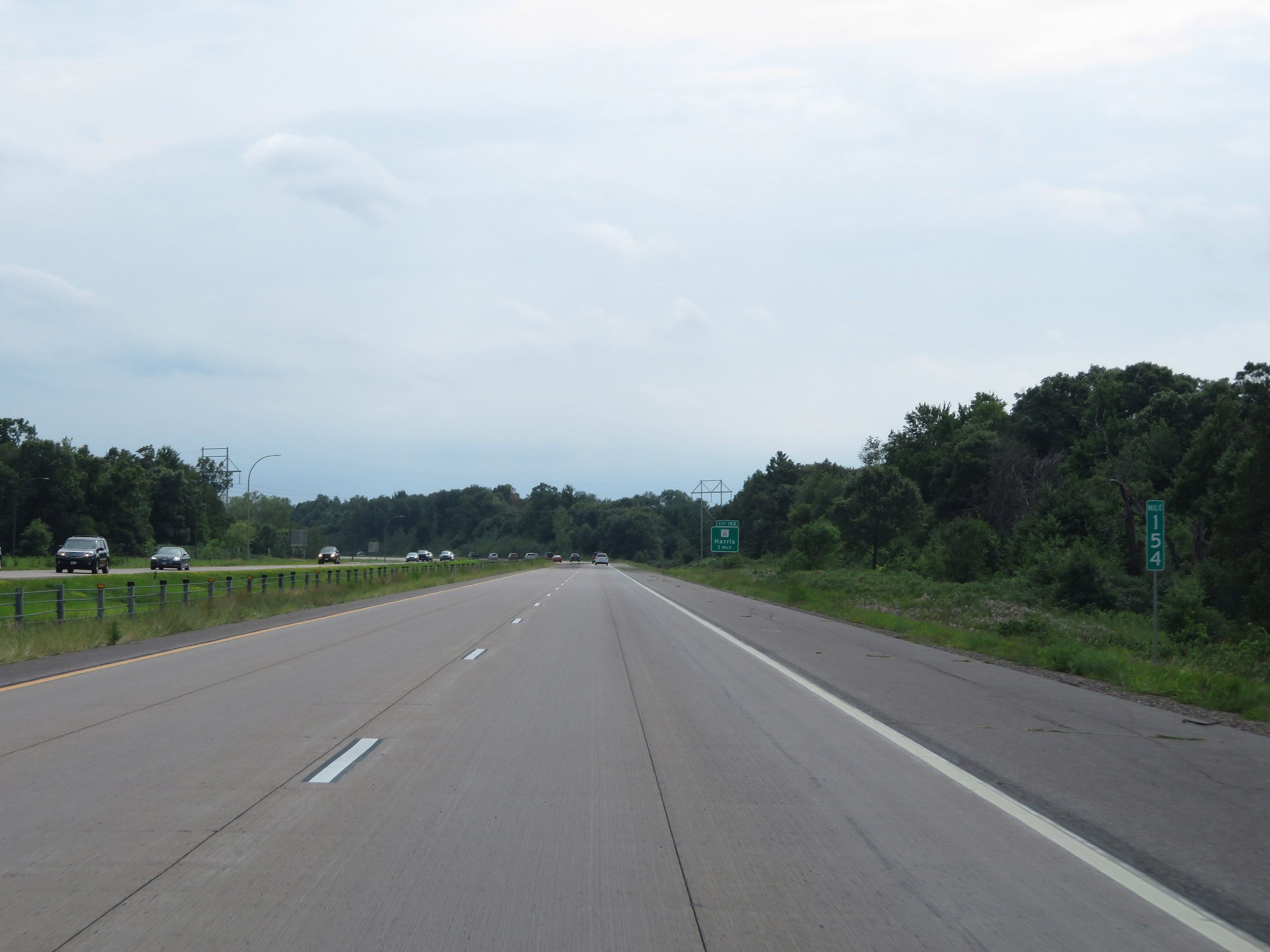 |
Mile marker 154 on Interstate 35 South in Chisago County. (Photo taken 8/7/20). |
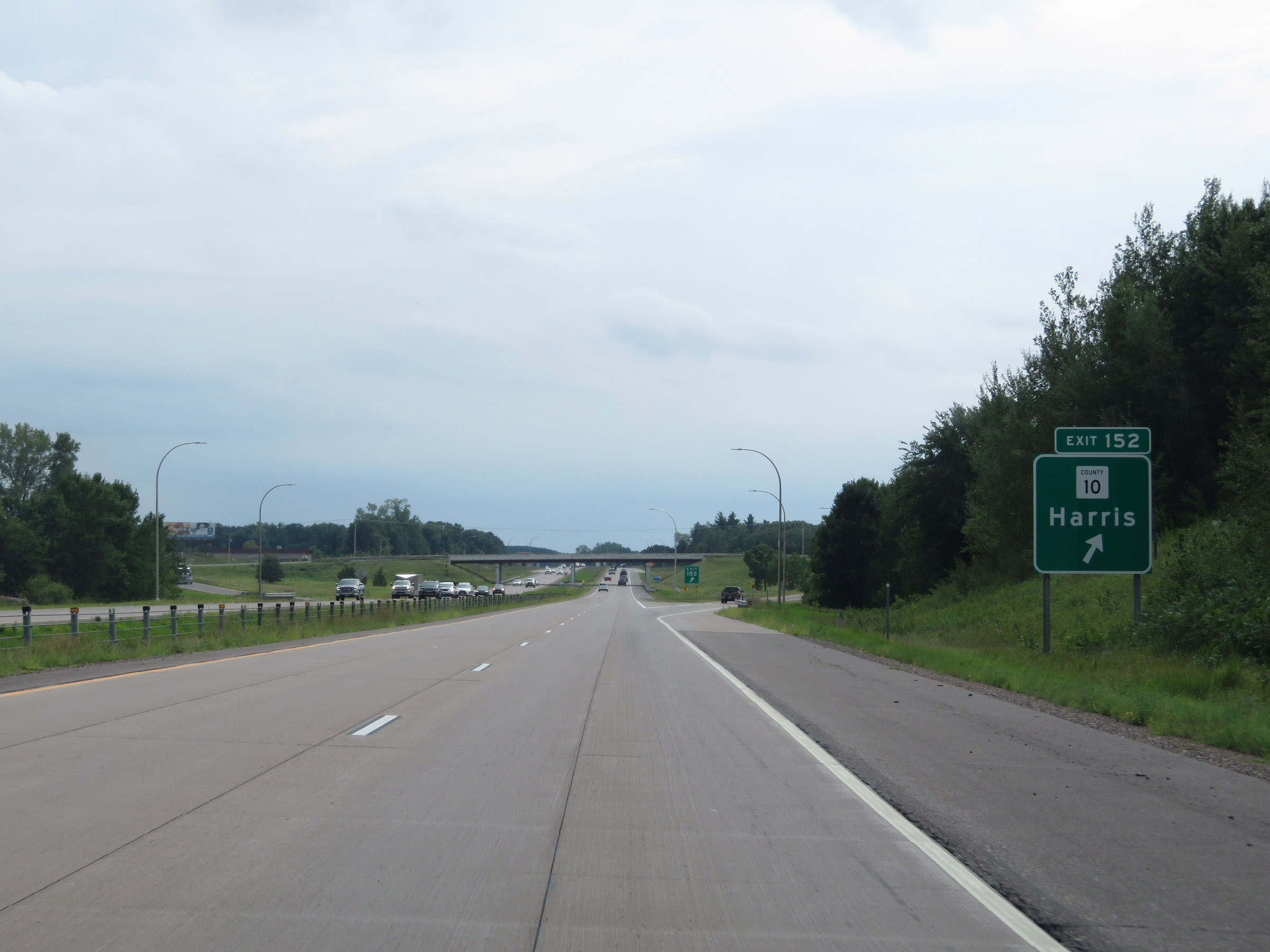 |
Interstate 35 South at Exit 152: CR 10 - Harris (Photo taken 8/7/20). |
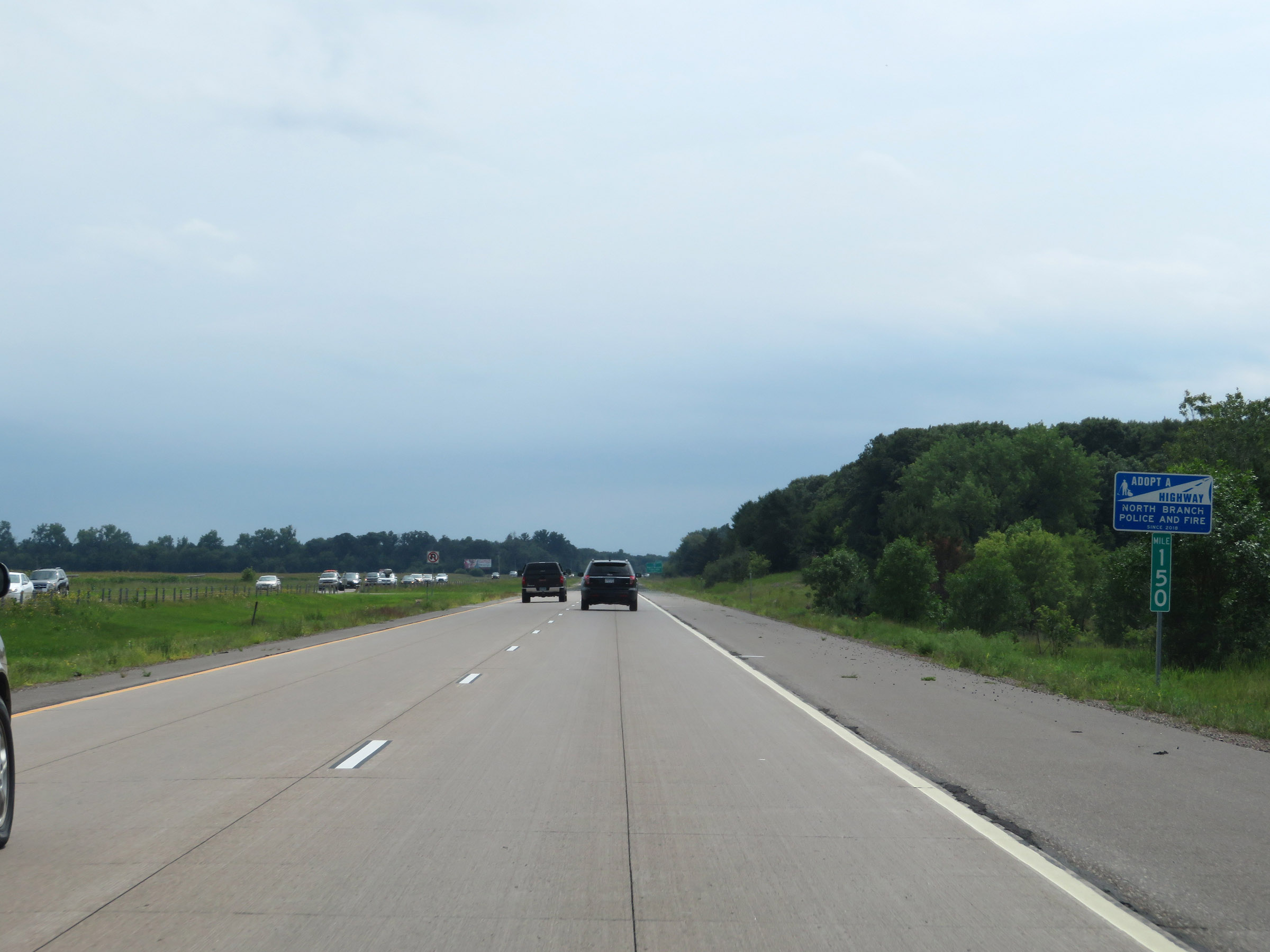 |
View on Interstate 35 South at mile marker 150. (Photo taken 8/7/20). |
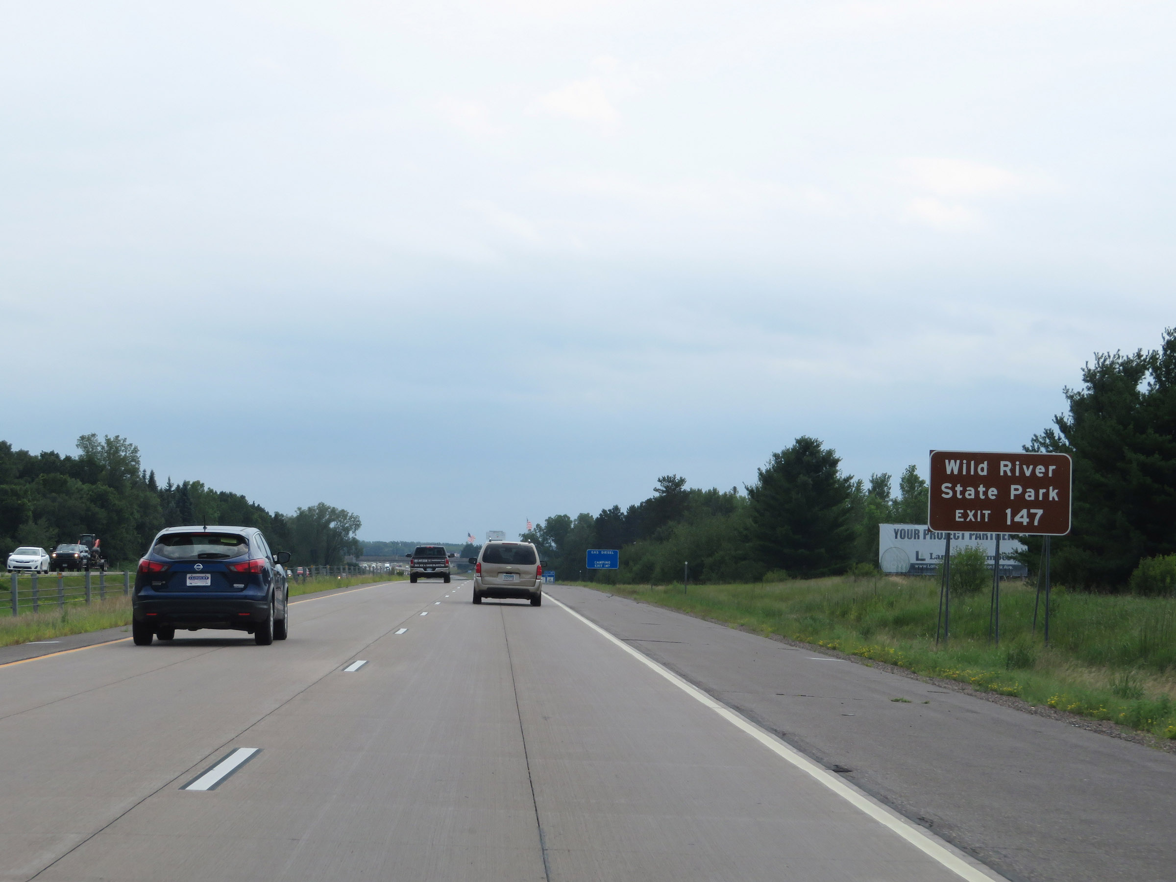 |
Take Exit 147 to Wild River State Park. (Photo taken 8/7/20). |
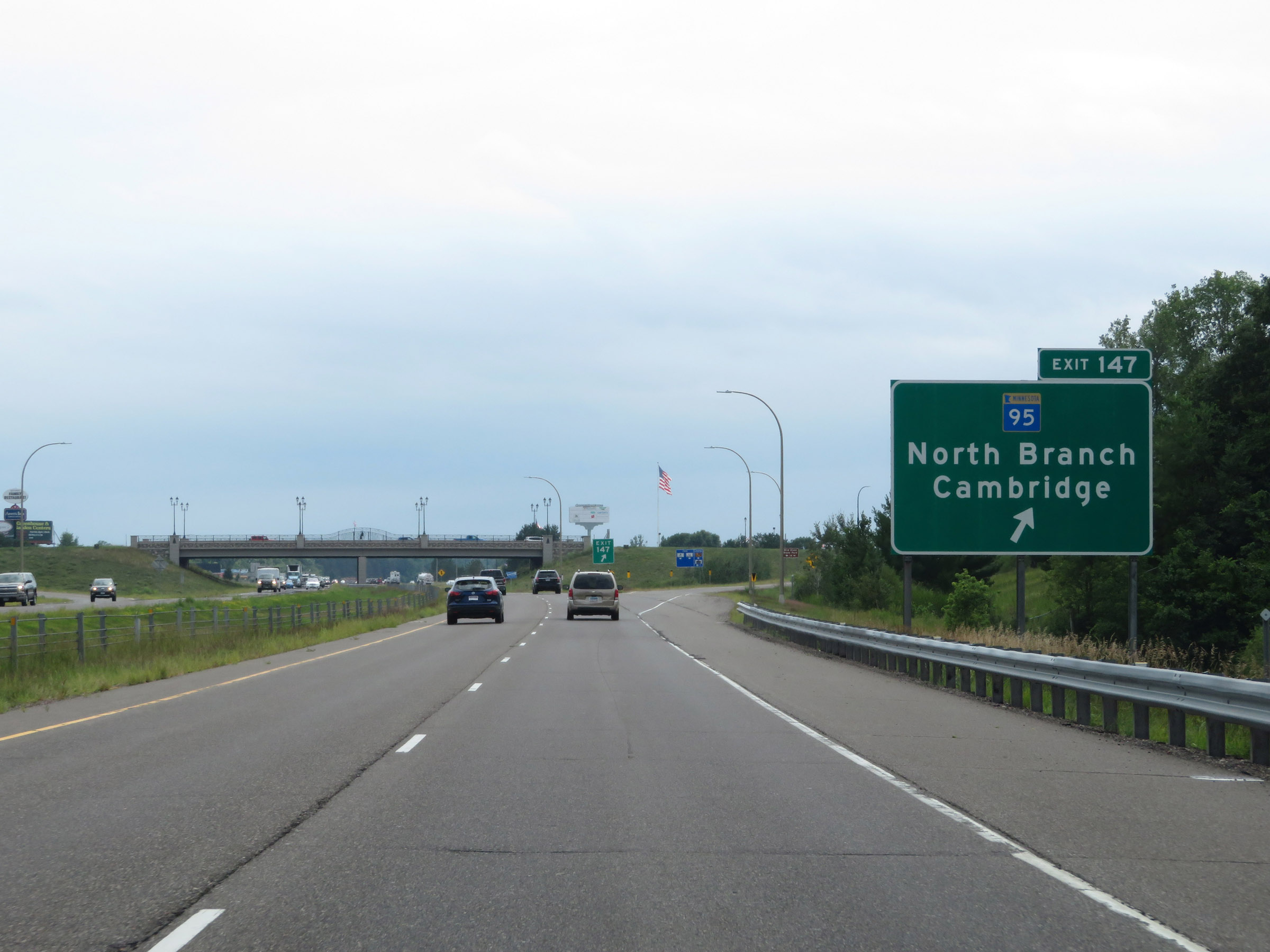 |
Interstate 35 South at Exit 147: MN 95 - North Branch / Cambridge (Photo taken 8/7/20). |
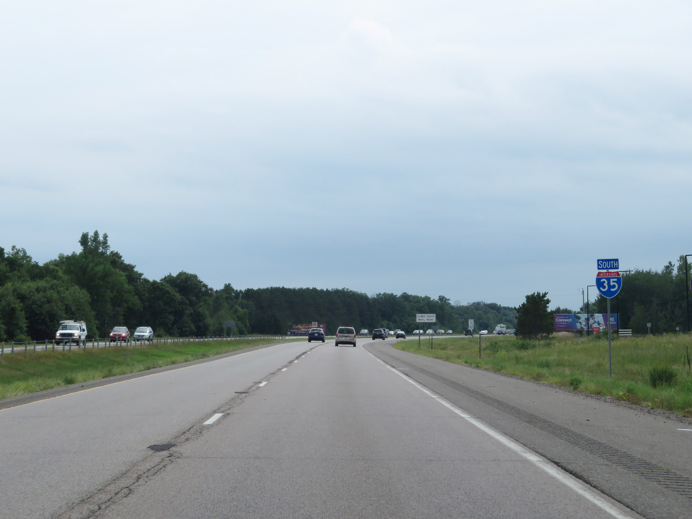 |
Interstate 35 South reassurance shield. (Photo taken 8/7/20). |
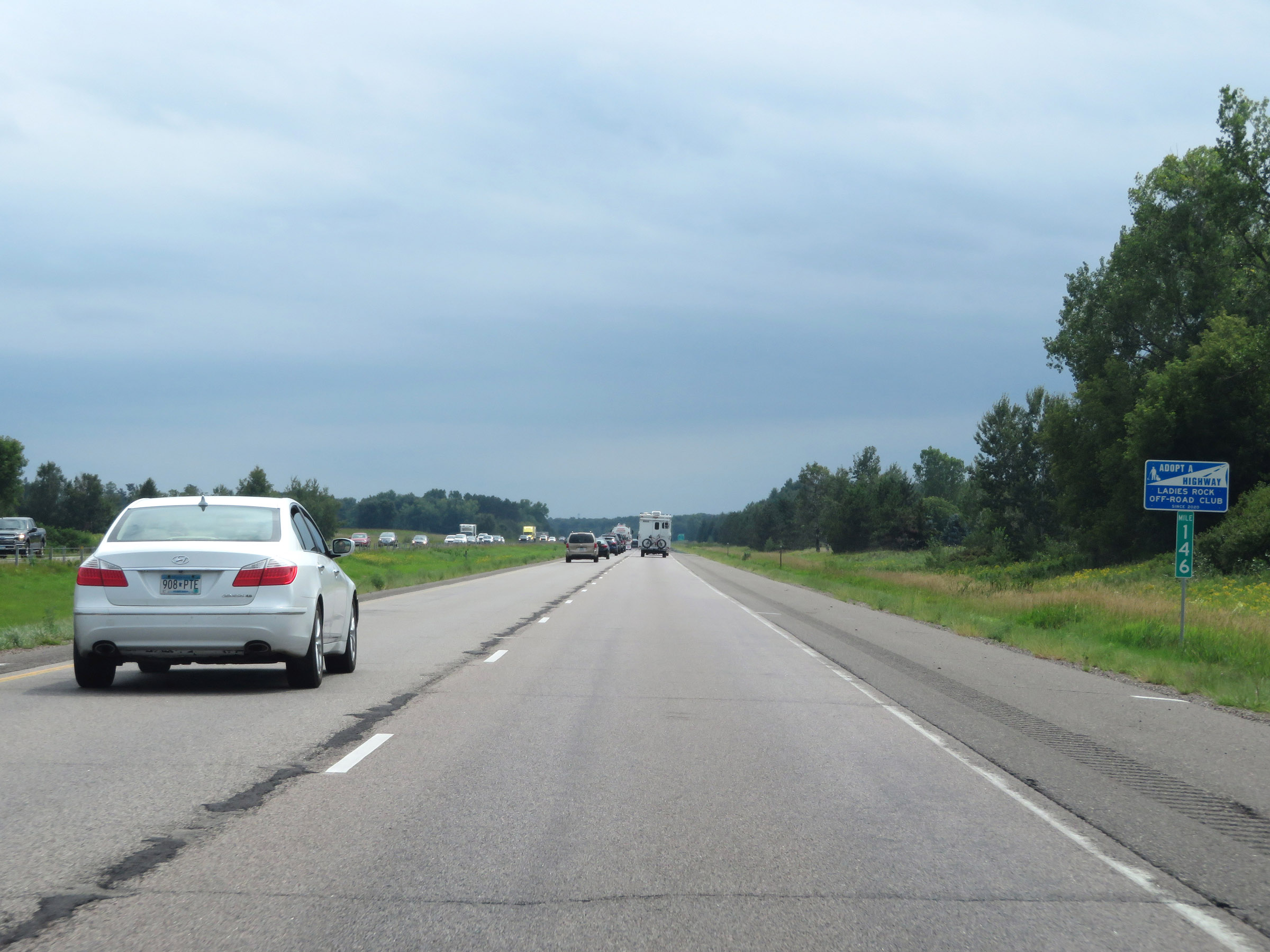 |
View on Interstate 35 South at mile marker 146. (Photo taken 8/7/20). |
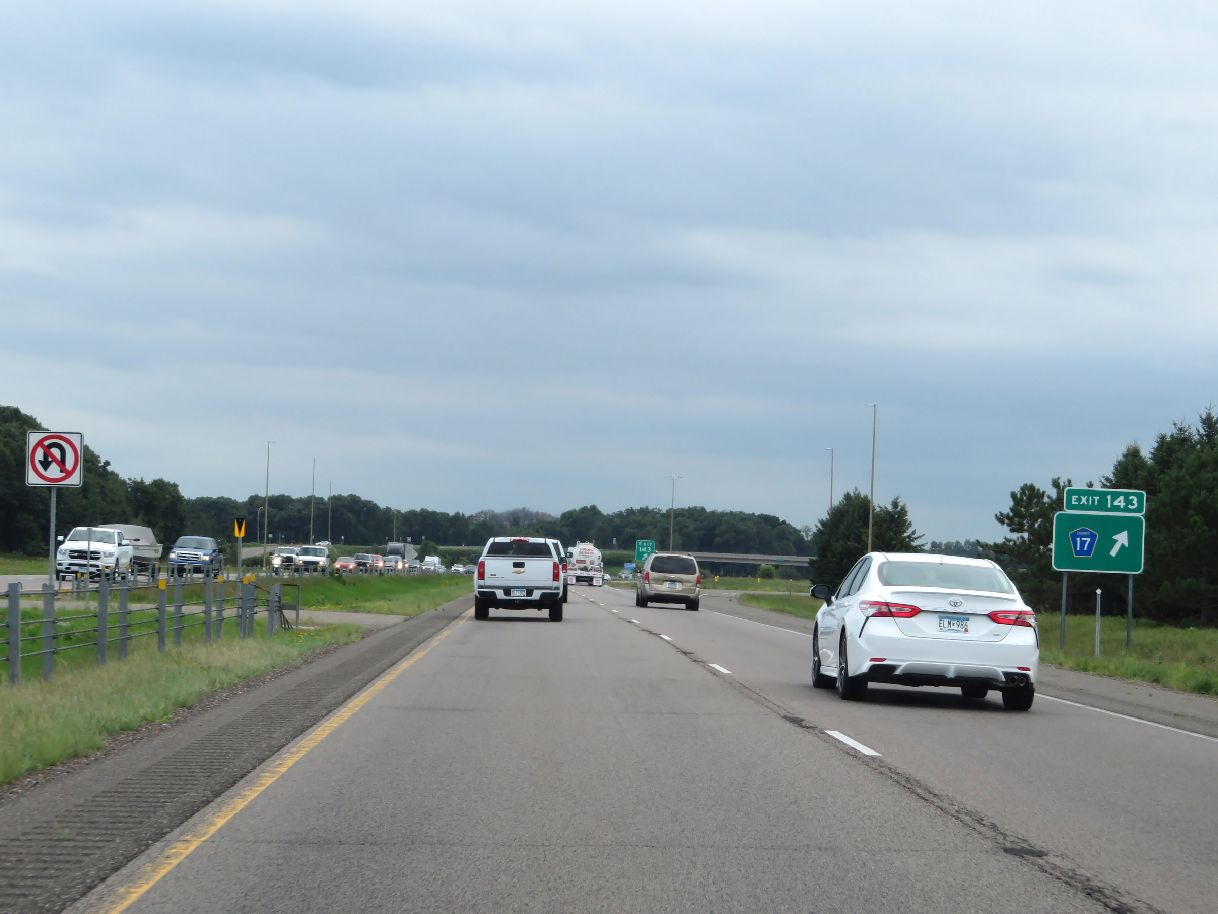 |
Interstate 35 South at Exit 143: CR 17 (Photo taken 8/7/20). |
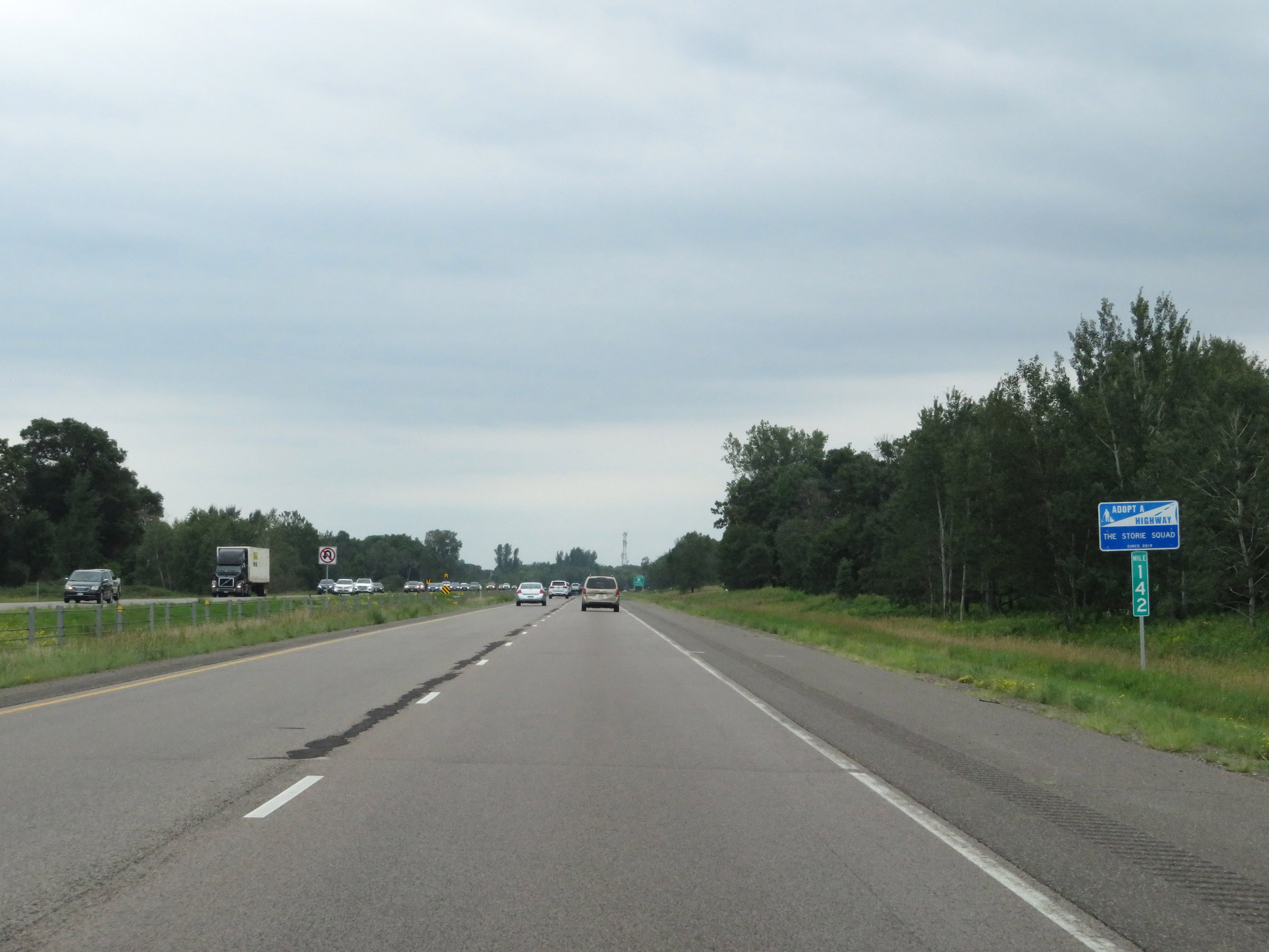 |
Interstate 35 South at mile marker 142. (Photo taken 8/7/20). |
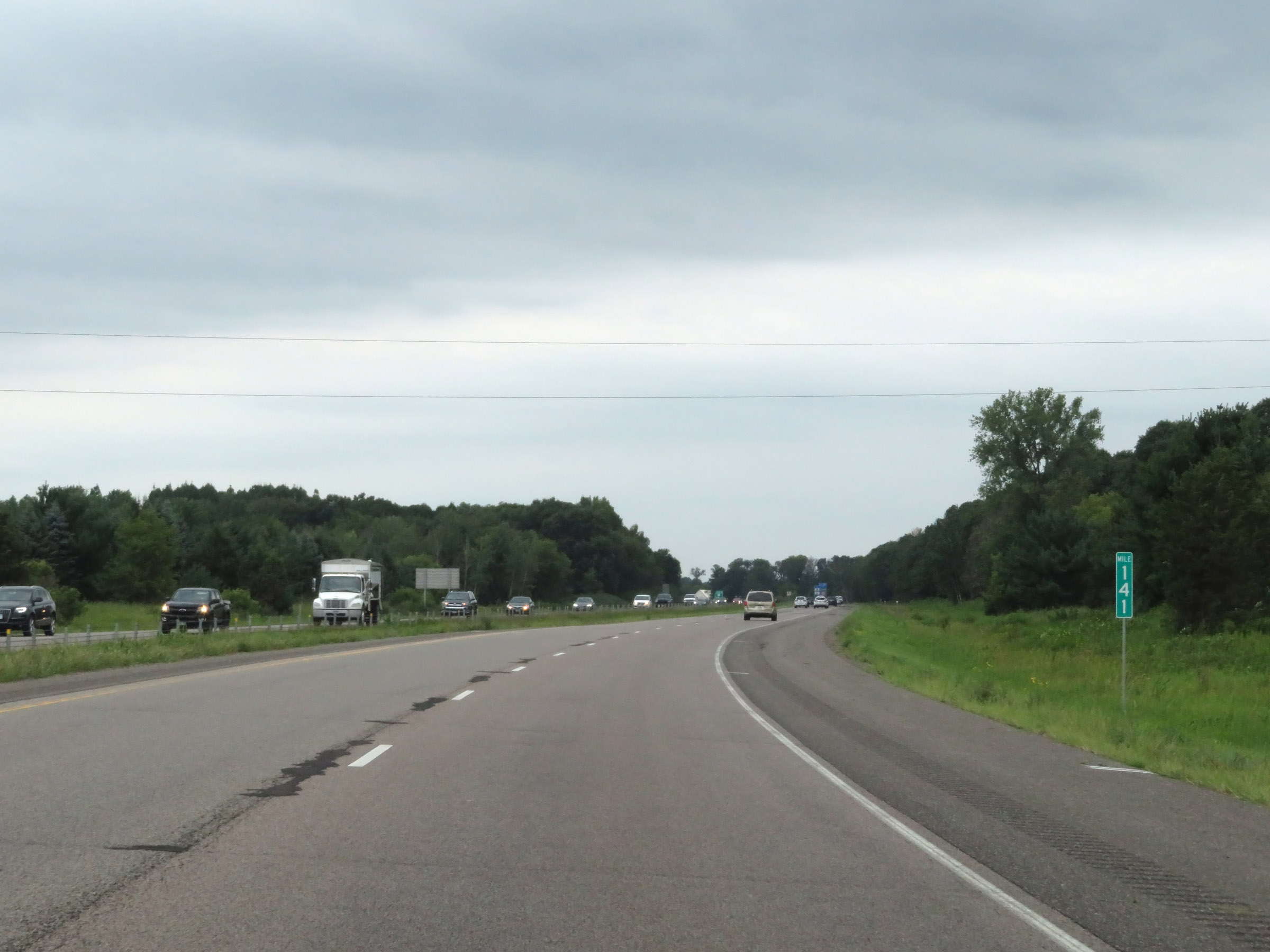 |
View on Interstate 35 South at mile marker 141. (Photo taken 8/7/20). |
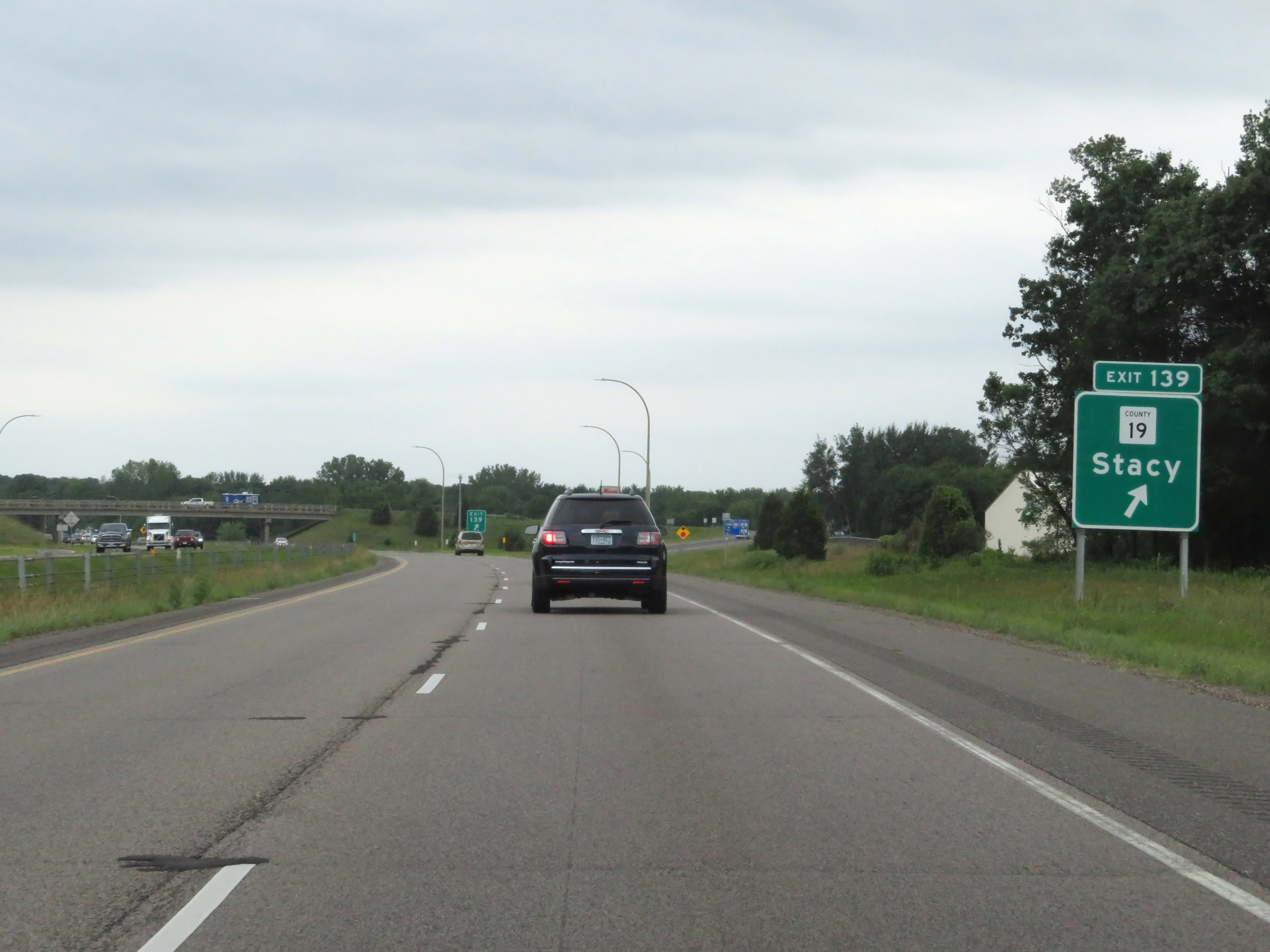 |
Interstate 35 South at Exit 139: CR 19 - Stacy (Photo taken 8/7/20). |
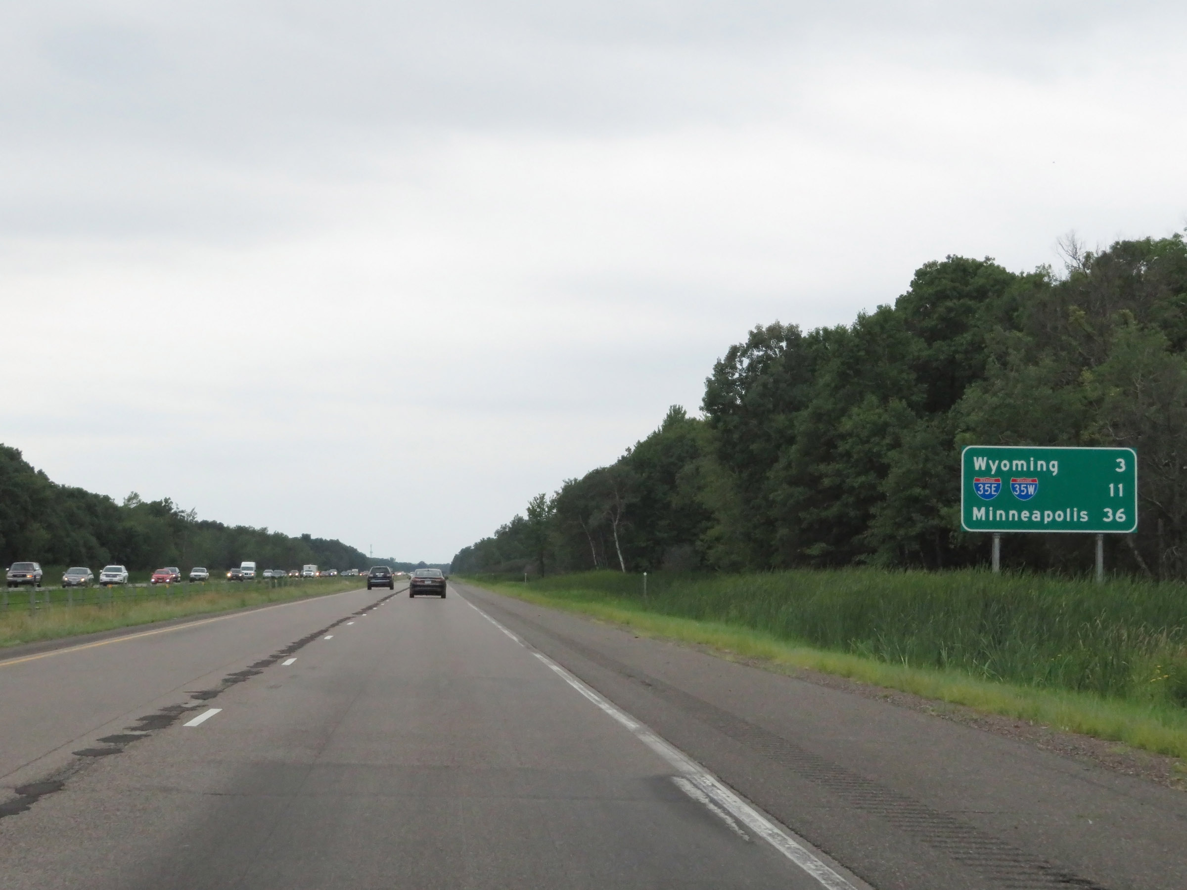 |
Another mileage sign on Interstate 35 South. It's 3 miles to Wyoming, 11 miles to the junction of Interstate 35E / Interstate 35W, and 36 miles to Minneapolis. (Photo taken 8/7/20). |
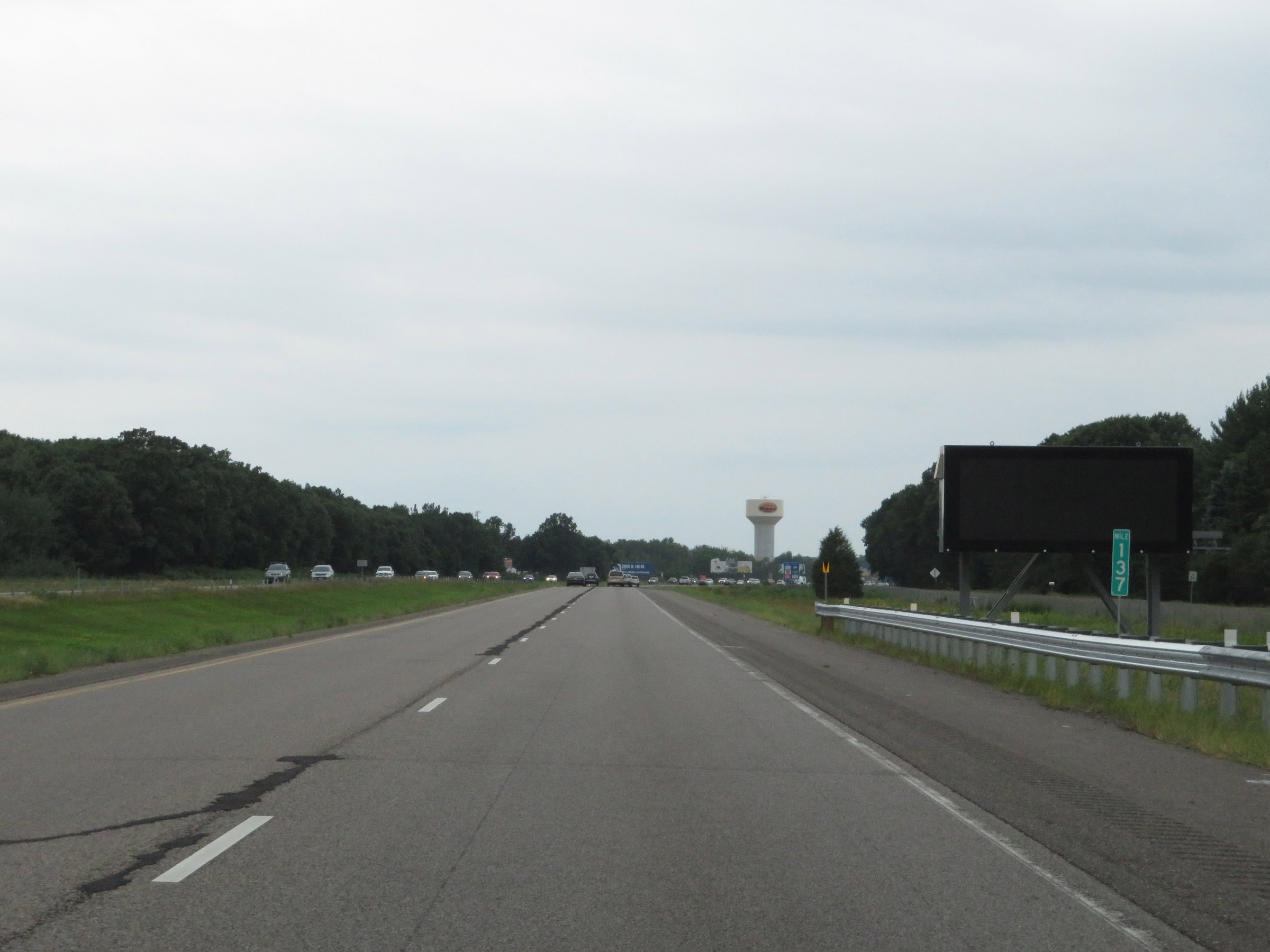 |
View on Interstate 35 South at mile marker 137. (Photo taken 8/7/20). |
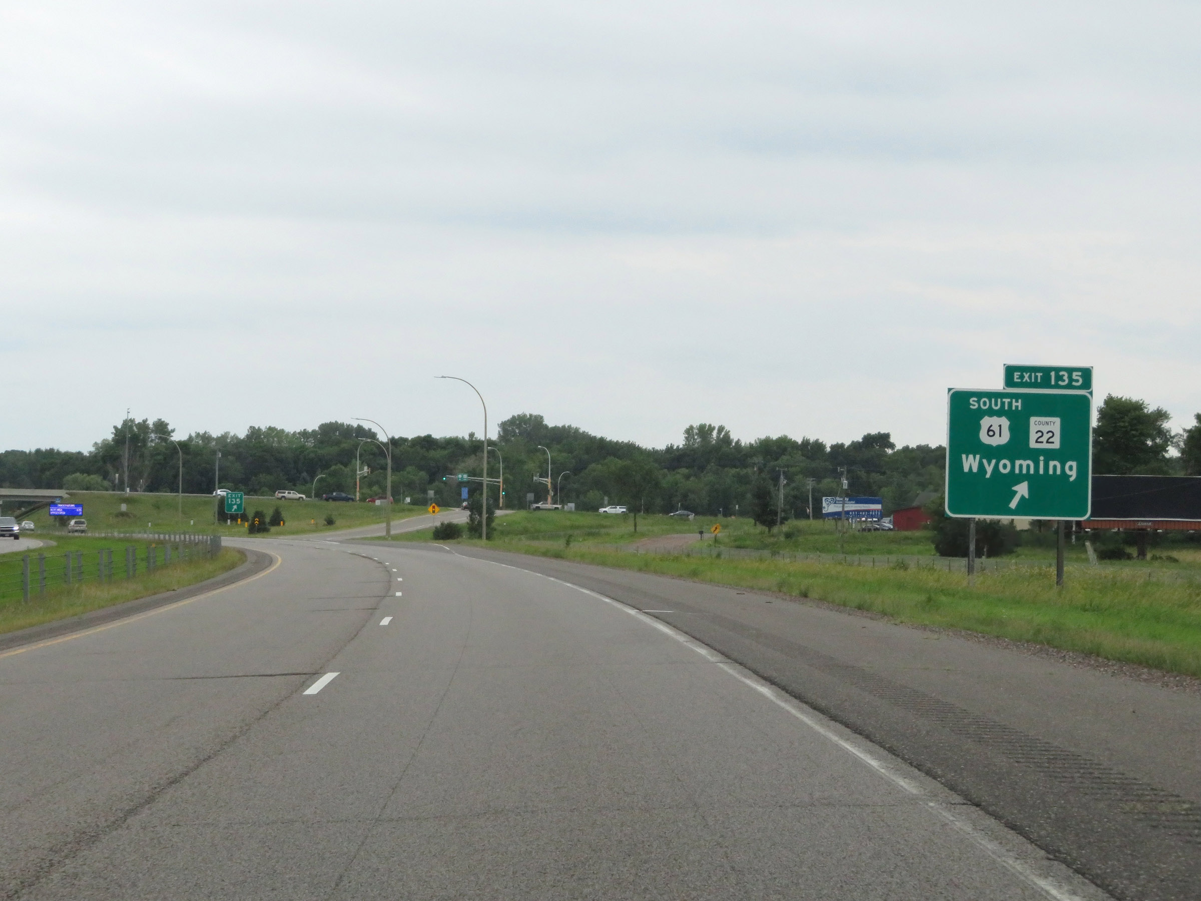 |
Interstate 35 South at Exit 135: US 61 South / CR 22 - Wyoming (Photo taken 8/7/20). |
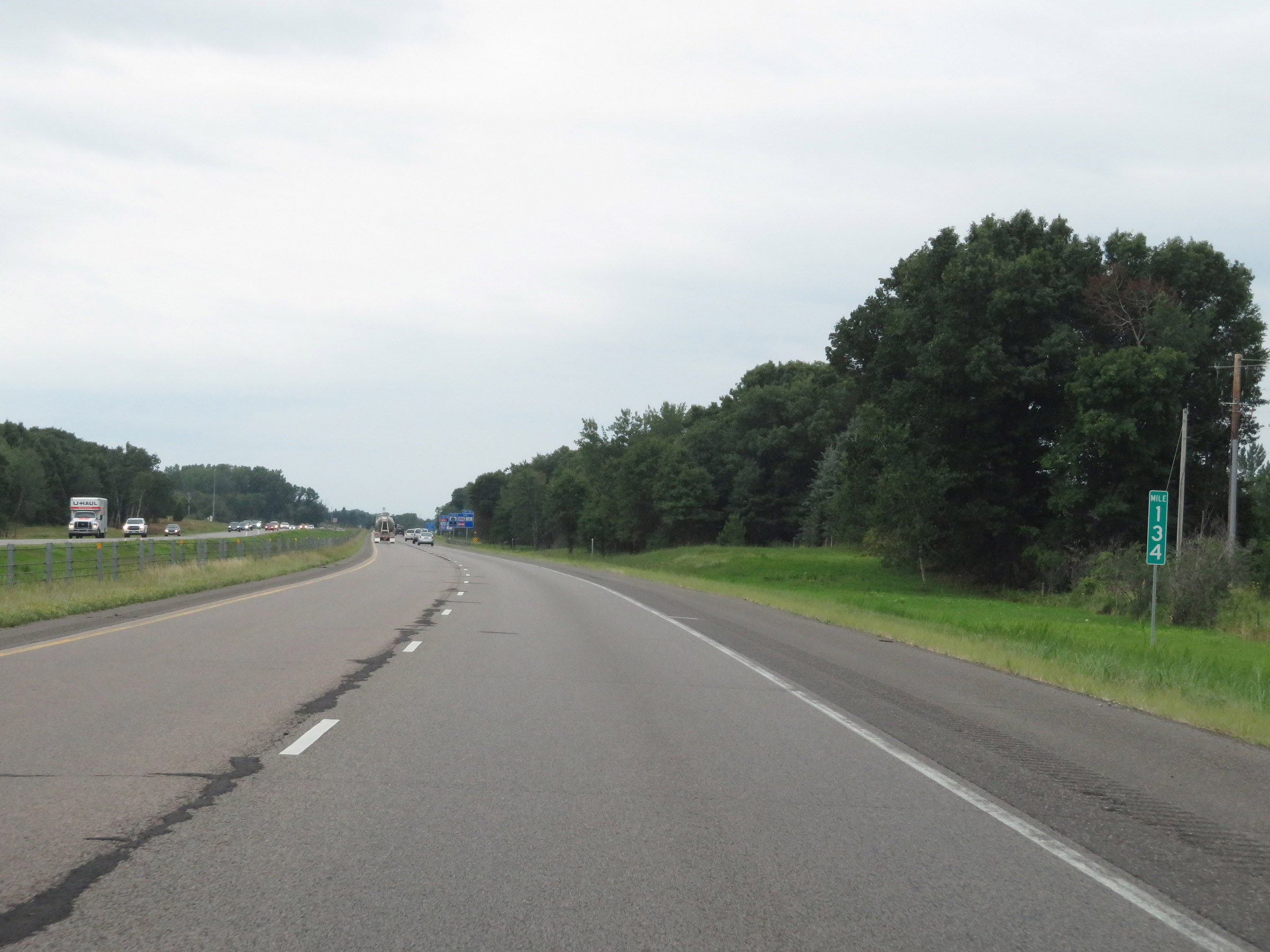 |
Mile marker 134 on Interstate 35 South in Chisago County. (Photo taken 8/7/20). |
 |
Interstate 35 South as it enters Washington County and the Forest Lake city limits. (Photo taken 8/7/20). |
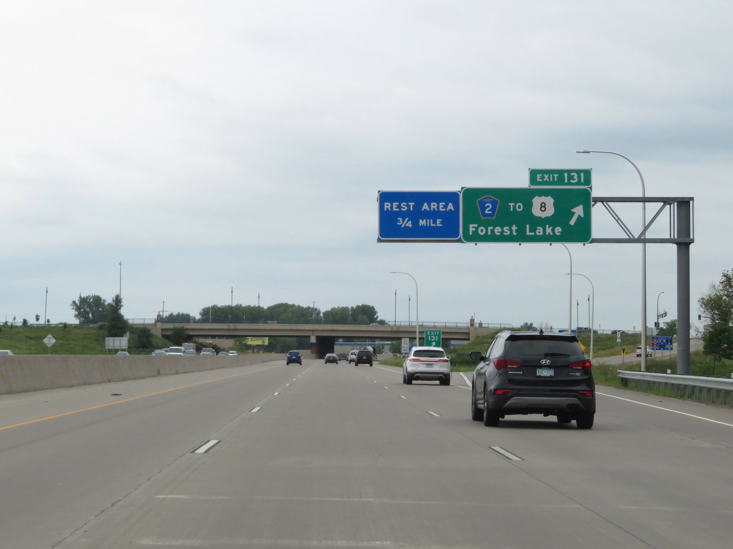 |
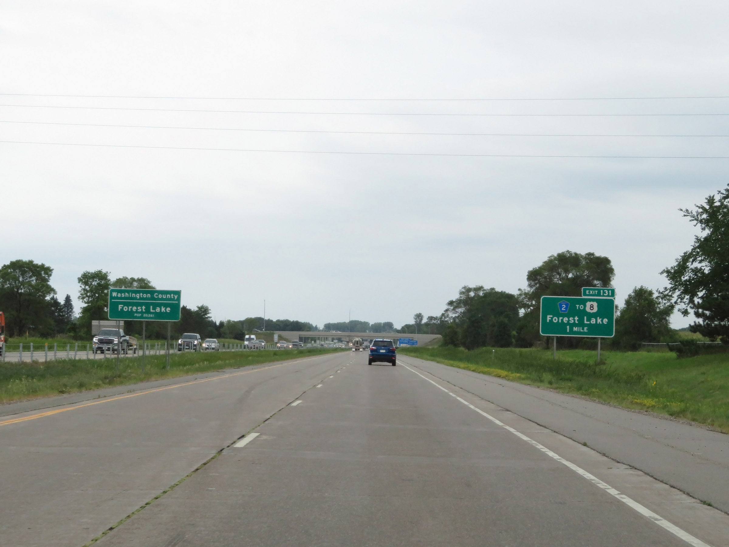
Interstate 35 South at Exit 131: CR 2 / To US 8 - Forest Lake (Photo taken 8/7/20). |
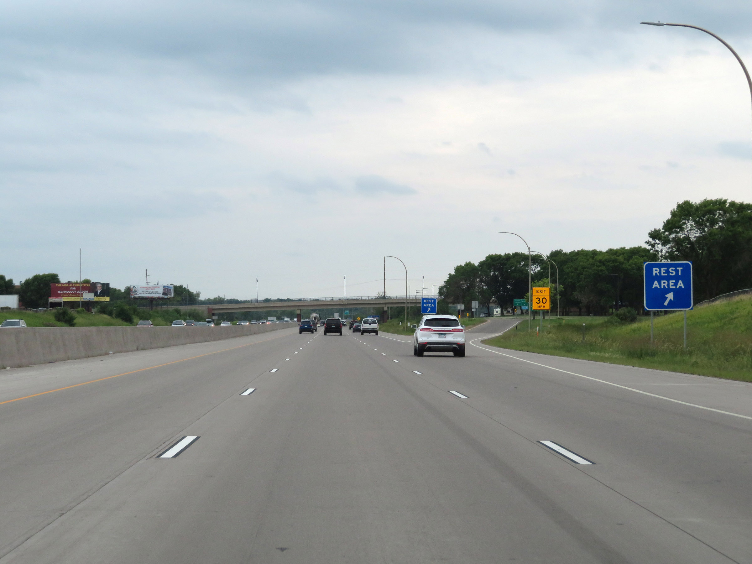 |
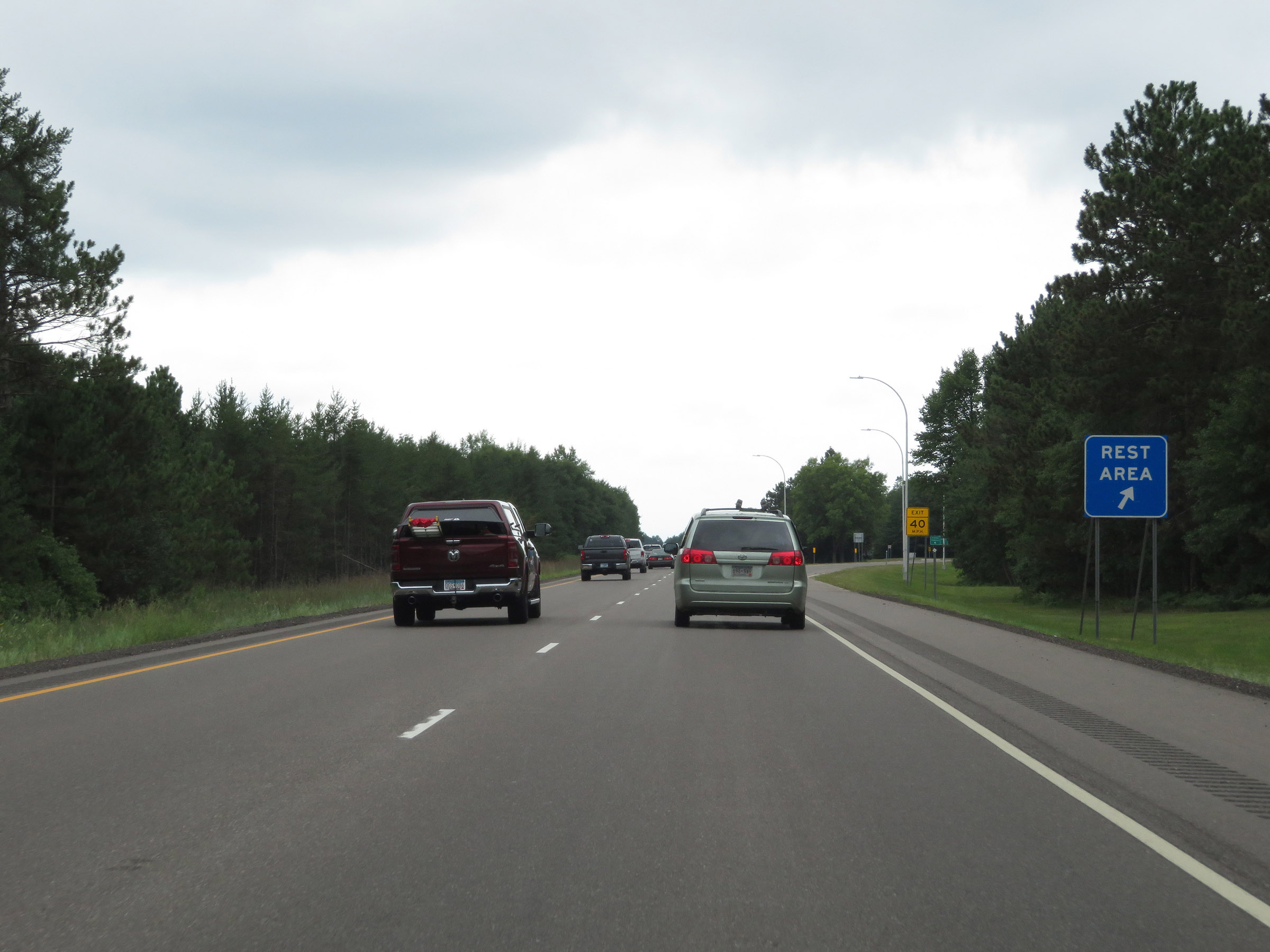
Rest Area on Interstate 35 South in Washington County. (Photo taken 8/7/20). |
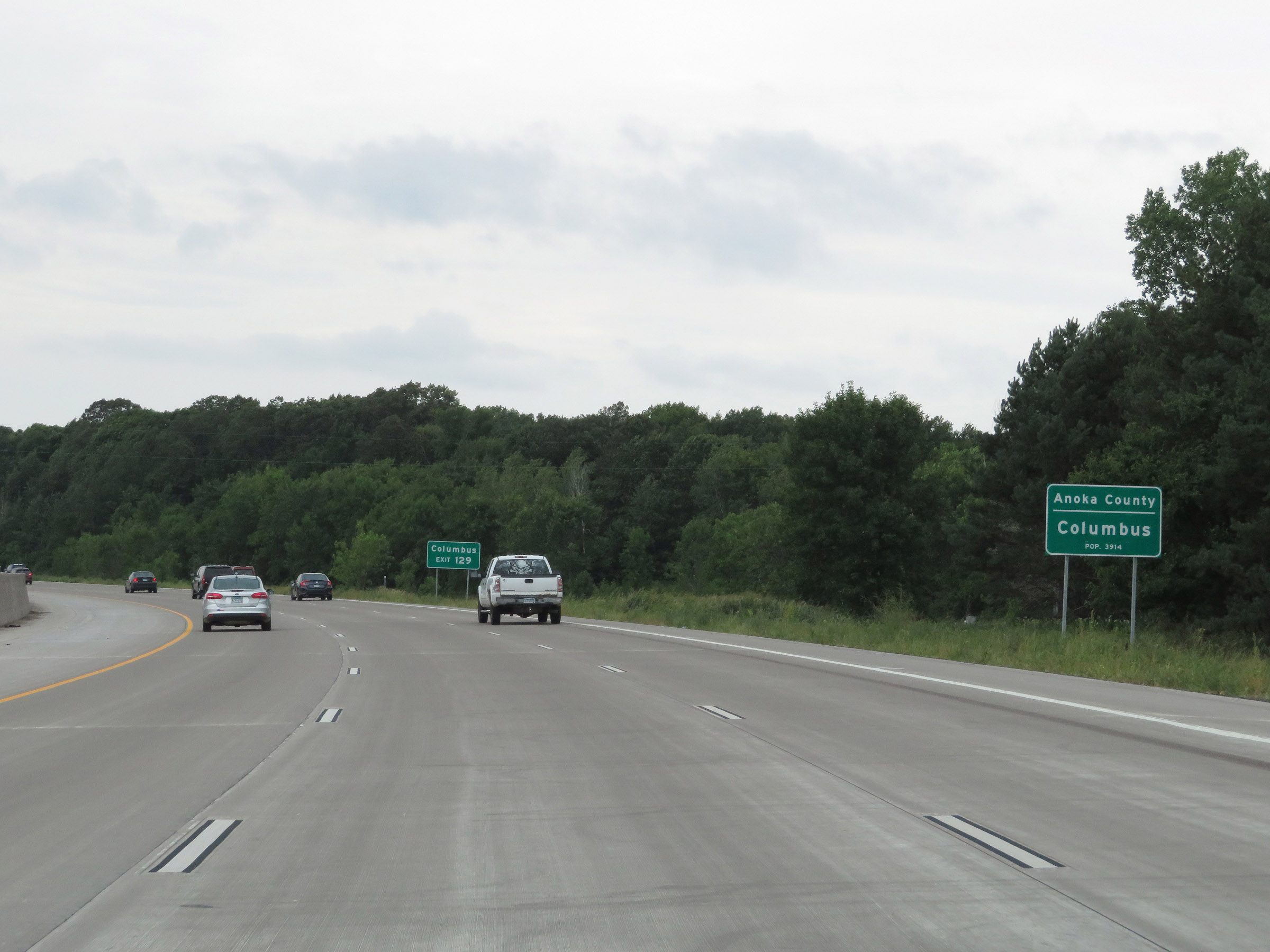 |
After briefly dipping into Washington County, Interstate 35 South enters Anoka County and the Columbus city limits. (Photo taken 8/7/20). |
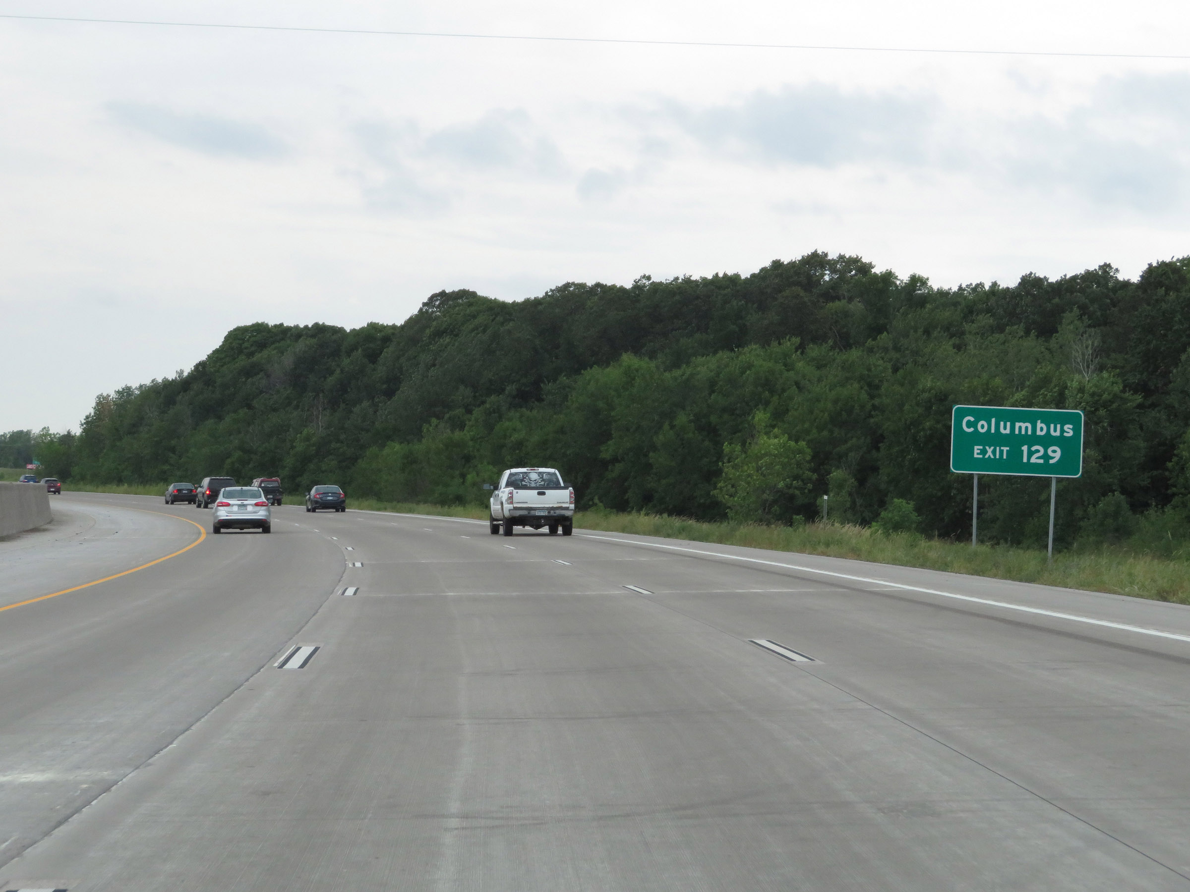 |
Take Exit 129 to Columbus. (Photo taken 8/7/20). |
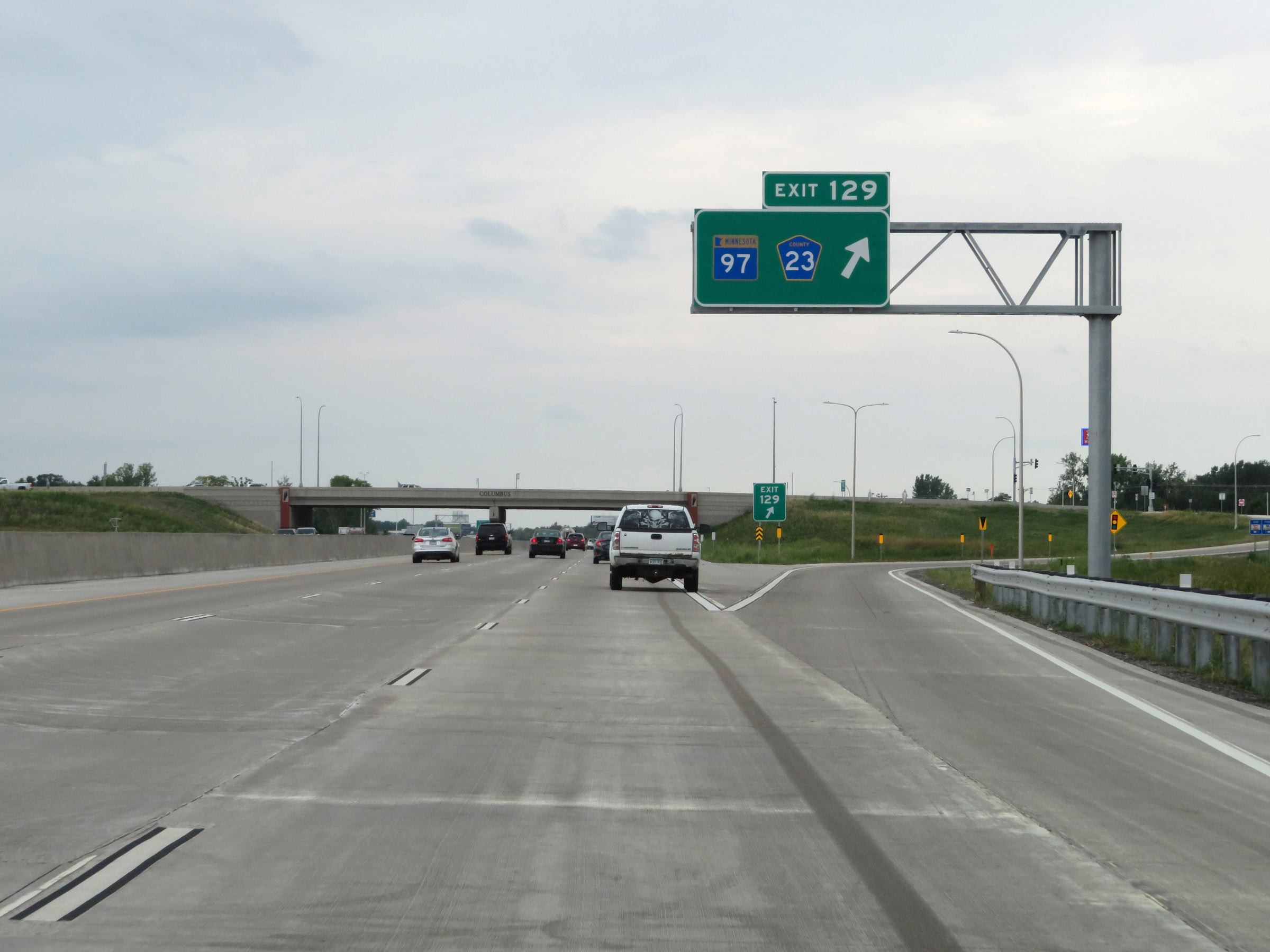 |
Interstate 35 South at Exit 129: MN 97 / CR 23 (Photo taken 8/7/20). |
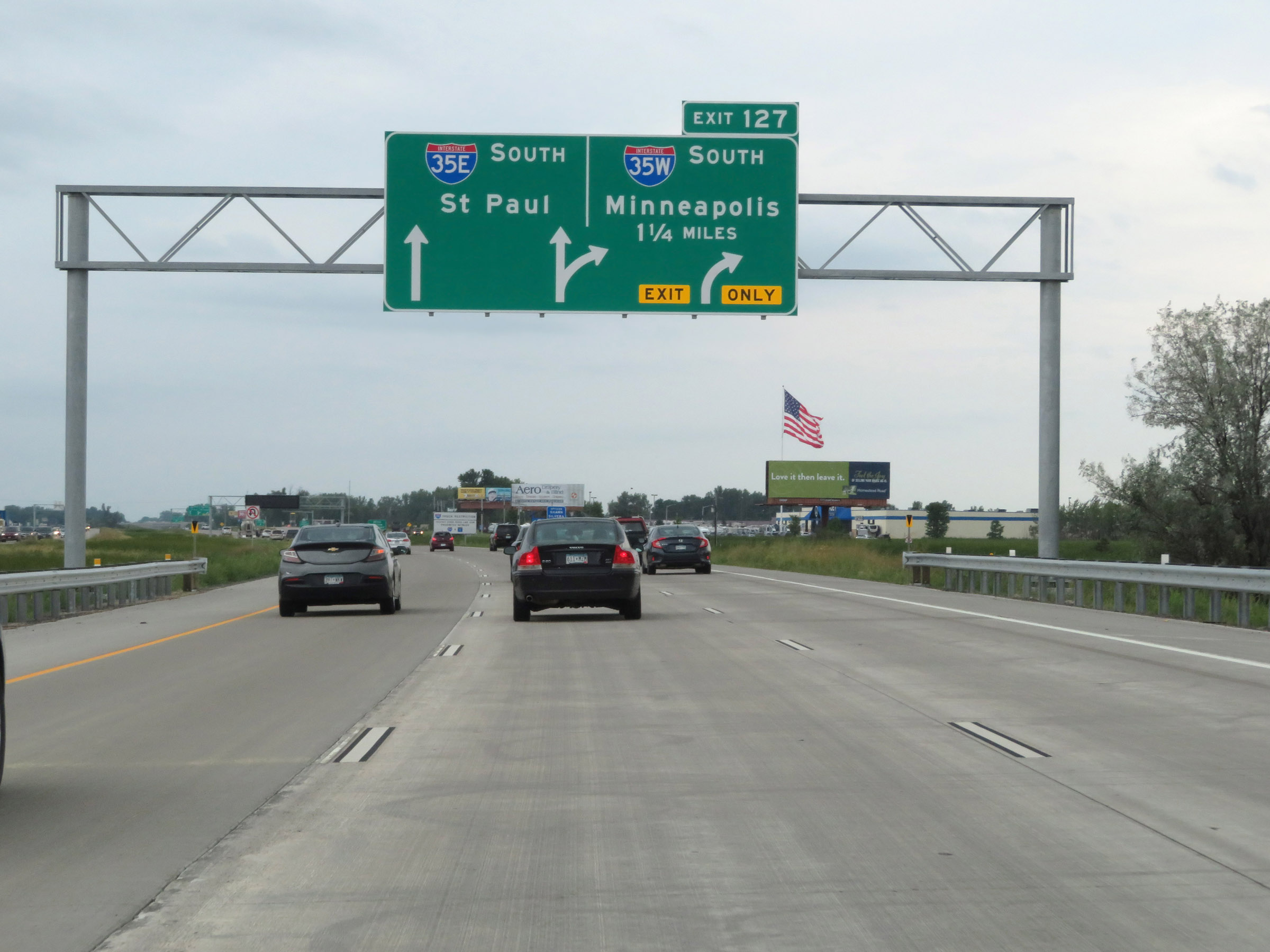 |
Interstate 35 South approaching Exit 127 - 1 1/4 miles. At Exit 127, I-35 will split into Interstate 35E South and Interstate 35W South. I-35E will take you through downtown Saint Paul, and is the most direct route to continue on I-35 South once the two alignments rejoin to the south of the Twin Cities. (Photo taken 8/7/20). |
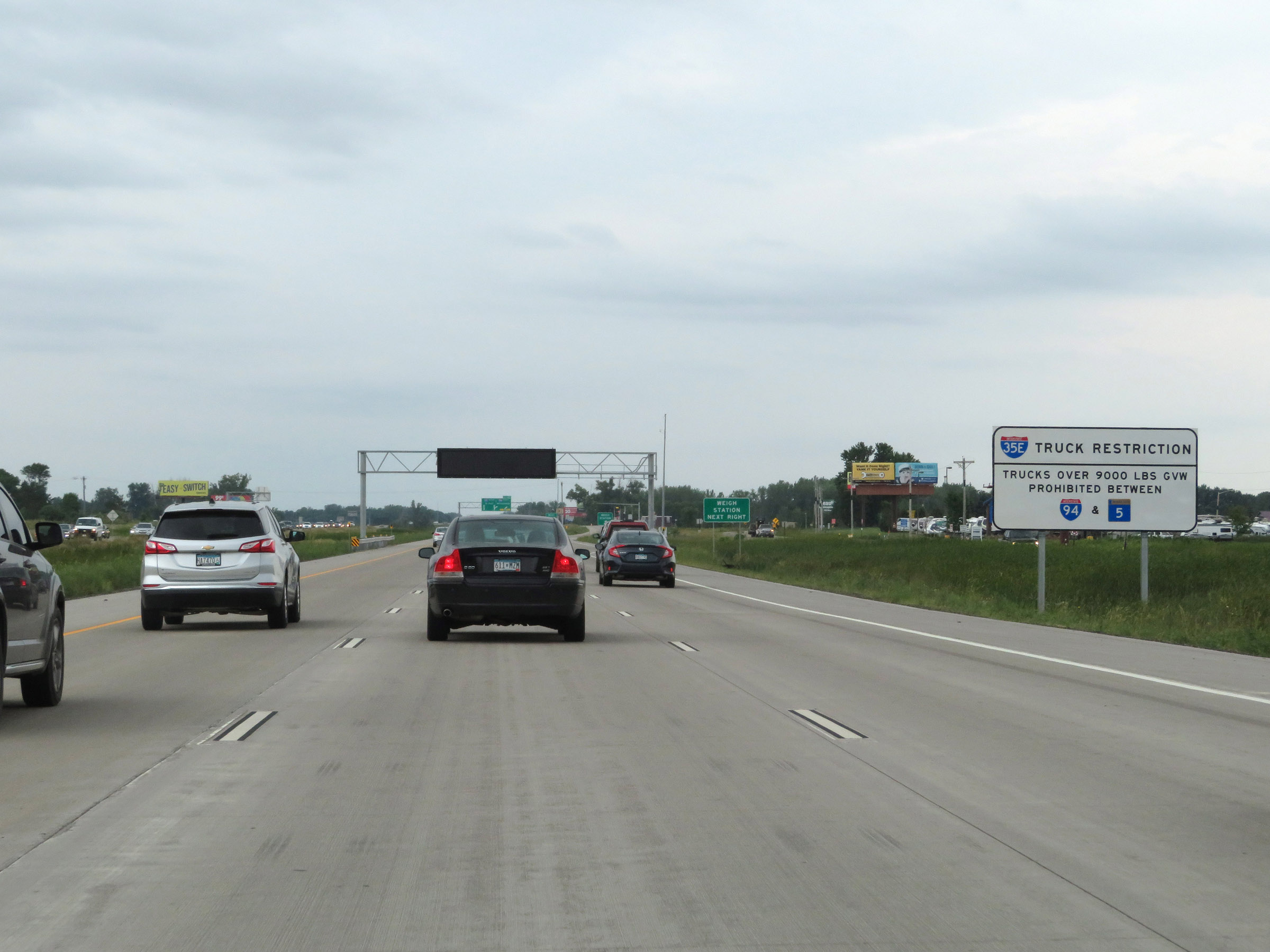 |
This sign warns that trucks over 9,000 pounds GVW (Gross Vehicle Weight) are prohibited on Interstate 35E South from Interstate 94 to MN 5 in Saint Paul. Thus, trucks should take Exit 127 ahead and follow Interstate 35W South through downtown Minneapolis to Burnsville, at which point I-35E and I-35W rejoin to continue south as I-35 once again. (Photo taken 8/7/20). |
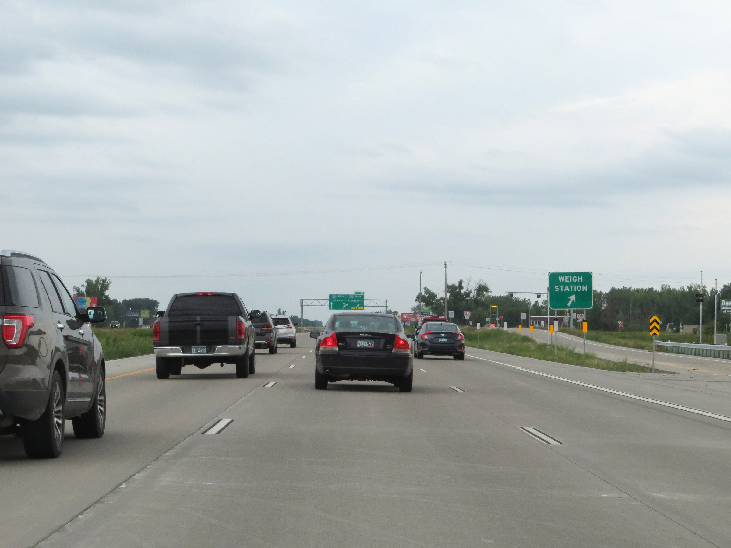 |
Weigh Station on Interstate 35 South in Anoka County, approaching the Interstate 35E / Interstate 35W split at Exit 127. (Photo taken 8/7/20). |
 |
Interstate 35 South at Exit 127: Interstate 35W South - Minneapolis; Interstate 35E South - St. Paul. The shortest route to continue southbound on I-35 is to follow Interstate 35E South through downtown Saint Paul. However, you can also follow Interstate 35W South through downtown Minneapolis; I-35E and I-35W rejoin to the south of the Twin Cities in Burnsville to continue southbound once again. Follow these links to the appropriate Photo Guides for I-35E South and I-35W North. |
Section 4: Interstate 35E / Interstate 35W (Burnsville) to Owatonna (Exit 40A)
 |
Interstate 35 South in Burnsville, just after Interstate 35E South and Interstate 35W South rejoin to continue southbound as I-35 South once again. (Photo taken 8/7/20). |
 |
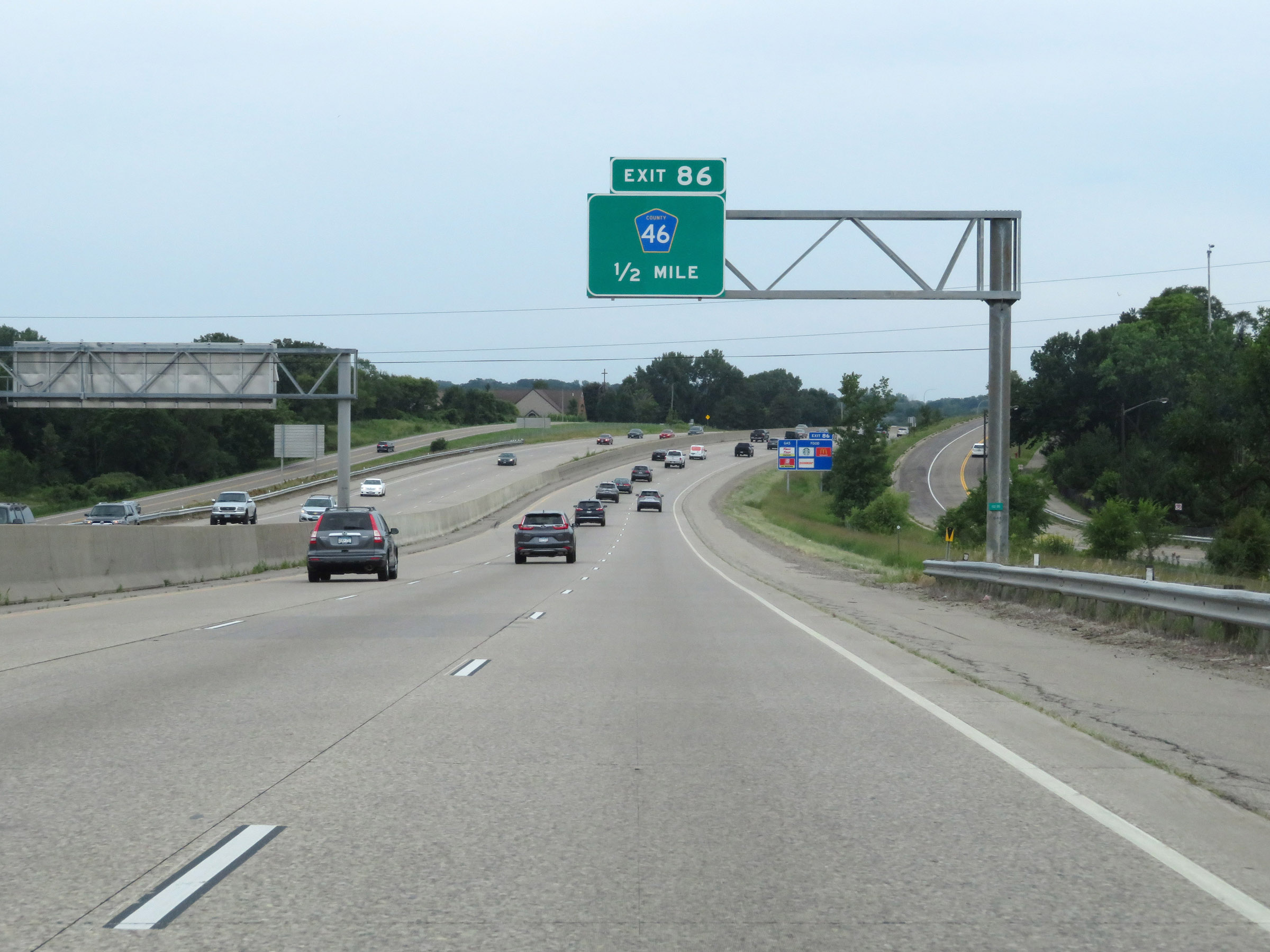
Interstate 35 South at Exit 88: CR 46 (Photo taken 8/7/20). |
 |
After the Interstate 35E / Interstate 35W rejoin, the speed limits are 70 mph maximum and 40 mph minimum. These are the standard speed limits on most rural Interstate highways in Minnesota. (Photo taken 8/7/20). |
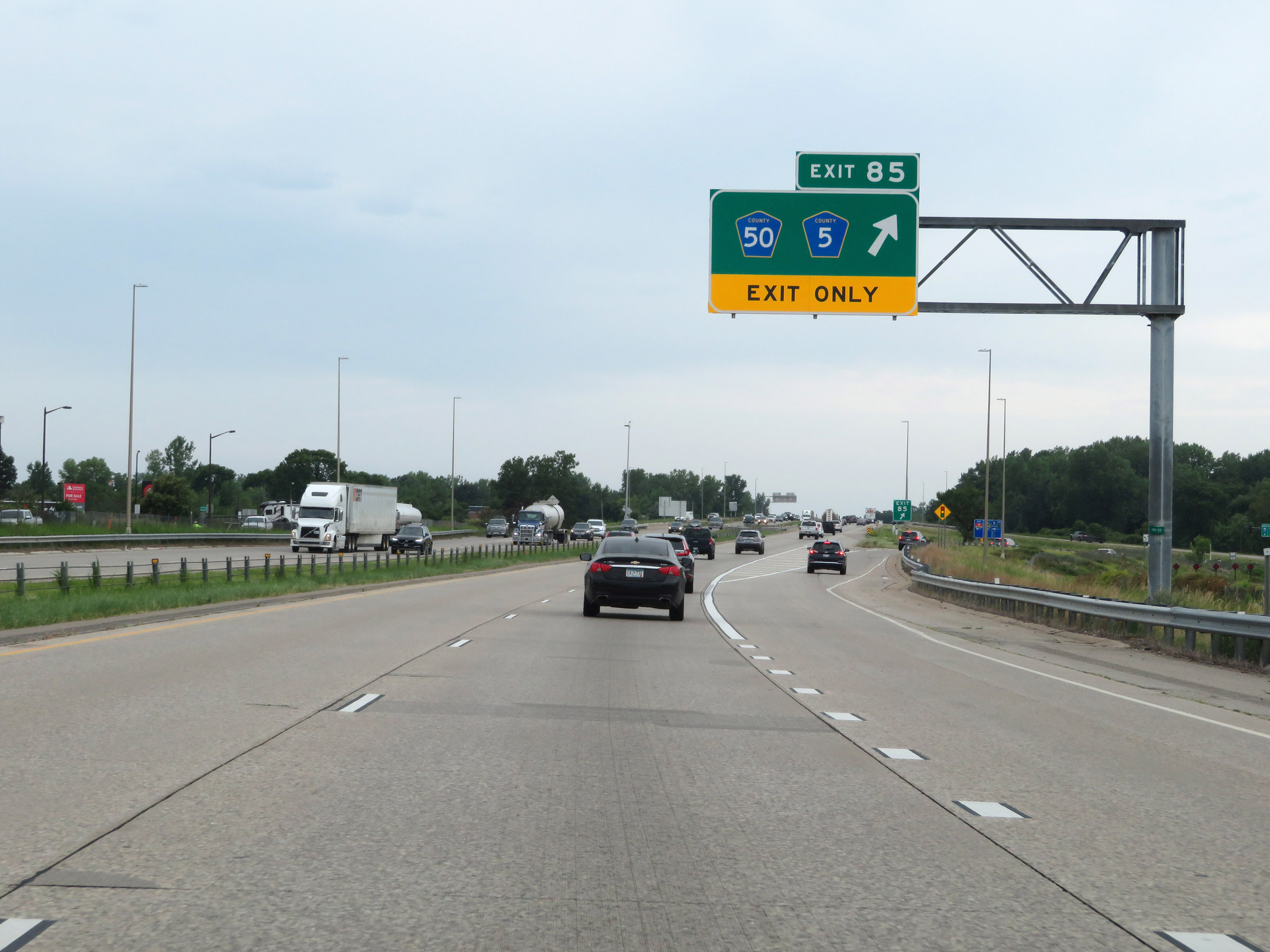 |
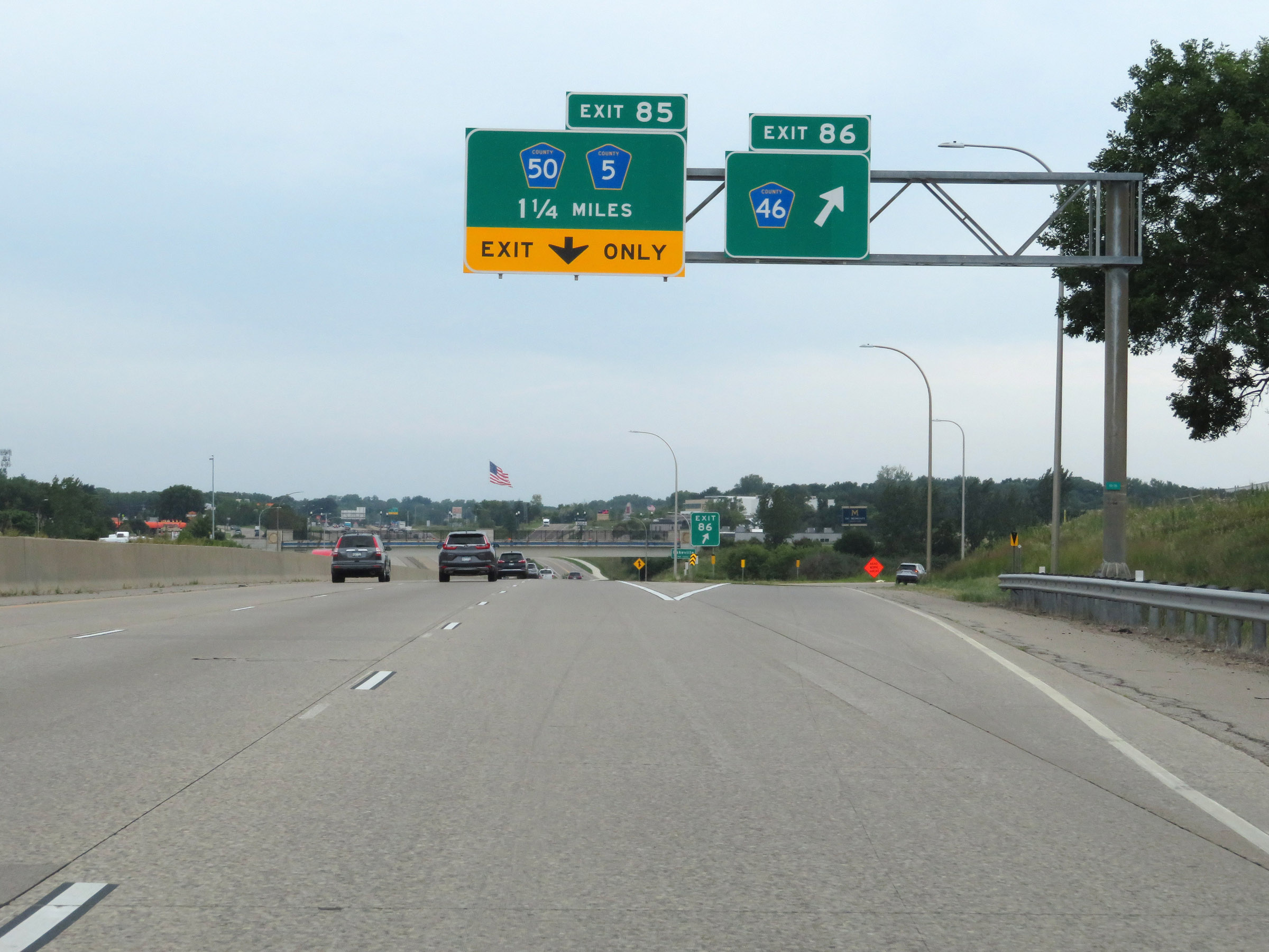
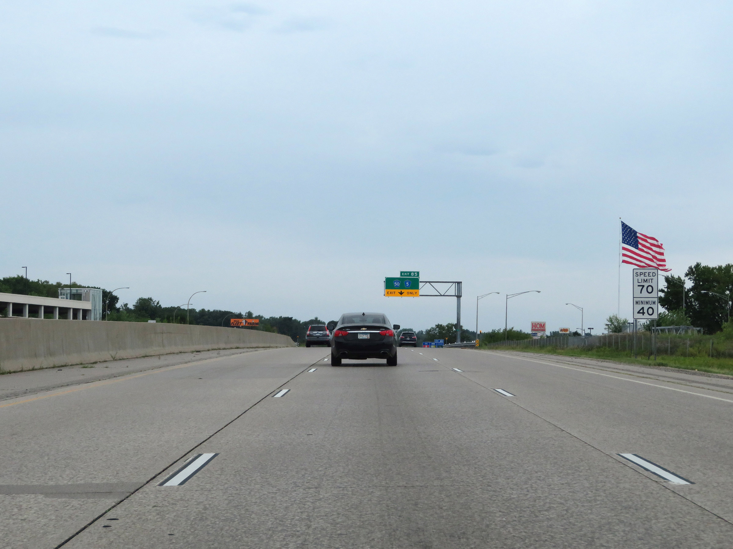
Interstate 35 South at Exit 85: CR 50 / CR 5 (Photo taken 8/7/20). |
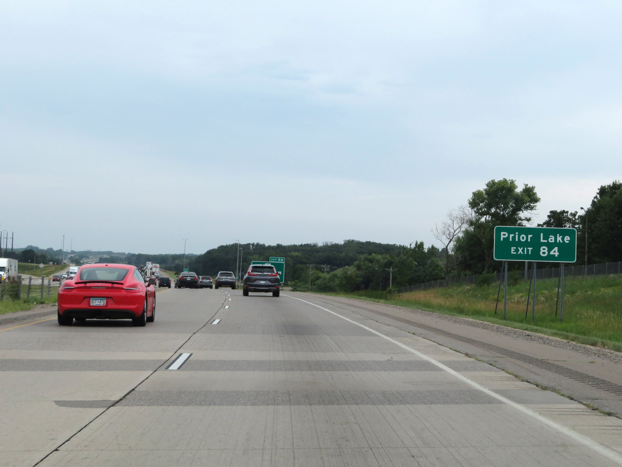 |
Take Exit 84 to Prior Lake. (Photo taken 8/7/20). |
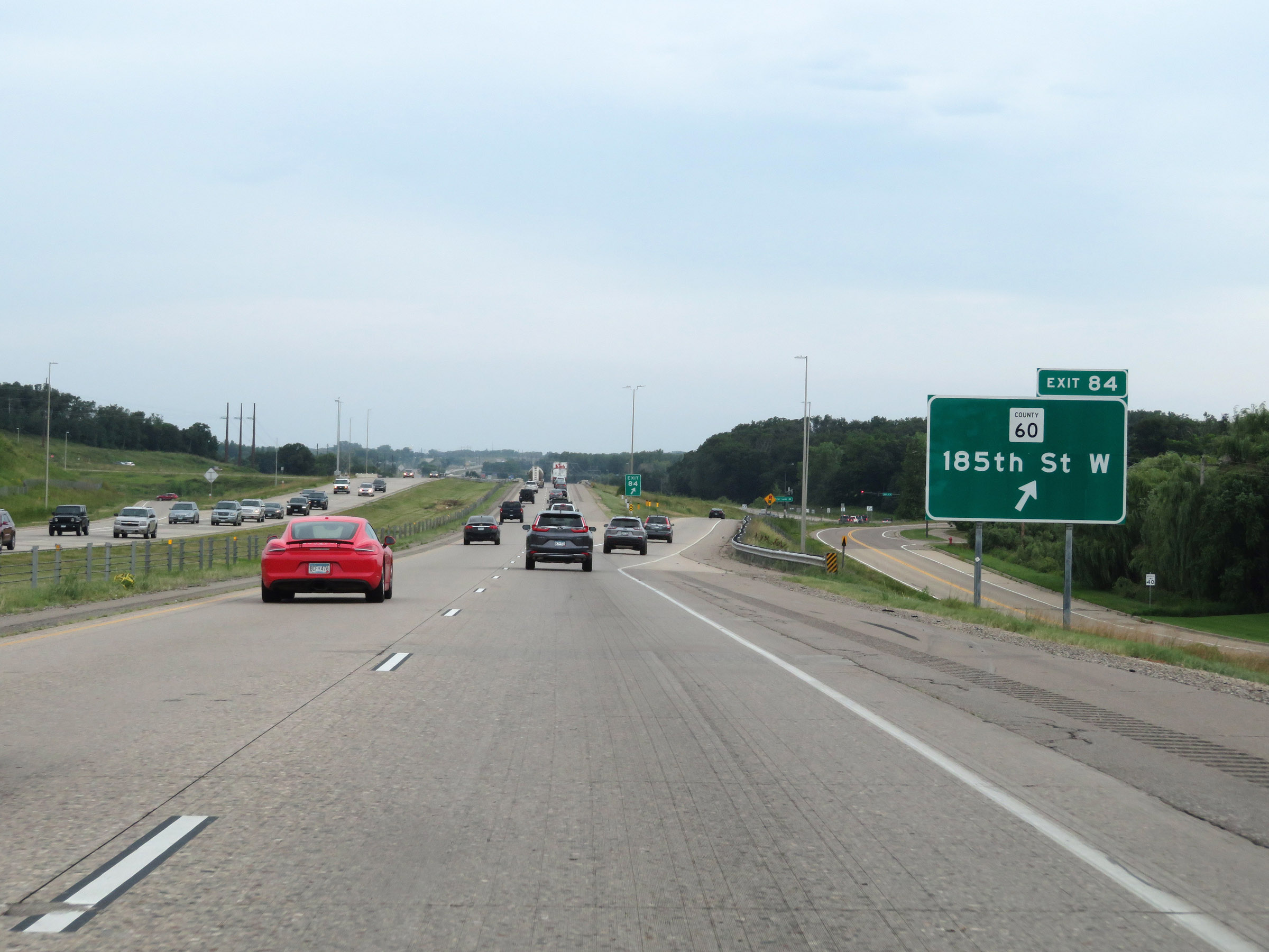 |
Interstate 35 South at Exit 84: CR 60 - 185th St W (Photo taken 8/7/20). |
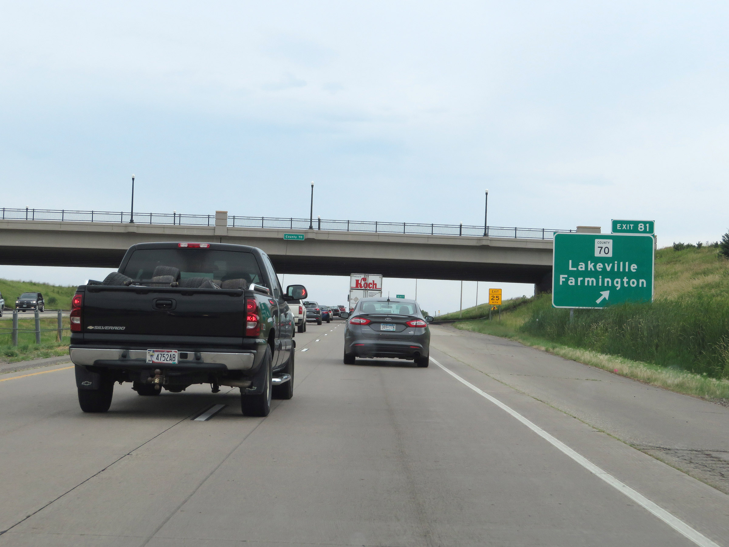 |
Interstate 35 South at Exit 81: CR 70 - Lakeville / Farmington (Photo taken 8/7/20). |
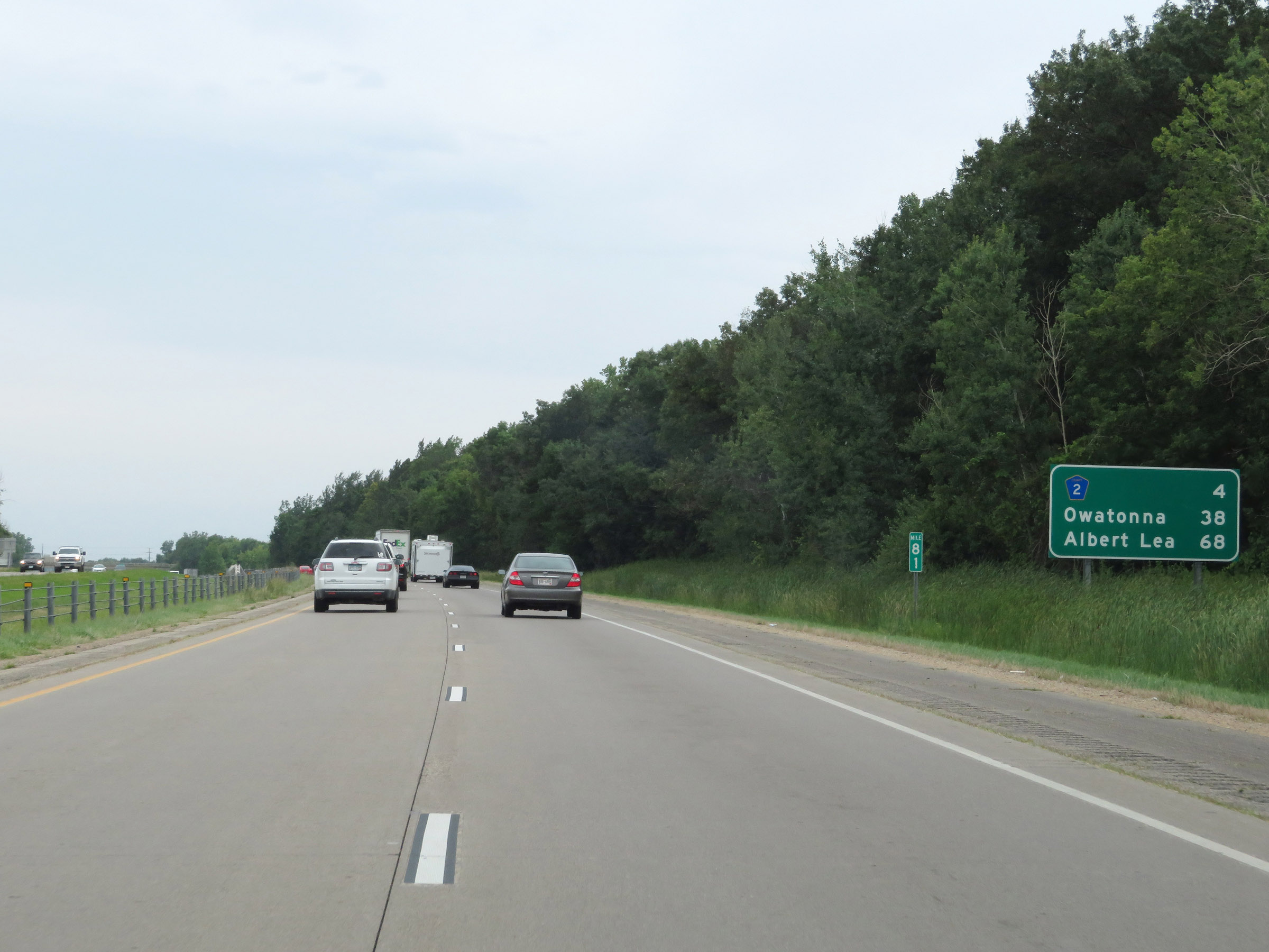 |
Mileage sign at mile marker 81. It's 4 miles to the junction of CR 2, 38 miles to Owatonna, and 68 miles to Albert Lea. (Photo taken 8/7/20). |
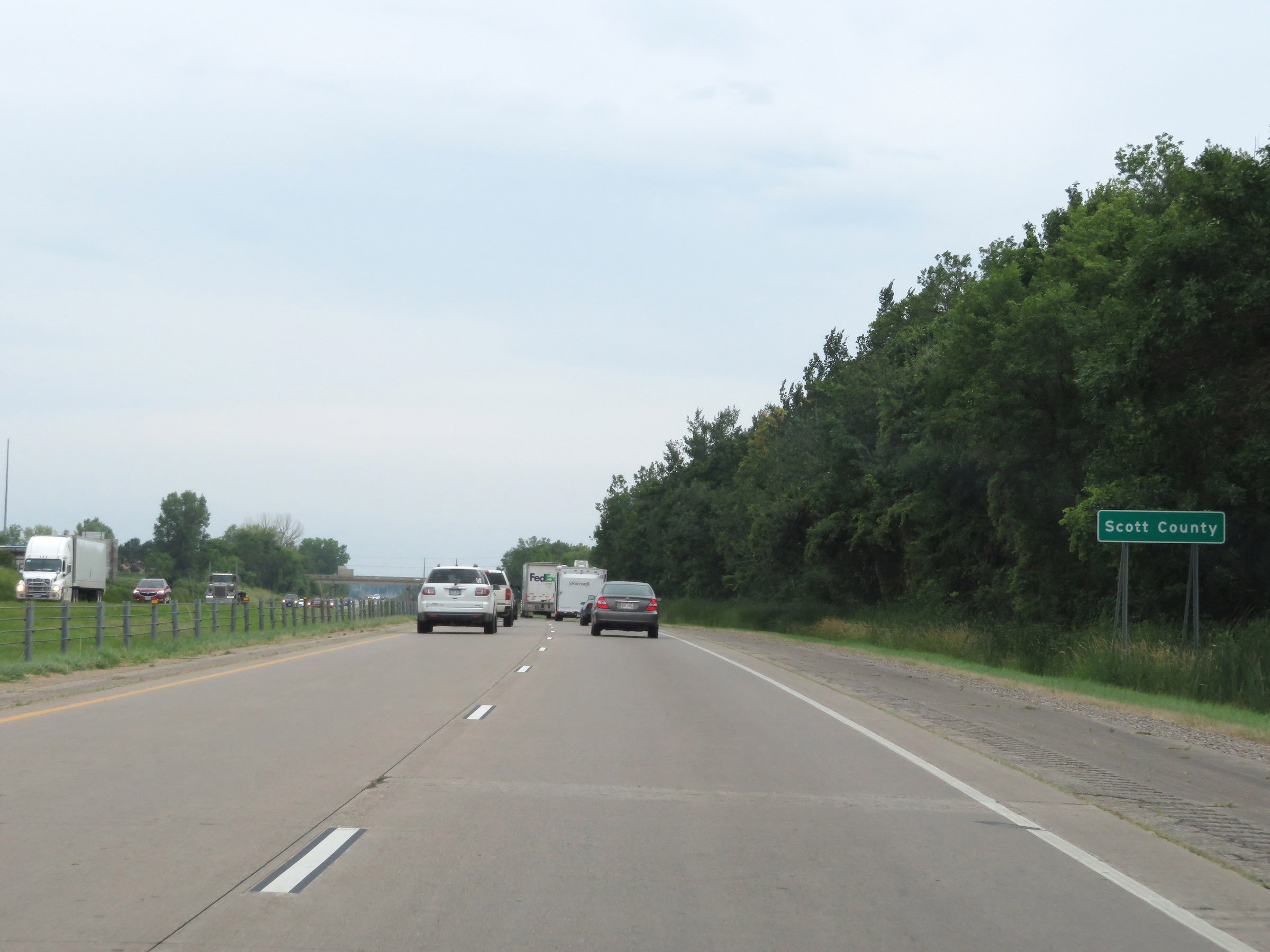 |
Interstate 35 South as it enters Scott County. (Photo taken 8/7/20). |
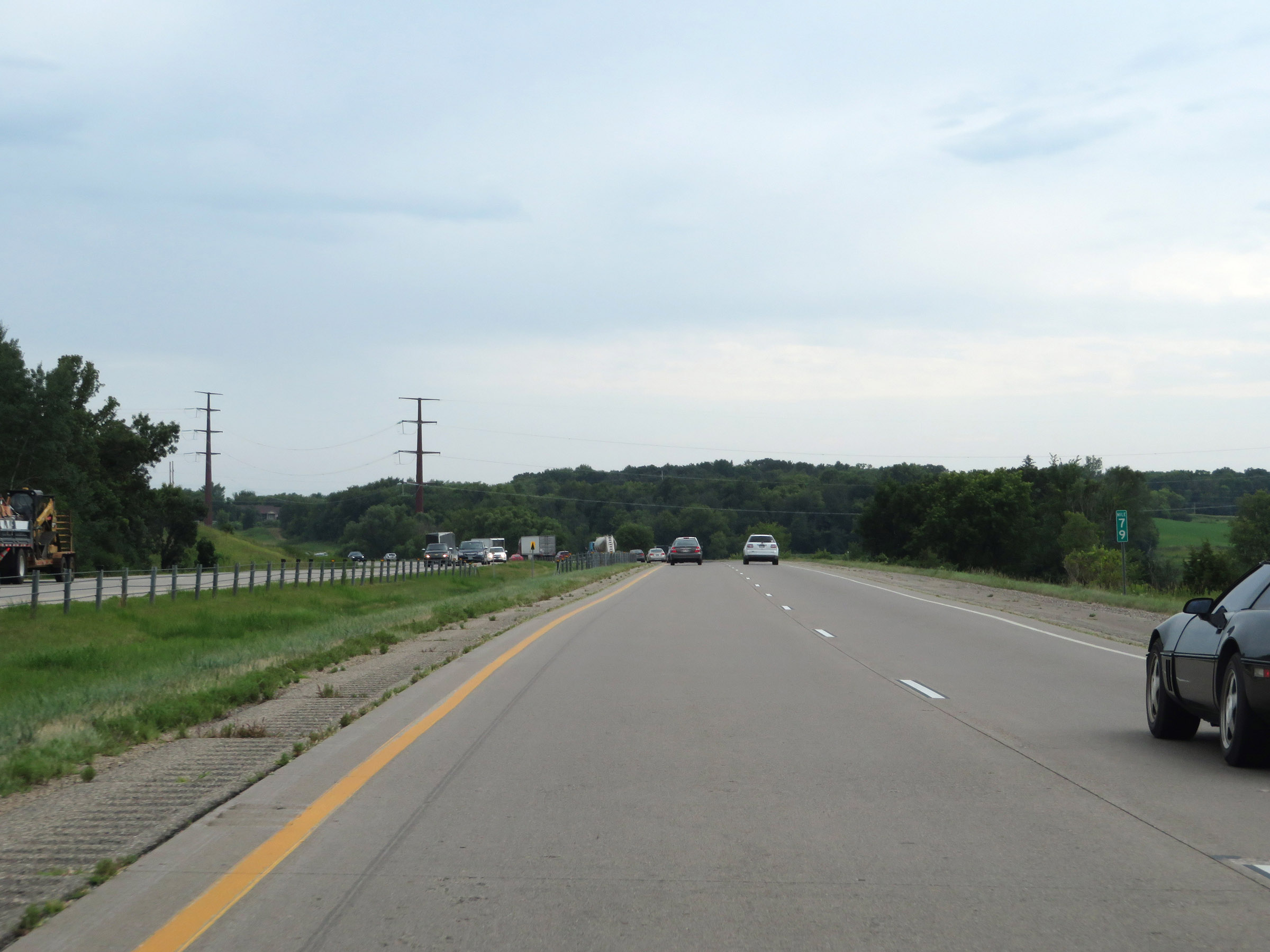 |
View on Interstate 35 South at mile marker 79. (Photo taken 8/7/20). |
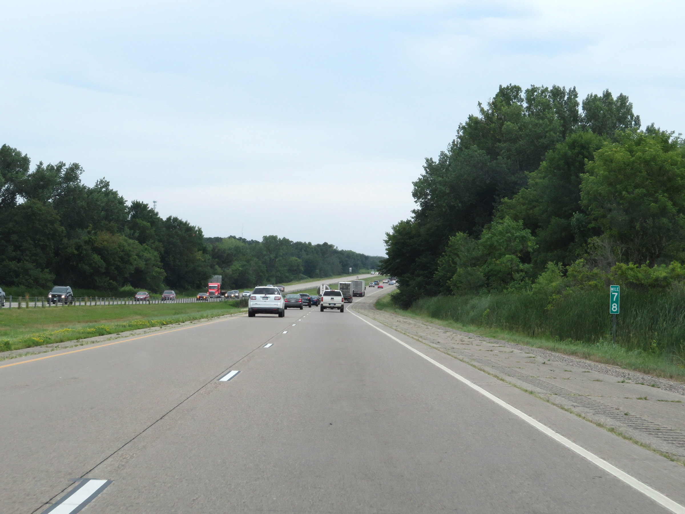 |
Mile marker 78 on Interstate 35 South in Scott County. (Photo taken 8/7/20). |
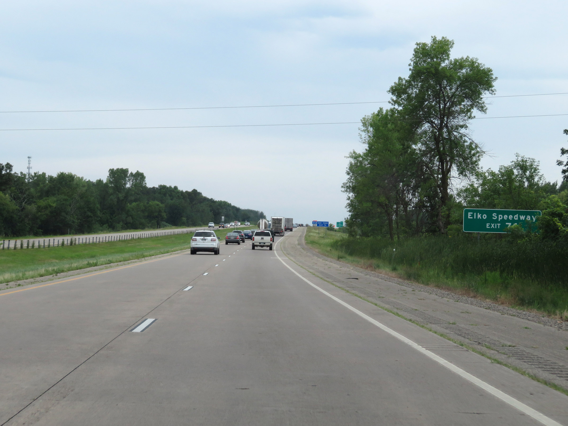 |
Take Exit 76 to Elko Speedway. (Photo taken 8/7/20). |
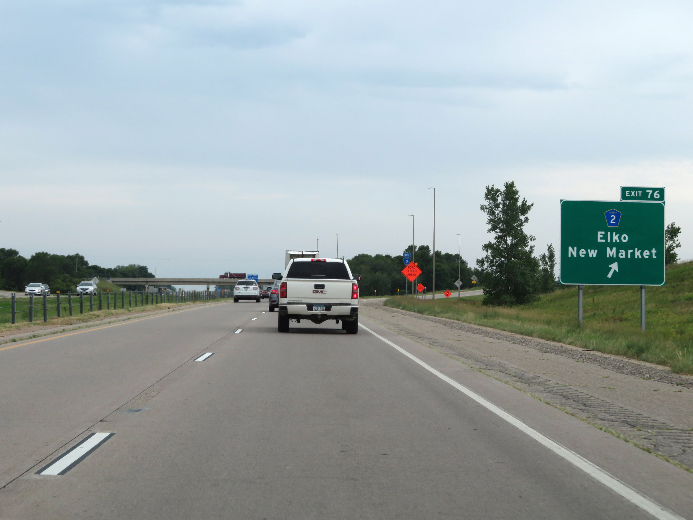 |
Interstate 35 South at Exit 76: CR 2 - Elko / New Market (Photo taken 8/7/20). |
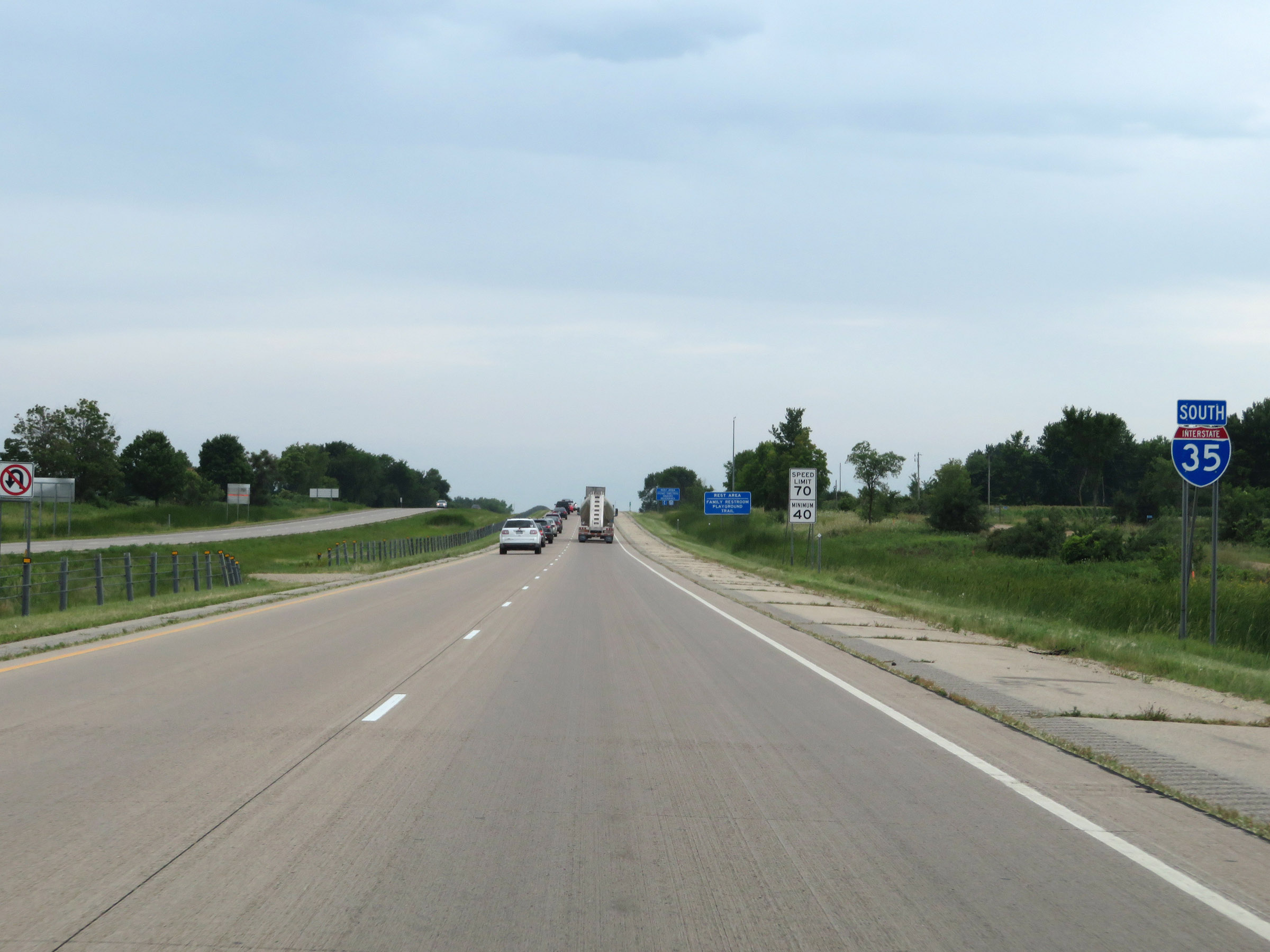 |
Interstate 35 South reassurance shield. (Photo taken 8/7/20). |
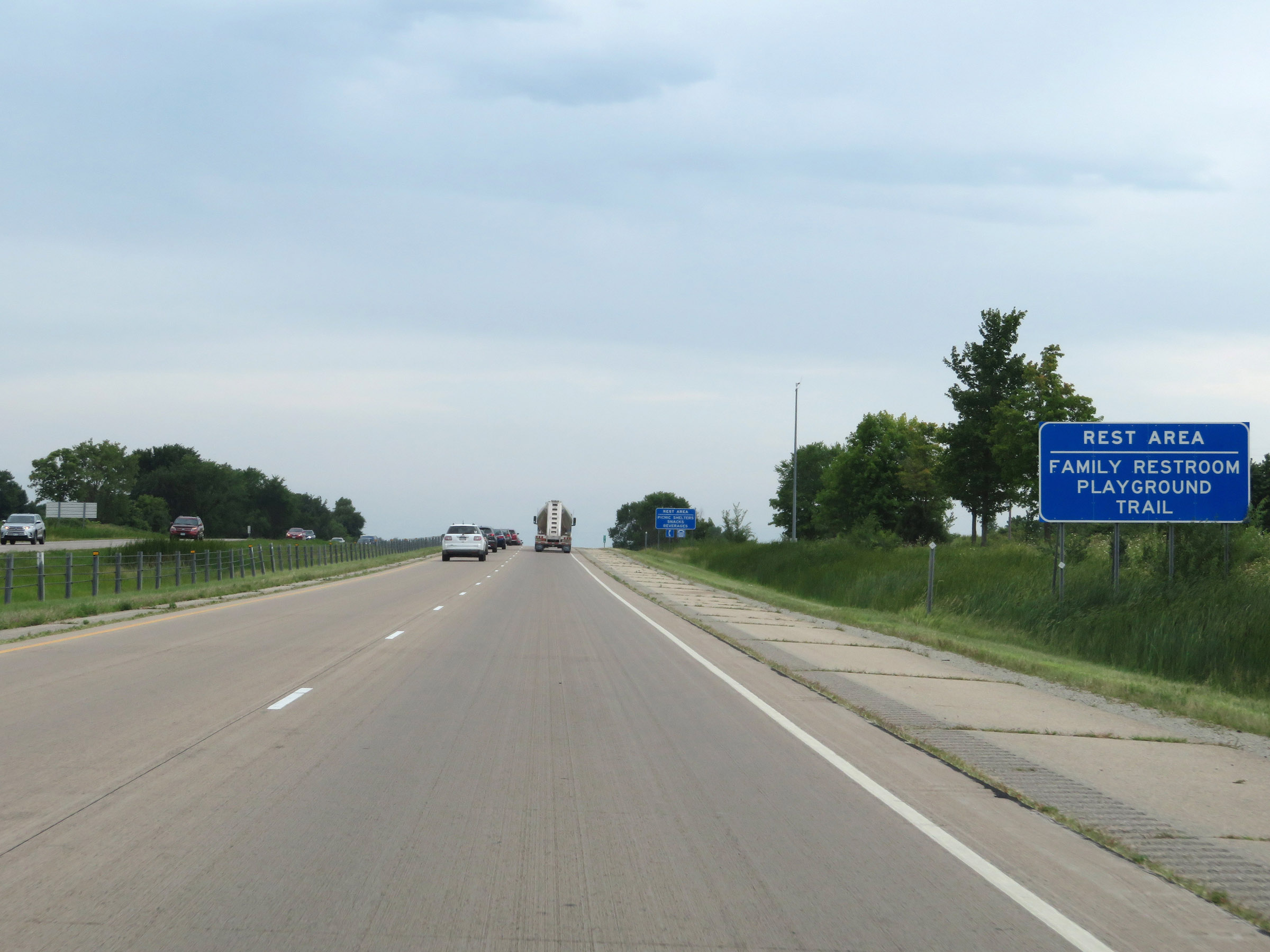 |
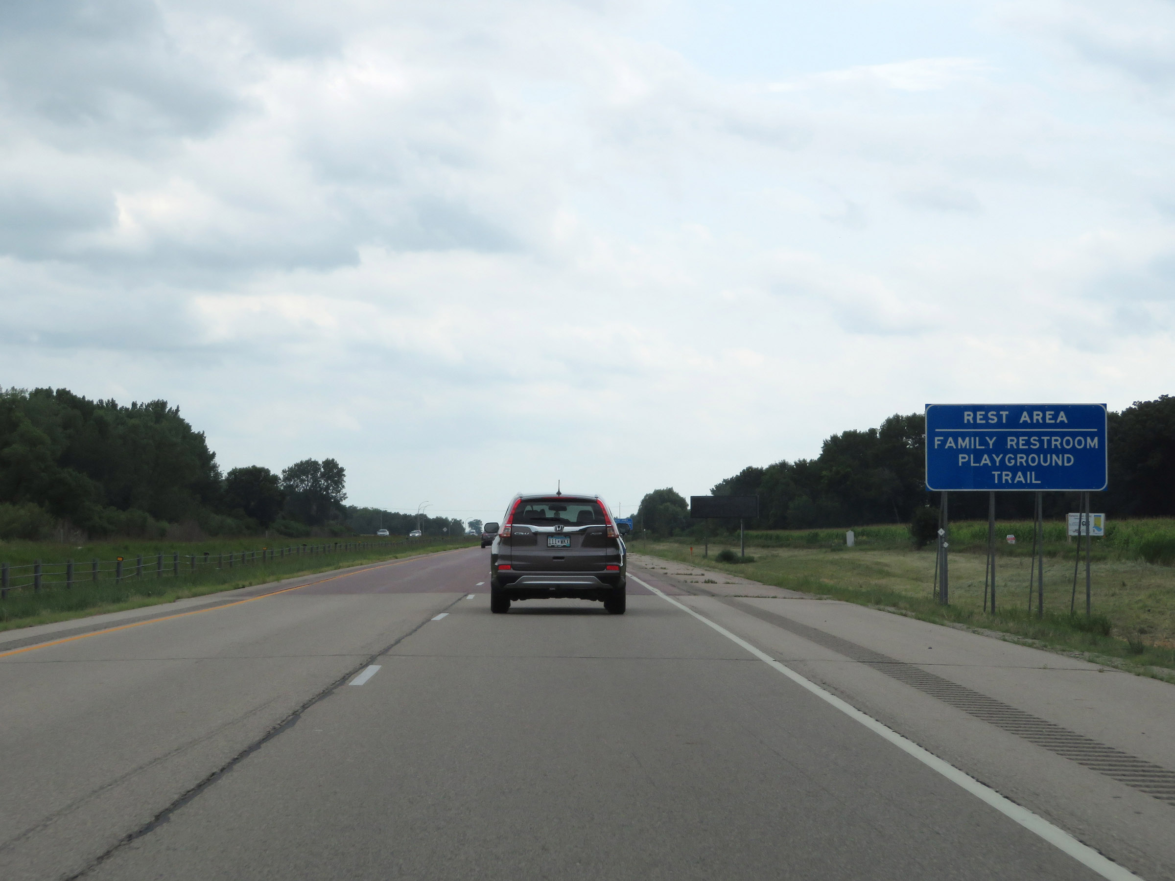
The Rest Area ahead has a family restroom, playground, and trail. (Photo taken 8/7/20). |
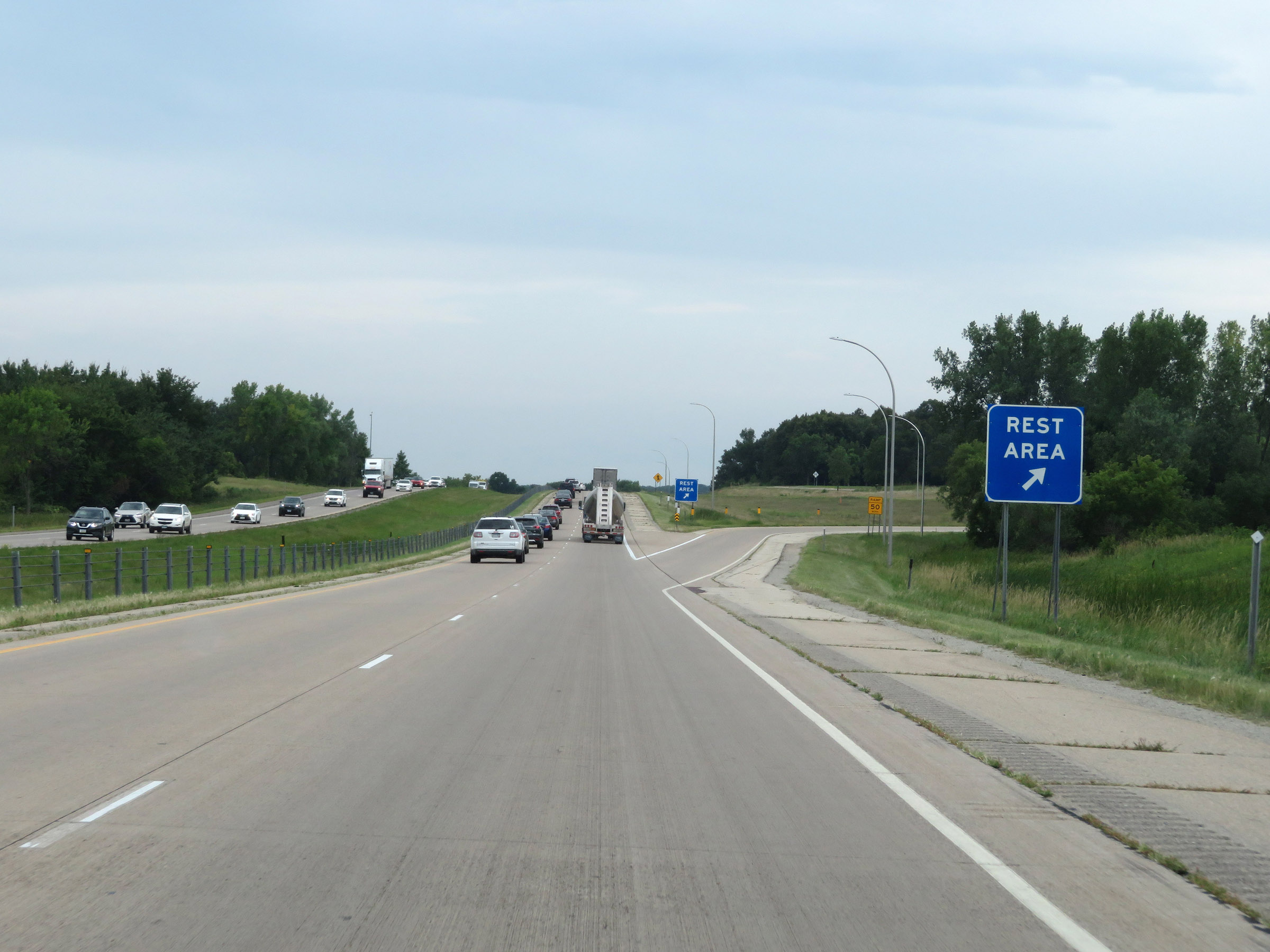 |
Rest Area on Interstate 35 South in Scott County. (Photo taken 8/7/20). |
 |
Interstate 35 South as it enters Rice County, passing underneath CR 86. (Photo taken 8/7/20). |
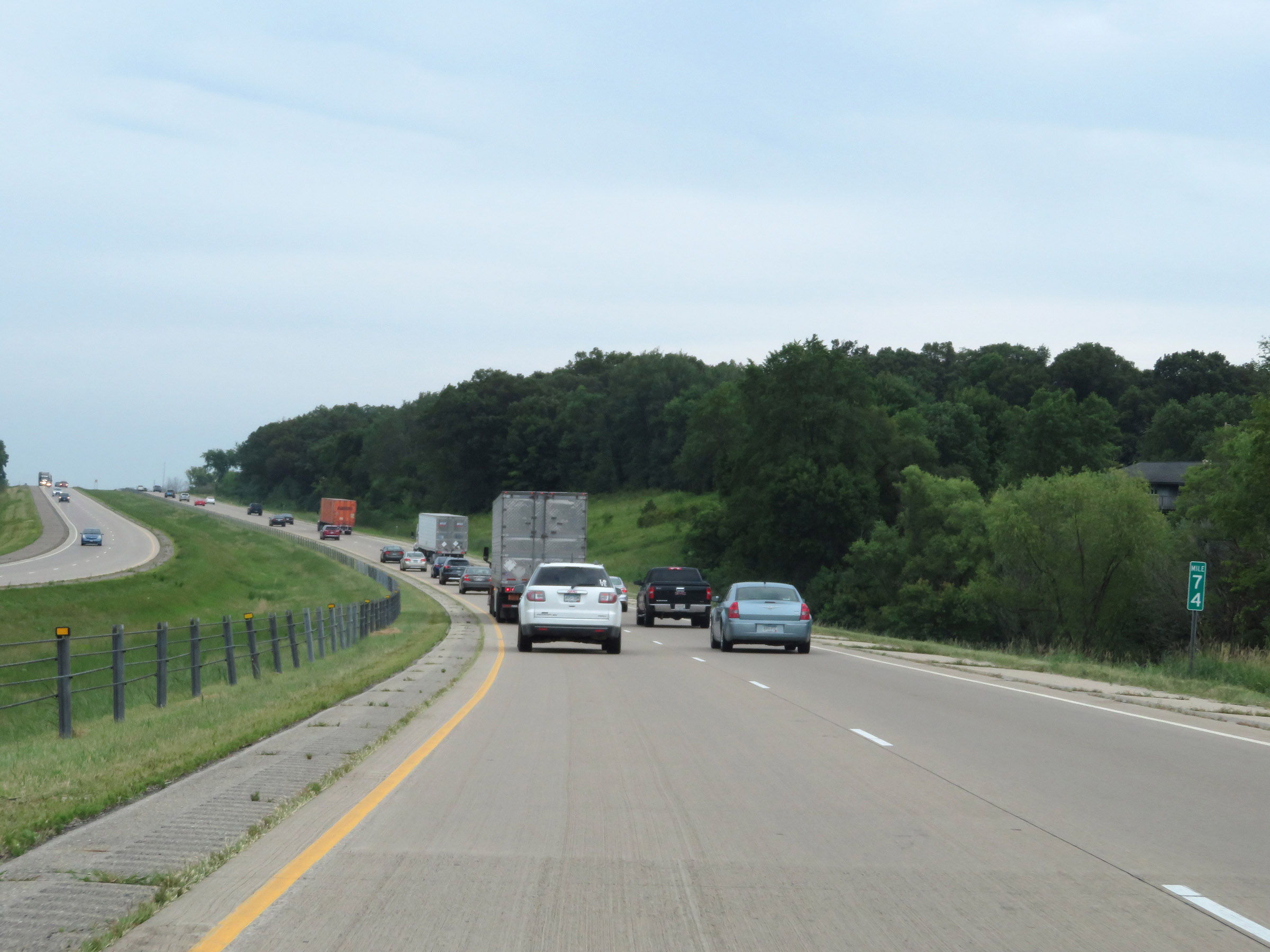 |
View on Interstate 35 South at mile marker 74. (Photo taken 8/7/20). |
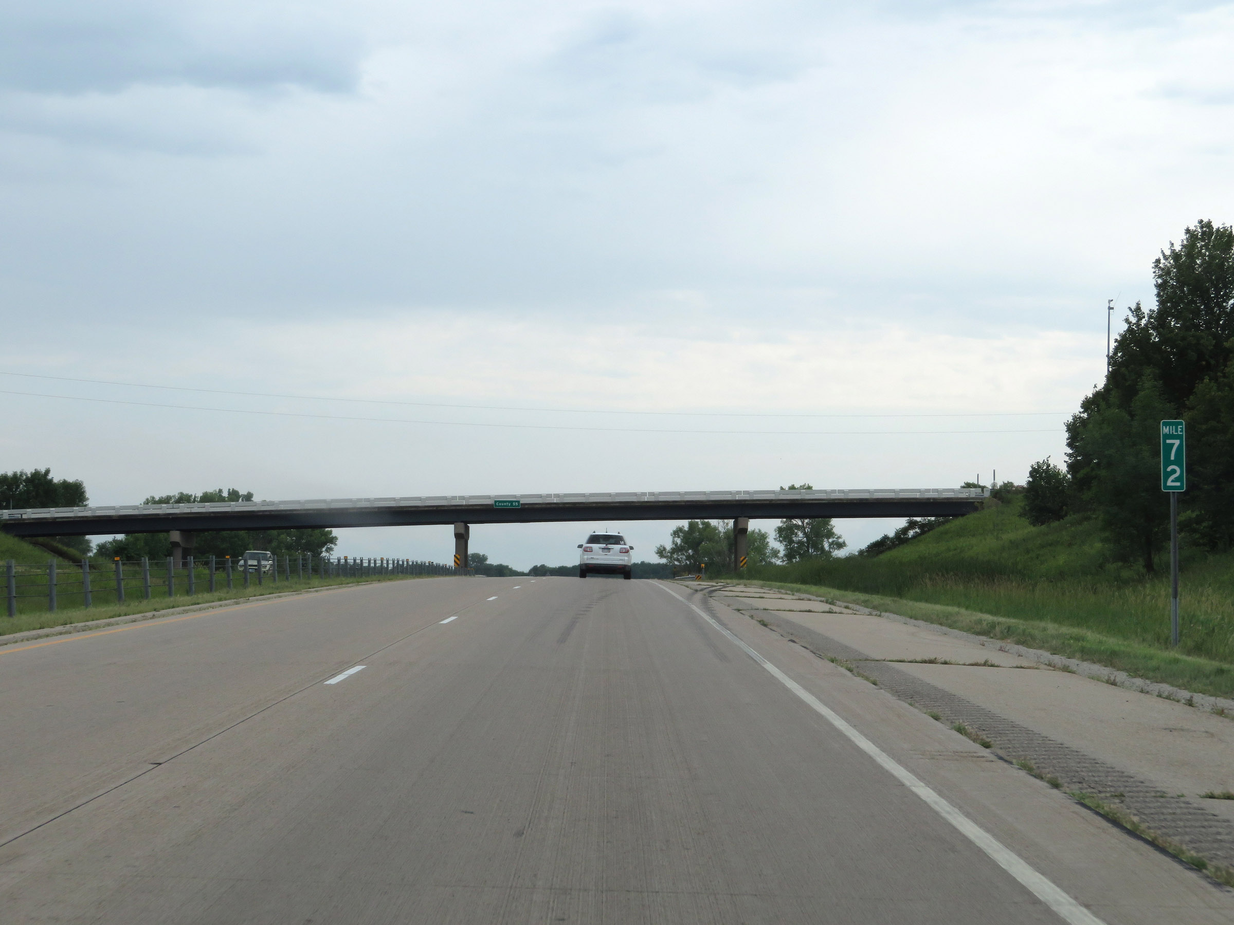 |
Interstate 35 South at mile marker 72. (Photo taken 8/7/20). |
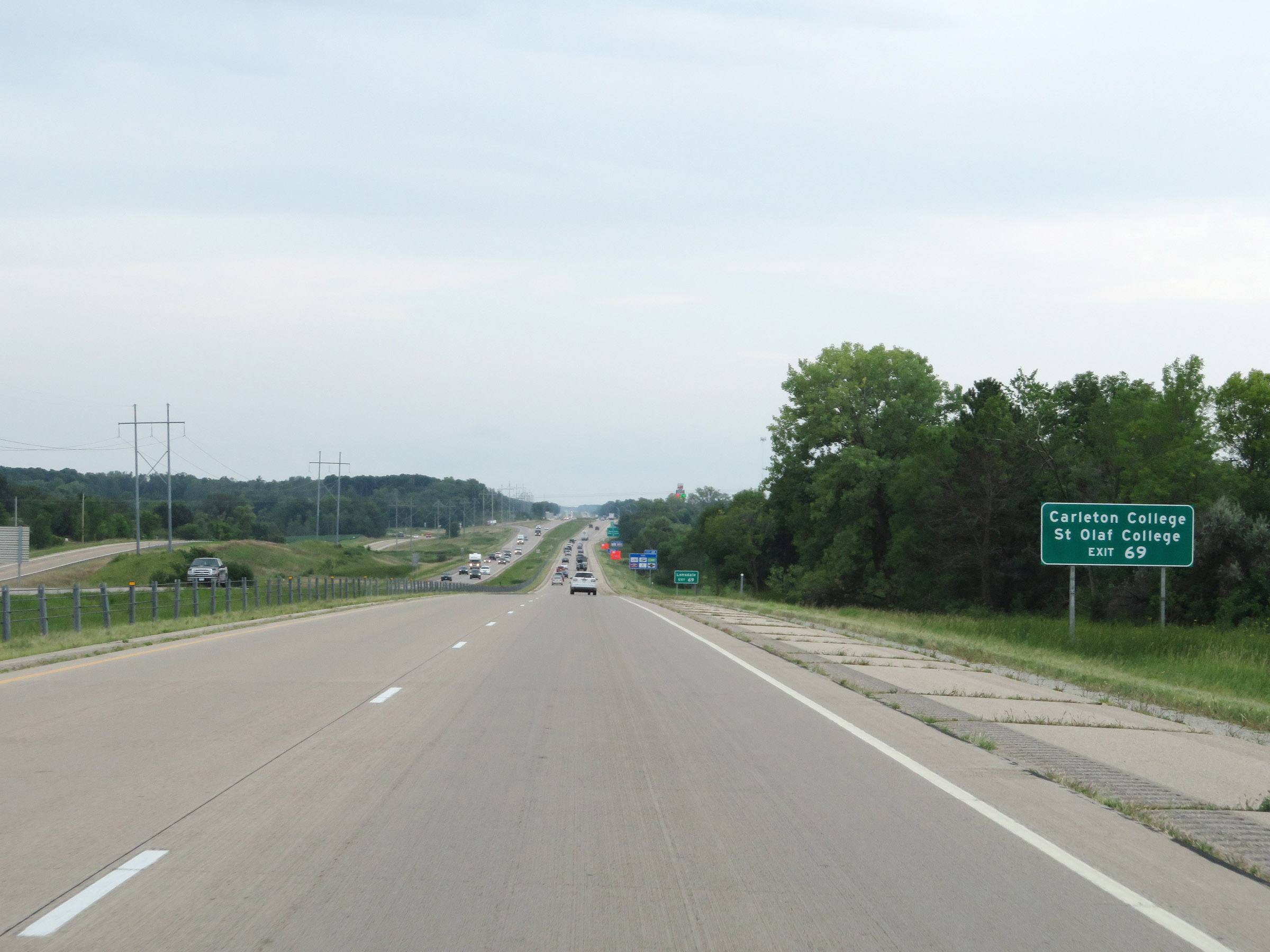 |
Take Exit 69 to Carleton College and St. Olaf College. (Photo taken 8/7/20). |
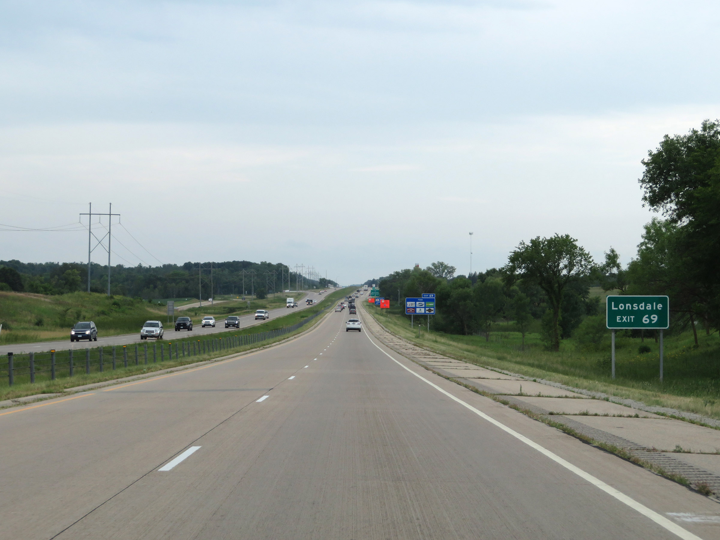 |
Also take Exit 69 to Lonsdale. (Photo taken 8/7/20). |
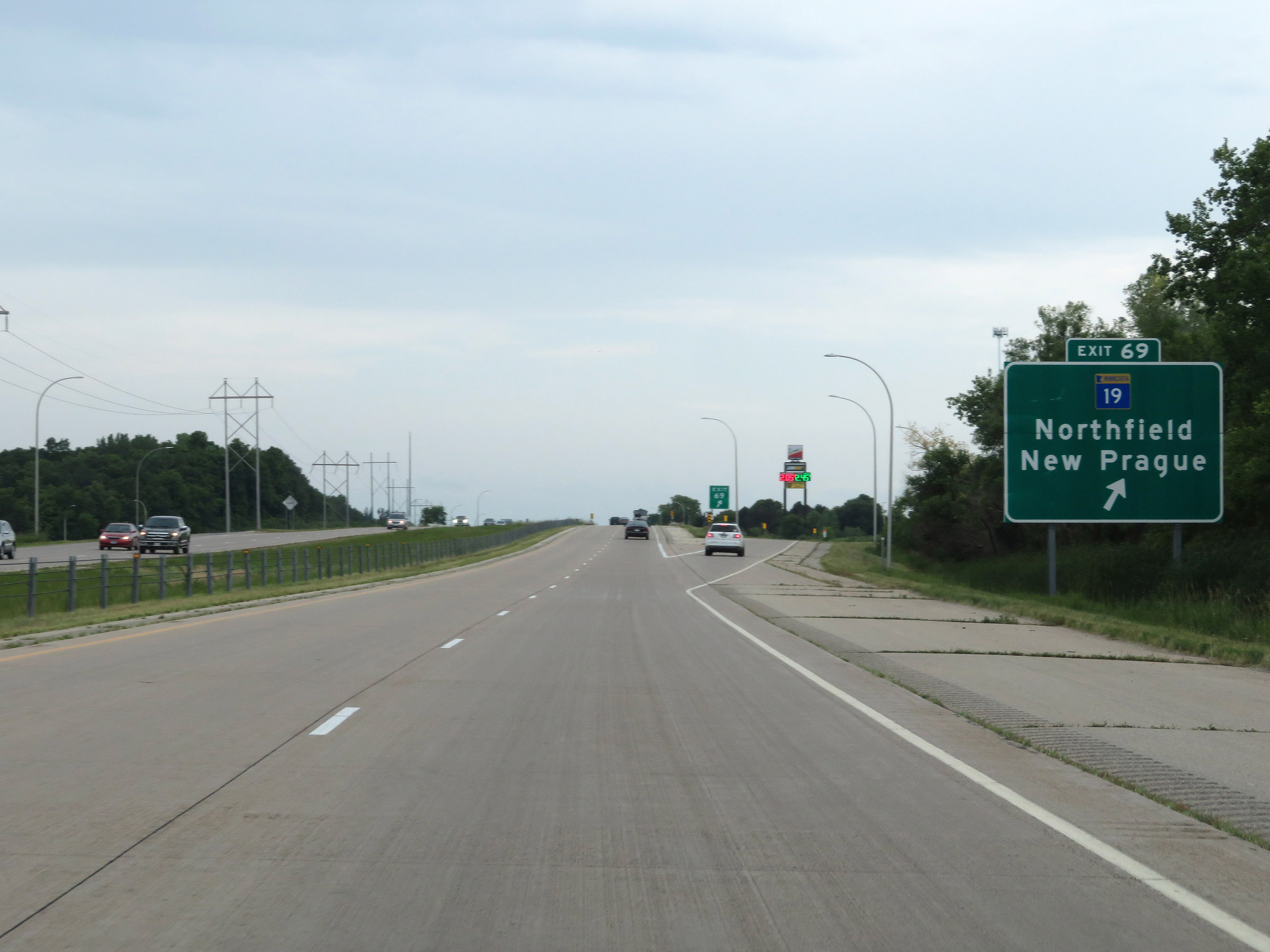 |
Interstate 35 South at Exit 69: MN 19 - Northfield / New Prague (Photo taken 8/7/20). |
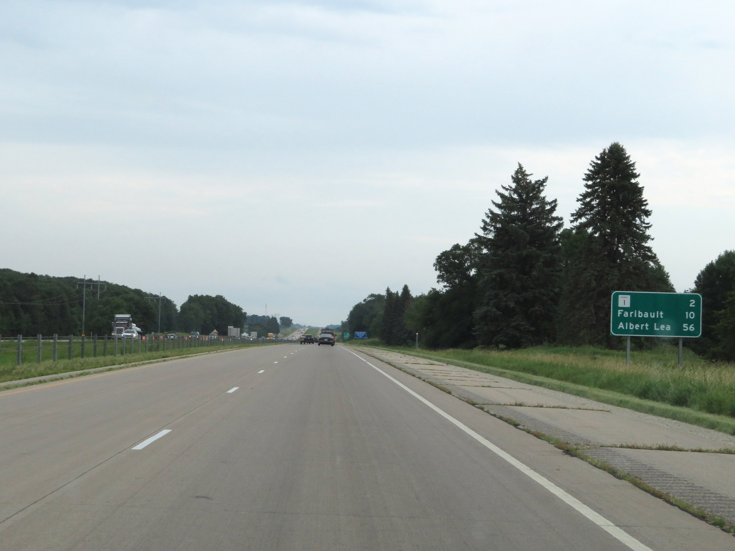 |
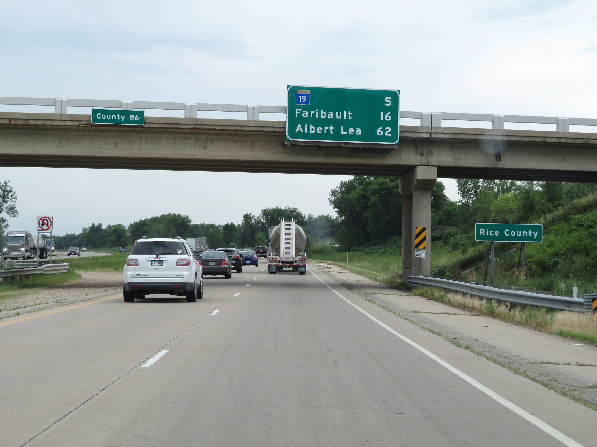
Mileage sign on Interstate 35 South. It's 2 miles to the junction of CR 1, 10 miles to Faribault, and 56 miles to Albert Lea. (Photo taken 8/7/20). |
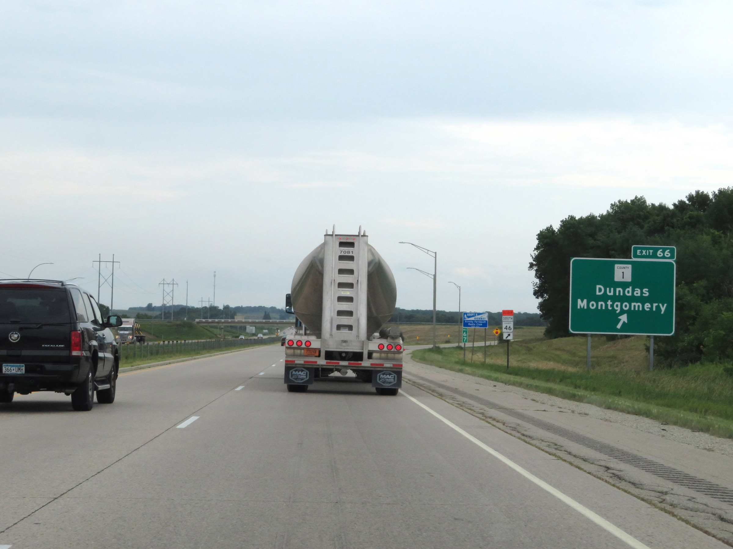 |
Interstate 35 South at Exit 66: CR 1 - Dundas / Montgomery (Photo taken 8/7/20). |
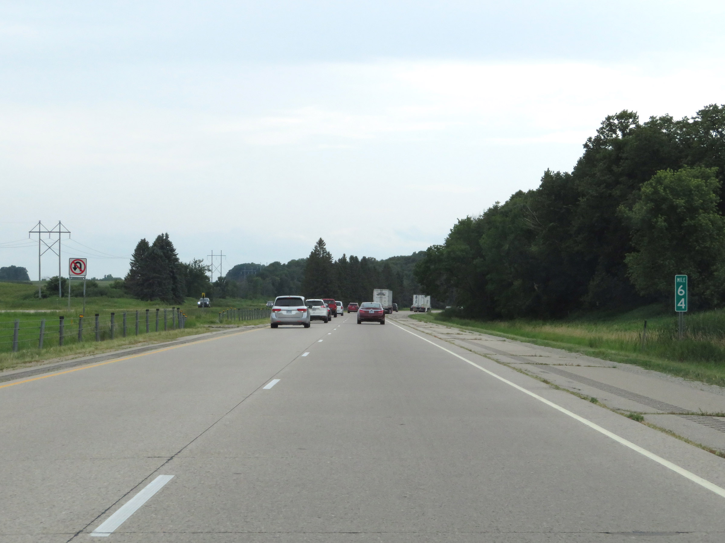 |
View on Interstate 35 South at mile marker 64. (Photo taken 8/7/20). |
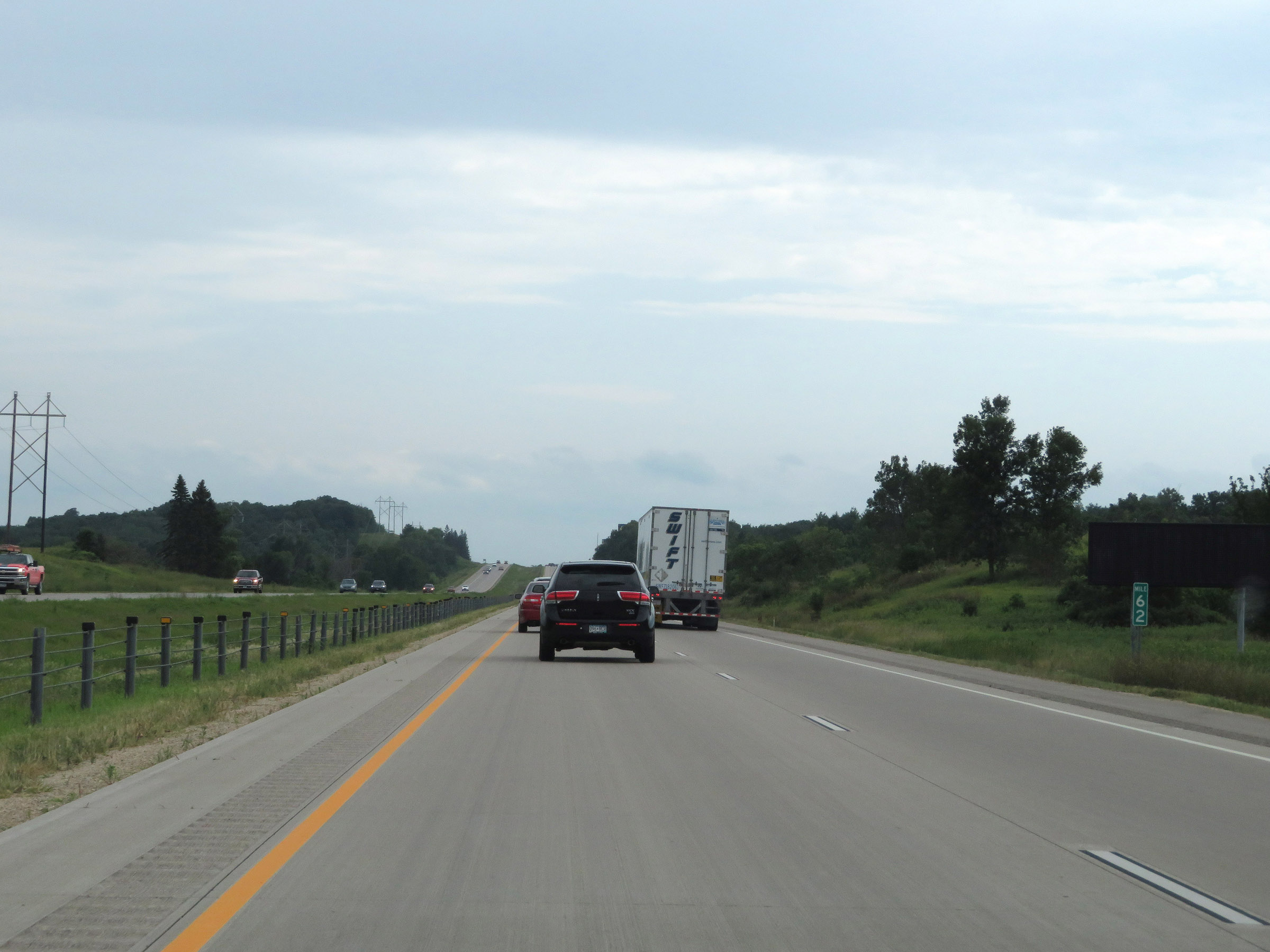 |
Interstate 35 South at mile marker 62. (Photo taken 8/7/20). |
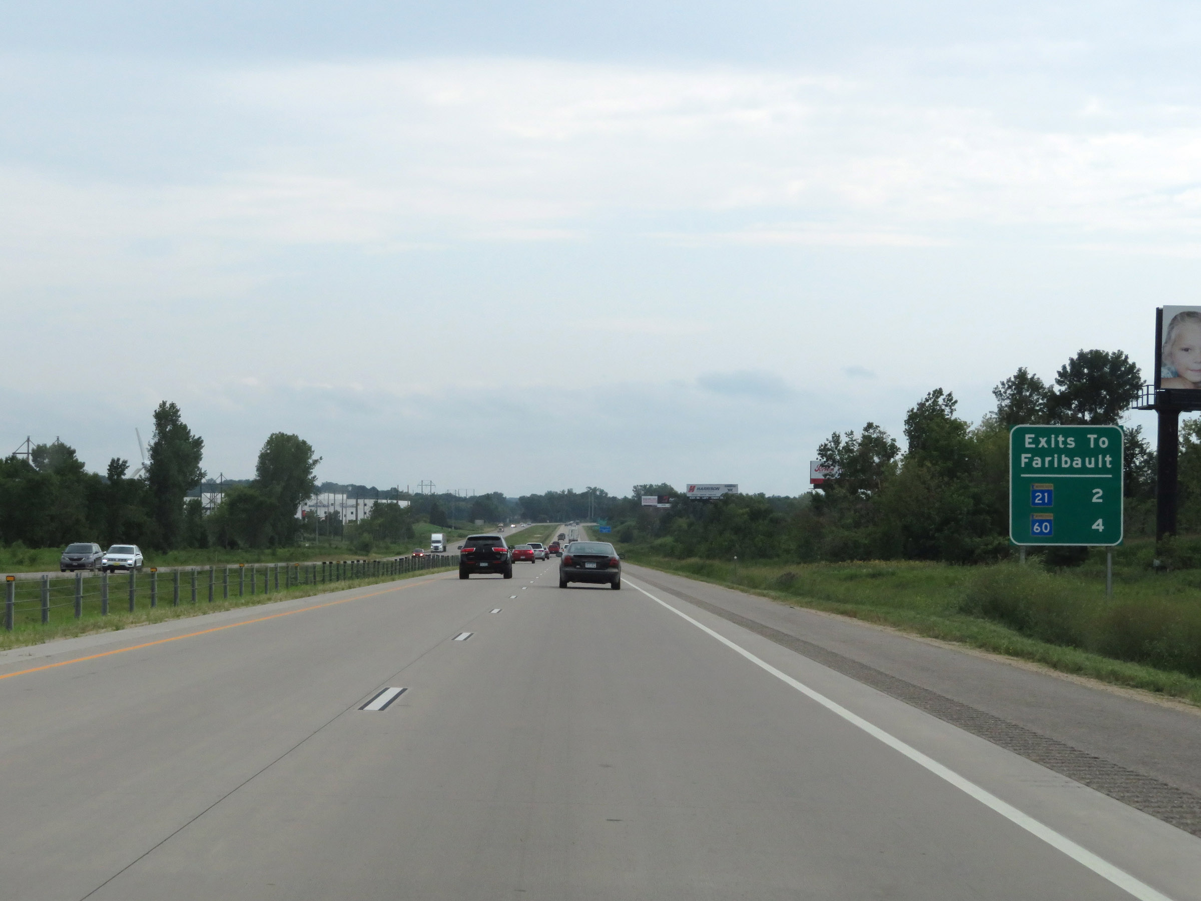 |
Sign listing the distances to the two upcoming exits to Faribault. (Photo taken 8/7/20). |
 |
View on Interstate 35 South at mile marker 60. (Photo taken 8/7/20). |
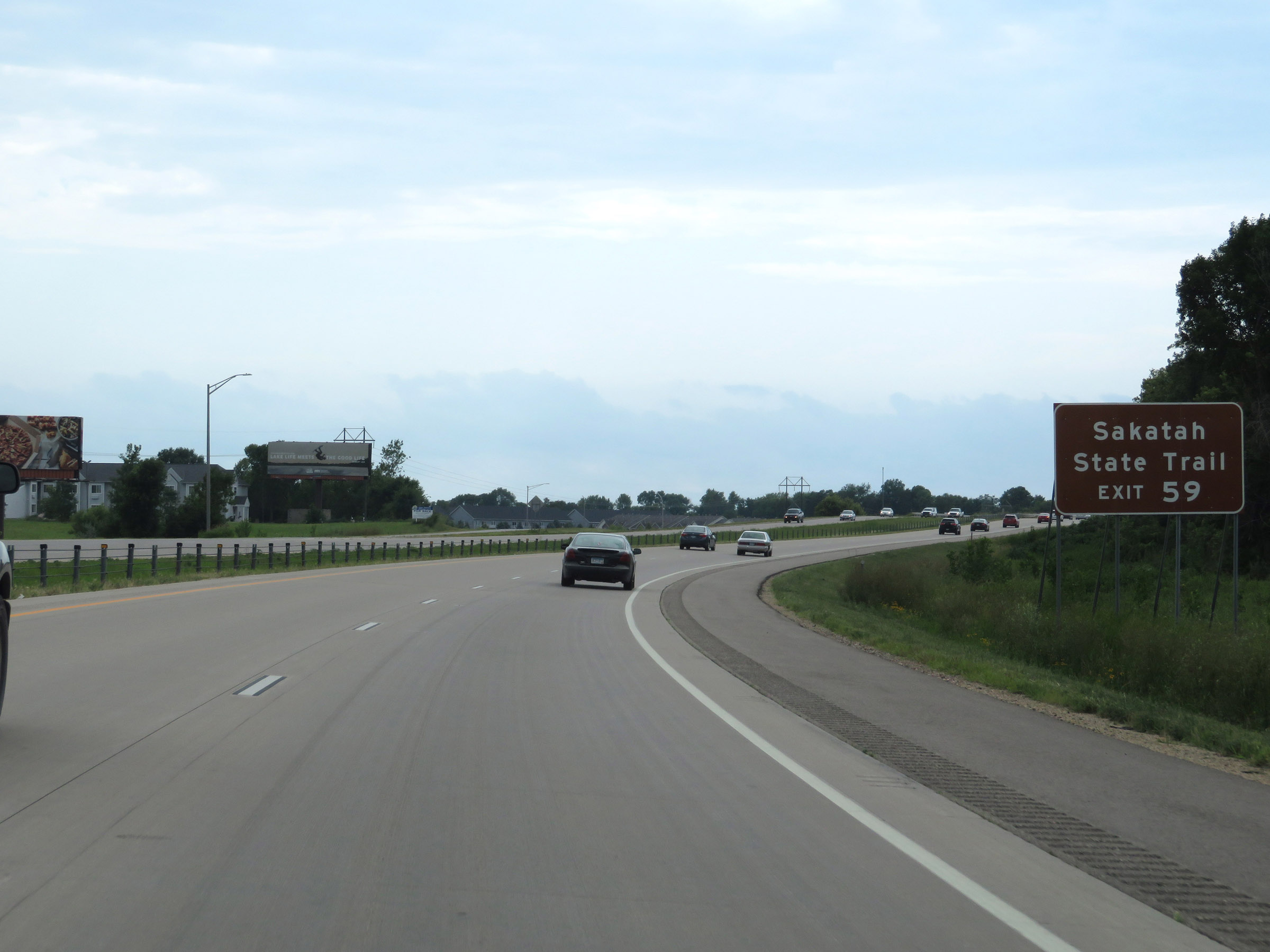 |
Take Exit 59 to Sakatah State Trail. (Photo taken 8/7/20). |
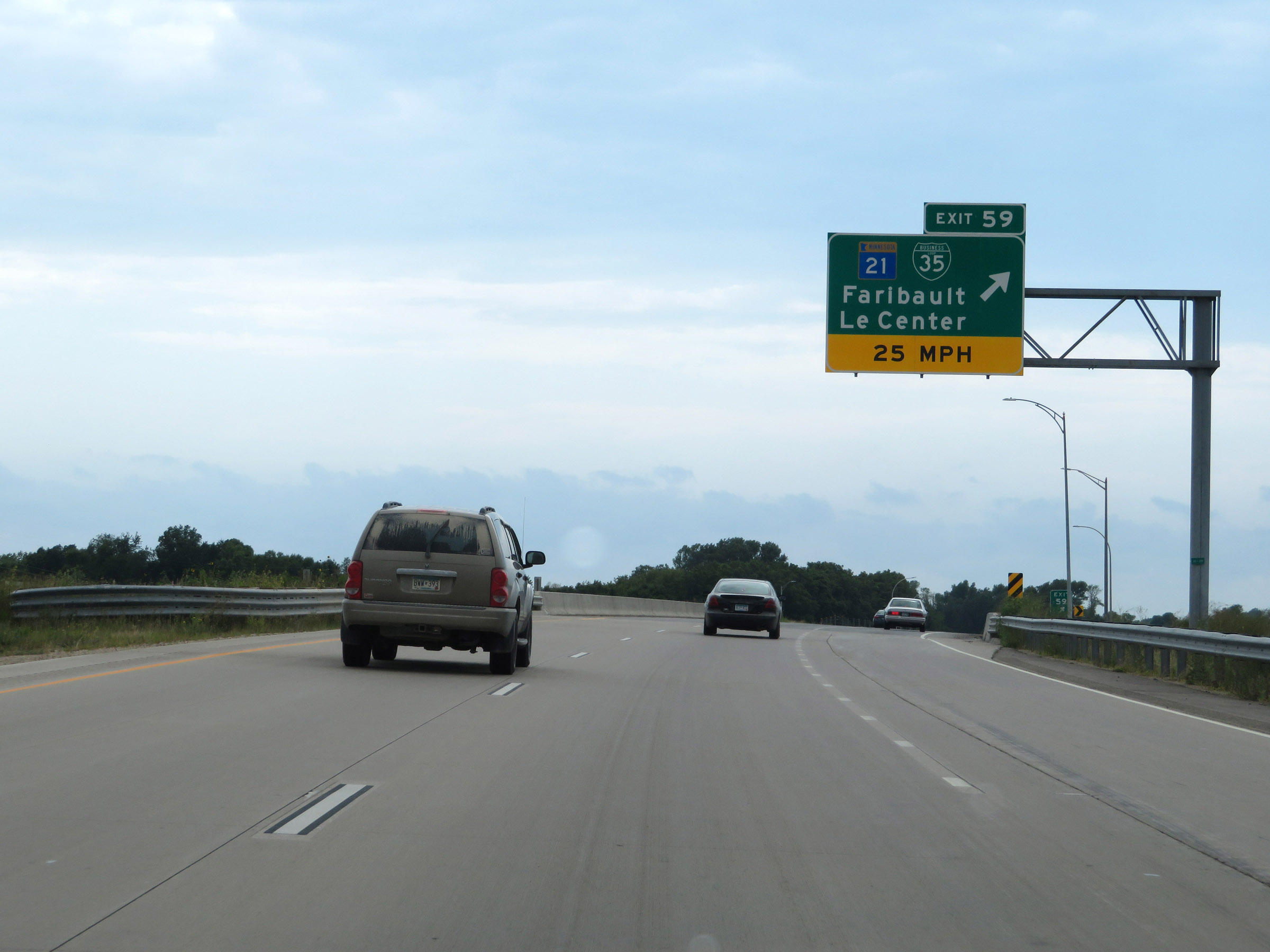 |
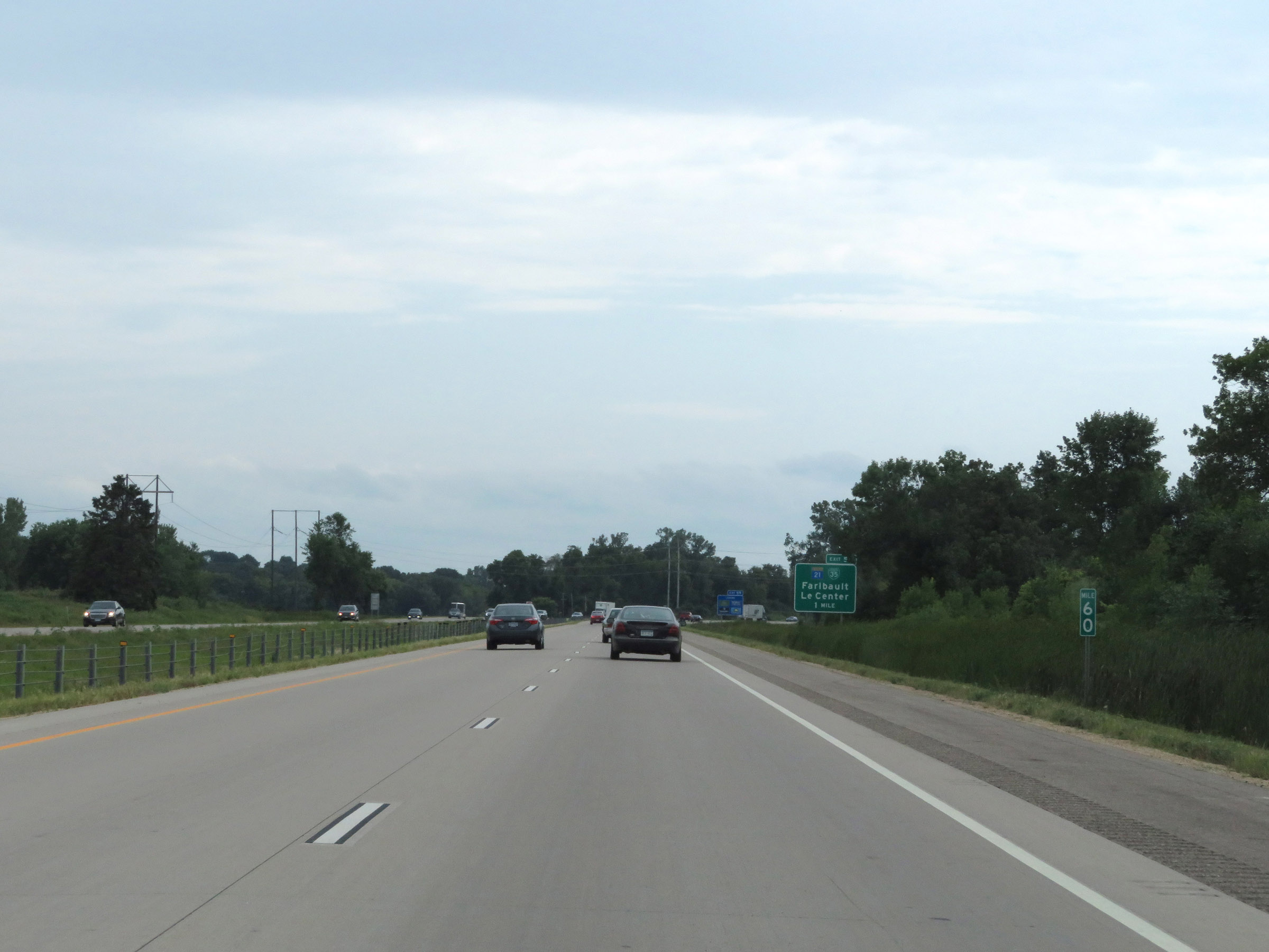
Interstate 35 South at Exit 59: MN 21 / Interstate 35 Business Loop - Faribault / Le Center (Photo taken 8/7/20). |
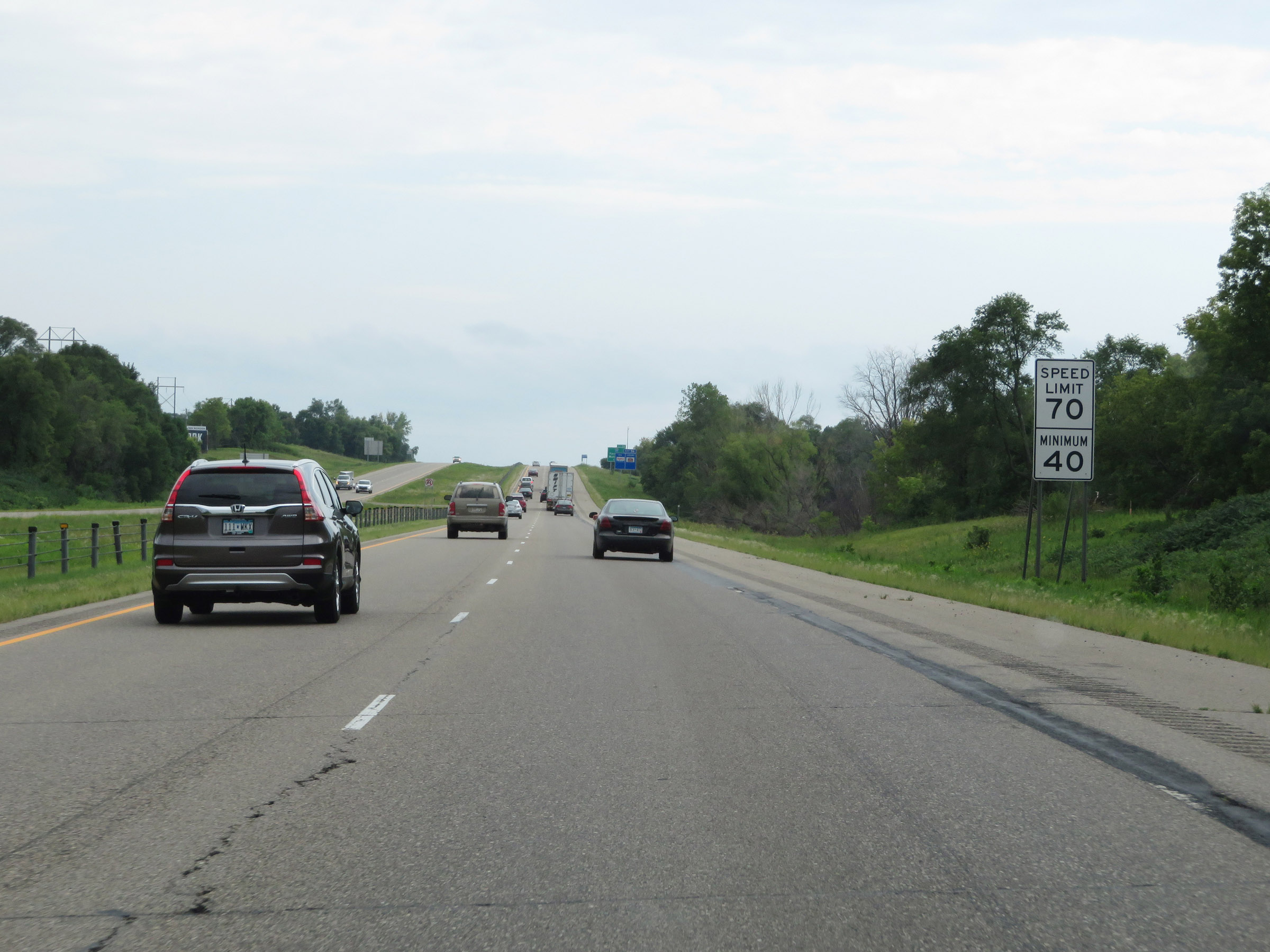 |
The speed limits remain 70 mph maximum and 40 mph minimum. These are the standard speed limits on most rural Interstate highways in Minnesota. (Photo taken 8/7/20). |
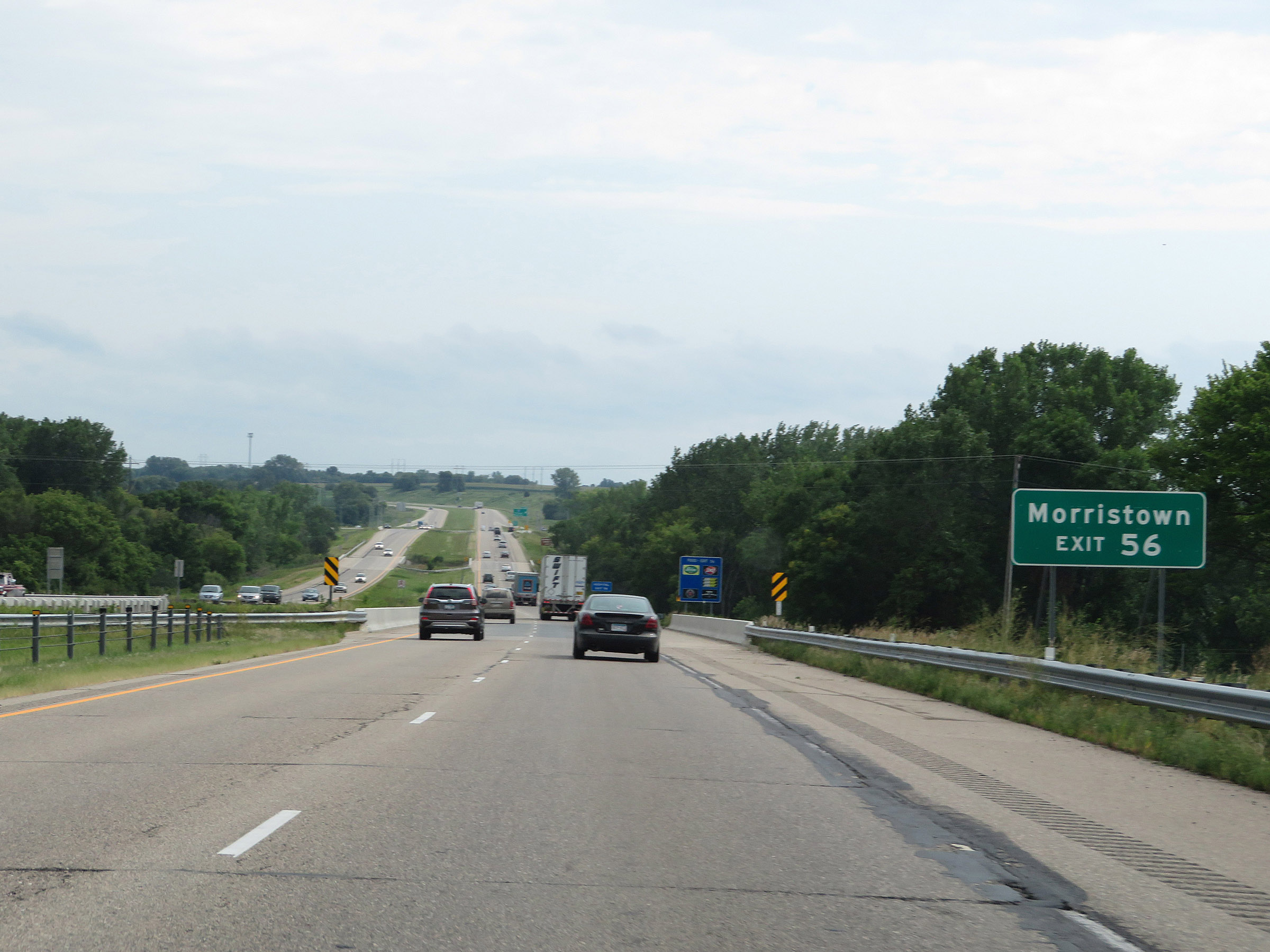 |
Take Exit 56 to Morristown. (Photo taken 8/7/20). |
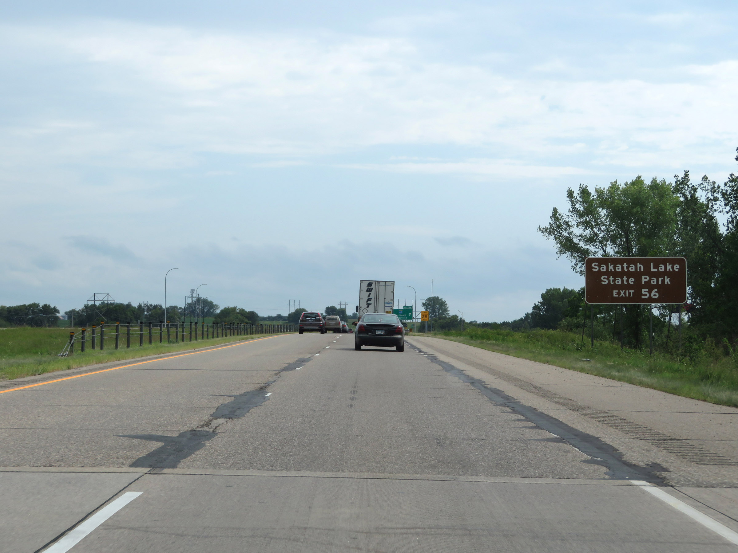 |
Also take Exit 56 to Sakatah Lake State Park. (Photo taken 8/7/20). |
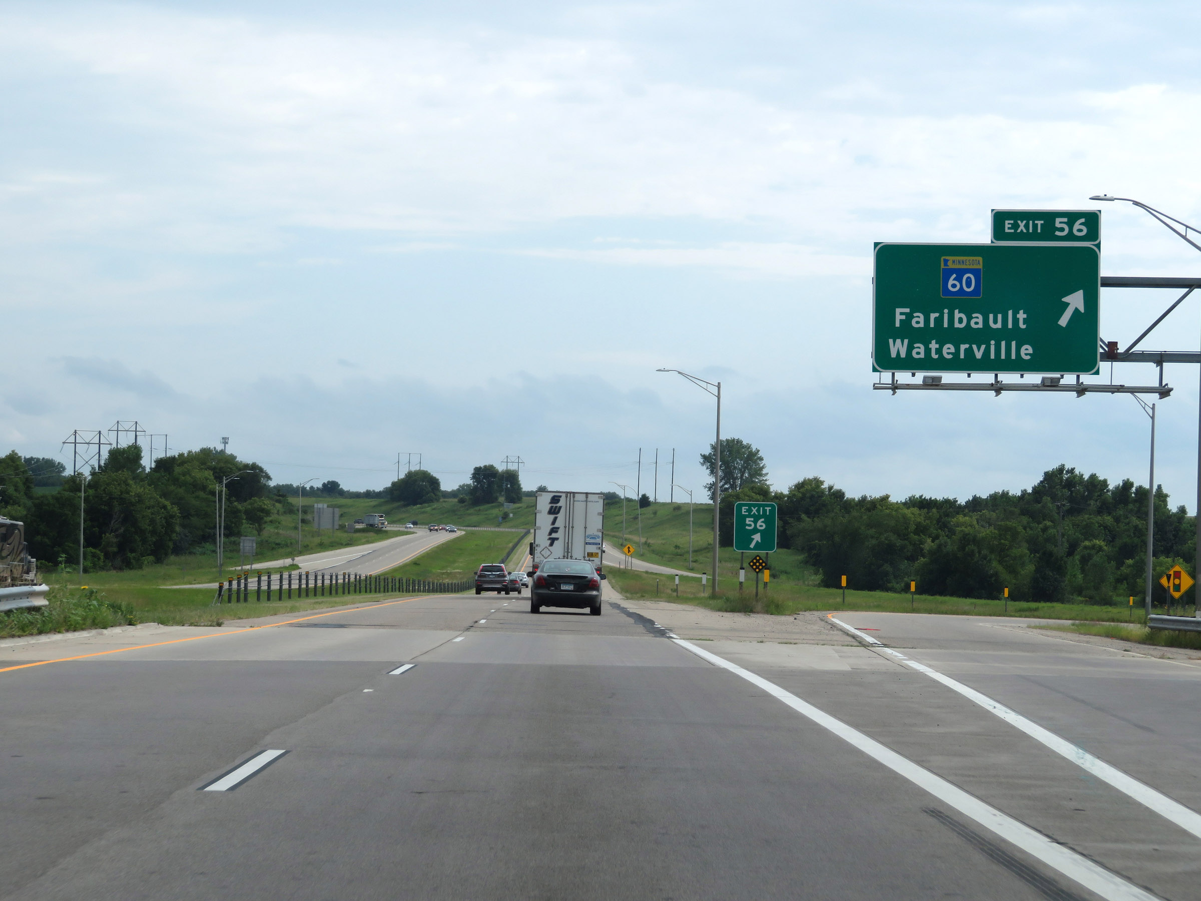 |
Interstate 35 South at Exit 56: MN 60 - Faribault / Waterville (Photo taken 8/7/20). |
 |
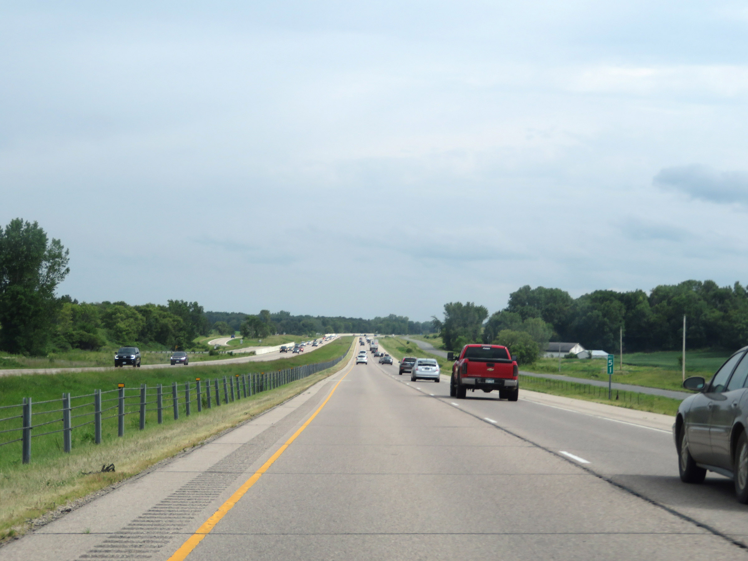
Interstate 35 South at mile marker 53. (Photo taken 8/7/20). |
 |
View on Interstate 35 South at mile marker 51. (Photo taken 8/7/20). |
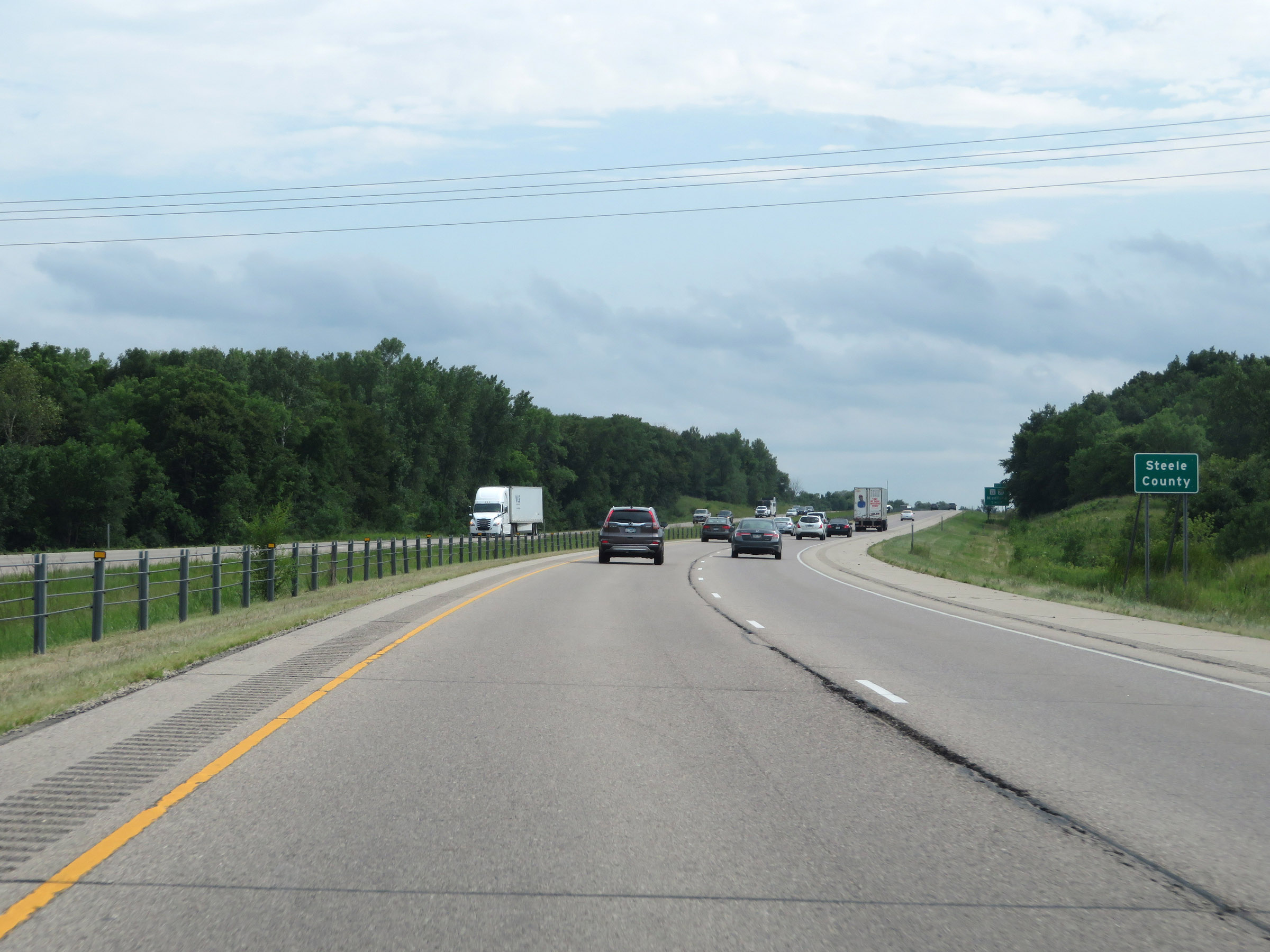 |
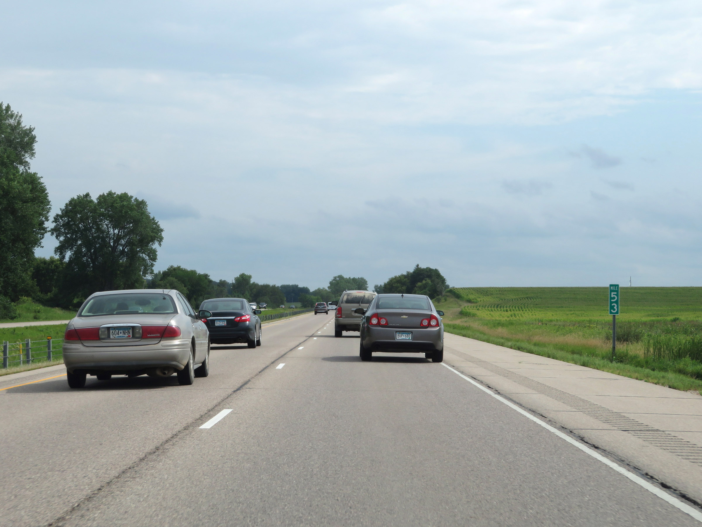
Interstate 35 South as it enters Steele County. (Photo taken 8/7/20). |
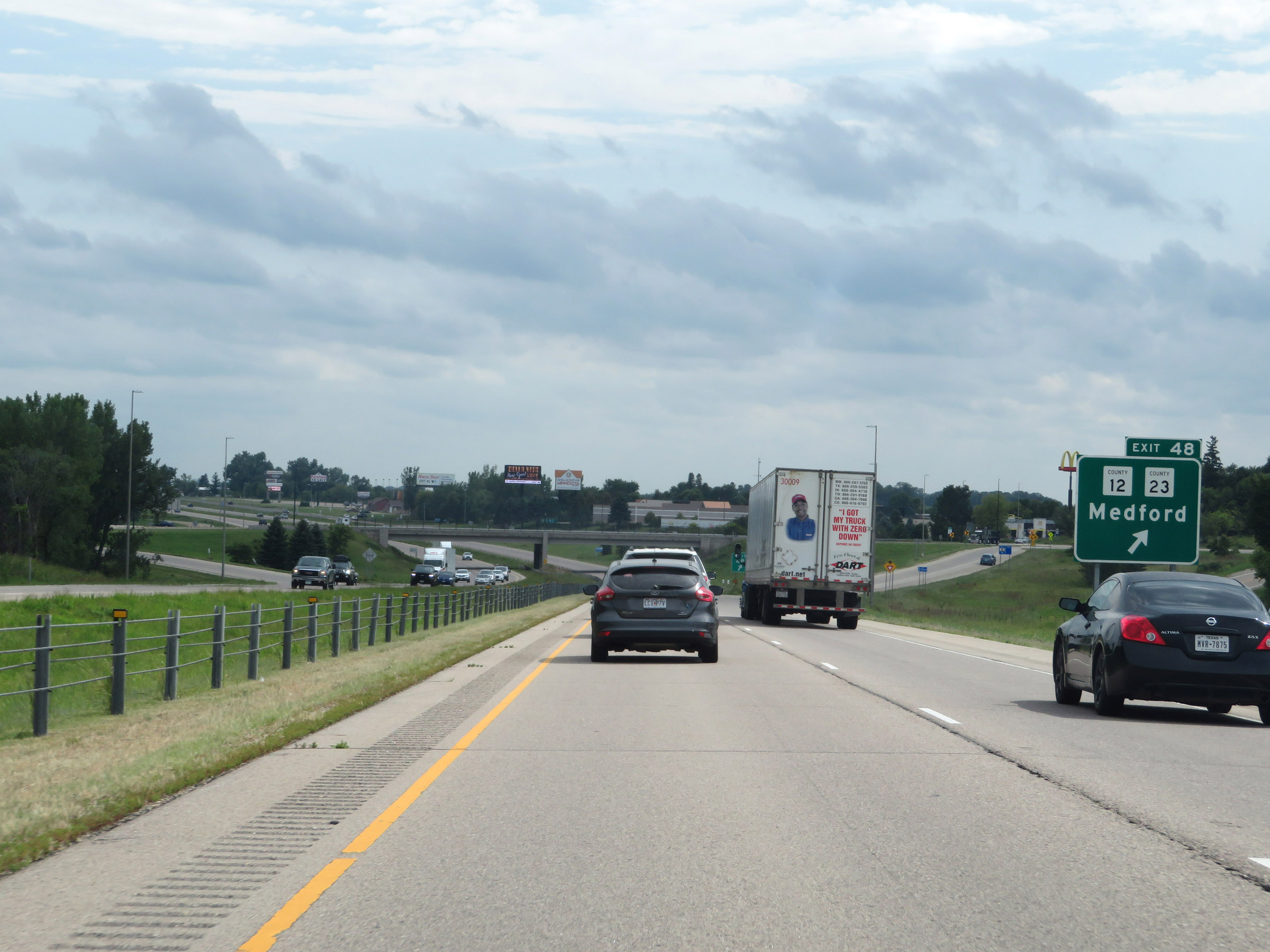 |
Interstate 35 South at Exit 48: CR 12 / CR 23 - Medford (Photo taken 8/7/20). |
 |
Another Interstate 35 South reassurance shield. (Photo taken 8/7/20). |
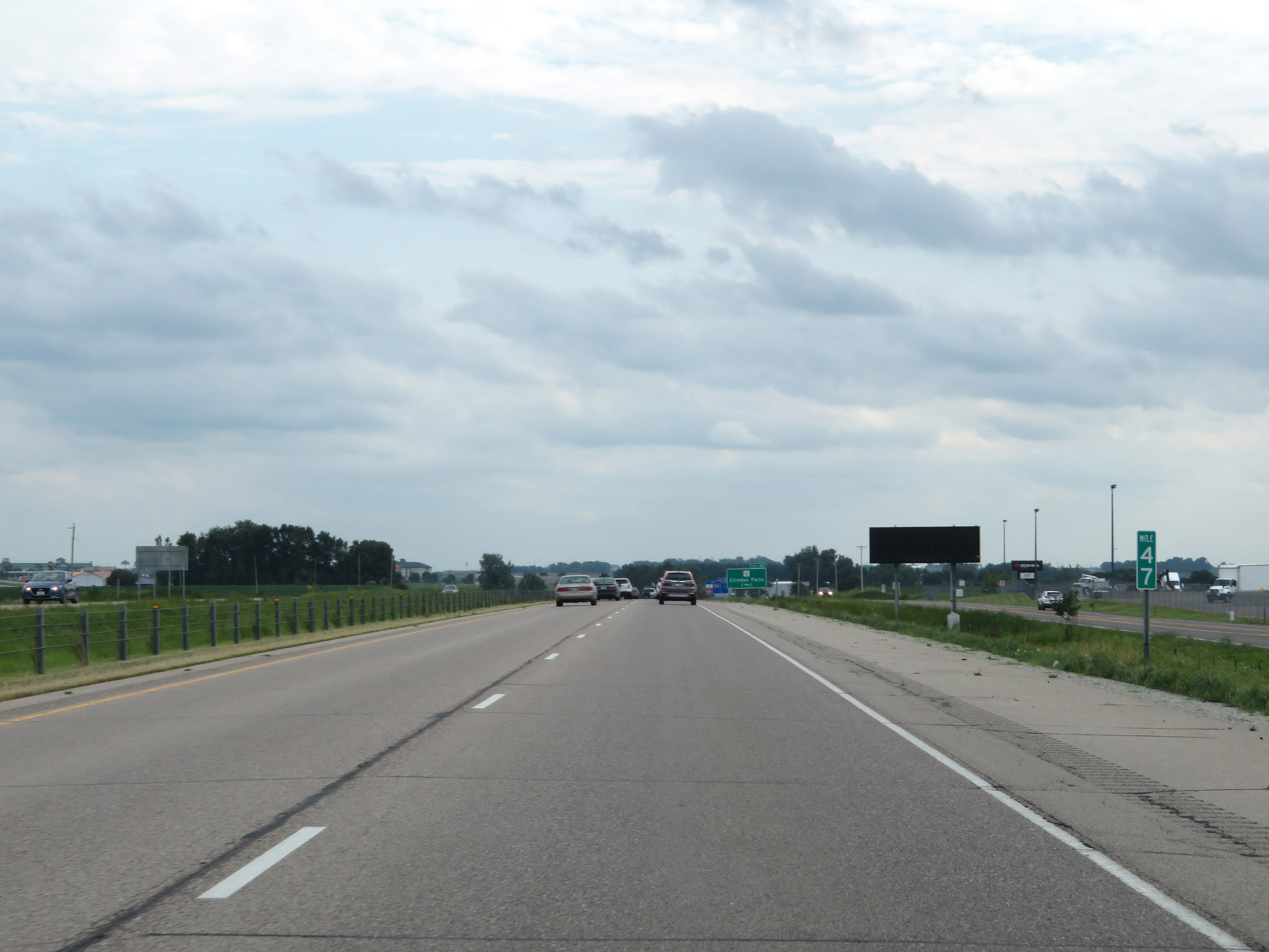 |
Mile marker 47 on Interstate 35 South in Steele County. (Photo taken 8/7/20). |
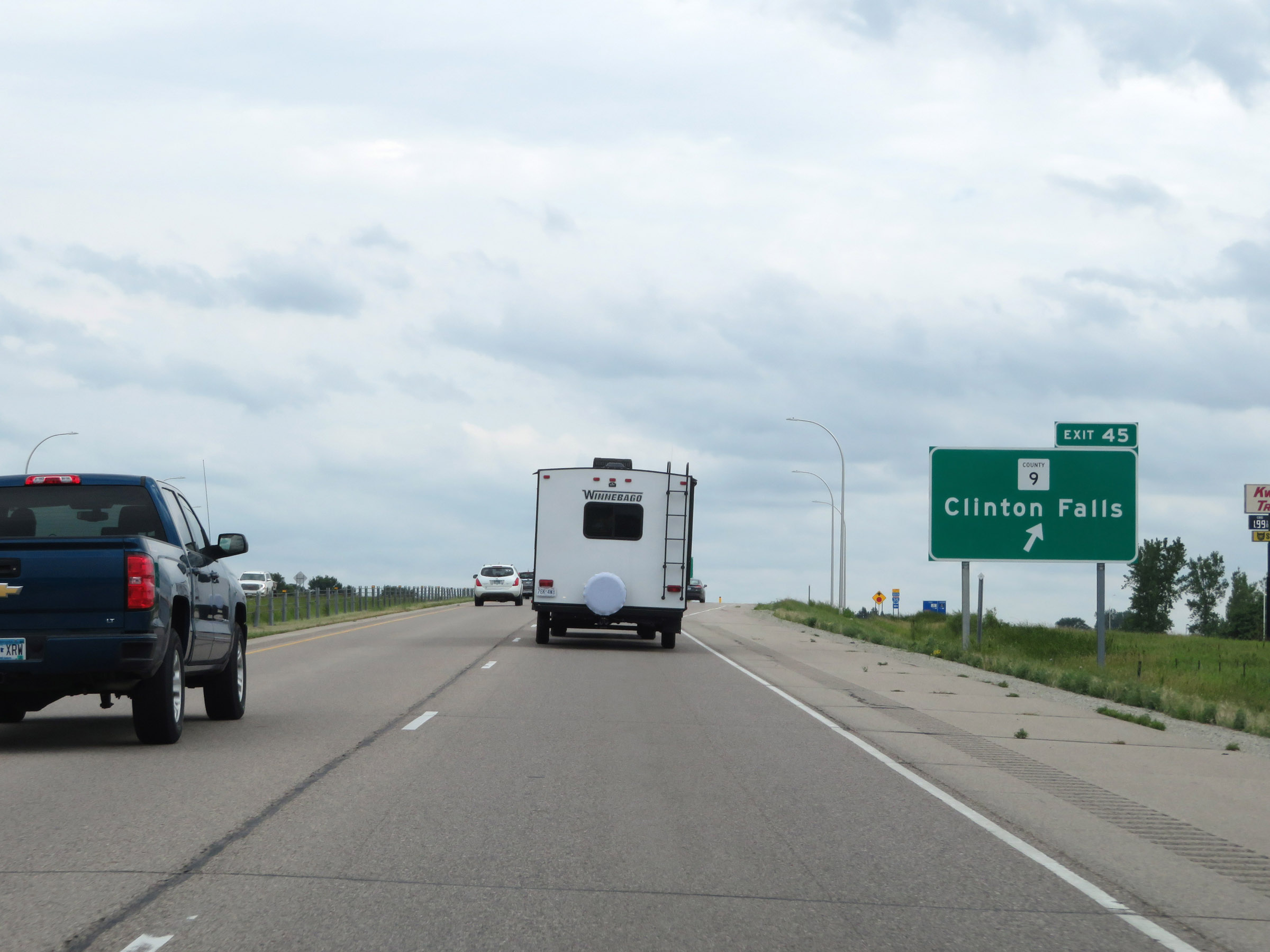 |
Interstate 35 South at Exit 45: CR 9 - Clinton Falls (Photo taken 8/7/20). |
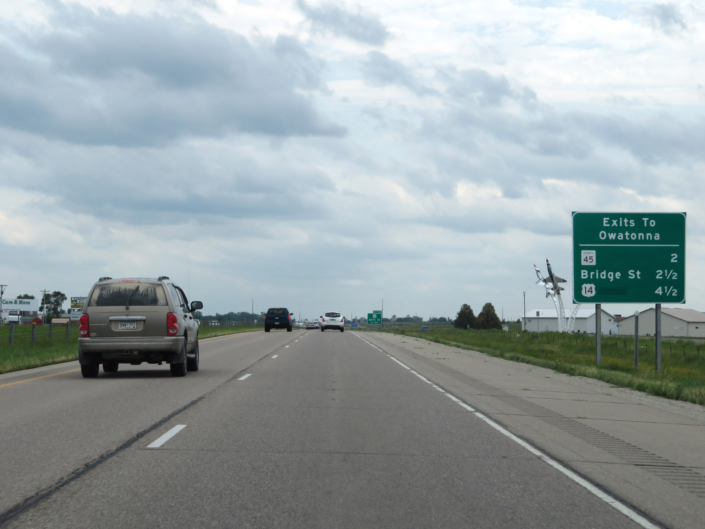 |
This sign lists the distances to the three upcoming exits to Owatonna. (Photo taken 8/7/20). |
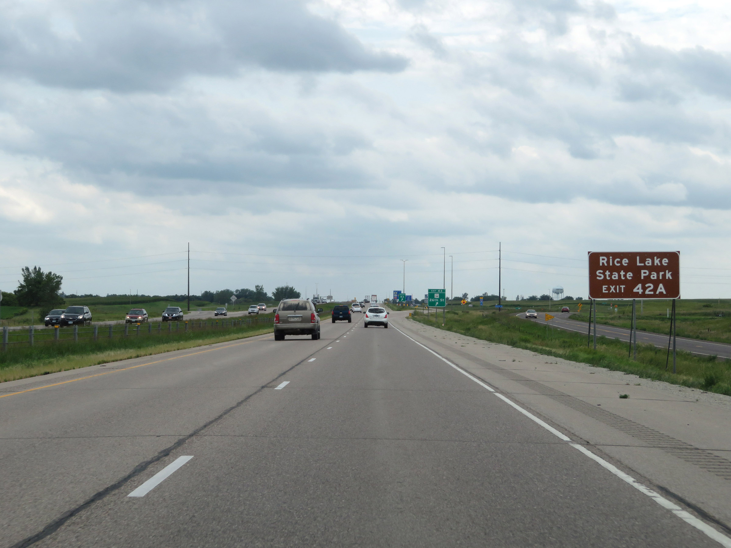 |
Take Exit 42A to Rice Lake State Park. (Photo taken 8/7/20). |
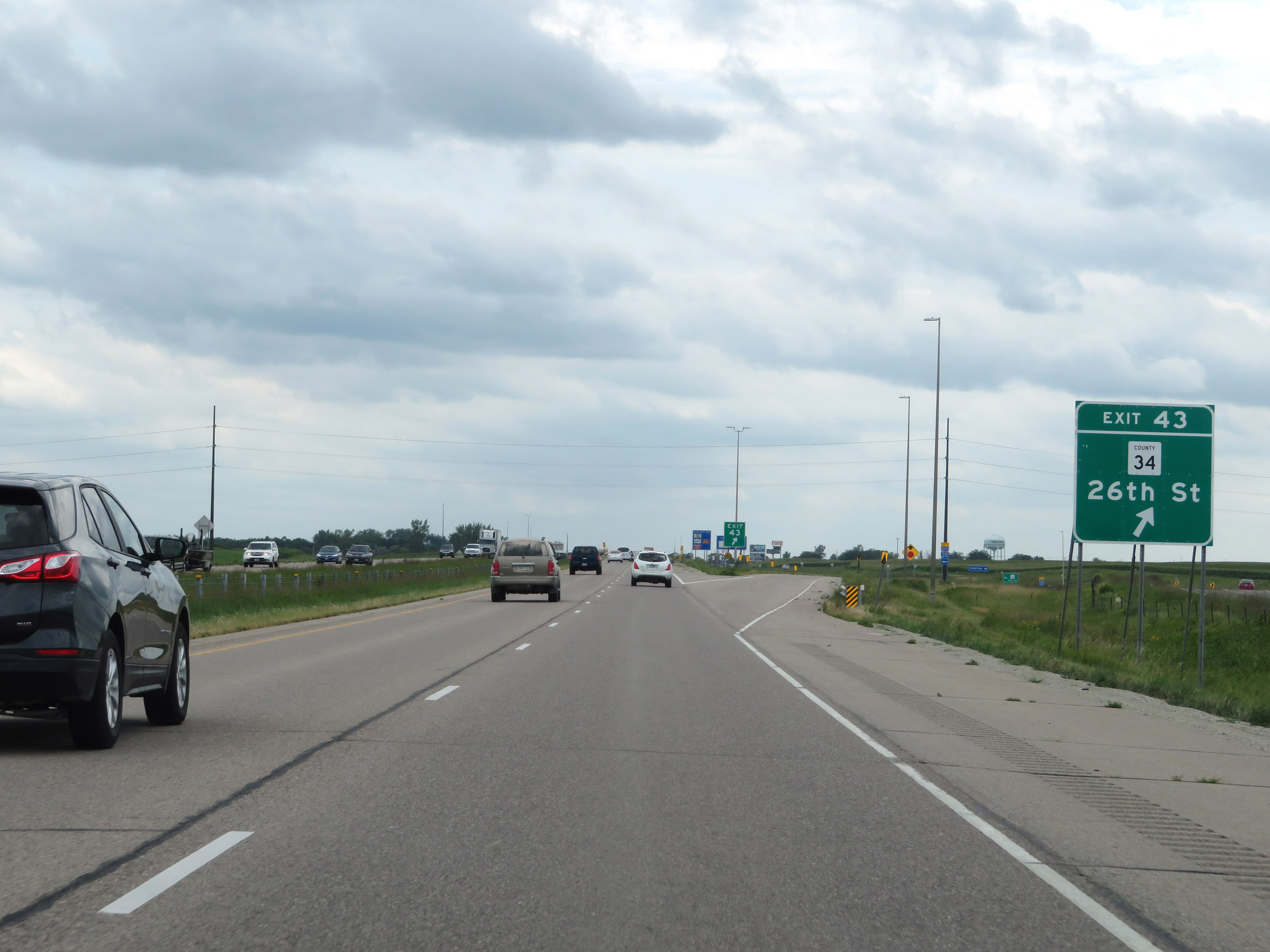 |
Interstate 35 South at Exit 43: CR 34 - 26th St (Photo taken 8/7/20). |
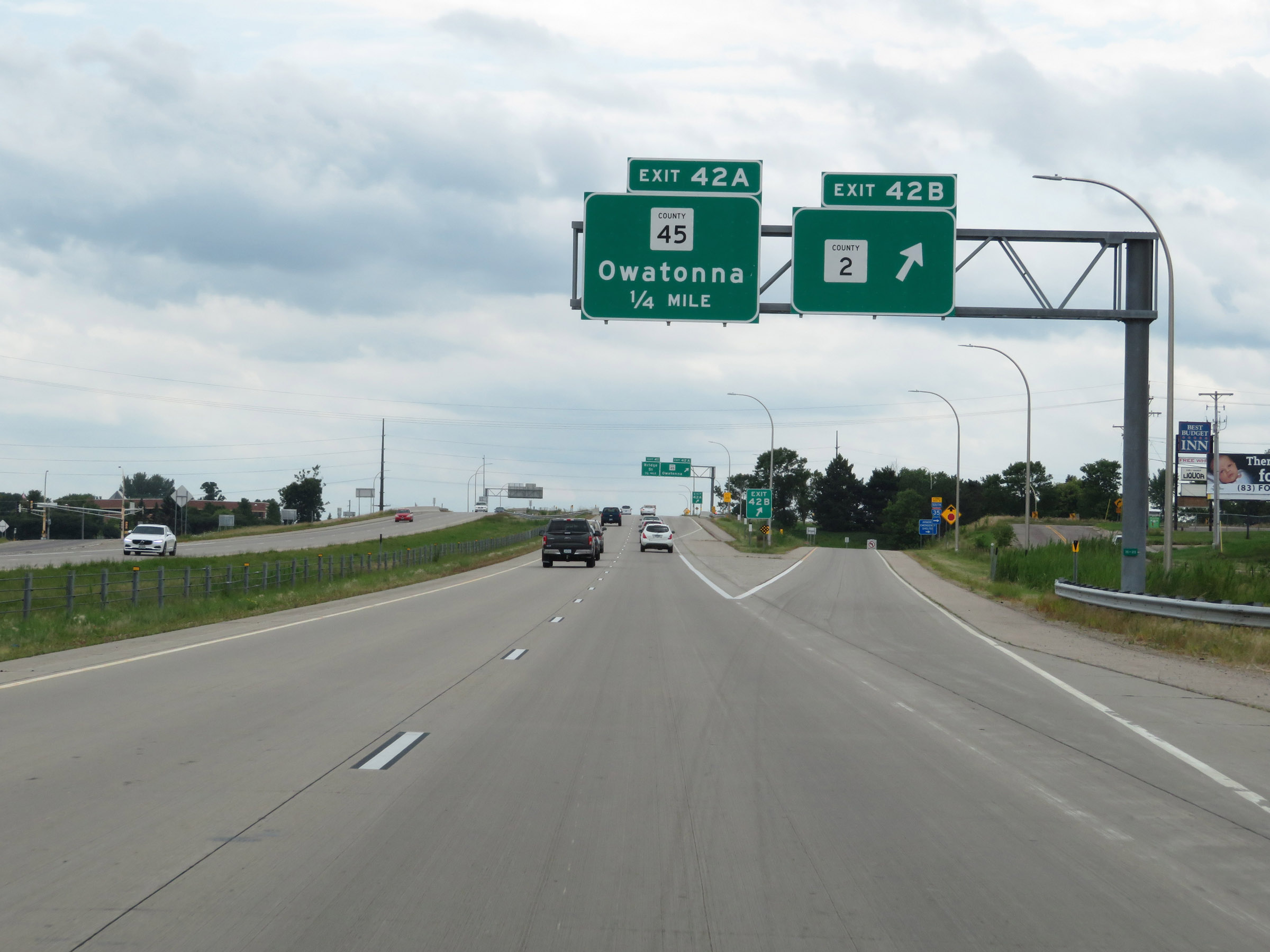 |
Interstate 35 South at Exit 42B: CR 2 (Photo taken 8/7/20). |
 |
Interstate 35 South at Exit 42A: CR 45 - Owatonna (Photo taken 8/7/20). |
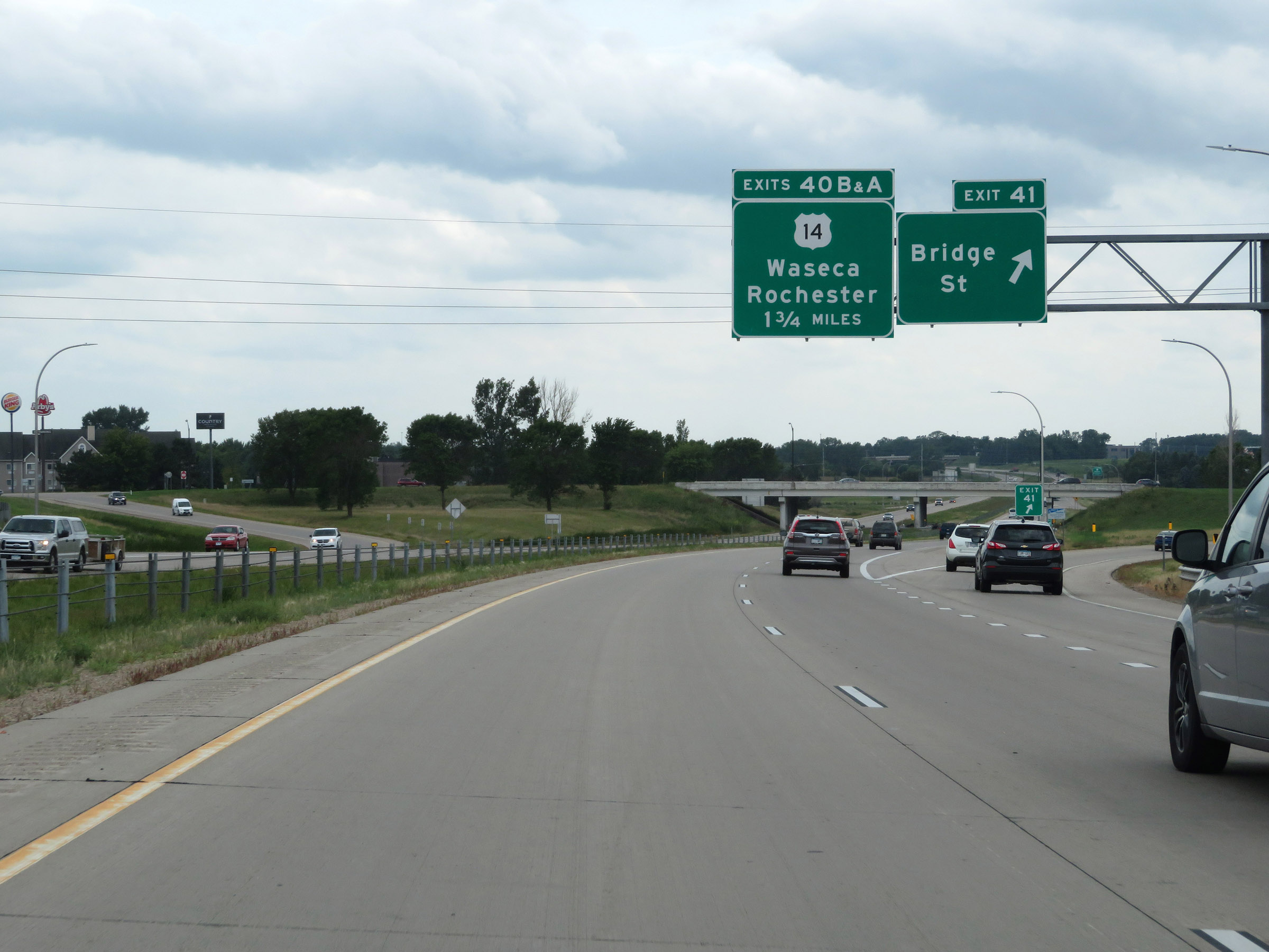 |
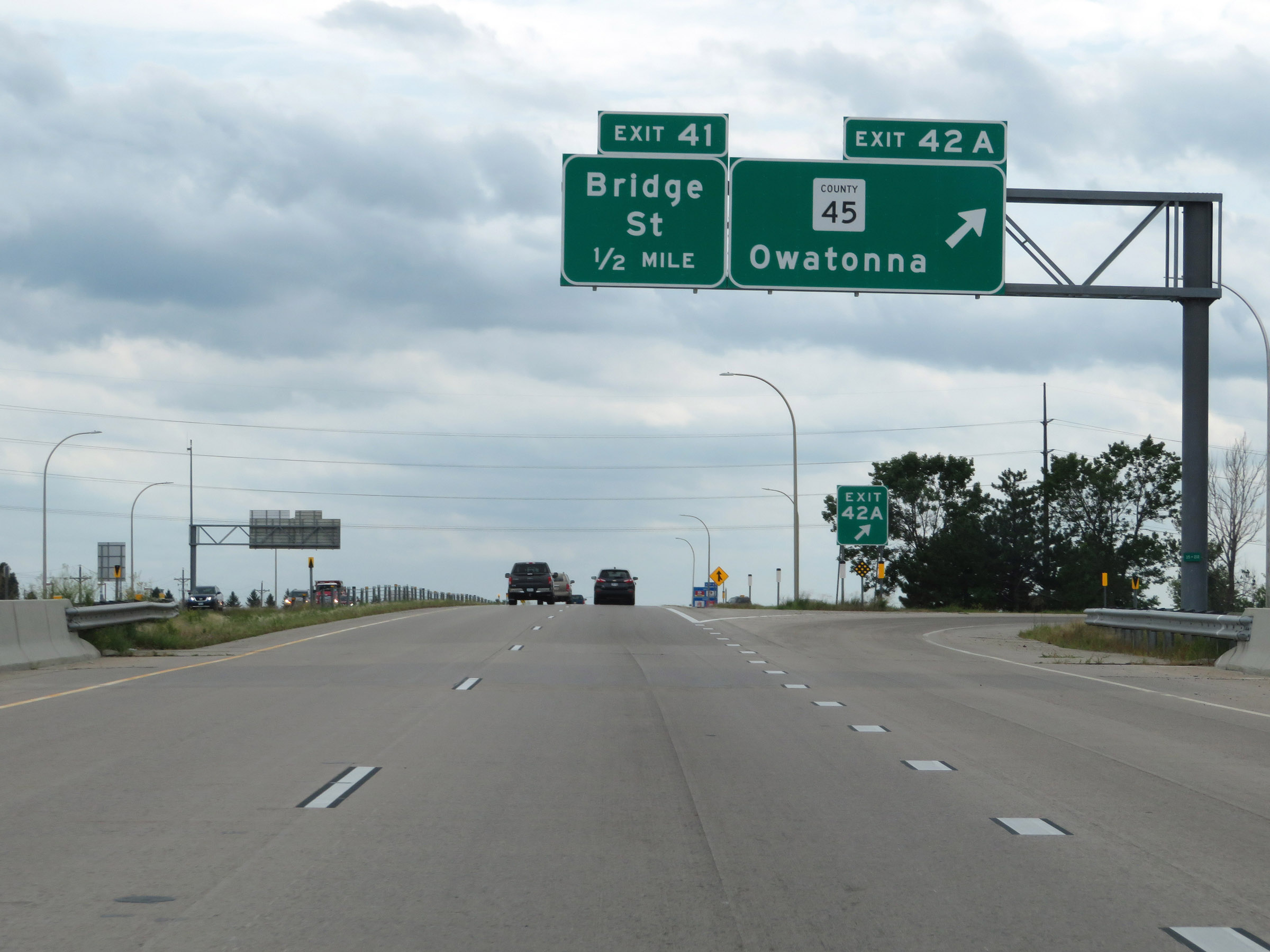
Interstate 35 South at Exit 41: Bridge St (Photo taken 8/7/20). |
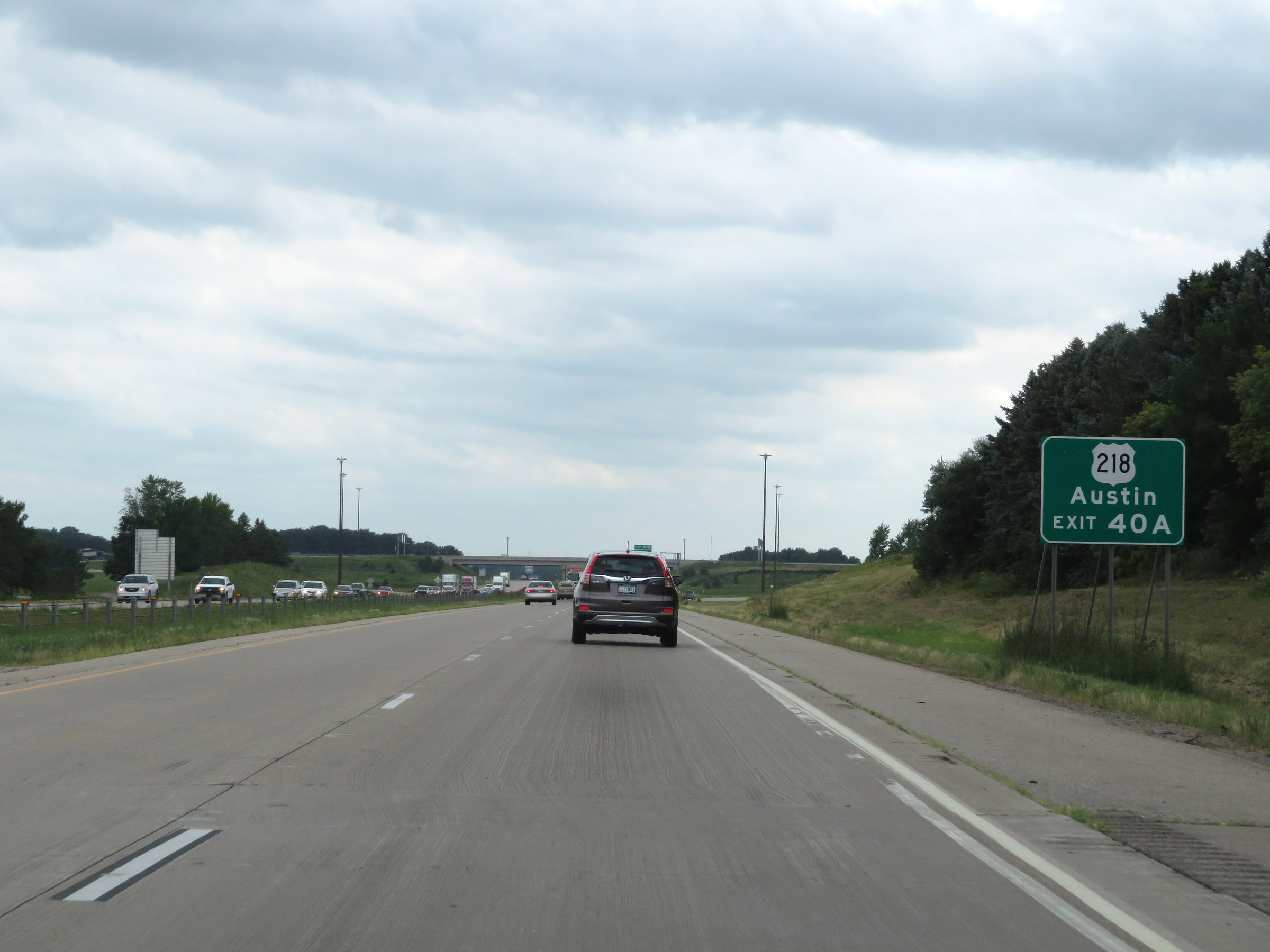 |
Take Exit 40A to Austin via US 218. (Photo taken 8/7/20). |
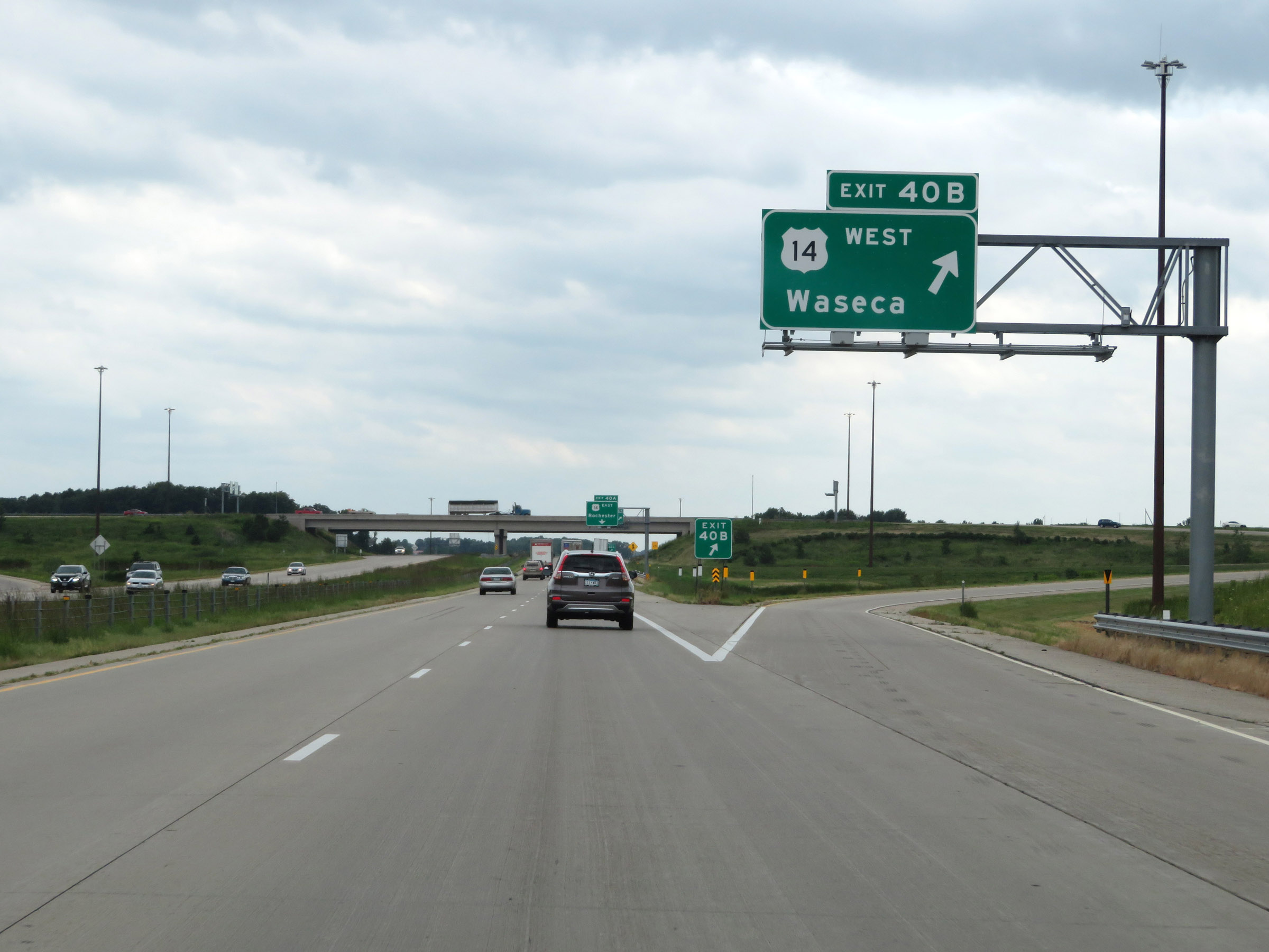 |
Interstate 35 South at Exit 40B: US 14 West - Waseca (Photo taken 8/7/20). |
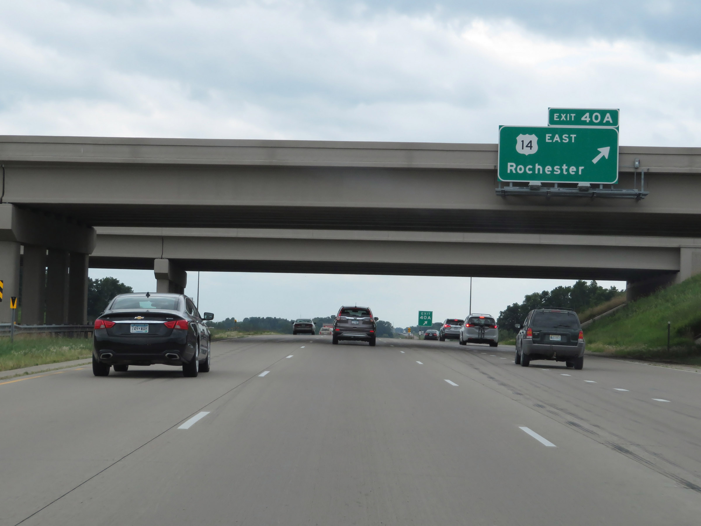 |
Interstate 35 South at Exit 40A: US 14 East - Rochester (Photo taken 8/7/20). |
Section 5: Owatonna (Exit 40A) to Iowa Border
 |
Interstate 35 South reassurance shield. (Photo taken 8/7/20). |
 |
Interstate 35 South at mile marker 38. (Photo taken 8/7/20). |
 |
The Rest Area ahead has family restrooms, a playground, and a walking trail. (Photo taken 8/7/20). |
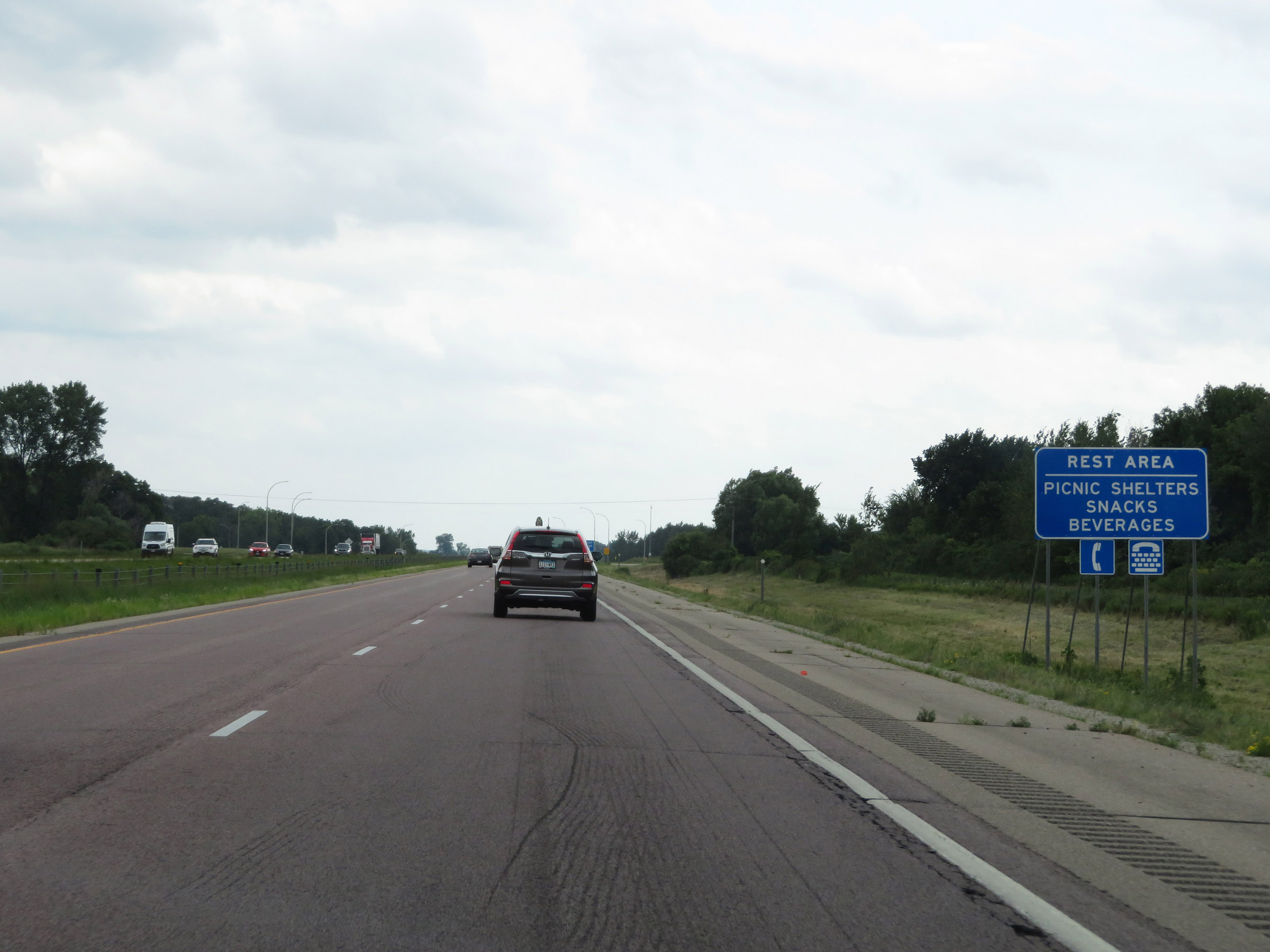 |
It also has picnic shelters and vending machines. (Photo taken 8/7/20). |
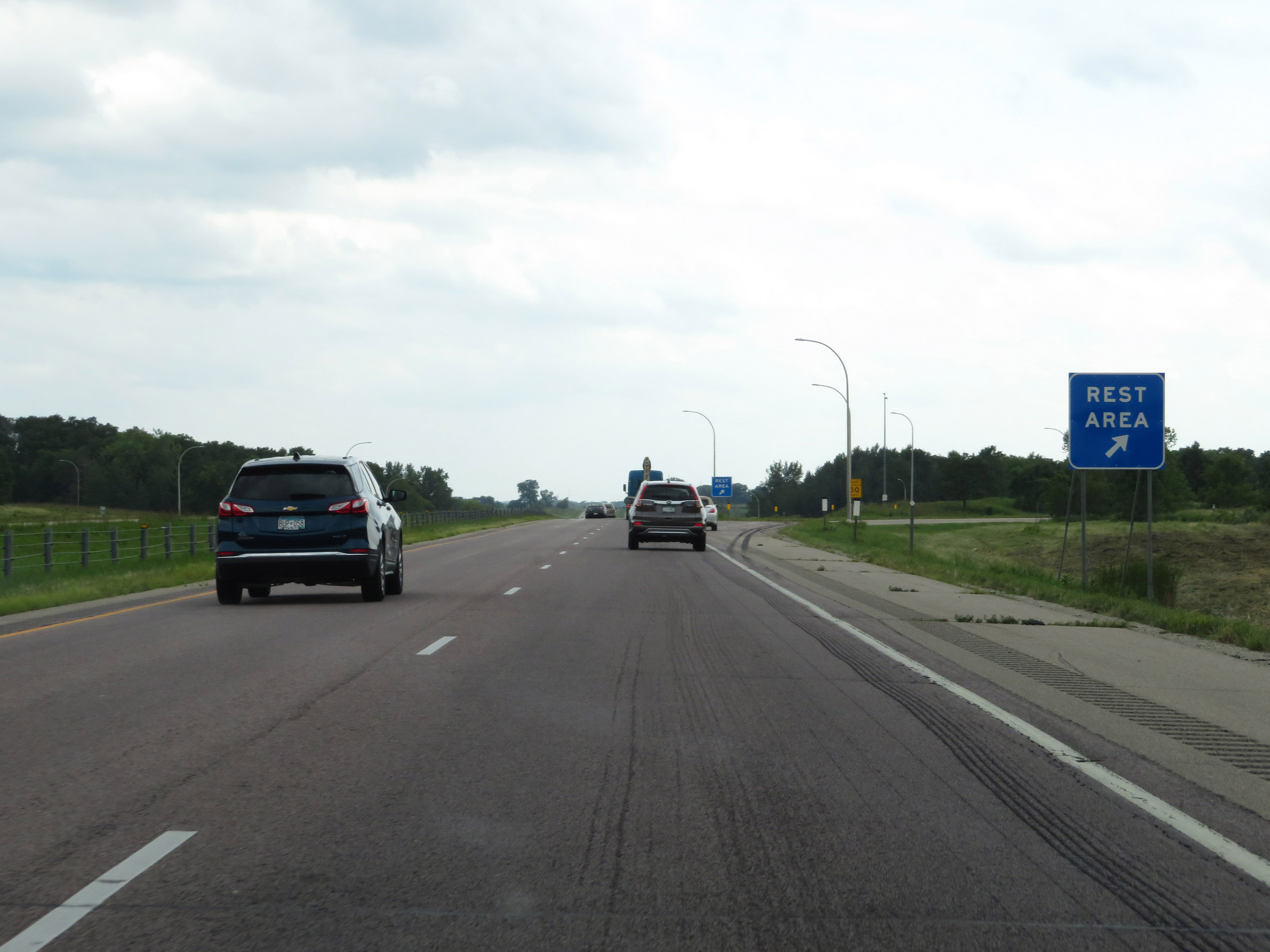 |
Rest Area on Interstate 35 South in Steele County. (Photo taken 8/7/20). |
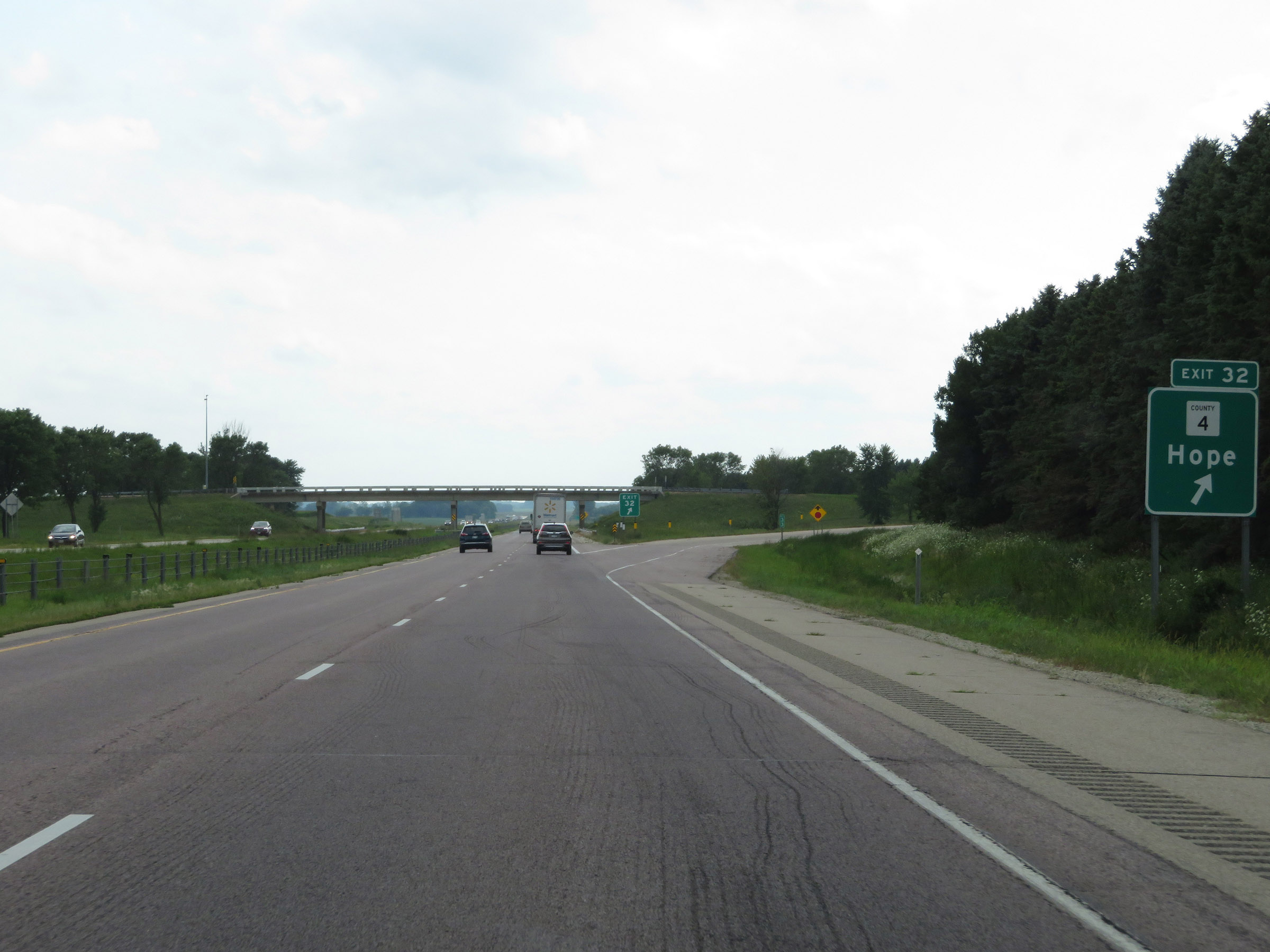 |
Interstate 35 South at Exit 32: CR 4 - Hope (Photo taken 8/7/20). |
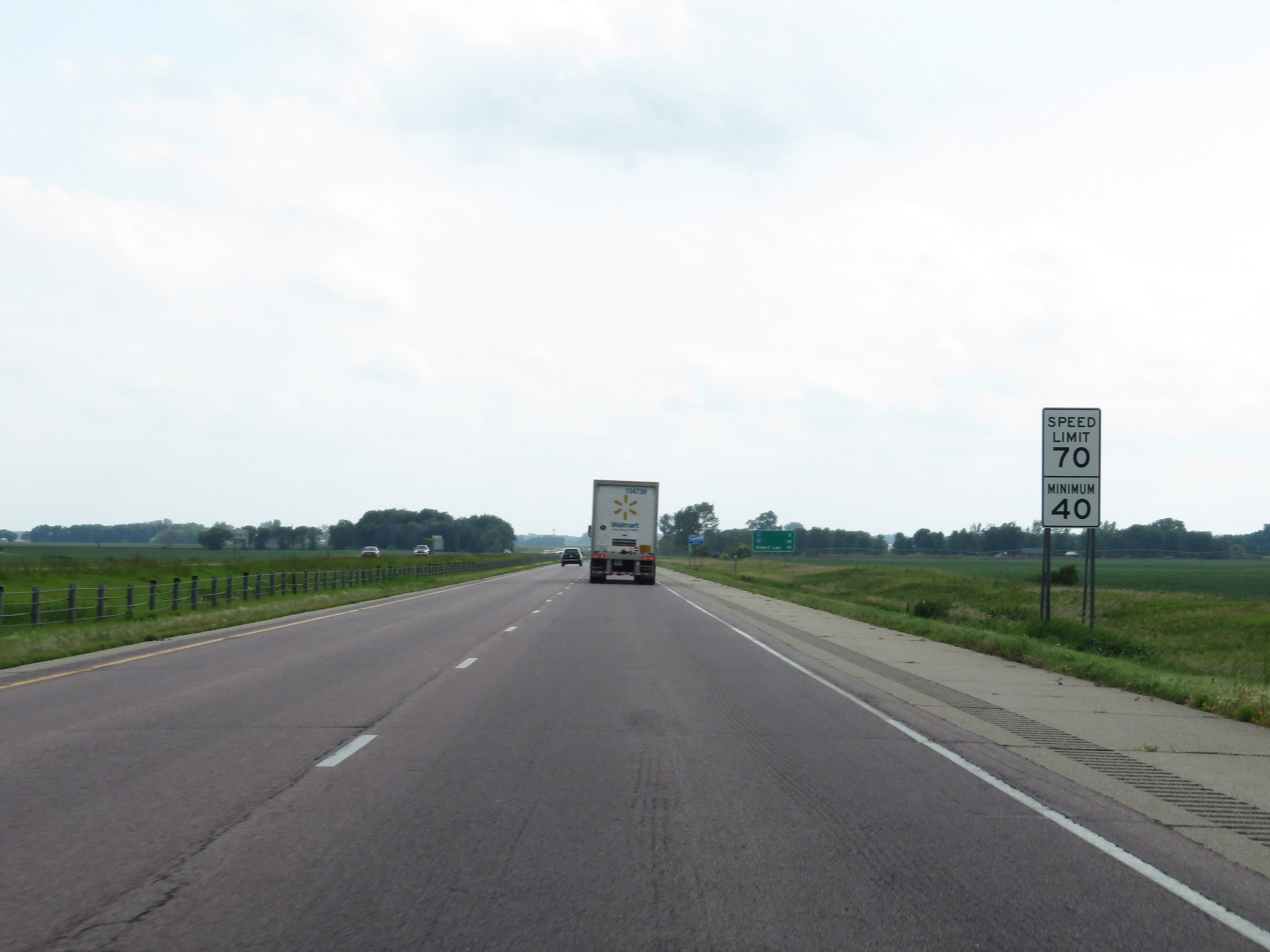 |
The speed limits remain 70 mph maximum and 40 mph minimum. (Photo taken 8/7/20). |
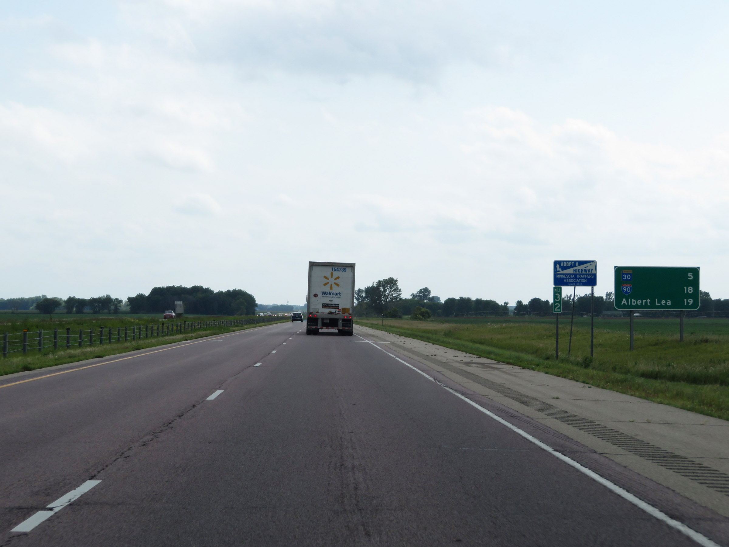 |
Mileage sign at mile marker 32. It's 5 miles to the junction of MN 30, 18 miles to the junction of Interstate 90, and 19 miles to Albert Lea. (Photo taken 8/7/20). |
 |
View on Interstate 35 South at mile marker 31. (Photo taken 8/7/20). |
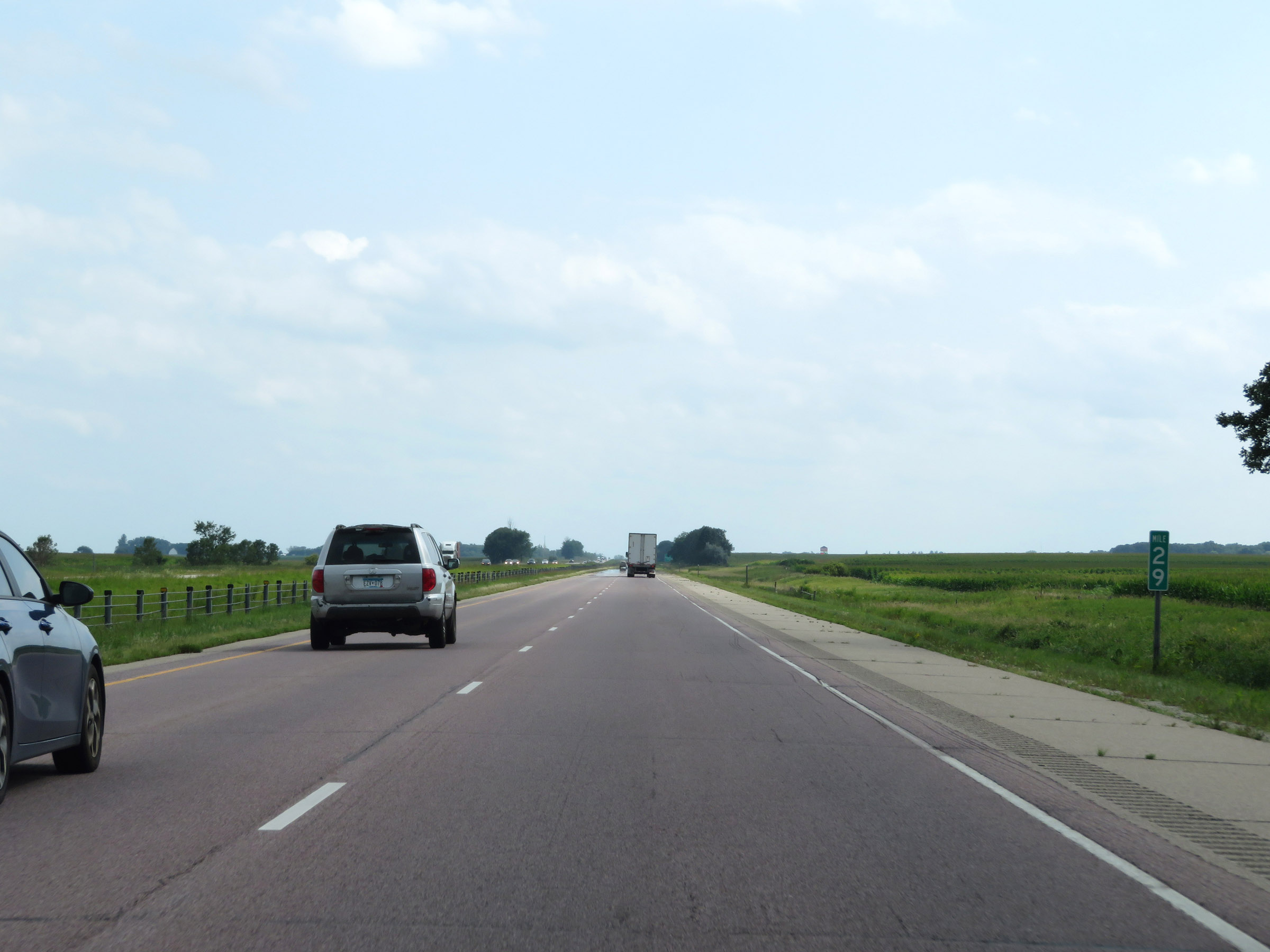 |
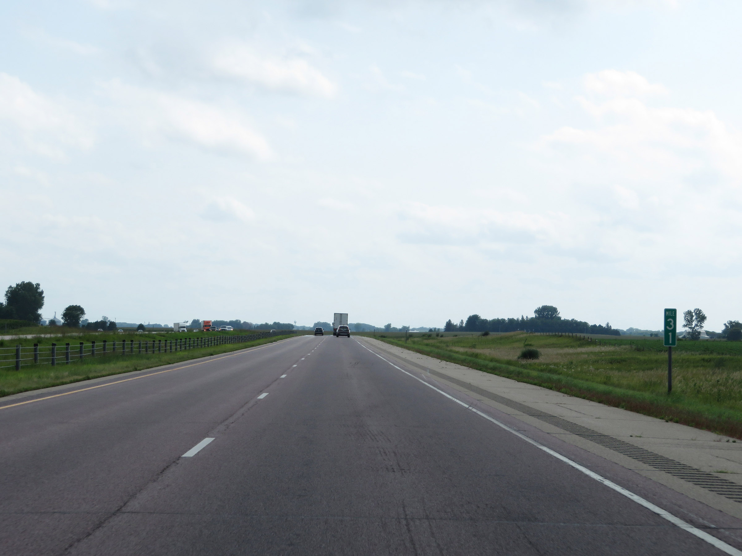
Interstate 35 South at mile marker 29. (Photo taken 8/7/20). |
 |
Take Exit 26 to Ellendale. (Photo taken 8/7/20). |
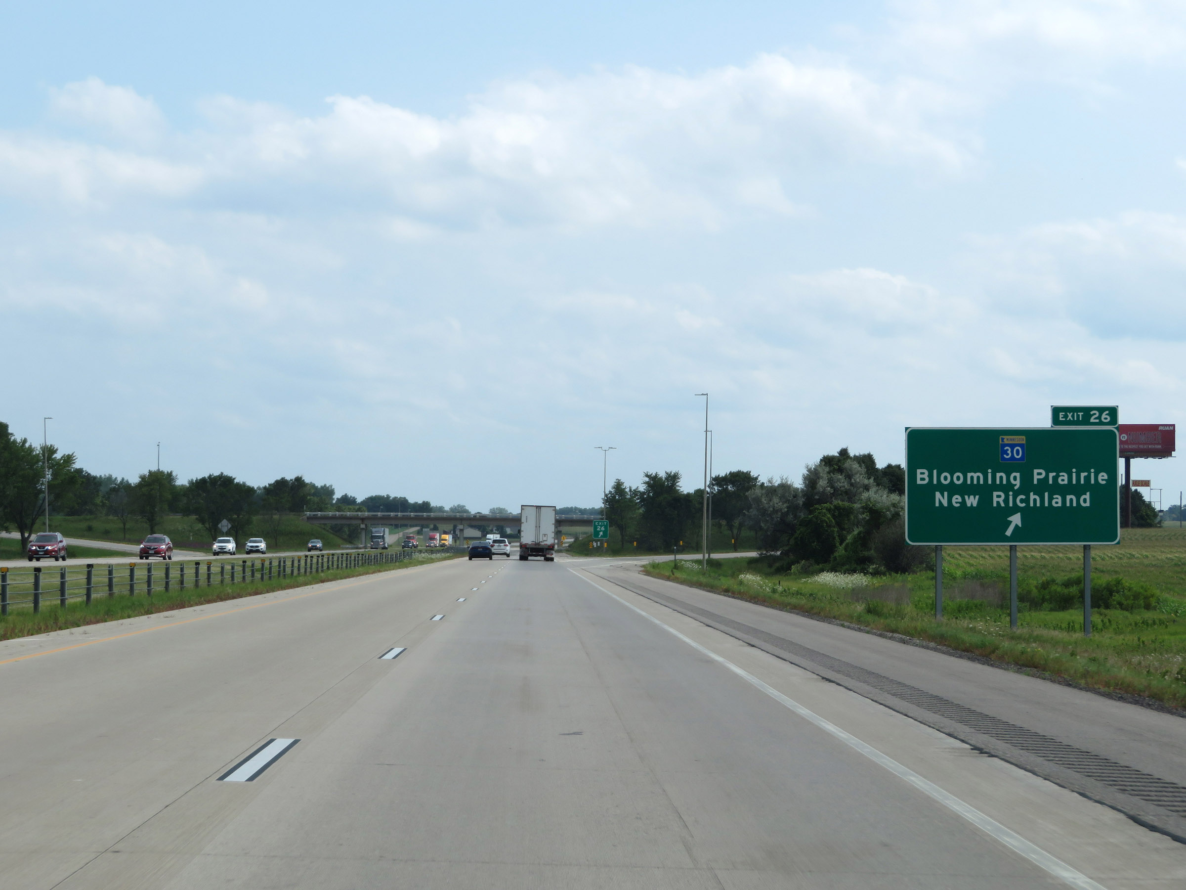 |
Interstate 35 South at Exit 26: MN 30 - Blooming Prairie / New Richland (Photo taken 8/7/20). |
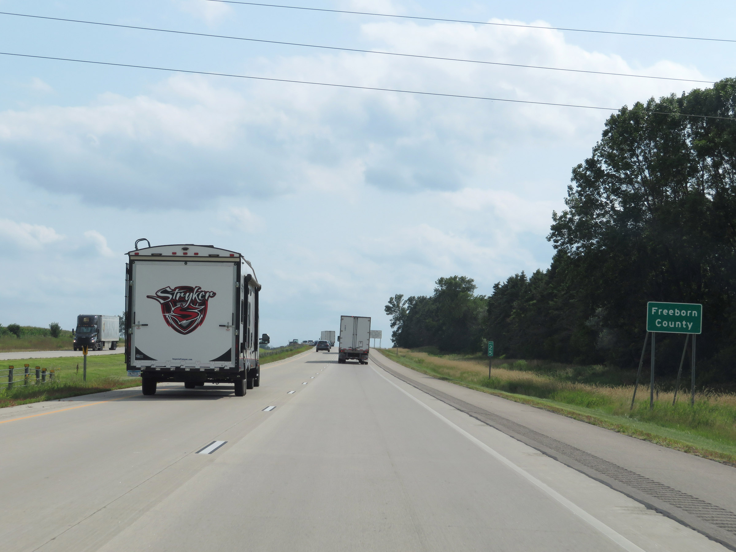 |
At mile marker 25, Interstate 35 South enters Freeborn County. (Photo taken 8/7/20). |
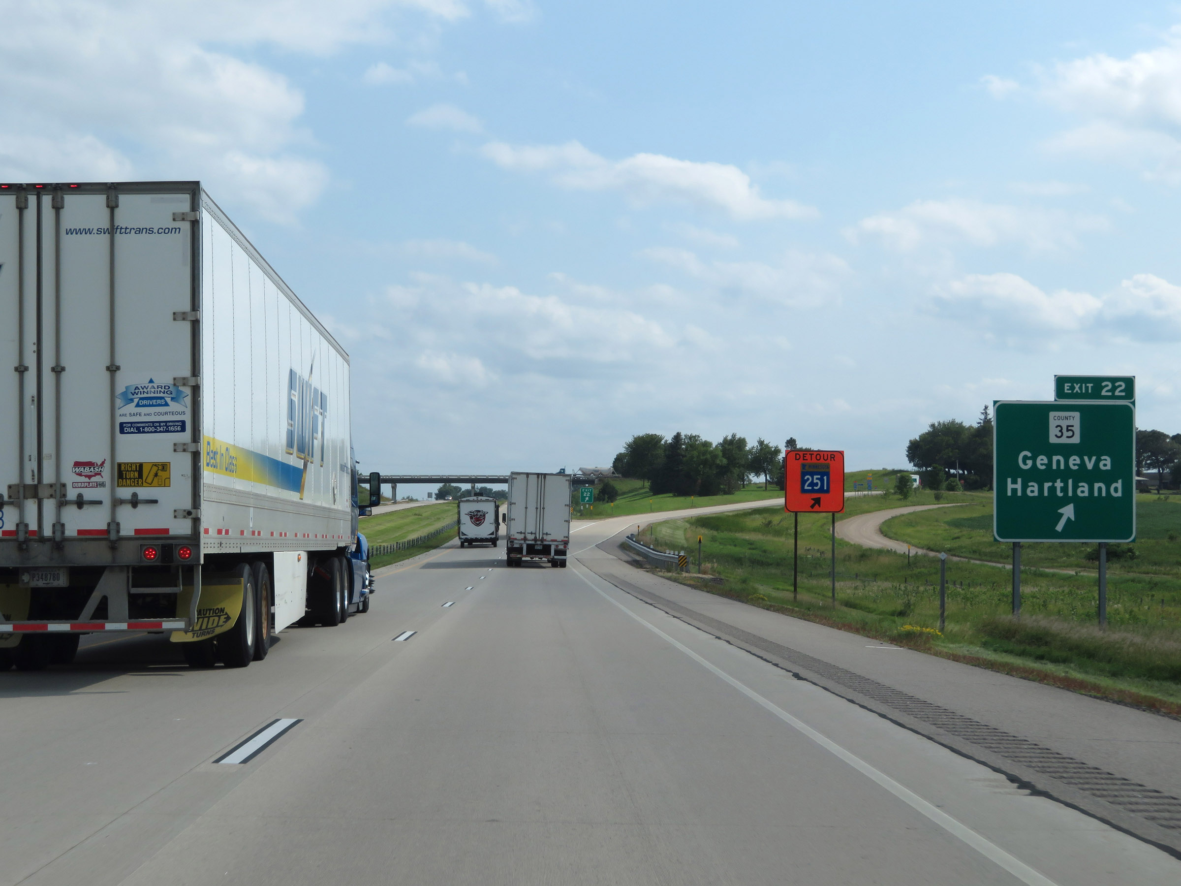 |
Interstate 35 South at Exit 22: CR 35 - Geneva / Hartland (Photo taken 8/7/20). |
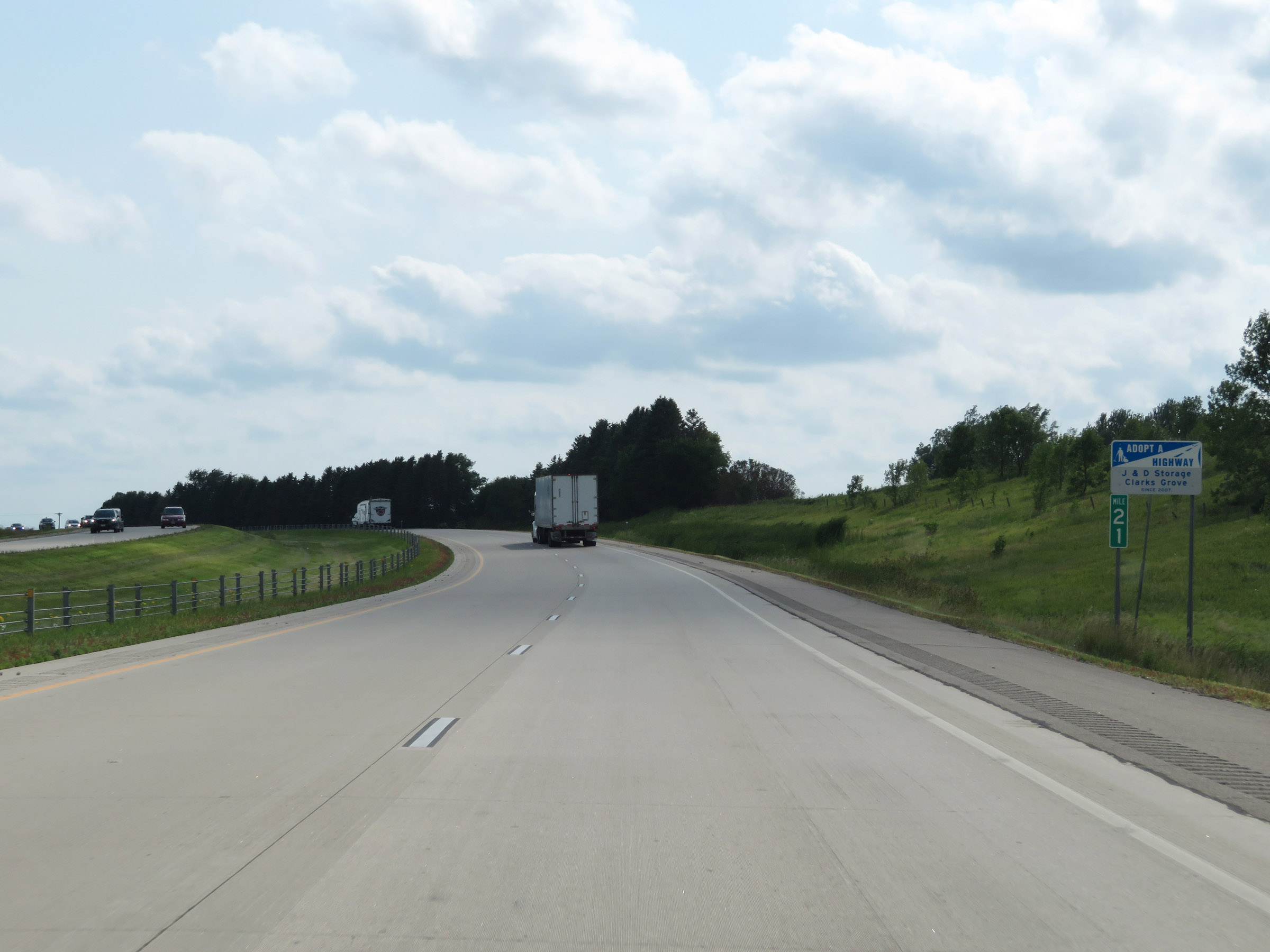 |
View on Interstate 35 South at mile marker 21. (Photo taken 8/7/20). |
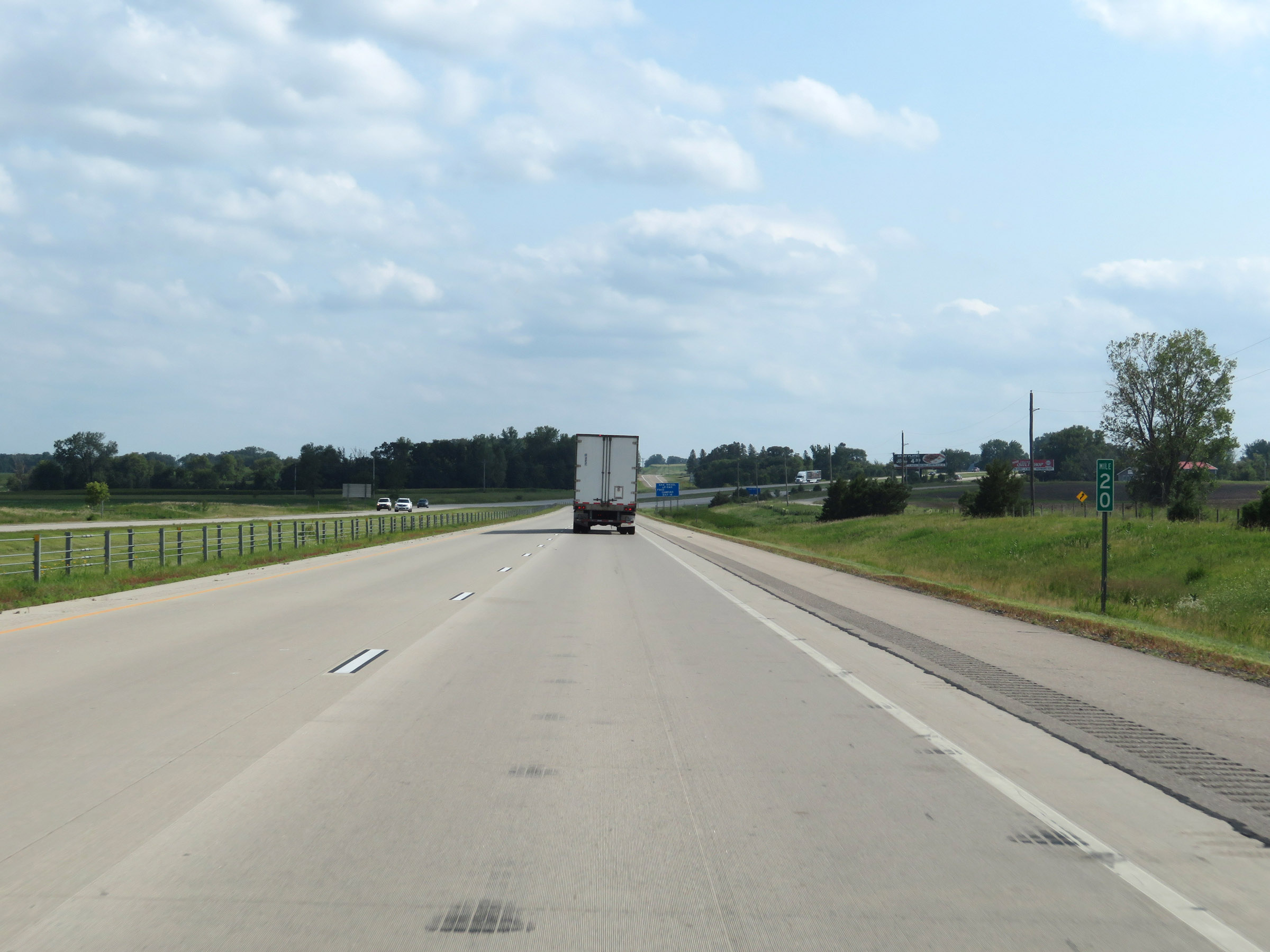 |
Interstate 35 South at mile marker 20. (Photo taken 8/7/20). |
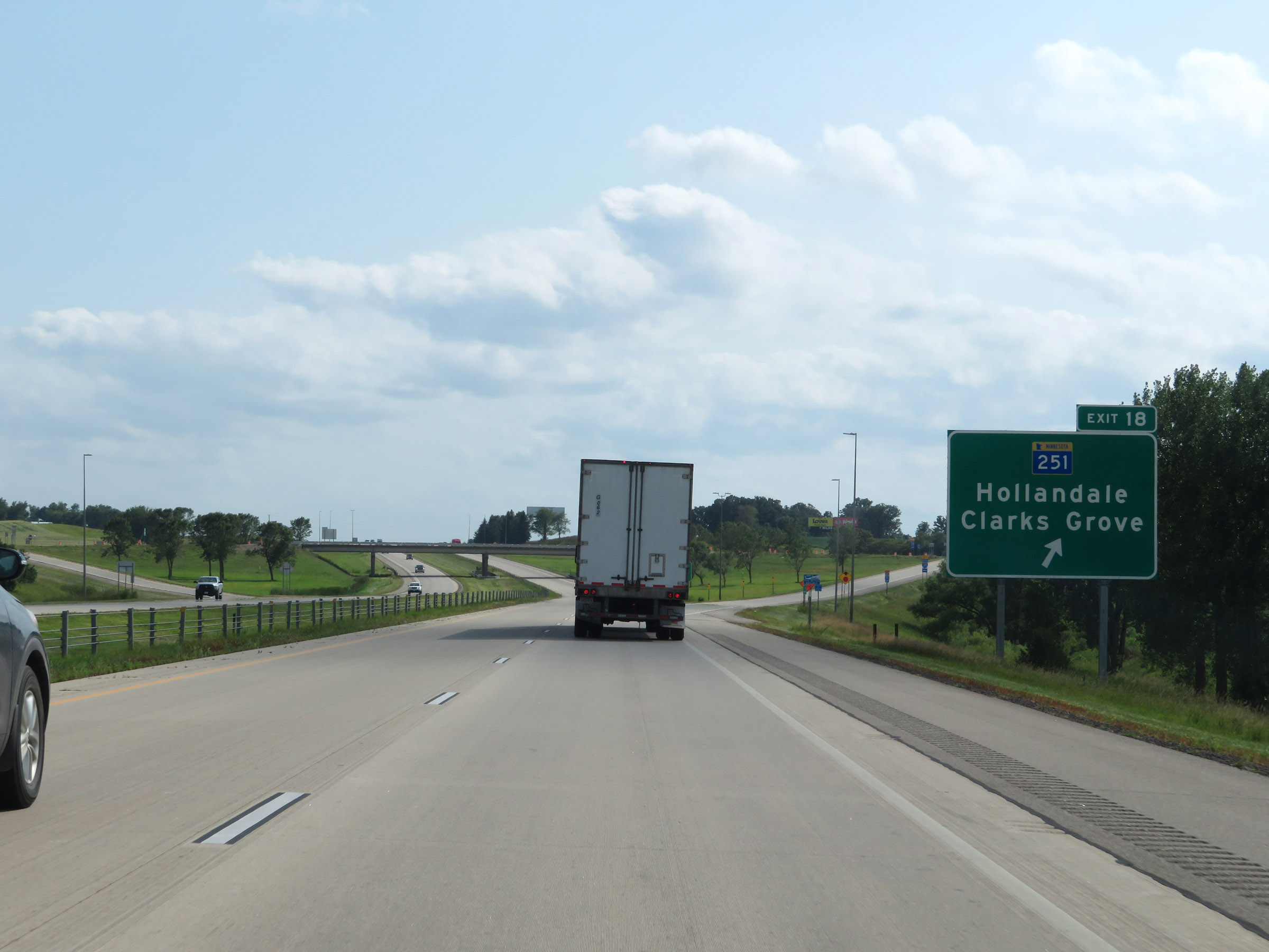 |
Interstate 35 South at Exit 18: MN 251 - Hollandale / Clarks Grove (Photo taken 8/7/20). |
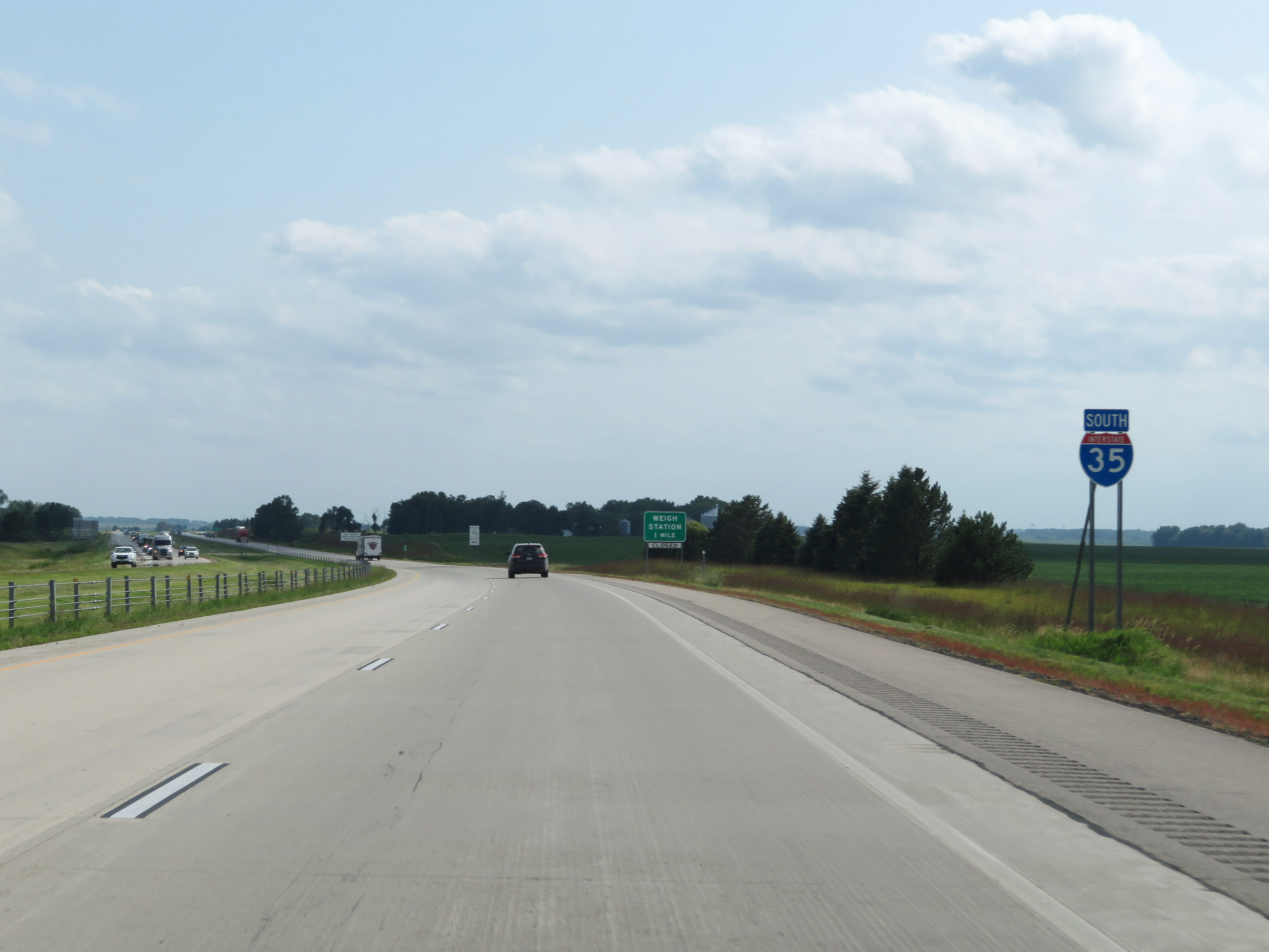 |
Another Interstate 35 South reassurance shield. (Photo taken 8/7/20). |
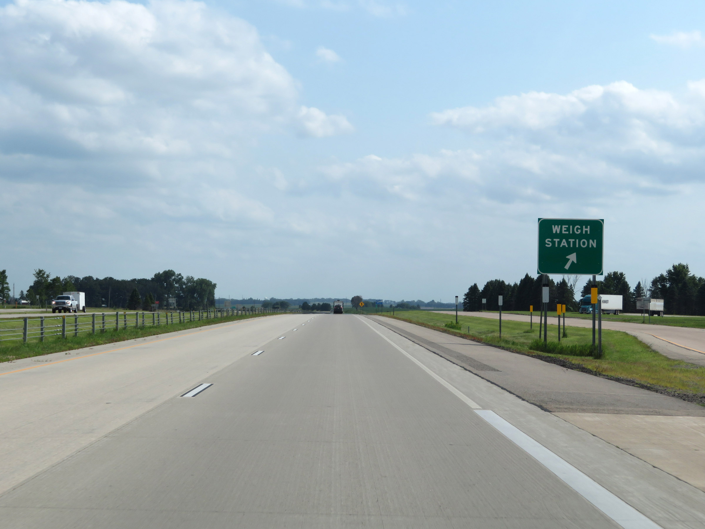 |
Weigh Station on Interstate 35 South in Freeborn County. (Photo taken 8/7/20). |
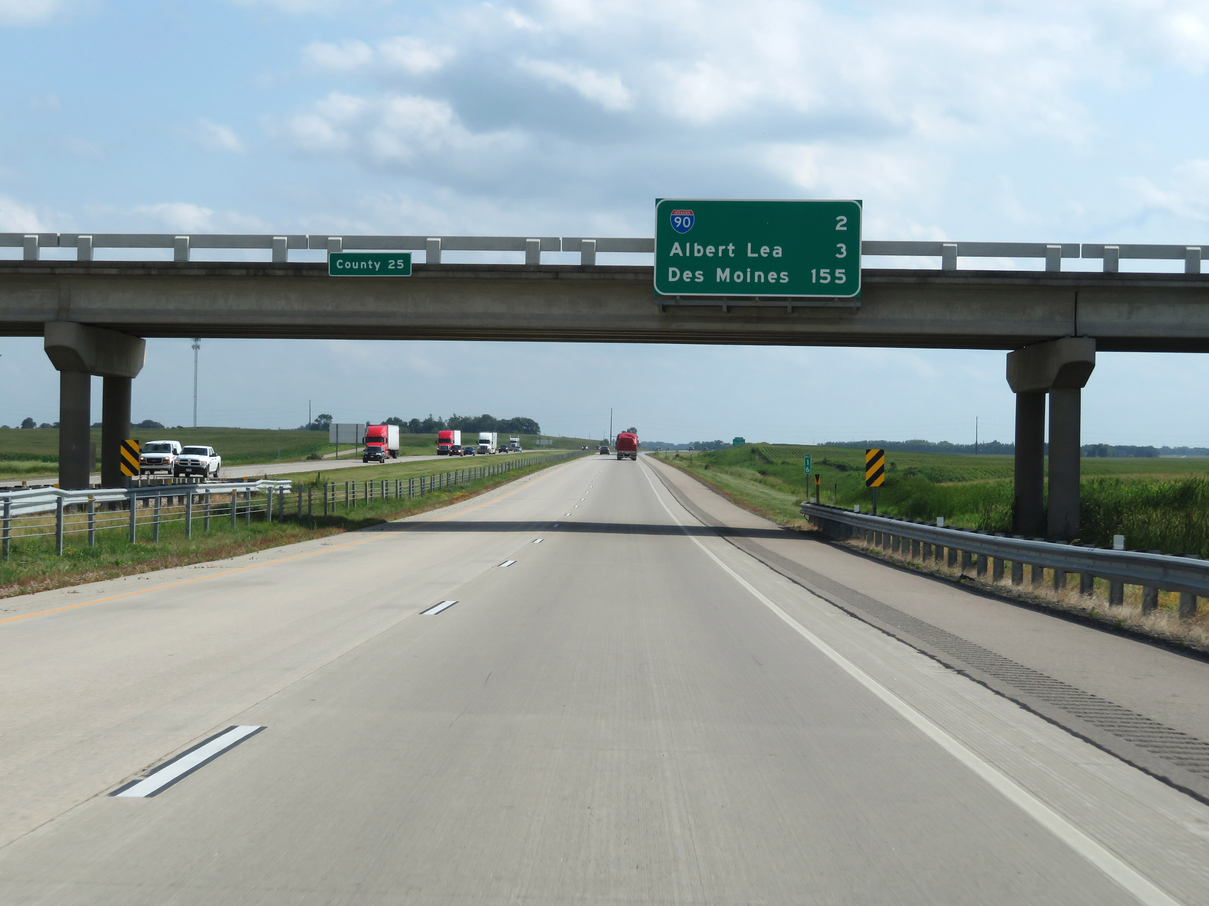 |
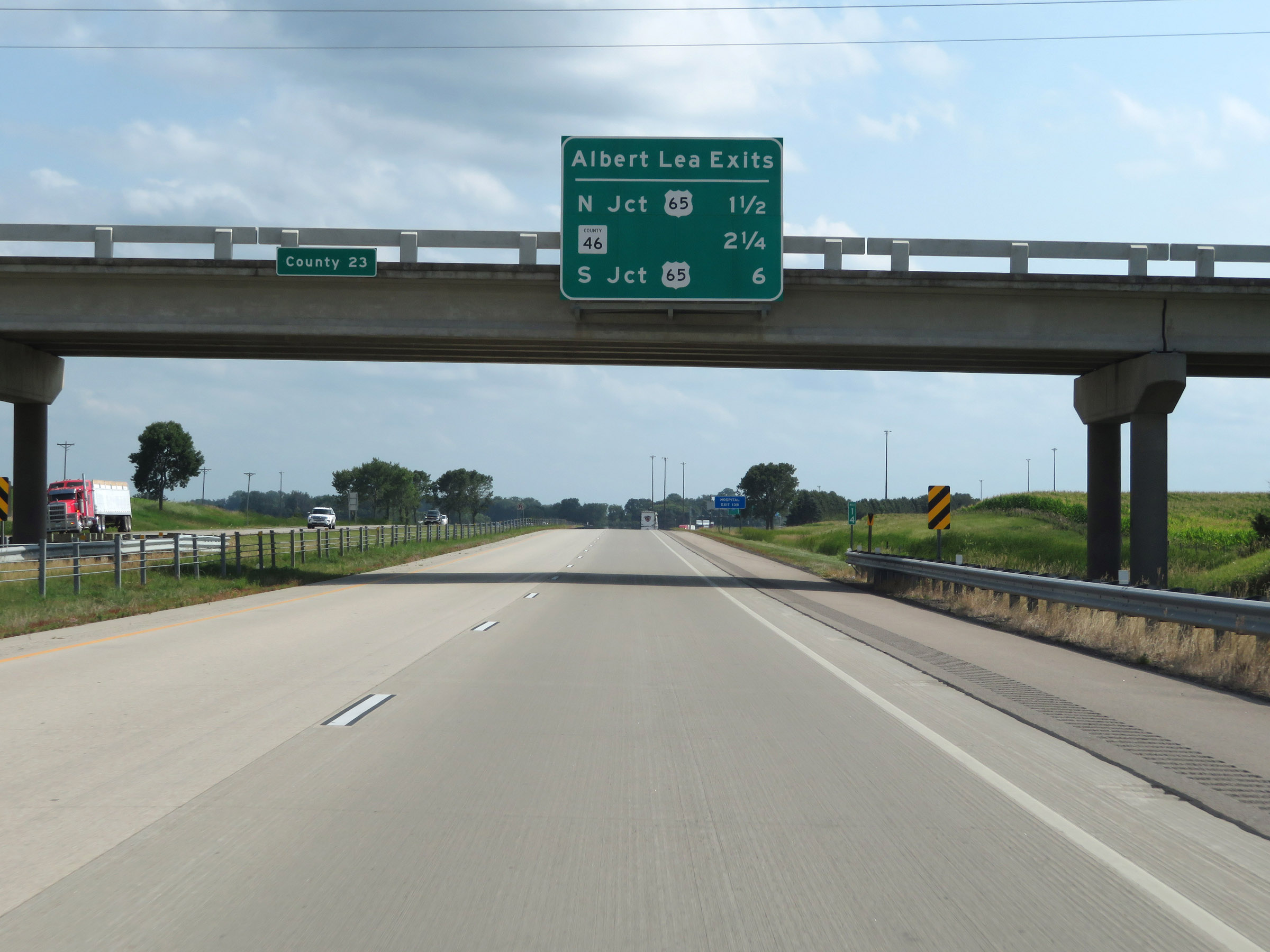
Overhead mileage sign on Interstate 35 South. It's 2 miles to the junction of Interstate 90, 3 miles to Albert Lea, and 155 miles to Des Moines. (Photo taken 8/7/20). |
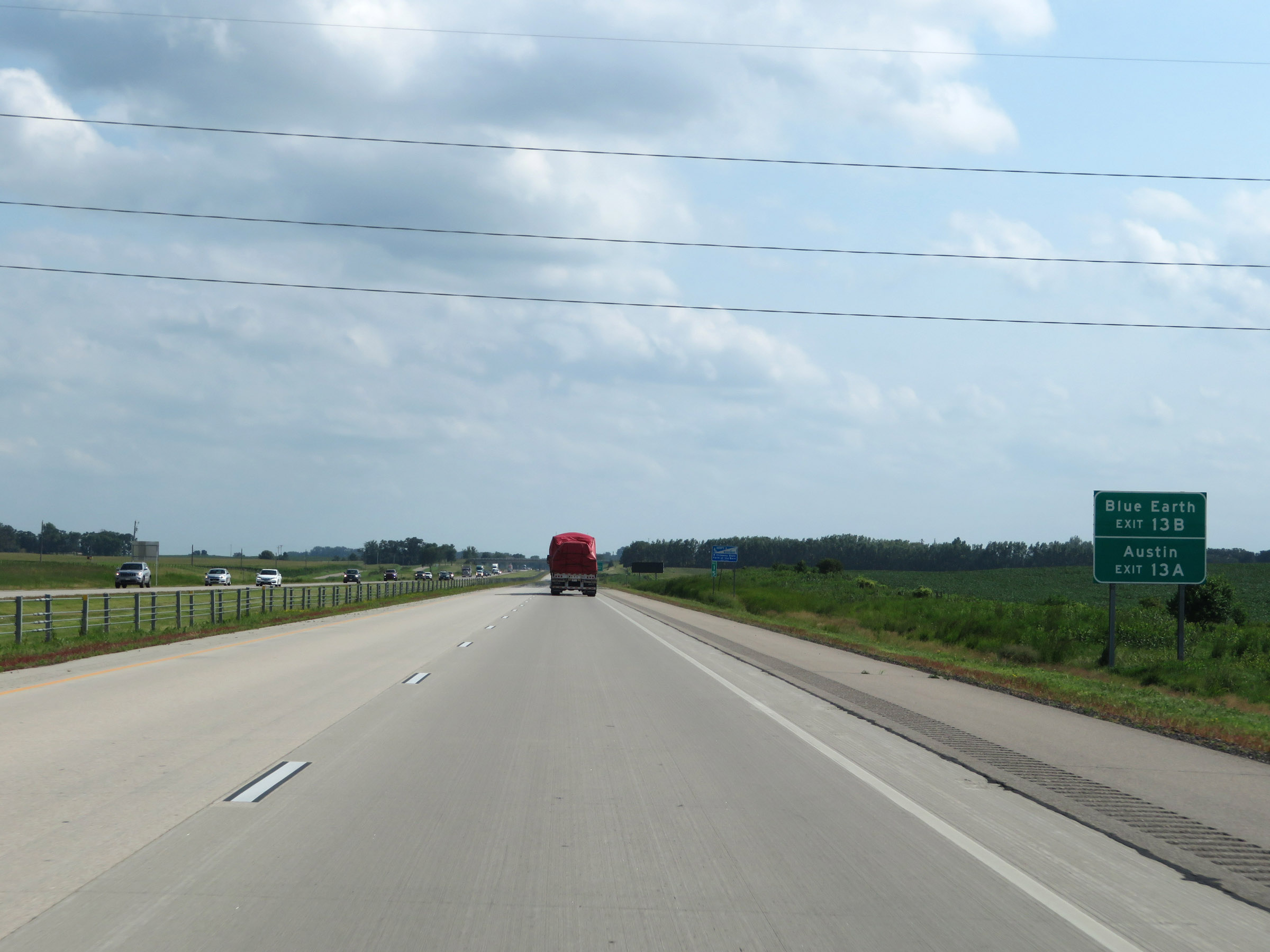 |
Take Exit 13B (Interstate 90 West) to Blue Earth. Take Exit 13A (Interstate 90 East) to Austin. (Photo taken 8/7/20). |
 |
Interstate 35 South approaching Exits 13B-A - 1 mile. (Photo taken 8/7/20). |
 |
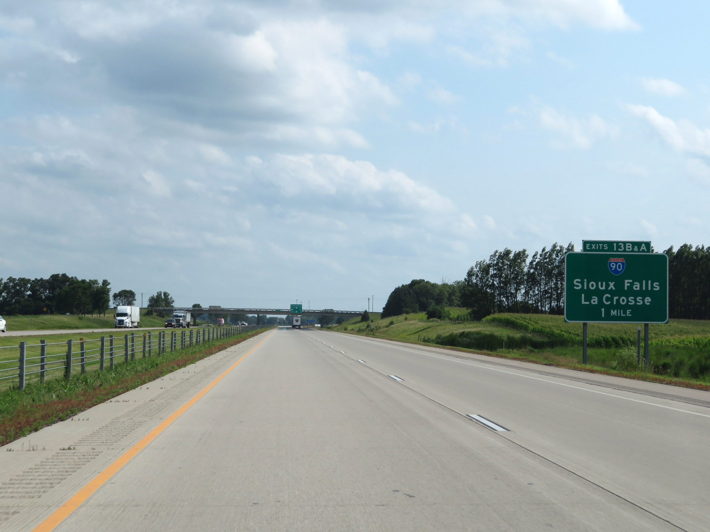
This overhead mileage sign lists the distances to the three upcoming exits to Albert Lea. (Photo taken 8/7/20). |
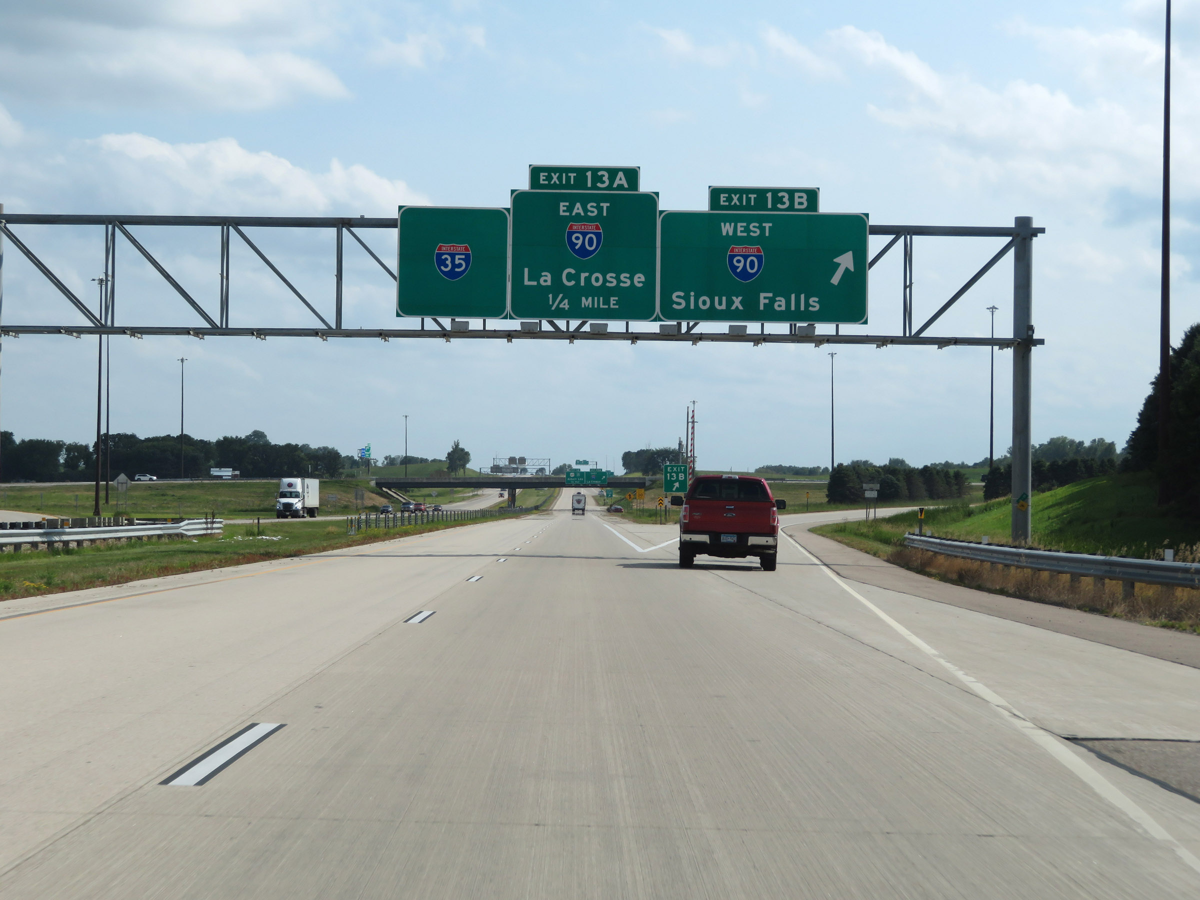 |
Interstate 35 South at Exit 13B: Interstate 90 West - Sioux Falls (Photo taken 8/7/20). |
 |
Interstate 35 South at Exit 13A: Interstate 90 East - La Crosse (Photo taken 8/7/20). |
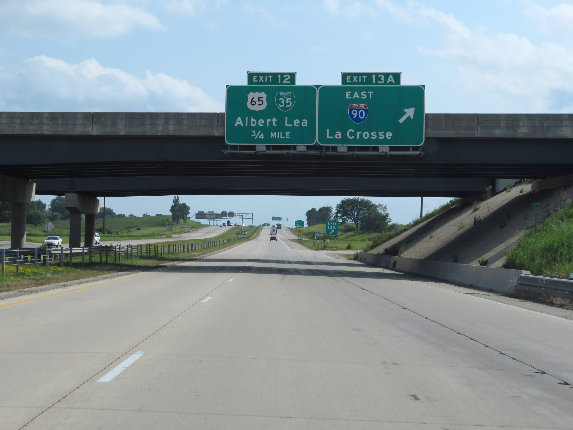
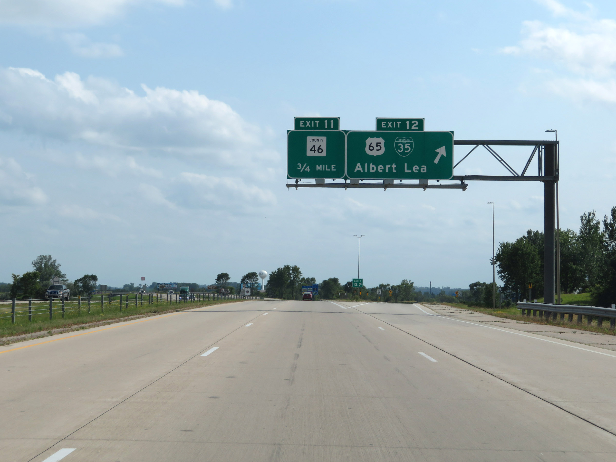 |
Interstate 35 South at Exit 12: US 65 / Interstate 35 Business Loop - Albert Lea (Photo taken 8/7/20). |
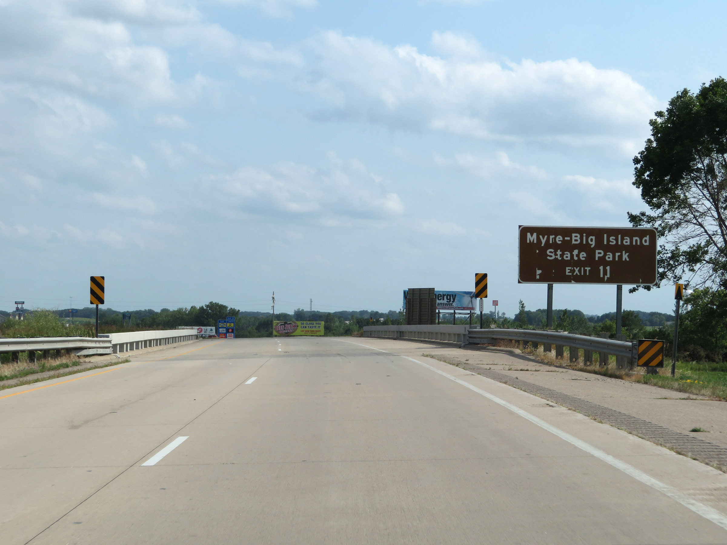 |
Take Exit 11 to Myre-Big Island State Park. (Photo taken 8/7/20). |
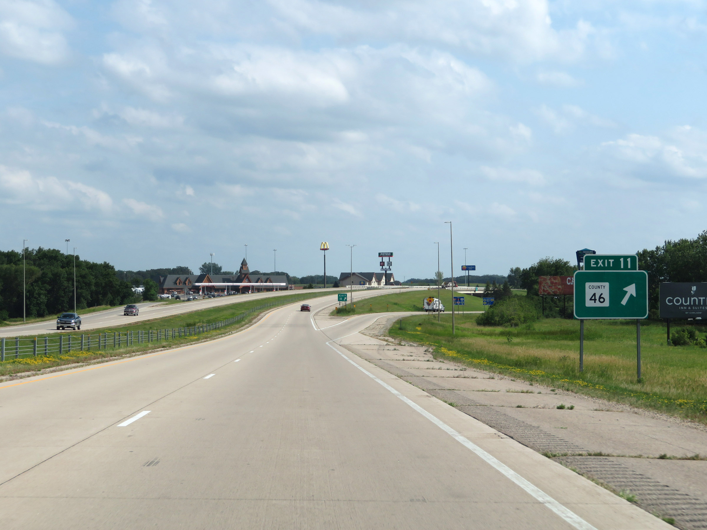 |
Interstate 35 South at Exit 11: CR 46 (Photo taken 8/7/20). |
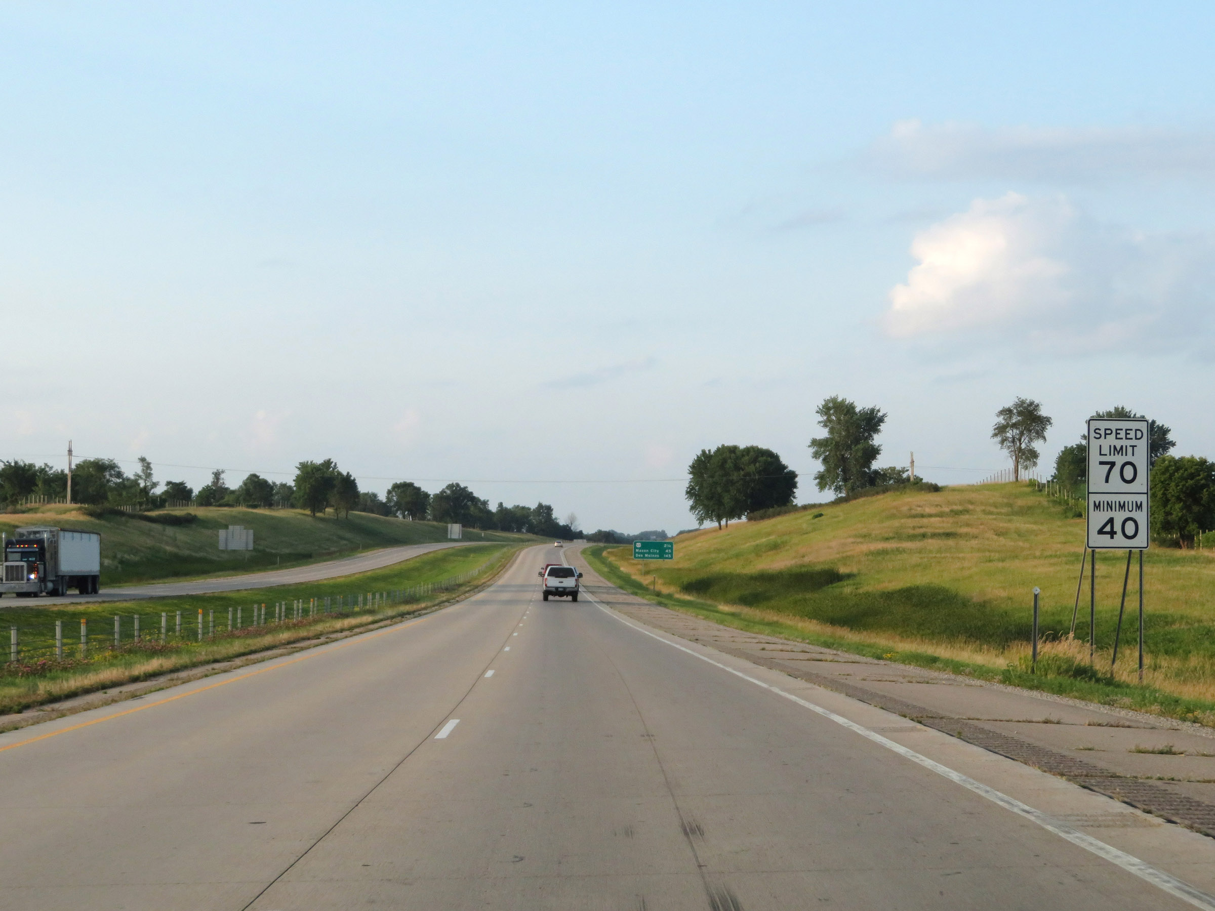 |
The speed limits remain 70 mph maximum and 40 mph minimum. These are the standard speed limits on most rural Interstate highways in Minnesota. (Photo taken 8/8/20). |
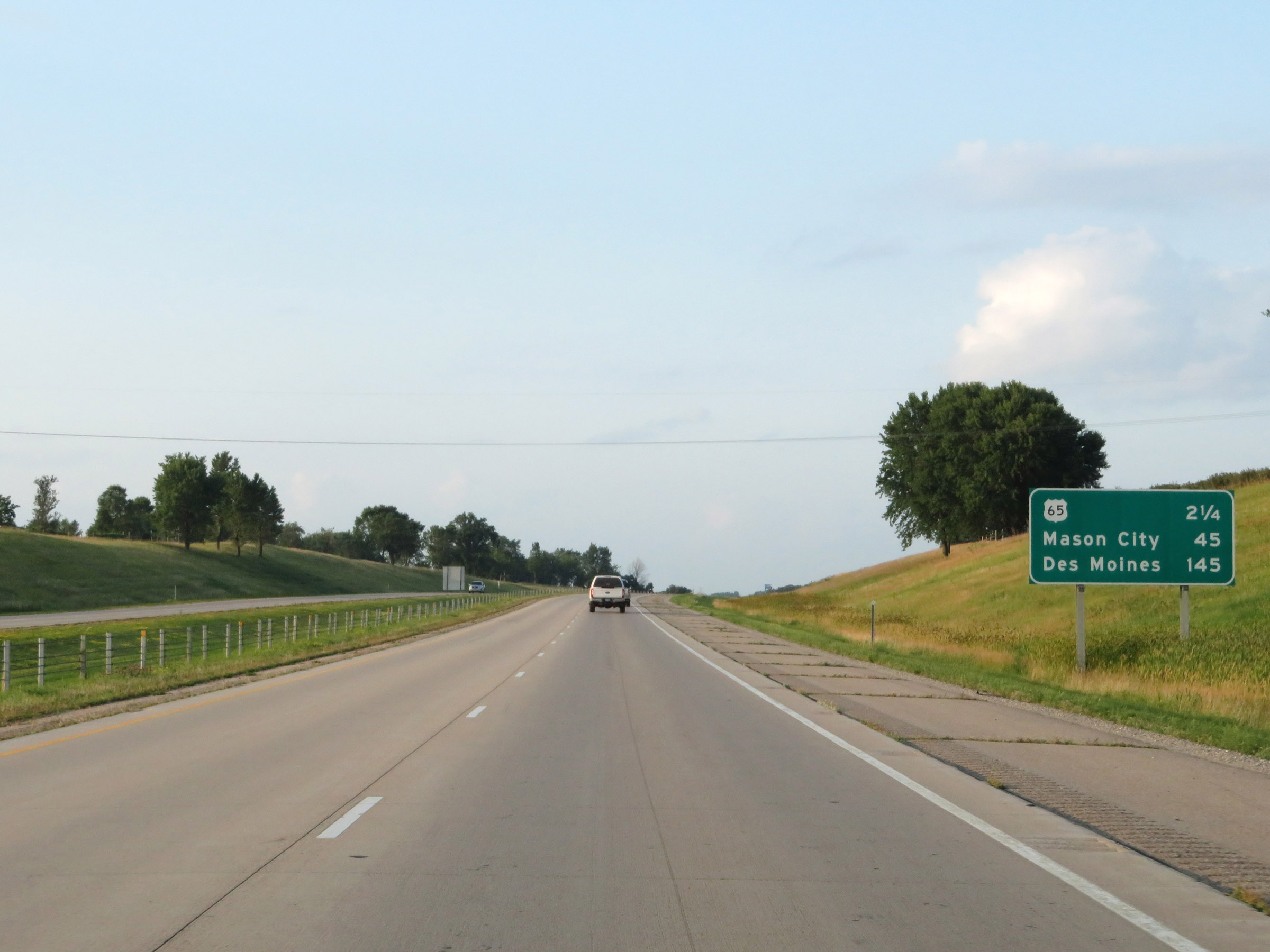 |
Mileage sign on Interstate 35 South. It's 2 1/4 miles to the junction of US 65, 45 miles to Mason City, and 145 miles to Des Moines. (Photo taken 8/8/20). |
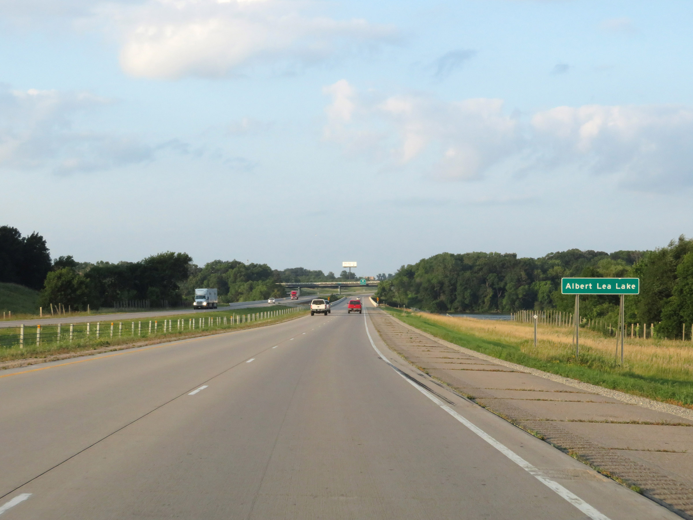 |
Interstate 35 South as it prepares to cross Albert Lea Lake. (Photo taken 8/8/20). |
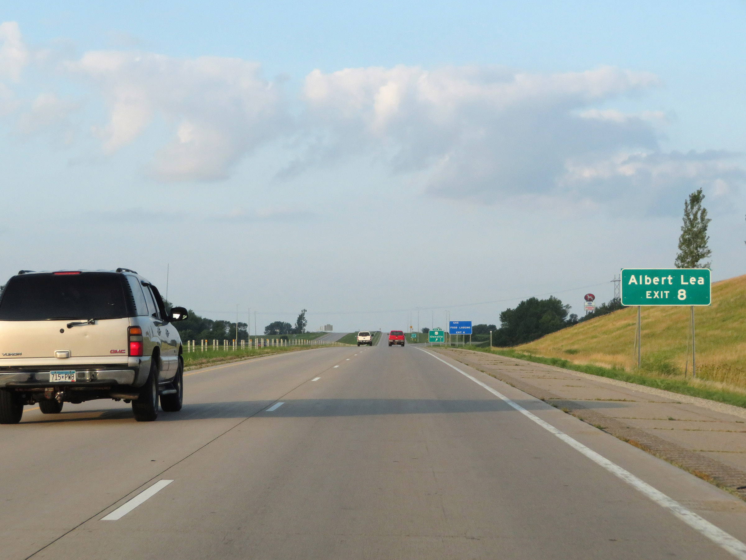 |
Take Exit 8 to Albert Lea. (Photo taken 8/8/20). |
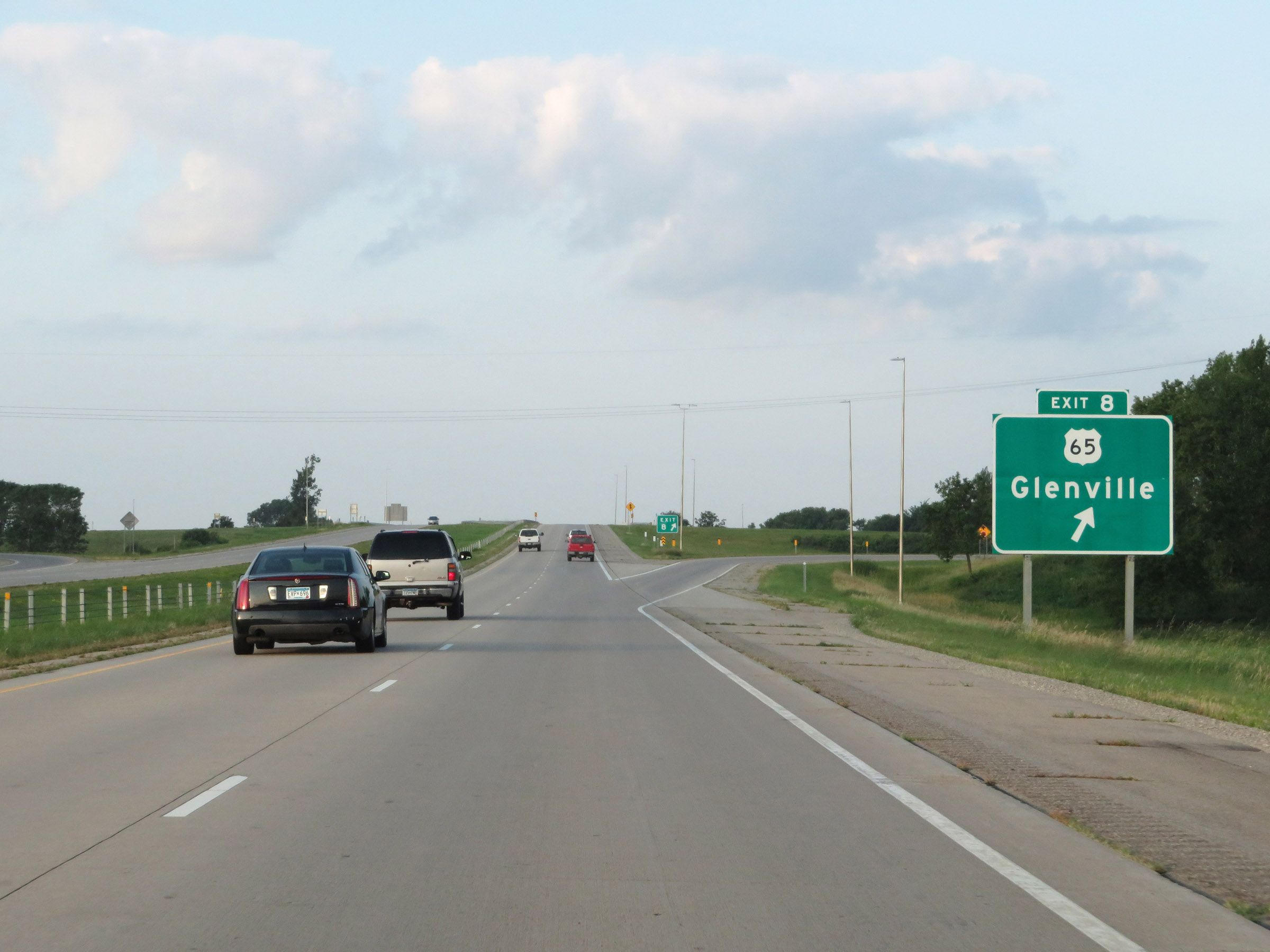 |
Interstate 35 South at Exit 8: US 65 - Glenville (Photo taken 8/8/20). |
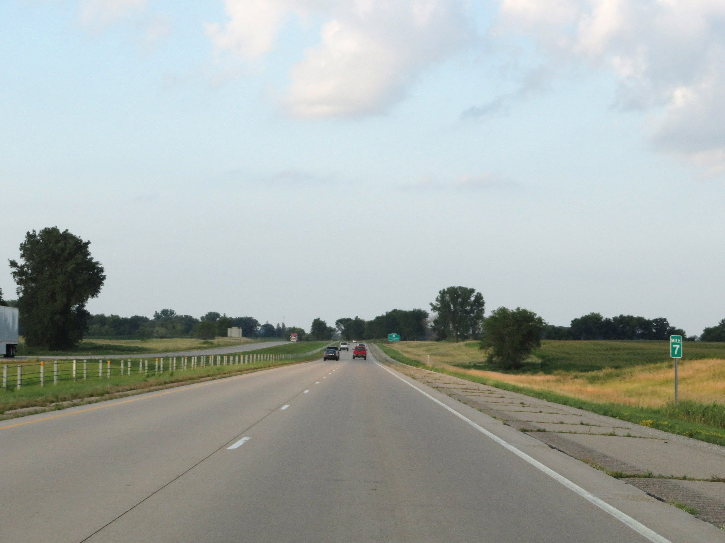 |
View on Interstate 35 South at mile marker 7. (Photo taken 8/8/20). |
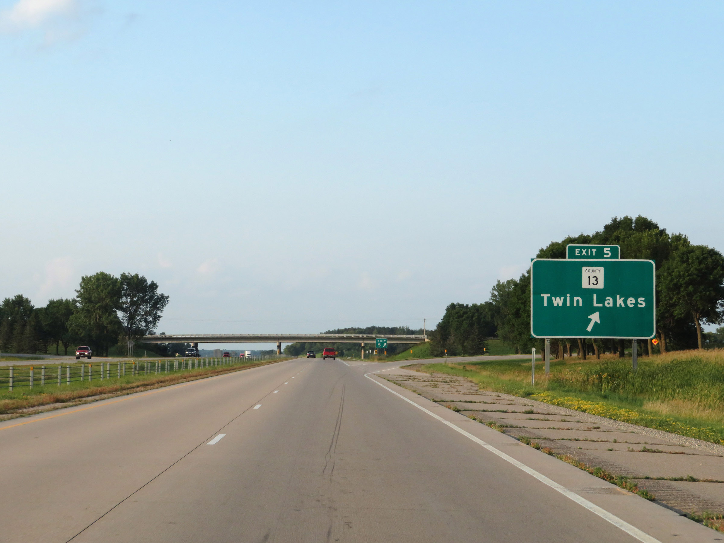 |
Interstate 35 South at Exit 5: CR 13 - Twin Lakes (Photo taken 8/8/20). |
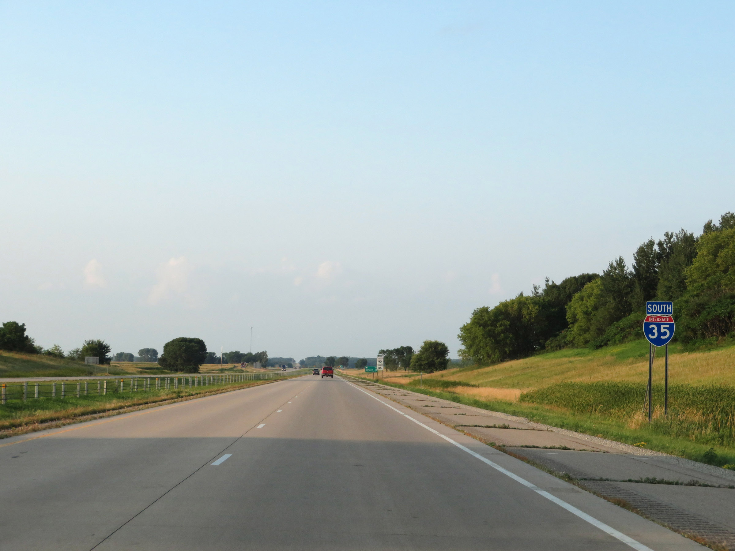 |
Interstate 35 South reassurance shield. (Photo taken 8/8/20). |
 |
View on Interstate 35 South at mile marker 4. (Photo taken 8/8/20). |
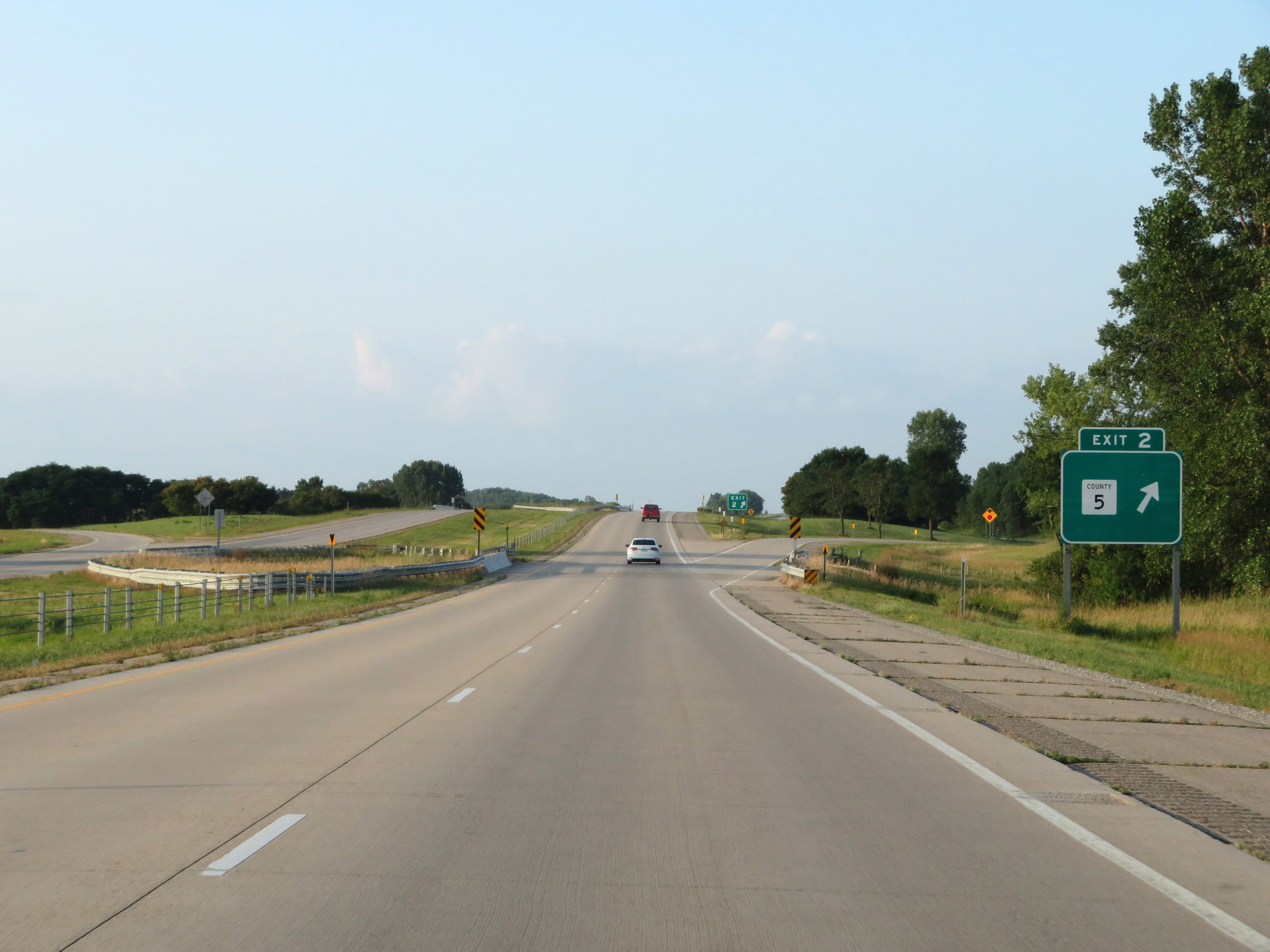 |
Interstate 35 South at Exit 2: CR 5 (Photo taken 8/8/20). |
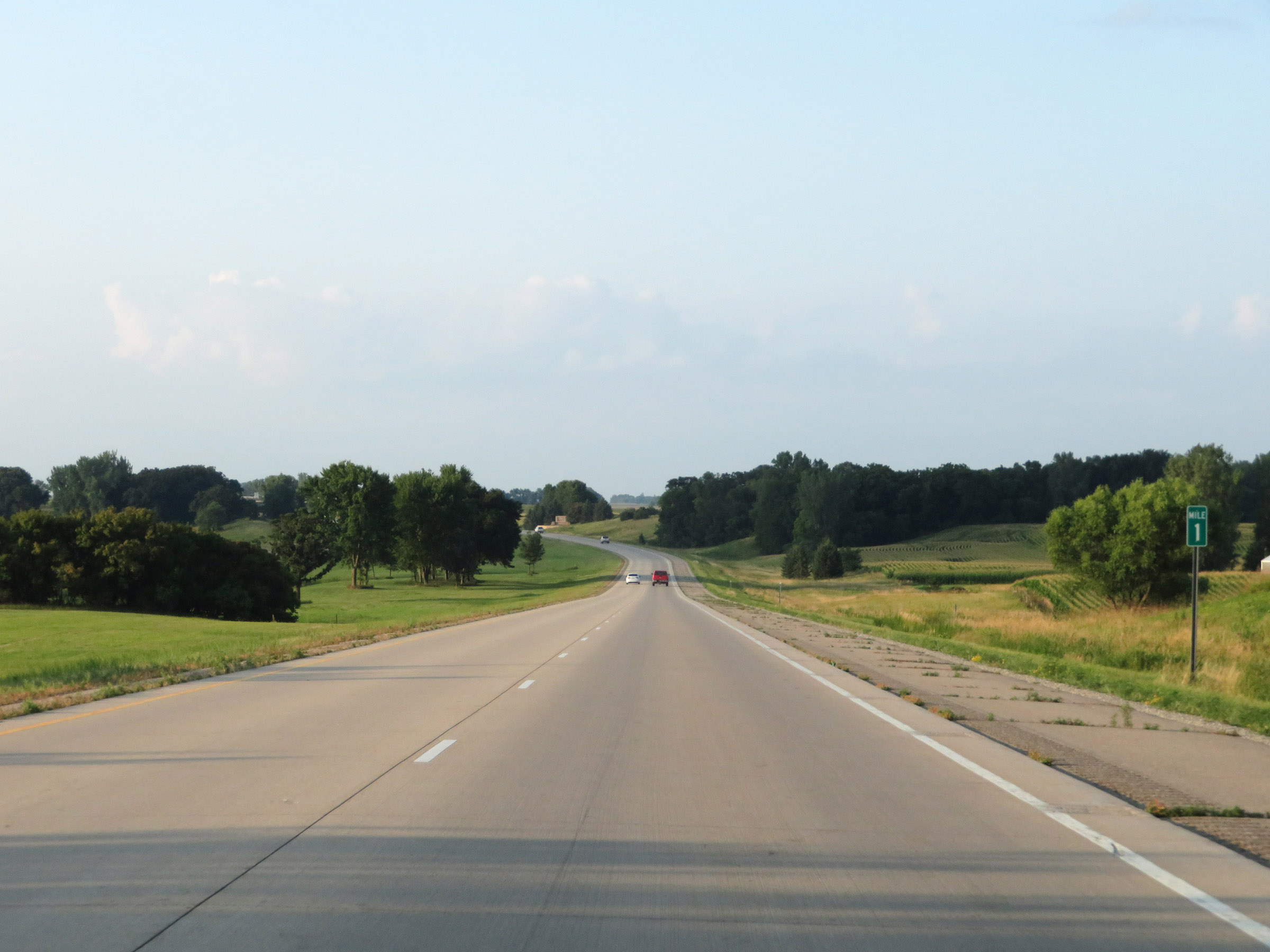 |
View on Interstate 35 South at mile marker 1. (Photo taken 8/8/20). |
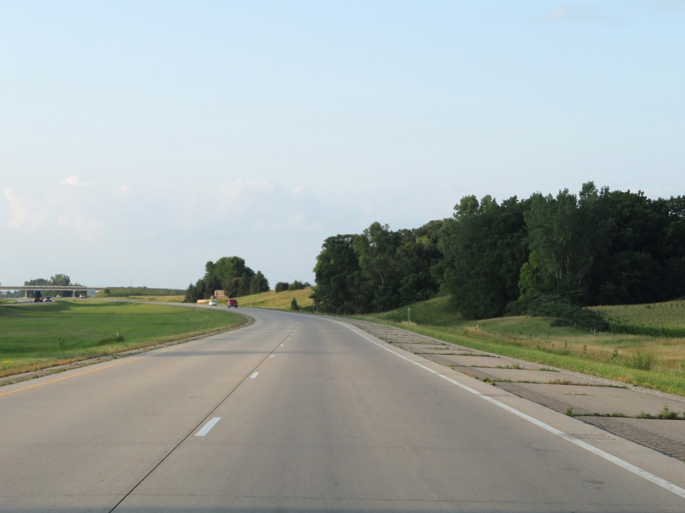 |
Interstate 35 South as it approaches the Iowa border. (Photo taken 8/8/20). |
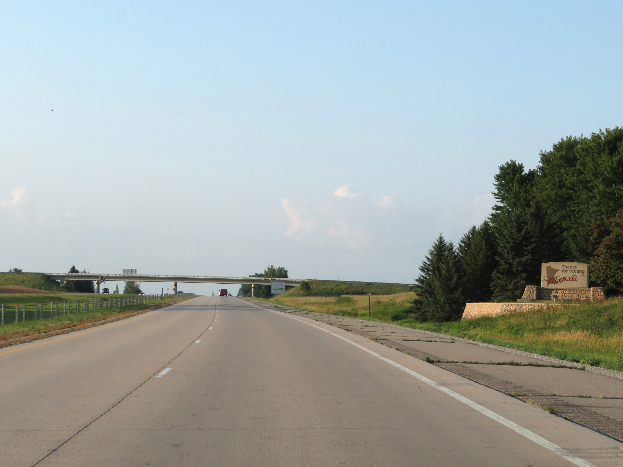 |
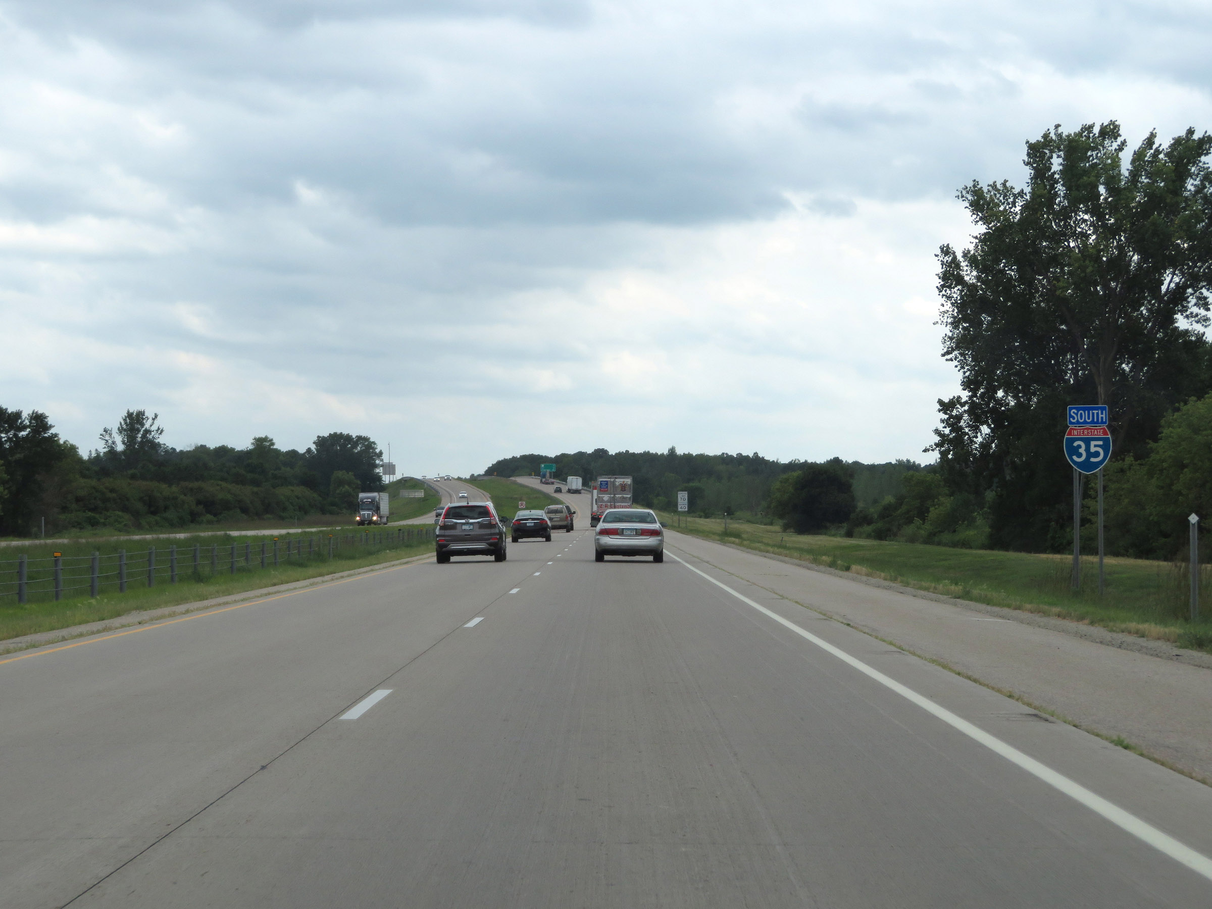
As Interstate 35 South prepares to leave Minnesota, this sign thanks you for visiting. (Photo taken 8/8/20). |
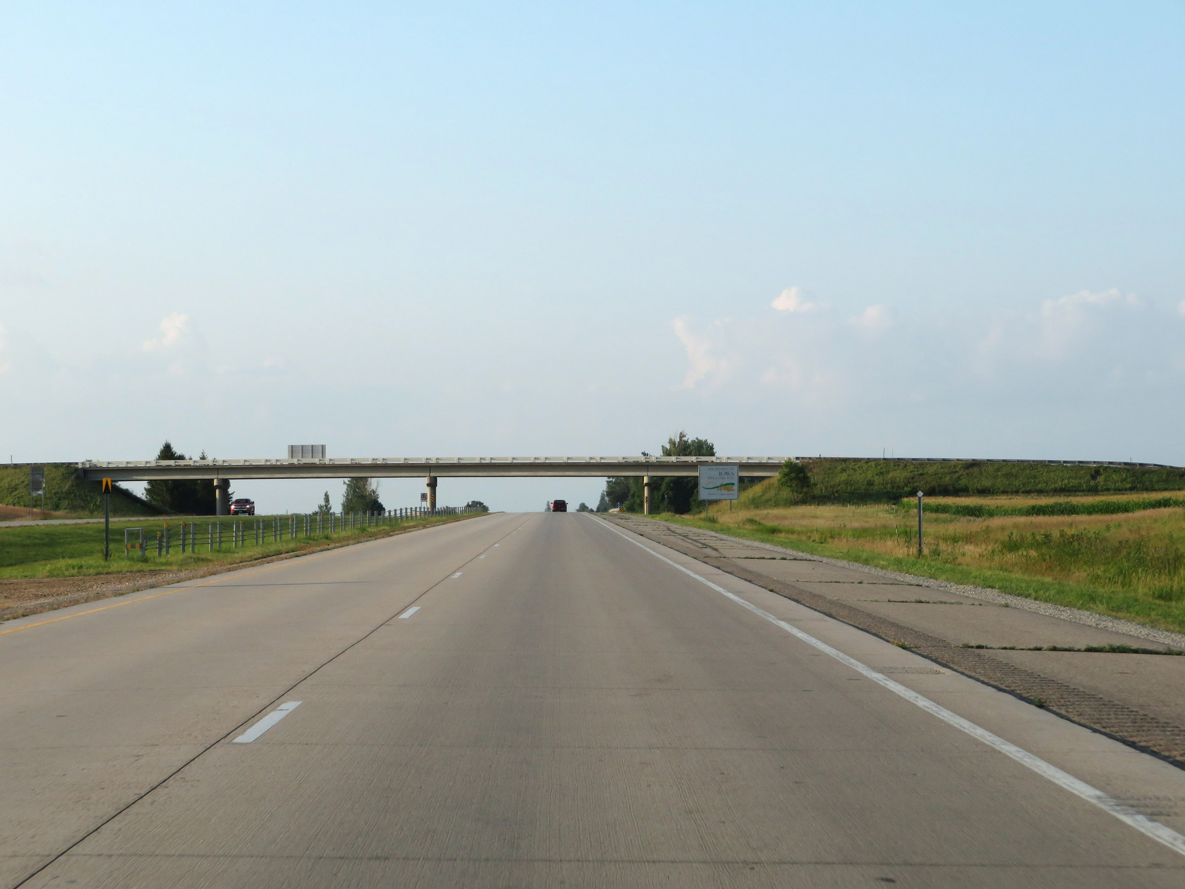 |
Interstate 35 South as the Iowa welcome sign comes into view and I-35 leaves Minnesota. (Photo taken 8/8/20). |