Road Information |
||
 |
||
| Total Mileage in State: | 192 miles | |
| Eastern End: | At I-75, in Detroit | |
| Western End: | At US 31, in Norton Shores | |
| Mileage covered in Photos: | 97 miles | |
| Counties covered in Photos: | Muskegon, Ottawa, Kent, Ionia, Clinton, Eaton | |
| Major Junctions in Photos: | US 31, in Norton Shores Unsigned I-296/US 131, in Walker I-196, in Grand Rapids I-69, in Lansing I-496 East, in Lansing |
|
| Control Cities in Photos: | Norton Shores, Walker, Grand Rapids, Lansing | |
Eastbound
- Section 1: Western Terminus to Grand Rapids (Exit 43B)
- Section 2: Grand Rapids (Exit 43B) to Lansing (Exit 97)
Section 1: Western Terminus to Grand Rapids (Exit 43B)
 |
Interstate 96 East as it begins in Norton Shores and US 31 Business reaches its southern terminus. (Photo taken 7/17/17). |
 |
Interstate 96 East at Exit 1A: US 31 South - Grand Haven / Holland (Photo taken 7/17/17). |
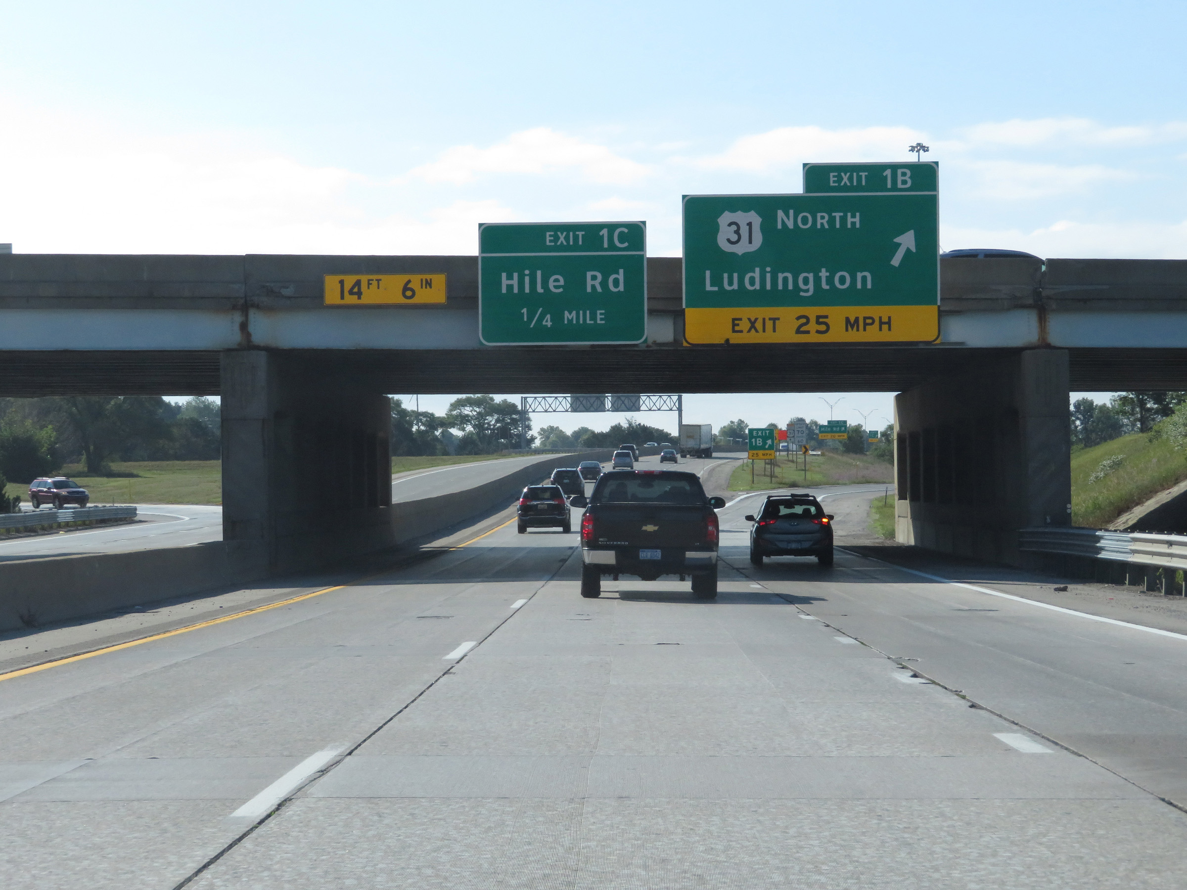 |
Interstate 96 East at Exit 1B: US 31 North - Ludington (Photo taken 7/17/17). |
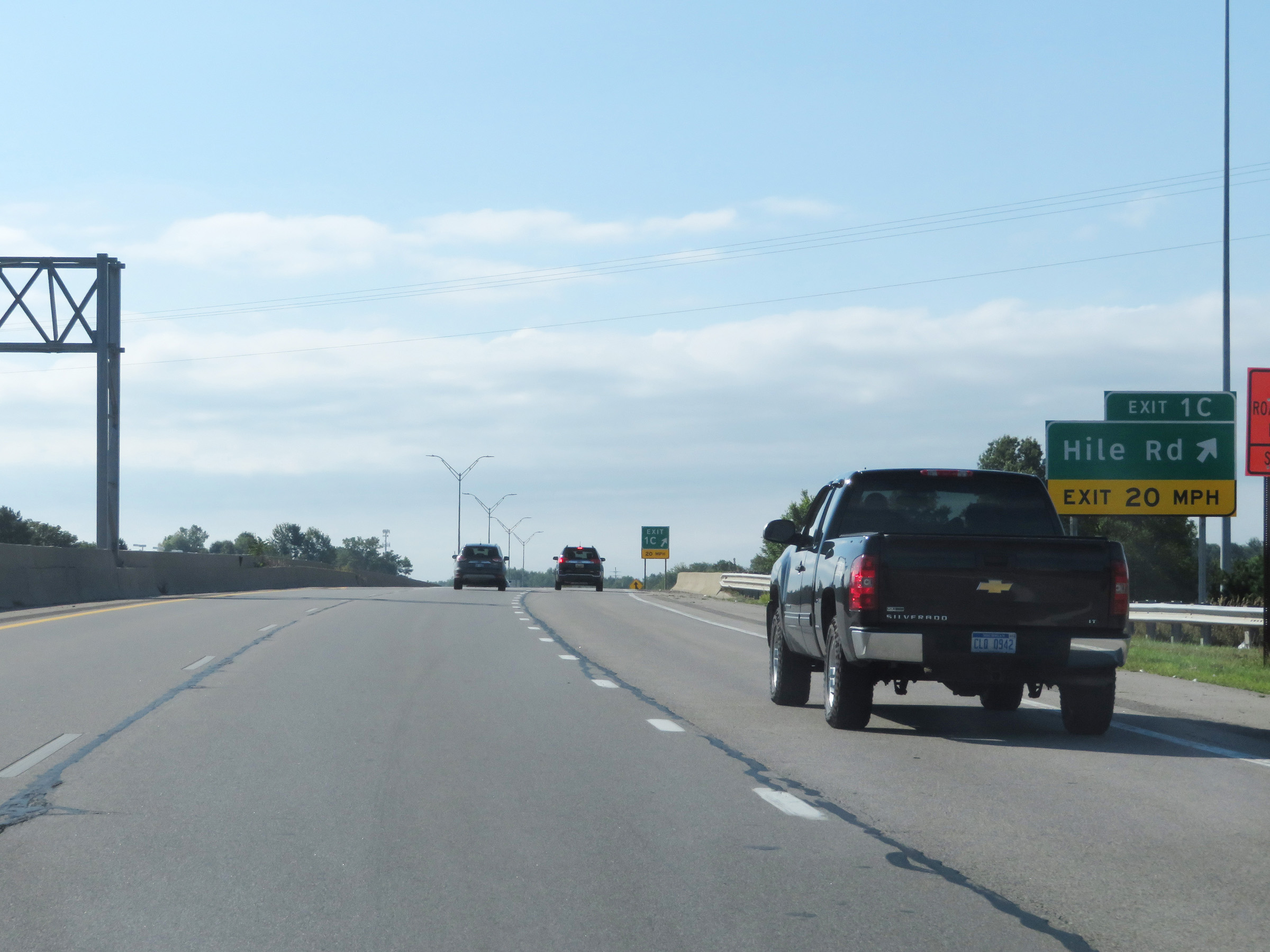 |
Interstate 96 East at Exit 1C: Hile Rd (Photo taken 7/17/17). |
 |
Interstate 96 East reassurance shield. (Photo taken 7/17/17). |
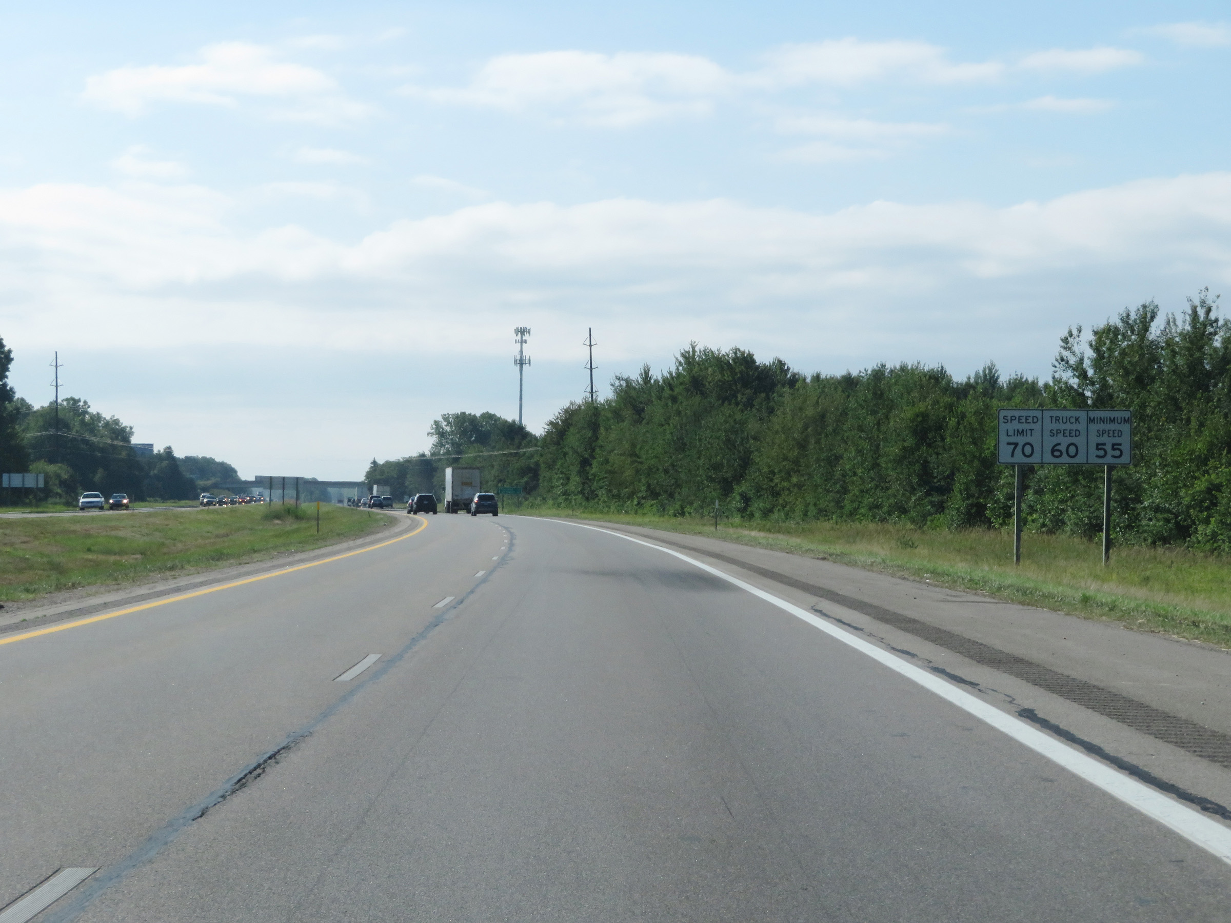 |
Speed limit signs on Interstate 96 East. The speed limits start out at 70 mph maximum for automobiles, 60 mph maximum for trucks, and 55 mph minimum for all traffic. (Photo taken 7/17/17). |
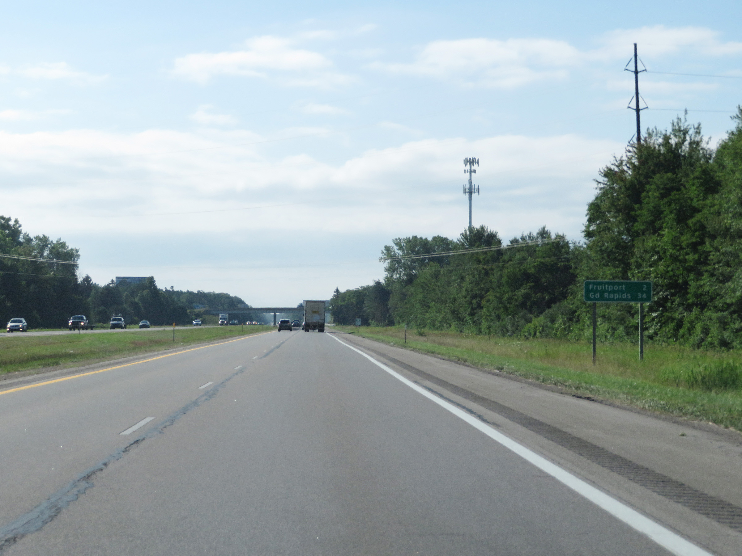 |
Mileage sign on Interstate 96 East. It's 2 miles to Fruitport and 34 miles to Grand Rapids. (Photo taken 7/17/17). |
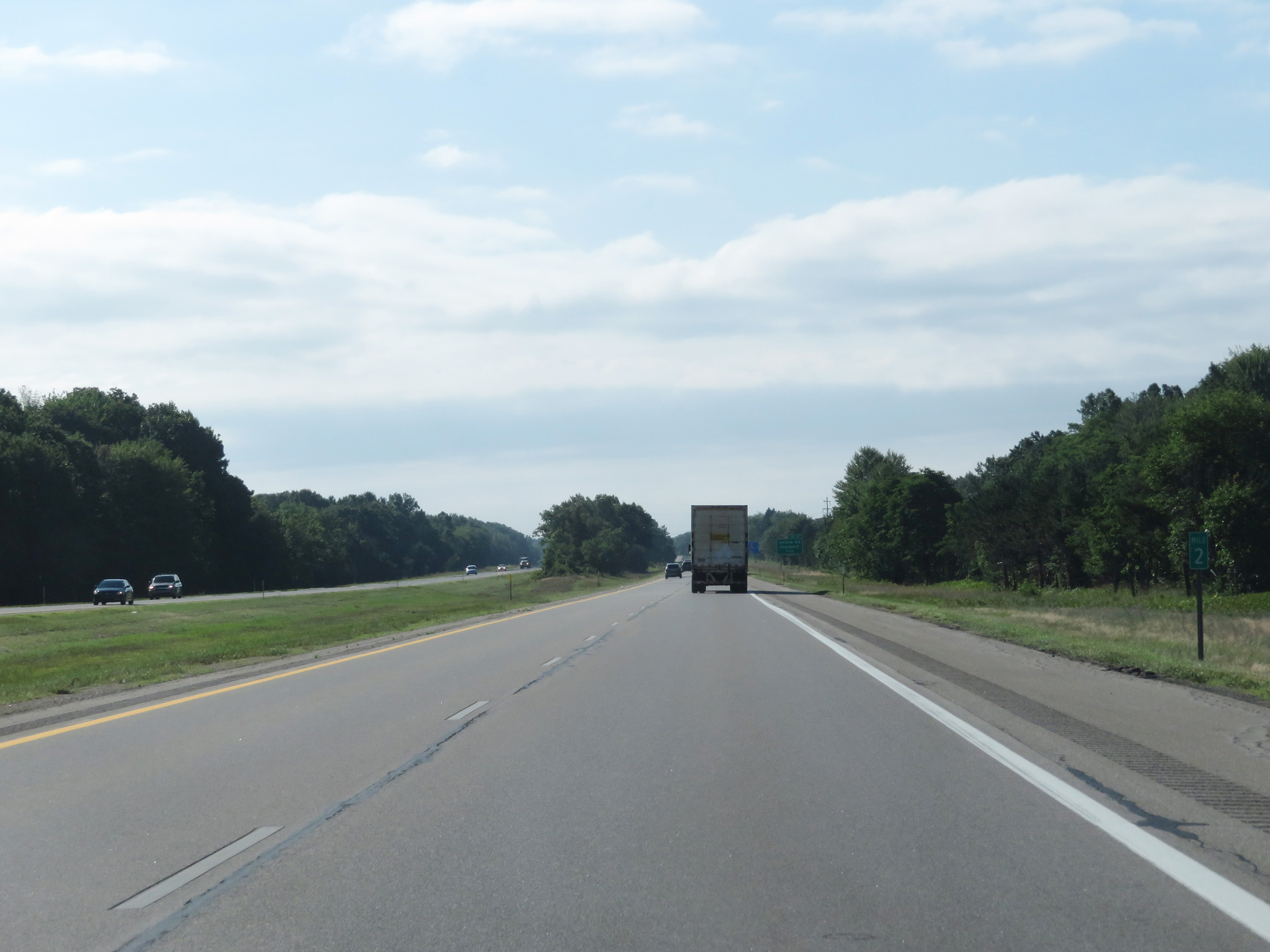 |
View on Interstate 96 East at mile marker 2. (Photo taken 7/17/17). |
 |
Interstate 96 East at Exit 4: Airline Rd / Fruitport (Photo taken 7/17/17). |
 |
Mile marker 5 on Interstate 96 East in Muskegon County. (Photo taken 7/17/17). |
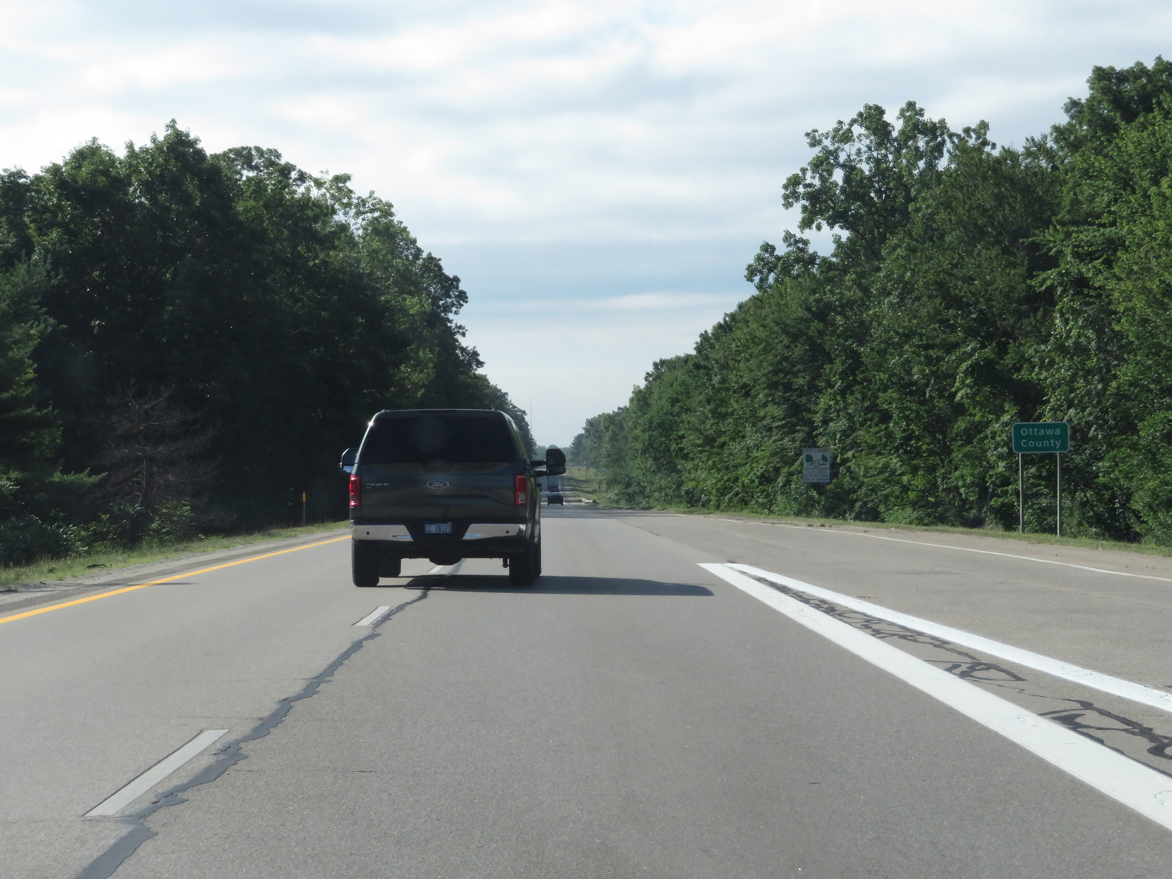 |
Just east of mile marker 5, Interstate 96 East enters Ottawa County. (Photo taken 7/17/17). |
 |
View on Interstate 96 East at mile marker 6. (Photo taken 7/17/17). |
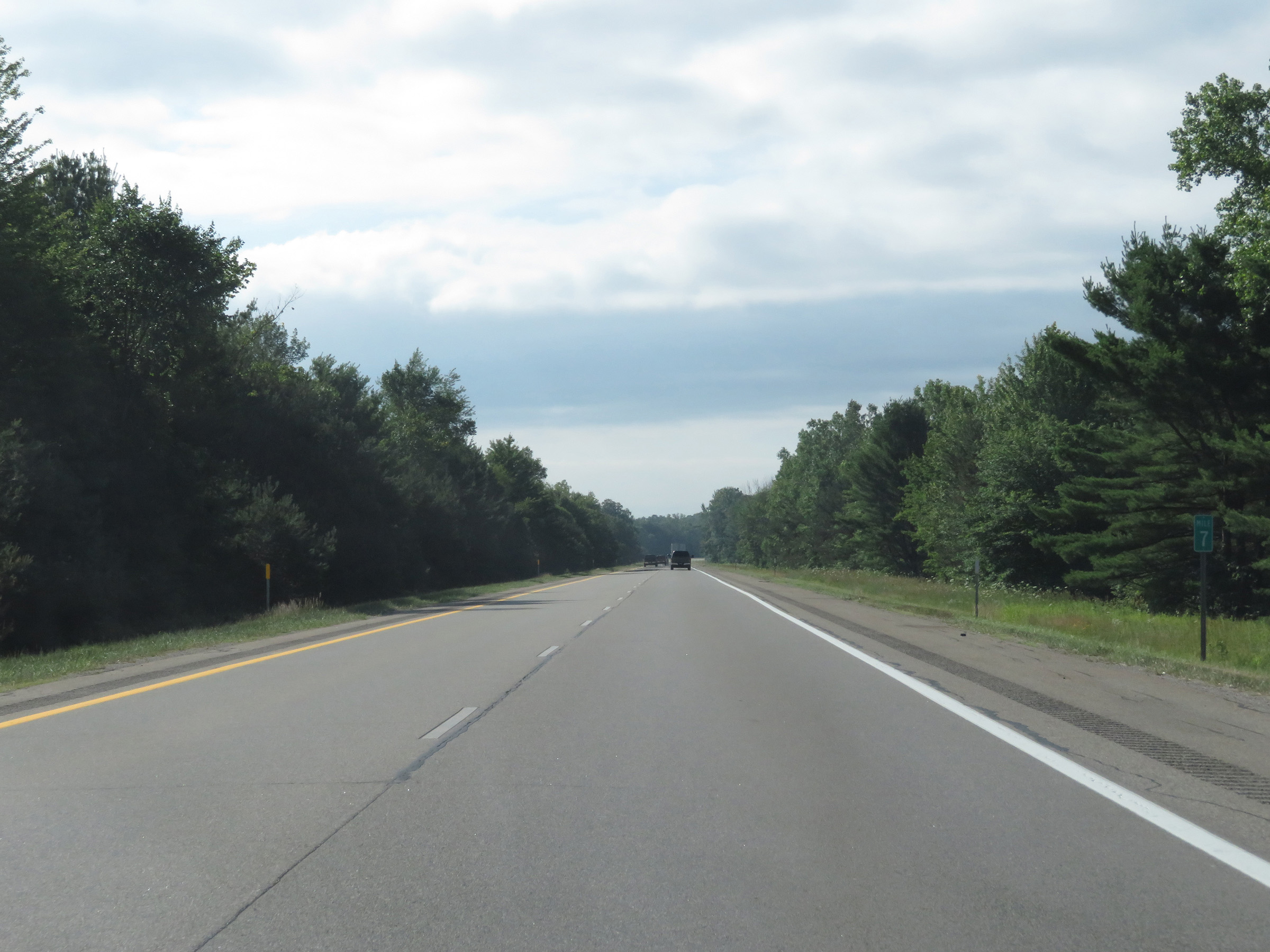 |
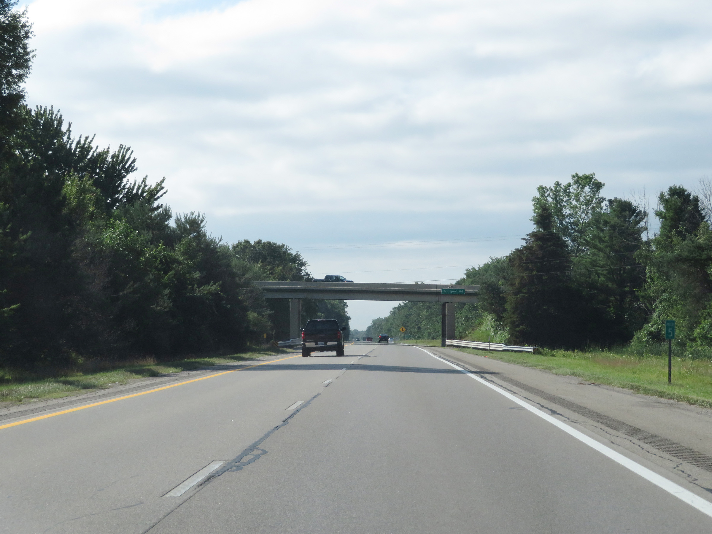
Interstate 96 East at mile marker 7. (Photo taken 7/17/17). |
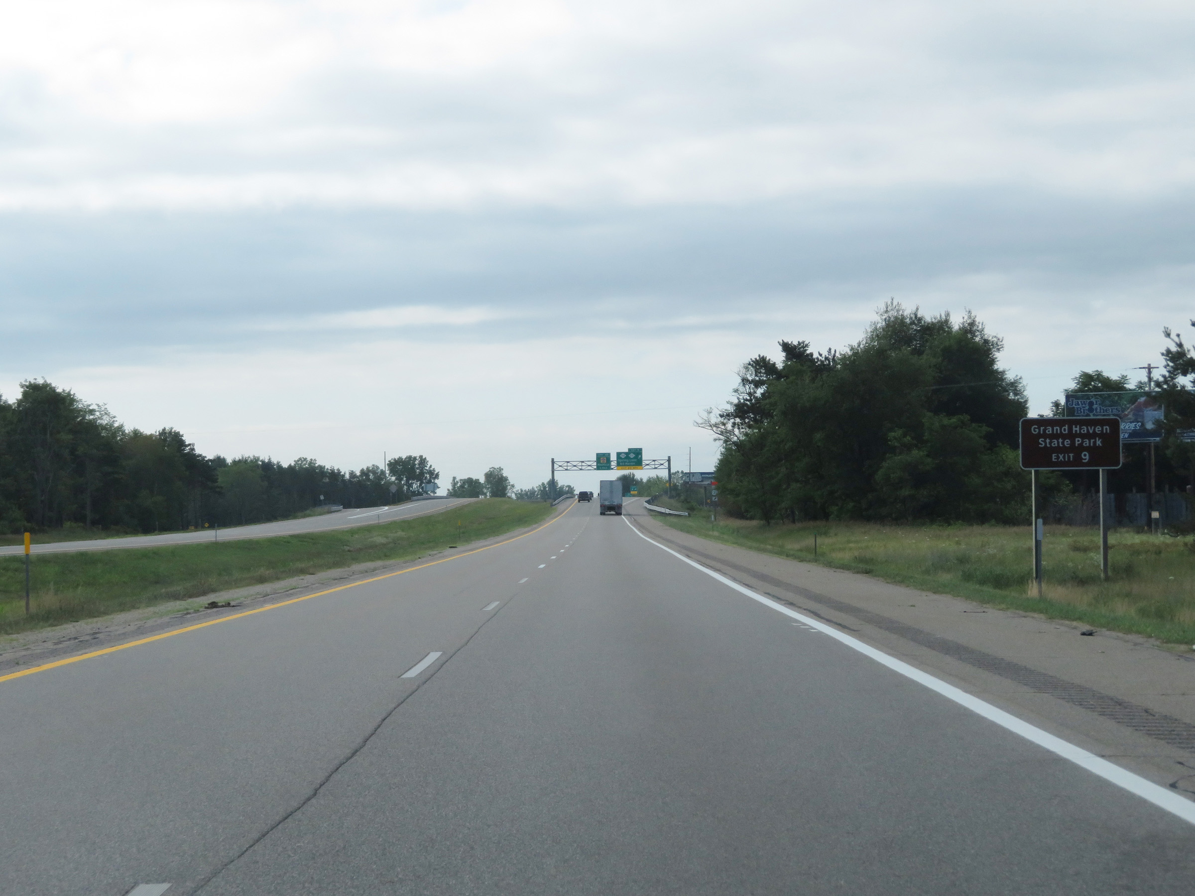 |
Take Exit 9 to Grand Haven State Park. (Photo taken 7/17/17). |
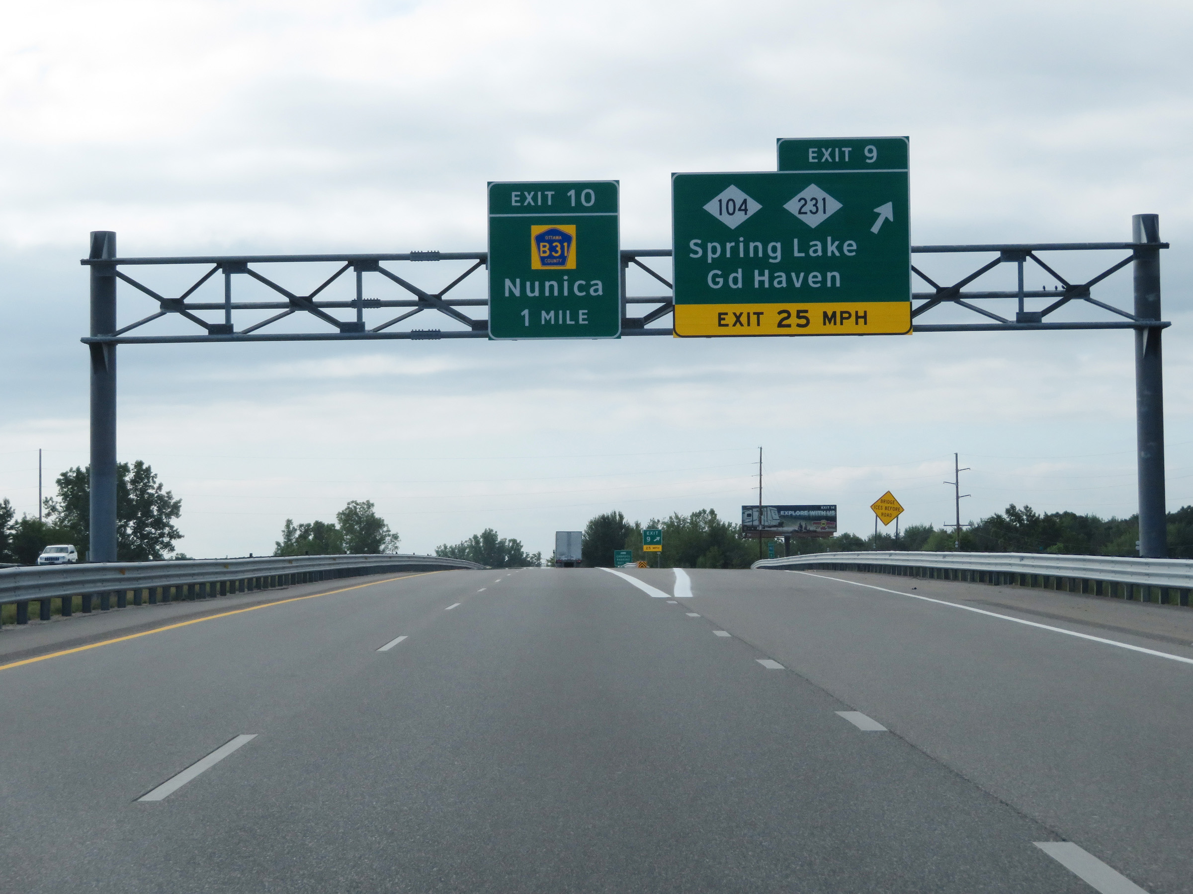 |
Interstate 96 East at Exit 9: M-104 / M-231 - Spring Lake / Grand Haven (Photo taken 7/17/17). |
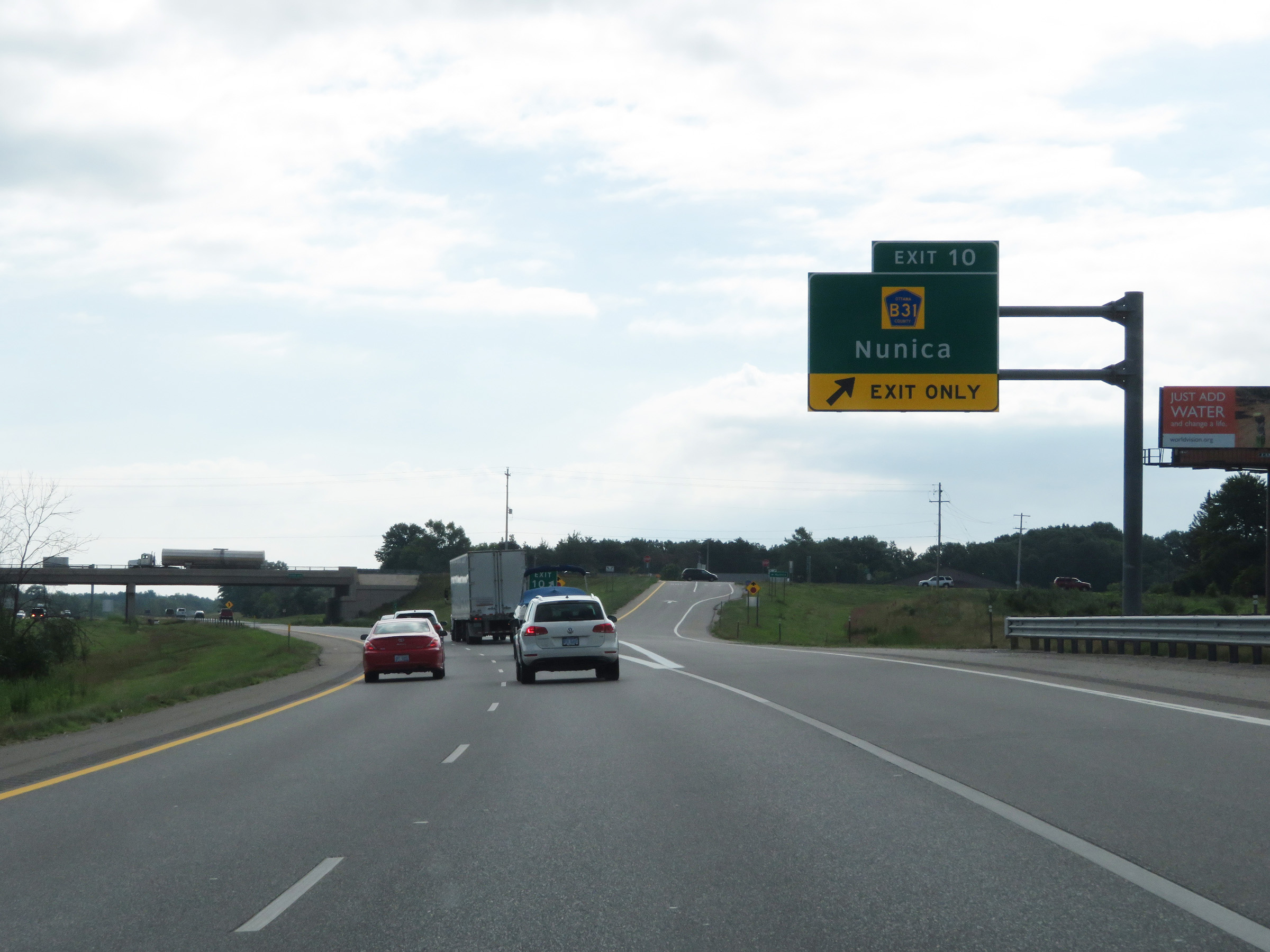 |
Interstate 96 East at Exit 10: CR B31 - Nunica (Photo taken 7/17/17). |
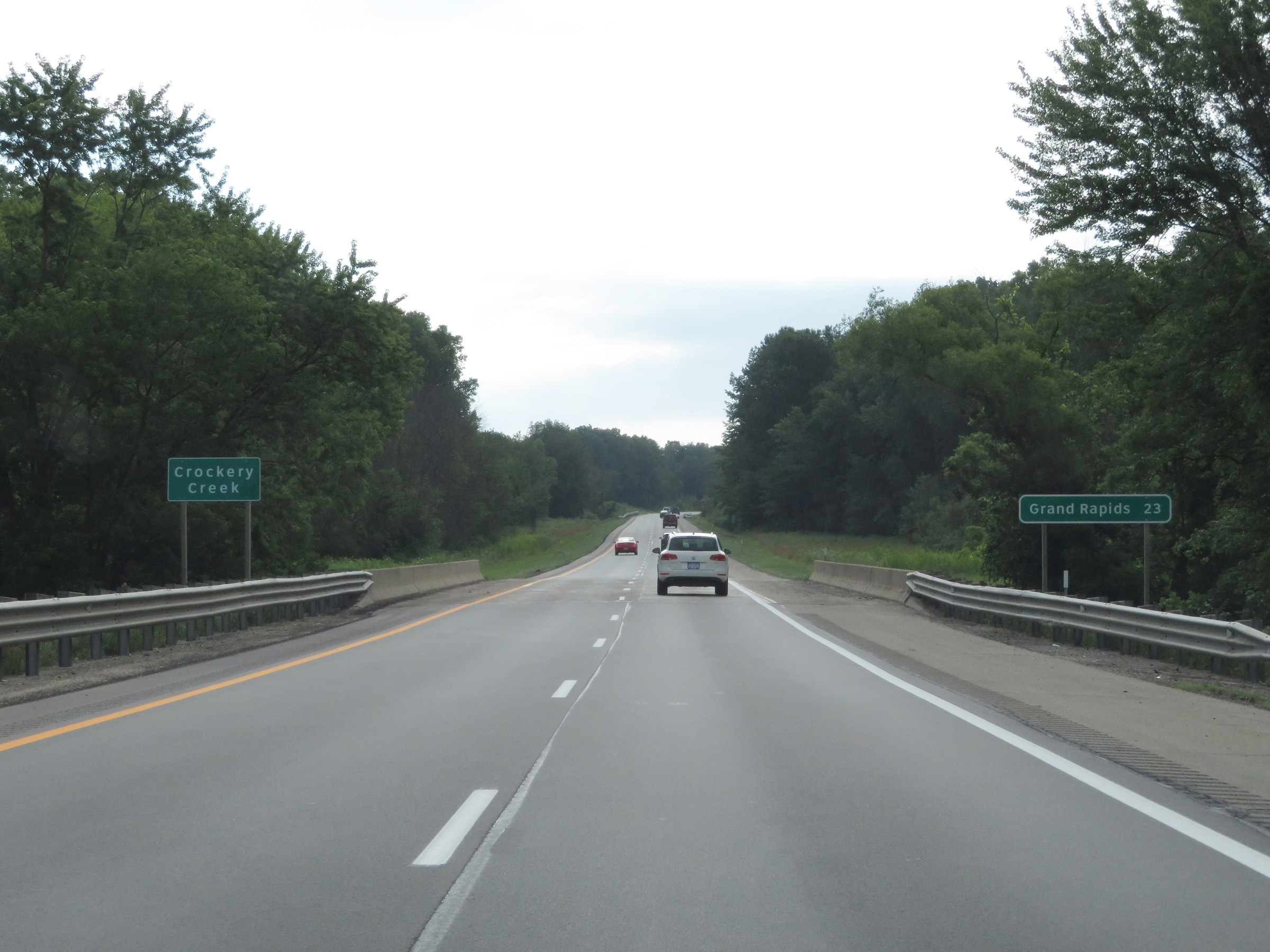 |
Grand Rapids is now just 23 miles ahead on Interstate 96 East. (Photo taken 7/17/17). |
 |
View on Interstate 96 East at mile marker 12. (Photo taken 7/17/17). |
 |
Mile marker 14 on Interstate 96 East in Ottawa County. (Photo taken 7/17/17). |
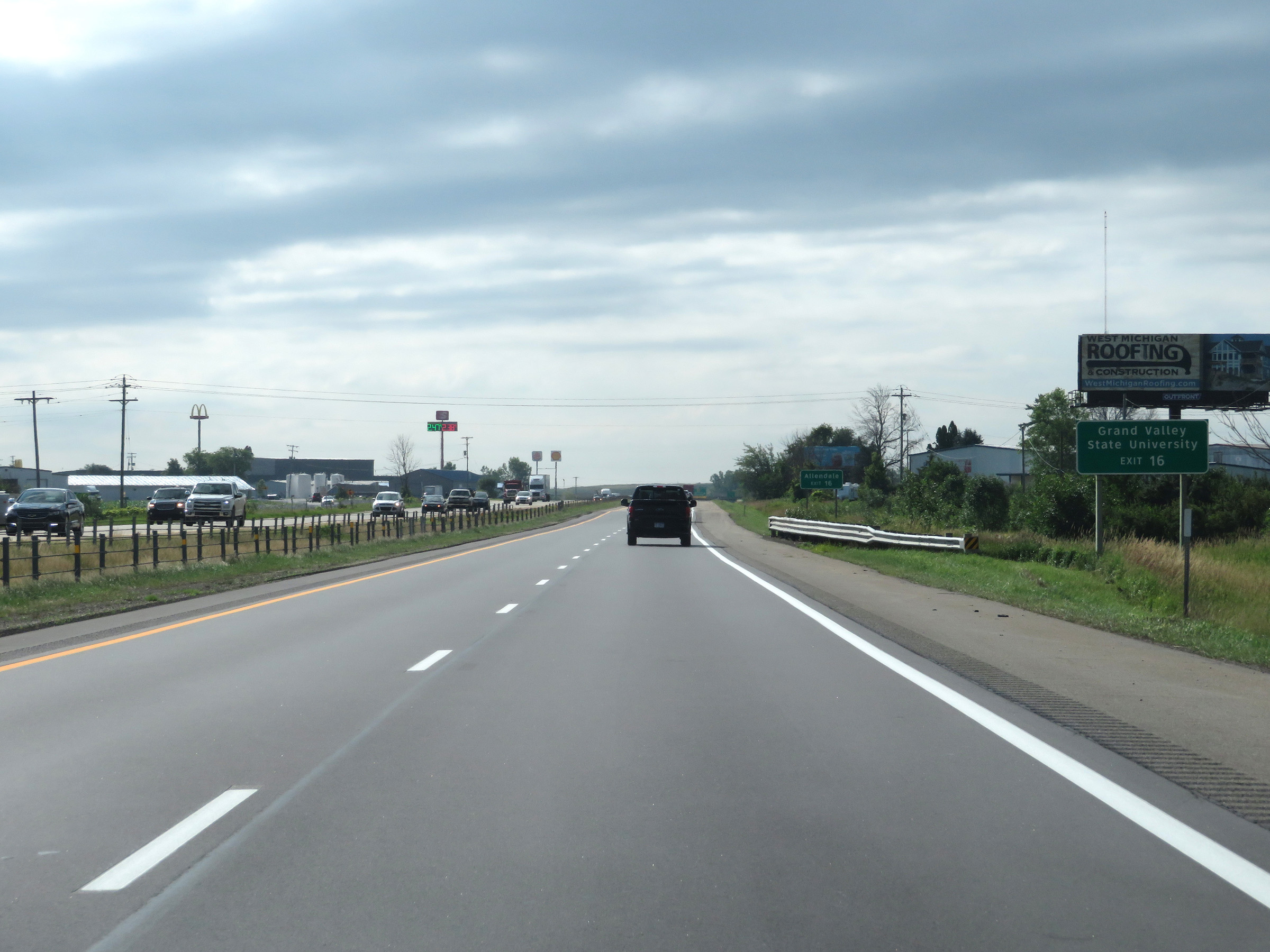 |
Take Exit 16 to Grand Valley State University. (Photo taken 7/17/17). |
 |
Also take Exit 16 to Allendale. (Photo taken 7/17/17). |
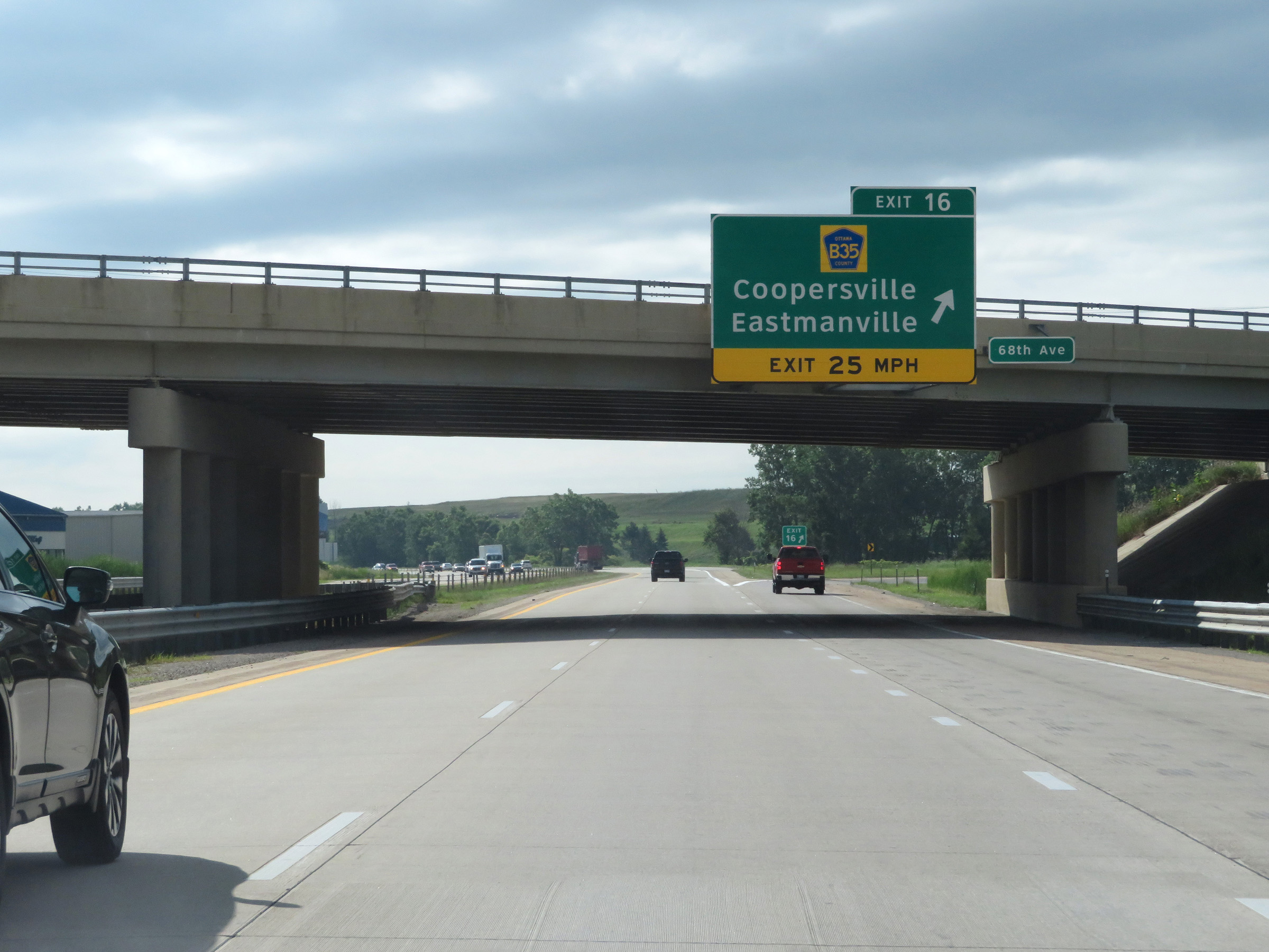 |
Interstate 96 East at Exit 16: CR B35 - Coopersville / Eastmanville (Photo taken 7/17/17). |
 |
Another Interstate 96 East reassurance shield. (Photo taken 7/17/17). |
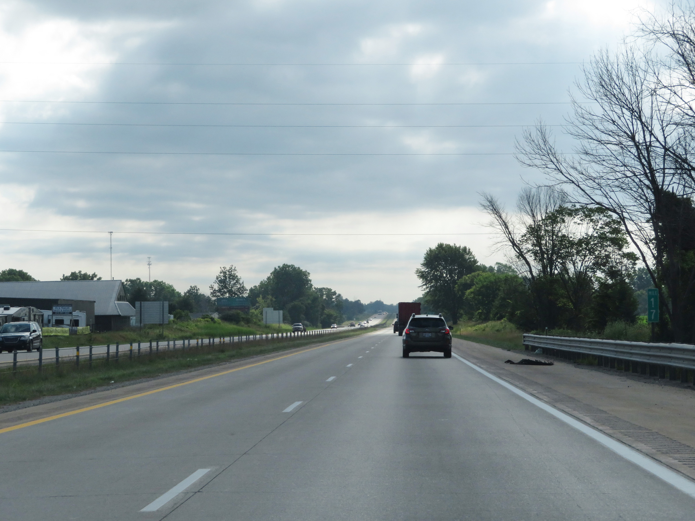 |
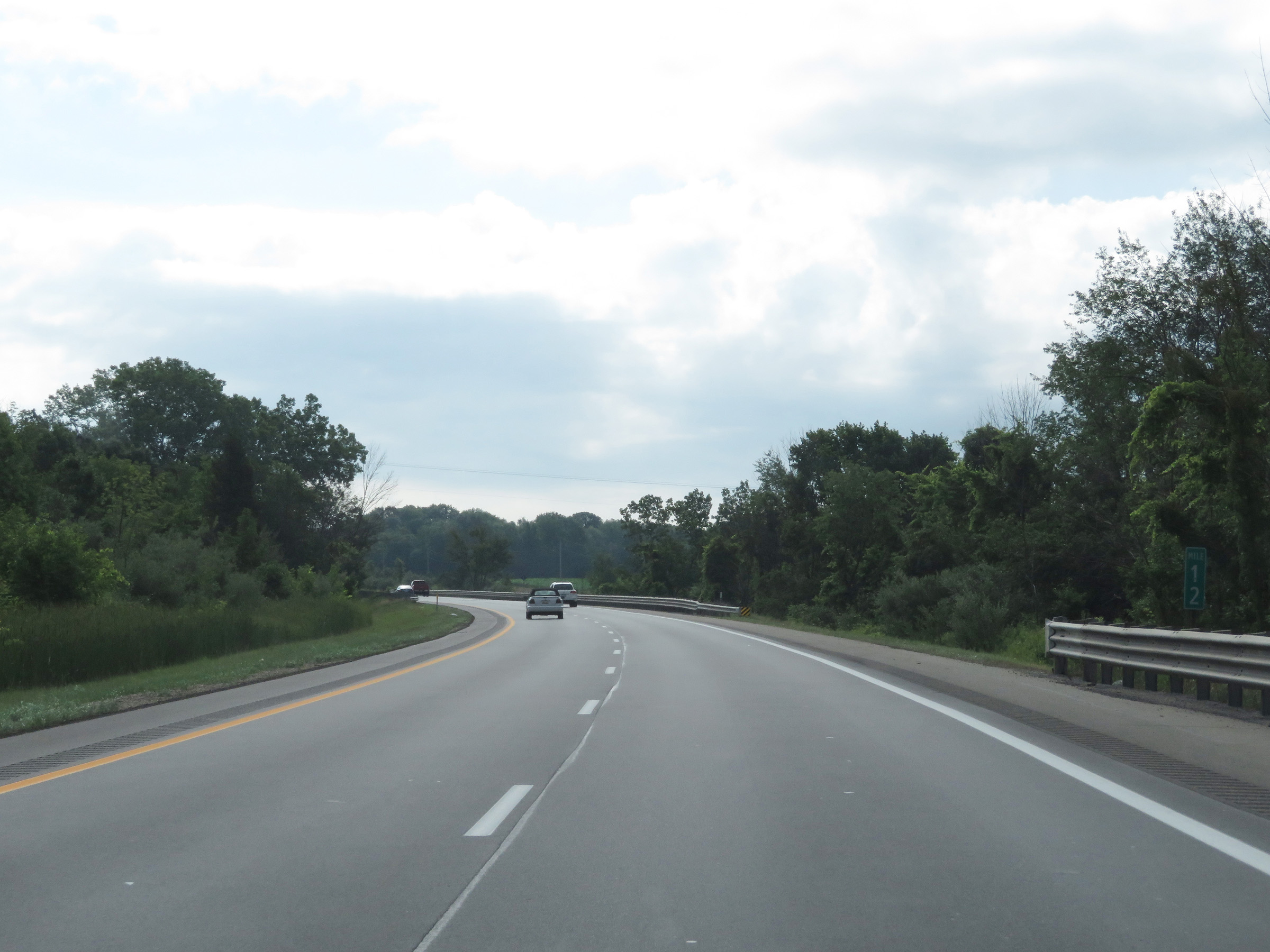
Interstate 96 East at mile marker 17. (Photo taken 7/17/17). |
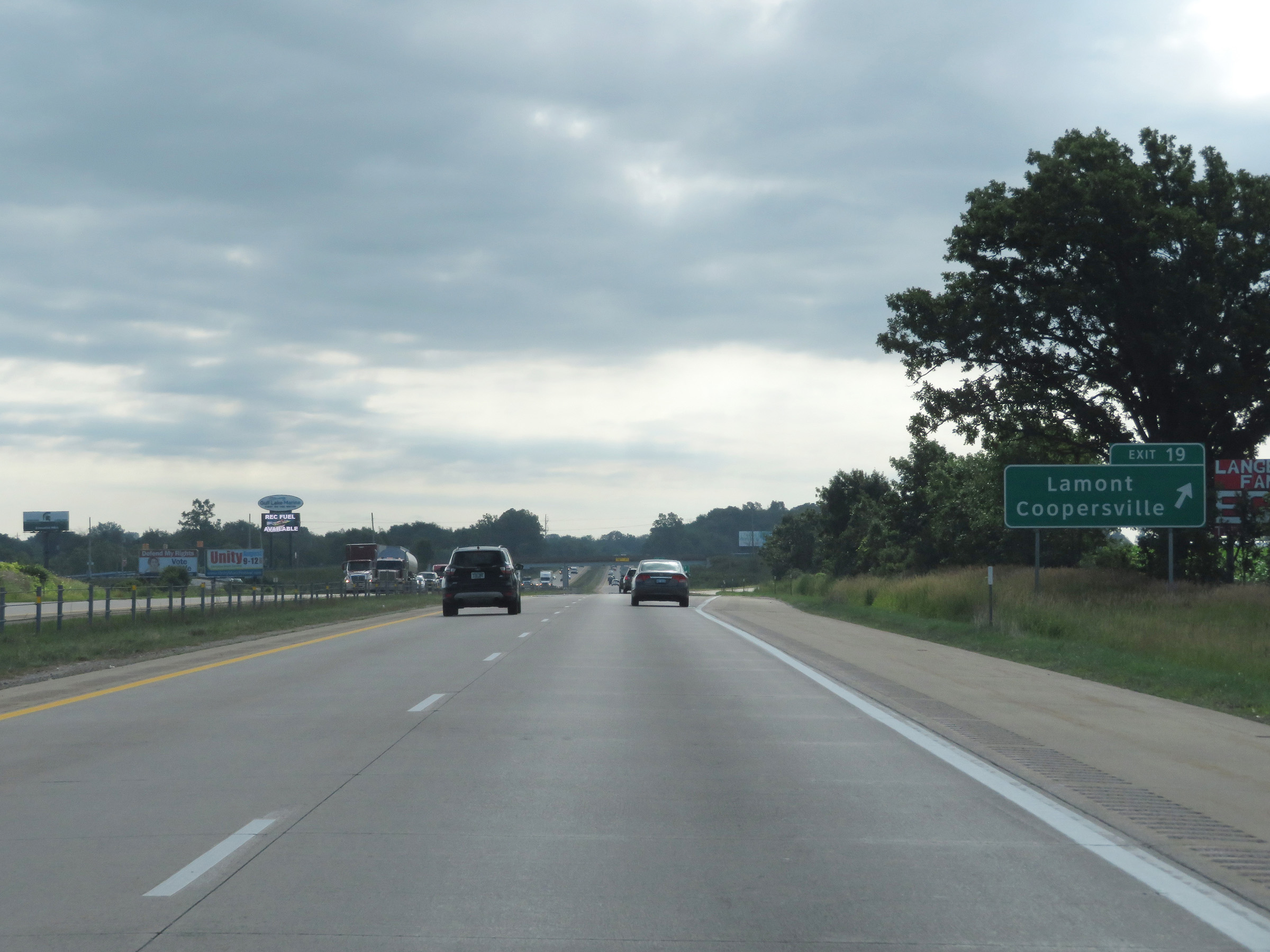 |
Interstate 96 East at Exit 19: Lamont / Coopersville (Photo taken 7/17/17). |
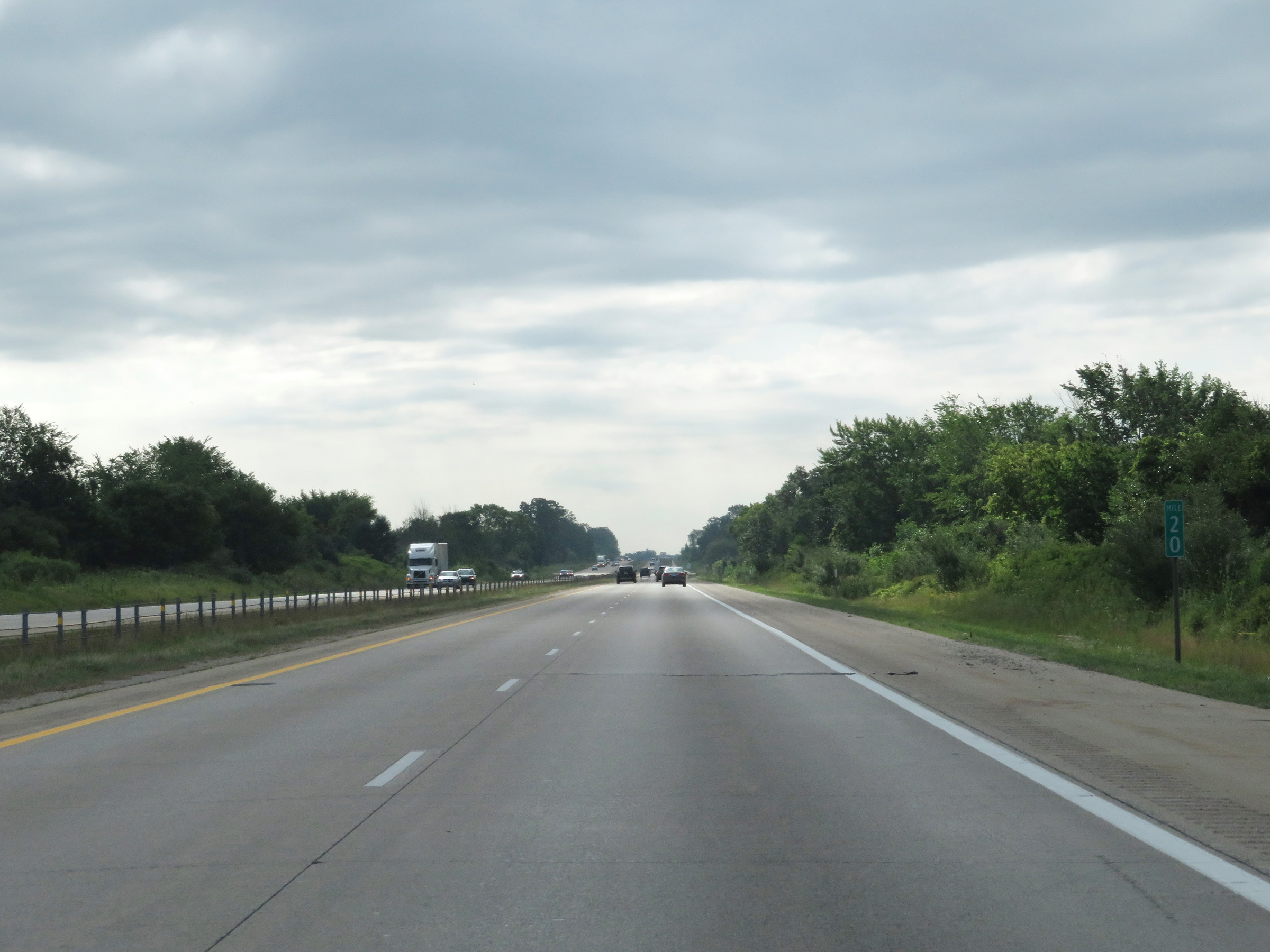 |
View on Interstate 96 East at mile marker 20. (Photo taken 7/17/17). |
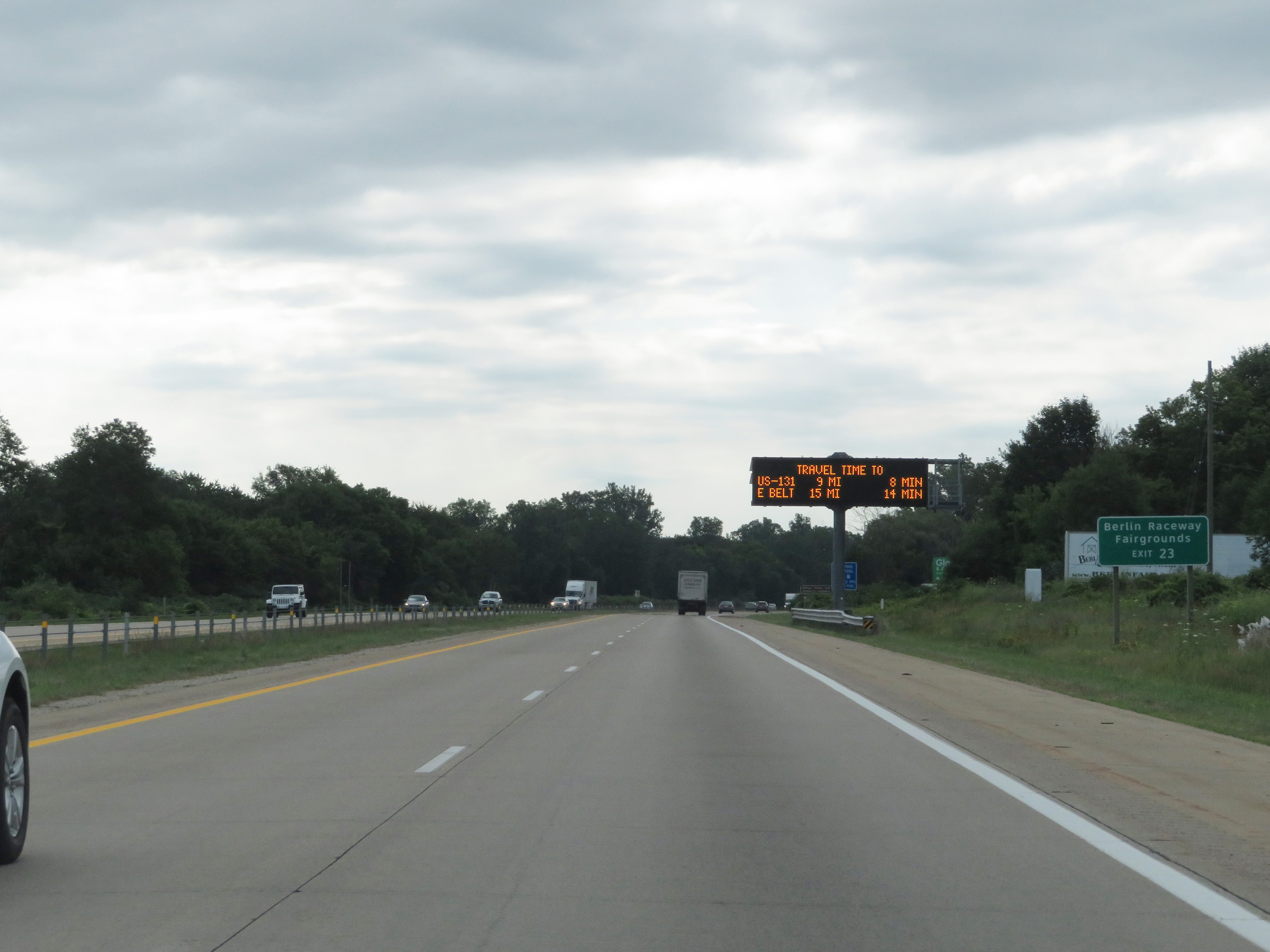 |
Take Exit 23 to Berlin Raceway and the Fairgrounds. (Photo taken 7/17/17). |
 |
Interstate 96 East at Exit 23: Marne (Photo taken 7/17/17). |
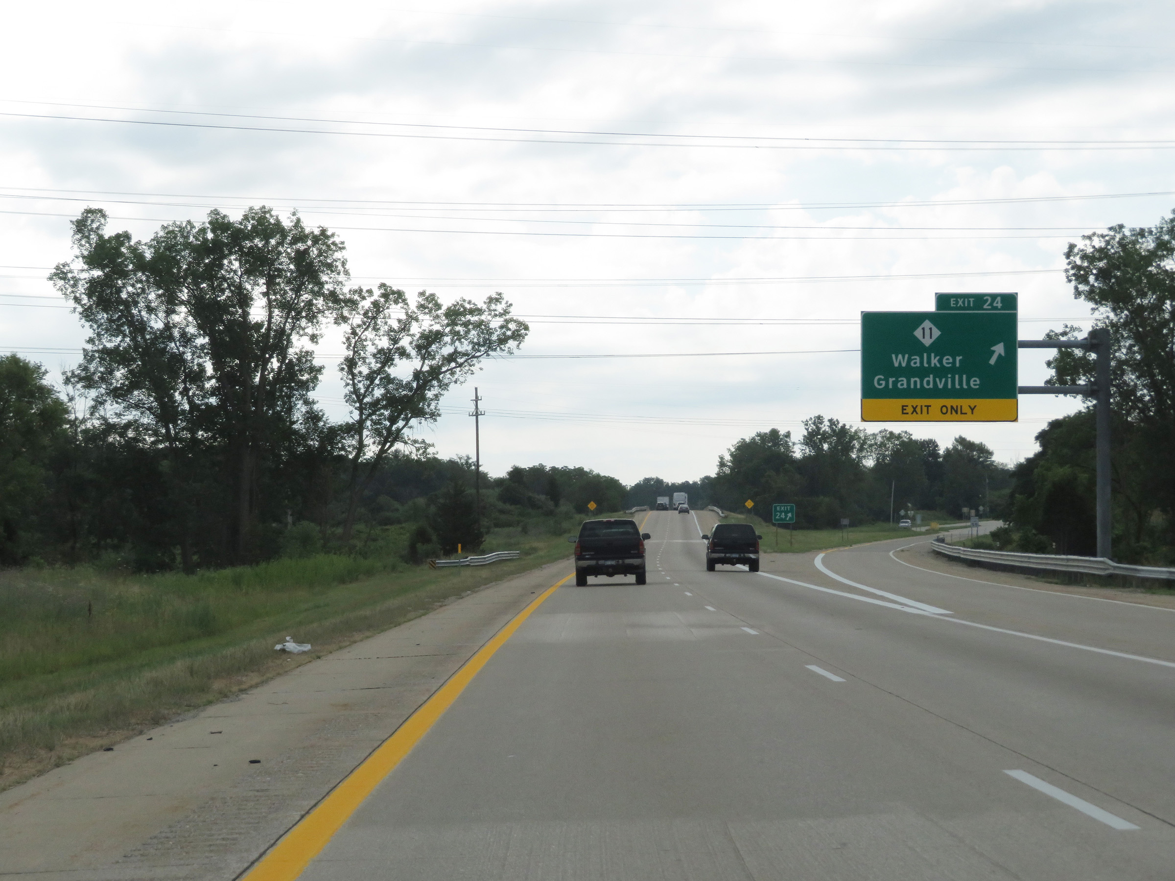 |
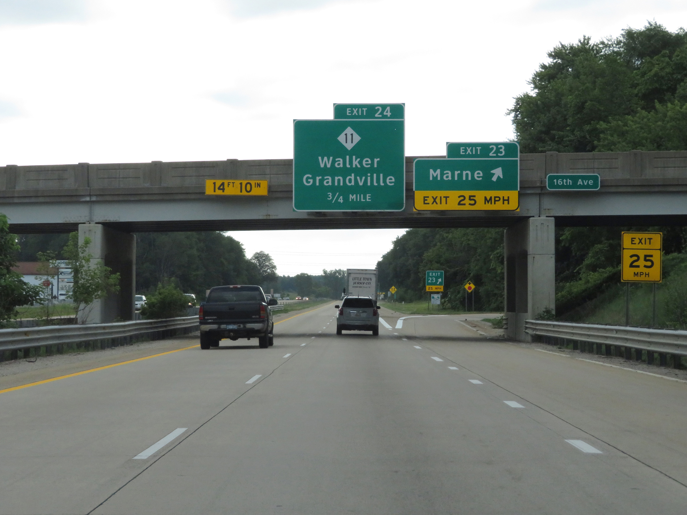
Interstate 96 East at Exit 24: M-11 - Walker / Grandville (Photo taken 7/17/17). |
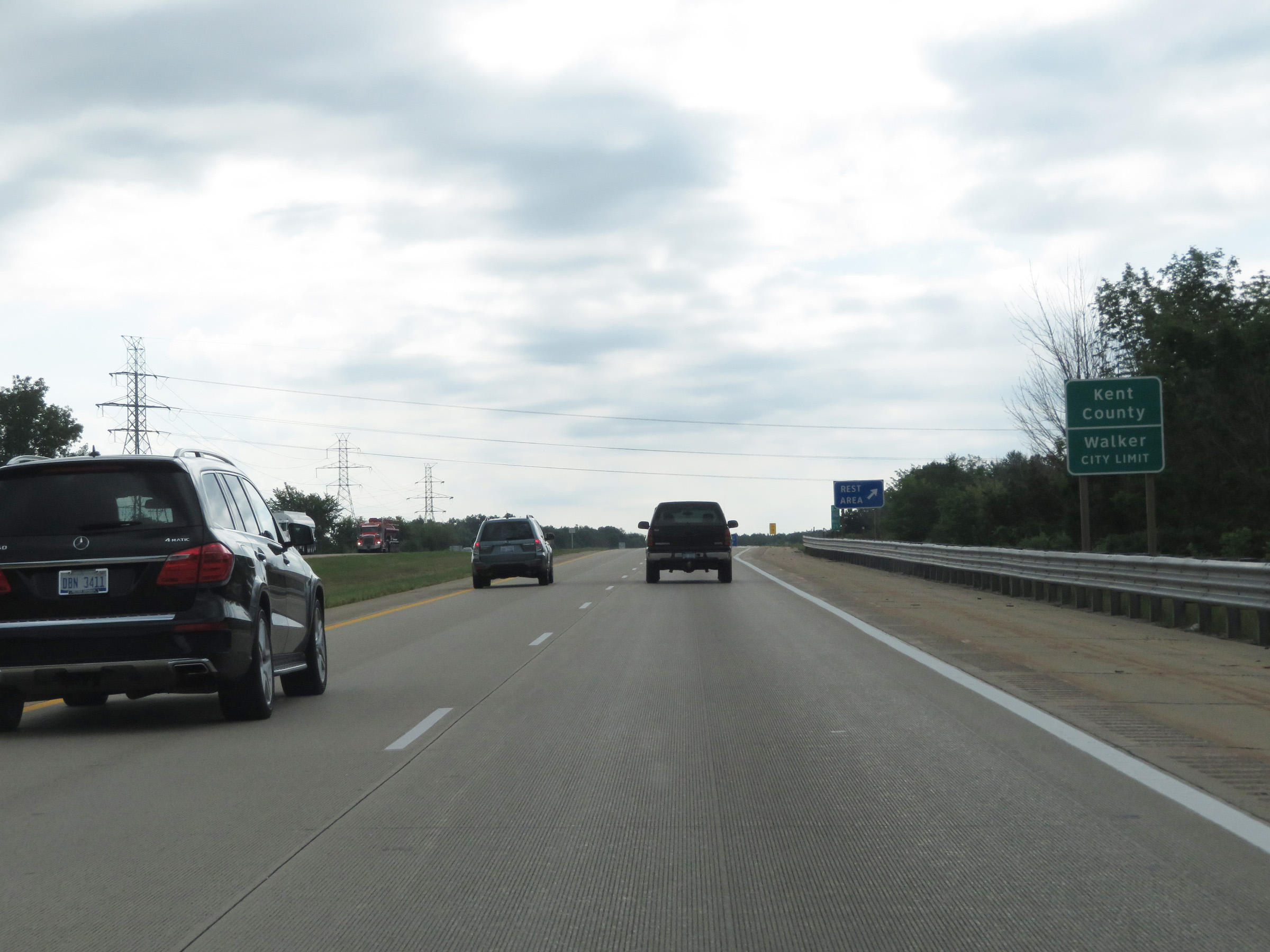 |
Interstate 96 East as it enters Kent County. (Photo taken 7/17/17). |
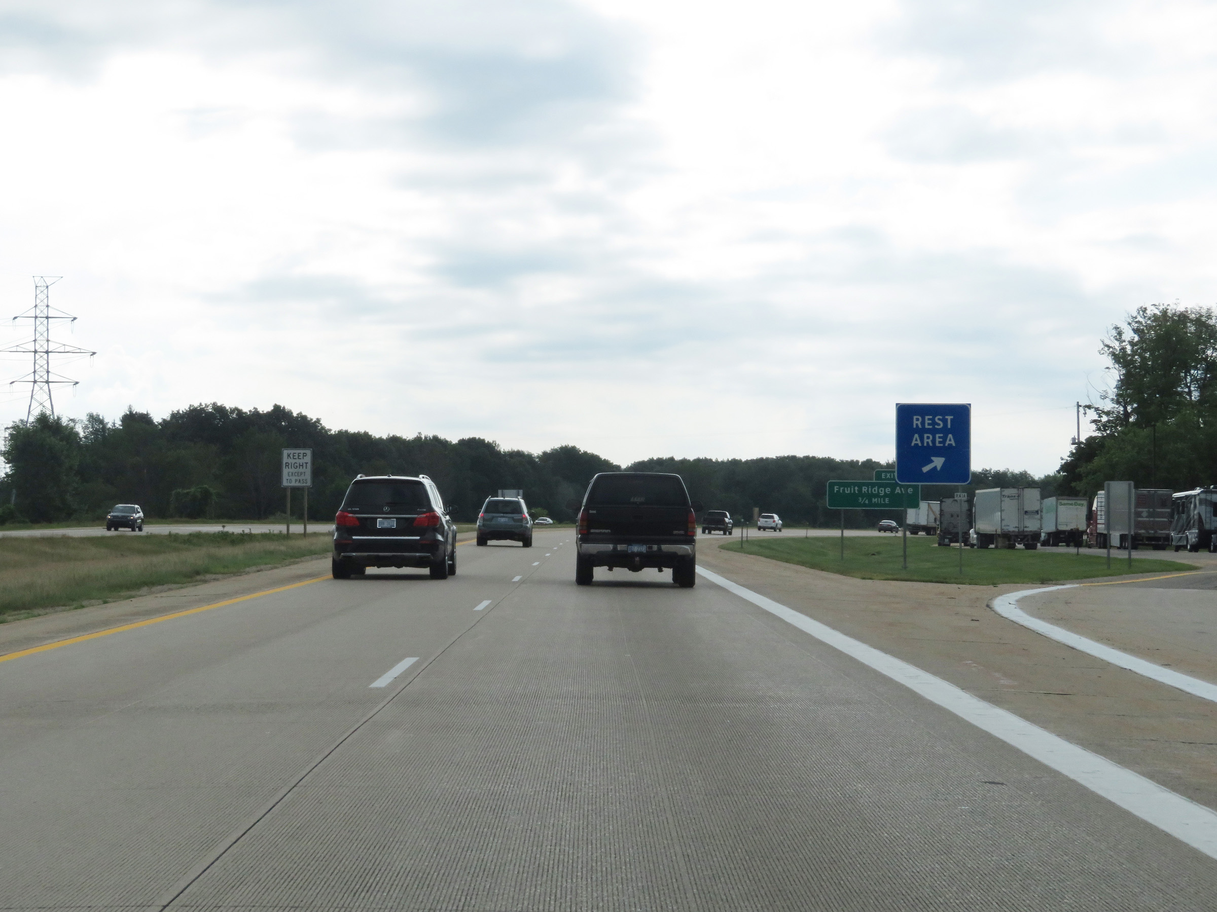 |
Rest Area on Interstate 96 East in Kent County. (Photo taken 7/17/17). |
 |
Interstate 96 East at Exit 26: Fruit Ridge Ave (Photo taken 7/17/17). |
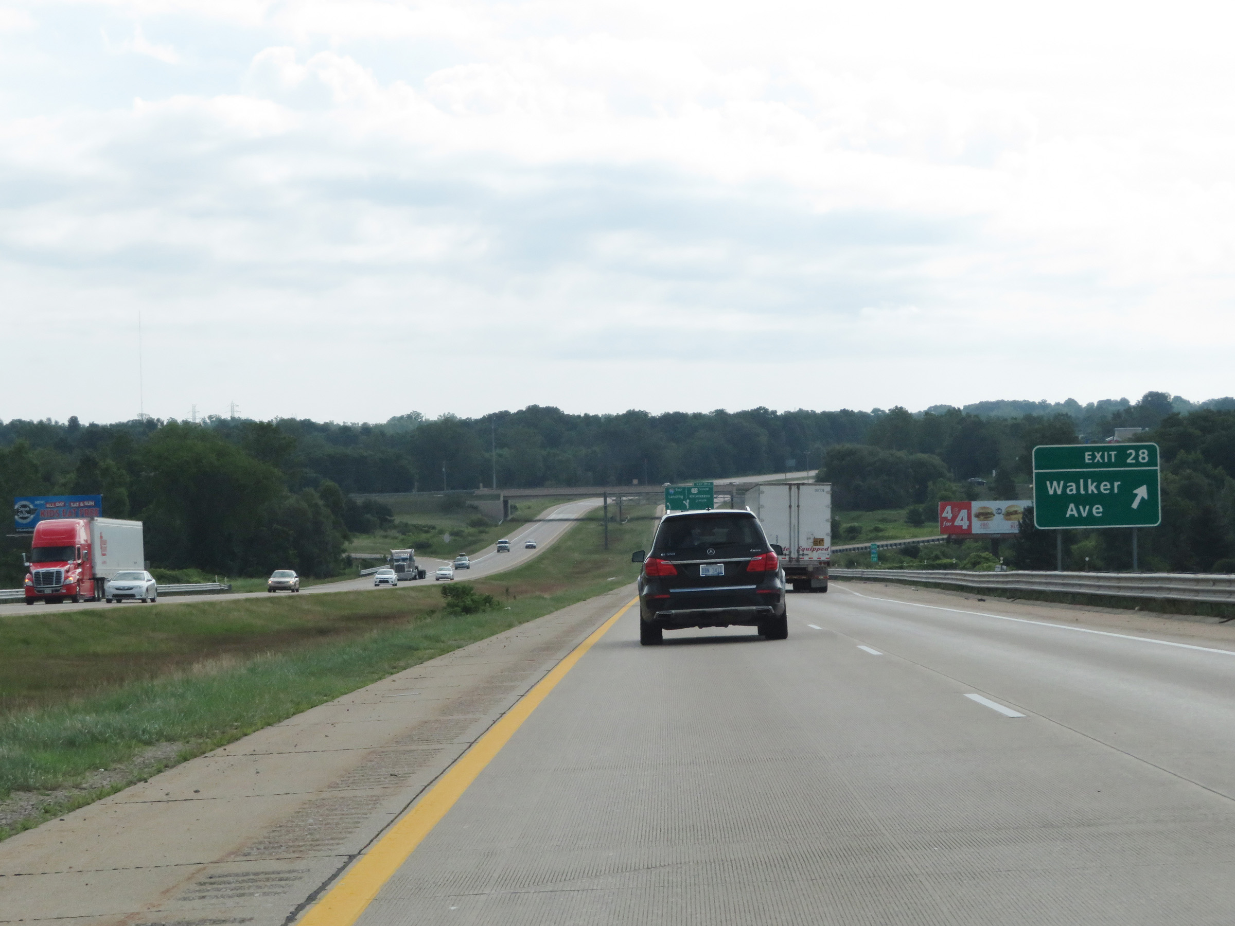 |
Interstate 96 East at Exit 28: Walker Ave (Photo taken 7/17/17). |
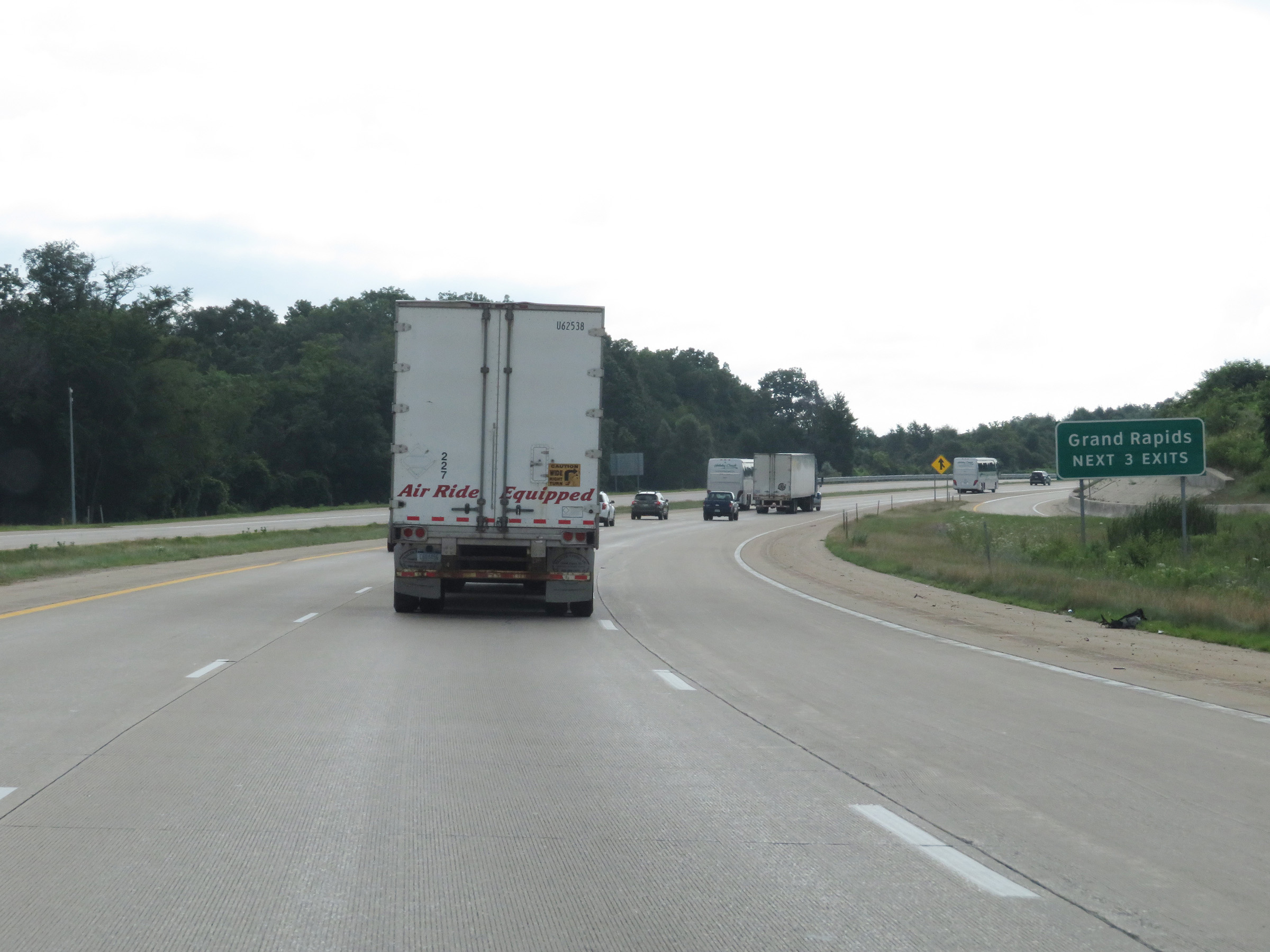 |
Take any of the next 3 exits to Grand Rapids. (Photo taken 7/17/17). |
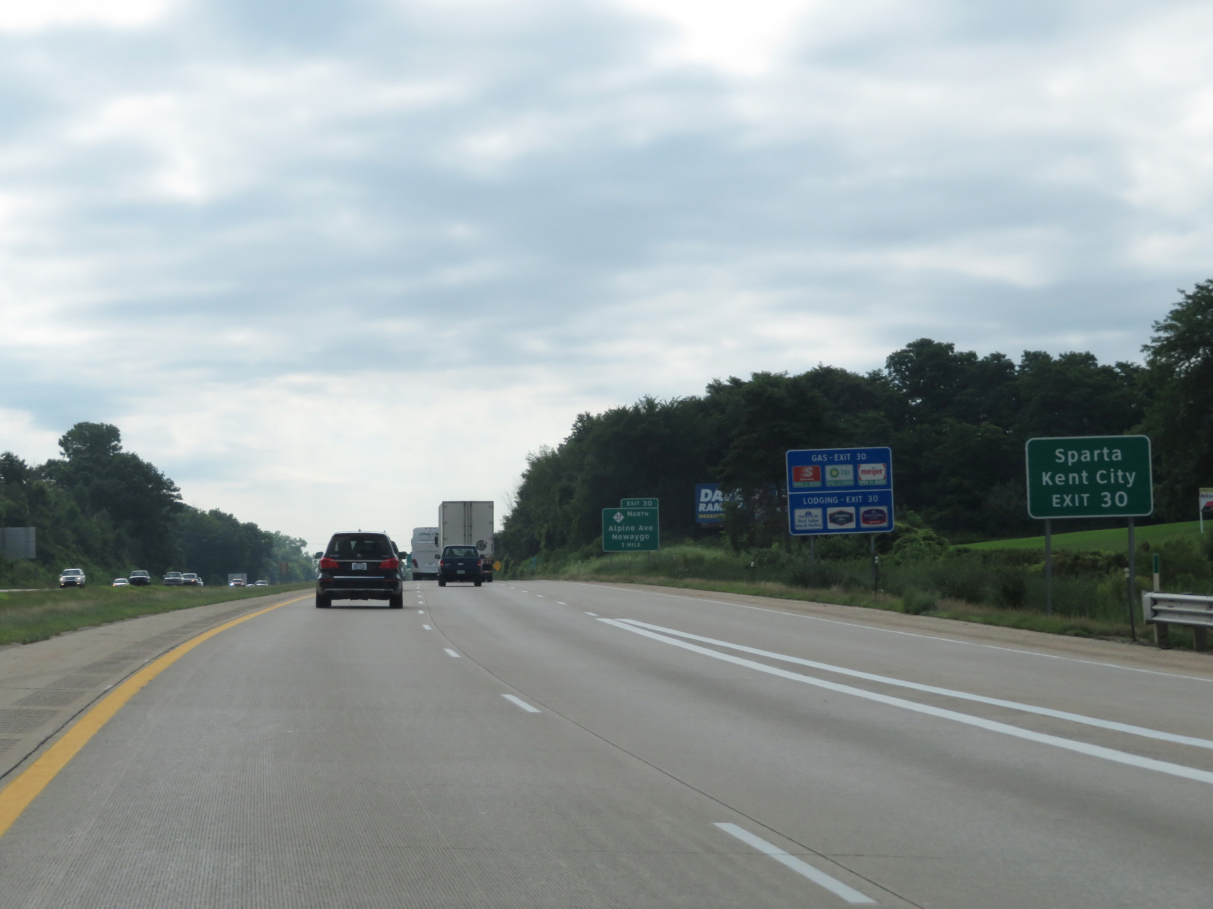 |
Take Exit 30 to Sparta and Kent City. (Photo taken 7/17/17). |
 |
Interstate 96 East approaching Exit 31A - 1 mile. (Photo taken 7/17/17). |
 |
Traffic to Gerald R. Ford International Airport should stay on Interstate 96 East. (Photo taken 7/17/17). |
 |
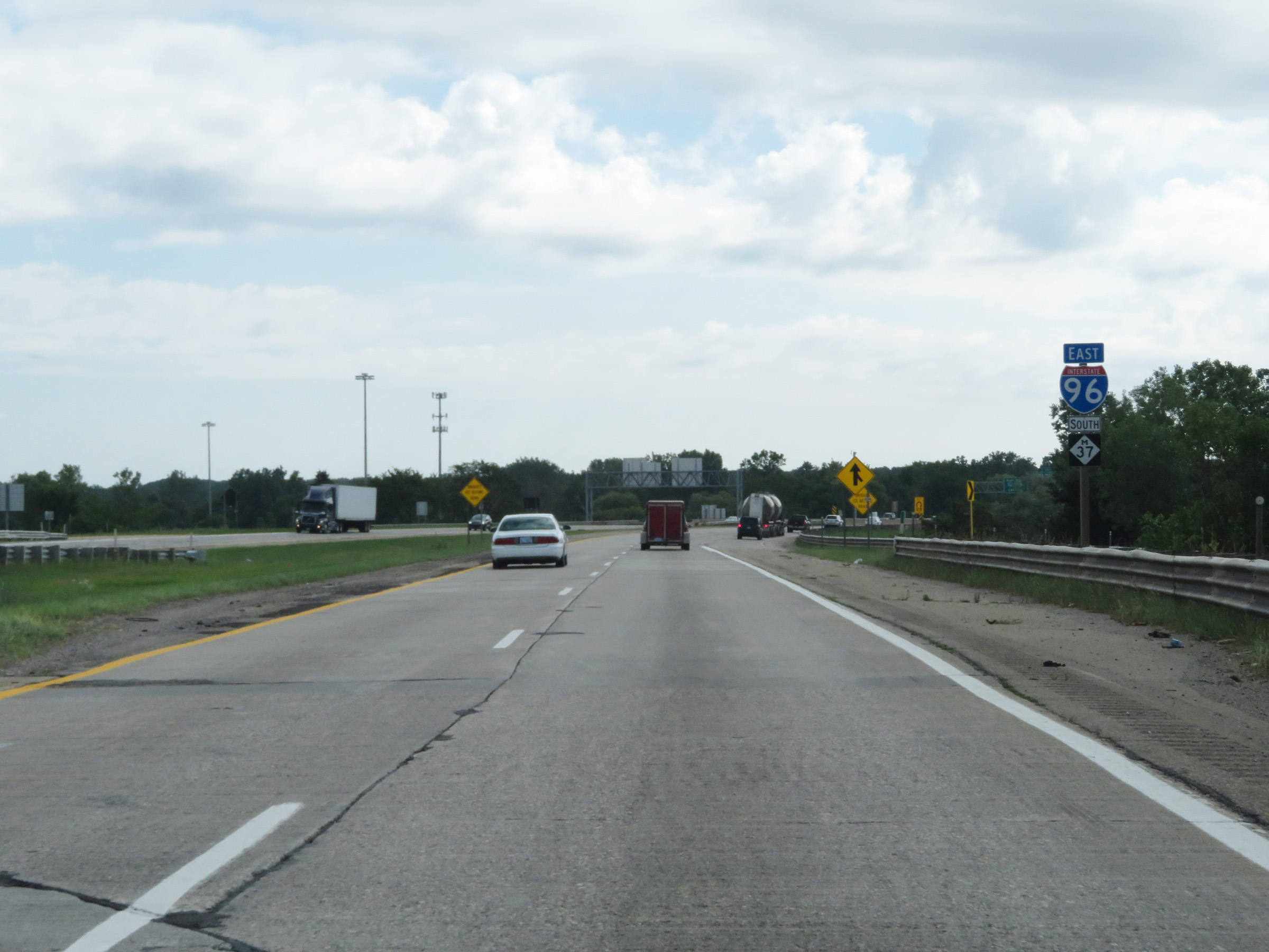
Interstate 96 East at Exit 30: M-37 North - Alpine Hwy / Newaygo (Photo taken 7/17/17). |
 |
Interstate 96 East at Exit 31A: Unsigned Interstate 296 South / US 131 South - Kalamazoo (Photo taken 7/17/17). |
 |
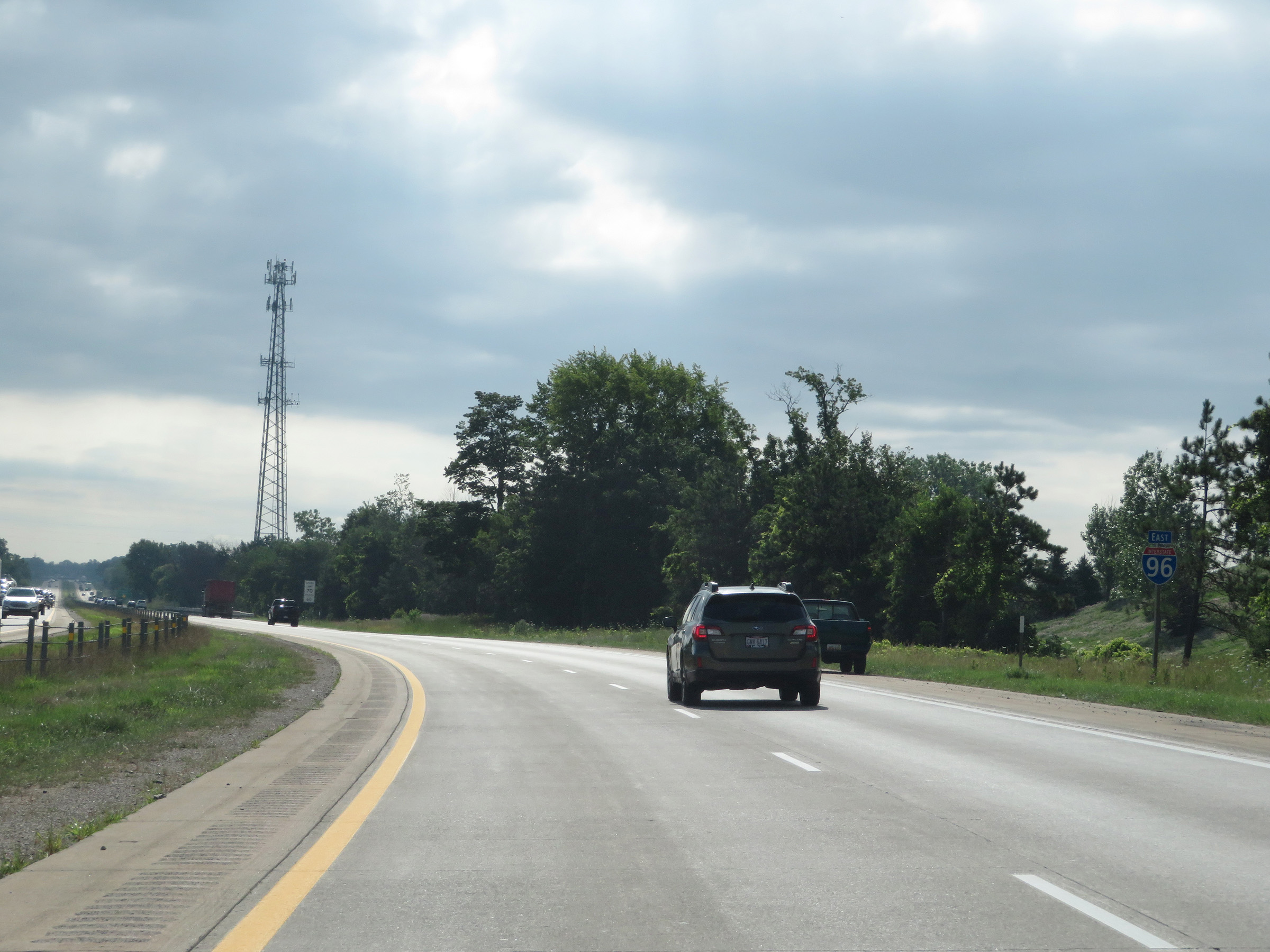
Interstate 96 East reassurance shield. (Photo taken 7/17/17). |
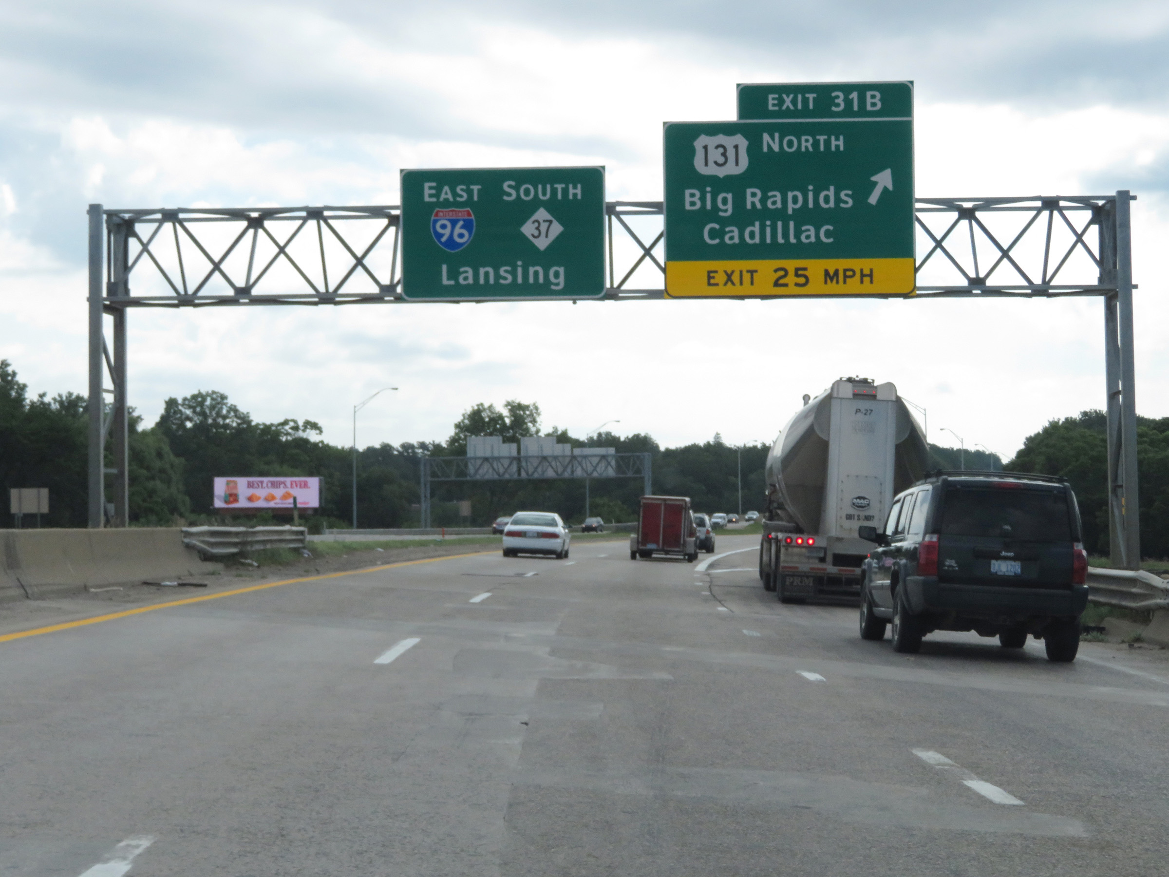 |
Interstate 96 East at Exit 31B: US 131 North - Big Rapids / Cadillac (Photo taken 7/17/17). |
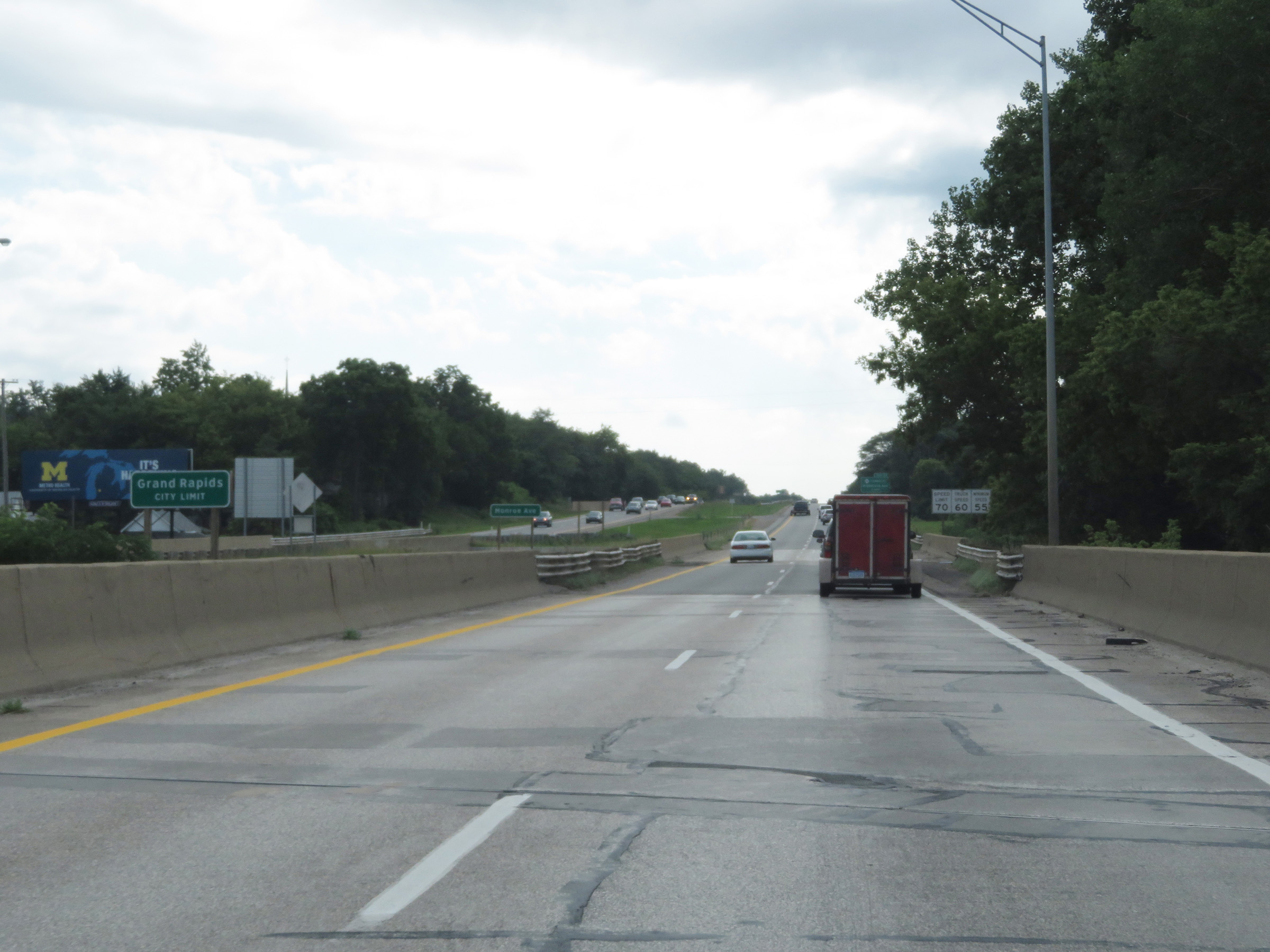 |
Interstate 96 East as it enters the Grand Rapids city limits. (Photo taken 7/17/17). |
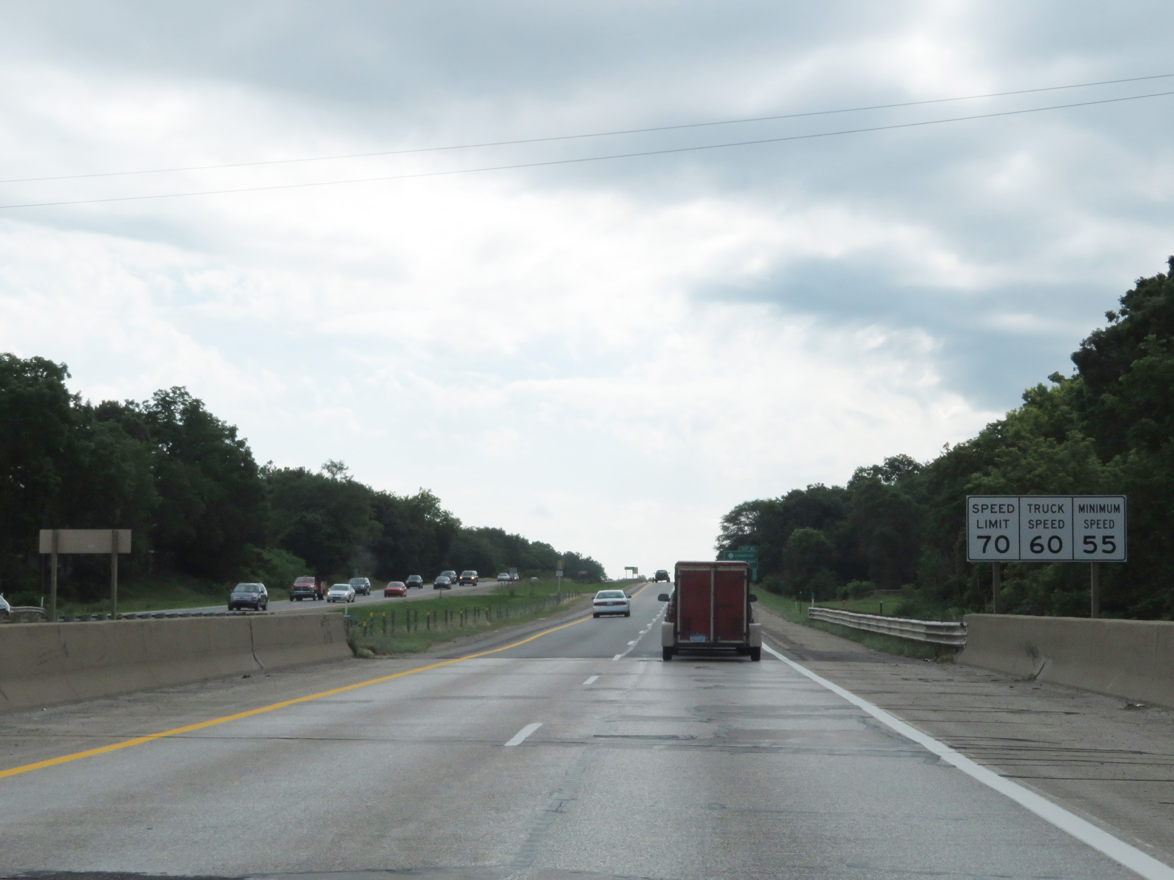 |
The speed limits on Interstate 96 East remain 70 mph maximum for automobiles, 60 mph maximum for trucks, and 55 mph minimum for all traffic. (Photo taken 7/17/17). |
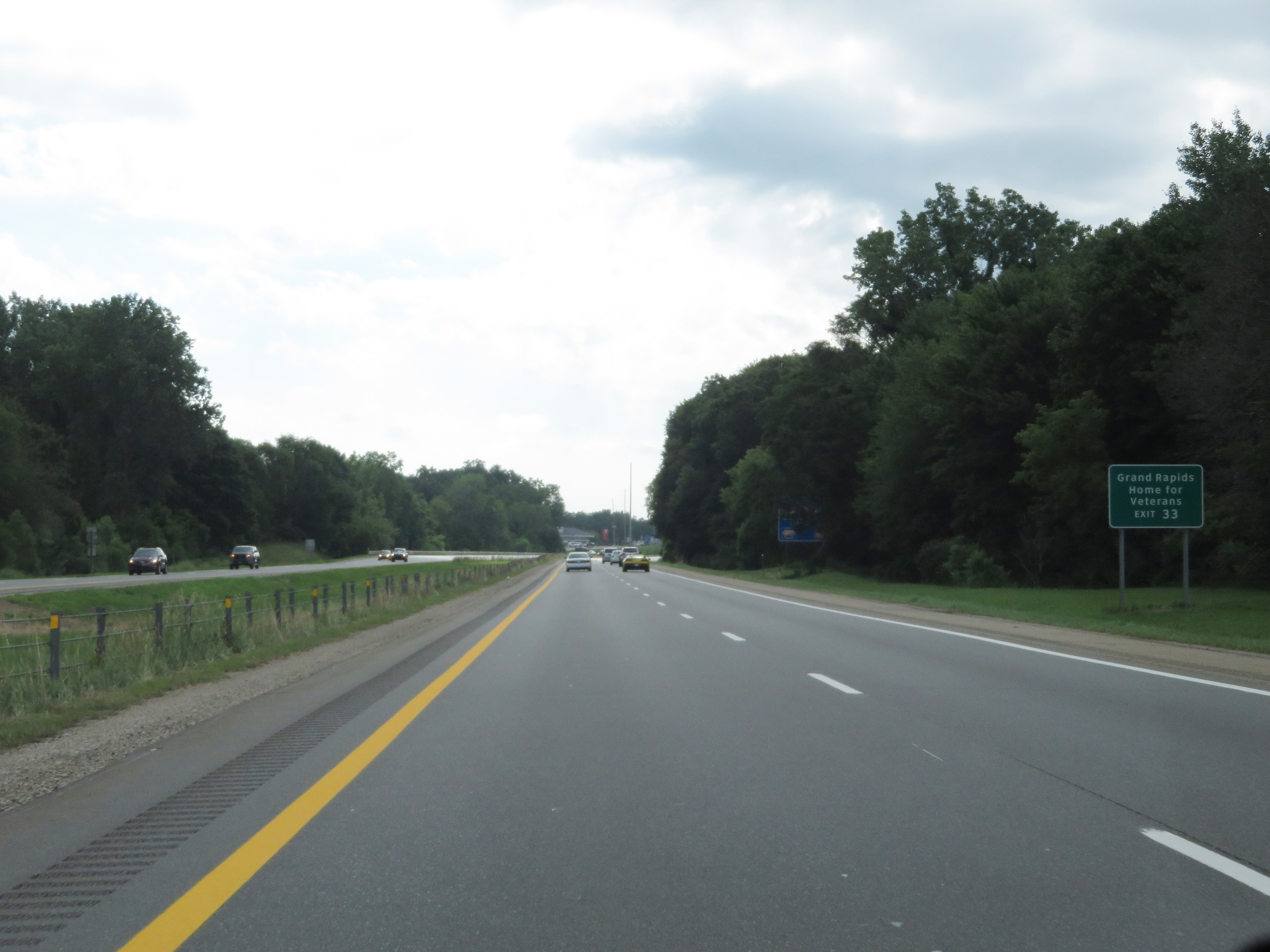 |
Take Exit 33 to the Grand Rapids Home for Veterans. (Photo taken 7/17/17). |
 |
Interstate 96 East at Exit 33: M-44 Connector - Plainfield Ave (Photo taken 7/17/17). |
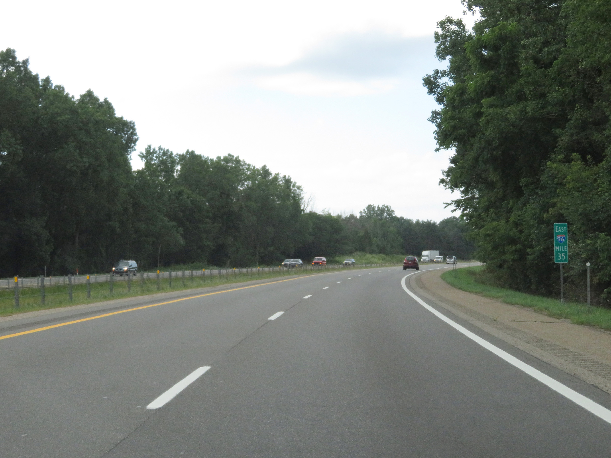 |
View on Interstate 96 East at mile marker 35. (Photo taken 7/17/17). |
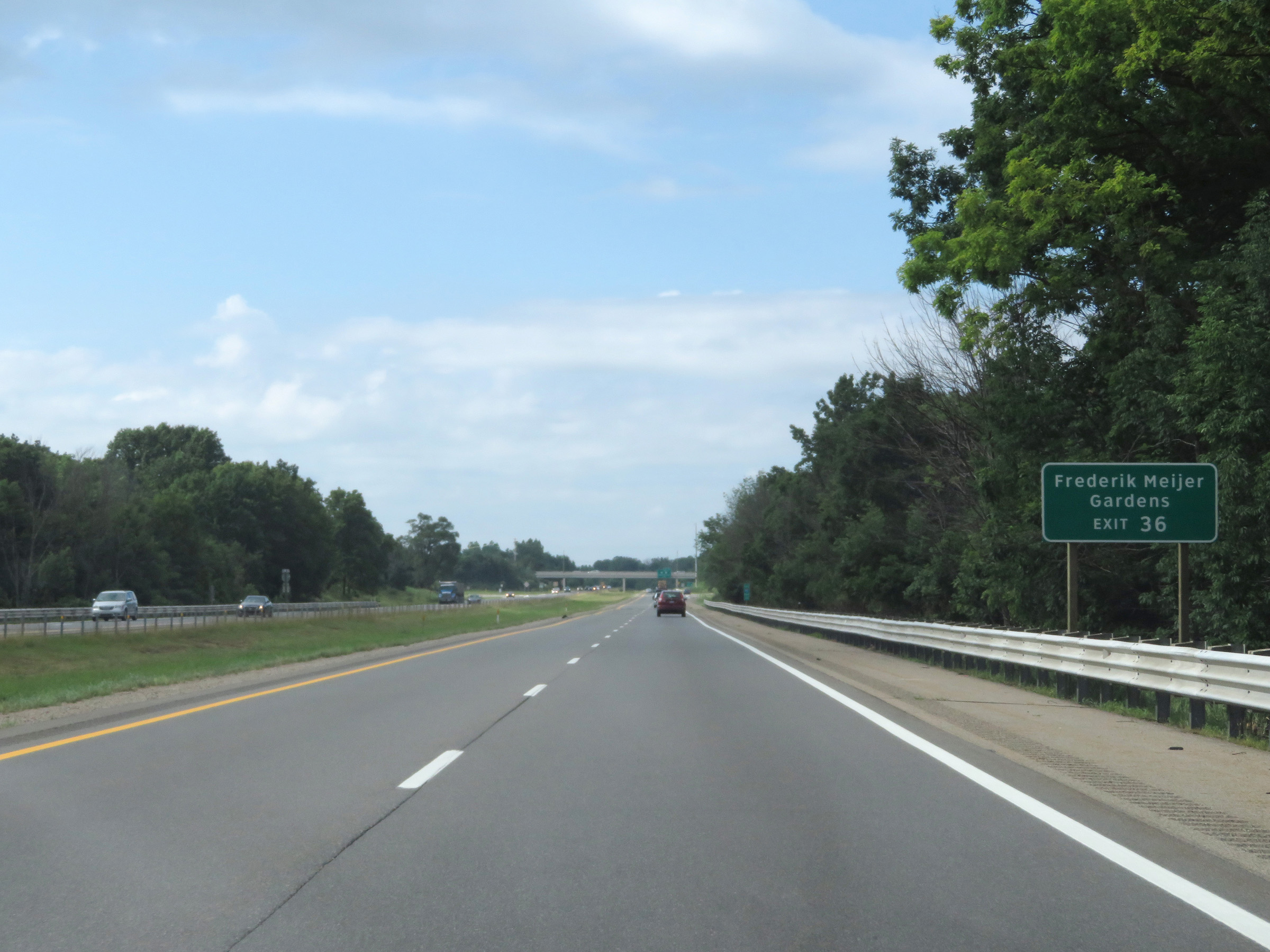 |
Take Exit 36 to Frederik Meijer Gardens. (Photo taken 7/17/17). |
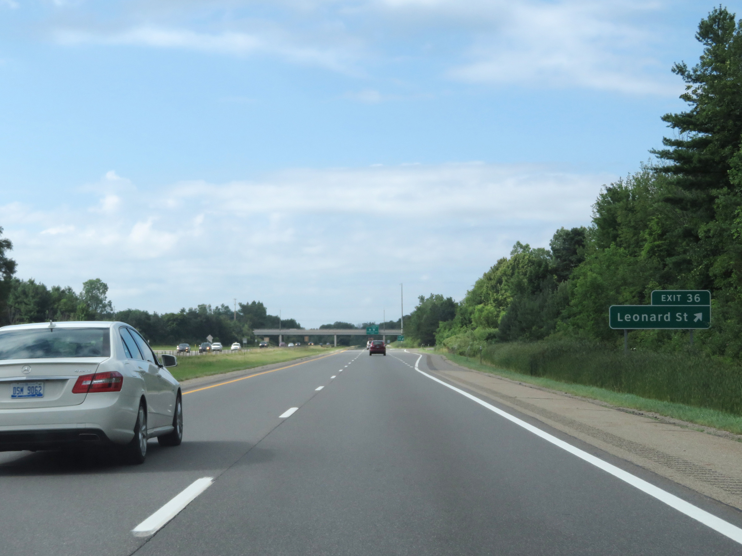 |
Interstate 96 East at Exit 36: Leonard St (Photo taken 7/17/17). |
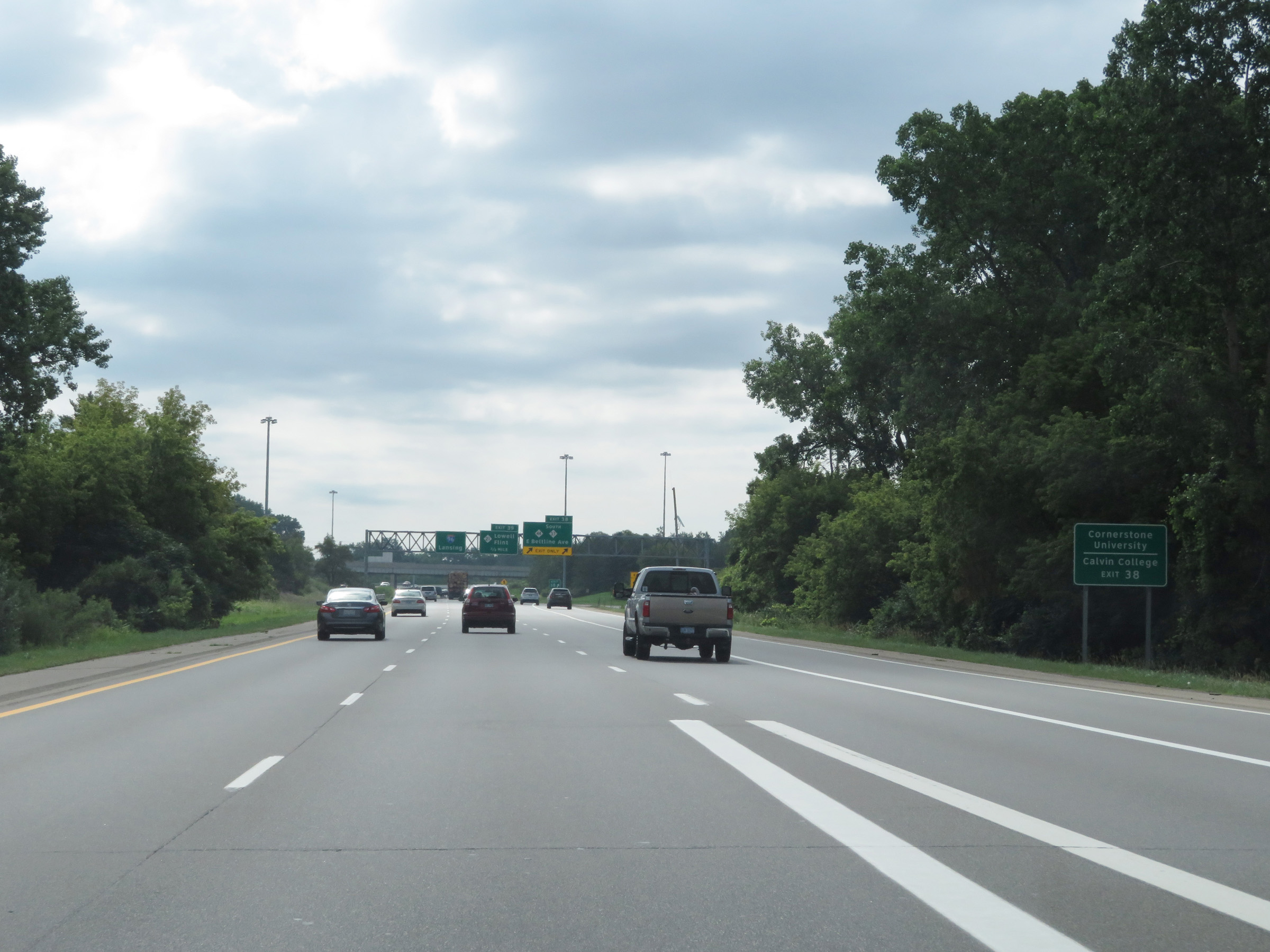 |
Take Exit 38 to Cornerstone University and Calvin College. (Photo taken 7/17/17). |
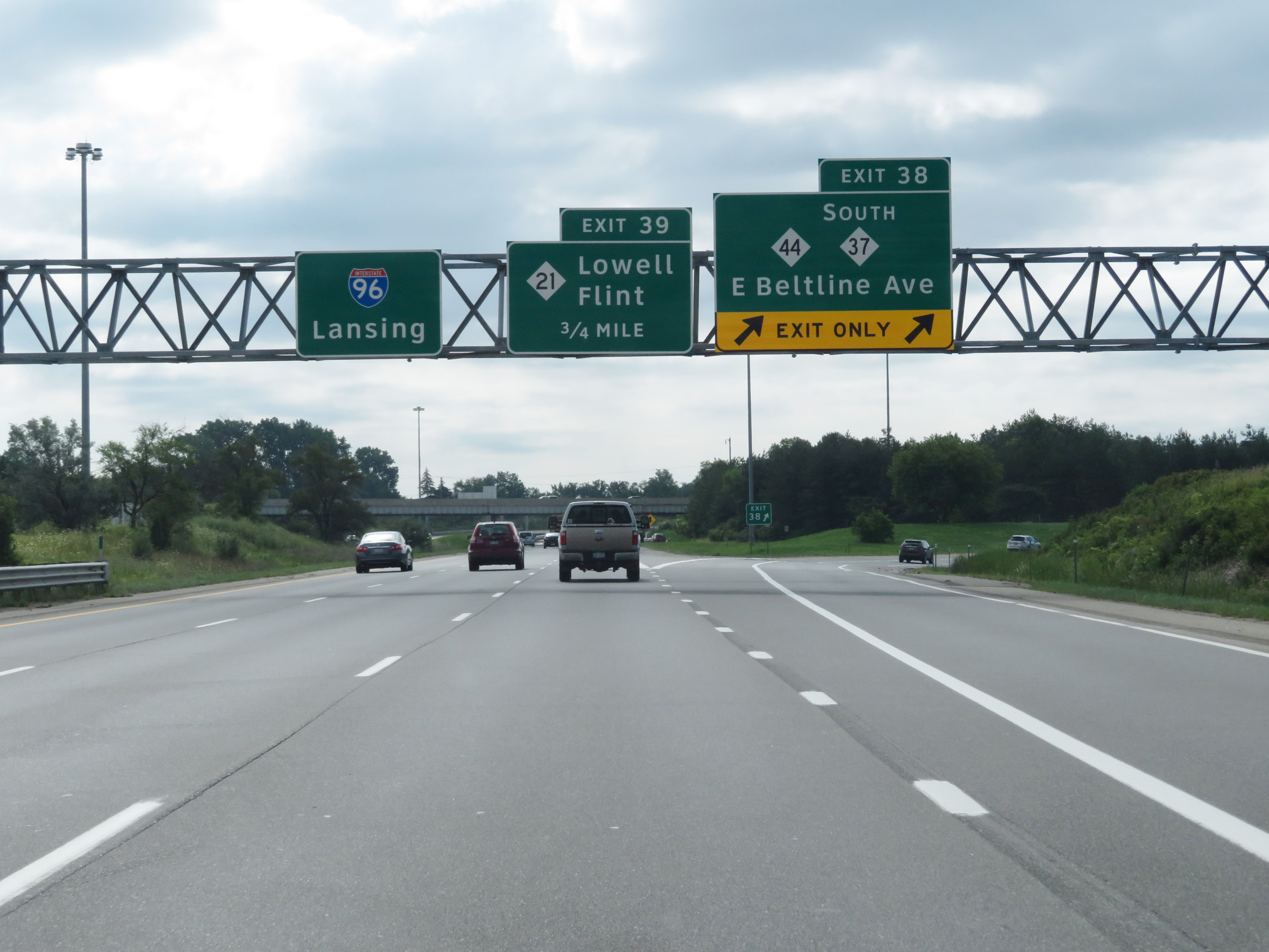 |
Interstate 96 East at Exit 38: M-44 / M-37 South - East Beltline Ave (Photo taken 7/17/17). |
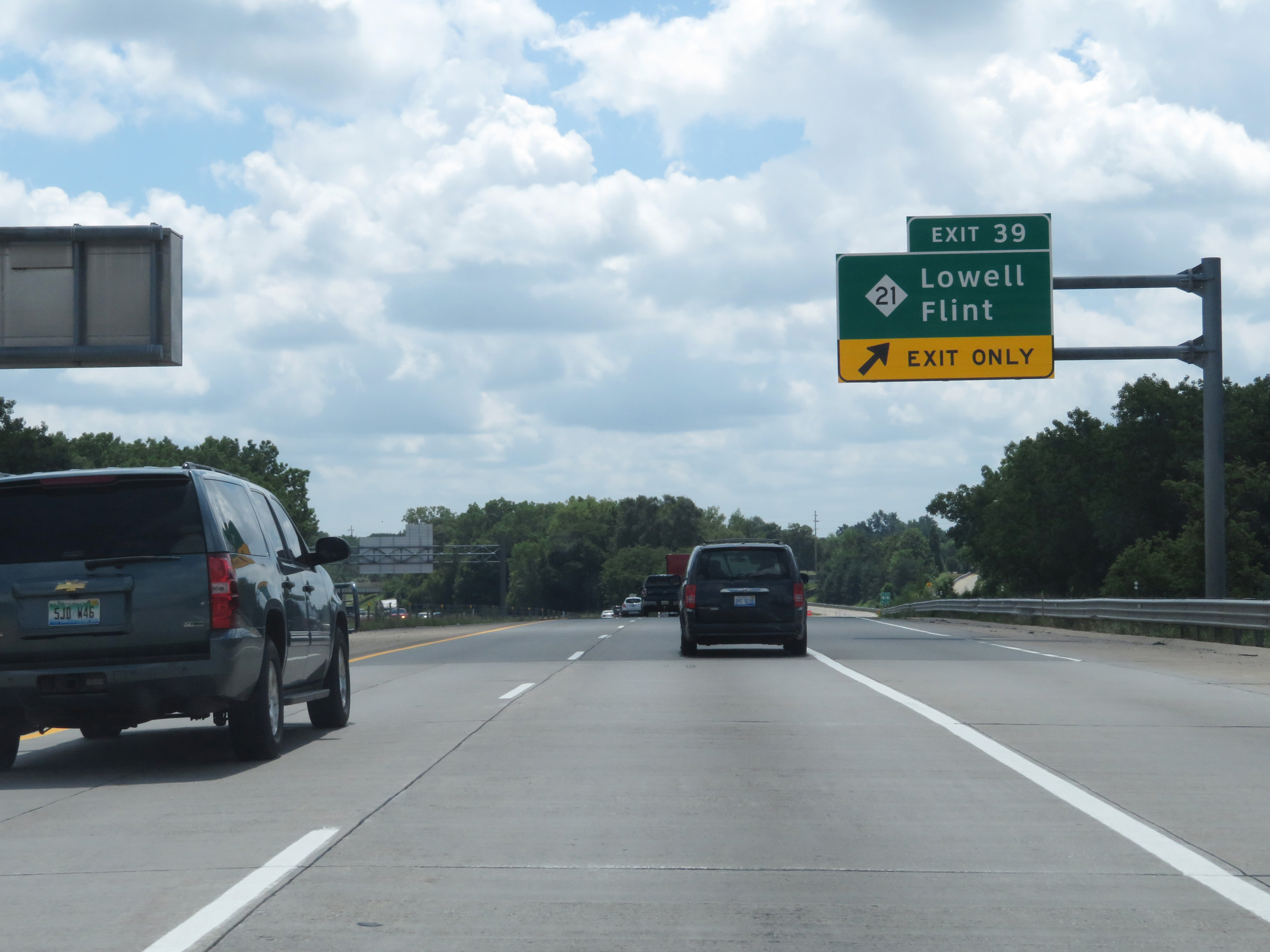 |
Interstate 96 East at Exit 39: M-21 - Lowell / Flint (Photo taken 7/17/17). |
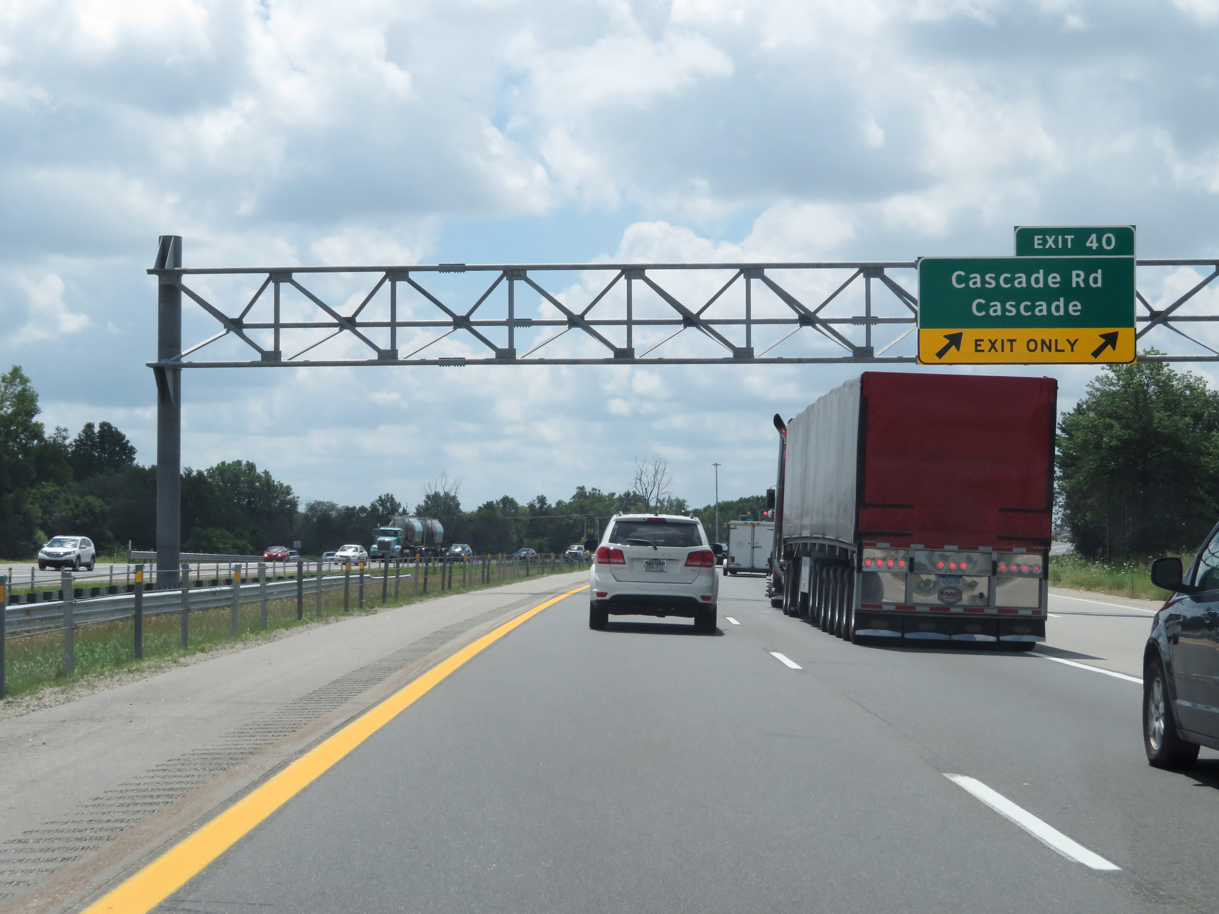 |
Interstate 96 East at Exit 40: Cascade Rd / Cascade (Photo taken 7/17/17). |
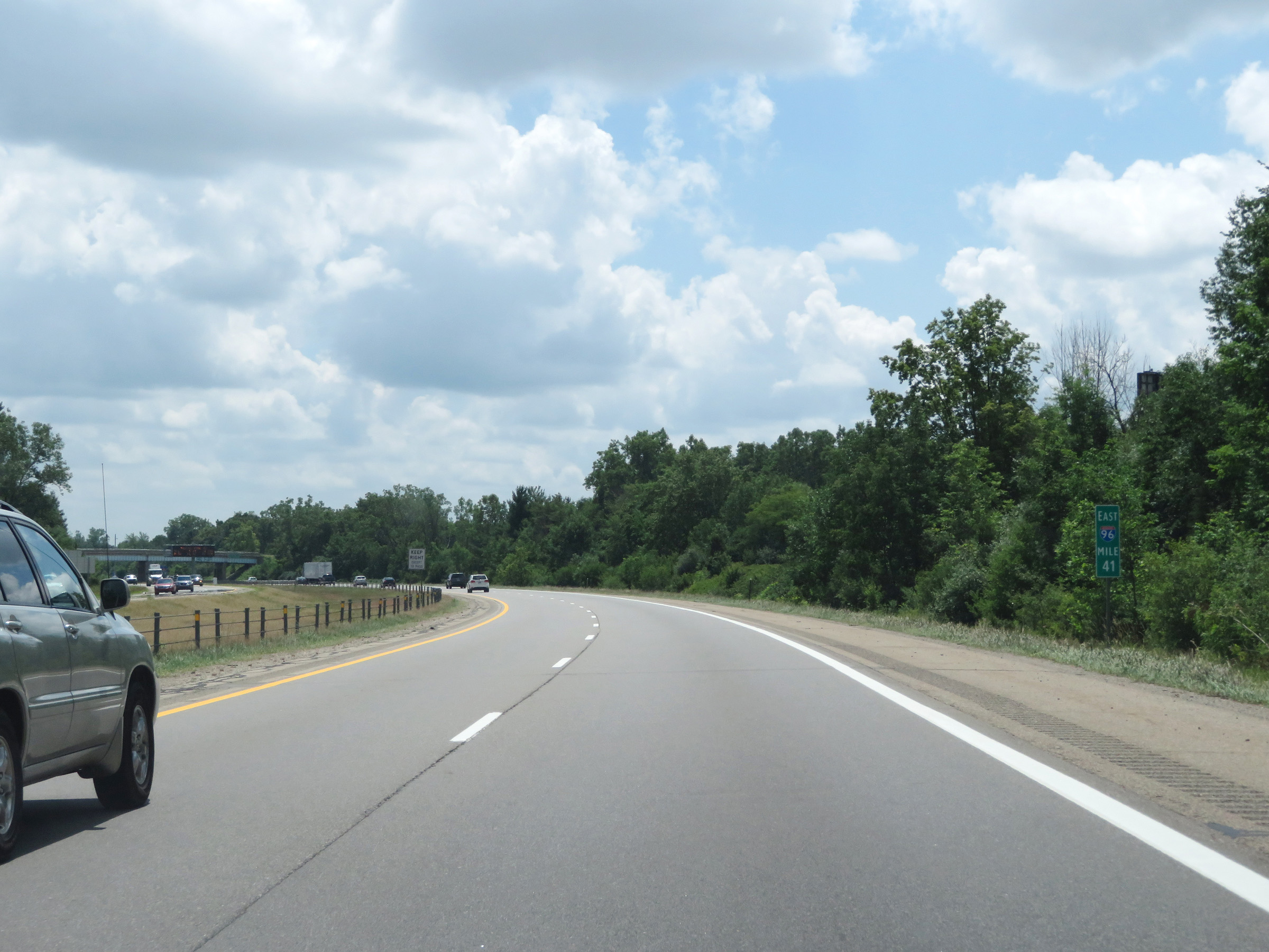 |
View on Interstate 96 East at mile marker 41. (Photo taken 7/17/17). |
 |
Take Exit 43A to Kentwood and Wyoming. (Photo taken 7/17/17). |
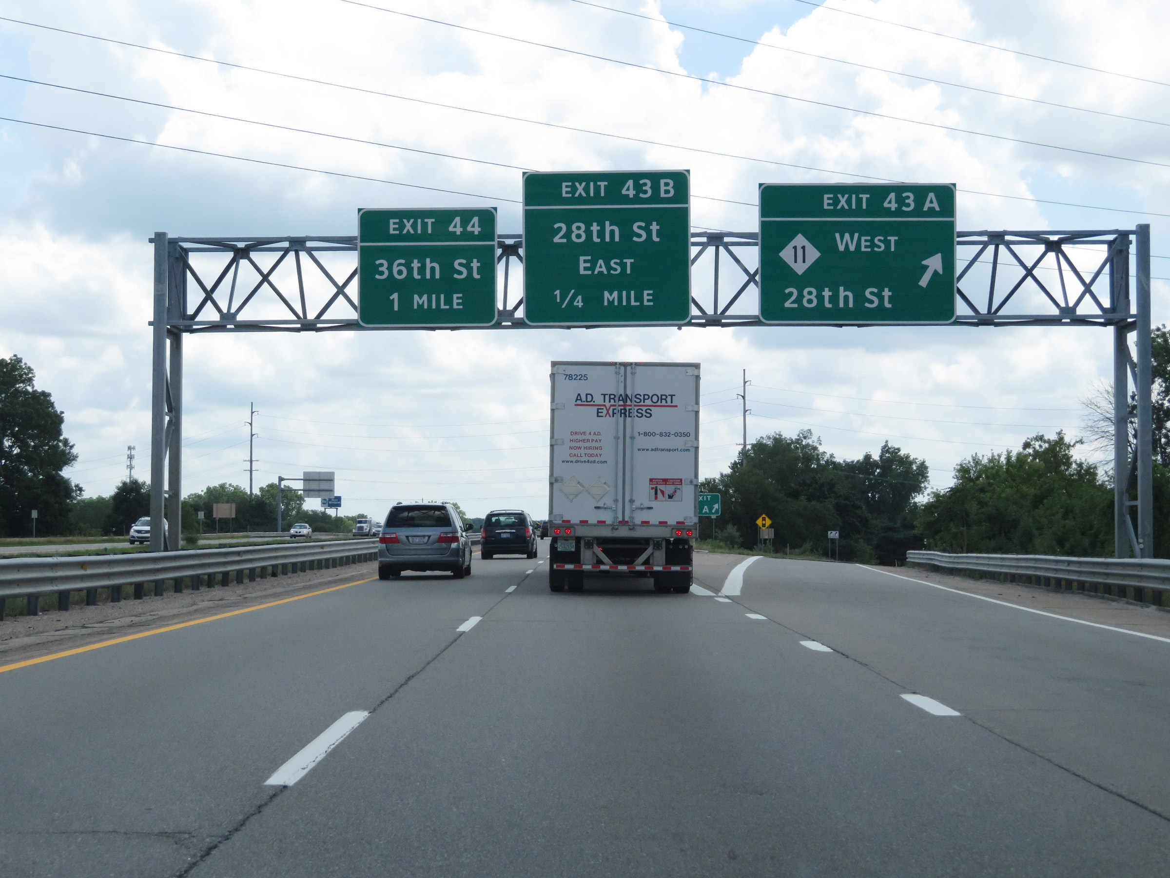 |
Interstate 96 East at Exit 43A: M-11 West - 28th St (Photo taken 7/17/17). |
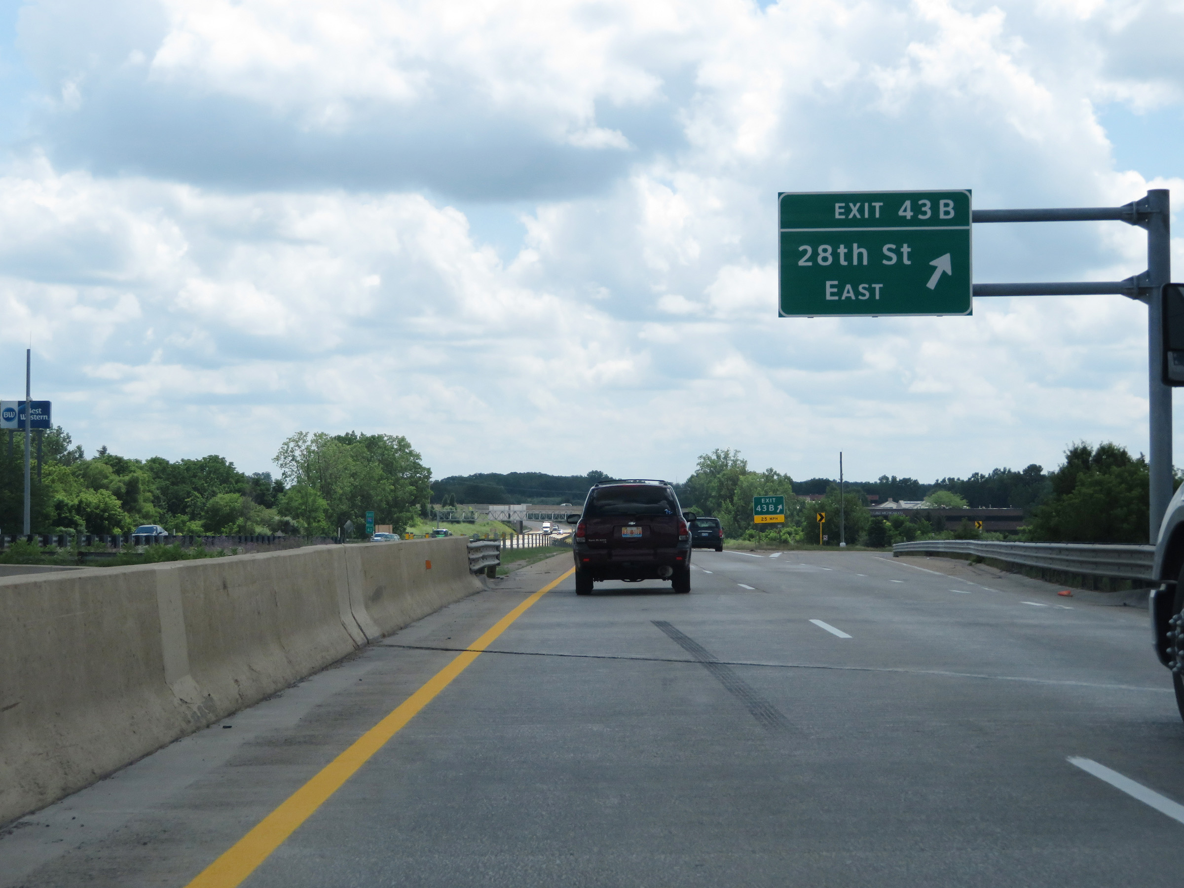 |
Interstate 96 East at Exit 43B: 28th St East (Photo taken 7/17/17). |
Section 2: Grand Rapids (Exit 43B) to Lansing (Exit 97)
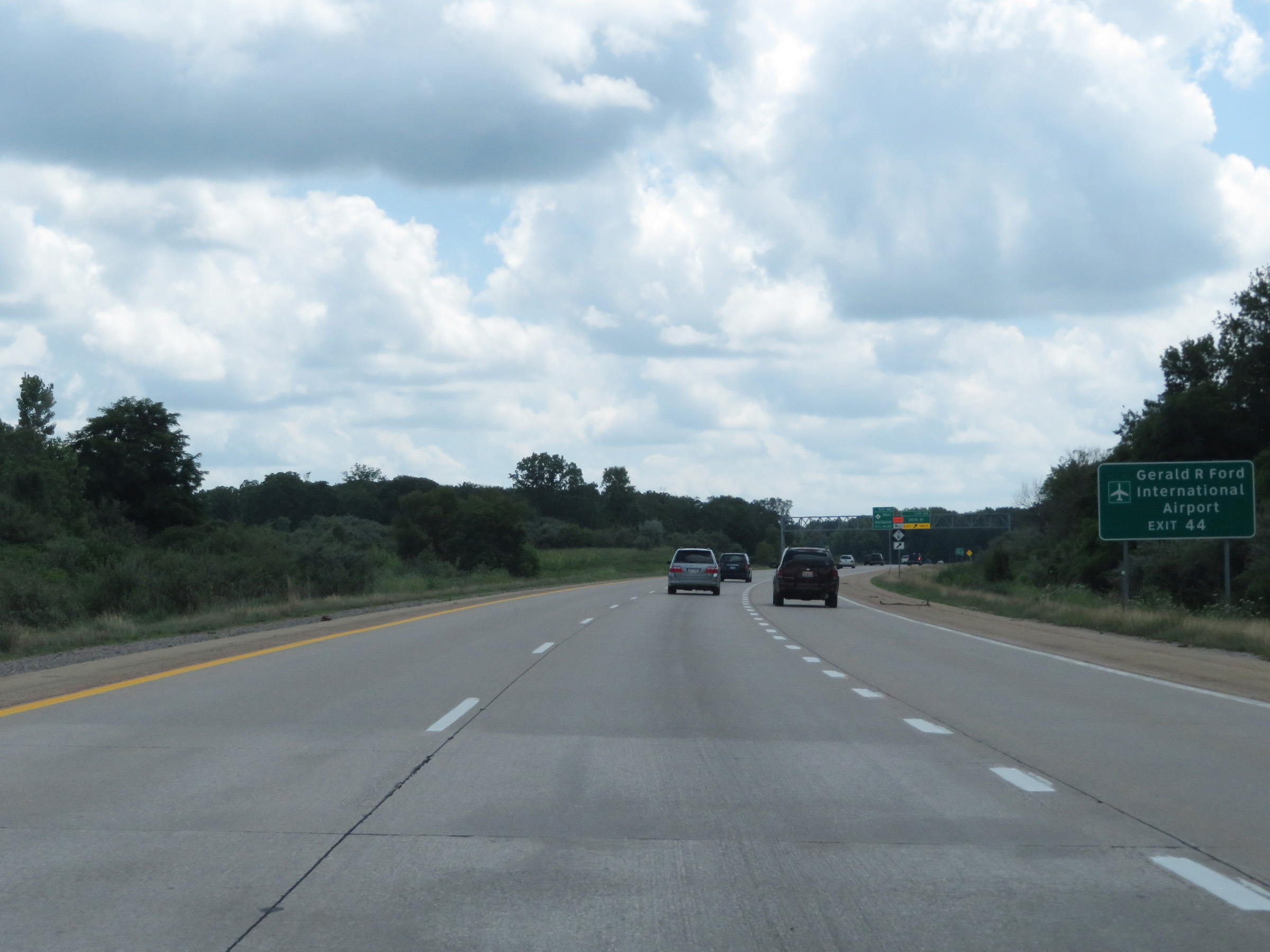 |
Take Exit 44 to Gerald R. Ford International Airport. (Photo taken 7/17/17). |
 |
Interstate 96 East at Exit 44: 36th St (Photo taken 7/17/17). |
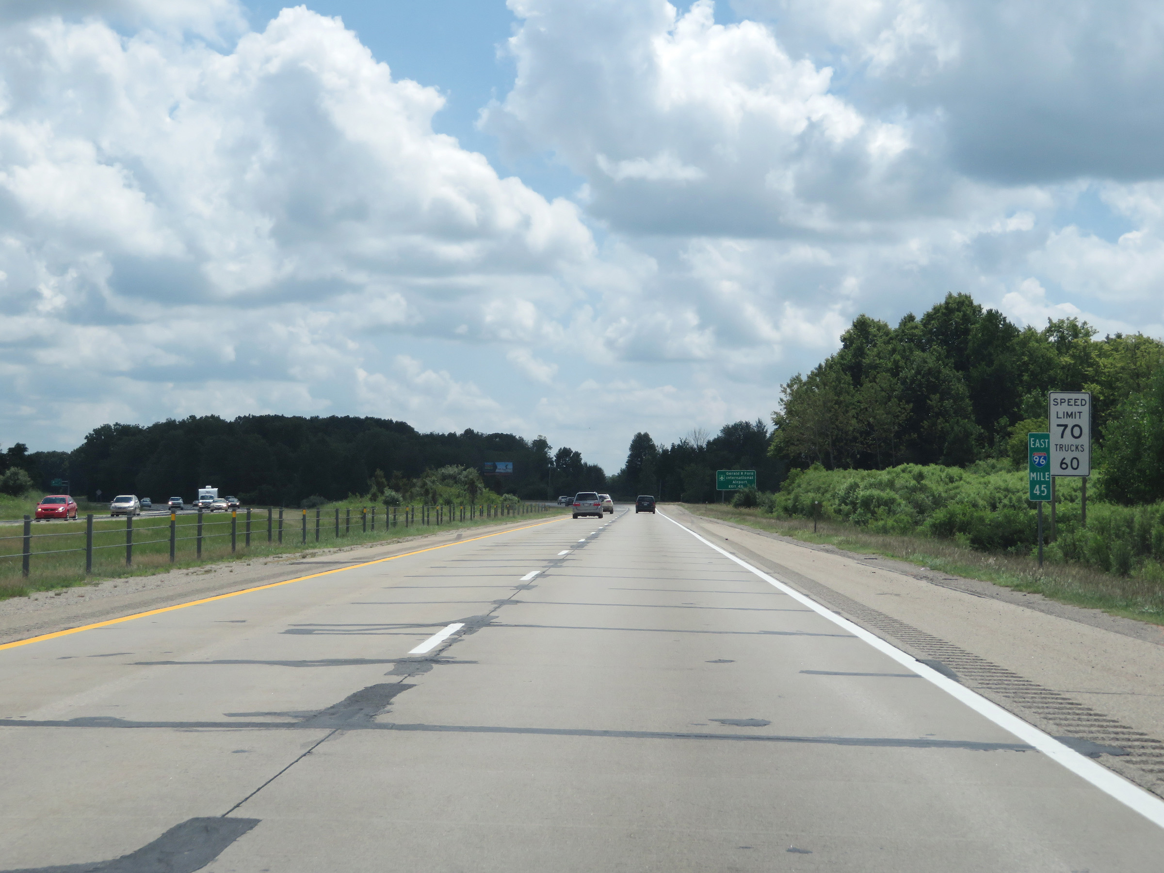 |
View on Interstate 96 East at mile marker 45. (Photo taken 7/17/17). |
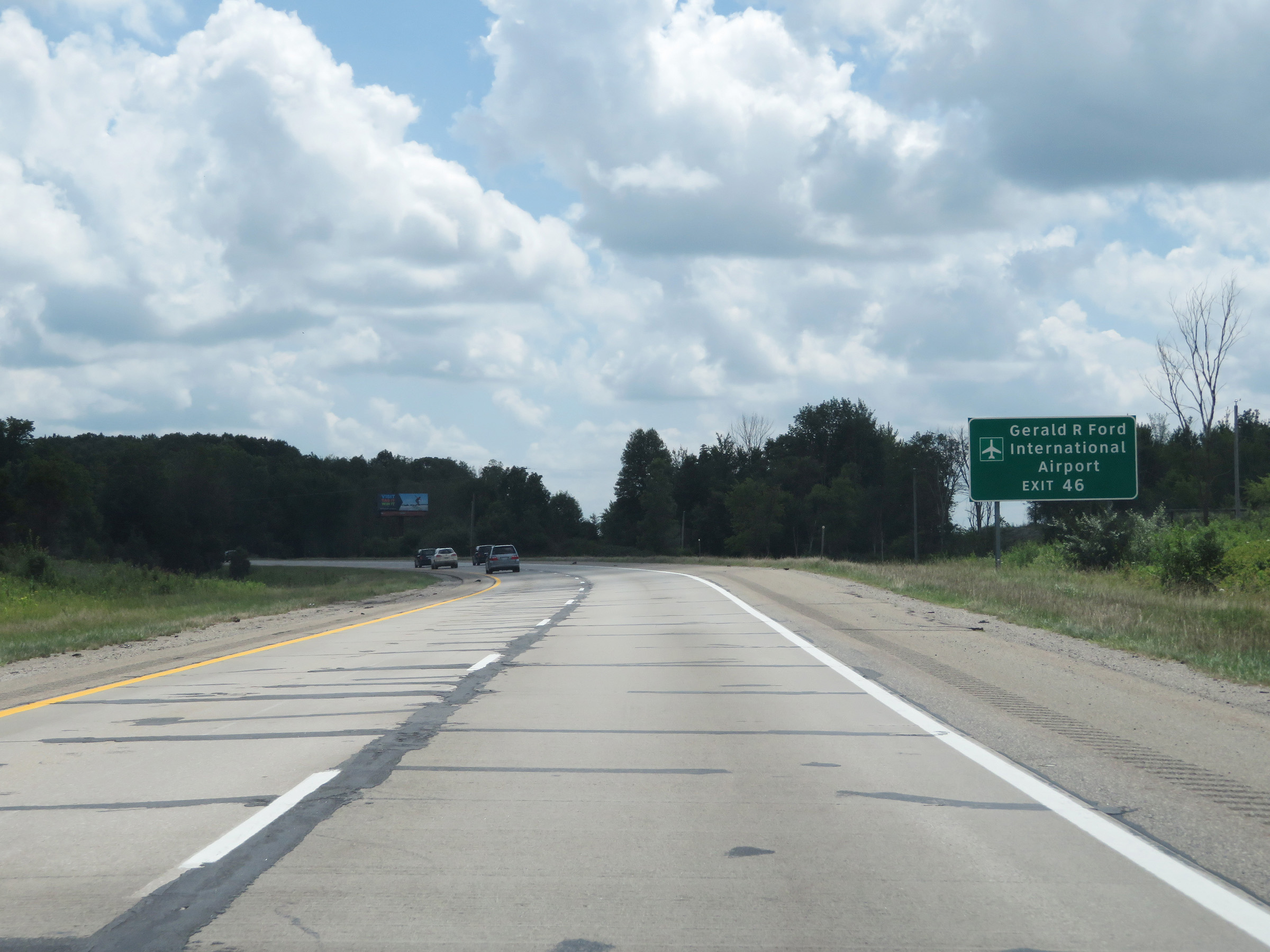 |
You can also access Gerald R. Ford International Airport via Exit 46. (Photo taken 7/17/17). |
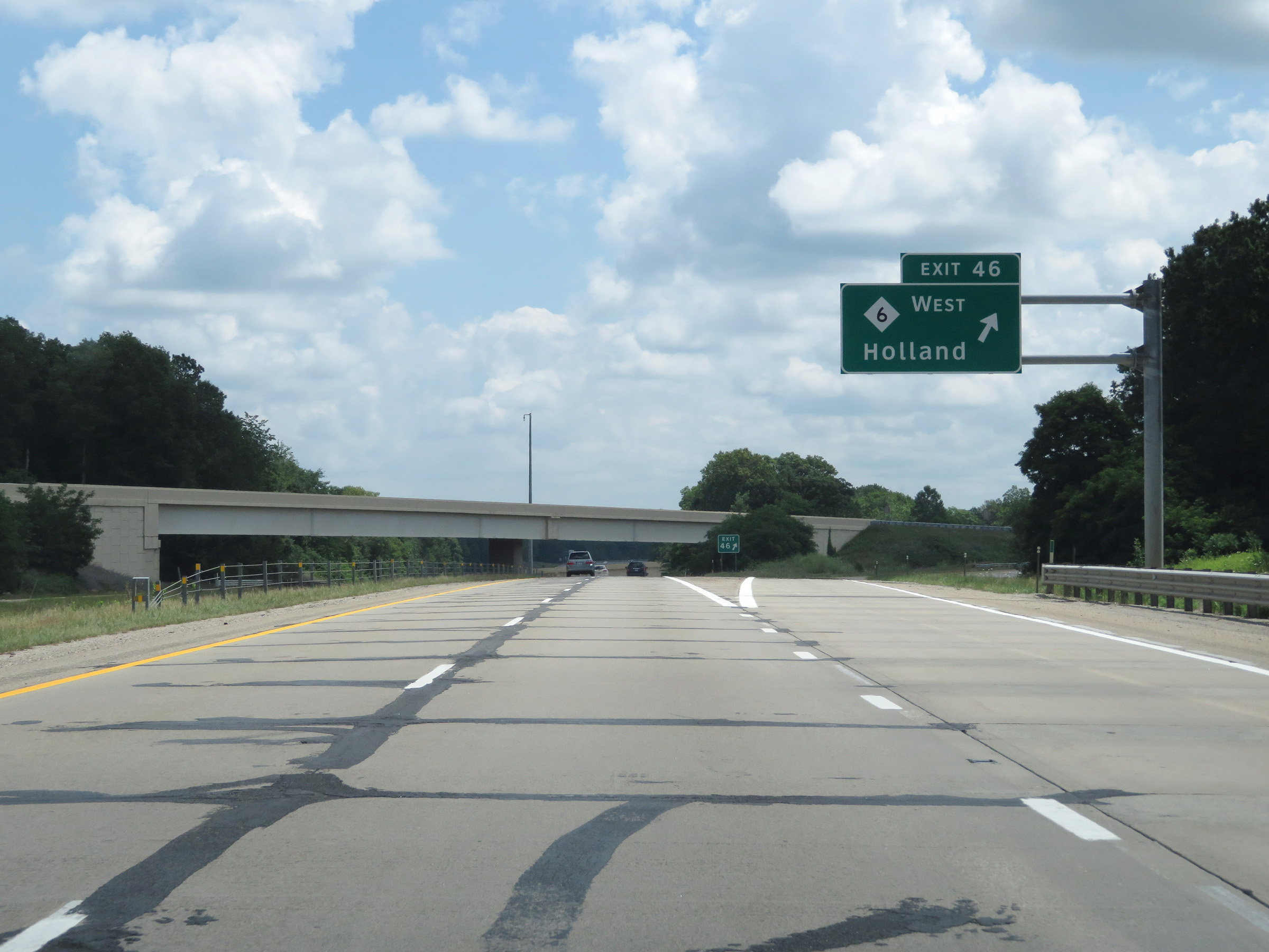 |
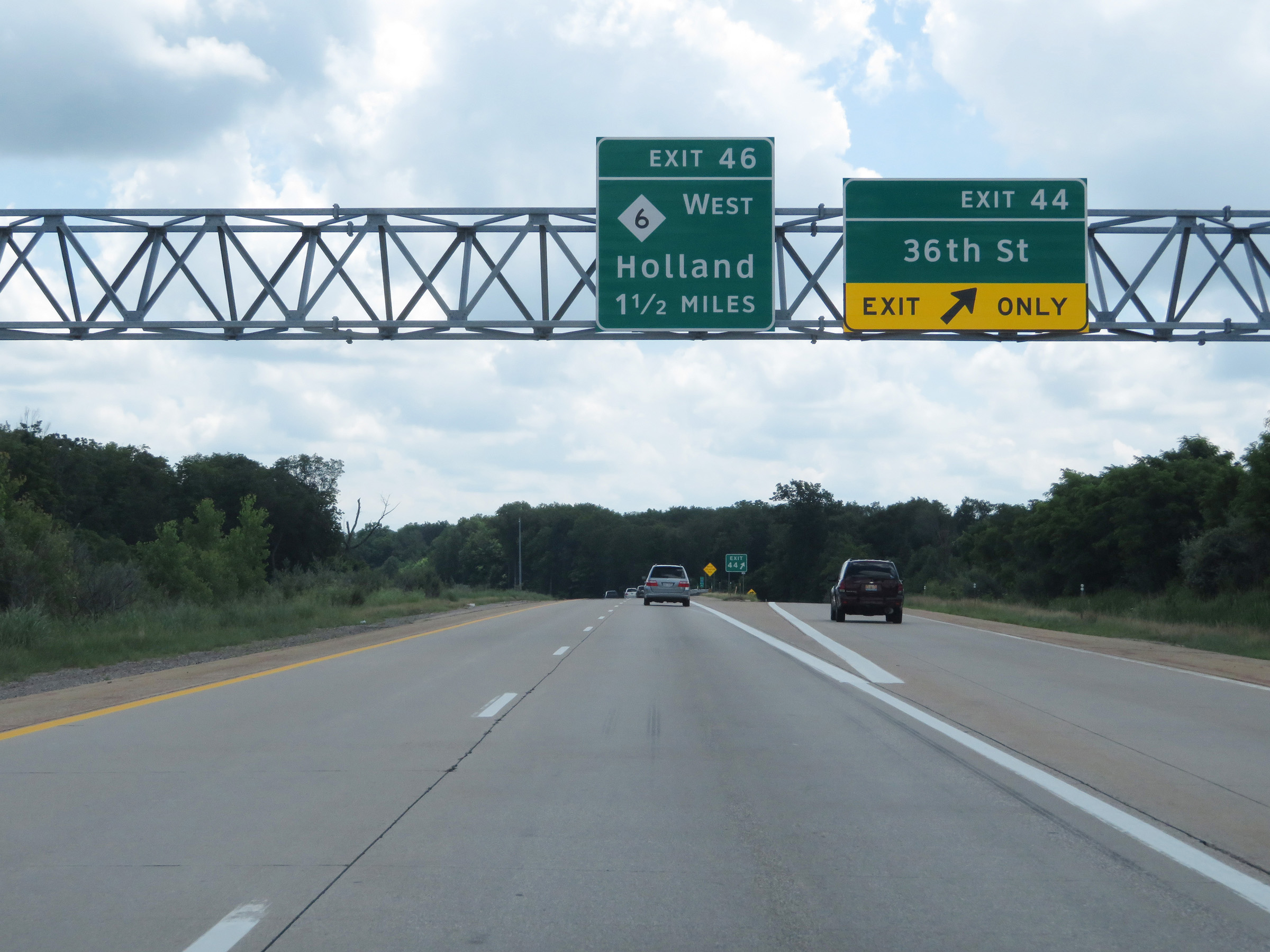
Interstate 96 East at Exit 46: M-6 West - Holland (Photo taken 7/17/17). |
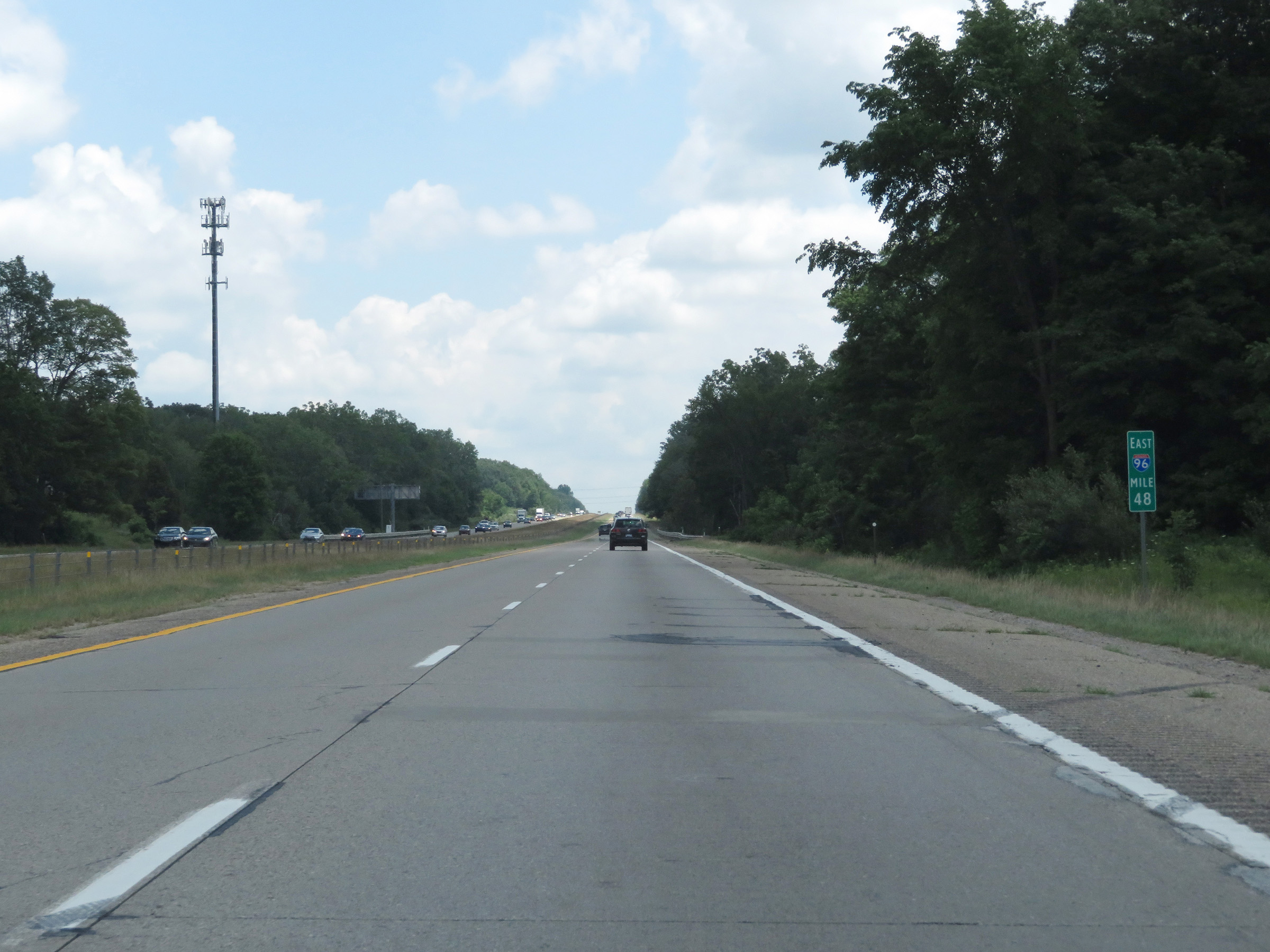 |
View on Interstate 96 East at mile marker 48. (Photo taken 7/17/17). |
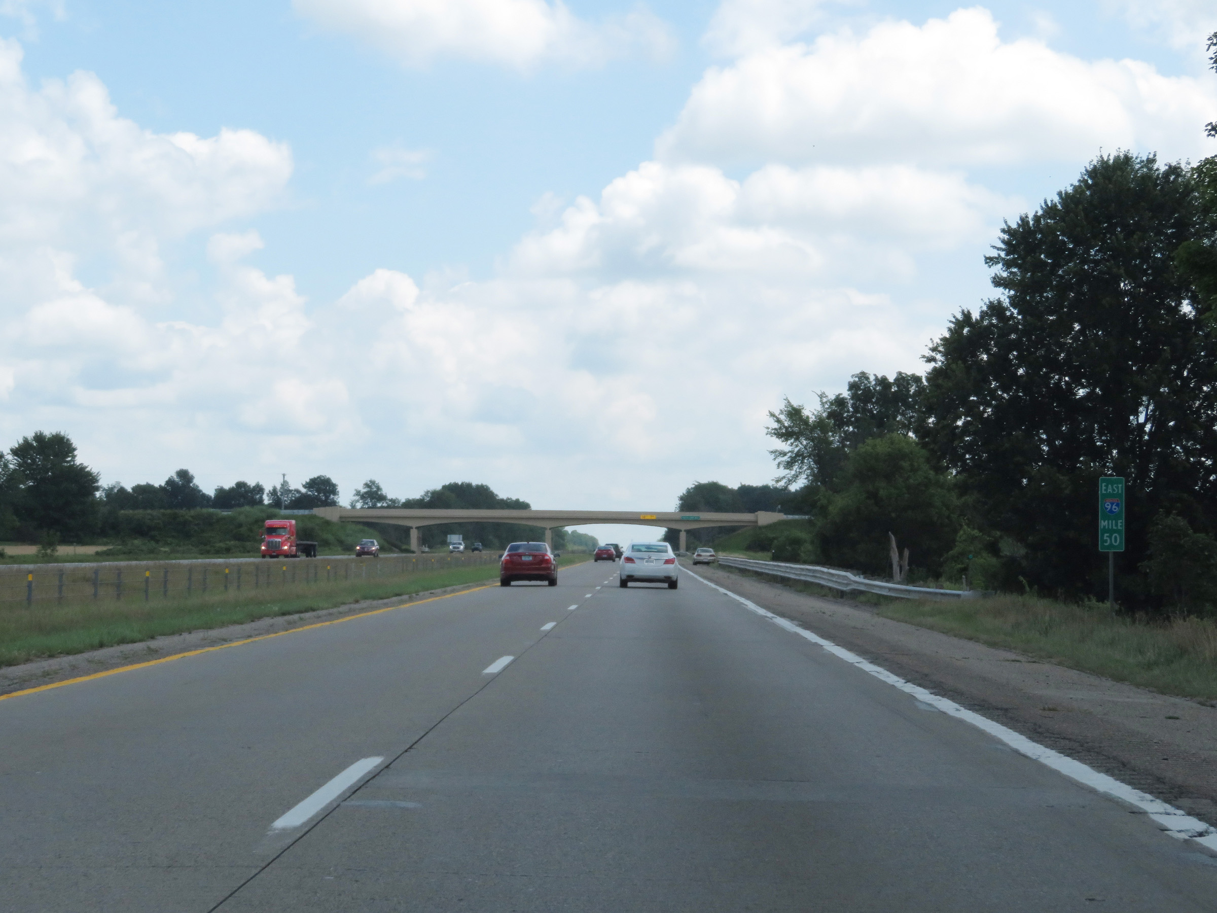 |
Mile marker 50 on Interstate 96 East in Kent County. (Photo taken 7/17/17). |
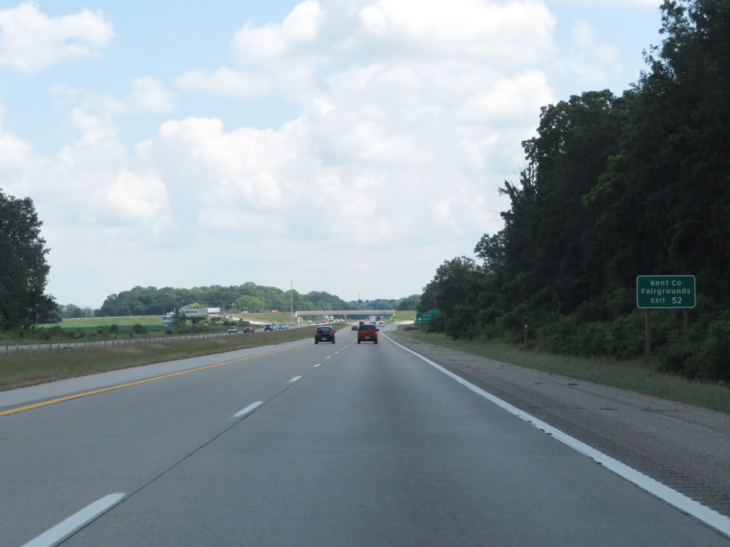 |
Take Exit 52 to the Kent County Fairgrounds. (Photo taken 7/17/17). |
 |
Interstate 96 East at Exit 52: M-50 - Lowell / Charlotte (Photo taken 7/17/17). |
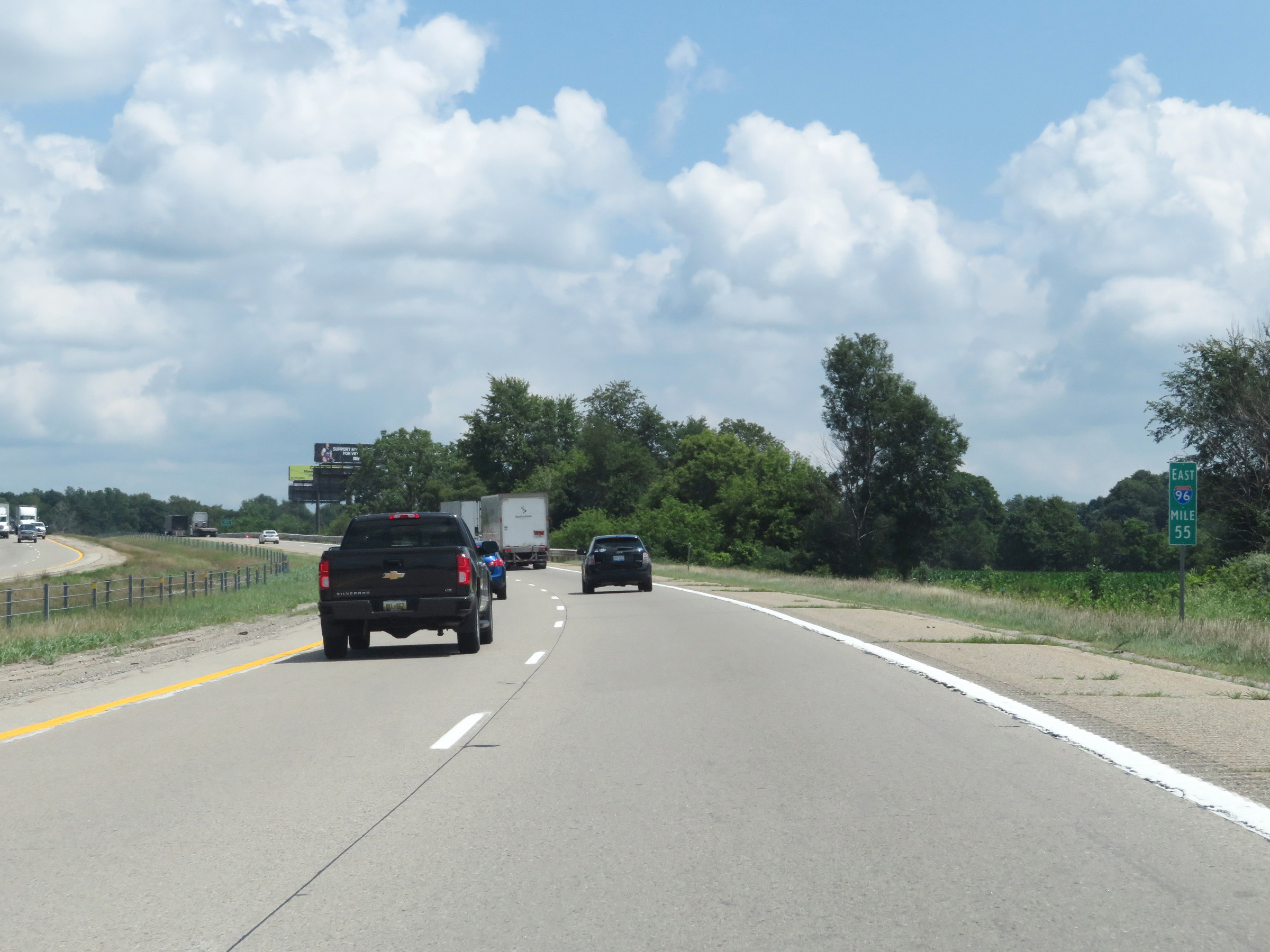 |
View on Interstate 96 East at mile marker 55. (Photo taken 7/17/17). |
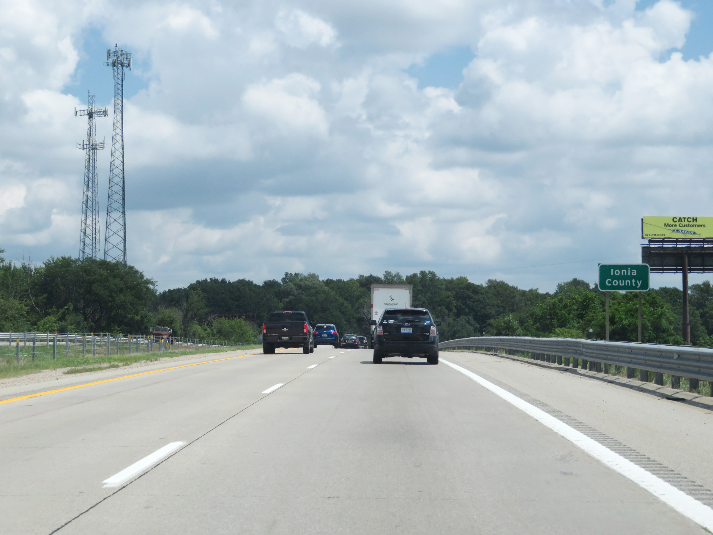 |
Interstate 96 East as it enters Ionia County. (Photo taken 7/17/17). |
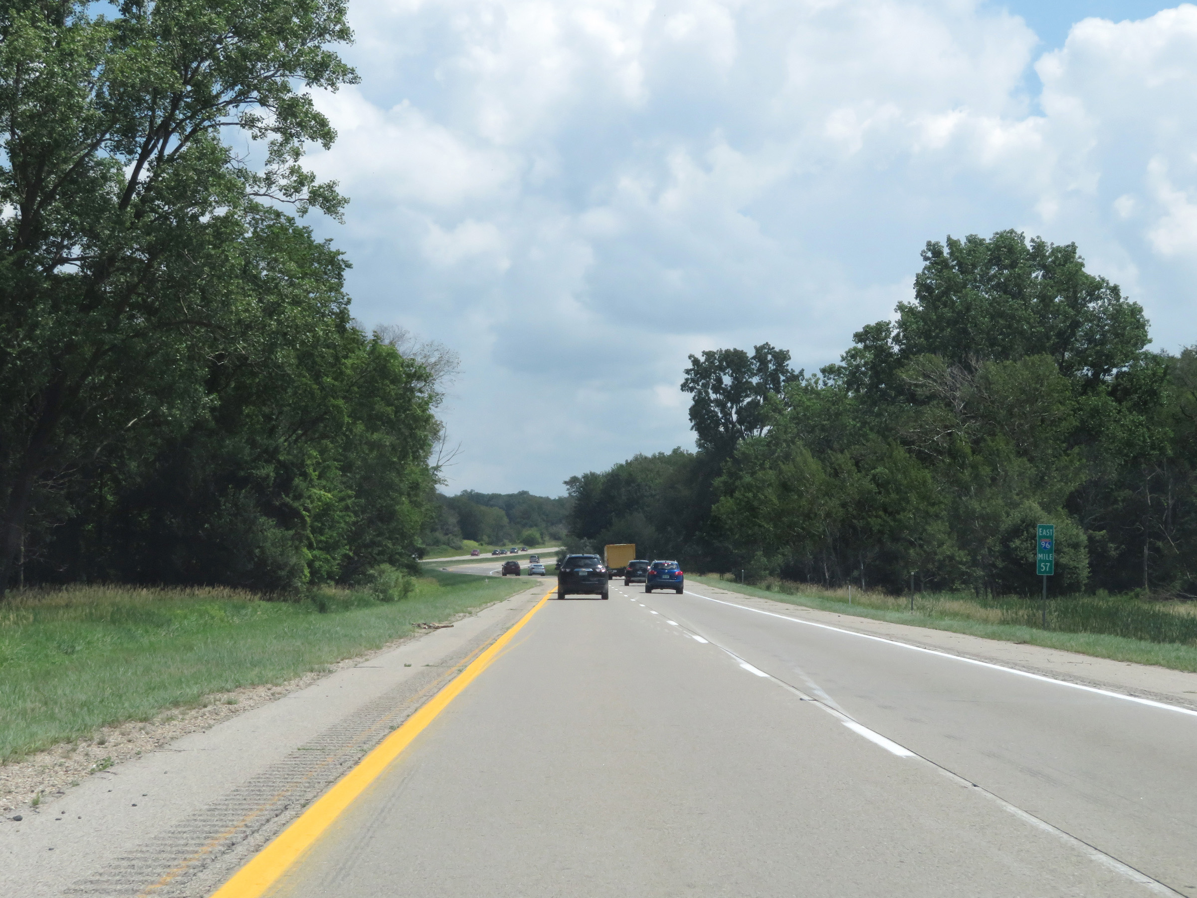 |
Interstate 96 East at mile marker 57. (Photo taken 7/17/17). |
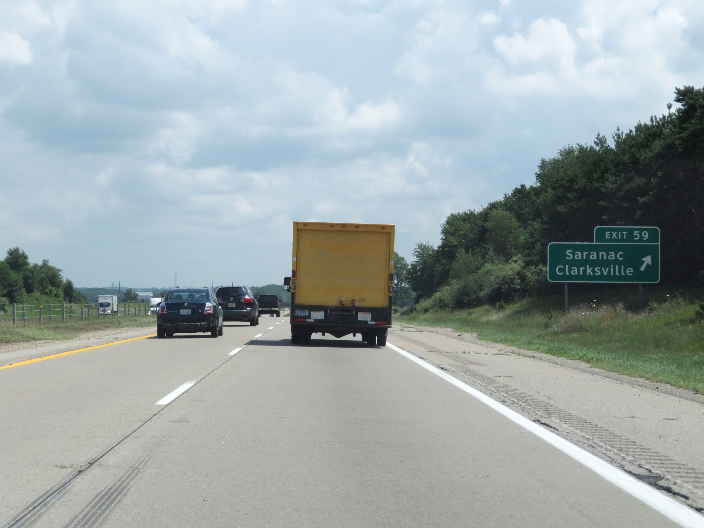 |
Interstate 96 East at Exit 59: Saranac / Clarksville (Photo taken 7/17/17). |
 |
View on Interstate 96 East at mile marker 61. (Photo taken 7/17/17). |
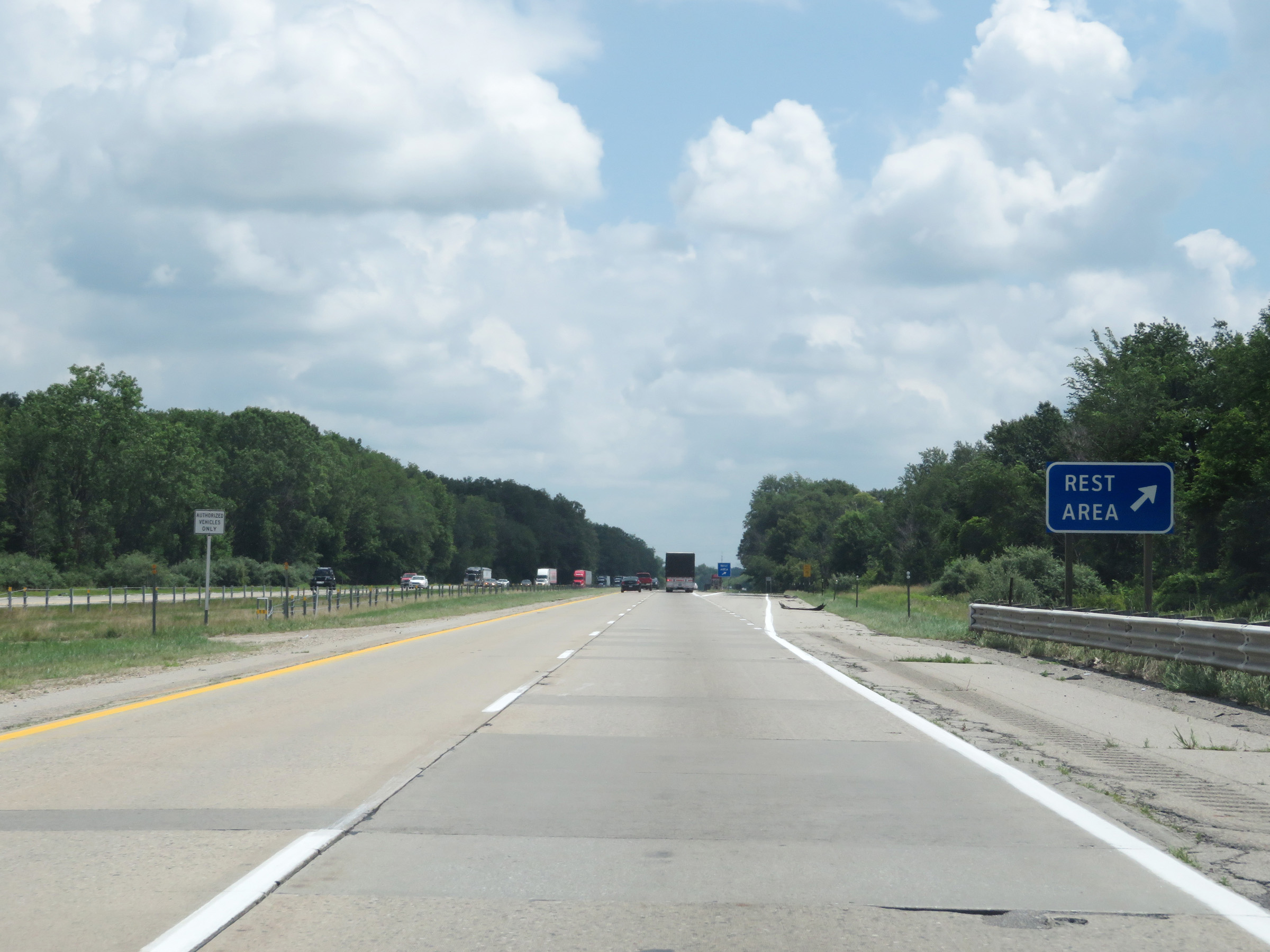 |
Rest Area on Interstate 96 East in Ionia County. (Photo taken 7/17/17). |
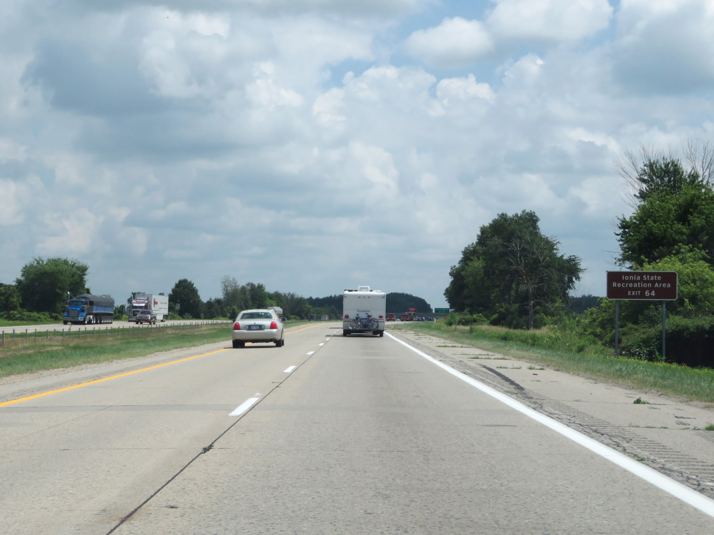 |
Take Exit 64 to Ionia State Recreation Area. (Photo taken 7/17/17). |
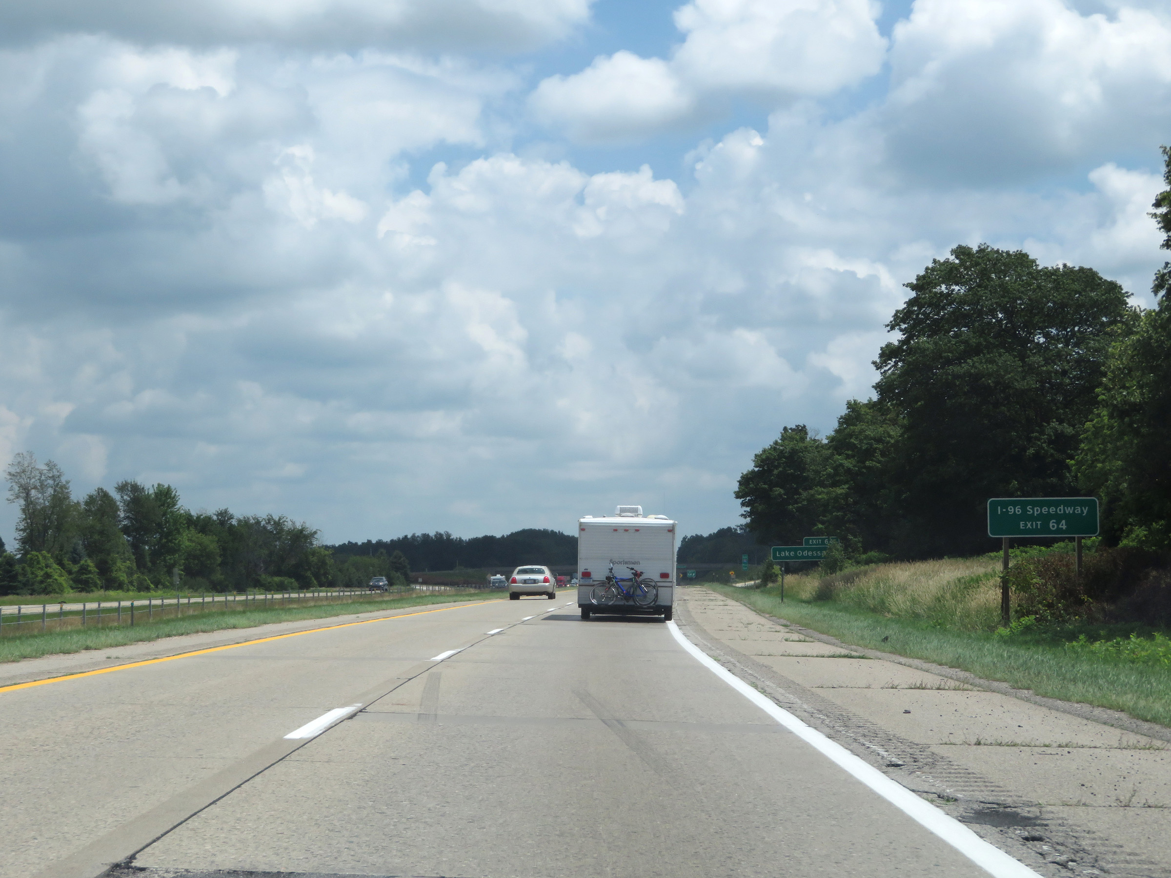 |
Also take Exit 64 to I-96 Speedway. (Photo taken 7/17/17). |
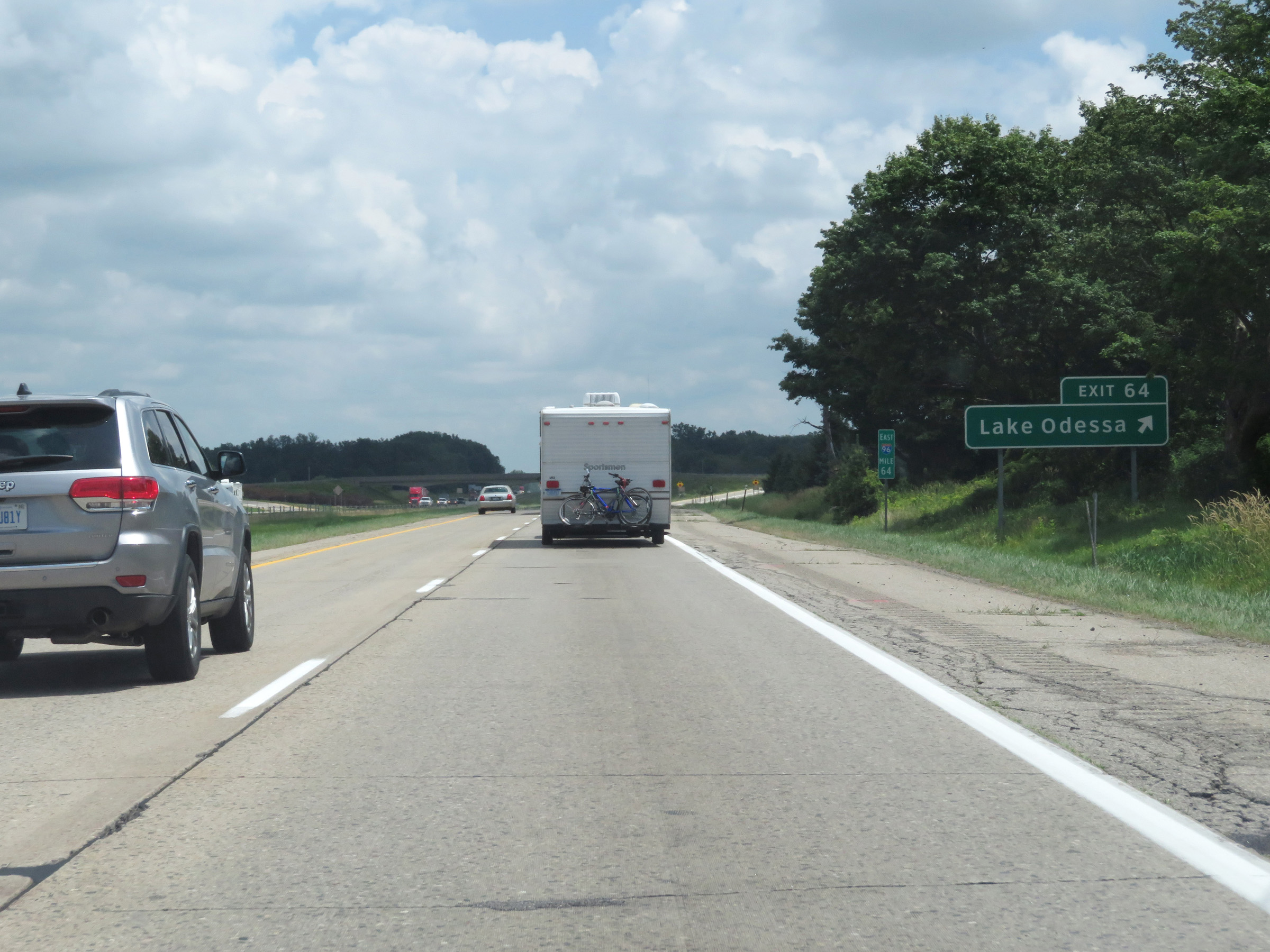 |
Interstate 96 East at Exit 64: Lake Odessa (Photo taken 7/17/17). |
 |
View on Interstate 96 East at mile marker 66. (Photo taken 7/17/17). |
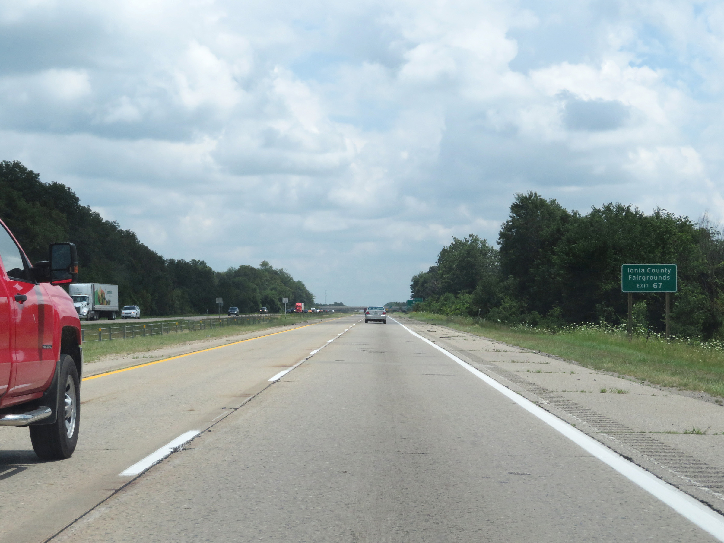 |
Take Exit 67 to the Ionia County Fairgrounds. (Photo taken 7/17/17). |
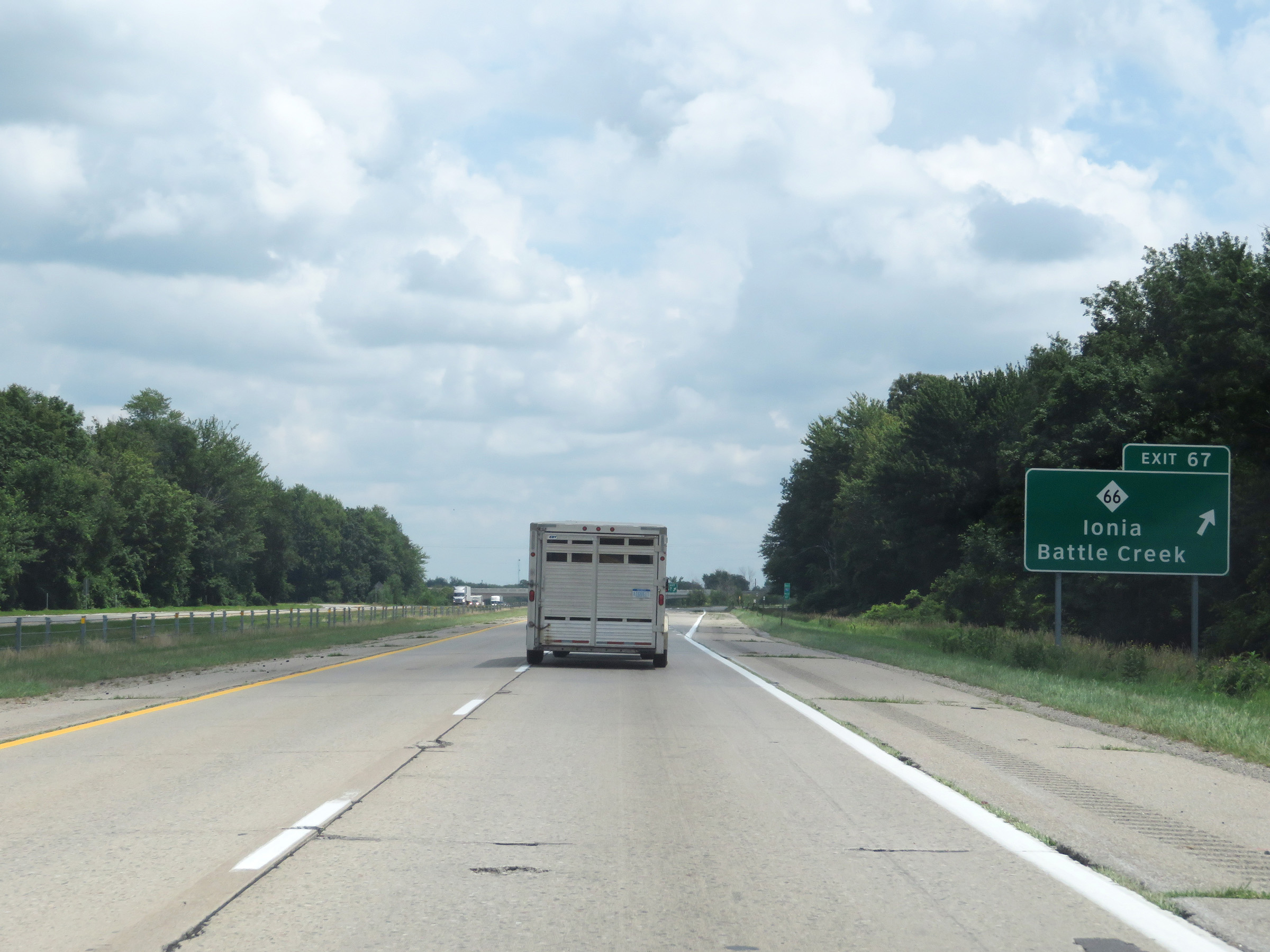 |
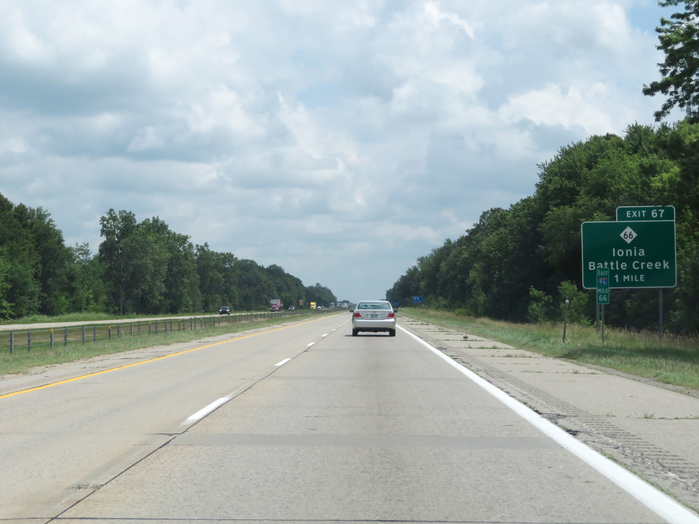
Interstate 96 East at Exit 67: M-66 - Ionia / Battle Creek (Photo taken 7/17/17). |
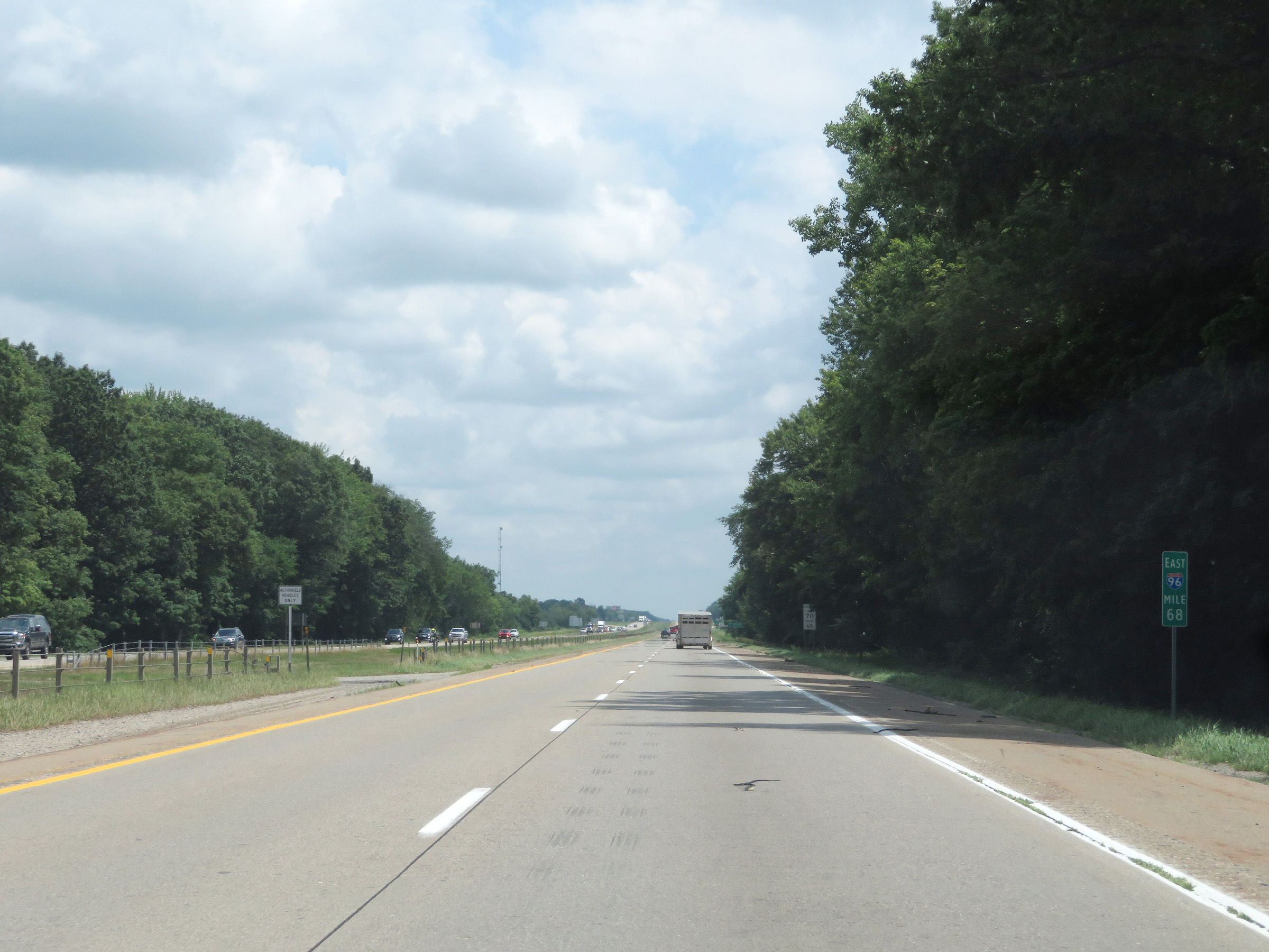 |
Mile marker 68 on Interstate 96 East in Ionia County. (Photo taken 7/17/17). |
 |
Mileage sign on Interstate 96 East. It's 9 miles to Portland and 31 miles to Lansing. (Photo taken 7/17/17). |
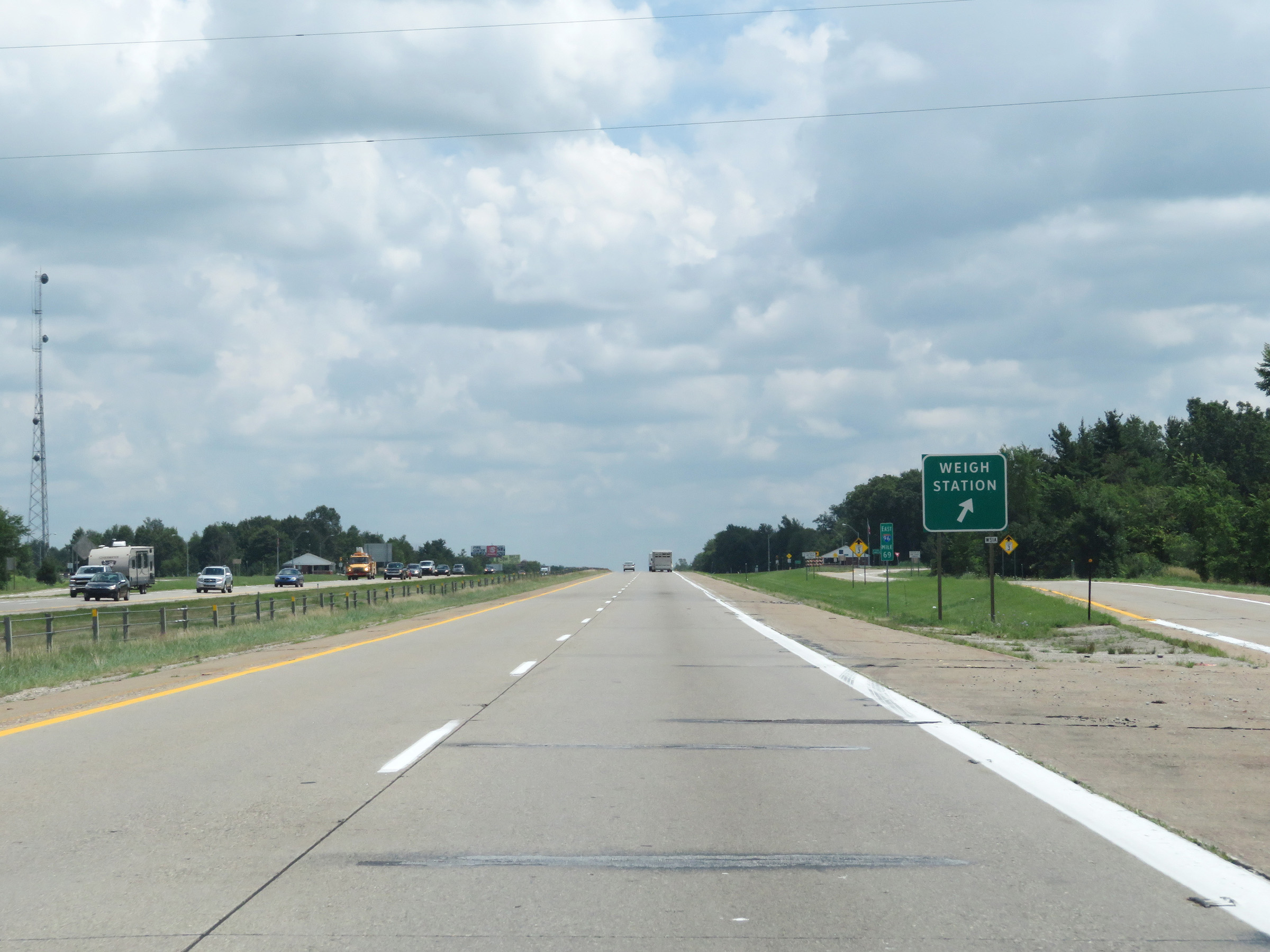 |
Weigh Station on Interstate 96 East at mile marker 69 in Ionia County. (Photo taken 7/17/17). |
 |
View on Interstate 96 East at mile marker 70. (Photo taken 7/17/17). |
 |
Interstate 96 East at mile marker 72. (Photo taken 7/17/17). |
 |
Take Exit 73 to Lyons and Muir. (Photo taken 7/17/17). |
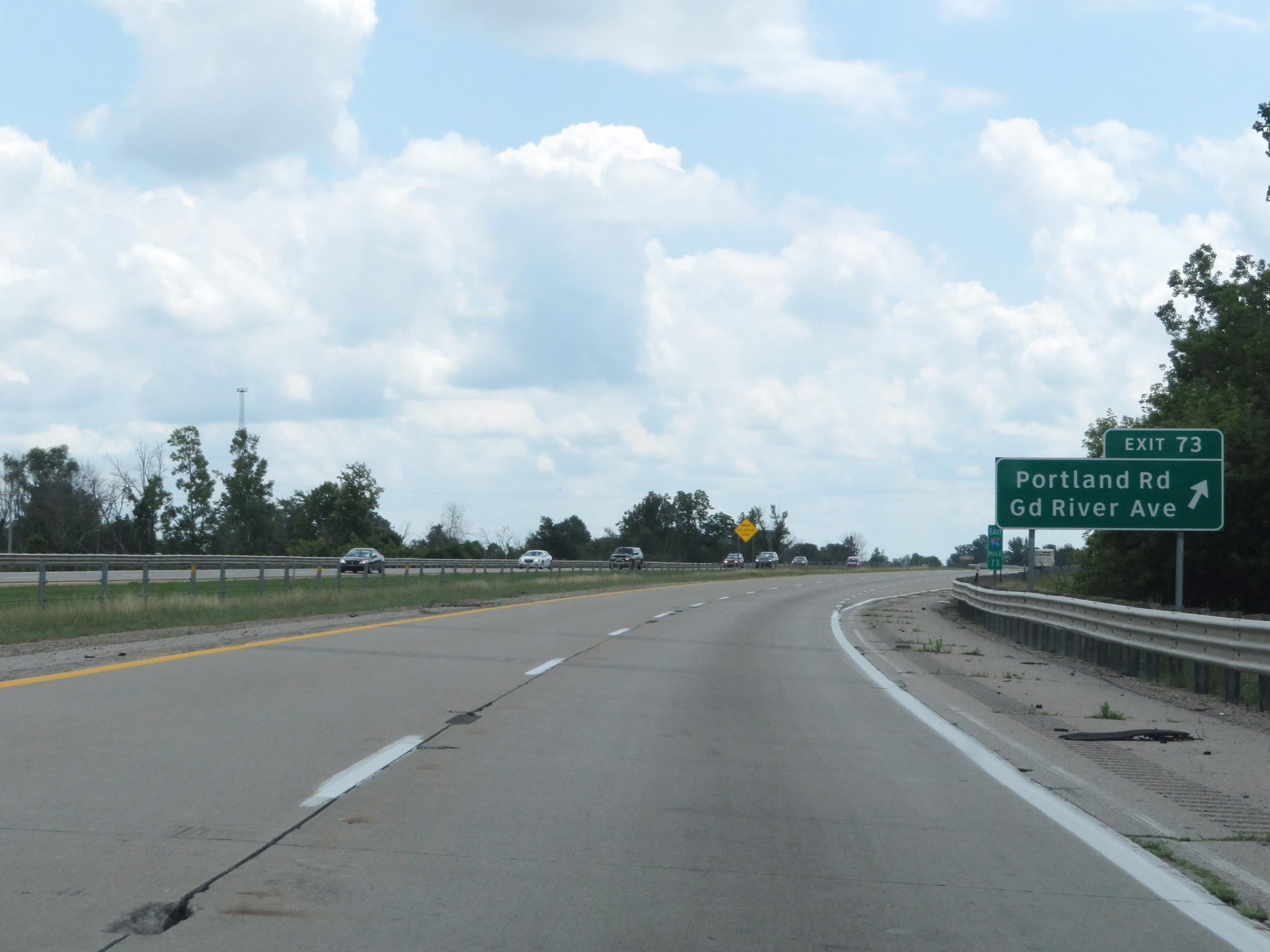 |
Interstate 96 East at Exit 73: Portland Rd / Grand River Ave (Photo taken 7/17/17). |
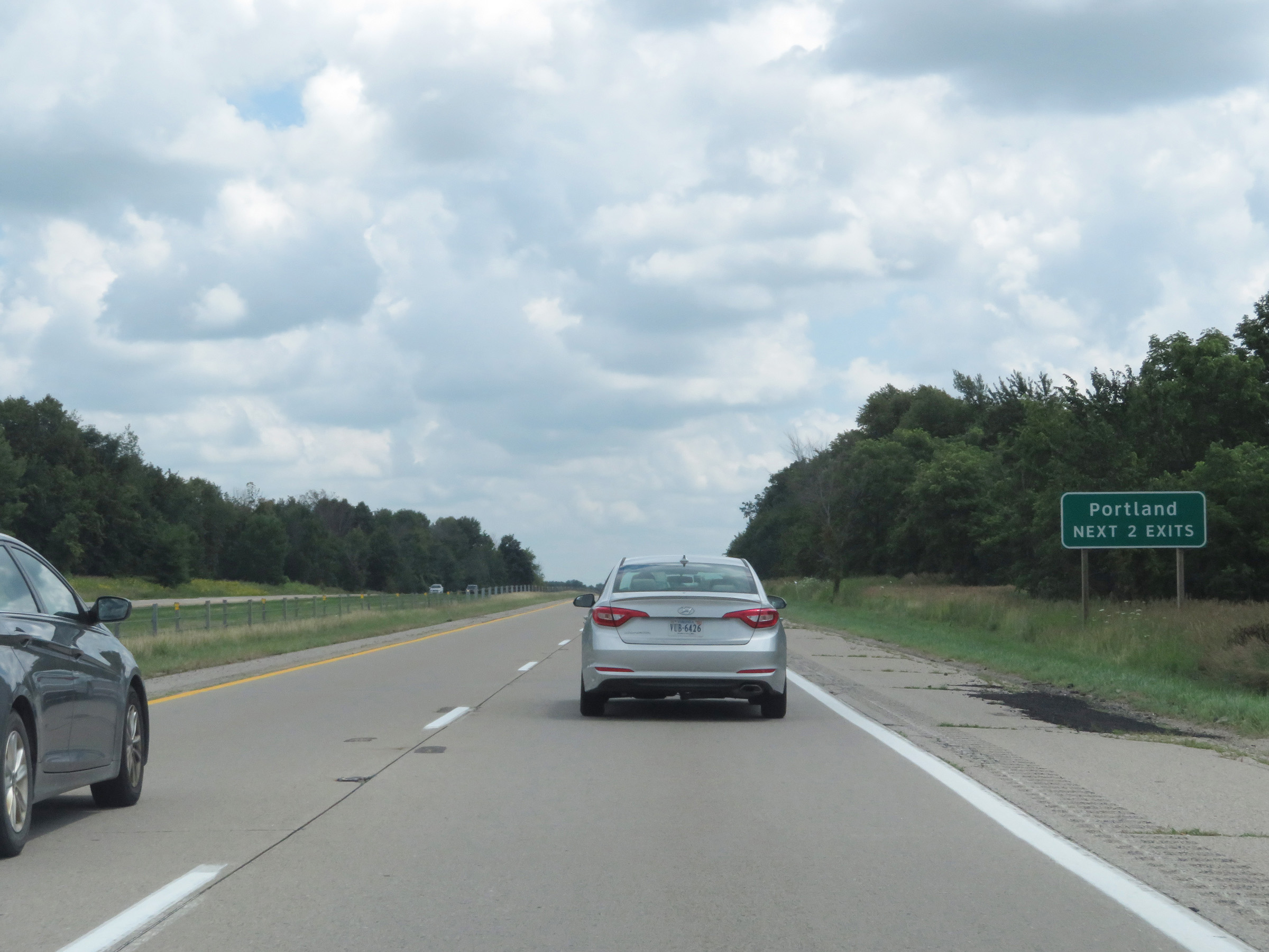 |
Take either of the next 2 exits to Portland. (Photo taken 7/17/17). |
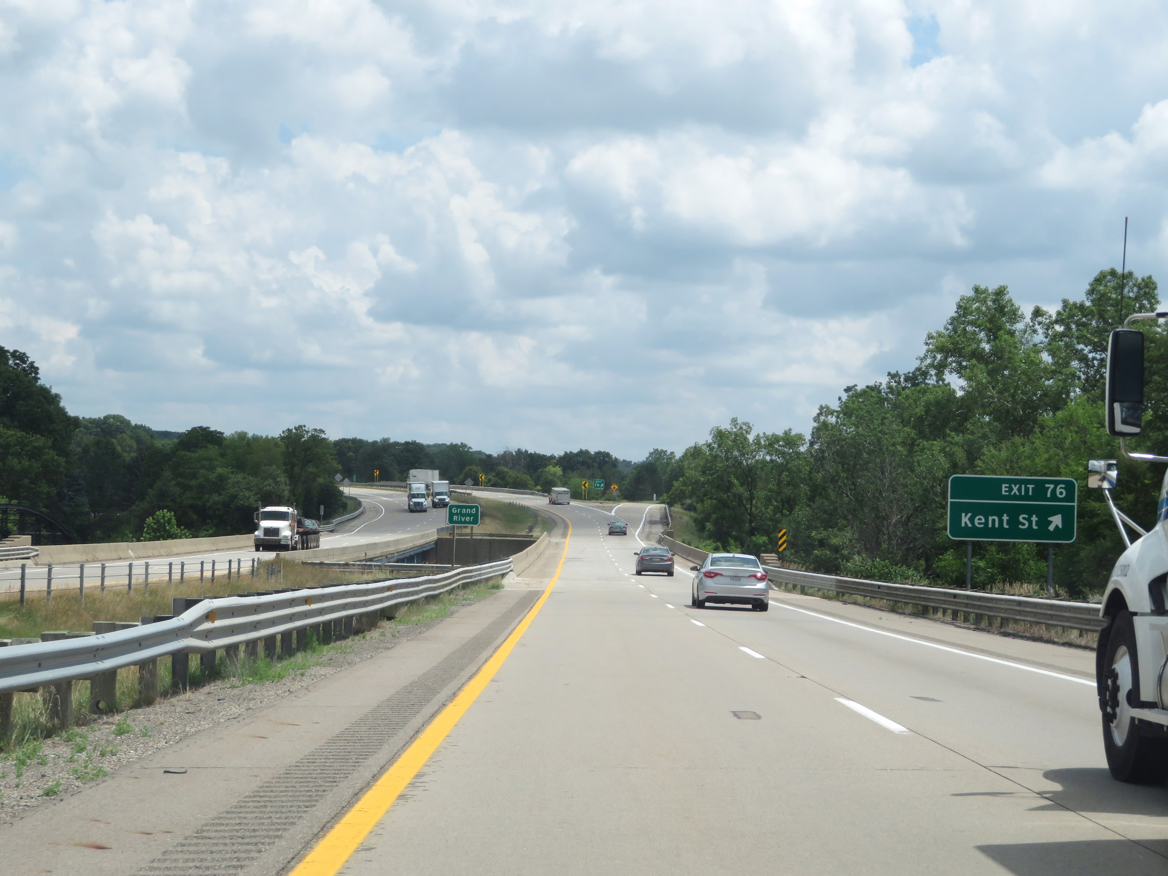 |
Interstate 96 East at Exit 76: Kent St (Photo taken 7/17/17). |
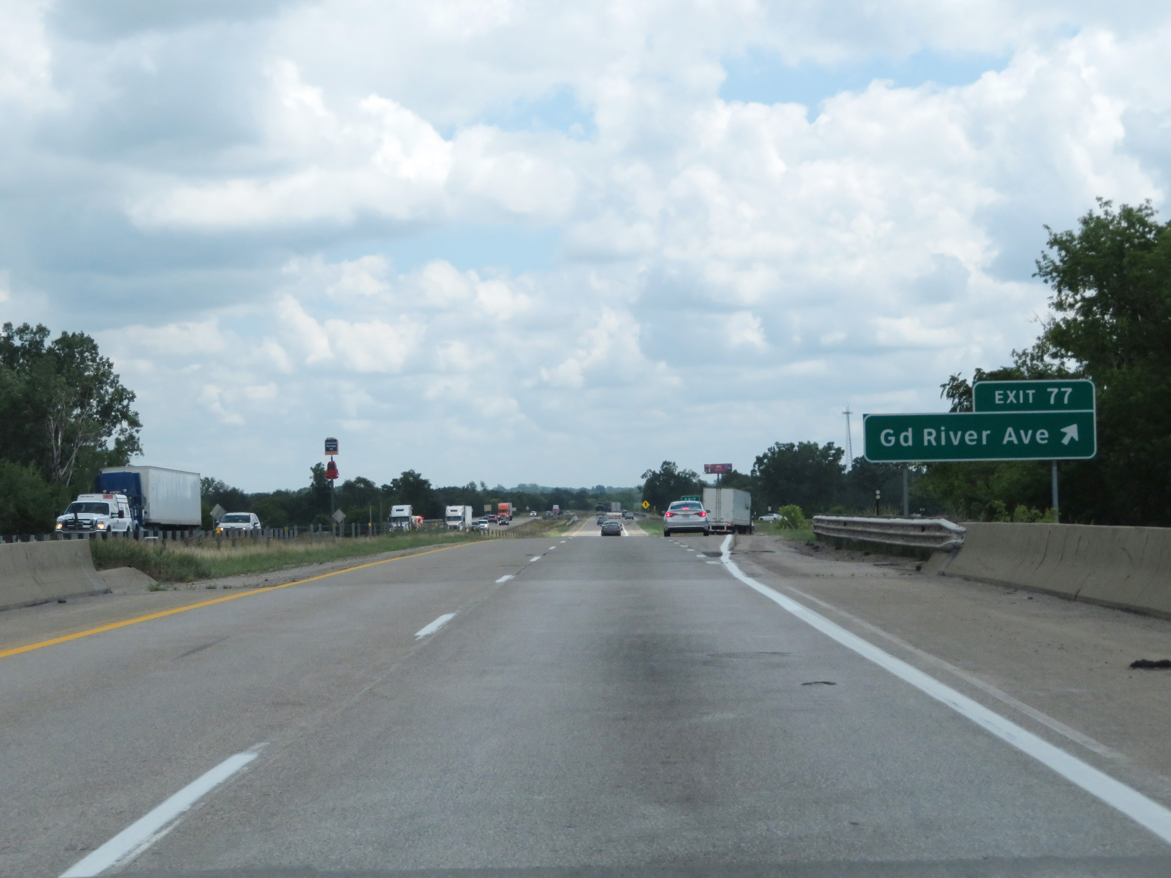 |
Interstate 96 East at Exit 77: Grand River Ave (Photo taken 7/17/17). |
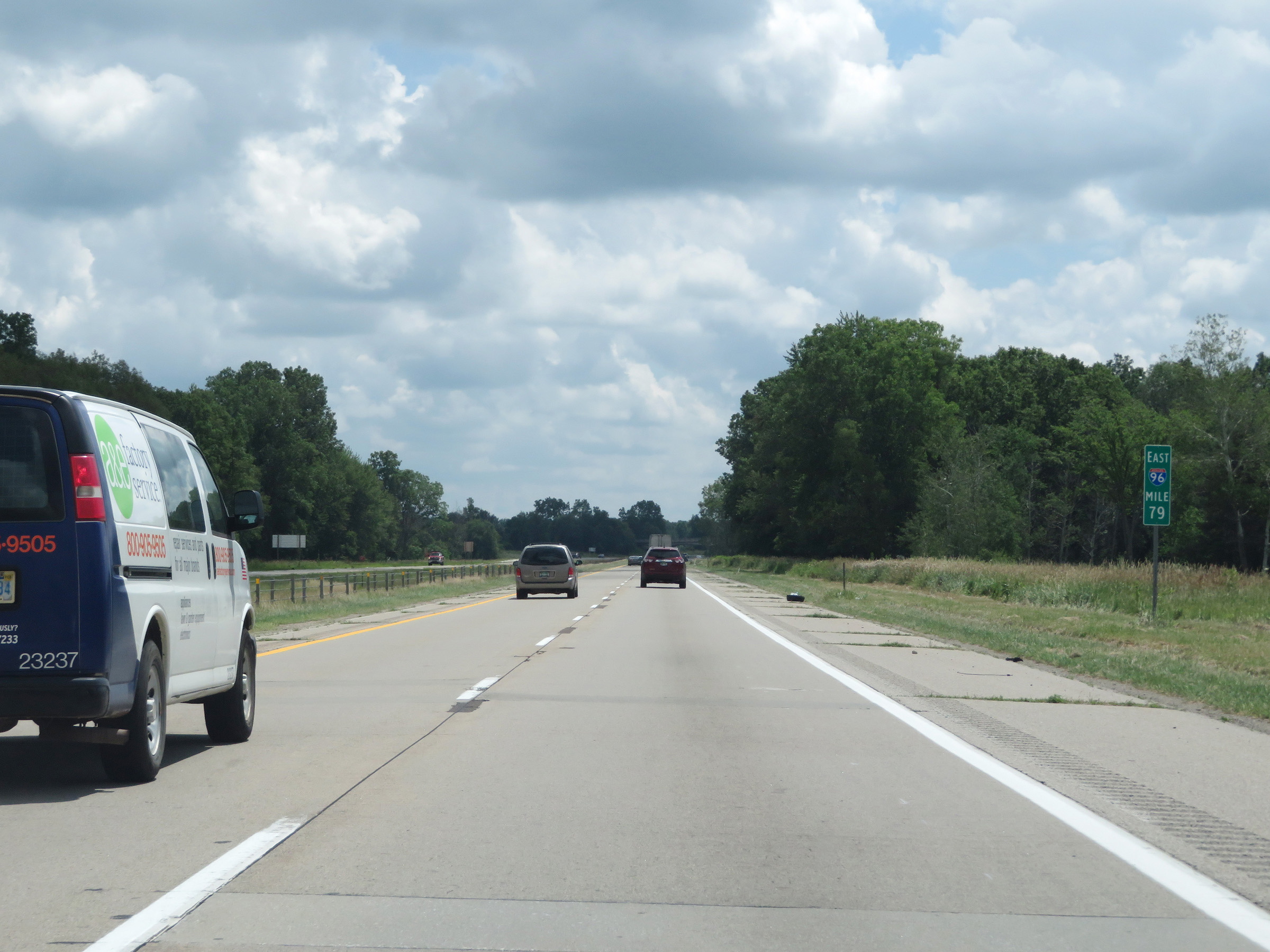 |
View on Interstate 96 East at mile marker 79. (Photo taken 7/17/17). |
 |
Mile marker 80 on Interstate 96 East in Ionia County. (Photo taken 7/17/17). |
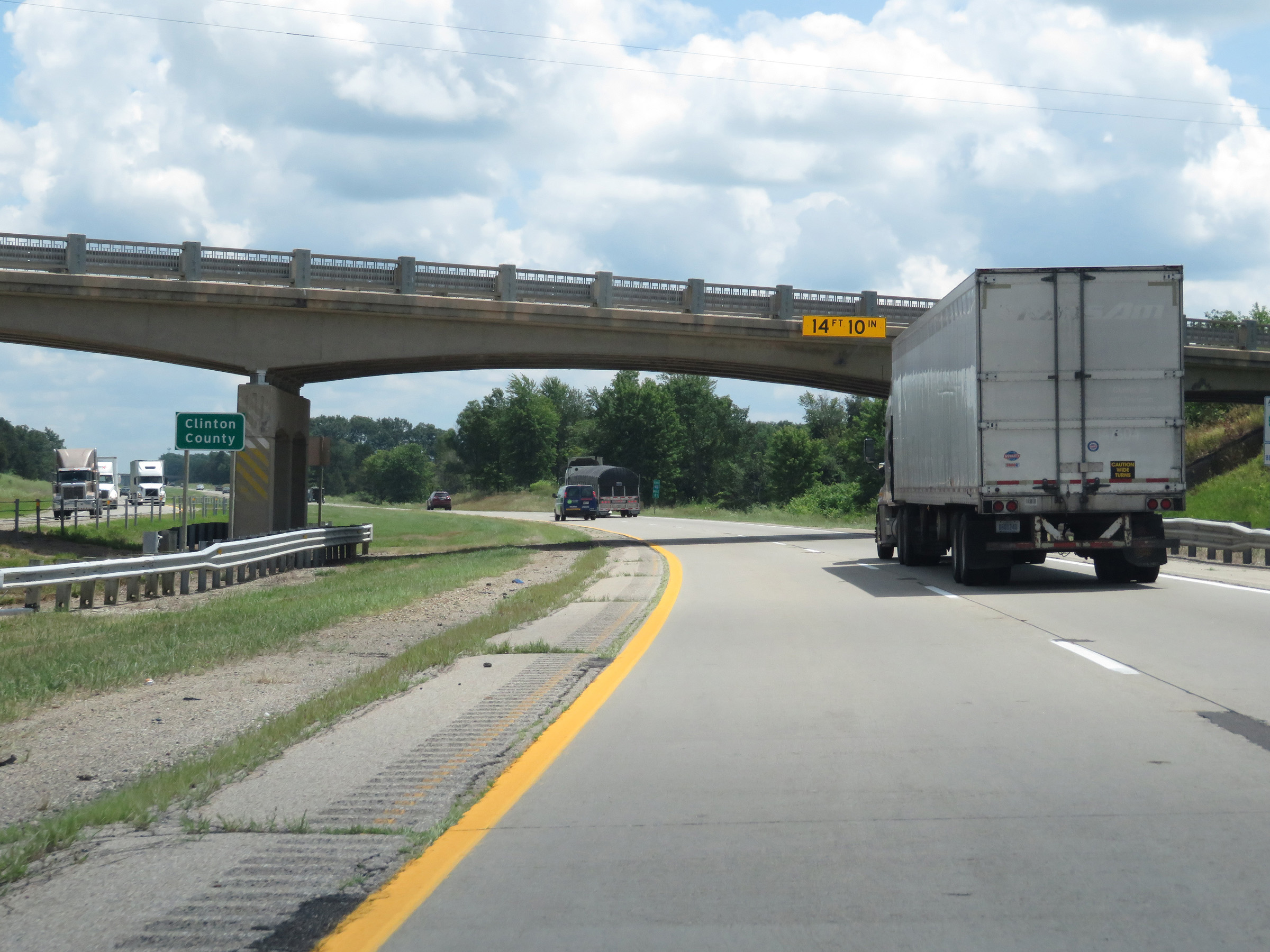 |
Interstate 96 East as it enters Clinton County. (Photo taken 7/17/17). |
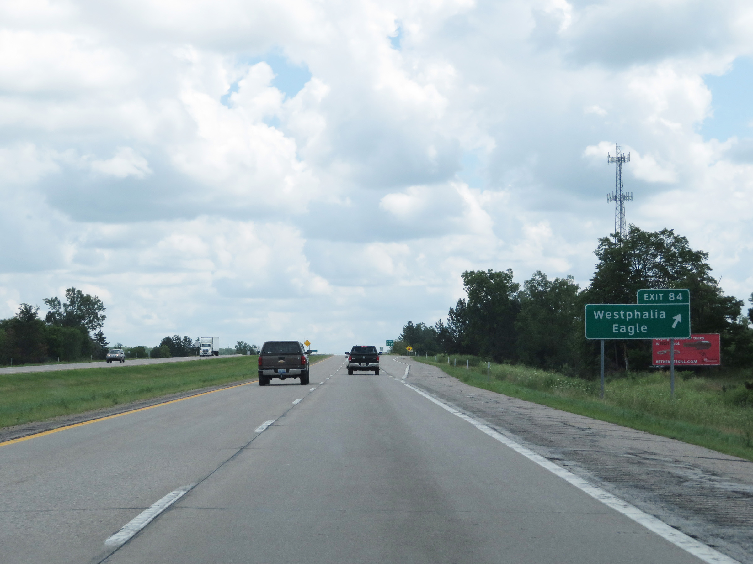 |
Interstate 96 East at Exit 84: Westphalia / Eagle (Photo taken 7/17/17). |
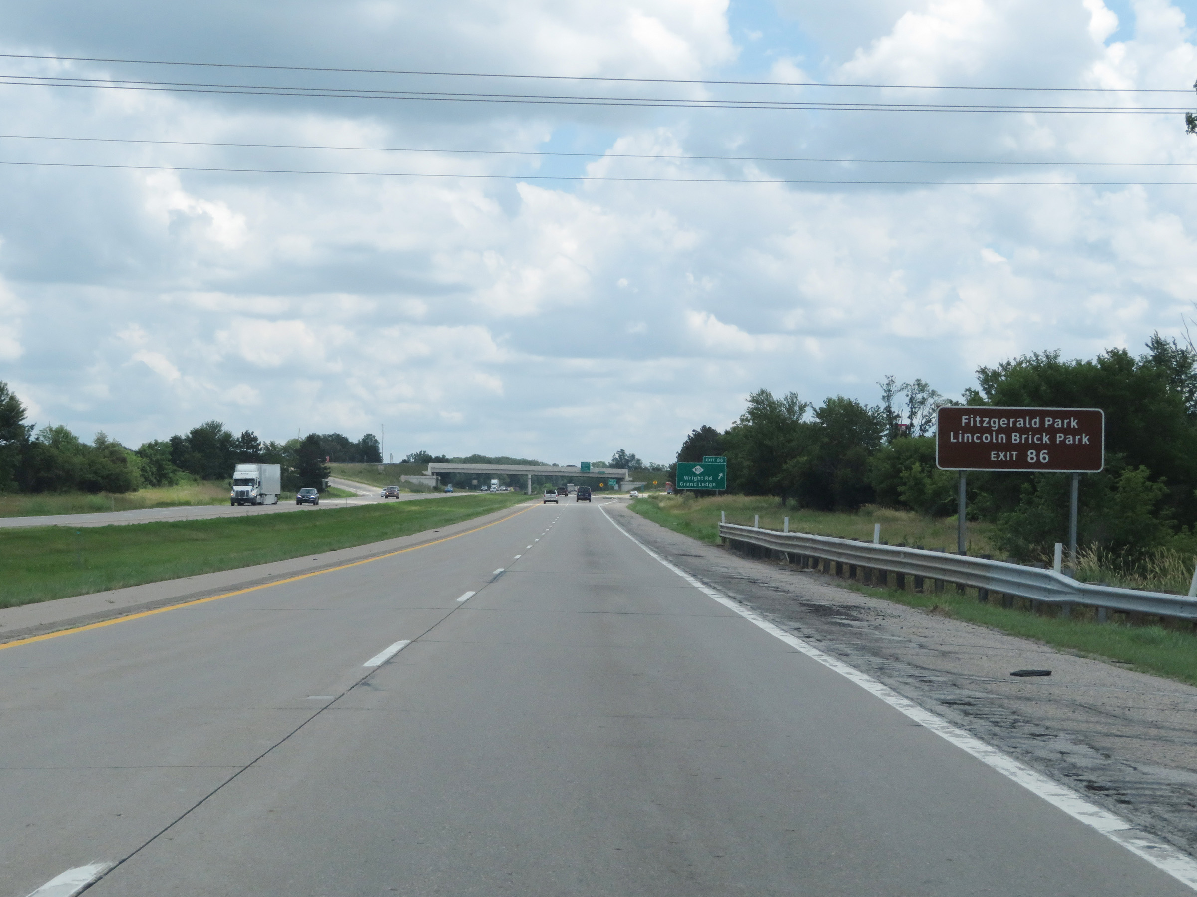 |
Take Exit 86 to Fitzgerald Park and Lincoln Brick Park. (Photo taken 7/17/17). |
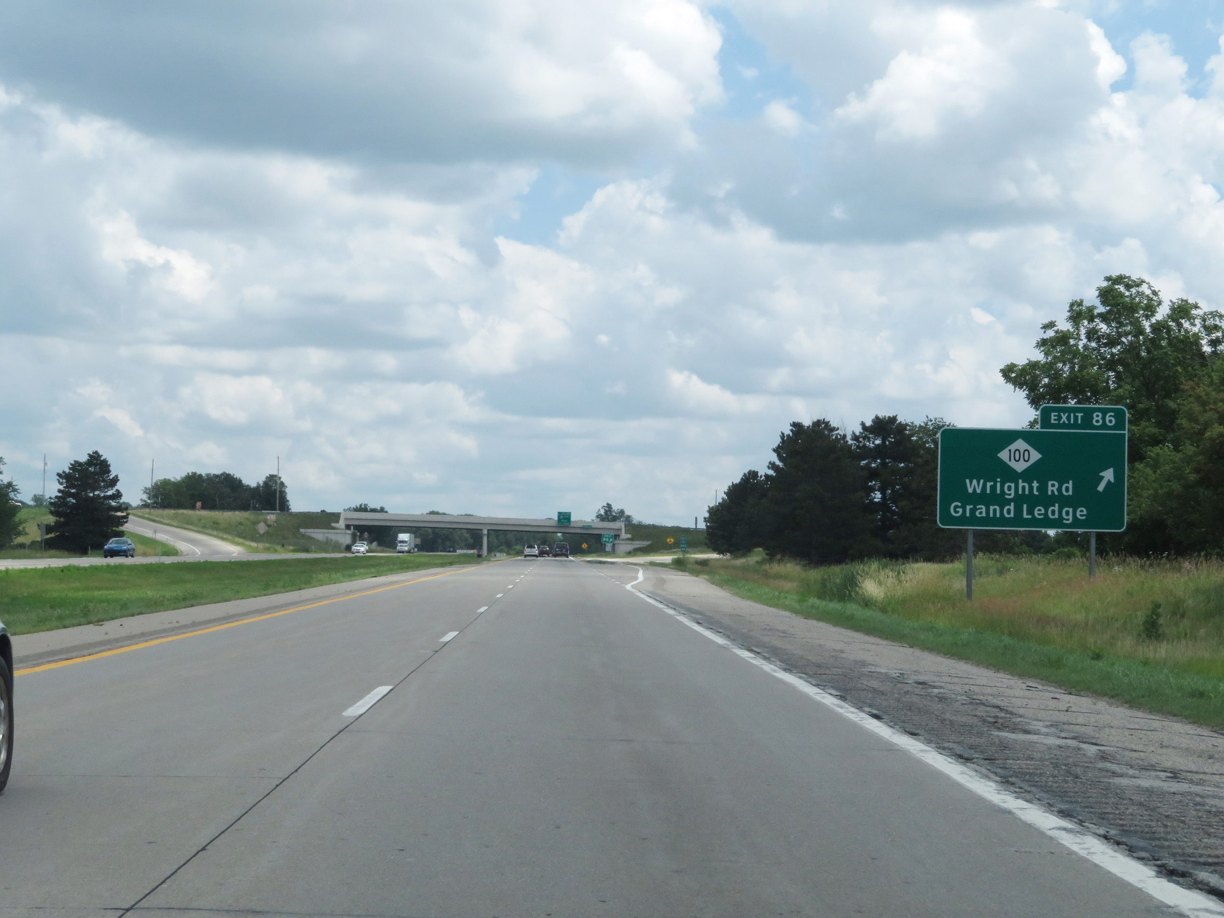 |
Interstate 96 East at Exit 86: M-100 - Wright Rd / Grand Ledge (Photo taken 7/17/17). |
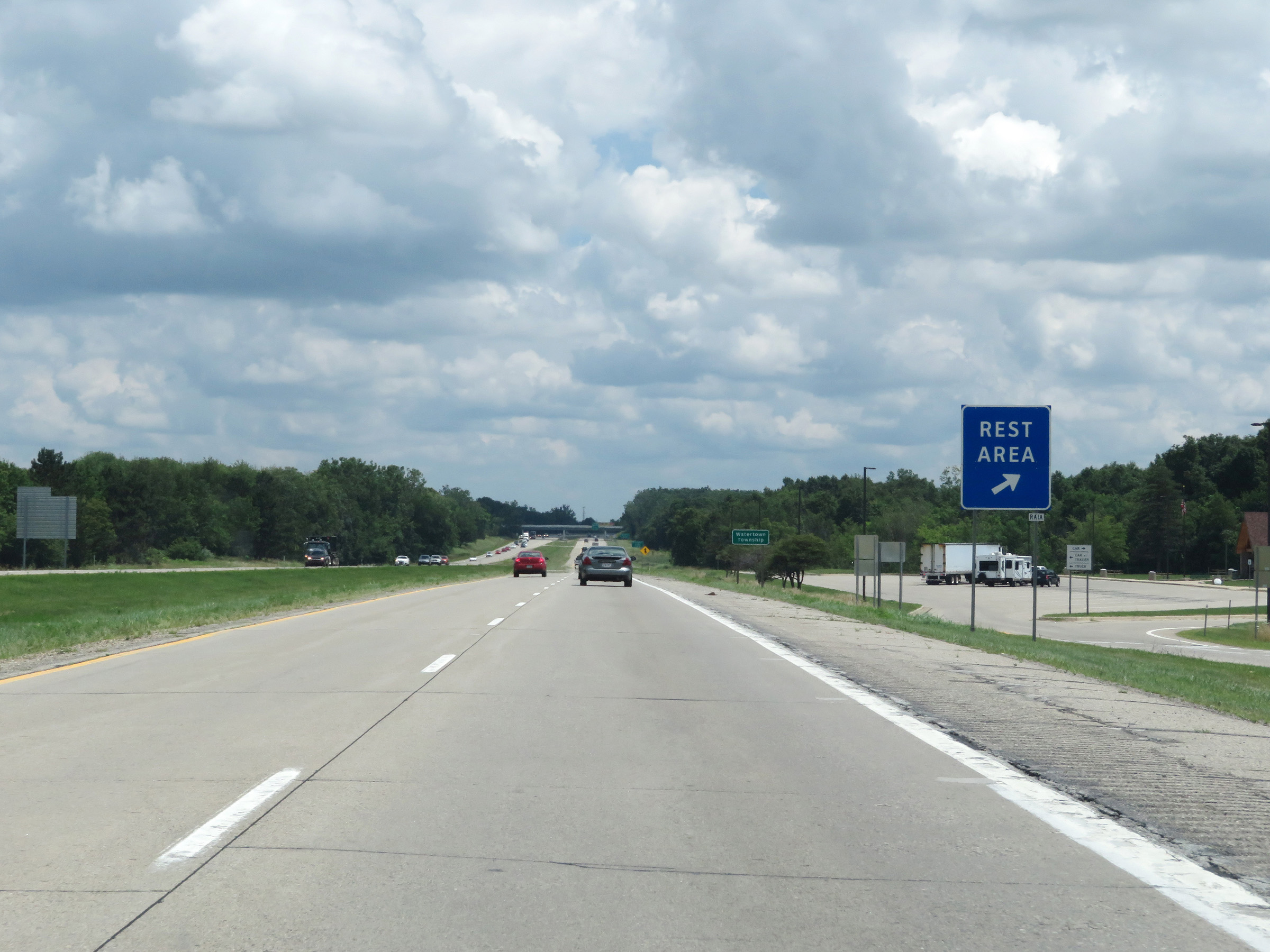 |
Rest Area on Interstate 96 East in Clinton County. (Photo taken 7/17/17). |
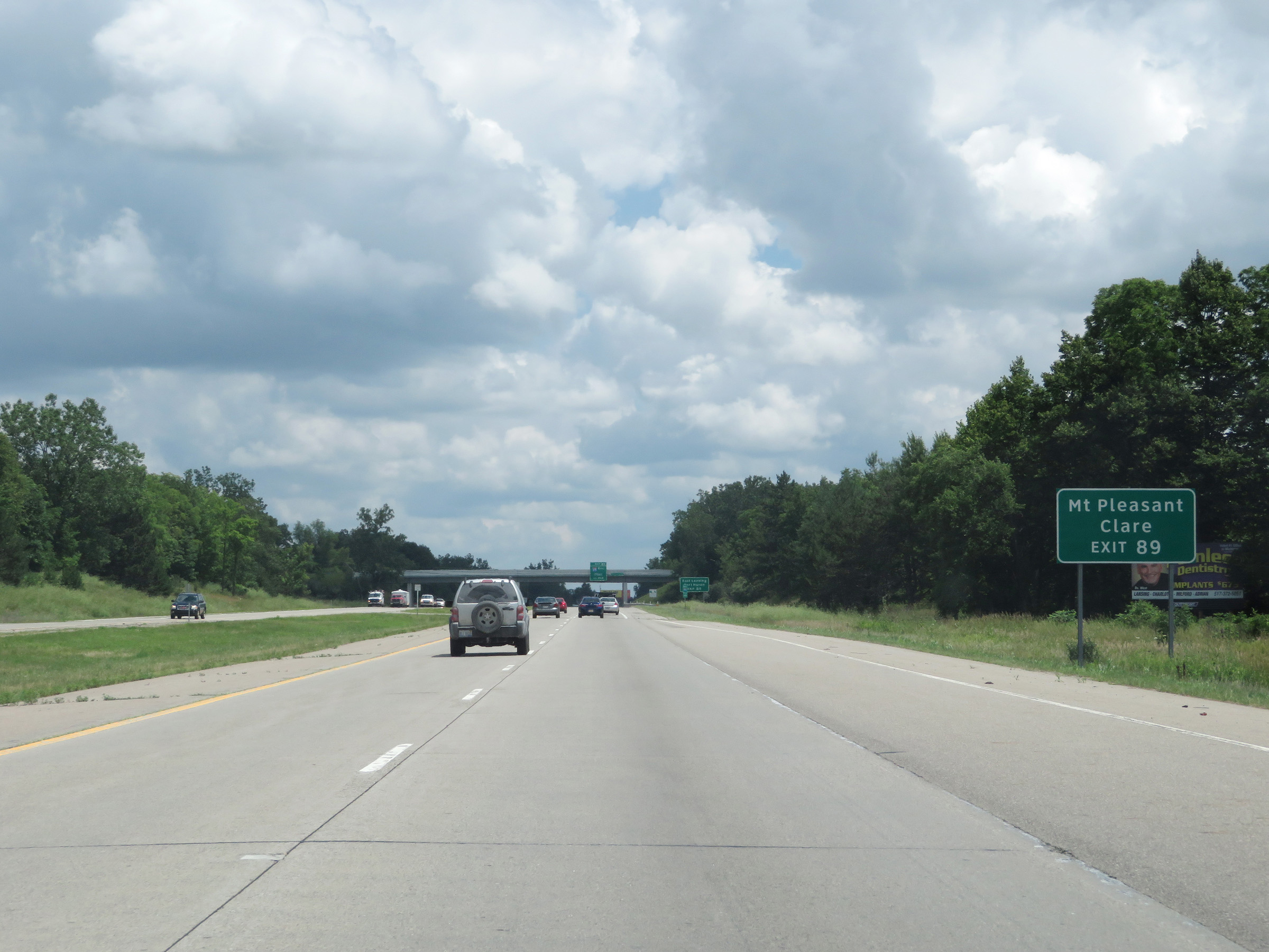 |
Take Exit 89 (Interstate 69 East) to Mt. Pleasant and Clare. (Photo taken 7/17/17). |
 |
Also take Exit 89 (Interstate 69 East) to East Lansing and Port Huron. (Photo taken 7/17/17). |
 |
Interstate 96 East approaching Exit 89 - 1/2 mile. (Photo taken 7/17/17). |
 |
Interstate 96 East at Exit 89: Interstate 69 East - Flint (Photo taken 7/17/17). |
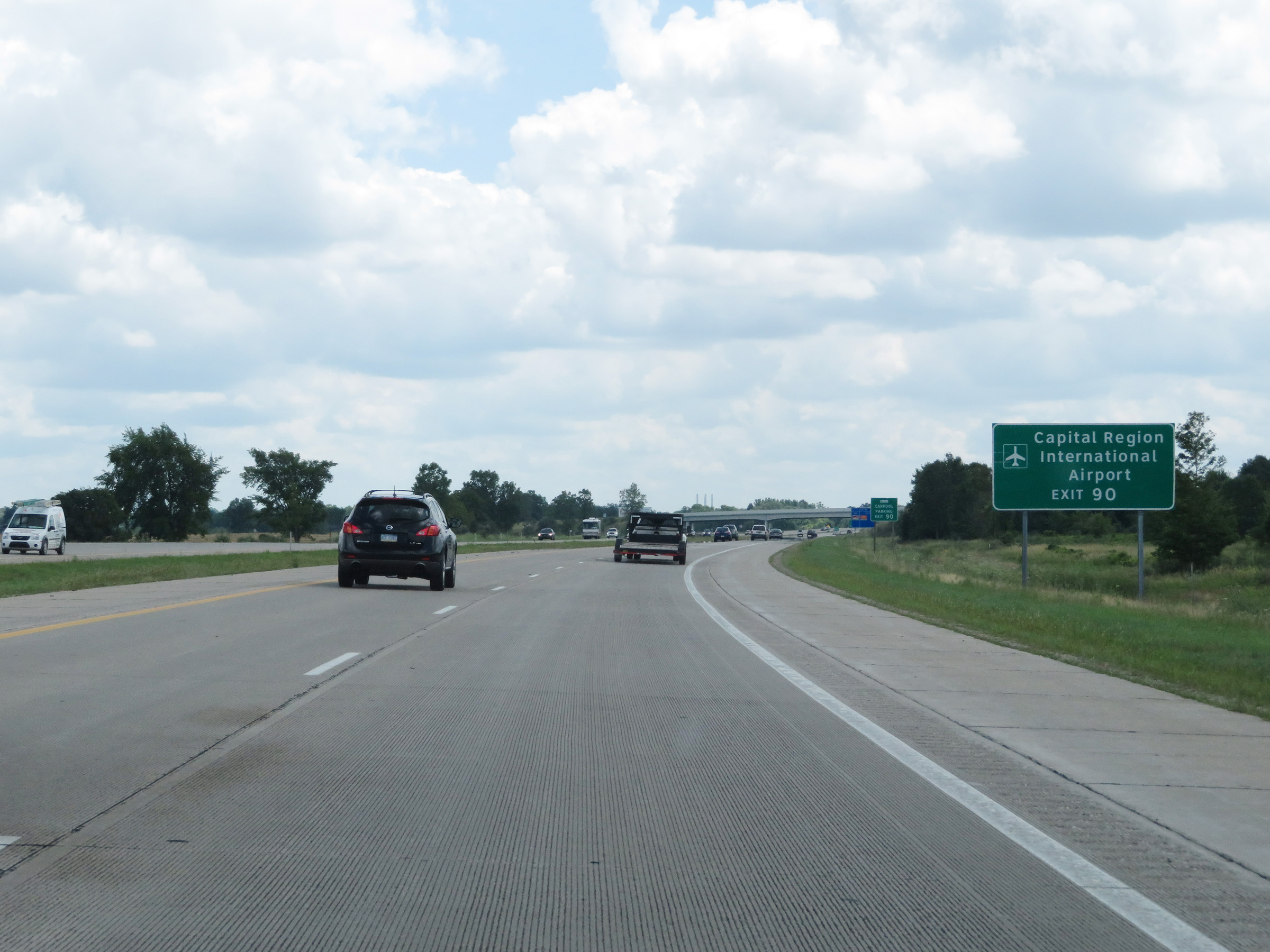 |
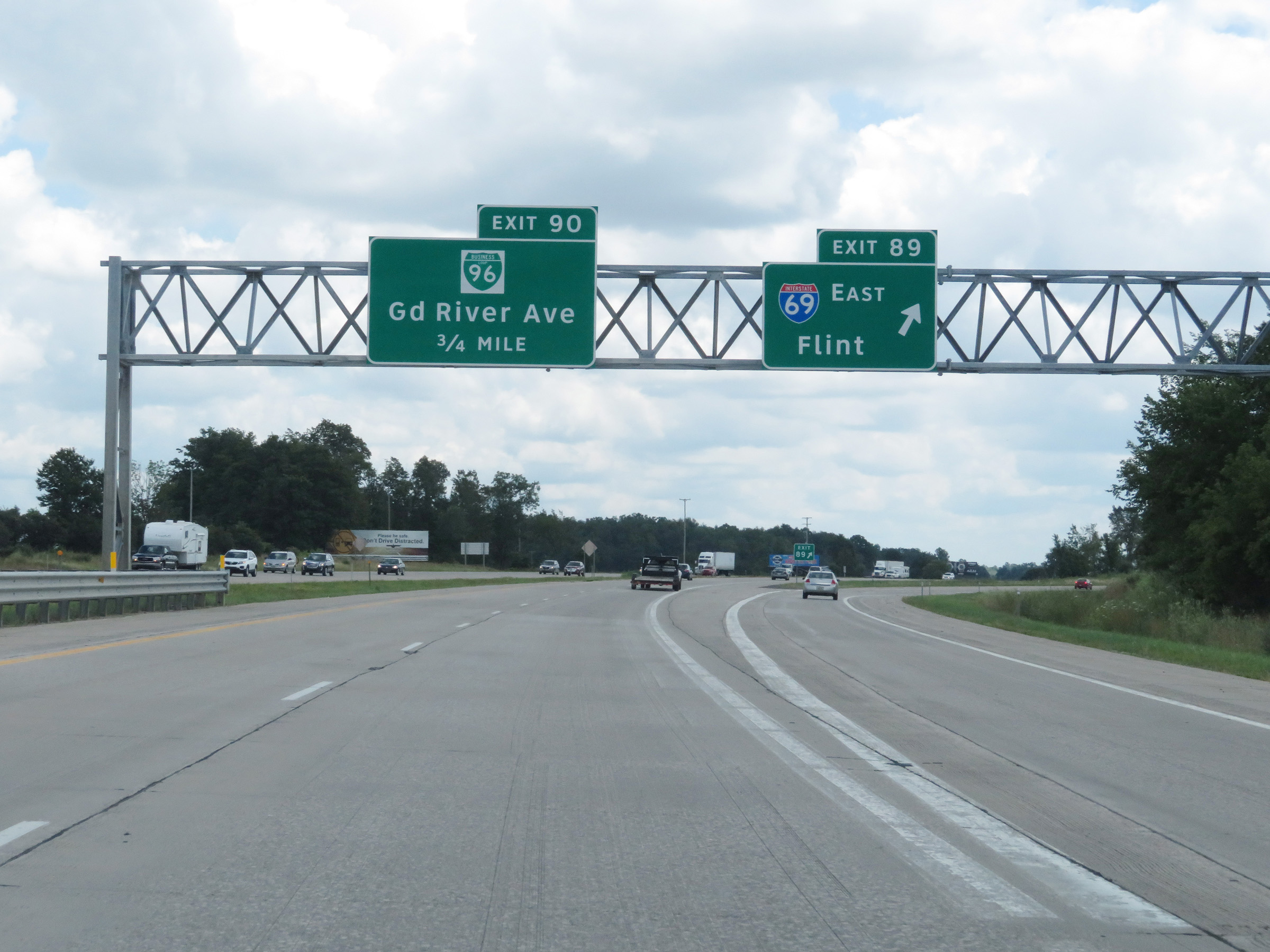
Take Exit 90 to Capital Region International Airport. (Photo taken 7/17/17). |
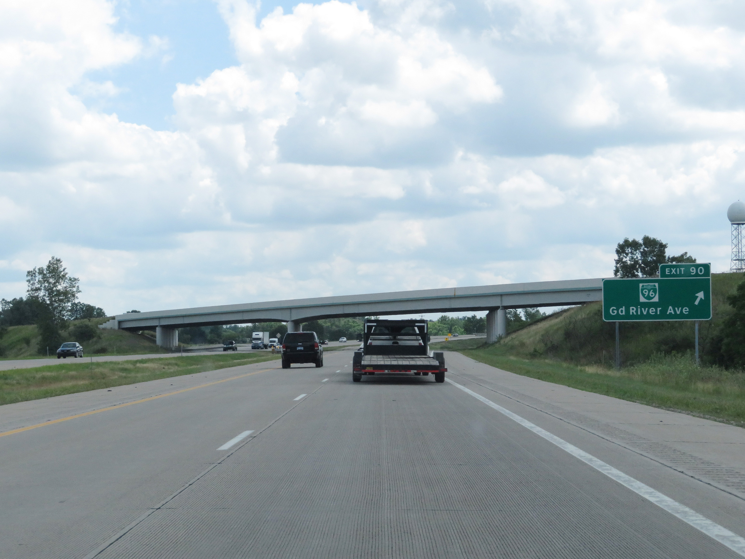 |
Interstate 96 East at Exit 90: Interstate 96 Business Loop - Grand River Ave (Photo taken 7/17/17). |
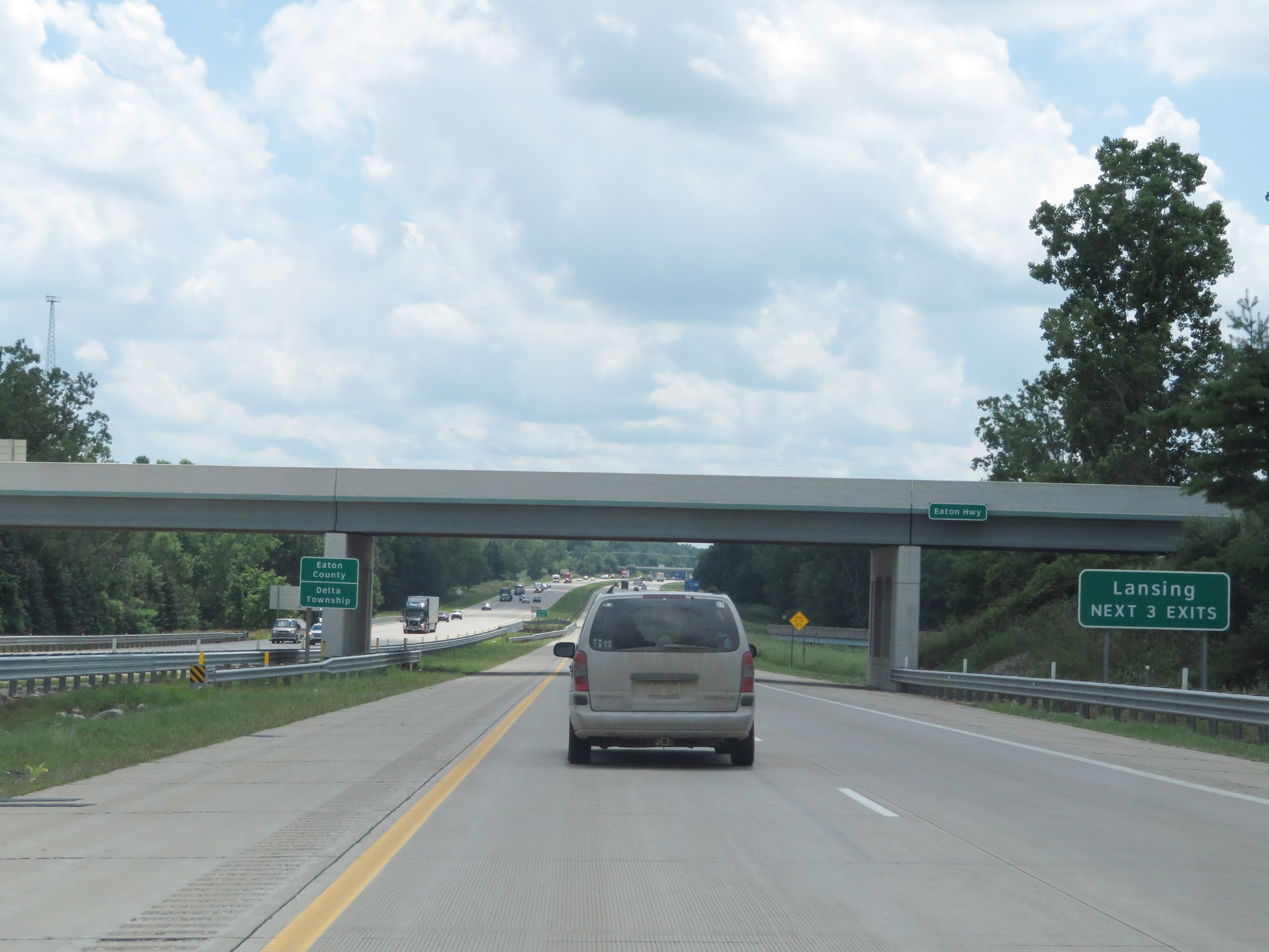 |
Interstate 96 East as it enters Eaton County. Take any of the next 3 exits to Lansing. (Photo taken 7/17/17). |
 |
Interstate 96 East / Interstate 69 South reassurance shields just after traffic from Interstate 69 West merged into it on the right. I-69 is signed as east-west up until this point at which it becomes signed as north-south. During this concurrency, the mileage and exit numbers are based on the total mileage of Interstate 96. (Photo taken 7/17/17). |
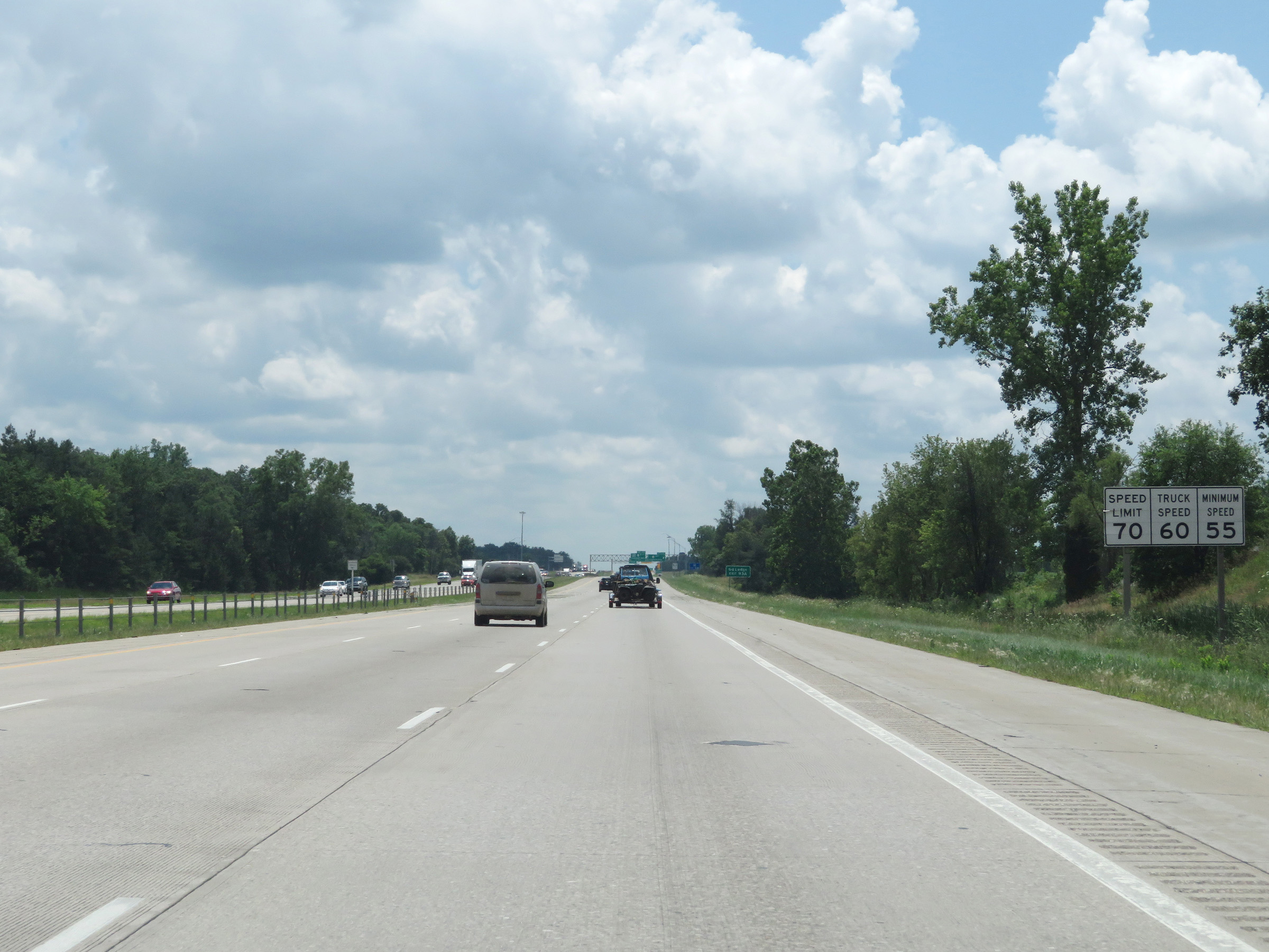 |
Speed limit signs on Interstate 96 East / Interstate 69 South. The speed limits remain 70 mph maximum for automobiles, 60 mph maximum for trucks, and 55 mph minimum for all traffic. (Photo taken 7/17/17). |
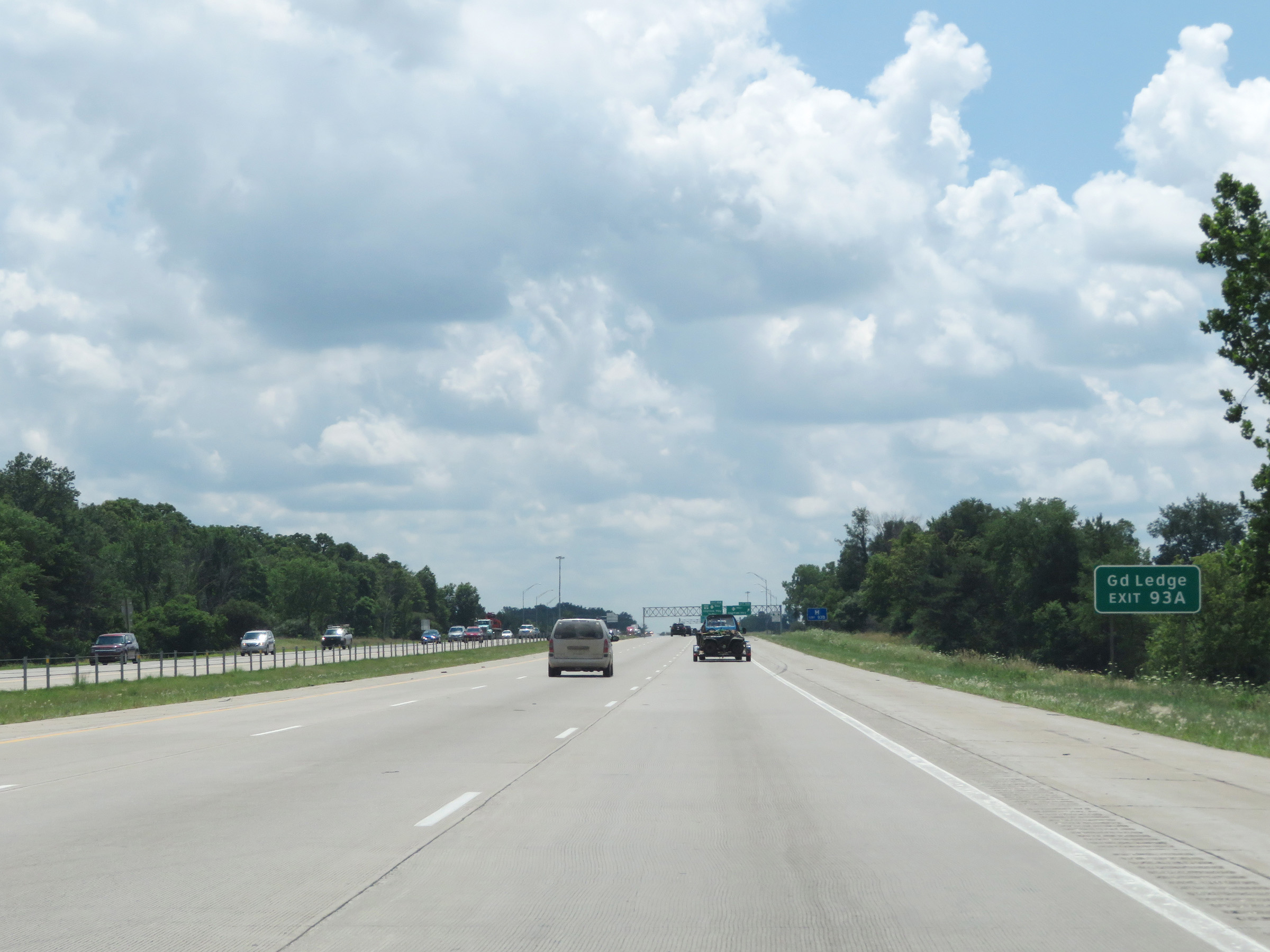 |
Take Exit 93A to Grand Ledge. (Photo taken 7/17/17). |
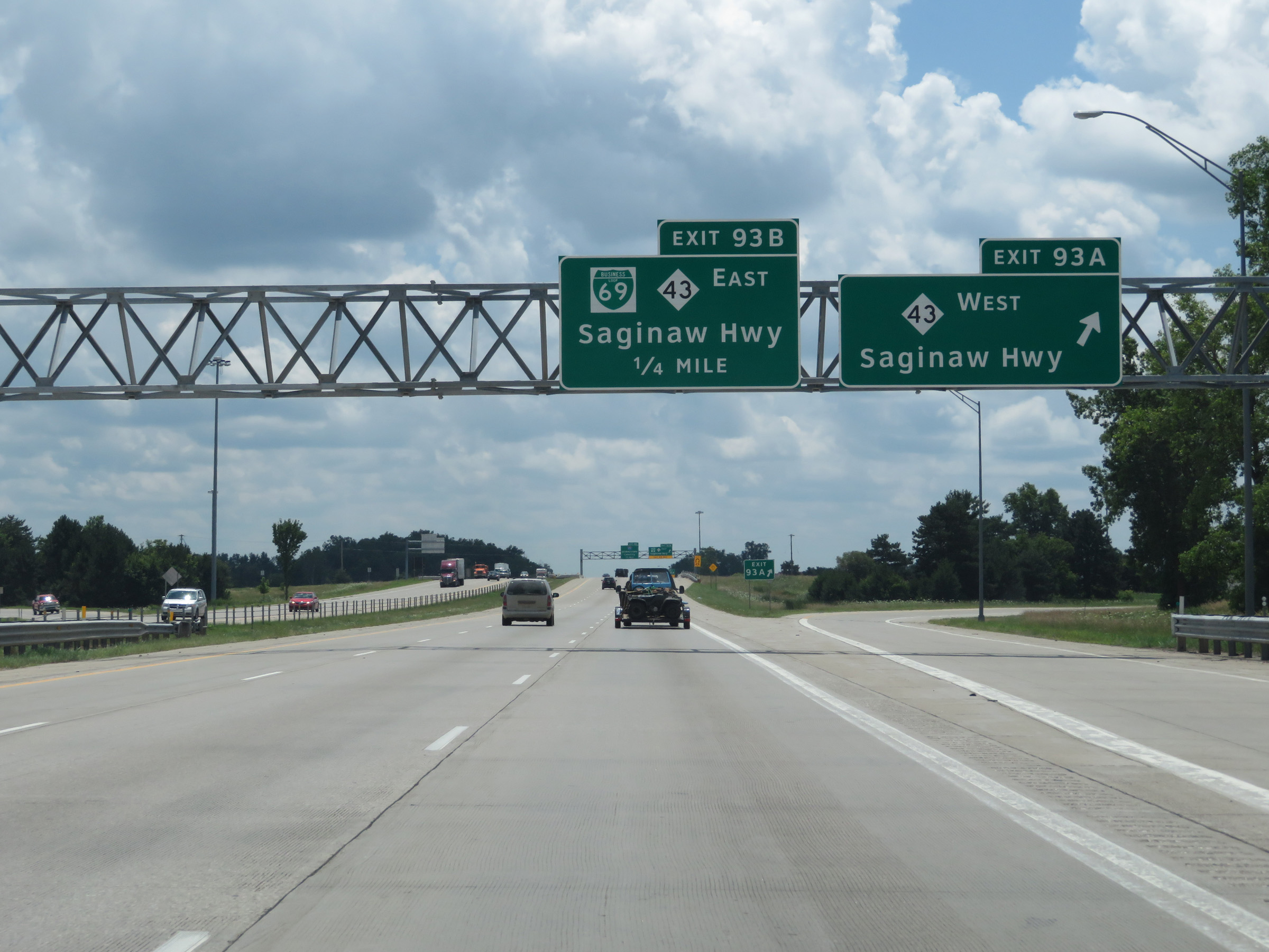 |
Interstate 96 East / Interstate 69 South at Exit 93A: M-43 West - Saginaw Hwy (Photo taken 7/17/17). |
 |
Interstate 96 East / Interstate 69 South at Exit 93B: Interstate 69 Business Loop East / M-43 East - Saginaw Hwy (Photo taken 7/17/17). |
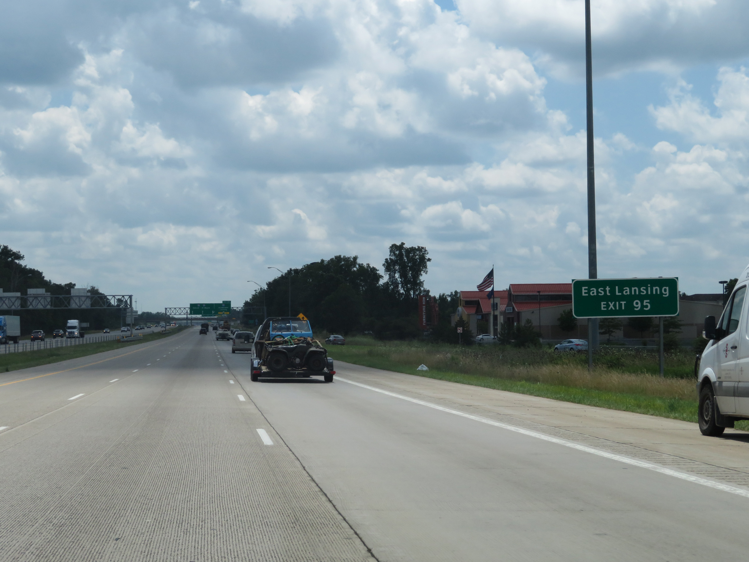 |
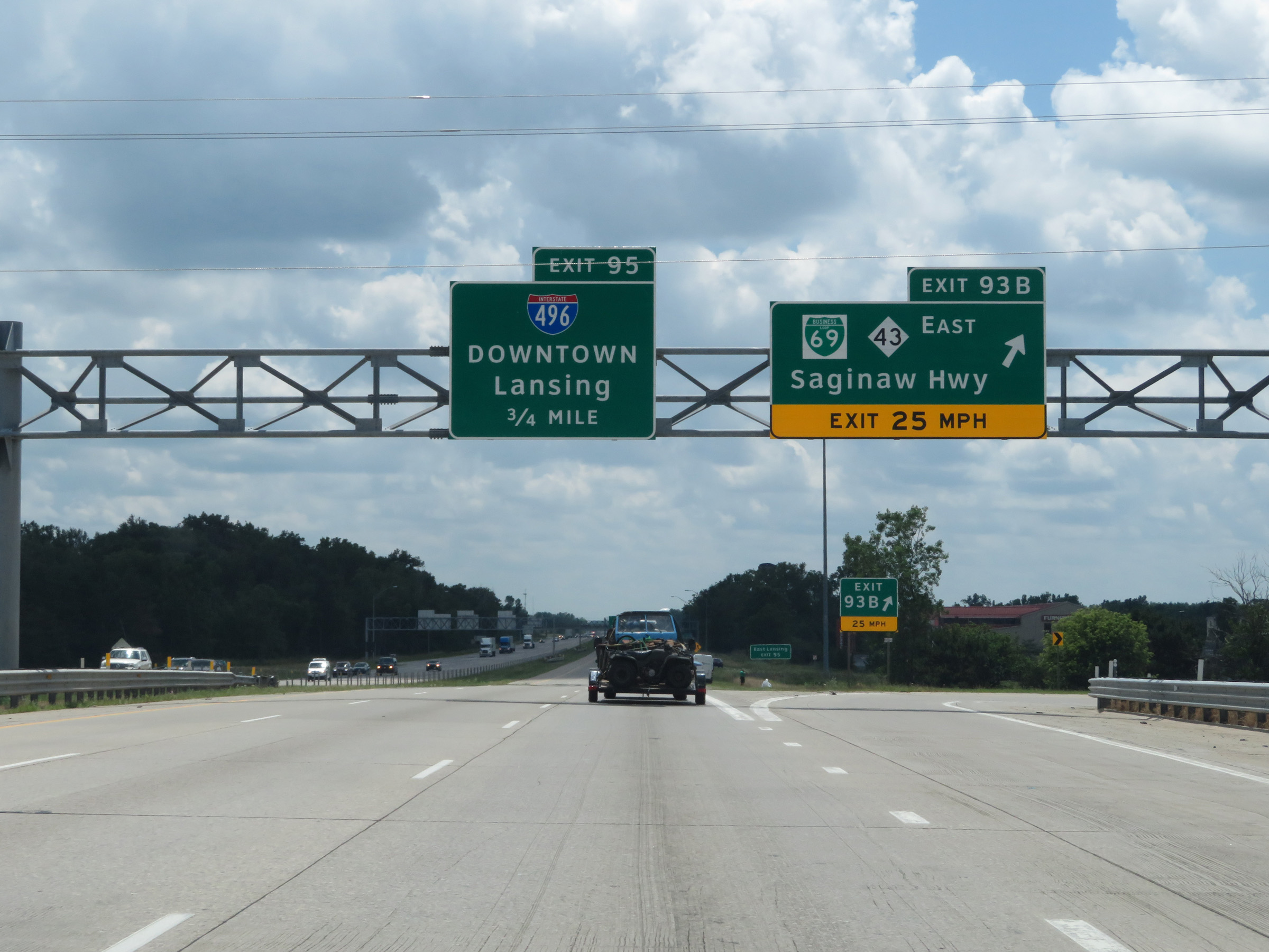
Take Exit 95 (Interstate 496 East) to East Lansing. (Photo taken 7/17/17). |
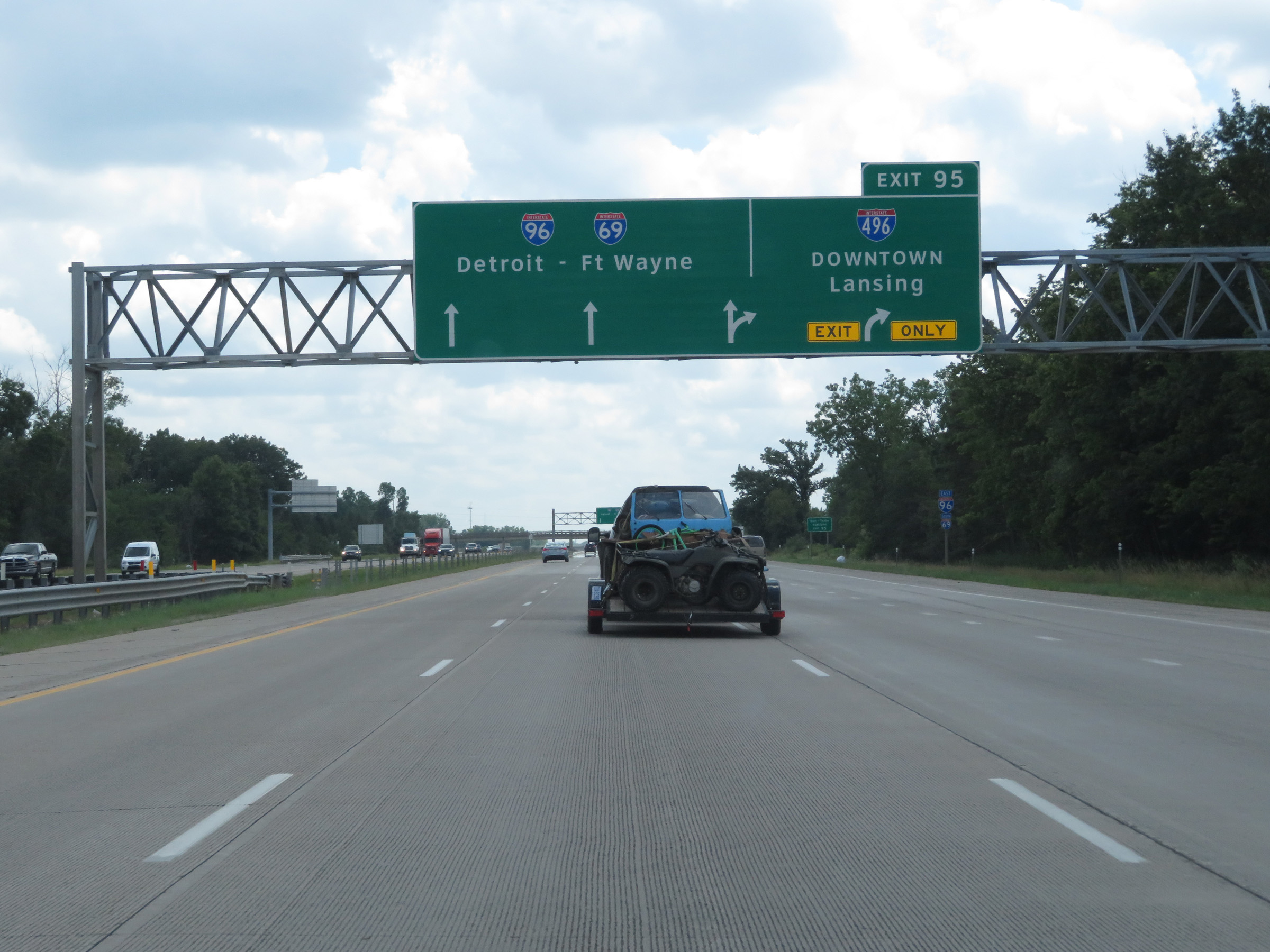 |
Interstate 96 East / Interstate 69 South approaching Exit 95. (Photo taken 7/17/17). |
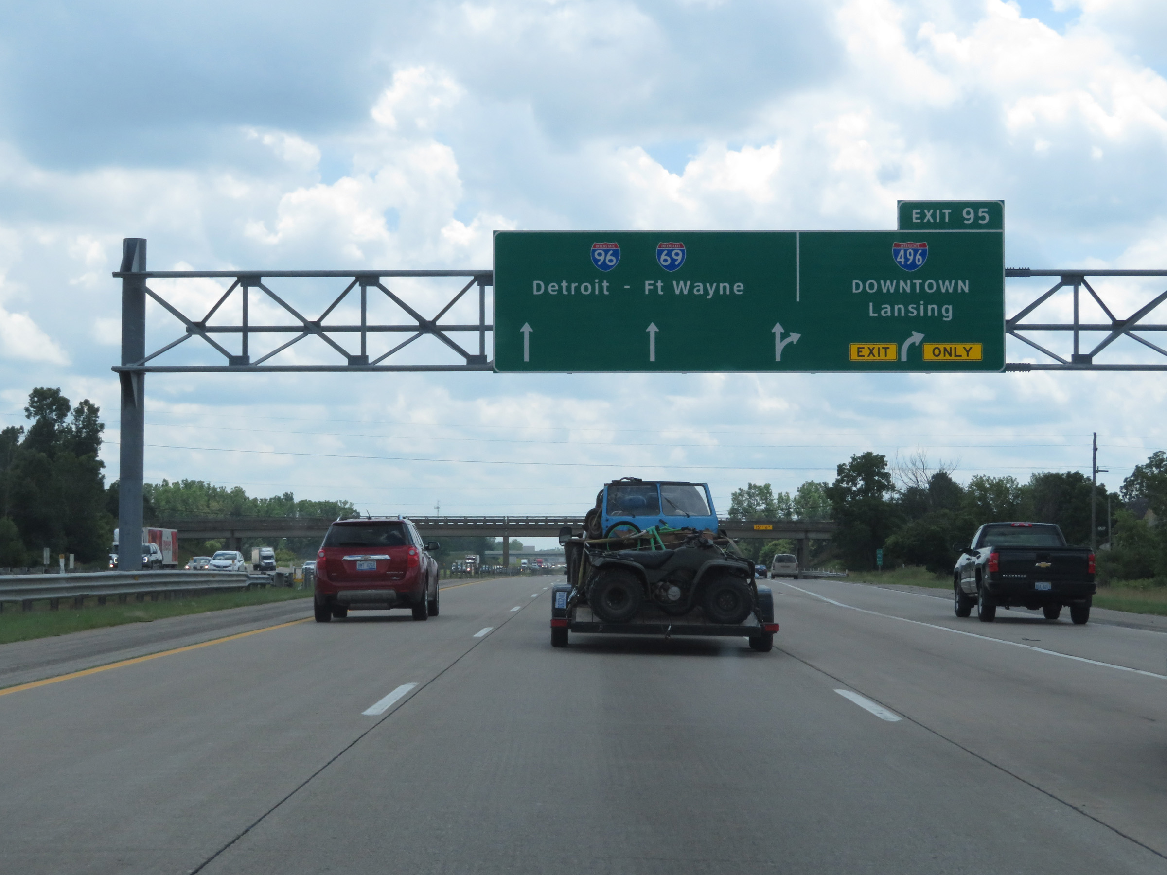 |
Interstate 96 East / Interstate 69 South at Exit 95: Interstate 496 East - Downtown Lansing (Photo taken 7/17/17). |
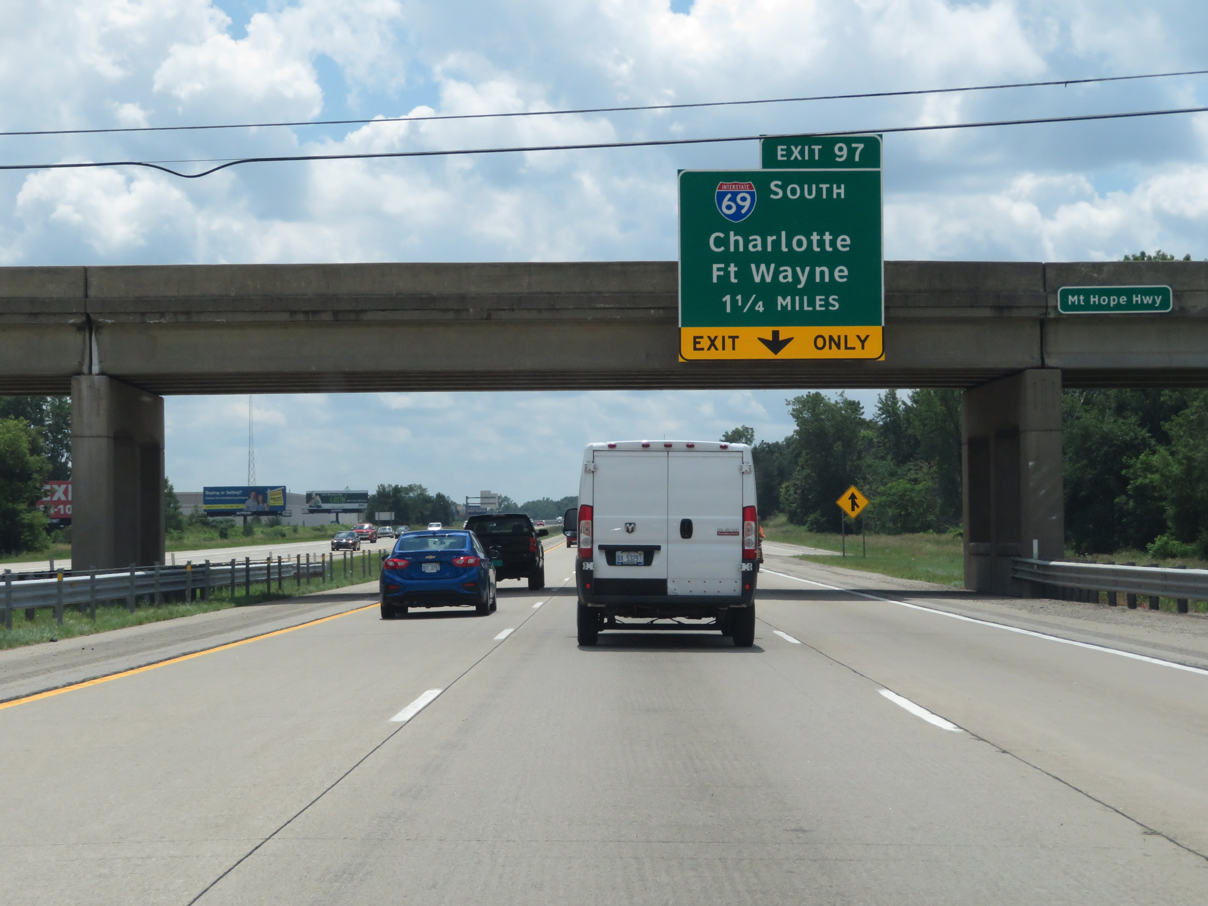 |
Interstate 96 East / Interstate 69 South approaching Exit 97 - 1 1/4 miles. The right lane will become an Exit Only lane at Exit 97. (Photo taken 7/17/17). |
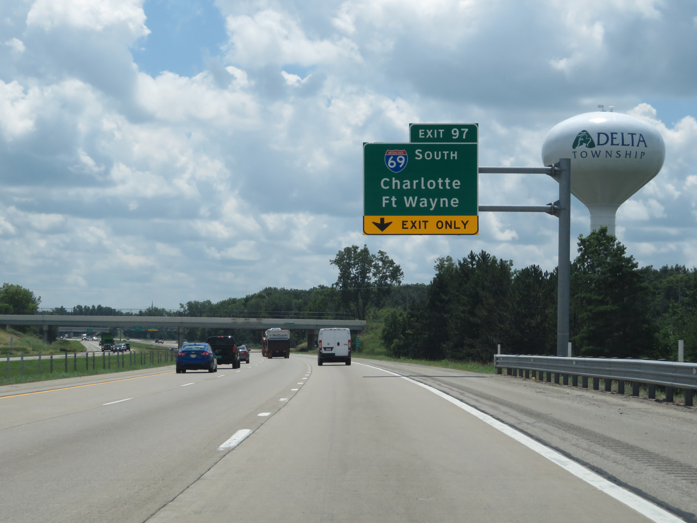 |
Interstate 96 East / Interstate 69 South approaching Exit 97. (Photo taken 7/17/17). |
 |
View on Interstate 96 East / Interstate 69 South at mile marker 96. (Photo taken 7/17/17). |
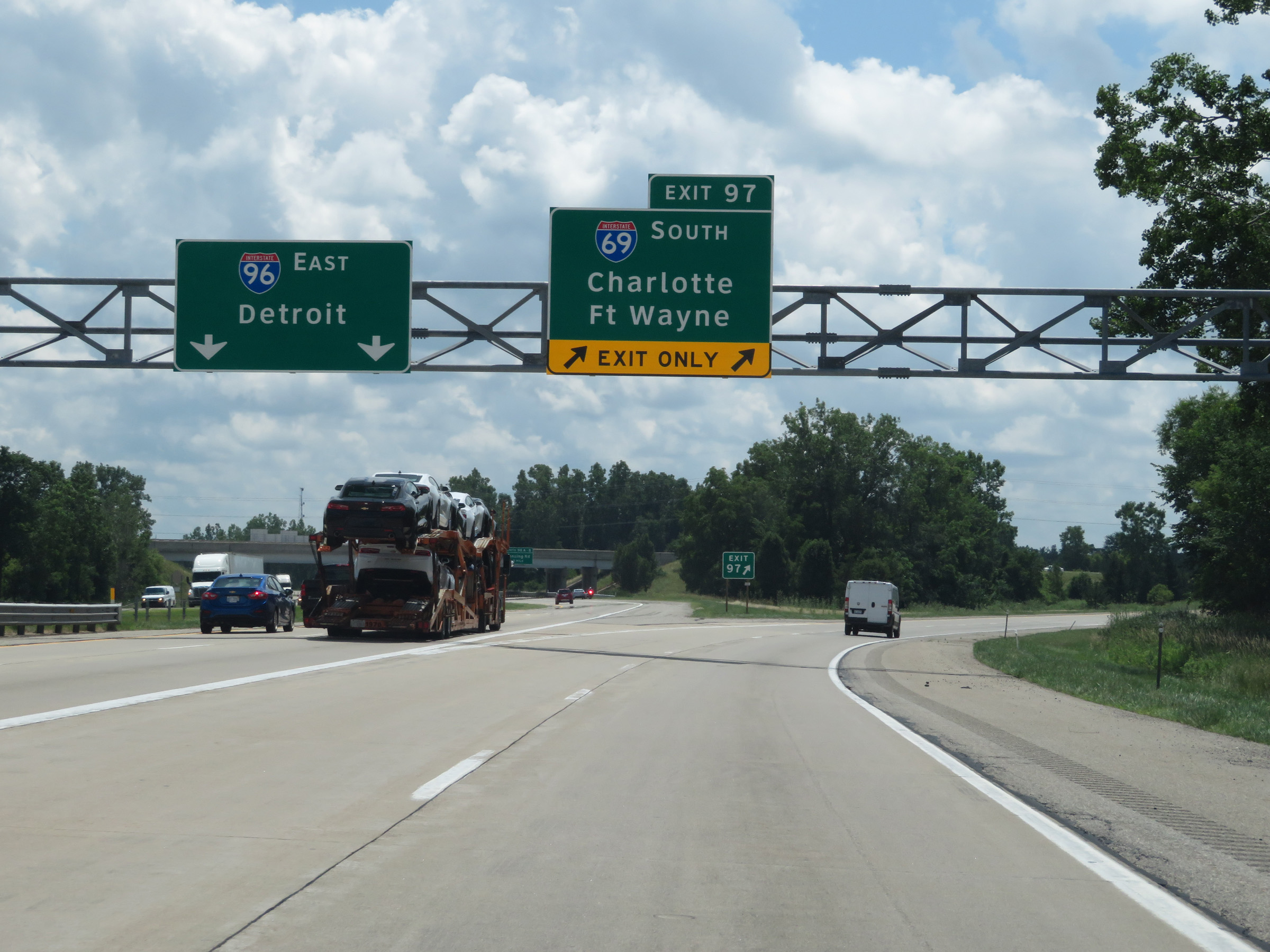 |
Interstate 96 East / Interstate 69 South at Exit 97: Interstate 69 South - Charlotte / Fort Wayne (Photo taken 7/17/17). |