Road Information |
||
 |
||
| Total Mileage in State: | 202 miles | |
| Northern/Eastern End: | At Blue Water Bridge, in Port Huron | |
| Western/Southern End: | At Indiana state line | |
| Mileage covered in Photos: | 202 miles | |
| Counties covered in Photos: | Branch, Calhoun, Eaton, Clinton, Shiawassee, Genesee, Lapeer, St. Clair | |
| Major Junctions in Photos: | I-94, in Marshall I-96, near Lansing US 127, in East Lansing I-75, in Flint I-475, in Flint I-94, in Port Huron |
|
| Control Cities in Photos: | Marshall, Charlotte, Lansing, Flint, Port Huron | |
Northbound/Eastbound
- Section 1: Indiana Border to Lansing (Exit 72)
- Section 2: Lansing (Exit 72) to Flint (Exit 137)
- Section 3: Flint (Exit 137) to Port Huron
Section 1: Indiana Border to Lansing (Exit 72)
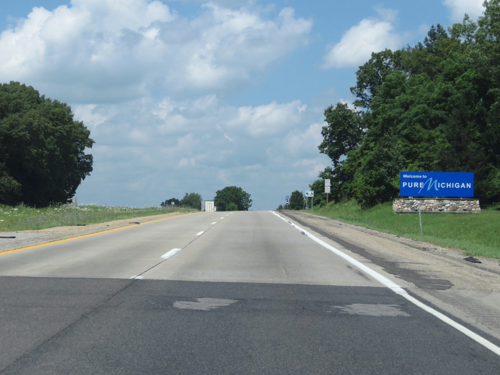 |
Michigan welcome sign on Interstate 69 North as it enters the Wolverine State from Indiana. (Photo taken 7/17/17). |
 |
Interstate 69 North reassurance shield. (Photo taken 7/17/17). |
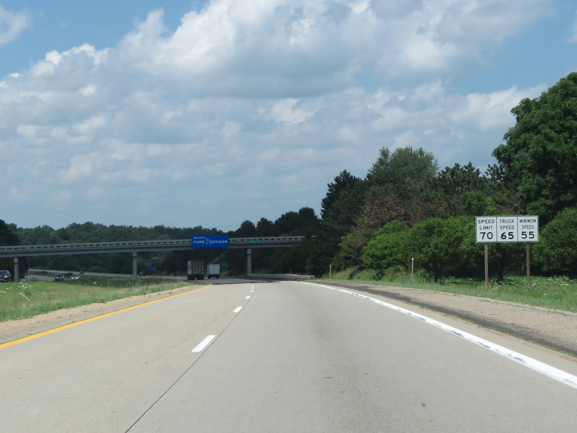 |
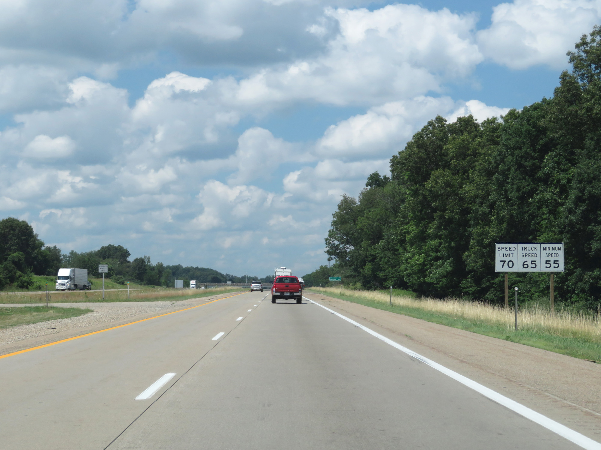
Speed limit signs upon entering Michigan on Interstate 69 North. The speed limits start out at 70 mph for cars and 65 mph for trucks with a minimum speed limit of 55 mph. (Photo taken 7/17/17). |
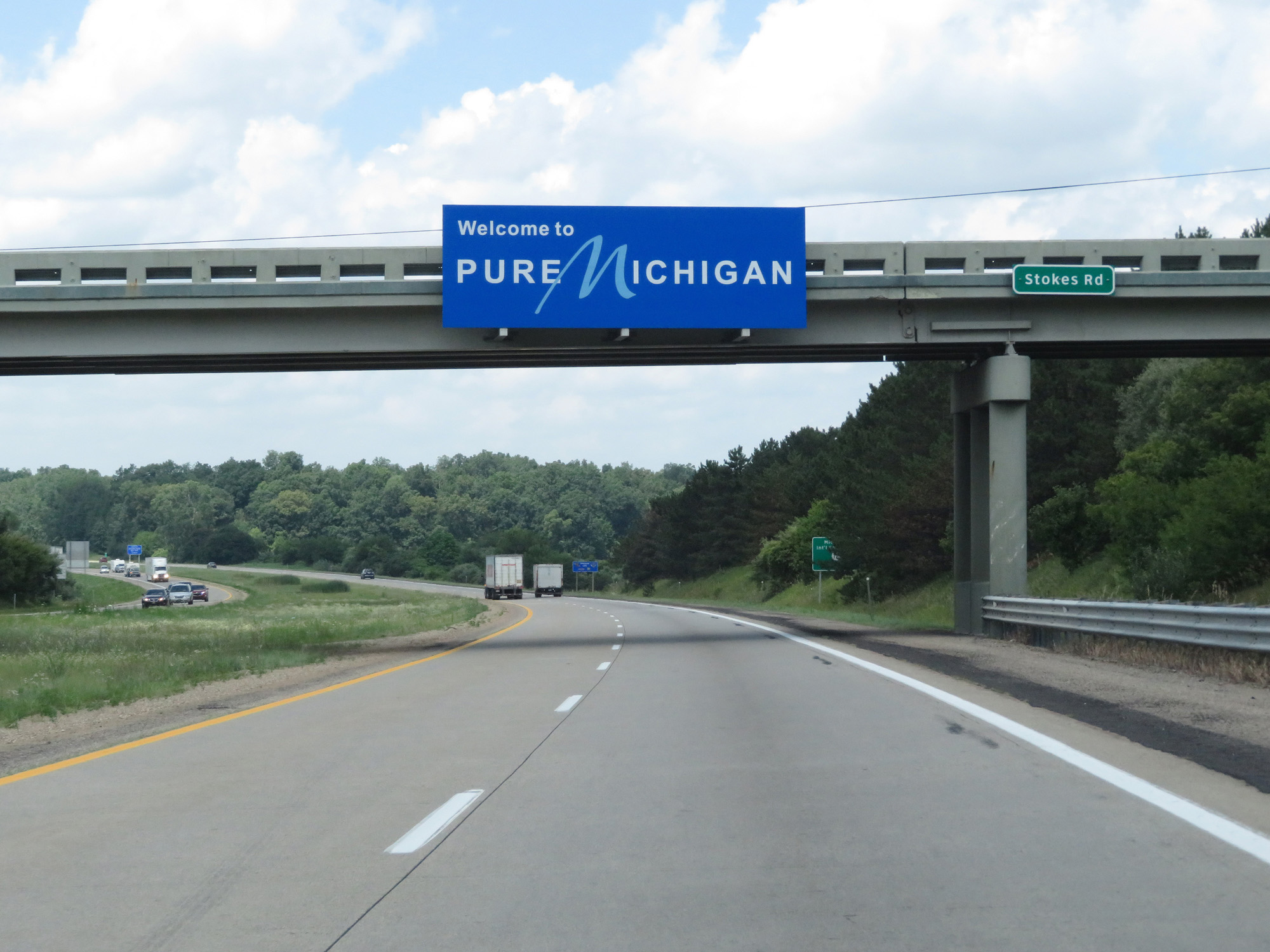 |
A second Michigan welcome sign on Interstate 69 North. (Photo taken 7/17/17). |
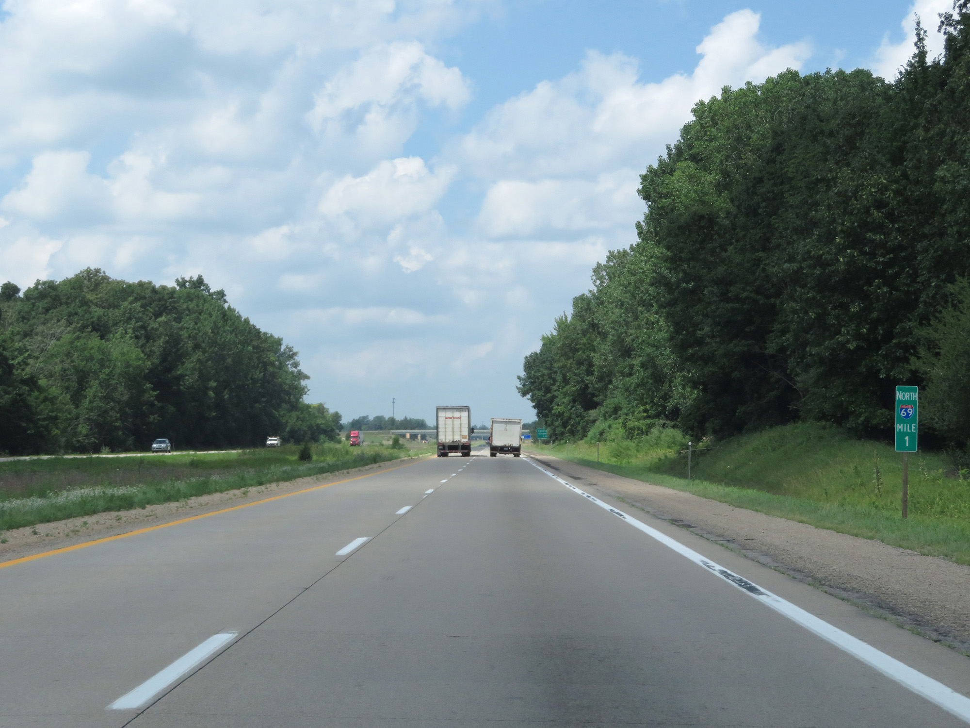 |
Interstate 69 North at mile marker 1. (Photo taken 7/17/17). |
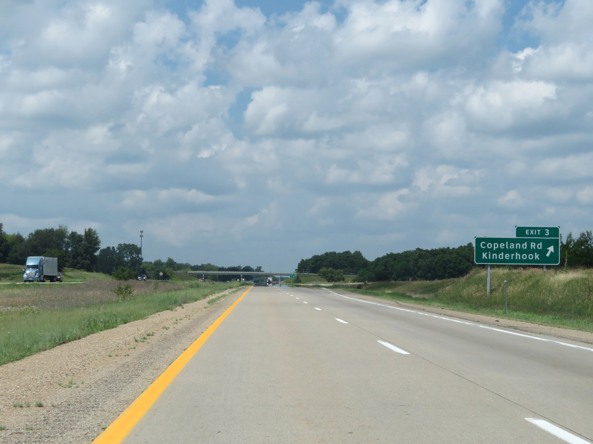 |
Interstate 69 North at Exit 3: Copeland Rd / Kinderhook (Photo taken 7/17/17). |
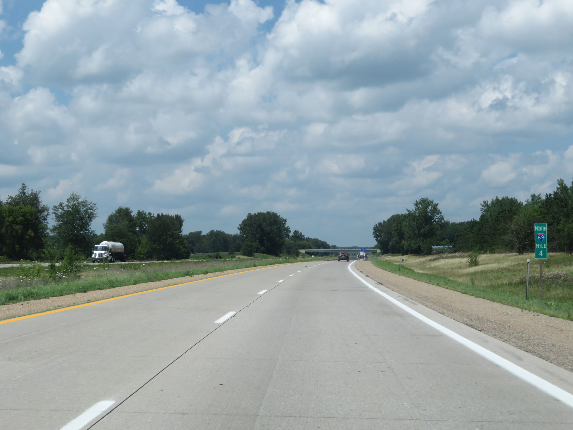 |
Interstate 69 North at mile marker 4. (Photo taken 7/17/17). |
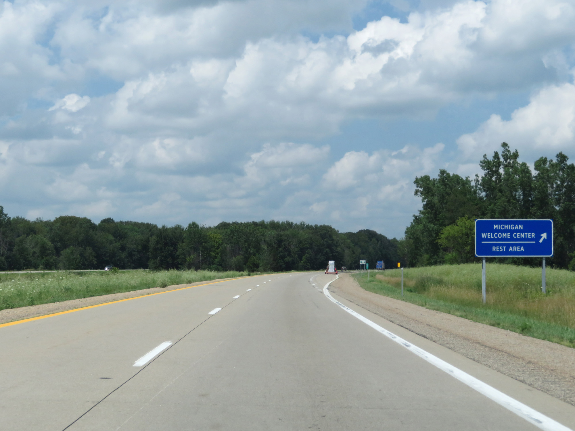 |
Interstate 69 North at the Rest Area / Michigan Welcome Center in Branch County. (Photo taken 7/17/17). |
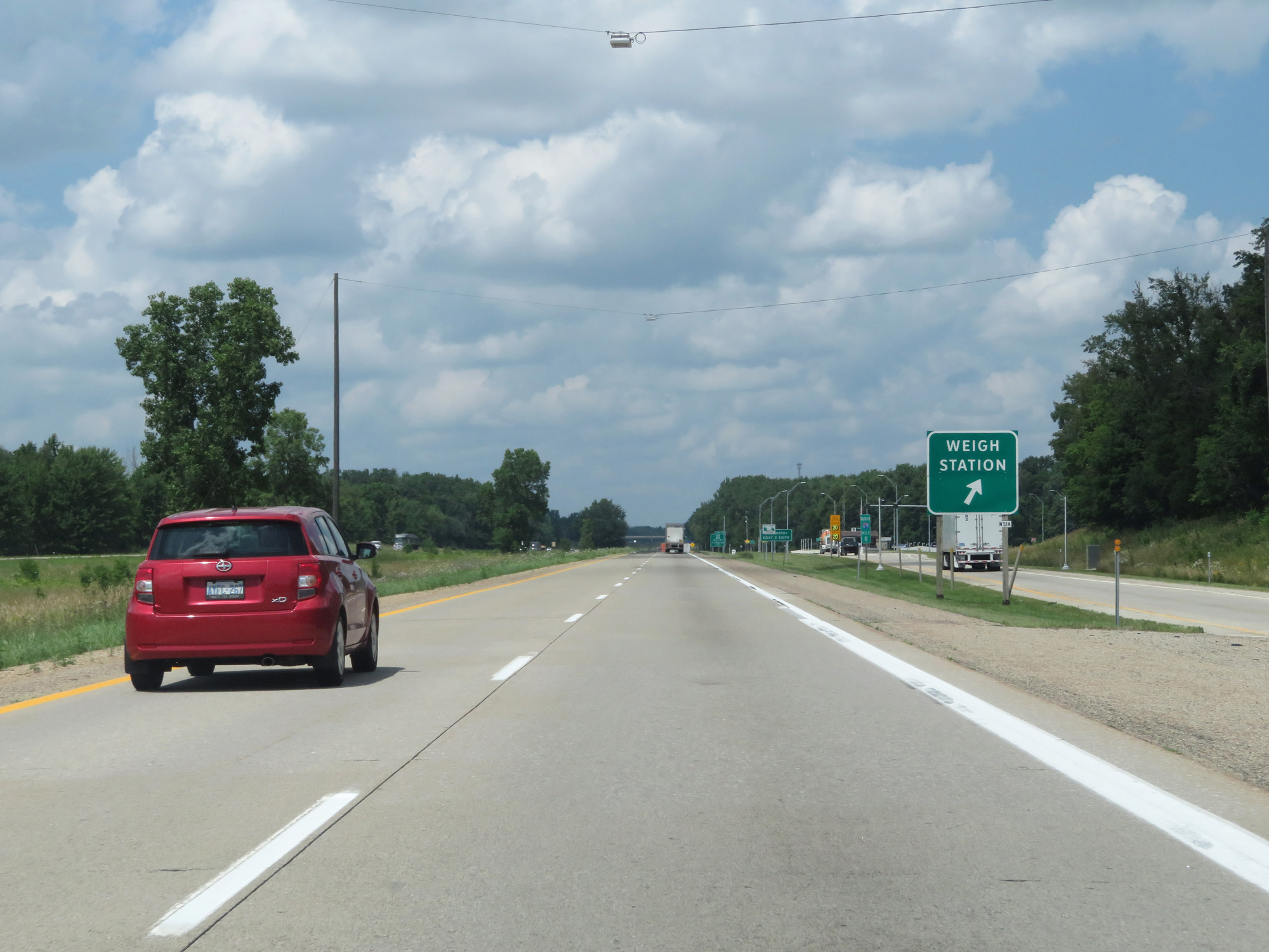 |
Interstate 69 North at the Weigh Station located at mile marker 8. (Photo taken 7/17/17). |
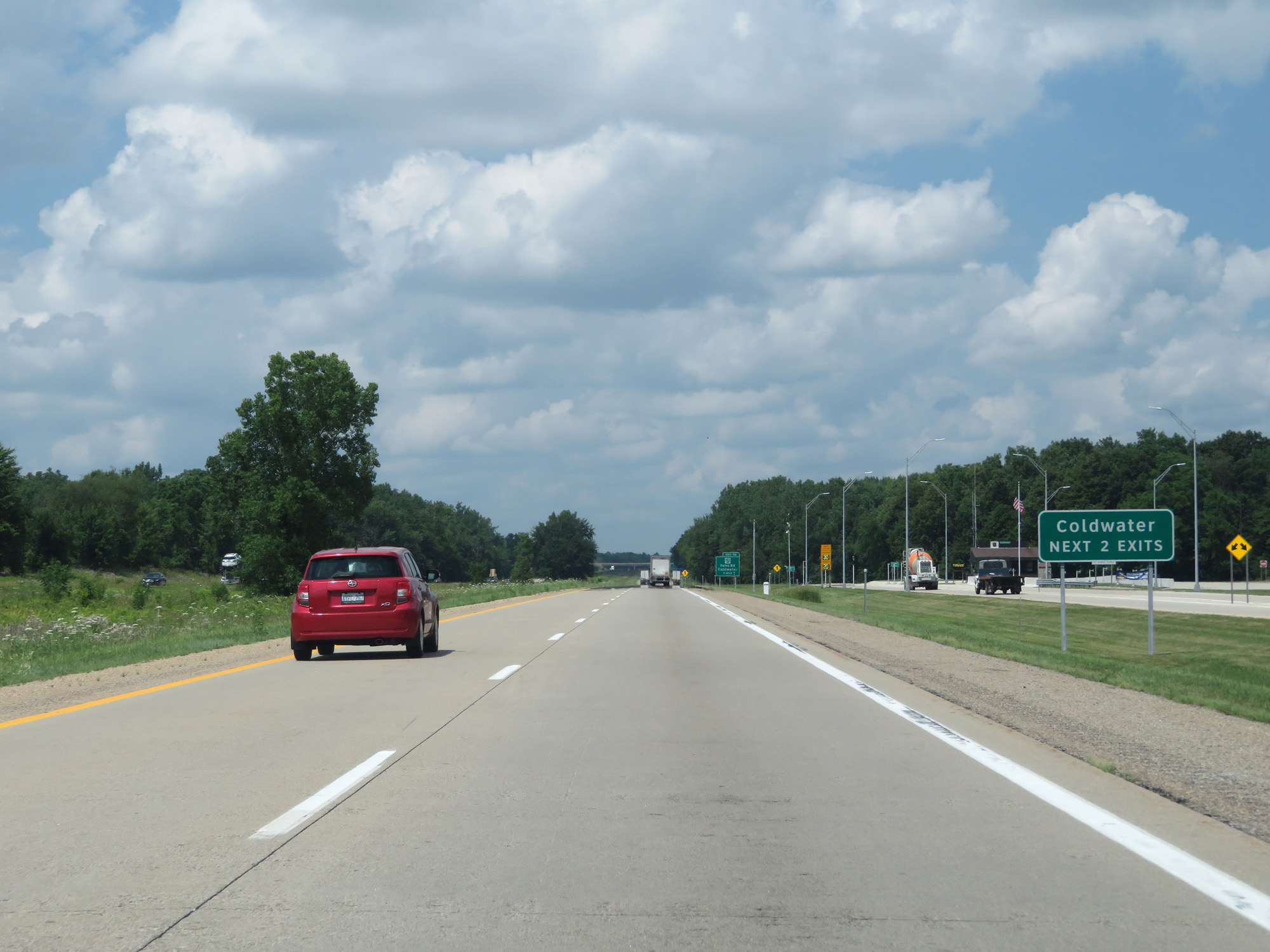 |
Take either of the next 2 exits to Coldwater. (Photo taken 7/17/17). |
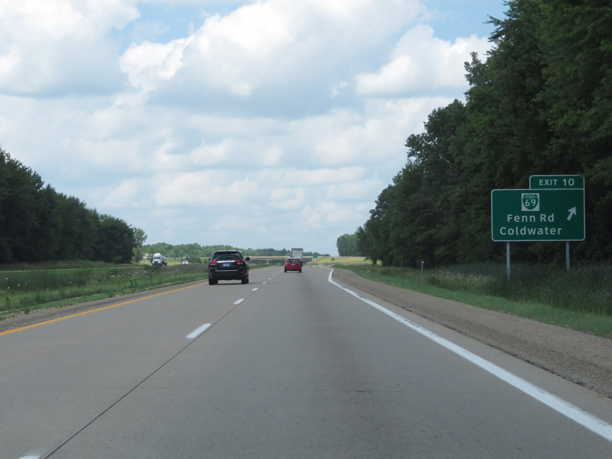 |
Interstate 69 North at Exit 10: Interstate 69 Business Loop - Fenn Rd / Coldwater (Photo taken 7/17/17). |
 |
Interstate 69 North at mile marker 11. (Photo taken 7/17/17). |
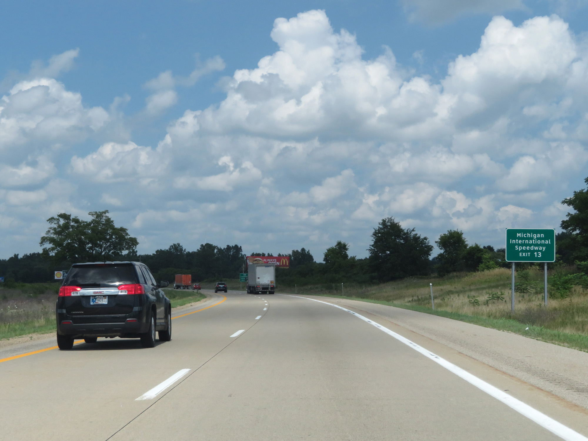 |
Take Exit 13 to Michigan International Speedway. (Photo taken 7/17/17). |
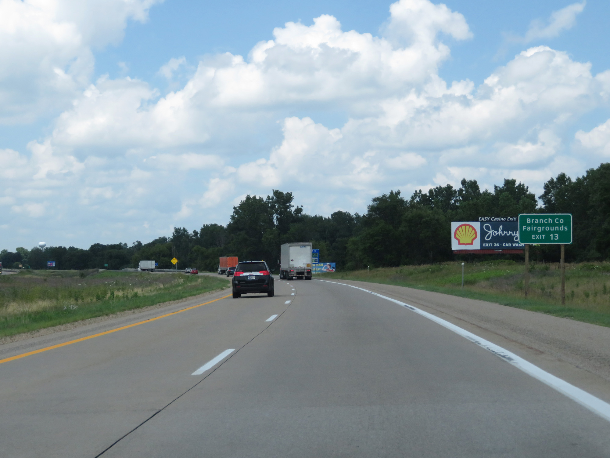 |
Also take Exit 13 to the Branch County Fairgrounds. (Photo taken 7/17/17). |
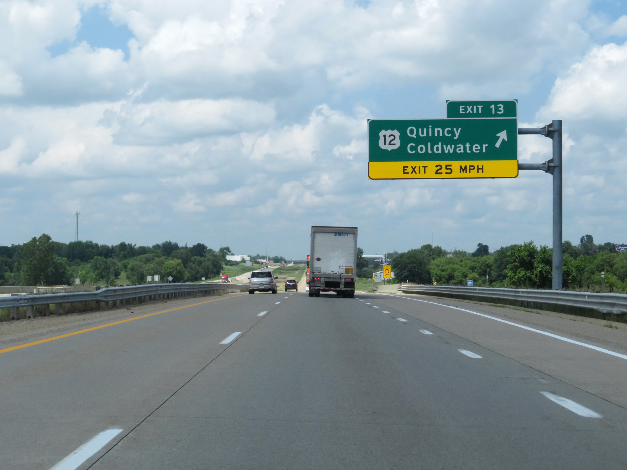 |
Interstate 69 North at Exit 13: US 12 - Quincy / Coldwater (Photo taken 7/17/17). |
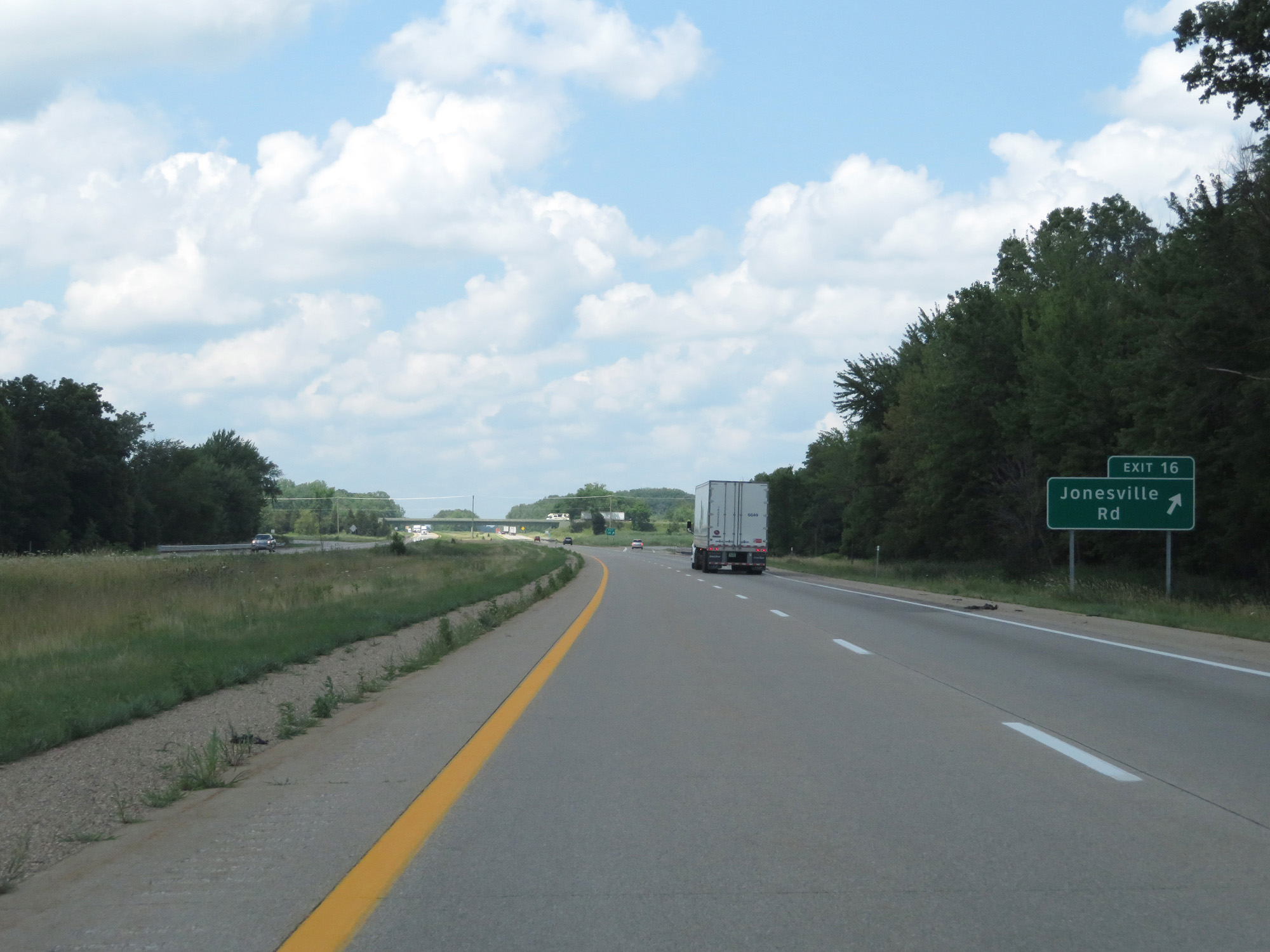 |
Interstate 69 North at Exit 16: Jonesville Rd (Photo taken 7/17/17). |
 |
Interstate 69 North reassurance shield. (Photo taken 7/17/17). |
 |
The speed limits remain 70 mph for cars and 65 mph for trucks. (Photo taken 7/17/17). |
 |
Interstate 69 North at mile marker 19. (Photo taken 7/17/17). |
 |
Interstate 69 North at mile marker 20. (Photo taken 7/17/17). |
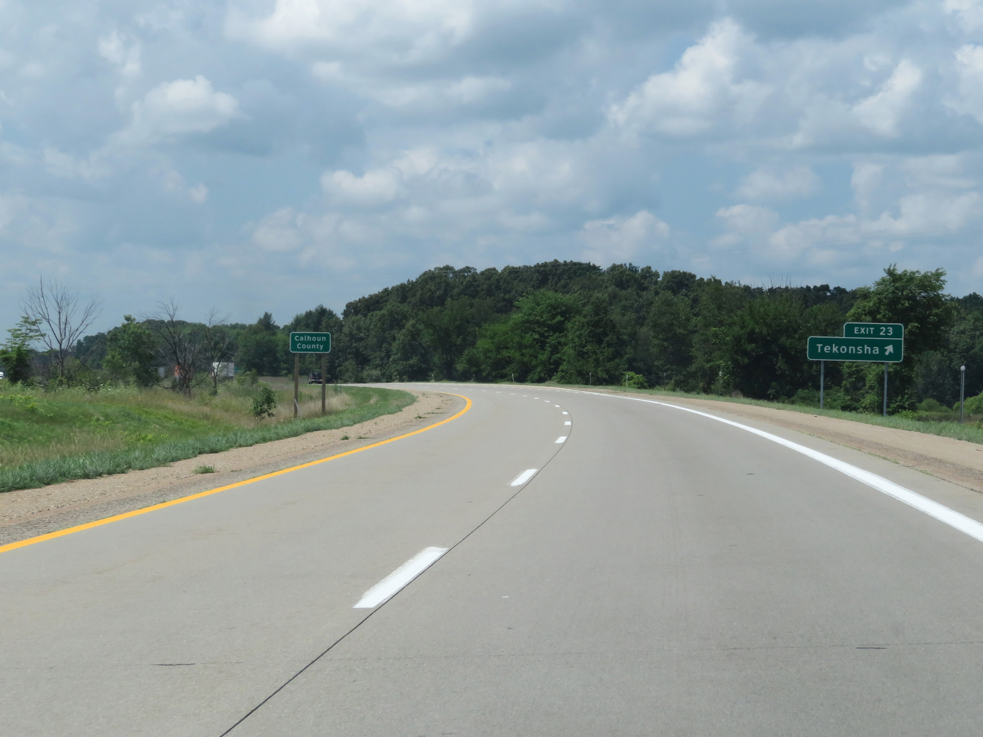 |
Interstate 69 North enters Calhoun County at Exit 23. (Photo taken 7/17/17). |
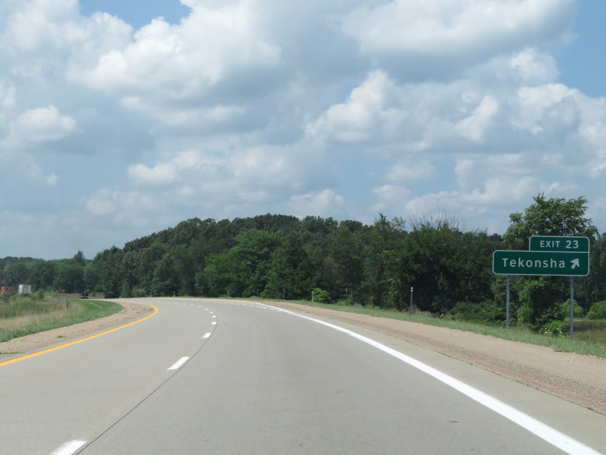 |
Interstate 69 North at Exit 23: Tekonsha (Photo taken 7/17/17). |
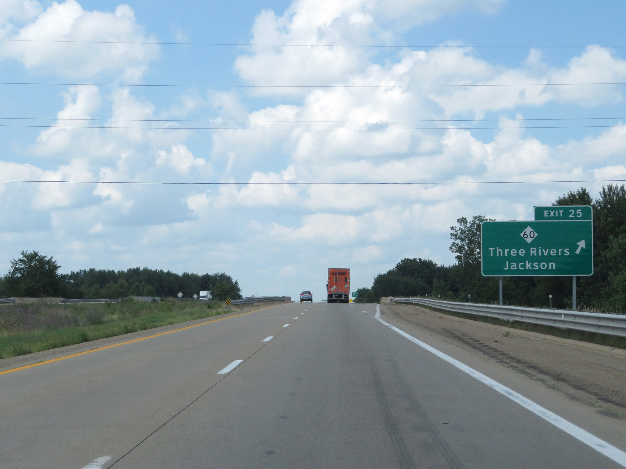 |
Interstate 69 North at Exit 25: M-60 - Three Rivers / Jackson (Photo taken 7/17/17). |
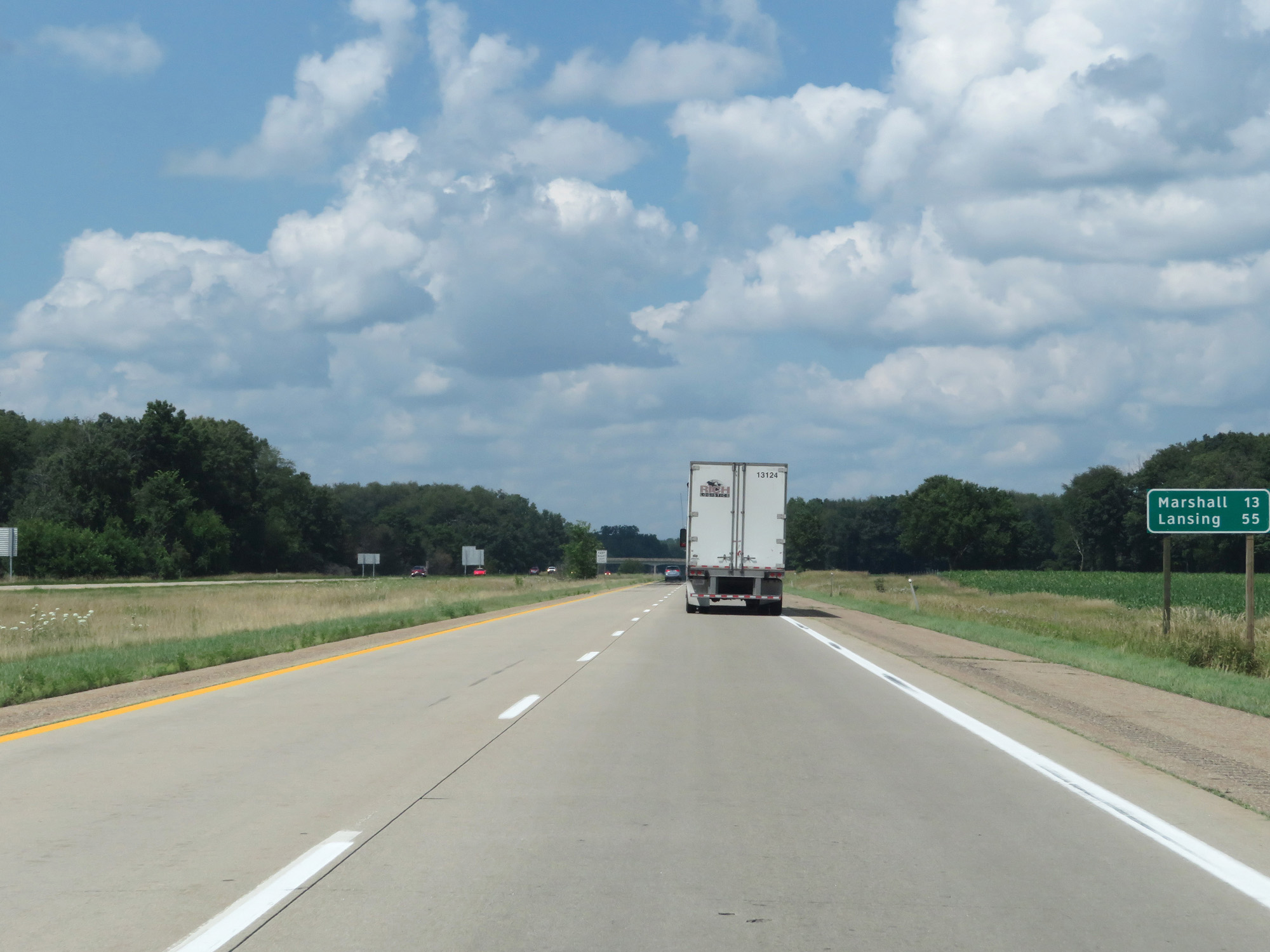 |
Mileage sign on Interstate 69 North. It's 13 miles to Marshall and 55 miles to Lansing. (Photo taken 7/17/17). |
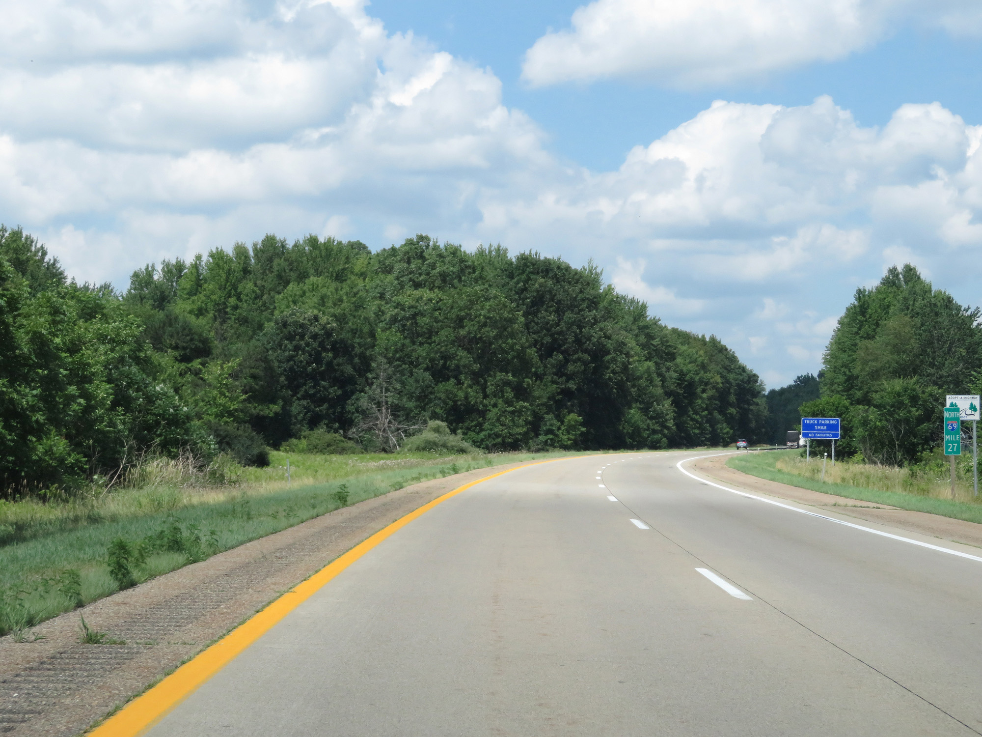 |
Interstate 69 North at mile marker 27. (Photo taken 7/17/17). |
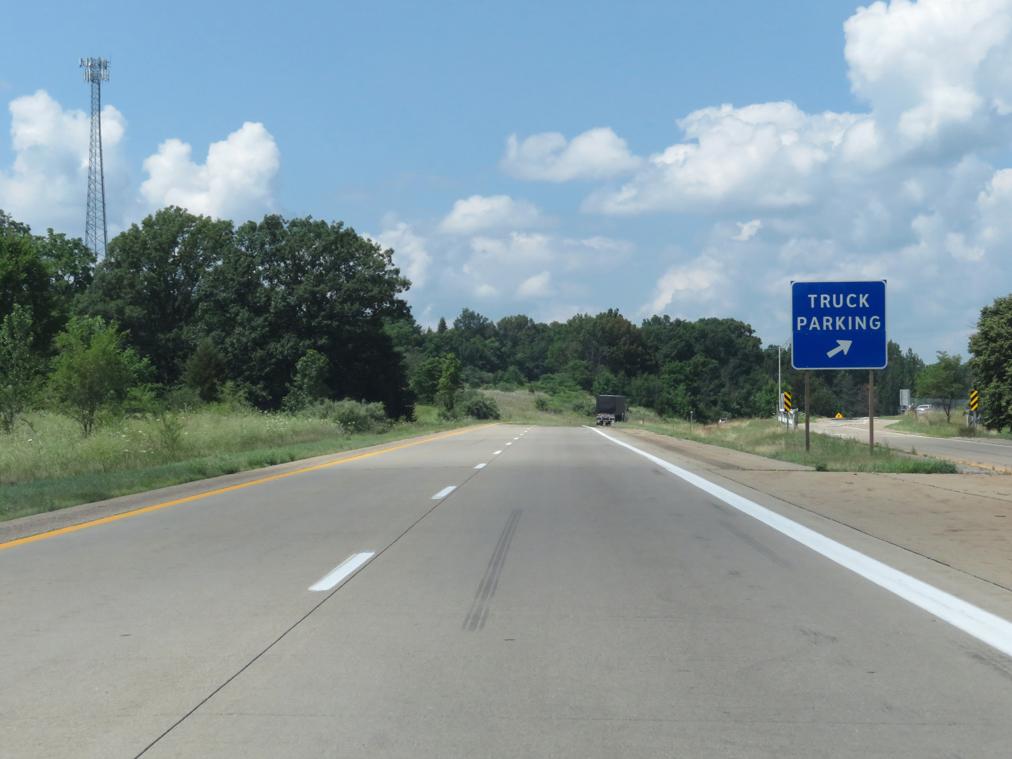 |
Interstate 69 North at the Truck Parking Area in Calhoun County. (Photo taken 7/17/17). |
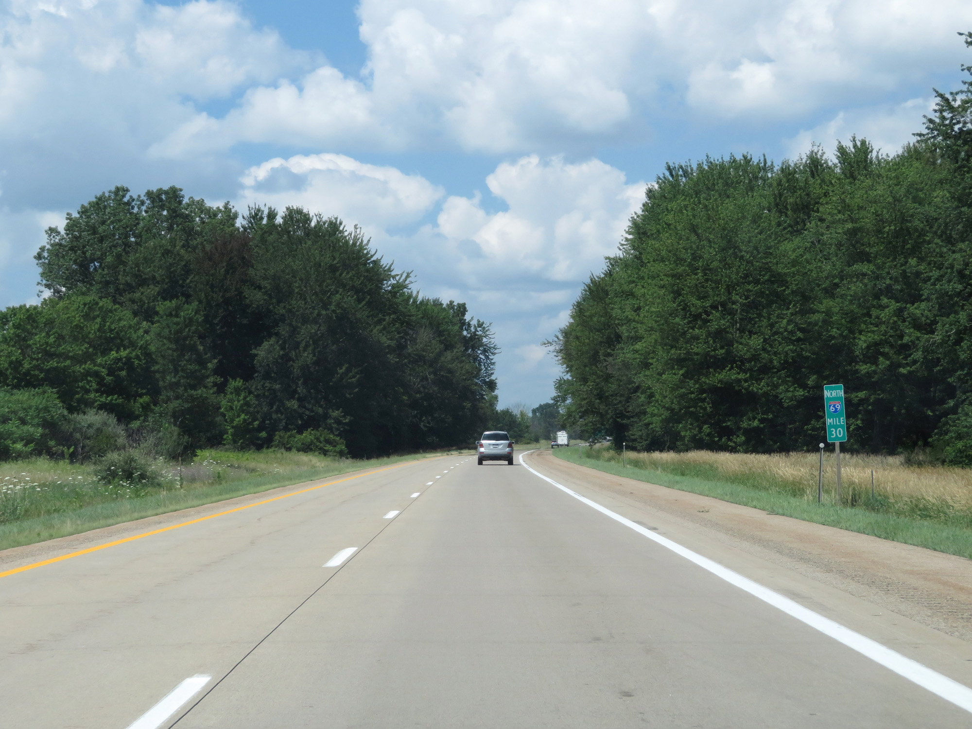 |
Interstate 69 North at mile marker 30. (Photo taken 7/17/17). |
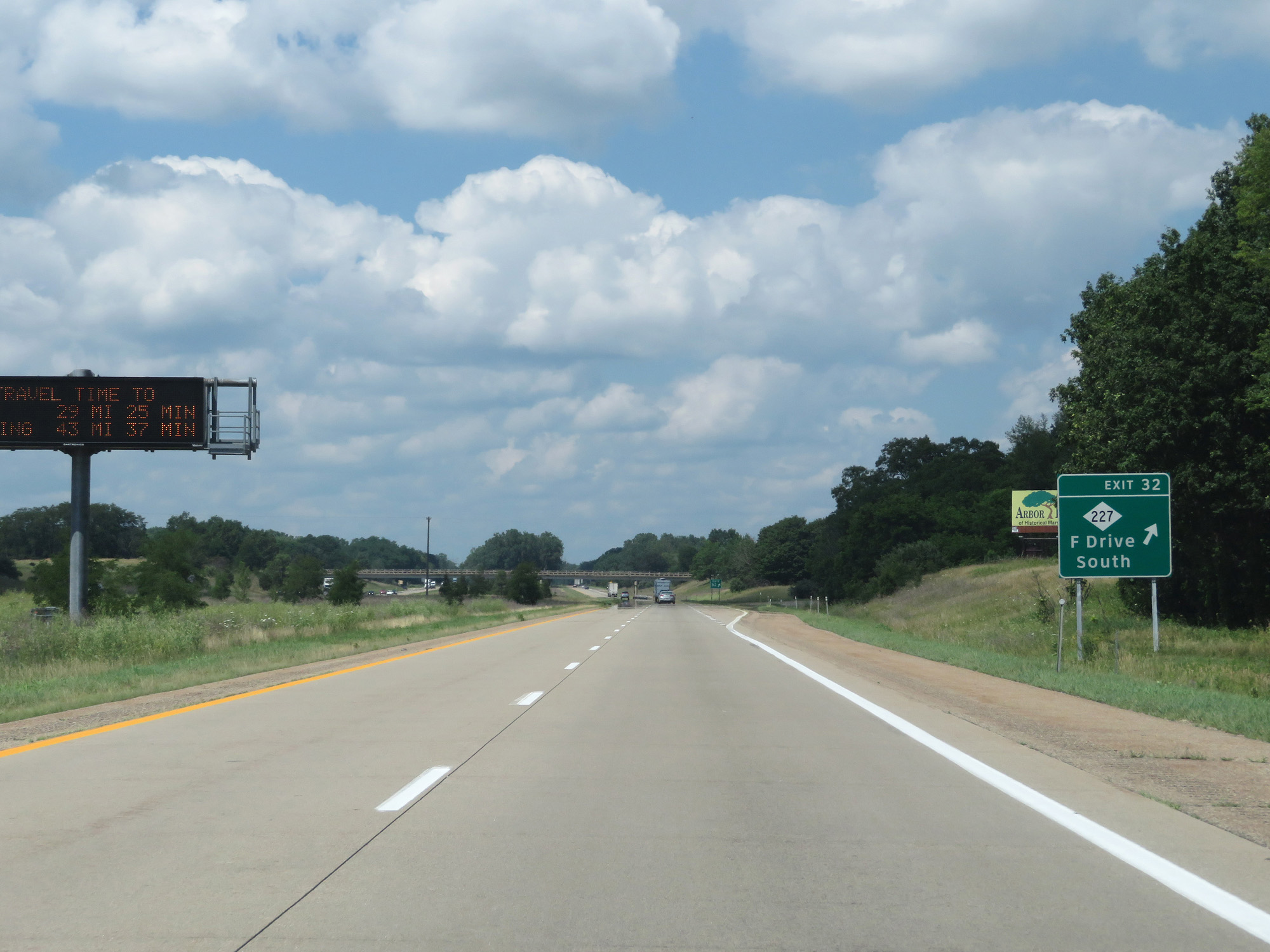 |
Interstate 69 North at Exit 32: M-227 - F Drive South (Photo taken 7/17/17). |
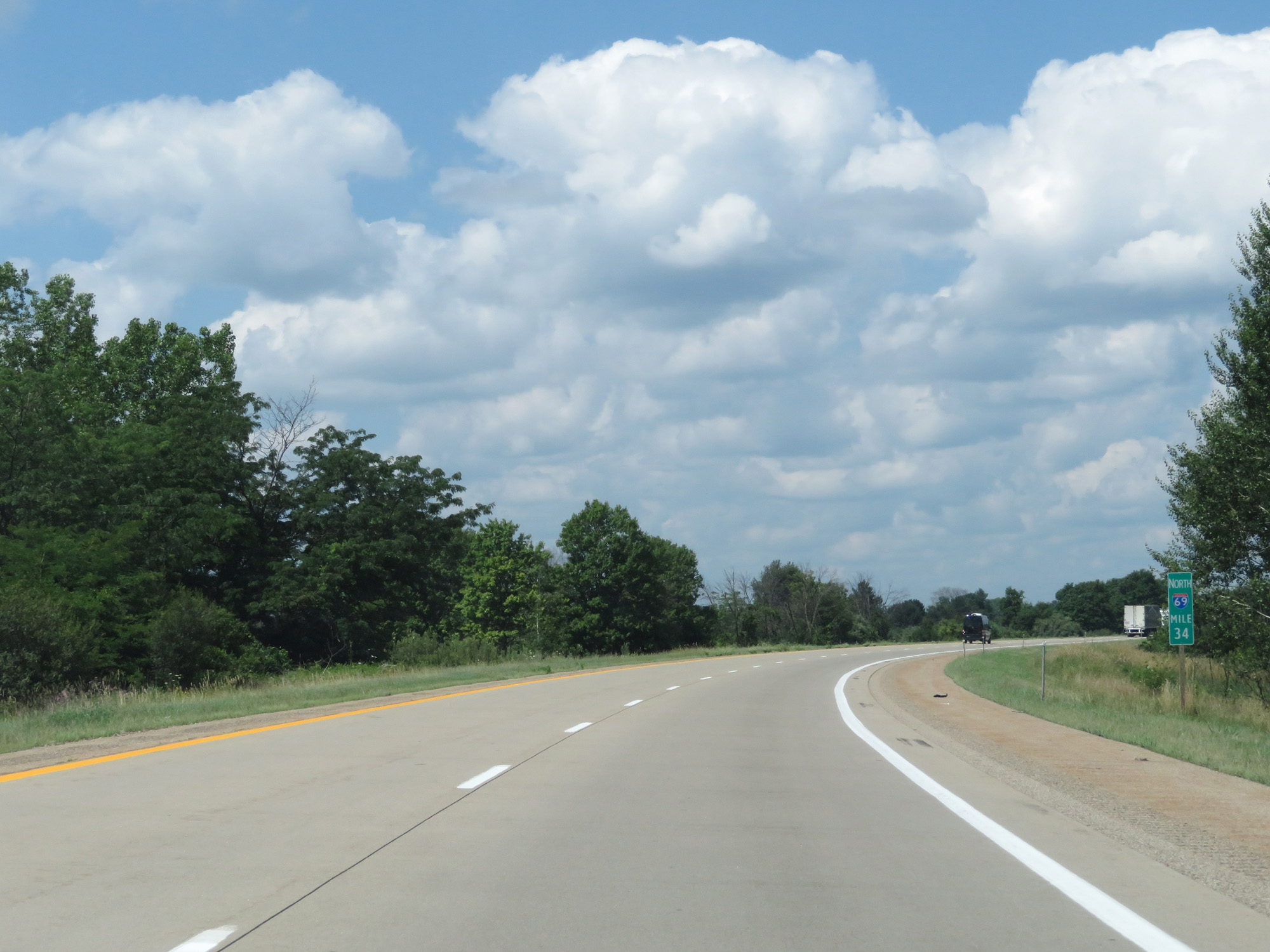 |
Interstate 69 North at mile marker 34. (Photo taken 7/17/17). |
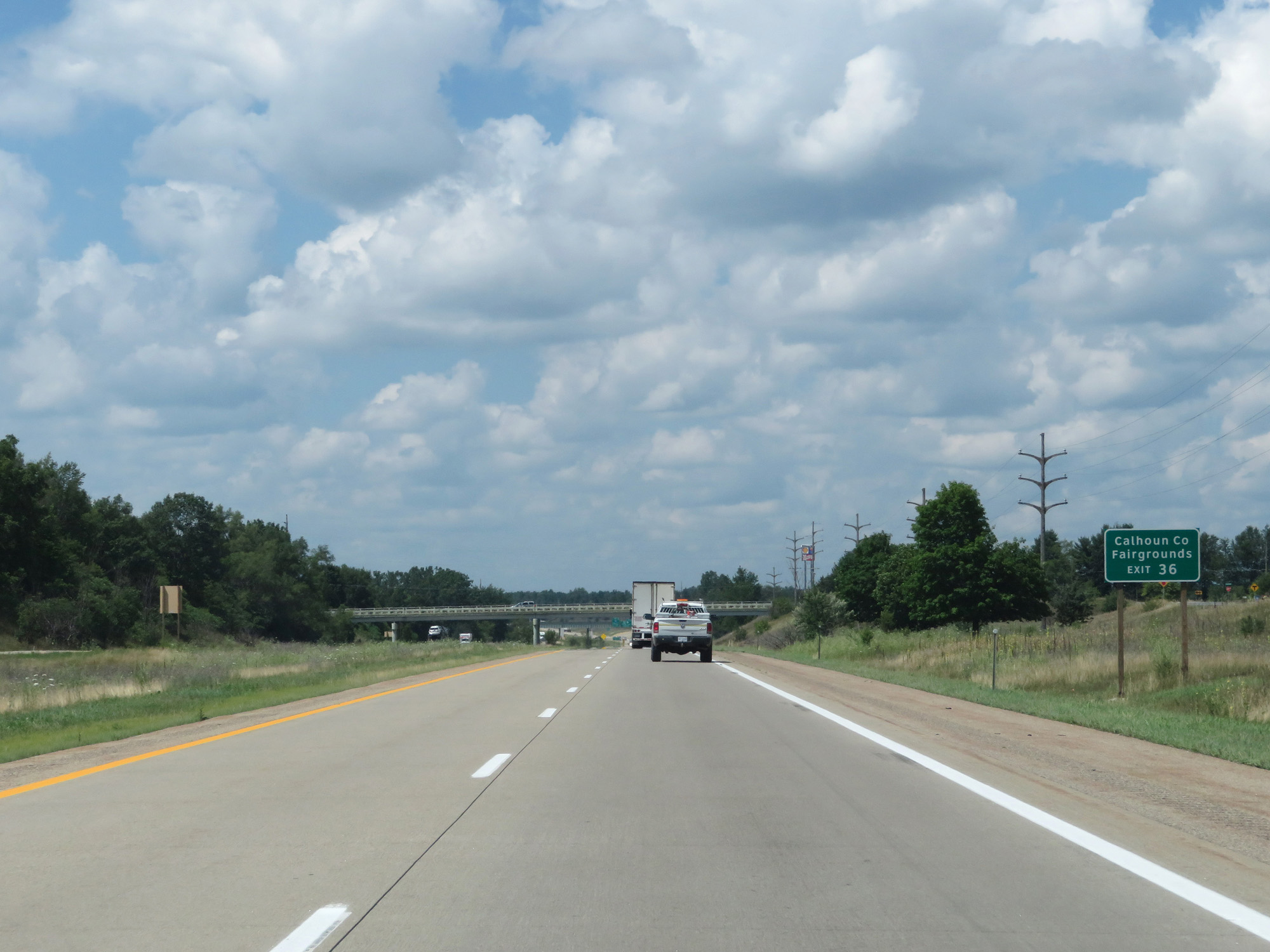 |
Take Exit 36 to the Calhoun County Fairgrounds. (Photo taken 7/17/17). |
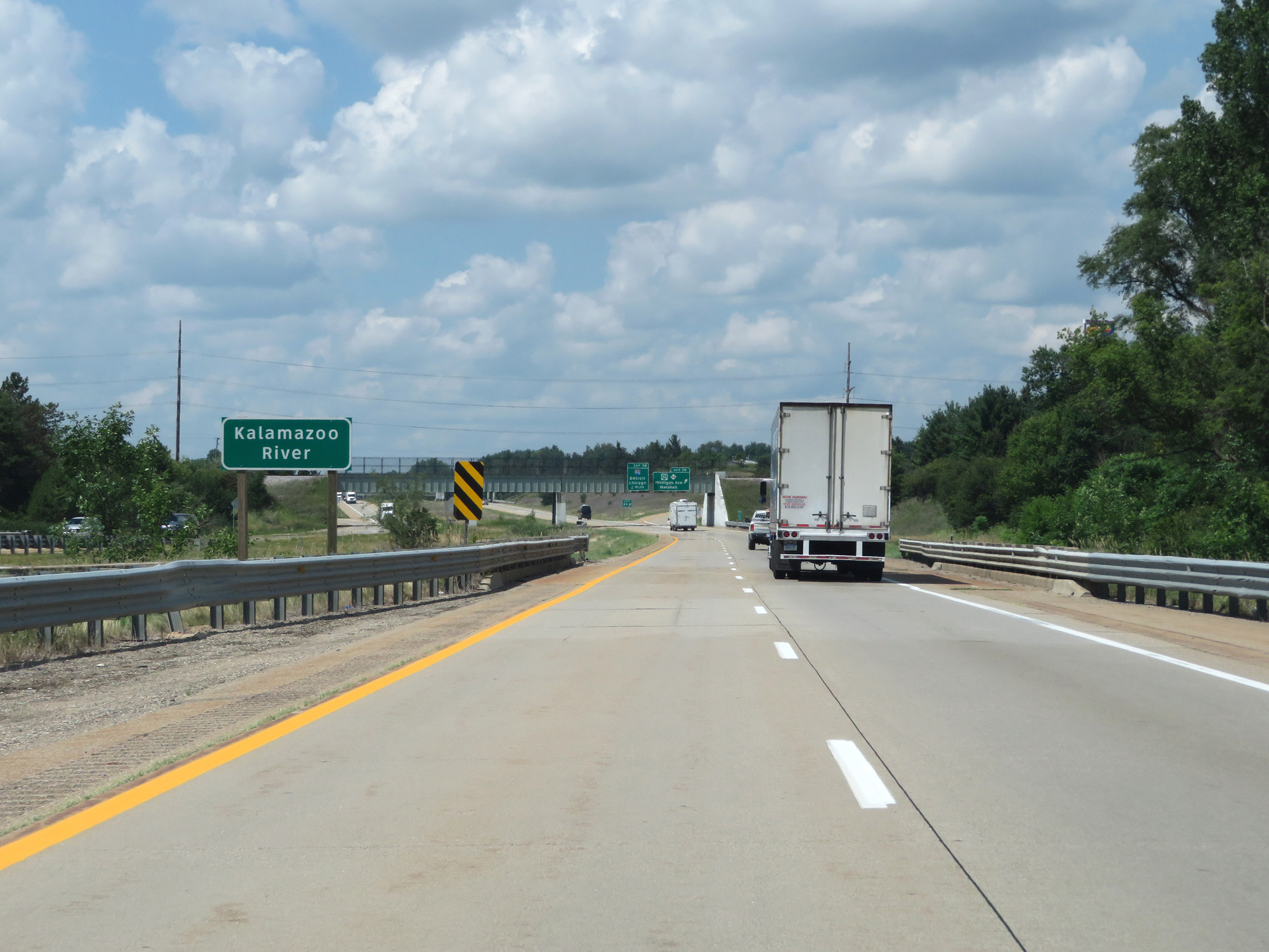 |
Interstate 69 North crossing the Kalamazoo River. (Photo taken 7/17/17). |
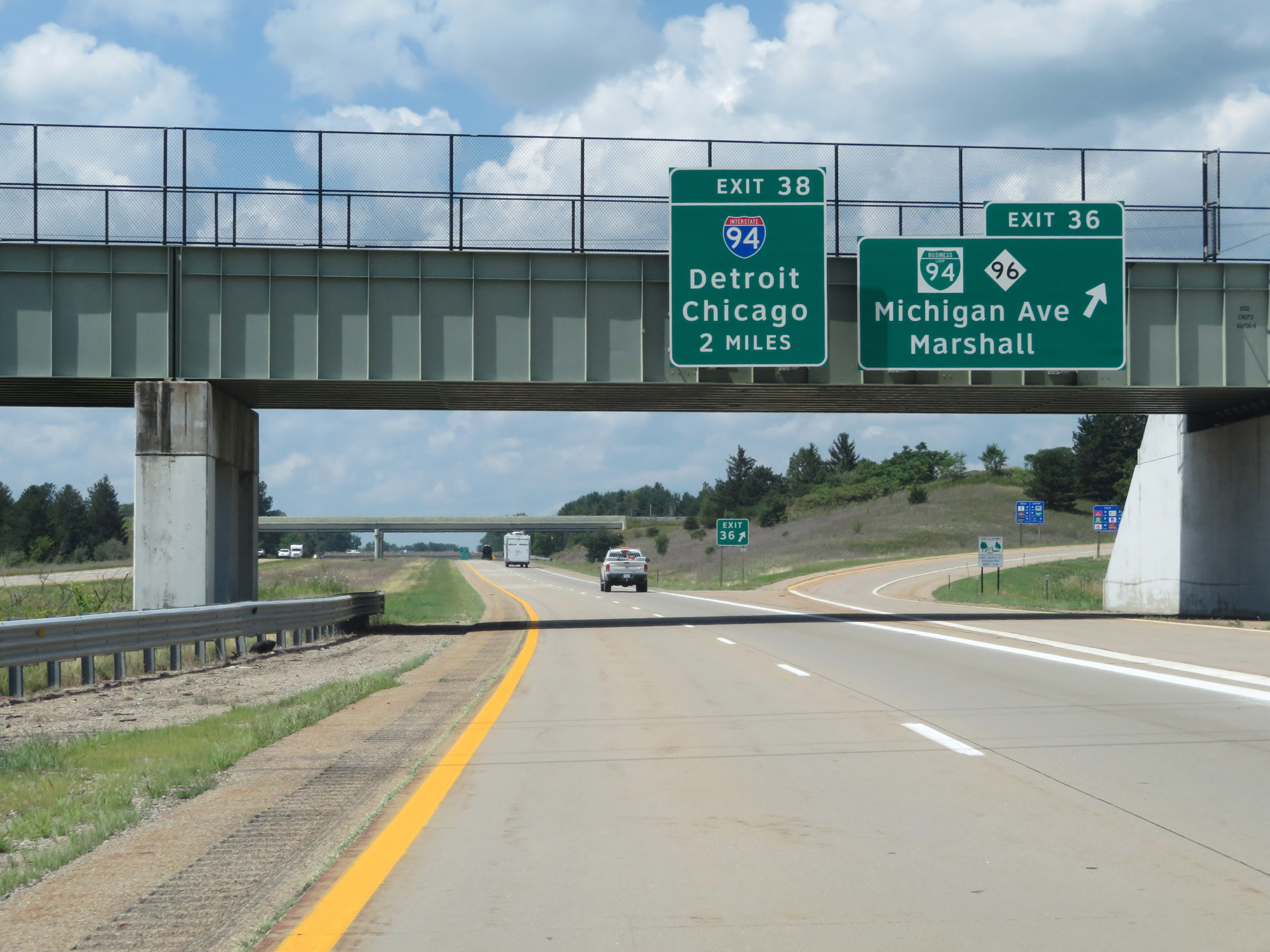 |
Interstate 69 North at Exit 36: Interstate 94 Business Loop / M-96 - Michigan Ave / Marshall (Photo taken 7/17/17). |
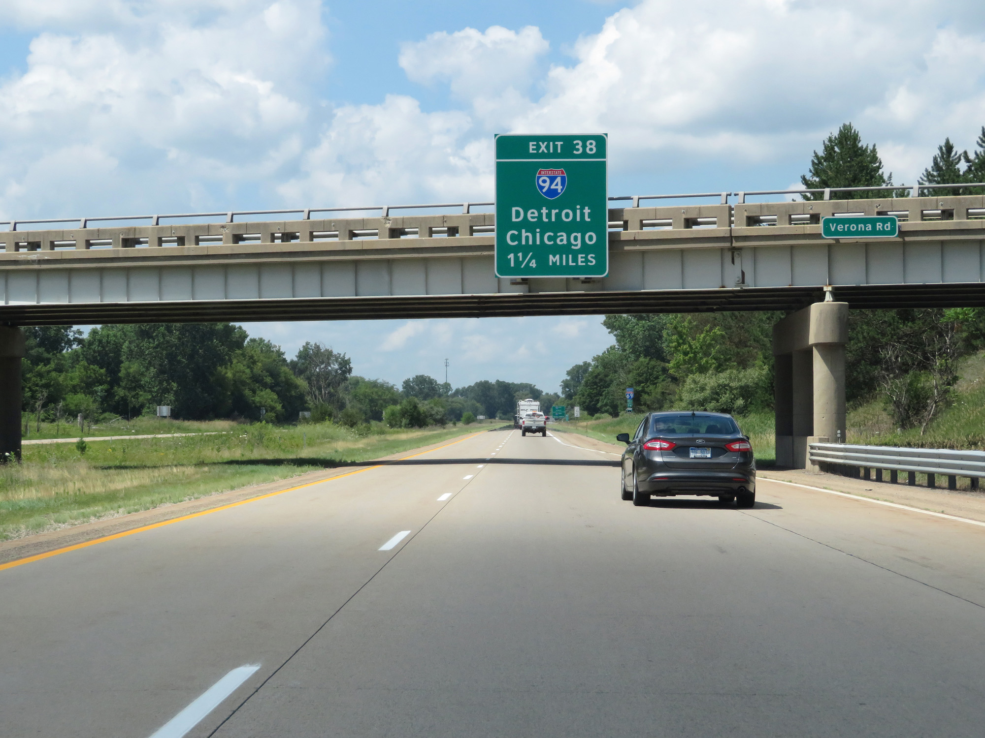 |
Interstate 69 North approaching Exit 38 - 1 1/4 miles. (Photo taken 7/17/17). |
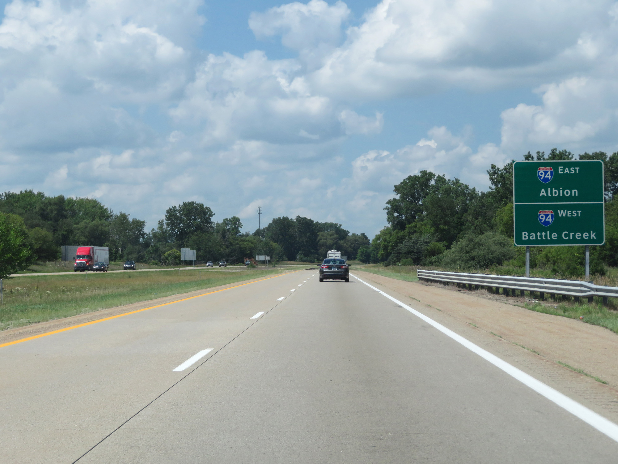 |
Take Interstate 94 East to Albion and take Interstate 94 West to Battle Creek. (Photo taken 7/17/17). |
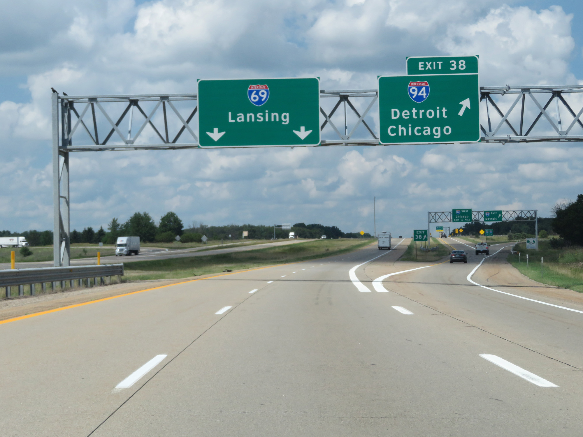 |
Interstate 69 North at Exit 38: Interstate 94 - Detroit / Chicago (Photo taken 7/17/17). |
 |
Speed Limits - 70 mph for cars, 65 mph for trucks. Minimum Speed Limit - 55 mph. (Photo taken 7/17/17). |
 |
Mileage sign on Interstate 69 North. It's 21 miles to Charlotte and 40 miles to Lansing. (Photo taken 7/17/17). |
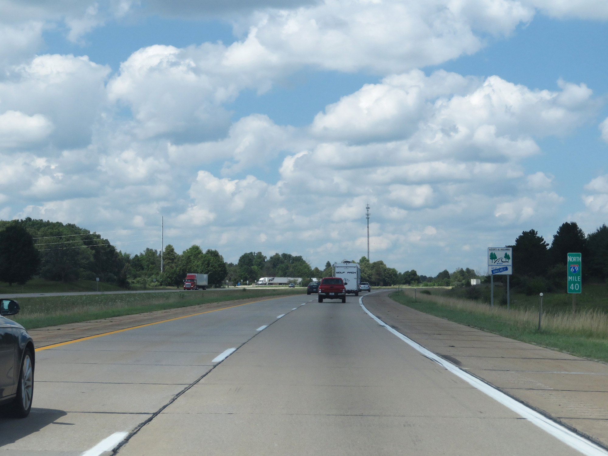 |
Interstate 69 North at mile marker 40. (Photo taken 7/17/17). |
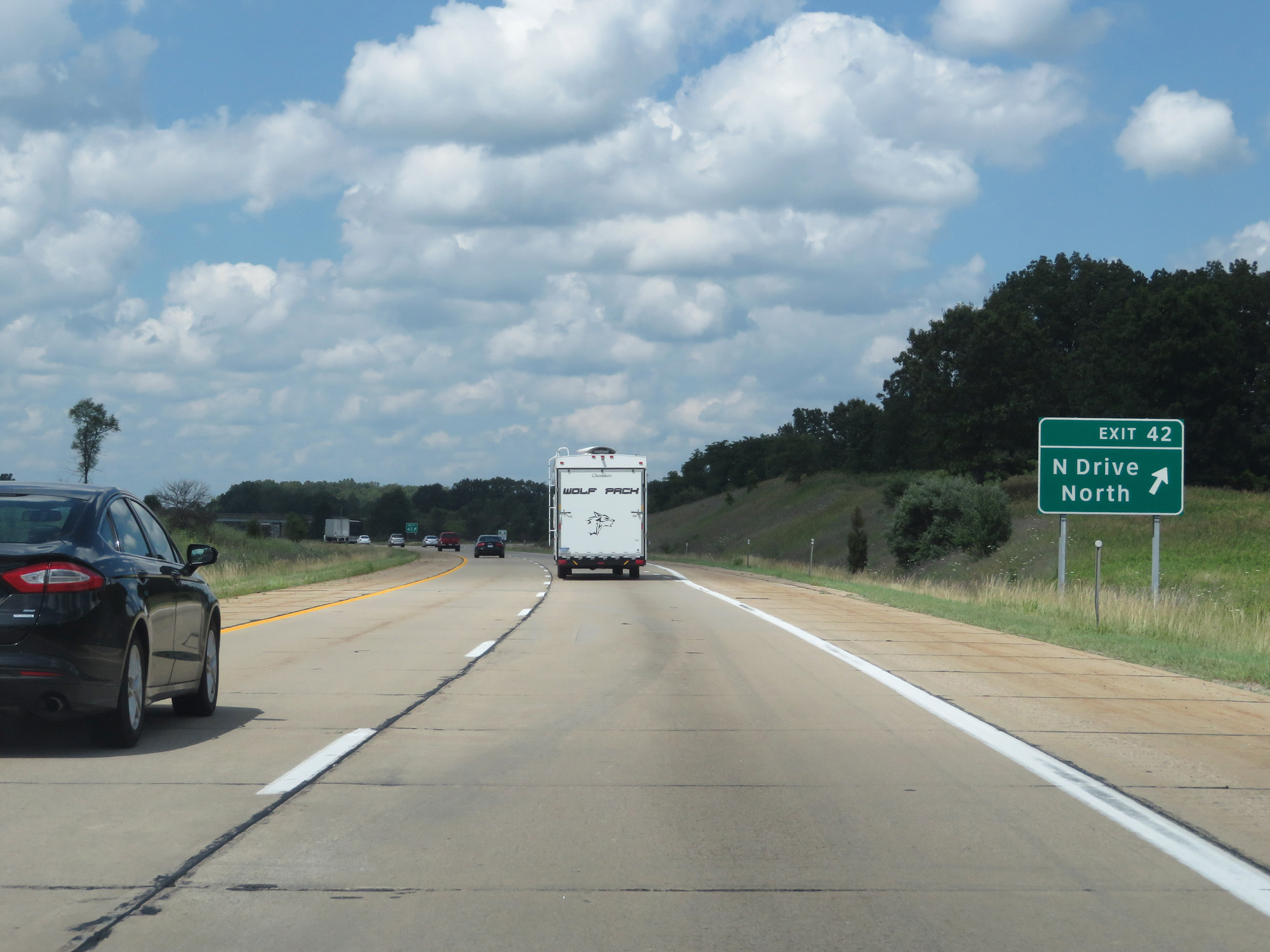 |
Interstate 69 North at Exit 42: N Drive North (Photo taken 7/17/17). |
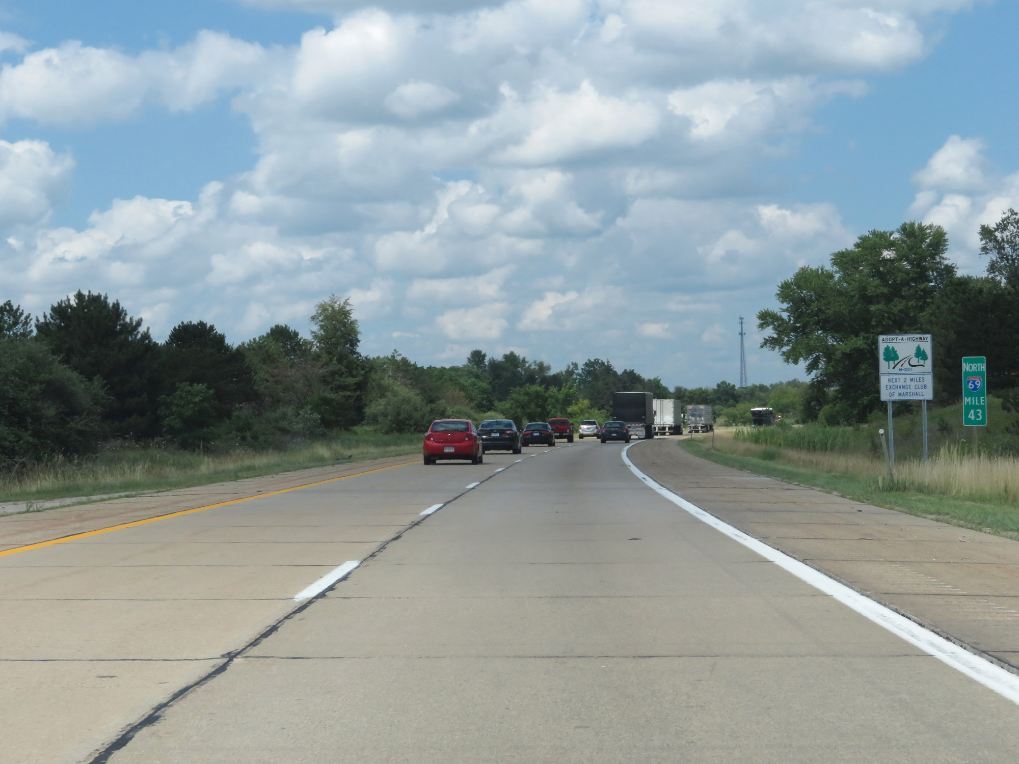 |
Interstate 69 North at mile marker 43. (Photo taken 7/17/17). |
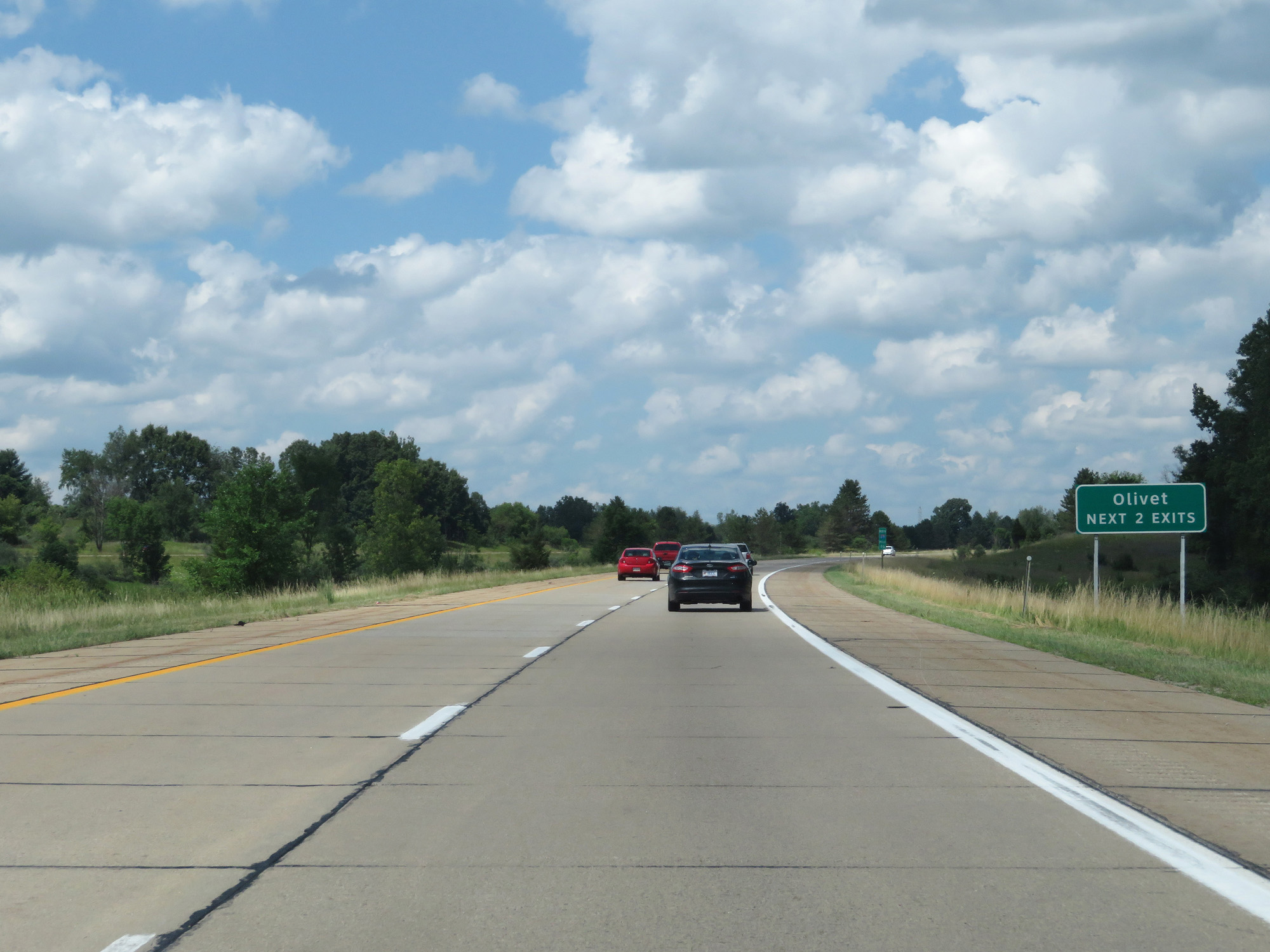 |
Take either of the next 2 exits to Olivet. (Photo taken 7/17/17). |
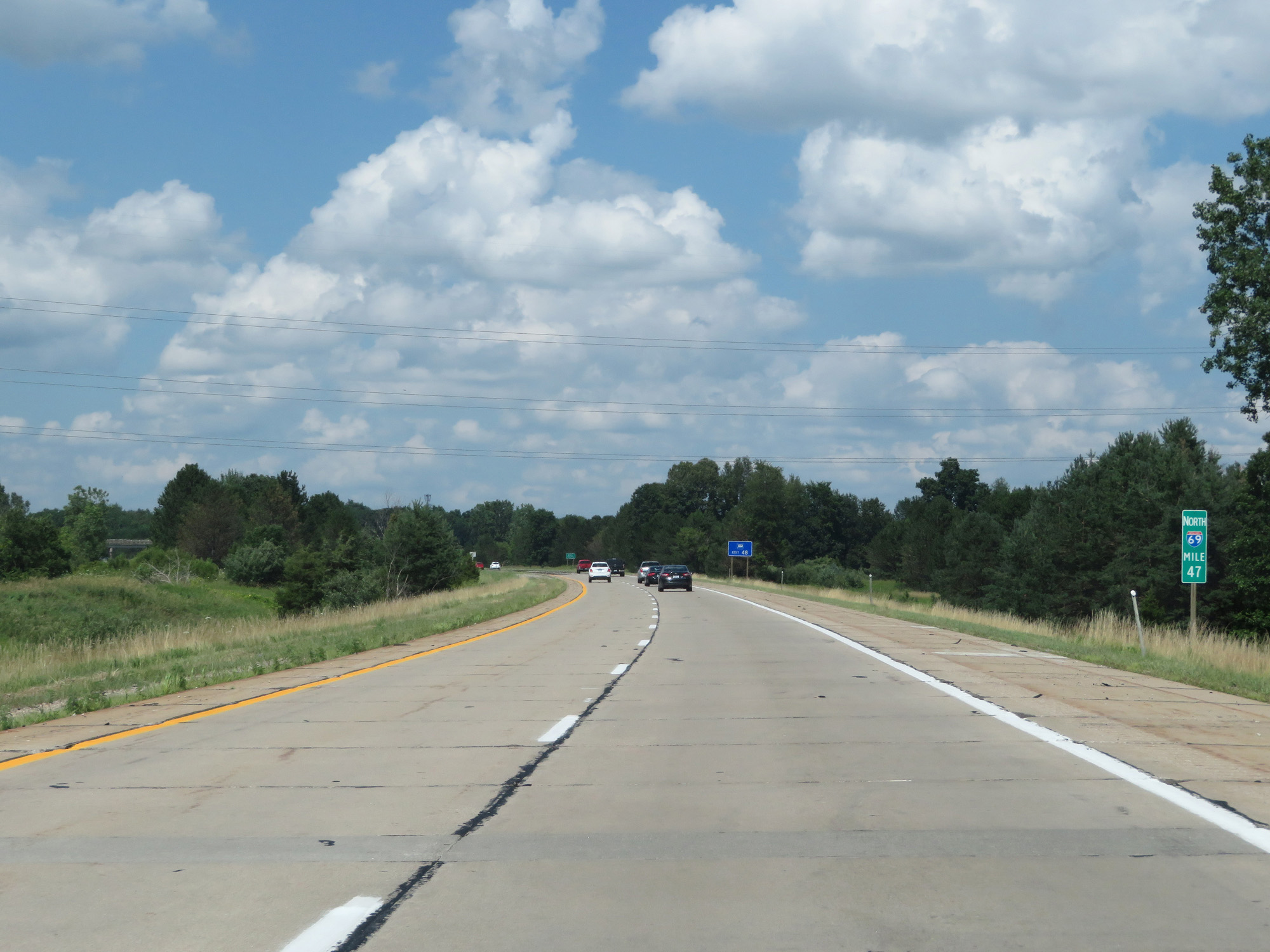 |
Interstate 69 North at mile marker 47. (Photo taken 7/17/17). |
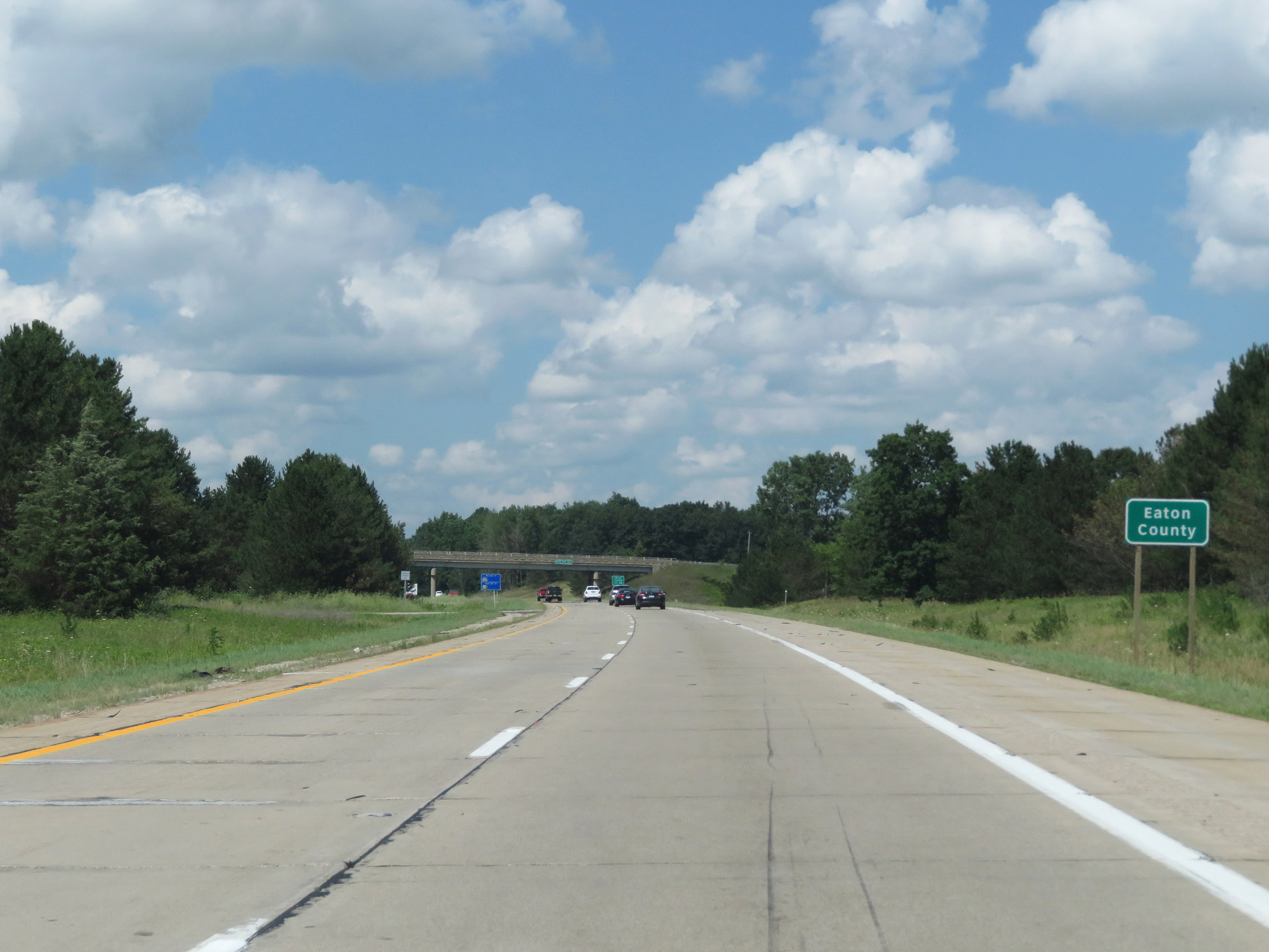 |
Interstate 69 North entering Eaton County. (Photo taken 7/17/17). |
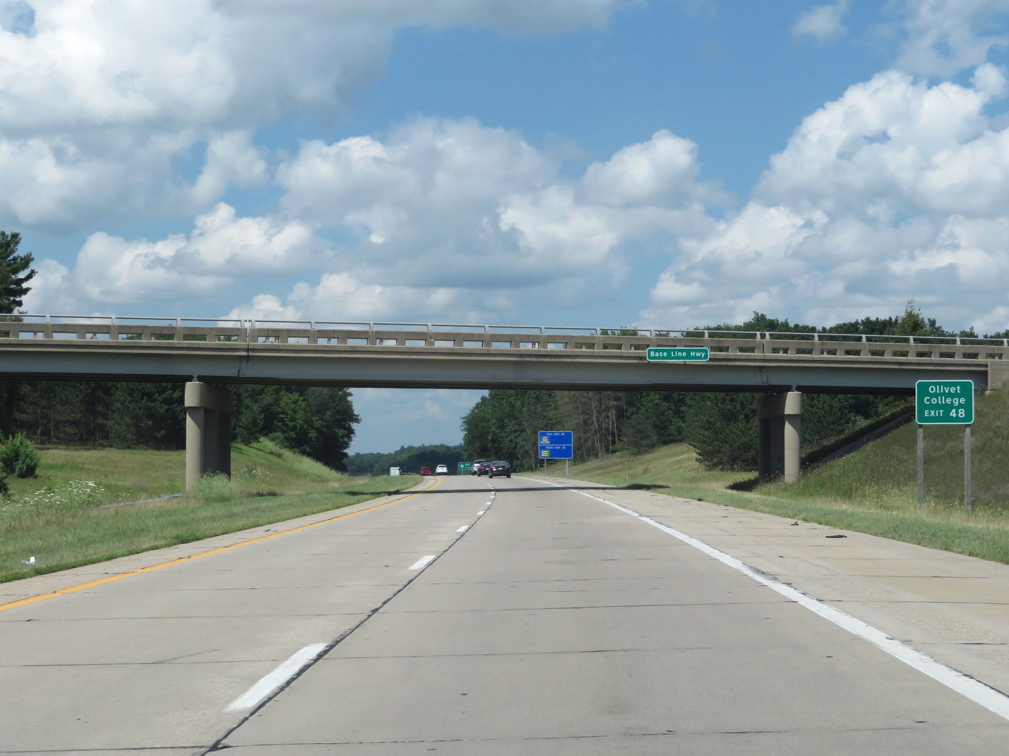 |
Take Exit 48 to Olivet College. (Photo taken 7/17/17). |
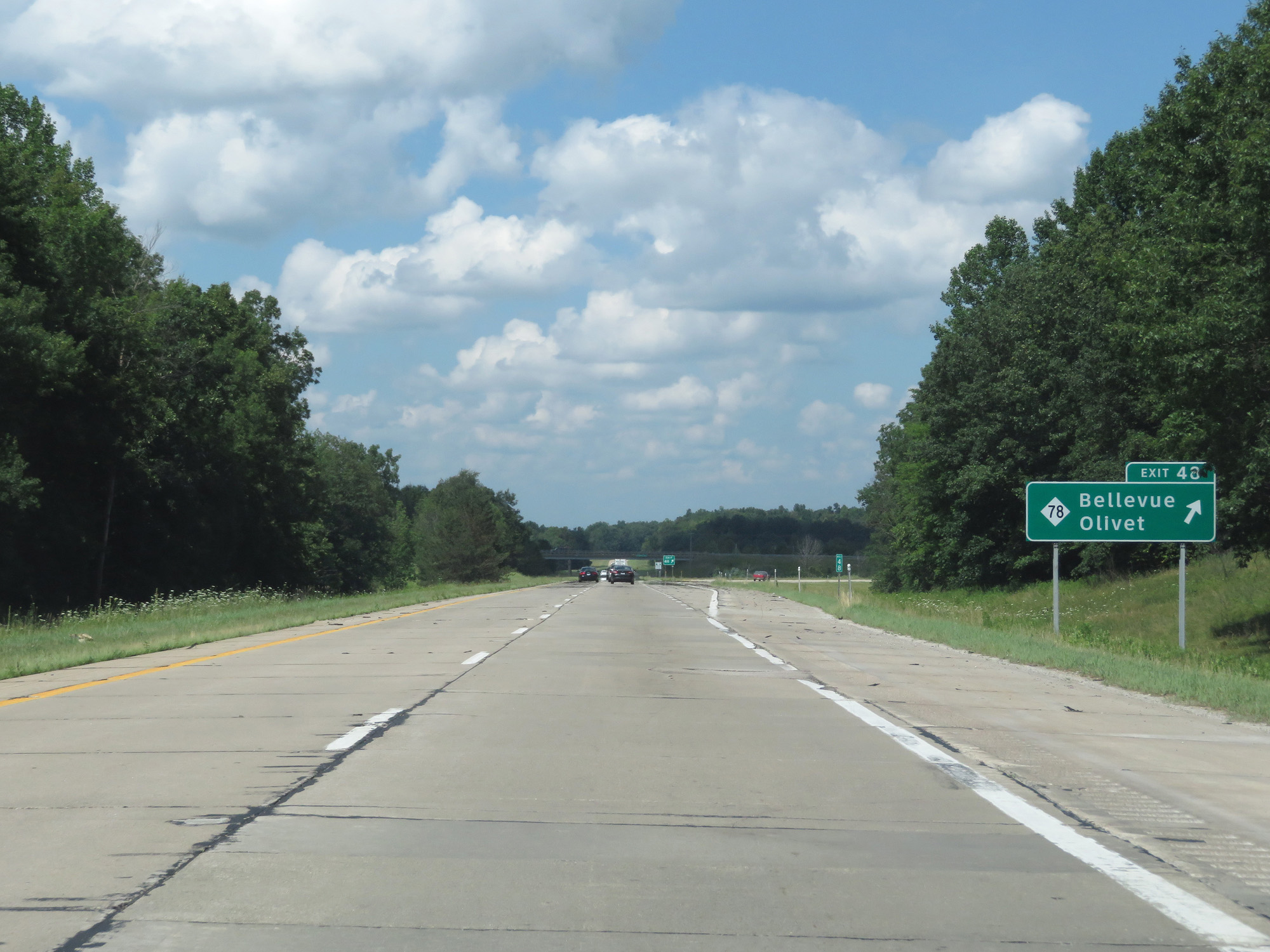 |
Interstate 69 North at Exit 48: M-78 - Bellevue / Olivet (Photo taken 7/17/17). |
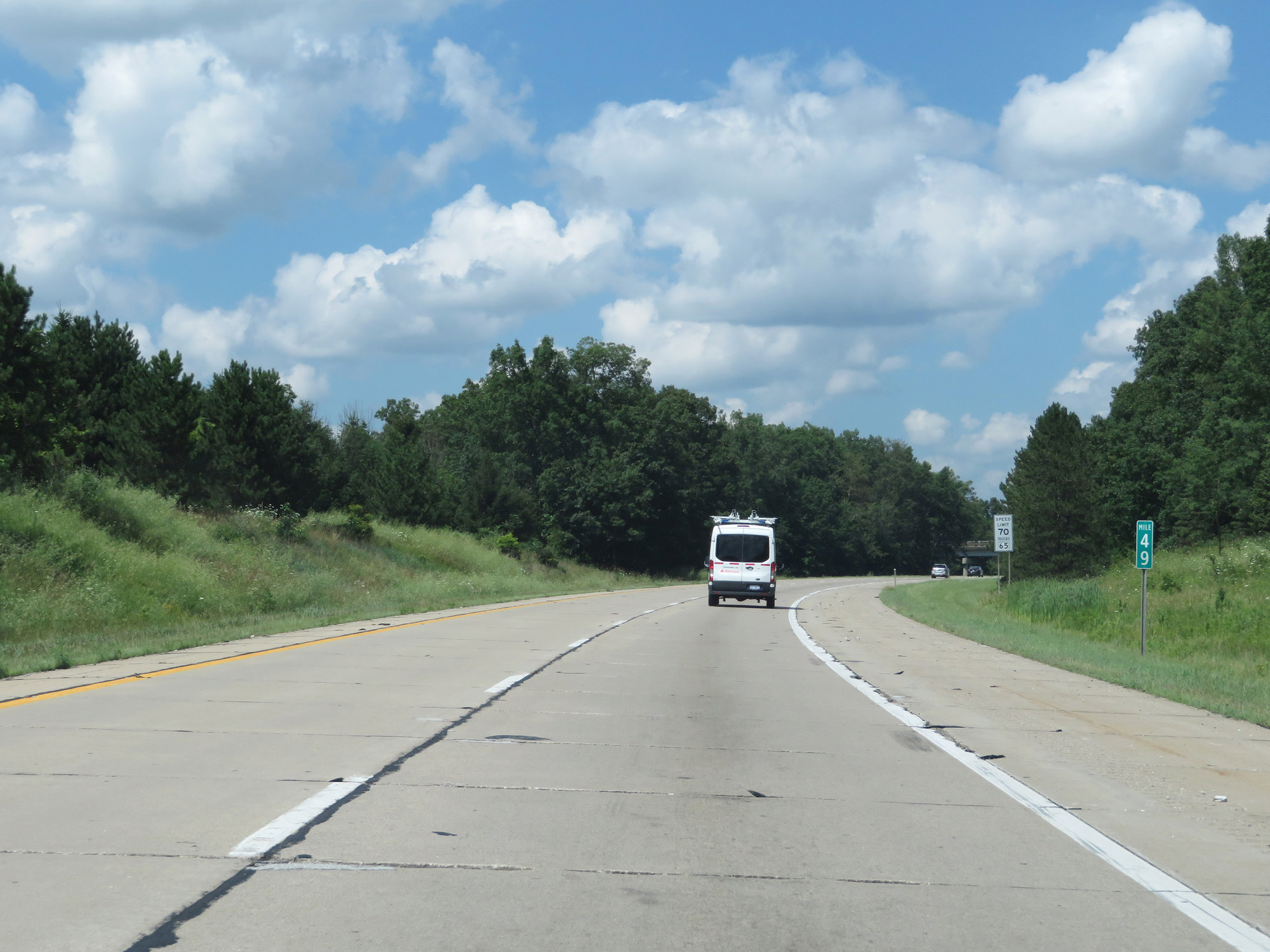 |
Interstate 69 North at mile marker 49. (Photo taken 7/17/17). |
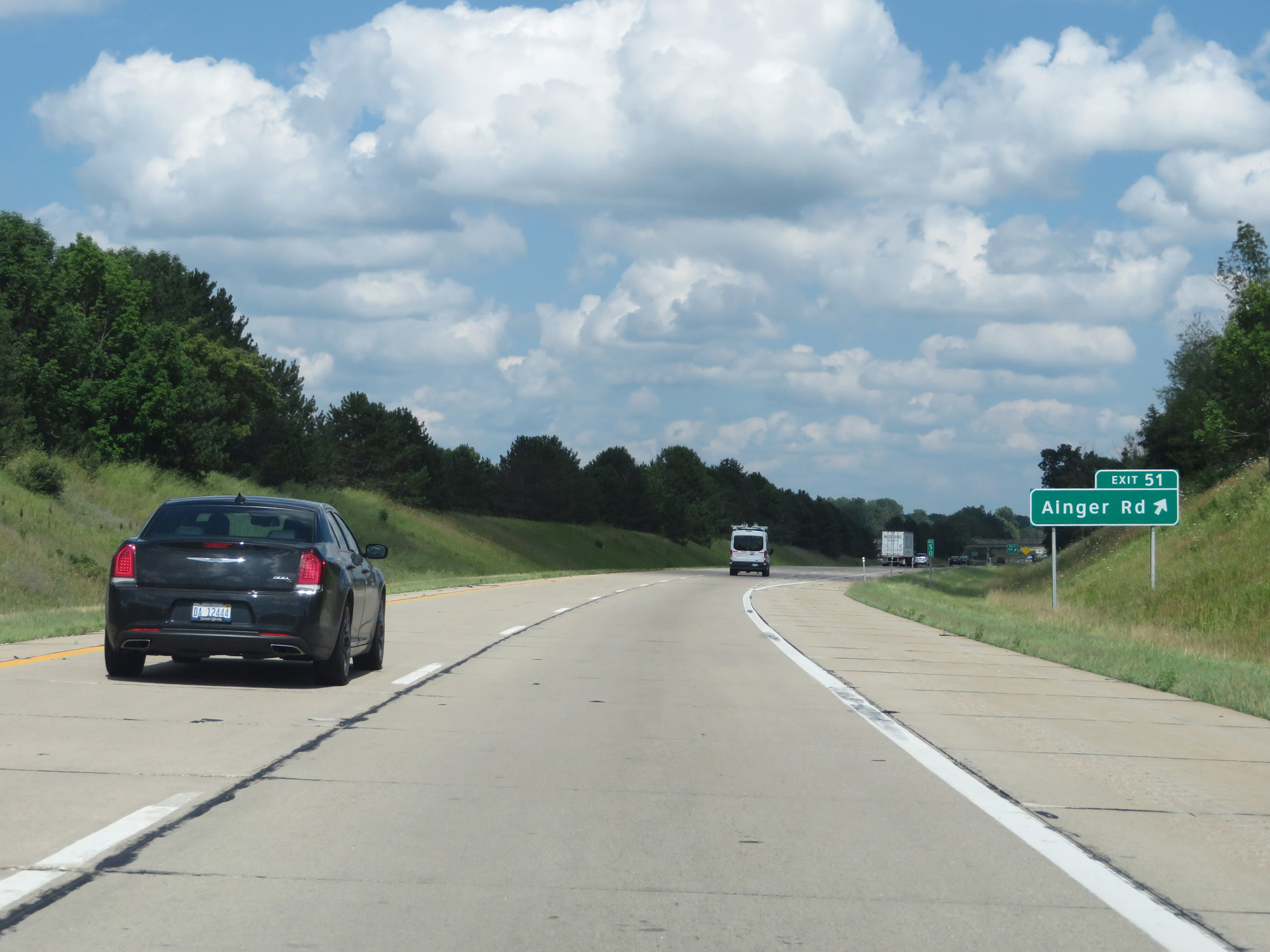 |
Interstate 69 North at Exit 51: Ainger Rd (Photo taken 7/17/17). |
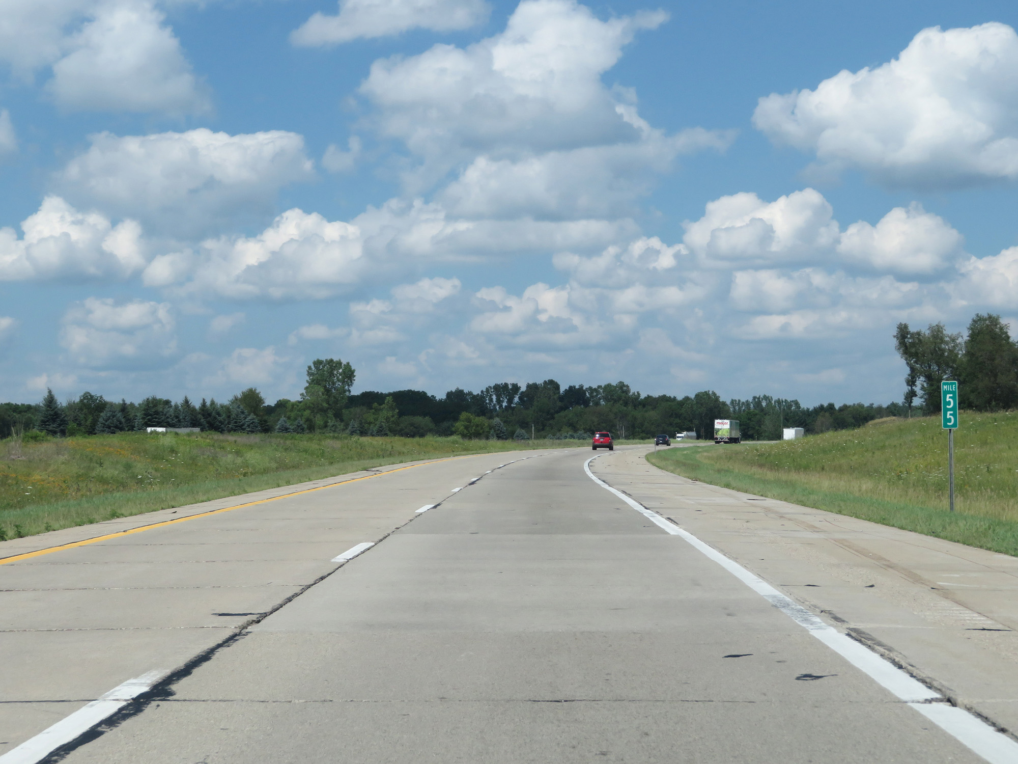 |
Interstate 69 North at mile marker 55. (Photo taken 7/17/17). |
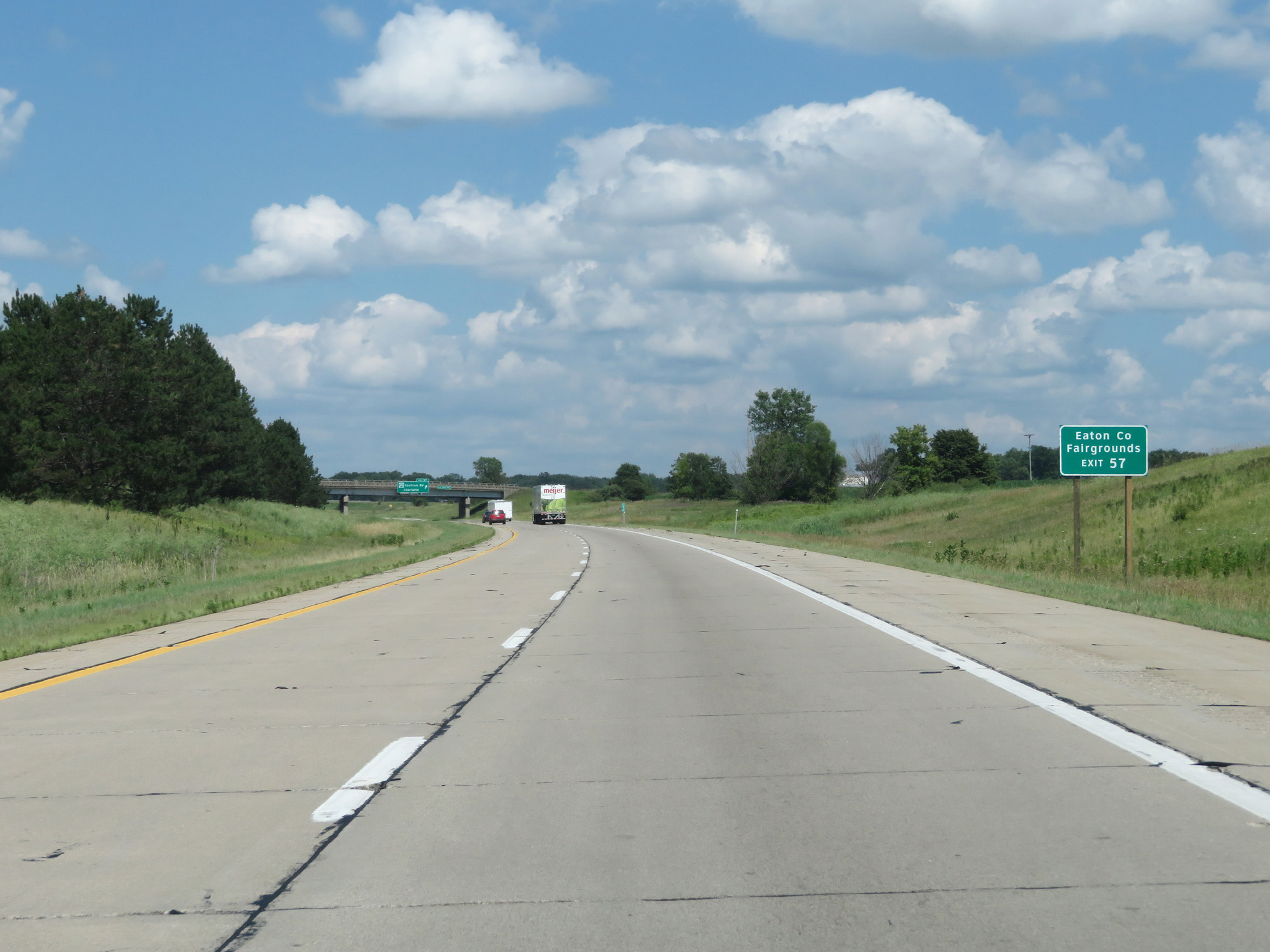 |
Take Exit 57 to the Eaton County Fairgrounds. (Photo taken 7/17/17). |
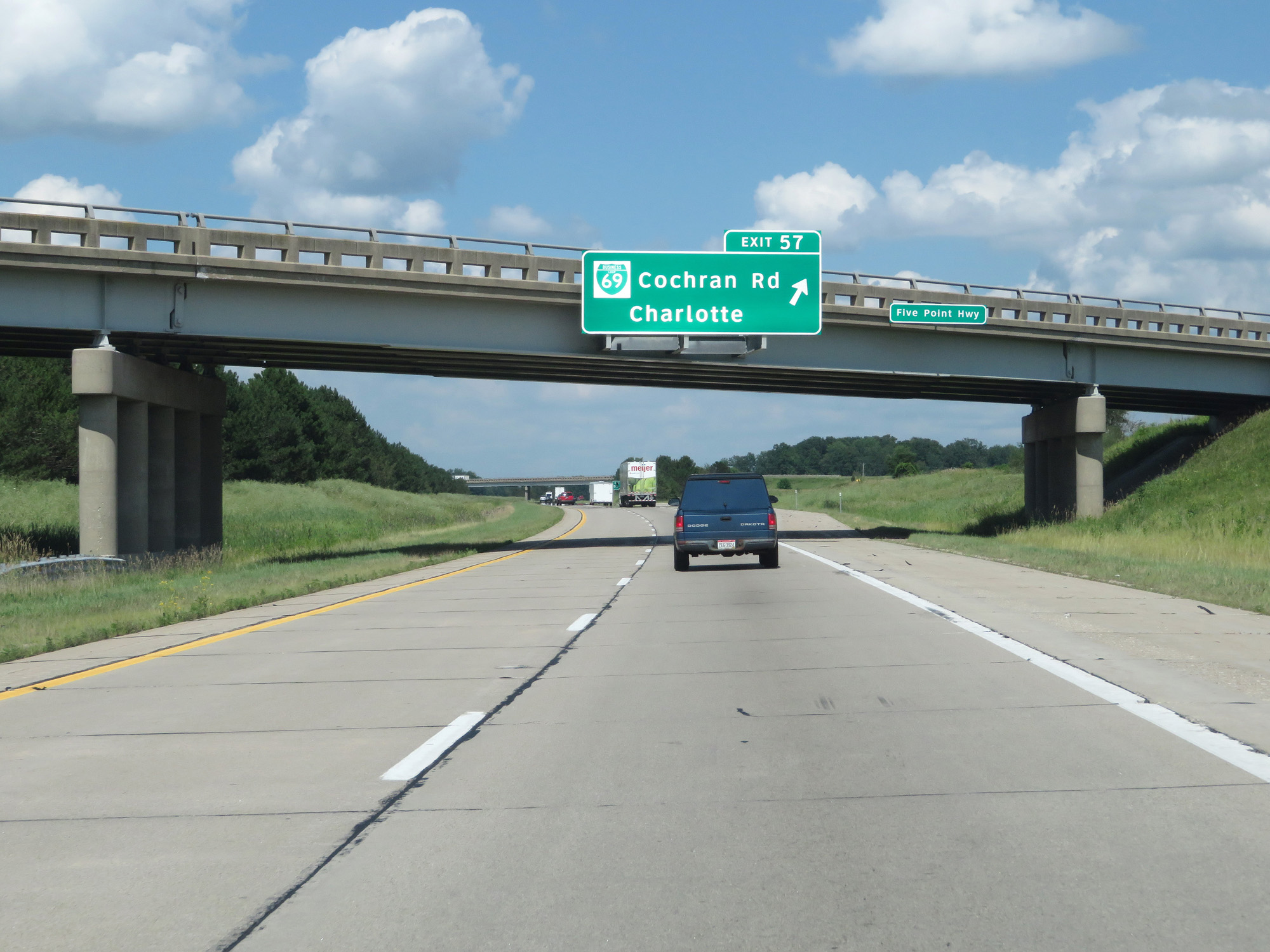 |
Interstate 69 North at Exit 57: Interstate 69 Business Loop - Cochran Rd / Charlotte (Photo taken 7/17/17). |
 |
Interstate 69 North at Exit 60: M-50 - Charlotte / Eaton Rapids (Photo taken 7/17/17). |
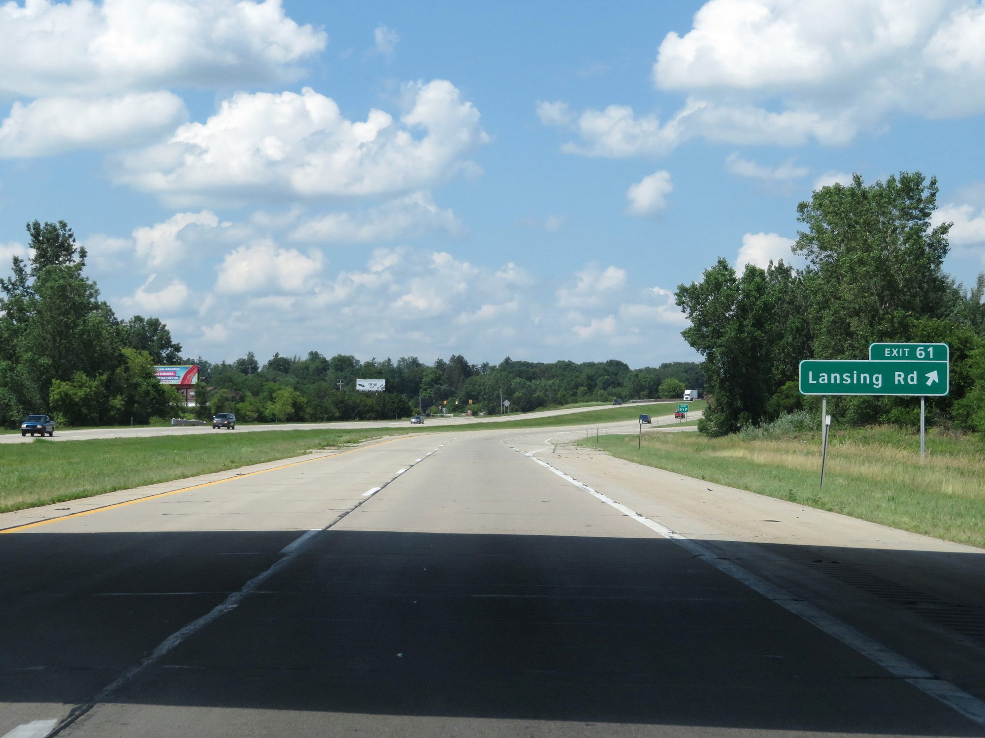 |
Interstate 69 North at Exit 61: Lansing Rd (Photo taken 7/17/17). |
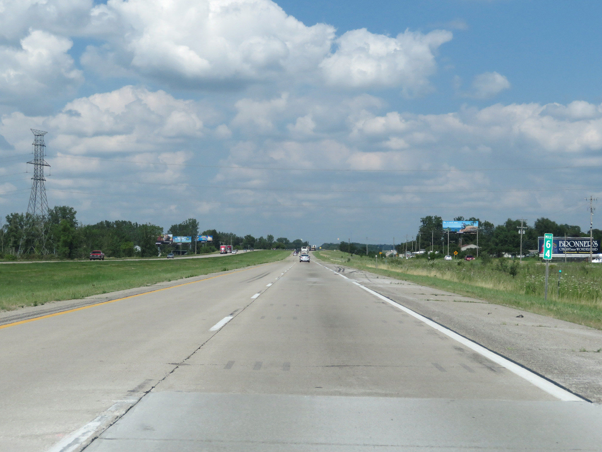 |
Interstate 69 North at mile marker 64. (Photo taken 7/17/17). |
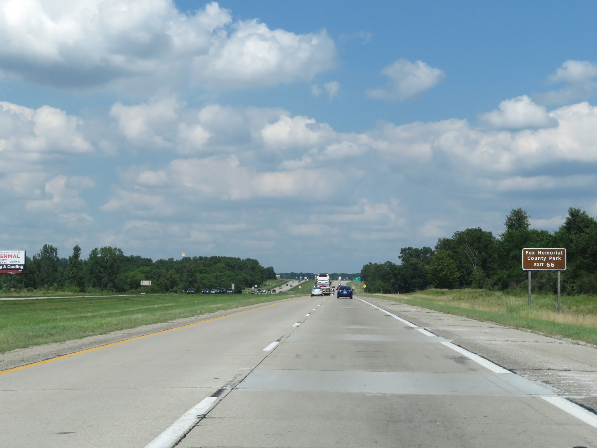 |
Take Exit 66 to Fox Memorial County Park. (Photo taken 7/17/17). |
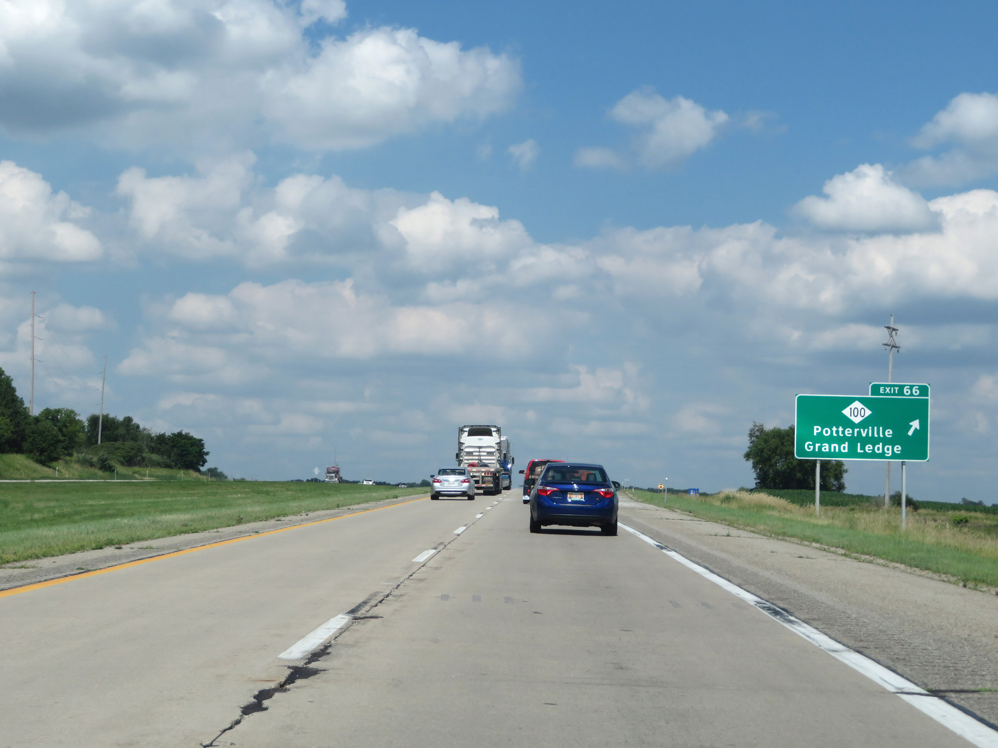 |
Interstate 69 North at Exit 66: M-100 - Potterville / Grand Ledge (Photo taken 7/17/17). |
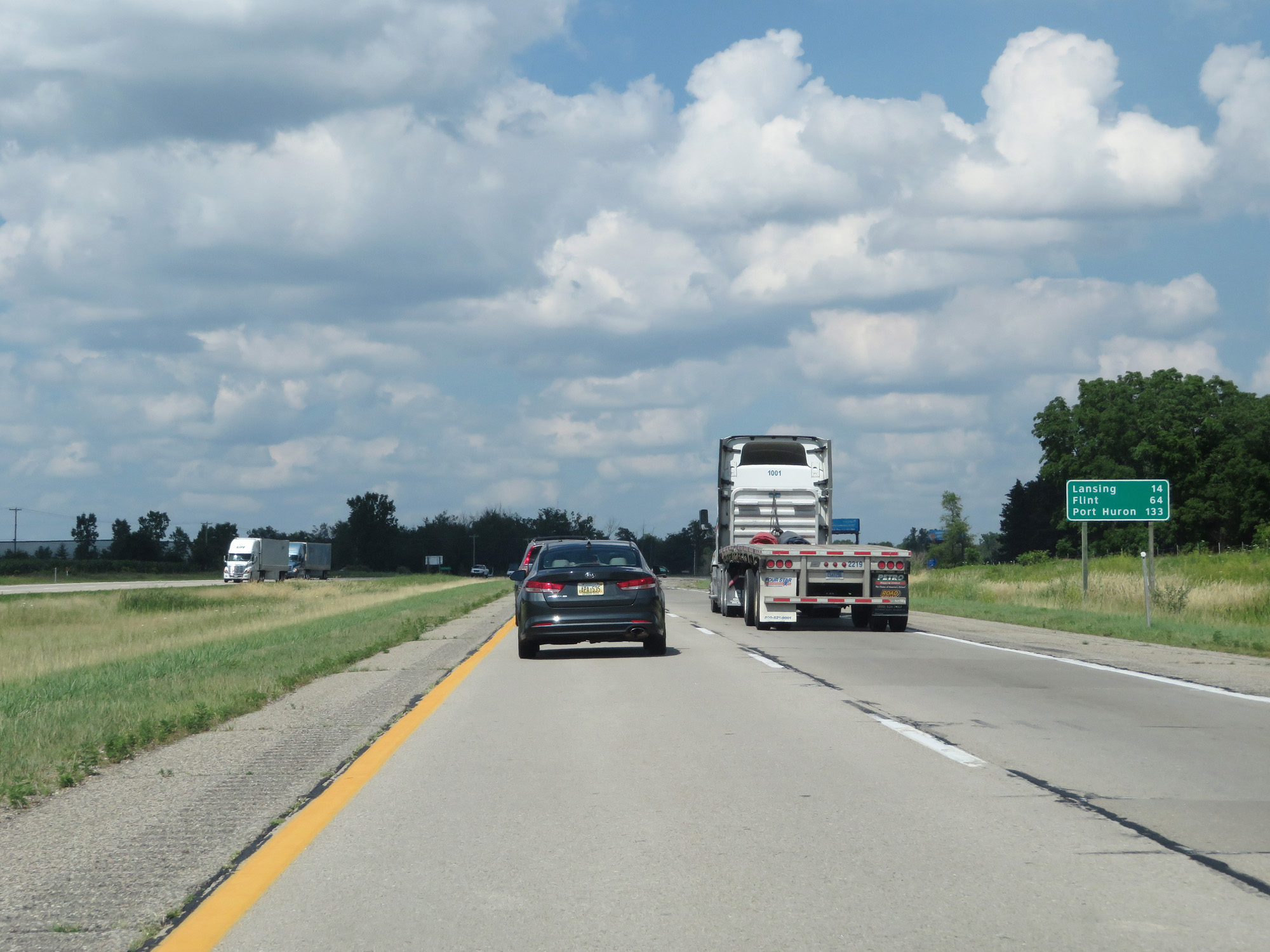 |
Mileage sign on Interstate 69 North. It's 14 miles to Lansing, 64 miles to Flint, and 133 miles to Port Huron. (Photo taken 7/17/17). |
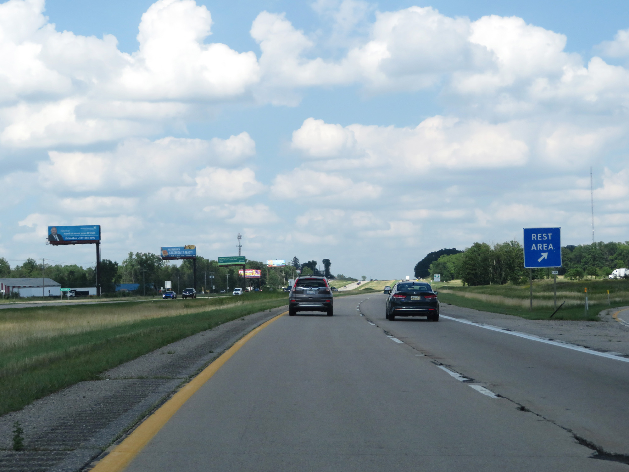 |
Interstate 69 North at the Rest Area in Eaton County. (Photo taken 7/17/17). |
 |
Interstate 69 North at mile marker 69. (Photo taken 7/17/17). |
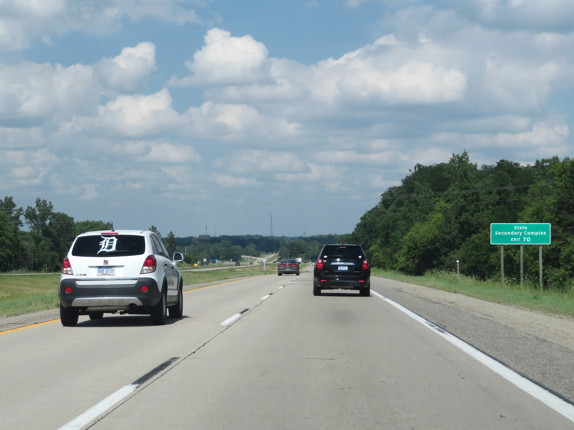 |
Take Exit 70 to the State Secondary Complex. (Photo taken 7/17/17). |
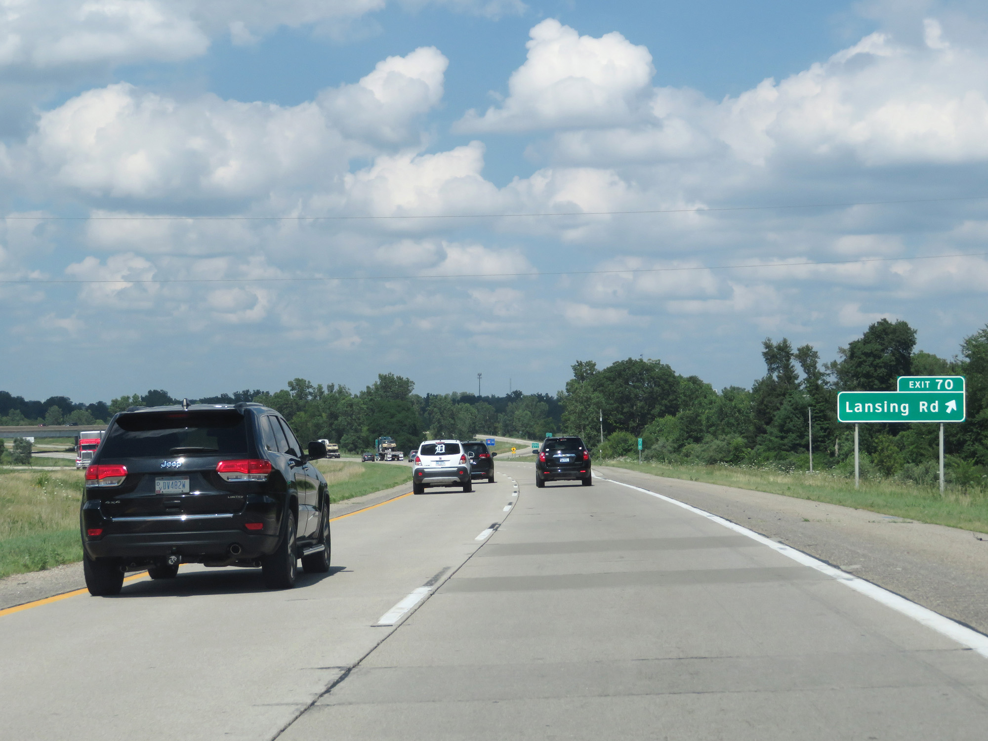 |
Interstate 69 North at Exit 70: Lansing Rd (Photo taken 7/17/17). |
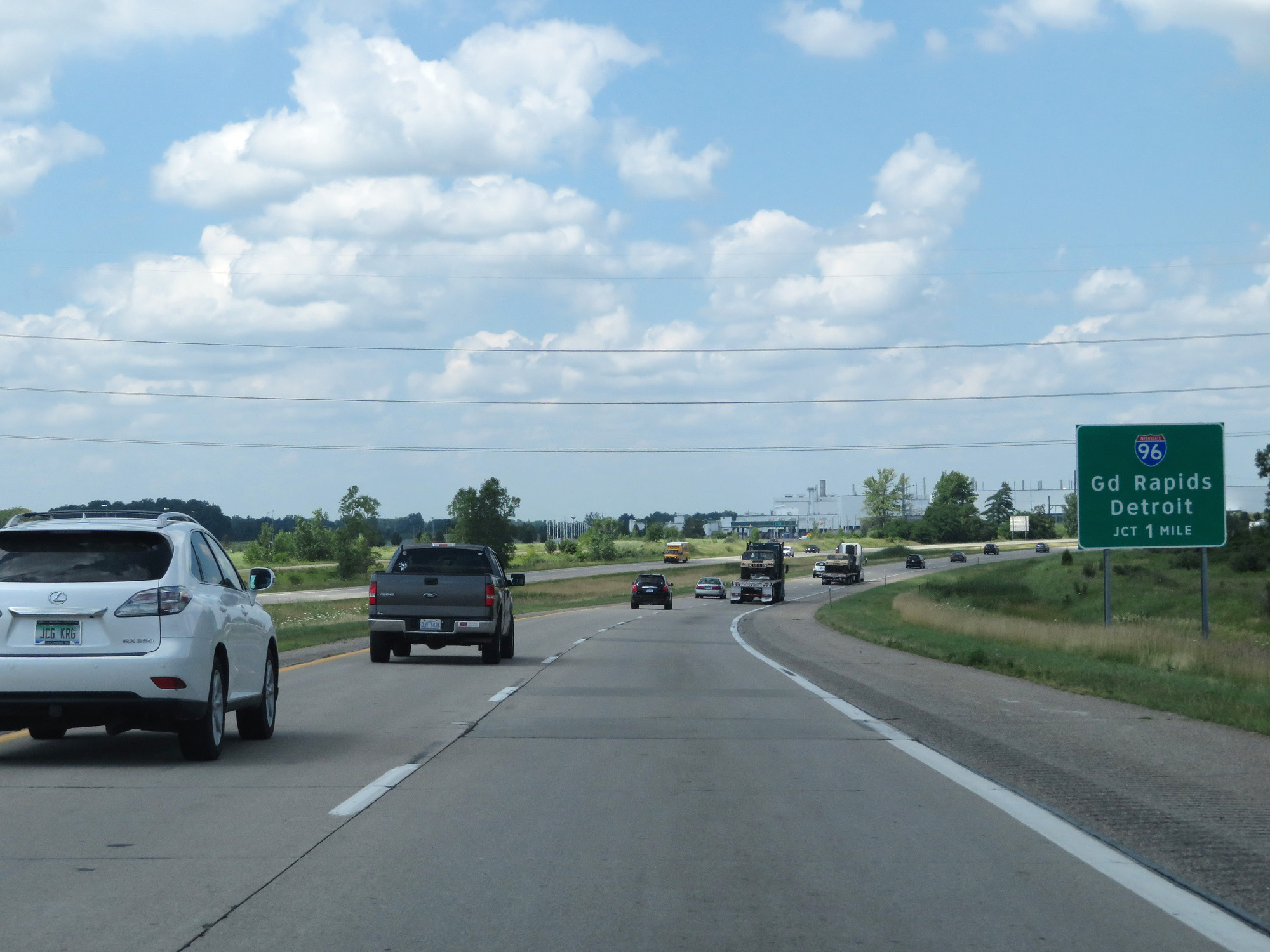 |
Interstate 69 North approaching the junction of Interstate 96 - 1 mile. (Photo taken 7/17/17). |
 |
Follow Interstate 96 West (stay straight ahead) to Capital Region International Airport. (Photo taken 7/17/17). |
 |
Continue to follow Interstate 69 North to Flint. (Photo taken 7/17/17). |
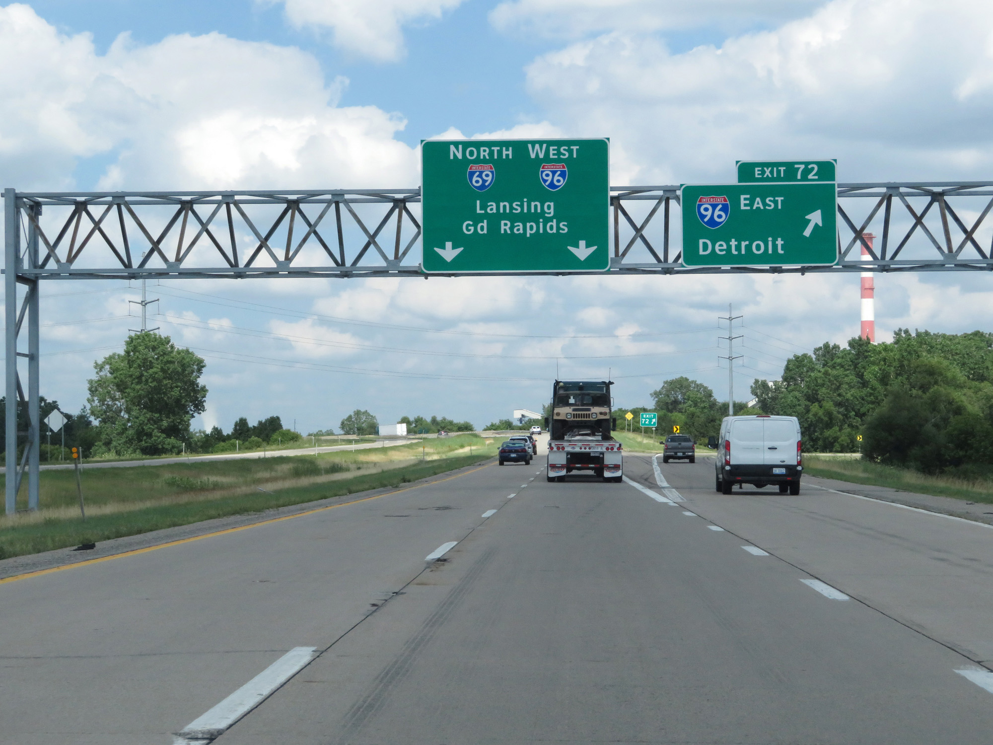 |
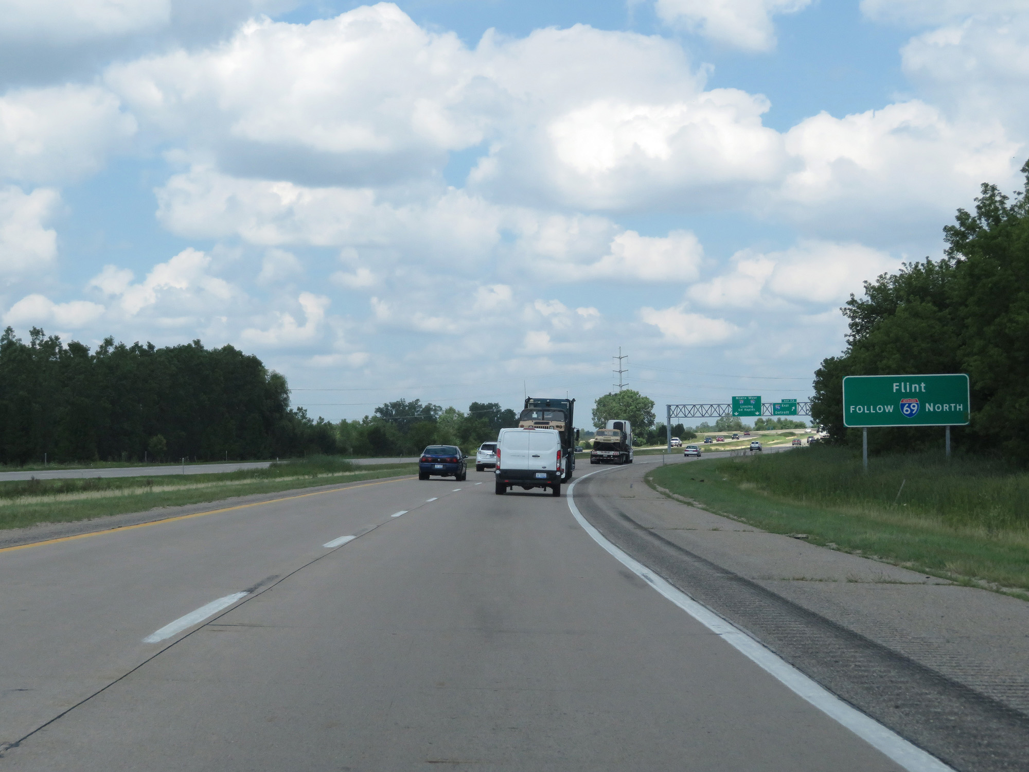
Interstate 69 North at Exit 72: Interstate 96 East - Detroit (Photo taken 7/17/17). |
Section 2: Lansing (Exit 72) to Flint (Exit 137)
 |
Interstate 69 North at mile marker 73, as it prepares to join up with Interstate 96 West for a 6-mile concurrency. (Photo taken 7/17/17). |
 |
Interstate 69 North approaching Exit 95 - 3/4 mile. (Photo taken 7/17/17). |
 |
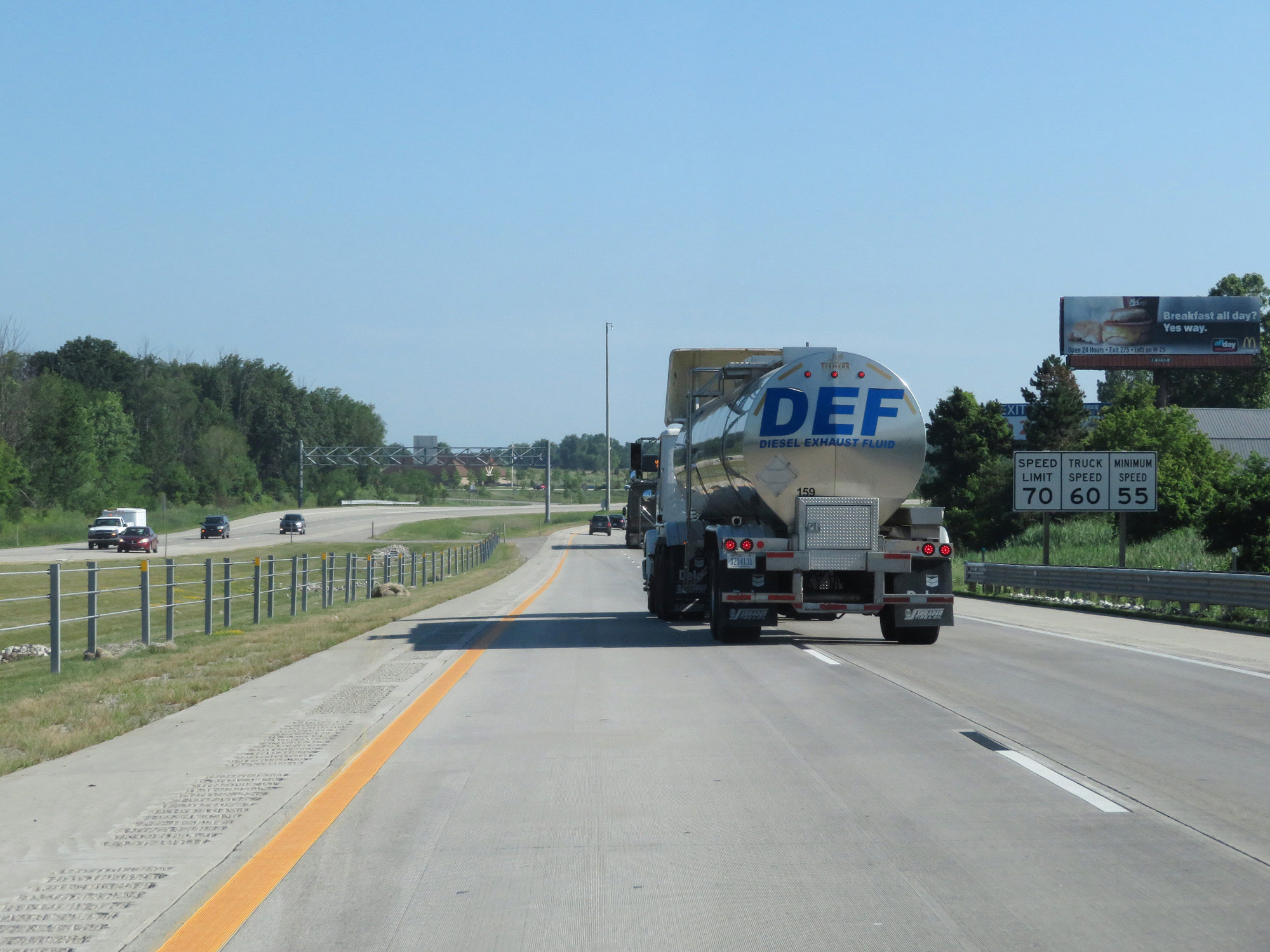
Speed limit signs on Interstate 69 North / Interstate 96 West. The speed limit remains 70 mph for cars, but drops to 60 mph for trucks. The minimum speed limit of 55 mph still applies. (Photo taken 7/17/17). |
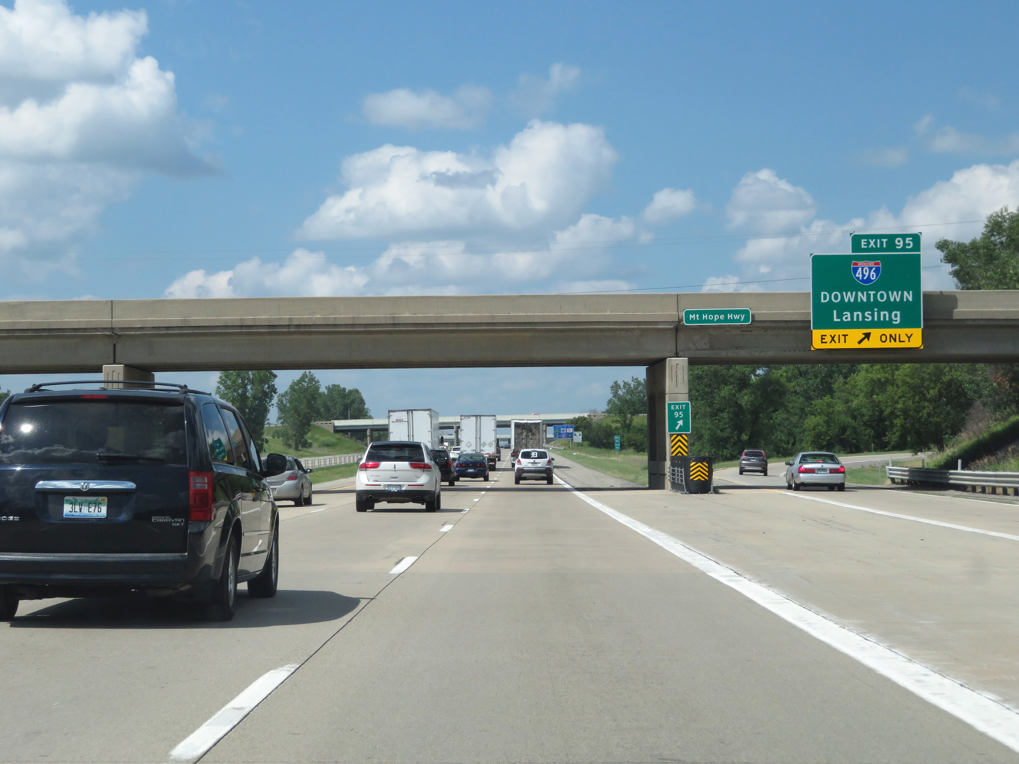 |
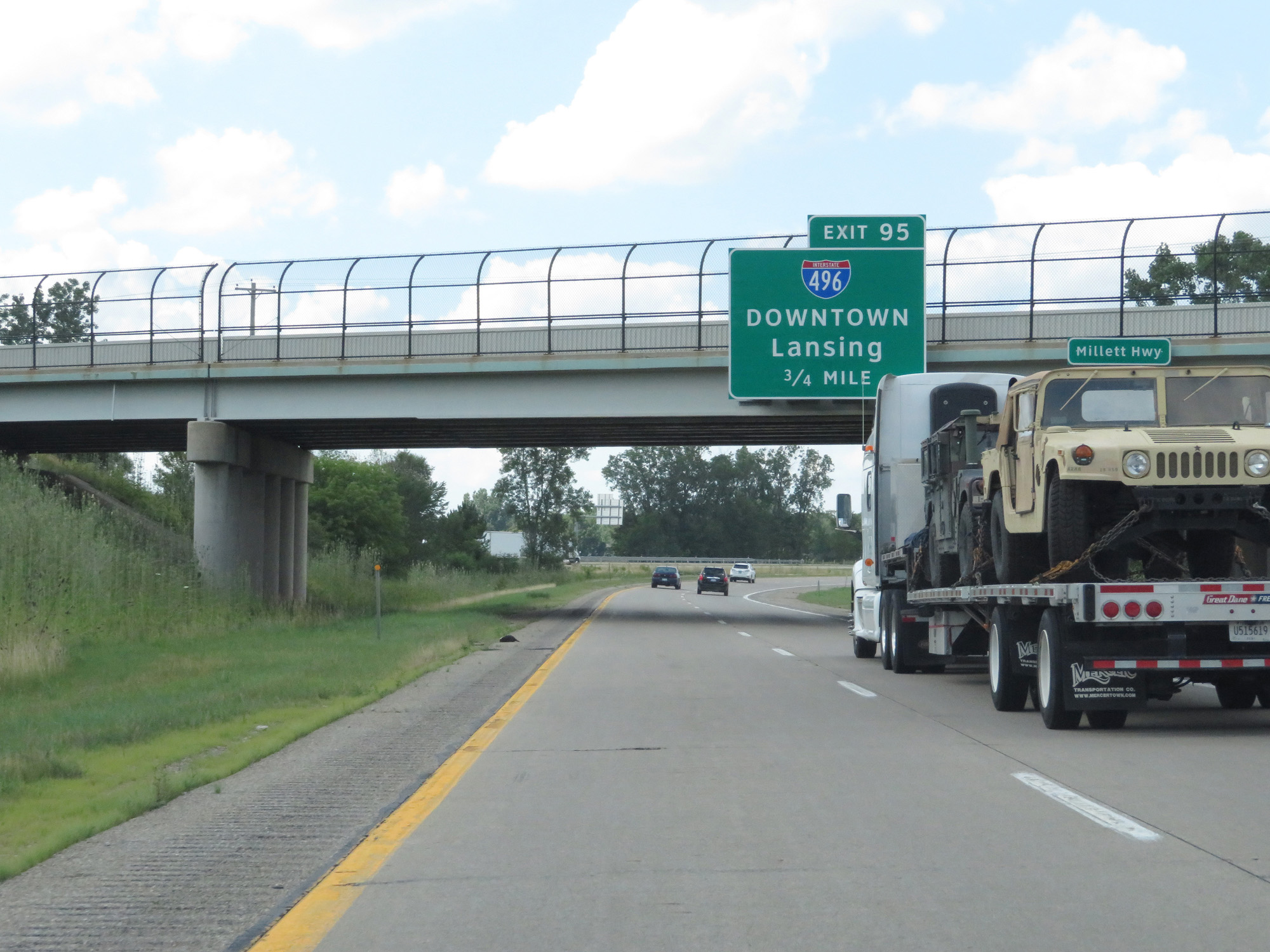
Interstate 69 North / Interstate 96 West at Exit 95: Interstate 496 - Downtown Lansing (Photo taken 7/17/17). |
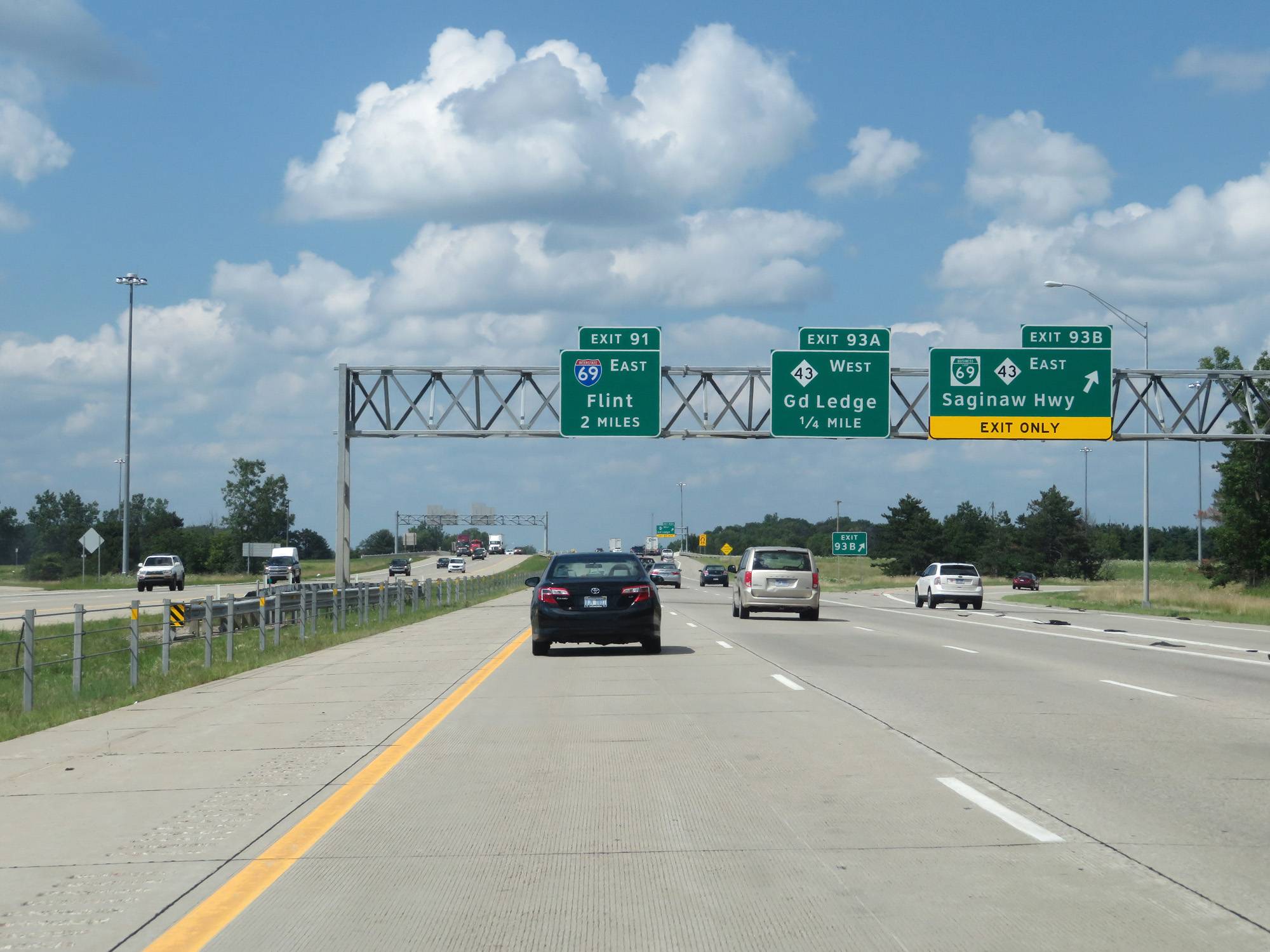 |
Interstate 69 North / Interstate 96 West at Exit 93B: Interstate 69 Business Loop / M-43 East - Saginaw Hwy (Photo taken 7/17/17). |
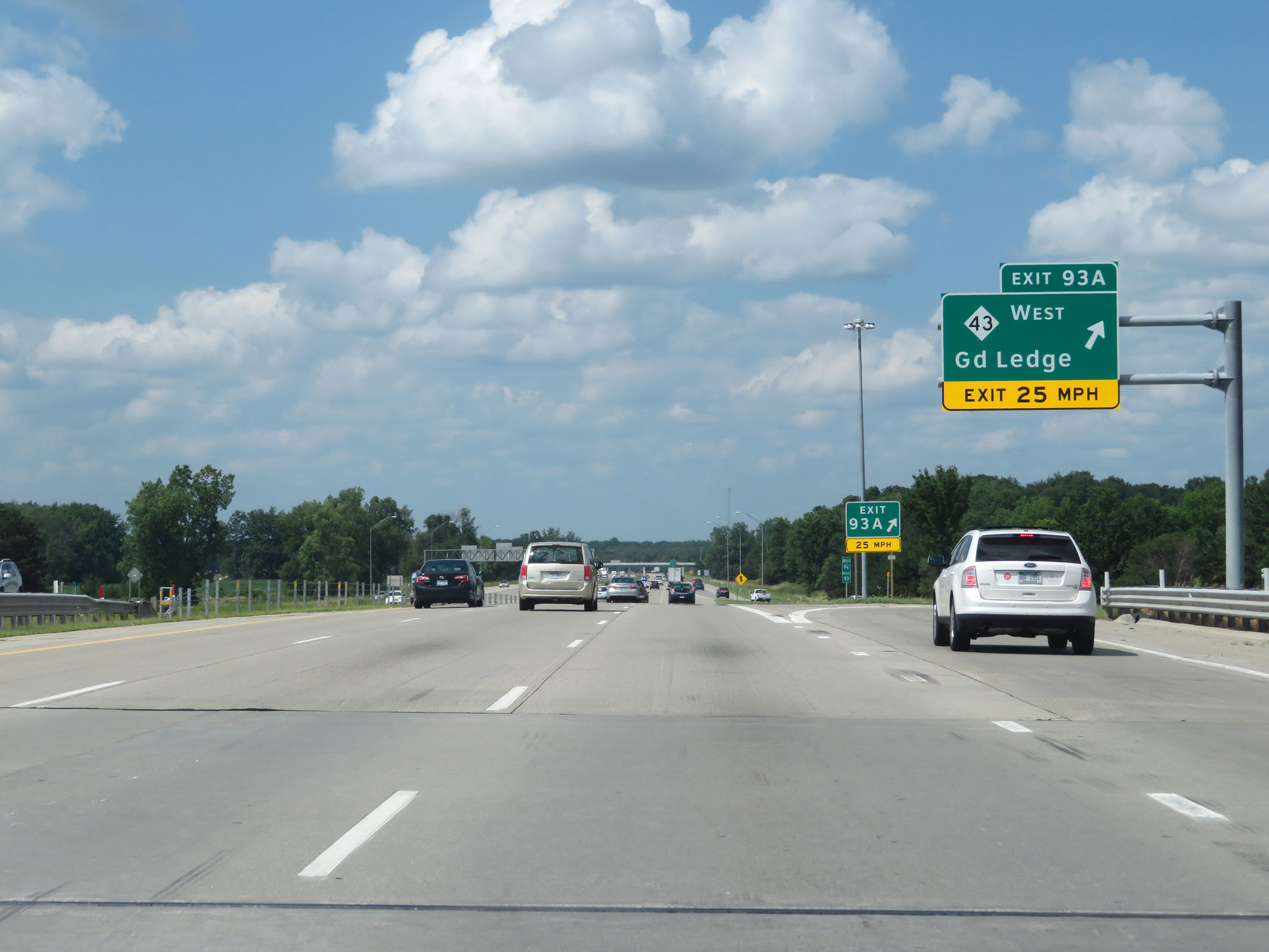 |
Interstate 69 North / Interstate 96 West at Exit 93A: M-43 West - Grand Ledge (Photo taken 7/17/17). |
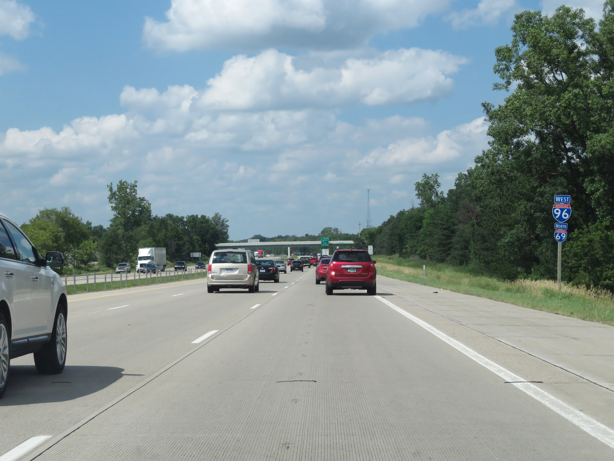 |
Interstate 69 North / Interstate 96 West reassurance shields. During this concurrency on the west side of Lansing, the mileage and exit numbers are based on those of I-96. (Photo taken 7/17/17). |
 |
Interstate 69 North / Interstate 96 West approaching Exit 91 - 1 1/4 miles. (Photo taken 7/17/17). |
 |
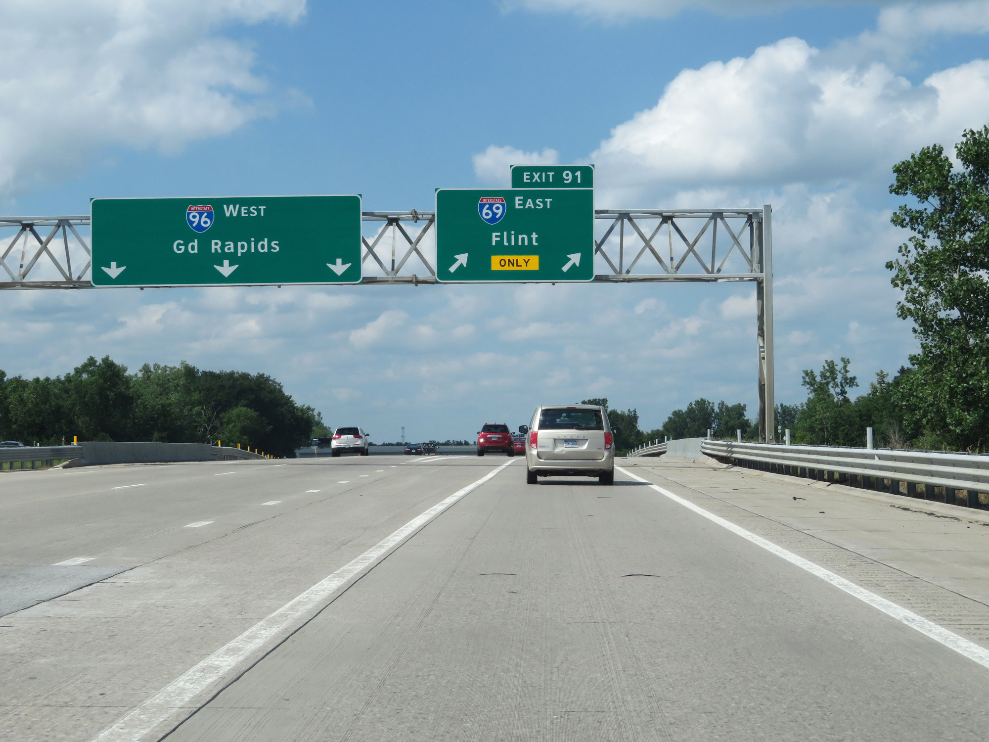
Take Exit 91 to Mt Pleasant and Clare. (Photo taken 7/17/17). |
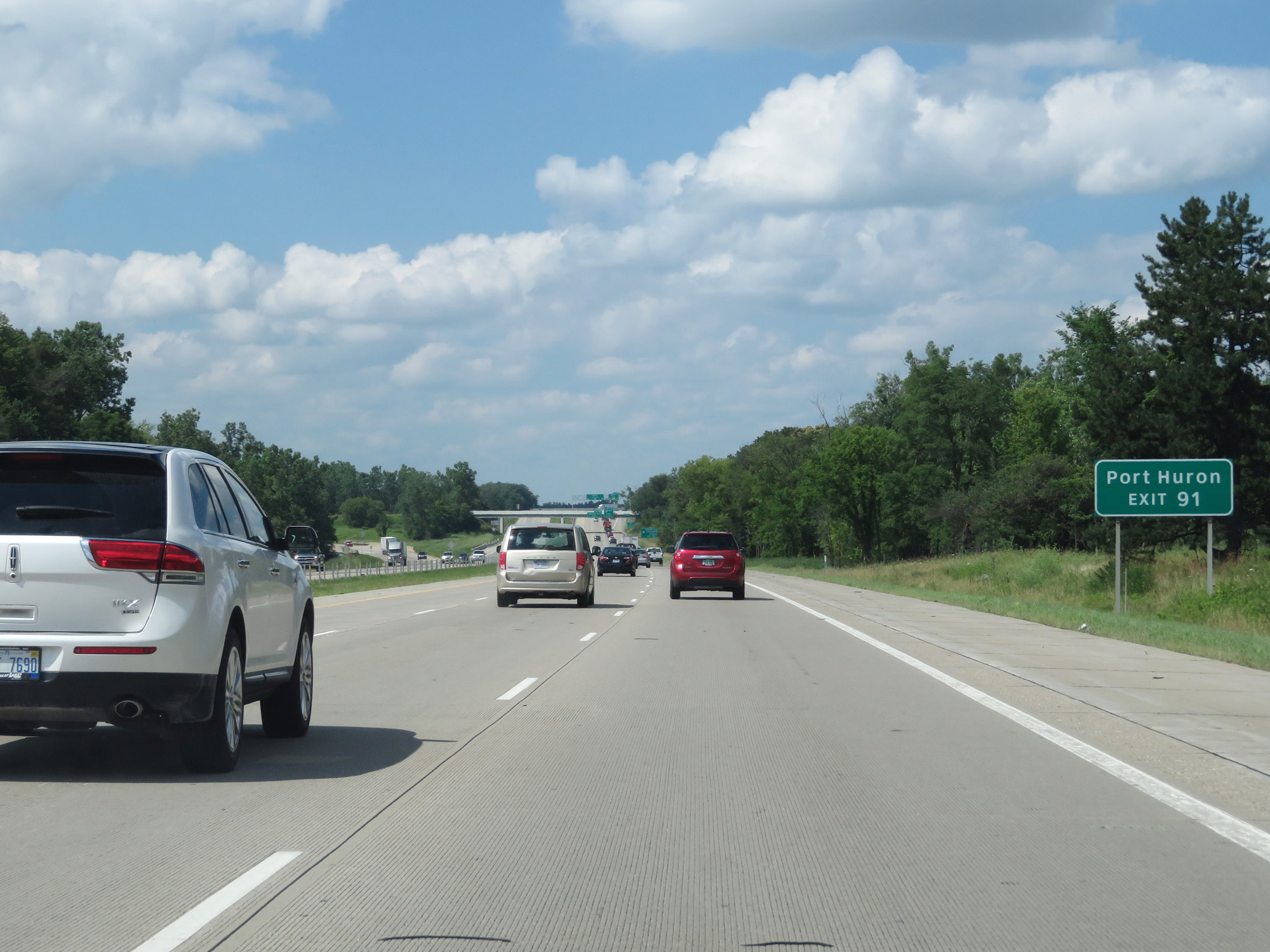 |
Also take Exit 91 (Interstate 69 EAST) to Port Huron. (Photo taken 7/17/17). |
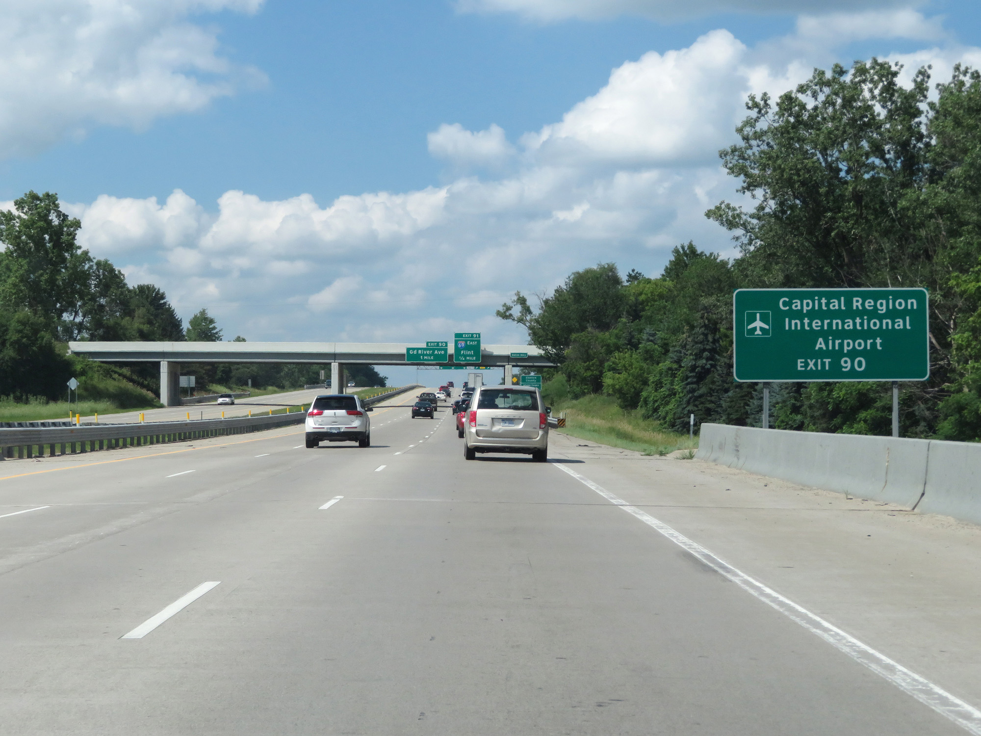 |
Take Exit 90 to Capital Region International Airport. (Photo taken 7/17/17). |
 |
Interstate 69 North / Interstate 96 West enter Clinton County just before I-69 branches off to the east via Exit 91. (Photo taken 7/17/17). |
 |
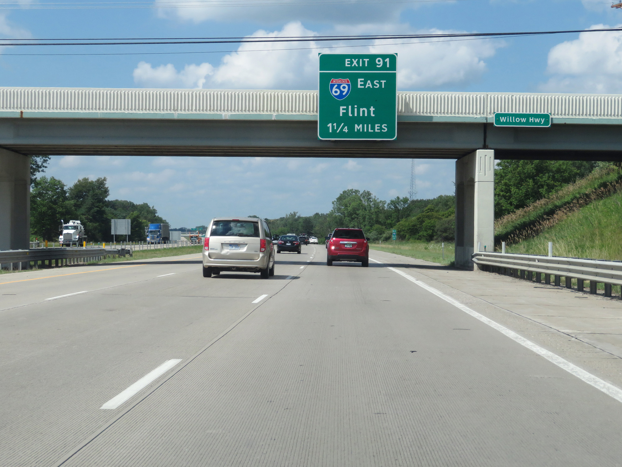
Interstate 69 North / Interstate 96 West at Exit 91: Interstate 69 East - Flint (Photo taken 7/17/17). |
 |
Gore point signage for Exit 91. From this point on, Interstate 69 is signed as East/West rather than North/South (which it was up to this point). (Photo taken 7/17/17). |
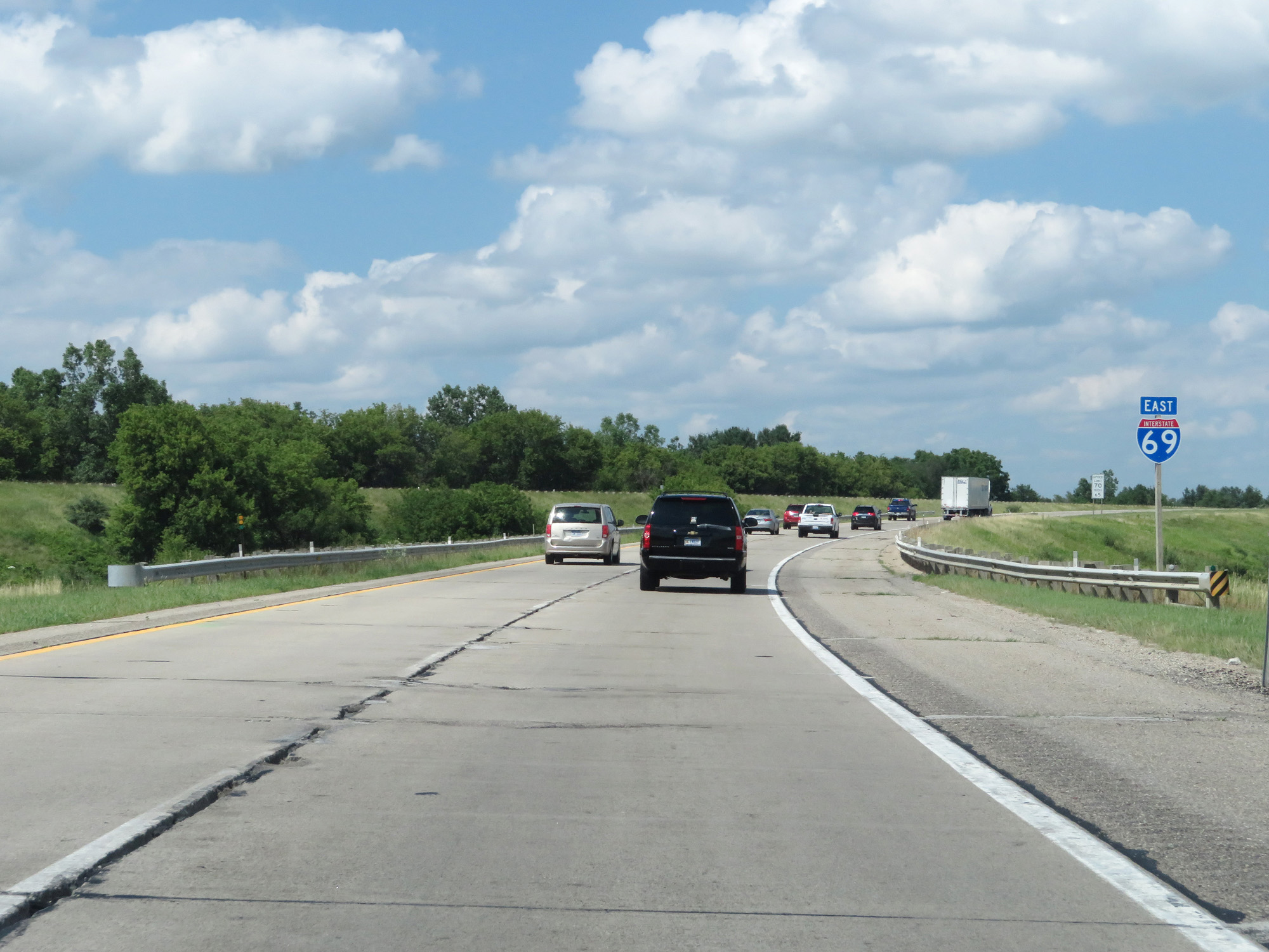 |
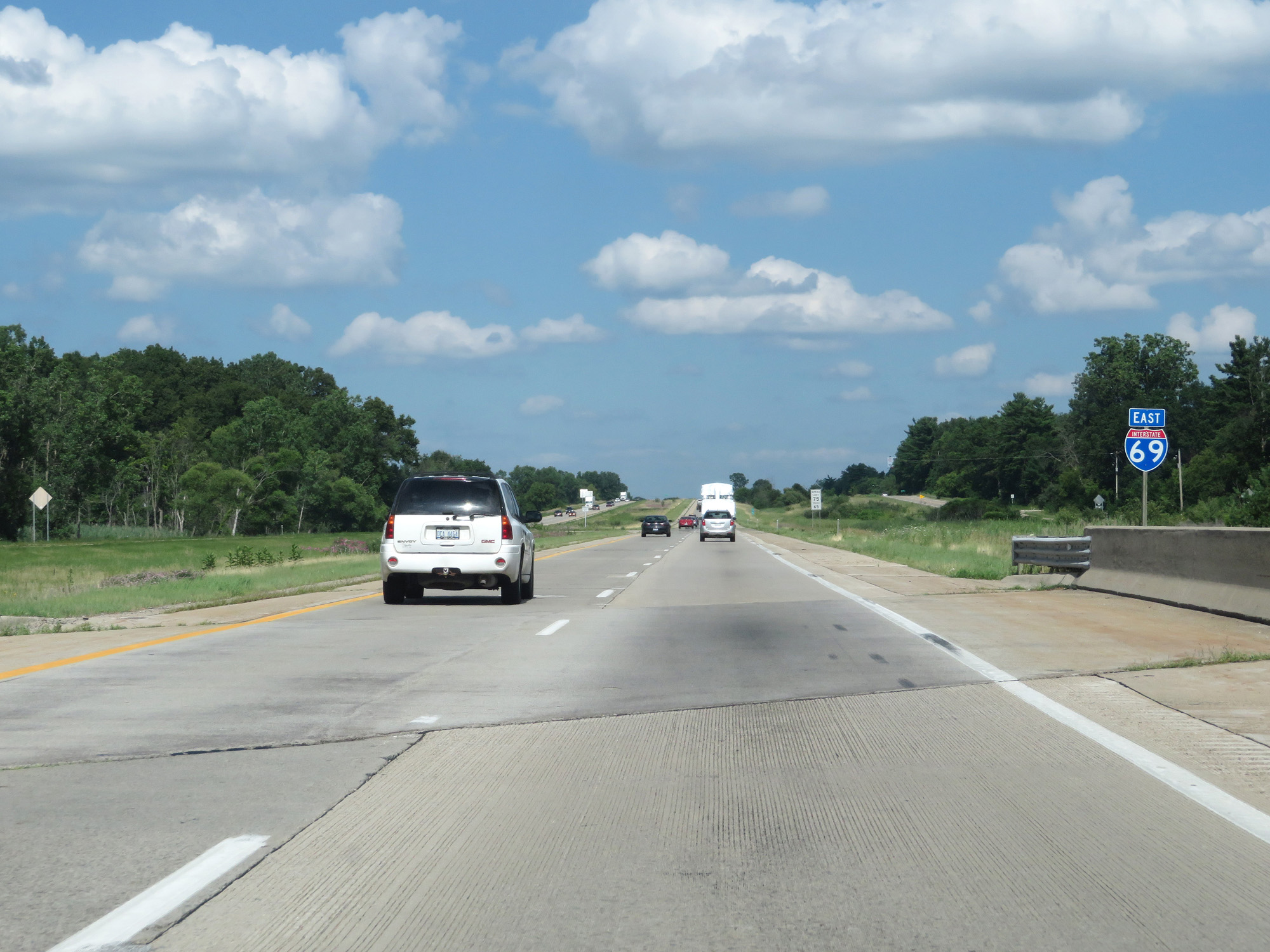
Interstate 69 East reassurance shield, as I-69 changes its signed direction. (Photo taken 7/17/17). |
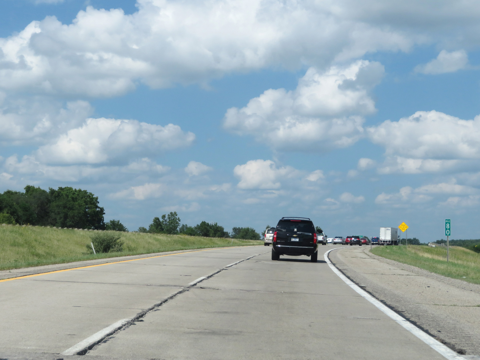 |
Interstate 69 East at mile marker 80. (Photo taken 7/17/17). |
 |
Interstate 69 East at mile marker 82. (Photo taken 7/17/17). |
 |
Take Exit 84 to Capital Region International Airport. Interstate 69 East at mile marker 82. (Photo taken 7/17/17). |
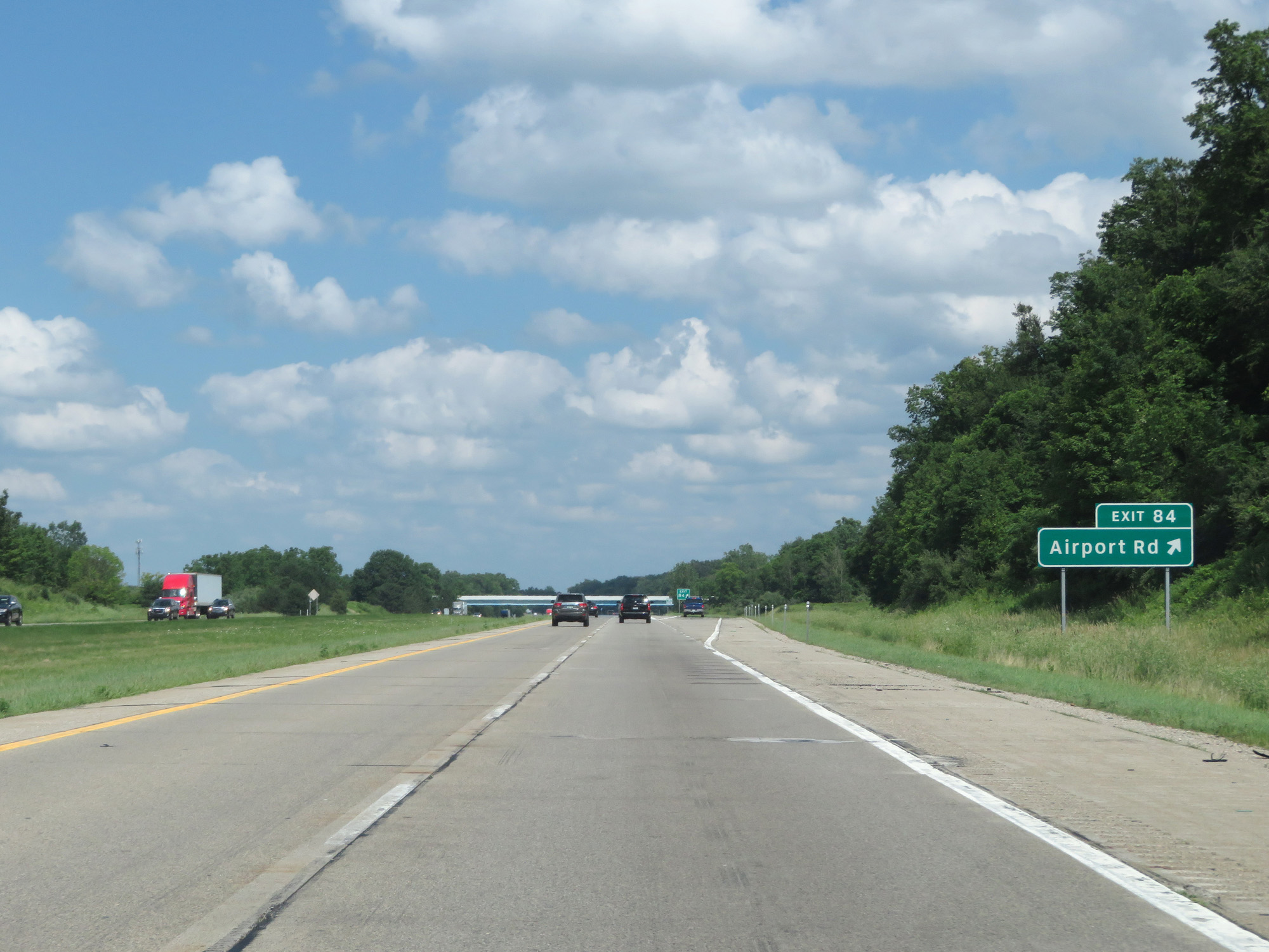 |
Interstate 69 East at Exit 84: Airport Rd (Photo taken 7/17/17). |
 |
Interstate 69 East at Exit 85: DeWitt (Photo taken 7/17/17). |
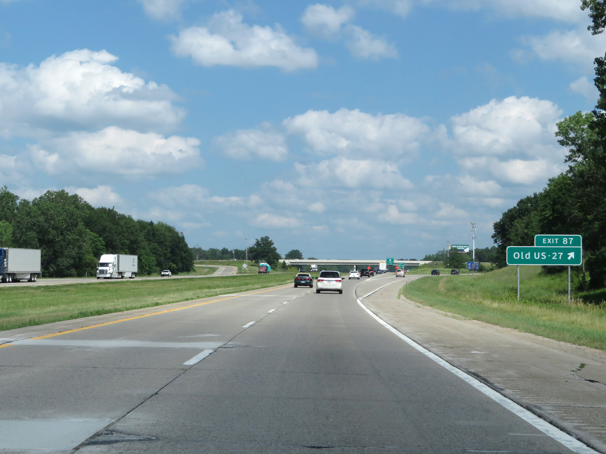 |
Interstate 69 East at Exit 87: Old US 27 (Photo taken 7/17/17). |
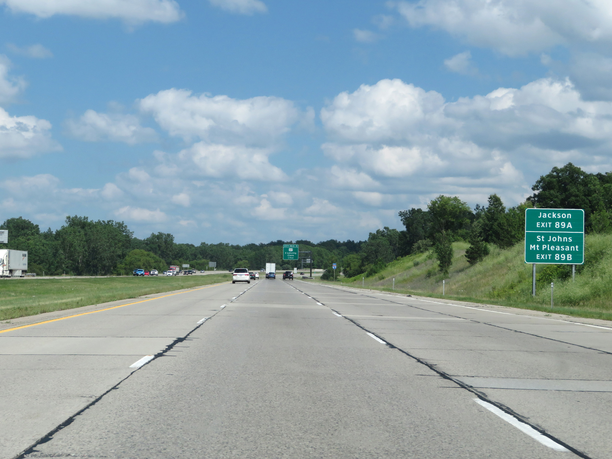 |
Take Exit 89A to Jackson. Take Exit 89B to St Johns and Mt Pleasant. (Photo taken 7/17/17). |
 |
Interstate 69 East at mile marker 88. (Photo taken 7/17/17). |
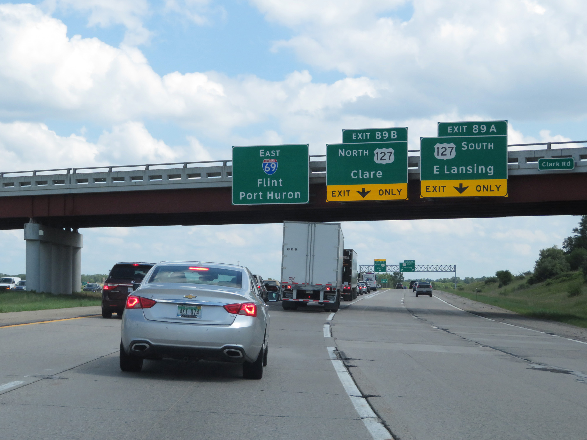 |
Interstate 69 East at Exits 89A-B: US 127 - E Lansing / Clare (Photo taken 7/17/17). |
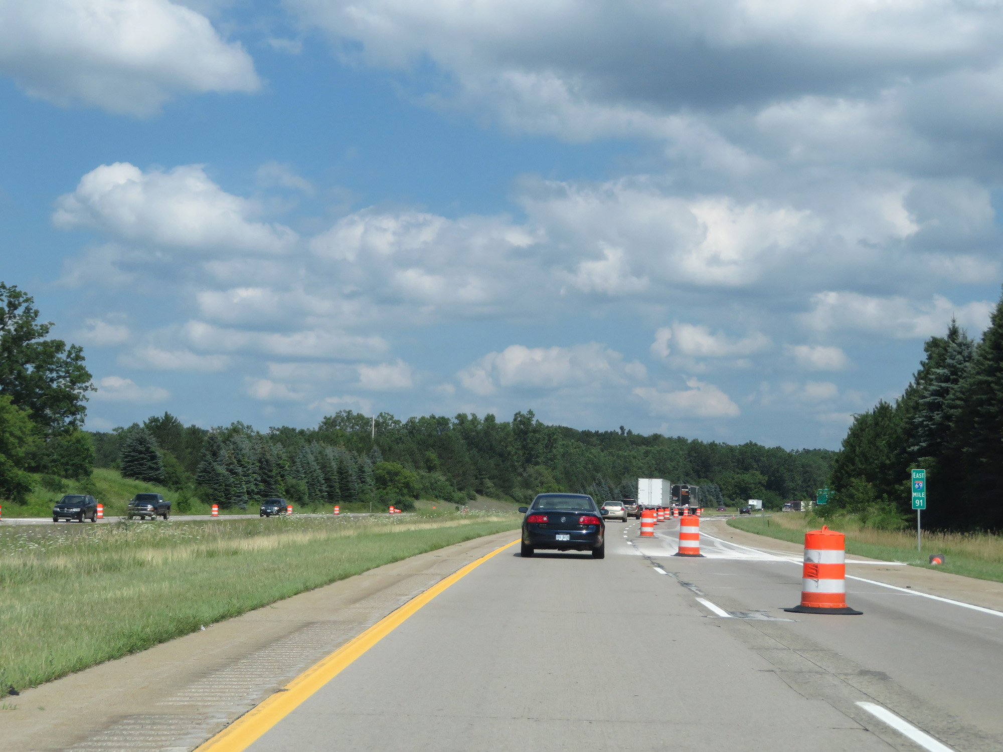 |
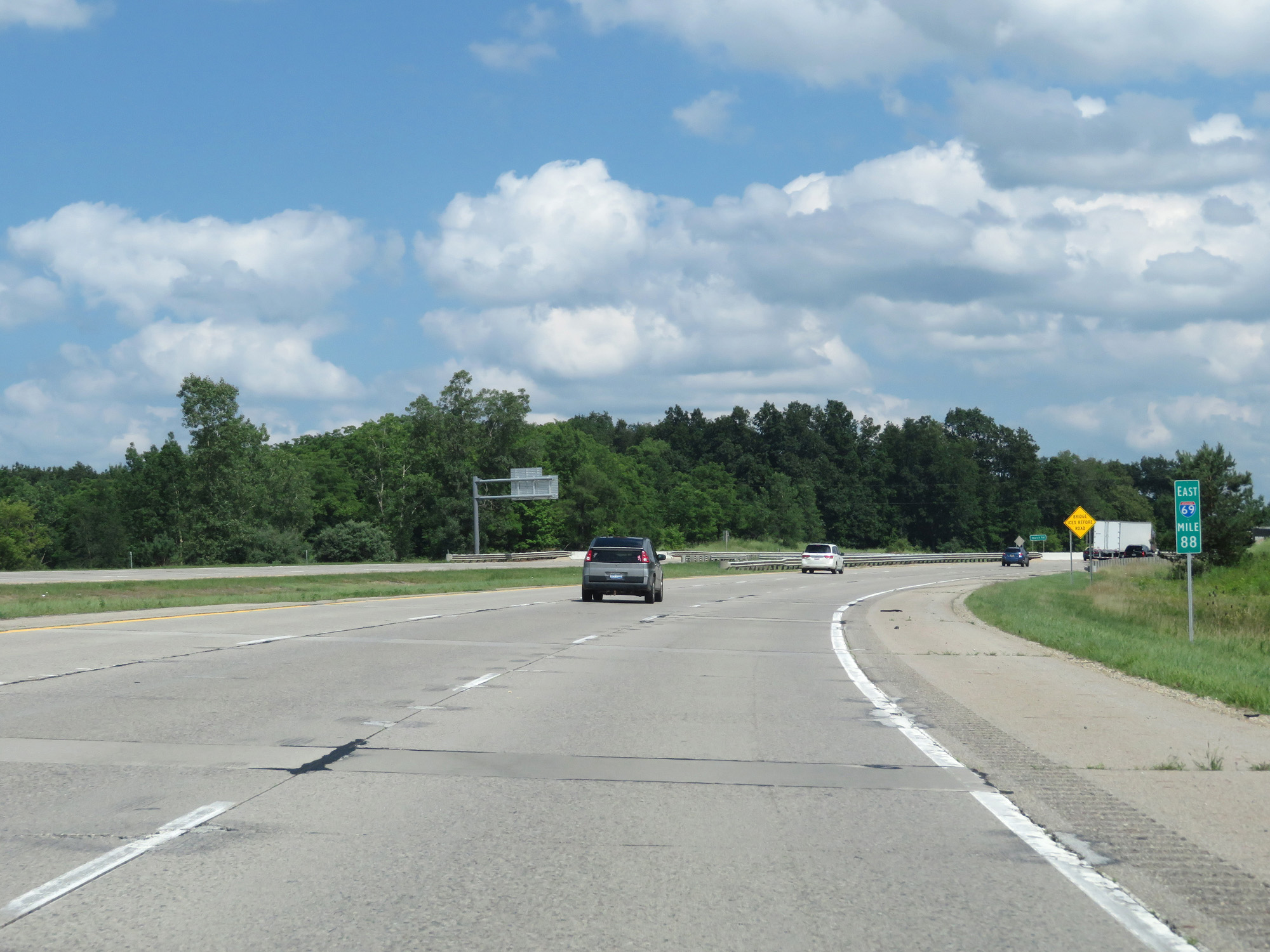
Interstate 69 East at mile marker 91. (Photo taken 7/17/17). |
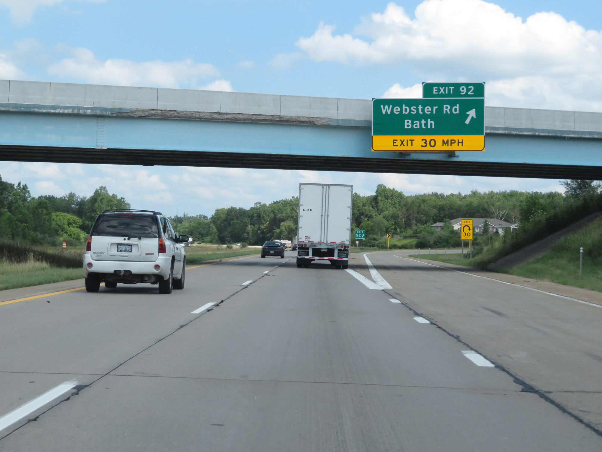 |
Interstate 69 East at Exit 92: Webster Rd / Bath (Photo taken 7/17/17). |
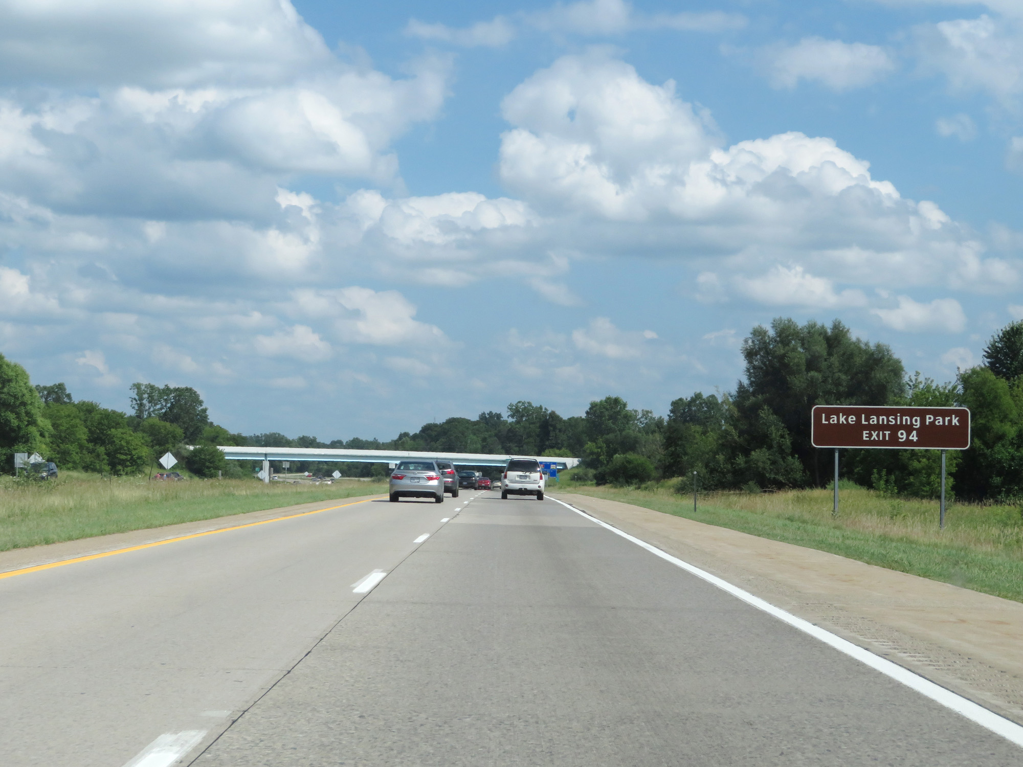 |
Take Exit 94 to Lake Lansing Park. (Photo taken 7/17/17). |
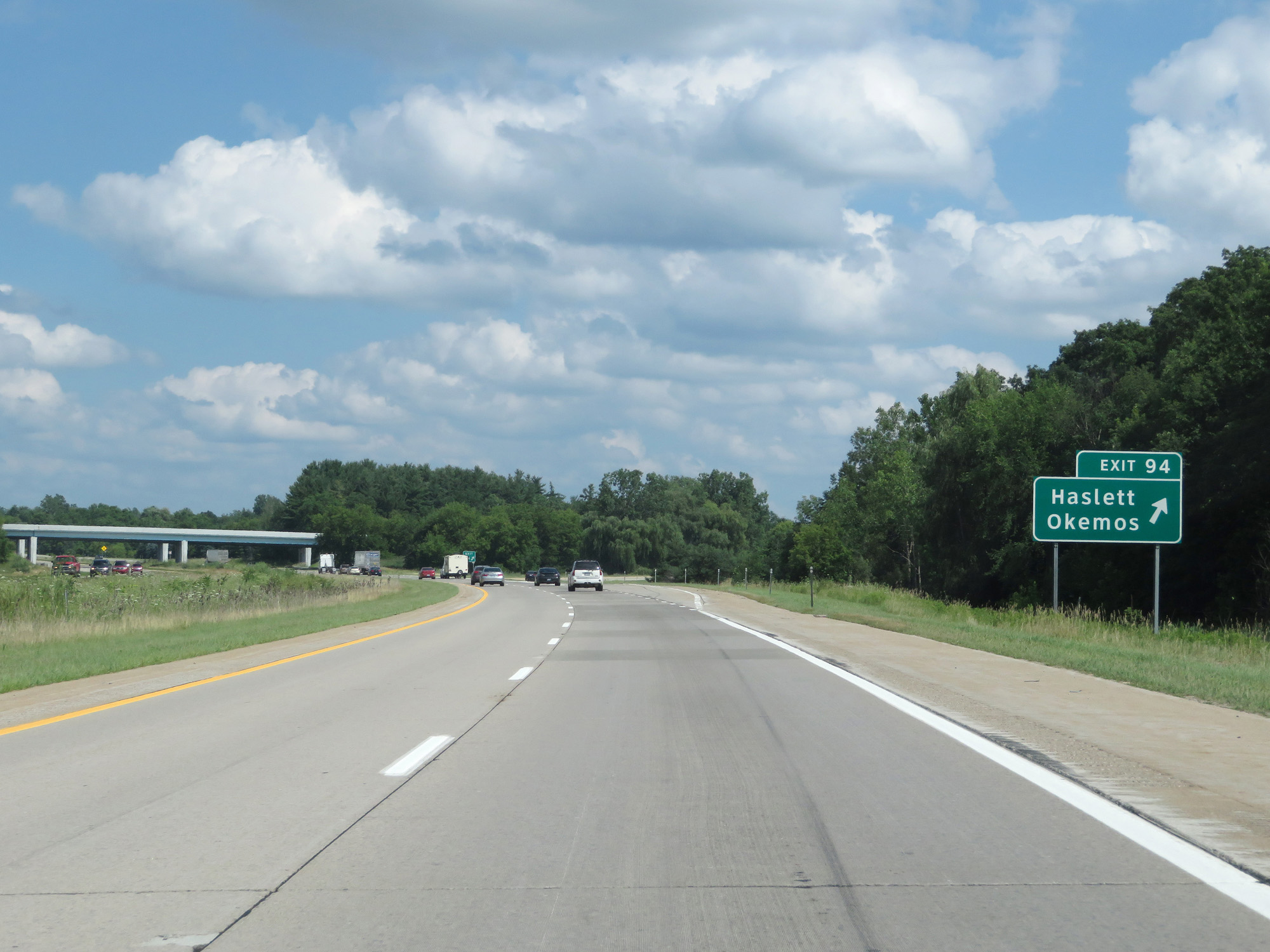 |
Interstate 69 East at Exit 94: Haslett / Okemos (Photo taken 7/17/17). |
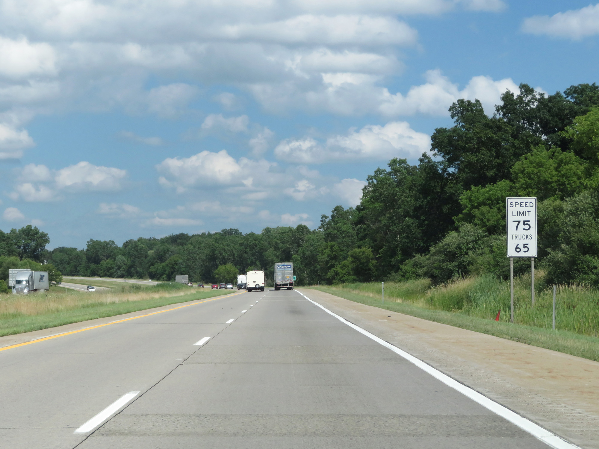 |
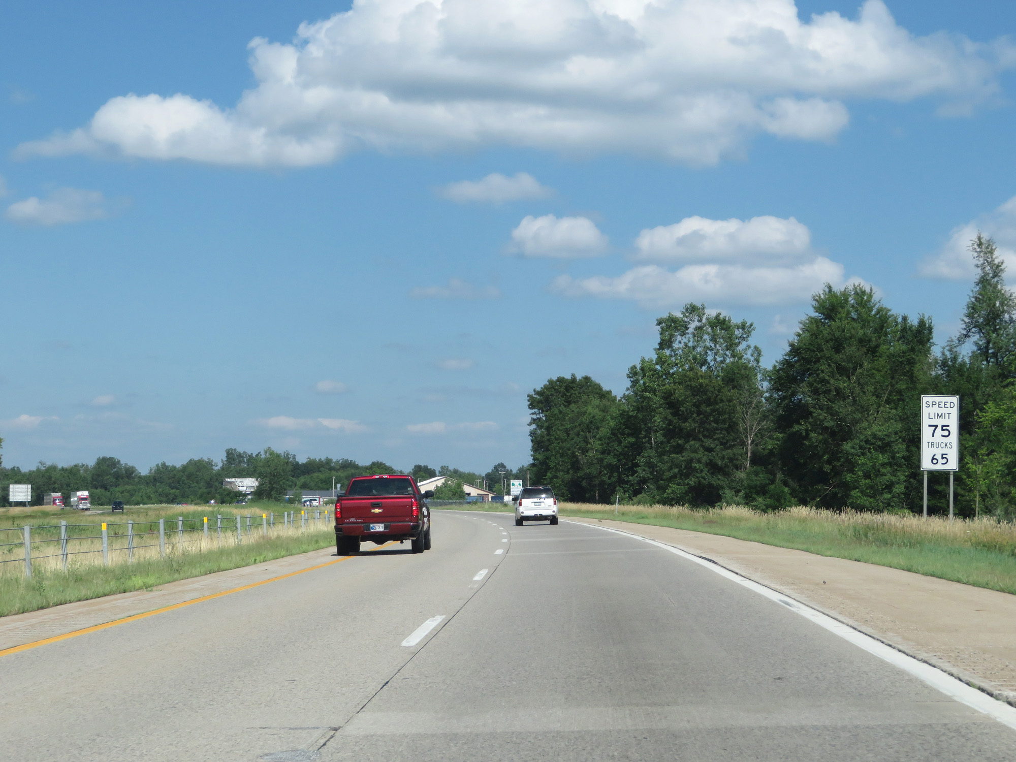
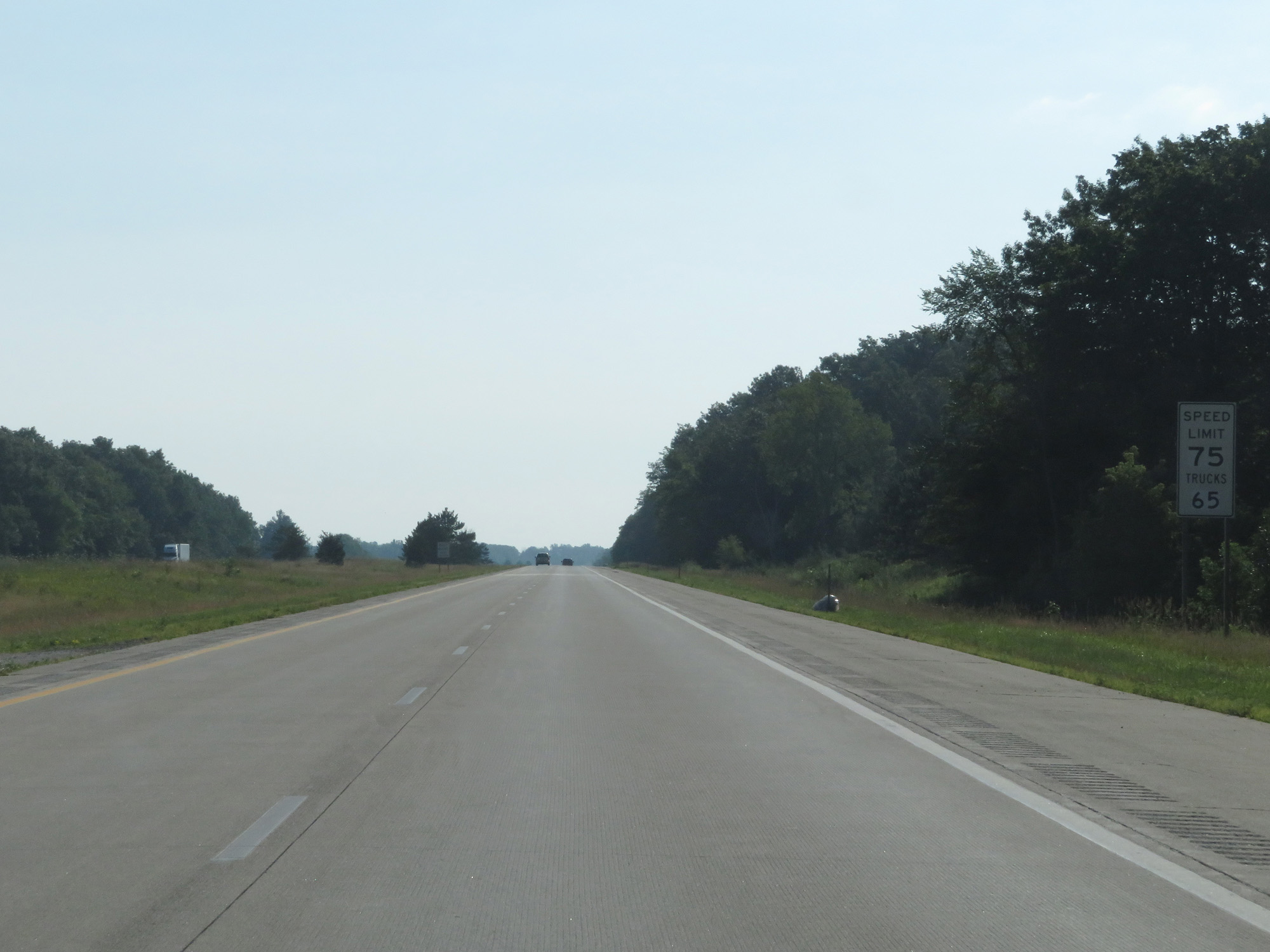
Just east of Exit 94, the speed limits increase to 75 mph for cars and 65 mph for trucks. This is one of two stretches of I-69 to have 75 mph speed limits on it (the other is between Flint and Port Huron, as you will see later). I-69 is one of two Interstates in Michigan which saw 75 mph speed limits implemented in 2017 (the other was Interstate 75). (Photo taken 7/17/17). |
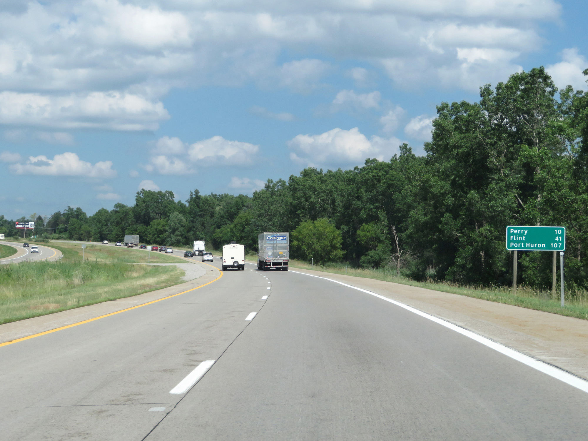 |
Mileage sign on Interstate 69 East. It's 10 miles to Perry, 41 miles to Flint, and 107 miles to Port Huron. (Photo taken 7/17/17). |
 |
Interstate 69 East entering Shiawassee County. (Photo taken 7/17/17). |
 |
Interstate 69 East at Exit 98: Woodbury Rd / Laingsburg (Photo taken 7/17/17). |
 |
Interstate 69 East reassurance shield. (Photo taken 7/17/17). |
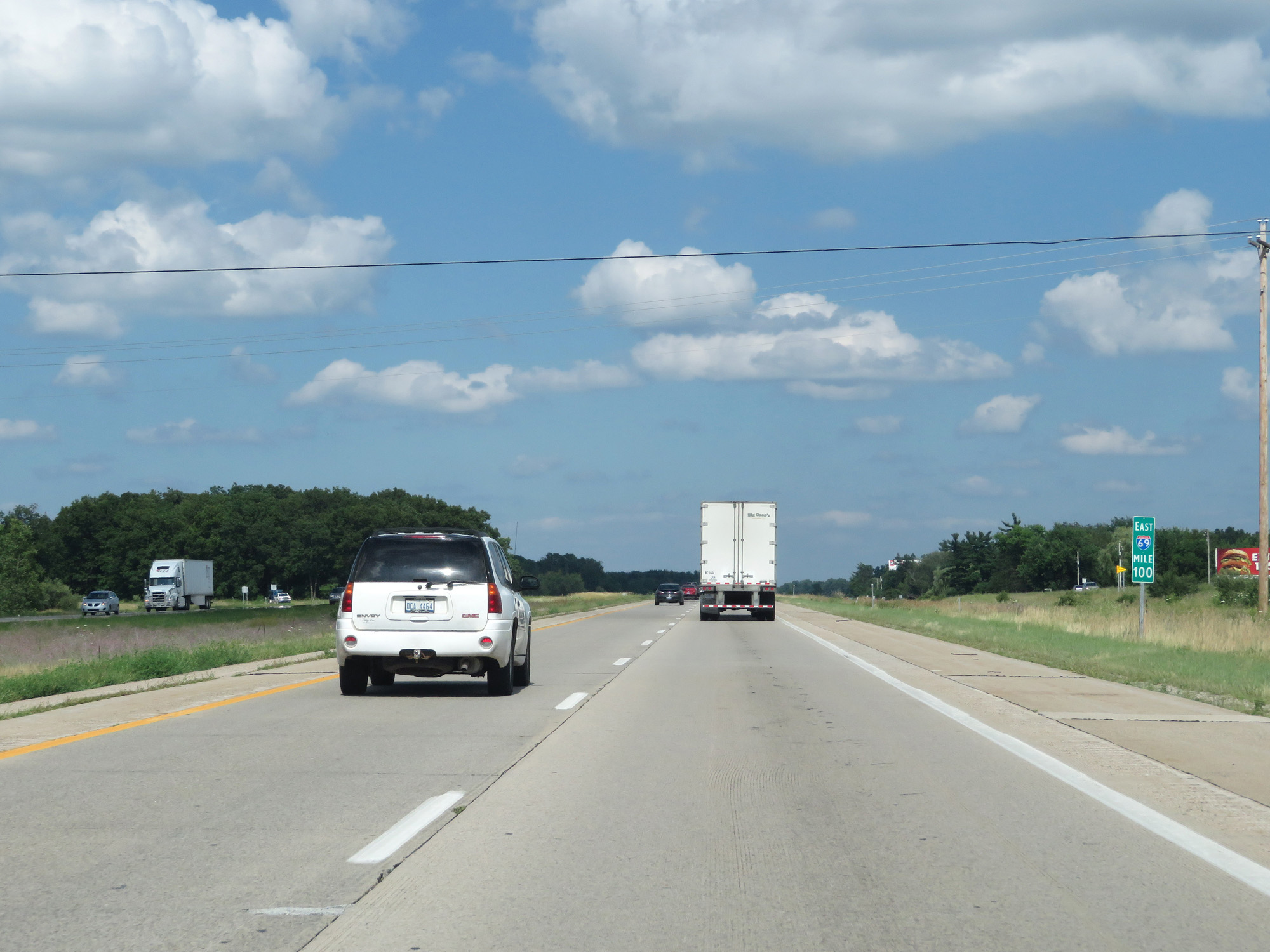 |
Interstate 69 East at mile marker 100. (Photo taken 7/17/17). |
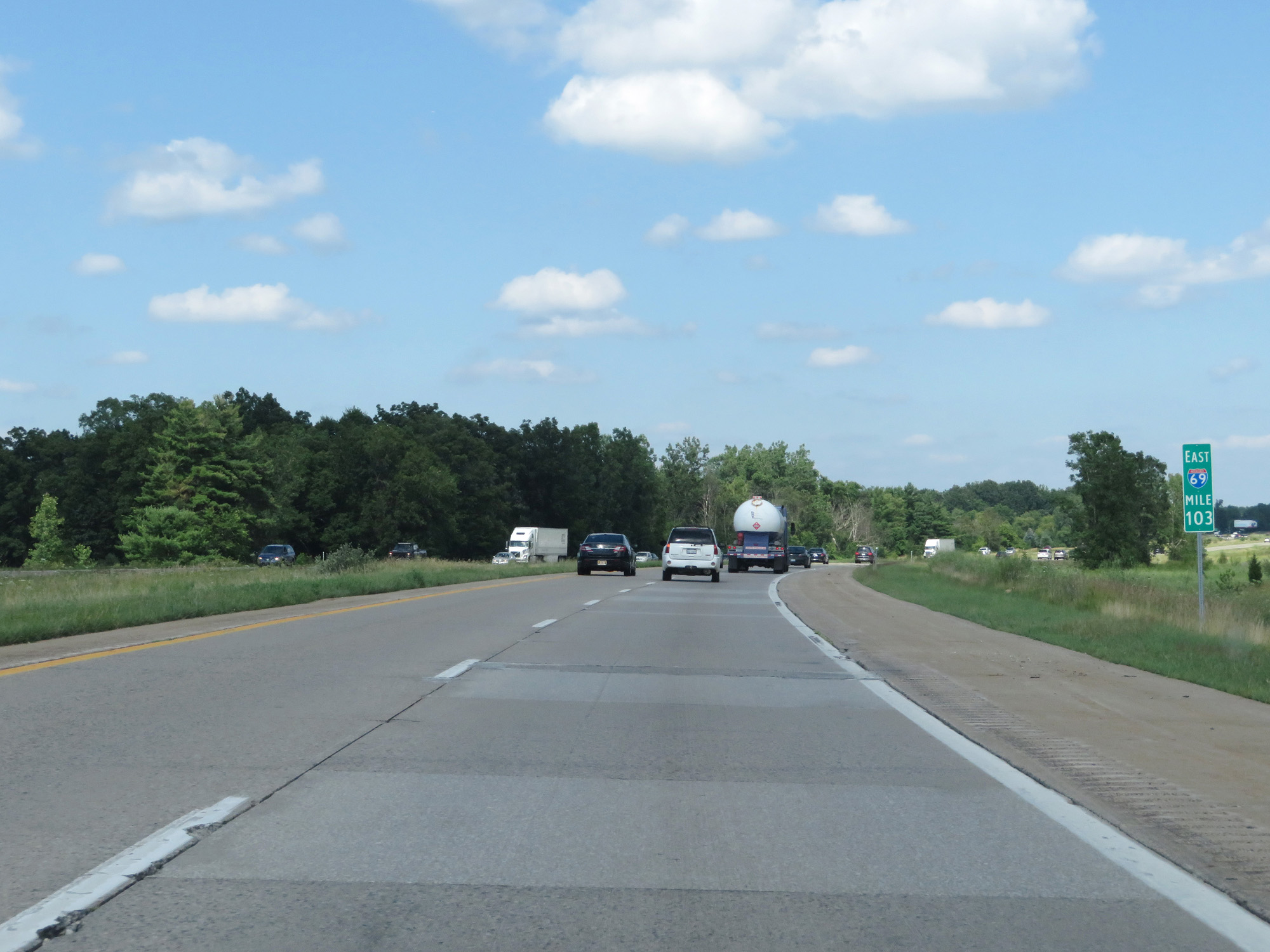 |
Interstate 69 East at mile marker 103. (Photo taken 7/17/17). |
 |
Take Exit 105 to Morrice. (Photo taken 7/17/17). |
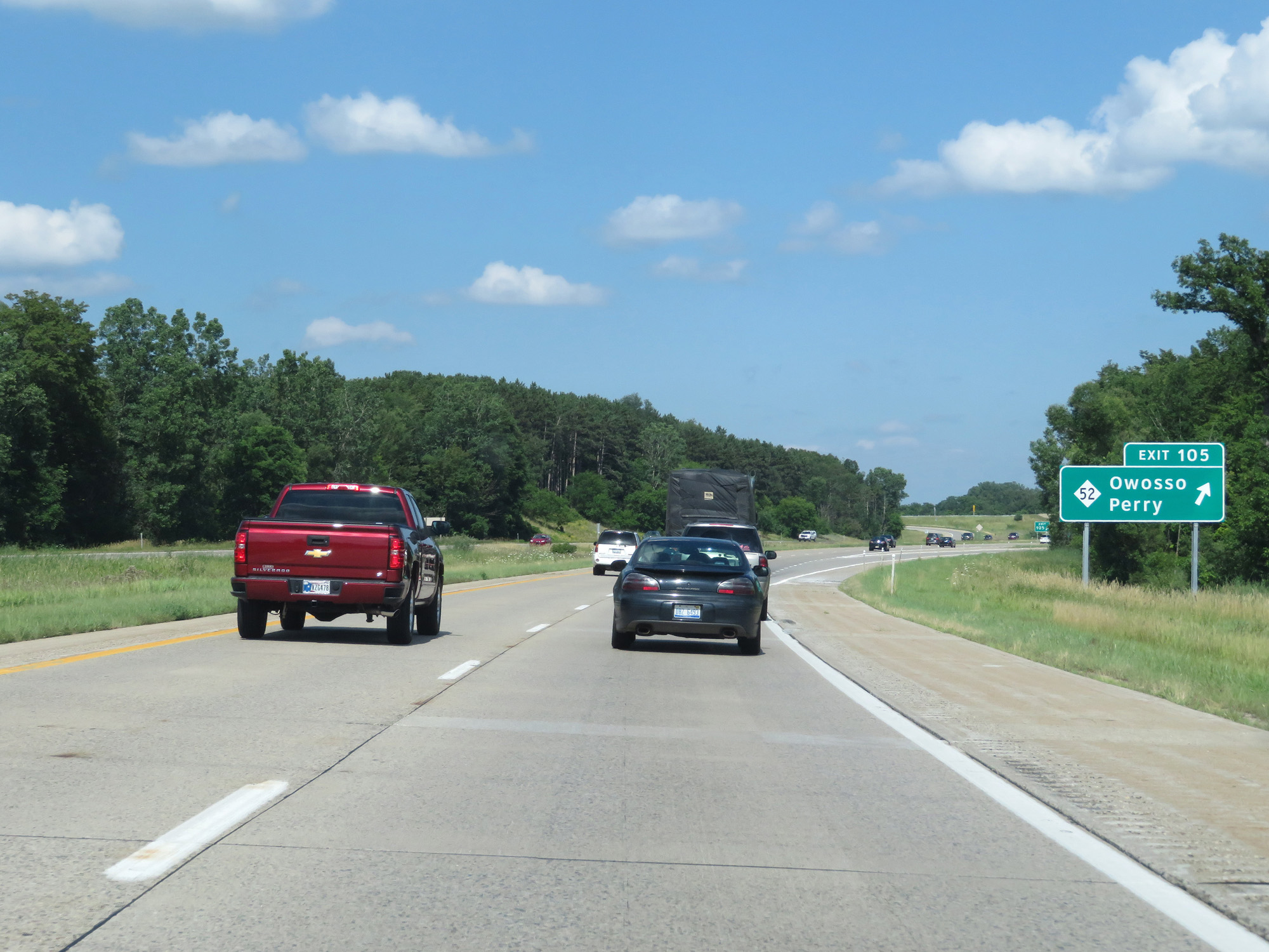 |
Interstate 69 East at Exit 105: M-52 - Owosso / Perry (Photo taken 7/17/17). |
 |
The speed limits remain 75 mph for cars and 65 mph for trucks. (Photo taken 7/17/17). |
 |
Interstate 69 East at mile marker 109. (Photo taken 7/17/17). |
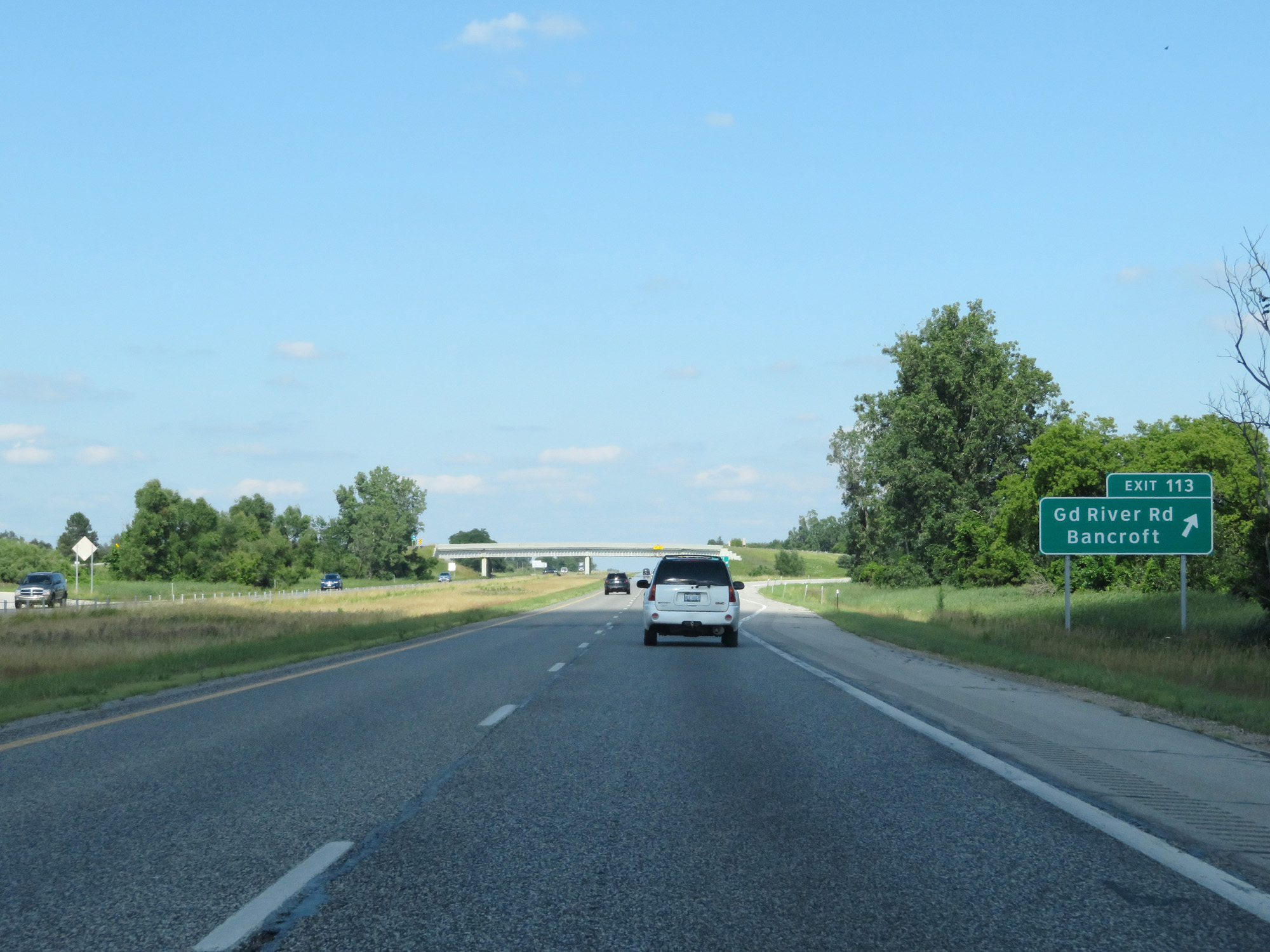 |
Interstate 69 East at Exit 113: Grand River Rd / Bancroft (Photo taken 7/17/17). |
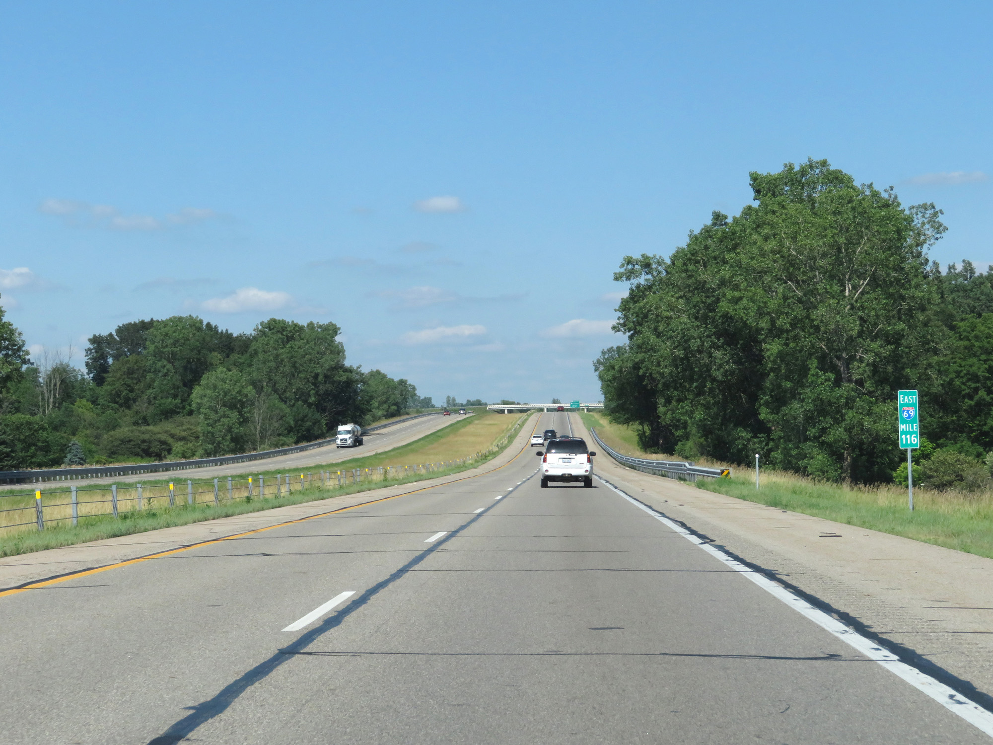 |
Interstate 69 East at mile marker 116. (Photo taken 7/17/17). |
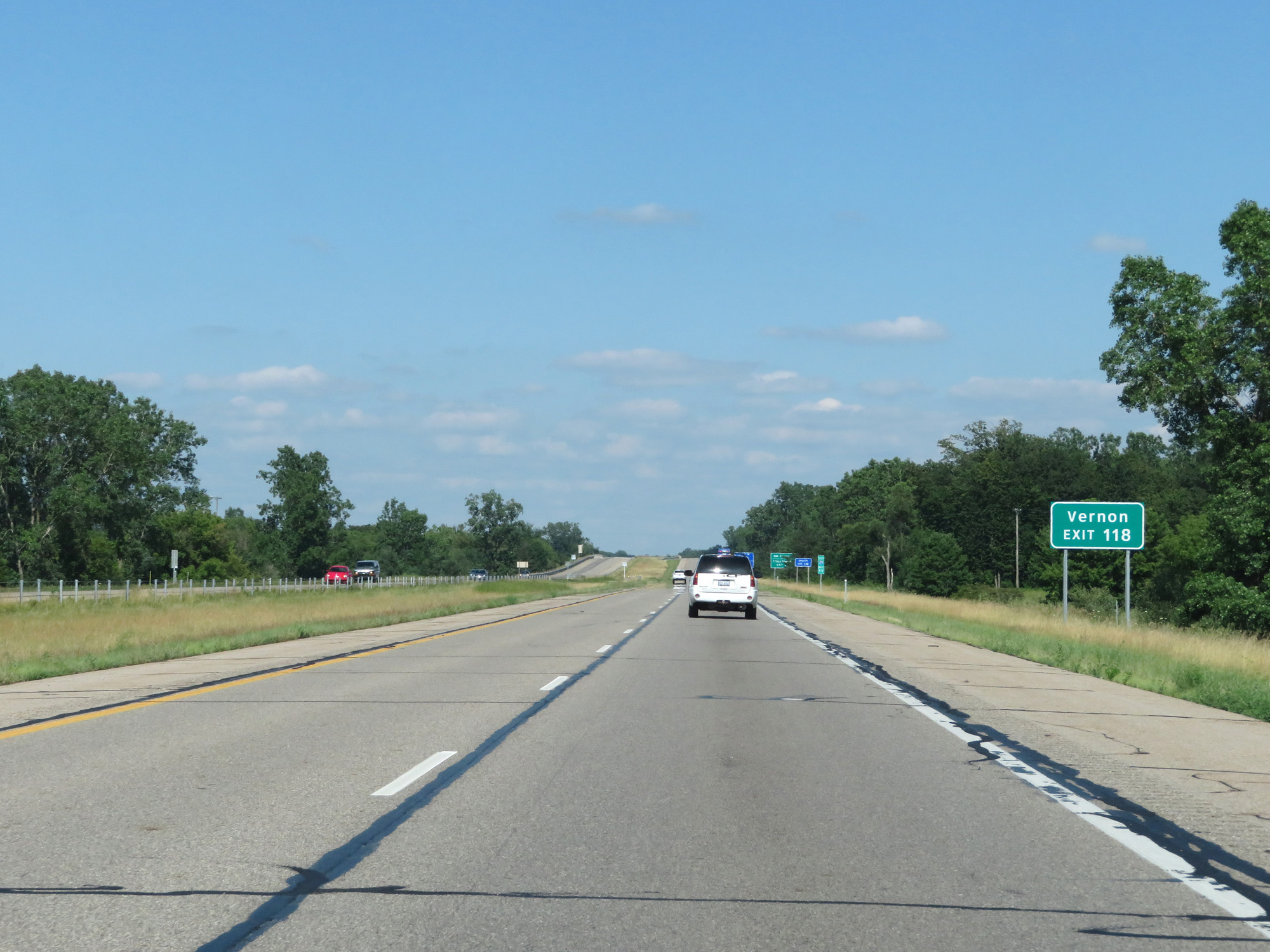 |
Take Exit 118 to Vernon. (Photo taken 7/17/17). |
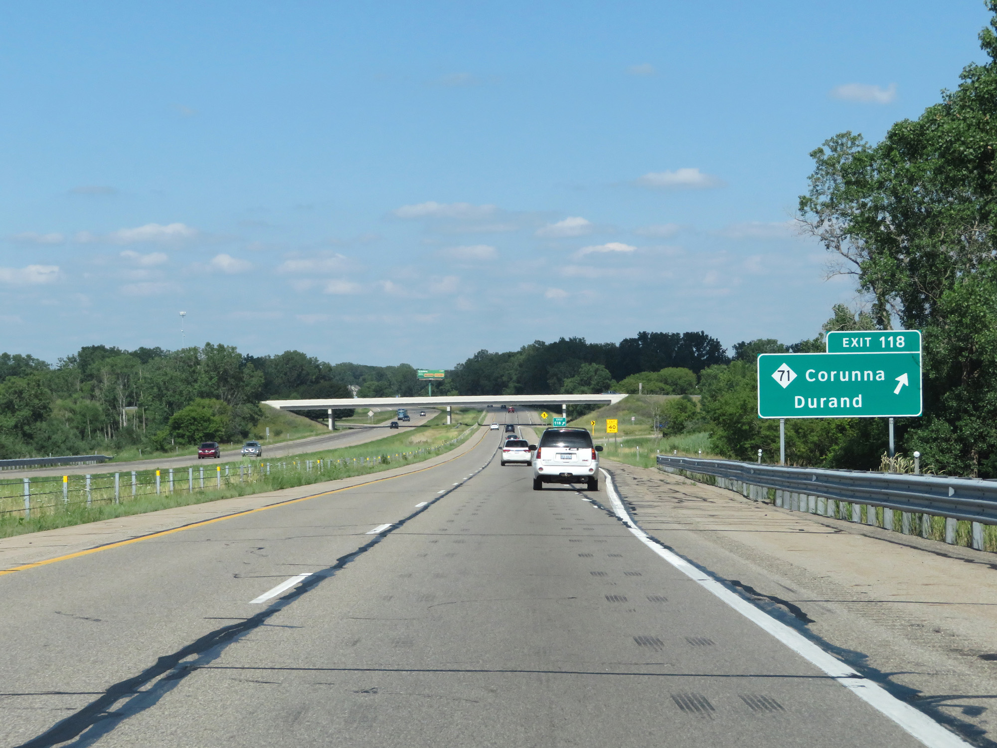 |
Interstate 69 East at Exit 118: M-71 - Corunna / Durand (Photo taken 7/17/17). |
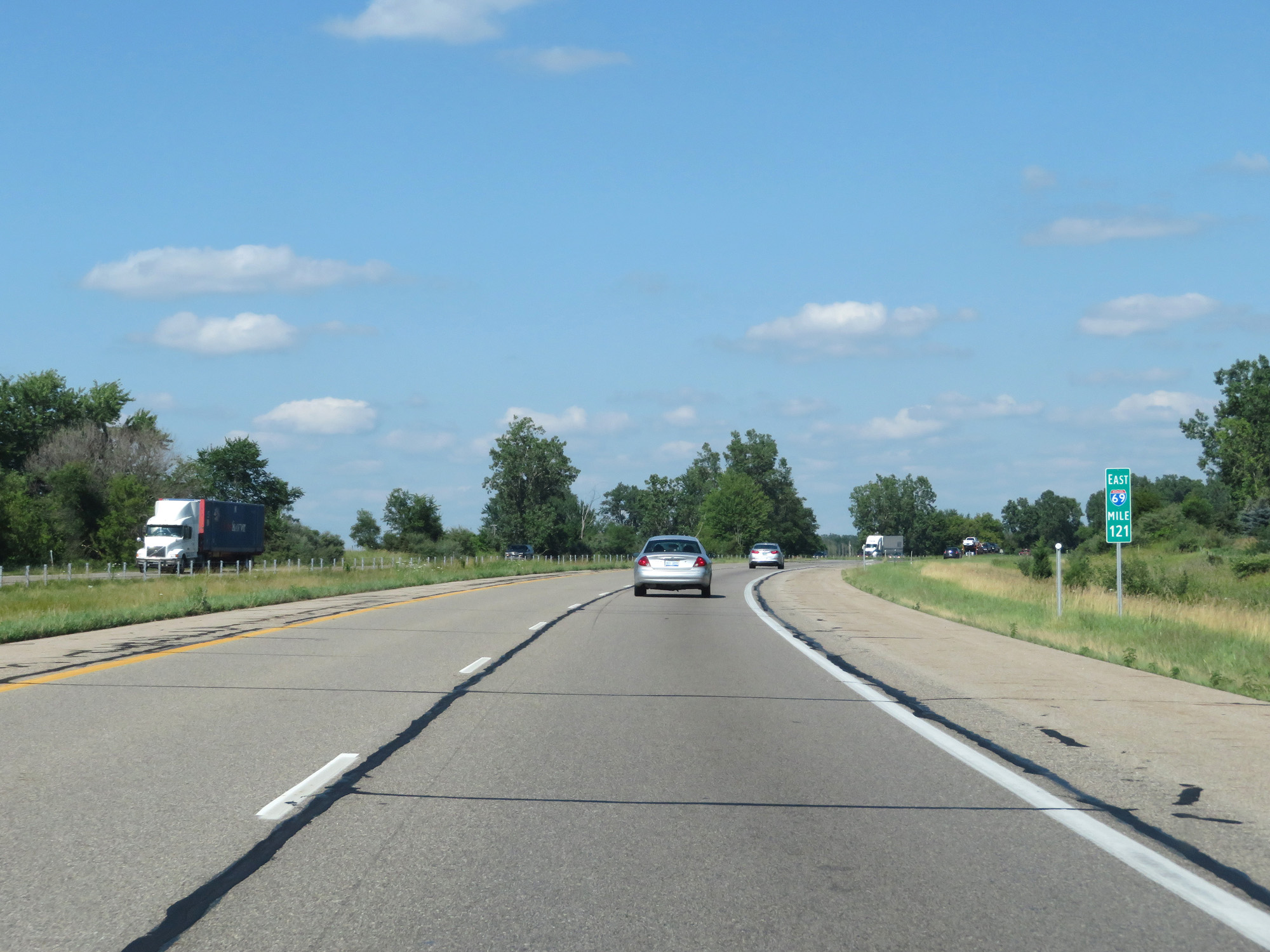 |
Interstate 69 East at mile marker 121. (Photo taken 7/17/17). |
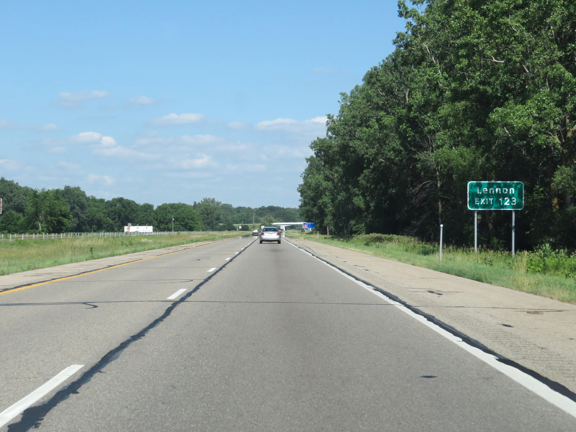 |
Take Exit 123 to Lennon. (Photo taken 7/17/17). |
 |
Interstate 69 East at Exit 123: M-13 - Saginaw (Photo taken 7/17/17). |
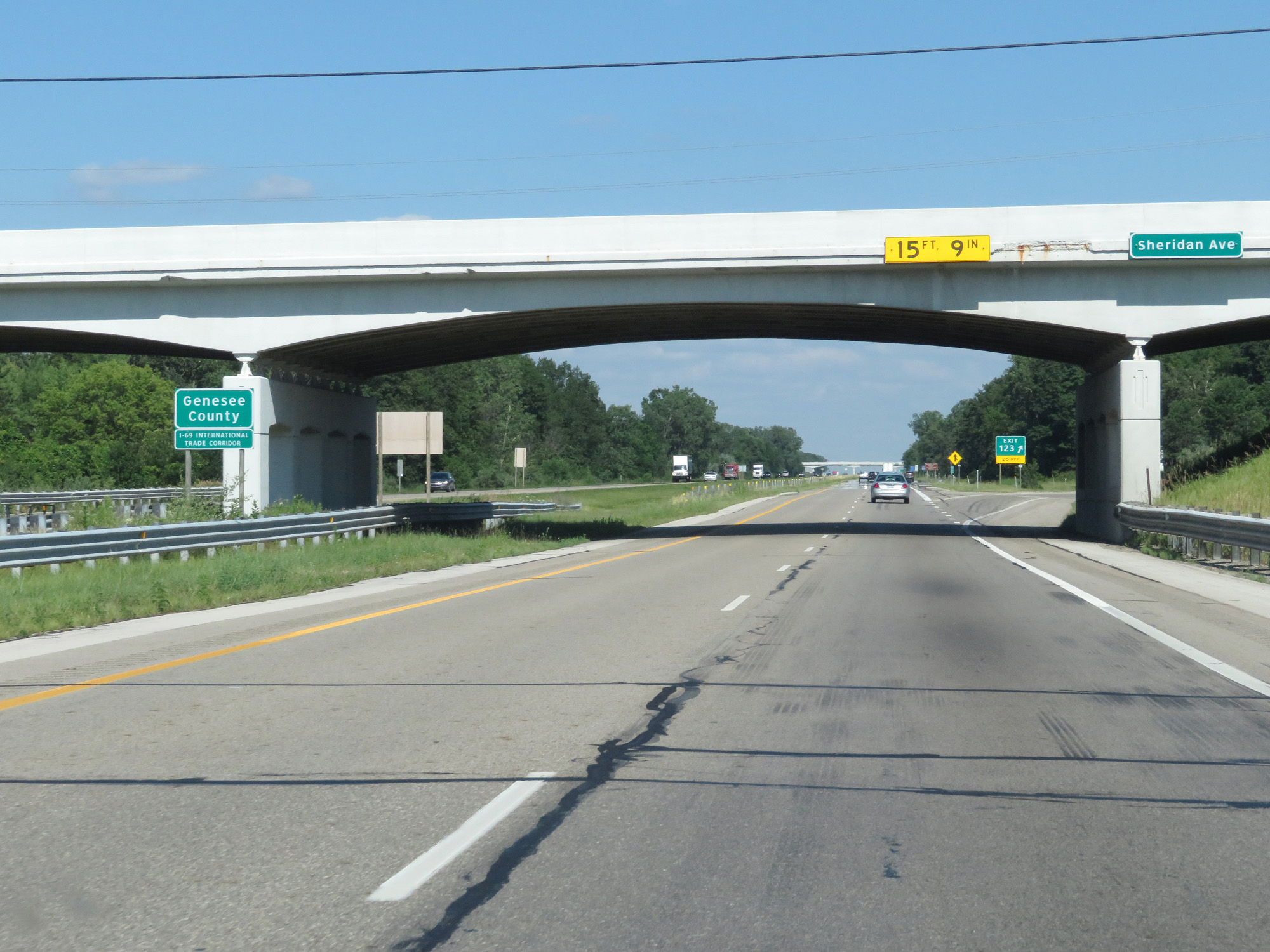 |
Interstate 69 East enters Genesee County at Exit 123. (Photo taken 7/17/17). |
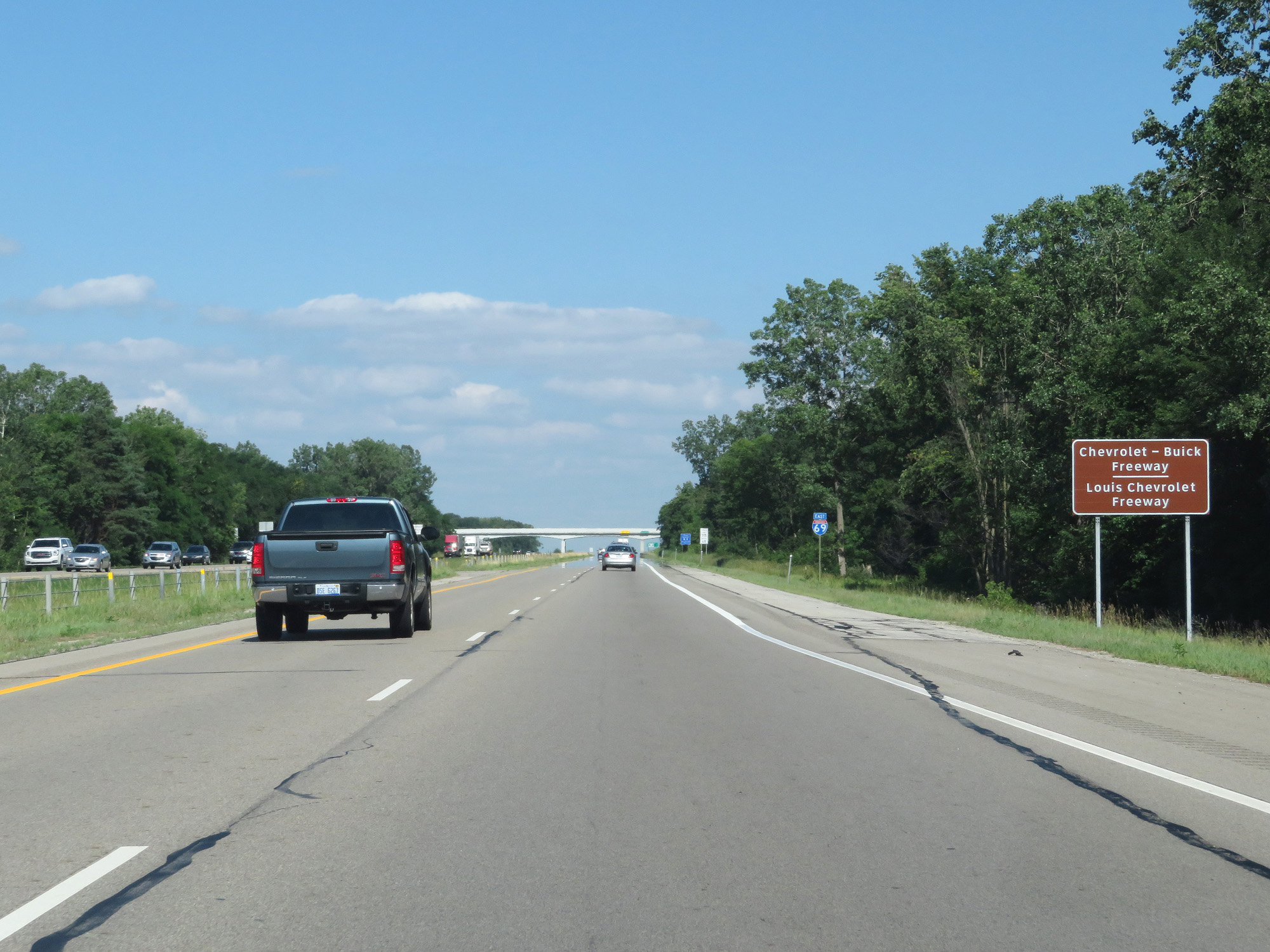 |
As this sign reads, this stretch of Interstate 69 is also known as the Chevrolet-Buick Freeway and the Louis Chevrolet Freeway. (Photo taken 7/17/17). |
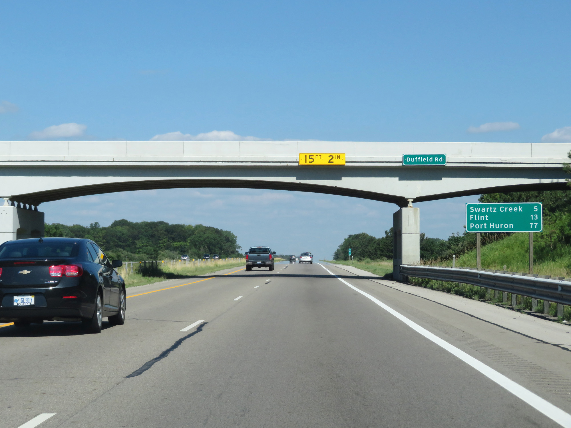 |
Mileage sign on Interstate 69 East. It's 5 miles to Swartz Creek, 13 miles to Flint, and 77 miles to Port Huron. (Photo taken 7/17/17). |
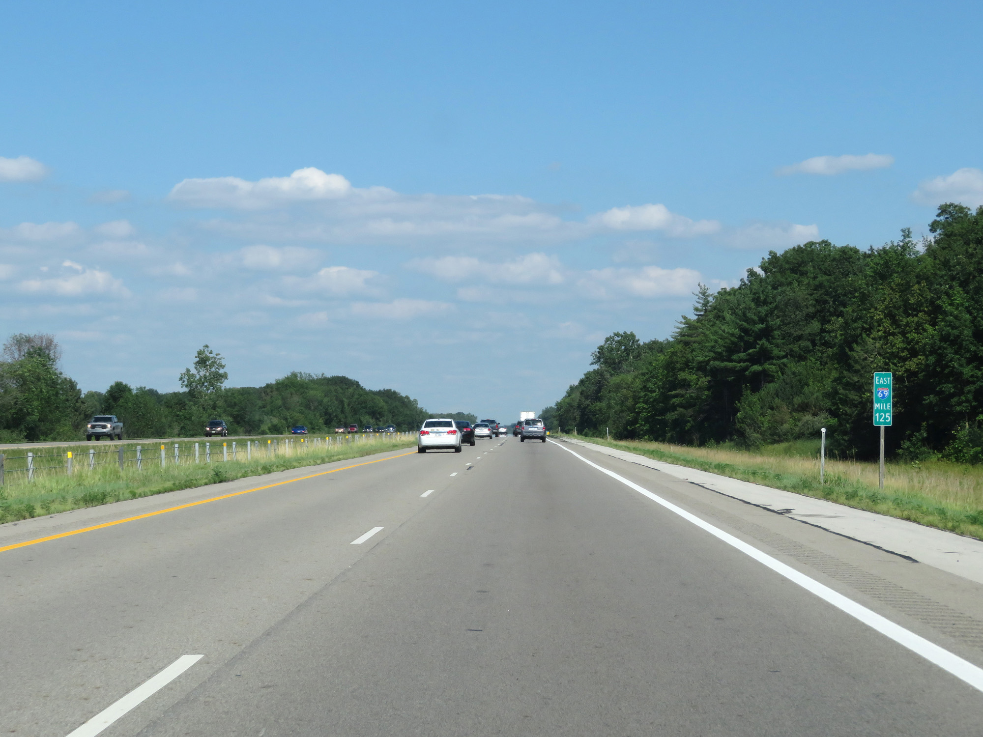 |
Interstate 69 East at mile marker 125. (Photo taken 7/17/17). |
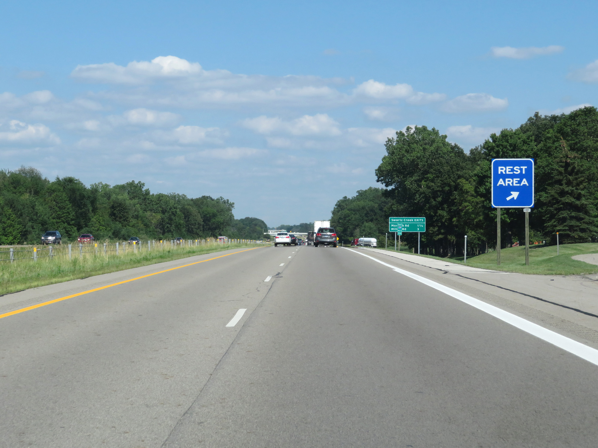 |
Interstate 69 East at the Rest Area in Genesee County. (Photo taken 7/17/17). |
 |
Sign listing the distances to the two upcoming exits to Swartz Creek. (Photo taken 7/17/17). |
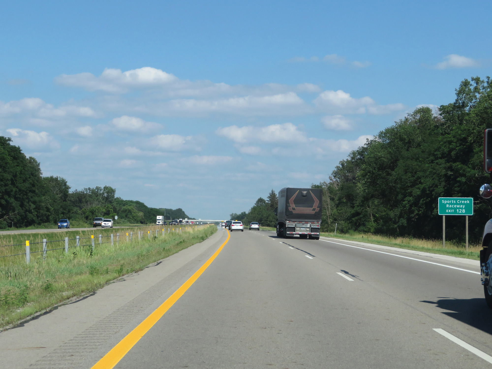 |
Take Exit 128 to Sports Creek Raceway. (Photo taken 7/17/17). |
 |
Interstate 69 East at Exit 128: Morrish Rd (Photo taken 7/17/17). |
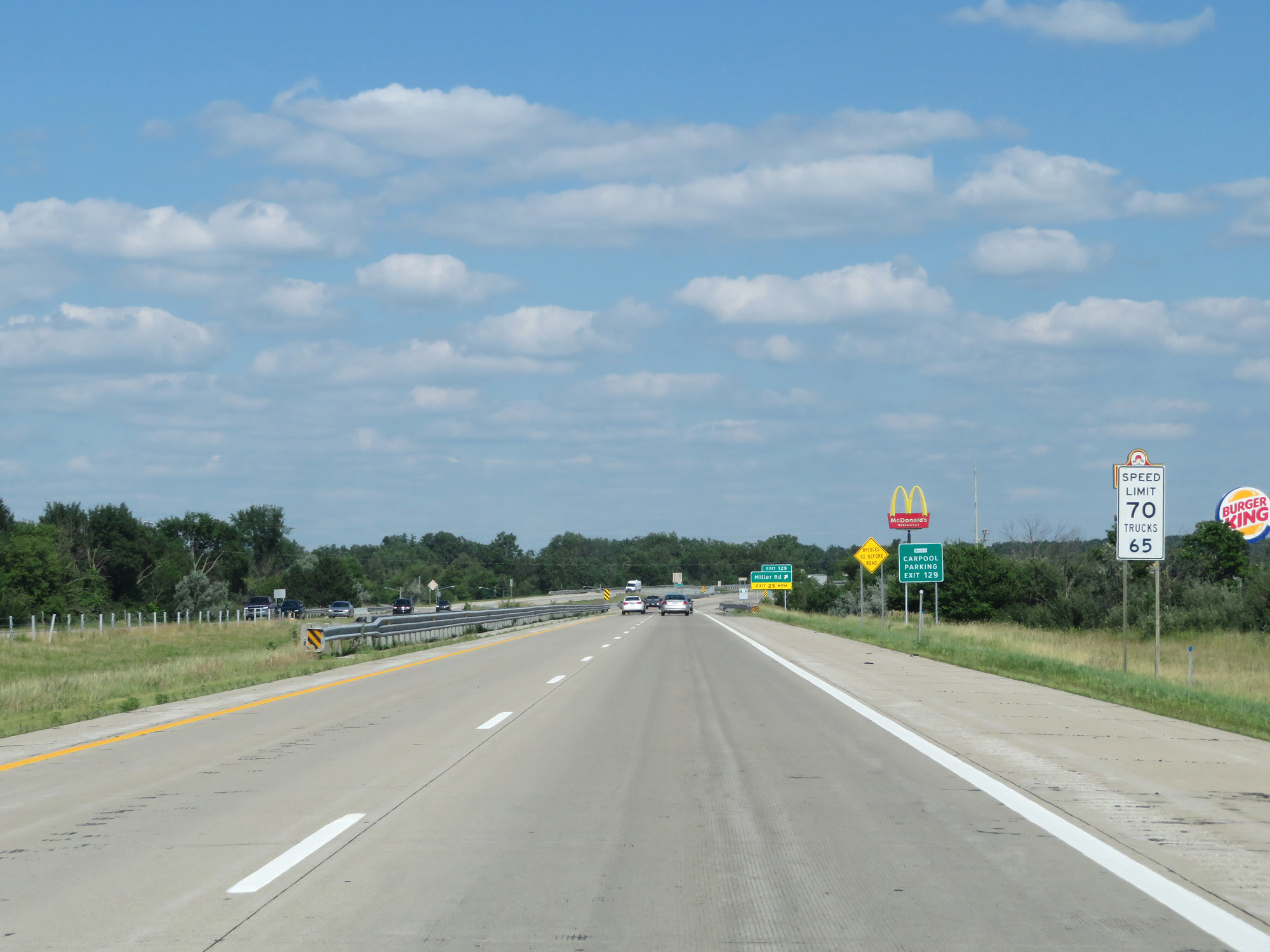 |
Approaching Exit 129 and the Flint area, the speed limit decreases to 70 mph for cars but remains 65 mph for trucks. (Photo taken 7/17/17). |
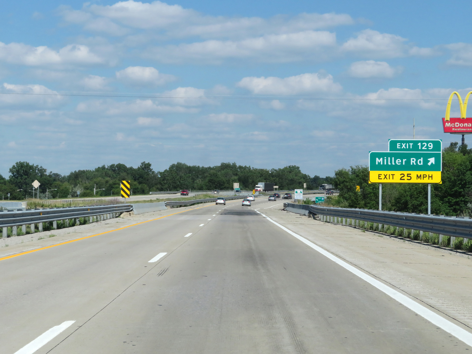 |
Interstate 69 East at Exit 129: Miller Rd (Photo taken 7/17/17). |
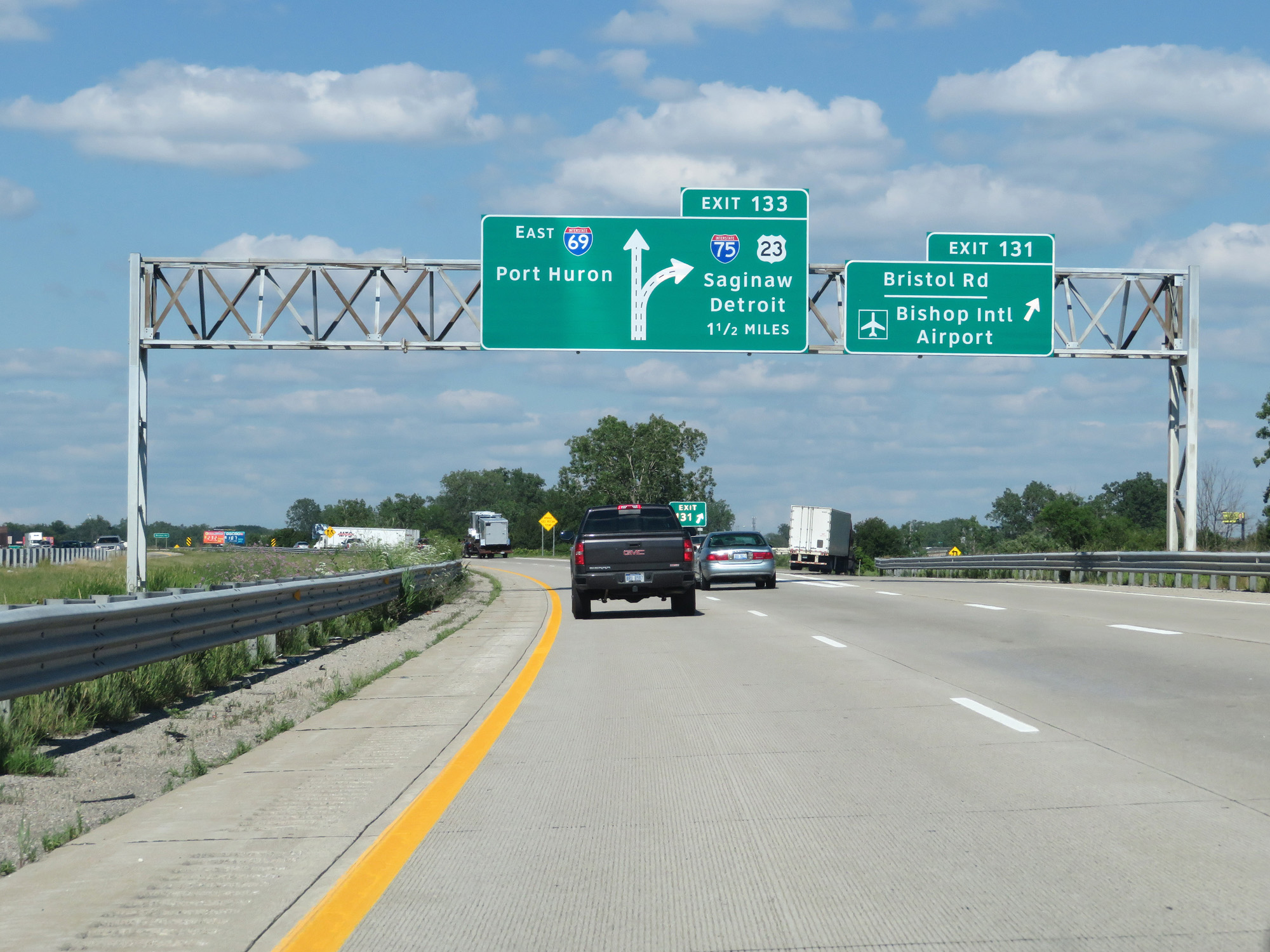 |
Interstate 69 East at Exit 131: Bristol Rd / Bishop International Airport (Photo taken 7/17/17). |
 |
You can also follow Interstate 75 South to Bishop International Airport. (Photo taken 7/17/17). |
 |
Interstate 69 East approaching Exit 133 - 1/4 mile. (Photo taken 7/17/17). |
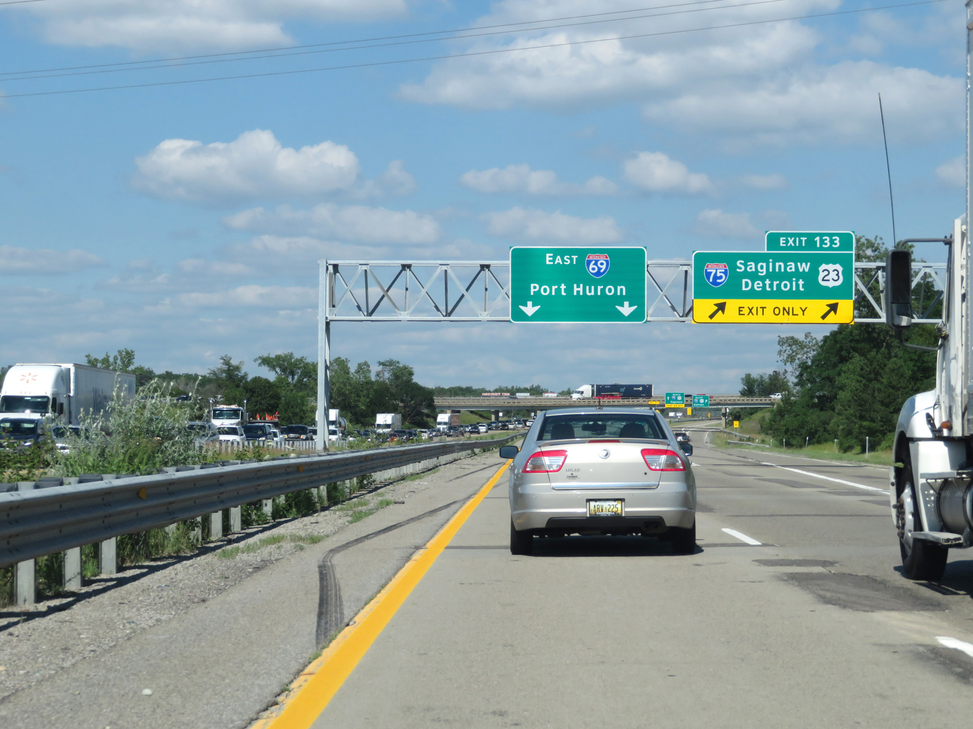 |
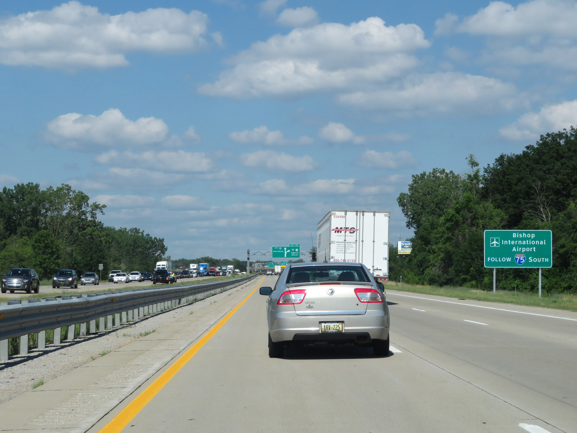
Interstate 69 East at Exit 133: Interstate 75 / US 23 - Saginaw / Detroit (Photo taken 7/17/17). |
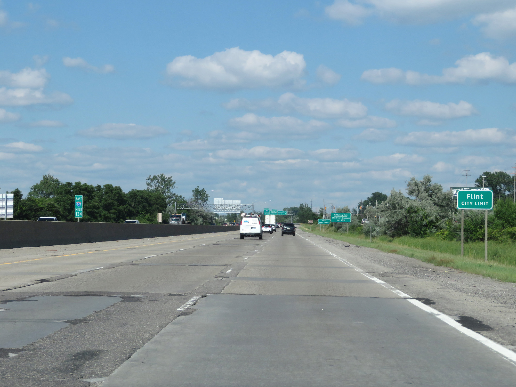 |
Interstate 69 East entering the Flint city limits. (Photo taken 7/17/17). |
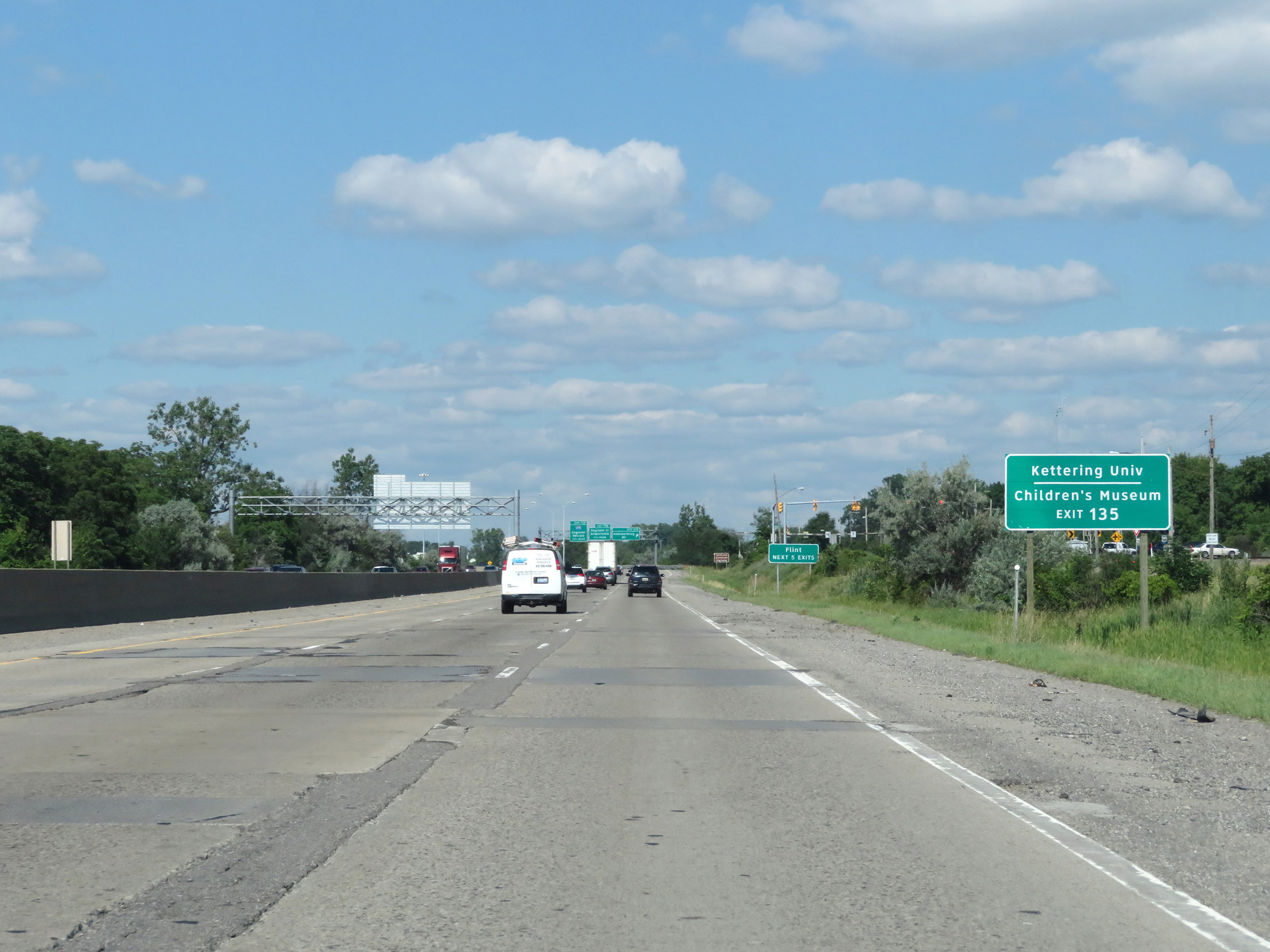 |
Take Exit 135 to Kettering University and the Children's Museum. (Photo taken 7/17/17). |
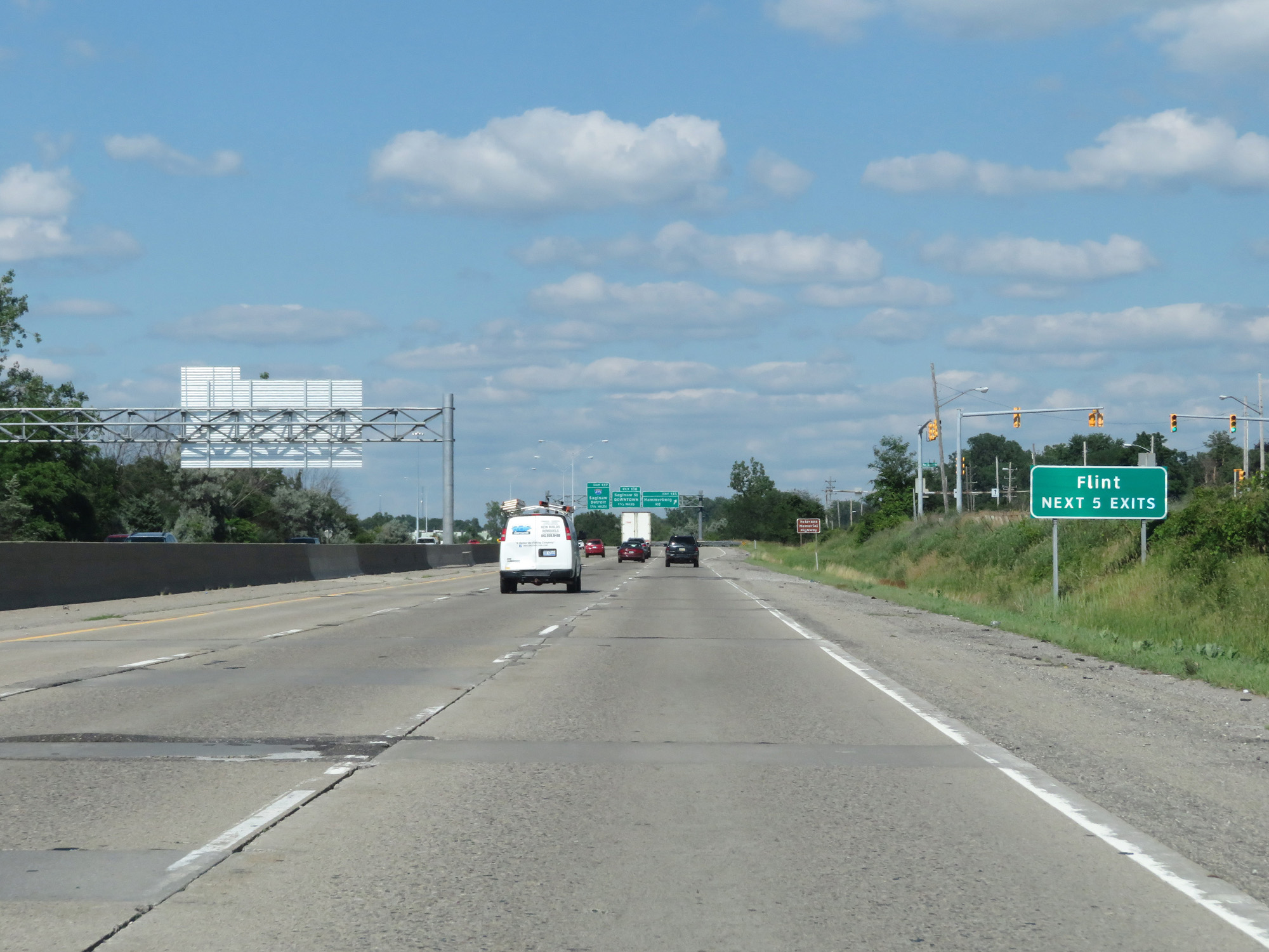 |
Take any of the next 5 exits to Flint. (Photo taken 7/17/17). |
 |
Interstate 69 East at Exit 135: Hammerberg Rd (Photo taken 7/17/17). |
 |
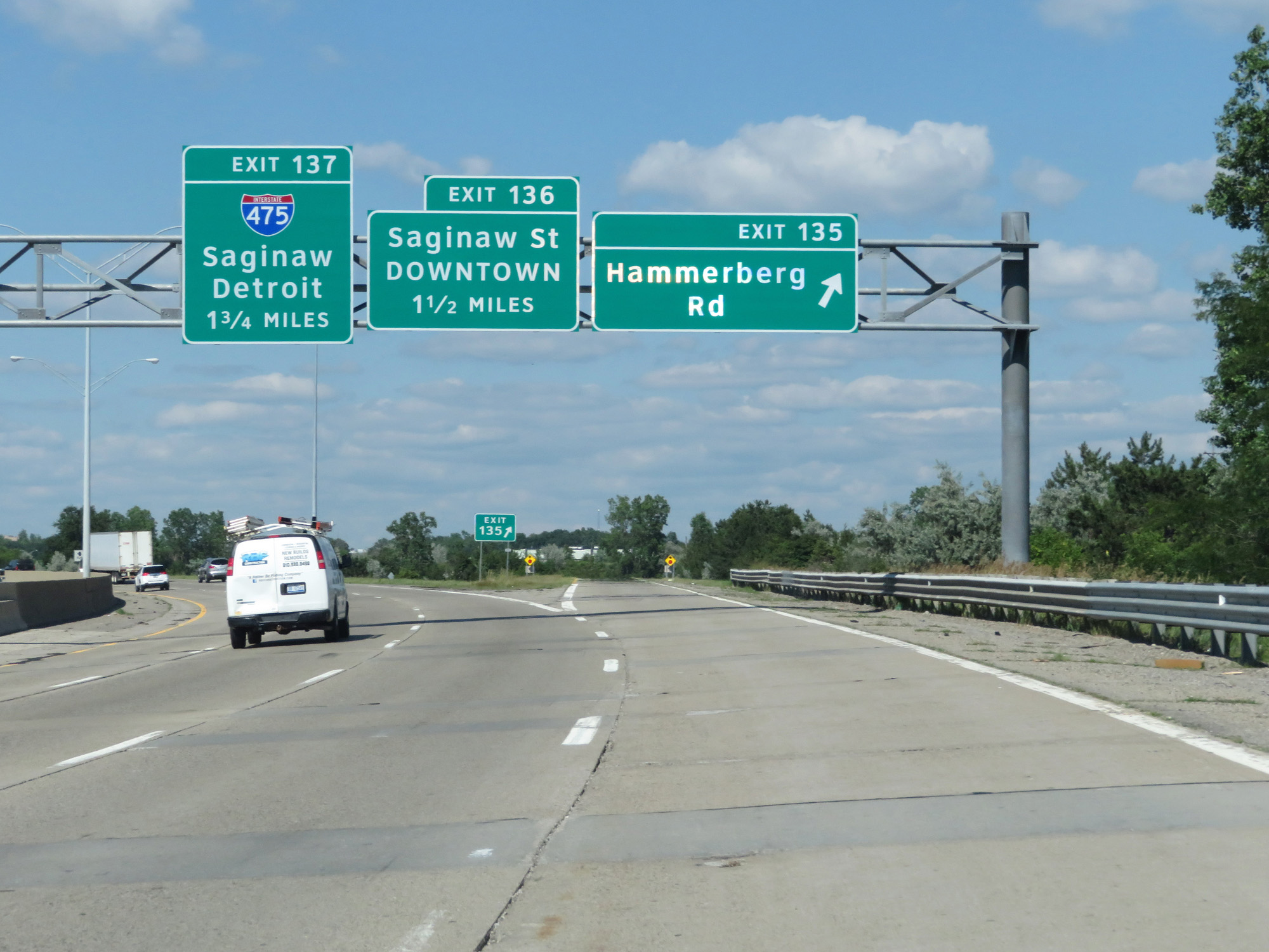
Interstate 69 East approaching Exit 137 - 1 mile. (Photo taken 7/18/17). |
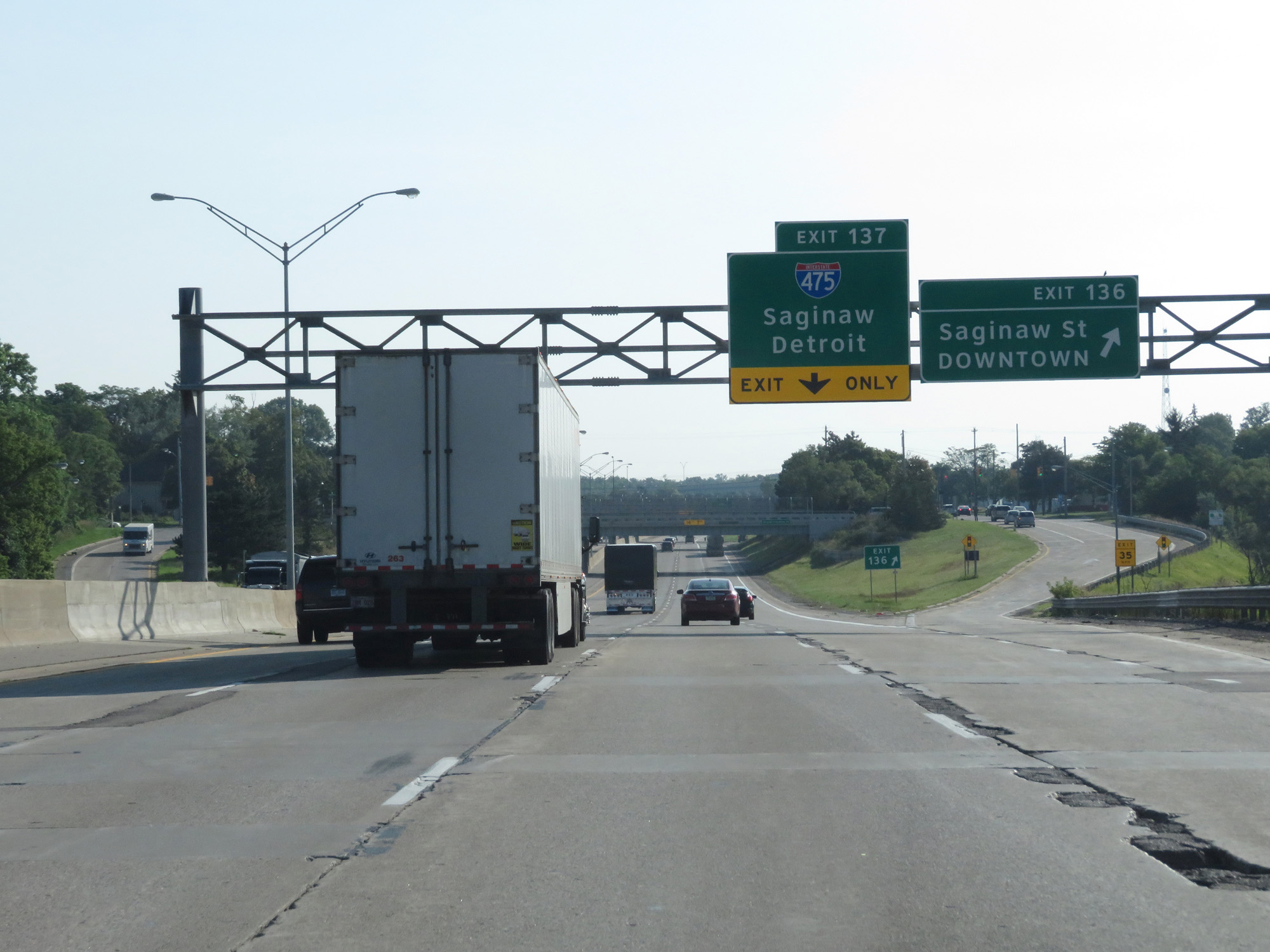 |
Interstate 69 East at Exit 136: Saginaw St / Downtown (Photo taken 7/18/17). |
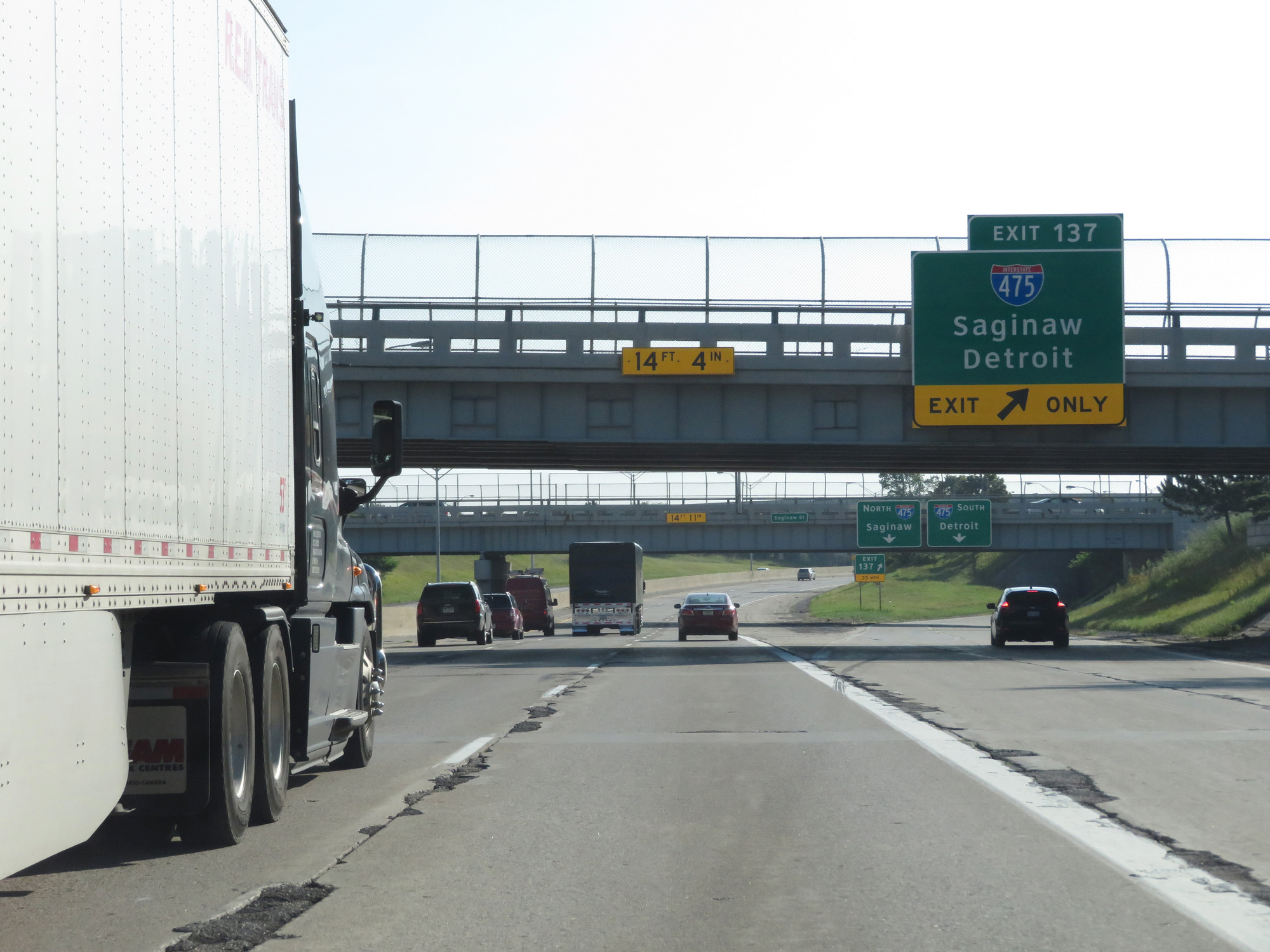 |
Interstate 69 East at Exit 137: Interstate 475 - Saginaw / Detroit (Photo taken 7/18/17). |
Section 3: Flint (Exit 137) to Port Huron
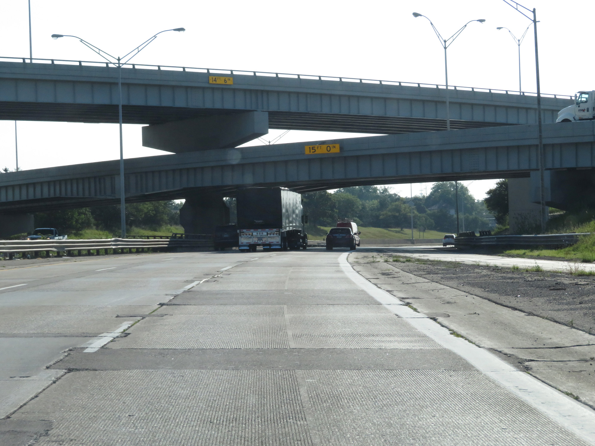 |
Interstate 69 East passing under Interstate 475 and the ramps to and from it. (Photo taken 7/18/17). |
 |
Interstate 69 East at mile marker 137. (Photo taken 7/18/17). |
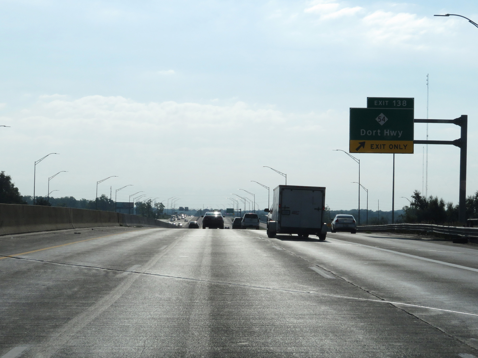 |
Interstate 69 East at Exit 138: M-54 - Dort Hwy (Photo taken 7/18/17). |
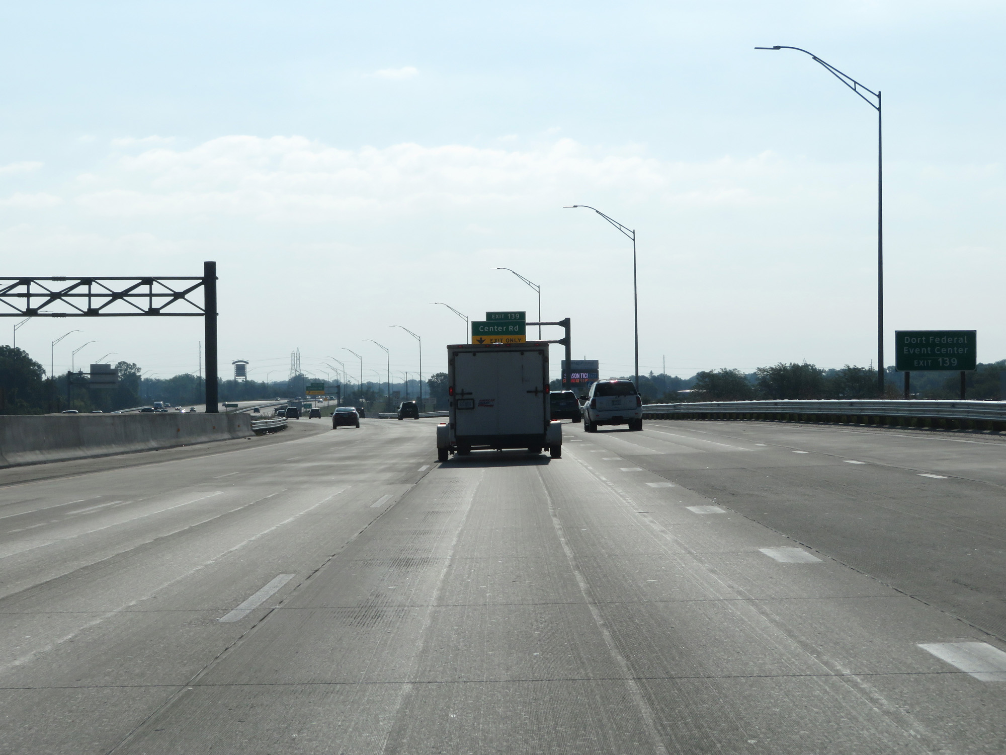 |
Take Exit 139 to Dort Federal Event Center. (Photo taken 7/18/17). |
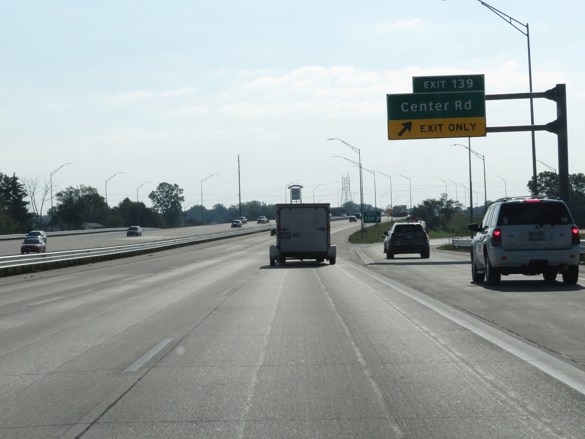 |
Interstate 69 East at Exit 139: Center Rd (Photo taken 7/18/17). |
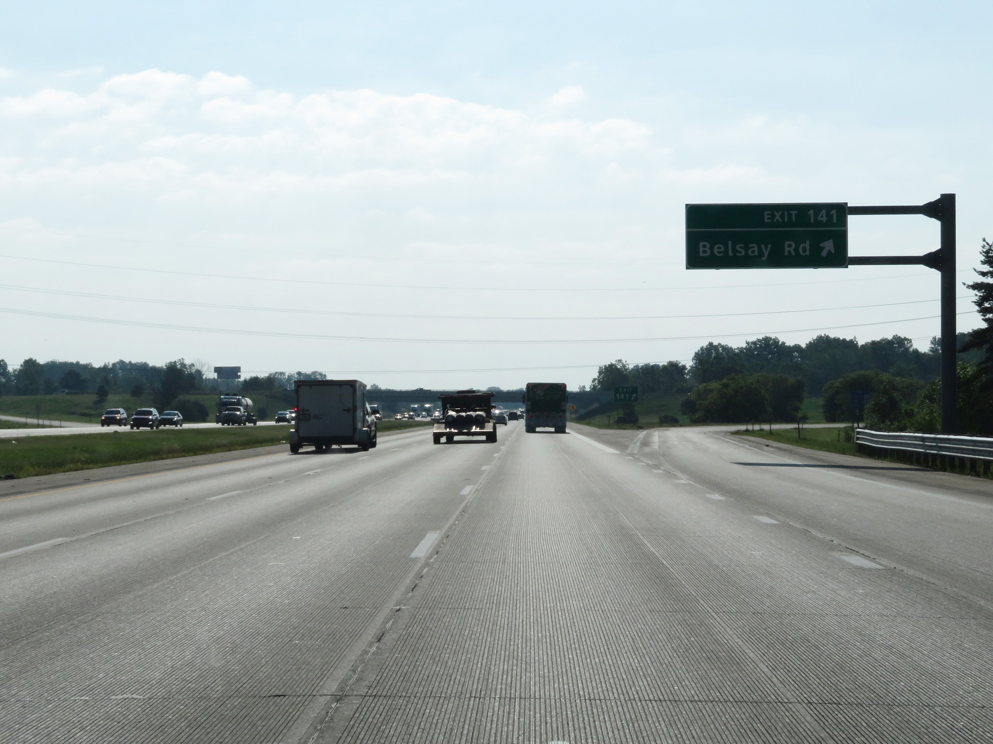 |
Interstate 69 East at Exit 141: Belsay Rd (Photo taken 7/18/17). |
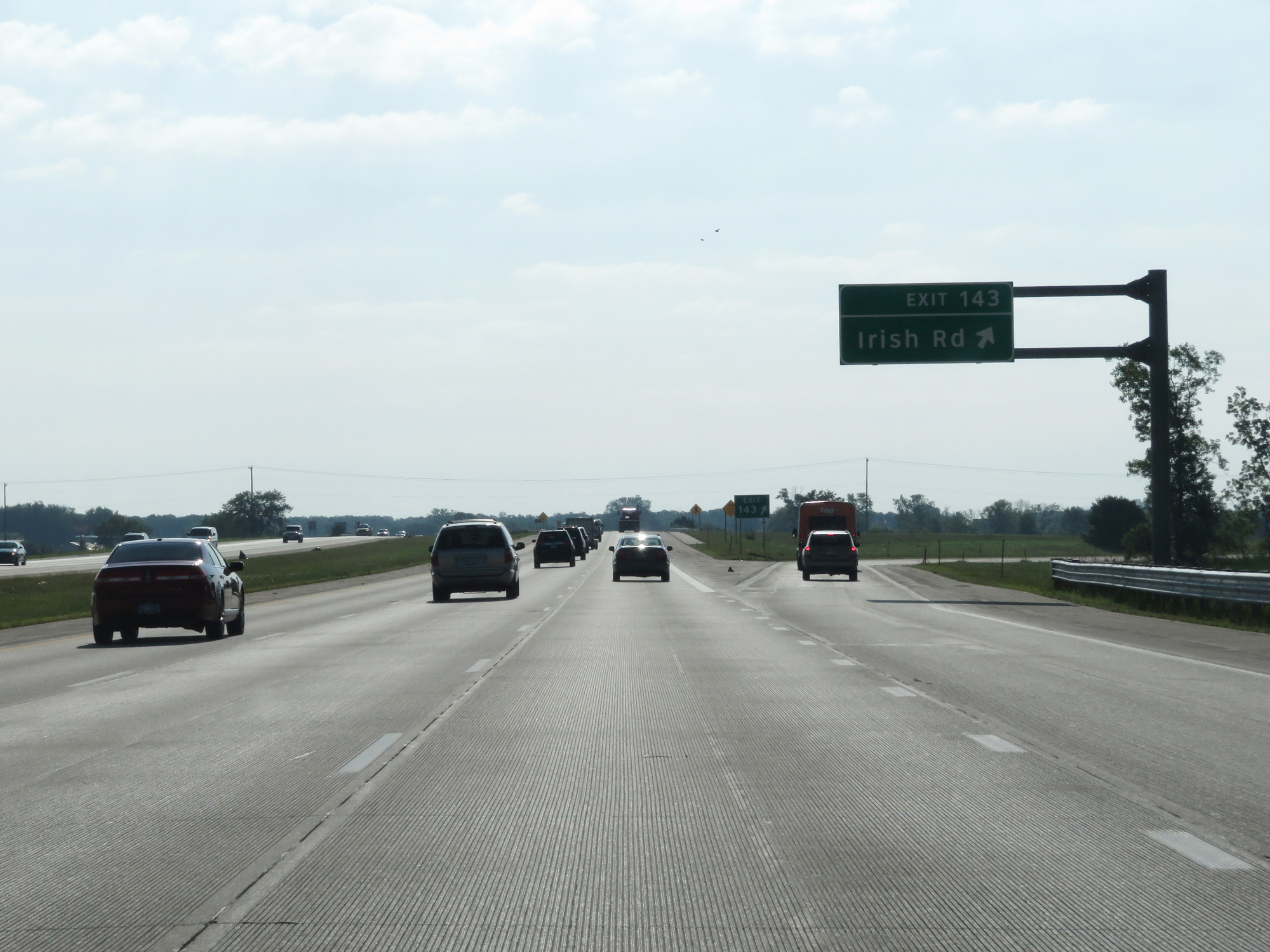 |
Interstate 69 East at Exit 143: Irish Rd (Photo taken 7/18/17). |
 |
Interstate 69 East reassurance shield. (Photo taken 7/18/17). |
 |
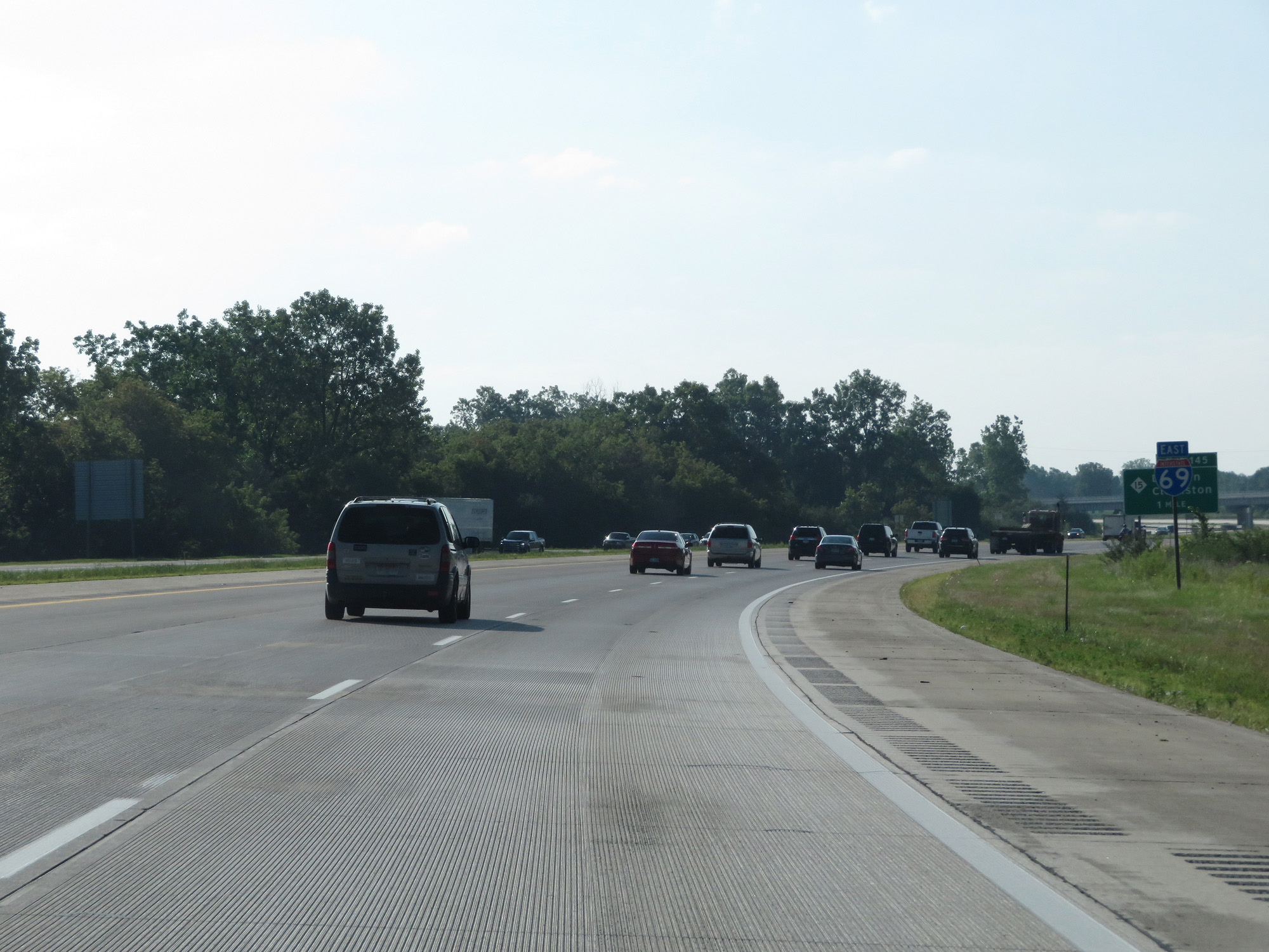
Interstate 69 East at Exit 145: M-15 - Davison / Clarkston (Photo taken 7/18/17). |
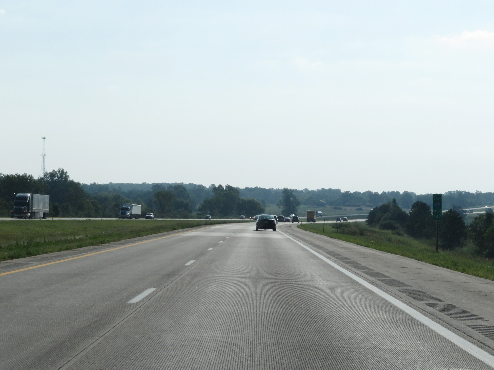 |
Interstate 69 East at mile marker 147. (Photo taken 7/18/17). |
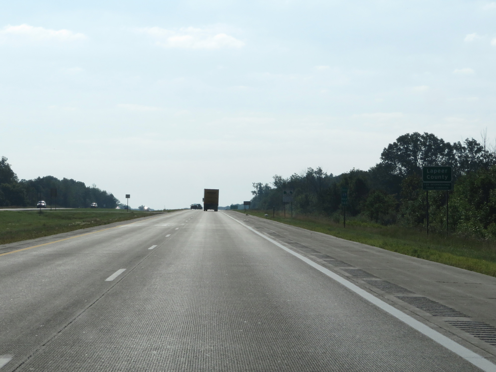 |
Interstate 69 East enters Lapeer County at mile marker 148. (Photo taken 7/18/17). |
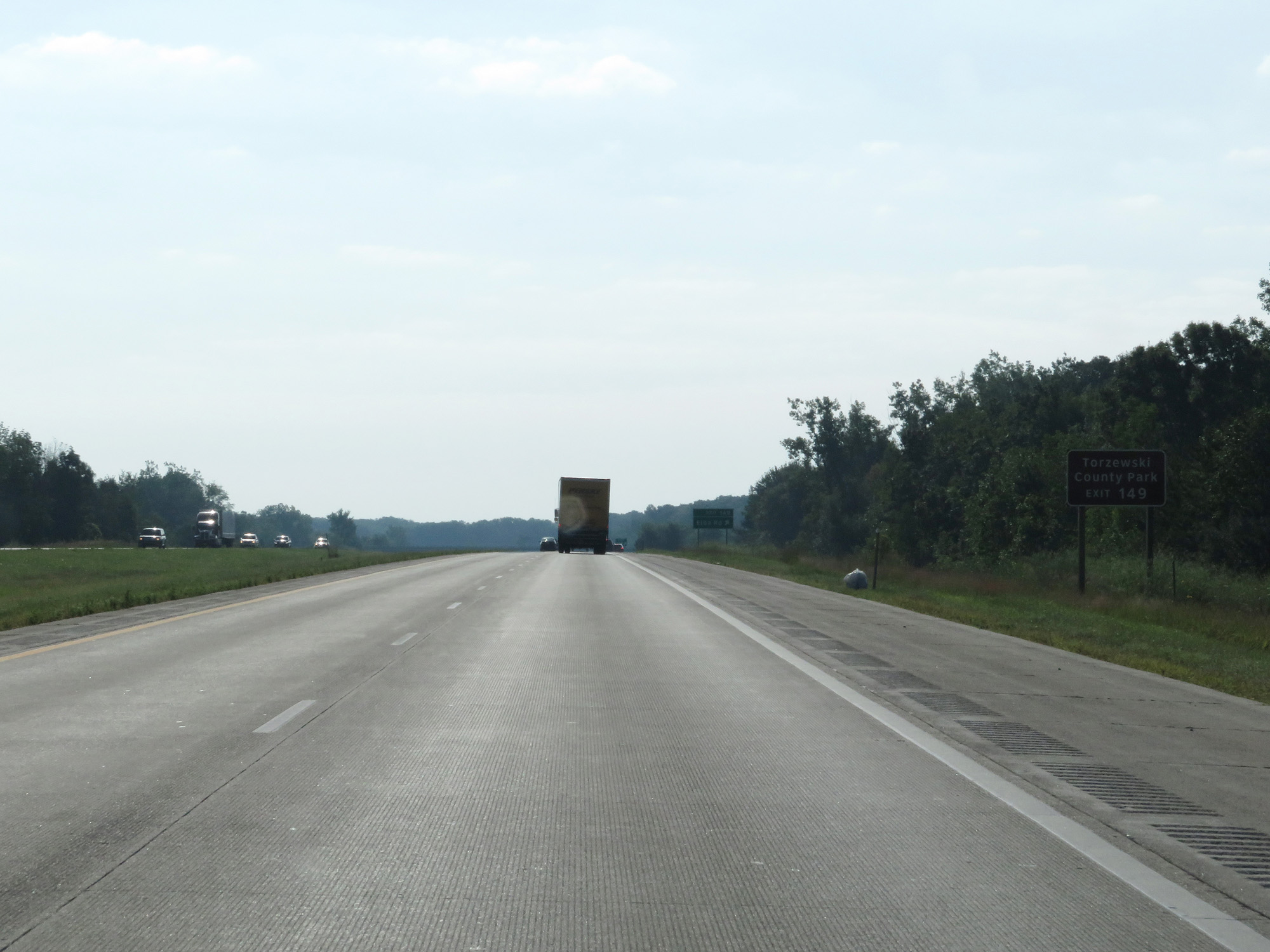 |
Take Exit 149 to Torzewski County Park. (Photo taken 7/18/17). |
 |
Interstate 69 East at Exit 149: Elba Rd (Photo taken 7/18/17). |
 |
East of Exit 149, the speed limit increases to 75 mph for cars once again. It remains 65 mph for trucks. These speed limits remain in effect from here to Interstate 94 in Port Huron. (Photo taken 7/18/17). |
 |
This sign warns motorists to not pickup hitchhikers since it's a prison area. (Photo taken 7/18/17). |
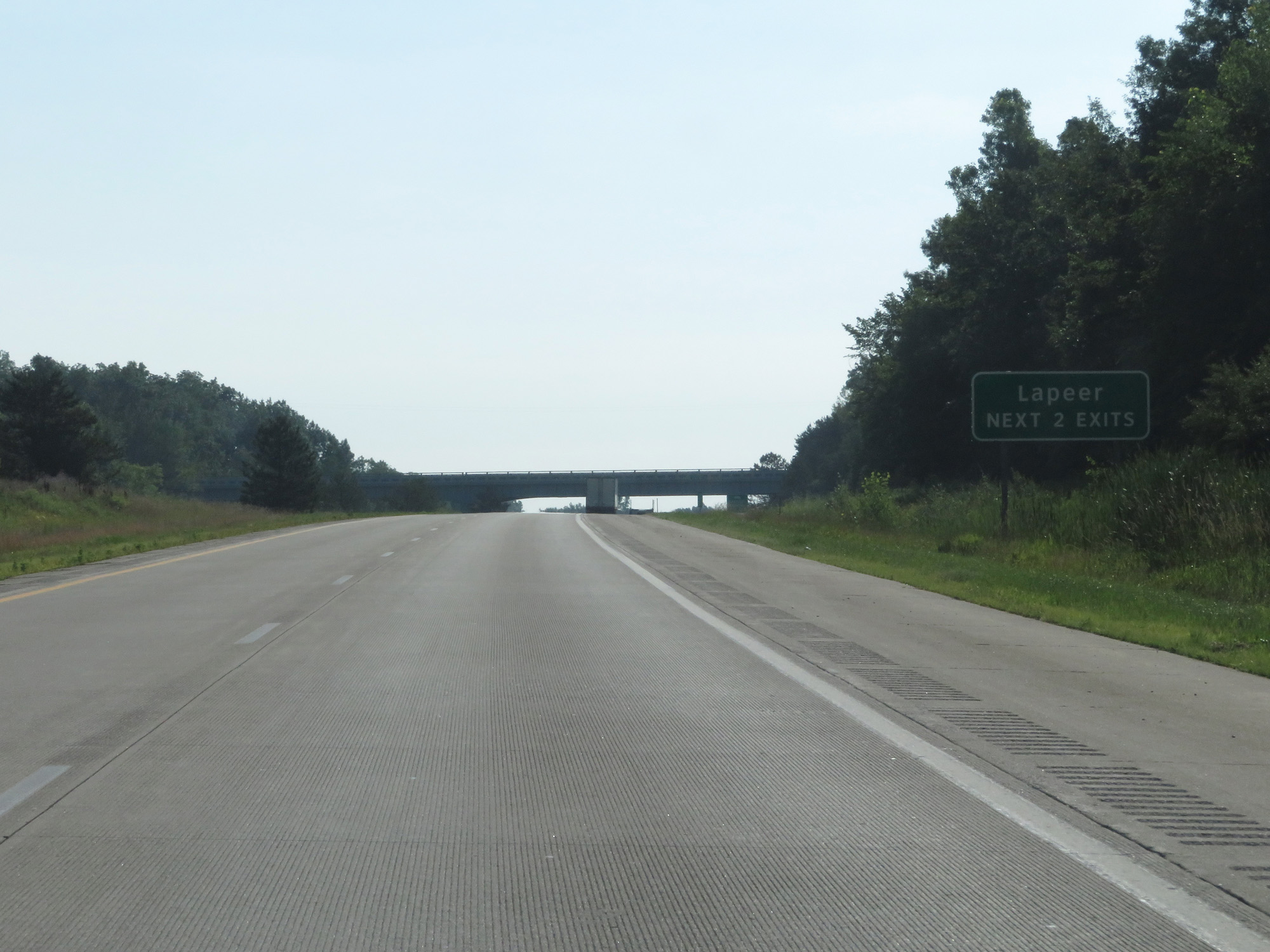 |
Take either of the next 2 exits to Lapeer. (Photo taken 7/18/17). |
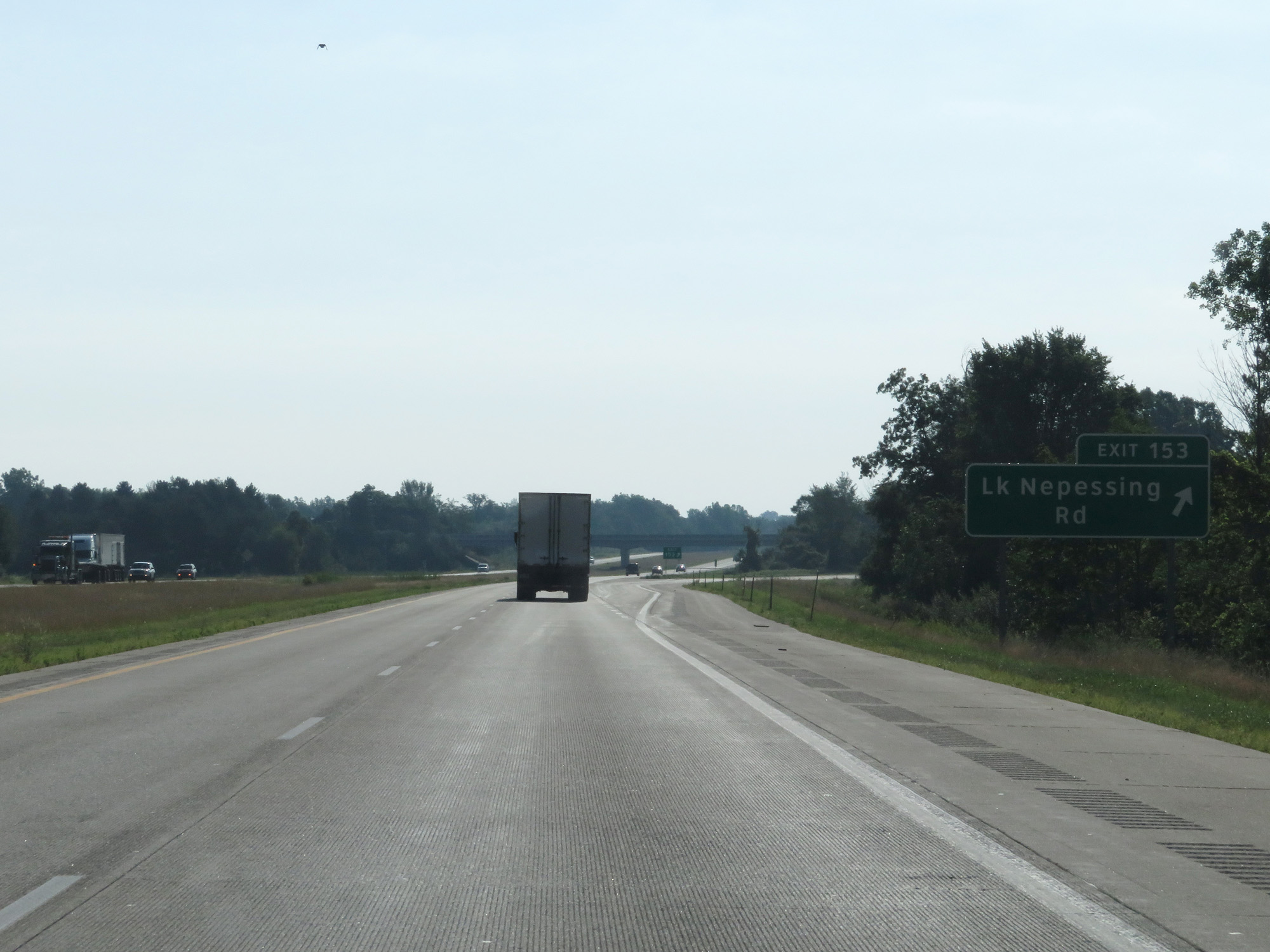 |
Interstate 69 East at Exit 153: Lake Nepessing Rd (Photo taken 7/18/17). |
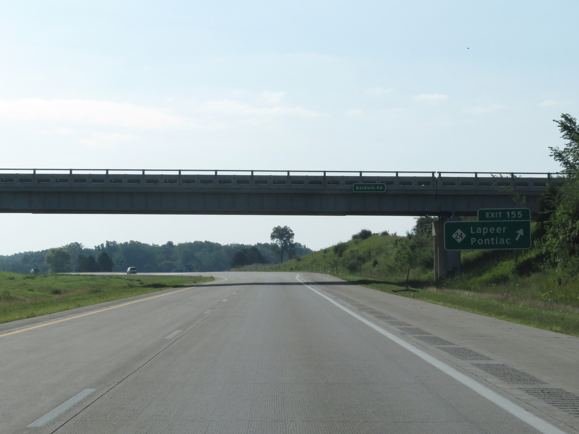 |
Interstate 69 East at Exit 155: M-24 - Lapeer / Pontiac (Photo taken 7/18/17). |
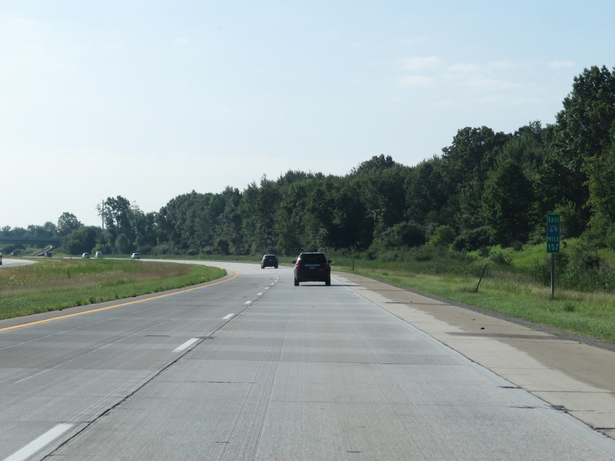 |
Interstate 69 East at mile marker 157. (Photo taken 7/18/17). |
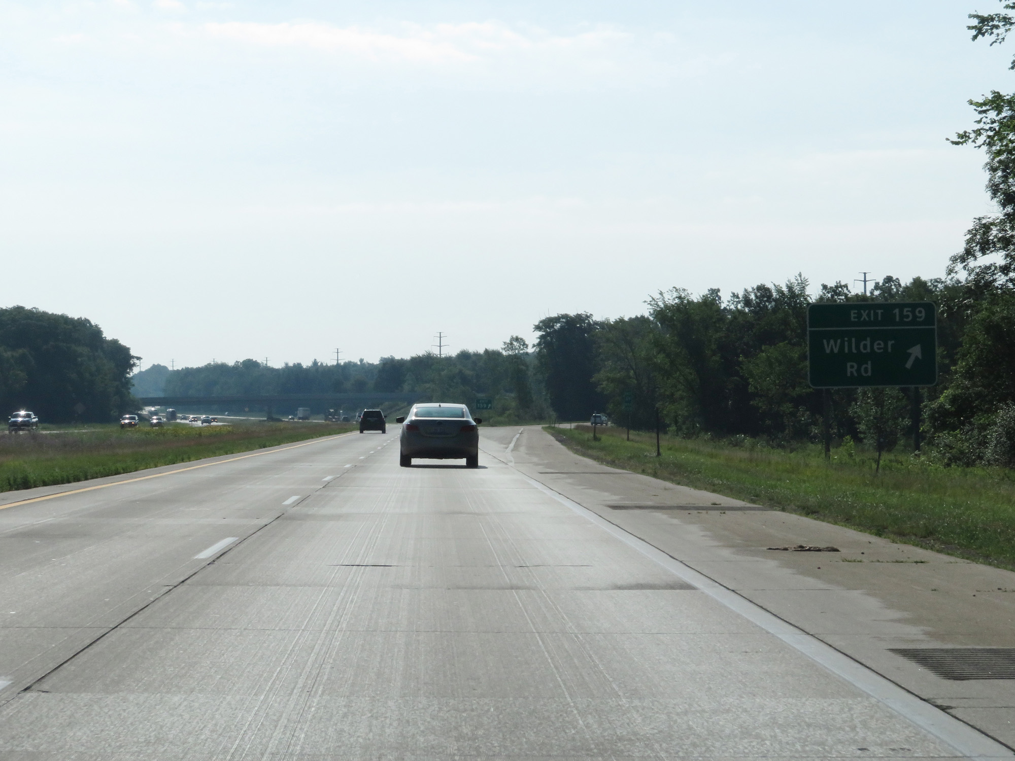 |
Interstate 69 East at Exit 159: Wilder Rd (Photo taken 7/18/17). |
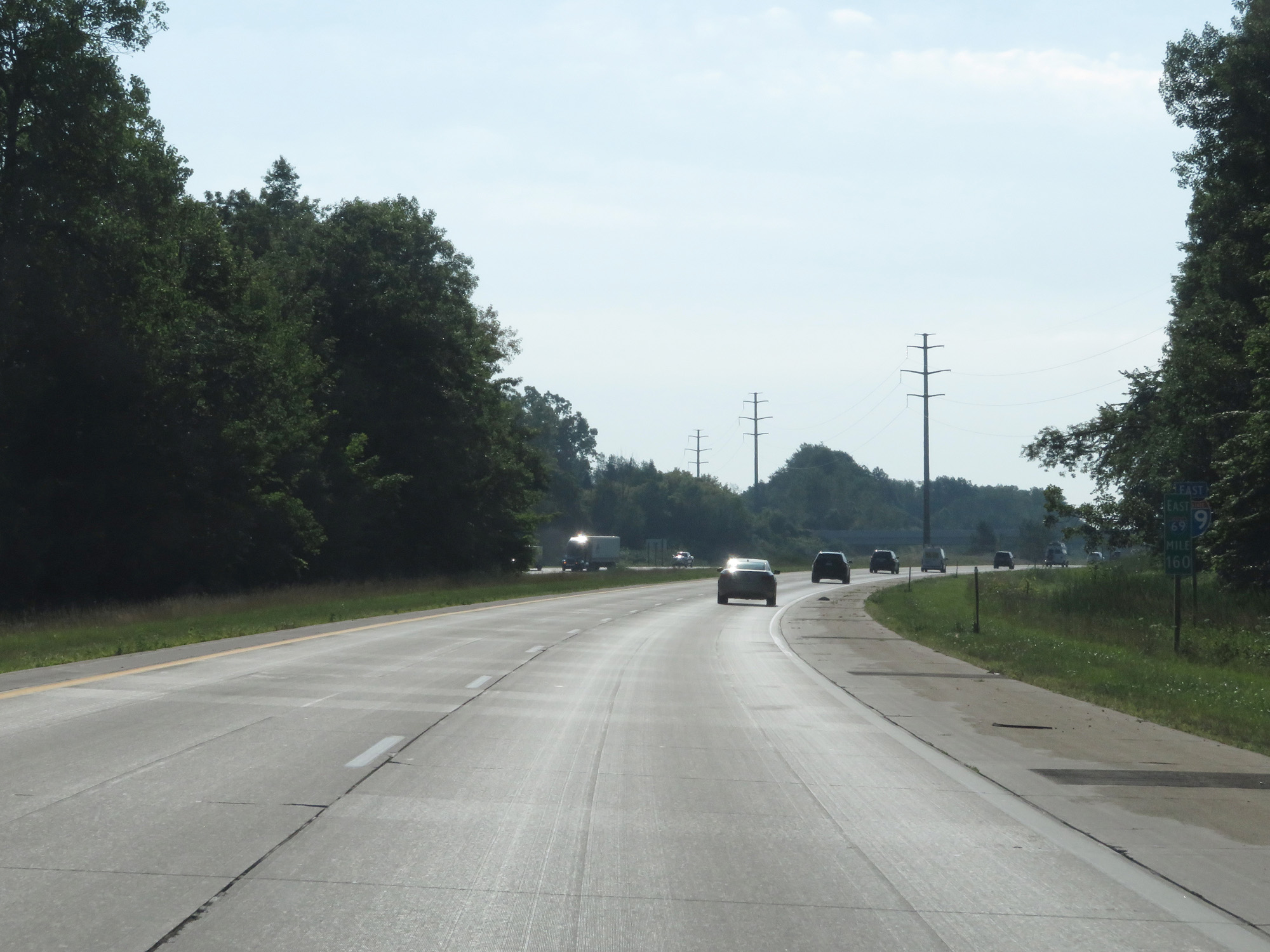 |
Interstate 69 East at mile marker 160. (Photo taken 7/18/17). |
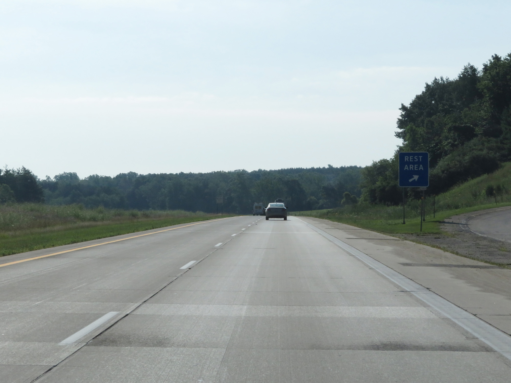 |
Interstate 69 East at the Rest Area in Lapeer County. (Photo taken 7/18/17). |
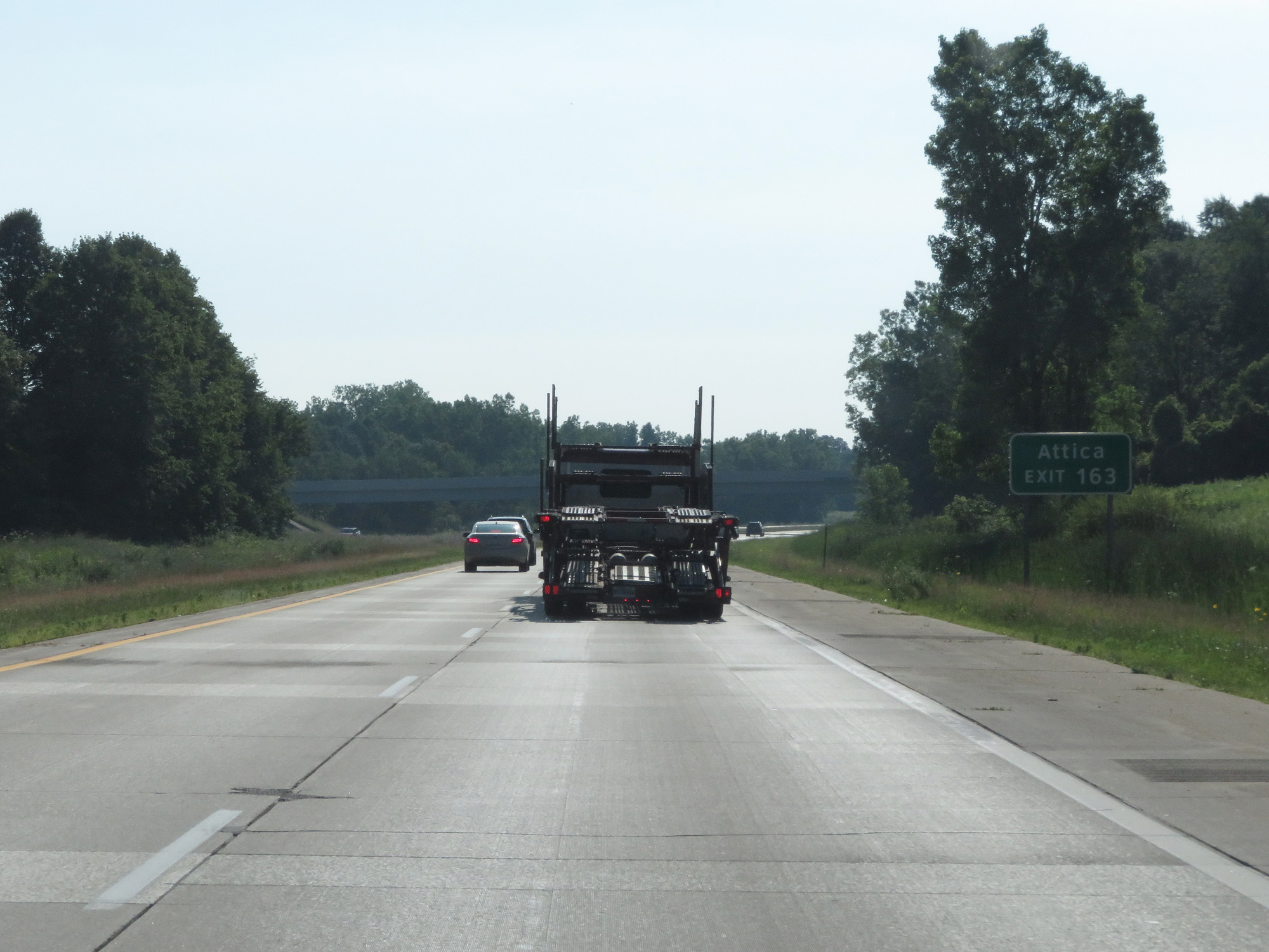 |
Take Exit 163 to Attica. (Photo taken 7/18/17). |
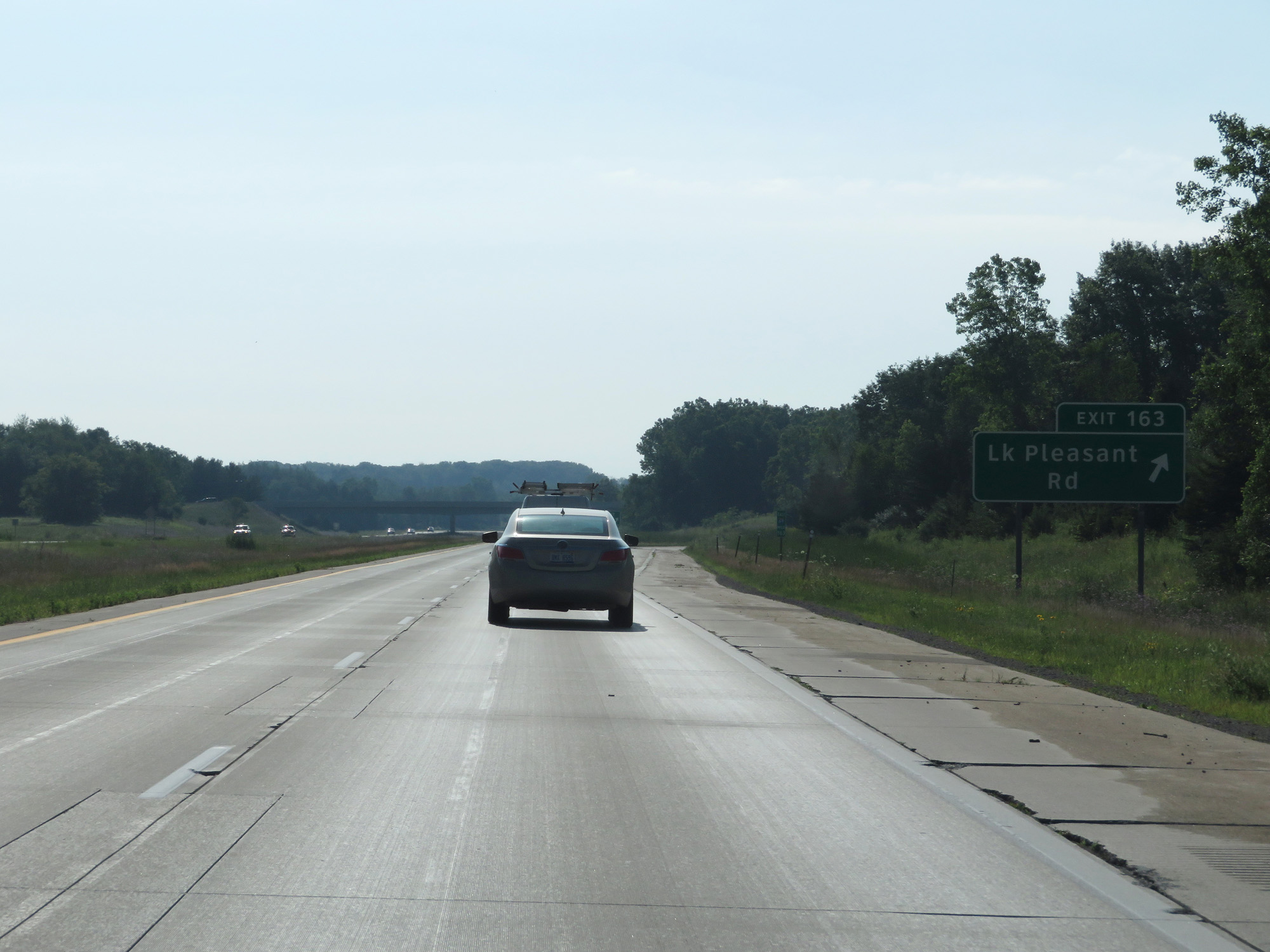 |
Interstate 69 East at Exit 163: Lake Pleasant Rd (Photo taken 7/18/17). |
 |
The speed limits remain 75 mph for cars and 65 mph for trucks. (Photo taken 7/18/17). |
 |
Interstate 69 East at mile marker 165. (Photo taken 7/18/17). |
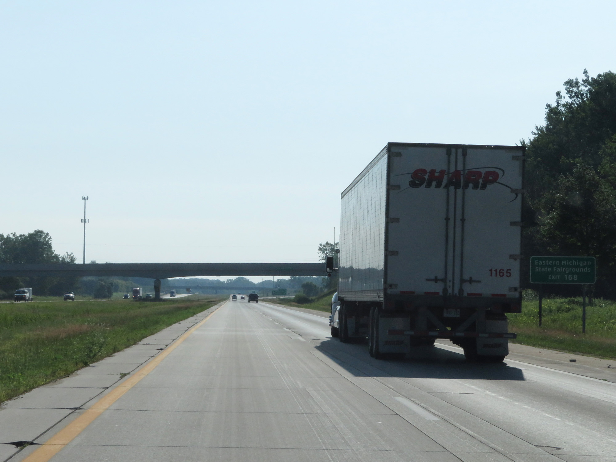 |
Take Exit 168 to Eastern Michigan State Fairgrounds. (Photo taken 7/18/17). |
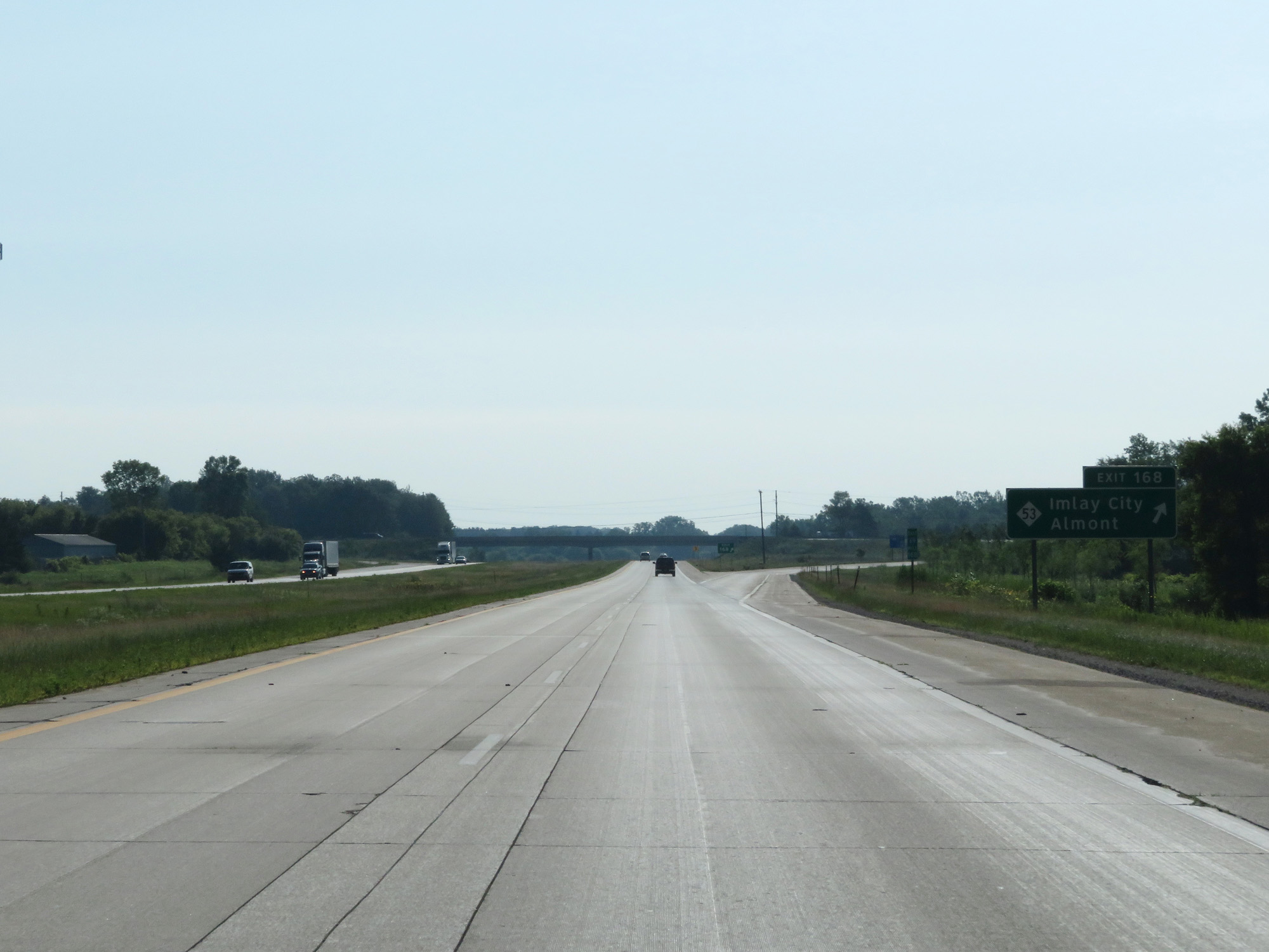 |
Interstate 69 East at Exit 168: M-53 - Imlay City / Almont (Photo taken 7/18/17). |
 |
Interstate 69 East at mile marker 171. (Photo taken 7/18/17). |
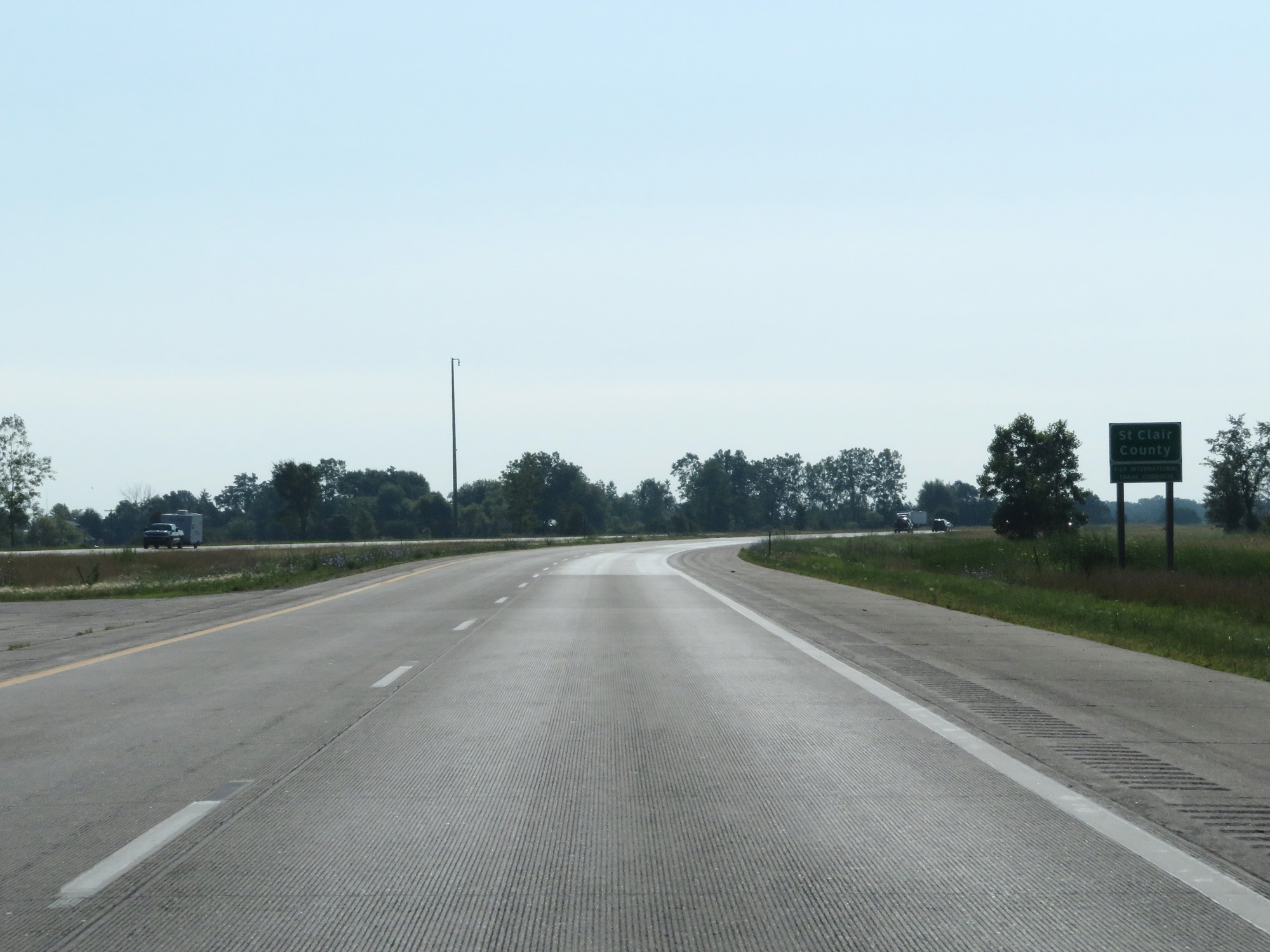 |
Interstate 69 East entering St Clair County. (Photo taken 7/18/17). |
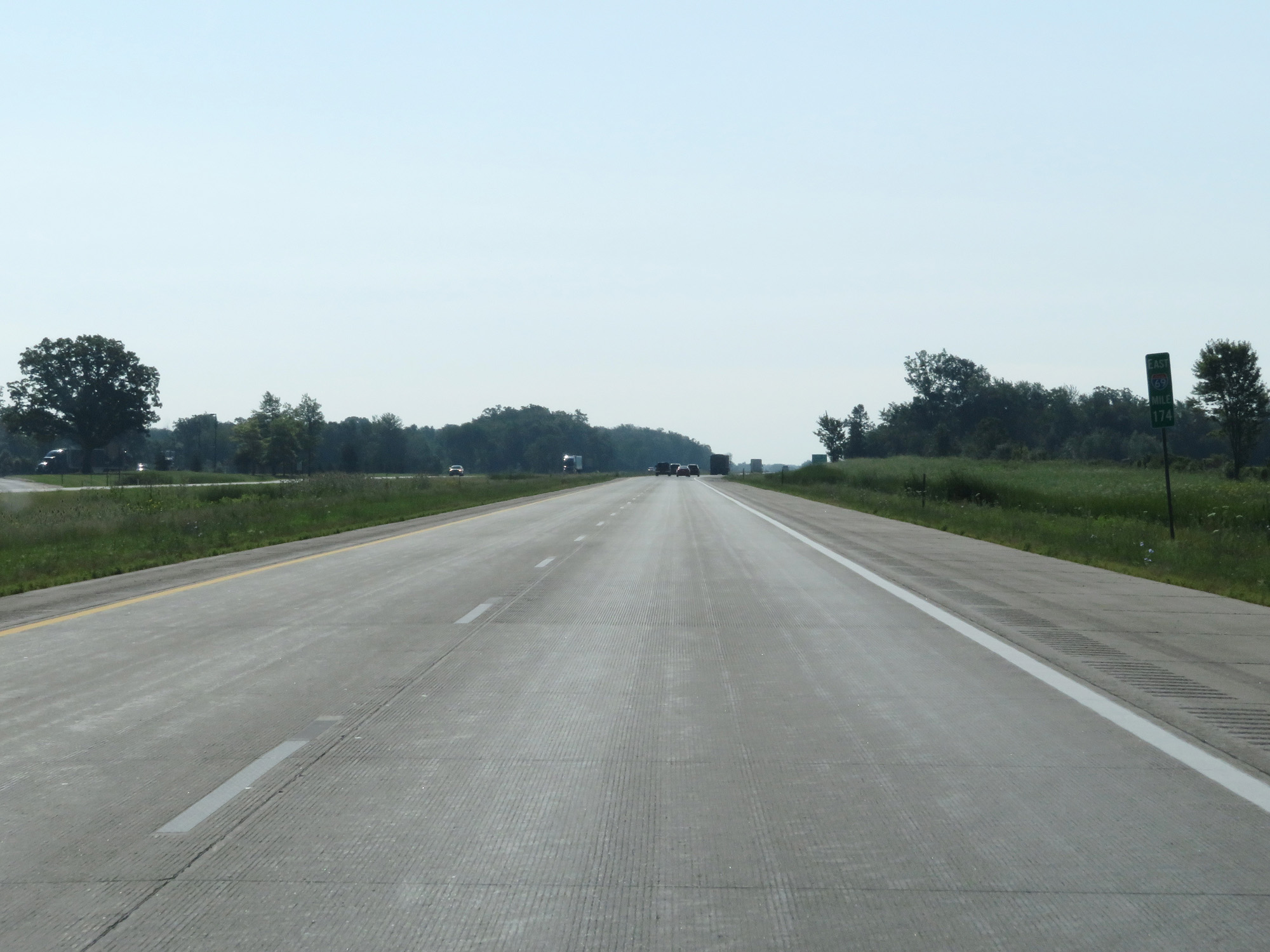 |
Interstate 69 East at mile marker 174. (Photo taken 7/18/17). |
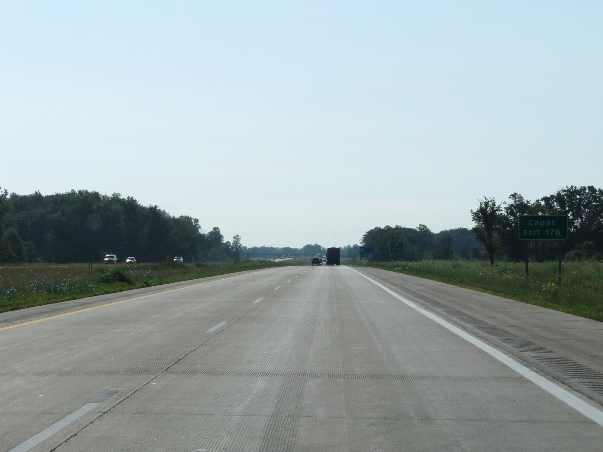 |
Take Exit 176 to Capac. (Photo taken 7/18/17). |
 |
Interstate 69 East at Exit 176: Capac Rd (Photo taken 7/18/17). |
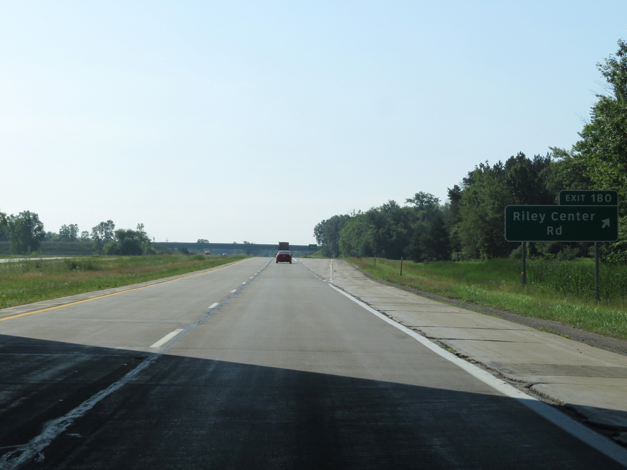 |
Interstate 69 East at Exit 180: Riley Center Rd (Photo taken 7/18/17). |
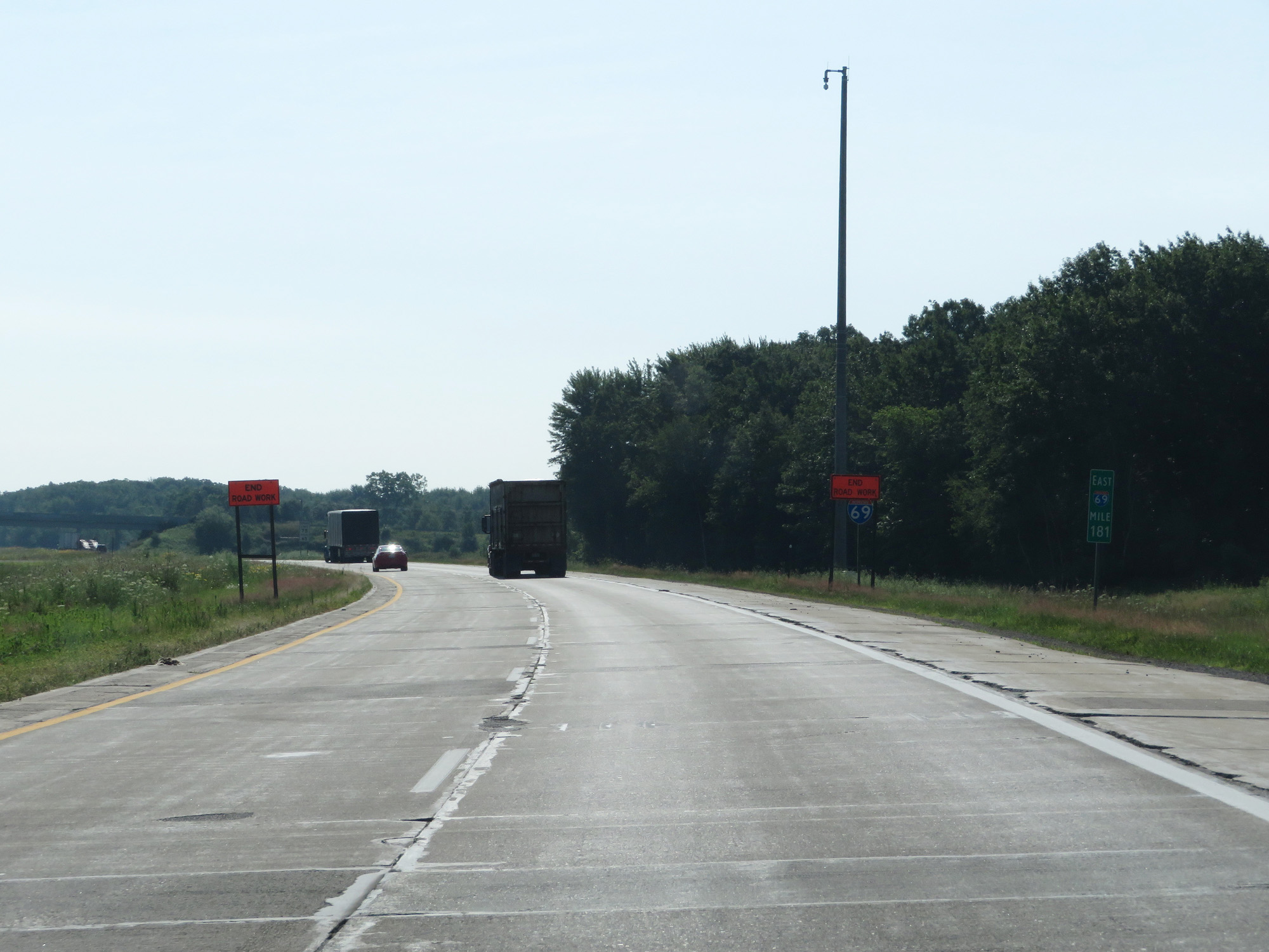 |
Interstate 69 East at mile marker 181. (Photo taken 7/18/17). |
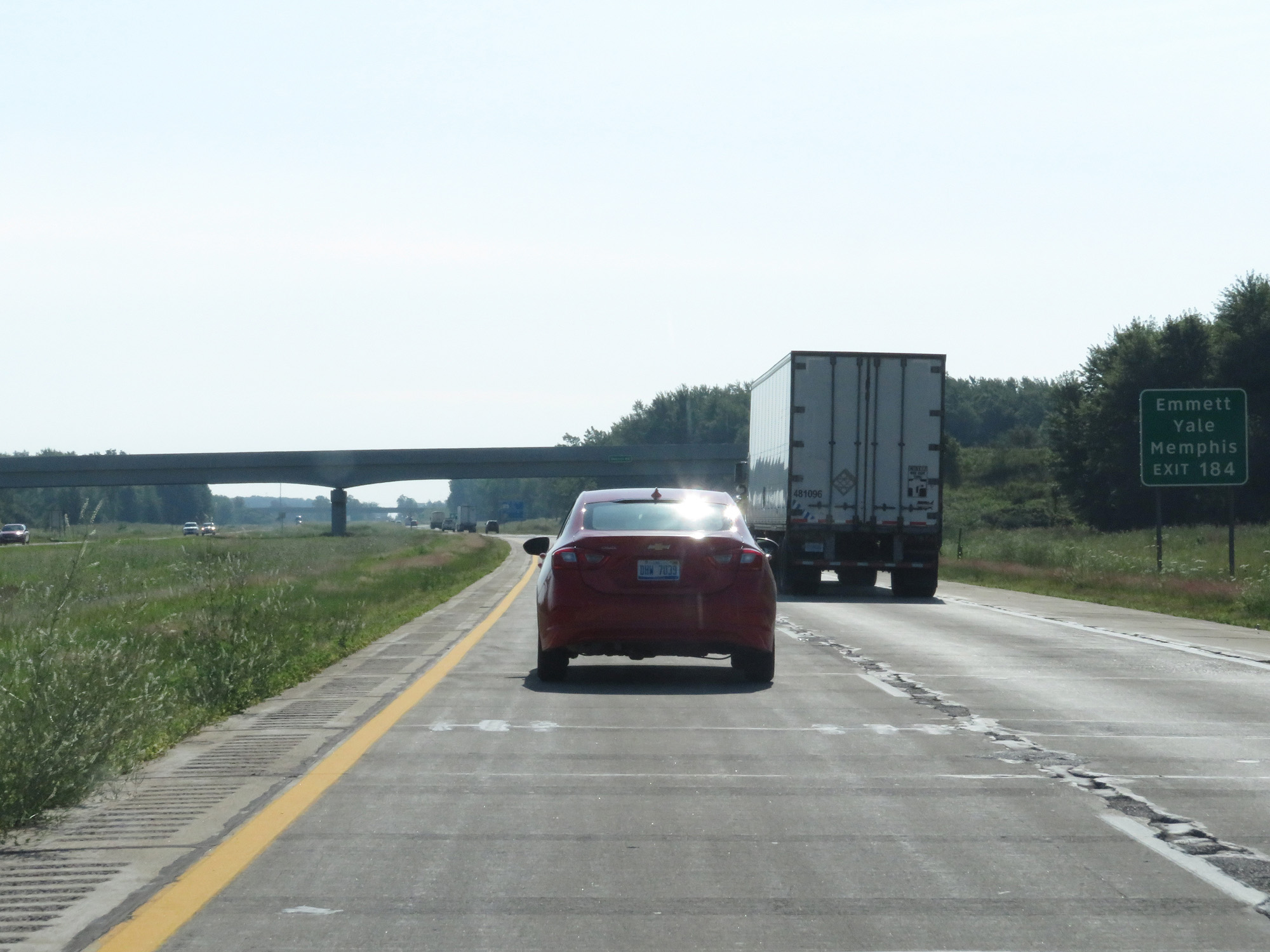 |
Take Exit 184 to Emmett, Yale, and Memphis. (Photo taken 7/18/17). |
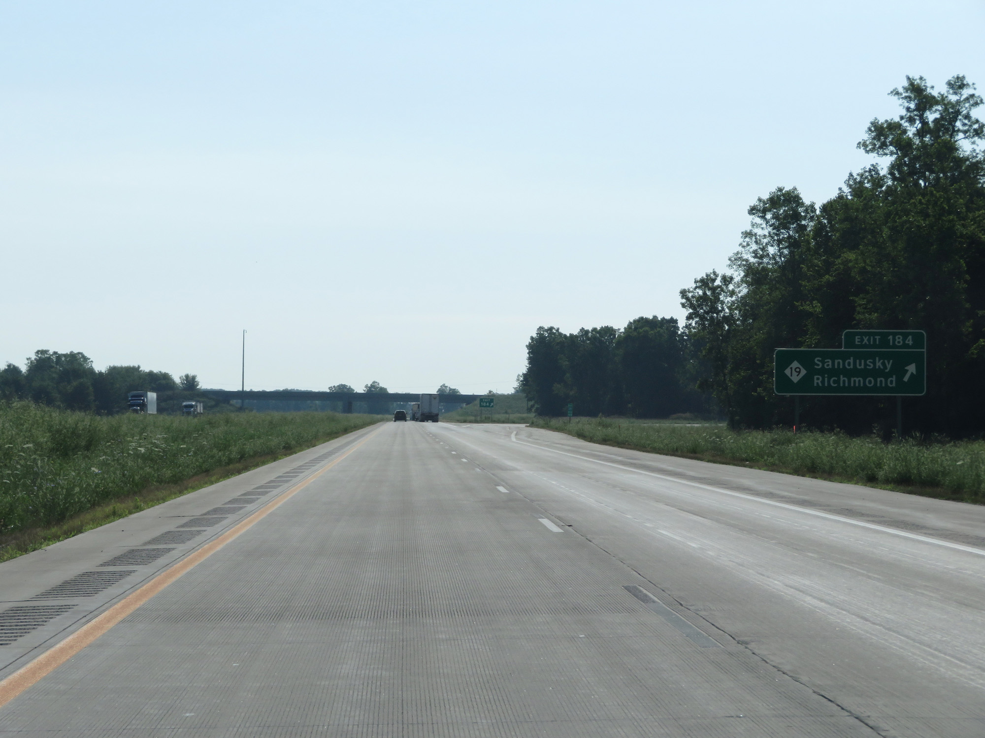 |
Interstate 69 East at Exit 184: M-19 - Sandusky / Richmond (Photo taken 7/18/17). |
 |
Interstate 69 East reassurance shield. (Photo taken 7/18/17). |
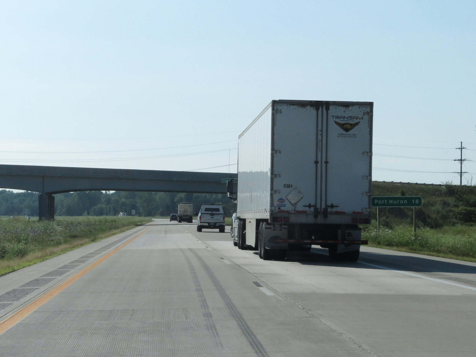 |
Port Huron is now 18 miles ahead. (Photo taken 7/18/17). |
 |
Interstate 69 East at mile marker 187. (Photo taken 7/18/17). |
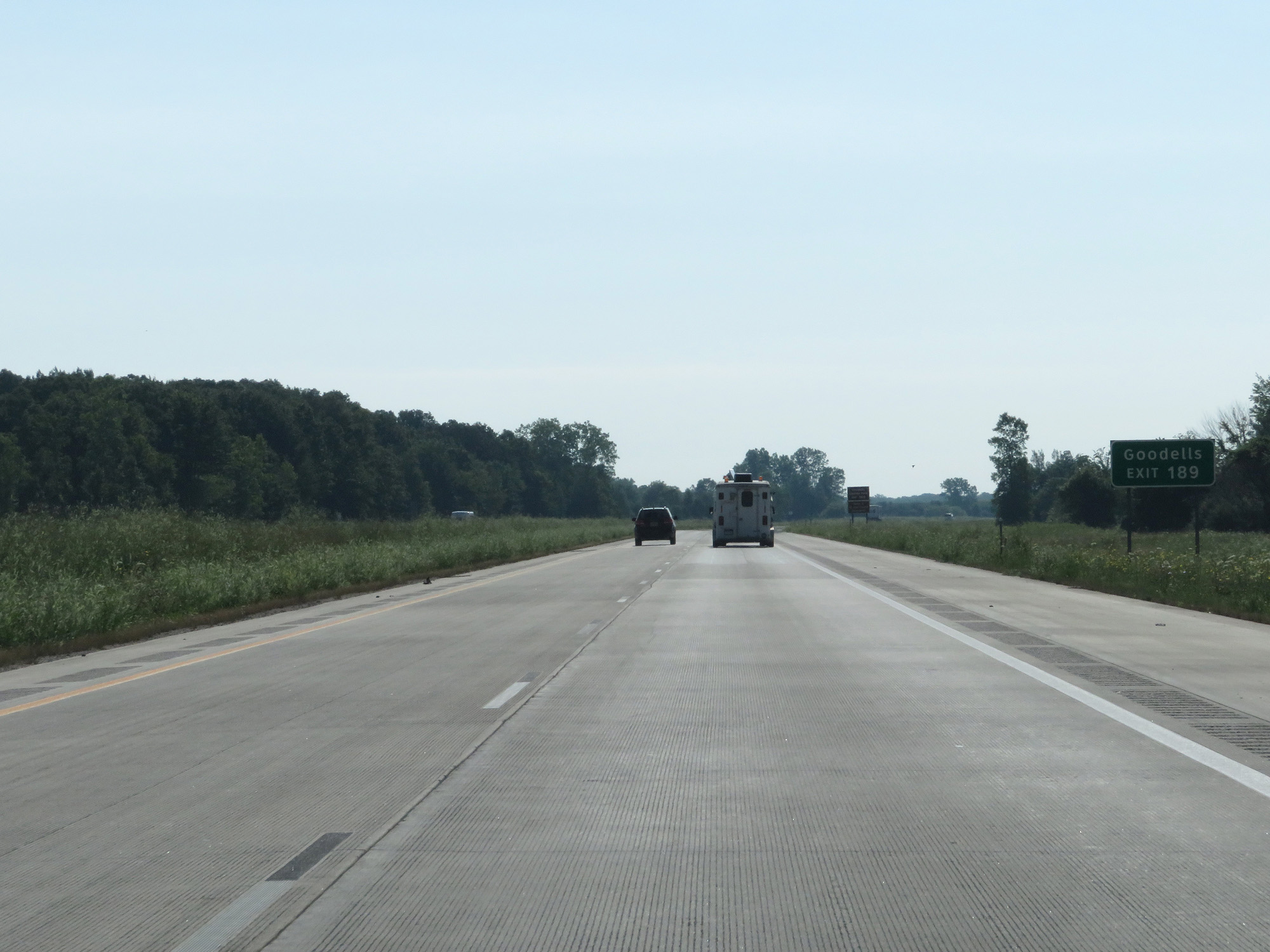 |
Take Exit 189 to Goodells. (Photo taken 7/18/17). |
 |
Also take Exit 189 to Goodells County Park. (Photo taken 7/18/17). |
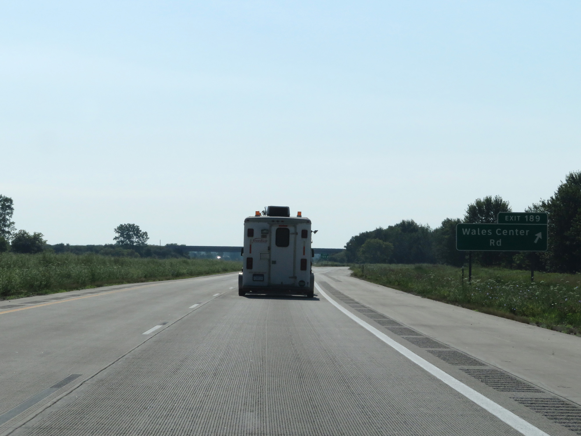 |
Interstate 69 East at Exit 189: Wales Center Rd (Photo taken 7/18/17). |
 |
Interstate 69 East at mile marker 191. (Photo taken 7/18/17). |
 |
Interstate 69 East at mile marker 193. (Photo taken 7/18/17). |
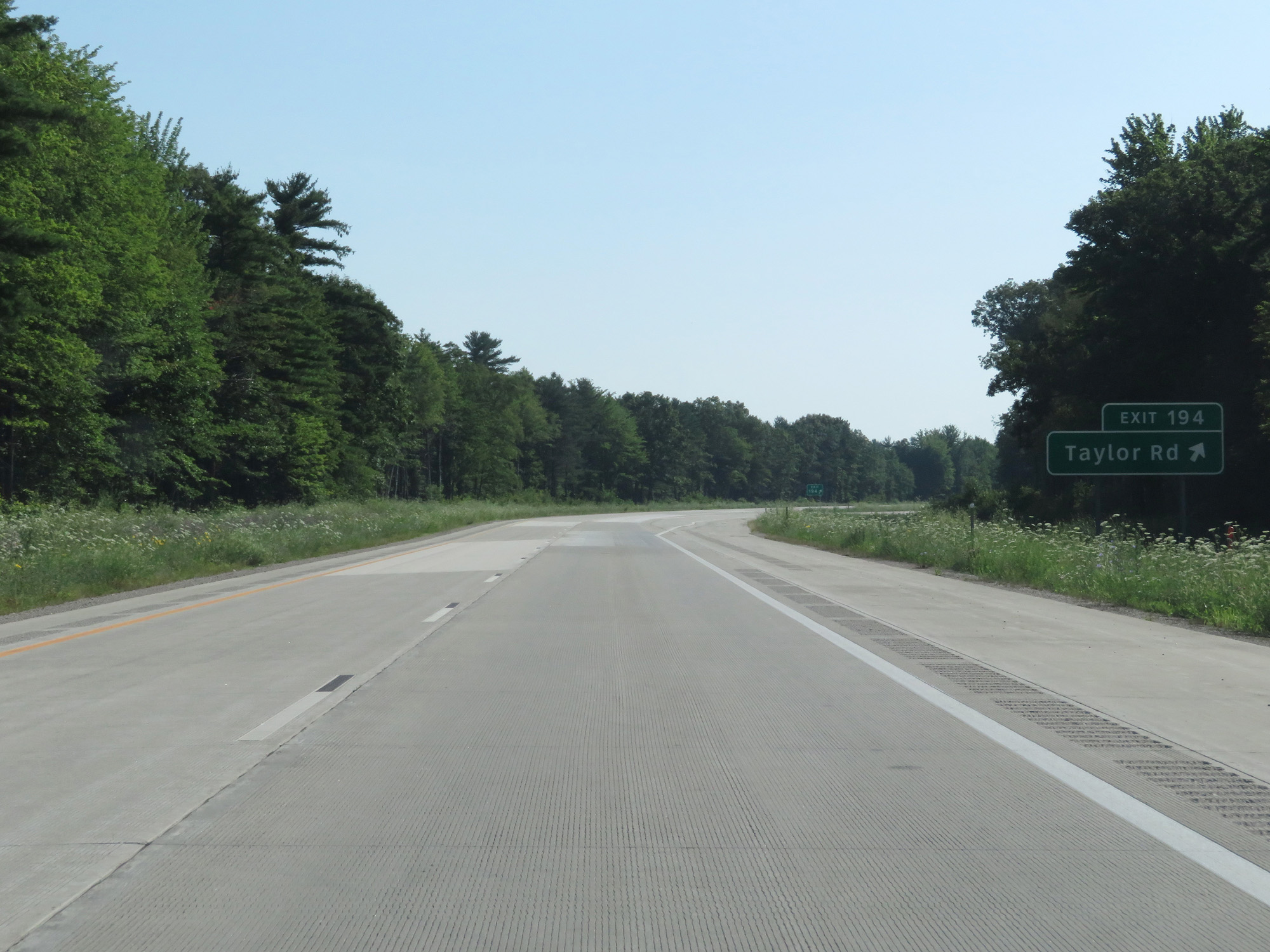 |
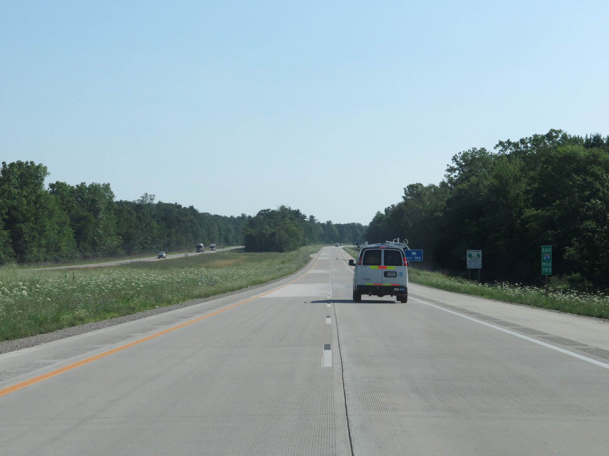
Interstate 69 East at Exit 194: Taylor Rd (Photo taken 7/18/17). |
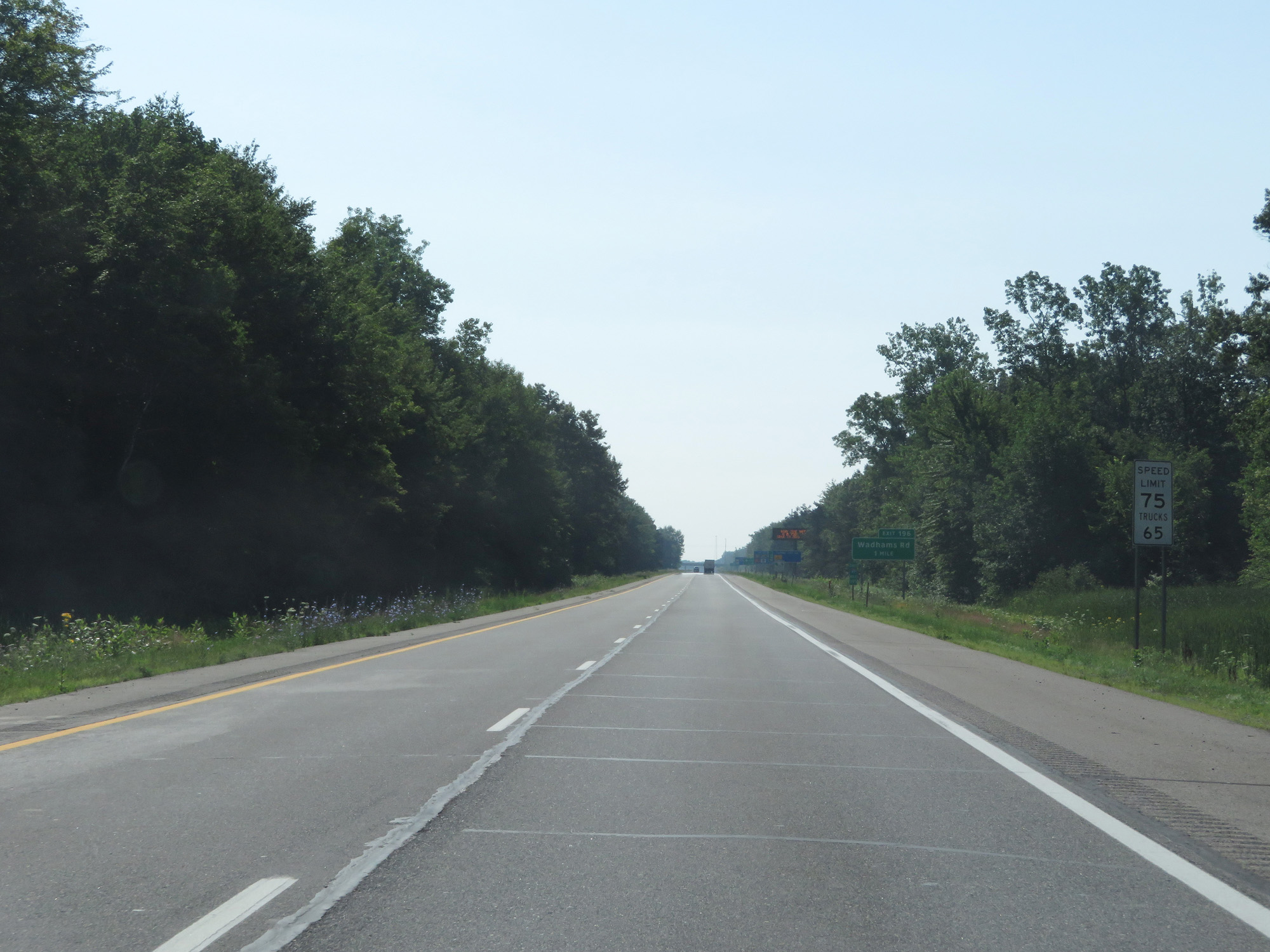 |
Speed Limits - 75 mph for cars, 65 mph for trucks. (Photo taken 7/18/17). |
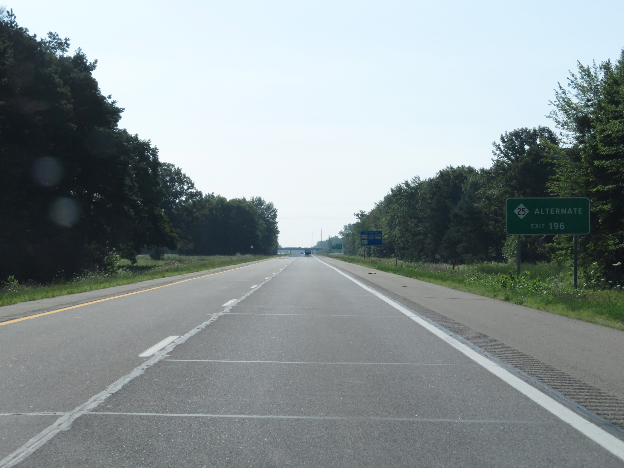 |
Take Exit 196 to M-25 Alternate. (Photo taken 7/18/17). |
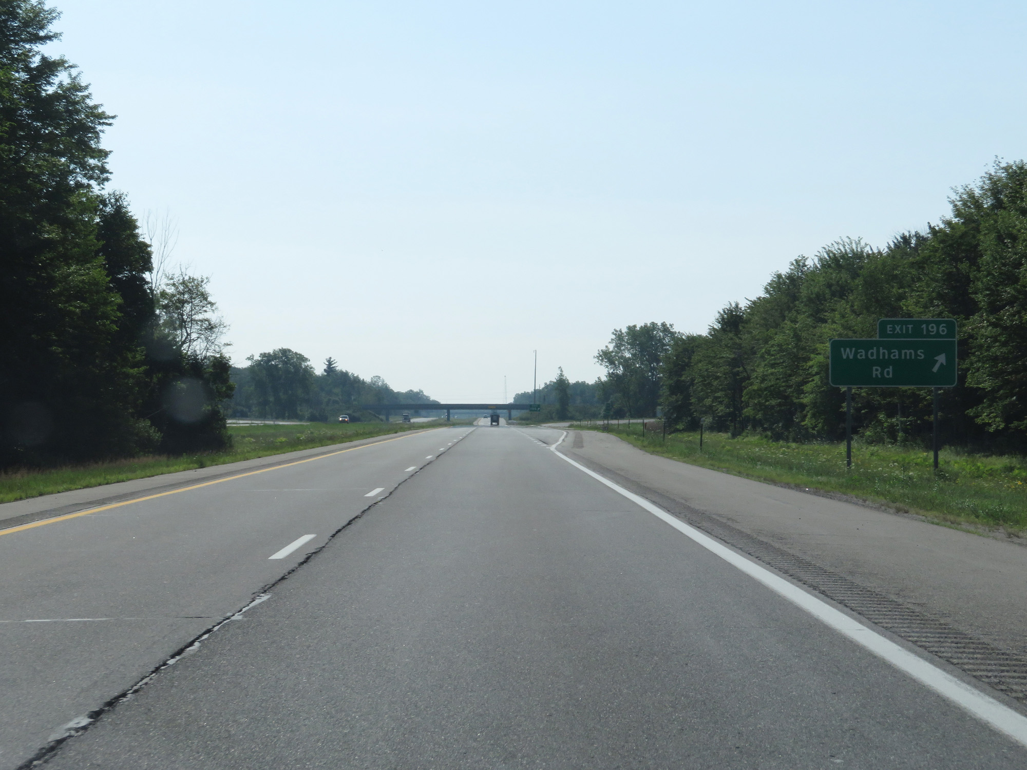 |
Interstate 69 East at Exit 196: Wadhams Rd (Photo taken 7/18/17). |
 |
Interstate 69 East approaching Exit 198 - 1 1/4 miles. (Photo taken 7/18/17). |
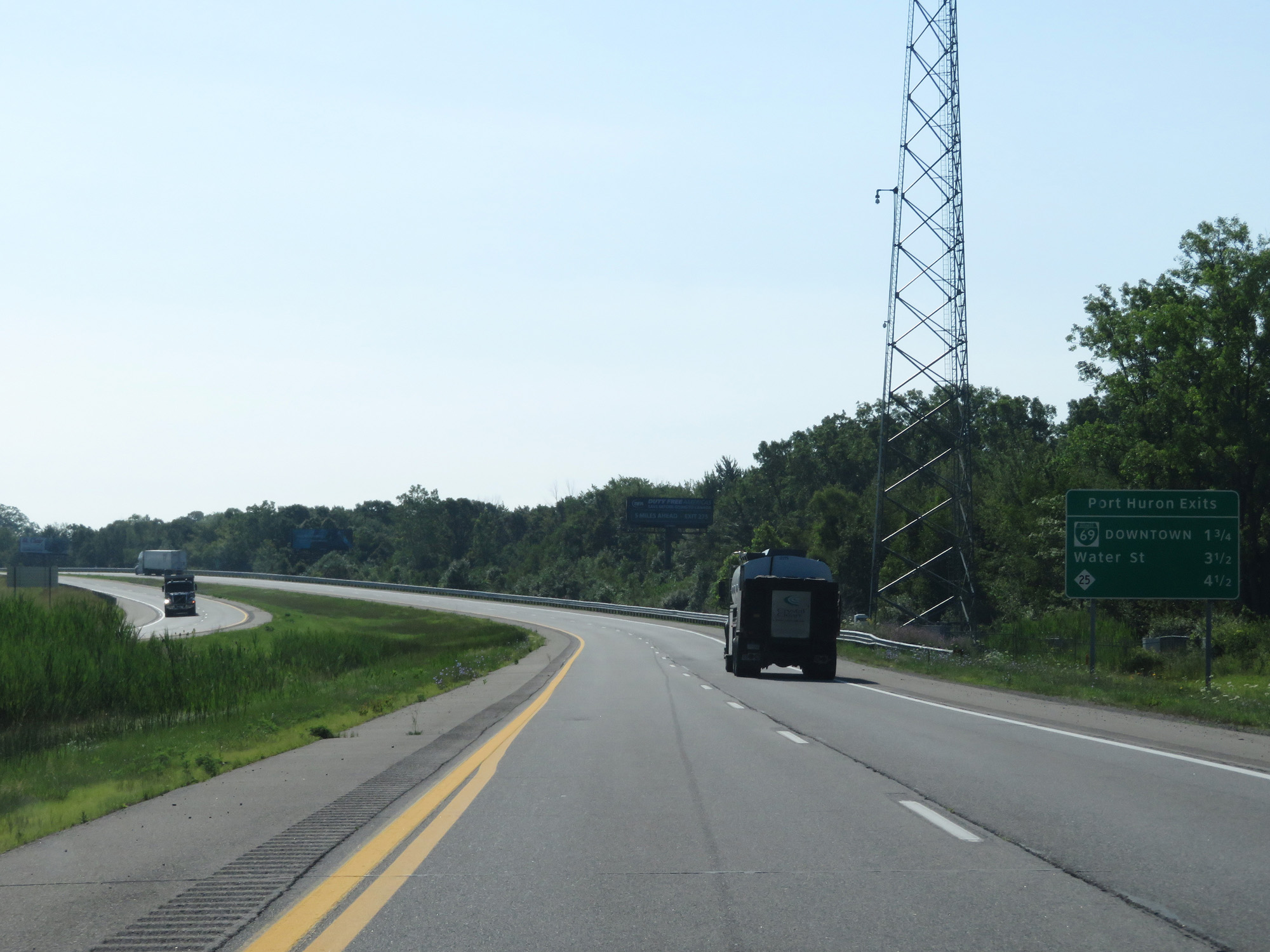 |
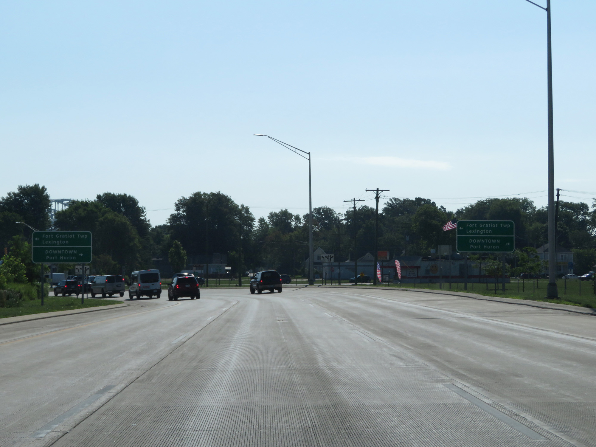
Sign listing the distances to the three upcoming exits to Port Huron. (Photo taken 7/18/17). |
 |
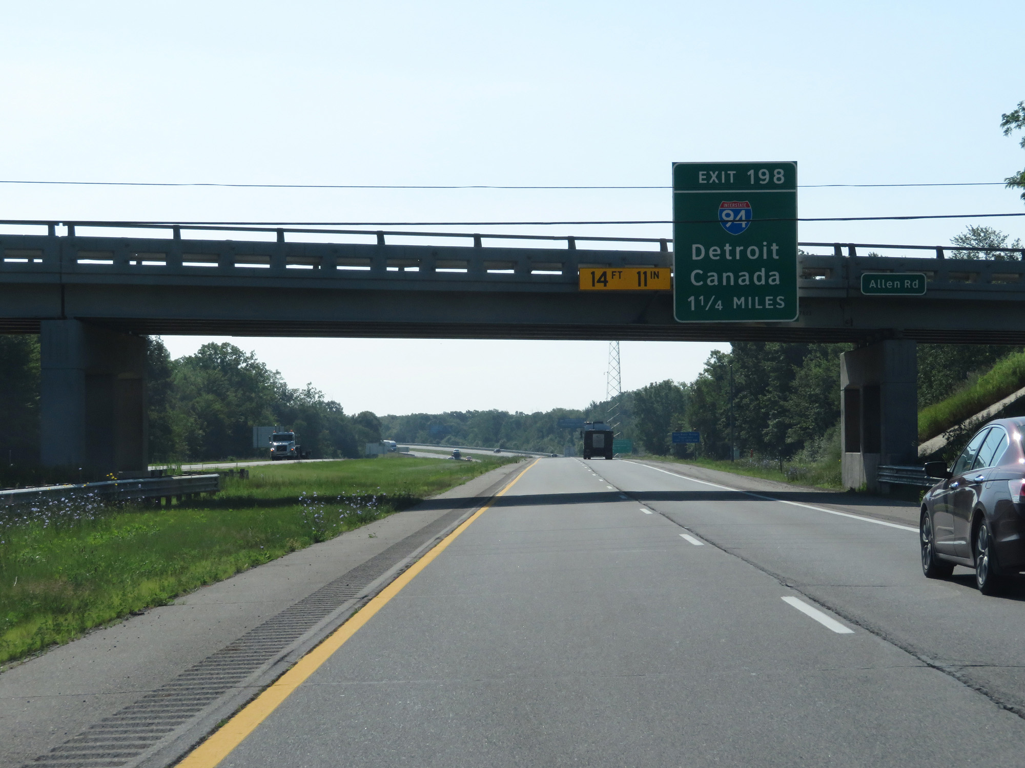
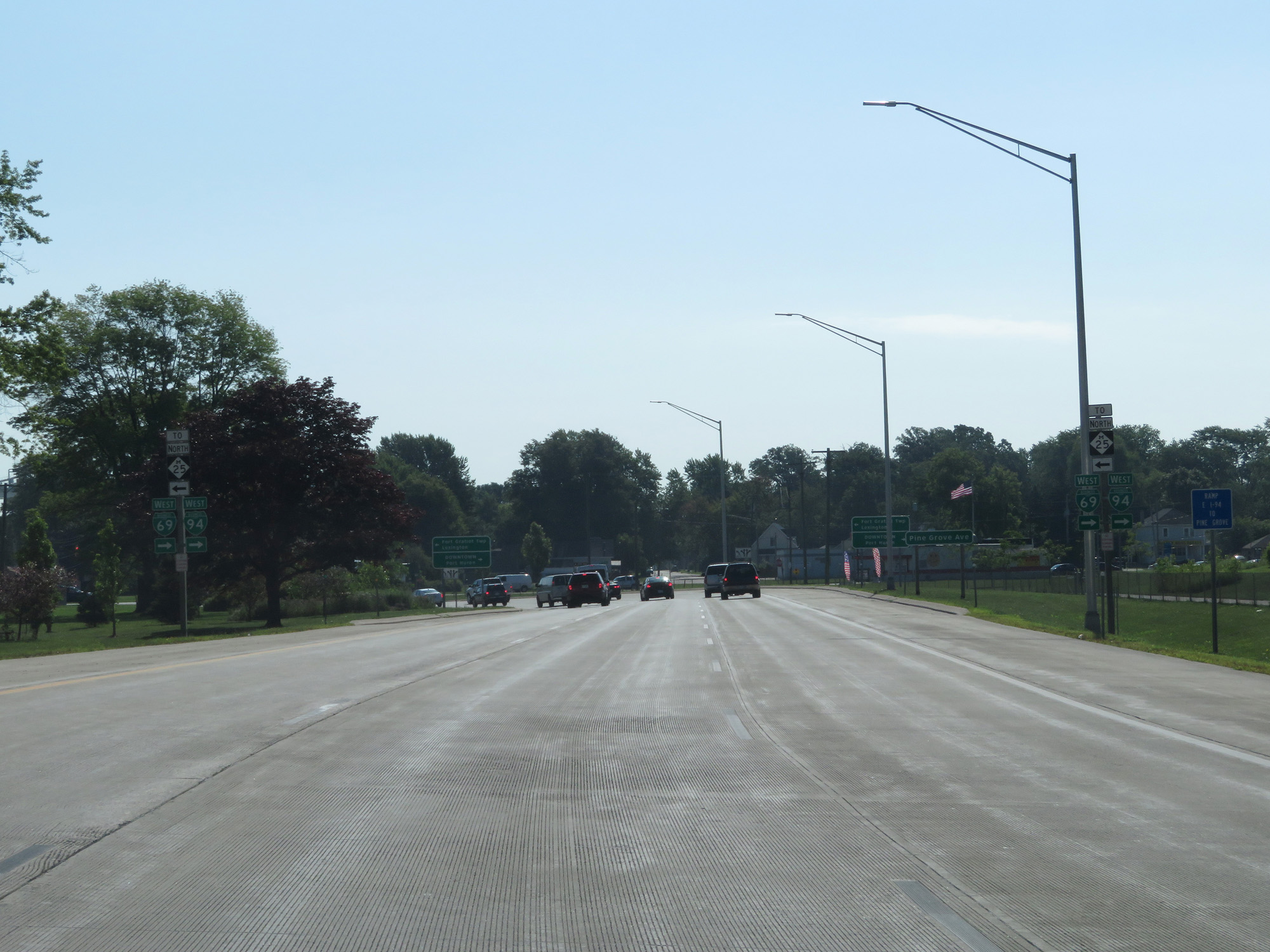
Interstate 69 East at Exit 198: Interstate 94 West - Detroit (Photo taken 7/18/17). |
 |
Keep to the left 1/2 mile ahead to remain on Interstate 69 East, as it will merge with Interstate 94 East into Port Huron. (Photo taken 7/18/17). |
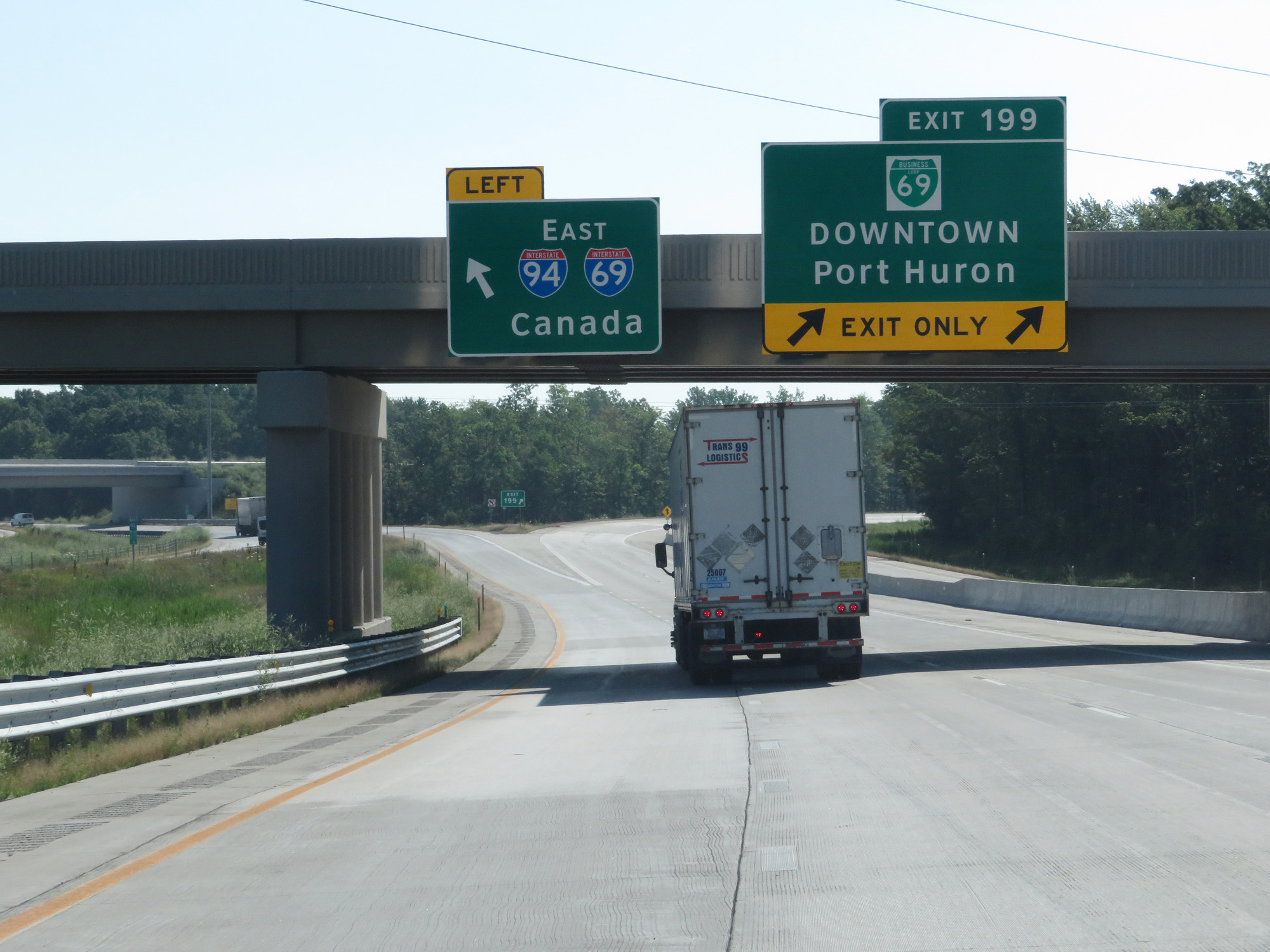 |
Interstate 69 East at Exit 199: Interstate 69 Business Loop - Downtown Port Huron (Photo taken 7/18/17). |
 |
Interstate 69 East / Interstate 94 East reassurance shields. (Photo taken 7/18/17). |
 |
After merging into Interstate 94, the speed limits on Interstate 69 East decrease to 70 mph for cars and 60 mph for trucks. The minimum speed limit remains 55 mph, as usual. (Photo taken 7/18/17). |
 |
Interstate 69 East / Interstate 94 East at mile marker 272.4. As you can see, the mileage and exit numbers during the I-69/I-94 concurrency are based off I-94's mileage. (Photo taken 7/18/17). |
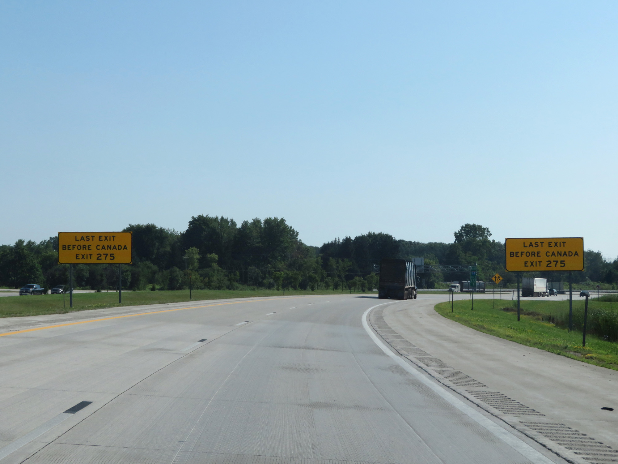 |
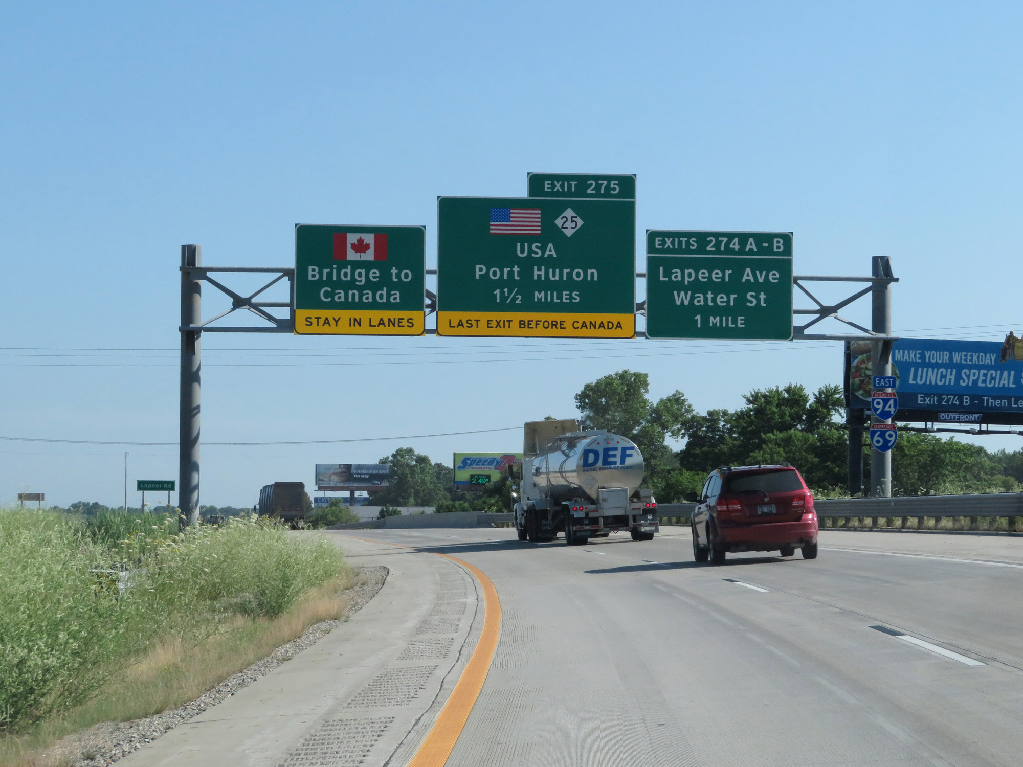
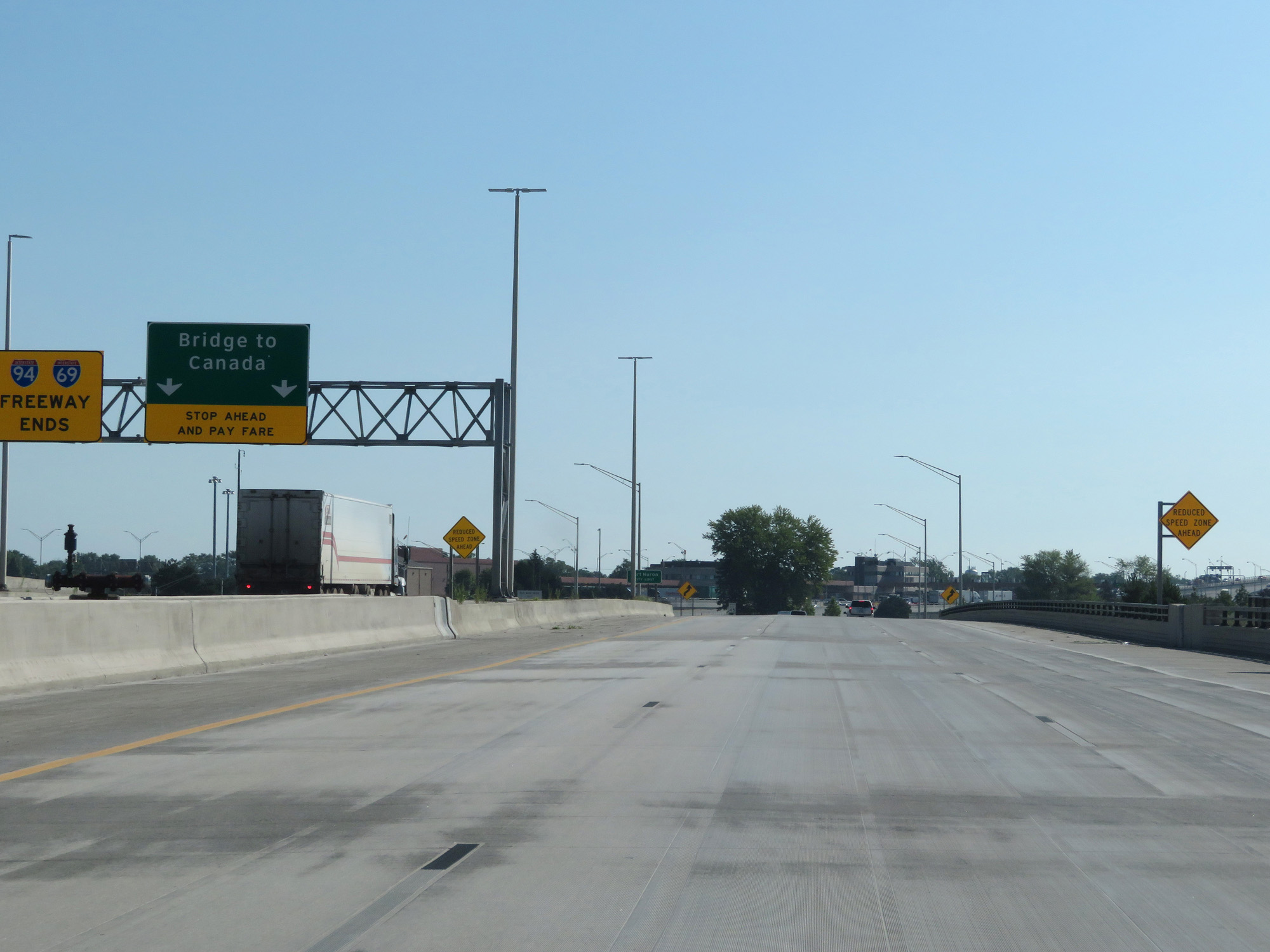
These signs warn that Exit 275 is the last exit before Canada. There is no possible legal turnaround beyond Exit 275. (Photo taken 7/18/17). |
 |
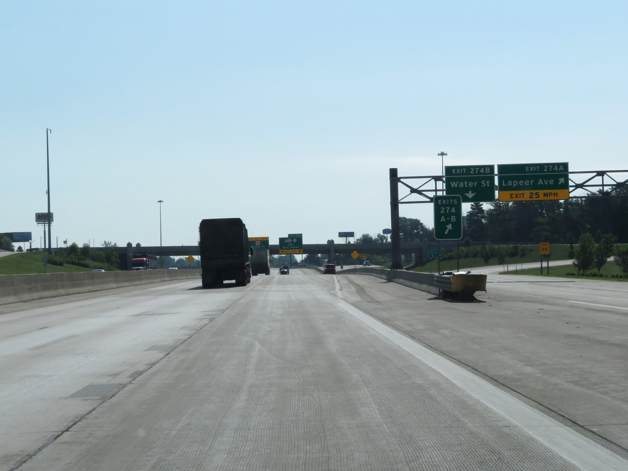
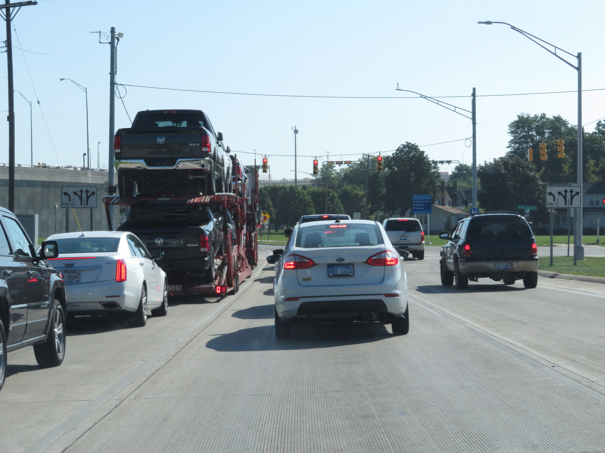
Interstate 69 East / Interstate 94 East at Exits 274A-B: Lapeer Ave / Water St (Photo taken 7/18/17). |
 |
A closer view of the ramp for Exit 274A. (Photo taken 7/18/17). |
 |
Interstate 69 East / Interstate 94 East approaching Exit 275. Again, Exit 275 is the final exit before traffic is funneled through the toll plaza for the Blue Water Bridge into Canada. (Photo taken 7/18/17). |
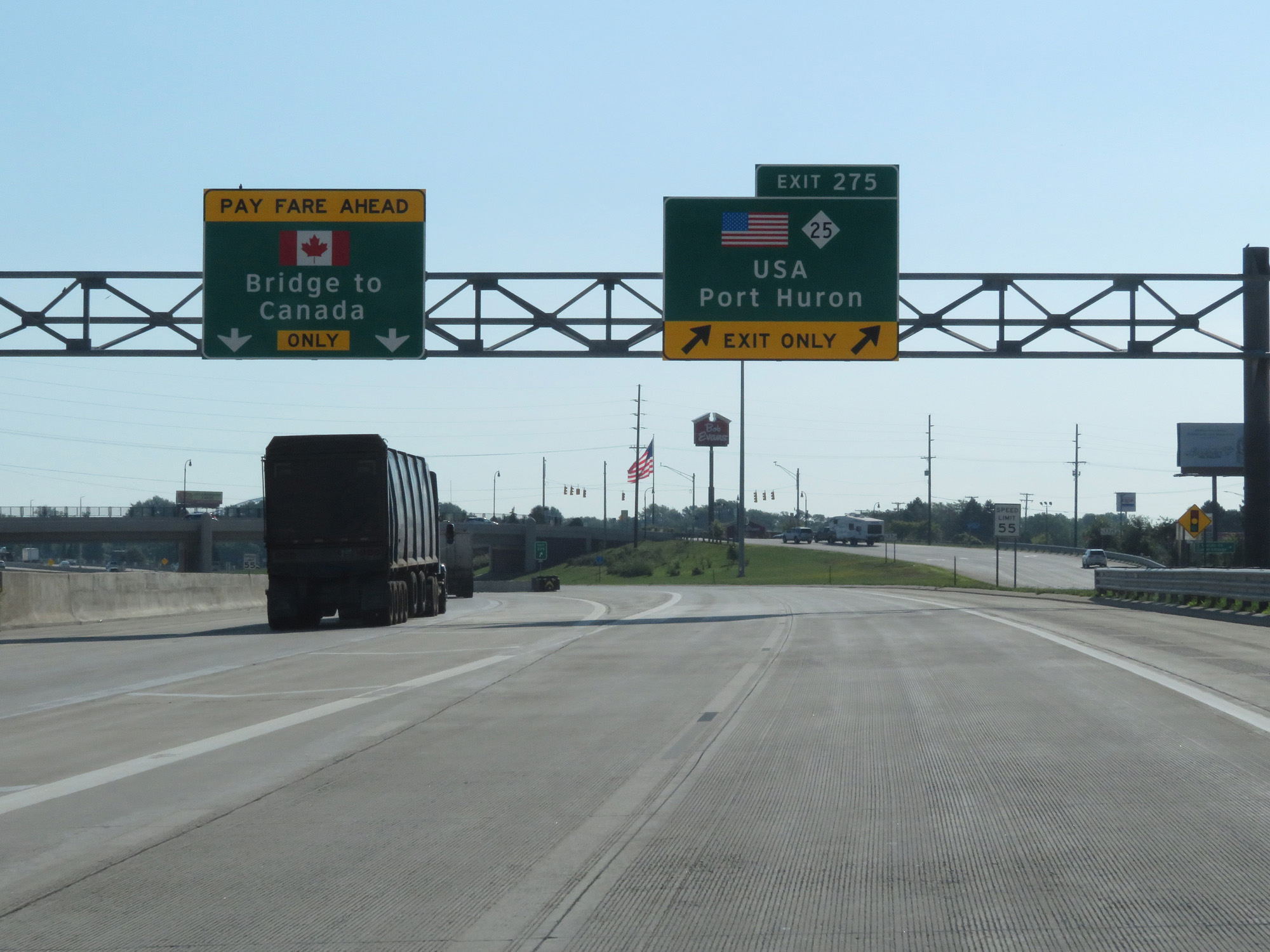 |
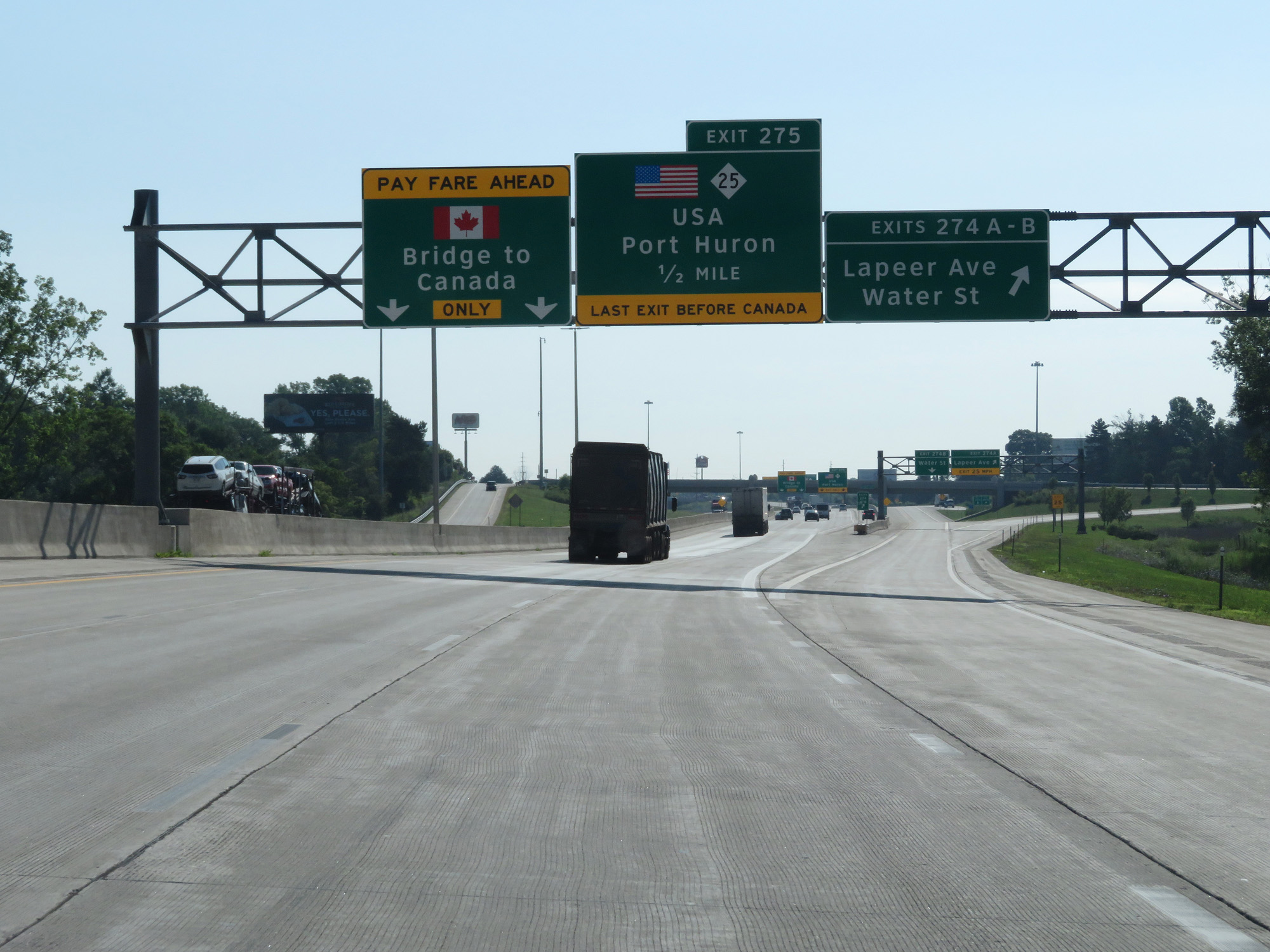
Interstate 69 East / Interstate 94 East at Exit 275: M-25 - USA / Port Huron (Photo taken 7/18/17). |
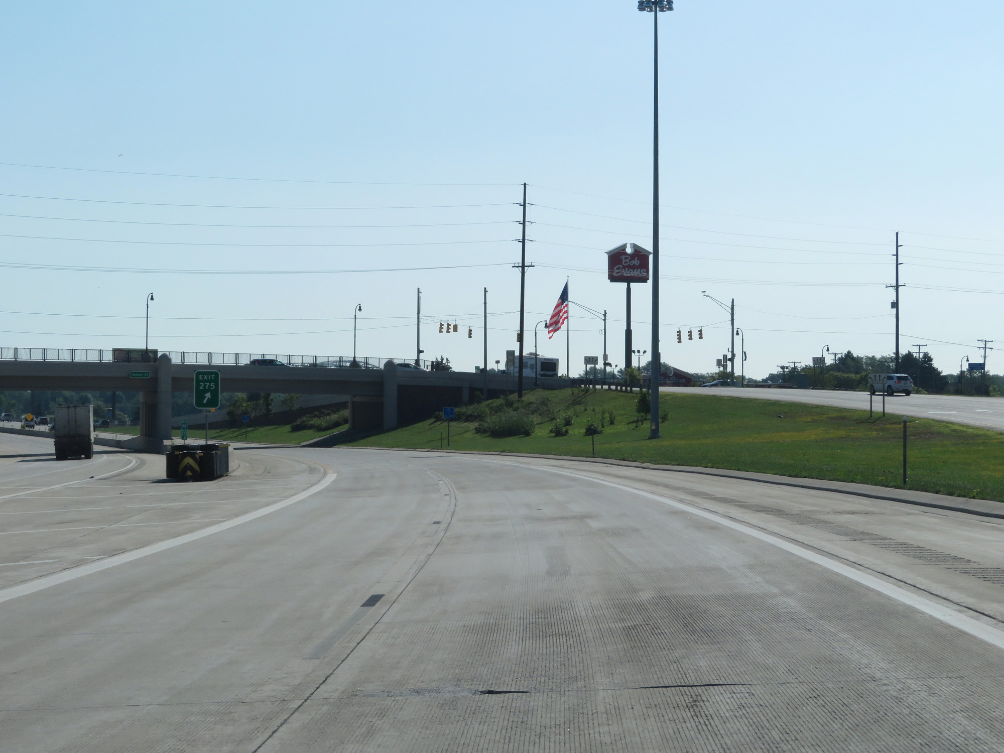 |
View of the ramp to Exit 275. This long ramp will parallel the remainder of the freeway portion of Interstate 69 East / Interstate 94 East into Port Huron. (Photo taken 7/18/17). |
 |
Interstate 69 / Interstate 94 END shields are visible from the ramp for Exit 275. Beyond this point, the freeway portion of I-69/I-94 comes to an end at the toll plaza for the Blue Water Bridge. (Photo taken 7/18/17). |
 |
Interstate 69 East / Interstate 94 East entering the Port Huron city limits. (Photo taken 7/18/17). |
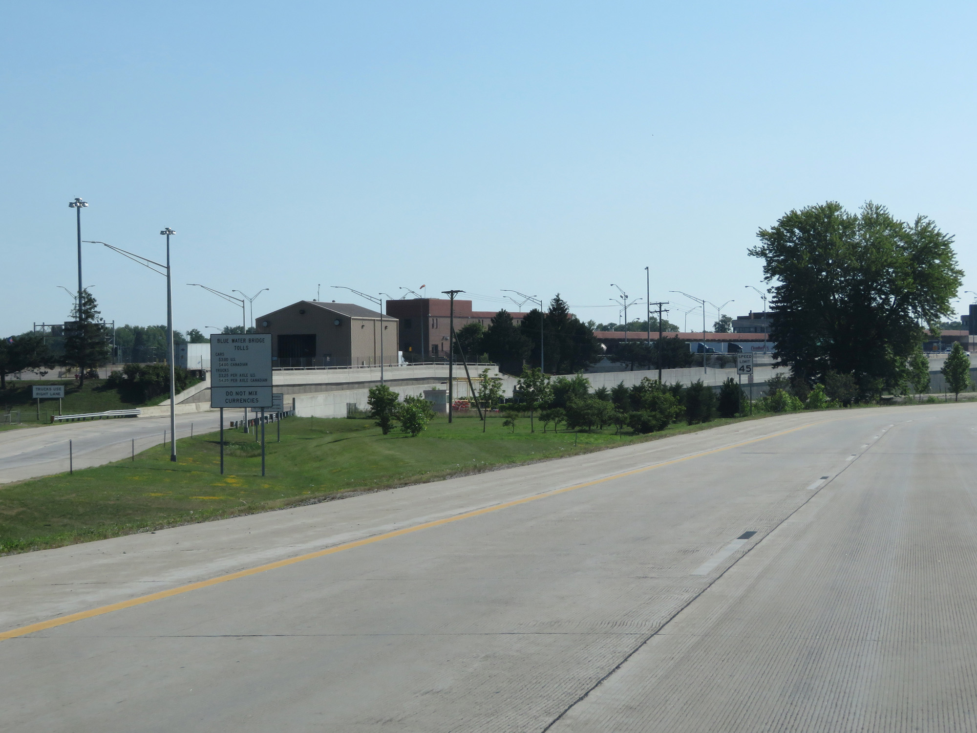 |
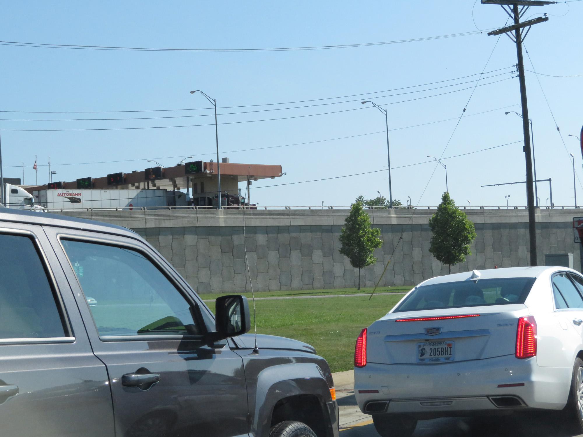
Approaching the toll plaza for the Blue Water Bridge, this sign lists the toll rates and warns motorists to avoid mixing currencies. (Photo taken 7/18/17). |
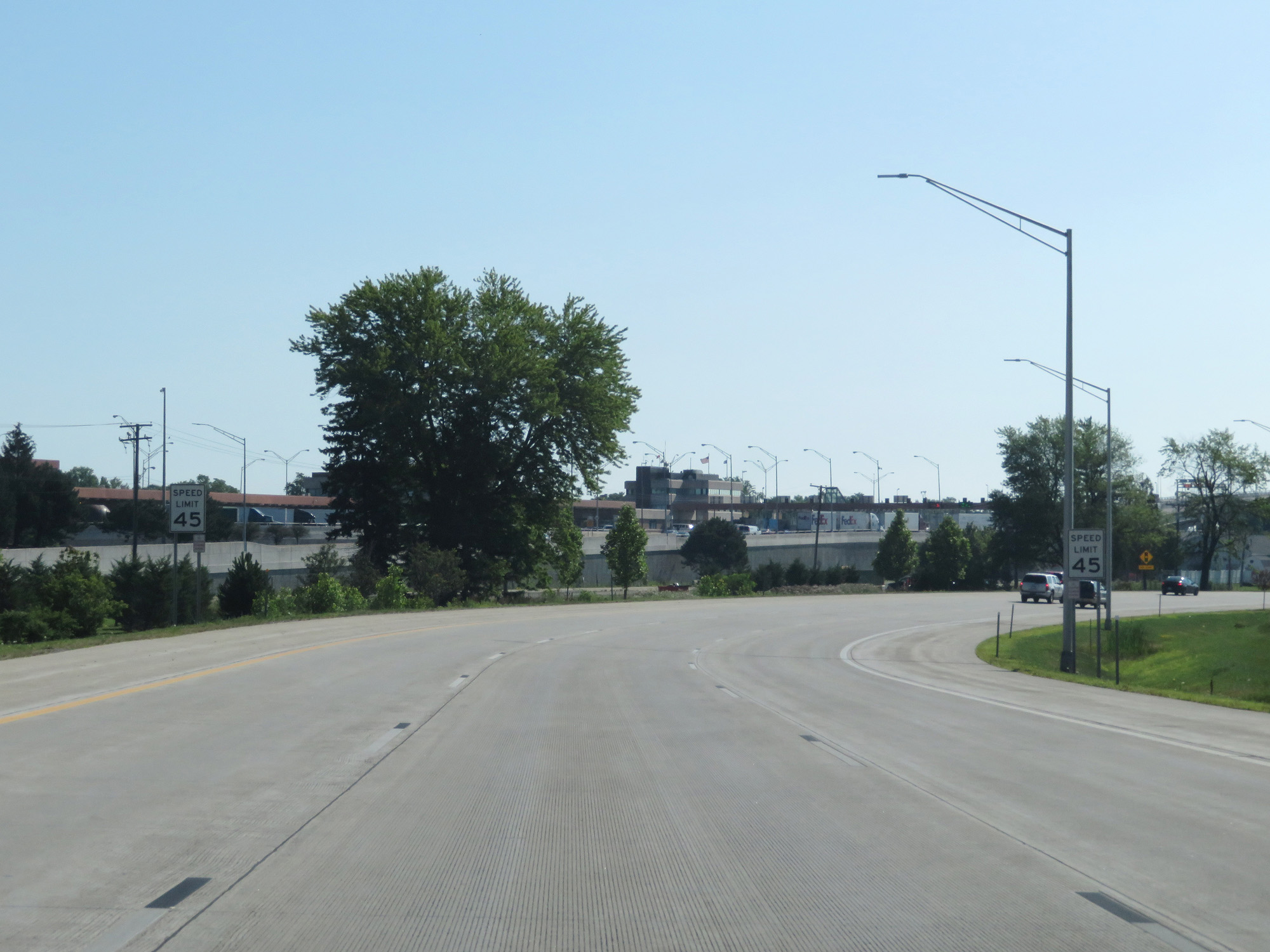 |
The speed limit decreases to 45 mph approaching the toll plaza and also on the ramp for Exit 275. (Photo taken 7/18/17). |
 |
View on the ramp for Exit 275. (Photo taken 7/18/17). |
 |
Another view on the ramp for Exit 275. (Photo taken 7/18/17). |
 |
The end of the ramp to Exit 275 in Port Huron. (Photo taken 7/18/17). |
 |
View of the toll plaza for the Blue Water Bridge, as seen from the off ramp for Exit 275. (Photo taken 7/18/17). |
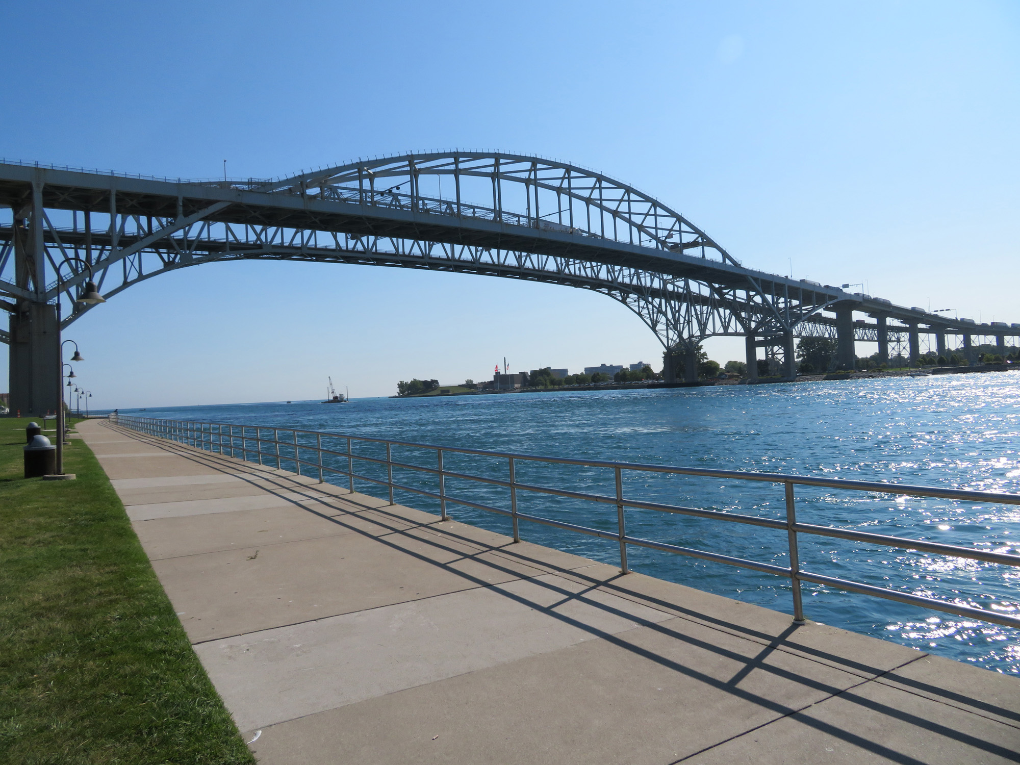 |
View of the Blue Water Bridge over the St Clair River in Port Huron. This fine structure carries traffic from Interstate 69 East / Interstate 94 East in Michigan across the river into Ontario, Canada. (Photo taken 7/18/17). |