Road Information |
||
 |
||
| Total Mileage in State: | 8 miles | |
| Northern End: | At I-75, in Zilwaukee Twp | |
| Southern End: | At I-75, in Buena Vista Twp | |
| Mileage covered in Photos: | 8 miles | |
| Counties covered in Photos: | Saginaw | |
| Major Junctions in Photos: | M-58, in Saginaw I-75, in Buena Vista Twp |
|
| Control Cities in Photos: | Saginaw | |
Southbound
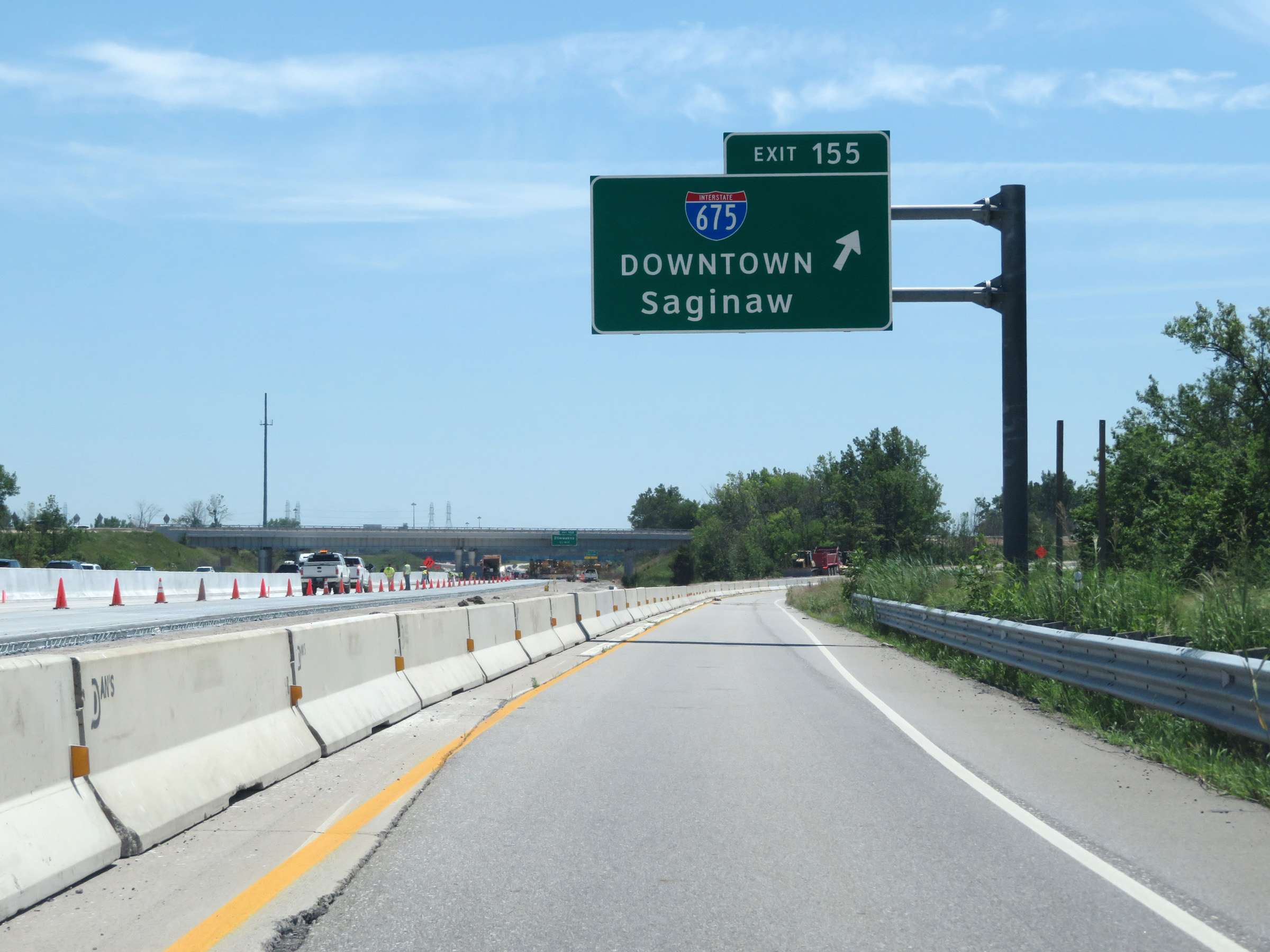 |
Merging onto Interstate 675 South via Exit 155 on Interstate 75 South in Zilwaukee Twp. (Photo taken 7/15/17). |
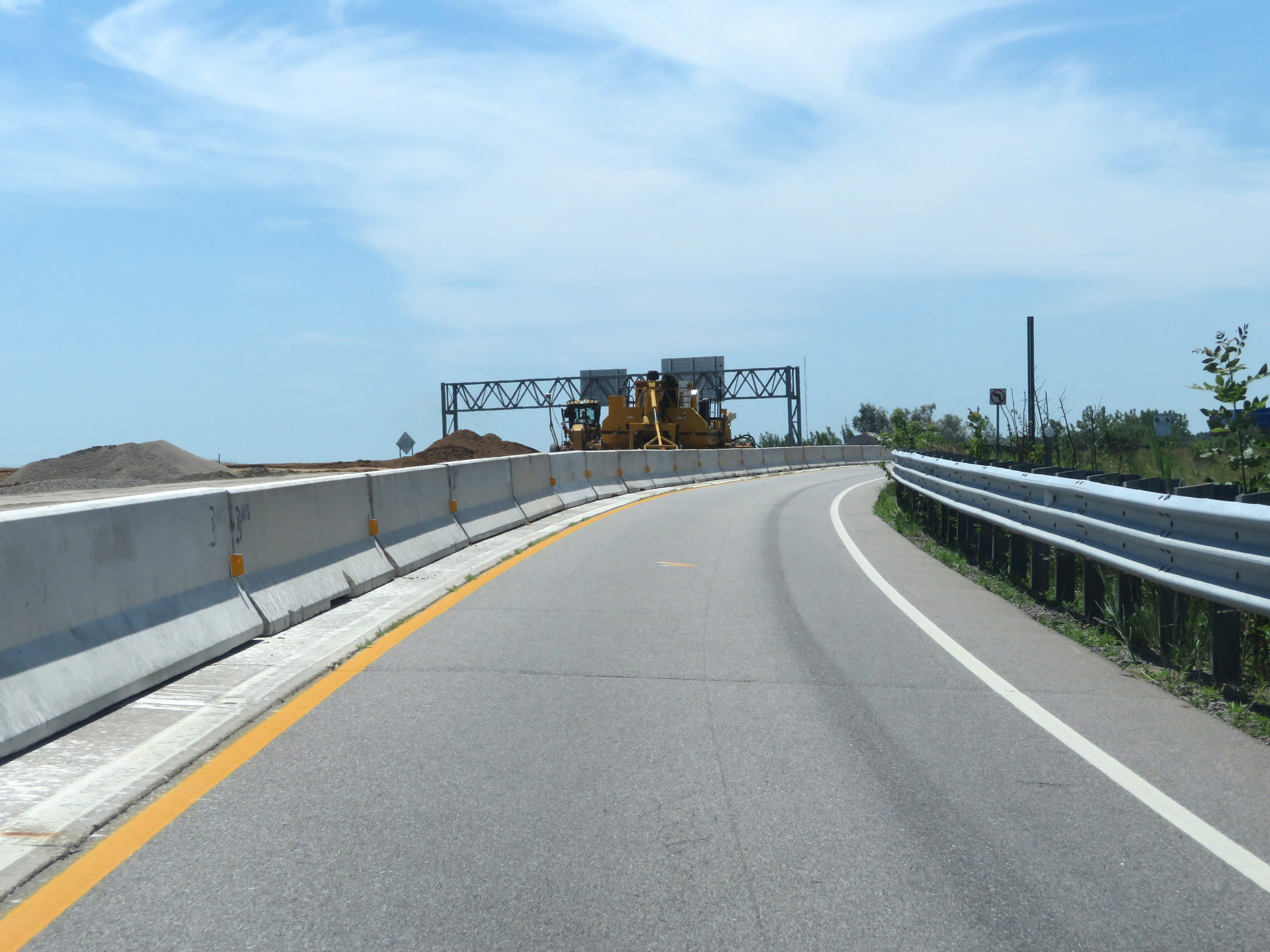 |
View on the ramp to Interstate 675 South from Interstate 75 South. (Photo taken 7/15/17). |
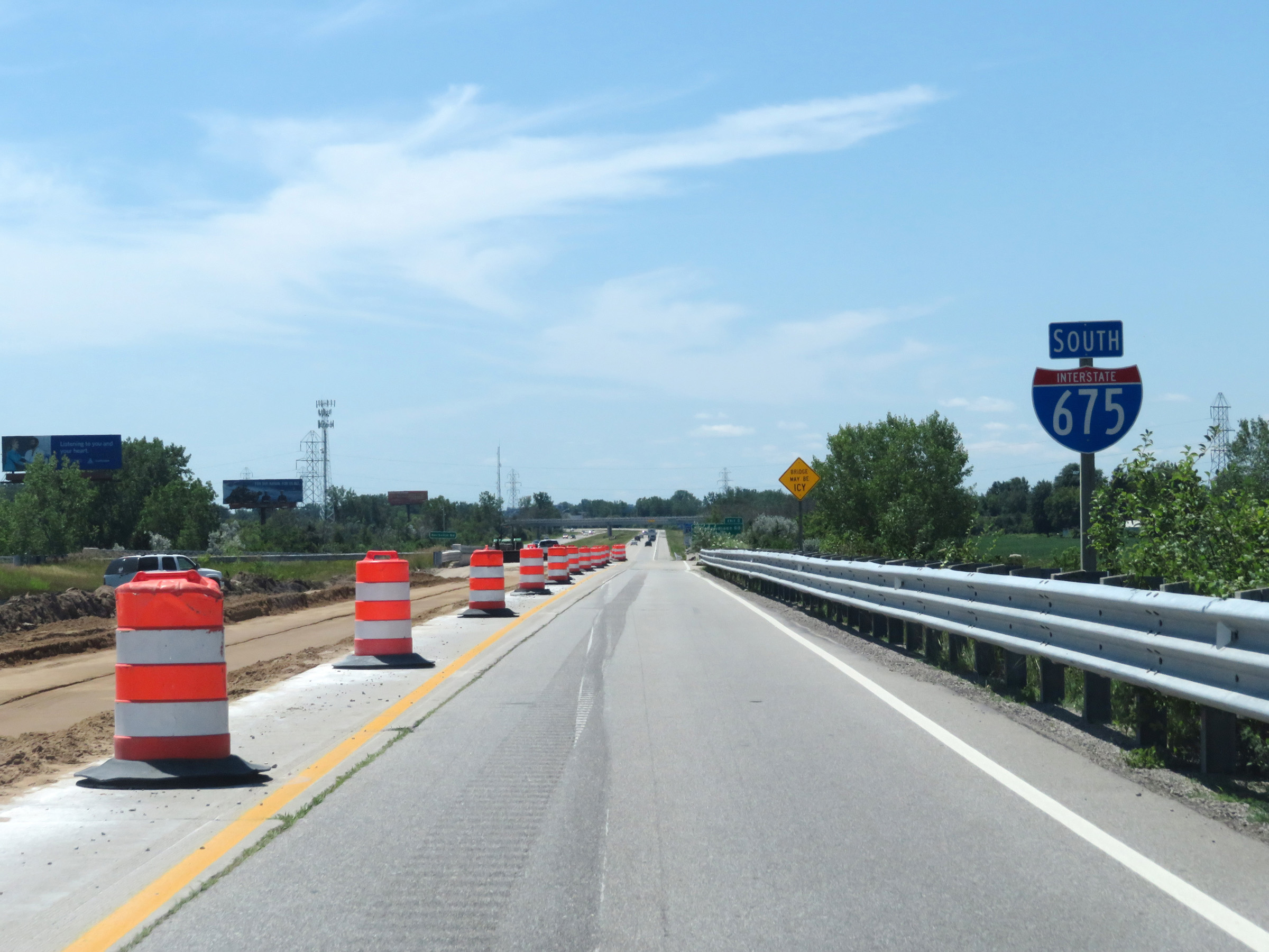 |
Interstate 675 South reassurance shield as traffic from Interstate 75 North merges into it ahead on the left. (Photo taken 7/15/17). |
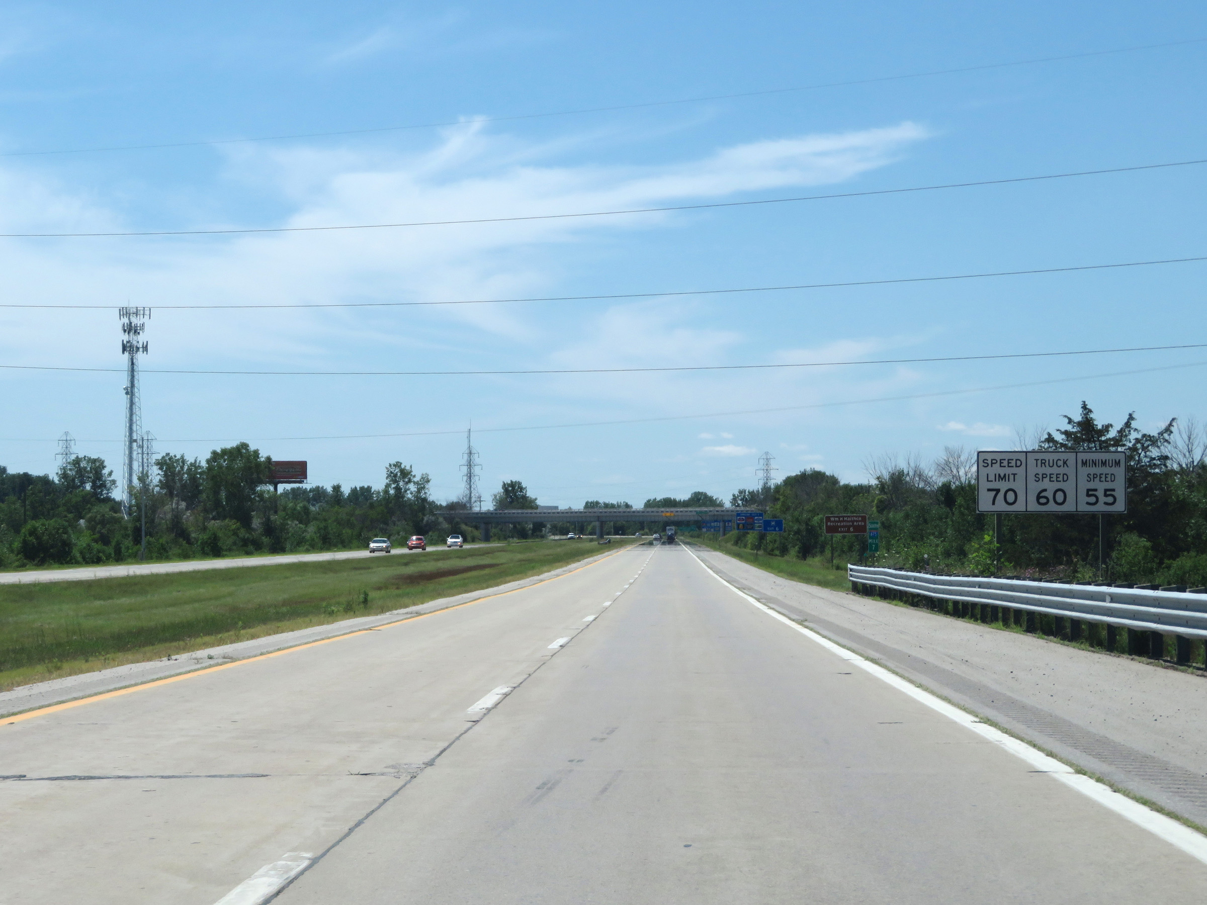 |
Speed limit signs on Interstate 675 South. The speed limits start out at 70 mph maximum for automobiles, 60 mph maximum for trucks, and 55 mph minimum for all traffic. (Photo taken 7/15/17). |
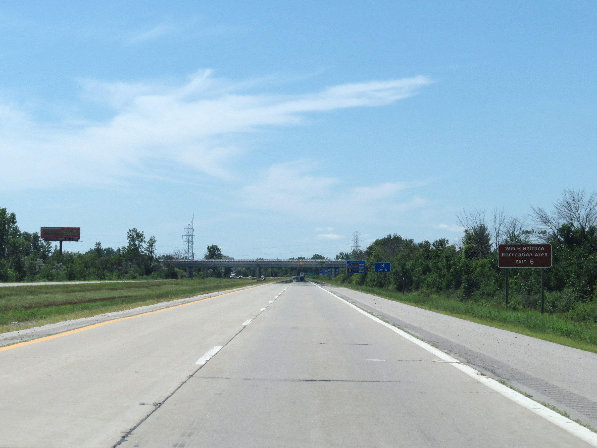 |
Take Exit 6 to William H. Haithco Recreation Area. (Photo taken 7/15/17). |
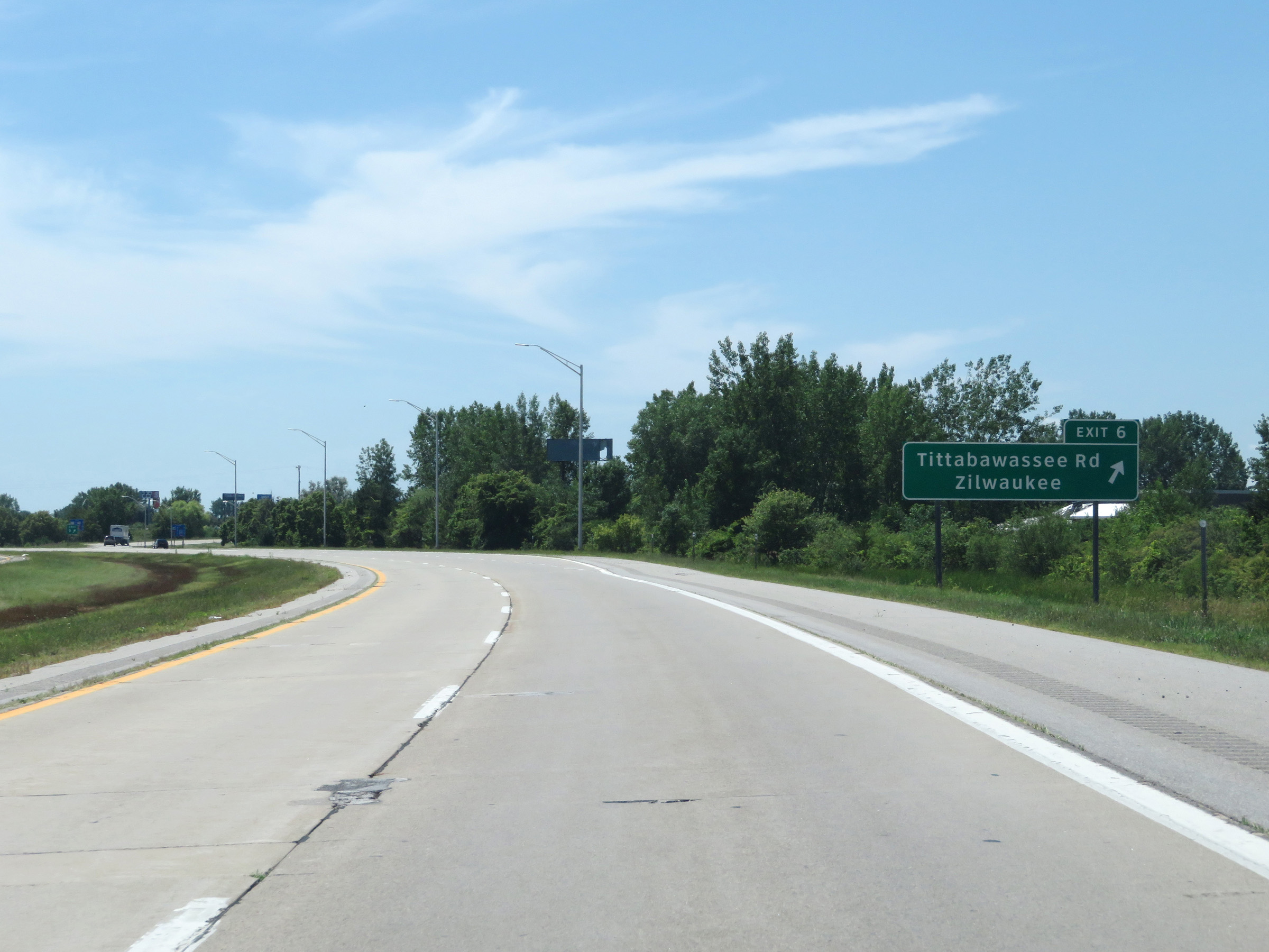 |
Interstate 675 South at Exit 6: Tittabawassee Rd / Zilwaukee (Photo taken 7/15/17). |
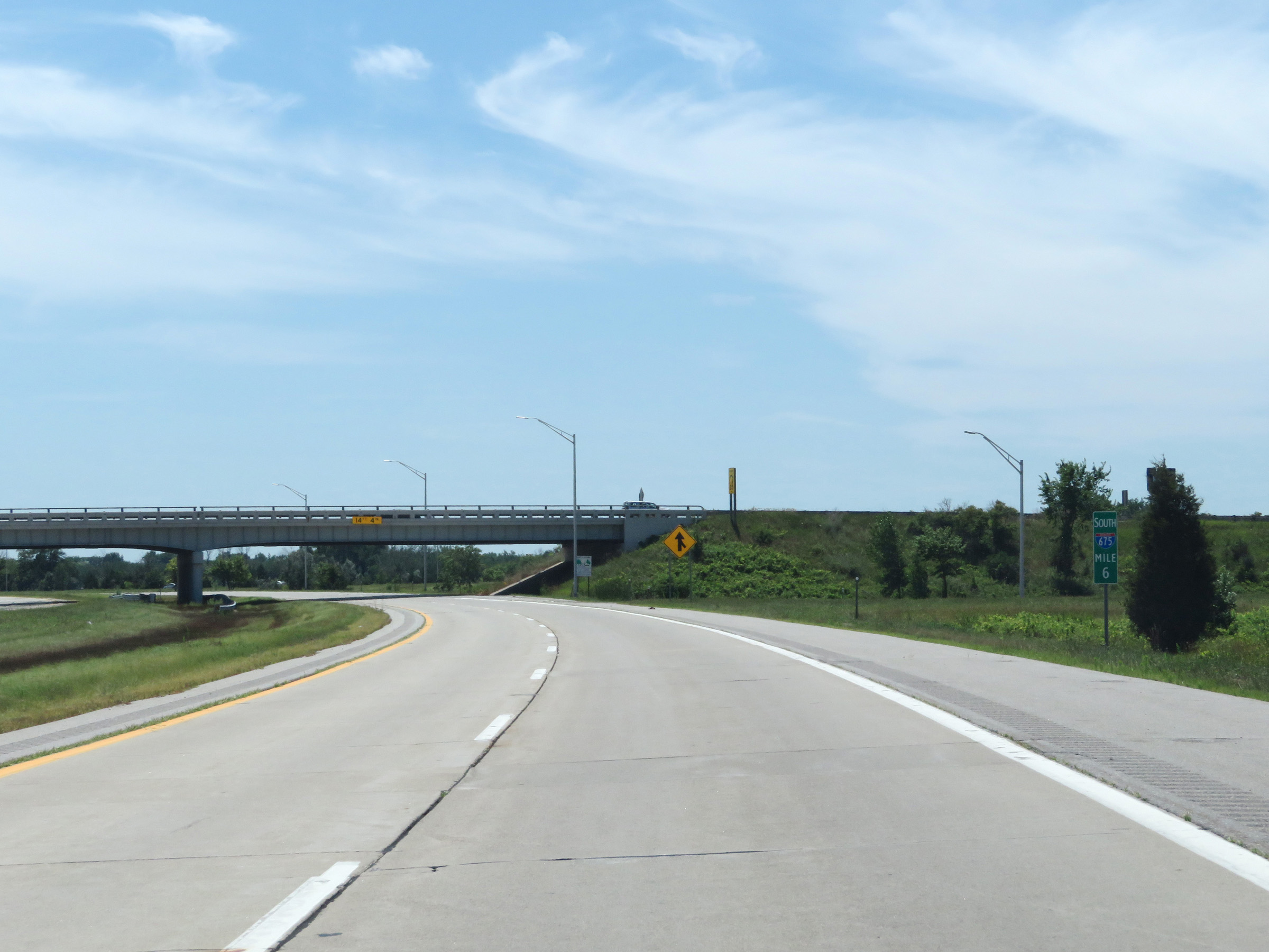 |
View on Interstate 675 South at mile marker 6. (Photo taken 7/15/17). |
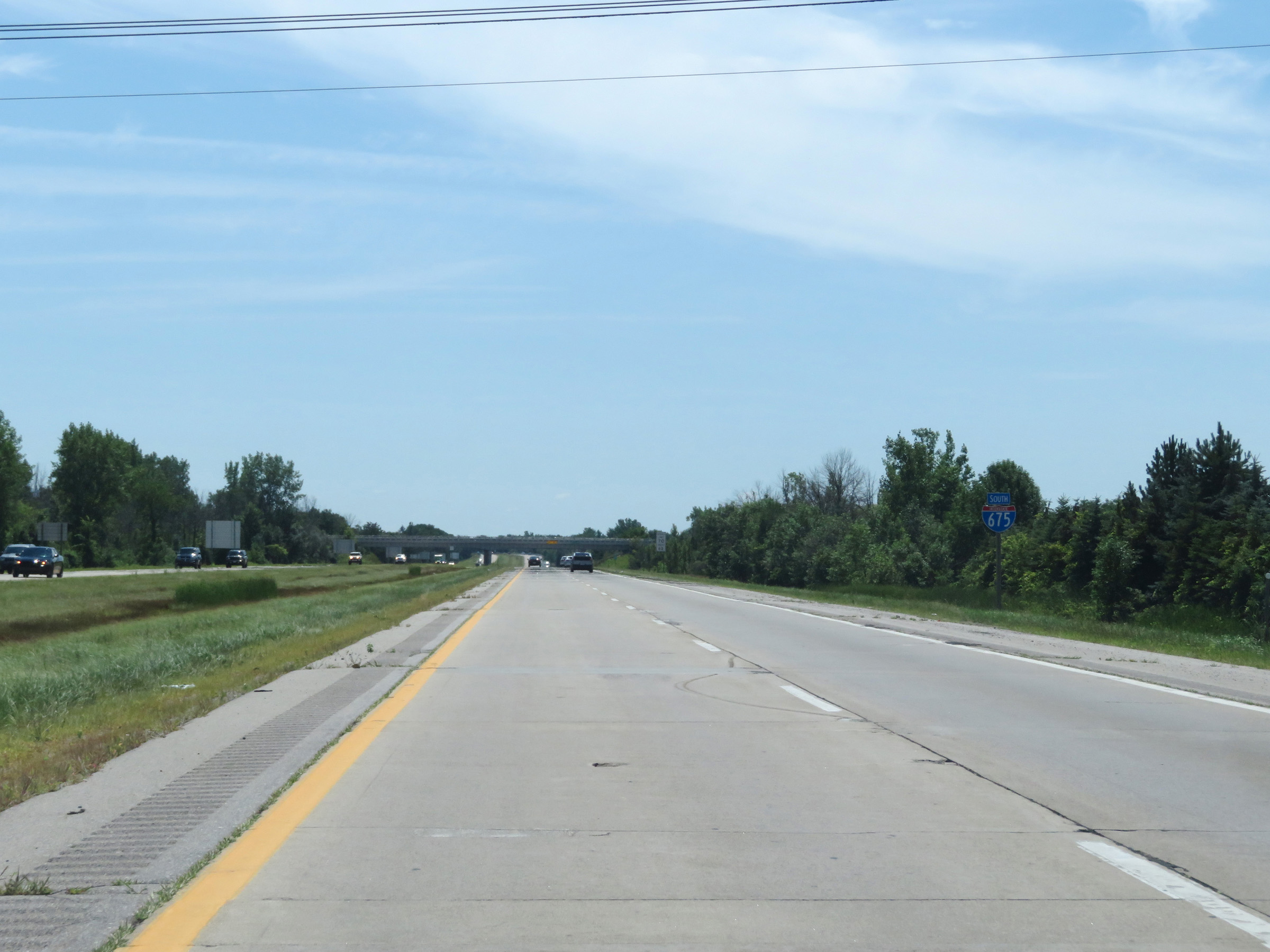 |
Another Interstate 675 South reassurance shield. (Photo taken 7/15/17). |
 |
Interstate 675 South at mile marker 5. (Photo taken 7/15/17). |
 |
View on Interstate 675 South at mile marker 4. (Photo taken 7/15/17). |
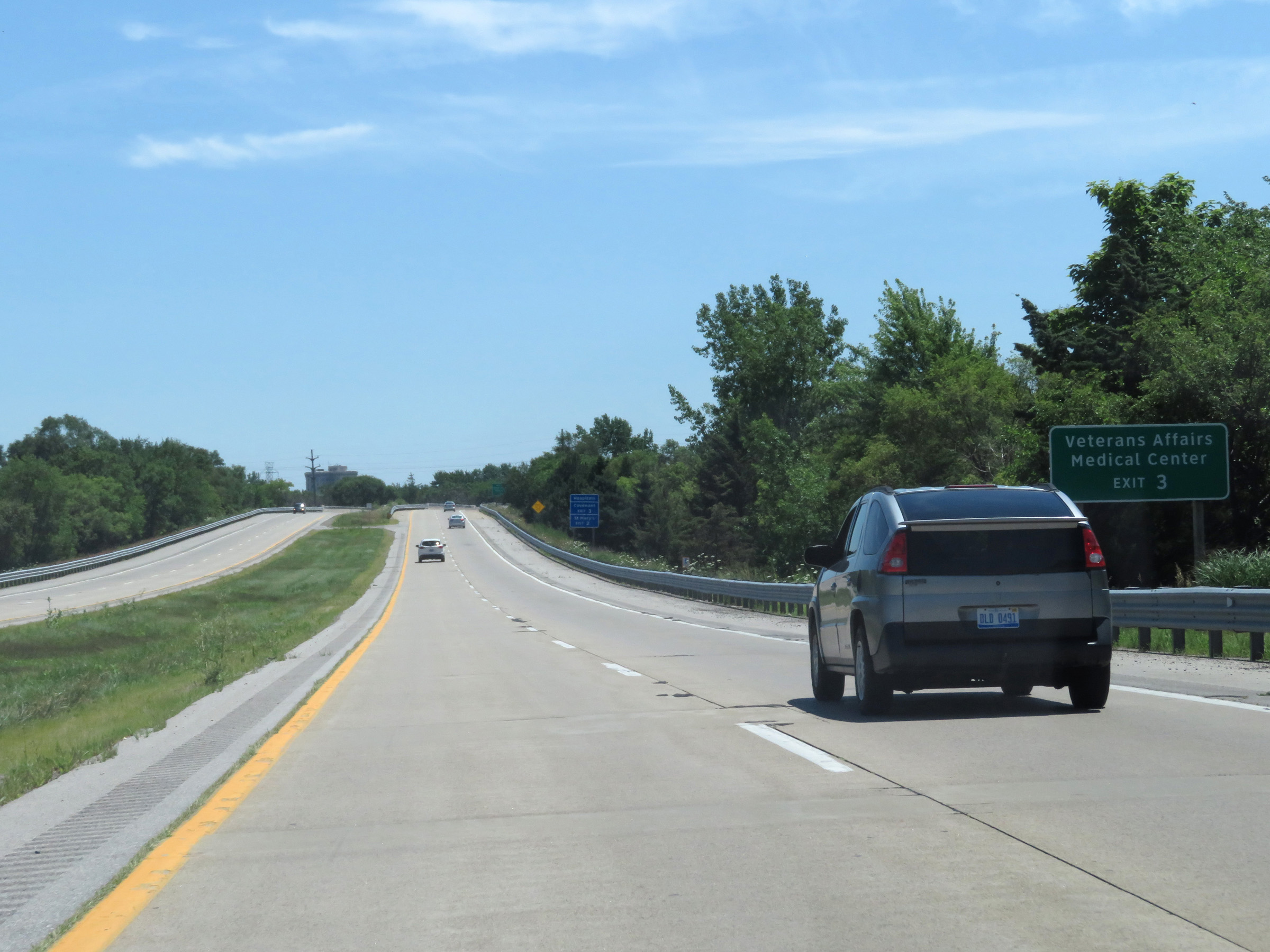 |
Take Exit 3 to the Veterans Affairs Medical Center. (Photo taken 7/15/17). |
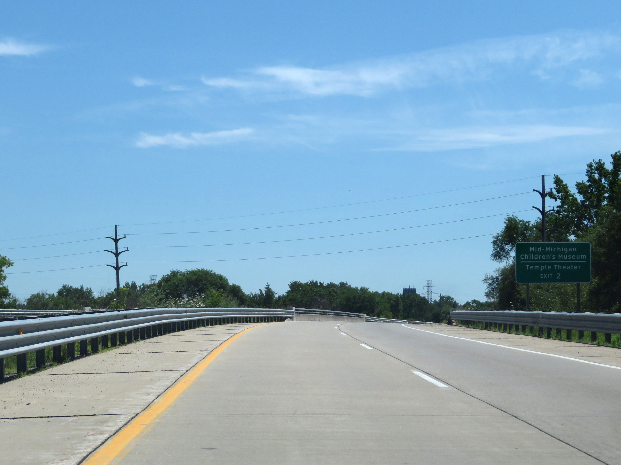 |
Take Exit 2 to Mid-Michigan Children's Museum and Temple Theater. (Photo taken 7/15/17). |
 |
Interstate 675 South at Exit 3: M-58 - Davenport Ave / Michigan Ave (Photo taken 7/15/17). |
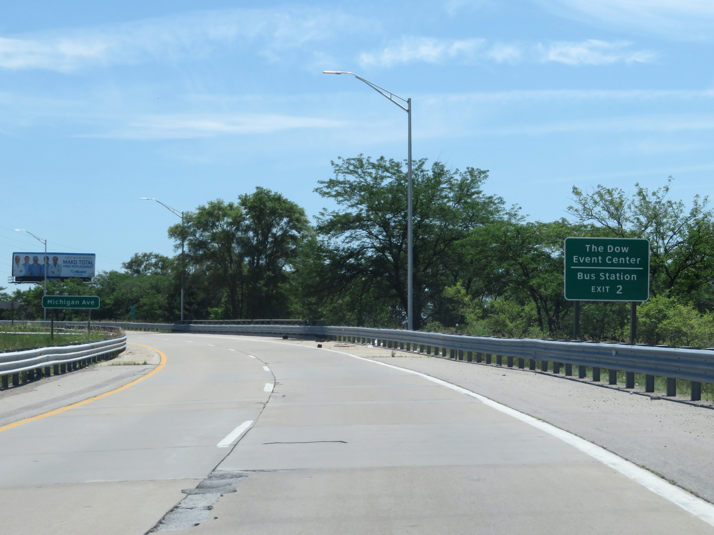 |
Also take Exit 2 to The Dow Event Center and the Bus Station. (Photo taken 7/15/17). |
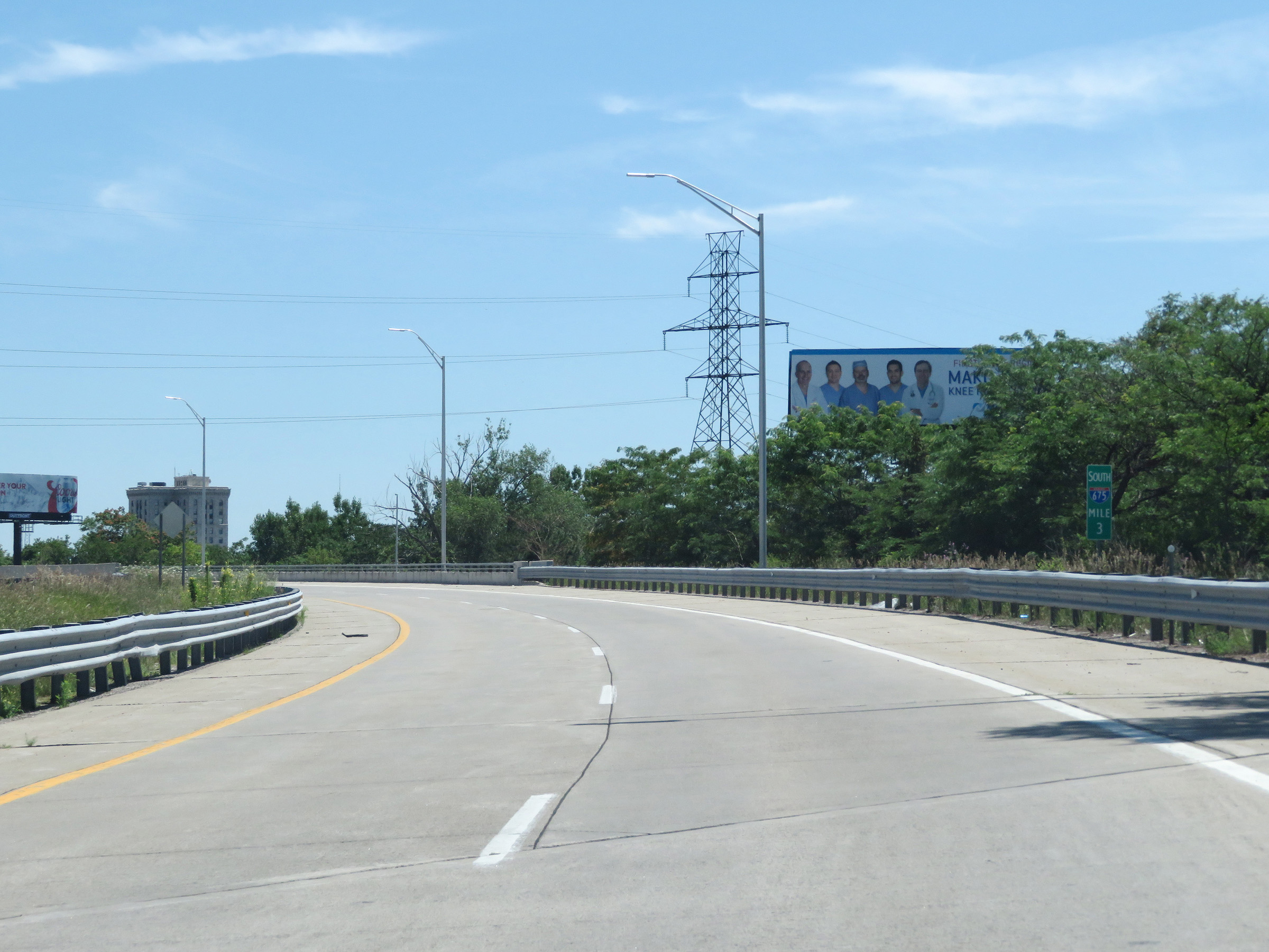 |
View on Interstate 675 South at mile marker 3, as it curves to the east. (Photo taken 7/15/17). |
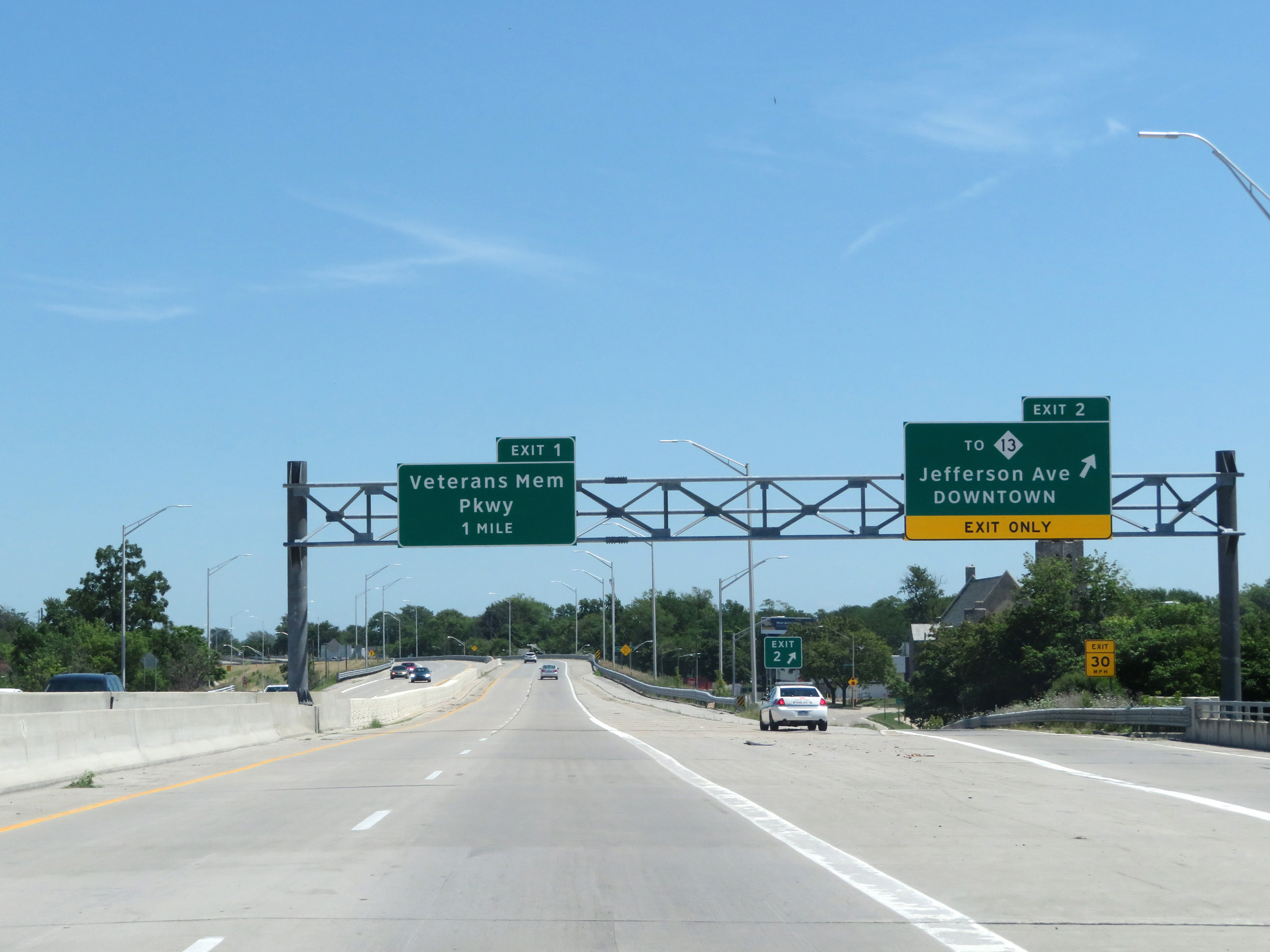 |
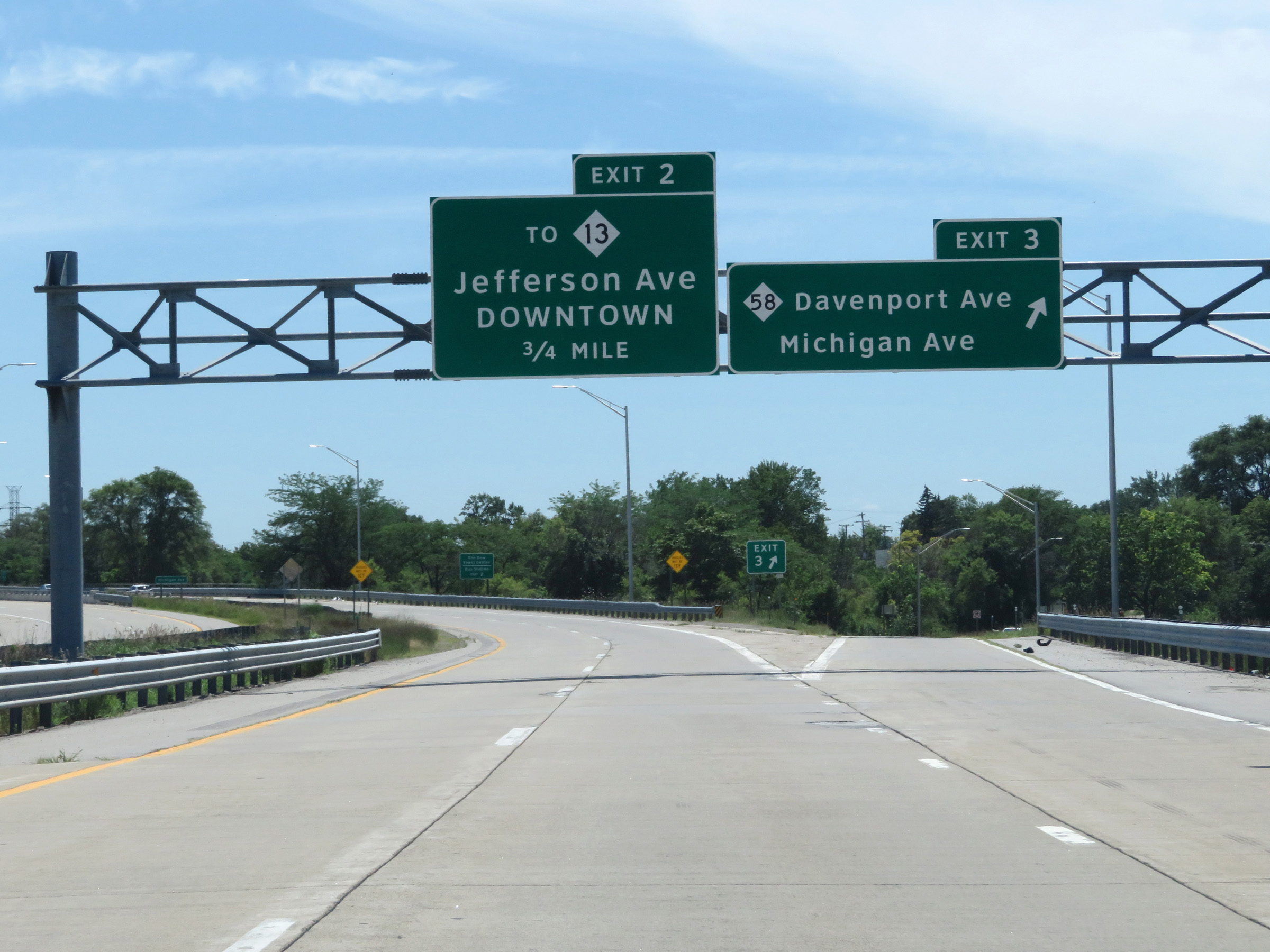
Interstate 675 South at Exit 2: To M-13 - Jefferson Ave / Downtown (Photo taken 7/15/17). |
 |
View on Interstate 675 South at mile marker 2. (Photo taken 7/15/17). |
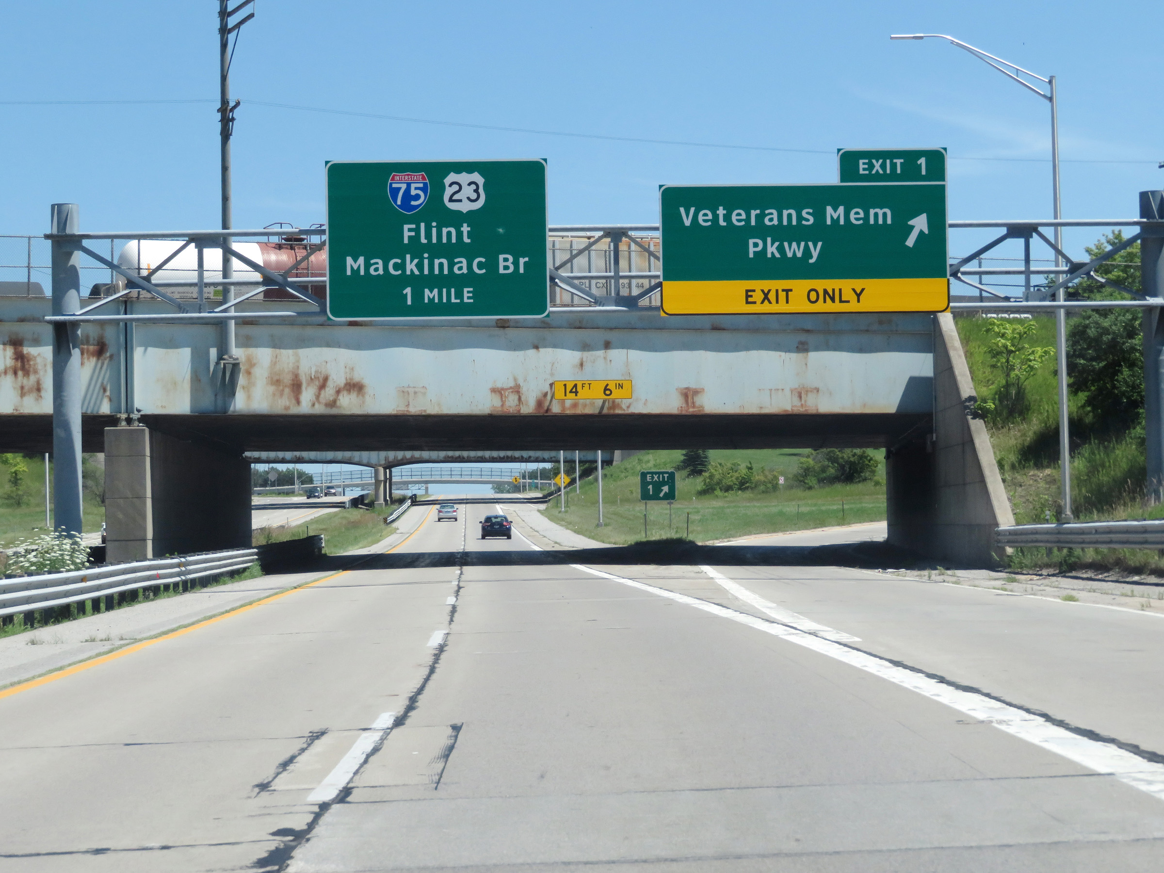 |
Interstate 675 South at Exit 1: Veterans Memorial Pkwy (Photo taken 7/15/17). |
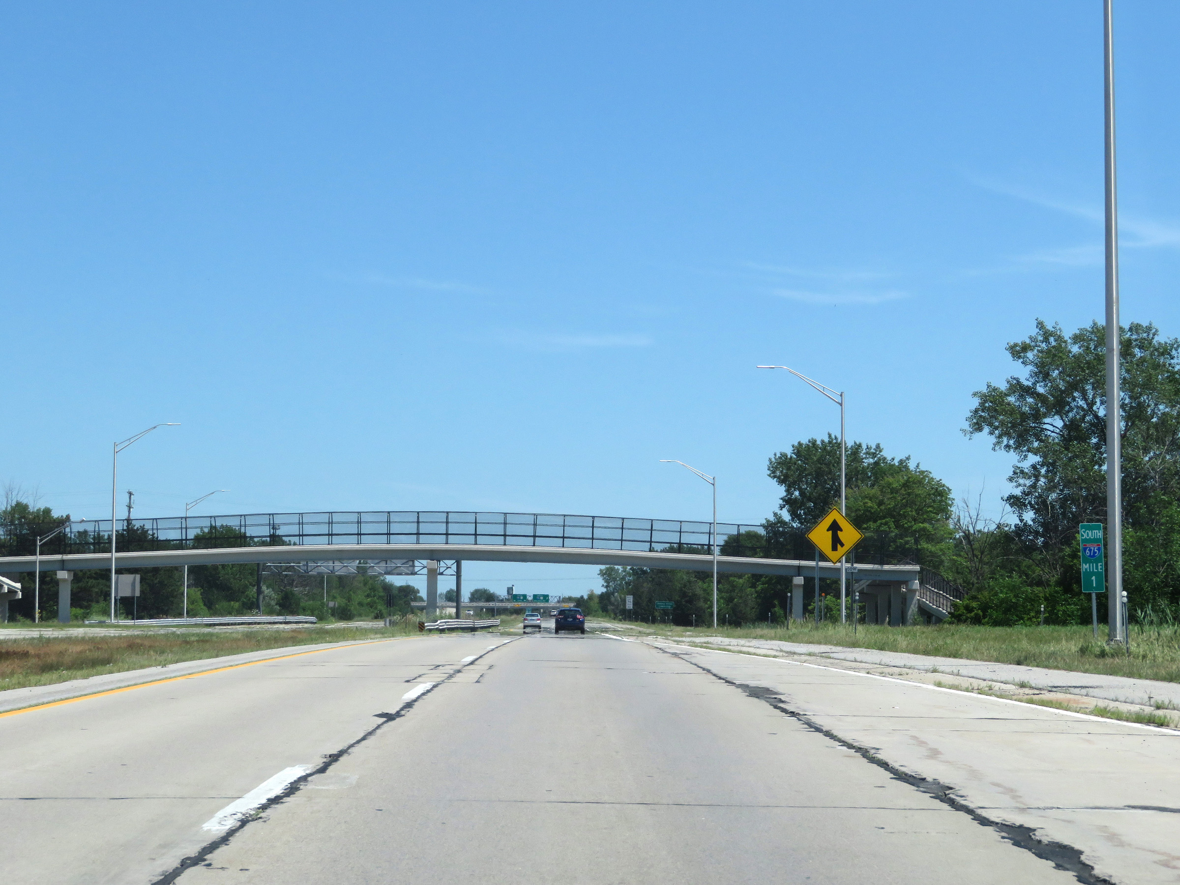 |
Interstate 675 South at mile marker 1. (Photo taken 7/15/17). |
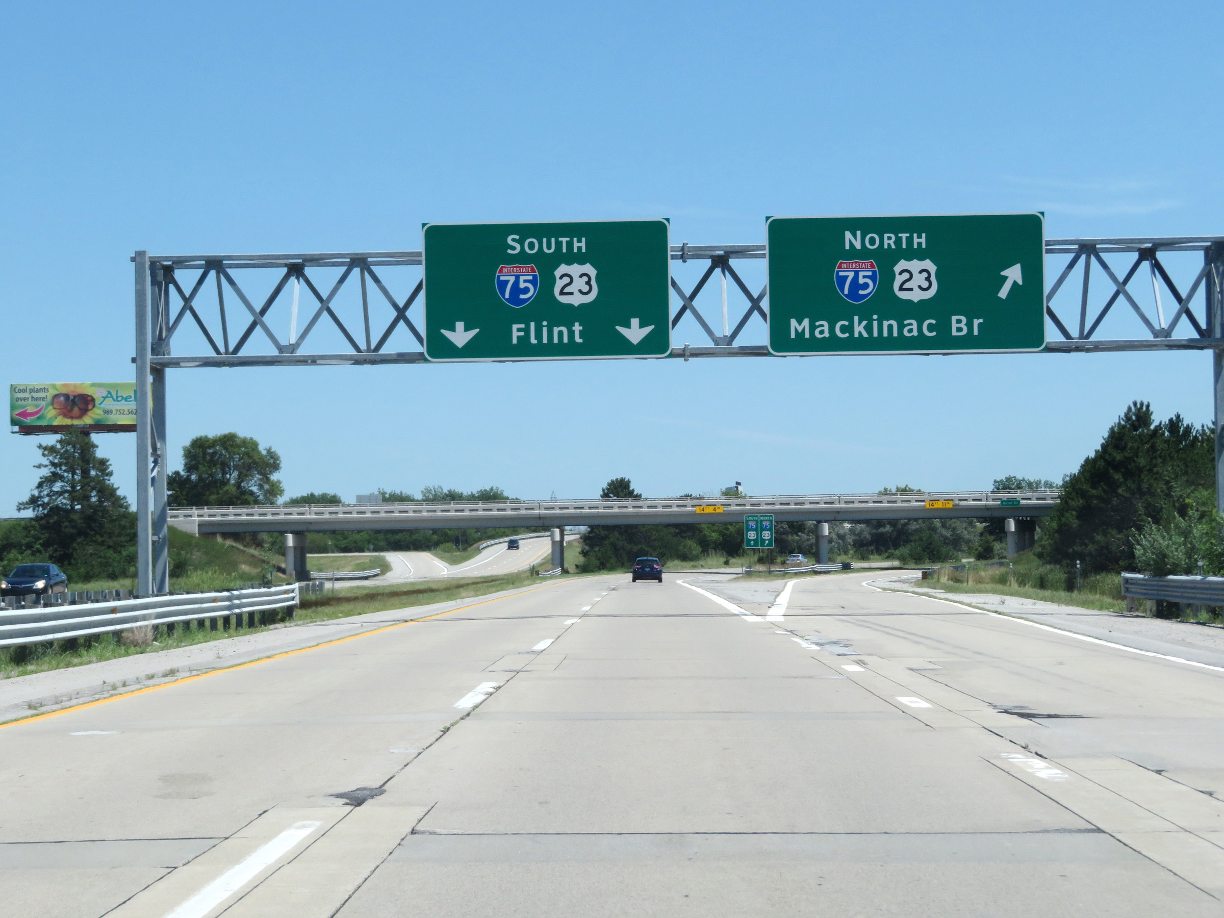 |
Interstate 675 South as it reaches its southern terminus at the junction of Interstate 75. The two southbound lanes of I-675 become the ramp to Interstate 75 South. (Photo taken 7/15/17). |
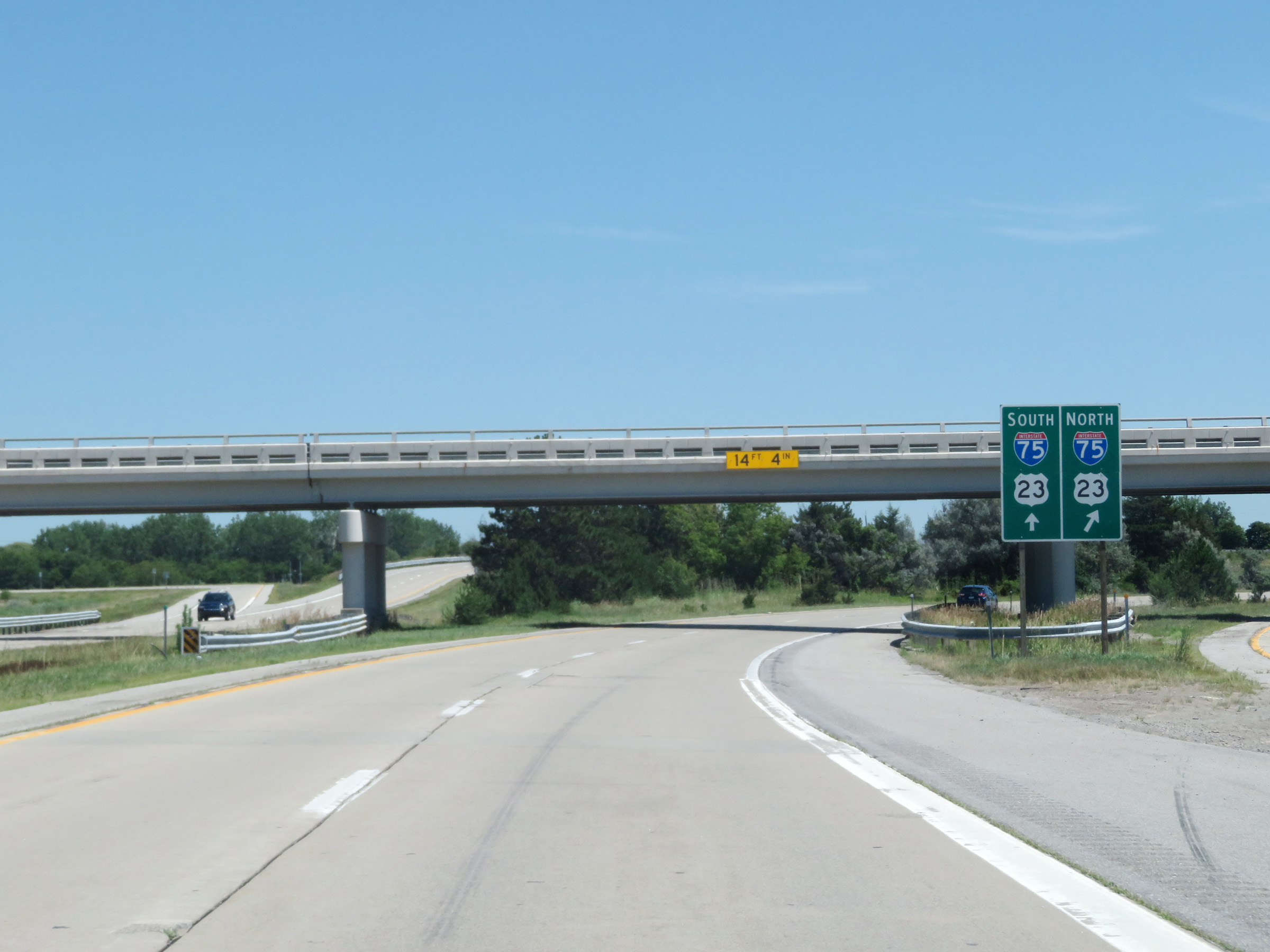 |
A closer view of the ramp to Interstate 75 South from Interstate 675 South. (Photo taken 7/15/17). |
 |
The right lane on the ramp prepares to come to an end ahead as Interstate 75 South traffic comes into view. (Photo taken 7/15/17). |
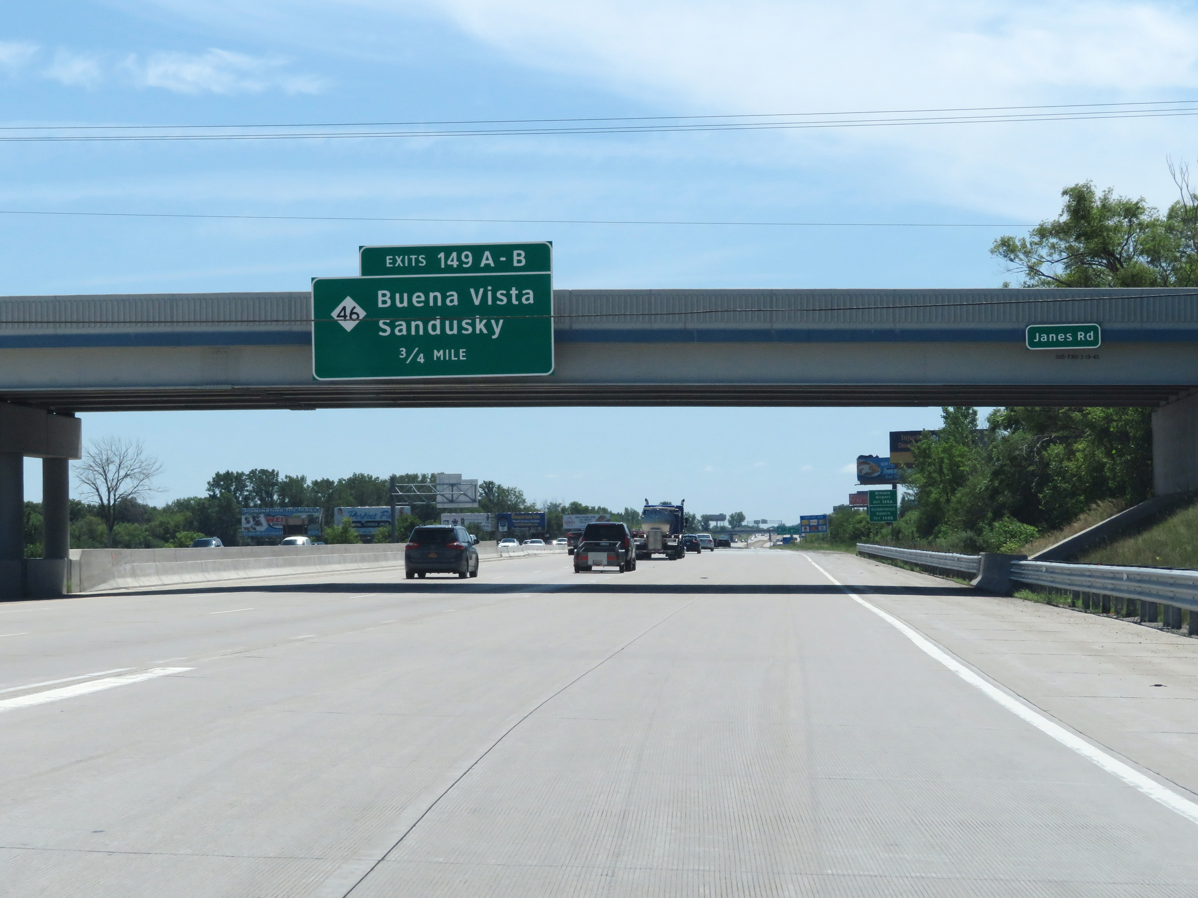 |
The ramp from Interstate 675 South merges into the southbound lanes of Interstate 75 here, 3/4 mile north of Exits 149A-B. (Photo taken 7/15/17). |