Road Information |
||
 |
||
| Total Mileage in State: | 17 miles | |
| Northern End: | At I-695/I-895, in Brooklyn Park | |
| Southern End: | At US 50/ US 301, near Annapolis | |
| Mileage covered in Photos: | 17 miles | |
| Counties covered in Photos: | Anne Arundel | |
| Major Junctions in Photos: | MD 100, in Glen Burnie US 50/US 301 near Annapolis |
|
| Control Cities in Photos: | Ferndale, Glen Burnie, Millersville, Crownsville | |
Southbound
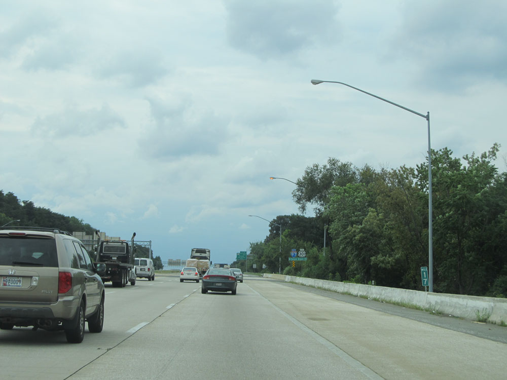 |
Interstate 97 South at mile marker 17 near its northern beginning just to the south of Interstate 695 / Interstate 895A. (Photo taken 8/7/15). |
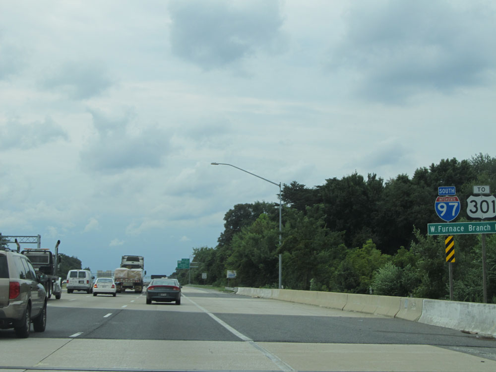 |
Interstate 97 South assurance shield just south of mile marker 17. (Photo taken 8/7/15). |
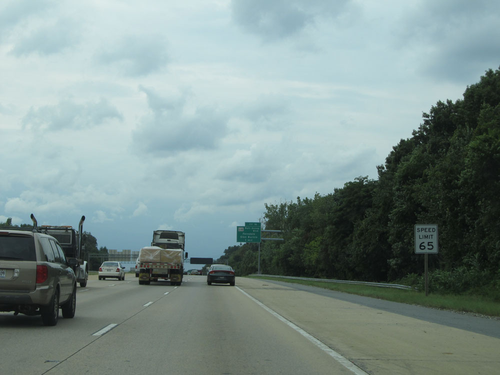 |
As this sign reads, the speed limit is 65 mph on Interstate 97 South. It remains that way for all 17 of I-97's miles. (Photo taken 8/7/15). |
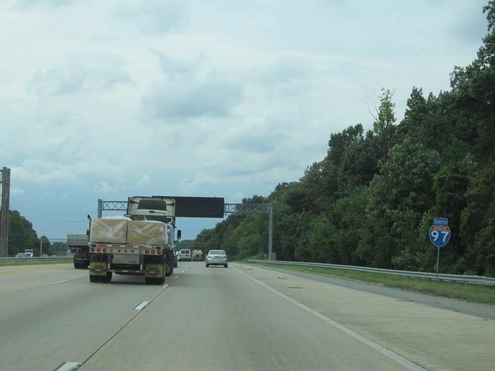 |
Another Interstate 97 South assurance shield. (Photo taken 8/7/15). |
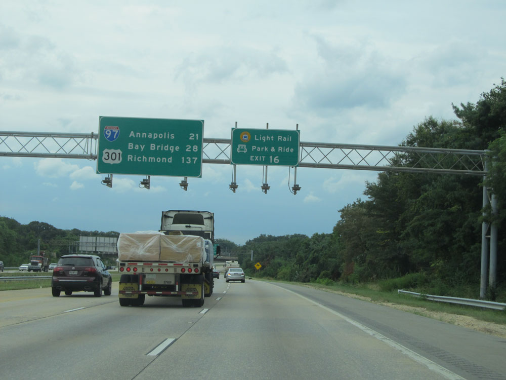 |
Take Exit 16 to Light Rail and Park & Ride. (Photo taken 8/7/15). |
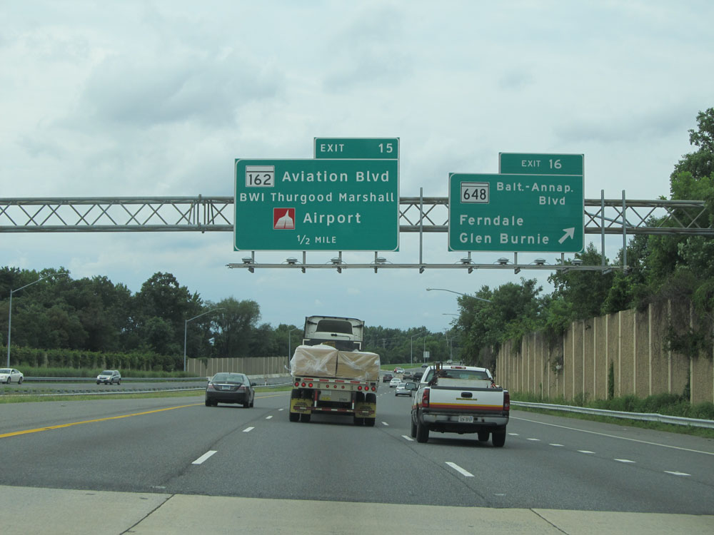 |
Interstate 97 South at Exit 16: MD 648 (Baltimore-Annapolis Blvd) - Ferndale / Glen Burnie (Photo taken 8/7/15). |
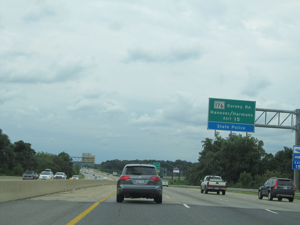 |
Take Exit 15 to MD 176 (Dorsey Rd) and Hanover / Harmans. (Photo taken 8/7/15). |
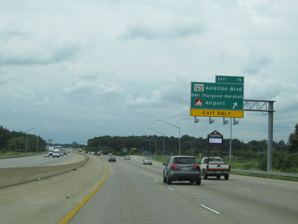 |
Interstate 97 South at Exit 15: MD 162 (Aviation Blvd) - BWI Thurgood Marshall Airport (Photo taken 8/7/15). |
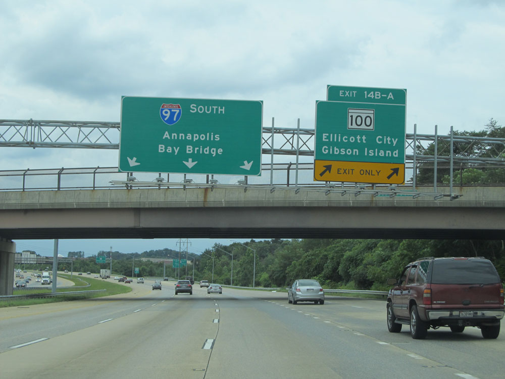 |
Interstate 97 South at Exits 14B-A: MD 100 - Ellicott City / Gibson Island (Photo taken 8/7/15). |
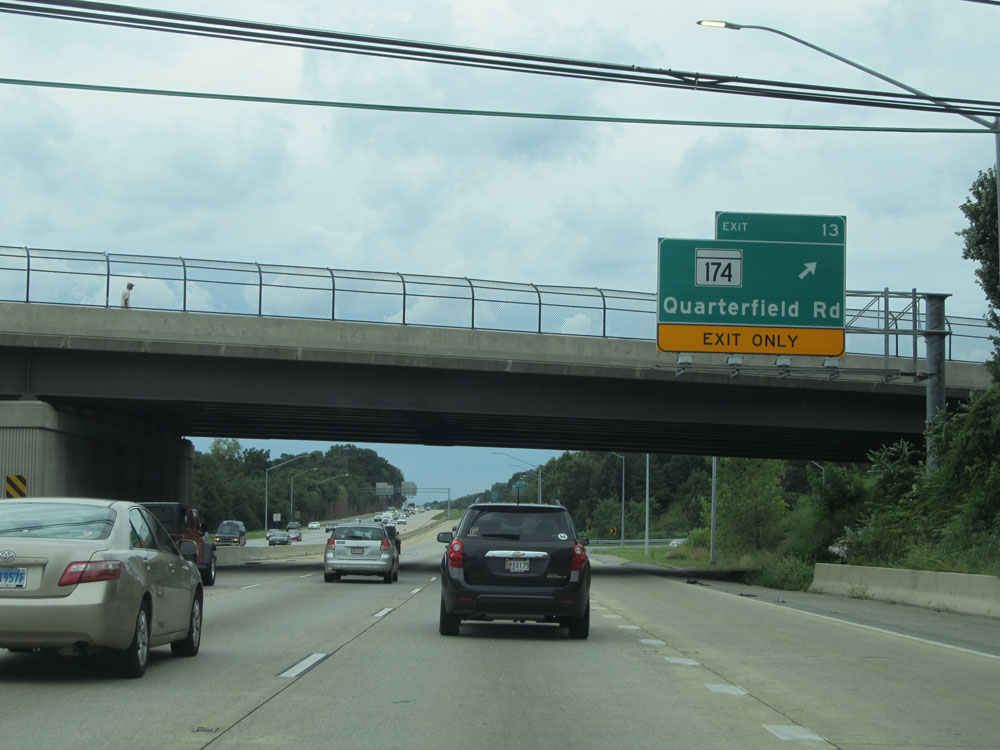 |
Interstate 97 South at Exit 13: MD 174 - Quarterfield Rd (Photo taken 8/7/15). |
 |
Take Exit 12 to Veterans Highway. (Photo taken 8/7/15). |
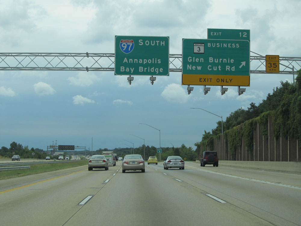 |
Interstate 97 South at Exit 12: MD 3 Bus. - Glen Burnie / New Cut Rd (Photo taken 8/7/15). |
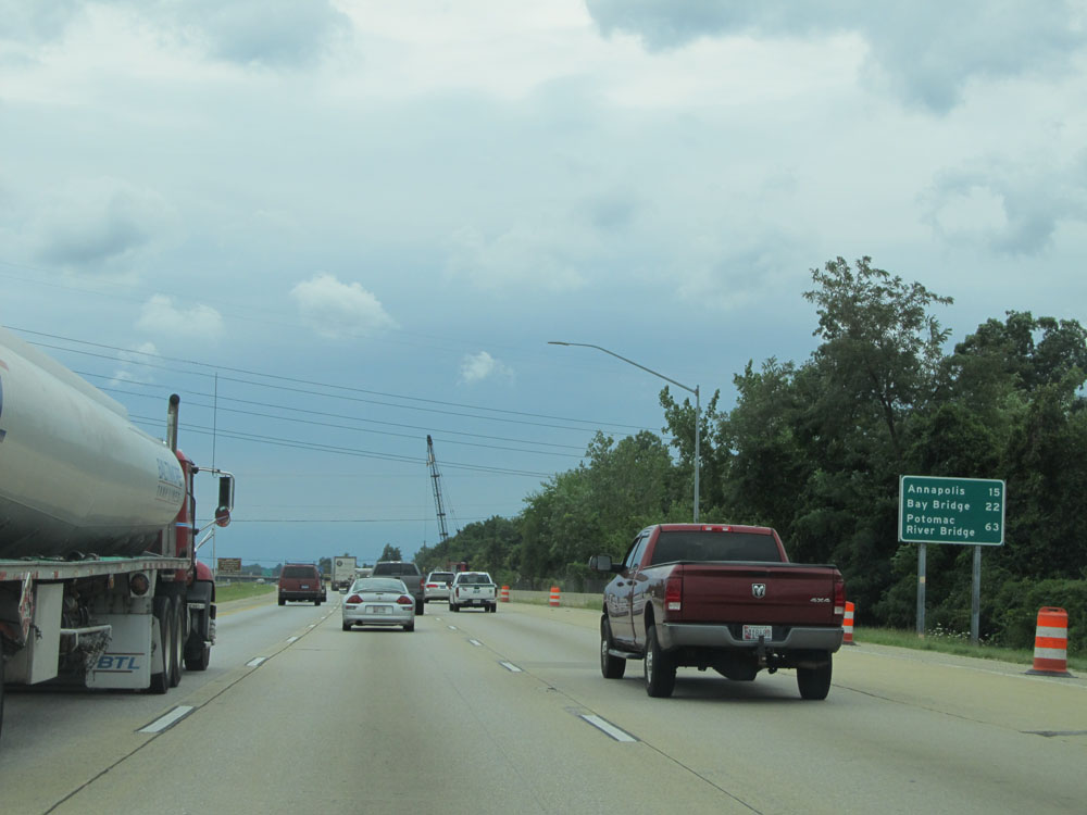 |
Mileage sign just south of Exit 12. From this point, it's 15 miles to Annapolis, 22 miles to the Bay Bridge, and 63 miles to the Potomac River Bridge. (Photo taken 8/7/15). |
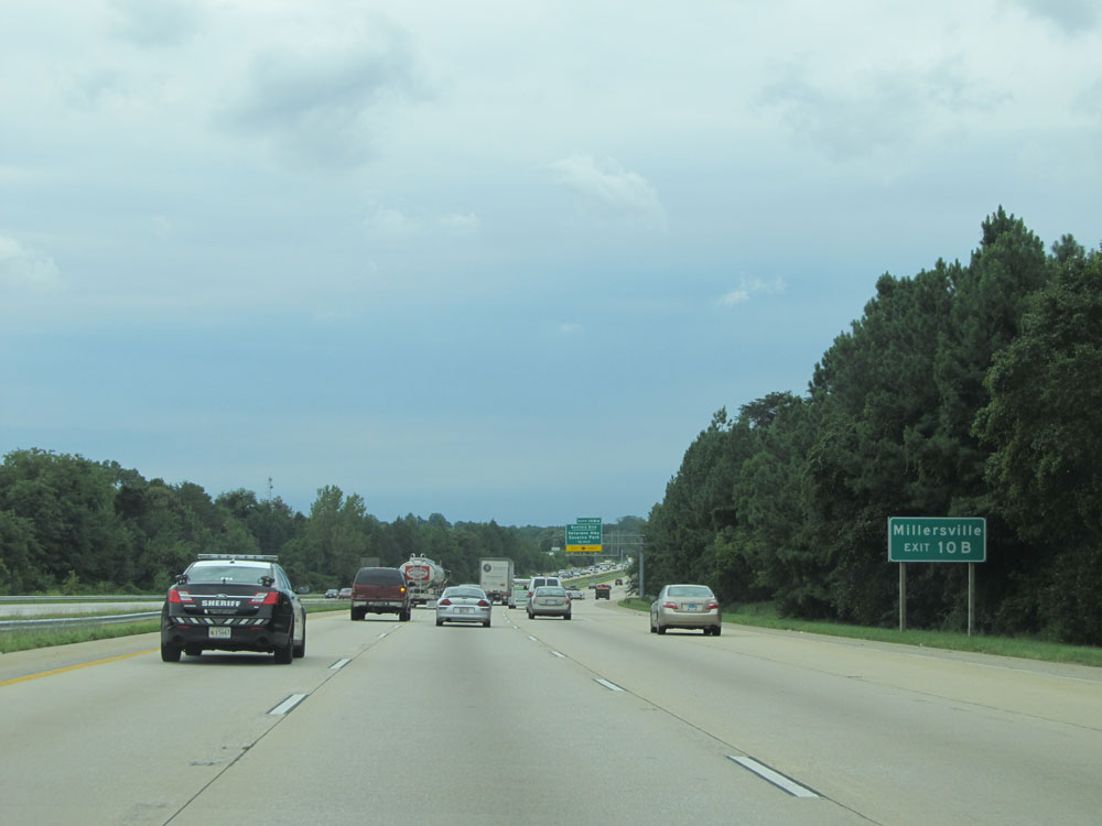 |
Take Exit 10B to Millersville. (Photo taken 8/7/15). |
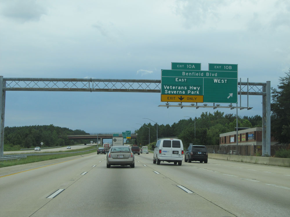 |
Interstate 97 South at Exit 10B: Benfield Blvd West (Photo taken 8/7/15). |
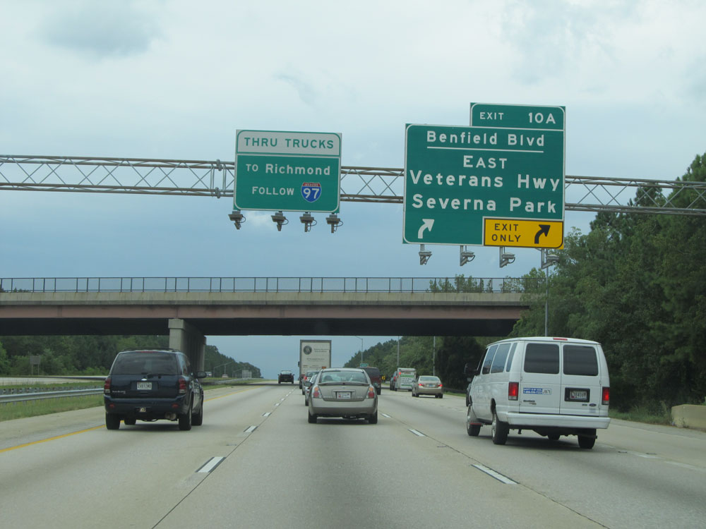 |
Interstate 97 South at Exit 10A: Benfield Blvd East / Veterans Hwy / Saverna Park (Photo taken 8/7/15). |
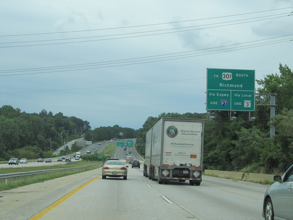 |
Traffic headed to US 301 South toward Richmond can use either Interstate 97 or MD 3. (Photo taken 8/7/15). |
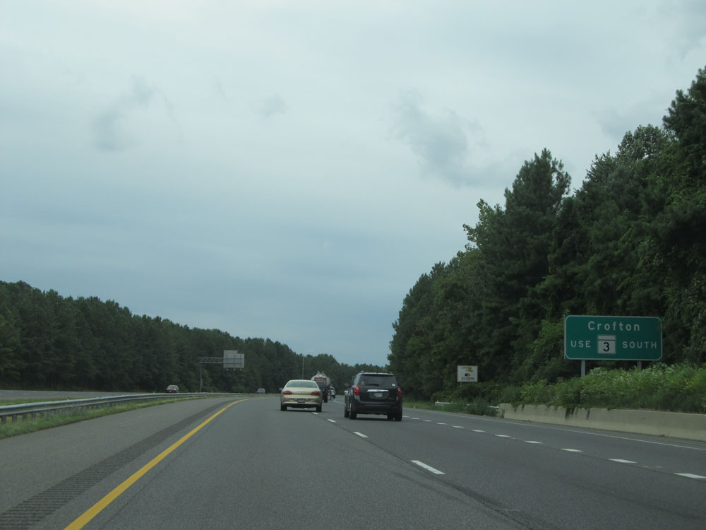 |
Take Exit 7 to Crofton via MD 3 South. (Photo taken 8/7/15). |
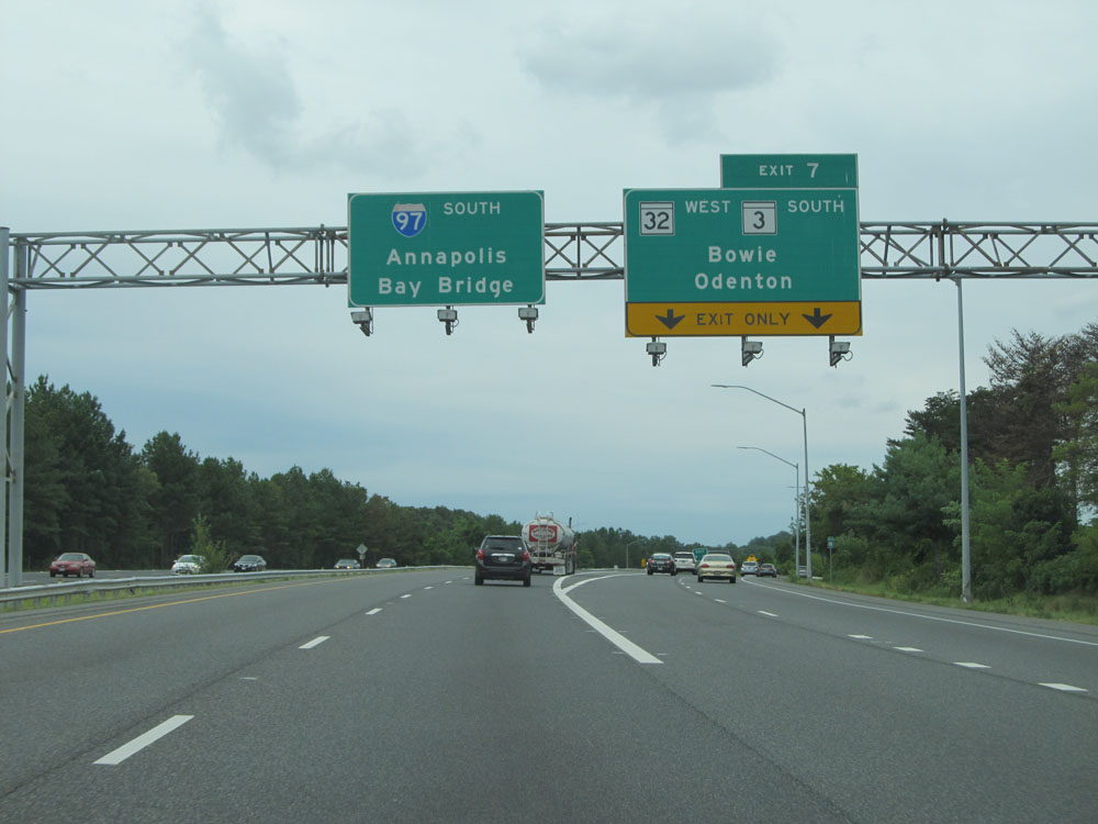 |
Interstate 97 South at Exit 7: MD 32 West / MD 3 South - Bowie / Odenton (Photo taken 8/7/15). |
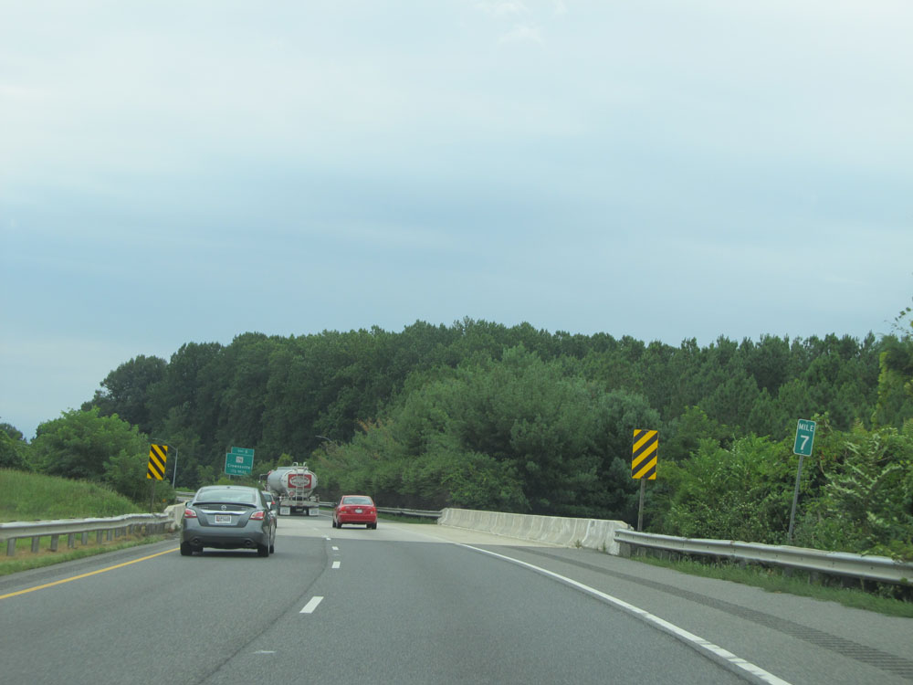 |
Interstate 97 South at mile marker 7. (Photo taken 8/7/15). |
 |
Take Exit 5 to the Fairgrounds. (Photo taken 8/7/15). |
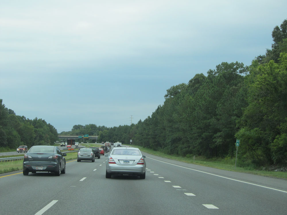 |
Interstate 97 South: Road view from mile marker 6. (Photo taken 8/7/15). |
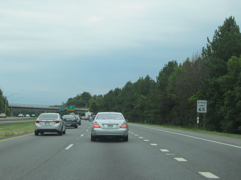 |
Speed limit assurance sign approaching Exit 5. Speed Limit - 65 mph. (Photo taken 8/7/15). |
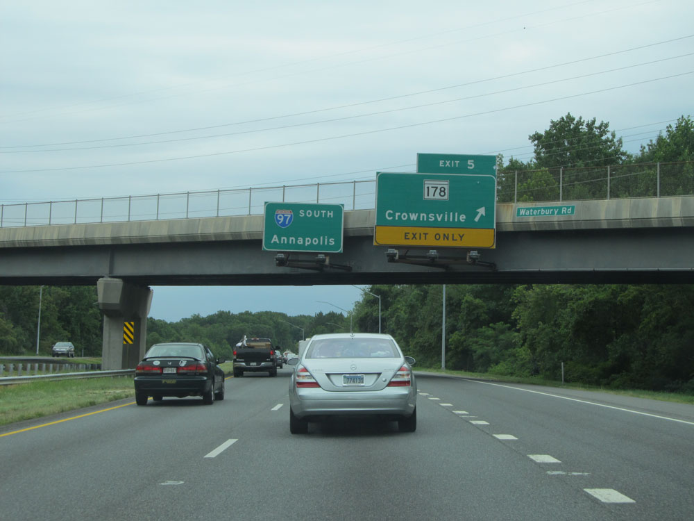 |
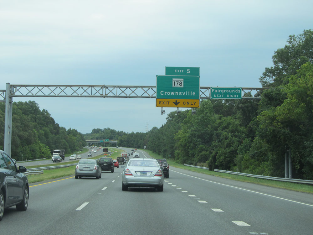
Interstate 97 South at Exit 5: MD 178 - Crownsville (Photo taken 8/7/15). |
 |
Mileage sign at mile marker 5. It's 5 miles to the junction of US 50 (southern terminus of Interstate 97) and 9 miles to Annapolis. (Photo taken 8/7/15). |
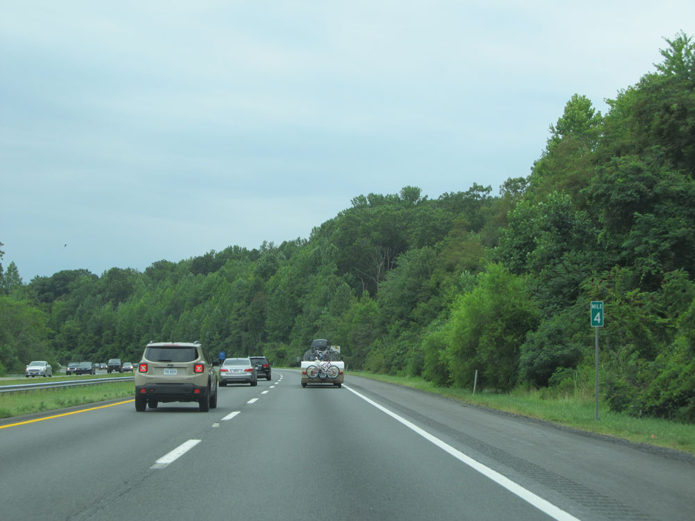 |
Interstate 97 South at mile marker 4. (Photo taken 8/7/15). |
 |
Interstate 97 South at mile marker 3. (Photo taken 8/7/15). |
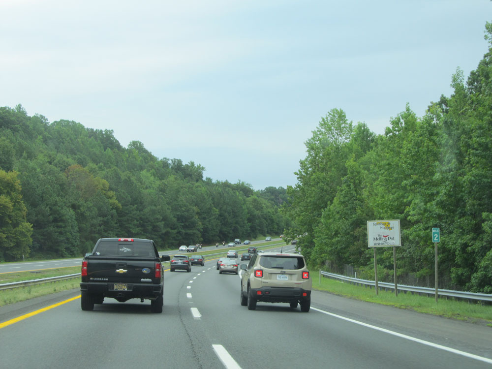 |
Interstate 97 South: Road view from mile marker 2. (Photo taken 8/7/15). |
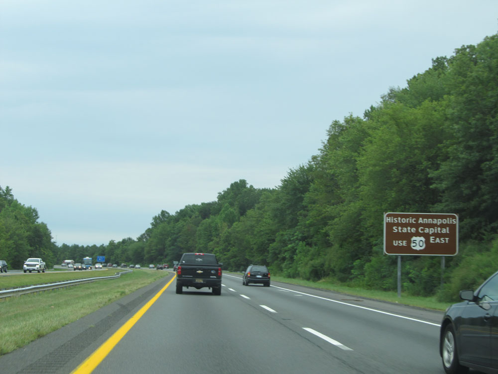 |
Take US 50 East to Historic Annapolis and the State Capital. (Photo taken 8/7/15). |
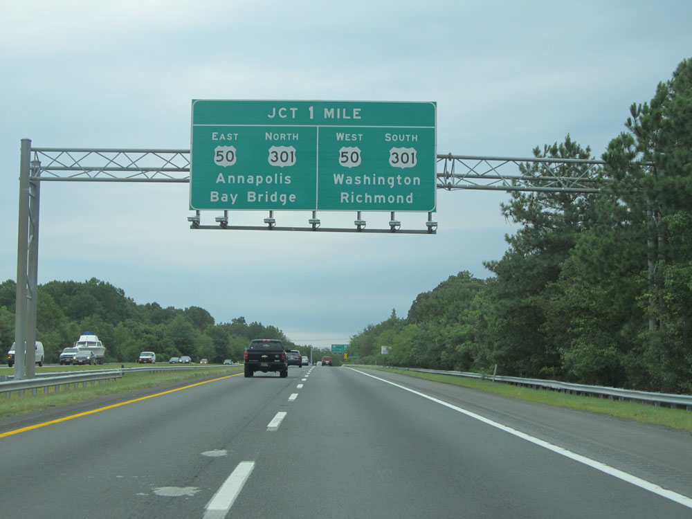 |
Interstate 97 South approaching the junction of US 50 / US 301 - 1 mile. (Photo taken 8/7/15). |
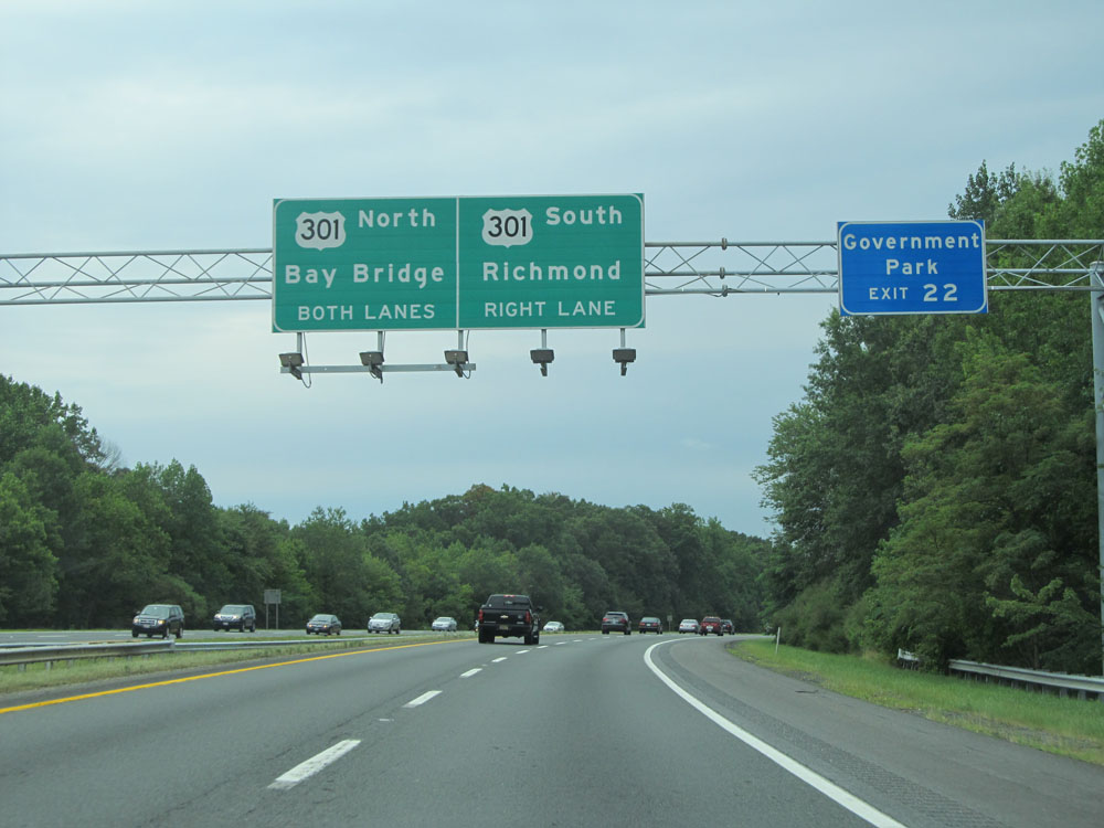 |
Use both lanes for US 50 East / US 301 North toward the Bay Bridge. Use the right lane for US 50 West / US 301 South toward Washington DC and Richmond. (Photo taken 8/7/15). |
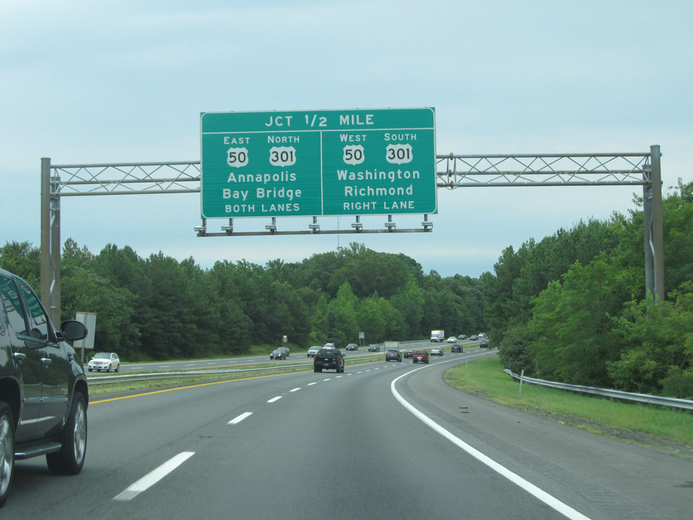 |
Interstate 97 South approaching its southern terminus at US 50 / US 301 - 1/2 mile. (Photo taken 8/7/15). |
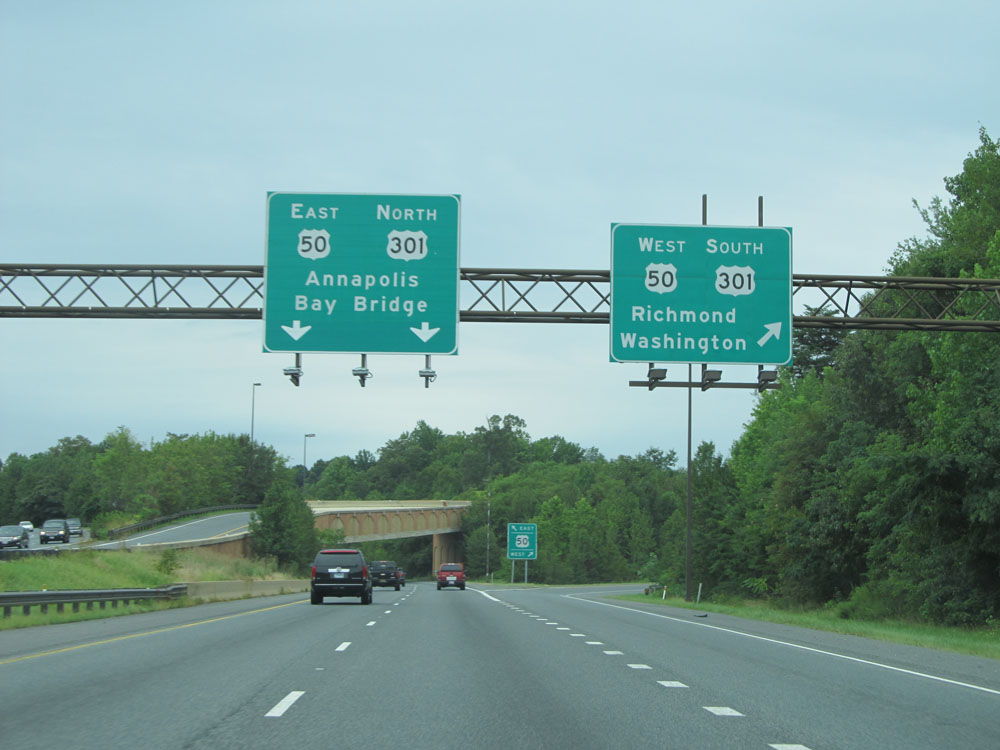 |
Interstate 97 South at the junction of US 50 / US 301. This interchange marks the southern terminus of I-97. (Photo taken 8/7/15). |