Road Information |
||
 |
||
| Total Mileage in State: | 11.5 miles | |
| Northern End: | At I-10, near Kenner | |
| Southern End: | At US 90, in Boutte | |
| Mileage covered in Photos: | 11.5 miles | |
| Parishes covered in Photos: | St. Charles | |
| Major Junctions in Photos: | US 61, in St. Rose | |
| Control Cities in Photos: | St. Rose, Luling, Boutte | |
Southbound
 |
Merging onto Interstate 310 South from Interstate 10 West via Exit 220 near Kenner. (Photo taken 12/9/20). |
 |
View on the ramp to Interstate 310 South from Interstate 10 West. (Photo taken 12/9/20). |
 |
The ramp curves to the south and passes over Interstate 10 here. (Photo taken 12/9/20). |
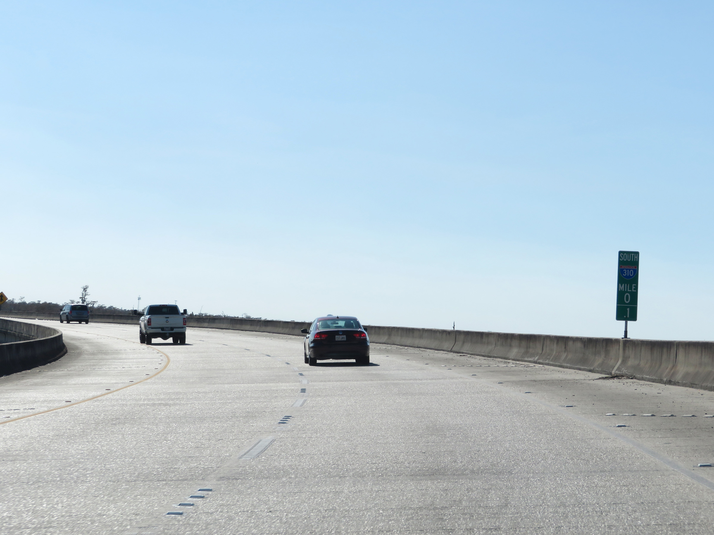 |
Interstate 310 South at mile marker 0.1, as its measured mile begins. I-310 is one of the handful of Interstate highways in which the mile markers and exit numbers increase as you go south, which is the opposite of how most Interstates are marked. (Photo taken 12/9/20). |
 |
At mile marker 0.4, traffic from Interstate 10 East merges into Interstate 310 South from the right. (Photo taken 12/9/20). |
 |
Interstate 310 South reassurance shield. (Photo taken 12/9/20). |
 |
Speed limit sign at mile marker 1. The speed limit on Interstate 310 South starts out at 70 mph. This is the standard maximum speed limit on most (but not all) rural Interstate highways in Louisiana. (Photo taken 12/9/20). |
 |
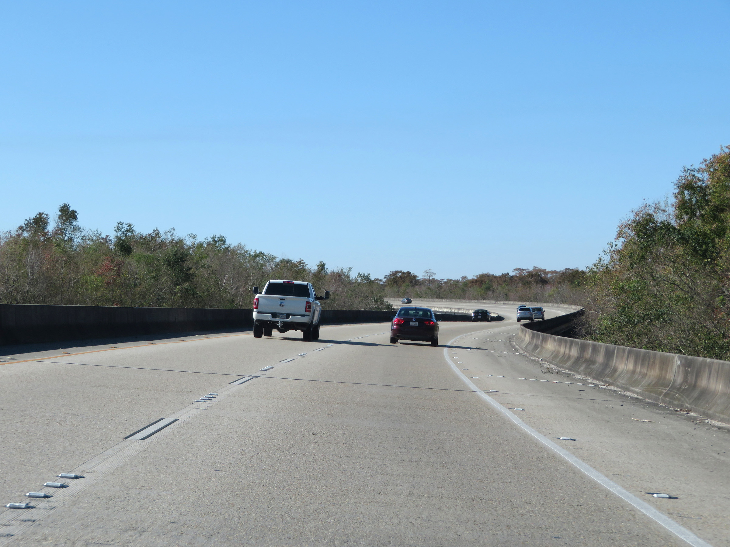
Take either of the next 2 exits to St. Rose. (Photo taken 12/9/20). |
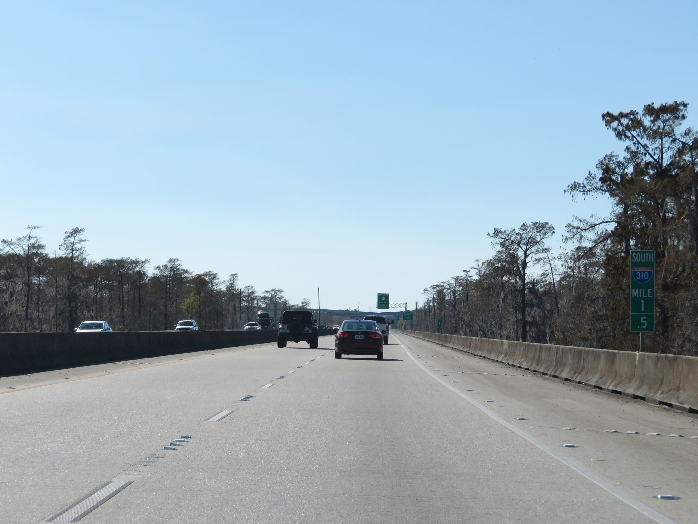 |
View on Interstate 310 South at mile marker 1.5, as it makes its way across the LaBranche Wetlands Bridge. (Photo taken 12/9/20). |
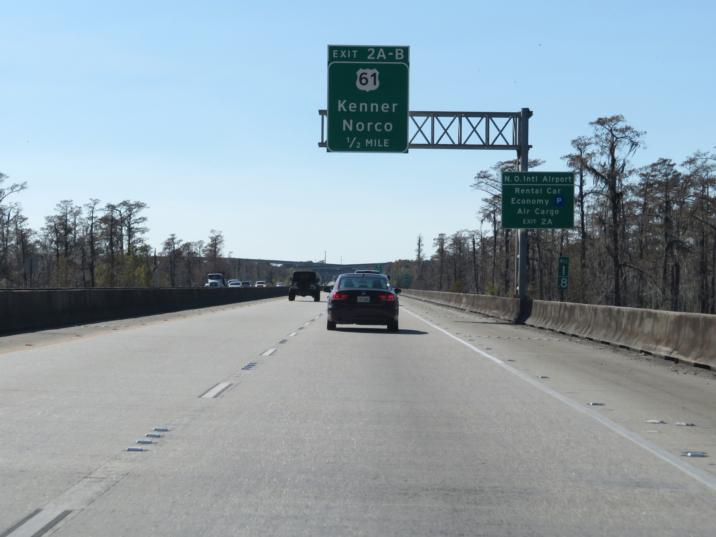 |
Take Exit 2A to the Rental Car, Economy Parking, and Air Cargo areas of New Orleans International Airport. (Photo taken 12/9/20). |
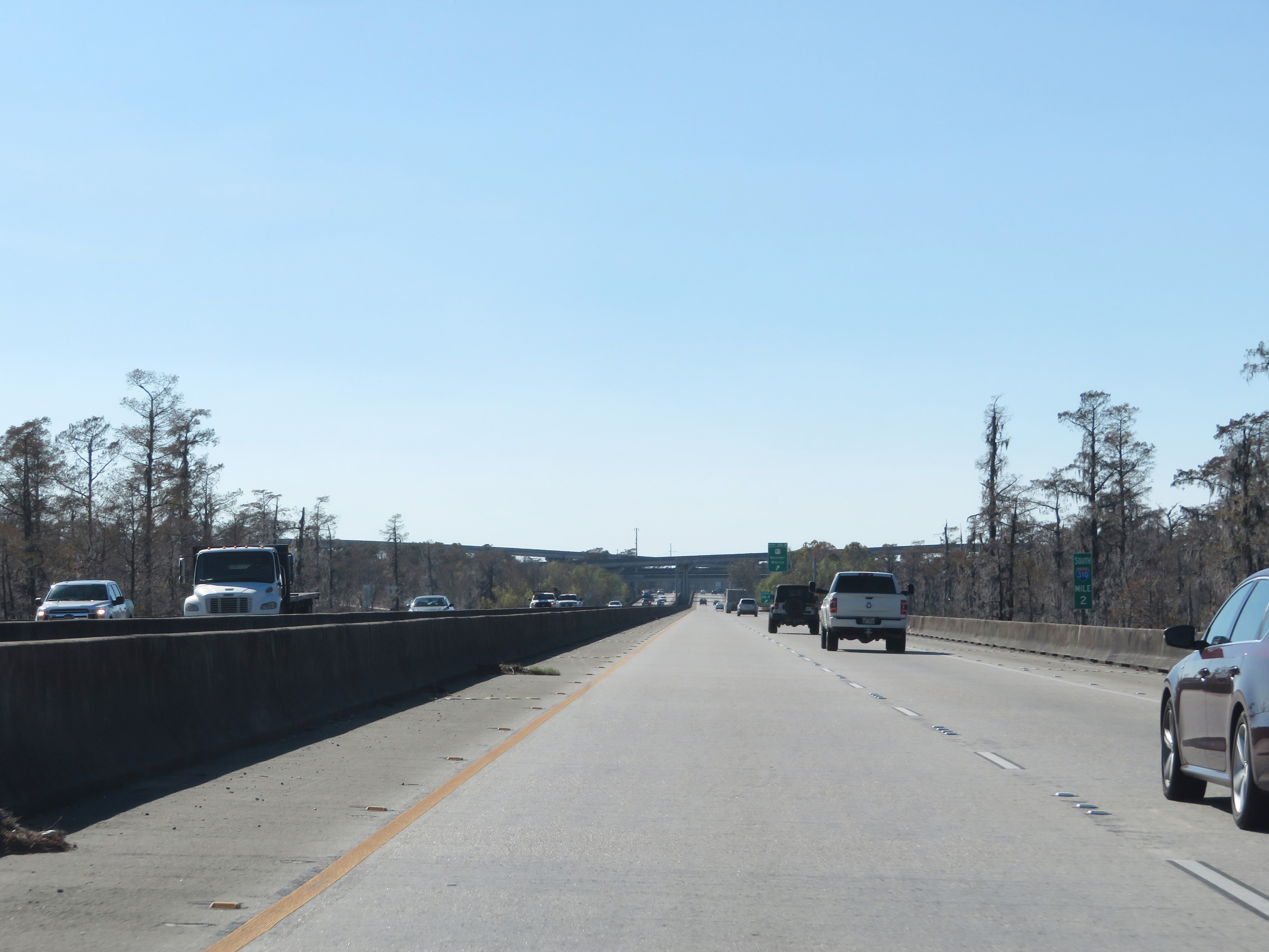 |
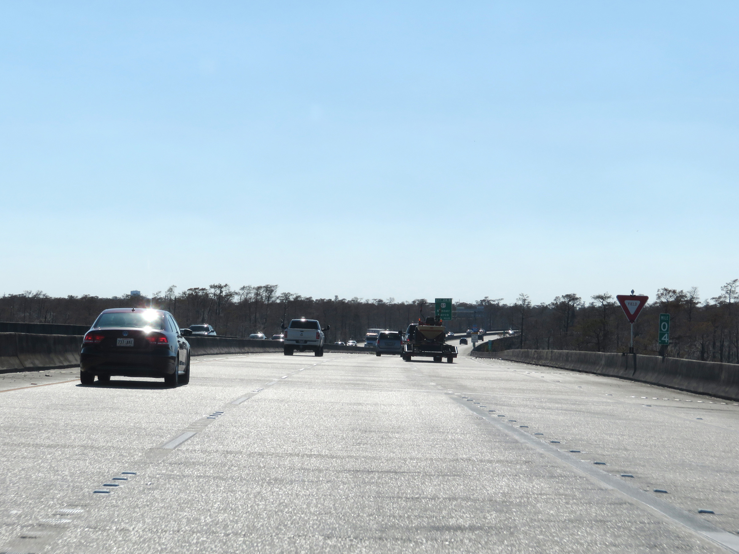
Interstate 310 South at mile marker 2. (Photo taken 12/9/20). |
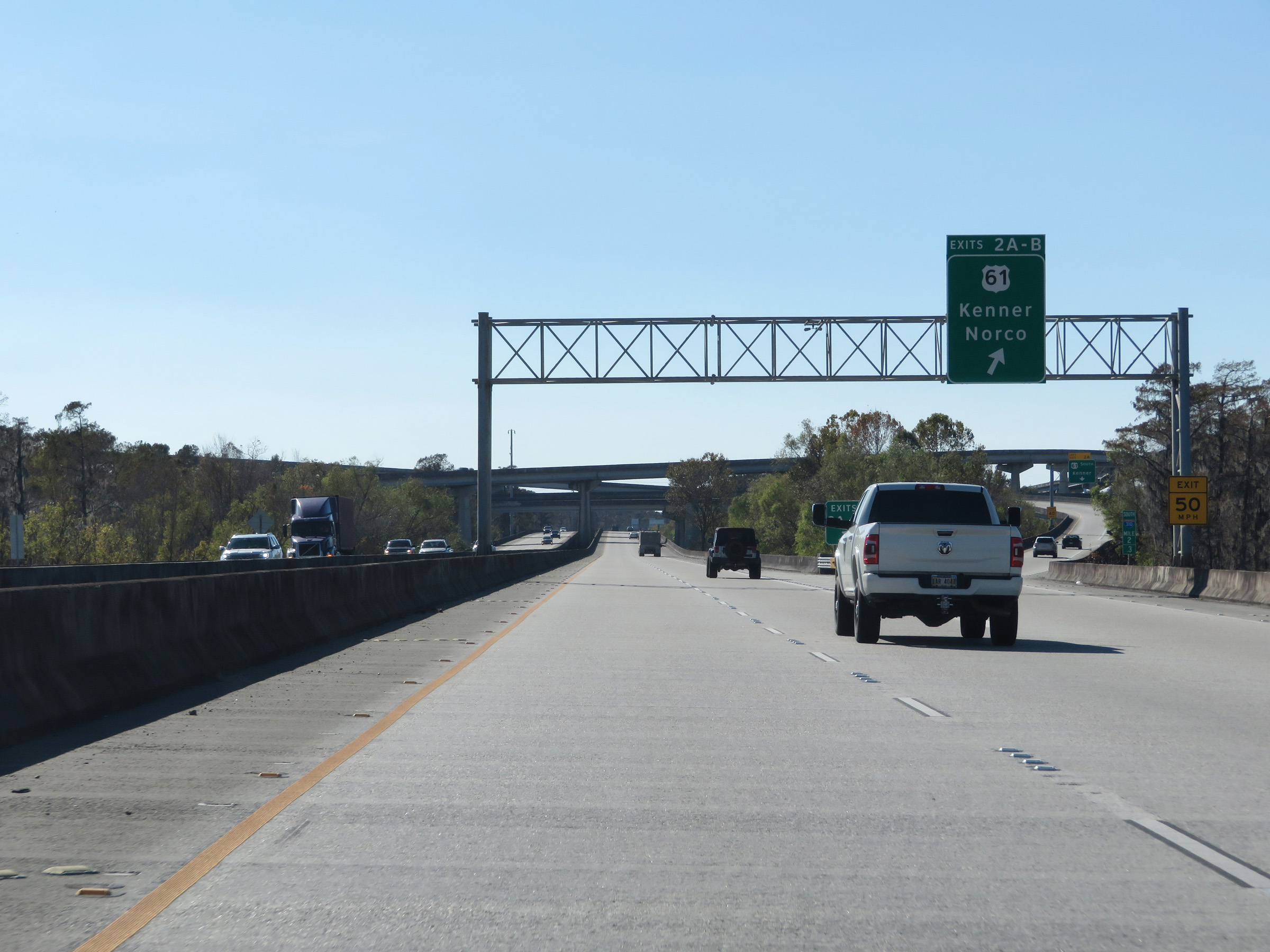 |
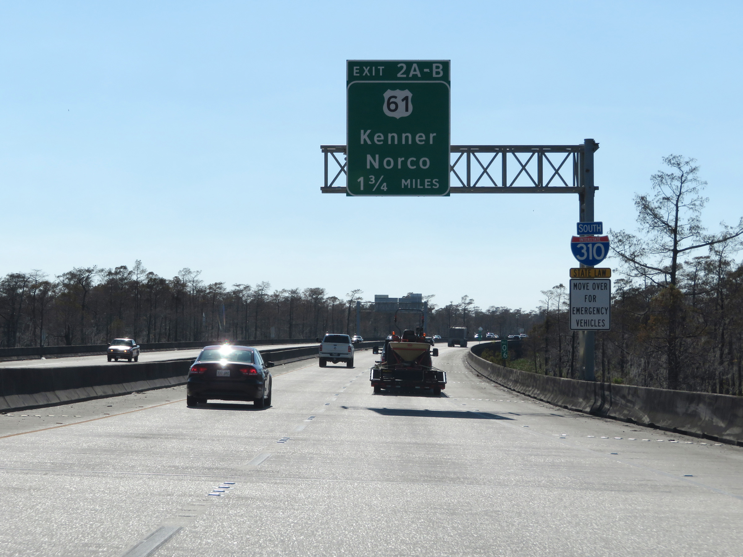
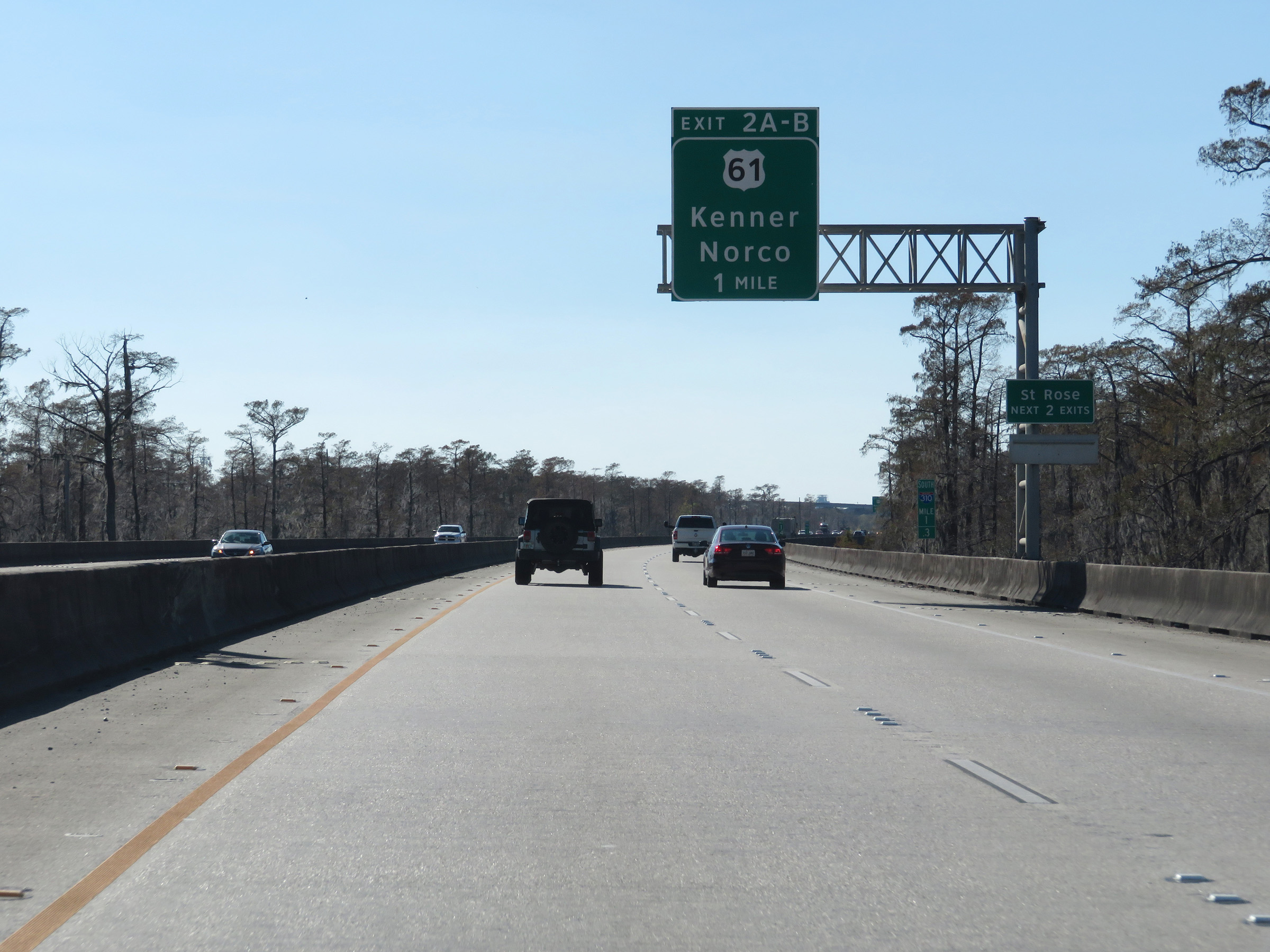
Interstate 310 South at Exits 2A-B: US 61 - Kenner / Norco (Photo taken 12/9/20). |
 |
View on Interstate 310 South at mile marker 2.6, as it passes under the ramps to and from US 61. (Photo taken 12/9/20). |
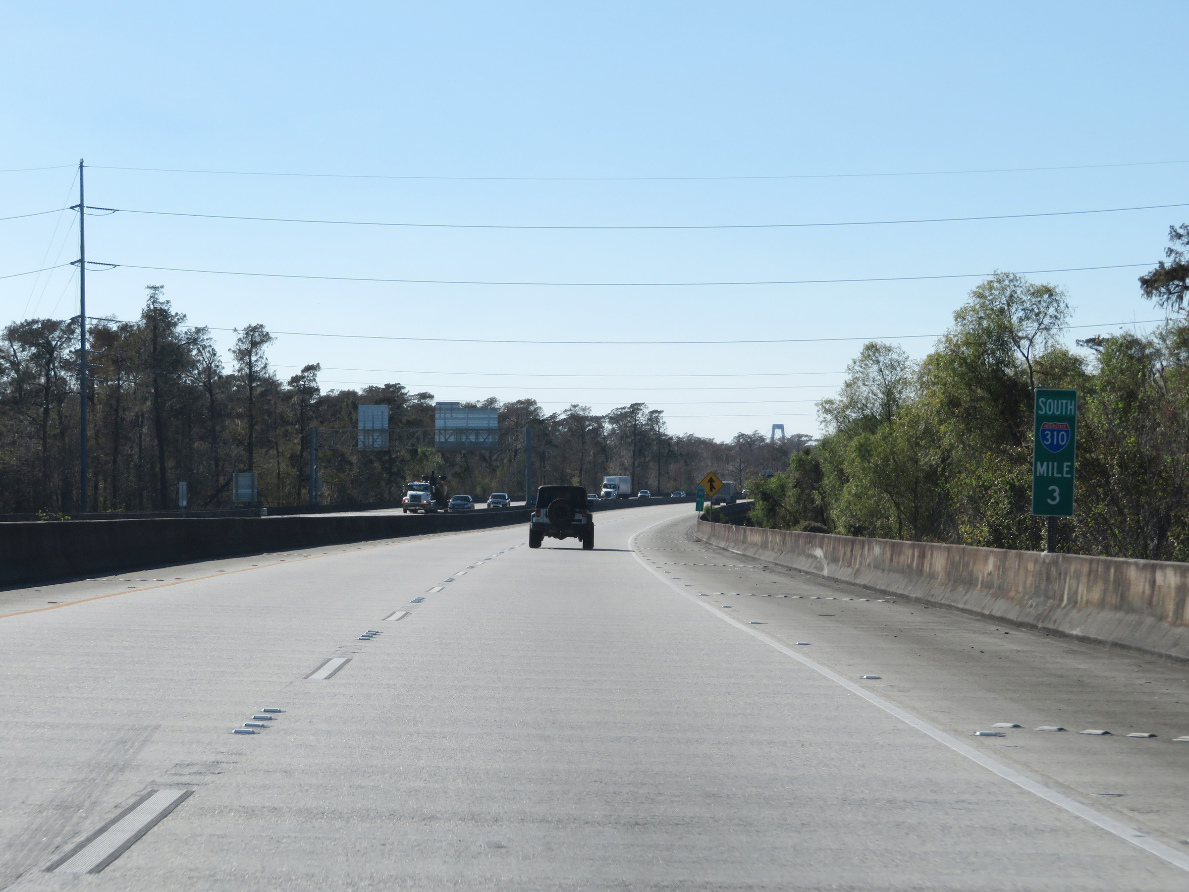 |
Interstate 310 South at mile marker 3, as the LaBranche Wetlands Bridge continues. (Photo taken 12/9/20). |
 |
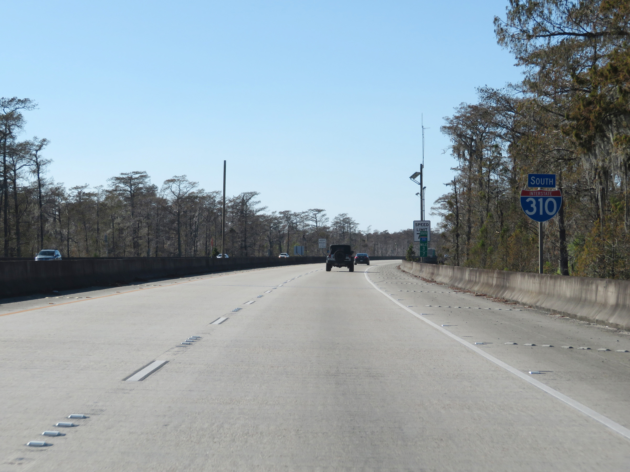
View on Interstate 310 South at mile marker 3.5. (Photo taken 12/9/20). |
 |
Another Interstate 310 South reassurance shield at mile marker 3.7. (Photo taken 12/9/20). |
 |
Interstate 310 South at mile marker 4. (Photo taken 12/9/20). |
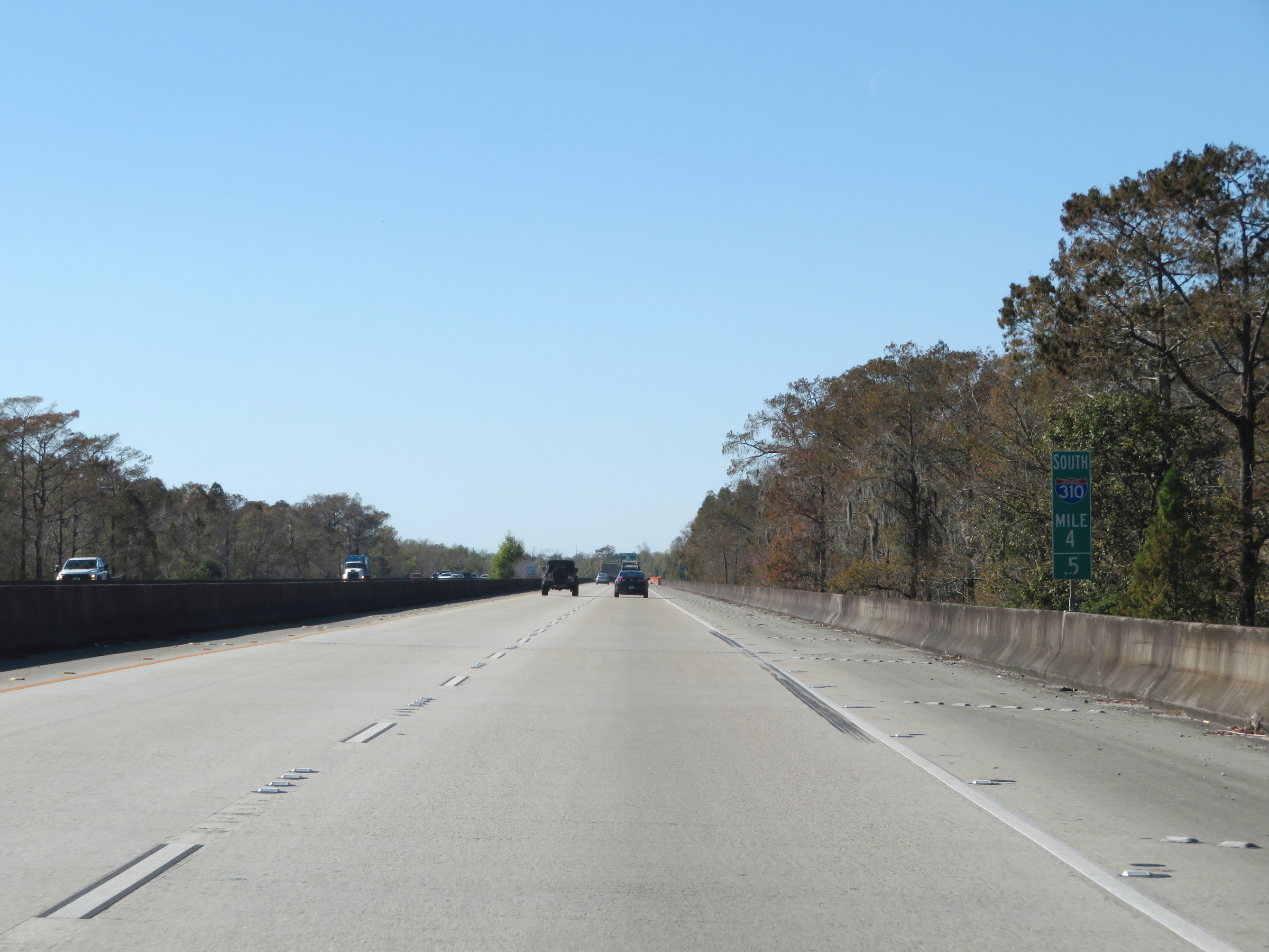 |
View on Interstate 310 South at mile marker 4.5 on the LaBranche Wetlands Bridge. (Photo taken 12/9/20). |
 |
Interstate 310 South at mile marker 5, as it reaches the southern end of the LaBranche Wetlands Bridge. (Photo taken 12/9/20). |
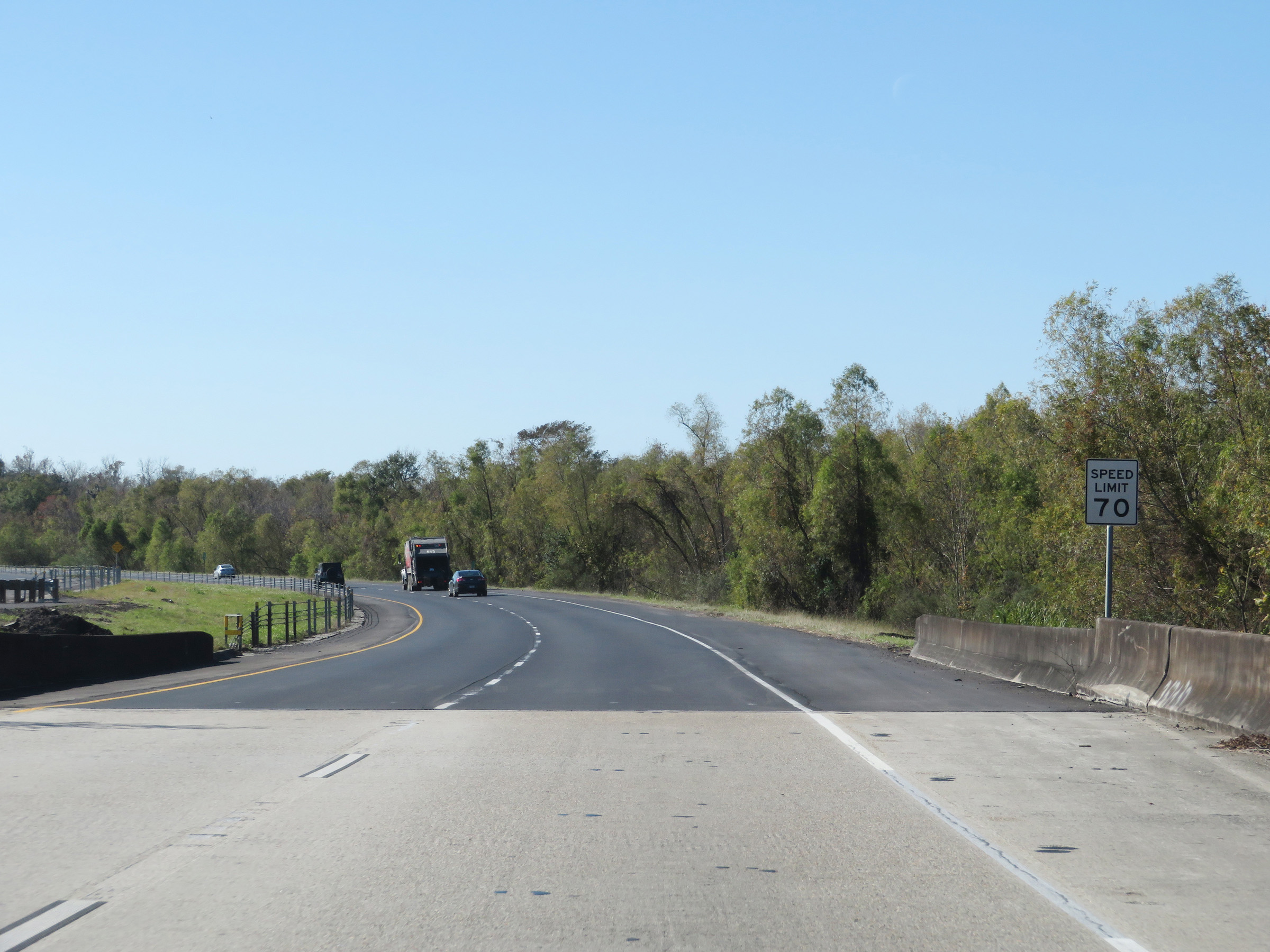 |
The speed limit remains 70 mph. (Photo taken 12/9/20). |
 |
Take Exit 6 to River Road Plantations. (Photo taken 12/9/20). |
 |
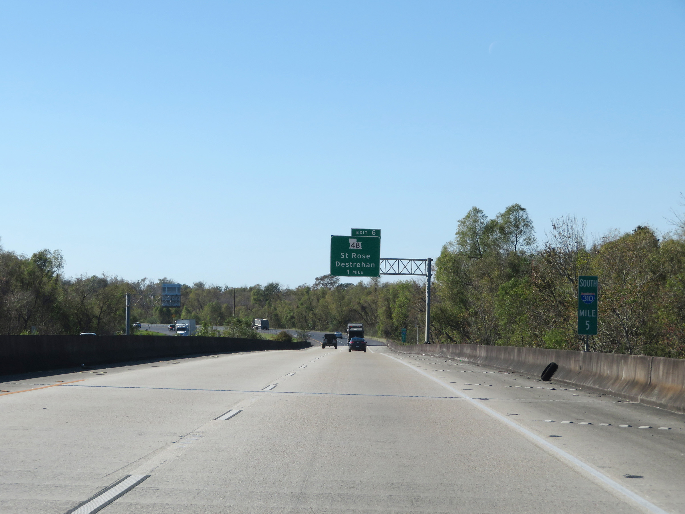
Interstate 310 South at Exit 6: LA 48 - St. Rose / Destrehan (Photo taken 12/9/20). |
 |
View on Interstate 310 South at mile marker 6.4, as it prepares to cross the Hale Boggs Memorial Bridge over the Mississippi River. (Photo taken 12/9/20). |
 |
Interstate 310 South reassurance shield at mile marker 6.7 as it starts across the Hale Boggs Memorial Bridge over the Mississippi River. (Photo taken 12/9/20). |
 |
Signage acknowledging the Hale Boggs Memorial Bridge at mile marker 6.8, as it nears its peak. (Photo taken 12/9/20). |
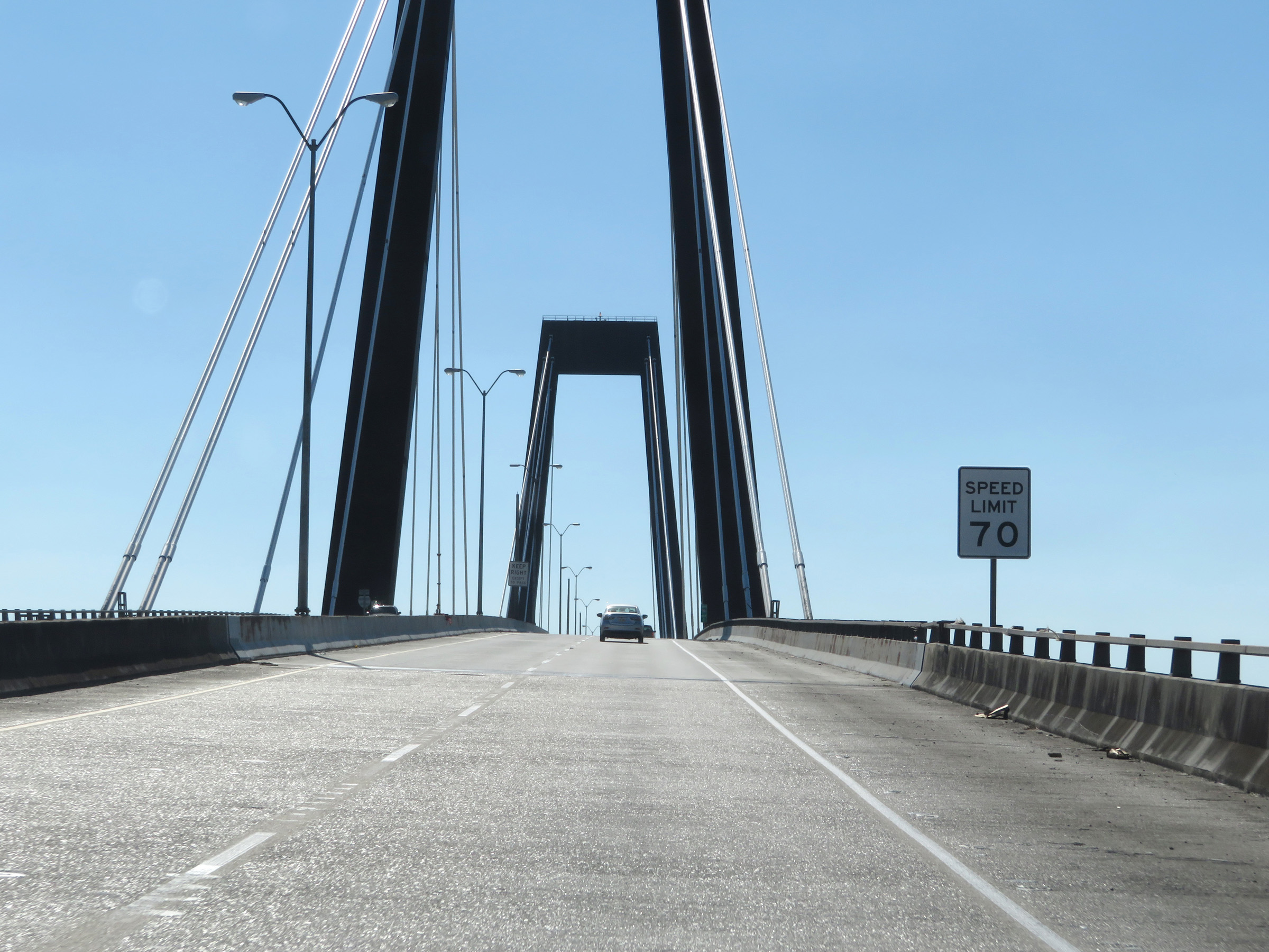 |
The speed limit remains 70 mph on Interstate 310 South across the Hale Boggs Memorial Bridge. (Photo taken 12/9/20). |
 |
View on Interstate 310 South at mile marker 7, as it reaches the peak of the Hale Boggs Memorial Bridge over the Mississippi River. (Photo taken 12/9/20). |
 |
Interstate 310 South at mile marker 7.2, as it begins its descent of the Hale Boggs Memorial Bridge. (Photo taken 12/9/20). |
 |
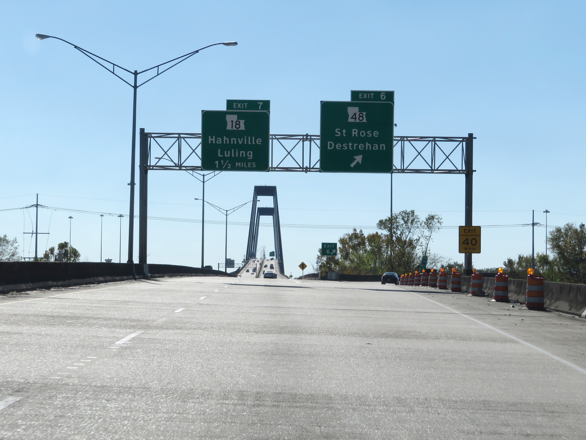
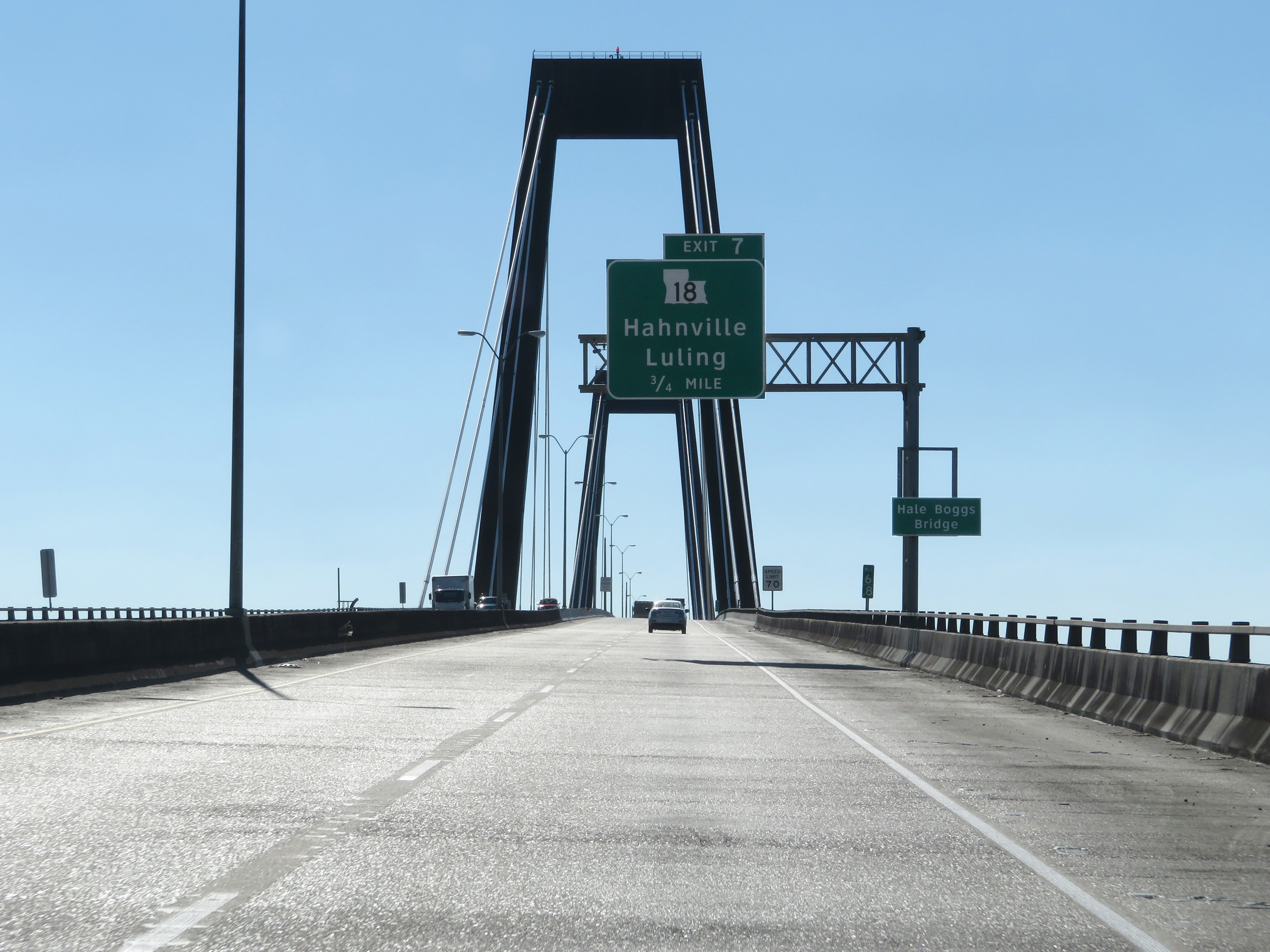
Advance signage for Exit 7 on the descent of the Hale Boggs Memorial Bridge. (Photo taken 12/9/20). |
 |
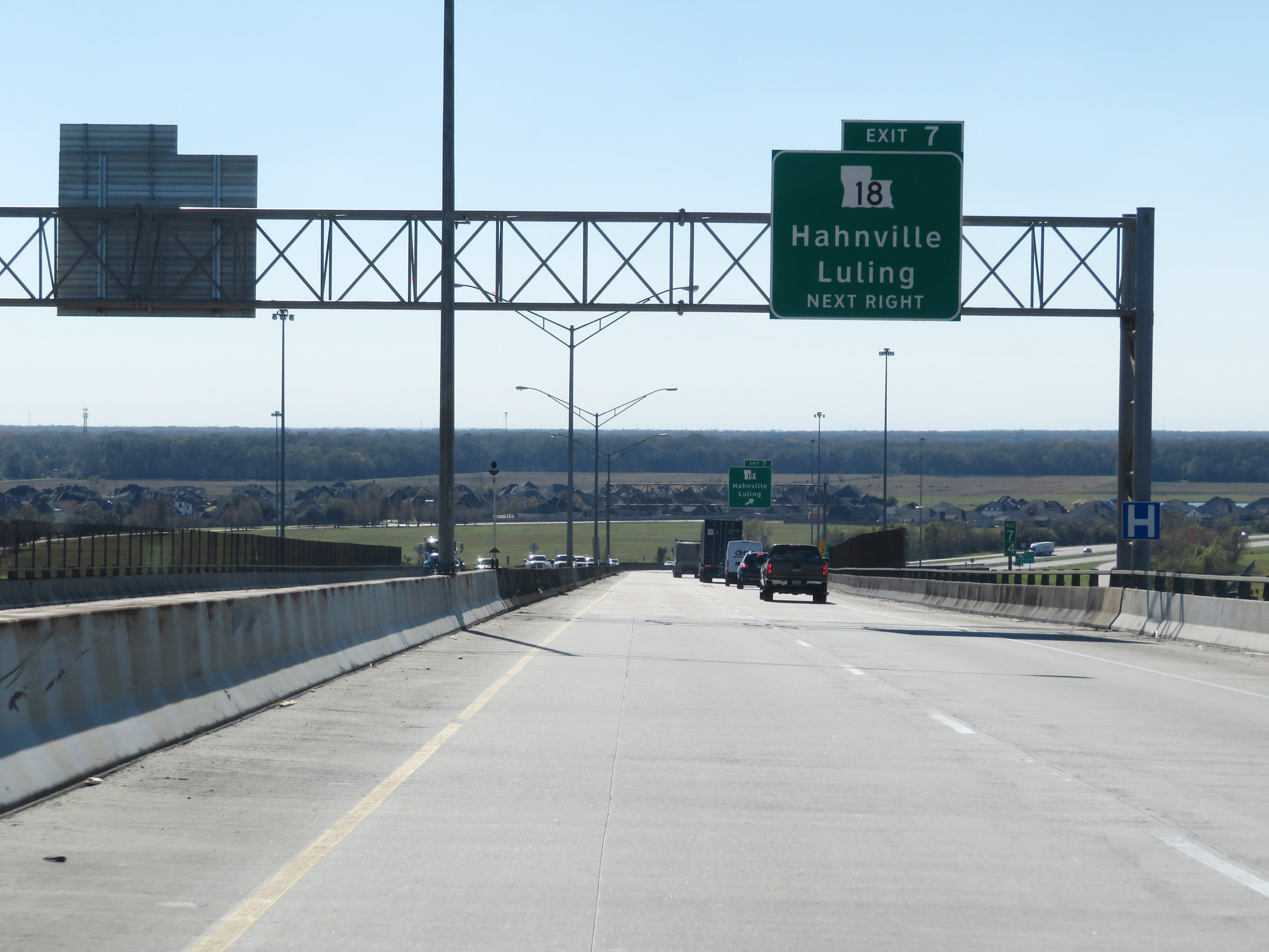
Interstate 310 South at Exit 7: LA 18 - Hahnville / Luling (Photo taken 12/9/20). |
 |
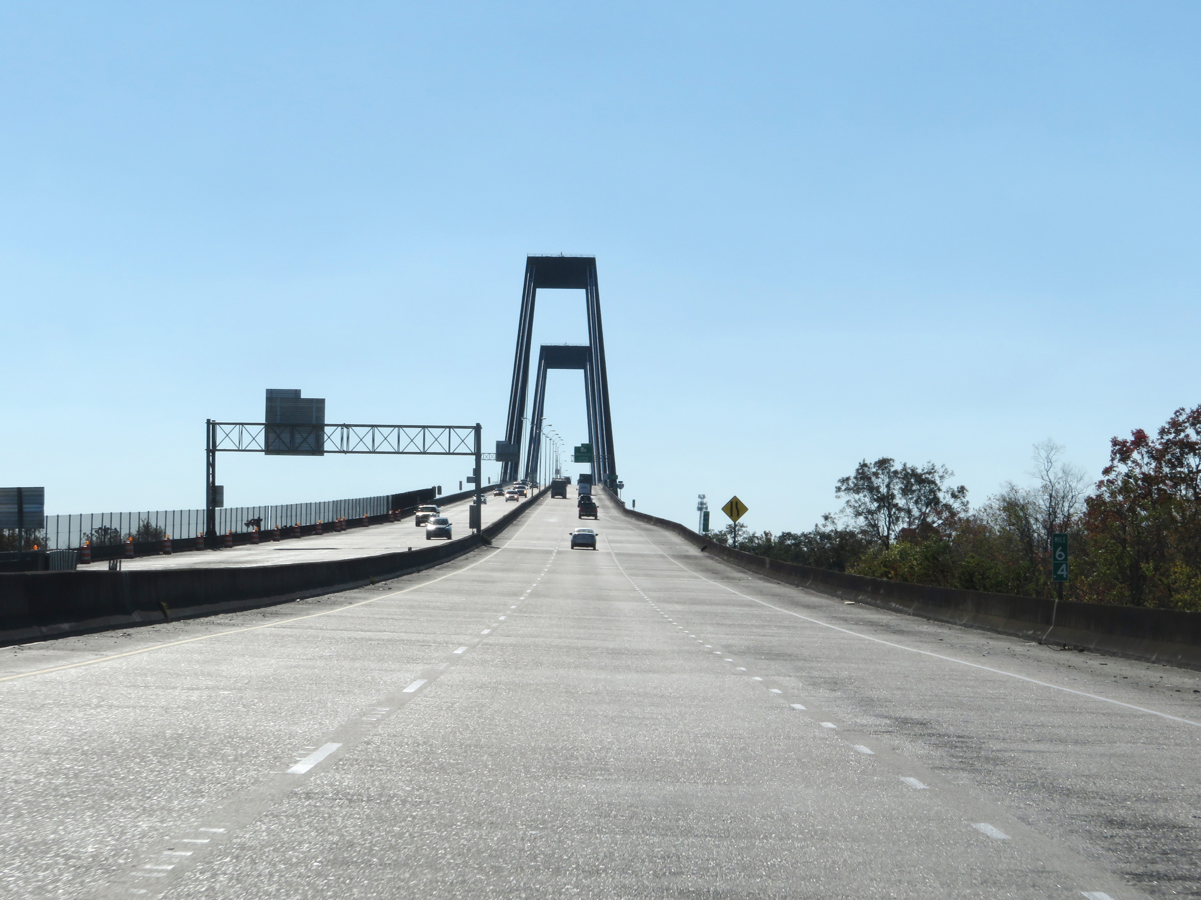
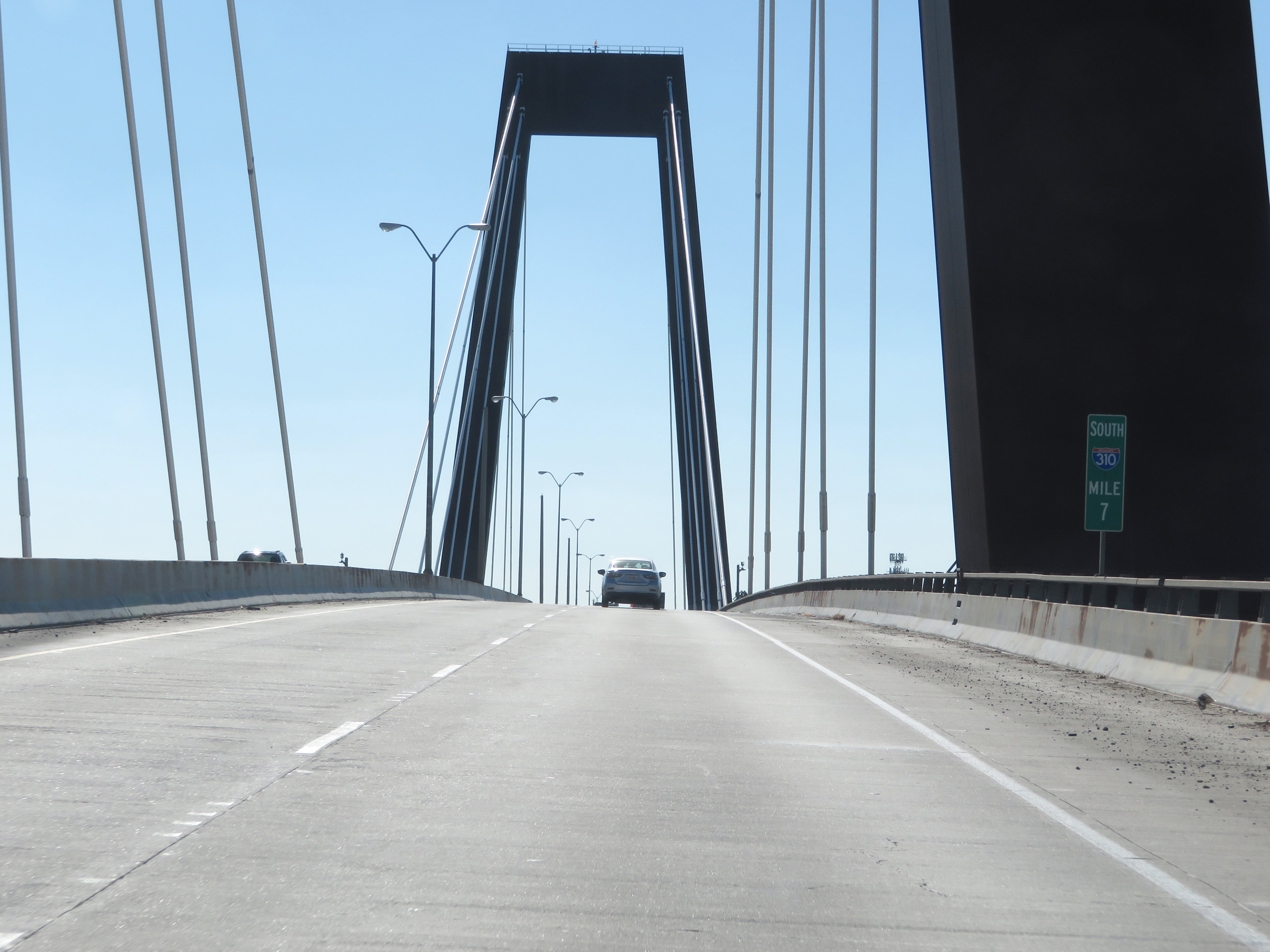
View on Interstate 310 South at mile marker 8, as it reaches the southern end of the Hale Boggs Memorial Bridge over the Mississippi River. (Photo taken 12/9/20). |
 |
Interstate 310 South reassurance shield. (Photo taken 12/9/20). |
 |
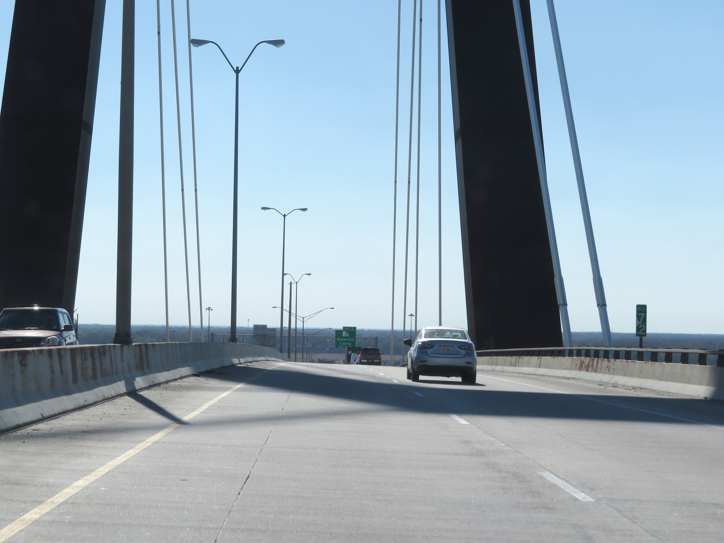
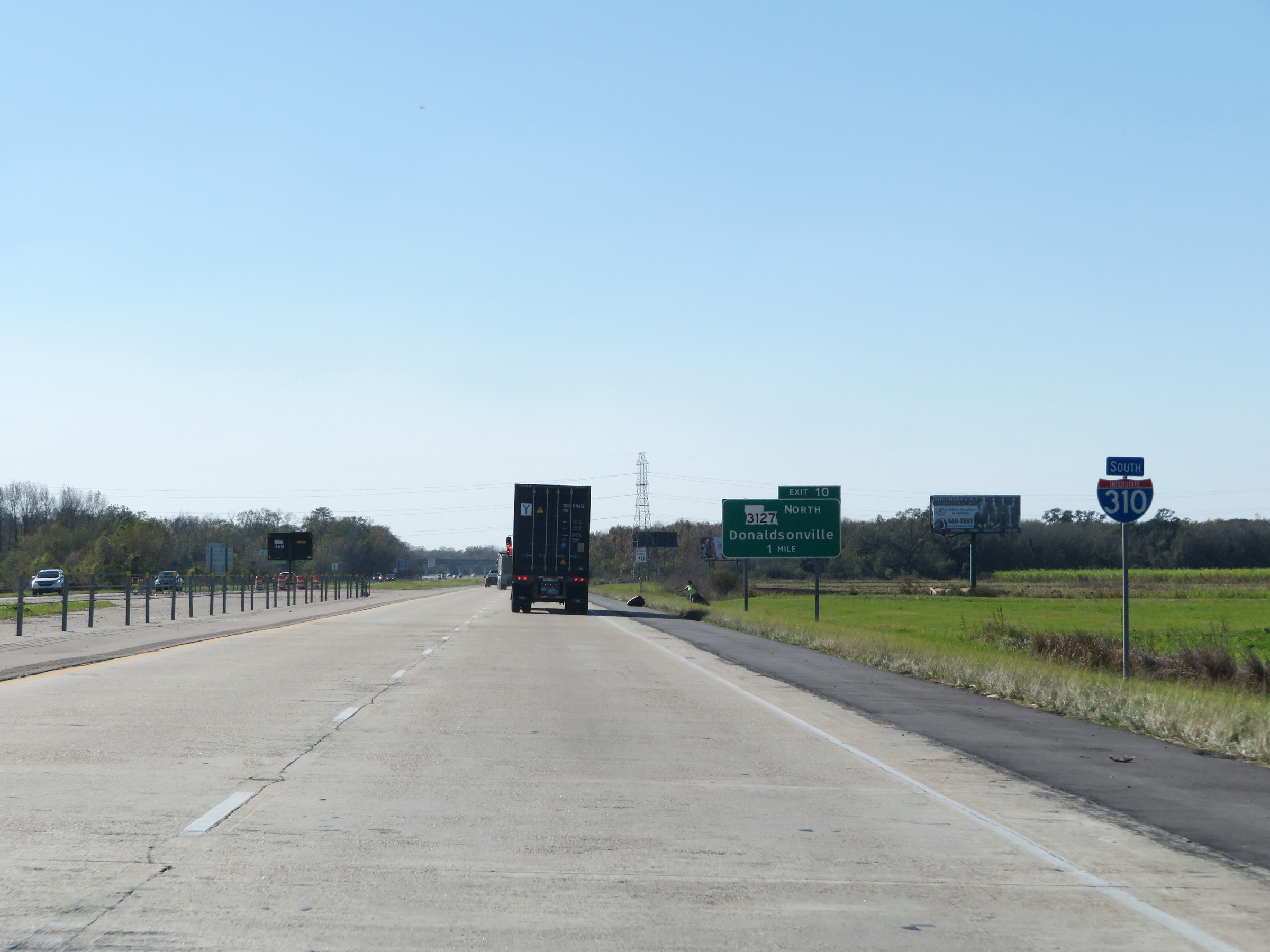
View on Interstate 310 South at mile marker 9. (Photo taken 12/9/20). |
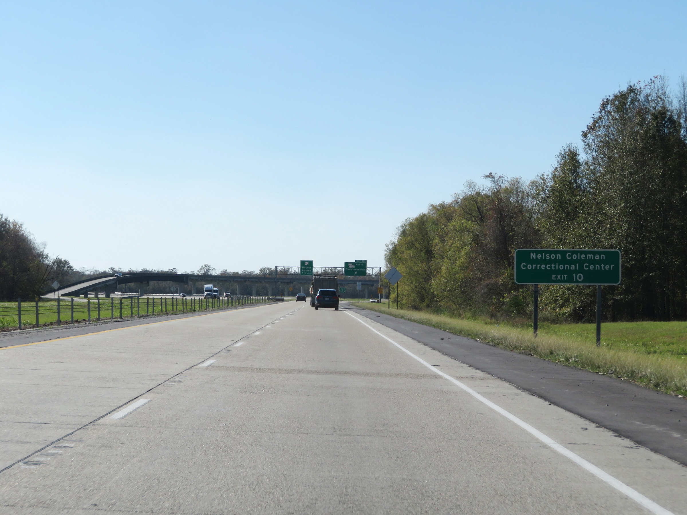 |
Take Exit 10 to Nelson Coleman Correctional Center. (Photo taken 12/9/20). |
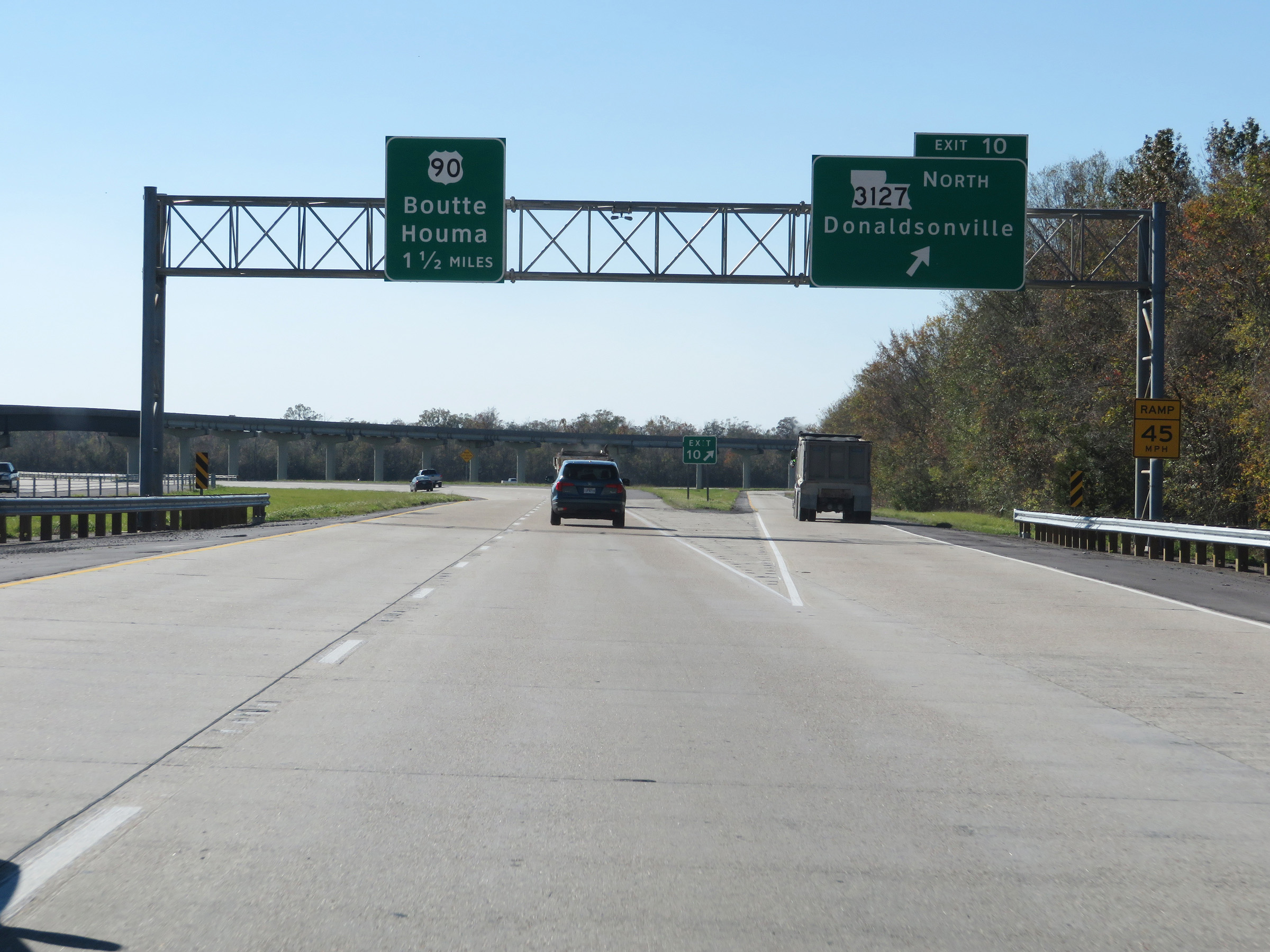 |
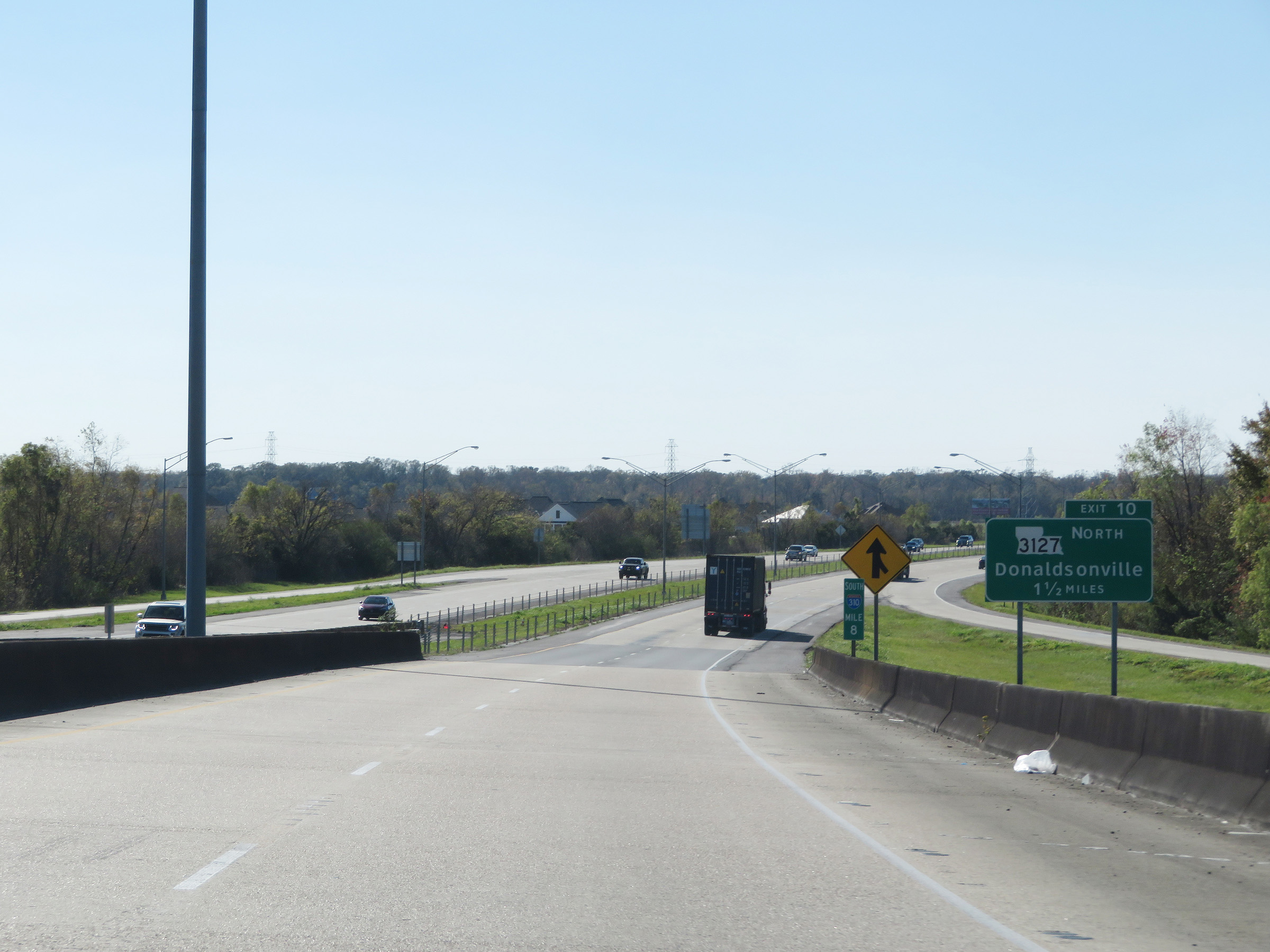
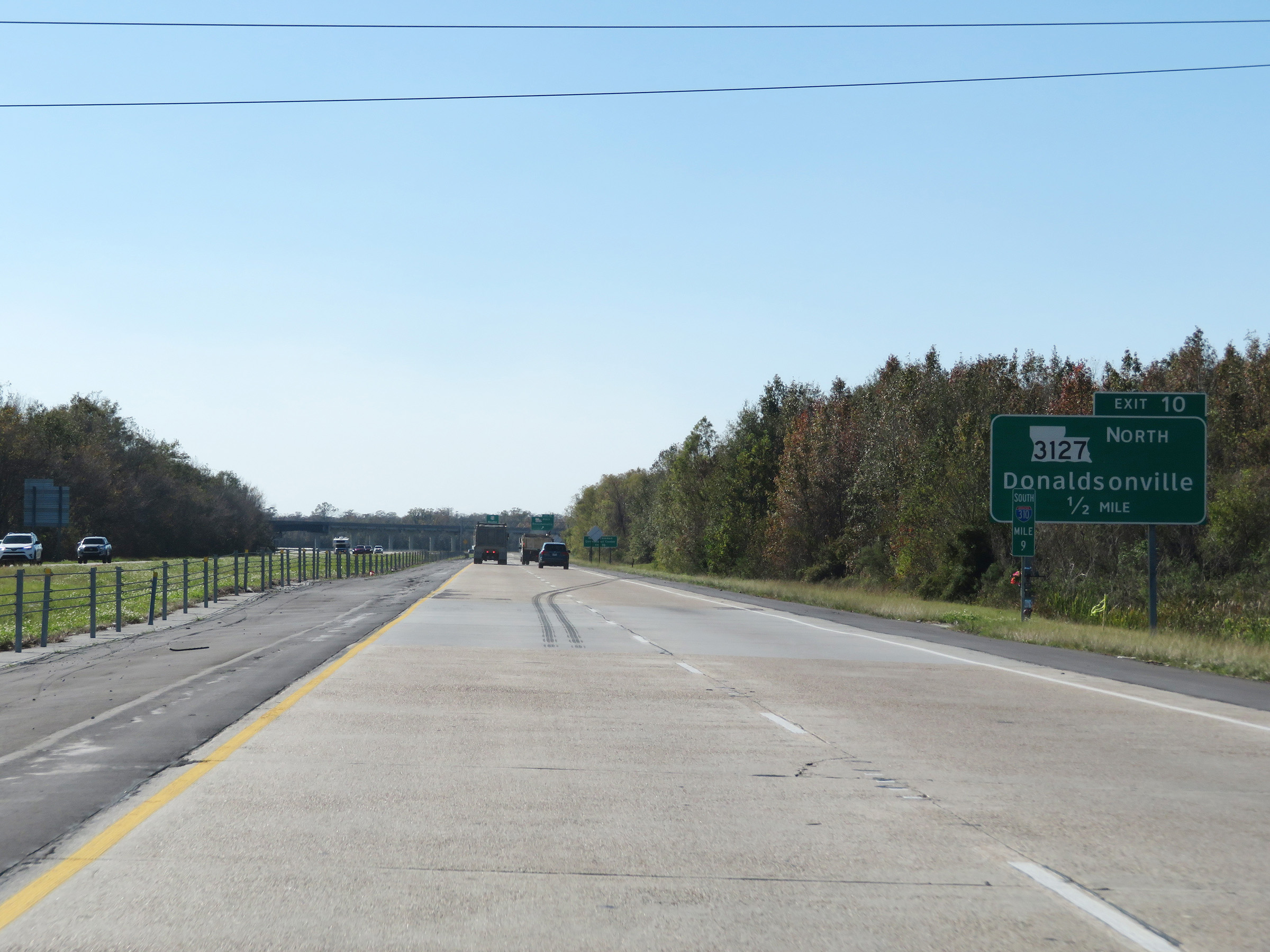
Interstate 310 South at Exit 10: LA 3127 North - Donaldsonville (Photo taken 12/9/20). |
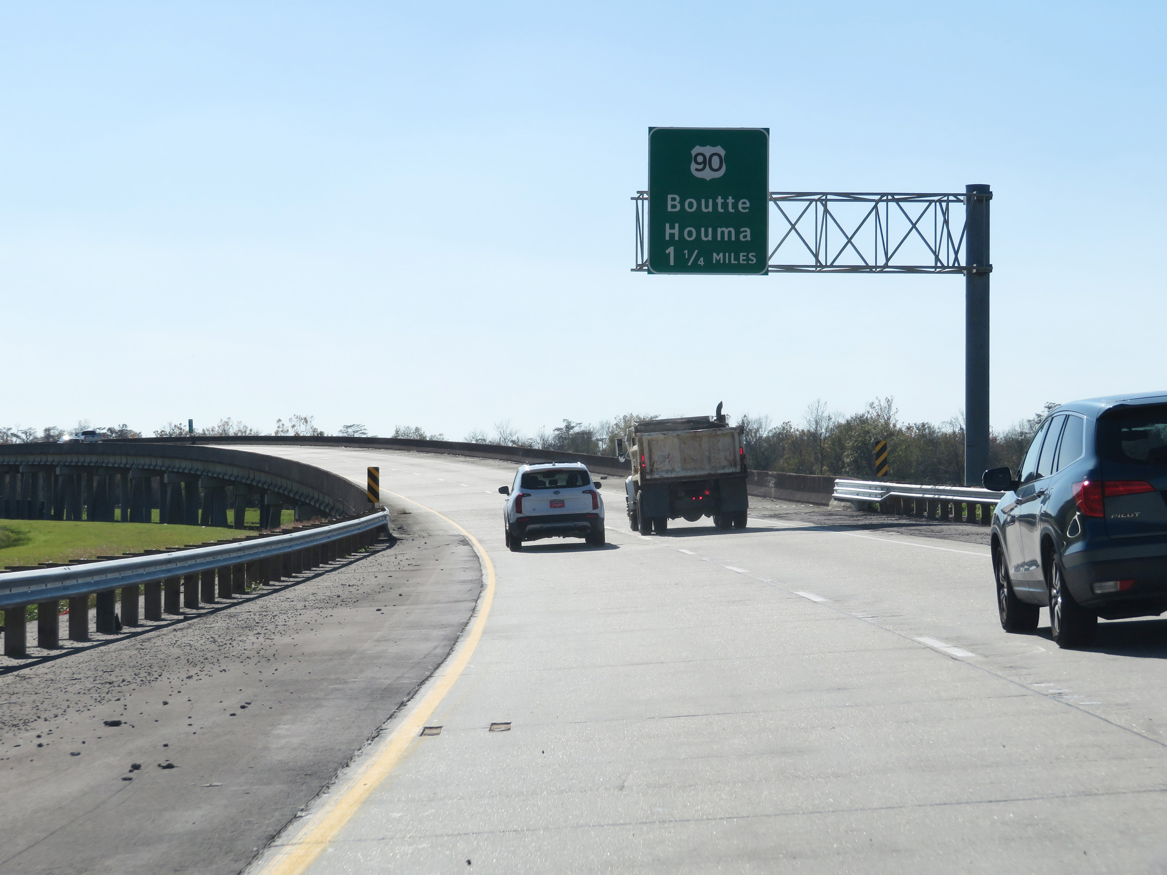 |
Advance signage for US 90, which will mark the southern terminus of Interstate 310 1 1/4 miles ahead as I-310 curves to the east. (Photo taken 12/9/20). |
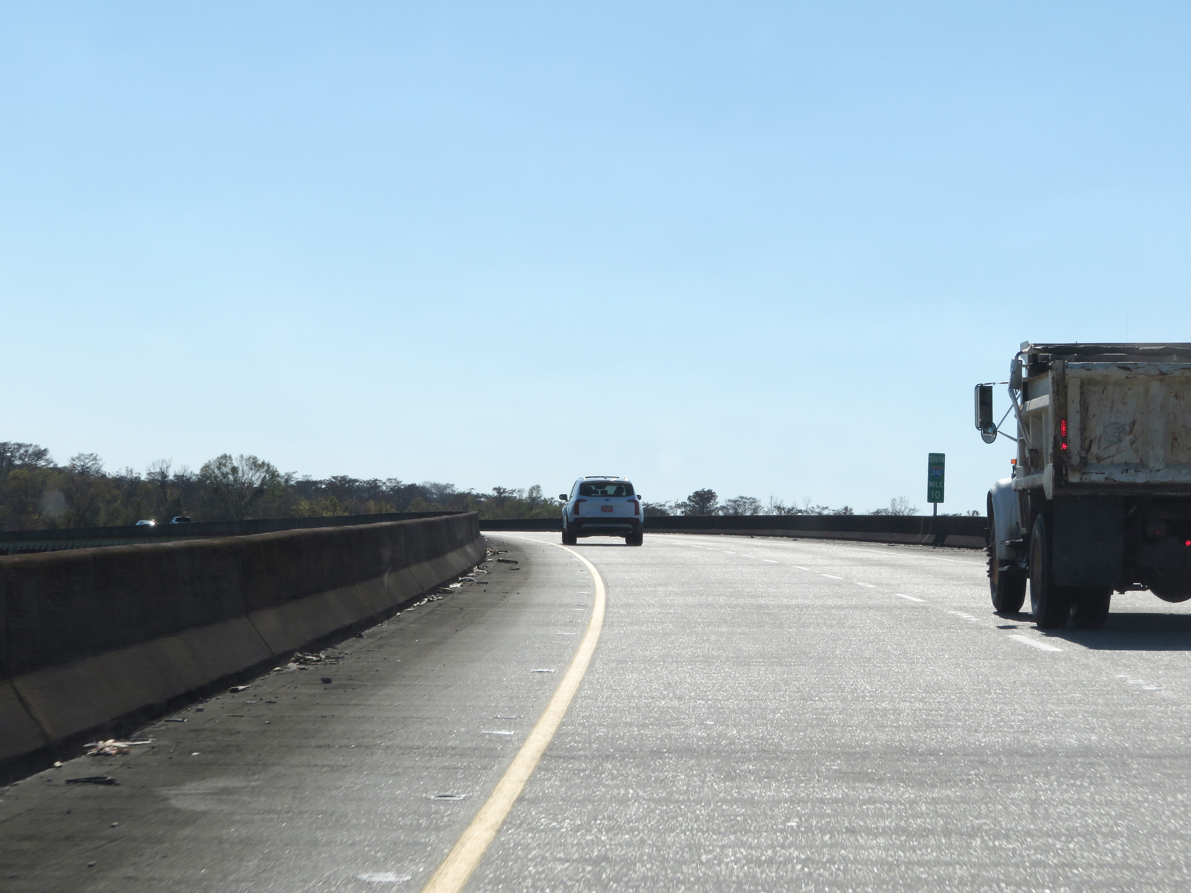 |
View on Interstate 310 South at mile marker 10, as it continues to curve to the east to meet US 90 at its southern terminus ahead. (Photo taken 12/9/20). |
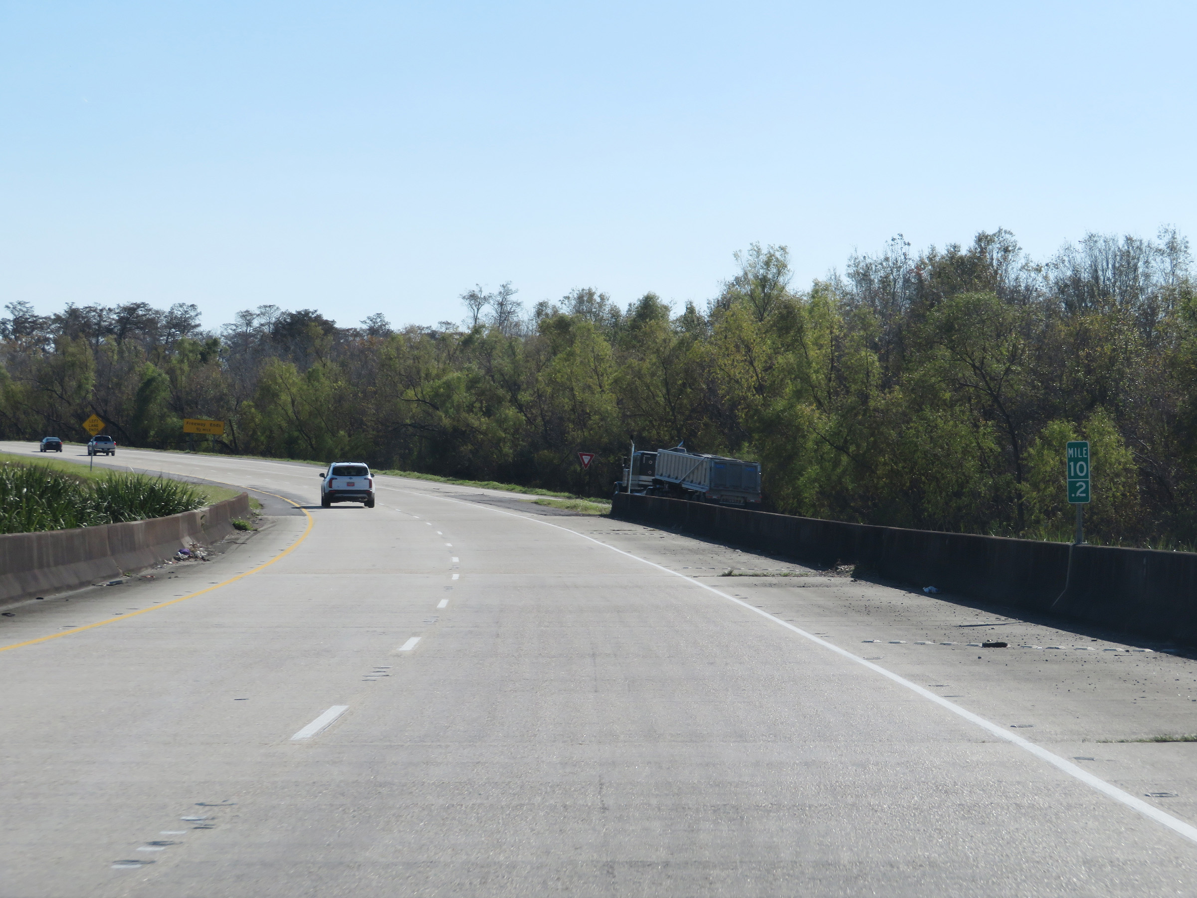 |
Interstate 310 South at mile marker 10.2, as it finishes curving to the east. (Photo taken 12/9/20). |
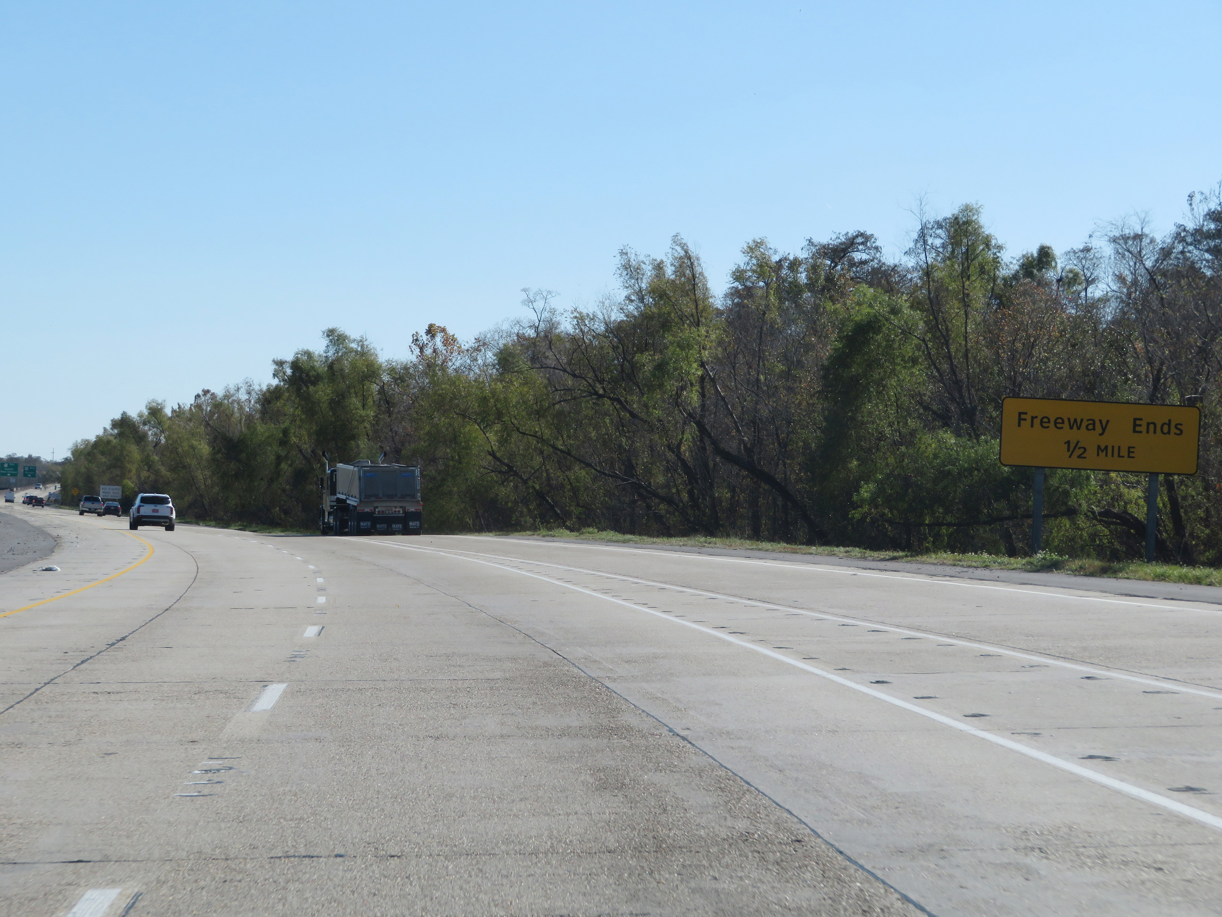 |
This sign warns that the divided, limited access freeway ends 1/2 mile ahead. It will end at the junction of US 90. (Photo taken 12/9/20). |
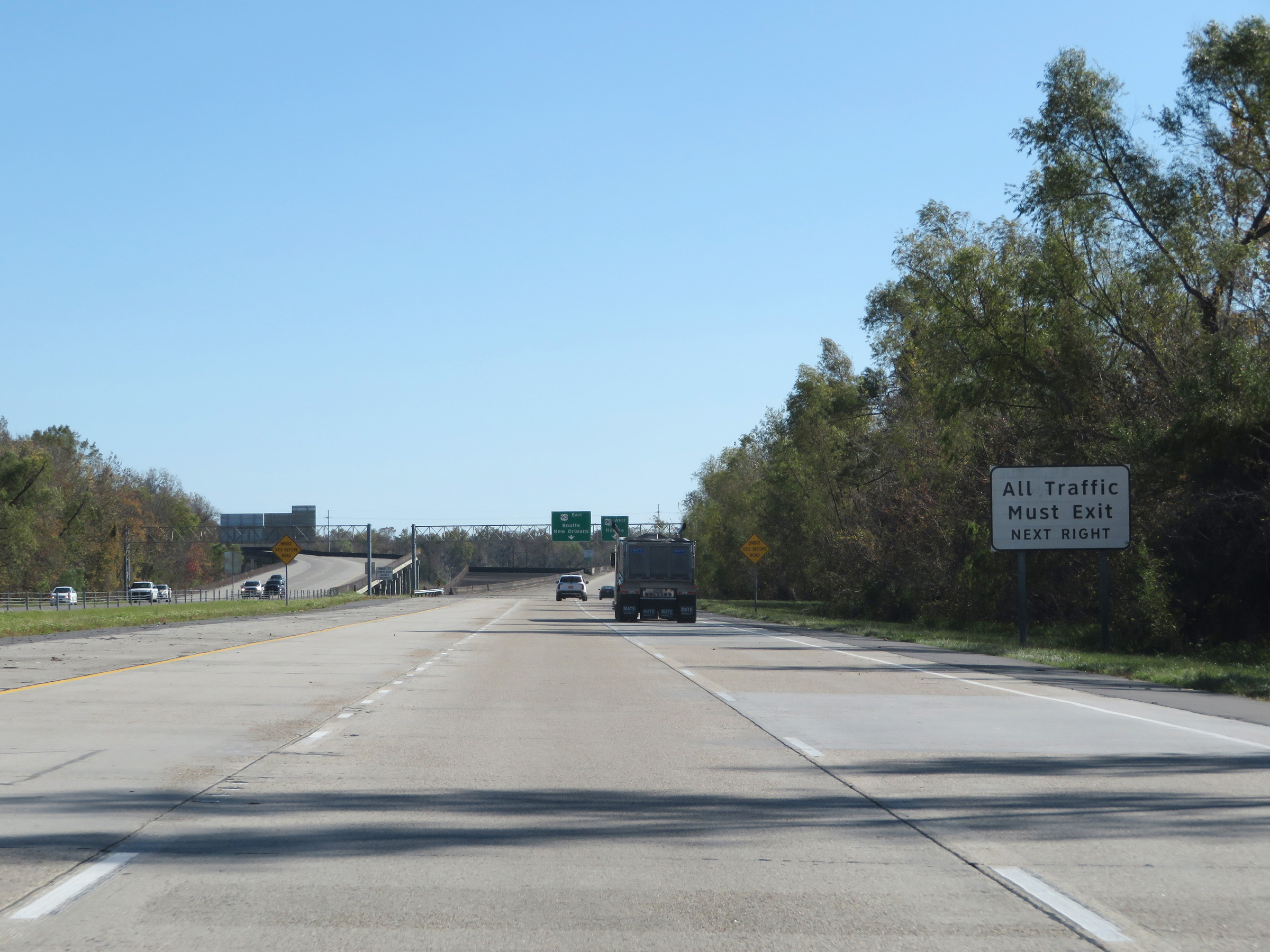 |
As this sign reads, all traffic must exit to US 90 ahead as Interstate 310 South reaches its southern terminus. (Photo taken 12/9/20). |
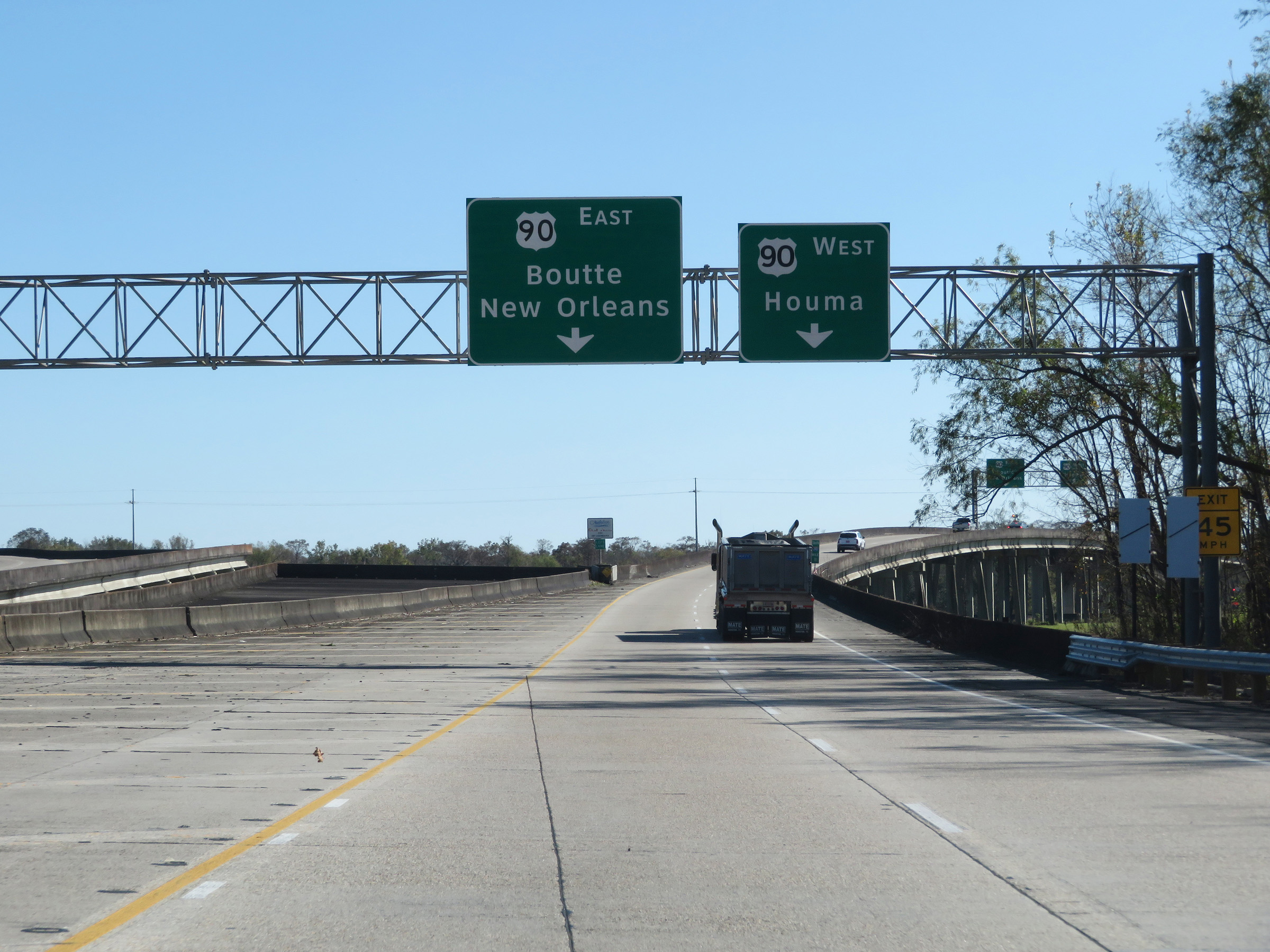 |
The two southbound lanes of Interstate 310 will split into ramps to US 90 ahead. Traffic to US 90 East should use the left lane while traffic to US 90 West must use the right lane. (Photo taken 12/9/20). |
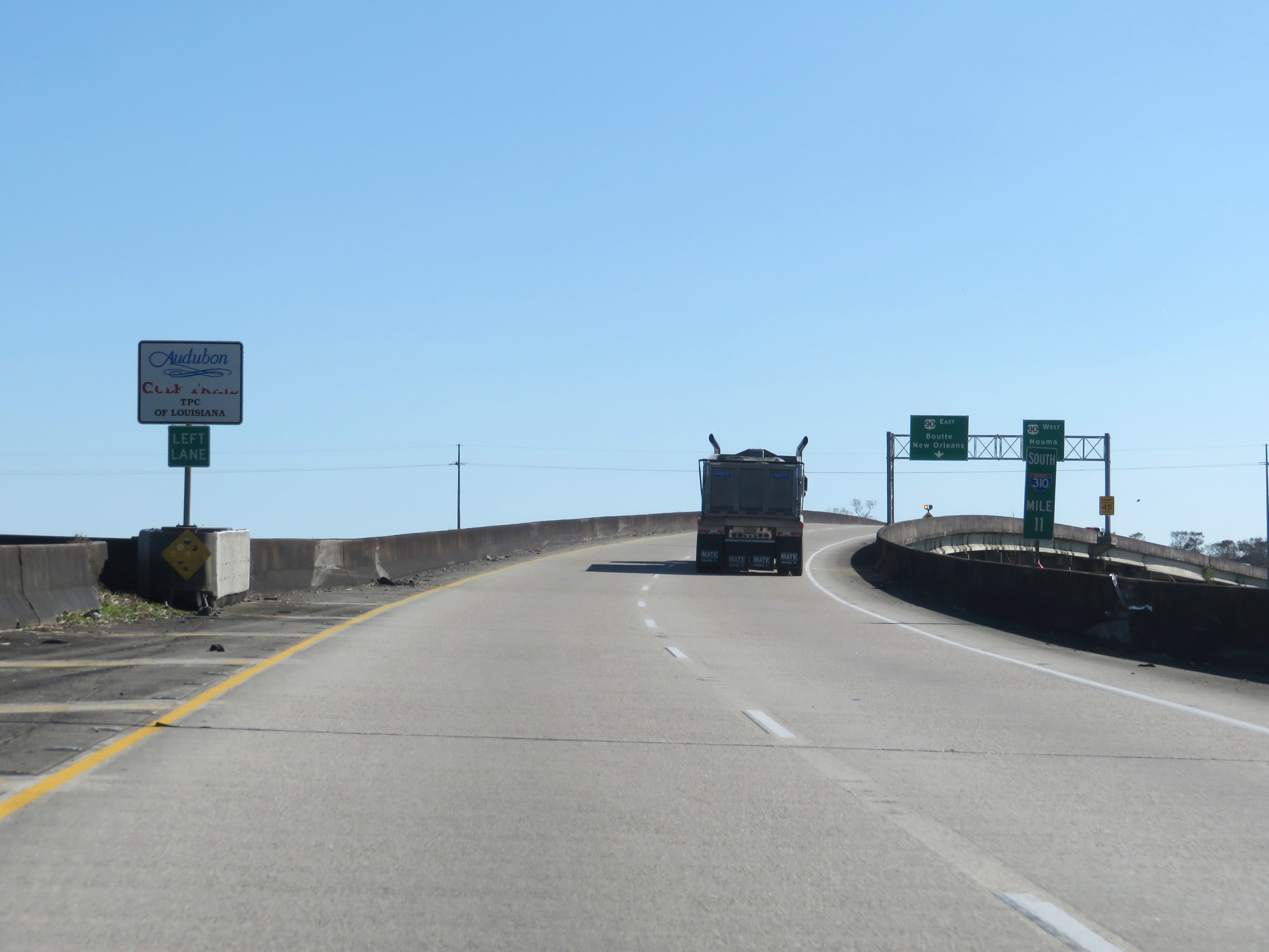 |
View on Interstate 310 South at mile marker 11, approaching its southern terminus. (Photo taken 12/9/20). |
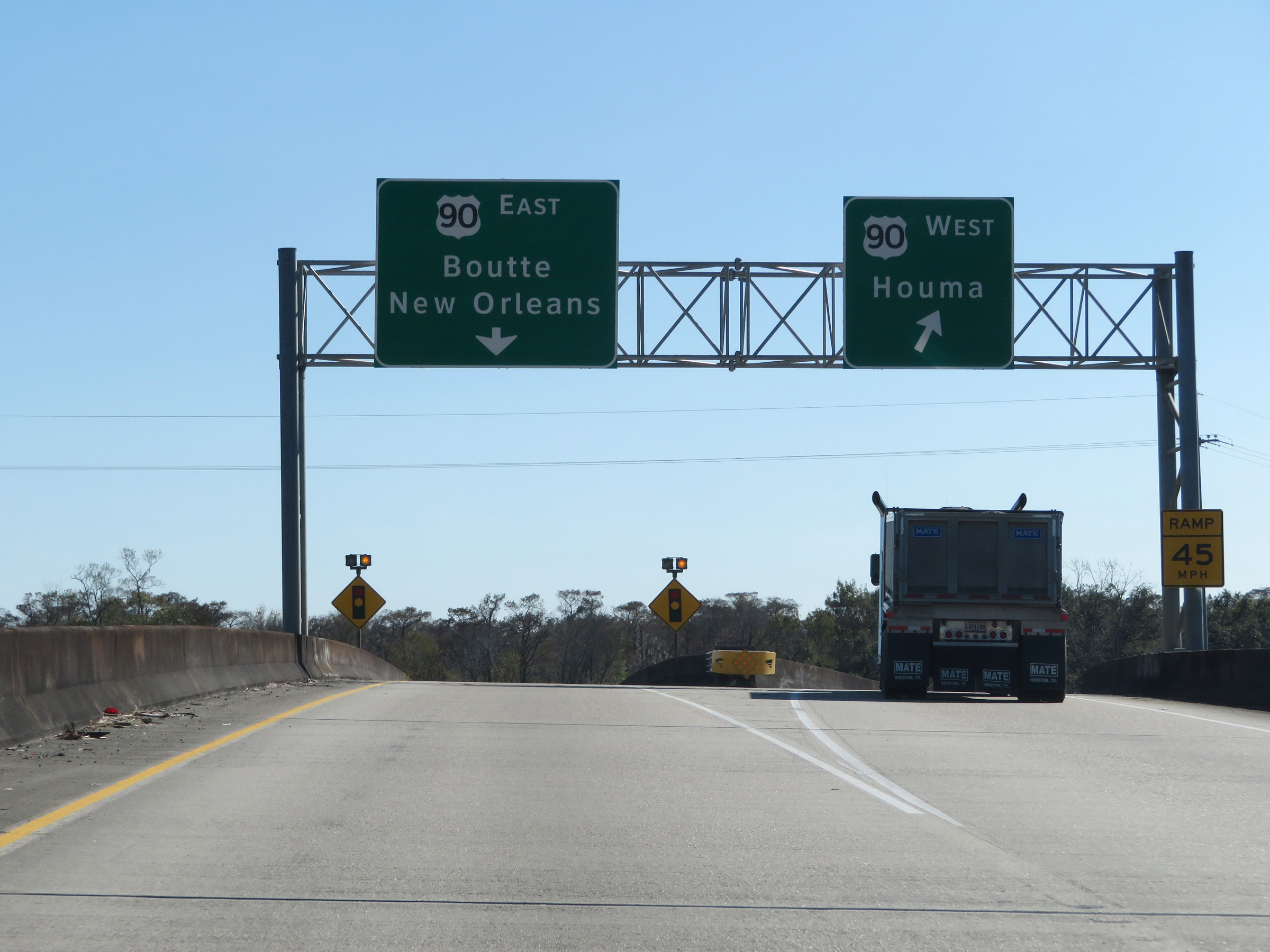 |
Interstate 310 South at its southern terminus, as its two southbound lanes split into the ramps to US 90 East and West. (Photo taken 12/9/20). |
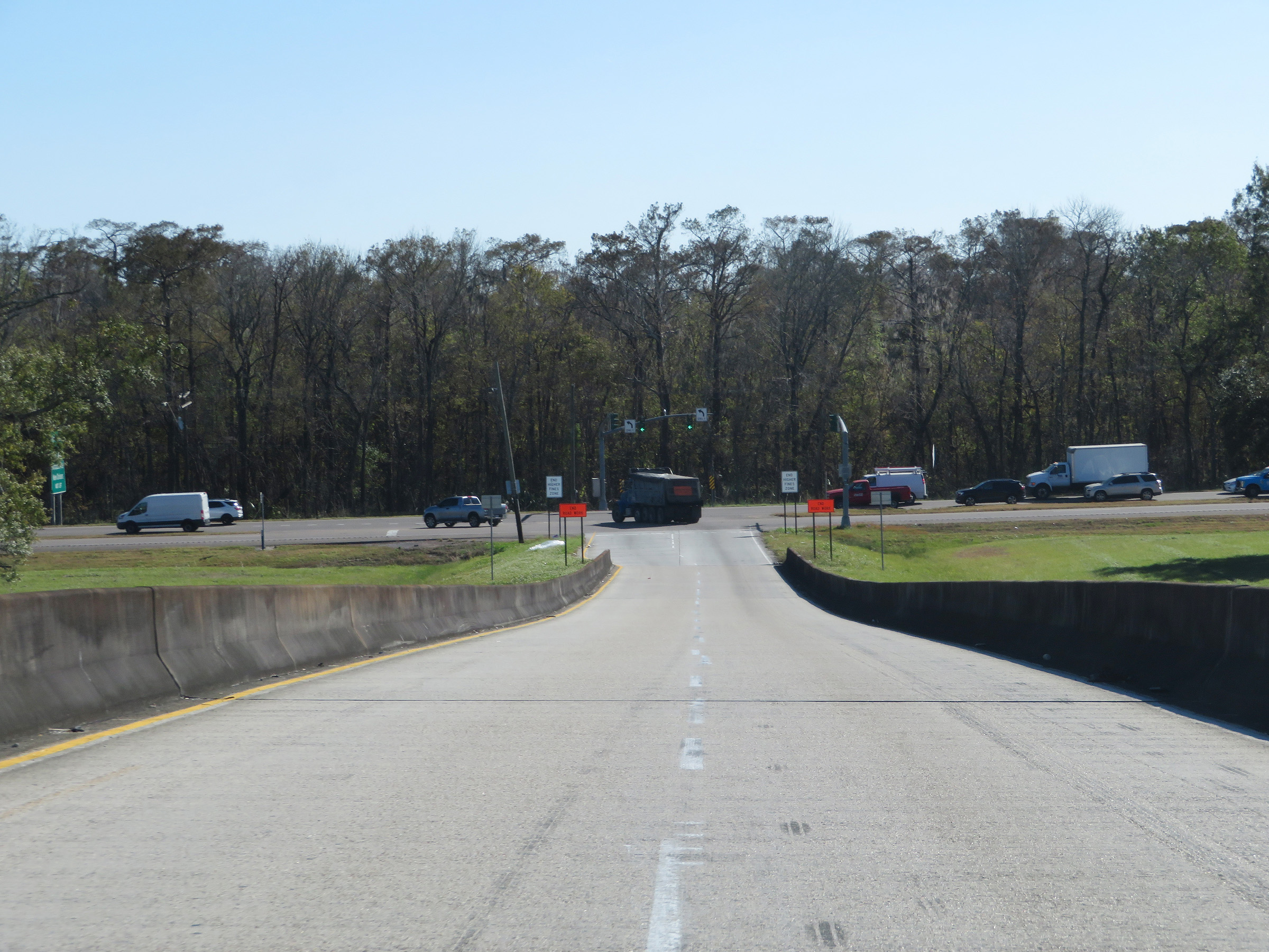 |
View on the ramp to US 90 East, as it becomes two lanes. (Photo taken 12/9/20). |
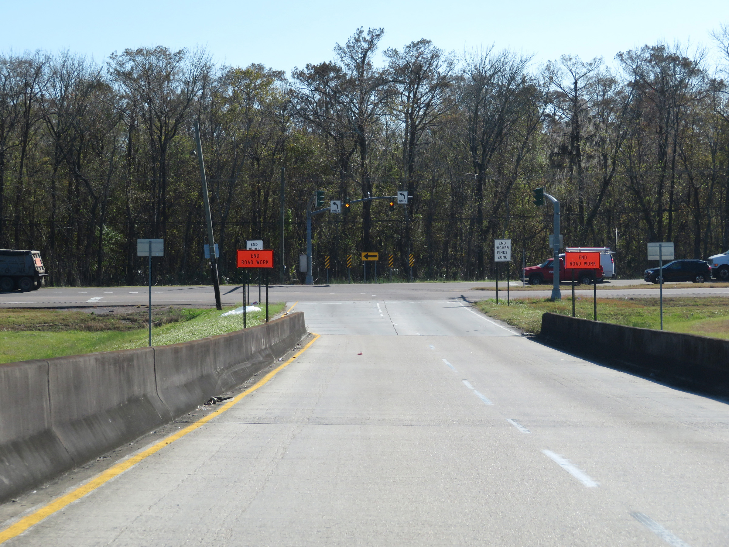 |
Another view of the ramp to US 90 at the southern terminus of Interstate 310. (Photo taken 12/9/20). |