Road Information |
||
 |
||
| Total Mileage in State: | 12.5 miles | |
| Eastern End: | At I-10, near Lake Charles | |
| Western End: | At I-10, in Sulphur | |
| Mileage covered in Photos: | 12.5 miles | |
| Parishes covered in Photos: | Calcasieu | |
| Major Junctions in Photos: | I-10, near Lake Charles | |
| Control Cities in Photos: | Lake Charles | |
Eastbound
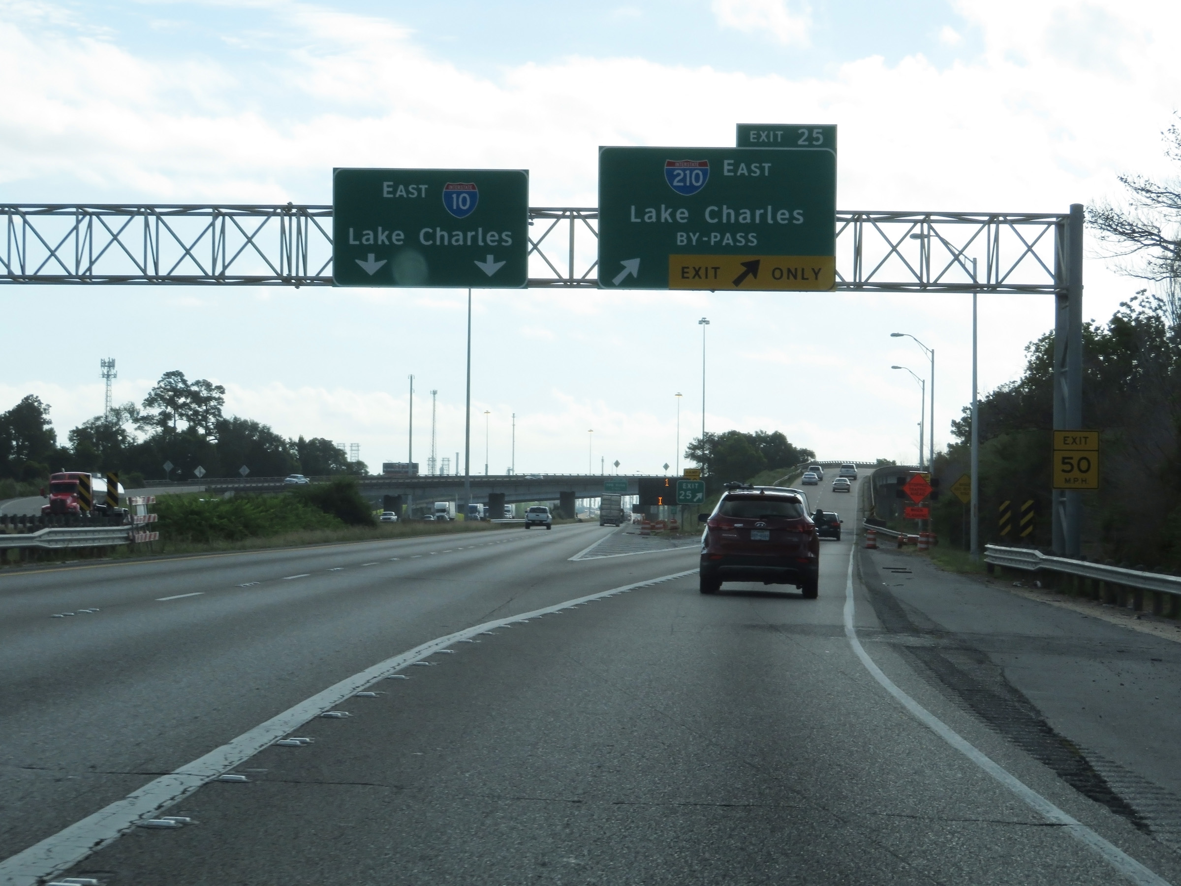 |
Merging onto Interstate 210 East via Exit 25 on Interstate 10 East in Sulphur. (Photo taken 5/23/18). |
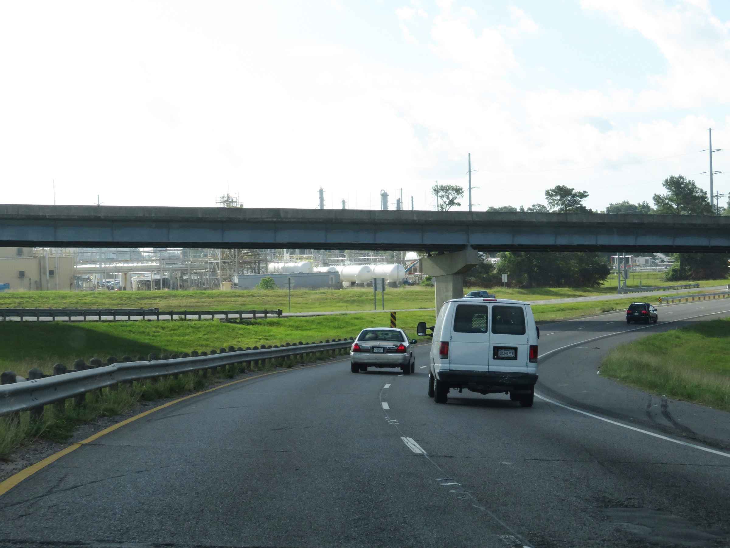 |
View as Interstate 210 East begins by curving to the south. (Photo taken 5/23/18). |
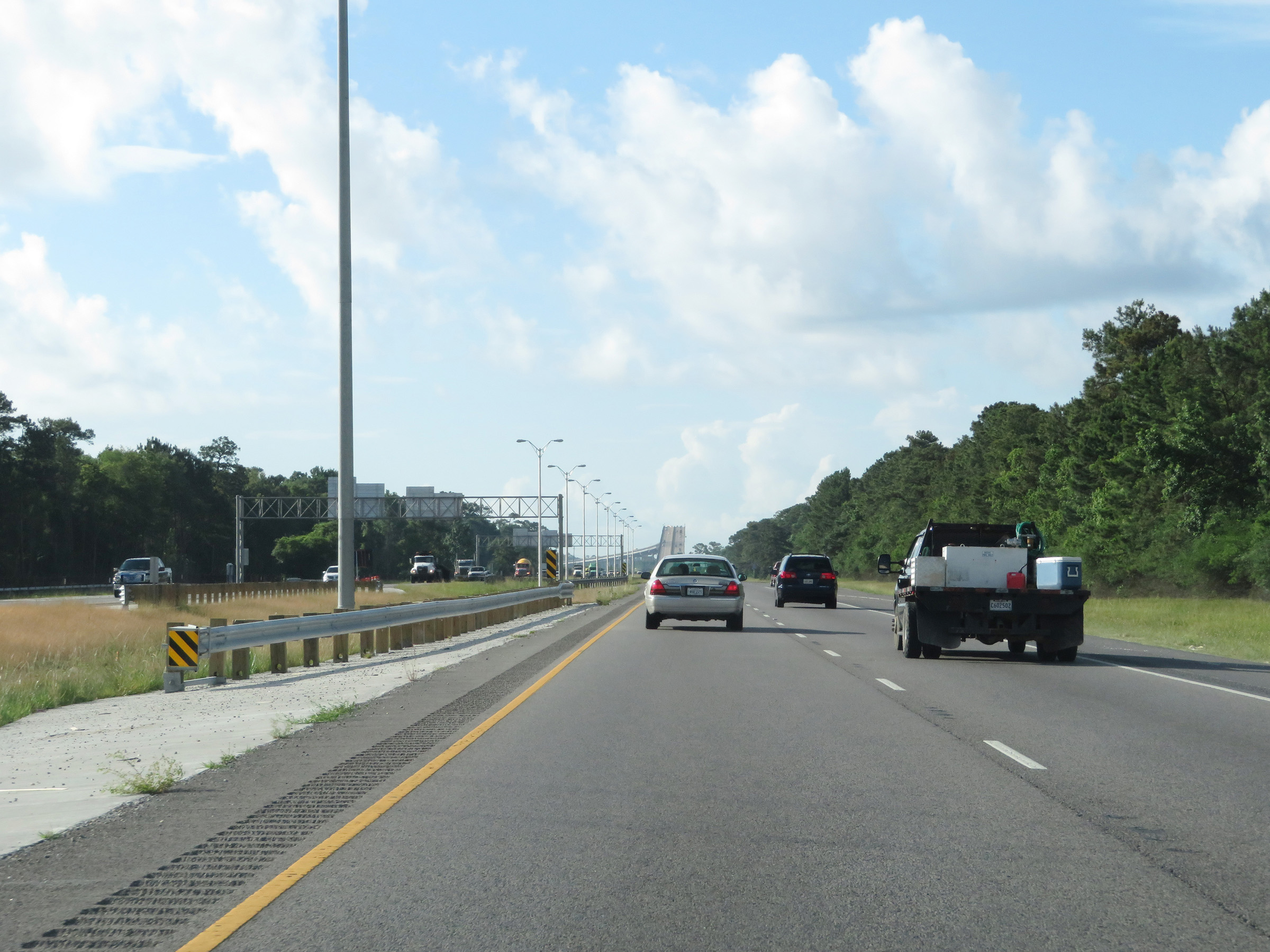 |
View on Interstate 210 East, now heading directly south, with the Isreal LaFleur Bridge coming into view directly ahead. (Photo taken 5/23/18). |
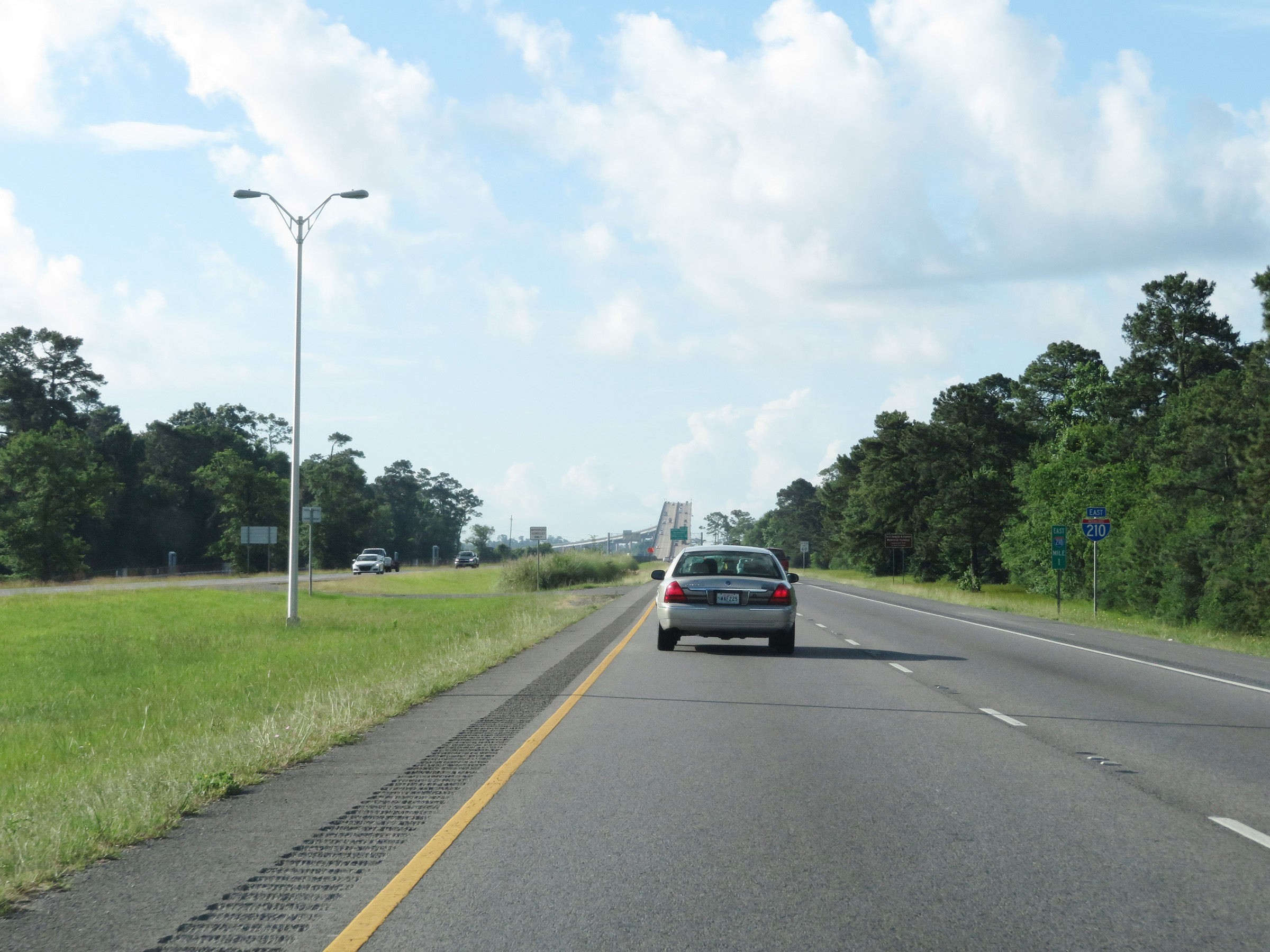 |
Interstate 210 East reassurance shield at mile marker 1. (Photo taken 5/23/18). |
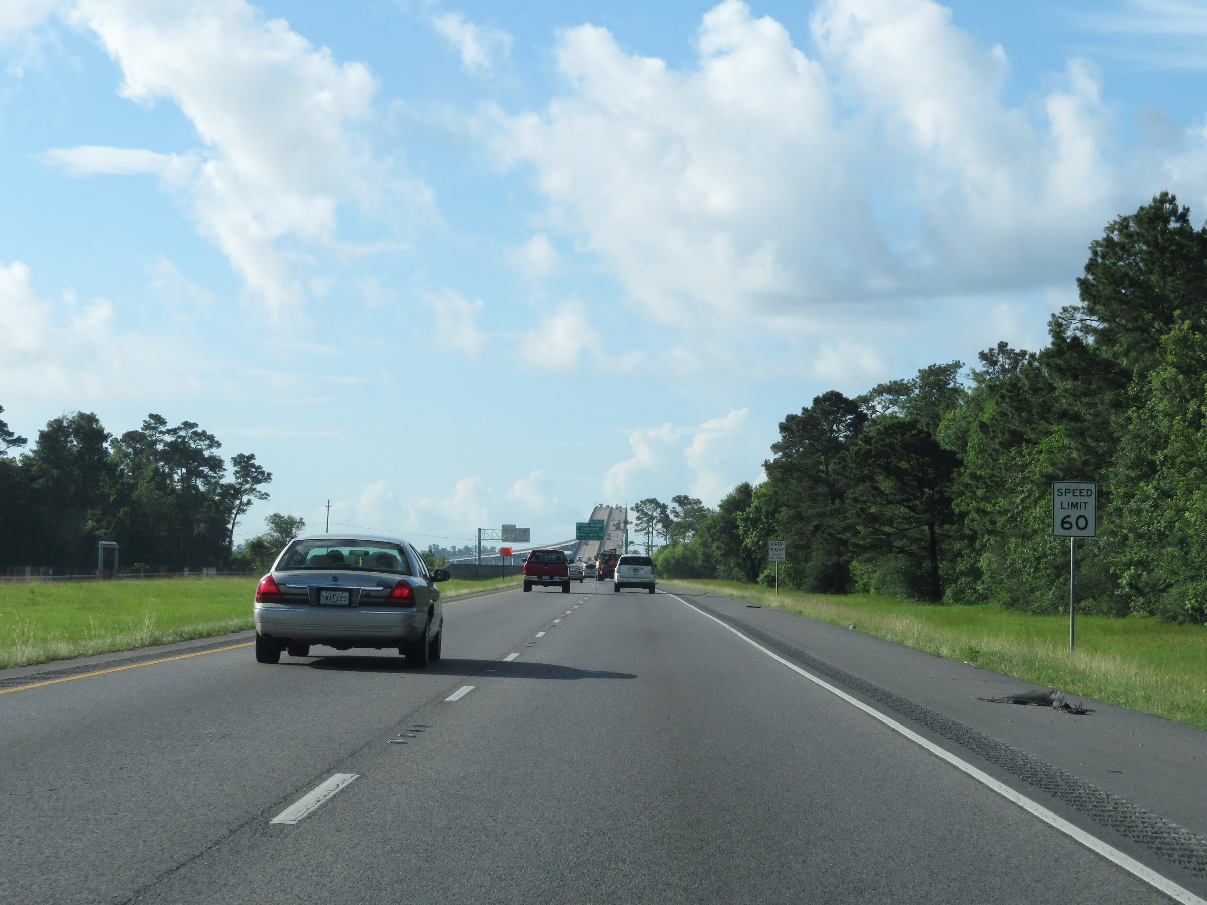 |
The speed limit on Interstate 210 East starts out at 60 mph. (Photo taken 5/23/18). |
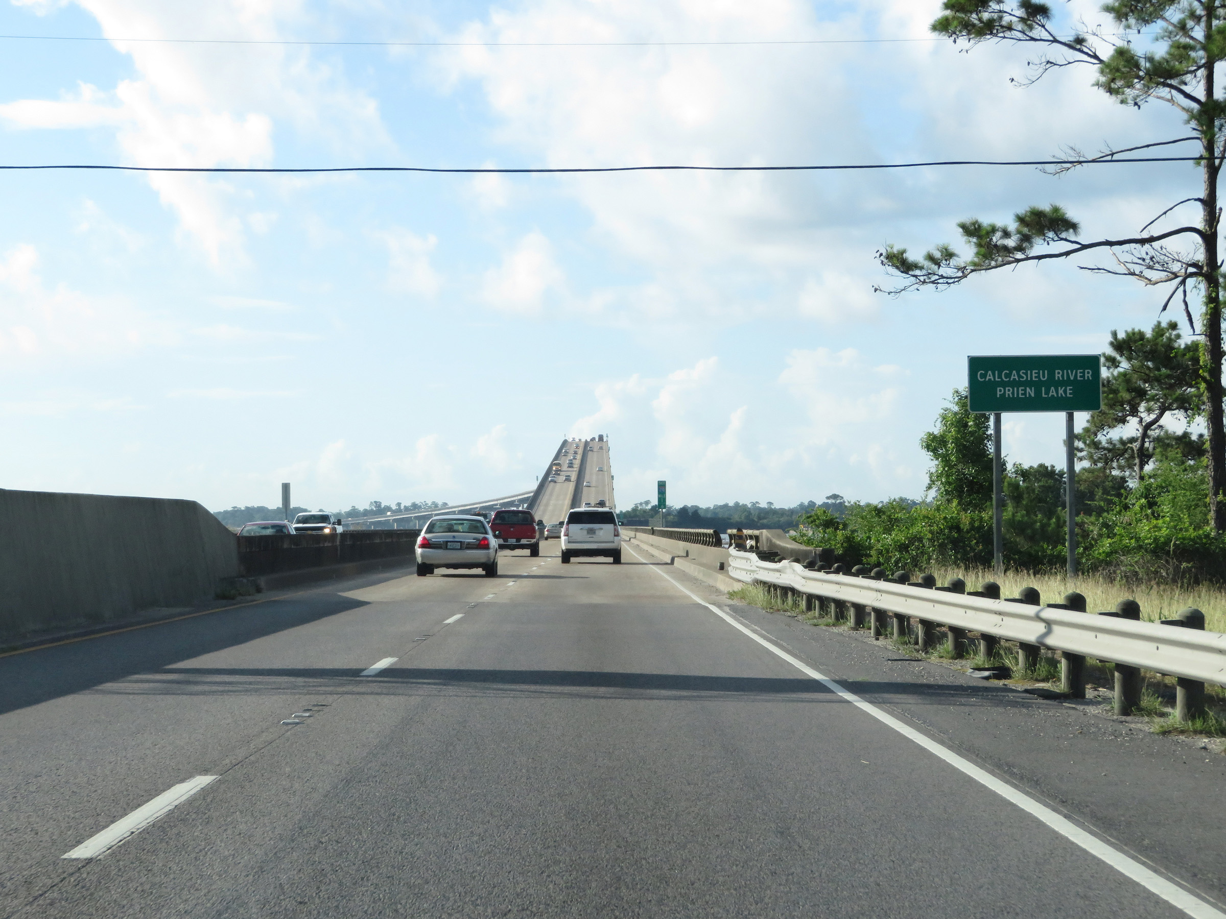 |
Interstate 210 East as it prepares to cross the Calcasieu River and Prien Lake on the Isreal LaFleur Bridge. (Photo taken 5/23/18). |
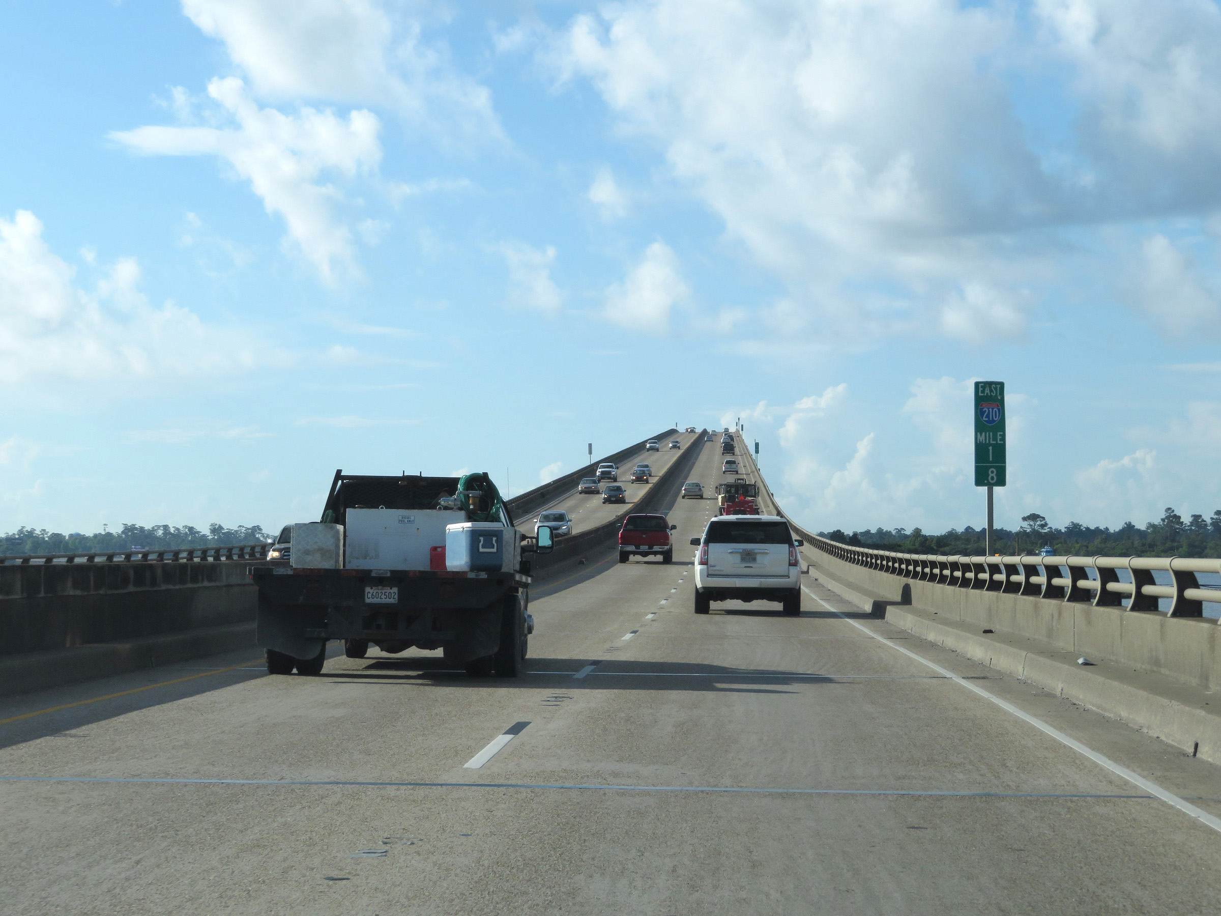 |
View on Interstate 210 East at mile marker 1.8, as it starts across the Israel LaFleur Bridge over the Calcasieu River and Prien Lake. (Photo taken 5/23/18). |
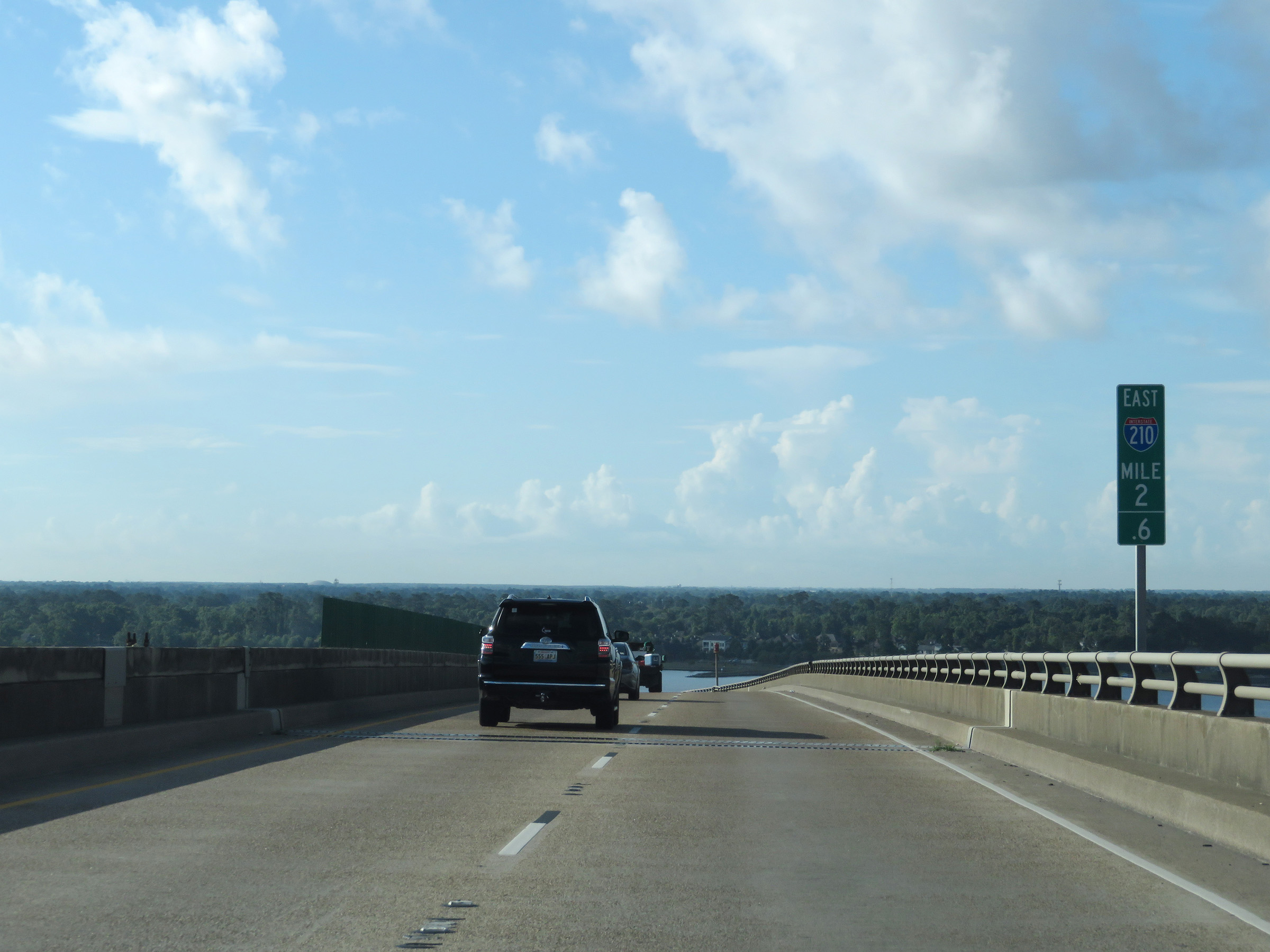 |
Interstate 210 East at mile marker 2.6, at the peak of the Israel LaFleur Bridge over the Calcasieu River and Prien Lake. (Photo taken 5/23/18). |
 |
At mile marker 2.8, the Israel LaFleur Bridge begins to curve to the east while making its descent. (Photo taken 5/23/18). |
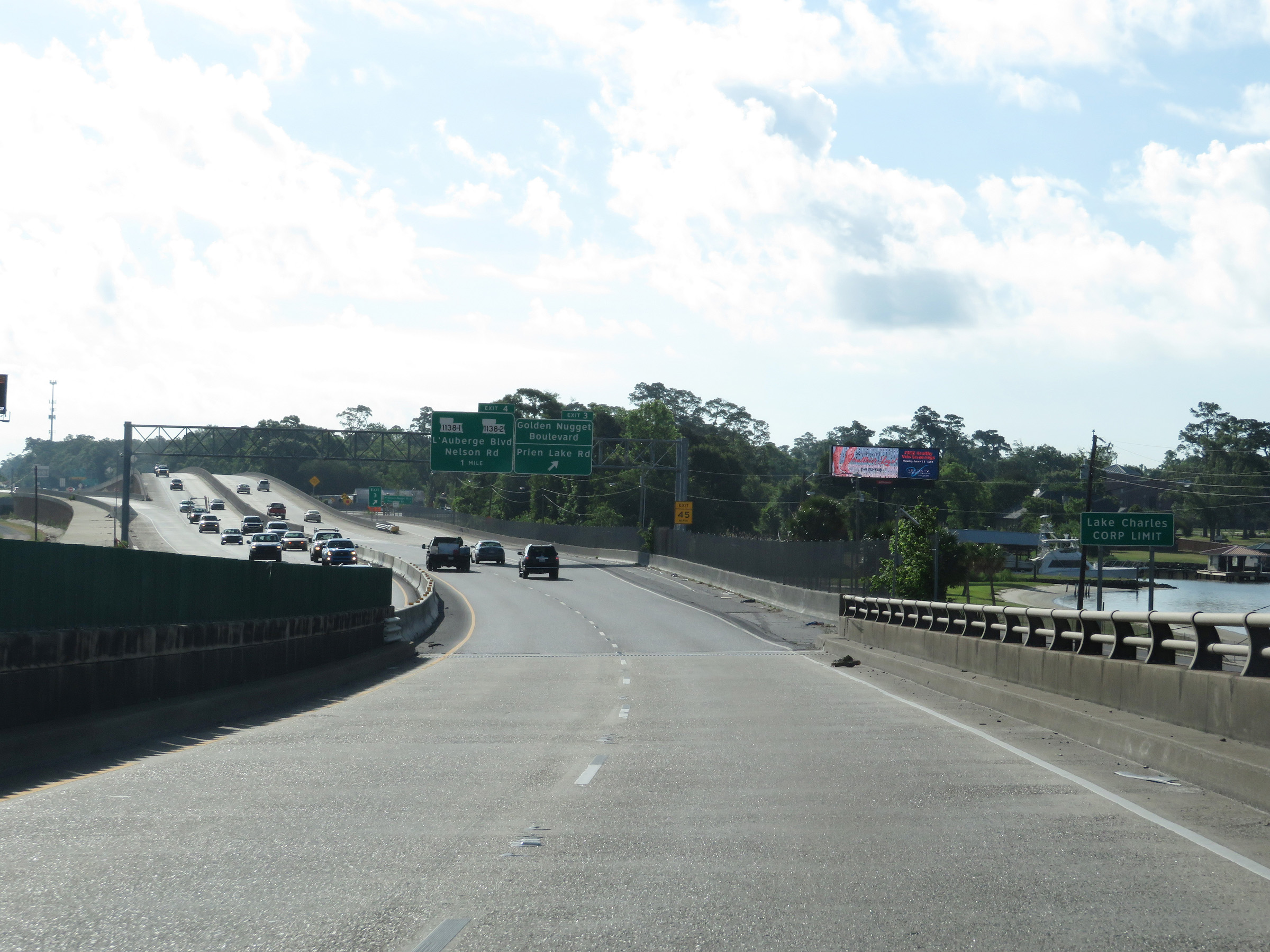 |
As Interstate 210 East reaches the other side of the Israel LaFleur Bridge, it enters the Lake Charles city limits. (Photo taken 5/23/18). |
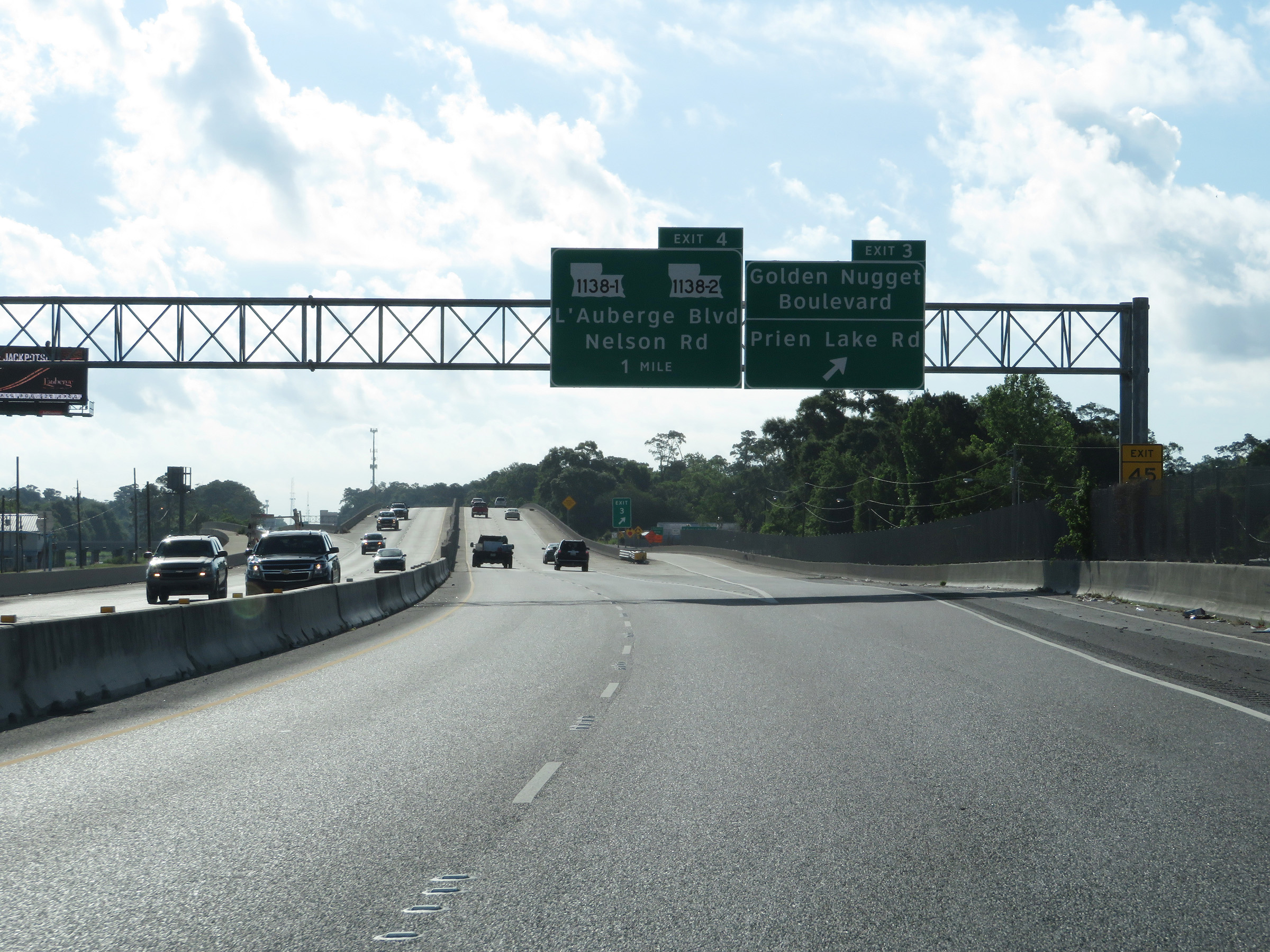 |
Interstate 210 East at Exit 3: Golden Nugget Boulevard / Prien Lake Rd (Photo taken 5/23/18). |
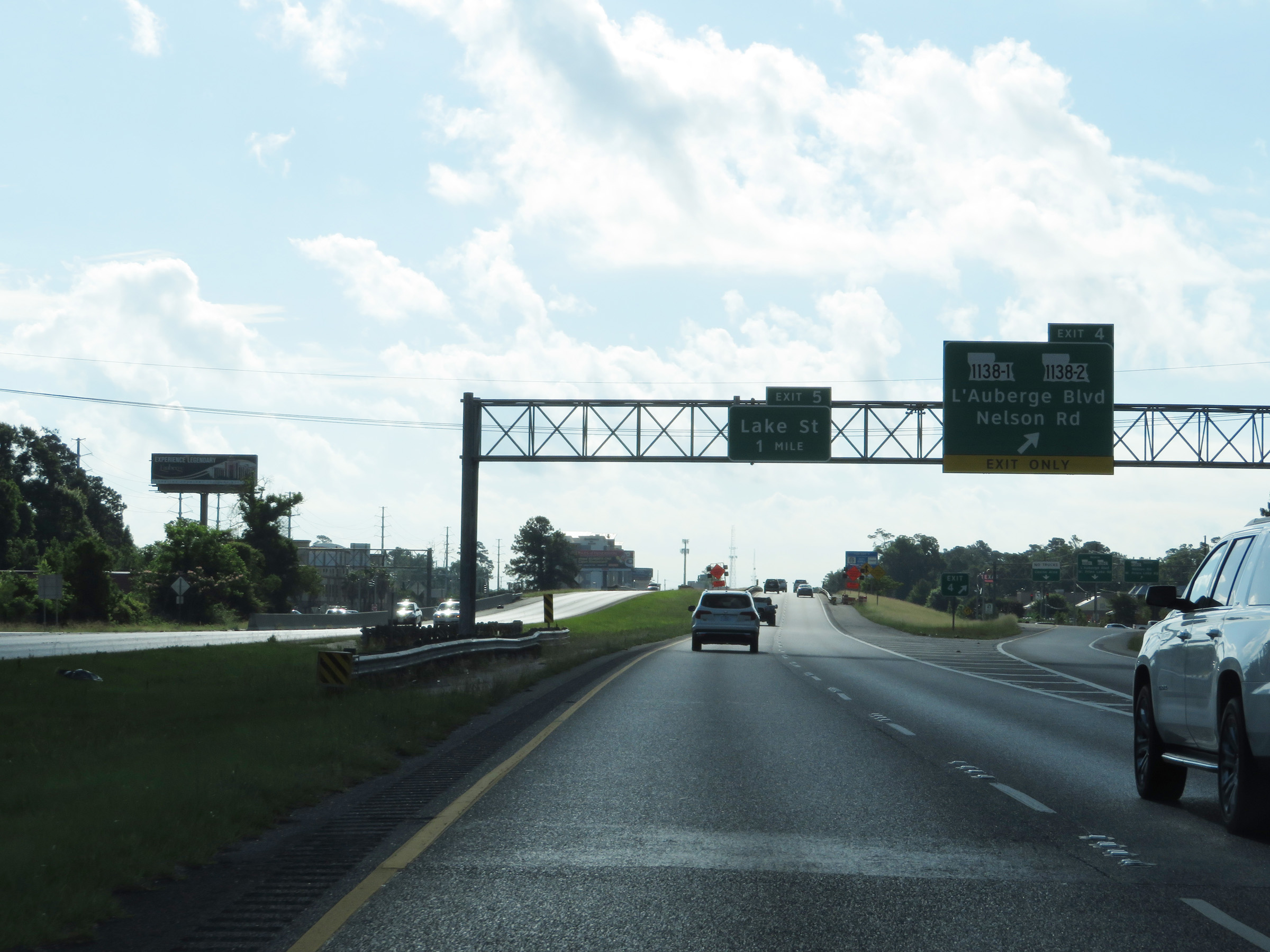 |
Interstate 210 East at Exit 4: LA 1138-1 / LA 1138-2 - L'Auberge Blvd / Nelson Rd (Photo taken 5/23/18). |
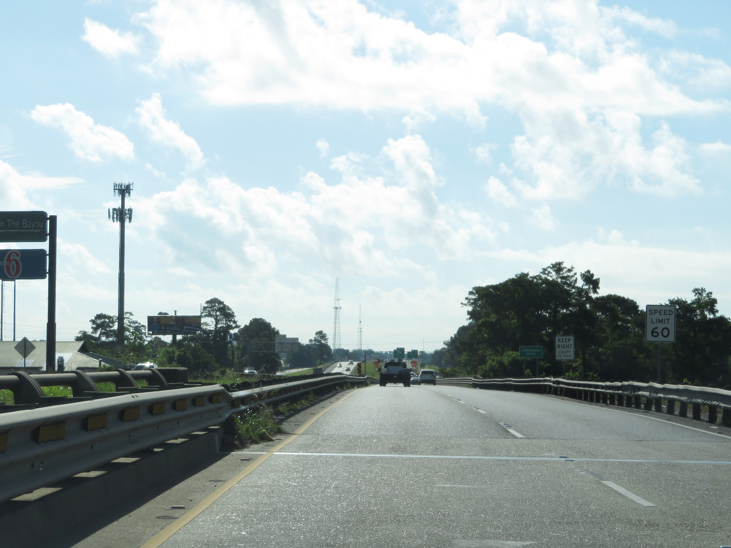 |
The speed limit remains 60 mph on Interstate 210 East. (Photo taken 5/23/18). |
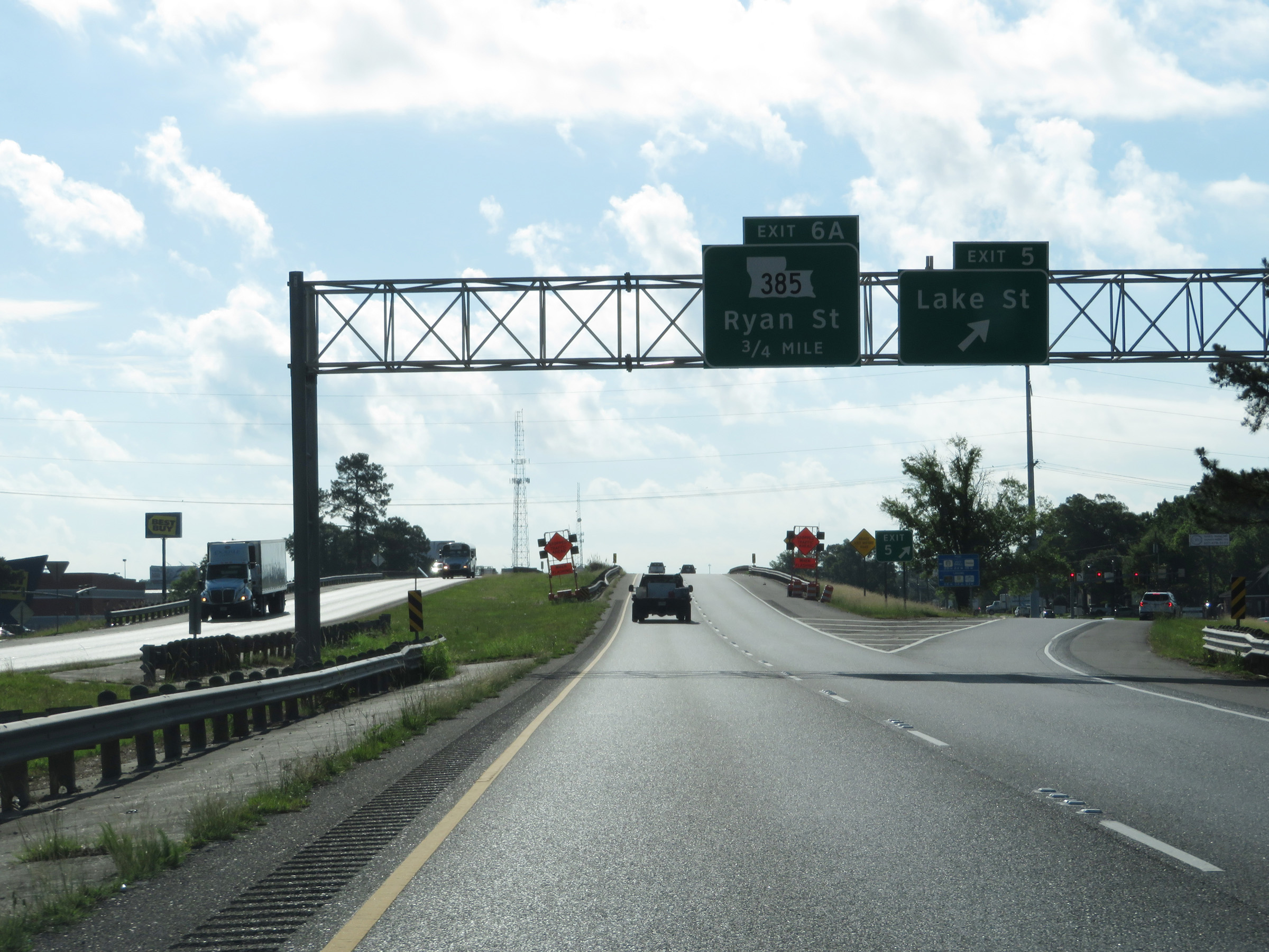 |
Interstate 210 East at Exit 5: Lake St (Photo taken 5/23/18). |
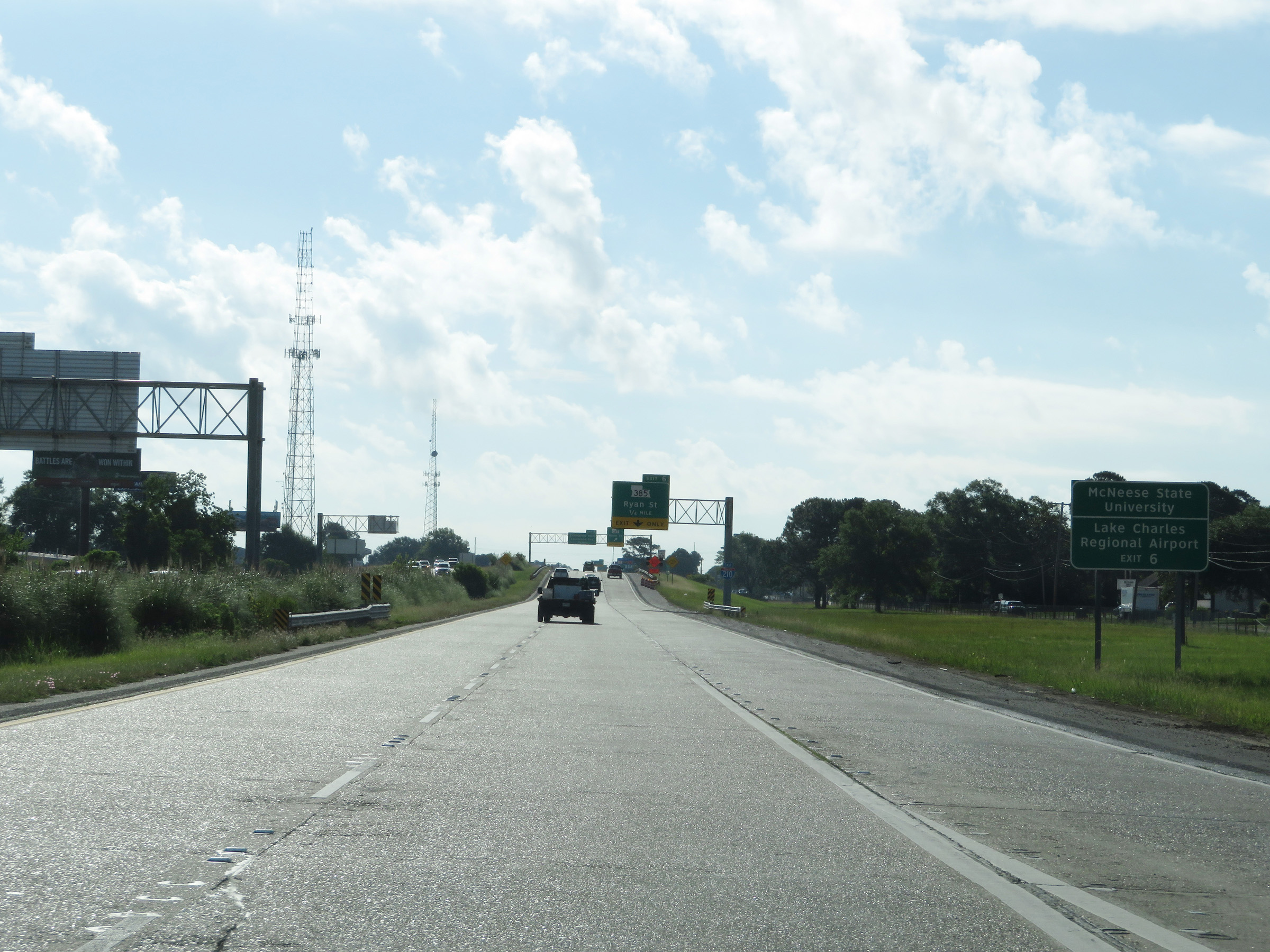 |
Take Exit 6 to McNeese State University and Lake Charles Regional Airport. (Photo taken 5/23/18). |
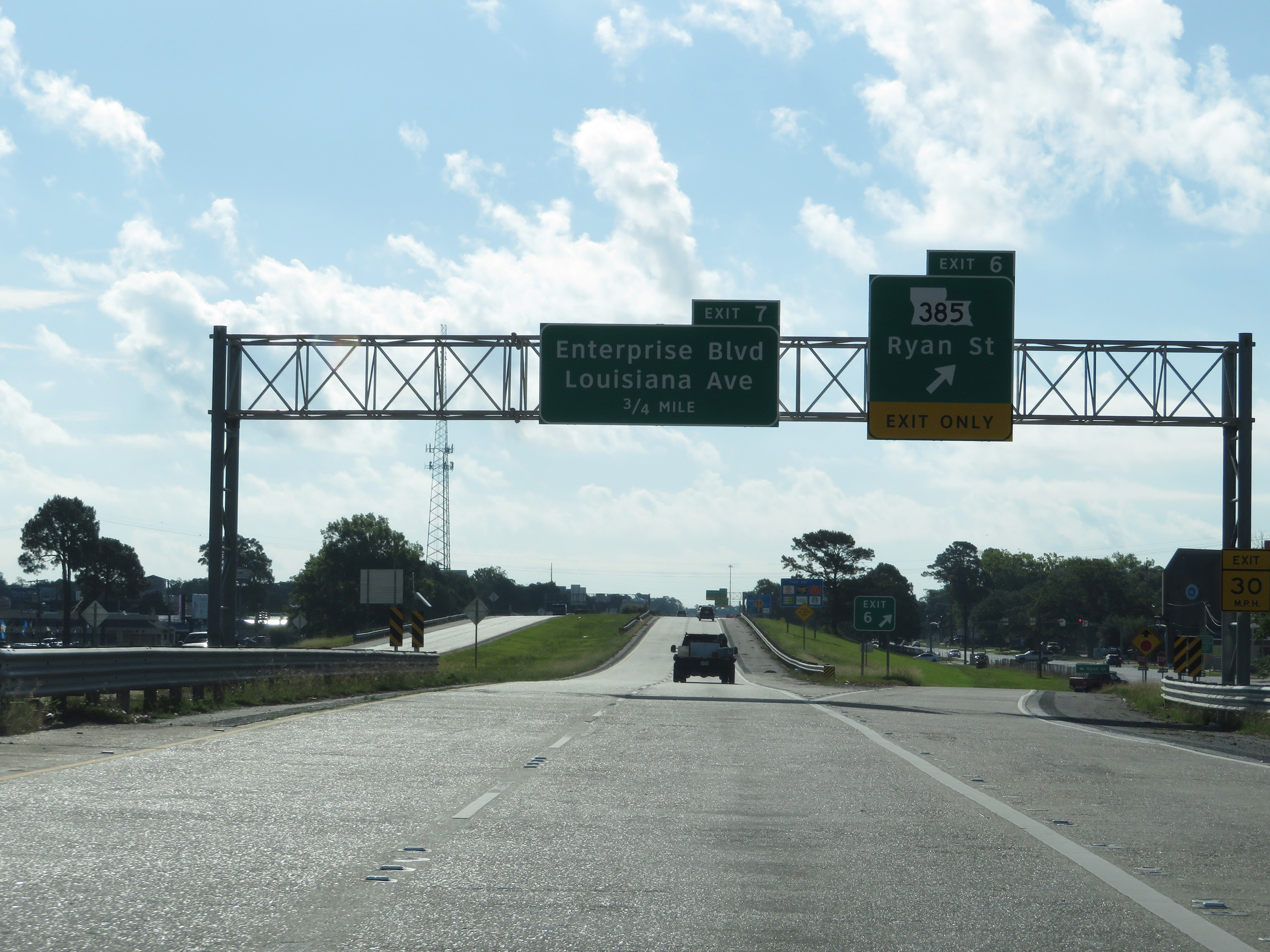 |
Interstate 210 East at Exit 6: LA 385 - Ryan St (Photo taken 5/23/18). |
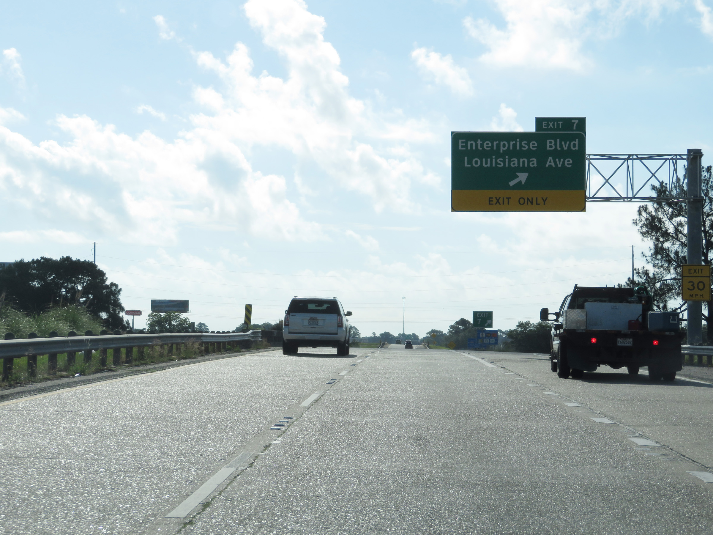 |
Interstate 210 East at Exit 7: Enterprise Blvd / Louisiana Ave (Photo taken 5/23/18). |
 |
State-named Interstate 210 East reassurance shield. (Photo taken 5/23/18). |
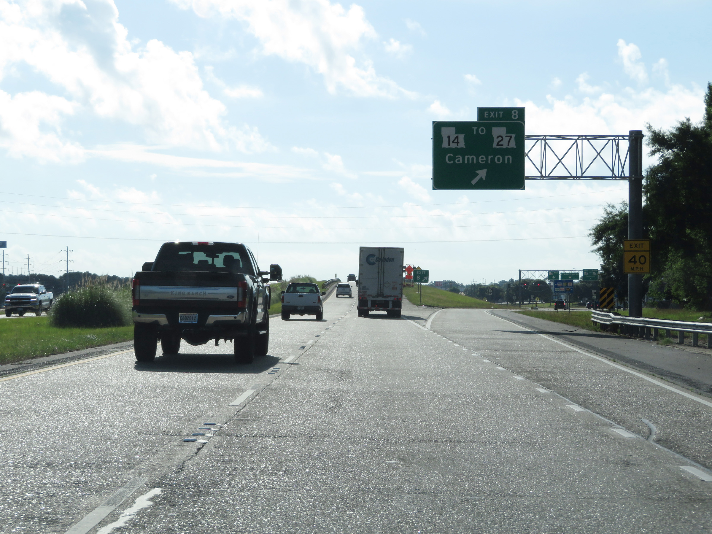 |
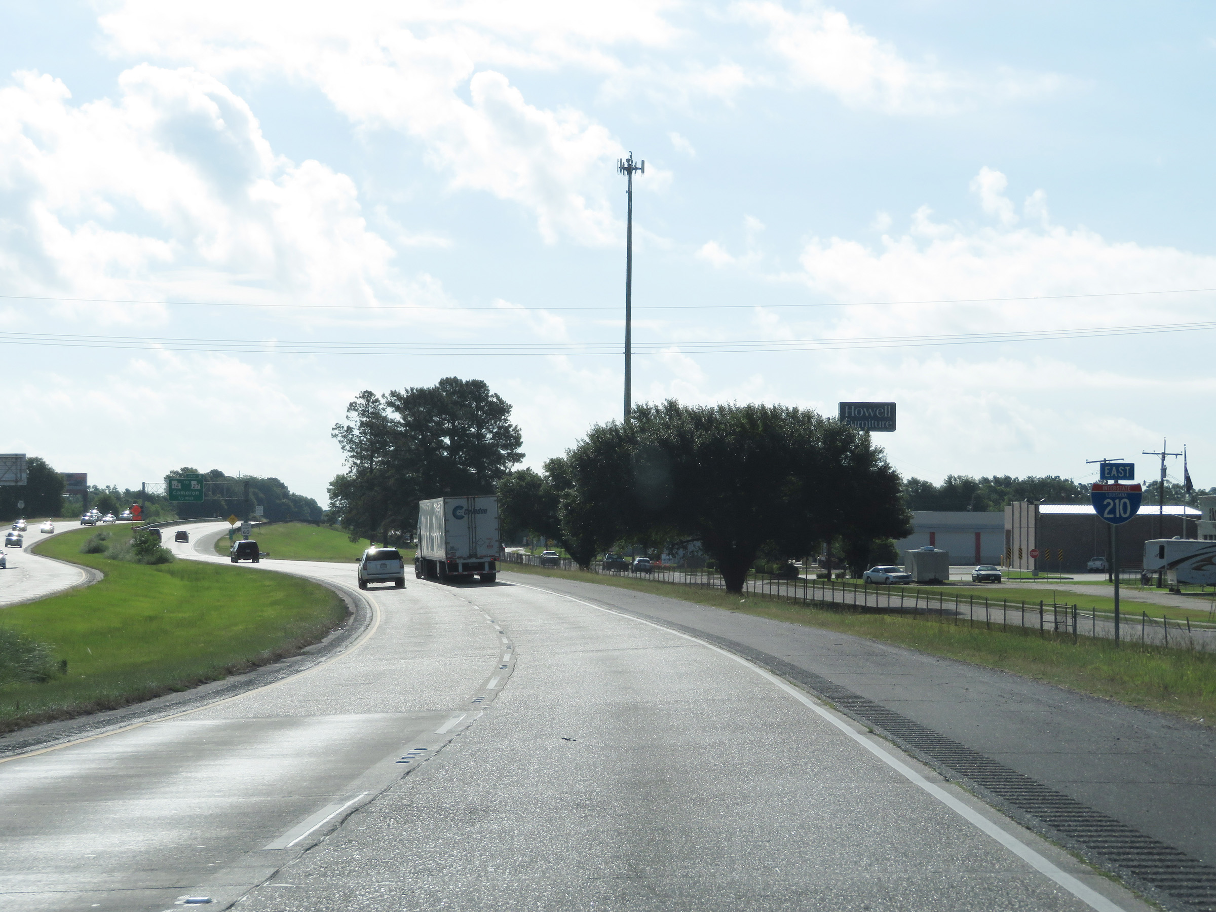
Interstate 210 East at Exit 8: LA 14 / To LA 27 - Cameron (Photo taken 5/23/18). |
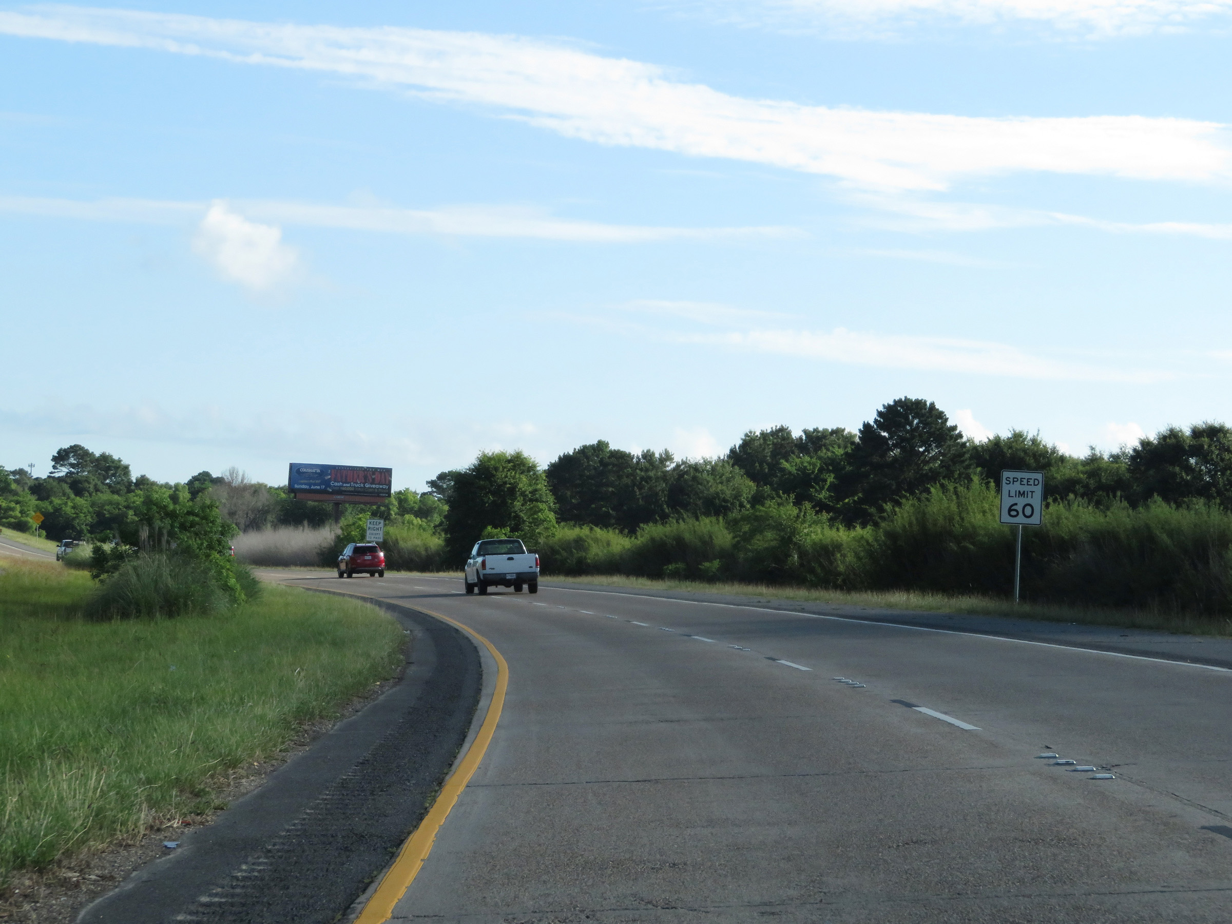 |
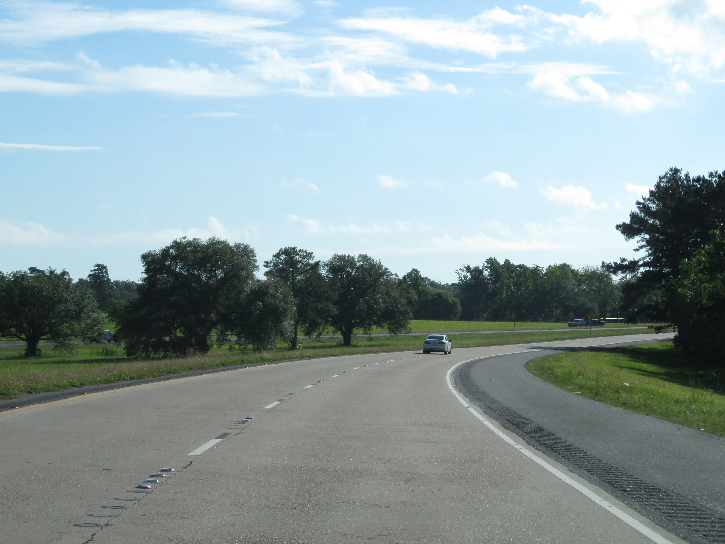
Speed limit sign as Interstate 210 East begins to curve to the north at the southeastern corner of the Lake Charles area. The speed limit remains 60 mph. (Photo taken 5/23/18). |
 |
Take Exit 10 to Chennault International Airport and Sowela Tech Community College. (Photo taken 5/23/18). |
 |
Interstate 210 East at Exit 10: Legion St (Photo taken 5/23/18). |
 |
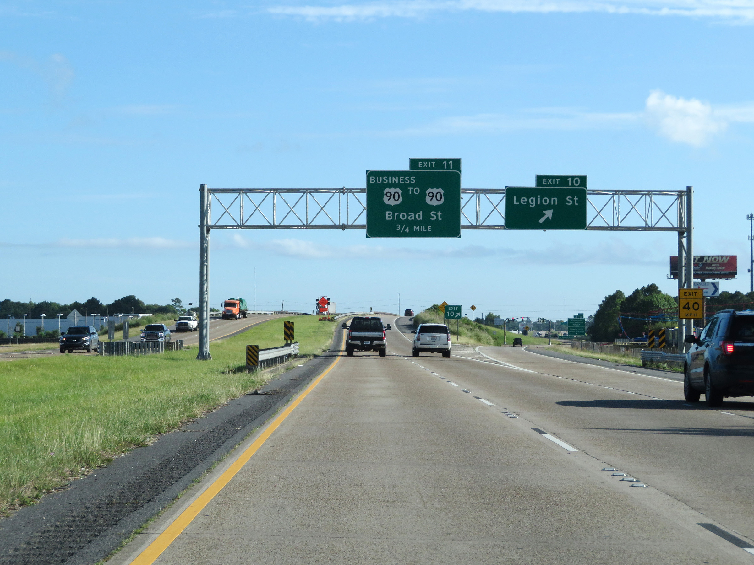
Interstate 210 East at Exit 11: US 90 Business / To US 90 - Broad St (Photo taken 5/23/18). |
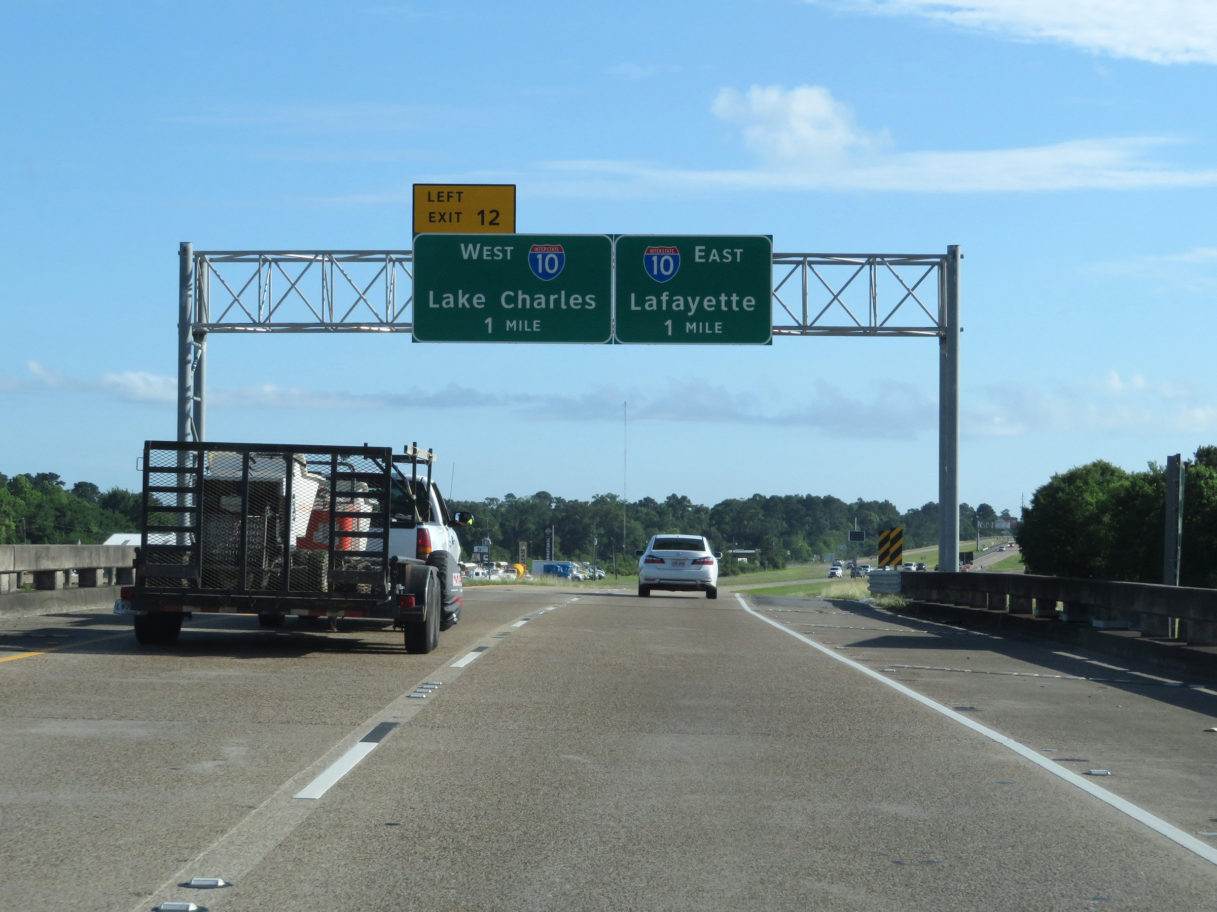 |
Interstate 210 East approaching Exit 12 and its eastern terminus - 1 mile. (Photo taken 5/23/18). |
 |
Traffic to Interstate 10 West via Exit 12 must use the left lane, while traffic to Interstate 10 East toward Lafayette must use the right lane. (Photo taken 5/23/18). |
 |
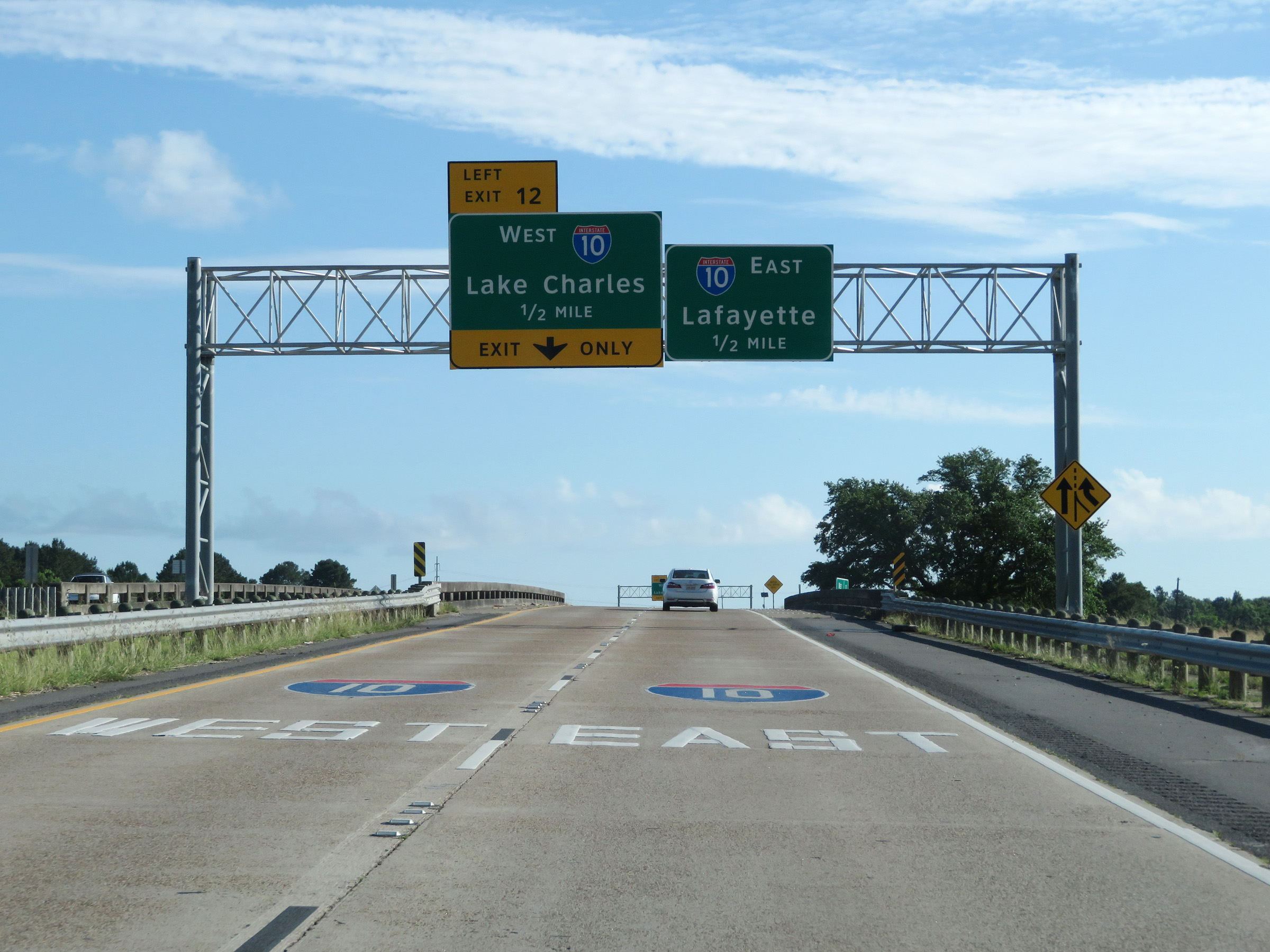
Interstate 210 East at Exit 12: Interstate 10 West - Lake Charles. The two eastbound lanes of I-210 become the ramp to Interstate 10 East. (Photo taken 5/23/18). |
 |
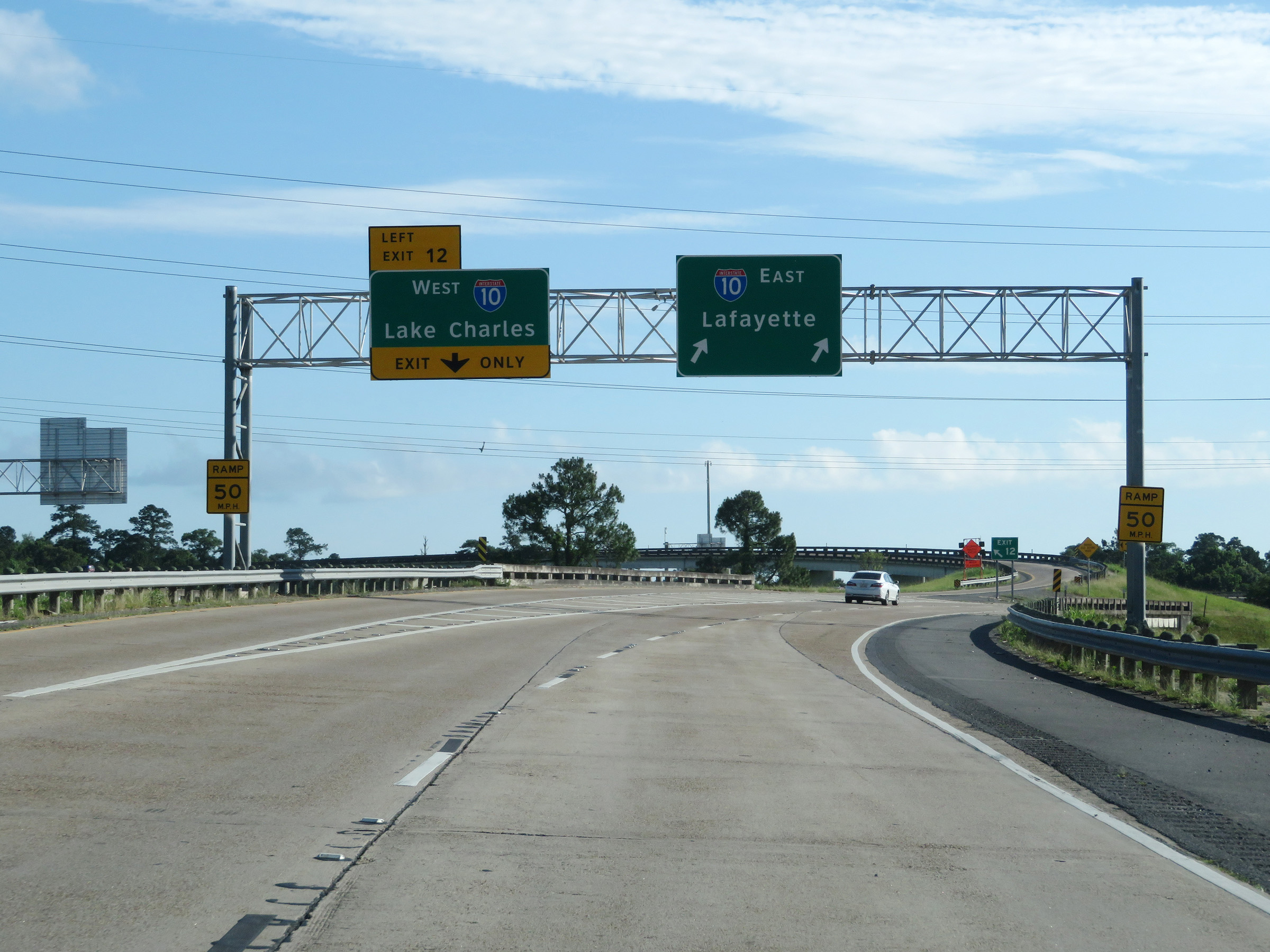
A closer view of the ramp for Exit 12 to Interstate 10 West. The ramp to Interstate 10 East maintains two lanes. (Photo taken 5/23/18). |
 |
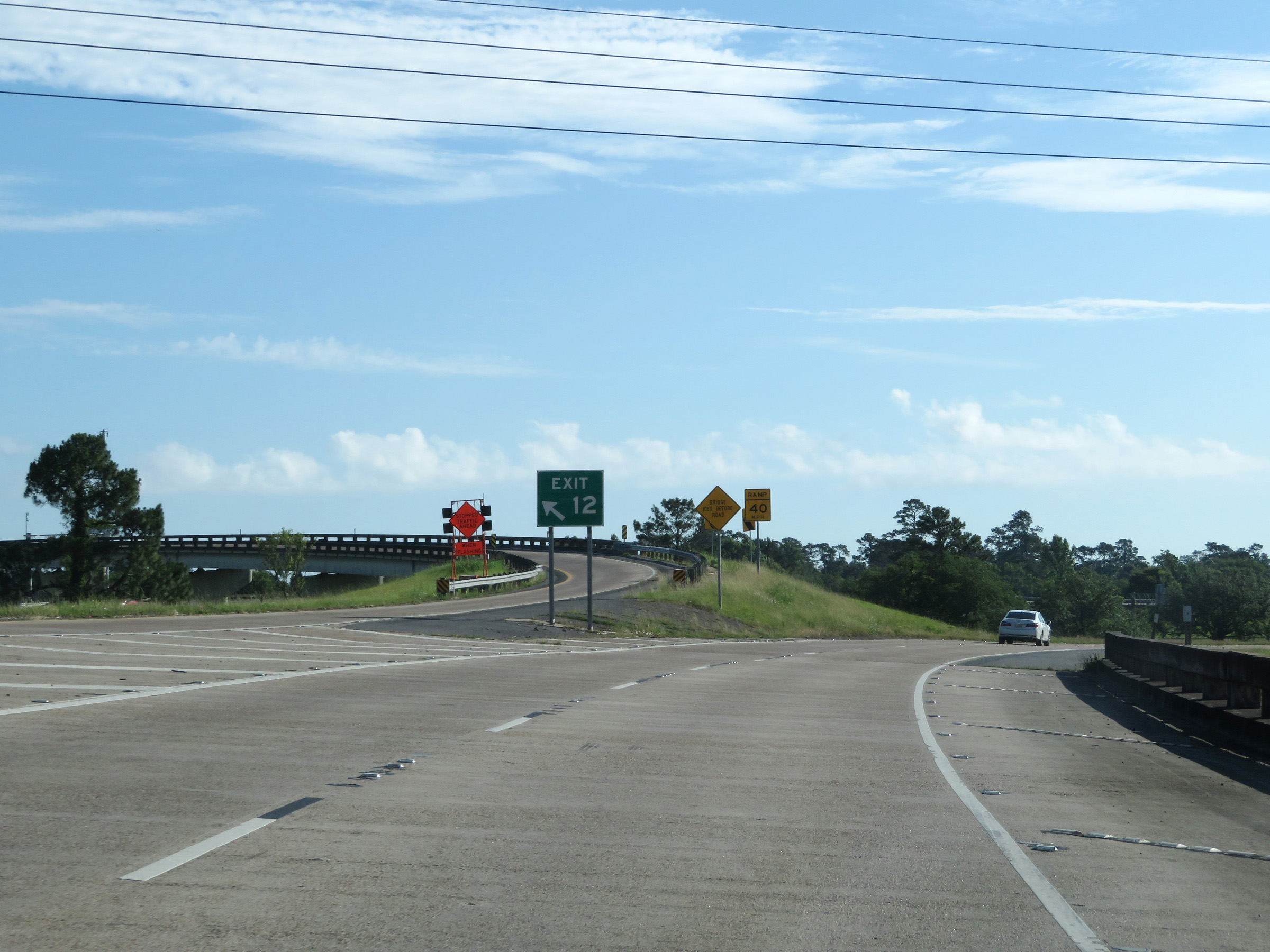
View of the ramp from Interstate 210 East to Interstate 10 East at the eastern terminus of I-210. (Photo taken 5/23/18). |
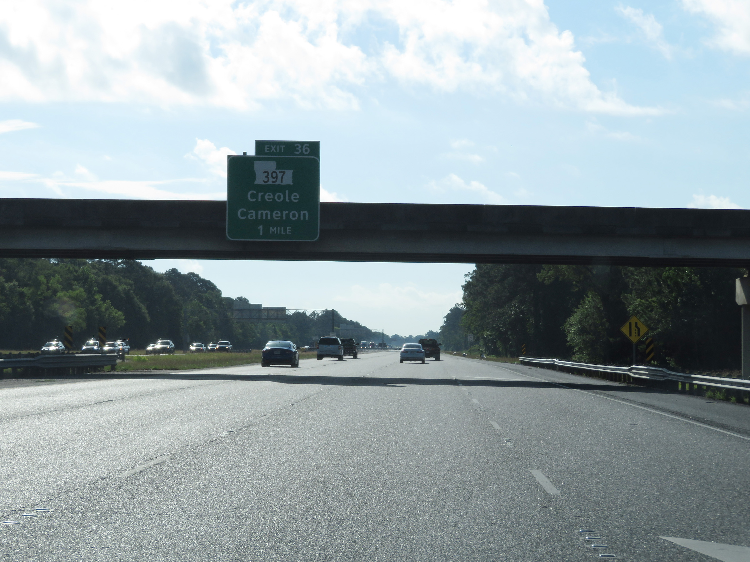 |
The ramp merges into Interstate 10 East 1 mile from Exit 36 near Lake Charles. (Photo taken 5/23/18). |