Road Information |
||
 |
||
| Total Mileage in State: | 424 miles | |
| Eastern End: | At Missouri state line | |
| Western End: | At Colorado state line | |
| Mileage covered in Photos: | 58 miles | |
| Counties covered in Photos: | Shawnee, Douglas, Leavenworth, Wyandotte | |
| Major Junctions in Photos: | US 59, in Lawrence I-435, in Kansas City I-635, in Kansas City I-670, in Kansas City |
|
| Control Cities in Photos: | Topeka, Lawrence, Kansas City | |
Eastbound
- Section 1: Topeka (Exit 183) to Bonner Springs (Exit 224)
- Section 2: Bonner Springs (Exit 224) to Missouri Border
Section 1: Topeka (Exit 183) to Bonner Springs (Exit 224)
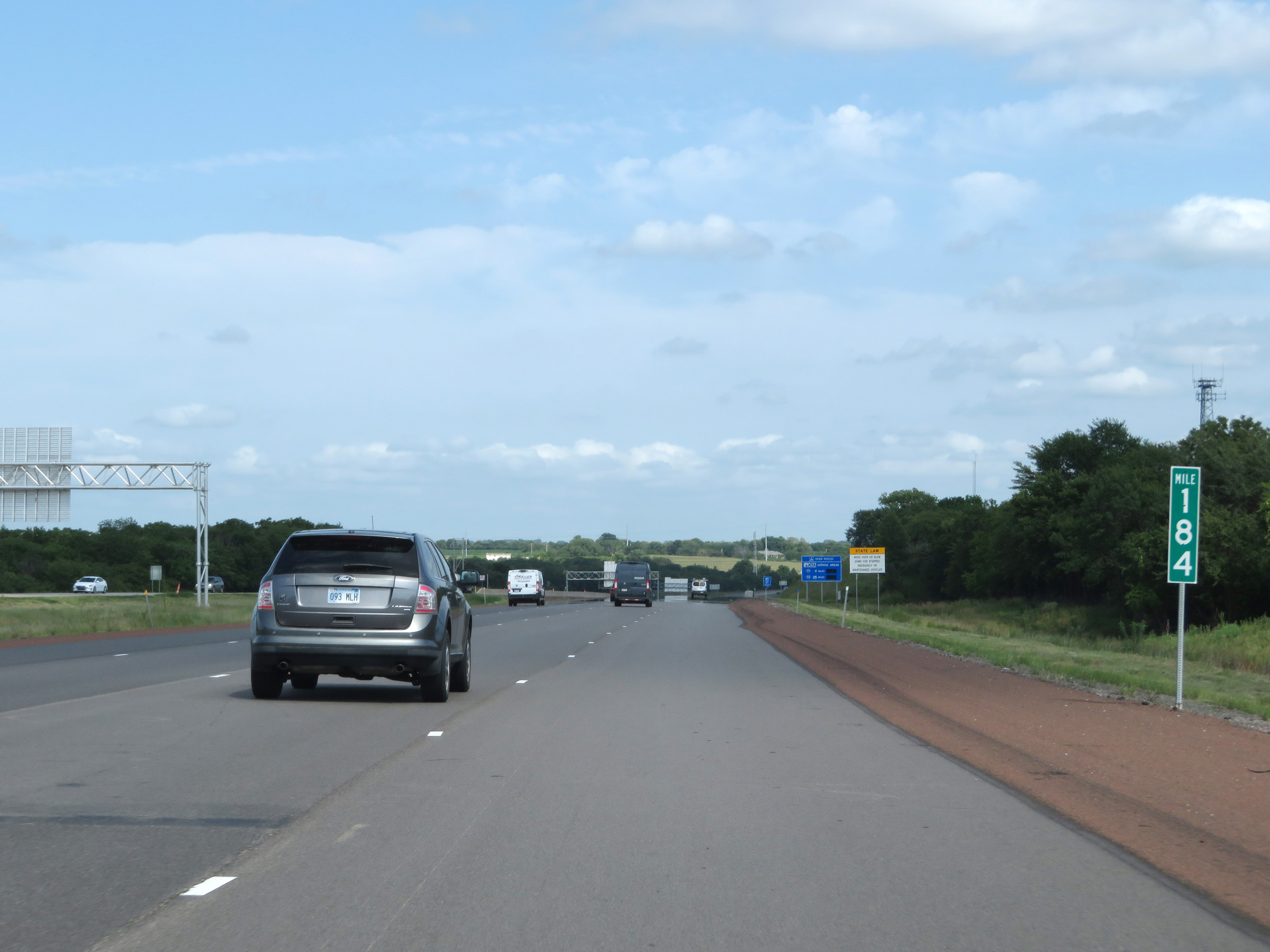 |
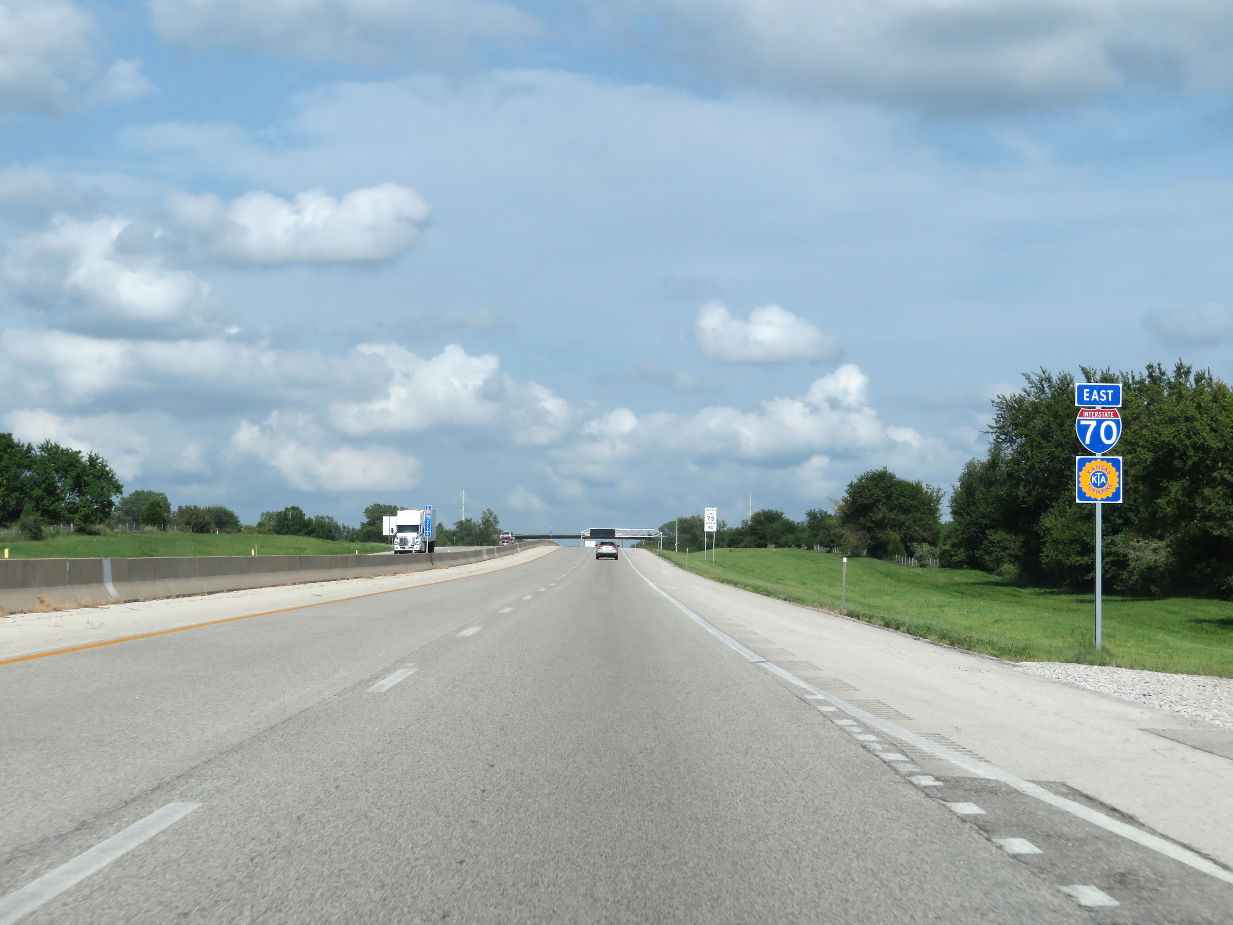
Interstate 70 East (Kansas Turnpike) at mile marker 184, just east of its junction with Interstate 470 on the east side of downtown Topeka. The Kansas Turnpike continues from I-470 East to run concurrently with I-70 East to Kansas City. Thus, the mileage and exit numbers for most of I-70 East from this point to Kansas City are based on the total mileage of the Kansas Turnpike. (Photo taken 8/11/20). |
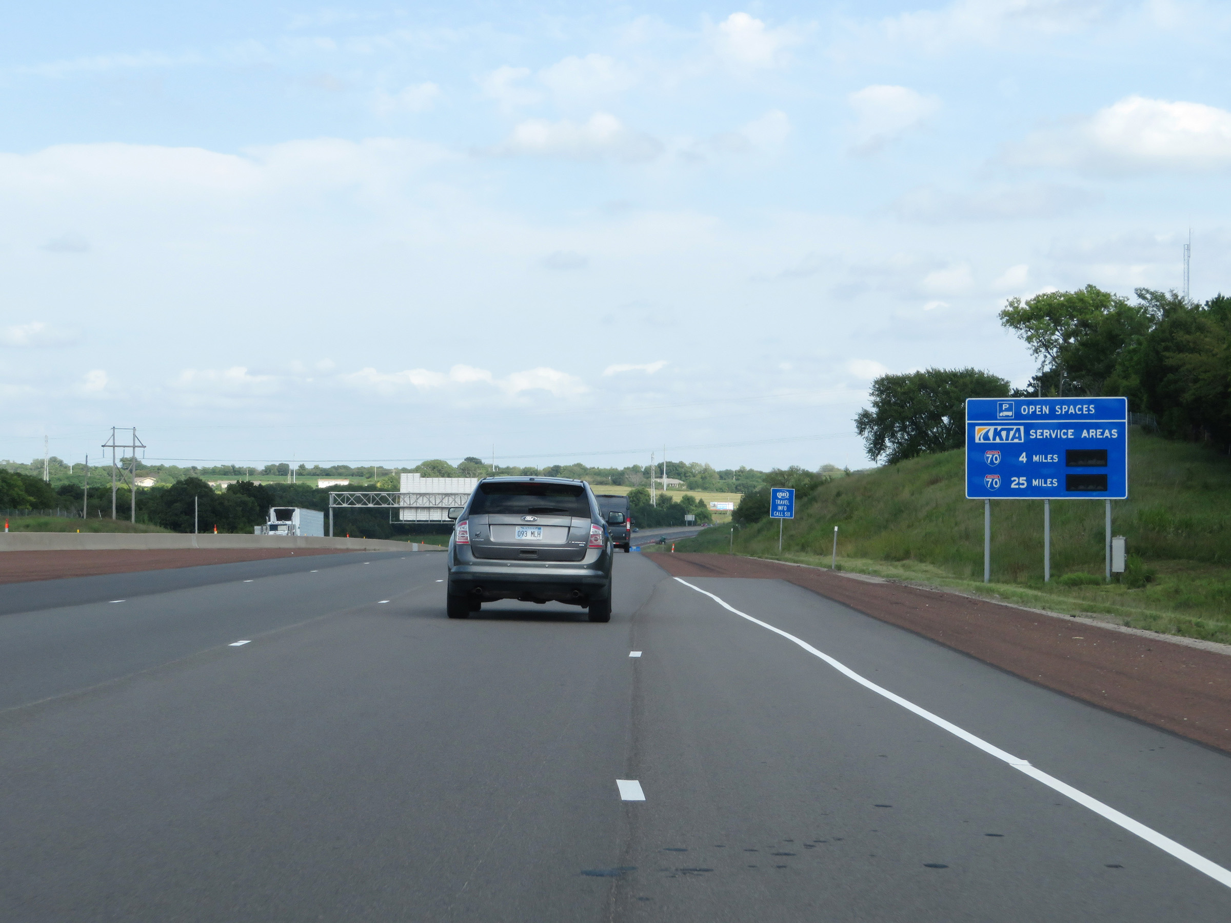 |
This sign dynamically displays the number of available truck parking spaces at the two remaining service areas on the Kansas Turnpike. (Photo taken 8/11/20). |
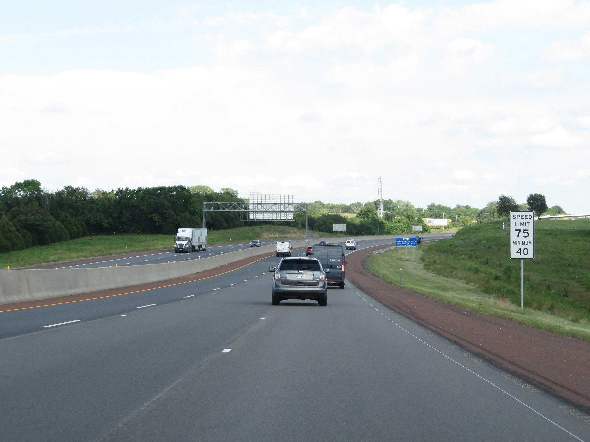 |
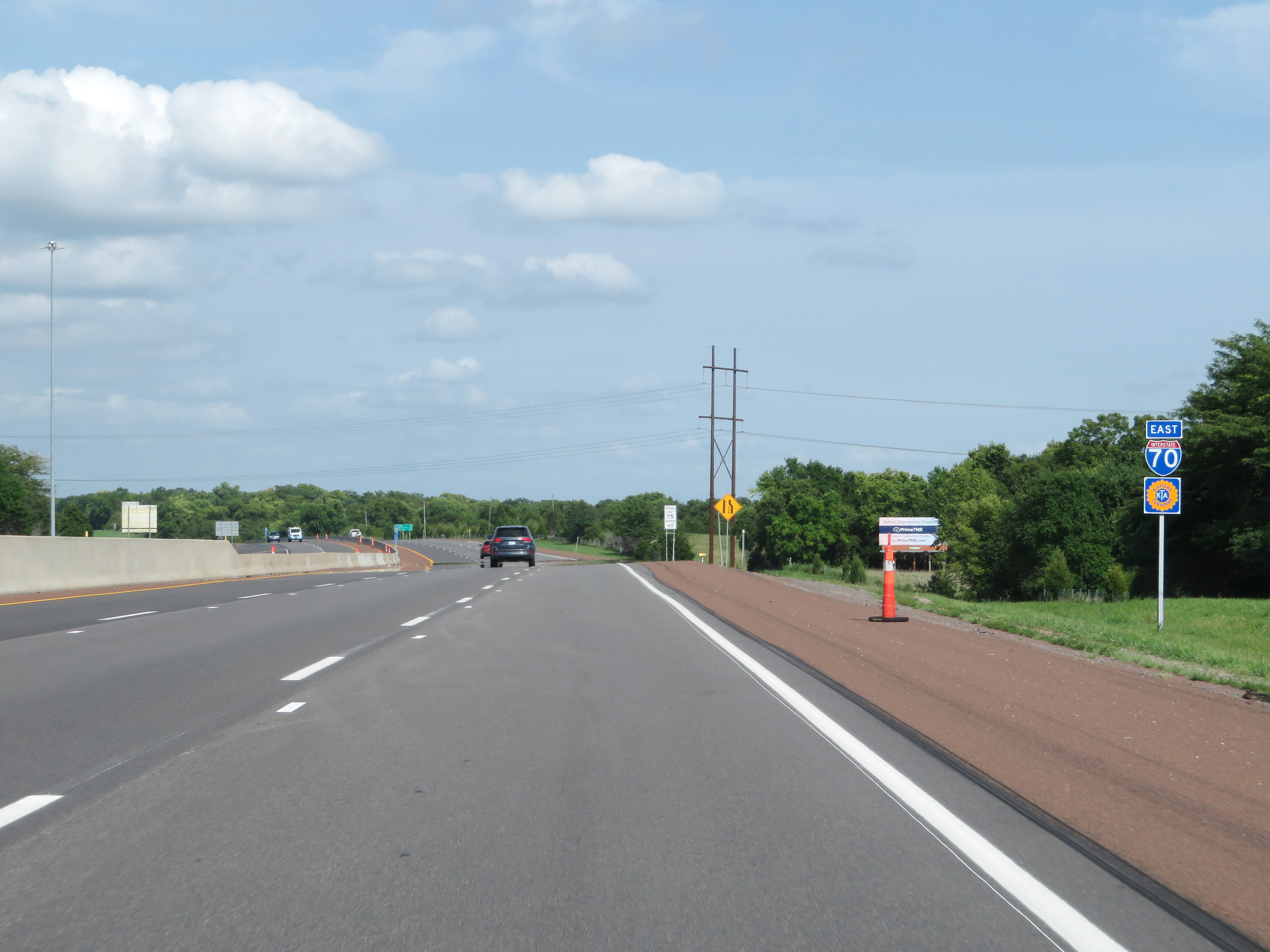
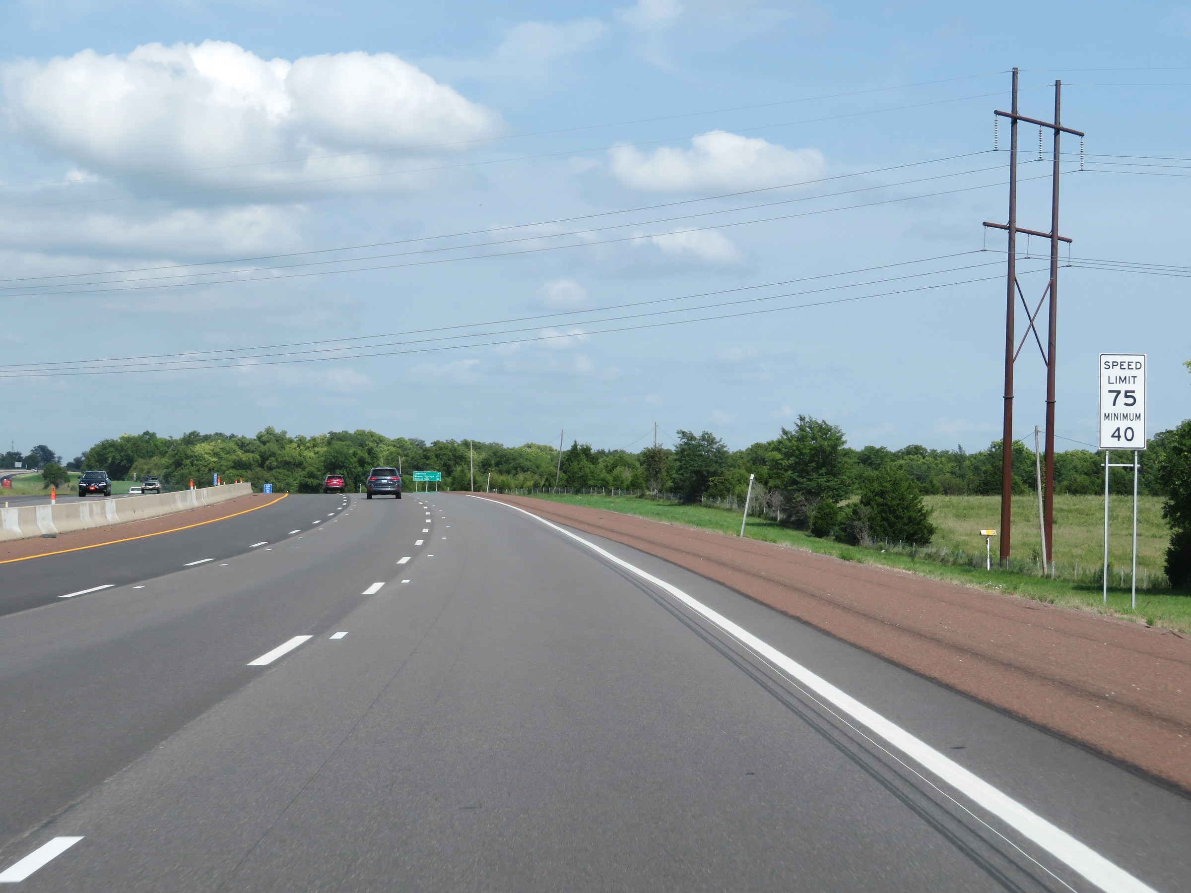
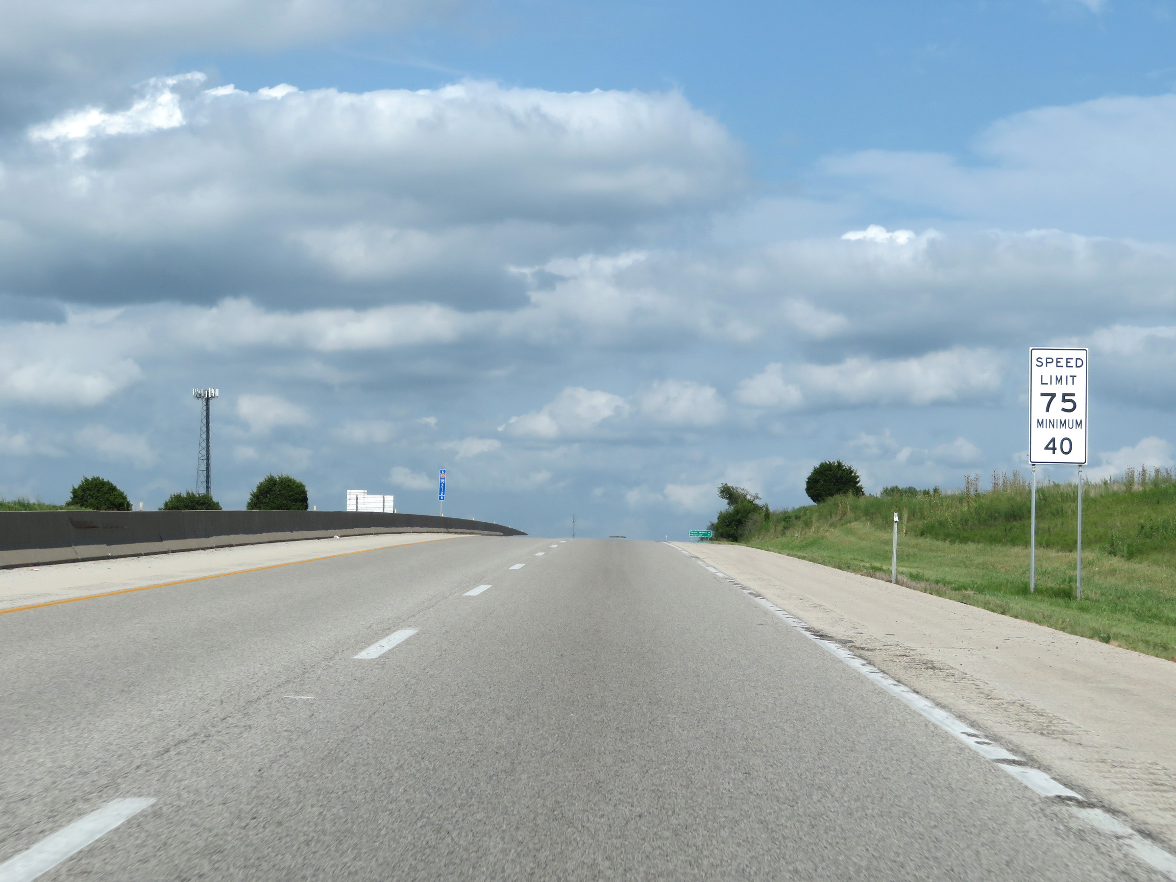
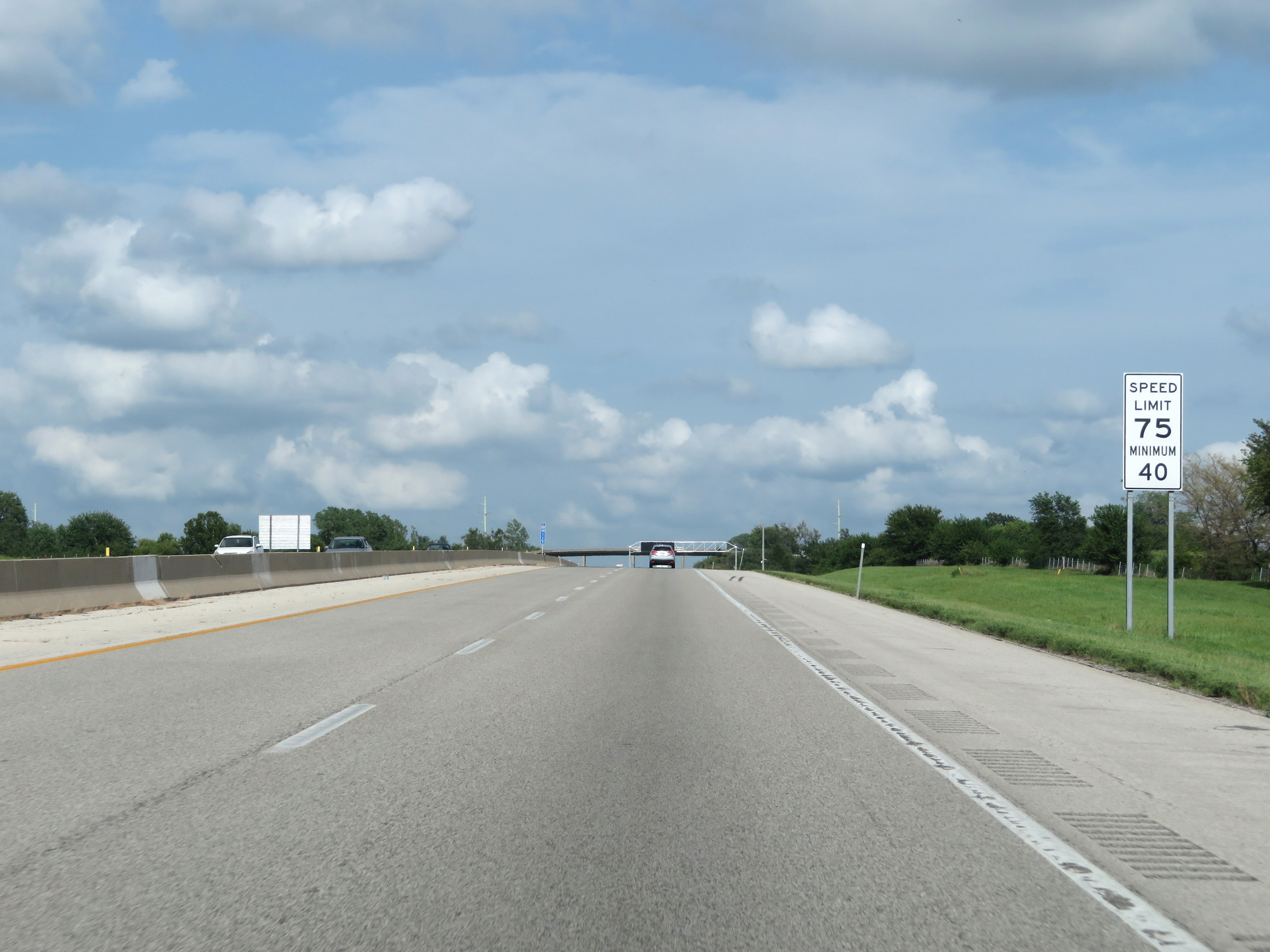
The speed limits on this portion of Interstate 70 East (Kansas Turnpike) are 75 mph maximum and 40 mph minimum. These are the standard speed limits on most rural Interstate highways in Kansas. (Photo taken 8/11/20). |
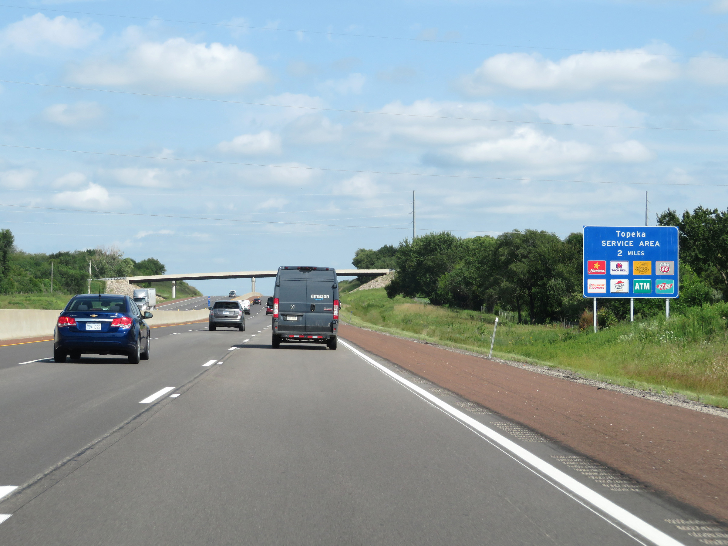 |
This sign shows some of the services available at the upcoming Topeka Service Area, which is 2 miles ahead. (Photo taken 8/11/20). |
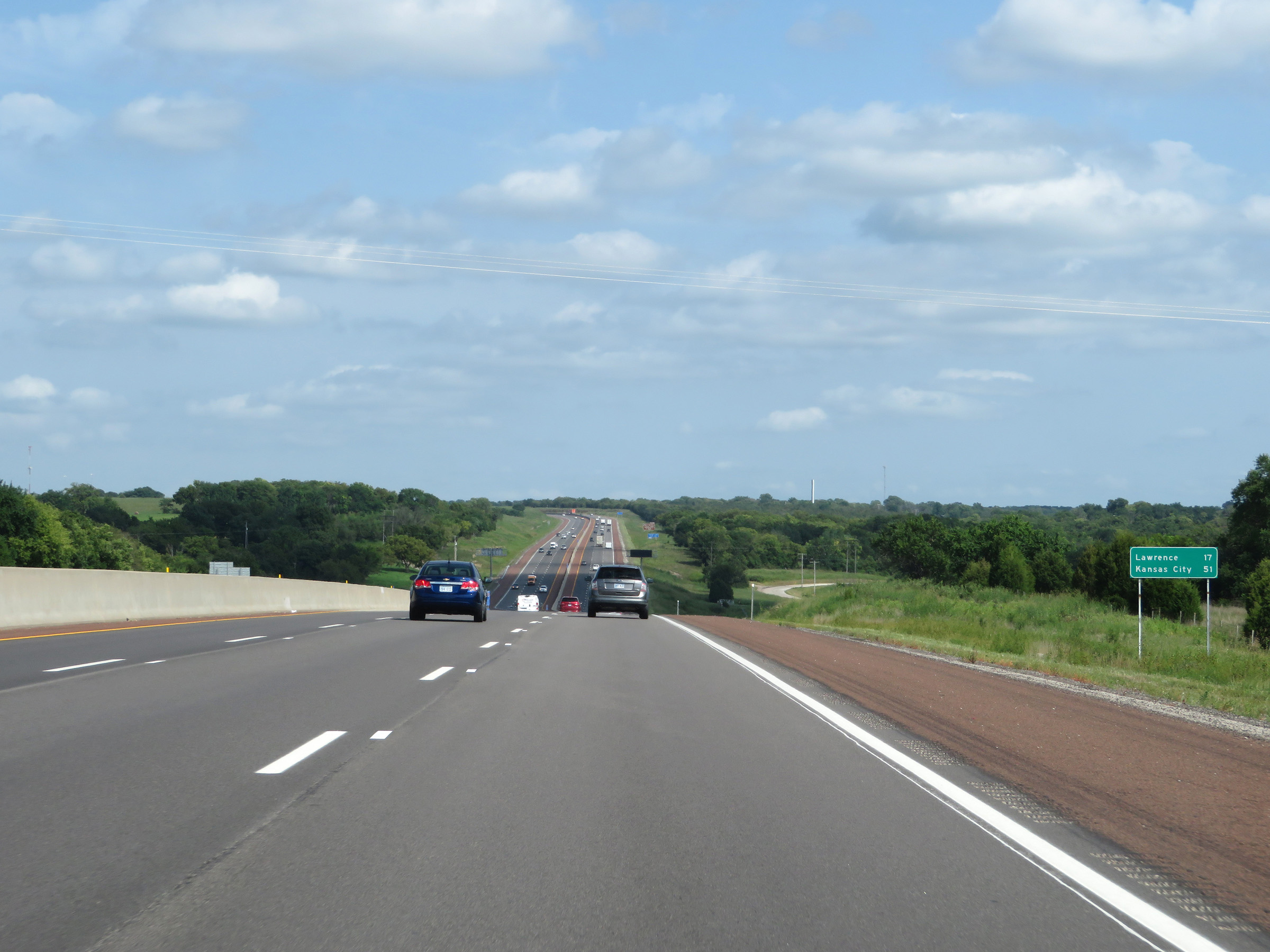 |
Mileage sign on Interstate 70 East (Kansas Turnpike). It's 17 miles to Lawrence and 51 miles to Kansas City. (Photo taken 8/11/20). |
 |
View on Interstate 70 East (Kansas Turnpike) at mile marker 186. (Photo taken 8/11/20). |
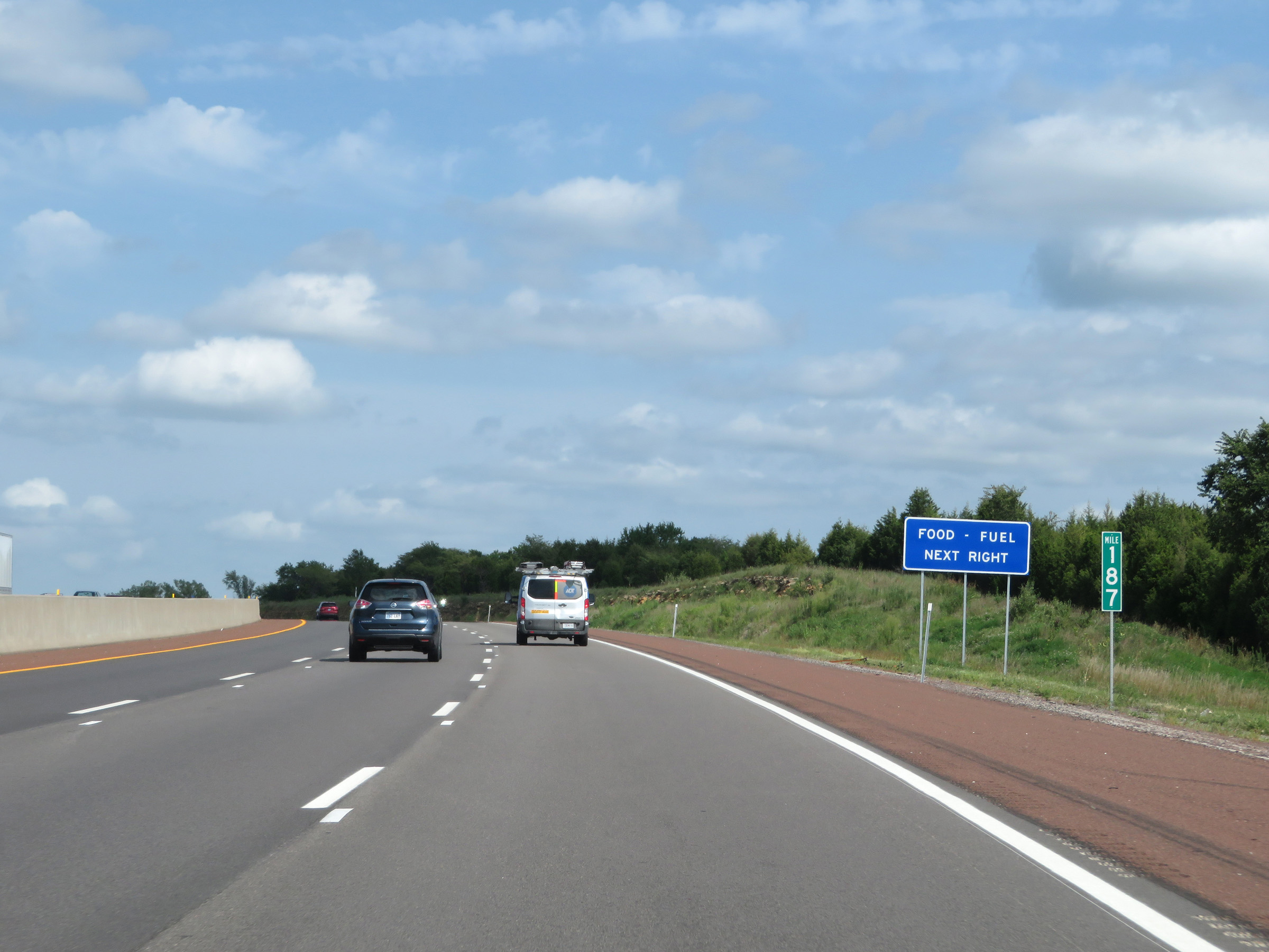 |
Interstate 70 East (Kansas Turnpike) at mile marker 187. (Photo taken 8/11/20). |
 |
Interstate 70 East (Kansas Turnpike) at the Topeka Service Area. (Photo taken 8/11/20). |
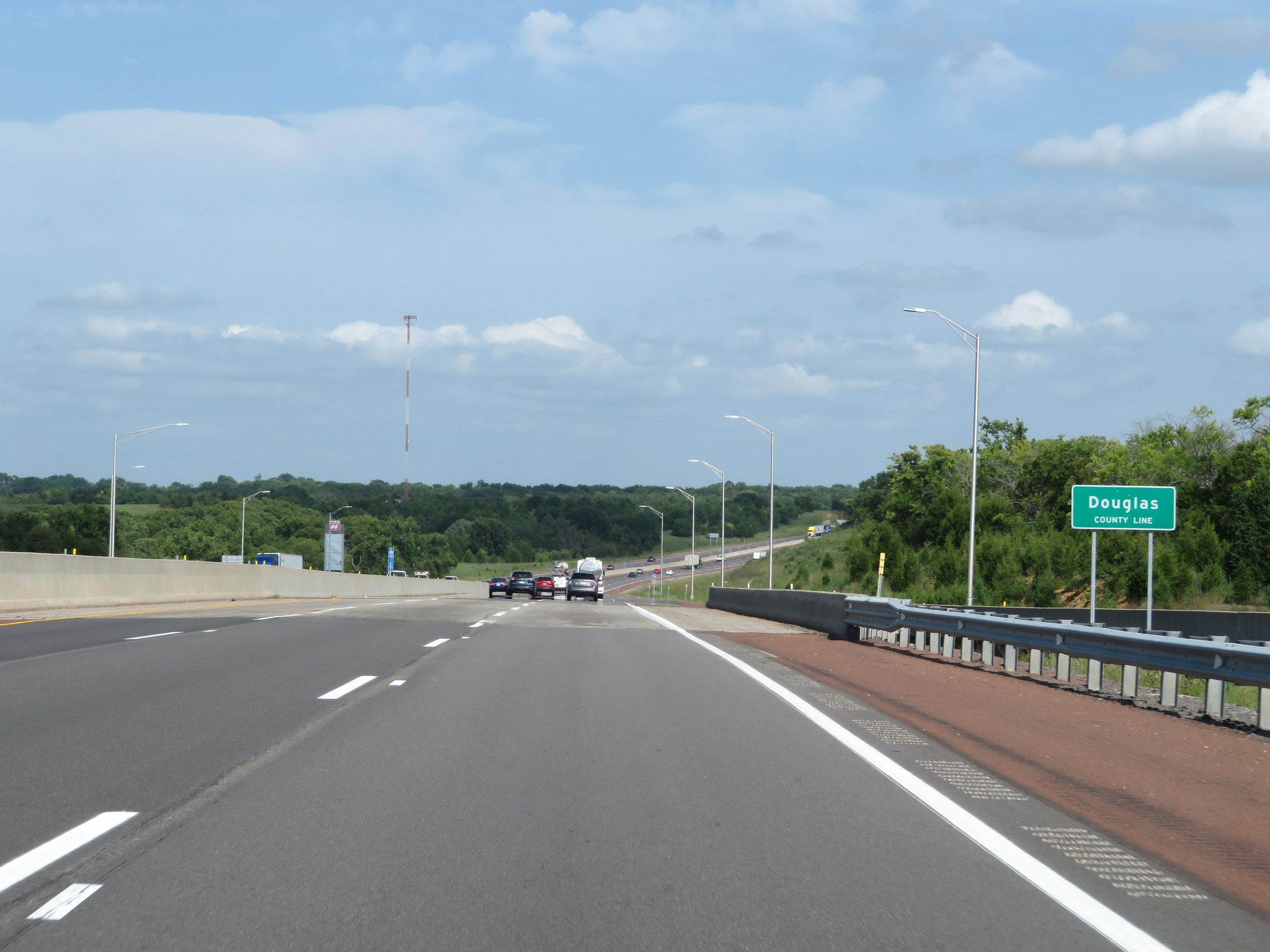 |
Interstate 70 East (Kansas Turnpike) entering Douglas County, as it passes by the Topeka Service Area on the left. (Photo taken 8/11/20). |
 |
Interstate 70 East / Kansas Turnpike reassurance shields. (Photo taken 8/11/20). |
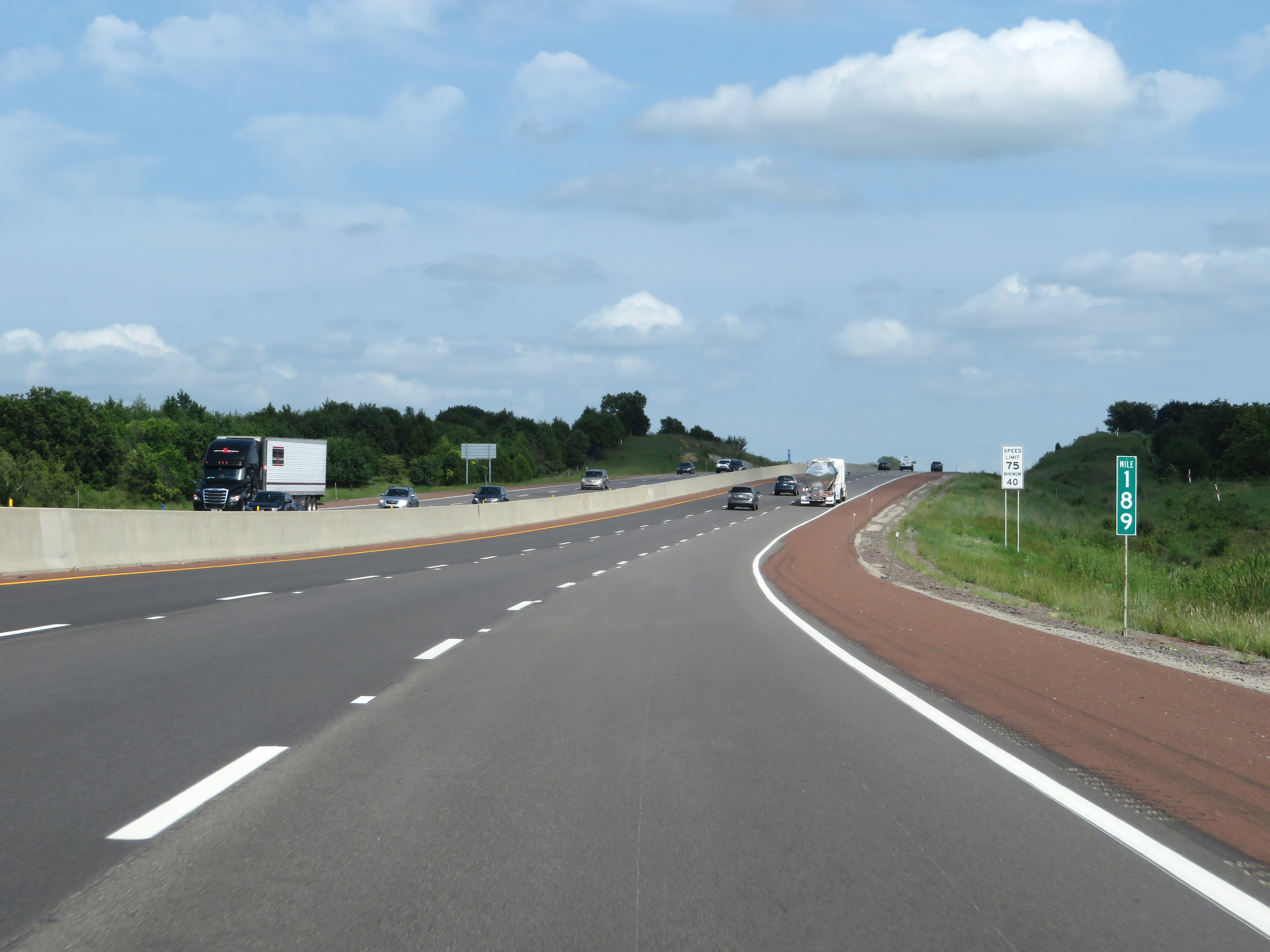 |
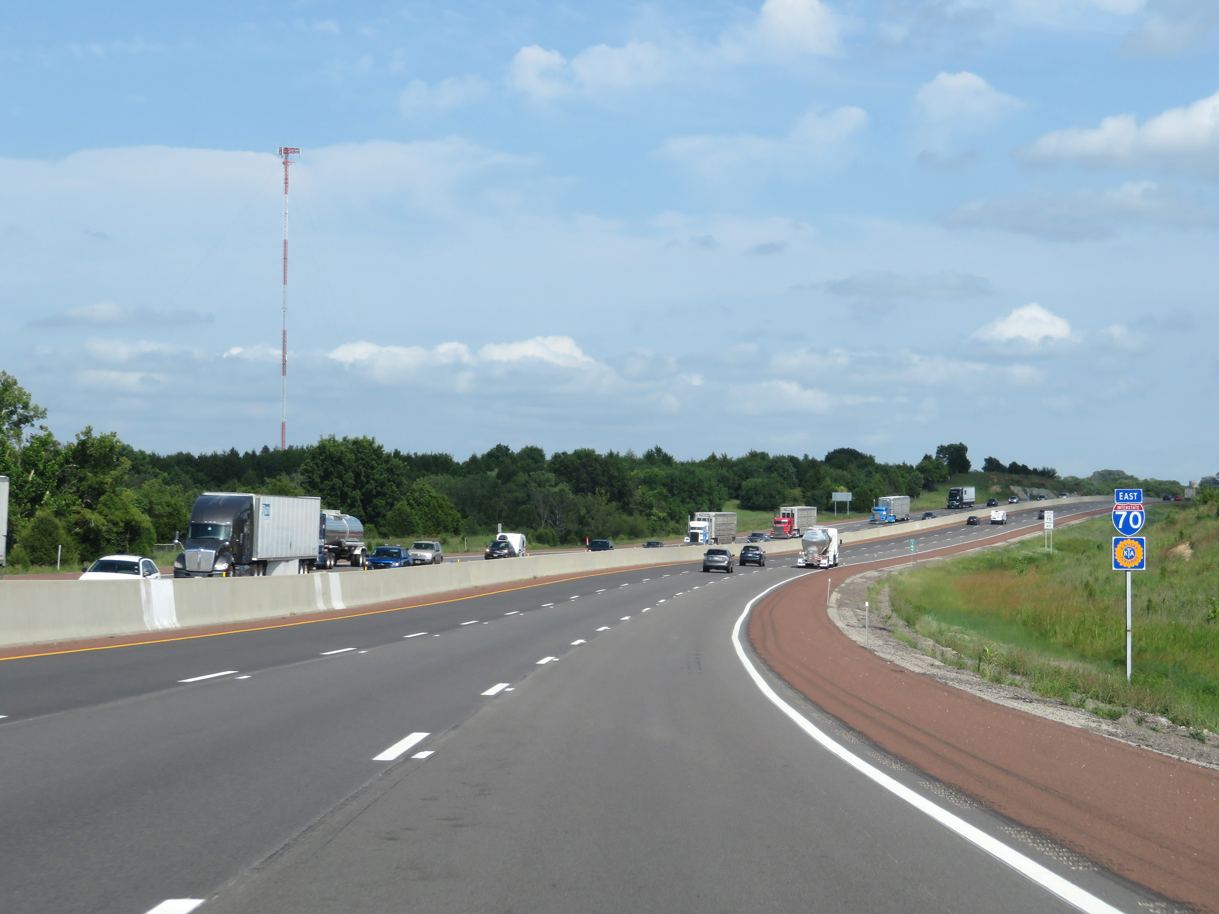
View on Interstate 70 East (Kansas Turnpike) at mile marker 189. (Photo taken 8/11/20). |
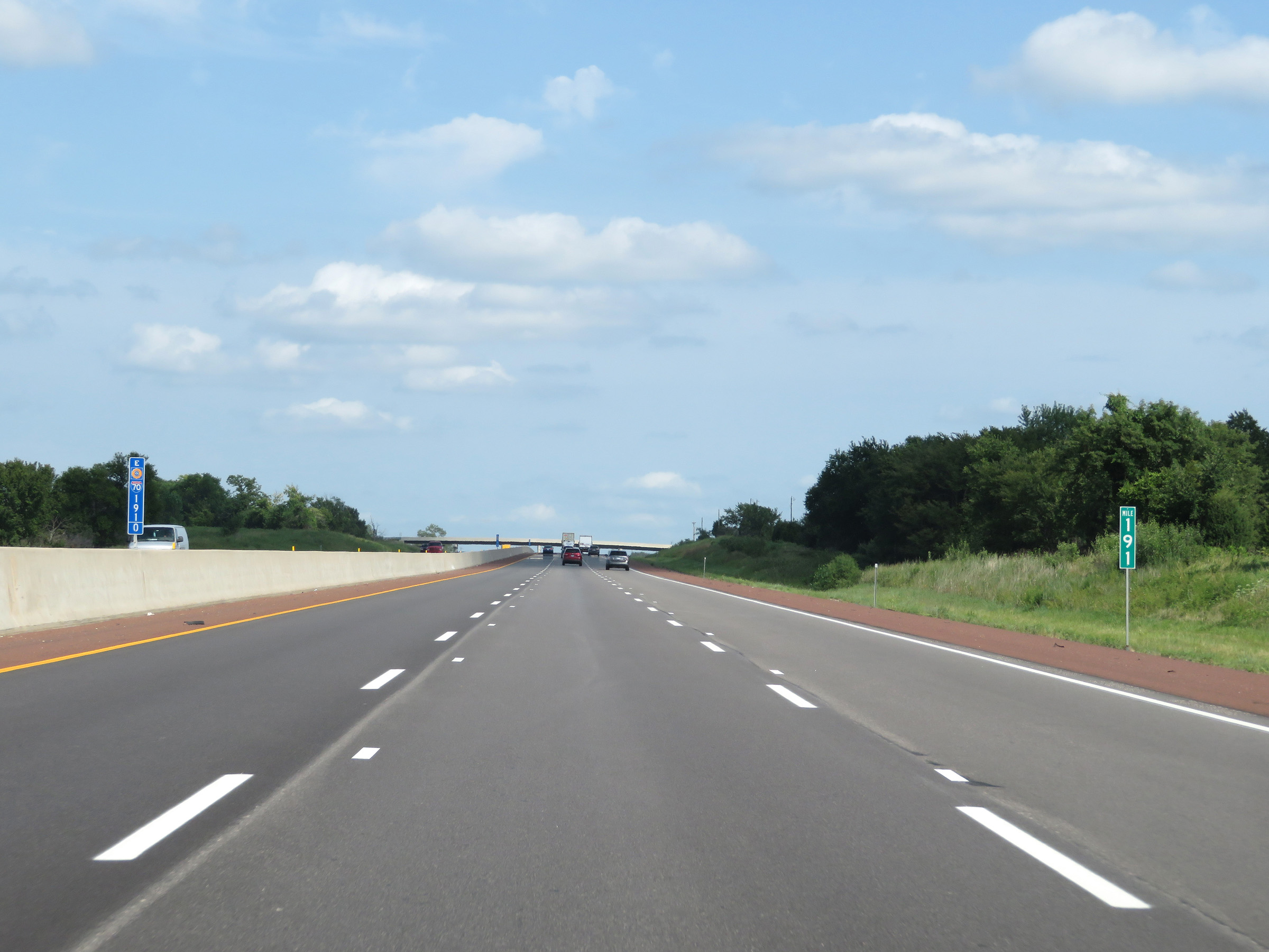 |
Interstate 70 East (Kansas Turnpike) at mile marker 191. (Photo taken 8/11/20). |
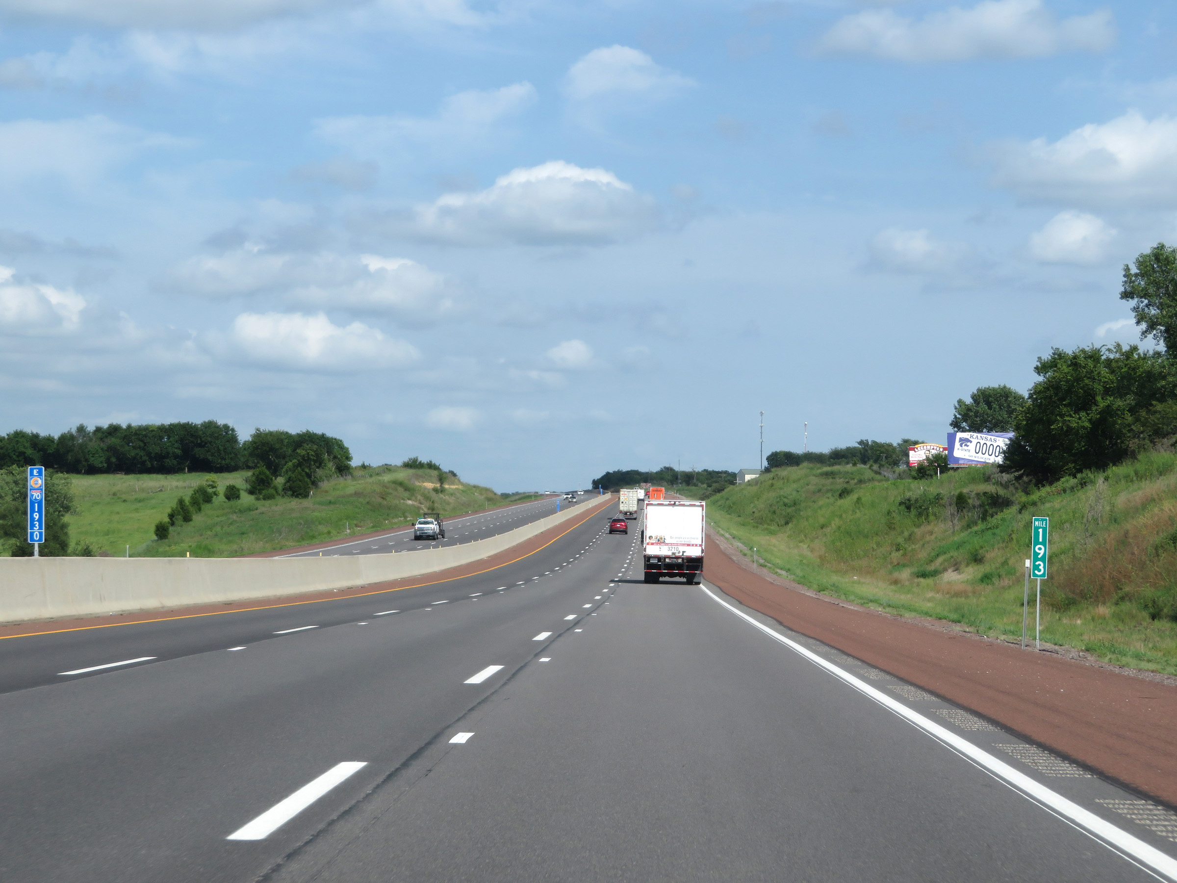 |
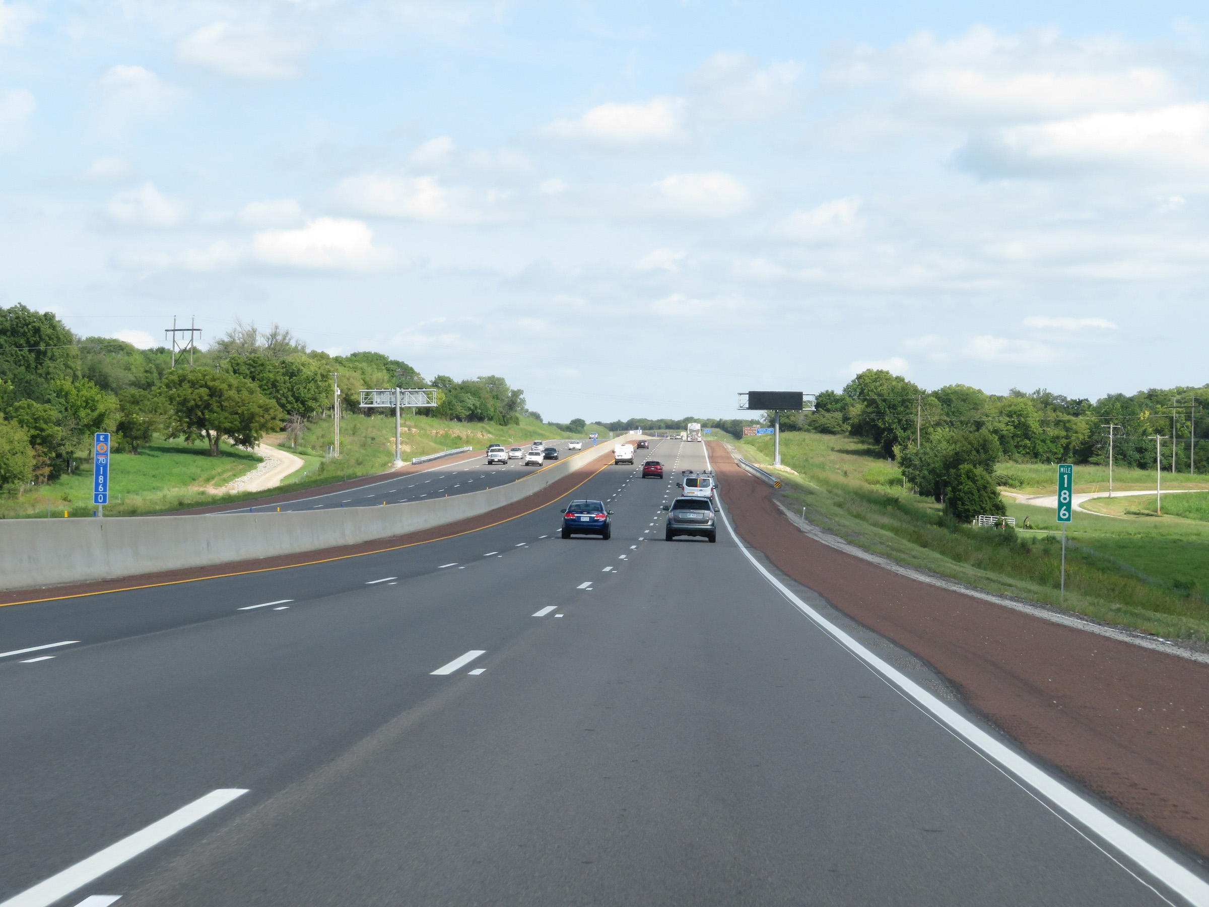
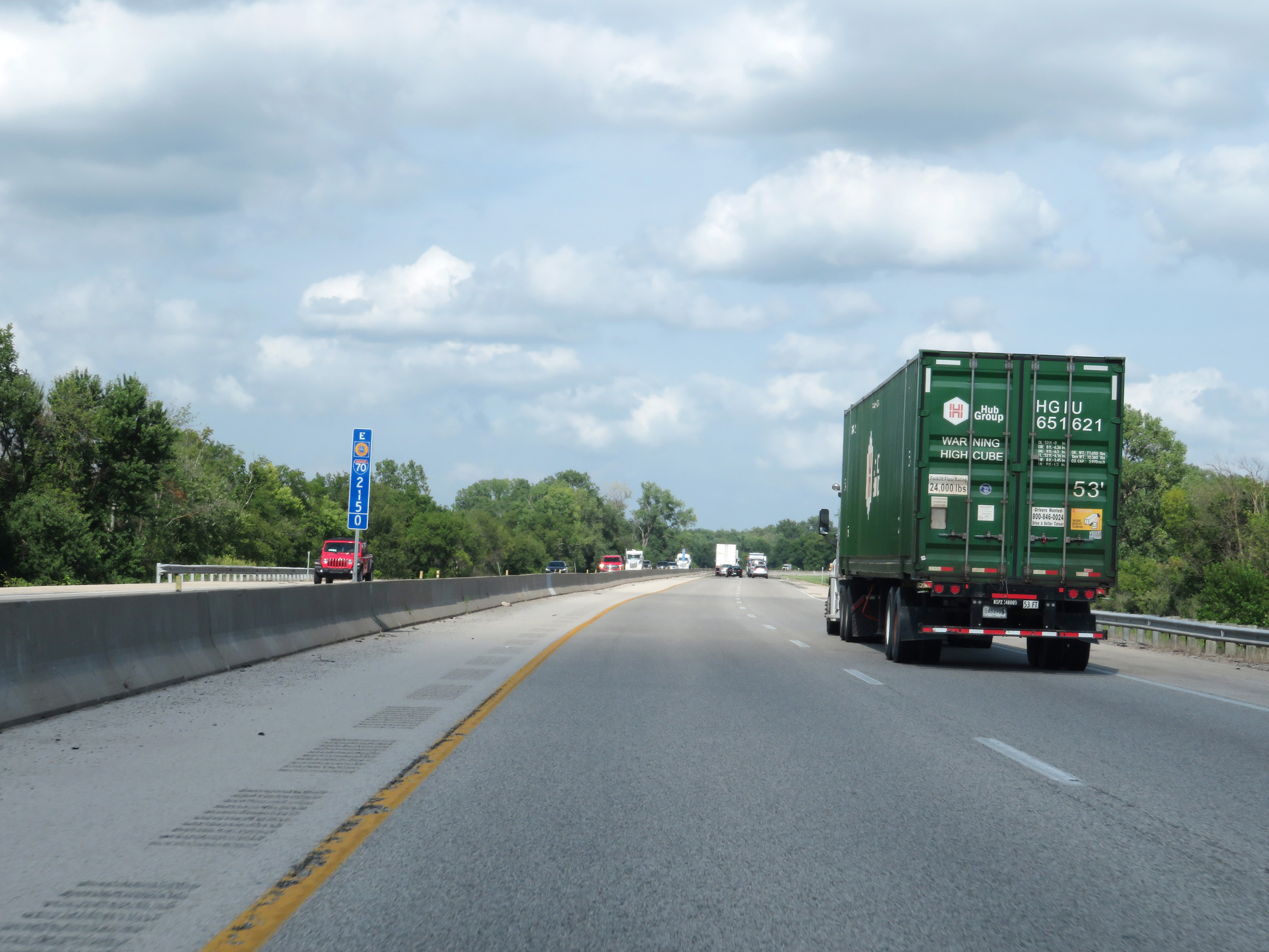
Mile marker 193 on Interstate 70 East (Kansas Turnpike) in Douglas County. (Photo taken 8/11/20). |
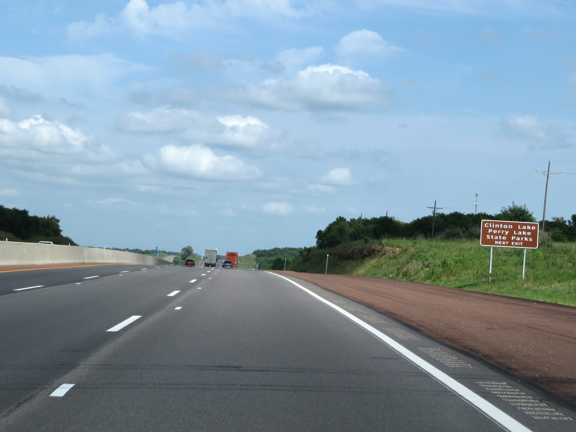 |
Take Exit 197 to Clinton Lake and Perry Lake State Parks. (Photo taken 8/11/20). |
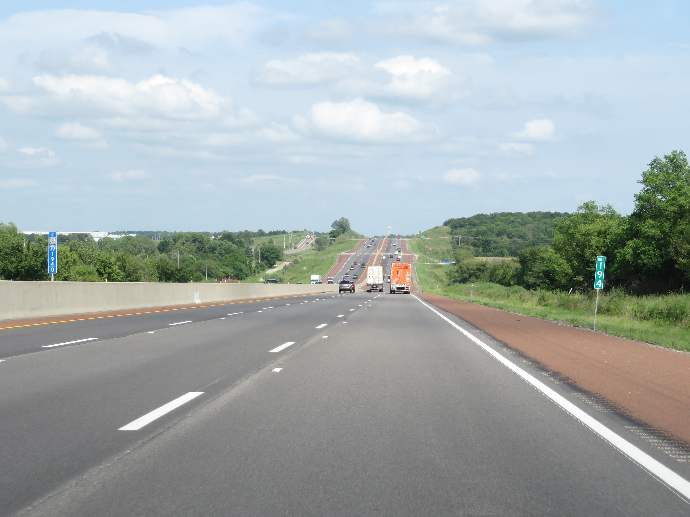 |
View on Interstate 70 East (Kansas Turnpike) at mile marker 194. (Photo taken 8/11/20). |
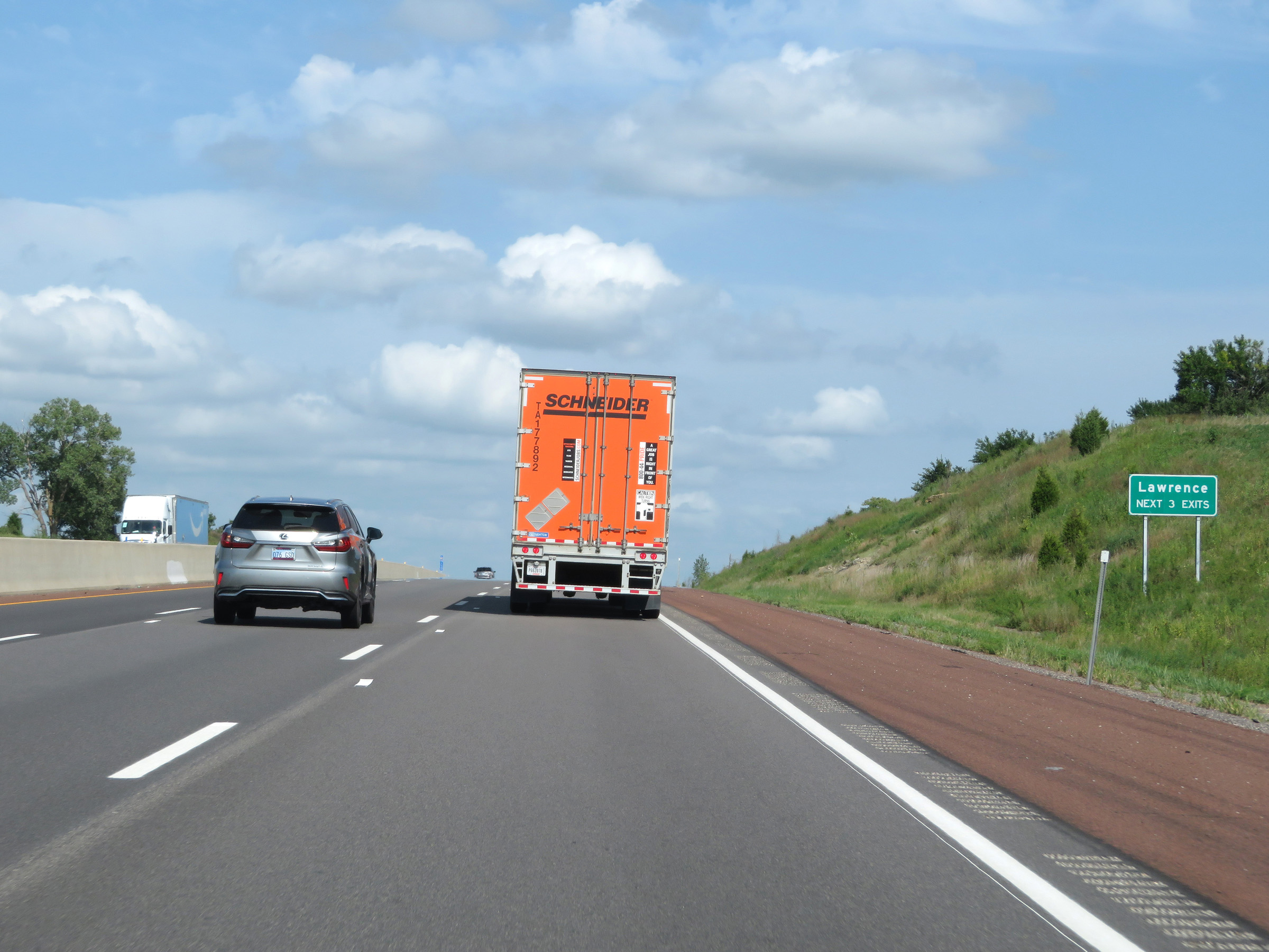 |
Take any of the next 3 exits to Lawrence. (Photo taken 8/11/20). |
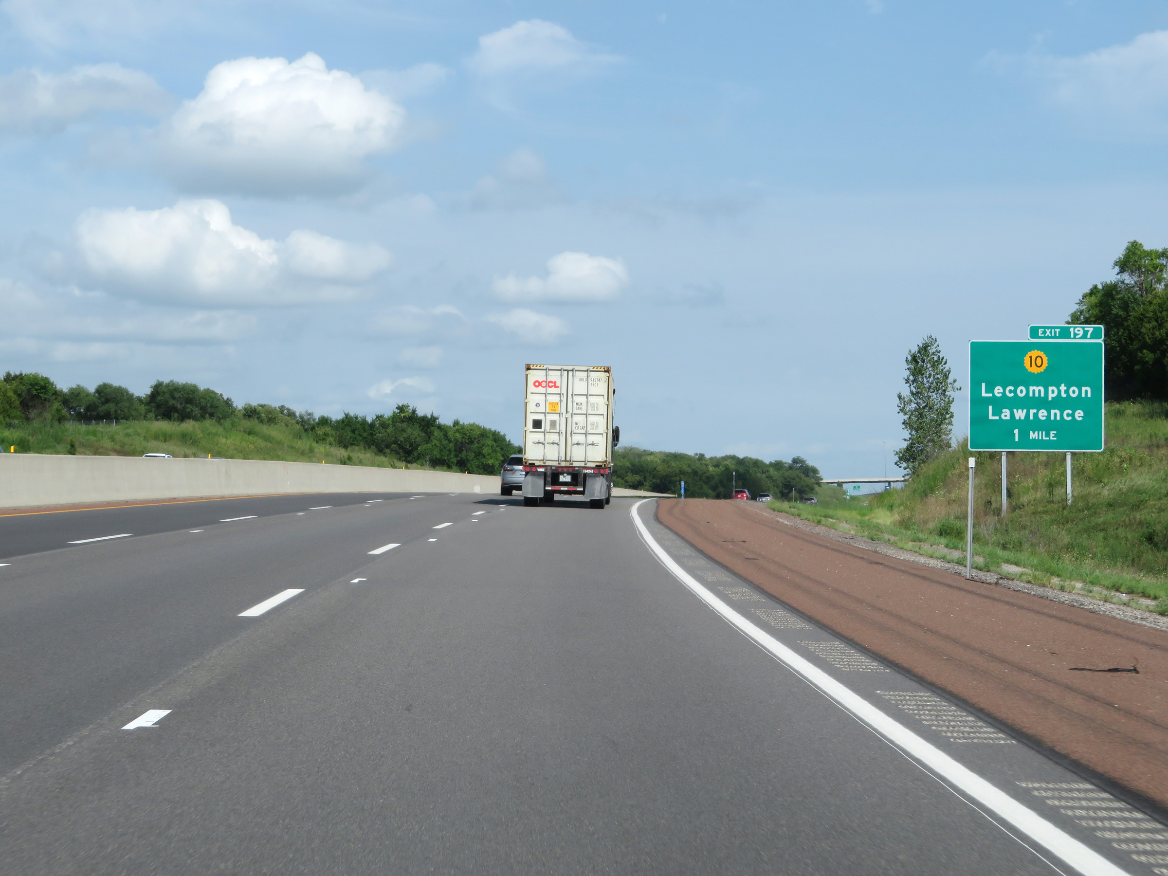 |
Interstate 70 East (Kansas Turnpike) approaching Exit 197 - 1 mile. (Photo taken 8/11/20). |
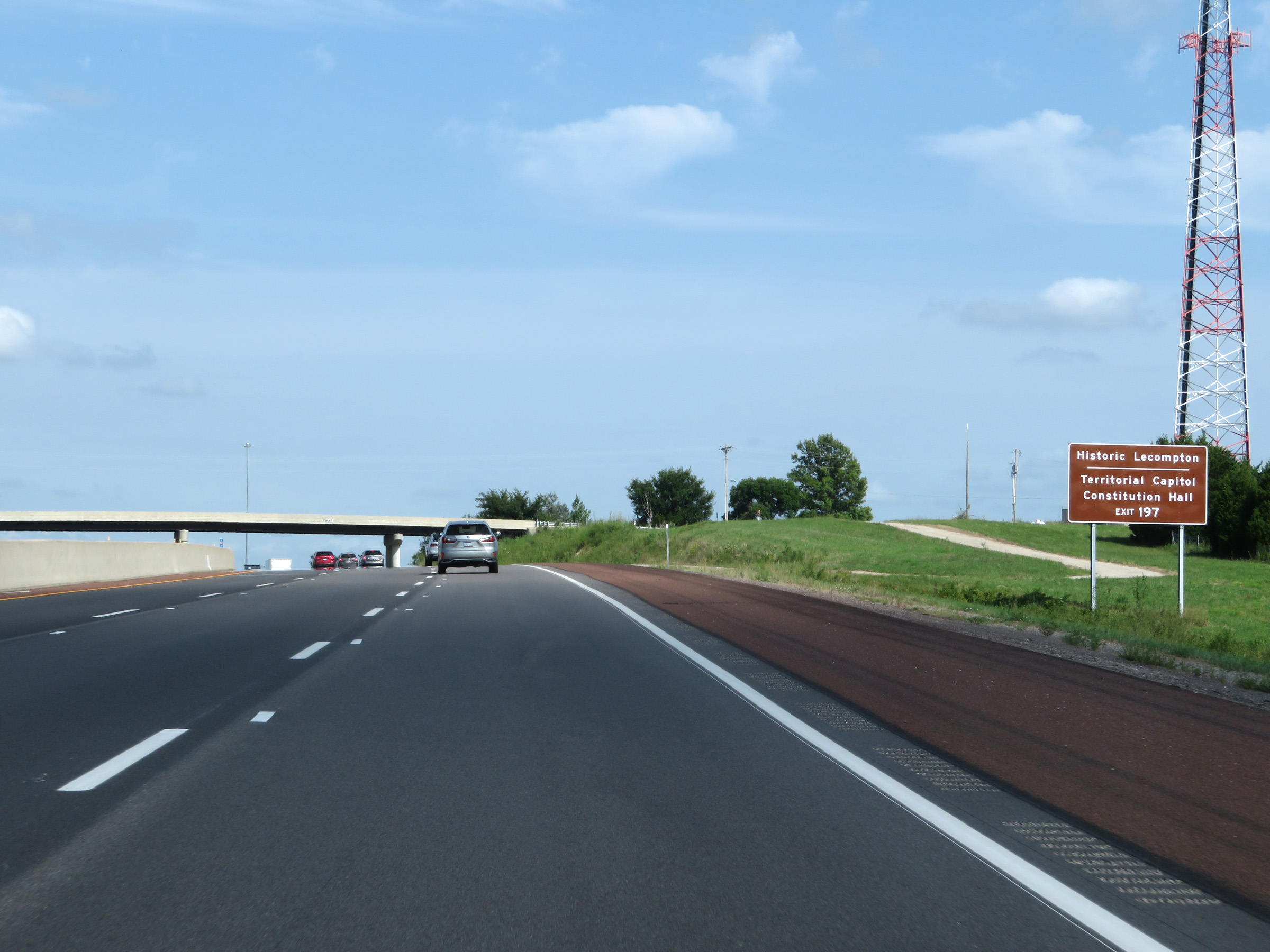 |
Also take Exit 197 to Historic Lecompton and the Territorial Capitol Constitution Hall. (Photo taken 8/11/20). |
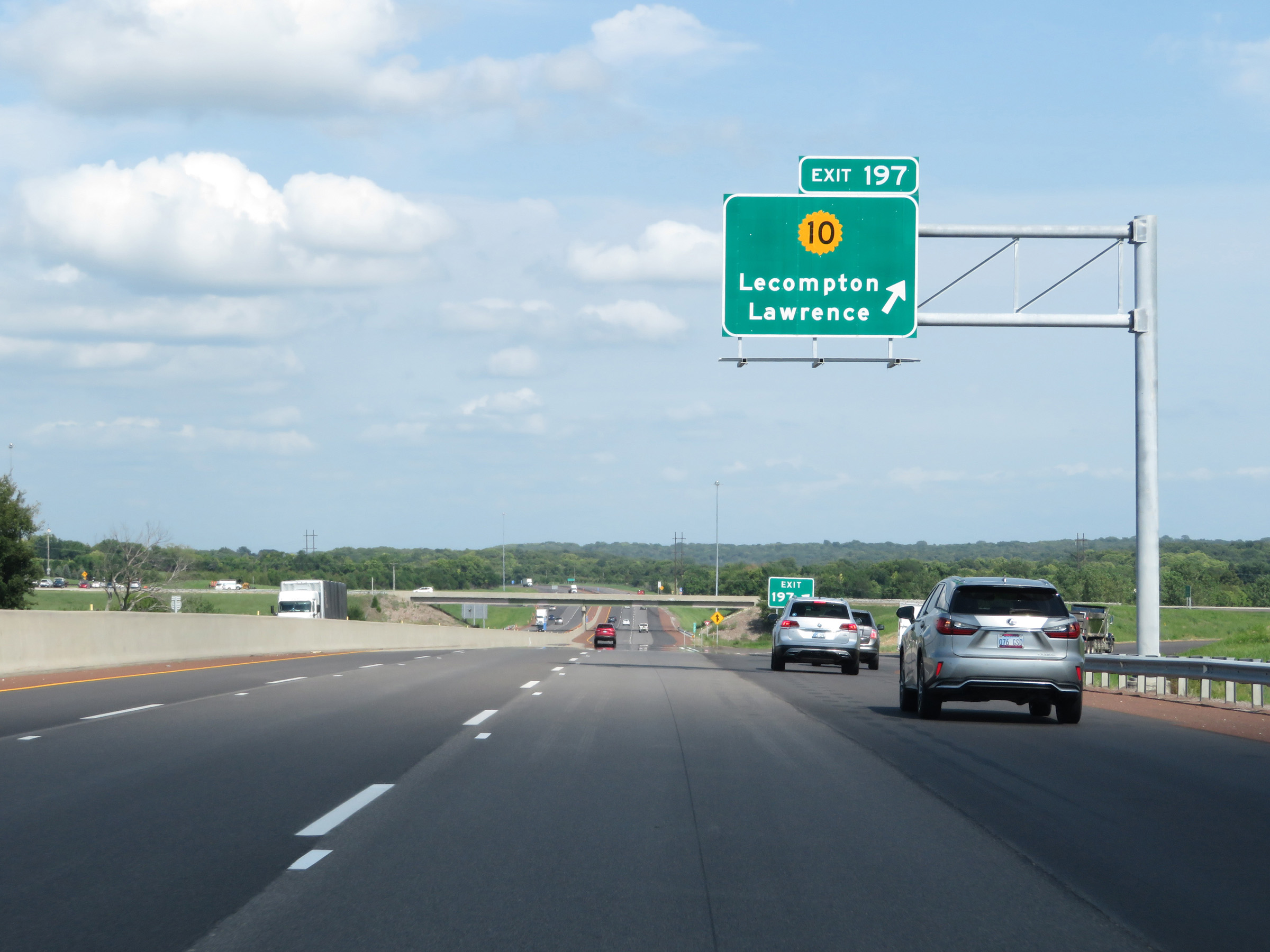 |
Interstate 70 East (Kansas Turnpike) at Exit 197: K-10 - Lecompton / Lawrence (Photo taken 8/11/20). |
 |
Another set of Interstate 70 East / Kansas Turnpike reassurance shields. (Photo taken 8/11/20). |
 |
The speed limits remain 75 mph maximum and 40 mph minimum. (Photo taken 8/11/20). |
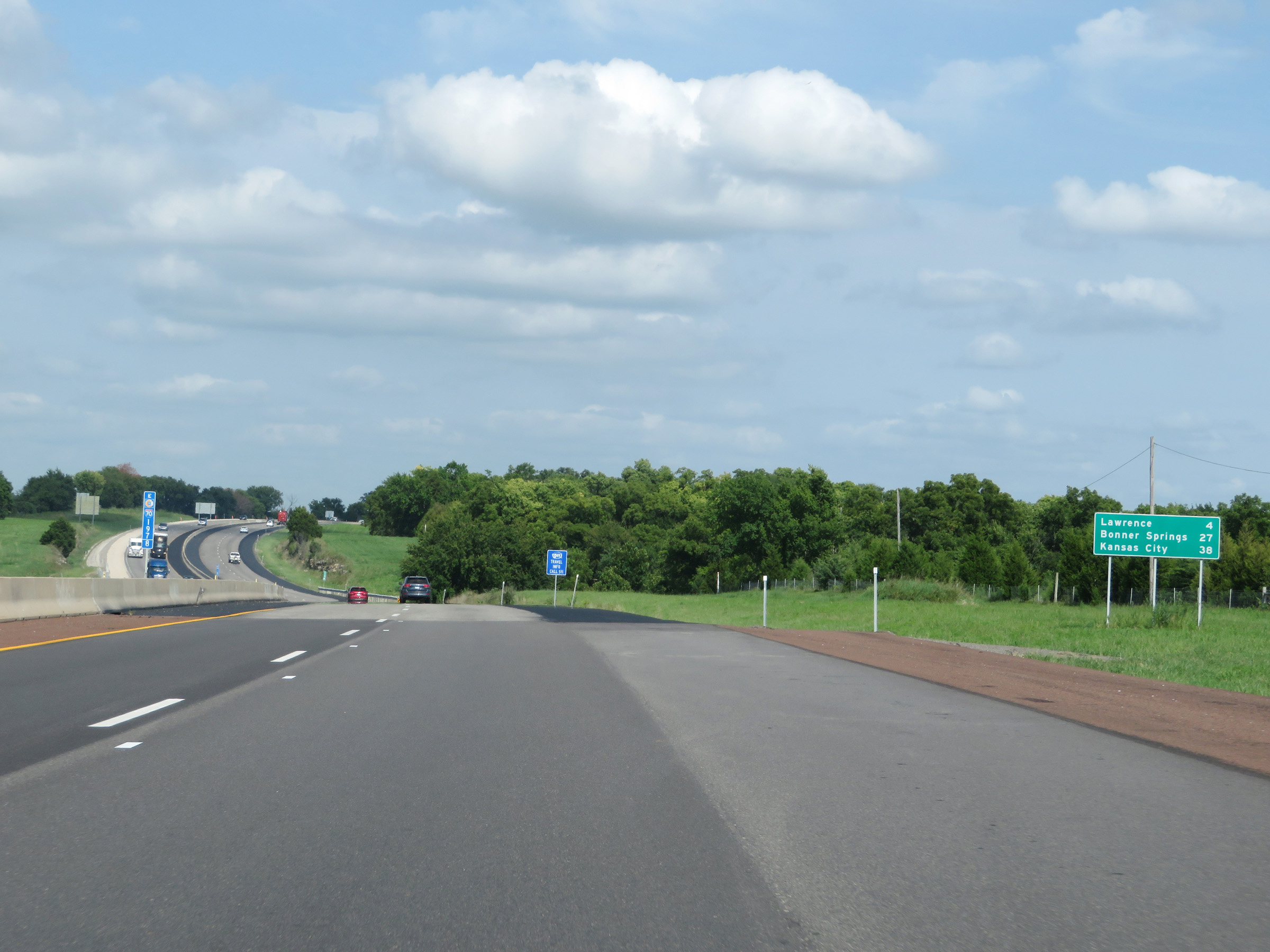 |
Another mileage sign on Interstate 70 East (Kansas Turnpike). It's 4 miles to Lawrence, 27 miles to Bonner Springs, and 38 miles to Kansas City. (Photo taken 8/11/20). |
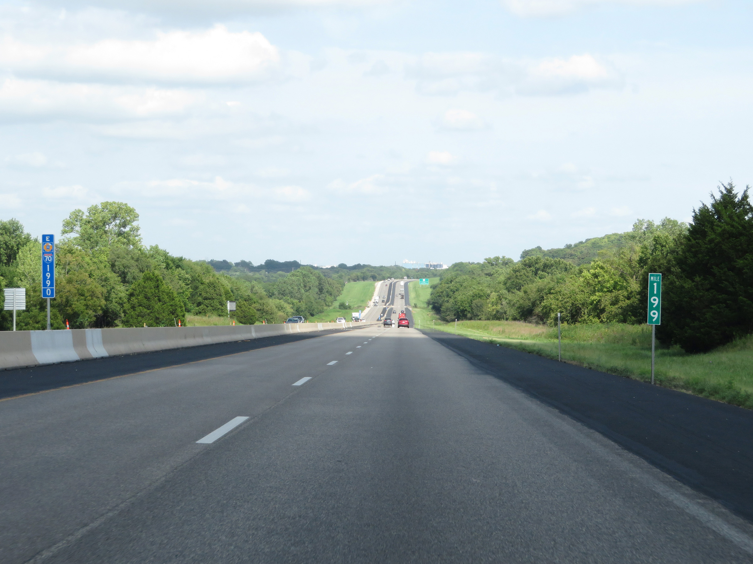 |
View on Interstate 70 East (Kansas Turnpike) at mile marker 199. (Photo taken 8/11/20). |
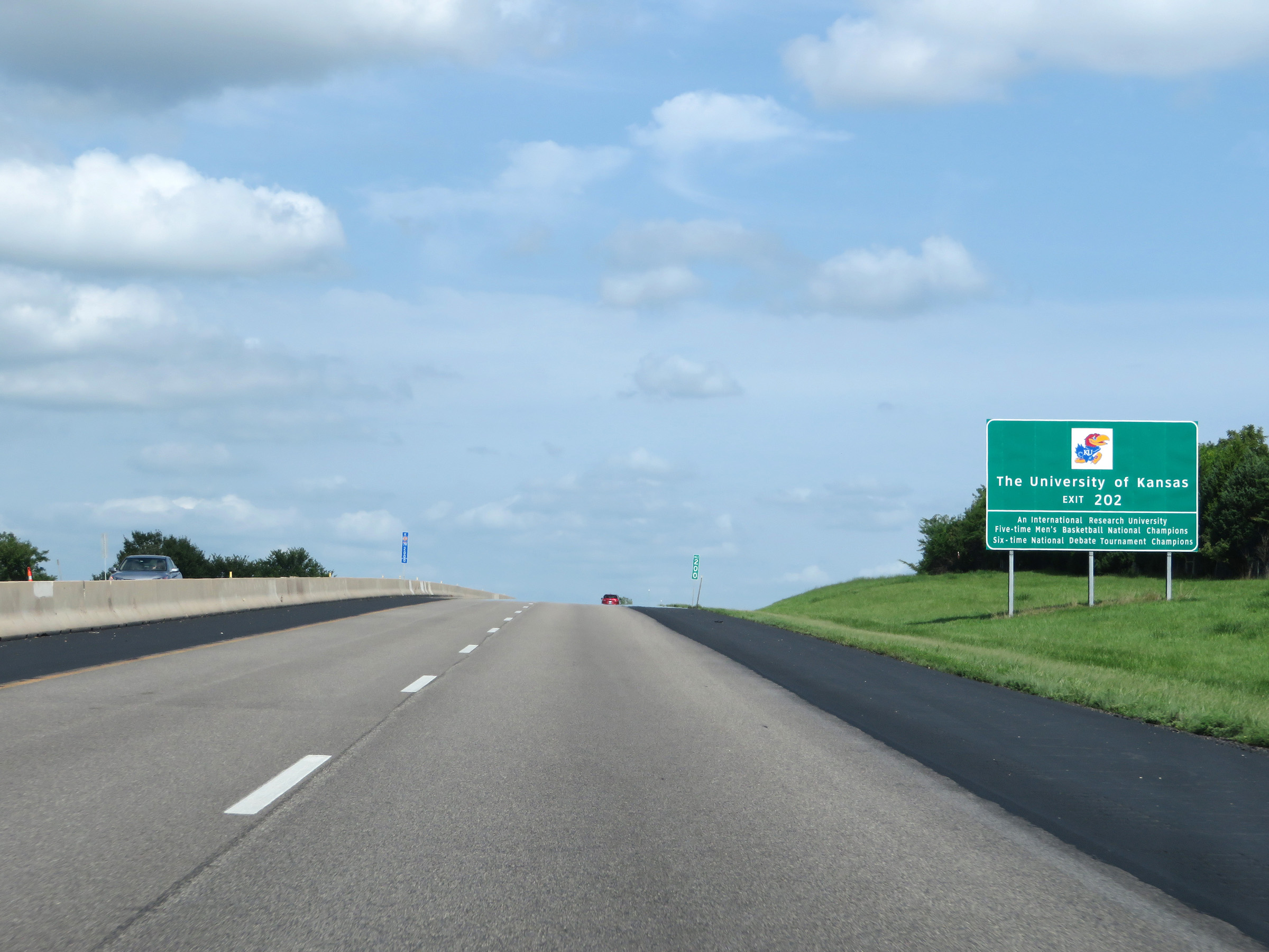 |
Take Exit 202 to the University of Kansas. (Photo taken 8/11/20). |
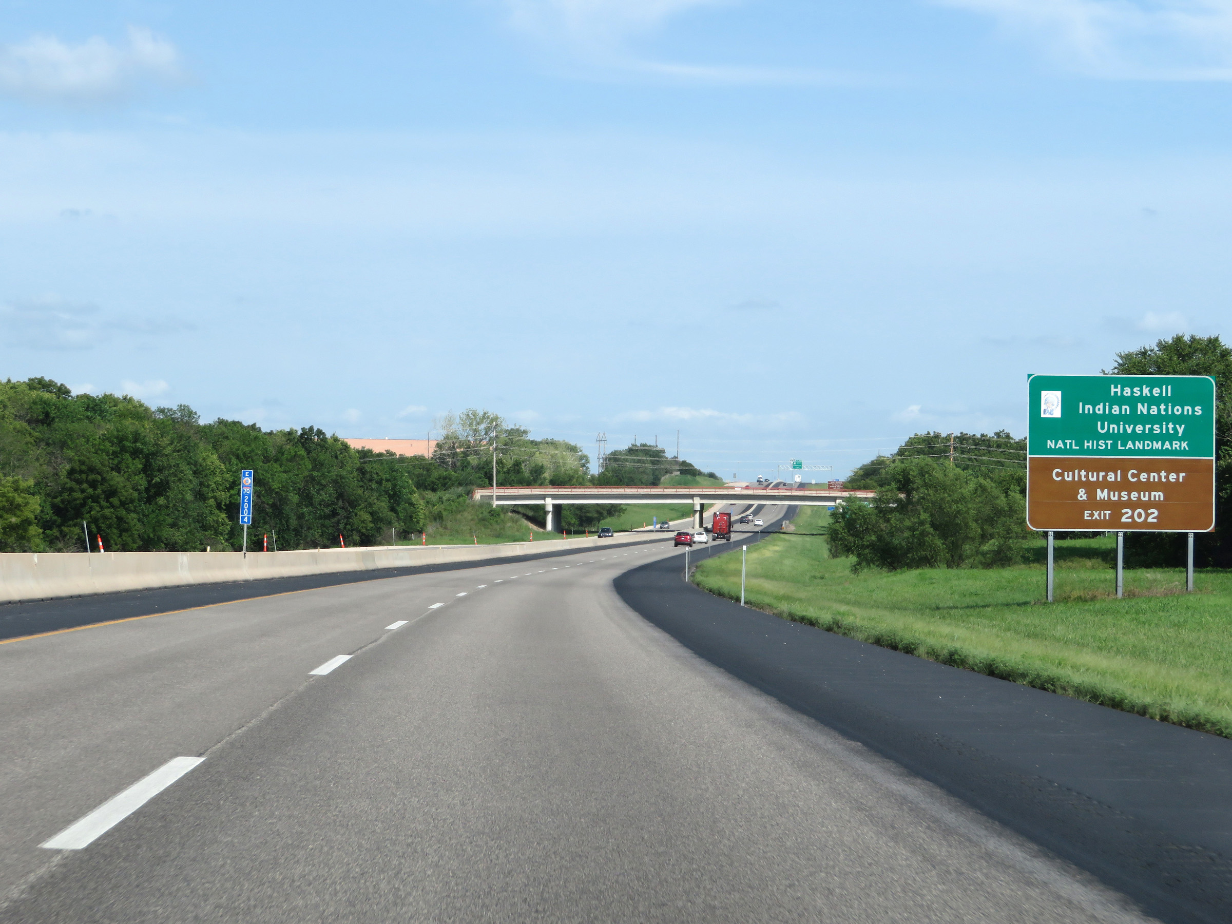 |
Also take Exit 202 to Haskell Indian Nations University National Historic Landmark as well as the Cultural Center & Museum. (Photo taken 8/11/20). |
 |
Interstate 70 East (Kansas Turnpike) approaching Exit 202 - 1 mile. (Photo taken 8/11/20). |
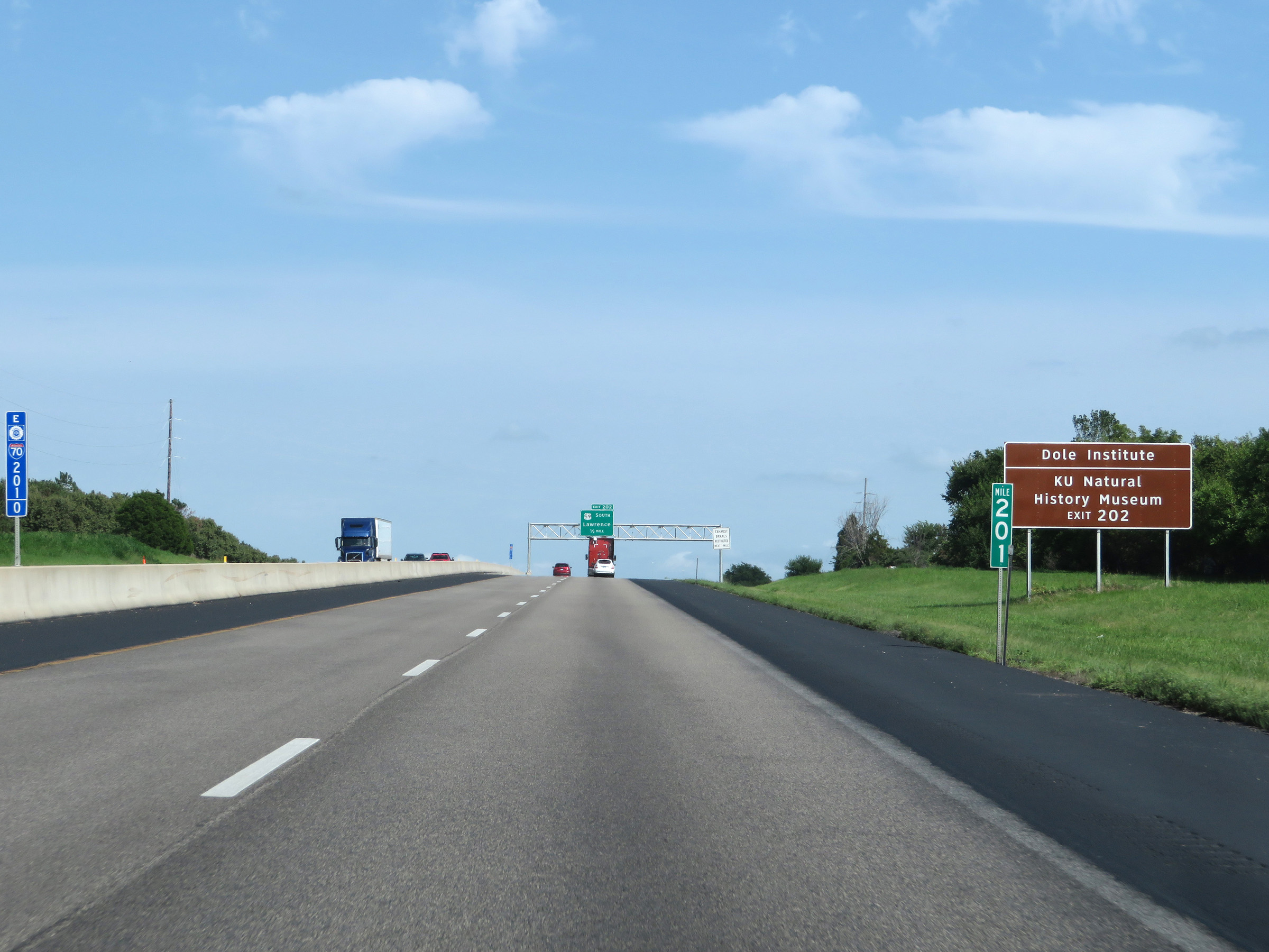 |
Take Exit 202 to the Dole Institute and KU Natural History Museum as well. (Photo taken 8/11/20). |
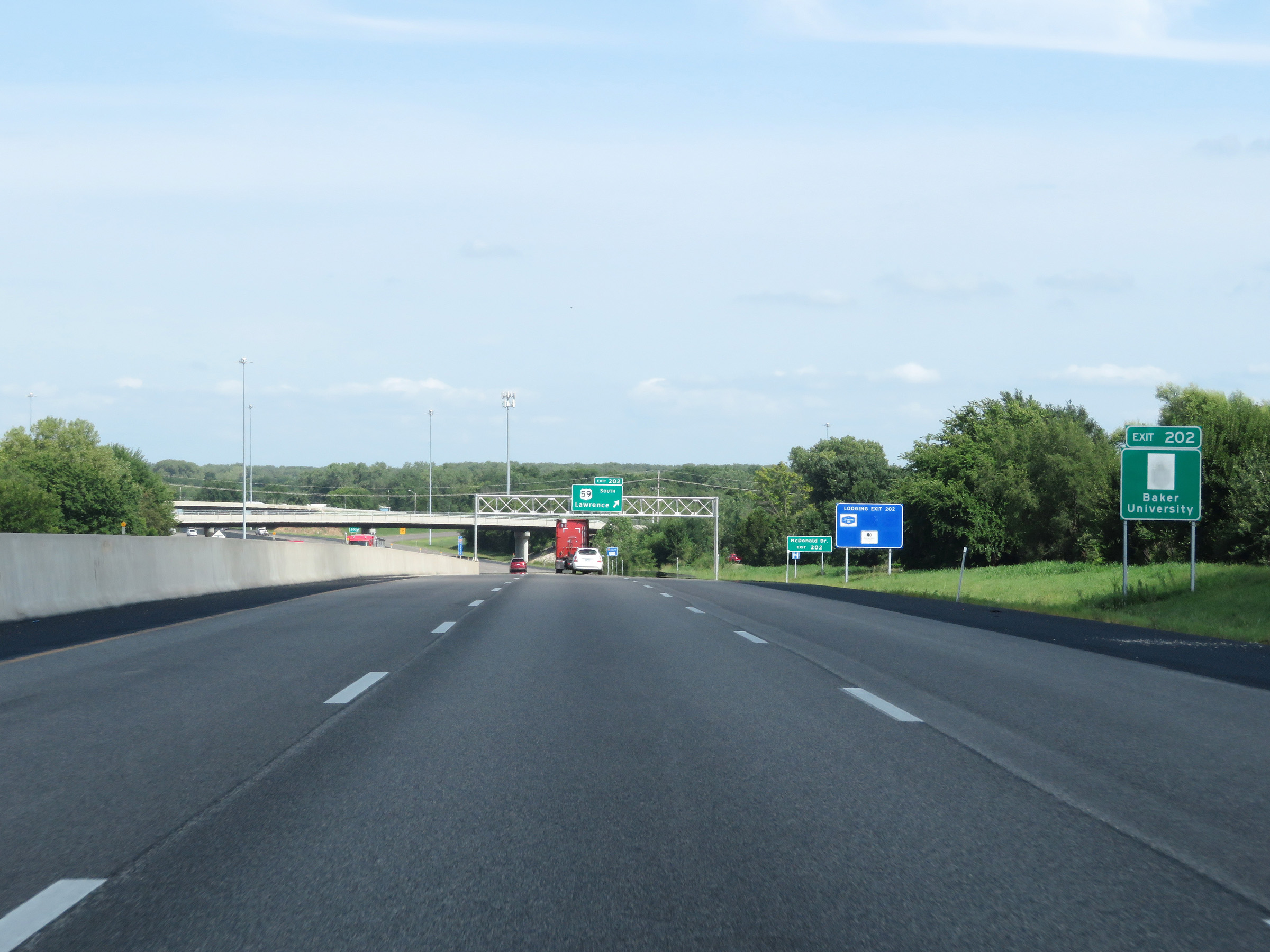 |
Baker University can also be accessed via Exit 202. (Photo taken 8/11/20). |
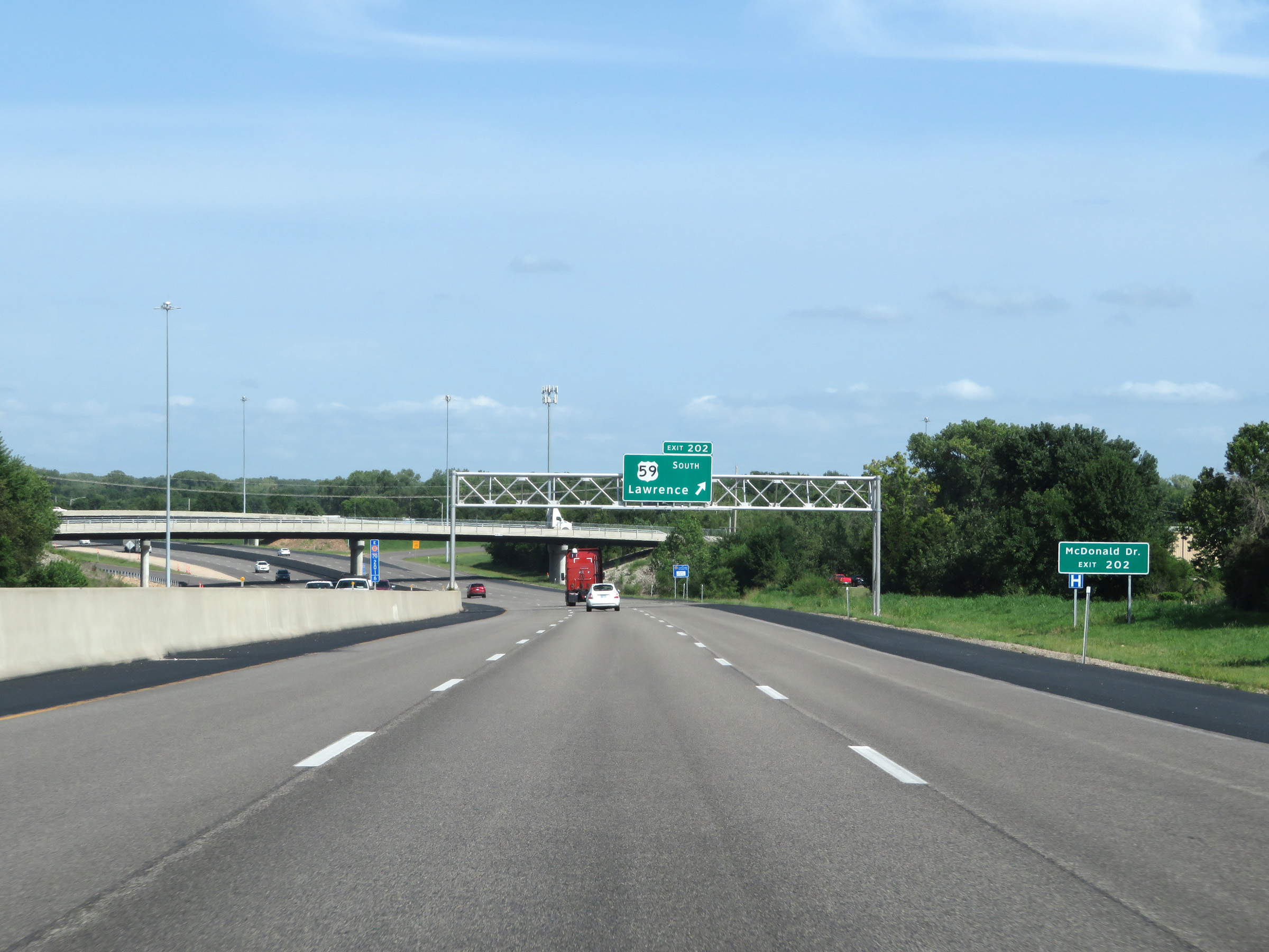 |
Take Exit 202 to McDonald Dr. (Photo taken 8/11/20). |
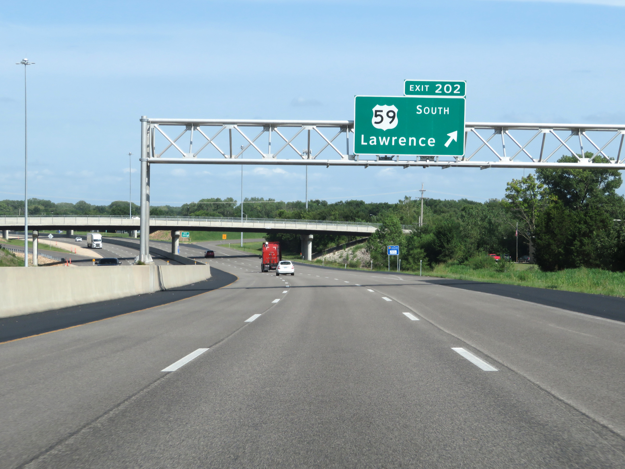 |
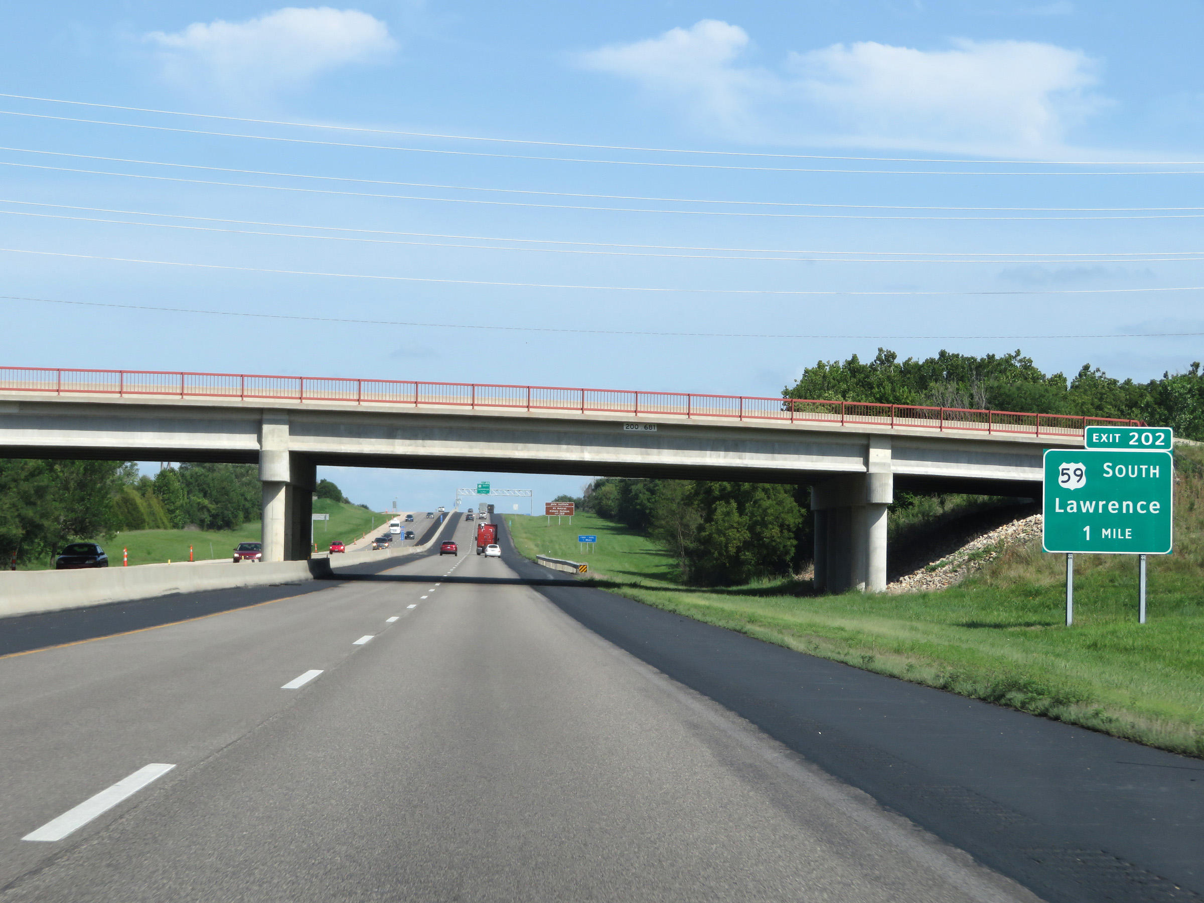
Interstate 70 East (Kansas Turnpike) at Exit 202: US 59 South - Lawrence (Photo taken 8/11/20). |
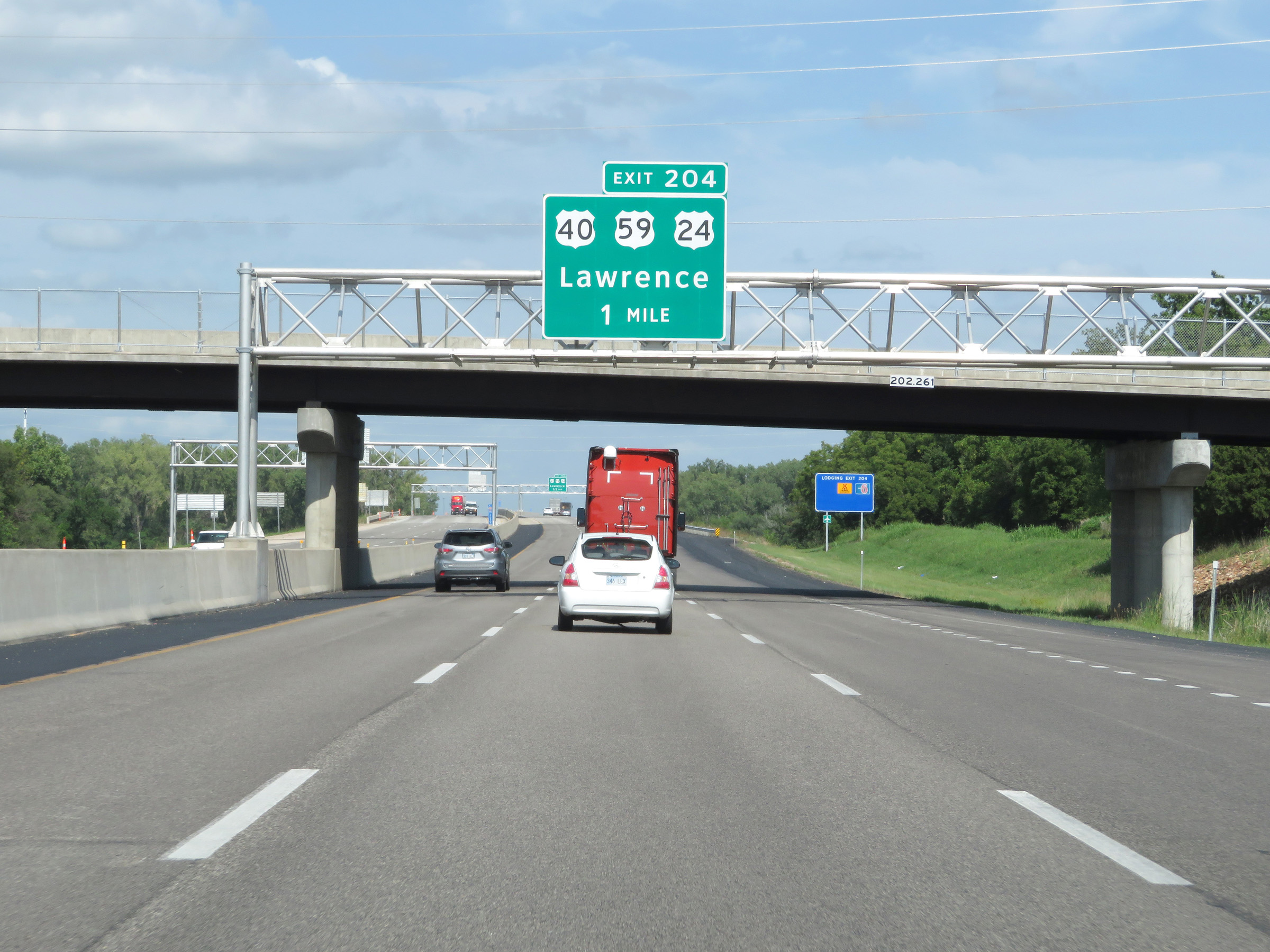 |
Interstate 70 East (Kansas Turnpike) approaching Exit 204 - 1 mile. (Photo taken 8/11/20). |
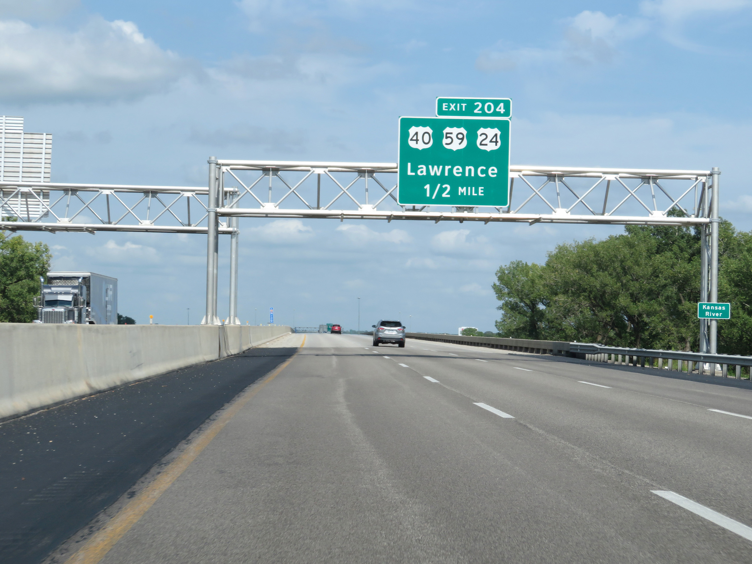 |
Interstate 70 East (Kansas Turnpike) crosses the Kansas River 1/2 mile west of Exit 204. (Photo taken 8/11/20). |
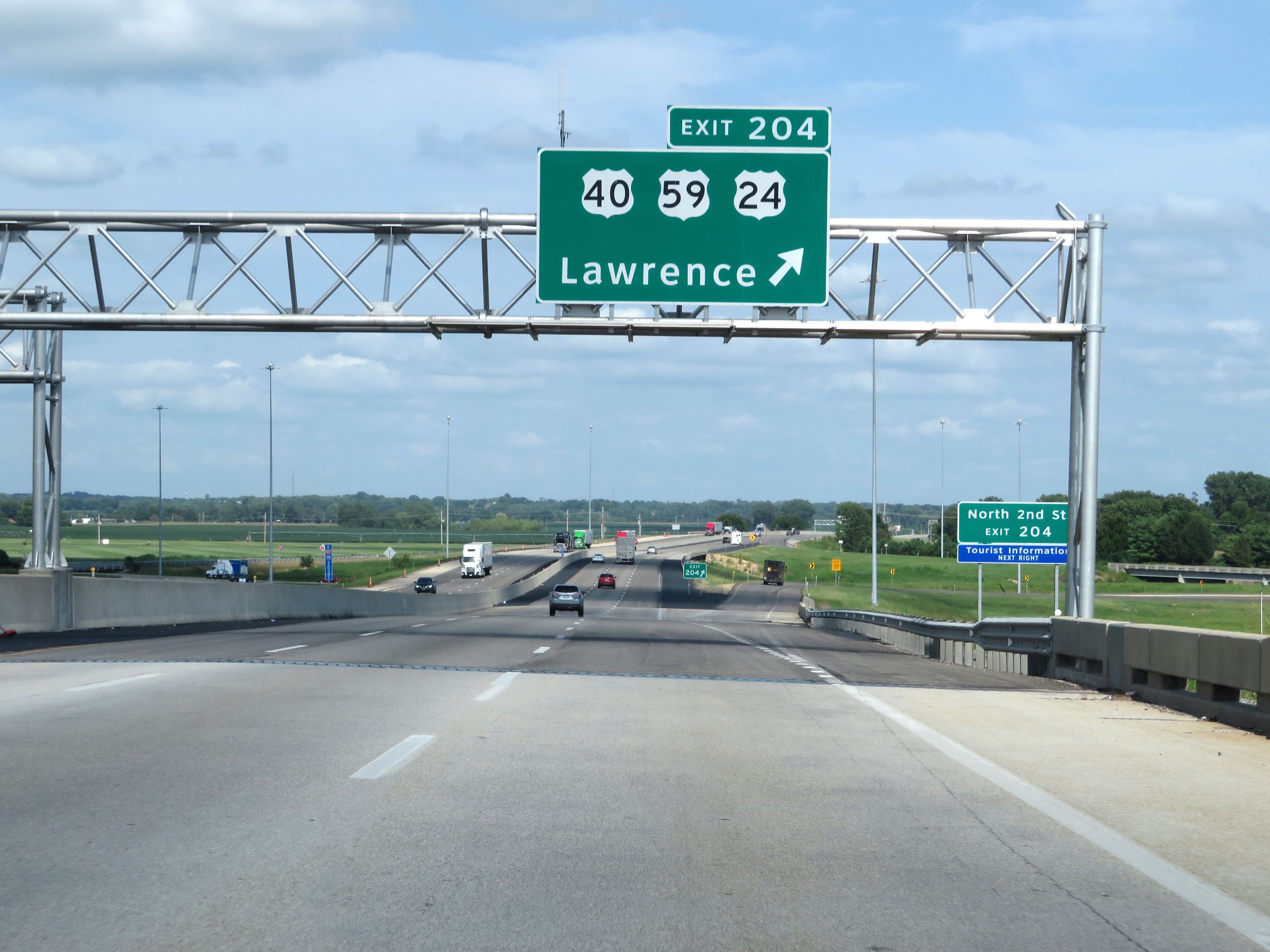 |
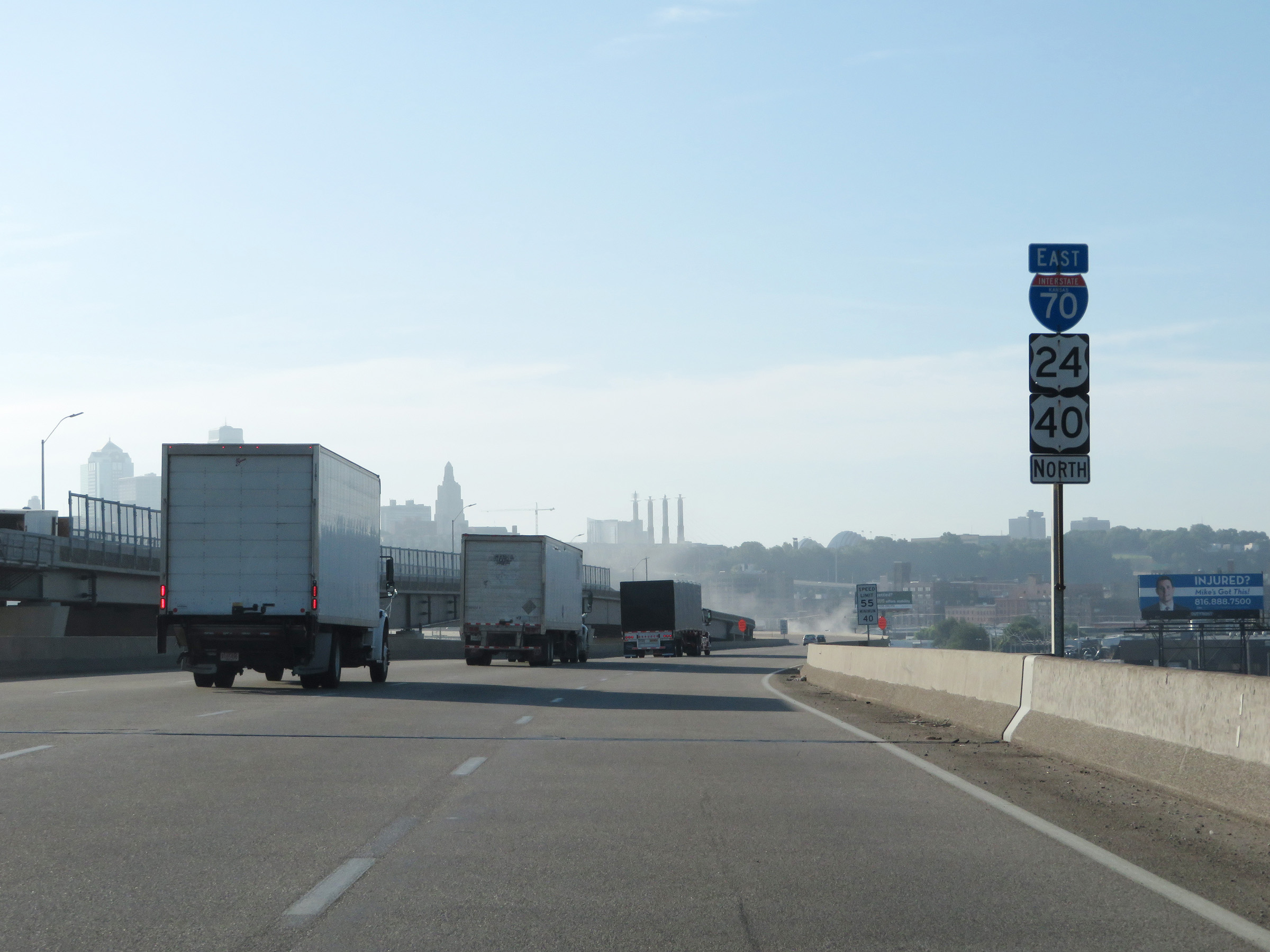
Interstate 70 East (Kansas Turnpike) at Exit 204: US 40 / US 59 / US 24 - Lawrence (Photo taken 8/11/20). |
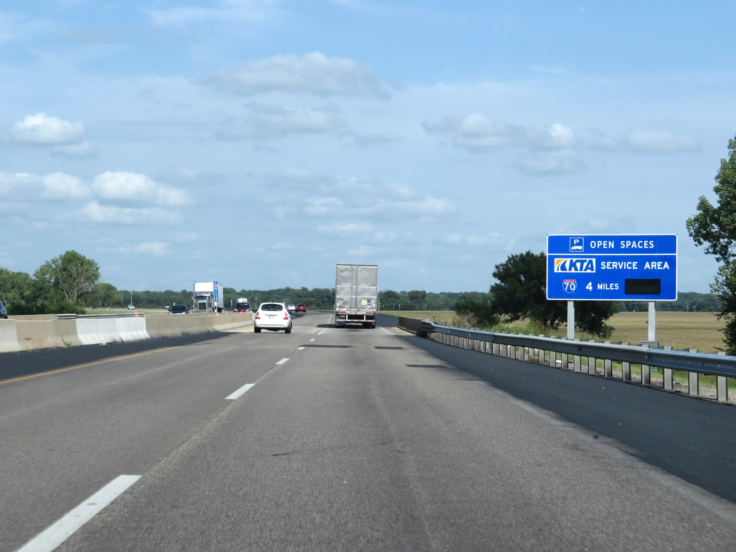 |
The Lawrence Service Area, which is the final service area on the Kansas Turnpike, is 4 miles ahead. This sign dynamically displays the number of currently available truck parking spaces. (Photo taken 8/11/20). |
 |
View on Interstate 70 East (Kansas Turnpike) at mile marker 205. (Photo taken 8/11/20). |
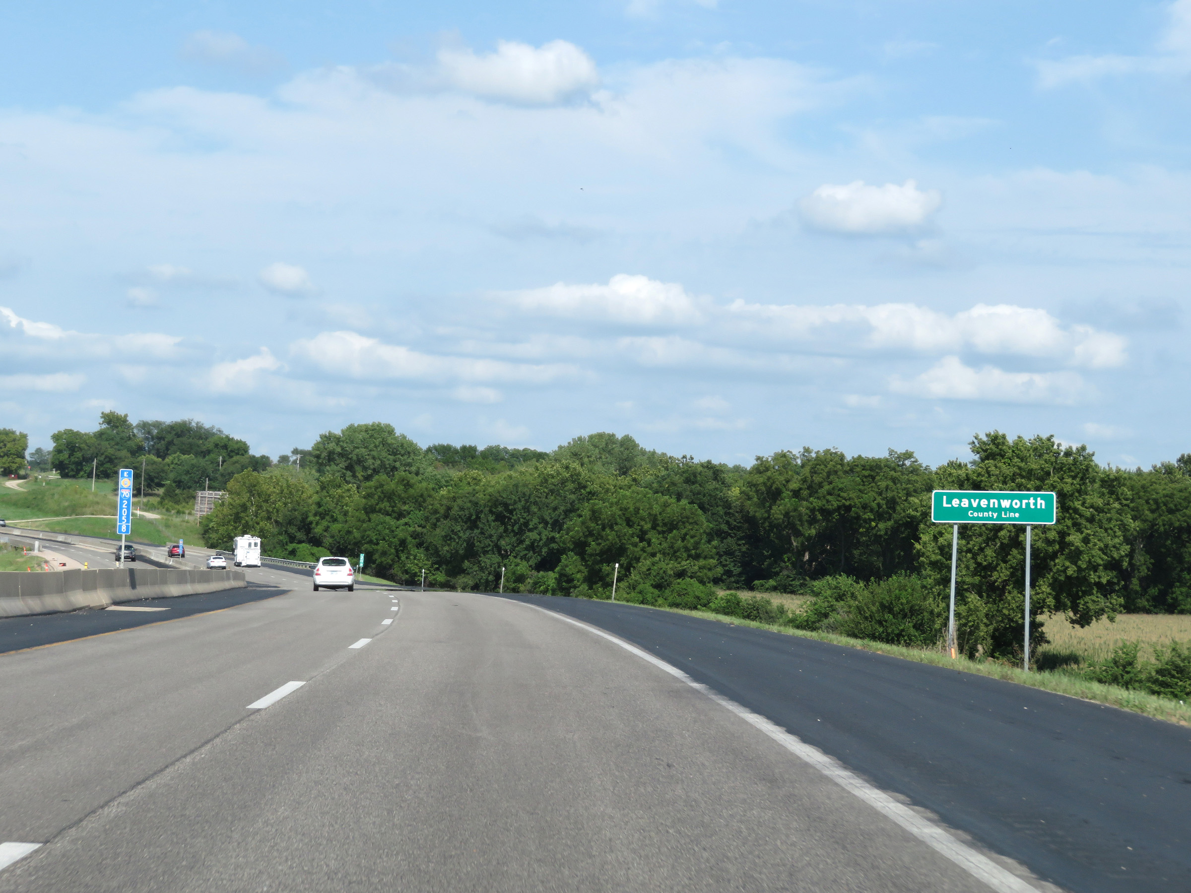 |
Interstate 70 East (Kansas Turnpike) as it enters Leavenworth County at mile marker 205.8. (Photo taken 8/11/20). |
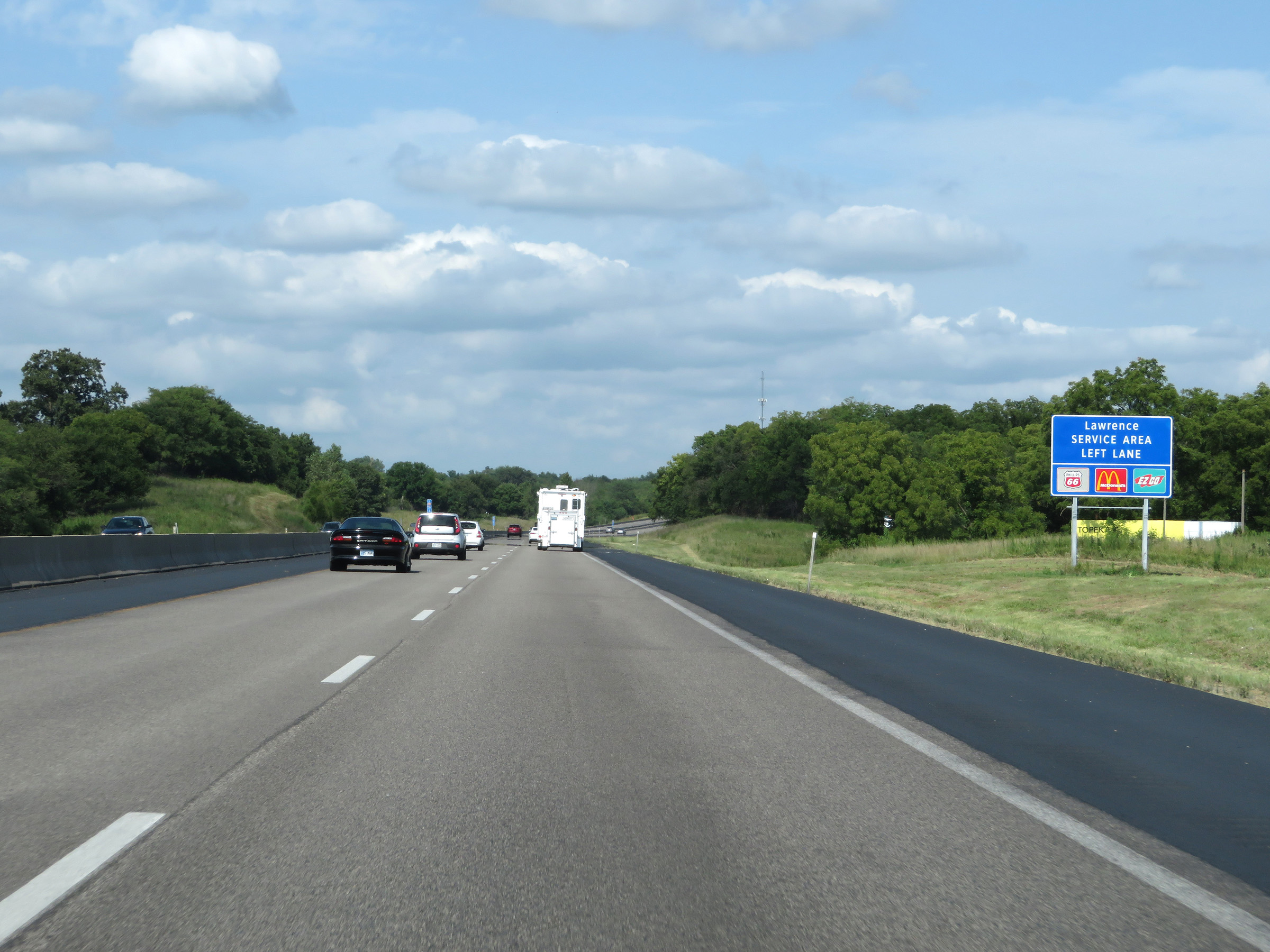 |
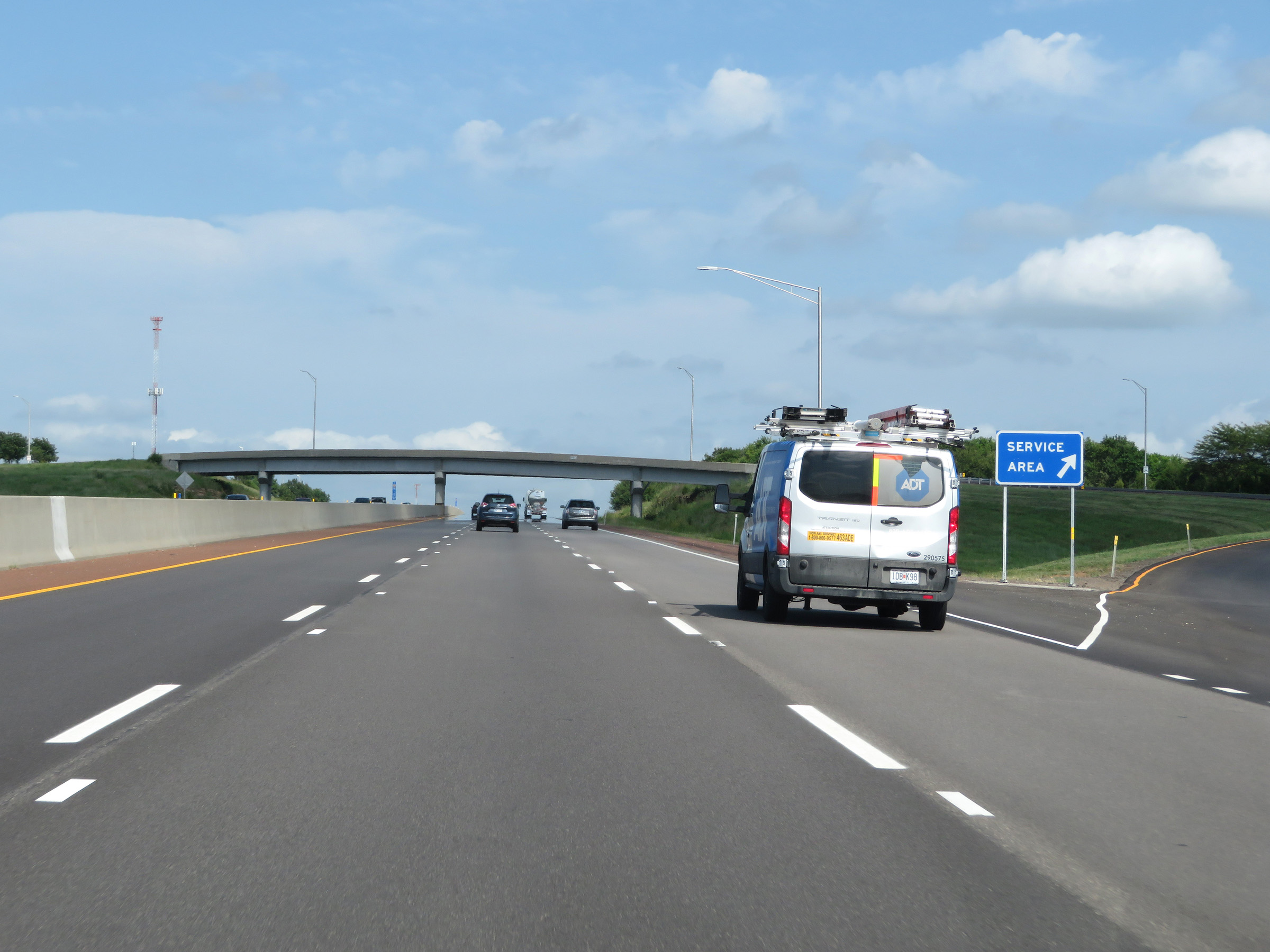
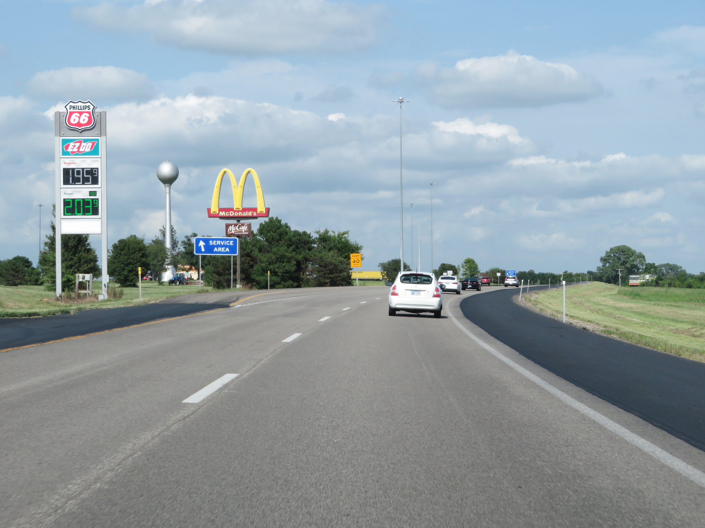
This sign shows some of the services available at the Lawrence Service Area. Traffic looking to enter the service area should move into the left lane ahead. (Photo taken 8/11/20). |
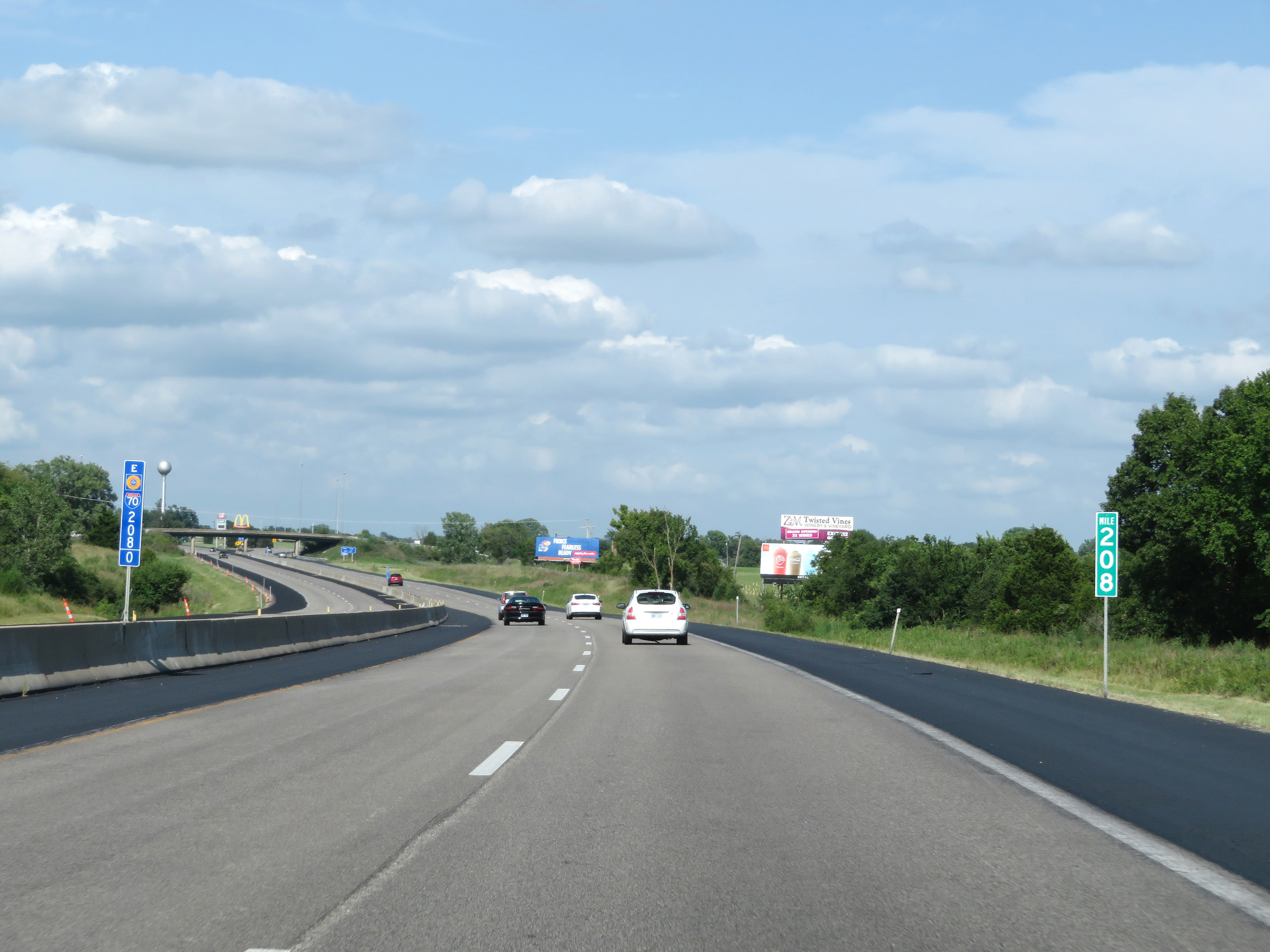 |
View on Interstate 70 East (Kansas Turnpike) at mile marker 208. (Photo taken 8/11/20). |
 |
Interstate 70 East (Kansas Turnpike) at the Lawrence Service Area. (Photo taken 8/11/20). |
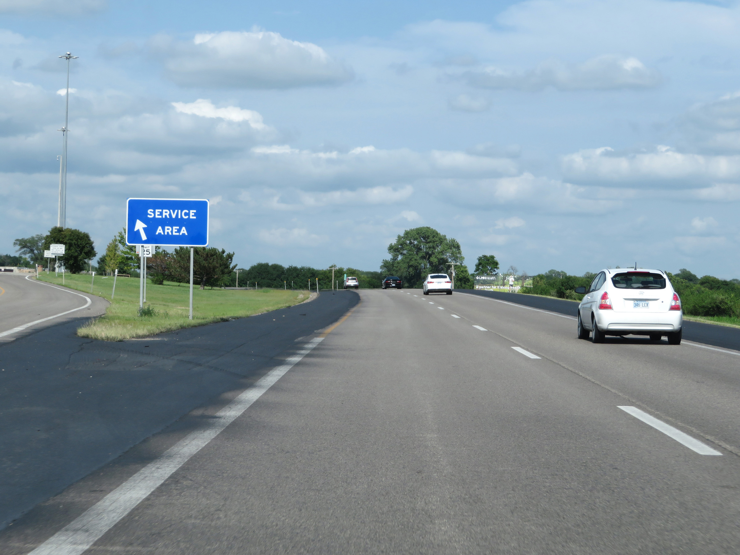 |
A closer view of the ramp to the Lawrence Service Area. (Photo taken 8/11/20). |
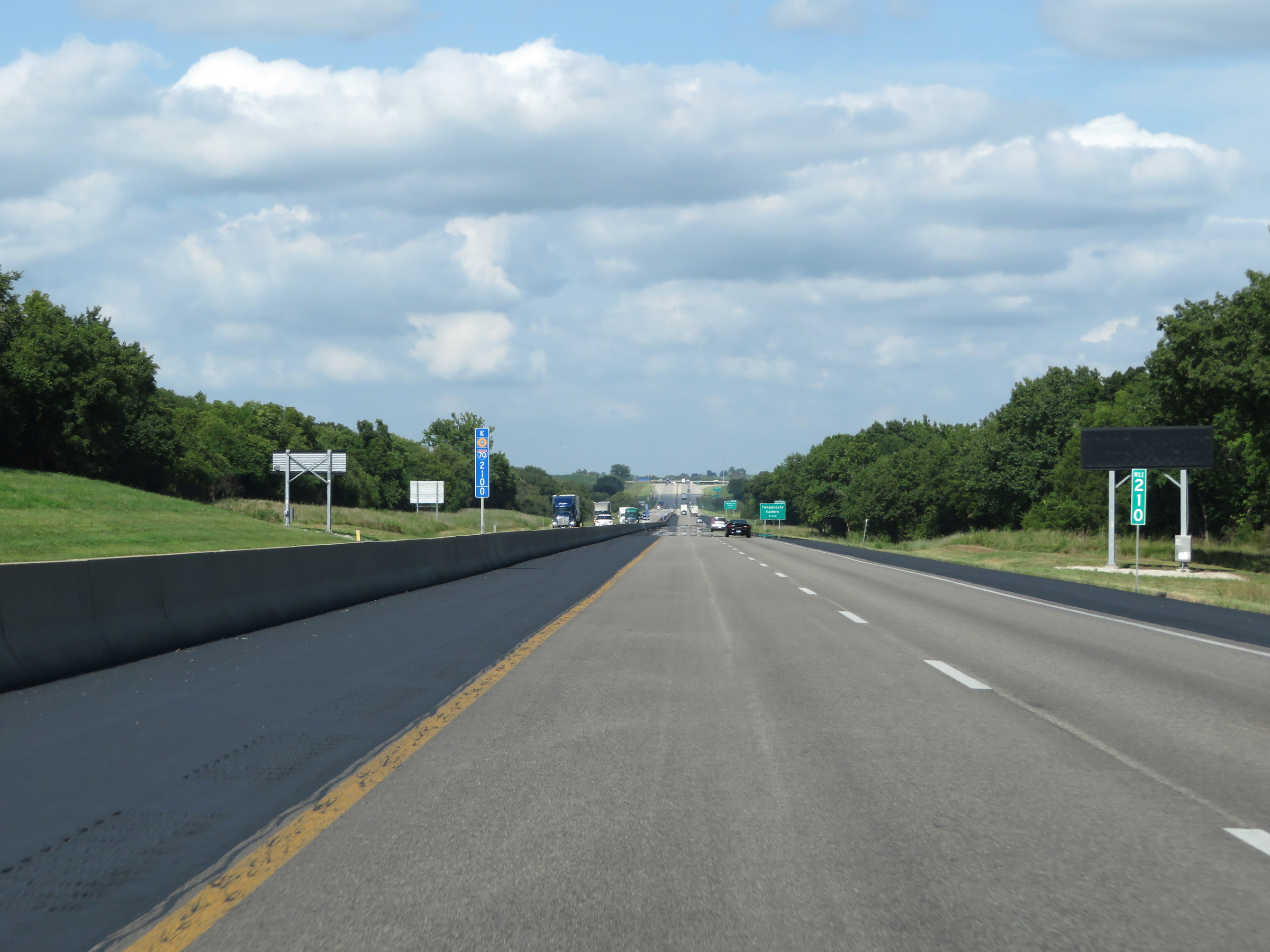 |
View on Interstate 70 East (Kansas Turnpike) at mile marker 210. (Photo taken 8/11/20). |
 |
Interstate 70 East (Kansas Turnpike) approaching Exit 212 - 1 mile. (Photo taken 8/11/20). |
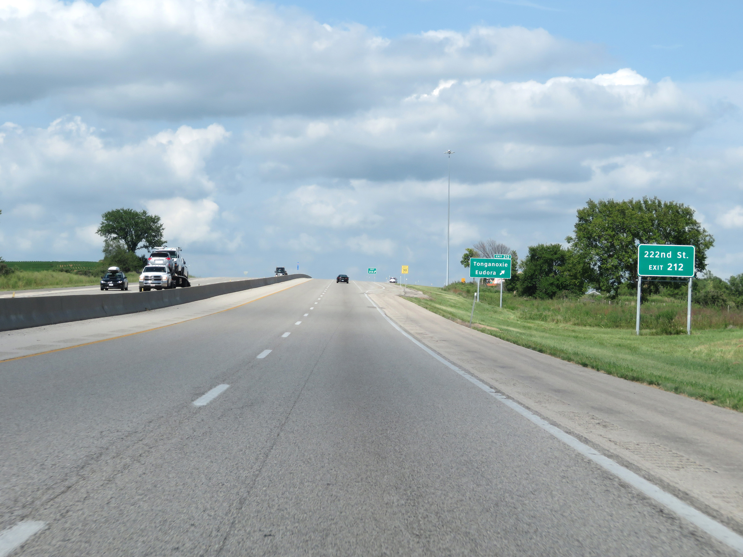 |
Take Exit 212 to 222nd St. (Photo taken 8/11/20). |
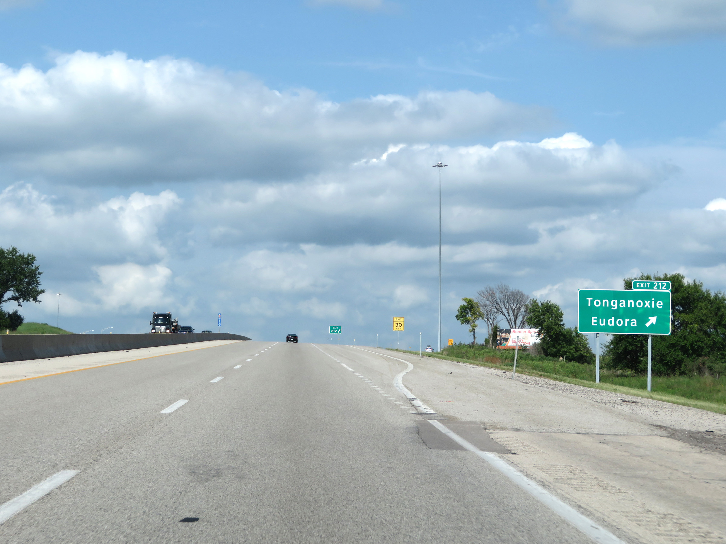 |
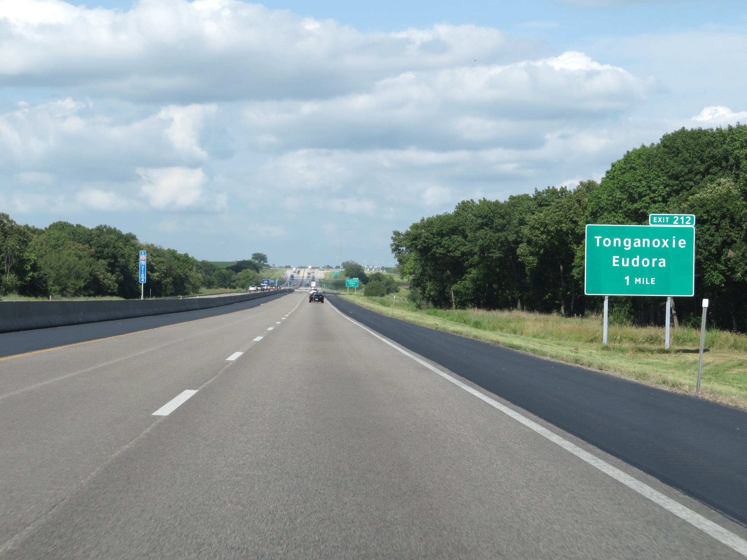
Interstate 70 East (Kansas Turnpike) at Exit 212: Tonganoxie / Eudora (Photo taken 8/11/20). |
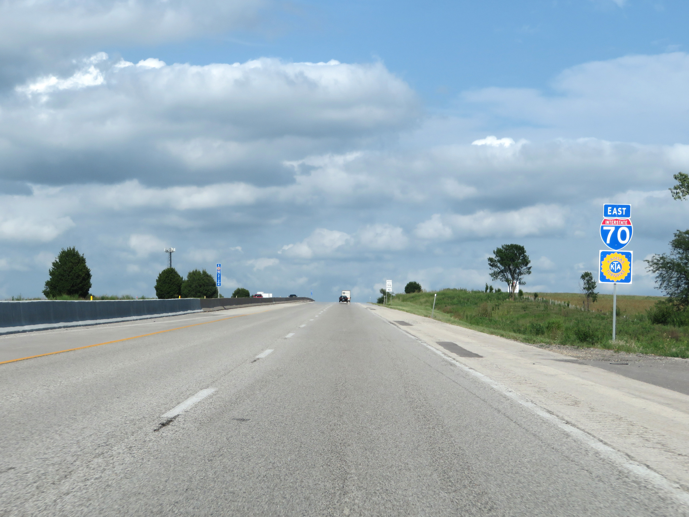 |
Interstate 70 East / Kansas Turnpike reassurance shields. (Photo taken 8/11/20). |
 |
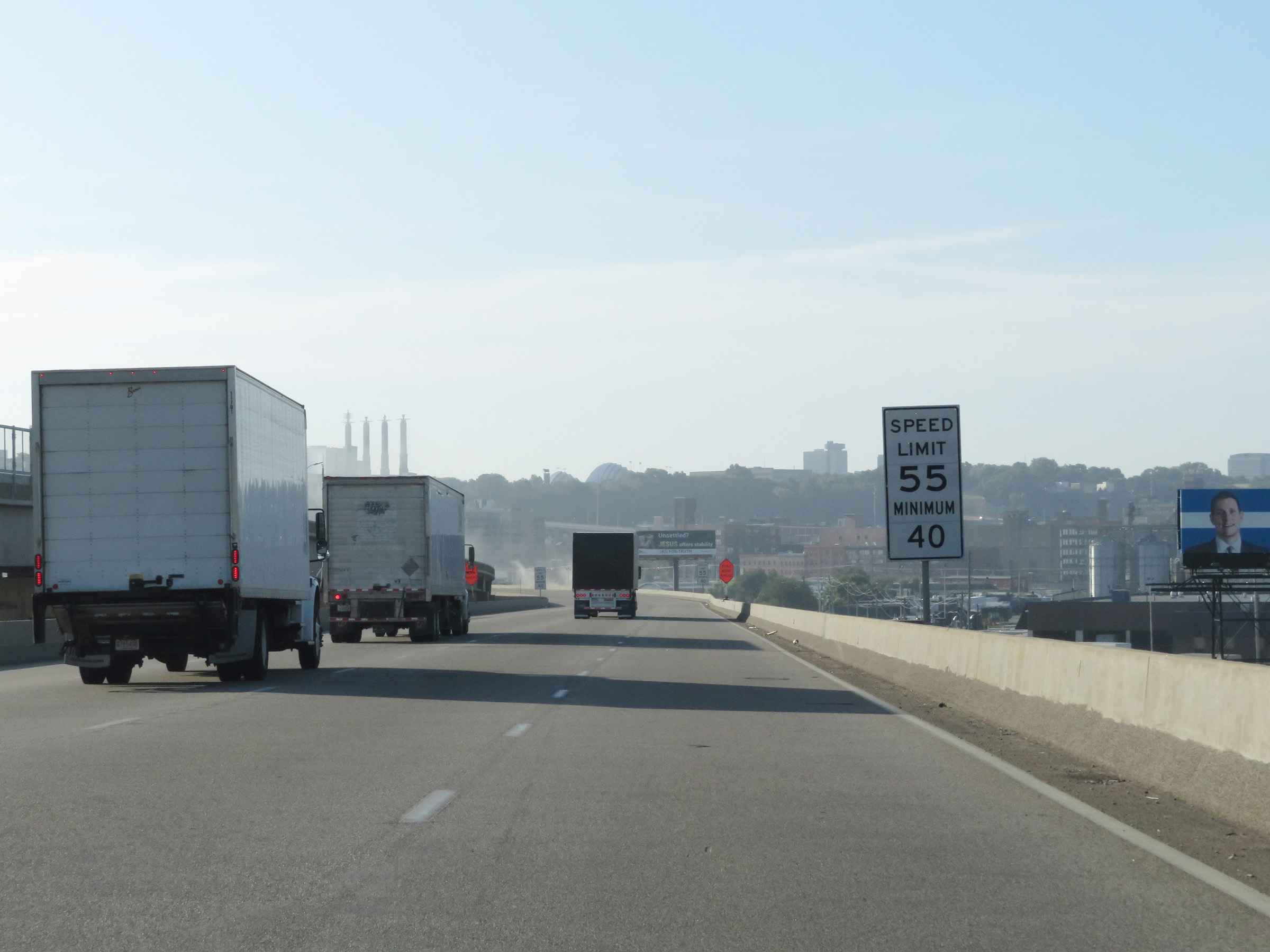
The speed limits remain the rural standard 75 mph maximum and 40 mph minimum. (Photo taken 8/11/20). |
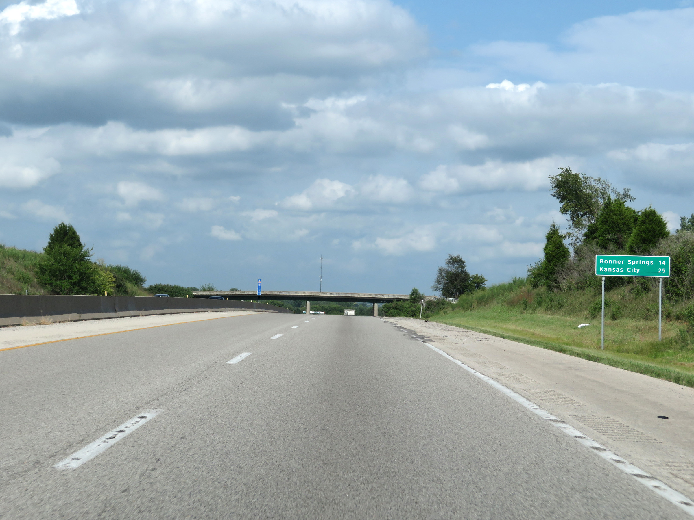 |
Mileage sign on Interstate 70 East (Kansas Turnpike). It's 14 miles to Bonner Springs and 25 miles to Kansas City. (Photo taken 8/11/20). |
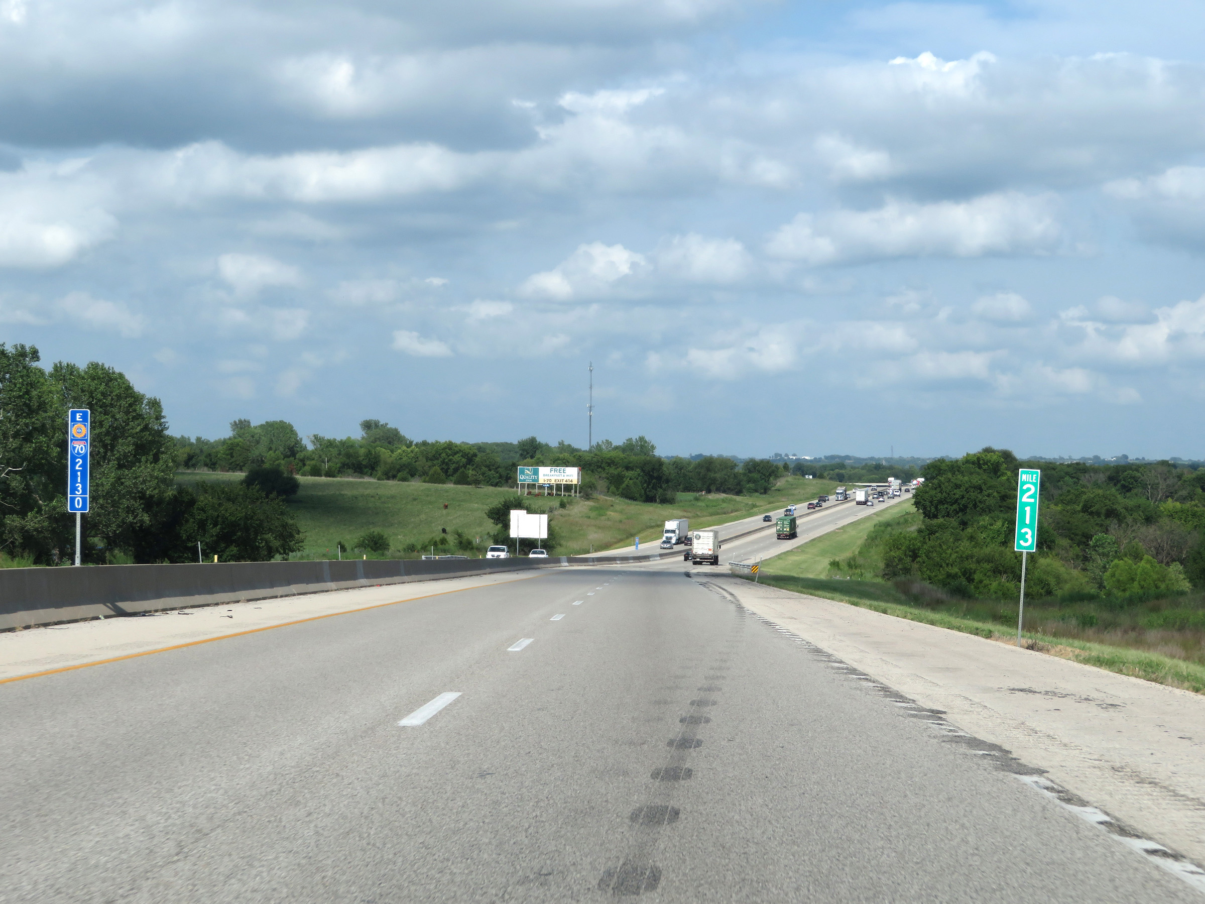 |
View on Interstate 70 East (Kansas Turnpike) at mile marker 213. (Photo taken 8/11/20). |
 |
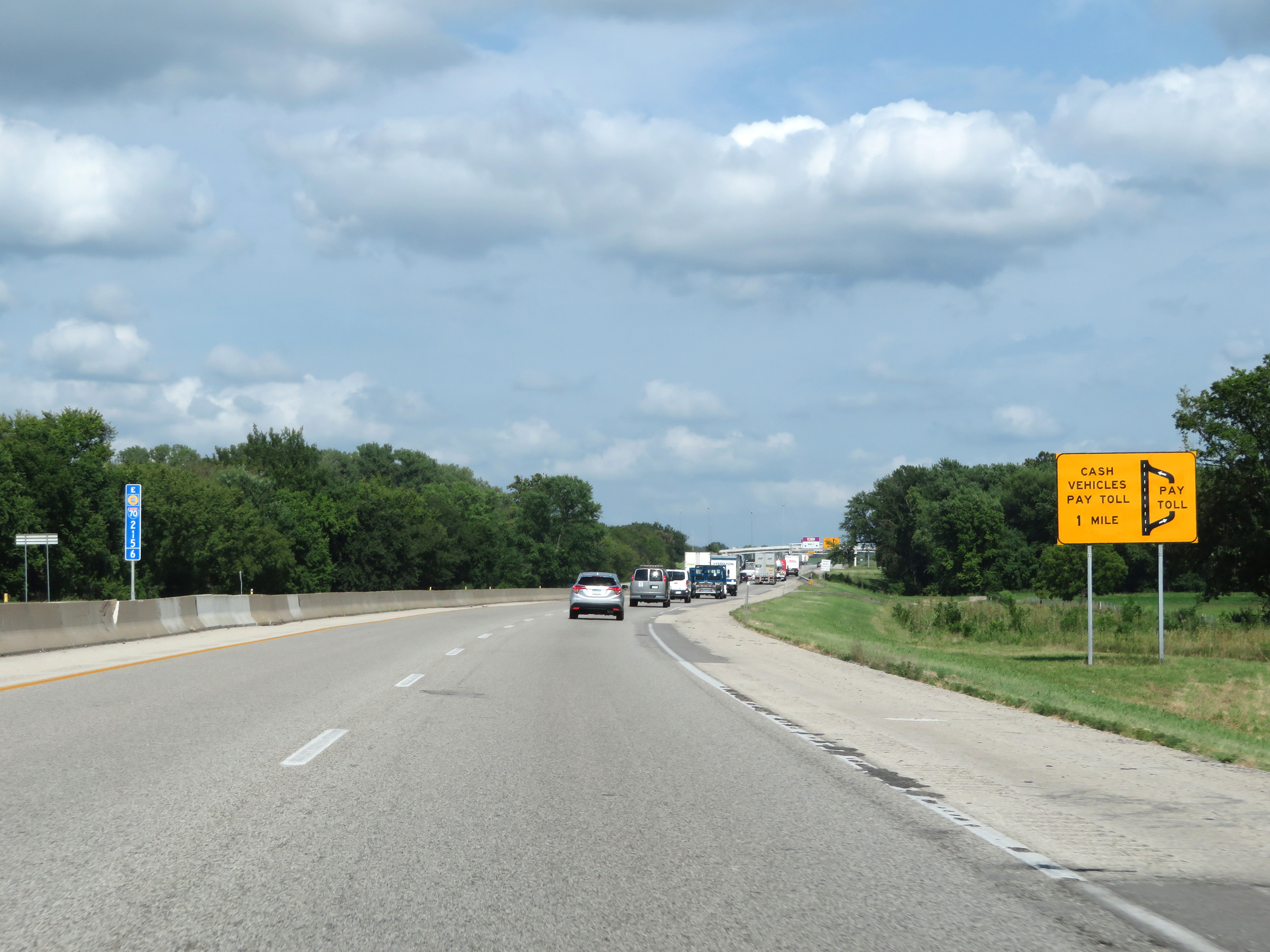
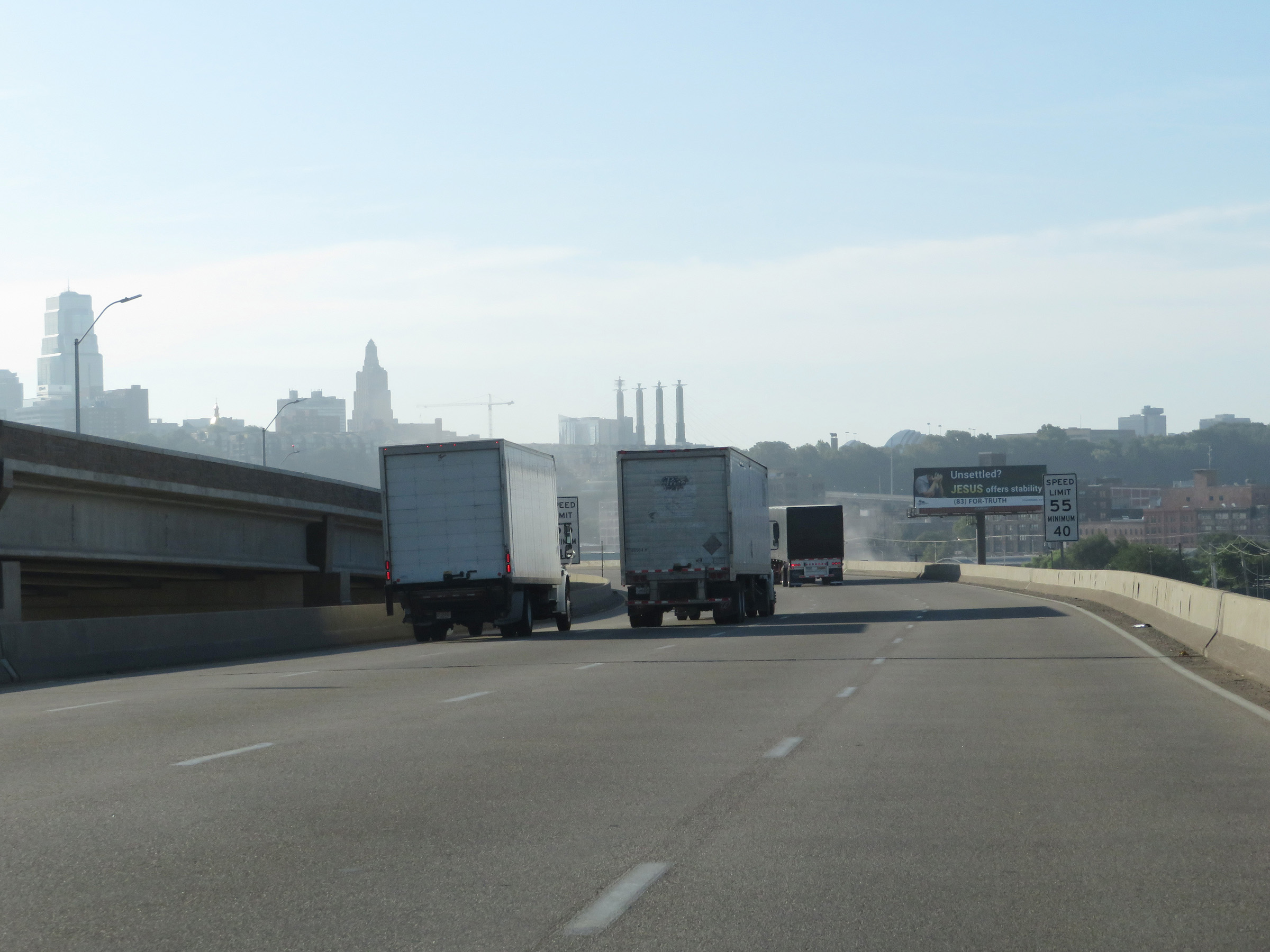
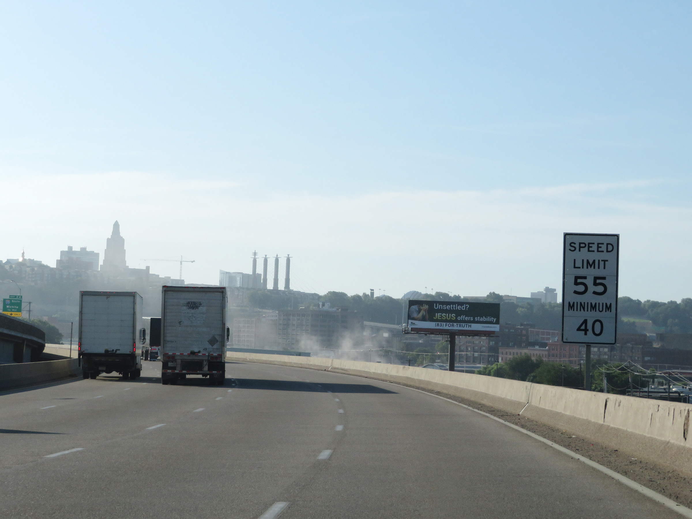
Two miles ahead, Interstate 70 East (Kansas Turnpike) will come to the Eastern Terminal Toll Plaza, which will be the final toll plaza on the Kansas Turnpike. (Photo taken 8/11/20). |
 |
Interstate 70 East (Kansas Turnpike) at mile marker 215. (Photo taken 8/11/20). |
 |
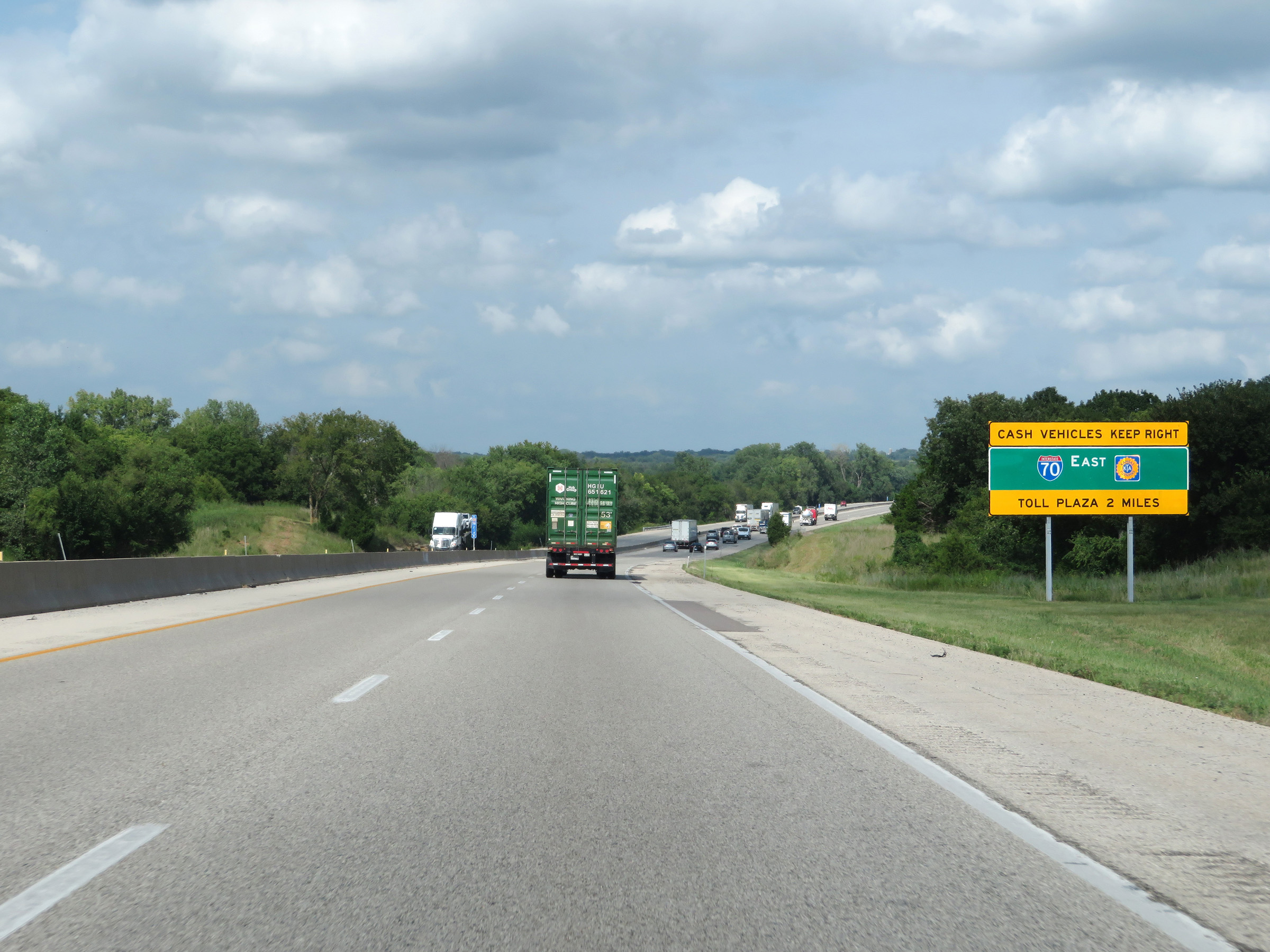
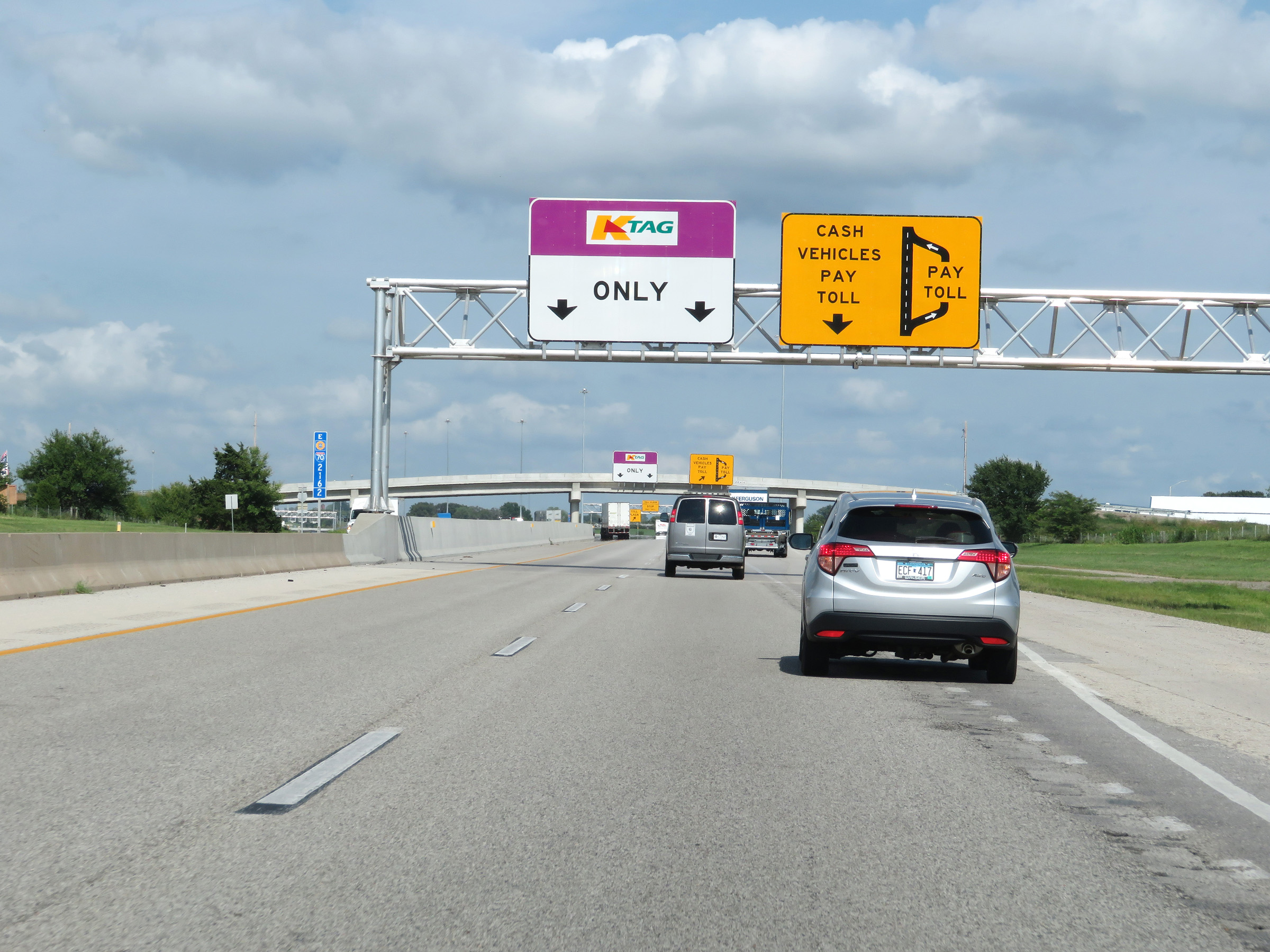
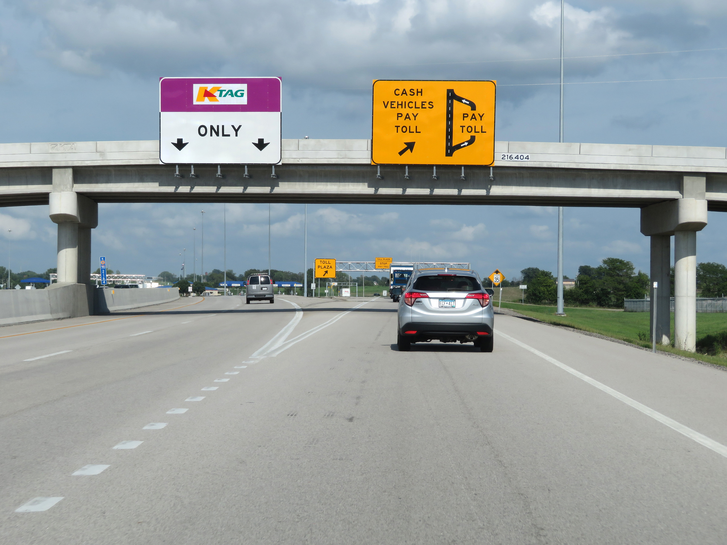
Interstate 70 East (Kansas Turnpike) approaching the Eastern Terminal Toll Plaza - 1 mile. As this sign shows, cash customers will have to exit off to the toll plaza to pay. K Tag holders will be able to remain on the mainline and pay electronically via the toll gantry alongside the toll plaza. (Photo taken 8/11/20). |
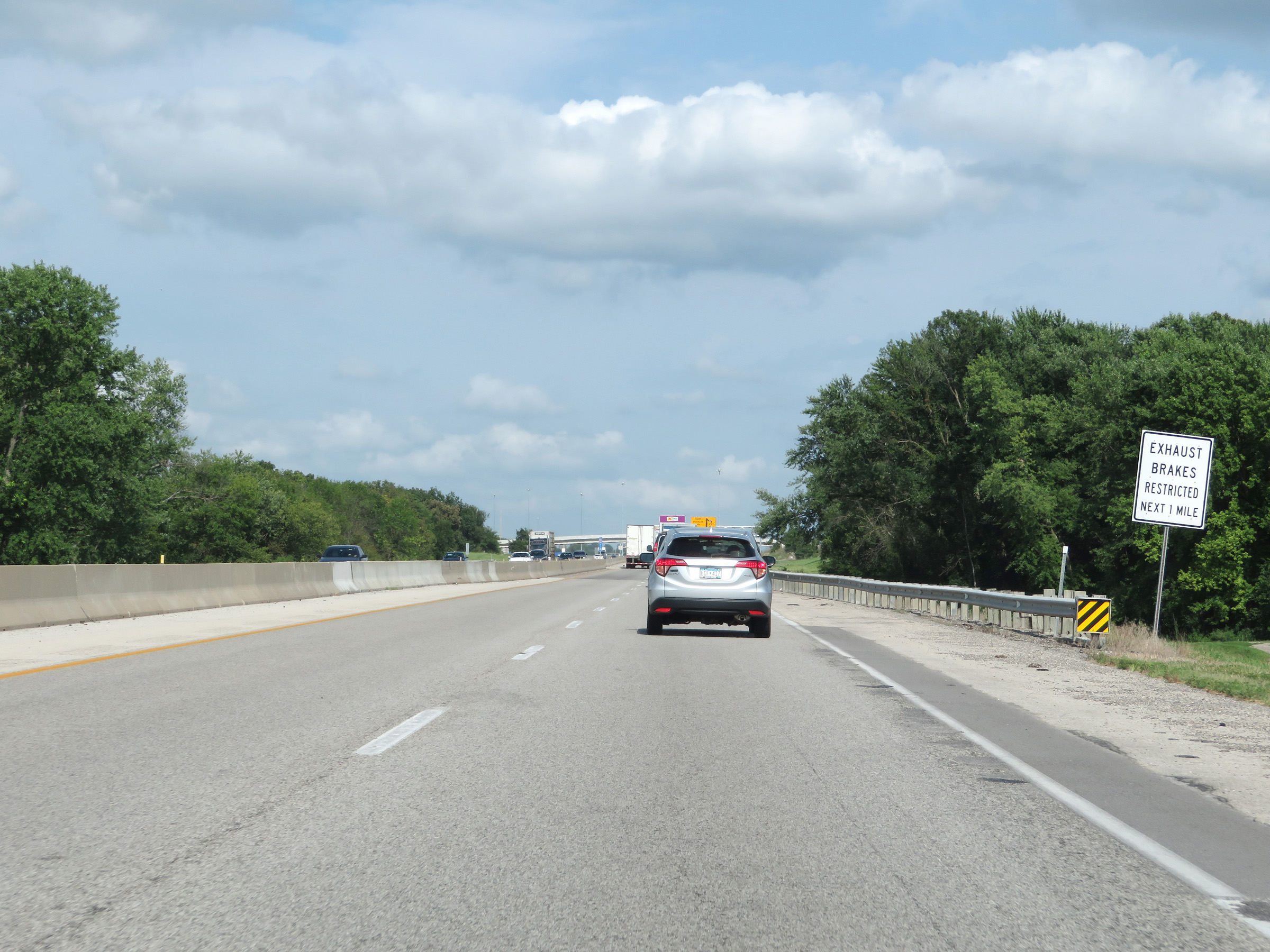 |
As Interstate 70 East (Kansas Turnpike) approaches the Eastern Terminal Toll Plaza, this sign warns trucks that exhaust brakes (or engine, jake brakes) are prohibited for the next mile. (Photo taken 8/11/20). |
 |
Approaching the ramp to the toll plaza, this sign clearly shows that K Tag holders can remain on the mainline to pay electronically. (Photo taken 8/11/20). |
 |
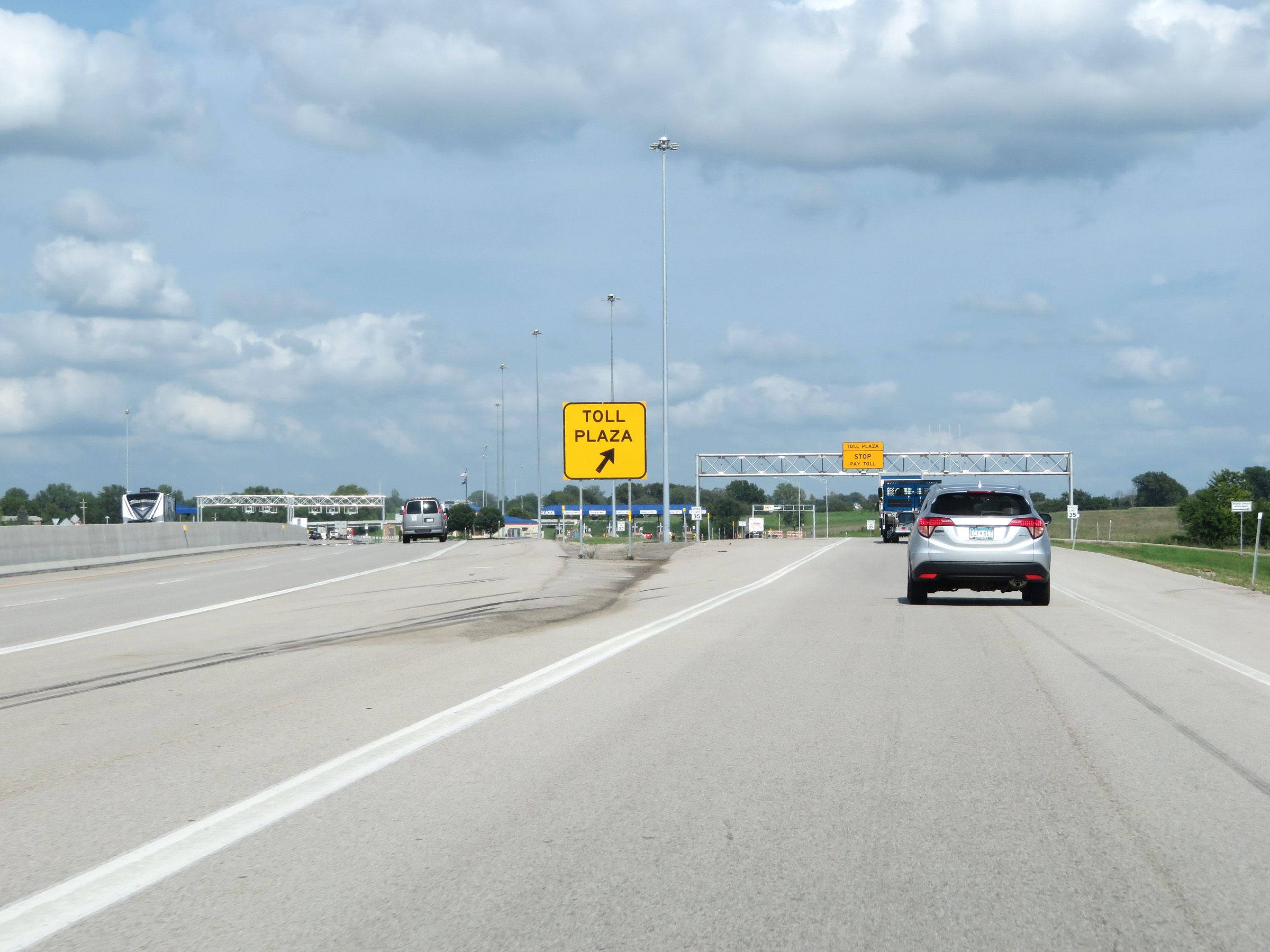
Interstate 70 East (Kansas Turnpike) at the ramp to the toll plaza for cash customers. (Photo taken 8/11/20). |
 |
A closer view of the split of the express, electronic toll lanes from the ramp to the toll plaza. (Photo taken 8/11/20). |
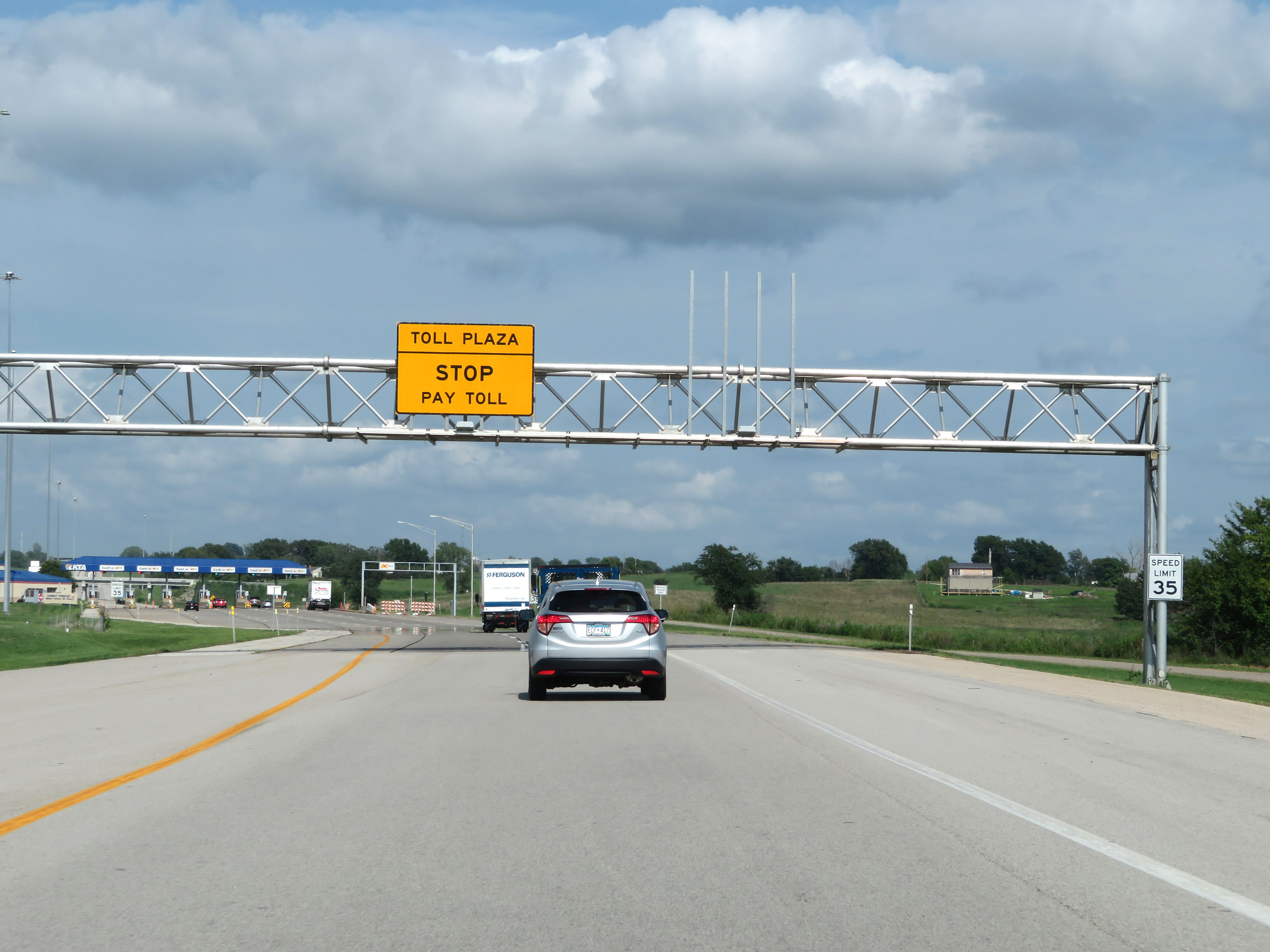 |
As the toll plaza comes into sight, the speed limit on the ramp decreases to 35 mph. (Photo taken 8/11/20). |
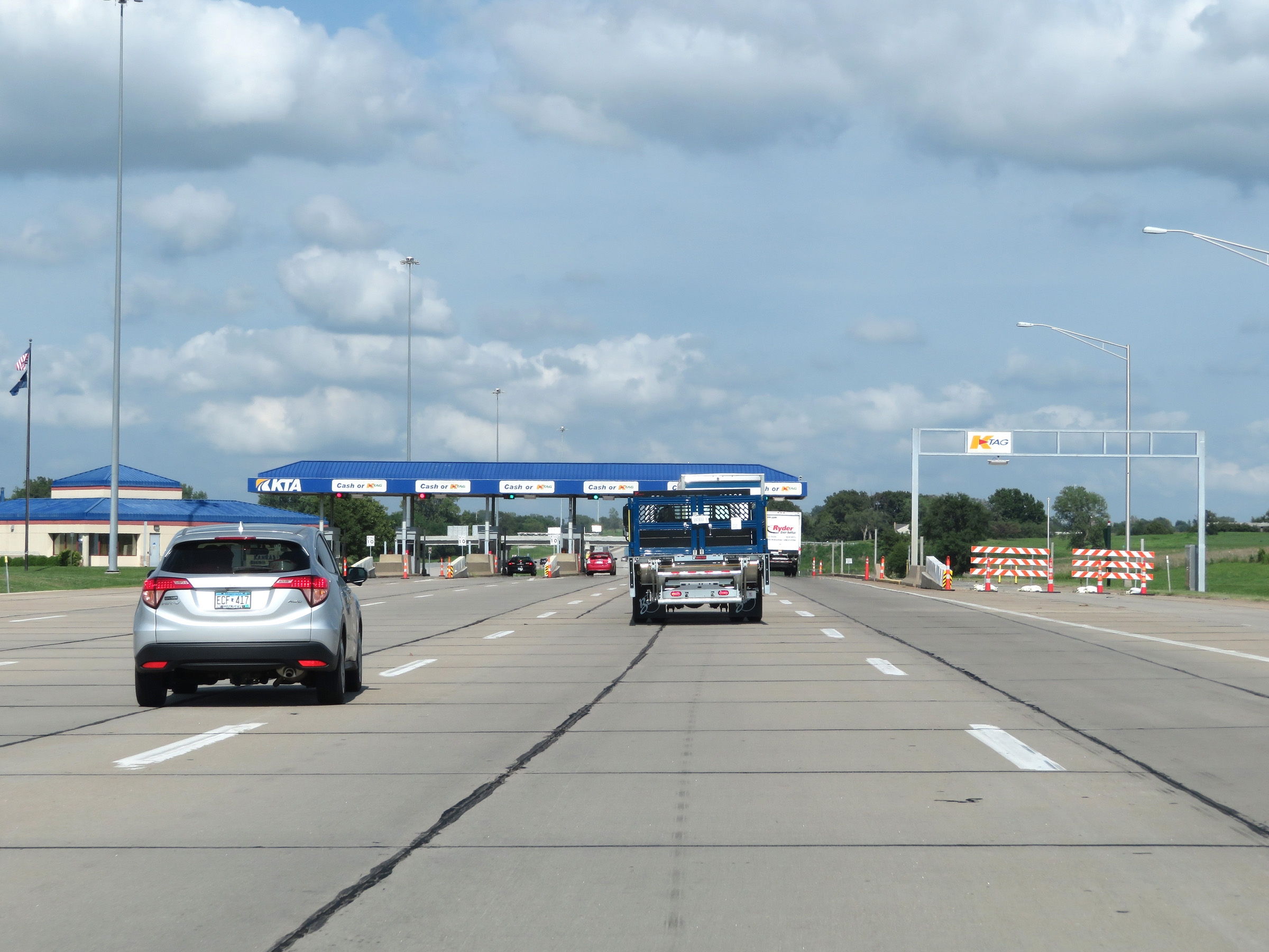 |
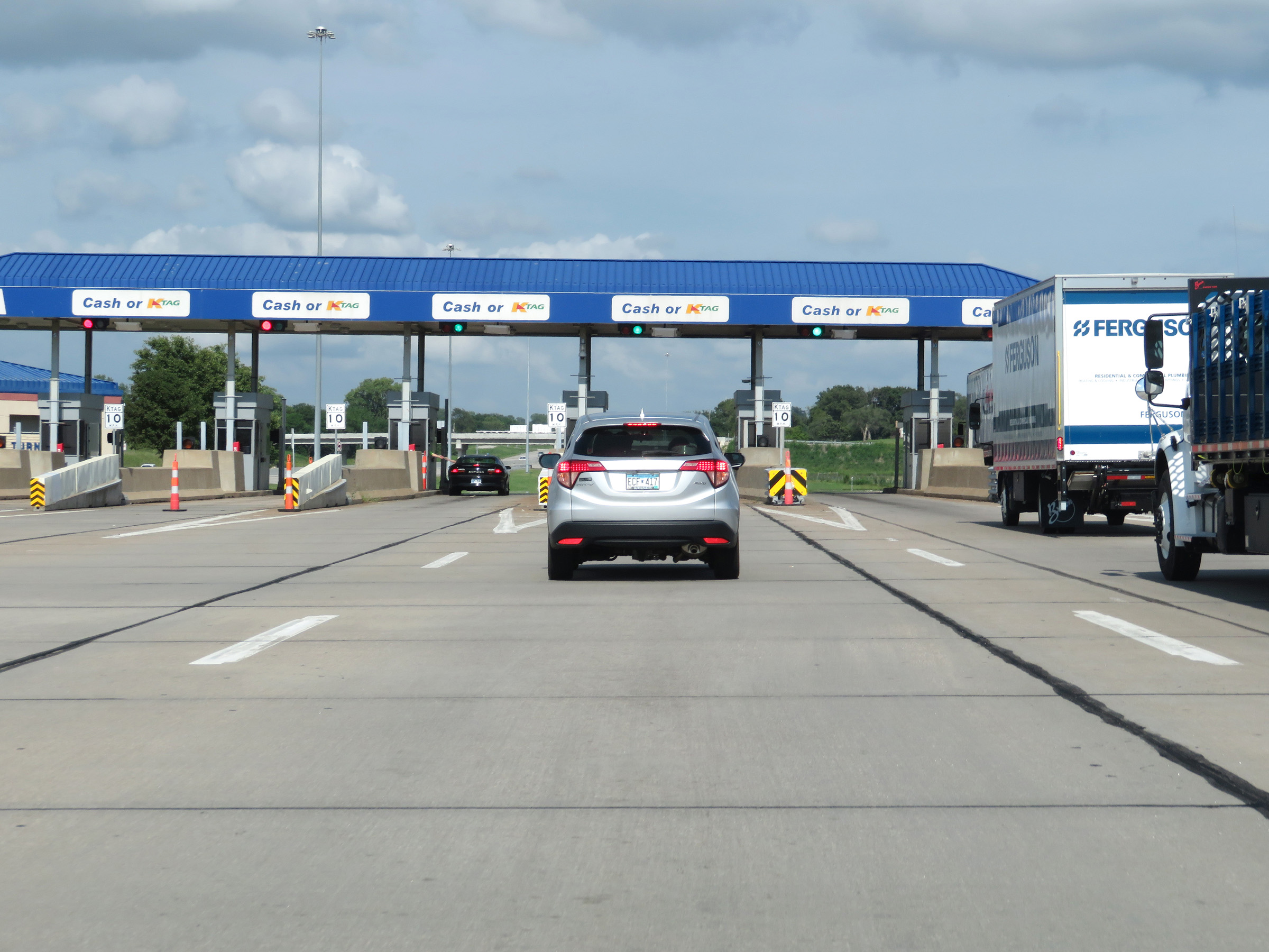
K Tag is accepted at all lanes at the Eastern Terminal Toll Plaza. In addition, there is a K Tag toll gantry to the right of the plaza, although it was closed at the time. (Photo taken 8/11/20). |
 |
Interstate 70 East (Kansas Turnpike) approaching the Eastern Terminal Toll Plaza. (Photo taken 8/11/20). |
 |
View at the Eastern Terminal Toll Plaza on Interstate 70 East (Kansas Turnpike). (Photo taken 8/11/20). |
 |
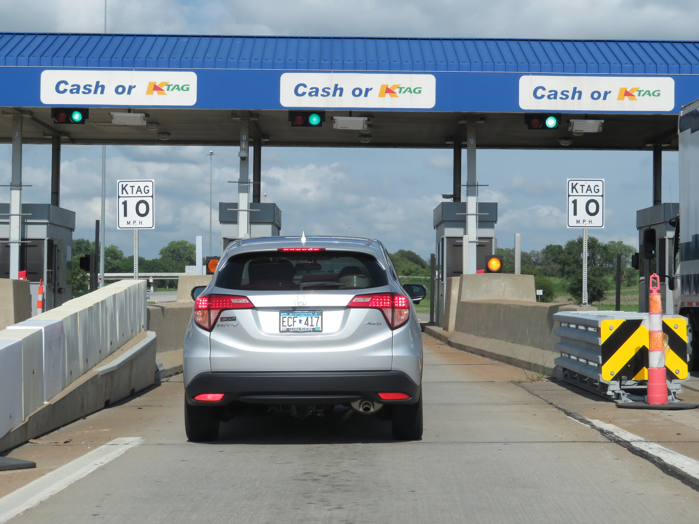
Leaving the Eastern Terminal Toll Plaza on Interstate 70 East (Kansas Turnpike). (Photo taken 8/11/20). |
 |
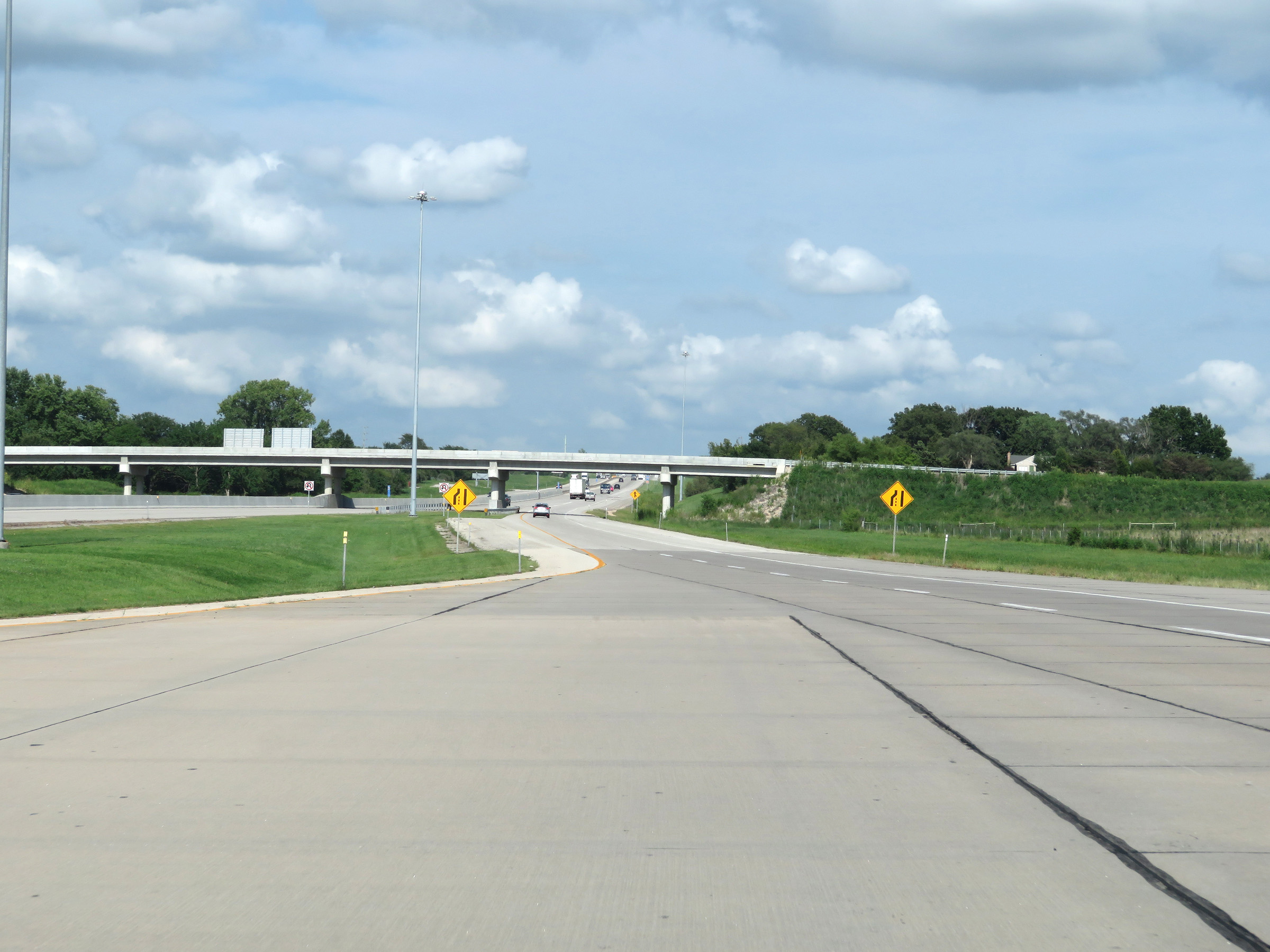
View as the ramp from the toll plaza merges back into the mainline of Interstate 70 East (Kansas Turnpike). (Photo taken 8/11/20). |
 |
Another set of Interstate 70 East / Kansas Turnpike reassurance shields. (Photo taken 8/11/20). |
 |
The speed limits remain 75 mph maximum and 40 mph minimum. (Photo taken 8/11/20). |
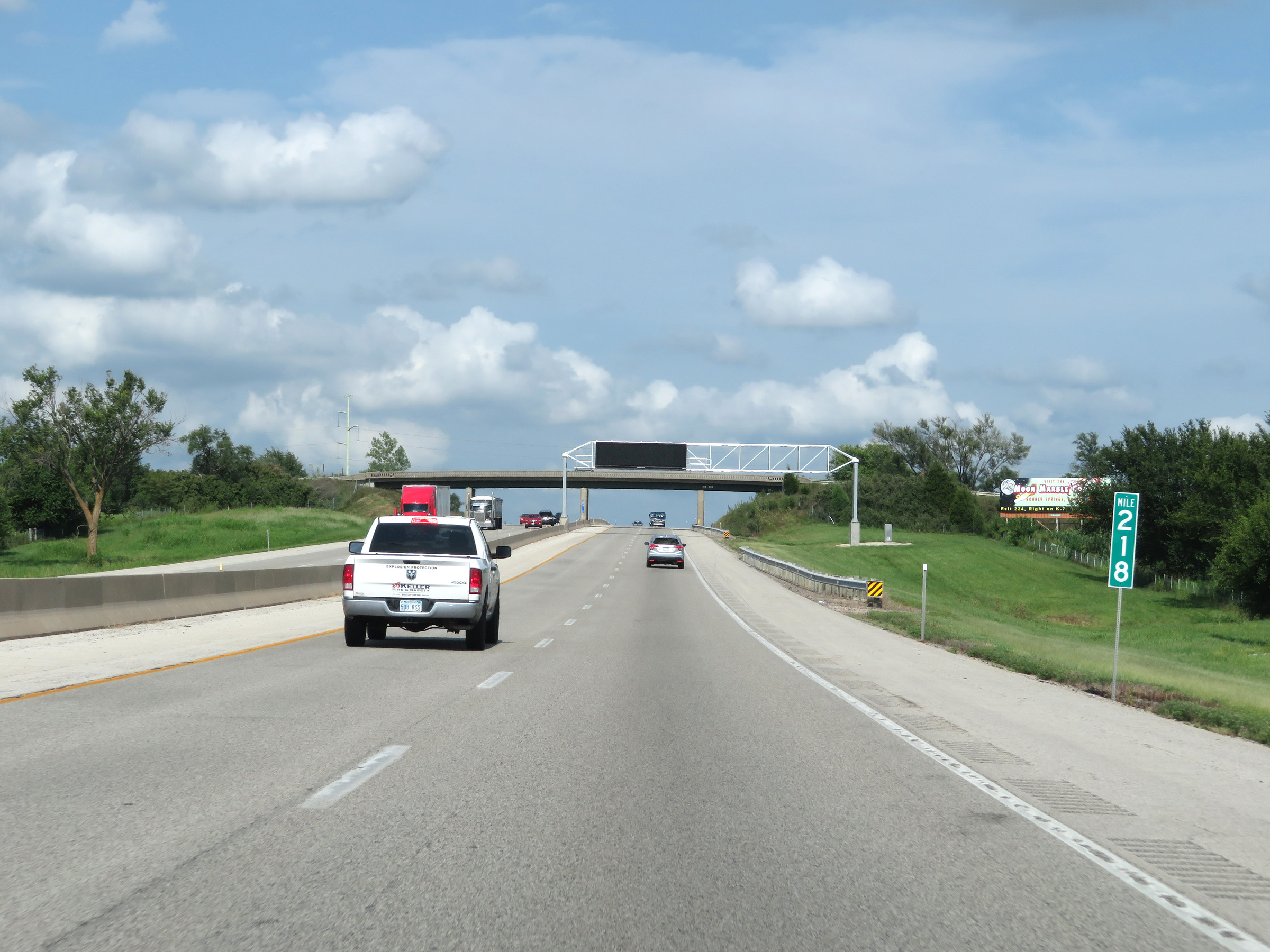 |
Mile marker 218 on Interstate 70 East (Kansas Turnpike) in Leavenworth County. (Photo taken 8/11/20). |
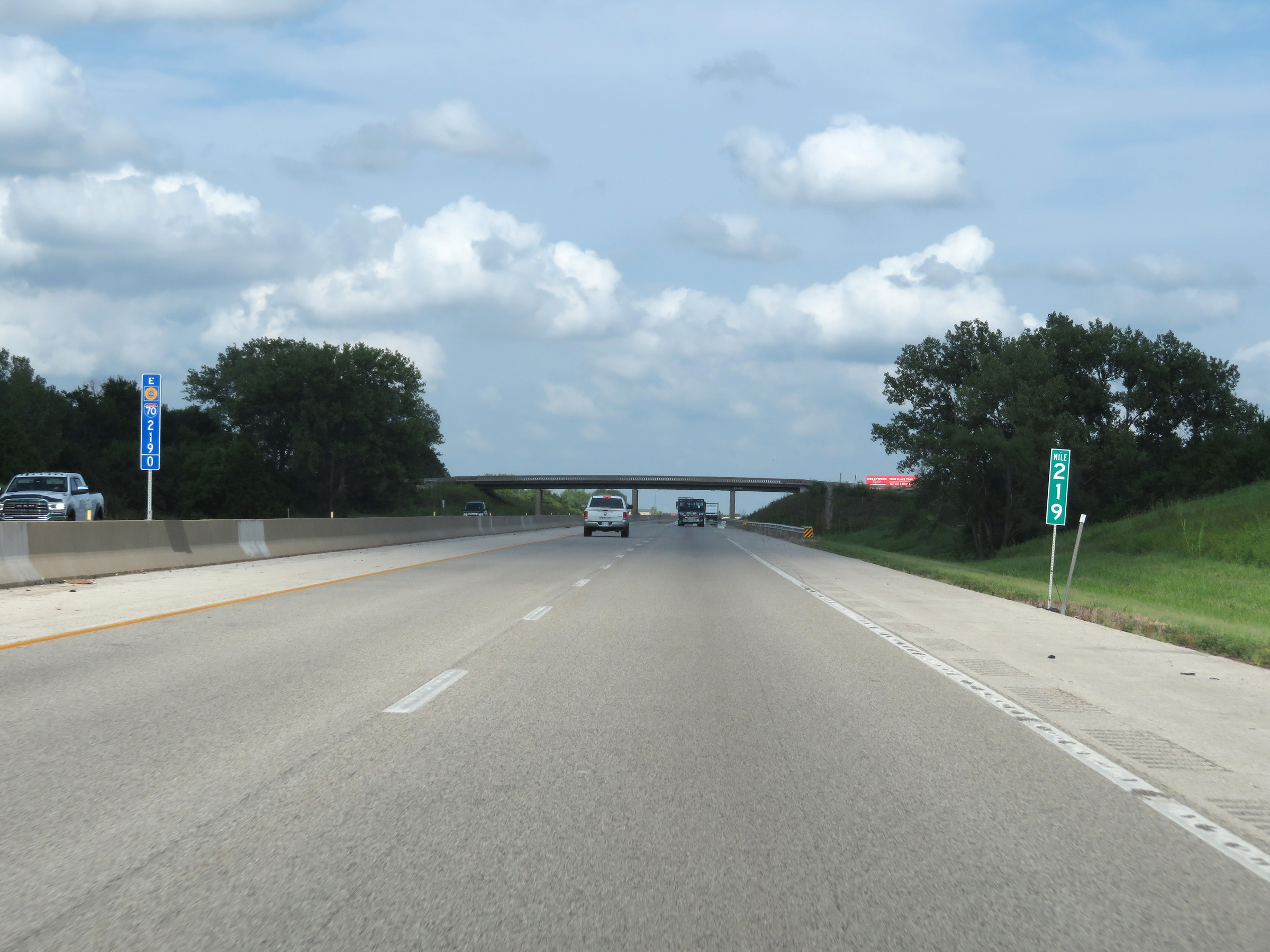 |
View on Interstate 70 East (Kansas Turnpike) at mile marker 219. (Photo taken 8/11/20). |
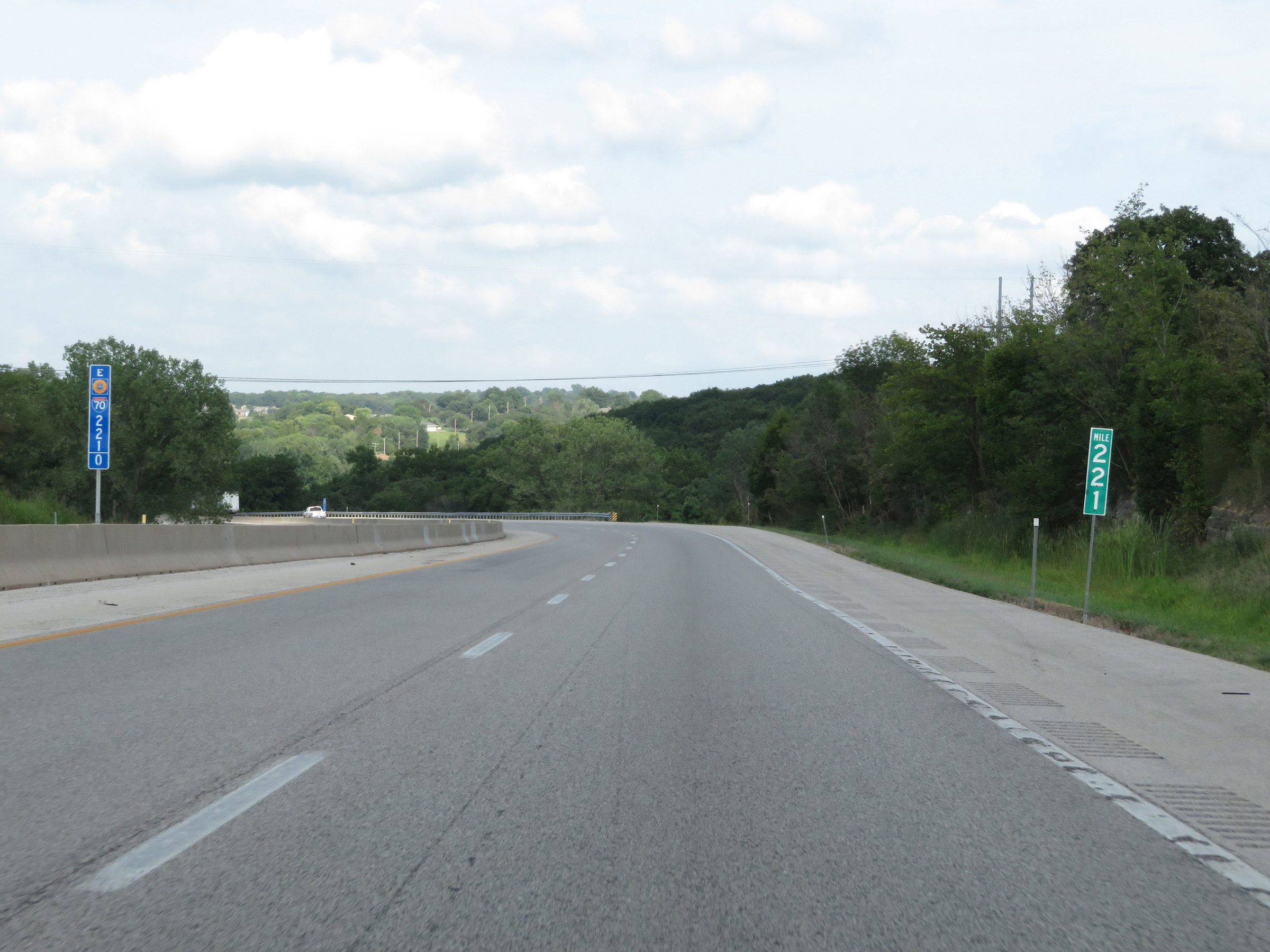 |
Interstate 70 East (Kansas Turnpike) at mile marker 221. (Photo taken 8/11/20). |
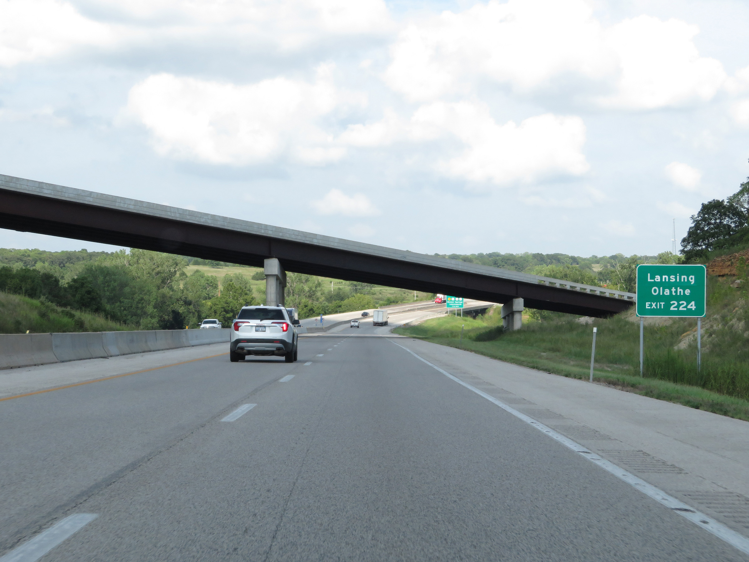 |
Take Exit 224 to Lansing and Olathe. (Photo taken 8/11/20). |
 |
Interstate 70 East (Kansas Turnpike) approaching Exit 224 - 1 1/4 miles. (Photo taken 8/11/20). |
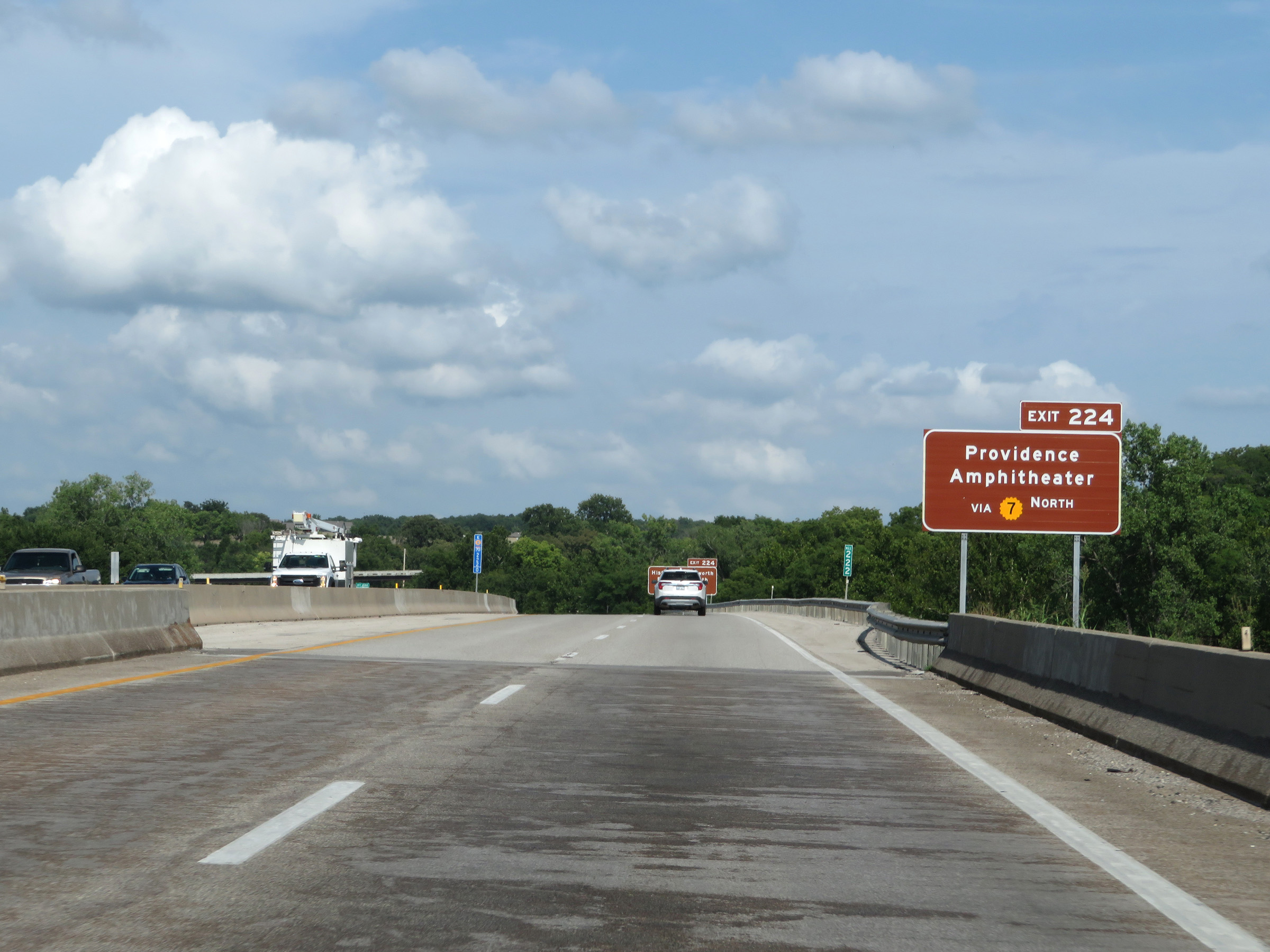 |
Take Exit 224 to Providence Amphitheater via K-7 North. (Photo taken 8/11/20). |
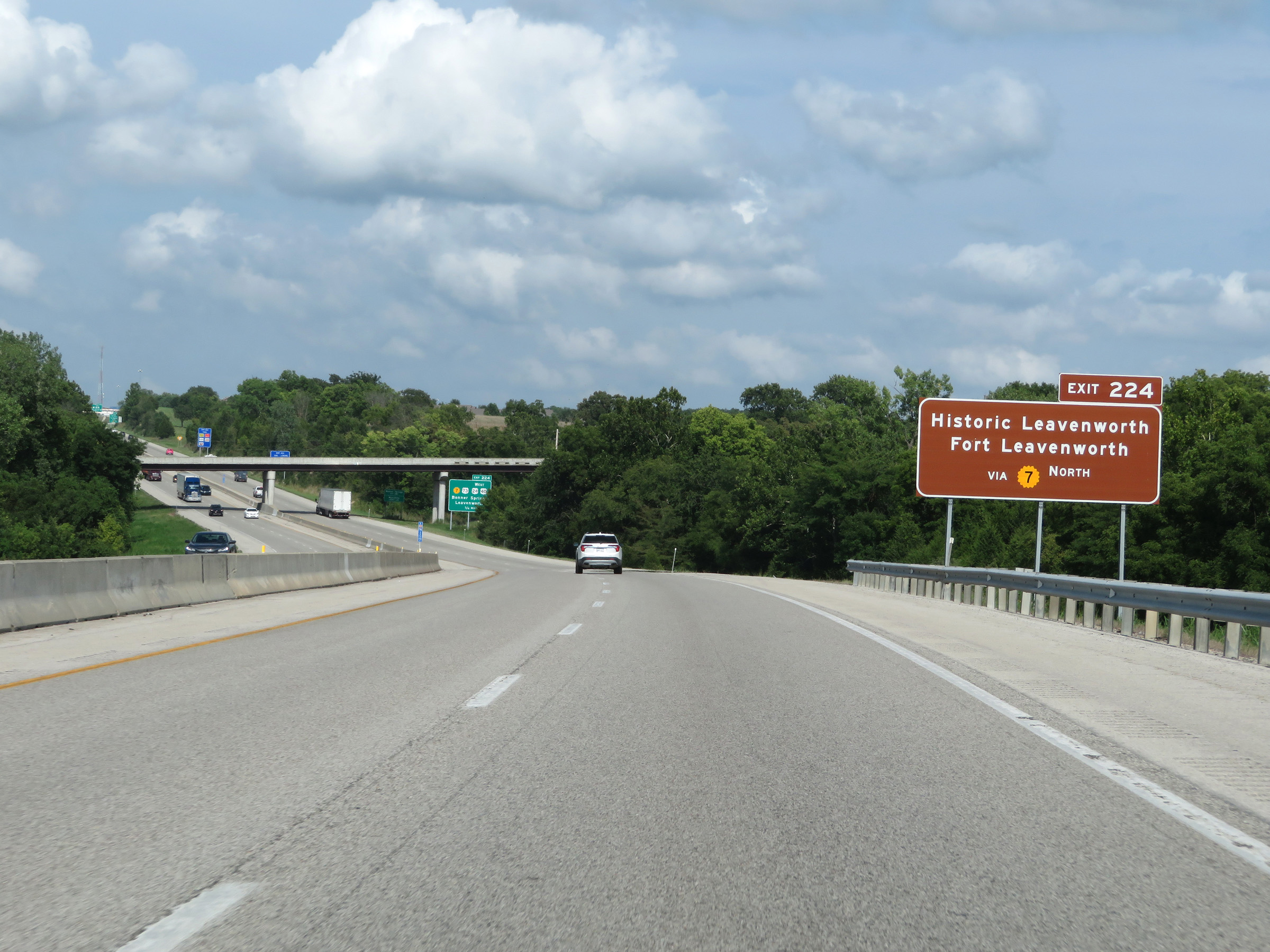 |
Also take Exit 224 to Historic Leavenworth and Fort Leavenworth via K-7 North. (Photo taken 8/11/20). |
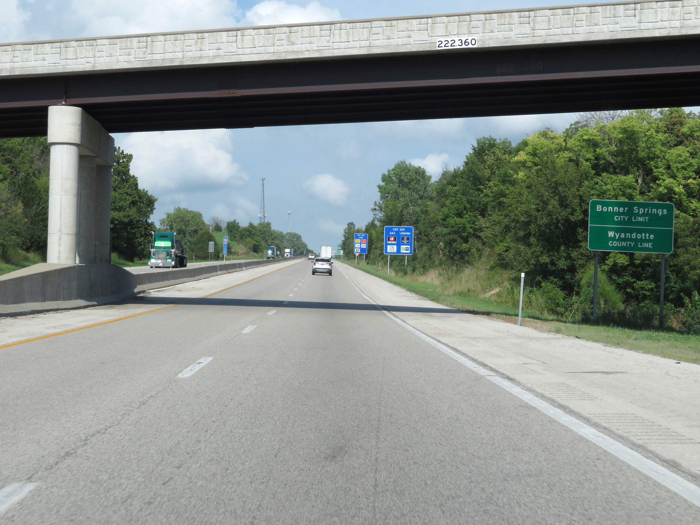 |
Interstate 70 East (Kansas Turnpike) as it enters Wyandotte County and the Bonner Springs city limits. (Photo taken 8/11/20). |
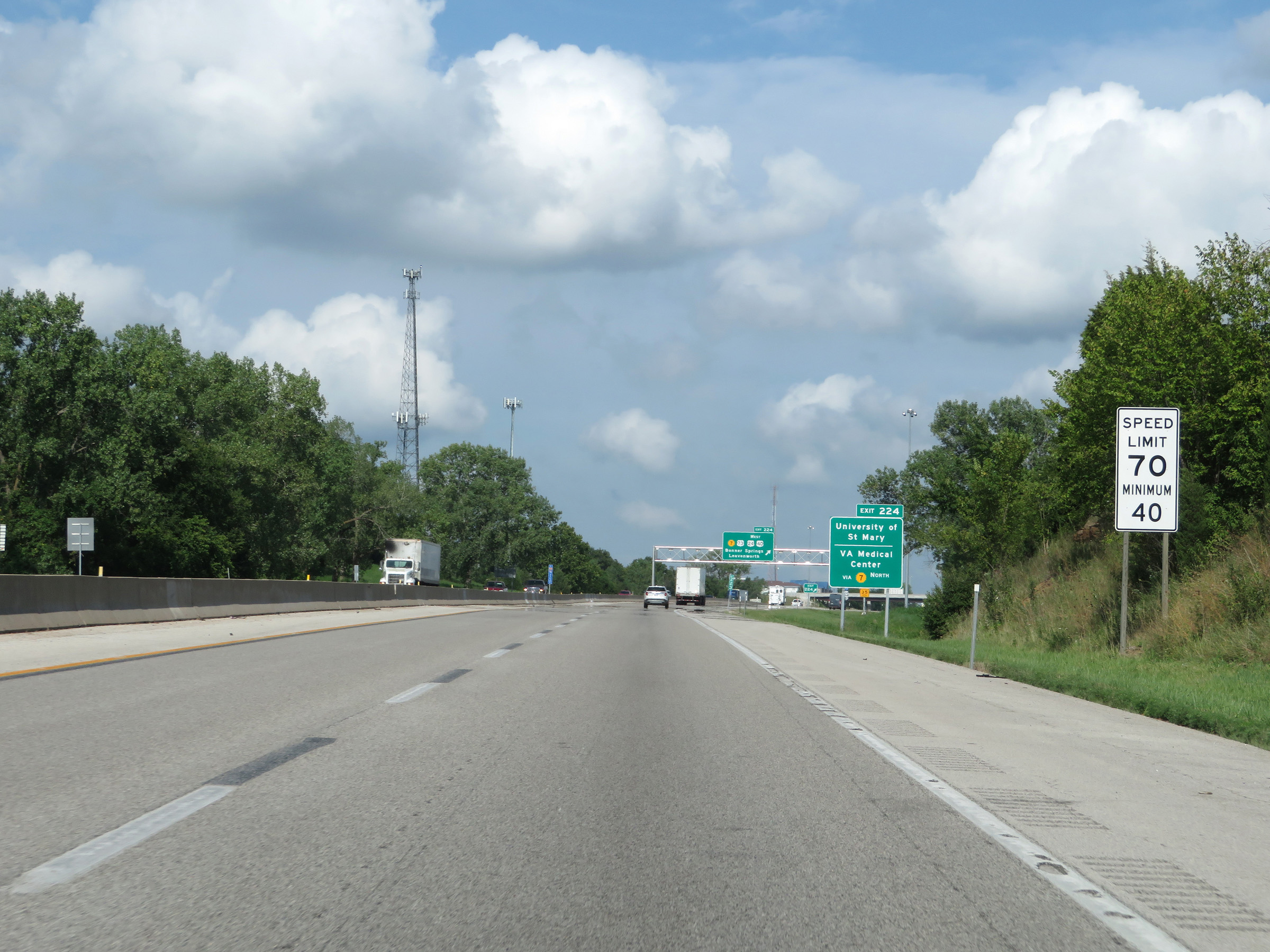 |
Upon entering Wyandotte County, the maximum speed limit decreases to 70 mph. The minimum speed limit remains 40 mph. (Photo taken 8/11/20). |
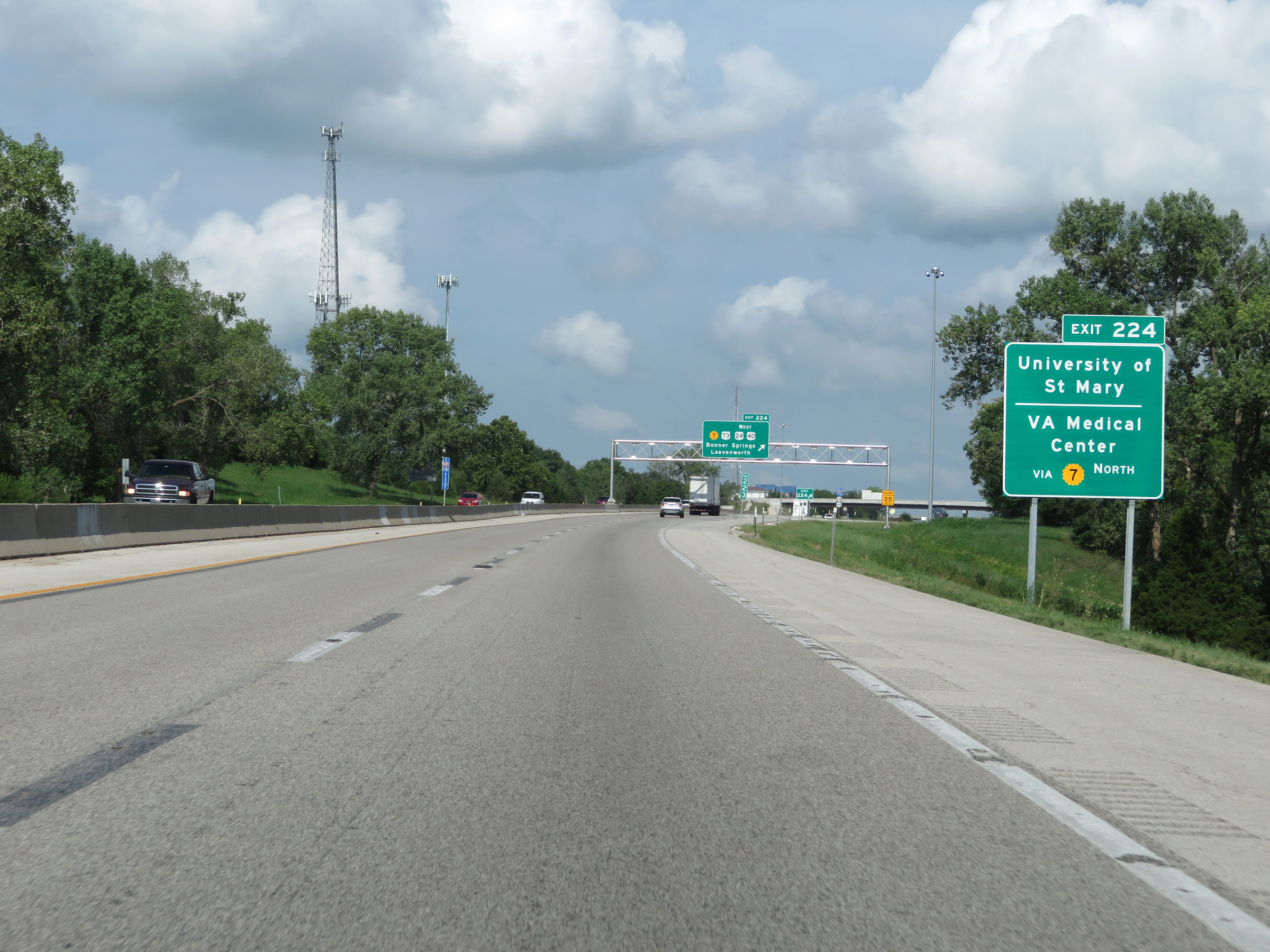 |
Take Exit 224 to the University of St Mary and the VA Medical Center, also via K-7 North. (Photo taken 8/11/20). |
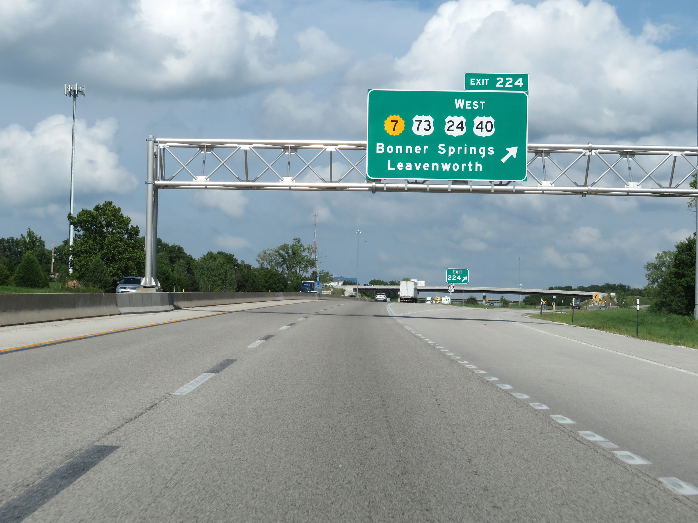 |
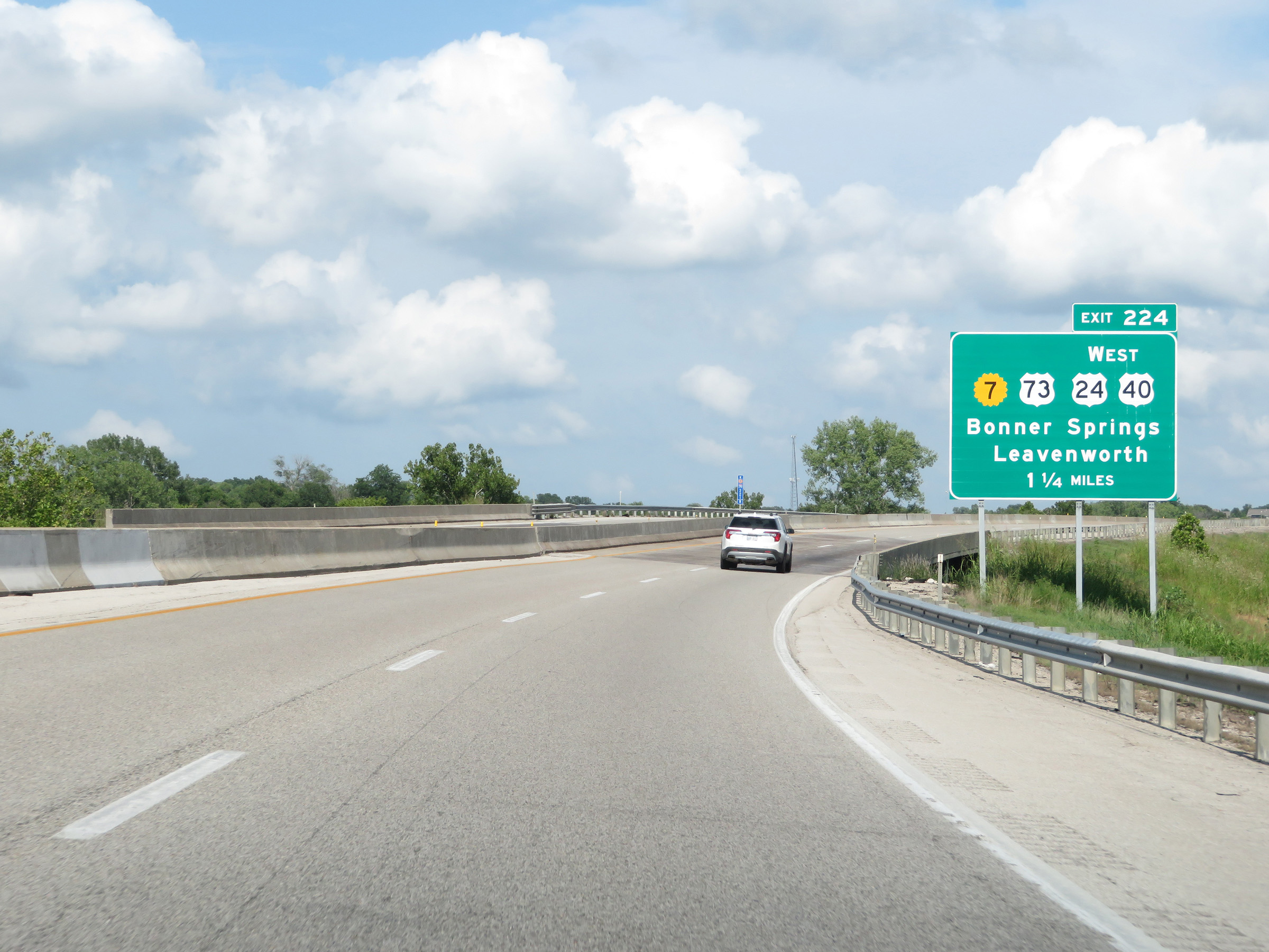
Interstate 70 East (Kansas Turnpike) at Exit 224: K-7 / US 73 / US 24 West / US 40 West - Bonner Springs / Leavenworth (Photo taken 8/11/20). |
Section 2: Bonner Springs (Exit 224) to Missouri Border
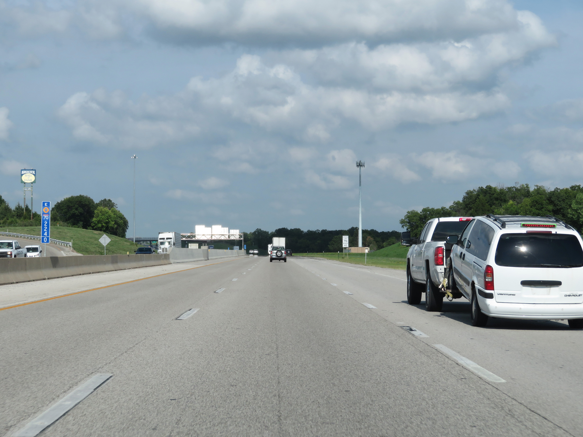 |
View on Interstate 70 East (Kansas Turnpike) at mile marker 224. (Photo taken 8/11/20). |
 |
Interstate 70 East (Kansas Turnpike) at mile marker 225. (Photo taken 8/11/20). |
 |
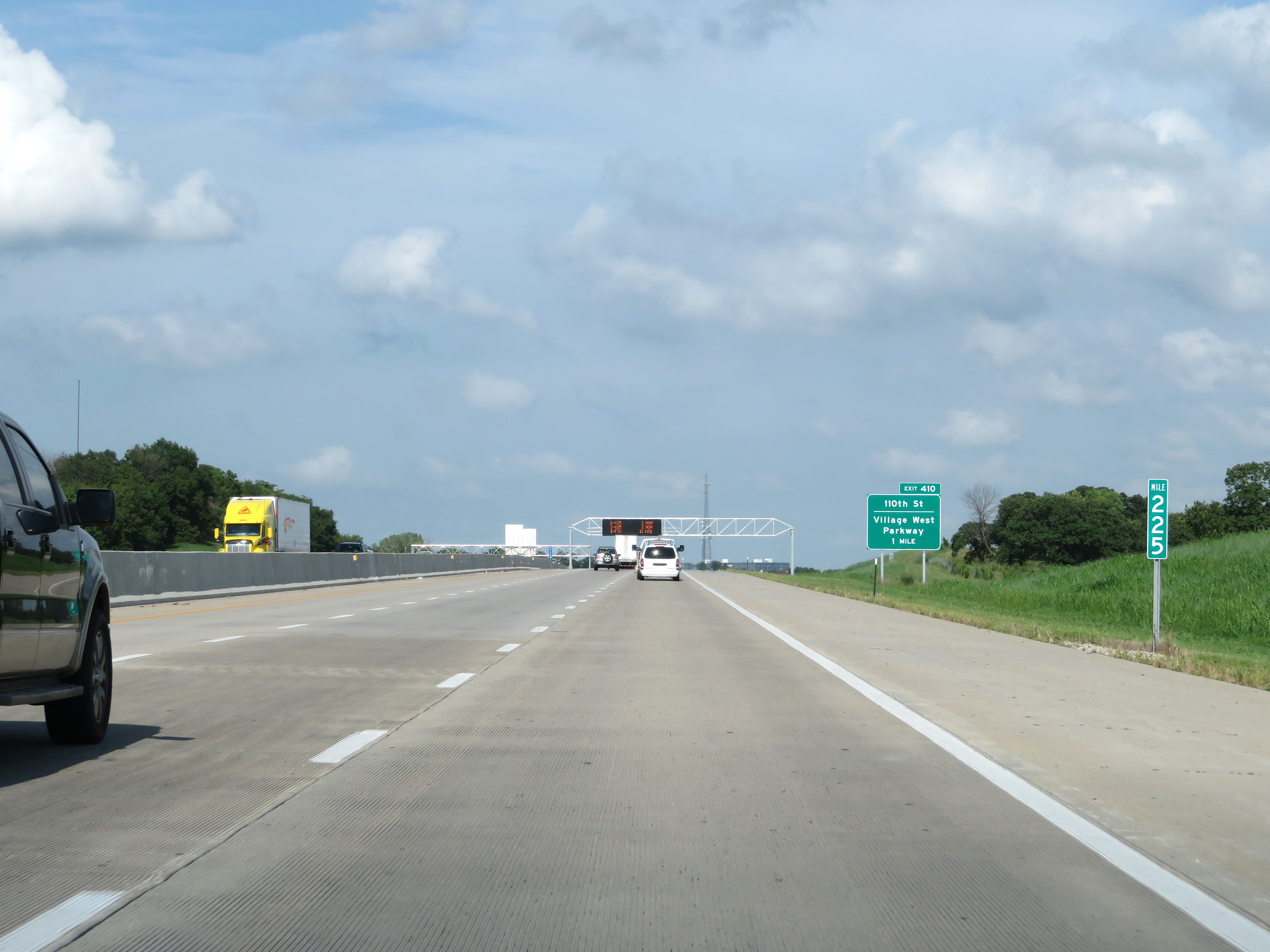
Interstate 70 East (Kansas Turnpike) approaching Exit 410 - 1 mile. Although the Kansas Turnpike designation continues eastbound to Exit 420 in Kansas City, the mileposts and exit numbers will change ahead to reflect the total mileage of I-70 in Kansas upon entering the Kansas City city limits, as the exit number on this advance signage shows. (Photo taken 8/11/20). |
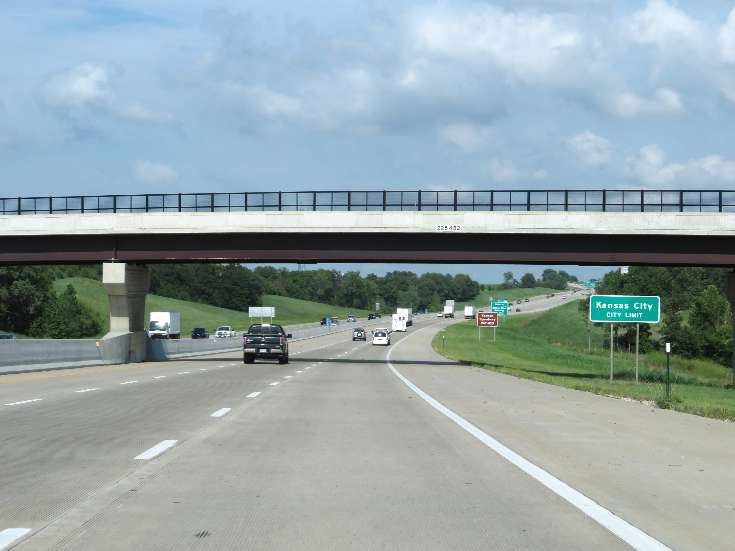 |
Interstate 70 East (Kansas Turnpike) as it enters the Kansas City city limits. (Photo taken 8/11/20). |
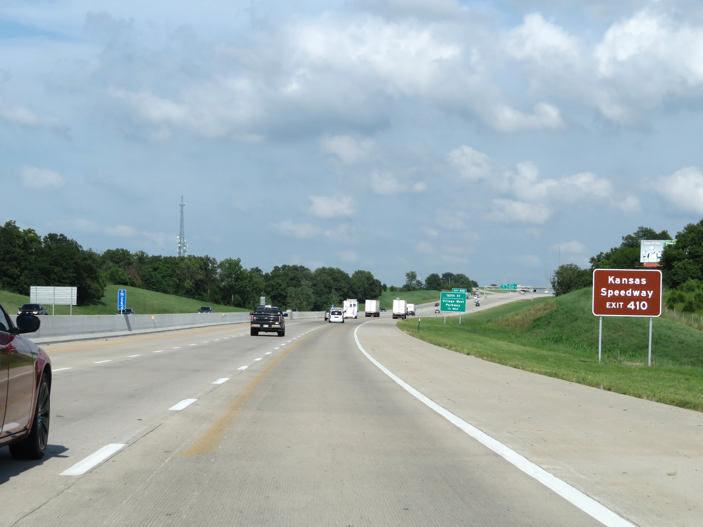 |
Take Exit 410 to the Kansas Speedway. (Photo taken 8/11/20). |
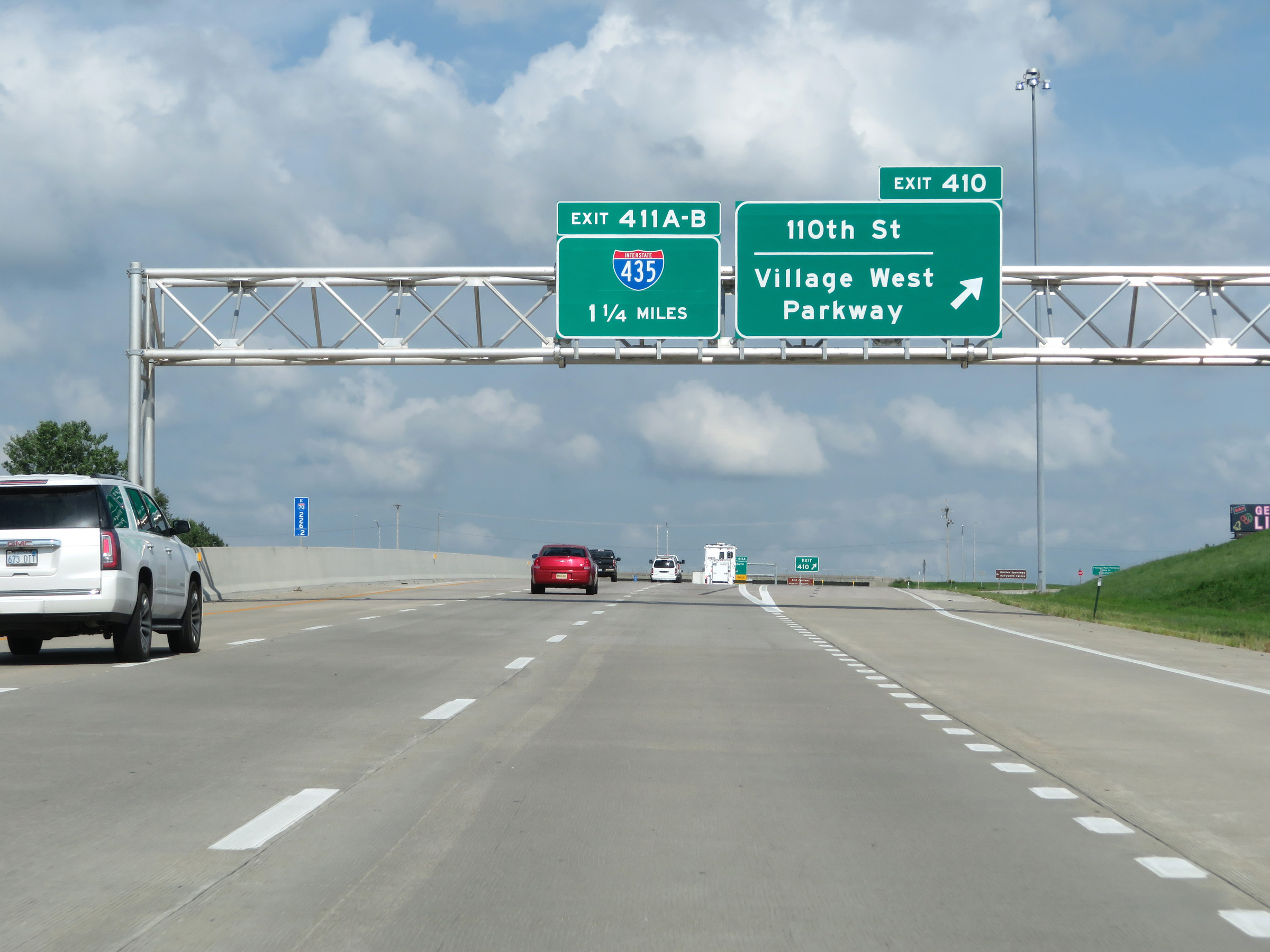 |
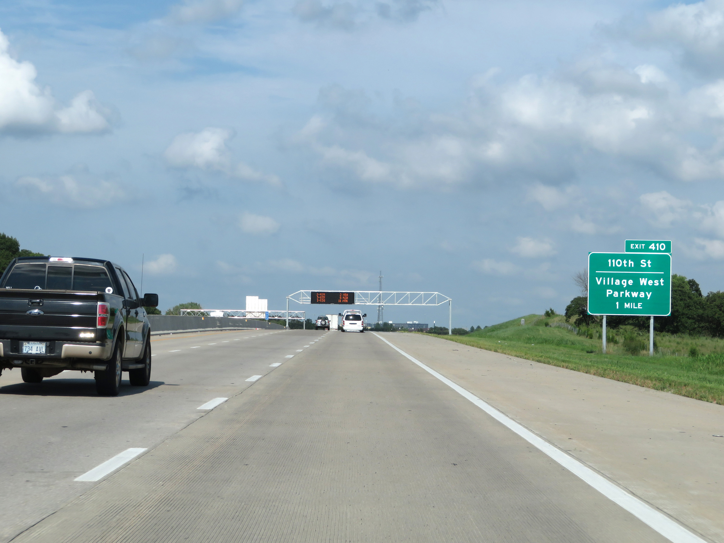
Interstate 70 East (Kansas Turnpike) at Exit 410: 110th St / Village West Parkway (Photo taken 8/11/20). |
 |
Interstate 70 East (Kansas Turnpike) approaching Exit 411A - 1 mile. (Photo taken 8/11/20). |
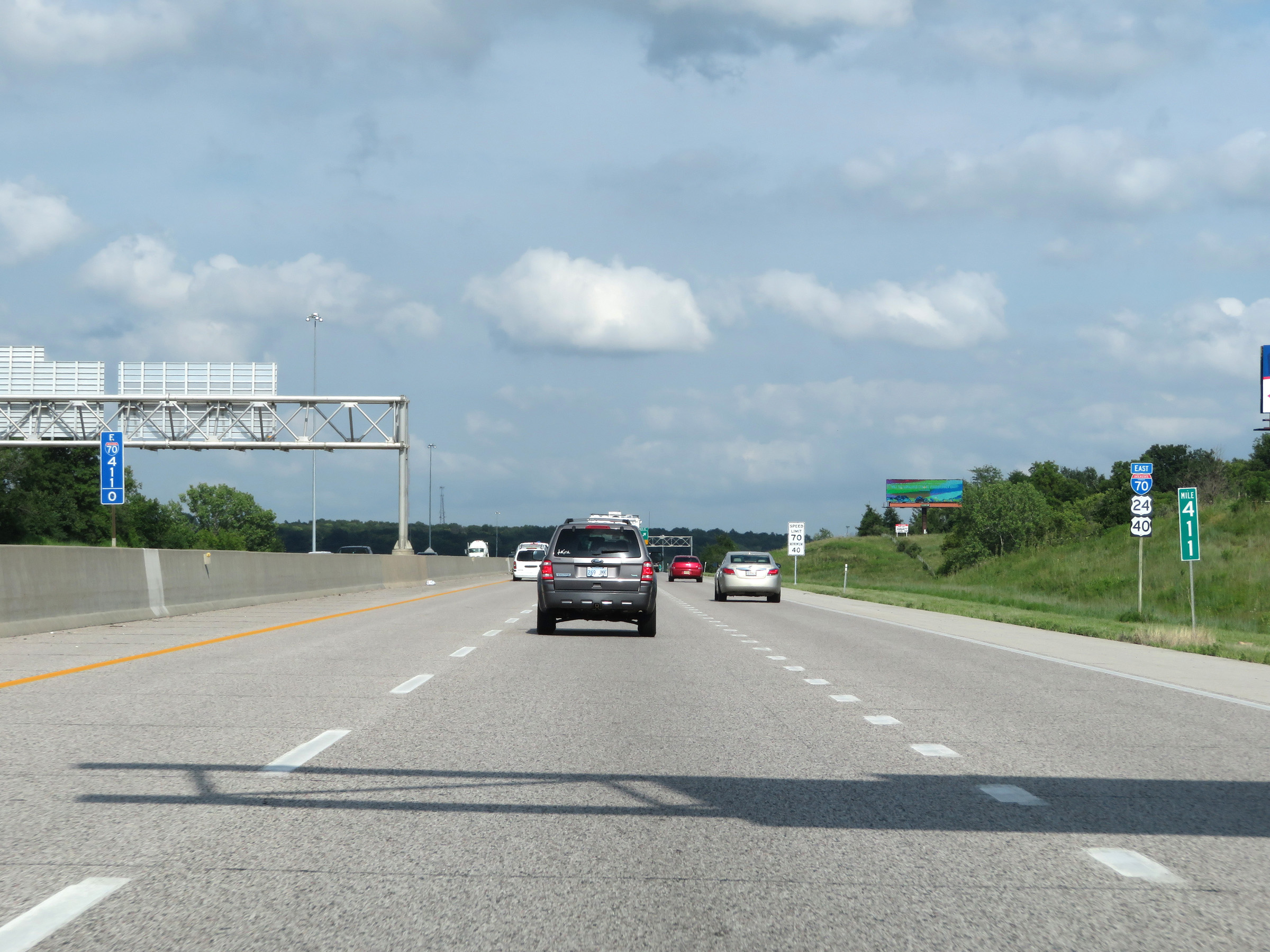 |
View on Interstate 70 East (Kansas Turnpike) at mile marker 411. (Photo taken 8/11/20). |
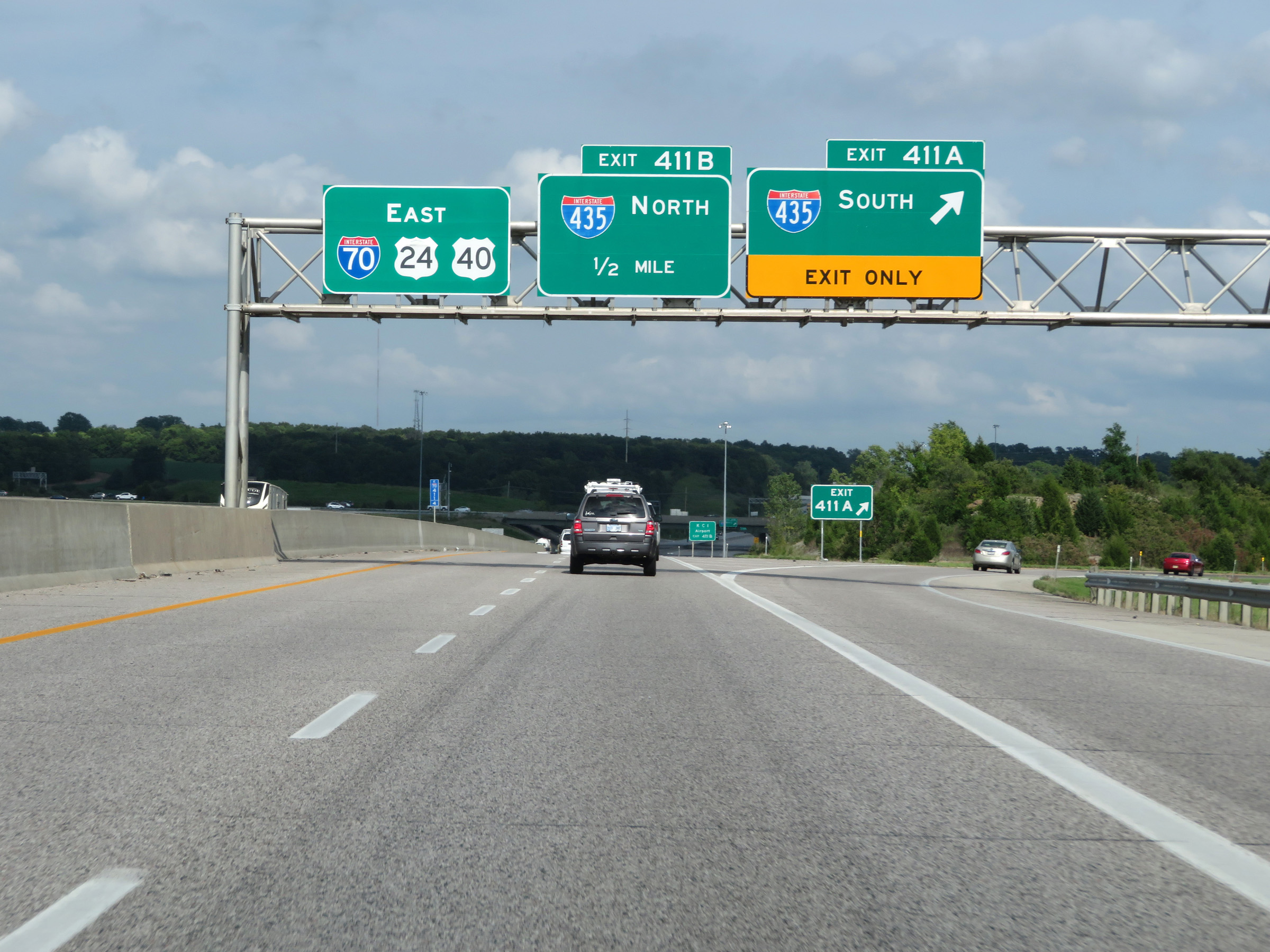 |
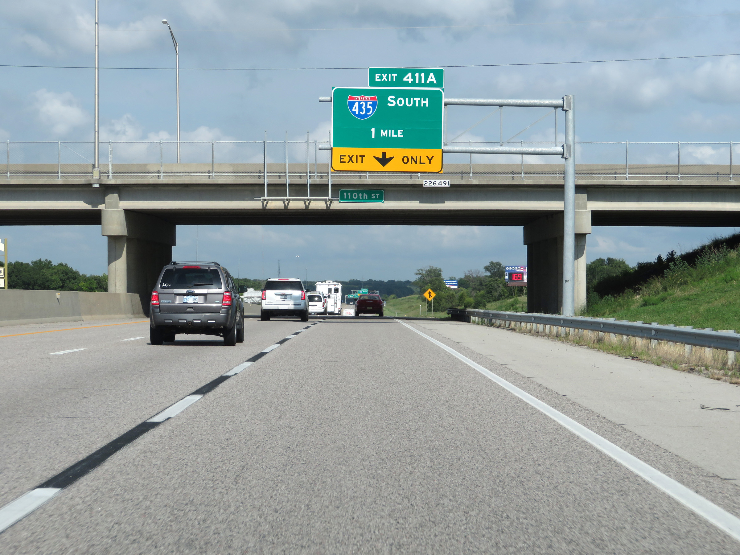
Interstate 70 East (Kansas Turnpike) at Exit 411A: Interstate 435 South (Photo taken 8/11/20). |
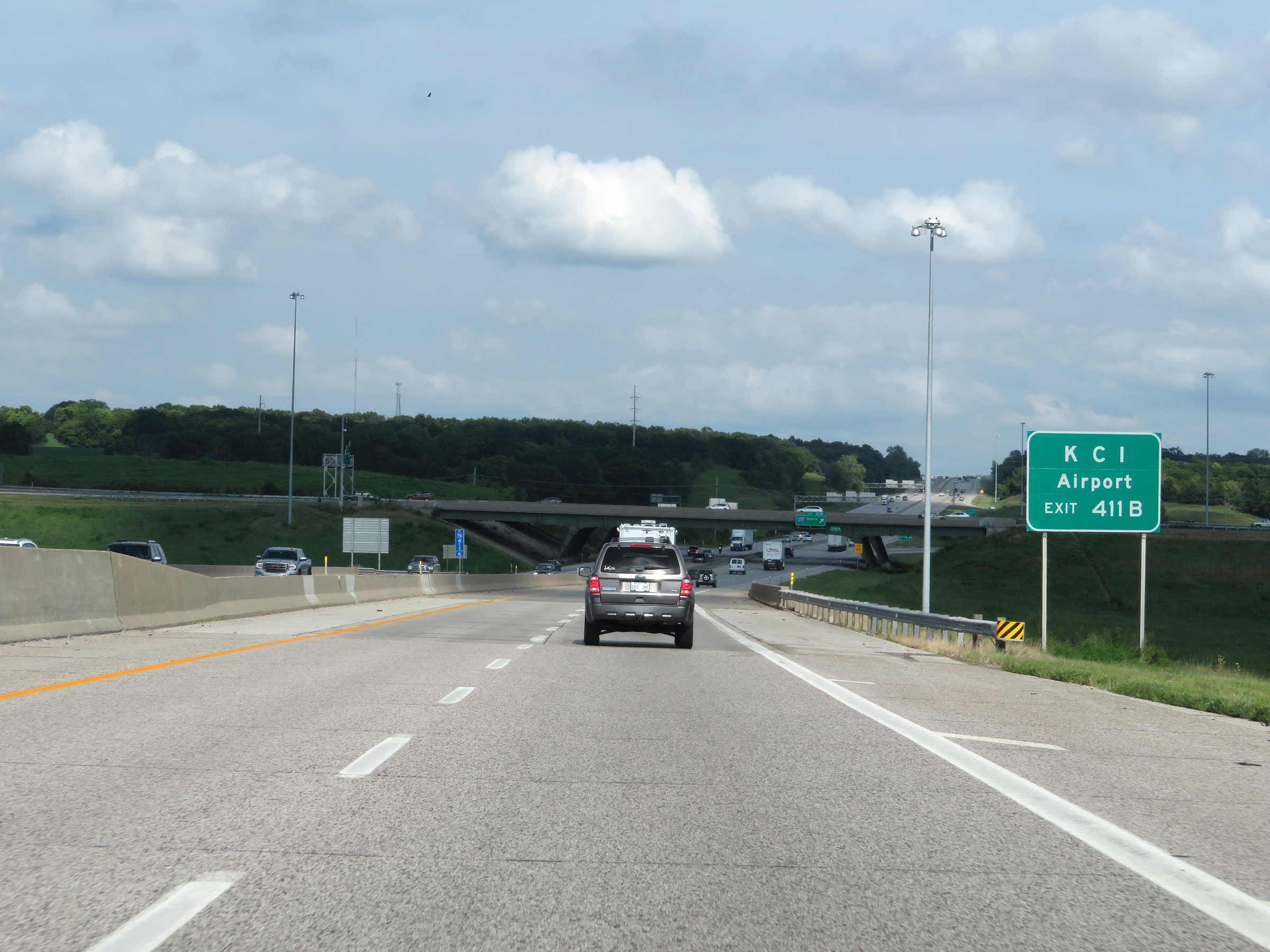 |
Take Exit 411B (Interstate 435 North) to KCI Airport. (Photo taken 8/11/20). |
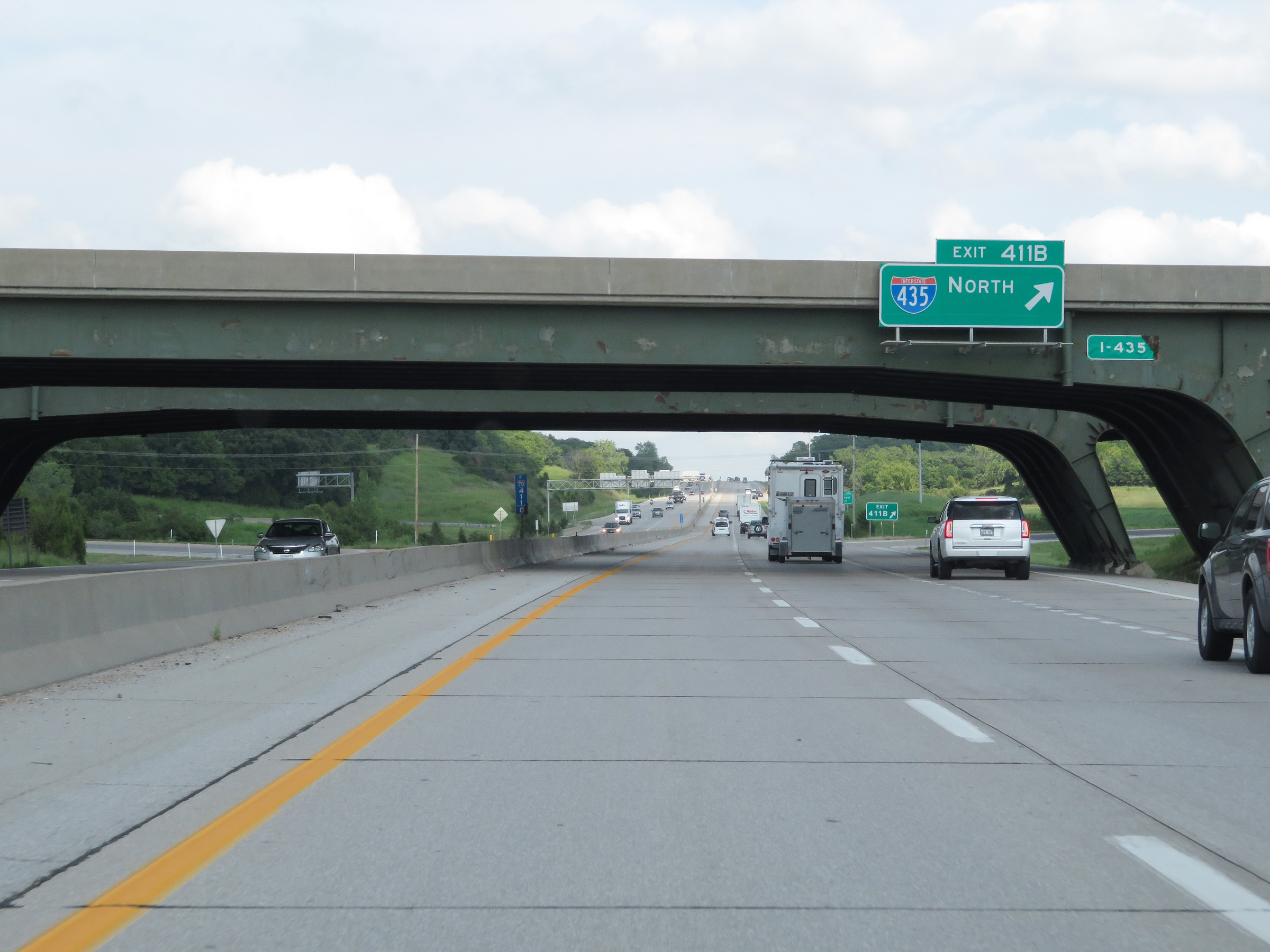 |
Interstate 70 East (Kansas Turnpike) at Exit 411B: Interstate 435 North (Photo taken 8/11/20). |
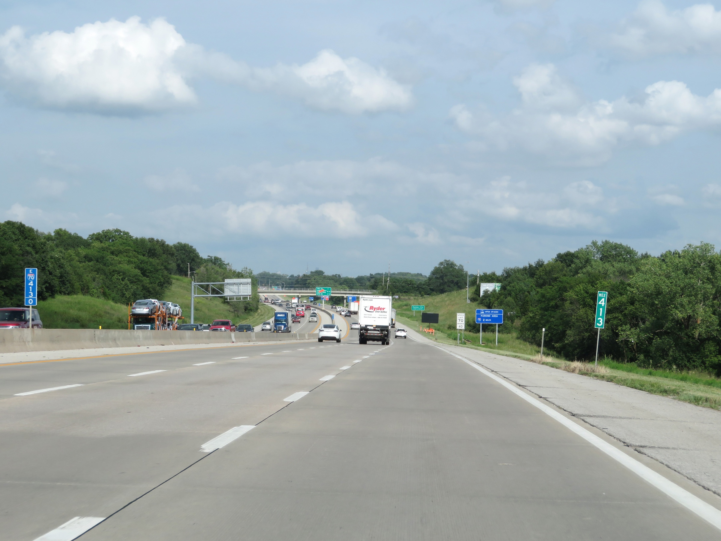 |
View on Interstate 70 East (Kansas Turnpike) at mile marker 413. (Photo taken 8/11/20). |
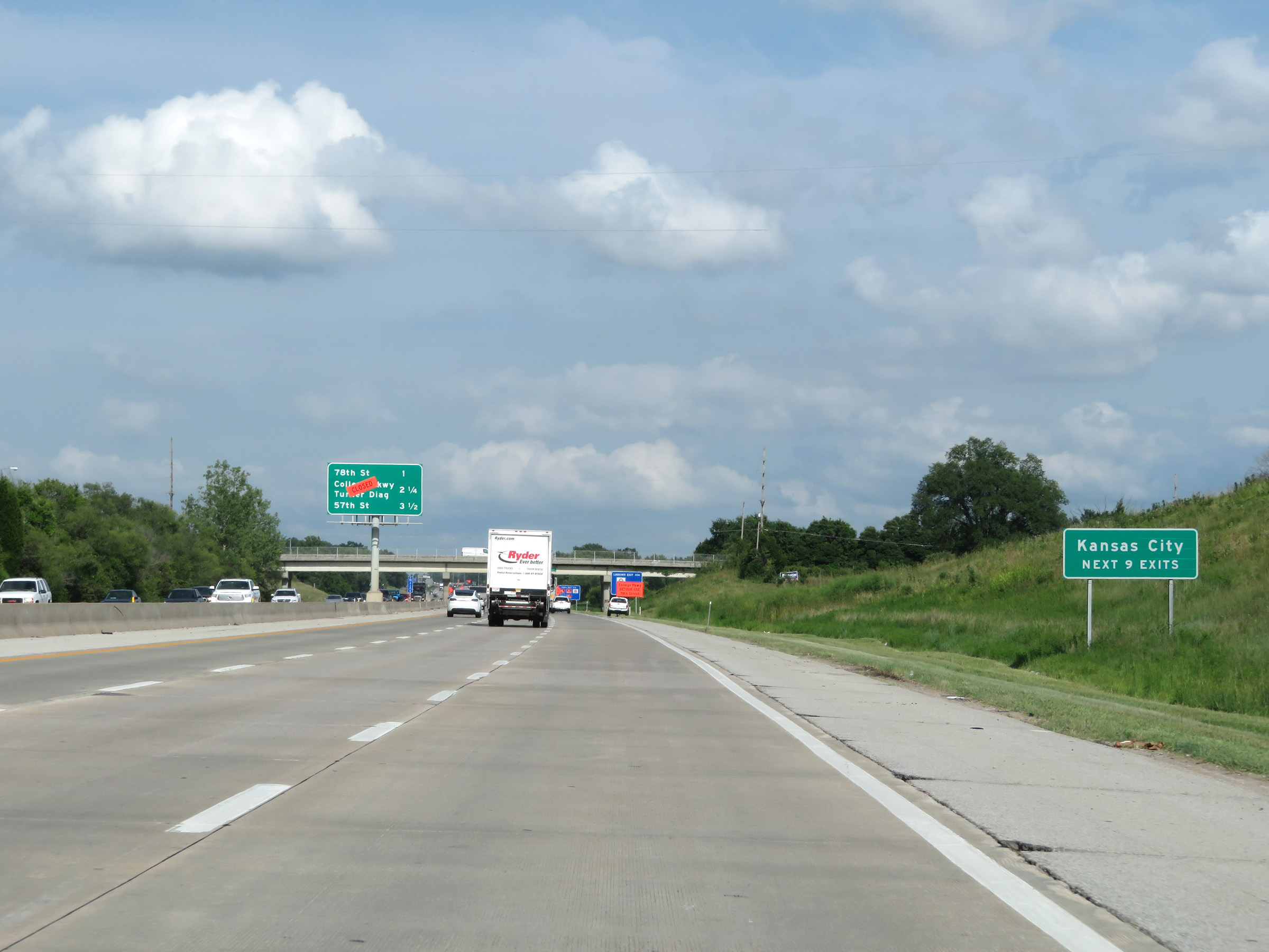 |
Take any of the next 9 exits to Kansas City. (Photo taken 8/11/20). |
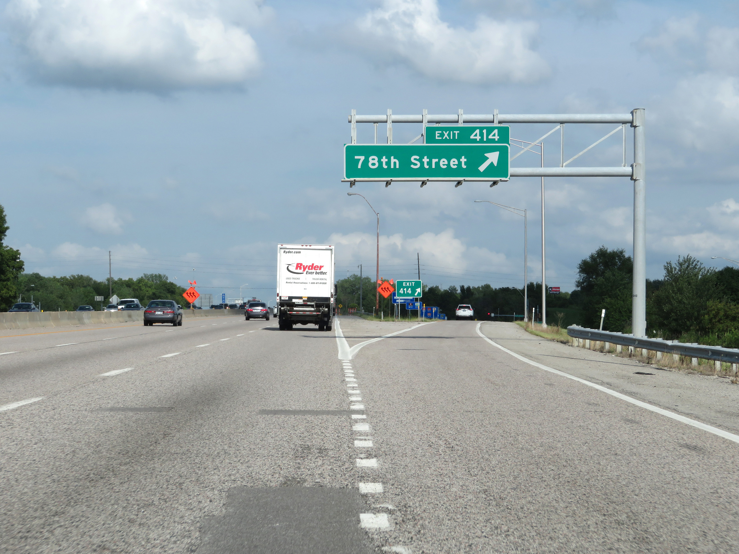 |
Interstate 70 East (Kansas Turnpike) at Exit 414: 78th Street (Photo taken 8/11/20). |
 |
Truck Parking Area on Interstate 70 East (Kansas Turnpike) in Kansas City. (Photo taken 8/12/20). |
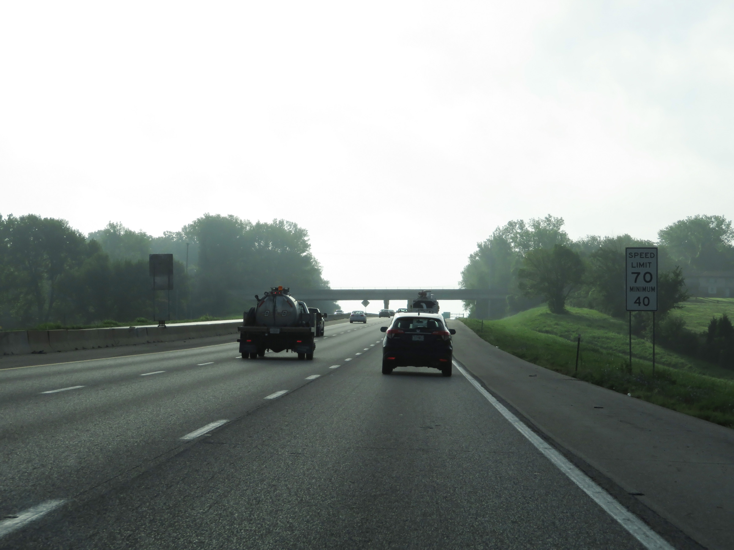 |
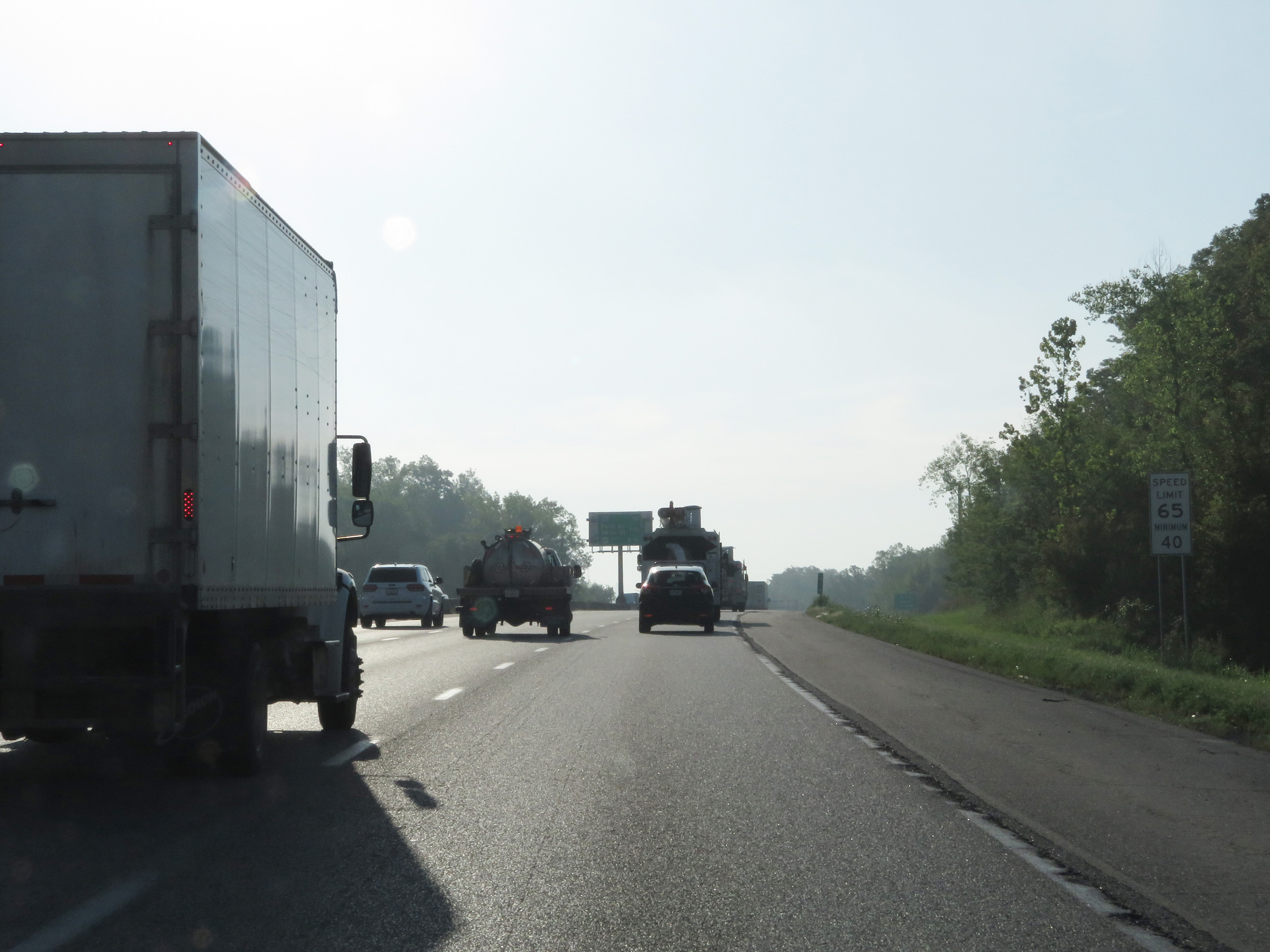
The speed limits remain 70 mph maximum and 40 mph minimum on Interstate 70 East (Kansas Turnpike). (Photo taken 8/12/20). |
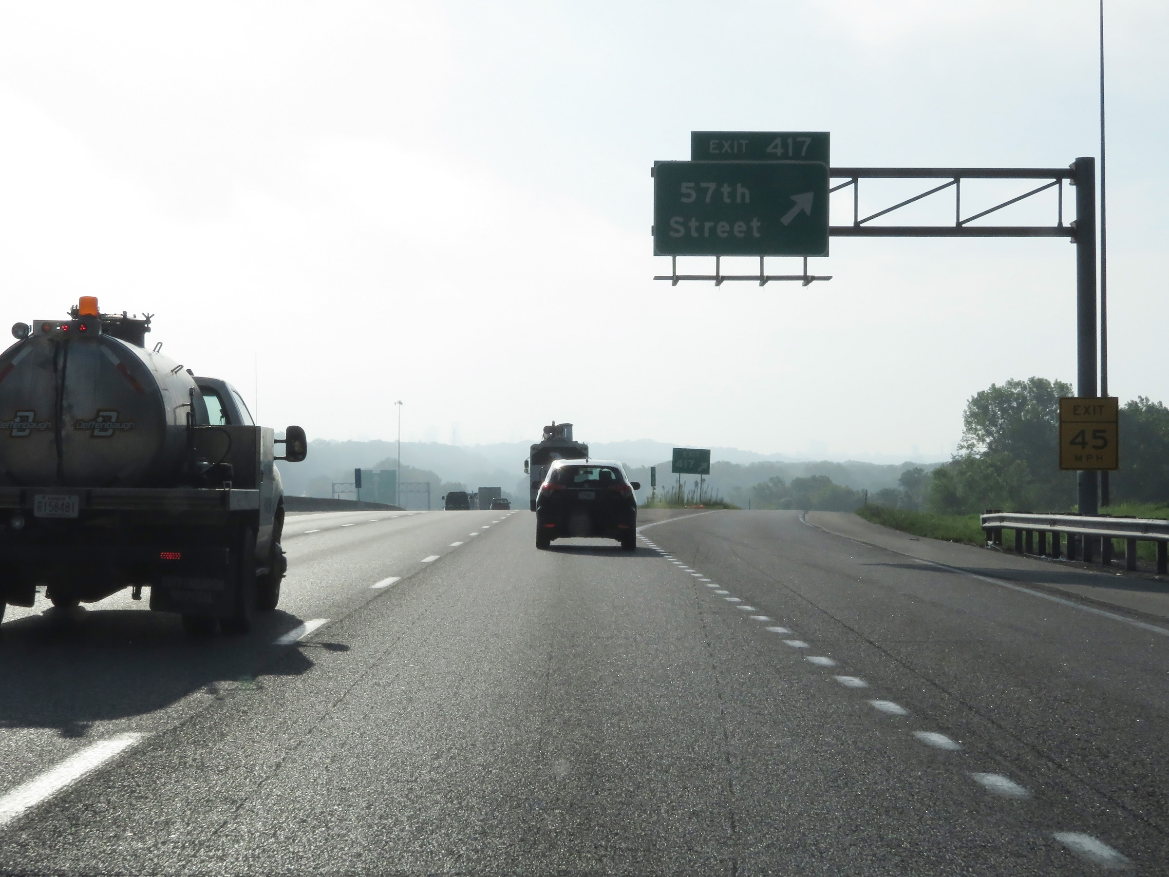 |
Interstate 70 East (Kansas Turnpike) at Exit 417: 57th Street (Photo taken 8/12/20). |
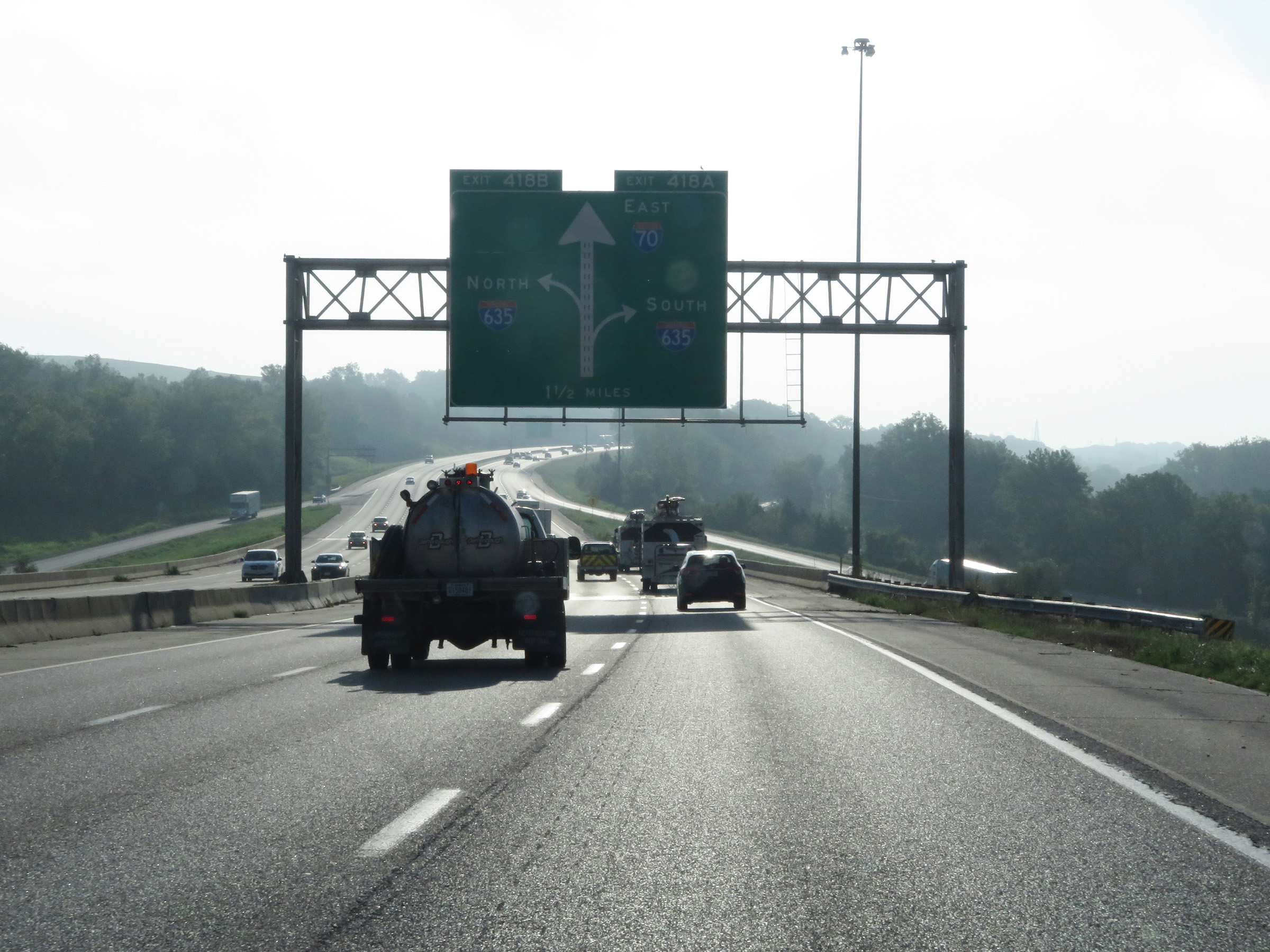 |
Interstate 70 East (Kansas Turnpike) approaching Exits 418A-B - 1 1/2 miles. (Photo taken 8/12/20). |
 |
Nearing the junction of Interstate 635, the maximum speed limit decreases to 65 mph. The minimum speed limit remains 40 mph. (Photo taken 8/12/20). |
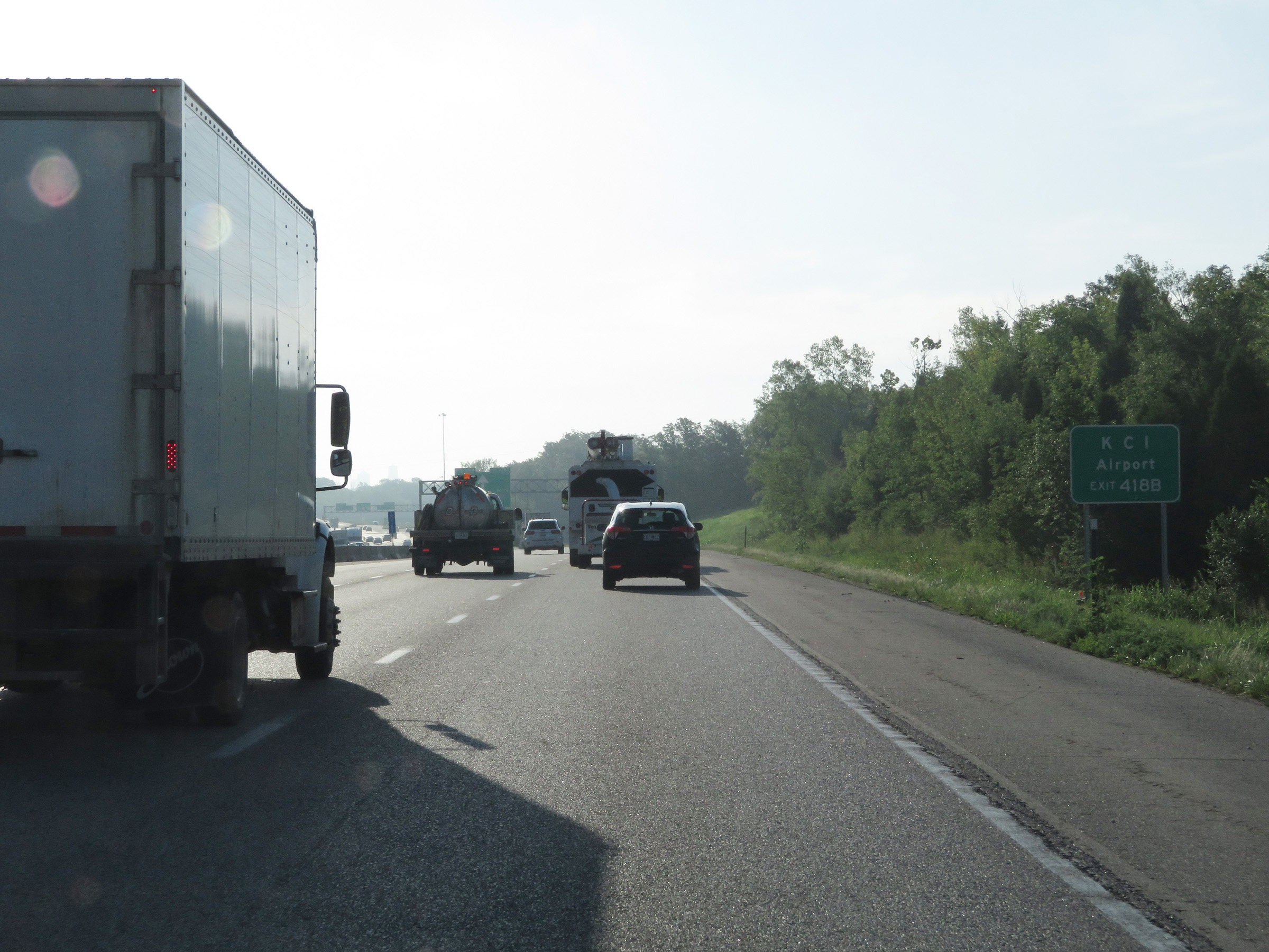 |
Take Exit 418B (Interstate 635 North) to KCI Airport. (Photo taken 8/12/20). |
 |
Approaching Exits 418A-B, this overhead sign shows that the two exits will occur almost simultaneously ahead. (Photo taken 8/12/20). |
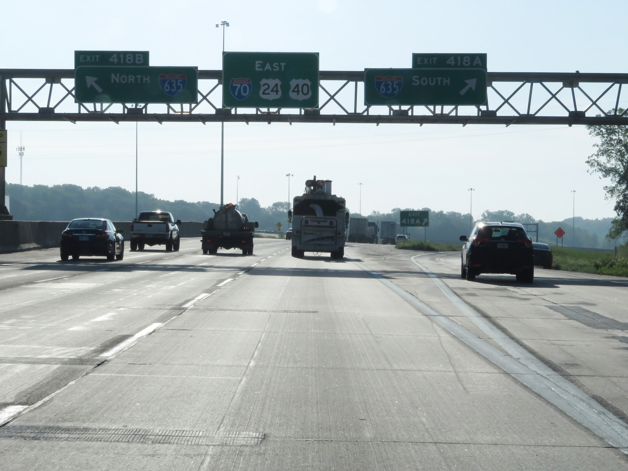 |
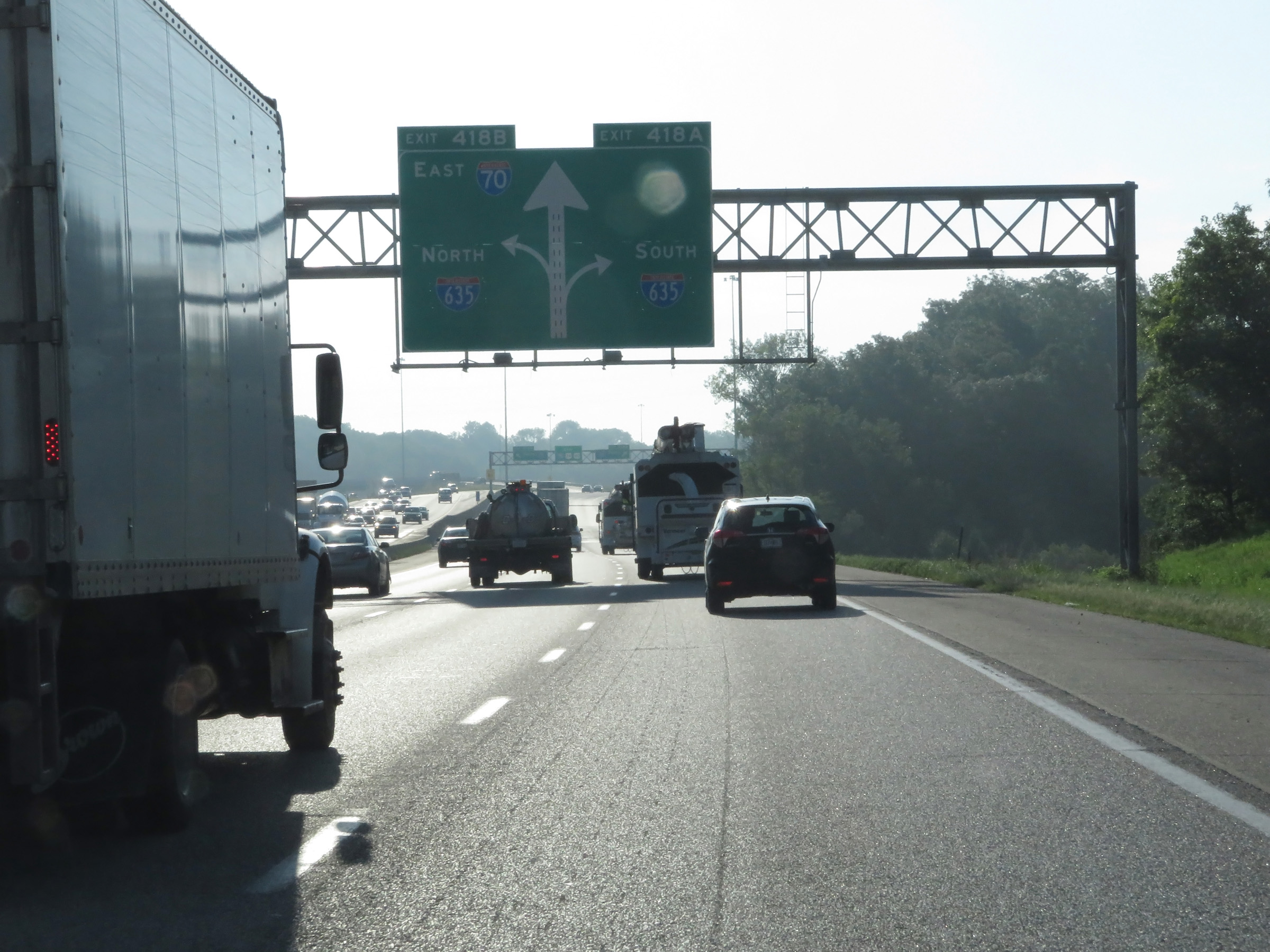
Interstate 70 East (Kansas Turnpike) at Exit 418A: Interstate 635 South; Exit 418B: Interstate 635 North (Photo taken 8/12/20). |
 |
Interstate 70 East (Kansas Turnpike) at Exit 419: Park Dr / 38th St (Photo taken 8/12/20). |
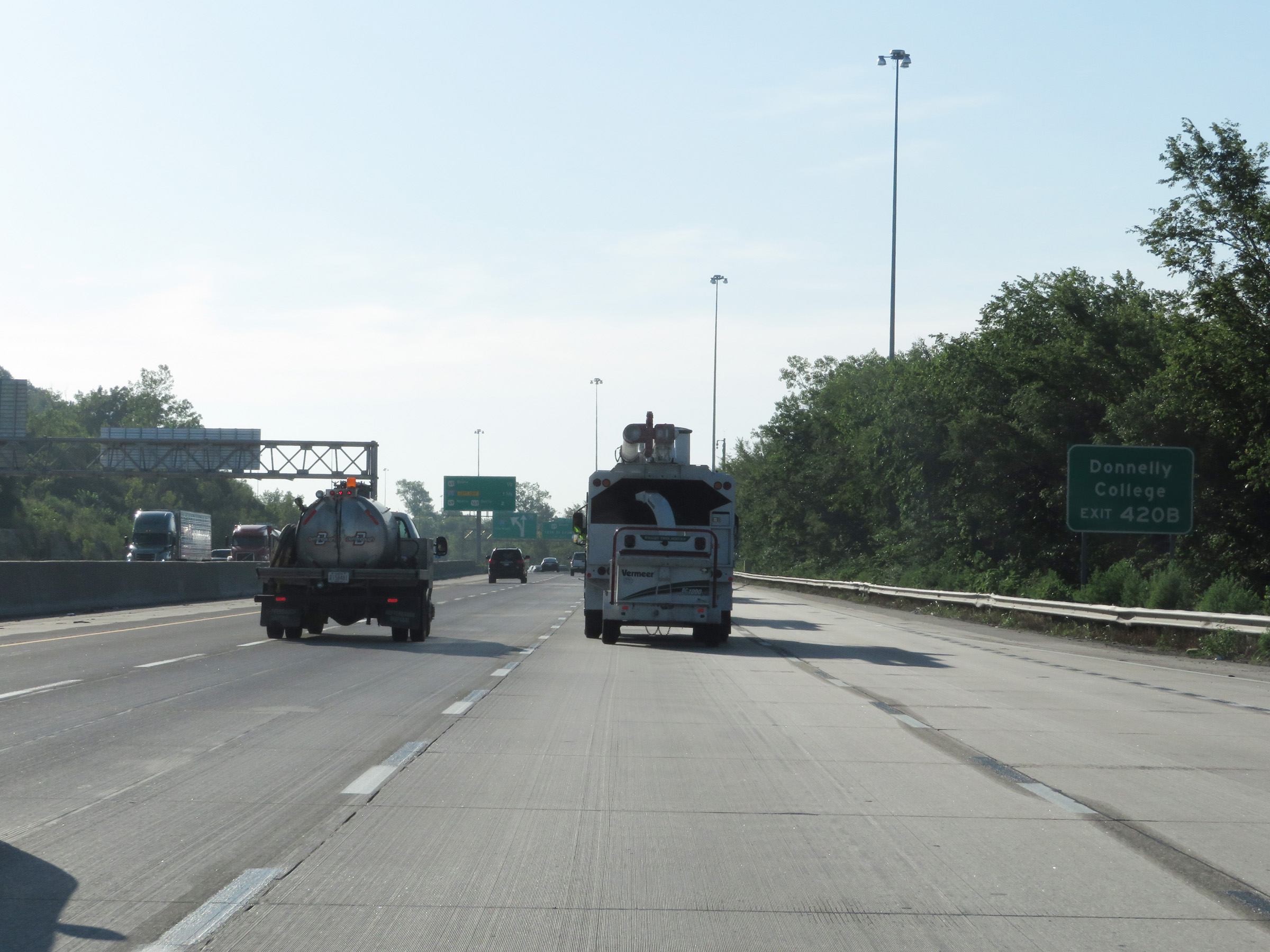 |
Take Exit 420B to Donnelly College. (Photo taken 8/12/20). |
 |
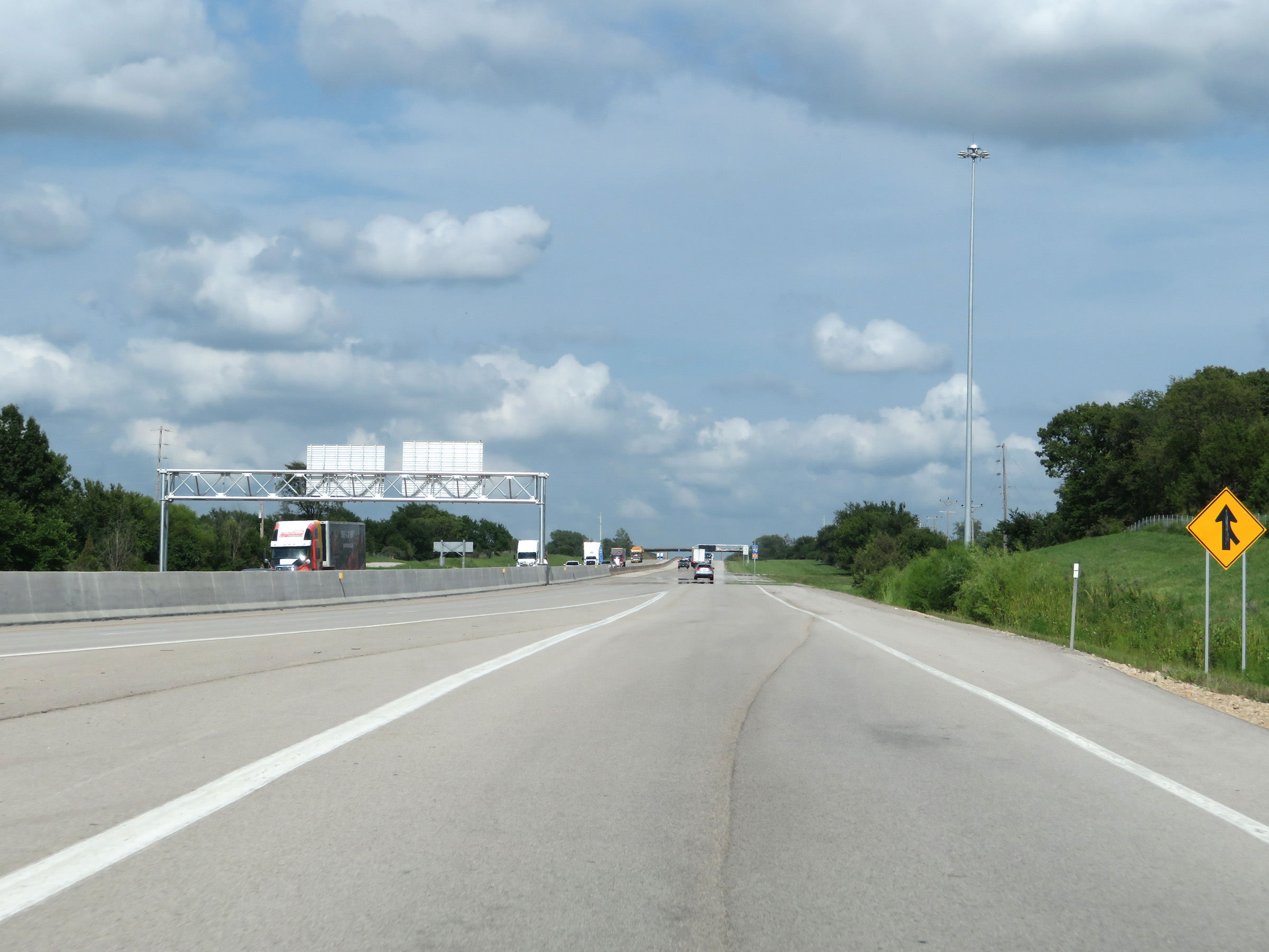
Overhead mileage sign on the median, listing the distances to the three upcoming interchanges on Interstate 70 East. (Photo taken 8/12/20). |
 |
Interstate 70 East (Kansas Turnpike) approaching Exit 421B - 1 1/2 miles on the left. (Photo taken 8/12/20). |
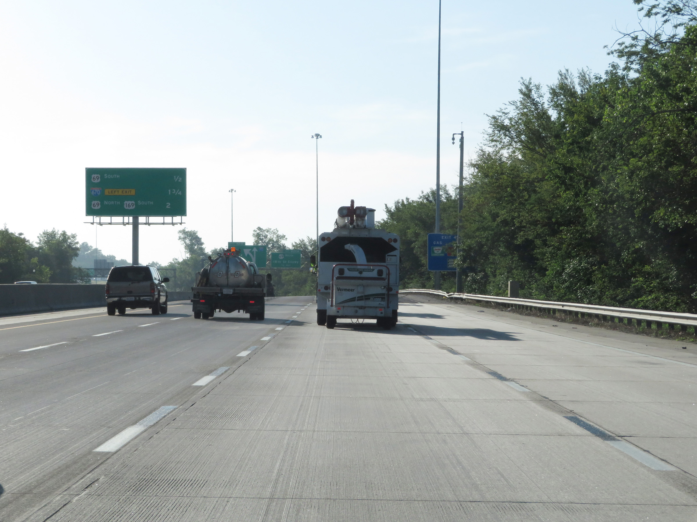
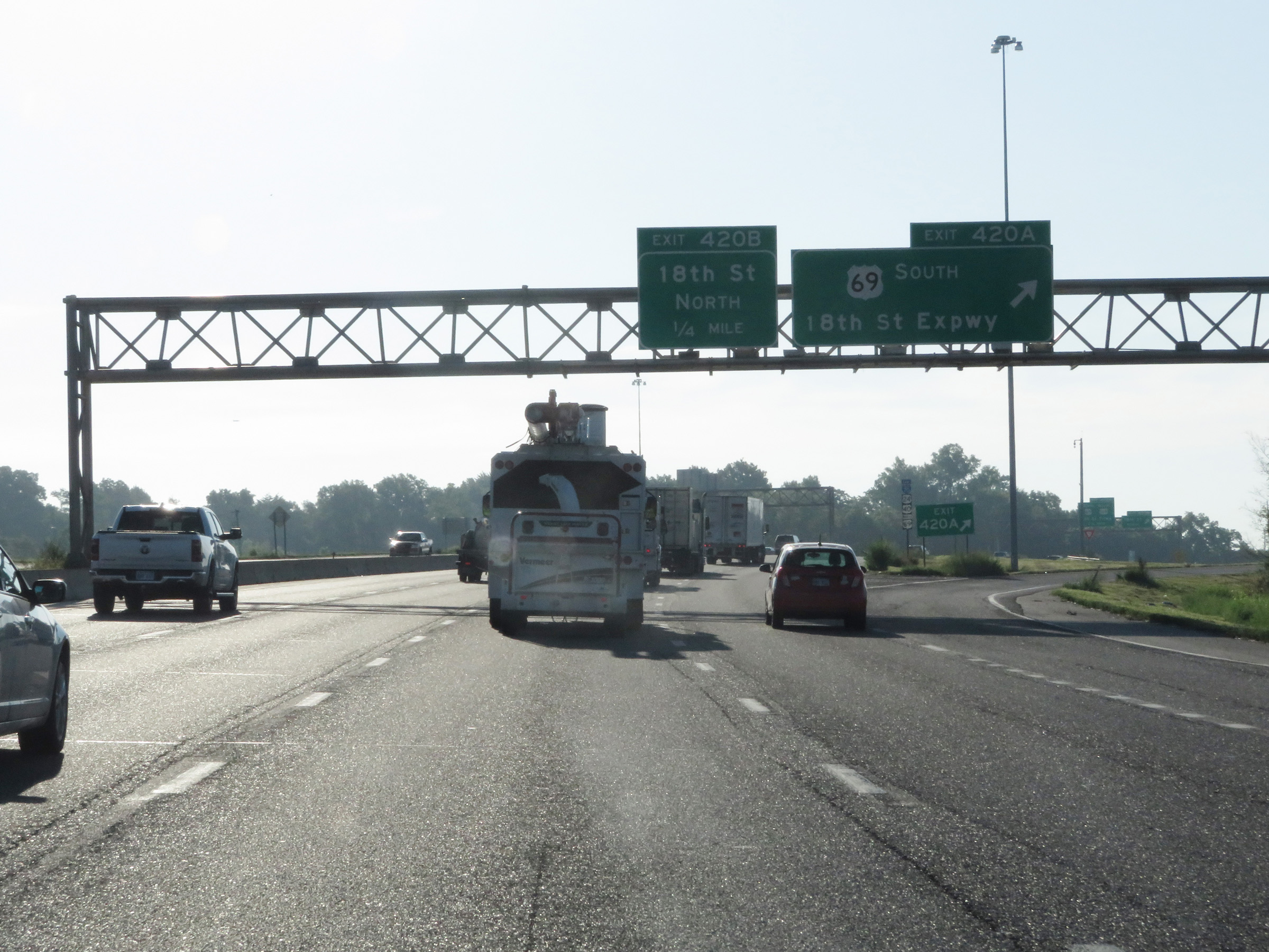 |
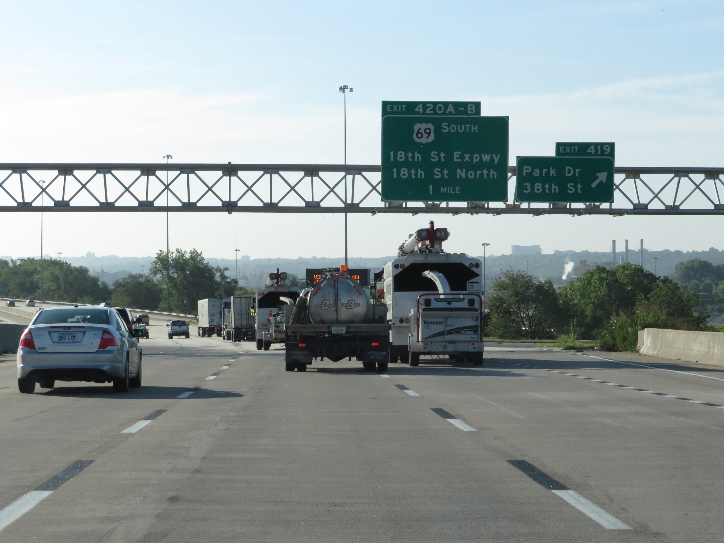
Interstate 70 East (Kansas Turnpike) at Exit 420A: US 69 South - 18th St Expwy (Photo taken 8/12/20). |
 |
Interstate 70 East (Kansas Turnpike) at Exit 420B: 18th St North. It is at this point that the Kansas Turnpike designation comes to an end. (Photo taken 8/12/20). |
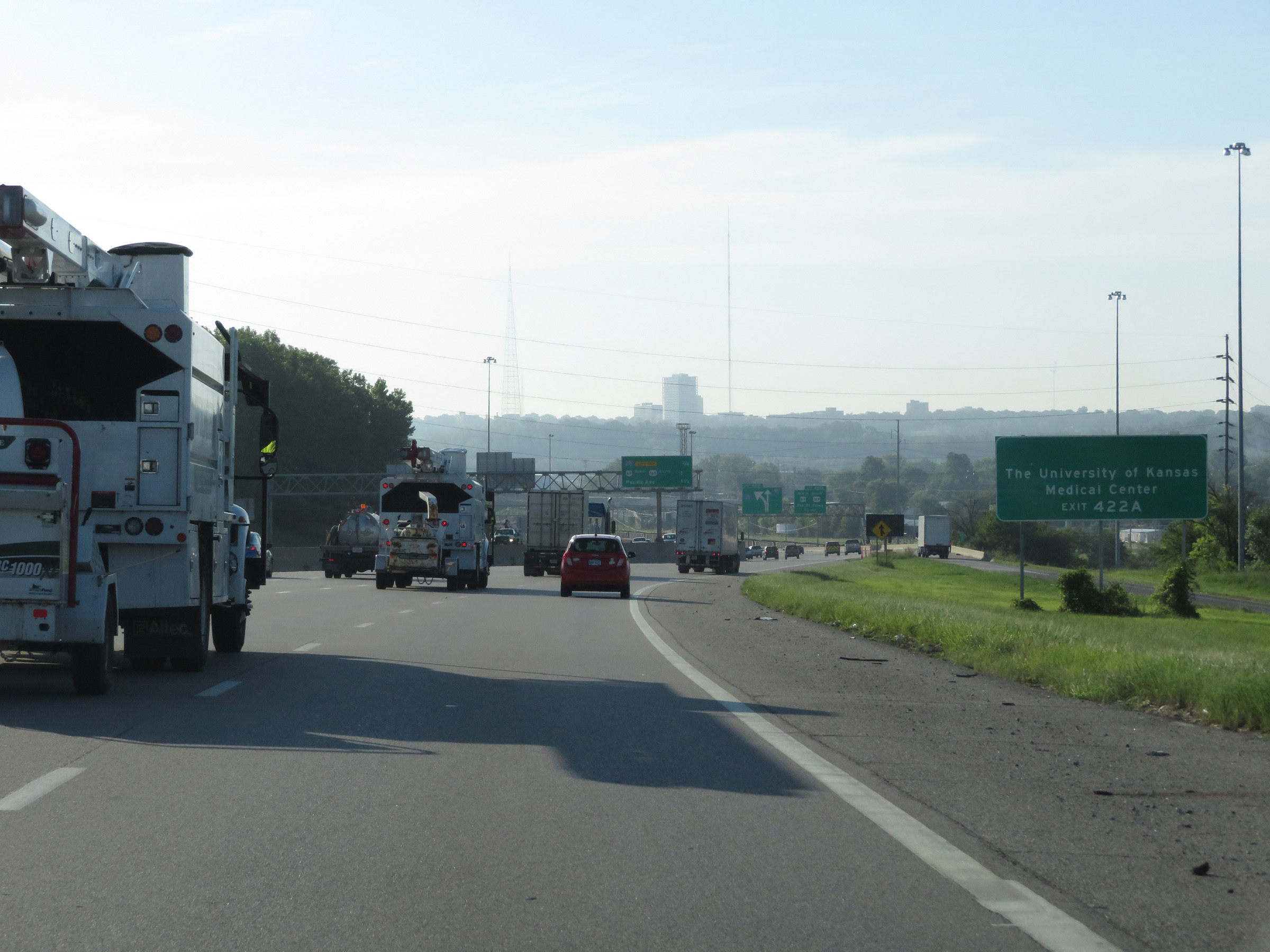 |
Take Exit 422A to The University of Kansas Medical Center. (Photo taken 8/12/20). |
 |
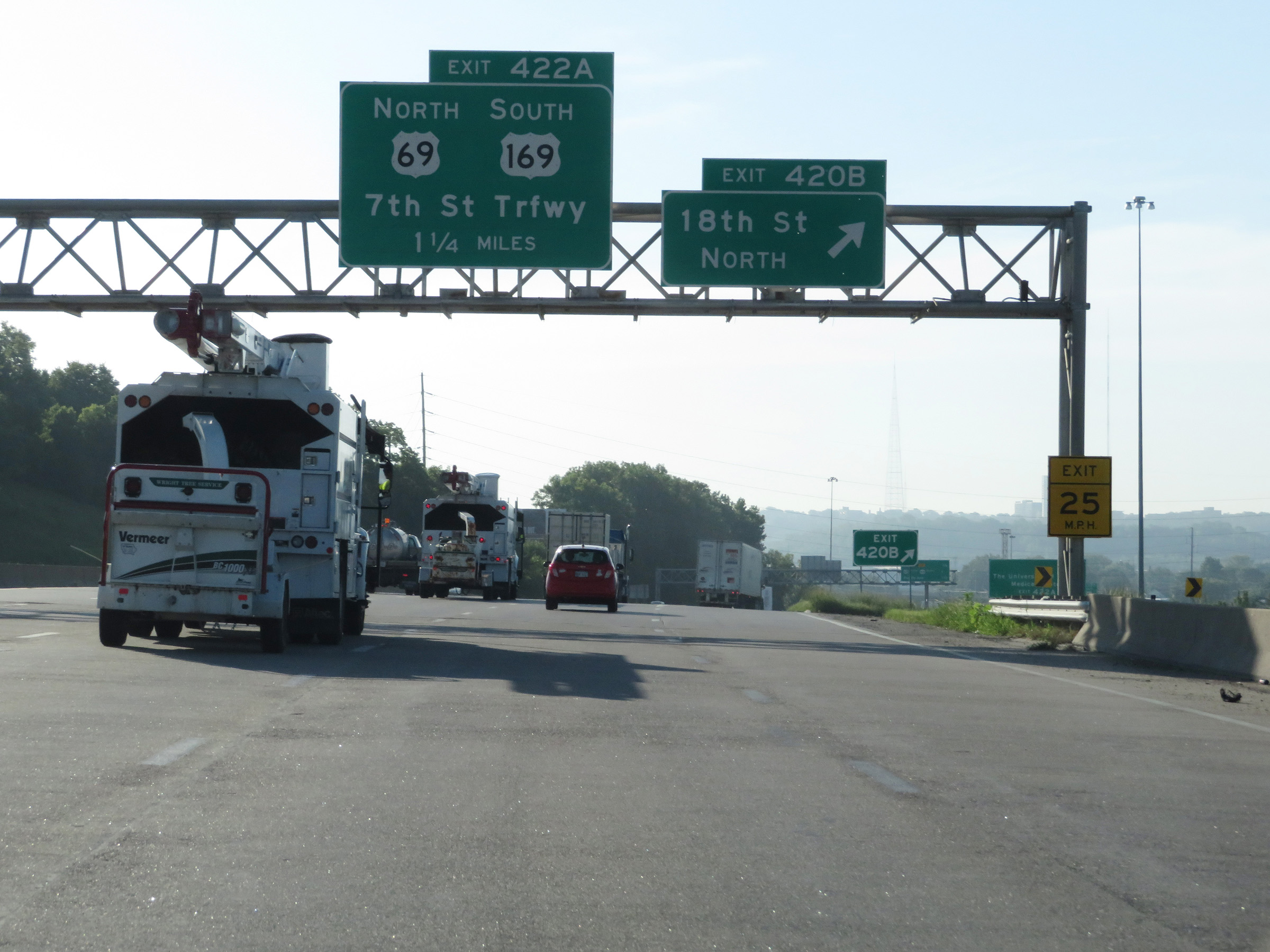
Another overhead mileage sign listing the distances to the next three exits on Interstate 70 East. (Photo taken 8/12/20). |
 |
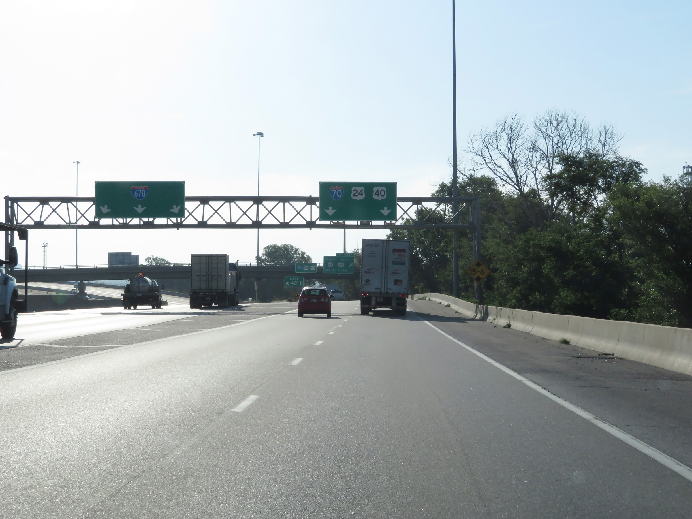
Interstate 70 East as it nears Exit 421B. Any of the three leftmost lanes can be used to access Interstate 670 East via Exit 421B. (Photo taken 8/12/20). |
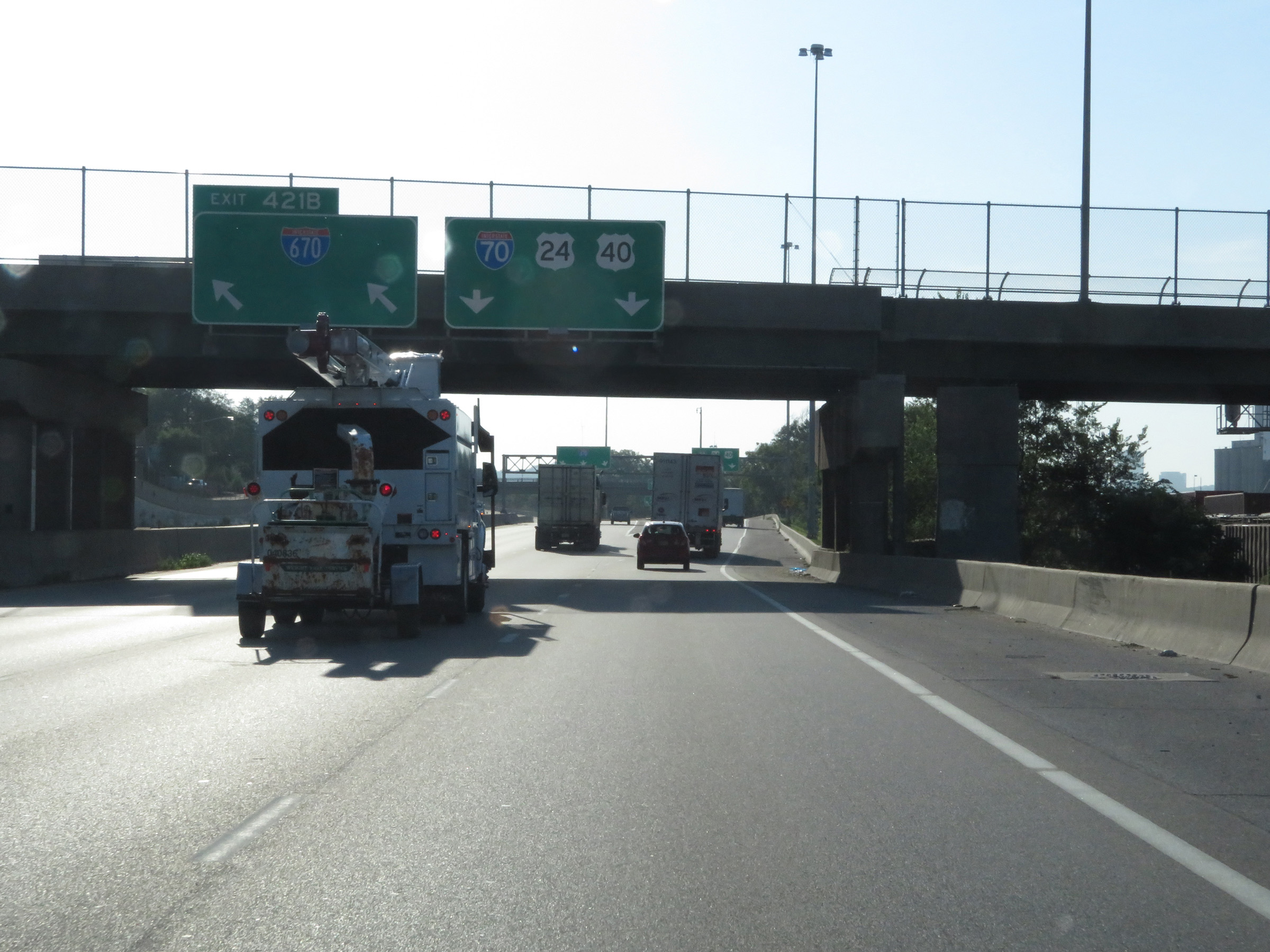 |
Interstate 70 East at Exit 421B: Interstate 670 East (Photo taken 8/12/20). |
 |
At Exit 421B, the maximum speed limit decreases to 55 mph approaching downtown Kansas City. The minimum still remains 40 mph. (Photo taken 8/12/20). |
 |
A closer view of the ramp to Interstate 670 East via Exit 421B. (Photo taken 8/12/20). |
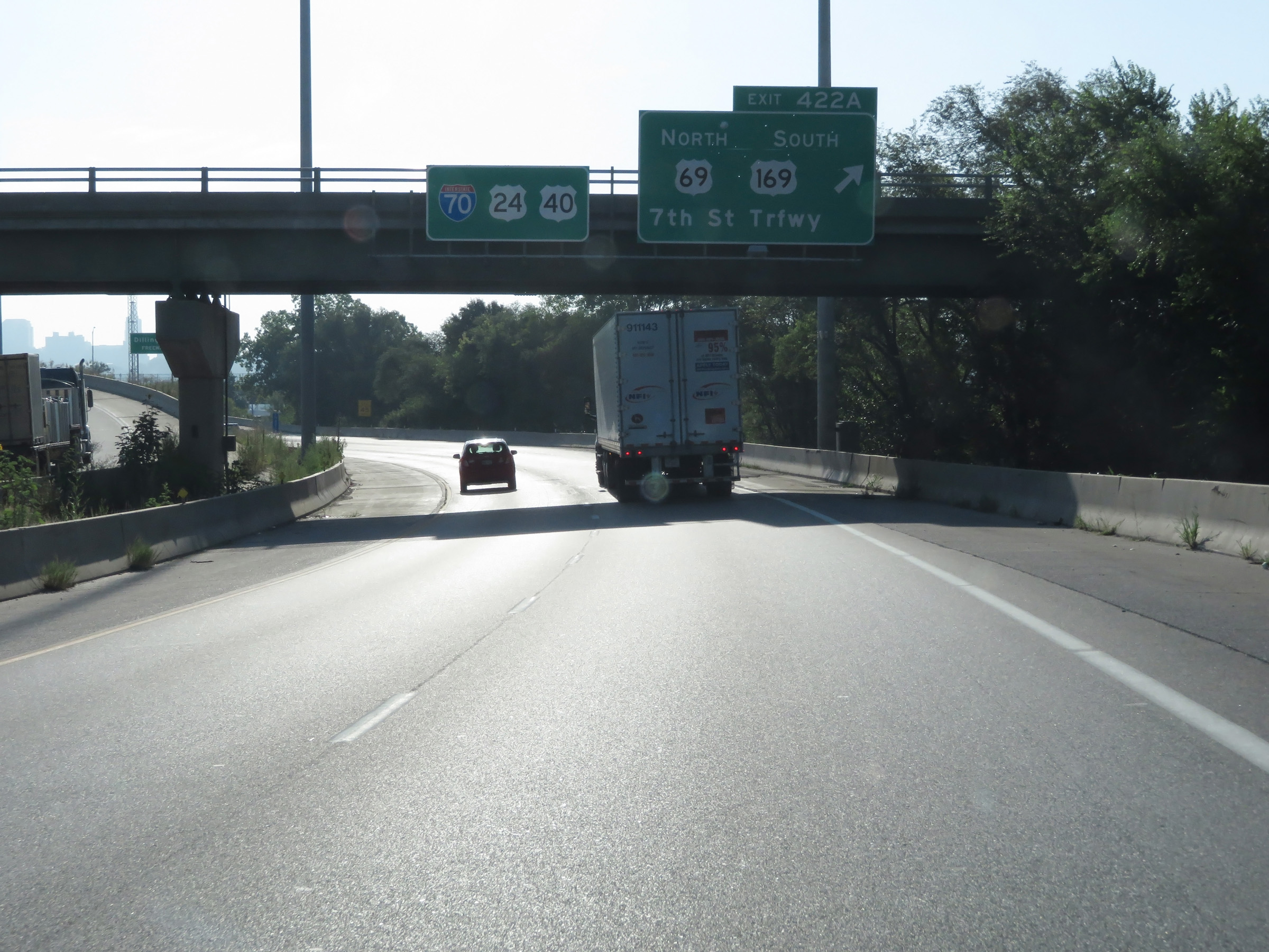 |
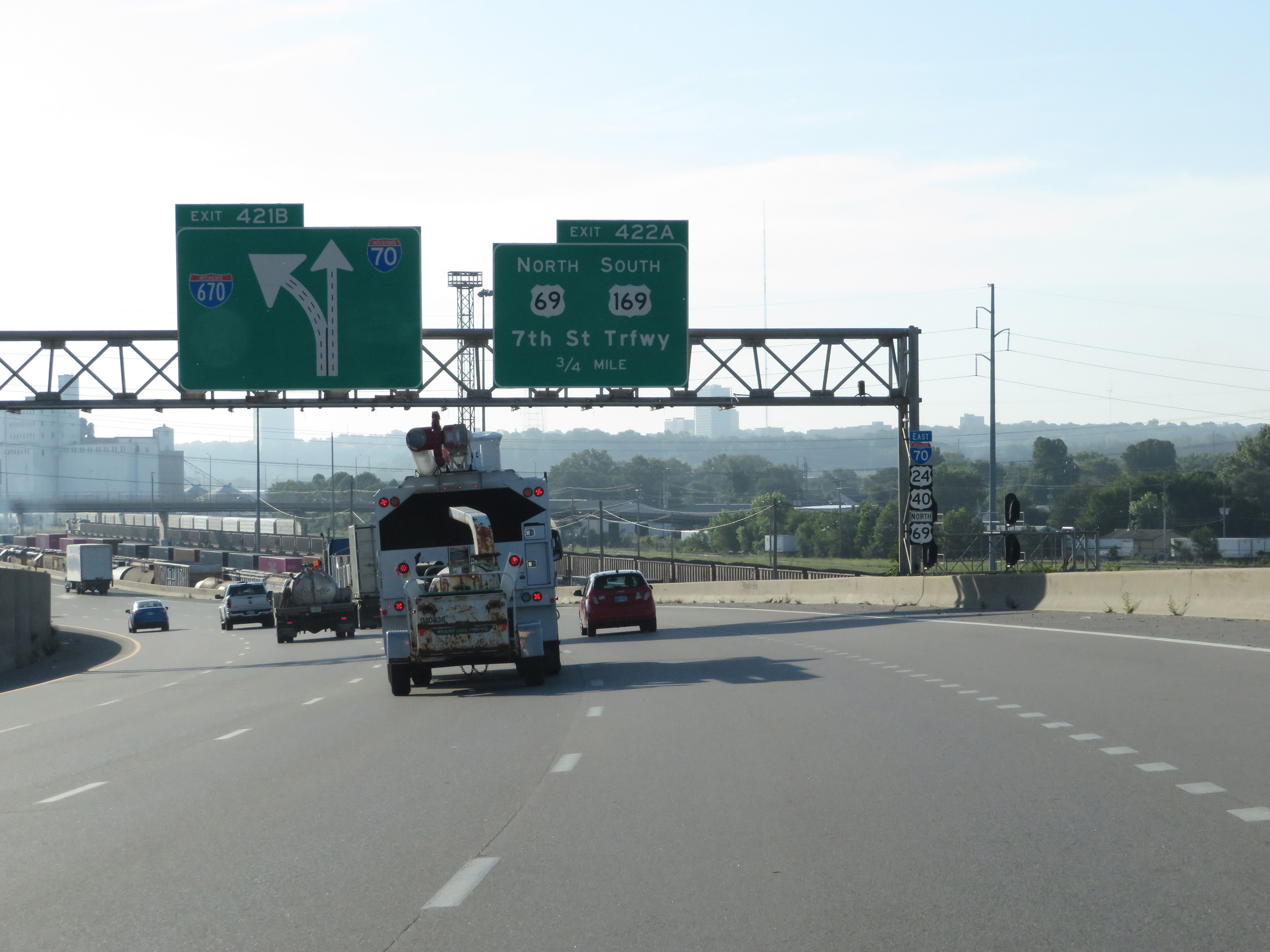
Interstate 70 East at Exit 422A: US 69 North / US 169 South - 7th St Trafficway (Photo taken 8/12/20). |
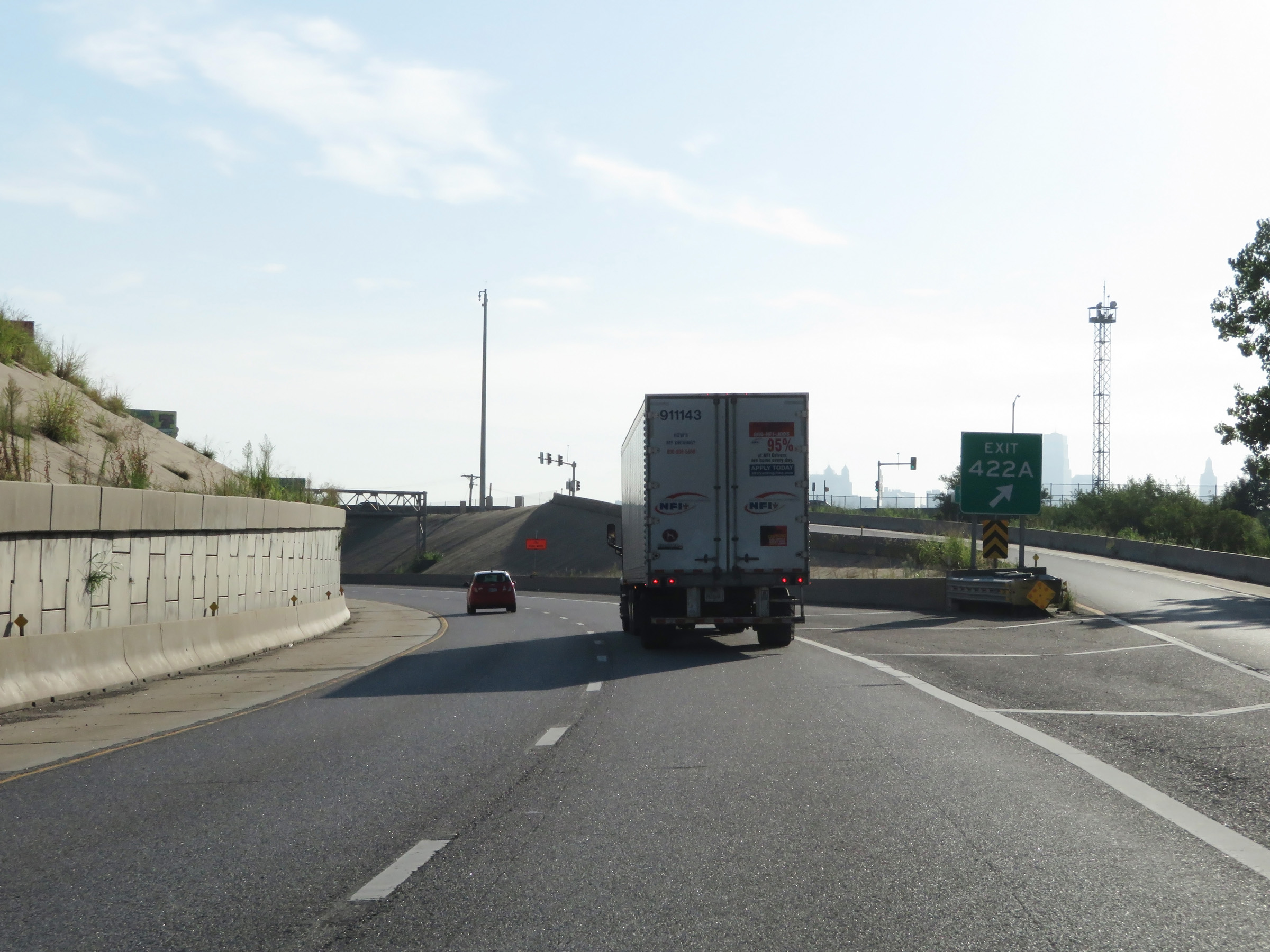 |
At Exit 422A, Interstate 70 East curves to the north. It will run along the Kansas River for over a mile before crossing it into Missouri. (Photo taken 8/12/20). |
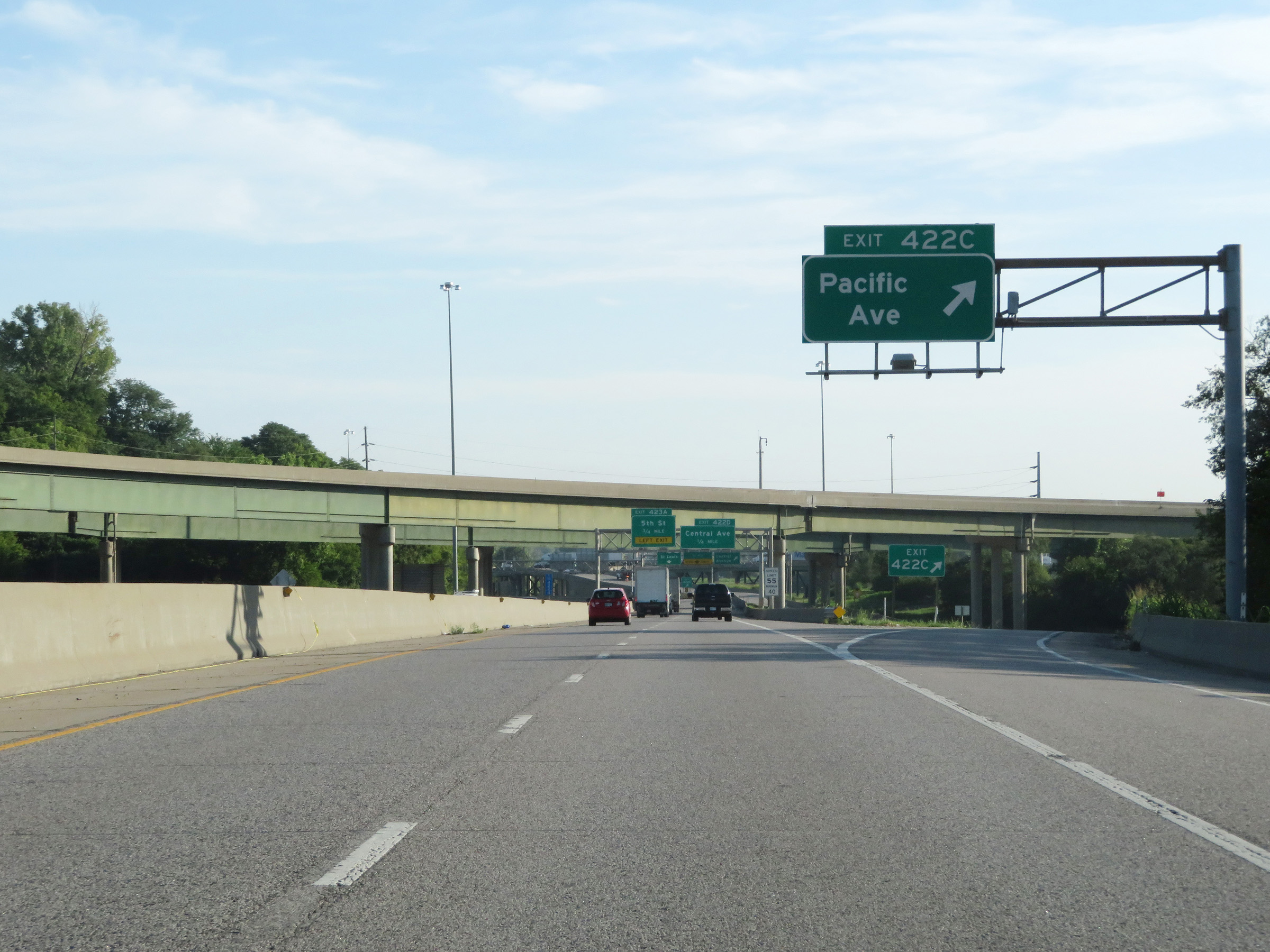 |
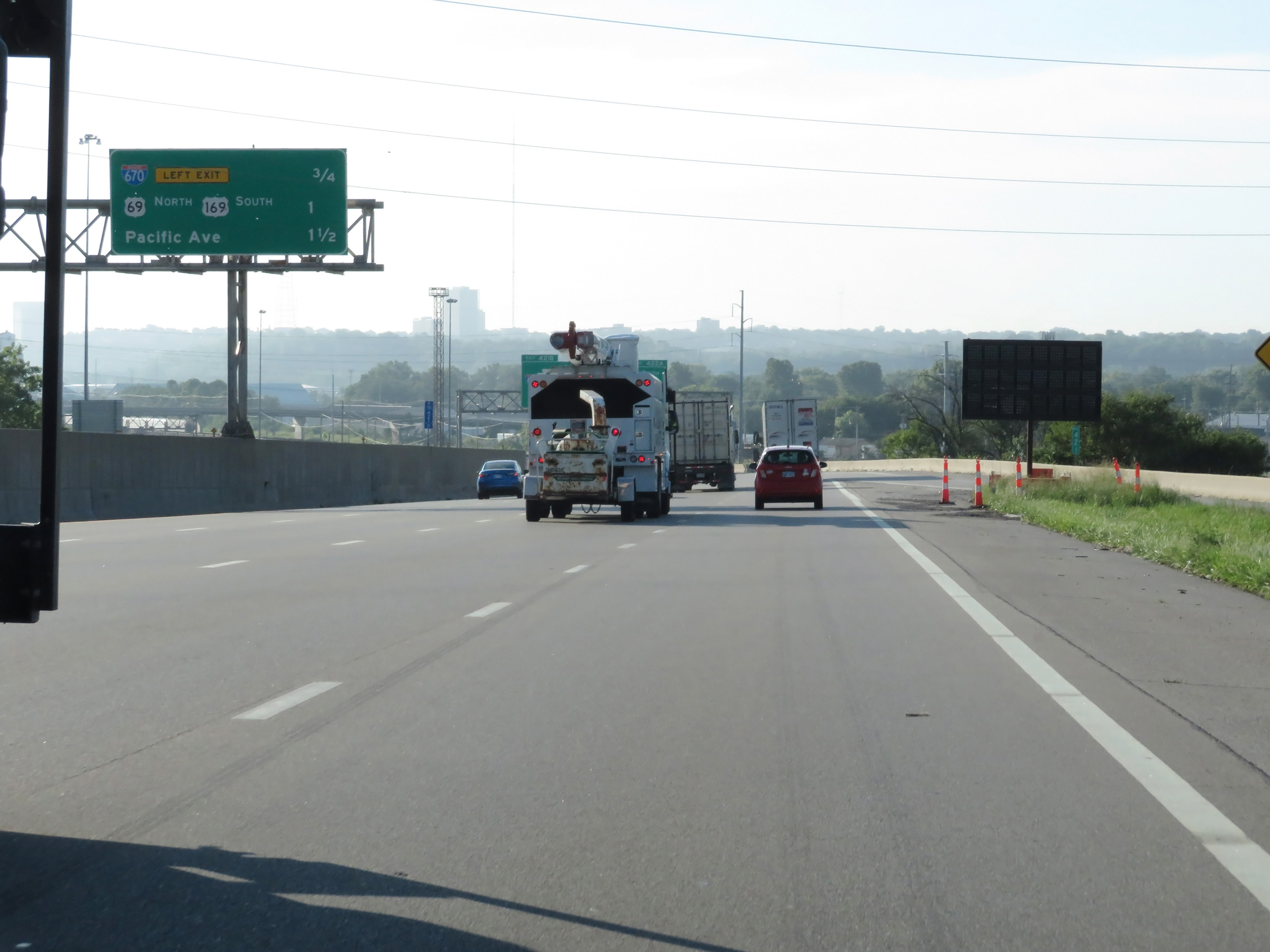
Interstate 70 East at Exit 422C: Pacific Ave (Photo taken 8/12/20). |
 |
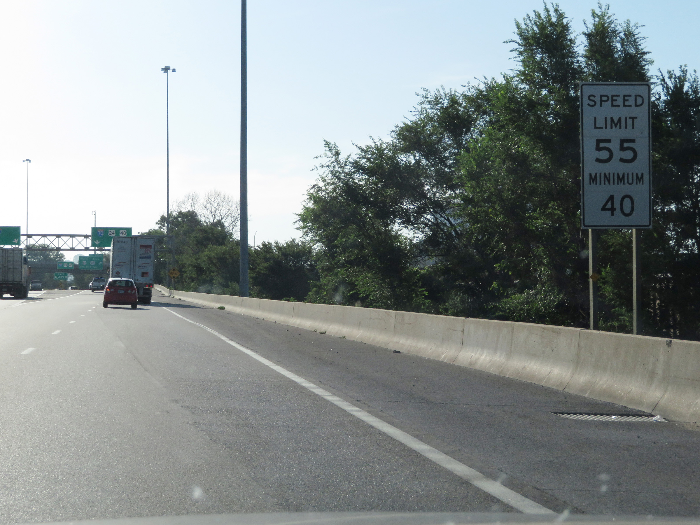
The speed limits remain 55 mph maximum and 40 mph minimum. (Photo taken 8/12/20). |
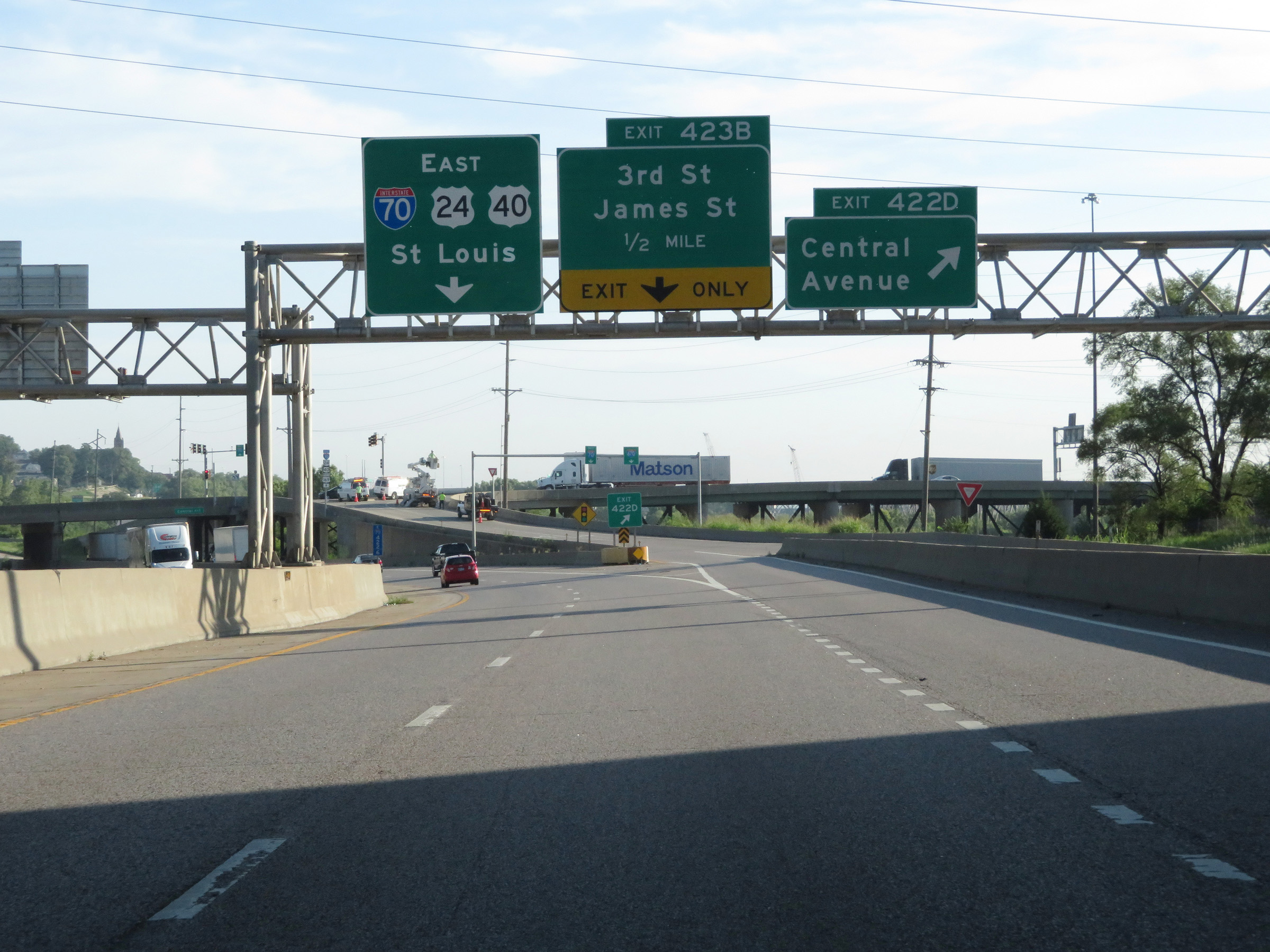 |
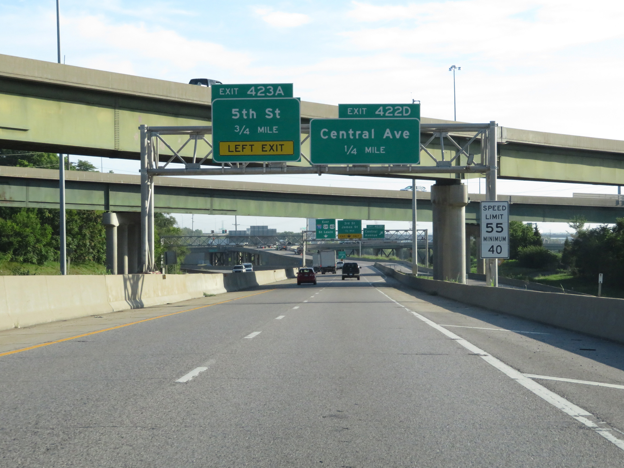
Interstate 70 East at Exit 422D: Central Avenue (Photo taken 8/12/20). |
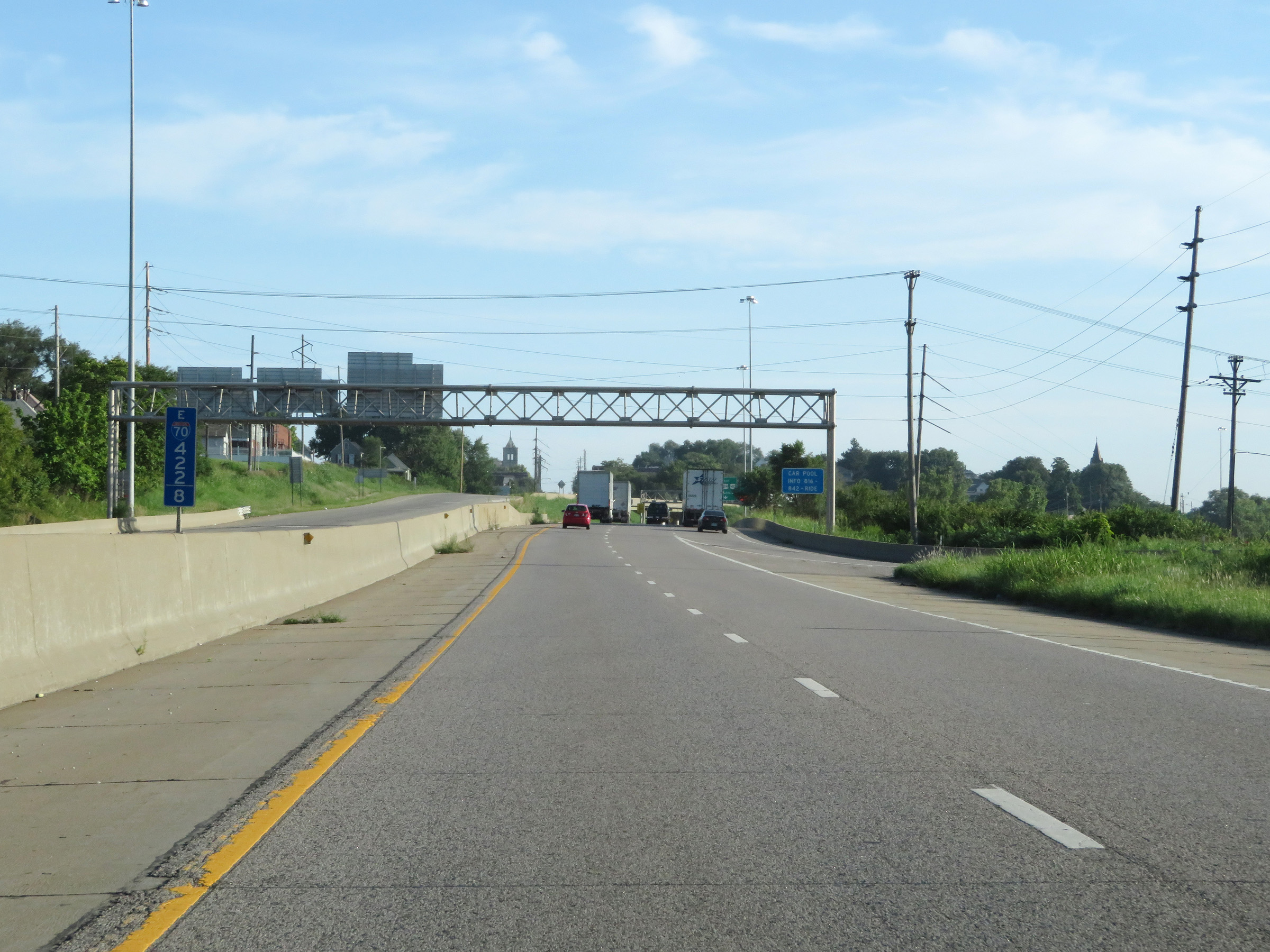 |
View on Interstate 70 East at mile marker 422.8. (Photo taken 8/12/20). |
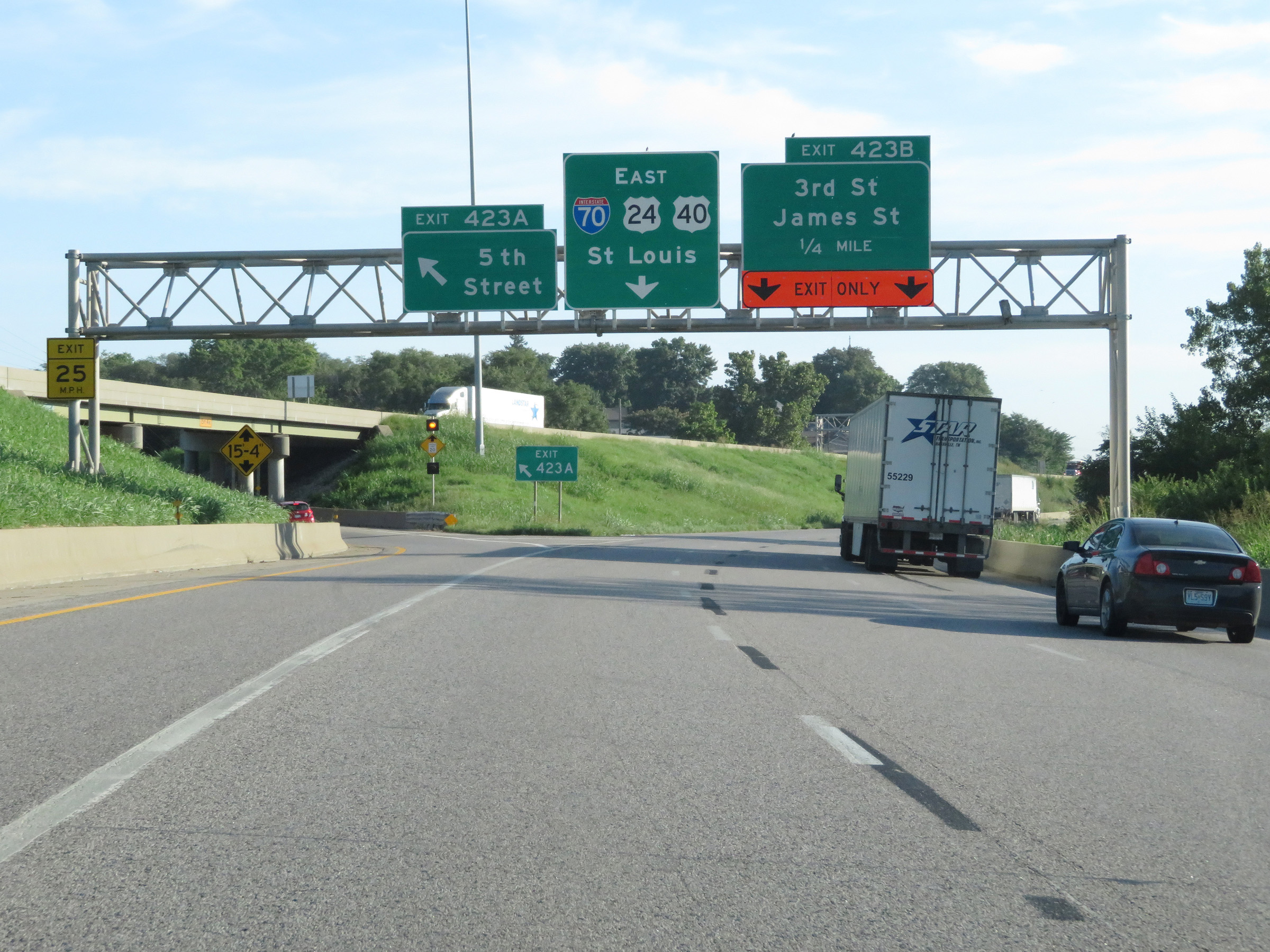 |
Interstate 70 East at Exit 423A: 5th Street (Photo taken 8/12/20). |
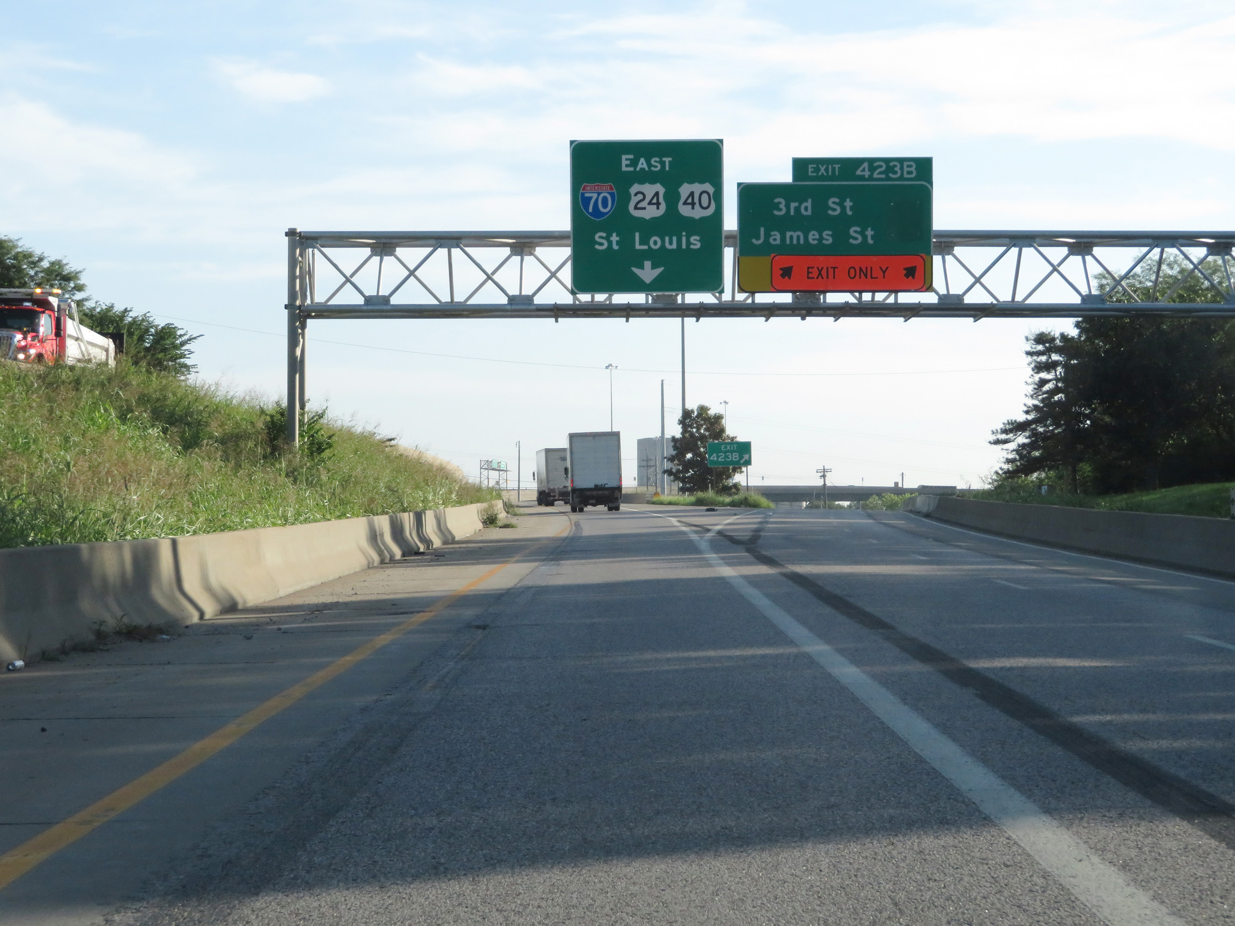 |
Interstate 70 East at Exit 423B: 3rd St / James St (Photo taken 8/12/20). |
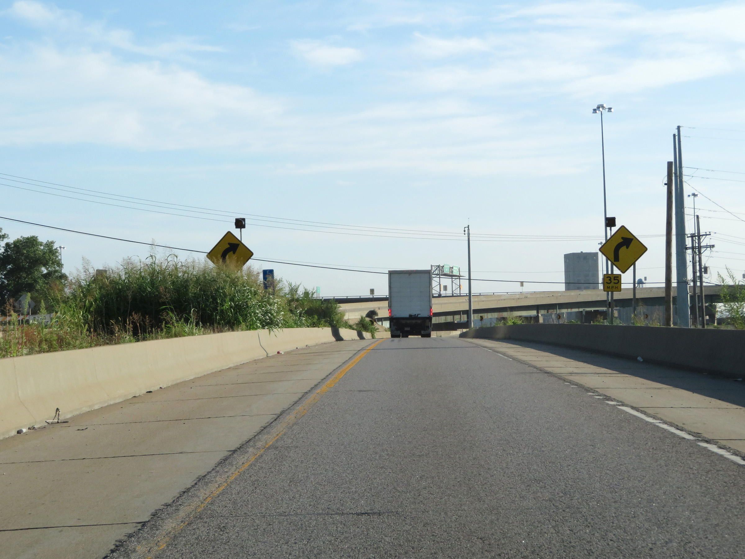 |
Beyond Exit 423B, Interstate 70 East is reduced to a single lane as it prepares to curve sharply back to the east ahead, at which time it will cross the Kansas River via the Lewis and Clark Viaduct Bridge. (Photo taken 8/12/20). |
 |
View on Interstate 70 East as it curves sharply to the east in preparation for crossing the Lewis and Clark Viaduct Bridge over the Kansas River. (Photo taken 8/12/20). |
 |
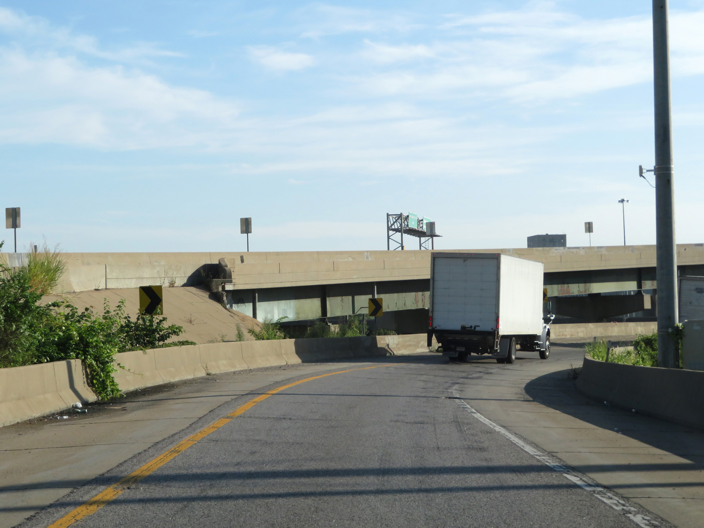
The on ramps from Fairfax Trafficway, Washington Blvd, and Minnesota Ave come together with the current single lane of Interstate 70 East to form three lanes to cross the Lewis and Clark Viaduct Bridge. You can also see the construction progress at the time of the westbound lanes of I-70, which are being replaced over the bridge. (Photo taken 8/12/20). |
 |
State-named Interstate 70 East reassurance shield as it starts across the Lewis and Clark Viaduct Bridge over the Kansas River and the viaduct itself. (Photo taken 8/12/20). |
 |
The speed limits remain 55 mph maximum and 40 mph minimum across the Lewis and Clark Viaduct Bridge on Interstate 70 East. (Photo taken 8/12/20). |
 |
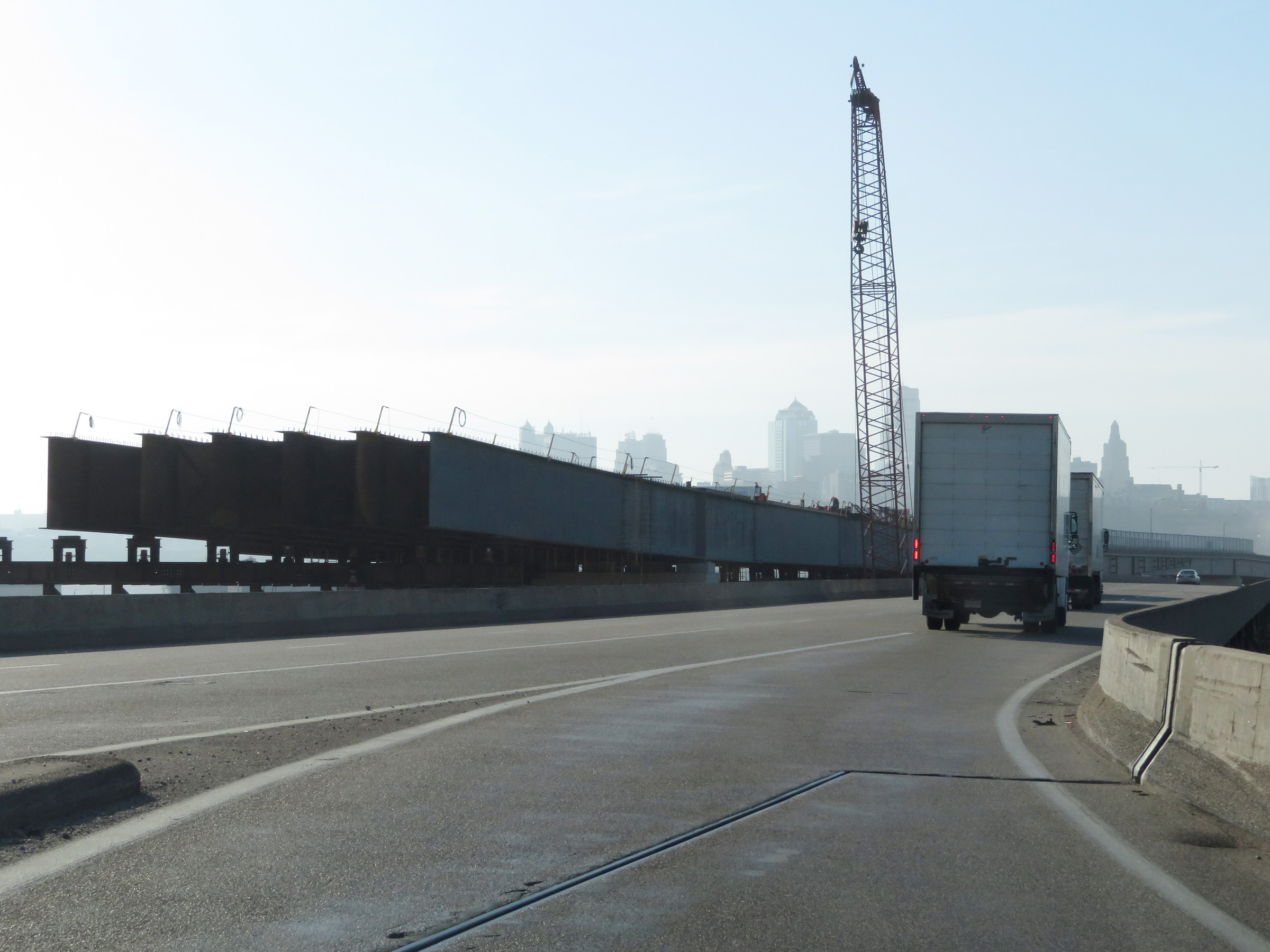
A glimpse of downtown Kansas City, MO as Interstate 70 East approaches the state line on the Lewis and Clark Viaduct Bridge. (Photo taken 8/12/20). |
 |
Interstate 70 East just before it officially crosses the state line into Missouri on the Lewis and Clark Viaduct Bridge over the Kansas River. (Photo taken 8/12/20). |