Road Information |
||
 |
||
| Total Mileage in State: | 16.5 miles | |
| Northern End: | At I-135/K-254, in Wichita | |
| Southern End: | At I-135, in Wichita | |
| Mileage covered in Photos: | 16.5 miles | |
| Counties covered in Photos: | Sedgwick | |
| Major Junctions in Photos: | I-135/US 81/KS 96, in Wichita US 54/US 400, in Wichita I-135/US 81, in Wichita |
|
| Control Cities in Photos: | Wichita | |
Southbound
 |
K-254 West approaching the junction of Interstate 135 and the beginning of Interstate 235 South to the north of downtown Wichita. (Photo taken 8/11/20). |
 |
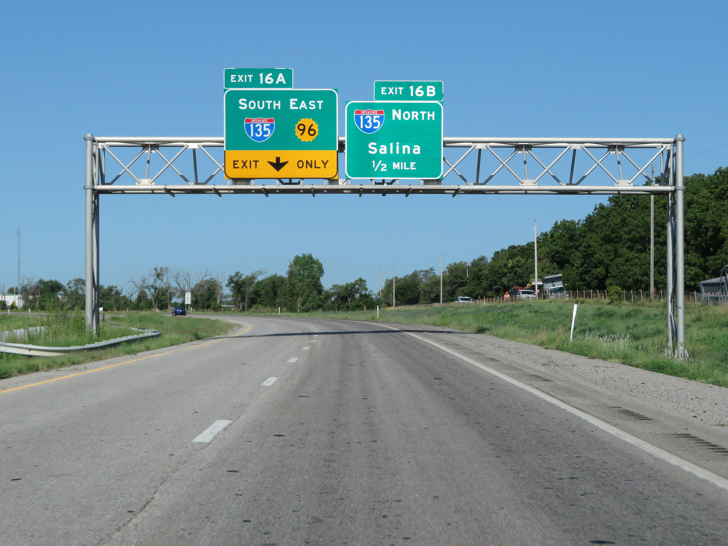
Interstate 235 South at Exit 16B: Interstate 135 North - Salina (Photo taken 8/11/20). |
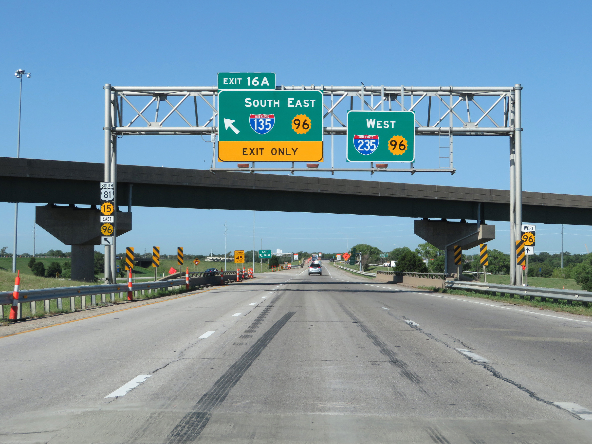 |
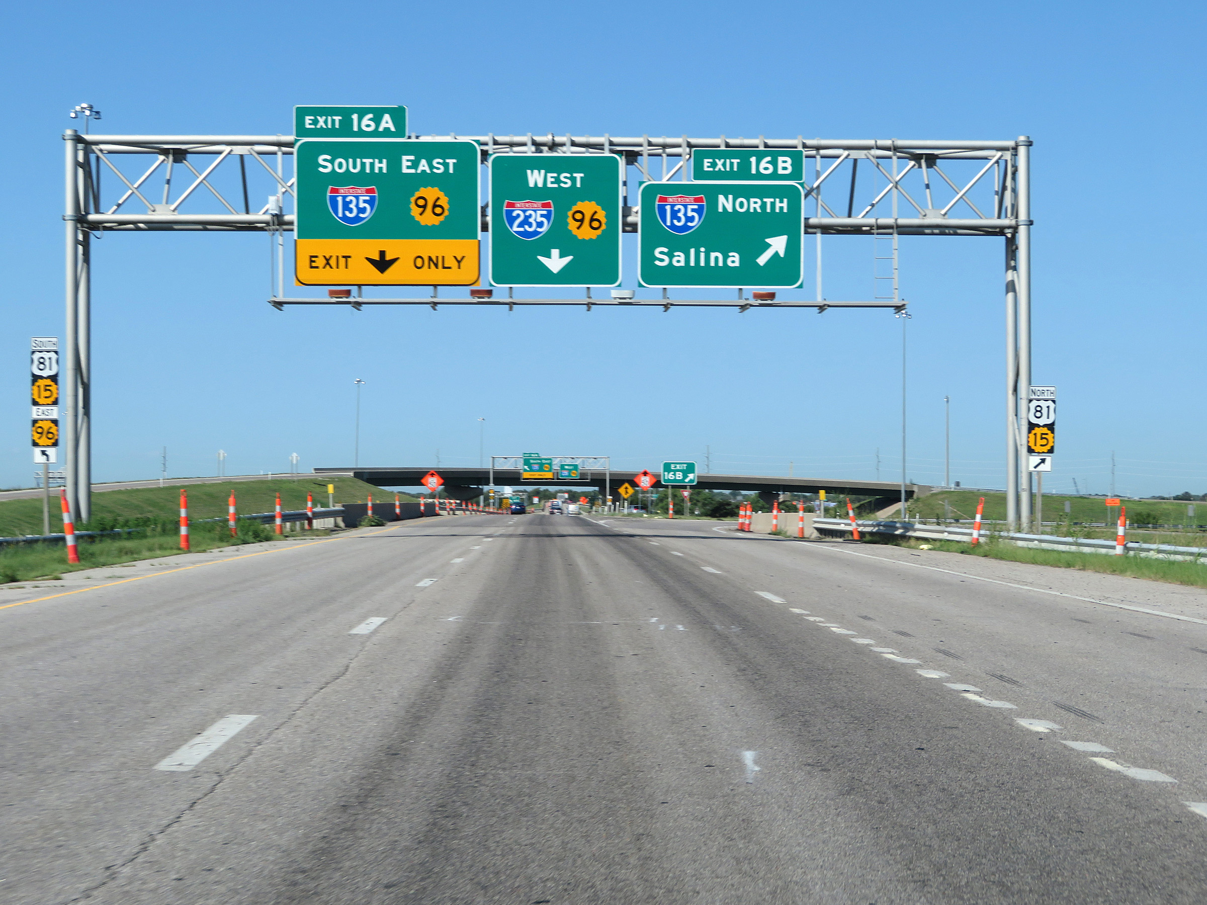
Interstate 235 South at Exit 16A: Interstate 135 South / K-96 East (Photo taken 8/11/20). |
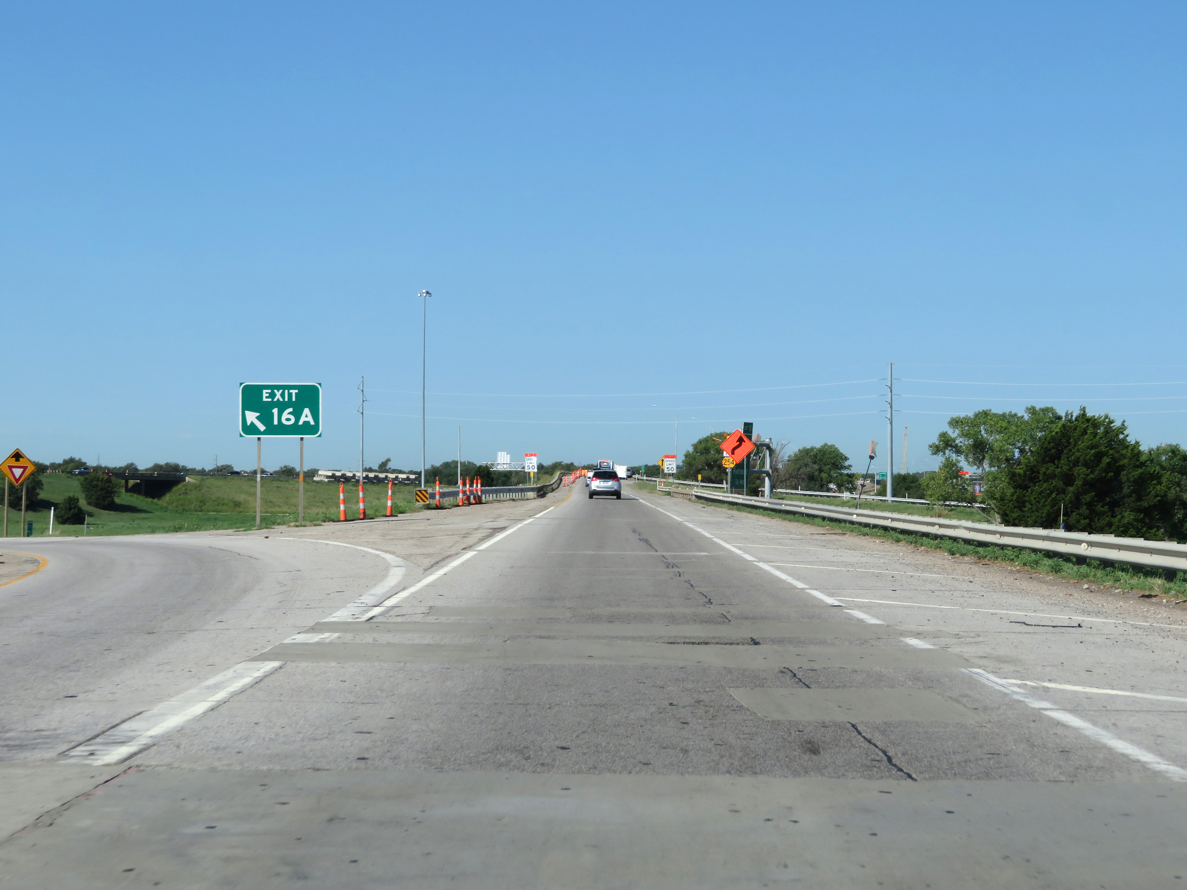 |
Gore point signage for Exit 16A. (Photo taken 8/11/20). |
 |
K-254 END shield well after Interstate 235 South has begun. (Photo taken 8/11/20). |
 |
State-named Interstate 235 South reassurance shield. (Photo taken 8/11/20). |
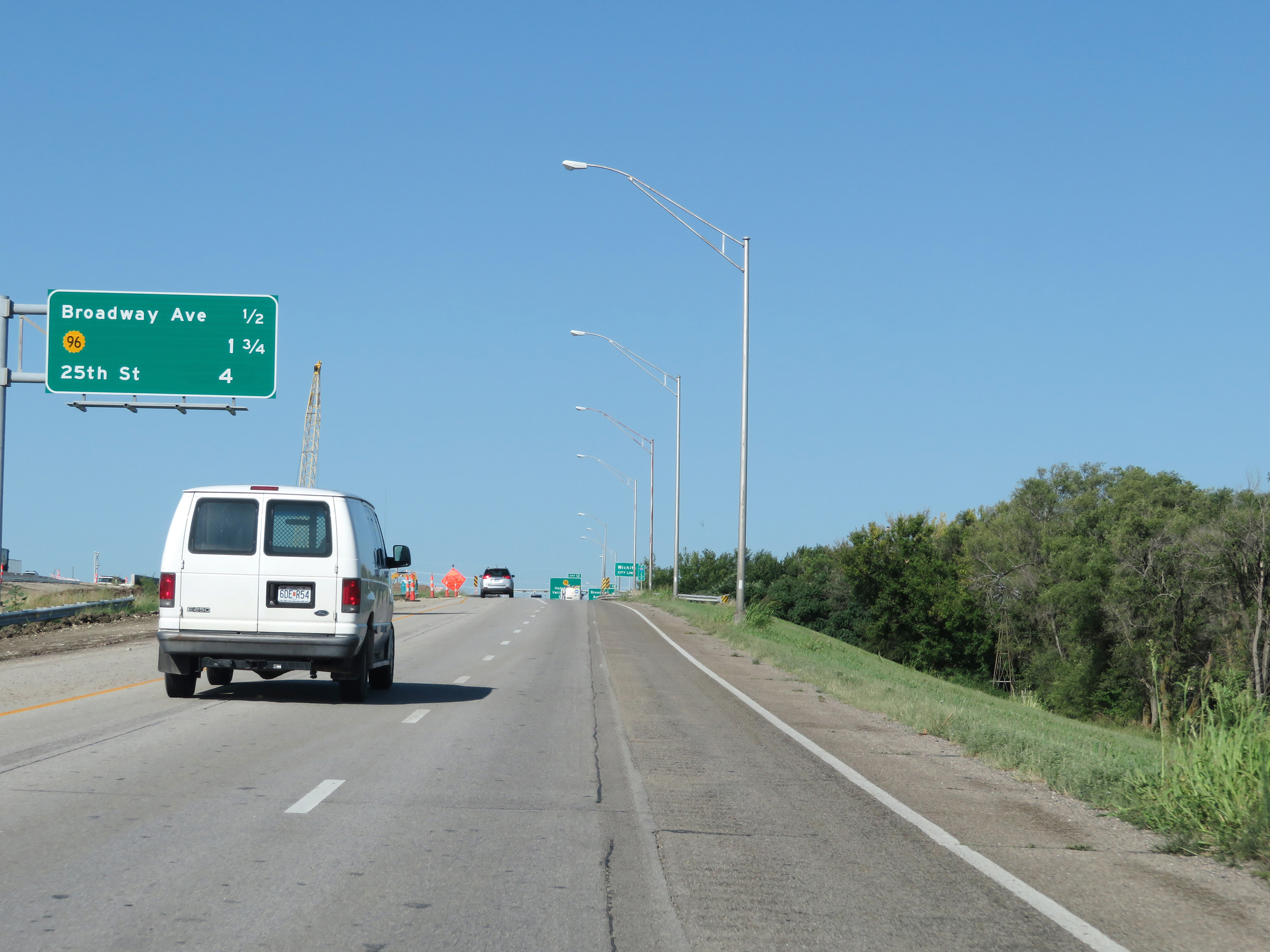 |
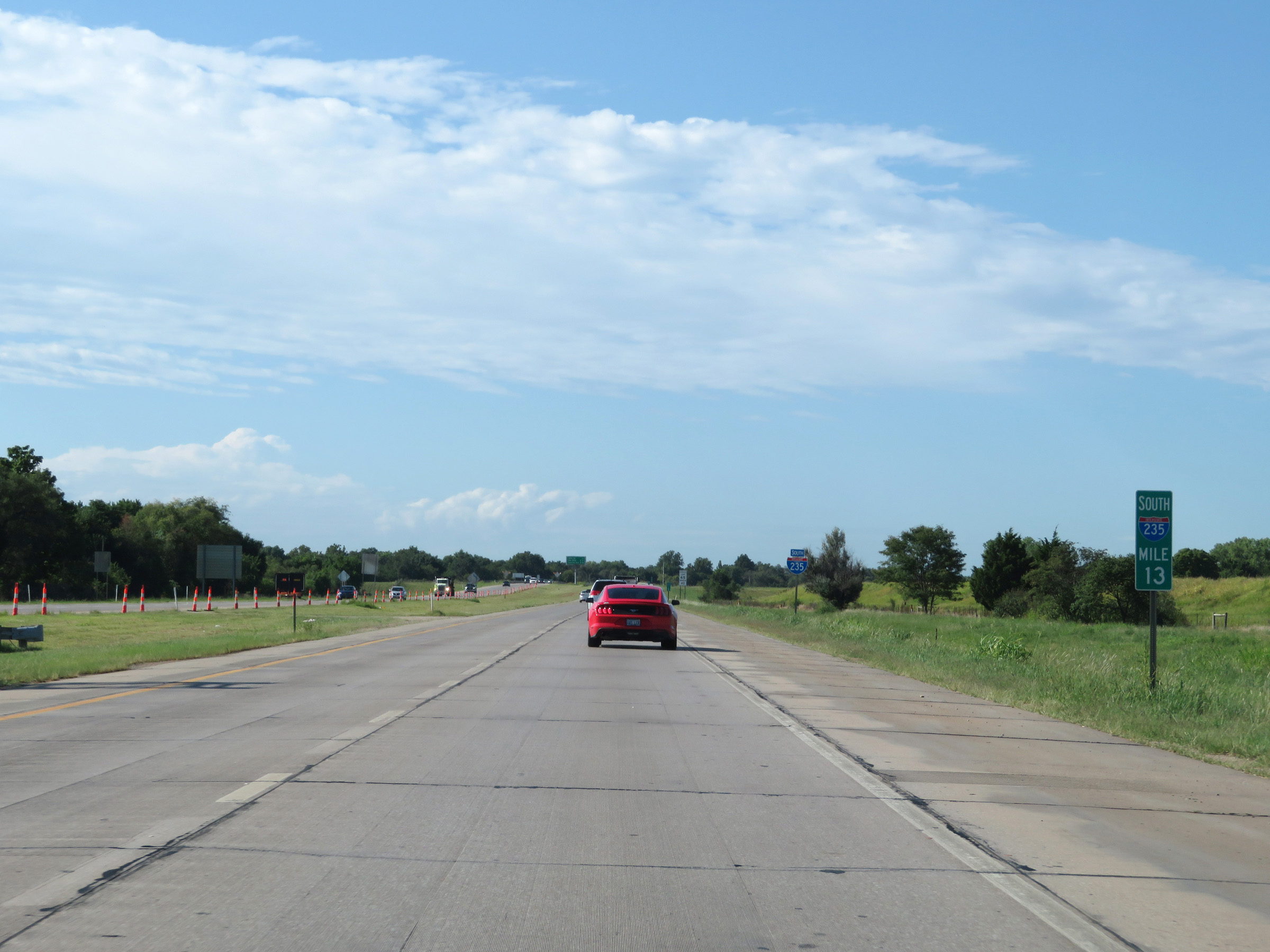
Mileage sign in the median, listing the distances to the three upcoming exits on Interstate 235 South. (Photo taken 8/11/20). |
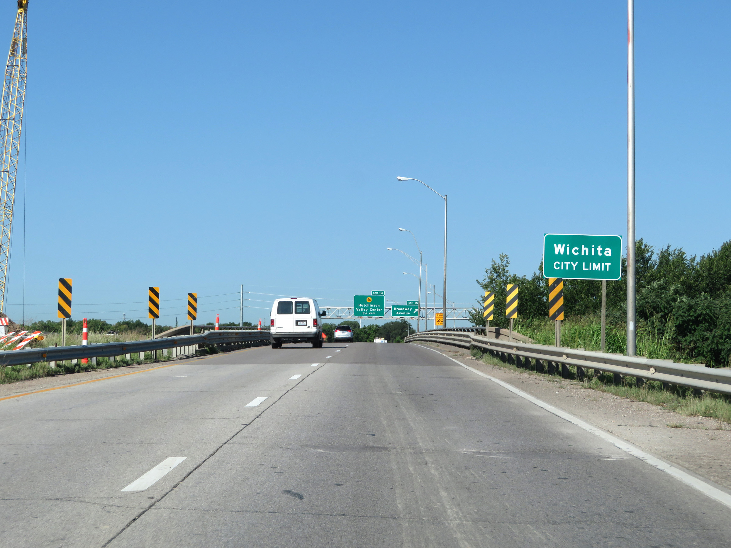 |
Interstate 235 South as it officially enters the Wichita city limits. (Photo taken 8/11/20). |
 |
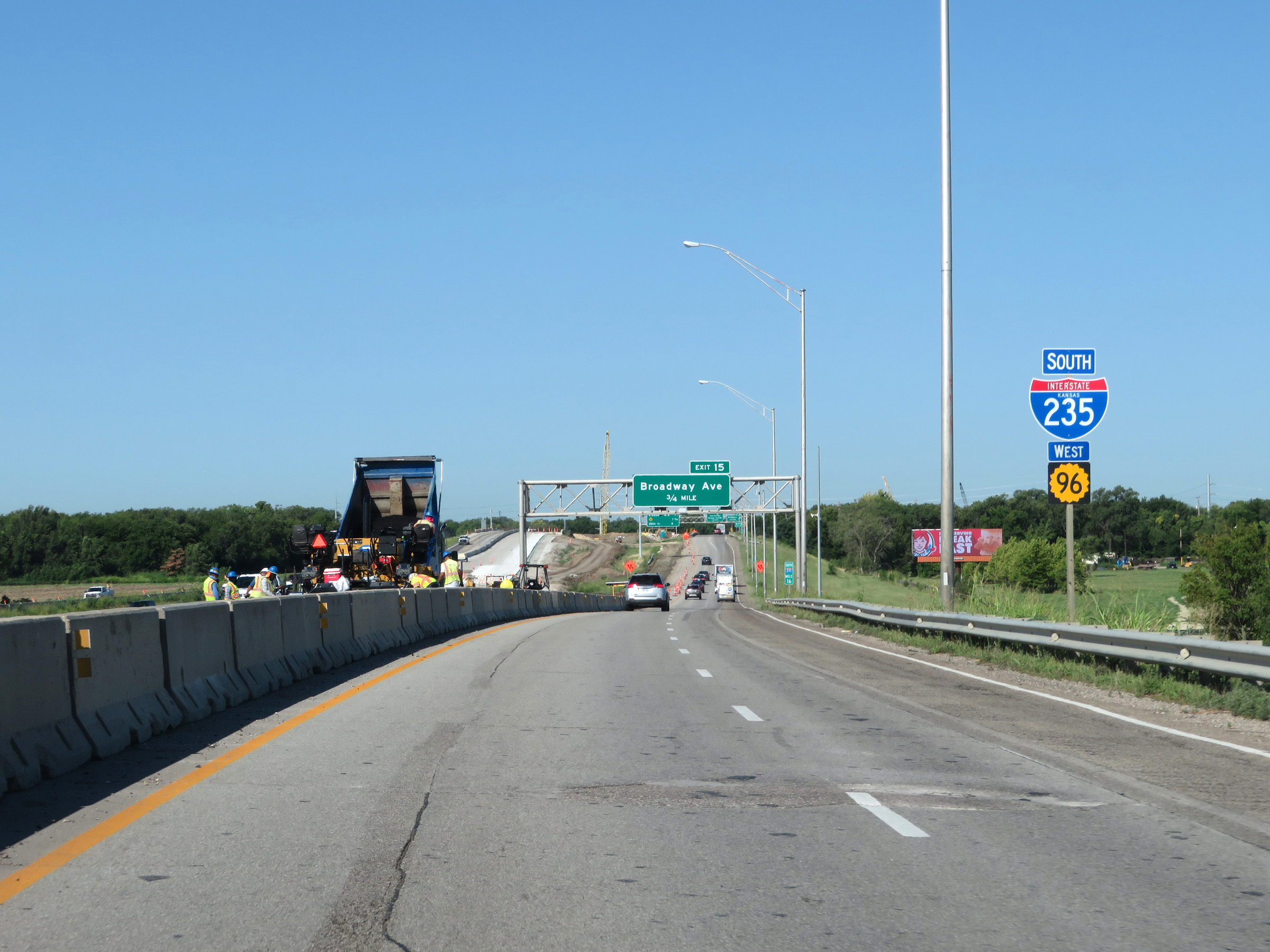
Interstate 235 South at Exit 15: Broadway Avenue (Photo taken 8/11/20). |
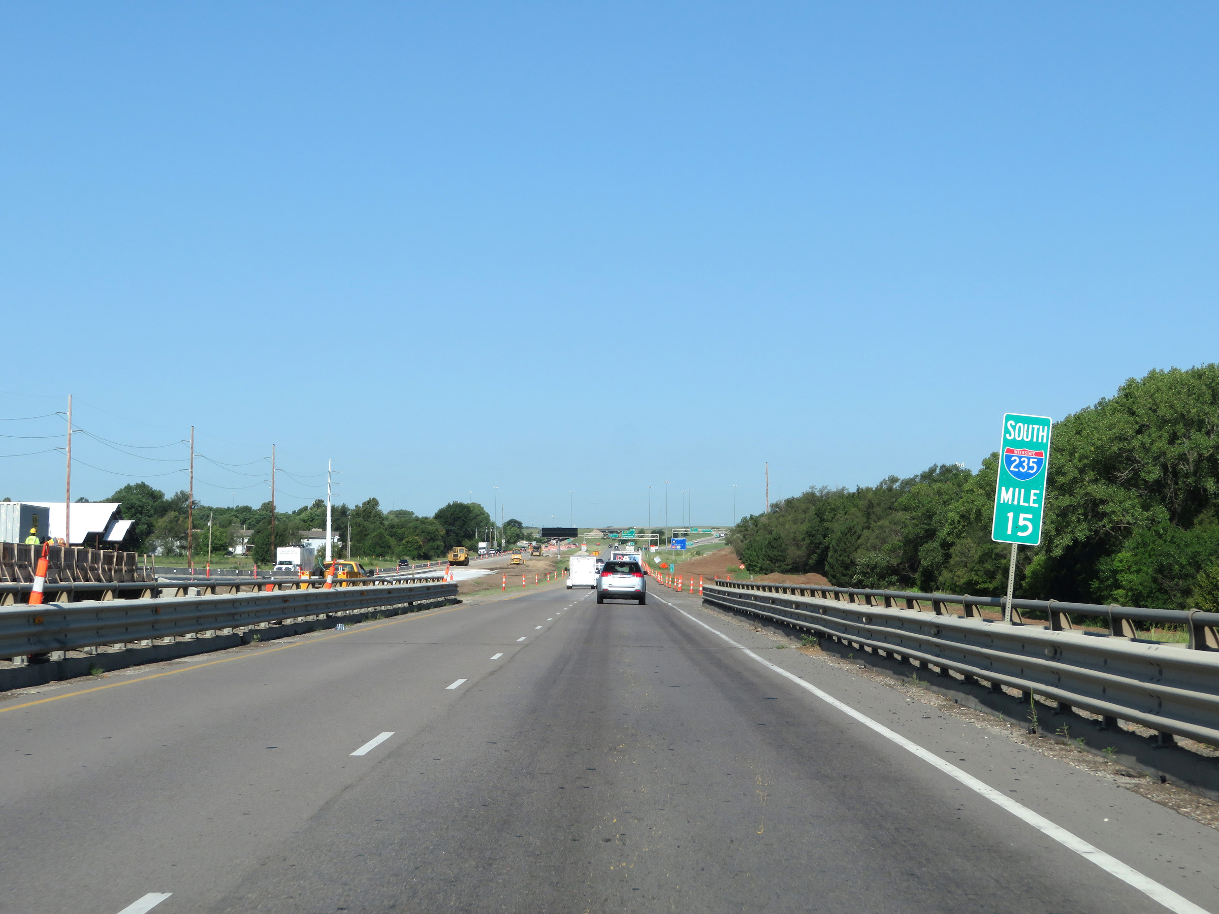 |
View on Interstate 235 South at mile marker 15. (Photo taken 8/11/20). |
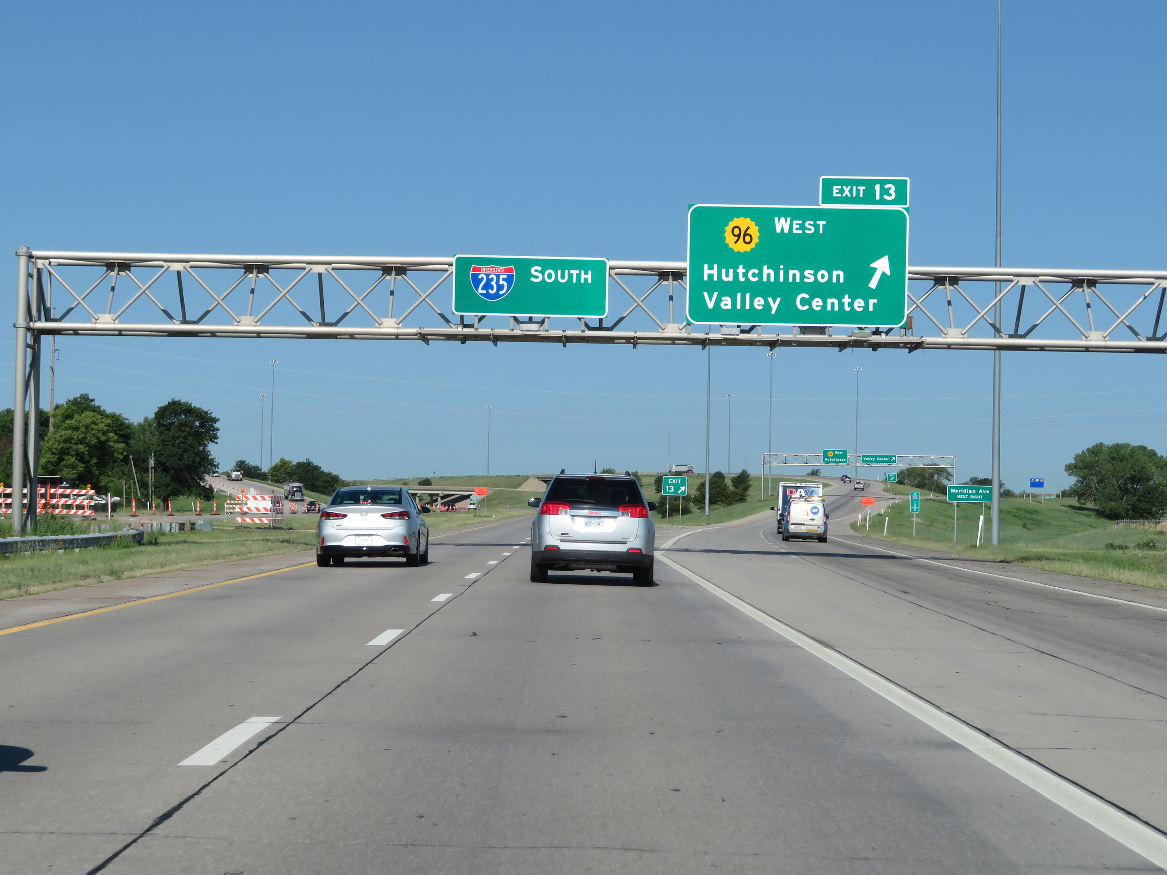 |
Interstate 235 South at Exit 13: K-96 West - Hutchinson / Valley Center (Photo taken 8/11/20). |
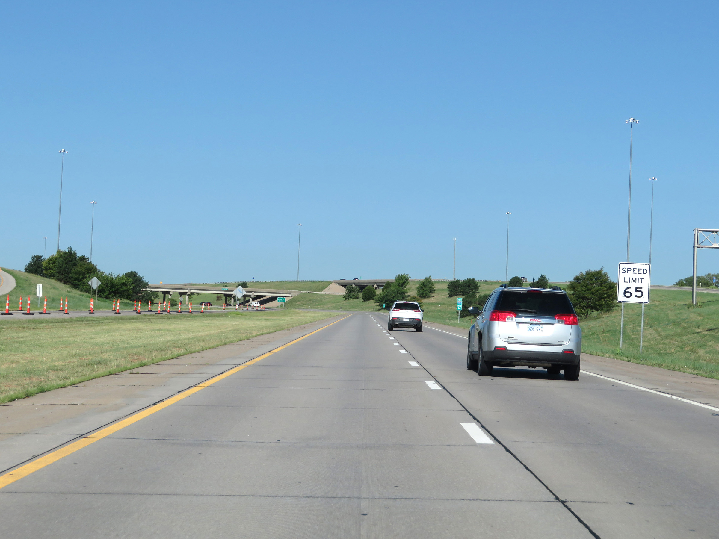 |
The maximum speed limit on Interstate 235 South starts out at 65 mph, save for any construction zone speed limits. (Photo taken 8/11/20). |
 |
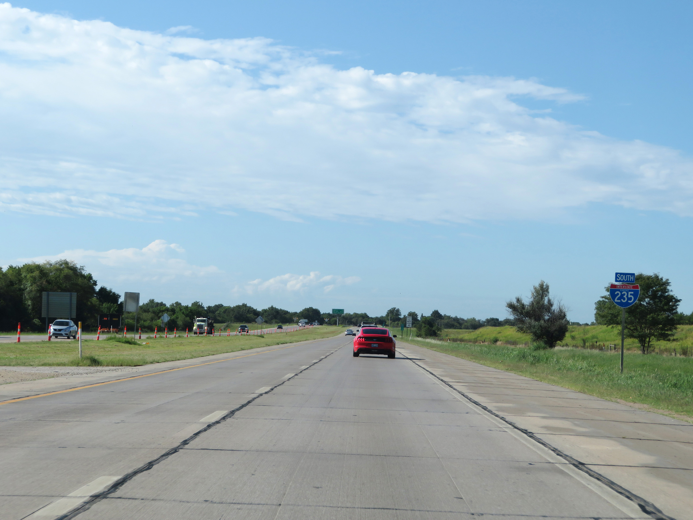
At mile marker 13.2, Interstate 235 South begins to curve to the south after the departure of K-96 in the northwestern corner of the Wichita area. (Photo taken 8/11/20). |
 |
Interstate 235 South as it continues to curve to the south at mile marker 13.4. (Photo taken 8/11/20). |
 |
View on Interstate 235 South at mile marker 13, now heading in a more southern direction. (Photo taken 8/11/20). |
 |
Another state-named Interstate 235 South reassurance shield. (Photo taken 8/11/20). |
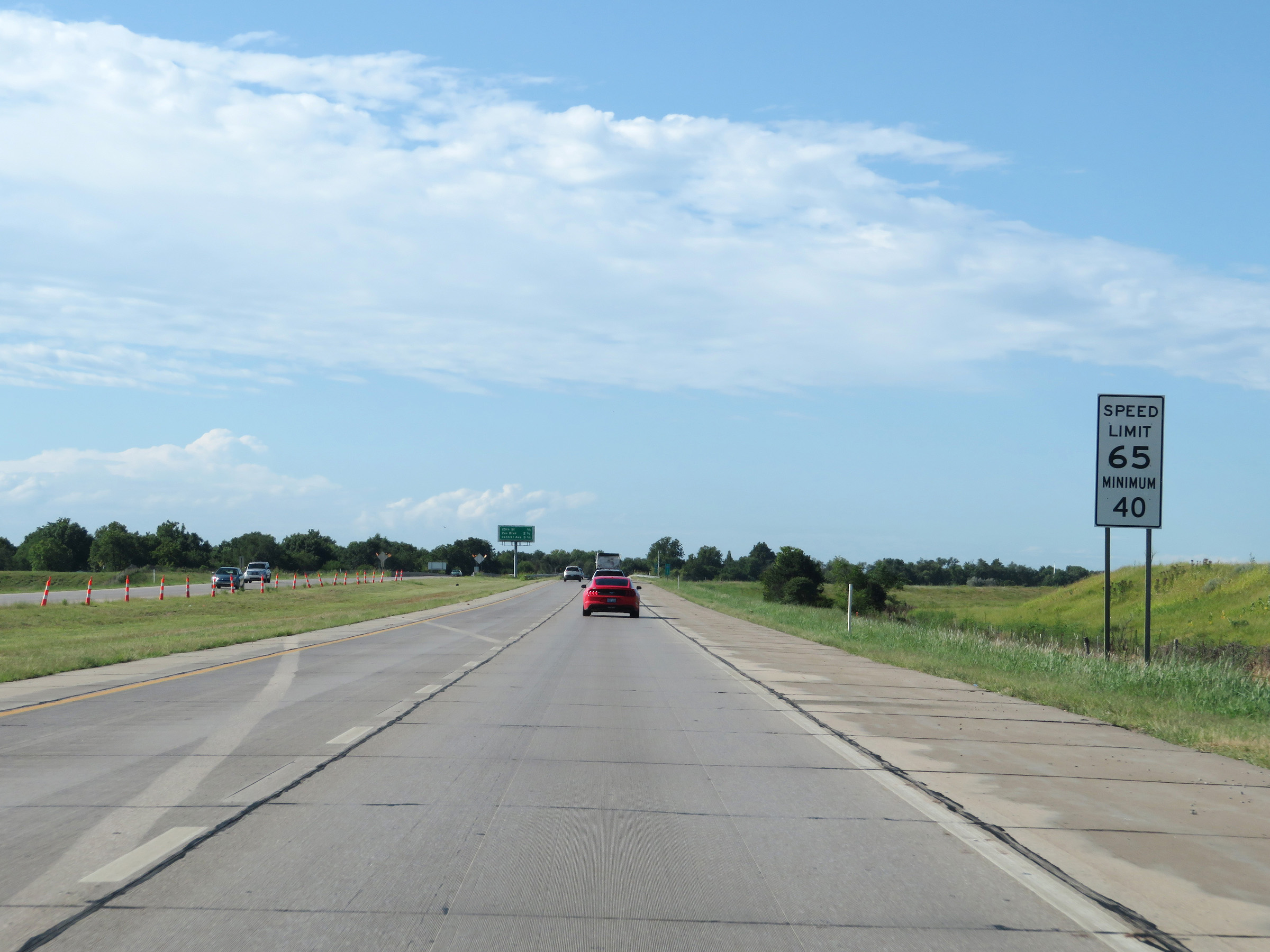 |
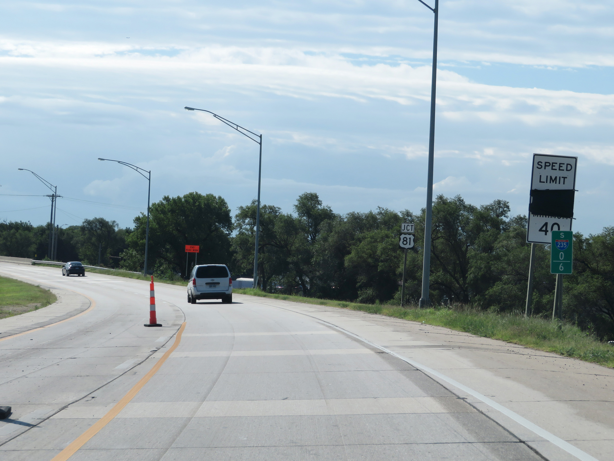
The speed limits are 65 mph maximum and 40 mph minimum. (Photo taken 8/11/20). |
 |
Another mileage sign in the median listing the distances to the three upcoming interchanges on Interstate 235 South. (Photo taken 8/11/20). |
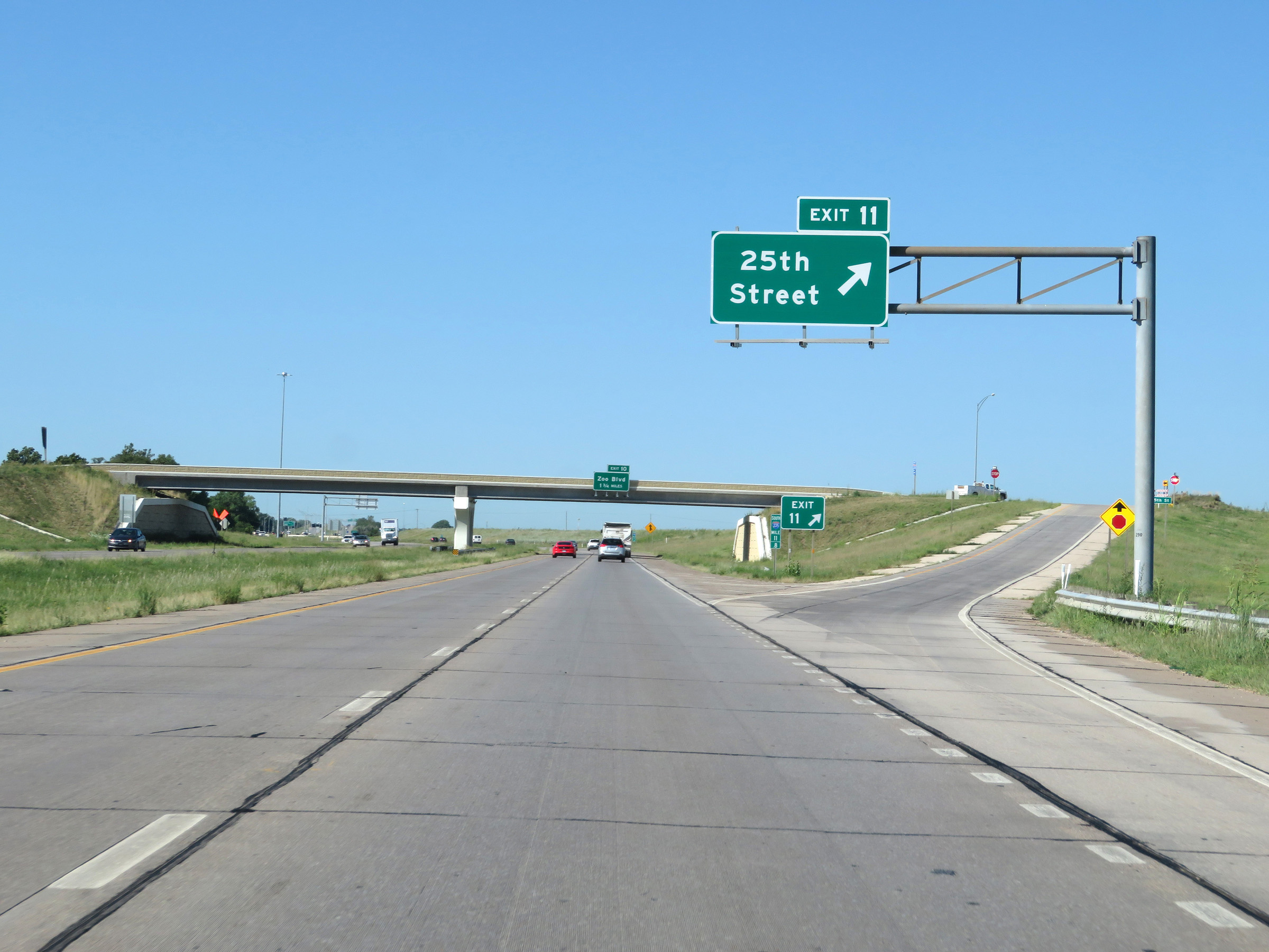 |
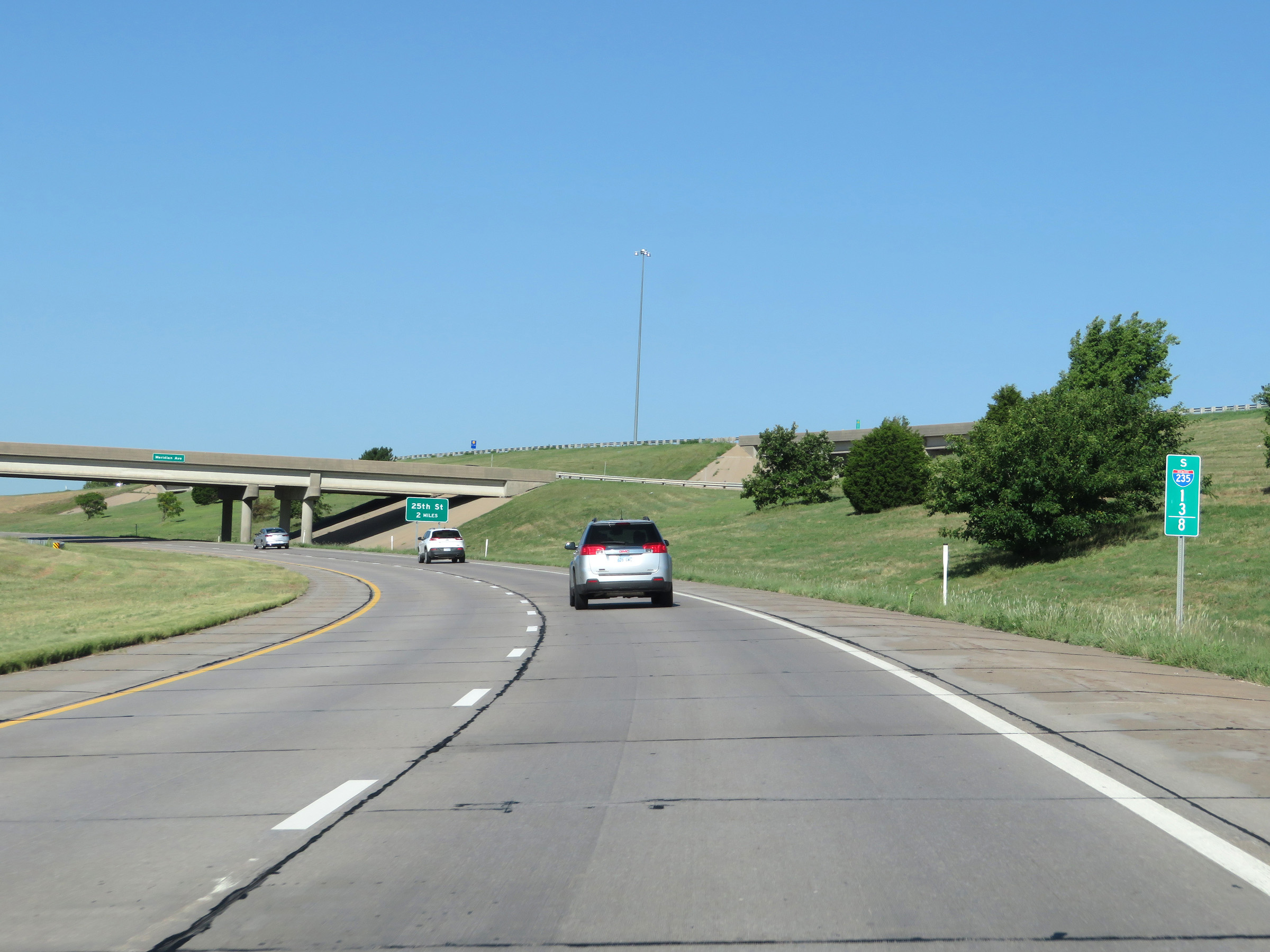
Interstate 235 South at Exit 11: 25th Street (Photo taken 8/11/20). |
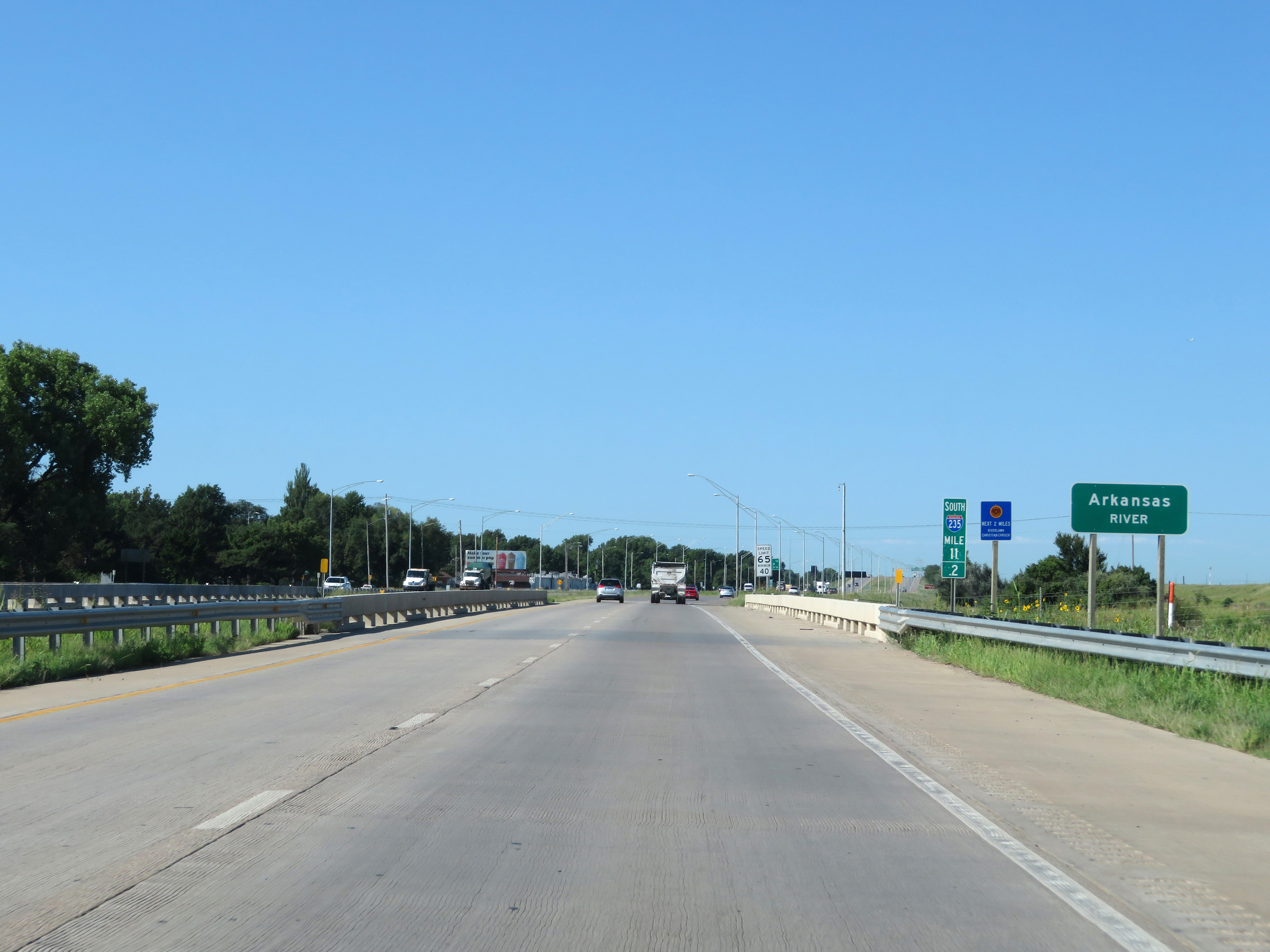 |
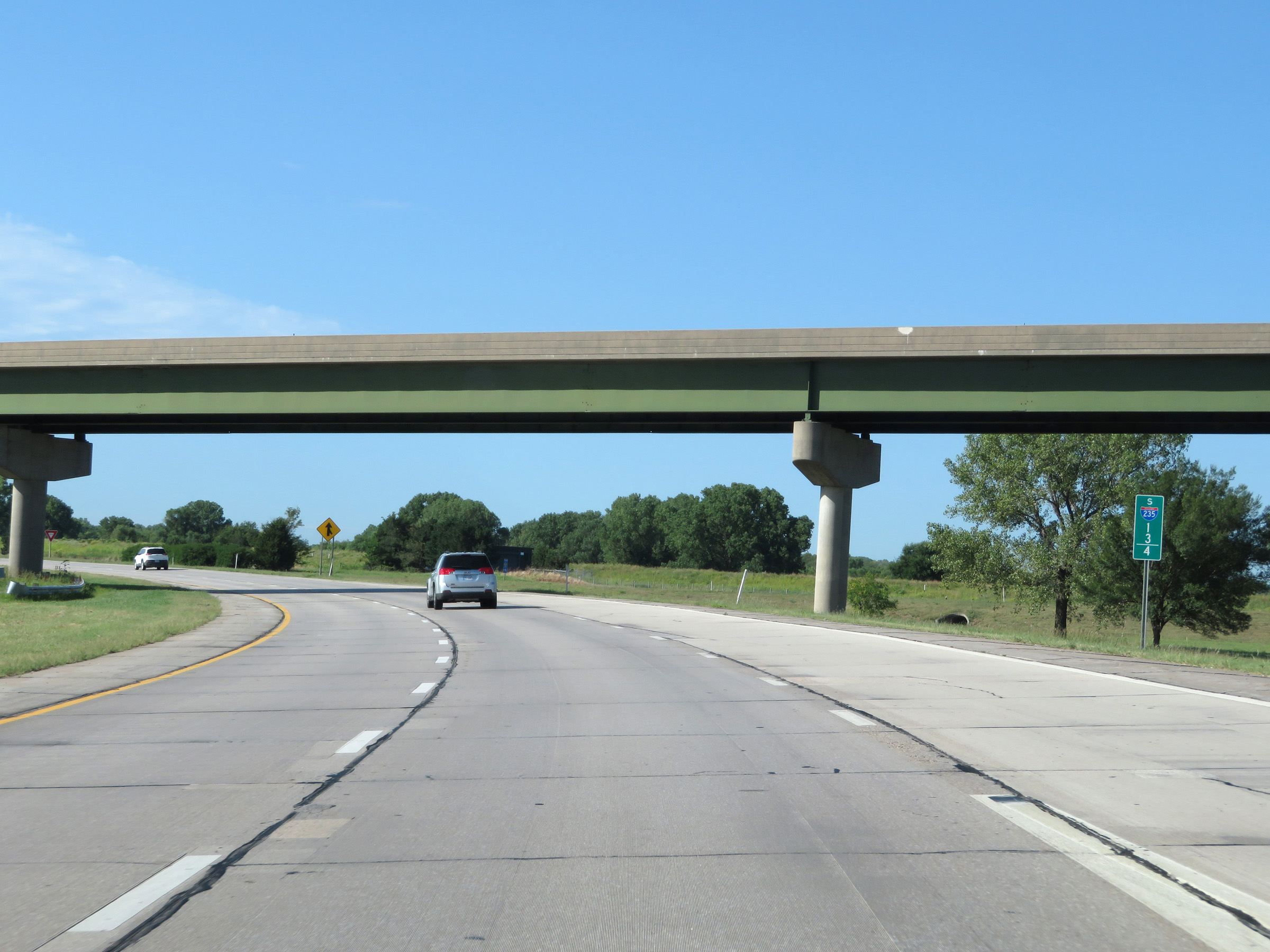
Interstate 235 South as it crosses the Arkansas River at mile marker 11.2. (Photo taken 8/11/20). |
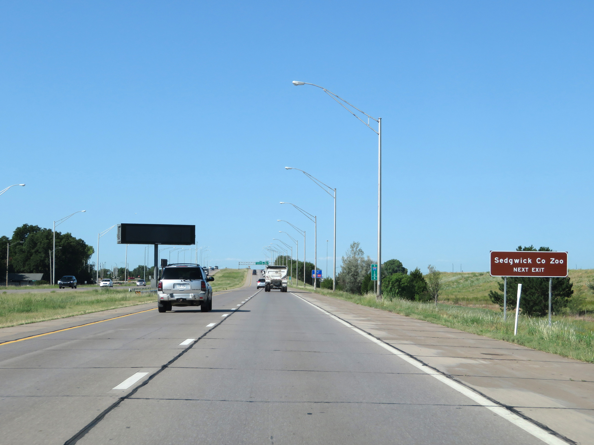 |
Take Exit 10 to the Sedgwick County Zoo. (Photo taken 8/11/20). |
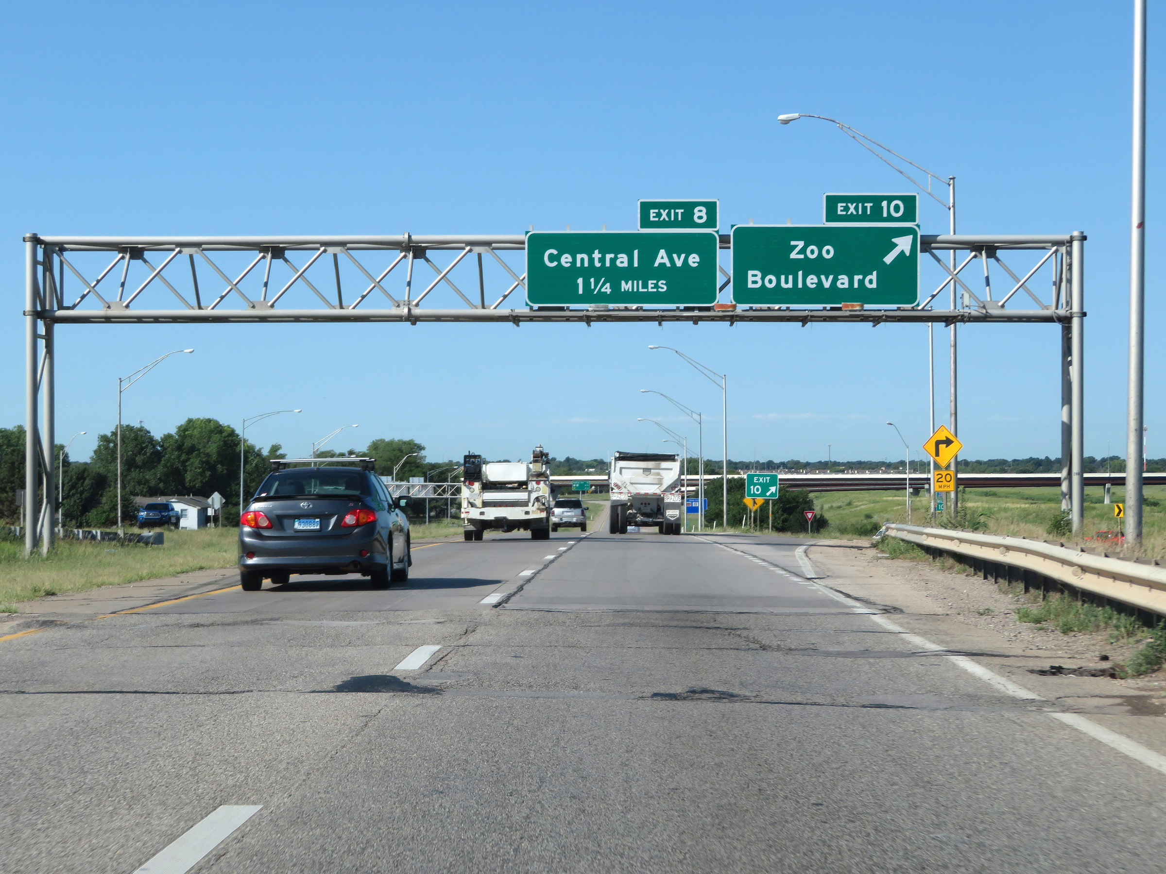 |
Interstate 235 South at Exit 10: Zoo Boulevard (Photo taken 8/11/20). |
 |
Interstate 235 South at Exit 8: Central Ave (Photo taken 8/11/20). |
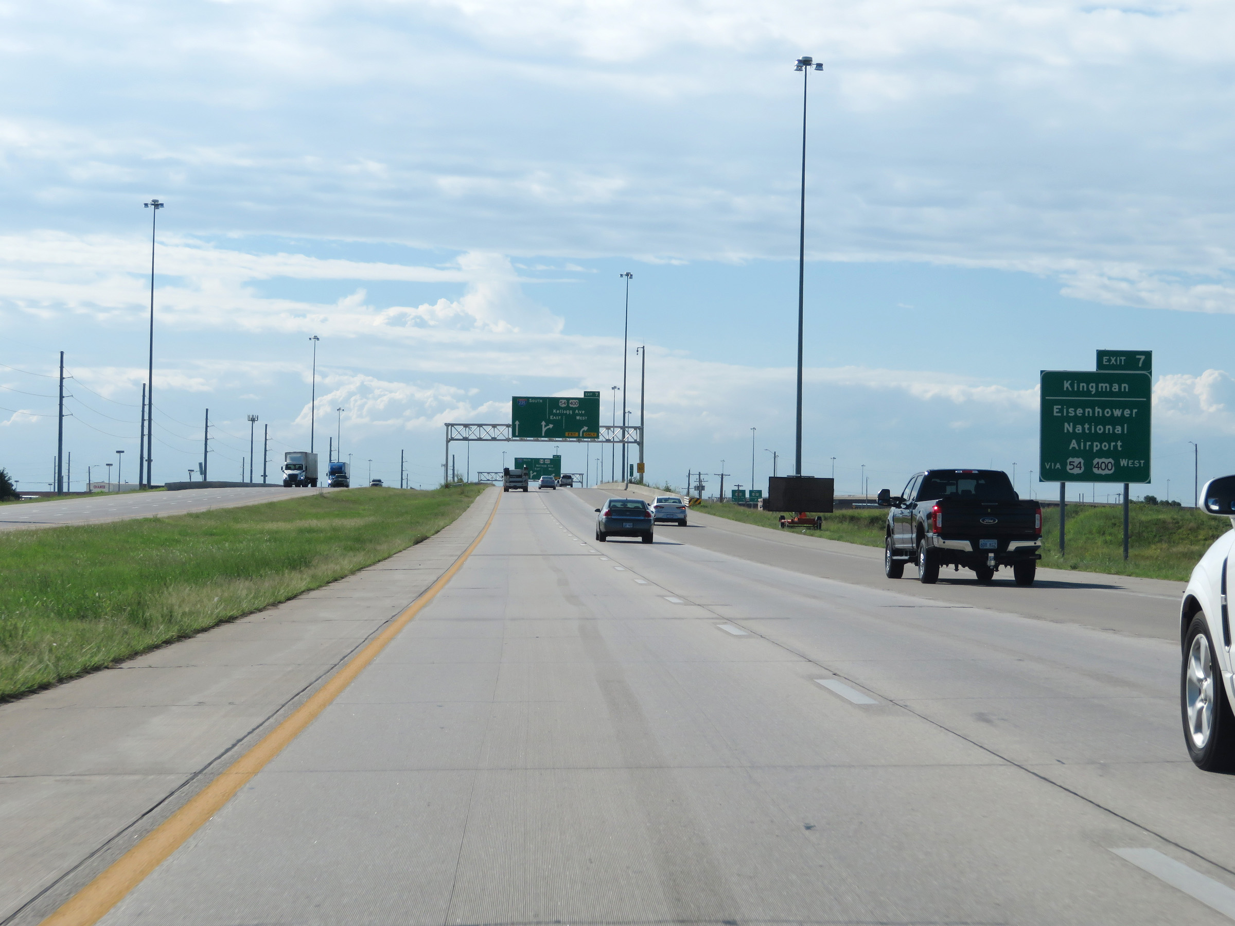 |
Take Exit 7 to Kingman and Eisenhower National Airport. (Photo taken 8/11/20). |
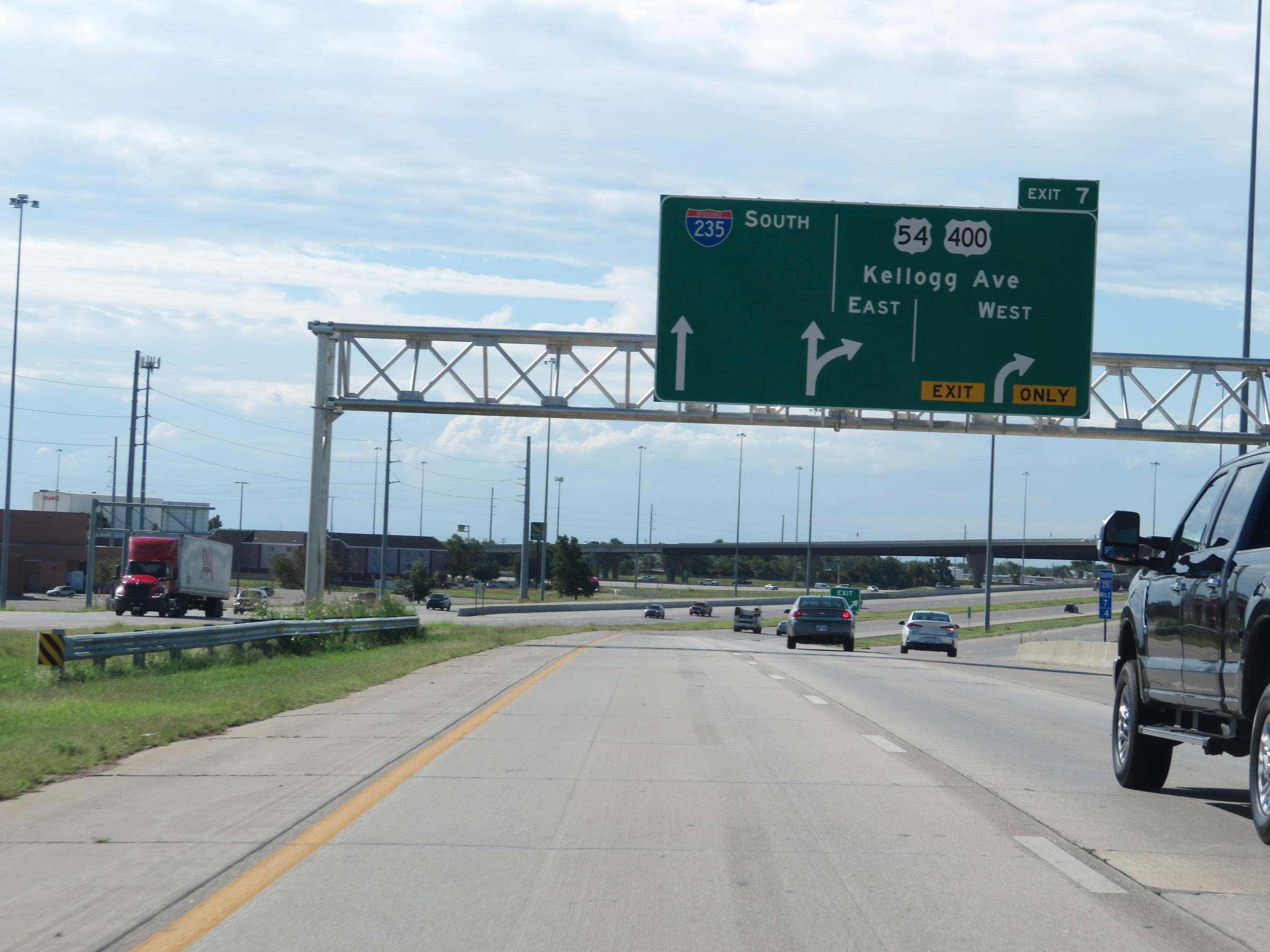 |
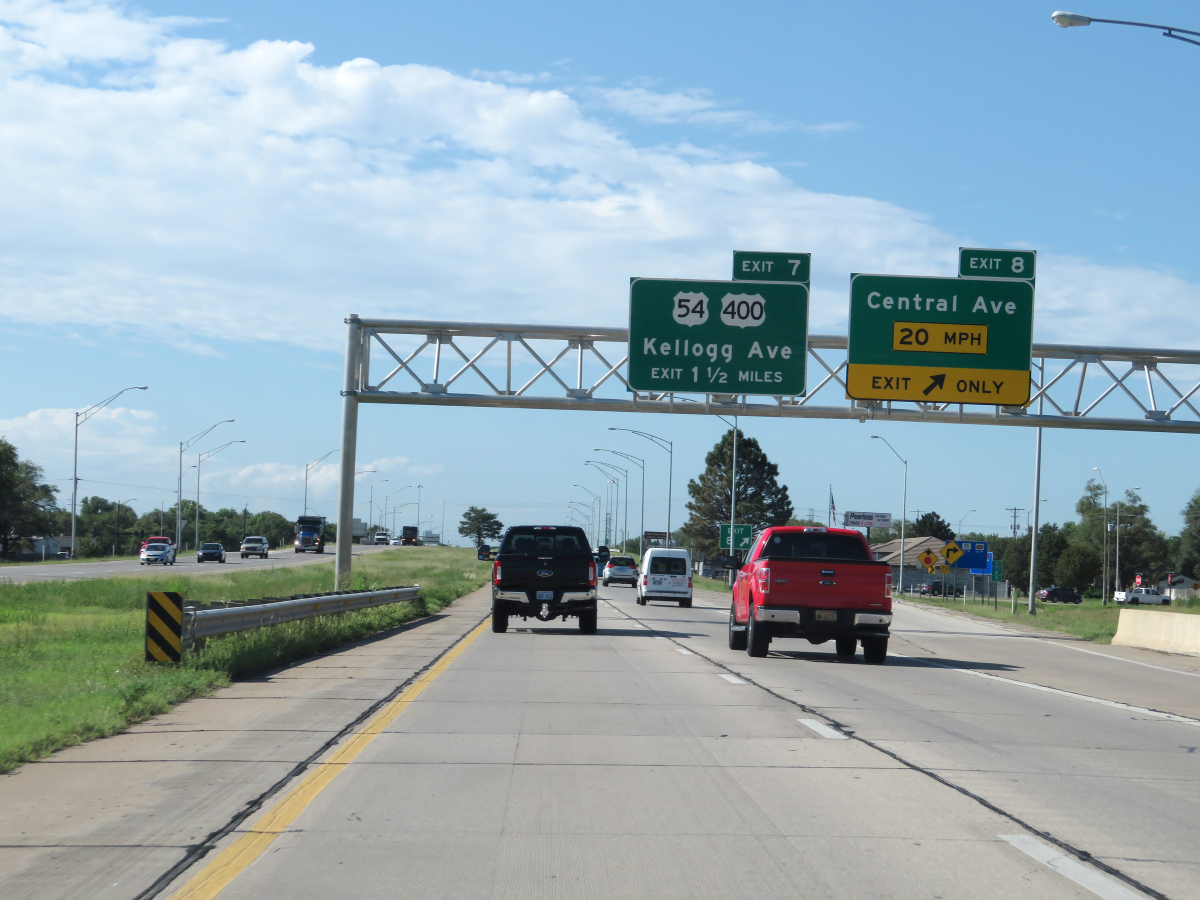
Interstate 235 South at Exit 7: US 54 / US 400 - Kellogg Ave (Photo taken 8/11/20). |
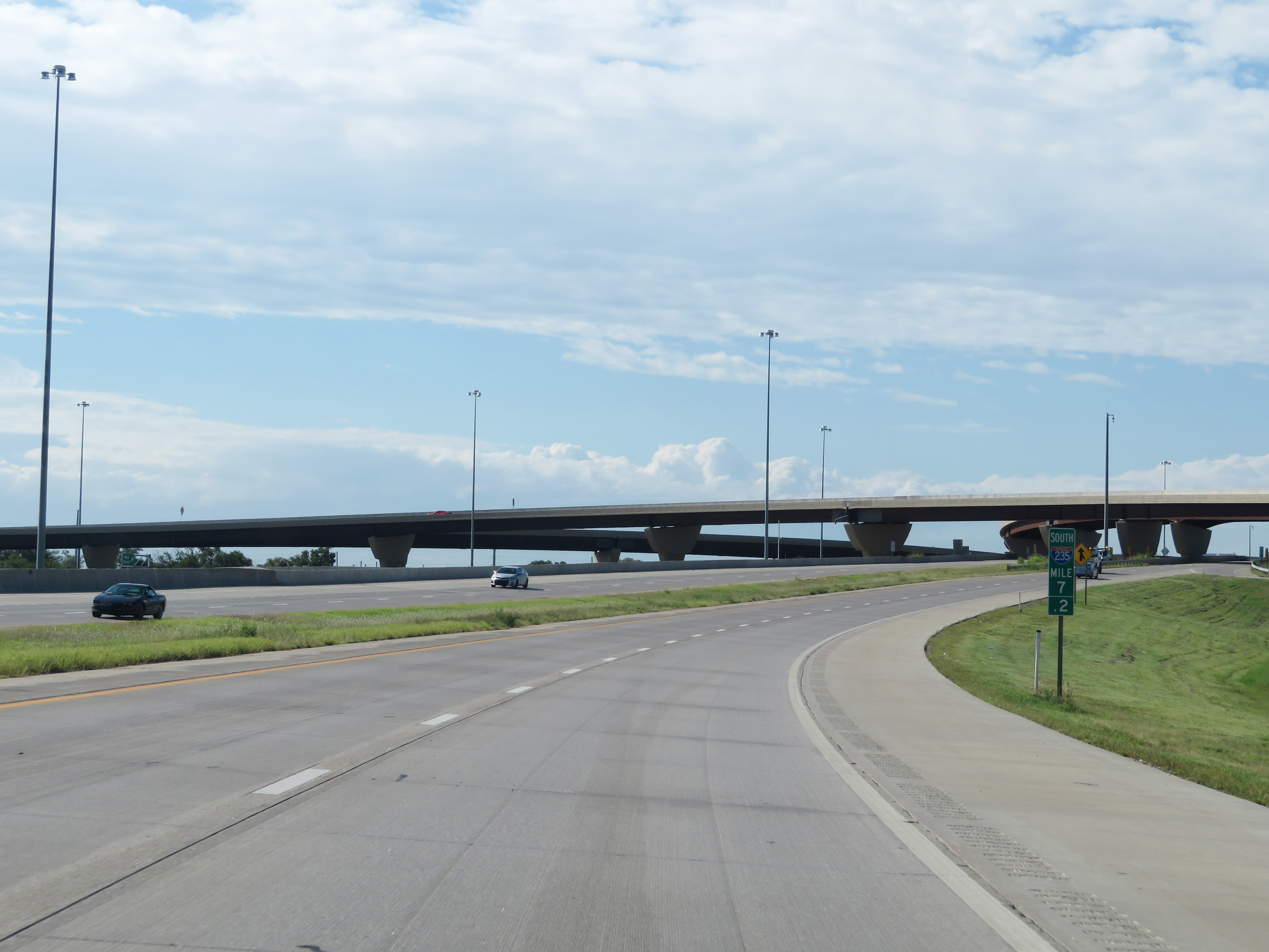 |
View on Interstate 235 South at mile marker 7.2. (Photo taken 8/11/20). |
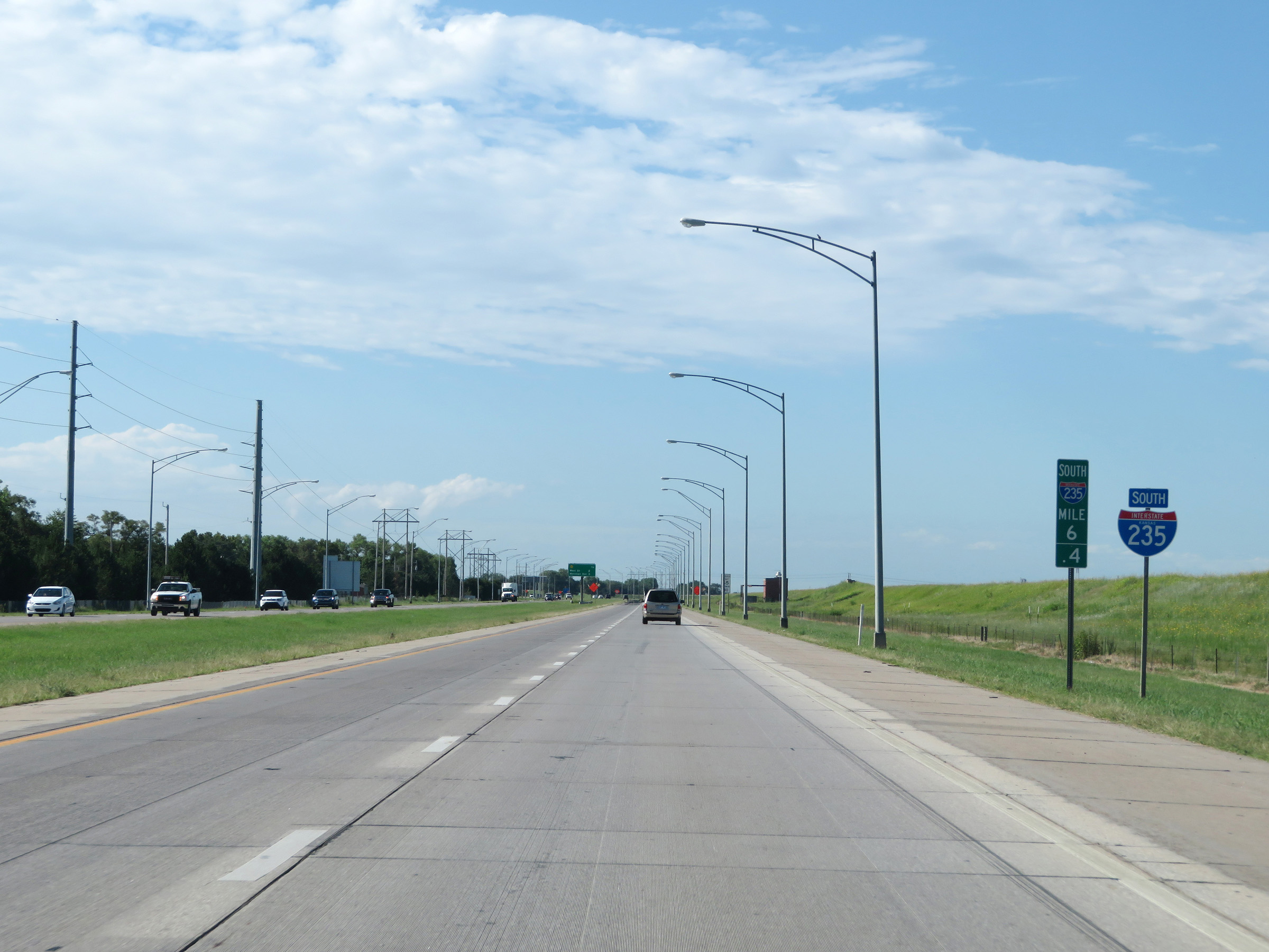 |
State-named Interstate 235 South reassurance shield at mile marker 6.4. (Photo taken 8/11/20). |
 |
Mileage sign at mile marker 6, displaying the distances to the next 3 exits on Interstate 235 South. (Photo taken 8/11/20). |
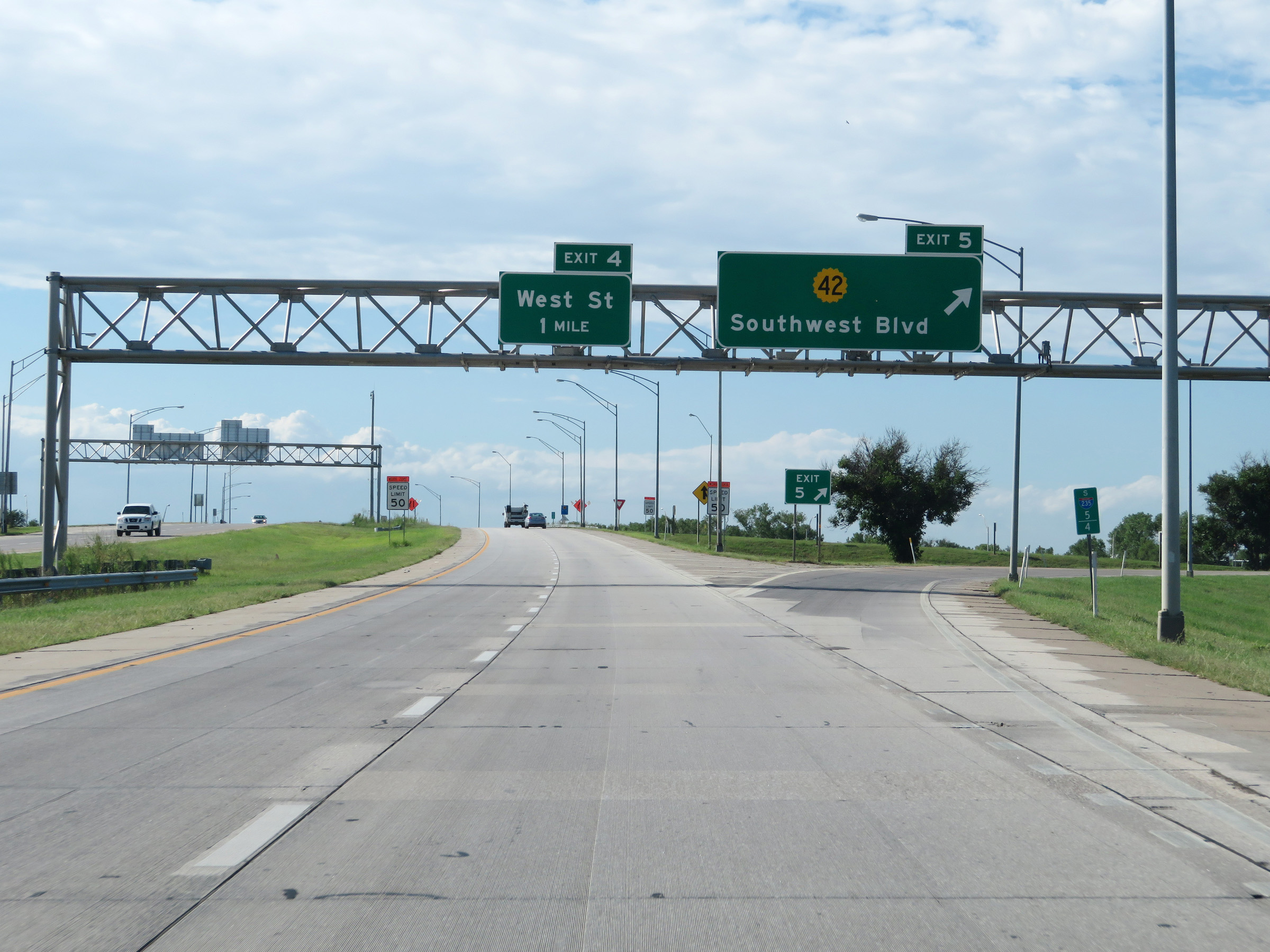 |
Interstate 235 South at Exit 5: K-42 - Southwest Blvd (Photo taken 8/11/20). |
 |
View on Interstate 235 South at mile marker 5. (Photo taken 8/11/20). |
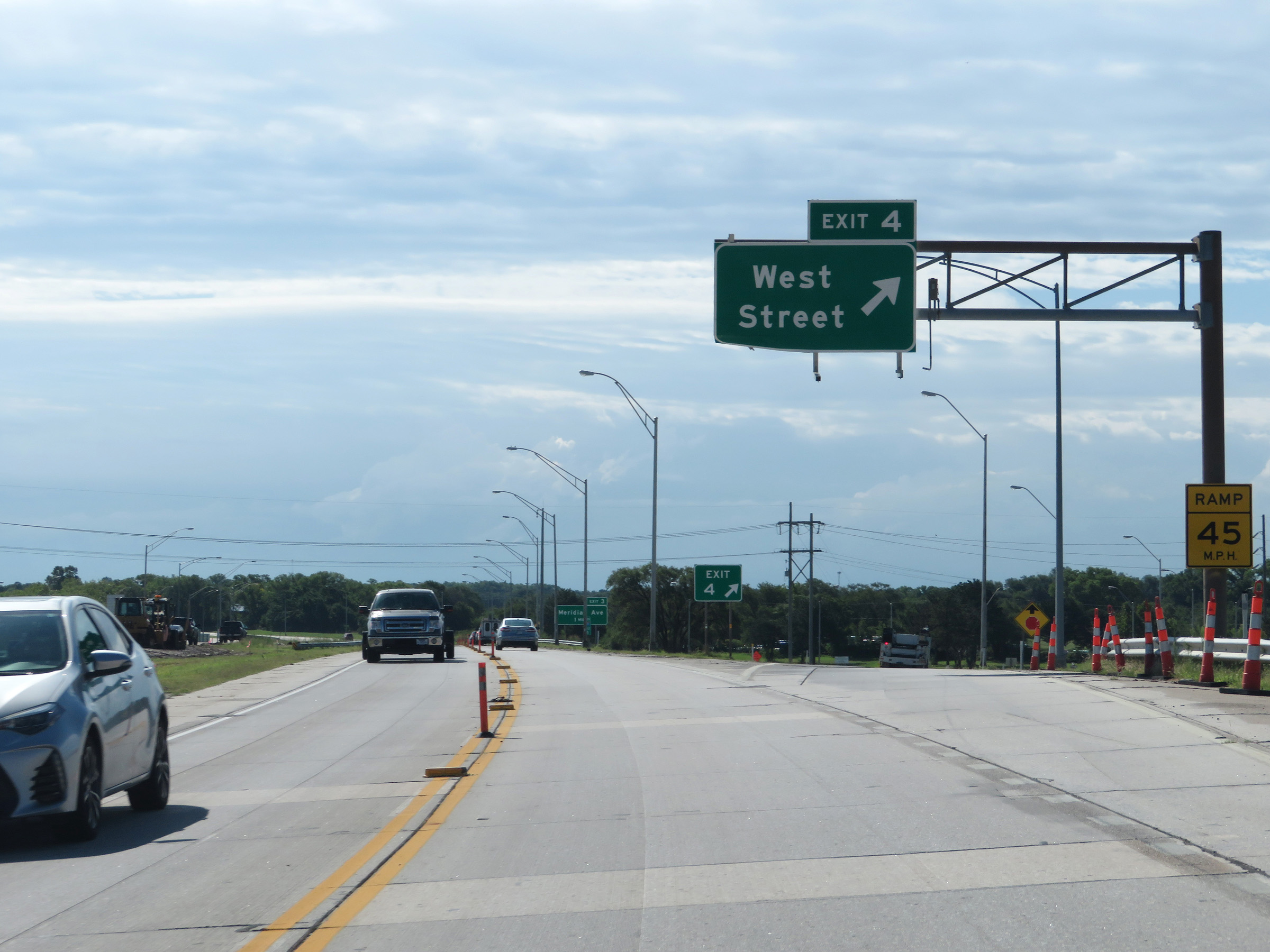 |
Interstate 235 South at Exit 4: West Street (Photo taken 8/11/20). |
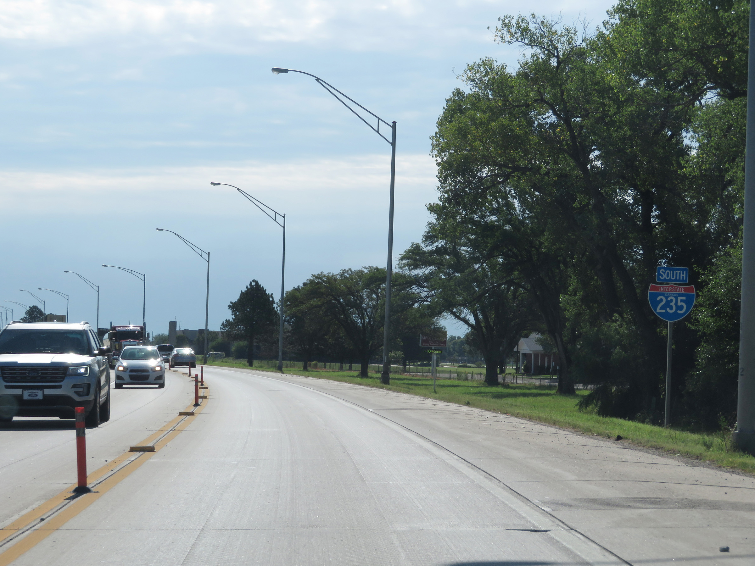 |
State-named Interstate 235 South reassurance shield as it begins to curve to the east to head toward Interstate 135 to the south of downtown Wichita. (Photo taken 8/11/20). |
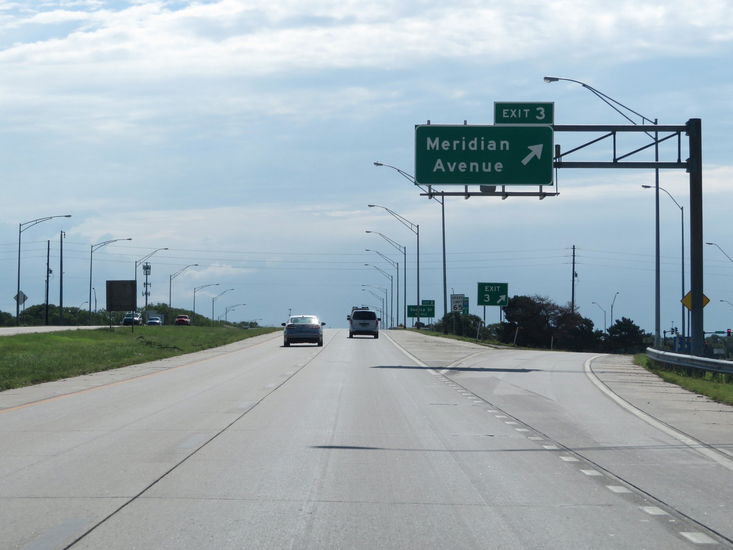 |
Interstate 235 South at Exit 3: Meridian Avenue (Photo taken 8/11/20). |
 |
View on Interstate 235 South at mile marker 2.6. (Photo taken 8/11/20). |
 |
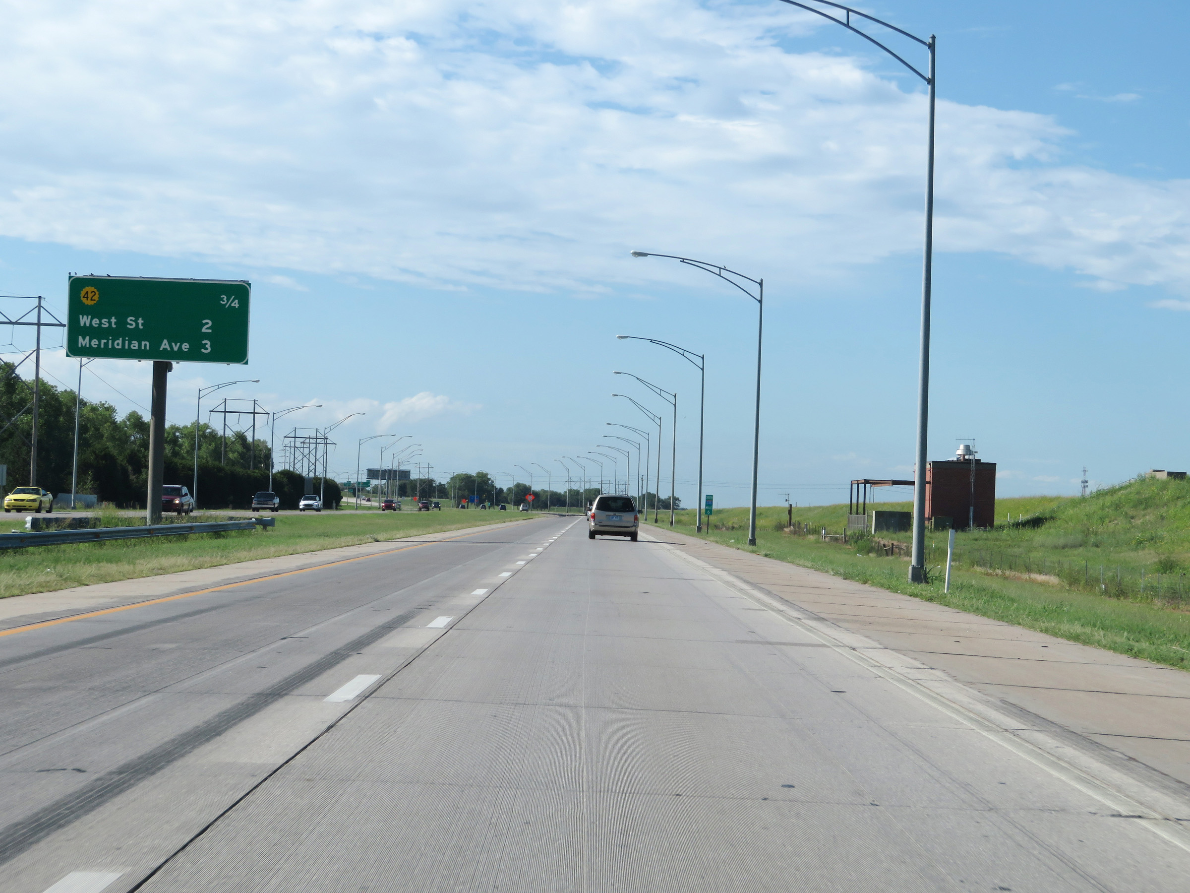
Mileage sign showing the distances to the two remaining interchanges on Interstate 235 South. (Photo taken 8/11/20). |
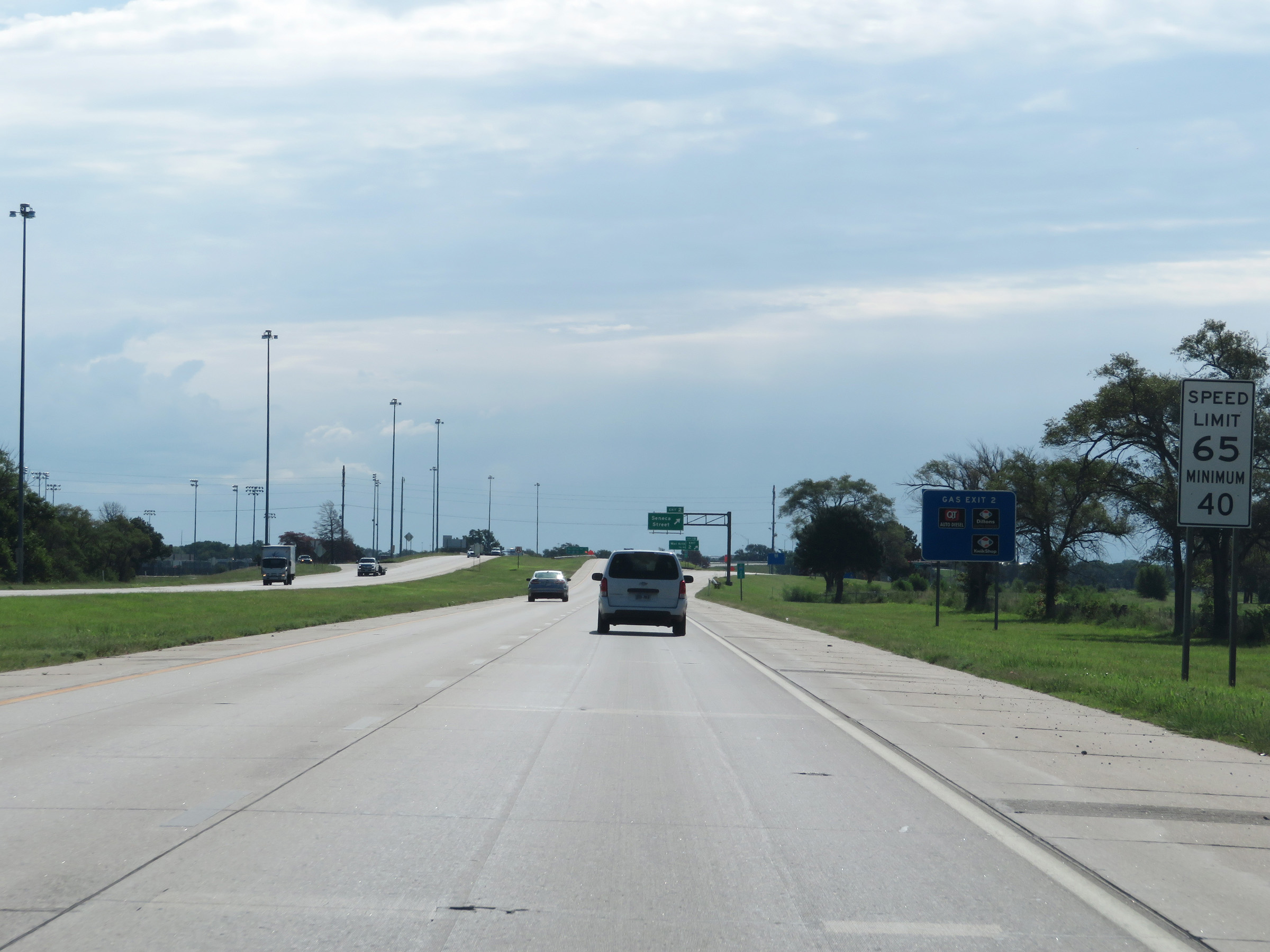 |
The speed limits remain 65 mph maximum and 40 mph minimum. (Photo taken 8/11/20). |
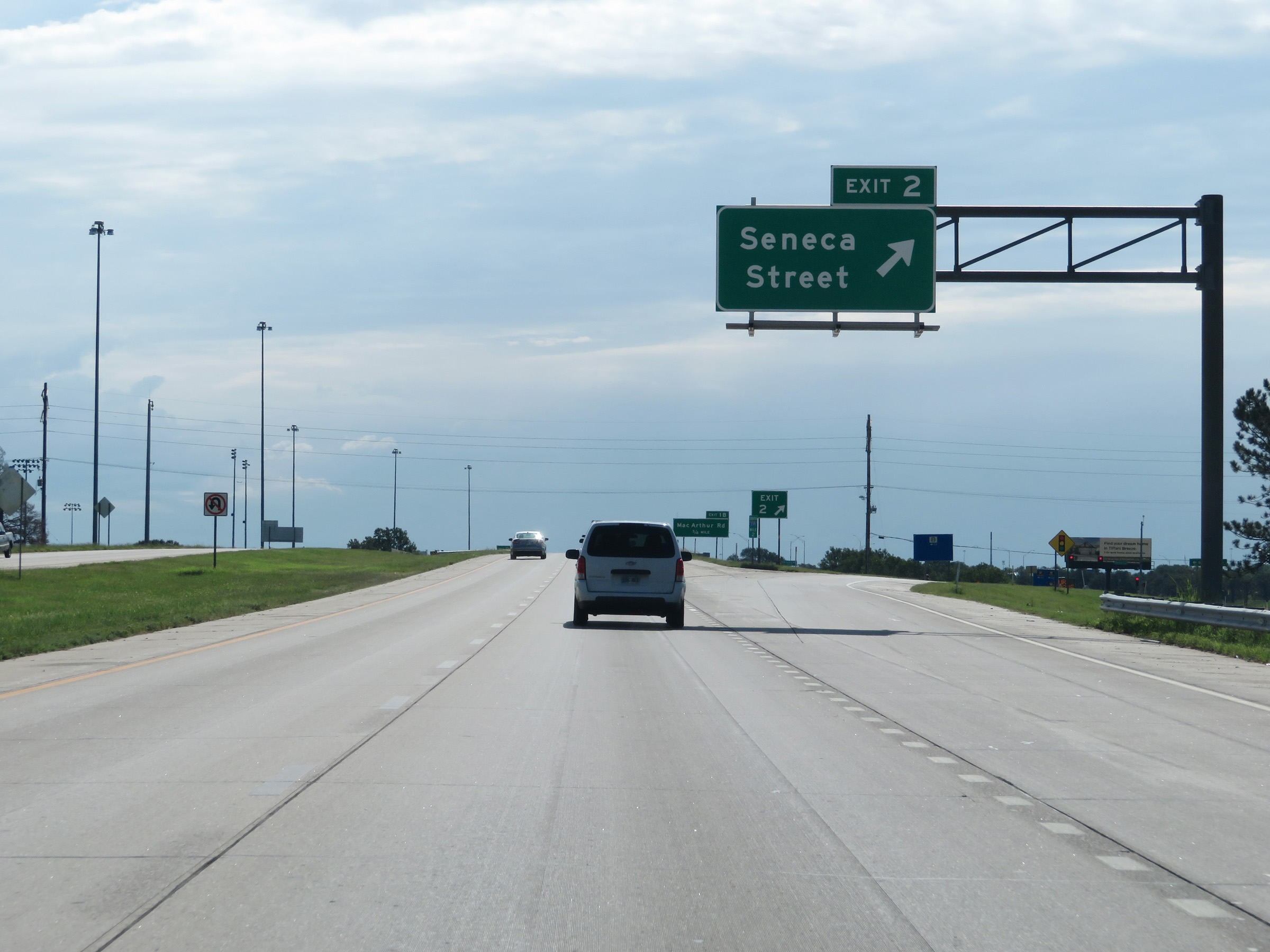 |
Interstate 235 South at Exit 2: Seneca Street (Photo taken 8/11/20). |
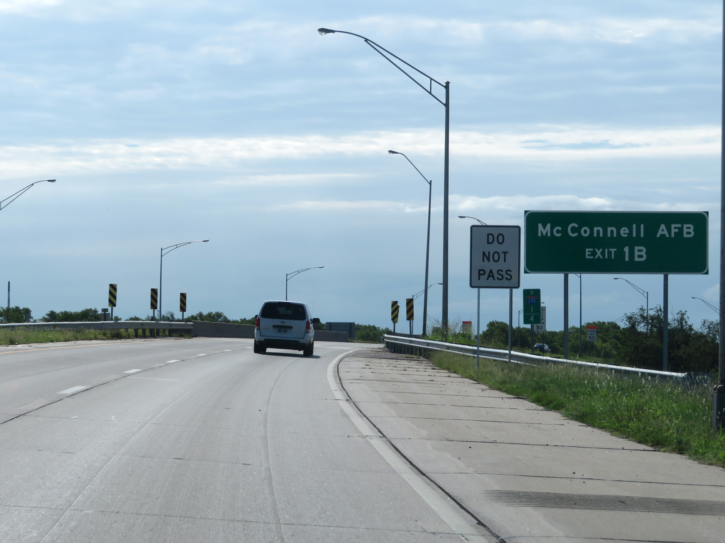 |
Take Exit 1B to McConnell Air Force Base. (Photo taken 8/11/20). |
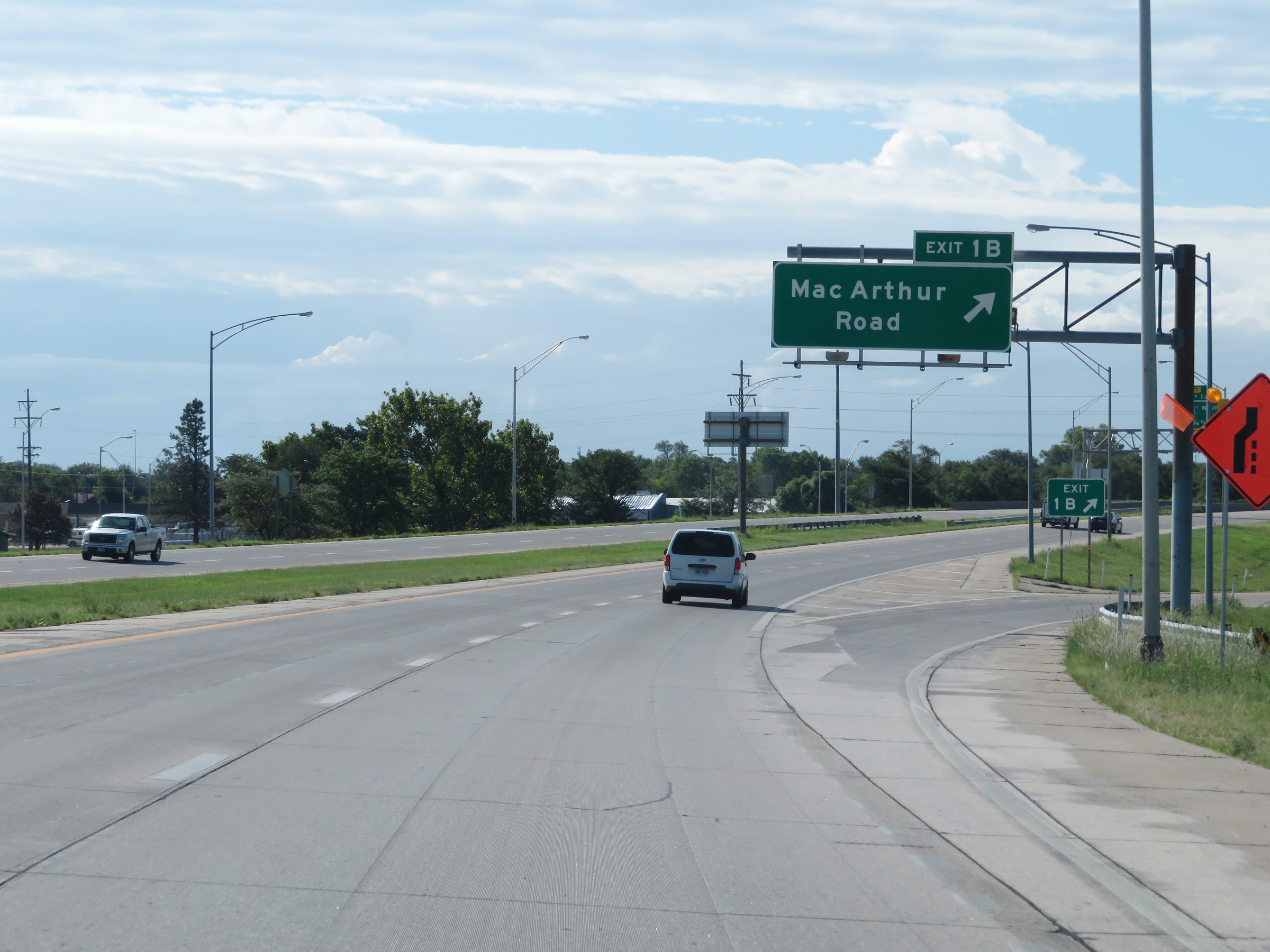 |
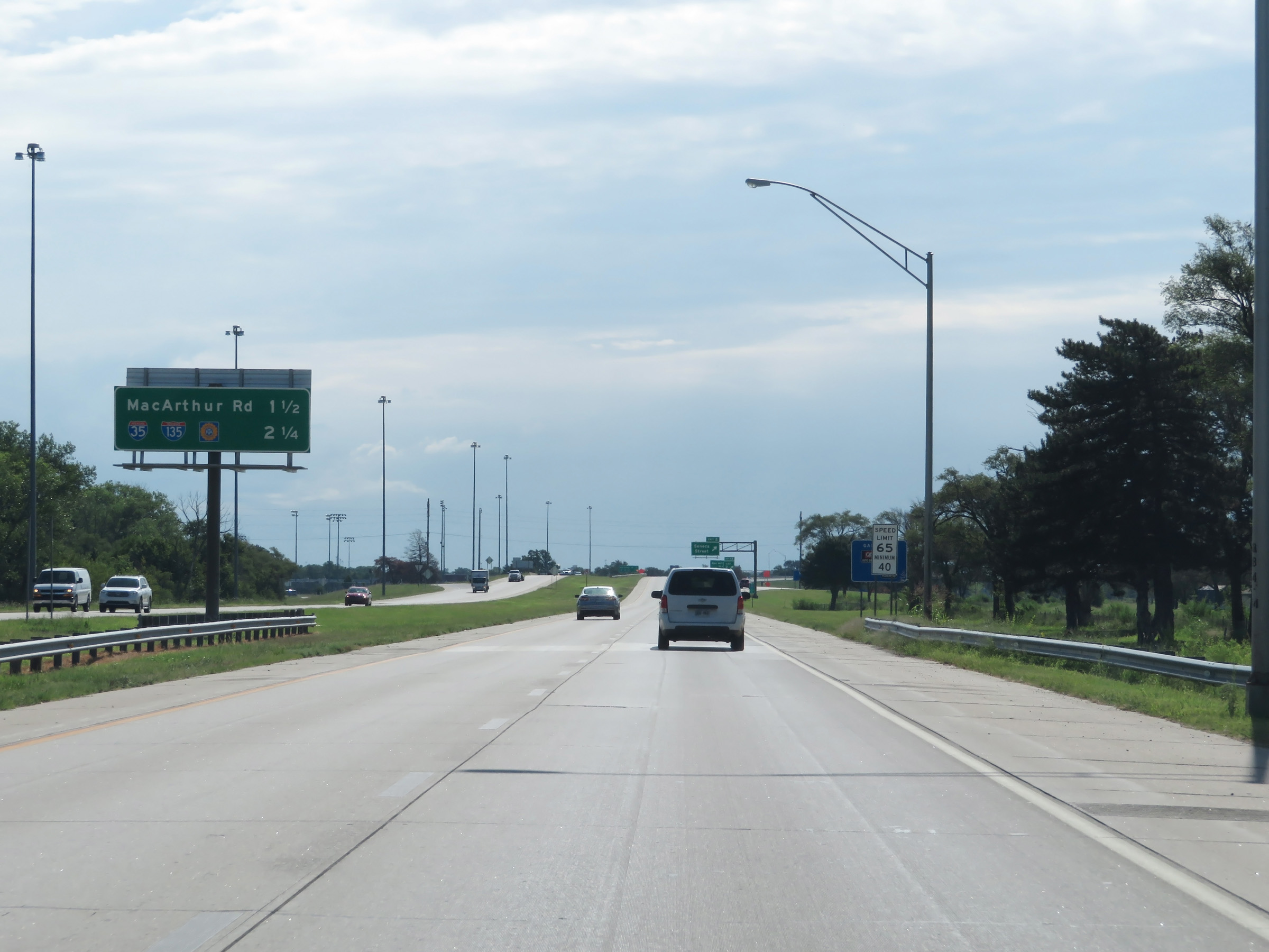
Interstate 235 South at Exit 1B: MacArthur Road (Photo taken 8/11/20). |
 |
Interstate 235 South approaching Exit 1A - 1/2 mile on the left. (Photo taken 8/11/20). |
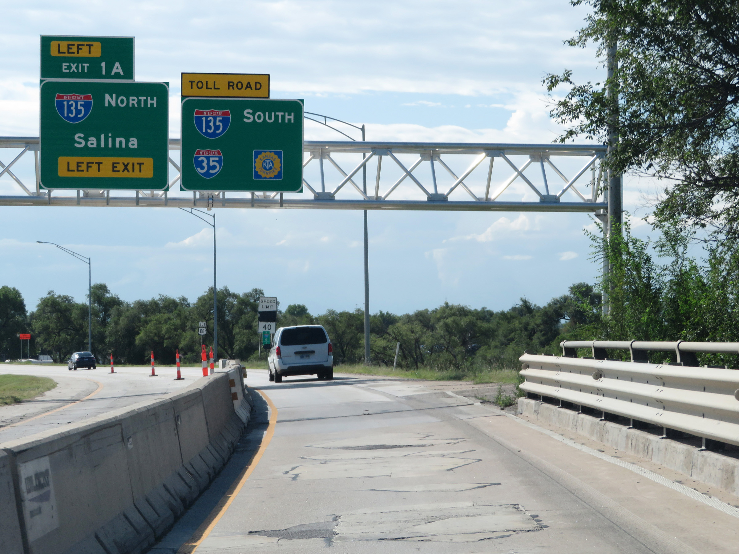 |
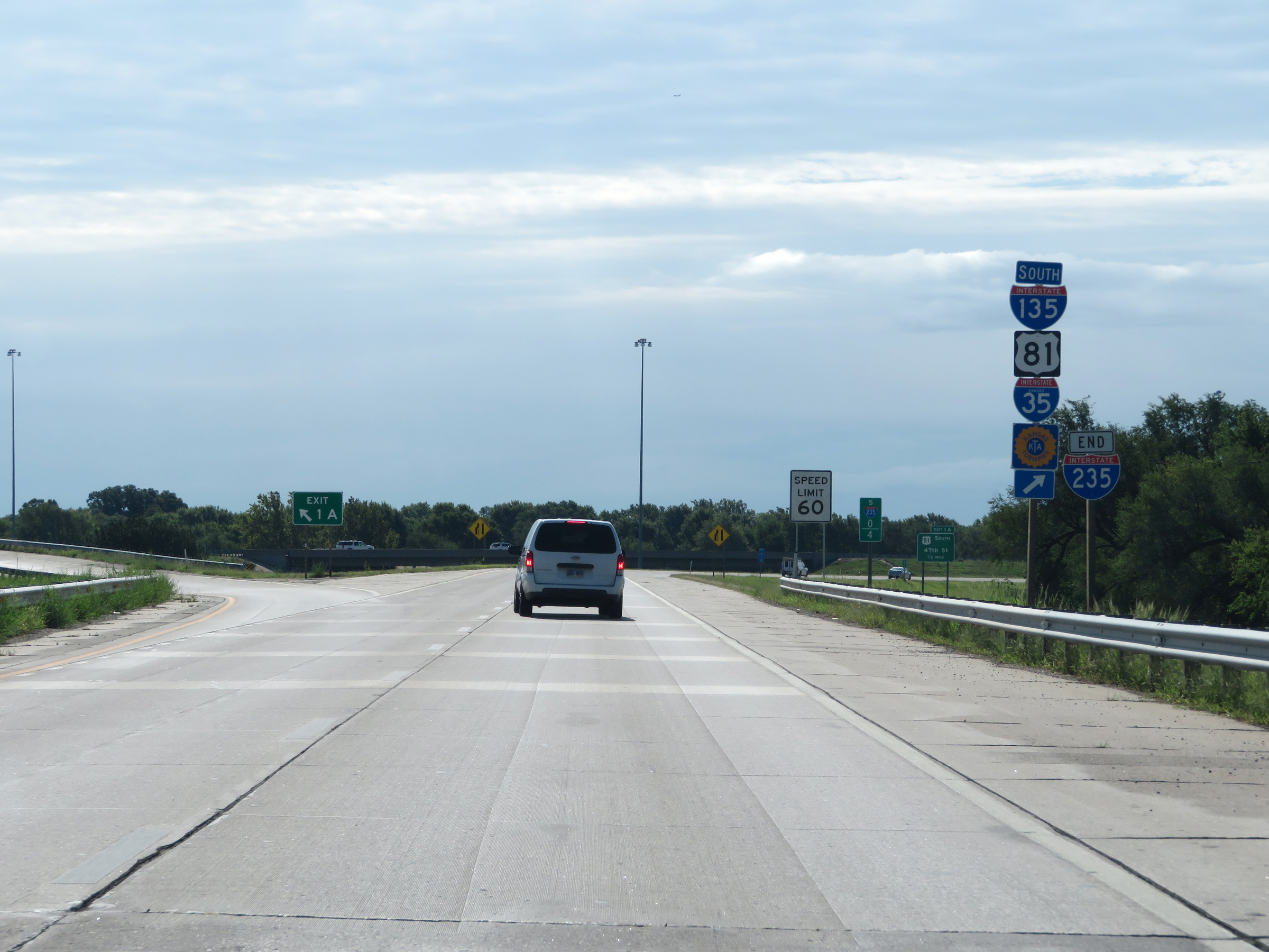
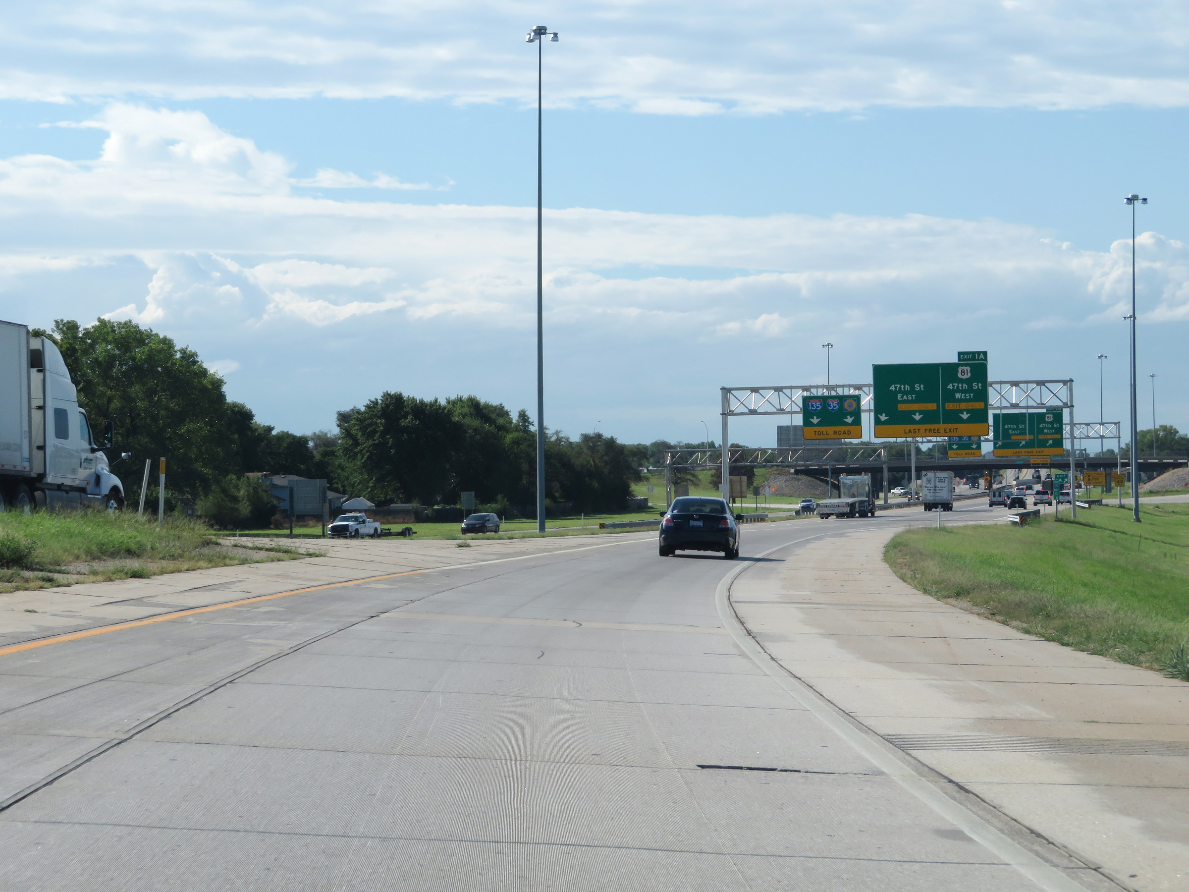
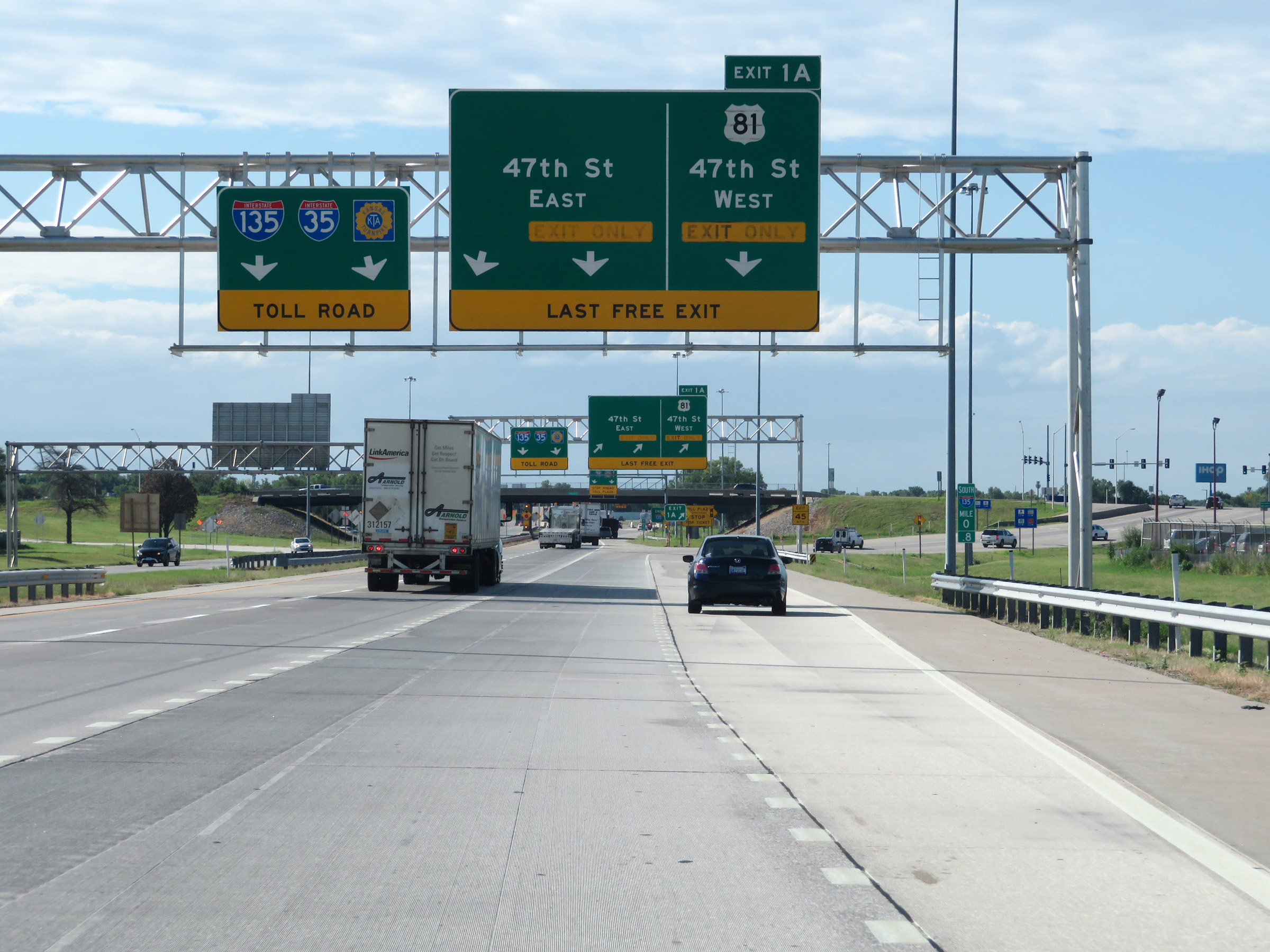
The two southbound lanes of Interstate 235 will become the ramp to Interstate 135 South at Exit 1A. Although this sign references Interstate 35 and the Kansas Turnpike, there is one exit on I-135 South before the toll plaza for the turnpike. (Photo taken 8/11/20). |
 |
View on Interstate 235 South at mile marker 0.6, nearing its southern terminus. (Photo taken 8/11/20). |
 |
Interstate 235 END shield at mile marker 0.4, as its two southbound lanes become the ramp to Interstate 135 South ahead. (Photo taken 8/11/20). |
 |
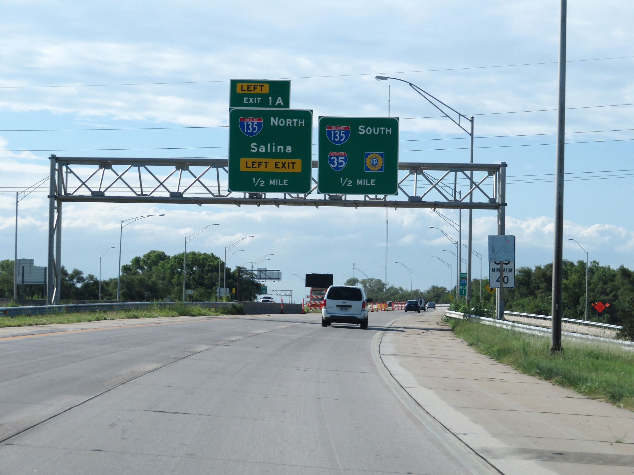
Interstate 235 South at Exit 1A: Interstate 135 North - Salina (Photo taken 8/11/20). |
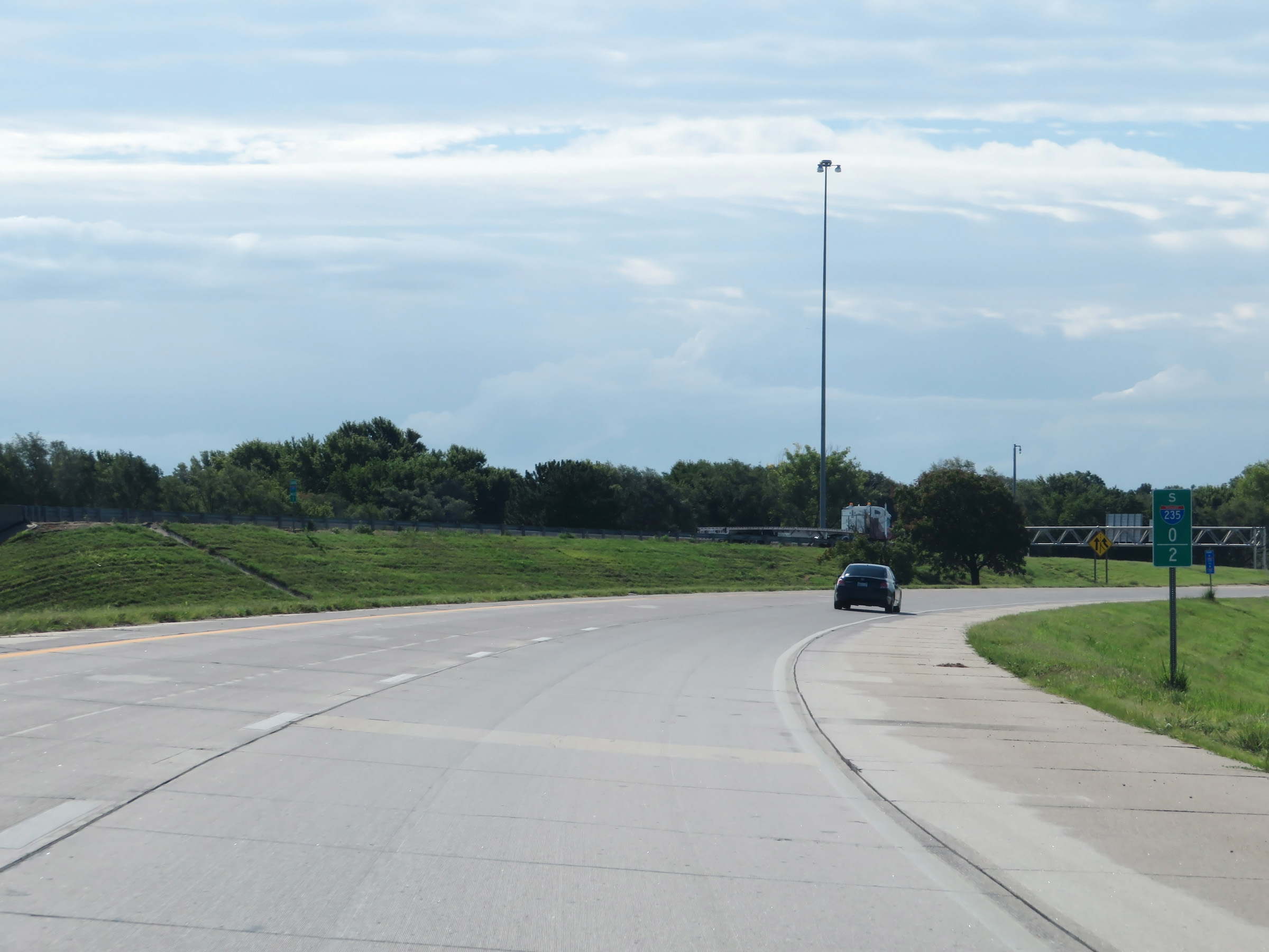 |
View on Interstate 235 South at mile marker 0.2, as its two lanes combine into one on the ramp to Interstate 135 South. (Photo taken 8/11/20). |
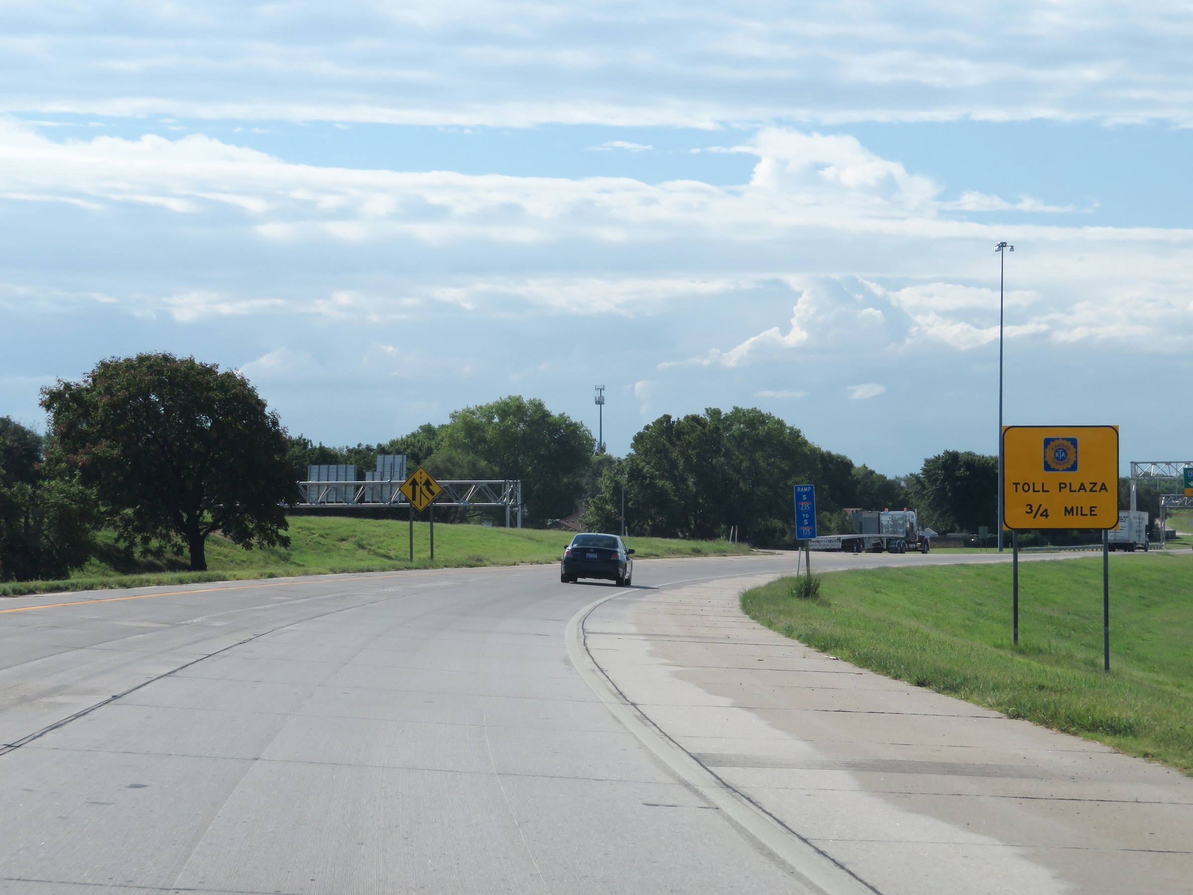 |
The toll plaza for Interstate 35 (Kansas Turnpike) is 3/4 mile ahead. There is one final exit you can take before the toll plaza on Interstate 135 South. (Photo taken 8/11/20). |
 |
Interstate 235 South at its southern terminus, as its ramp merges into Interstate 135 South to the south of downtown Wichita. (Photo taken 8/11/20). |
 |
Merging onto Interstate 135 South, Exit 1A is the final exit before the toll plaza for the Kansas Turnpike. (Photo taken 8/11/20). |