Road Information |
||
 |
||
| Total Mileage in State: | 16.5 miles | |
| Eastern End: | At I-80, near Neola | |
| Western End: | At I-29, near Loveland | |
| Mileage covered in Photos: | 16.5 miles | |
| Counties covered in Photos: | Pottawattamie | |
| Major Junctions in Photos: | I-80, near Neola | |
| Control Cities in Photos: | Loveland, Neola | |
Eastbound
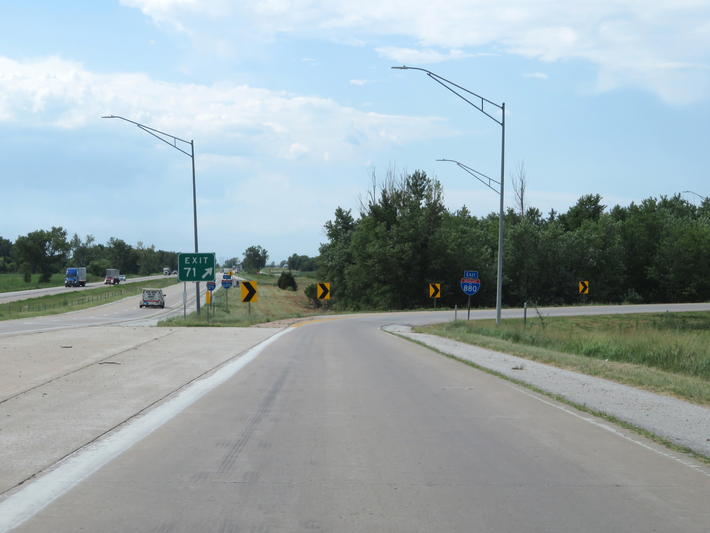 |
Merging onto Interstate 880 East via Exit 71 on Interstate 29 South. I-880 in Iowa is a relatively new designation, replacing the eastern segment of Interstate 680 from I-29 to Interstate 80. (Photo taken 8/10/20). |
 |
State-named Interstate 880 East reassurance shield on the ramp for Exit 71. (Photo taken 8/10/20). |
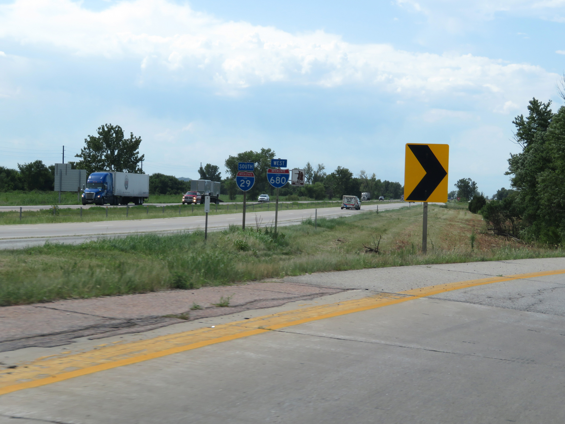 |
This Interstate 680 West reassurance shield alongside the Interstate 29 South shield is no longer accurate. I-680 no longer runs concurrently with I-29 in Iowa. Rather, it was truncated to end at I-29 in Crescent and its eastern segment was redesignated as I-880. (Photo taken 8/10/20). |
 |
View on the ramp from Interstate 29 South to Interstate 880 East. (Photo taken 8/10/20). |
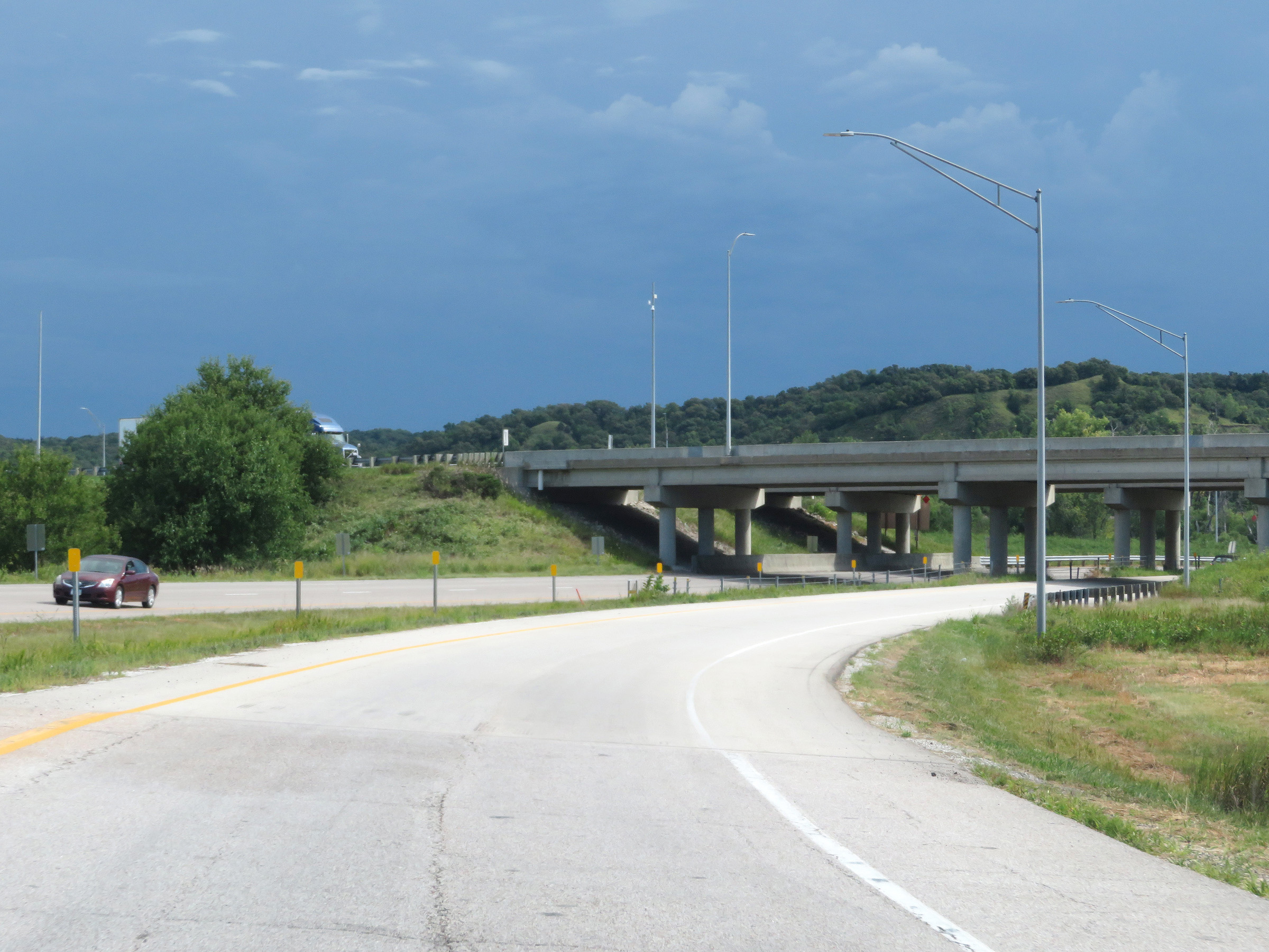 |
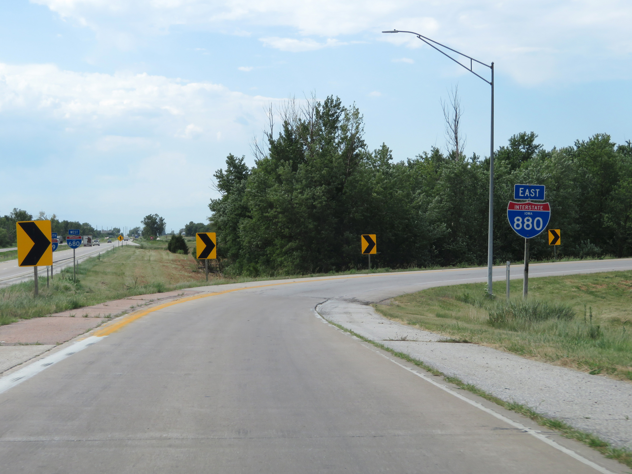
Another view as the loop ramp from Exit 71 on Interstate 29 South to Interstate 880 East prepares to pass under I-29. (Photo taken 8/10/20). |
 |
Interstate 880 East as traffic from Interstate 29 North merges in on the right. (Photo taken 8/10/20). |
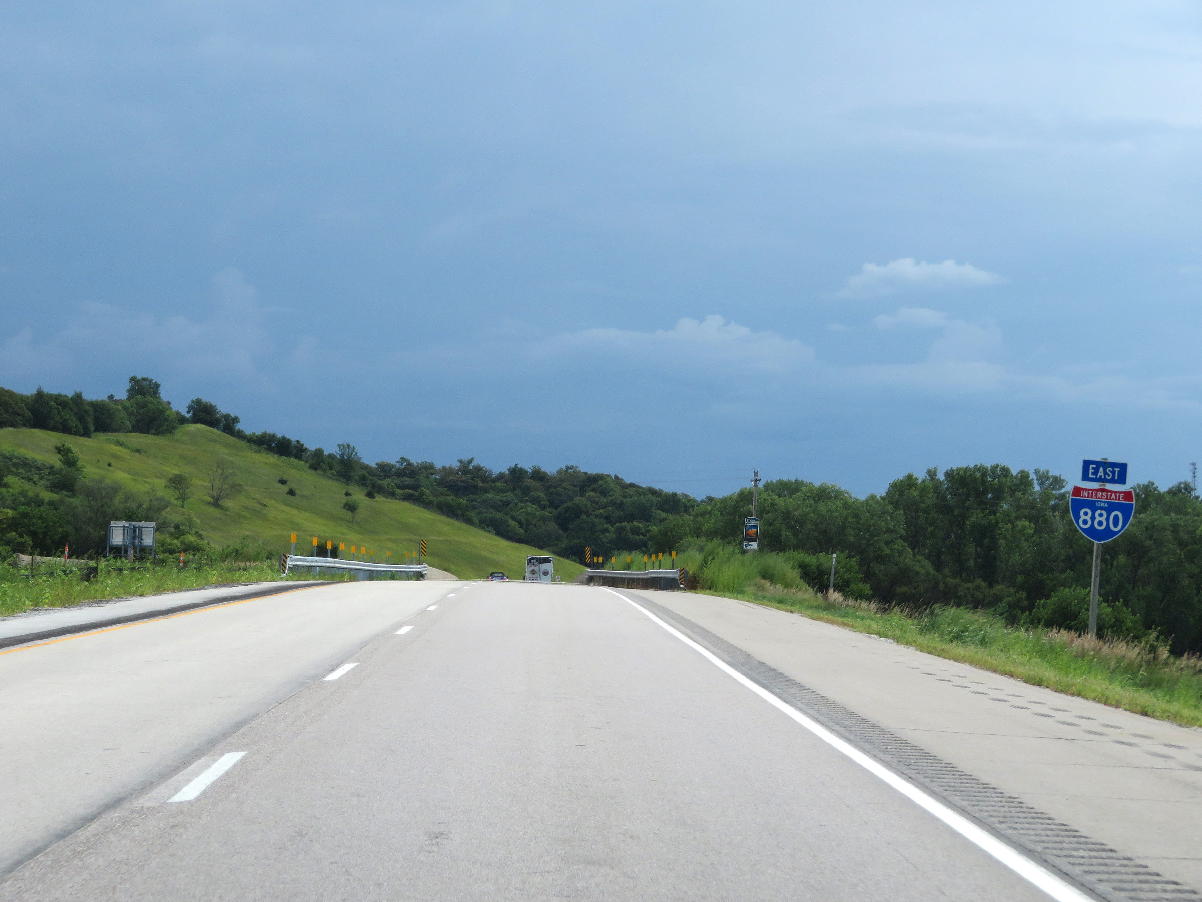 |
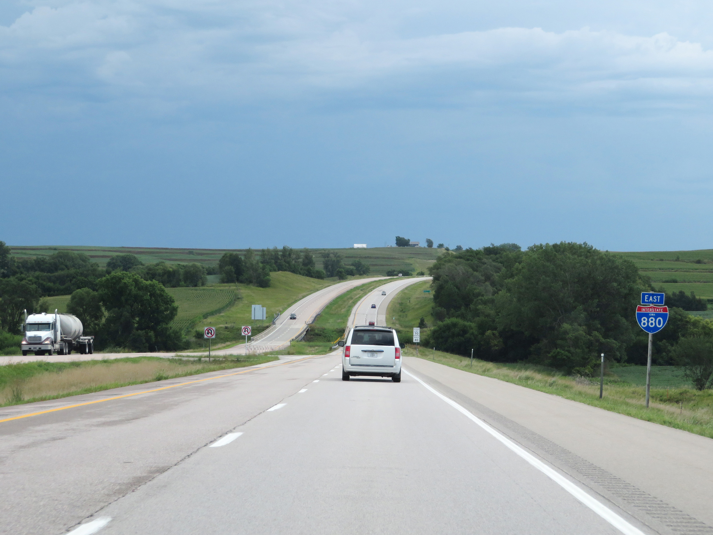
State-named Interstate 880 East reassurance shield. I-880 East will begin by climbing the Loess Hills, which make up part of the Missouri River valley, seen here. (Photo taken 8/10/20). |
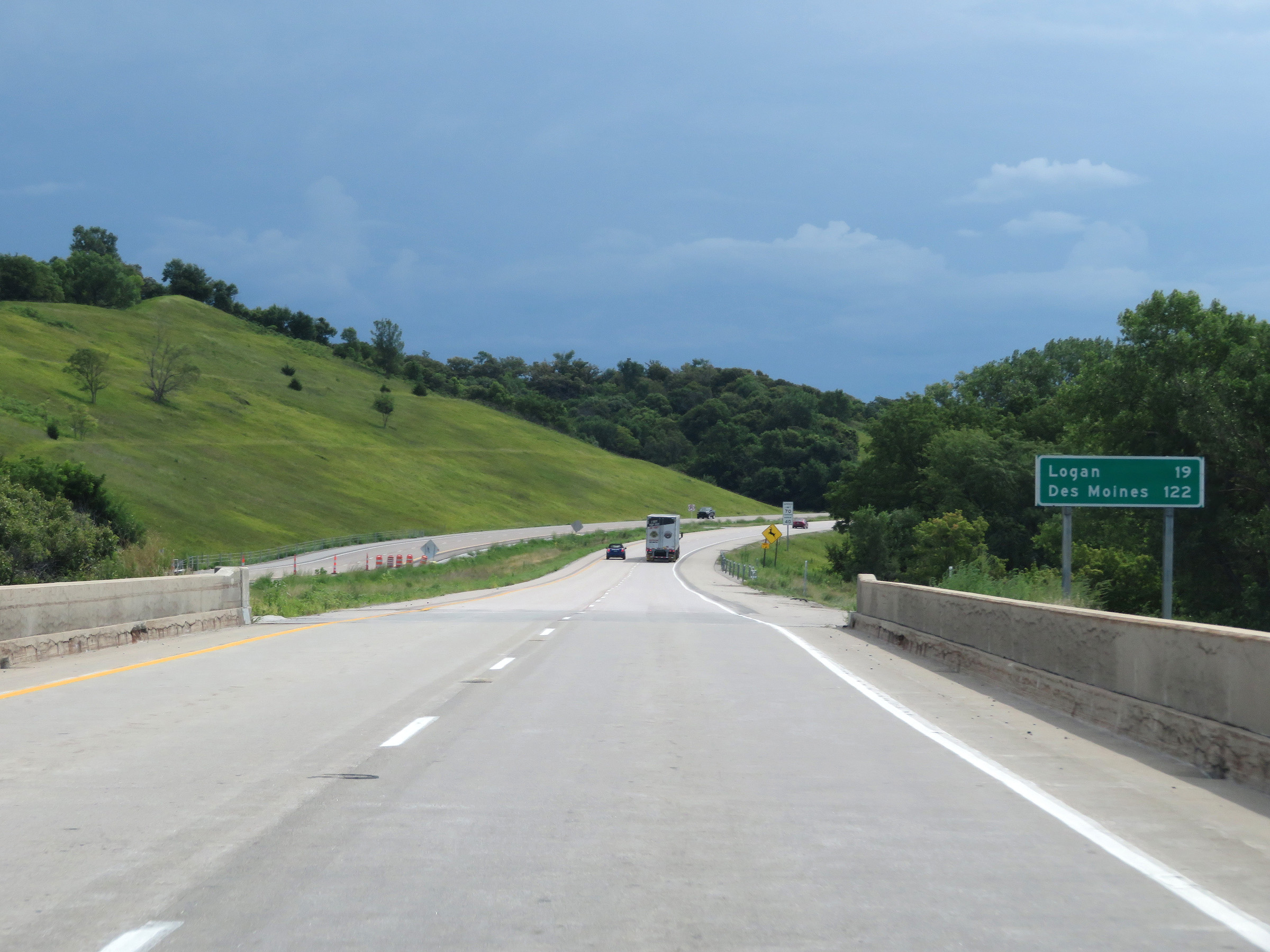 |
Mileage sign on Interstate 880 East. It's 19 miles to Logan and 122 miles to Des Moines. (Photo taken 8/10/20). |
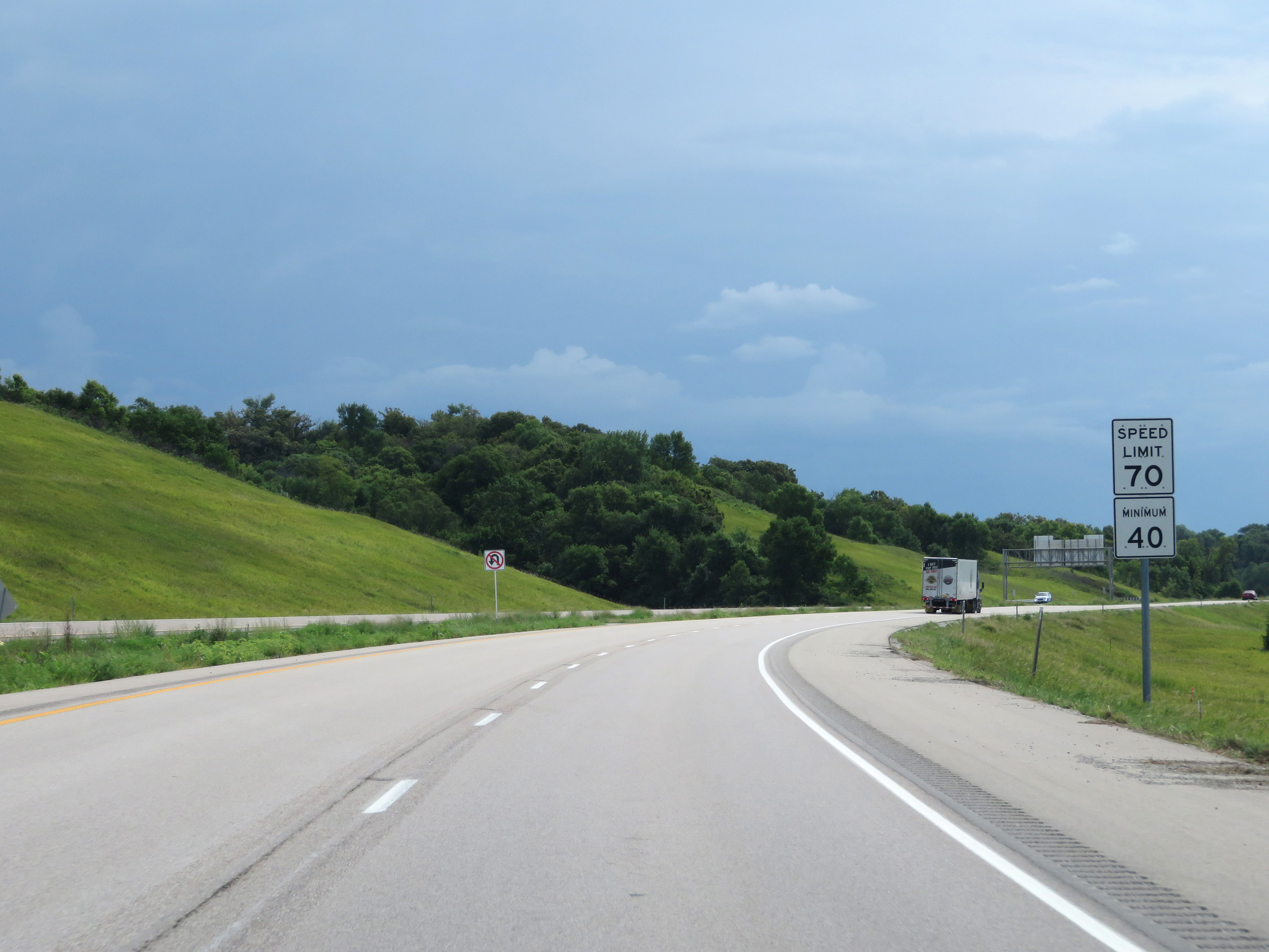 |
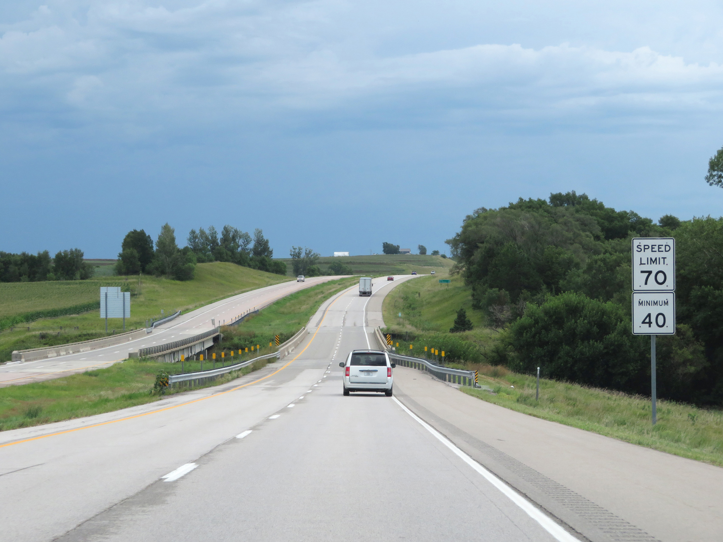
The speed limits on Interstate 880 East start out at 70 mph maximum and 40 mph minimum. These are the standard speed limits on most rural Interstate highways in Iowa. (Photo taken 8/10/20). |
 |
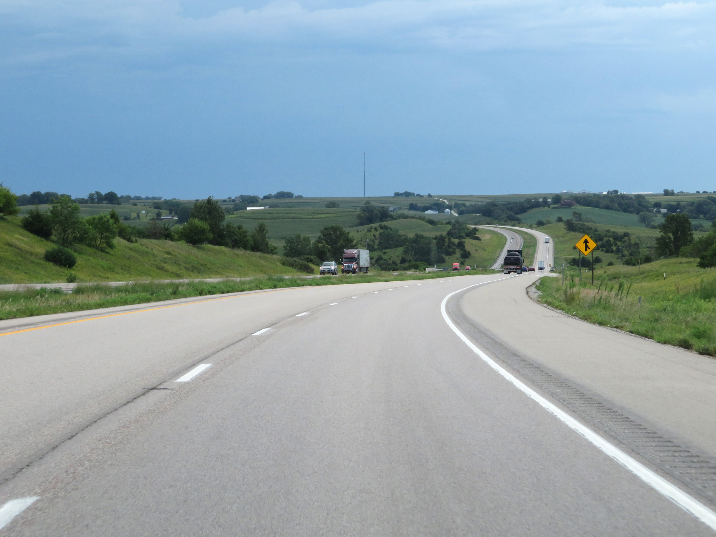
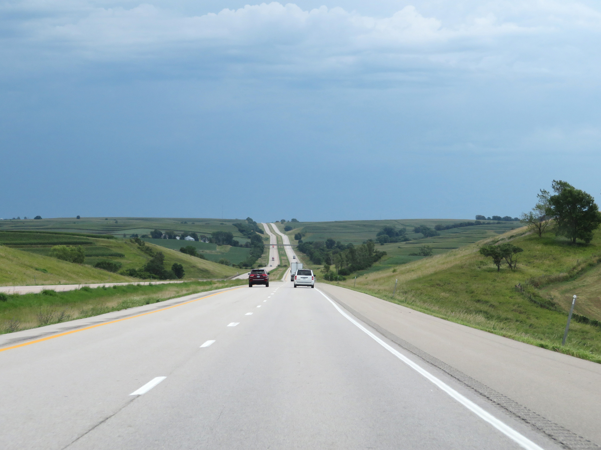
View on Interstate 880 East at mile marker 1, as it continues to climb the Loess Hills. (Photo taken 8/10/20). |
 |
Another view on Interstate 880 East climbing the Loess Hills. (Photo taken 8/10/20). |
 |
Interstate 880 East at mile marker 2. (Photo taken 8/10/20). |
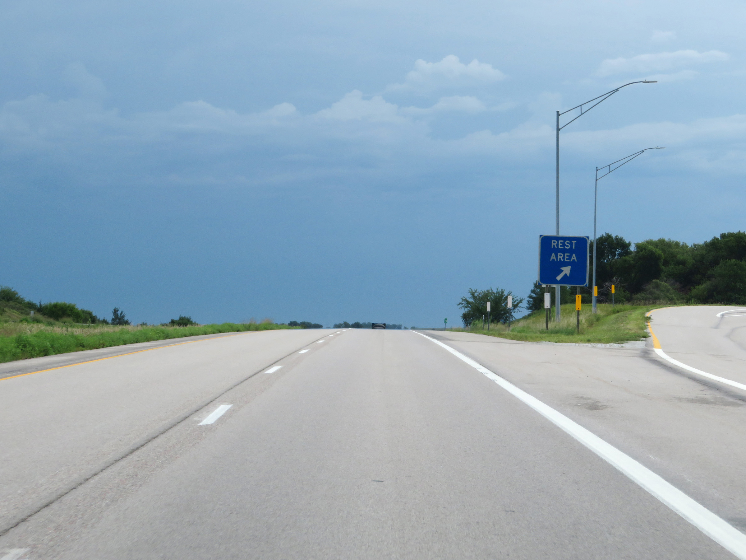 |
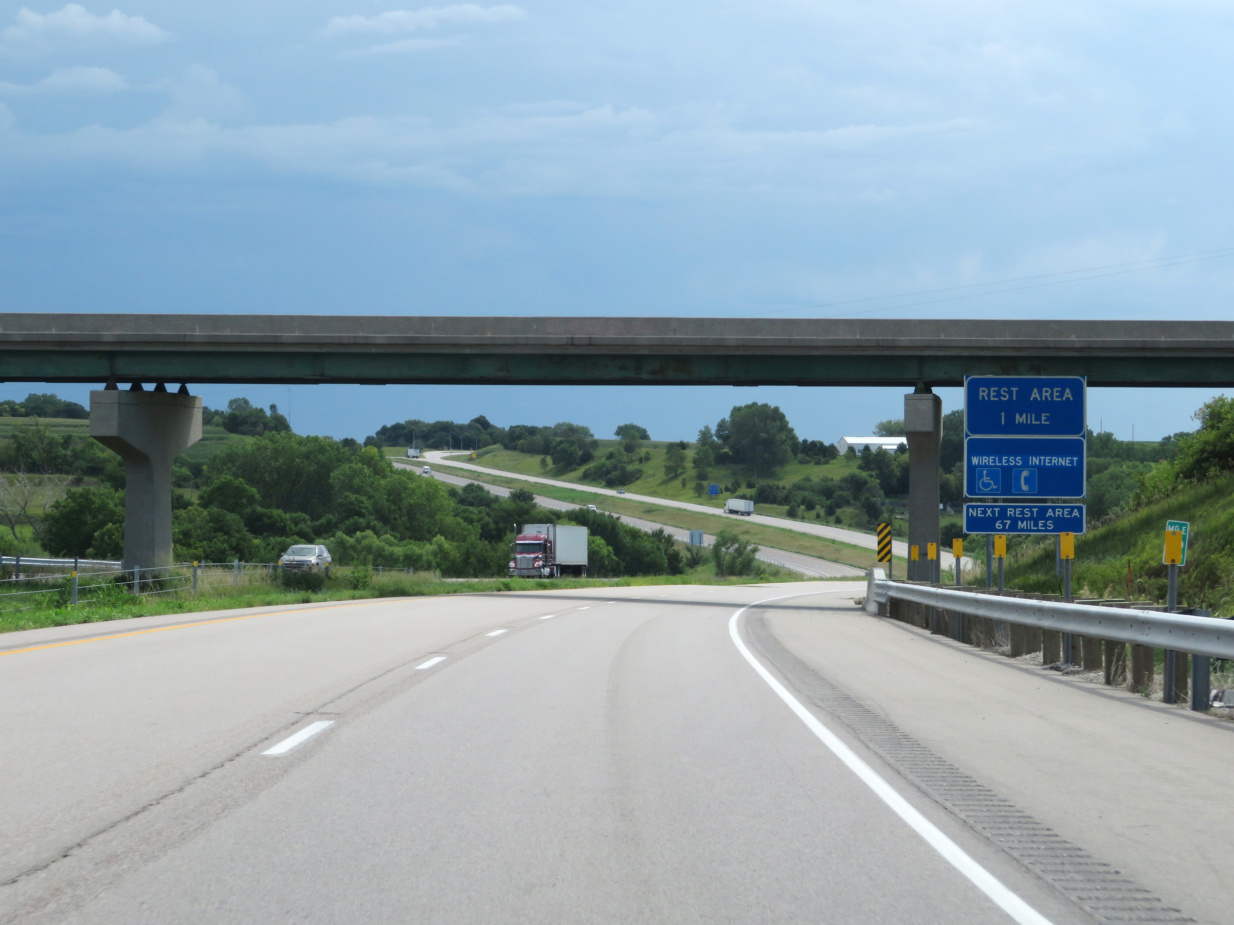
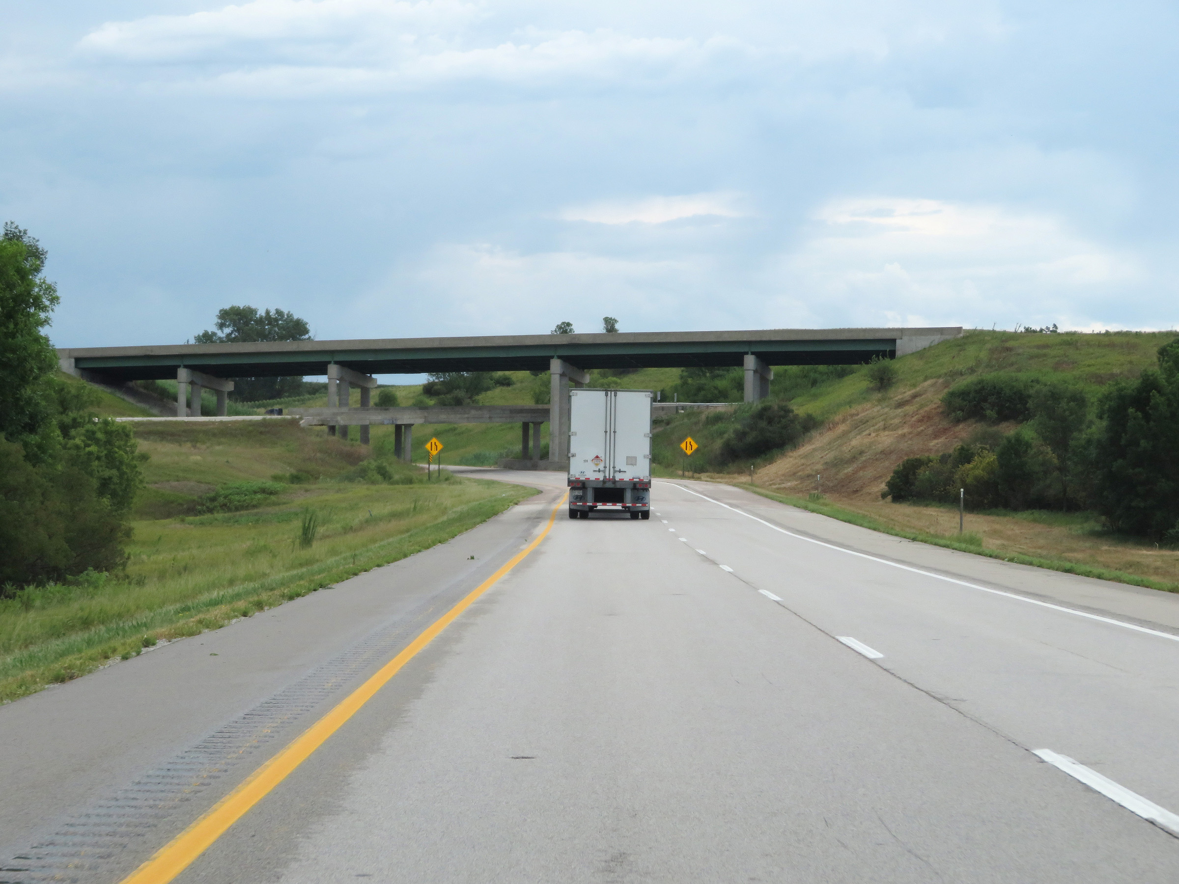
Rest Area on Interstate 880 East at mile marker 3 in Pottawattamie County. (Photo taken 8/10/20). |
 |
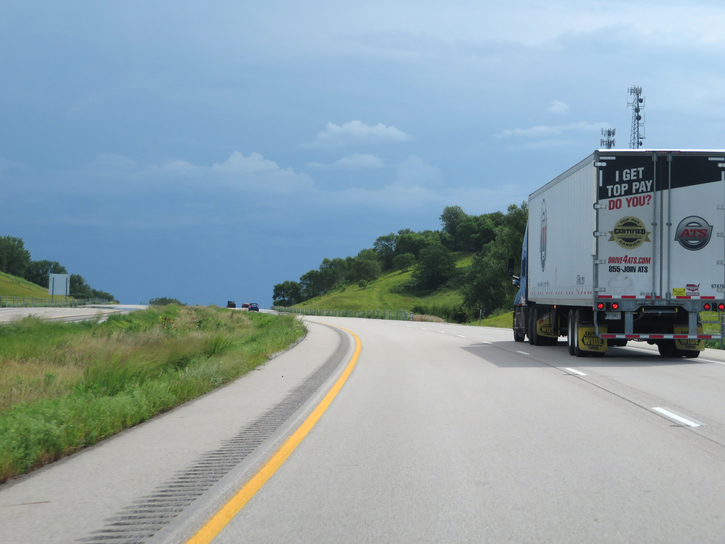
View on Interstate 880 East descending from the Loess Hills. (Photo taken 8/10/20). |
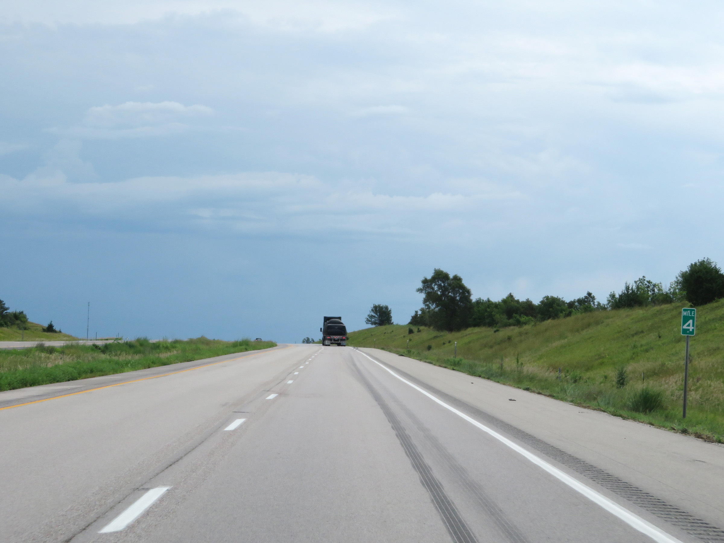 |
Interstate 880 East at mile marker 4. (Photo taken 8/10/20). |
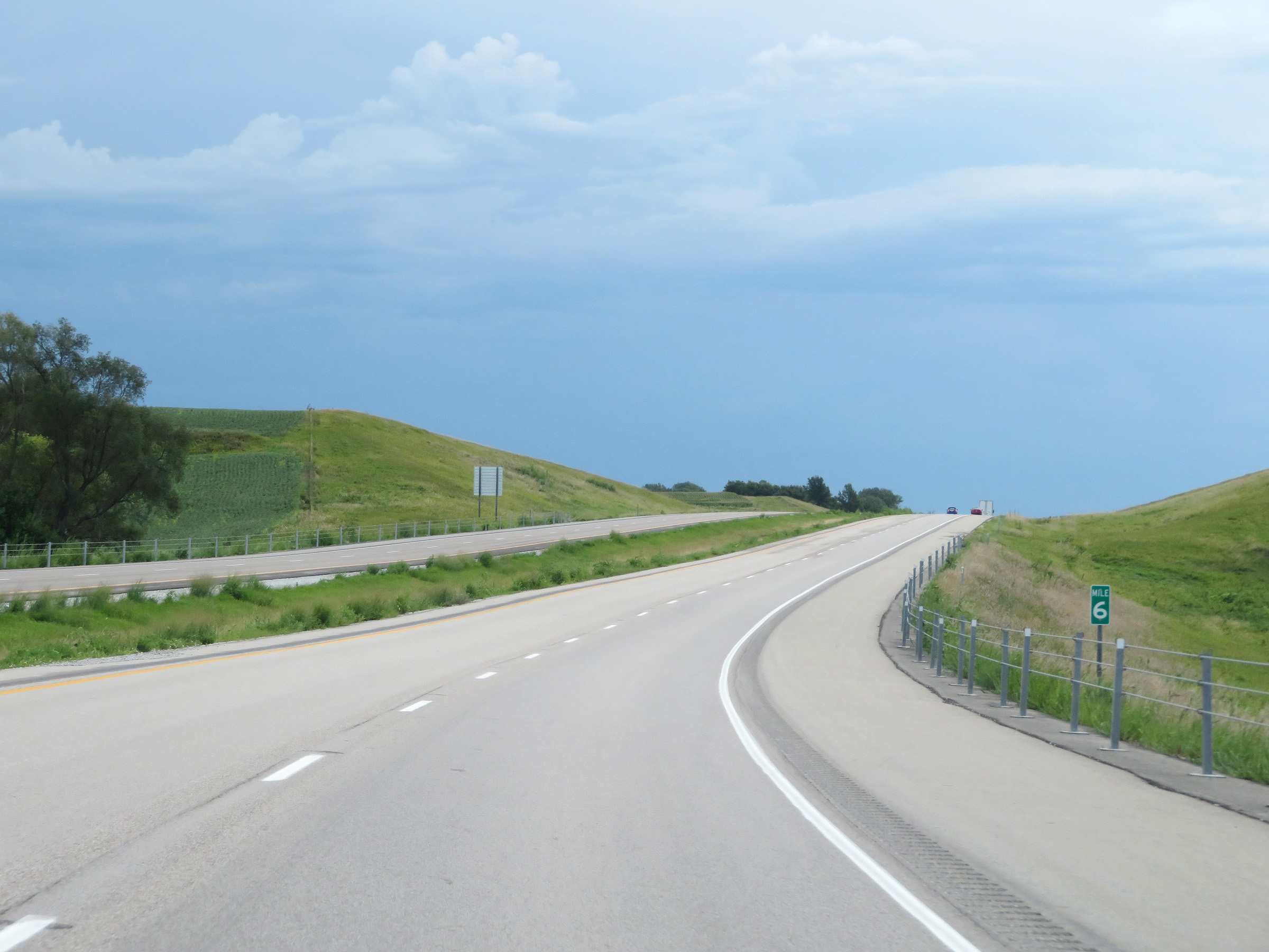 |
View on Interstate 880 East at mile marker 6. (Photo taken 8/10/20). |
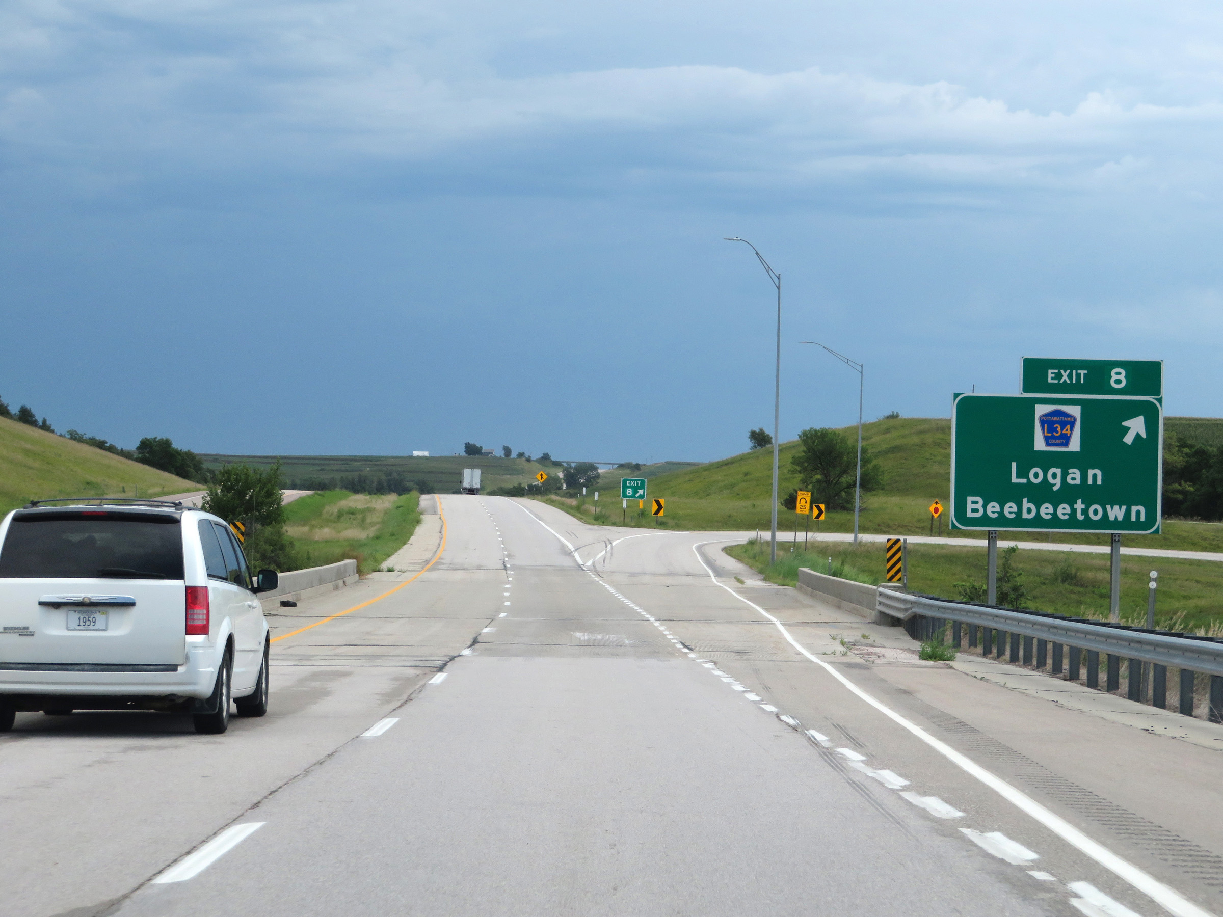 |
Interstate 880 East at Exit 8: CR L34 - Logan / Beebeetown (Photo taken 8/10/20). |
 |
Another state-named Interstate 880 East reassurance shield. (Photo taken 8/10/20). |
 |
The speed limits remain 70 mph maximum and 40 mph minimum. (Photo taken 8/10/20). |
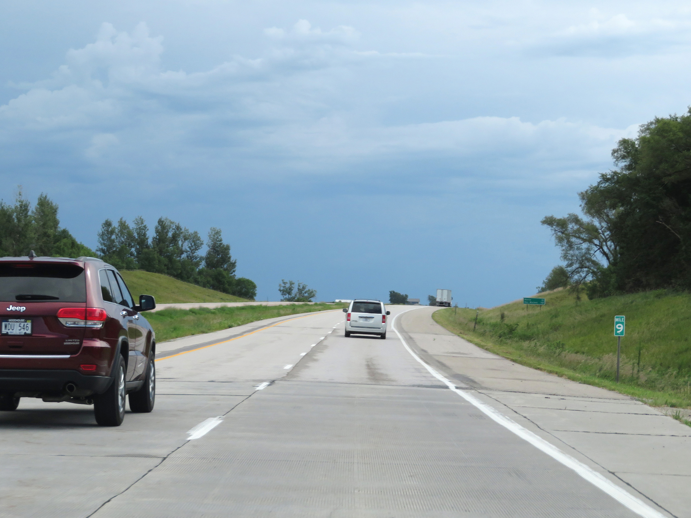 |
View on Interstate 880 East at mile marker 9. (Photo taken 8/10/20). |
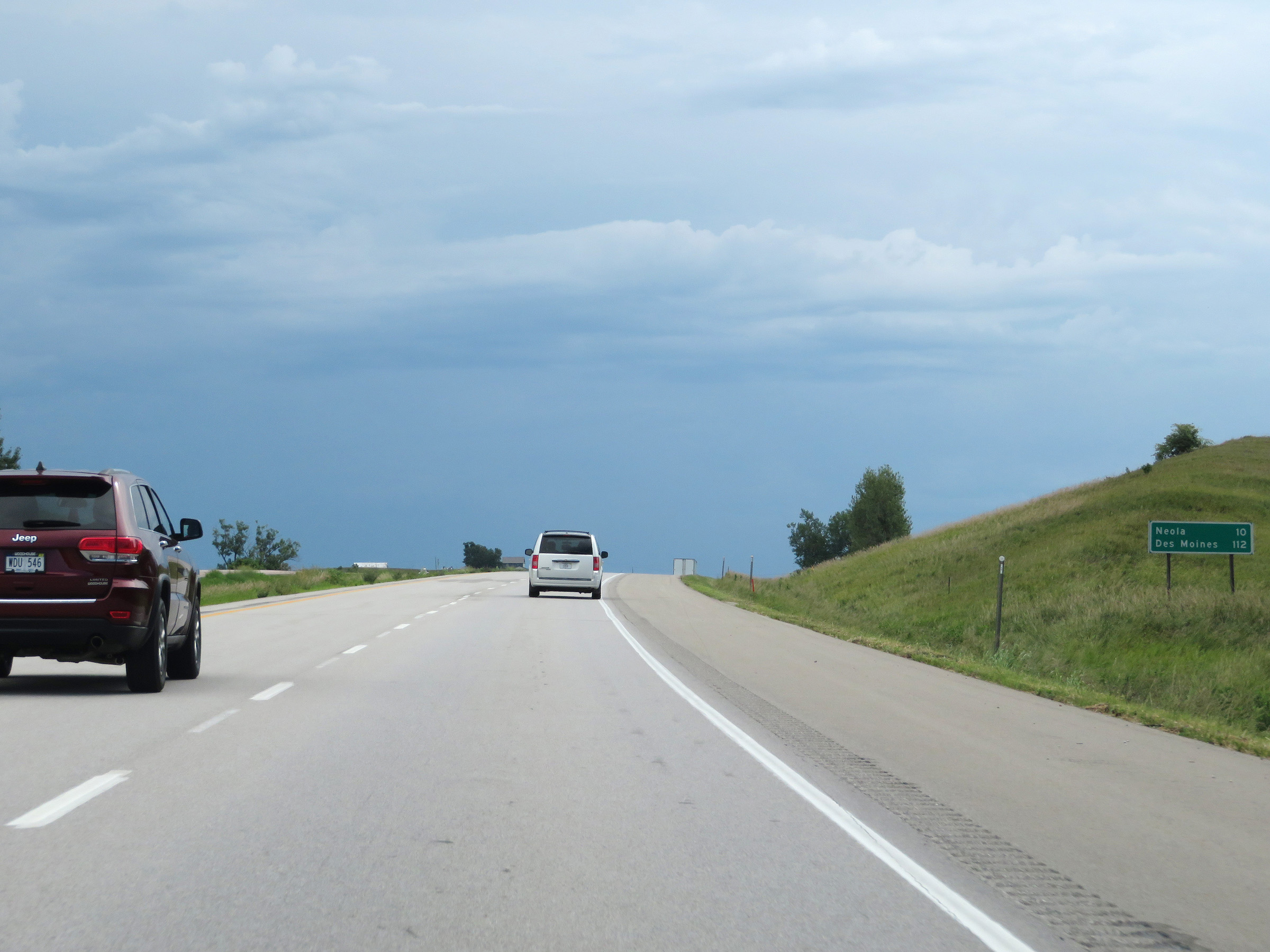 |
Mileage sign on Interstate 880 East. It's 10 miles to Neola and 112 miles to Des Moines. (Photo taken 8/10/20). |
 |
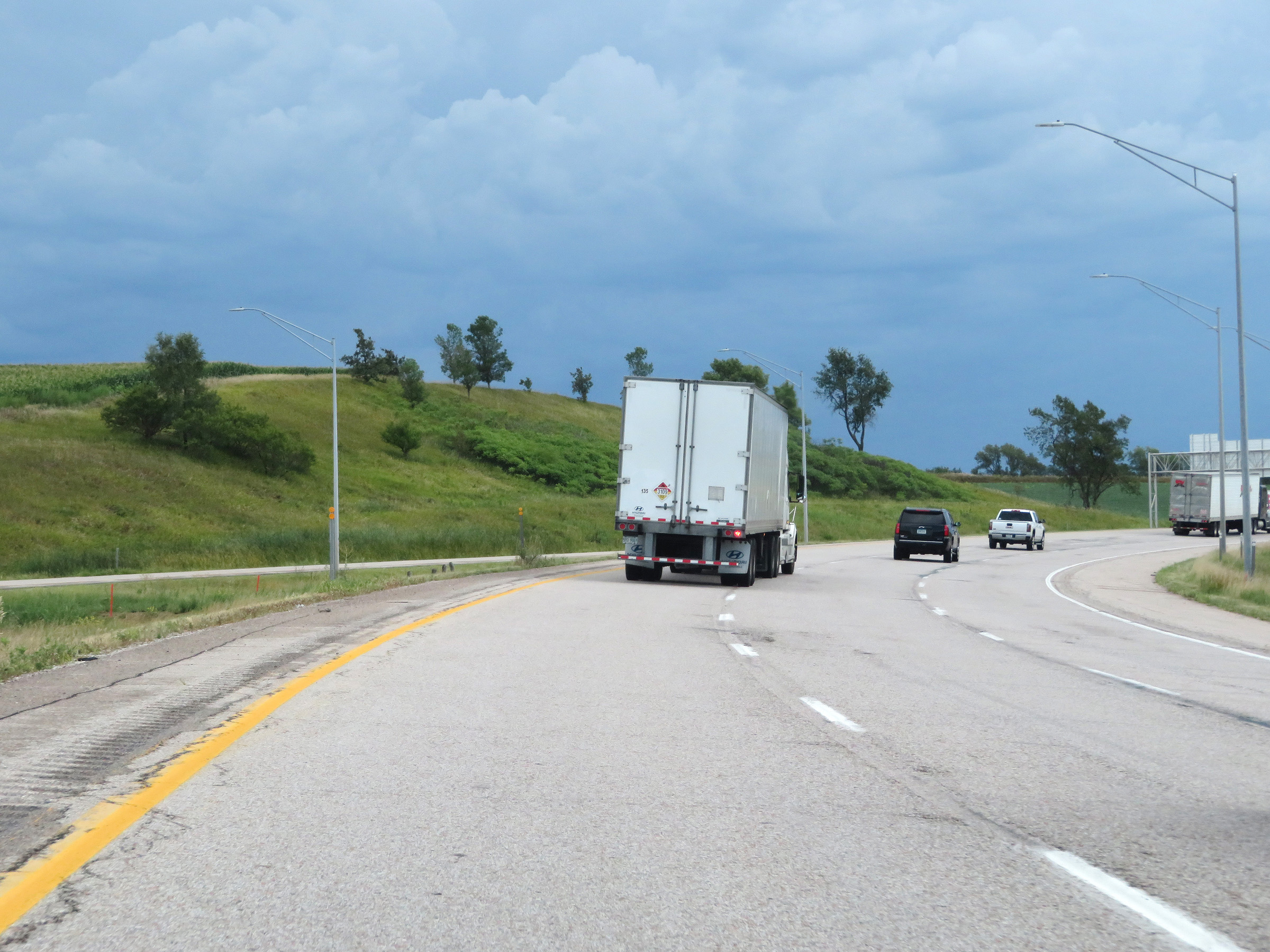
View on Interstate 880 East. (Photo taken 8/10/20). |
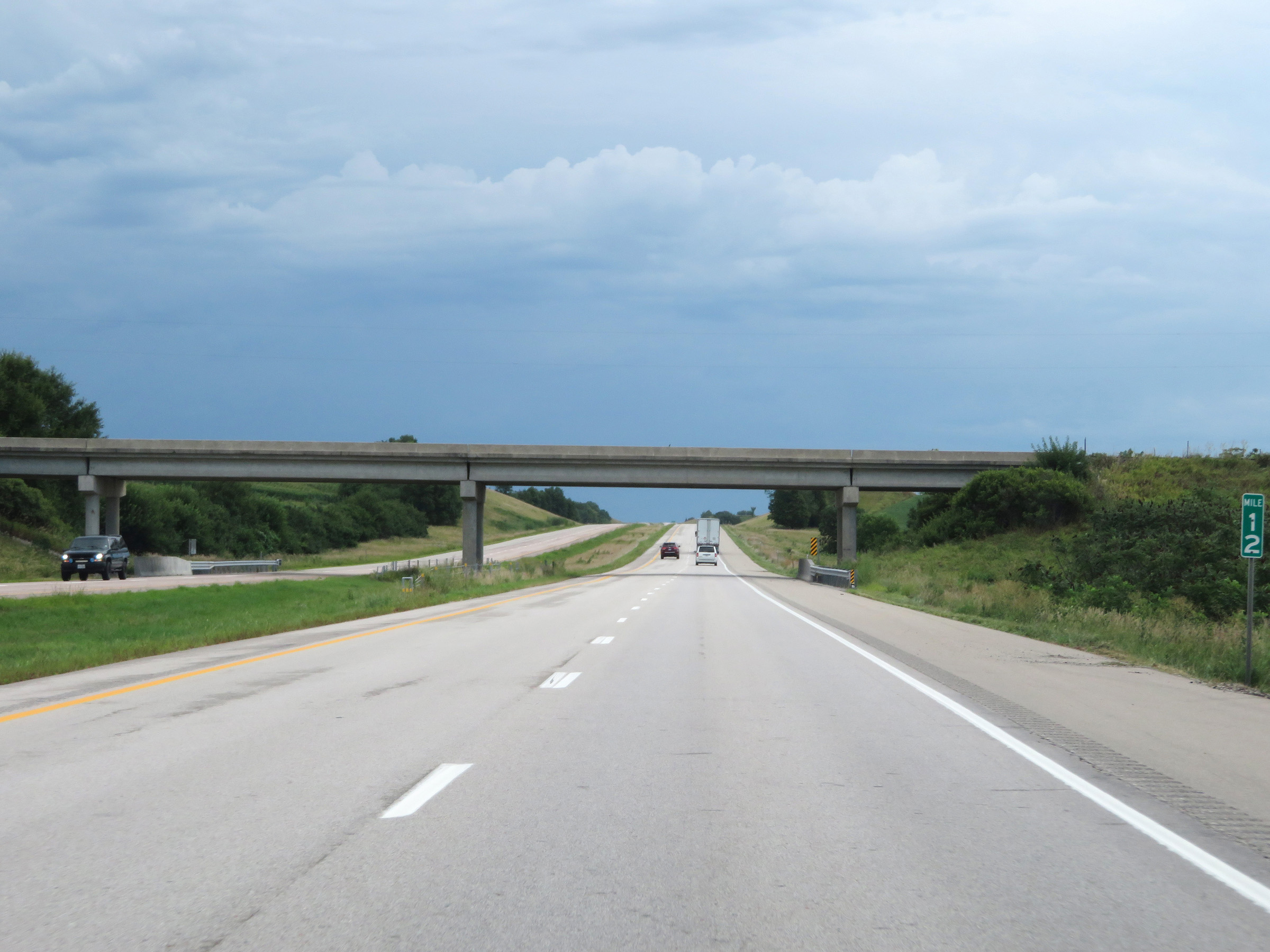 |
Interstate 880 East at mile marker 12. (Photo taken 8/10/20). |
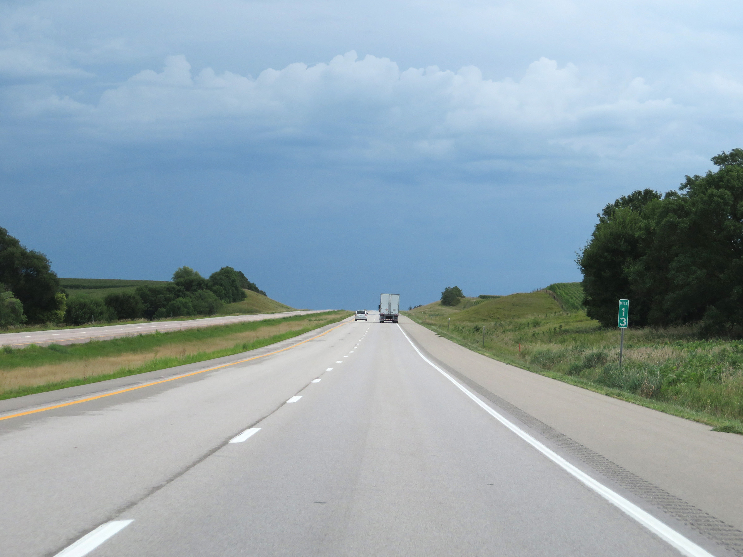 |
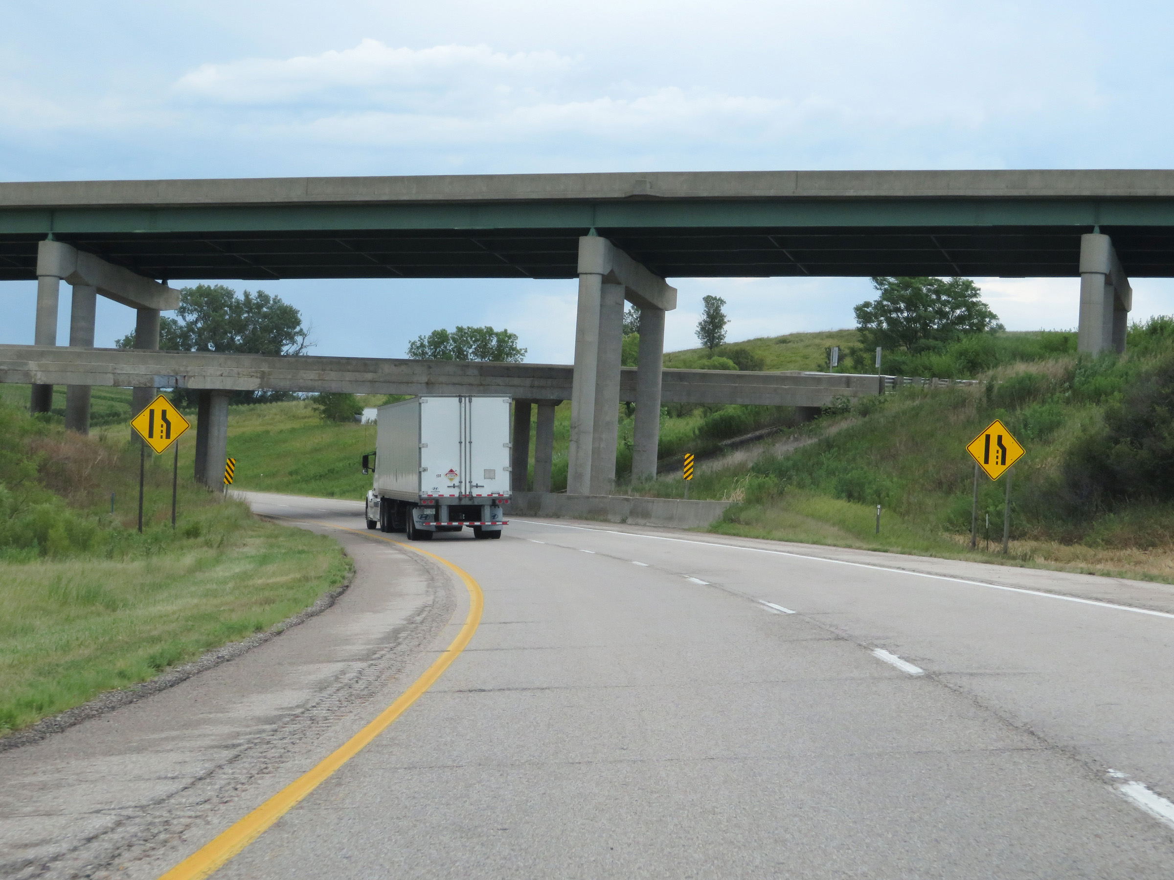
Mile marker 13 on Interstate 880 East in Pottawattamie County. (Photo taken 8/10/20). |
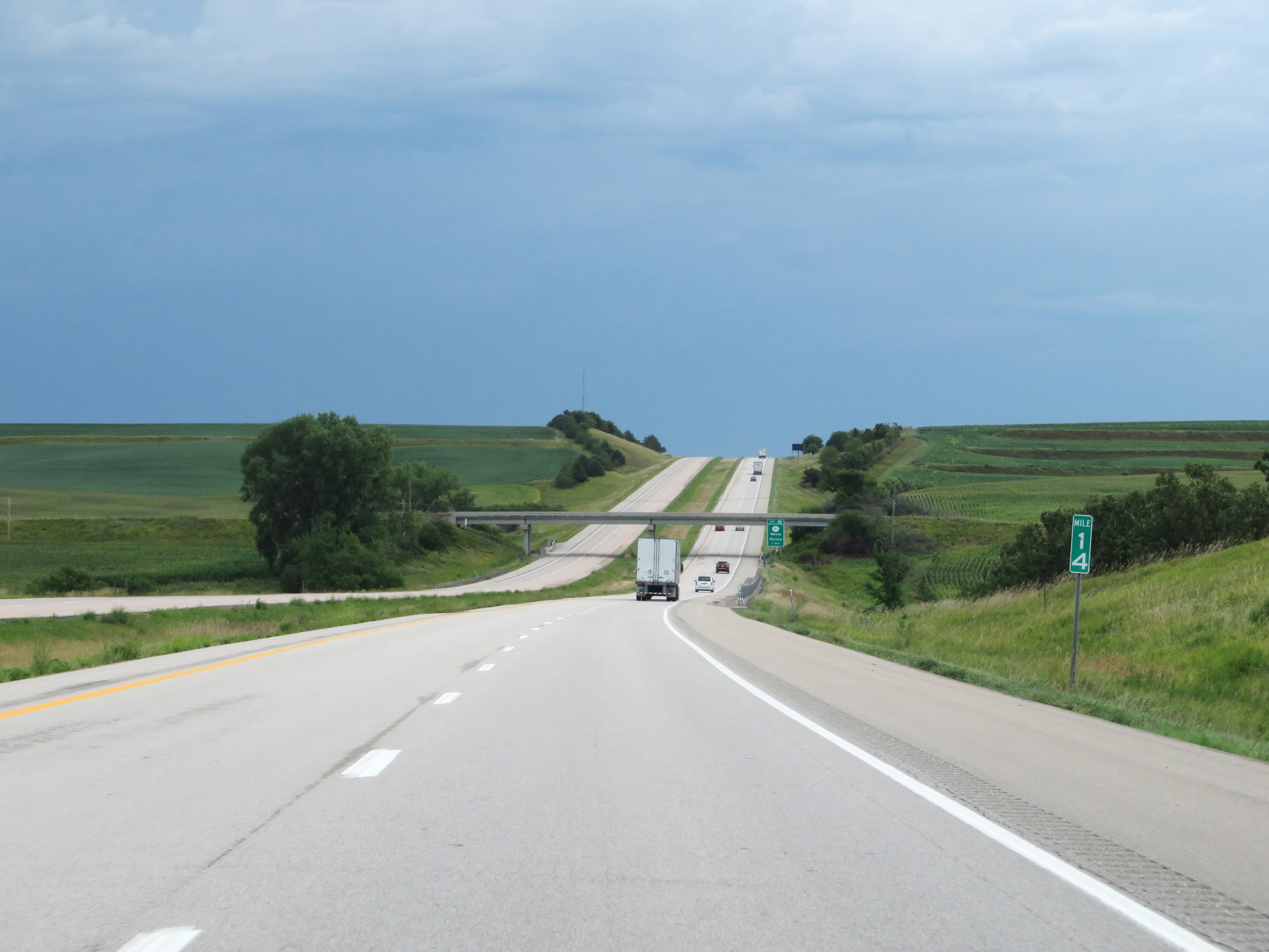 |
View on Interstate 880 East at mile marker 14. (Photo taken 8/10/20). |
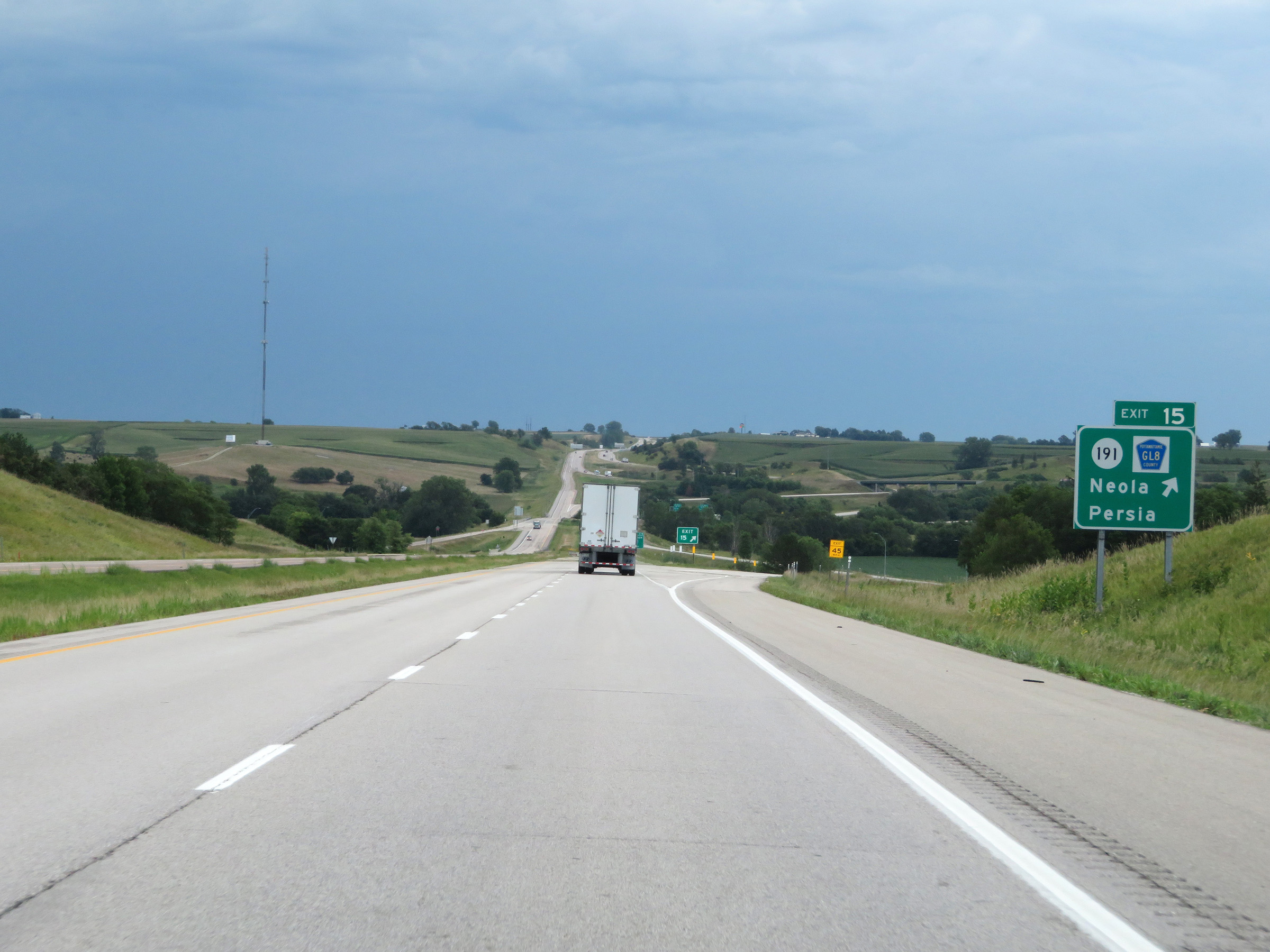 |
Interstate 880 East at Exit 15: IA 191 / CR GL8 - Neola / Persia (Photo taken 8/10/20). |
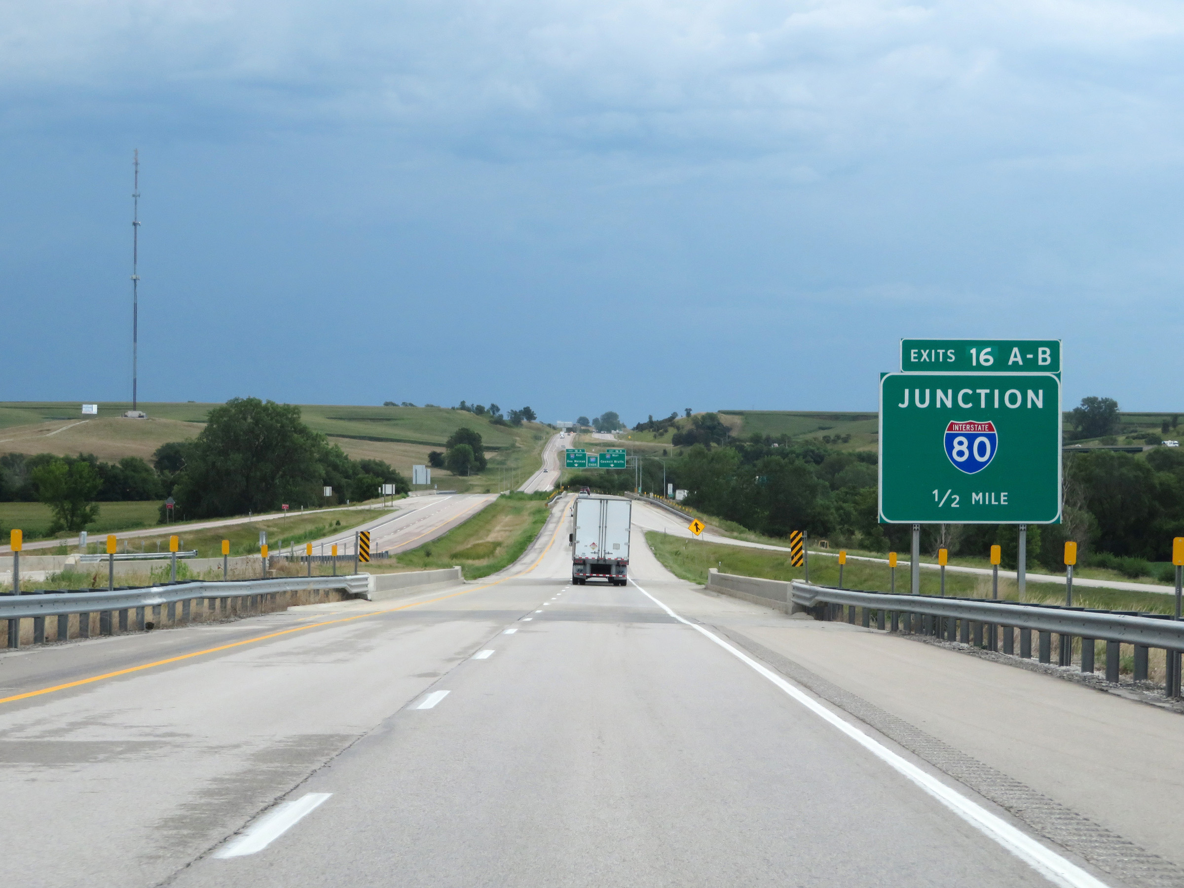 |
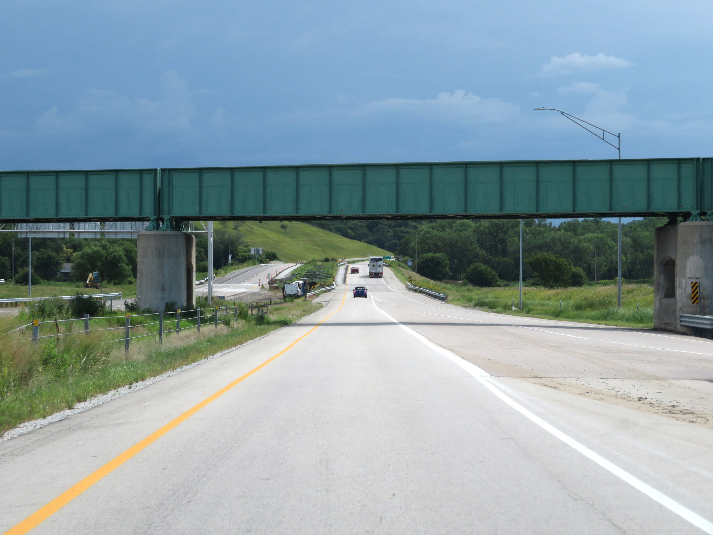
Interstate 880 East approaching the junction of Interstate 880 at Exits 16A-B - 1/2 mile. (Photo taken 8/10/20). |
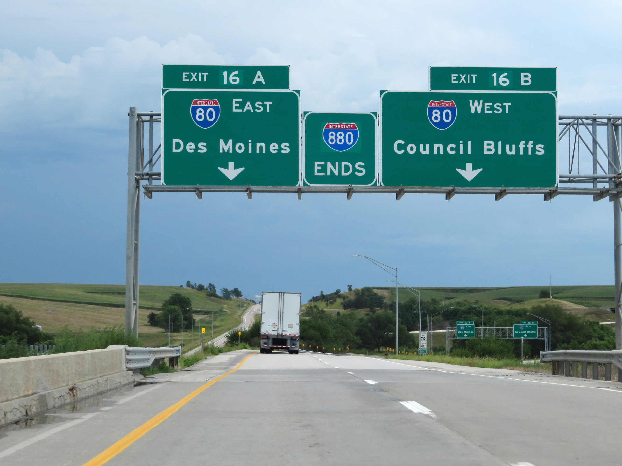 |
Interstate 880 END marker posted slightly prematurely, approaching Exits 16A-B. (Photo taken 8/10/20). |
 |
Interstate 880 East at Exit 16A: Interstate 80 East - Des Moines; Exit 16B: Interstate 80 West - Council Bluffs (Photo taken 8/10/20). |
 |
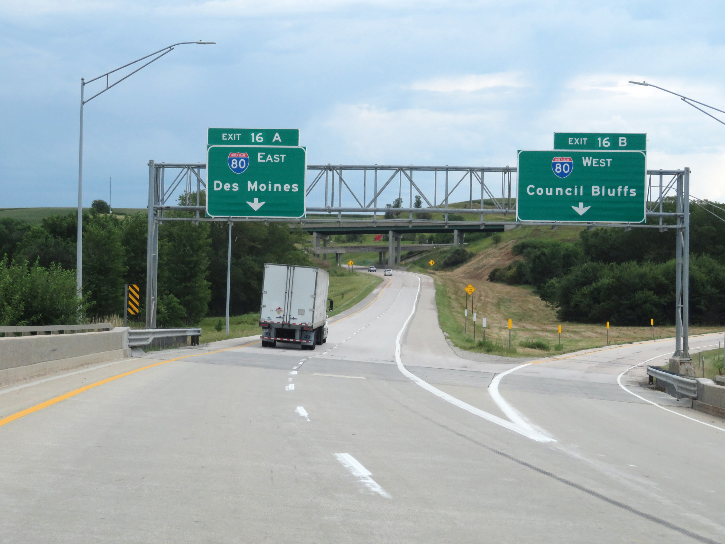
The two eastbound lanes of Interstate 880 become the ramp for Exit 16A to Interstate 80 East. (Photo taken 8/10/20). |
 |
The two eastbound lanes of Interstate 880 combine into a single lane ramp here, as the ramp passes under Interstate 80. (Photo taken 8/10/20). |
 |
Interstate 880 East merges into Interstate 80 East on the left here via the Exit 16A ramp. (Photo taken 8/10/20). |