Road Information |
||
 |
||
| Total Mileage in State: | 306 miles | |
| Eastern End: | At Illinois state line | |
| Western End: | At Nebraska state line | |
| Mileage covered in Photos: | 303 miles | |
| Counties covered in Photos: | Scott, Johnson, Iowa, Poweshiek, Jasper, Polk, Dallas, Madison, Adair, Cass, Pottawattamie | |
| Major Junctions in Photos: | I-74, near Davenport I-280, near Davenport I-380, near Iowa City I-35/I-235, in Des Moines I-680, near Neola I-29, in Council Bluffs |
|
| Control Cities in Photos: | Davenport, Iowa City, Des Moines, Council Bluffs | |
Westbound
- Section 1: Illinois Border to Iowa City (Exit 239B)
- Section 2: Iowa City (Exit 239B) to Des Moines (Exit 141)
- Section 3: Des Moines (Exit 141) to Adair (Exit 76)
- Section 4: Adair (Exit 76) to Council Bluffs (Exit 3)
Section 1: Illinois Border to Iowa City (Exit 239B)
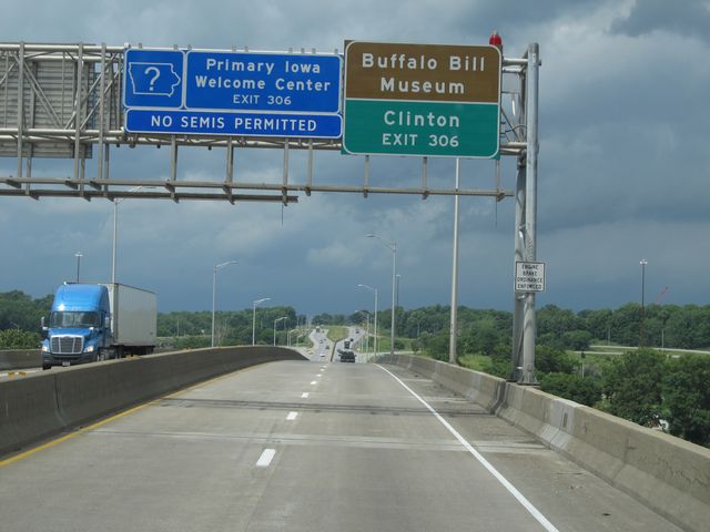 |
Interstate 80 West as it crosses the Mississippi River into Iowa. As the sign says, use the upcoming Exit 306 to get to the Buffalo Bill Museum and Clinton. (Photo taken 8/8/11). |
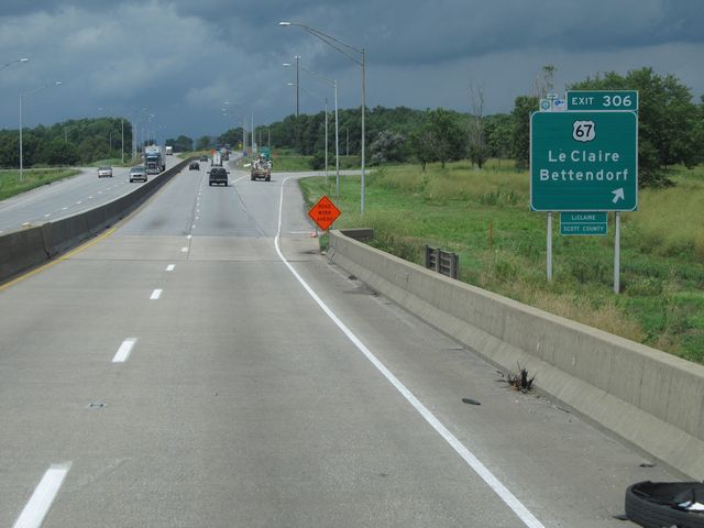 |
Interstate 80 West at Exit 306: US 67 - LeClaire / Bettendorf (Photo taken 8/8/11). |
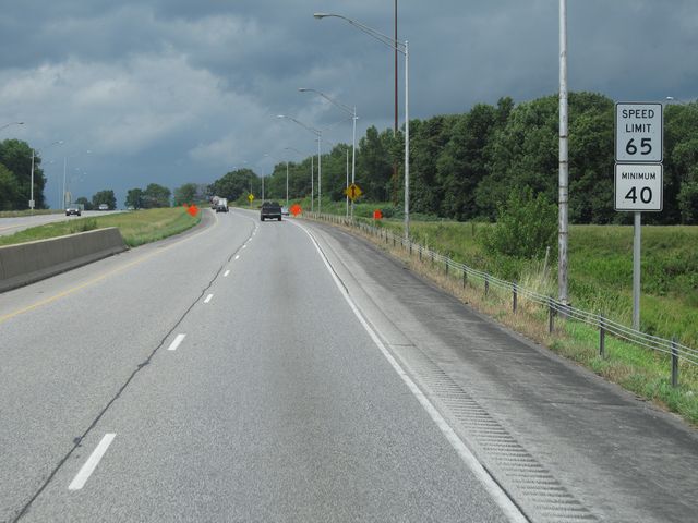 |
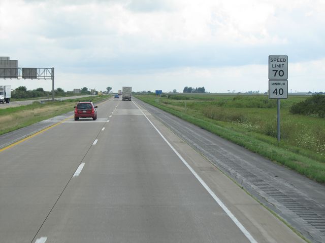
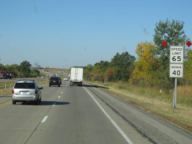
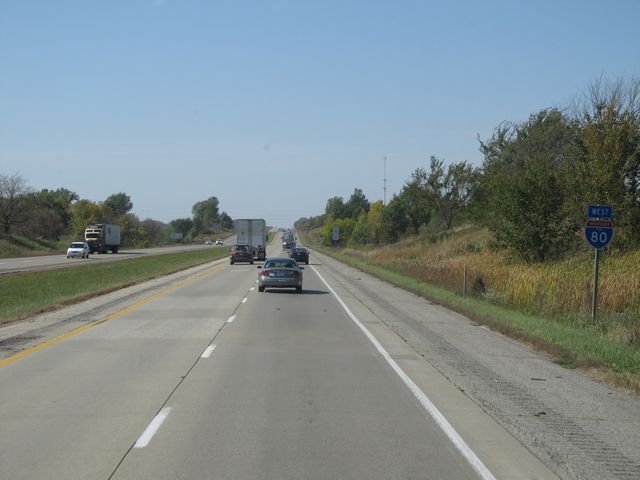
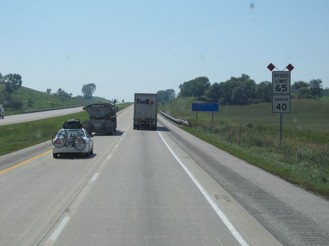
The speed limit on Interstate 80 West starts out at 65 mph, as you are close to the Davenport area. A minimum speed limit of 40 mph also applies. (Photo taken 8/8/11). |
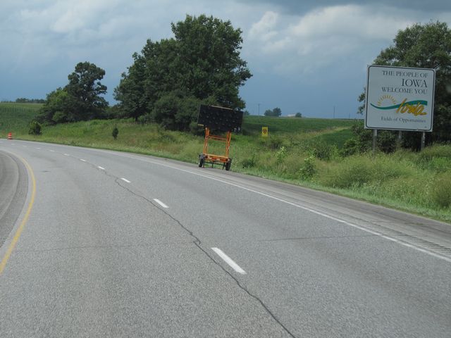 |
Iowa welcome sign located near mile marker 305. (Photo taken 8/8/11). |
 |
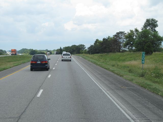
Mileage sign located near mile marker 304. It's 6 miles to Davenport and 174 miles to Des Moines. (Photo taken 8/8/11). |
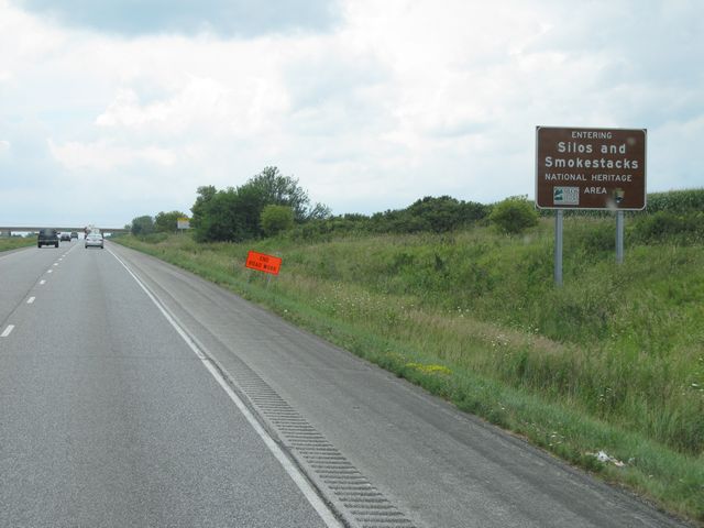 |
Sign near mile marker 304, indicating that you are entering the Silos and Smokestacks National Heritage Area. (Photo taken 8/8/11). |
 |
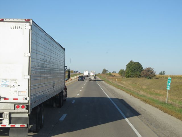
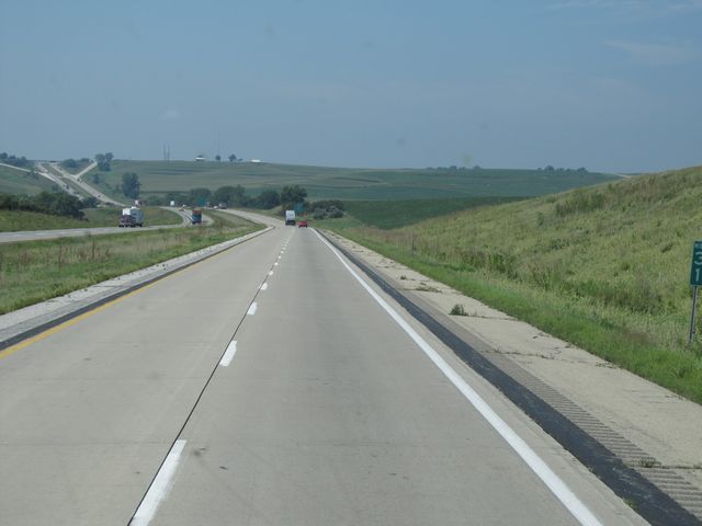
Interstate 80 West: Road view from mile marker 304. (Photo taken 8/8/11). |
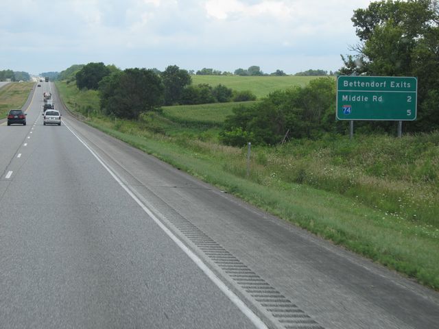 |
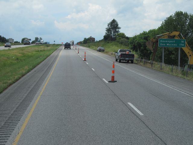
Sign listing the distances to the two upcoming Bettendorf exits. (Photo taken 8/8/11). |
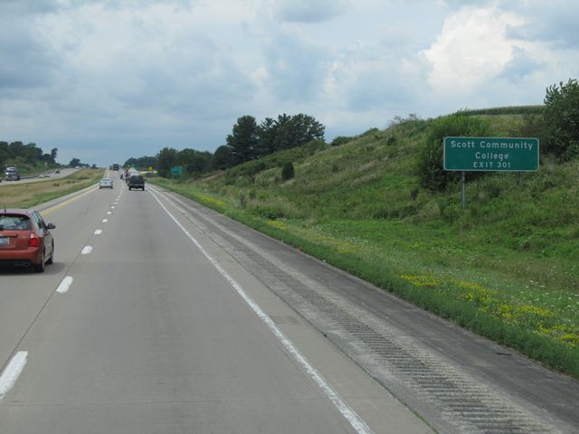 |
Use Exit 301 for Scott Community College. (Photo taken 8/8/11). |
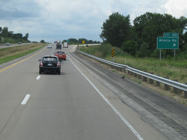 |
Interstate 80 West at Exit 301: Middle Rd (Photo taken 8/8/11). |
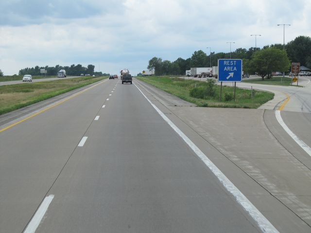 |
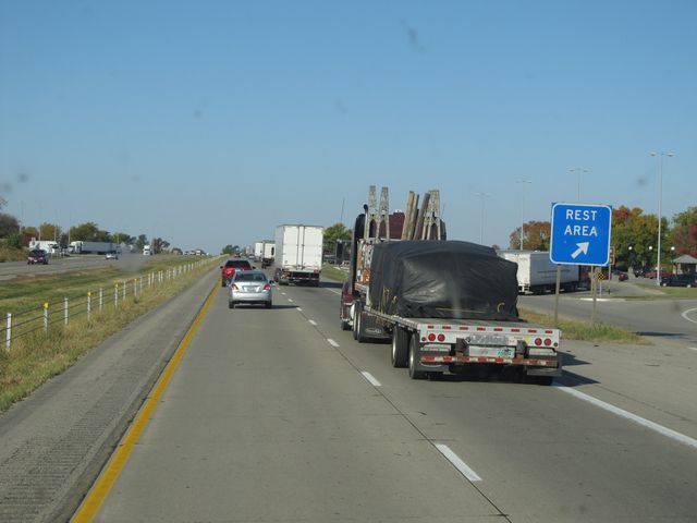
Interstate 80 West at the Rest Area located near mile marker 300. (Photo taken 8/8/11). |
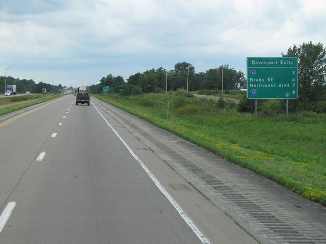 |
Sign listing the distances to the upcoming Davenport exits. (Photo taken 8/8/11). |
 |
Interstate 80 West approaching Exit 298 - 1 mile. (Photo taken 8/8/11). |
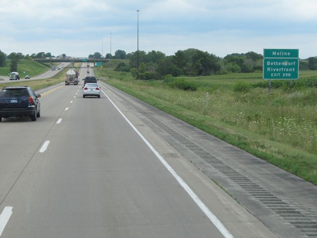 |
Use Exit 298 for Moline and Bettendorf Riverfront. (Photo taken 8/8/11). |
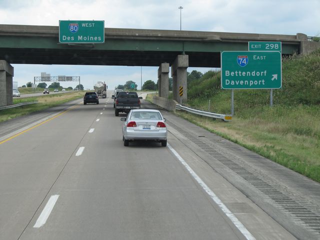 |
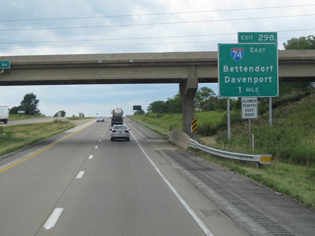
Interstate 80 West at Exit 298: Interstate 74 East - Bettendorf / Davenport (Photo taken 8/8/11). |
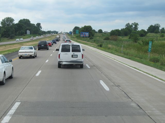 |
Interstate 80 West: Road view from mile marker 297. (Photo taken 8/8/11). |
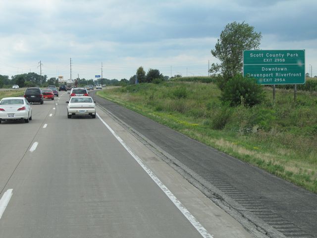 |
Use Exit 295B for Scott County Park, and Exit 295A for Downtown and Davenport Riverfront. (Photo taken 8/8/11). |
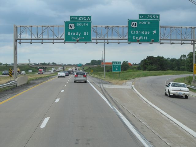 |
Interstate 80 West at Exit 295B: US 61 North - Eldridge / DeWitt (Photo taken 8/8/11). |
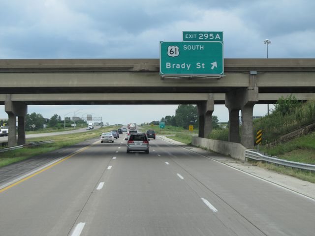 |
Interstate 80 West at Exit 295A: US 61 South - Brady St (Photo taken 8/8/11). |
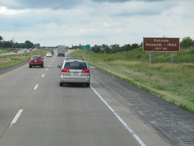 |
Take Exit 292 for Putnam Museum. (Photo taken 8/8/11). |
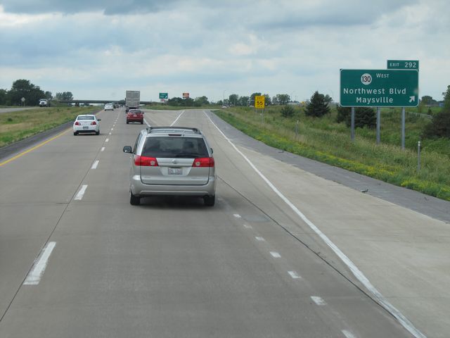 |
Interstate 80 West at Exit 292: IA 130 West - Northwest Blvd / Maysville (Photo taken 8/8/11). |
 |
Interstate 80 West shield sign located near mile marker 291. (Photo taken 8/8/11). |
 |
Interstate 80 West approaching Exit 290 - 1 mile. (Photo taken 8/8/11). |
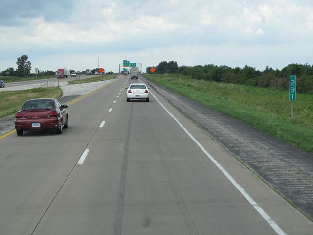 |
Interstate 80 West: Road view from mile marker 291. (Photo taken 8/8/11). |
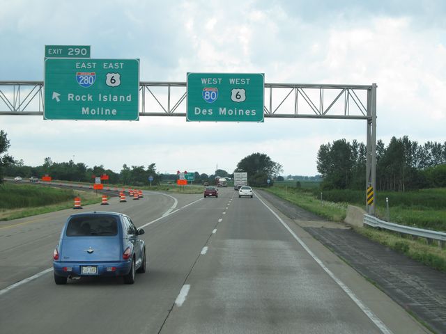 |
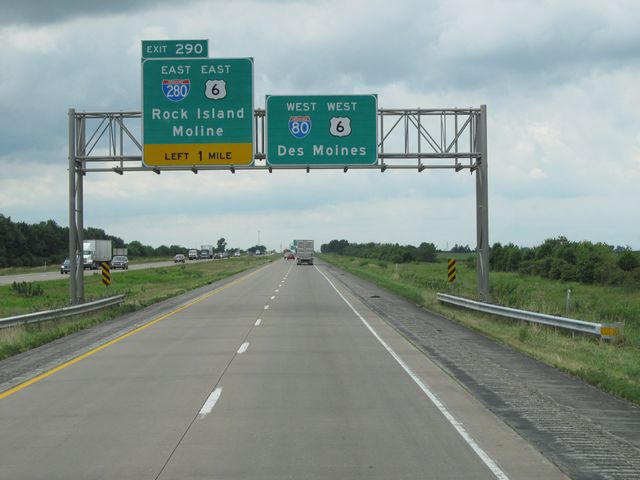
Interstate 80 West at Exit 290: Interstate 280 East / US 6 East - Rock Island / Moline (Photo taken 8/8/11). |
 |
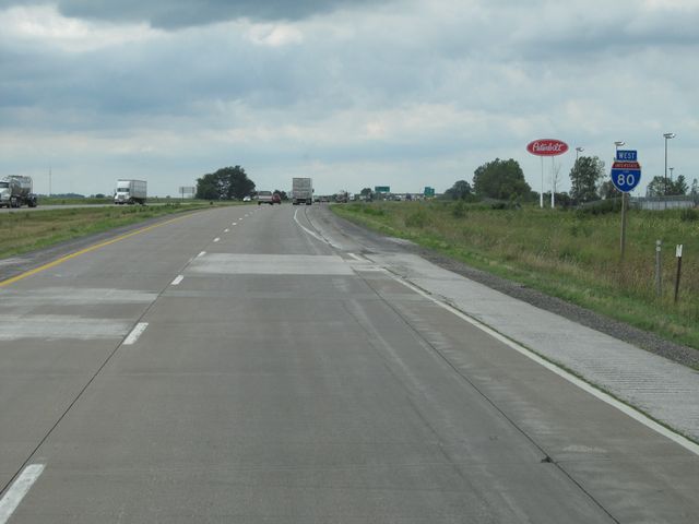
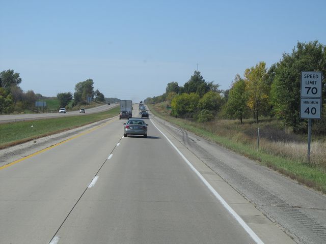
Near mile marker 289, the speed limit increases to 70 mph, which is standard on most rural Iowa freeways. The 40 mph minimum speed limit still applies. (Photo taken 8/8/11). |
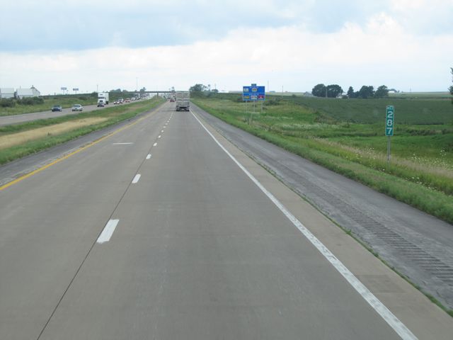 |
Interstate 80 West: Road view from mile marker 287. (Photo taken 8/8/11). |
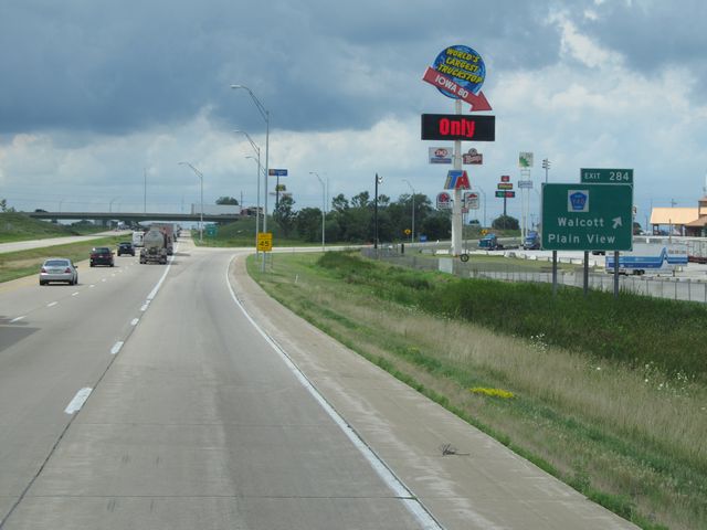 |
Interstate 80 West at Exit 284: CR Y40 - Walcott / Plain View. The Iowa 80 Truck Stop, which is the largest one in the world, is located off this exit. (Photo taken 8/8/11). |
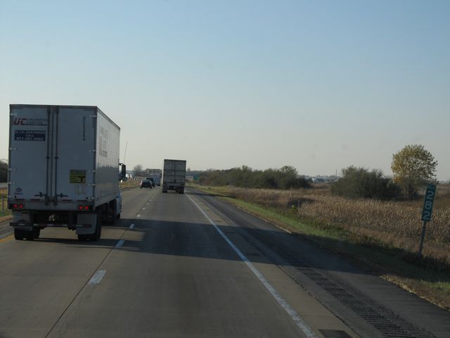 |
Interstate 80 West: Road view from mile marker 282. (Photo taken 10/31/11). |
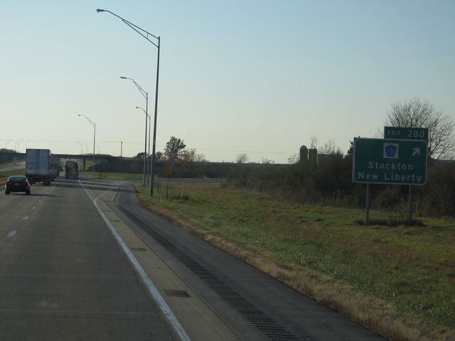 |
Interstate 80 West at Exit 280: CR Y30 - Stockton / New Liberty (Photo taken 10/31/11). |
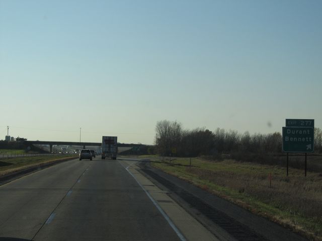 |
Interstate 80 West at Exit 277: Durant / Bennett (Photo taken 10/31/11). |
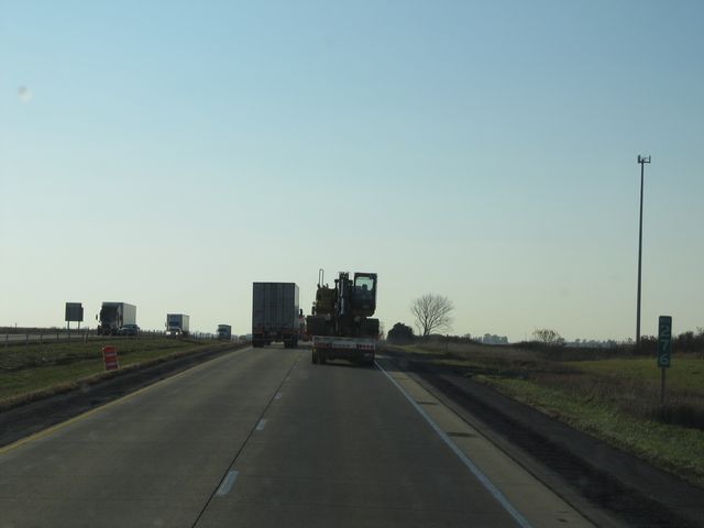 |
Interstate 80 West: Road view from mile marker 276. (Photo taken 10/31/11). |
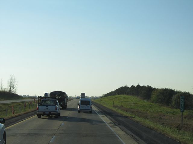 |
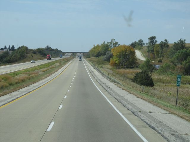
Interstate 80 West: Road view from mile marker 273. (Photo taken 10/31/11). |
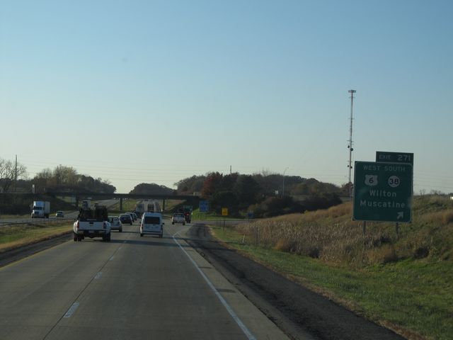 |
Interstate 80 West at Exit 271: US 6 West / IA 38 South - Wilton / Muscatine (Photo taken 10/31/11). |
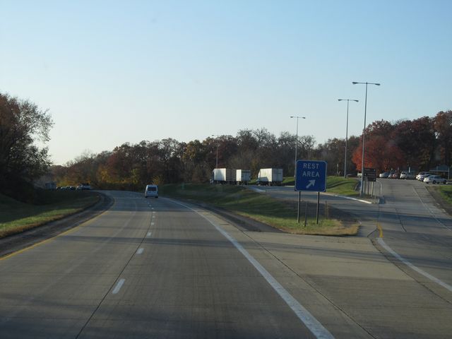 |
Interstate 80 West at the Rest Area located at mile marker 270. (Photo taken 10/31/11). |
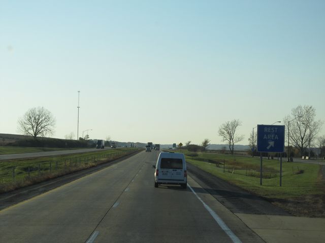 |
Interstate 80 West at the Rest Area located just past the previous one, near mile marker 268. This one, however, is parking only with no facilities. (Photo taken 10/31/11). |
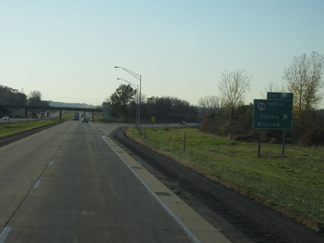 |
Interstate 80 West at Exit 267: IA 38 North - Tipton / Moscow (Photo taken 10/31/11). |
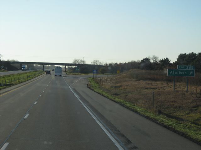 |
Interstate 80 West at Exit 265: Atalissa (Photo taken 10/31/11). |
 |
Interstate 80 West: Road view from mile marker 264. (Photo taken 10/31/11). |
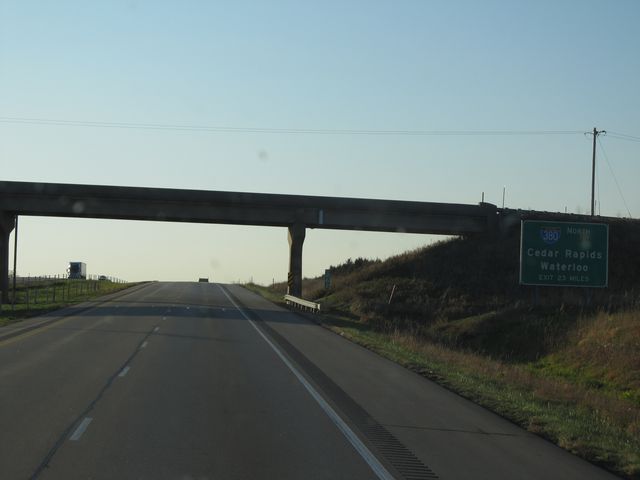 |
Advance mileage sign located near mile marker 261, alerting motorists that the junction of Interstate 380 North is 23 miles ahead. (Photo taken 10/31/11). |
 |
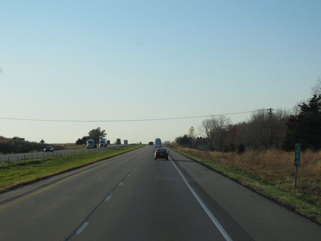
Interstate 80 West: Road view from mile marker 261. (Photo taken 10/31/11). |
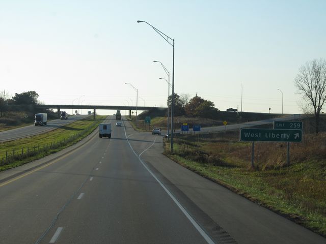 |
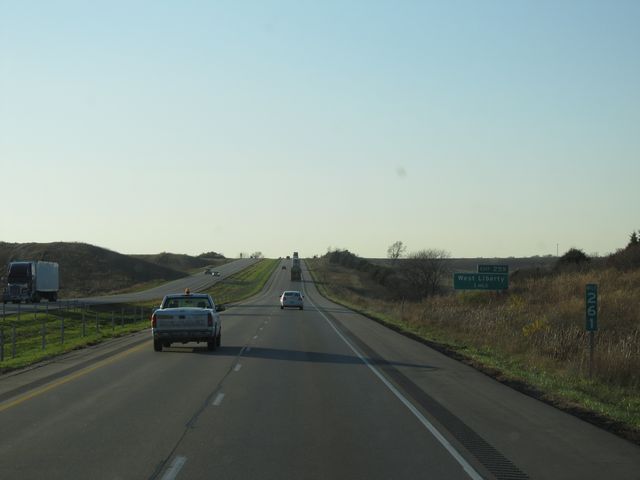
Interstate 80 West at Exit 259: West Liberty (Photo taken 10/31/11). |
 |
Interstate 80 West: Road view from mile marker 258. (Photo taken 10/31/11). |
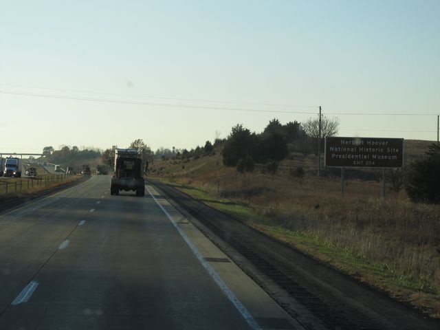 |
Use Exit 254 for the Herbert Hoover National Historic Site and Presidential Museum. (Photo taken 10/31/11). |
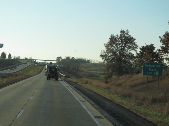 |
Also use Exit 254 for access to the Industrial Park. (Photo taken 10/31/11). |
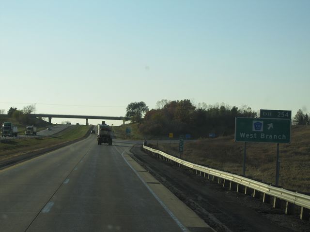 |
Interstate 80 West at Exit 254: CR X30 - West Branch (Photo taken 10/31/11). |
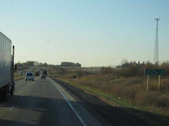 |
Mileage sign located near mile marker 253. It's 10 miles to Iowa City and 122 miles to Des Moines. (Photo taken 10/31/11). |
 |
Interstate 80 West: Road view from mile marker 252. (Photo taken 10/31/11). |
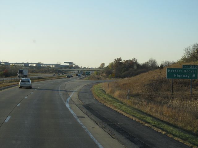 |
Interstate 80 West at Exit 249: Herbert Hoover Highway (Photo taken 10/31/11). |
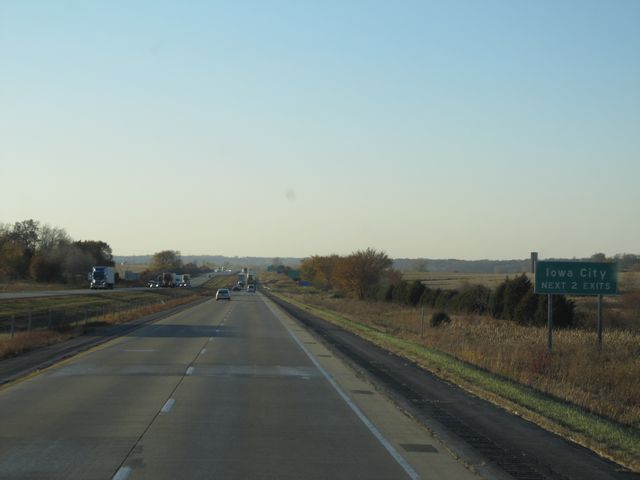 |
Use either of the next 2 exits to get to Iowa City. (Photo taken 10/31/11). |
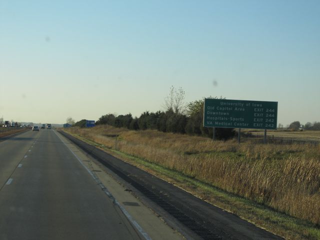 |
Sign listing the exits to the different University of Iowa facilities. (Photo taken 10/31/11). |
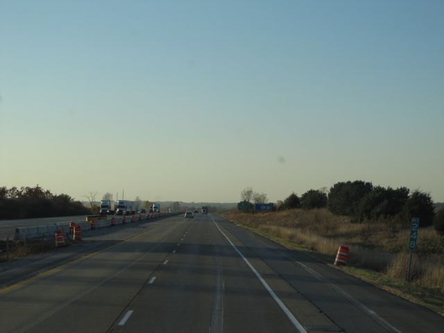 |
Interstate 80 West: Road view from mile marker 248. (Photo taken 10/31/11). |
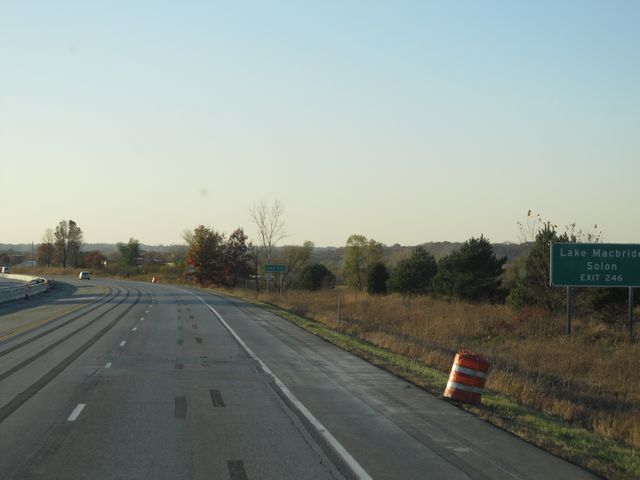 |
Use Exit 246 to get to Lake Macbride and Solon. (Photo taken 10/31/11). |
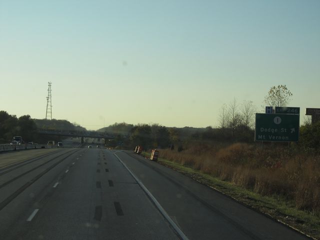 |
Interstate 80 West at Exit 246: IA 1 - Dodge St / Mt Vernon (Photo taken 10/31/11). |
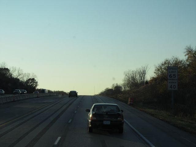 |
As you approach Iowa City, the speed limit drops to 65 mph. (Photo taken 10/31/11). |
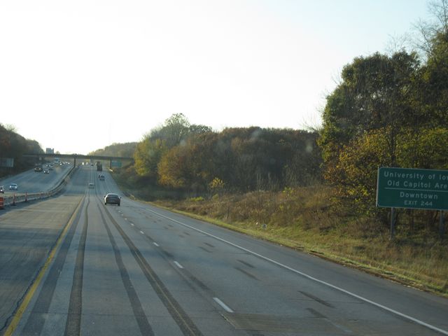 |
Use Exit 244 for the University of Iowa Old Capital Center and Downtown. (Photo taken 10/31/11). |
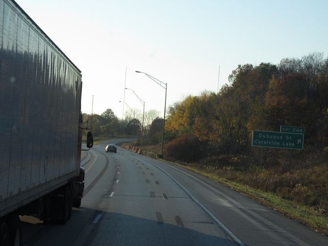 |
Interstate 80 West at Exit 244: Dubuque St / Coralville Lake (Photo taken 10/31/11). |
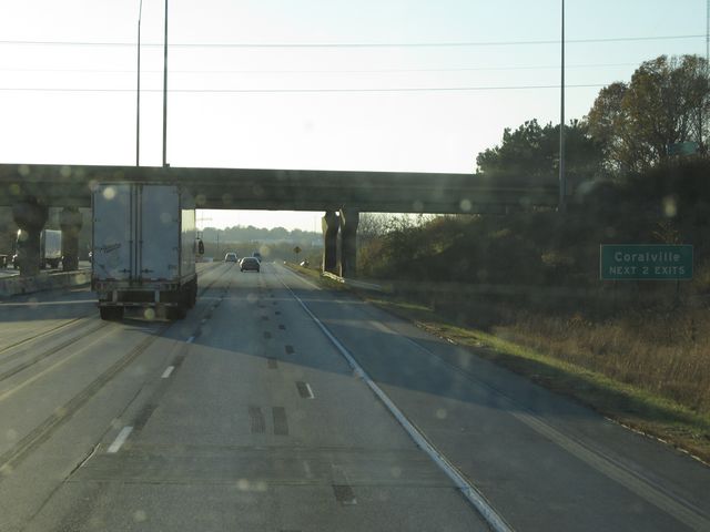 |
Use either of the next 2 exits to get to Coralville. (Photo taken 10/31/11). |
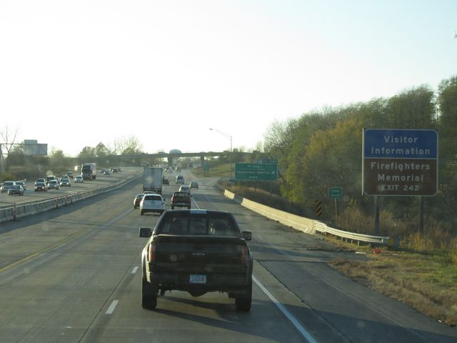 |
Use Exit 242 for the Firefighters Memorial. (Photo taken 10/31/11). |
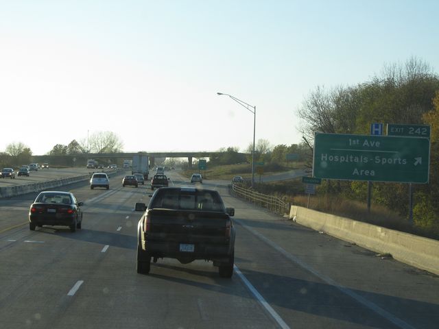 |
Interstate 80 West at Exit 242: 1st Ave / Hospitals - Sports Area (Photo taken 10/31/11). |
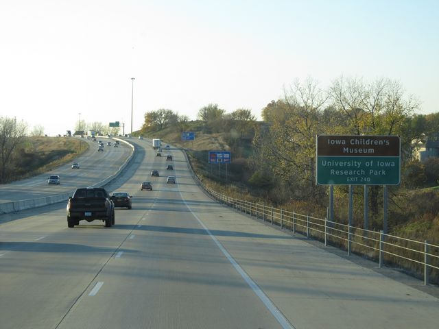 |
Use Exit 240 for the Iowa Children's Museum and University of Iowa Research Park. (Photo taken 10/31/11). |
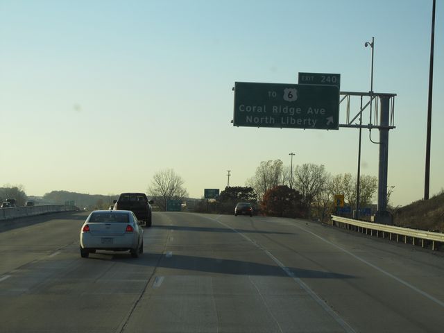 |
Interstate 80 West at Exit 240: To US 6 - Coral Ridge Ave / North Liberty (Photo taken 10/31/11). |
 |
Interstate 80 West approaching Exit 239B - 1 mile. (Photo taken 10/31/11). |
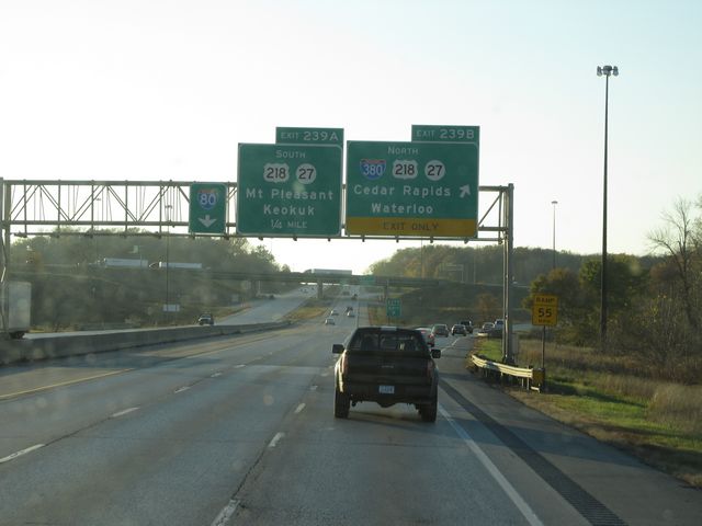 |
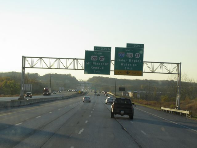
Interstate 80 West at Exit 239B: Interstate 380 North / US 218 North / IA 27 North - Cedar Rapids / Waterloo (Photo taken 10/31/11). |
Section 2: Iowa City (Exit 239B) to Des Moines (Exit 141)
 |
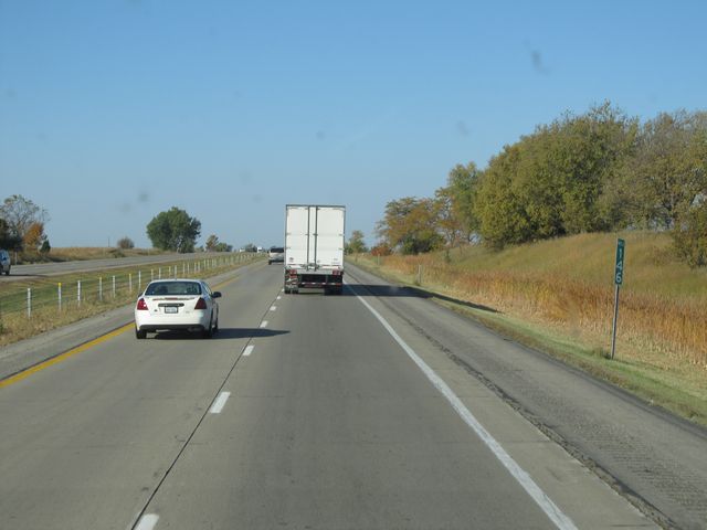
Interstate 80 West at Exit 237: Tiffin (Photo taken 6/16/11). |
 |
Interstate 80 West at the Rest Area located near mile marker 237. (Photo taken 6/16/11). |
 |
Mileage sign located near mile marker 236. It's 9 miles to Oxford and 104 miles to Des Moines. (Photo taken 6/16/11). |
 |
Interstate 80 West: Road view from mile marker 236. (Photo taken 6/16/11). |
 |
Interstate 80 West: Road view from mile marker 234. (Photo taken 6/16/11). |
 |
Interstate 80 West: Road view from mile marker 232. (Photo taken 6/16/11). |
 |
Interstate 80 West at Exit 230: CR W38 - Oxford / Kalona Village Museum (Photo taken 6/16/11). |
 |
Speed limit sign located near mile marker 229. The speed limit on most rural Iowa (Photo taken 6/16/11).freeways is 70 mph with a minimum speed limit of 40 mph. |
 |
Interstate 80 West: Road view from mile marker 227. (Photo taken 6/16/11). |
 |
Interstate 80 West at Exit 225: US 151 North / CR W21 South - Amana Colonies (Photo taken 6/16/11). |
 |
Another Interstate 80 West shield sign. This one is located near mile marker 224. (Photo taken 6/16/11). |
 |
Interstate 80 West: Road view from mile marker 224. (Photo taken 6/16/11). |
 |
Interstate 80 West at Exit 220: IA 149 South / CR V77 North - Williamsburg / Parnell (Photo taken 6/16/11). |
 |
Interstate 80 West: Road view from mile marker 218. (Photo taken 6/16/11). |
 |
Interstate 80 West at Exit 216: Marengo / North English (Photo taken 6/16/11). |
 |
Interstate 80 West: Road view from mile marker 216. (Photo taken 6/16/11). |
 |
Interstate 80 West: Road view from mile marker 215. (Photo taken 6/16/11). |
 |
Interstate 80 West at Exit 211: Millersburg / Ladora (Photo taken 6/16/11). |
 |
Interstate 80 West: Road view from mile marker 210. (Photo taken 6/16/11). |
 |
Interstate 80 West at the Rest Area located near mile marker 209. (Photo taken 6/16/11). |
 |
Interstate 80 West at Exit 205: Victor (Photo taken 6/16/11). |
 |
Interstate 80 West: Road view from mile marker 205. (Photo taken 6/16/11). |
 |
Interstate 80 West at Exit 201: IA 21 - Belle Plaine / What Cheer (Photo taken 6/16/11). |
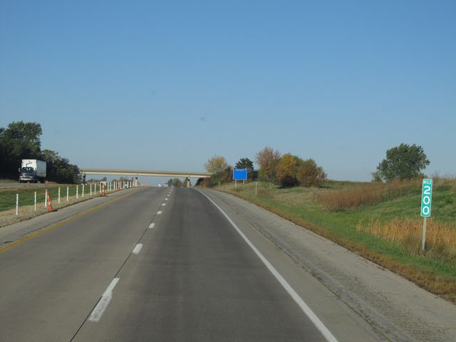 |
Interstate 80 West: Road view from mile marker 200. (Photo taken 10/4/11). |
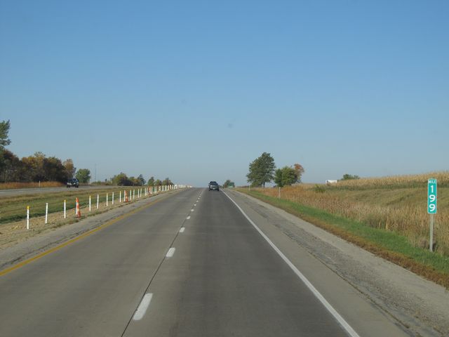 |
Interstate 80 West: Road view from mile marker 199. (Photo taken 10/4/11). |
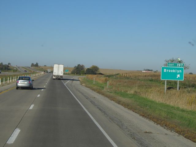 |
Interstate 80 West at Exit 197: Brooklyn (Photo taken 10/4/11). |
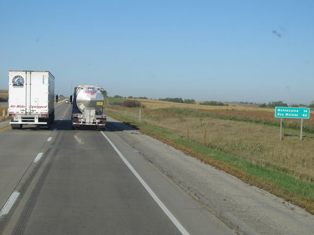 |
Mileage sign located near mile marker 197. It's 14 miles to Montezuma and 66 miles to Des Moines. (Photo taken 10/4/11). |
 |
Interstate 80 West: Road view from mile marker 195. (Photo taken 10/4/11). |
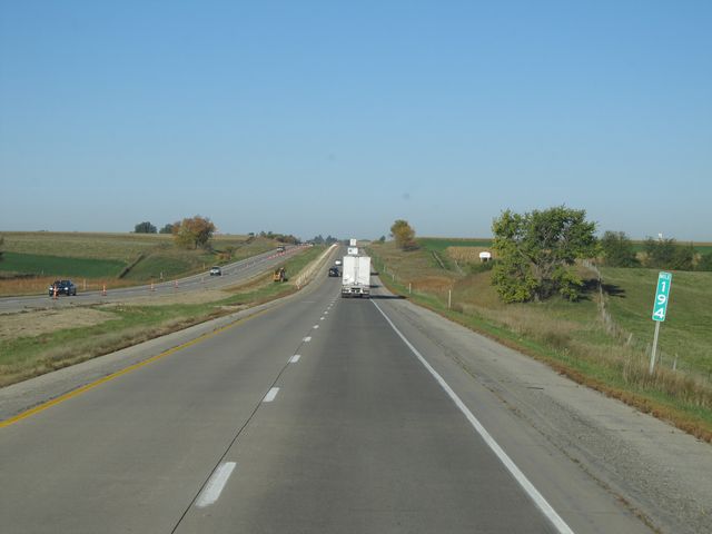 |
Interstate 80 West: Road view from mile marker 194. (Photo taken 10/4/11). |
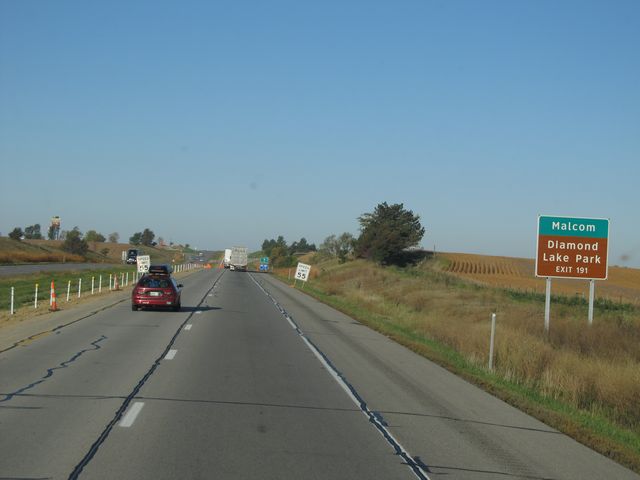 |
Use Exit 191 for Malcom and Diamond Lake Park. (Photo taken 10/4/11). |
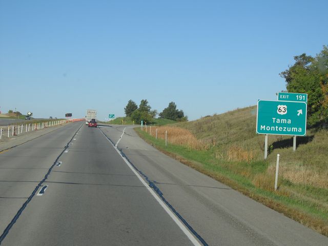 |
Interstate 80 West at Exit 191: US 63 - Tama / Montezuma (Photo taken 10/4/11). |
 |
Interstate 80 West: Road view from mile marker 187. (Photo taken 10/4/11). |
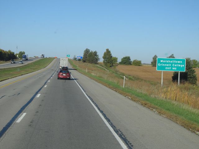 |
Use Exit 182 for Marshalltown and Grinnell College. (Photo taken 10/4/11). |
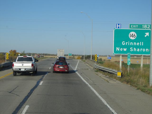 |
Interstate 80 West at Exit 182: IA 146 - Grinnell / New Sharon (Photo taken 10/4/11). |
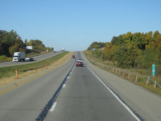 |
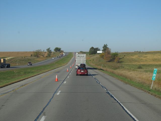
Interstate 80 West: Road view from mile marker 181. (Photo taken 10/4/11). |
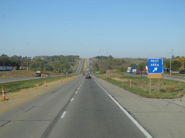 |
Interstate 80 West at the Rest Area located near mile marker 180.5. (Photo taken 10/4/11). |
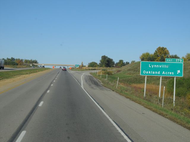 |
Interstate 80 West at Exit 179: Lynnville / Oakland Acres (Photo taken 10/4/11). |
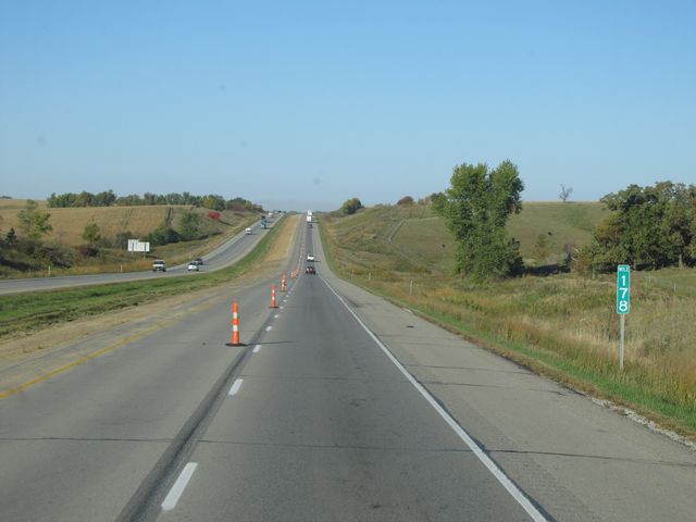 |
Interstate 80 West: Road view from mile marker 178. (Photo taken 10/4/11). |
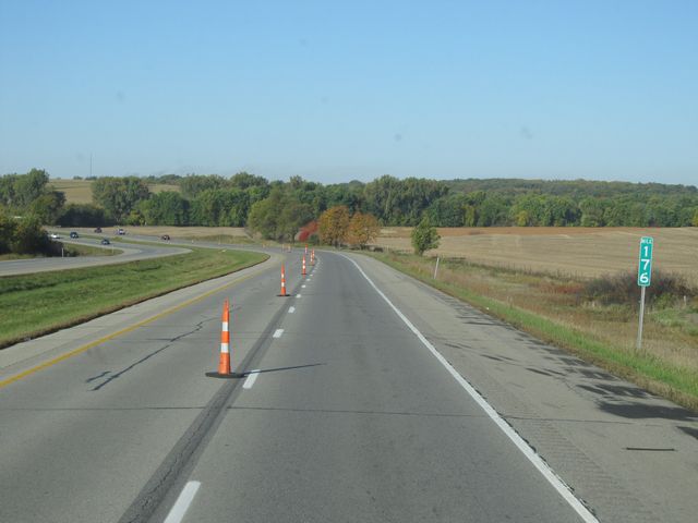 |
Interstate 80 West: Road view from mile marker 176. (Photo taken 10/4/11). |
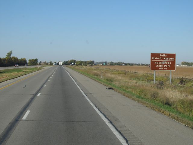 |
Use Exit 173 for Pella Historic Museum and Rock Creek State Park. (Photo taken 10/4/11). |
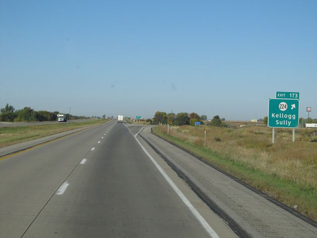 |
Interstate 80 West at Exit 173: IA 224 - Kellogg / Sully (Photo taken 10/4/11). |
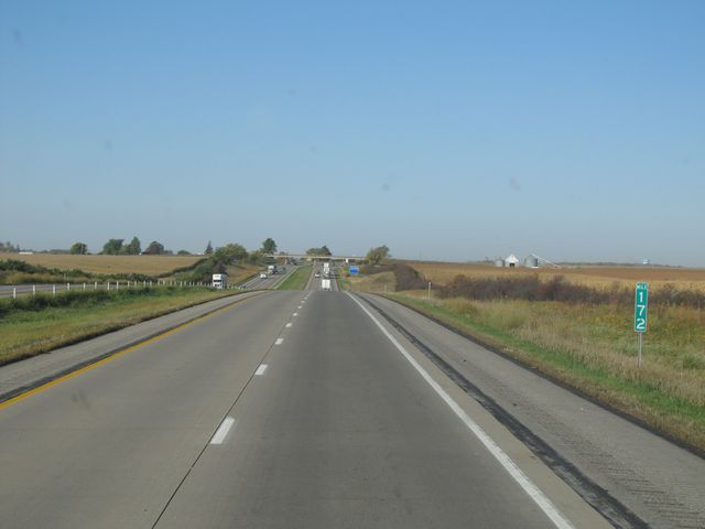 |
Interstate 80 West: Road view from mile marker 172. (Photo taken 10/4/11). |
 |
Interstate 80 West: Road view from mile marker 170. (Photo taken 10/4/11). |
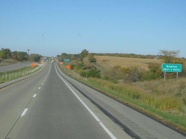 |
Use either of the next 2 exits to get to Newton. (Photo taken 10/4/11). |
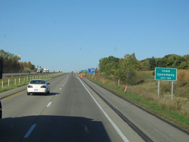 |
Use Exit 168 for Iowa Speedway. (Photo taken 10/4/11). |
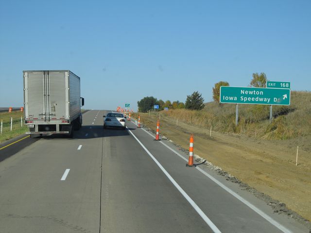 |
Interstate 80 West at Exit 168: Newton / Iowa Speedway Dr (Photo taken 10/4/11). |
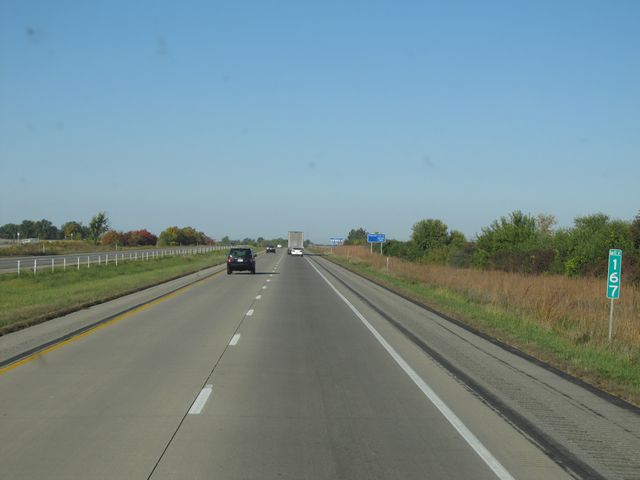 |
Interstate 80 West: Road view from mile marker 167. (Photo taken 10/4/11). |
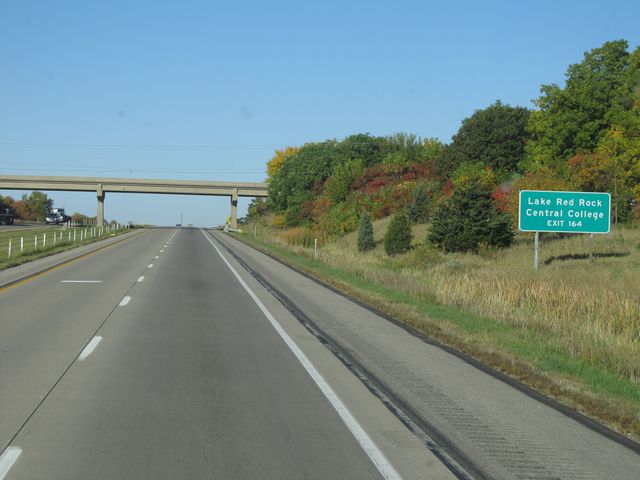 |
Use Exit 164 for Lake Red Rock and Central College. (Photo taken 10/4/11). |
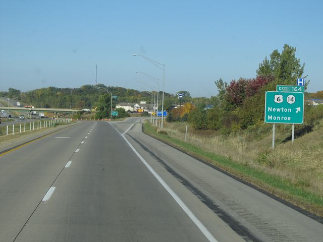 |
Interstate 80 West at Exit 164: US 6 / IA 14 - Newton / Monroe (Photo taken 10/4/11). |
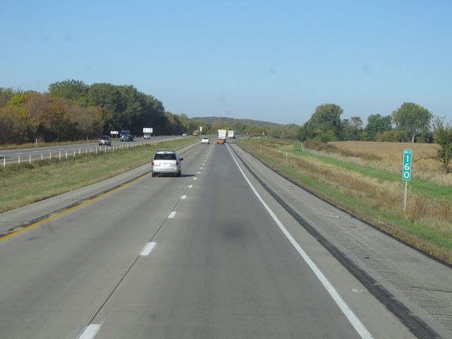 |
Interstate 80 West: Road view from mile marker 160. (Photo taken 10/4/11). |
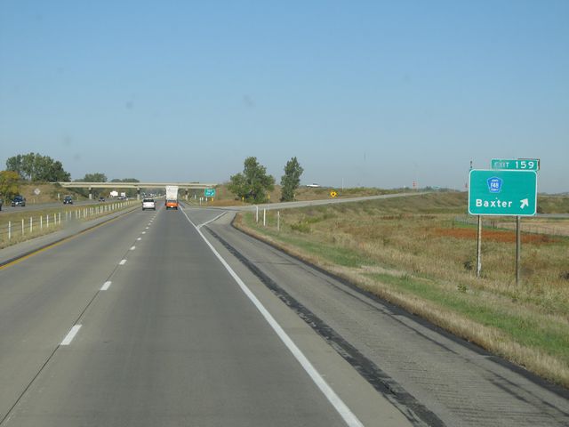 |
Interstate 80 West at Exit 159: CR F48 - Baxter (Photo taken 10/4/11). |
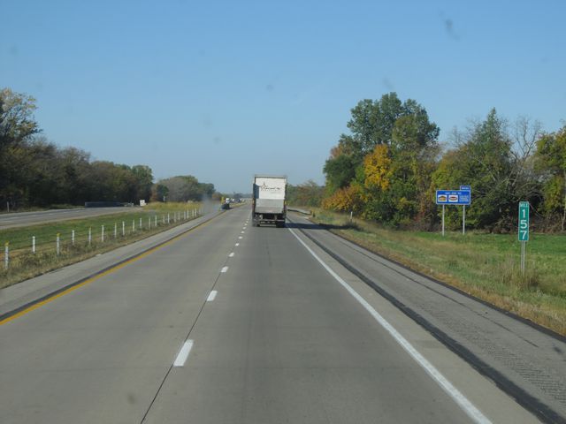 |
Interstate 80 West: Road view from mile marker 157. (Photo taken 10/4/11). |
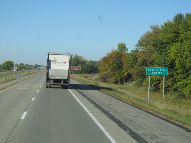 |
Use Exit 155 for Prairie City. (Photo taken 10/4/11). |
 |
Also use Exit 155 for Neal Smith National Wildlife Refuge and Prairie Learning Center. (Photo taken 10/4/11). |
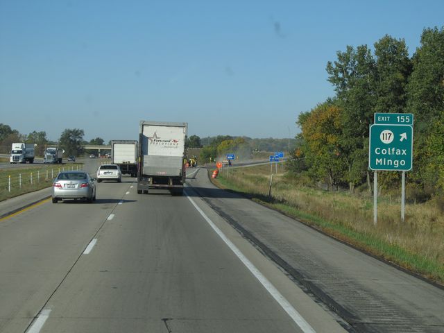 |
Interstate 80 West at Exit 155: IA 117 - Colfax / Mingo (Photo taken 10/4/11). |
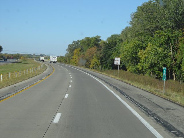 |
Interstate 80 West: Road view from mile marker 153. (Photo taken 10/4/11). |
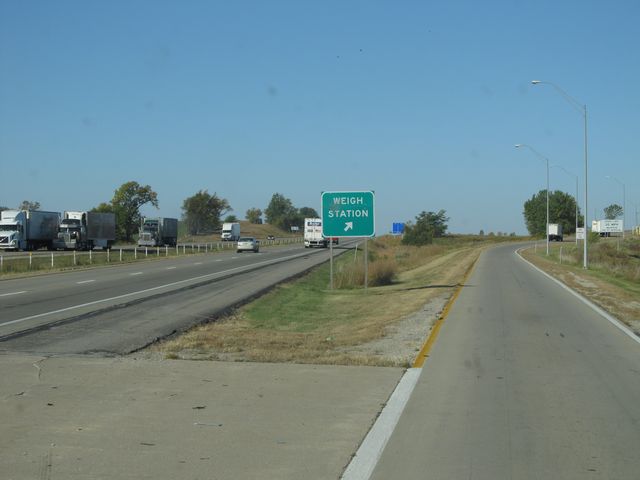 |
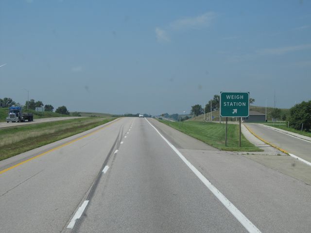
Interstate 80 West at the Weigh Station located at mile marker 151. (Photo taken 10/4/11). |
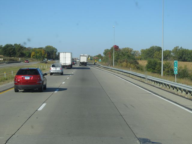 |
Interstate 80 West: Road view from mile marker 150. (Photo taken 10/4/11). |
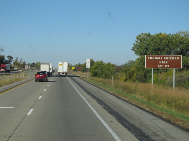 |
Use Exit 149 for Thomas Mitchell Park. (Photo taken 10/4/11). |
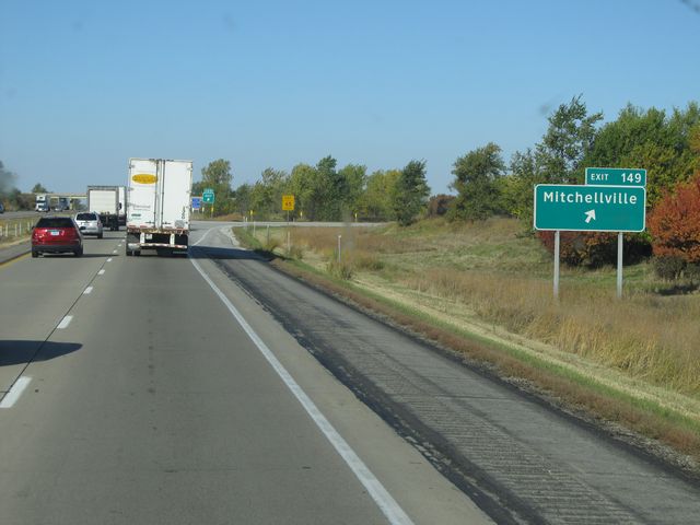 |
Interstate 80 West at Exit 149: Mitchellville (Photo taken 10/4/11). |
 |
Interstate 80 West at the Rest Area located near mile marker 147. (Photo taken 10/4/11). |
 |
Interstate 80 West: Road view from mile marker 146. (Photo taken 10/4/11). |
 |
Just past mile marker 145, the speed limit drops to 65 mph as you enter the outskirts of Des Moines. (Photo taken 10/4/11). |
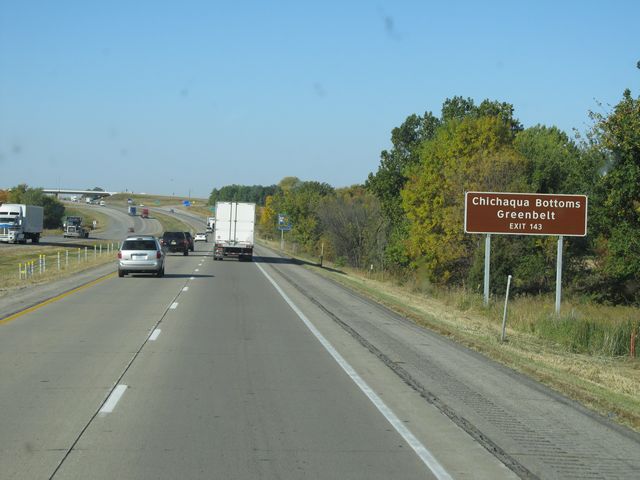 |
Use Exit 143 for Chichaqua Bottoms Greenbelt. (Photo taken 10/4/11). |
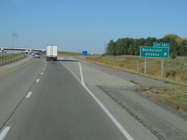 |
Interstate 80 West at Exit 143: Bondurant / Altoona (Photo taken 10/4/11). |
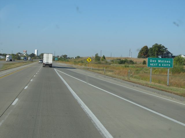 |
Use the next 6 exits for Des Moines. (Photo taken 10/4/11). |
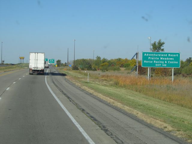 |
Use Exit 142 for Adventureland Resort and Prairie Meadows Horse Racing & Casino. (Photo taken 10/4/11). |
 |
Interstate 80 West at Exti 142: US 6 West / US 65 North - Bondurant / Altoona (Photo taken 10/4/11). |
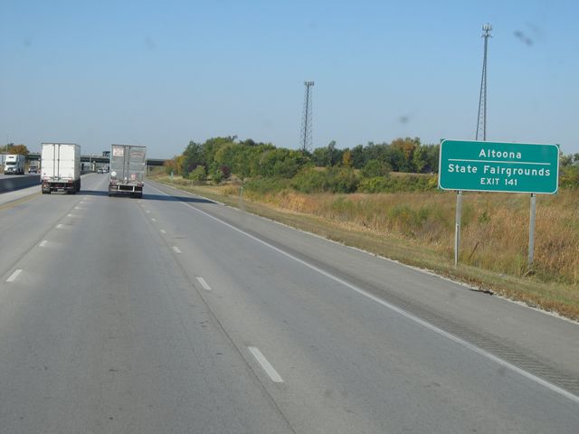 |
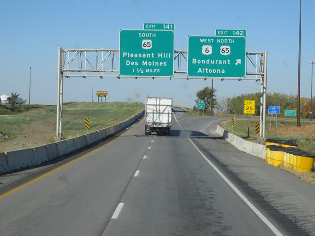
Use Exit 141 for Altoona and the State Fairgrounds. (Photo taken 10/4/11). |
 |
Interstate 80 West at Exit 141: US 65 South - Pleasant Hill / Des Moines (Photo taken 10/4/11). |
Section 3: Des Moines (Exit 141) to Adair (Exit 76)
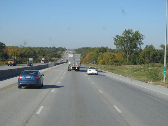 |
Interstate 80 West: Road view from mile marker 140. (Photo taken 10/4/11). |
 |
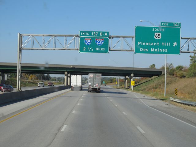
Interstate 80 West approaching Exit 137B - 1 mile. (Photo taken 10/4/11). |
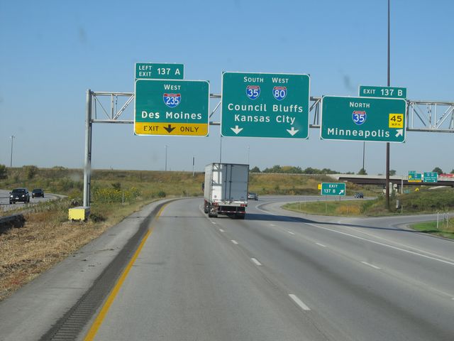 |
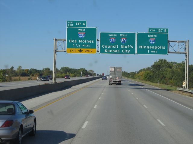
Interstate 80 West at Exit 137B: Interstate 35 North - Minneapolis (Photo taken 10/4/11). |
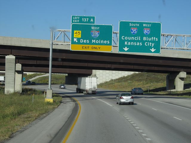 |
Interstate 80 West at Exit 137A: Interstate 235 West - Des Moines (Photo taken 10/4/11). |
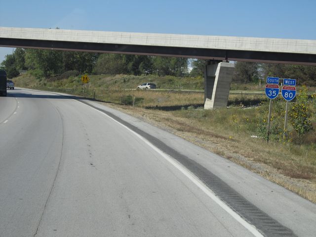 |
Interstate 80 West / Interstate 35 South shield signs located near mile marker 137. This duplex lasts for the next 14 miles as it runs around the north end of Des Moines before curving to the south and going down the west end of the city. During this duplex, the mileage is based on that of Interstate 80. (Photo taken 10/4/11). |
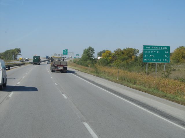 |
Sign listing the distances to the upcoming Des Moines exits. (Photo taken 10/4/11). |
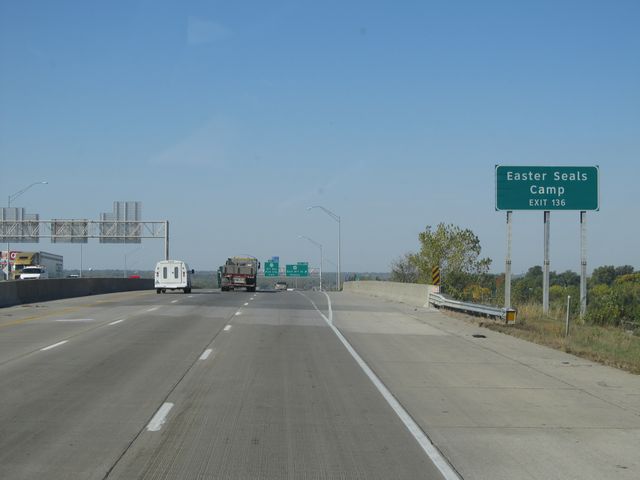 |
Use Exit 136 for Easter Seals Camp. (Photo taken 10/4/11). |
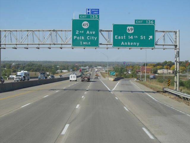 |
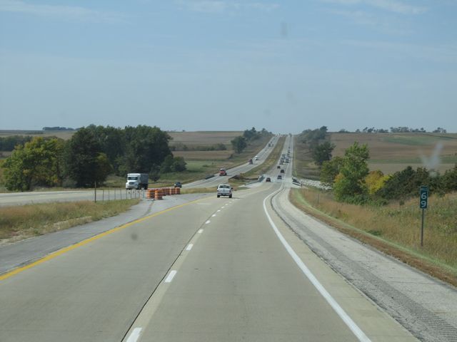
Interstate 80 West / Interstate 35 South at Exit 136: US 69 - East 14th St / Ankeny (Photo taken 10/4/11). |
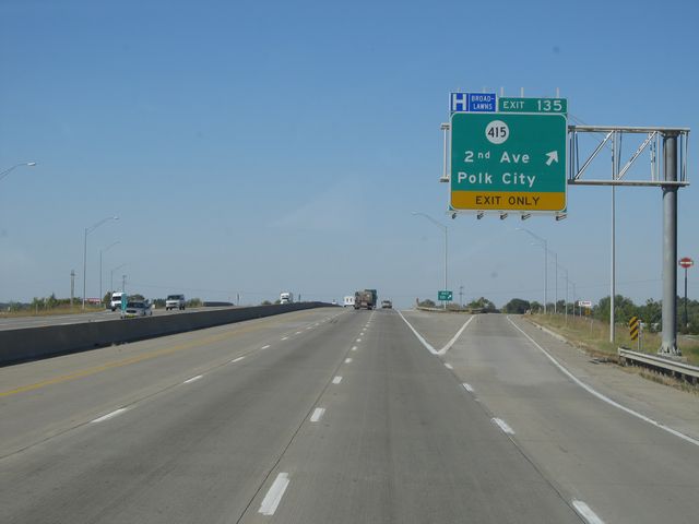 |
Interstate 80 West / Interstate 35 South at Exit 135: IA 415 - 2nd Ave / Polk City (Photo taken 10/4/11). |
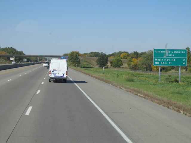 |
Sign listing the distances to the upcoming Urbandale - Johnston exits. (Photo taken 10/4/11). |
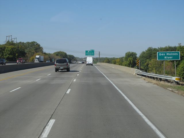 |
Interstate 80 West / Interstate 35 South as it crosses the Des Moines River, near mile marker 133. (Photo taken 10/4/11). |
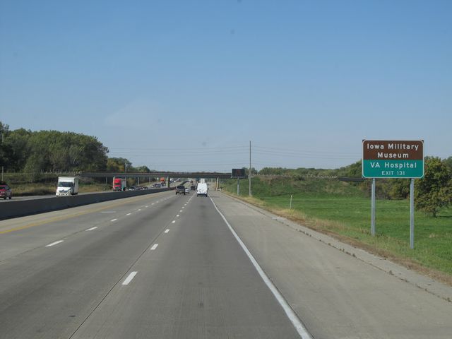 |
Use Exit 131 for the Iowa Military Museum and the VA Hospital. (Photo taken 10/4/11). |
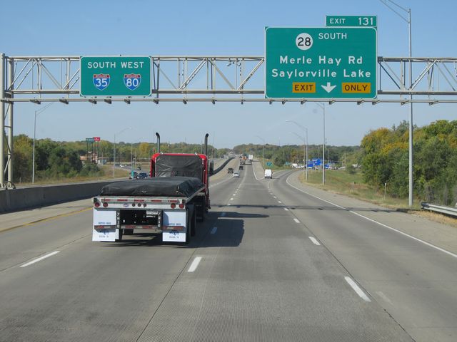 |
Interstate 80 West / Interstate 35 South at Exit 131: IA 28 South - Merle Hay Rd / Saylorville Lake (Photo taken 10/4/11). |
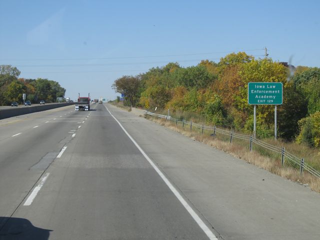 |
Use Exit 129 for the Iowa Law Enforcement Academy. (Photo taken 10/4/11). |
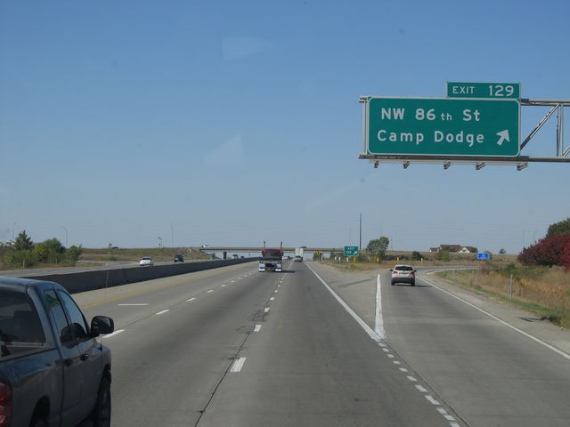 |
Interstate 80 West / Interstate 35 South at Exit 129: NW 86th St / Camp Dodge (Photo taken 10/4/11). |
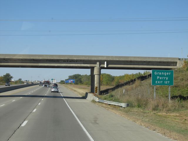 |
Use Exit 127 for Granger and Perry. (Photo taken 10/4/11). |
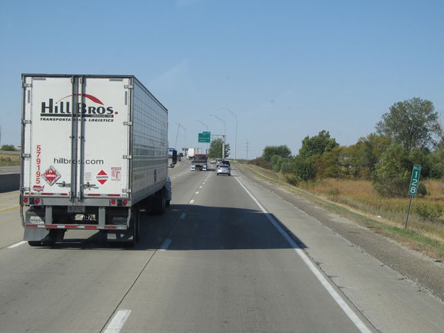 |
Interstate 80 West / Interstate 35 South: Road view from mile marker 128. (Photo taken 10/4/11). |
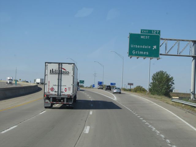 |
Interstate 80 West / Interstate 35 South at Exit 127: IA 141 West - Urbandale / Grimes (Photo taken 10/4/11). |
 |
Interstate 80 West / Interstate 35 South: Road view from near mile marker 127.5, as the duplex curves to the south. (Photo taken 10/4/11). |
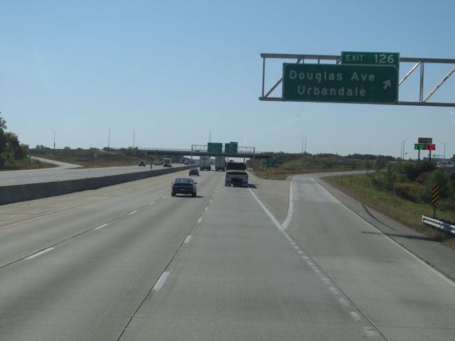 |
Interstate 80 West / Interstate 35 South at Exit 126: Douglas Ave / Urbandale (Photo taken 10/4/11). |
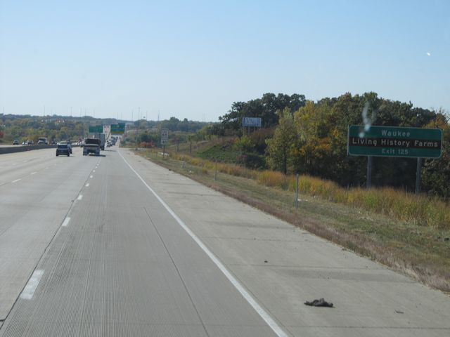 |
Use Exit 125 for Waukee and Living History Farms. (Photo taken 10/4/11). |
 |
Interstate 80 West / Interstate 35 South at Exit 125: US 6 - Hickman Rd / Adel (Photo taken 10/4/11). |
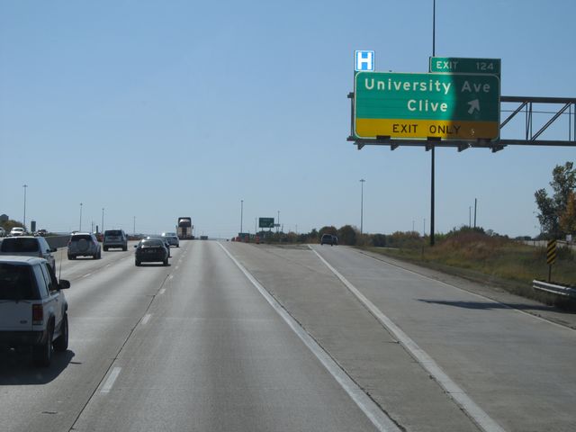 |
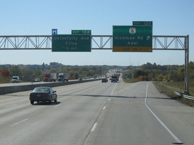
Interstate 80 West / Interstate 35 South at Exit 124: University Ave / Clive (Photo taken 10/4/11). |
 |
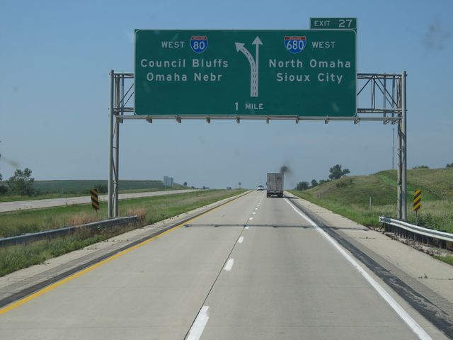
As you approach the split of Interstate 80 and Interstate 35, you are informed to get in the right lane to stay on Interstate 80 West. (Photo taken 10/4/11). |
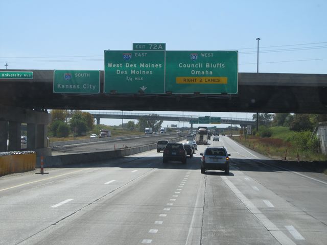 |
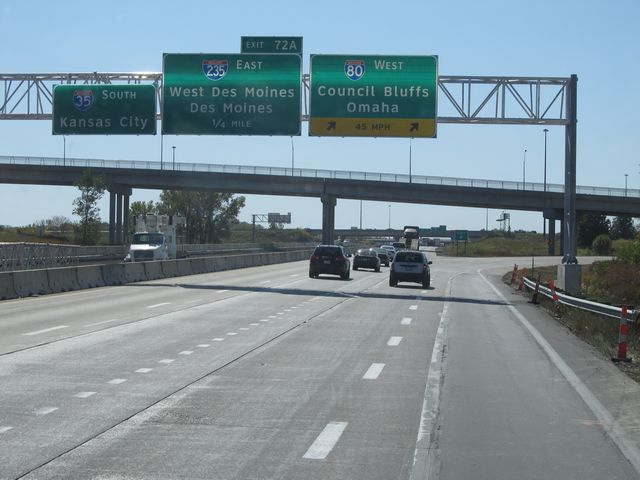
Interstate 80 West / Interstate 35 South approaching Exit 72A - 3/4 mile. (Photo taken 10/4/11). |
 |
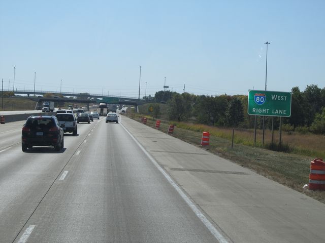
Interstate 80 West / Interstate 35 South as I-80 departs to the west. Stay straight to go onto I-35 South, which will take you to Exit 72A. (Photo taken 10/4/11). |
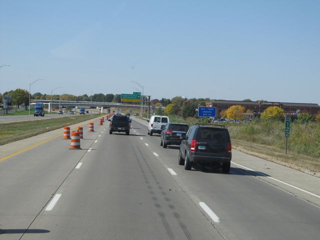 |
Interstate 80 West: Road view from mile marker 122. (Photo taken 10/4/11). |
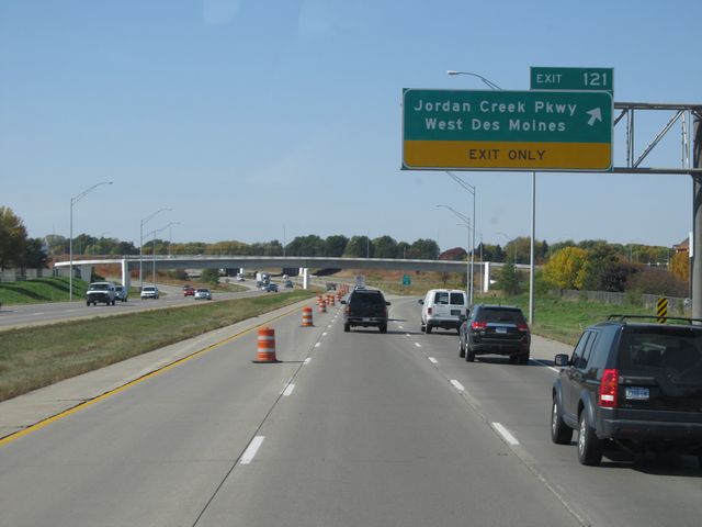 |
Interstate 80 West at Exit 121: Jordan Creek Pkwy / West Des Moines (Photo taken 10/4/11). |
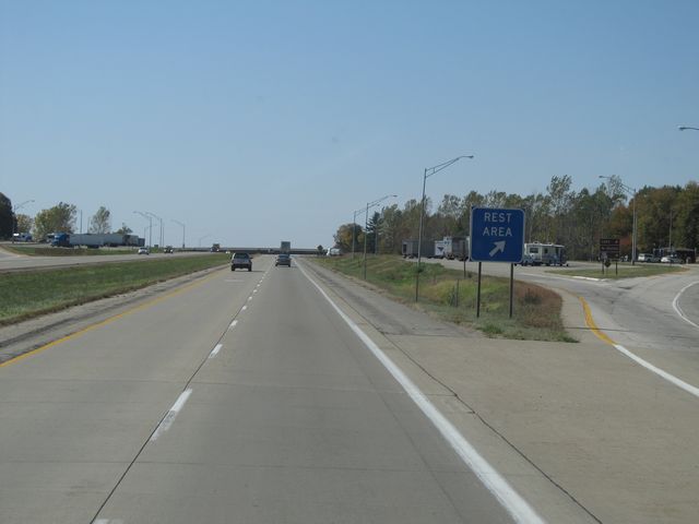 |
Interstate 80 West at the Rest Area located at mile marker 119. (Photo taken 10/4/11). |
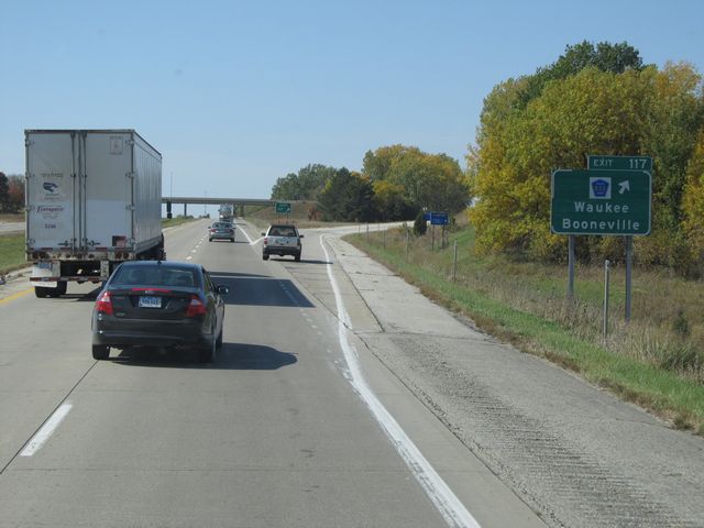 |
Interstate 80 West at Exit 117: CR R22 - Waukee / Booneville (Photo taken 10/4/11). |
 |
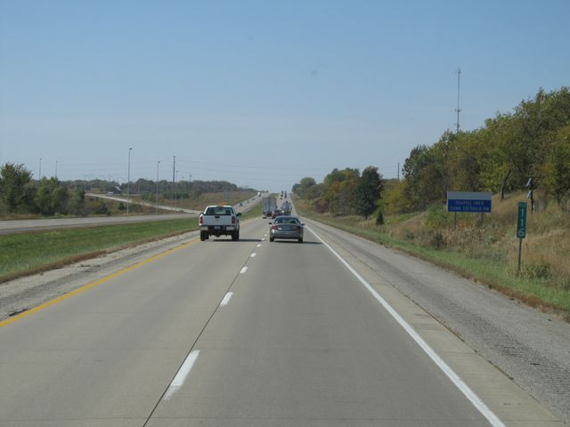
Interstate 80 West shield sign located near mile marker 117. (Photo taken 10/4/11). |
 |
Speed limit signs located near mile marker 117. The speed limit on most rural Iowa freeways is 70 mph, with a minimum speed limit of 40 mph. (Photo taken 10/4/11). |
 |
Interstate 80 West: Road view from mile marker 116. (Photo taken 10/4/11). |
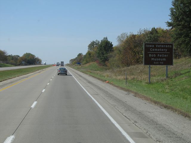 |
Use Exit 113 for the Iowa Veterans Cemetery and Bob Feller Museum. (Photo taken 10/4/11). |
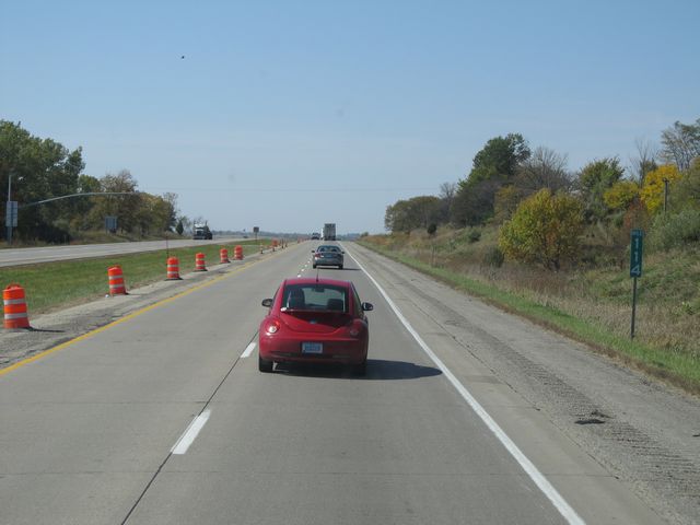 |
Interstate 80 West: Road view from mile marker 114. (Photo taken 10/4/11). |
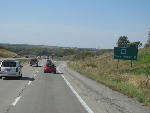 |
Interstate 80 West at Exit 113: CR R16 - Van Meter (Photo taken 10/4/11). |
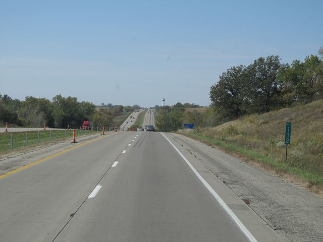 |
Interstate 80 West: Road view from mile marker 112. (Photo taken 10/4/11). |
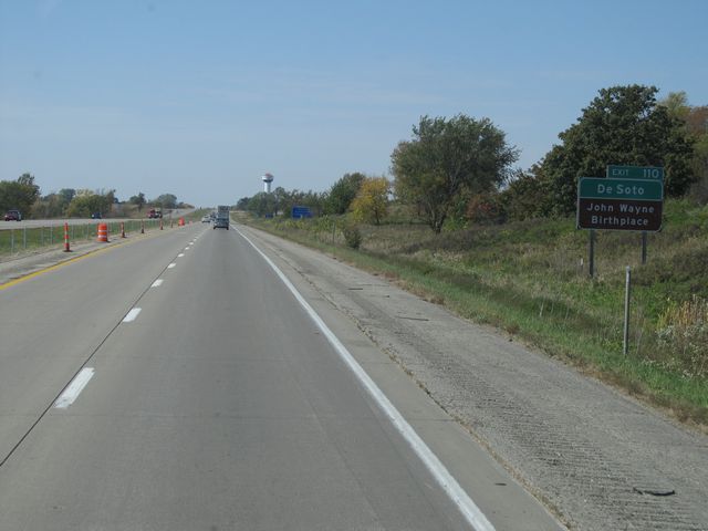 |
Use Exit 110 for DeSoto and the John Wayne Birthplace. (Photo taken 10/4/11). |
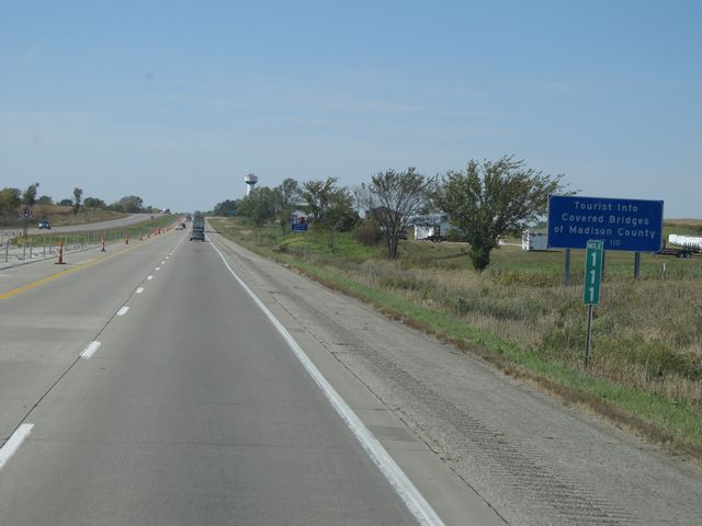 |
Also use Exit 110 for Tourist Info on the Covered Bridges of Madison County. (Photo taken 10/4/11). |
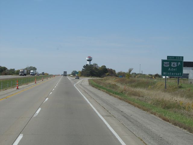 |
Interstate 80 West at Exit 110: US 169 / US 6 - Adel / Winterset (Photo taken 10/4/11). |
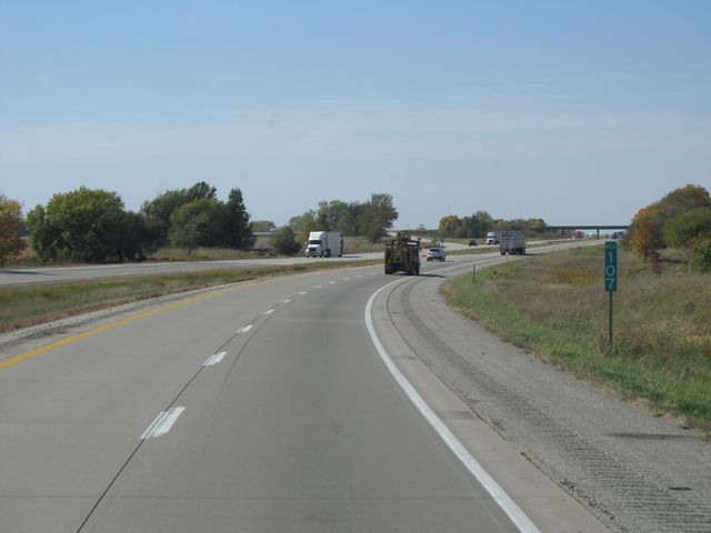 |
Interstate 80 West: Road view from mile marker 107. (Photo taken 10/4/11). |
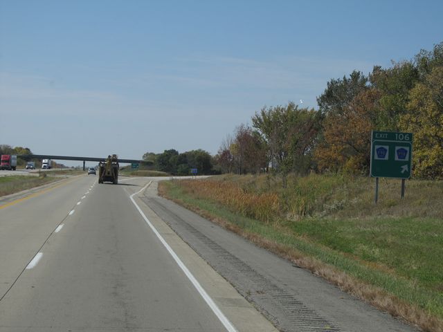 |
Interstate 80 West at Exit 106: CR P58 / CR F90 (Photo taken 10/4/11). |
 |
Interstate 80 West: Road view from mile marker 105. (Photo taken 10/4/11). |
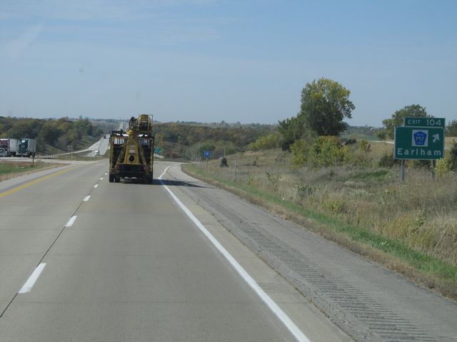 |
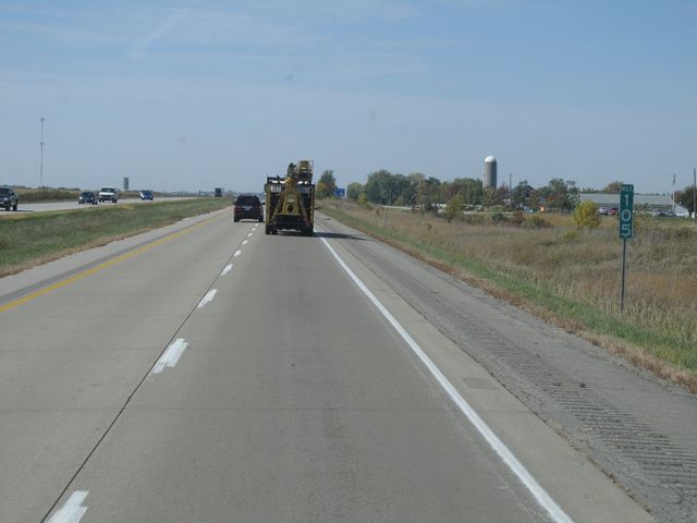
Interstate 80 West at Exit 104: CR P57 - Earlham (Photo taken 10/4/11). |
 |
Interstate 80 West: Road view from mile marker 101. (Photo taken 10/4/11). |
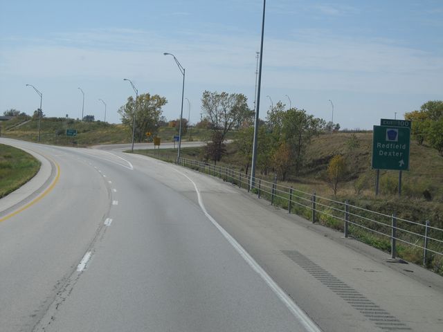 |
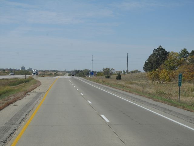
Interstate 80 West at Exit 100: CR P53 - Redfield / Dexter (Photo taken 10/4/11). |
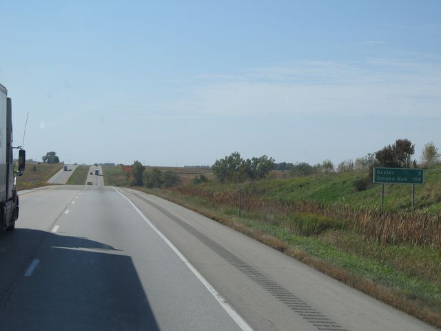 |
Mileage sign located near mile marker 99. It's 5 miles to Dexter and 109 miles to Omaha. (Photo taken 10/4/11). |
 |
Interstate 80 West: Road view from mile marker 98. (Photo taken 10/4/11). |
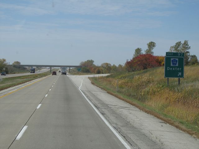 |
Interstate 80 West at Exit 97: CR P48 - Dexter (Photo taken 10/4/11). |
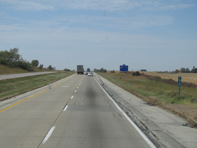 |
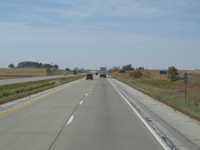
Interstate 80 West: Road view from mile marker 95. (Photo taken 10/4/11). |
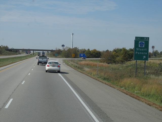 |
Interstate 80 West at Exit 93: CR P28 - Stuart / Panora (Photo taken 10/4/11). |
 |
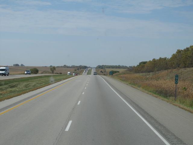
Interstate 80 West: Road view from mile marker 92. (Photo taken 10/4/11). |
 |
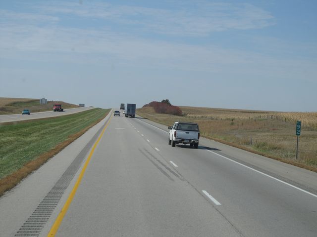
Interstate 80 West: Road view from mile marker 90. (Photo taken 10/4/11). |
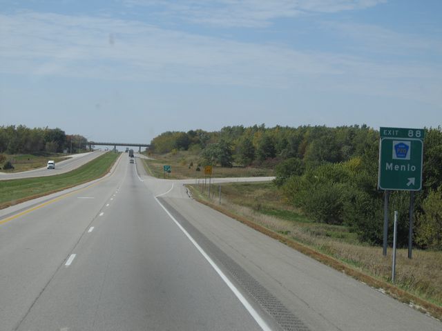 |
Interstate 80 West at Exit 88: CR P20 - Menlo (Photo taken 10/4/11). |
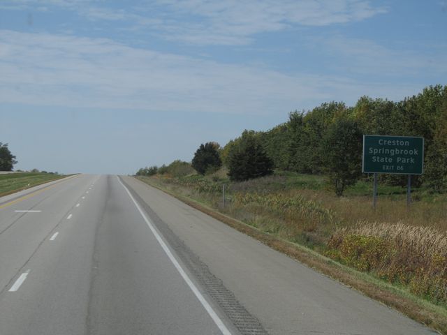 |
Use Exit 86 for Creston and Springbrook State Park. (Photo taken 10/4/11). |
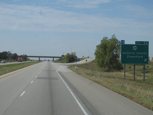 |
Interstate 80 West at Exit 86: IA 25 - Guthrie Center / Greenfield (Photo taken 10/4/11). |
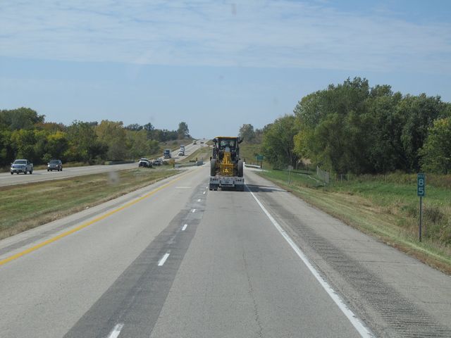 |
Interstate 80 West: Road view from mile marker 85. (Photo taken 10/4/11). |
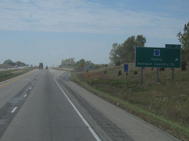 |
Interstate 80 West at Exit 83: CR N77 - Casey / Antique Country Dr (Photo taken 10/4/11). |
 |
Interstate 80 West: Road view from mile marker 81. (Photo taken 10/4/11). |
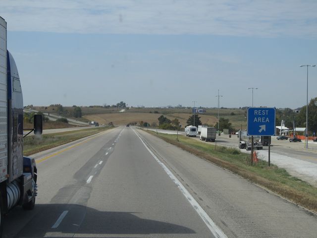 |
Interstate 80 West at the Rest Area located at mile marker 80. (Photo taken 10/4/11). |
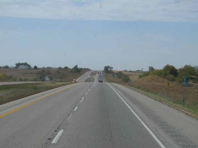 |
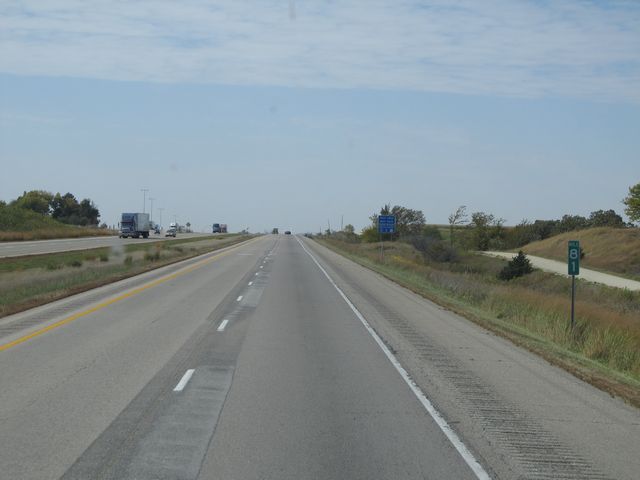
Interstate 80 West: Road view from mile marker 78. (Photo taken 10/4/11). |
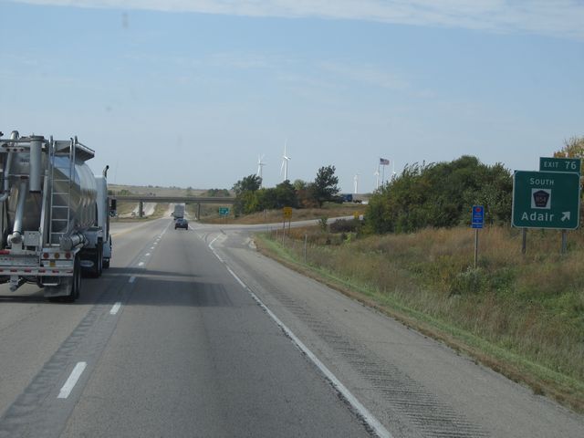 |
Interstate 80 West at Exit 76: CR N54 South - Adair (Photo taken 10/4/11). |
Section 4: Adair (Exit 76) to Council Bluffs (Exit 3)
 |
Interstate 80 West at Exit 75: CR G30 (Photo taken 10/4/11). |
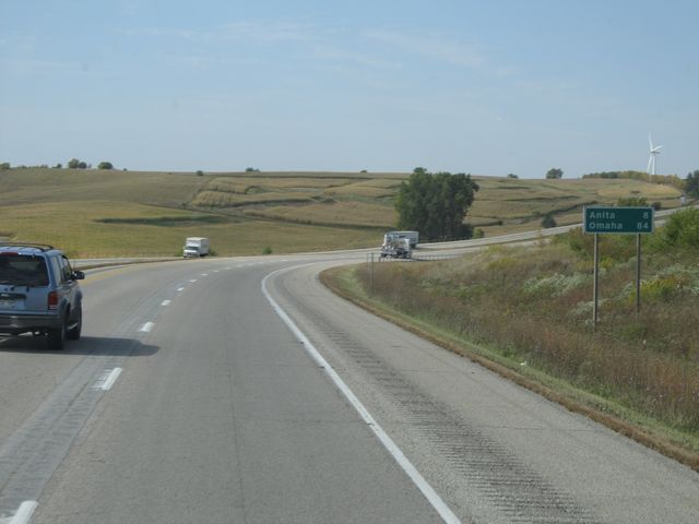 |
Mileage sign located near mile marker 75. It's 8 miles to Anita and 84 miles to Omaha. (Photo taken 10/4/11). |
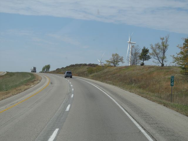 |
Interstate 80 West: Road view from mile marker 74. (Photo taken 10/4/11). |
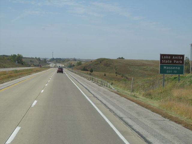 |
Use Exit 70 for Lake Anita State Park and Massena. (Photo taken 10/4/11). |
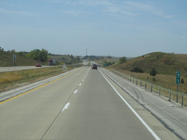 |
Interstate 80 West: Road view from mile marker 71. (Photo taken 10/4/11). |
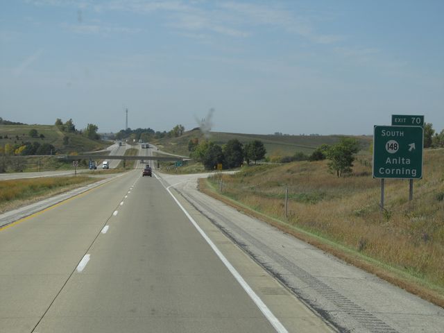 |
Interstate 80 West at Exit 70: IA 148 South - Anita / Corning (Photo taken 10/4/11). |
 |
Interstate 80 West: Road view from mile marker 69. (Photo taken 10/4/11). |
 |
Interstate 80 West: Road view from mile marker 67. (Photo taken 10/4/11). |
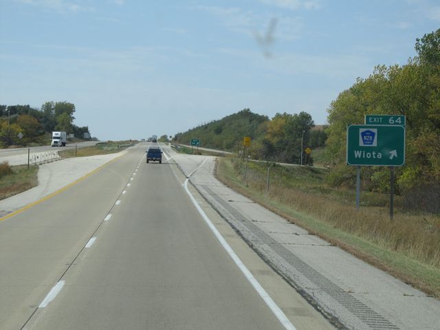 |
Interstate 80 West at Exit 64: CR N28 - Wiota (Photo taken 10/4/11). |
 |
Interstate 80 West: Road view from mile marker 63. (Photo taken 10/4/11). |
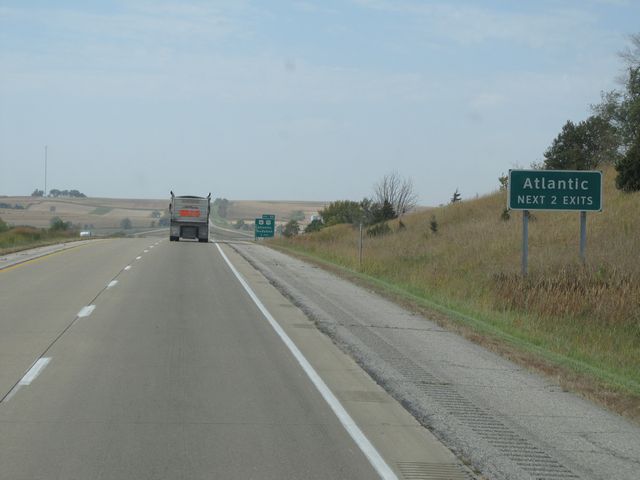 |
Use either of the next 2 exits for Atlantic. (Photo taken 10/4/11). |
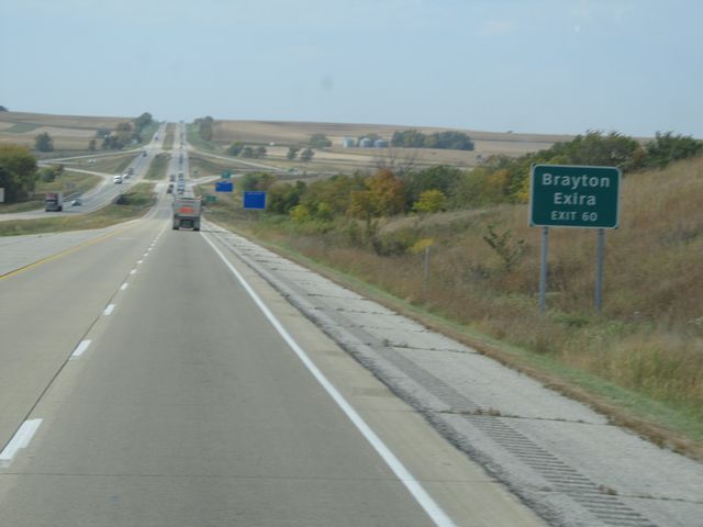 |
Use Exit 60 to get to Brayton and Exira. (Photo taken 10/4/11). |
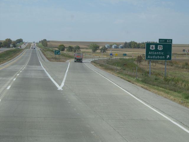 |
Interstate 80 West at Exit 60: US 6 / US 71 - Atlantic / Audubon (Photo taken 10/4/11). |
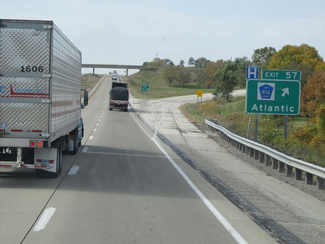 |
Interstate 80 West at Exit 57: CR N16 - Atlantic (Photo taken 10/4/11). |
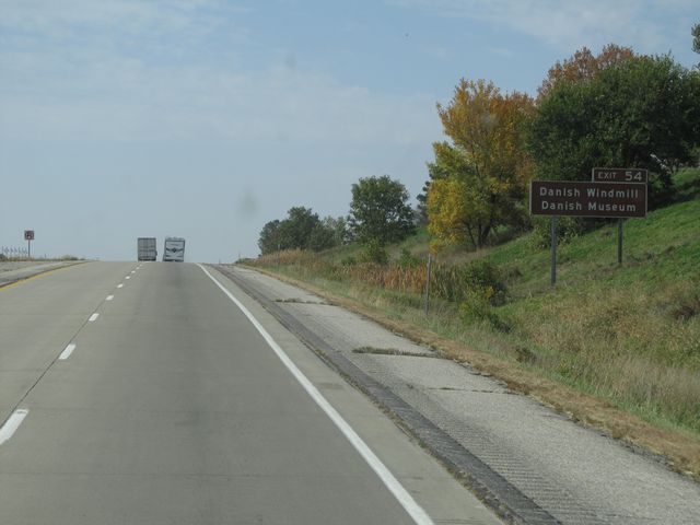 |
Use Exit 54 for the Danish Windmill and the Danish Museum. (Photo taken 10/4/11). |
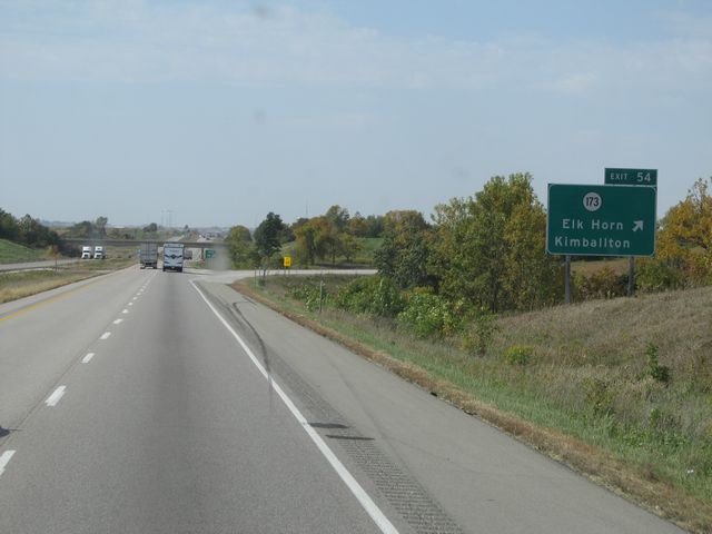 |
Interstate 80 West at Exit 54: IA 173 - Elk Horn / Kimballton (Photo taken 10/4/11). |
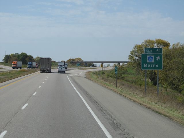 |
Interstate 80 West at Exit 51: CR M56 - Marne (Photo taken 10/4/11). |
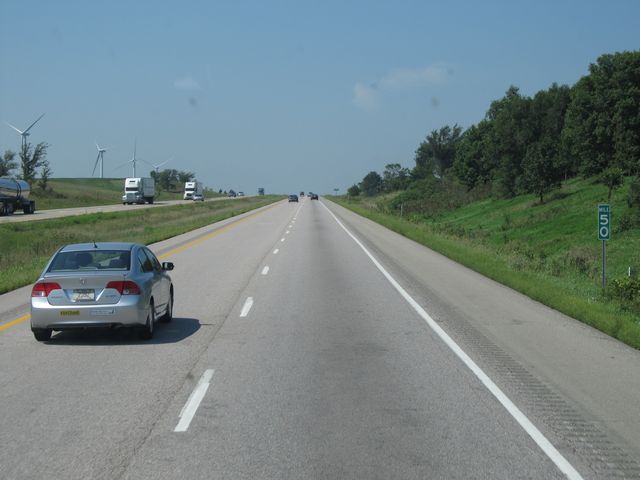 |
Interstate 80 West: Road view from mile marker 50. (Photo taken 8/31/11). |
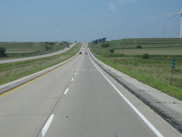 |
Interstate 80 West: Road view from mile marker 48. (Photo taken 8/31/11). |
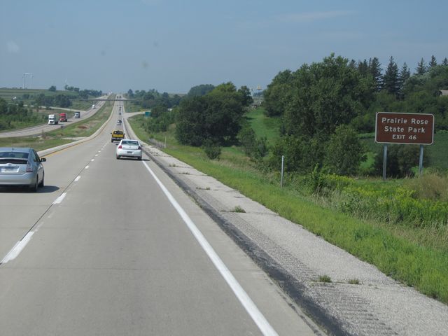 |
Use Exit 46 for Prairie Rose State Park. (Photo taken 8/31/11). |
 |
Interstate 80 West at Exit 46: CR M47 - Walnut / Antique City Dr (Photo taken 8/31/11). |
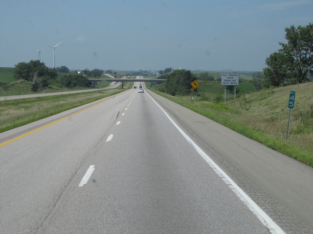 |
Interstate 80 West: Road view from mile marker 45. (Photo taken 8/31/11). |
 |
Interstate 80 West at the Weigh Station located at mile marker 44. (Photo taken 8/31/11). |
 |
Interstate 80 West: Road view from mile marker 42. (Photo taken 8/31/11). |
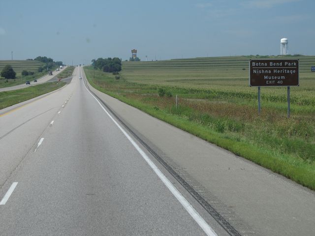 |
Use Exit 40 for Botna Bend Park and Nishna Heritage Museum. (Photo taken 8/31/11). |
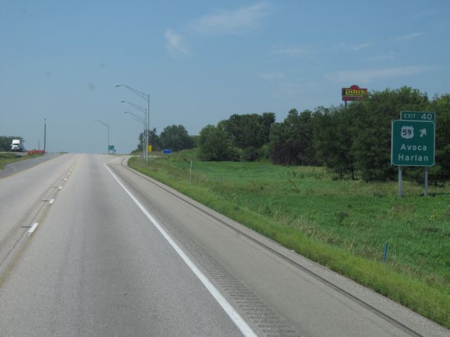 |
Interstate 80 West at Exit 40: US 59 - Avoca / Harlan (Photo taken 8/31/11). |
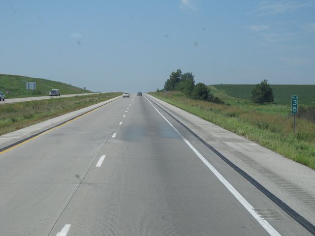 |
Interstate 80 West: Road view from mile marker 38. (Photo taken 8/31/11). |
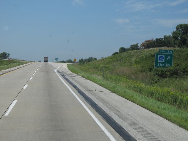 |
Interstate 80 West at Exit 34: CR M16 - Shelby (Photo taken 8/31/11). |
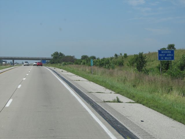 |
The next 'Modern' Rest Area is 14 miles ahead. 'Modern' is apparently their way of saying "Rest Area with facilities". (Photo taken 8/31/11). |
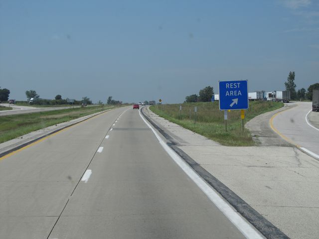 |
Interstate 80 West at the Rest Area located at mile marker 32. This one is parking only, with no facilities. (Photo taken 8/31/11). |
 |
Interstate 80 West: Road view from mile marker 31. (Photo taken 8/31/11). |
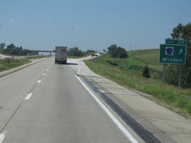 |
Interstate 80 West at Exit 29: CR L66 - Minden (Photo taken 8/31/11). |
 |
Interstate 80 West approaching Exit 27 - 1 mile. (Photo taken 8/31/11). |
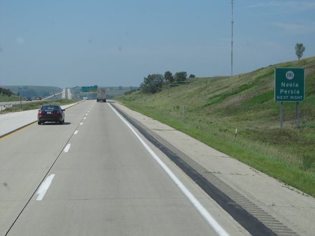 |
Take Exit 27 ahead to get to IA 191 - Neola / Persia (Photo taken 8/31/11). |
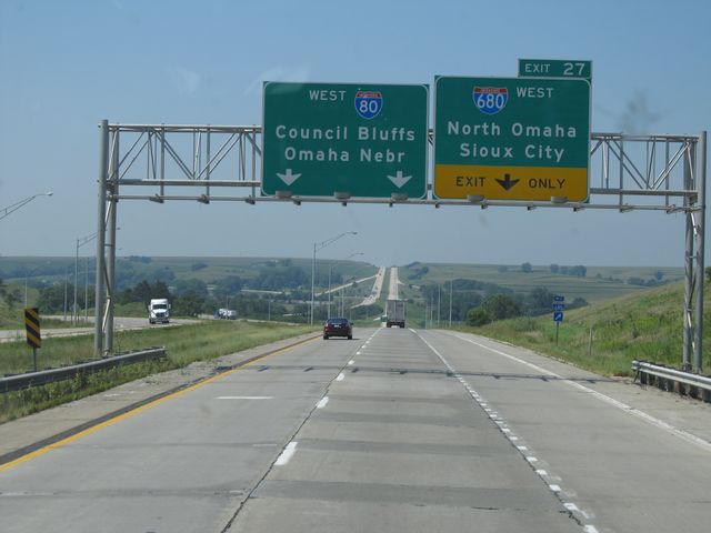 |
Interstate 80 West at Exit 27: Interstate 680 West - North Omaha / Sioux City (Photo taken 8/31/11). |
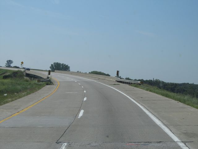 |
Interstate 80 West as it curves to the south, just past the previous exit. (Photo taken 8/31/11). |
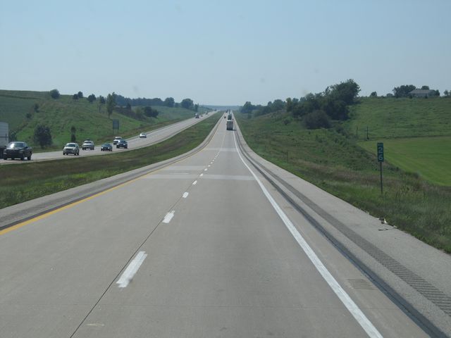 |
Interstate 80 West: Road view from mile marker 26. (Photo taken 8/31/11). |
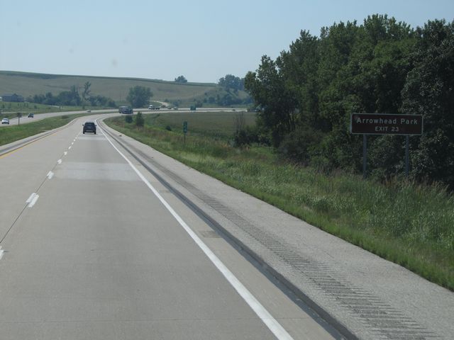 |
Use Exit 23 for Arrowhead Park. (Photo taken 8/31/11). |
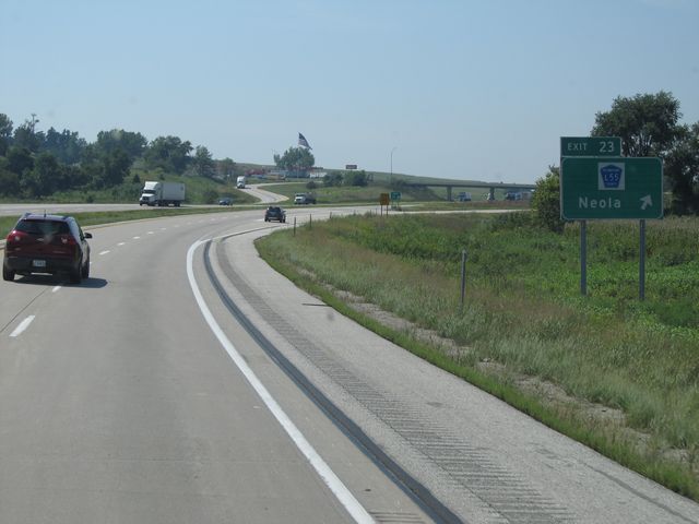 |
Interstate 80 West at Exit 23: CR L55 - Neola (Photo taken 8/31/11). |
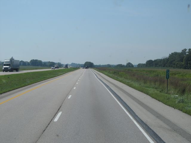 |
Interstate 80 West: Road view from mile marker 21. (Photo taken 8/31/11). |
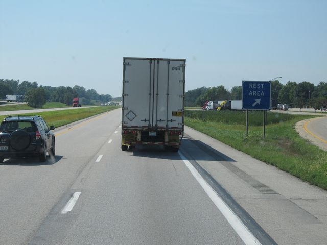 |
Interstate 80 West at the Rest Area located at mile marker 20. This one has facilities. (Photo taken 8/31/11). |
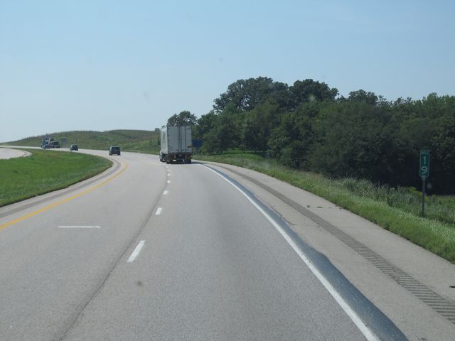 |
Interstate 80 West: Road view from mile marker 19. (Photo taken 8/31/11). |
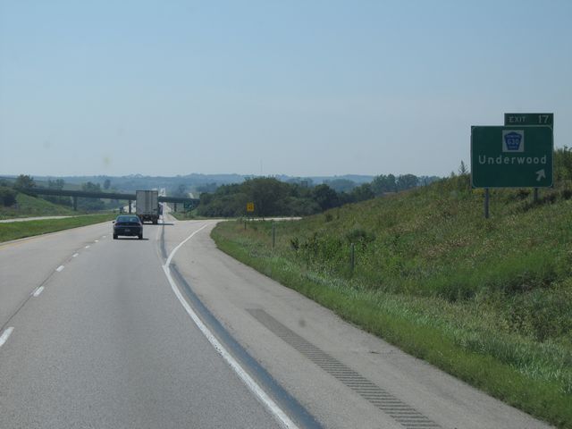 |
Interstate 80 West at Exit 17: CR G30 - Underwood (Photo taken 8/31/11). |
 |
Interstate 80 West: Road view from mile marker 15. (Photo taken 8/31/11). |
 |
Interstate 80 West: Road view from mile marker 11. (Photo taken 8/31/11). |
 |
Near mile marker 10, the speed limit drops to 65 mph as you begin to approach Council Bluffs. (Photo taken 8/31/11). |
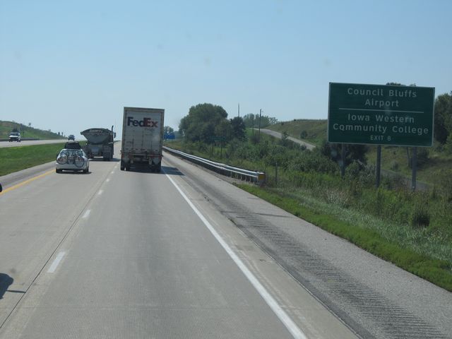 |
Use Exit 8 for Council Bluffs Airport and Iowa Western Community College. (Photo taken 8/31/11). |
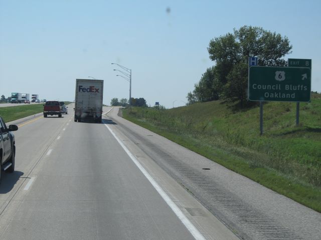 |
Interstate 80 West at Exit 8: US 6 - Council Bluffs / Oakland (Photo taken 8/31/11). |
 |
Interstate 80 West: Road view from mile marker 7. (Photo taken 8/31/11). |
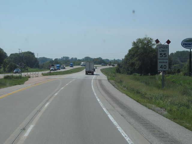 |
Near mile marker 6, the speed limit once again drops, this time to 55 mph. (Photo taken 8/31/11). |
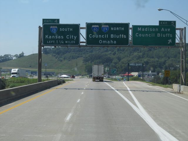 |
Interstate 80 West at Exit 5: Madison Ave / Council Bluffs (Photo taken 8/31/11). |
 |
Interstate 80 West approaching Exit 4 - 1/2 mile. (Photo taken 8/31/11). |
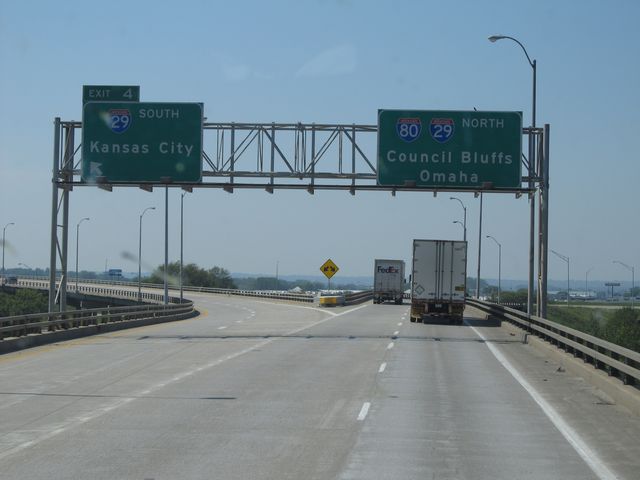 |
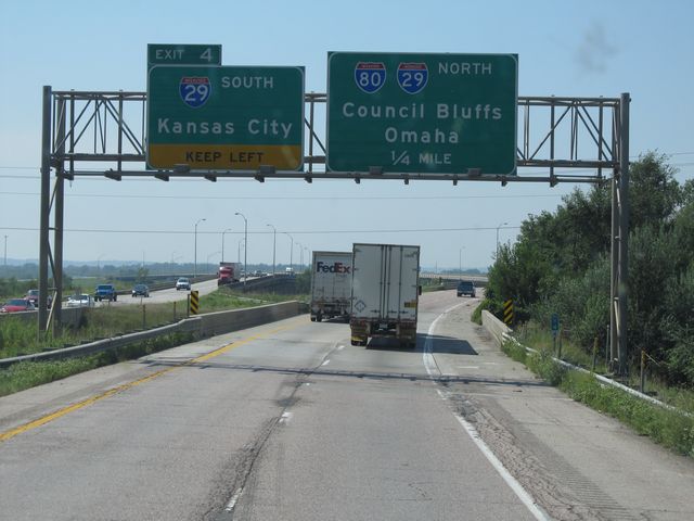
Interstate 80 West at Exit 4: Interstate 29 South - Kansas City (Photo taken 8/31/11). |
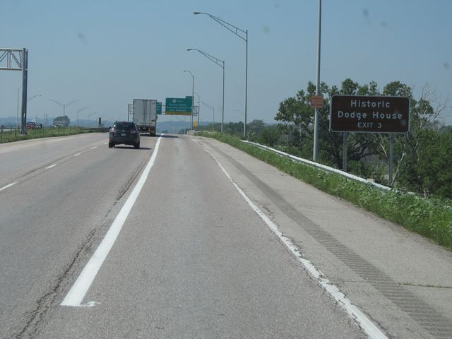 |
Use Exit 3 for the Historic Dodge House. (Photo taken 8/31/11). |
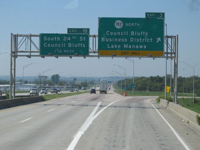 |
Interstate 80 West / Interstate 29 North at Exit 3: IA 192 North - Council Bluffs Business District / Lake Manawa (Photo taken 8/31/11). |