Road Information |
||
 |
||
| Total Mileage in State: | 219 miles | |
| Northern End: | At Minnesota state line | |
| Southern End: | At Missouri state line | |
| Mileage covered in Photos: | 219 miles | |
| Counties covered in Photos: | Worth, Cerro Gordo, Franklin, Wright, Hamilton, Story, Polk, Warren, Clarke, Decatur | |
| Major Junctions in Photos: | US 20, near Williams US 30, in Ames I-80 East/I-235 West, in Ankeny I-235 East, in West Des Moines US 34, in Osceola |
|
| Control Cities in Photos: | Clear Lake, Ames, Ankeny, Des Moines, West Des Moines, Osceola | |
Southbound
- Section 1: Minnesota Border to Dows (Exit 159)
- Section 2: Dows (Exit 159) to Ames (Exit 111A)
- Section 3: Ames (Exit 111A) to West Des Moines (Exit 72A)
- Section 4: West Des Moines (Exit 72A) to Missouri Border
Section 1: Minnesota Border to Dows (Exit 159)
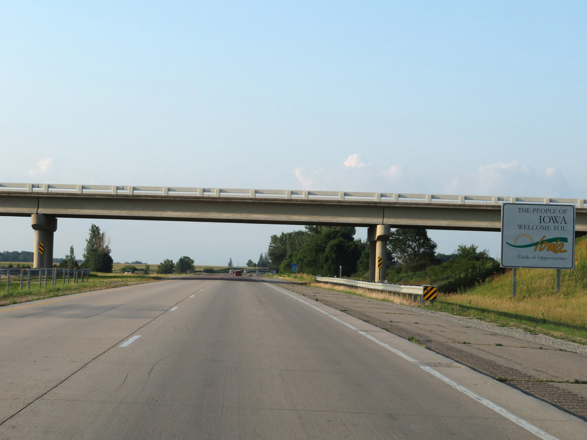 |
Iowa welcome sign as Interstate 35 South enters the Hawkeye State from Minnesota. (Photo taken 8/8/20). |
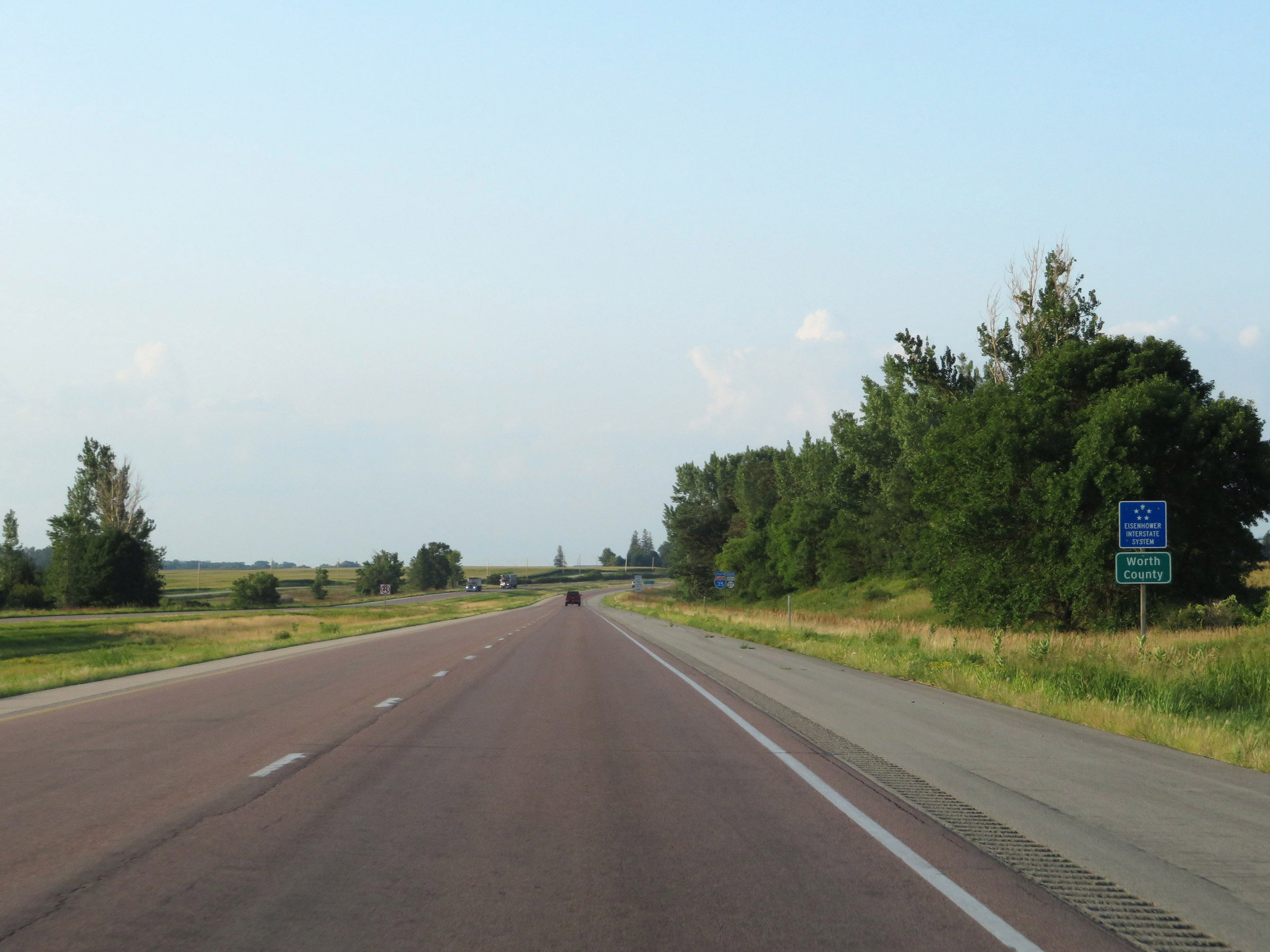 |
Interstate 35 South in Iowa begins in Worth County. (Photo taken 8/8/20). |
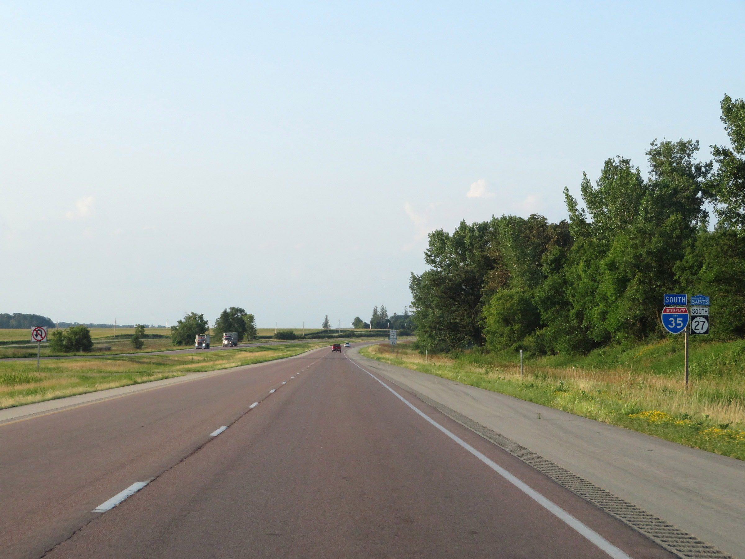 |
State-named Interstate 35 South reassurance shield. (Photo taken 8/8/20). |
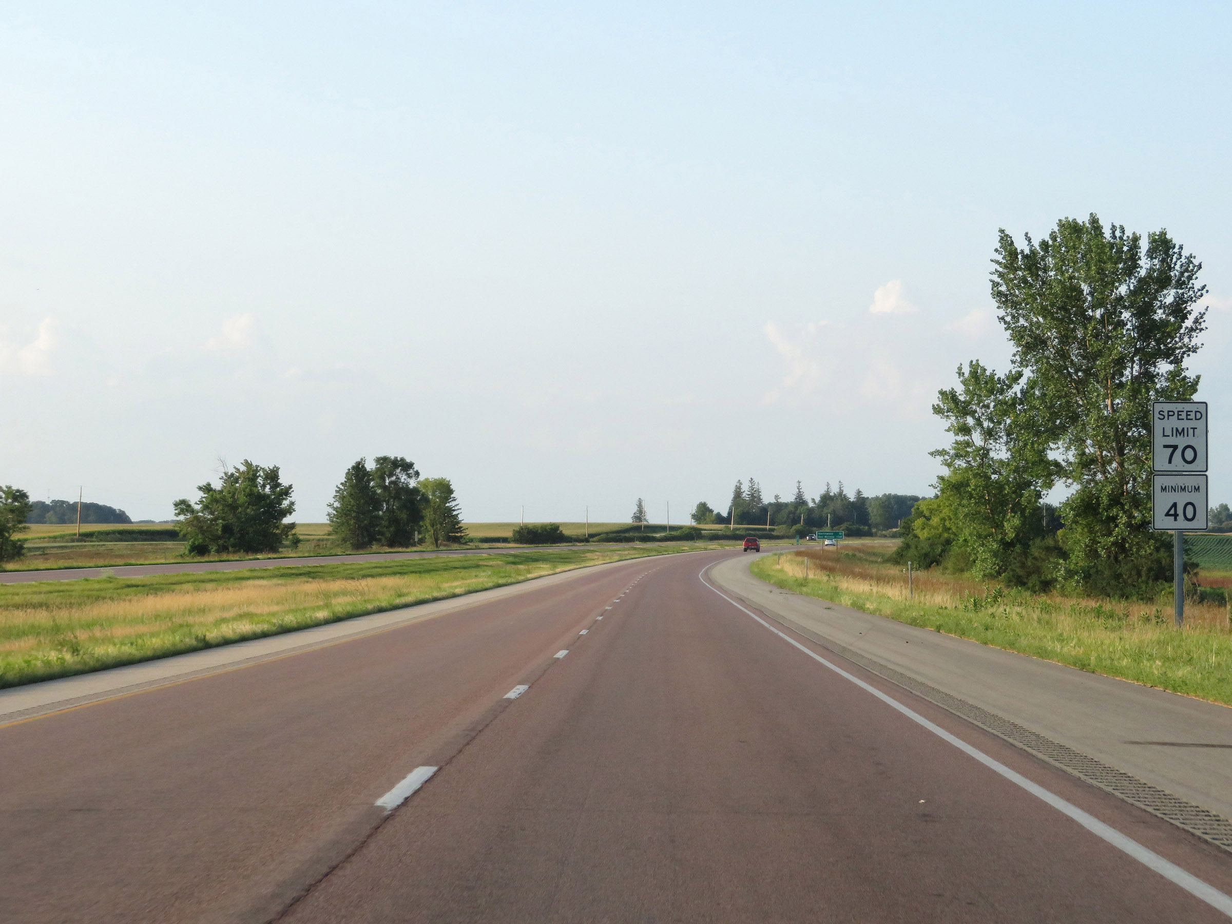 |
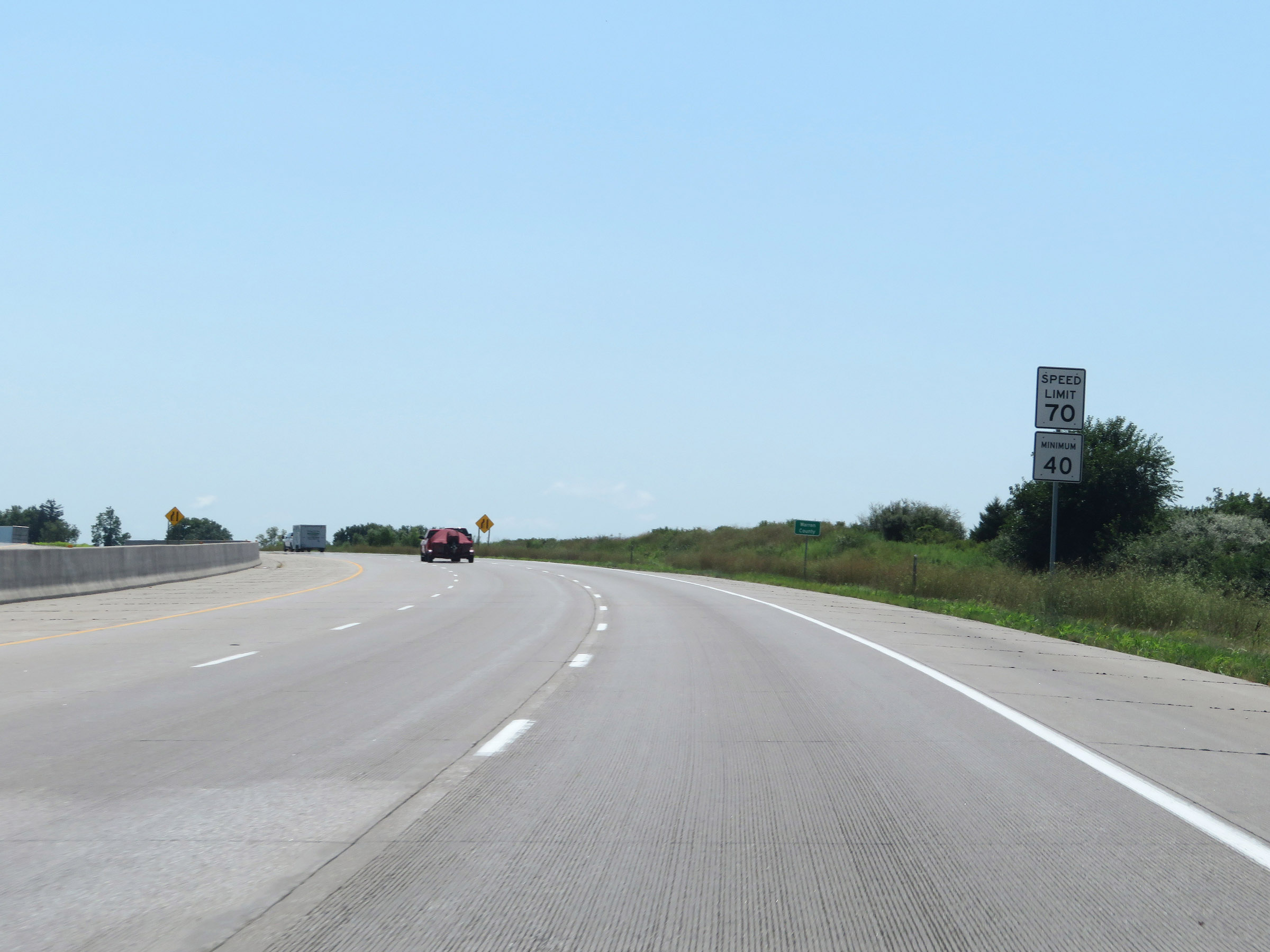
The speed limits on Interstate 35 South in Iowa start out at 70 mph maximum and 40 mph minimum. These are the standard speed limits on most rural Interstate highways in the state. (Photo taken 8/8/20). |
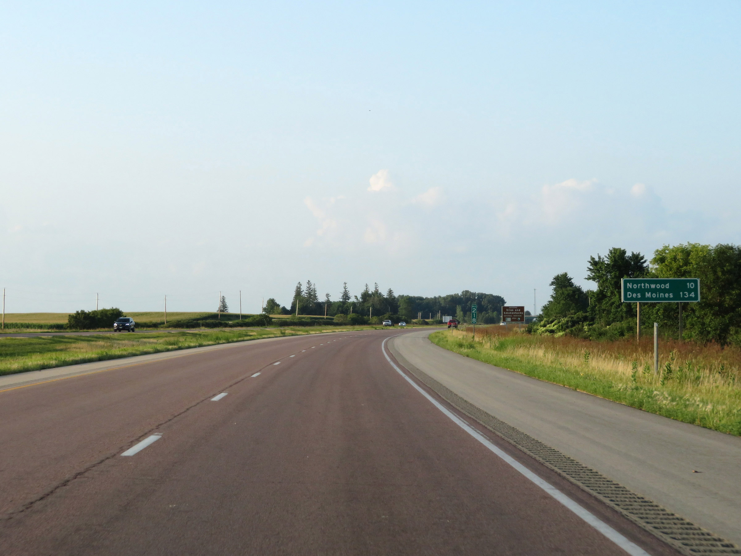 |
Mileage sign on Interstate 35 South at mile marker 218. It's 10 miles to Northwood and 134 miles to Des Moines. (Photo taken 8/8/20). |
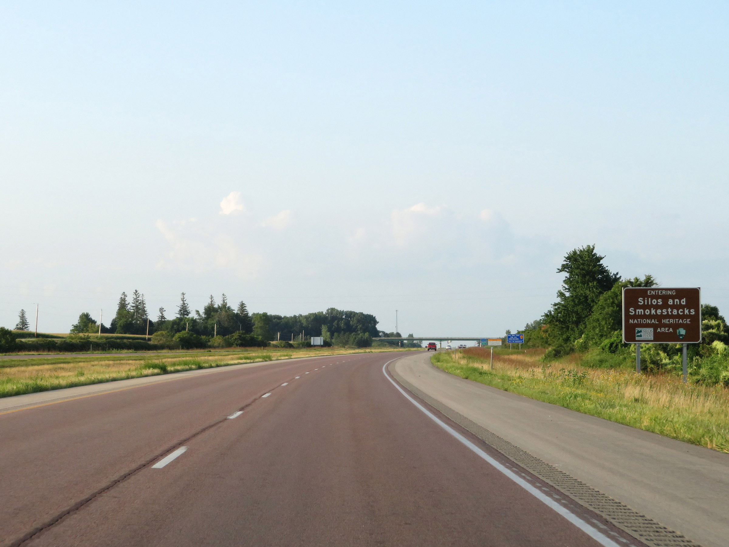 |
Upon entering Iowa, Interstate 35 South enters the Silos and Smokestacks National Heritage Area. (Photo taken 8/8/20). |
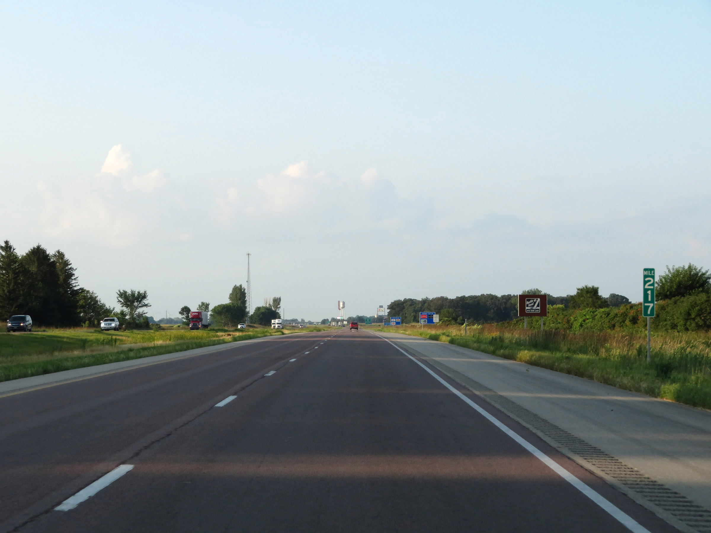 |
View on Interstate 35 South at mile marker 217. (Photo taken 8/8/20). |
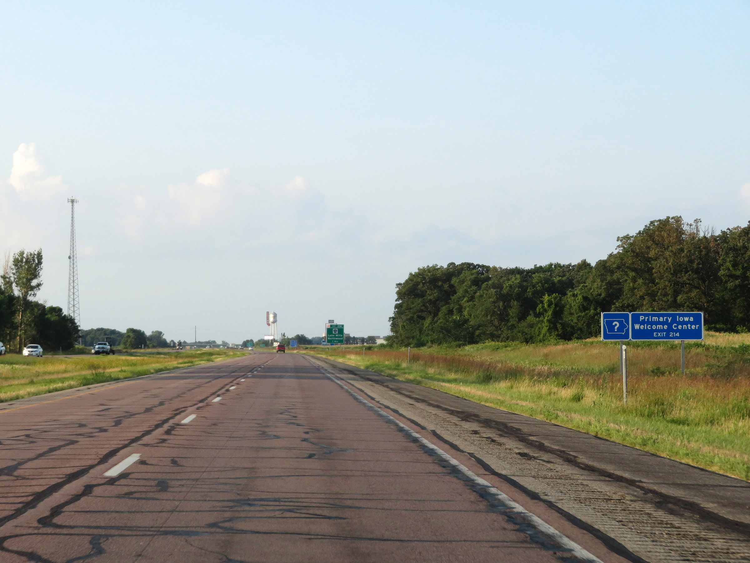 |
The Primary Iowa Welcome Center on Interstate 35 South exists off Exit 214. (Photo taken 8/8/20). |
 |
Interstate 35 South at mile marker 216. (Photo taken 8/8/20). |
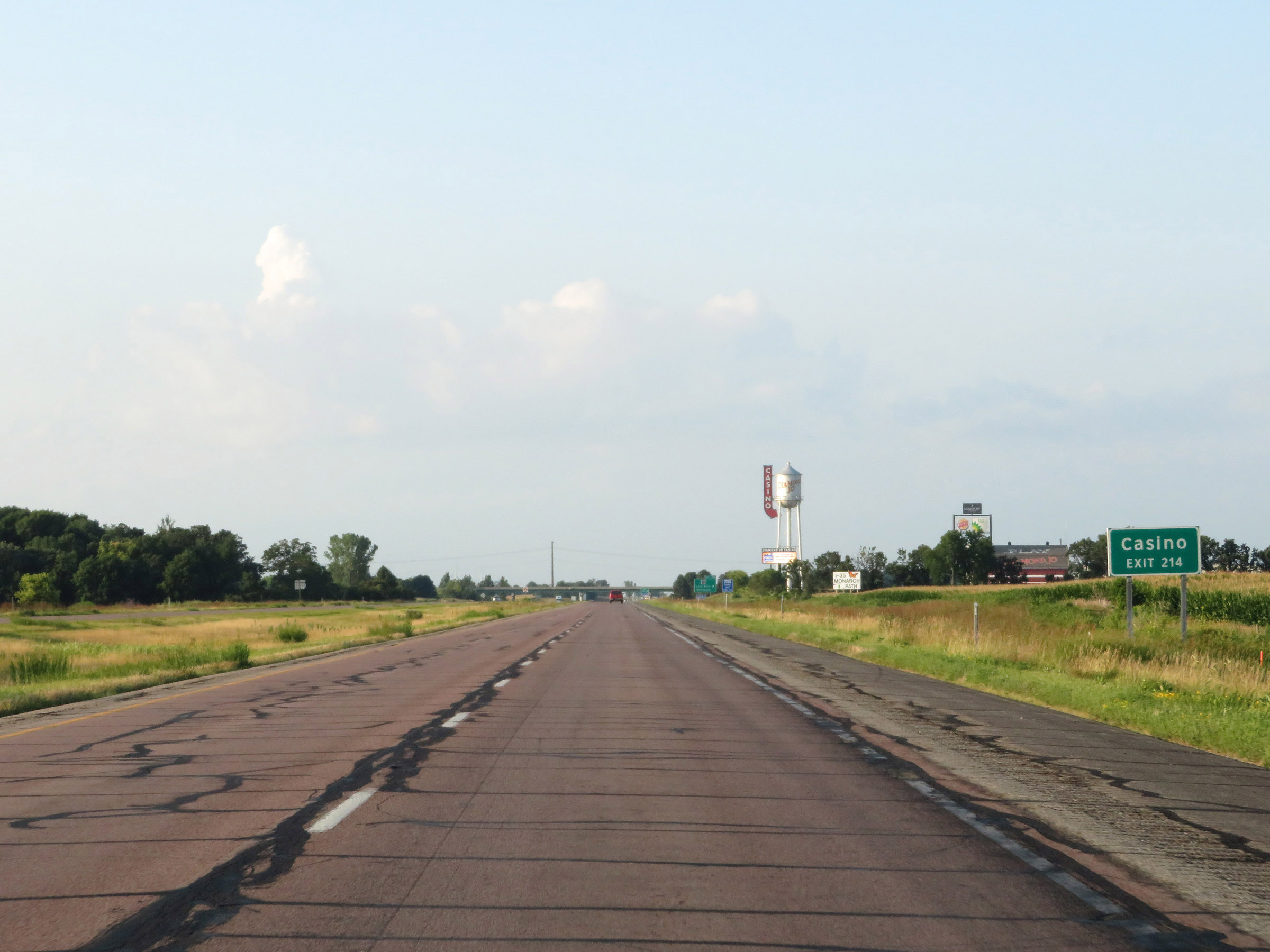 |
Take Exit 214 to Diamond Jo Worth Casino. (Photo taken 8/8/20). |
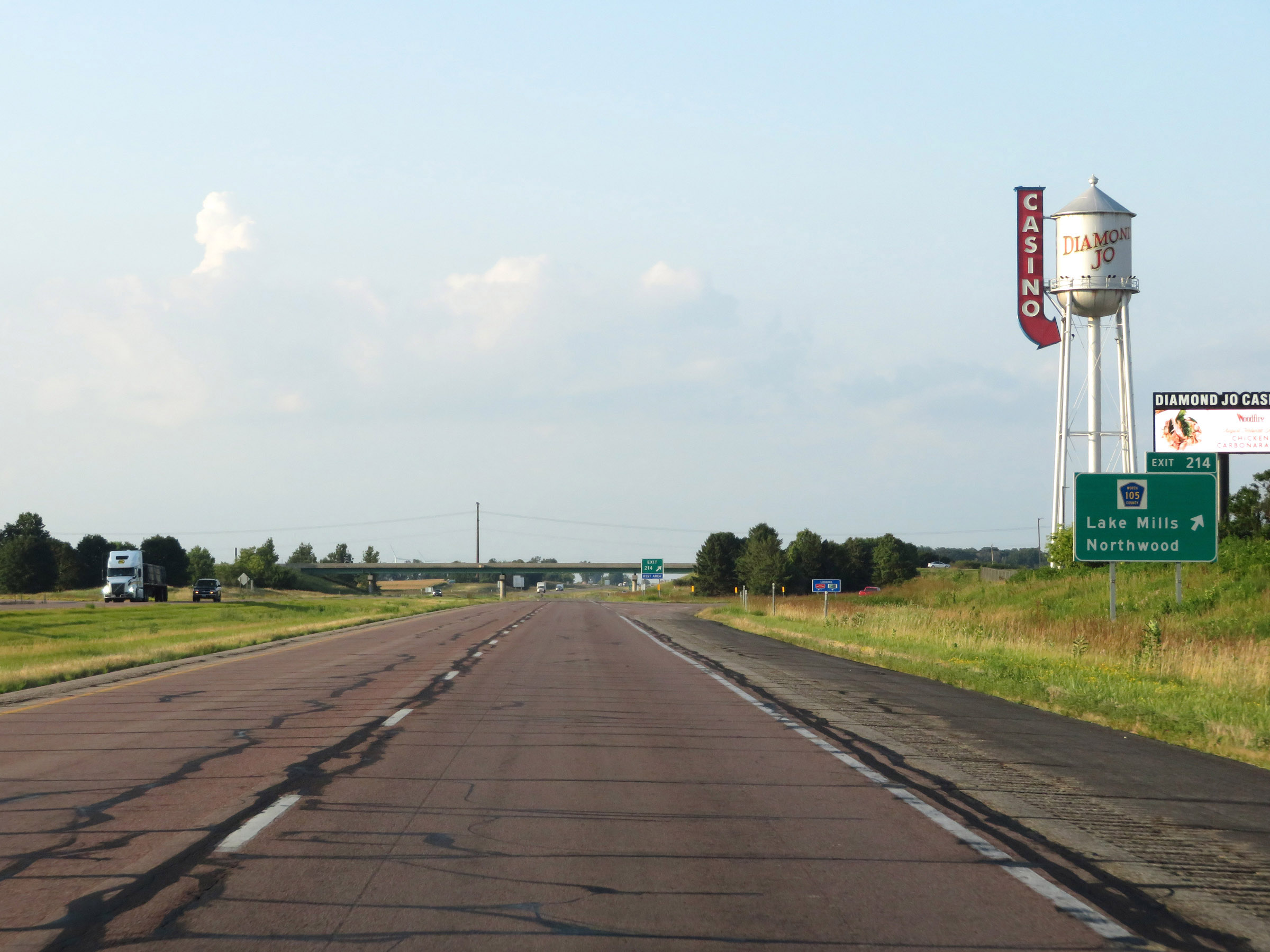 |
Interstate 35 South at Exit 214: CR 105 - Lake Mills / Northwood (Photo taken 8/8/20). |
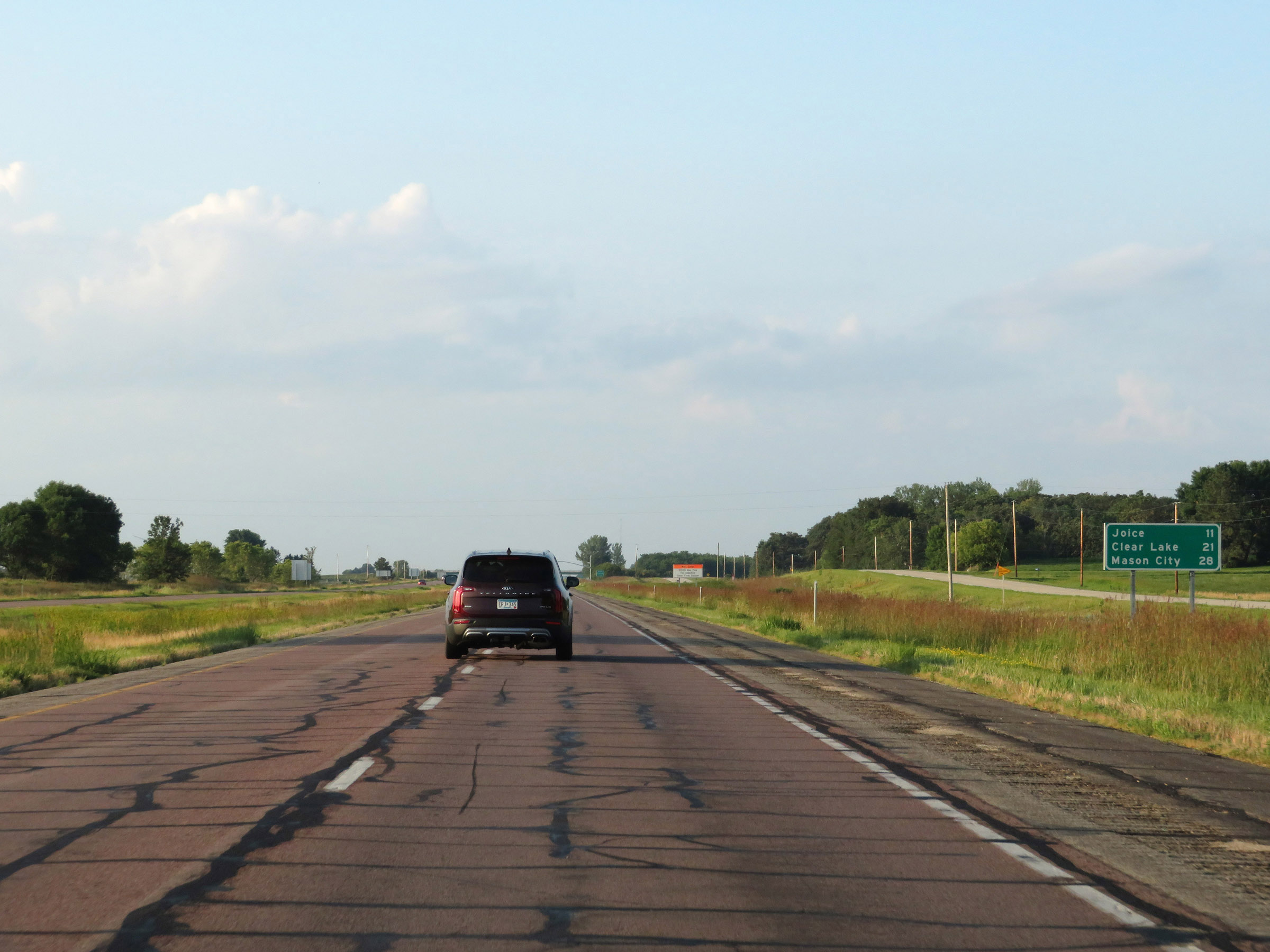 |
Another mileage sign on Interstate 35 South. It's 11 miles to Joice, 21 miles to Clear Lake, and 28 miles to Mason City. (Photo taken 8/8/20). |
 |
View on Interstate 35 South at mile marker 213. (Photo taken 8/8/20). |
 |
Weigh Station on Interstate 35 South in Worth County. (Photo taken 8/8/20). |
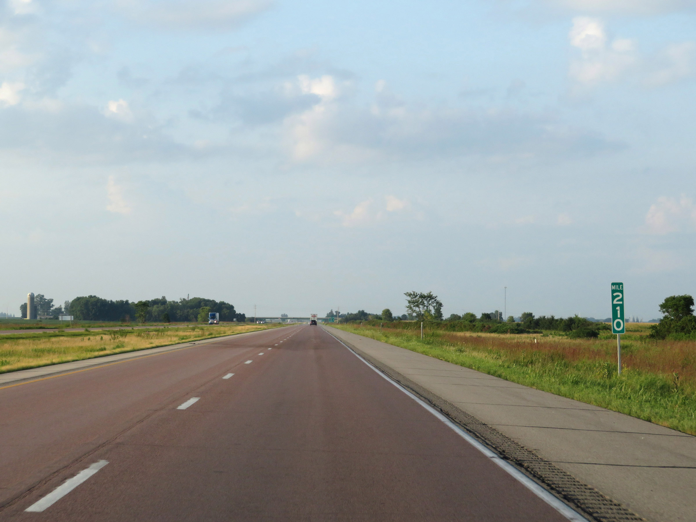 |
Interstate 35 South at mile marker 210. (Photo taken 8/8/20). |
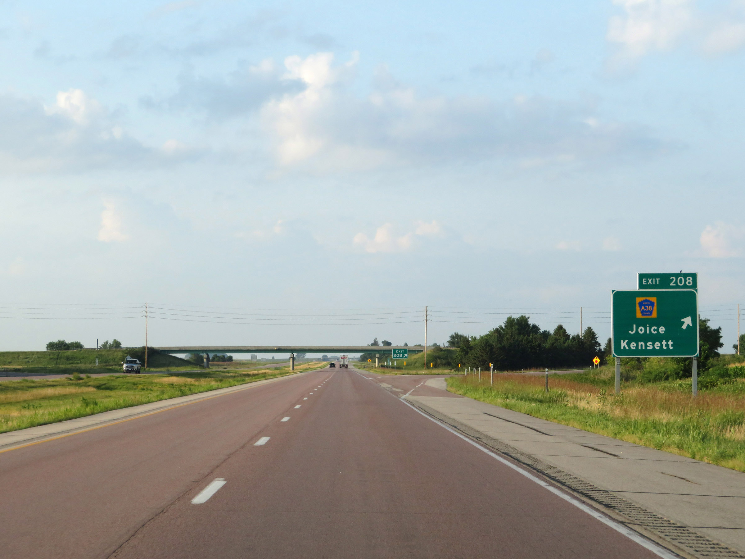 |
Interstate 35 South at Exit 208: CR A38 - Joice / Kensett (Photo taken 8/8/20). |
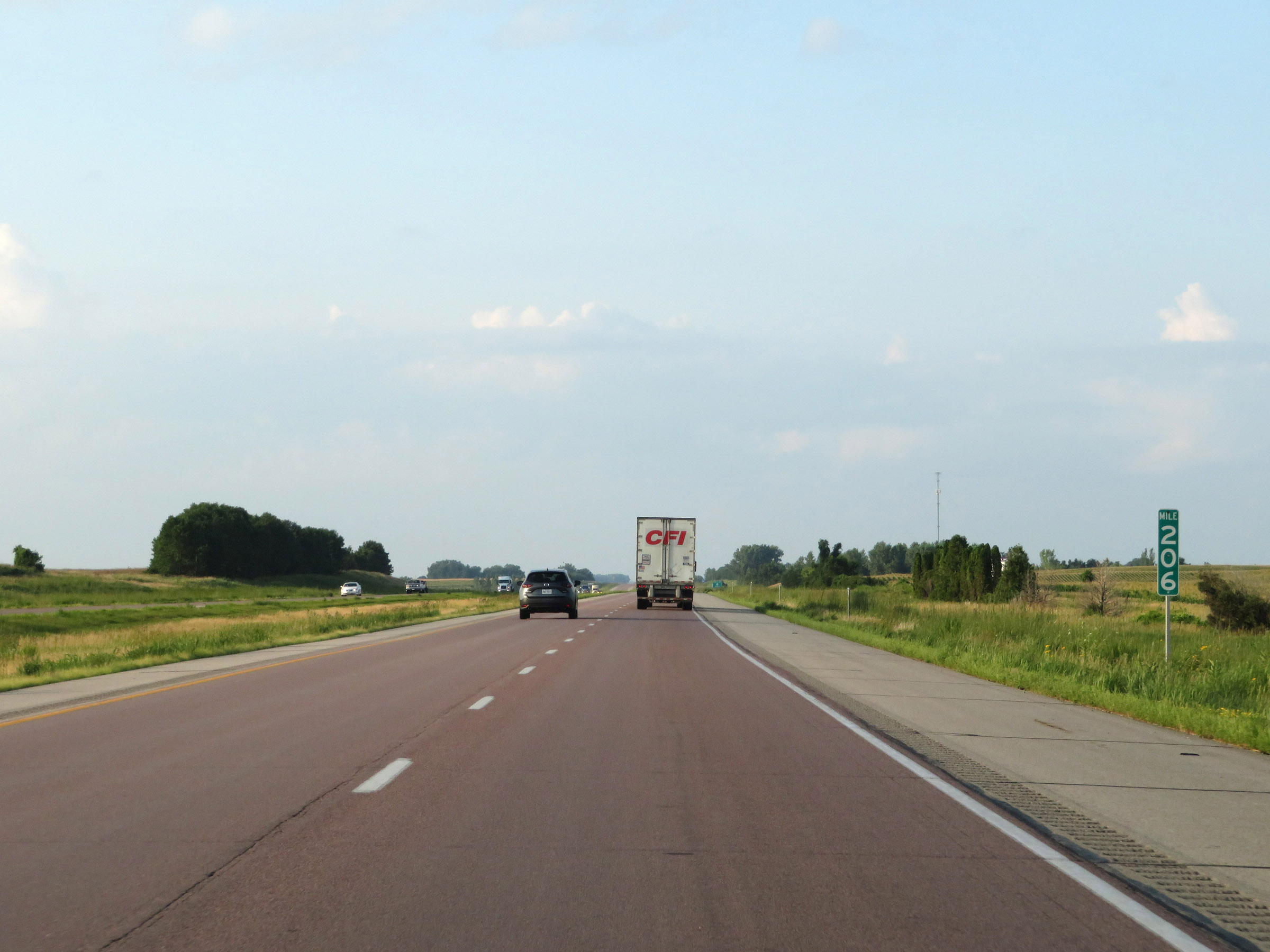 |
View on Interstate 35 South at mile marker 206. (Photo taken 8/8/20). |
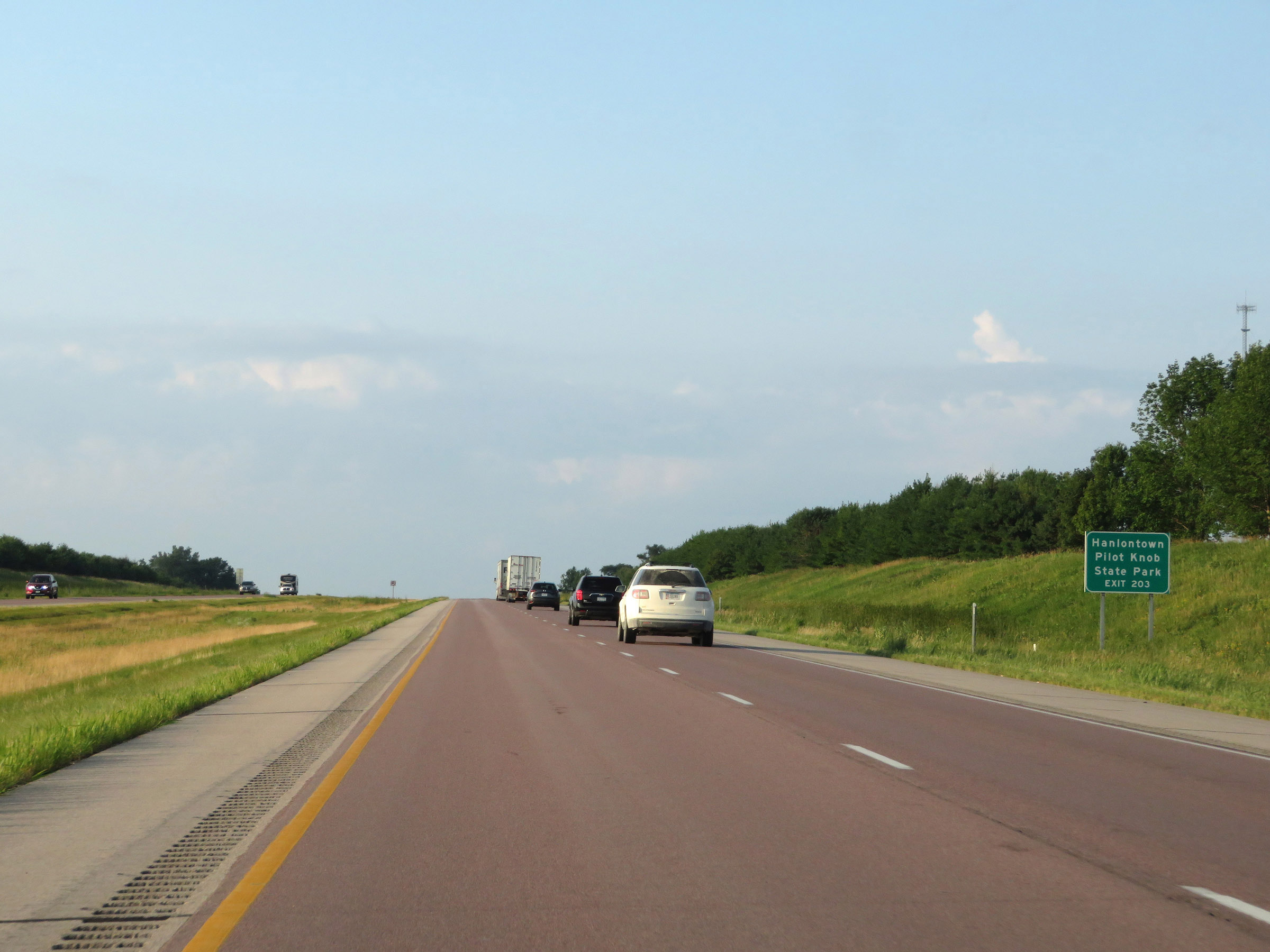 |
Take Exit 203 to Hanlontown and Pilot Knob State Park. (Photo taken 8/8/20). |
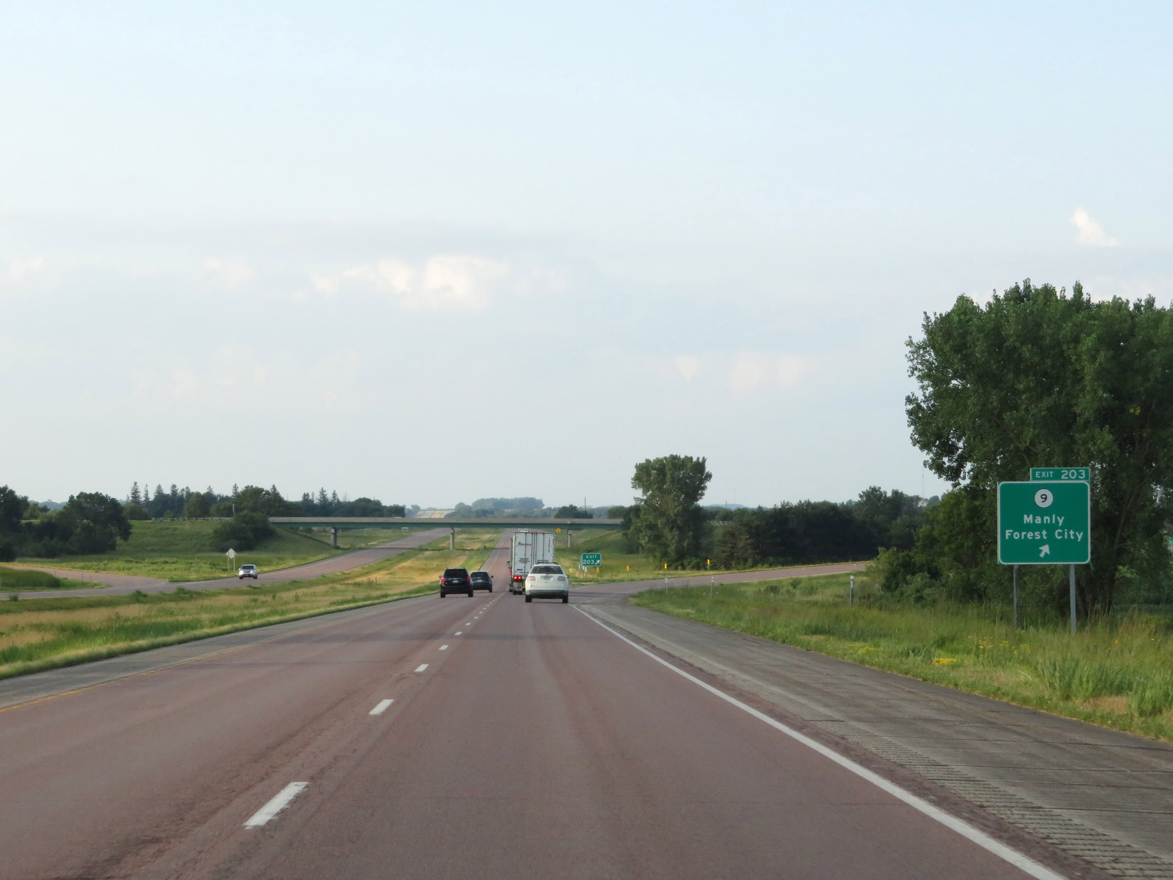 |
Interstate 35 South at Exit 203: IA 9 - Manly / Forest City (Photo taken 8/8/20). |
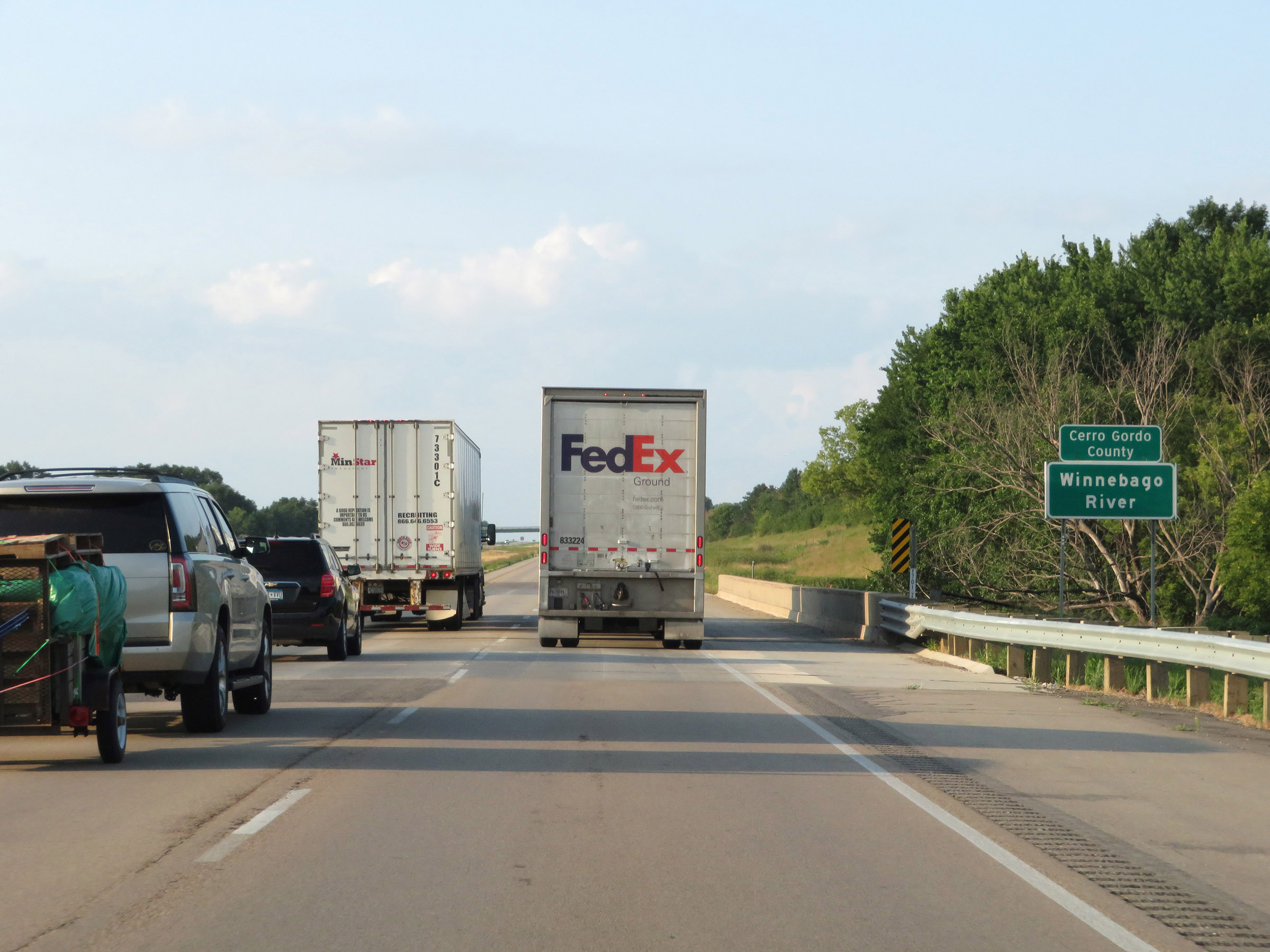 |
Interstate 35 South as it enters Cerro Gordo County by crossing the Winnebago River. . (Photo taken 8/8/20). |
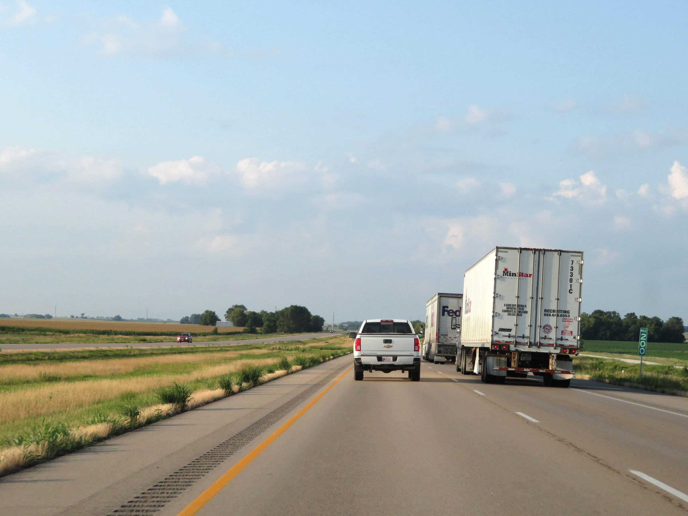 |
Interstate 35 South at mile marker 200. (Photo taken 8/8/20). |
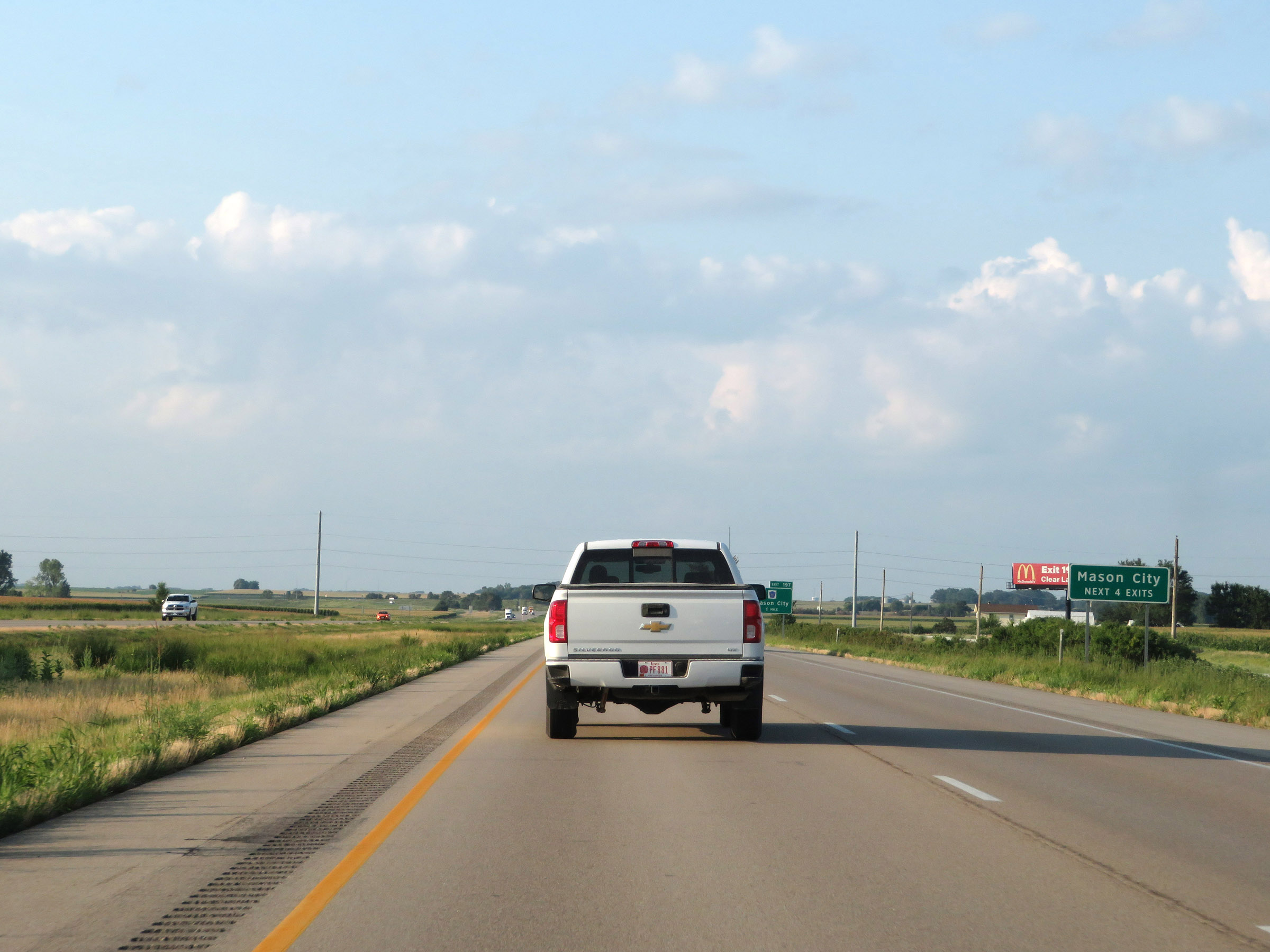 |
Take any of the next 4 exits to Mason City. (Photo taken 8/8/20). |
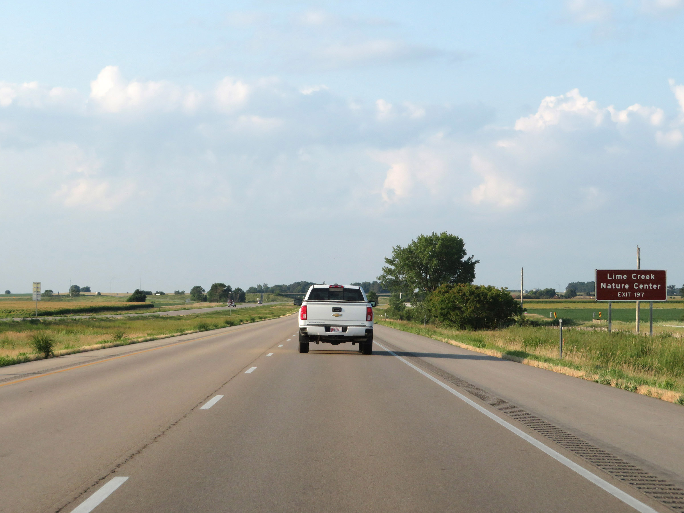 |
Take Exit 197 to Lime Creek Nature Center. (Photo taken 8/8/20). |
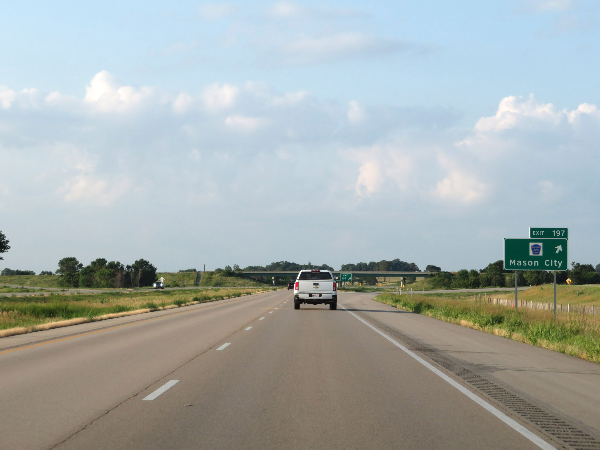 |
Interstate 35 South at Exit 197: CR B20 - Mason City (Photo taken 8/8/20). |
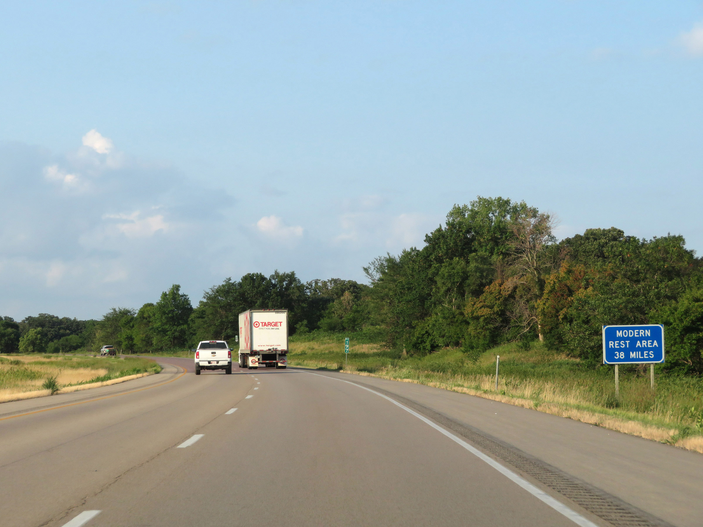 |
The next "Modern" Rest Area is 38 miles ahead. This is their way of meaning a Rest Area that is more than just parking only. (Photo taken 8/8/20). |
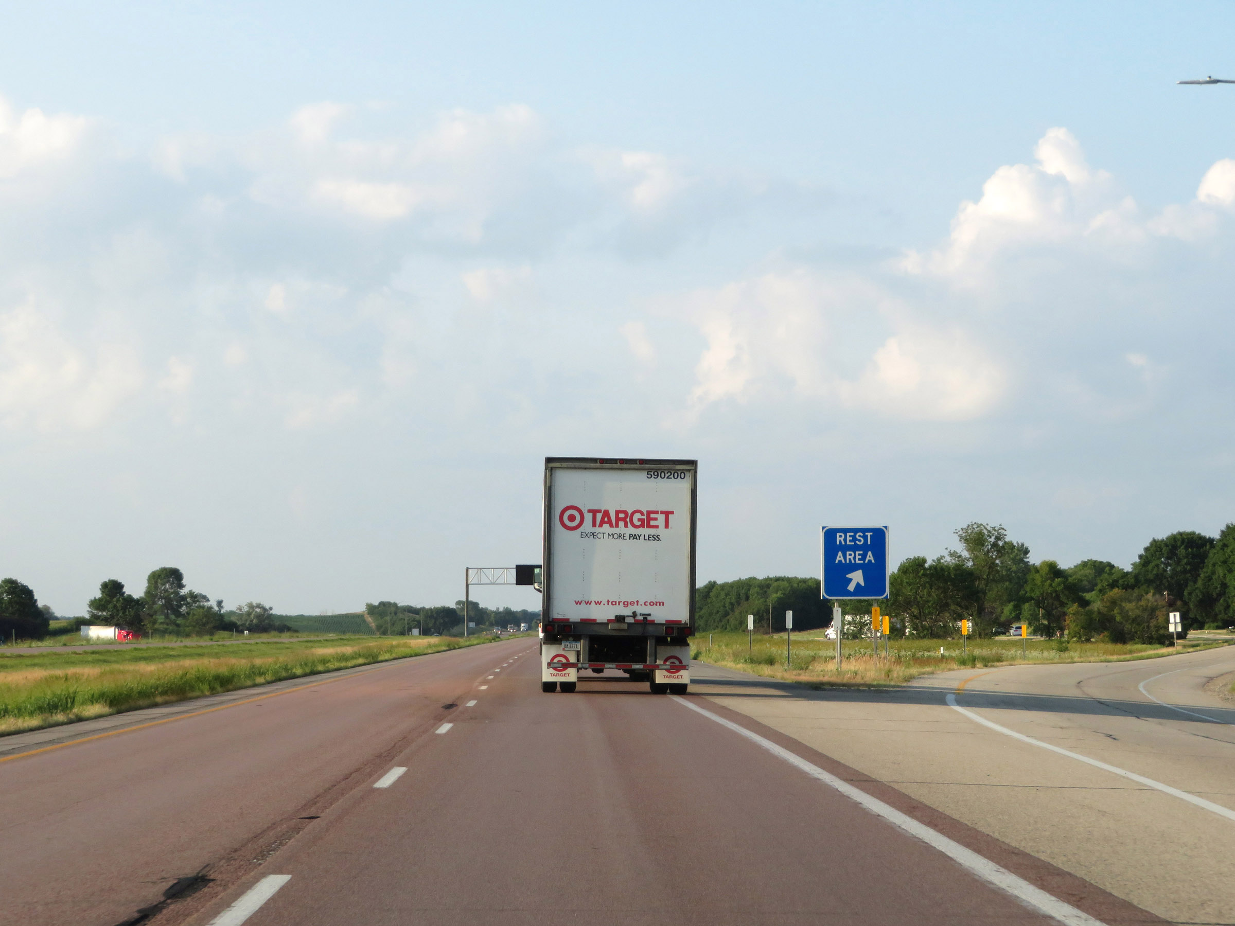 |
Rest Area on Interstate 35 South in Cerro Gordo County. This Rest Area is Parking Only and has no facilities. (Photo taken 8/8/20). |
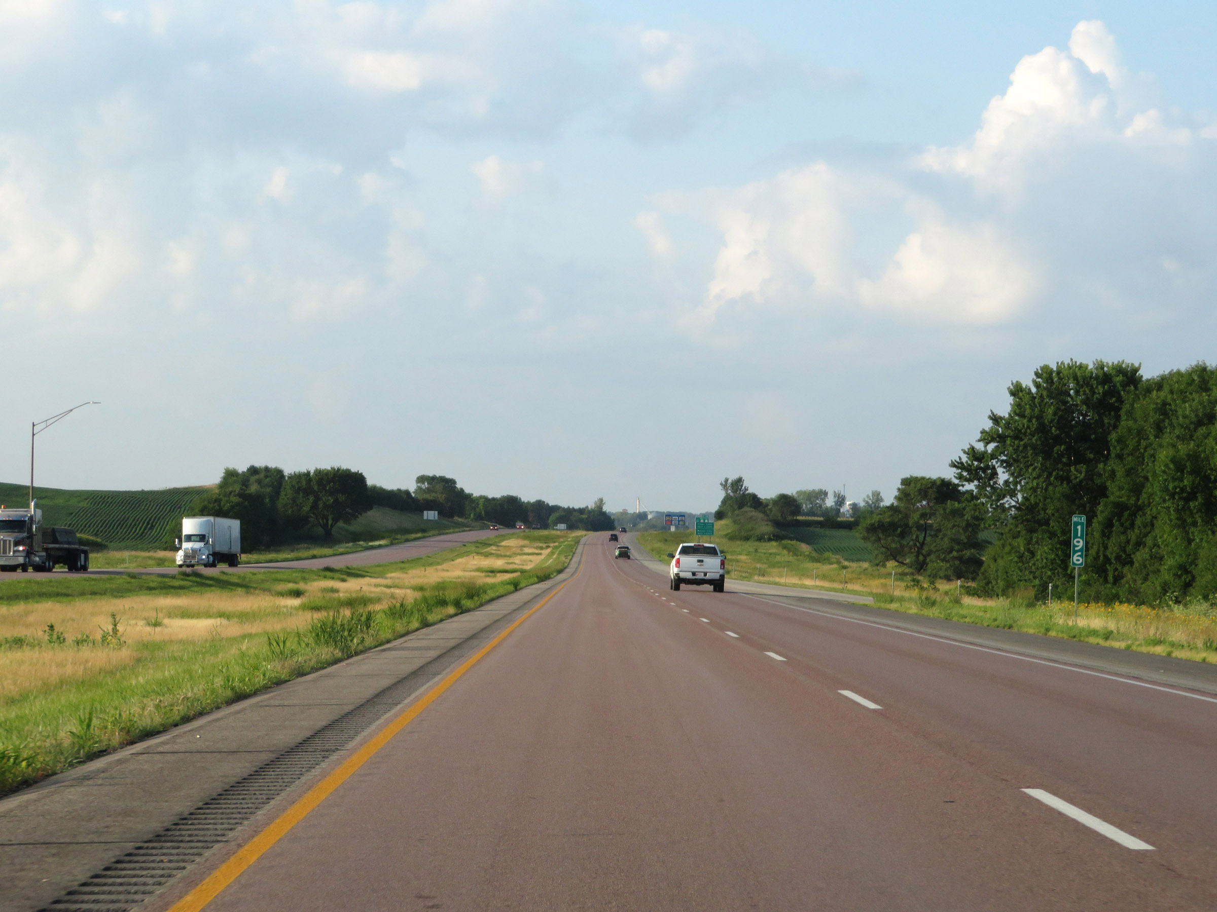 |
View on Interstate 35 South at mile marker 196. (Photo taken 8/8/20). |
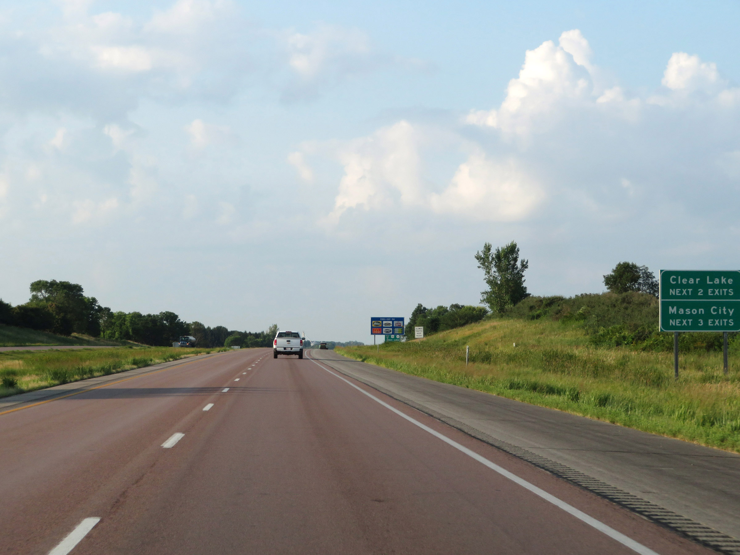 |
Take either of the next 2 exits to Clear Lake. Take any of the next 3 exits to Mason City. (Photo taken 8/8/20). |
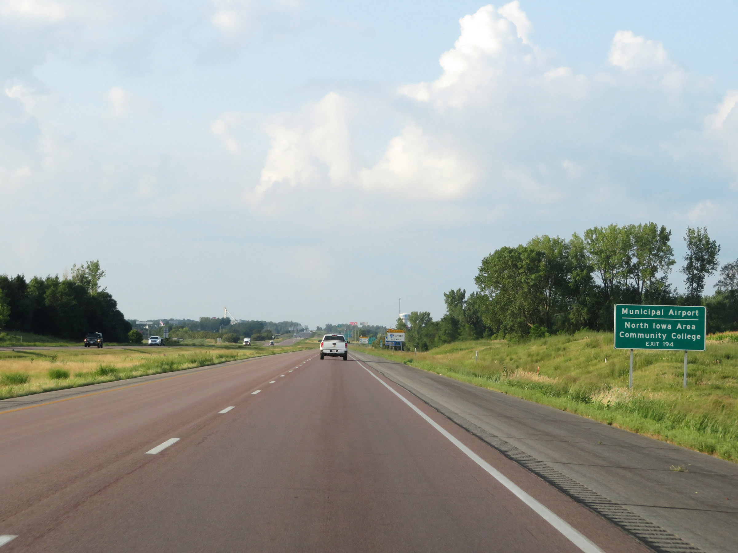 |
Take Exit 194 to the Municipal Airport and North Iowa Area Community College. (Photo taken 8/8/20). |
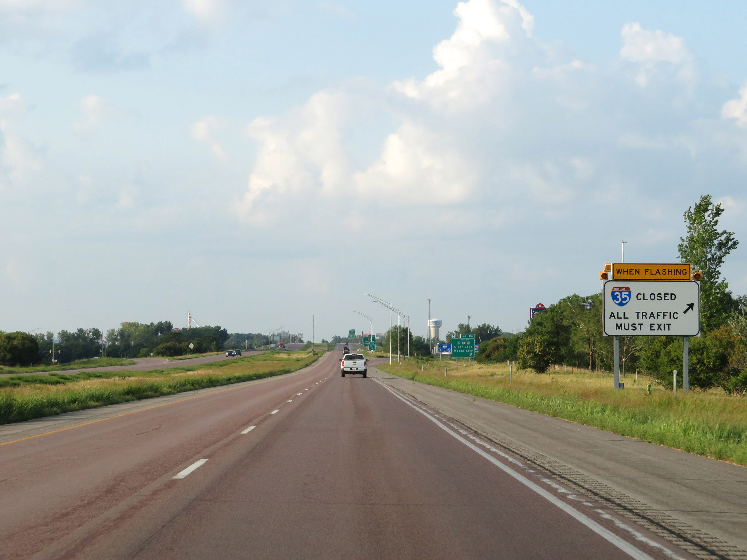 |
When the lights on this sign are flashing, Interstate 35 is closed ahead due to inclement weather conditions and all traffic must take Exit 194. (Photo taken 8/8/20). |
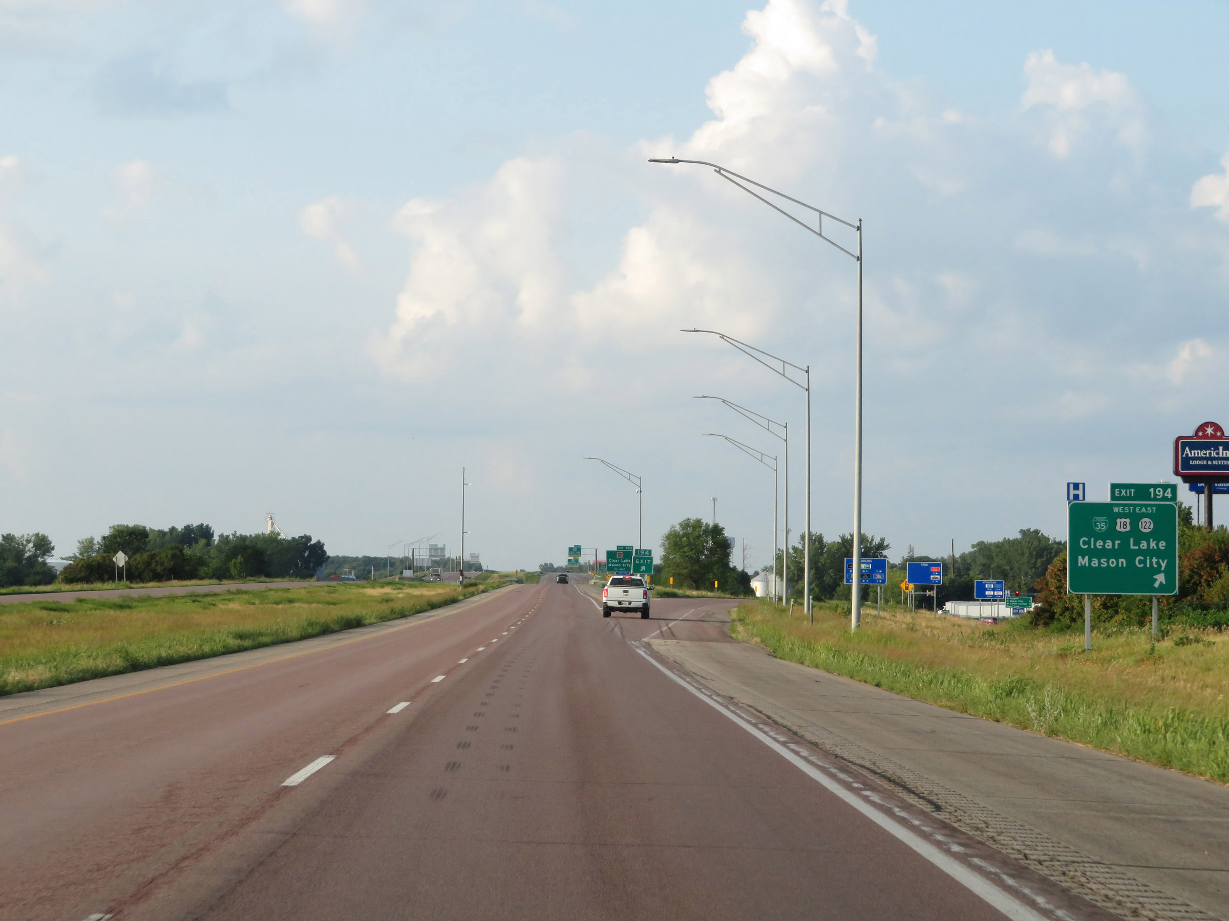 |
Interstate 35 South at Exit 194: Interstate 35 Business Loop / US 18 West / IA 122 East - Clear Lake / Mason City (Photo taken 8/8/20). |
 |
Take Exit 193 to Clear Lake State Park and Mason City Industrial Park. (Photo taken 8/8/20). |
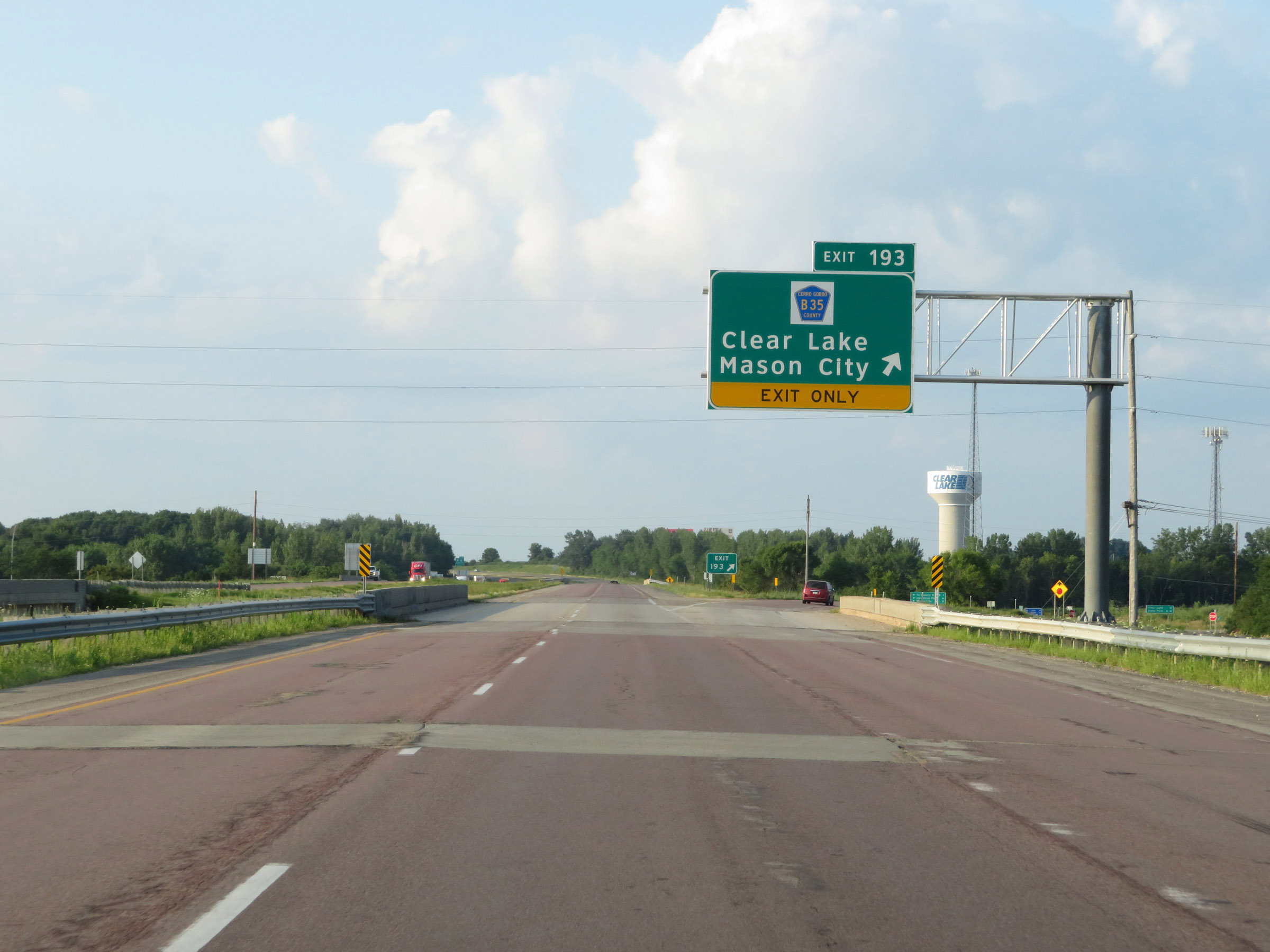 |
Interstate 35 South at Exit 193: CR B35 - Clear Lake / Mason City (Photo taken 8/8/20). |
 |
Another state-named Interstate 35 South reassurance shield. (Photo taken 8/8/20). |
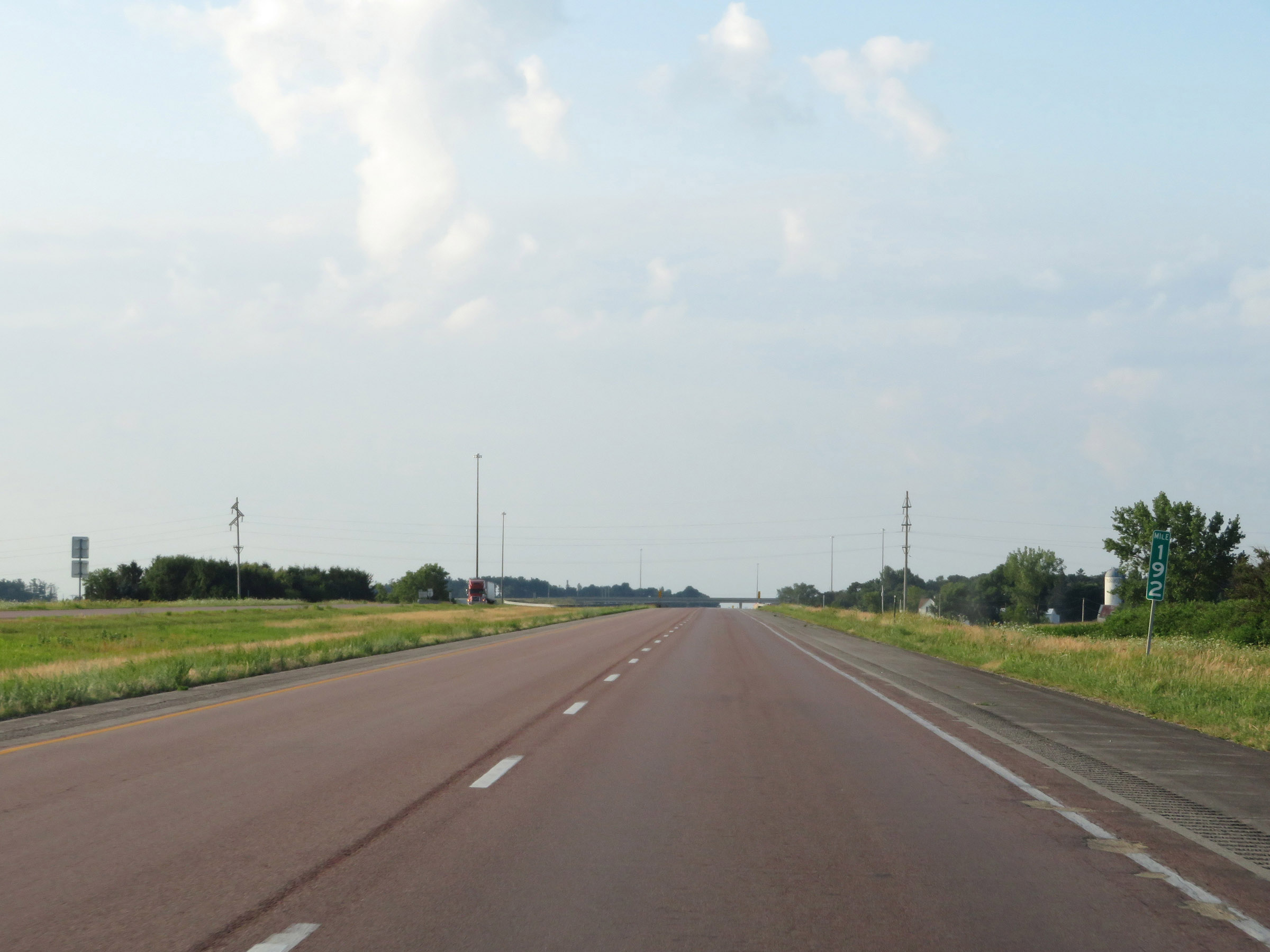 |
View on Interstate 35 South at mile marker 192. (Photo taken 8/8/20). |
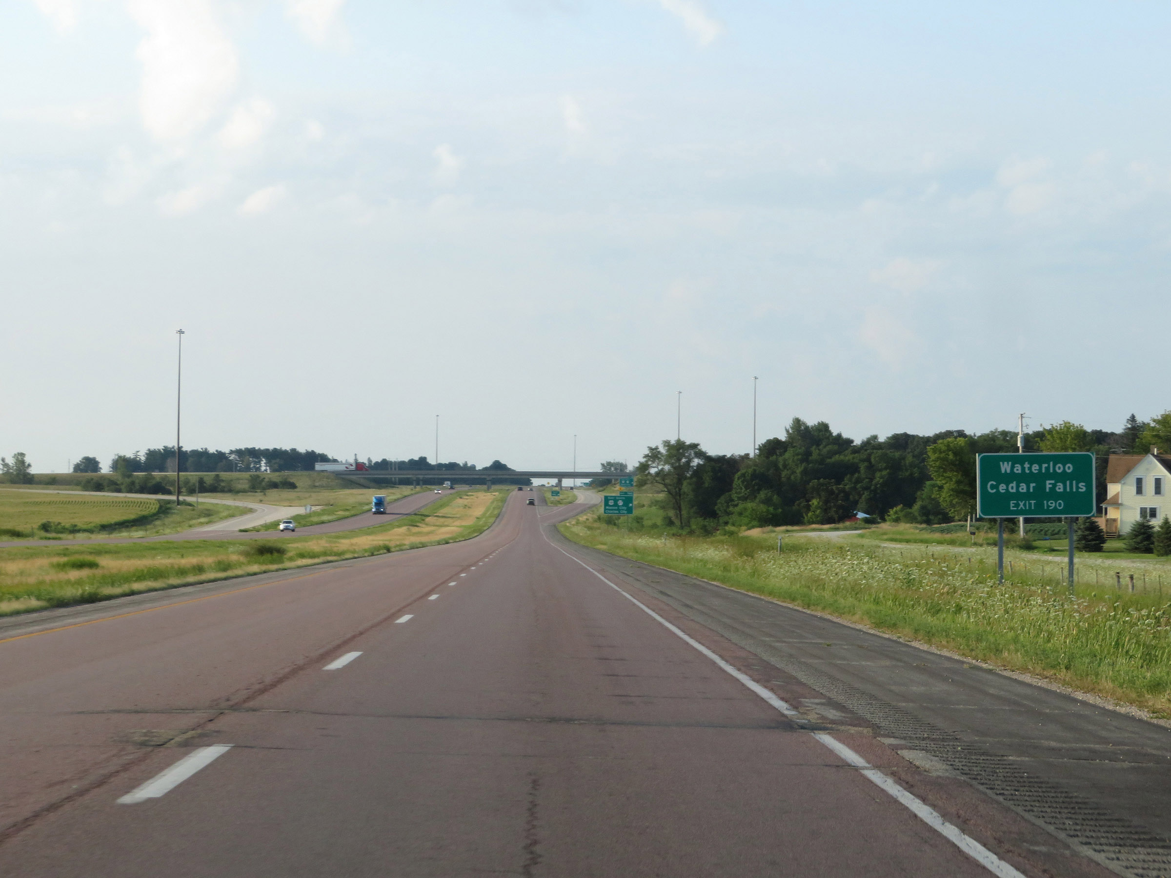 |
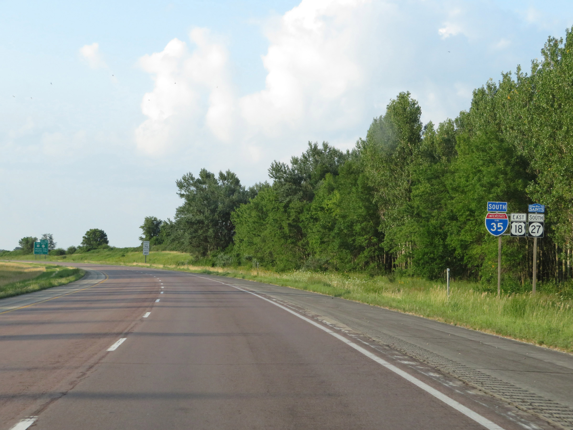
Take Exit 190 to Waterloo and Cedar Falls. (Photo taken 8/8/20). |
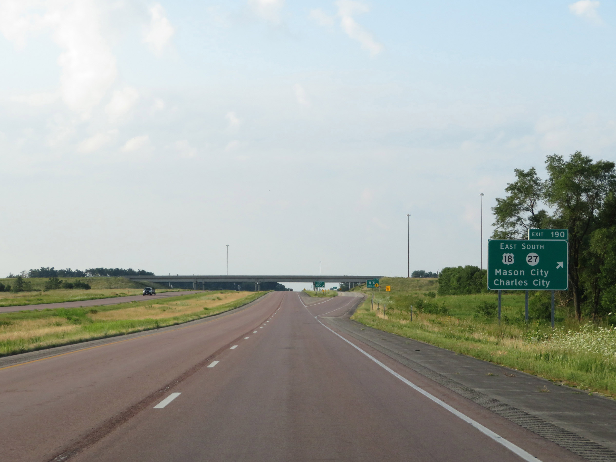 |
Interstate 35 South at Exit 190: US 18 East / IA 27 South - Mason City / Charles City (Photo taken 8/8/20). |
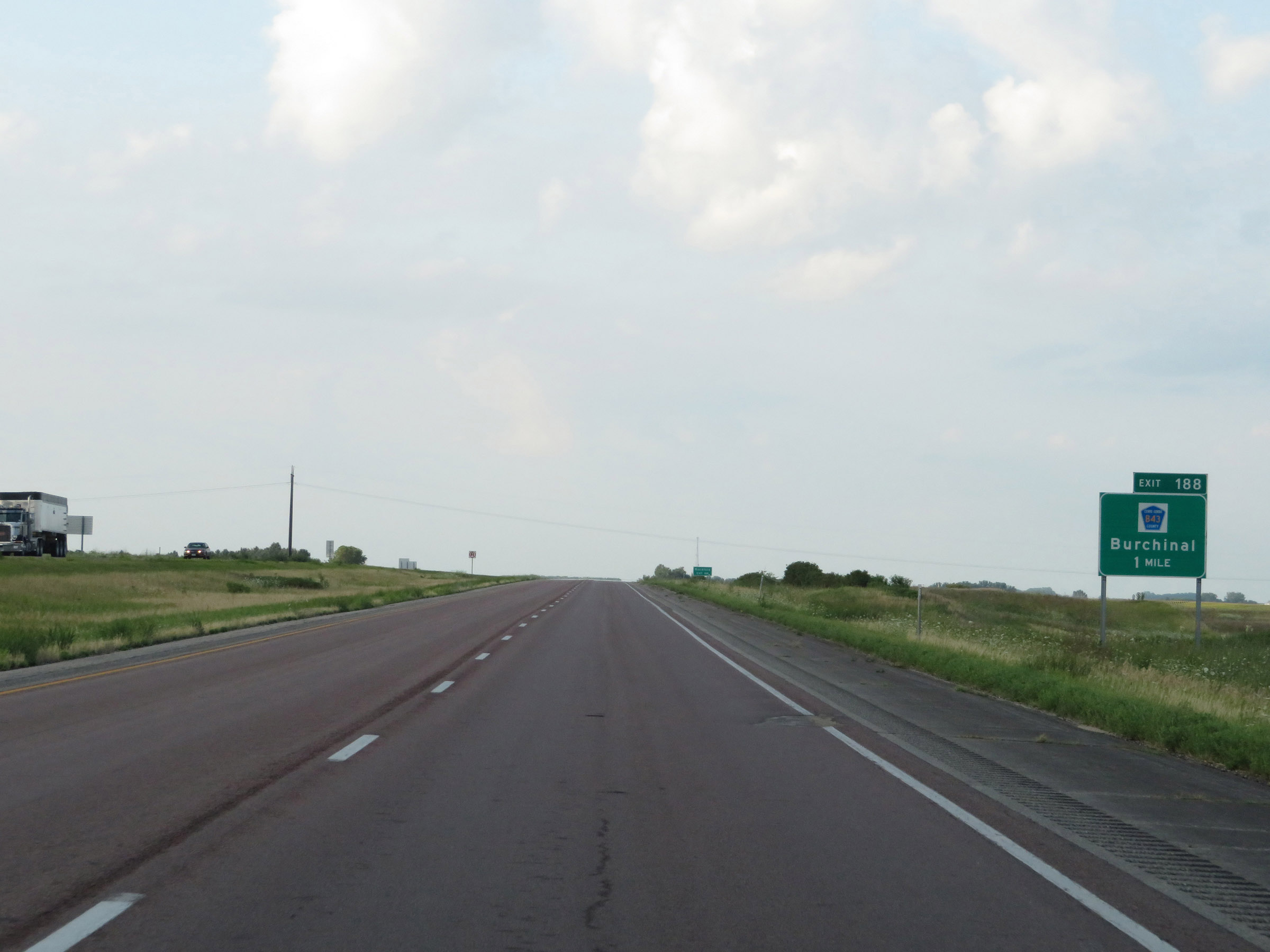 |
Interstate 35 South approaching Exit 188 - 1 mile. (Photo taken 8/8/20). |
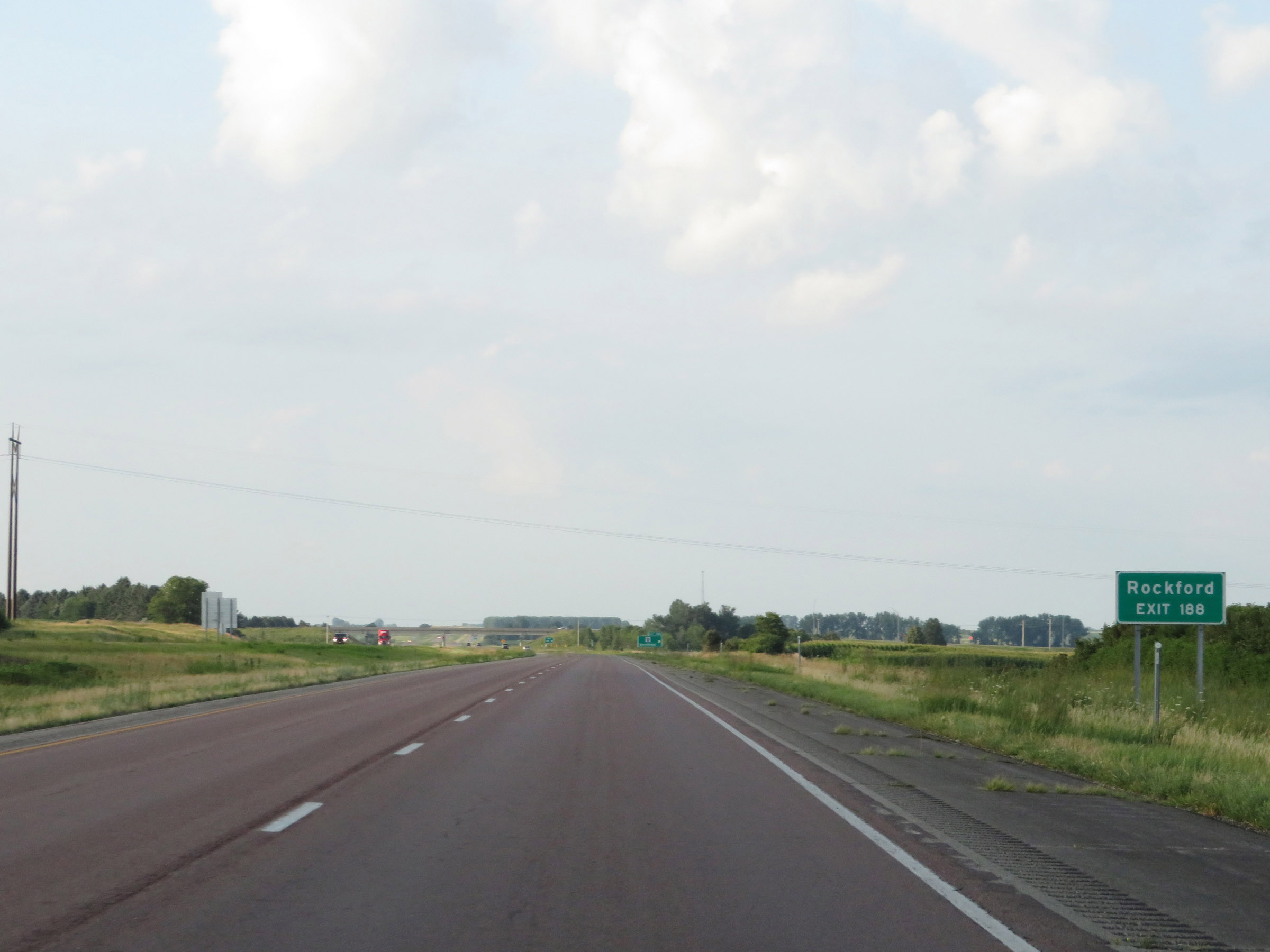 |
Take Exit 188 to Rockford. (Photo taken 8/8/20). |
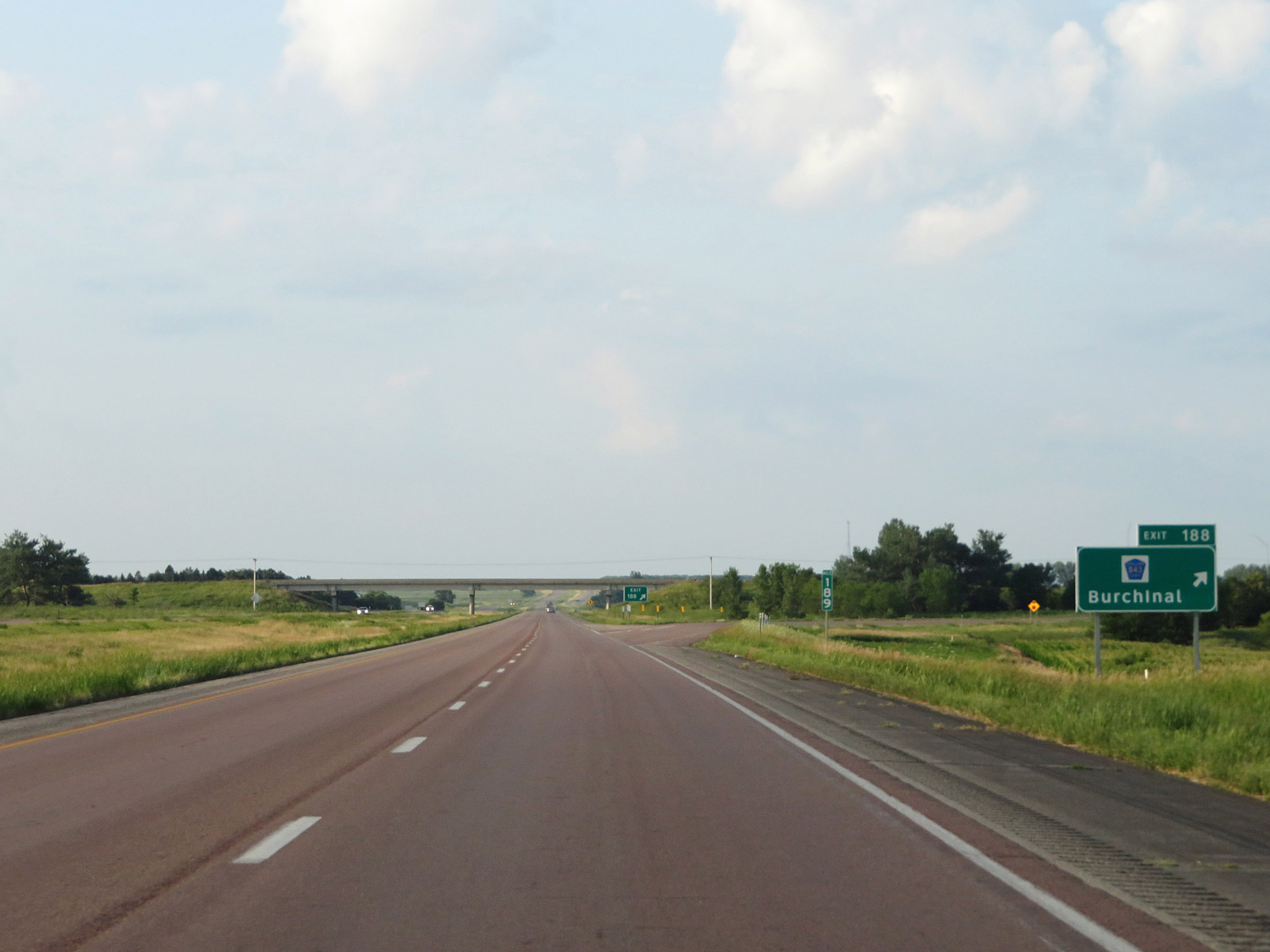 |
Interstate 35 South at Exit 188: CR B43 - Burchinal (Photo taken 8/8/20). |
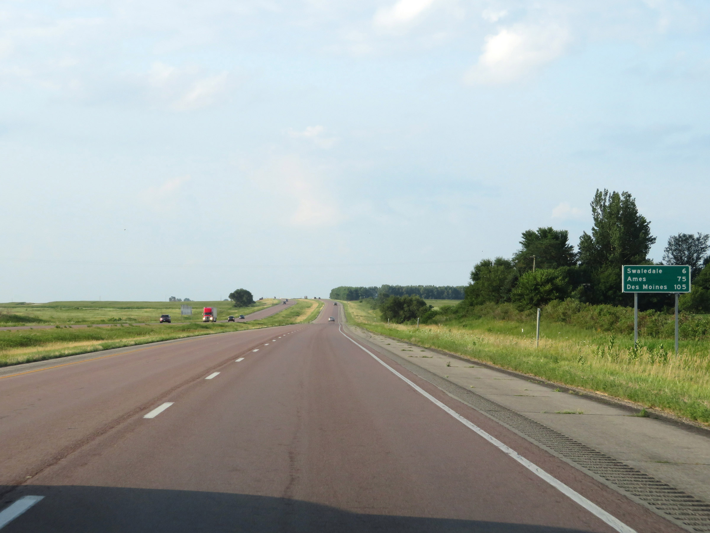 |
Mileage sign on Interstate 35 South. It's 6 miles to Swaledale, 75 miles to Ames, and 105 miles to Des Moines. (Photo taken 8/8/20). |
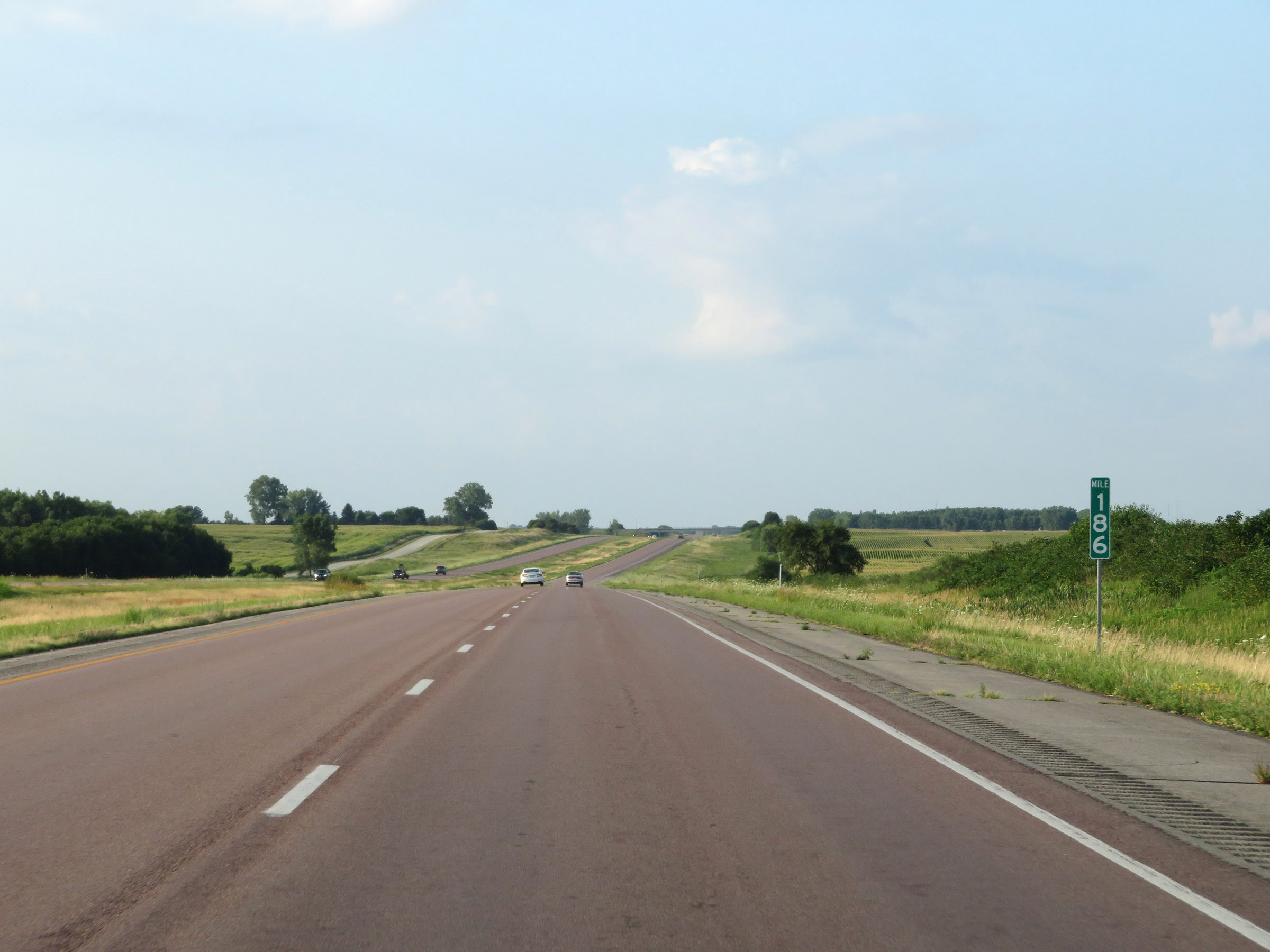 |
View on Interstate 35 South at mile marker 186. (Photo taken 8/8/20). |
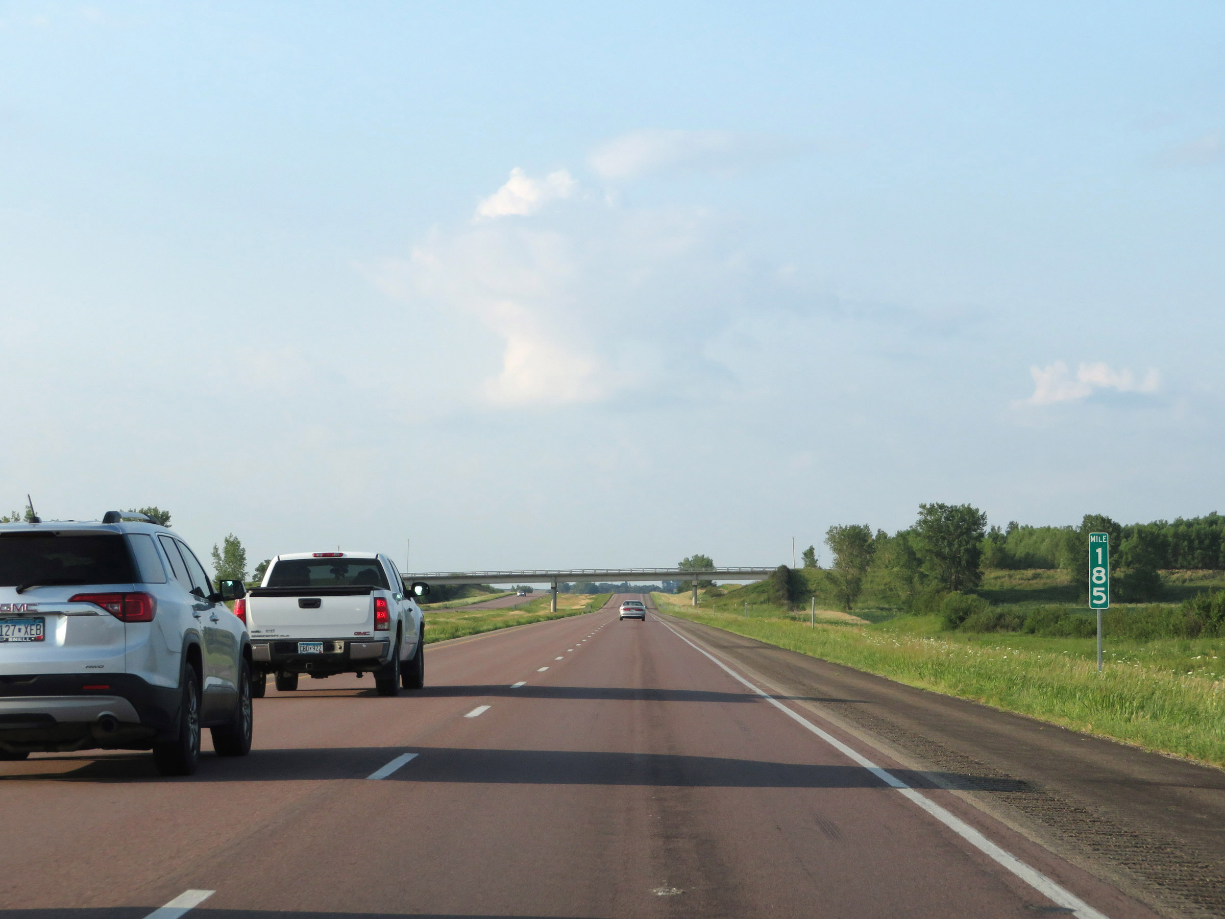 |
Interstate 35 South at mile marker 185. (Photo taken 8/8/20). |
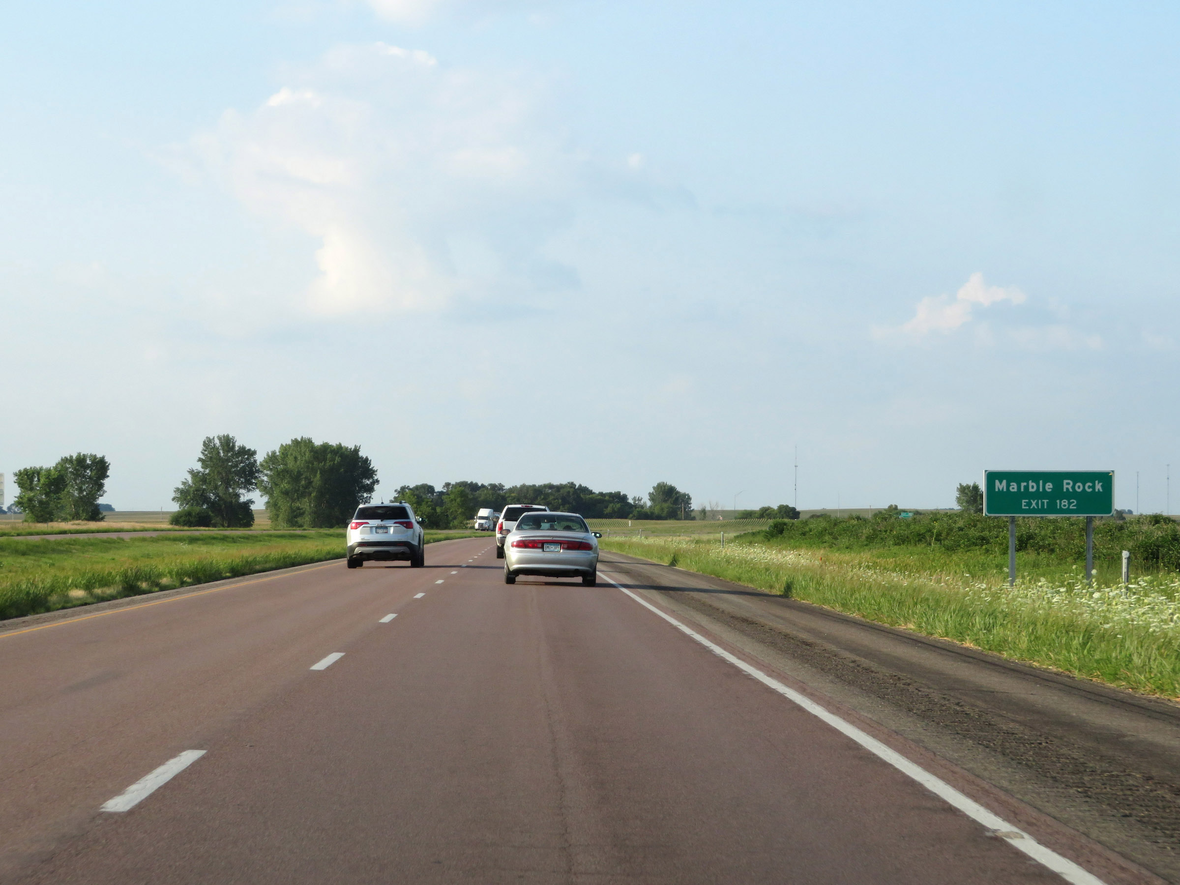 |
Take Exit 182 to Marble Rock. (Photo taken 8/8/20). |
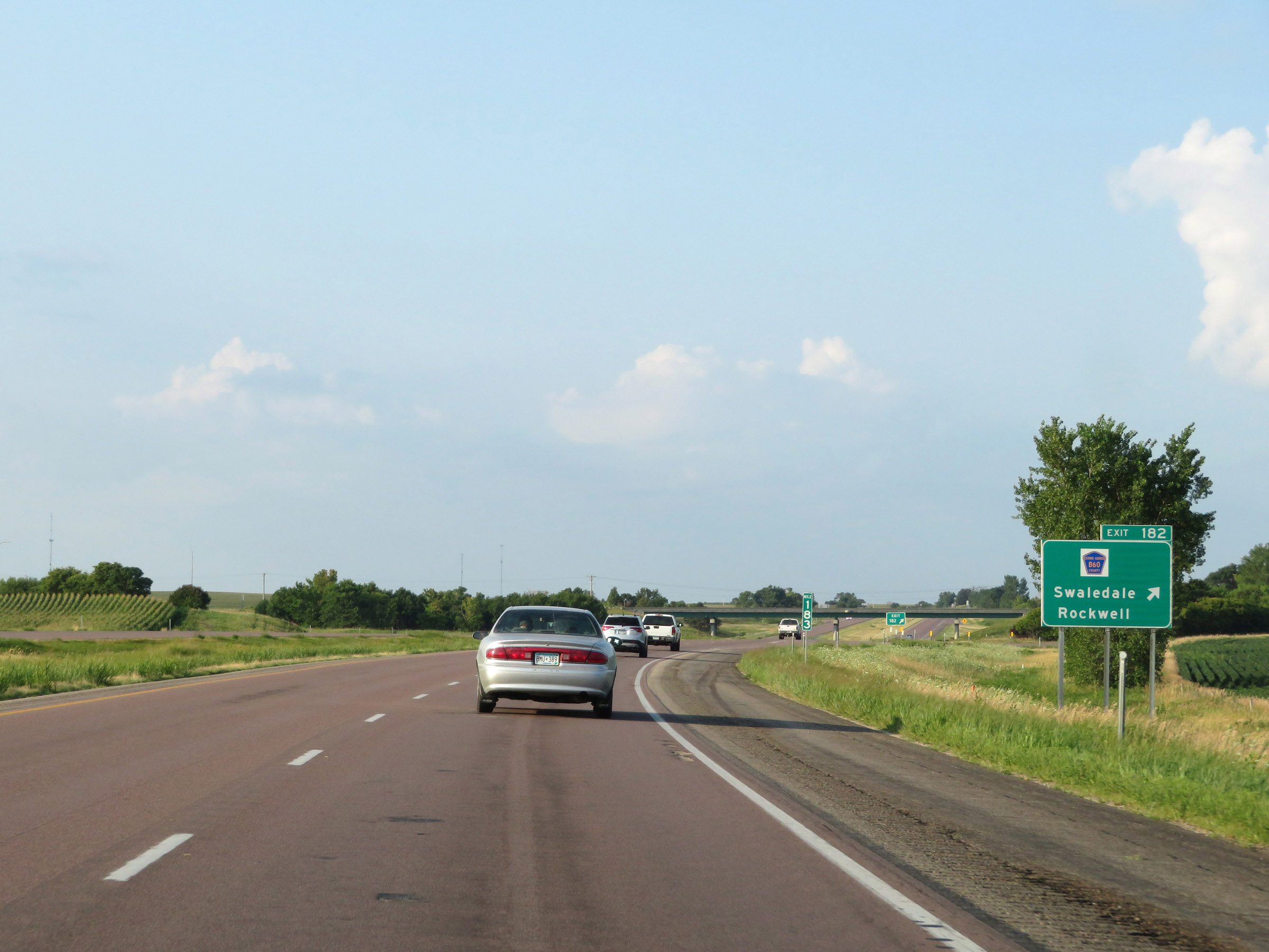 |
Interstate 35 South at Exit 182: CR B60 - Swaledale / Rockwell (Photo taken 8/8/20). |
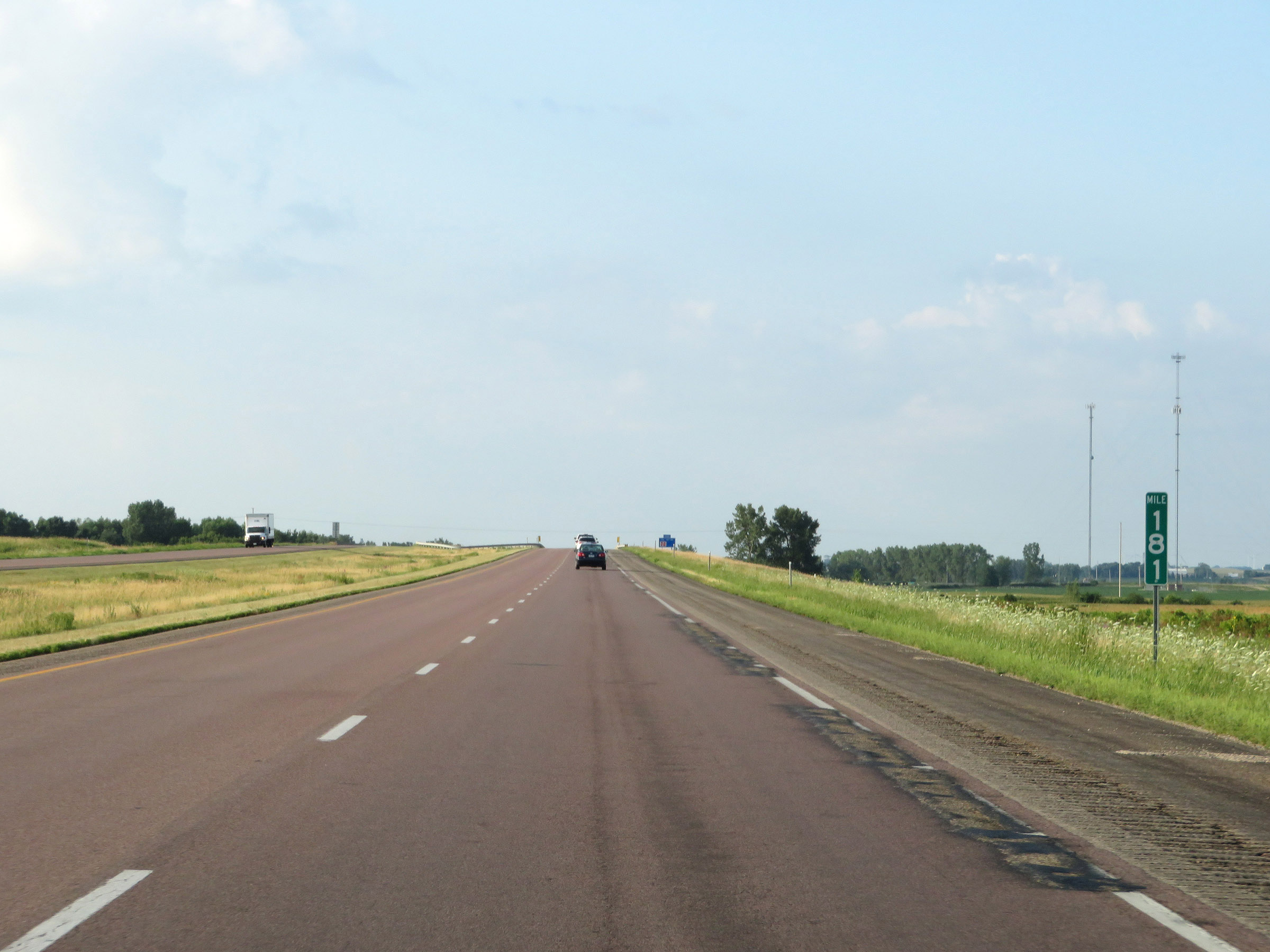 |
View on Interstate 35 South at mile marker 181. (Photo taken 8/8/20). |
 |
Interstate 35 South at Exit 180: CR B65 - Thornton (Photo taken 8/8/20). |
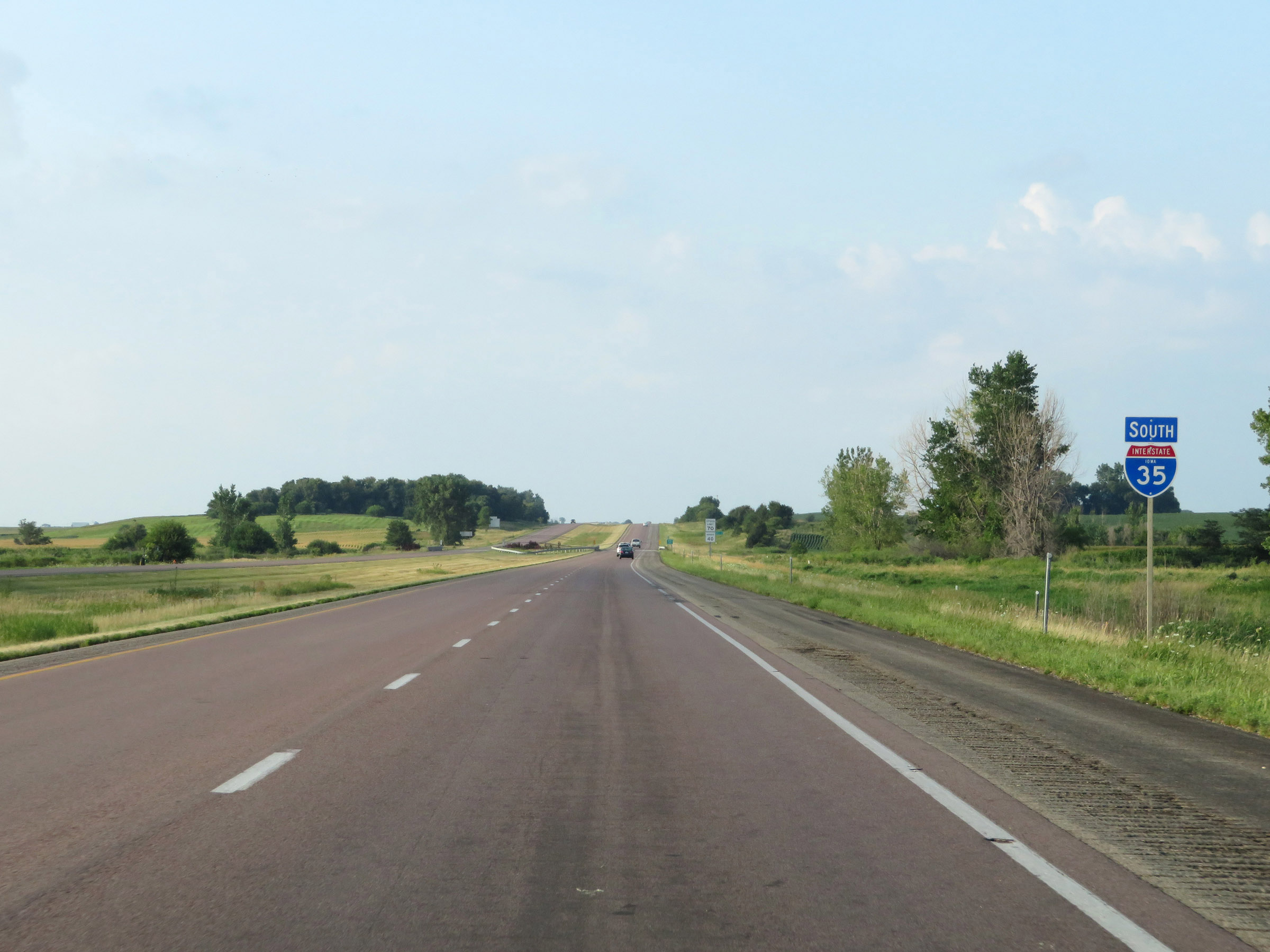 |
State-named Interstate 35 South reassurance shield. (Photo taken 8/8/20). |
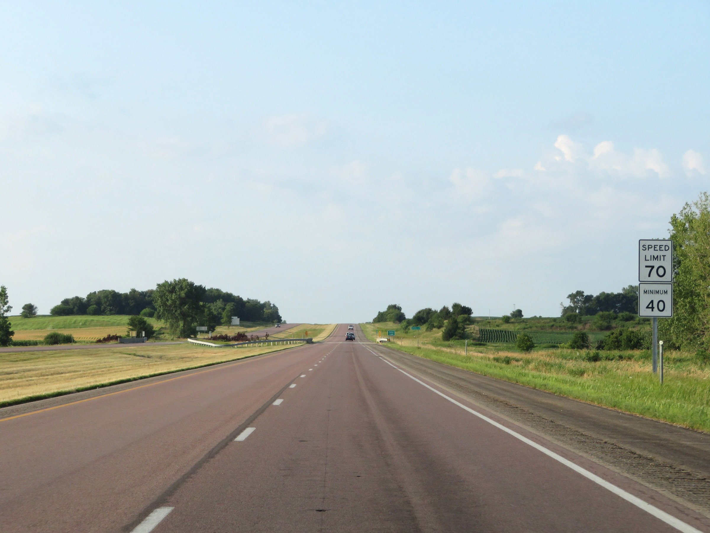 |
The speed limits remain 70 mph maximum and 40 mph minimum. (Photo taken 8/8/20). |
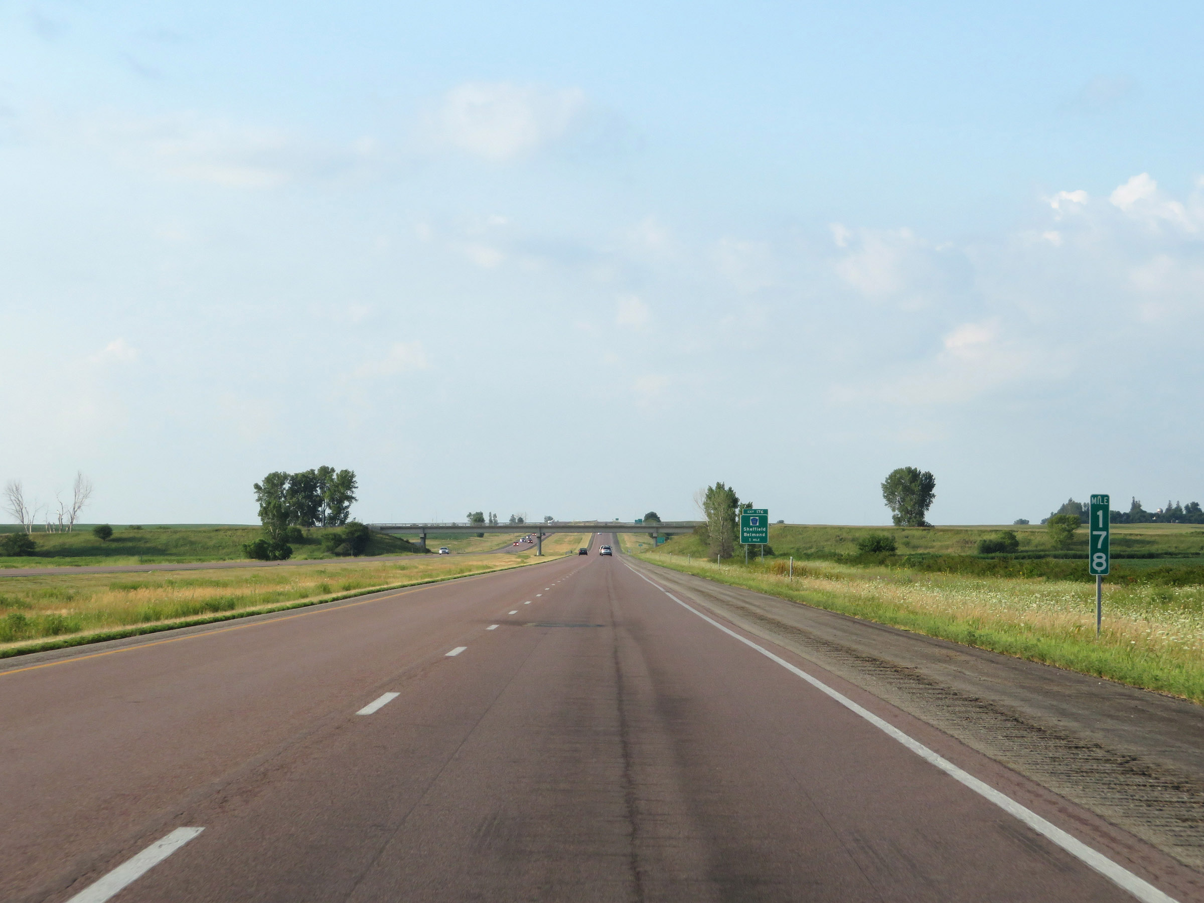 |
Interstate 35 South at mile marker 178. (Photo taken 8/8/20). |
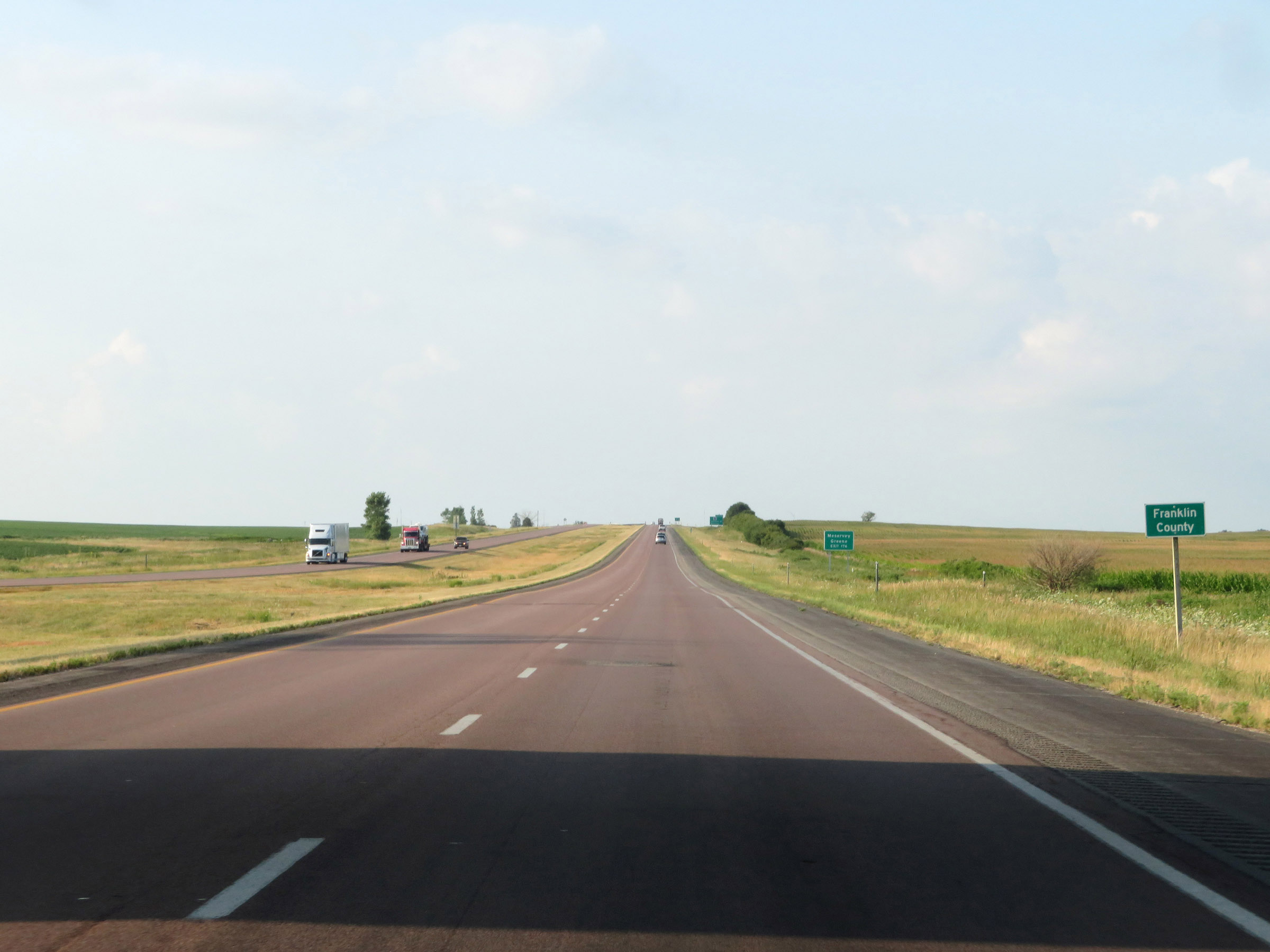 |
Interstate 35 South as it enters Franklin County. (Photo taken 8/8/20). |
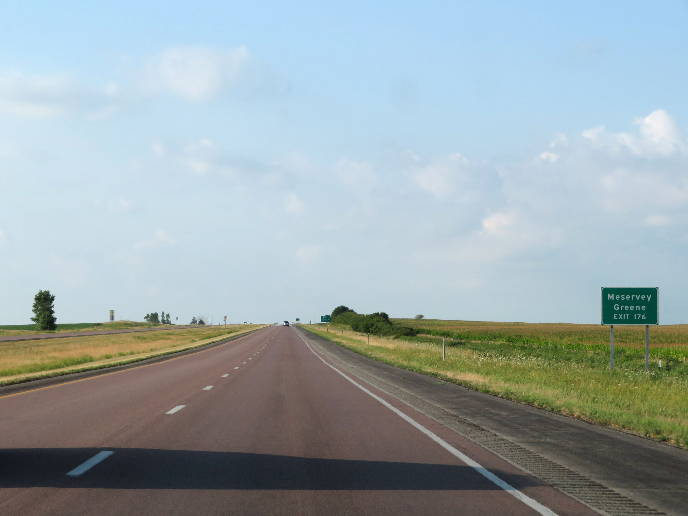 |
Take Exit 176 to Meservey and Greene. (Photo taken 8/8/20). |
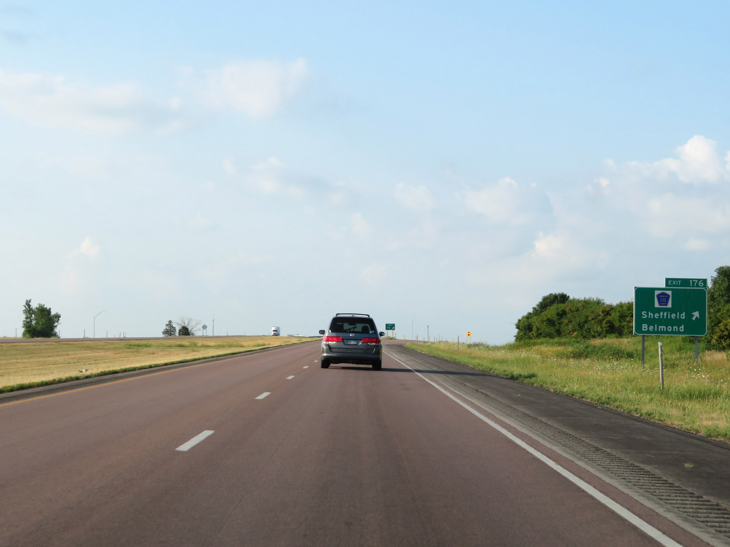 |
Interstate 35 South at Exit 176: CR C13 - Sheffield / Belmond (Photo taken 8/8/20). |
 |
View on Interstate 35 South at mile marker 174. (Photo taken 8/8/20). |
 |
Interstate 35 South at mile marker 172. (Photo taken 8/8/20). |
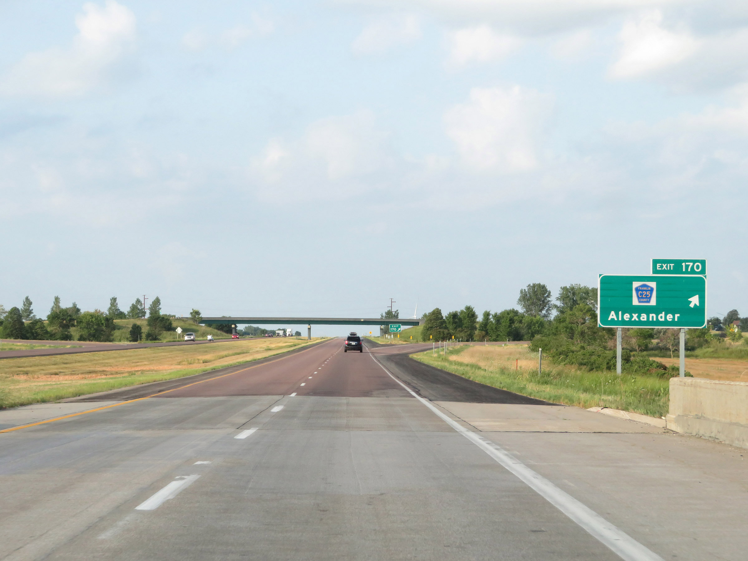 |
Interstate 35 South at Exit 170: CR C25 - Alexander (Photo taken 8/8/20). |
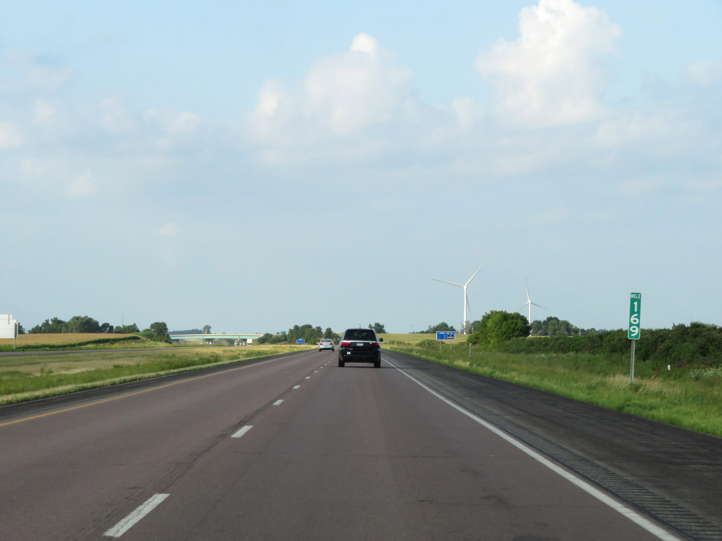 |
View on Interstate 35 South at mile marker 169. (Photo taken 8/8/20). |
 |
Interstate 35 South at mile marker 168. (Photo taken 8/8/20). |
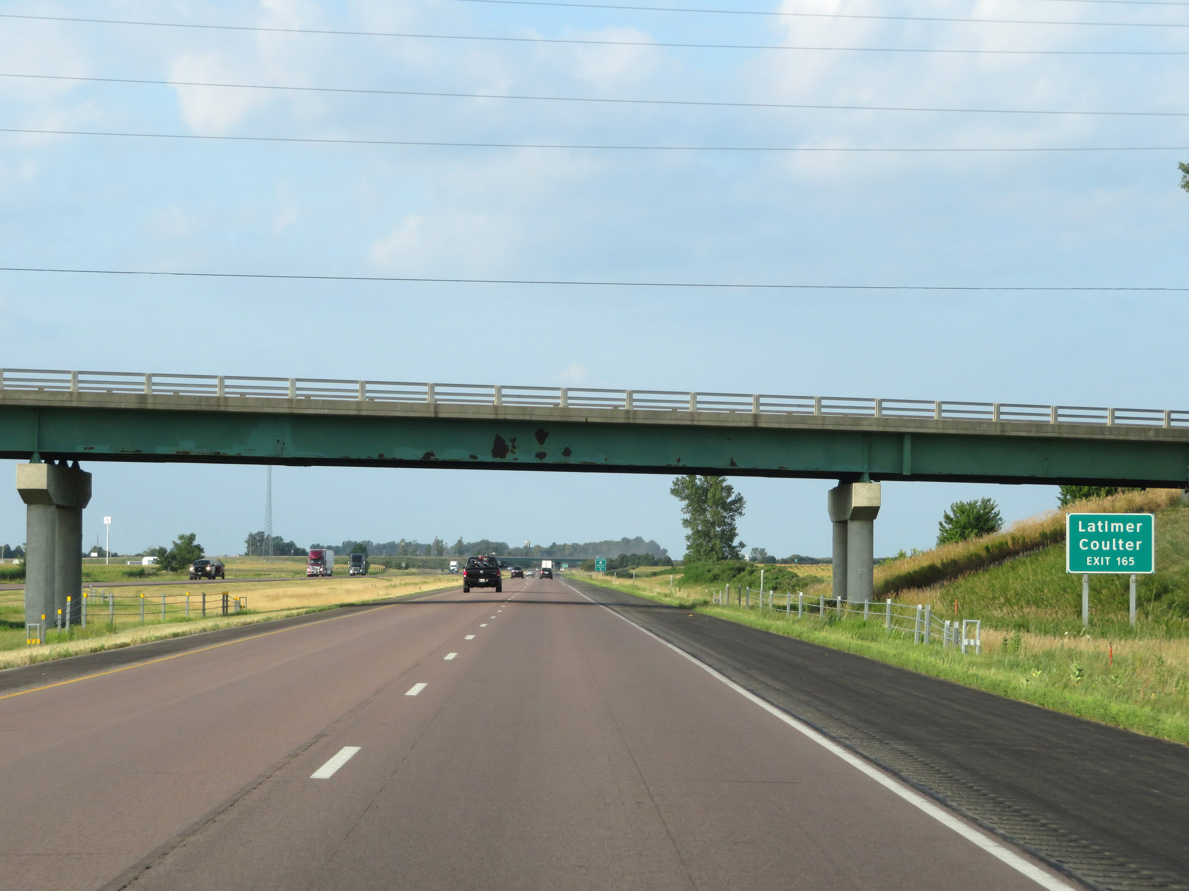 |
Take Exit 165 to Latimer and Coulter. (Photo taken 8/8/20). |
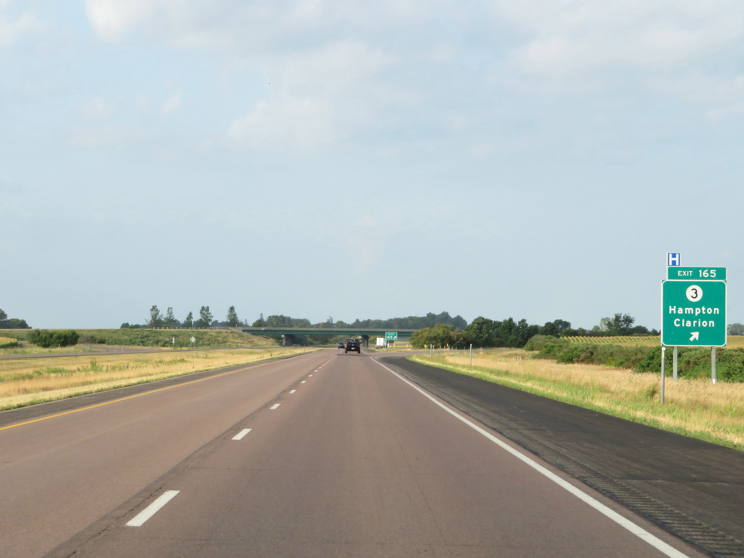 |
Interstate 35 South at Exit 165: IA 3 - Hampton / Clarion (Photo taken 8/8/20). |
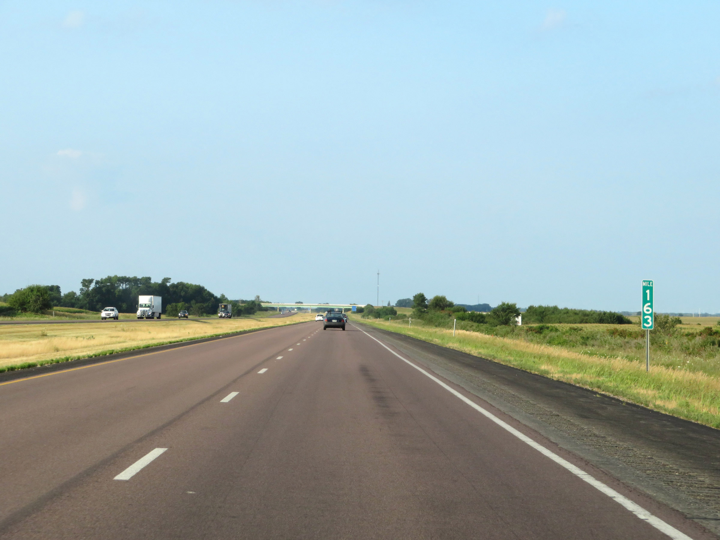 |
View on Interstate 35 South at mile marker 163. (Photo taken 8/8/20). |
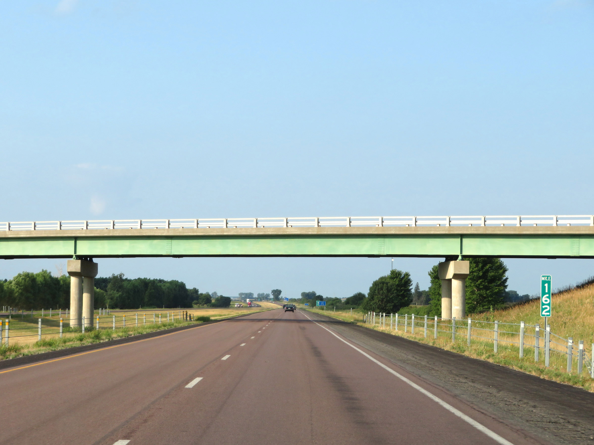 |
Interstate 35 South at mile marker 162. (Photo taken 8/8/20). |
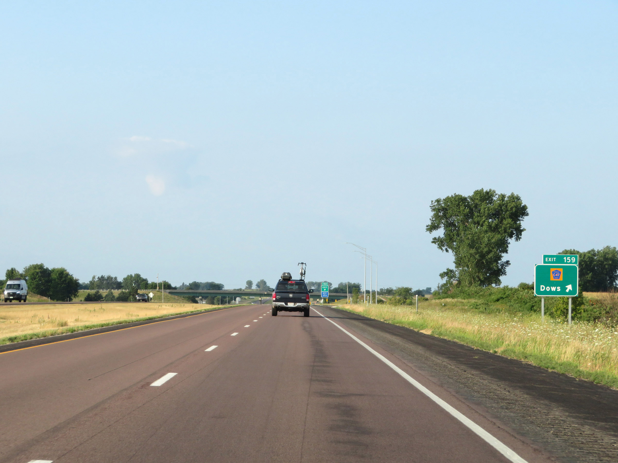 |
Interstate 35 South at Exit 159: CR C47 - Dows (Photo taken 8/8/20). |
Section 2: Dows (Exit 159) to Ames (Exit 111A)
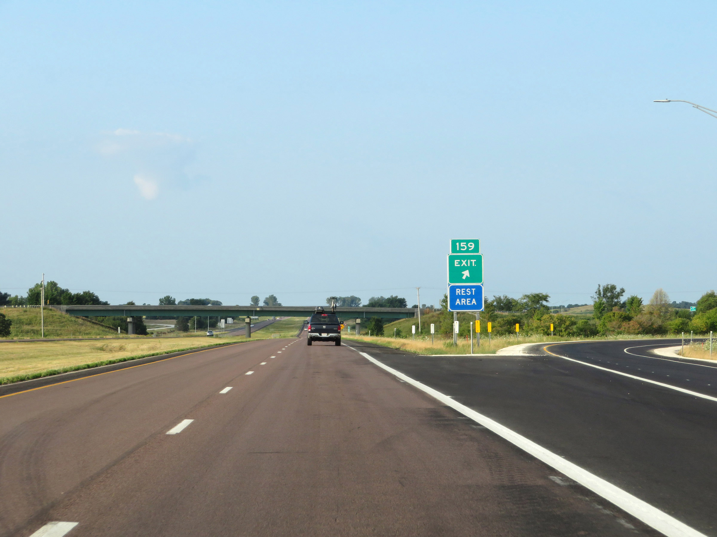 |
A Rest Area (with facilities) also exists off Exit 159. (Photo taken 8/8/20). |
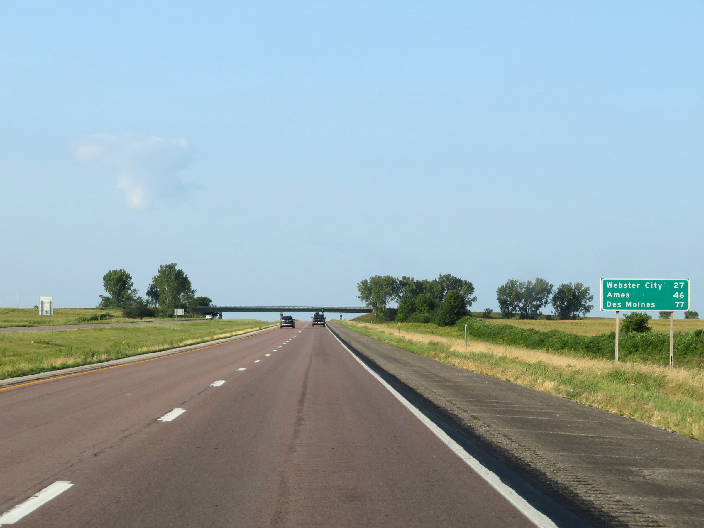 |
Mileage sign on Interstate 35 South. It's 27 miles to Webster City, 46 miles to Ames, and 77 miles to Des Moines. (Photo taken 8/8/20). |
 |
View on Interstate 35 South at mile marker 158. (Photo taken 8/8/20). |
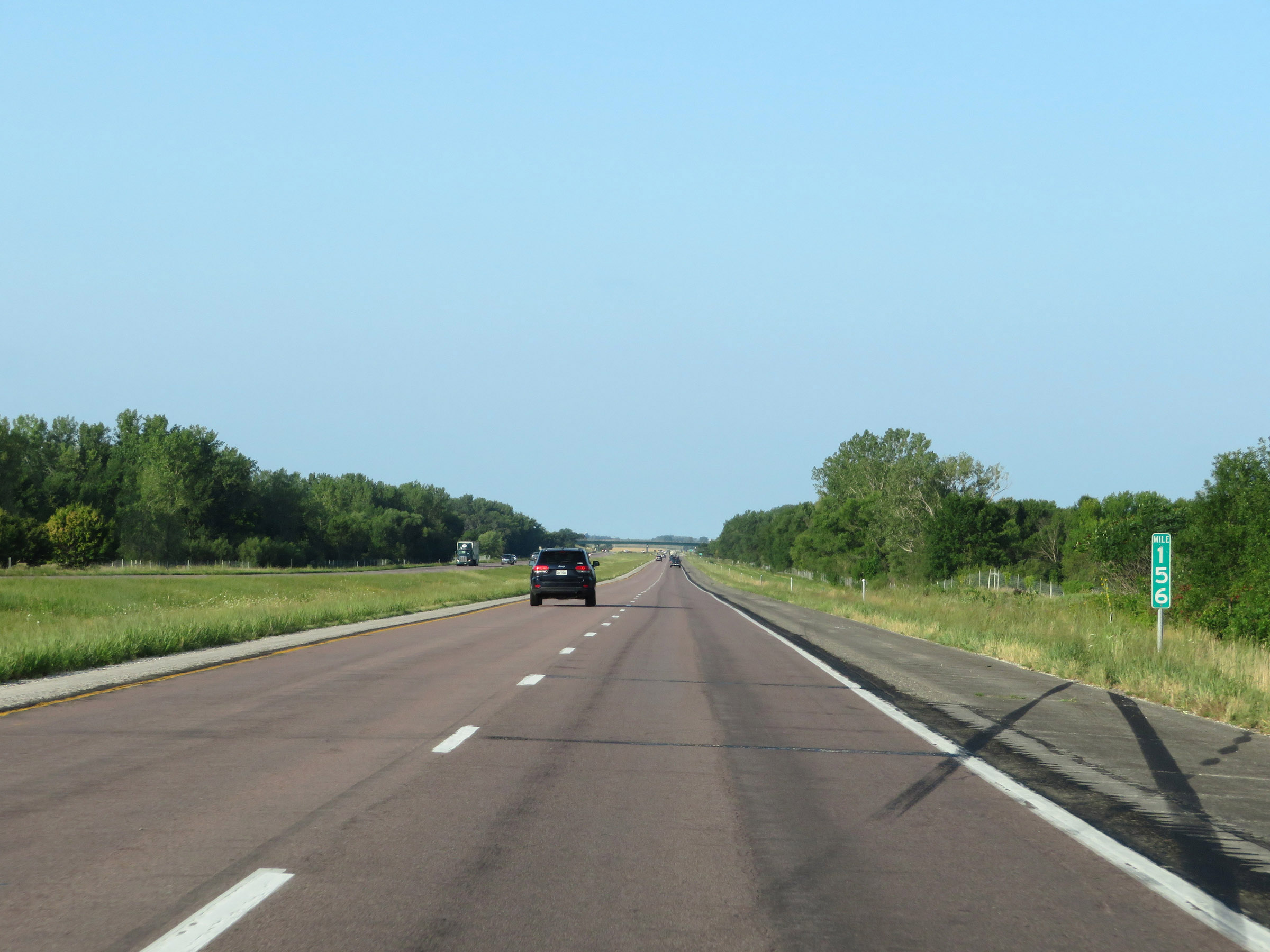 |
Interstate 35 South at mile marker 156. (Photo taken 8/8/20). |
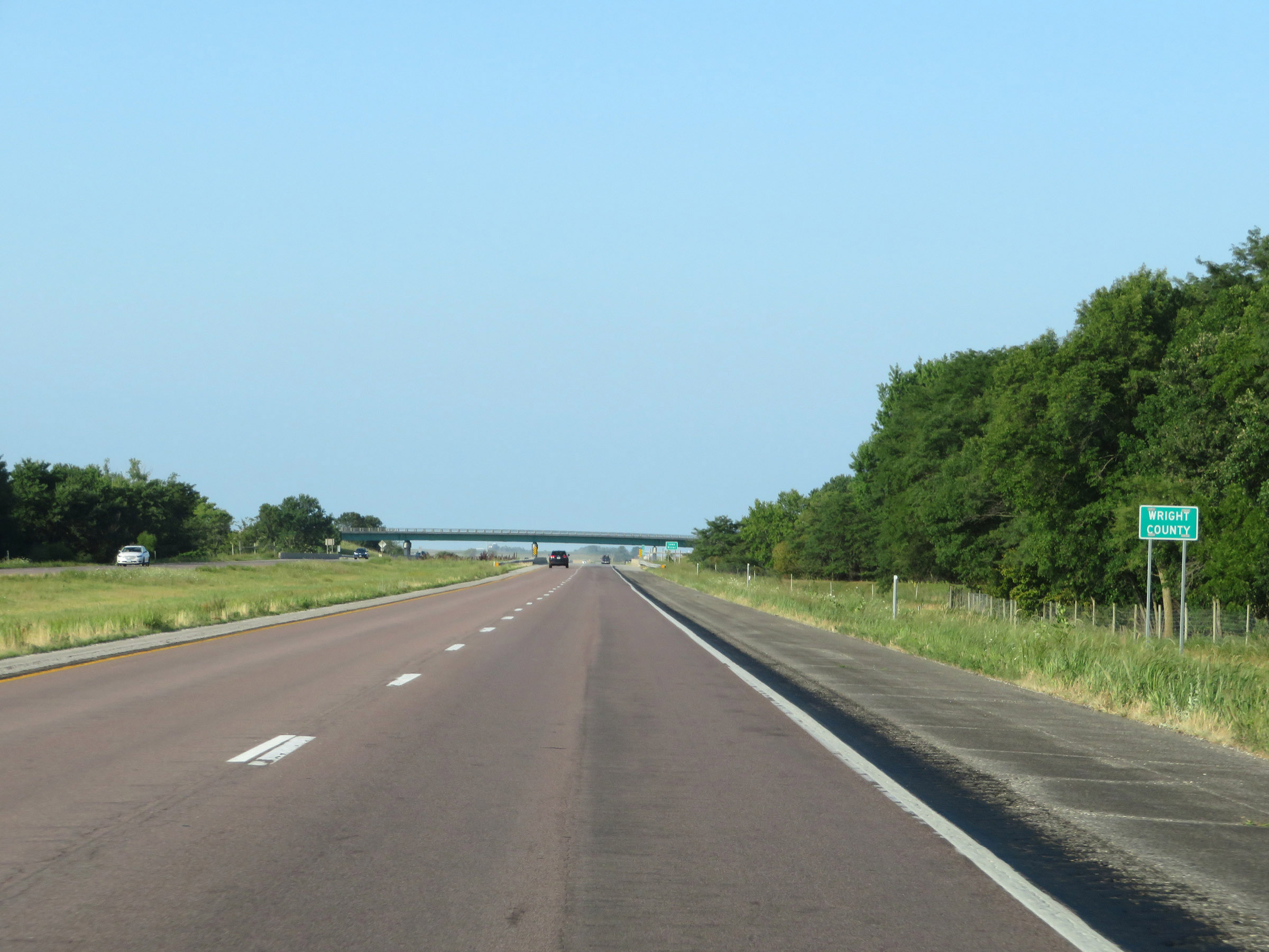 |
Entering Wright County on Interstate 35 South. (Photo taken 8/8/20). |
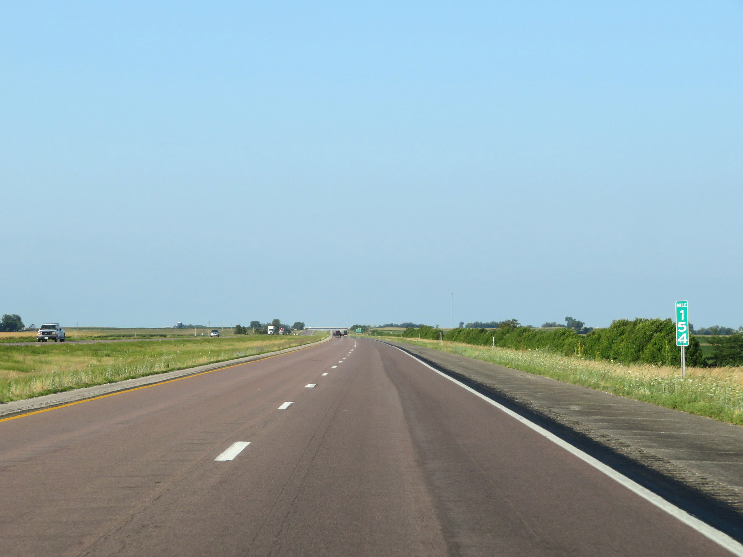 |
Mile marker 154 on Interstate 35 South. (Photo taken 8/8/20). |
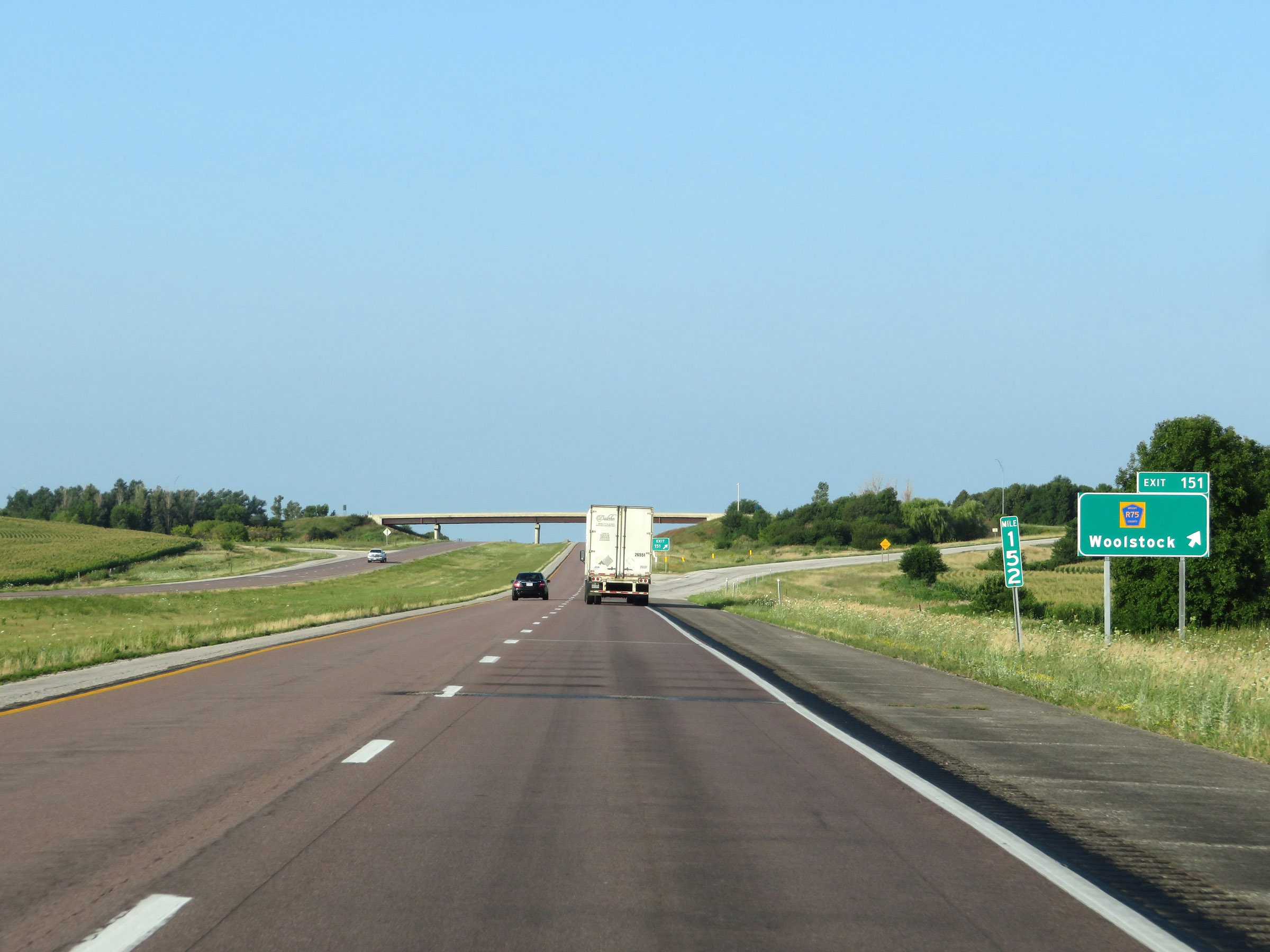 |
Interstate 35 South at Exit 151: CR R75 - Woolstock (Photo taken 8/8/20). |
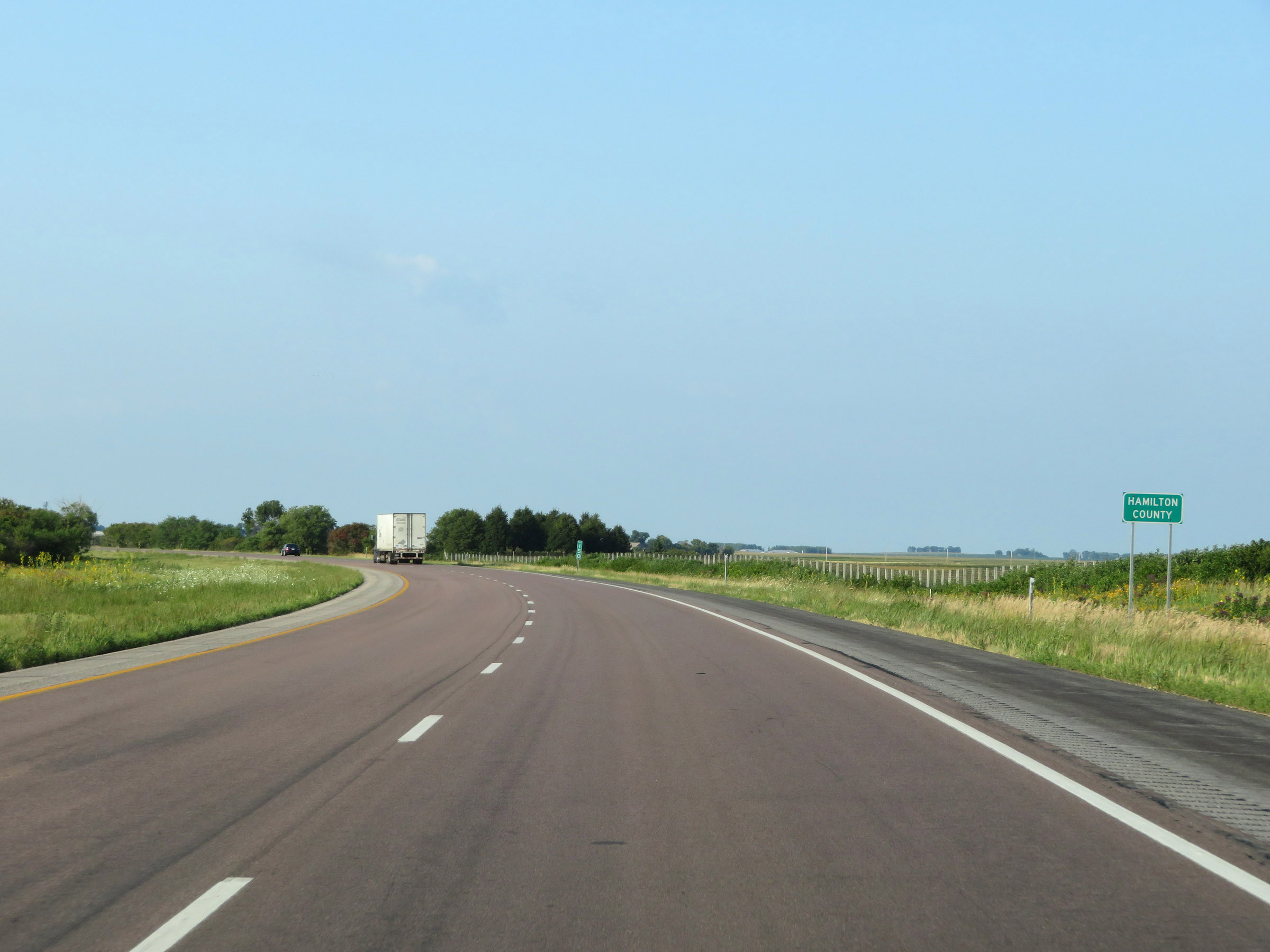 |
After a short time in Wright County, Interstate 35 South enters Hamilton County at mile marker 150. (Photo taken 8/8/20). |
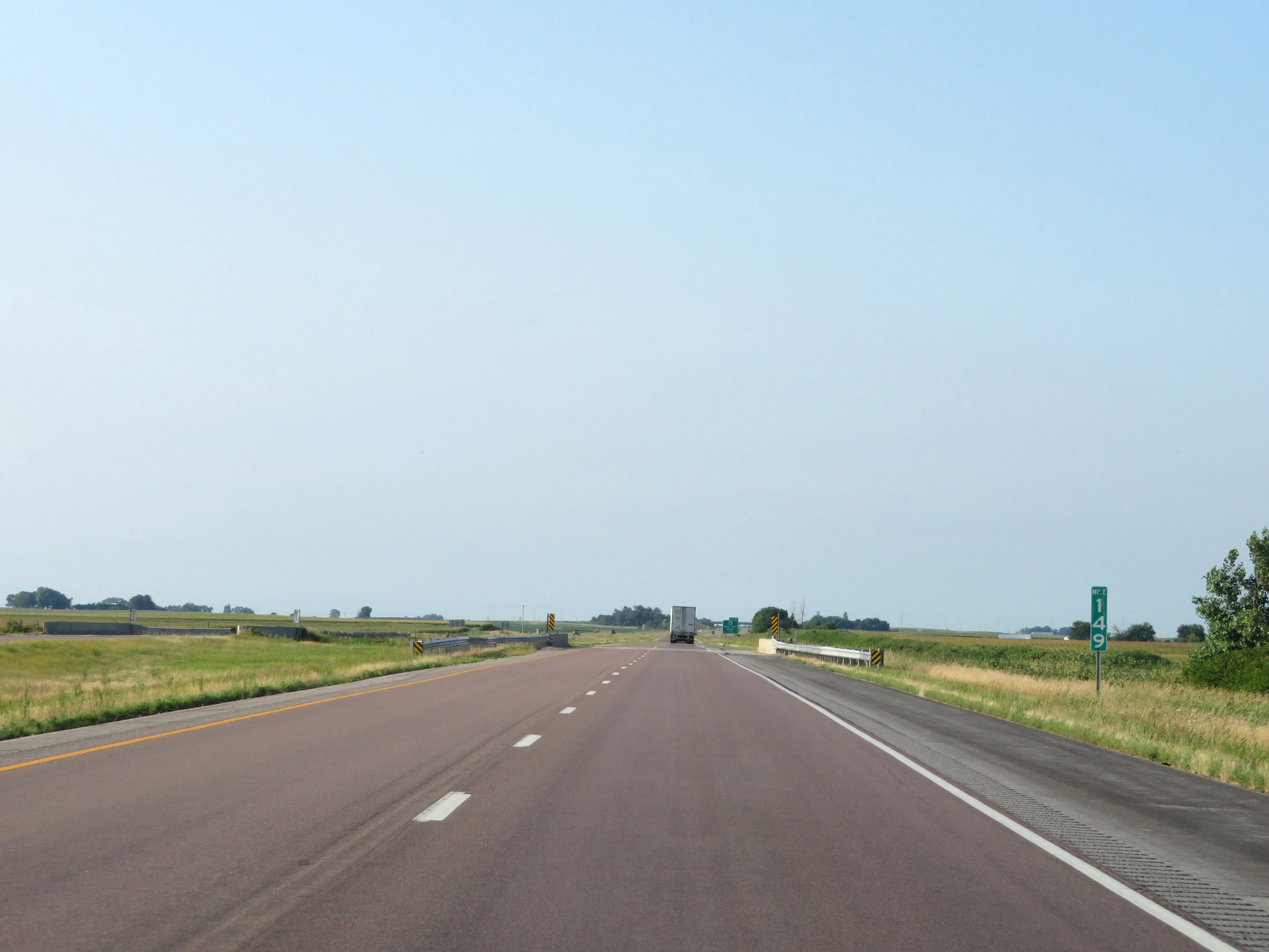 |
View on Interstate 35 South at mile marker 149. (Photo taken 8/8/20). |
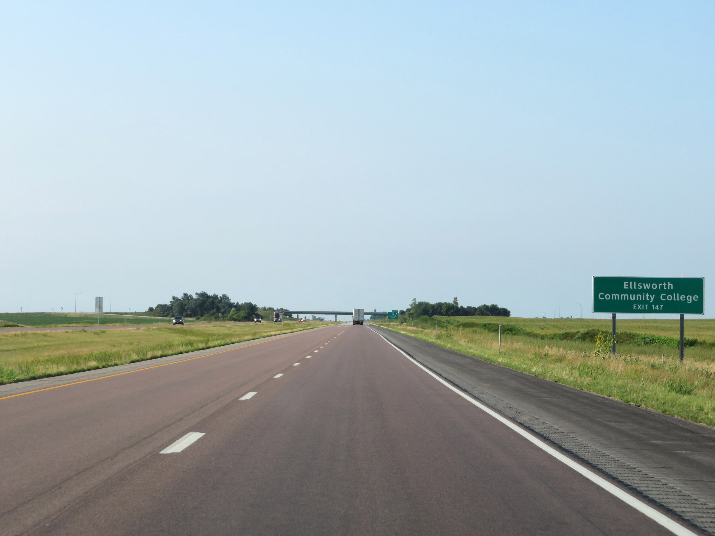 |
Take Exit 147 to Ellsworth Community College. (Photo taken 8/8/20). |
 |
Interstate 35 South at Exit 147: CR D20 - Iowa Falls / Alden (Photo taken 8/8/20). |
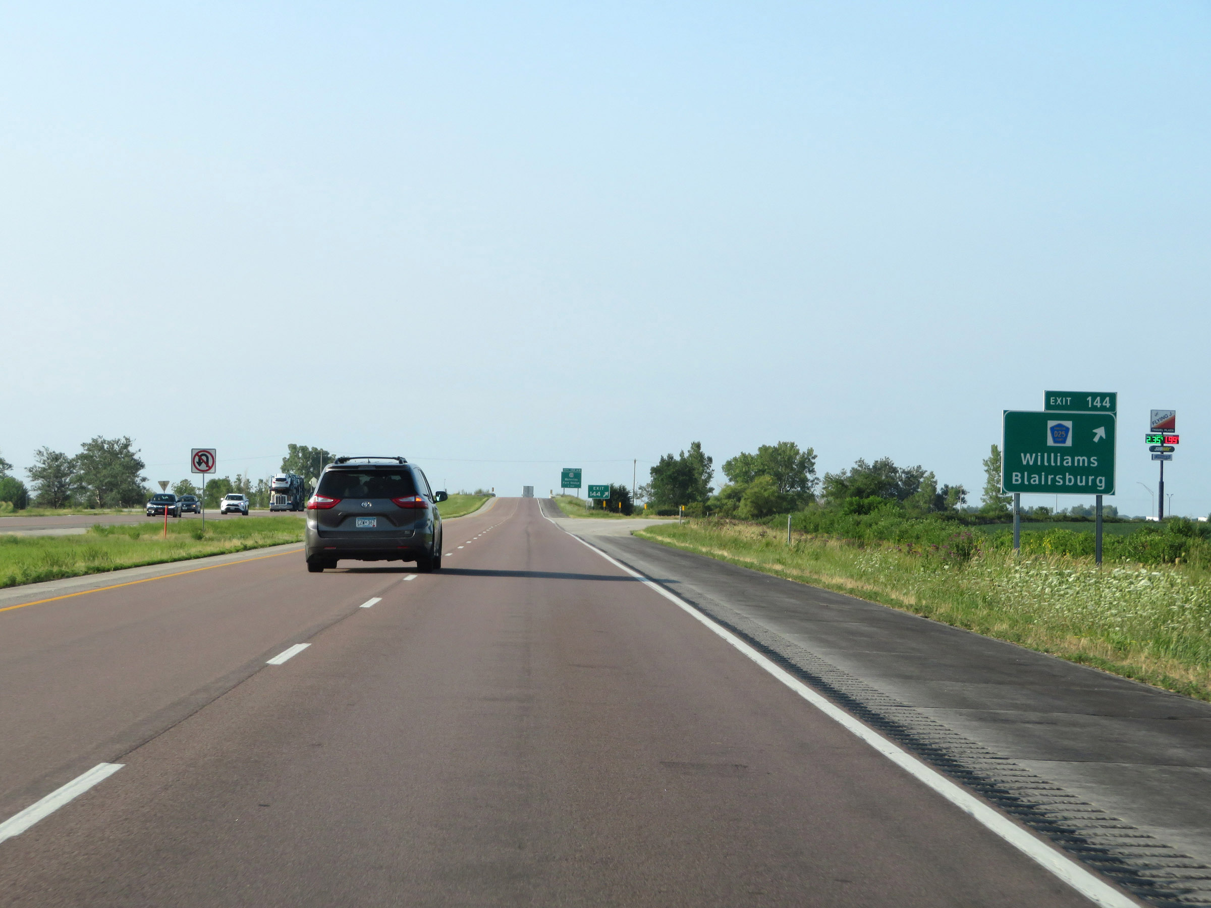 |
Interstate 35 South at Exit 144: CR D25 - Williams / Blairsburg (Photo taken 8/8/20). |
 |
Interstate 35 South approaching Exits 142B-A - 1 mile. (Photo taken 8/8/20). |
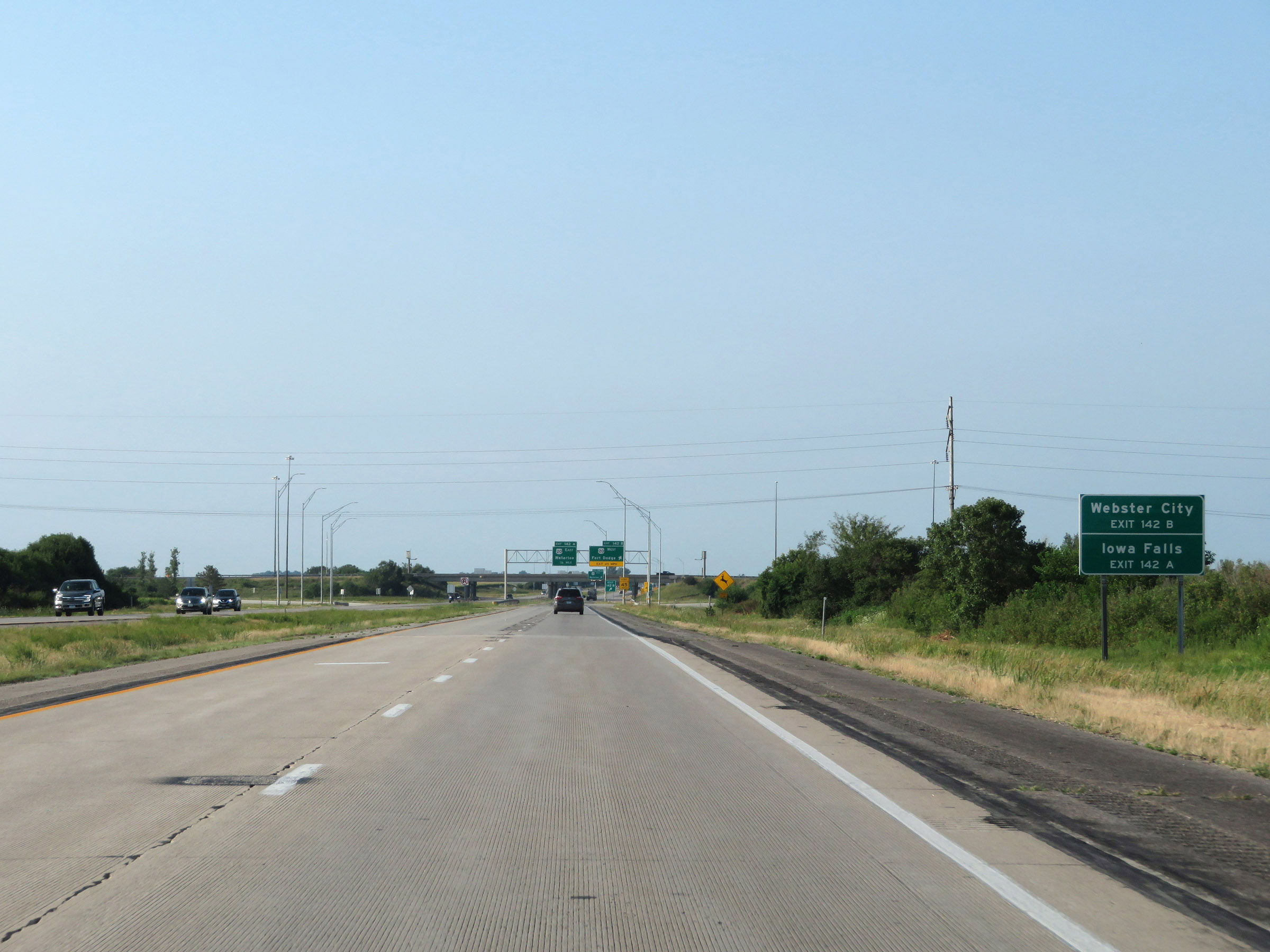 |
Take Exit 142B (US 20 West) to Webster City. Take Exit 142A (US 20 East) to Iowa Falls. (Photo taken 8/8/20). |
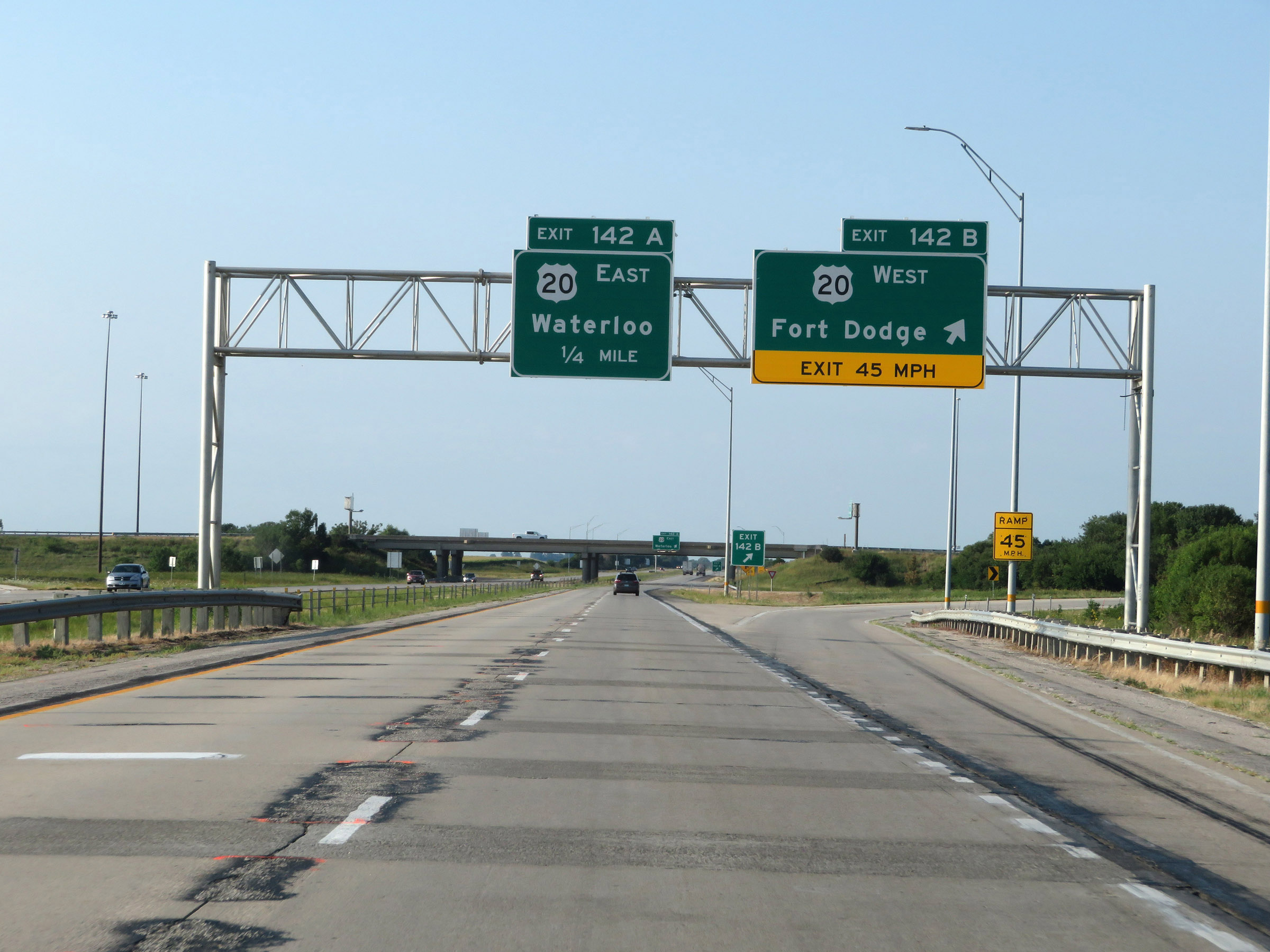 |
Interstate 35 South at Exit 142B: US 20 West - Fort Dodge (Photo taken 8/8/20). |
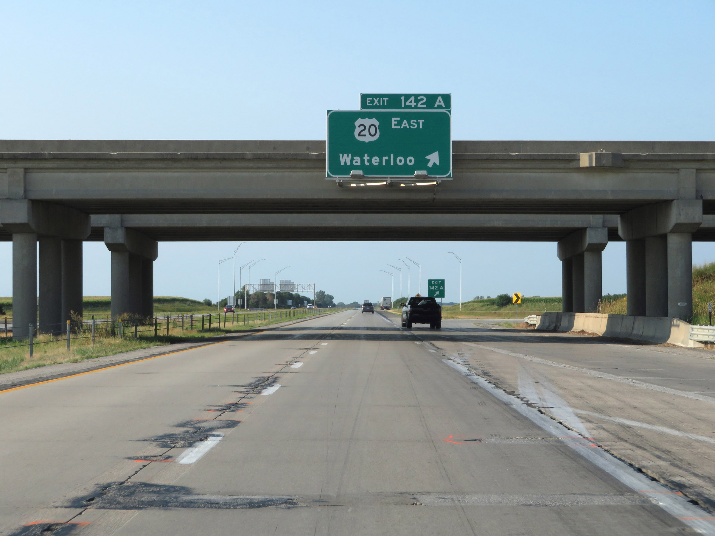 |
Interstate 35 South at Exit 142A: US 20 East - Waterloo (Photo taken 8/8/20). |
 |
The speed limits remain 70 mph maximum and 40 mph minimum. (Photo taken 8/8/20). |
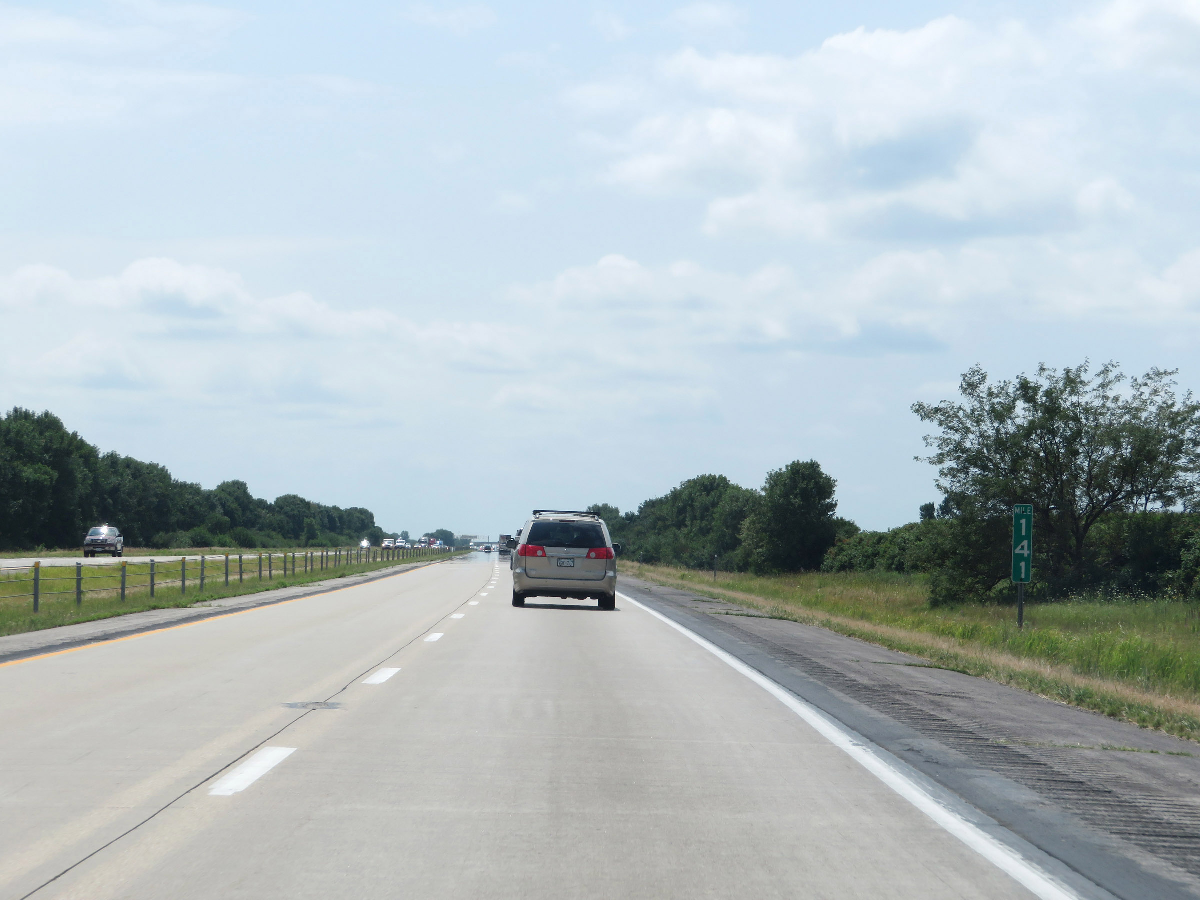 |
Interstate 35 South at mile marker 141. (Photo taken 8/8/20). |
 |
Take Exit 139 to Hubbard. (Photo taken 8/8/20). |
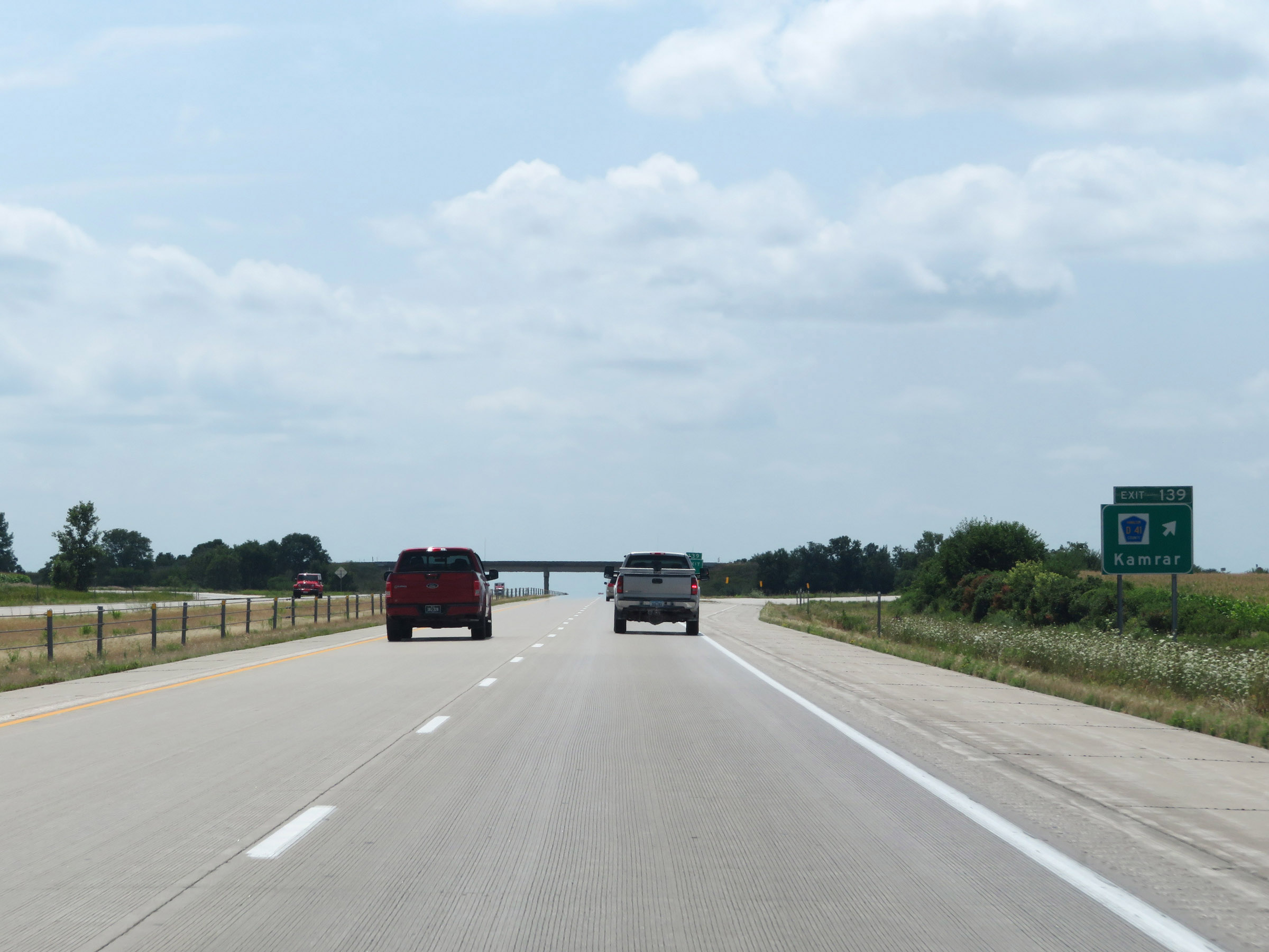 |
Interstate 35 South at Exit 139: CR D41 - Kamrar (Photo taken 8/8/20). |
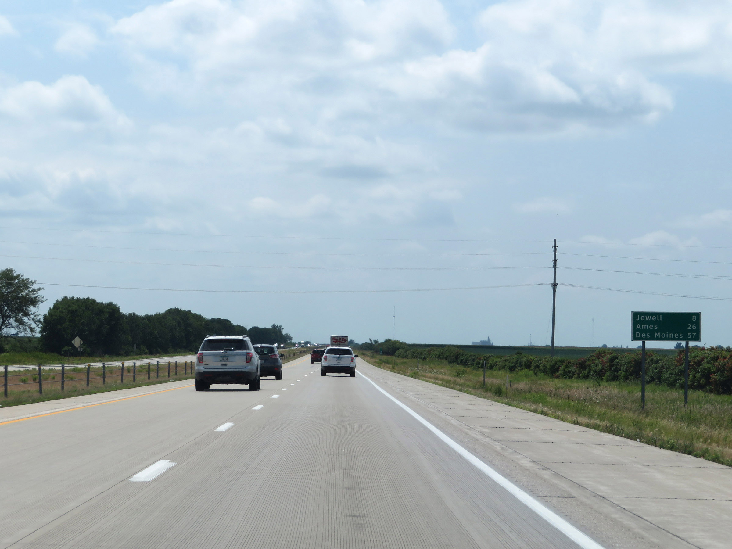 |
Another mileage sign on Interstate 35 South. It's 8 miles to Jewell, 26 miles to Ames, and 57 miles to Des Moines. (Photo taken 8/8/20). |
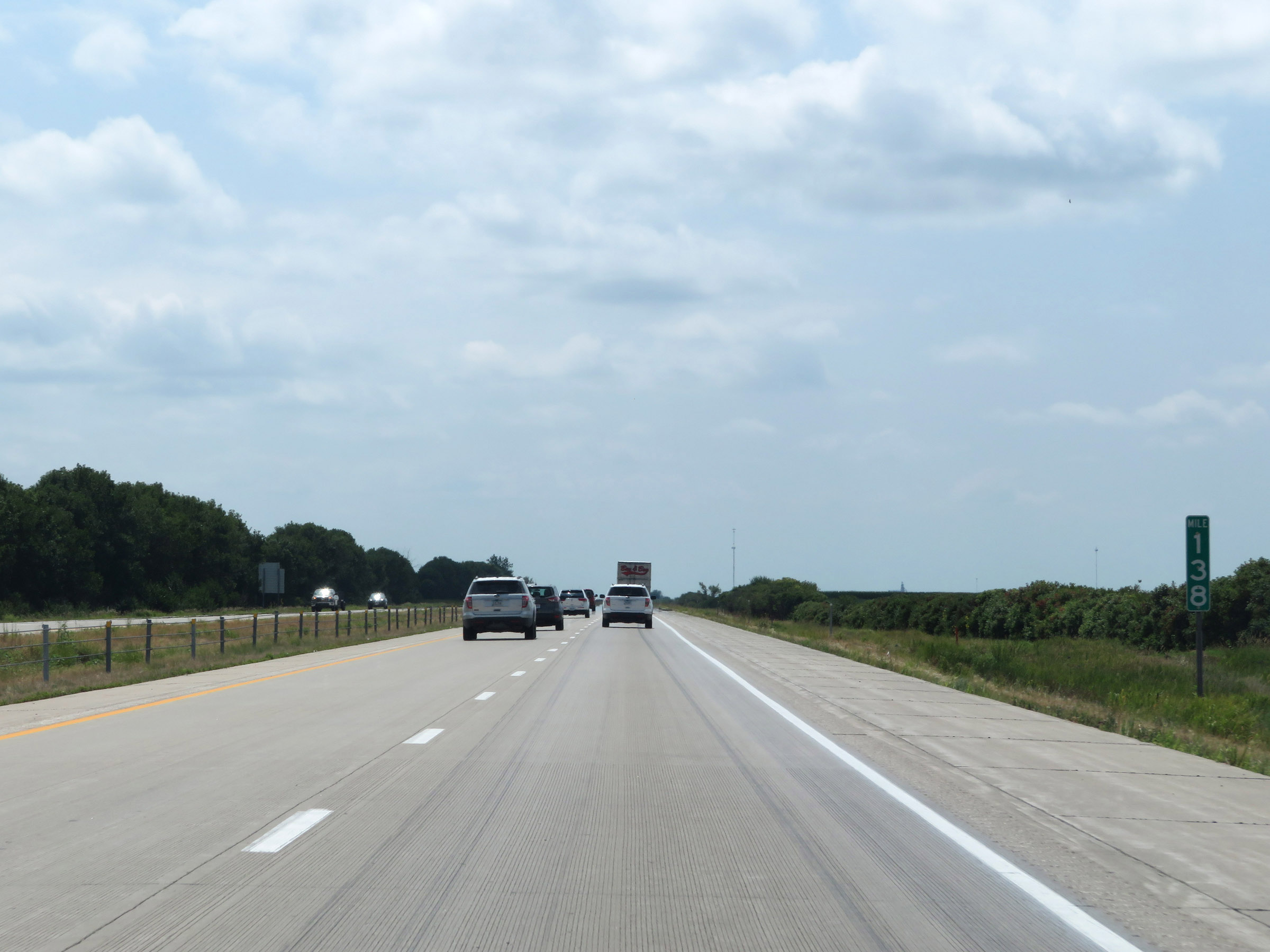 |
View on Interstate 35 South at mile marker 138. (Photo taken 8/8/20). |
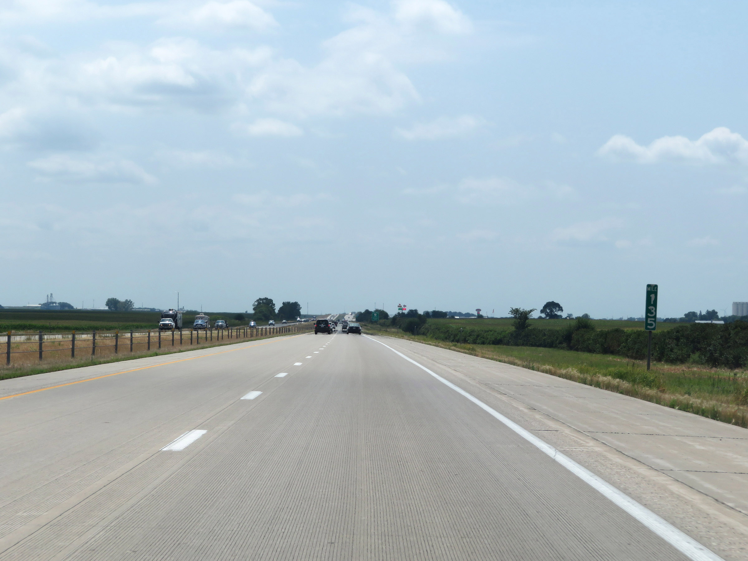 |
Interstate 35 South at mile marker 135. (Photo taken 8/8/20). |
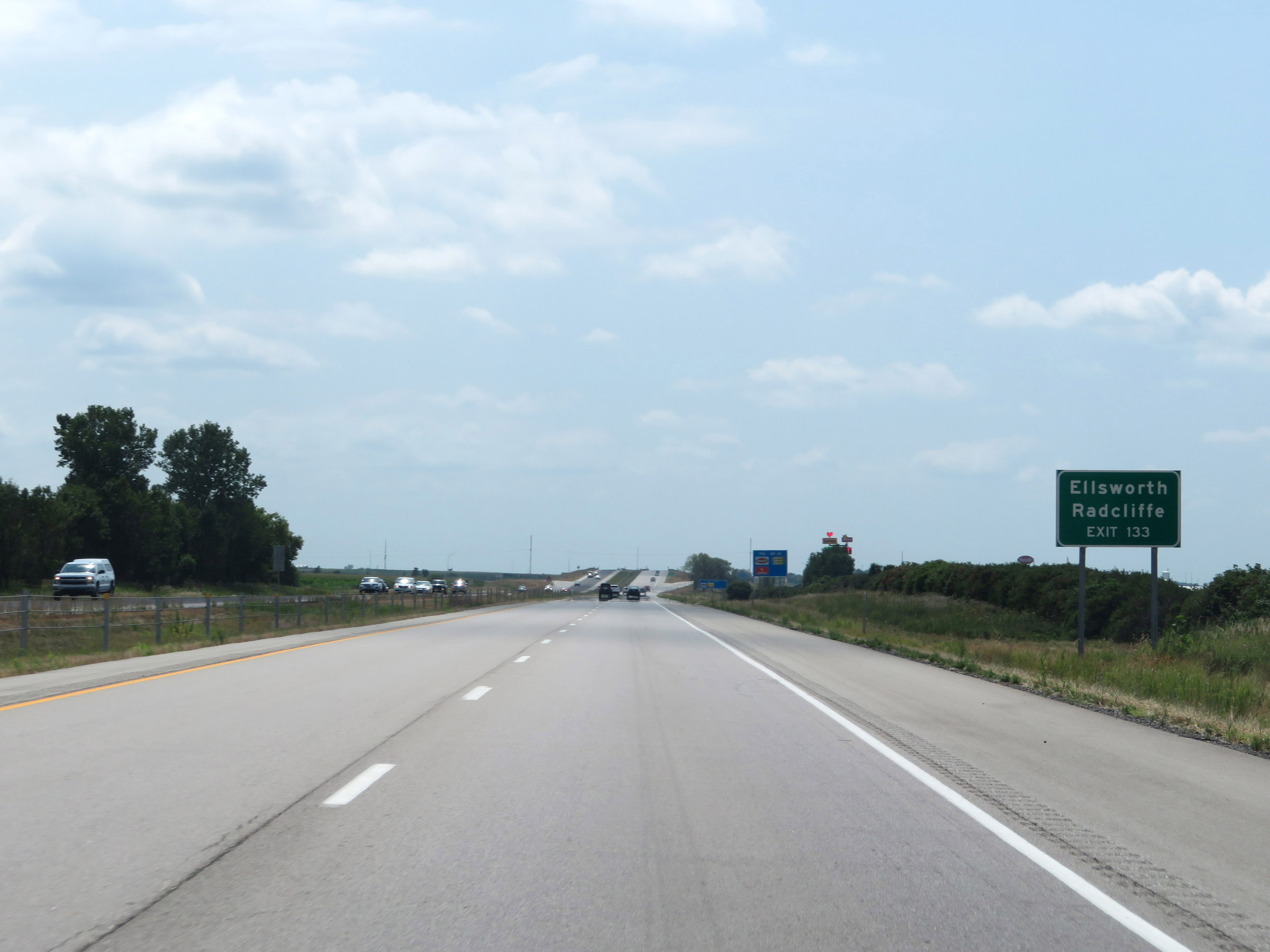 |
Take Exit 133 to Ellsworth and Radcliffe. (Photo taken 8/8/20). |
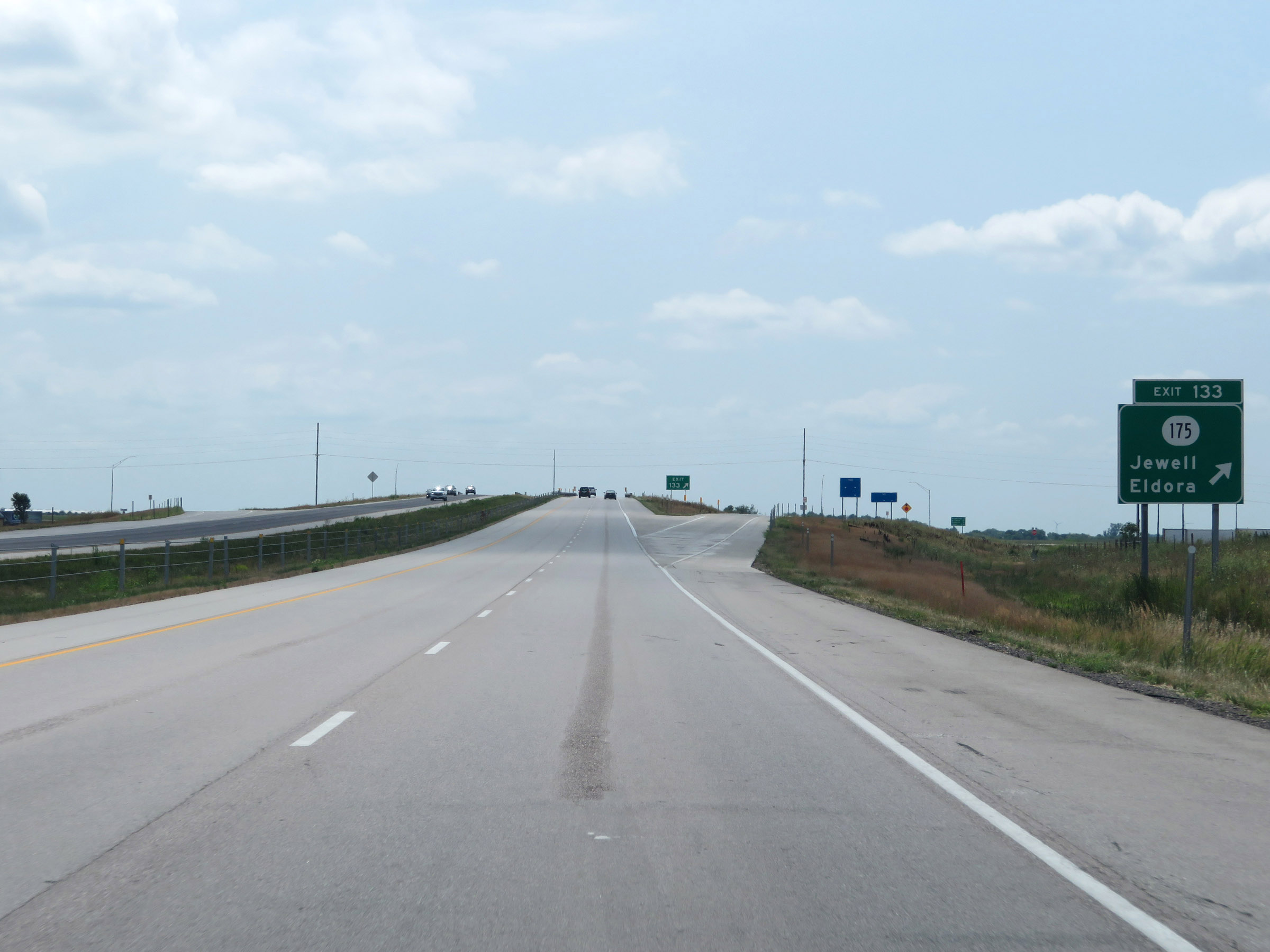 |
Interstate 35 South at Exit 133: IA 175 - Jewell / Eldora (Photo taken 8/8/20). |
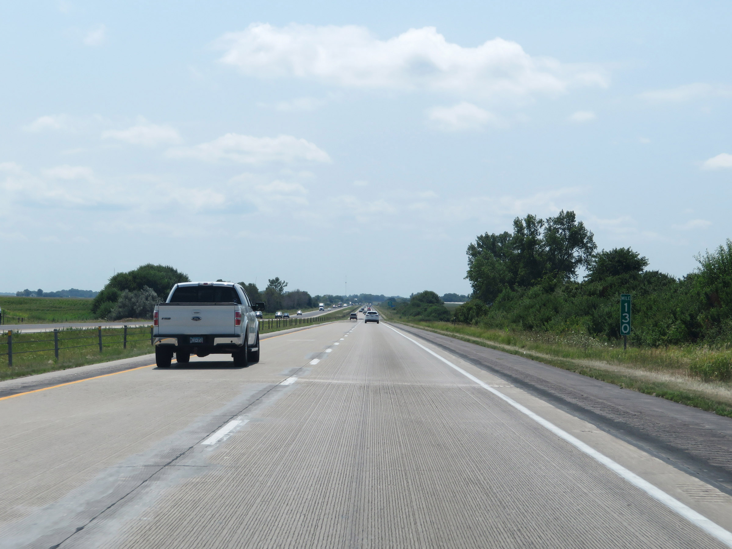 |
View on Interstate 35 South at mile marker 130. (Photo taken 8/8/20). |
 |
Take Exit 128 to Stratford and Little Wall Lake Park. (Photo taken 8/8/20). |
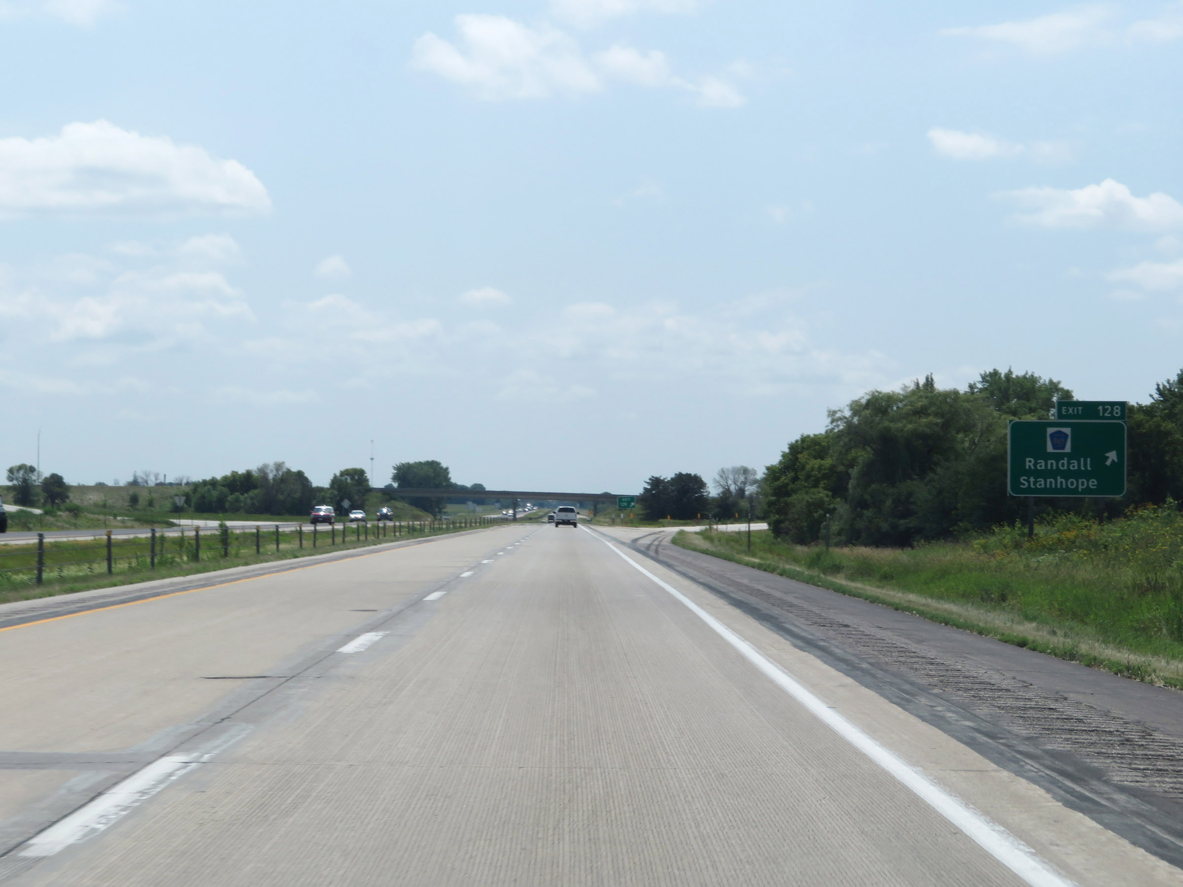 |
Interstate 35 South at Exit 128: CR D65 - Randall / Stanhope (Photo taken 8/8/20). |
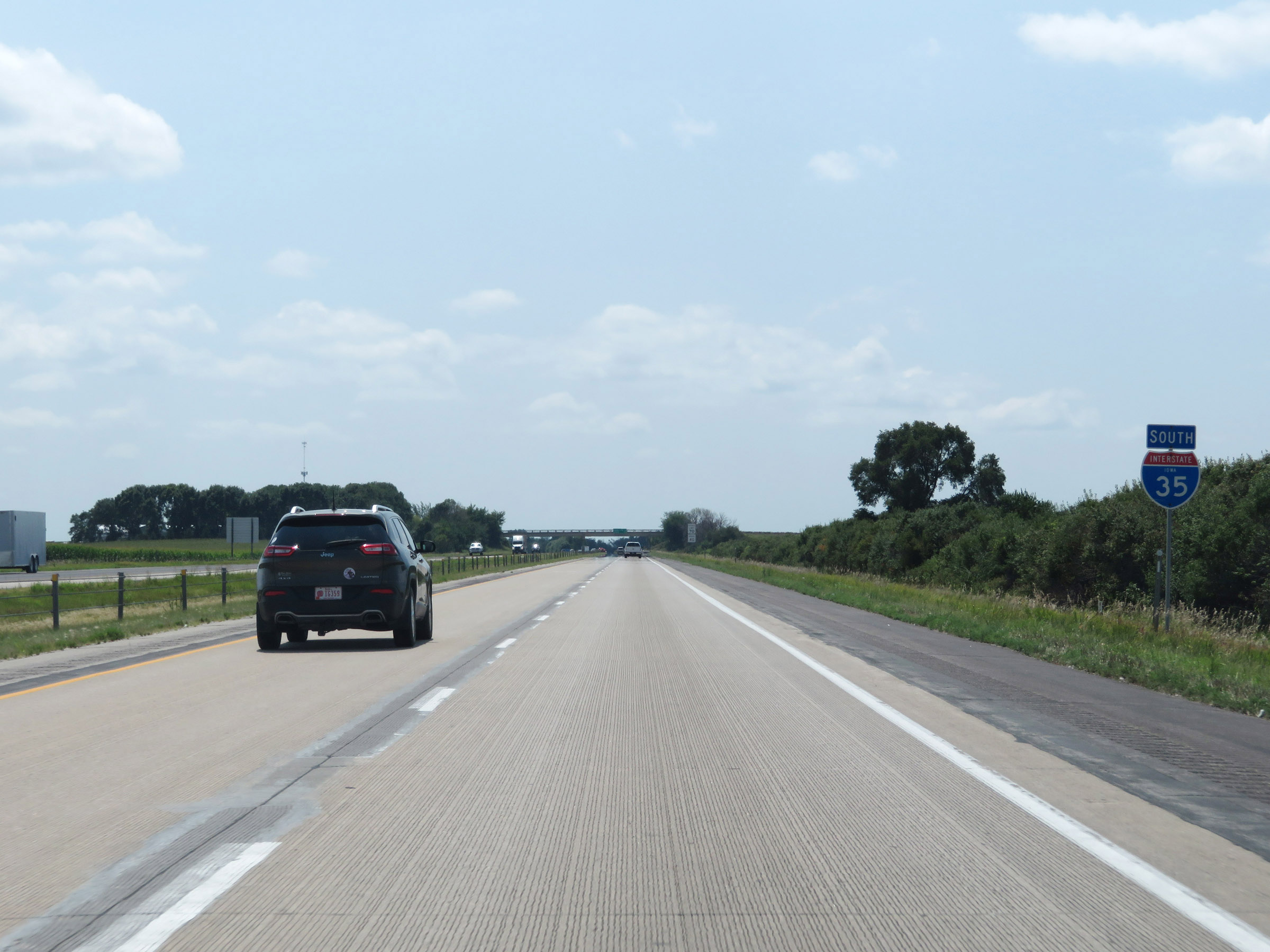 |
State-named Interstate 35 South reassurance shield. (Photo taken 8/8/20). |
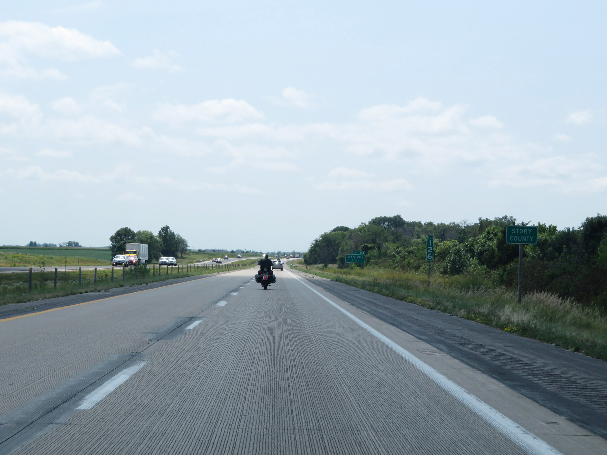 |
Interstate 35 South enters Story County at mile marker 126. (Photo taken 8/8/20). |
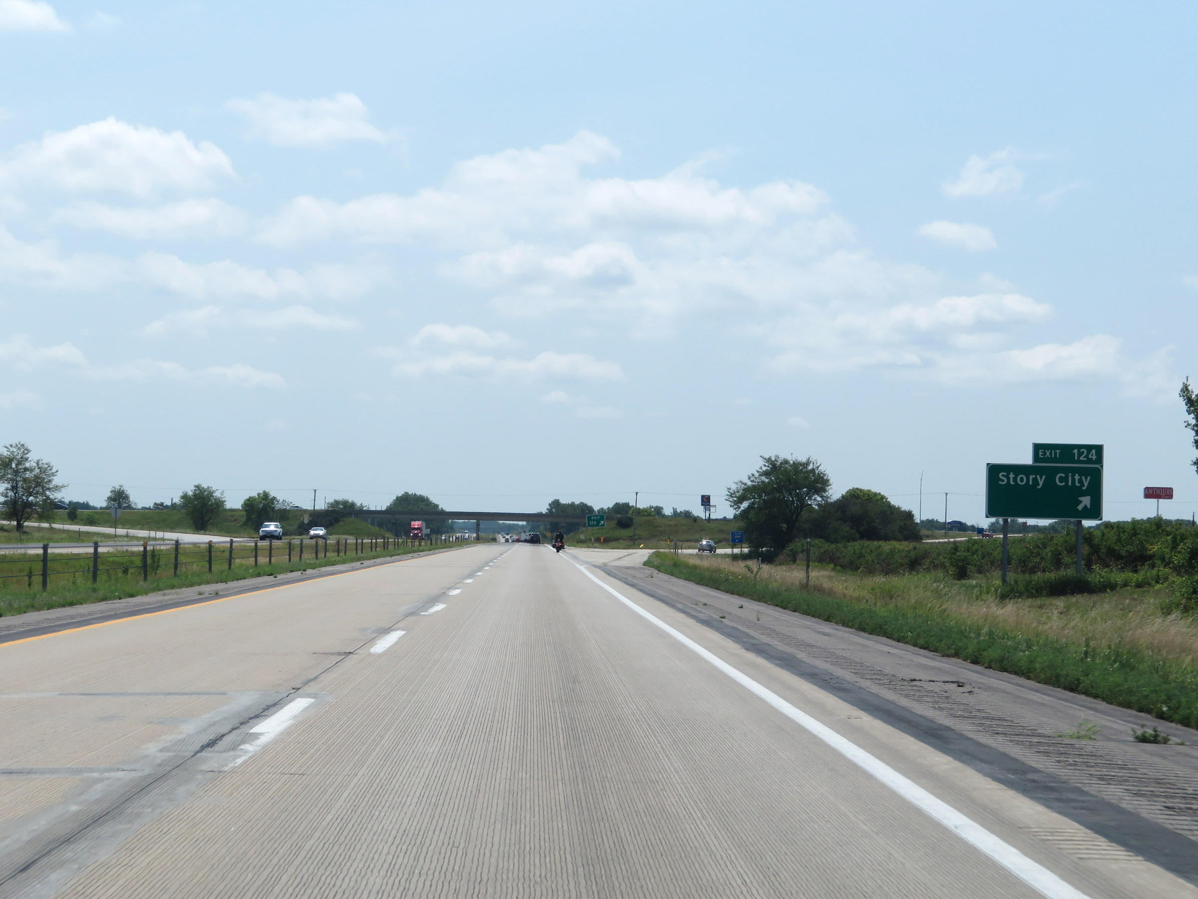 |
Interstate 35 South at Exit 124: Story City (Photo taken 8/8/20). |
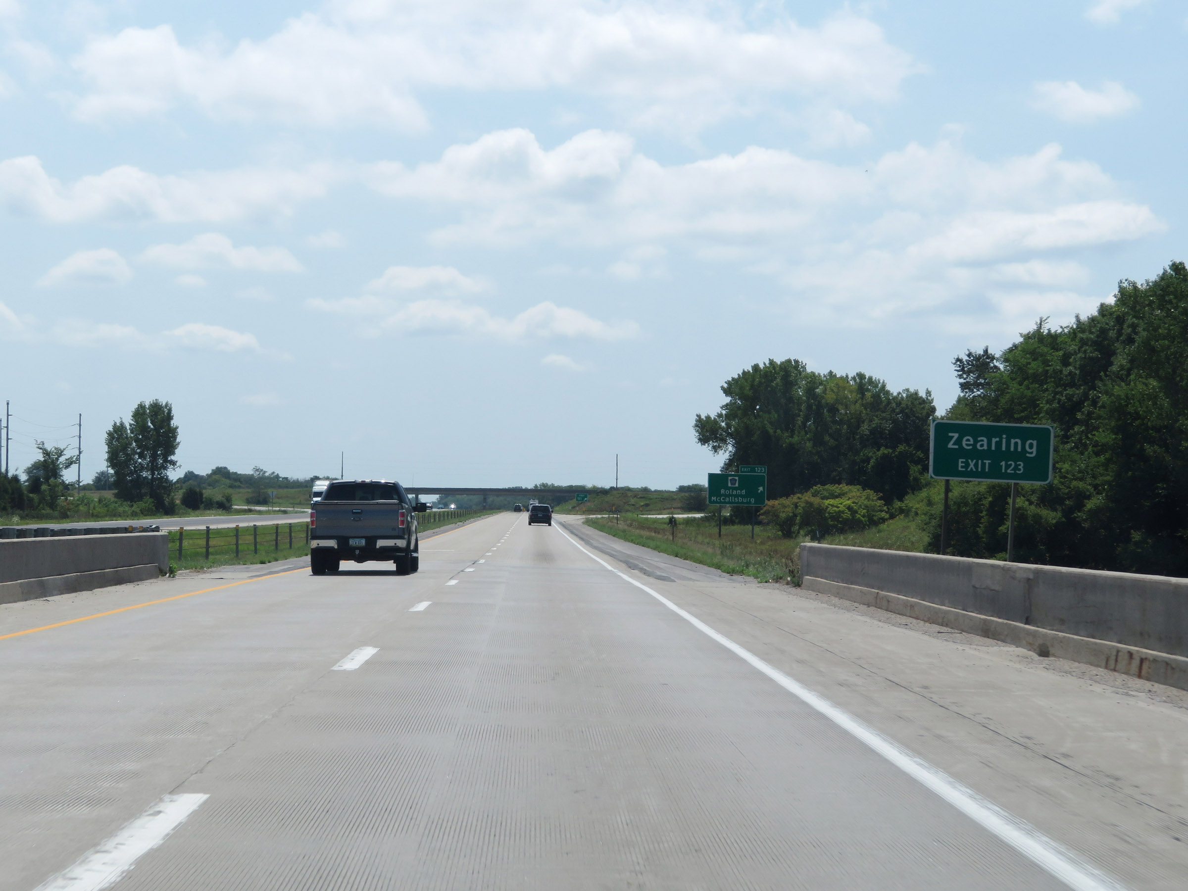 |
Take Exit 123 to Zearing. (Photo taken 8/8/20). |
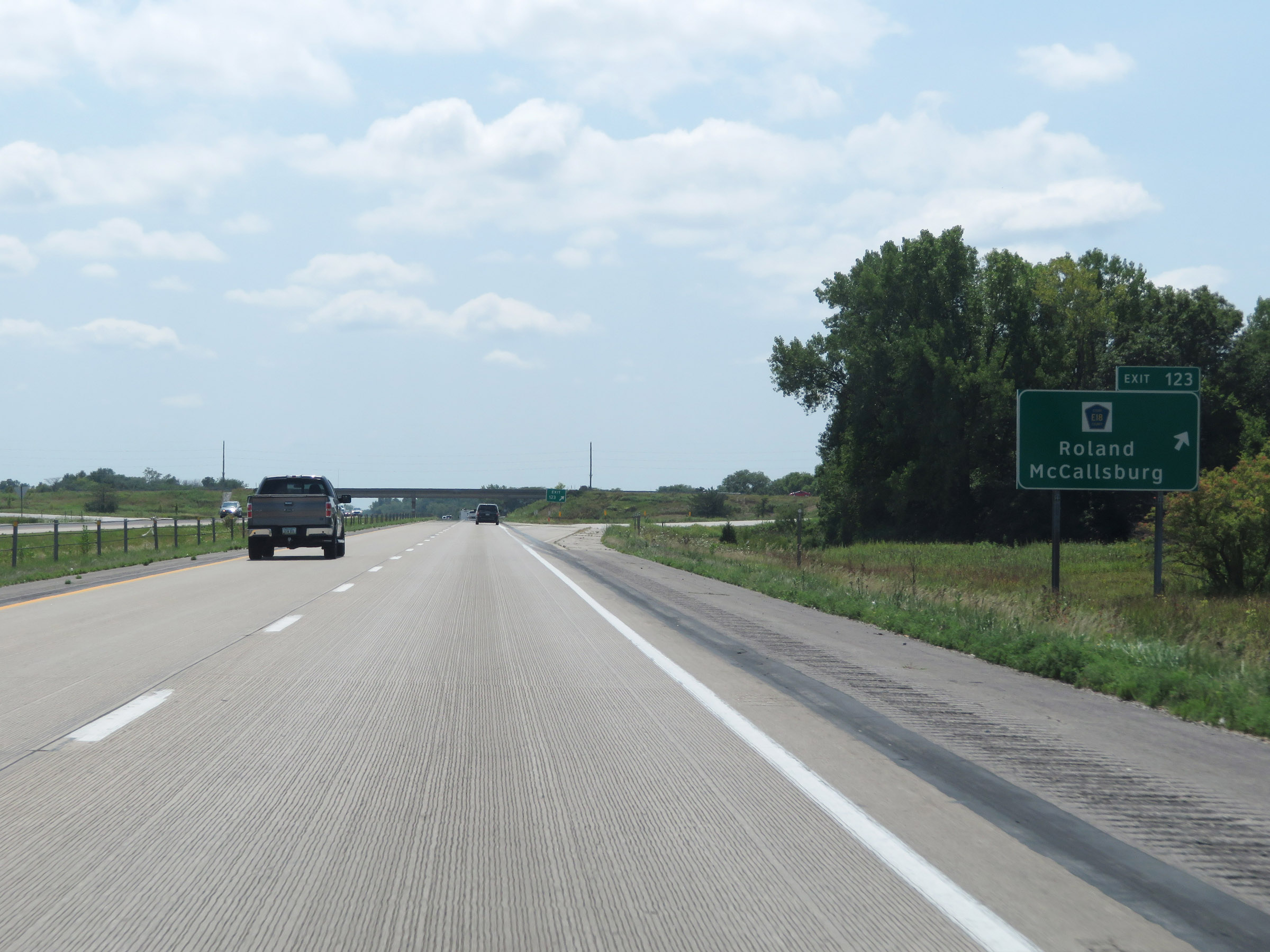 |
Interstate 35 South at Exit 123: CR E18 - Roland / McCallsburg (Photo taken 8/8/20). |
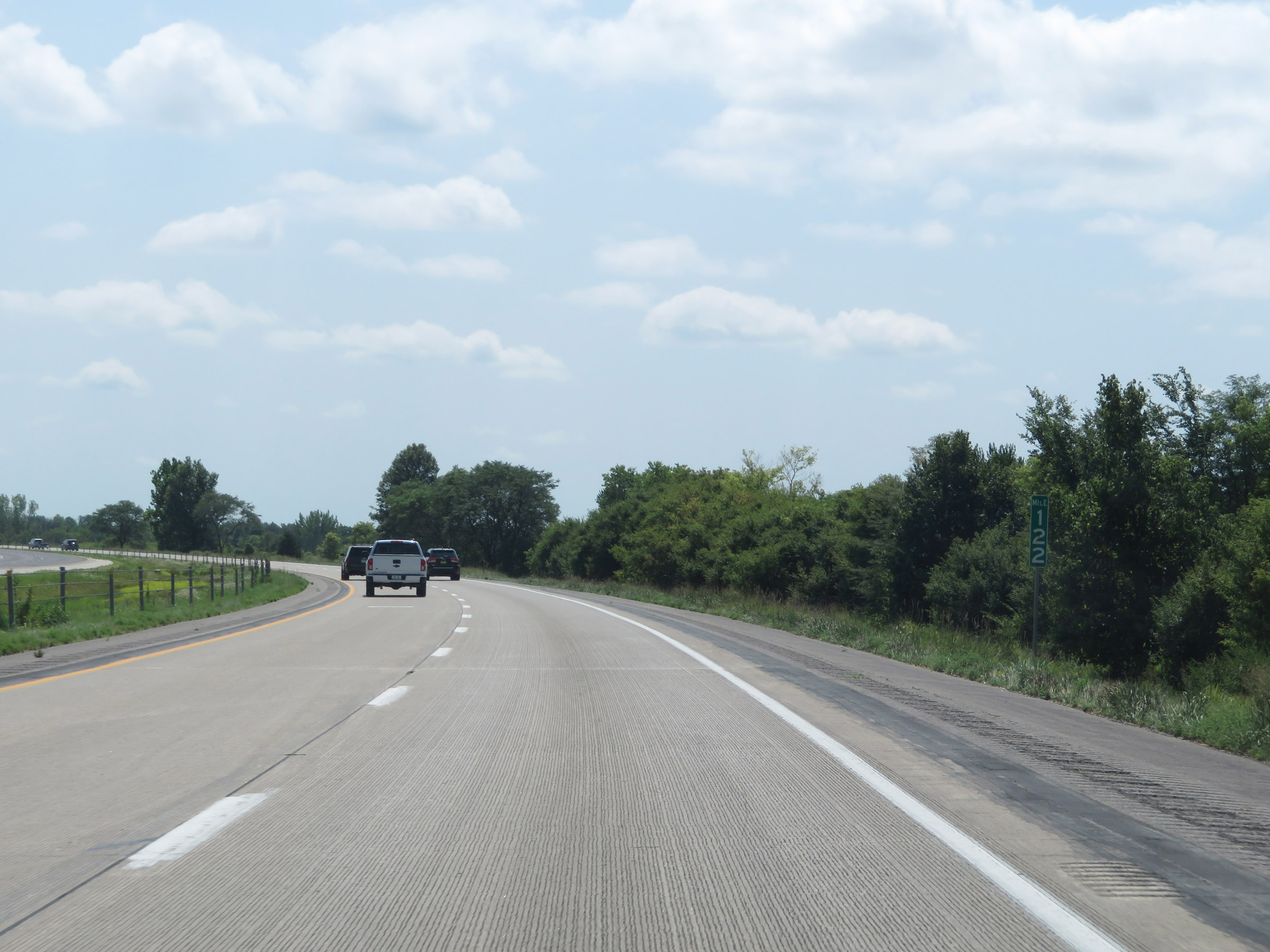 |
View on Interstate 35 South at mile marker 122. (Photo taken 8/8/20). |
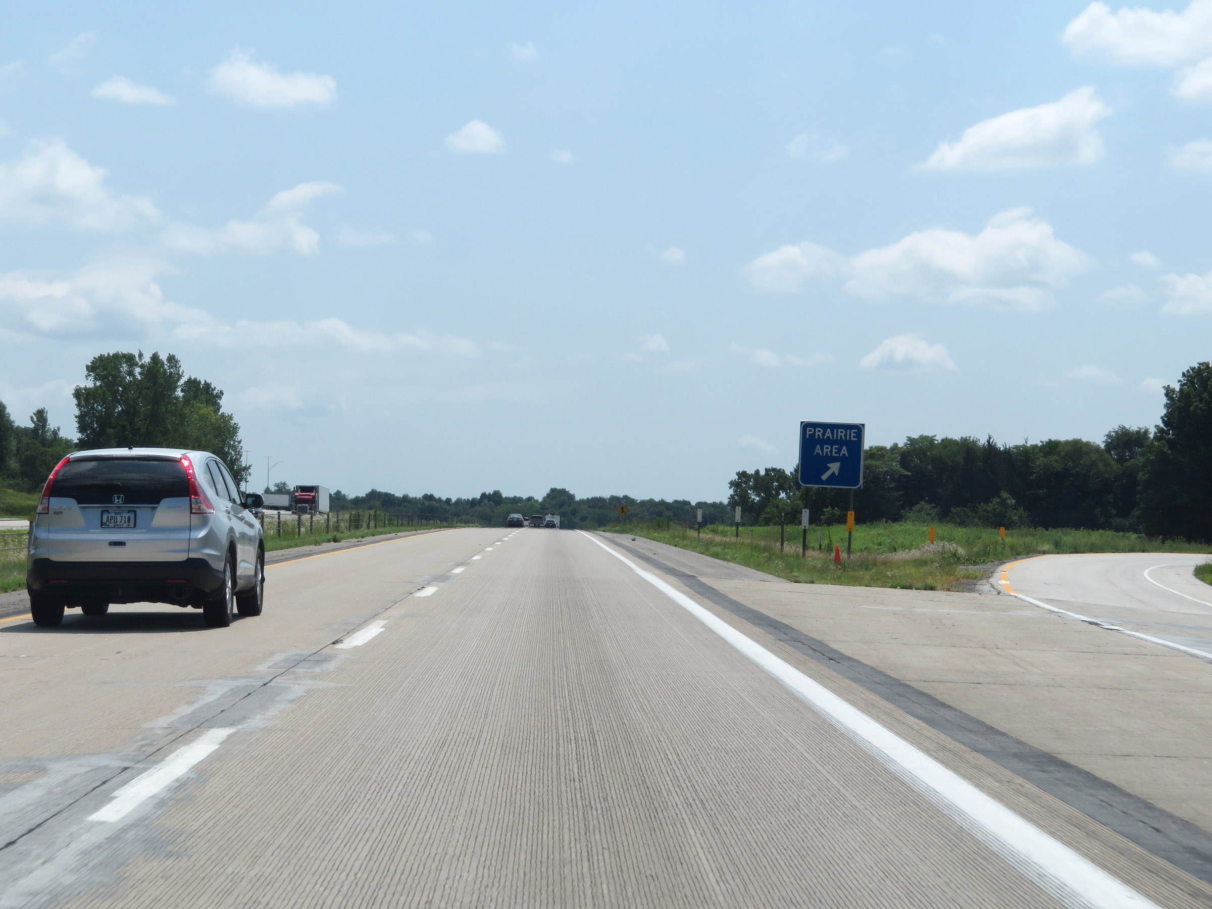 |
Prairie Area on Interstate 35 South in Story County. (Photo taken 8/8/20). |
 |
Interstate 35 South at mile marker 120. (Photo taken 8/8/20). |
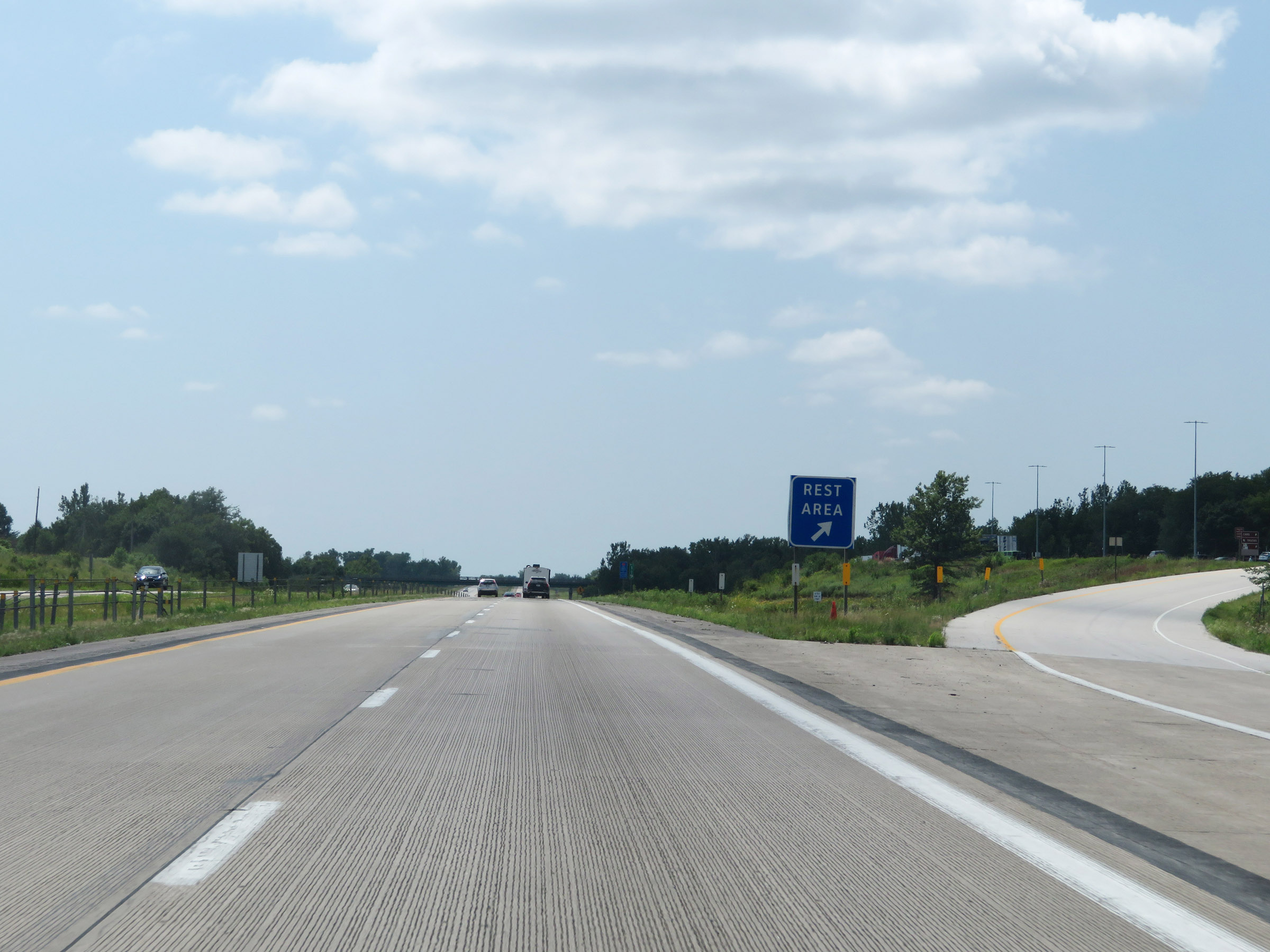 |
Rest Area on Interstate 35 South in Story County. (Photo taken 8/8/20). |
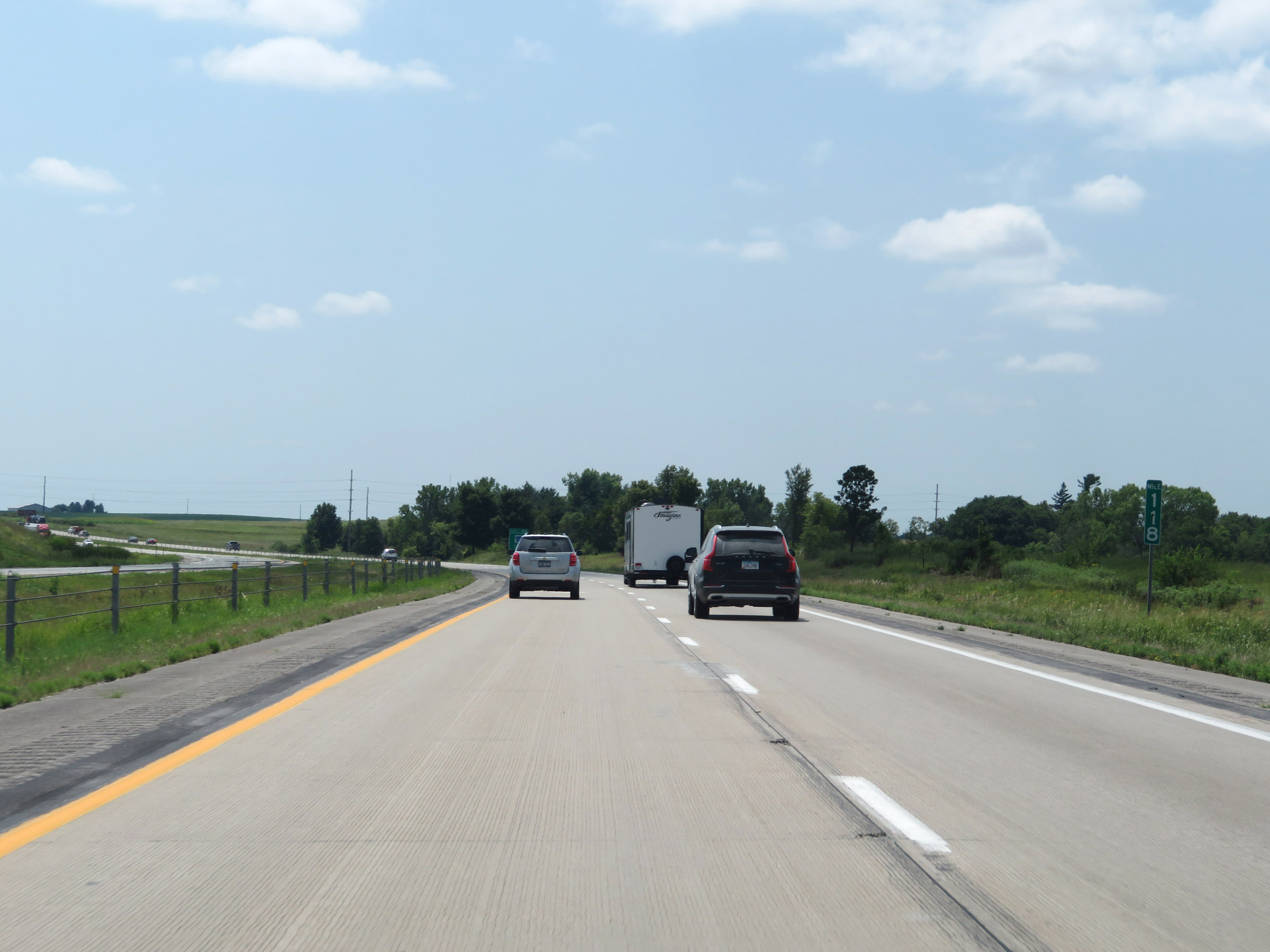 |
View on Interstate 35 South at mile marker 118. (Photo taken 8/8/20). |
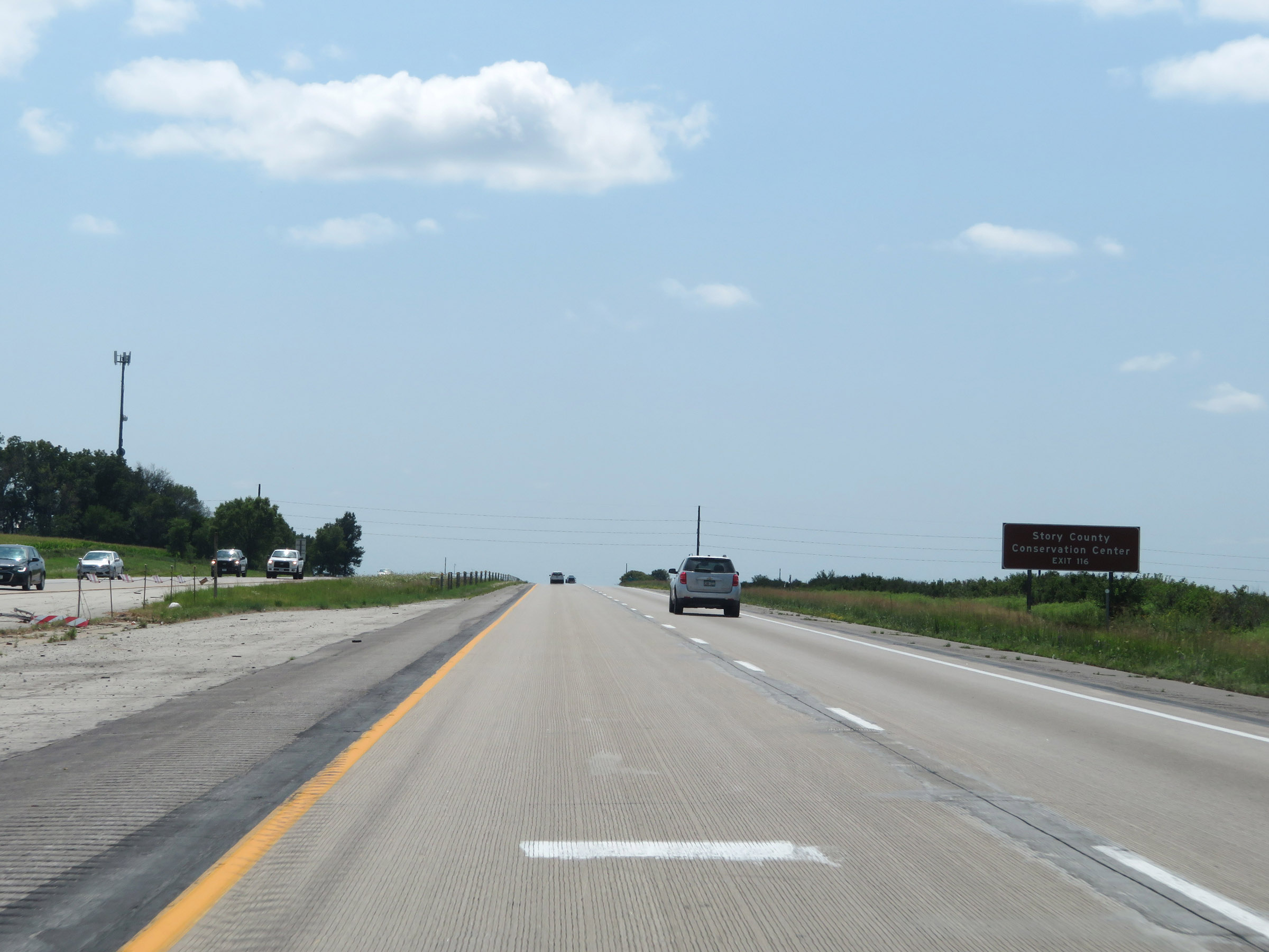 |
Take Exit 116 to the Story County Conservation Center. (Photo taken 8/8/20). |
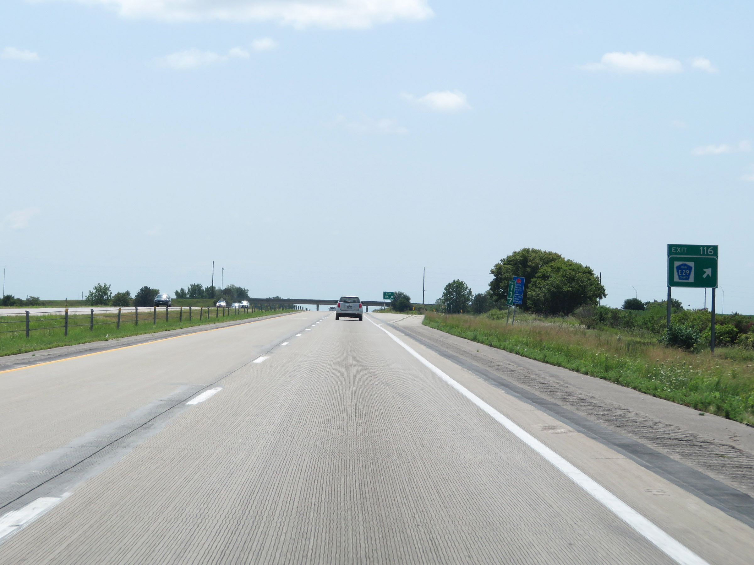 |
Interstate 35 South at Exit 116: CR E29 (Photo taken 8/8/20). |
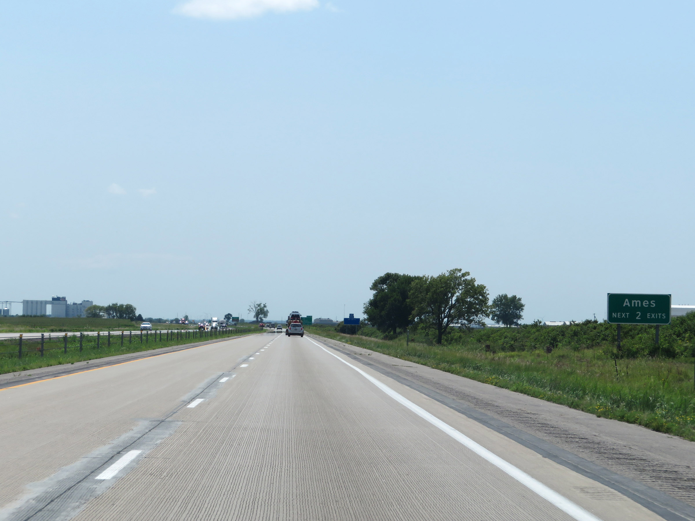 |
Take either of the next 2 exits to Ames. (Photo taken 8/8/20). |
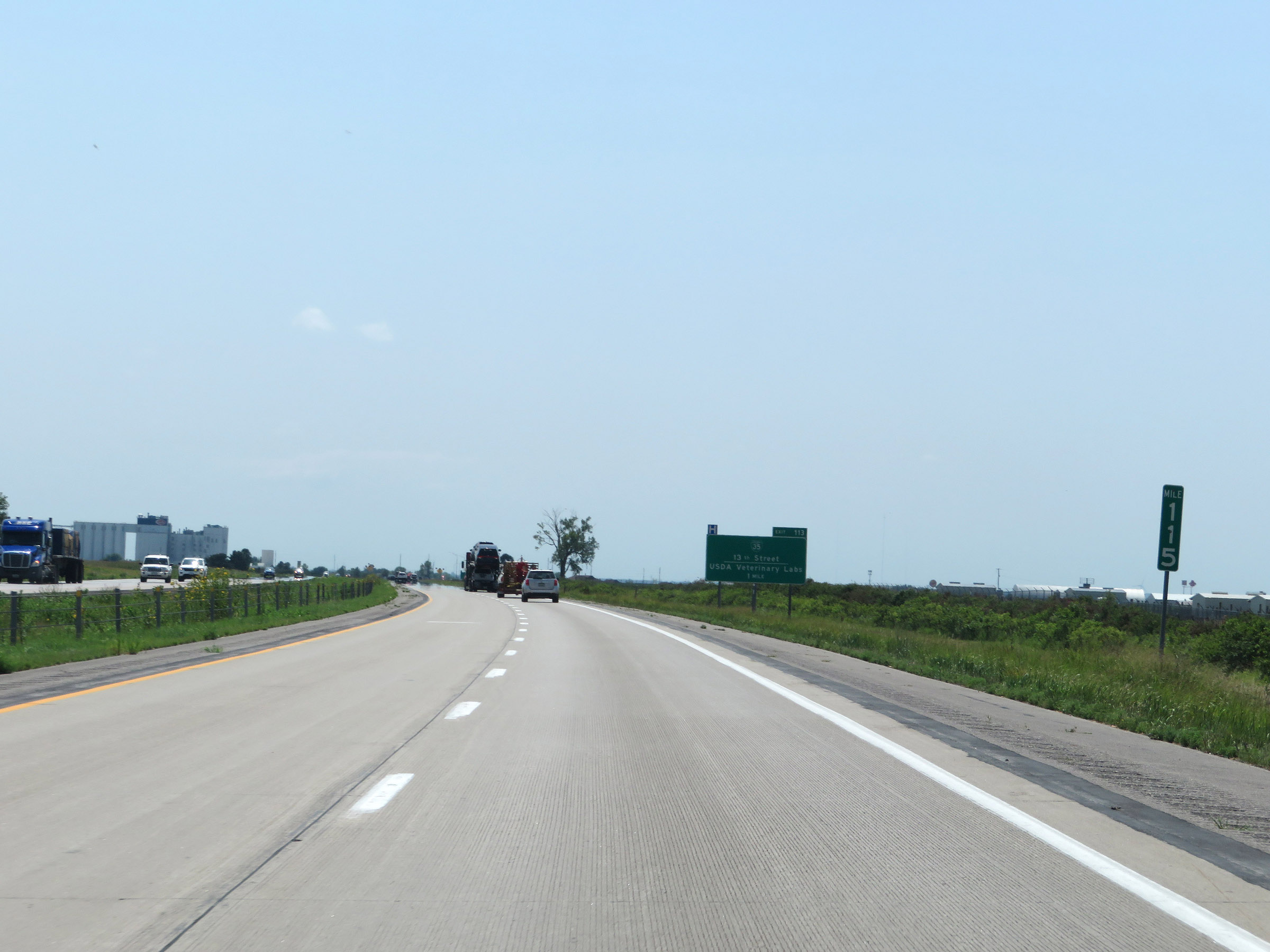 |
View on Interstate 35 South at mile marker 115. (Photo taken 8/8/20). |
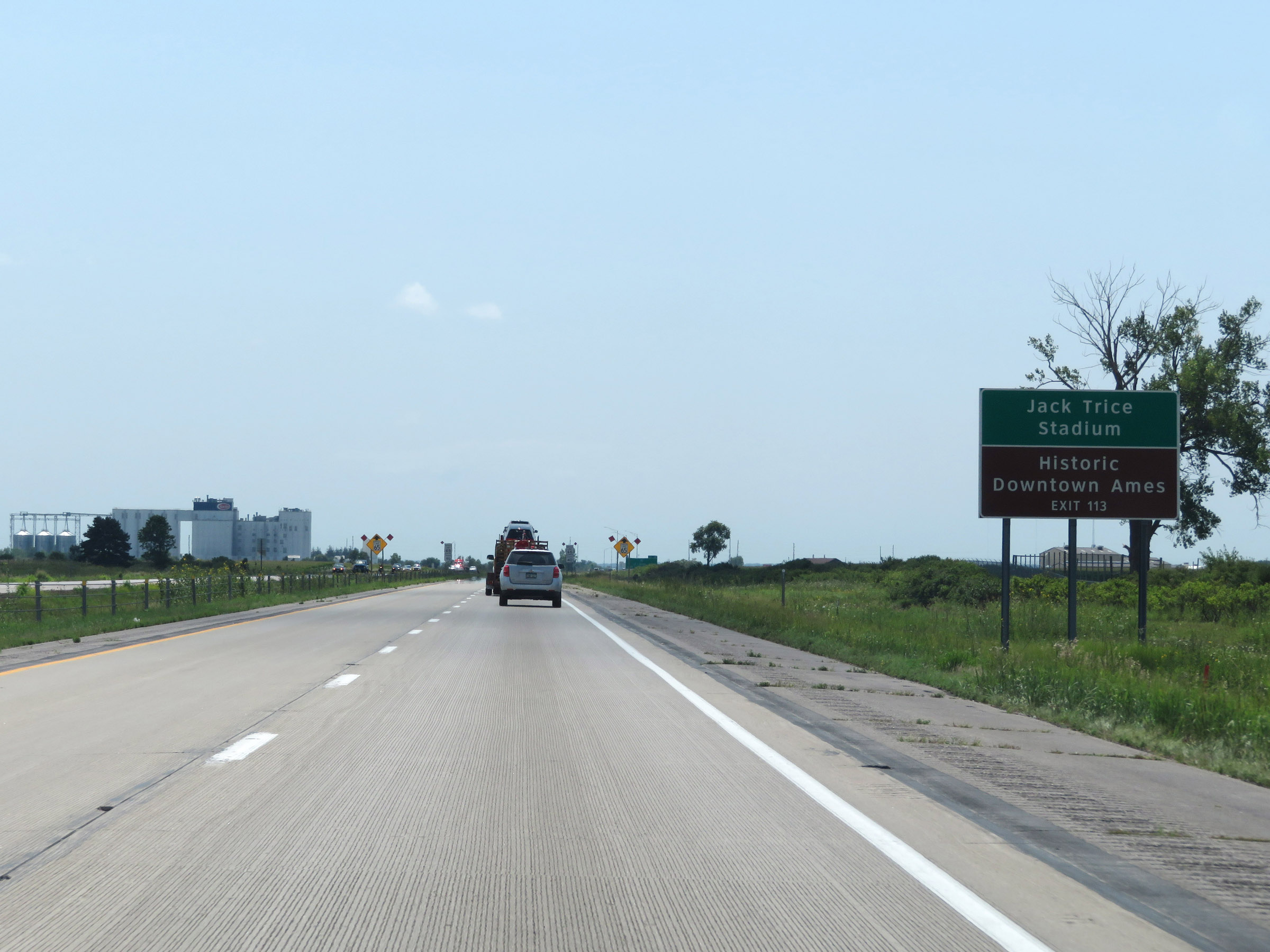 |
Take Exit 113 to Jack Trice Stadium and Historic Downtown Ames. (Photo taken 8/8/20). |
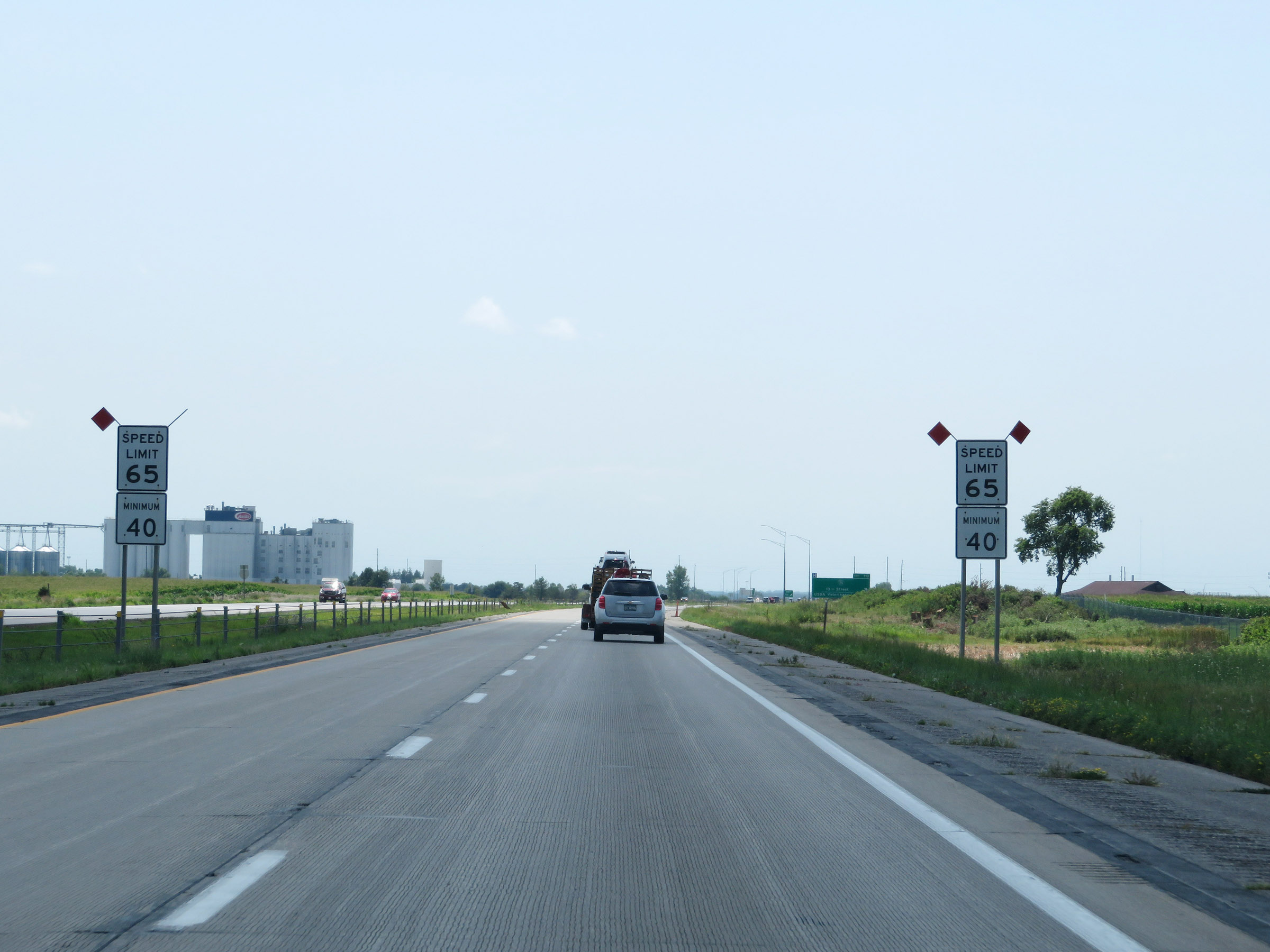 |
Entering the Ames area, the maximum speed limit decreases to 65 mph. The minimum speed limit remains 40 mph. (Photo taken 8/8/20). |
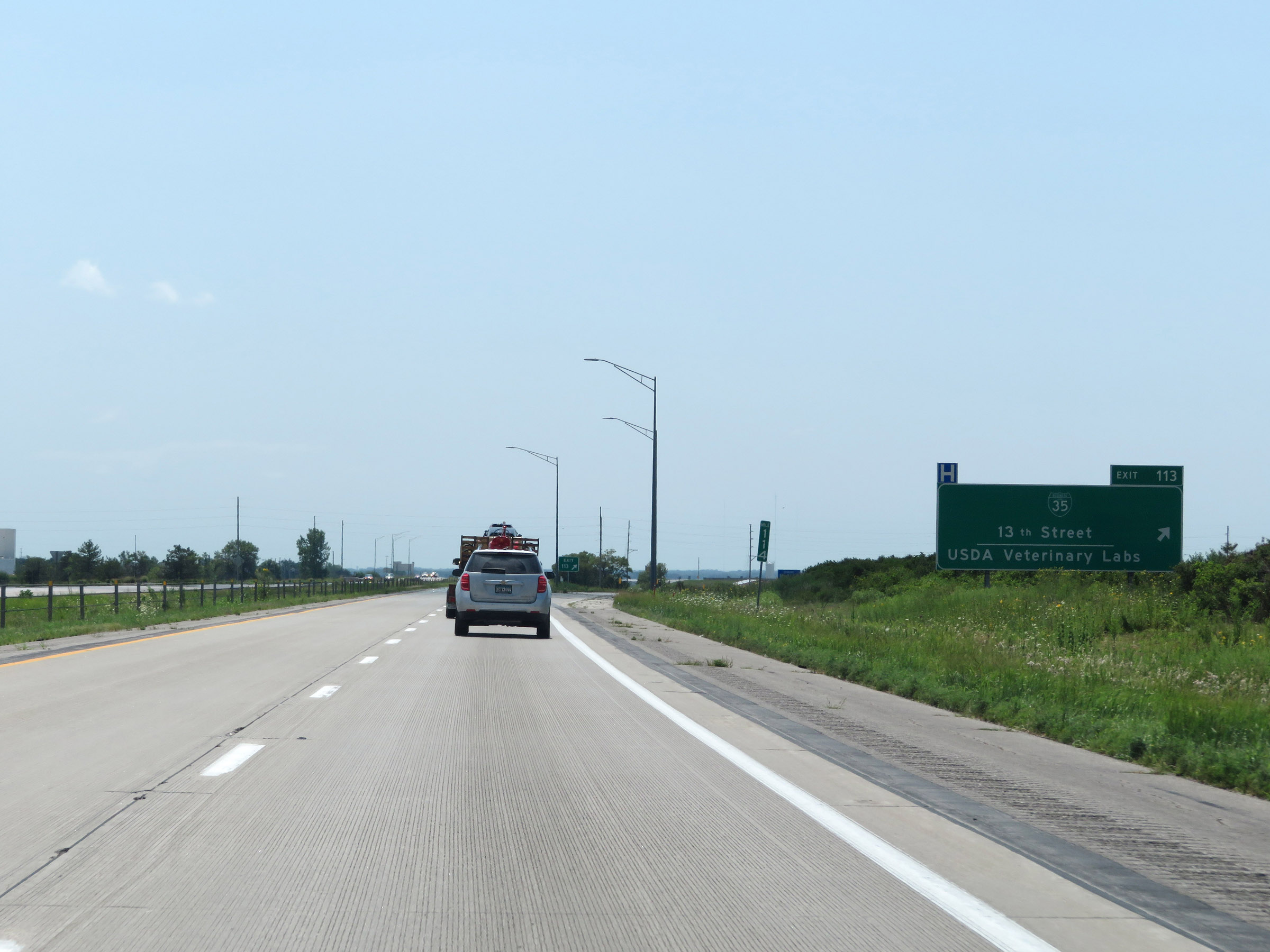 |
Interstate 35 South at Exit 113: Interstate 35 Business Loop - 13th Street / USDA Veterinary Labs (Photo taken 8/8/20). |
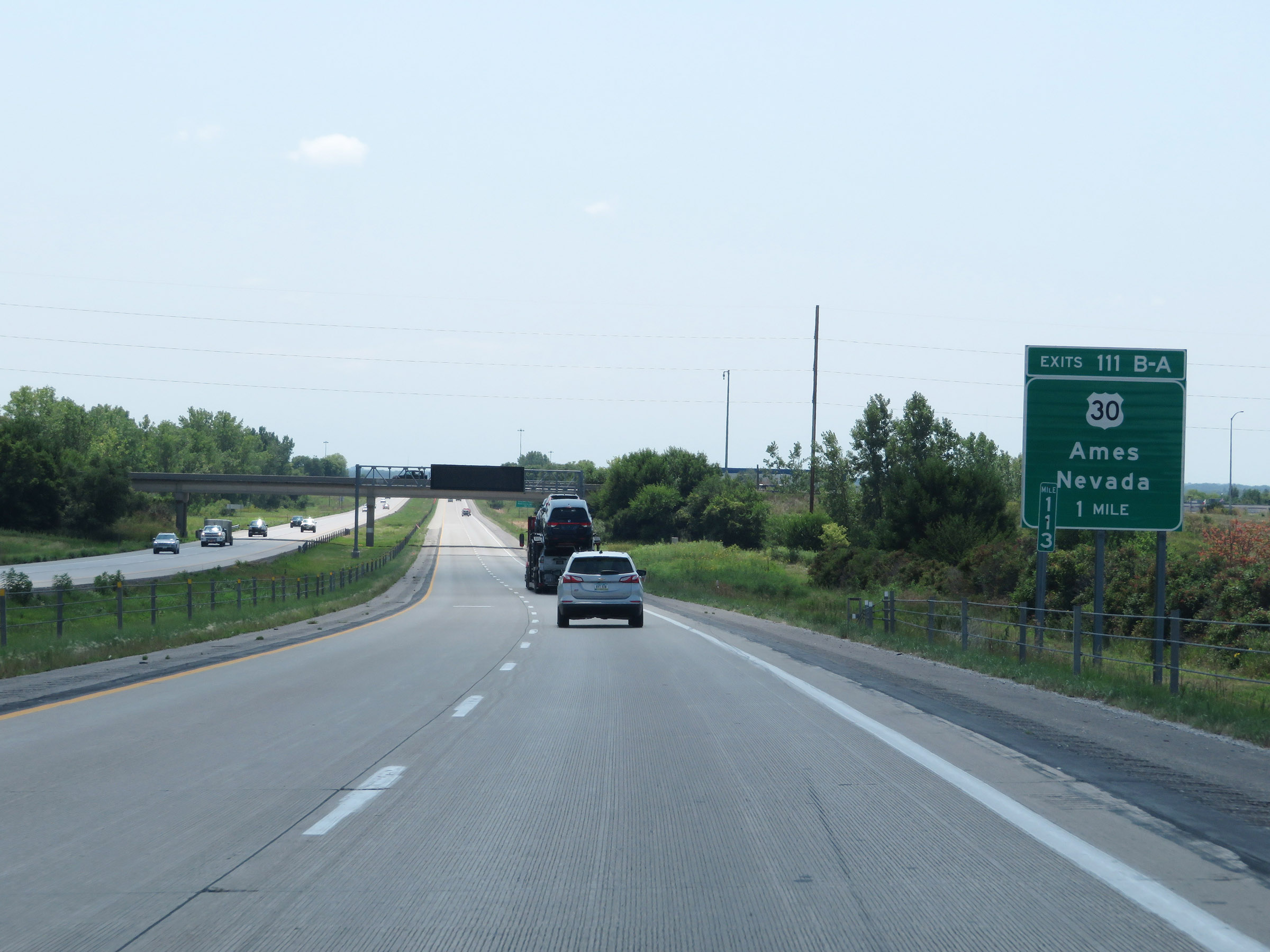 |
Interstate 35 South approaching Exits 111B-A - 1 mile. (Photo taken 8/8/20). |
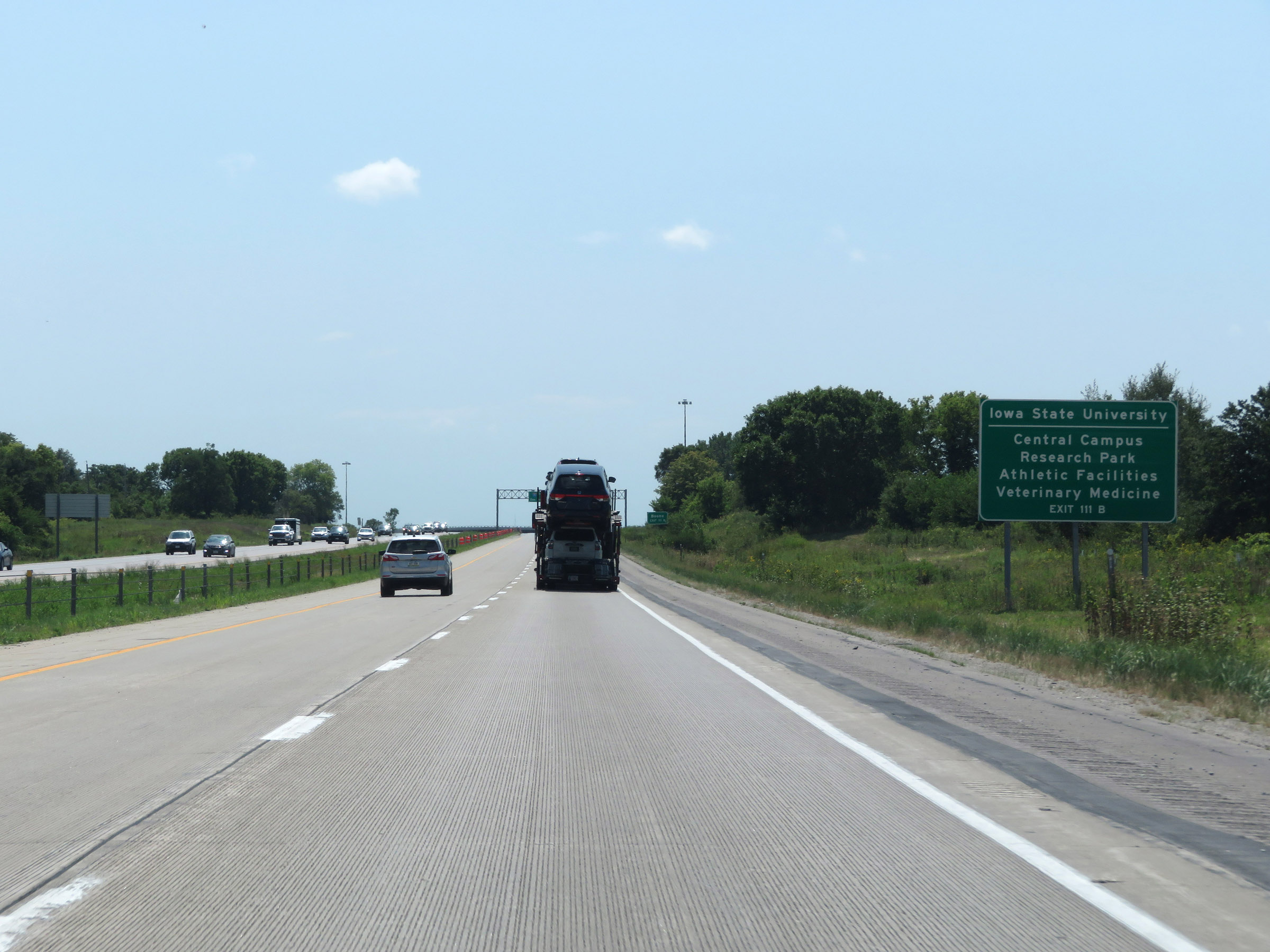 |
Take Exit 111B (US 30 West) to Iowa State University's Central Campus, Research Park, Athletic Facilities, and Veterinary Medicine. (Photo taken 8/8/20). |
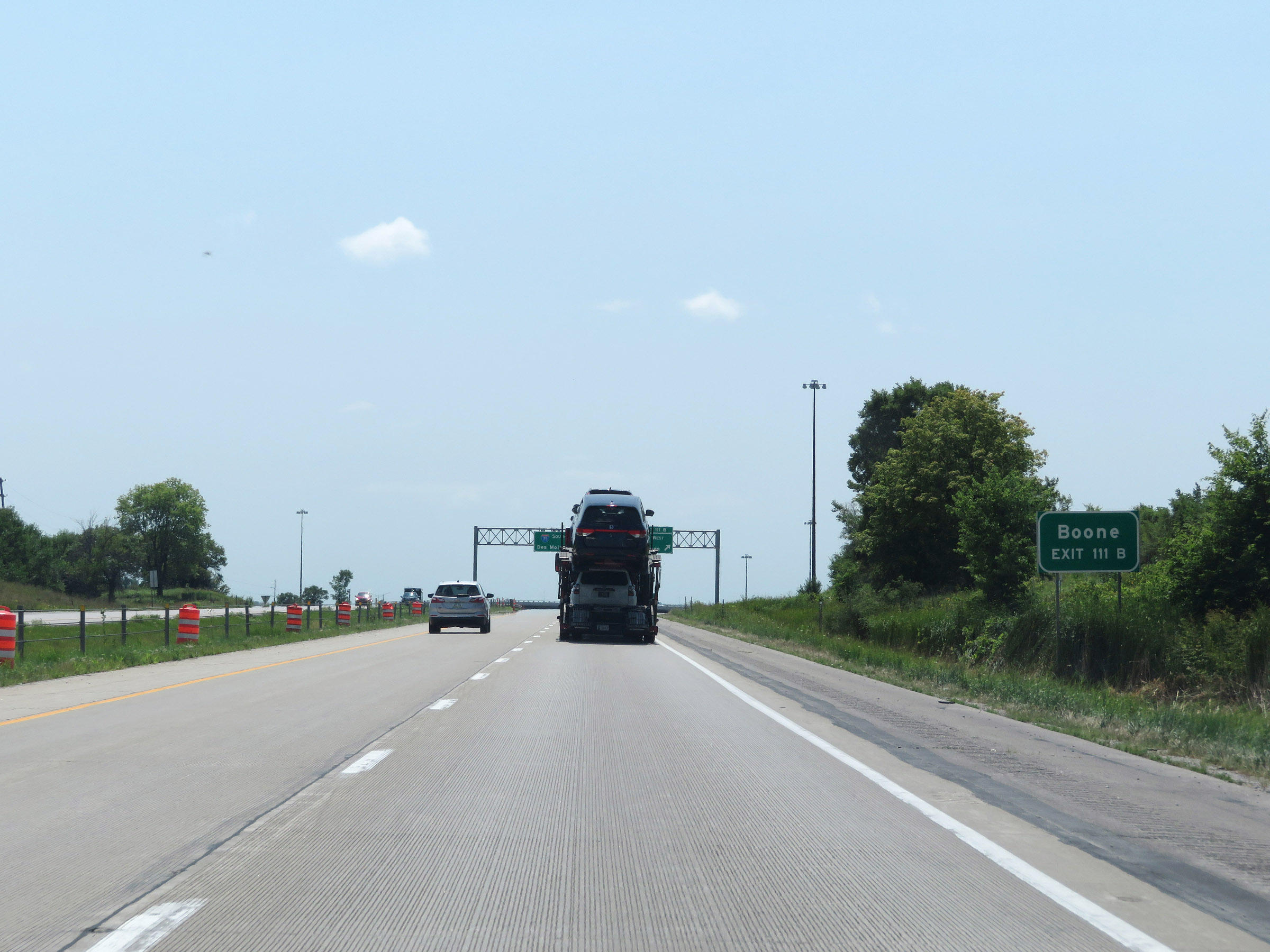 |
Also take Exit 111B (US 30 West) to Boone. (Photo taken 8/8/20). |
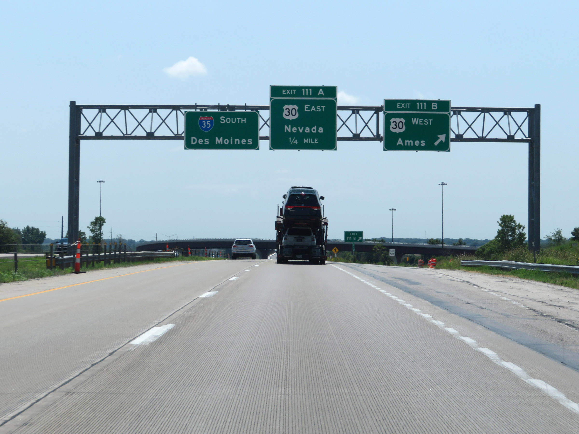 |
Interstate 35 South at Exit 111B: US 30 West - Ames (Photo taken 8/8/20). |
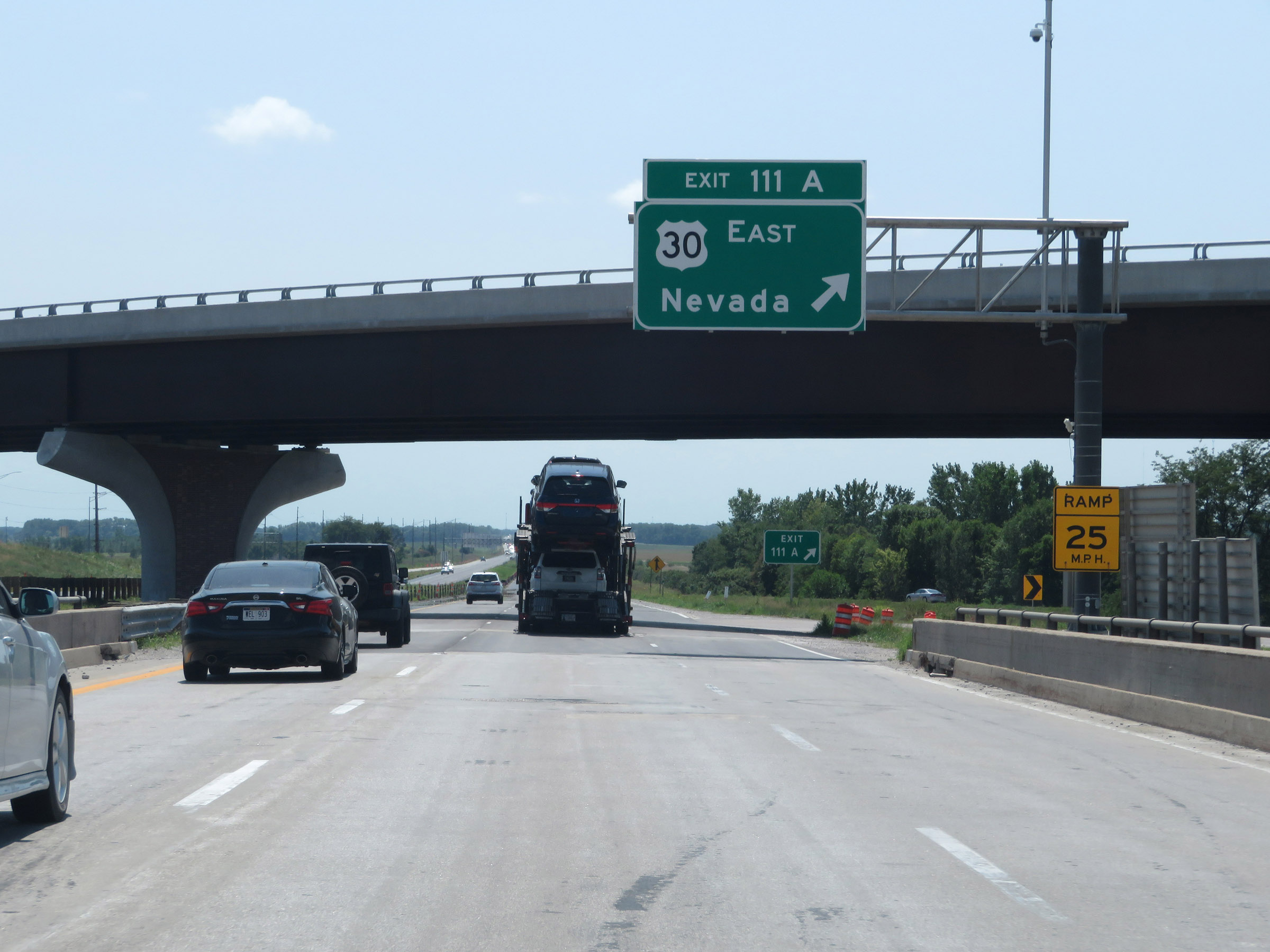 |
Interstate 35 South at Exit 111A: US 30 East - Nevada (Photo taken 8/8/20). |
Section 3: Ames (Exit 111A) to West Des Moines (Exit 72A)
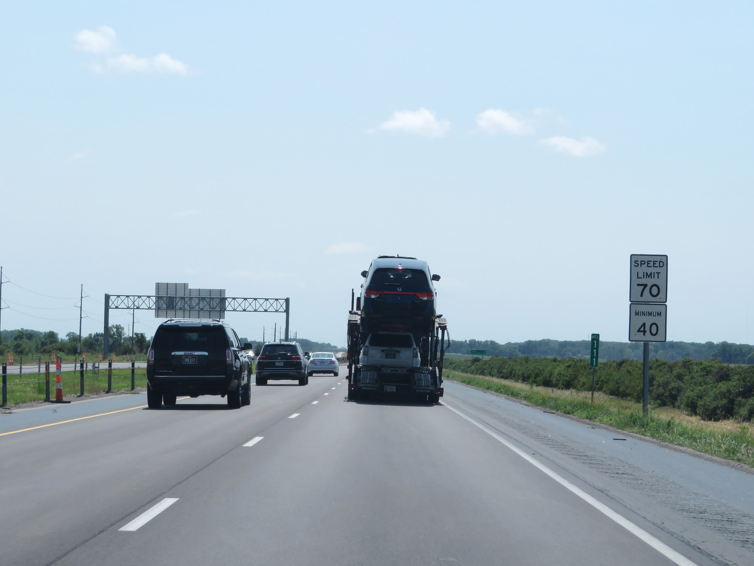 |
At mile marker 111, the maximum speed limit increases to 70 mph once again as Interstate 35 South leaves the Ames area. (Photo taken 8/8/20). |
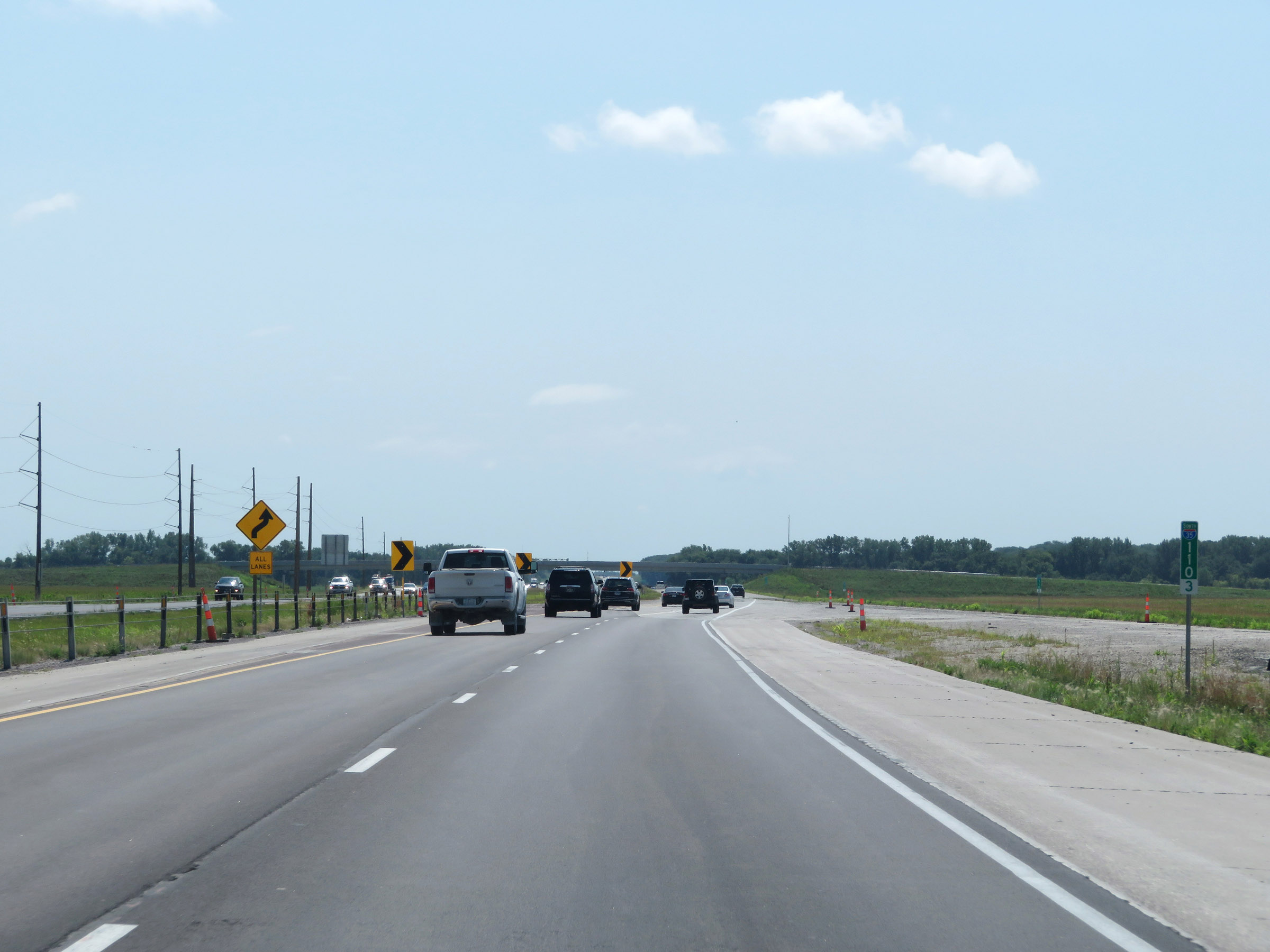 |
Interstate 35 South at mile marker 110.3, as it prepares to make a built-in lane shift. (Photo taken 8/8/20). |
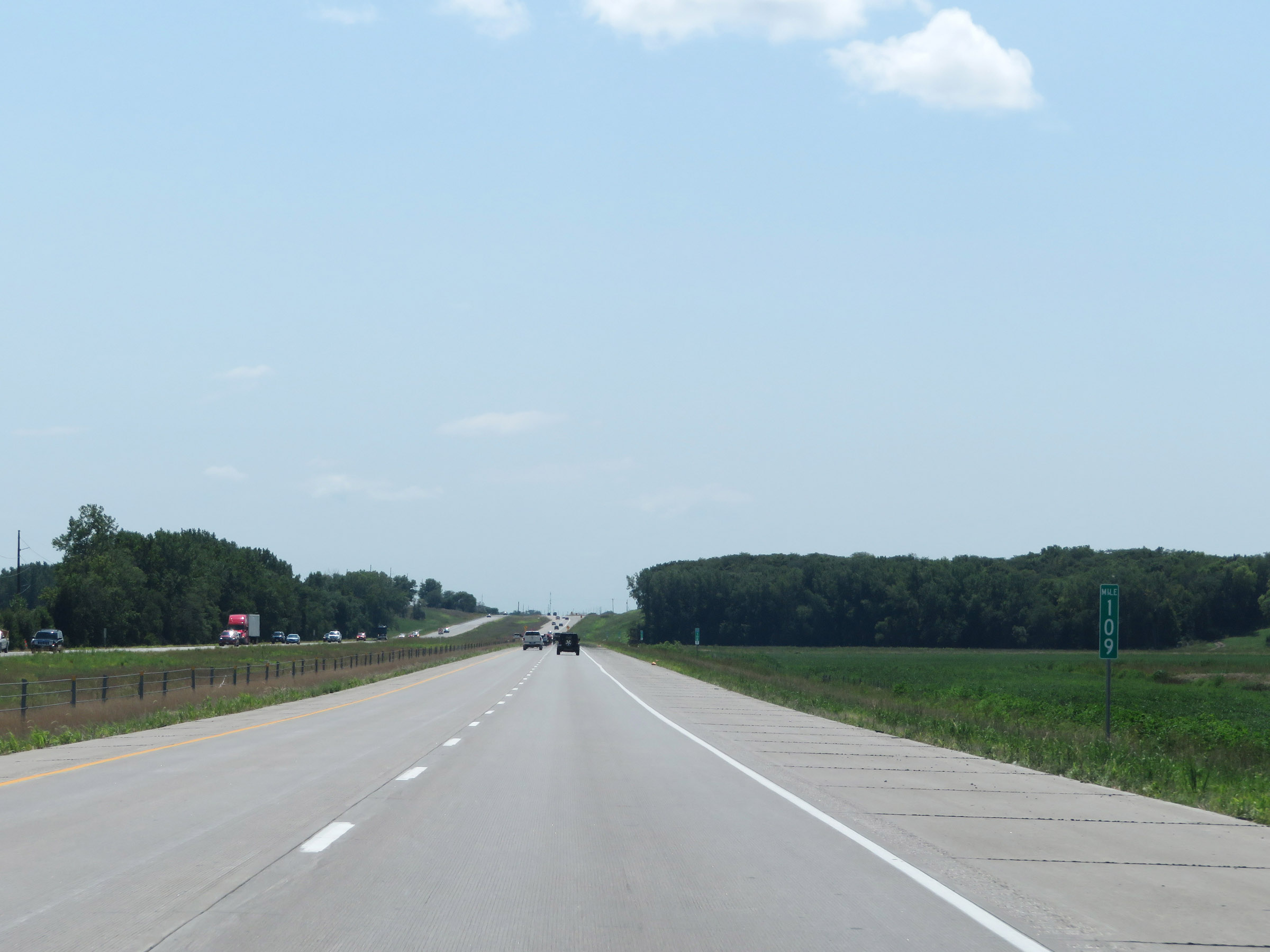 |
View on Interstate 35 South at mile marker 109. (Photo taken 8/8/20). |
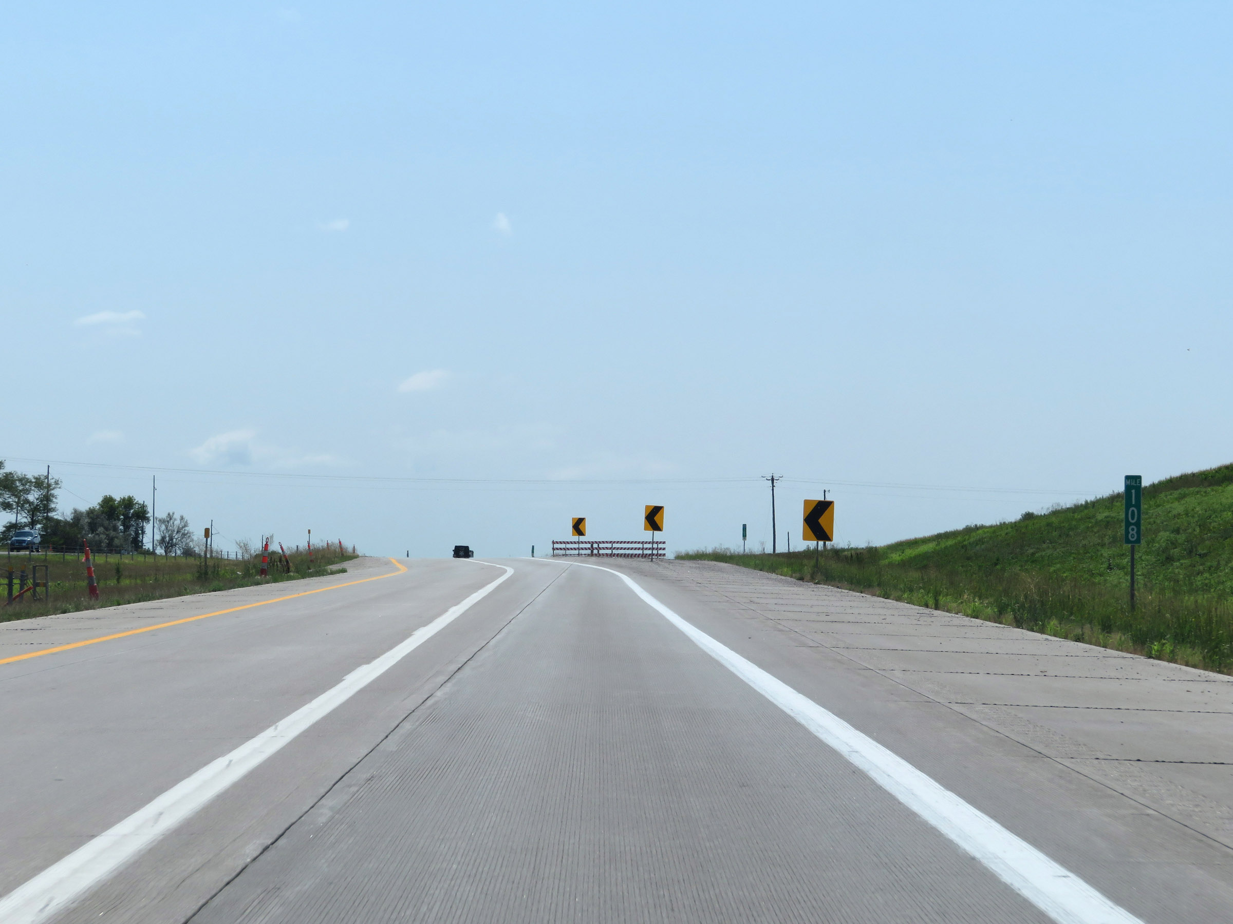 |
At mile marker 108, the southbound lanes of Interstate 35 shift back to their original position. (Photo taken 8/8/20). |
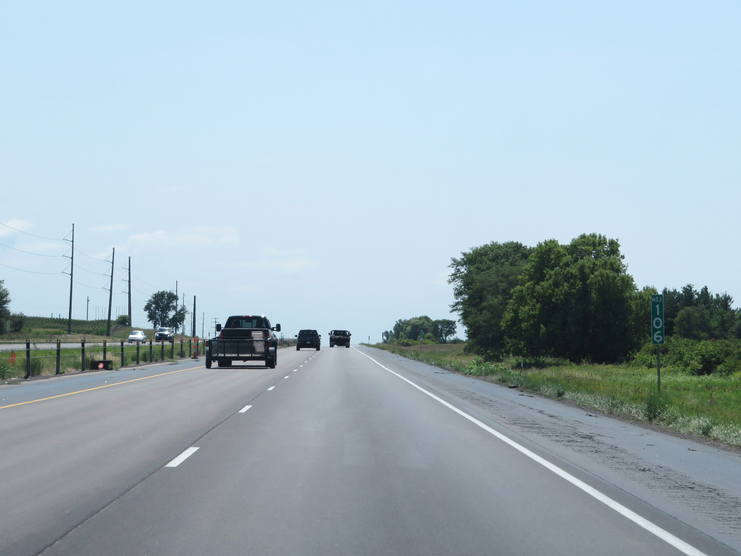 |
Interstate 35 South at mile marker 106. (Photo taken 8/8/20). |
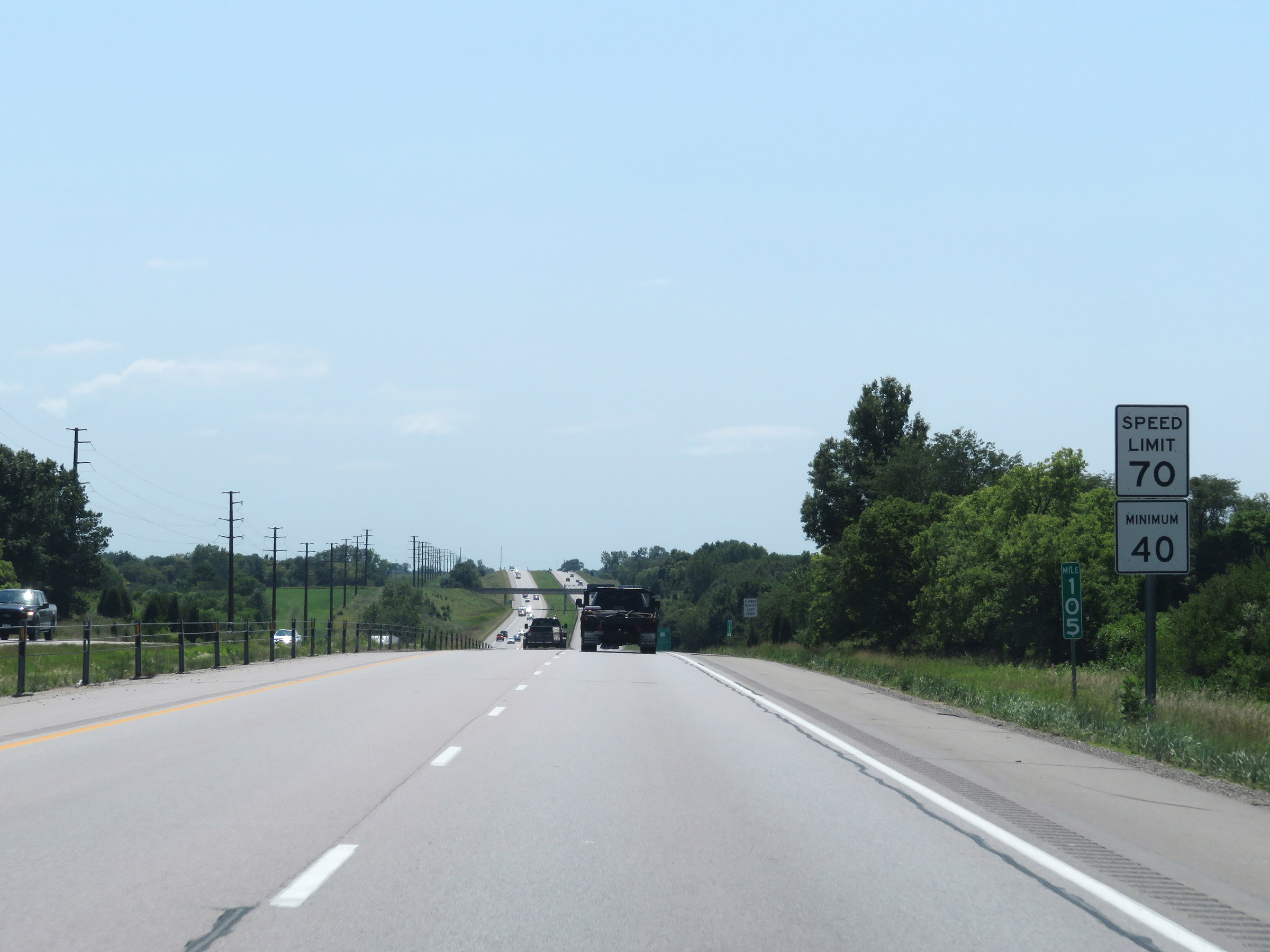 |
Mile marker 105 on Interstate 35 South. The speed limits remain the rural standard 70 mph maximum and 40 mph minimum. (Photo taken 8/8/20). |
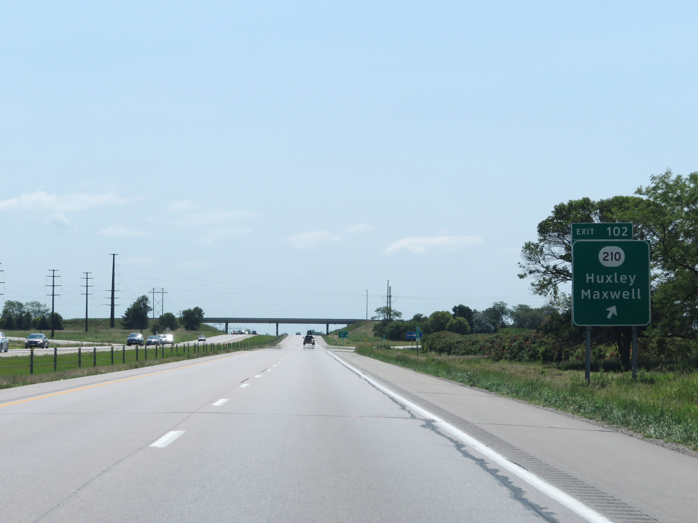 |
Interstate 35 South at Exit 102: IA 210 - Huxley / Maxwell (Photo taken 8/8/20). |
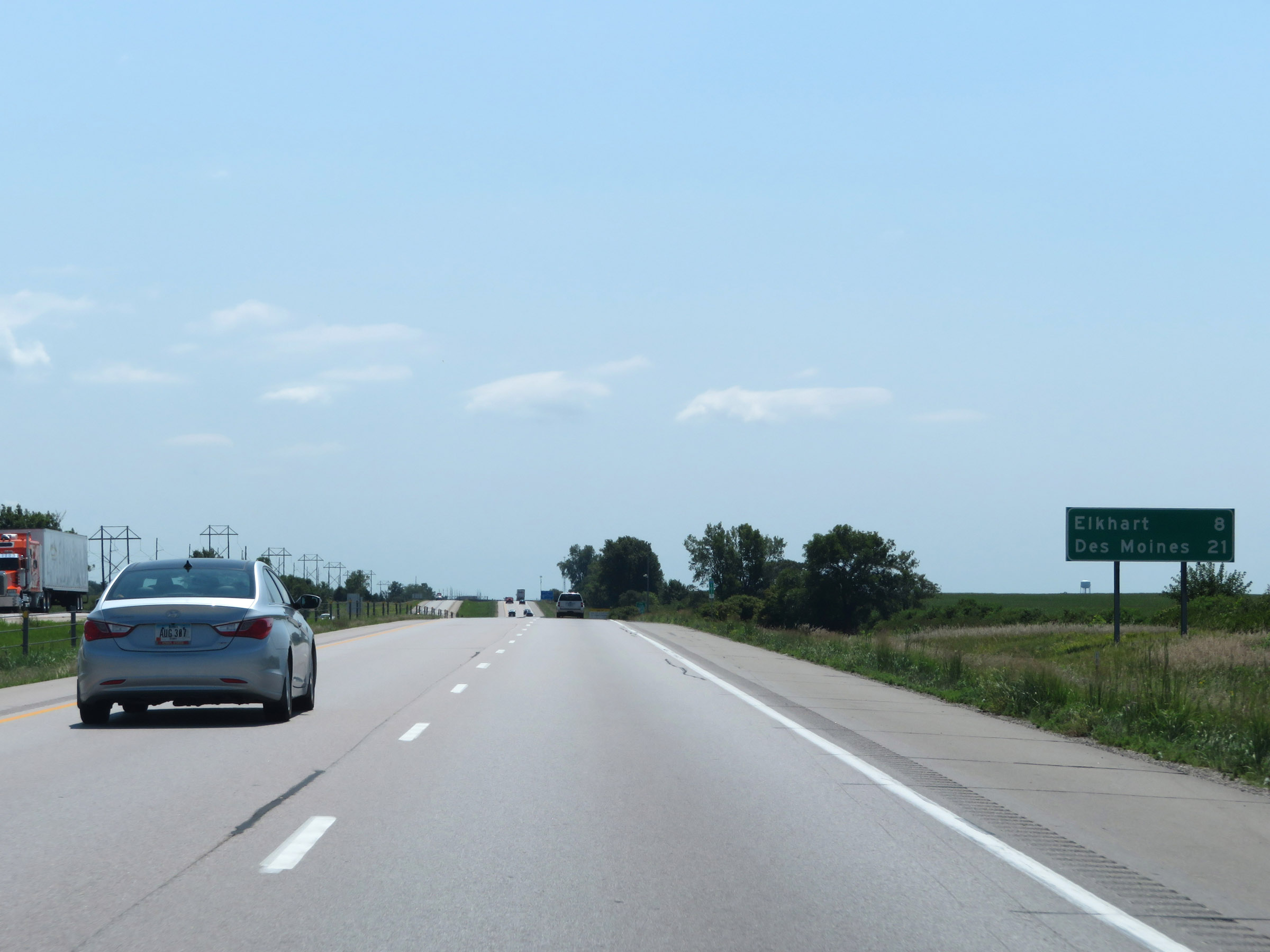 |
Mileage sign on Interstate 35 South. It's 8 miles to Elkhart and now just 21 miles to Des Moines. (Photo taken 8/8/20). |
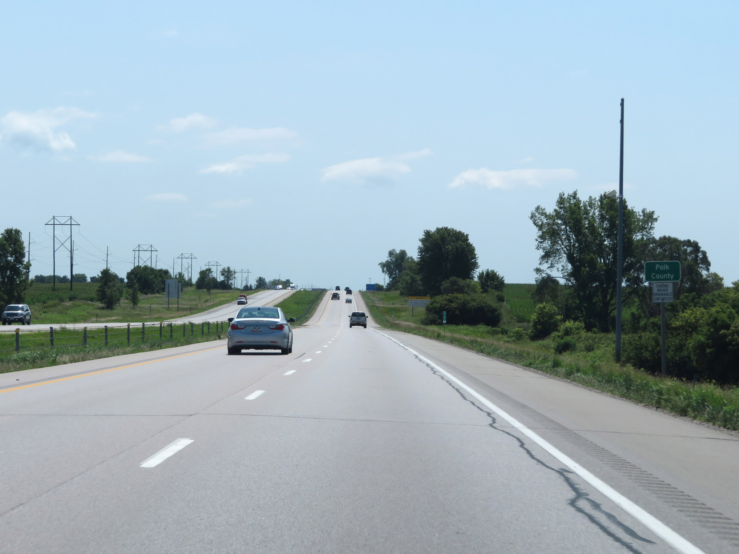 |
Interstate 35 South as it enters Polk County. (Photo taken 8/8/20). |
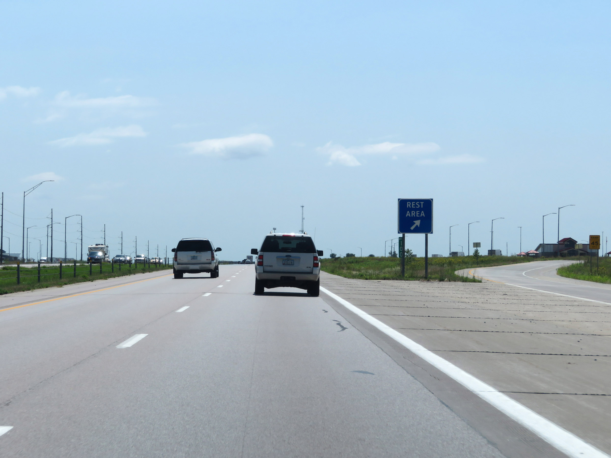 |
Rest Area on Interstate 35 South at mile marker 100 in Polk County. (Photo taken 8/8/20). |
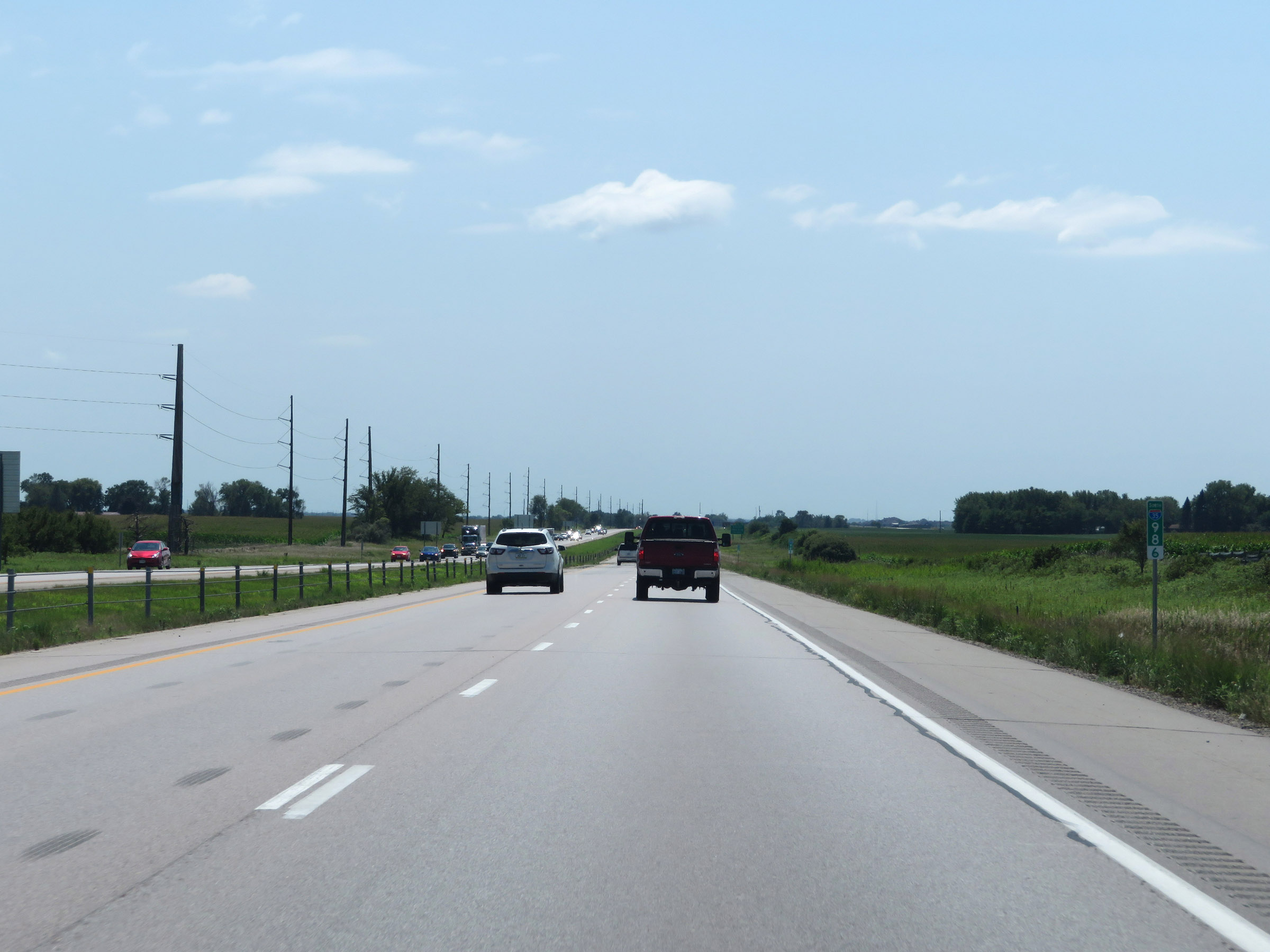 |
Interstate 35 South at mile marker 98.6. (Photo taken 8/8/20). |
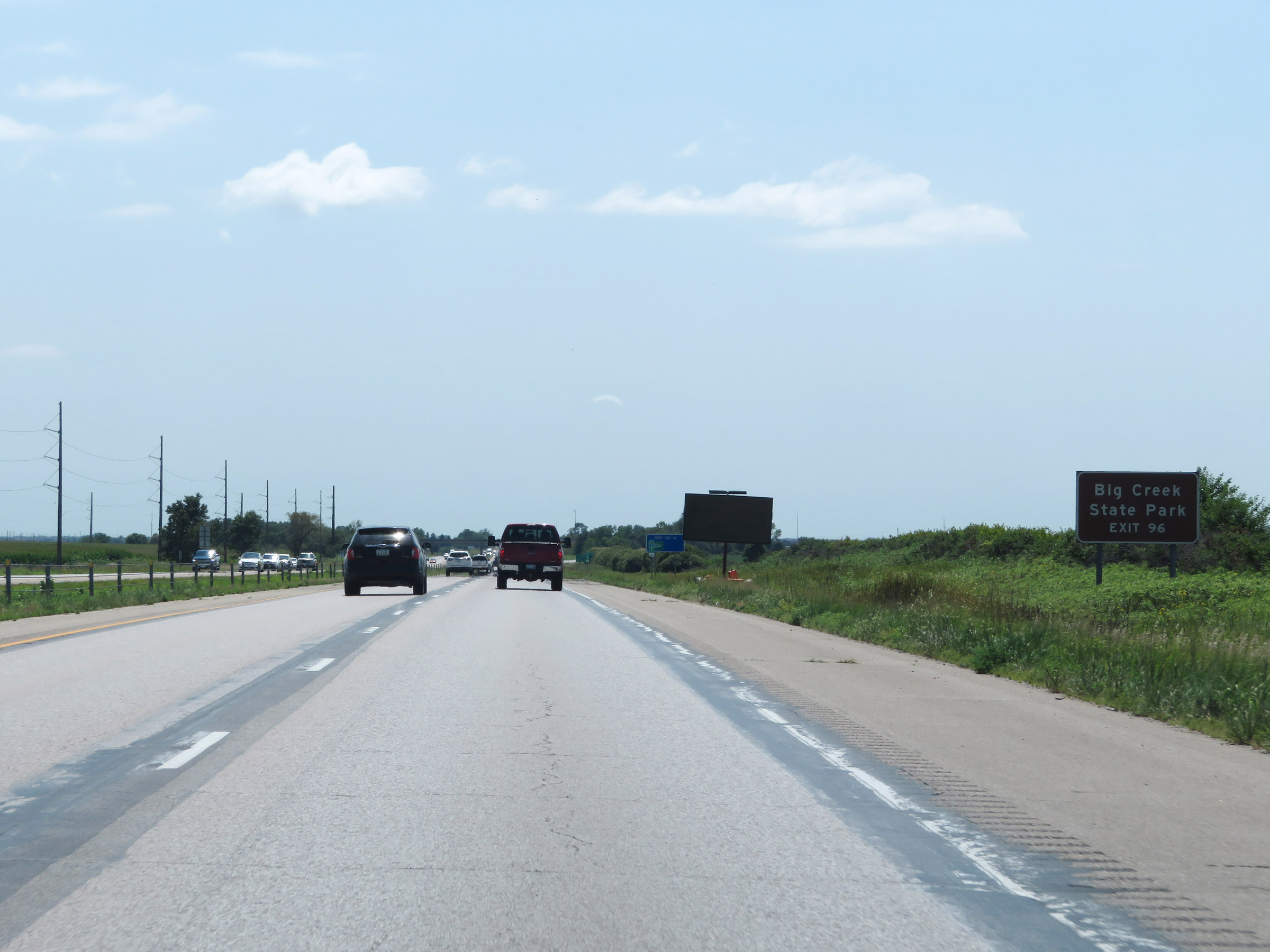 |
Take Exit 96 to Big Creek State Park. (Photo taken 8/8/20). |
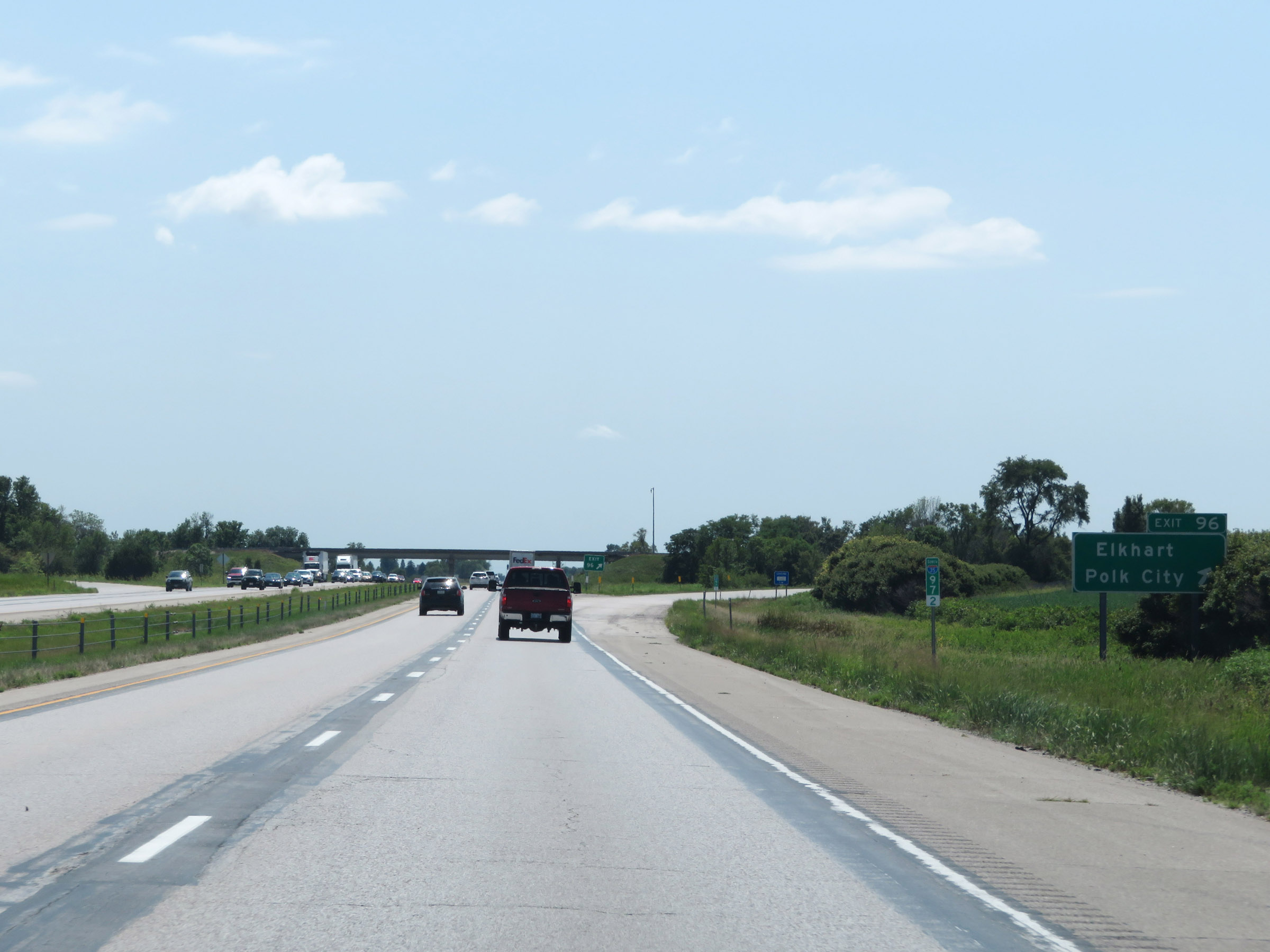 |
Interstate 35 South at Exit 96: Elkhart / Polk City (Photo taken 8/8/20). |
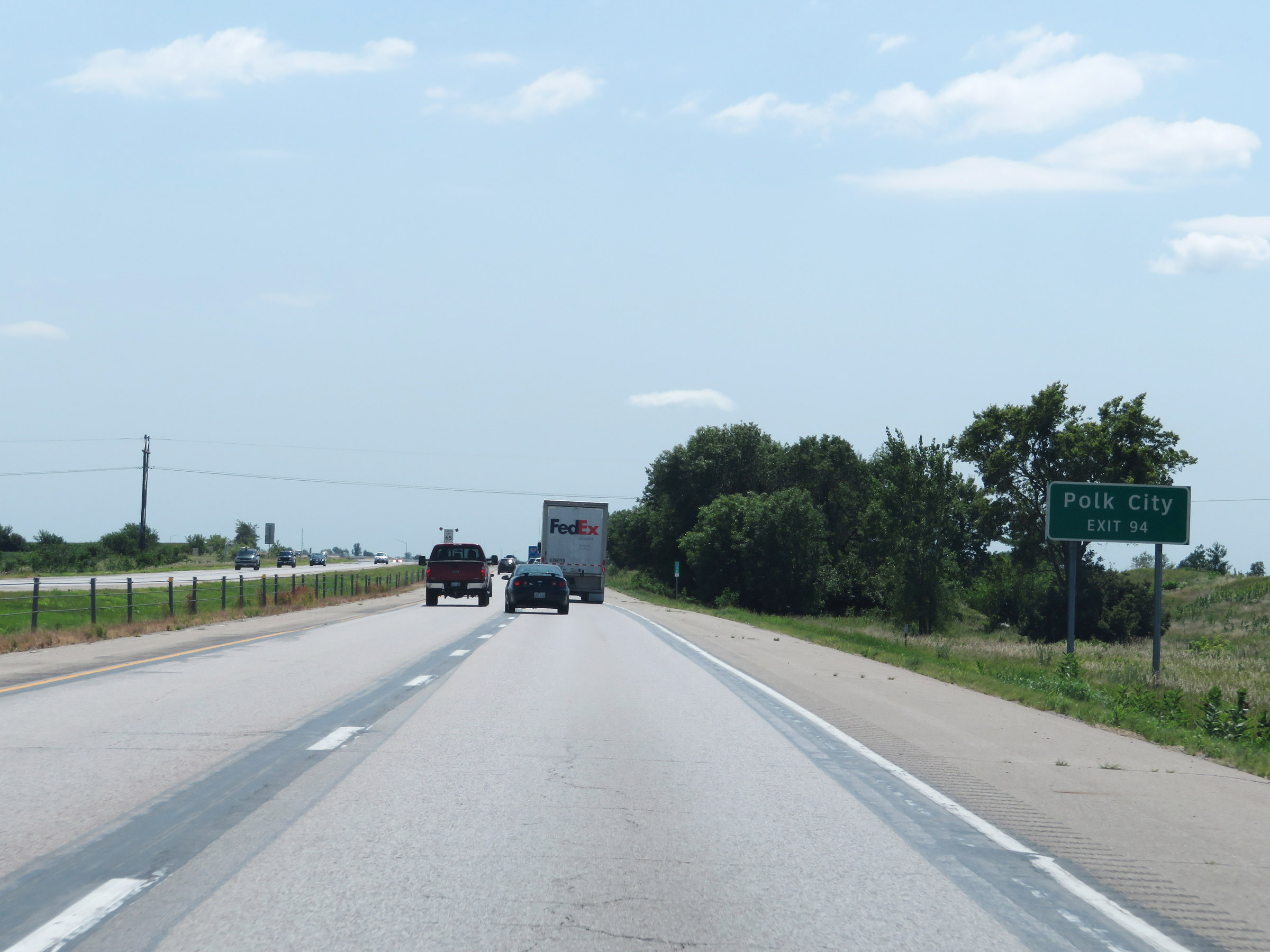 |
Take Exit 94 to Polk City. (Photo taken 8/8/20). |
 |
Entering the northern suburbs of the Des Moines area, the maximum speed limit decreases to 65 mph once again. The minimum remains 40 mph as usual. (Photo taken 8/8/20). |
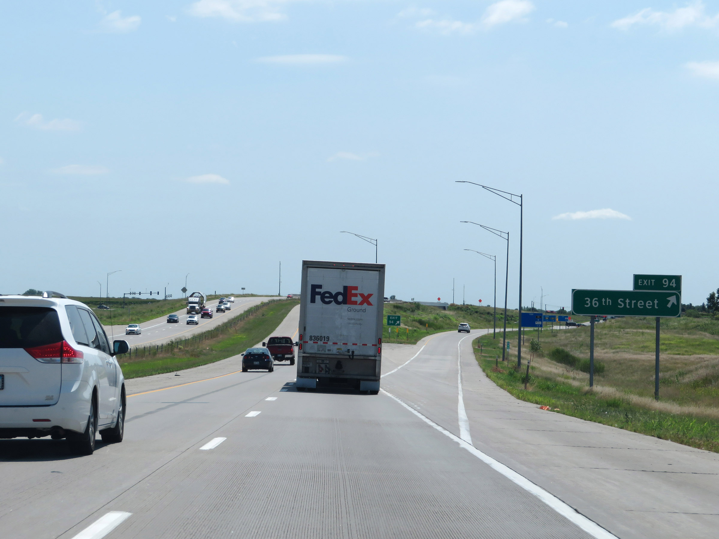 |
Interstate 35 South at Exit 94: 36th Street (Photo taken 8/8/20). |
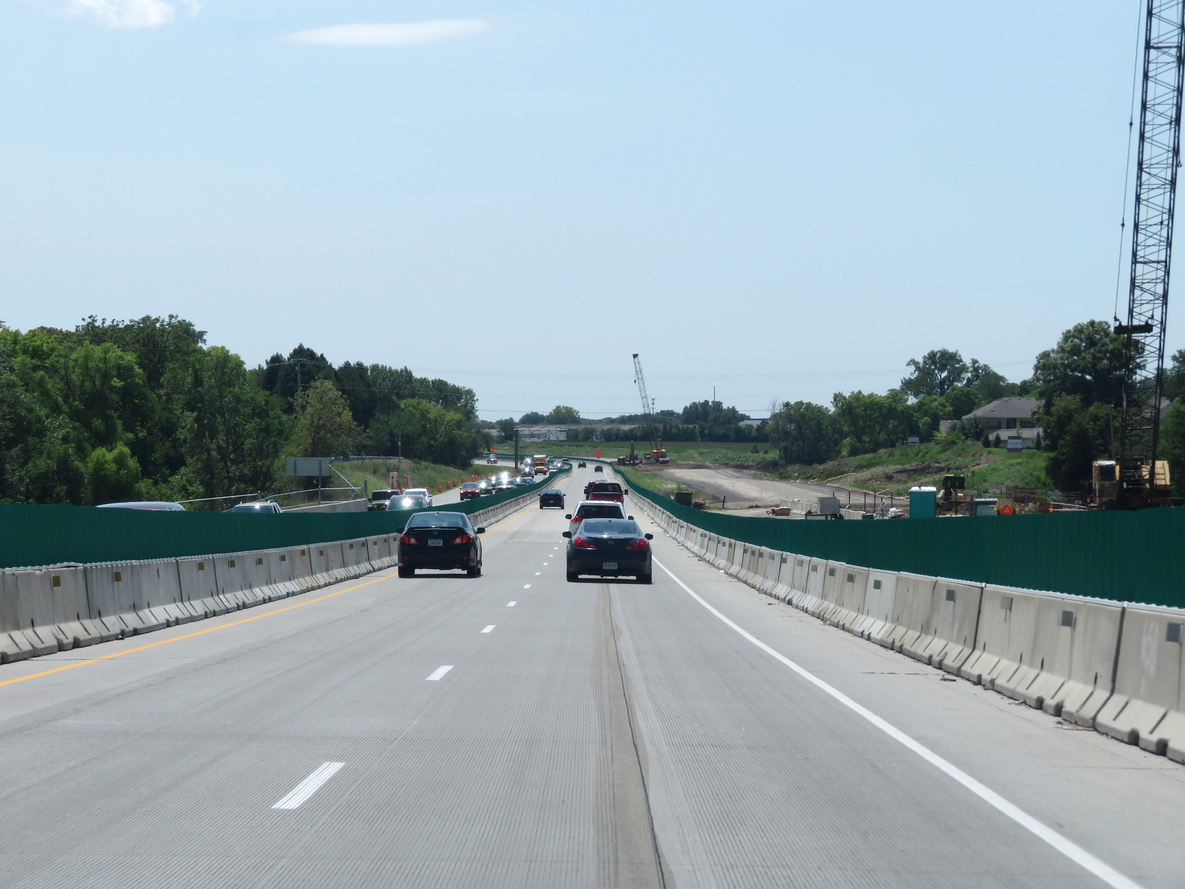 |
View on Interstate 35 South. (Photo taken 8/8/20). |
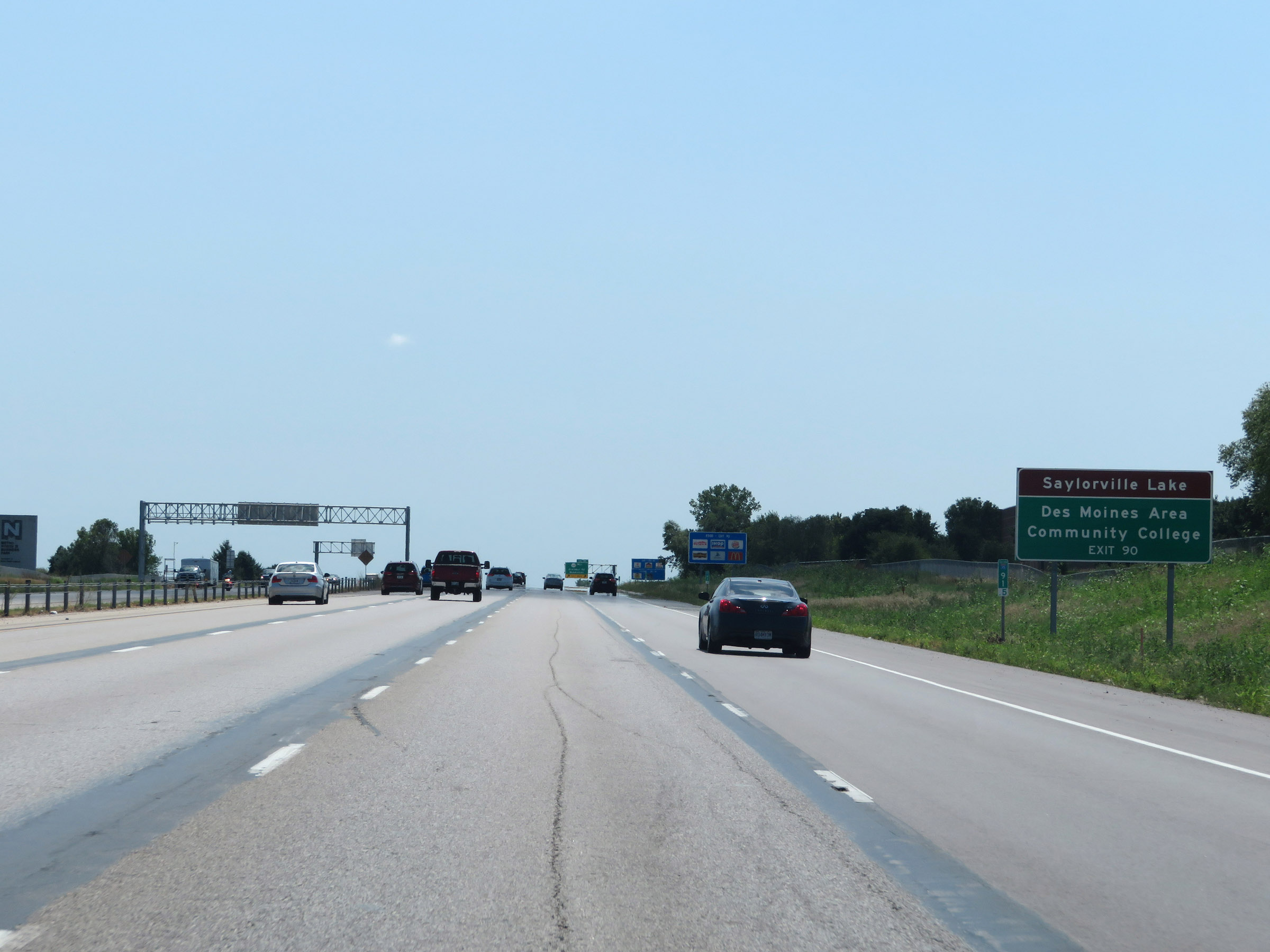 |
Take Exit 90 to Saylorville Lake and Des Moines Area Community College. (Photo taken 8/8/20). |
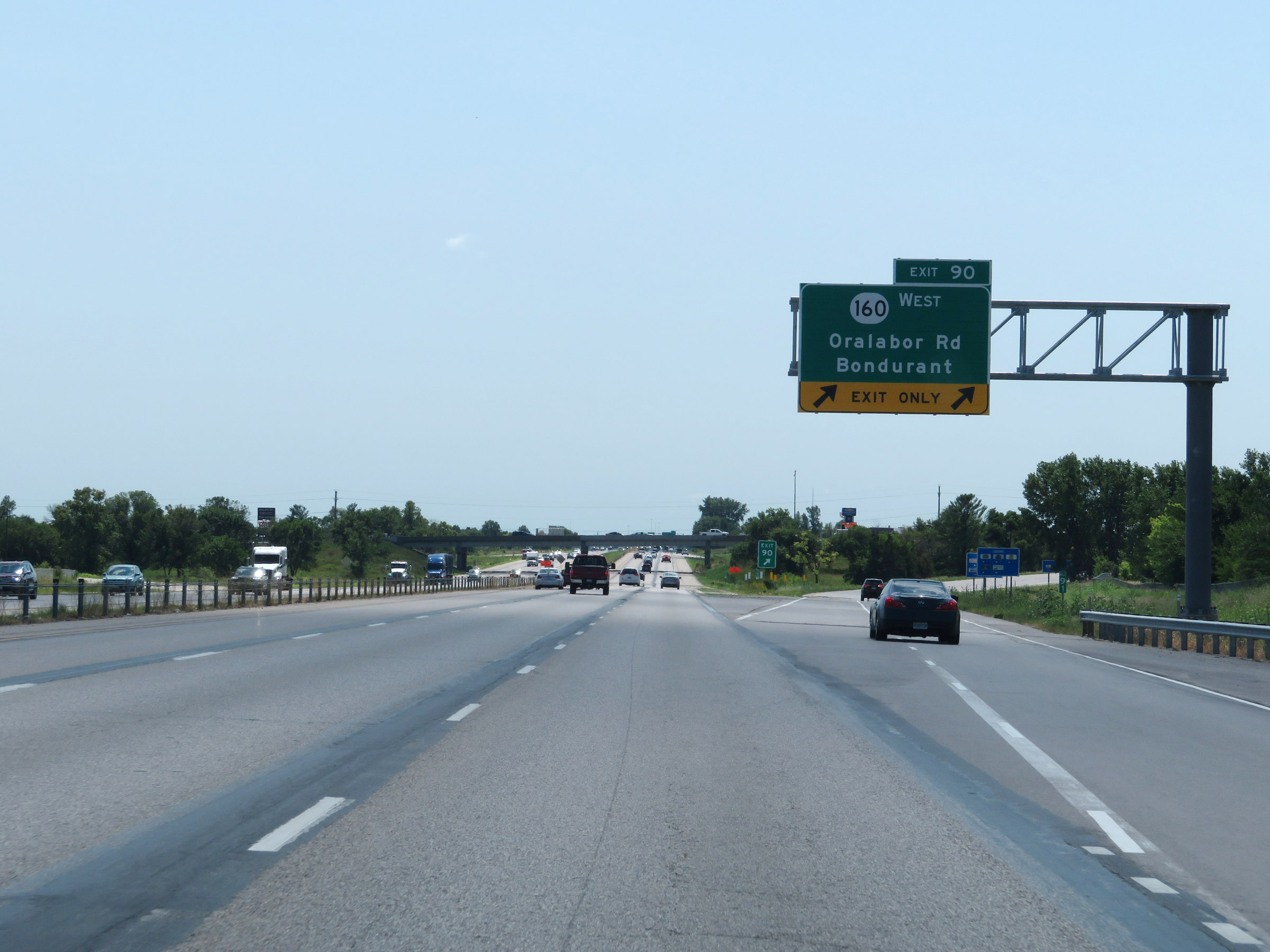 |
Interstate 35 South at Exit 90: IA 160 West - Oralabor Rd / Bondurant (Photo taken 8/8/20). |
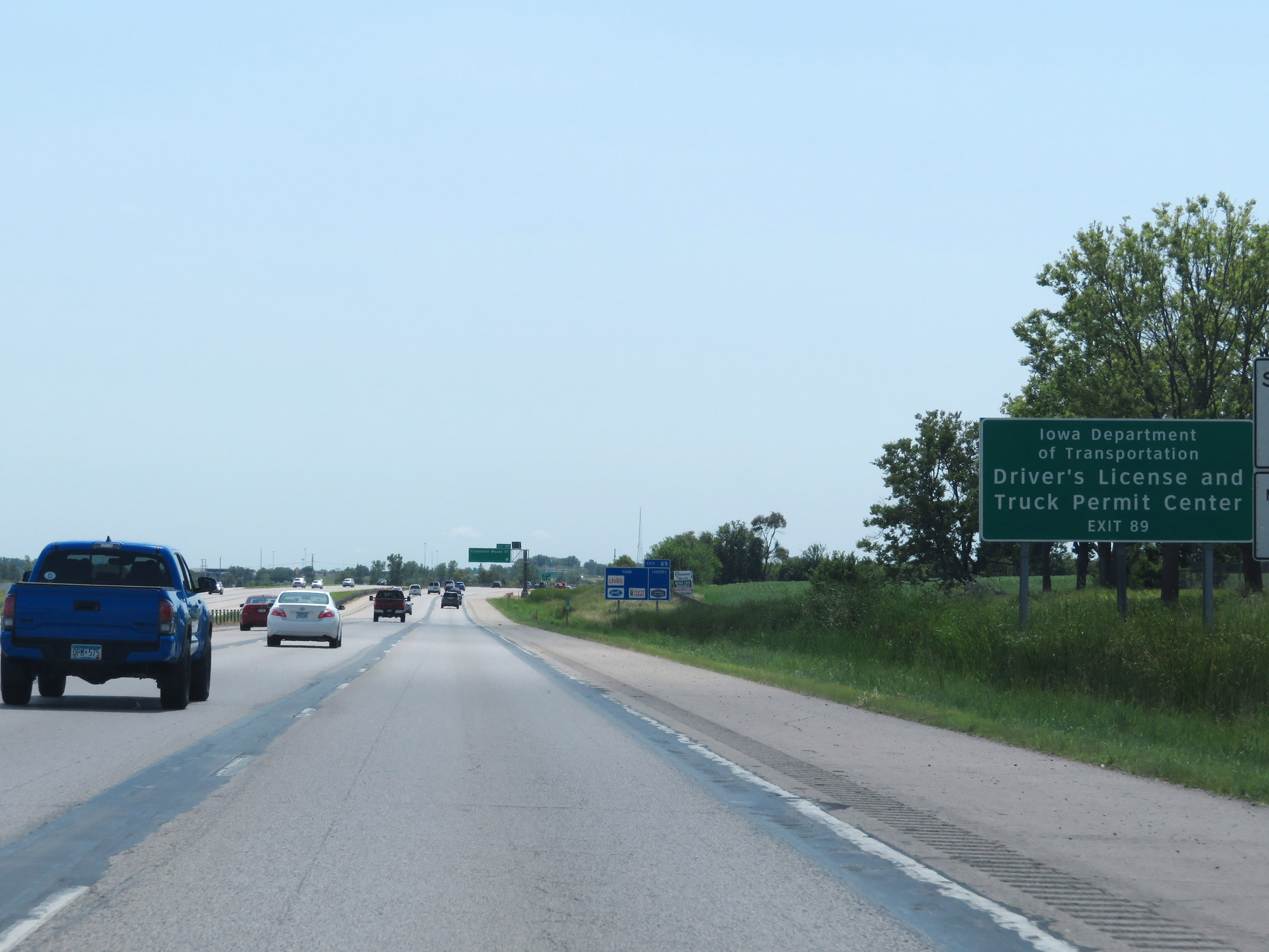 |
Take Exit 89 to the Iowa Department of Transportation Driver's License and Truck Permit Center. (Photo taken 8/8/20). |
 |
Interstate 35 South at Exit 89: Corporate Woods Dr (Photo taken 8/8/20). |
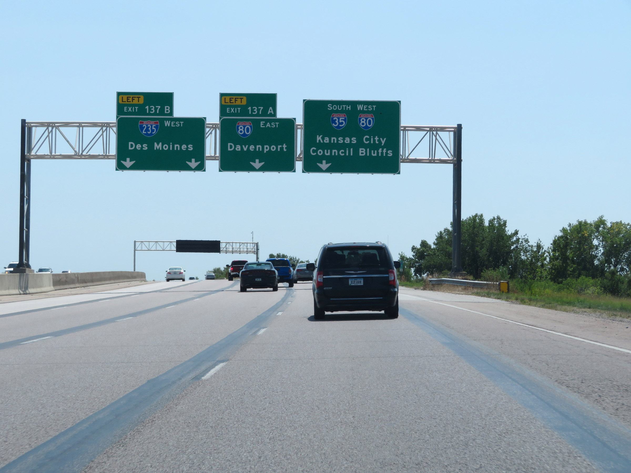 |
Interstate 35 South as it approaches the junctions of Interstate 80 and Interstate 235. Traffic to I-235 West must start moving left now to get in the two rightmost lanes. (Photo taken 8/8/20). |
 |
Traffic to Interstate 80 East via Exit 137 must be in the second lane from the right. Interstate 35 South thru traffic and traffic to Interstate 80 West should keep right. (Photo taken 8/8/20). |
 |
Again, traffic to Interstate 235 West (and downtown Des Moines) via Exit 137B must be in the two leftmost lanes. (Photo taken 8/8/20). |
 |
Interstate 35 South at Exit 137B: Interstate 235 West - Des Moines (Photo taken 8/8/20). |
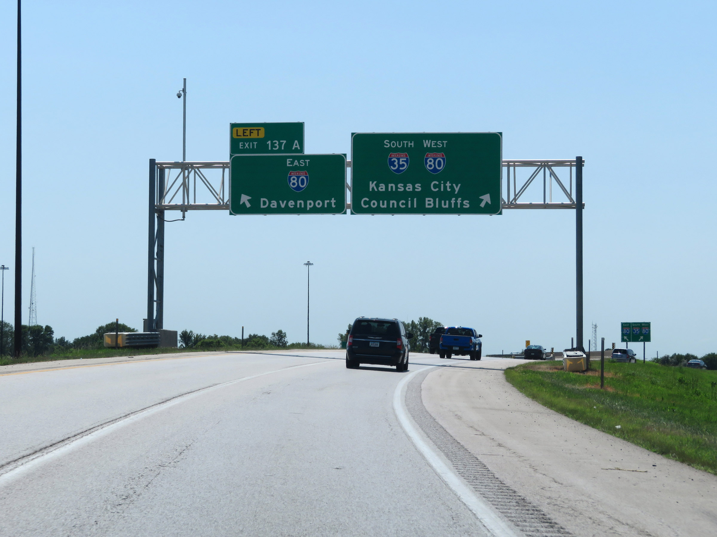 |
Interstate 35 South at Exit 137A: Interstate 80 East - Davenport (Photo taken 8/8/20). |
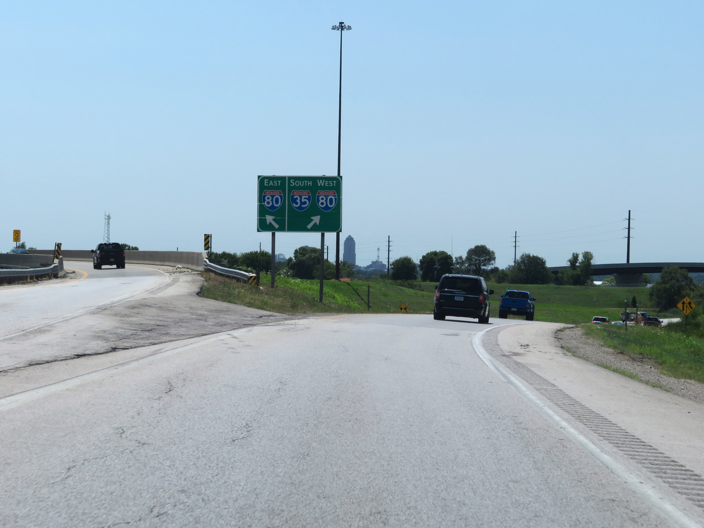 |
A closer view of the ramp to Interstate 80 East via Exit 137A on the left. Interstate 35 South is briefly reduced to a single lane in preparation for merging into the westbound lanes of Interstate 80 to the north of Des Moines. I-35 and I-80 will run concurrently for the next 13 miles around the north and west sides of the Des Moines area. (Photo taken 8/8/20). |
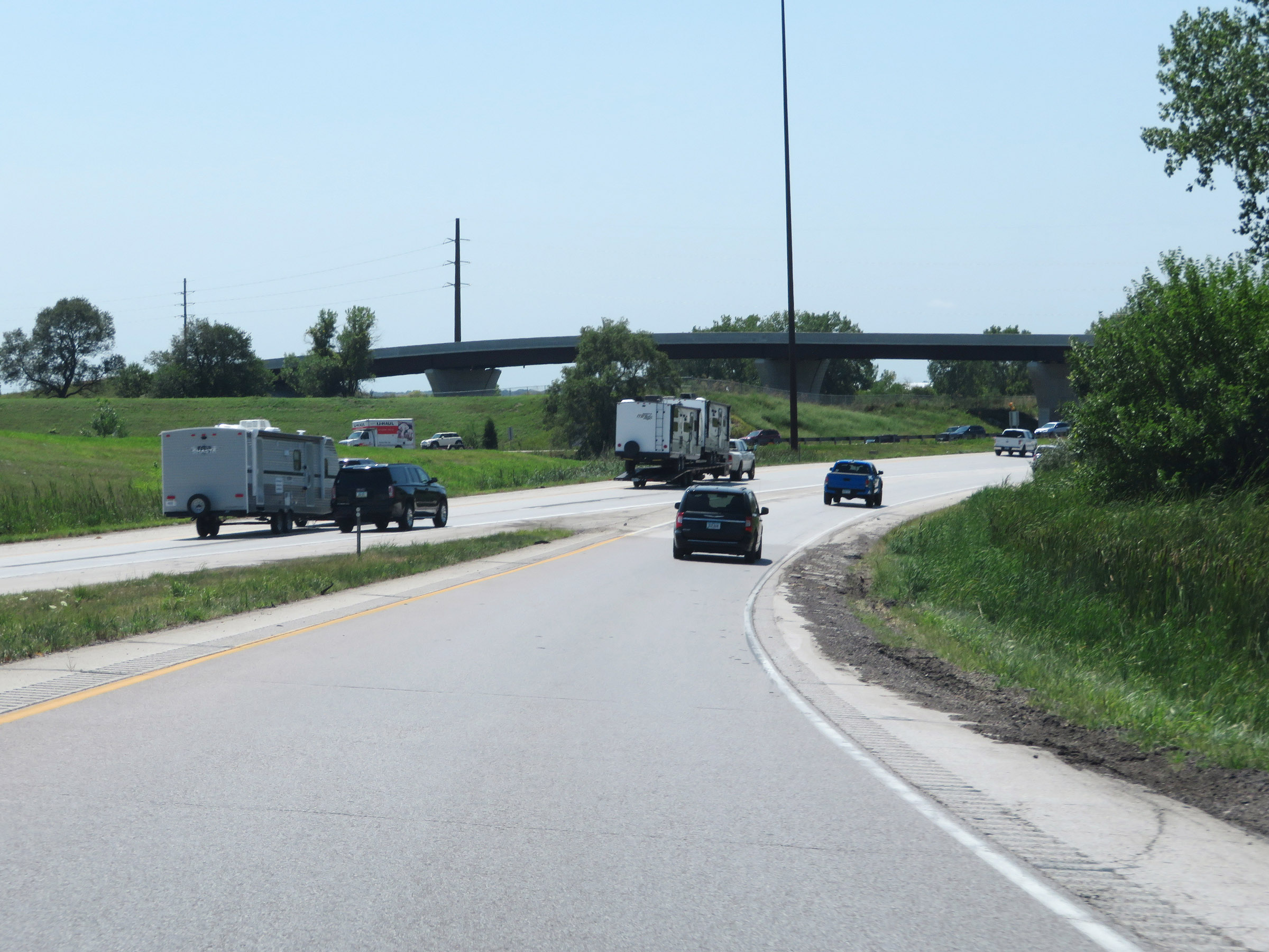 |
View on Interstate 35 South as it is reduced to a single lane and prepares to merge into the westbound lanes of Interstate 80 to begin their concurrency. (Photo taken 8/8/20). |
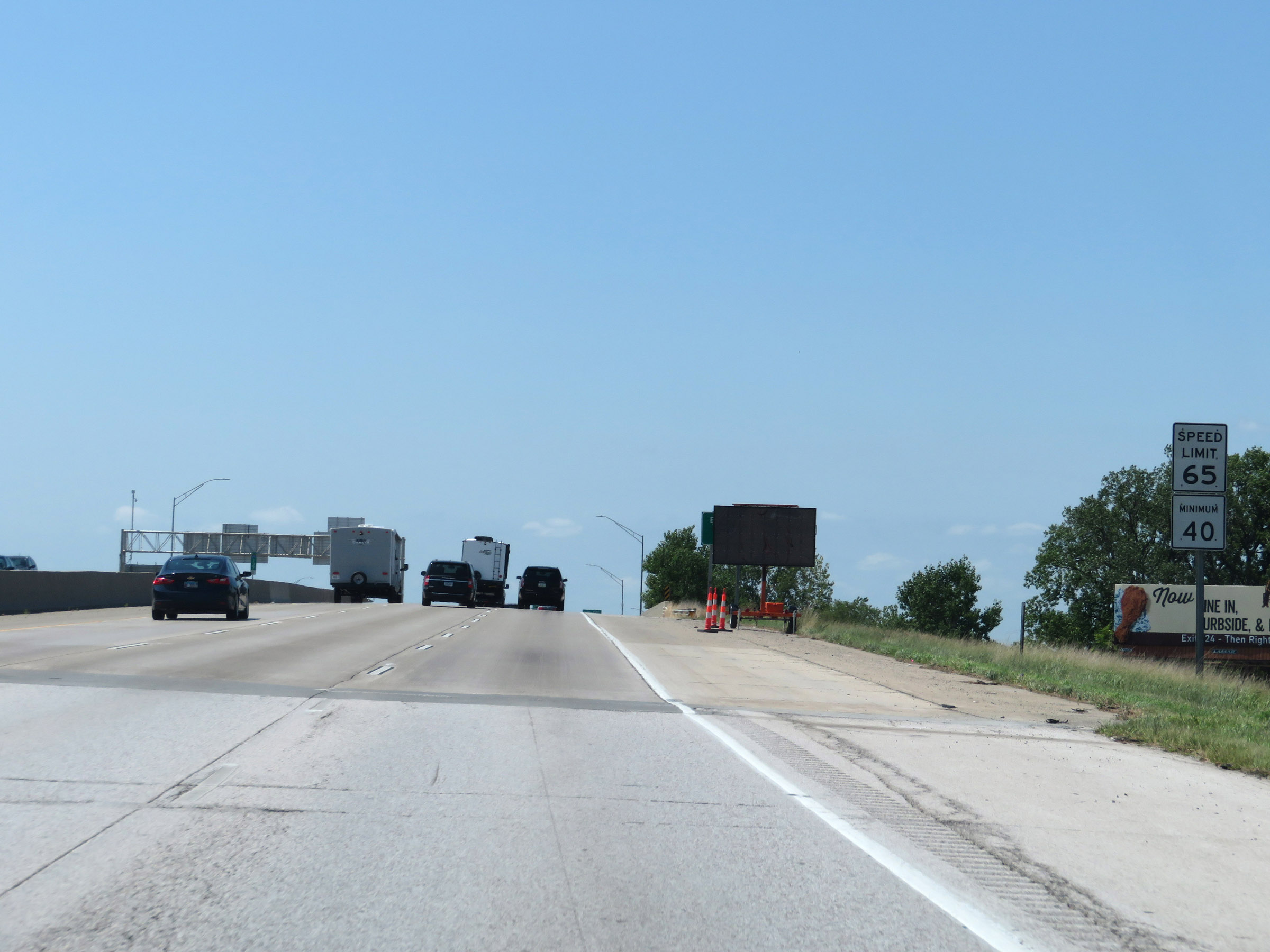 |
During the Interstate 35 South / Interstate 80 West concurrency, the maximum speed limit remains 65 mph and the minimum remains 40 mph. (Photo taken 8/8/20). |
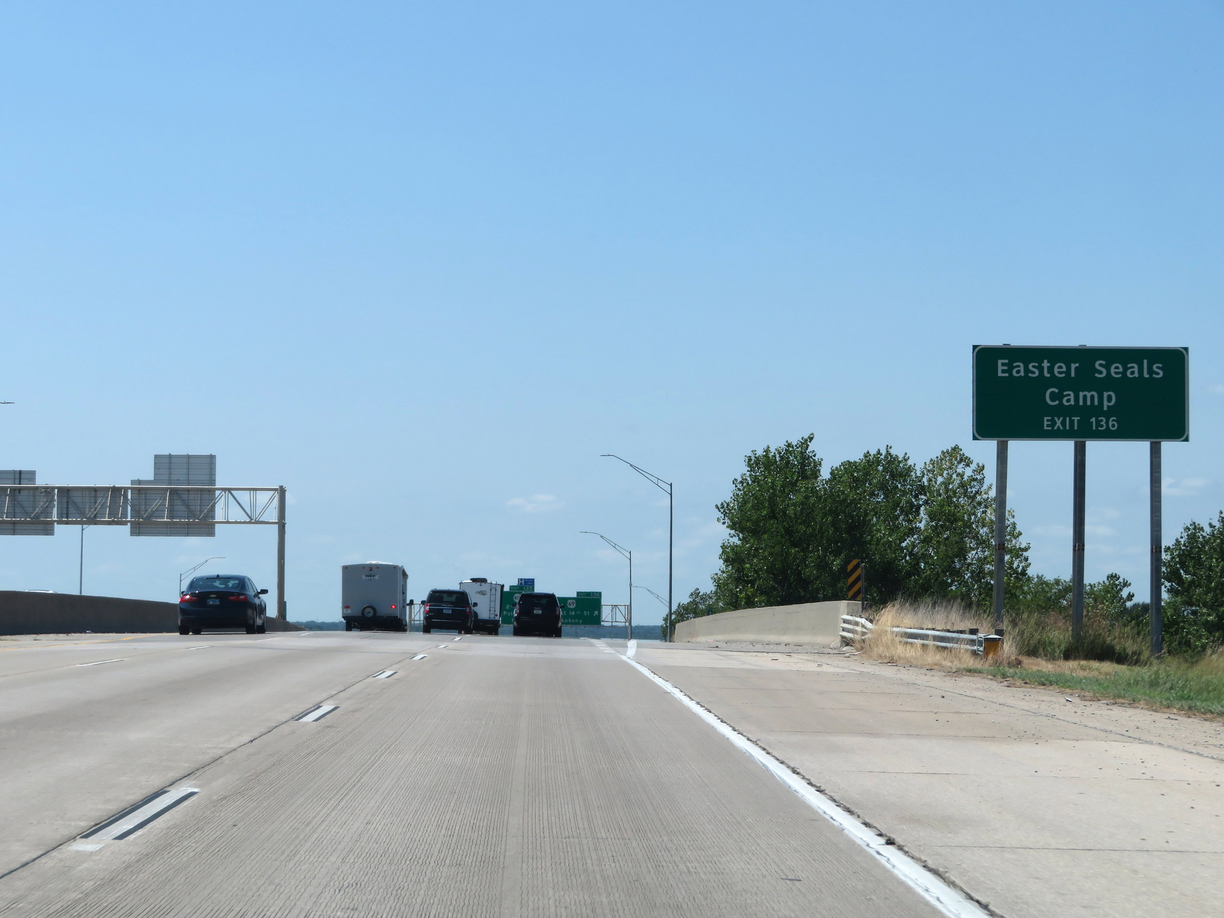 |
Take Exit 136 to Easter Seals Camp. During the Interstate 35 / Interstate 80 concurrency in the Des Moines area, the mileage and exit numbers are based on the mileage of I-80. (Photo taken 8/8/20). |
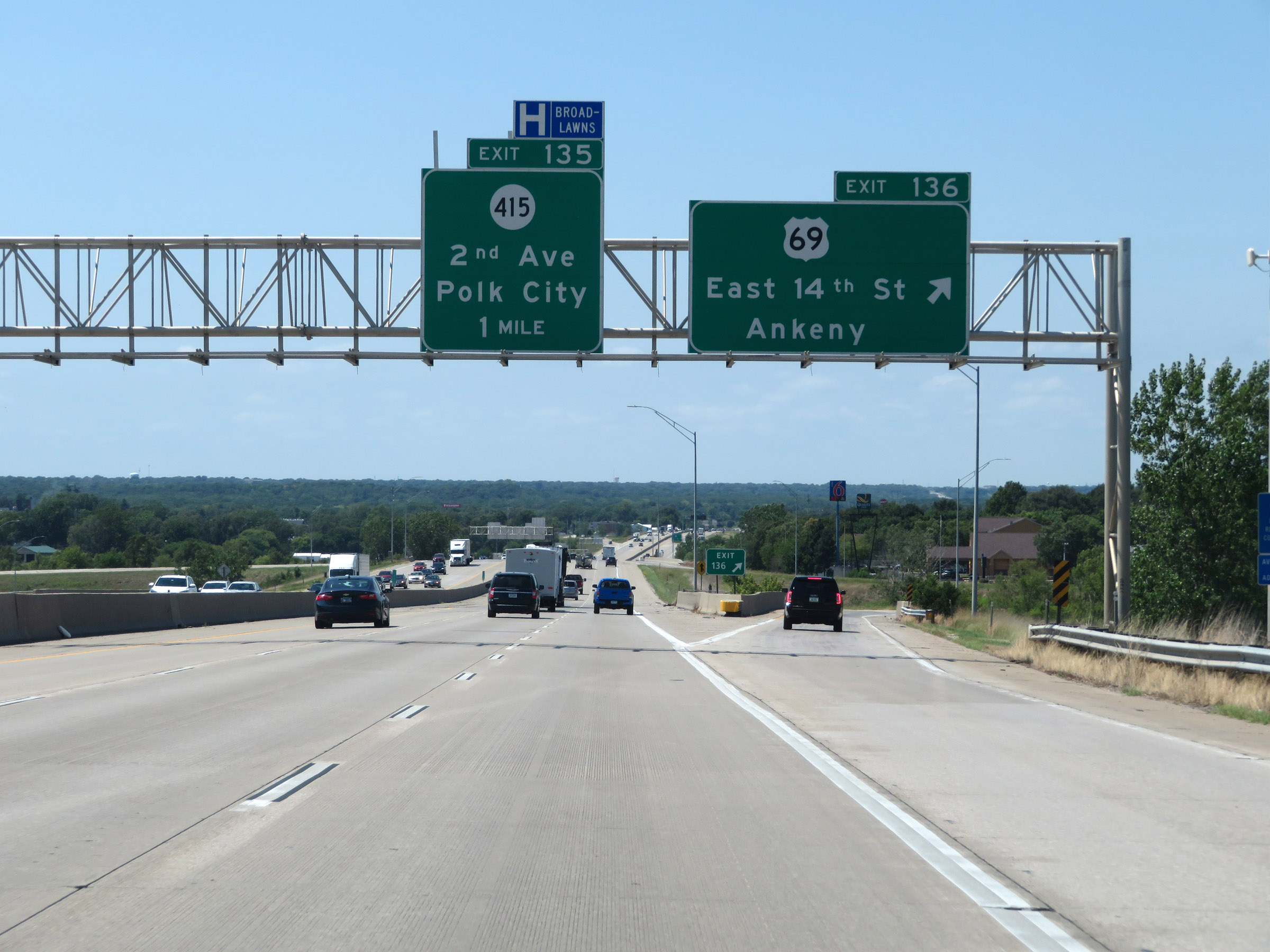 |
Interstate 35 South / Interstate 80 West at Exit 136: US 69 - East 14th St / Ankeny (Photo taken 8/8/20). |
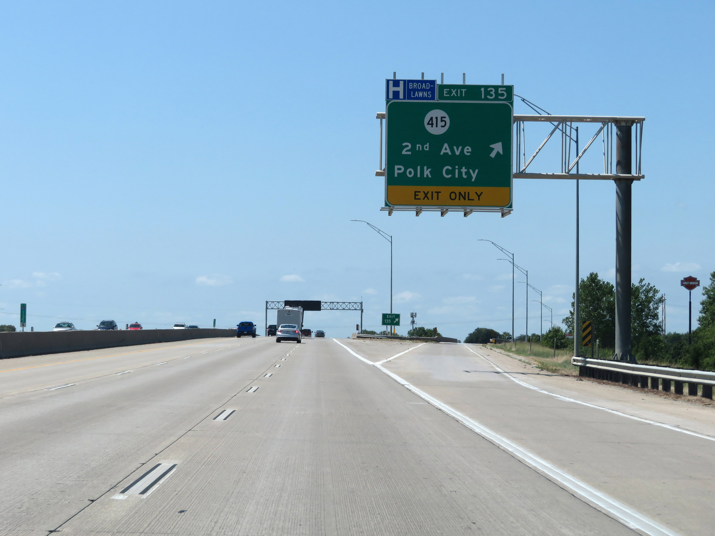 |
Interstate 35 South / Interstate 80 West at Exit 135: IA 415 - 2nd Ave / Polk City (Photo taken 8/8/20). |
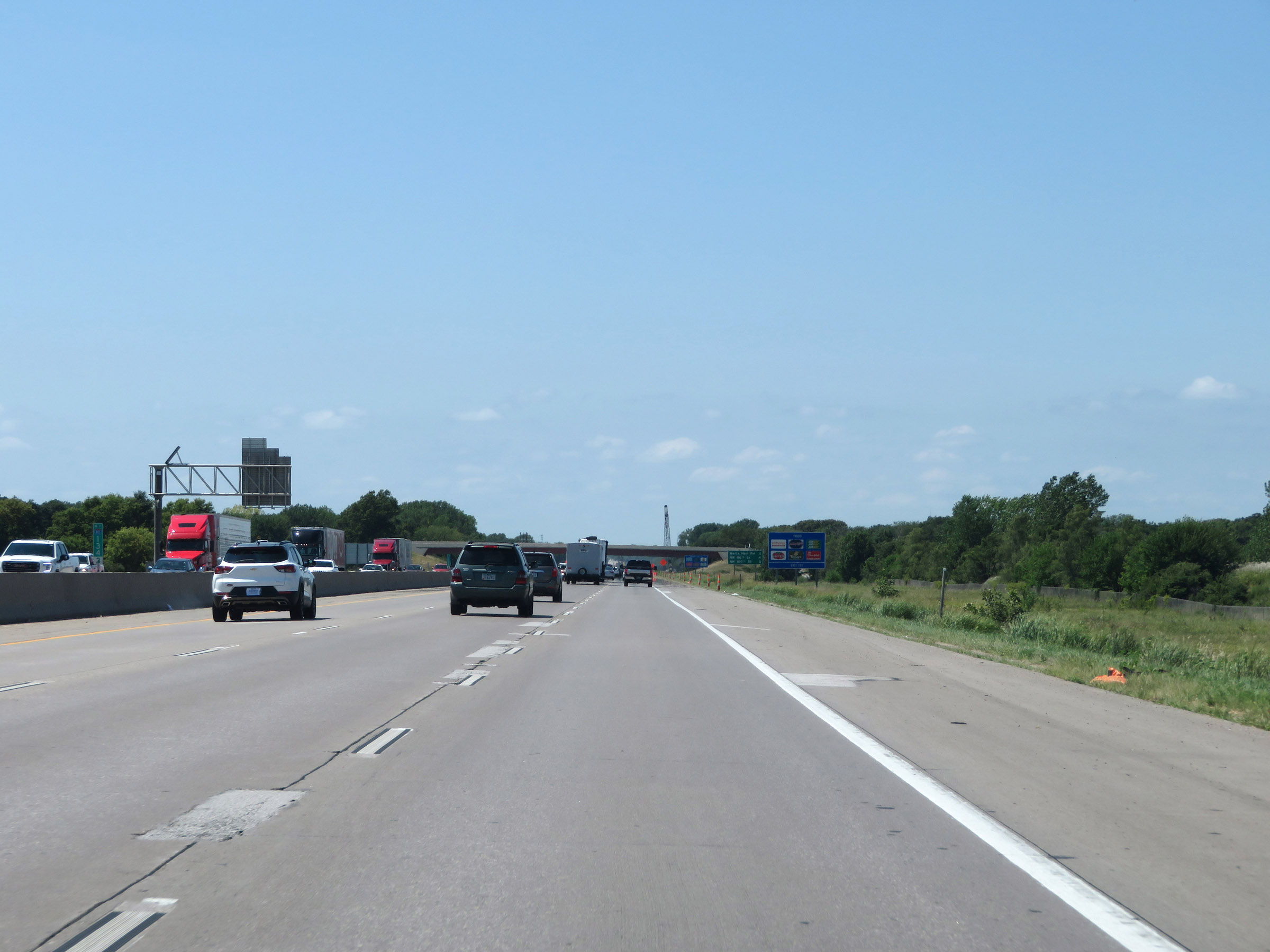 |
View on Interstate 35 South / Interstate 80 West at mile marker 134.3. (Photo taken 8/8/20). |
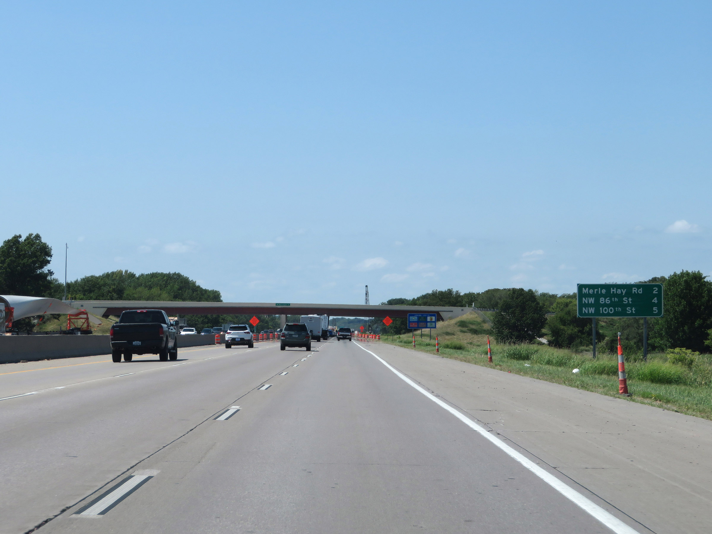 |
Mileage sign listing the distances to the next 3 exits on Interstate 35 South / Interstate 80 West. (Photo taken 8/8/20). |
 |
Take Exit 131 to the Iowa Military Museum and the VA Hospital. (Photo taken 8/8/20). |
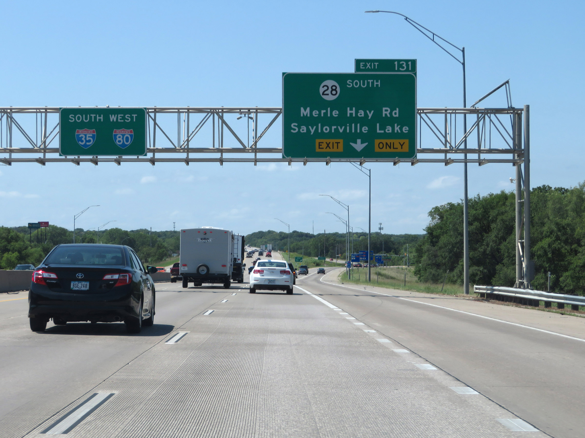 |
Interstate 35 South / Interstate 80 West at Exit 131: IA 28 South - Merle Hay Rd / Saylorville Lake (Photo taken 8/8/20). |
 |
View on Interstate 35 South / Interstate 80 West at mile marker 131. (Photo taken 8/8/20). |
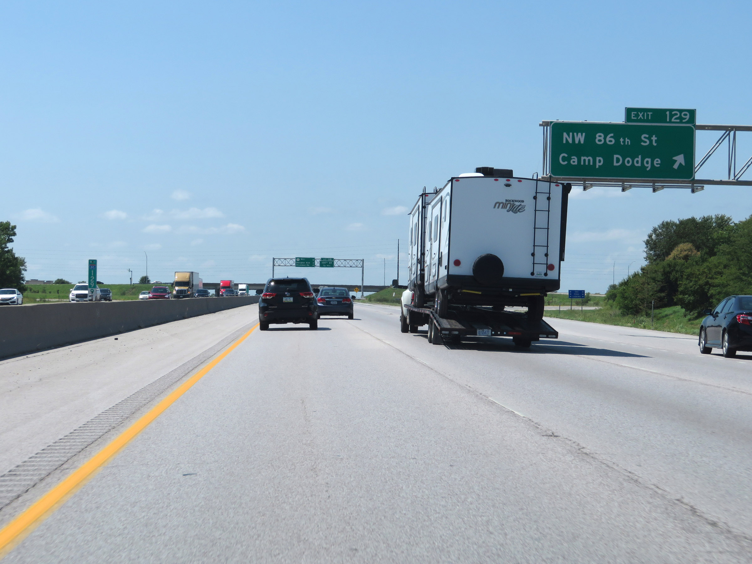 |
Interstate 35 South / Interstate 80 West at Exit 129: NW 86th St / Camp Dodge (Photo taken 8/8/20). |
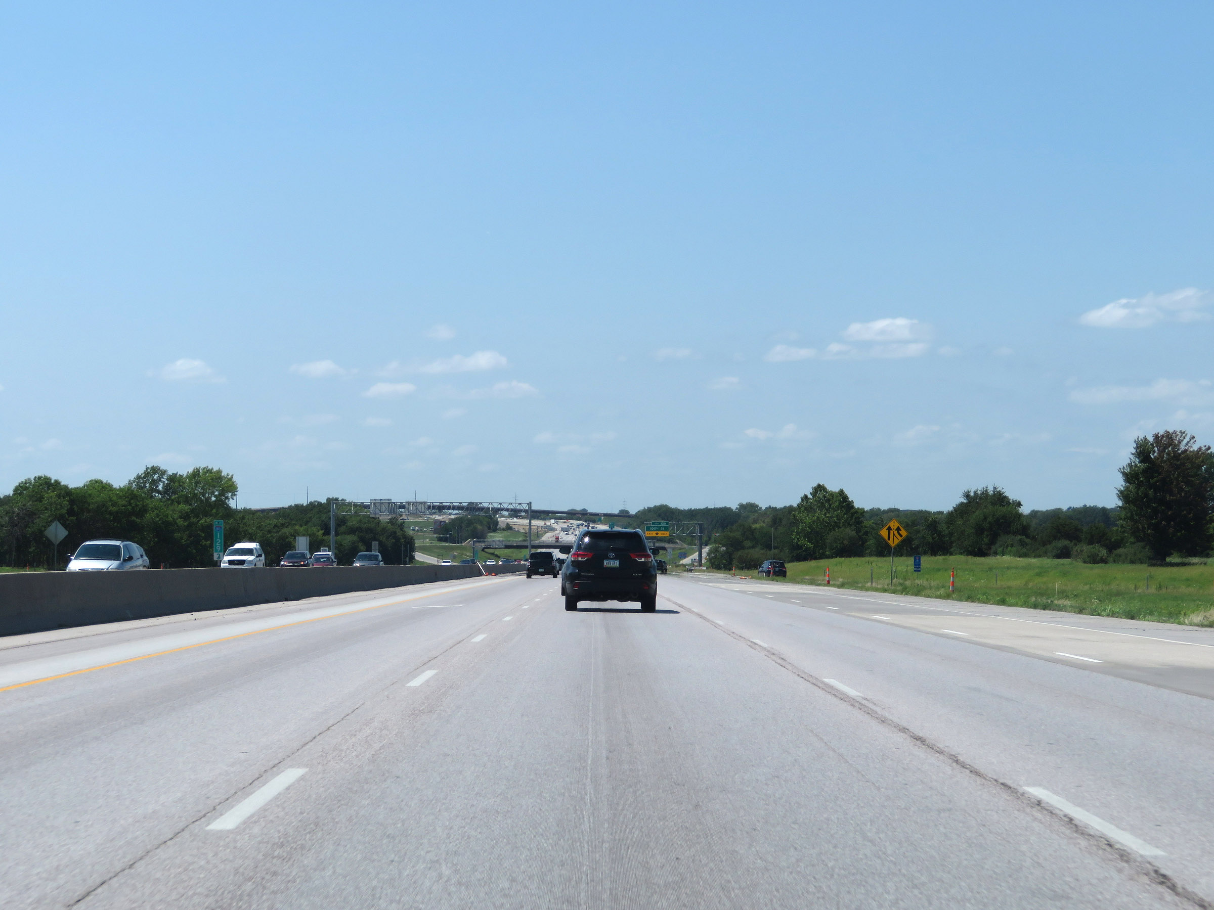 |
Interstate 35 South / Interstate 80 West at mile marker 129.3. (Photo taken 8/8/20). |
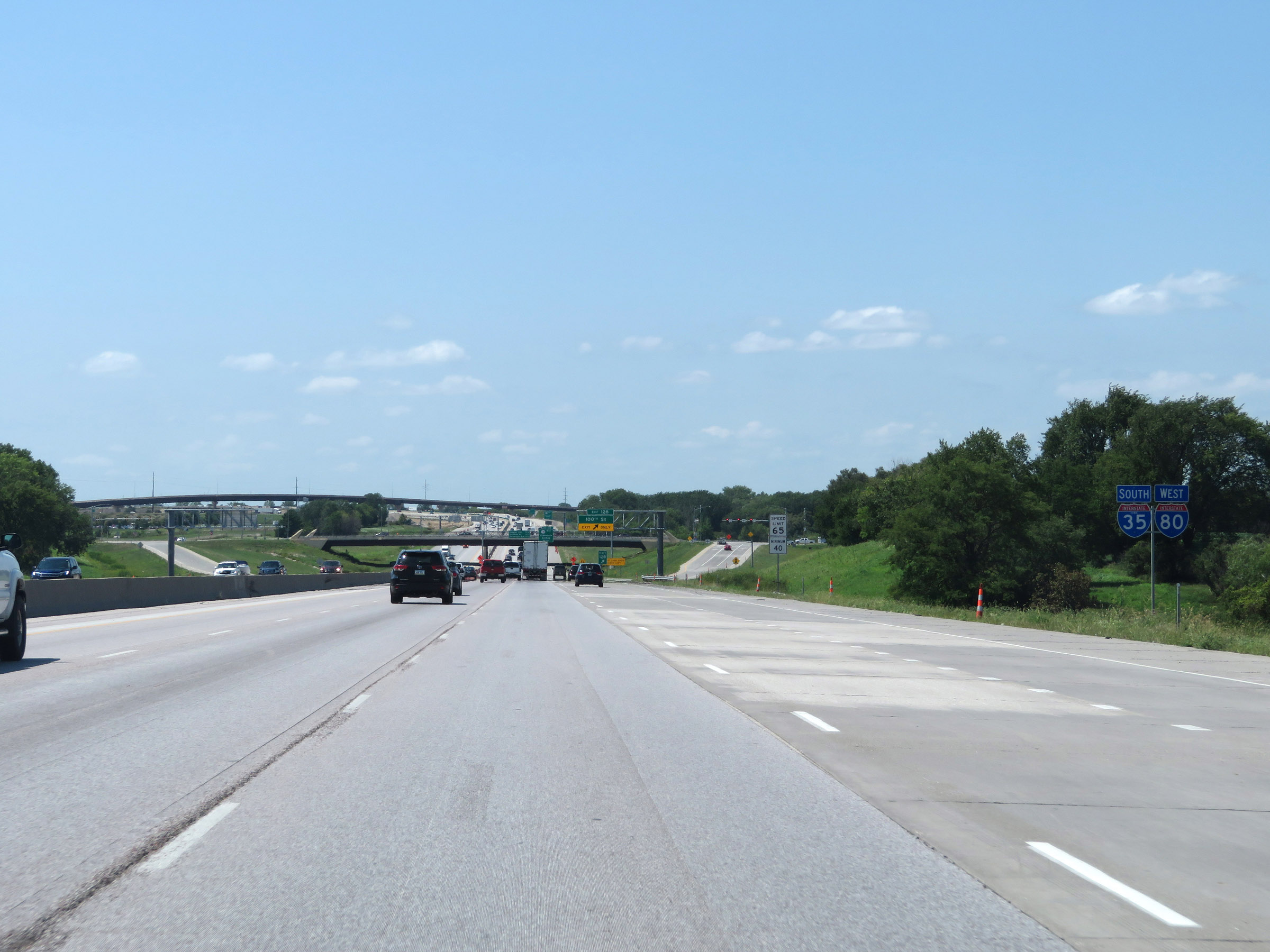 |
Interstate 35 South / Interstate 80 West reassurance shields. (Photo taken 8/8/20). |
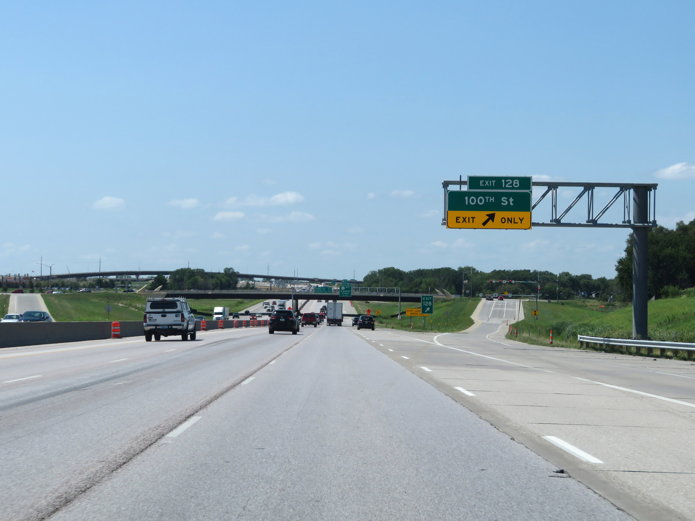 |
Interstate 35 South / Interstate 80 West at Exit 128: 100th St (Photo taken 8/8/20). |
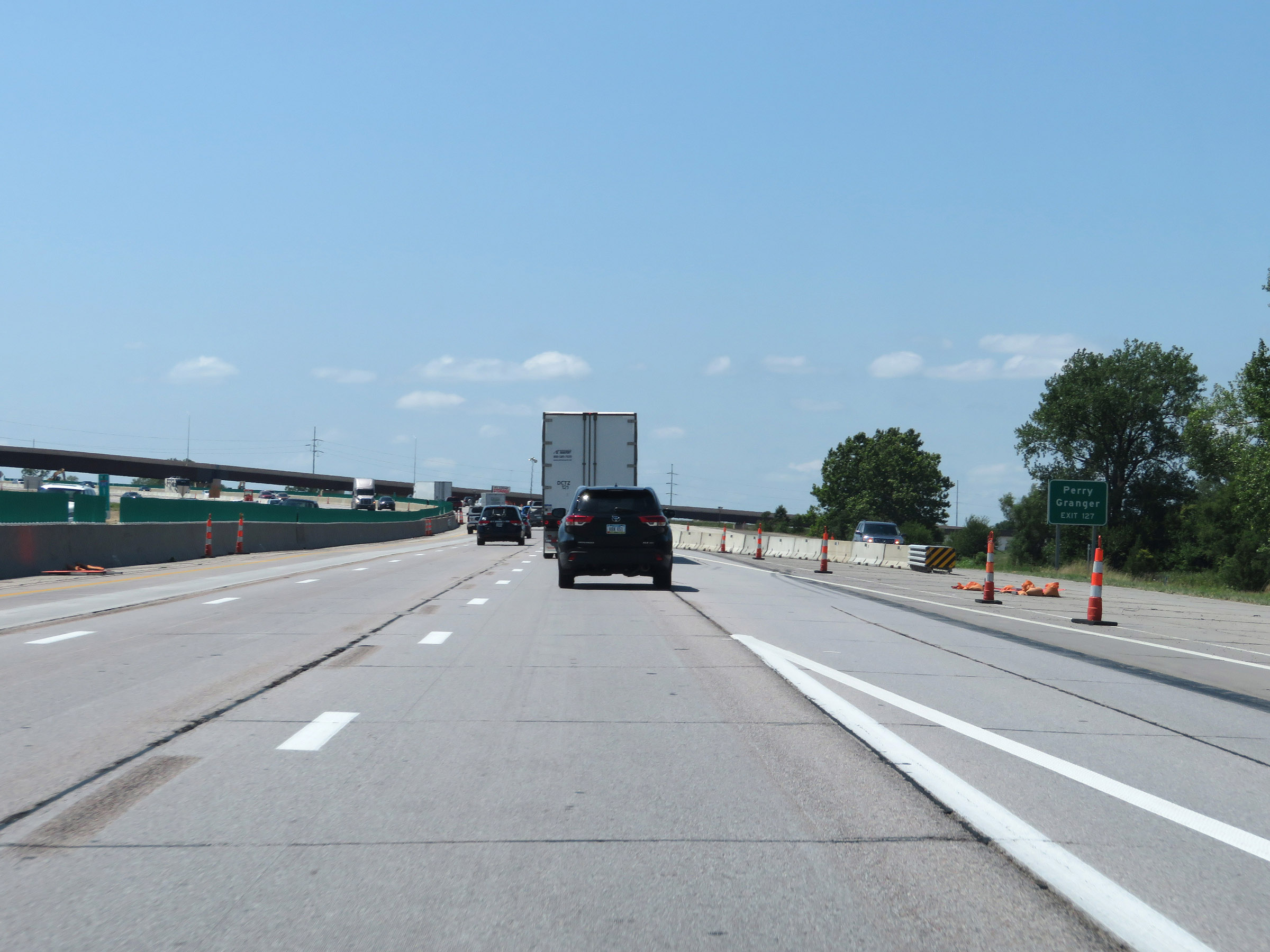 |
Take Exit 127 to Perry and Granger. (Photo taken 8/8/20). |
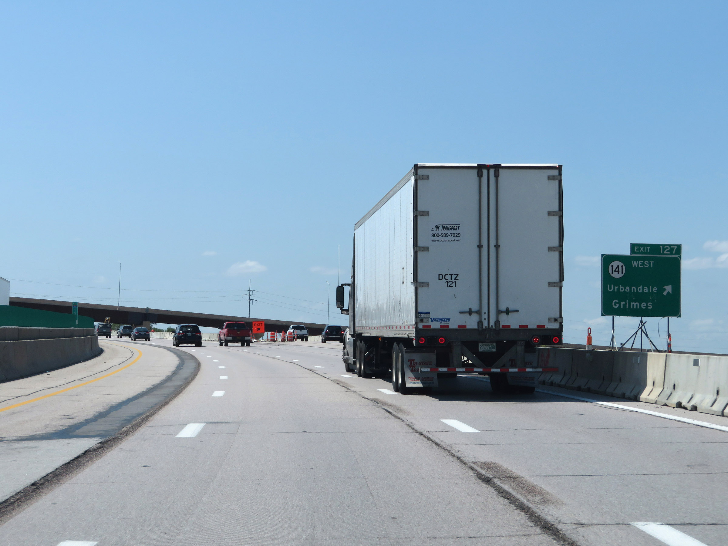 |
Interstate 35 South / Interstate 80 West at Exit 127: IA 141 West - Urbandale / Grimes (Photo taken 8/8/20). |
 |
View on Interstate 35 South / Interstate 80 West at mile marker 127.4, as the duplex begins to curve to the south at the northwestern corner of the Des Moines area. (Photo taken 8/8/20). |
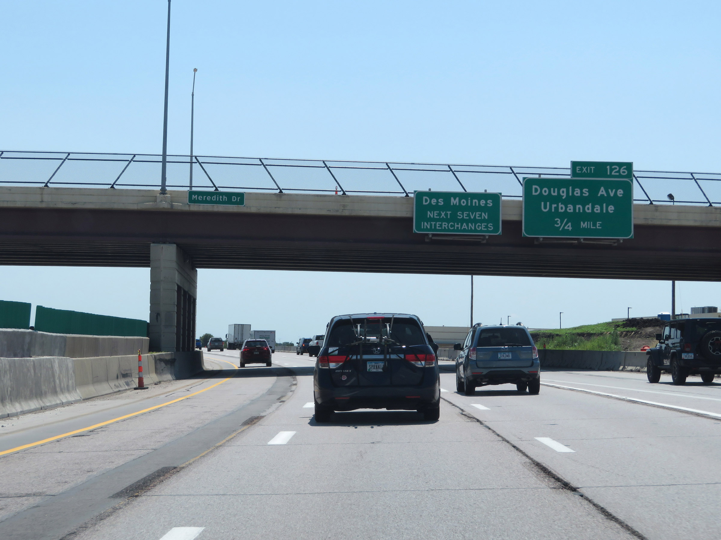 |
Take any of the next 7 exits to Des Moines. (Photo taken 8/8/20). |
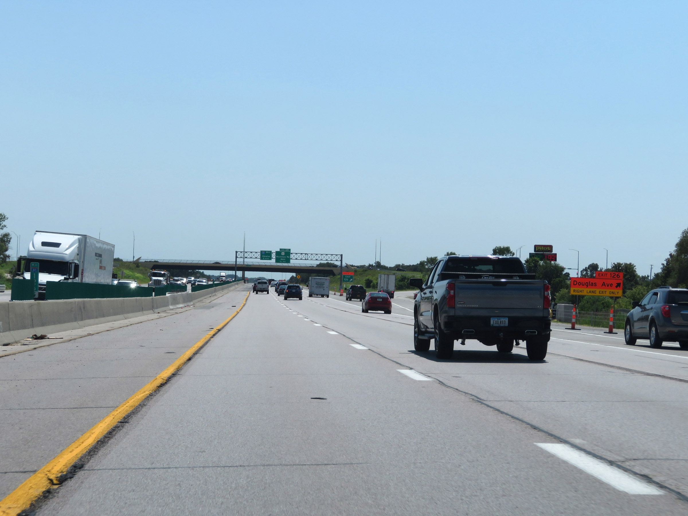 |
Interstate 35 South / Interstate 80 West at Exit 126: Douglas Ave / Urbandale (Photo taken 8/8/20). |
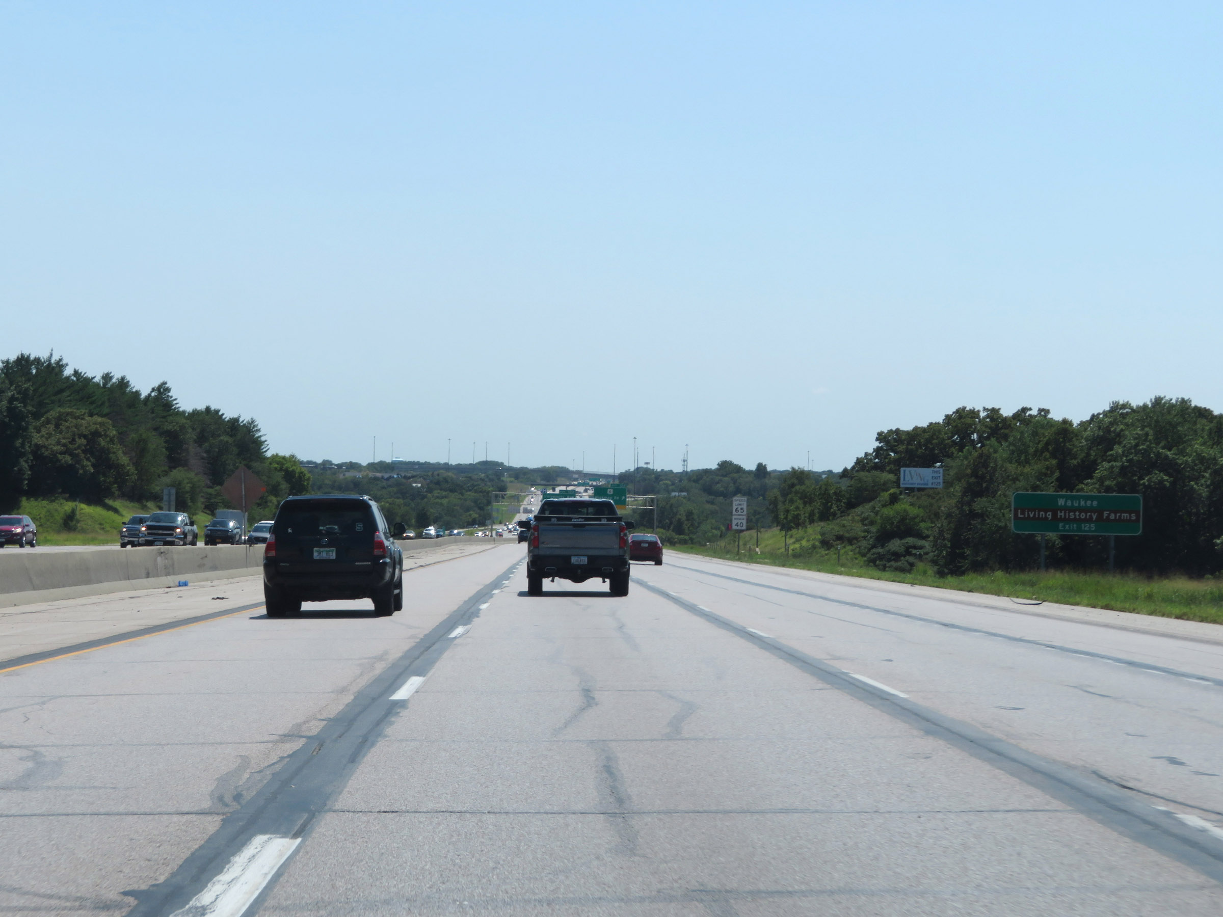 |
Take Exit 125 to Waukee and Living History Farms. (Photo taken 8/8/20). |
 |
The speed limits remain 65 mph maximum and 40 mph minimum. (Photo taken 8/8/20). |
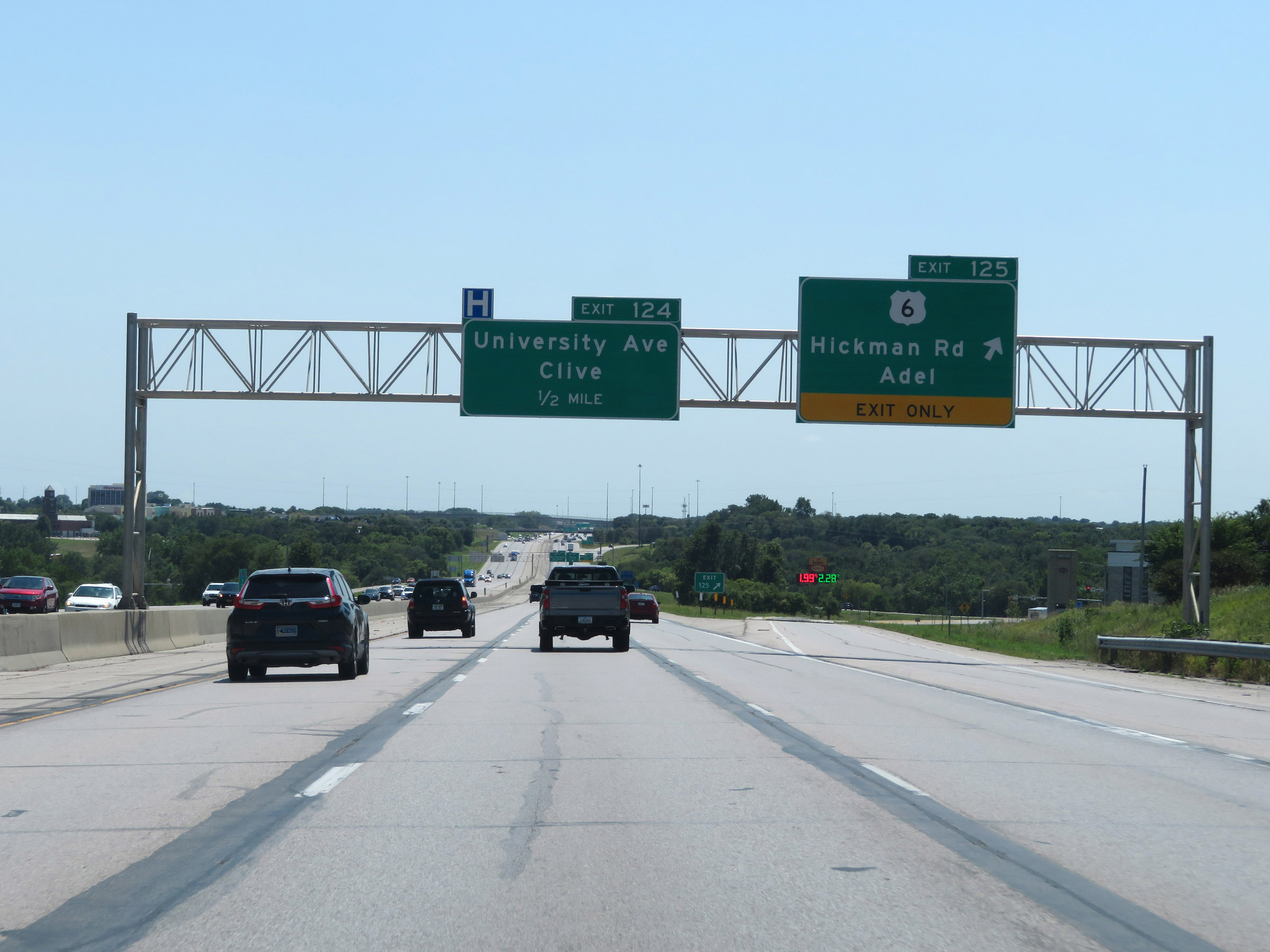 |
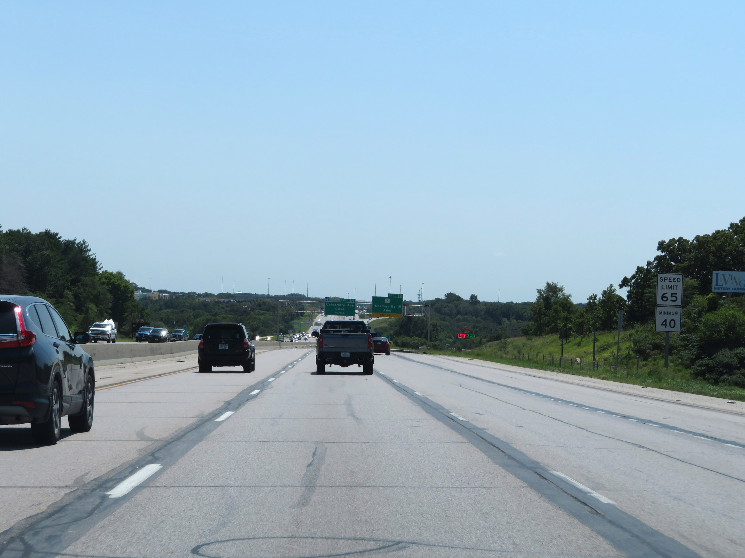
Interstate 35 South / Interstate 80 West at Exit 125: US 6 - Hickman Rd / Adel (Photo taken 8/8/20). |
 |
View on Interstate 35 South / Interstate 80 West at mile marker 125. (Photo taken 8/8/20). |
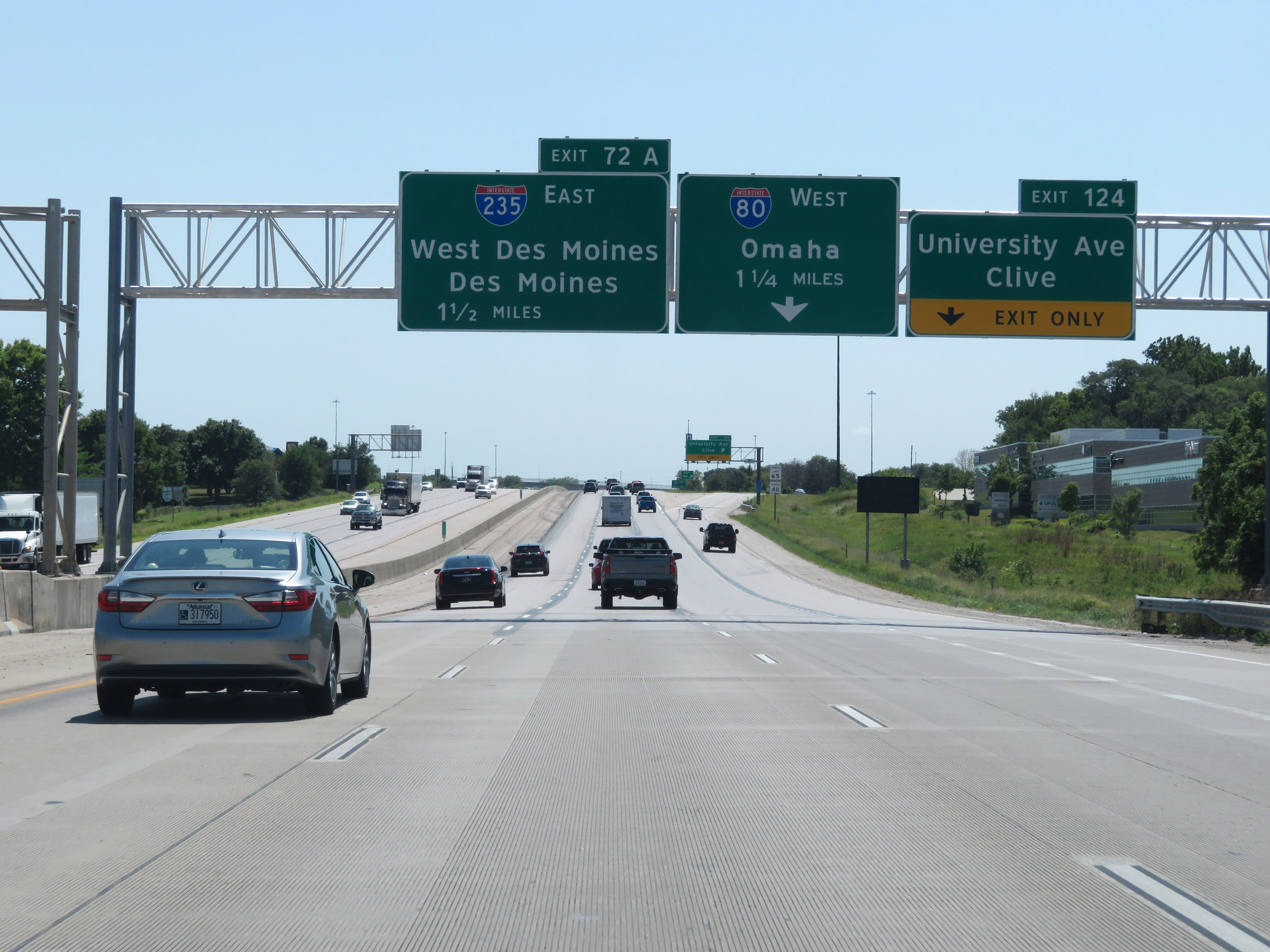 |
Interstate 35 South / Interstate 80 West approaching the departure of I-80 to the west - 1 1/4 miles. This departure of I-80 from I-35 is not given an exit number on I-35 South. (Photo taken 8/8/20). |
 |
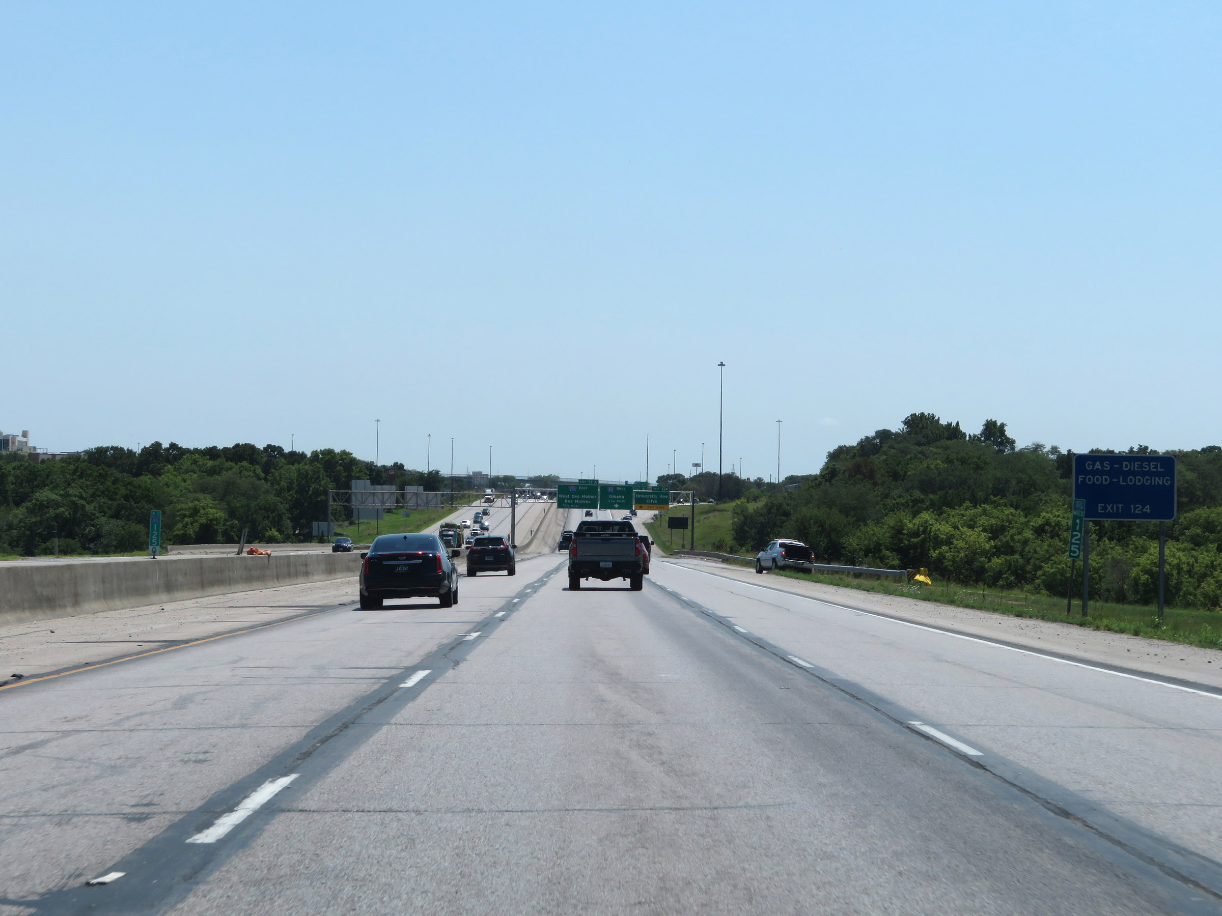
Interstate 35 South / Interstate 80 West at Exit 124: University Ave / Clive (Photo taken 8/8/20). |
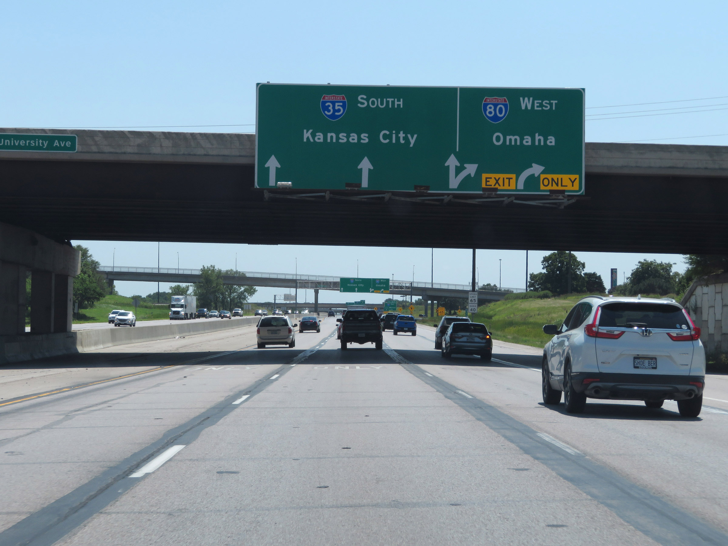 |
Approaching the split of Interstate 35 South and Interstate 80 West, I-80 West traffic should use the two rightmost lanes. (Photo taken 8/8/20). |
 |
Interstate 35 South / Interstate 80 West at Exit: Interstate 80 West - Omaha (Photo taken 8/8/20). |
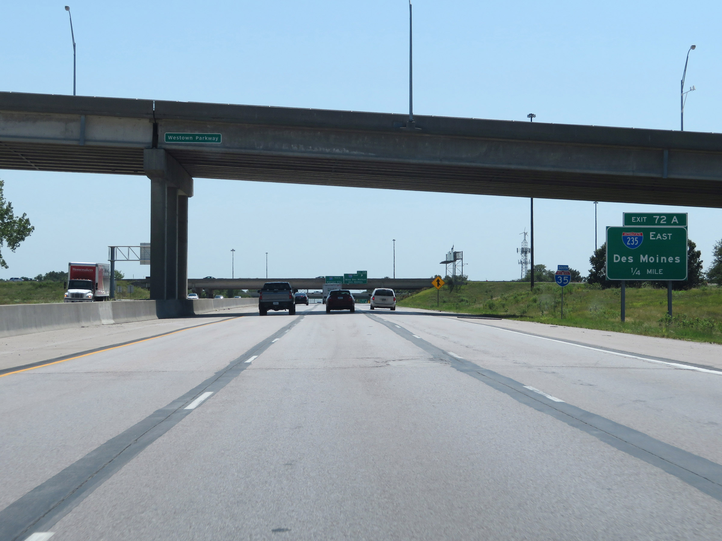 |
Interstate 35 South approaching Exit 72A - 1/4 mile, as the mileage and exit number return to being based on the mileage of I-35 after the departure of Interstate 80 to the west. (Photo taken 8/8/20). |
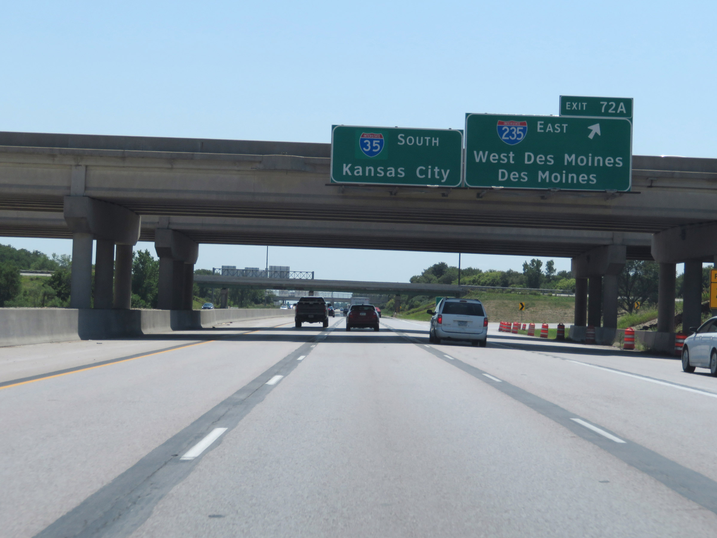 |
Interstate 35 South at Exit 72A: Interstate 235 East - West Des Moines / Des Moines (Photo taken 8/8/20). |
Section 4: West Des Moines (Exit 72A) to Missouri Border
 |
Interstate 35 South reassurance shield at mile marker 72. (Photo taken 8/8/20). |
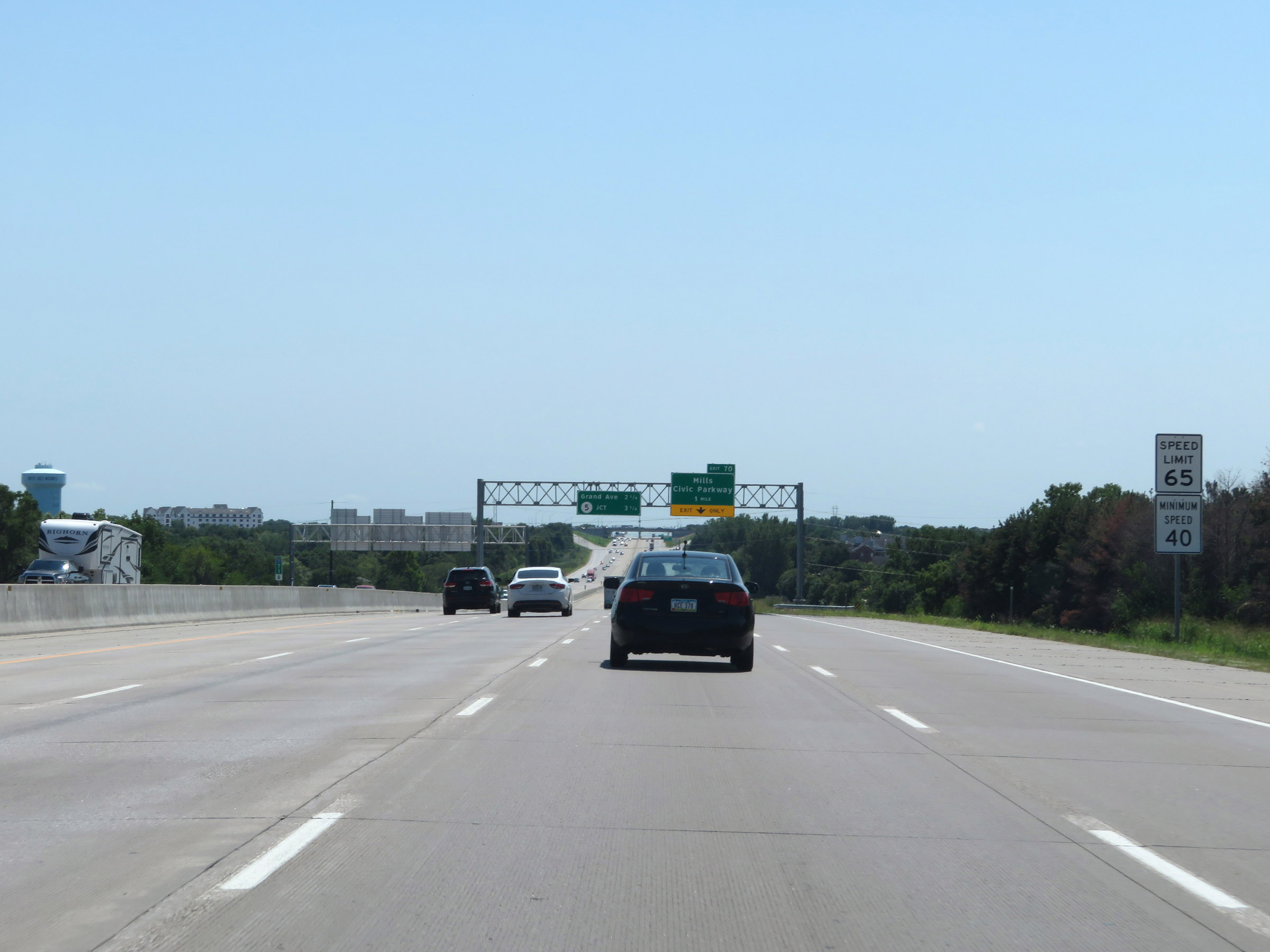 |
The speed limits still remain 65 mph maximum and 40 mph minimum. (Photo taken 8/8/20). |
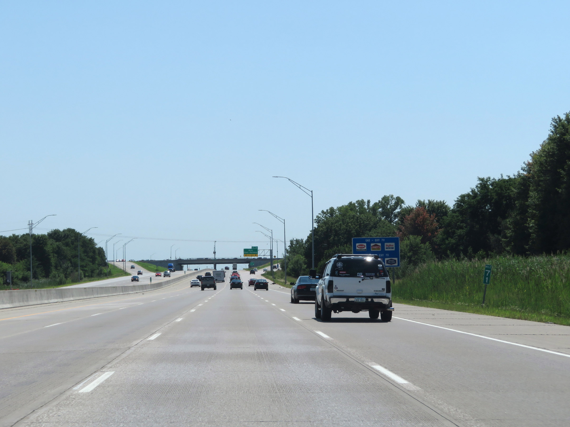 |
View on Interstate 35 South at mile marker 71. (Photo taken 8/8/20). |
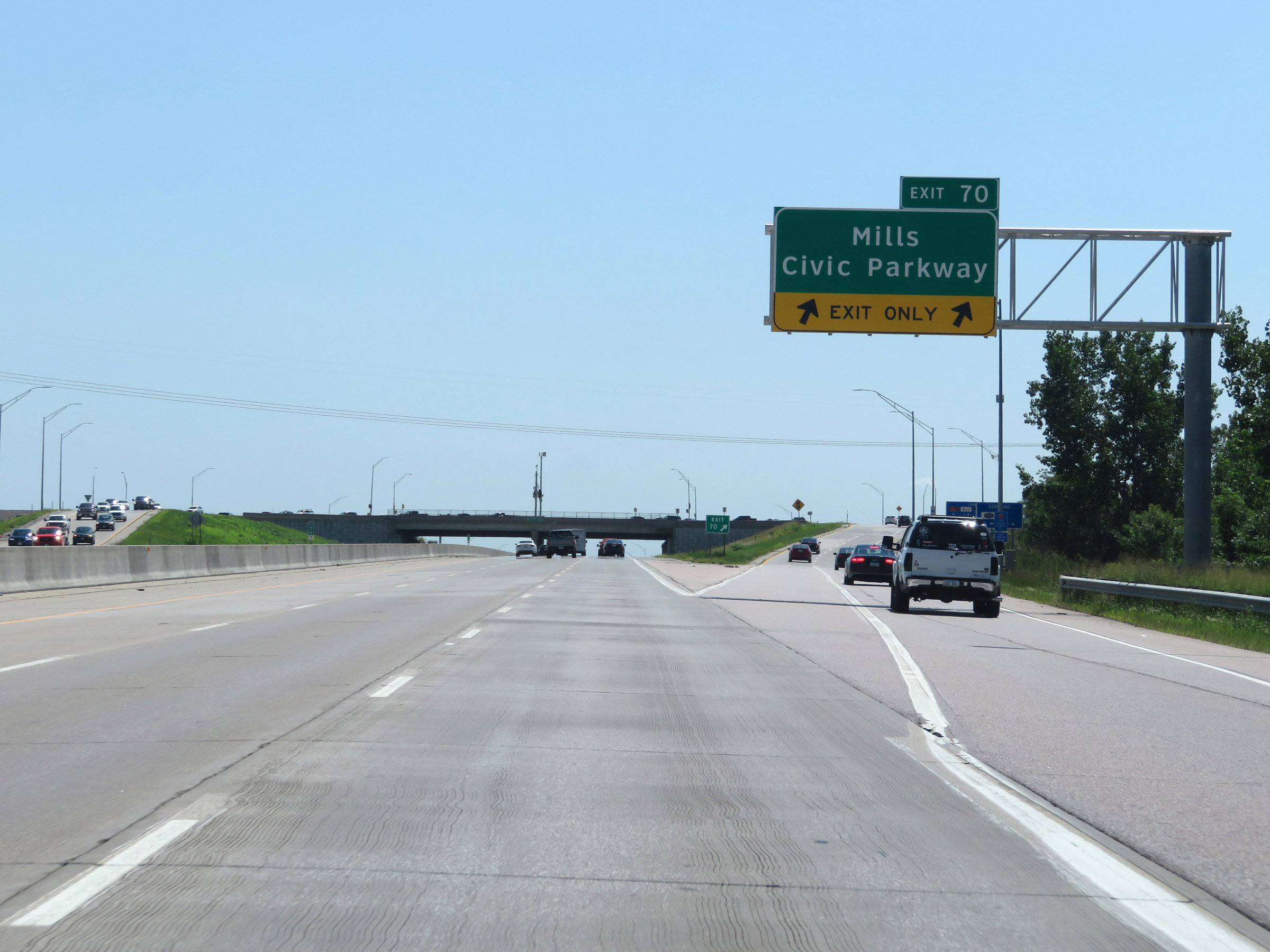 |
Interstate 35 South at Exit 70: Mills Civic Parkway (Photo taken 8/8/20). |
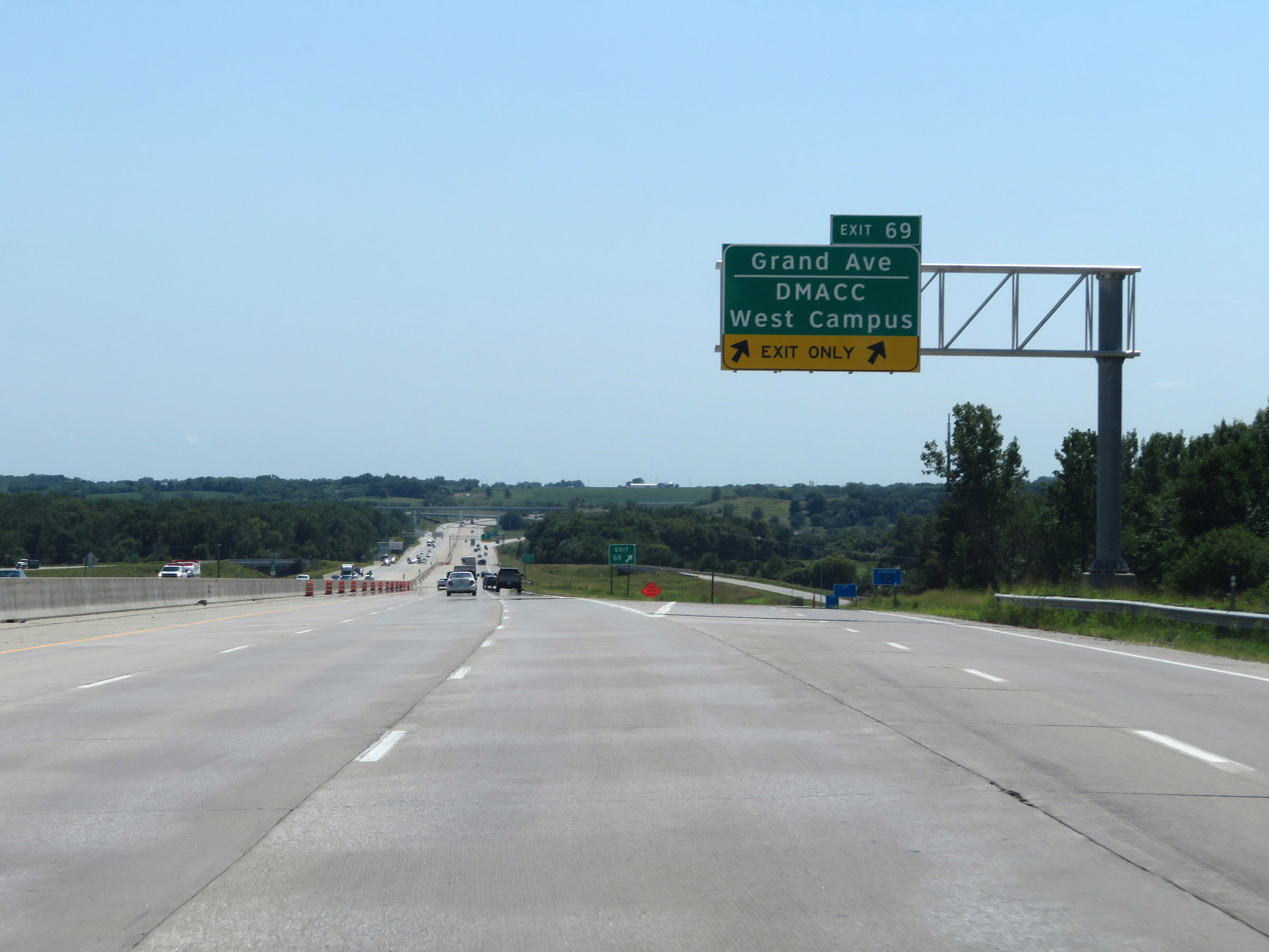 |
Interstate 35 South at Exit 69: Grand Ave / DMACC West Campus (Photo taken 8/8/20). |
 |
Take Exit 68 to Norwalk and Carlisle. (Photo taken 8/8/20). |
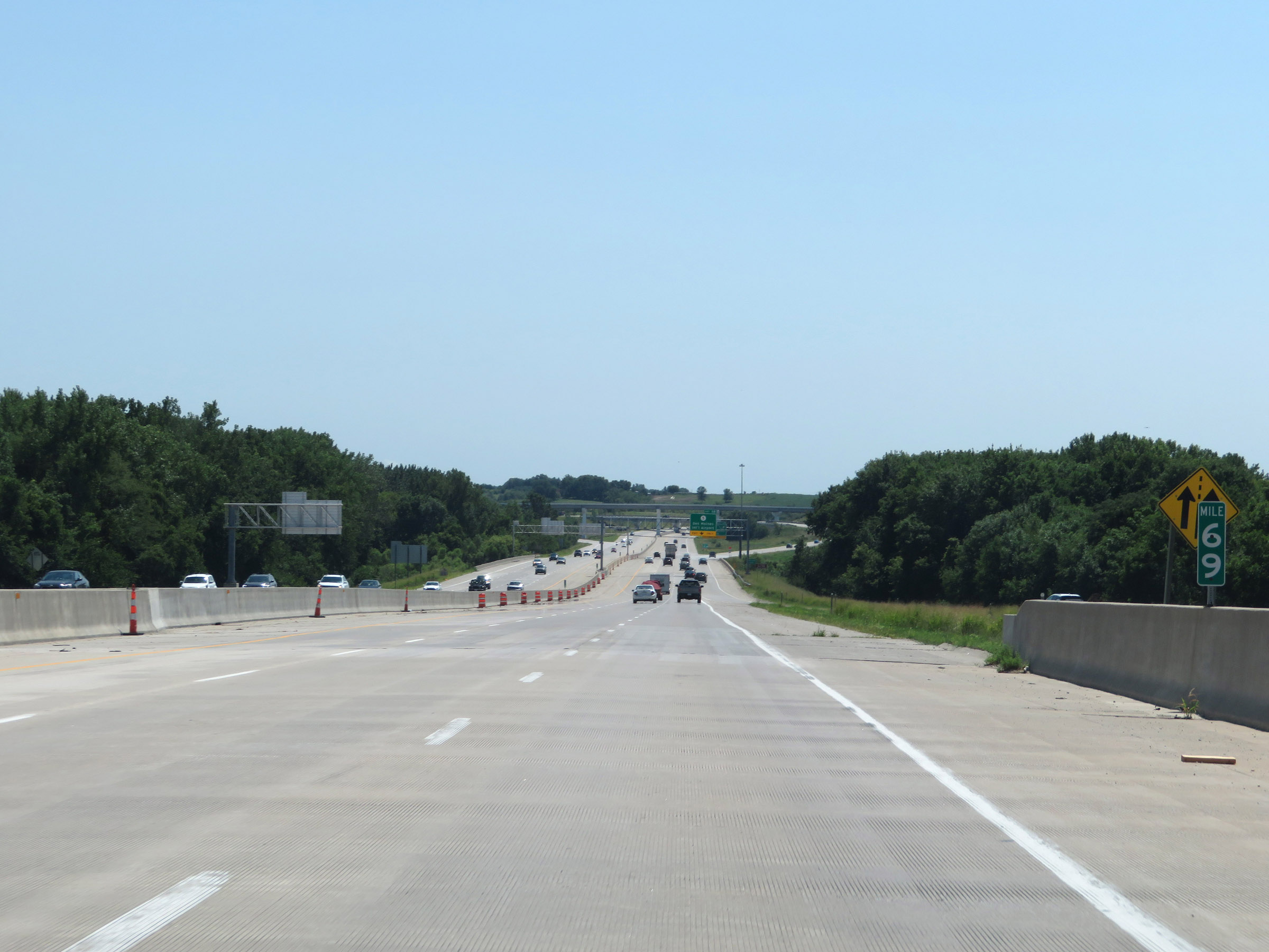 |
View on Interstate 35 South at mile marker 69. (Photo taken 8/8/20). |
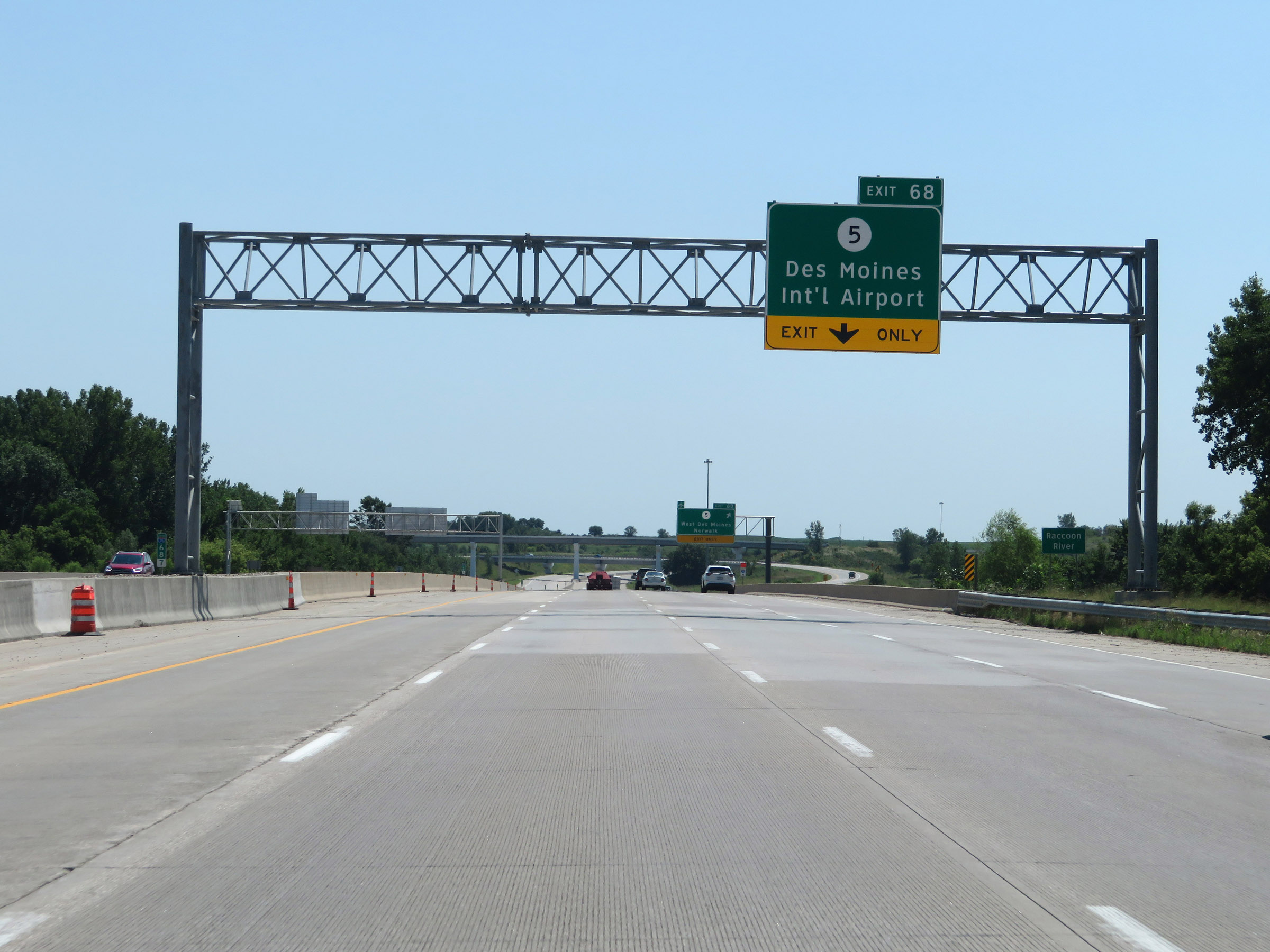 |
Also take Exit 68 to Des Moines International Airport. (Photo taken 8/8/20). |
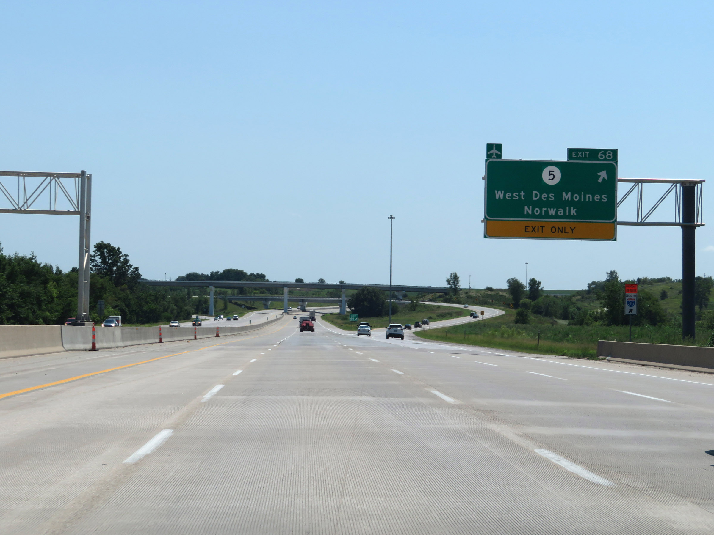 |
Interstate 35 South at Exit 68: IA 5 - West Des Moines / Norwalk (Photo taken 8/8/20). |
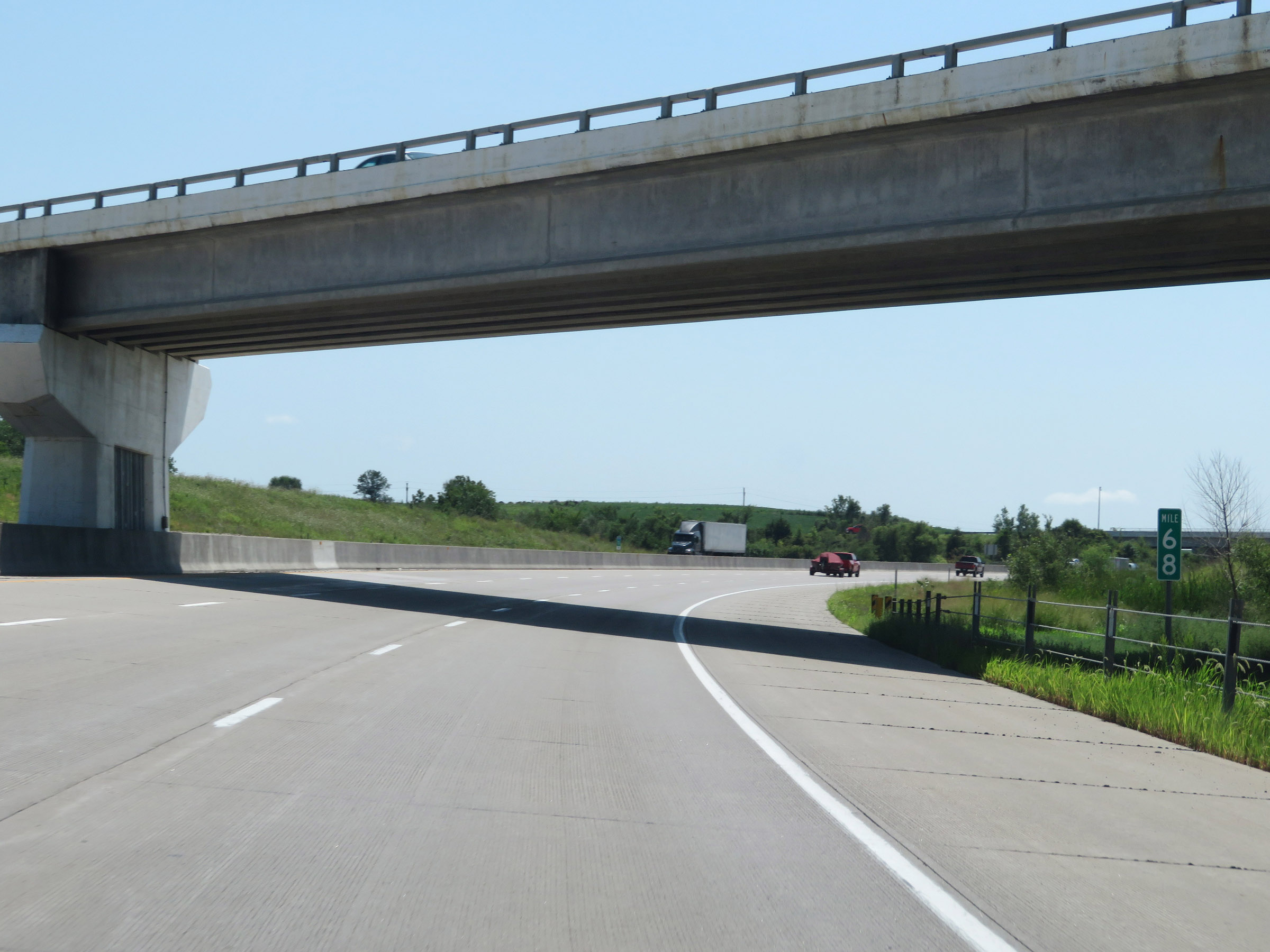 |
View on Interstate 35 South at mile marker 68. (Photo taken 8/8/20). |
 |
As Interstate 35 South leaves Polk County, the maximum speed limit increases to 70 mph once again. (Photo taken 8/8/20). |
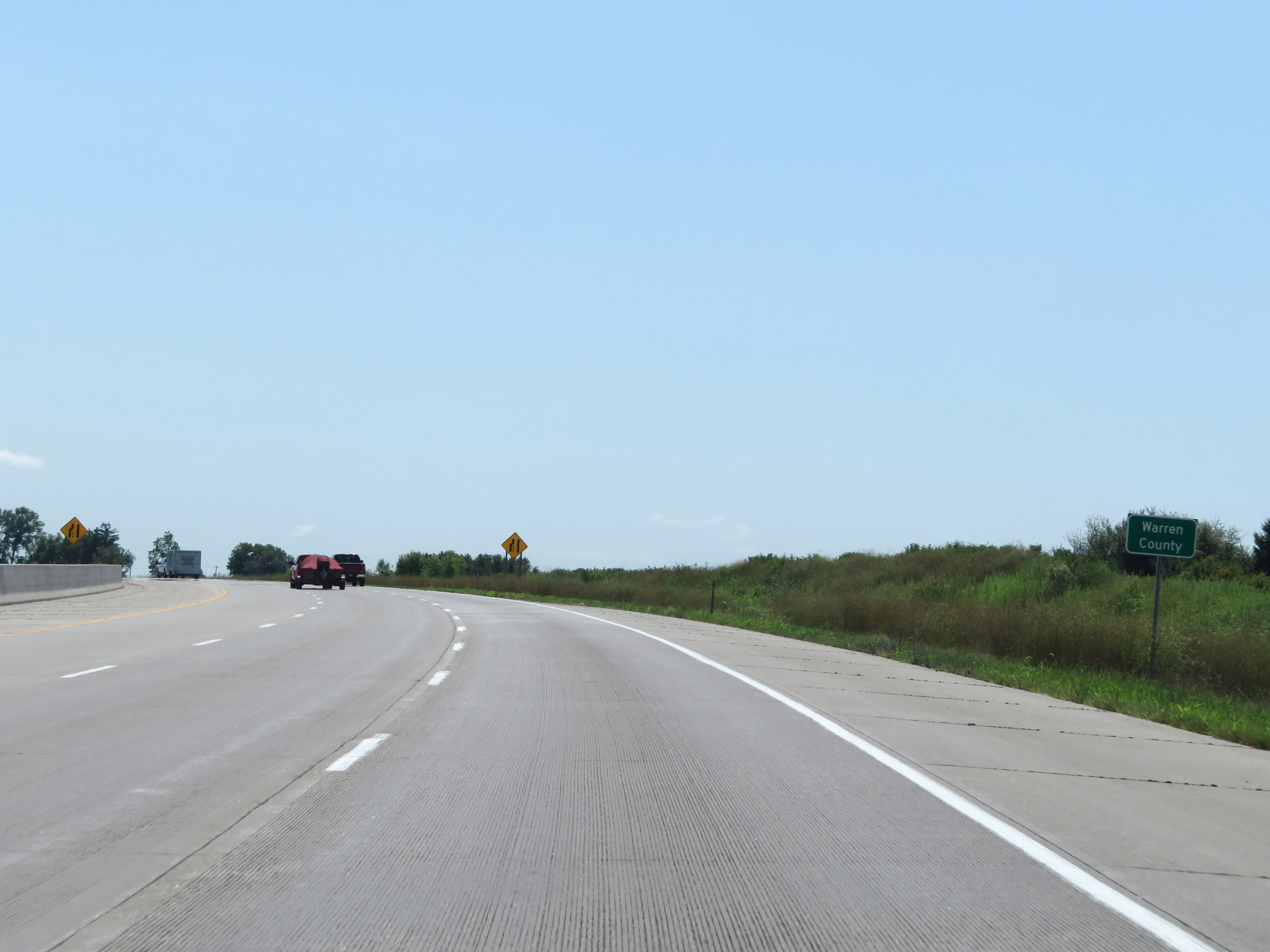 |
Entering Warren County on Interstate 35 South. (Photo taken 8/8/20). |
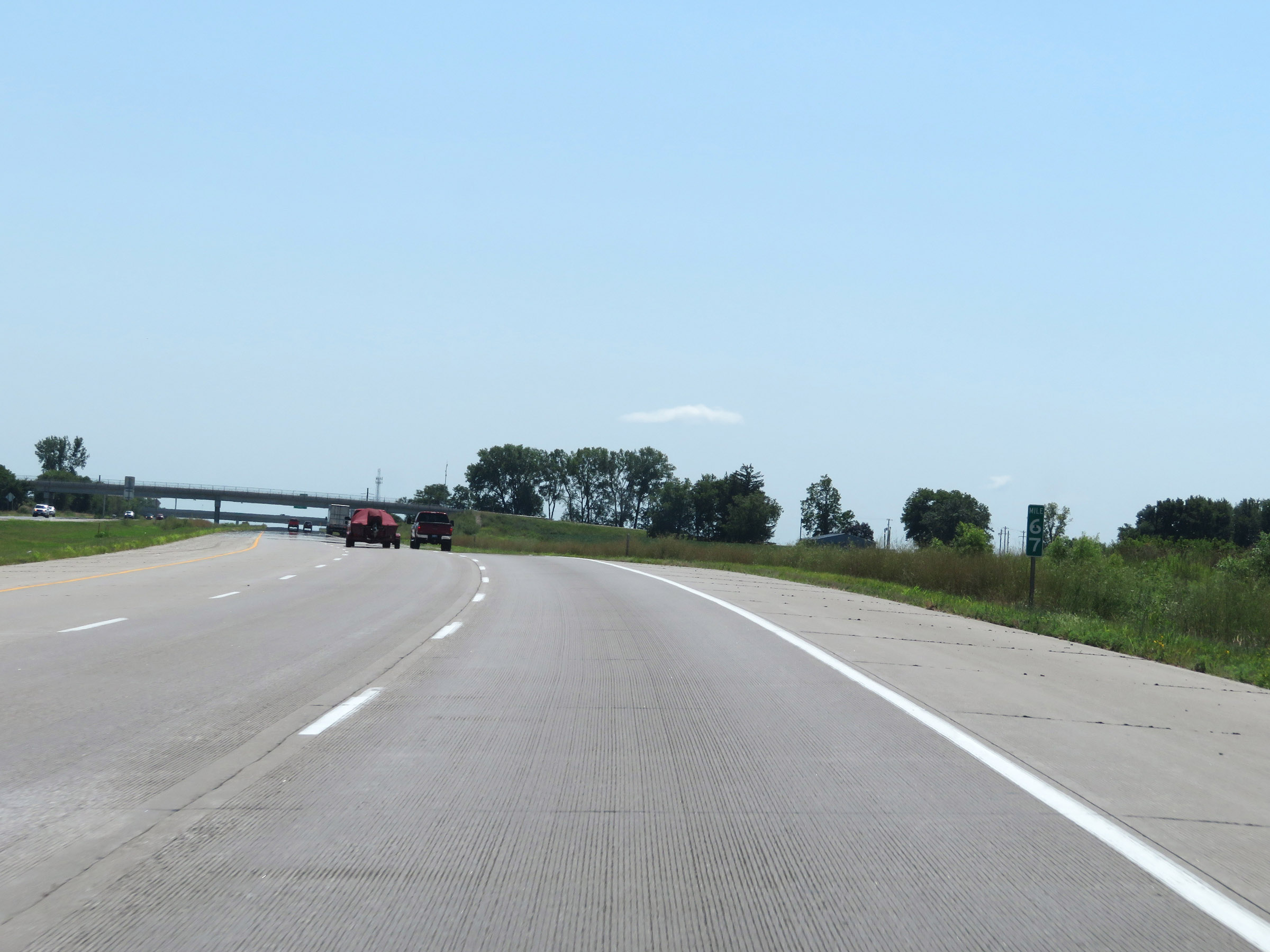 |
Interstate 35 South at mile marker 67. (Photo taken 8/8/20). |
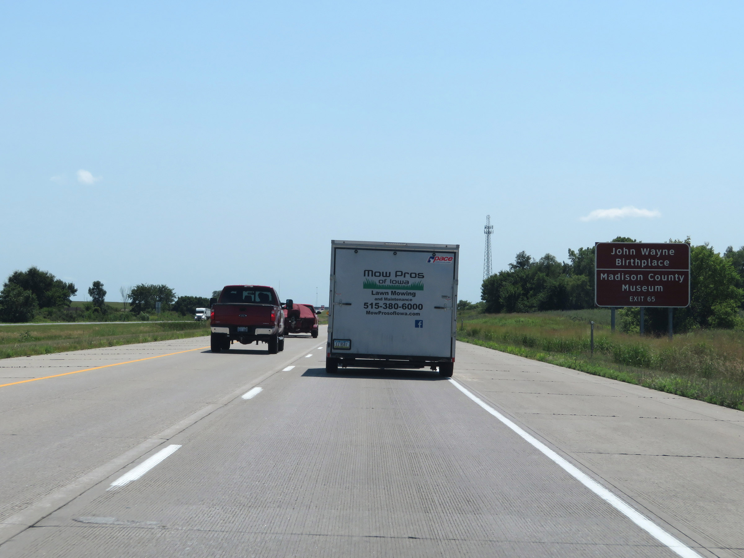 |
Take Exit 65 to the Birthplace of John Wayne and the Madison County Museum. (Photo taken 8/8/20). |
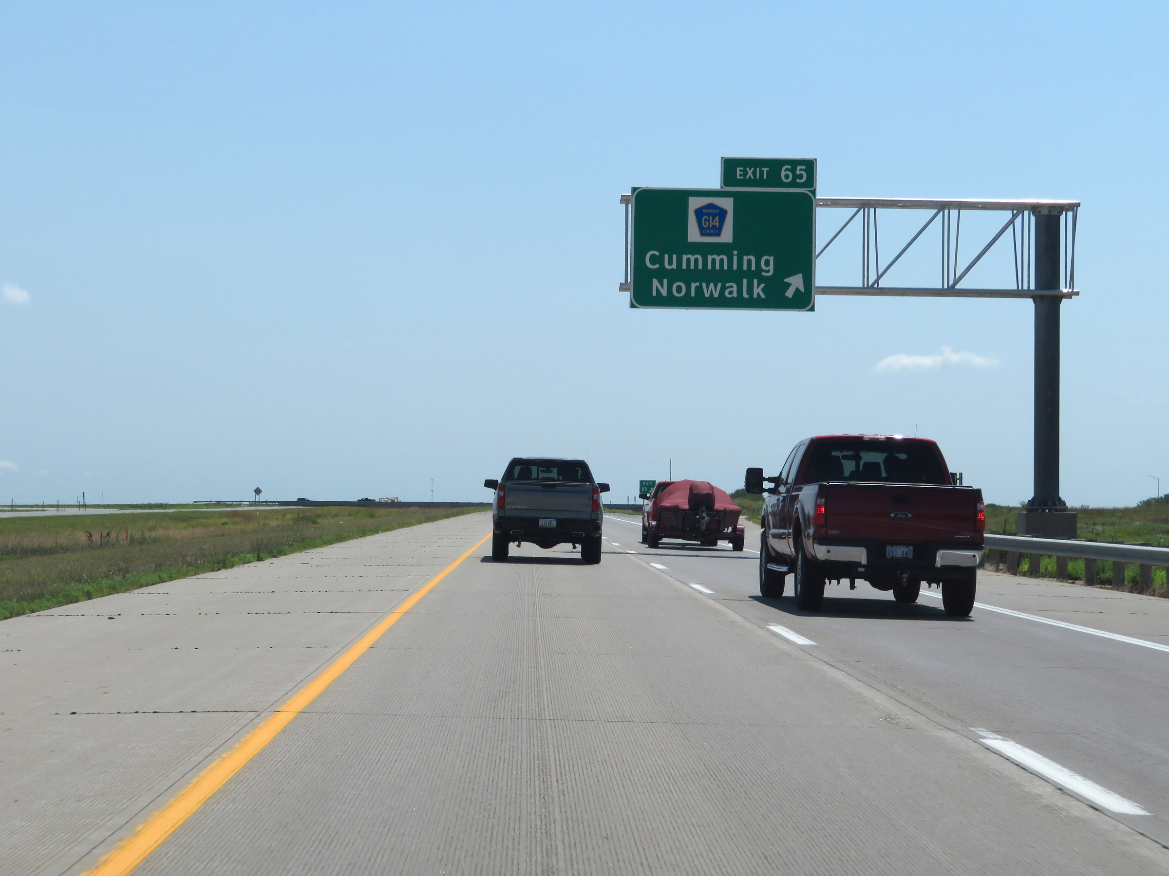 |
Interstate 35 South at Exit 65: CR G14 - Cumming / Norwalk (Photo taken 8/8/20). |
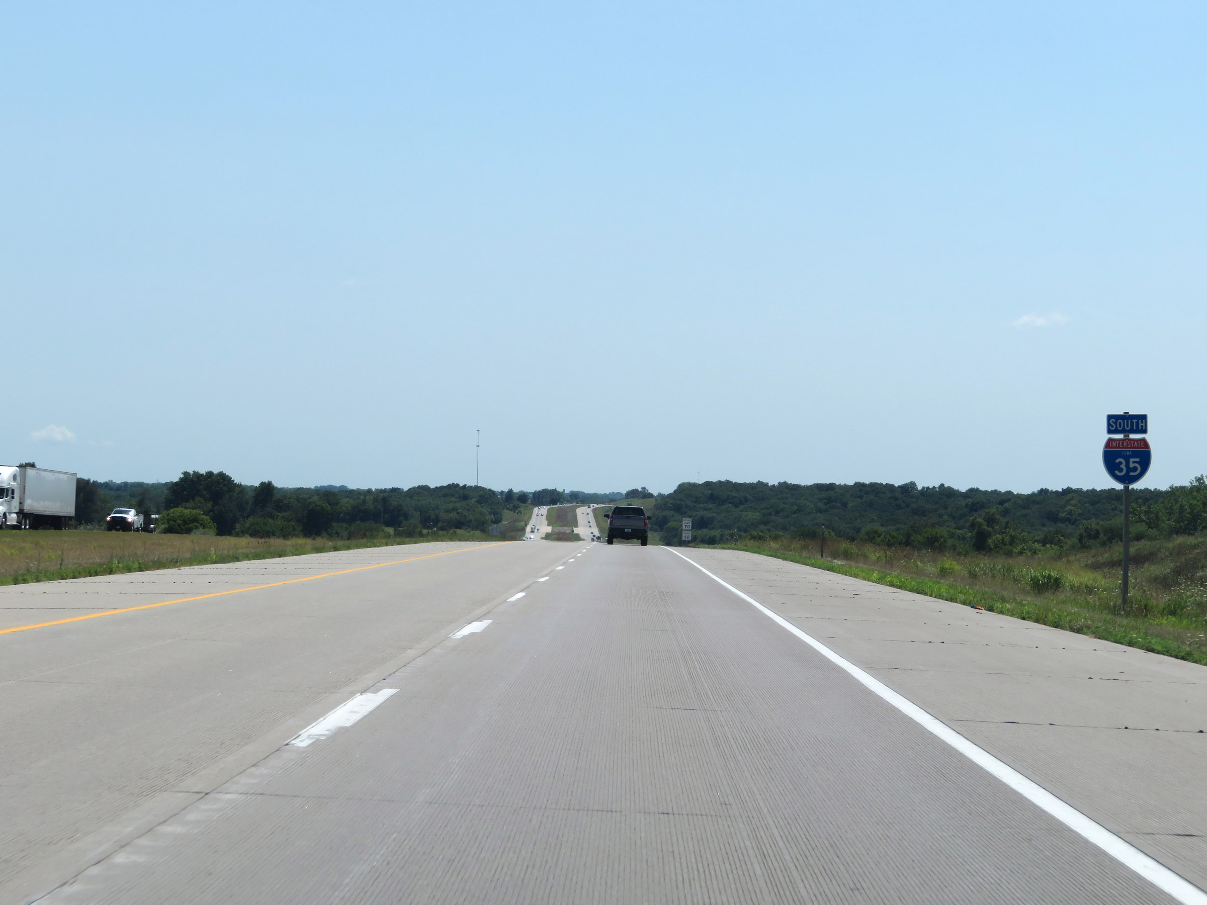 |
State-named Interstate 35 South reassurance shield. (Photo taken 8/8/20). |
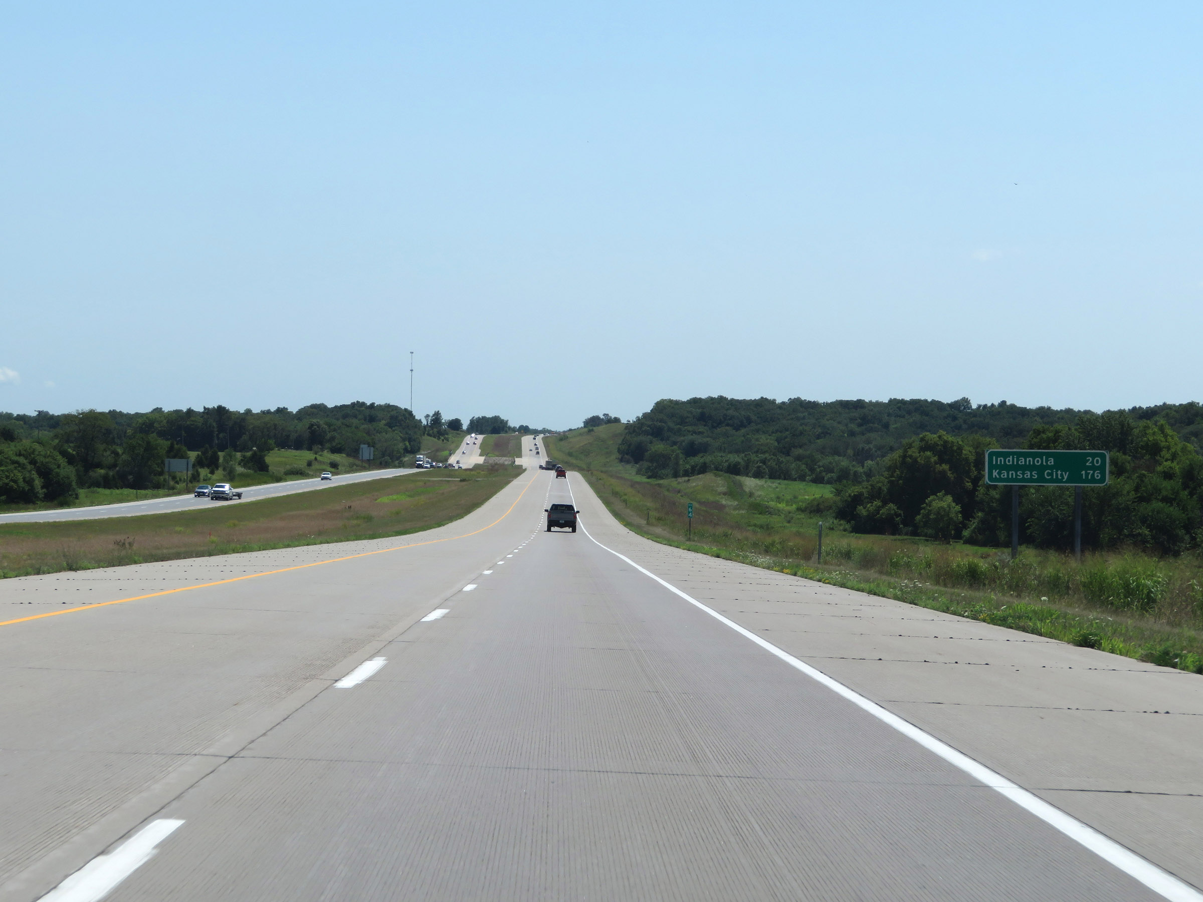 |
Mileage sign on Interstate 35 South. It's 20 miles to Indianola and 176 miles to Kansas City. (Photo taken 8/8/20). |
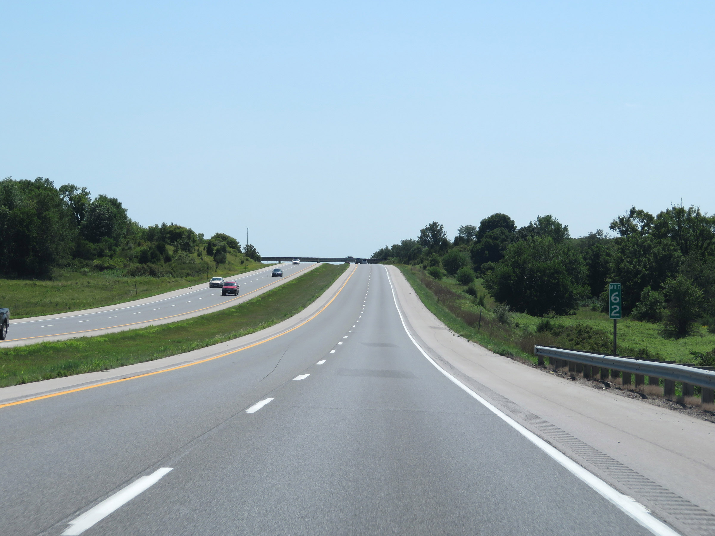 |
View on Interstate 35 South at mile marker 62. (Photo taken 8/8/20). |
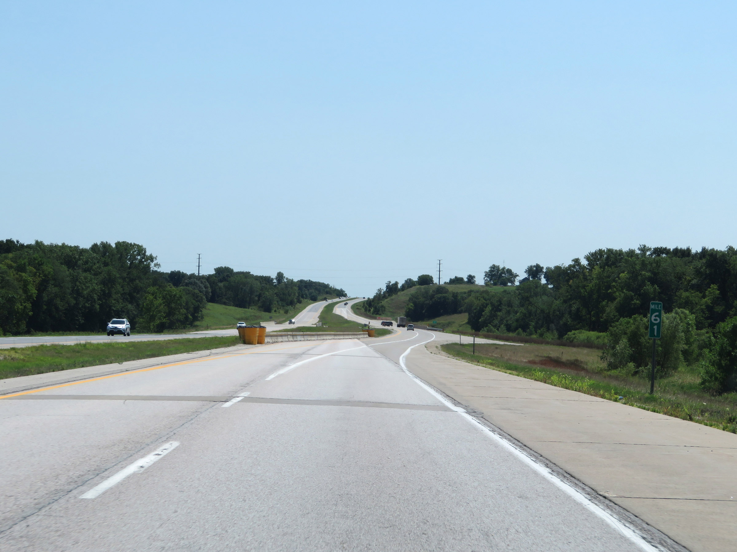 |
Interstate 35 South at mile marker 61. (Photo taken 8/8/20). |
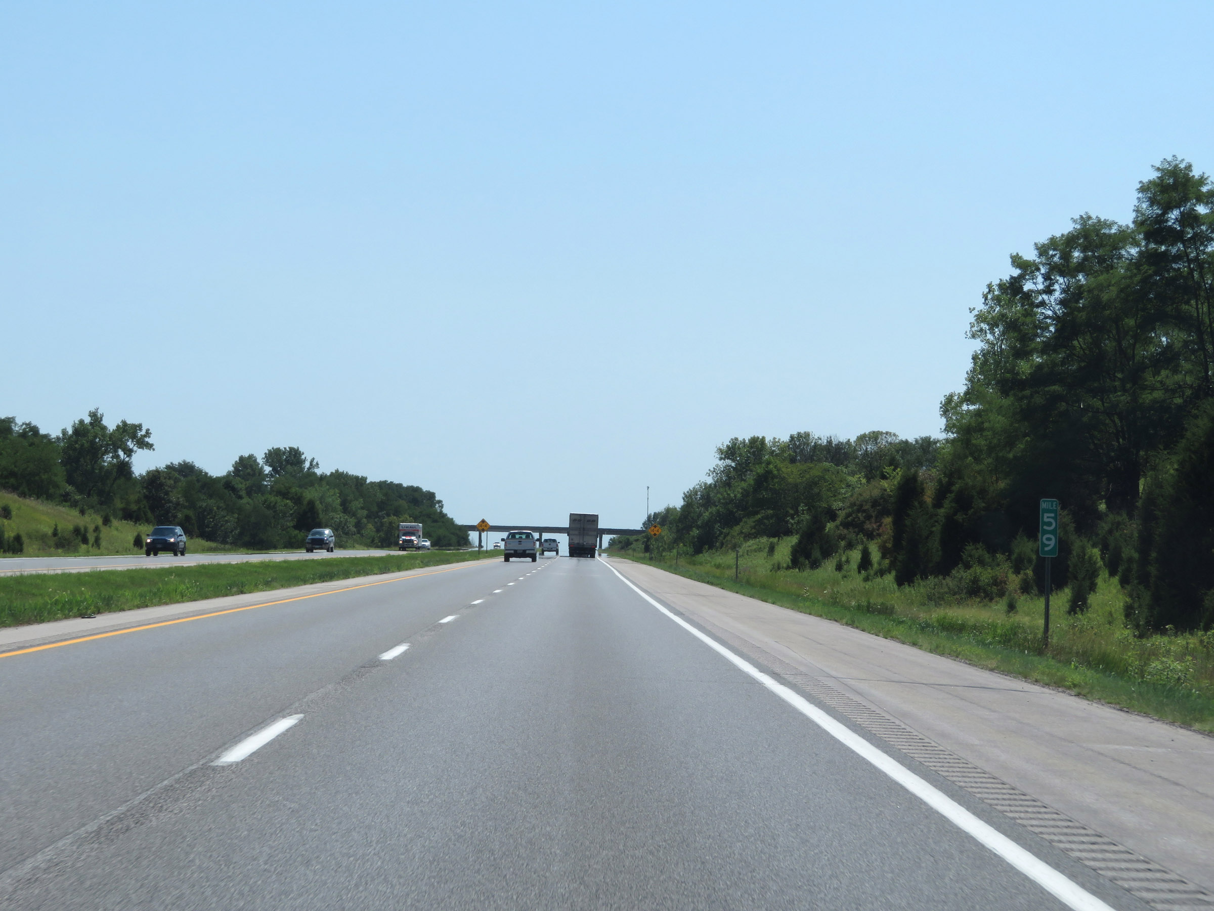 |
Mile marker 59 on Interstate 35 South in Warren County. (Photo taken 8/8/20). |
 |
View on Interstate 35 South at mile marker 58. (Photo taken 8/8/20). |
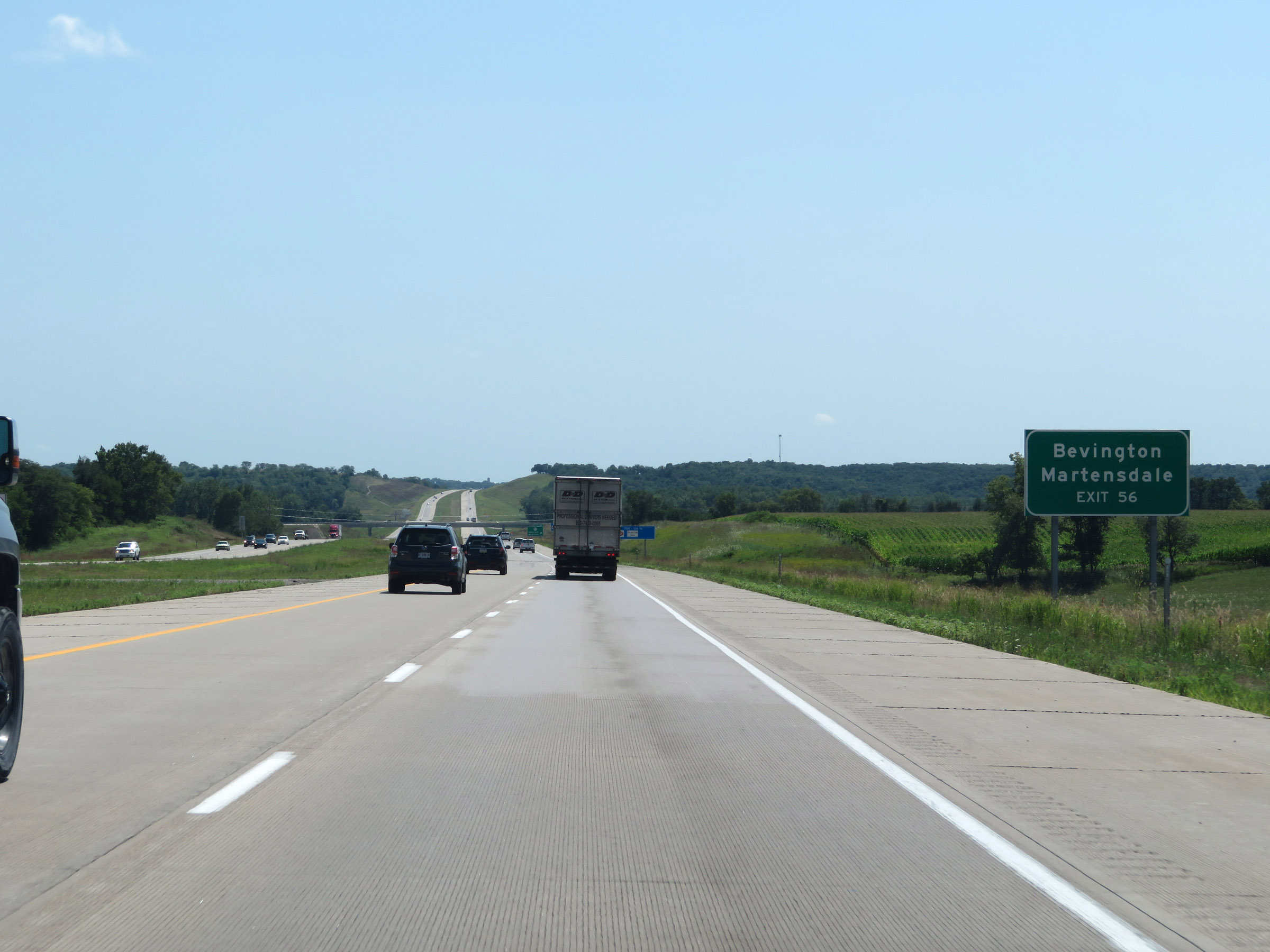 |
Take Exit 56 to Bevington and Martensdale. (Photo taken 8/8/20). |
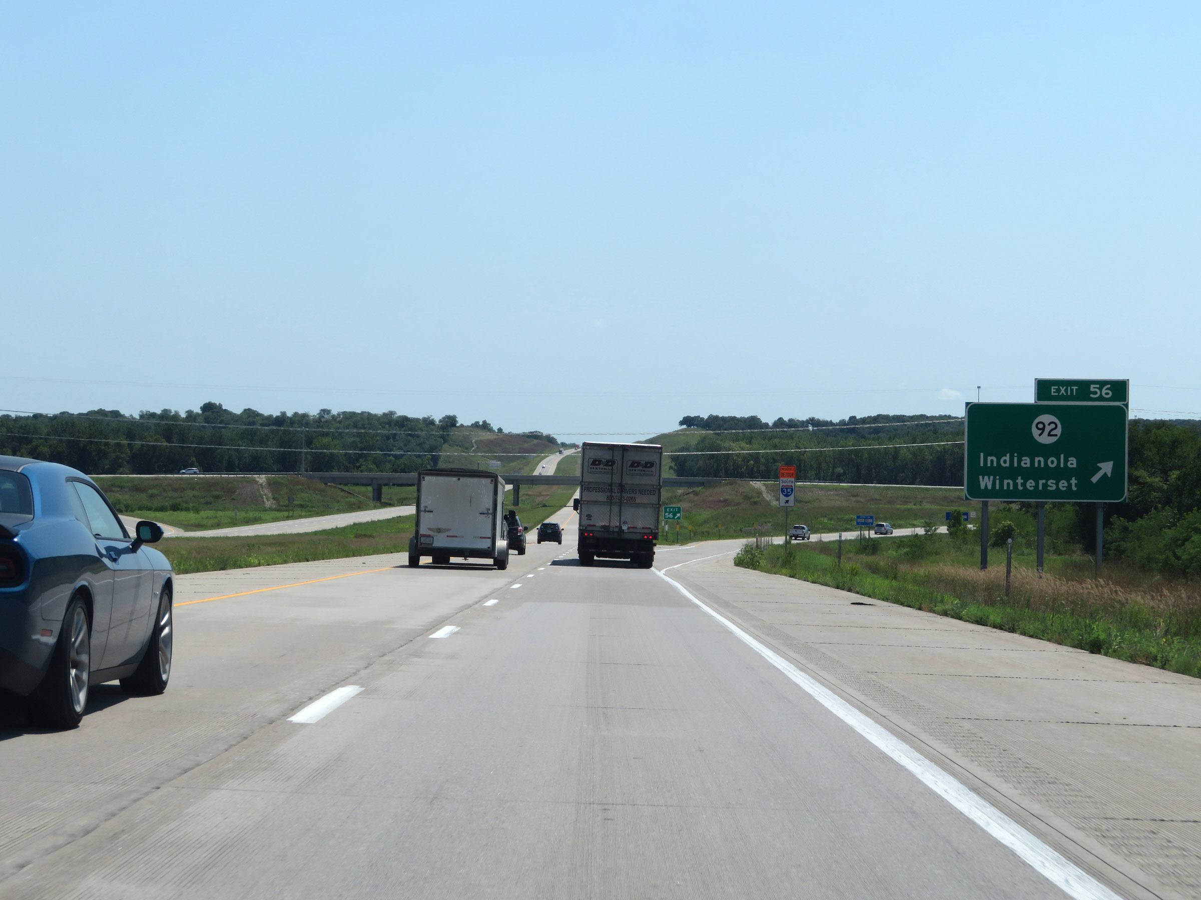 |
Interstate 35 South at Exit 56: IA 92 - Indianola / Winterset (Photo taken 8/8/20). |
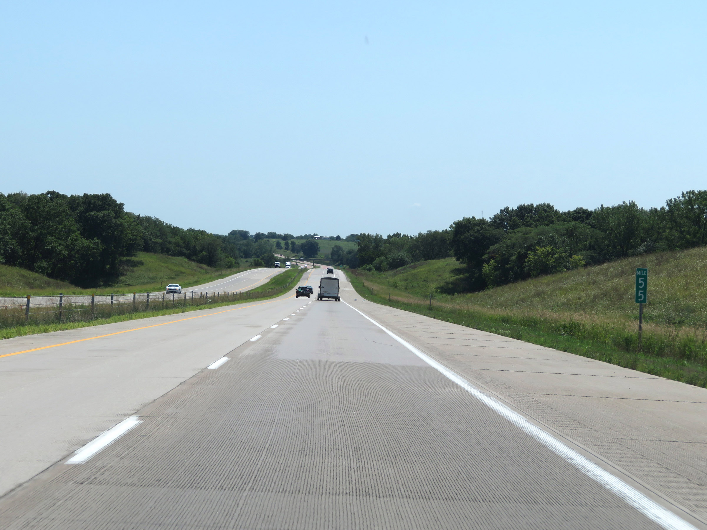 |
View on Interstate 35 South at mile marker 55. (Photo taken 8/8/20). |
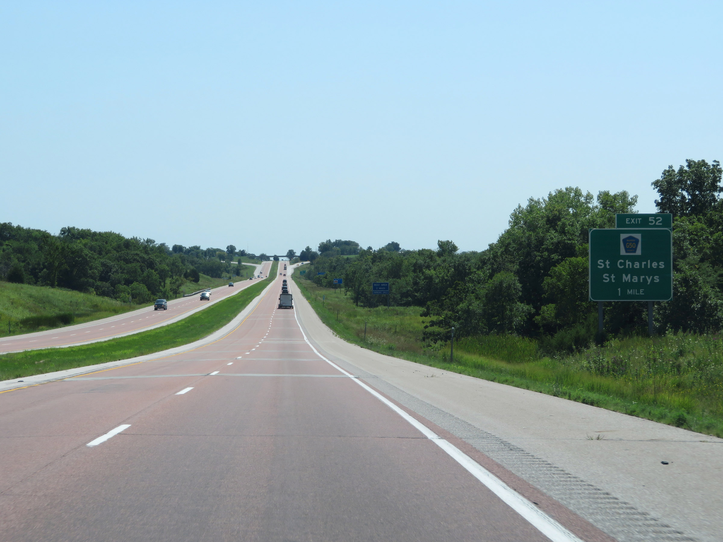 |
Interstate 35 South approaching Exit 52 - 1 mile. (Photo taken 8/8/20). |
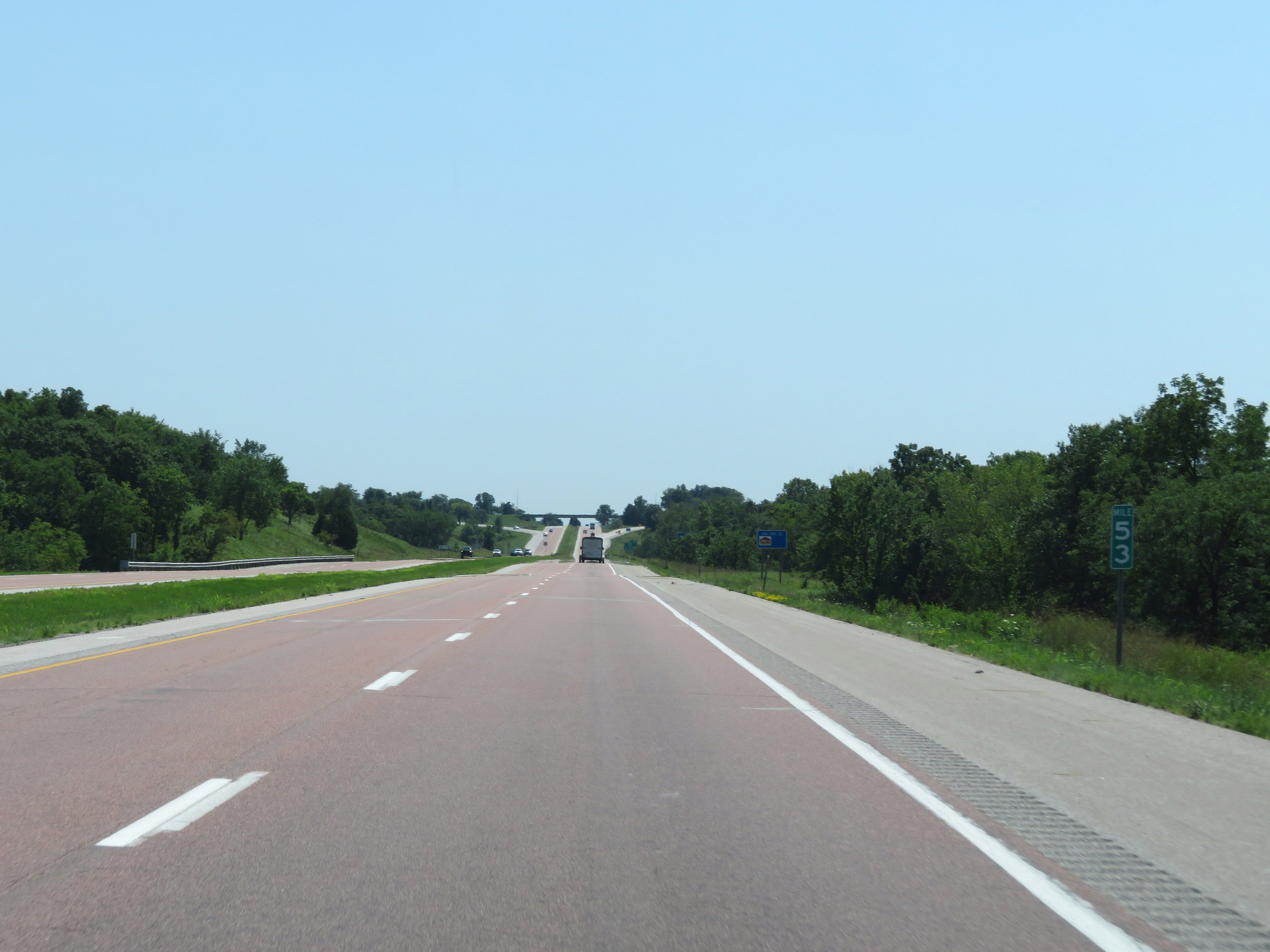 |
Interstate 35 South at mile marker 53. (Photo taken 8/8/20). |
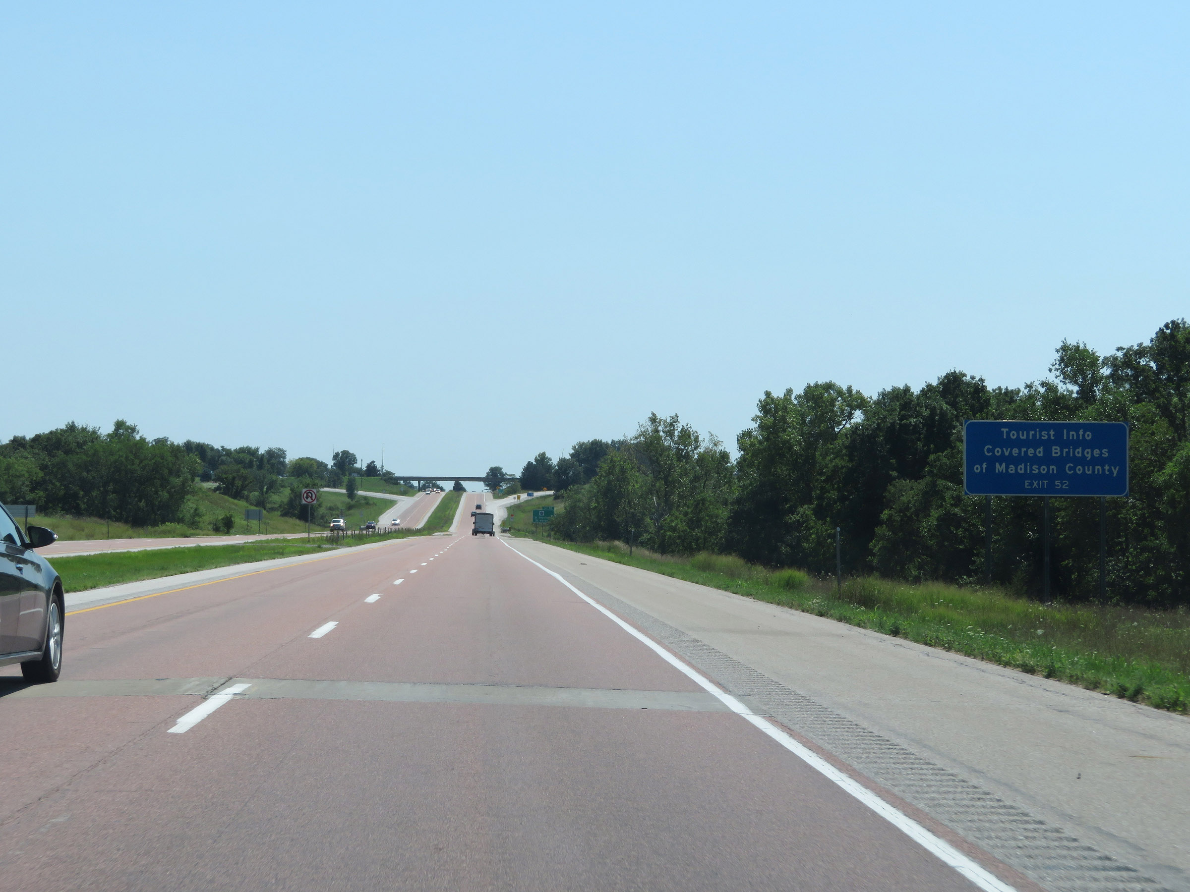 |
Take Exit 52 for Tourist Info on the Covered Bridges of Madison County. (Photo taken 8/8/20). |
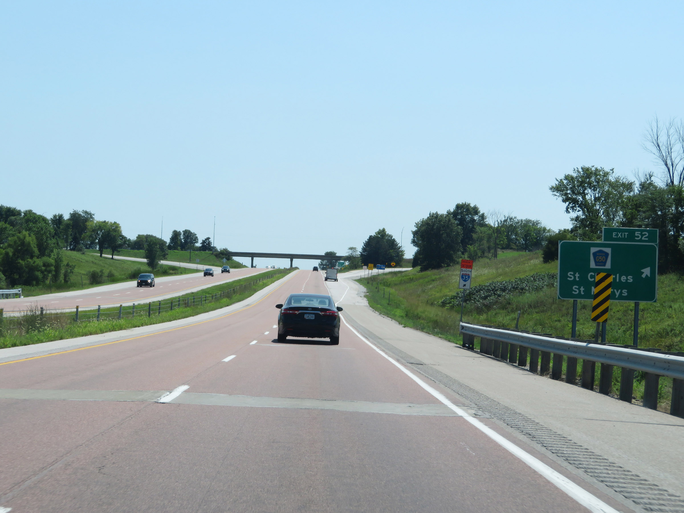 |
Interstate 35 South at Exit 52: CR G50 - St Charles / St Marys (Photo taken 8/8/20). |
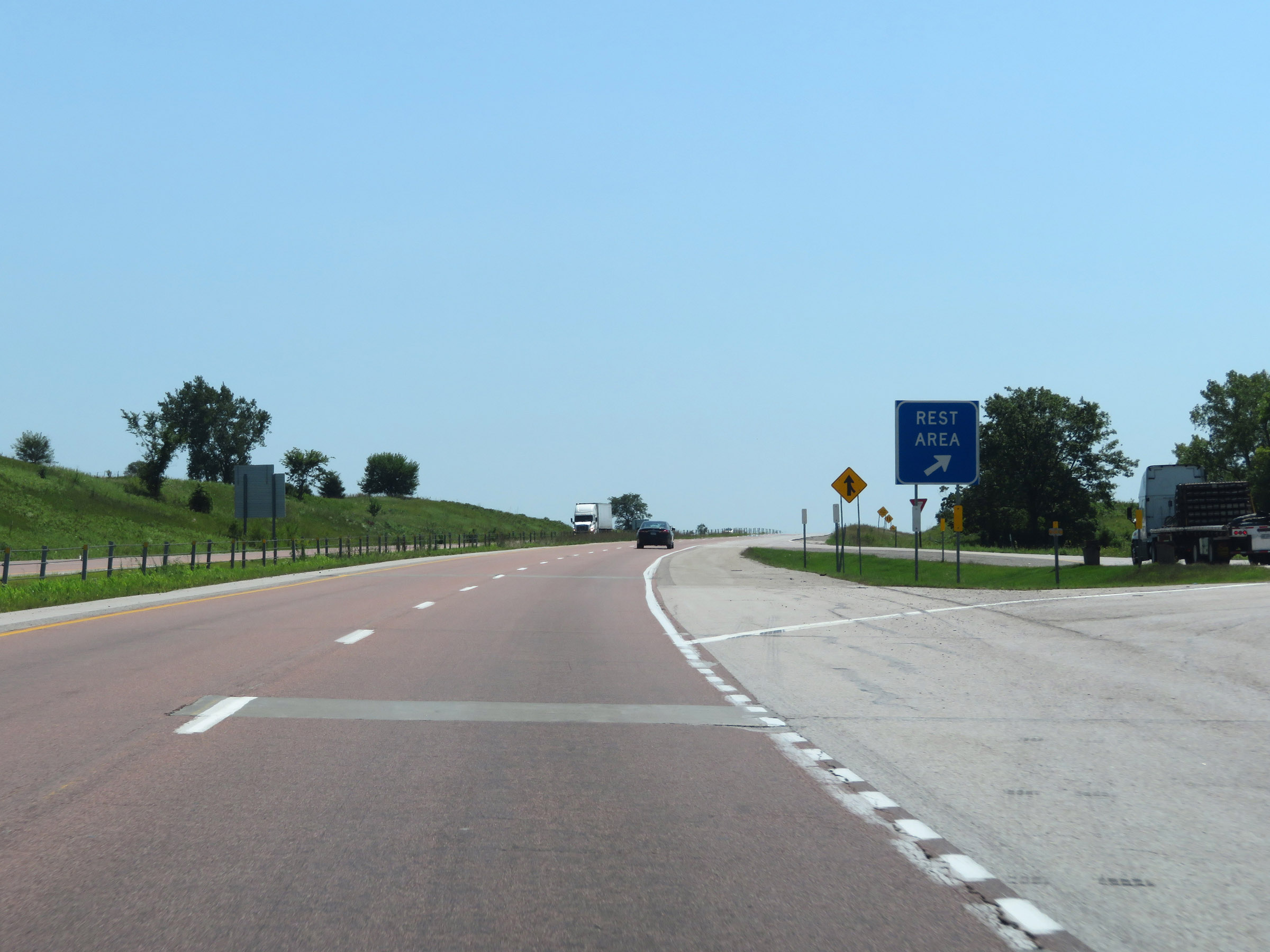 |
Rest Area on Interstate 35 South in Warren County. (Photo taken 8/8/20). |
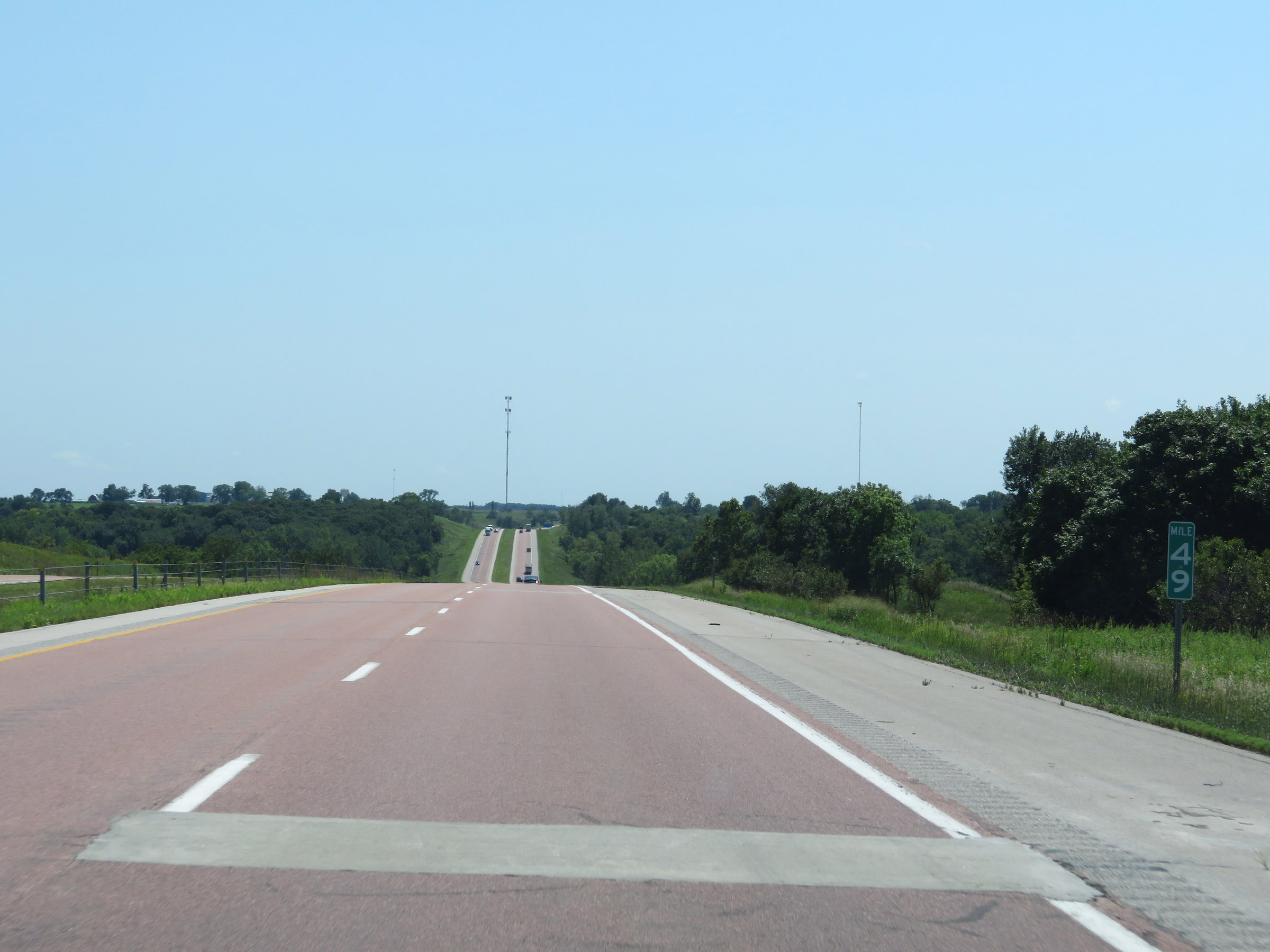 |
View on Interstate 35 South at mile marker 49. (Photo taken 8/8/20). |
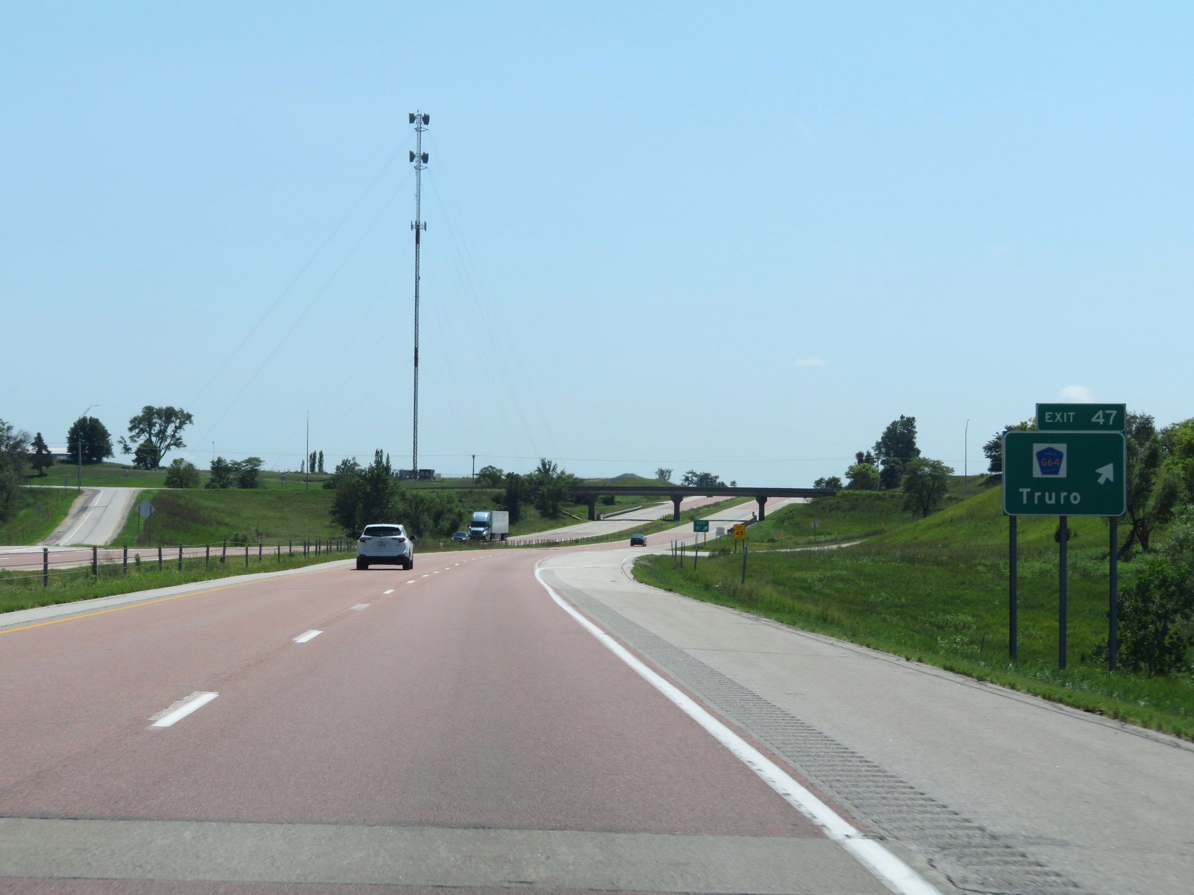 |
Interstate 35 South at Exit 47: CR G64 - Truro (Photo taken 8/8/20). |
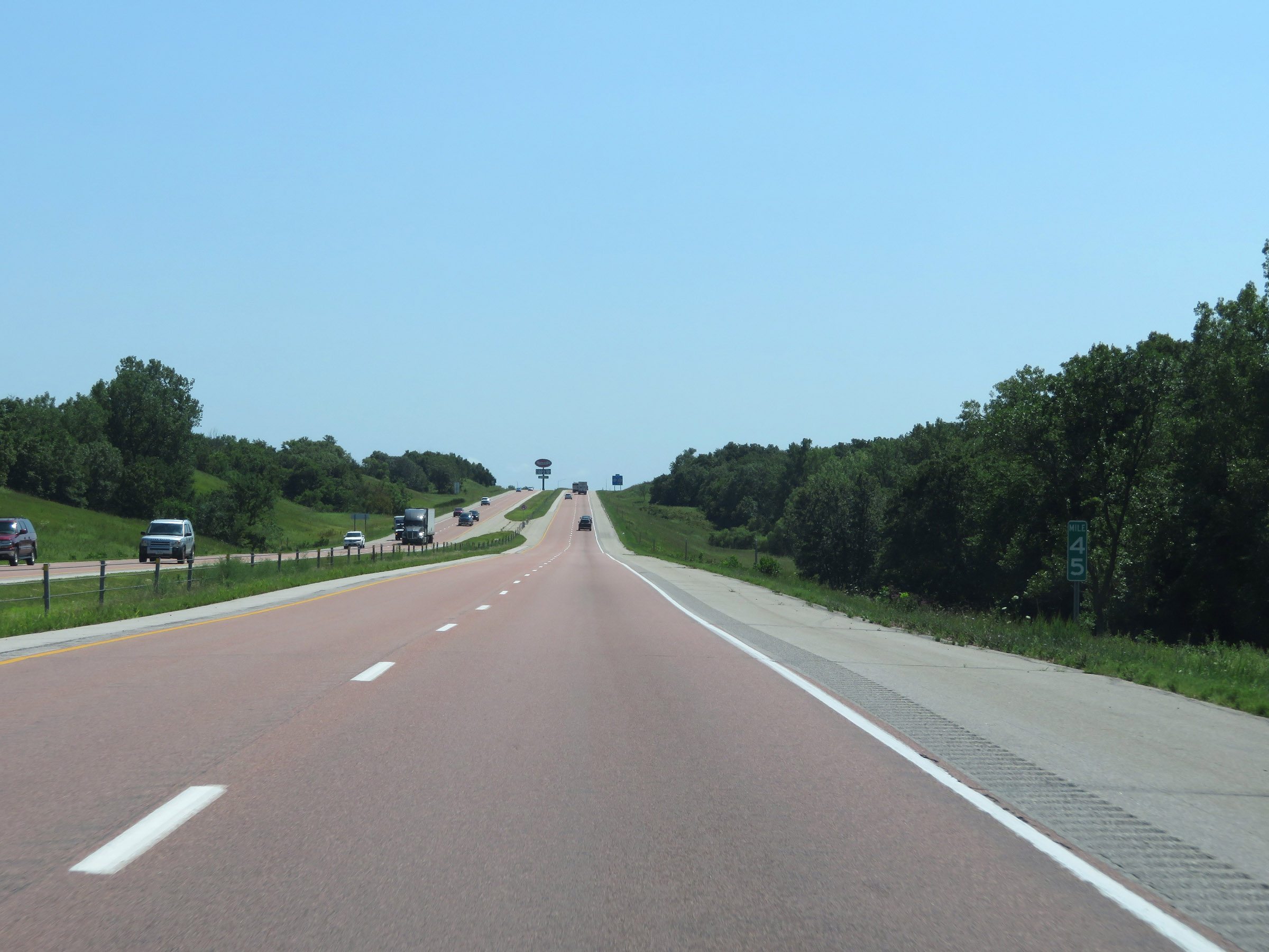 |
Interstate 35 South at mile marker 45. (Photo taken 8/8/20). |
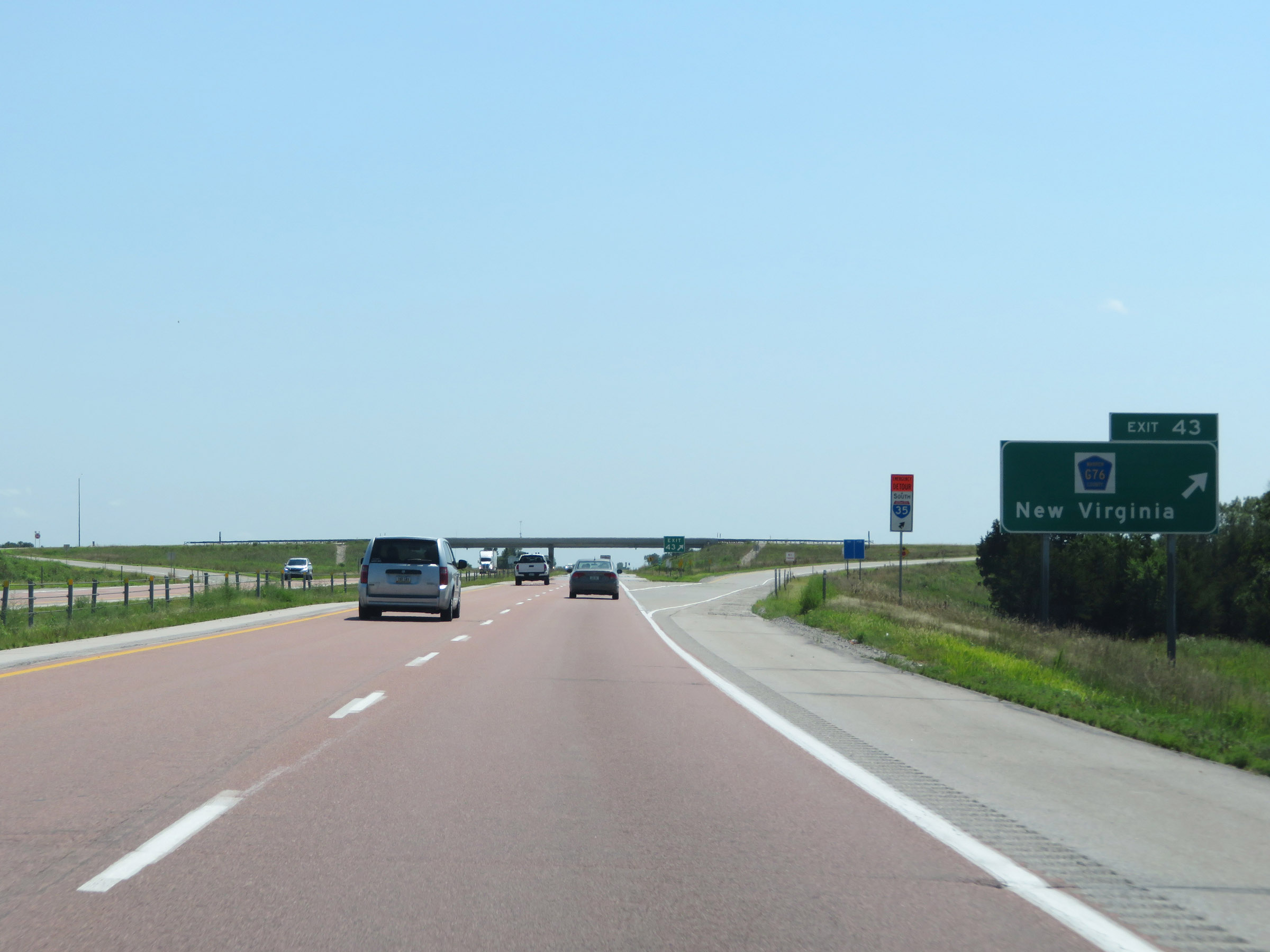 |
Interstate 35 South at Exit 43: CR G76 - New Virginia (Photo taken 8/8/20). |
 |
The speed limits remain 70 mph maximum and 40 mph minimum. These are the standard speed limits on most rural Interstate highways in Iowa. (Photo taken 8/8/20). |
 |
Mileage sign on Interstate 35 South. It's 12 miles to Osceola and 150 miles to Kansas City. (Photo taken 8/8/20). |
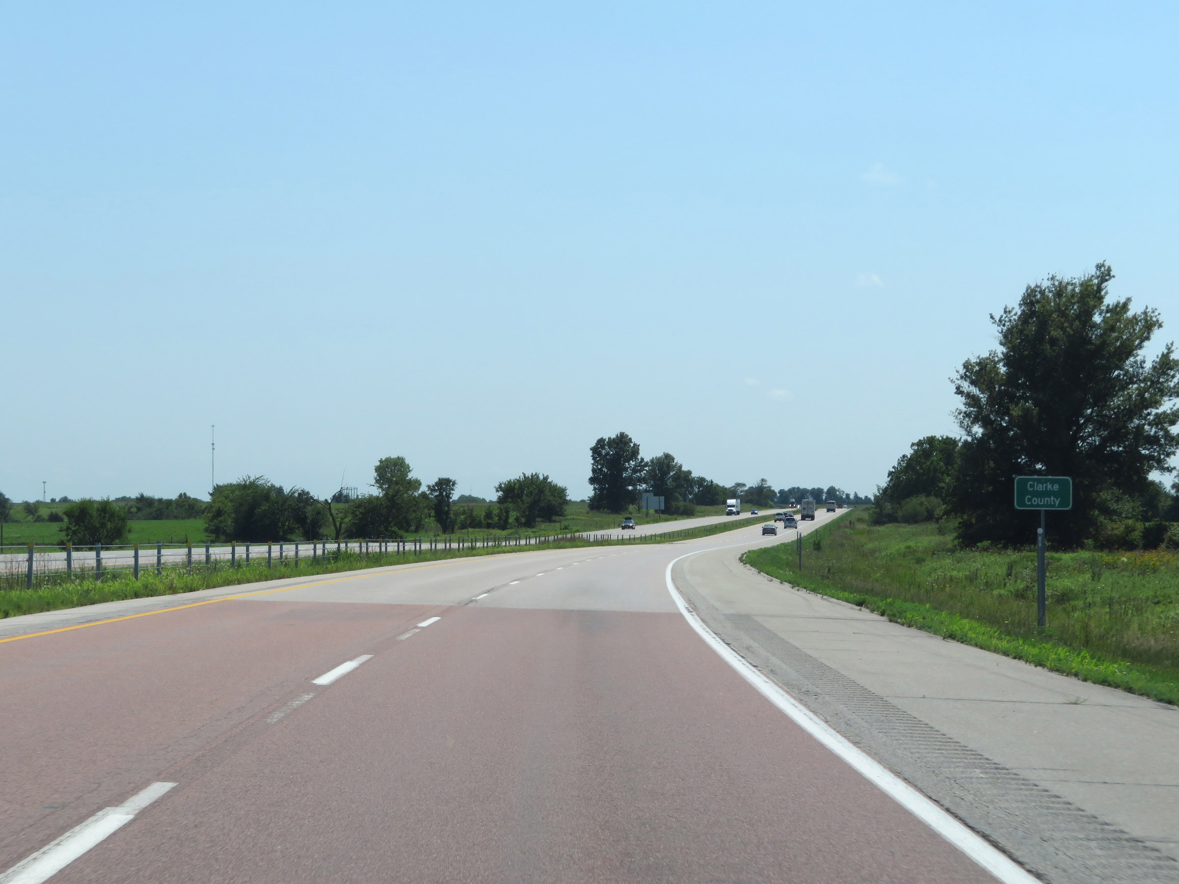 |
Interstate 35 South as it enters Clarke County. (Photo taken 8/8/20). |
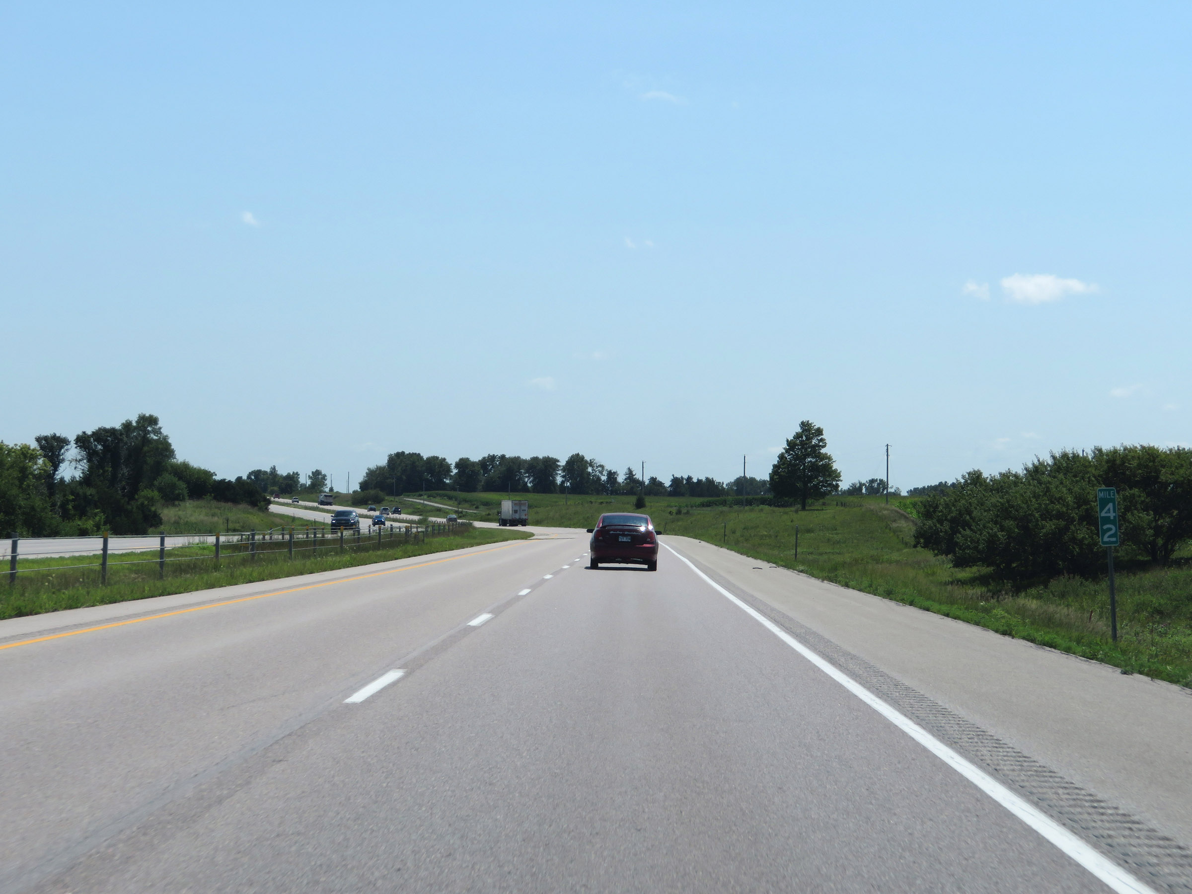 |
View on Interstate 35 South at mile marker 42. (Photo taken 8/8/20). |
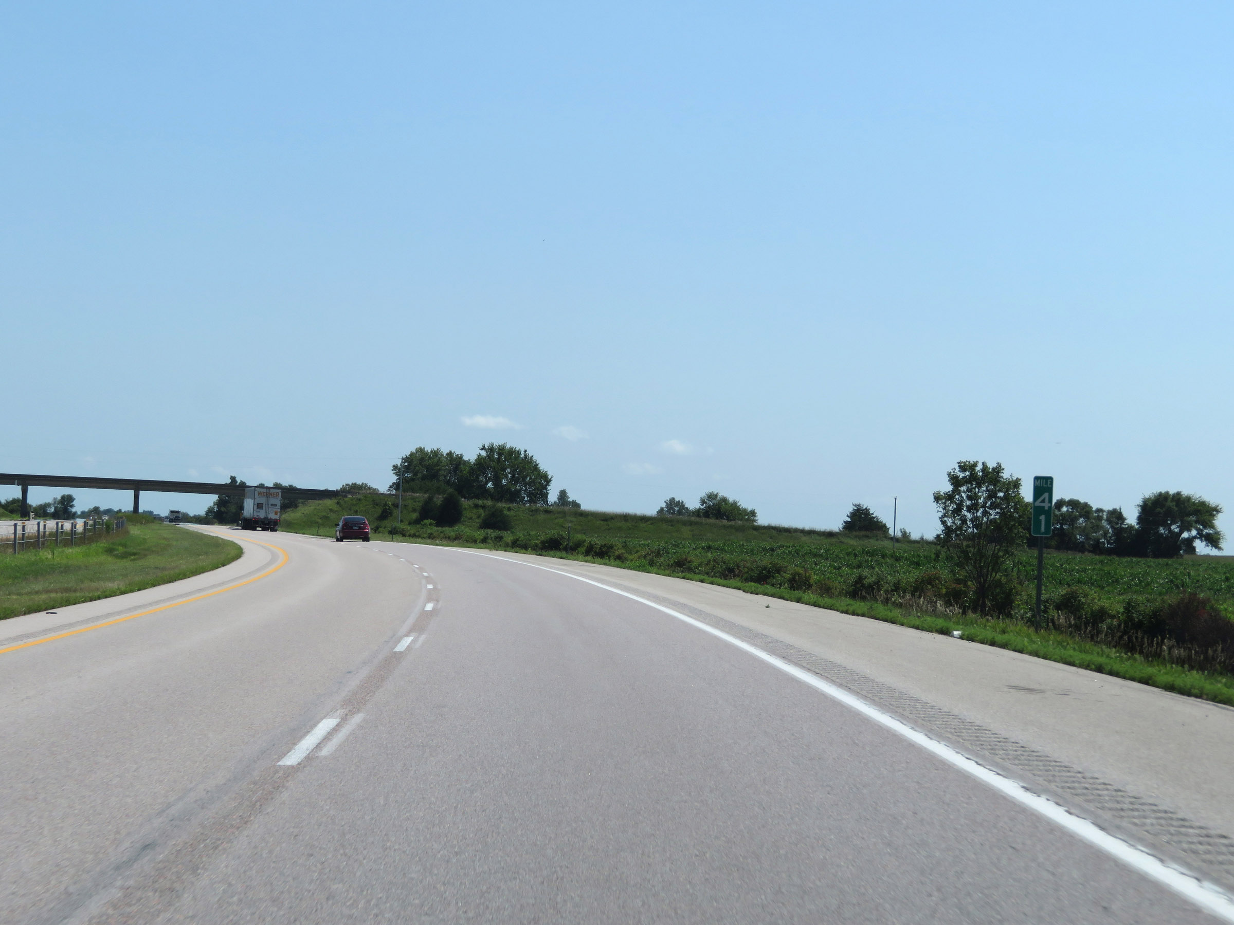 |
Interstate 35 South at mile marker 41. (Photo taken 8/8/20). |
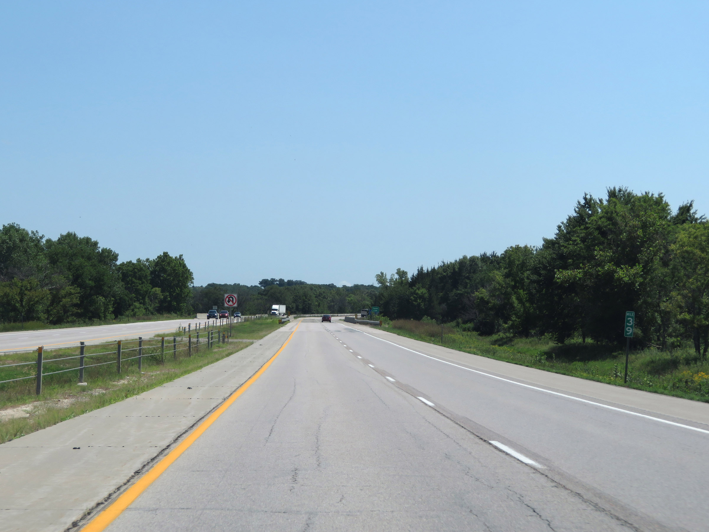 |
Mile marker 39 on Interstate 35 South in Clarke County. (Photo taken 8/8/20). |
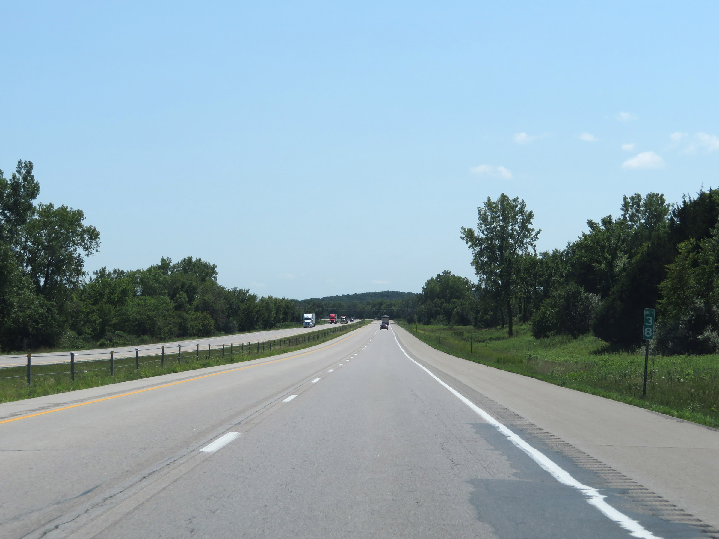 |
View on Interstate 35 South at mile marker 38. (Photo taken 8/8/20). |
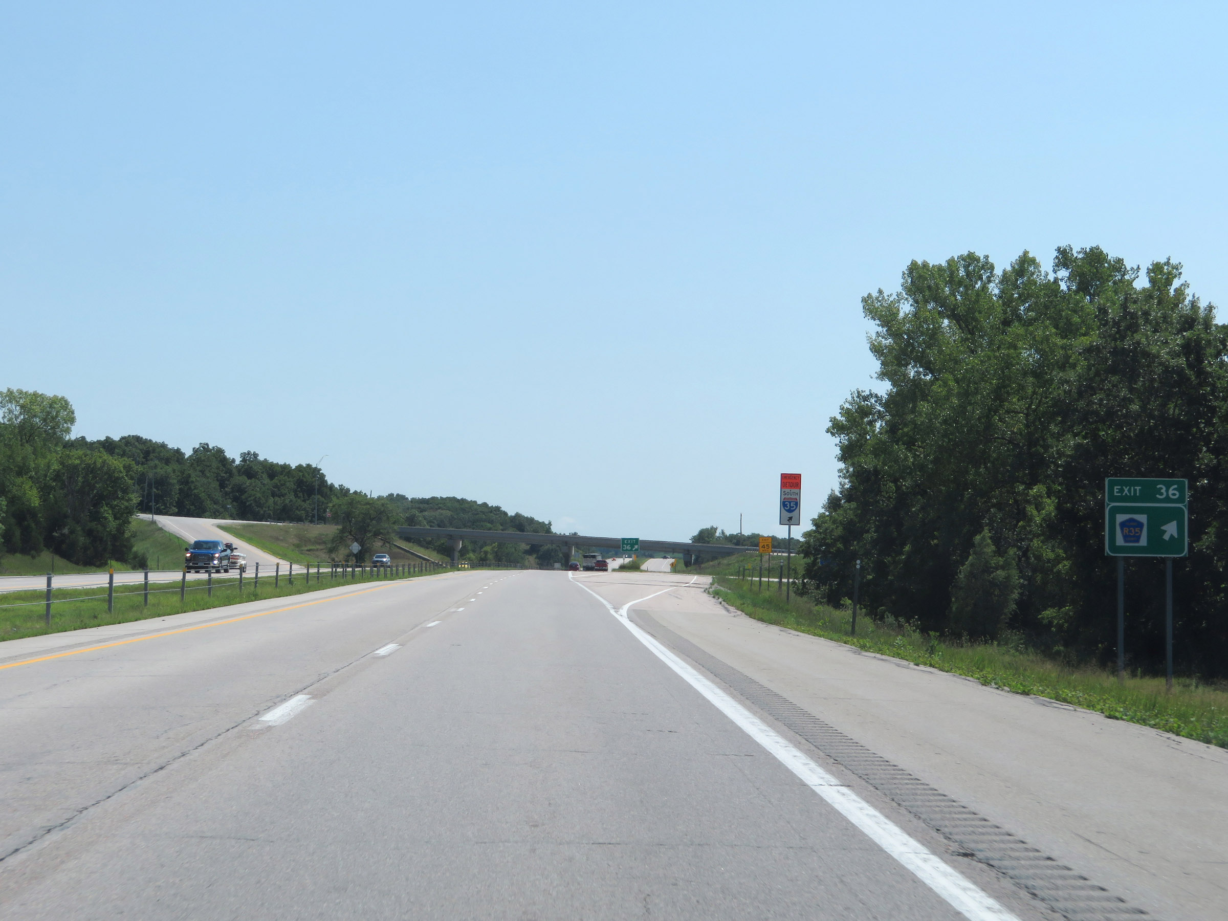 |
Interstate 35 South at Exit 36: CR R35 (Photo taken 8/8/20). |
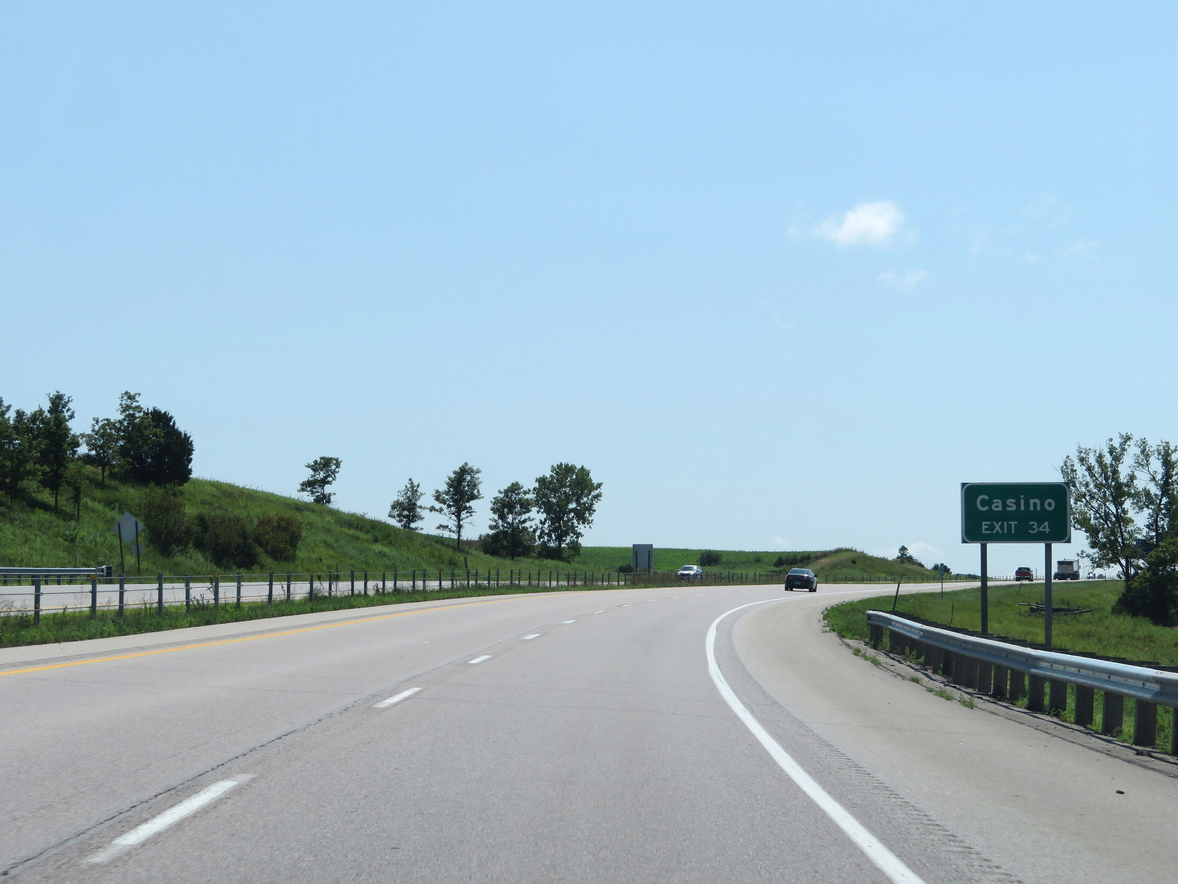 |
Take Exit 34 to Lakeside Hotel Casino. (Photo taken 8/8/20). |
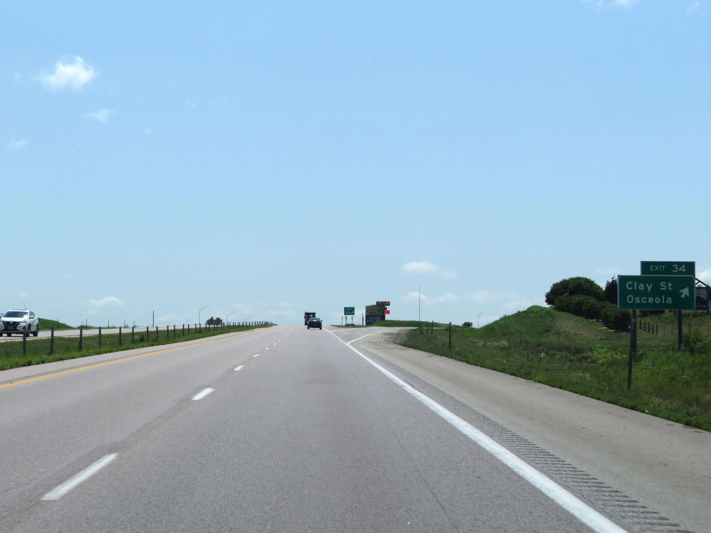 |
Interstate 35 South at Exit 34: Clay St / Osceola (Photo taken 8/8/20). |
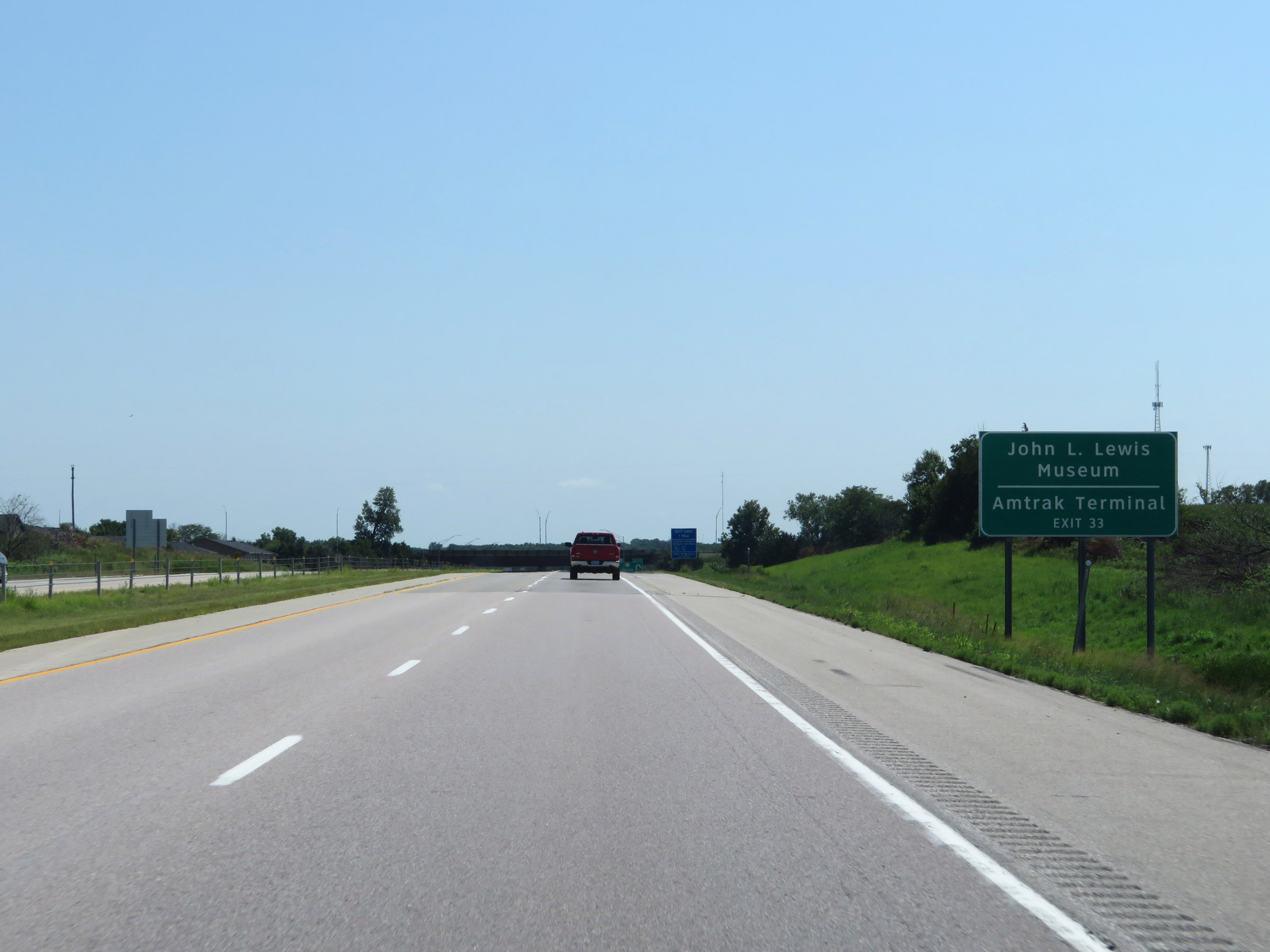 |
Take Exit 33 to the John L. Lewis Museum and Amtrak Terminal. (Photo taken 8/8/20). |
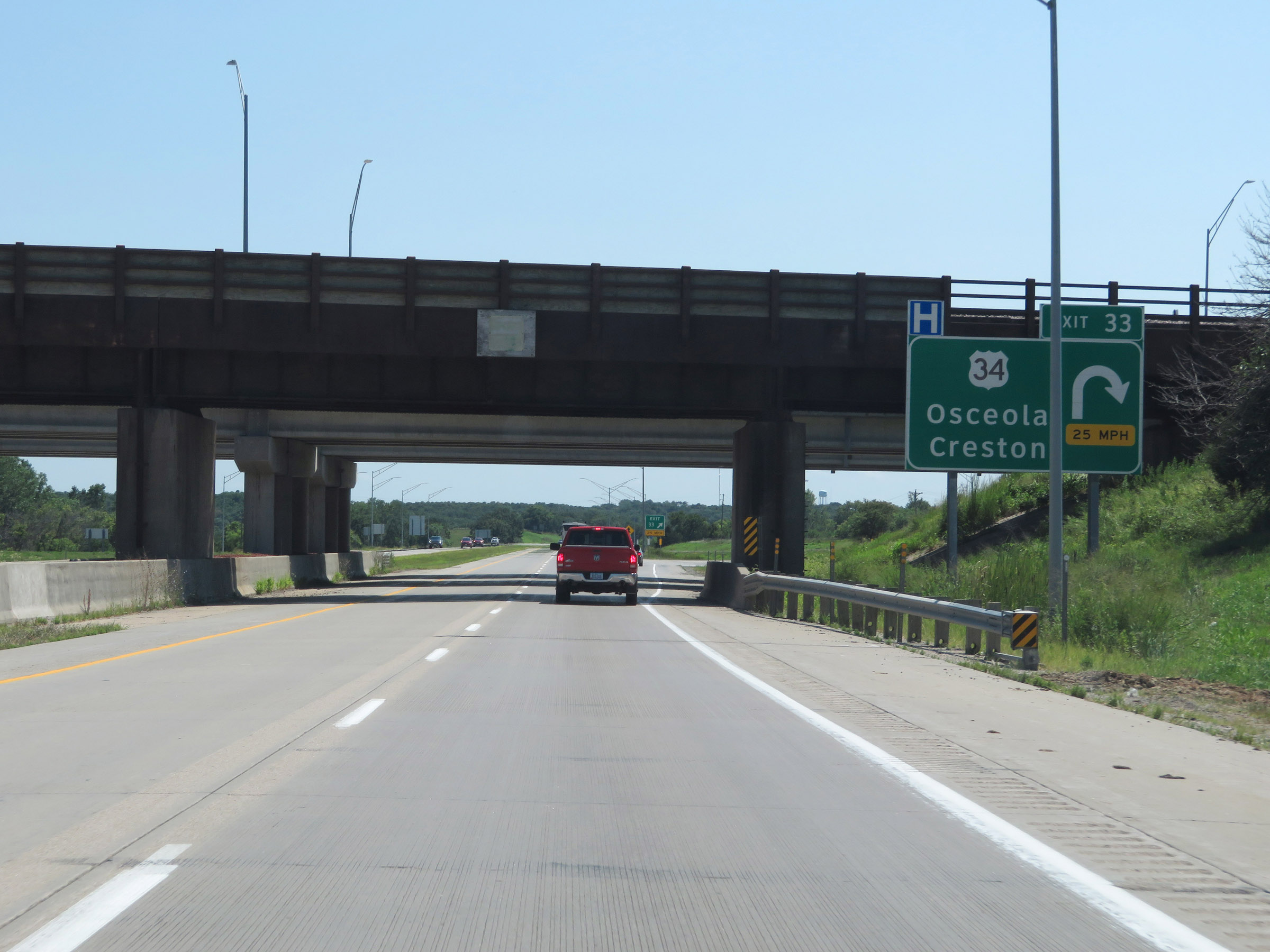 |
Interstate 35 South at Exit 33: US 34 - Osceola / Creston (Photo taken 8/8/20). |
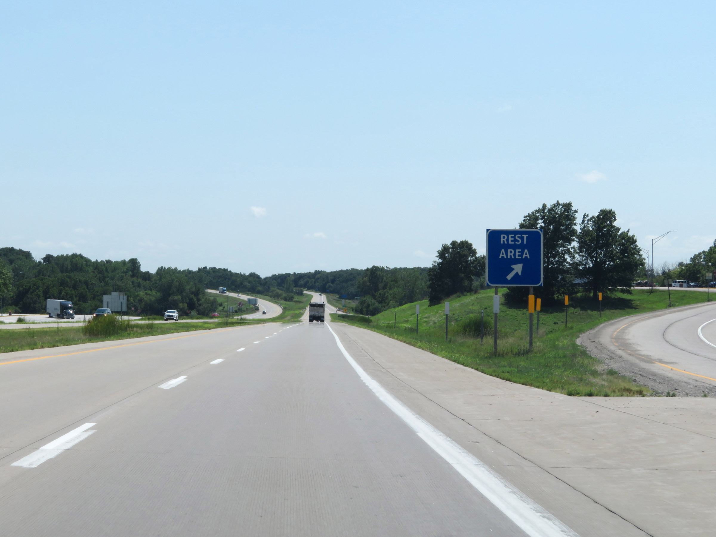 |
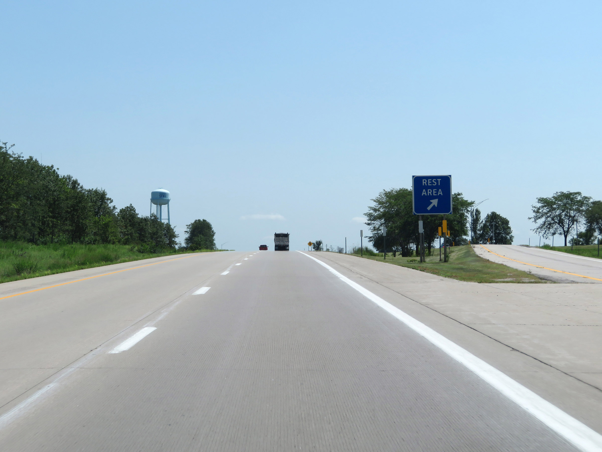
Rest Area on Interstate 35 South in Clarke County. (Photo taken 8/8/20). |
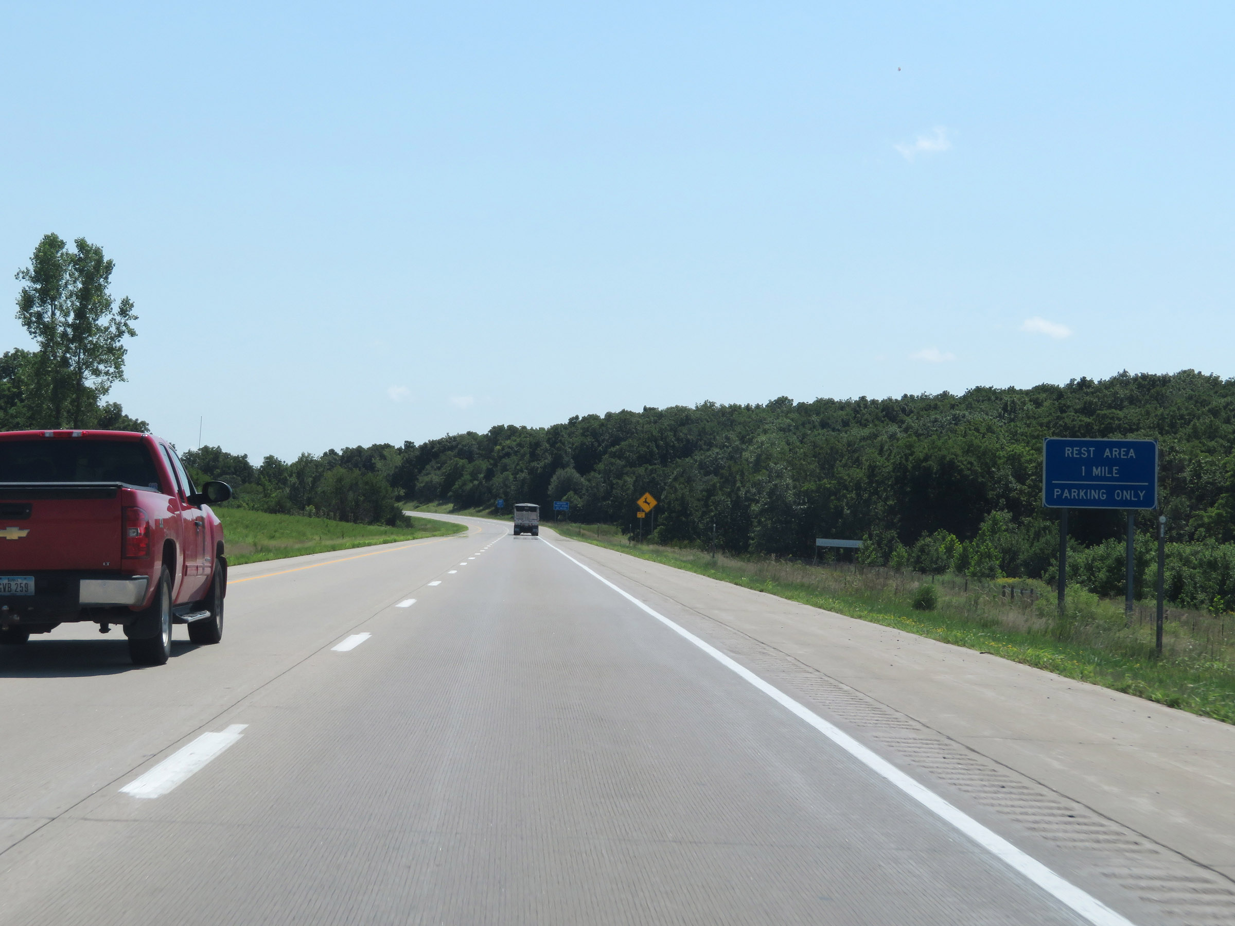 |
A second Rest Area exists just one mile ahead. However, this upcoming one is Parking Only and has no facilities. (Photo taken 8/8/20). |
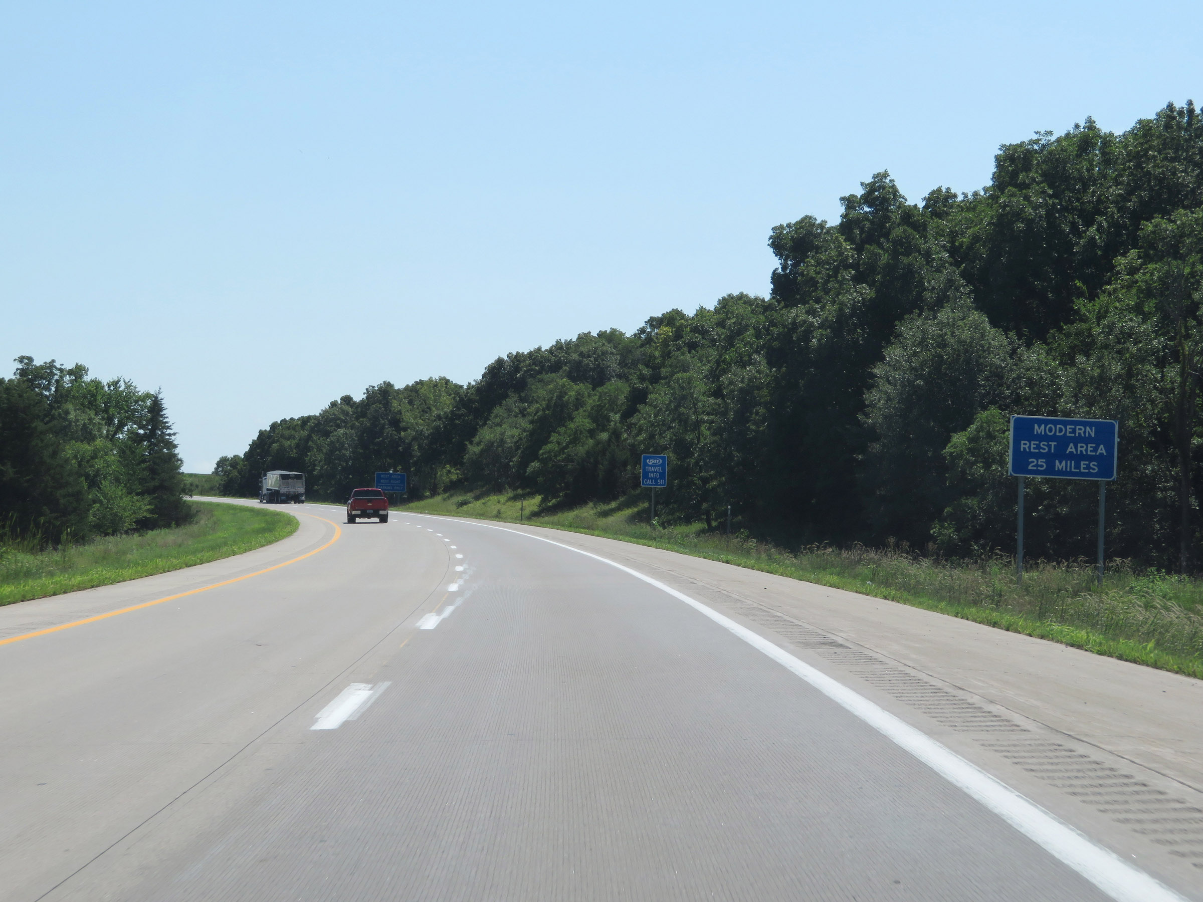 |
The next "modern" Rest Area (Iowa's way of saying "Rest Area with facilities") is 25 miles ahead. (Photo taken 8/8/20). |
 |
A second Rest Area on Interstate 35 South in Clarke County. (Photo taken 8/8/20). |
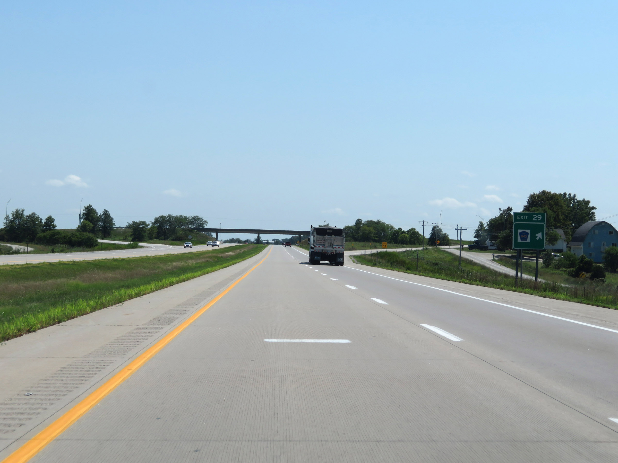 |
Interstate 35 South at Exit 29: CR H45 (Photo taken 8/8/20). |
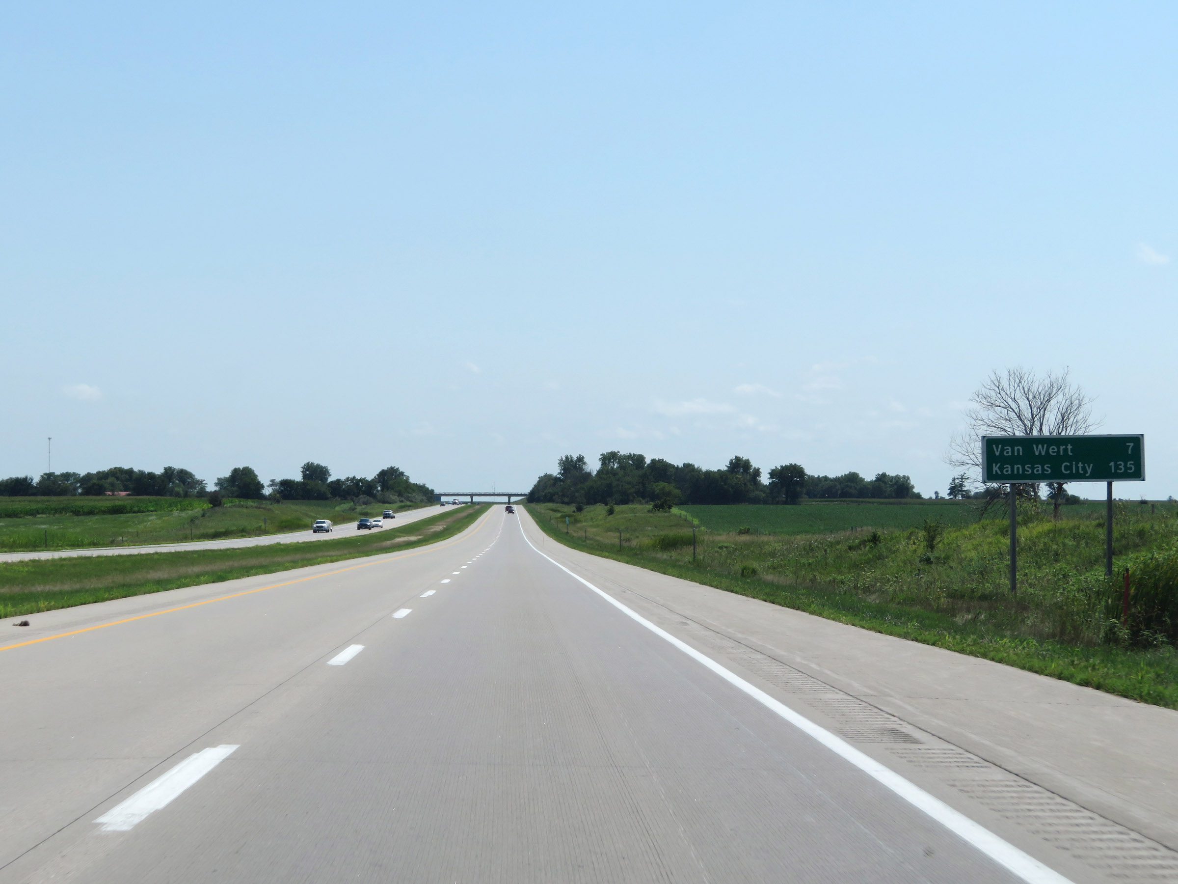 |
Mileage sign on Interstate 35 South. It's 7 miles to Van Wert and 135 miles to Kansas City. (Photo taken 8/8/20). |
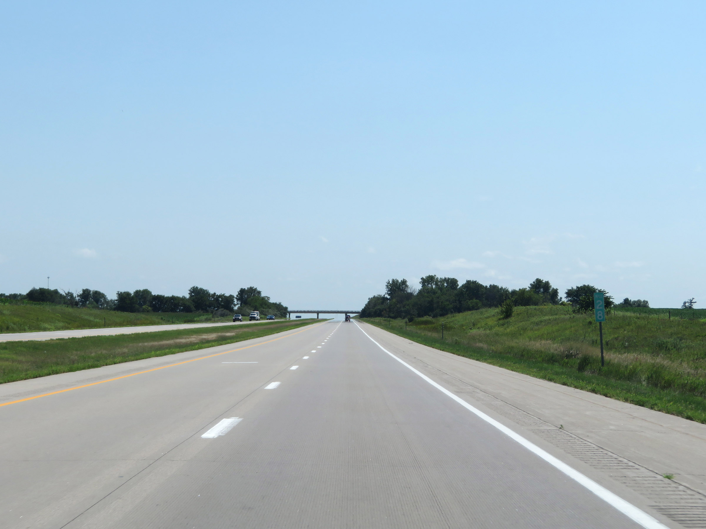 |
View on Interstate 35 South at mile marker 28. (Photo taken 8/8/20). |
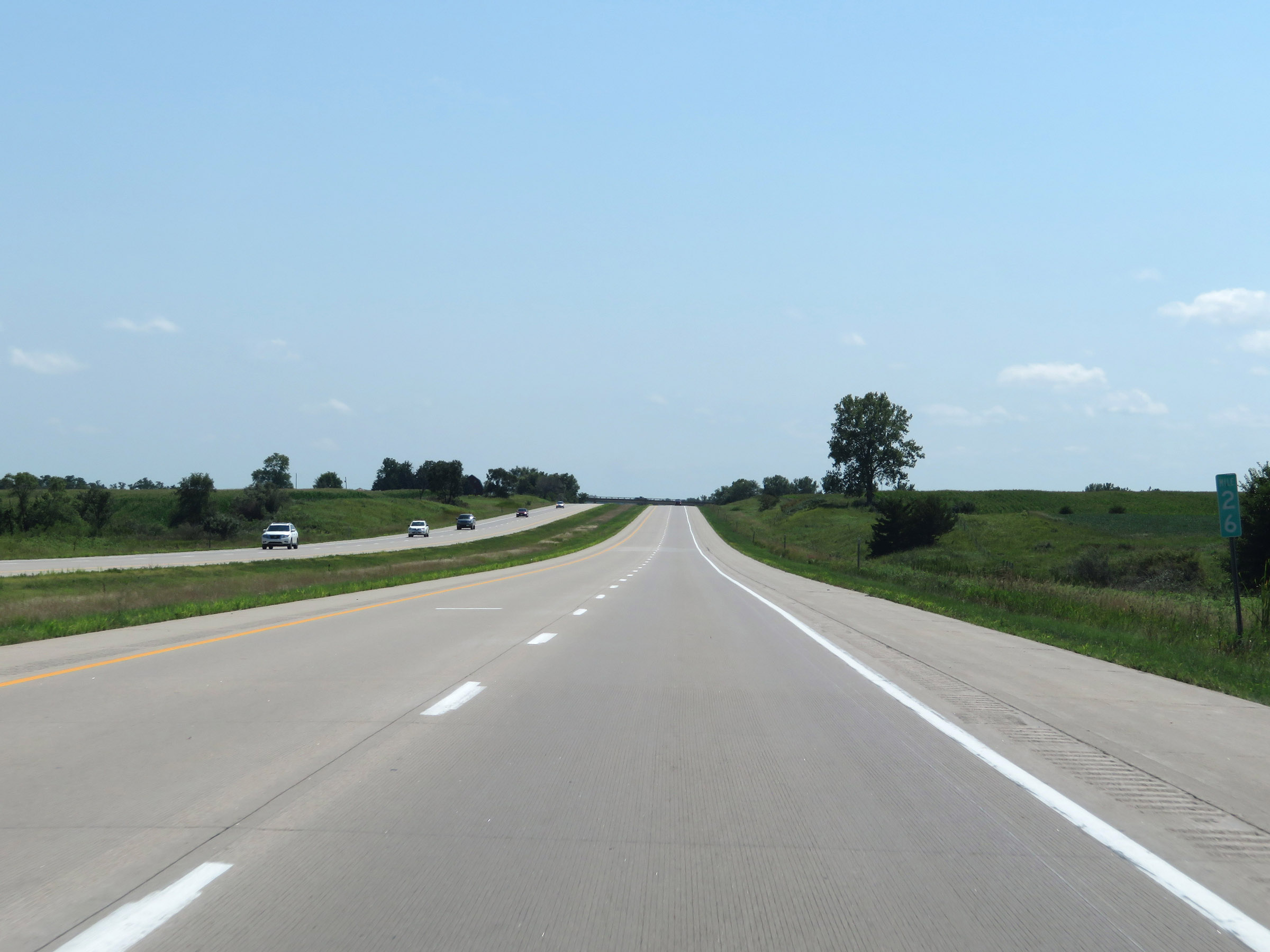 |
Interstate 35 South at mile marker 26. (Photo taken 8/8/20). |
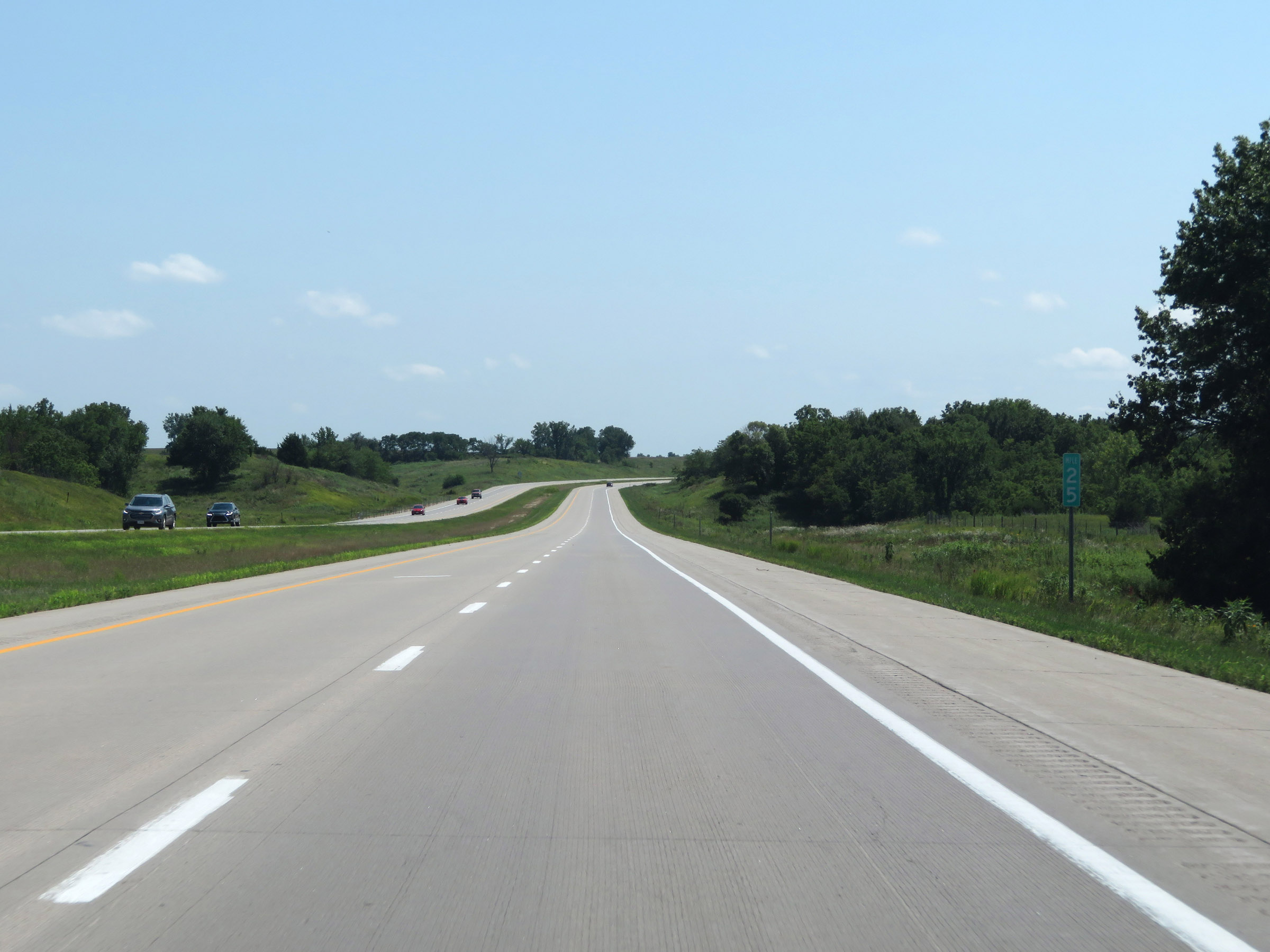 |
Mile marker 25 on Interstate 35 South in Clarke County. (Photo taken 8/8/20). |
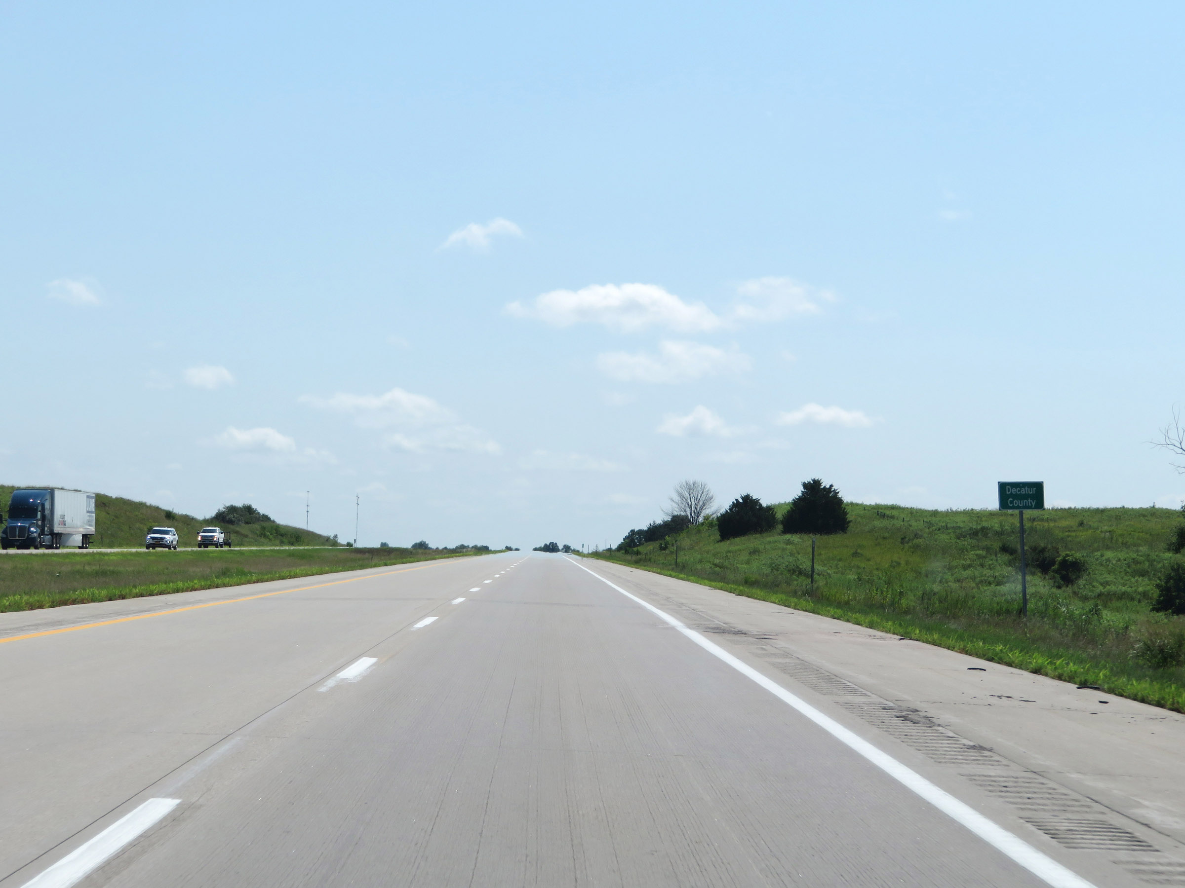 |
Interstate 35 South as it enters Decatur County. (Photo taken 8/8/20). |
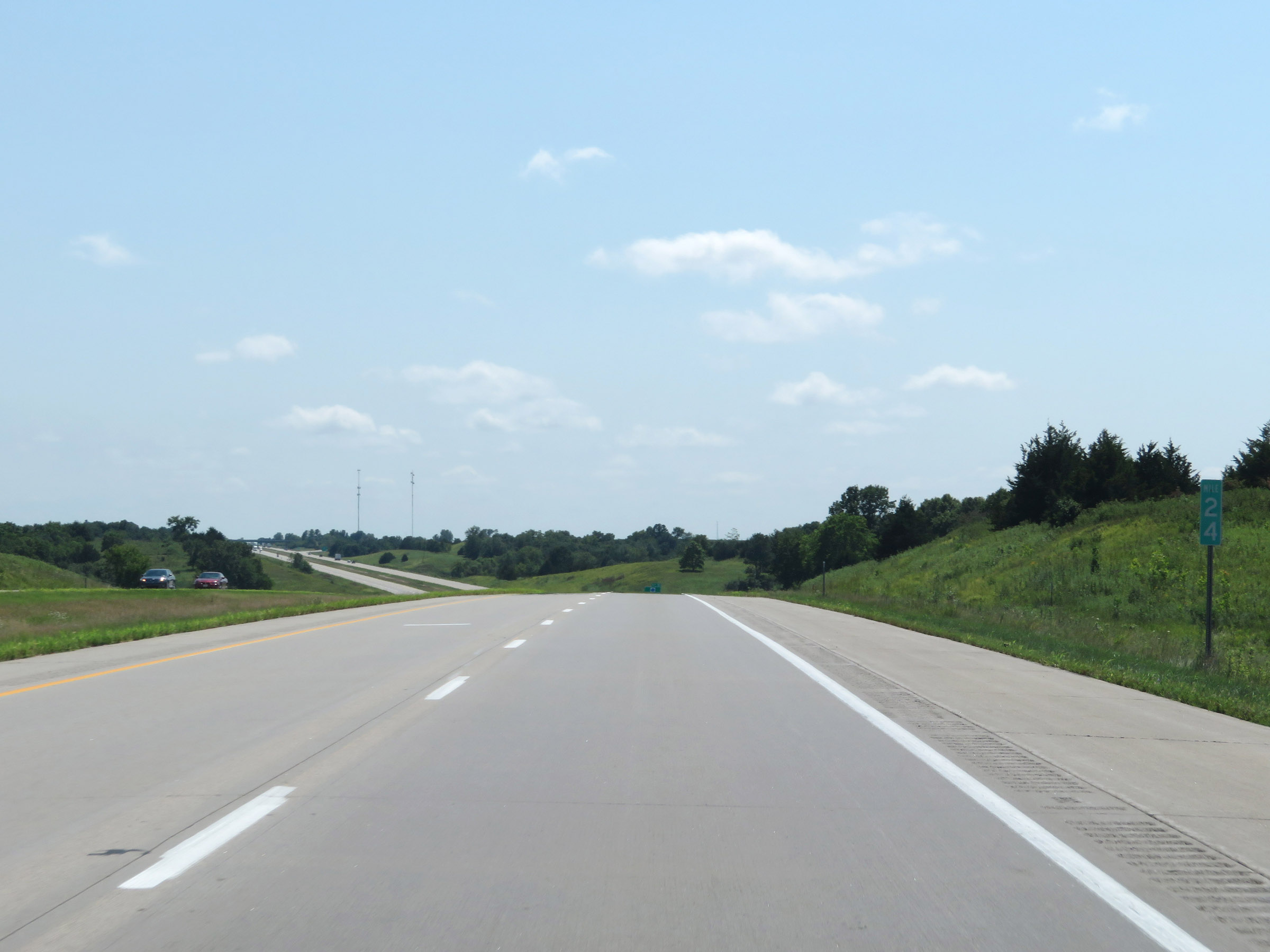 |
View on Interstate 35 South at mile marker 24. (Photo taken 8/8/20). |
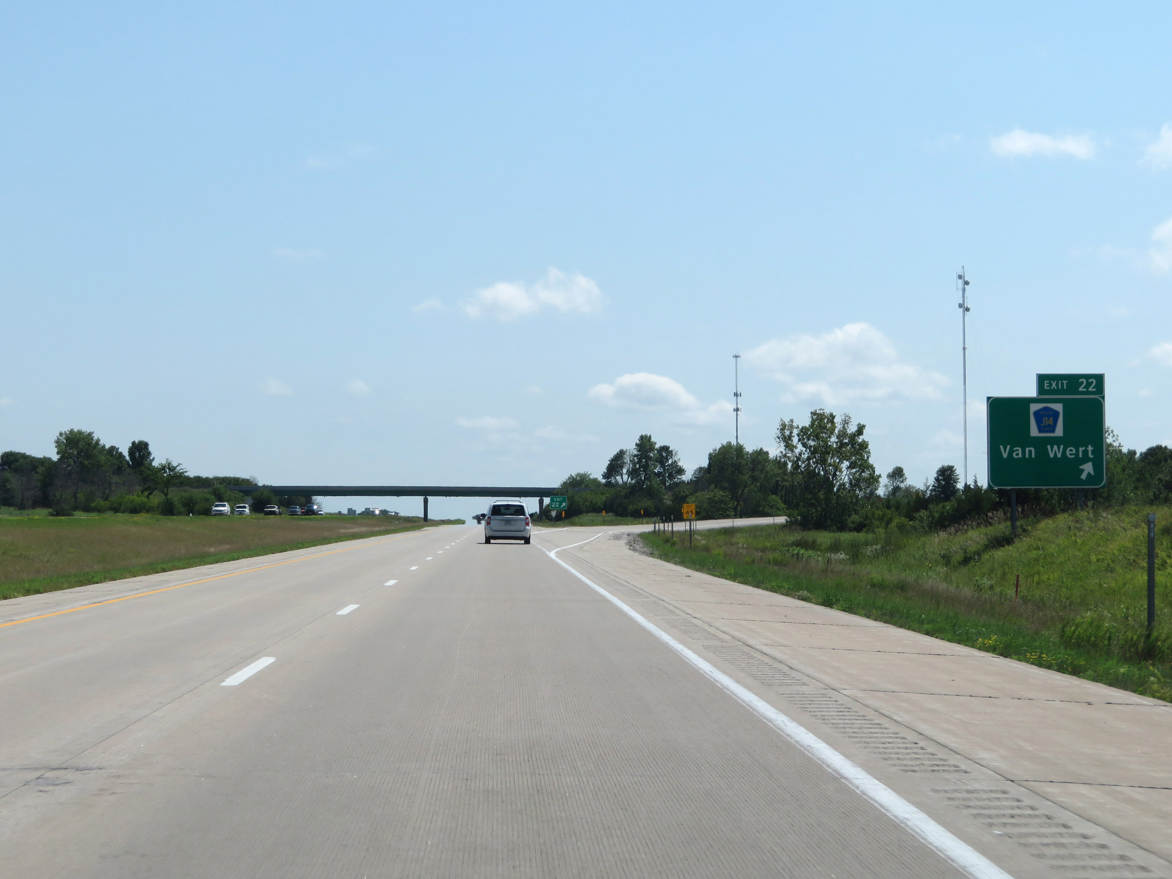 |
Interstate 35 South at Exit 22: CR J14 - Van Wert (Photo taken 8/8/20). |
 |
Interstate 35 South at mile marker 20. (Photo taken 8/8/20). |
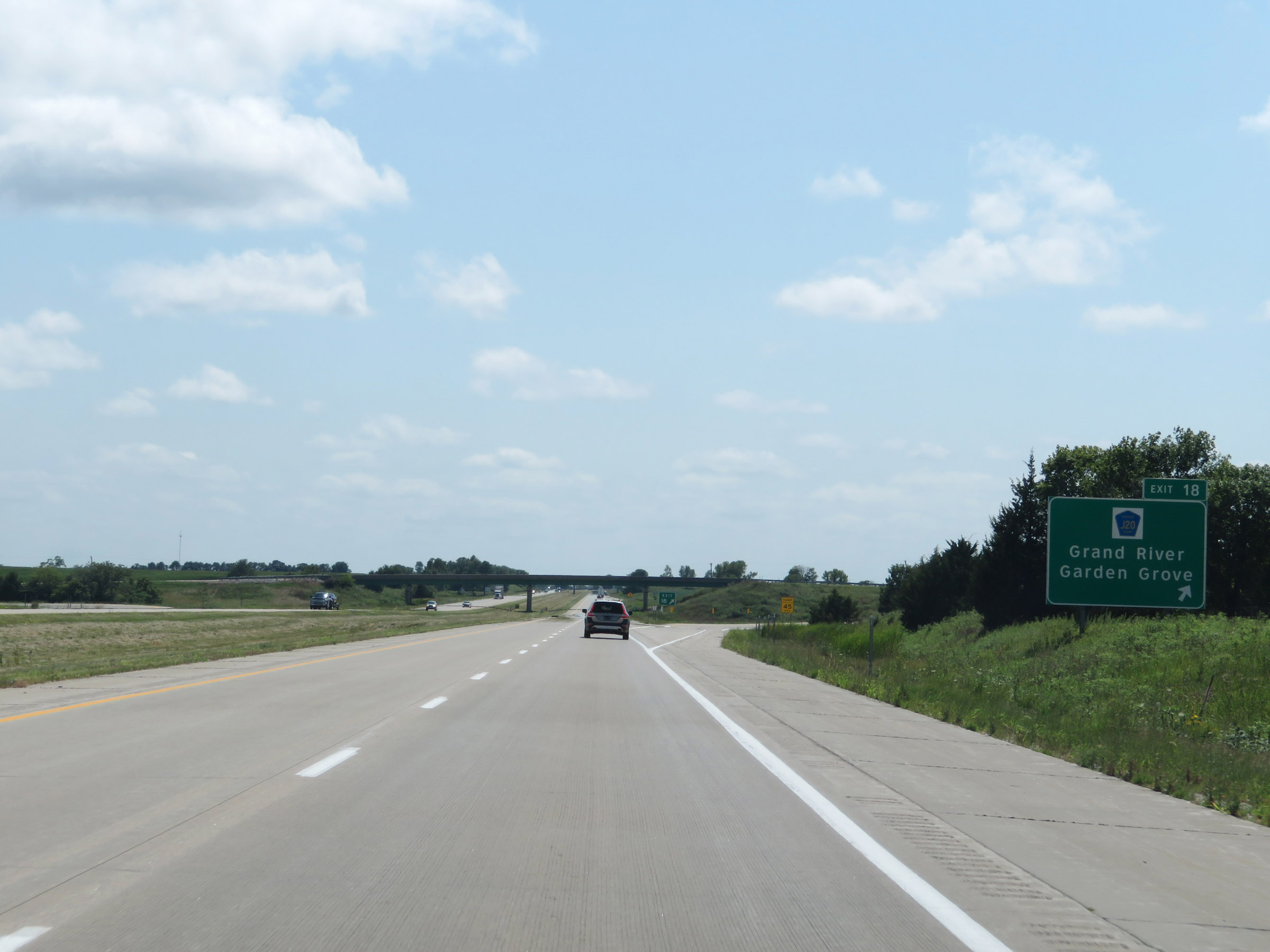 |
Interstate 35 South at Exit 18: CR J20 - Grand River / Garden Grove (Photo taken 8/8/20). |
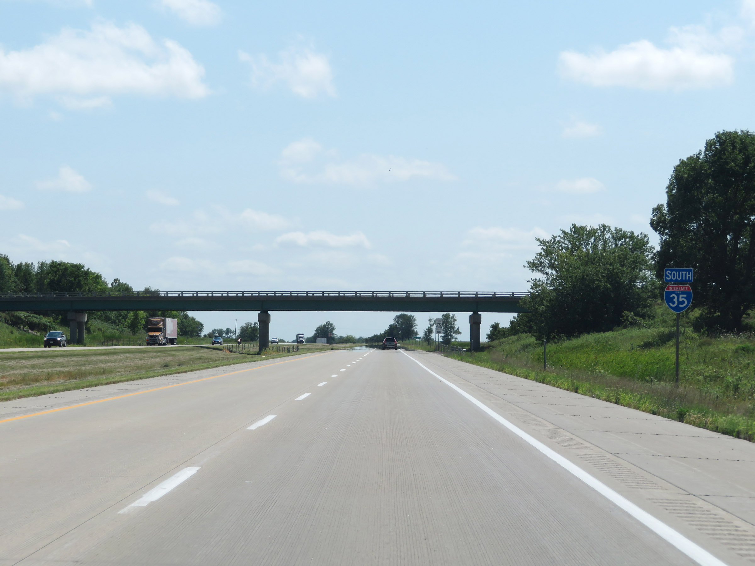 |
Another state-named Interstate 35 South reassurance shield. (Photo taken 8/8/20). |
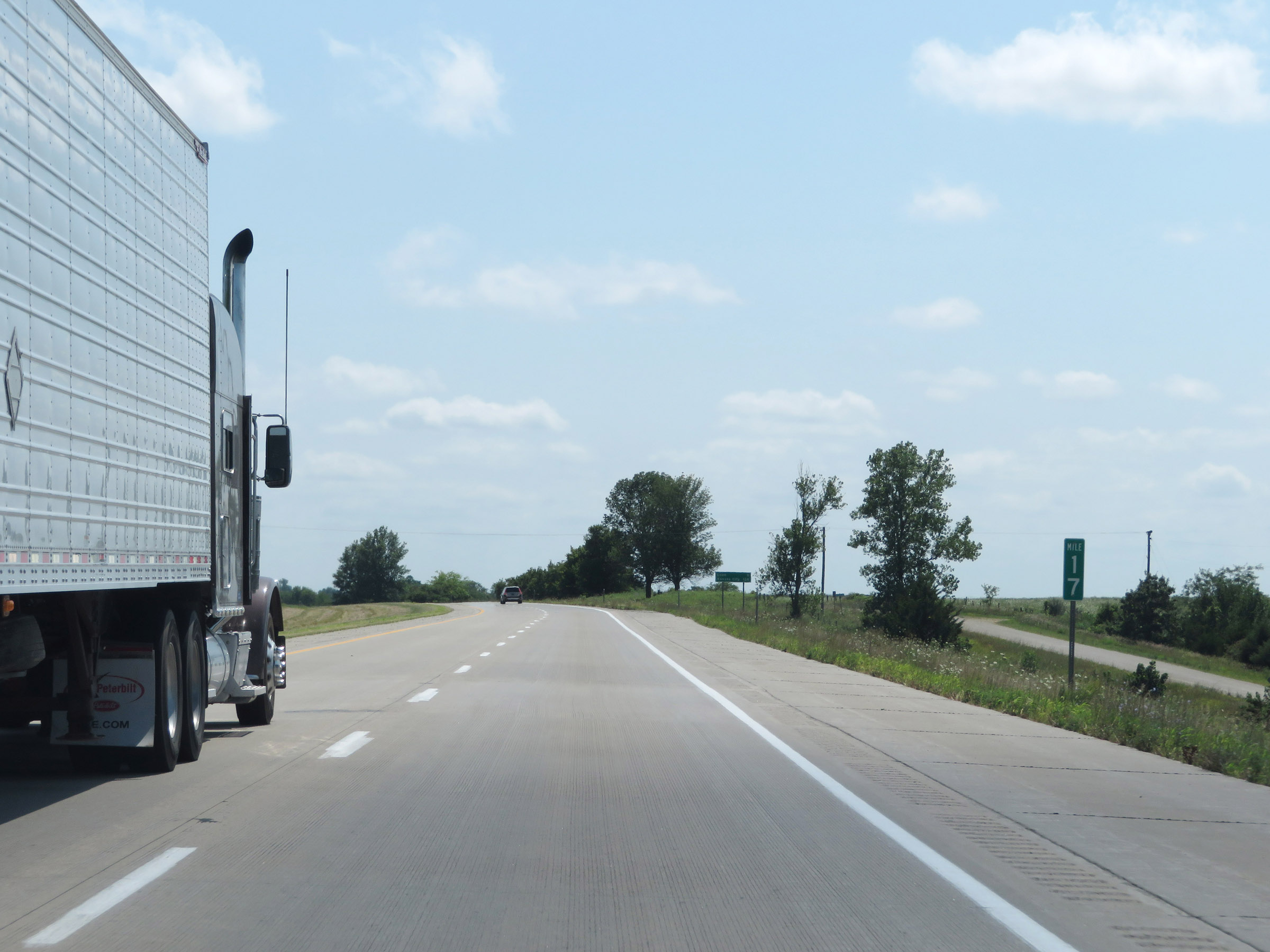 |
View on interstate 35 South at mile marker 17. (Photo taken 8/8/20). |
 |
Interstate 35 South at mile marker 15. (Photo taken 8/8/20). |
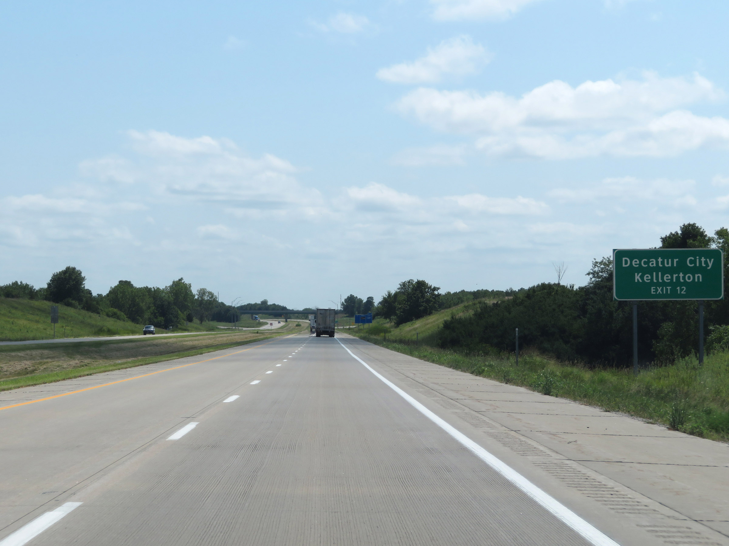 |
Take Exit 12 to Decatur City and Kellerton. (Photo taken 8/8/20). |
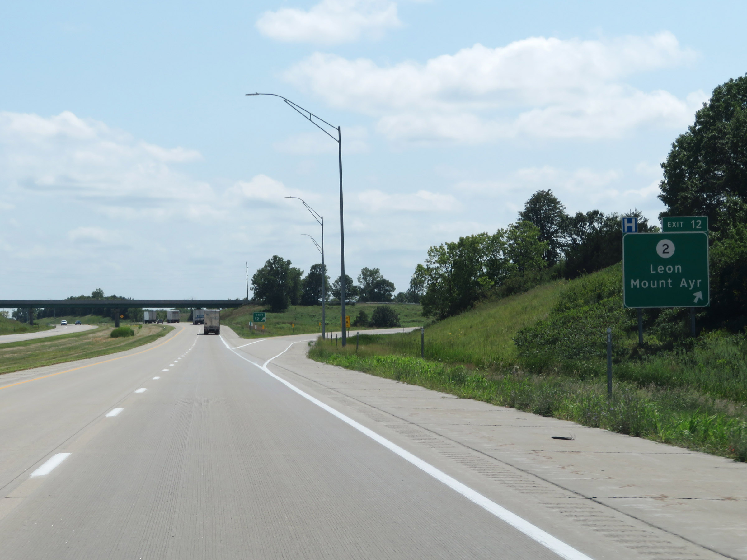 |
Interstate 35 South at Exit 12: IA 2 - Leon / Mount Ayr (Photo taken 8/8/20). |
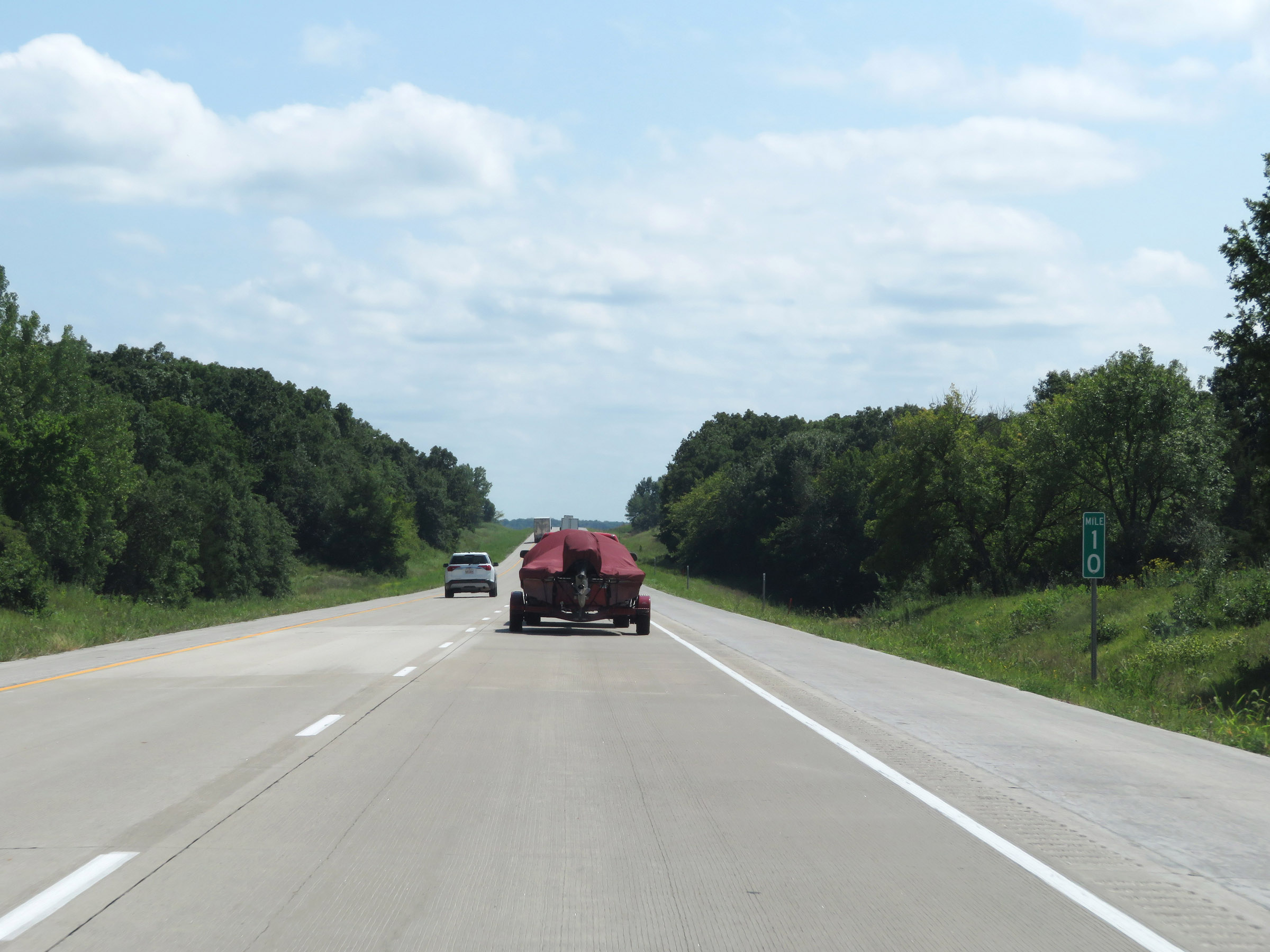 |
Interstate 35 South at mile marker 10. (Photo taken 8/8/20). |
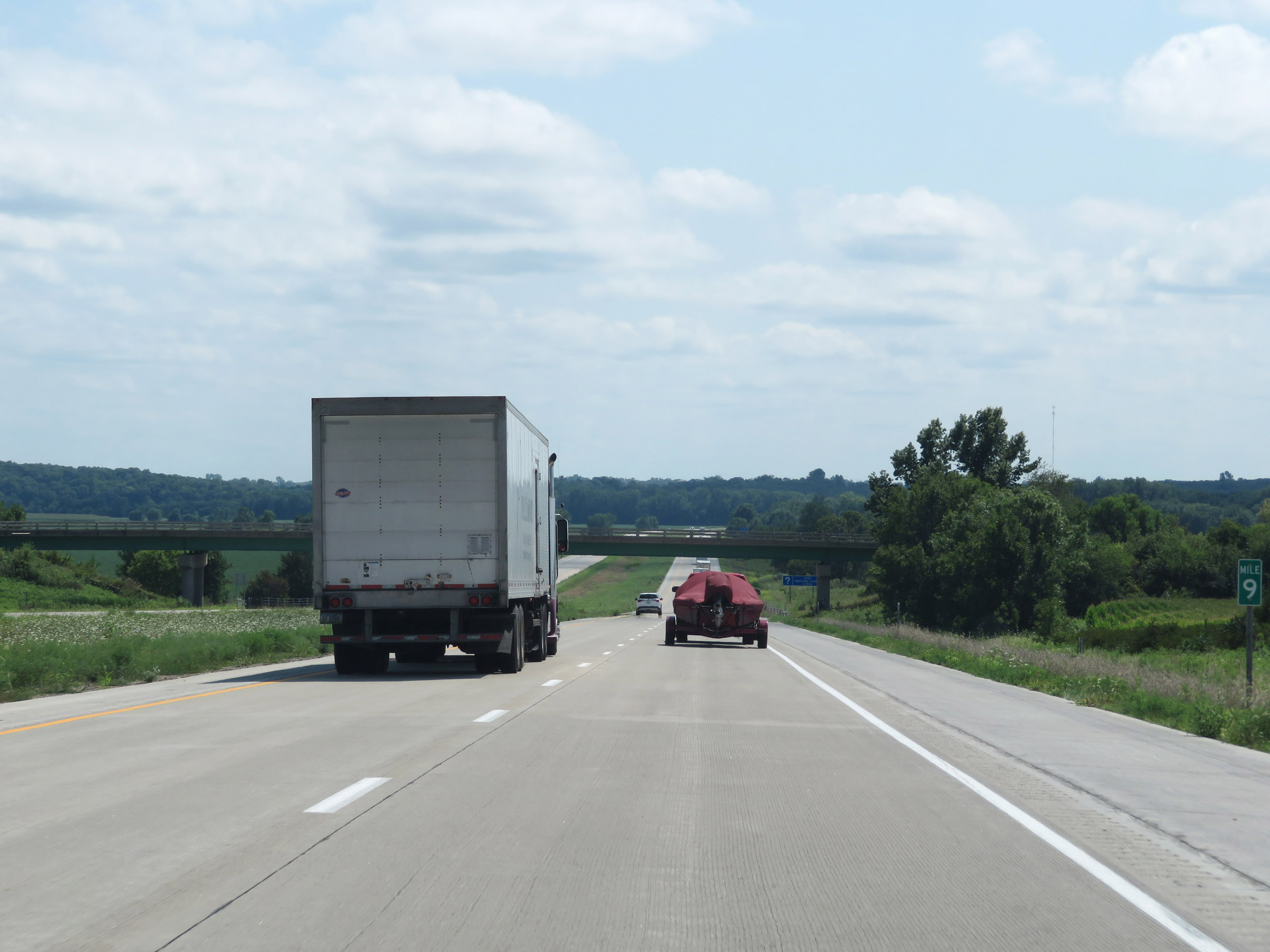 |
View on Interstate 35 South at mile marker 9. (Photo taken 8/8/20). |
 |
Rest Area on Interstate 35 South in Decatur County. (Photo taken 8/8/20). |
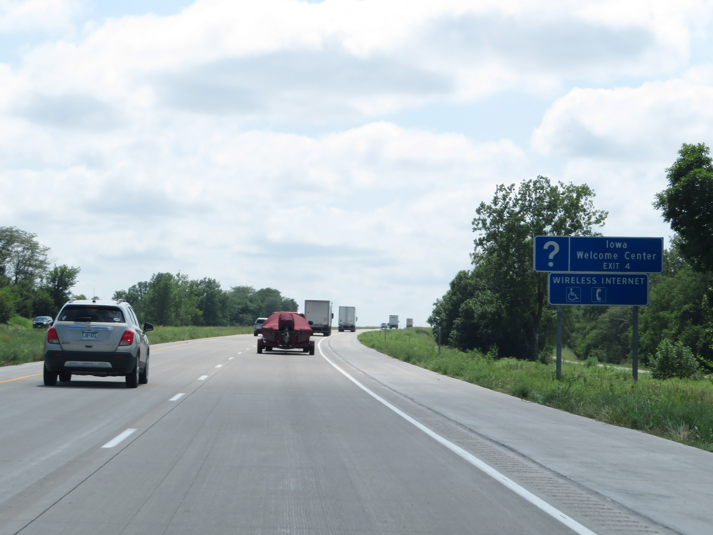 |
An Iowa Welcome Center exists off Exit 4. (Photo taken 8/8/20). |
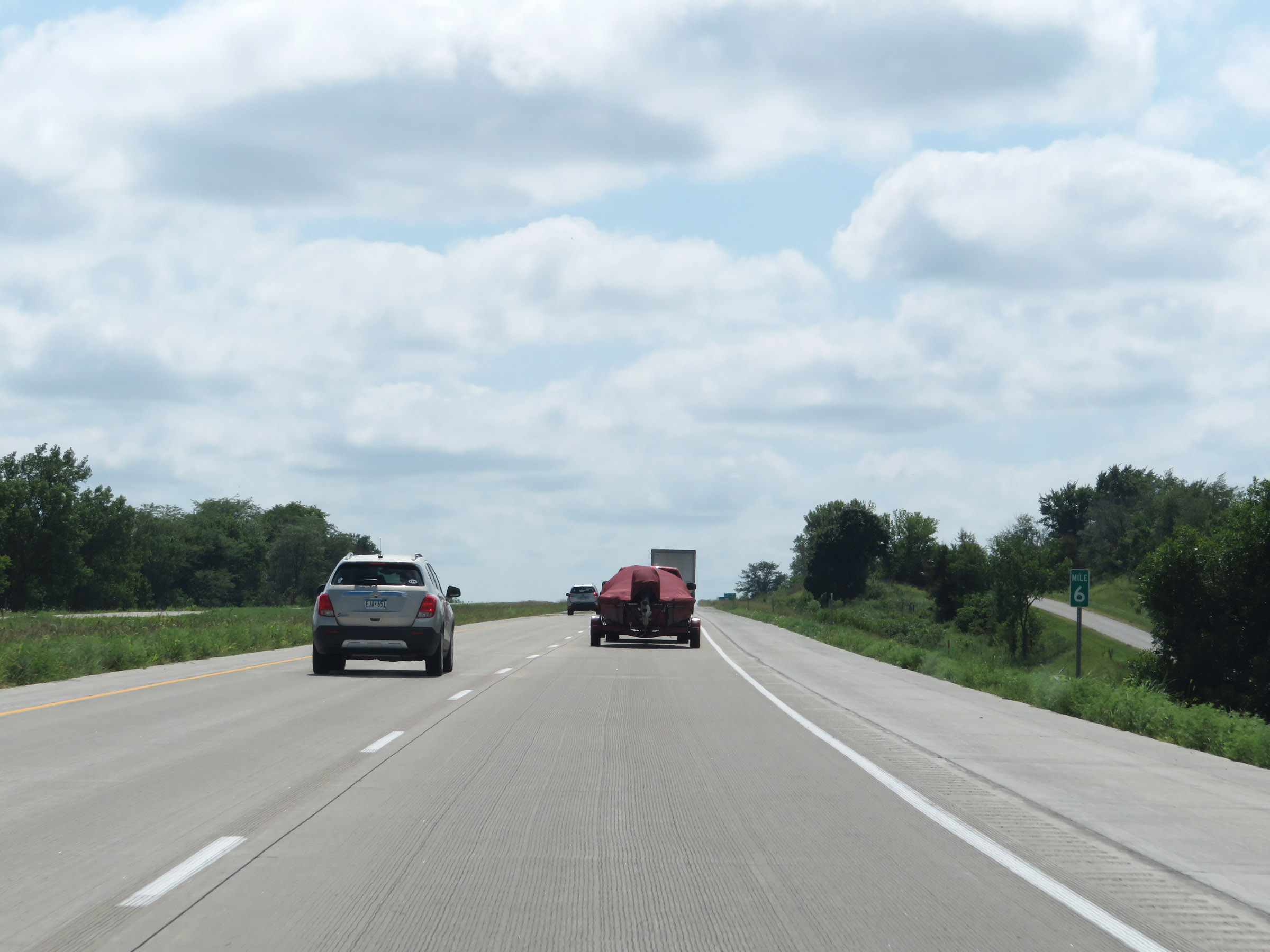 |
View on Interstate 35 South at mile marker 6. (Photo taken 8/8/20). |
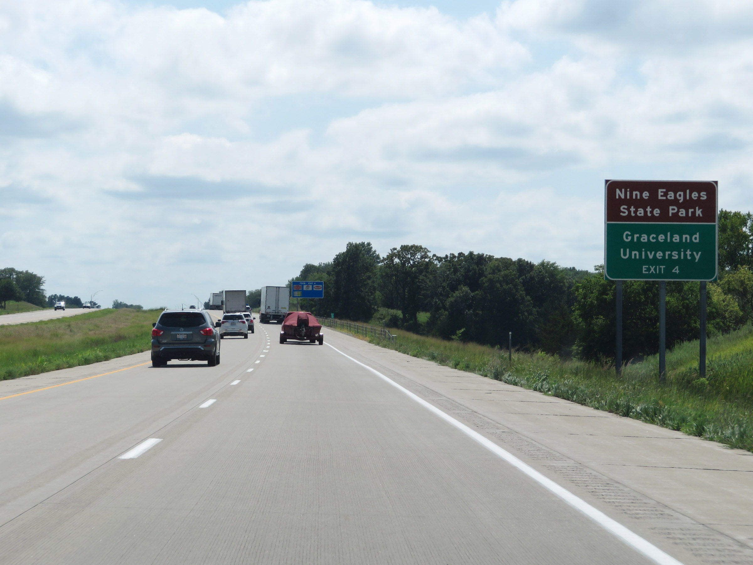 |
Take Exit 4 to Nine Eagles State Park and Graceland University. (Photo taken 8/8/20). |
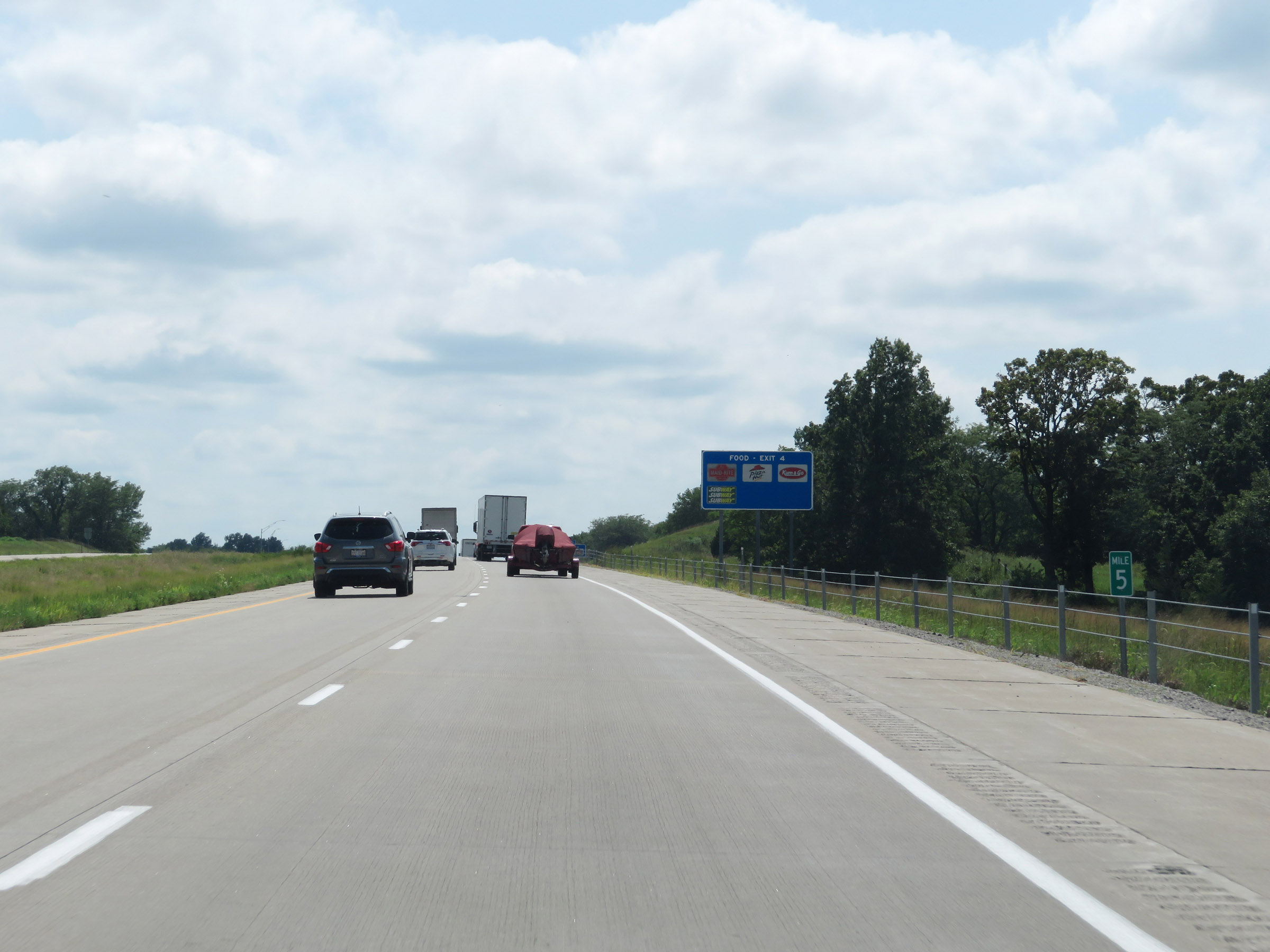 |
Interstate 35 South at mile marker 5. (Photo taken 8/8/20). |
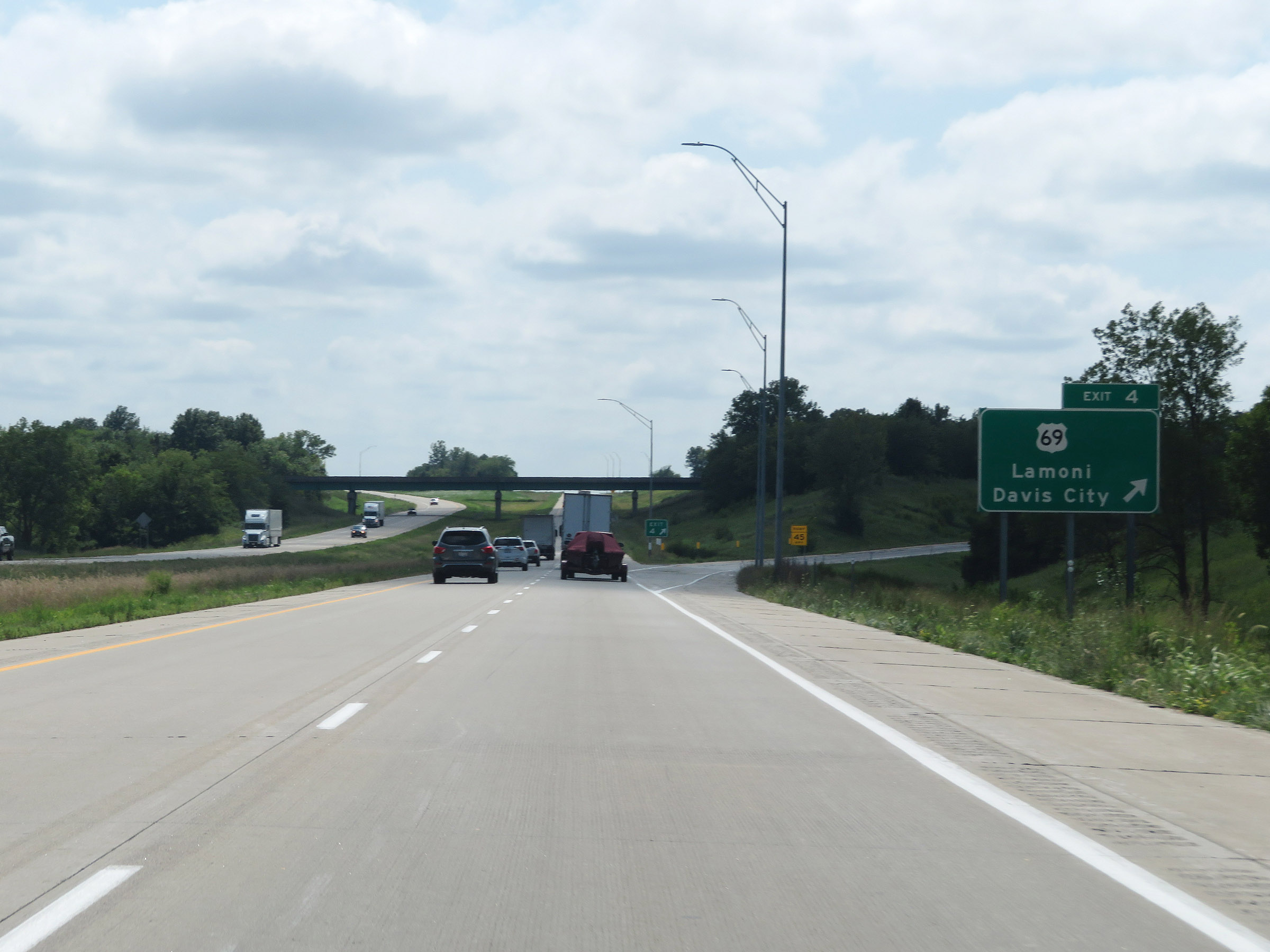 |
Interstate 35 South at Exit 4: US 69 - Lamoni / Davis City (Photo taken 8/8/20). |
 |
Mileage sign on Interstate 35 South. It's 13 miles to Eagleville and 110 miles to Kansas City. (Photo taken 8/8/20). |
 |
Mile marker 2 on Interstate 35 South in Decatur County. (Photo taken 8/8/20). |
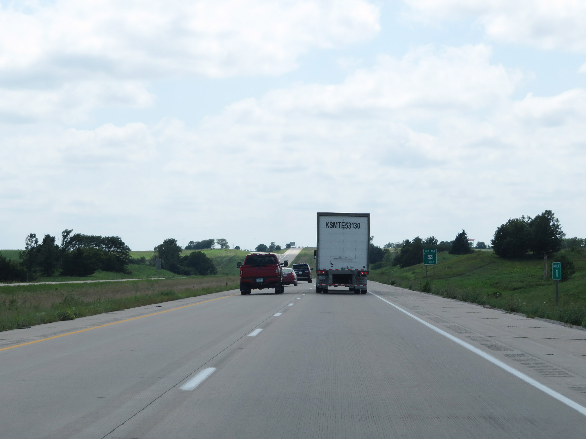 |
View on Interstate 35 South at mile marker 1. (Photo taken 8/8/20). |
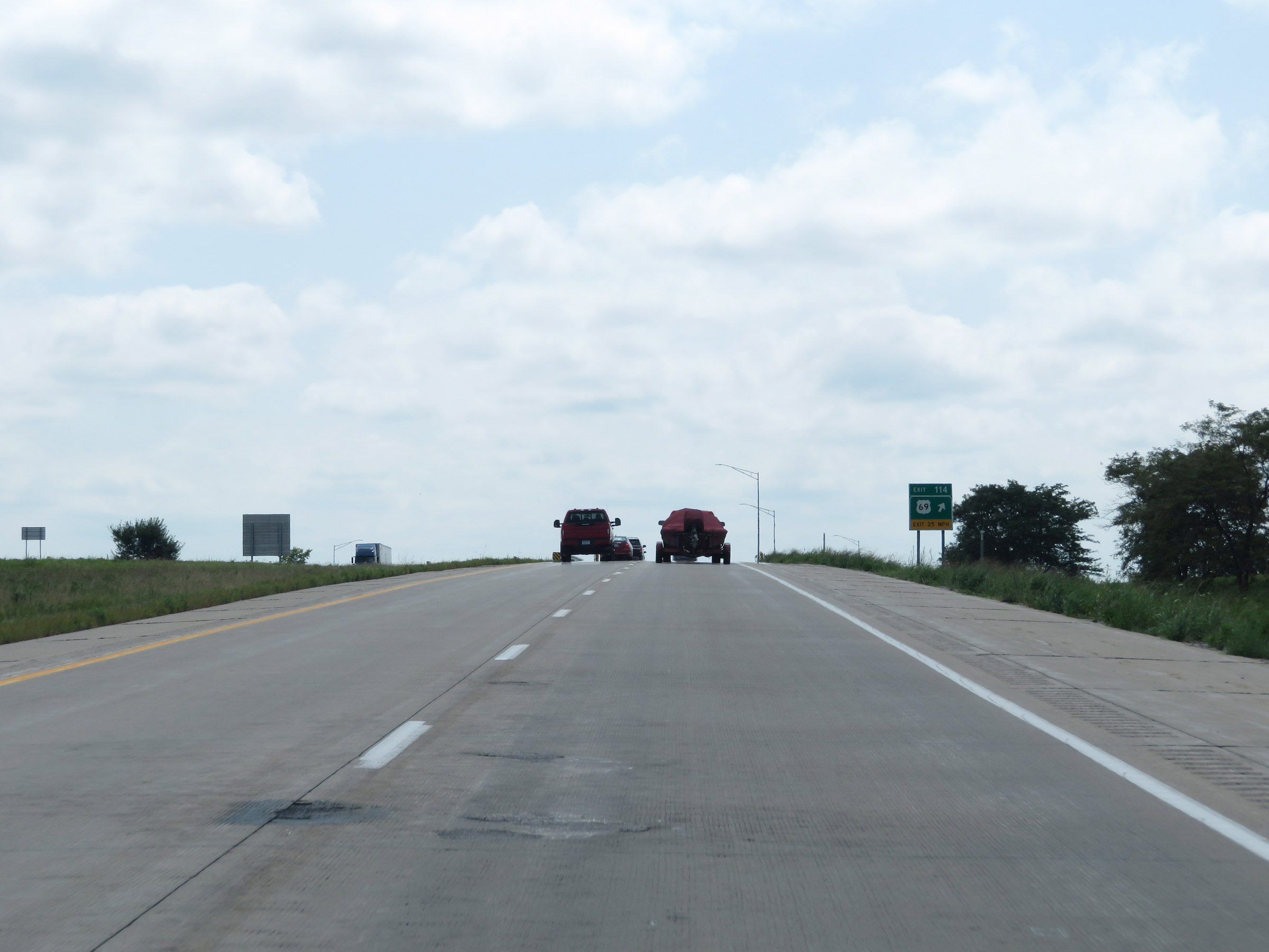 |
Interstate 35 South as it approaches the Missouri border. (Photo taken 8/8/20). |
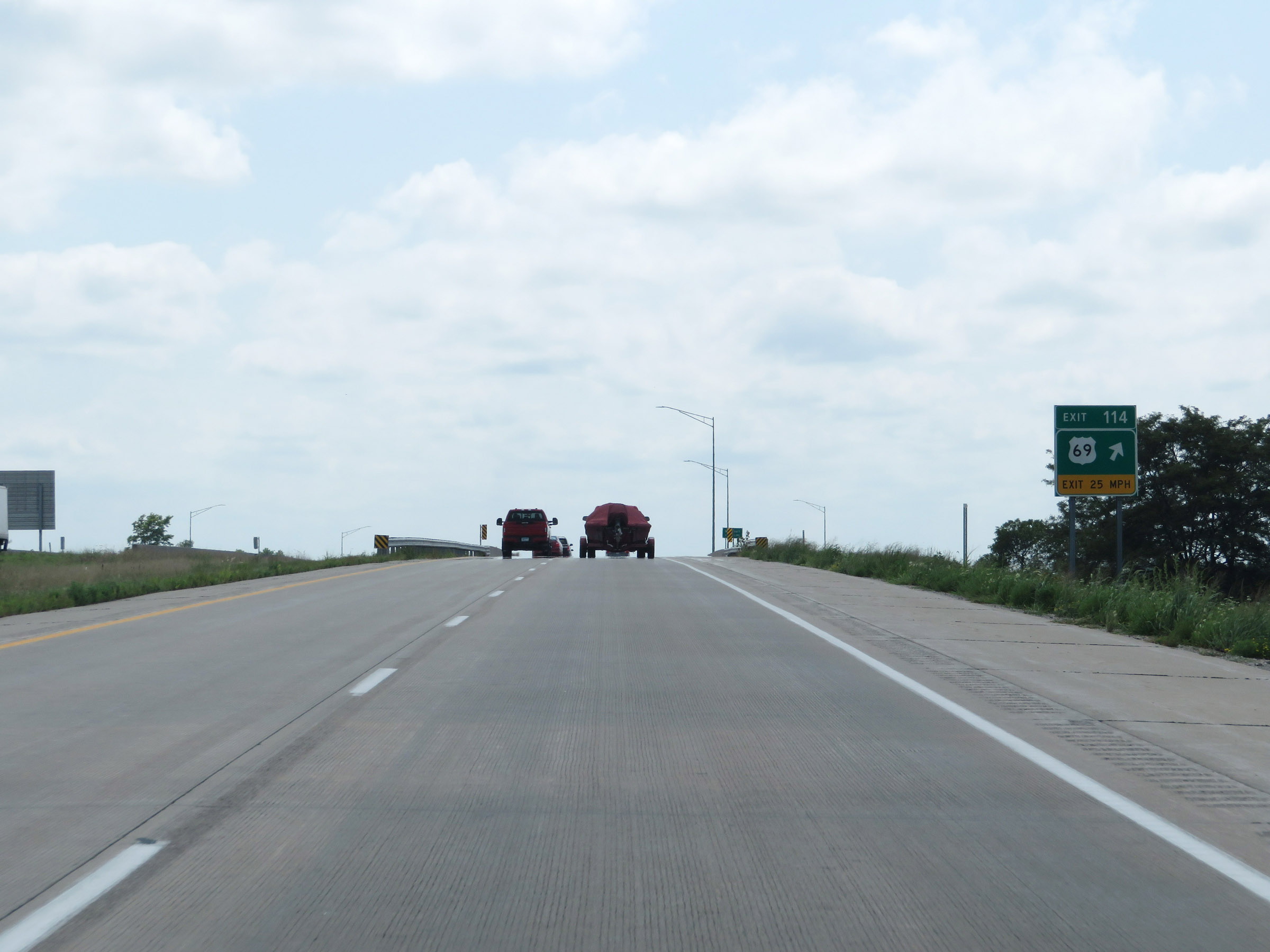 |
Signage for Exit 114, which is the first exit on Interstate 35 South in Missouri, exists here in Iowa just before I-35 South crosses the state line into Missouri just ahead. (Photo taken 8/8/20). |