Road Information |
||
 |
||
| Total Mileage in State: | 151 miles | |
| Northern End: | At South Dakota state line | |
| Southern End: | At Missouri state line | |
| Mileage covered in Photos: | 151 miles | |
| Counties covered in Photos: | Woodbury, Monona, Harrison, Pottawattamie, Mills, Fremont | |
| Major Junctions in Photos: | I-129, in Sioux City I-880, near Missouri Valley I-680, near Crescent I-480, in Council Bluffs I-80, in Council Bluffs |
|
| Control Cities in Photos: | Sioux City, Council Bluffs, Hamburg | |
Southbound
- Section 1: South Dakota Border to Onawa (Exit 112)
- Section 2: Onawa (Exit 112) to Council Bluffs (Exit 52)
- Section 3: Council Bluffs (Exit 52) to Missouri Border
Section 1: South Dakota Border to Onawa (Exit 112)
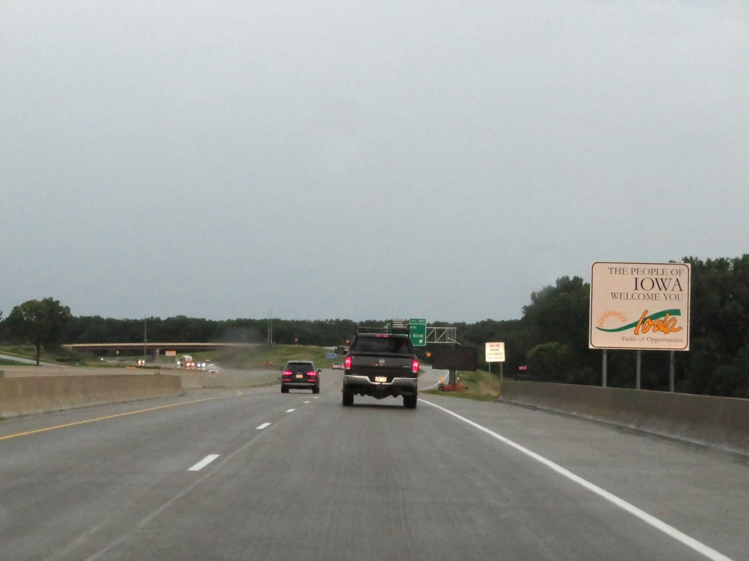 |
Iowa welcome sign as Interstate 29 South enters the Hawkeye State from South Dakota by crossing the Big Sioux River. (Photo taken 8/10/20). |
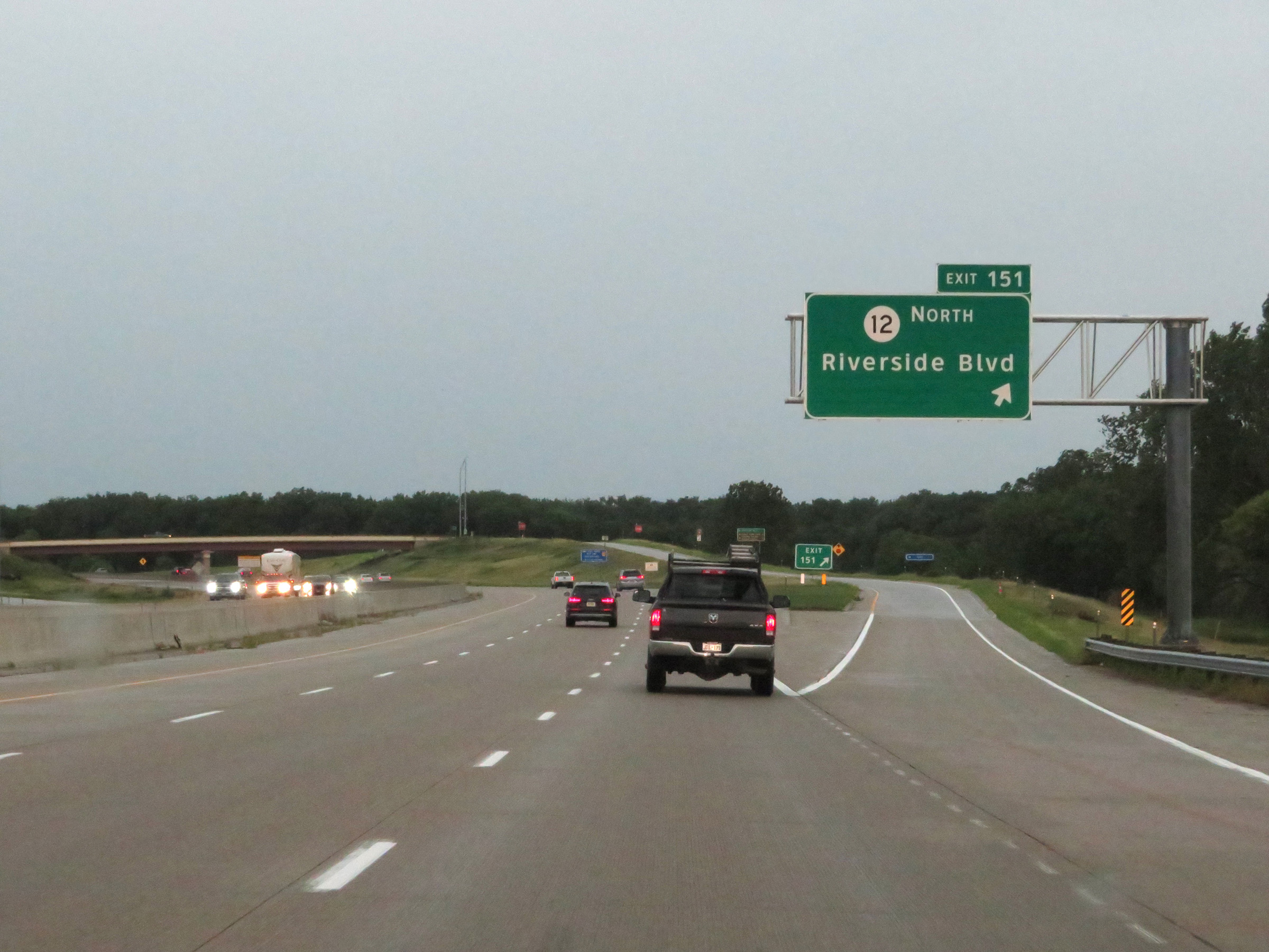 |
Interstate 29 South at Exit 151: IA 12 North - Riverside Blvd (Photo taken 8/10/20). |
 |
State-named Interstate 29 South reassurance shield. The speed limits on Interstate 29 South start out at 65 mph maximum and 40 mph minimum. (Photo taken 8/10/20). |
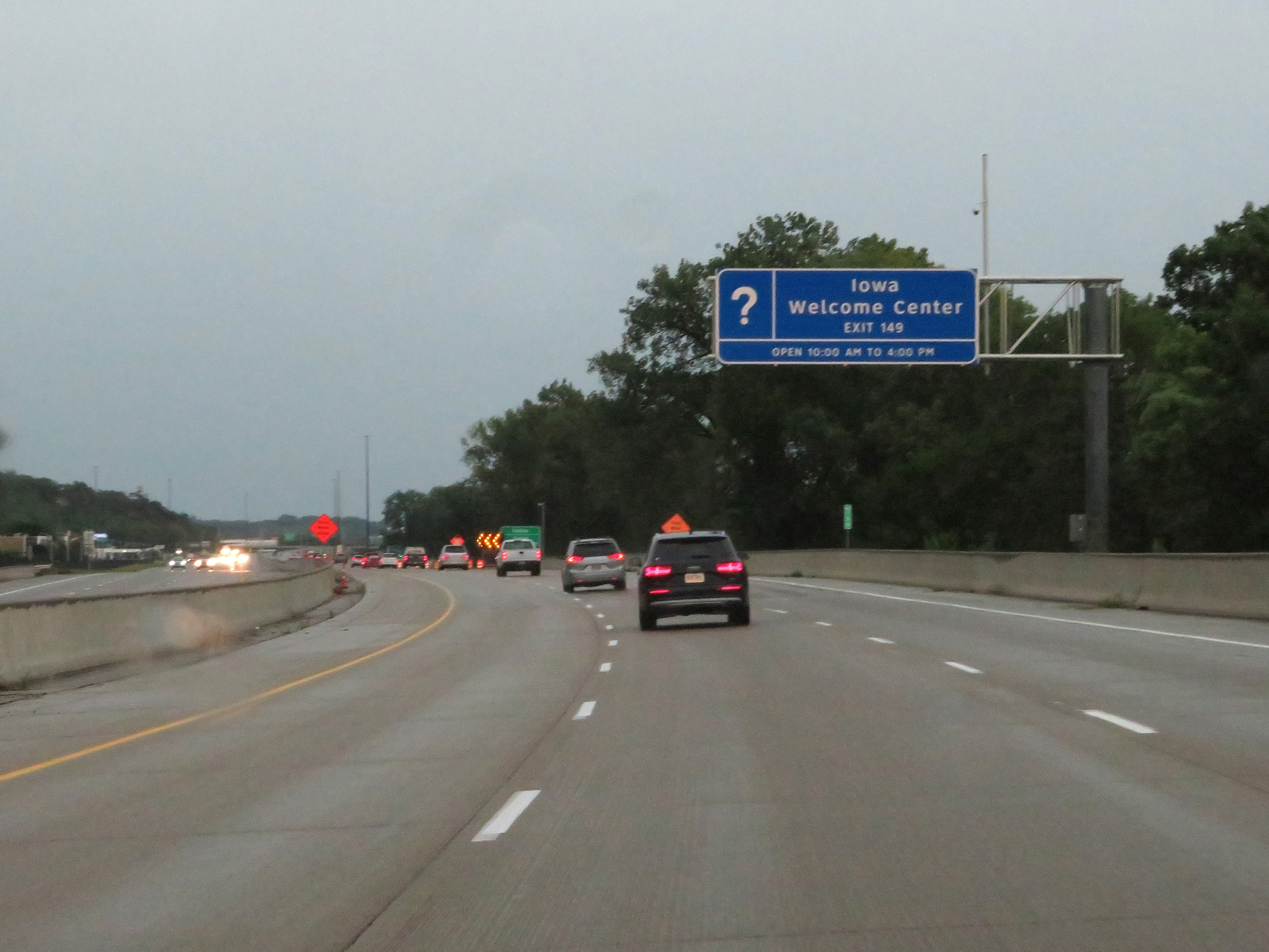 |
An Iowa Welcome Center exists off Exit 149 ahead. (Photo taken 8/10/20). |
 |
Mile marker 150 on Interstate 29 South in Woodbury County. (Photo taken 8/10/20). |
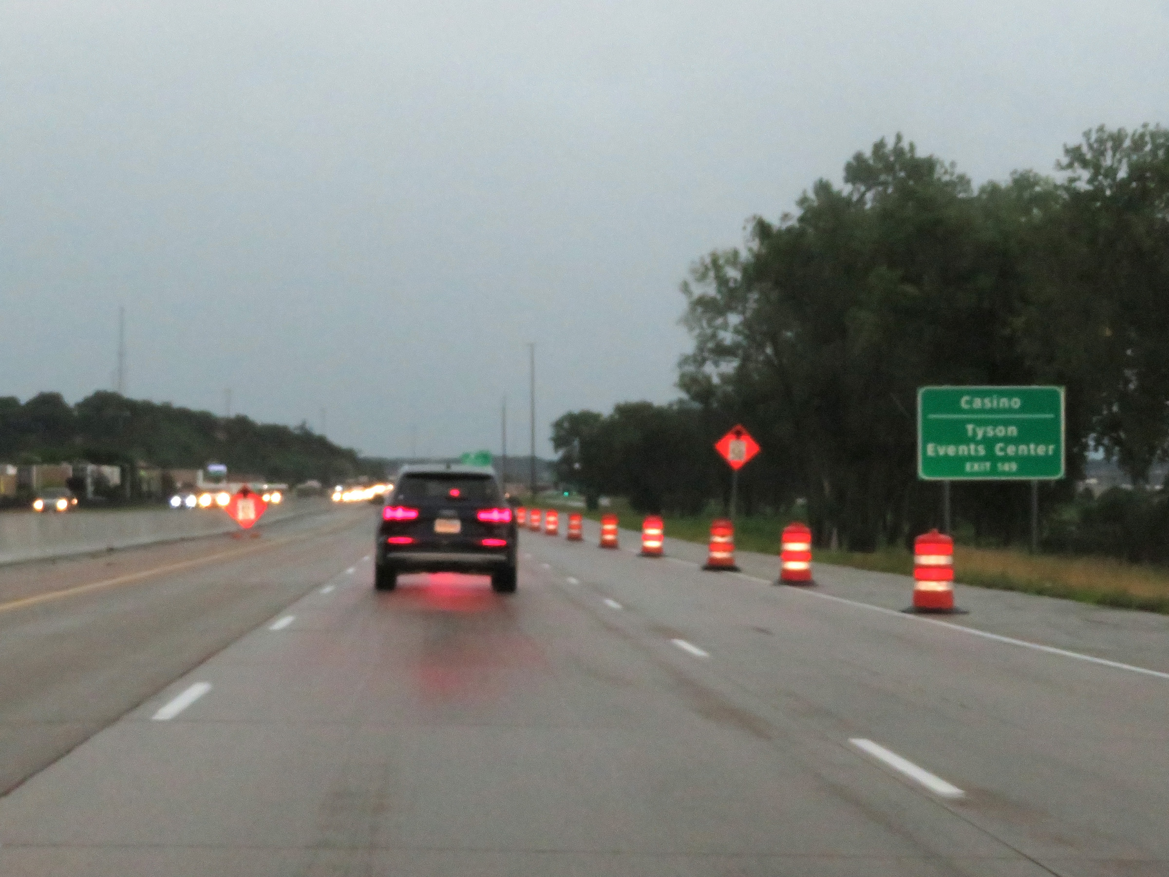 |
Take Exit 149 to the Casino and Tyson Events Center as well. (Photo taken 8/10/20). |
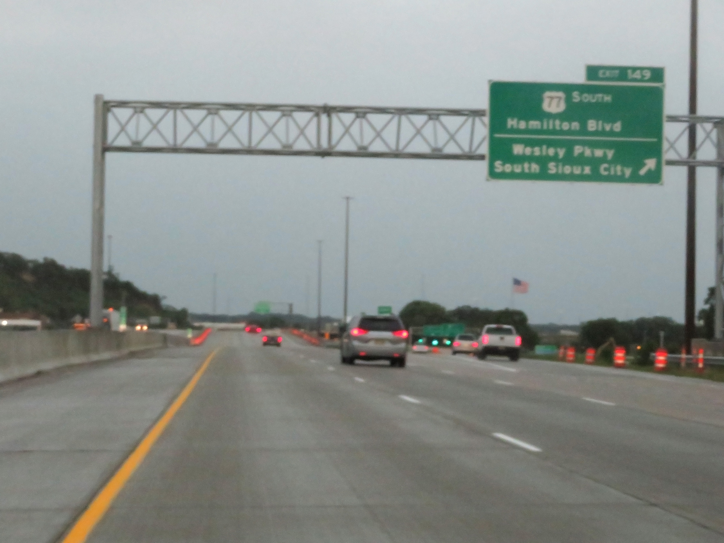 |
Interstate 29 South at Exit 149: US 77 South - Hamilton Blvd / Wesley Pkwy / South Sioux City (Photo taken 8/10/20). |
 |
A view of the ramp for Exit 149 at mile marker 149. (Photo taken 8/10/20). |
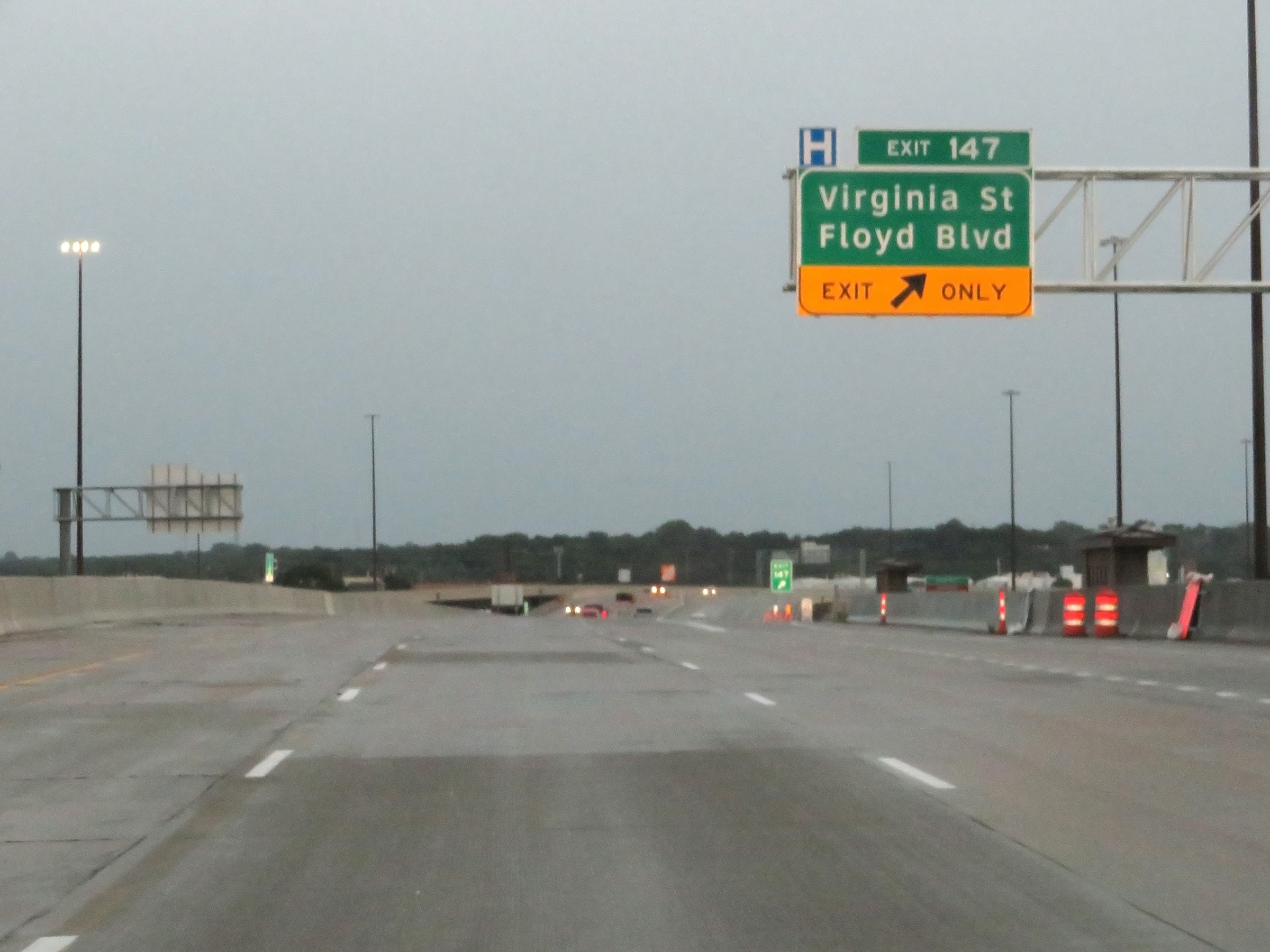 |
Interstate 29 South at Exit 147: Virginia St / Floyd Blvd (Photo taken 8/10/20). |
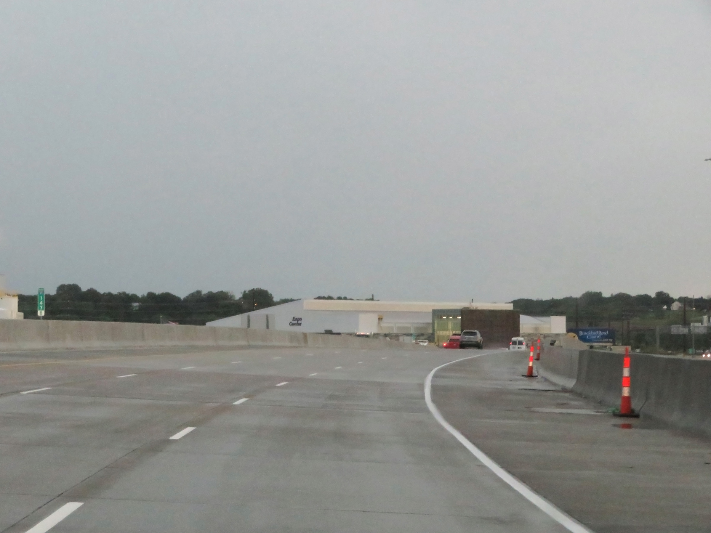 |
View on Interstate 29 South at mile marker 147.8. (Photo taken 8/10/20). |
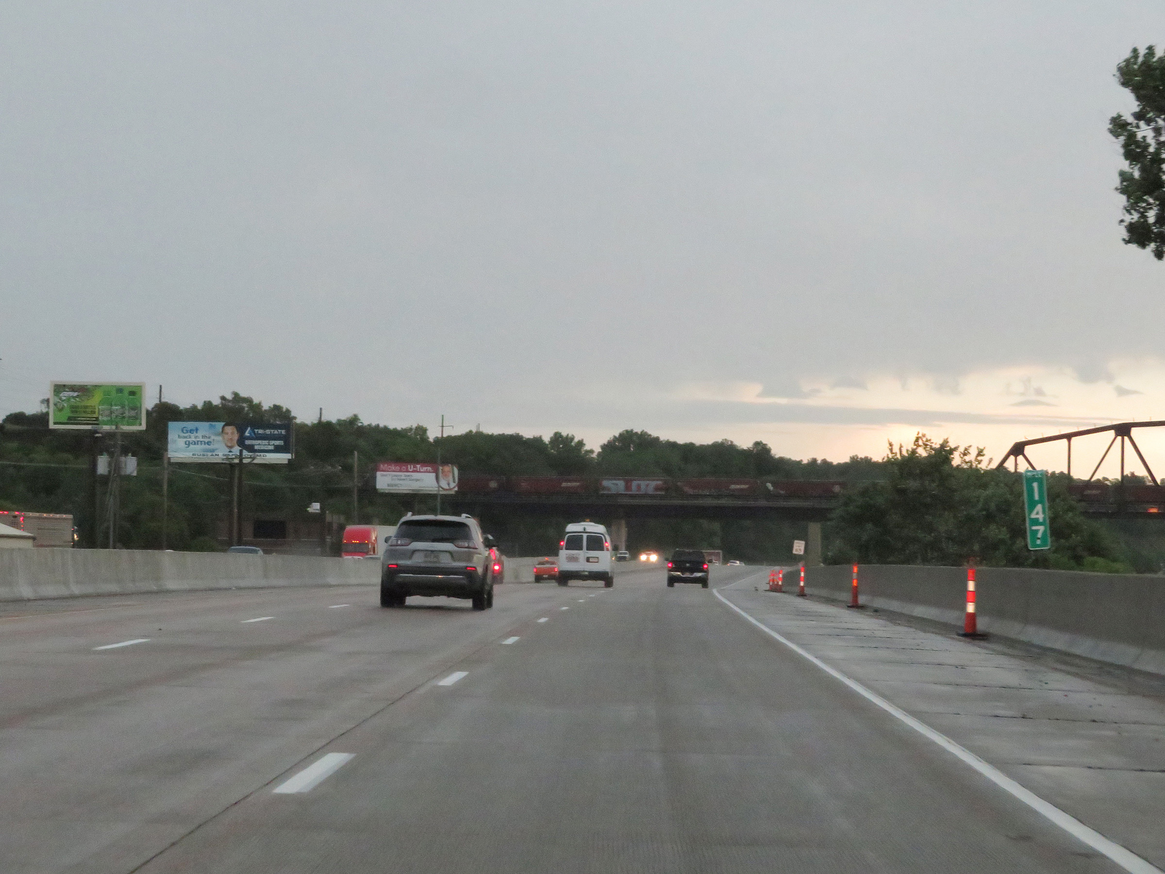 |
Interstate 29 South at mile marker 147. (Photo taken 8/10/20). |
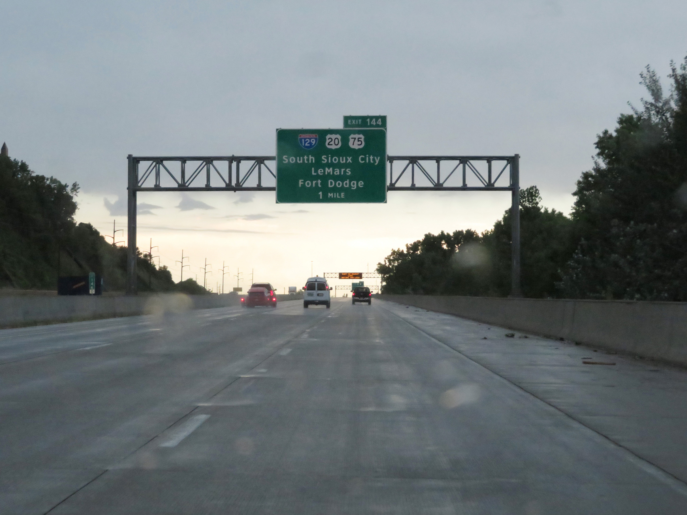 |
Advance signage for Exit 144 on Interstate 29 South - 1 mile ahead. (Photo taken 8/10/20). |
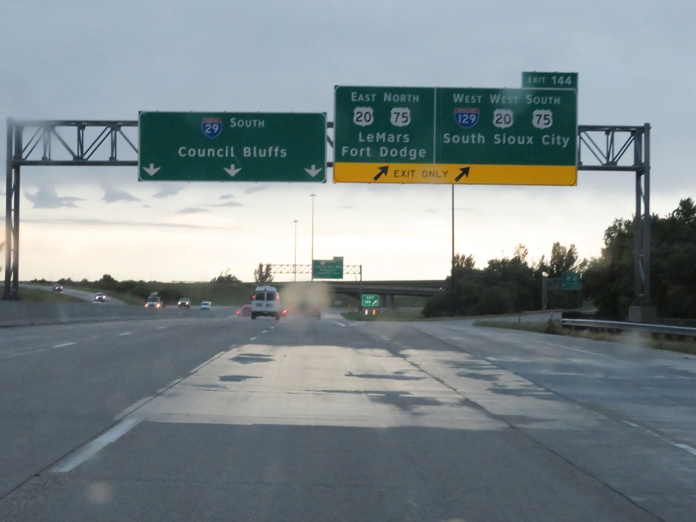 |
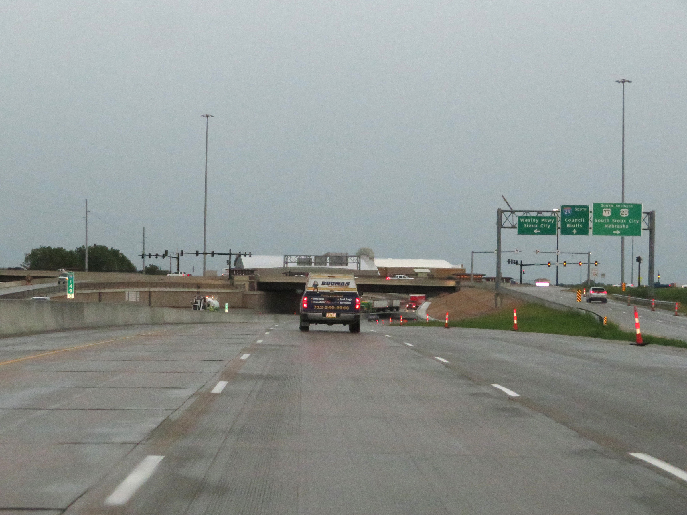
Interstate 29 South at Exit 144: Interstate 129 West / US 20 / US 75 - South Sioux City / LeMars / Fort Dodge (Photo taken 8/10/20). |
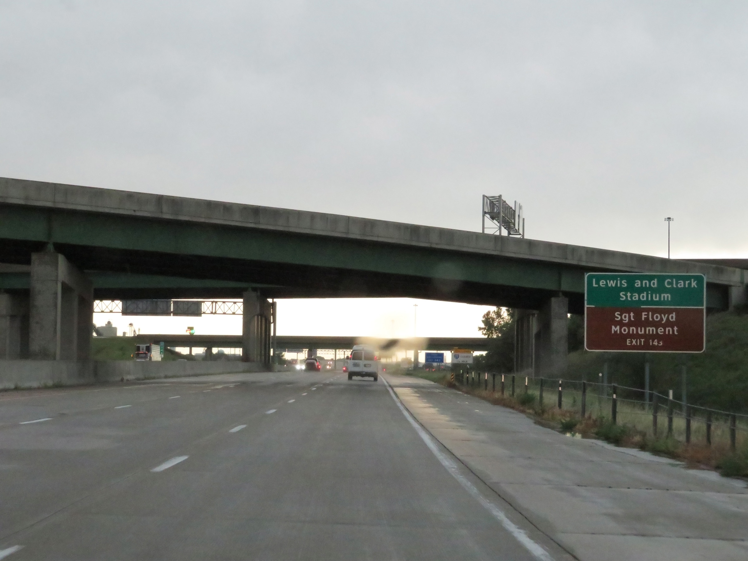 |
Take Exit 143 to Lewis and Clark Stadium as well as the Sergeant Floyd Monument. (Photo taken 8/10/20). |
 |
Interstate 29 South at Exit 143: US 75 Business - Singing Hills Blvd / Bridgeport / Industrial Park (Photo taken 8/10/20). |
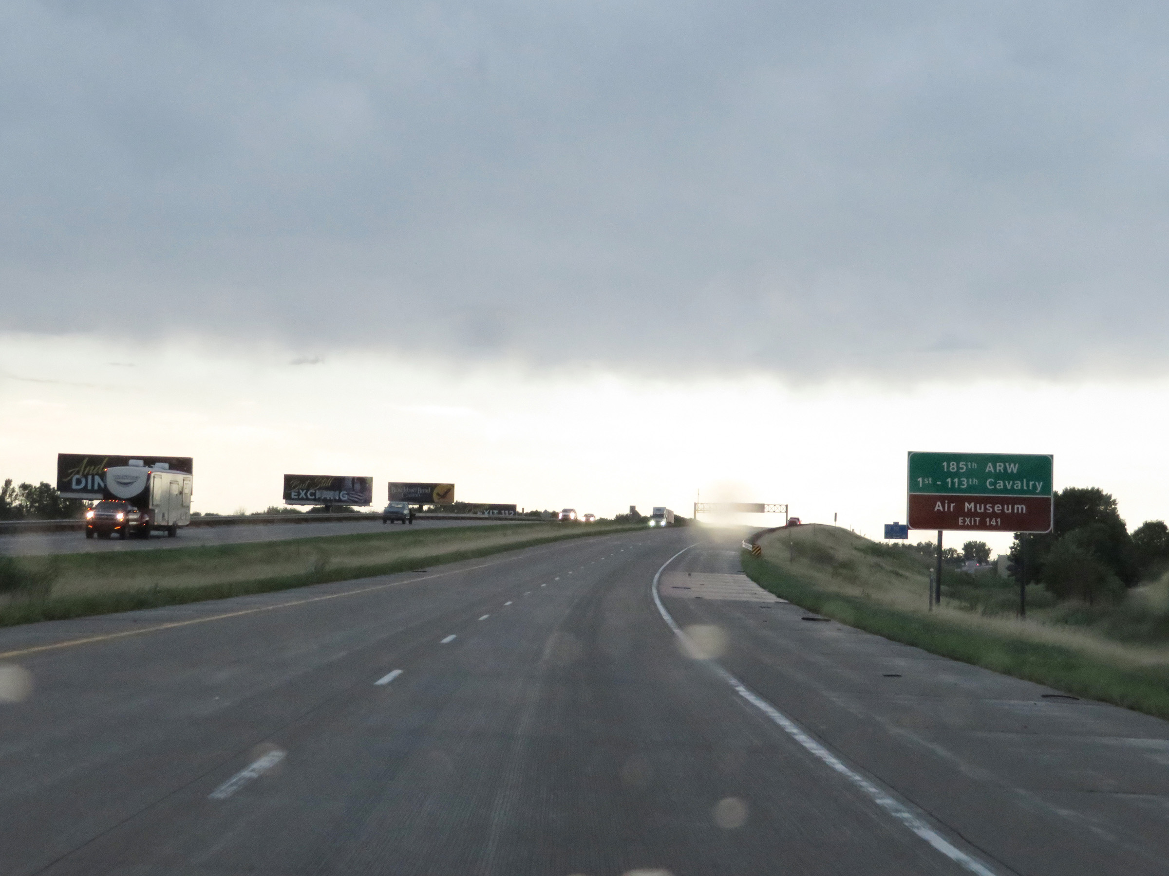 |
Take Exit 141 to the 185th Air Refueling Wing, 1st-113th Cavalry, and Air Museum. (Photo taken 8/10/20). |
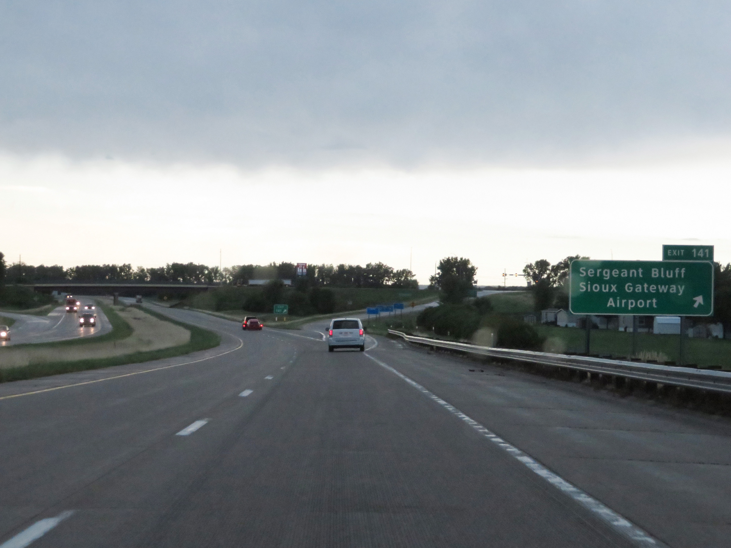 |
Interstate 29 South at Exit 141: Sergeant Bluff / Sioux Gateway Airport (Photo taken 8/10/20). |
 |
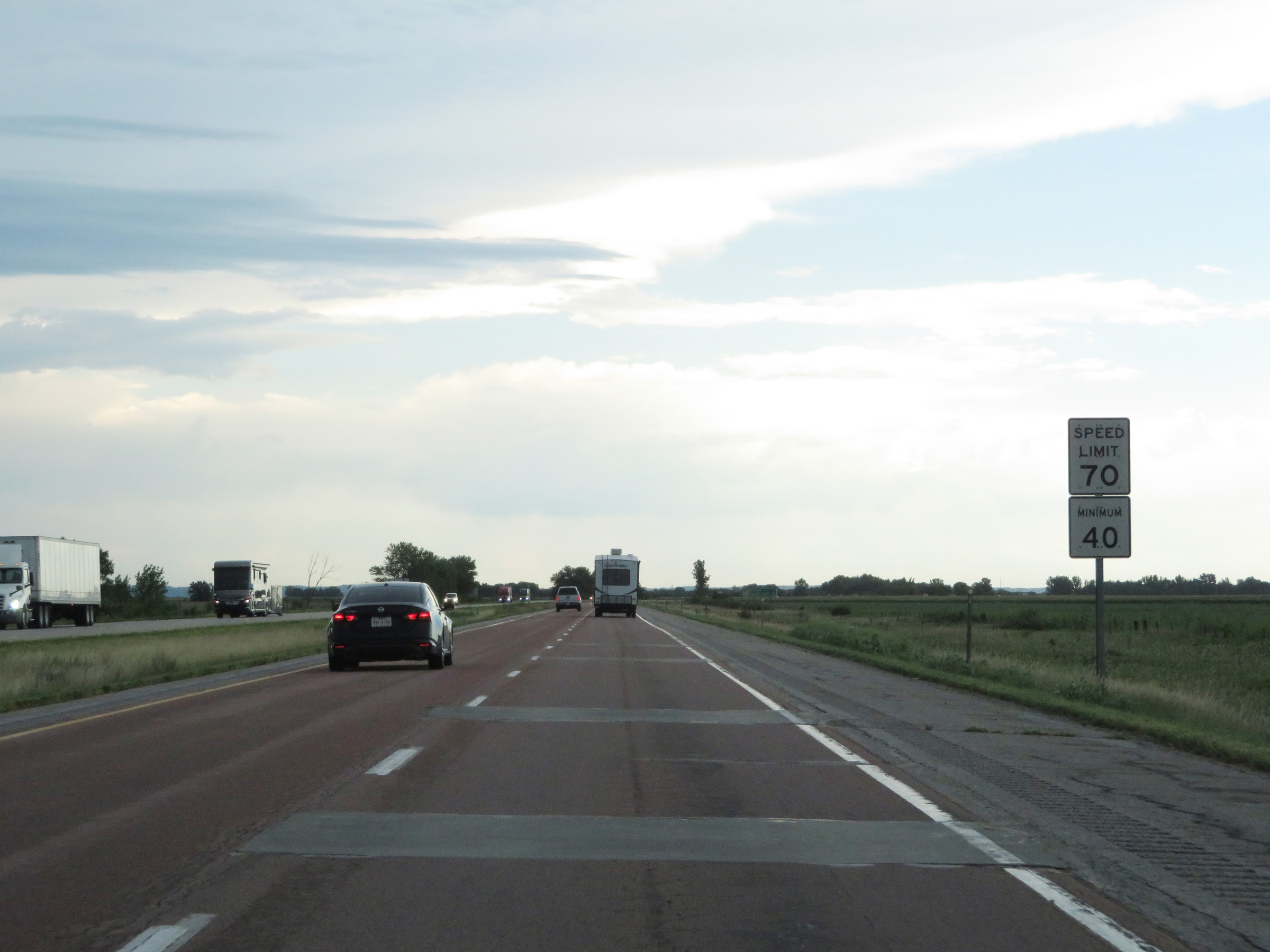
South of Exit 141, the maximum speed limit increases to 70 mph. The minimum speed limit remains 40 mph. These are the standard speed limits on most rural Interstate highways in Iowa. (Photo taken 8/10/20). |
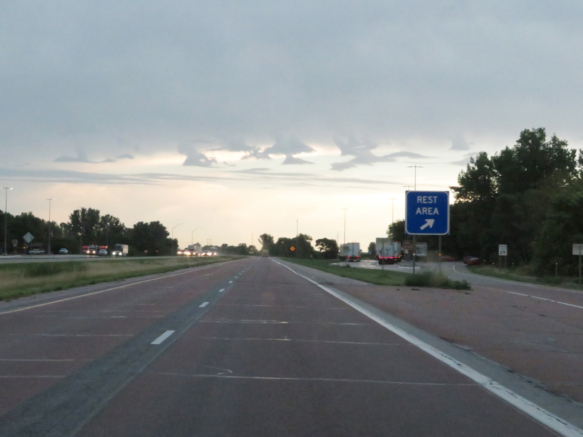 |
Rest Area on Interstate 29 South in Woodbury County. (Photo taken 8/10/20). |
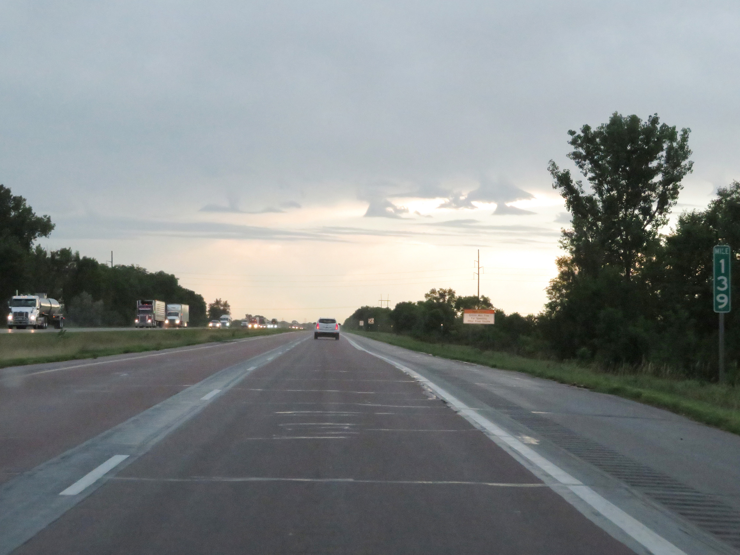 |
View on Interstate 29 South at mile marker 139. (Photo taken 8/10/20). |
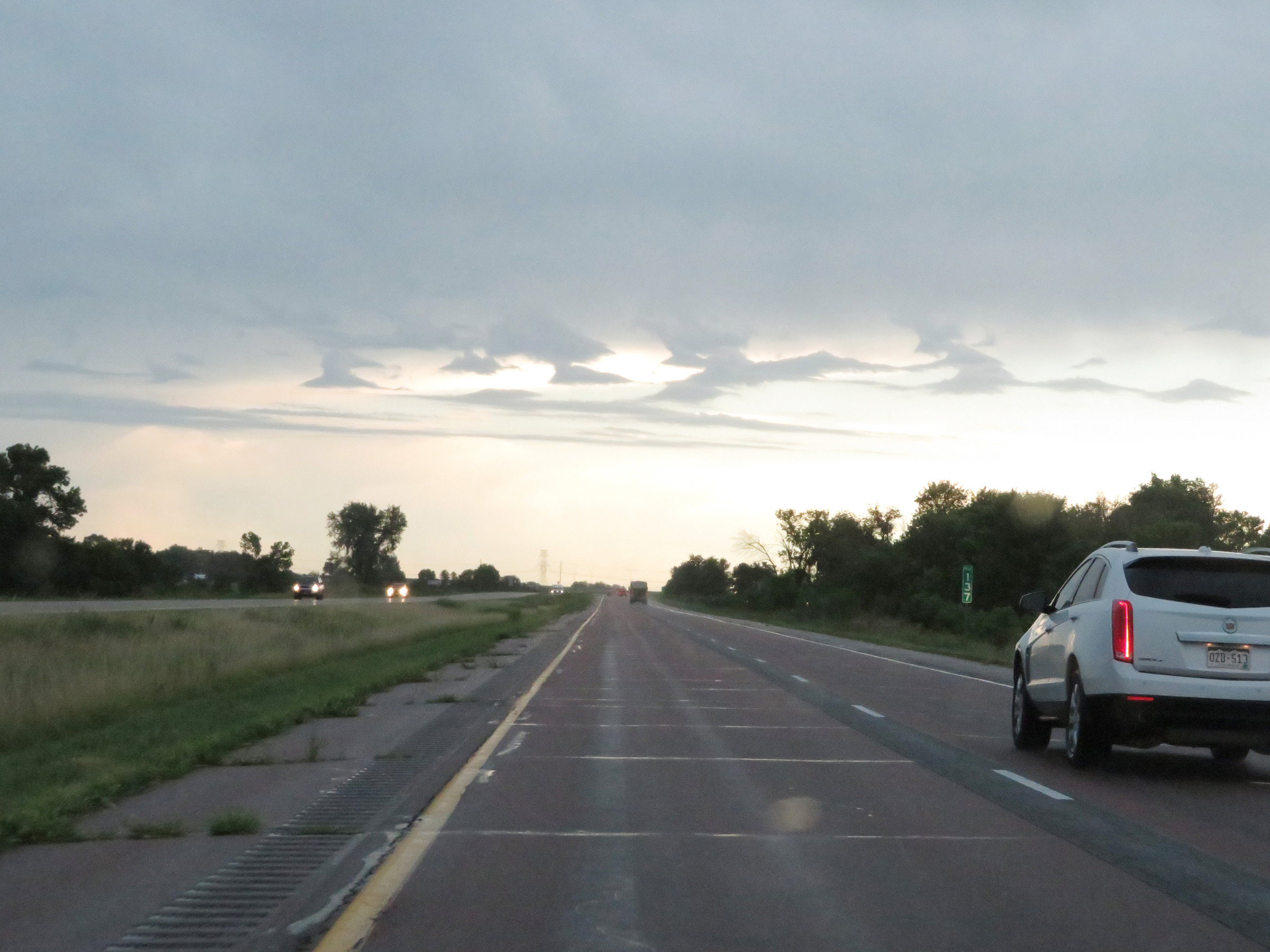 |
Interstate 29 South at mile marker 137. (Photo taken 8/10/20). |
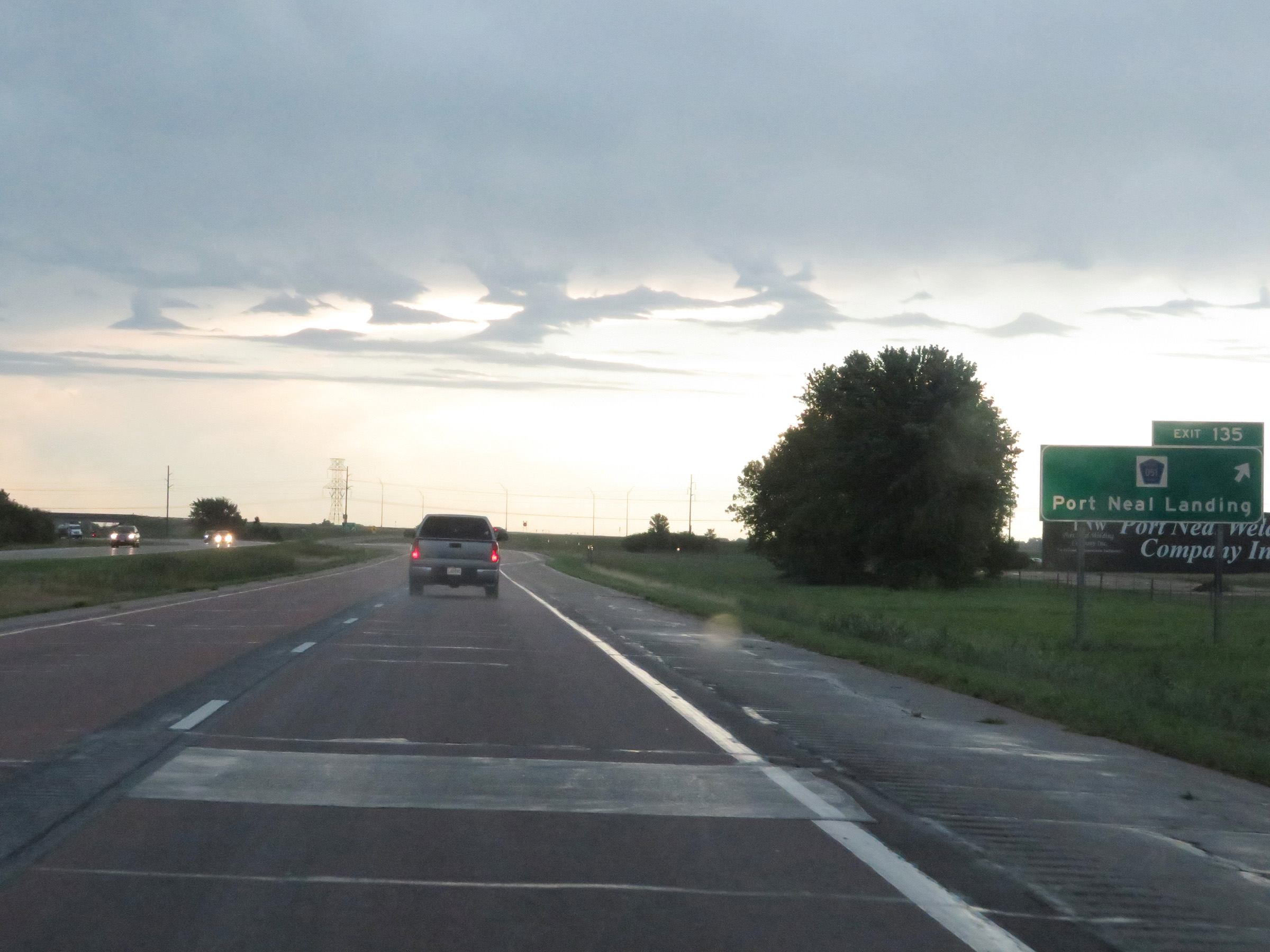 |
Interstate 29 South at Exit 135: CR D51 - Port Neal Landing (Photo taken 8/10/20). |
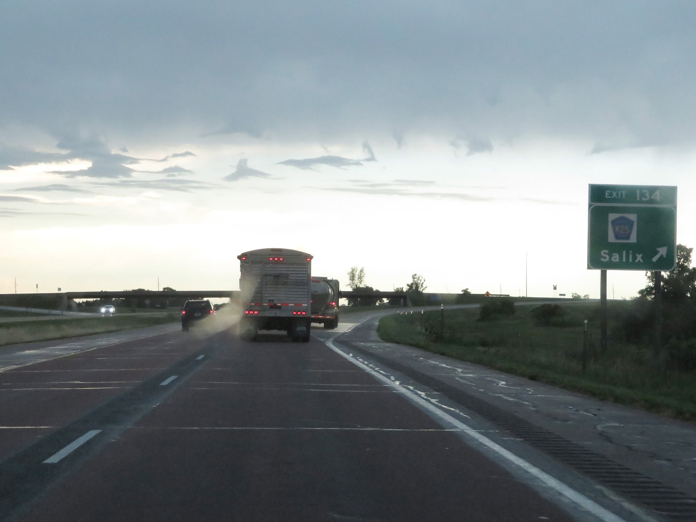 |
Interstate 29 South at Exit 134: CR K25 - Salix (Photo taken 8/10/20). |
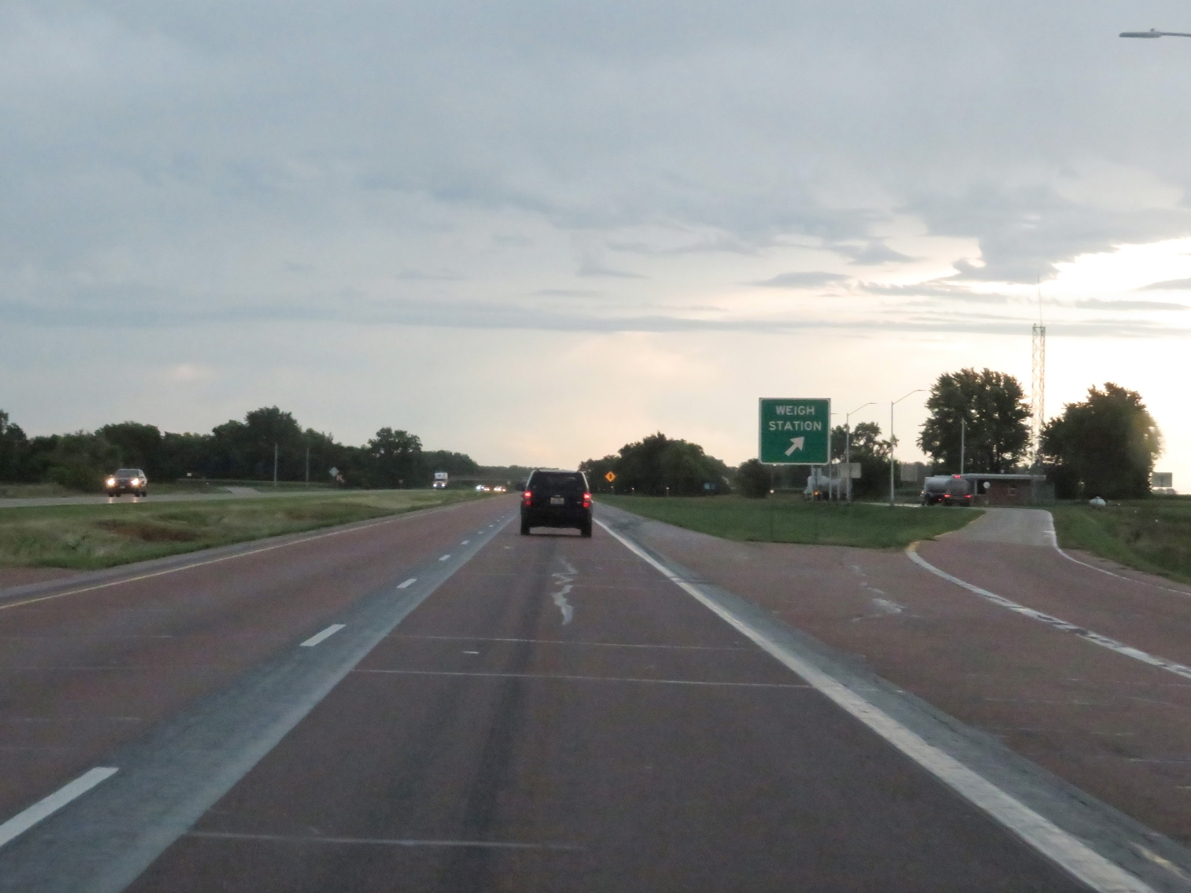 |
Weigh Station on Interstate 29 South in Woodbury County. (Photo taken 8/10/20). |
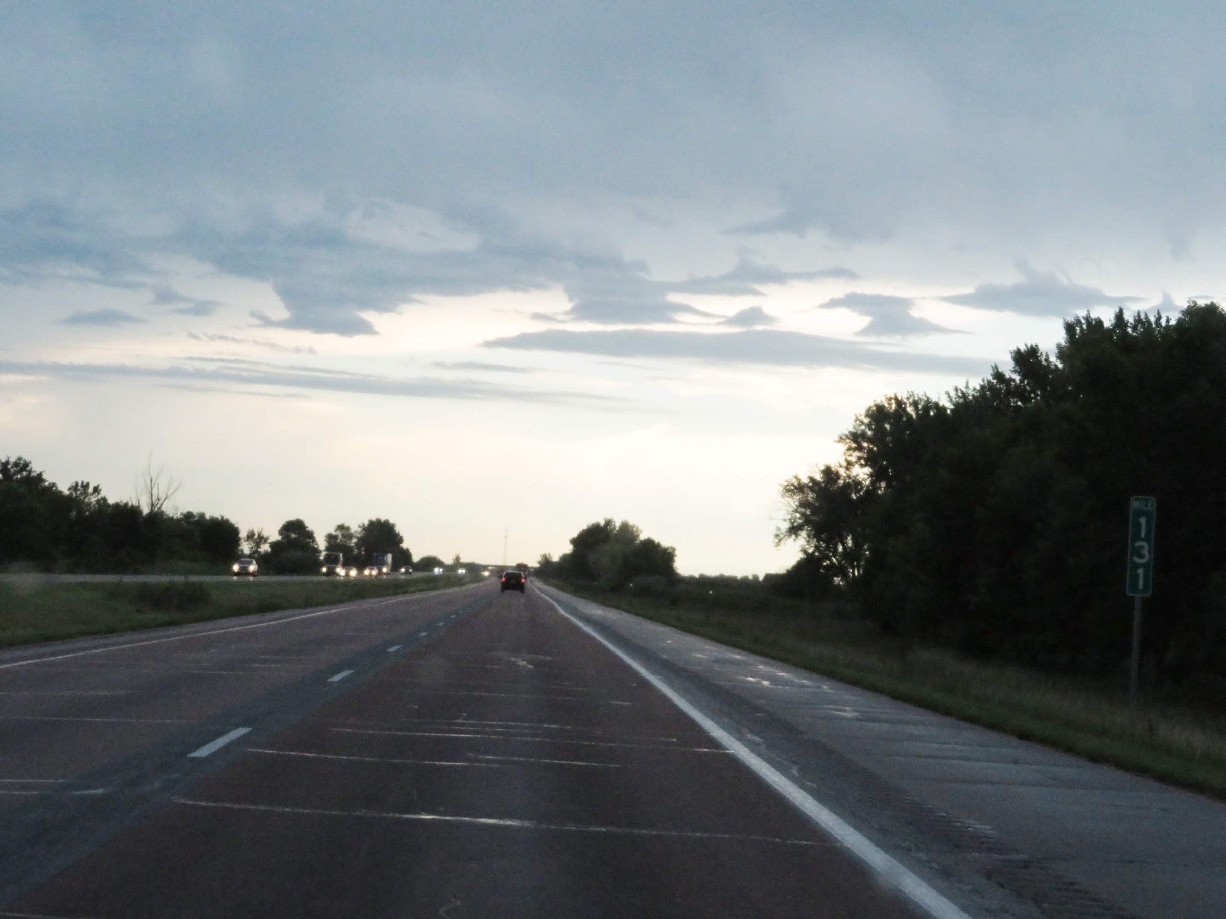 |
Interstate 29 South at mile marker 131. (Photo taken 8/10/20). |
 |
View on Interstate 29 South at mile marker 129. (Photo taken 8/10/20). |
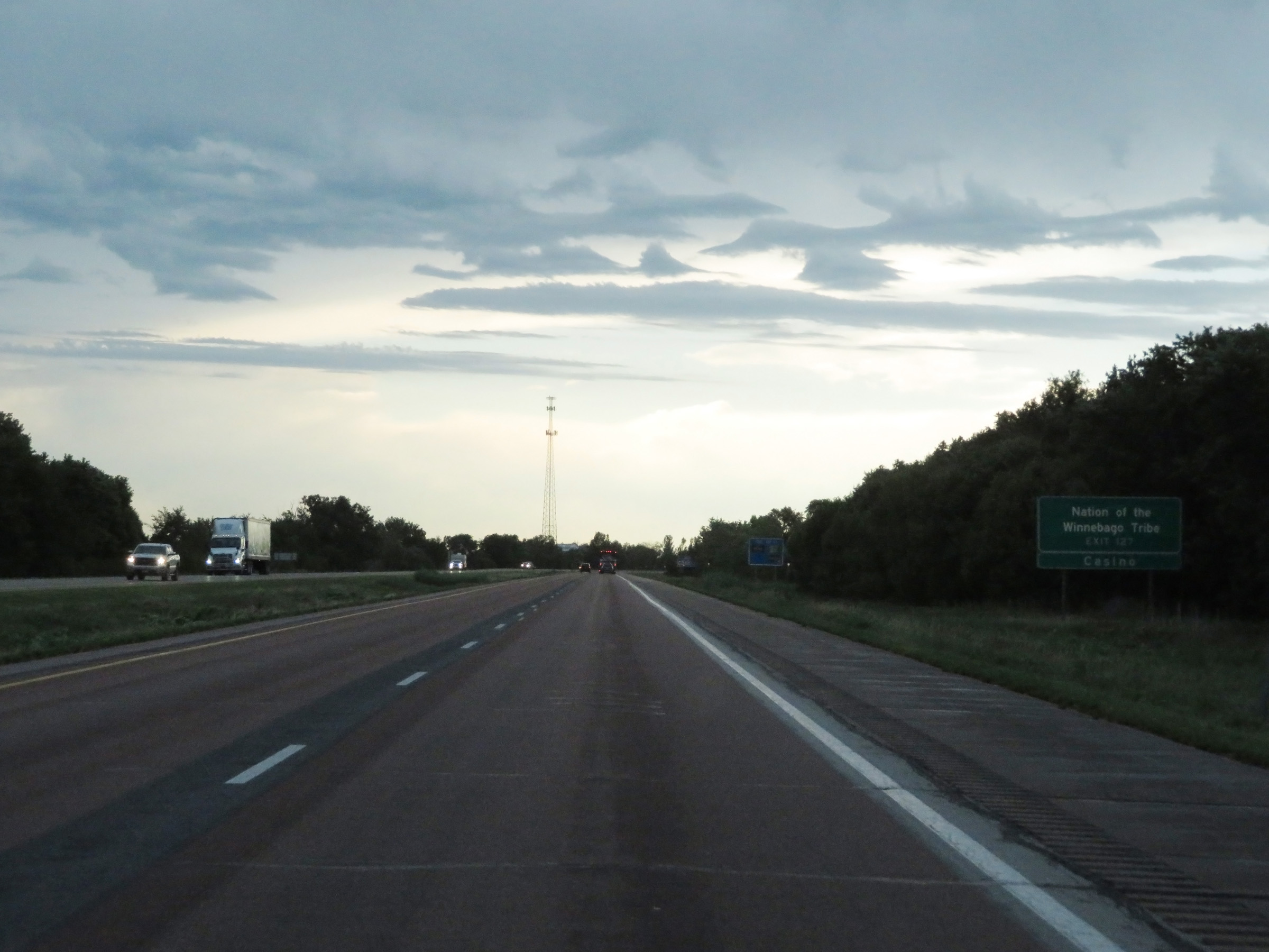 |
Take Exit 127 to the Nation of the Winnebago Tribe and Casino. (Photo taken 8/10/20). |
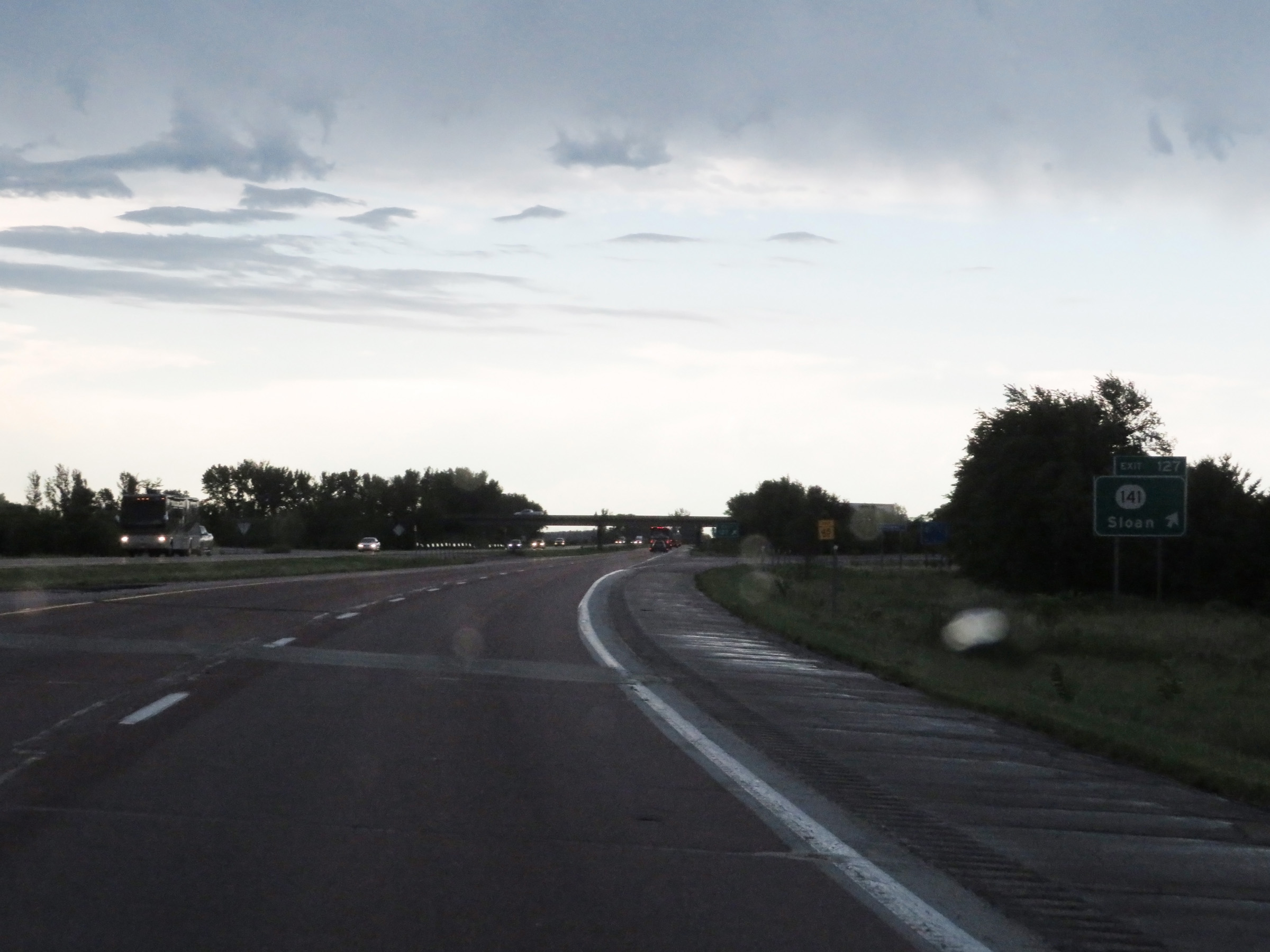 |
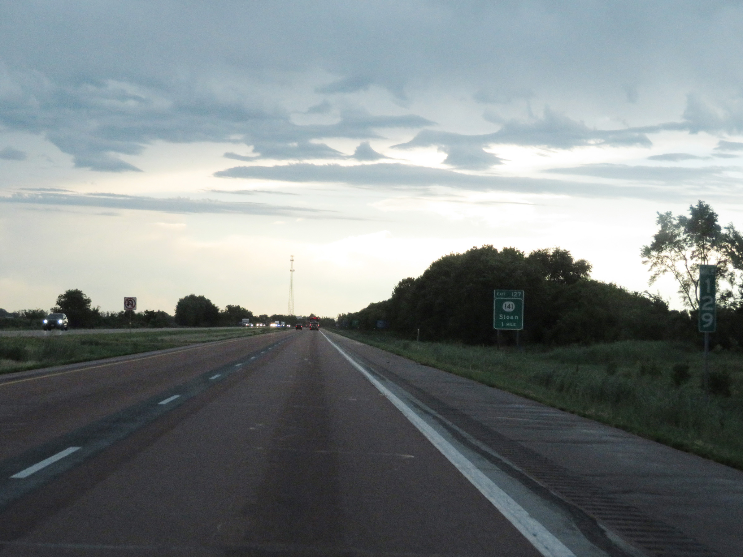
Interstate 29 South at Exit 127: IA 141 - Sloan (Photo taken 8/10/20). |
 |
Interstate 29 South as it enters Monona County. (Photo taken 8/10/20). |
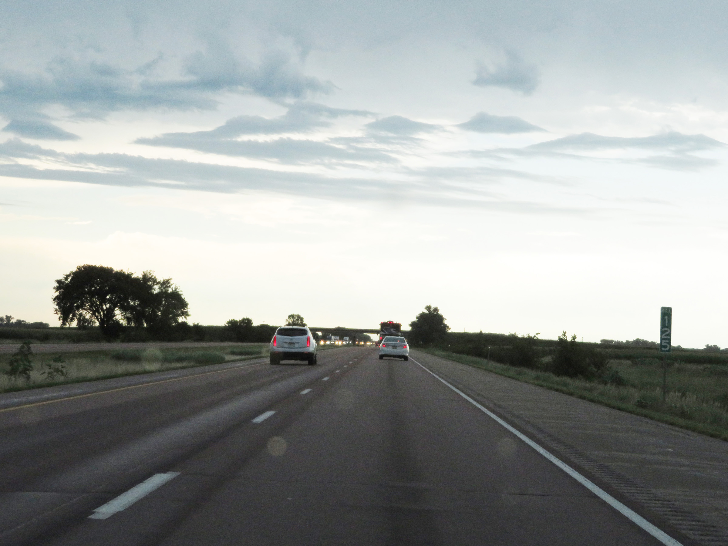 |
View on Interstate 29 South at mile marker 125. (Photo taken 8/10/20). |
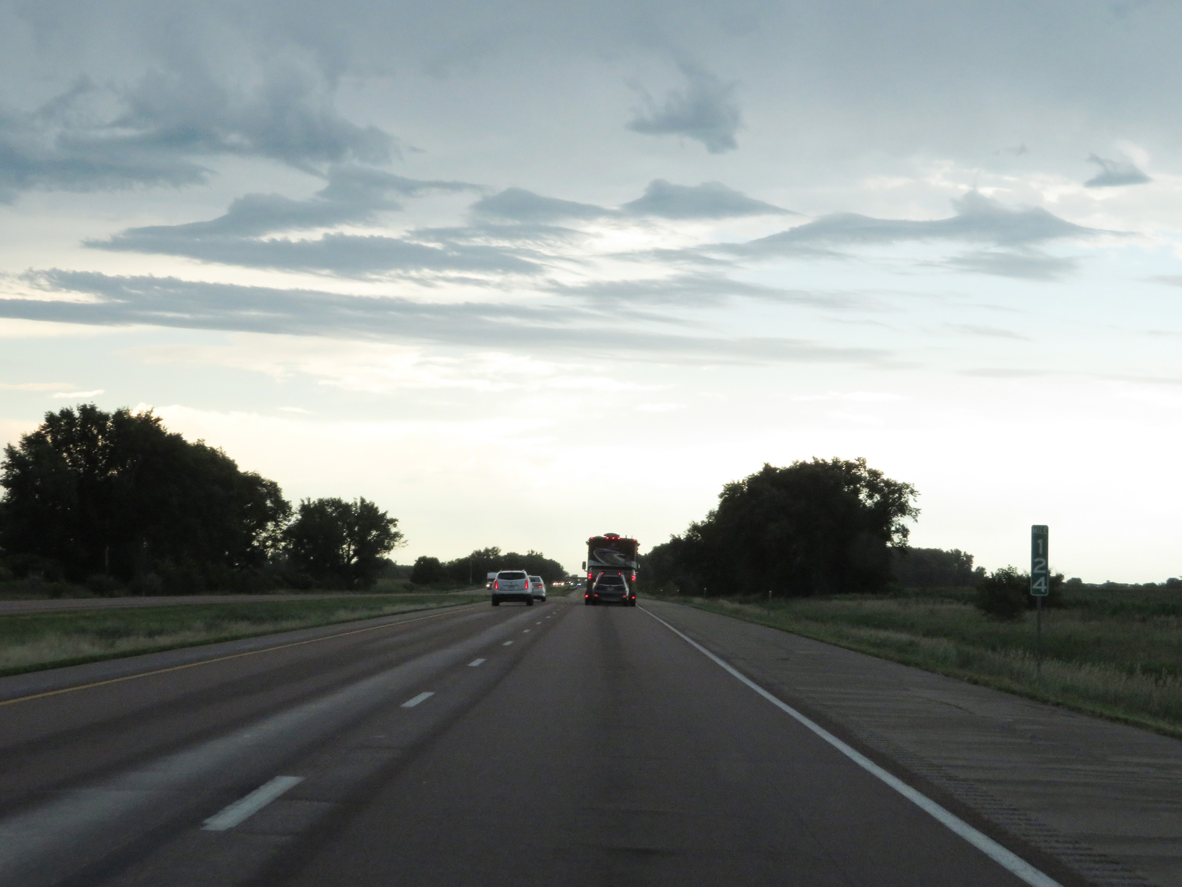 |
Mile marker 124 on Interstate 29 South in Monona County. (Photo taken 8/10/20). |
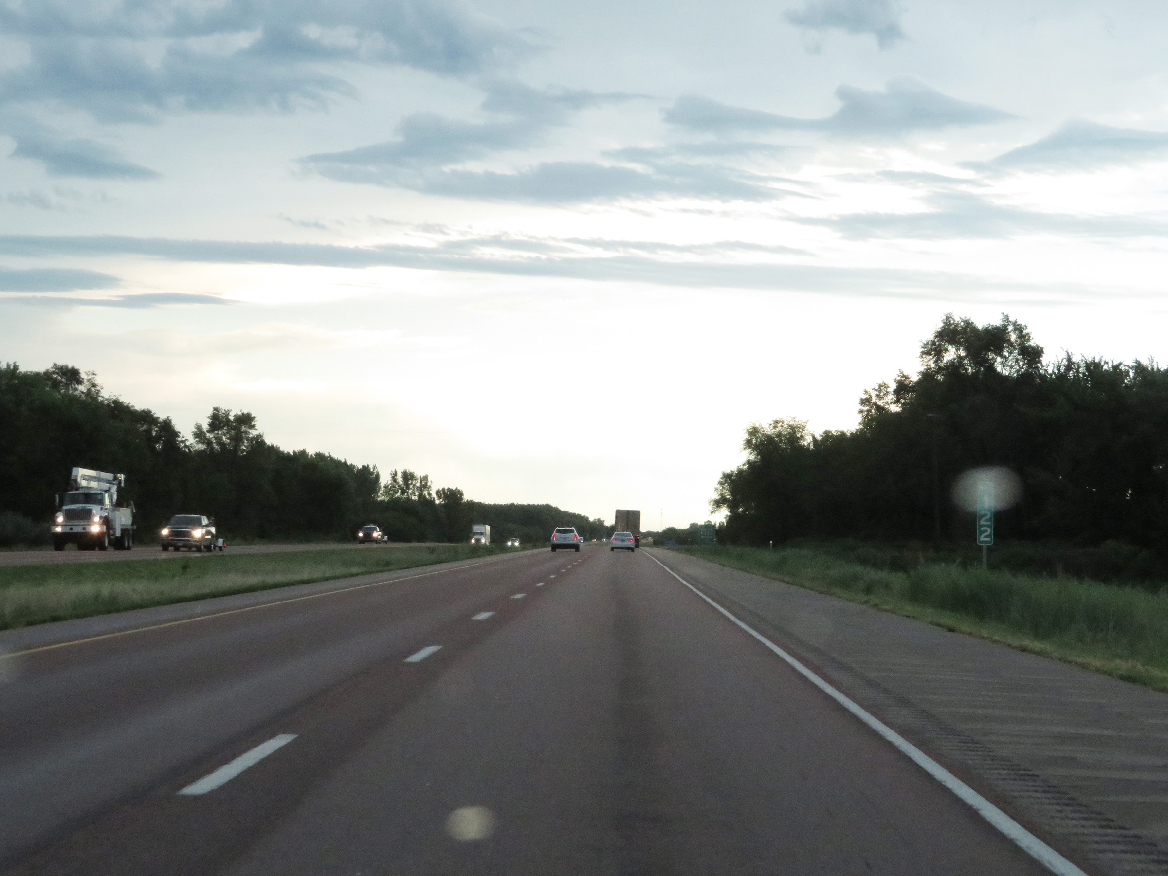 |
View on Interstate 29 South at mile marker 122. (Photo taken 8/10/20). |
 |
Interstate 29 South at Exit 120: CR E24 / CR K42 - Whiting (Photo taken 8/10/20). |
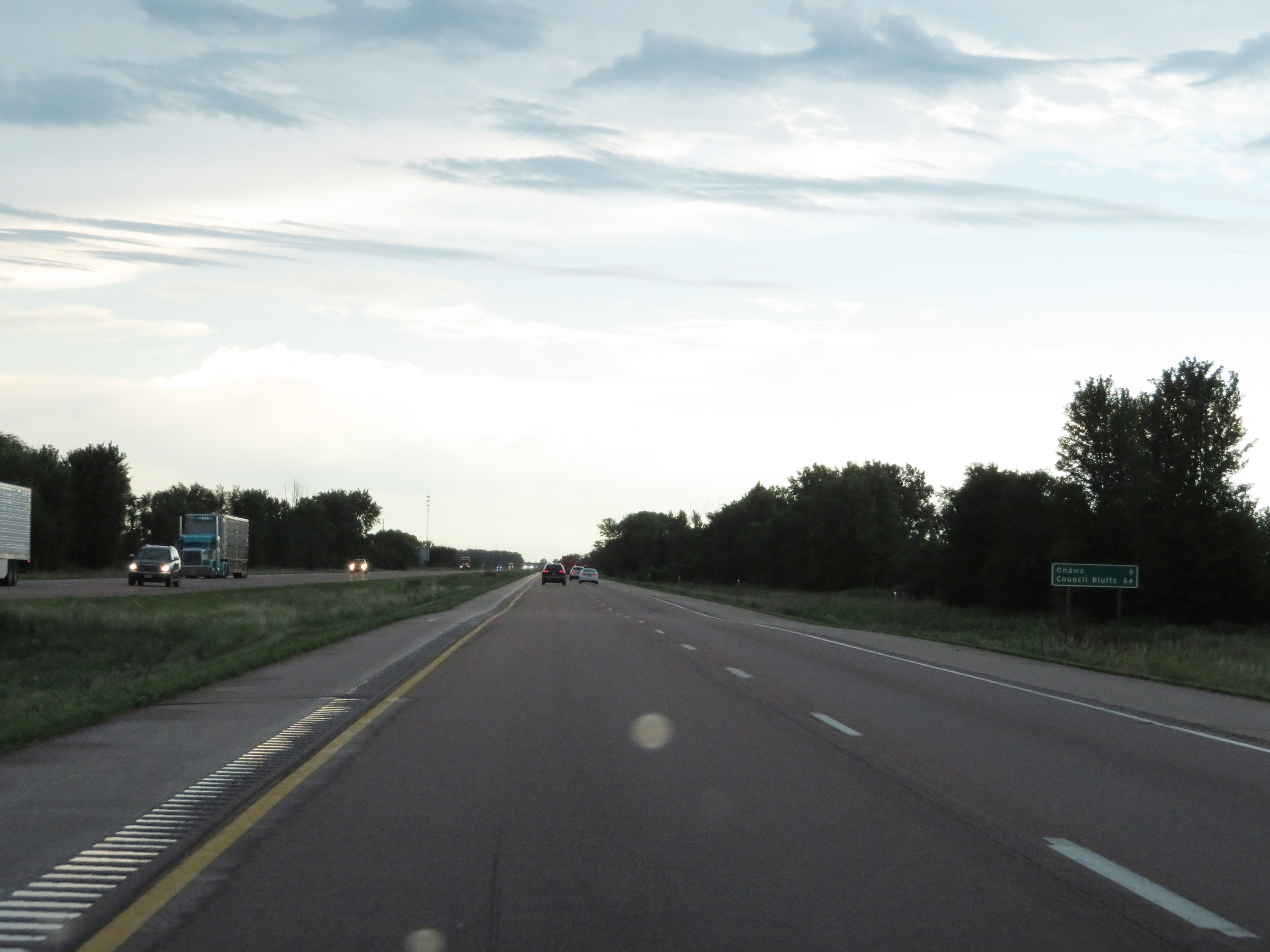 |
Mileage sign on Interstate 29 South. It's 9 miles to Onawa and 64 miles to Council Bluffs. (Photo taken 8/10/20). |
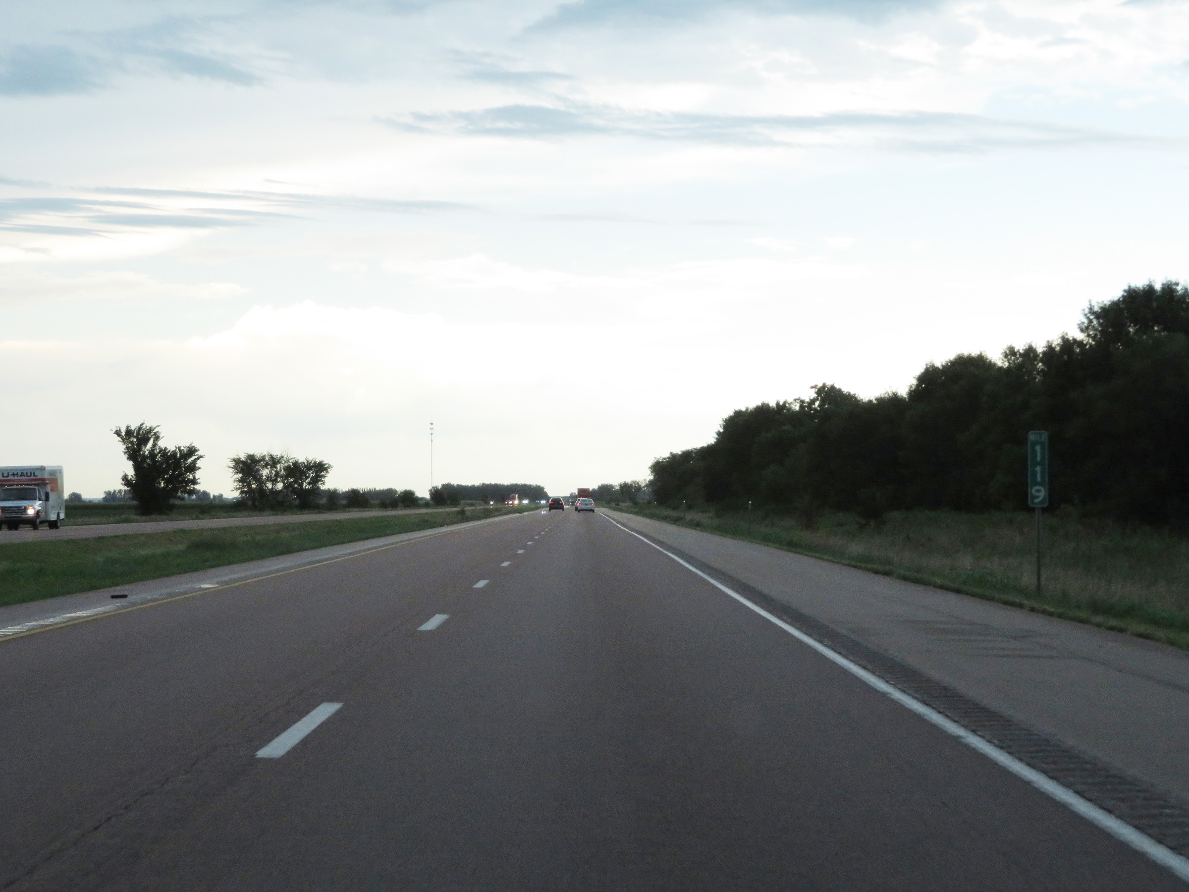 |
Mile marker 119 on Interstate 29 South in Monona County. (Photo taken 8/10/20). |
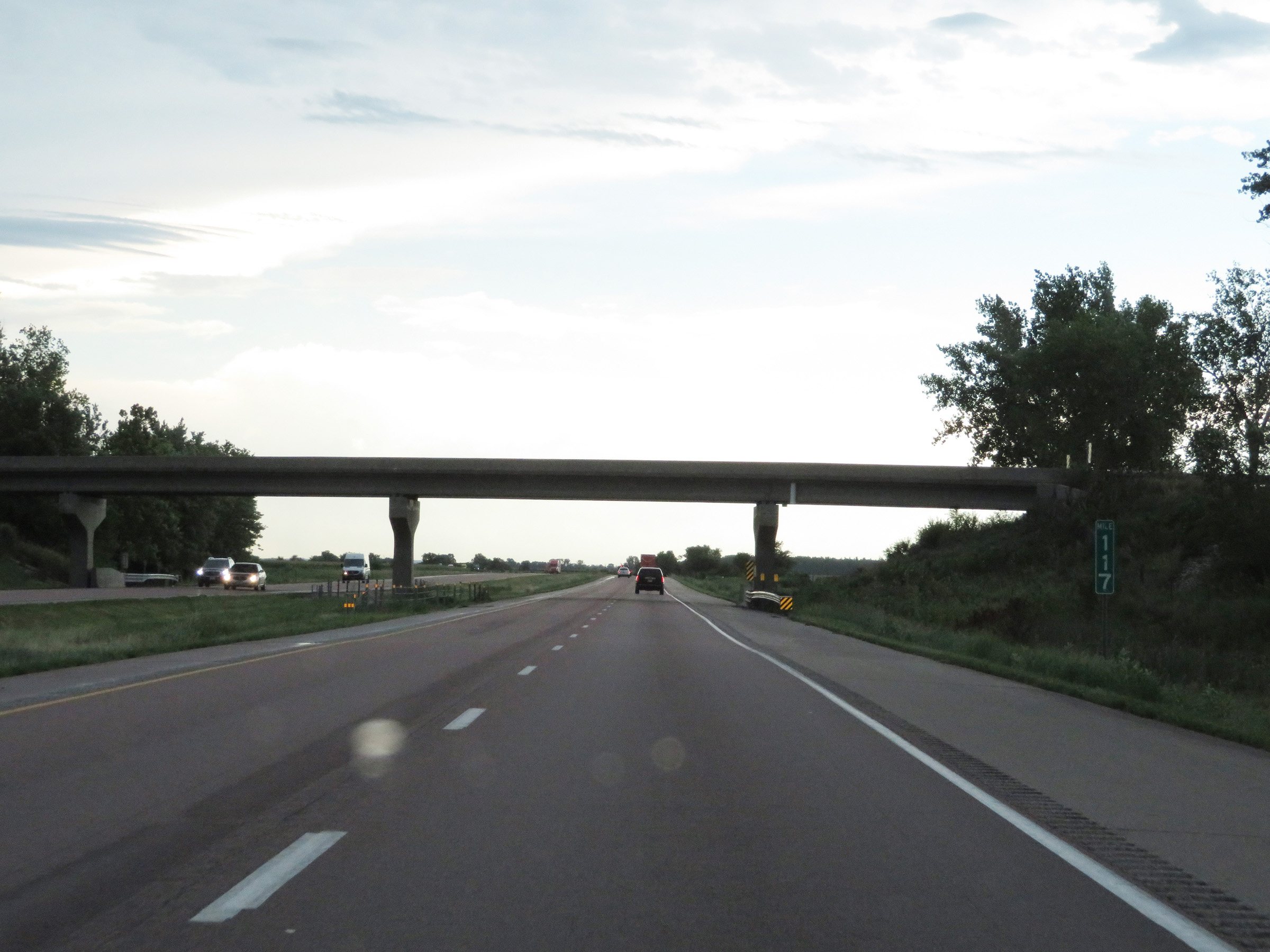 |
Interstate 29 South at mile marker 117. (Photo taken 8/10/20). |
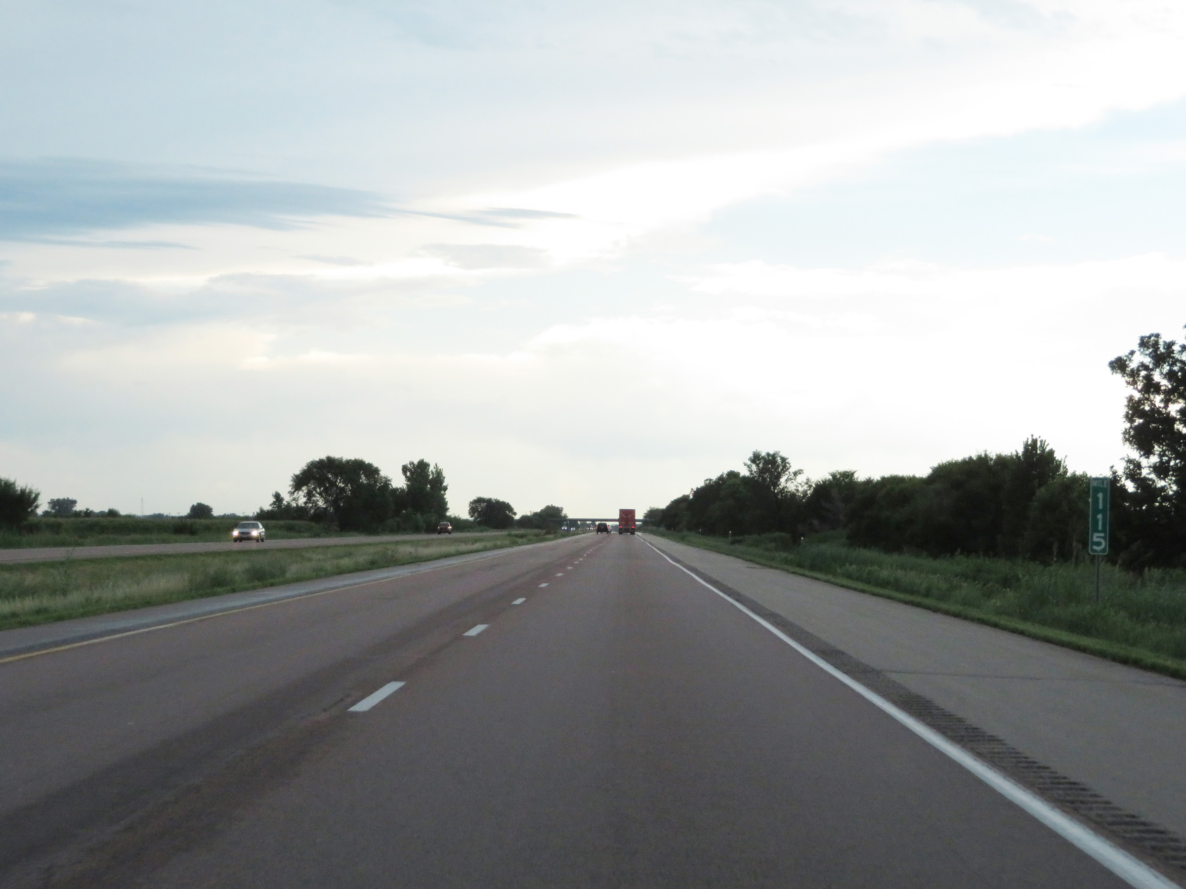 |
View on Interstate 29 South at mile marker 115. (Photo taken 8/10/20). |
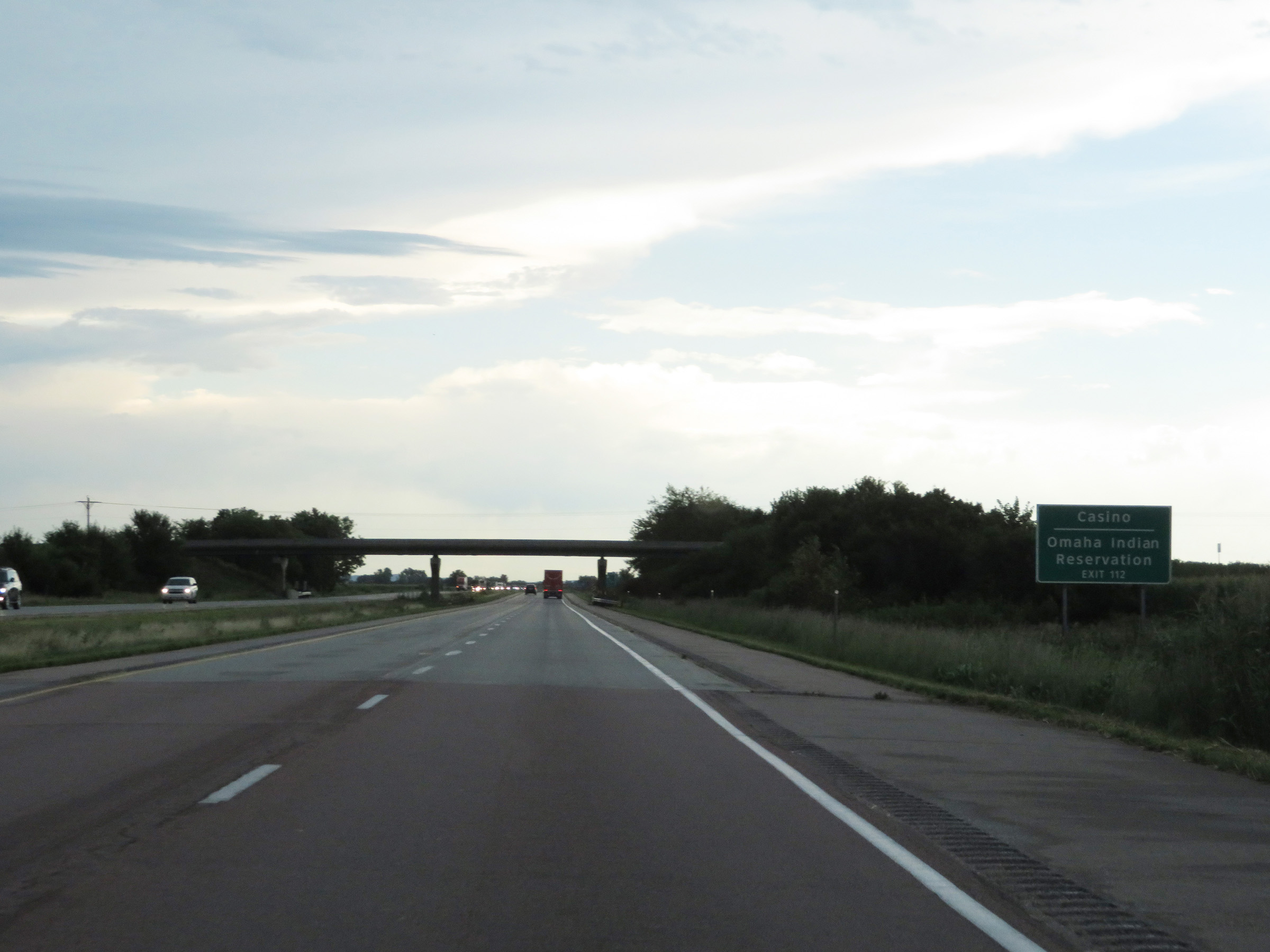 |
Take Exit 112 to the Omaha Indian Reservation and Casino. (Photo taken 8/10/20). |
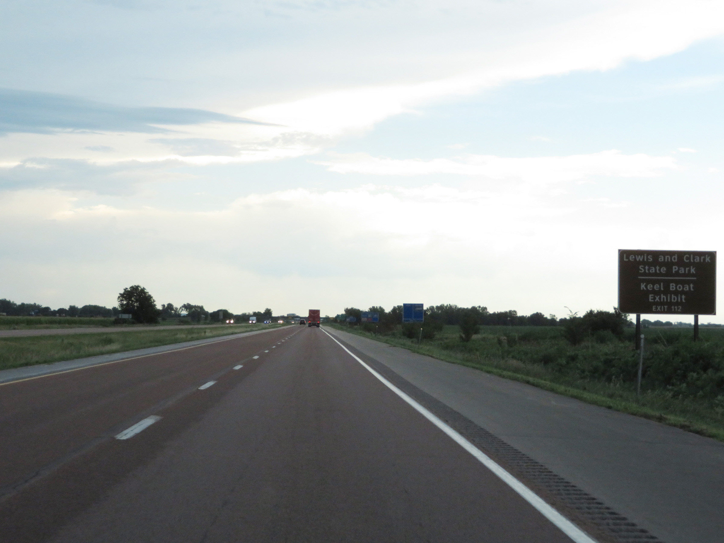 |
Also take Exit 112 to Lewis and Clark State Park as well as the Keel Boat Exhibit. (Photo taken 8/10/20). |
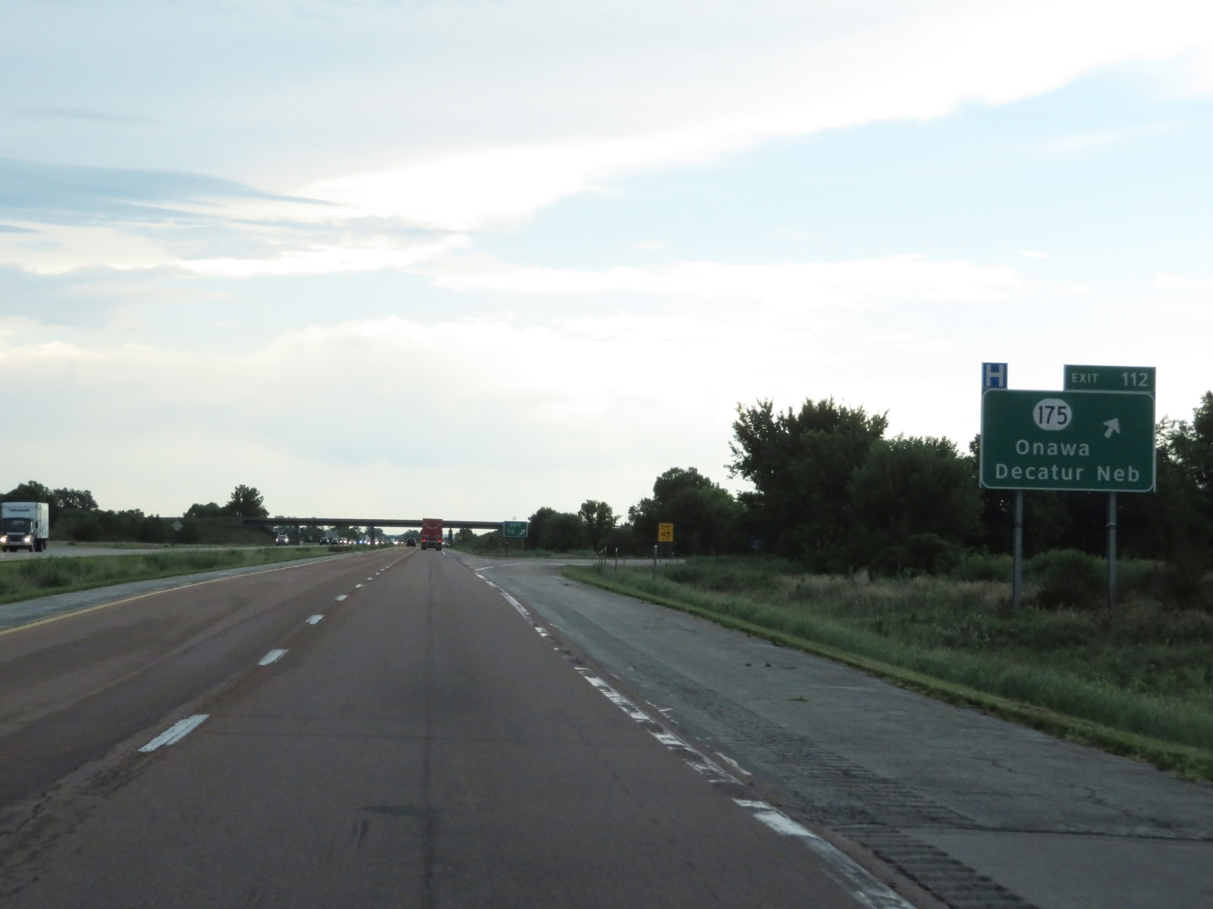 |
Interstate 29 South at Exit 112: IA 175 - Onawa / Decatur, NE (Photo taken 8/10/20). |
Section 2: Onawa (Exit 112) to Council Bluffs (Exit 52)
 |
Another state-named Interstate 29 South reassurance shield. (Photo taken 8/10/20). |
 |
The speed limits remain 70 mph maximum and 40 mph minimum on Interstate 29 South. (Photo taken 8/10/20). |
 |
Rest Area on Interstate 29 South in Monona County. (Photo taken 8/10/20). |
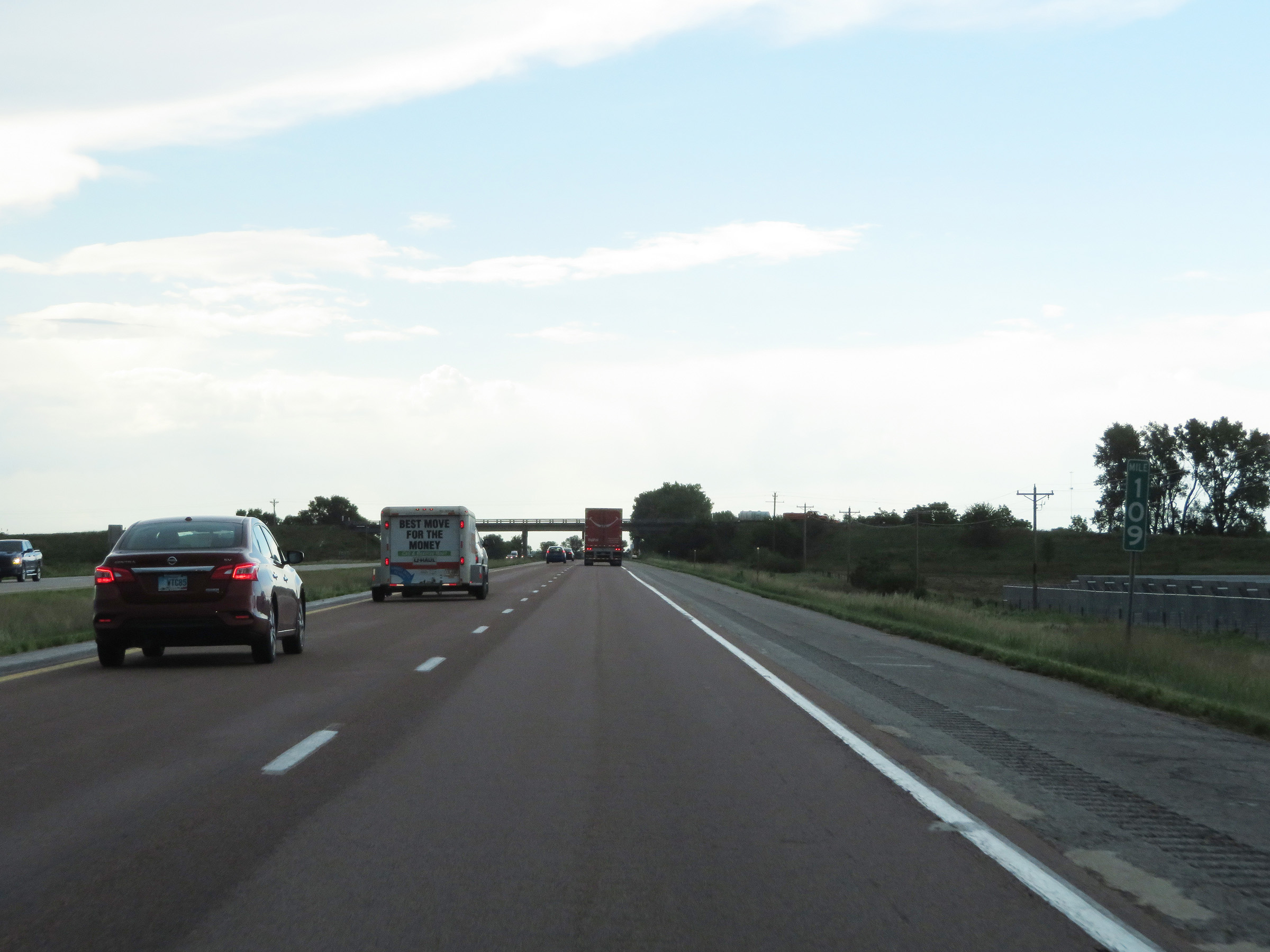 |
View on Interstate 29 South at mile marker 109. (Photo taken 8/10/20). |
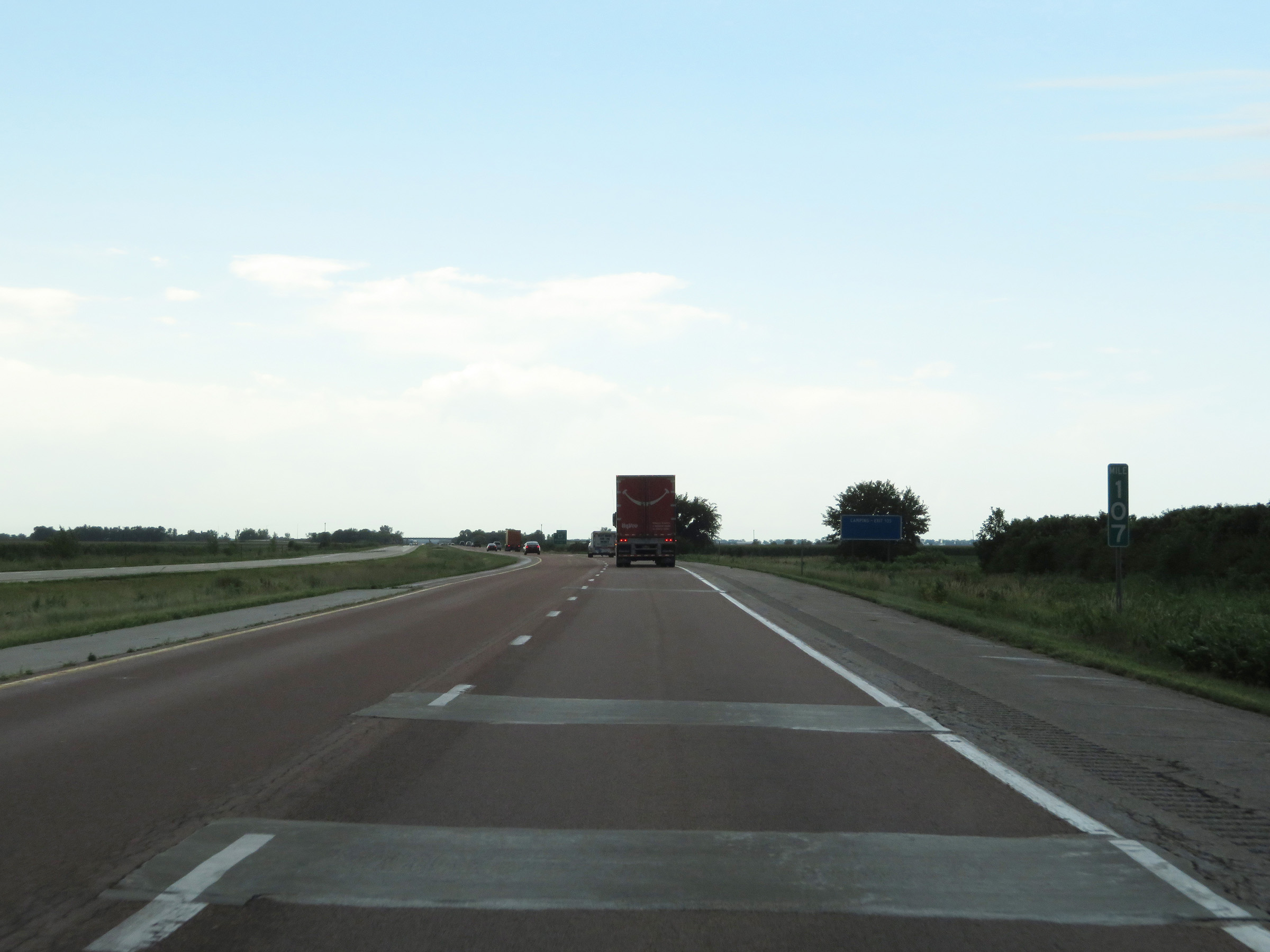 |
Interstate 29 South at mile marker 107. (Photo taken 8/10/20). |
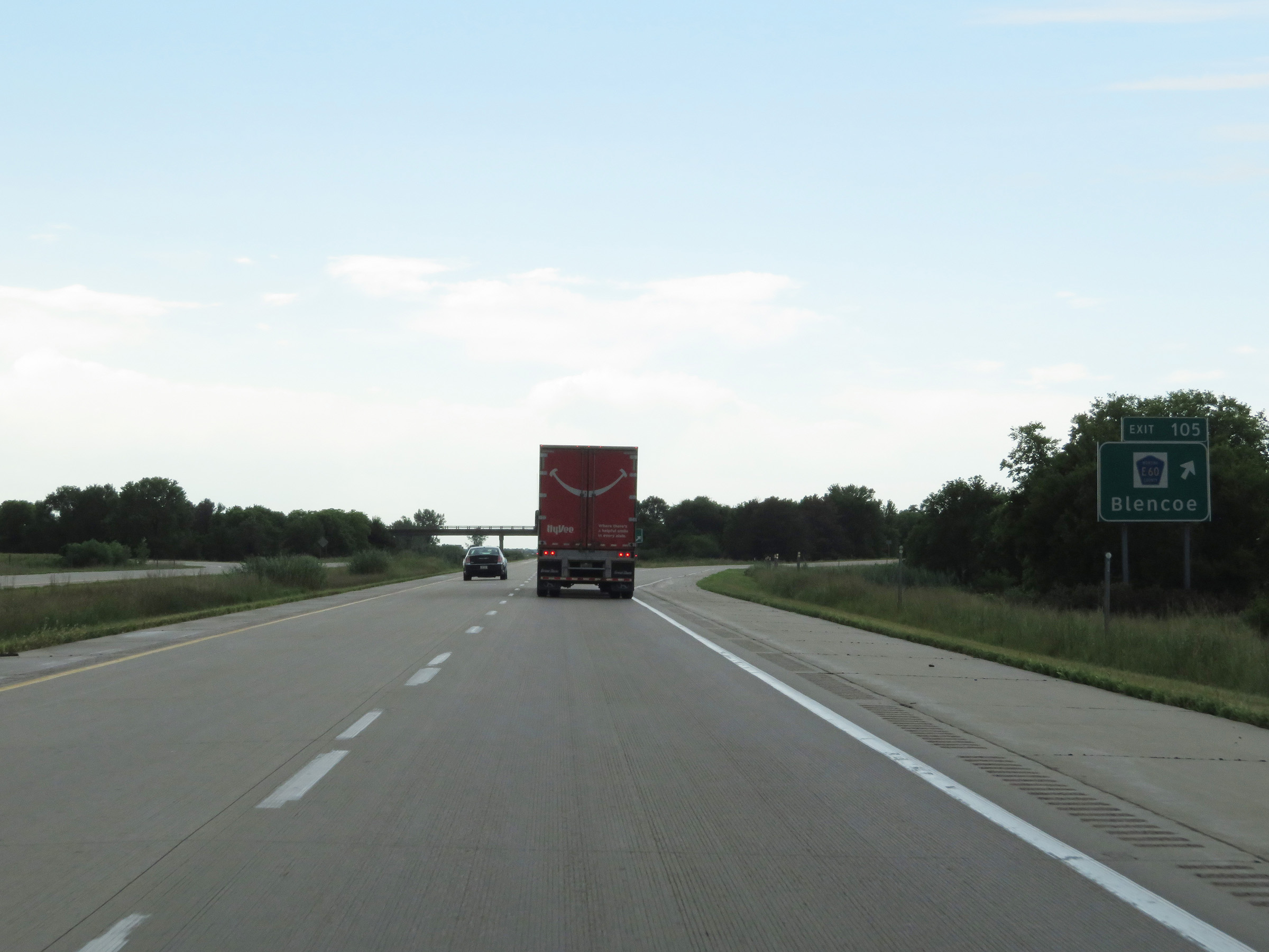 |
Interstate 29 South at Exit 105: CR E60 - Blencoe (Photo taken 8/10/20). |
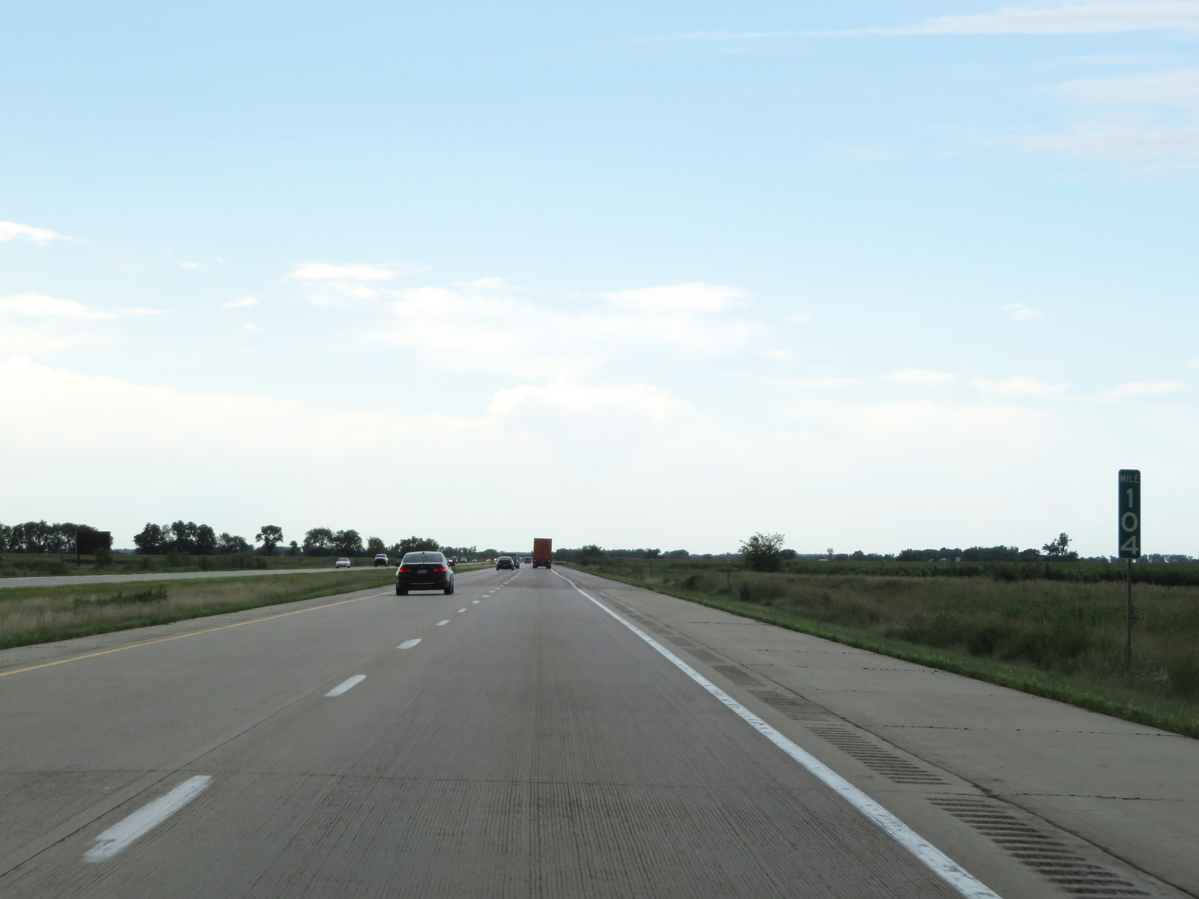 |
View on Interstate 29 South at mile marker 104. (Photo taken 8/10/20). |
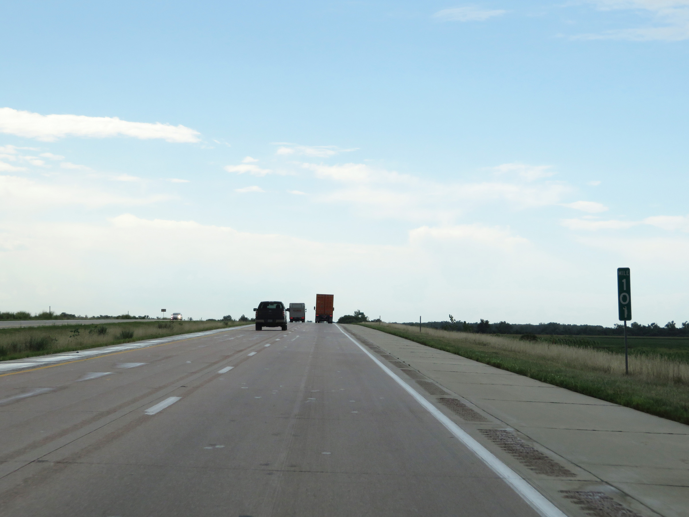 |
Mile marker 101 on Interstate 29 South in Monona County. (Photo taken 8/10/20). |
 |
Interstate 29 South as it enters Harrison County. (Photo taken 8/10/20). |
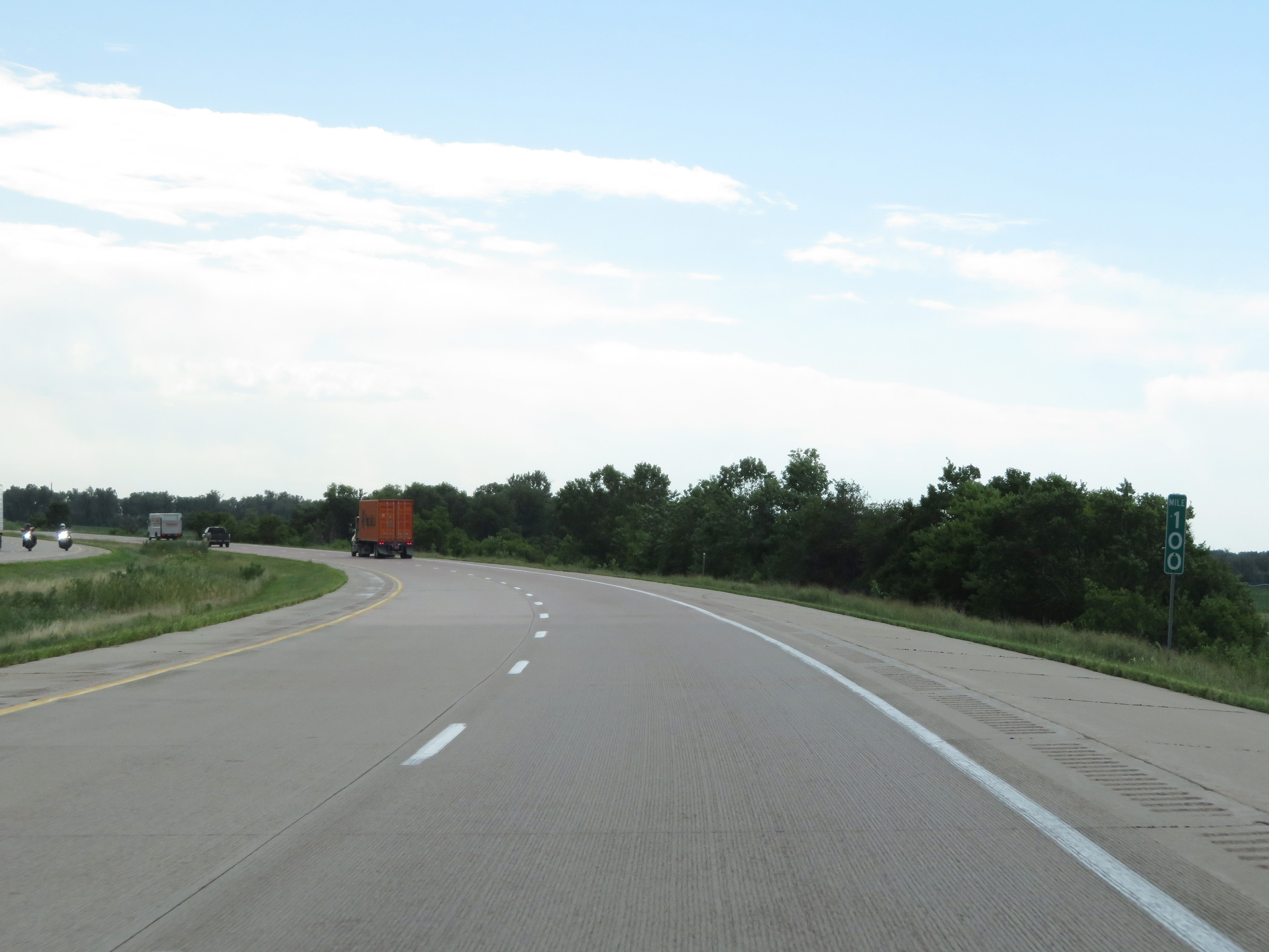 |
View on Interstate 29 South at mile marker 100. (Photo taken 8/10/20). |
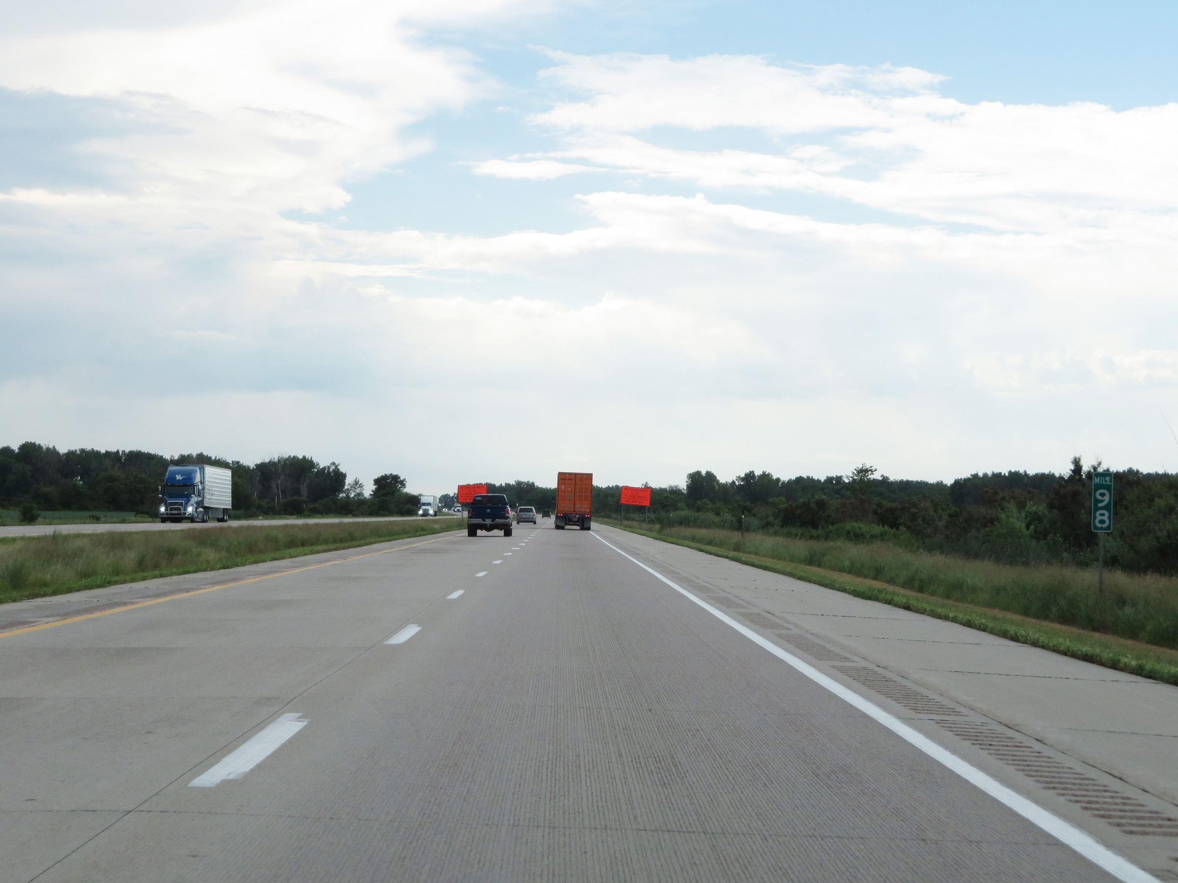 |
Interstate 29 South at mile marker 98. (Photo taken 8/10/20). |
 |
Mile marker 97 on Interstate 29 South in Harrison County. (Photo taken 8/10/20). |
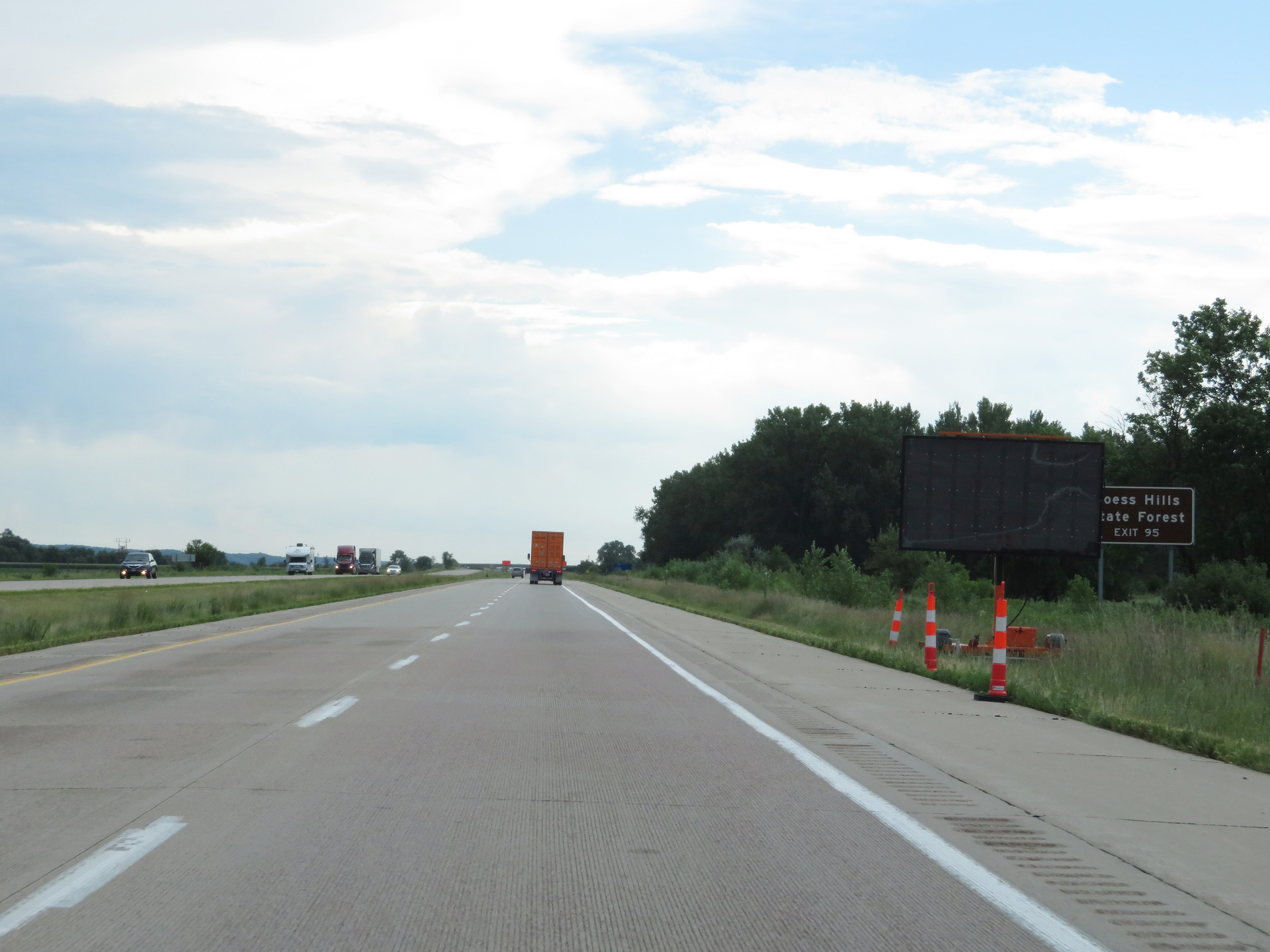 |
Take Exit 95 to Loess Hills State Forest. (Photo taken 8/10/20). |
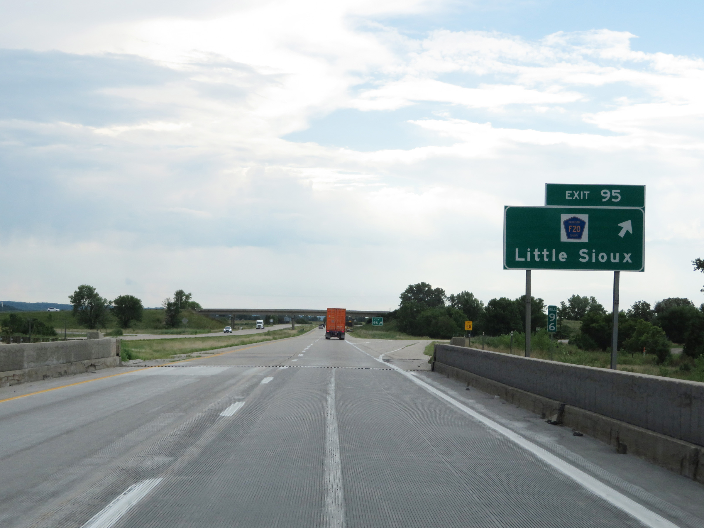 |
Interstate 29 South at Exit 95: CR F20 - Little Sioux (Photo taken 8/10/20). |
 |
State-named Interstate 29 South reassurance shield. (Photo taken 8/10/20). |
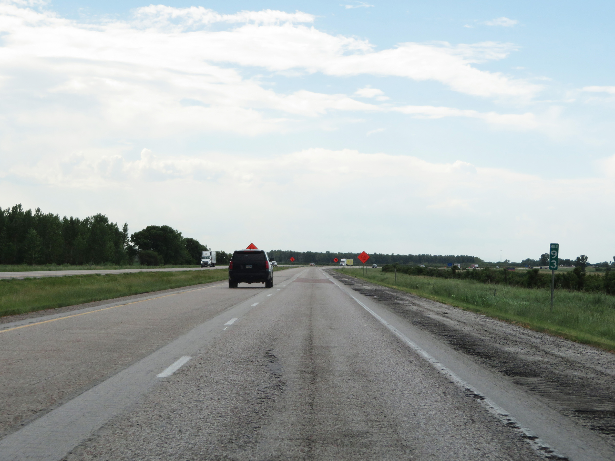 |
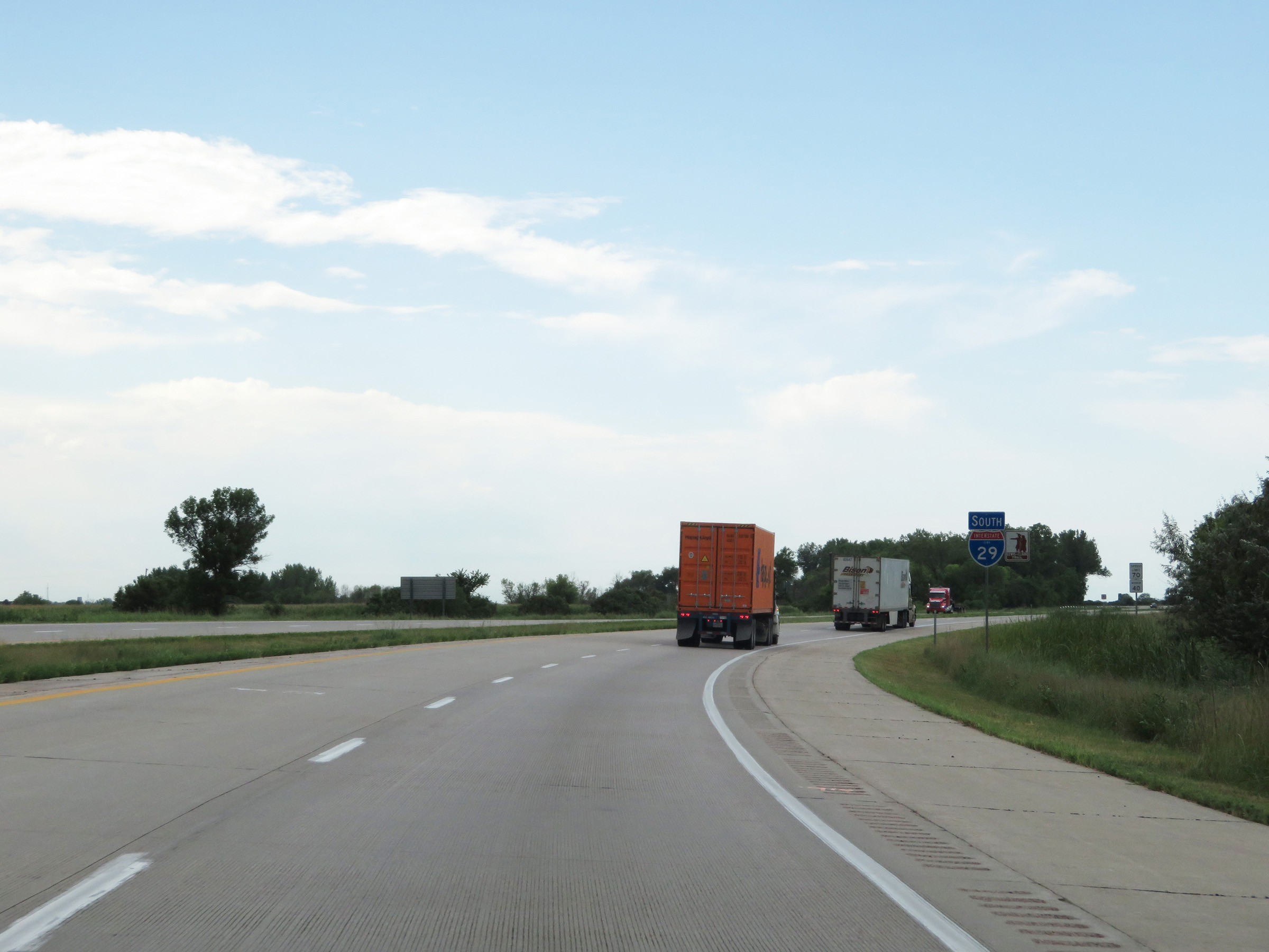
View on Interstate 29 South at mile marker 93. (Photo taken 8/10/20). |
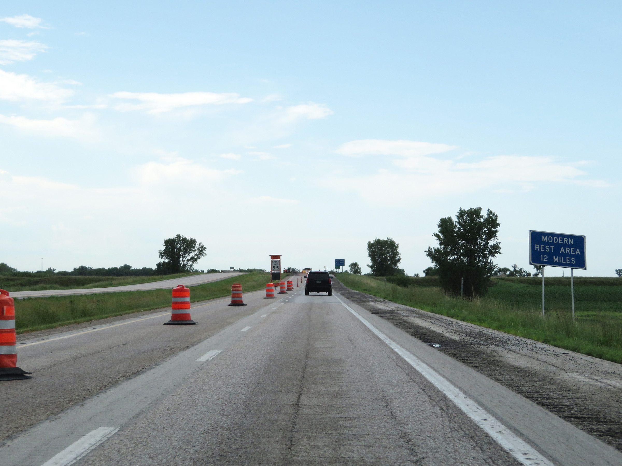 |
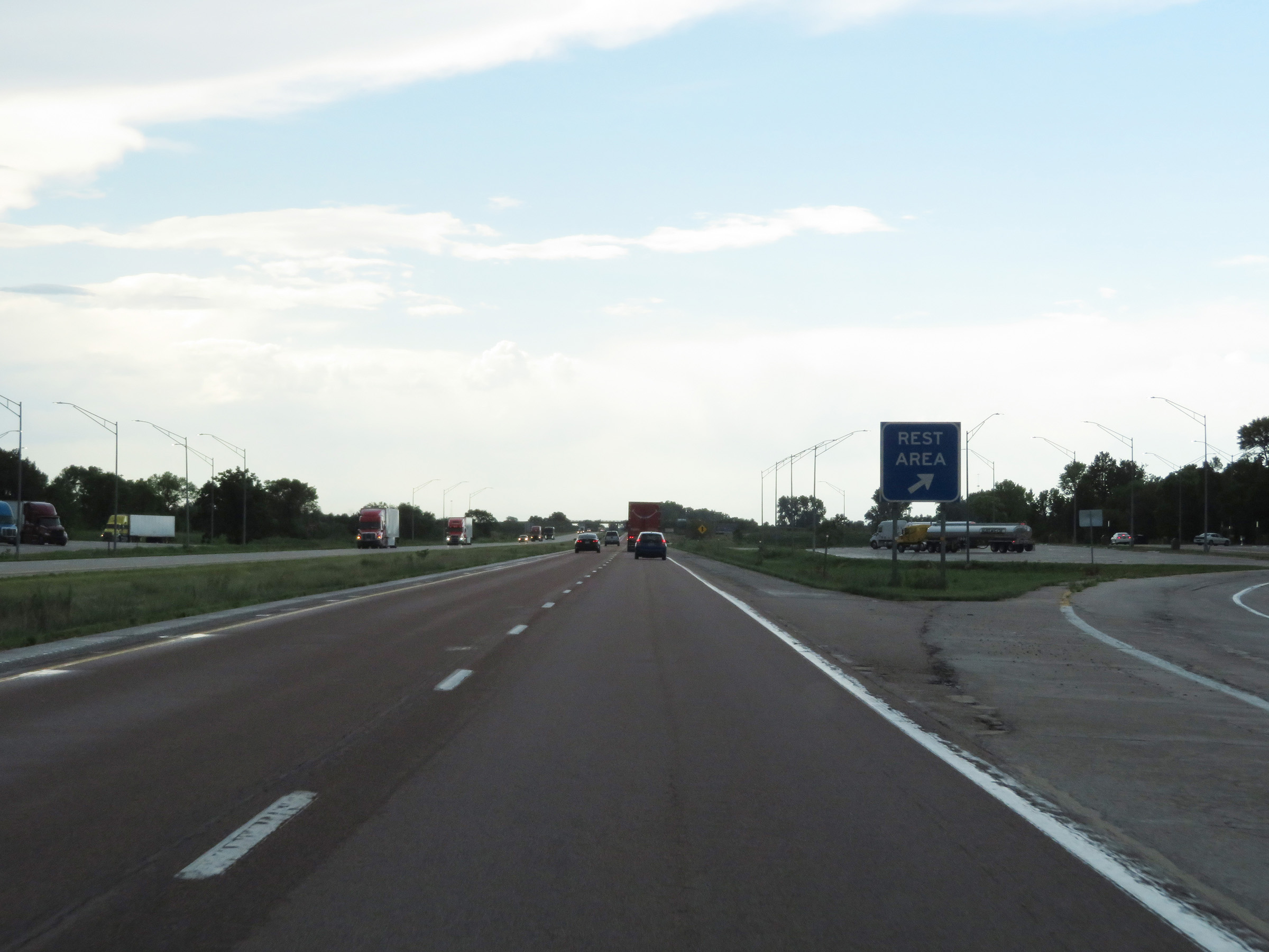
The upcoming Rest Area is for parking only. The next Modern (with facilities) Rest Area is 12 miles ahead on Interstate 29 South. (Photo taken 8/10/20). |
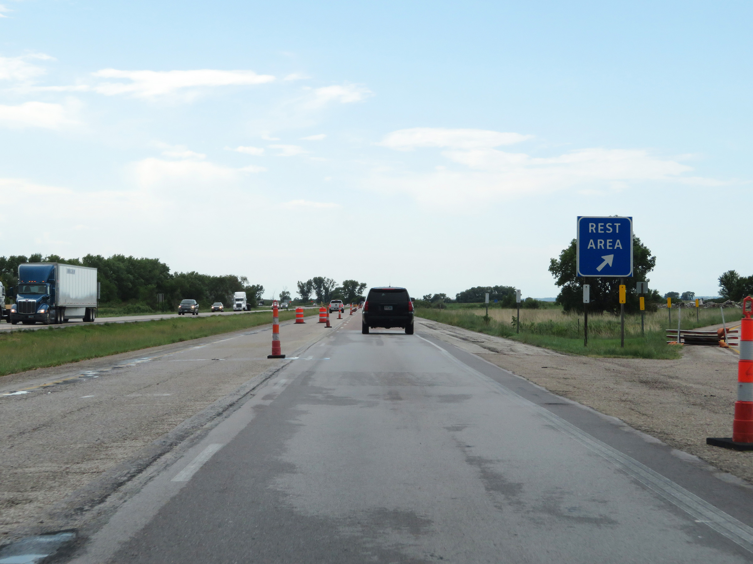 |
Rest Area (Parking Only) on Interstate 29 South in Harrison County. (Photo taken 8/10/20). |
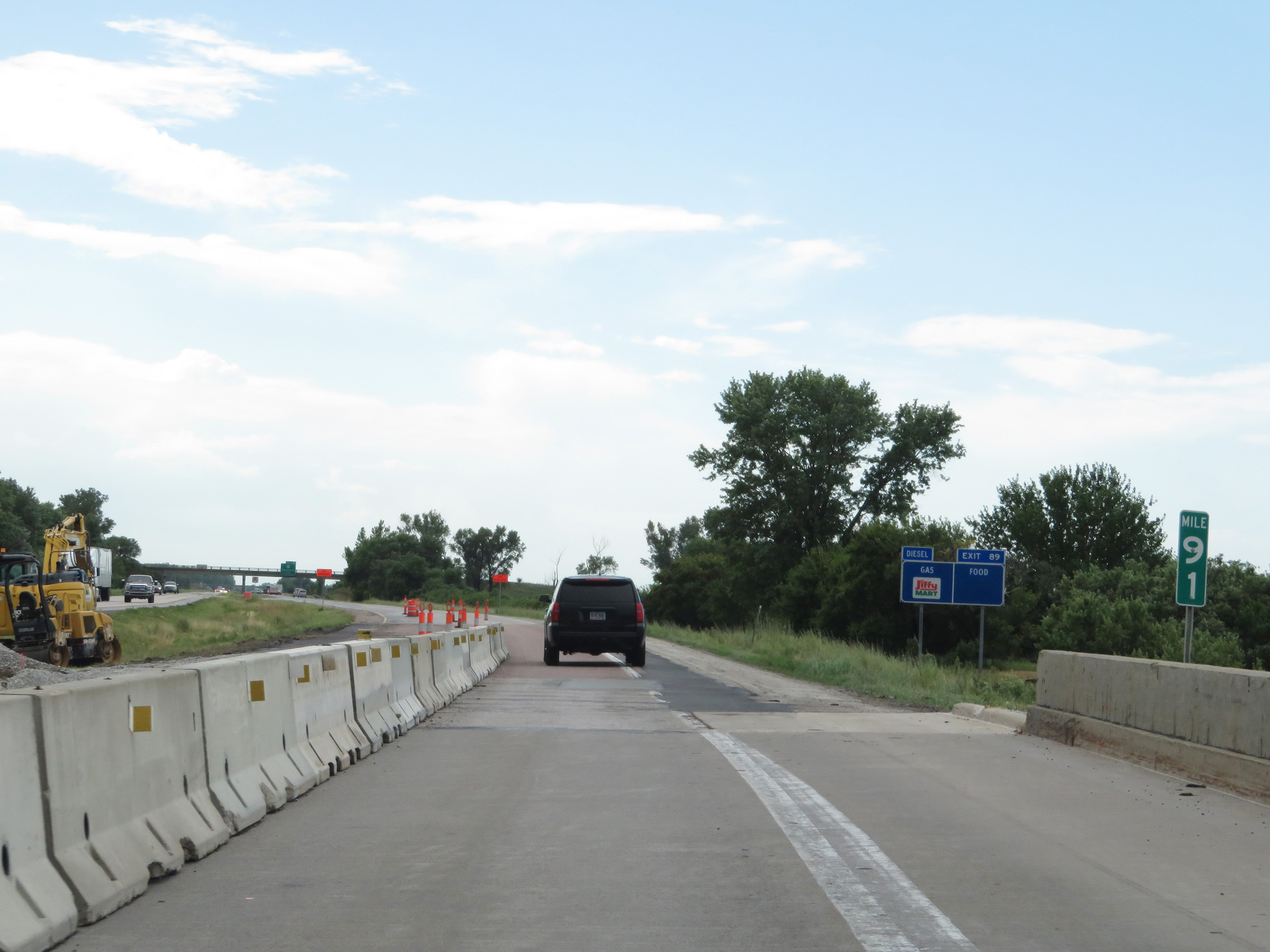 |
Interstate 29 South at mile marker 91. (Photo taken 8/10/20). |
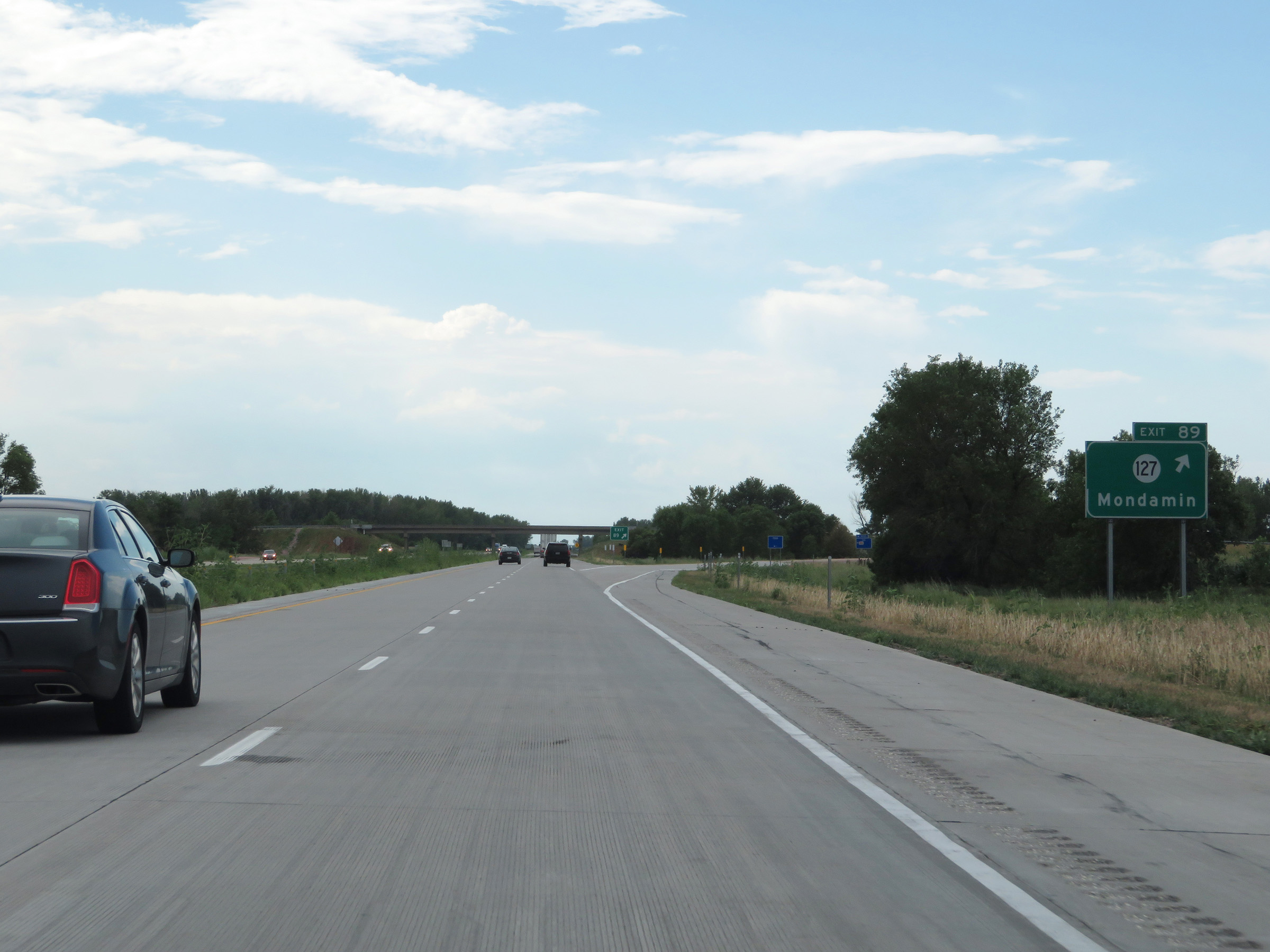 |
Interstate 29 South at Exit 89: IA 127 - Mondamin (Photo taken 8/10/20). |
 |
Another state-named Interstate 29 South reassurance shield. (Photo taken 8/10/20). |
 |
The speed limits remain the rural standard 70 mph maximum and 40 mph minimum. (Photo taken 8/10/20). |
 |
Mileage sign on Interstate 29 South. It's 7 miles to Modale and 34 miles to Council Bluffs. (Photo taken 8/10/20). |
 |
Interstate 29 South at Exit 82: CR F50 - Modale (Photo taken 8/10/20). |
 |
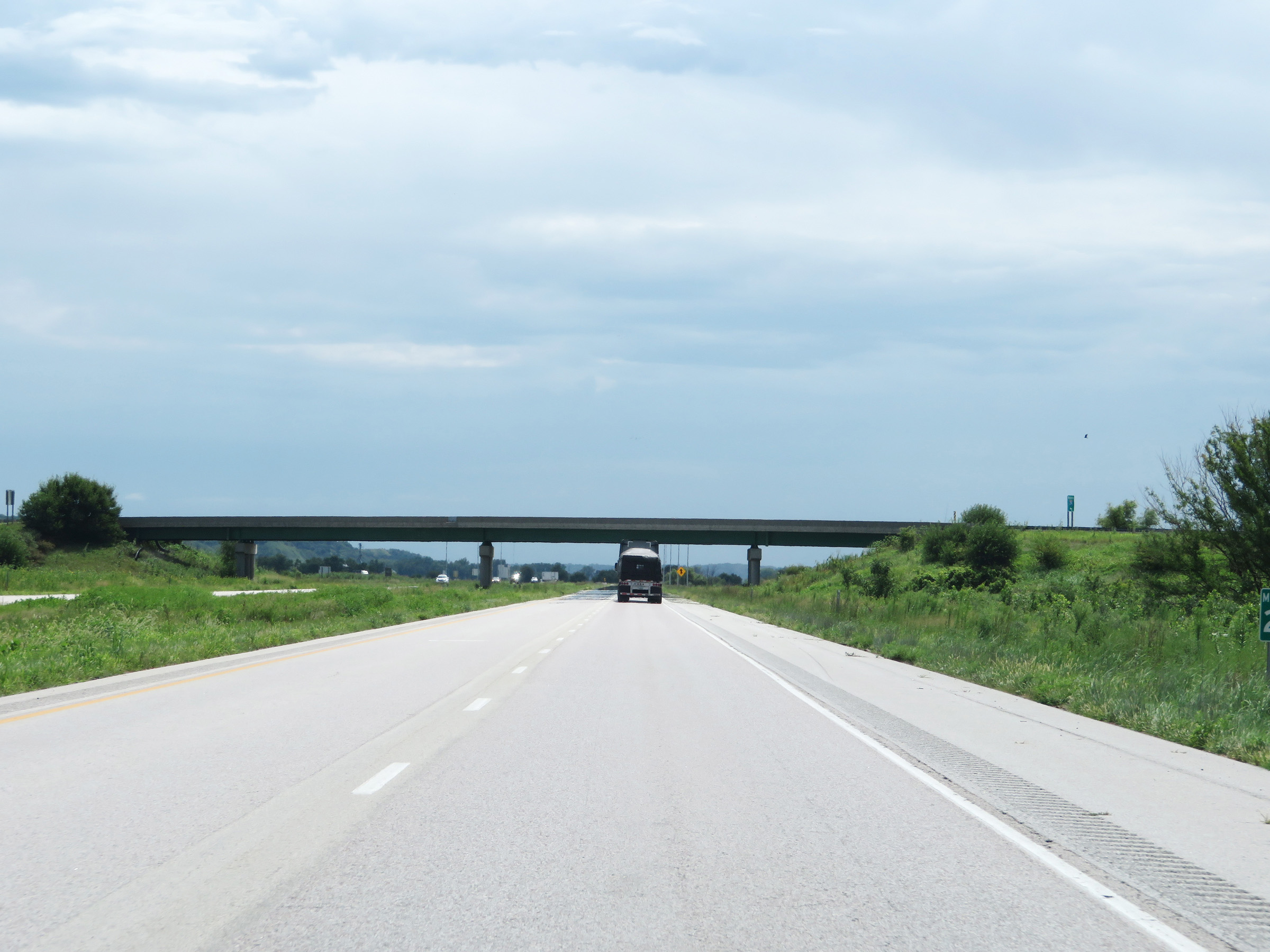
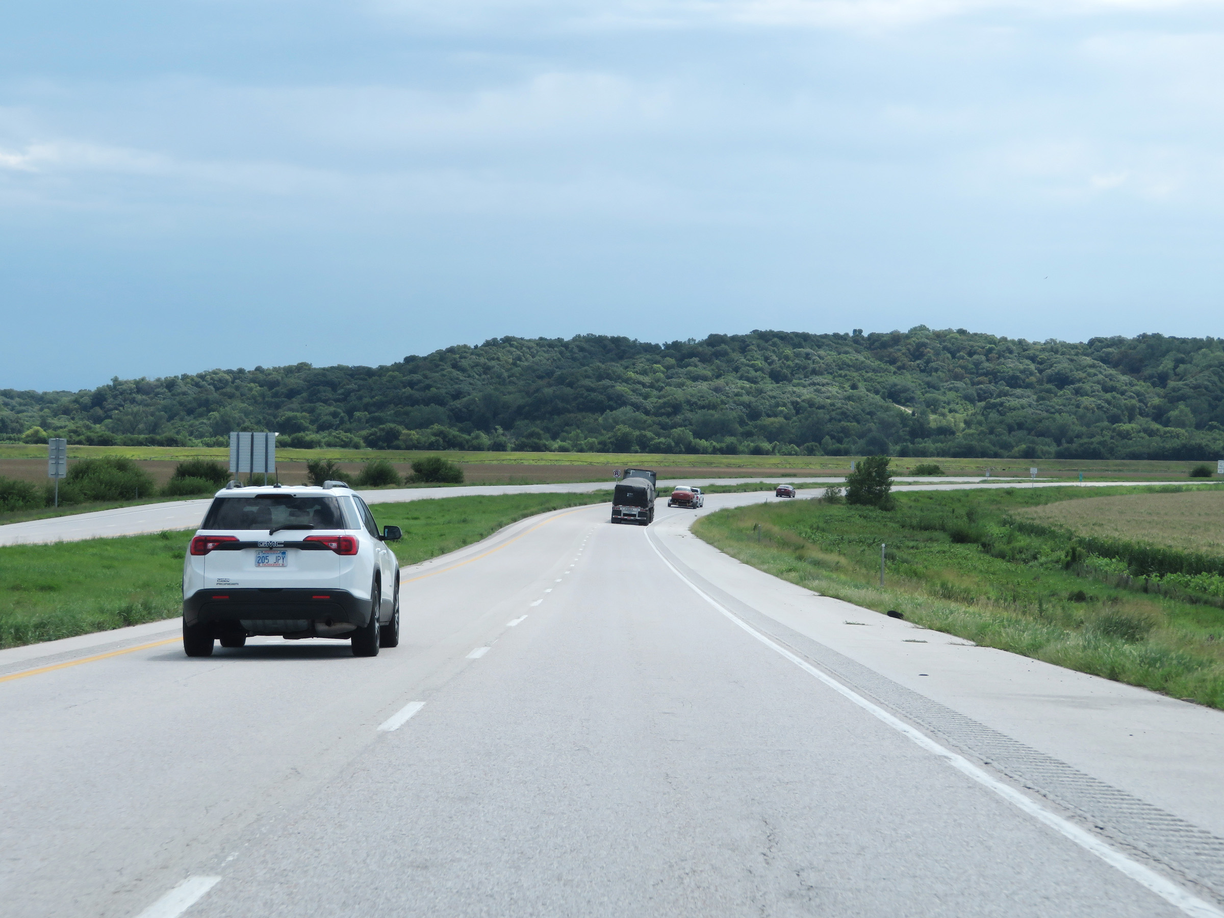
View on Interstate 29 South in Harrison County. (Photo taken 8/10/20). |
 |
Interstate 29 South in Harrison County, approaching the county's second Rest Area. (Photo taken 8/10/20). |
 |
Rest Area on Interstate 29 South in Harrison County. (Photo taken 8/10/20). |
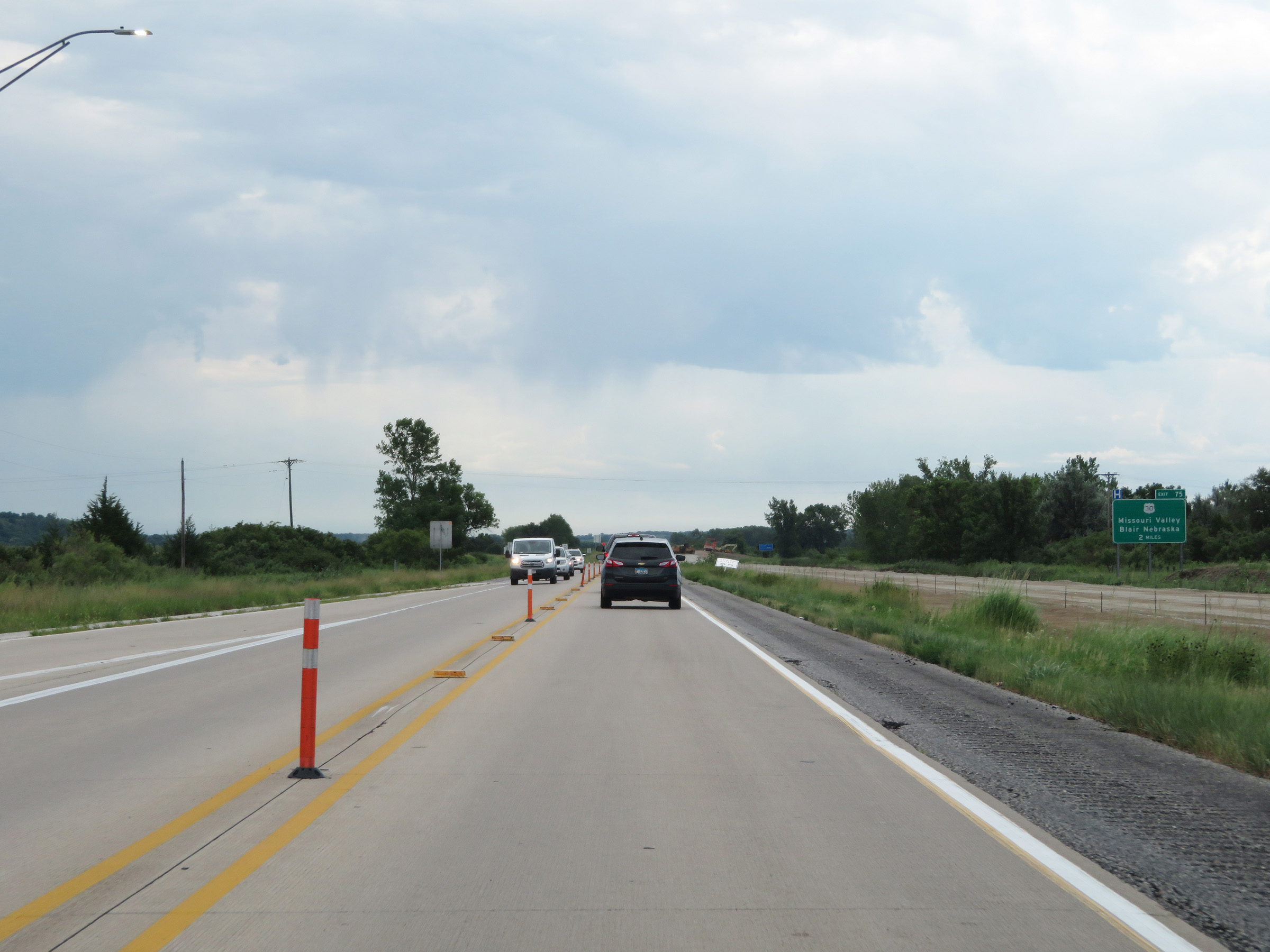 |
Advance signage for the junction of US 30 via Exit 75, which is 2 miles ahead on Interstate 29 South. (Photo taken 8/10/20). |
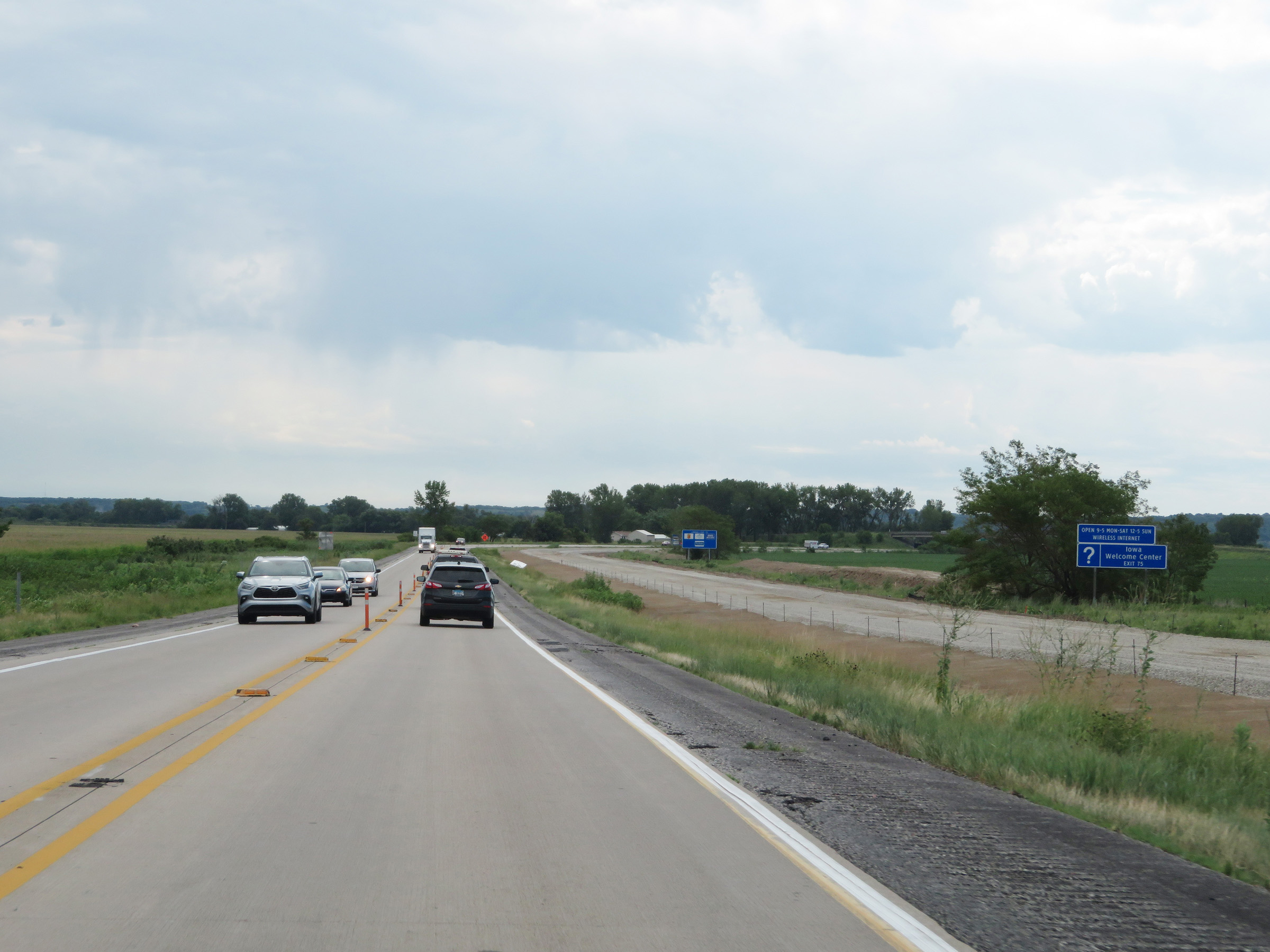 |
An Iowa Welcome Center can be accessed via Exit 75. (Photo taken 8/10/20). |
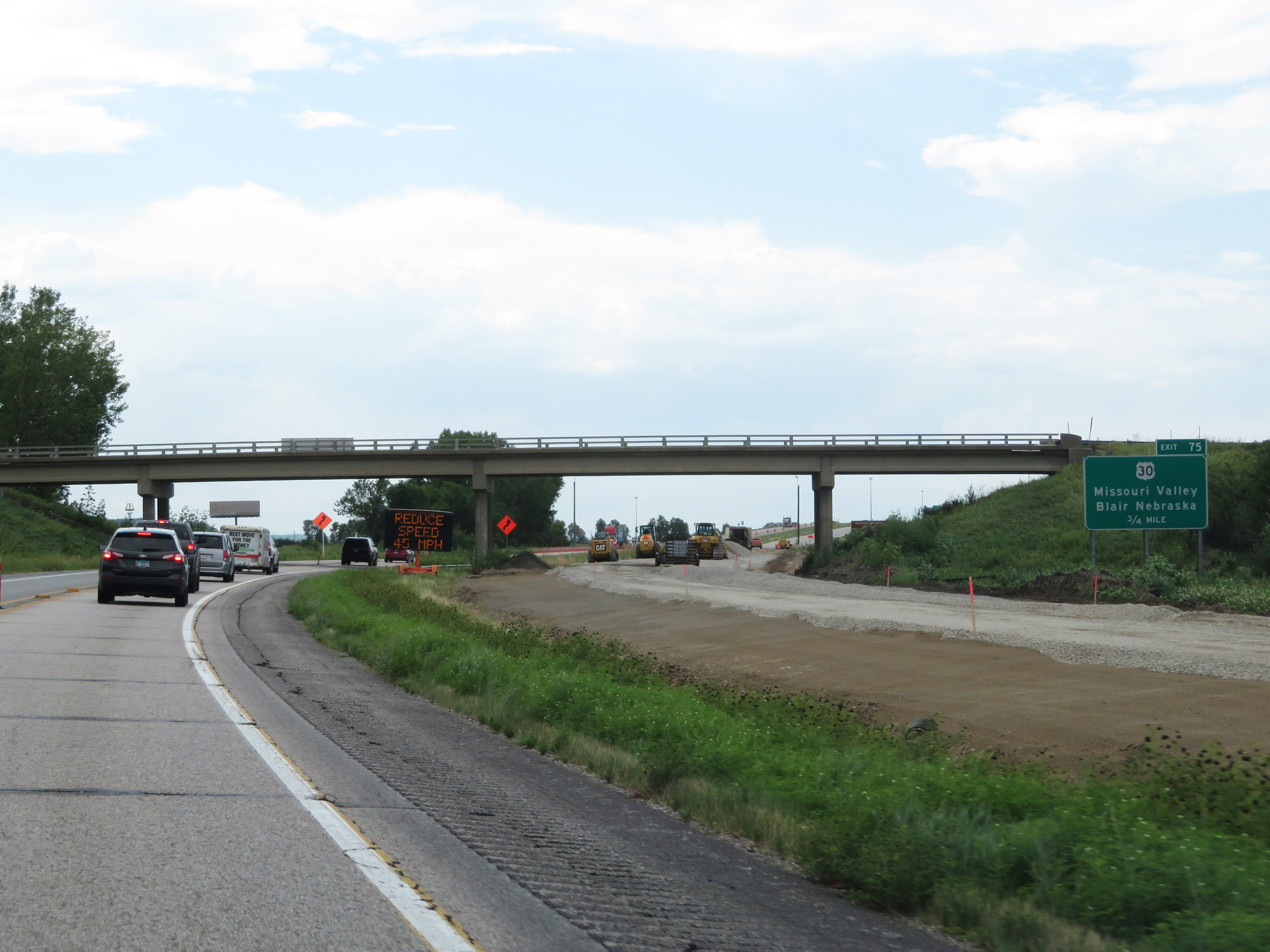 |
The junction of US 30 via Exit 75 is now just 3/4 miles ahead on Interstate 29 South. (Photo taken 8/10/20). |
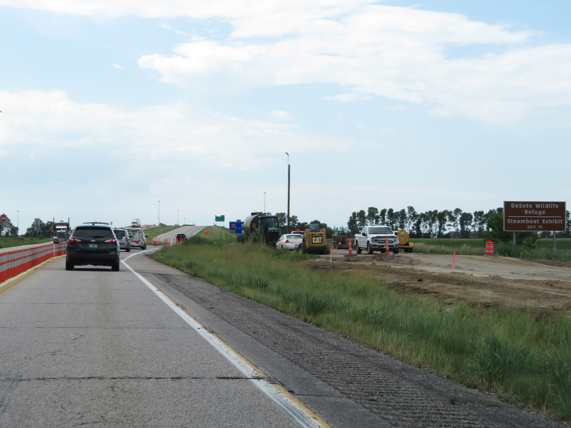 |
Take Exit 75 to DeSoto Wildlife Refuge and the Steamboat Exhibit. (Photo taken 8/10/20). |
 |
Interstate 29 South at Exit 75: US 30 - Missouri Valley / Blair, NE (Photo taken 8/10/20). |
 |
Speed limit signs on Interstate 29 South near mile marker 75. The speed limits remain 70 mph maximum and 40 mph minimum. (Photo taken 8/10/20). |
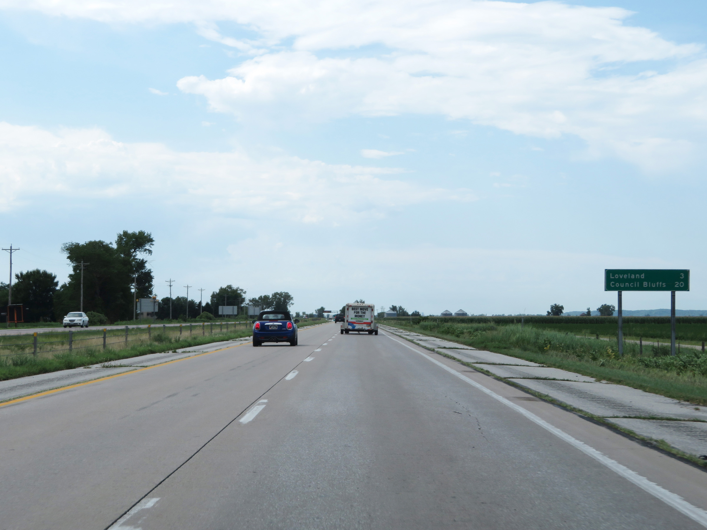 |
Another mileage sign on Interstate 29 South. It's 3 miles to Loveland and 20 miles to Council Bluffs. (Photo taken 8/10/20). |
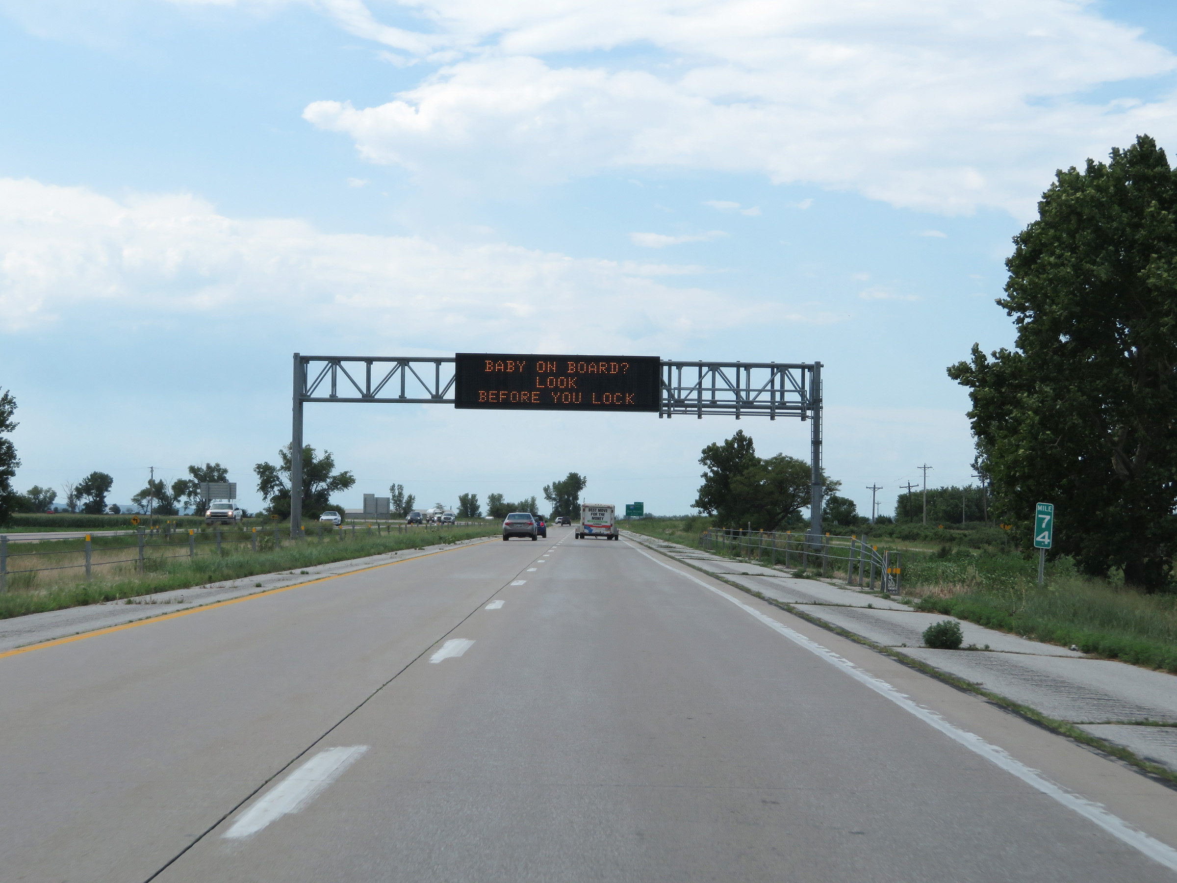 |
Interstate 29 South at mile marker 74. (Photo taken 8/10/20). |
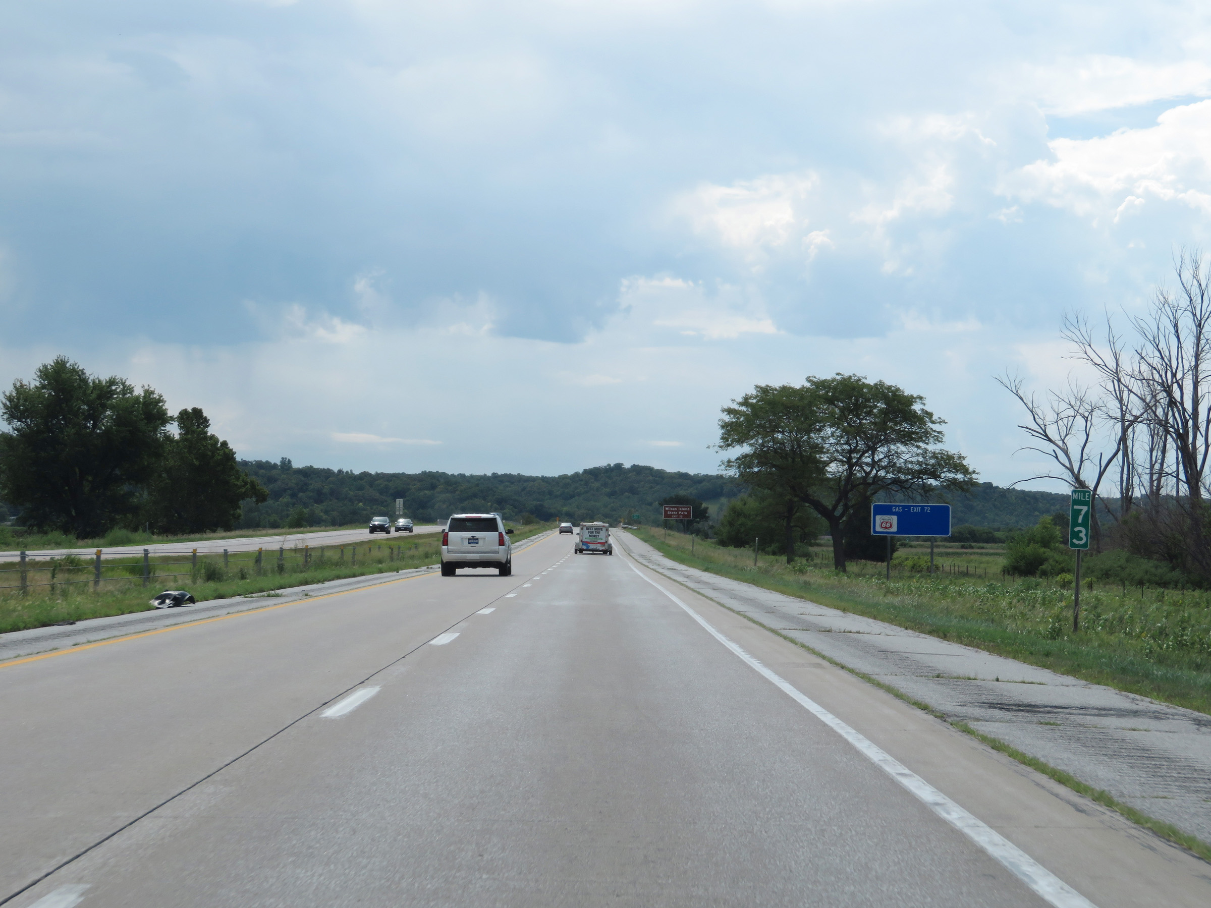 |
View on Interstate 29 South at mile marker 73. (Photo taken 8/10/20). |
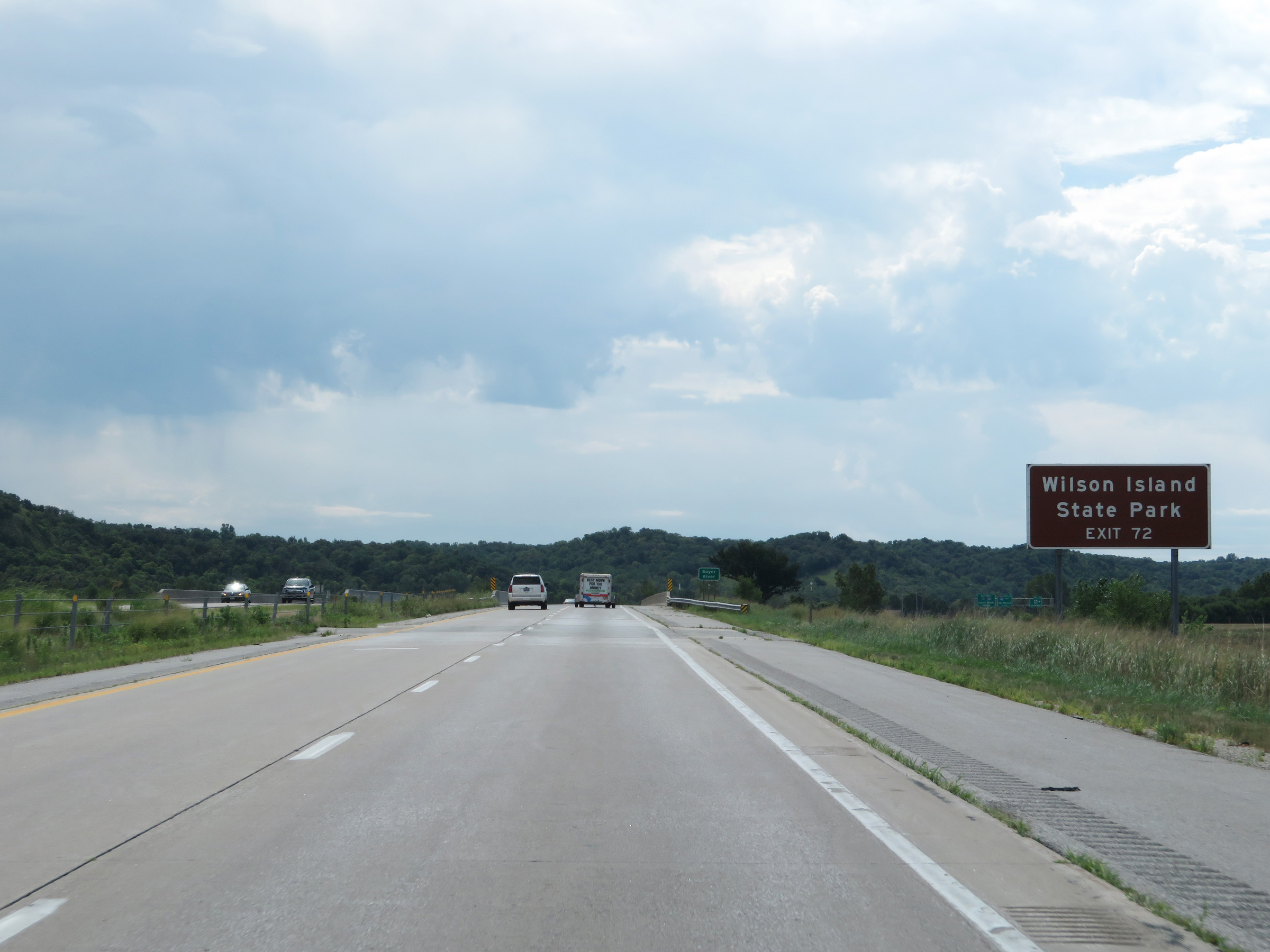 |
Take Exit 72 to Wilson Island State Park. (Photo taken 8/10/20). |
 |
Just before Exit 72, Interstate 29 South enters Pottawattamie County. (Photo taken 8/10/20). |
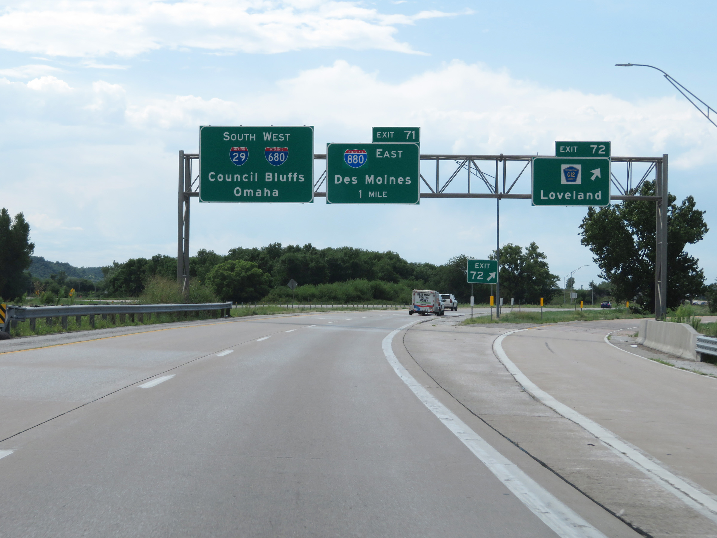 |
Interstate 29 South at Exit 72: CR G12 - Loveland (Photo taken 8/10/20). |
 |
Advance signage for Exit 71, which is now just 1/2 mile ahead on the right on Interstate 29 South. (Photo taken 8/10/20). |
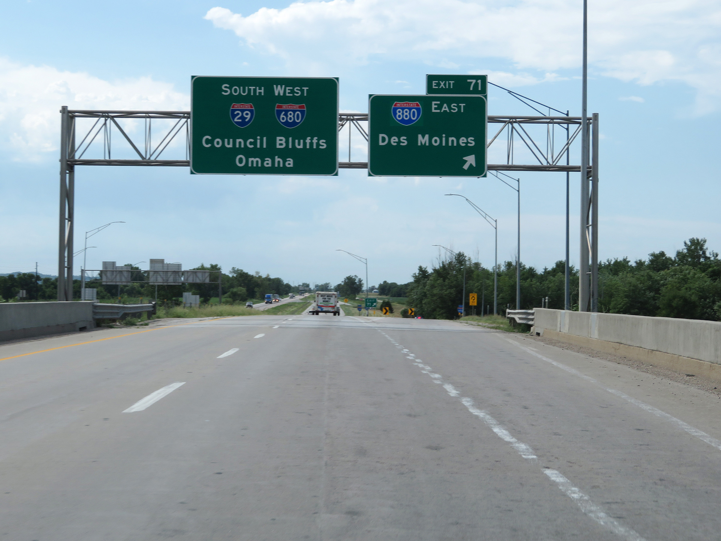 |
Interstate 29 South at Exit 71: Interstate 880 East - Des Moines (Photo taken 8/10/20). |
 |
State-named Interstate 29 South / Interstate 680 West reassurance shields. At the time, they had not yet removed the Interstate 680 shields from this section of I-29 after I-680 was truncated, with its eastern segment being redesignated as Interstate 880. (Photo taken 8/10/20). |
 |
Interstate 29 South at mile marker 70. (Photo taken 8/10/20). |
 |
View on Interstate 29 South at mile marker 68. (Photo taken 8/10/20). |
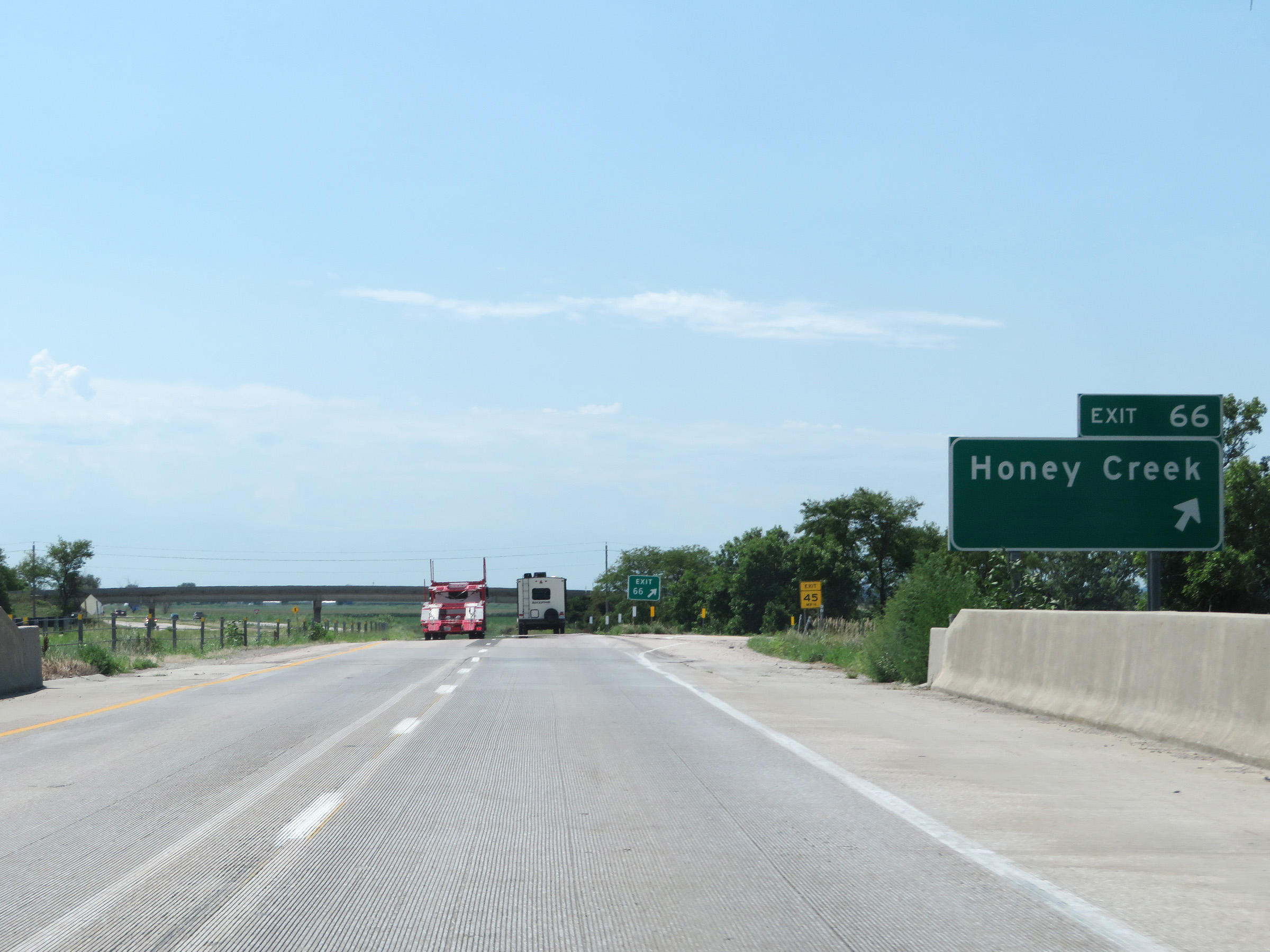 |
Interstate 29 South at Exit 66: Honey Creek (Photo taken 8/10/20). |
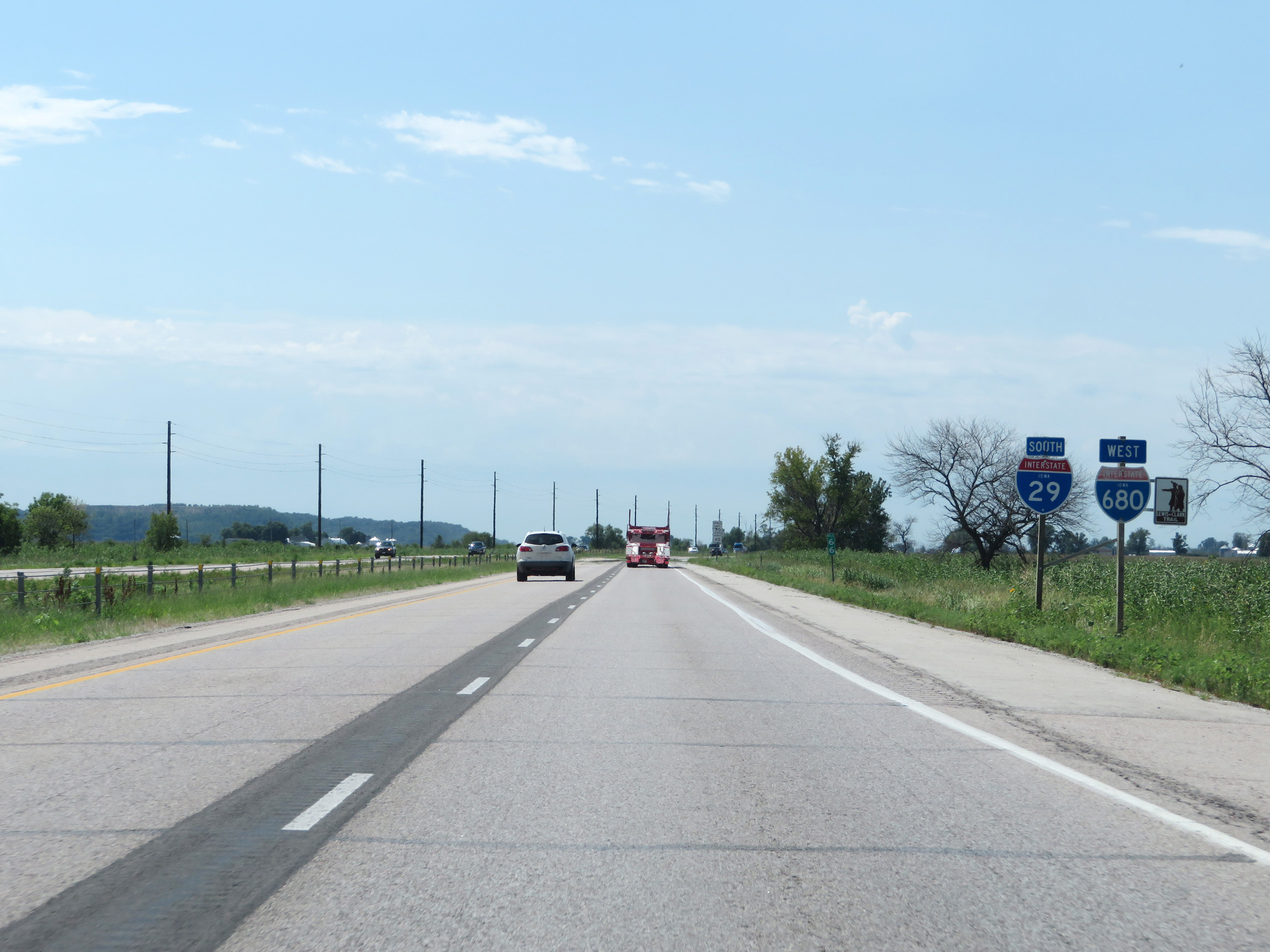 |
Another state-named Interstate 29 South reassurance shield alongside an errant state-named Interstate 680 West reasssurance shield. Again, I-29 and I-680 no longer run concurrently since I-680 was truncated, with its former eastern segment being redesignated as Interstate 880. Hopefully these shields have been removed by the time you're seeing this. (Photo taken 8/10/20). |
 |
Mile marker 64 on Interstate 29 South in Pottawattamie County. (Photo taken 8/10/20). |
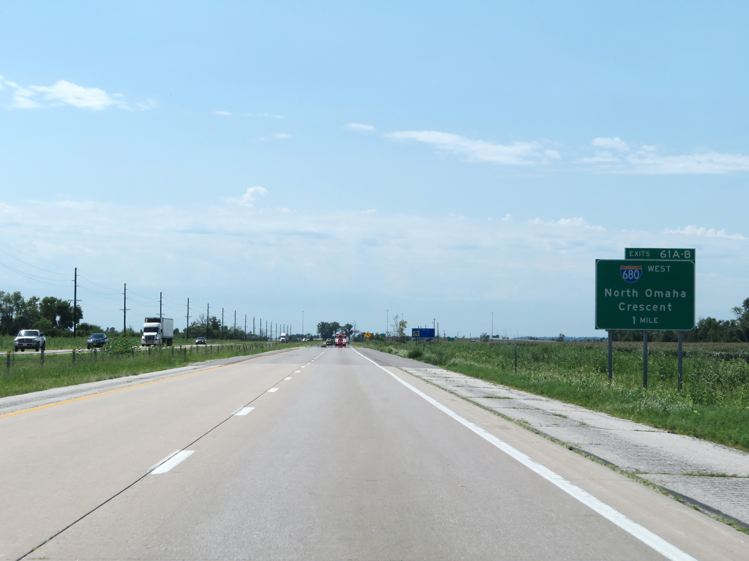 |
Advance signage for Exits 61B-A on Interstate 29 South. The interchange is 1 mile ahead. (Photo taken 8/10/20). |
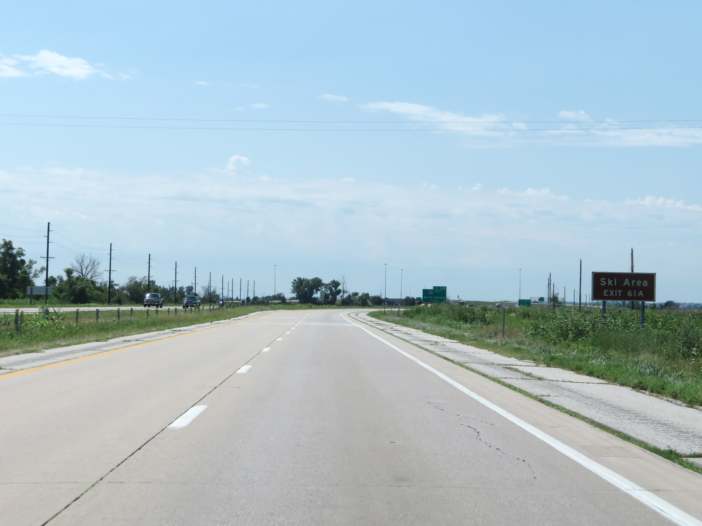 |
A Ski Area can be accessed via Exit 61A. (Photo taken 8/10/20). |
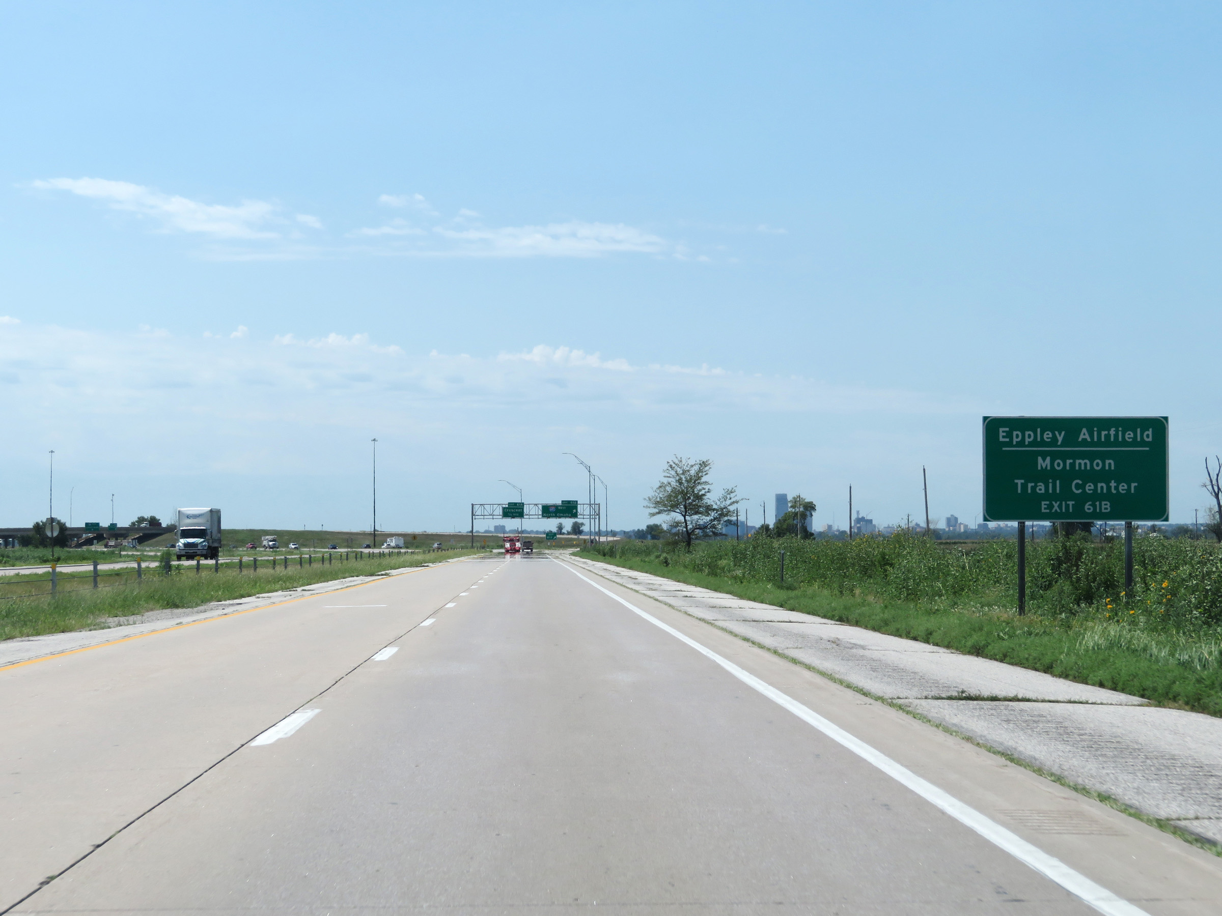 |
Take Exit 61B (Interstate 680 West) to Eppley Airfield and Mormon Trail Center. (Photo taken 8/10/20). |
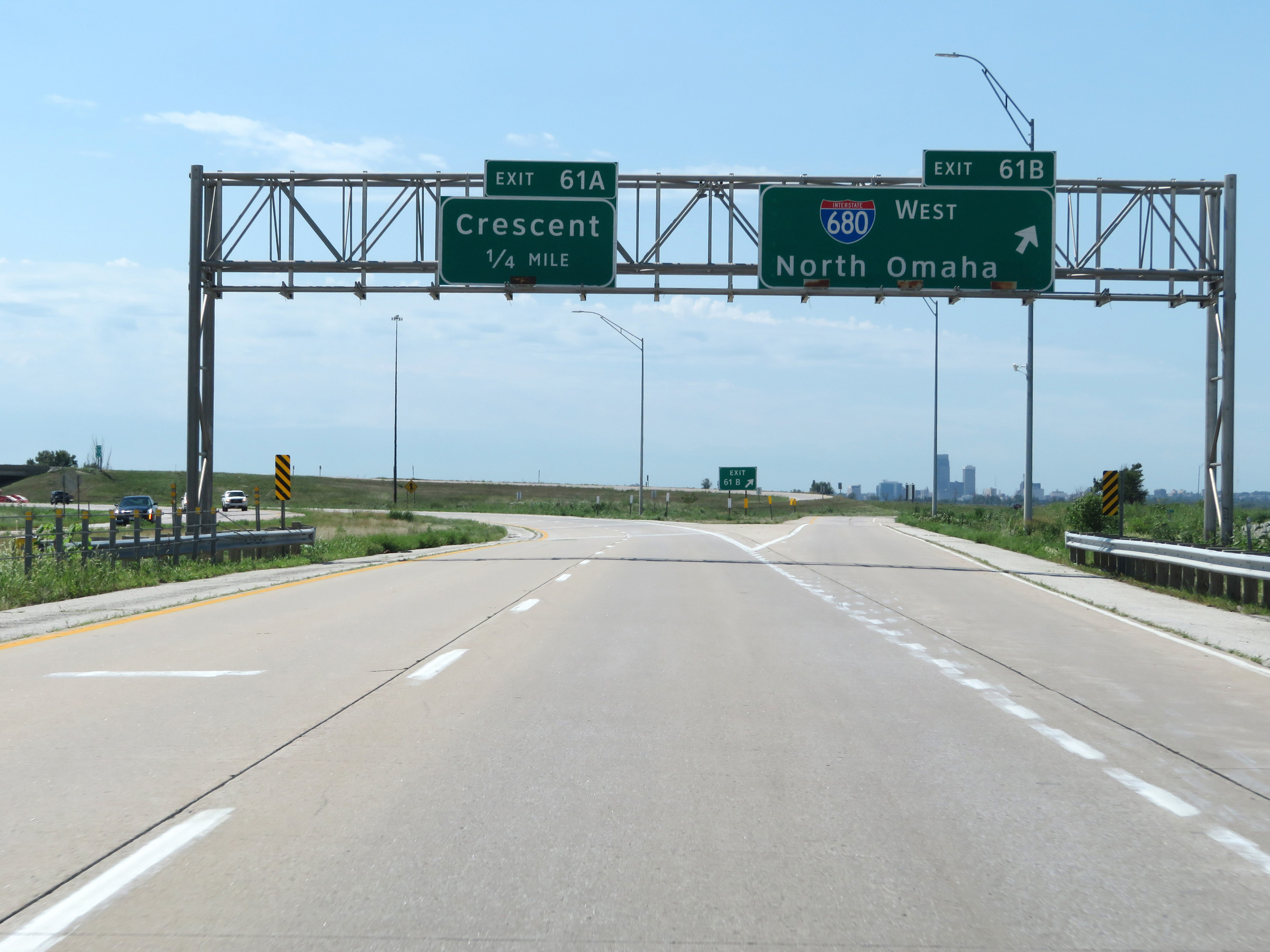 |
Interstate 29 South at Exit 61B: Interstate 680 West - North Omaha (Photo taken 8/10/20). |
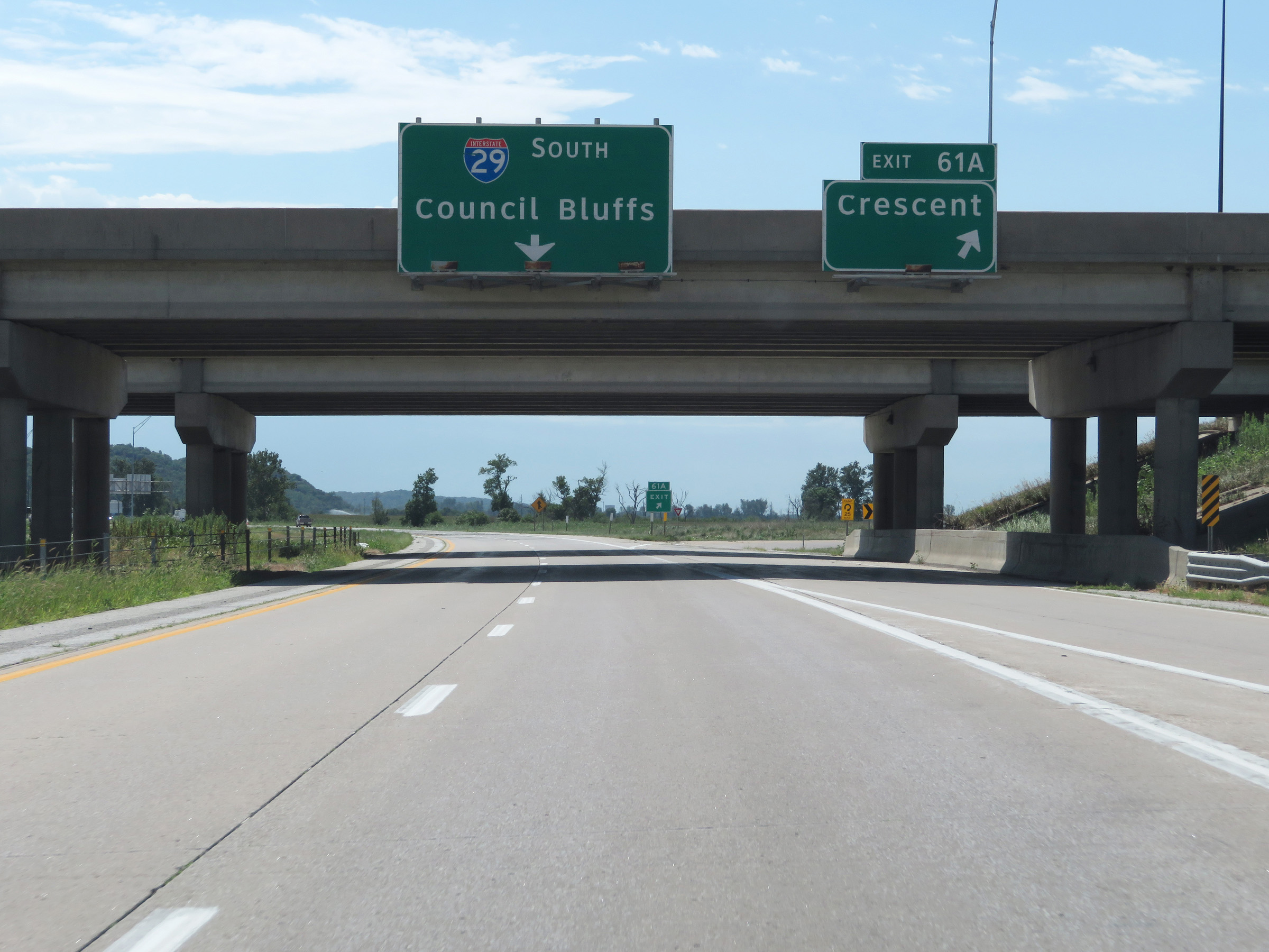 |
Interstate 29 South at Exit 61A: Crescent (Photo taken 8/10/20). |
 |
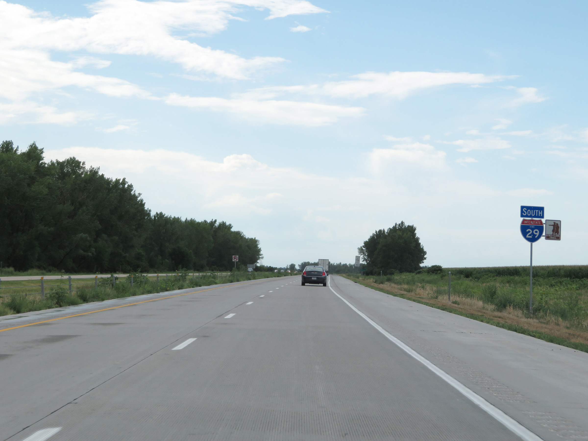
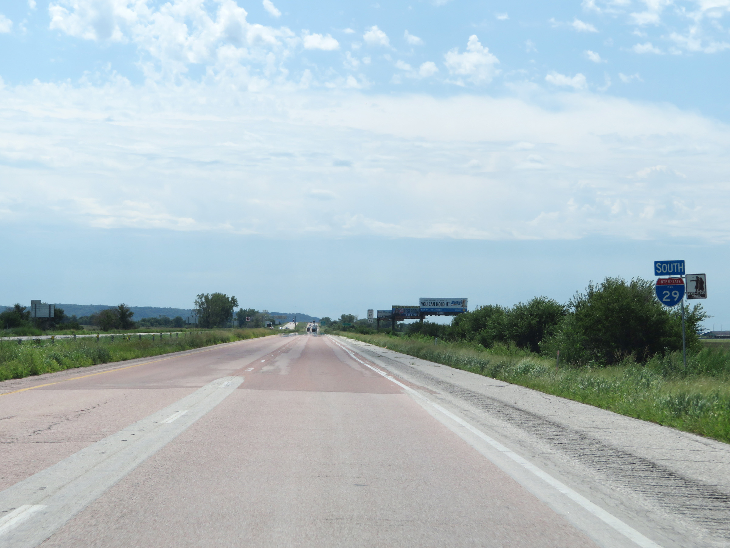
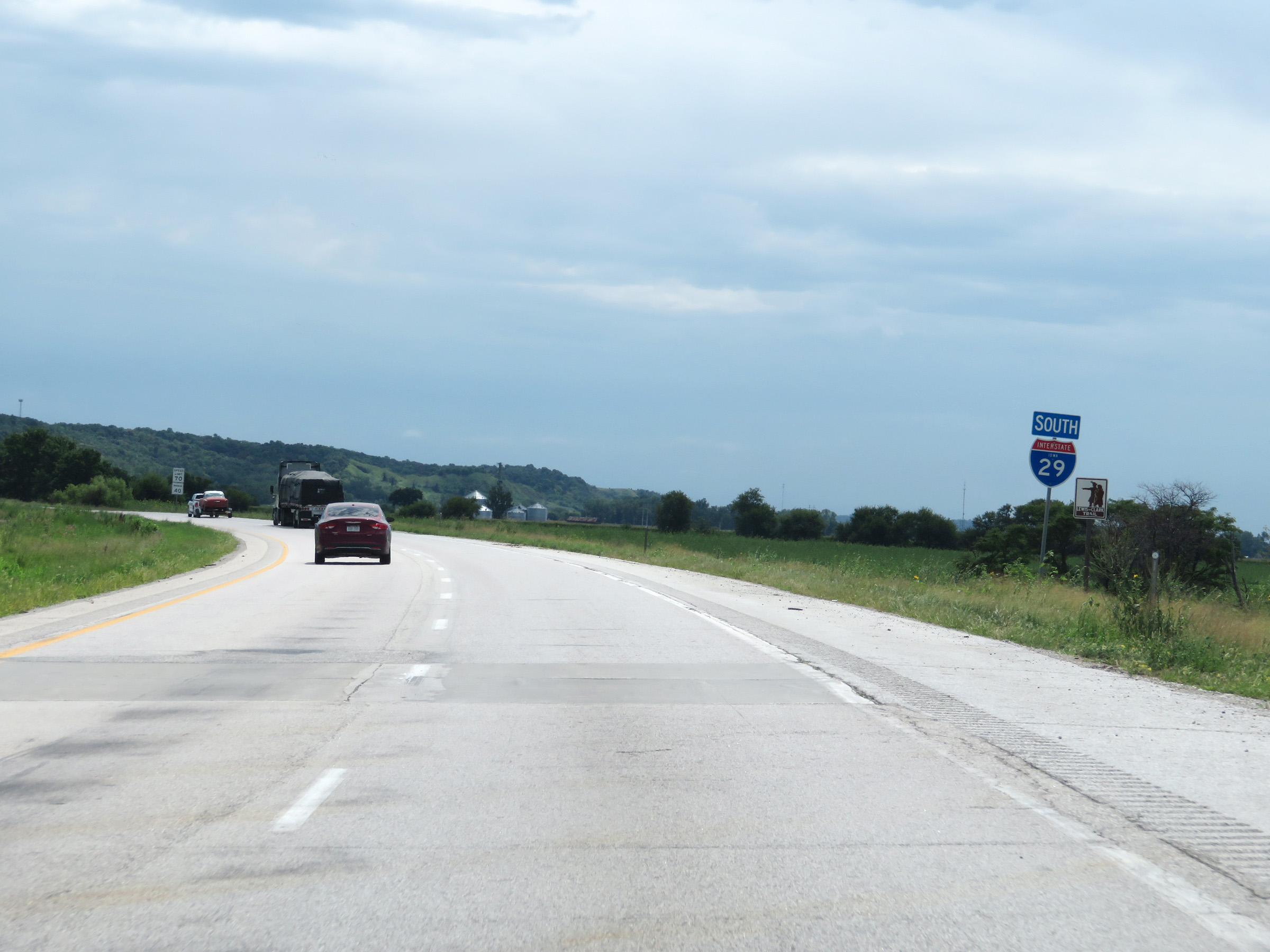
State-named Interstate 29 South reassurance shield. (Photo taken 8/10/20). |
 |
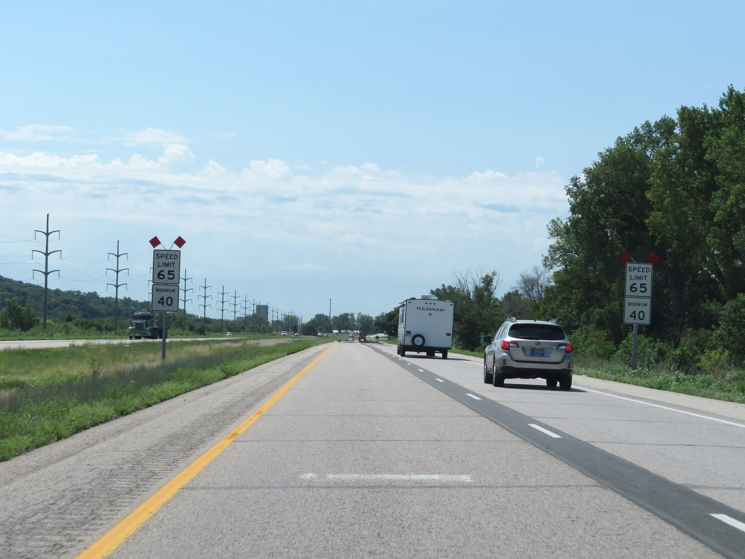
The speed limits remain the rural standard 70 mph maximum and 40 mph minimum. (Photo taken 8/10/20). |
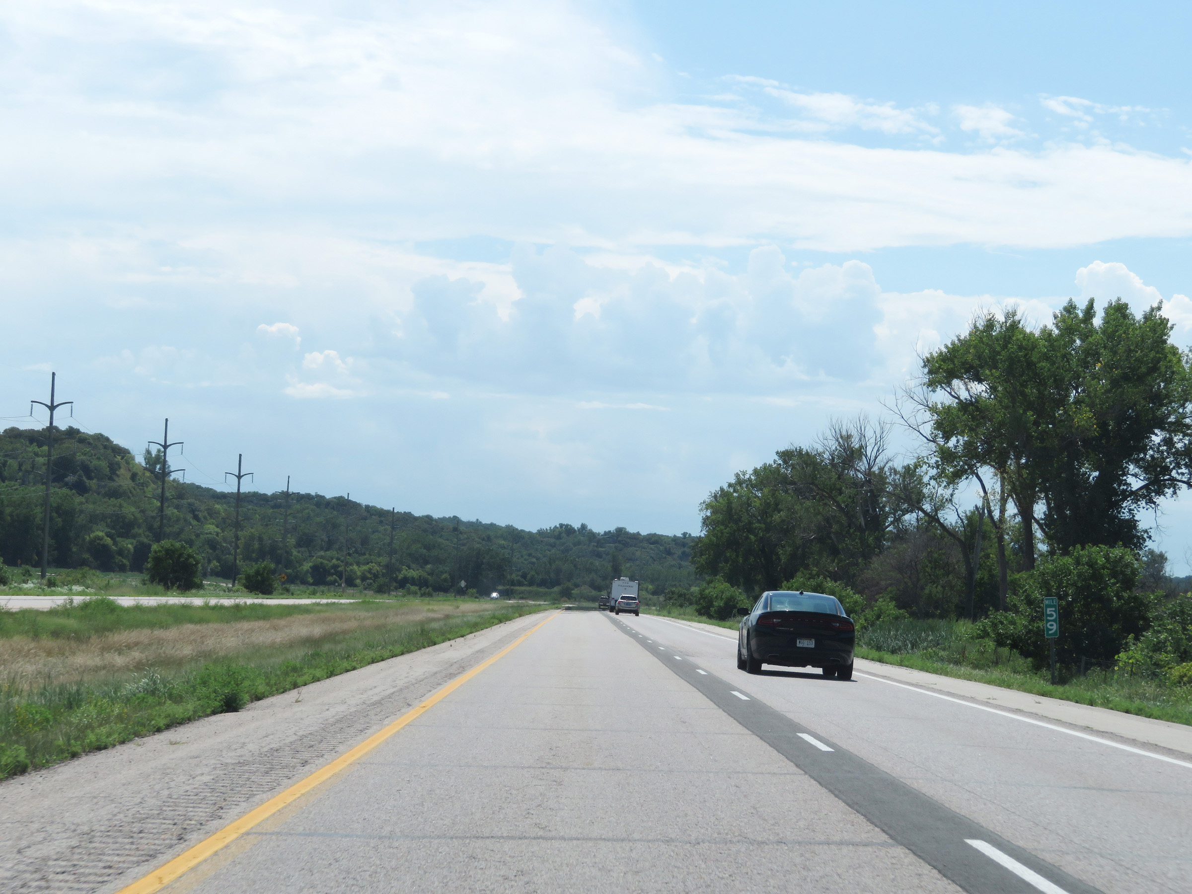 |
View on Interstate 29 South at mile marker 59. (Photo taken 8/10/20). |
 |
At mile marker 58, the maximum speed limit decreases to 65 mph as Interstate 29 South approaches the Council Bluffs area. The minimum speed limit remains 40 mph. (Photo taken 8/10/20). |
 |
Interstate 29 South at Exit 56: Business District / Council Bluffs (Photo taken 8/10/20). |
 |
Another state-named Interstate 29 South reassurance shield approaching Exit 55. (Photo taken 8/10/20). |
 |
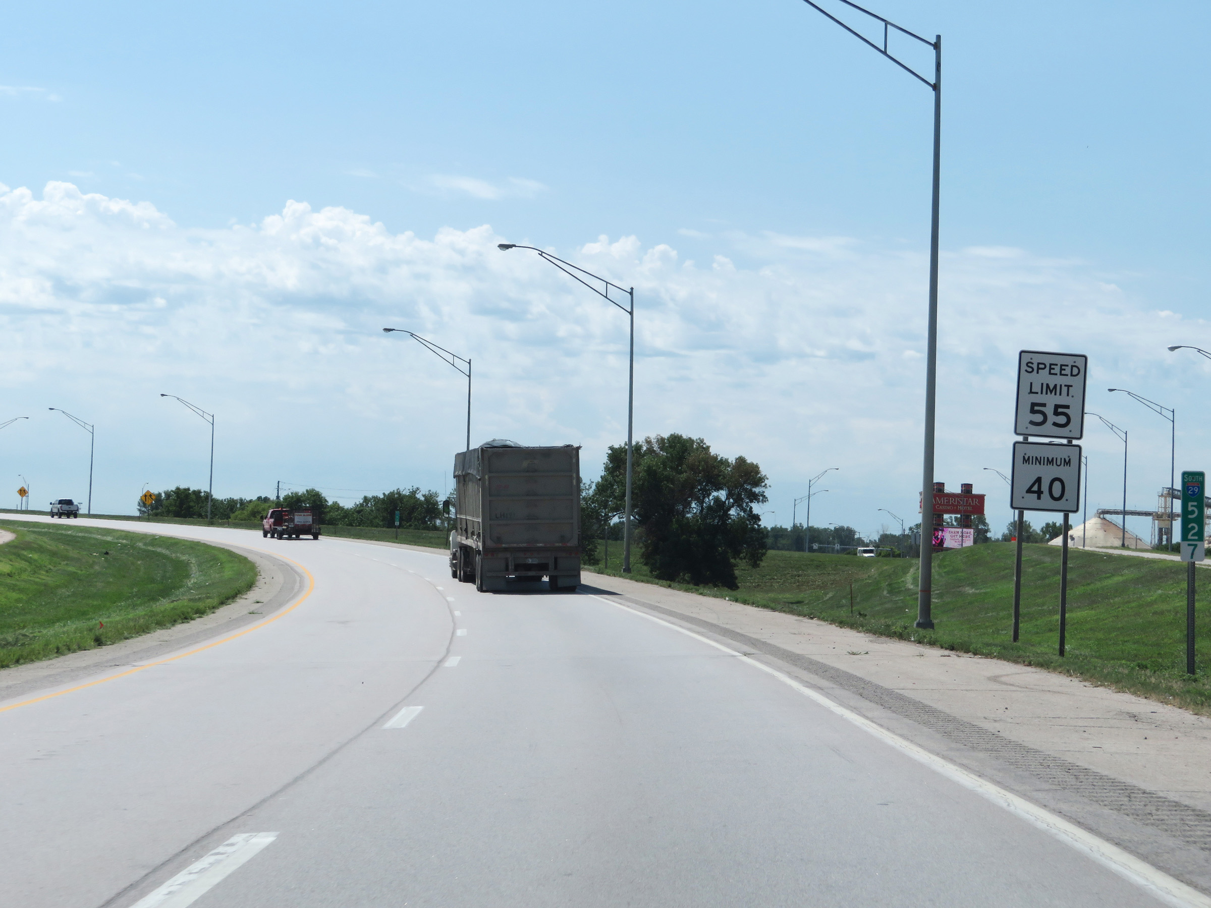
As Interstate 29 South approaching Exit 55, the maximum speed limit decreases further to 55 mph. (Photo taken 8/10/20). |
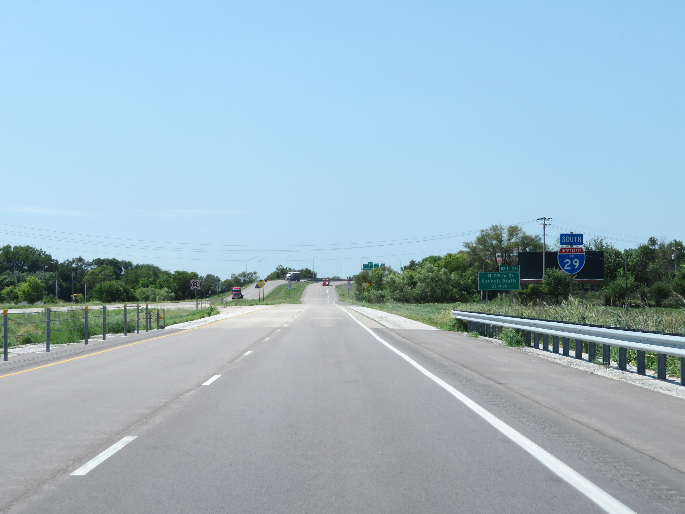
 |
Interstate 29 South at Exit 55: North 25th Street (Photo taken 8/10/20). |
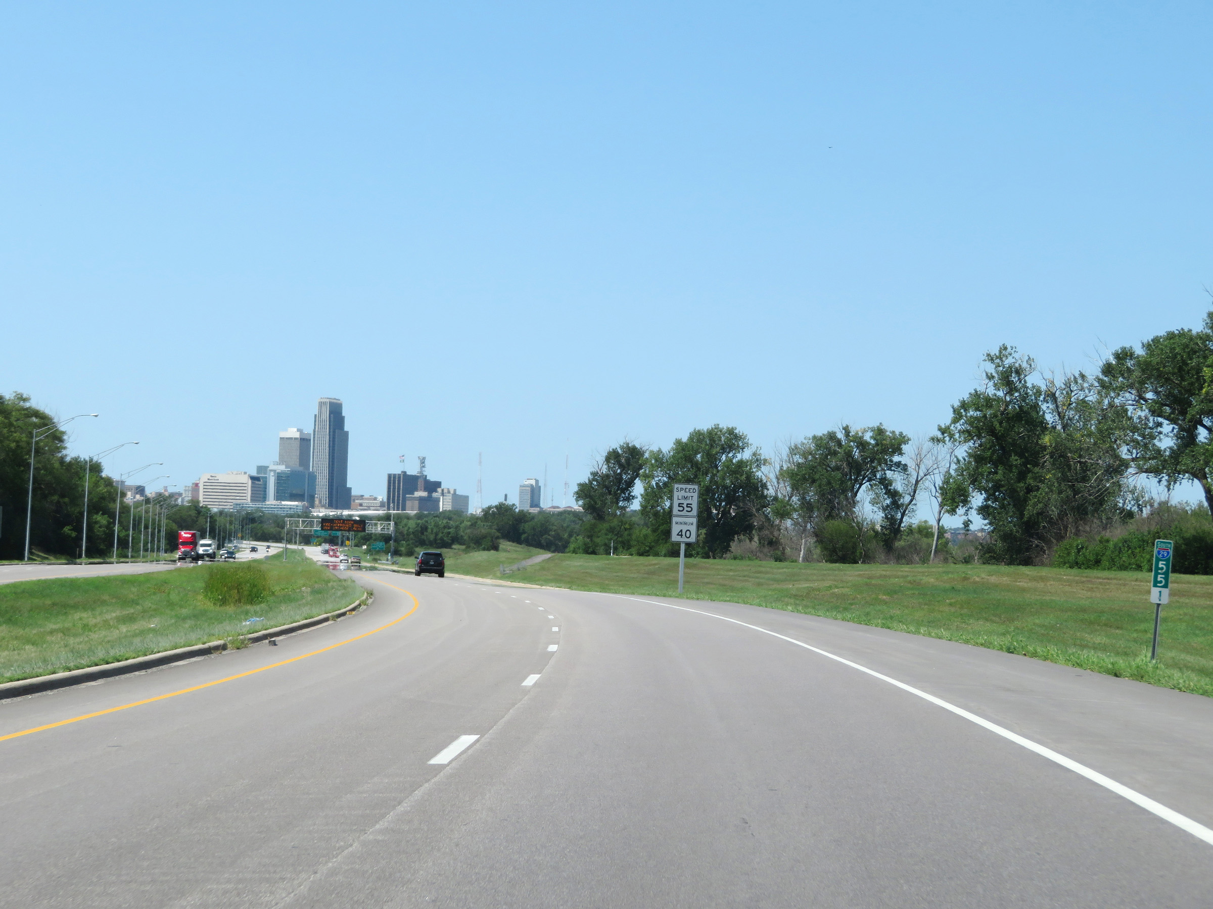 |
Downtown Omaha comes into view on Interstate 29 South at mile marker 55.1. (Photo taken 8/10/20). |
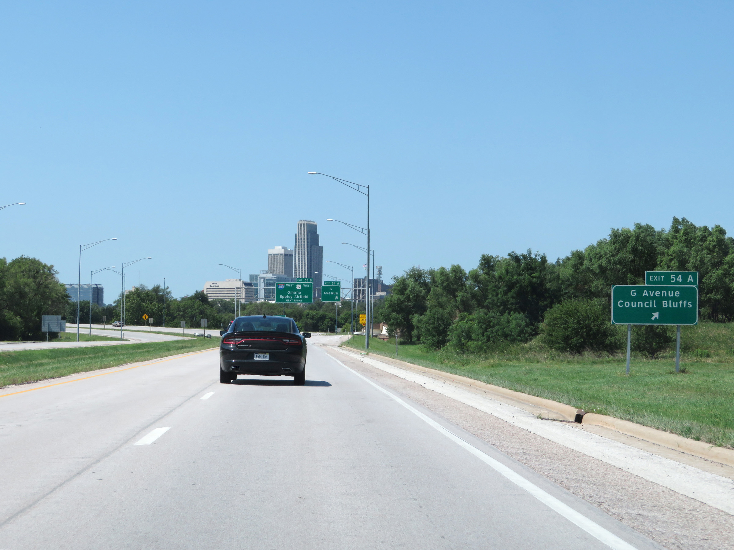 |
Interstate 29 South at Exit 54A: G Avenue / Council Bluffs (Photo taken 8/10/20). |
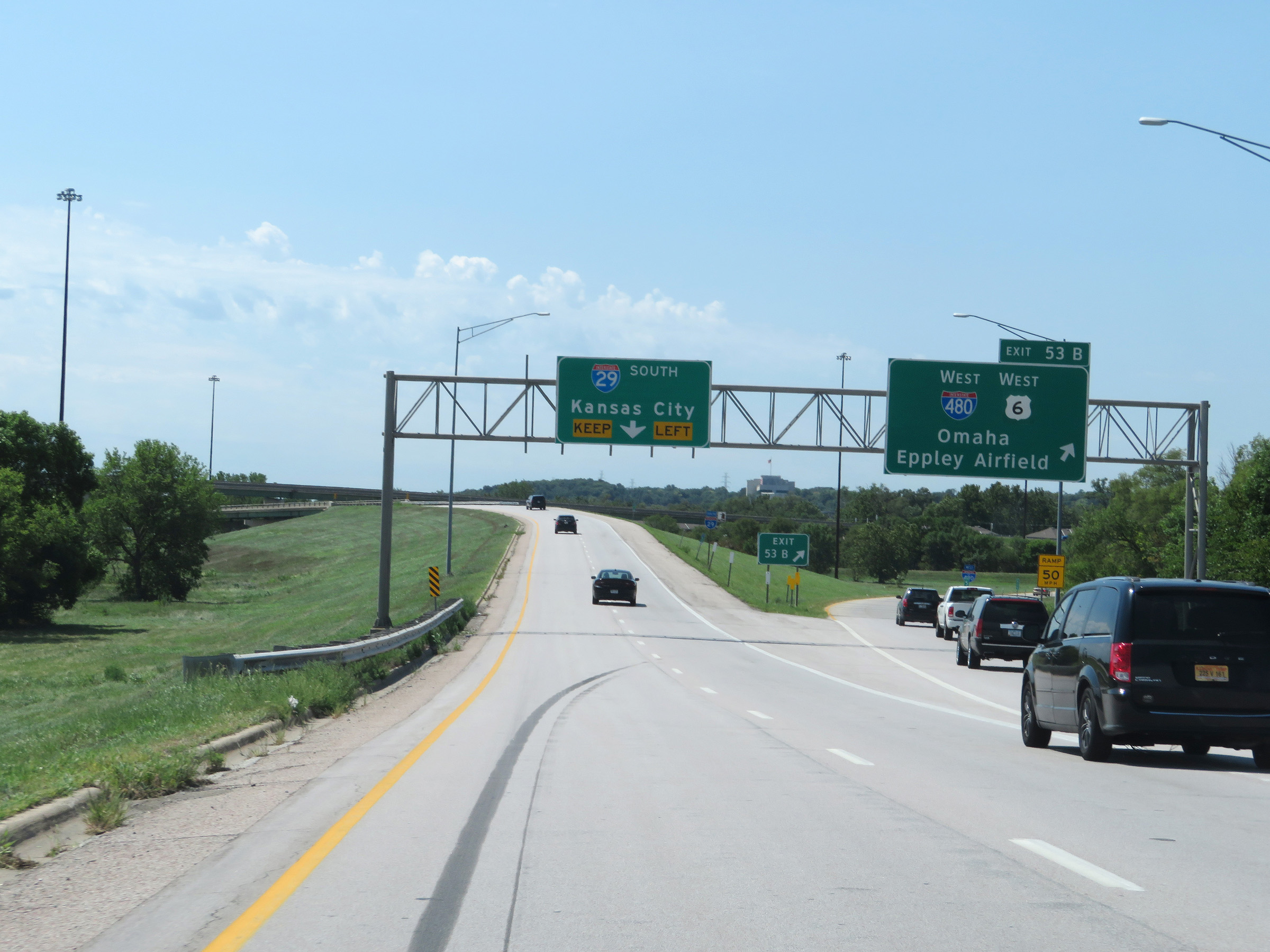 |
Interstate 29 South at Exit 53B: Interstate 480 West / US 6 West - Omaha / Eppley Airfield (Photo taken 8/10/20). |
 |
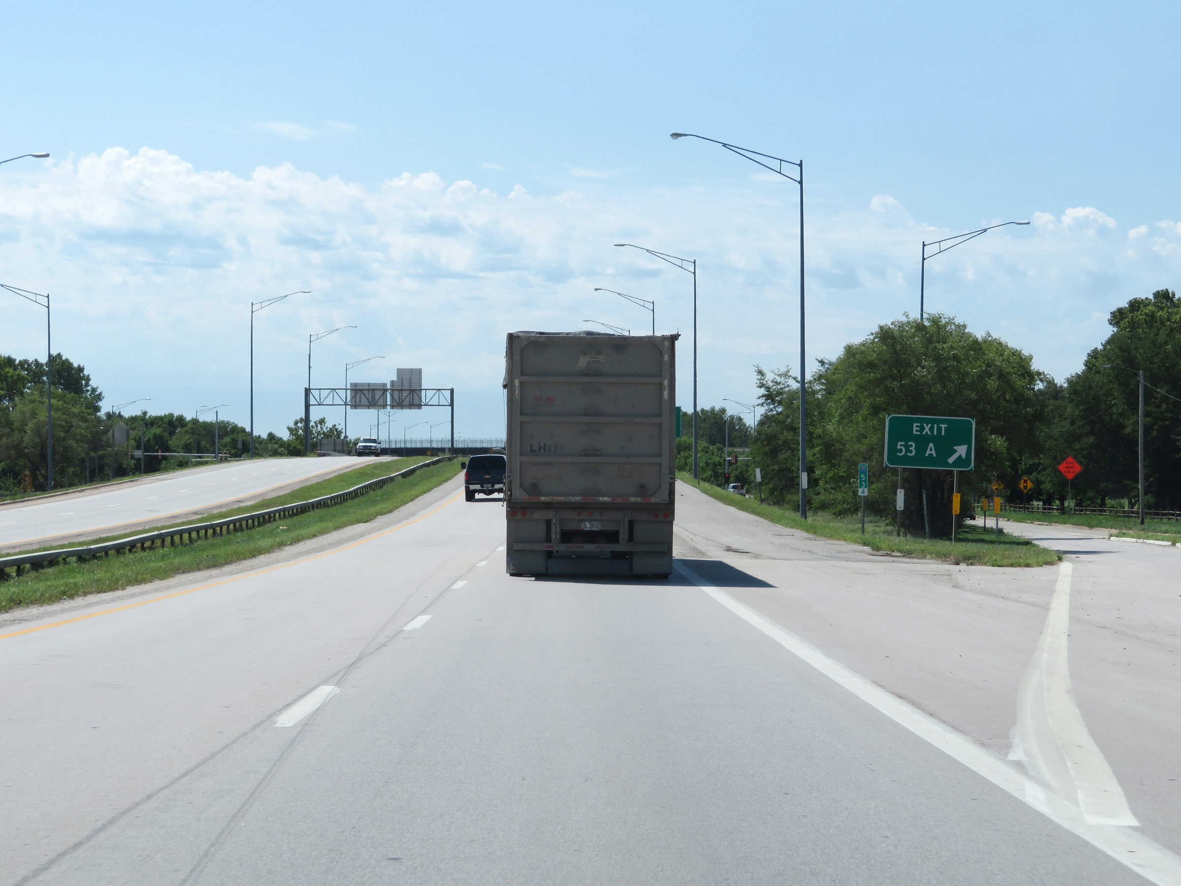
Advance signage for Exit 53A - 1/2 mile ahead. (Photo taken 8/10/20). |
 |
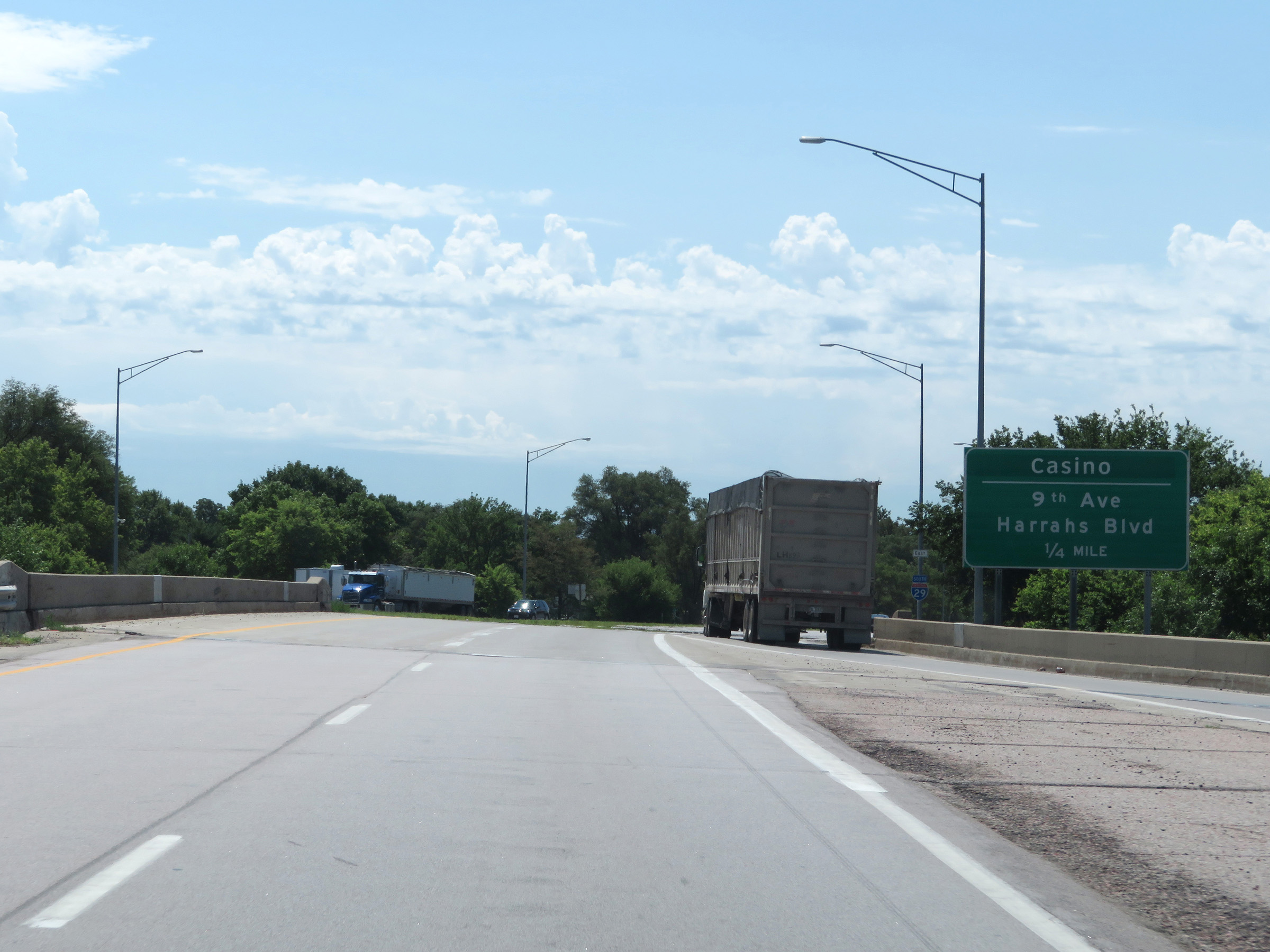
Interstate 29 South at Exit 53A: Casino / 9th Ave / Harrahs Blvd (Photo taken 8/10/20). |
 |
Interstate 29 South at Exit 52: Riverboat Casino / Nebraska Ave / Casino (Photo taken 8/10/20). |
Section 3: Council Bluffs (Exit 52) to Missouri Border
 |
Speed limit signs at mile marker 52.7. The speed limits remain 55 mph maximum and 40 mph minimum. (Photo taken 8/10/20). |
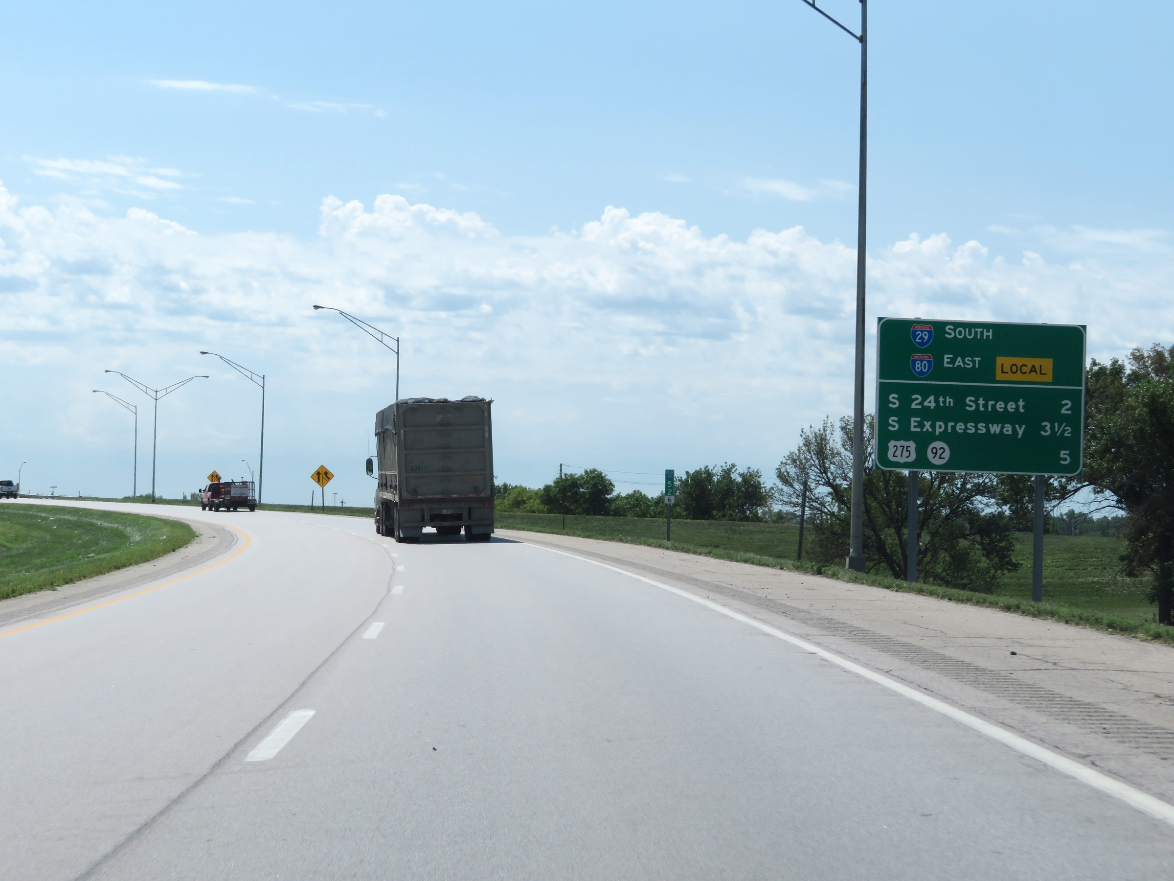 |
Mileage sign listing the distances to the next three Council Bluffs exits on Interstate 29 South, after it merges with the local lanes of Interstate 80 East ahead. (Photo taken 8/10/20). |
 |
Interstate 29 South approaching Exit 51. Interstate 80 through Council Bluffs is divided into Local and Express Lanes. Interstate 29 runs concurrently with the Local lanes of I-80. (Photo taken 8/10/20). |
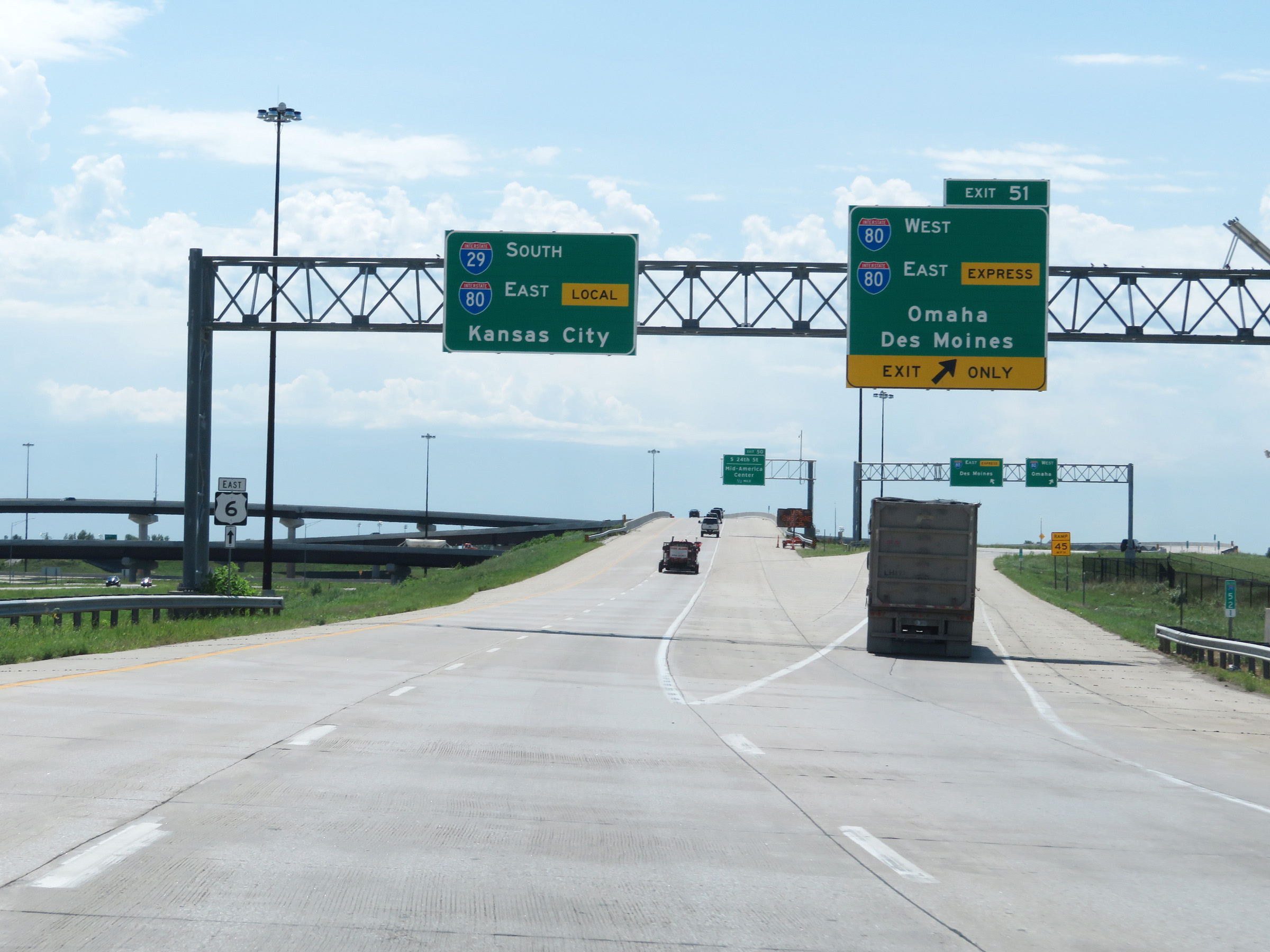 |
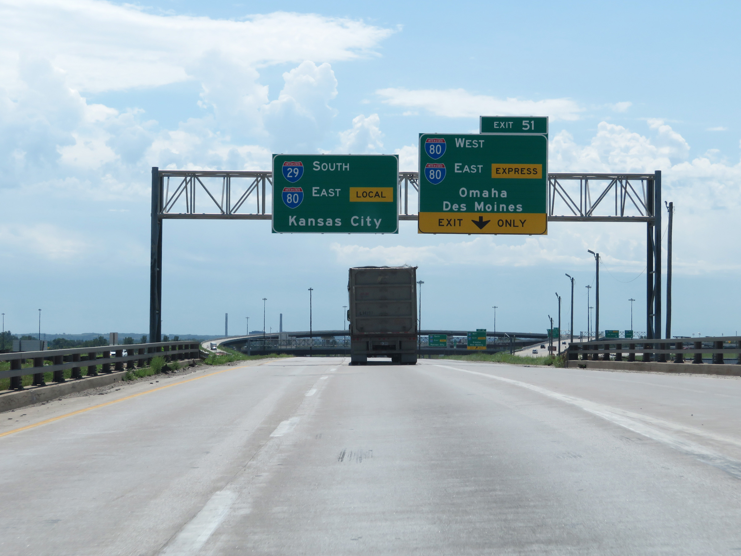
Interstate 29 South at Exit 51: Interstate 80 West / Interstate 80 East (Express Lanes) - Omaha / Des Moines (Photo taken 8/10/20). |
 |
A closer view of the ramp for Exit 51, as it splits into separate ramps to Interstate 80 West and Interstate 80 East (Express Lanes). All exits on I-80 in Council Bluffs are only accessible from Interstate 29 South / Interstate 80 East (Local Lanes). (Photo taken 8/10/20). |
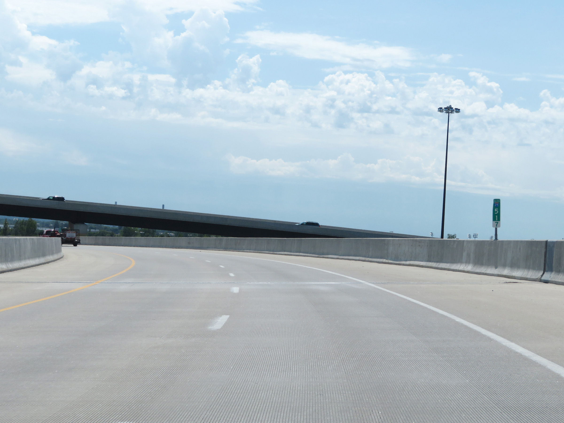 |
View on Interstate 29 South at mile marker 51.7, as it curves to the east and prepares to merge with the Local Lanes of Interstate 80 East. (Photo taken 8/10/20). |
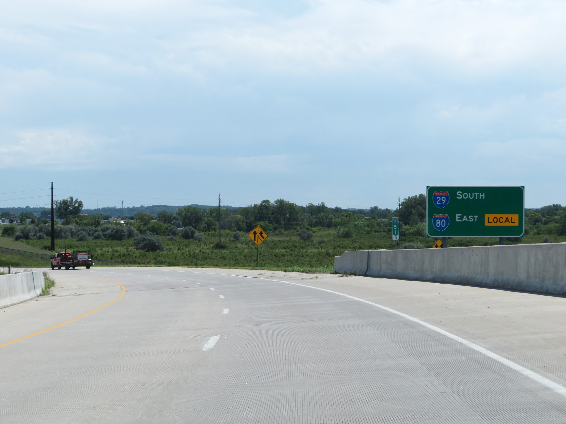 |
This reassurance signage at mile marker 51.5 reminds motorists that Interstate 29 South runs concurrently with the Local Lanes of Interstate 80 East. (Photo taken 8/10/20). |
 |
View on Interstate 29 South as Interstate 80 East Express Lane traffic is seen on the left, while its Local Lane traffic merges into I-29 South ahead on the right. The Local / Express Lane configuration of I-80 will run for the next 2.5 miles, for the full length of the I-29 / I-80 concurrency in Council Bluffs. (Photo taken 8/10/20). |
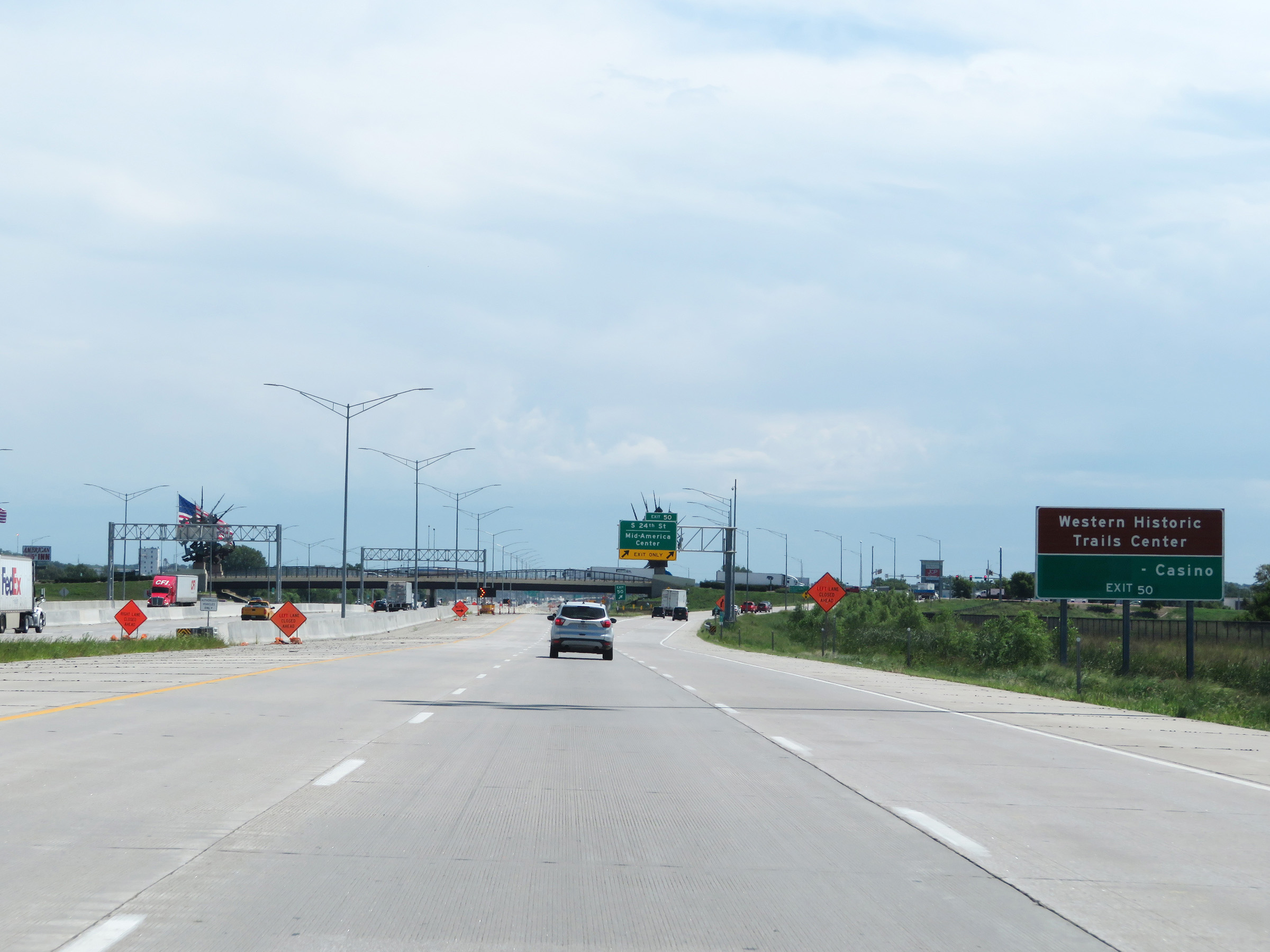 |
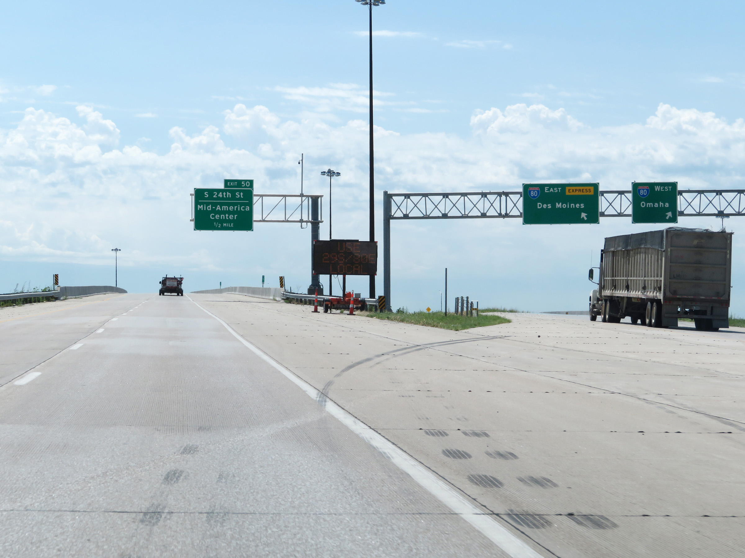
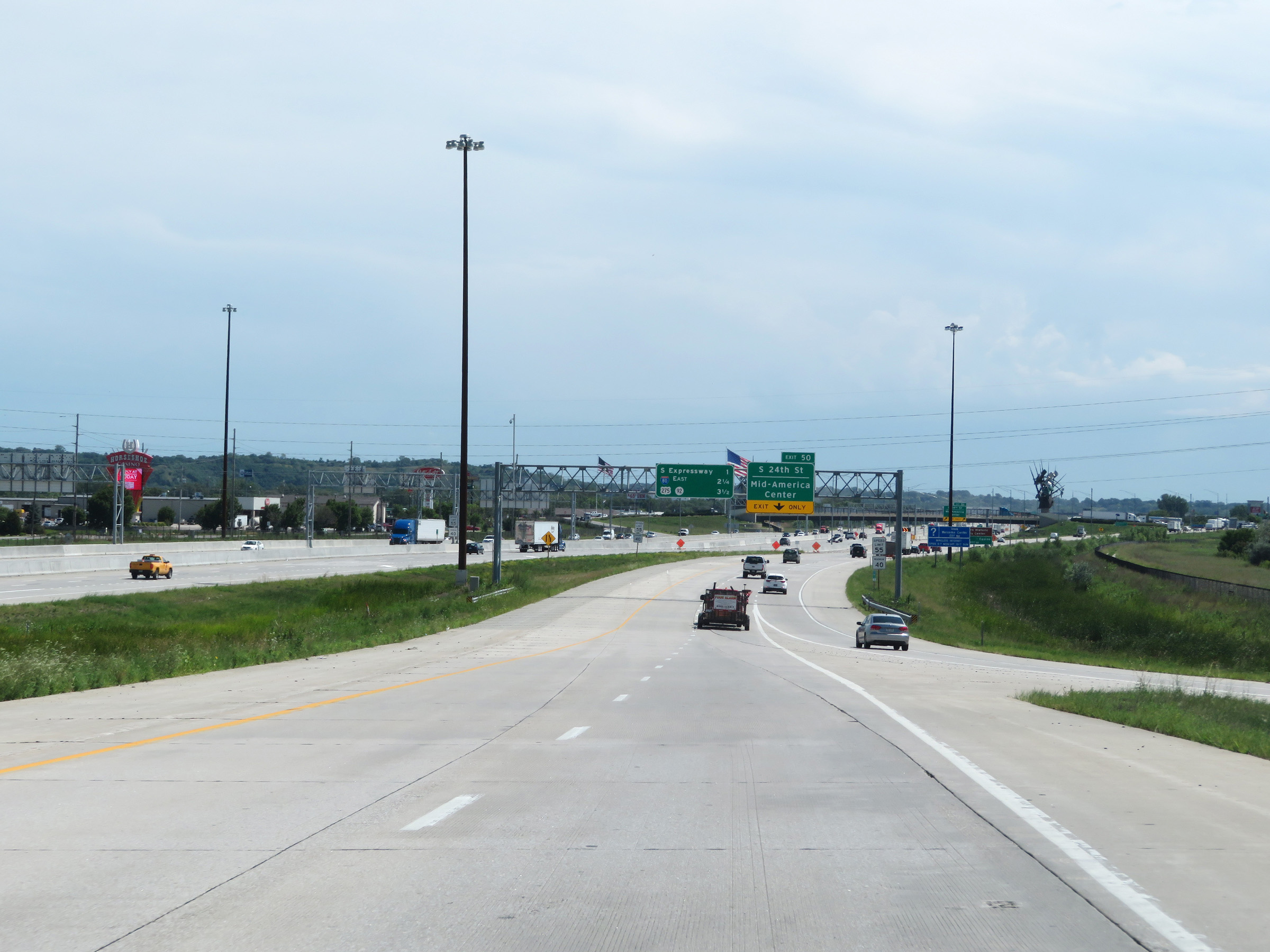
Take Exit 50 to Western Historic Trails Center and the Casino. (Photo taken 8/10/20). |
 |
Interstate 29 South / Interstate 80 East (Local Lanes) at Exit 50: South 24th St / Mid-America Center (Photo taken 8/10/20). |
 |
View on Interstate 29 South / Interstate 80 East (Local Lanes) at mile marker 50.9. During the concurrency of I-29 and the Local Lanes of I-80 East, the mile markers and exit numbers are based on the total mileage of I-29 in Iowa. However, in the Express Lanes of I-80 East, seen here on the left, the mileposts remain based on the total mileage of I-80 in Iowa. (Photo taken 8/10/20). |
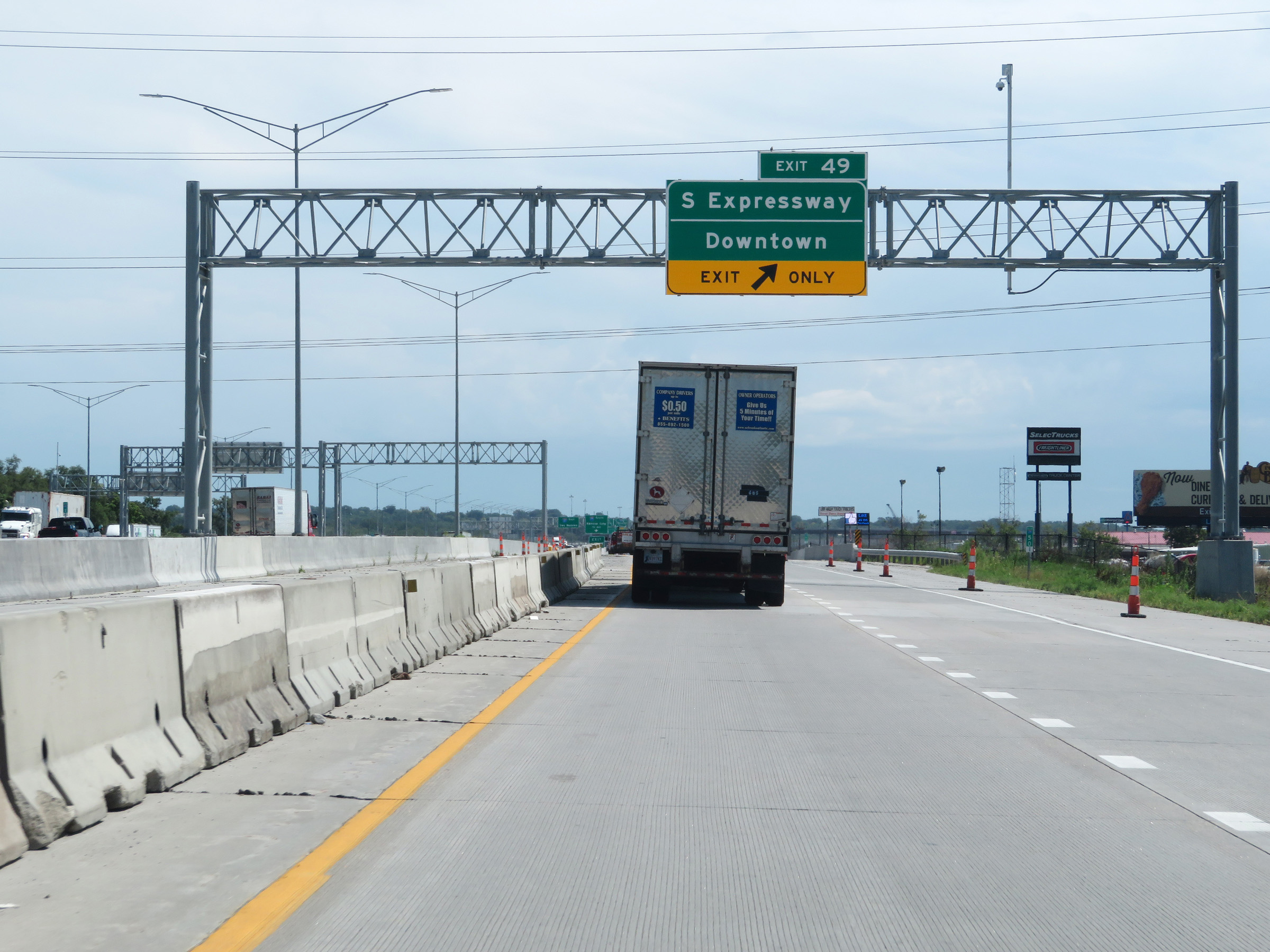 |
Interstate 29 South / Interstate 80 East (Local Lanes) at Exit 49: South Expressway / Downtown (Photo taken 8/10/20). |
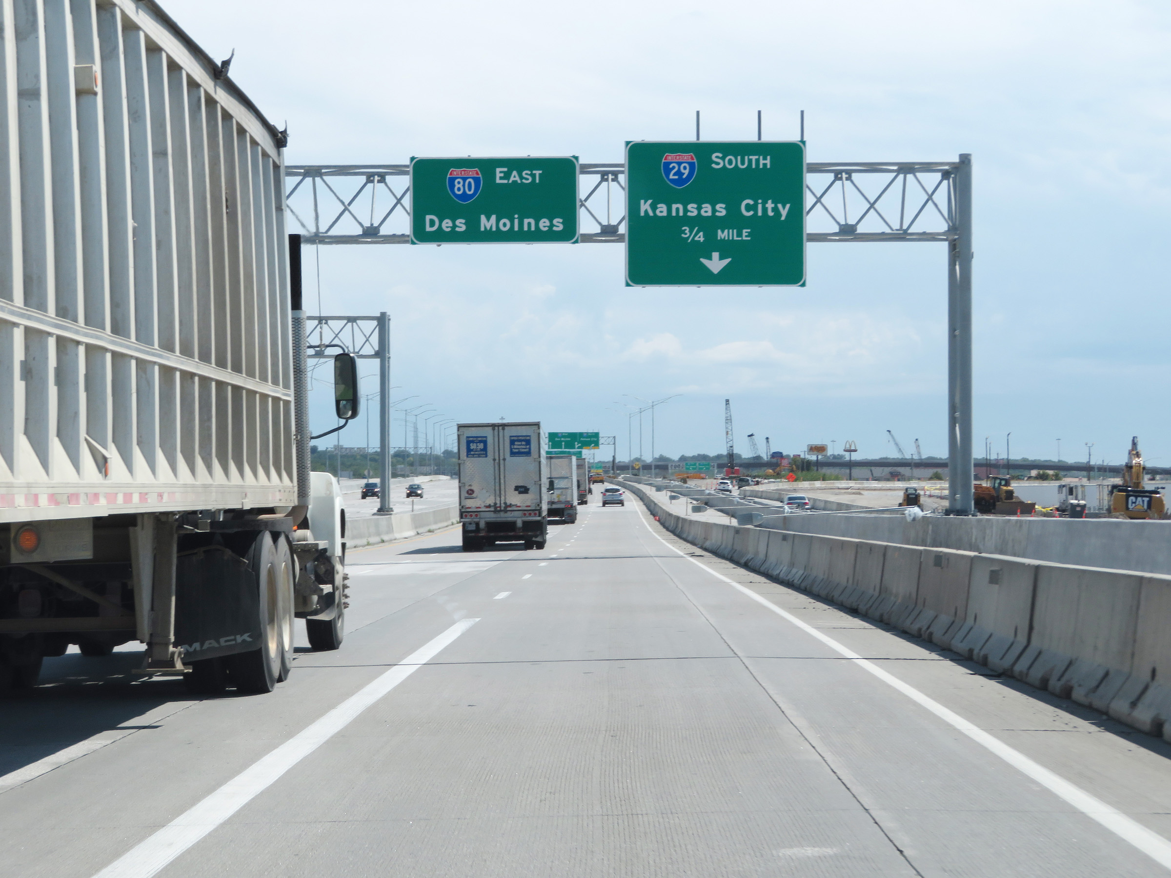 |
Advance signage for Exit 4A, which is the point at which Interstate 29 South will depart Interstate 80 East. This exit is based on the total mileage of I-80. (Photo taken 8/10/20). |
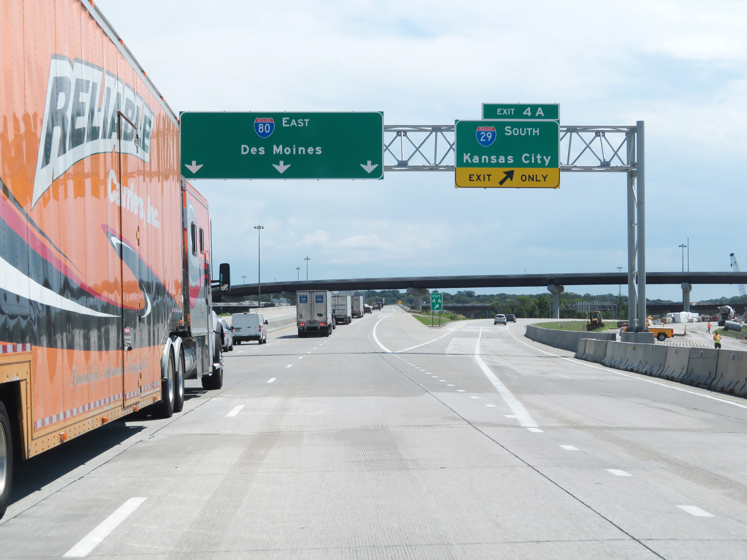 |
Interstate 29 South / Interstate 80 East at Exit 4A: Interstate 29 South - Kansas City (Photo taken 8/10/20). |
 |
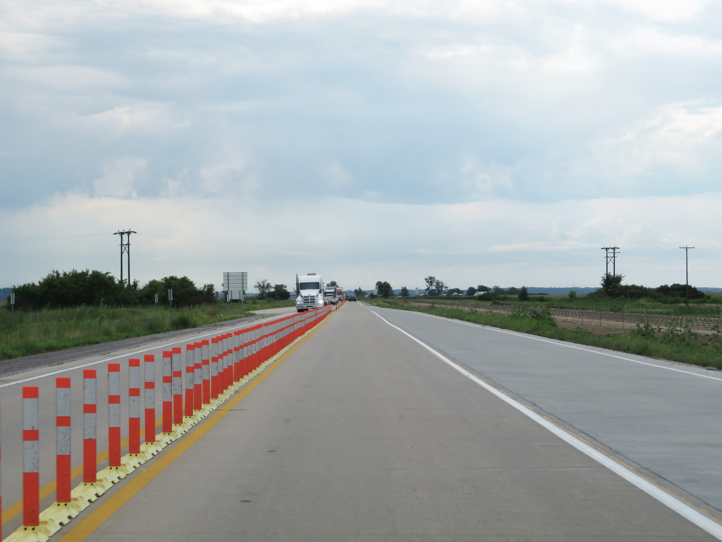
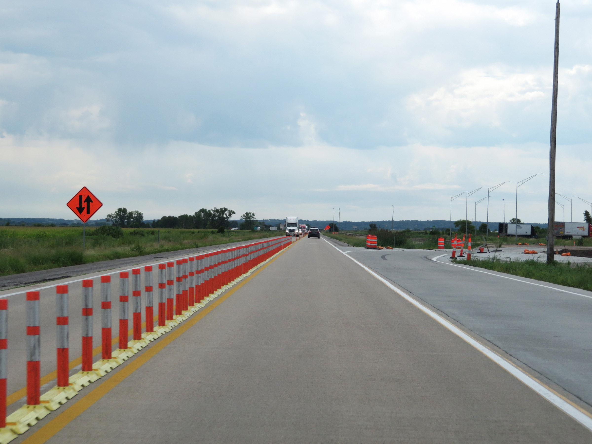
As Interstate 29 South departs Interstate 80 and curves to the south once again, we see the interchange under heavy construction at the time. The construction has since been finished, completing the project to improve traffic flow through the Council Bluffs area by separating I-80 thru traffic and I-29 thru traffic. (Photo taken 8/10/20). |
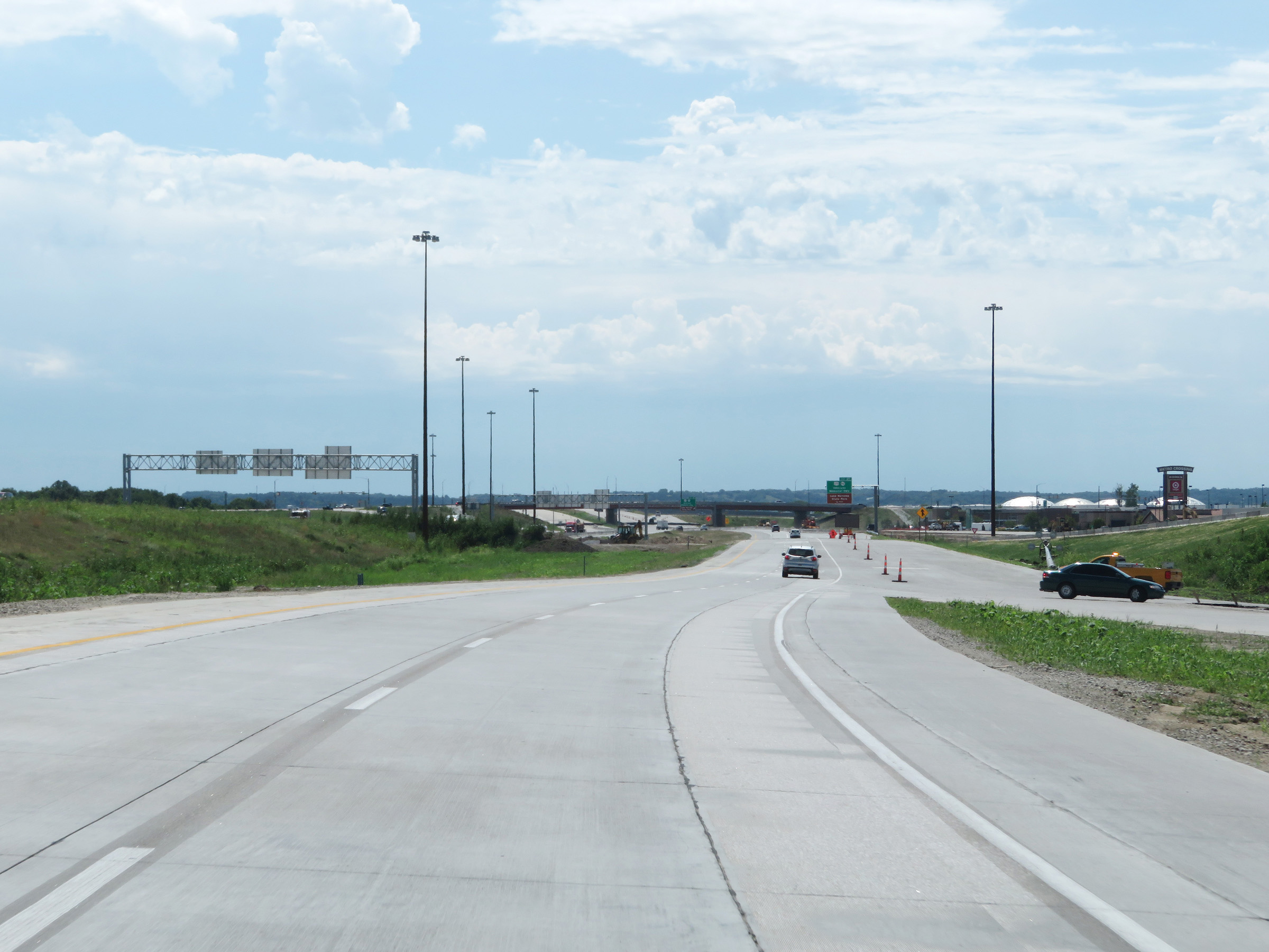 |
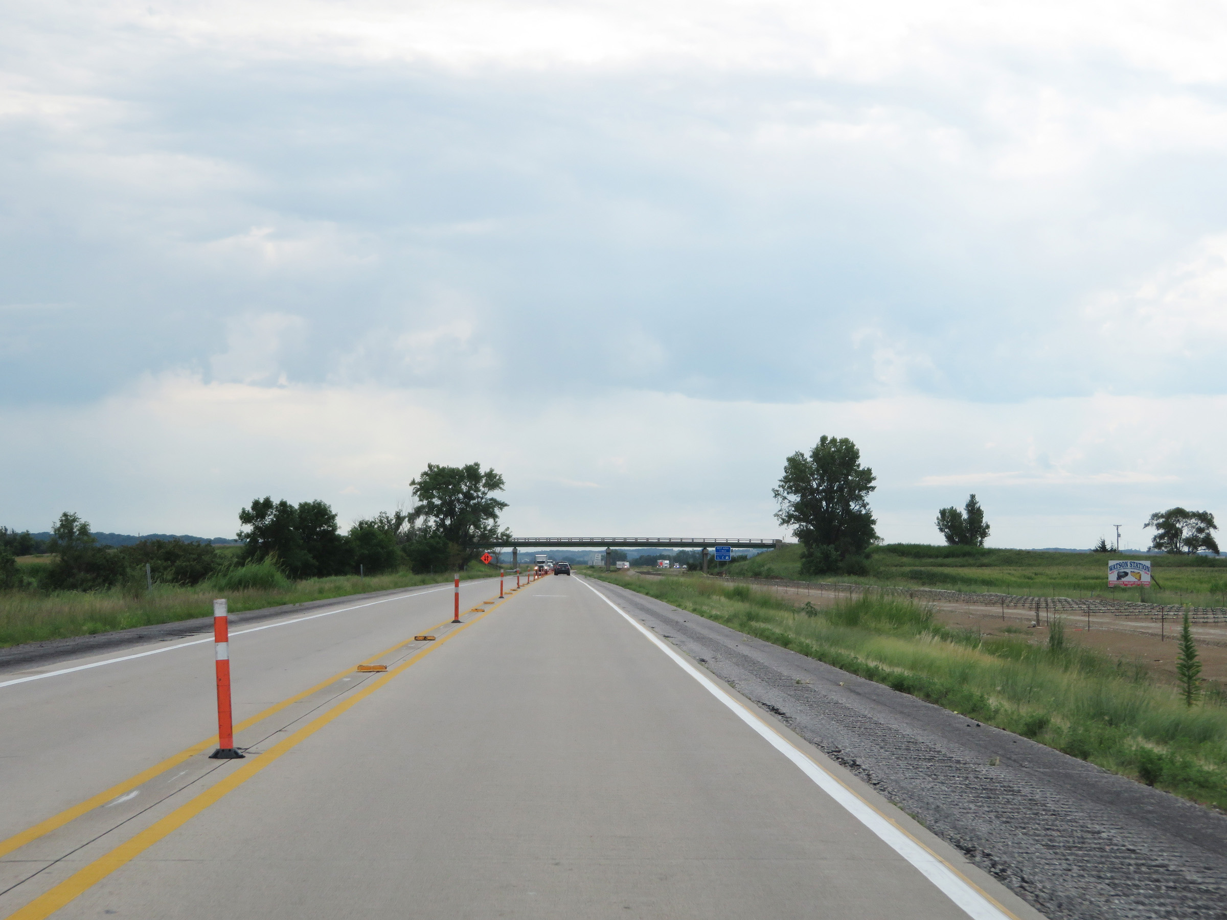
View on Interstate 29 South after departing Interstate 80 East, now facing southbound. (Photo taken 8/10/20). |
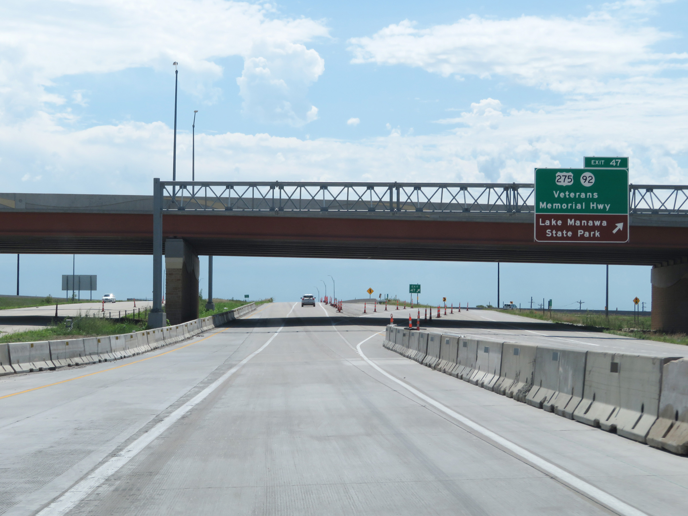 |
Interstate 29 South at Exit 47: US 275 / IA 92 - Veterans Memorial Hwy / Lake Manawa State Park (Photo taken 8/10/20). |
 |
State-named Interstate 29 South reassurance shield at mile marker 47.3. (Photo taken 8/10/20). |
 |
At mile marker 47.2, the maximum speed limit increases to 70 mph once again. The minimum speed limit remains 40 mph as always. (Photo taken 8/10/20). |
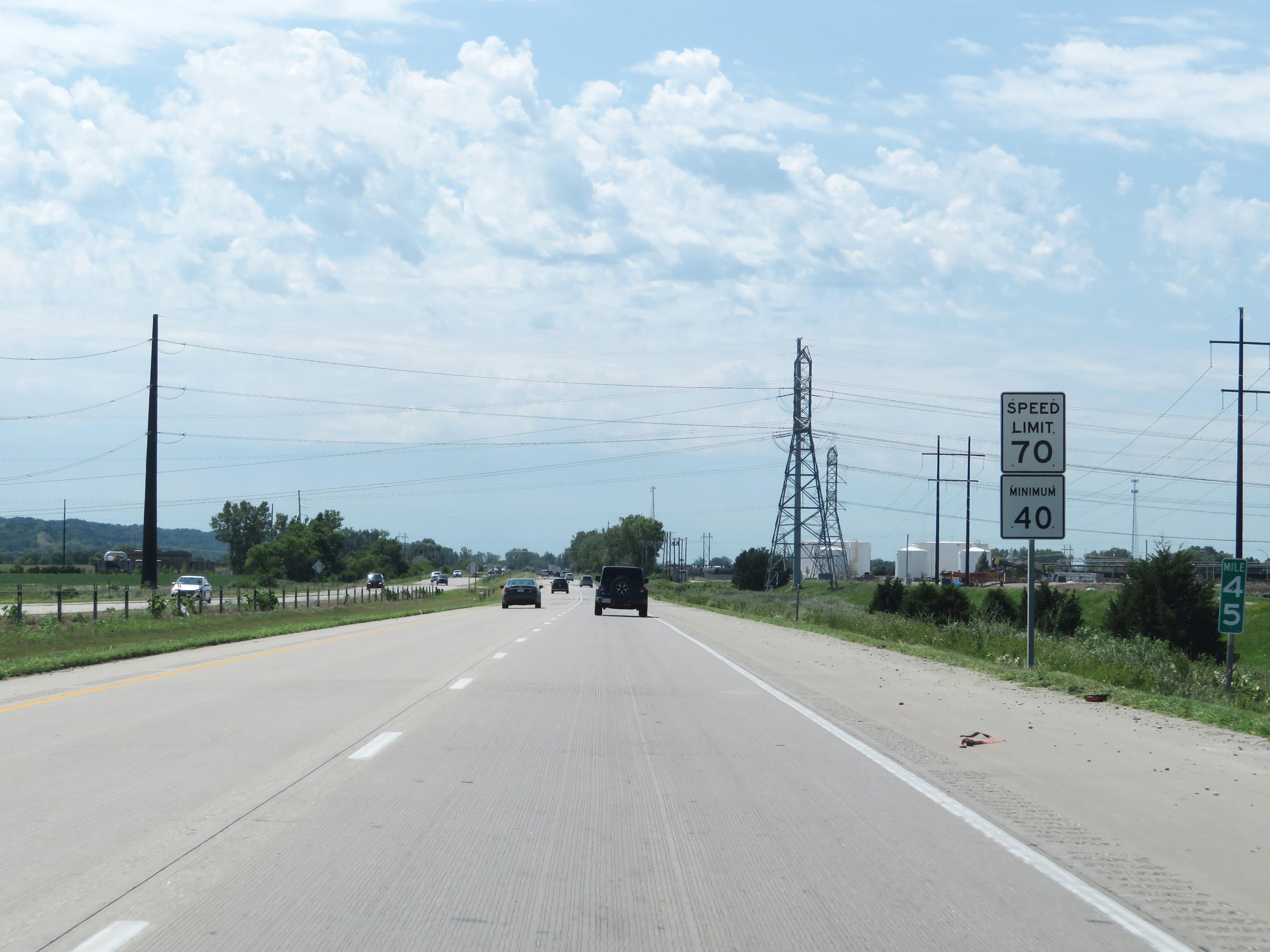 |
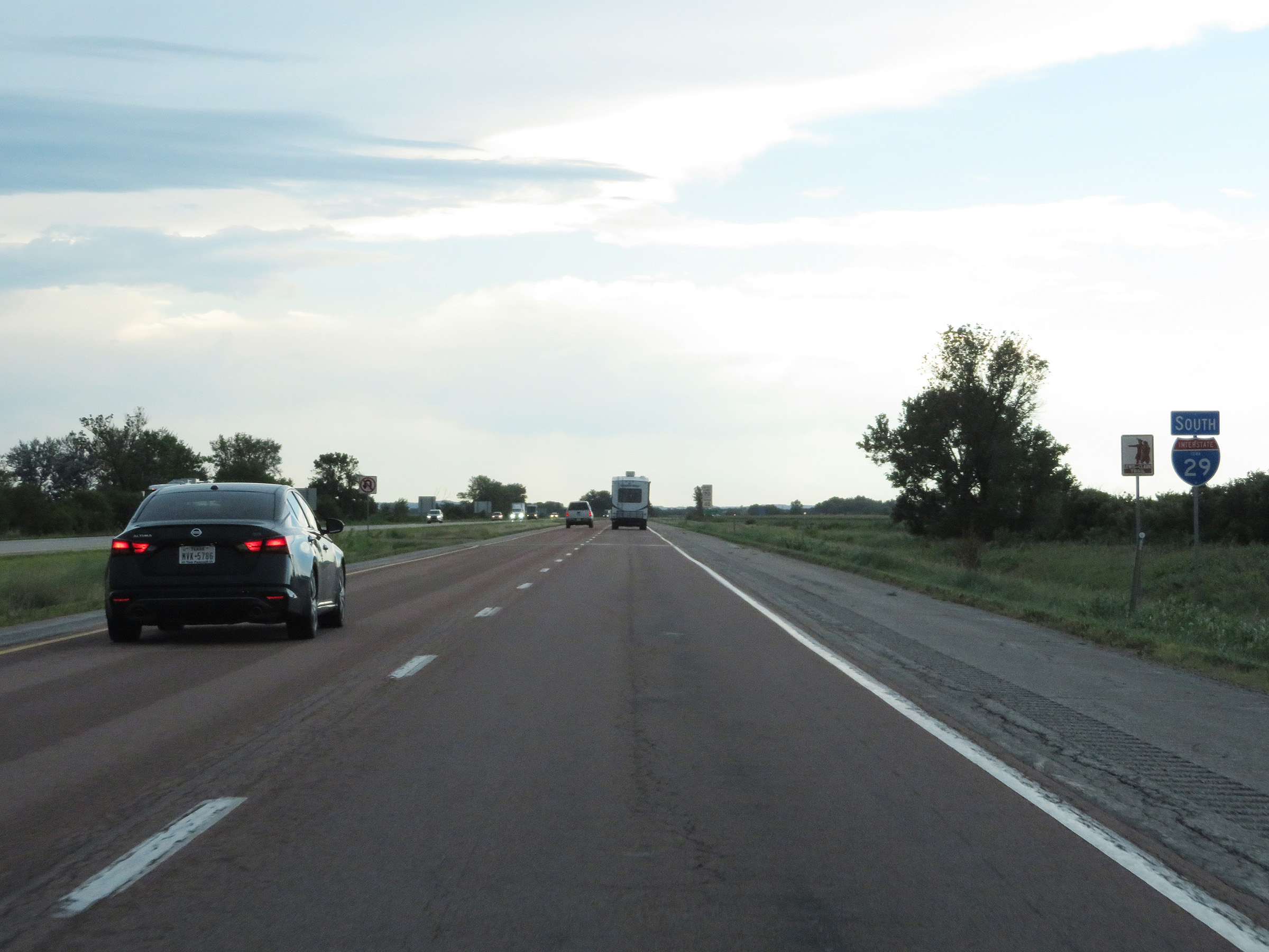
Mile marker 45 on Interstate 29 South in Pottawattamie County. (Photo taken 8/10/20). |
 |
Interstate 29 South as it enters Mills County. (Photo taken 8/10/20). |
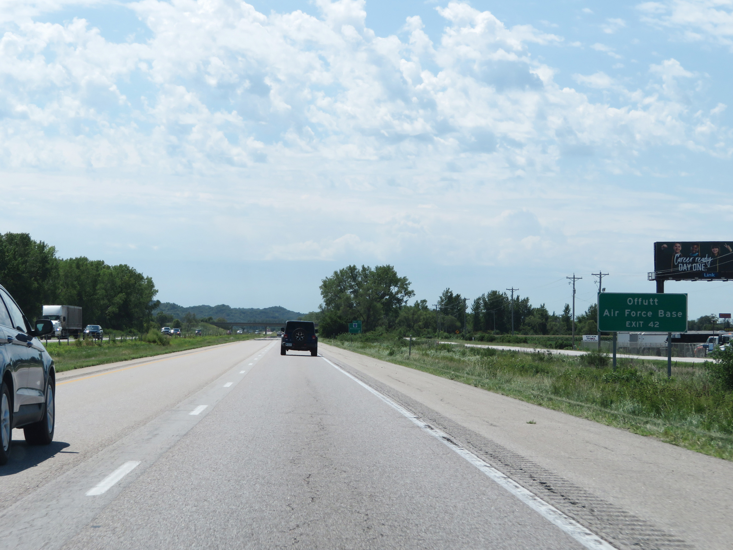 |
Take Exit 42 to Offutt Air Force Base. (Photo taken 8/10/20). |
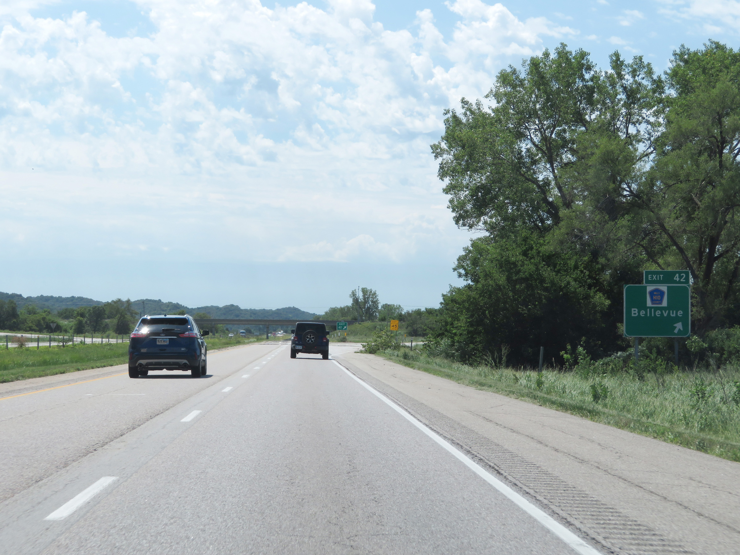 |
Interstate 29 South at Exit 42: CR H10 - Bellevue (Photo taken 8/10/20). |
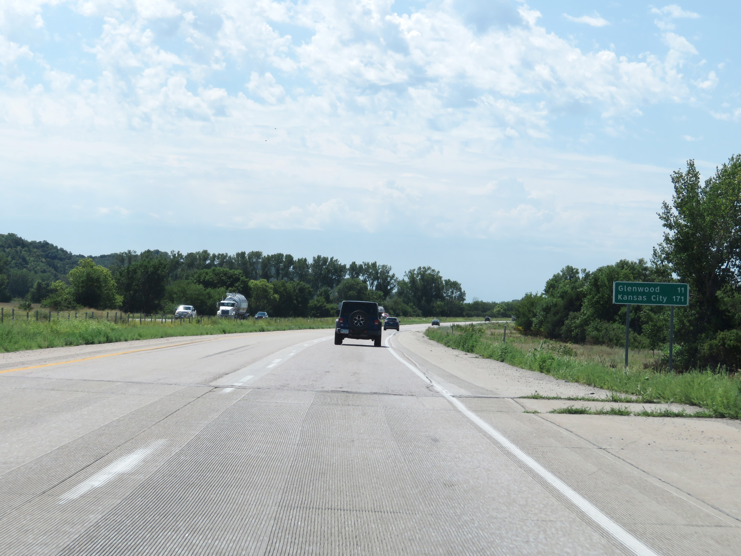 |
Mileage sign on Interstate 29 South. It's 11 miles to Glenwood and 171 miles to Kansas City. (Photo taken 8/10/20). |
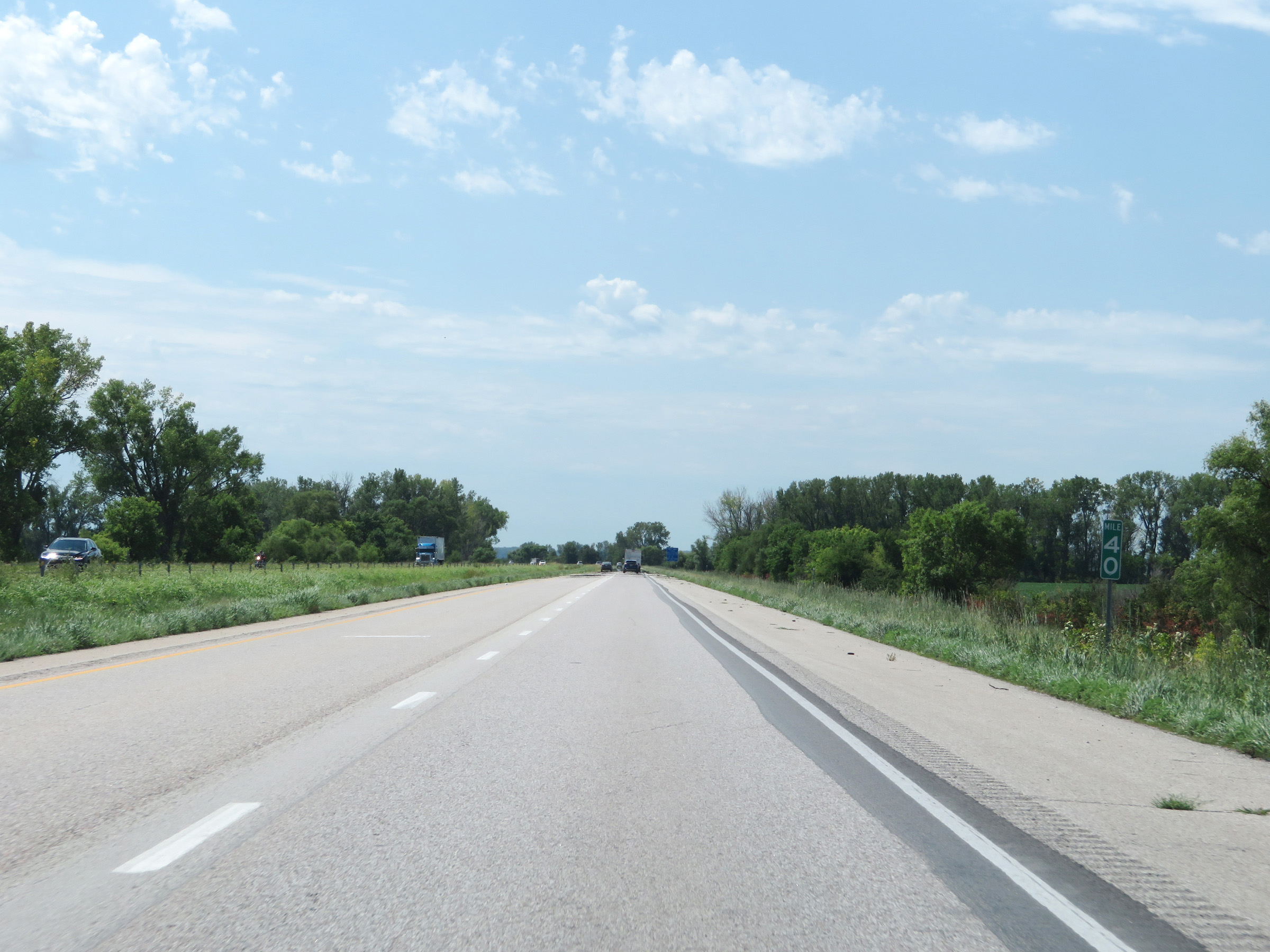 |
View on Interstate 29 South at mile marker 40. (Photo taken 8/10/20). |
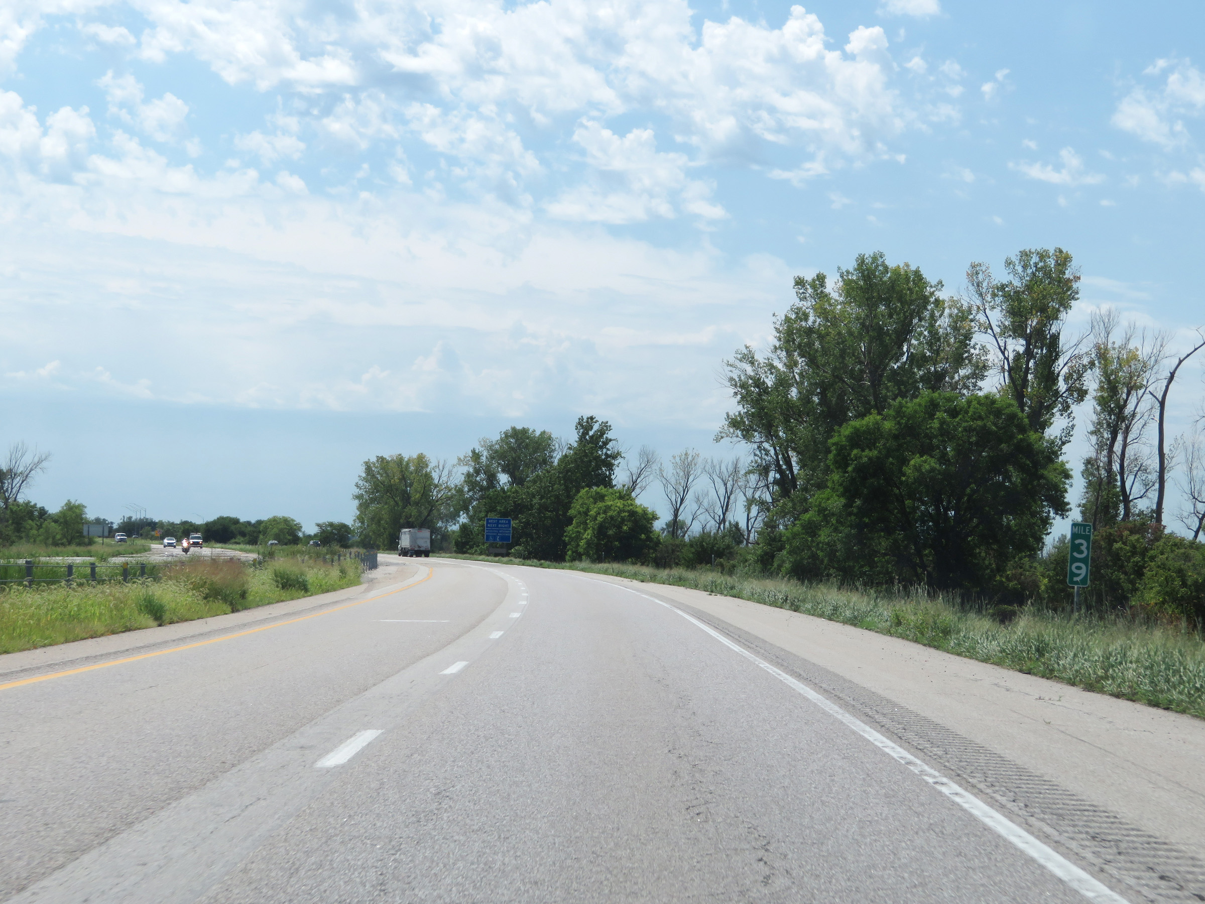 |
Mile marker 39 on Interstate 29 South in Mills County. (Photo taken 8/10/20). |
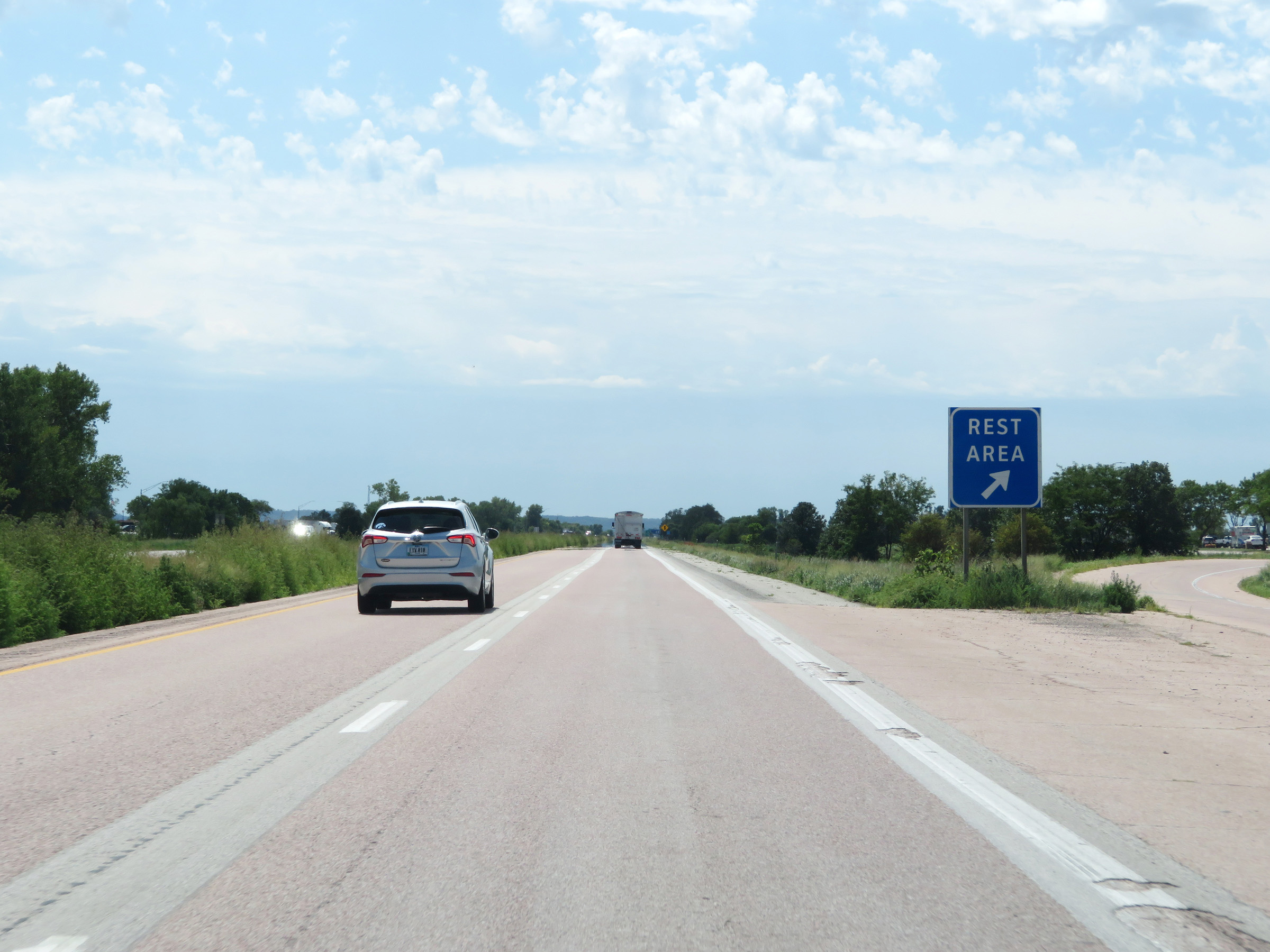 |
Rest Area on Interstate 29 South in Mills County. (Photo taken 8/10/20). |
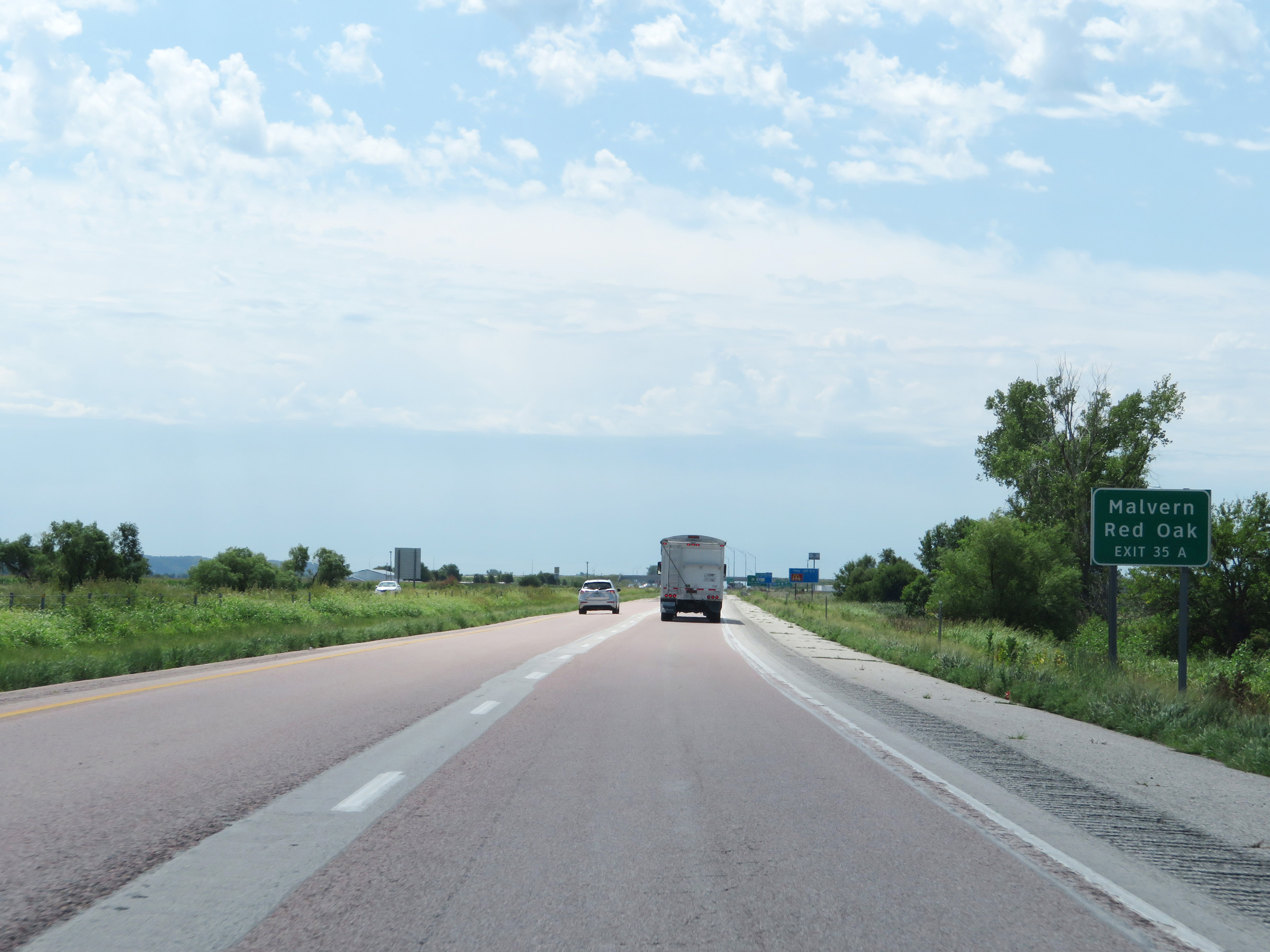 |
Take Exit 35A to Malvern and Red Oak. (Photo taken 8/10/20). |
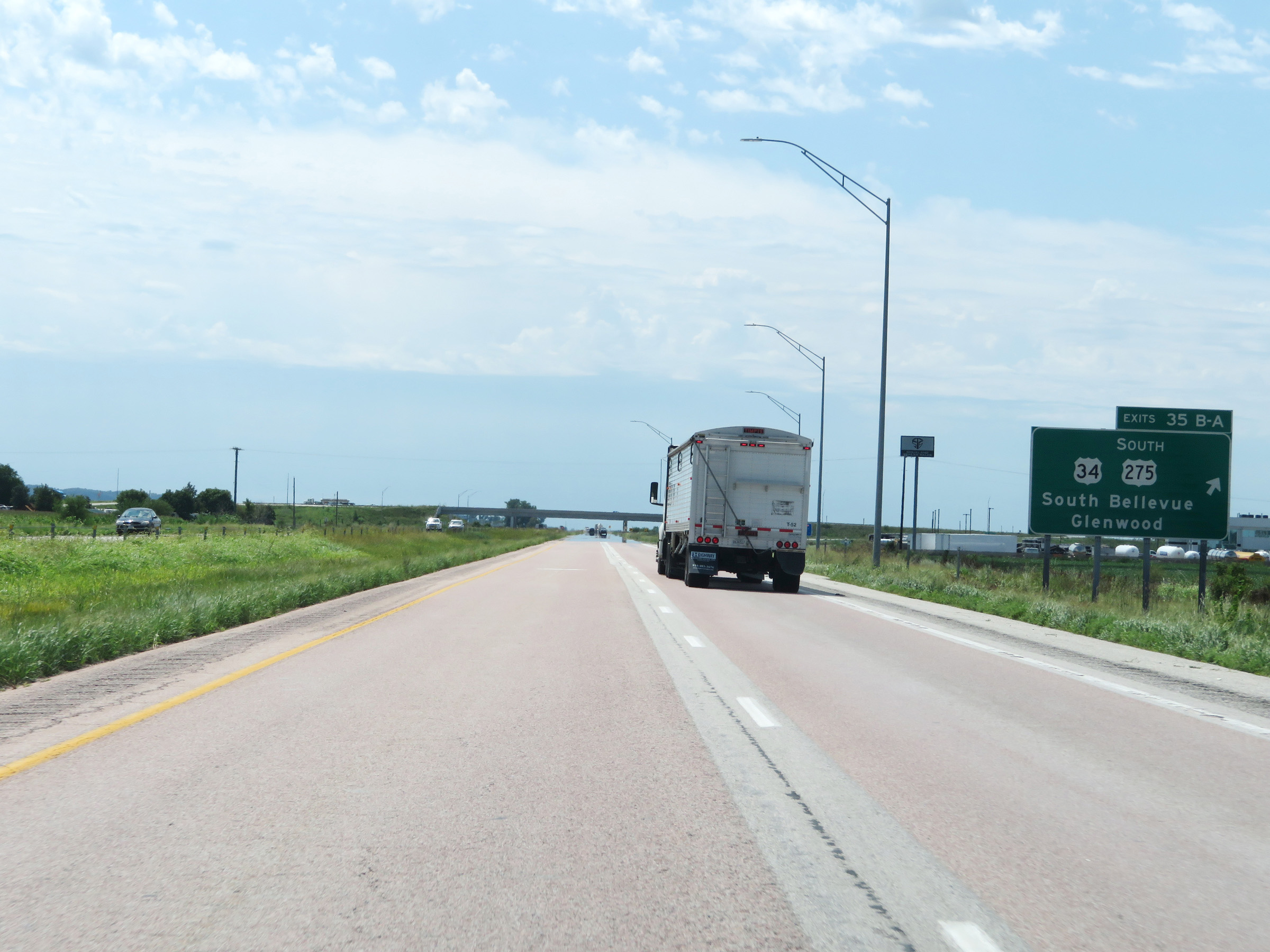 |
Interstate 29 South at Exits 35B-A: US 34 / US 275 South - South Bellevue / Glenwood (Photo taken 8/10/20). |
 |
Another state-named Interstate 29 South reassurance shield. (Photo taken 8/10/20). |
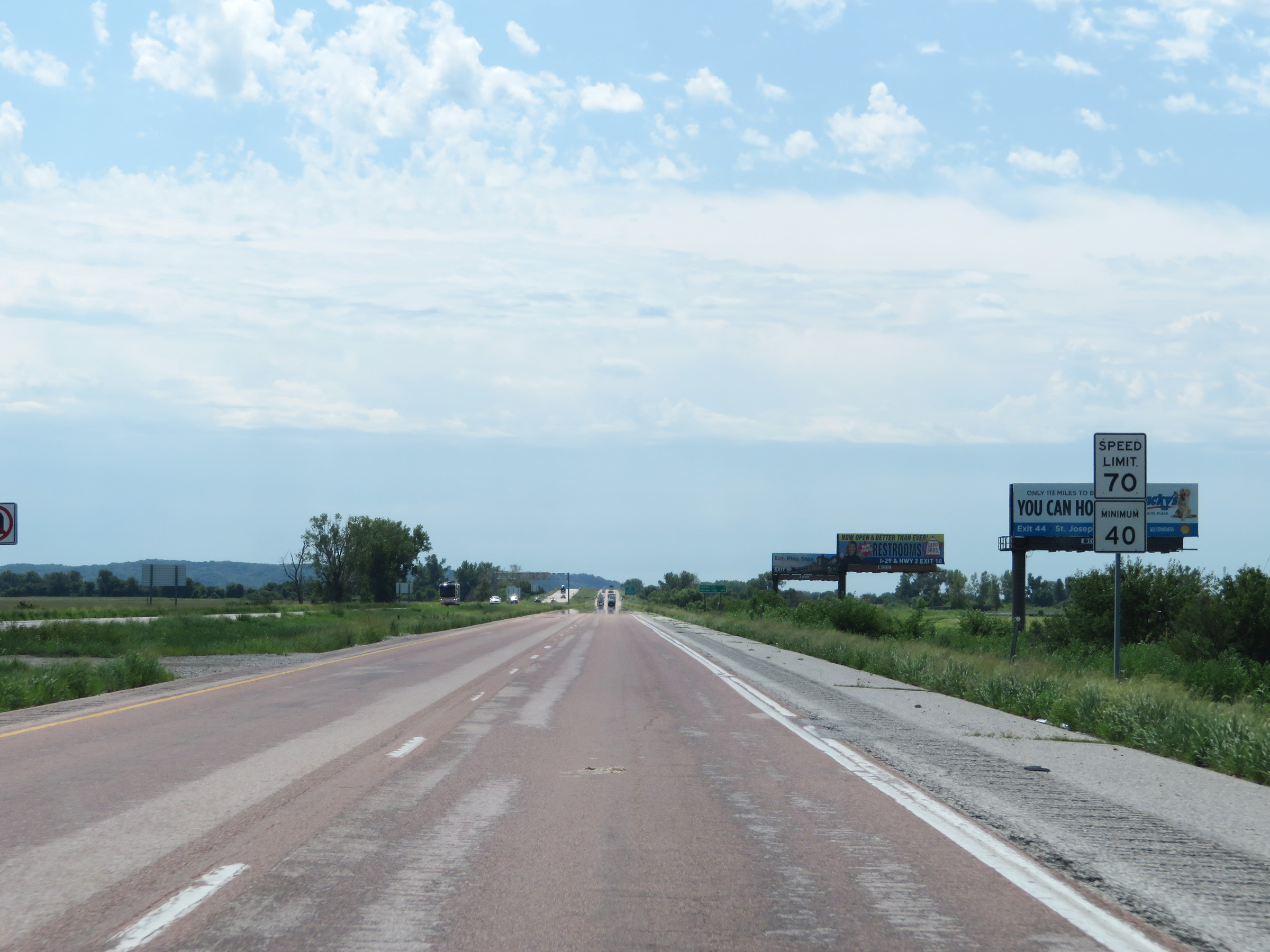 |
The speed limits remain the rural standard 70 mph maximum and 40 mph minimum. (Photo taken 8/10/20). |
 |
View on Interstate 29 South at mile marker 34. (Photo taken 8/10/20). |
 |
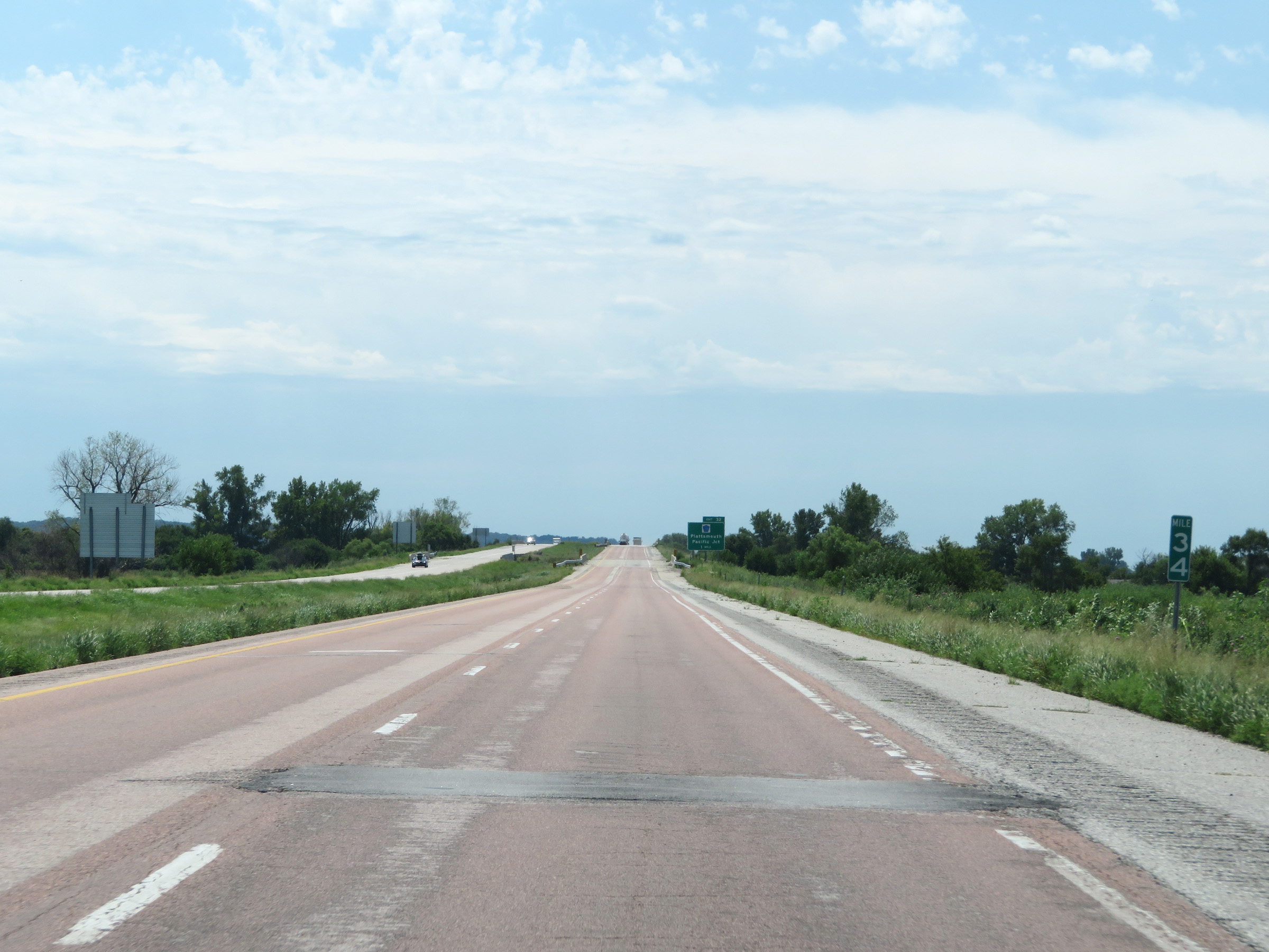
Advance signage for Exit 32, which is 1 mile ahead on Interstate 29 South. (Photo taken 8/10/20). |
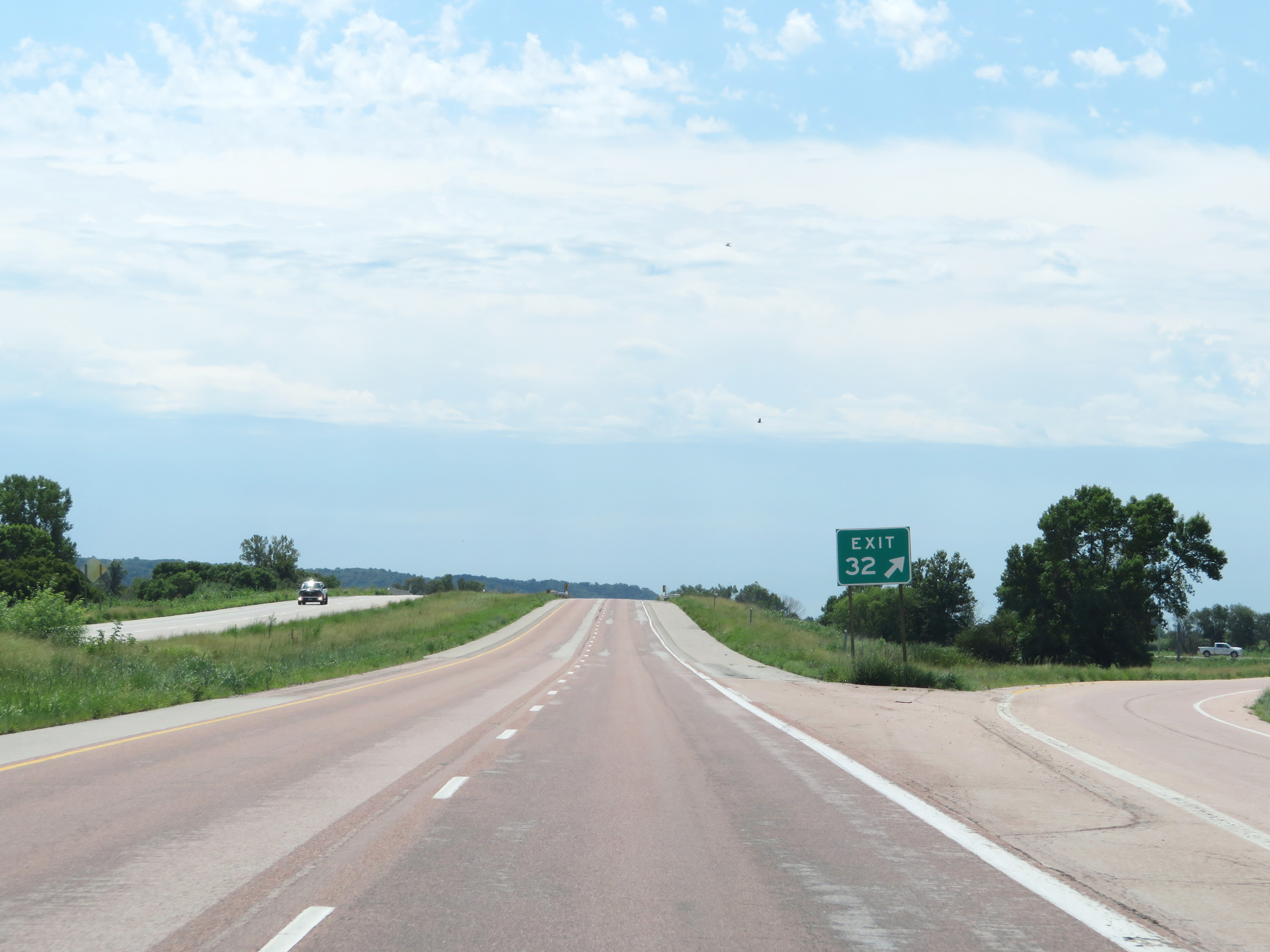 |
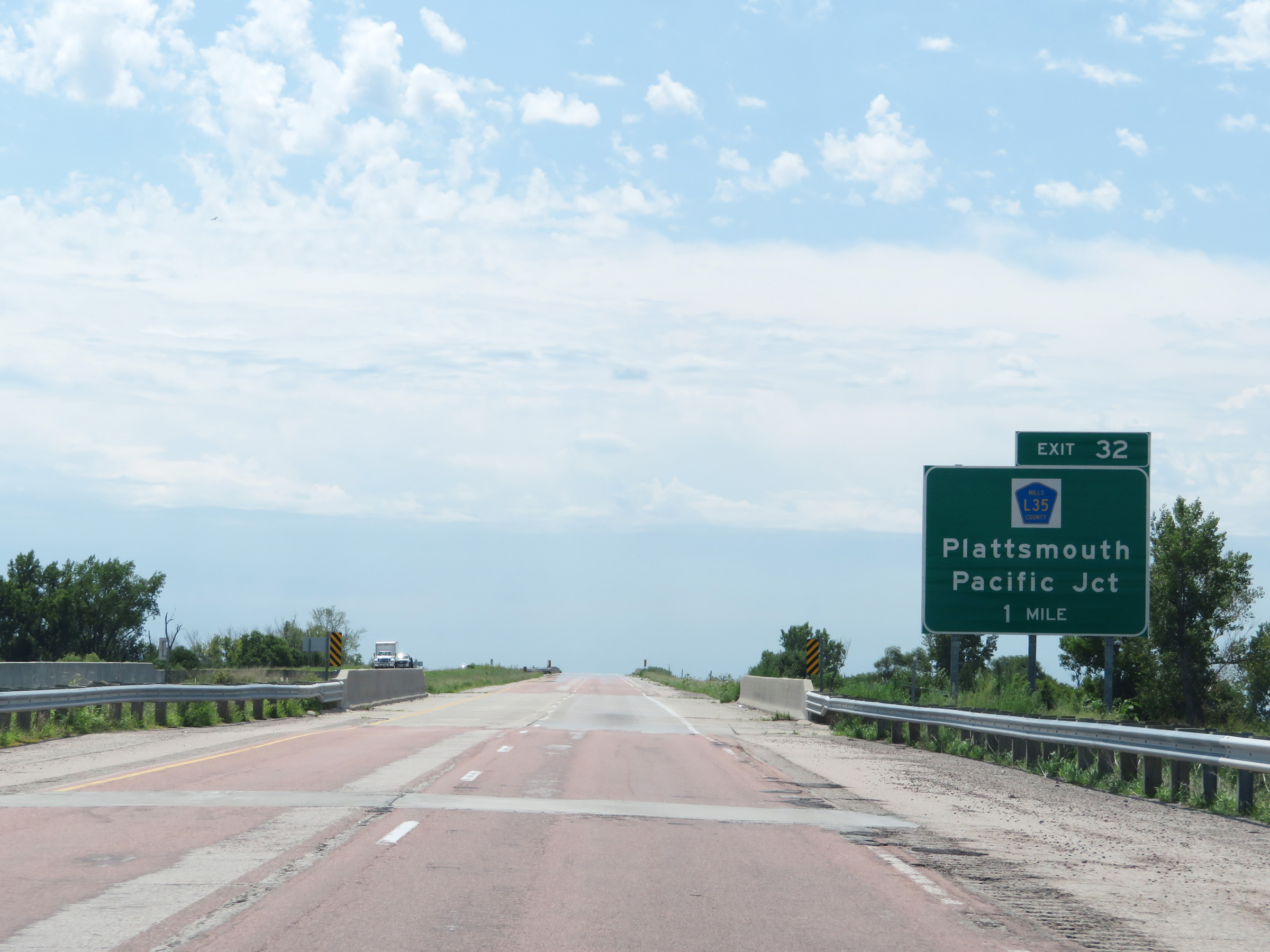
Interstate 29 South at Exit 32: CR L35 - Plattsmouth / Pacific Junction (Photo taken 8/10/20). |
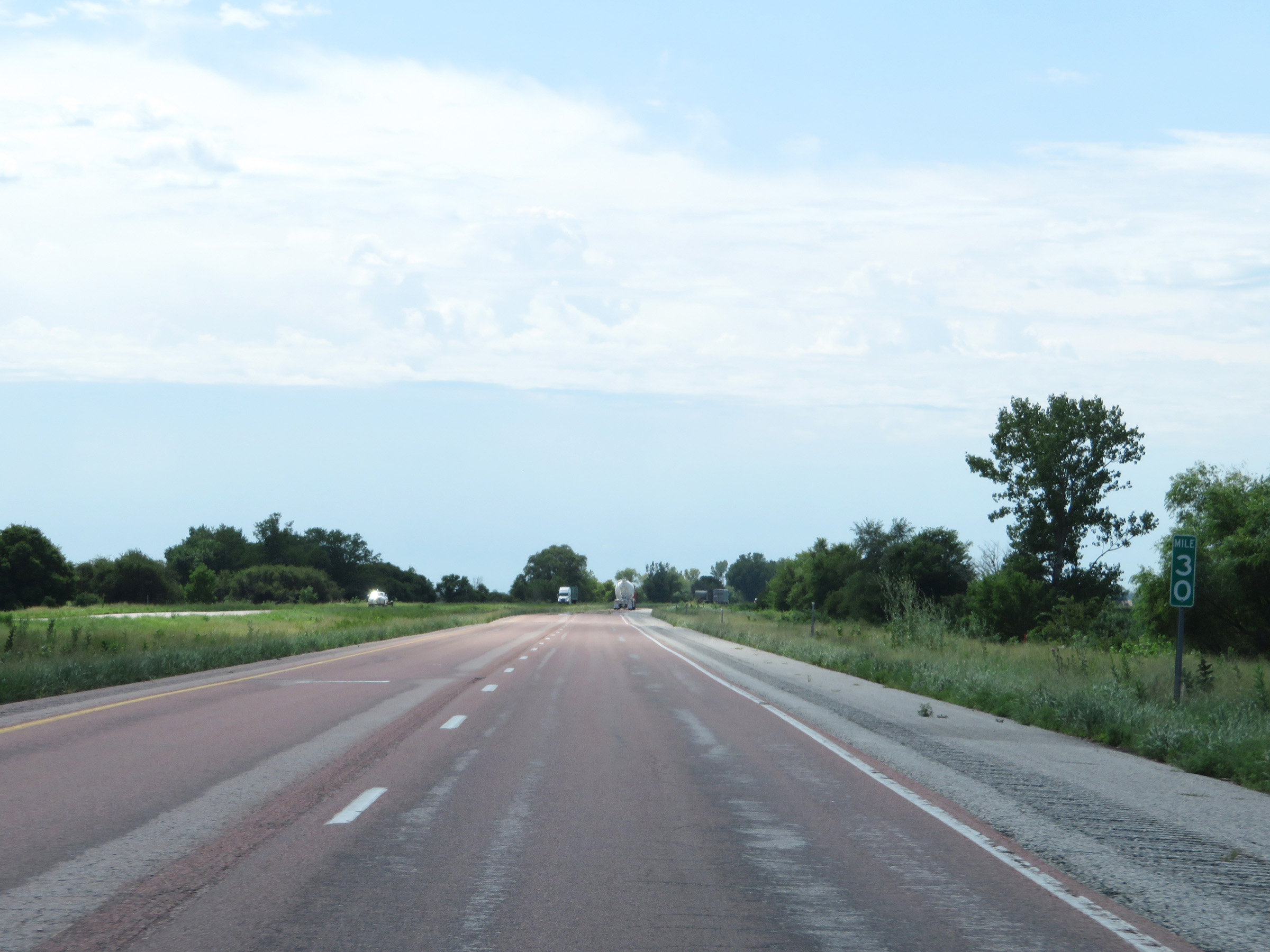 |
Mile marker 30 on Interstate 29 South in Mills County. (Photo taken 8/10/20). |
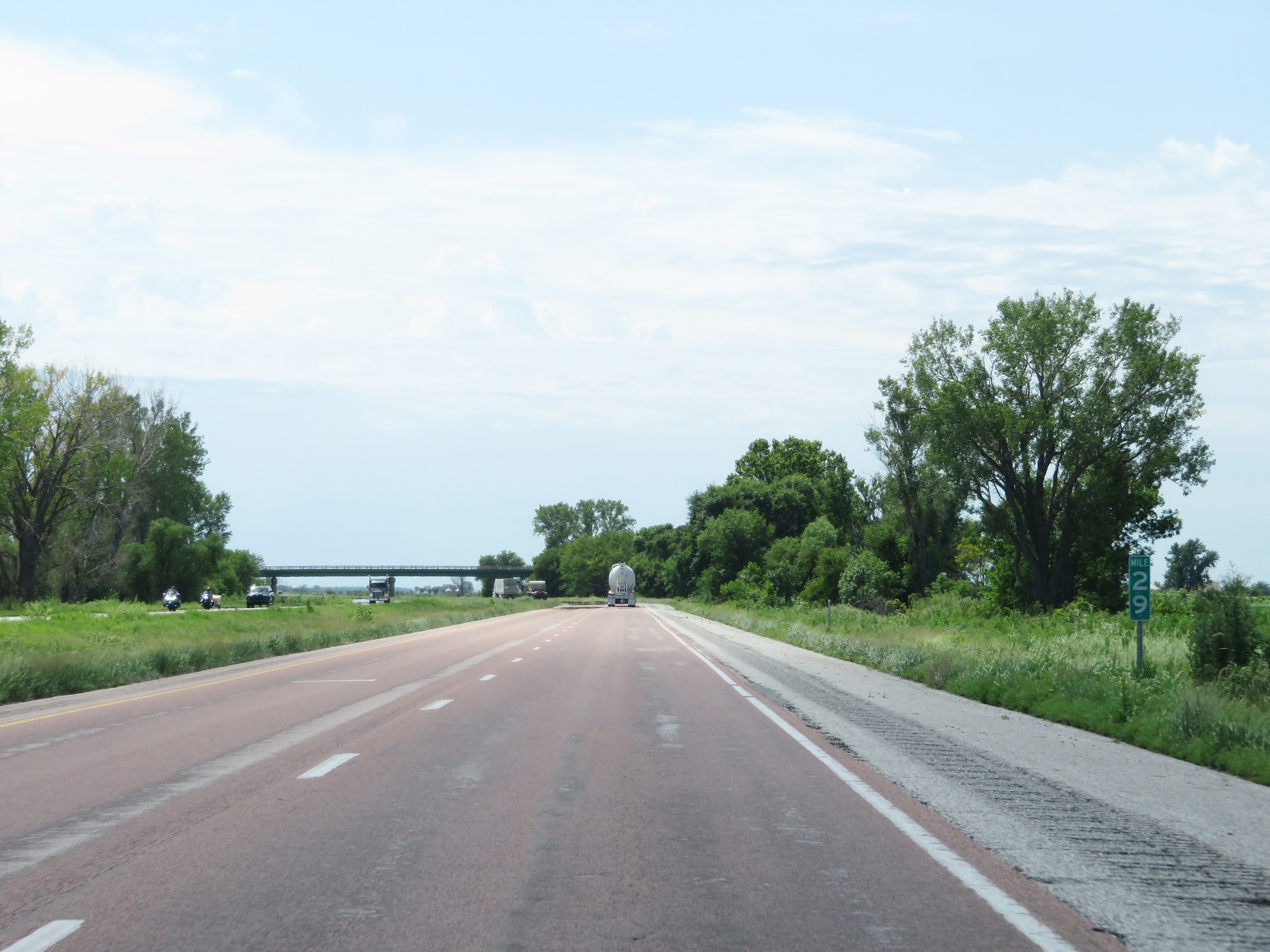 |
View on Interstate 29 South at mile marker 29. (Photo taken 8/10/20). |
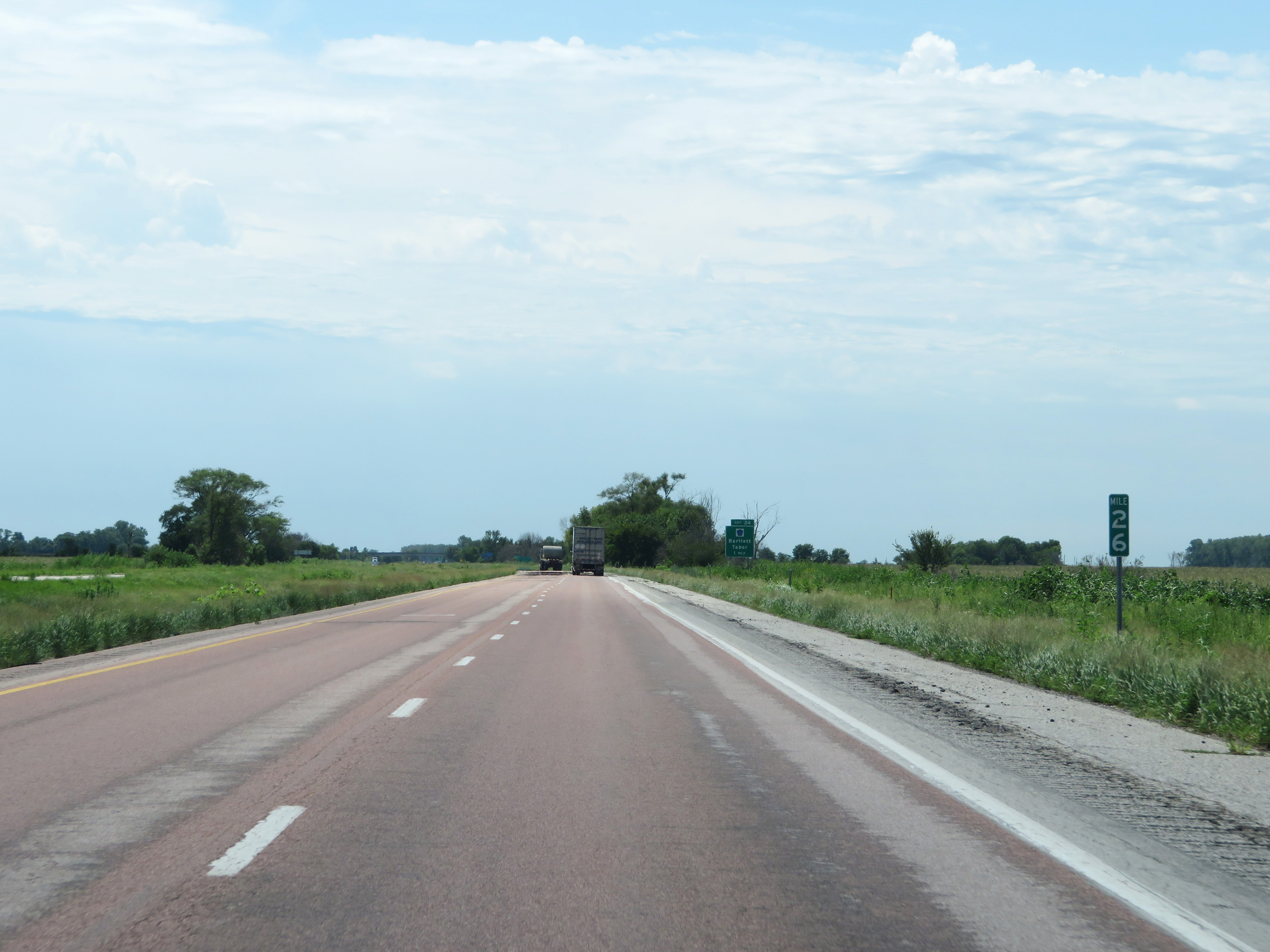 |
Interstate 29 South at mile marker 26. (Photo taken 8/10/20). |
 |
Interstate 29 South as it enters Fremont County. (Photo taken 8/10/20). |
 |
Take Exit 24 to Forney Lake. (Photo taken 8/10/20). |
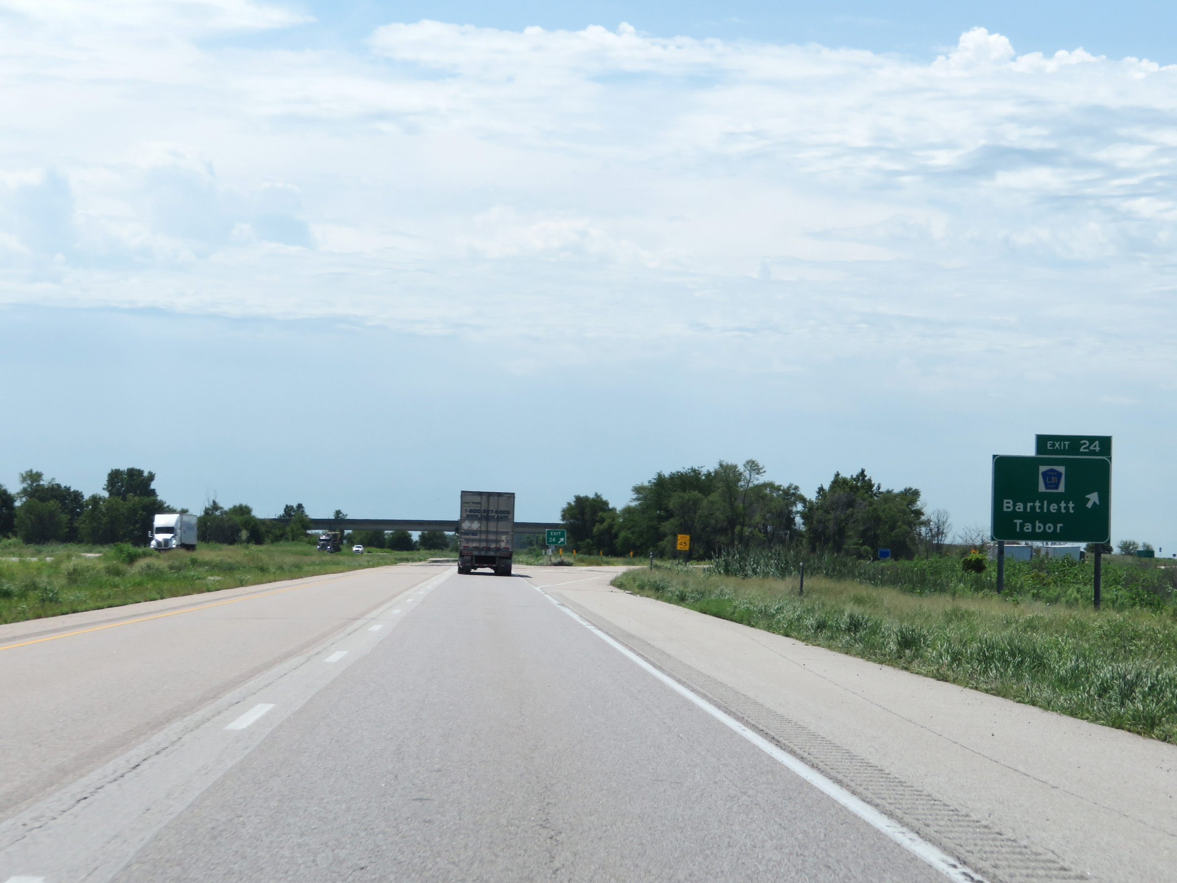 |
Interstate 29 South at Exit 24: CR L31 - Bartlett / Tabor (Photo taken 8/10/20). |
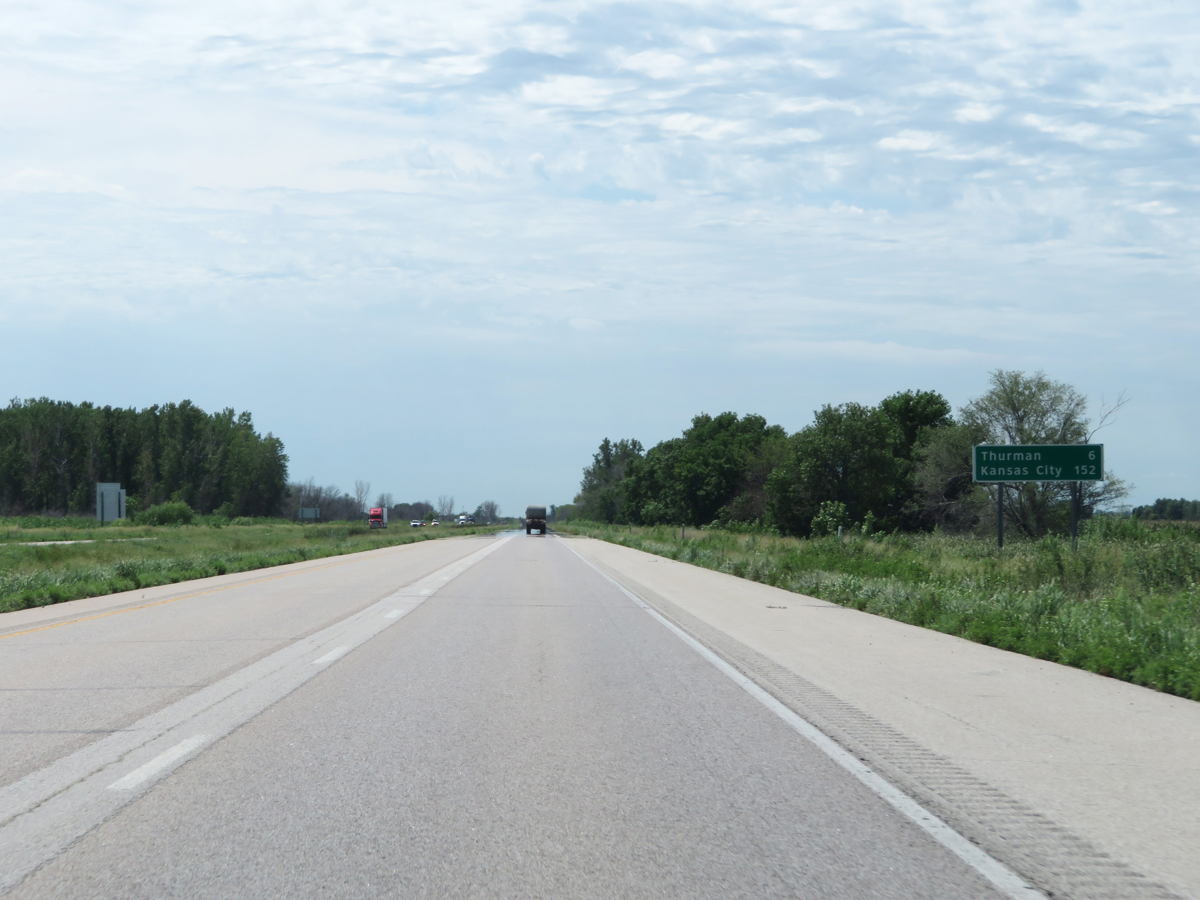 |
Another mileage sign on Interstate 29 South. It's 6 miles to Thurman and 152 miles to Kansas City. (Photo taken 8/10/20). |
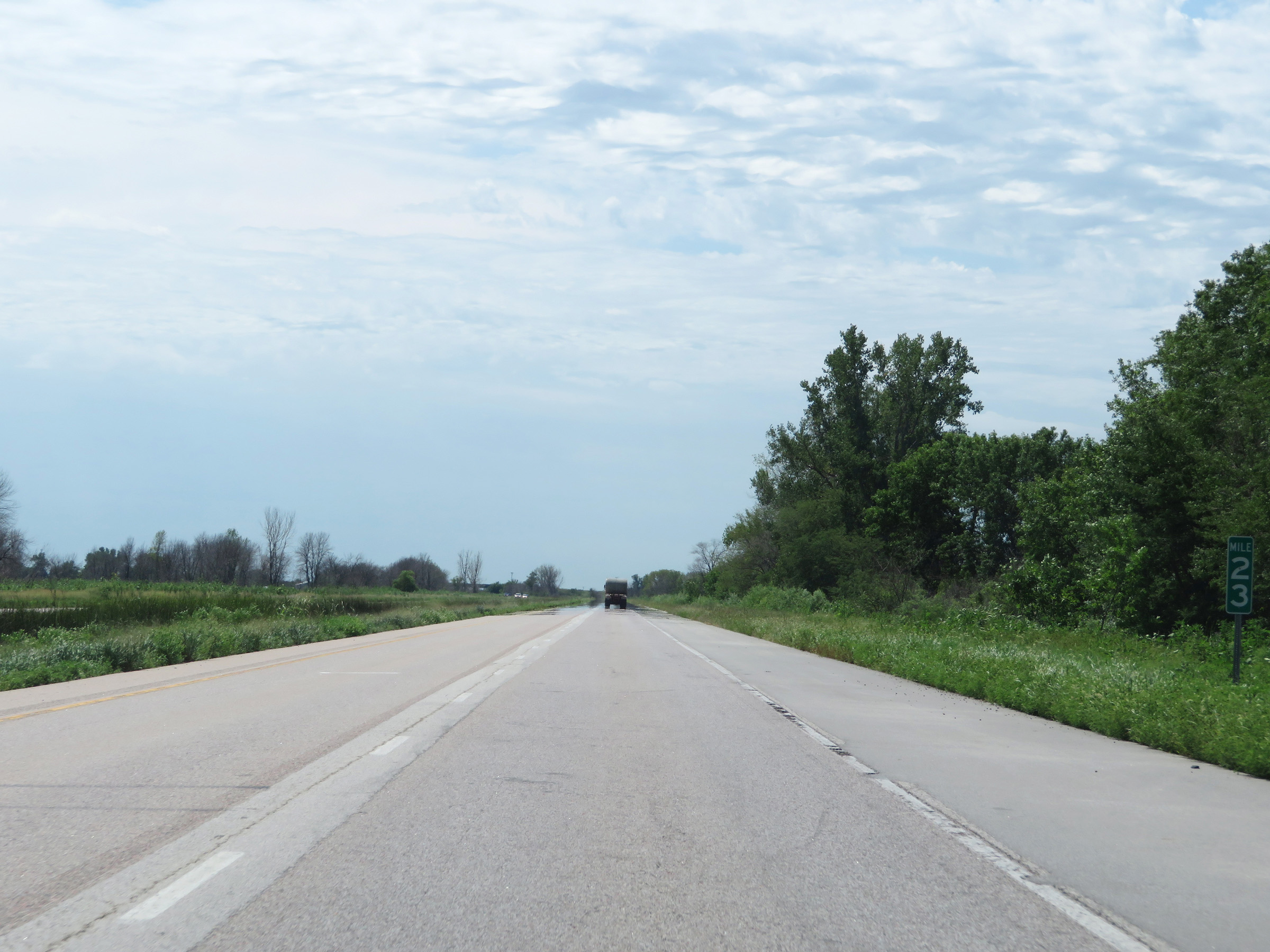 |
View on Interstate 29 South at mile marker 23. (Photo taken 8/10/20). |
 |
Advance signage for Exit 20 - 1 mile ahead. (Photo taken 8/10/20). |
 |
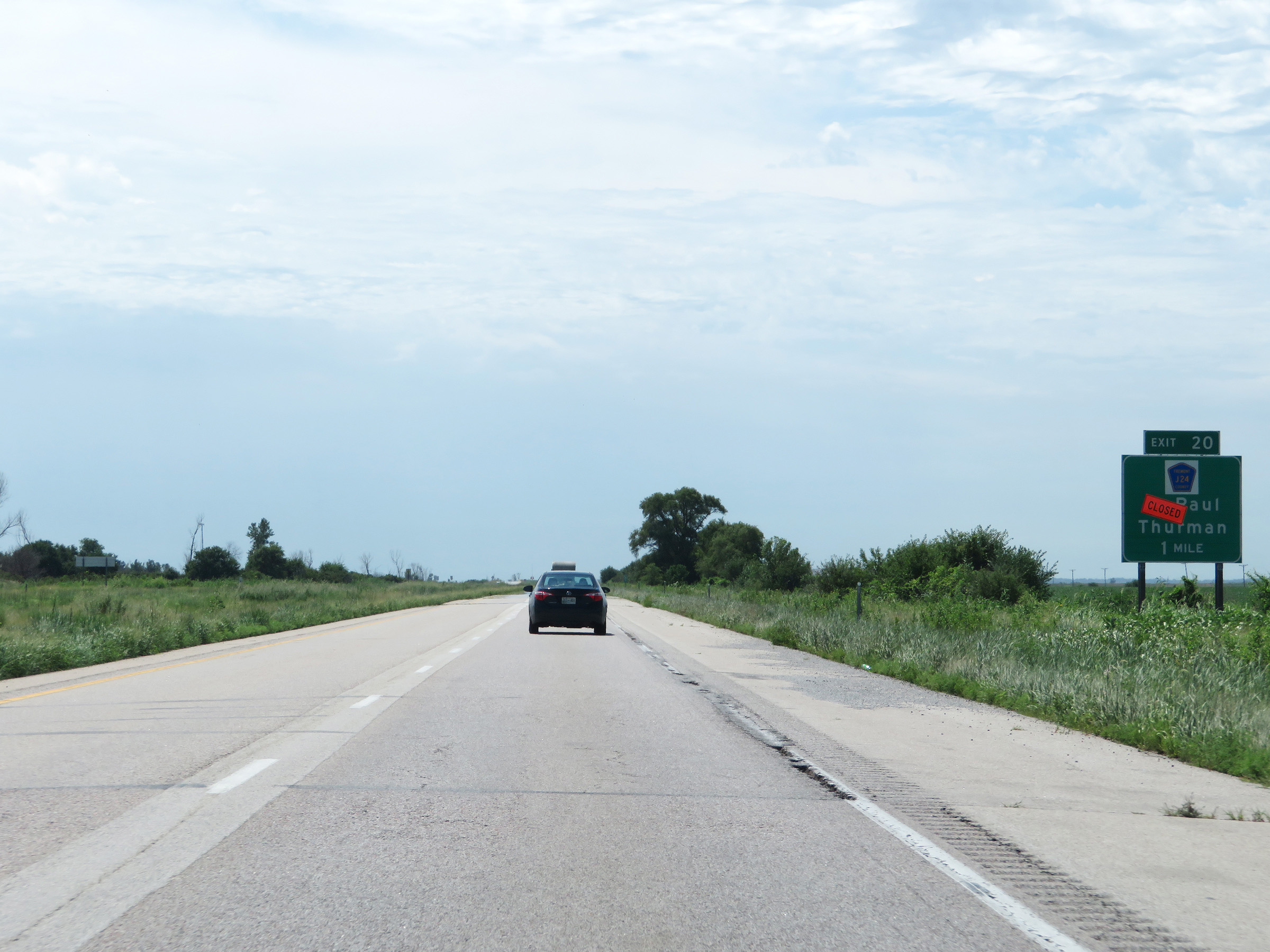
Interstate 29 South at Exit 20: CR J24 - McPaul / Thurman (Photo taken 8/10/20). |
 |
Mile marker 18 on Interstate 29 South in Fremont County. (Photo taken 8/10/20). |
 |
View on Interstate 29 South at mile marker 17. (Photo taken 8/10/20). |
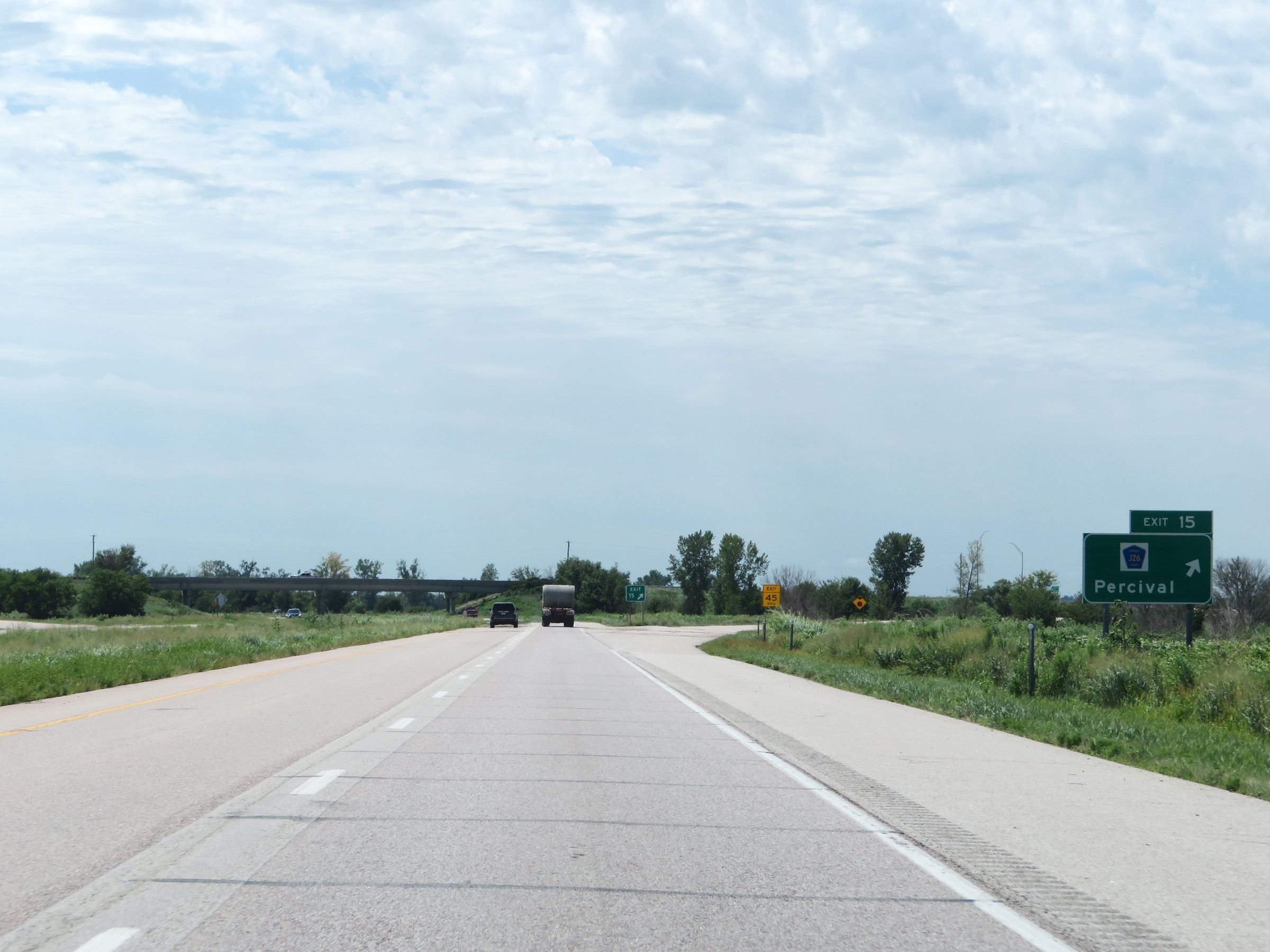 |
Interstate 29 South at Exit 15: CR J26 - Percival (Photo taken 8/10/20). |
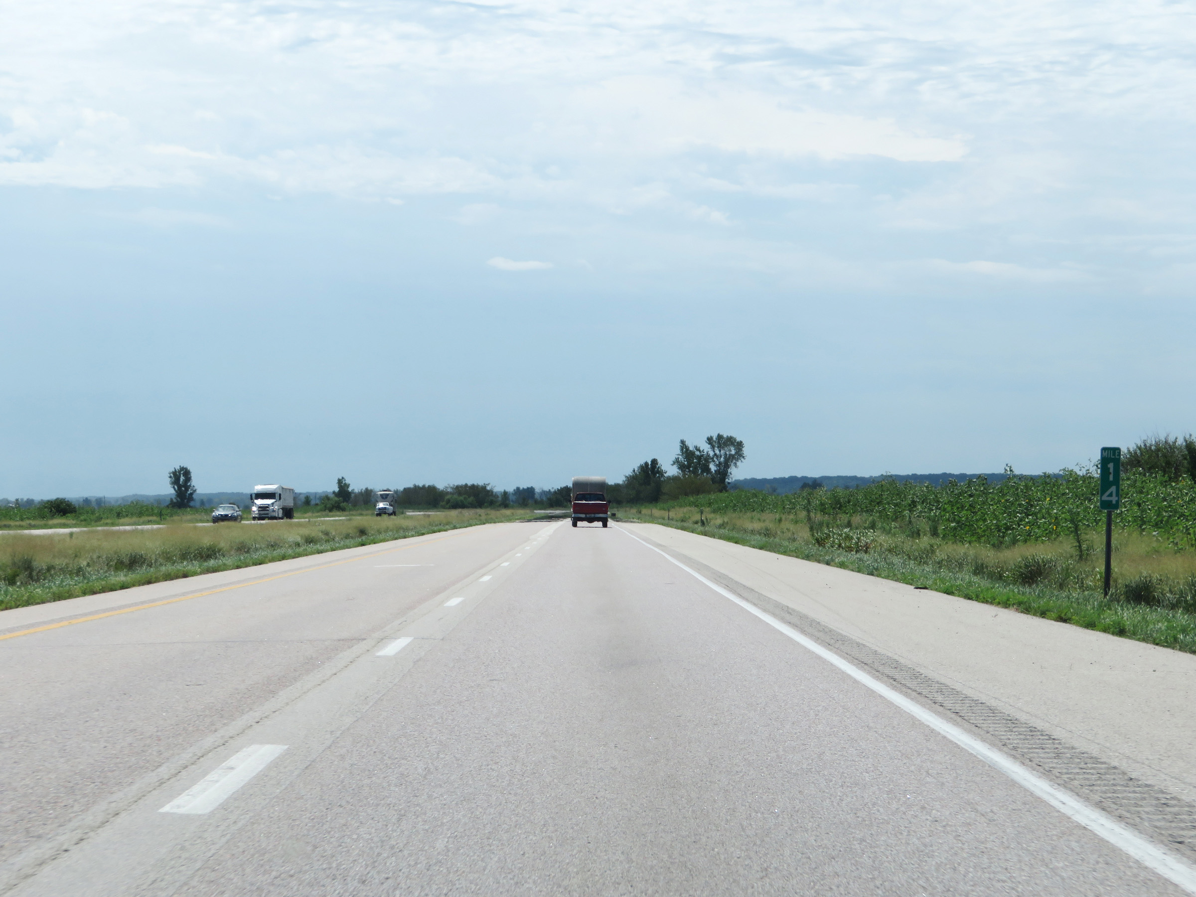 |
Interstate 29 South at mile marker 14. (Photo taken 8/10/20). |
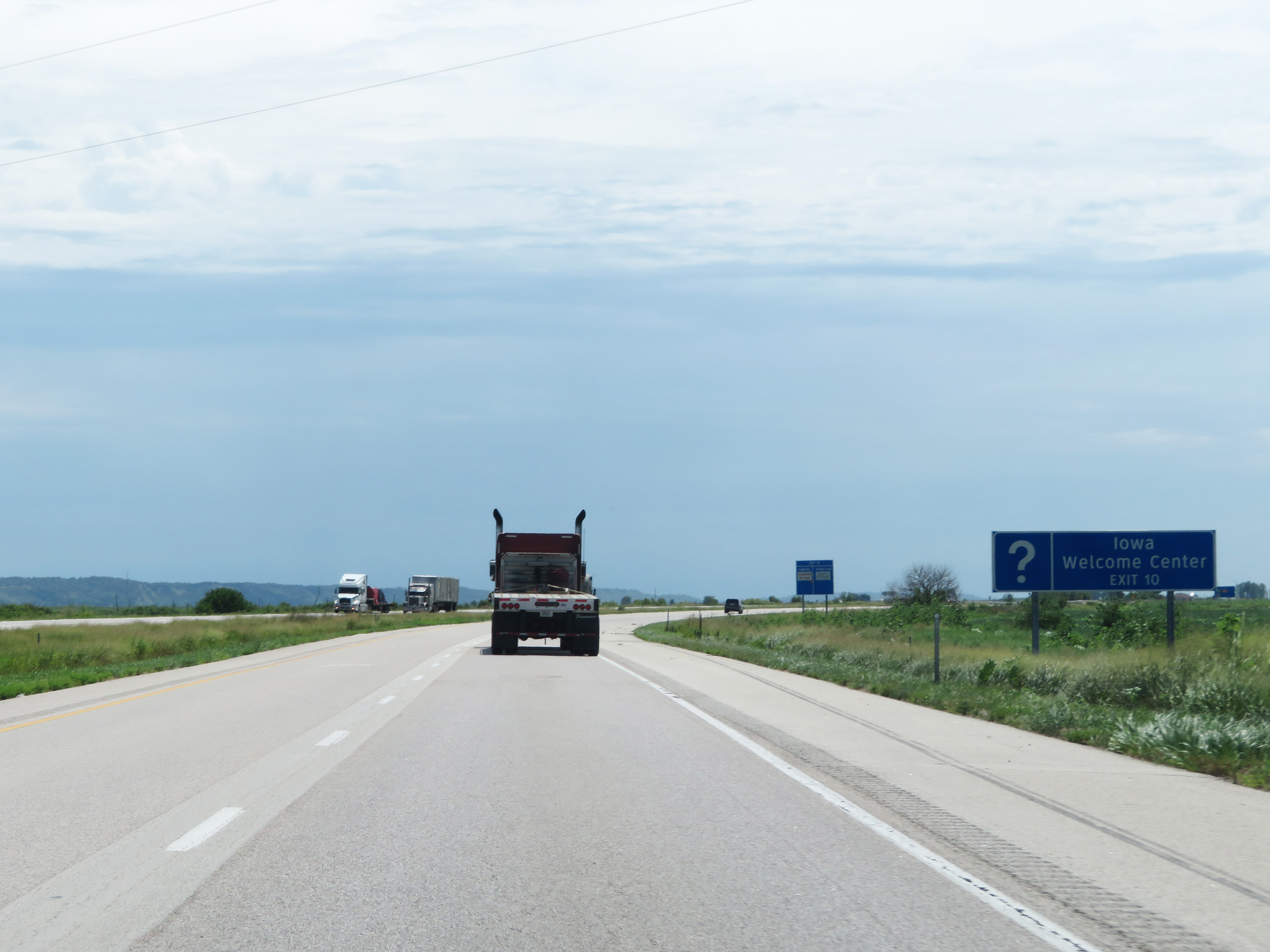 |
An Iowa Welcome Center exists off Exit 10 ahead. (Photo taken 8/10/20). |
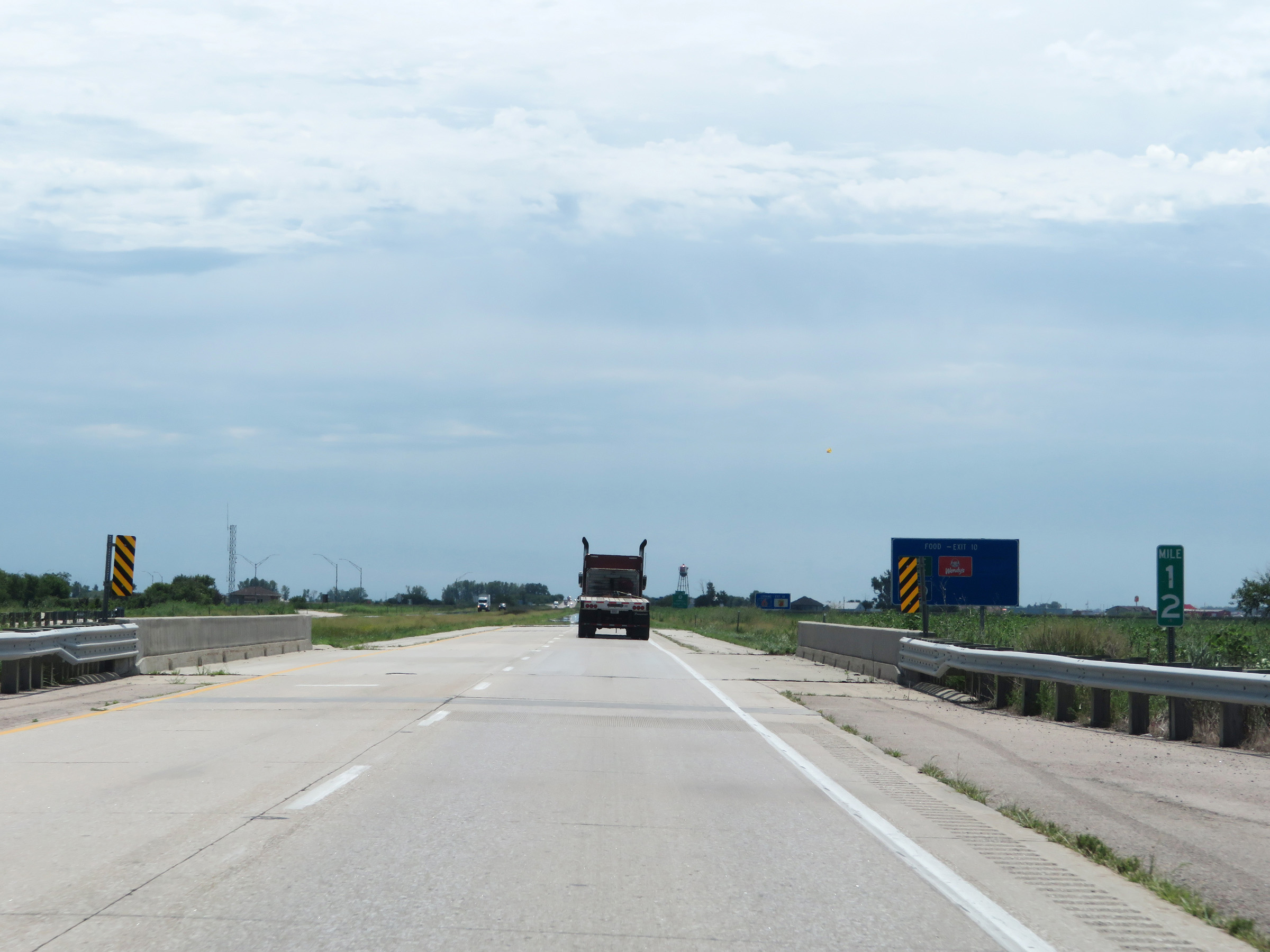 |
Mile marker 12 on Interstate 29 South in Fremont County. (Photo taken 8/10/20). |
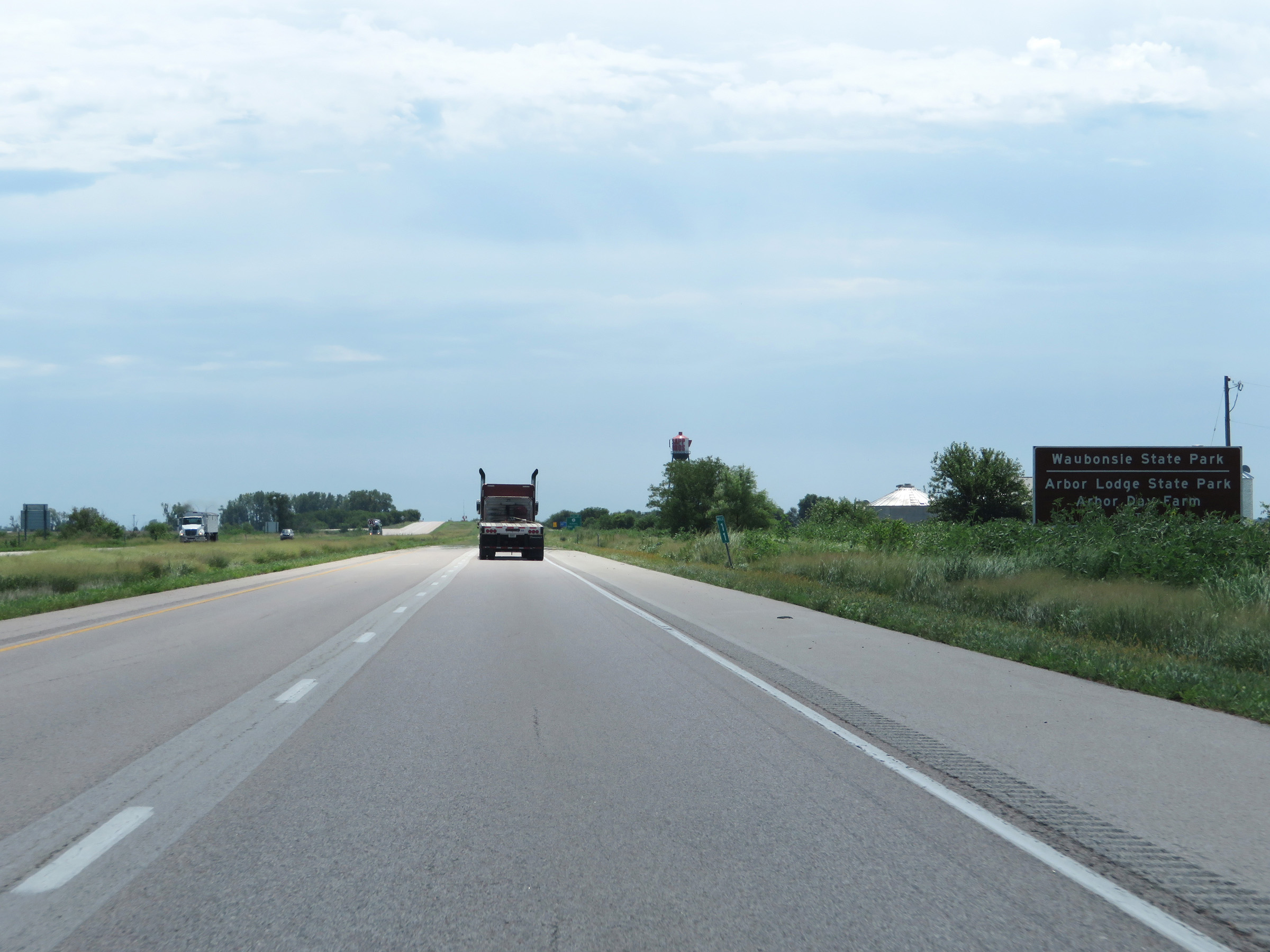 |
Take Exit 10 to Waubonsie State Park, Arbor Lodge State Park, and Arbor Day Farm. (Photo taken 8/10/20). |
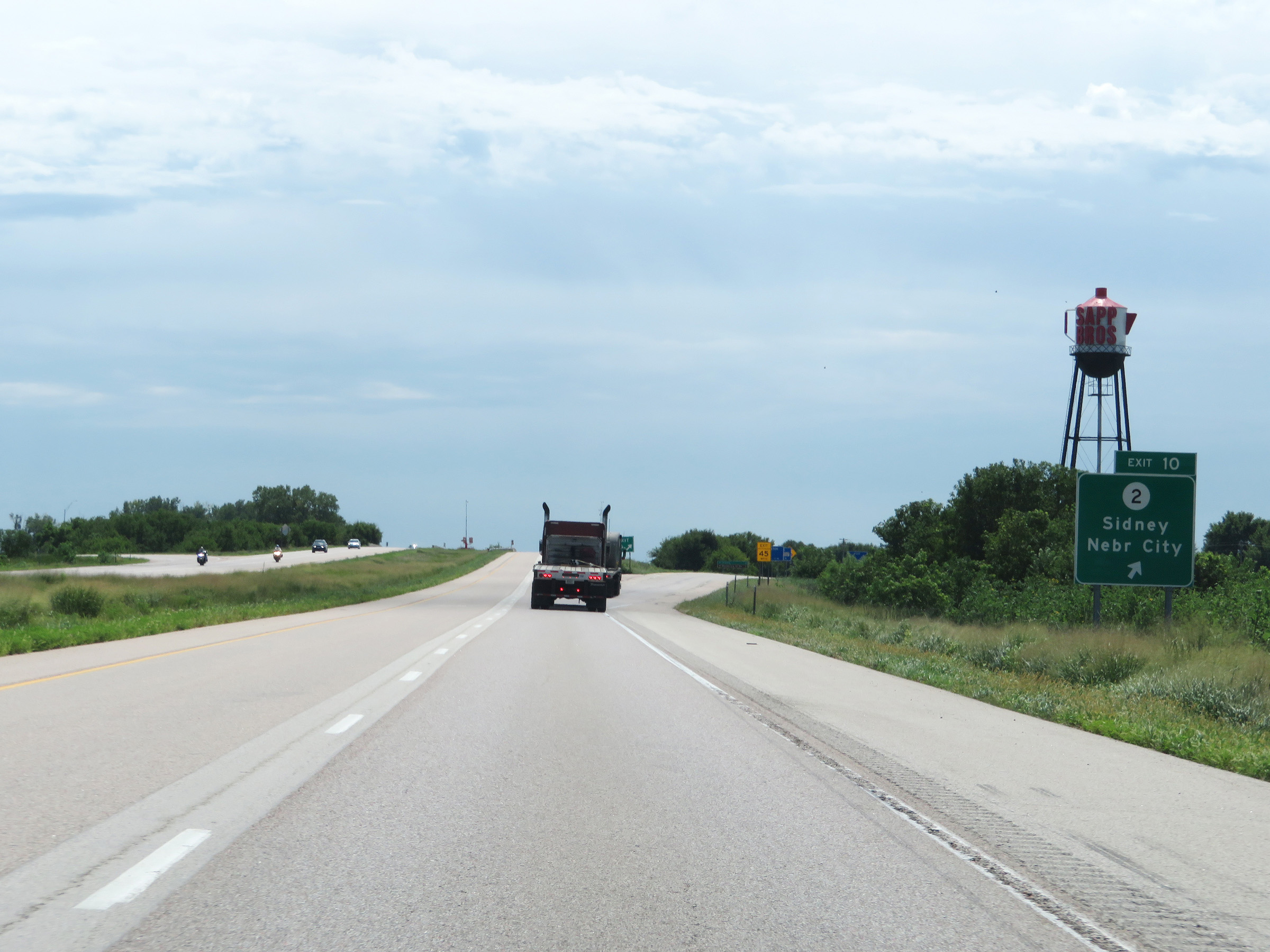 |
Interstate 29 South at Exit 10: IA 2 - Sidney / Nebraska City (Photo taken 8/10/20). |
 |
State-named Interstate 29 South reassurance shield. (Photo taken 8/10/20). |
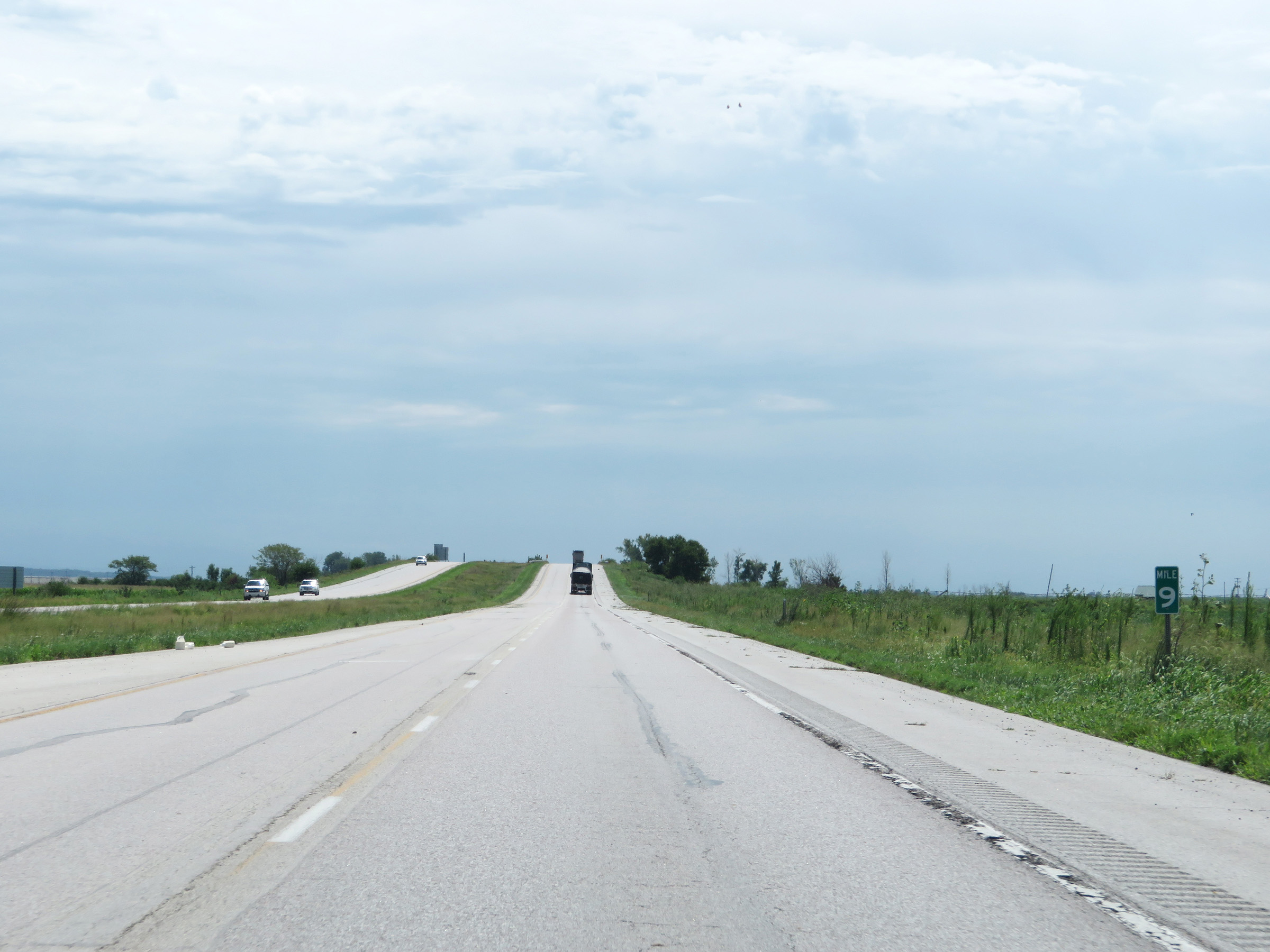 |
View on Interstate 29 South at mile marker 9. (Photo taken 8/10/20). |
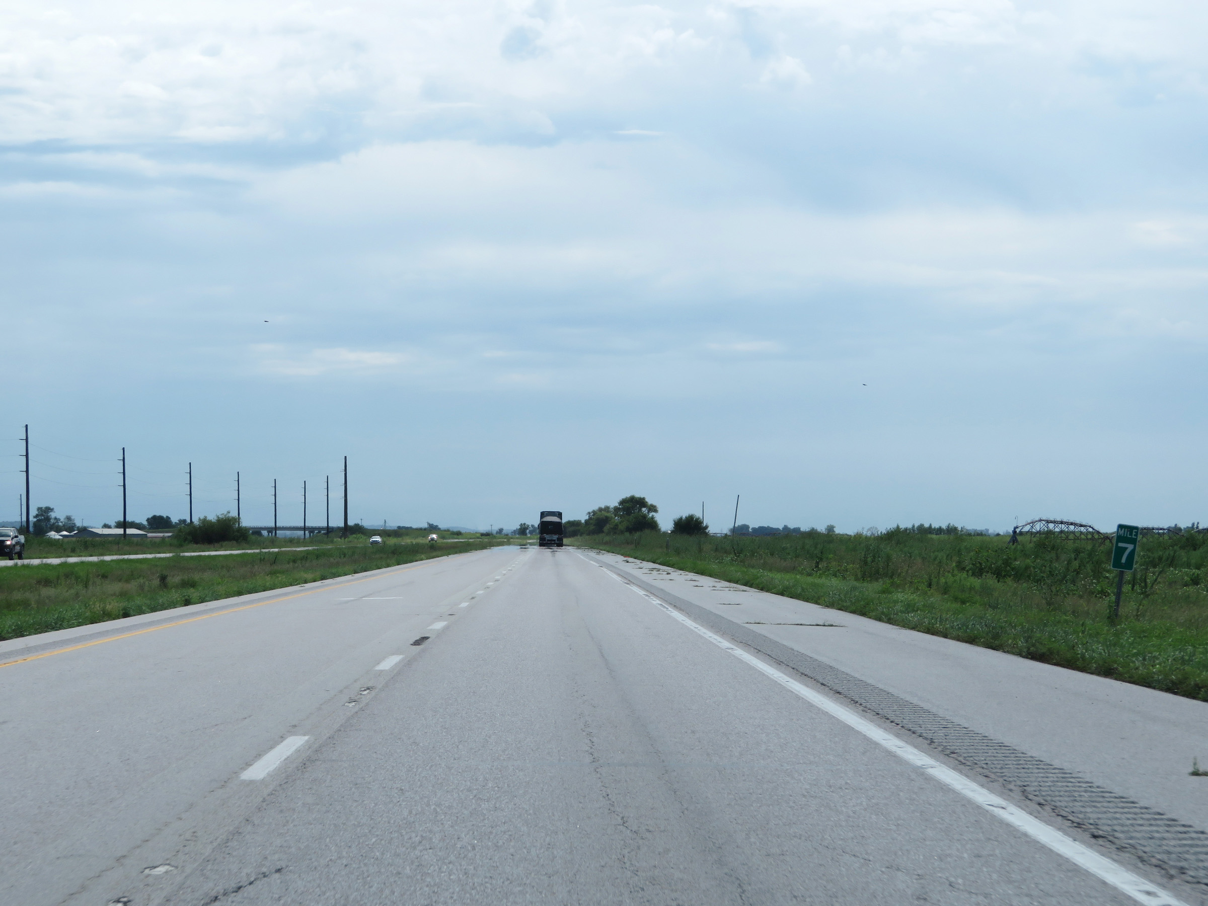 |
Interstate 29 South at mile marker 7. (Photo taken 8/10/20). |
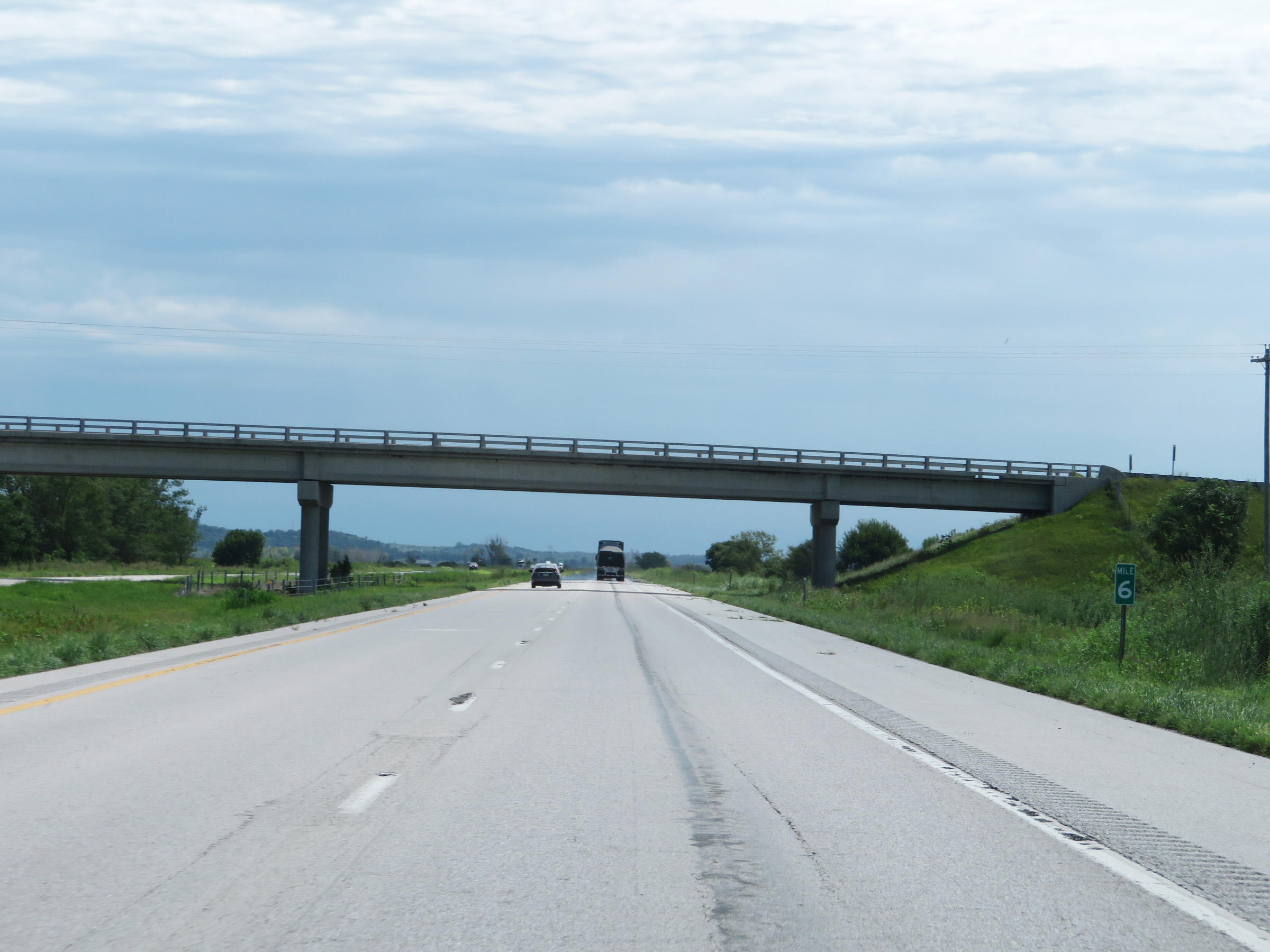 |
Mile marker 6 on Interstate 29 South in Fremont County. (Photo taken 8/10/20). |
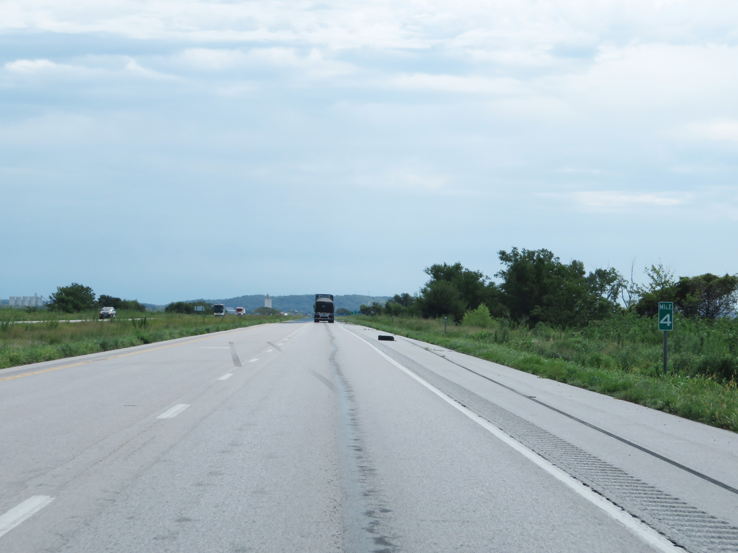 |
View on Interstate 29 South at mile marker 4. (Photo taken 8/10/20). |
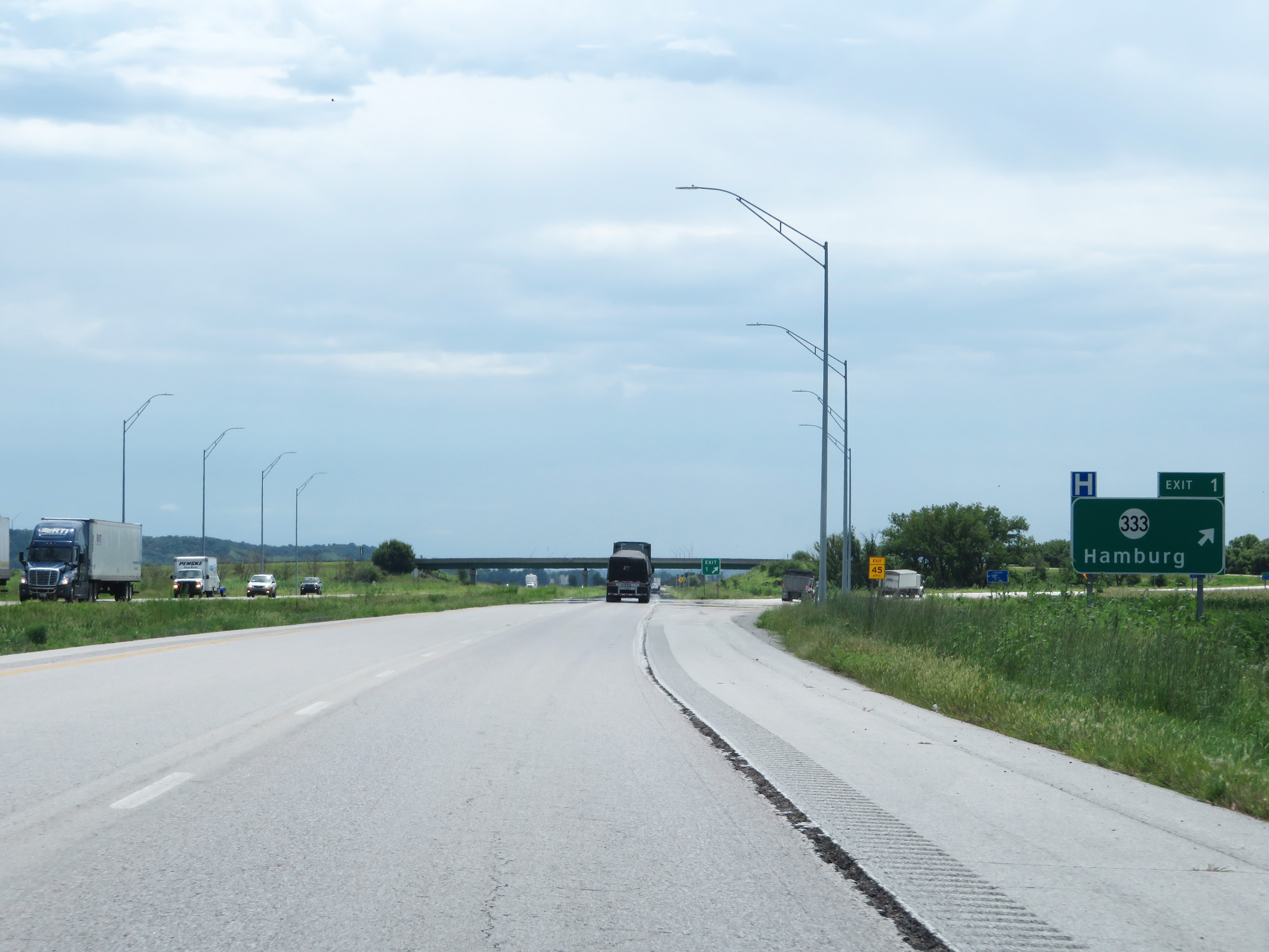 |
Interstate 29 South at Exit 1: IA 333 - Hamburg (Photo taken 8/10/20). |
 |
Interstate 29 South at mile marker 2. (Photo taken 8/10/20). |
 |
One final state-named Interstate 29 South reassurance shield as it approaches the Missouri border. (Photo taken 8/10/20). |
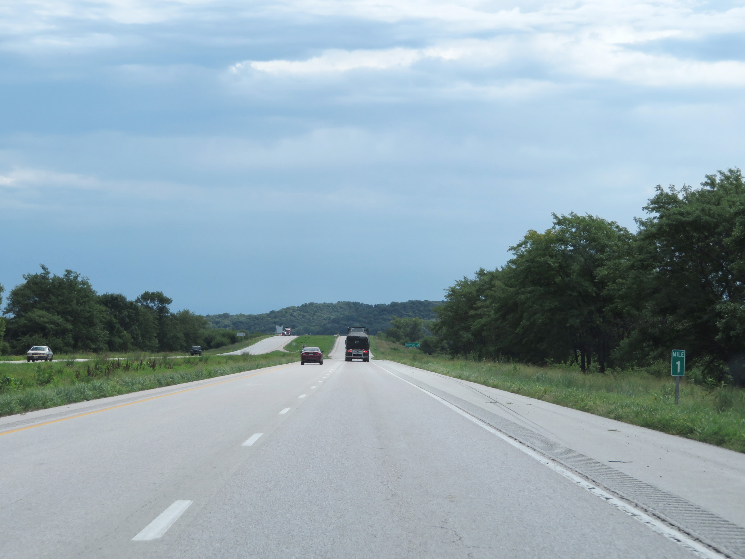 |
View on Interstate 29 South at mile marker 1. (Photo taken 8/10/20). |
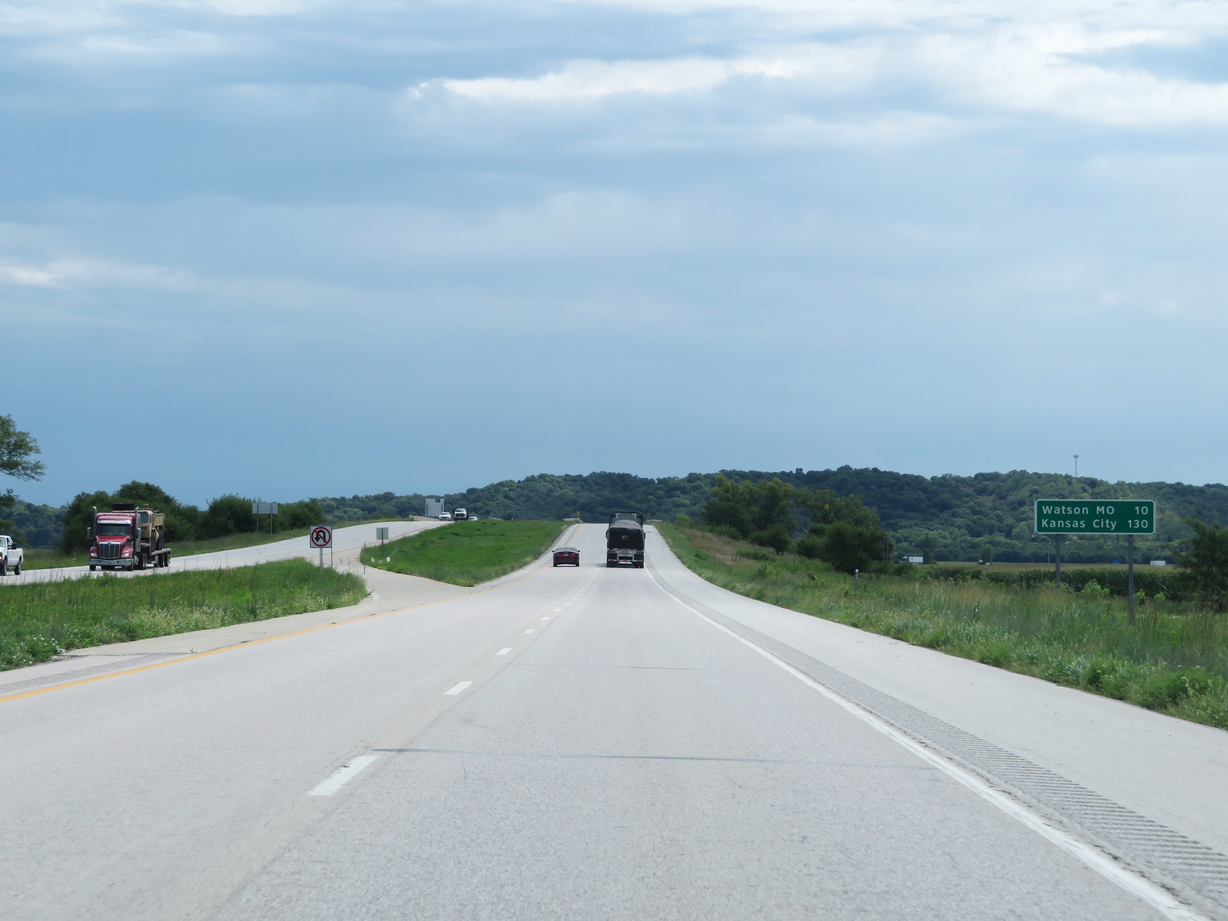 |
Mileage sign on Interstate 29 South as it nears the Missouri state line. It's 10 miles to Watson, MO and 130 miles to Kansas City. (Photo taken 8/10/20). |
 |
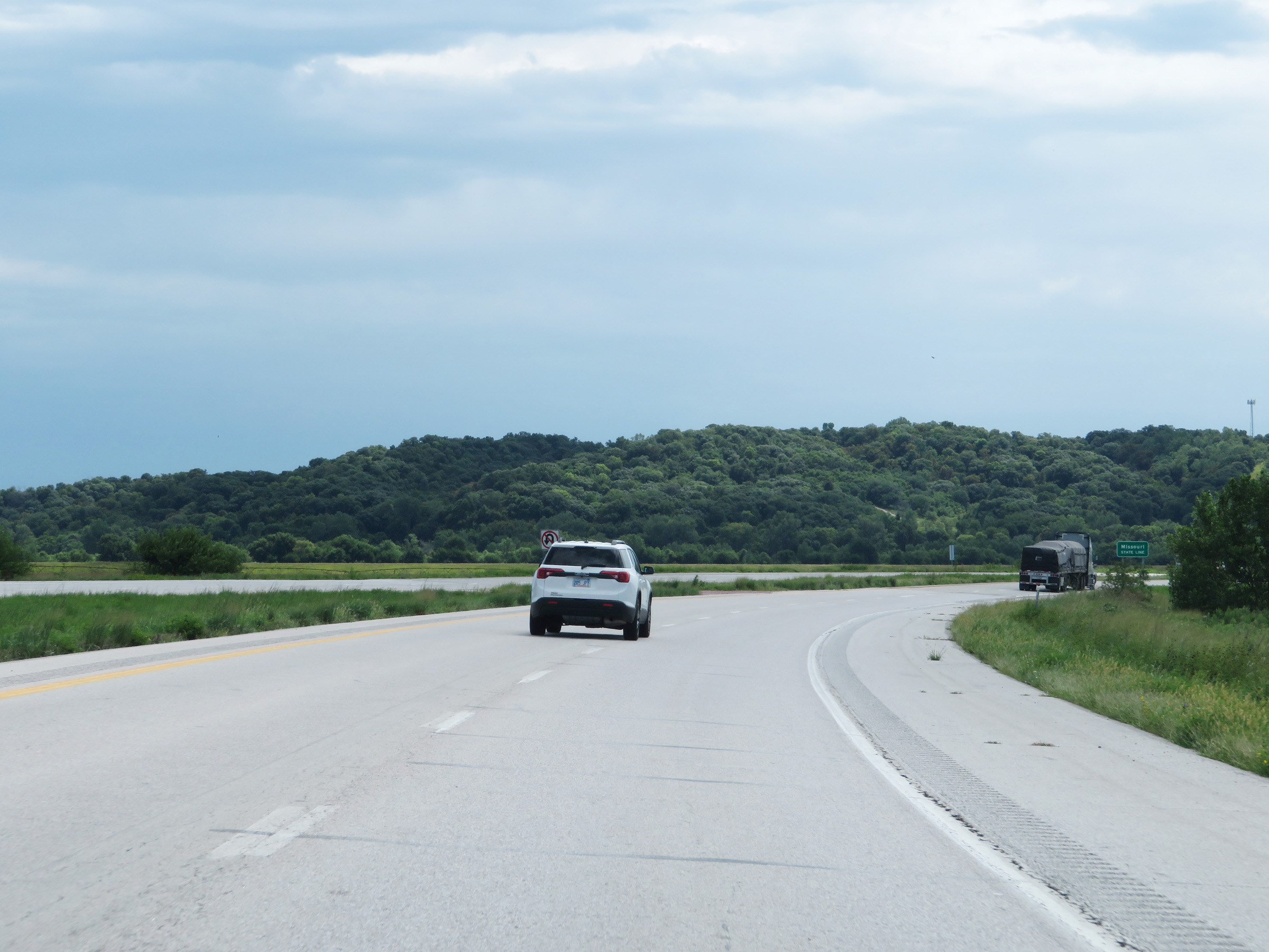
View on Interstate 29 South as it prepares to leave Iowa to enter Missouri. (Photo taken 8/10/20). |
 |
The Missouri state line comes into view here, marked by the signage seen ahead. (Photo taken 8/10/20). |