Road Information |
||
 |
||
| Total Mileage in State: | 156 miles | |
| Eastern End: | At Ohio state line | |
| Western End: | At Illinois state line | |
| Mileage covered in Photos: | 156 miles | |
| Counties covered in Photos: | Wayne, Henry, Hancock, Marion, Hendricks, Morgan, Putnam, Clay, Vigo | |
| Major Junctions in Photos: | I-465, in Indianapolis I-65, in Indianapolis I-465/I-74, in Indianapolis US 41, in Terre Haute |
|
| Control Cities in Photos: | Richmond, Indianapolis, Plainfield, Terre Haute | |
Westbound
- Section 1: Ohio Border to Indianapolis (Exit 79B)
- Section 2: Indianapolis (Exit 79B) to Illinois Border
Section 1: Ohio Border to Indianapolis (Exit 79B)
 |
Interstate 70 West at Exit 156B: US 40 East - Lewisburg, OH (Photo taken 5/15/18). |
 |
Indiana welcome sign as Interstate 70 West enters the Hoosier State from Ohio. (Photo taken 5/15/18). |
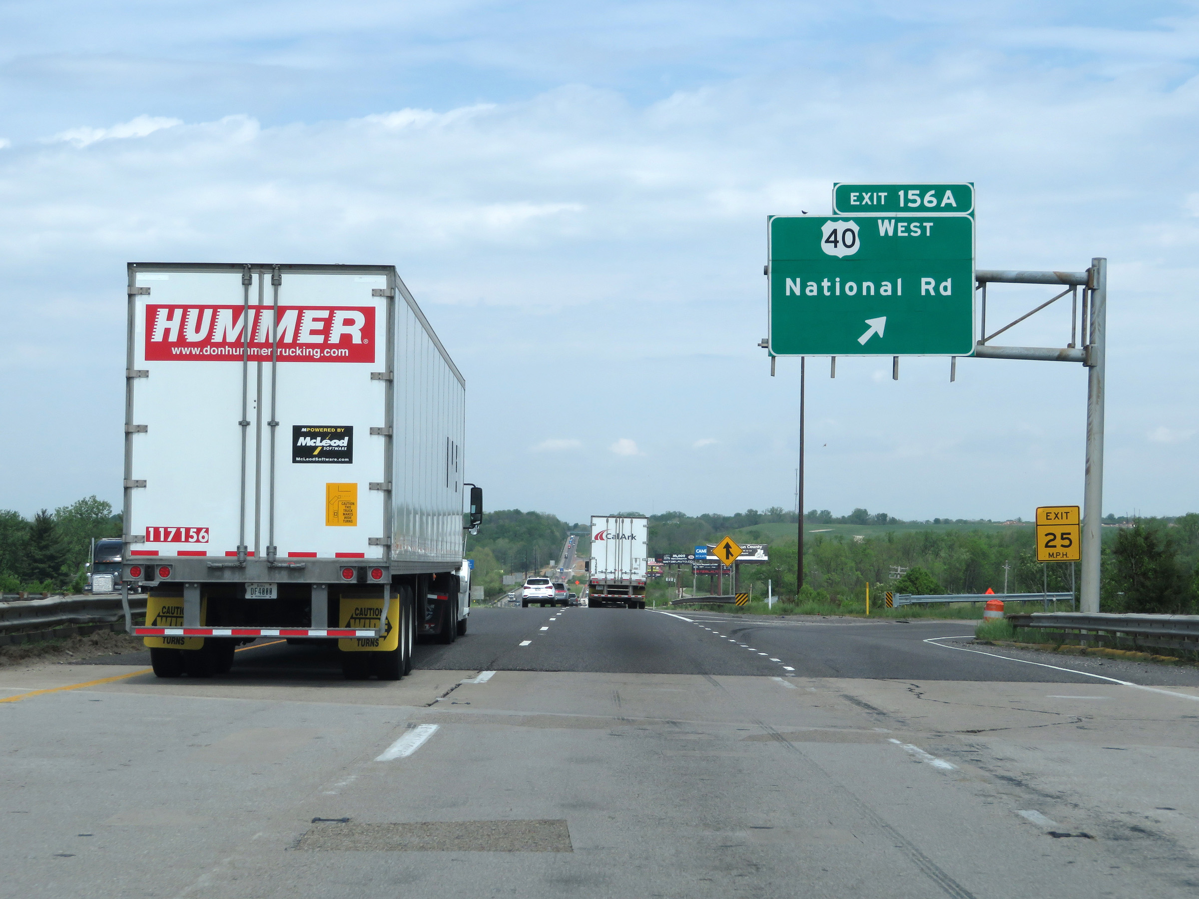 |
Interstate 70 West at Exit 156A: US 40 West - National Rd (Photo taken 5/15/18). |
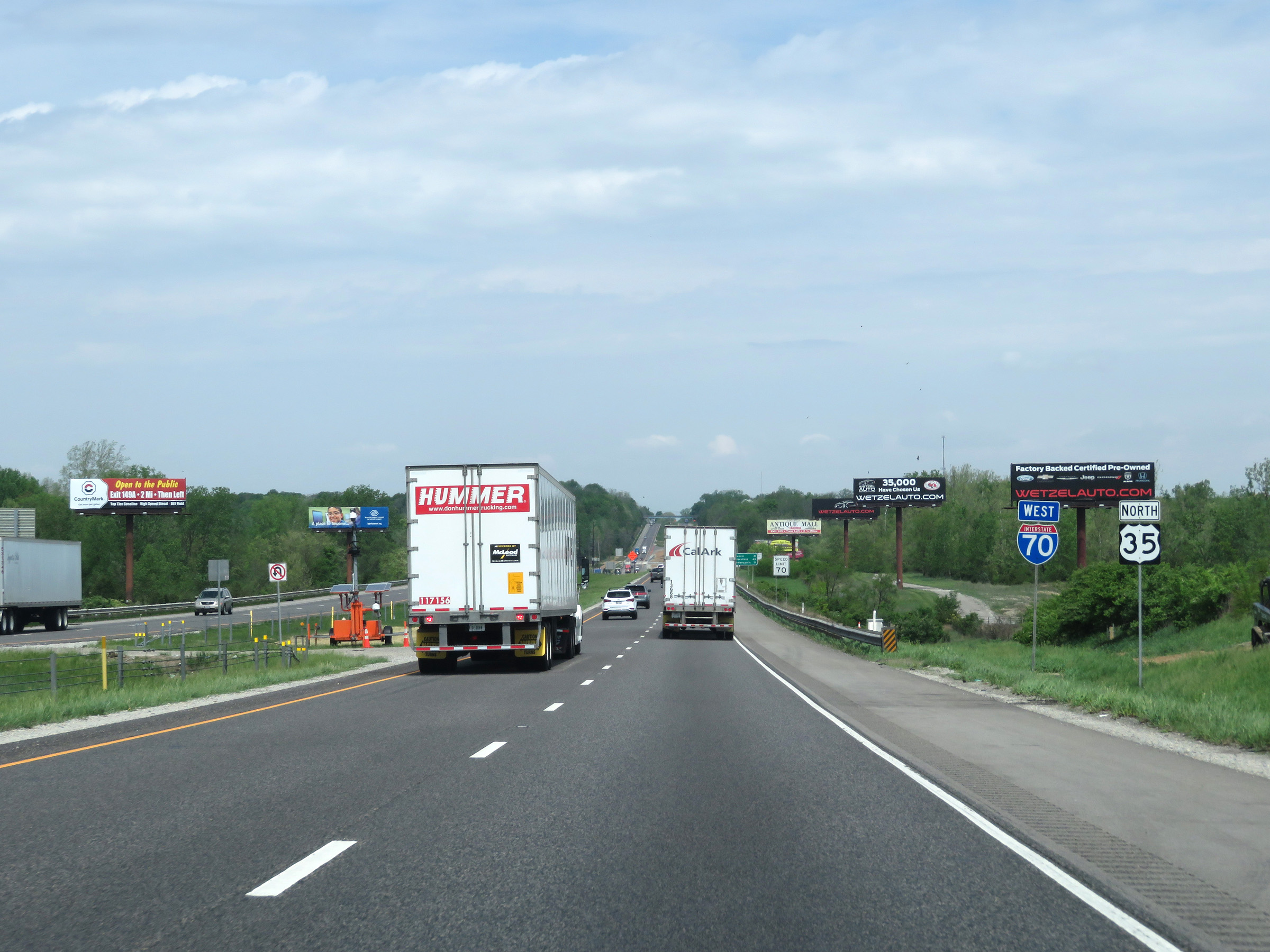 |
Interstate 70 West reassurance shield. (Photo taken 5/15/18). |
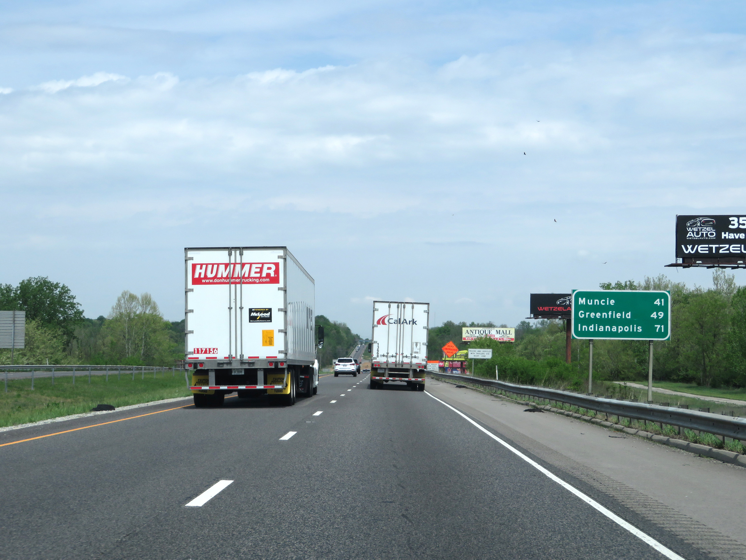 |
Mileage sign on Interstate 70 West. It's 41 miles to Muncie, 49 miles to Greenfield, and 71 miles to Indianapolis. (Photo taken 5/15/18). |
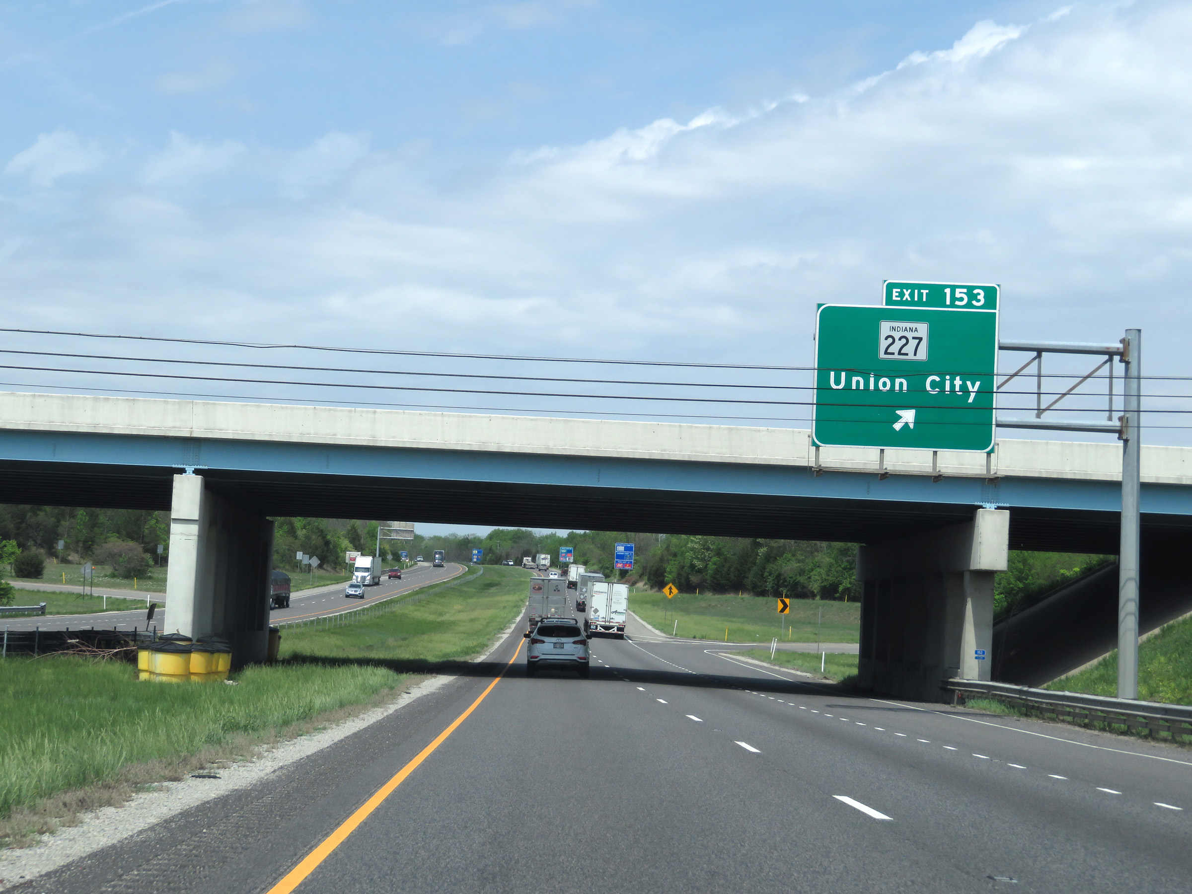 |
Interstate 70 West at Exit 153: IN 227 - Union City (Photo taken 5/15/18). |
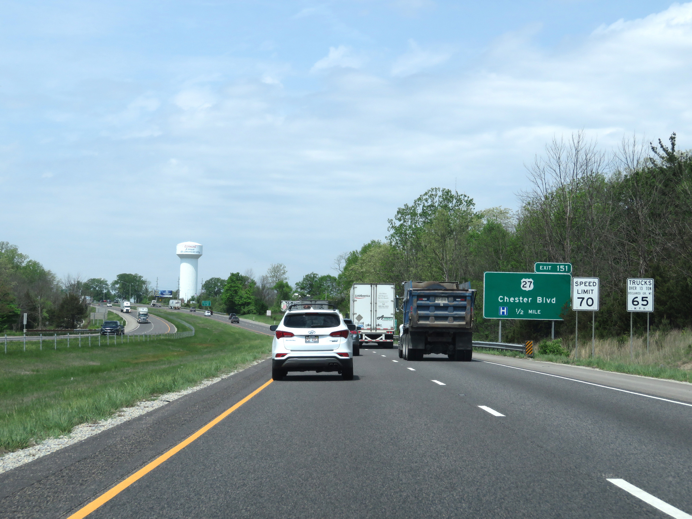 |
Speed limit signs on Interstate 70 West. The speed limits start out at 70 mph for automobiles and 65 mph for trucks. These are the standard speed limits on most rural Interstate highways in Indiana. (Photo taken 5/15/18). |
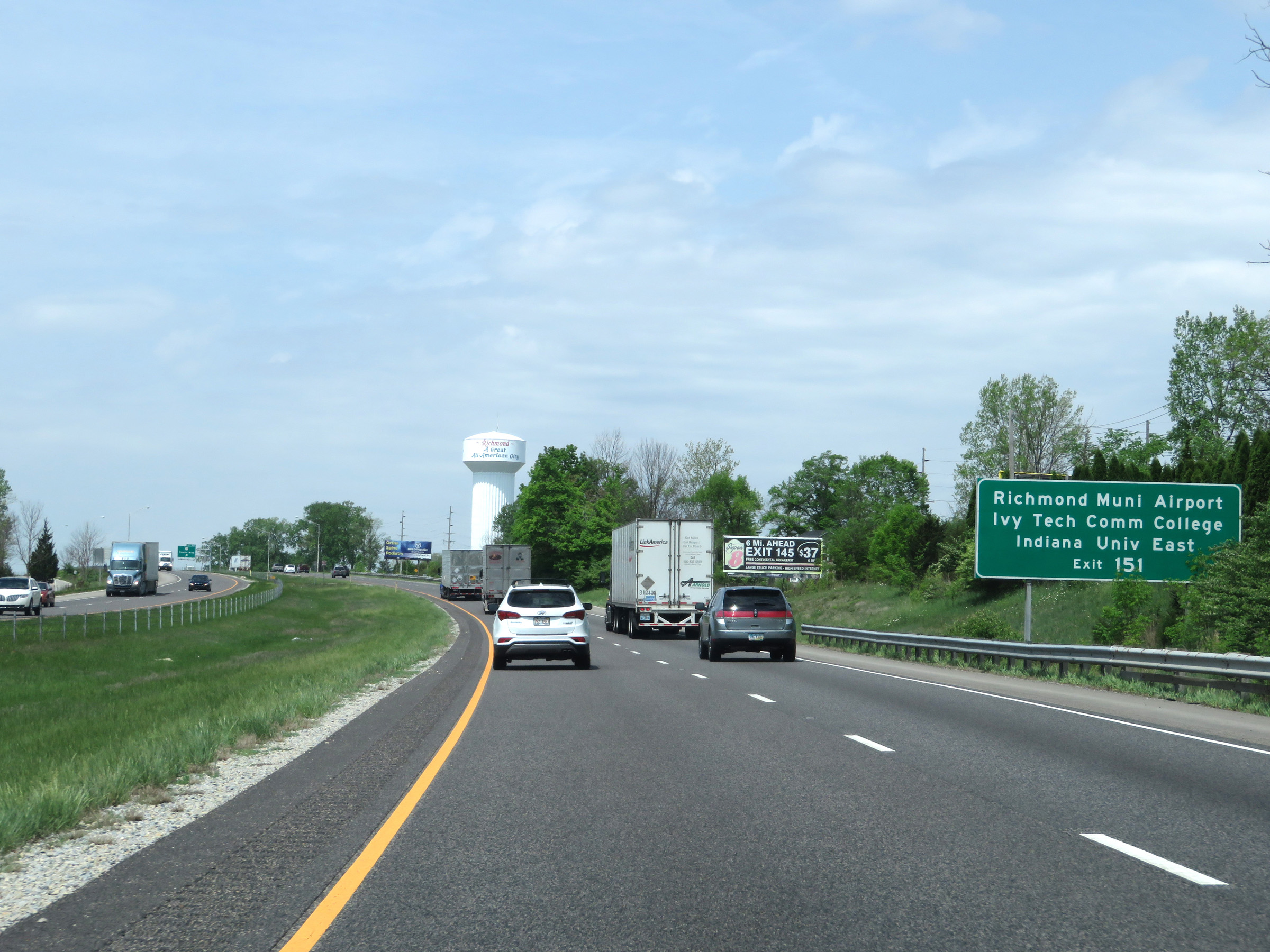 |
Take Exit 151 to Richmond Municipal Airport, Ivy Tech Community College, and Indiana University East. (Photo taken 5/15/18). |
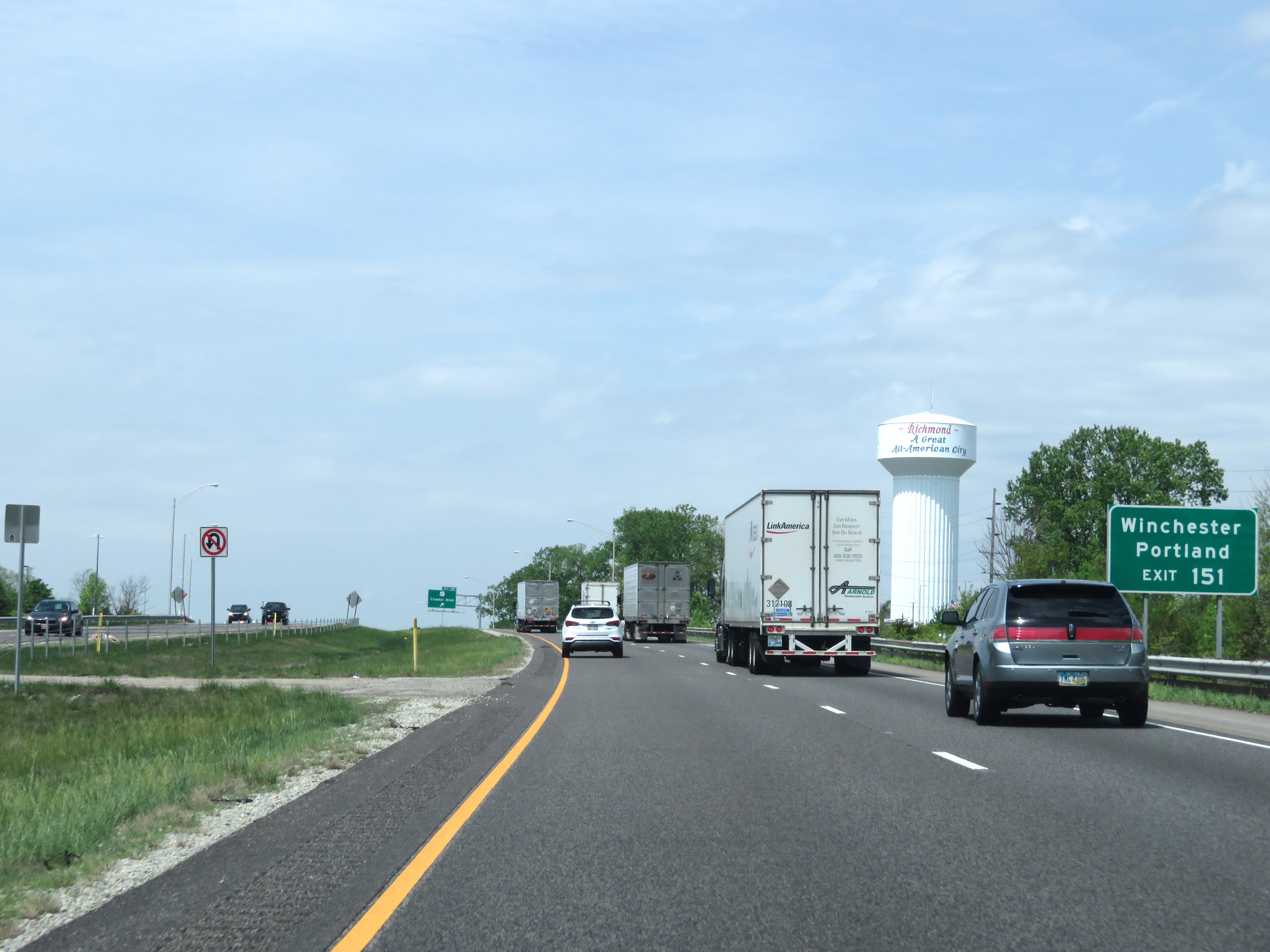 |
Also take Exit 151 to Winchester and Portland. (Photo taken 5/15/18). |
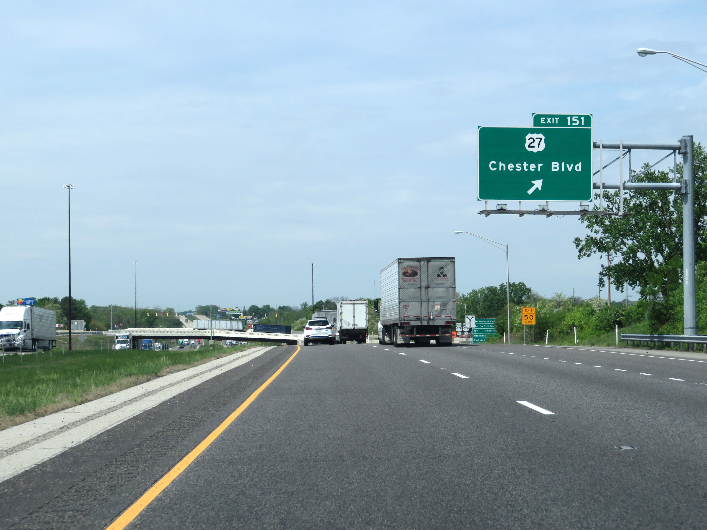 |
Interstate 70 West at Exit 151: US 27 - Chester Blvd (Photo taken 5/15/18). |
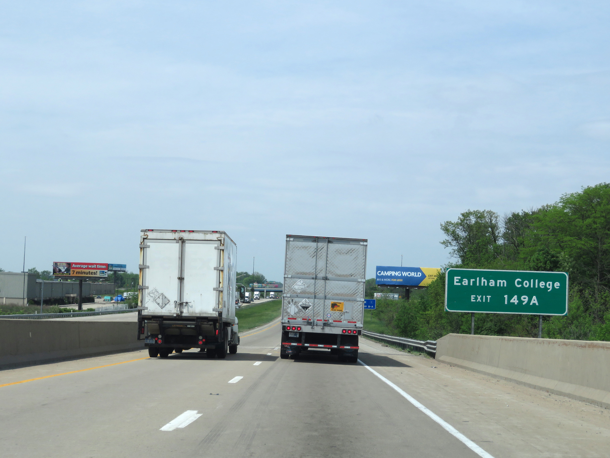 |
Take Exit 149A to Earlham College. (Photo taken 5/15/18). |
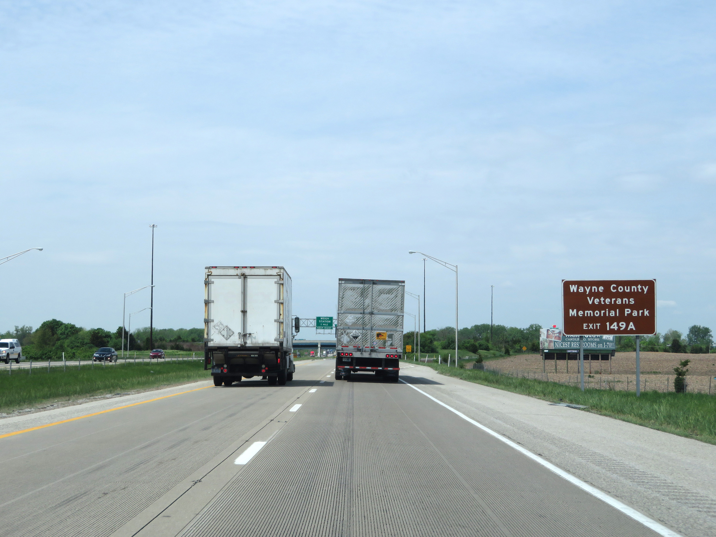 |
Also take Exit 149A to Wayne County Veterans Memorial Park. (Photo taken 5/15/18). |
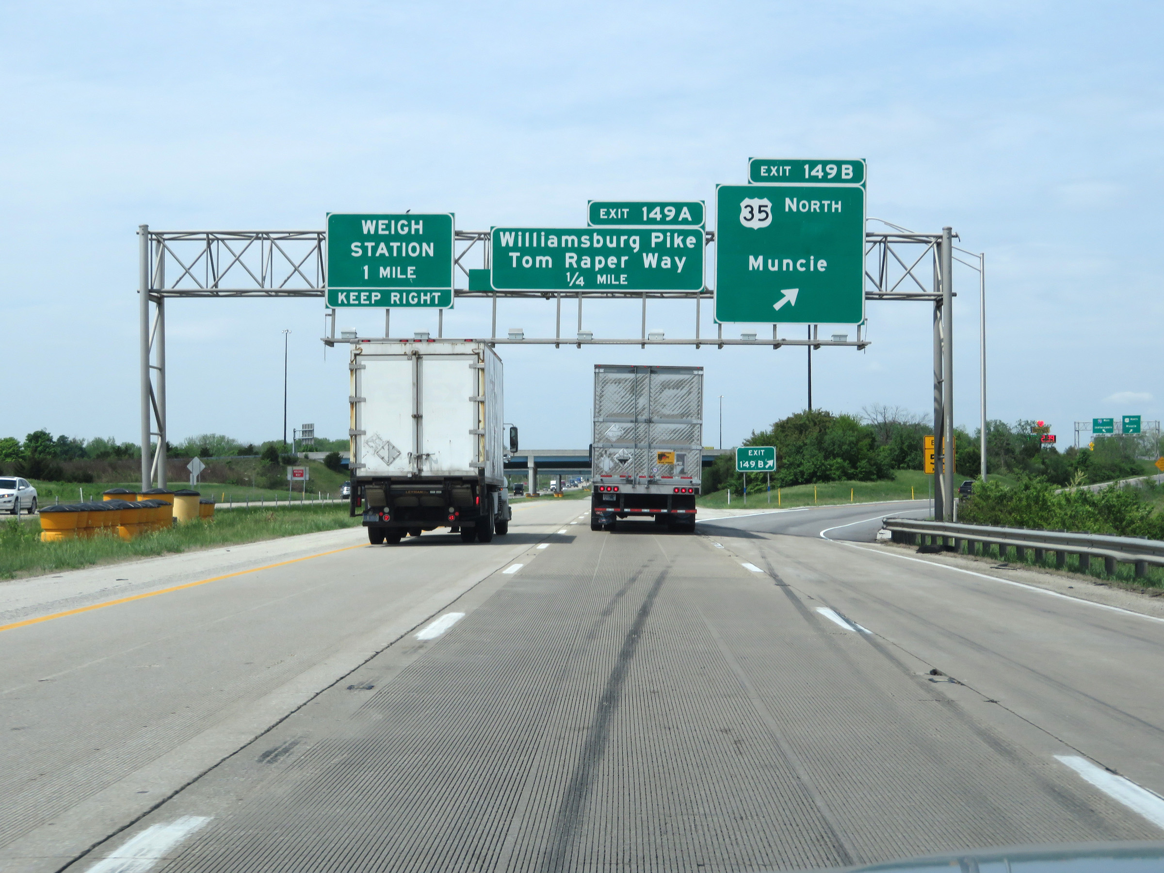 |
Interstate 70 West at Exit 149B: US 35 North - Muncie (Photo taken 5/15/18). |
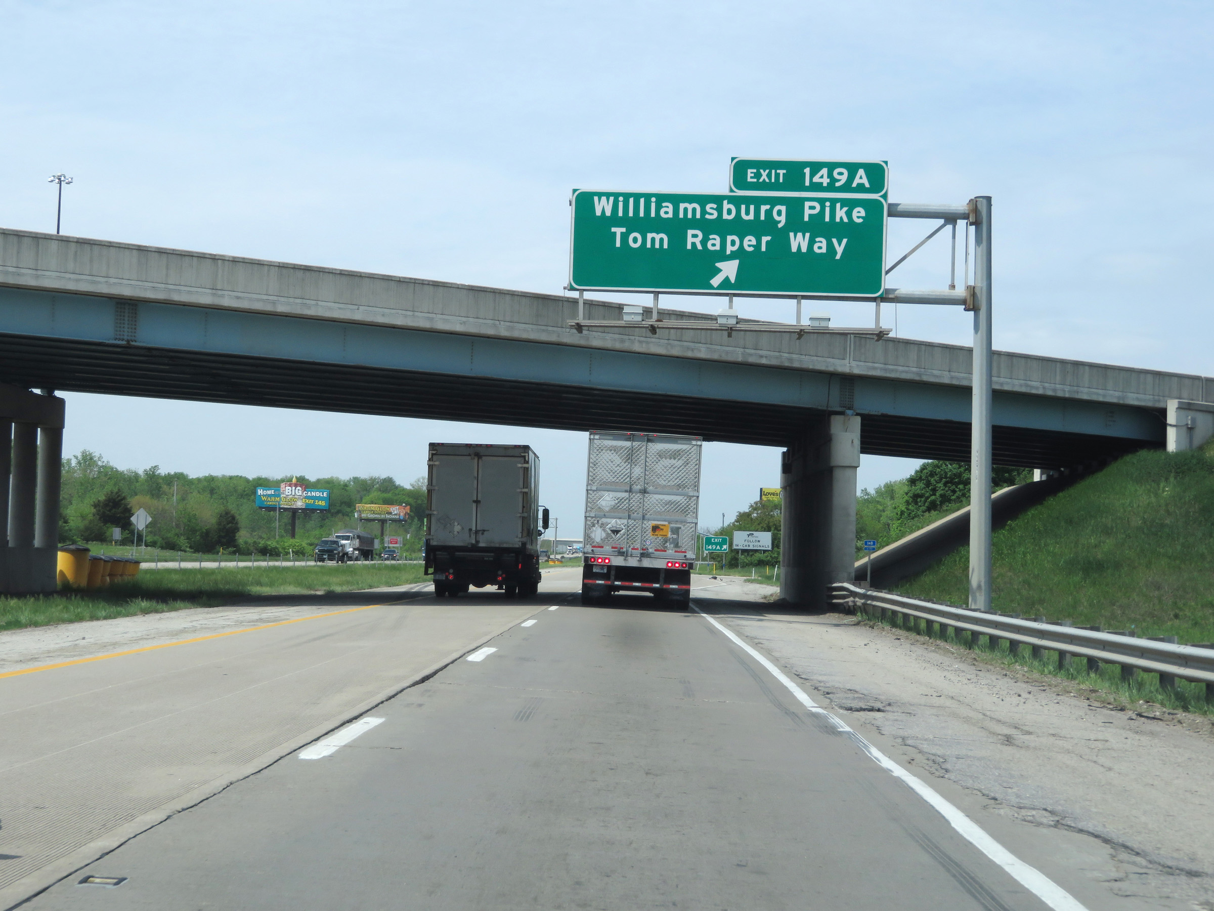 |
Interstate 70 West at Exit 149A: Williamsburg Pike / Tom Raper Way (Photo taken 5/15/18). |
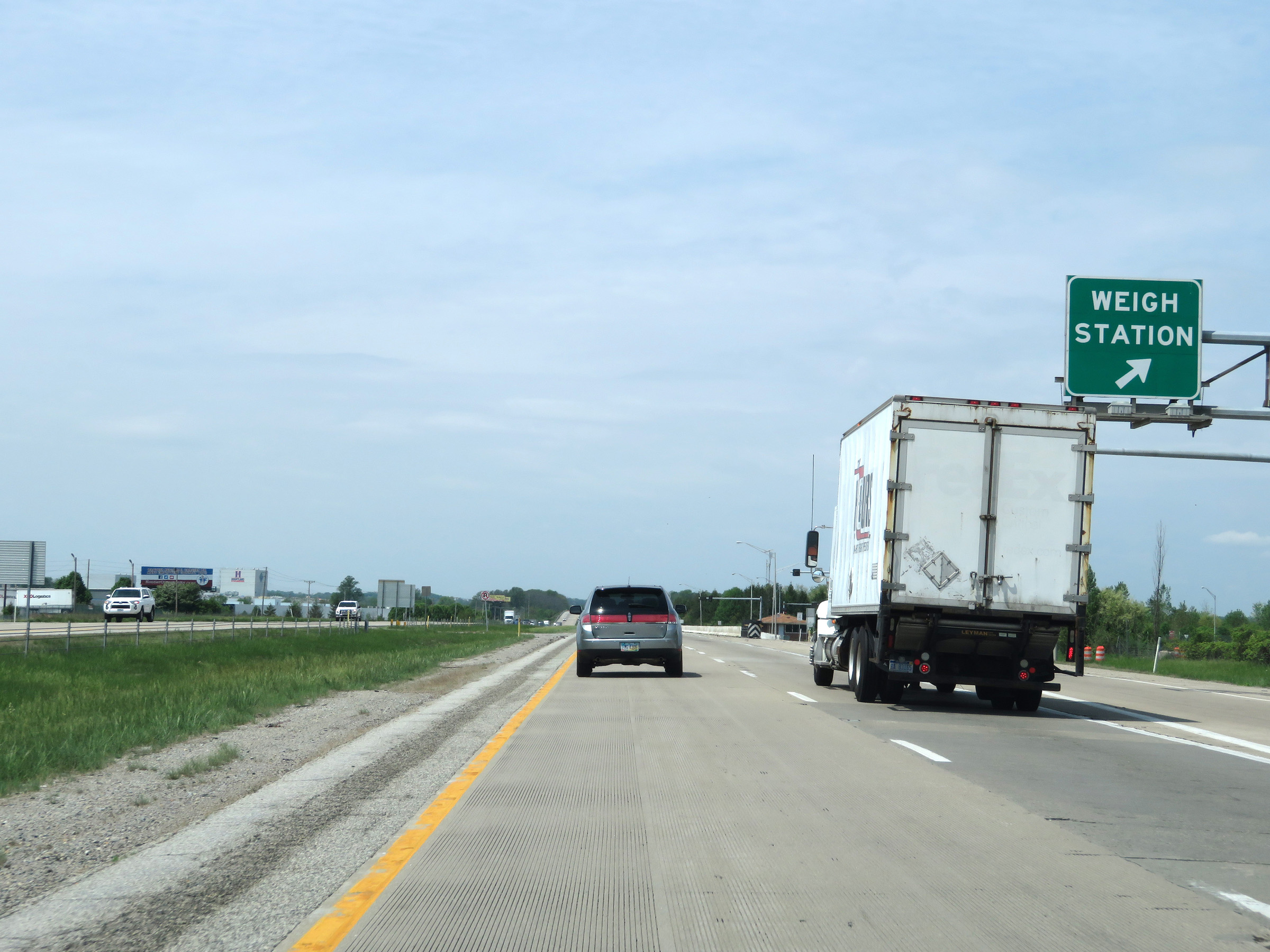 |
Weigh Station on Interstate 70 West in Wayne County. (Photo taken 5/15/18). |
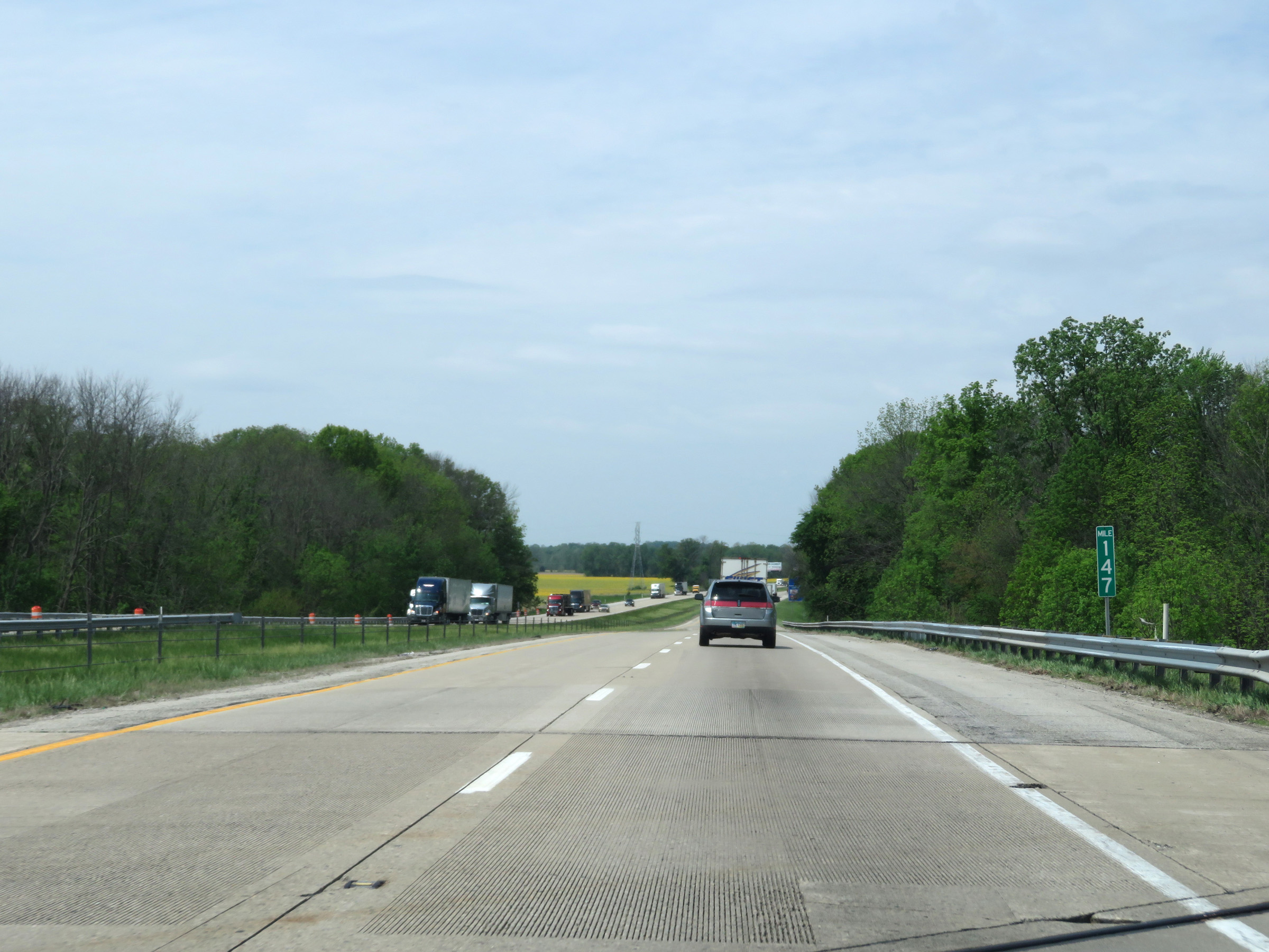 |
Interstate 70 West at mile marker 147. (Photo taken 5/15/18). |
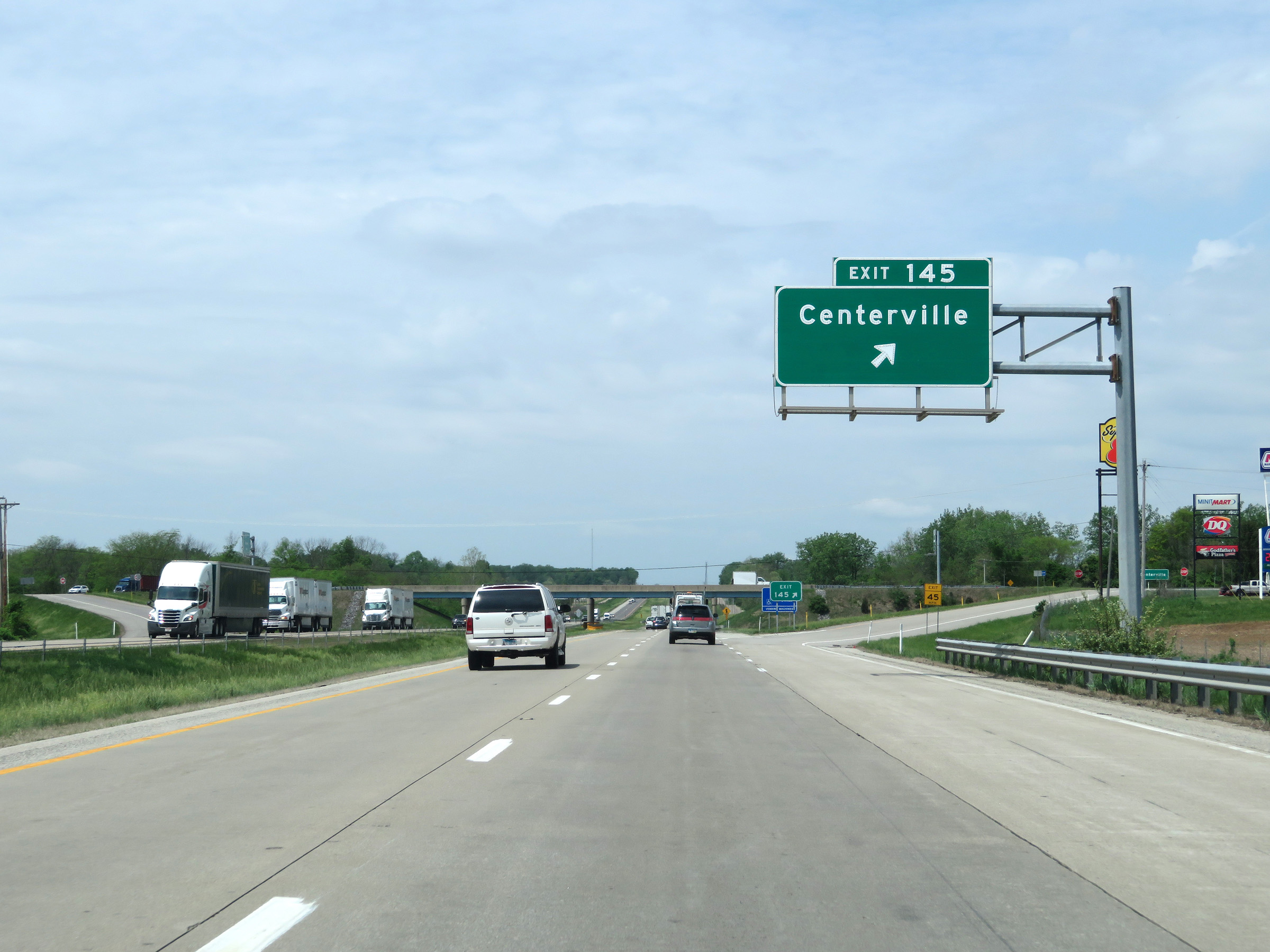 |
Interstate 70 West at Exit 145: Centerville (Photo taken 5/15/18). |
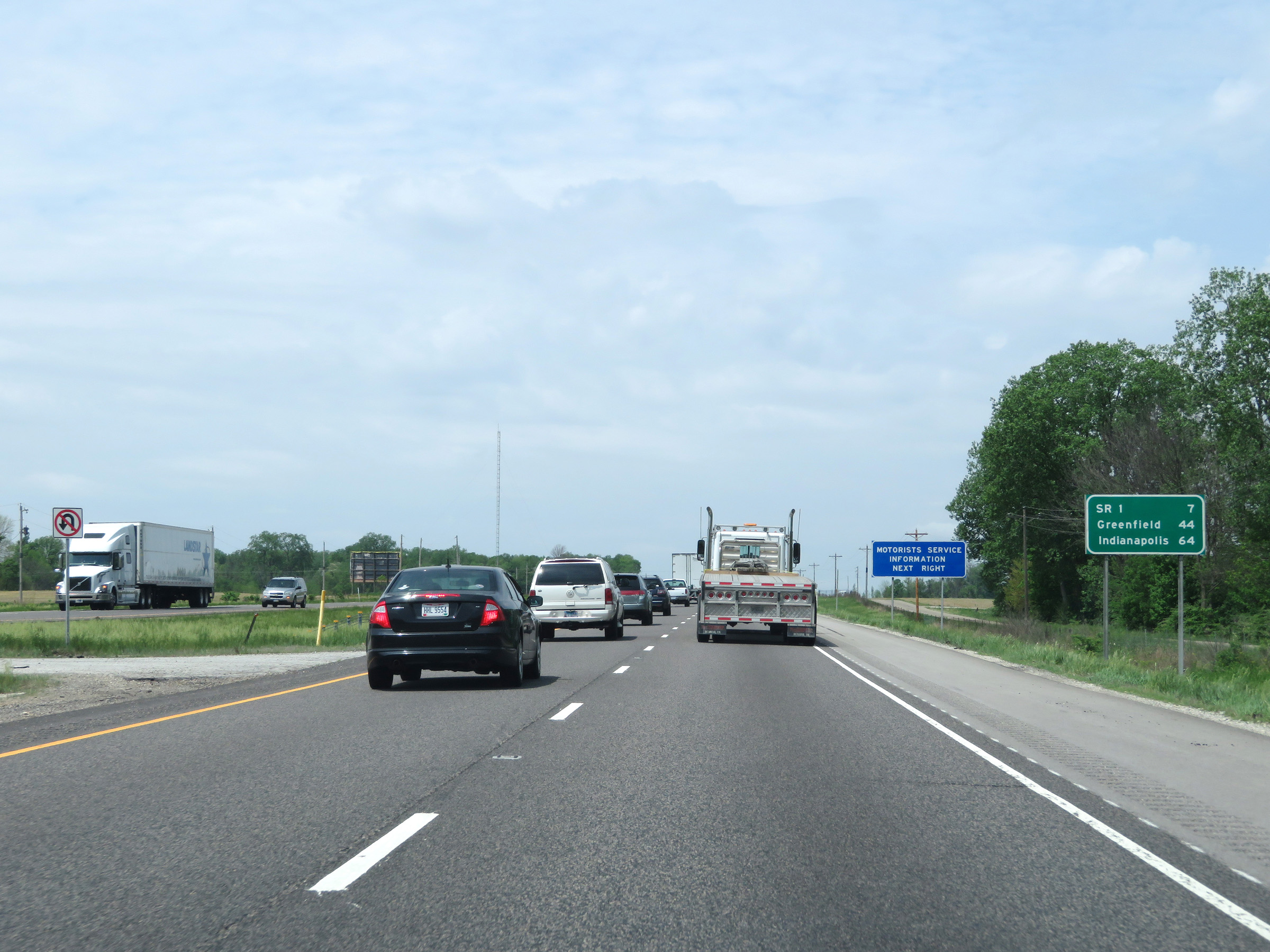 |
Another mileage sign on Interstate 70 West. It's 7 miles to the junction of IN 1, 44 miles to Greenfield, and 64 miles to Indianapolis. (Photo taken 5/15/18). |
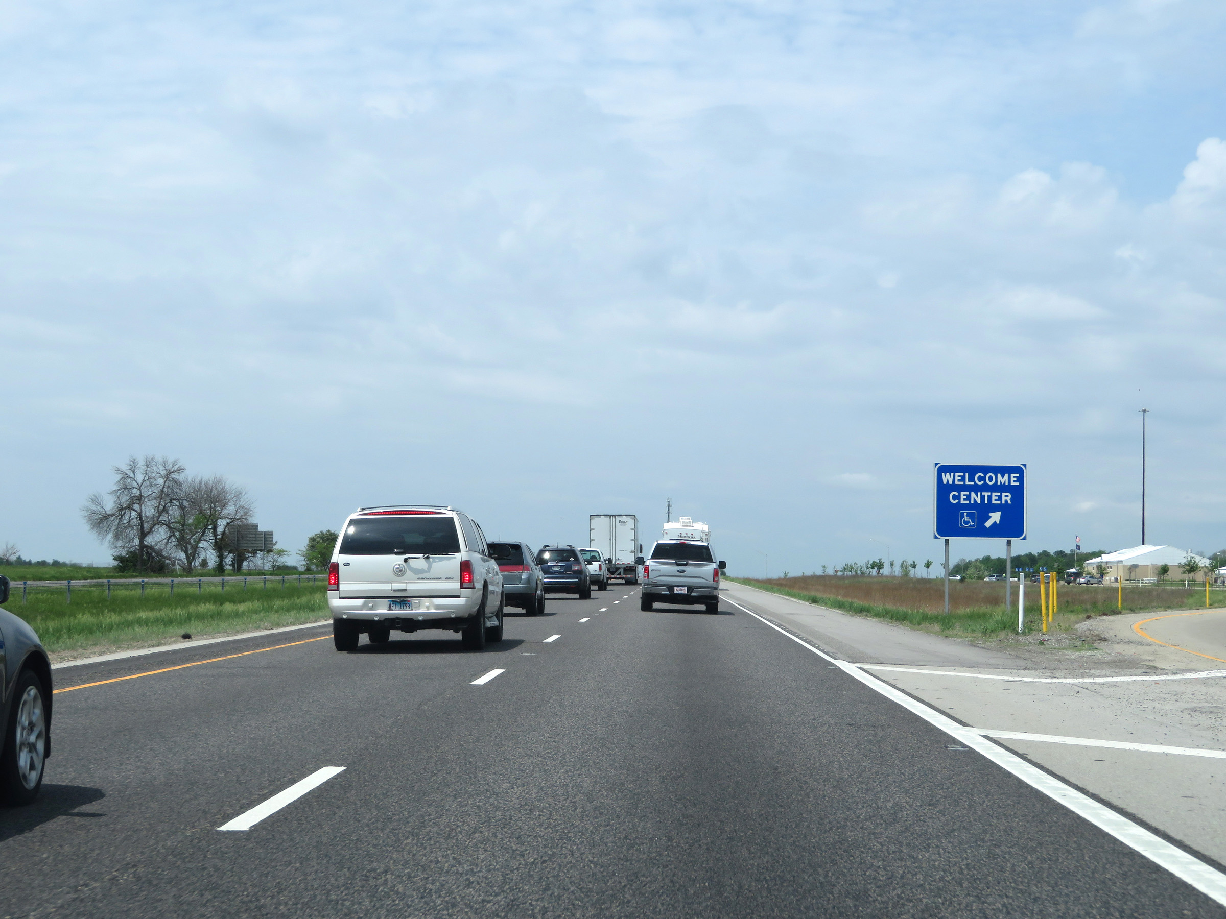 |
Welcome Center / Rest Area on Interstate 70 West in Wayne County. (Photo taken 5/15/18). |
 |
View on Interstate 70 West at mile marker 141. (Photo taken 5/15/18). |
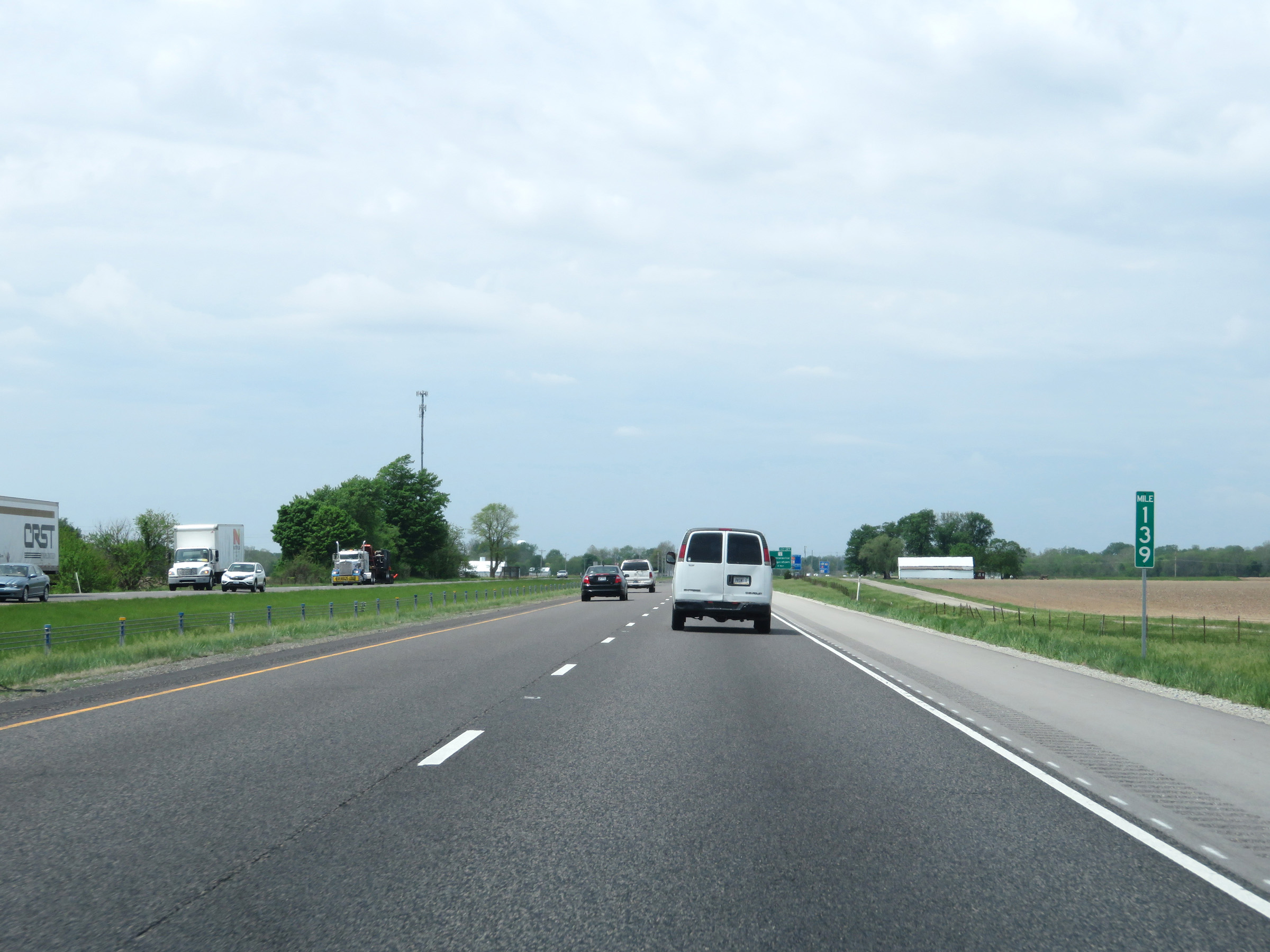 |
Mile marker 139 on Interstate 70 West in Wayne County. (Photo taken 5/15/18). |
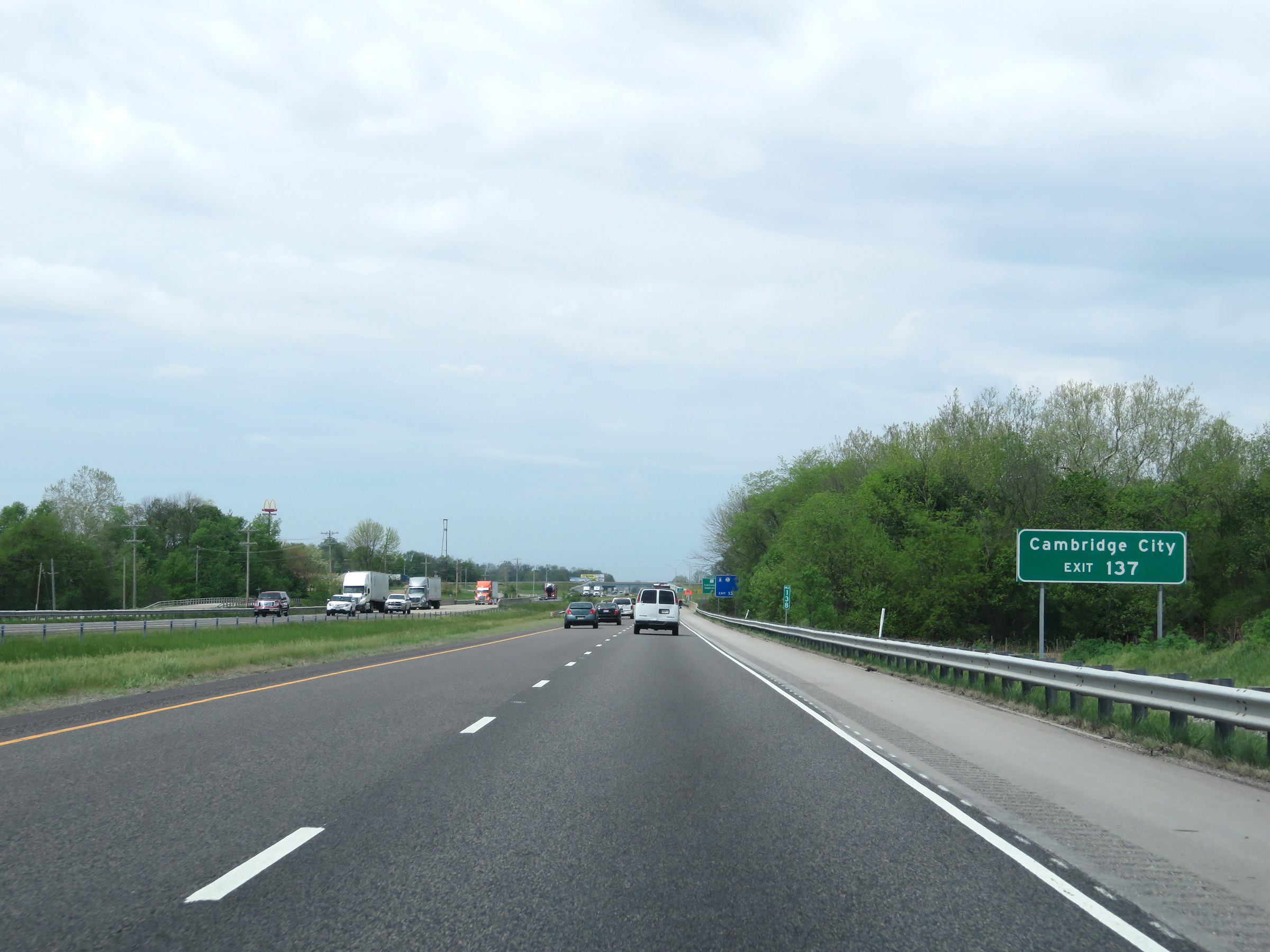 |
Take Exit 137 to Cambridge City. (Photo taken 5/15/18). |
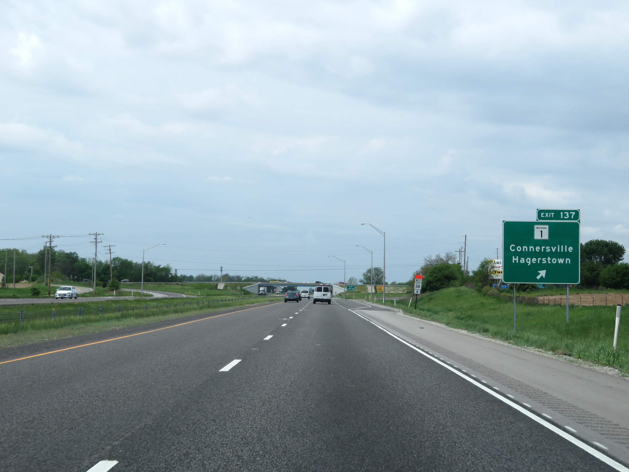 |
Interstate 70 West at Exit 137: IN 1 - Connersville / Hagerstown (Photo taken 5/15/18). |
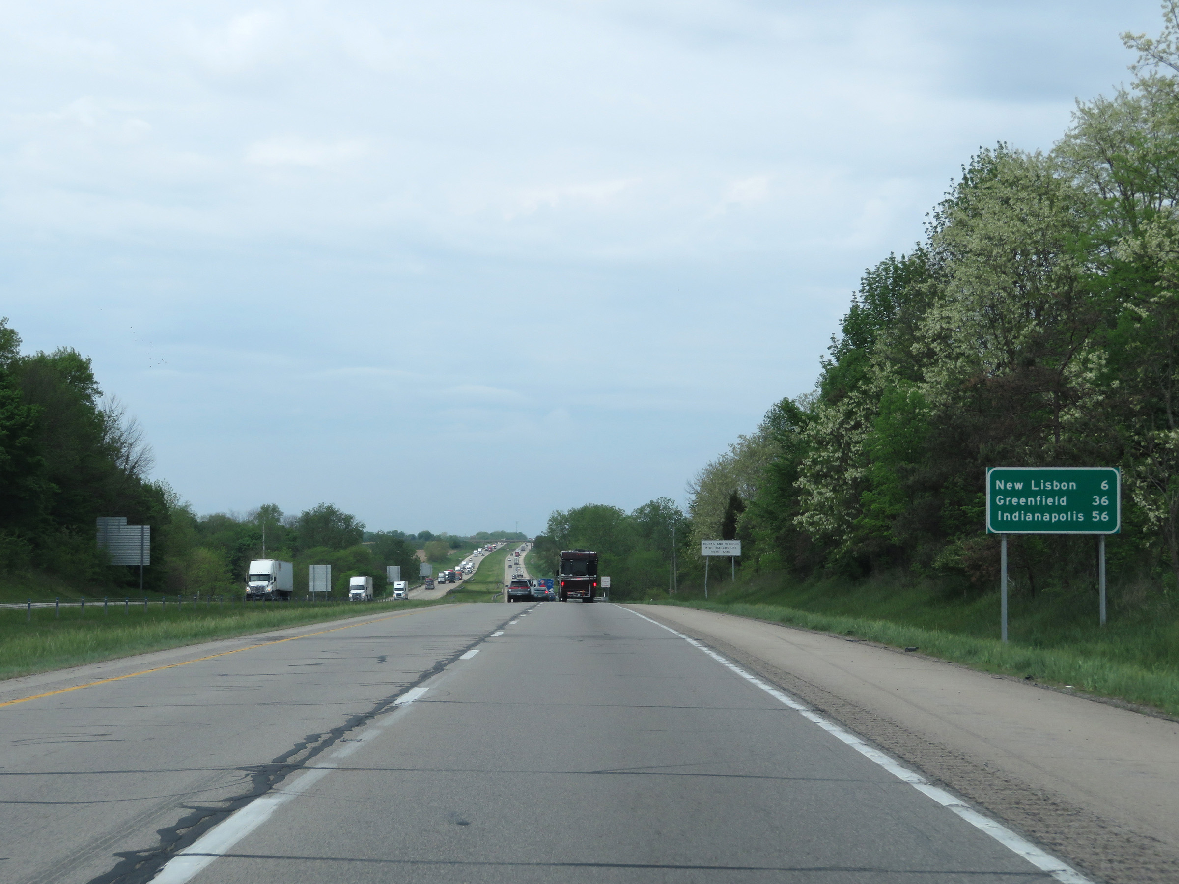 |
Mileage sign on Interstate 70 West. It's 6 miles to New Lisbon, 36 miles to Greenfield, and 56 miles to Indianapolis. (Photo taken 5/15/18). |
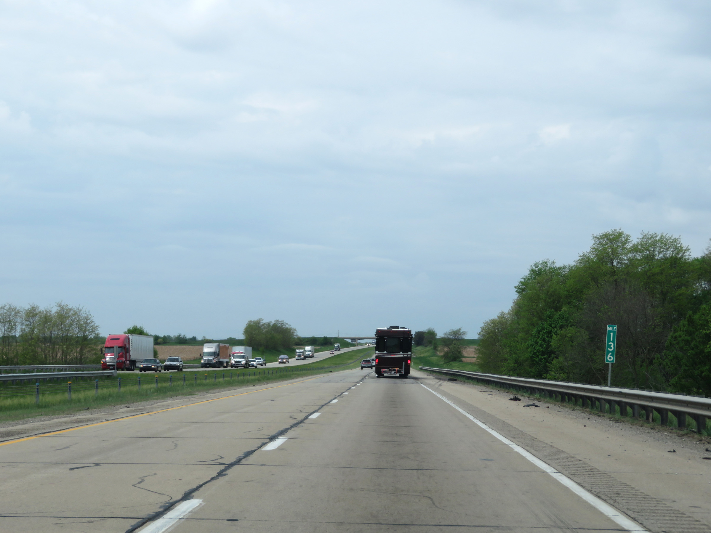 |
View on Interstate 70 West at mile marker 136. (Photo taken 5/15/18). |
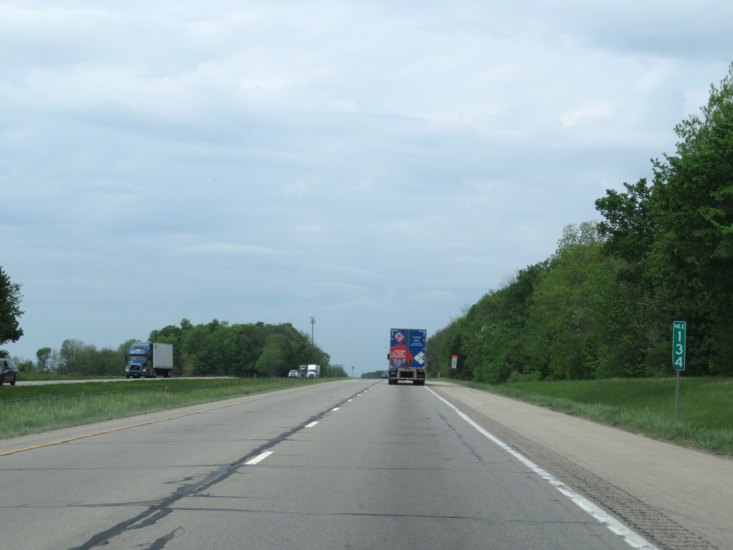 |
Interstate 70 West at mile marker 134. (Photo taken 5/15/18). |
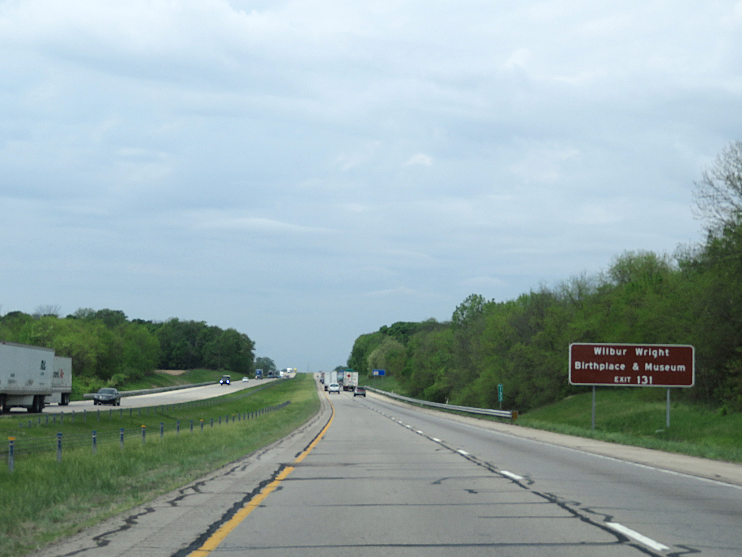 |
Take Exit 131 to the Wilbur Wright Birthplace & Museum. (Photo taken 5/15/18). |
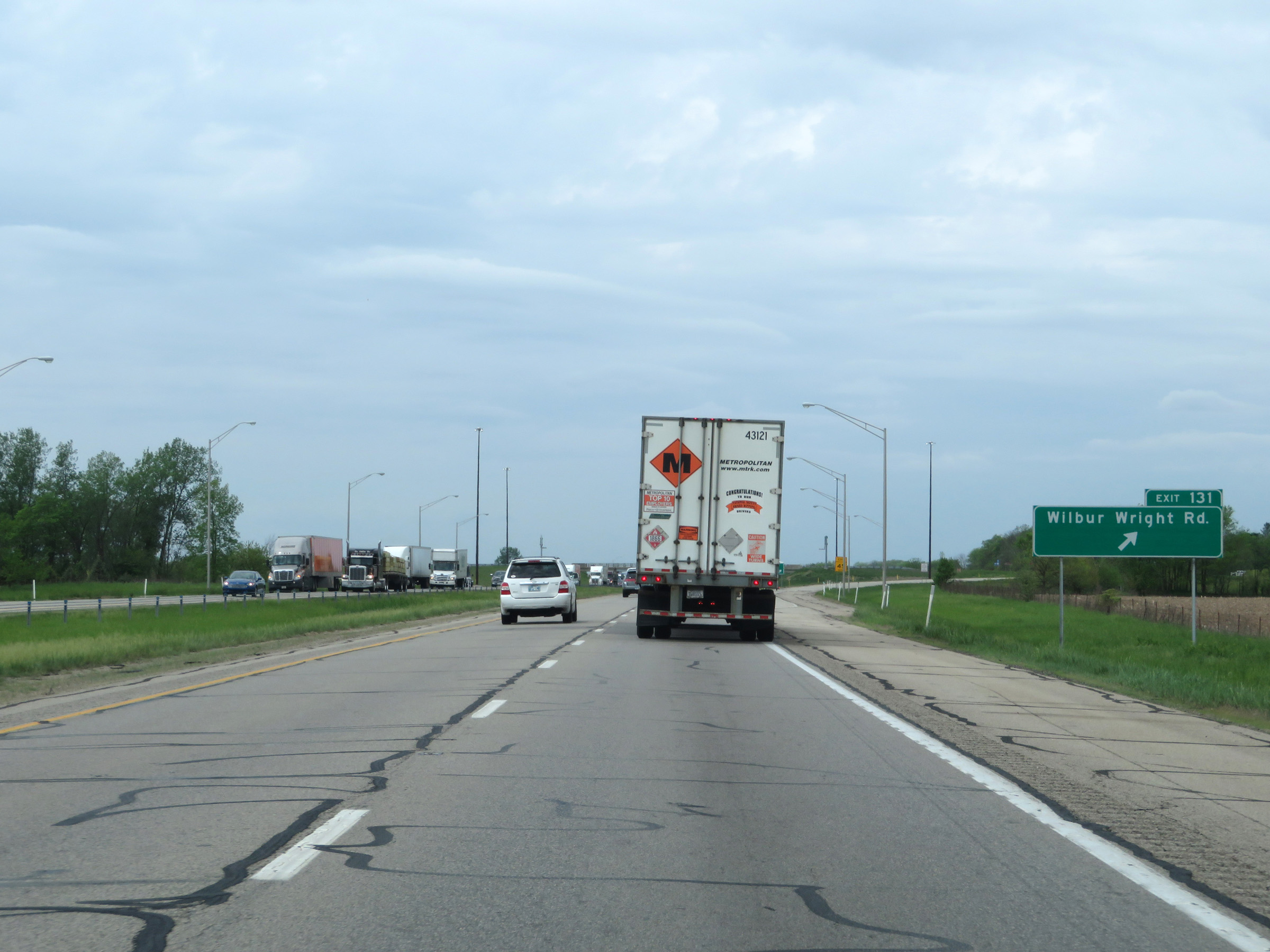 |
Interstate 70 West at Exit 131: Wilbur Wright Rd (Photo taken 5/15/18). |
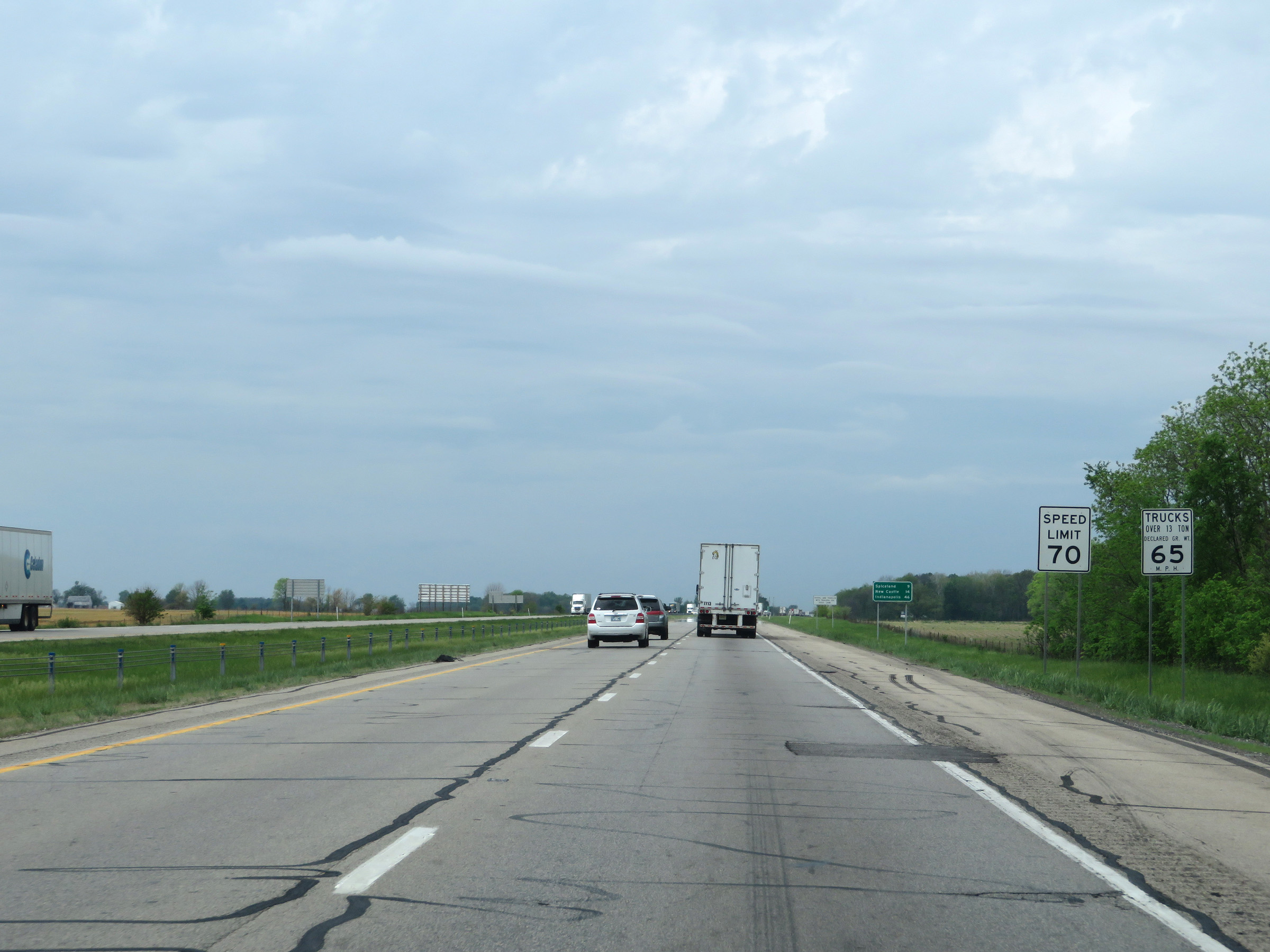 |
The speed limits remain 70 mph for automobiles and 65 mph for trucks. (Photo taken 5/15/18). |
 |
Another mileage sign on Interstate 70 West. It's 9 miles to Spiceland, 14 miles to New Castle, and 46 miles to Indianapolis. (Photo taken 5/15/18). |
 |
View on Interstate 70 West at mile marker 125. (Photo taken 5/15/18). |
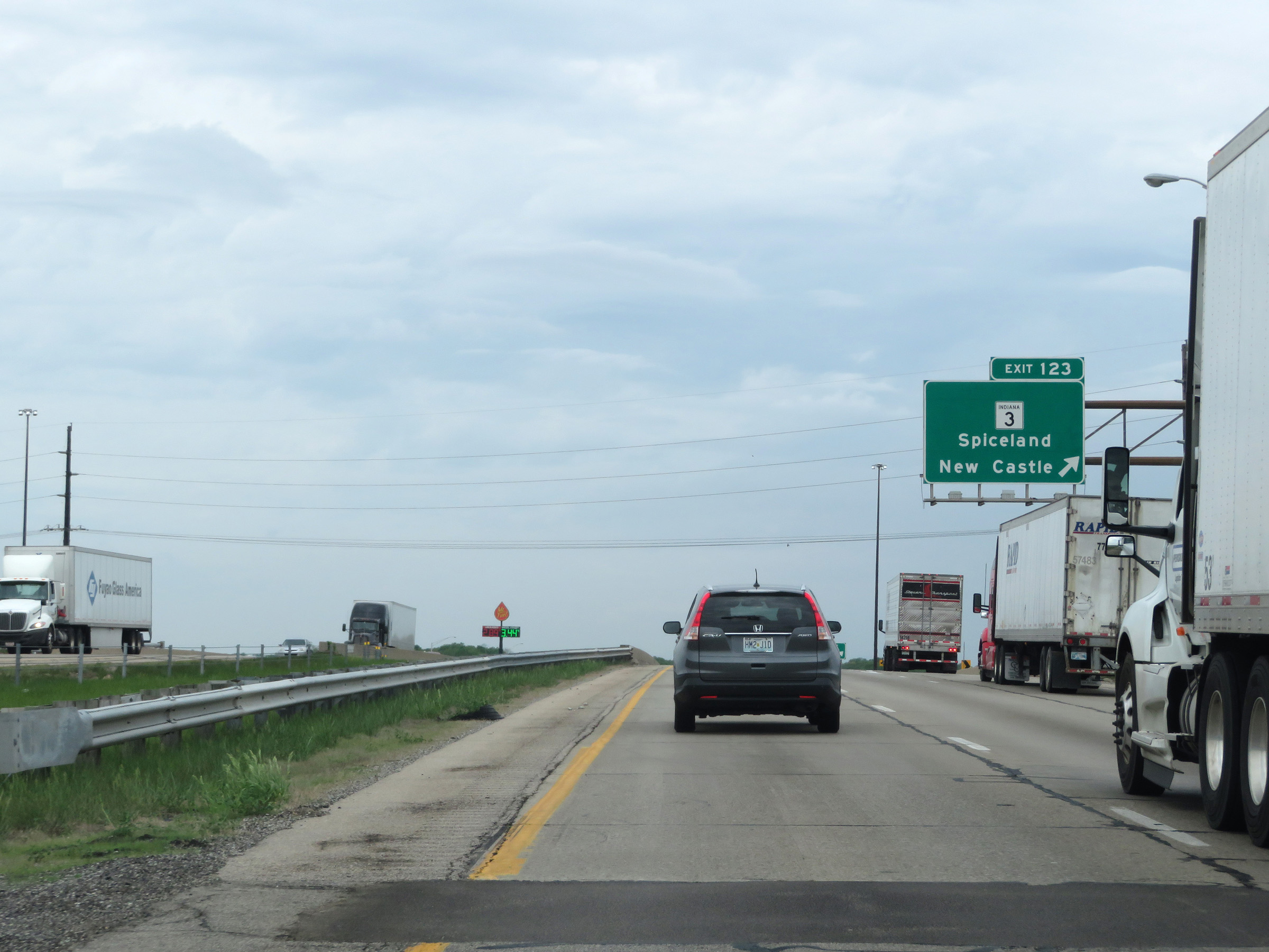 |
Interstate 70 West at Exit 123: IN 3 - Spiceland / New Castle (Photo taken 5/15/18). |
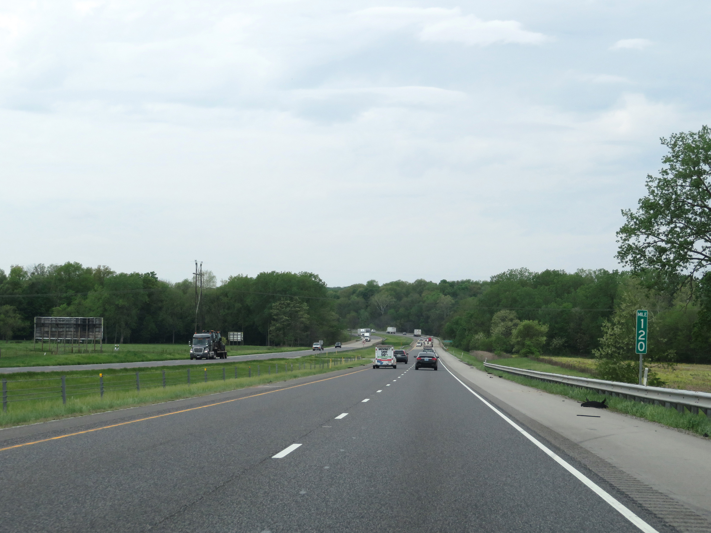 |
Mile marker 120 on Interstate 70 West in Henry County. (Photo taken 5/15/18). |
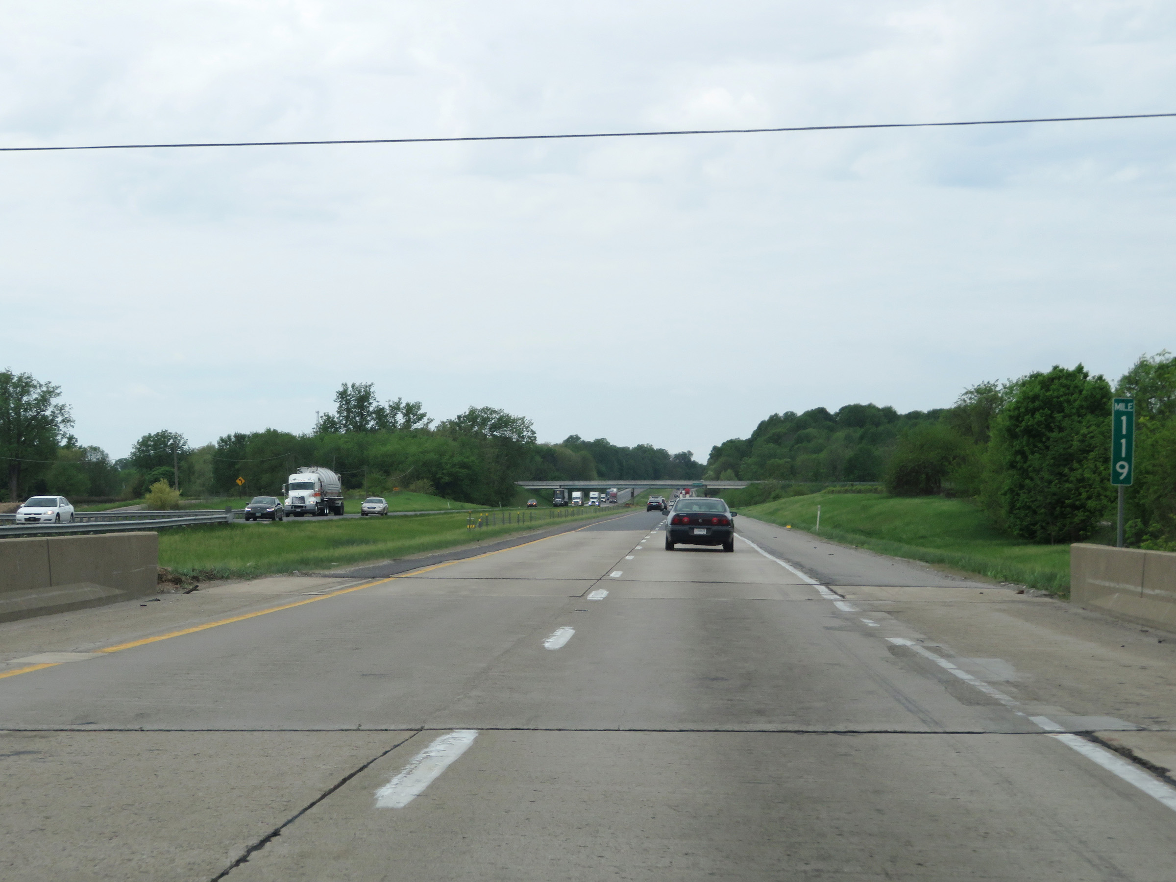 |
Interstate 70 West at mile marker 119. (Photo taken 5/15/18). |
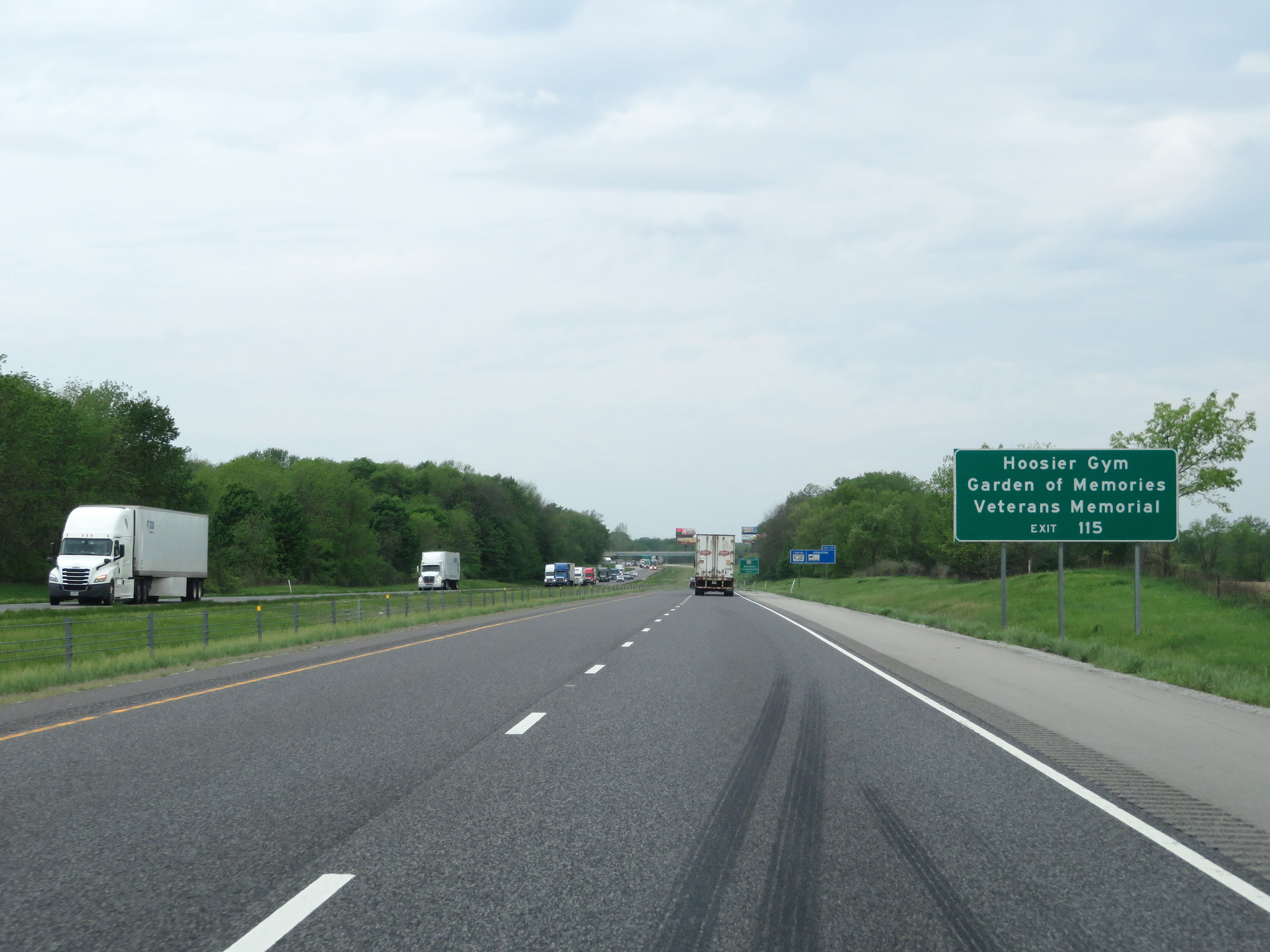 |
Take Exit 115 to Hoosier Gym and Garden of Memories Veterans Memorial. (Photo taken 5/15/18). |
 |
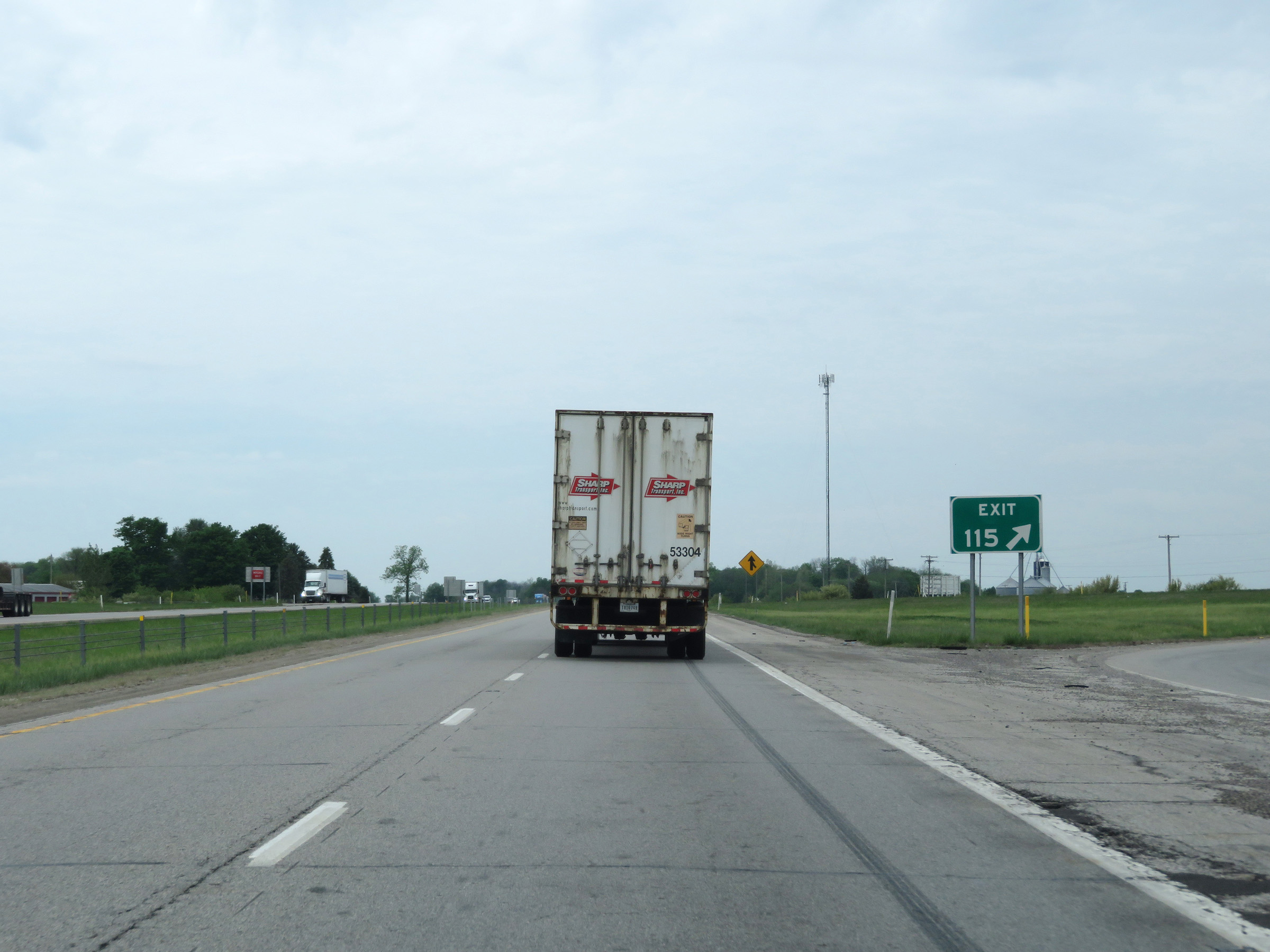
Interstate 70 West approaching Exit 115 - 1 mile. (Photo taken 5/15/18). |
 |
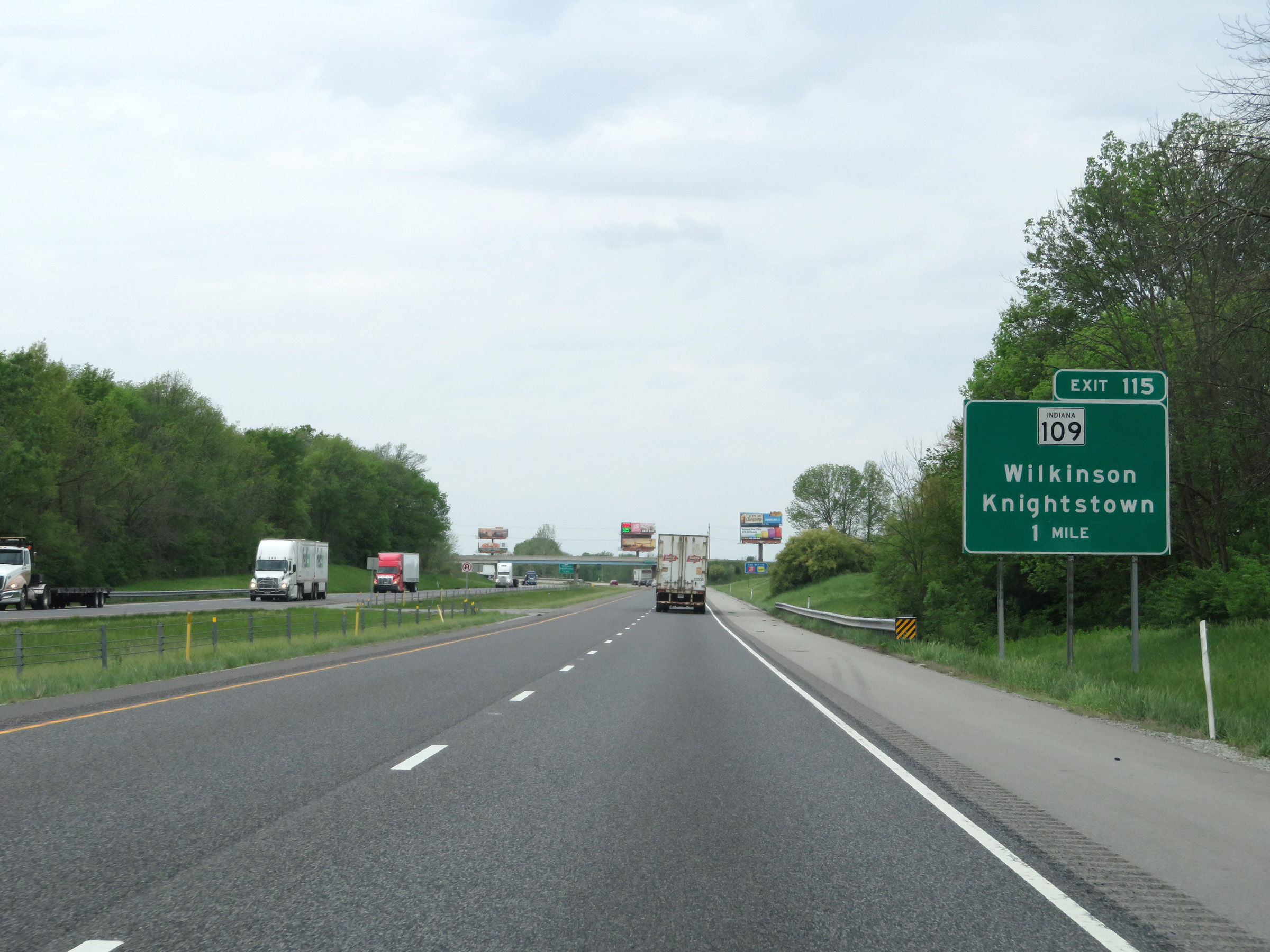
Interstate 70 West at Exit 115: IN 109 - Wilkinson / Knightstown (Photo taken 5/15/18). |
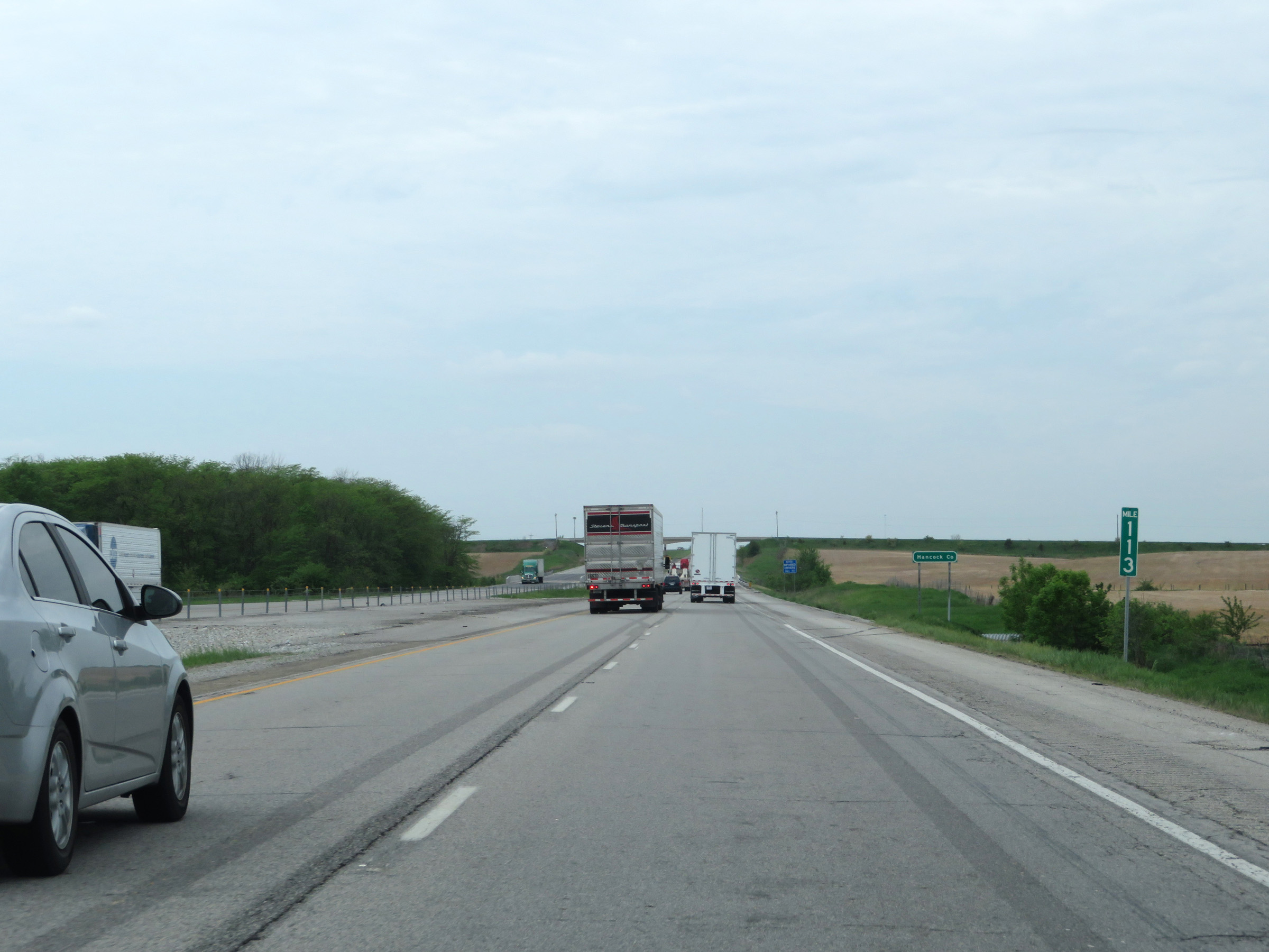 |
View on Interstate 70 West at mile marker 113, as it prepares to enter Hancock County. (Photo taken 5/15/18). |
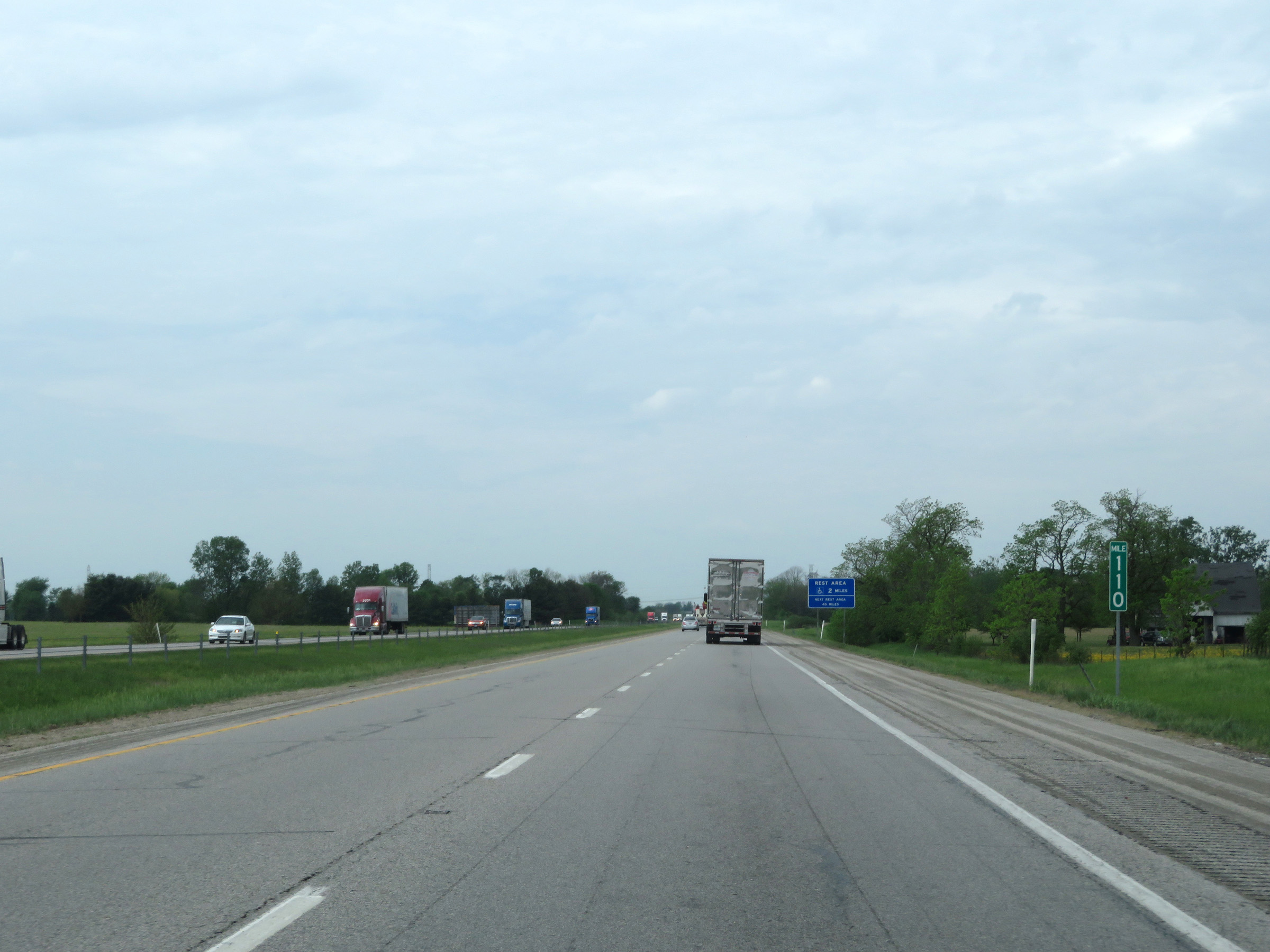 |
Interstate 70 West at mile marker 110. (Photo taken 5/15/18). |
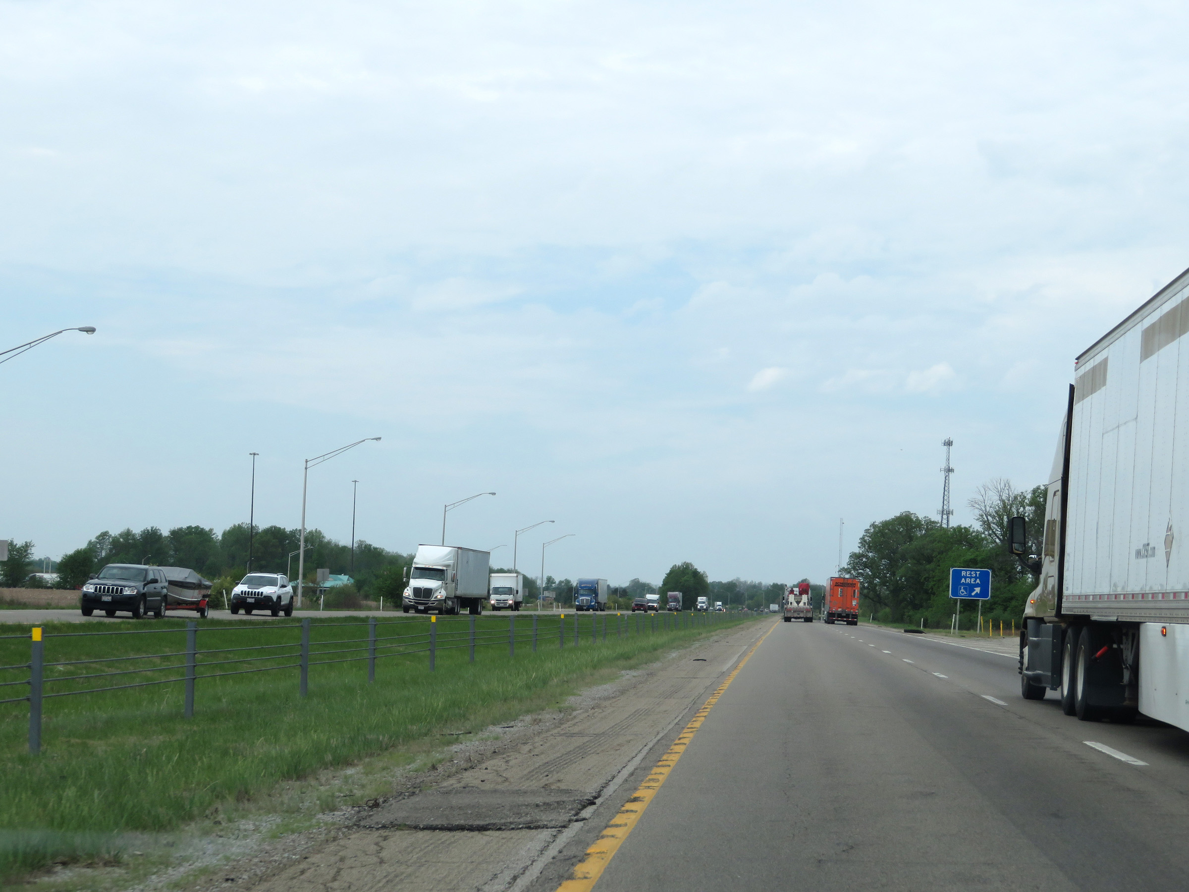 |
Rest Area on Interstate 70 West in Hancock County. (Photo taken 5/15/18). |
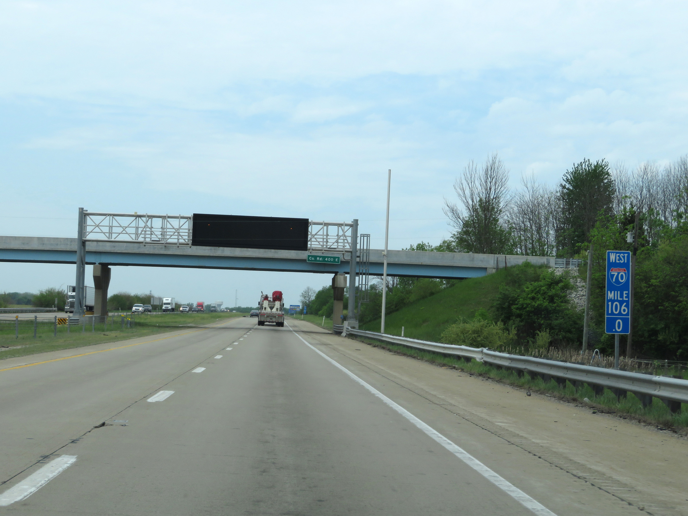 |
View on Interstate 70 West at mile marker 106. (Photo taken 5/15/18). |
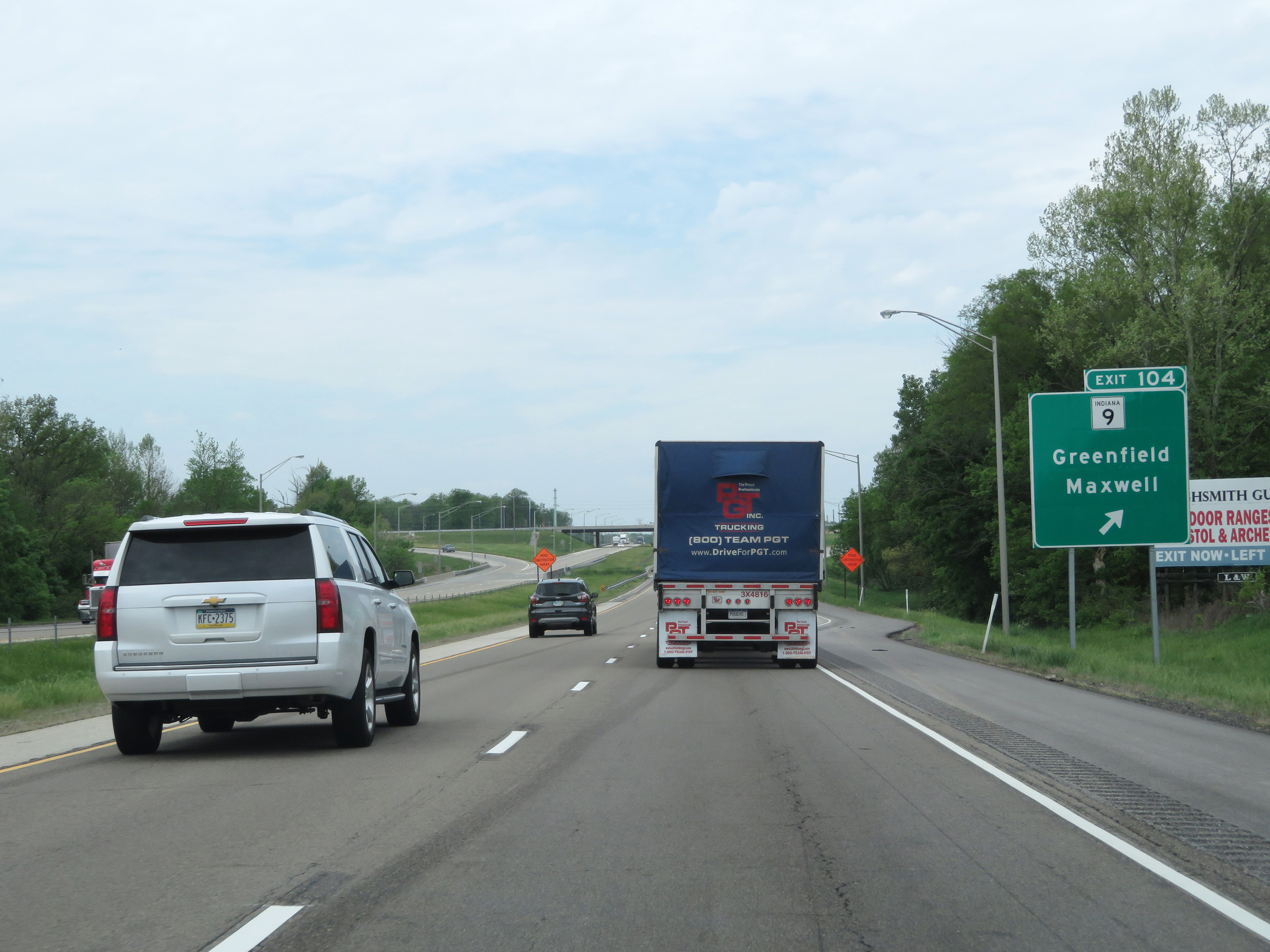 |
Interstate 70 West at Exit 104: IN 9 - Greenfield / Maxwell (Photo taken 5/15/18). |
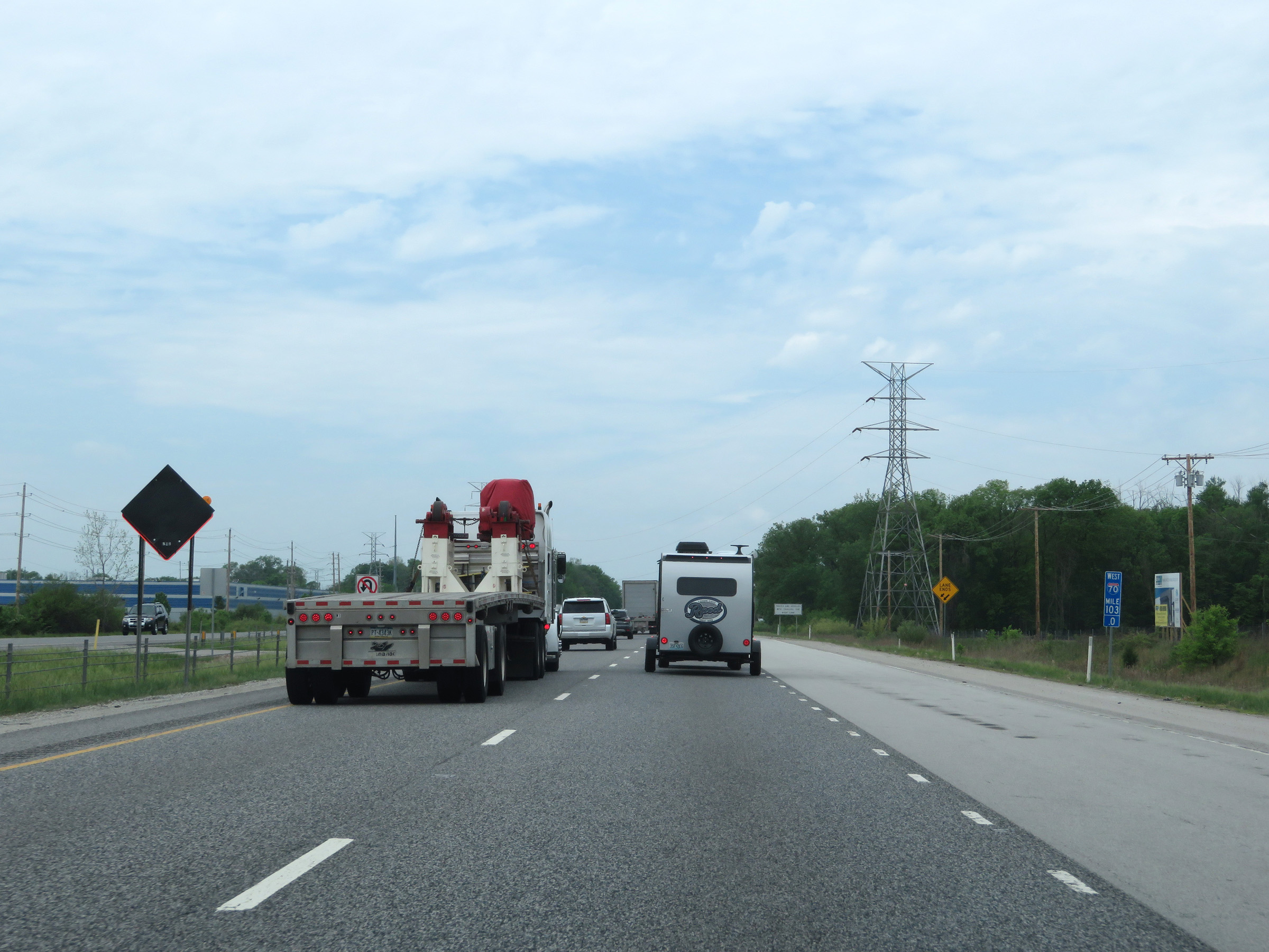 |
Interstate 70 West at mile marker 103. (Photo taken 5/15/18). |
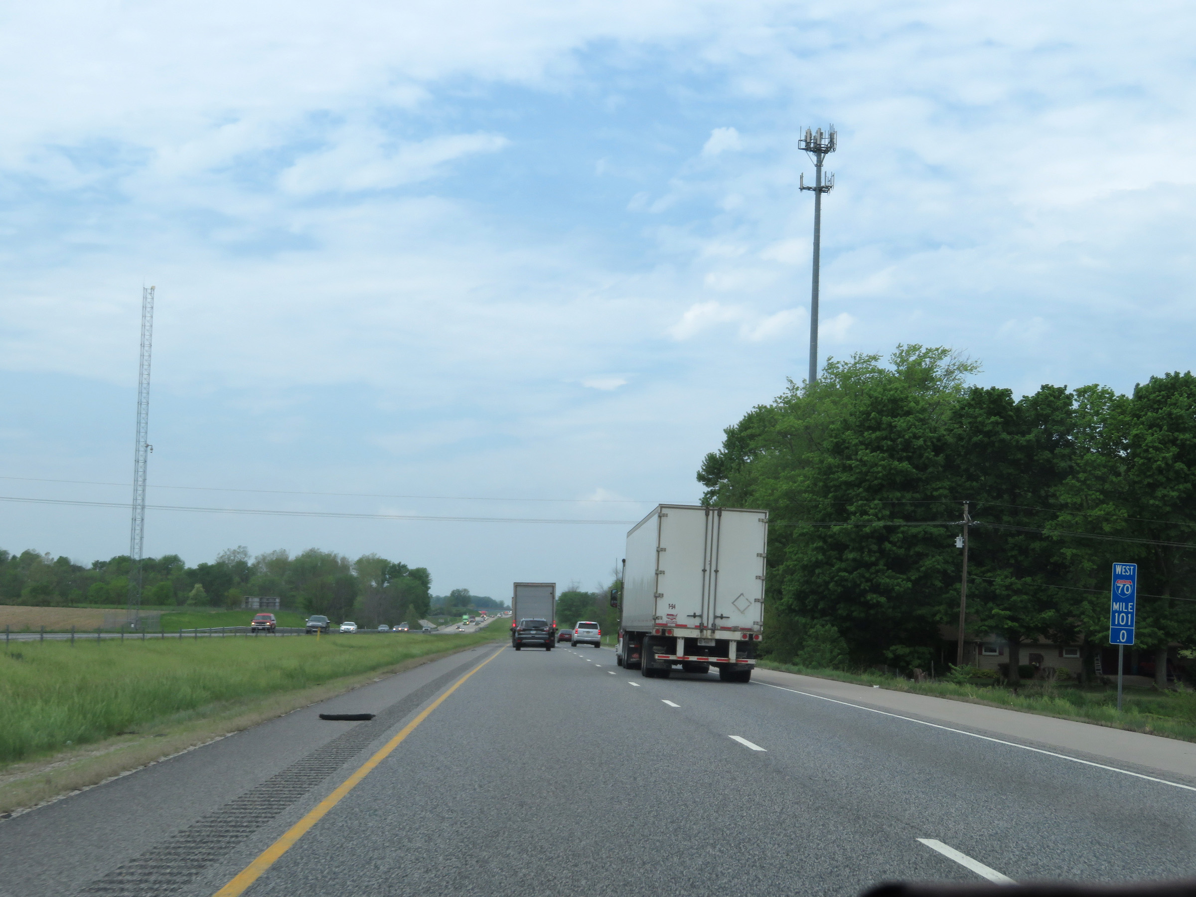 |
View on Interstate 70 West at mile marker 101. (Photo taken 5/15/18). |
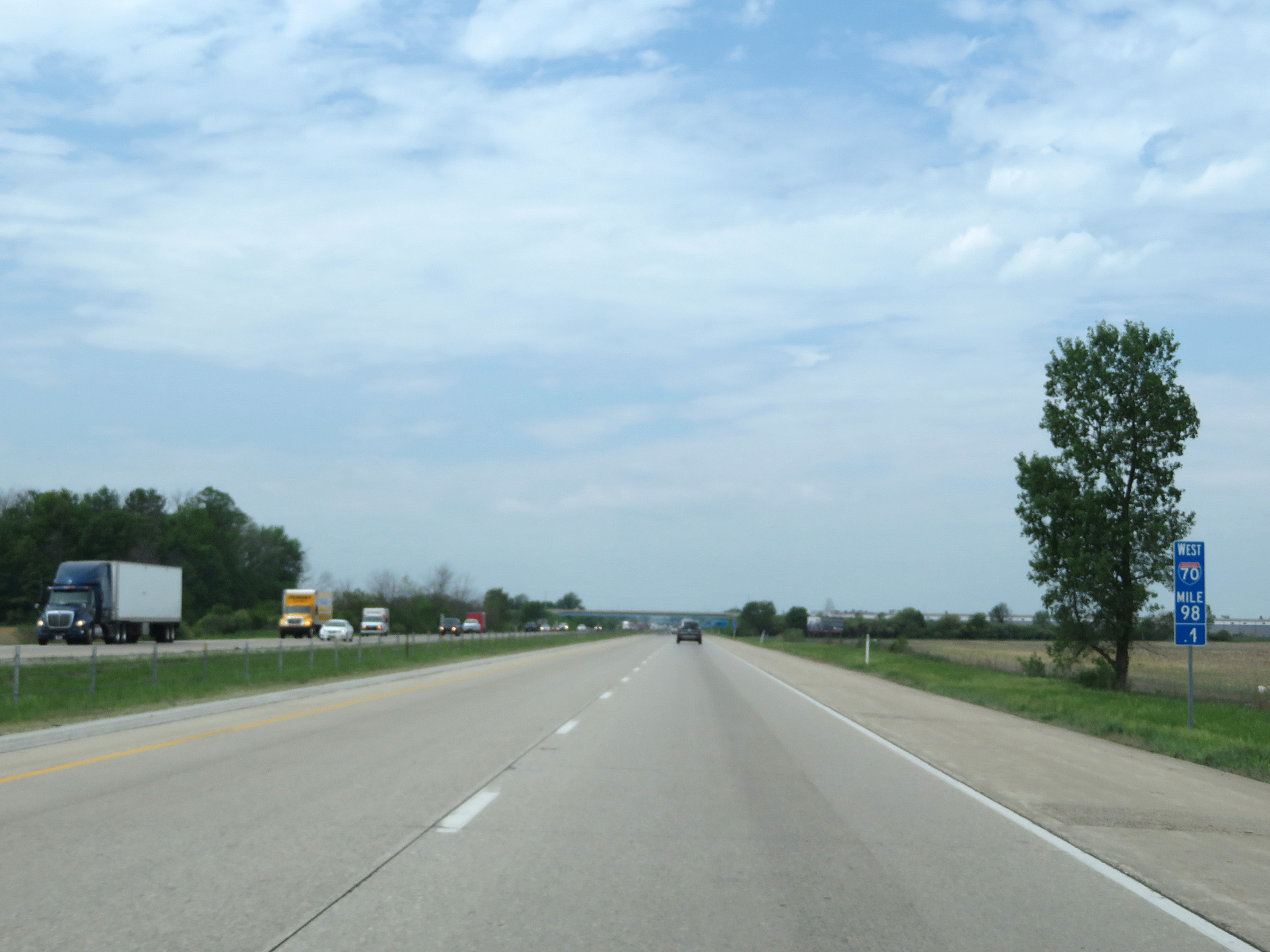 |
Interstate 70 West at mile marker 98.1. (Photo taken 5/15/18). |
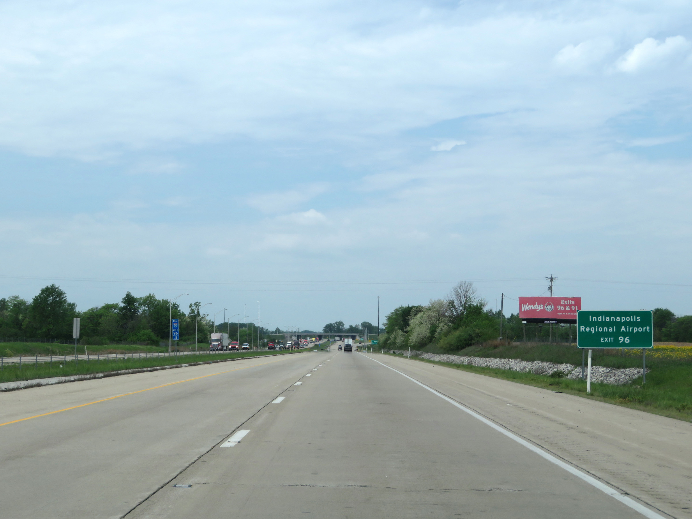 |
Take Exit 96 to Indianapolis Regional Airport. (Photo taken 5/15/18). |
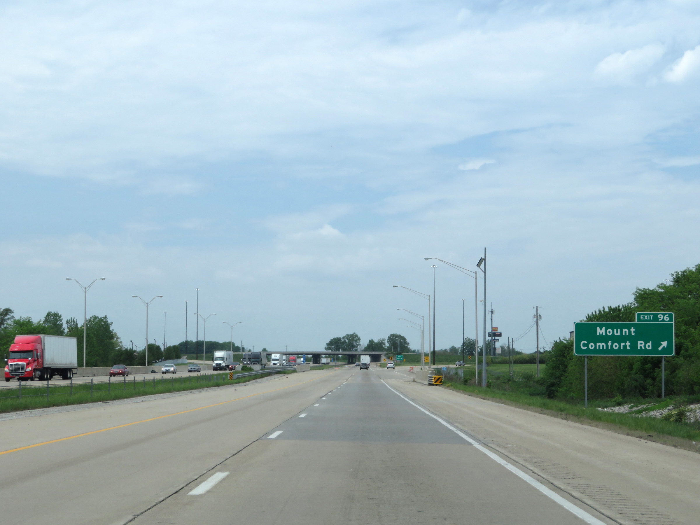 |
Interstate 70 West at Exit 96: Mount Comfort Rd (Photo taken 5/15/18). |
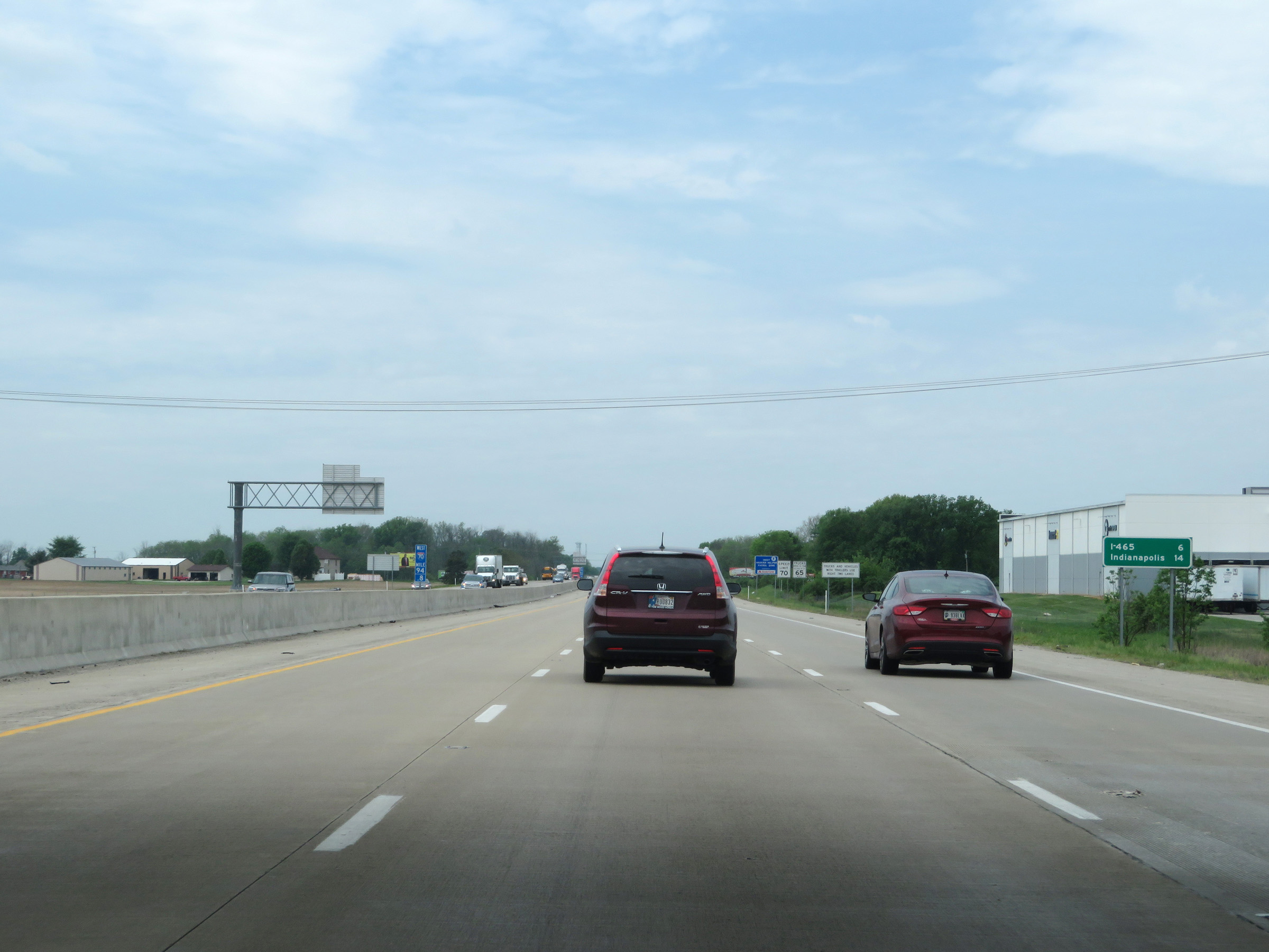 |
The junction of Interstate 465 is now 6 miles ahead, while it's 14 miles to downtown Indianapolis. (Photo taken 5/15/18). |
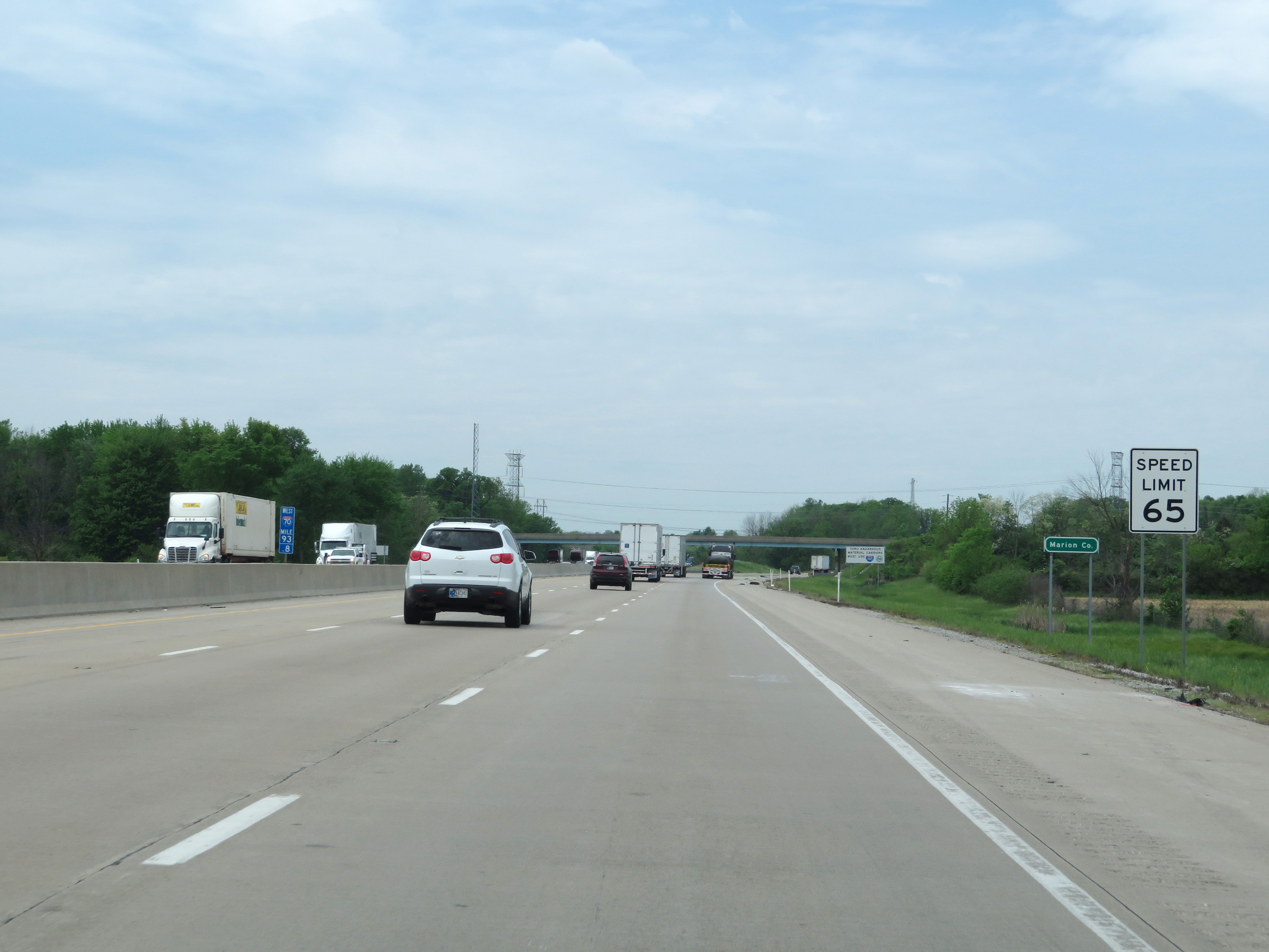 |
As Interstate 70 West enters Marion County, the speed limit decreases to 65 mph for all traffic. (Photo taken 5/15/18). |
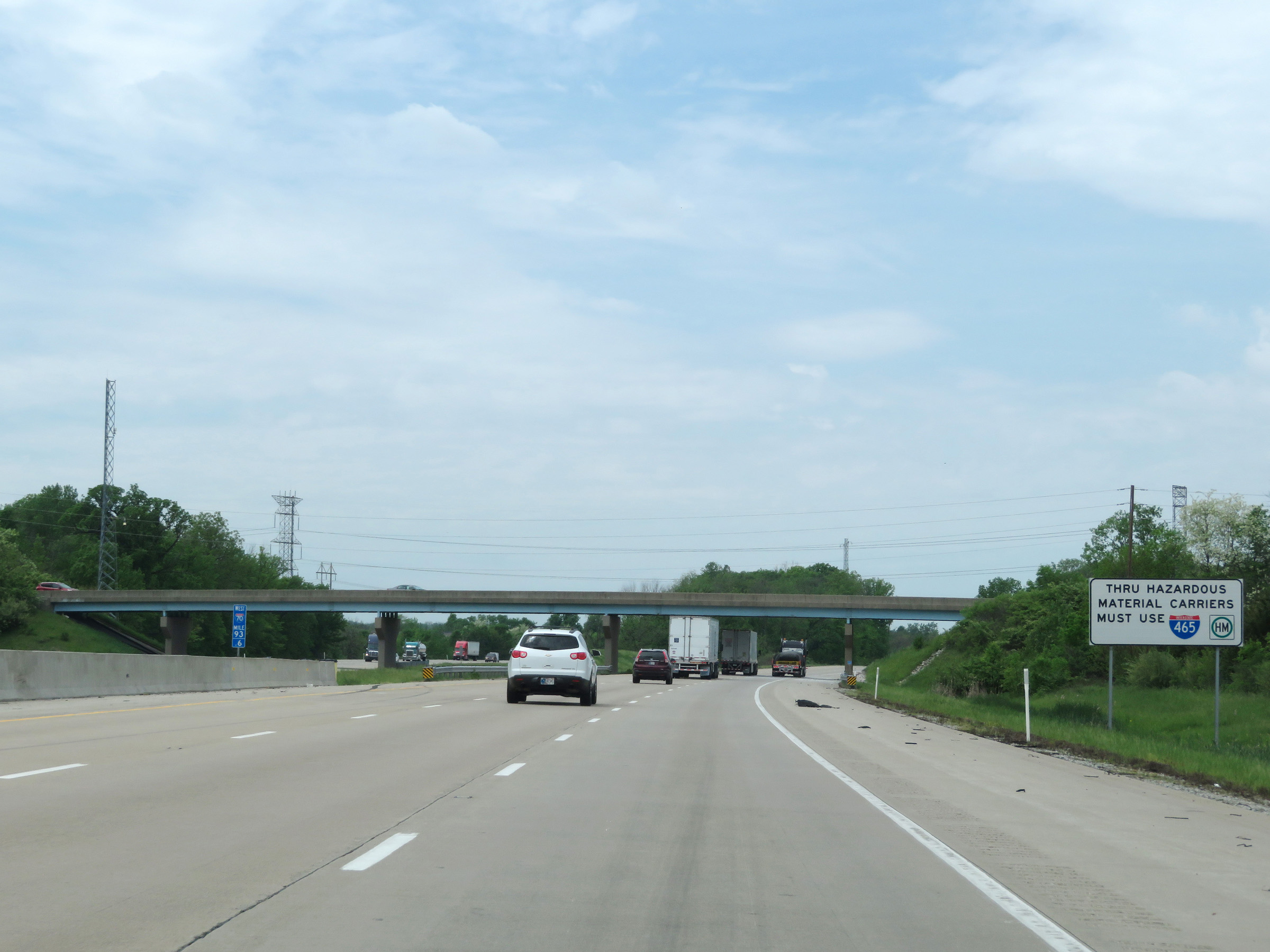 |
All thru trucks hauling hazardous materials in a class and/or weight requiring placards must use Interstate 465 to bypass downtown Indianapolis. (Photo taken 5/15/18). |
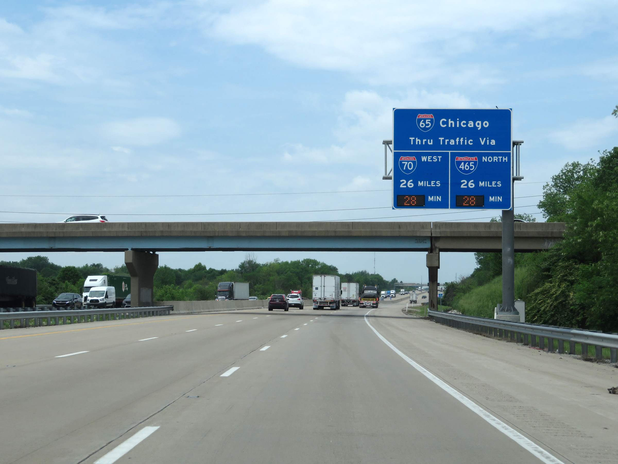 |
This overhead sign dynamically displays the current travel time to Interstate 65 via Interstate 70 West and Interstate 465 North. (Photo taken 5/15/18). |
 |
The junction of Interstate 465 via Exit 90 is now just 2 miles ahead. (Photo taken 5/15/18). |
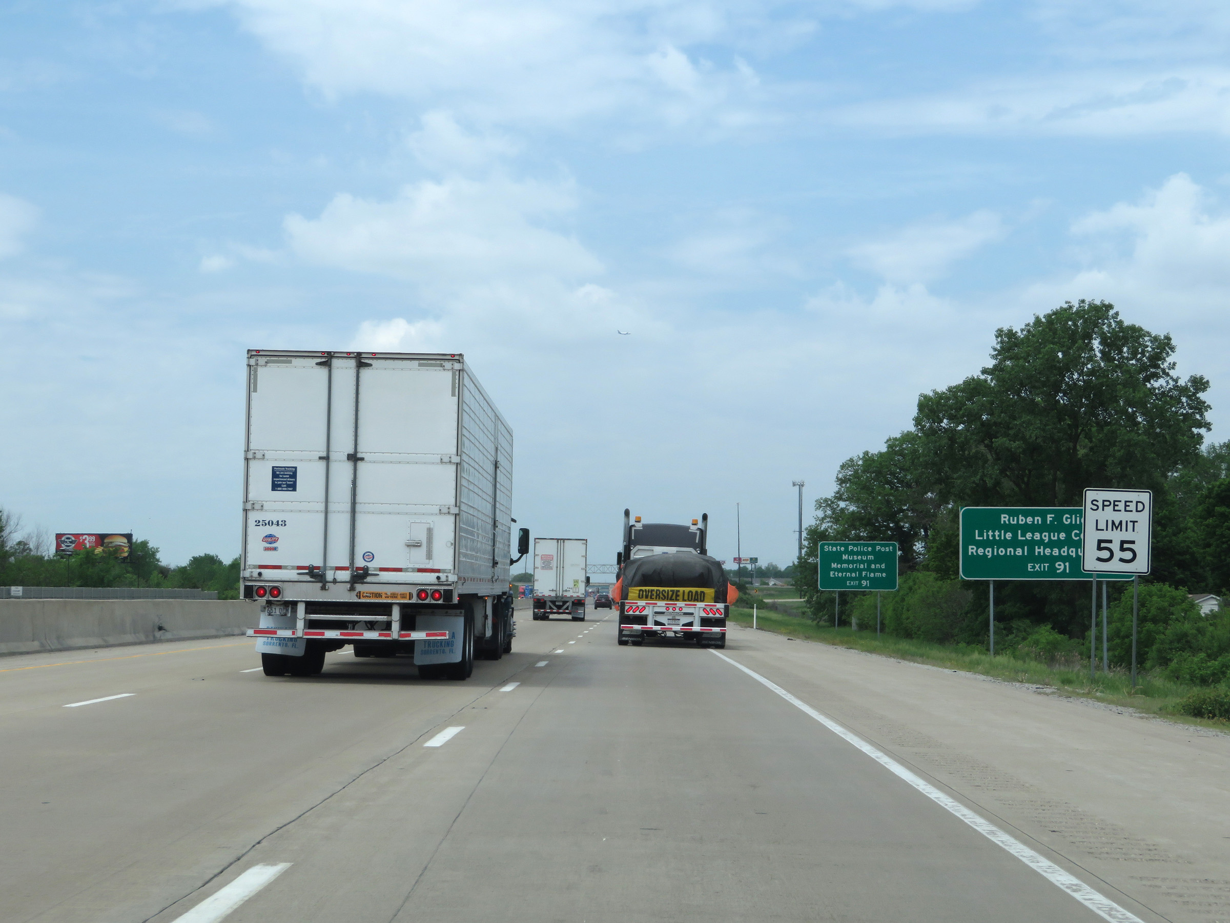 |
Approaching Exit 91, the speed limit decreases to 55 mph on Interstate 70 West. (Photo taken 5/15/18). |
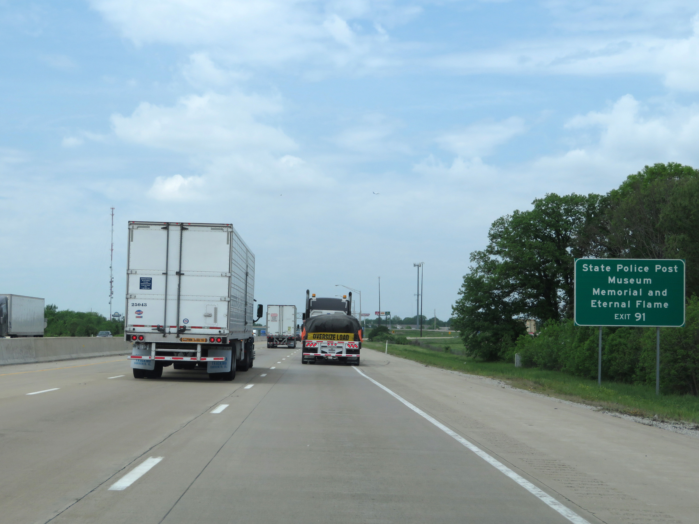 |
Take Exit 91 to the State Police Post Museum, Memorial, and Eternal Flame. (Photo taken 5/15/18). |
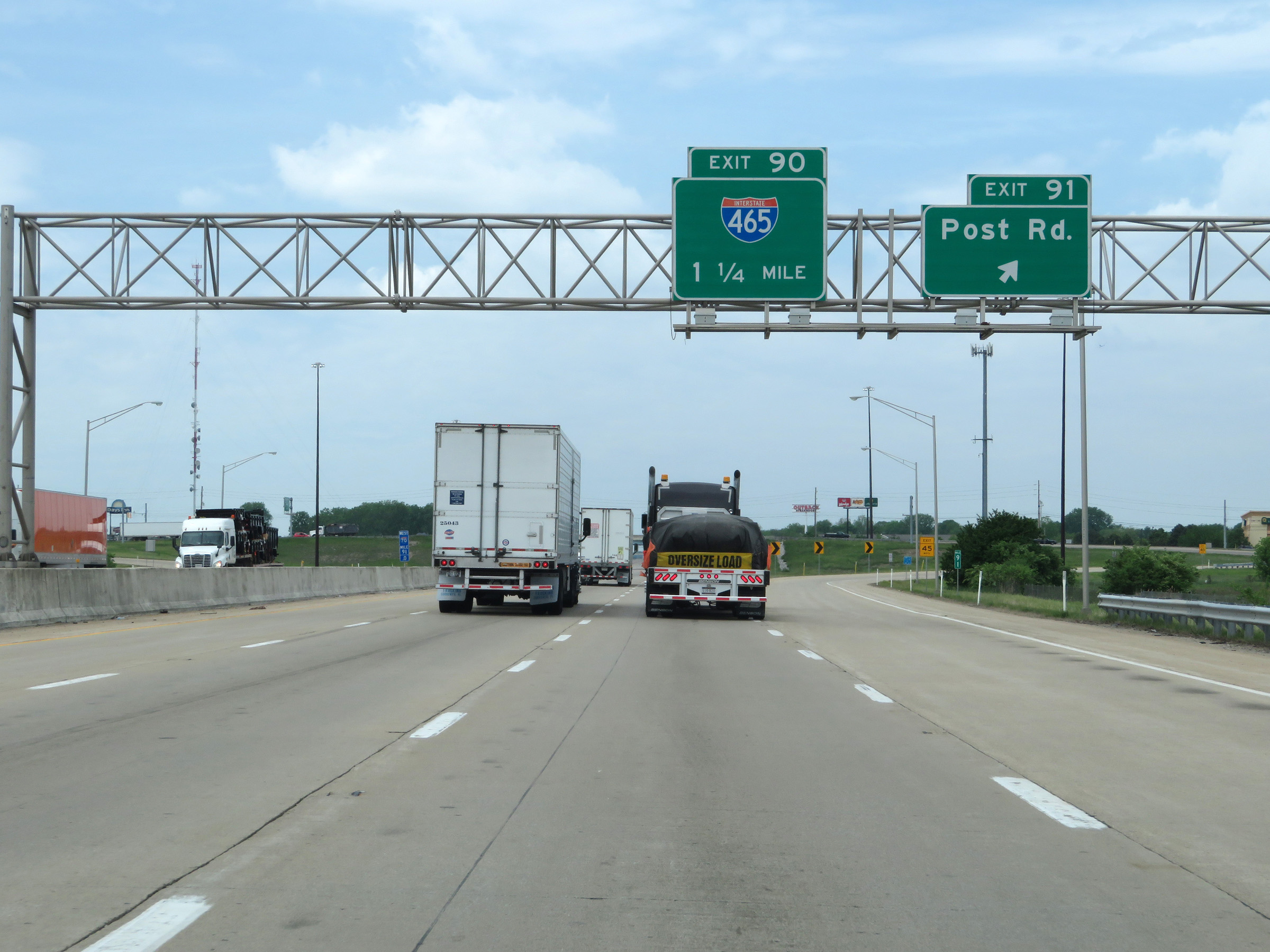 |
Interstate 70 West at Exit 91: Post Rd (Photo taken 5/15/18). |
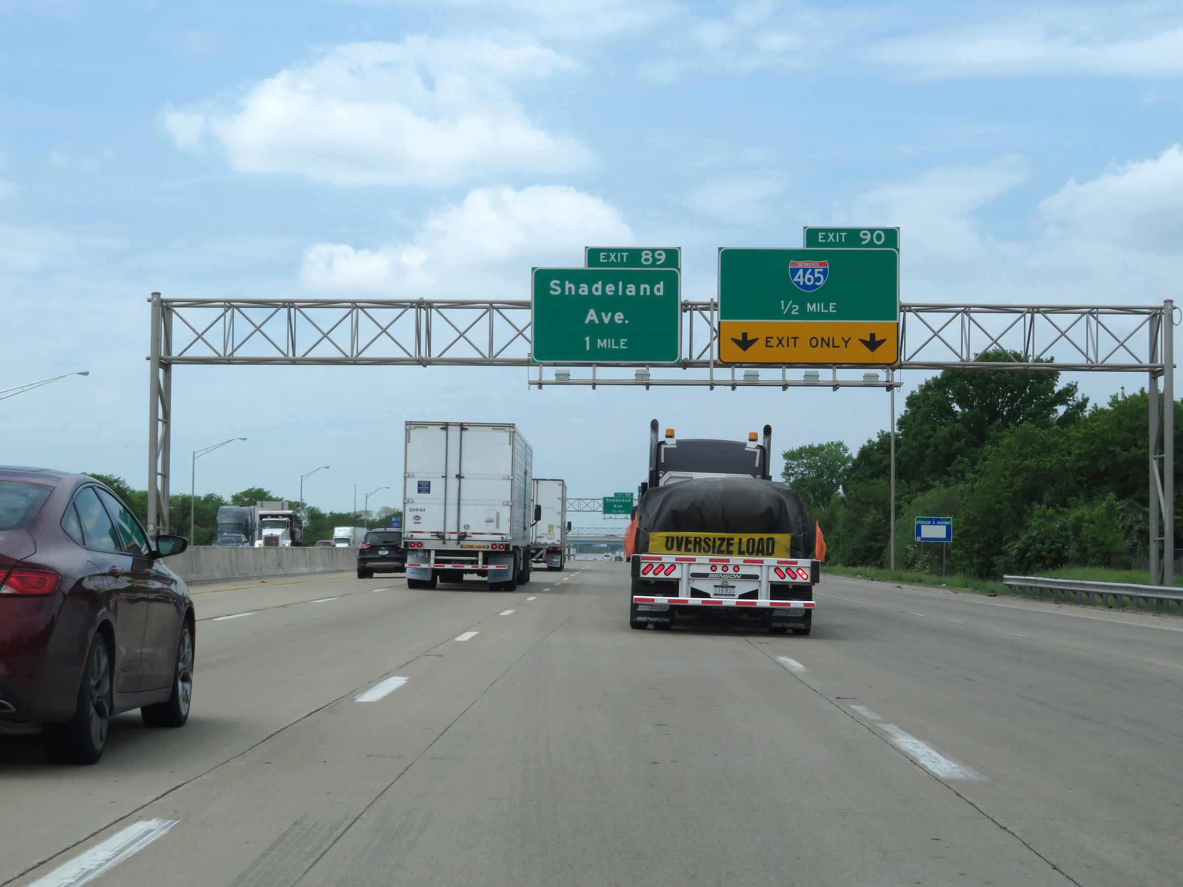 |
Interstate 70 West approaching Exit 90 - 1/2 mile. The two rightmost lanes will become Exit Only lanes for Exit 90. (Photo taken 5/15/18). |
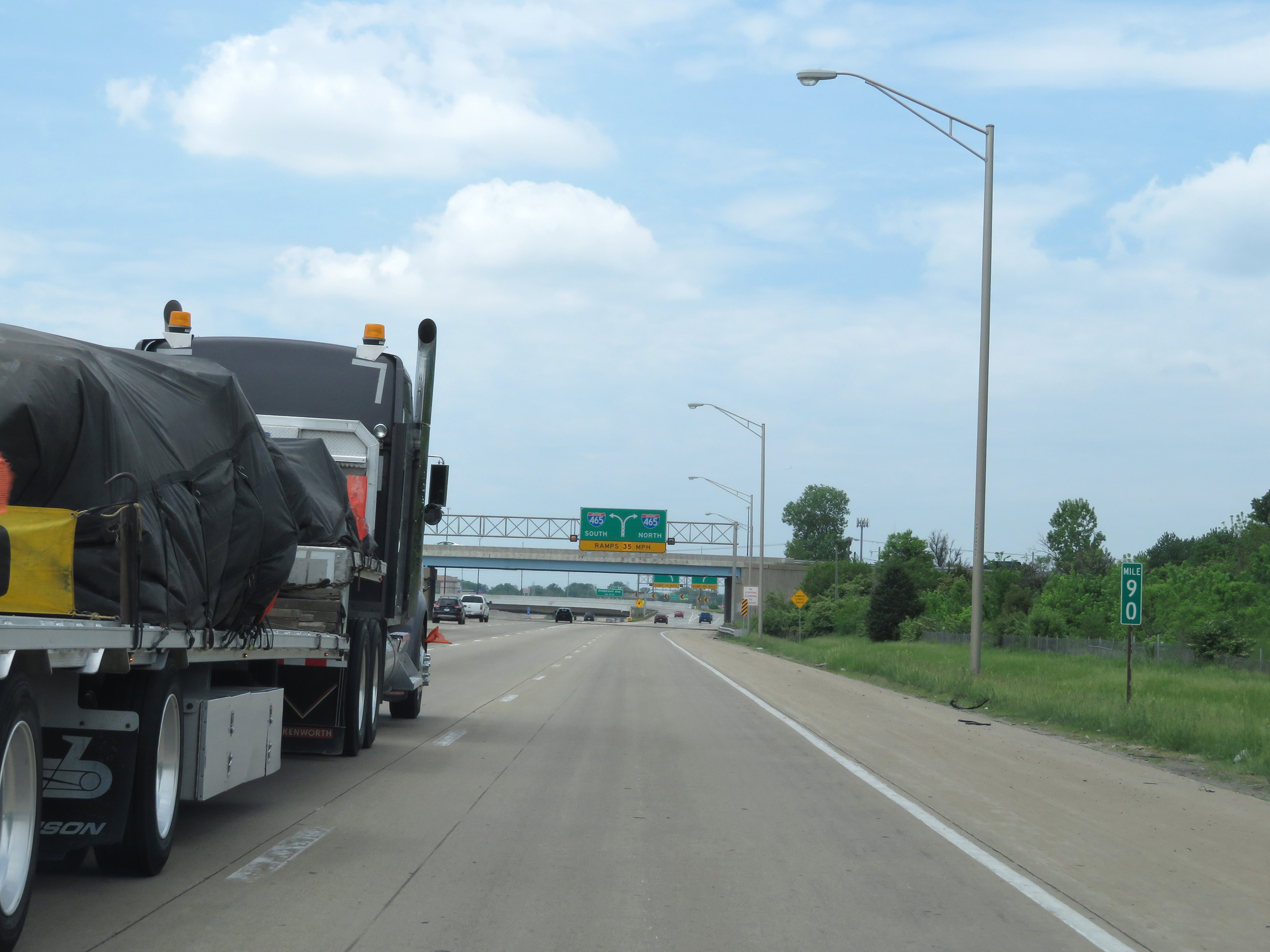 |
View on Interstate 70 West at mile marker 90. (Photo taken 5/15/18). |
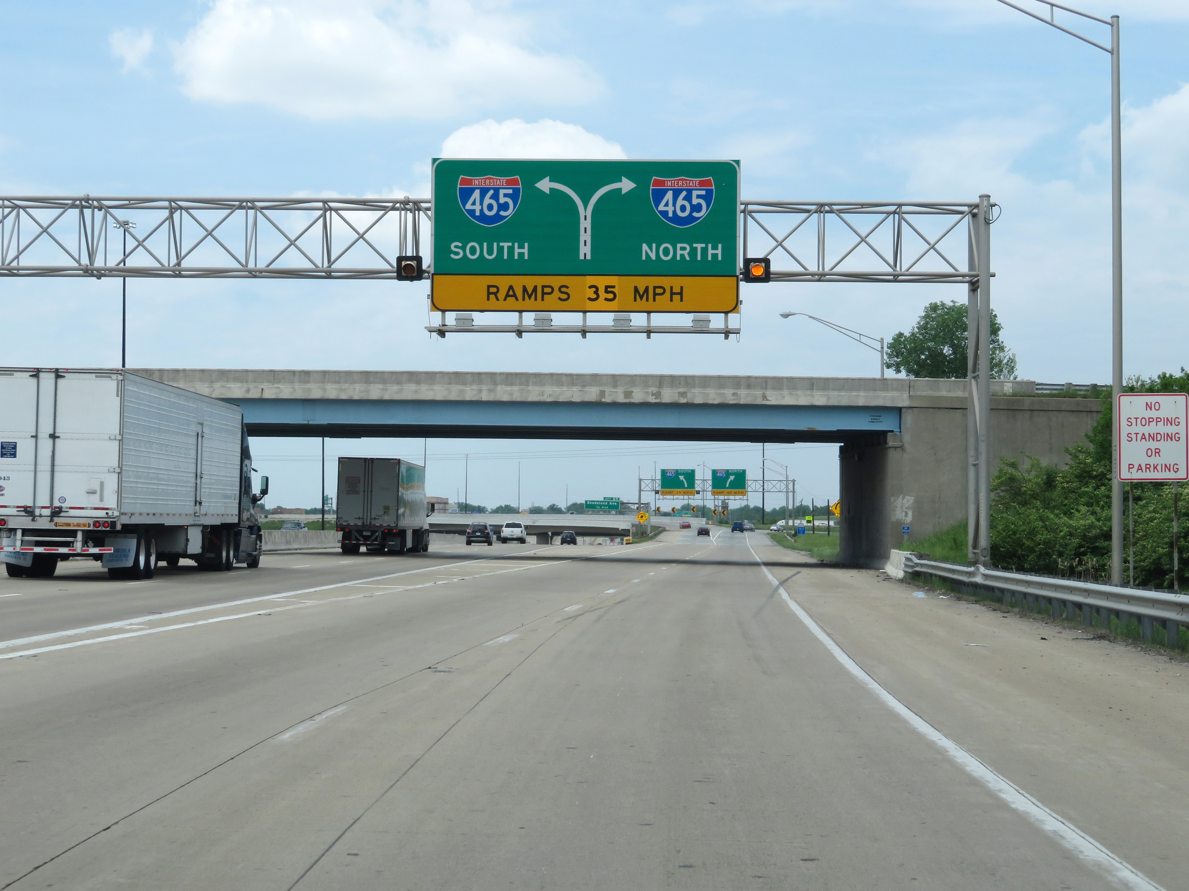 |
Interstate 70 West at Exit 90: Interstate 465 (Photo taken 5/15/18). |
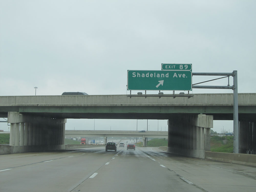 |
Interstate 70 West at Exit 89: Shadeland Ave (Photo taken 5/16/15). |
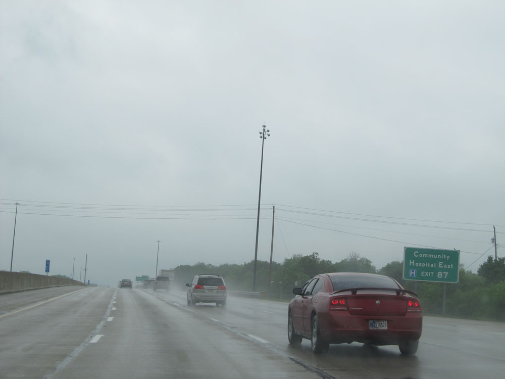 |
Take Exit 87 to Community Hospital East. (Photo taken 5/16/15). |
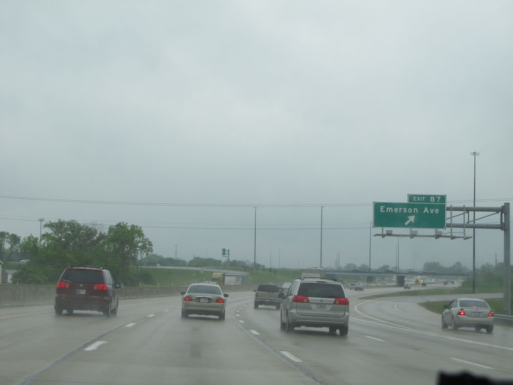 |
Interstate 70 West at Exit 87: Emerson Ave (Photo taken 5/16/15). |
 |
One mile from Exit 85, the speed limit decreases to 50 mph for all traffic. It remains that way until we're west of downtown. (Photo taken 5/16/15). |
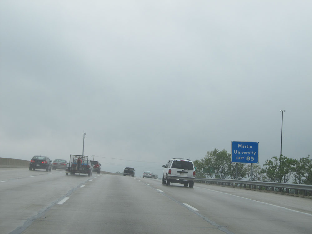 |
Take Exit 85 to Martin University. (Photo taken 5/16/15). |
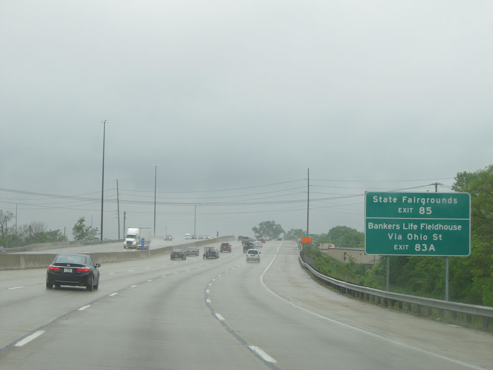 |
Take Exit 85 to the State Fairgrounds. Take Exit 83A to Bankers Life Fieldhouse via Ohio St. (Photo taken 5/16/15). |
 |
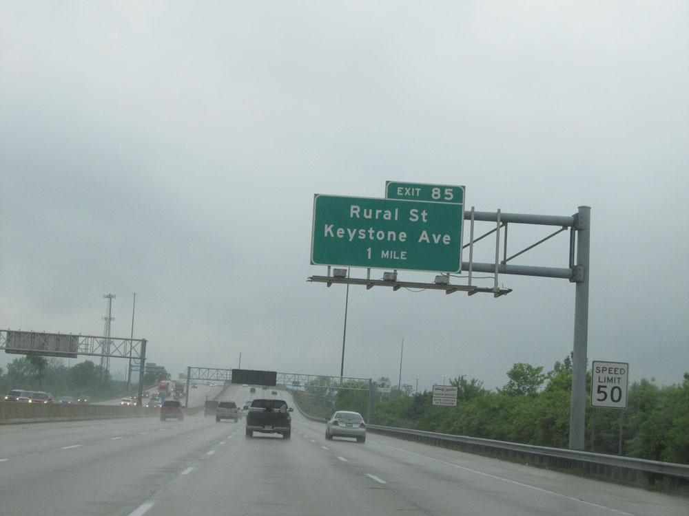
Interstate 70 West at Exit 85: Rural St / Keystone Ave (Photo taken 5/16/15). |
 |
Interstate 70 West approaching Exit 83B - 1/2 mile. (Photo taken 5/16/15). |
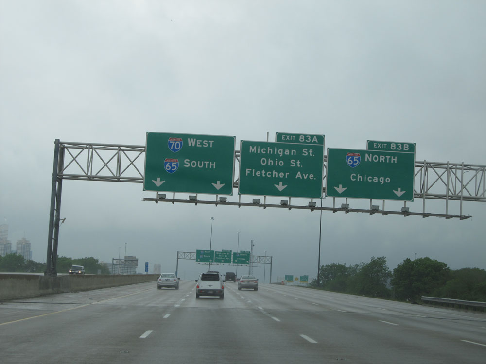 |
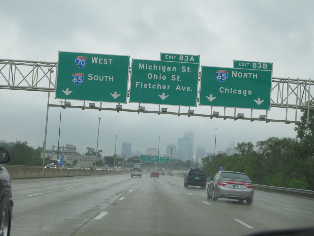
To remain on Interstate 70 West, stay in the two leftmost lanes. Use the center lane if you're planning on taking Exit 83A ahead. (Photo taken 5/16/15). |
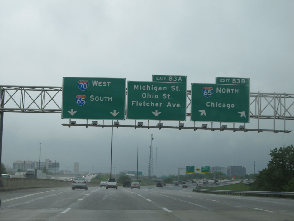 |
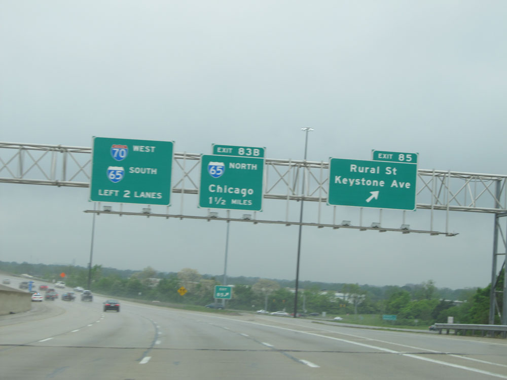
Interstate 70 West at Exit 83B: Interstate 65 North - Chicago (Photo taken 5/16/15). |
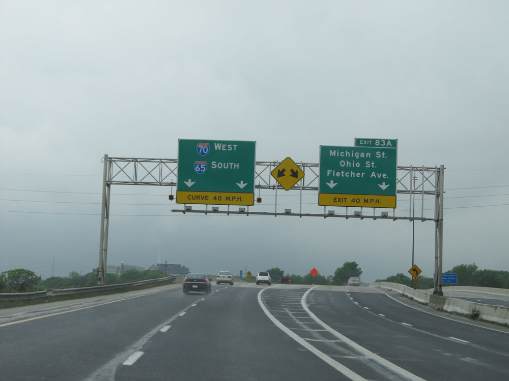 |
Interstate 70 West at Exit 83A: Michigan St / Ohio St / Fletcher Ave. Interstate 70 West takes a sharp curve to the left ahead. 40 mph is advised. (Photo taken 5/16/15). |
 |
After the sharp curve to the south, Interstate 70 West and Interstate 65 South will run concurrently for about 1 1/4 miles before Interstate 70 West departs via Exit 110B - 1 mile ahead. (Photo taken 5/16/15). |
 |
Interstate 70 West / Interstate 65 South approaching Exit 110B - 1/2 mile. (Photo taken 5/16/15). |
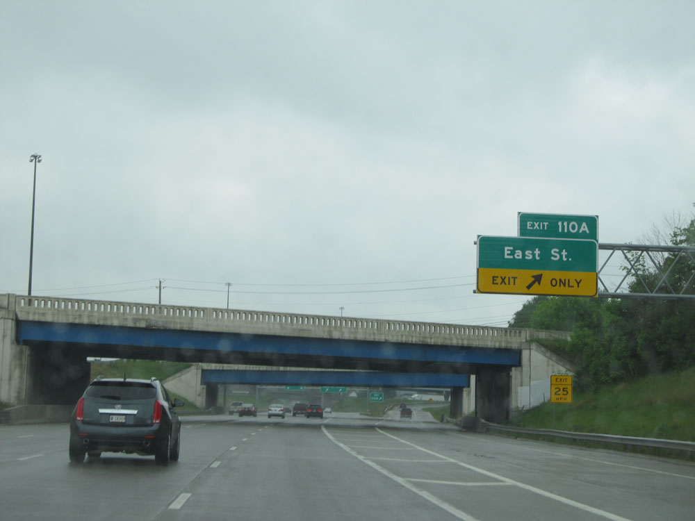 |
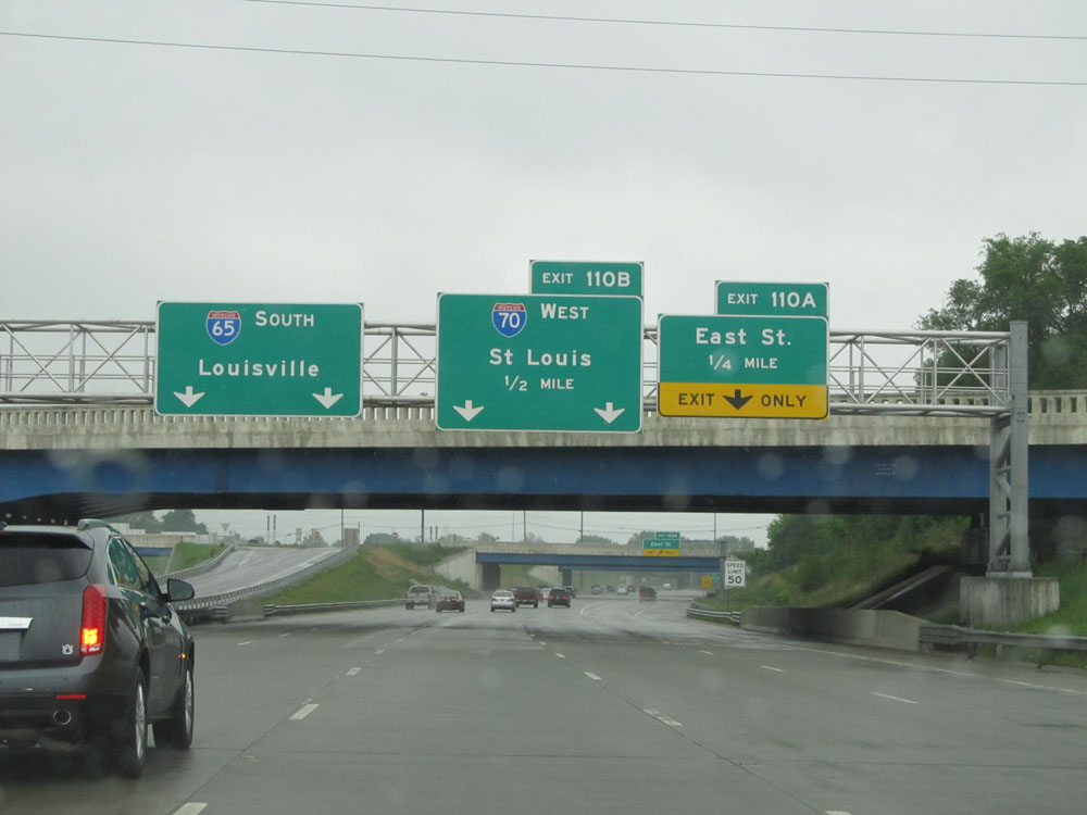
Interstate 70 West / Interstate 65 South at Exit 110A: East St (Photo taken 5/16/15). |
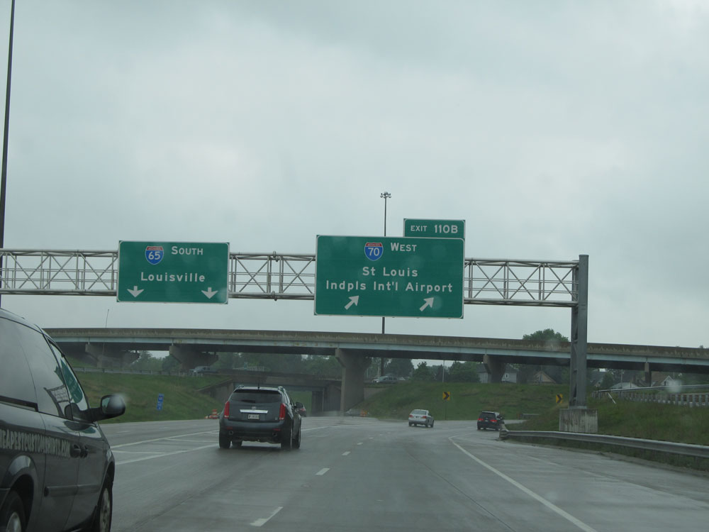 |
Interstate 70 West / Interstate 65 South at Exit 110B: Interstate 70 West - St Louis / Indianapolis International Airport (Photo taken 5/16/15). |
 |
Interstate 70 West at Exit 79B: Meridian St (Photo taken 5/16/15). |
Section 2: Indianapolis (Exit 79B) to Illinois Border
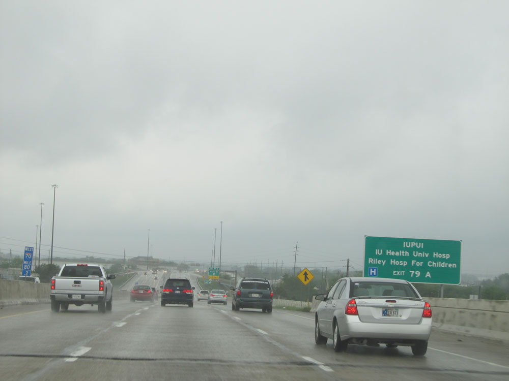 |
Take Exit 79A to IUPUI, Indiana Health University Hospital, and Riley Hospital for Children. (Photo taken 5/16/15). |
 |
Interstate 70 West at Exit 79A: West St (Photo taken 5/16/15). |
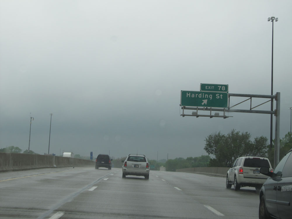 |
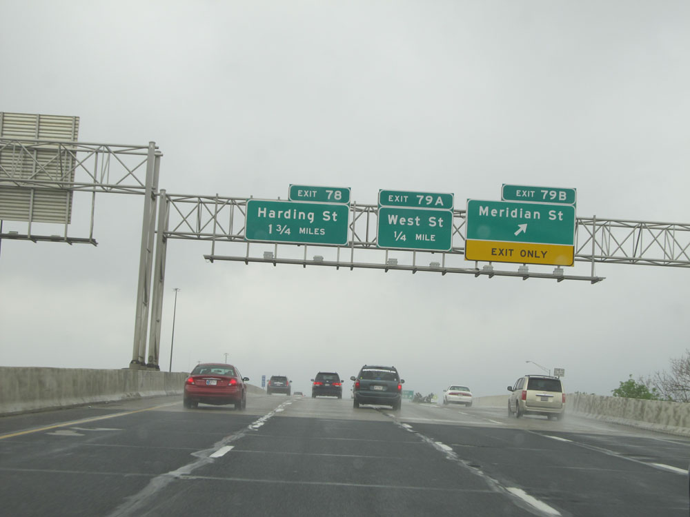
Interstate 70 West at Exit 78: Harding St (Photo taken 5/16/15). |
 |
Interstate 70 West at Exit 77: Holt Rd (Photo taken 5/16/15). |
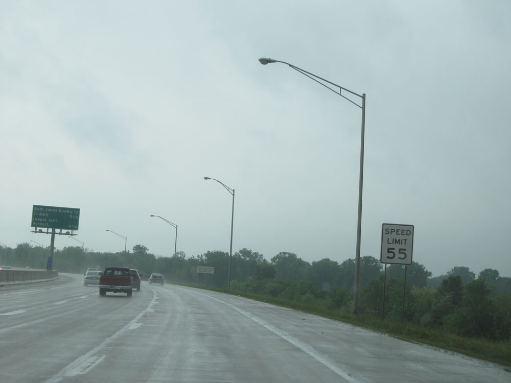 |
Just west of Exit 77, the speed limit sees a slight increase to 55 mph. (Photo taken 5/16/15). |
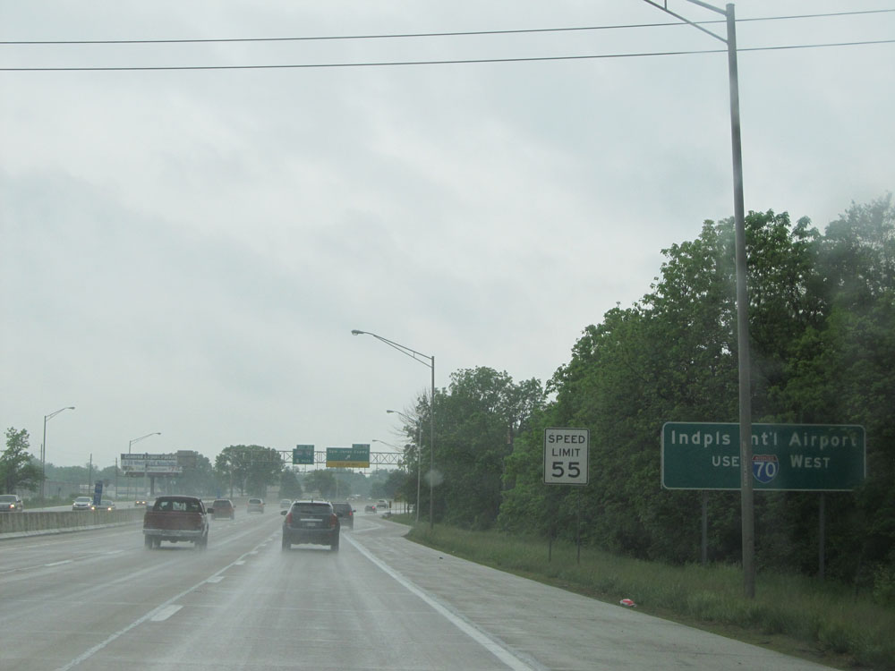 |
Stay on Interstate 70 West to get to Indianapolis International Airport. (Photo taken 5/16/15). |
 |
Interstate 70 West at Exit 75: Sam Jones Expwy (Photo taken 5/16/15). |
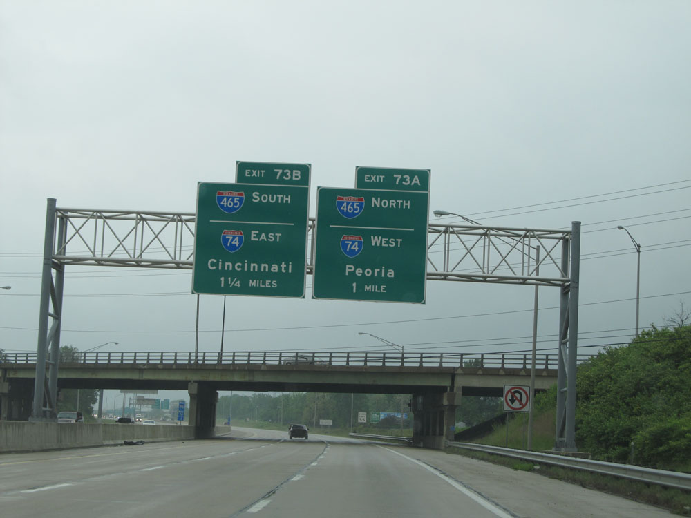 |
Interstate 70 West approaching Exit 73A - 1 mile. (Photo taken 5/16/15). |
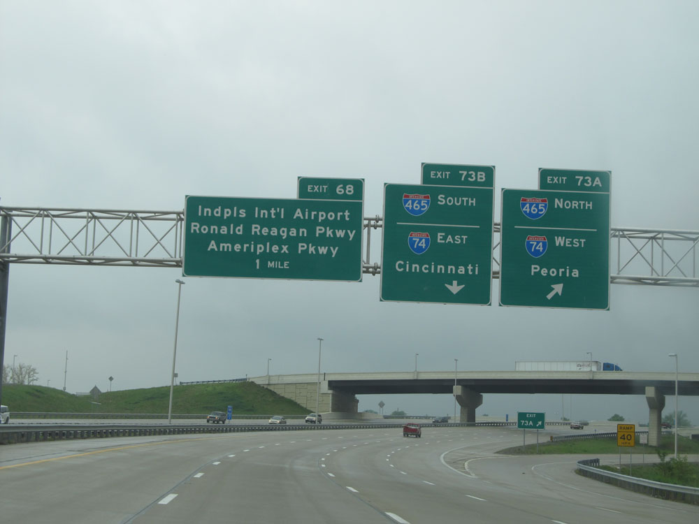 |
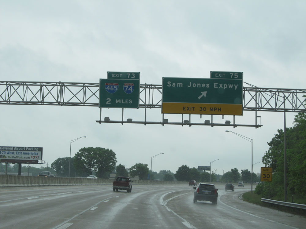
Interstate 70 West at Exit 73A: Interstate 465 North / Interstate 74 West - Peoria (Photo taken 5/16/15). |
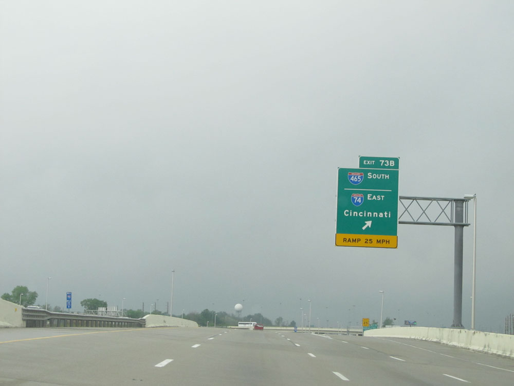 |
Interstate 70 West at Exit 73B: Interstate 465 South / Interstate 74 East - Cincinnati (Photo taken 5/16/15). |
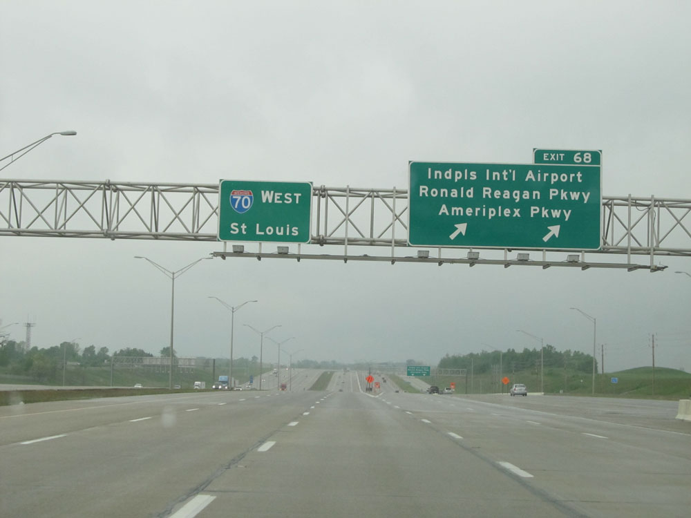 |
Interstate 70 West at Exit 68: Indianapolis International Airport / Ronald Reagan Pkwy / Ameriplex Pkwy (Photo taken 5/16/15). |
 |
West of Exit 68, the speed limit increases to 65 mph for all traffic. (Photo taken 5/16/15). |
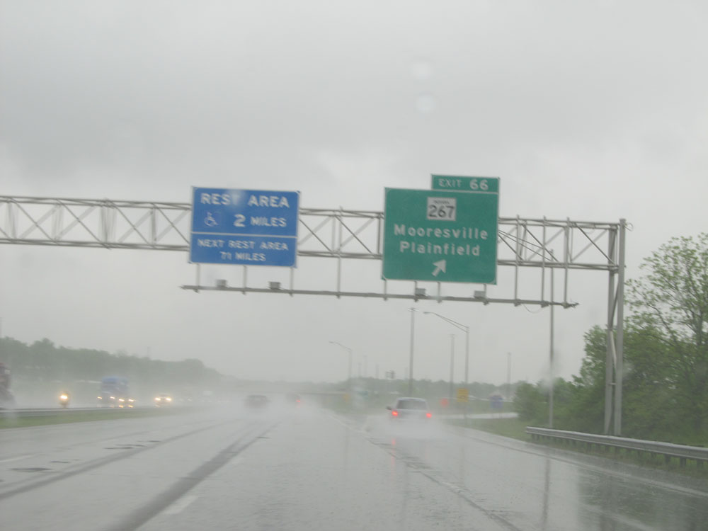 |
Interstate 70 West at Exit 66: IN 267 - Mooresville / Plainfield (Photo taken 5/16/15). |
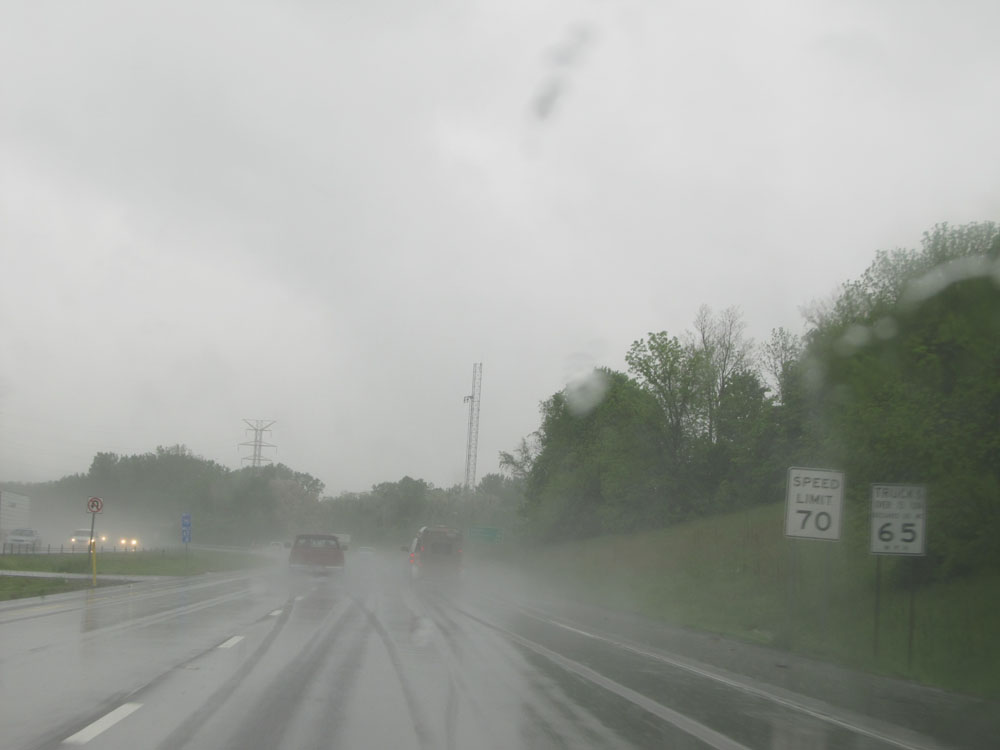 |
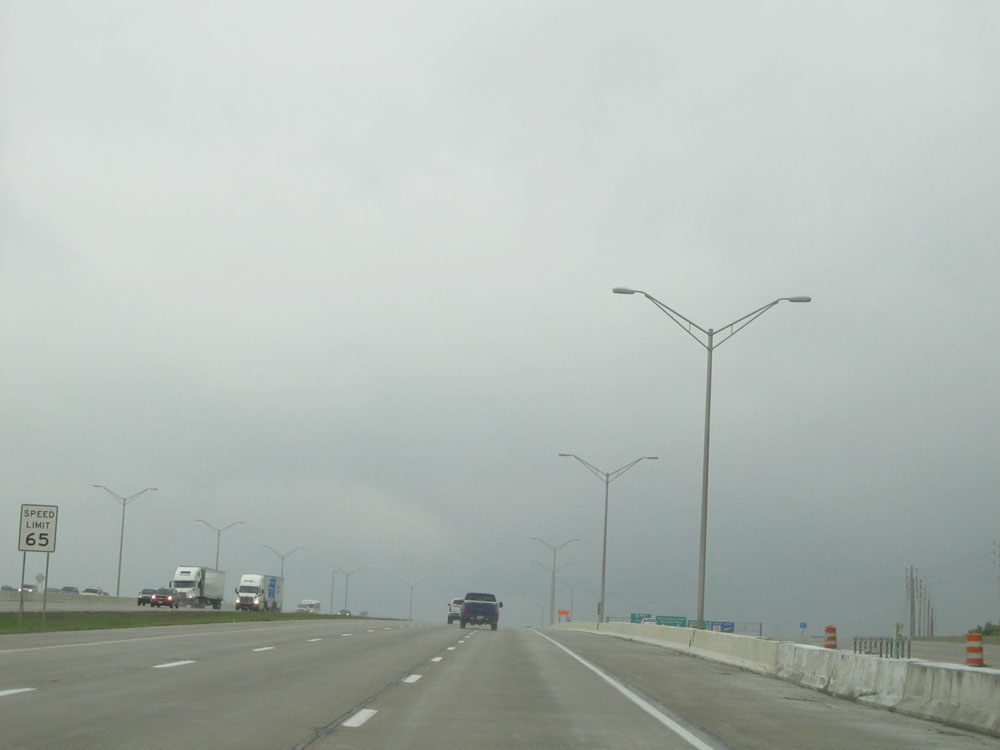
Near mile marker 66, the standard rural Interstate speed limits resume - 70 mph for autos, 65 mph for trucks. (Photo taken 5/16/15). |
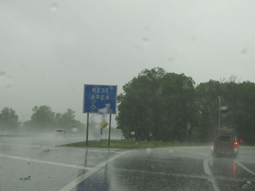 |
Interstate 70 West at the Rest Area located near mile marker 65. I was going in to try to wait out this extremely heavy rain. (Photo taken 5/16/15). |
 |
Interstate 70 West at mile marker 62. (Photo taken 5/16/15). |
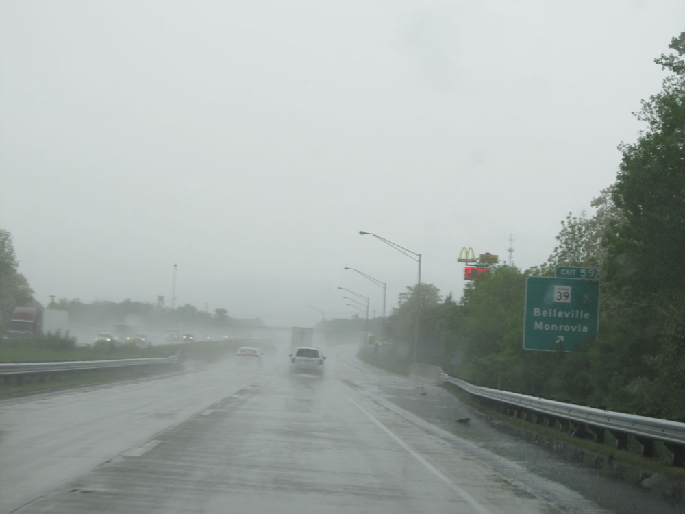 |
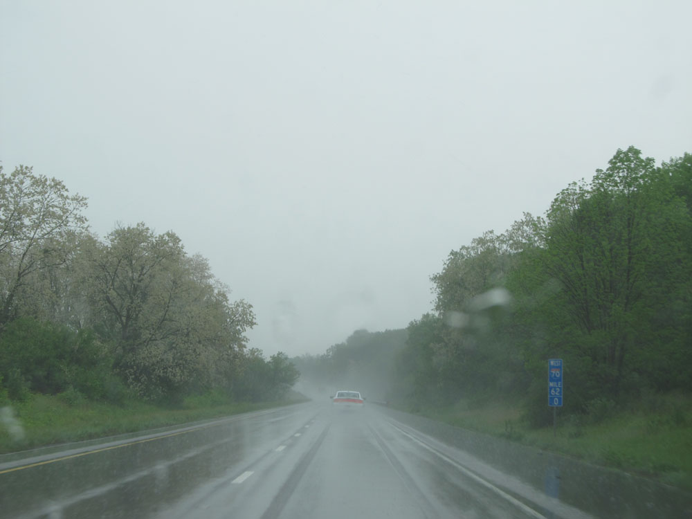
Interstate 70 West at Exit 59: IN 39 - Belleville / Monrovia (Photo taken 5/16/15). |
 |
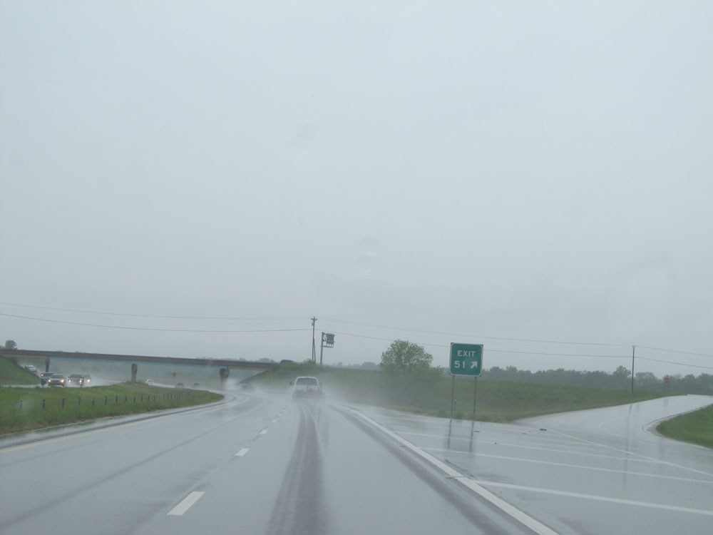
Interstate 70 West approaching Exit 51 - 1/2 mile. (Photo taken 5/16/15). |
 |
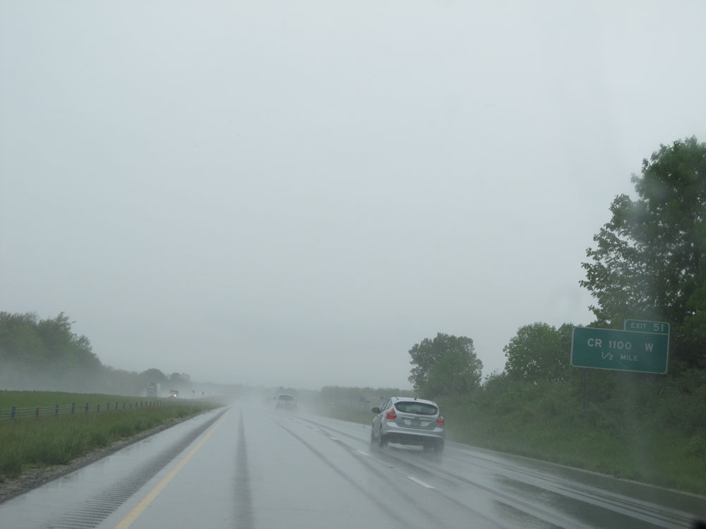
Interstate 70 West at Exit 51: CR 1100 W (Photo taken 5/16/15). |
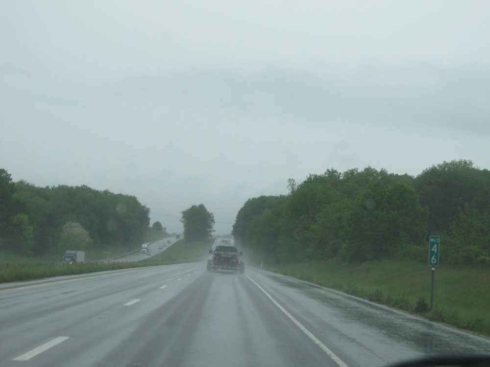 |
Interstate 70 West at mile marker 46. (Photo taken 5/16/15). |
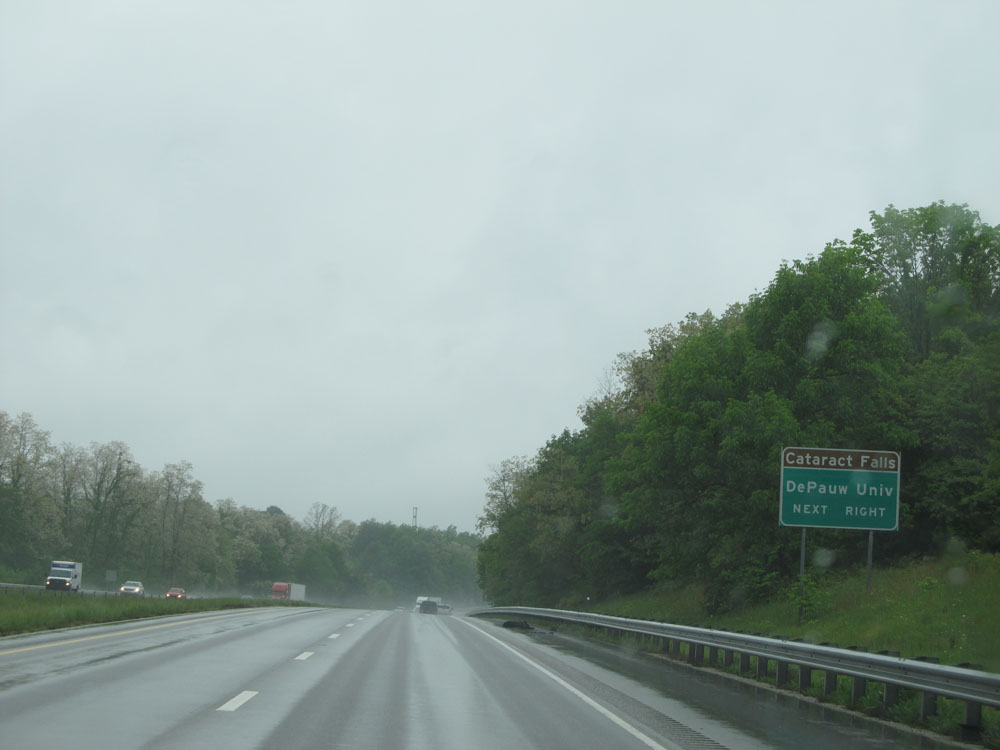 |
Take Exit 41 to Cataract Falls and DePauw University. (Photo taken 5/16/15). |
 |
Interstate 70 West at Exit 41: US 231 - Cloverdale / Greencastle (Photo taken 5/16/15). |
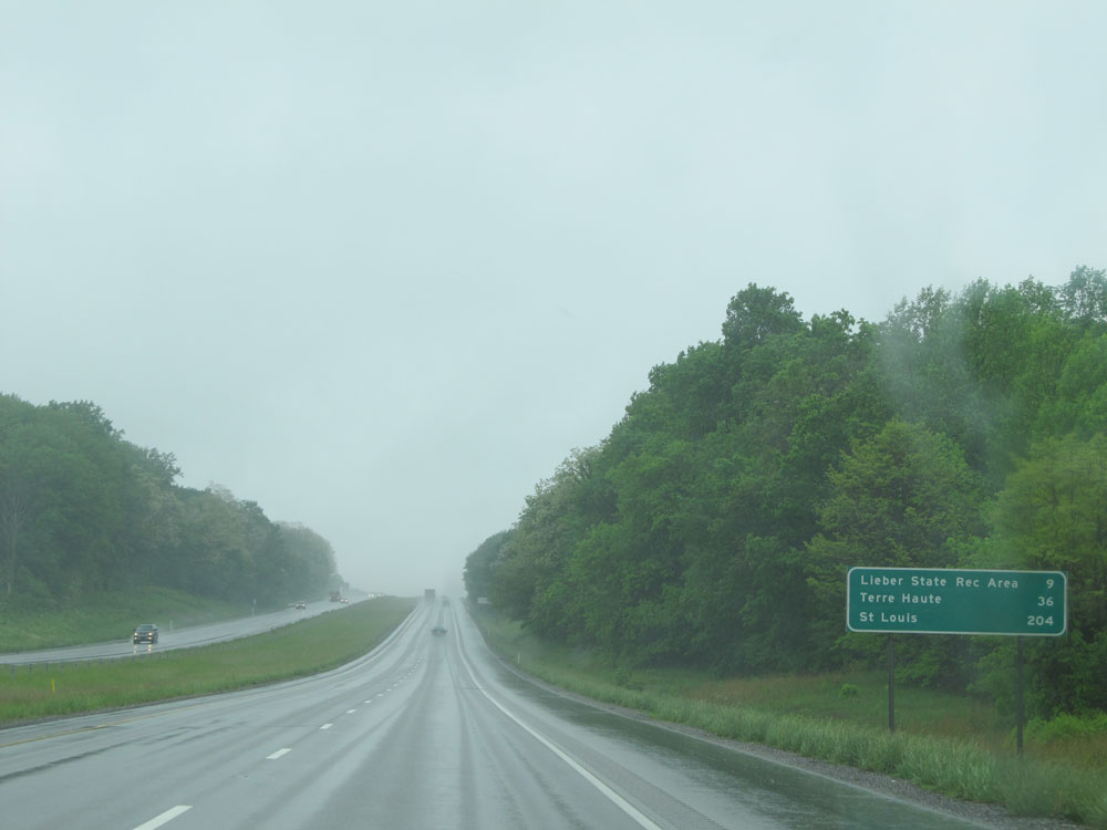 |
Mileage sign near mile marker 40. It's 9 miles to Lieber State Recreational Area, 36 miles to Terre Haute, and 204 miles to St Louis. (Photo taken 5/16/15). |
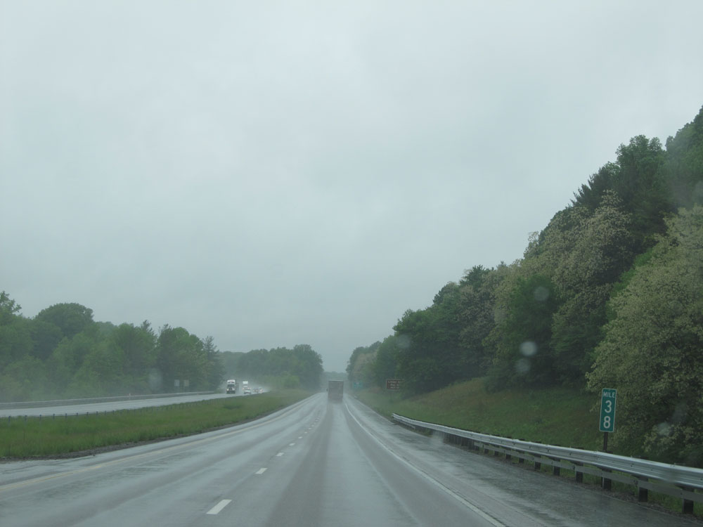 |
Interstate 70 West: Road view from mile marker 38. (Photo taken 5/16/15). |
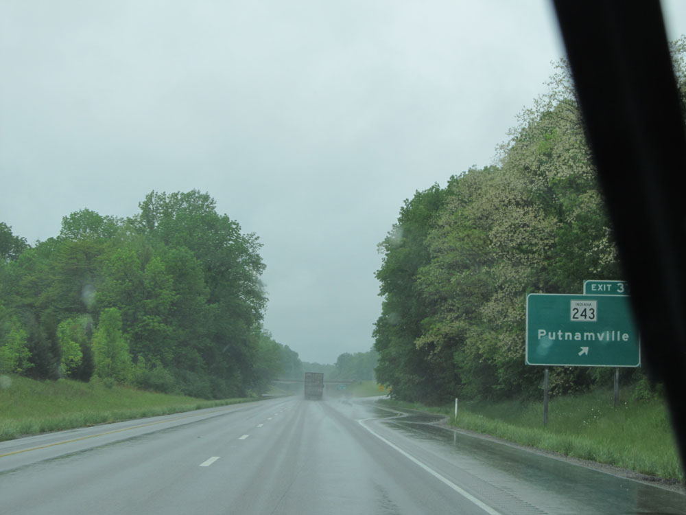 |
Interstate 70 WEst at Exit 37: IN 243 - Putnamville (Photo taken 5/16/15). |
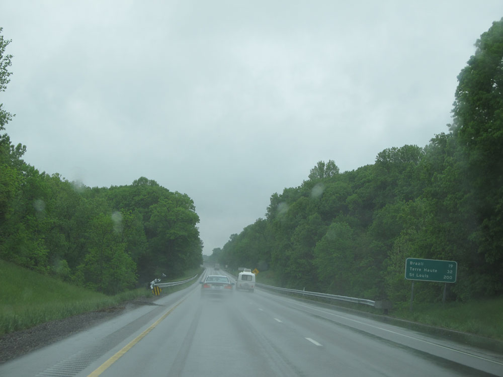 |
Mileage sign near mile marker 36. It's 19 miles to Brazil, 32 miles to Terre Haute, and 200 miles to St Louis. (Photo taken 5/16/15). |
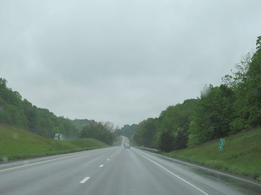 |
Interstate 70 West at mile marker 35. (Photo taken 5/16/15). |
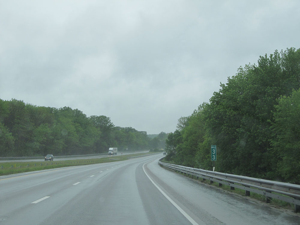 |
Interstate 70 West: Road view from mile marker 33. (Photo taken 5/16/15). |
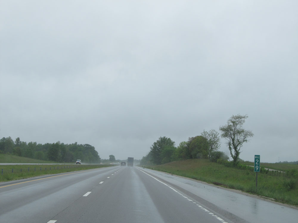 |
Interstate 70 West at mile marker 29. (Photo taken 5/16/15). |
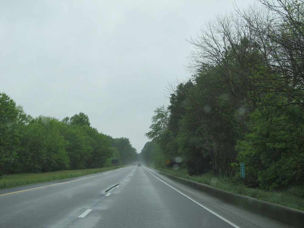 |
Interstate 70 West at mile marker 25. (Photo taken 5/16/15). |
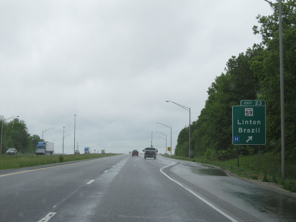 |
Interstate 70 West at Exit 23: IN 59 - Linton / Brazil (Photo taken 5/16/15). |
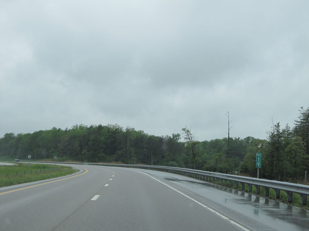 |
Interstate 70 West: Road view from mile marker 19. (Photo taken 5/16/15). |
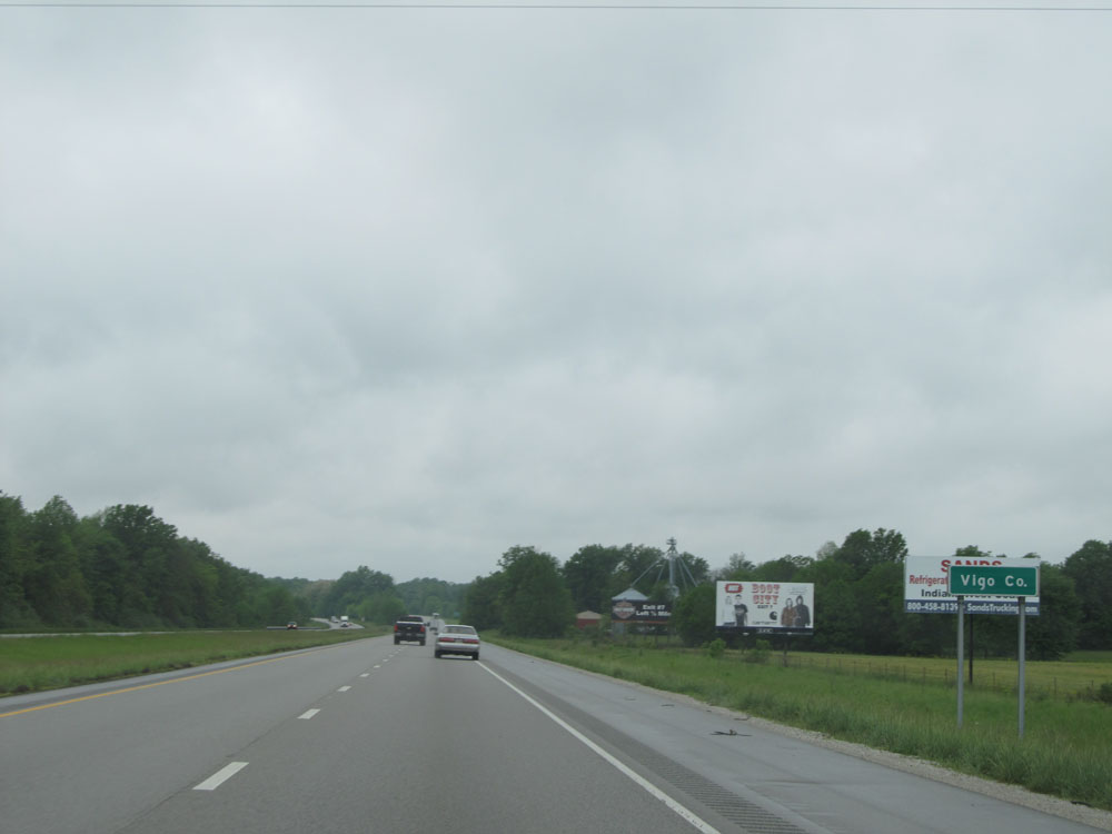 |
Interstate 70 West as it enters Vigo County. (Photo taken 5/16/15). |
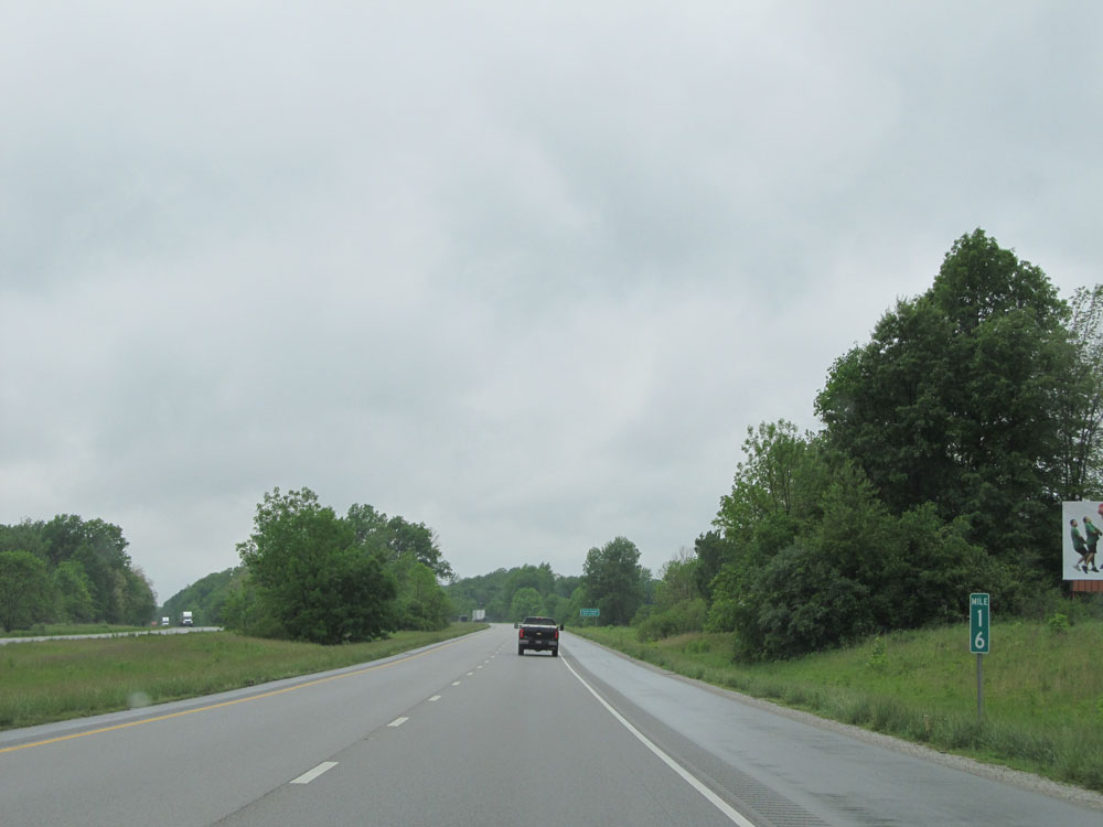 |
Interstate 70 West at mile marker 16. (Photo taken 5/16/15). |
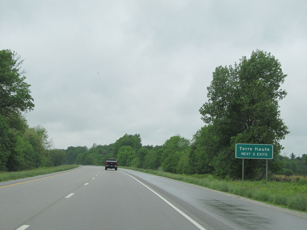 |
Take either of the next 2 exits to Terre Haute. (Photo taken 5/16/15). |
 |
Interstate 70 West at mile marker 14. (Photo taken 5/16/15). |
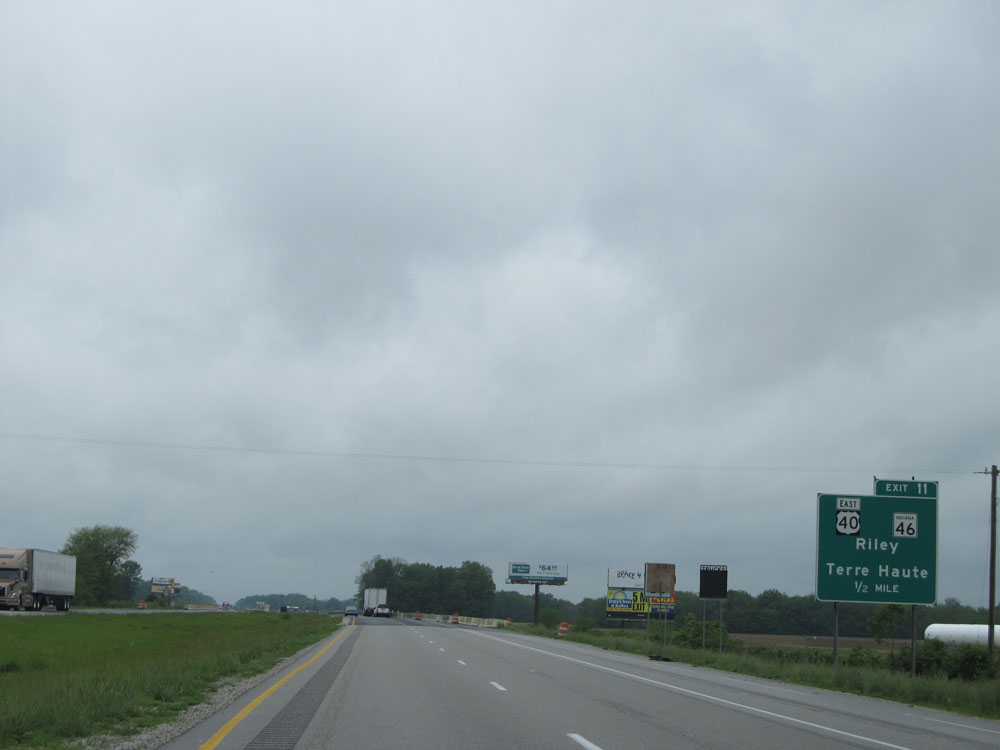 |
Interstate 70 West approaching Exit 11: US 40 East / IN 46 - Riley / Terre Haute (Photo taken 5/16/15). |
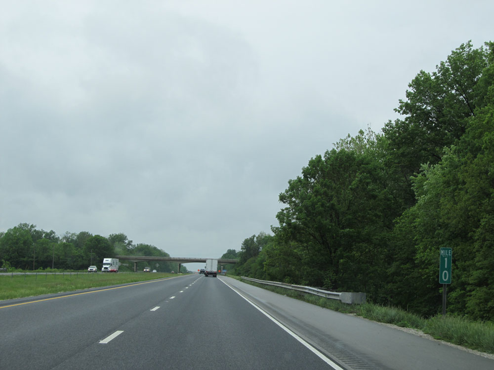 |
Interstate 70 West: Road view from mile marker 10. (Photo taken 5/16/15). |
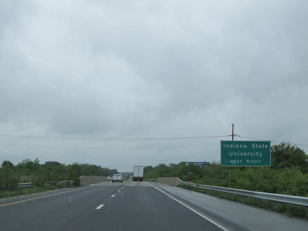 |
Take Exit 7 to Indiana State University. (Photo taken 5/16/15). |
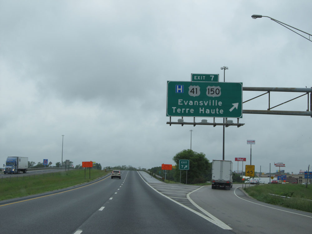 |
Interstate 70 West at Exit 7: US 41 / US 150 - Evansville / Terre Haute (Photo taken 5/16/15). |
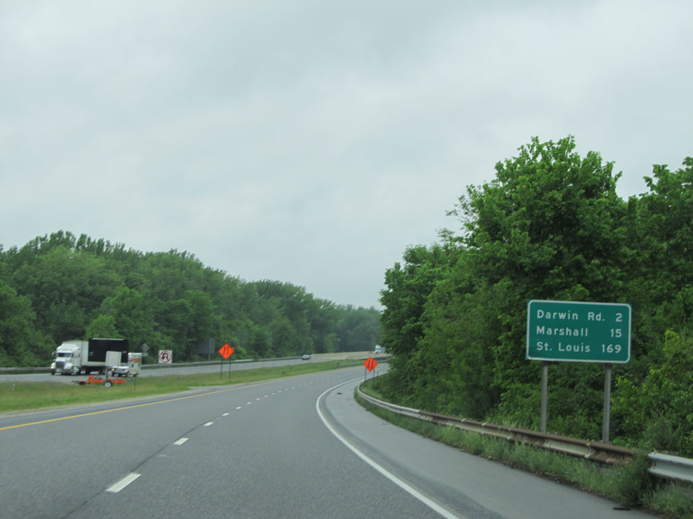 |
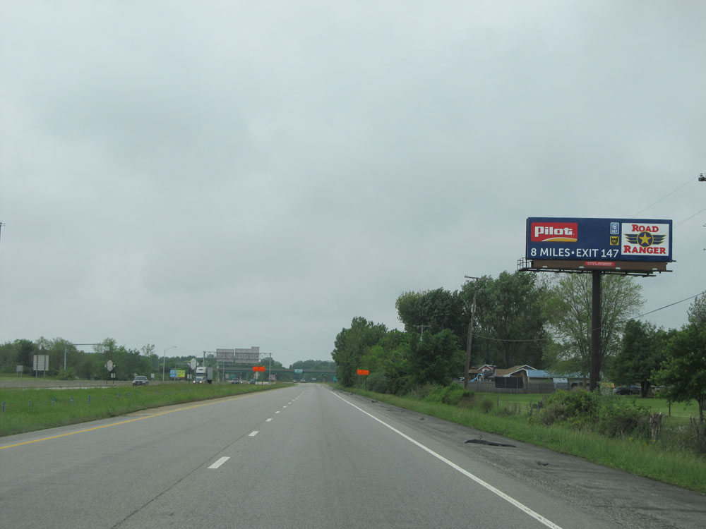
Mileage sign west of Exit 7. It's 2 miles to the interchange for Darwin Rd, 15 miles to Marshall, and 169 miles to St Louis. (Photo taken 5/16/15). |
 |
Interstate 70 West at mile marker 4. (Photo taken 5/16/15). |
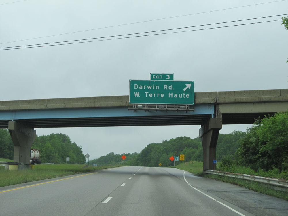 |
Interstate 70 West at Exit 3: Darwin Rd / W Terre Haute (Photo taken 5/16/15). |
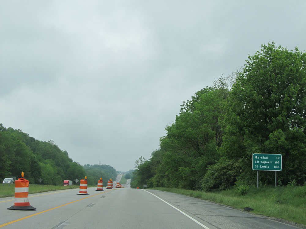 |
Mileage sign near mile marker 2. It's 12 miles to Marshall, 64 miles to Effingham, and 166 miles to St Louis. (Photo taken 5/16/15). |
 |
Interstate 70 West as it prepares to cross the state line into Illinois. (Photo taken 5/16/15). |