Road Information |
||
 |
||
| Total Mileage in State: | 293 miles | |
| Northern End: | At Michigan state line | |
| Southern End: | At US 41, in Evansville | |
| Mileage covered in Photos: | 181 miles | |
| Counties covered in Photos: | Steuben, DeKalb, Allen, Morgan, Monroe, Greene, Daviess, Pike, Gibson, Vanderburgh, Warrick, Vanderburgh | |
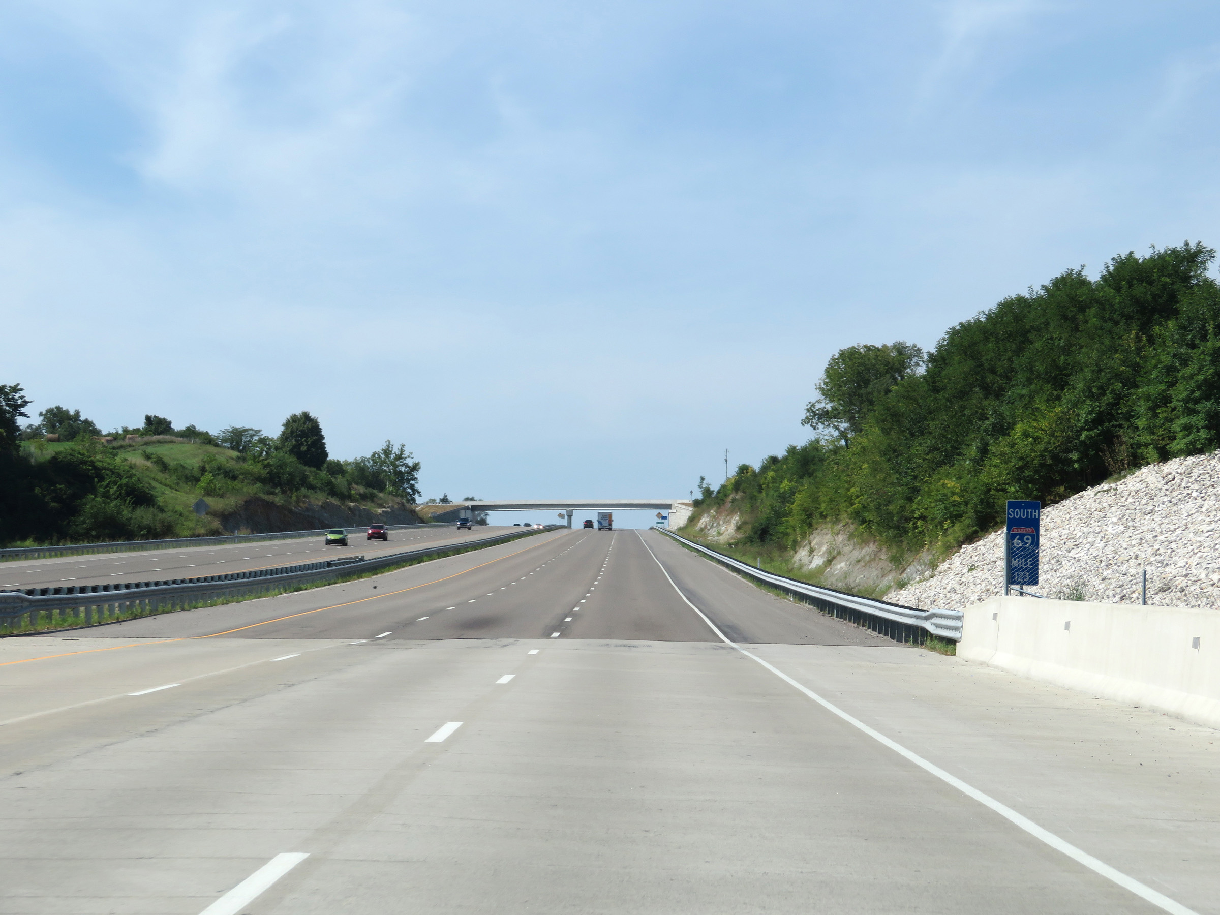
| Major Junctions in Photos: | I-80/I-90, near Angola I-469/US 30, in Fort Wayne I-64, in Haubstadt |
|
| Control Cities in Photos: | Angola, Fort Wayne, Bloomington, Haubstadt, Evansville | |
Southbound
- Section 1: Michigan Border to Fort Wayne (Exit 109B)
- Section 2: Martinsville to Bloomington (Exit 114)
- Section 3: Bloomington (Exit 114) to Haubstadt (Exit 21A)
- Section 4: Haubstadt (Exit 21A) to Southern Terminus
Section 1: Michigan Border to Fort Wayne (Exit 309B)
 |
Indiana welcome sign as Interstate 69 enters the Hoosier state from Michigan. (Photo taken 12/7/11). |
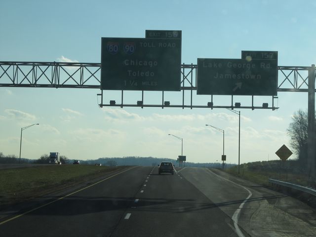 |
Interstate 69 South at Exit 157: Lake George Rd / Jamestown. Note that these pictures, although only taken back in 2011, are now historic since the exit numbers have all changed on I-69 in Indiana due to the planned extension of the road to the southwestern corner of the state, near Evansville. (Photo taken 12/7/11). |
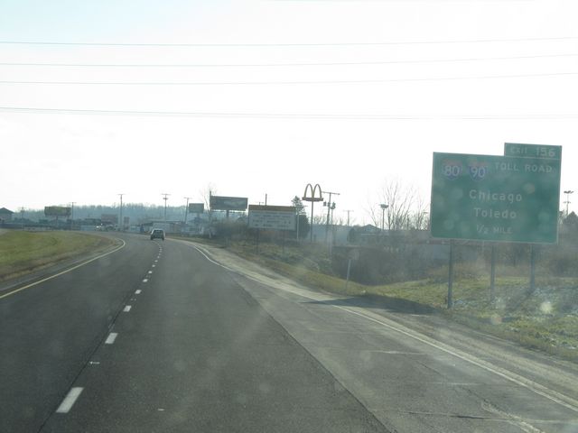 |
Interstate 69 South approaching Exit 156 - 1/2 mile. (Photo taken 12/7/11). |
 |
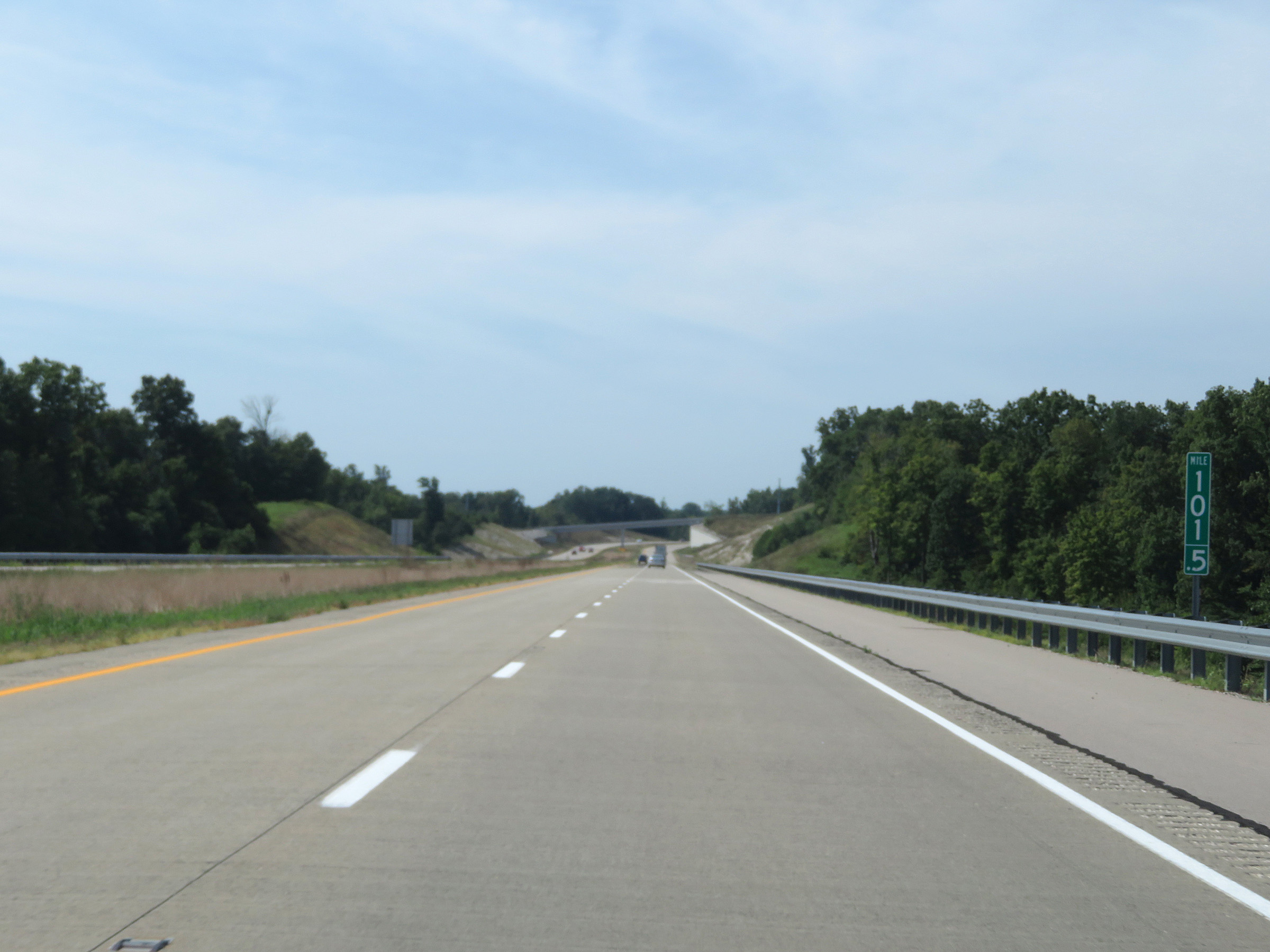
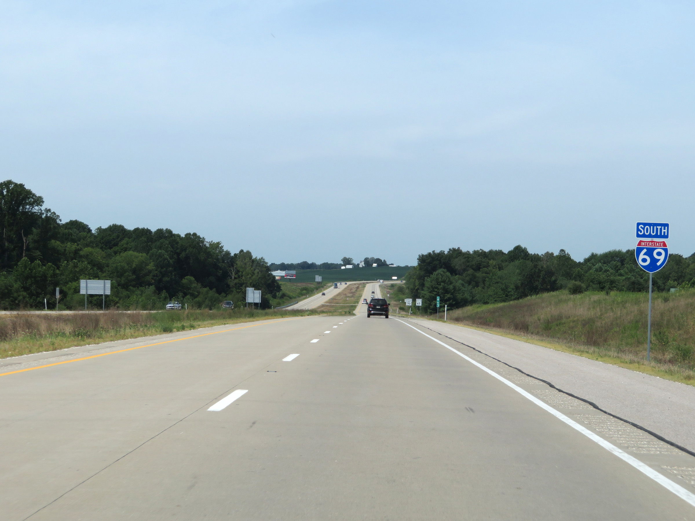
Interstate 69 South shield located near mile marker 156.5. (Photo taken 12/7/11). |
 |
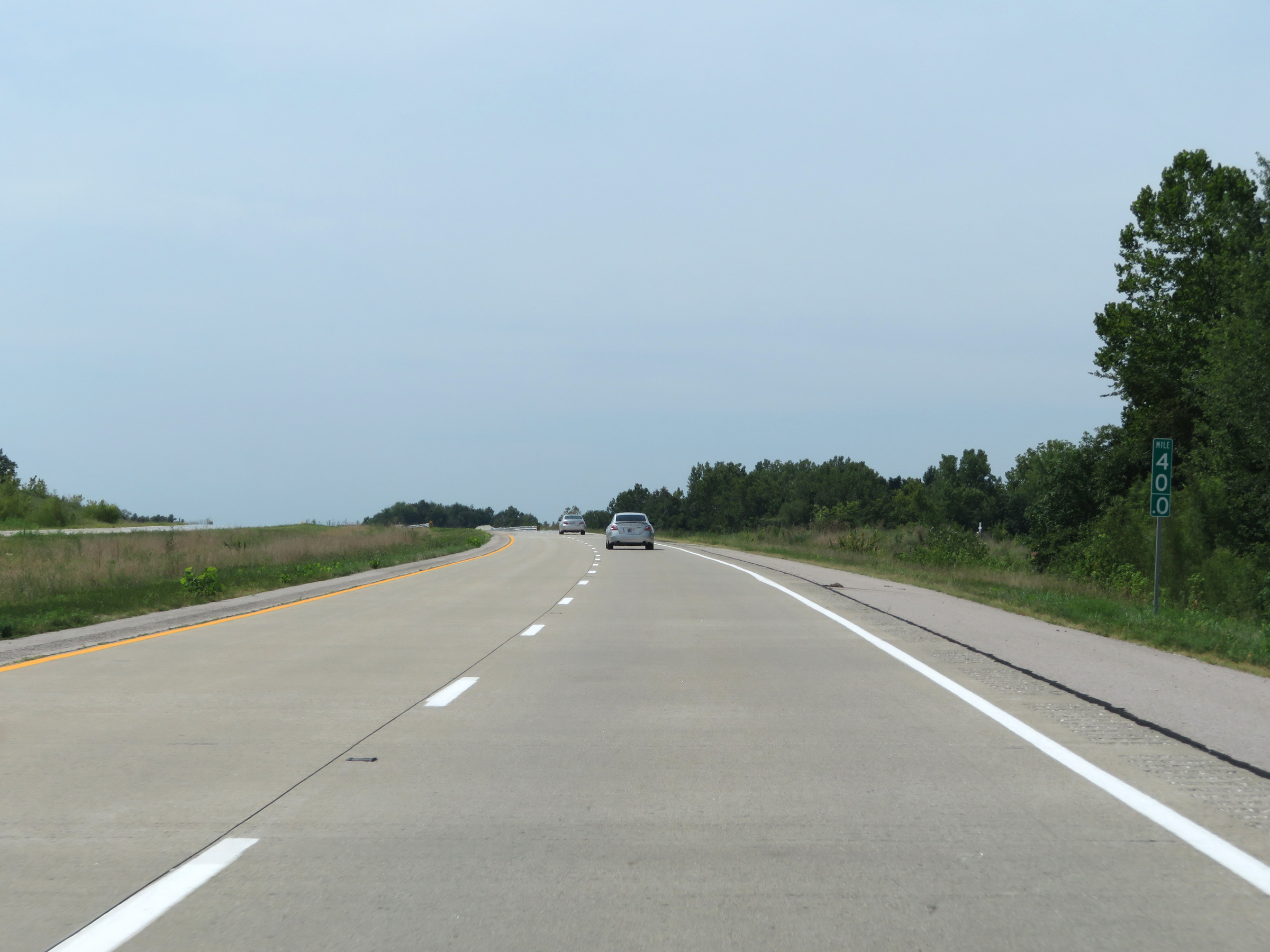
Mileage sign located near mile marker 156. It's 10 miles to Angola, 47 miles to Fort Wayne, and 161 miles to Indianapolis. (Photo taken 12/7/11). |
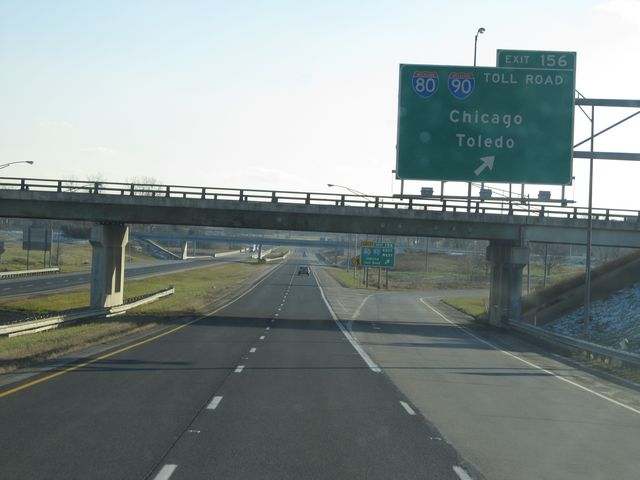 |
Interstate 69 South at Exit 156: Interstate 80/Interstate 90 (Indiana Toll Road) - Chicago / Toledo (Photo taken 12/7/11). |
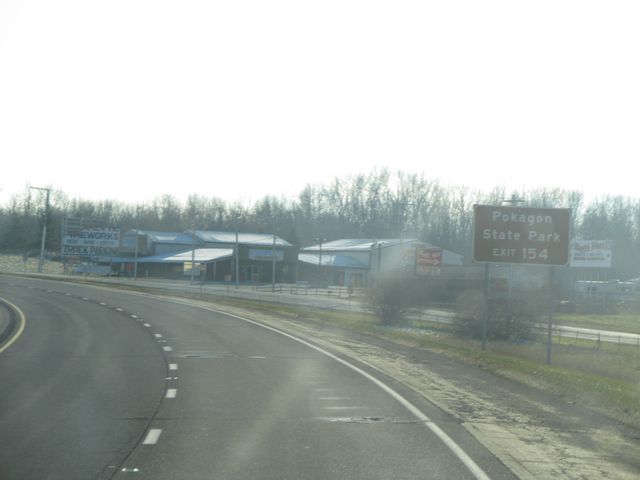 |
Take Exit 154 to Pokagon State Park. (Photo taken 12/7/11). |
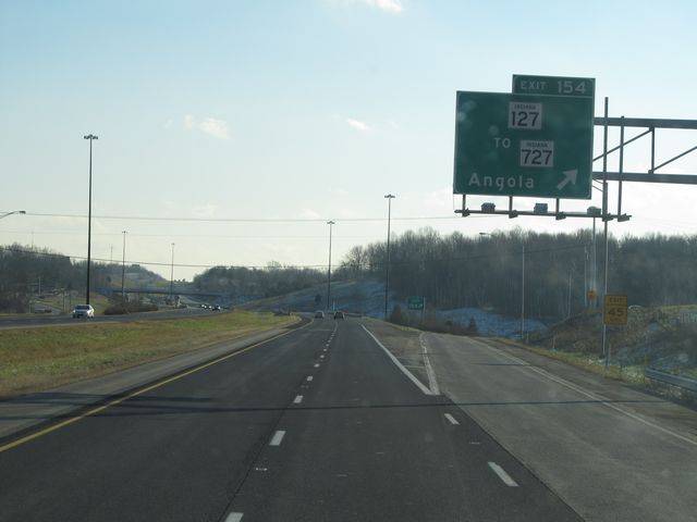 |
Interstate 69 South at Exit 154: IN 127 / To IN 727 - Angola (Photo taken 12/7/11). |
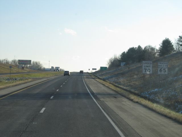 |
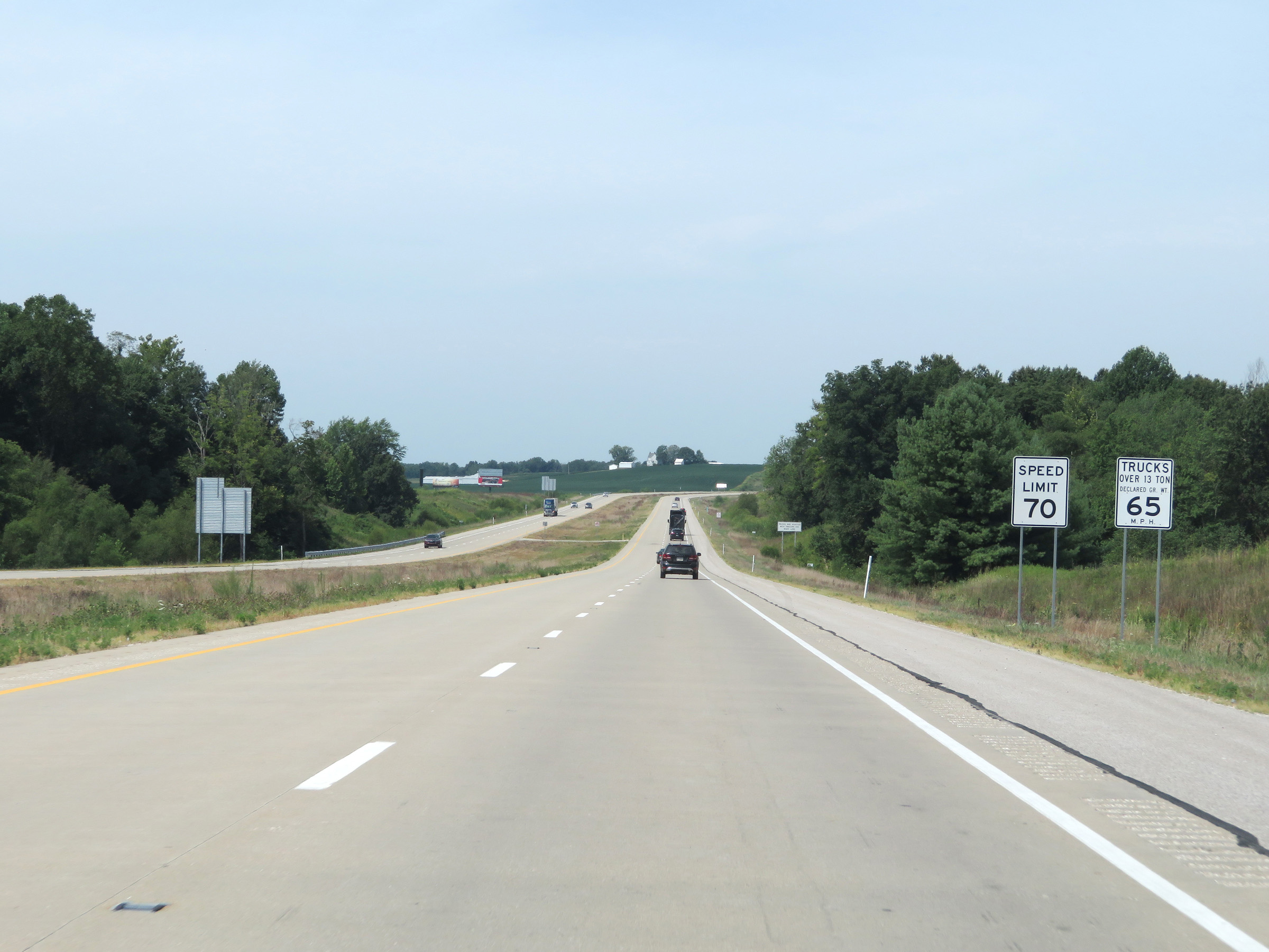
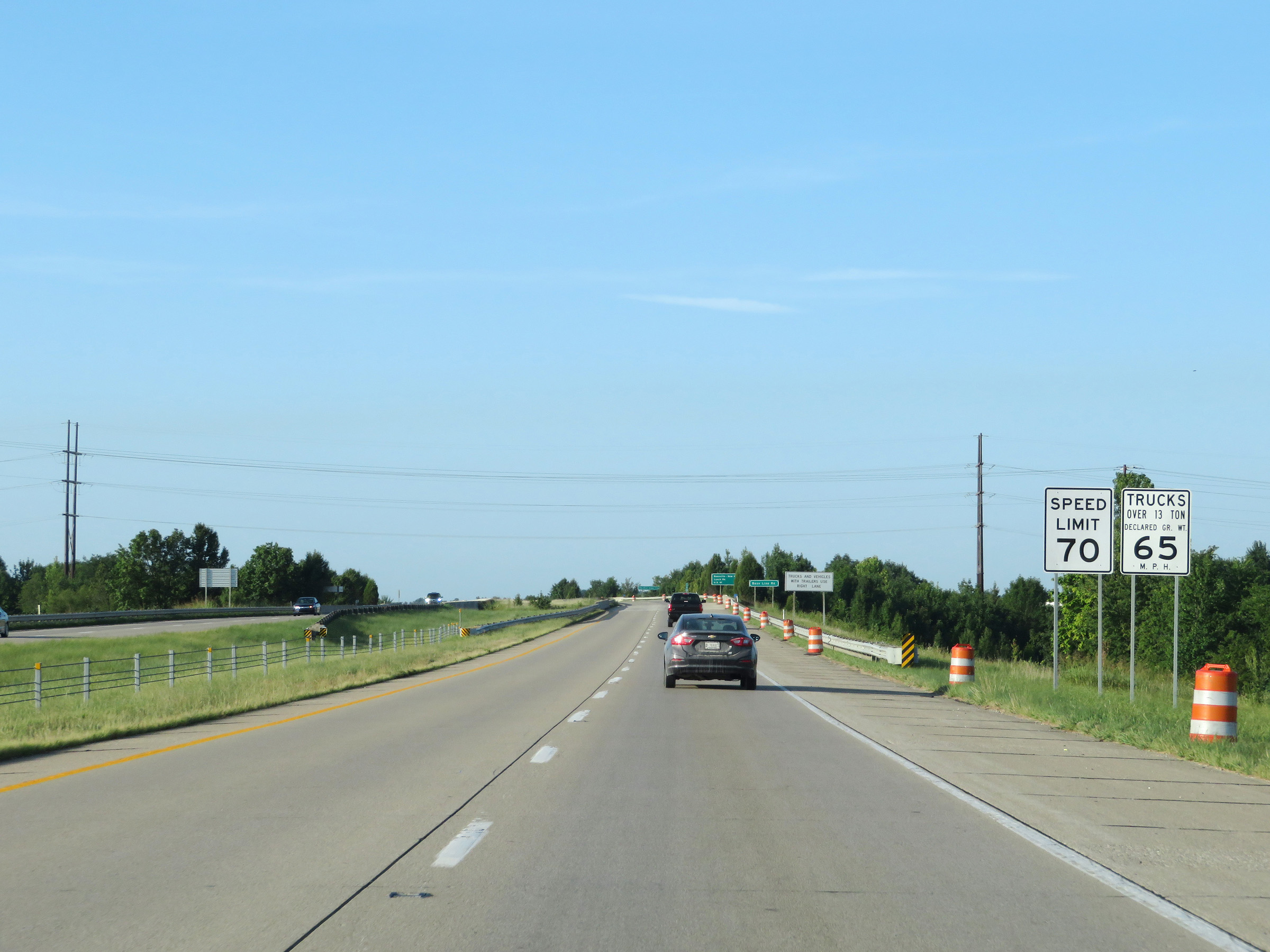
Speed limit signs located near mile marker 154. The speed limit on most rural Interstates in Indiana is 70 mph for cars and 65 mph for trucks. (Photo taken 12/7/11). |
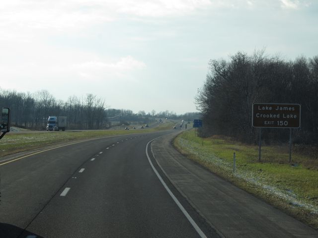 |
Take Exit 150 to Lake James and Crooked Lake. (Photo taken 12/7/11). |
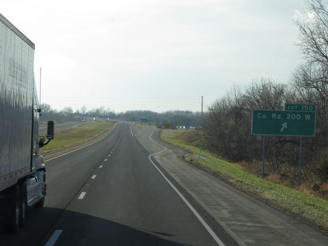 |
Interstate 69 South at Exit 150: County Road 200 W (Photo taken 12/7/11). |
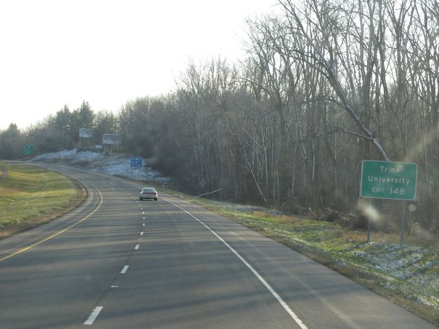 |
Take Exit 148 to Trine University. (Photo taken 12/7/11). |
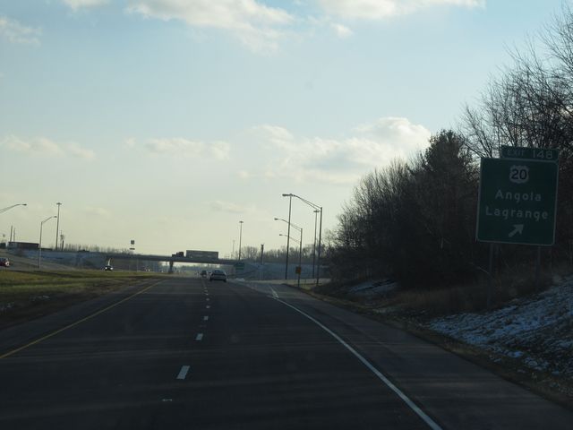 |
Interstate 69 South at Exit 148: US 20 - Angola / Lagrange (Photo taken 12/7/11). |
 |
Another Interstate 69 South shield. (Photo taken 12/7/11). |
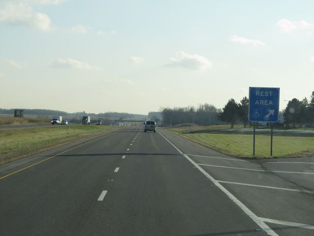 |
Interstate 69 South at the Rest Area located at mile marker 144. (Photo taken 12/7/11). |
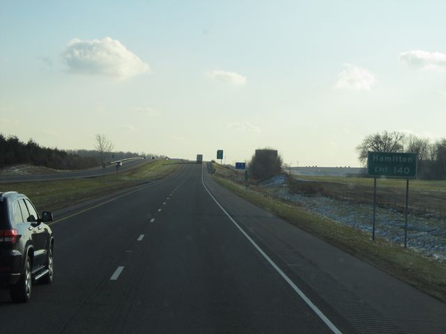 |
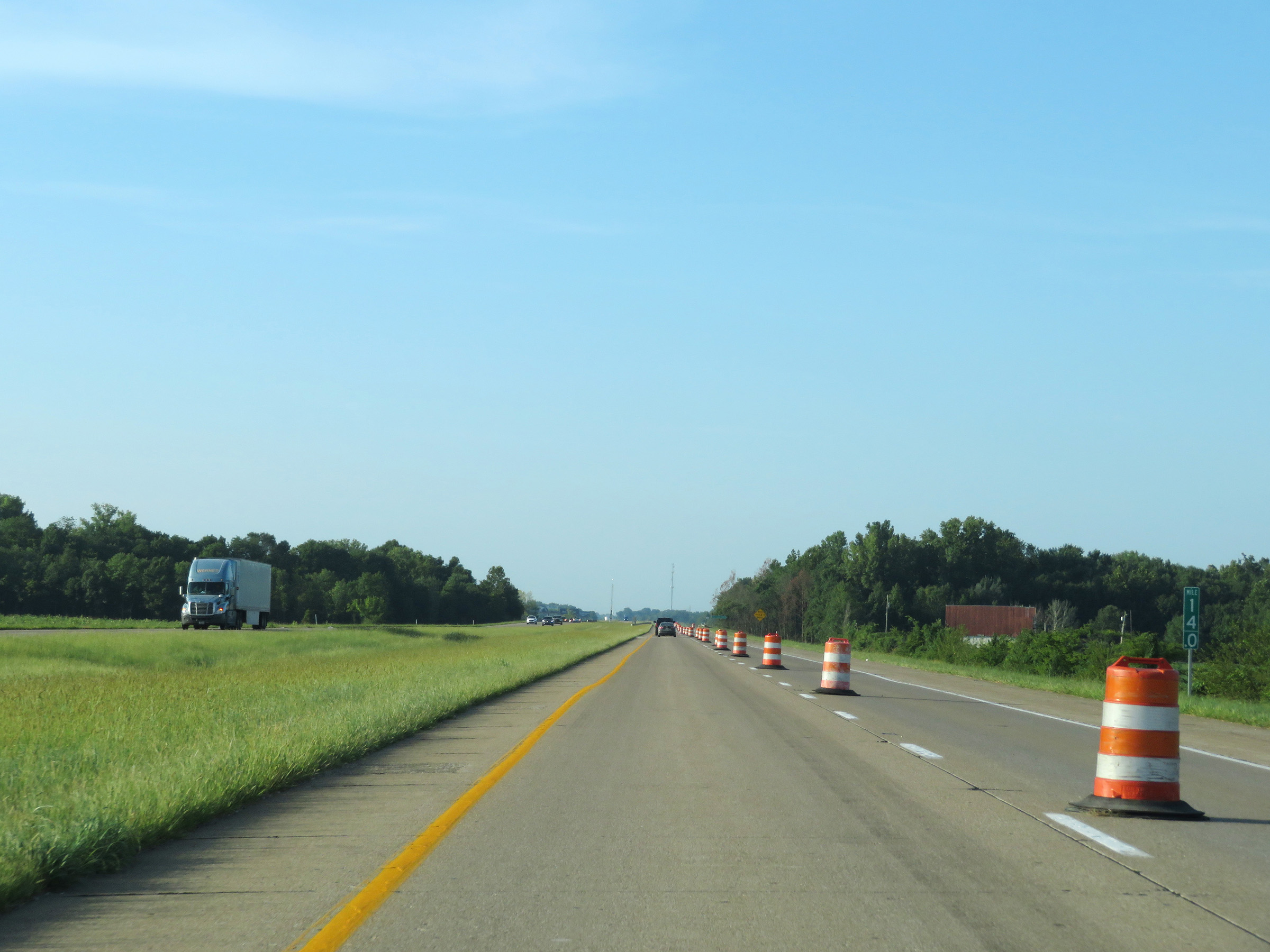
Take Exit 140 to Hamilton. (Photo taken 12/7/11). |
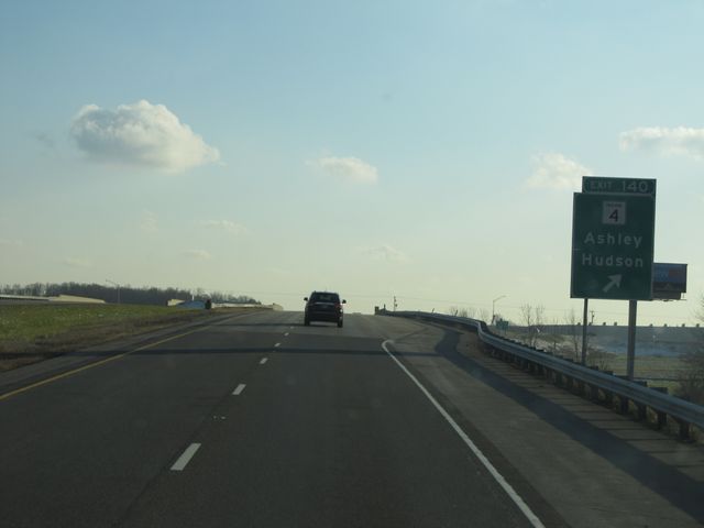 |
Interstate 69 South at Exit 140: IN 4 - Ashley / Hudson (Photo taken 12/7/11). |
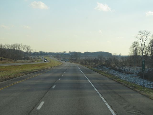 |
Interstate 69 South: Road view from mile marker 139. (Photo taken 12/7/11). |
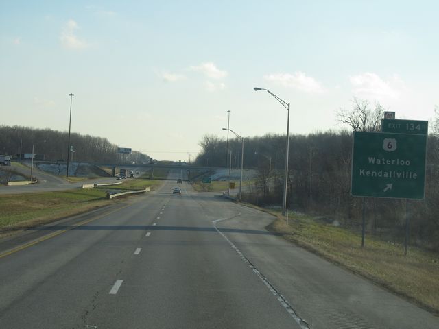 |
Interstate 69 South at Exit 134: US 6 - Waterloo / Kendallville (Photo taken 12/7/11). |
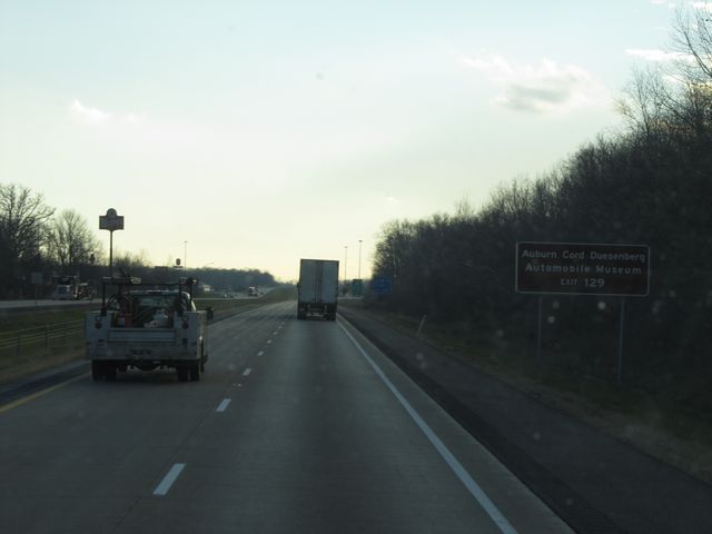 |
Take Exit 129 to Auburn Cord Duesenberg Automobile Museum. (Photo taken 12/7/11). |
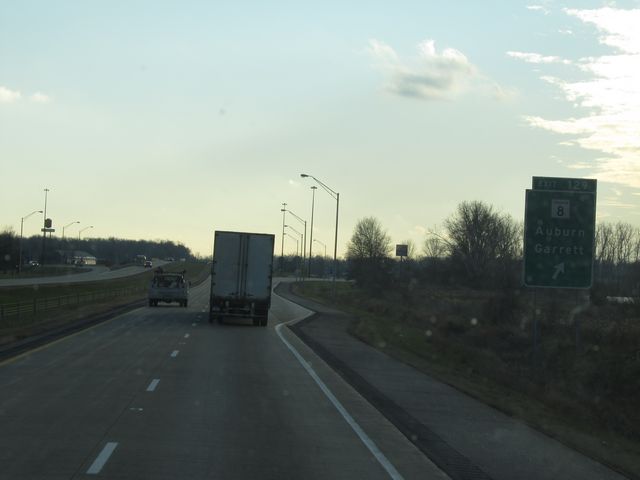 |
Interstate 69 South at Exit 129: IN 8 - Auburn / Garrett (Photo taken 12/7/11). |
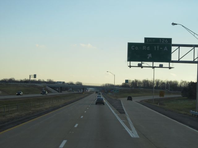 |
Interstate 69 South at Exit 126: County Road 11-A (Photo taken 12/7/11). |
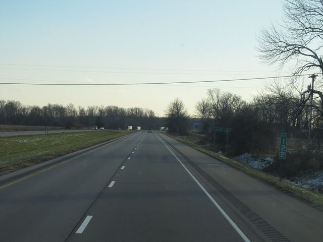 |
Interstate 69 South: Road view from mile marker 122. (Photo taken 12/7/11). |
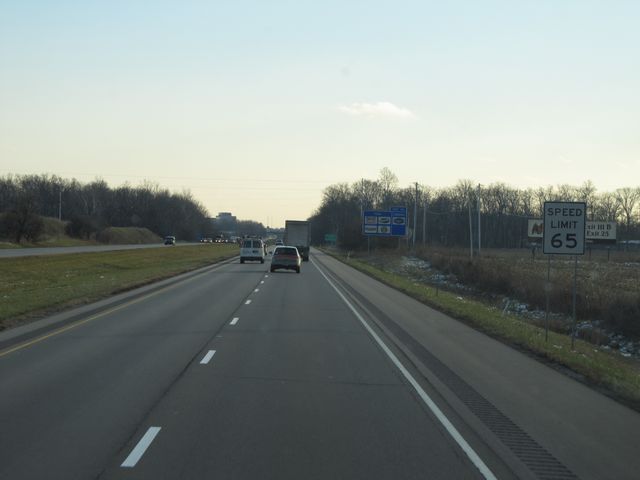 |
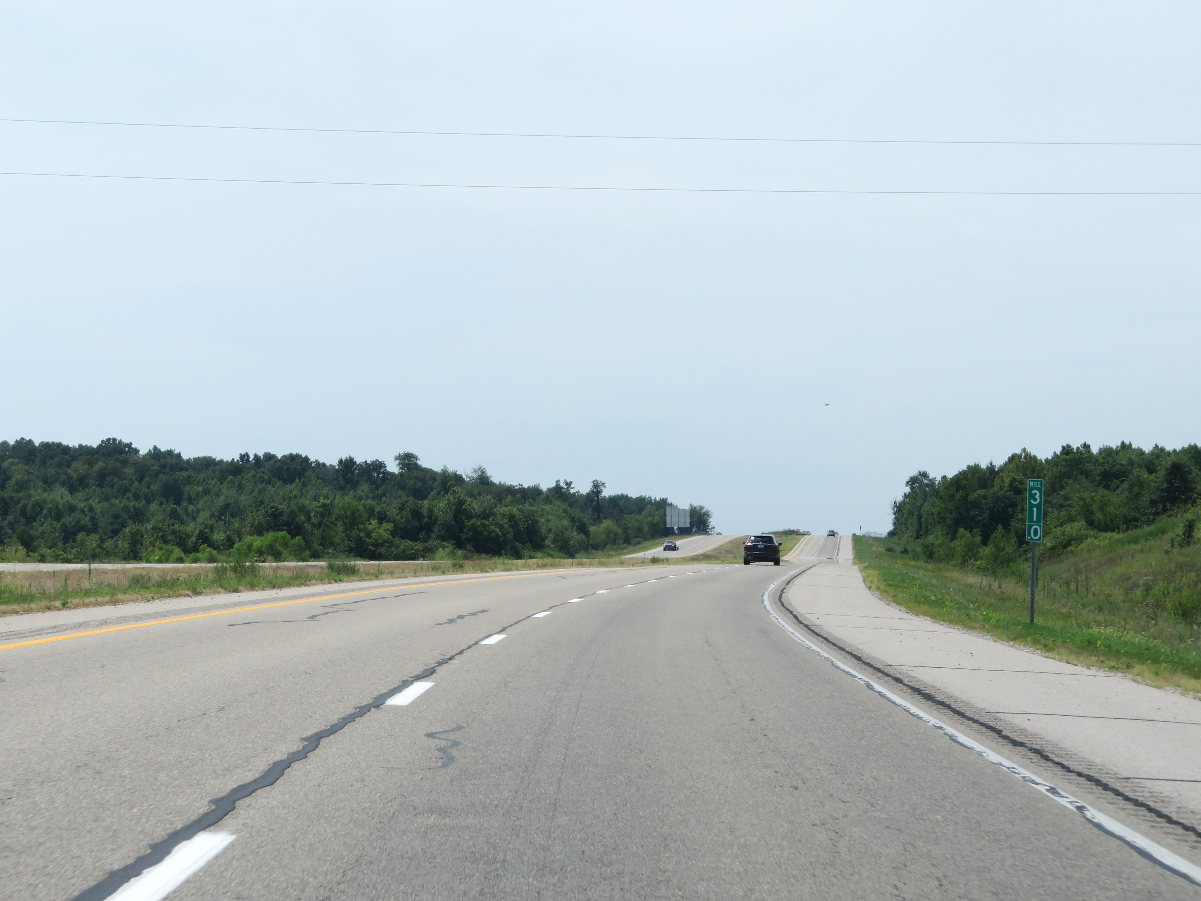
Near mile marker 118, the speed limit drops to 65 mph for all traffic as you approach the outskirts of Fort Wayne. (Photo taken 12/7/11). |
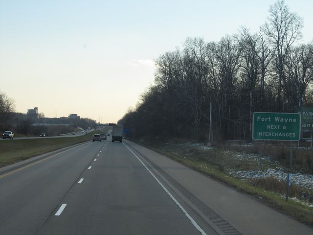 |
Take any of the next 8 exits to Fort Wayne. (Photo taken 12/7/11). |
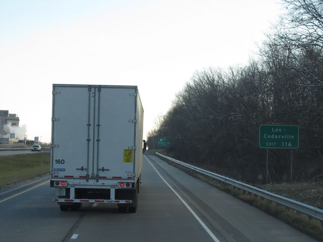 |
Take Exit 116 to Leo / Cedarville. (Photo taken 12/7/11). |
 |
Interstate 69 South at Exit 116: IN 1 North - Dupont Rd (Photo taken 12/7/11). |
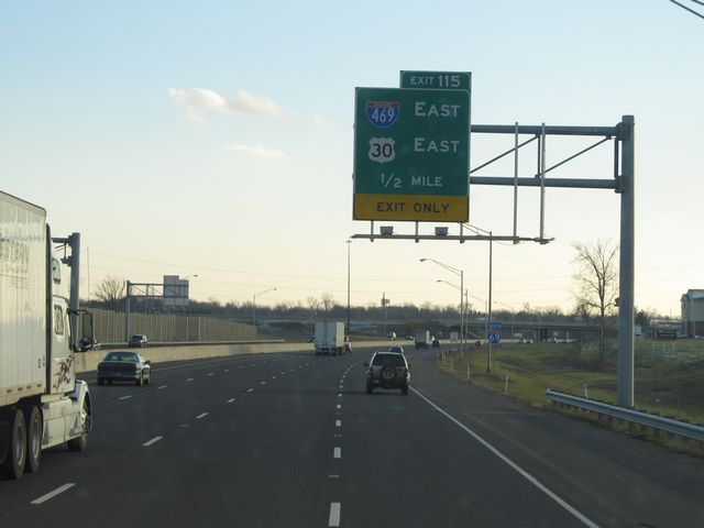 |
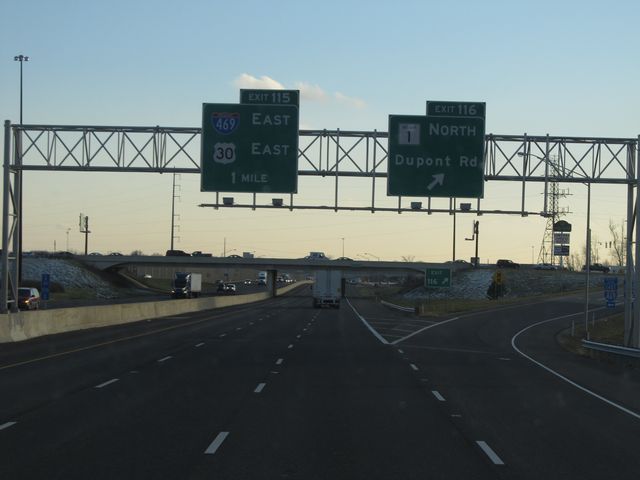
Interstate 69 South approaching Exit 115 - 1/2 mile. (Photo taken 12/7/11). |
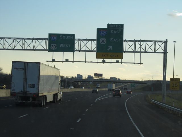 |
Interstate 69 South at Exit 115: Interstate 469 East / US 30 East (Photo taken 12/7/11). |
 |
Take Exit 112 to Coliseum, IPFW, and Ivy Tech Community College. (Photo taken 8/22/11). |
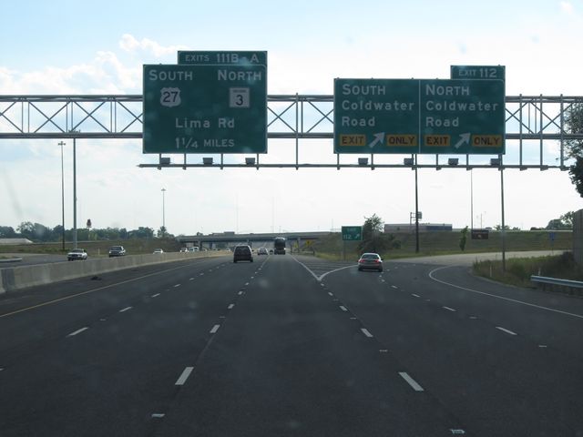 |
Interstate 69 South at Exit 112: Coldwater Road North / Coldwater Road South (Photo taken 8/22/11). |
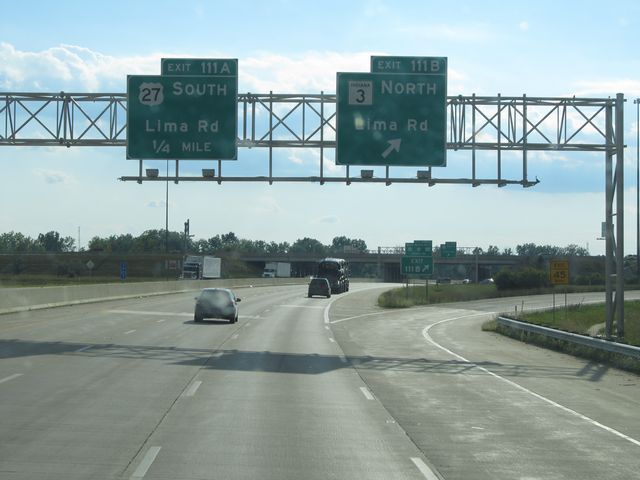 |
Interstate 69 South at Exit 111B: IN 3 North - Lima Rd (Photo taken 8/22/11). |
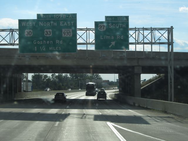 |
Interstate 69 South at Exit 111A: US 27 South - Lima Rd (Photo taken 8/22/11). |
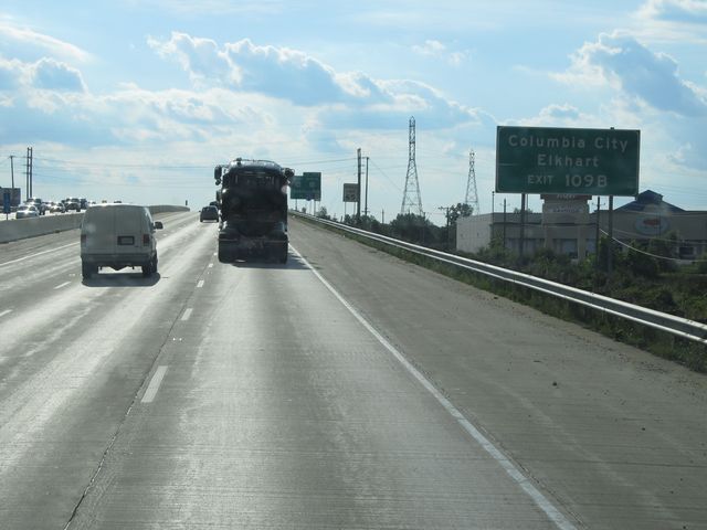 |
Take Exit 109B to Columbia City and Elkhart. (Photo taken 8/22/11). |
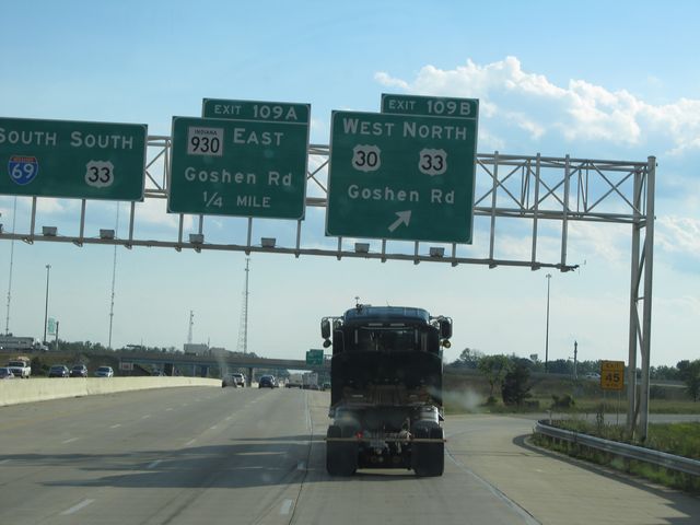 |
Interstate 69 South at Exit 109B: US 30 West / US 33 North - Goshen Rd (Photo taken 8/22/11). |
Section 2: Martinsville to Bloomington (Exit 114)
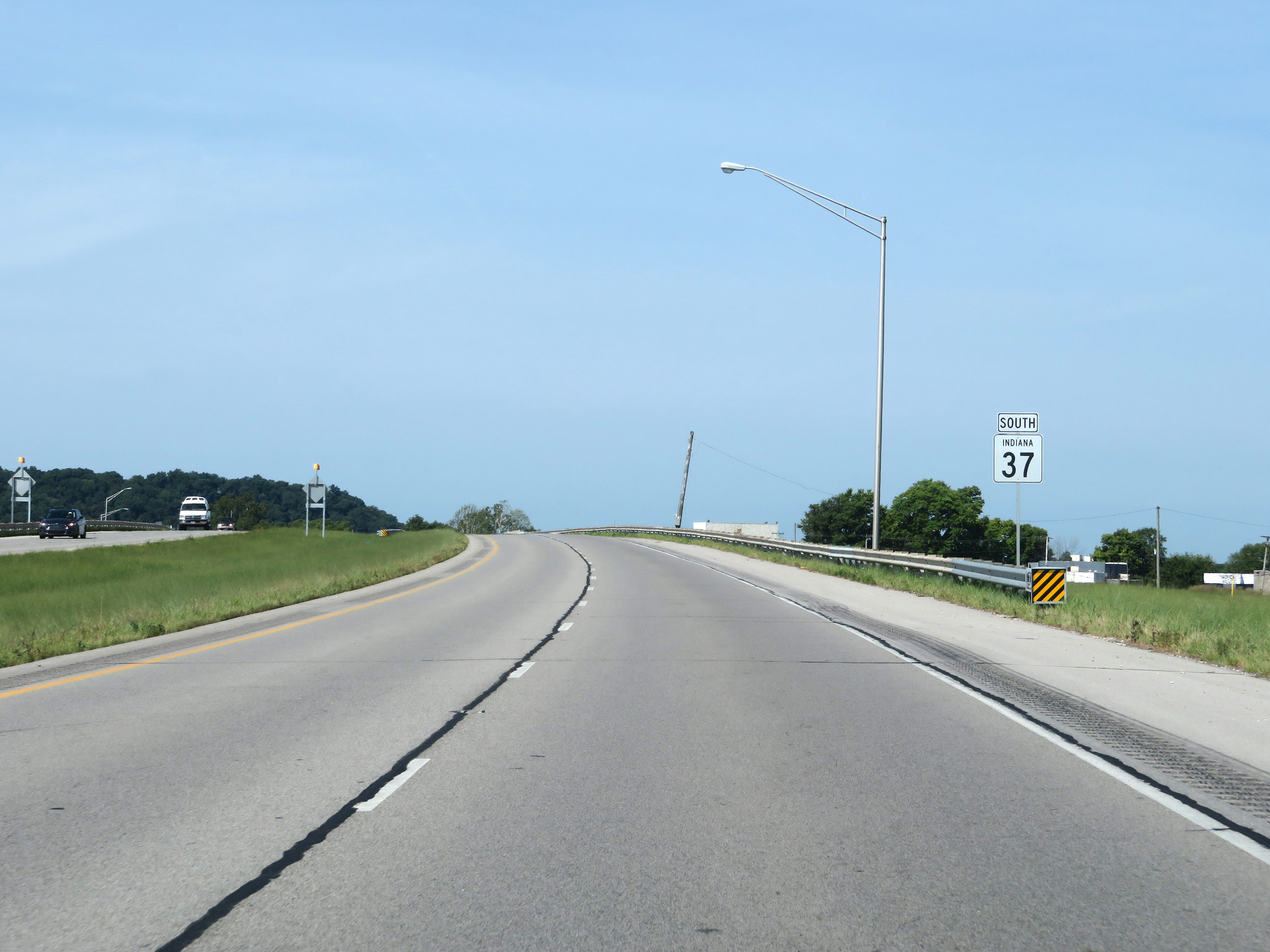 |
At the time, the southern segment of Interstate 69 South in Indiana began in Martinsville, just ahead on IN 37 South. (Photo taken 8/11/19). |
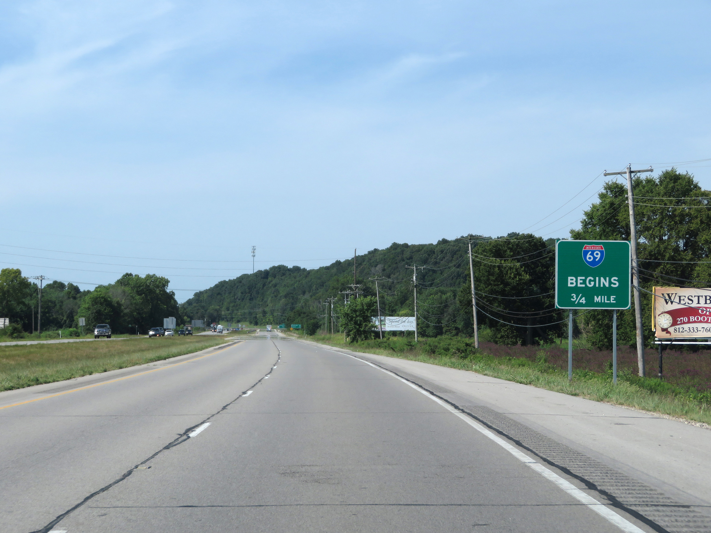 |
As this sign reads, Interstate 69 South will begin 3/4 mile ahead on IN 37 South in Martinsville. (Photo taken 8/11/19). |
 |
Here we see the final at-grade junction on IN 37 South just before Interstate 69 South begins. (Photo taken 8/11/19). |
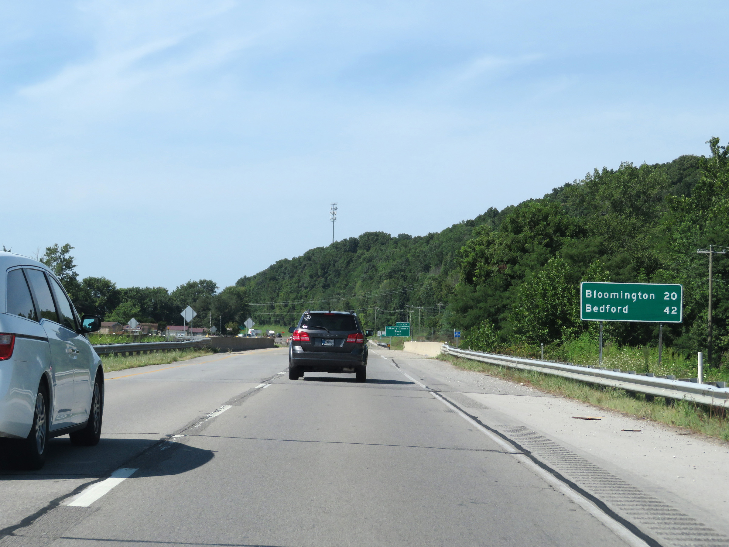 |
Mileage sign as the southern segment of Interstate 69 South begins. It's 20 miles to Bloomington and 42 miles to Bedford. (Photo taken 8/11/19). |
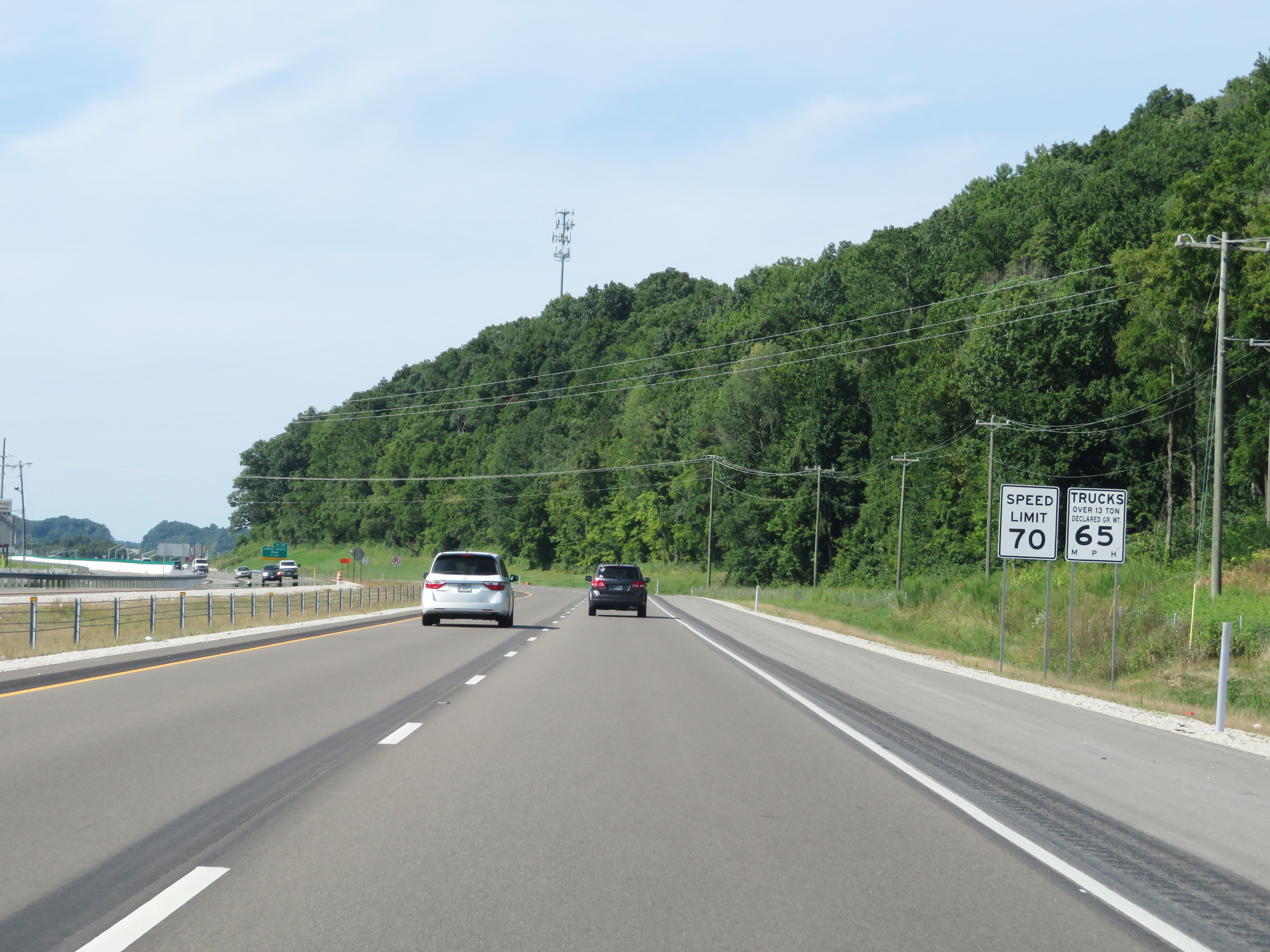 |
The speed limits on the southern segment of Interstate 69 South start out at 70 mph for automobiles and 65 mph for trucks. These are the standard speed limits on most rural Interstate highways in Indiana. (Photo taken 8/11/19). |
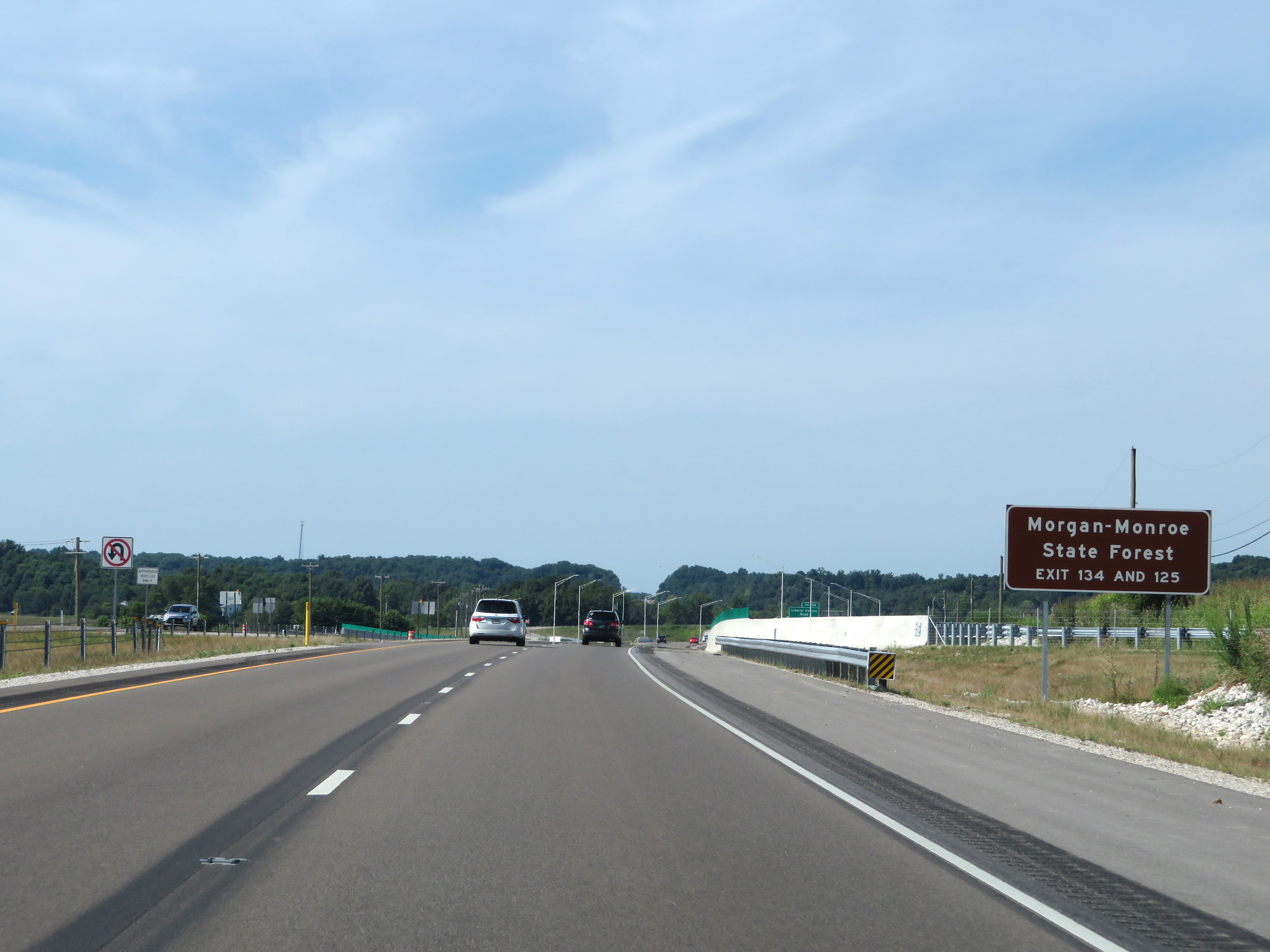 |
Take either Exit 134 or Exit 125 to Morgan-Monroe State Forest. (Photo taken 8/11/19). |
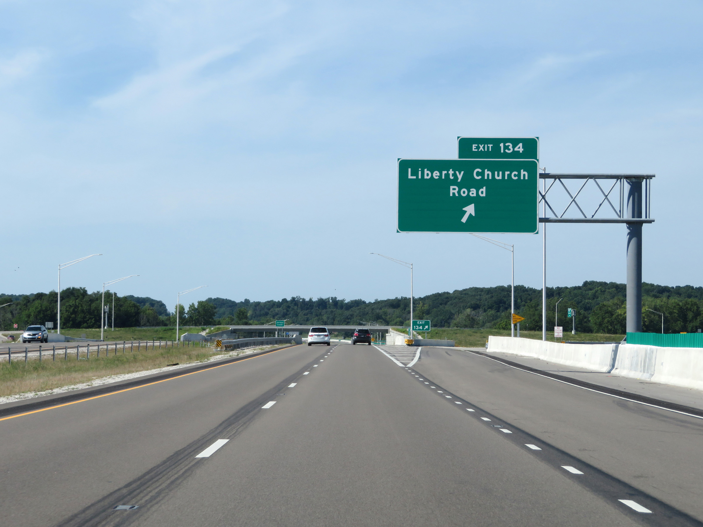 |
Interstate 69 South at Exit 134: Liberty Church Road (Photo taken 8/11/19). |
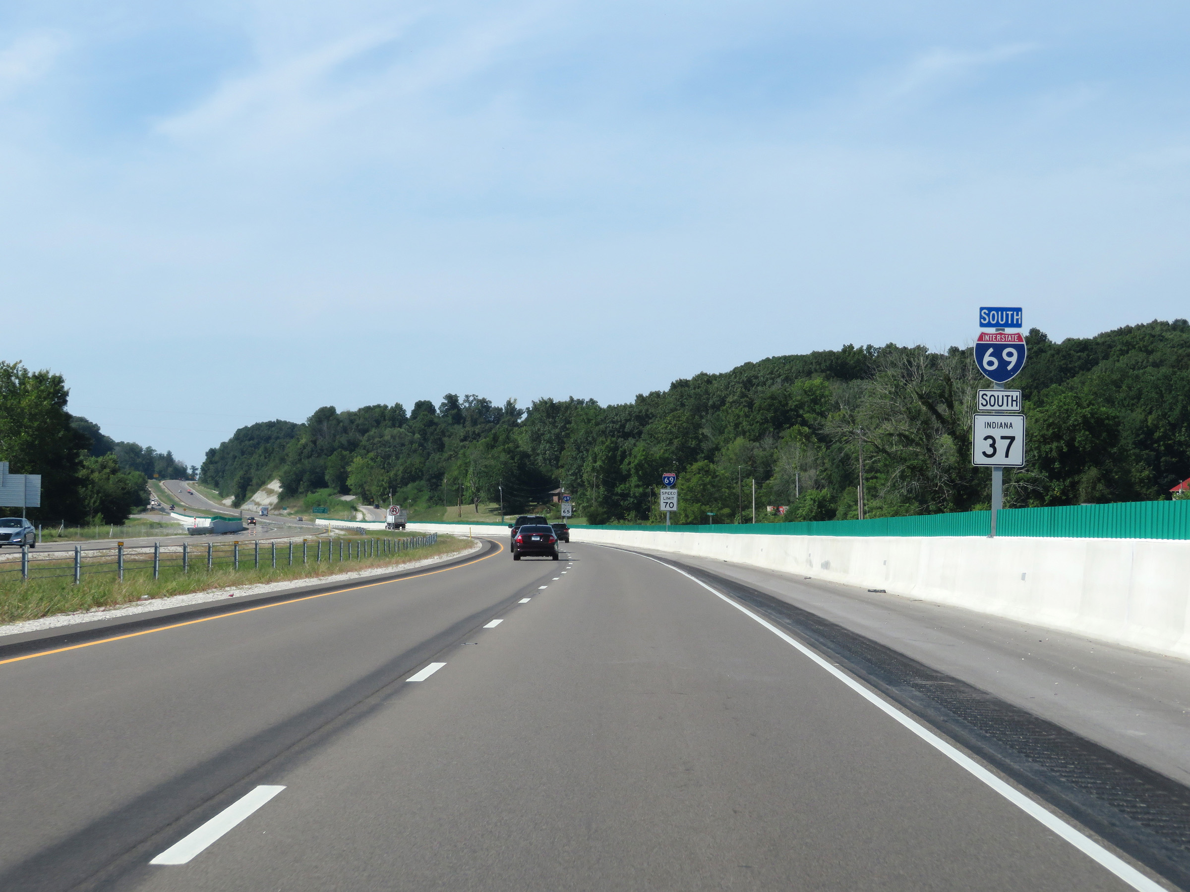 |
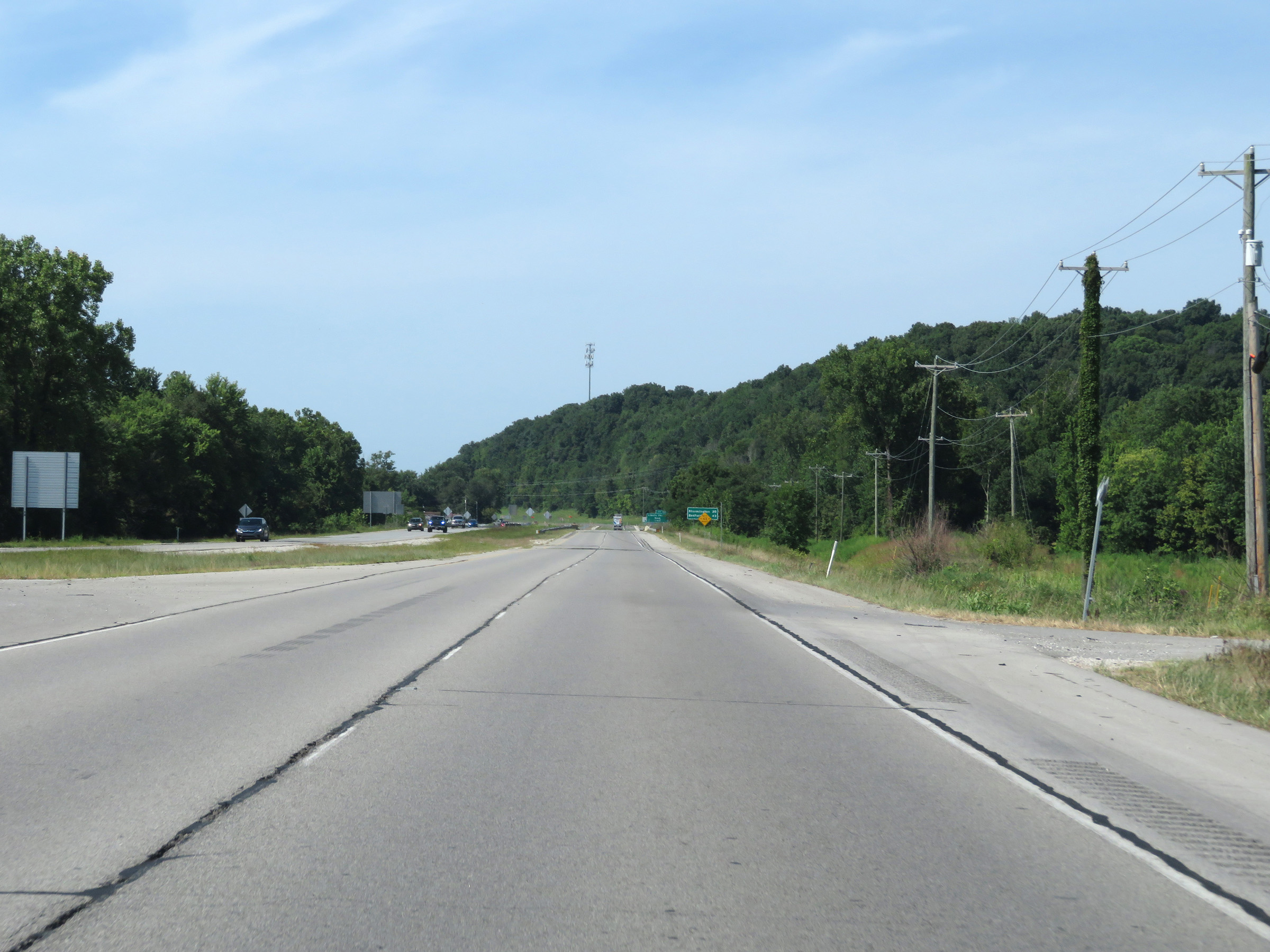
Interstate 69 South reassurance shield. IN 37 will run concurrently with I-69 to Exit 114, which is to the south of Bloomington. (Photo taken 8/11/19). |
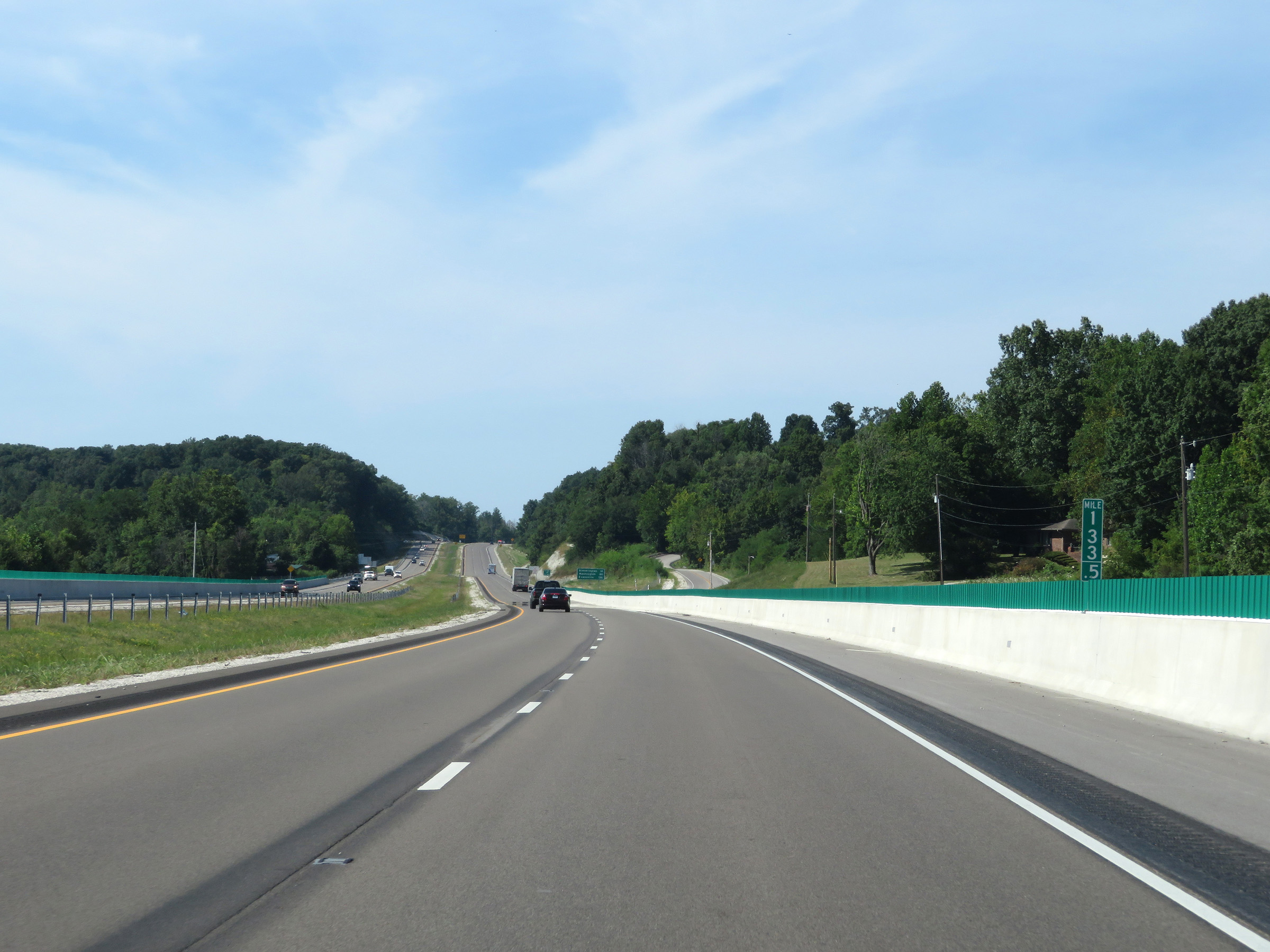 |
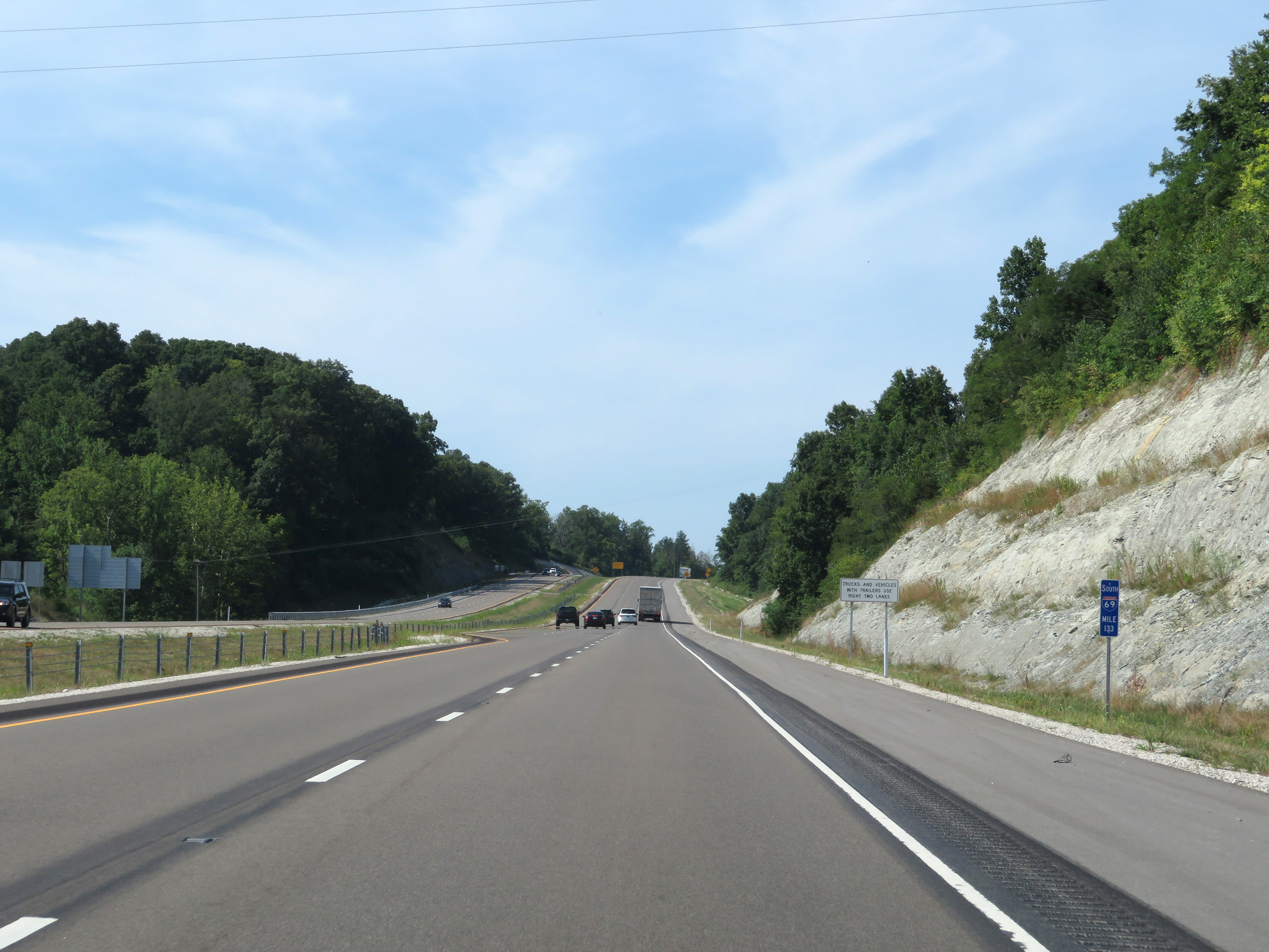
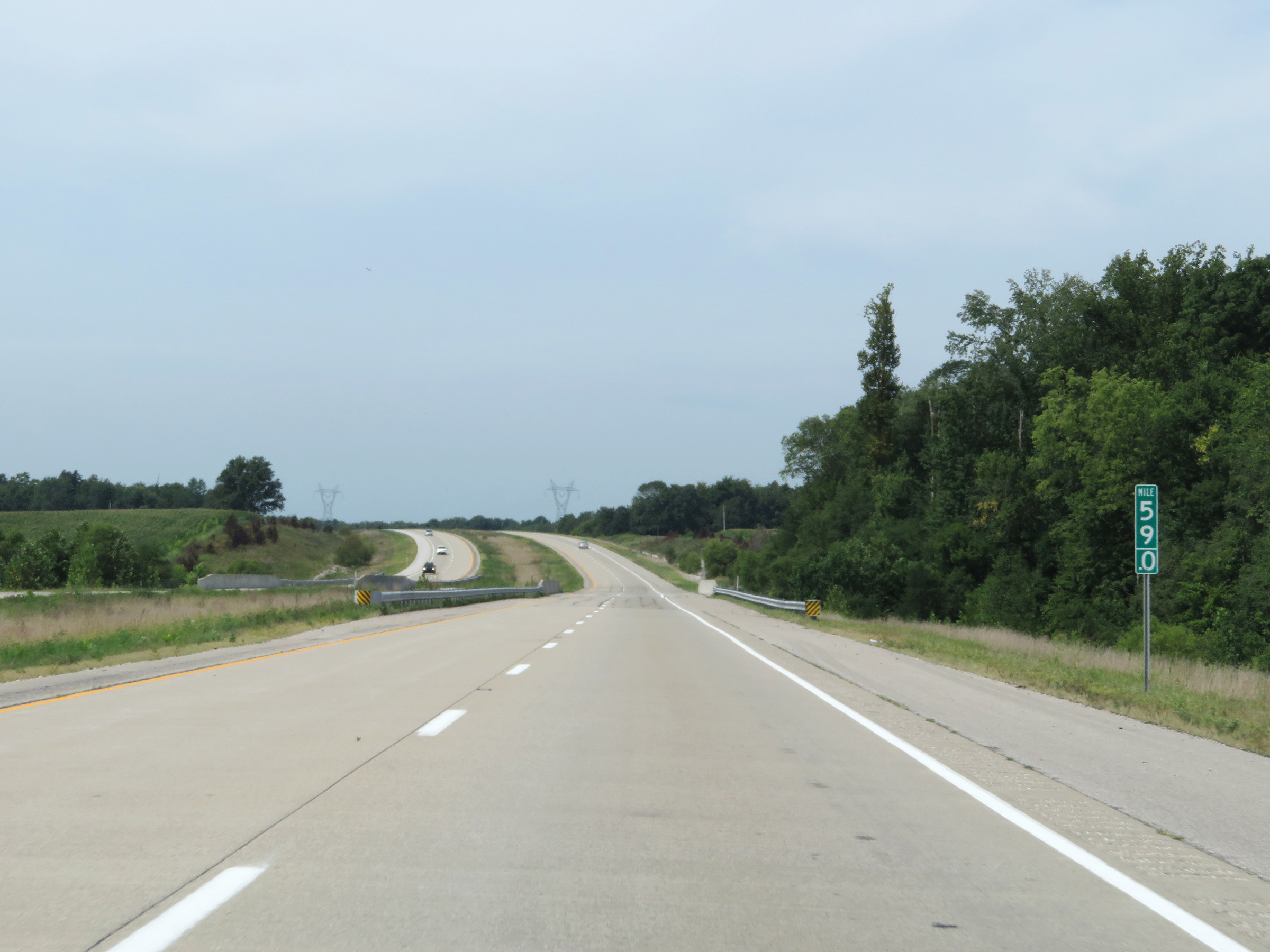
View on Interstate 69 South at mile marker 133.5. (Photo taken 8/11/19). |
 |
At mile marker 133, Interstate 69 South gains a third lane for a brief time as it climbs a mild hill. (Photo taken 8/11/19). |
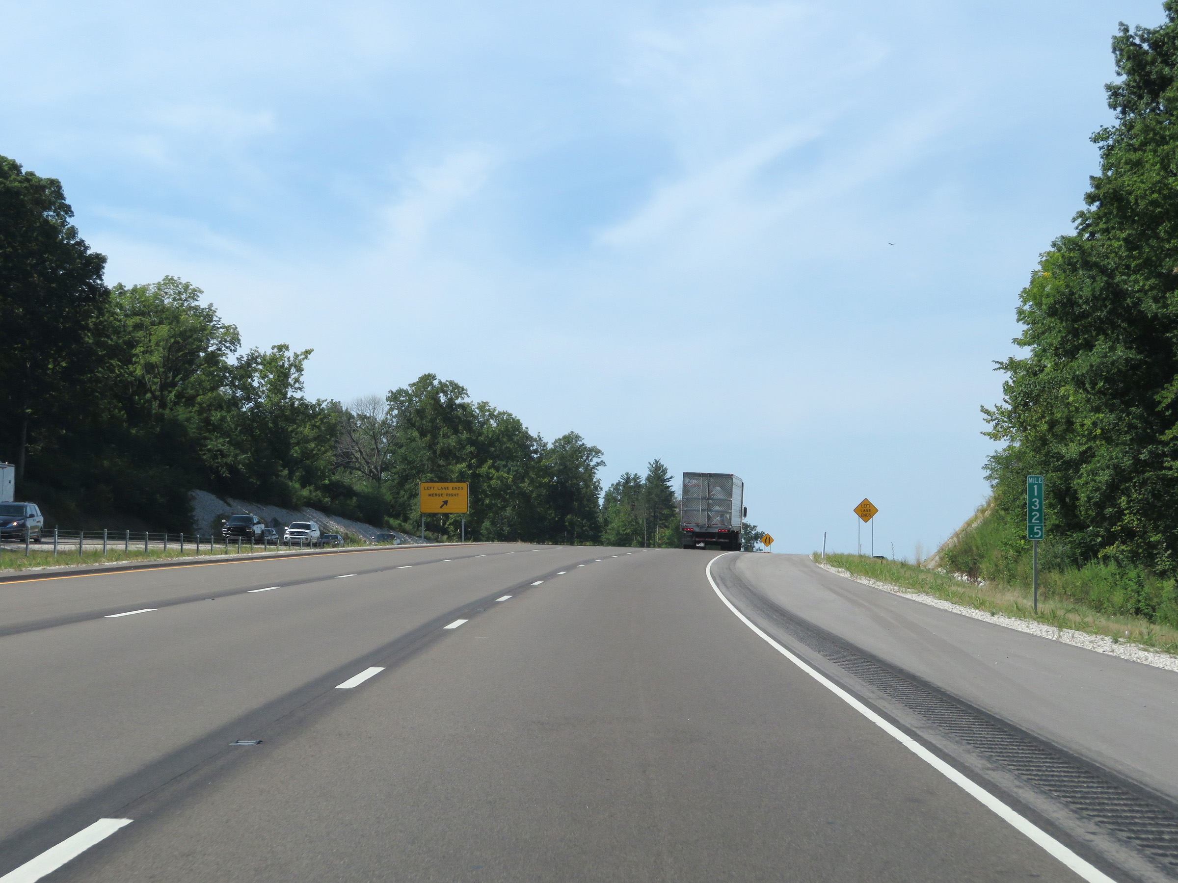 |
At mile marker 132.5, just 1/2 mile later, the left lane prepares to come to an end. (Photo taken 8/11/19). |
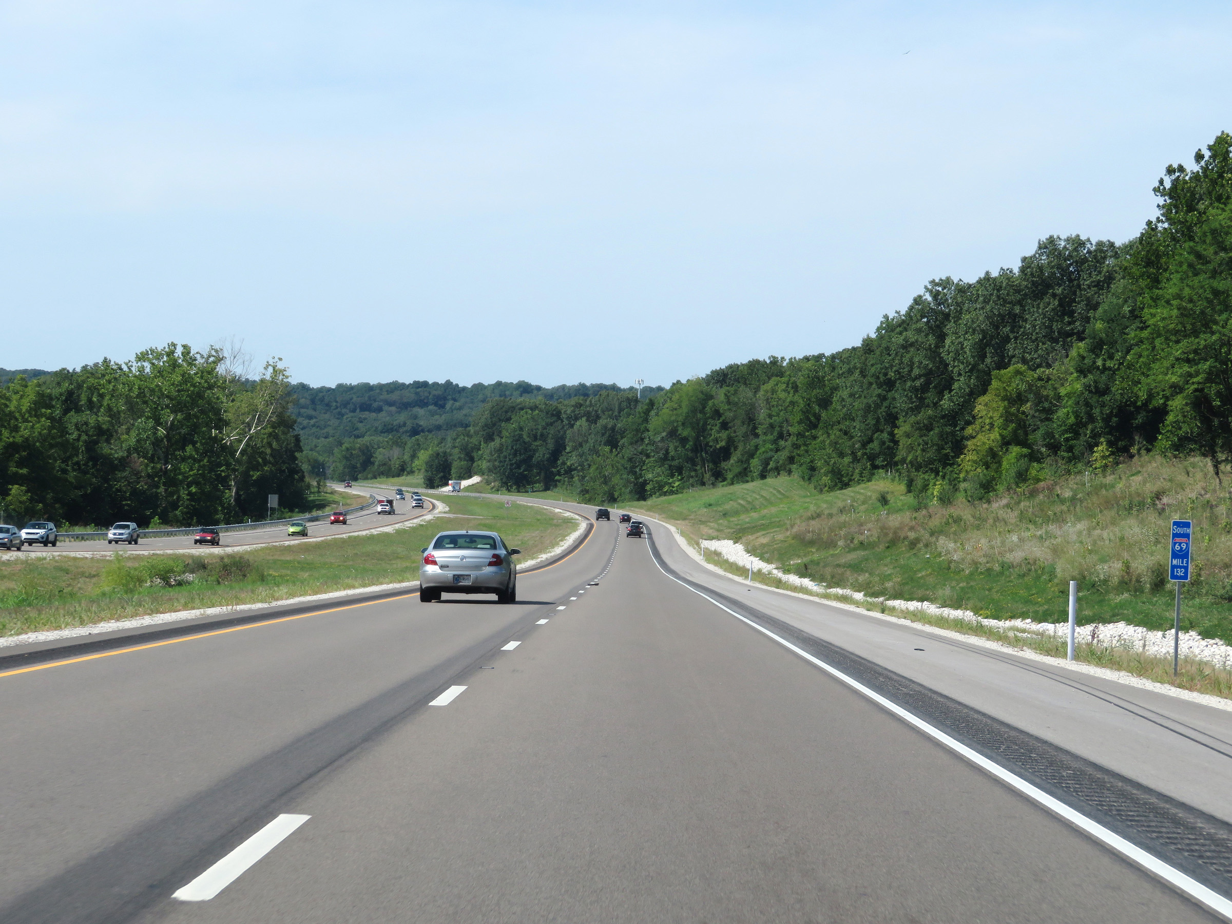 |
View on Interstate 69 South at mile marker 132. (Photo taken 8/11/19). |
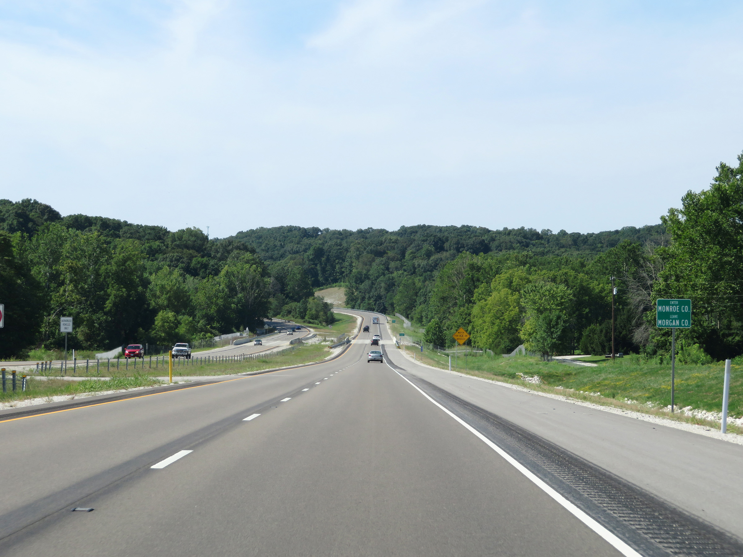 |
Interstate 69 South as it enters Monroe County. (Photo taken 8/11/19). |
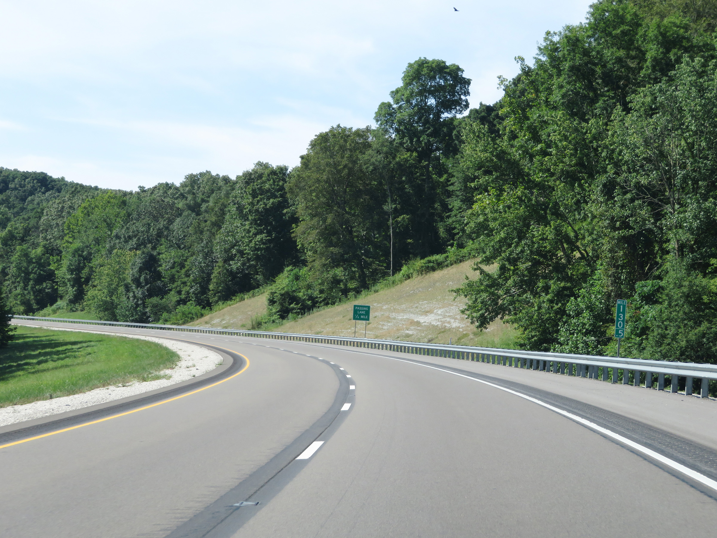 |
Interstate 69 South at mile marker 130.5, as another passing lane will appear 1/4 mile ahead. (Photo taken 8/11/19). |
 |
View on Interstate 69 South at mile marker 130, as it once again gains a third lane for a brief time. (Photo taken 8/11/19). |
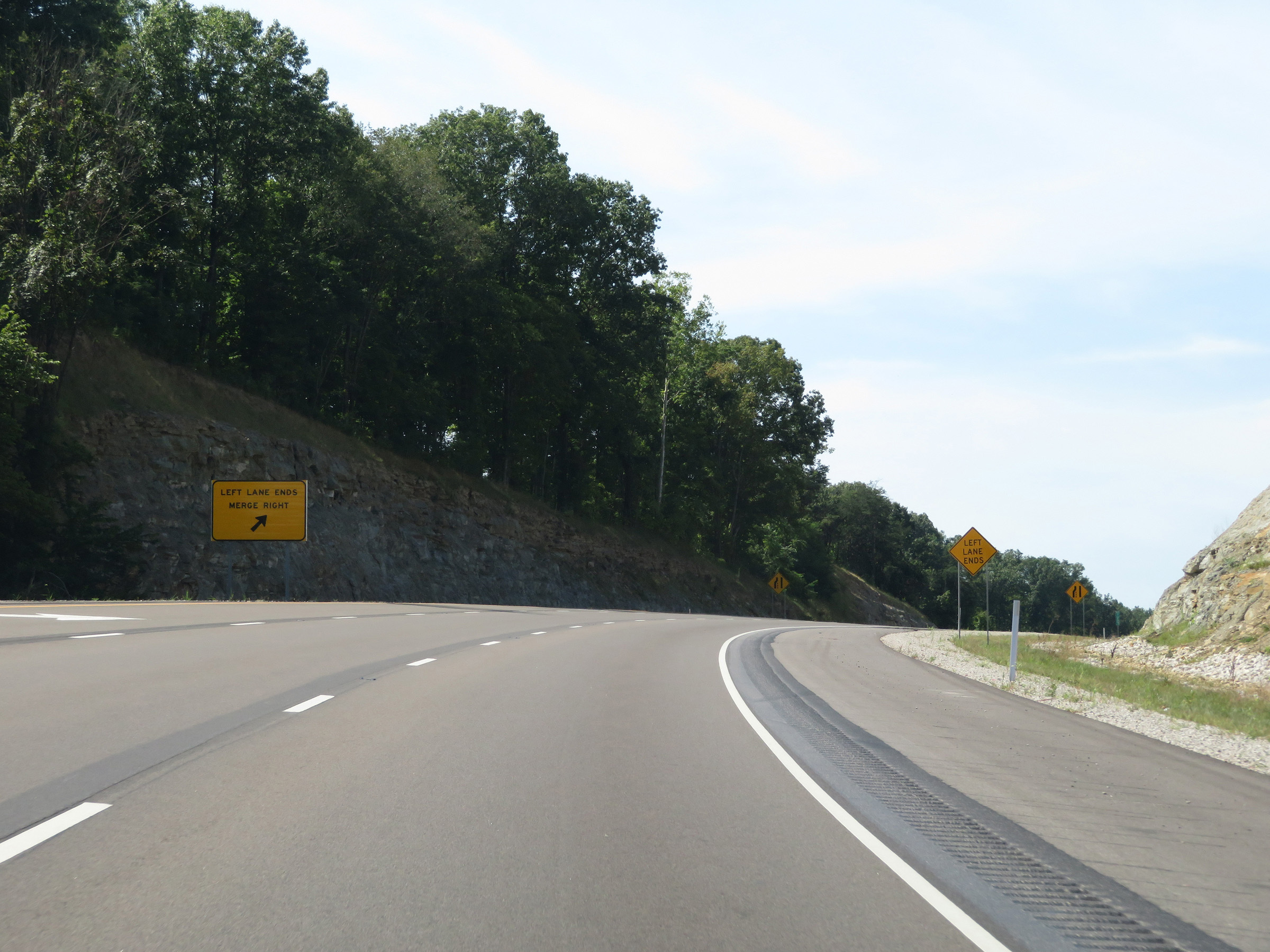 |
About 1/2 mile later, the left lane comes to an end at the top of this mild hill. (Photo taken 8/11/19). |
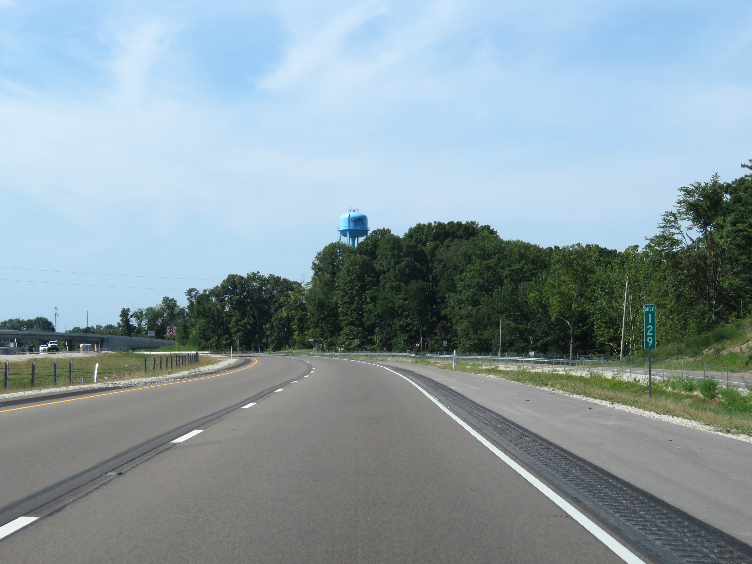 |
Mile marker 129 on Interstate 69 South in Monroe County. (Photo taken 8/11/19). |
 |
View on Interstate 69 South at mile marker 127.5. (Photo taken 8/11/19). |
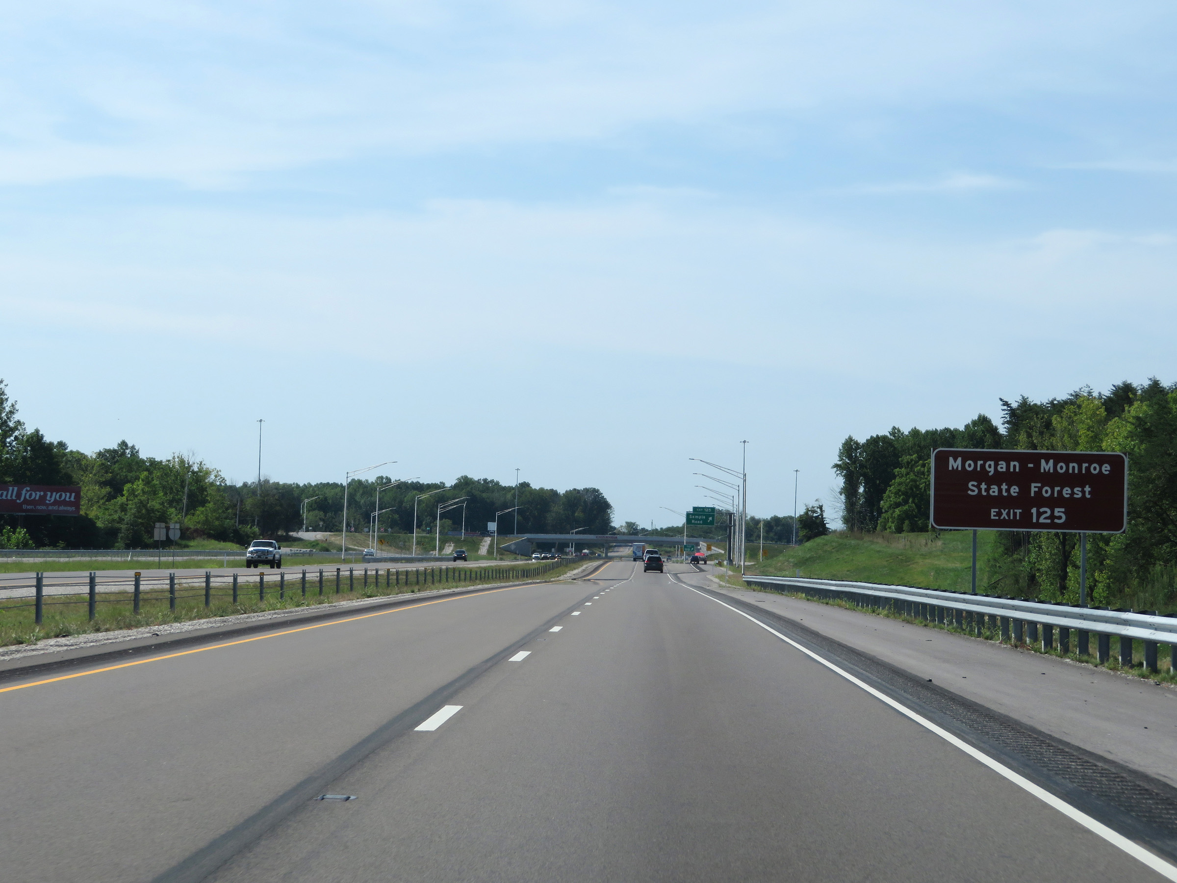 |
Take Exit 125 to Morgan-Monroe State Forest. (Photo taken 8/11/19). |
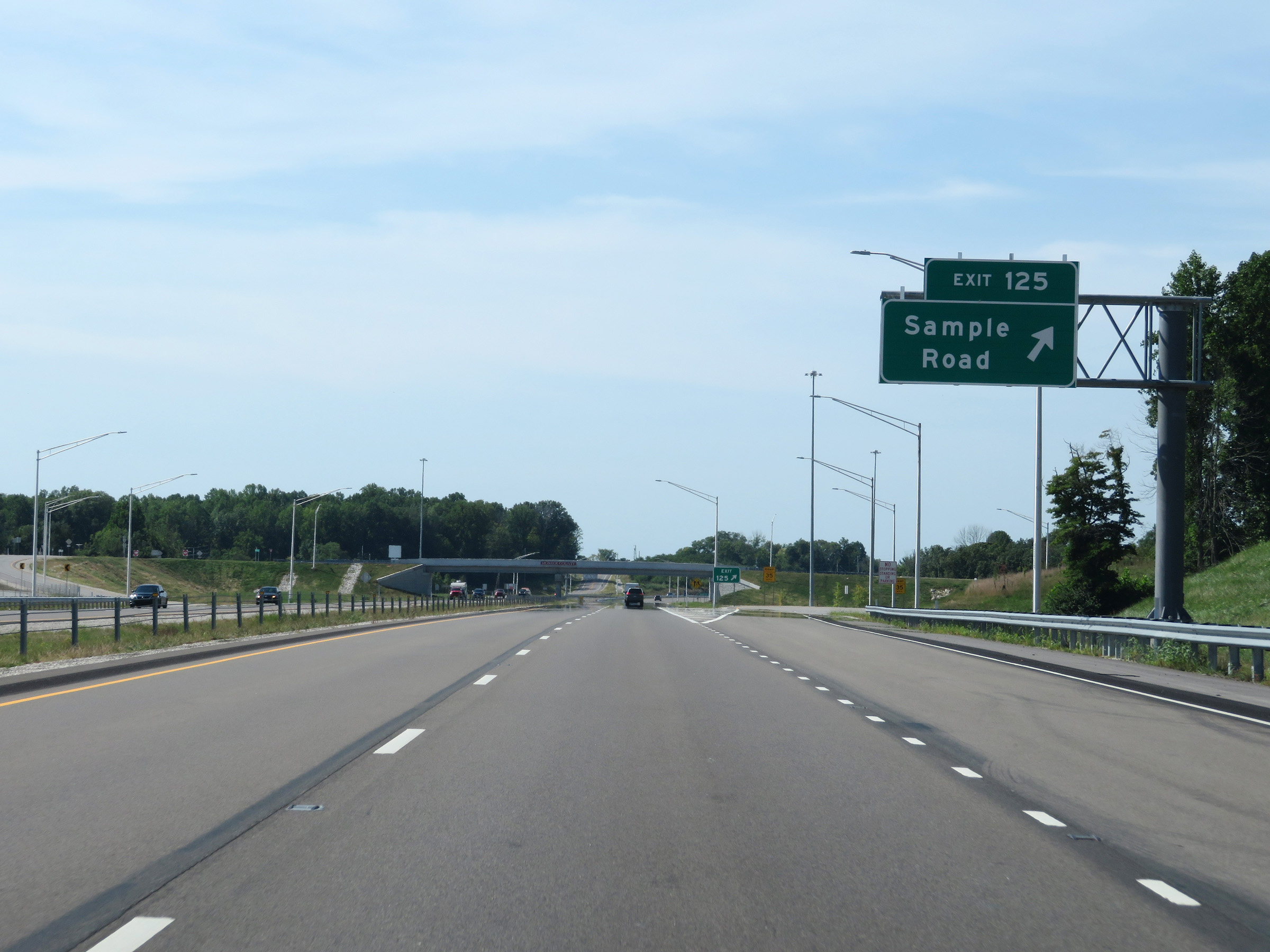 |
Interstate 69 South at Exit 125: Sample Road (Photo taken 8/11/19). |
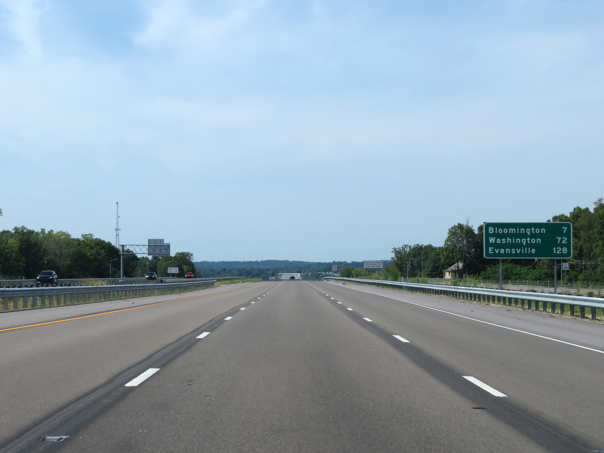 |
Another mileage sign on Interstate 69 South. It's 7 miles to Bloomington, 72 miles to Washington, and 128 miles to Evansville. (Photo taken 8/11/19). |
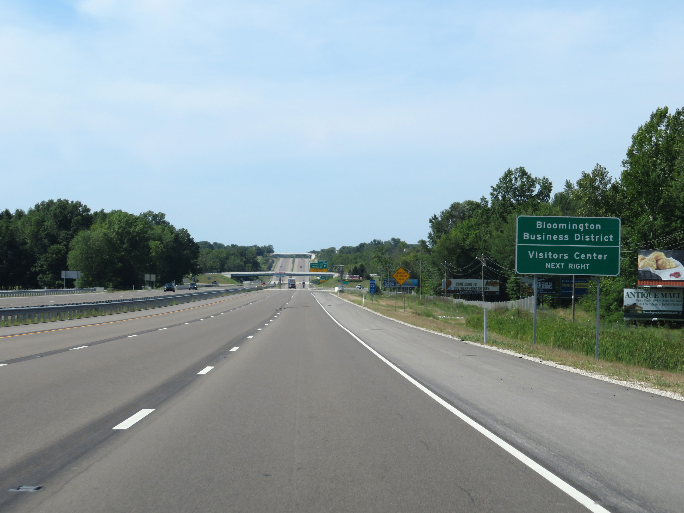 |
Take Exit 123 to Bloomington Business District and the Visitors Center. (Photo taken 8/11/19). |
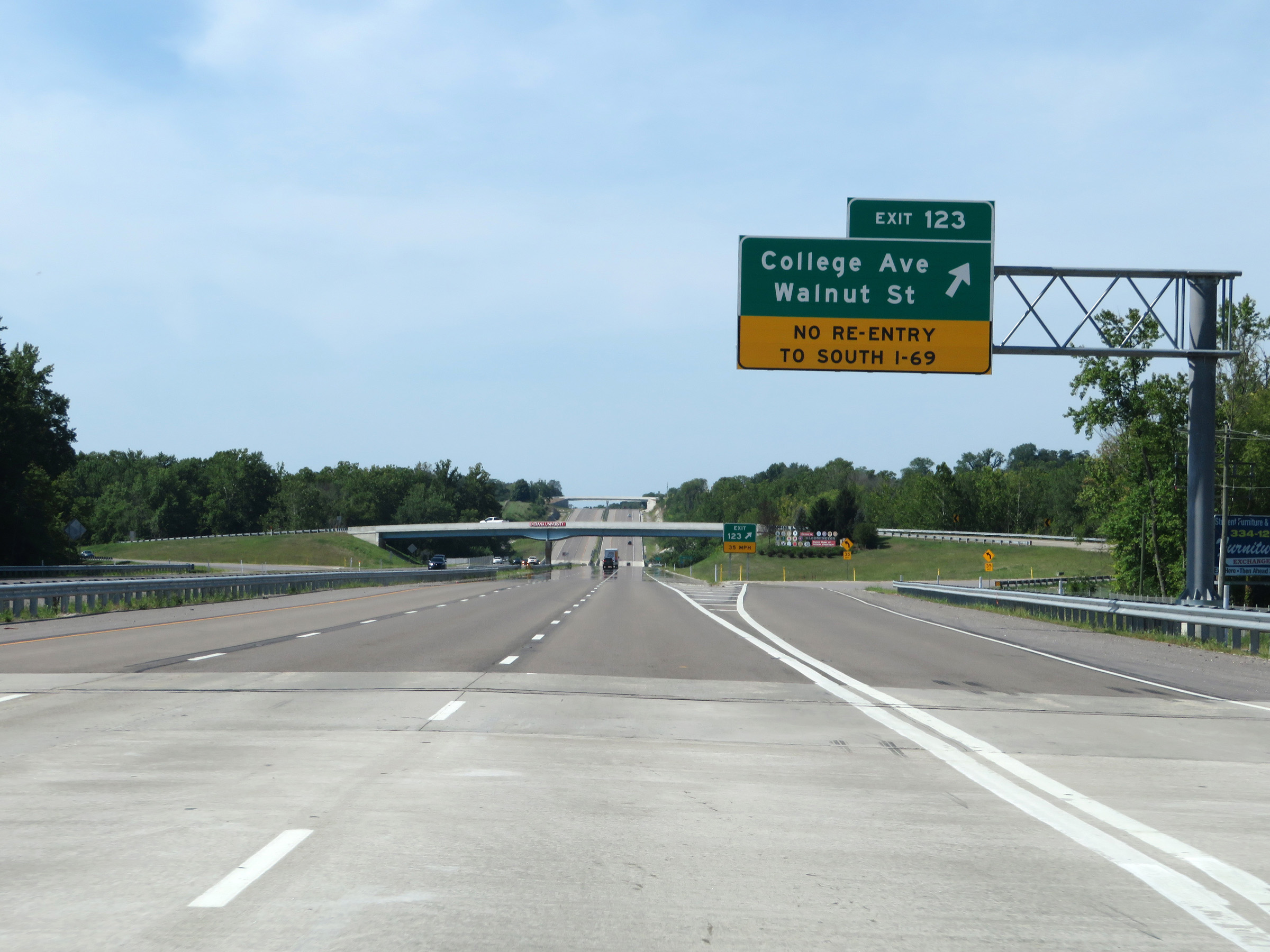 |
Interstate 69 South at Exit 123: College Ave / Walnut St (Photo taken 8/11/19). |
 |
View on Interstate 69 South at mile marker 123. (Photo taken 8/11/19). |
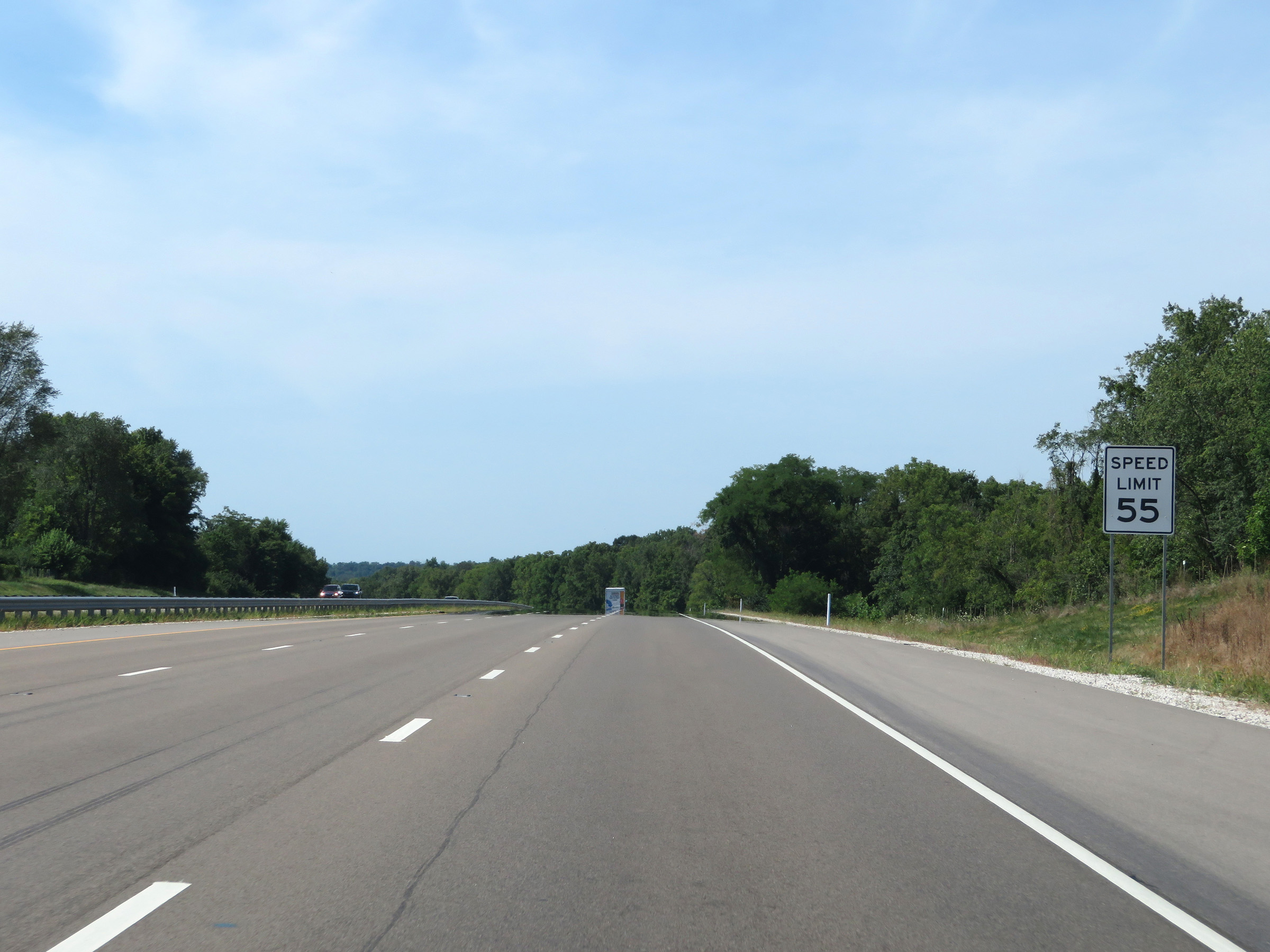 |
Approaching Bloomington, the speed limit decreases to 55 mph on Interstate 69 South. (Photo taken 8/11/19). |
 |
Take any of the next 5 exits to Bloomington. (Photo taken 8/11/19). |
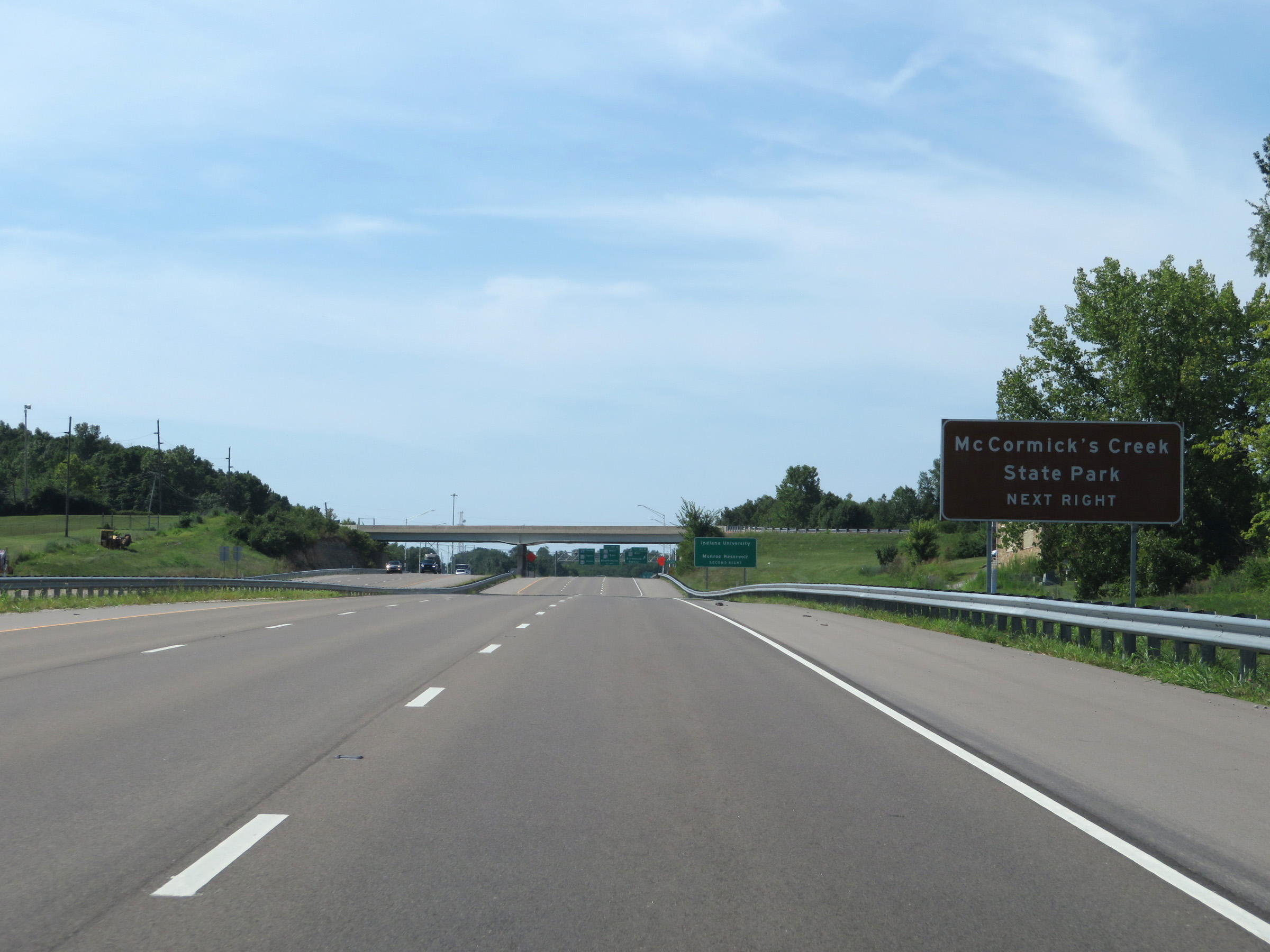 |
Take Exit 120B to McCormick's Creek State Park. (Photo taken 8/11/19). |
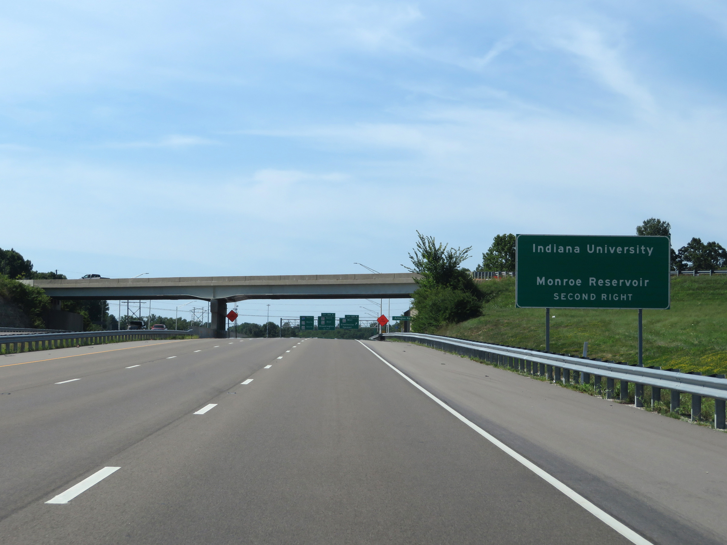 |
Take Exit 120A to Indiana University and Monroe Reservoir. (Photo taken 8/11/19). |
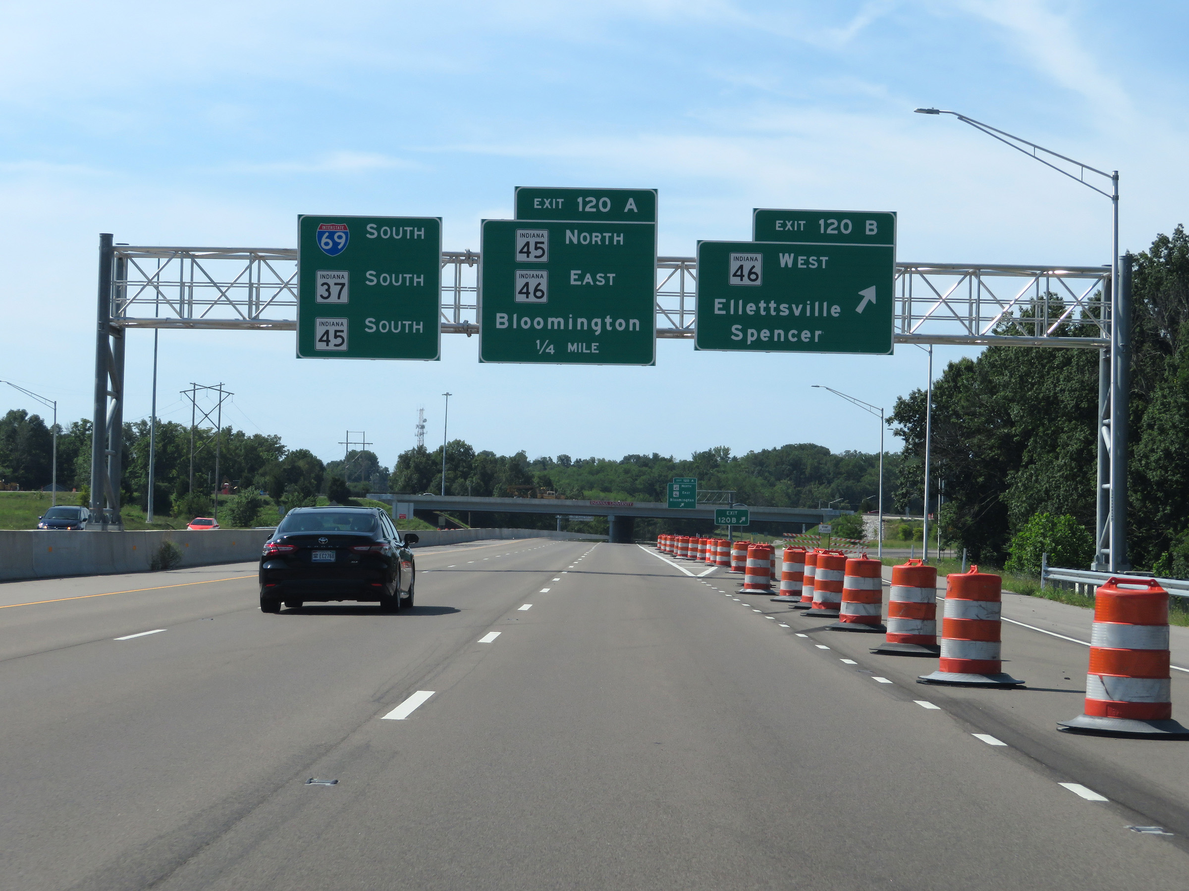 |
Interstate 69 South at Exit 120B: IN 46 West - Ellettsville / Spencer (Photo taken 8/11/19). |
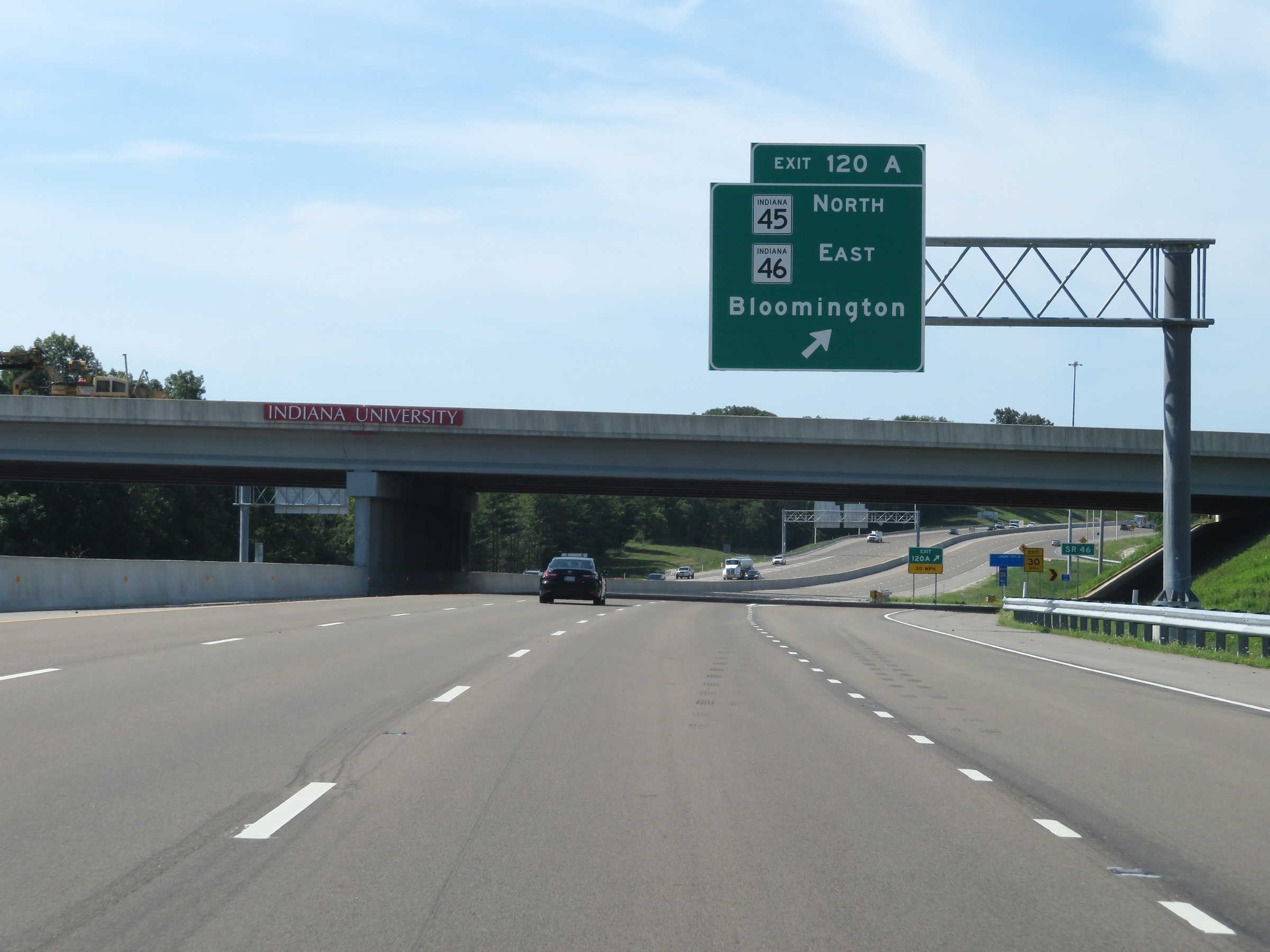 |
Interstate 69 South at Exit 120A: IN 45 North / IN 46 East - Bloomington (Photo taken 8/11/19). |
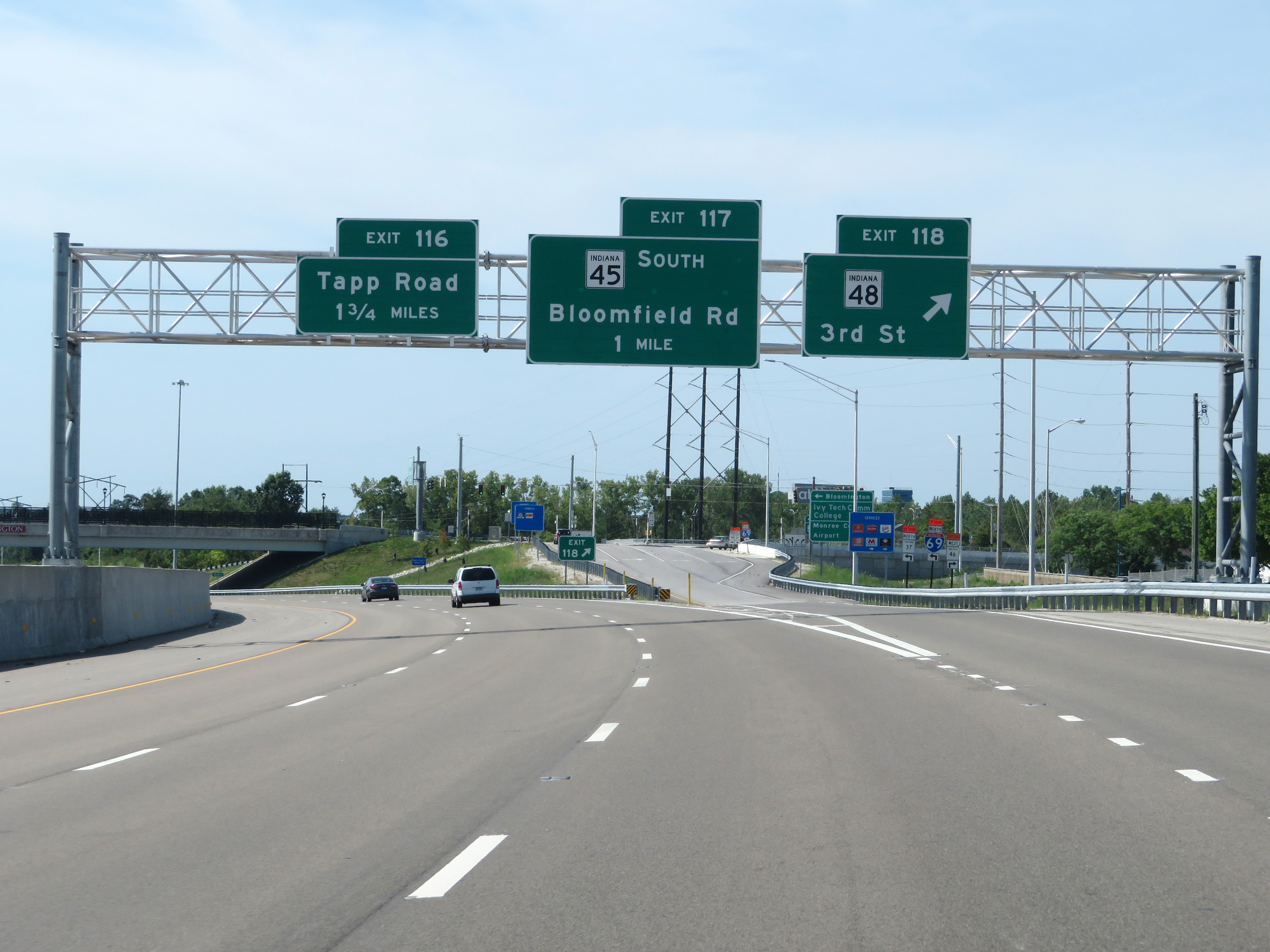 |
Interstate 69 South at Exit 118: IN 48 - 3rd St (Photo taken 8/11/19). |
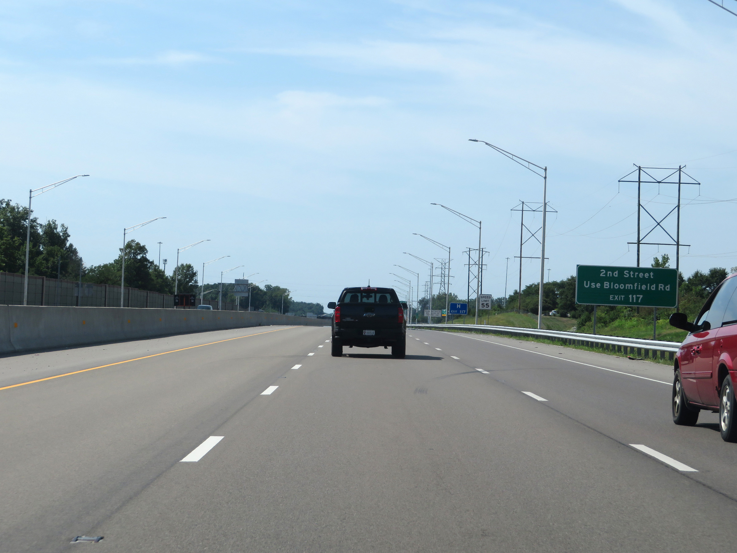 |
Take Exit 117 to 2nd Street via Bloomfield Rd. (Photo taken 8/11/19). |
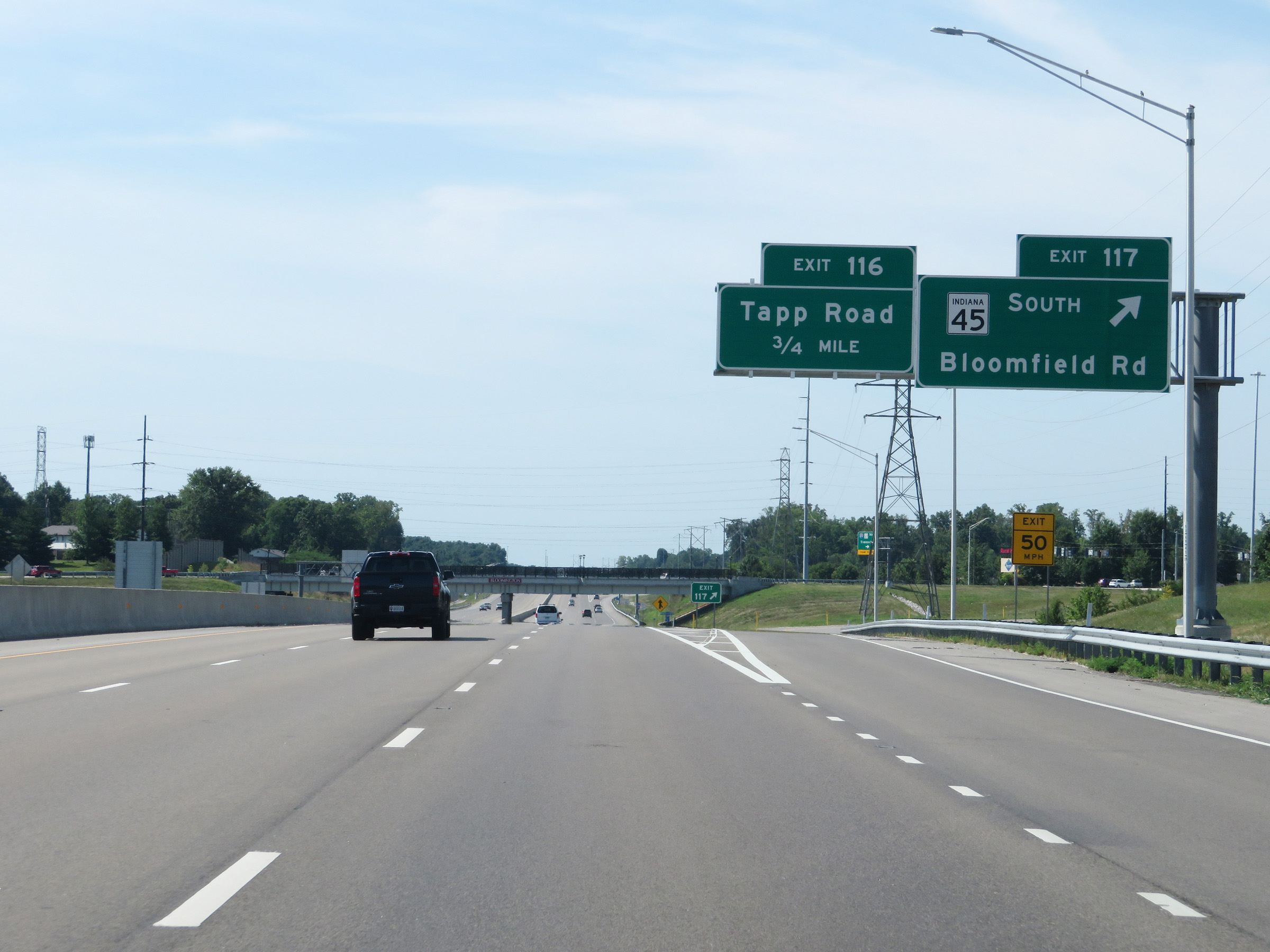 |
Interstate 69 South at Exit 117: IN 45 South - Bloomfield Rd (Photo taken 8/11/19). |
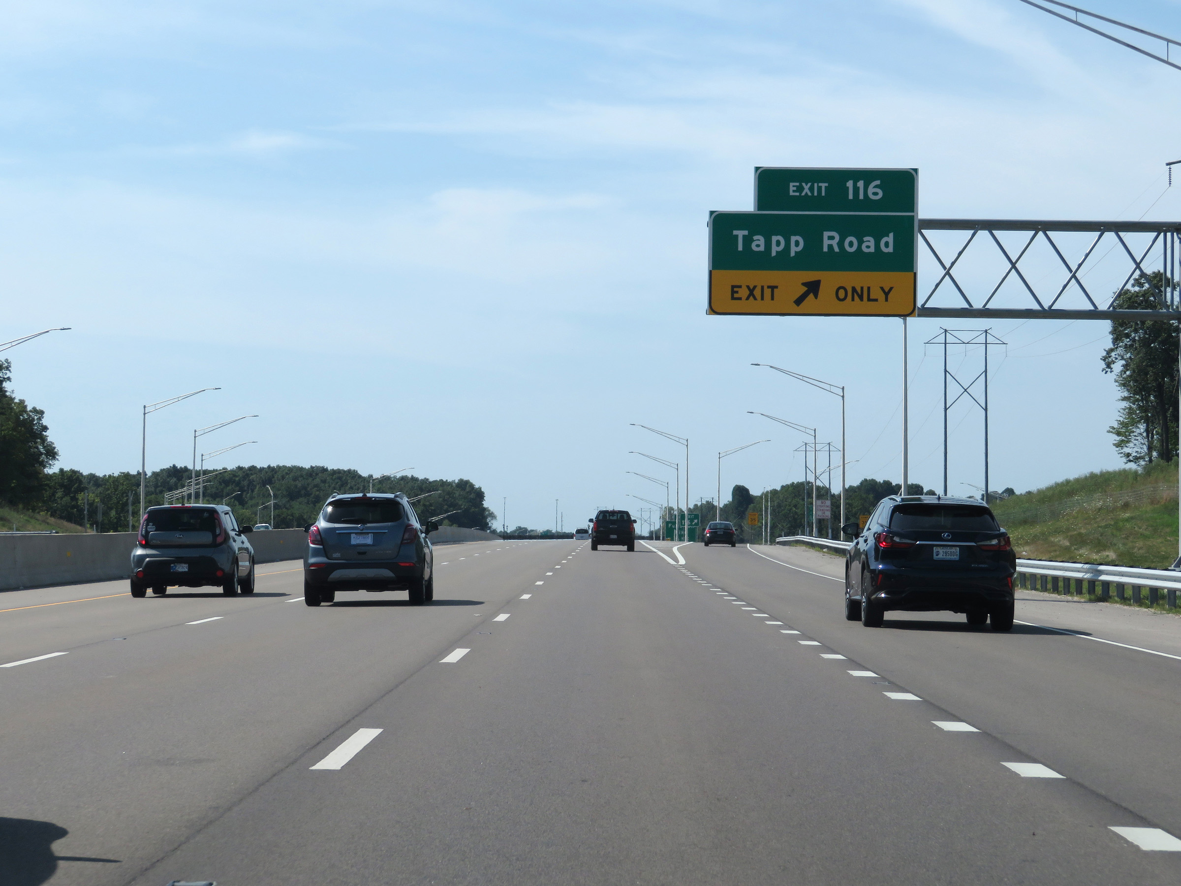 |
Interstate 69 South at Exit 116: Tapp Road (Photo taken 8/11/19). |
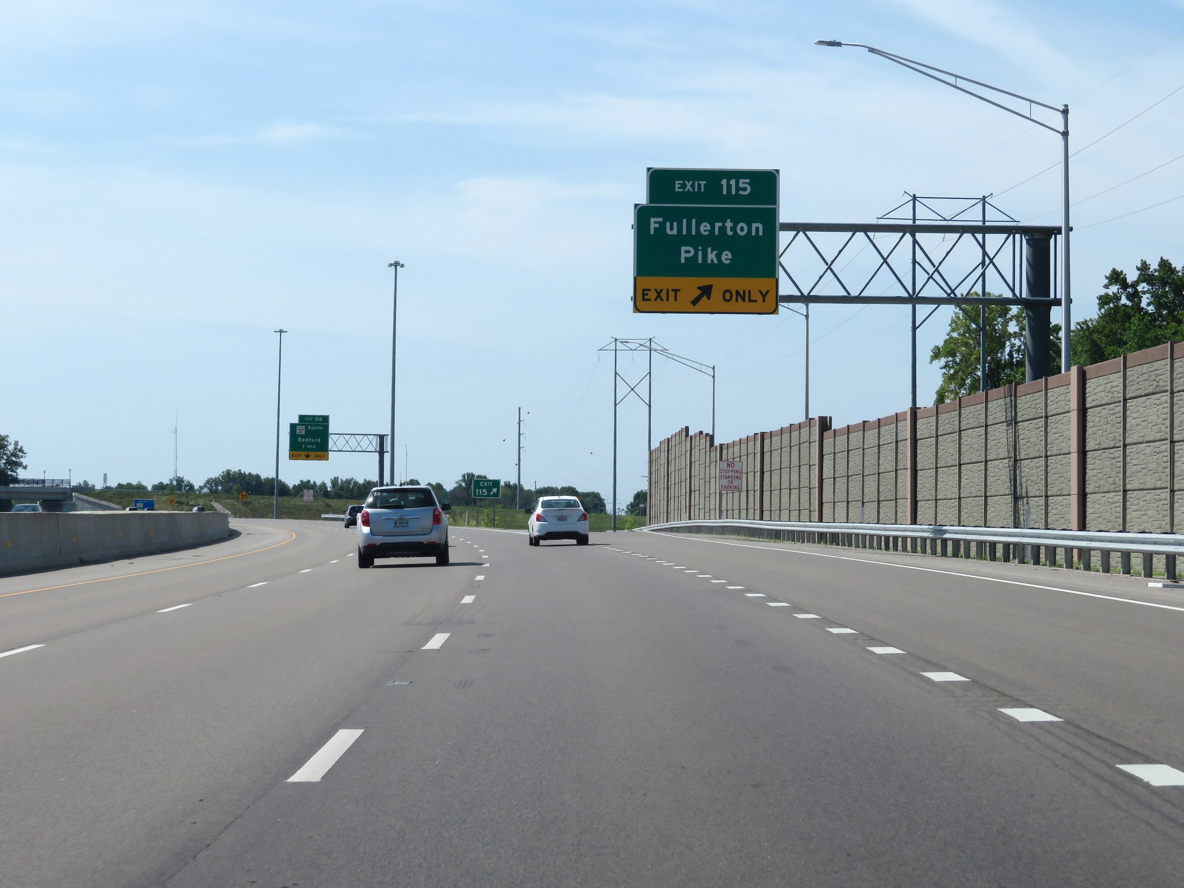 |
Interstate 69 South at Exit 115: Fullerton Pike (Photo taken 8/11/19). |
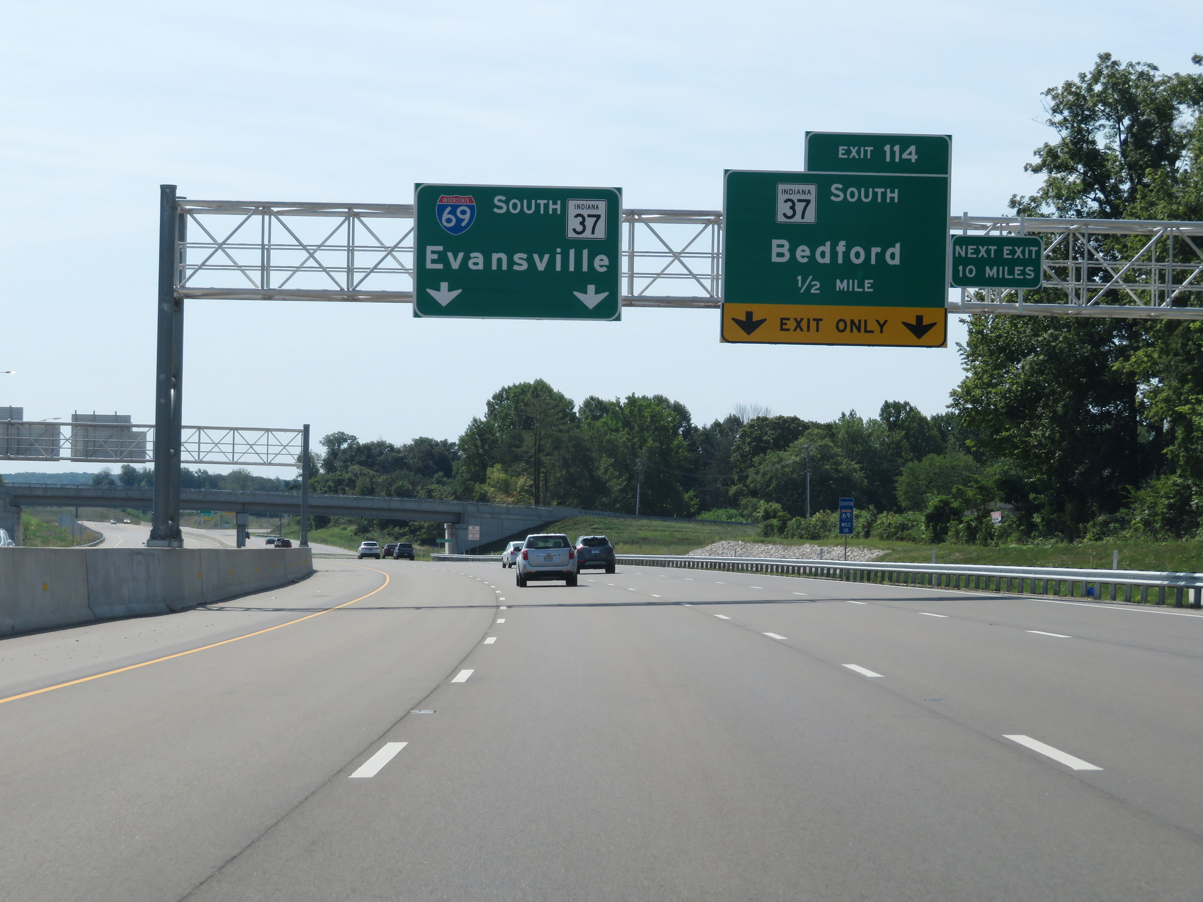 |
Approaching Exit 114, this advance signage warns motorists that beyond it, the next exit is 10 miles ahead on Interstate 69 South. (Photo taken 8/11/19). |
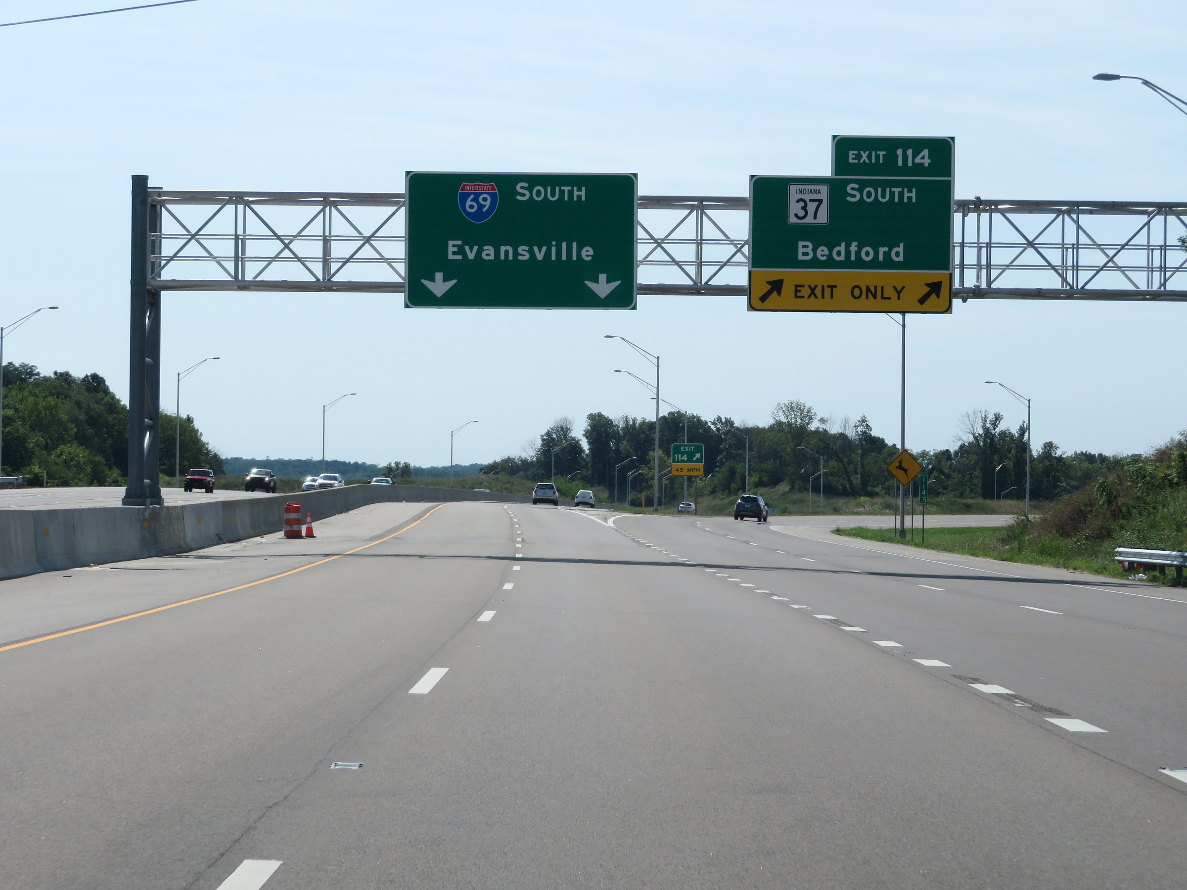 |
Interstate 69 South at Exit 114: IN 37 South - Bedford (Photo taken 8/11/19). |
Section 3: Bloomington (Exit 114) to Haubstadt (Exit 21A)
 |
View on Interstate 69 South at mile marker 114. (Photo taken 8/11/19). |
 |
Interstate 69 South reassurance shield as it leaves the Bloomington area. (Photo taken 8/11/19). |
 |
South of the Bloomington area, the speed limits increase to 70 mph for automobiles and 65 mph for trucks once again. (Photo taken 8/11/19). |
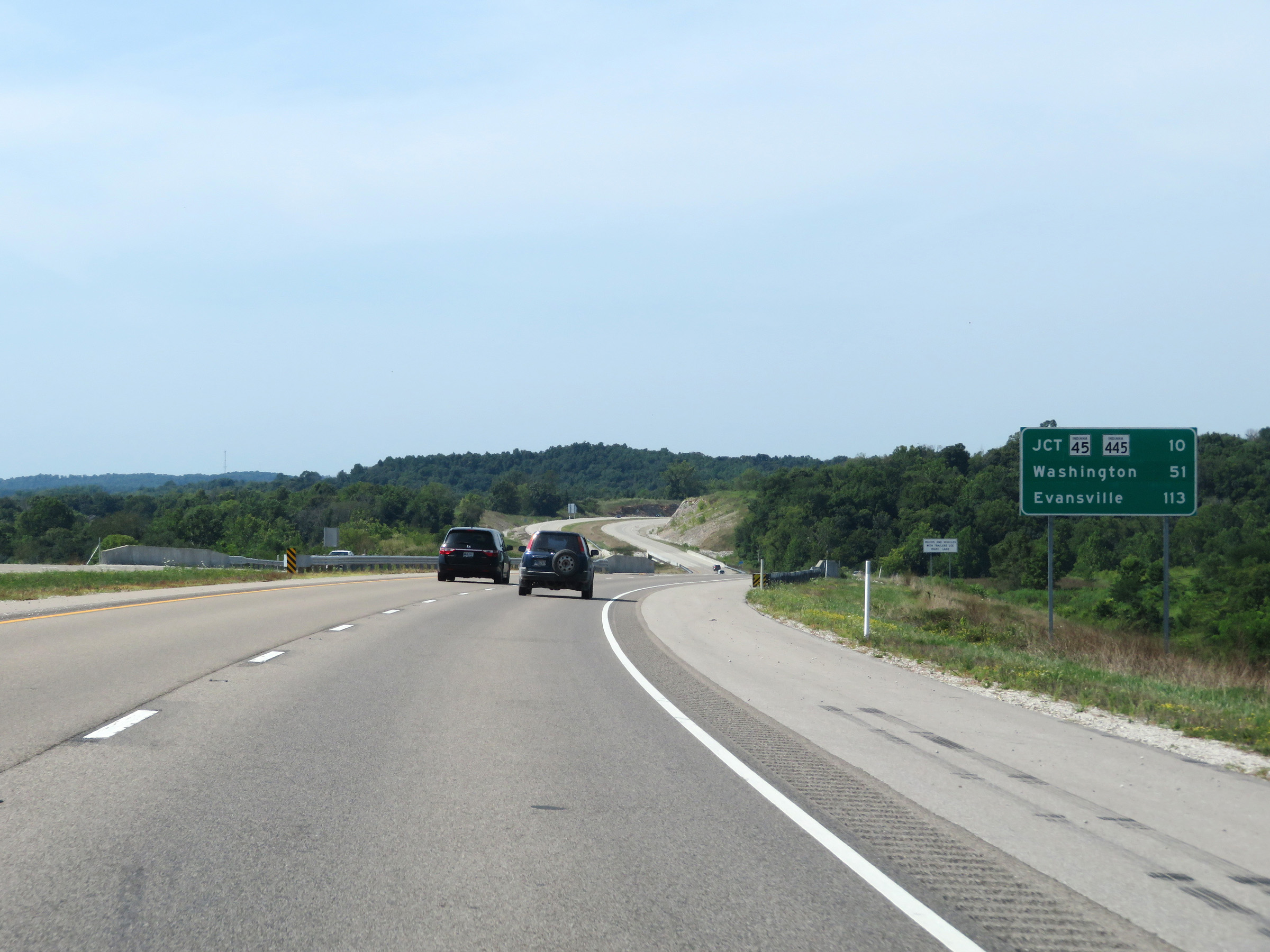 |
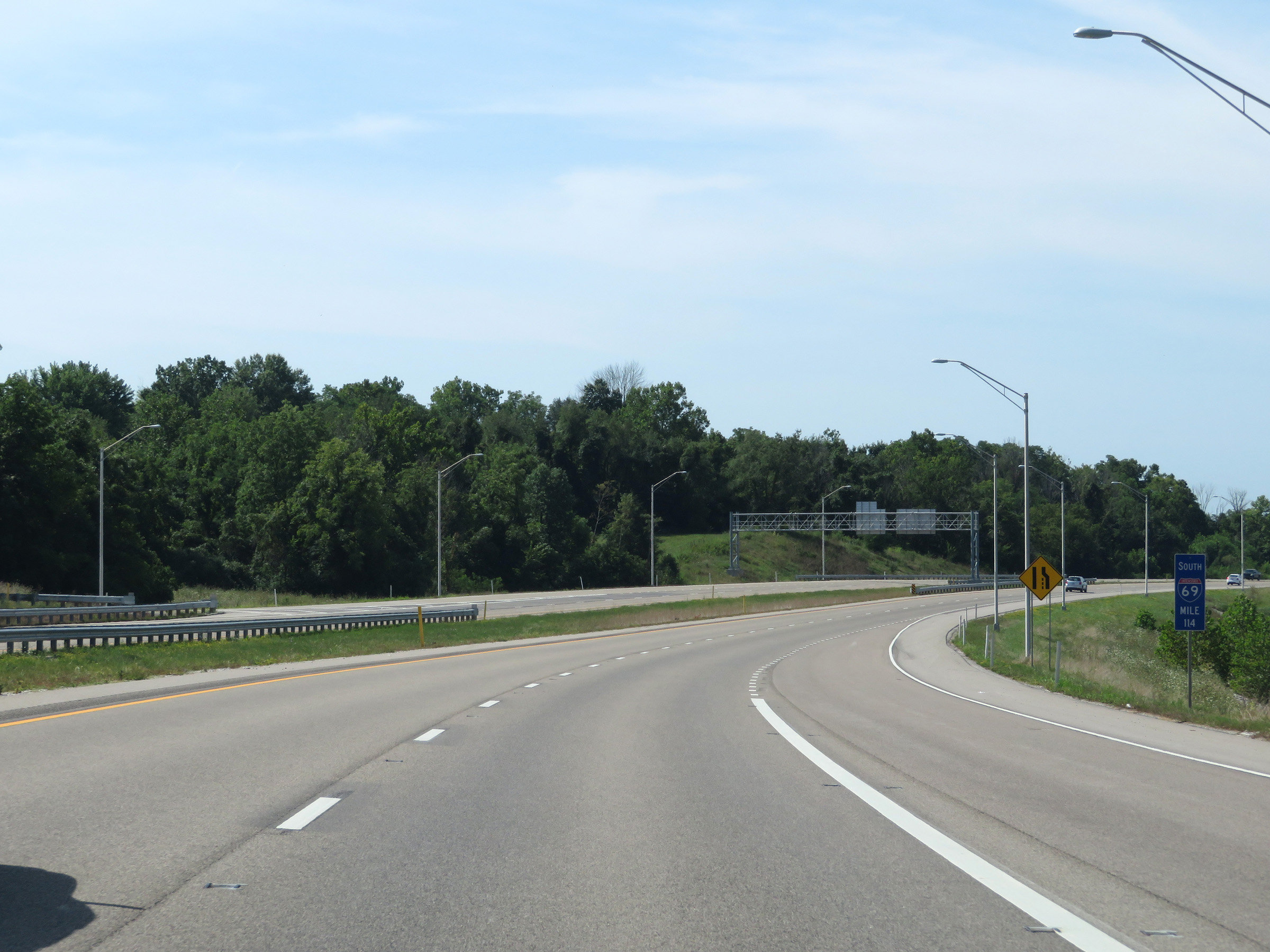
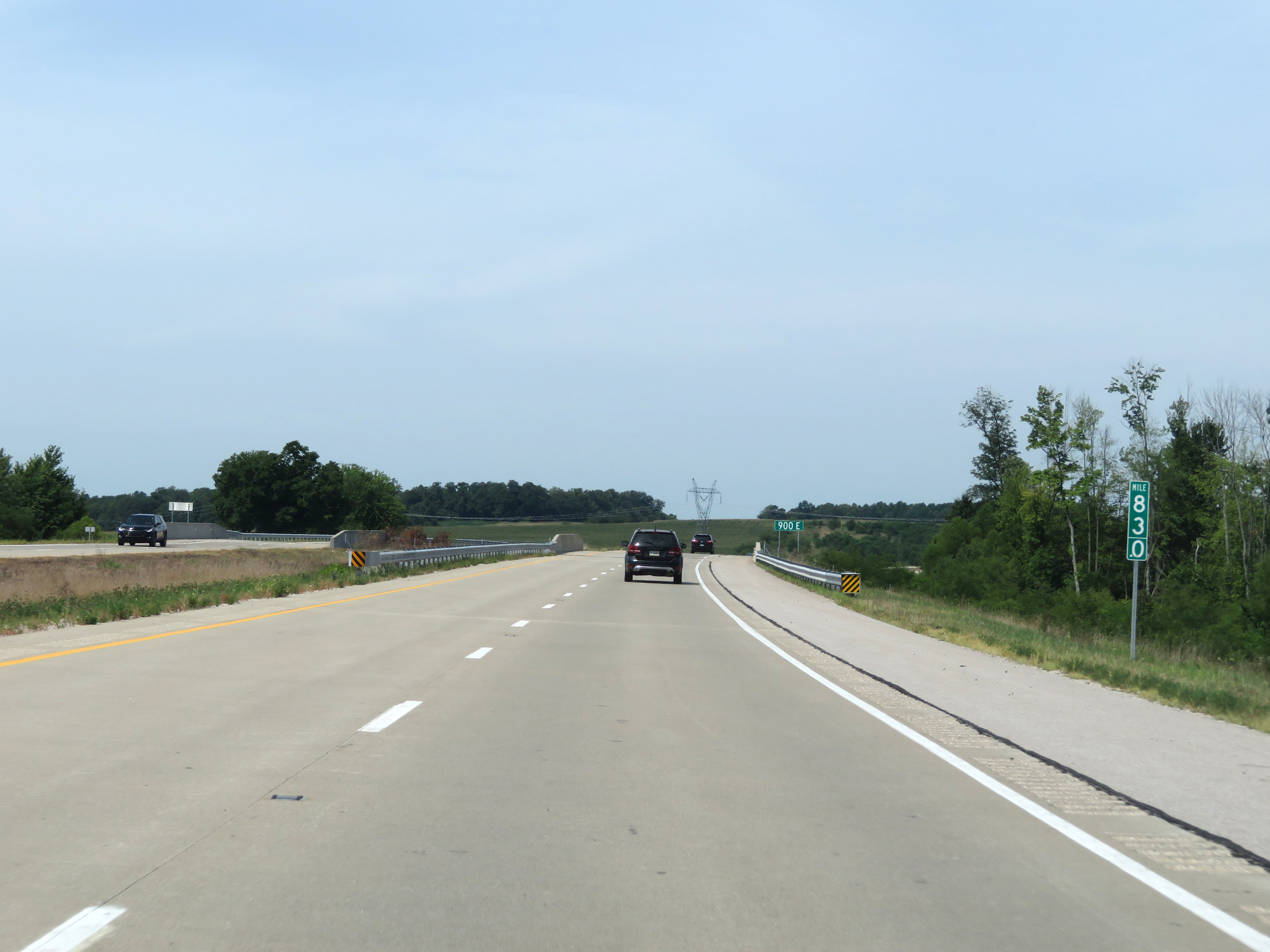
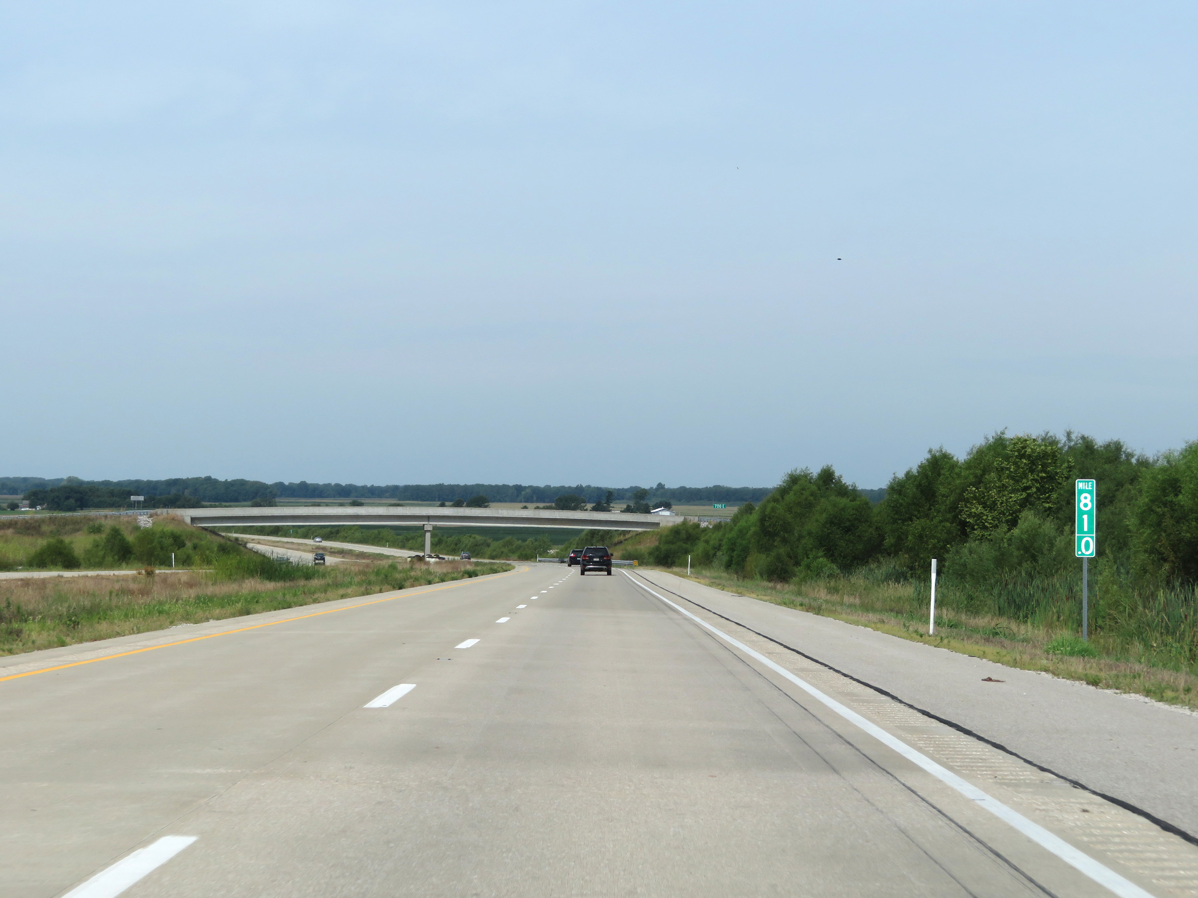
Mileage sign on Interstate 69 South. It's 10 miles to the junction of IN 45 / IN 445, 51 miles to Washington, and 113 miles to Evansville. (Photo taken 8/11/19). |
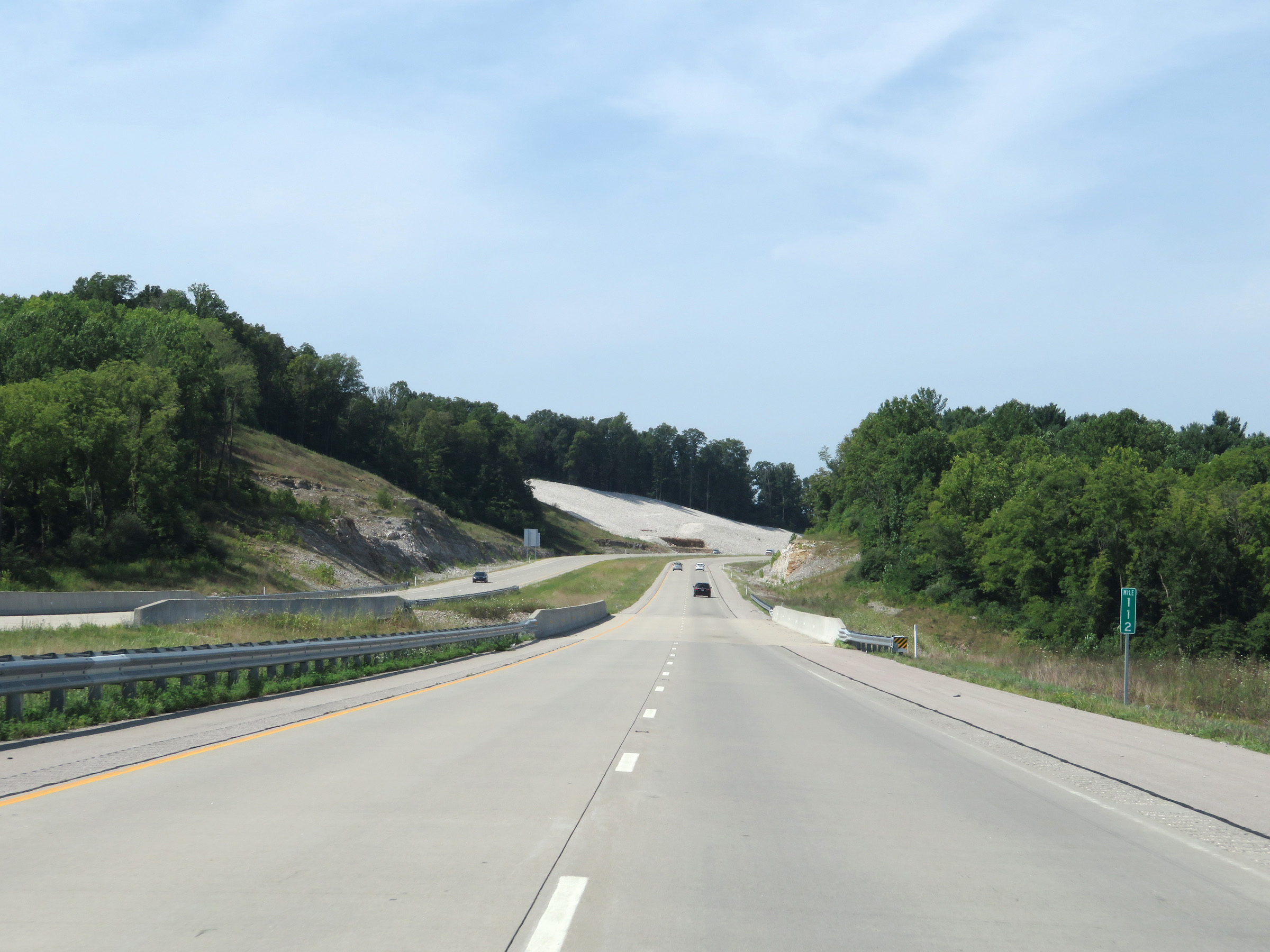 |
Interstate 69 South at mile marker 112. (Photo taken 8/11/19). |
 |
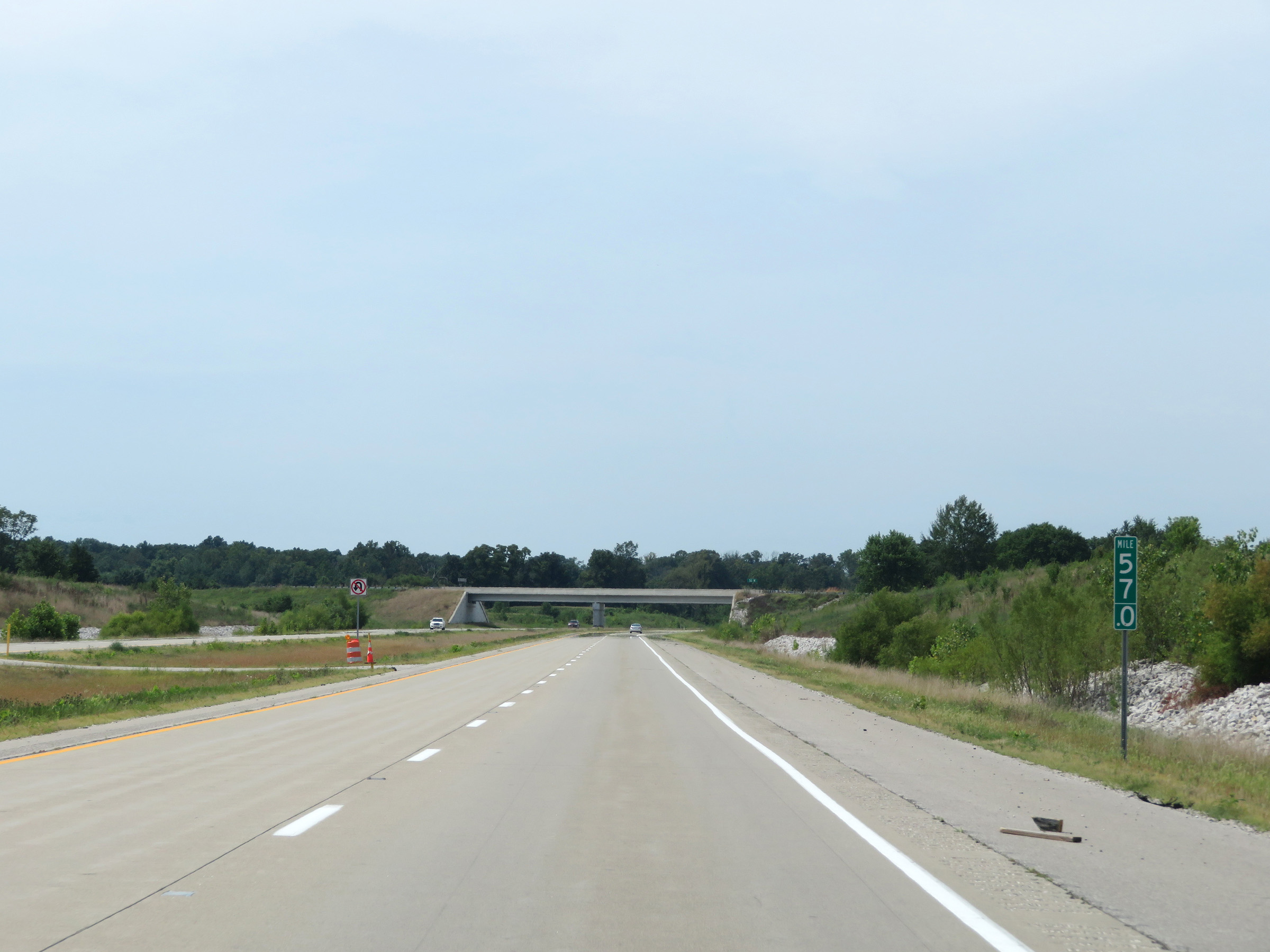
View on Interstate 69 South at mile marker 110. (Photo taken 8/11/19). |
 |
Mile marker 107.5 on Interstate 69 South in Monroe County. (Photo taken 8/11/19). |
 |
Interstate 69 South at mile marker 106.5. (Photo taken 8/11/19). |
 |
Interstate 69 South as it enters Greene County. (Photo taken 8/11/19). |
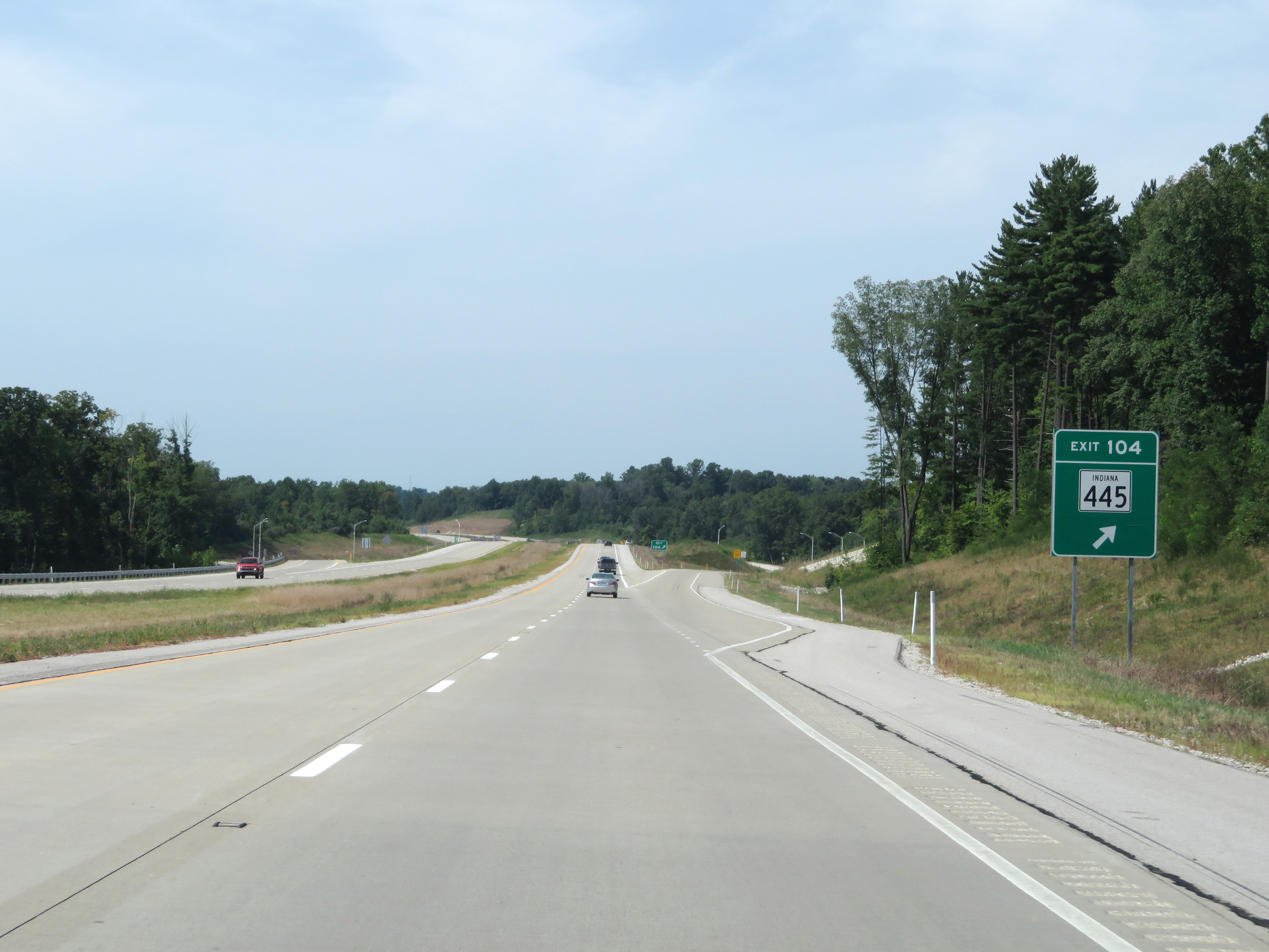 |
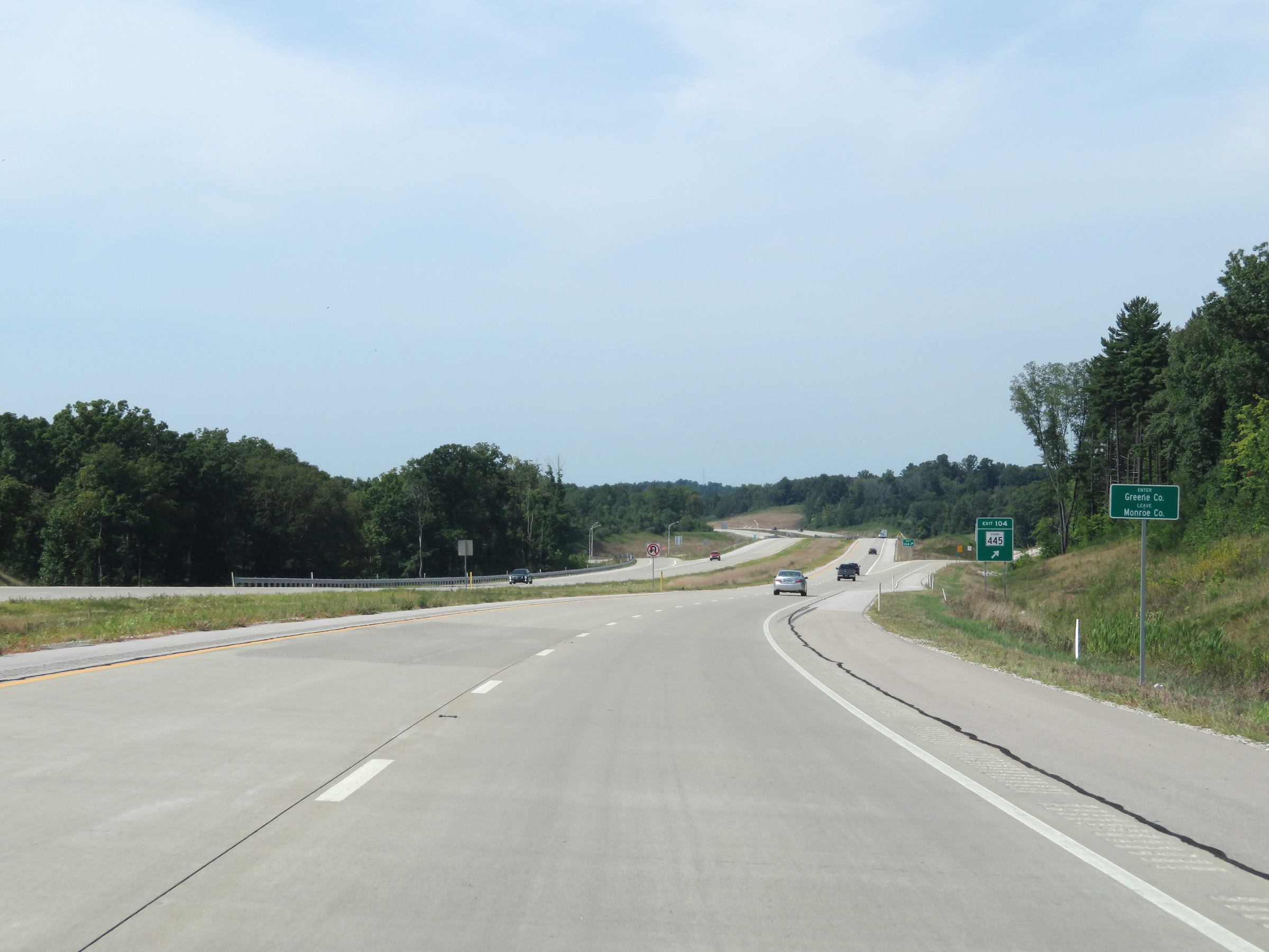
Interstate 69 South at Exit 104: IN 445 (Photo taken 8/11/19). |
 |
View on Interstate 69 South at mile marker 103. (Photo taken 8/11/19). |
 |
Mile marker 101.5 on Interstate 69 South in Greene County. (Photo taken 8/11/19). |
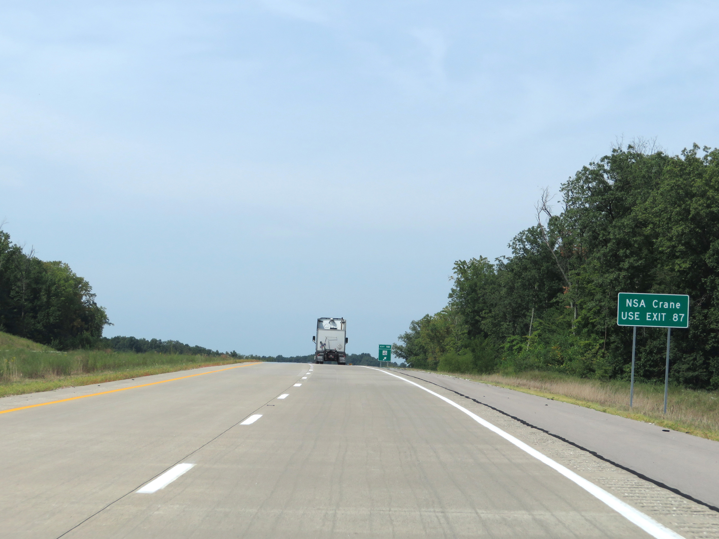 |
Traffic to NSA Crane should use Exit 87. (Photo taken 8/11/19). |
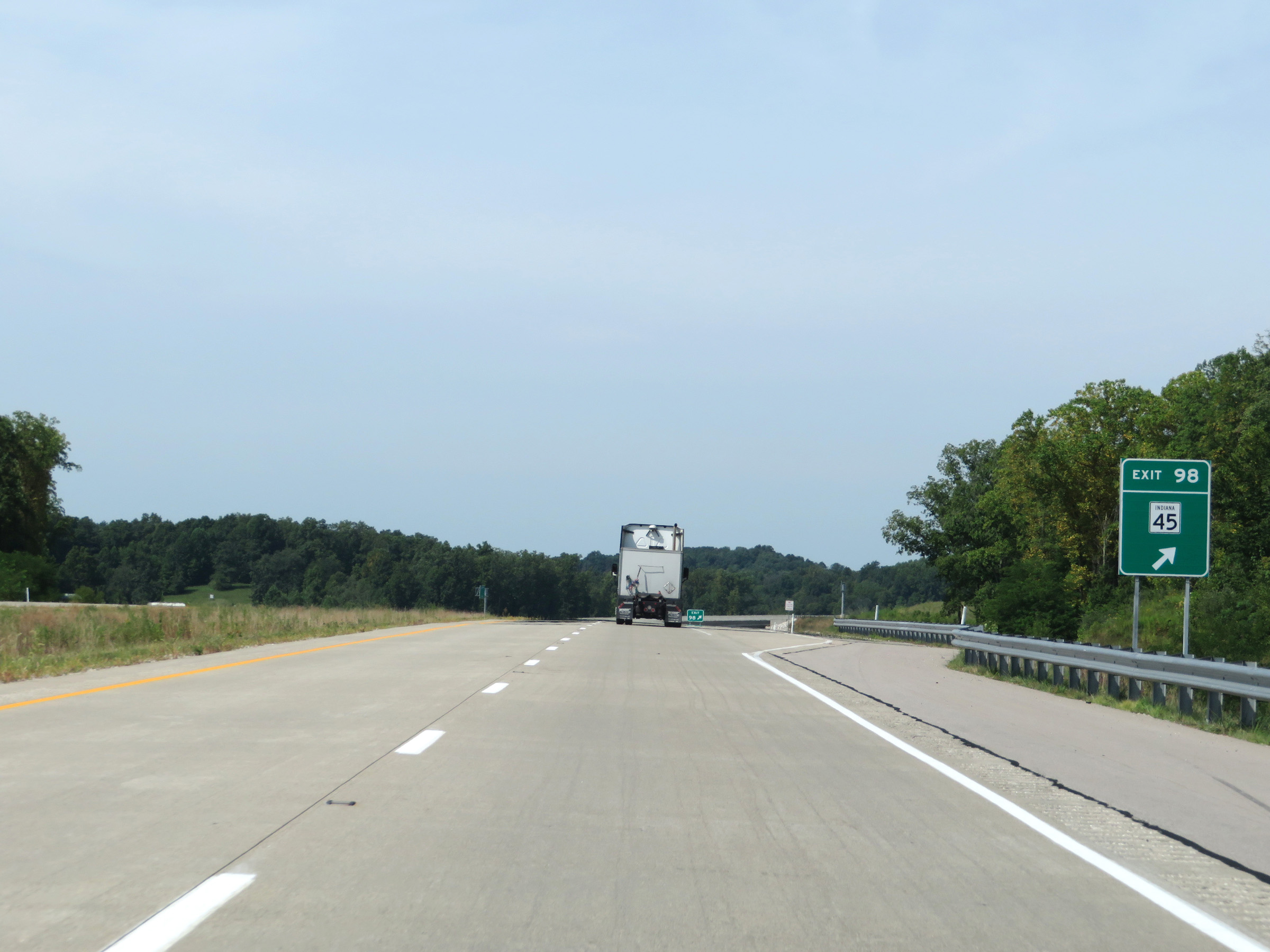 |
Interstate 69 South at Exit 98: IN 45 (Photo taken 8/11/19). |
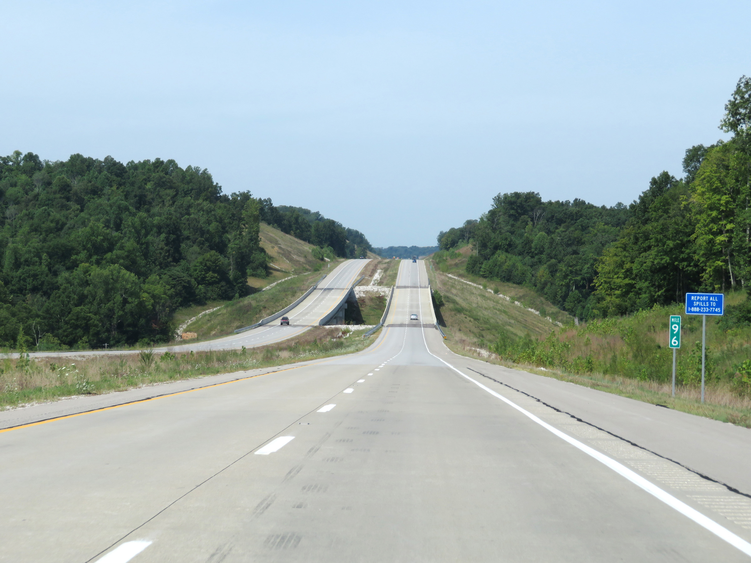 |
View on Interstate 69 South at mile marker 96. (Photo taken 8/11/19). |
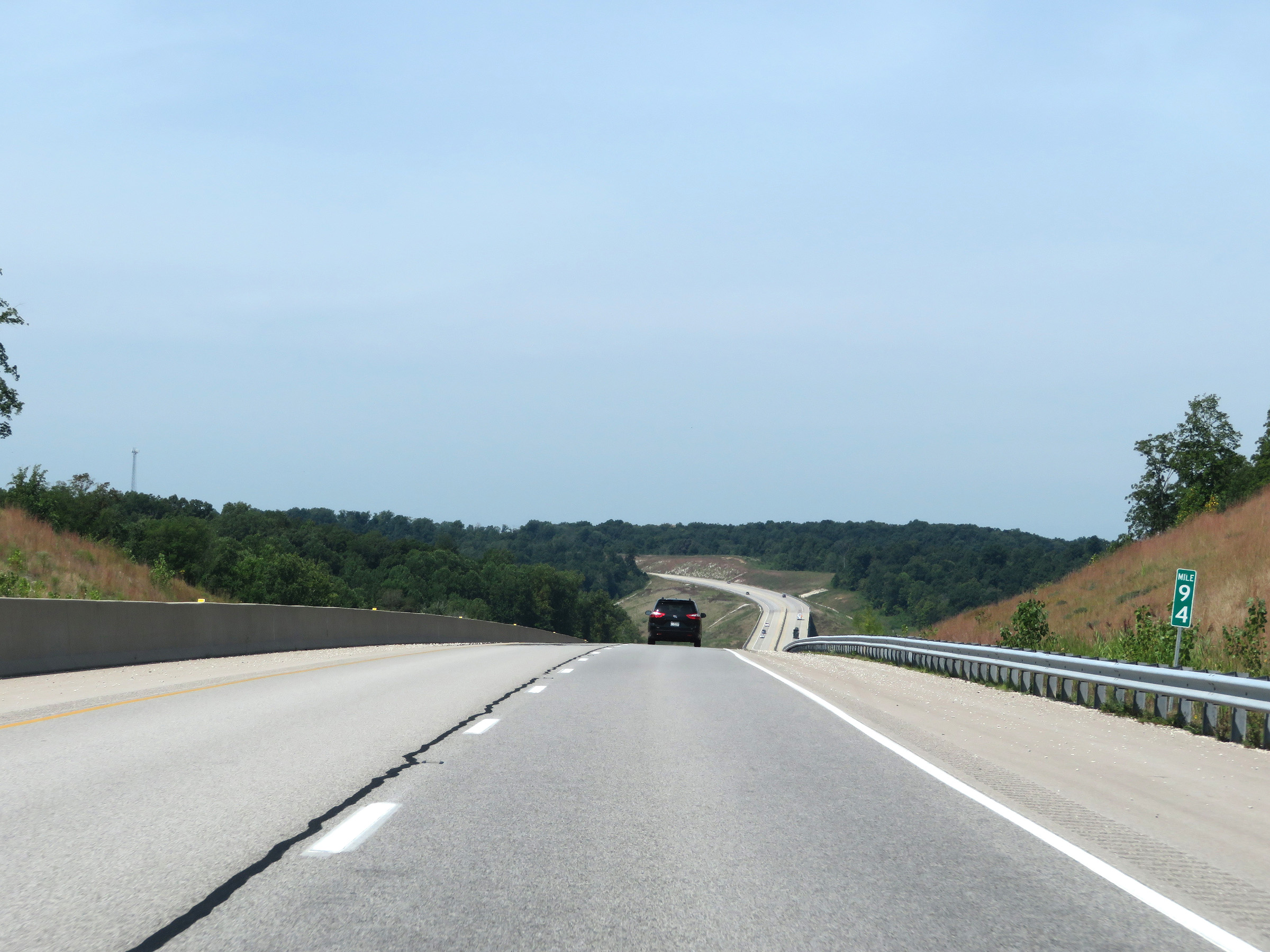 |
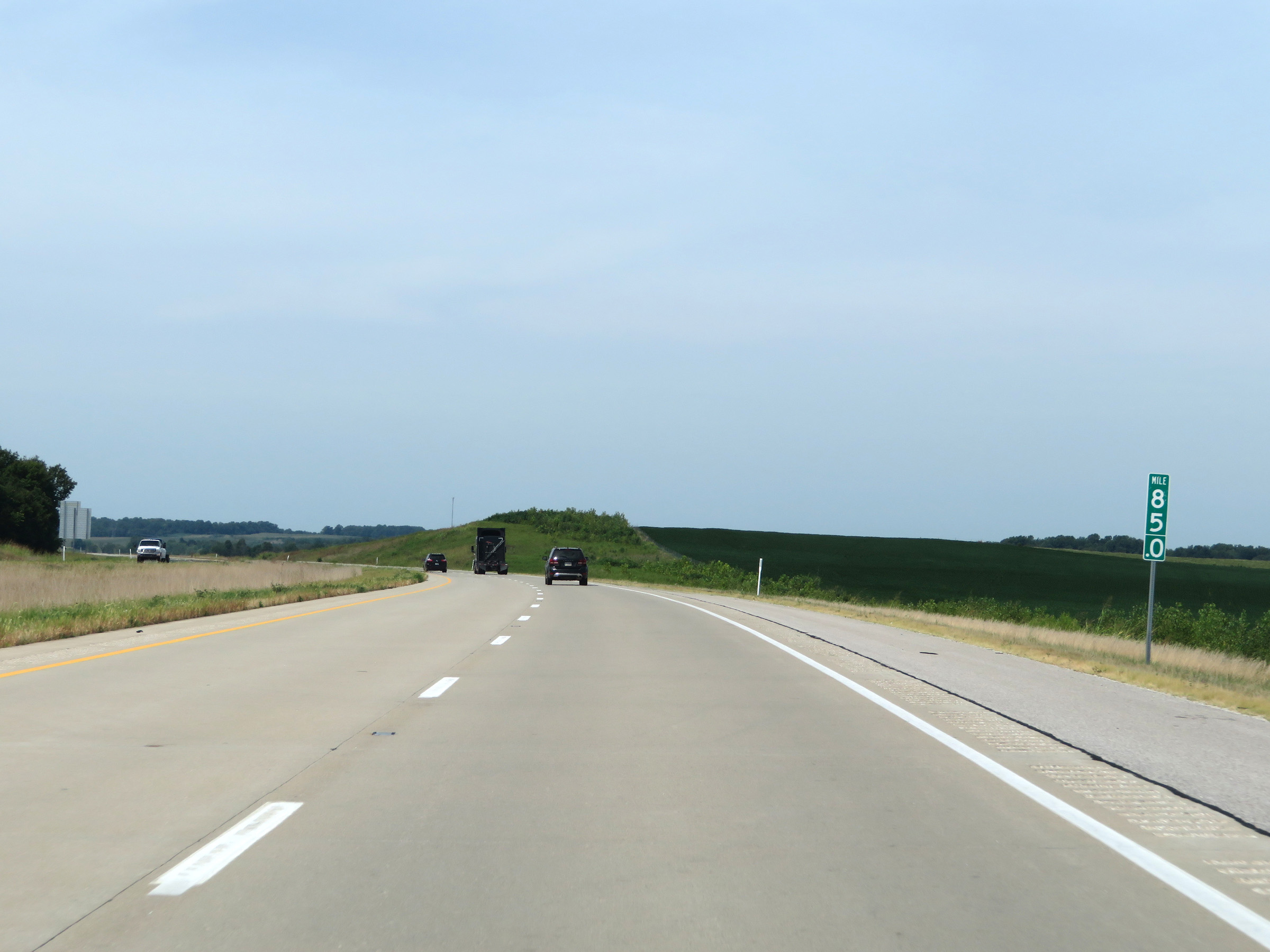
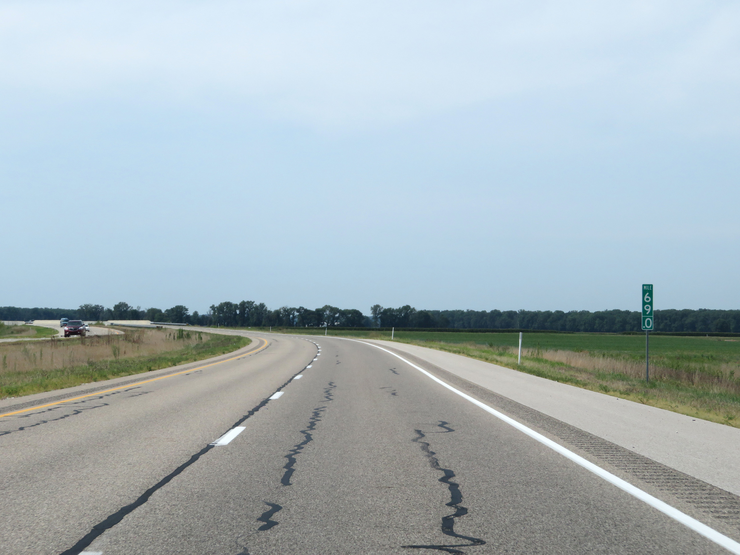
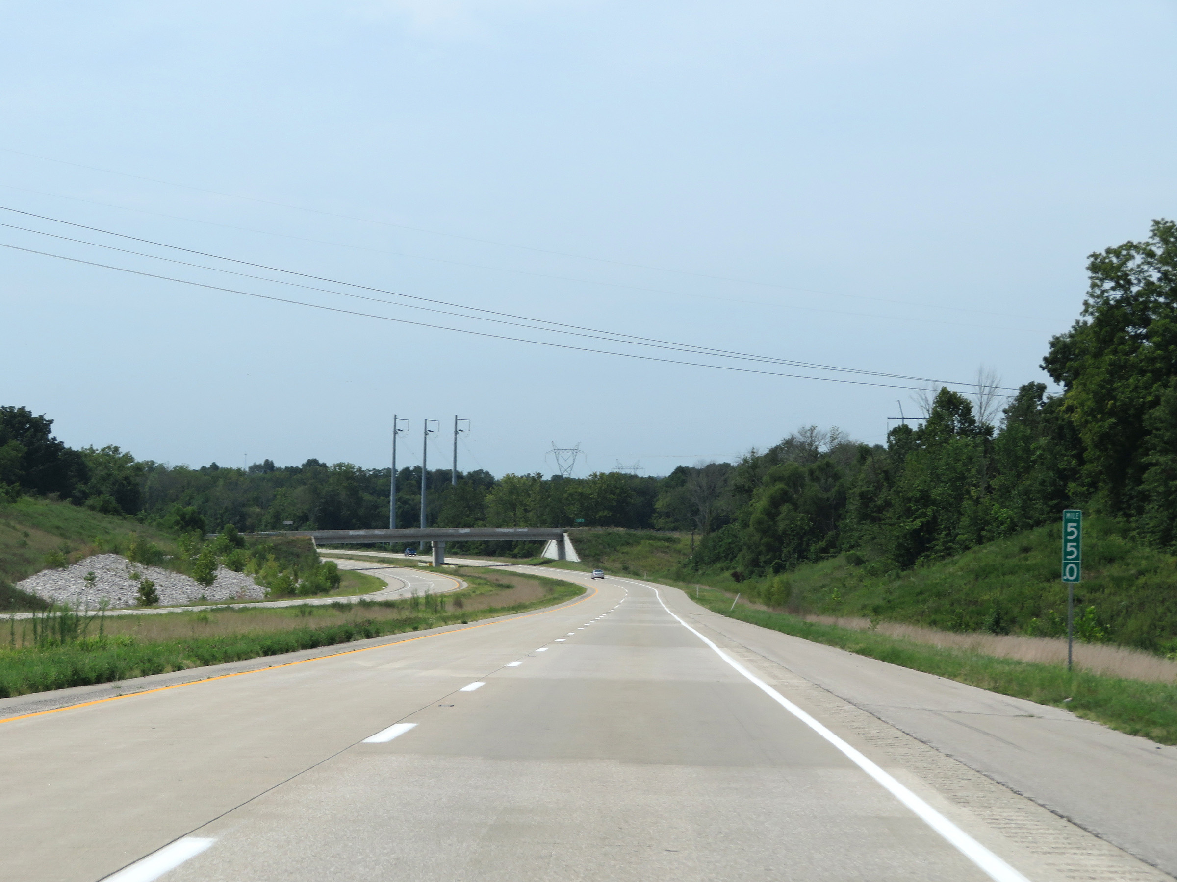
Mile marker 94 on Interstate 69 South in Greene County. (Photo taken 8/11/19). |
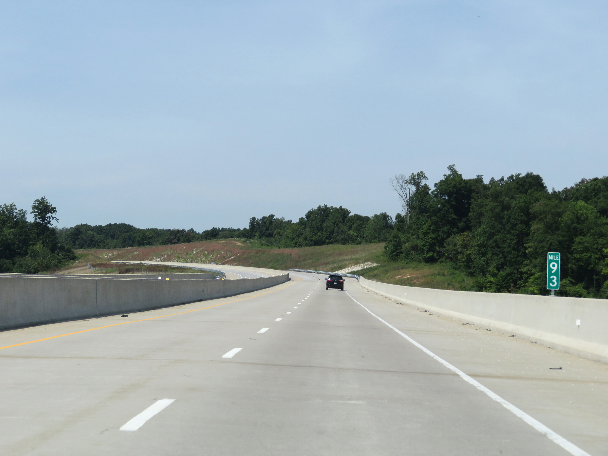 |
Interstate 69 South at mile marker 93. (Photo taken 8/11/19). |
 |
View on Interstate 69 South at mile marker 91. (Photo taken 8/11/19). |
 |
Interstate 69 South at mile marker 90. (Photo taken 8/11/19). |
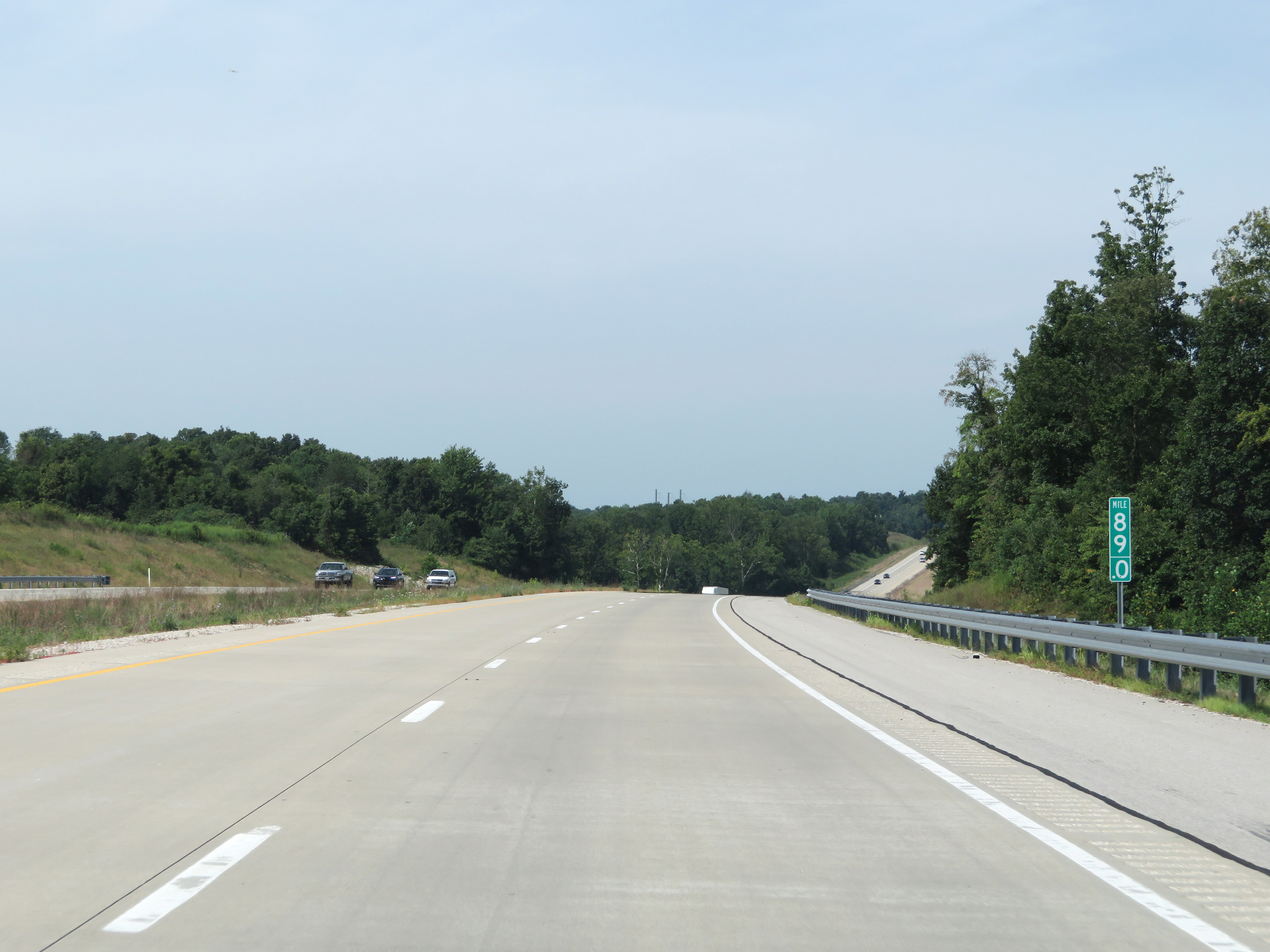 |
Interstate 69 South at mile marker 89. (Photo taken 8/11/19). |
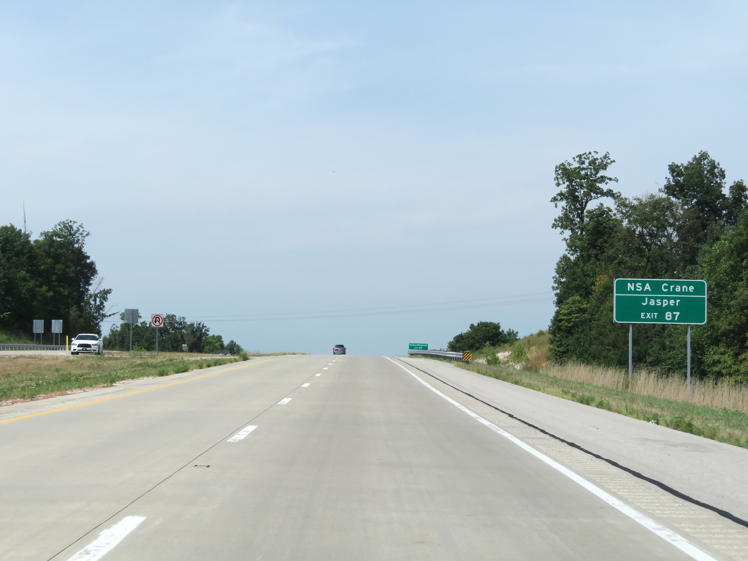 |
Take Exit 87 to NSA Crane and Jasper. (Photo taken 8/11/19). |
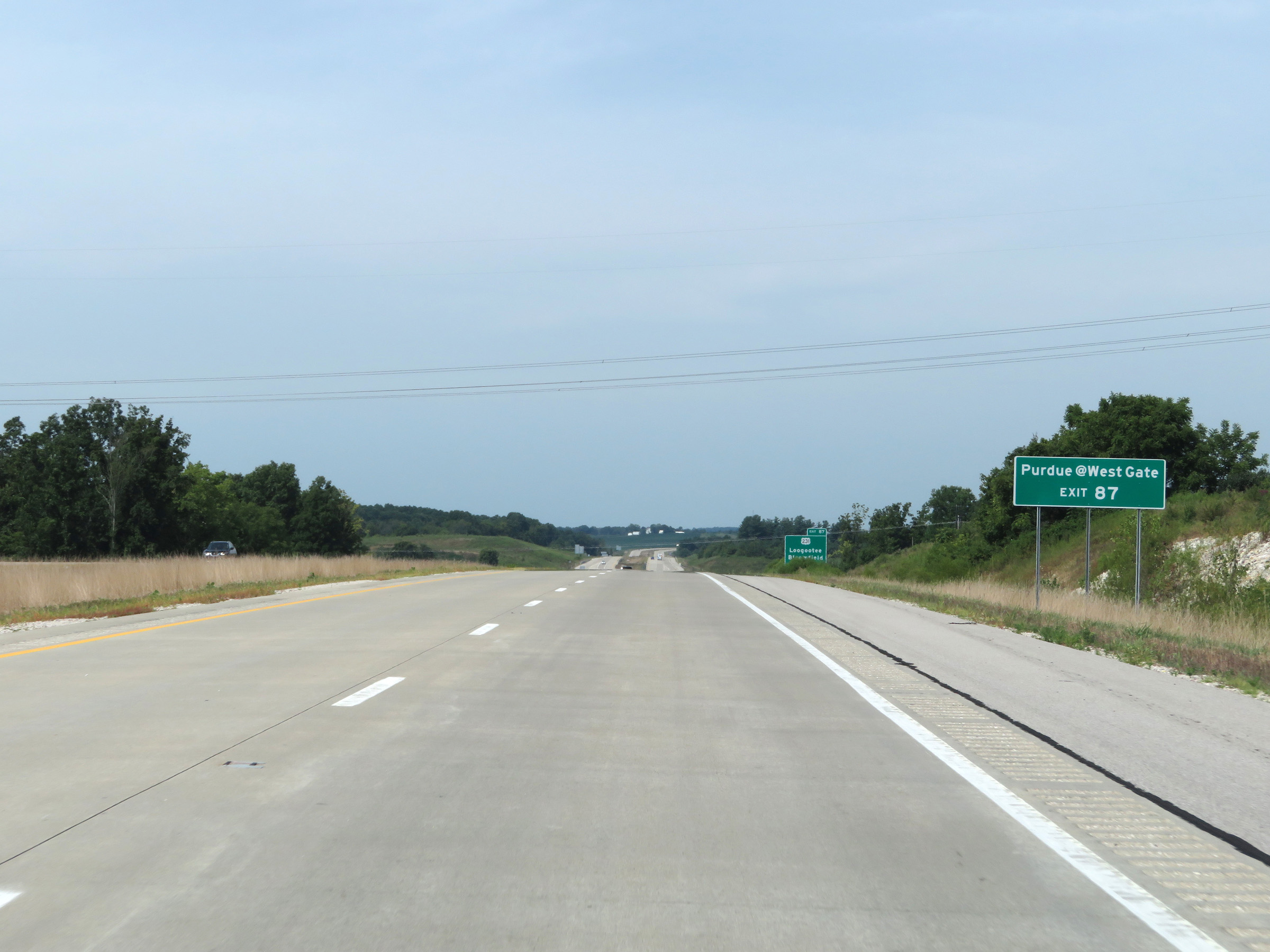 |
Also take Exit 87 to Purdue@WestGate. (Photo taken 8/11/19). |
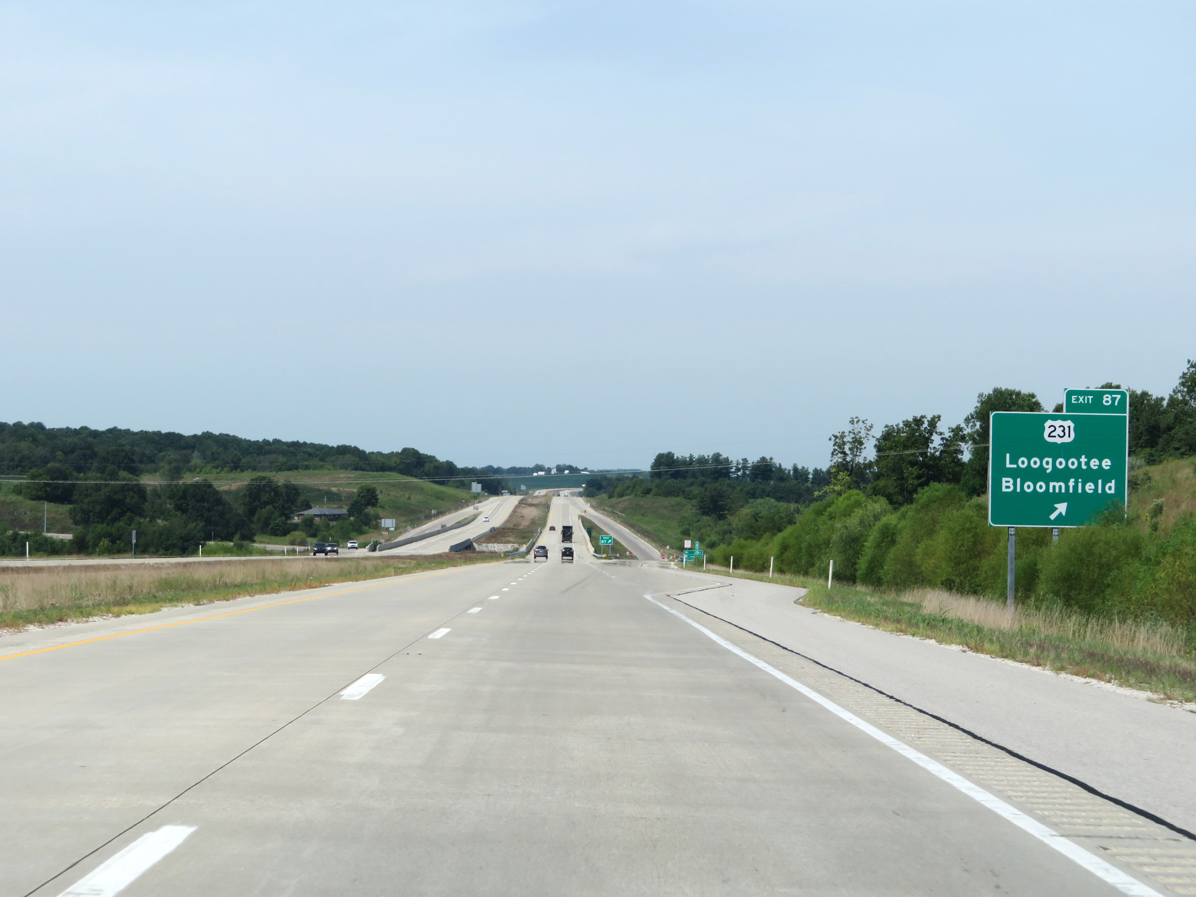 |
Interstate 69 South at Exit 87: US 231 - Loogootee / Bloomfield (Photo taken 8/11/19). |
 |
Another Interstate 69 South reassurance shield. (Photo taken 8/11/19). |
 |
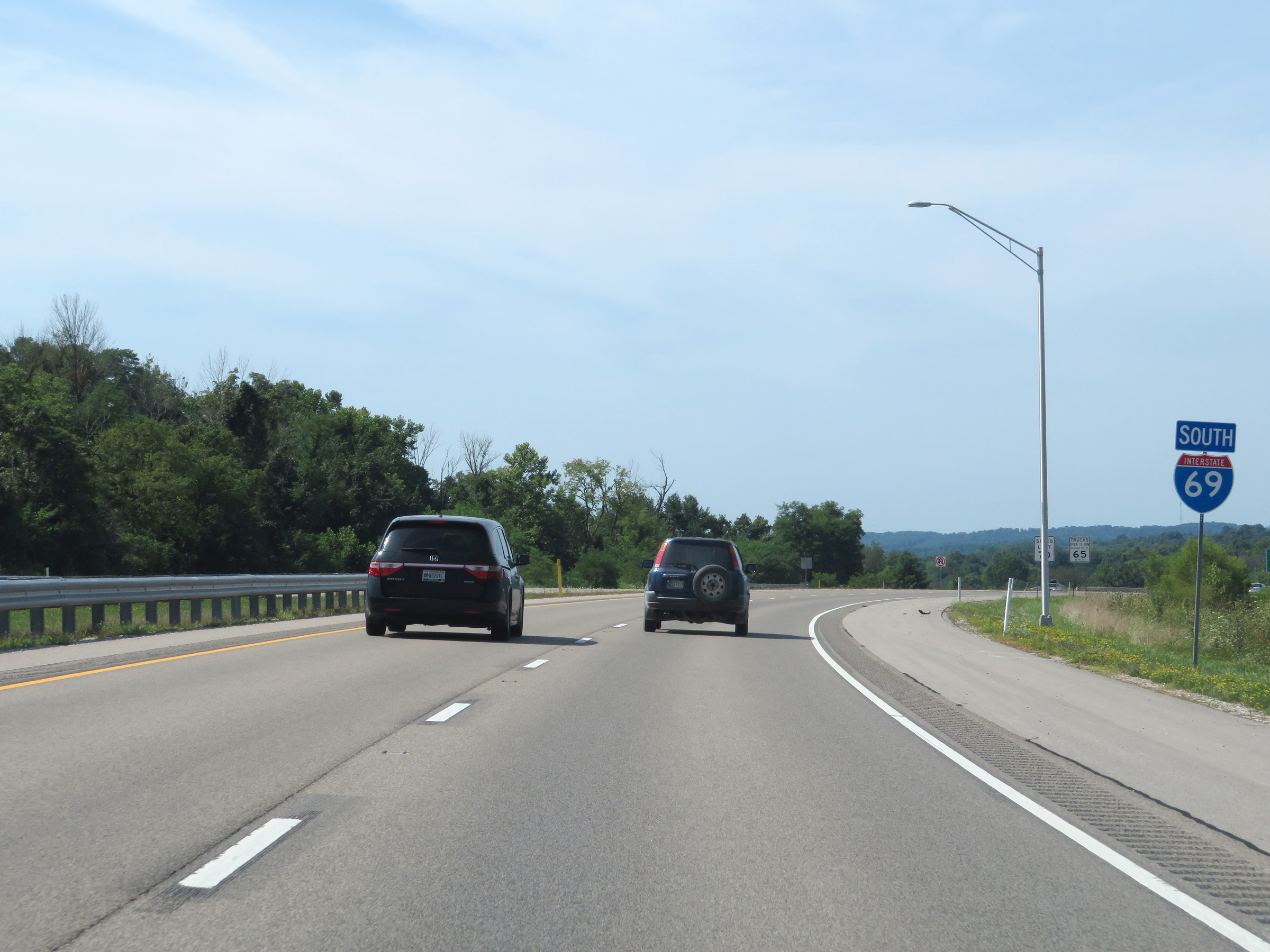
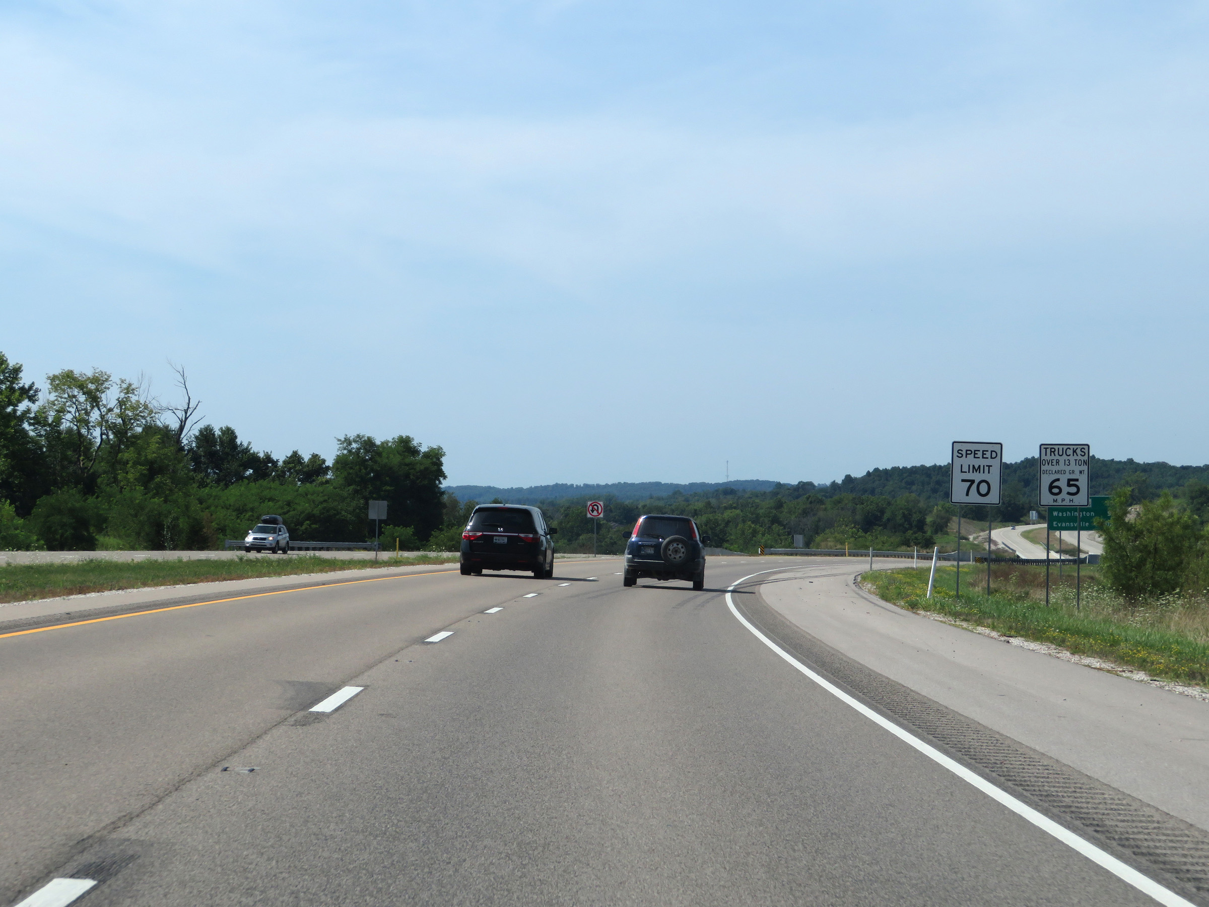
A set of speed limit signs south of Exit 87. The speed limits remain 70 mph for automobiles and 65 mph for trucks. (Photo taken 8/11/19). |
 |
View on Interstate 69 South at mile marker 85. (Photo taken 8/11/19). |
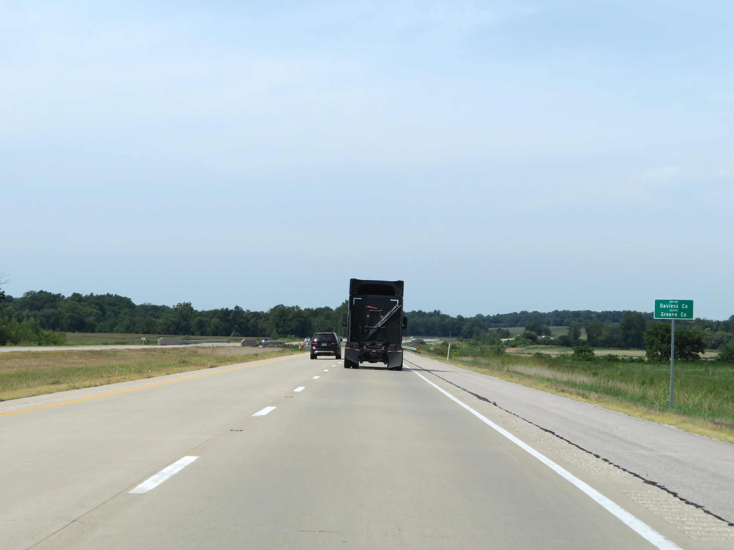 |
Interstate 69 South as it enters Daviess County. (Photo taken 8/11/19). |
 |
Interstate 69 South at mile marker 83. (Photo taken 8/11/19). |
 |
View on Interstate 69 South at mile marker 81. (Photo taken 8/11/19). |
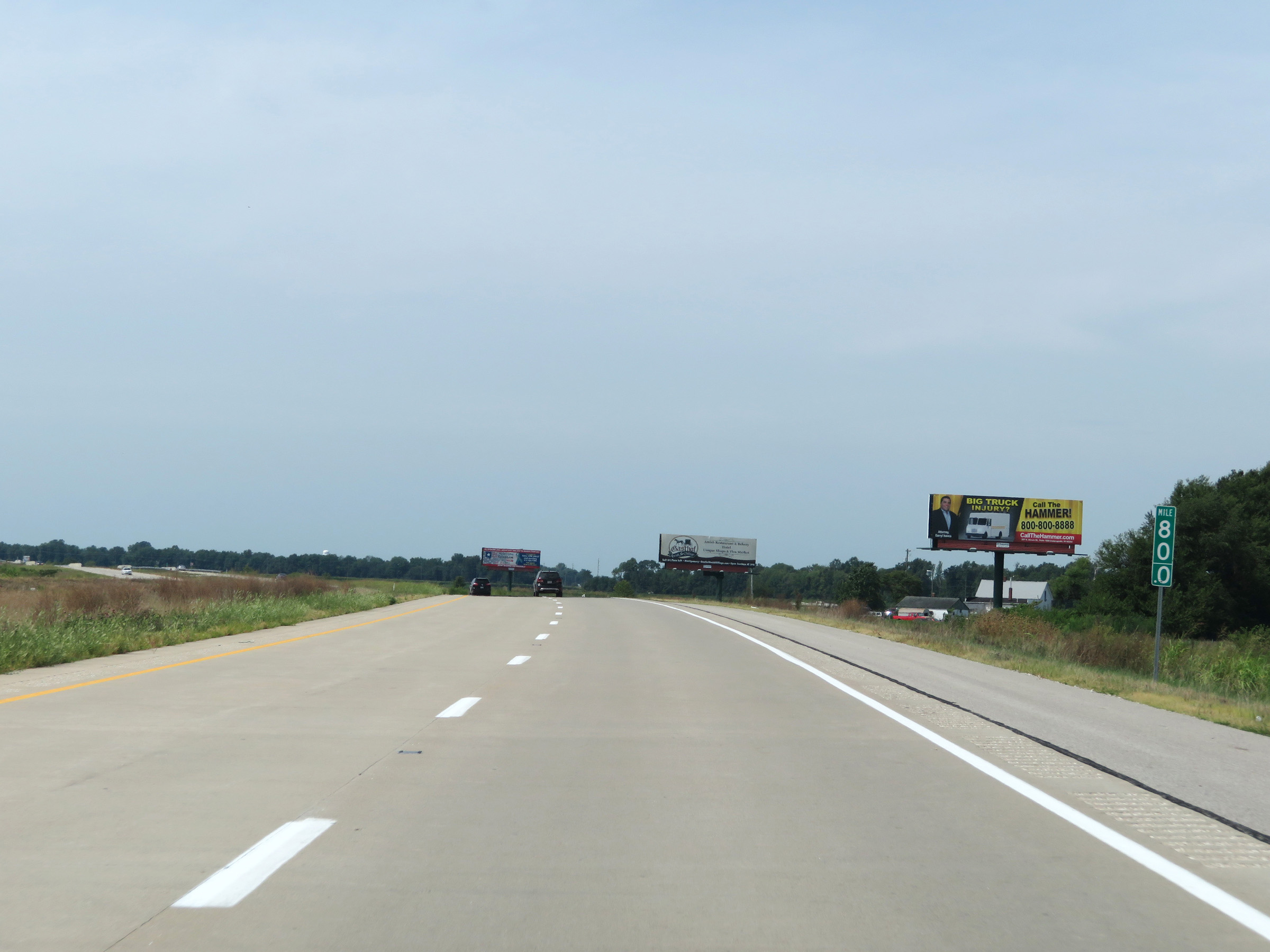 |
Mile marker 80 on Interstate 69 South in Daviess County. (Photo taken 8/11/19). |
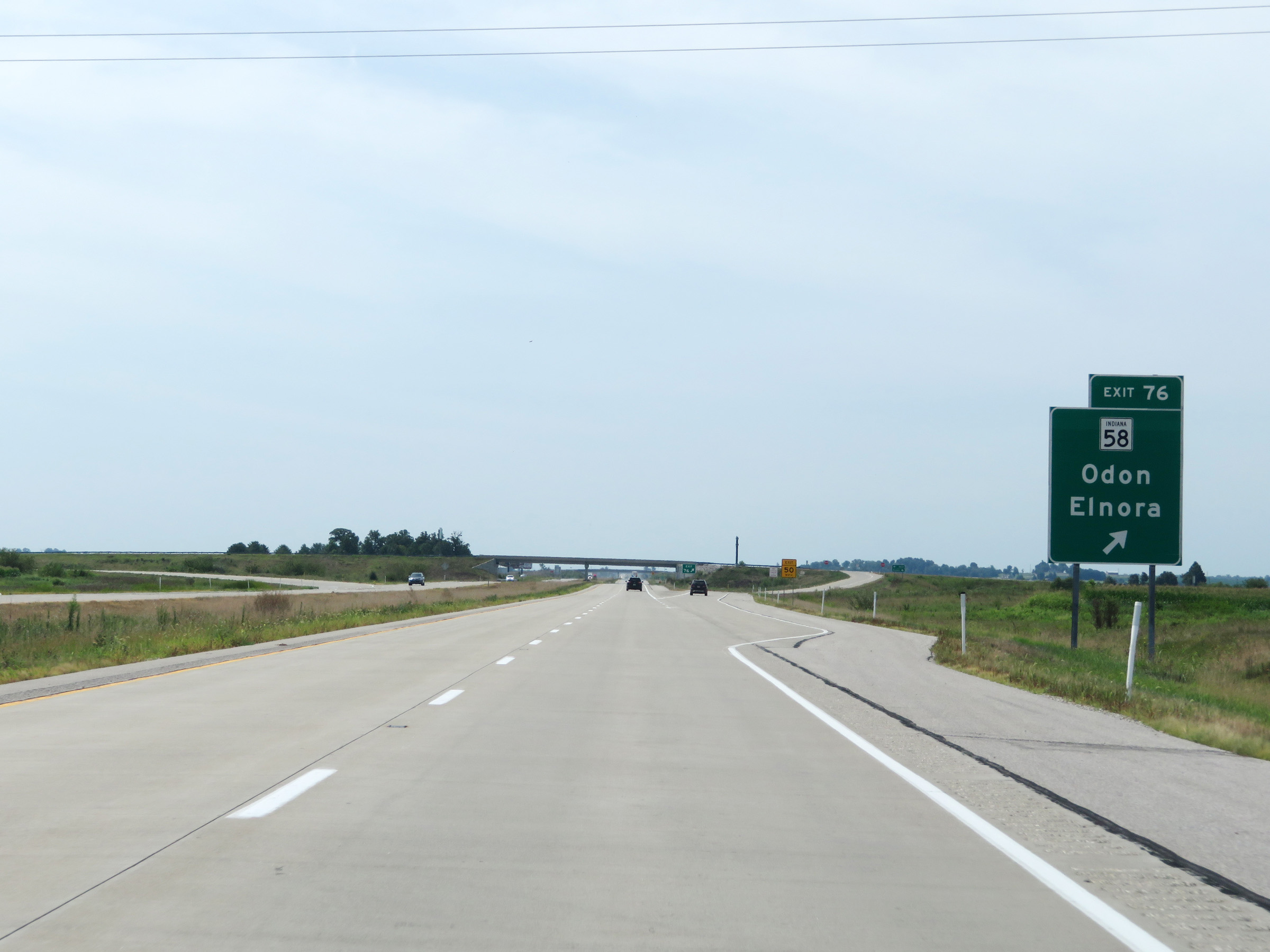 |
Interstate 69 South at Exit 76: IN 58 - Odon / Elnora (Photo taken 8/11/19). |
 |
View on Interstate 69 South at mile marker 74.5. (Photo taken 8/11/19). |
 |
Interstate 69 South at mile marker 72. (Photo taken 8/11/19). |
 |
View on Interstate 69 South at mile marker 70. (Photo taken 8/11/19). |
 |
Interstate 69 South at mile marker 69. (Photo taken 8/11/19). |
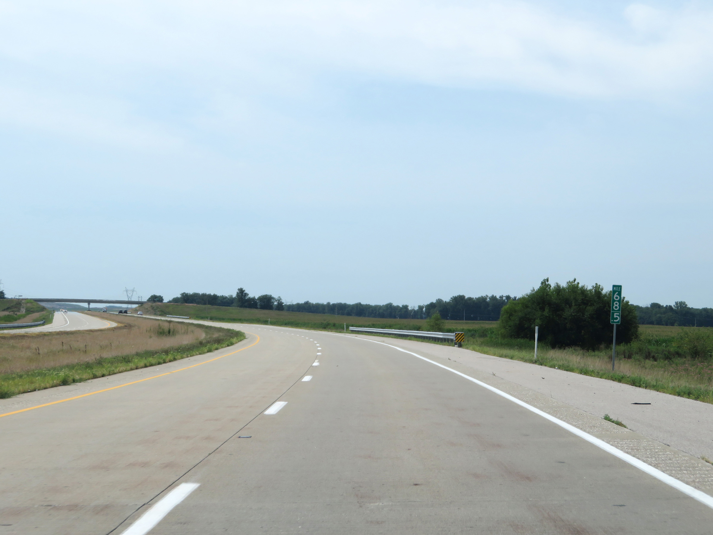 |
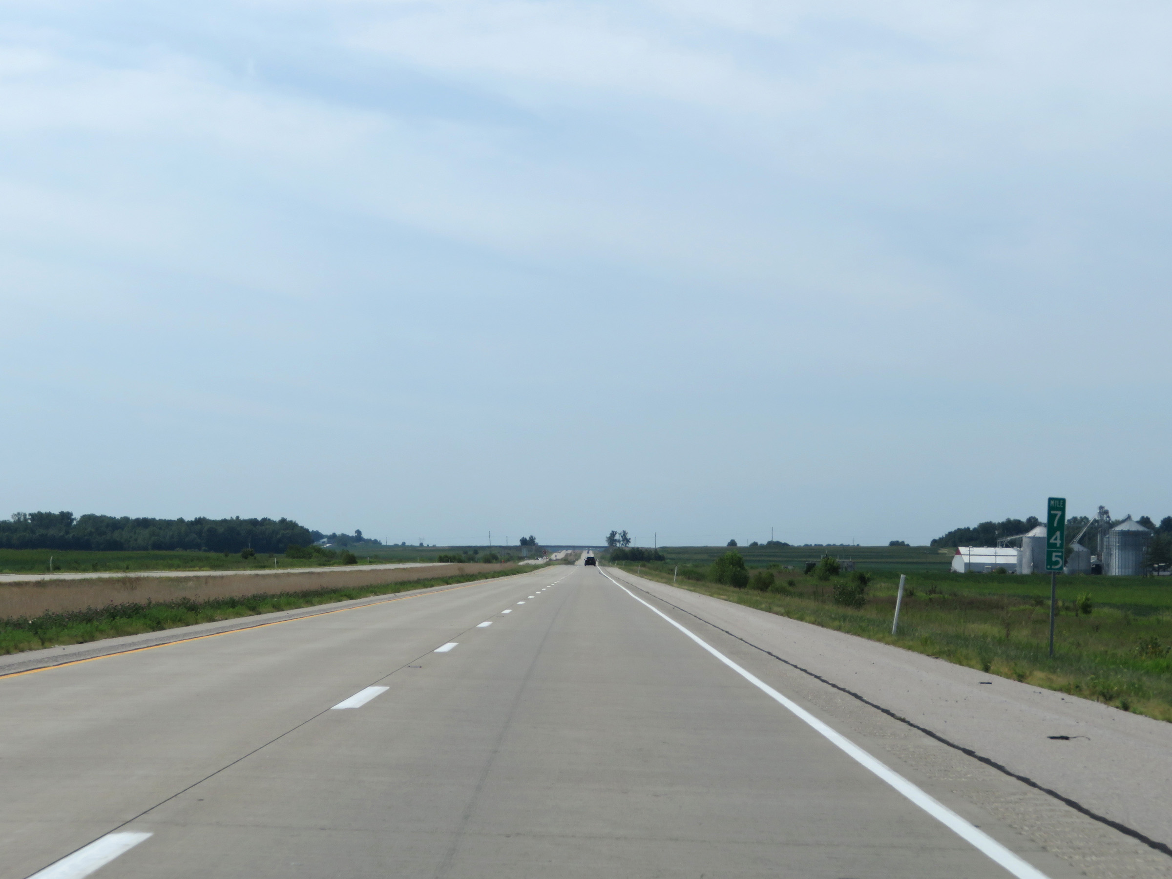
Mile marker 68.5 on Interstate 69 South in Daviess County. (Photo taken 8/11/19). |
 |
View on Interstate 69 South at mile marker 66. (Photo taken 8/11/19). |
 |
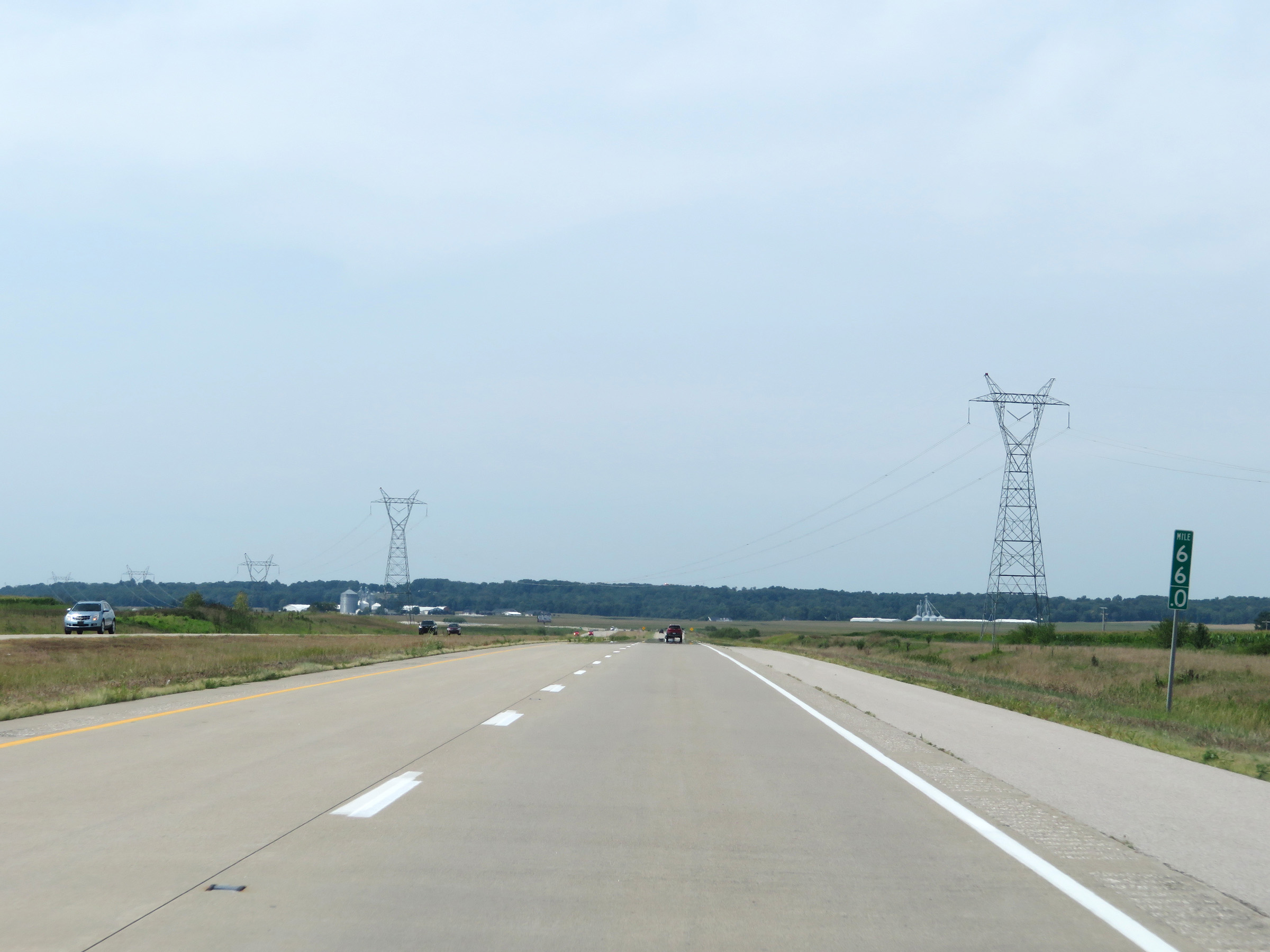
Interstate 69 South approaching Exit 62 - 1 mile. (Photo taken 8/11/19). |
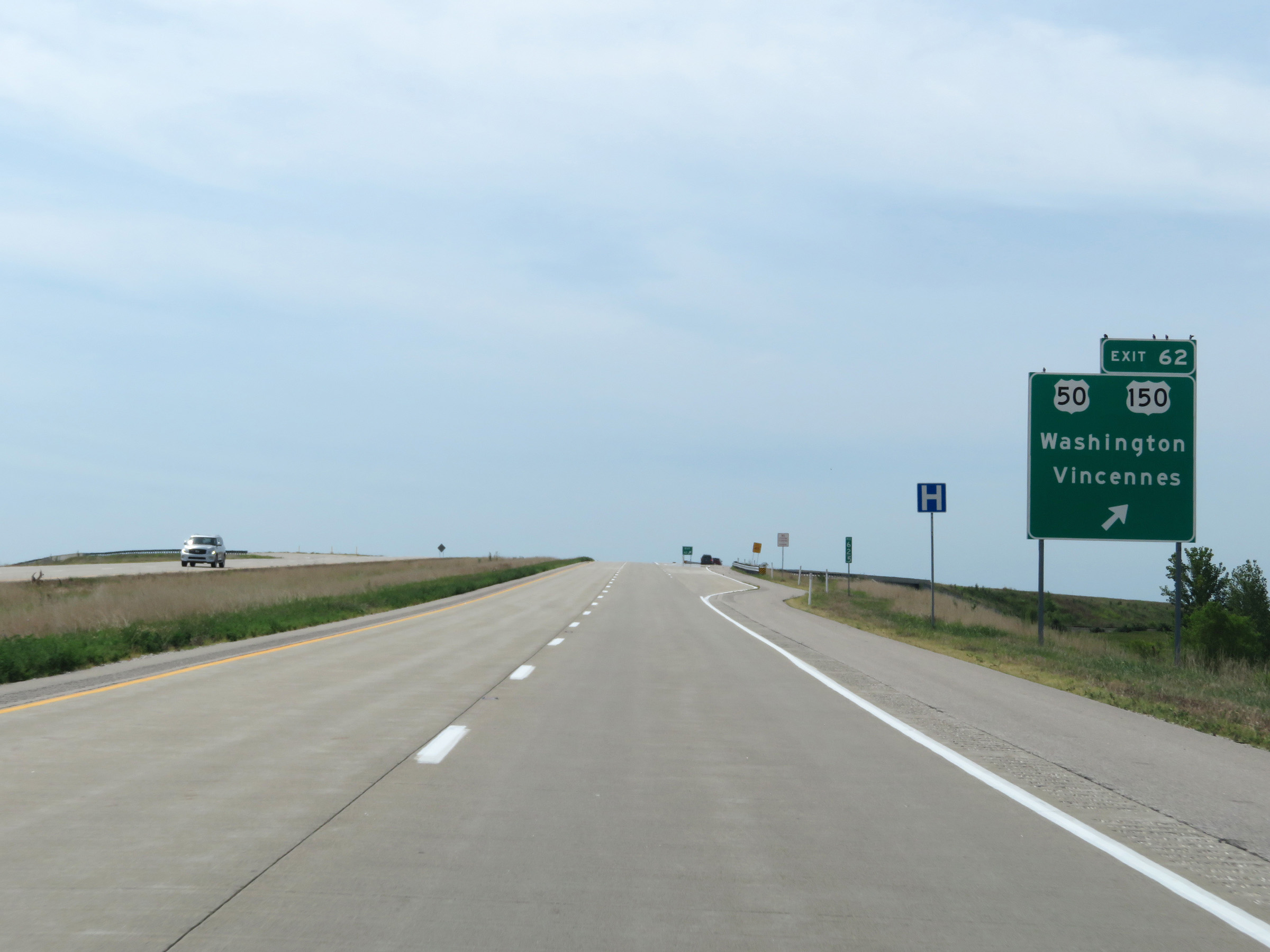 |
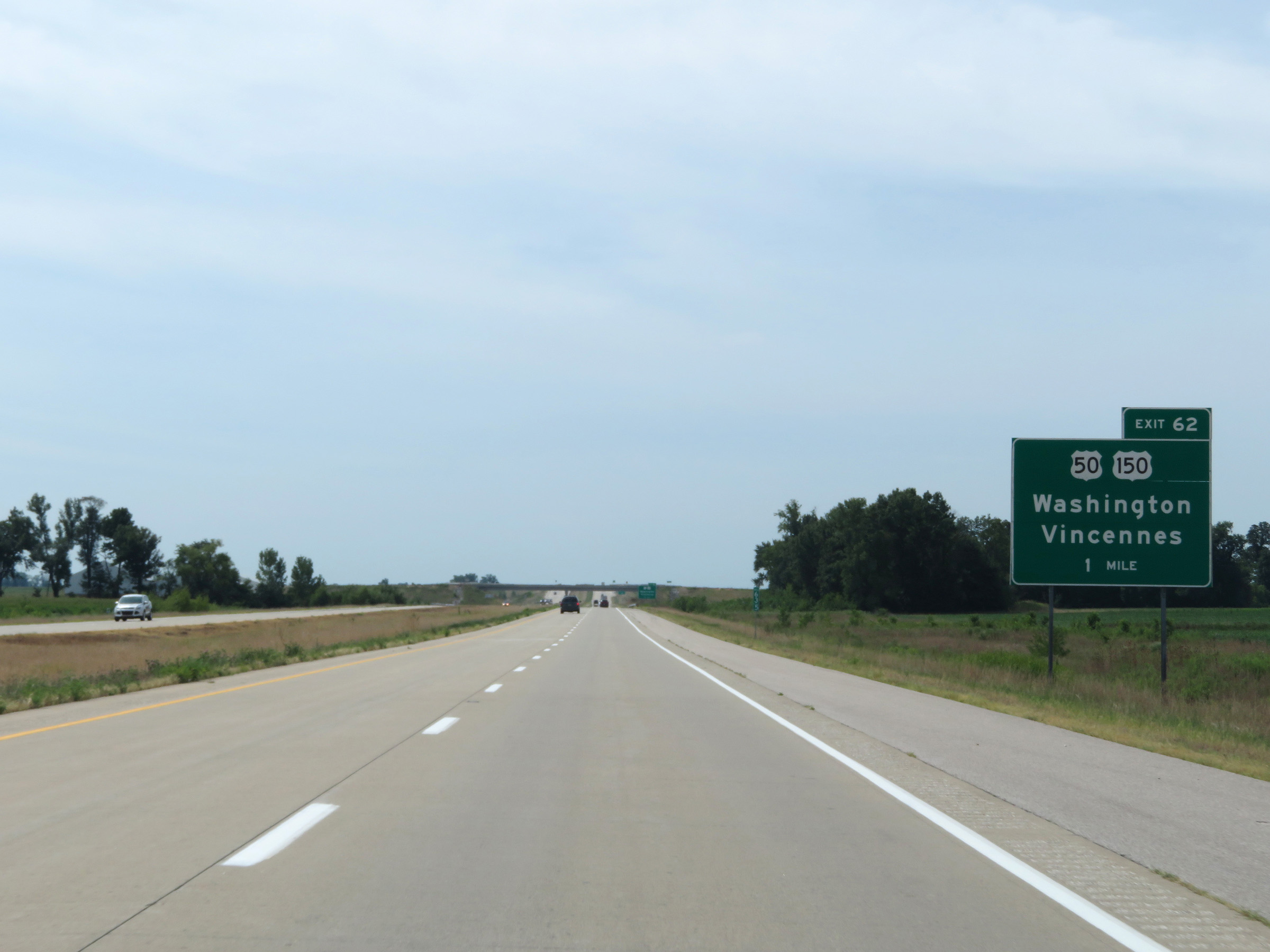
Interstate 69 South at Exit 62: US 50 / US 150 - Washington / Vincennes (Photo taken 8/11/19). |
 |
View on Interstate 69 South at mile marker 59. (Photo taken 8/11/19). |
 |
Interstate 69 South at mile marker 57. (Photo taken 8/11/19). |
 |
Interstate 69 South at mile marker 55. (Photo taken 8/11/19). |
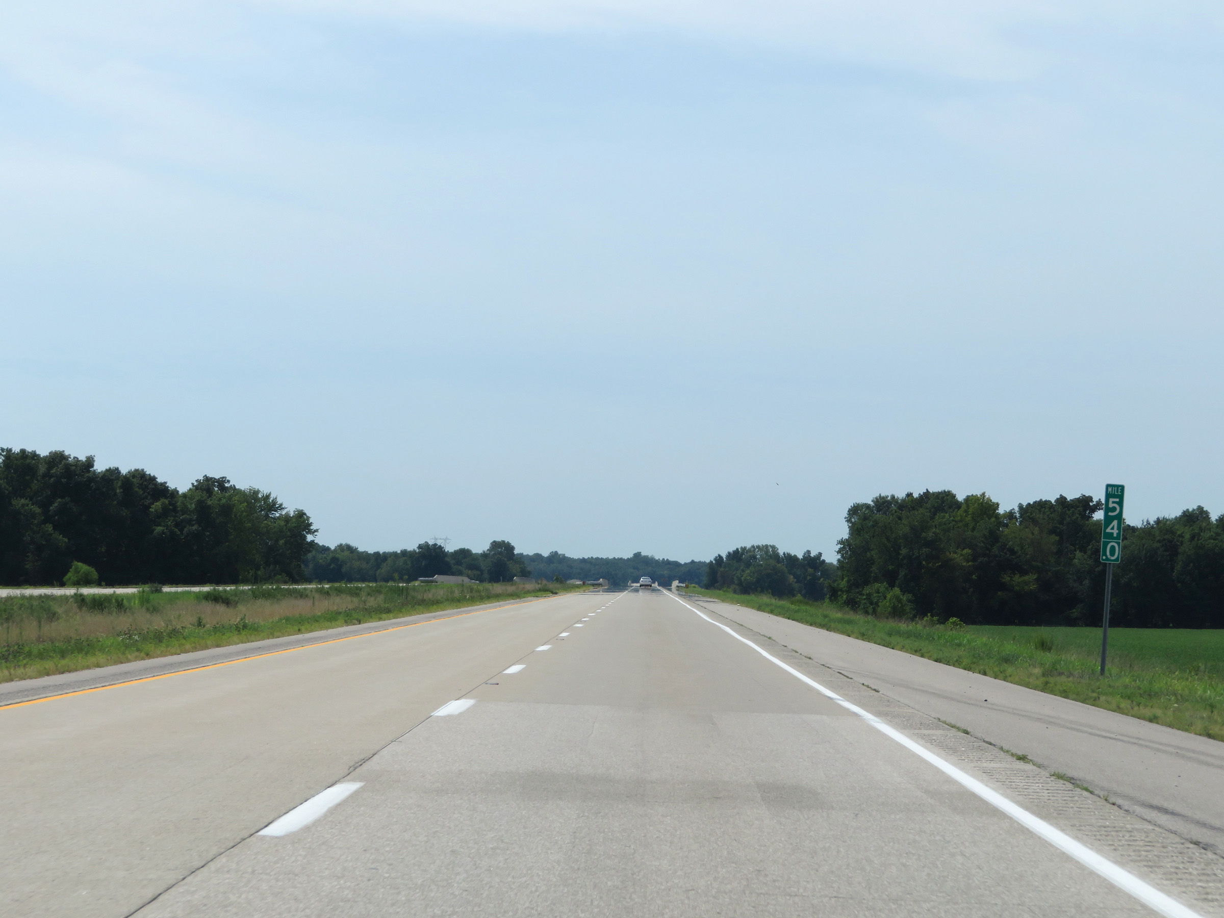 |
View on Interstate 69 South at mile marker 54. (Photo taken 8/11/19). |
 |
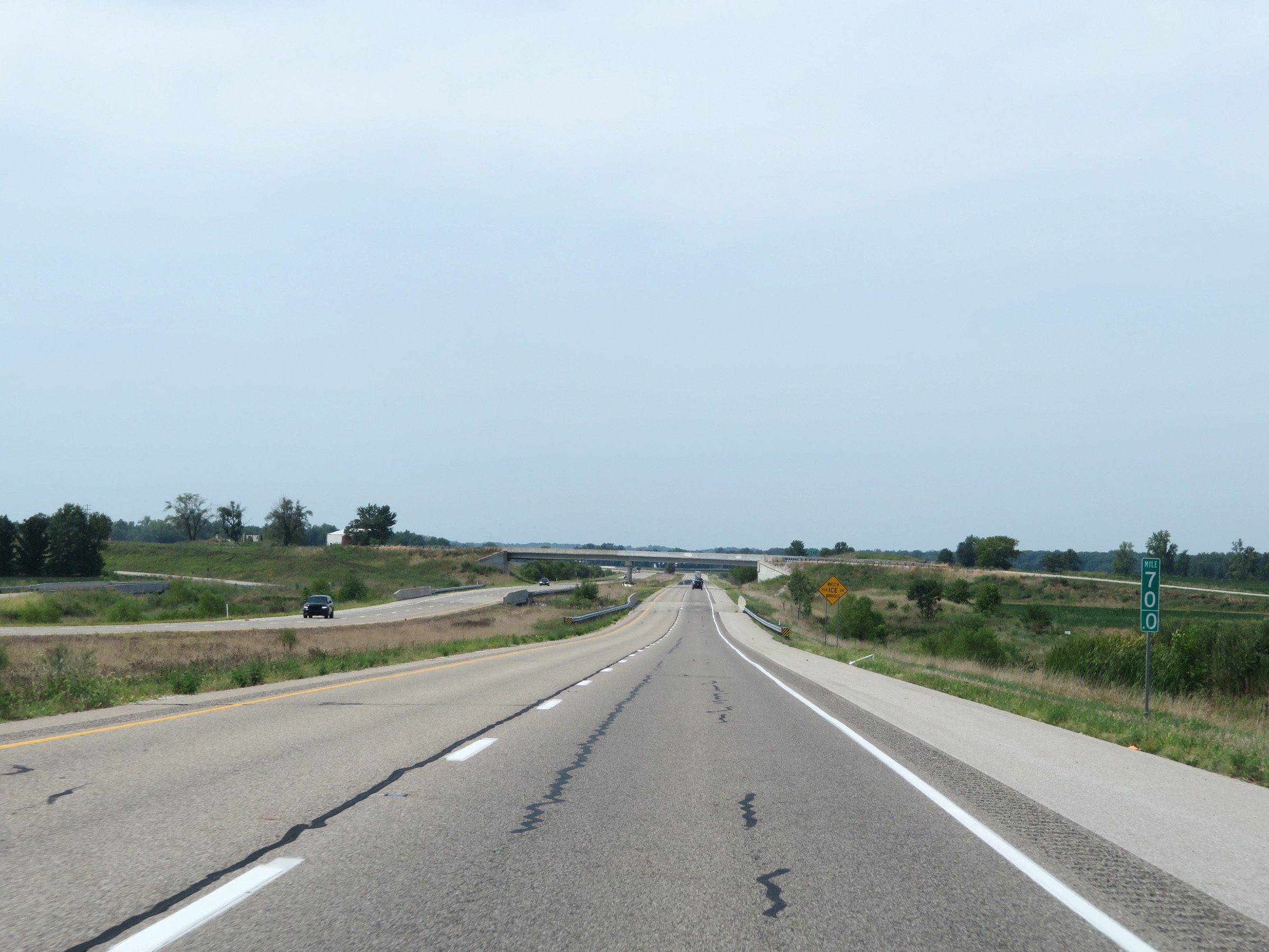
Interstate 69 South as it enters Pike County. (Photo taken 8/11/19). |
 |
Interstate 69 South at mile marker 52.5. (Photo taken 8/11/19). |
 |
Mile marker 49 on Interstate 69 South in Pike County. (Photo taken 8/11/19). |
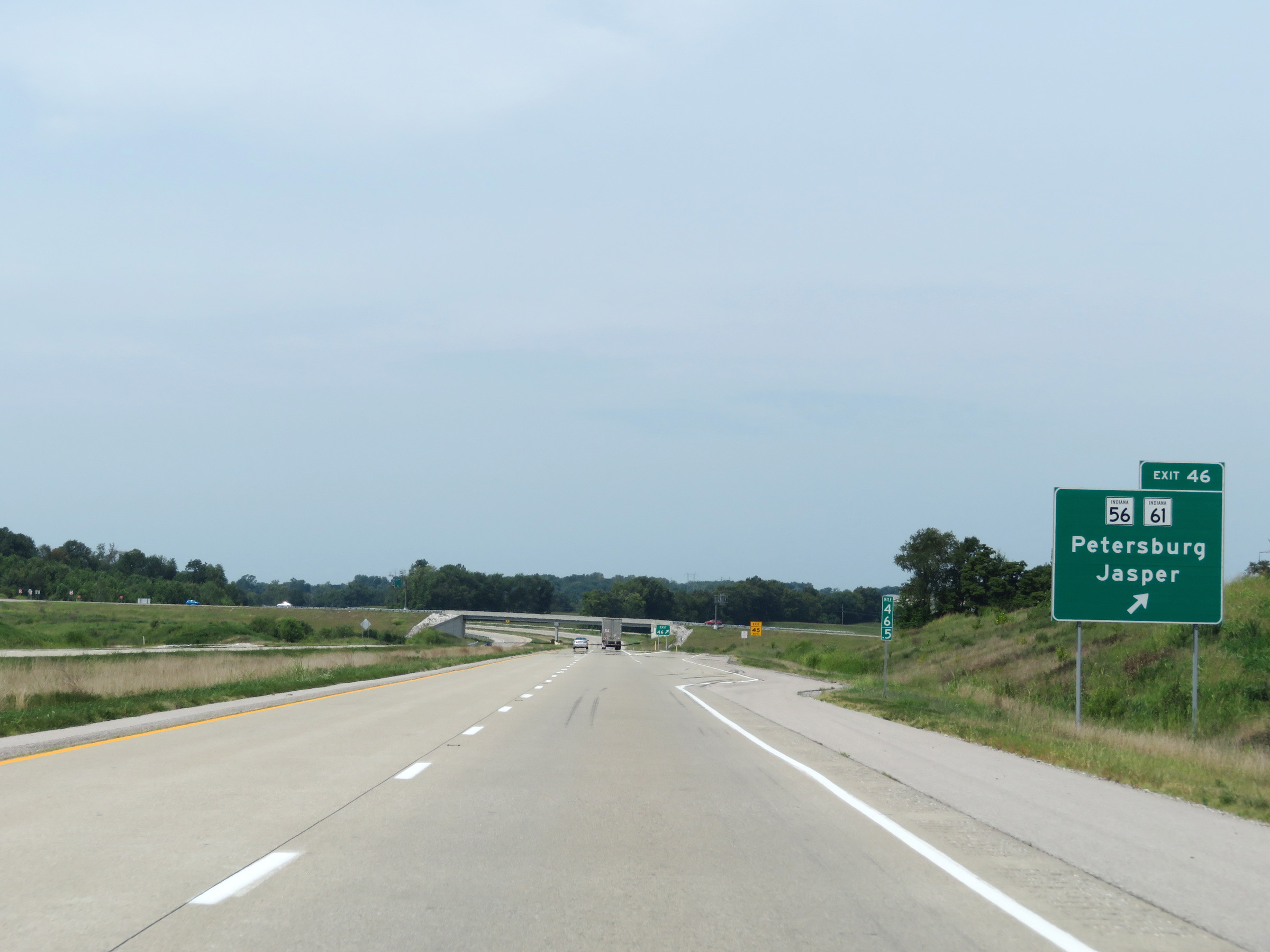 |
Interstate 69 South at Exit 46: IN 45 / IN 61 - Petersburg / Jasper (Photo taken 8/11/19). |
 |
View on Interstate 69 South at mile marker 44. (Photo taken 8/11/19). |
 |
Interstate 69 South at mile marker 42.5. (Photo taken 8/11/19). |
 |
Mile marker 40 on Interstate 69 South in Pike County. (Photo taken 8/11/19). |
 |
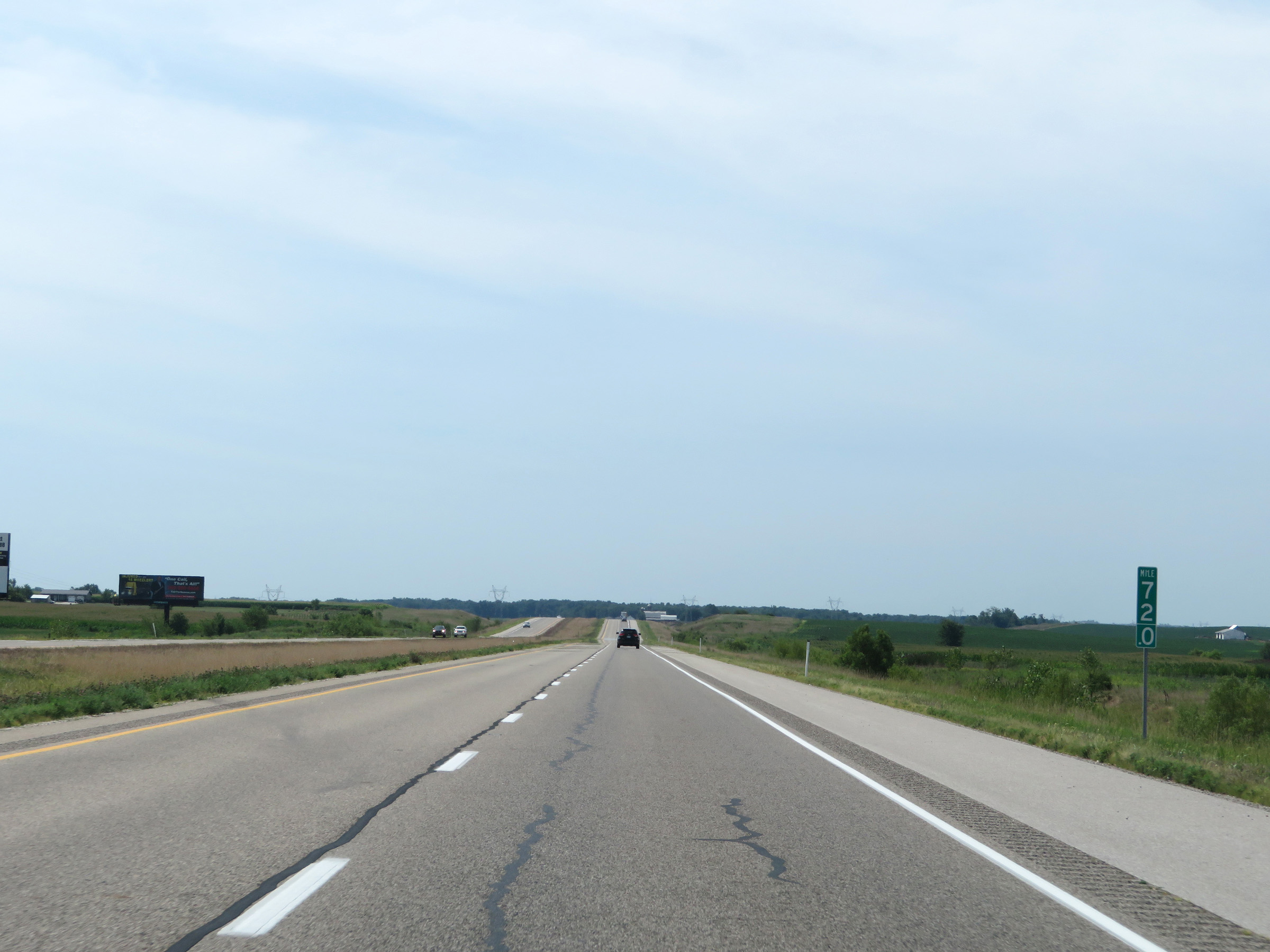
Entering Gibson County on Interstate 69 South. (Photo taken 8/11/19). |
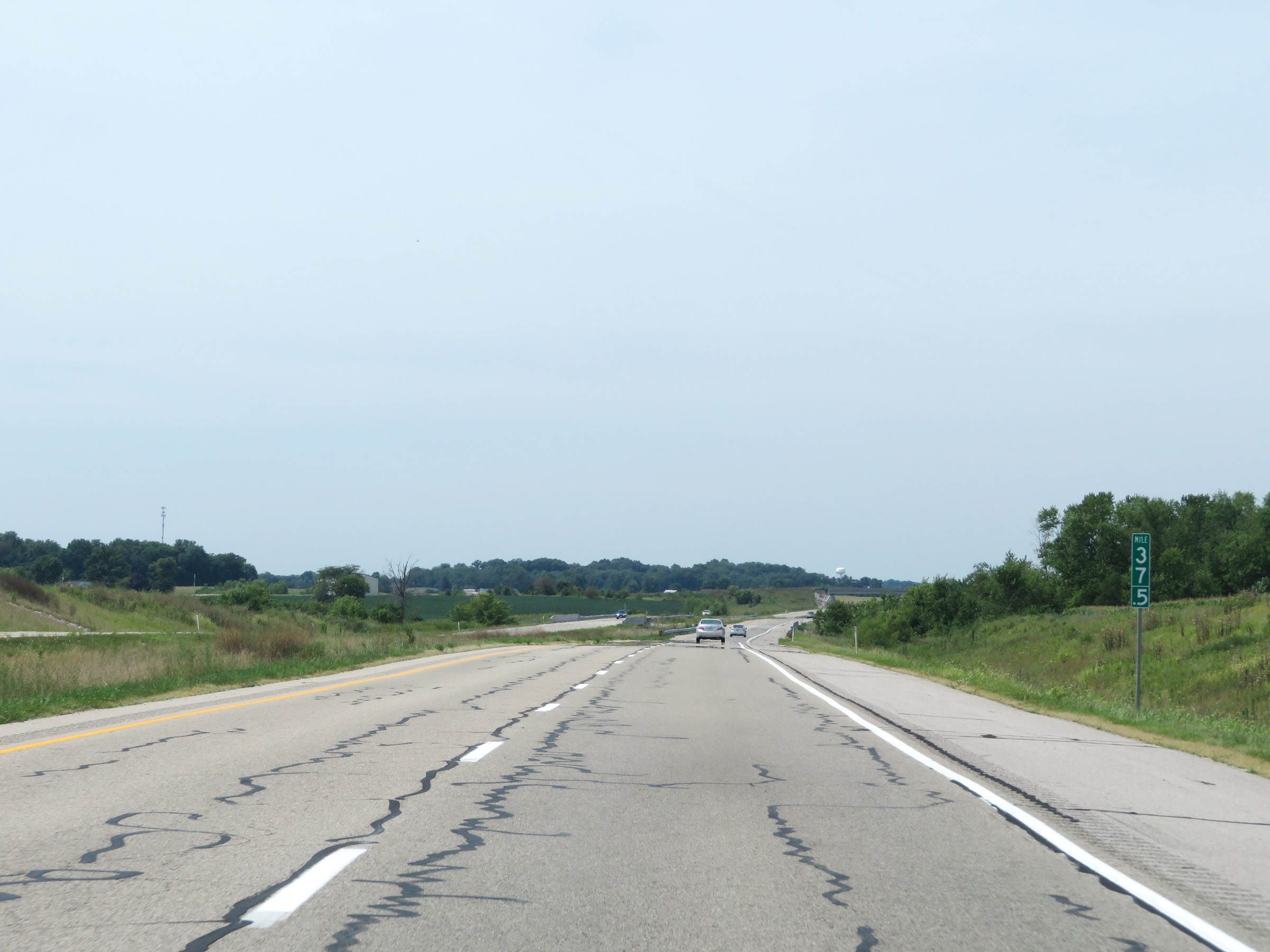 |
View on Interstate 69 South at mile marker 37.5. (Photo taken 8/11/19). |
 |
Take Exit 33 to Oakland City University and Patoka River National Wildlife Refuge. (Photo taken 8/11/19). |
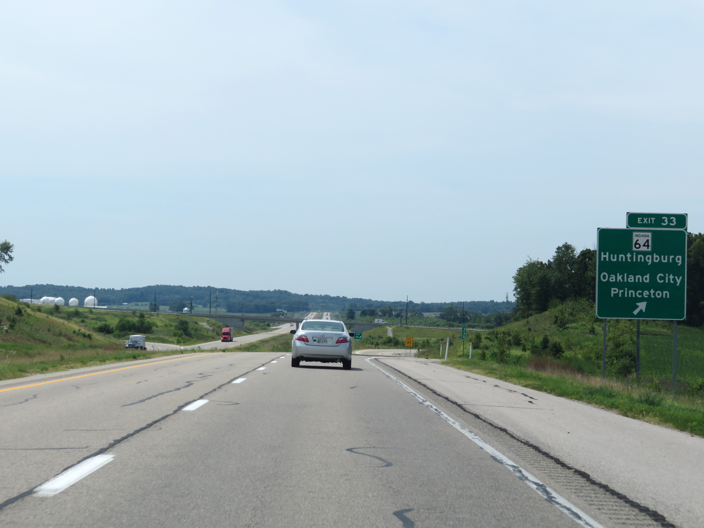 |
Interstate 69 South at Exit 33: IN 64 - Huntingburg / Oakland City / Princeton (Photo taken 8/11/19). |
 |
View on Interstate 69 South at mile marker 31. (Photo taken 8/11/19). |
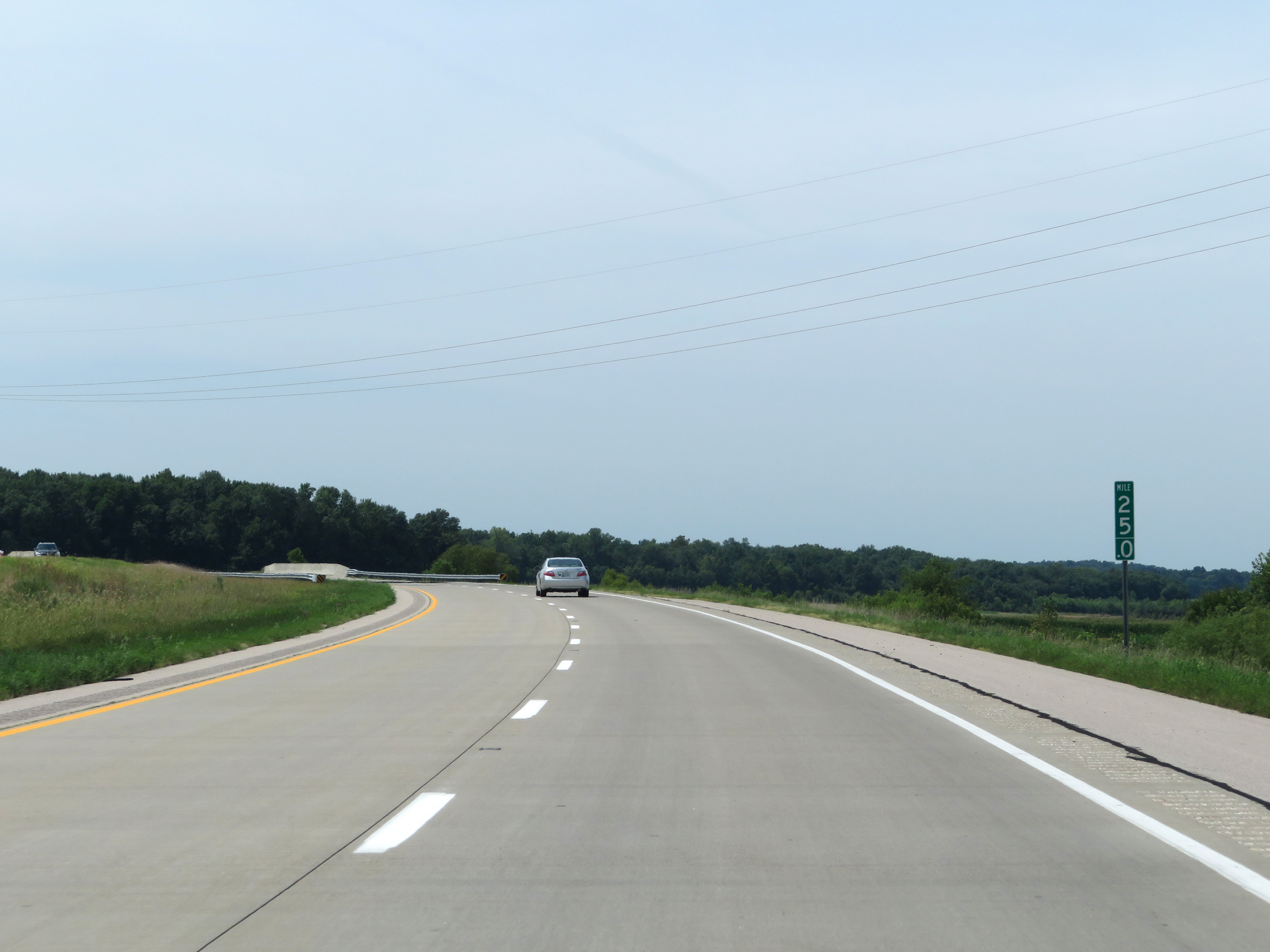
 |
View on Interstate 69 South at mile marker 30. (Photo taken 8/11/19). |
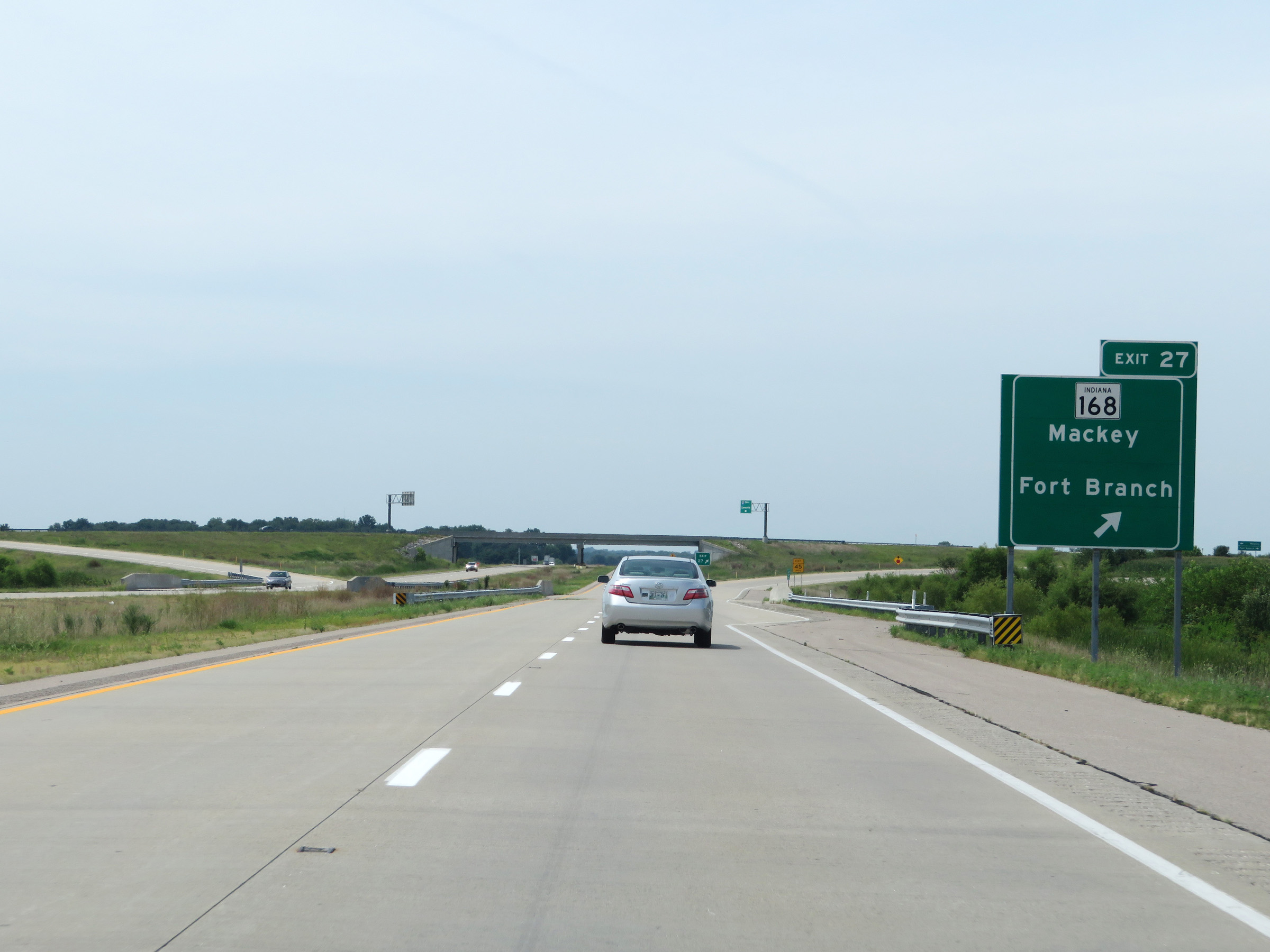 |
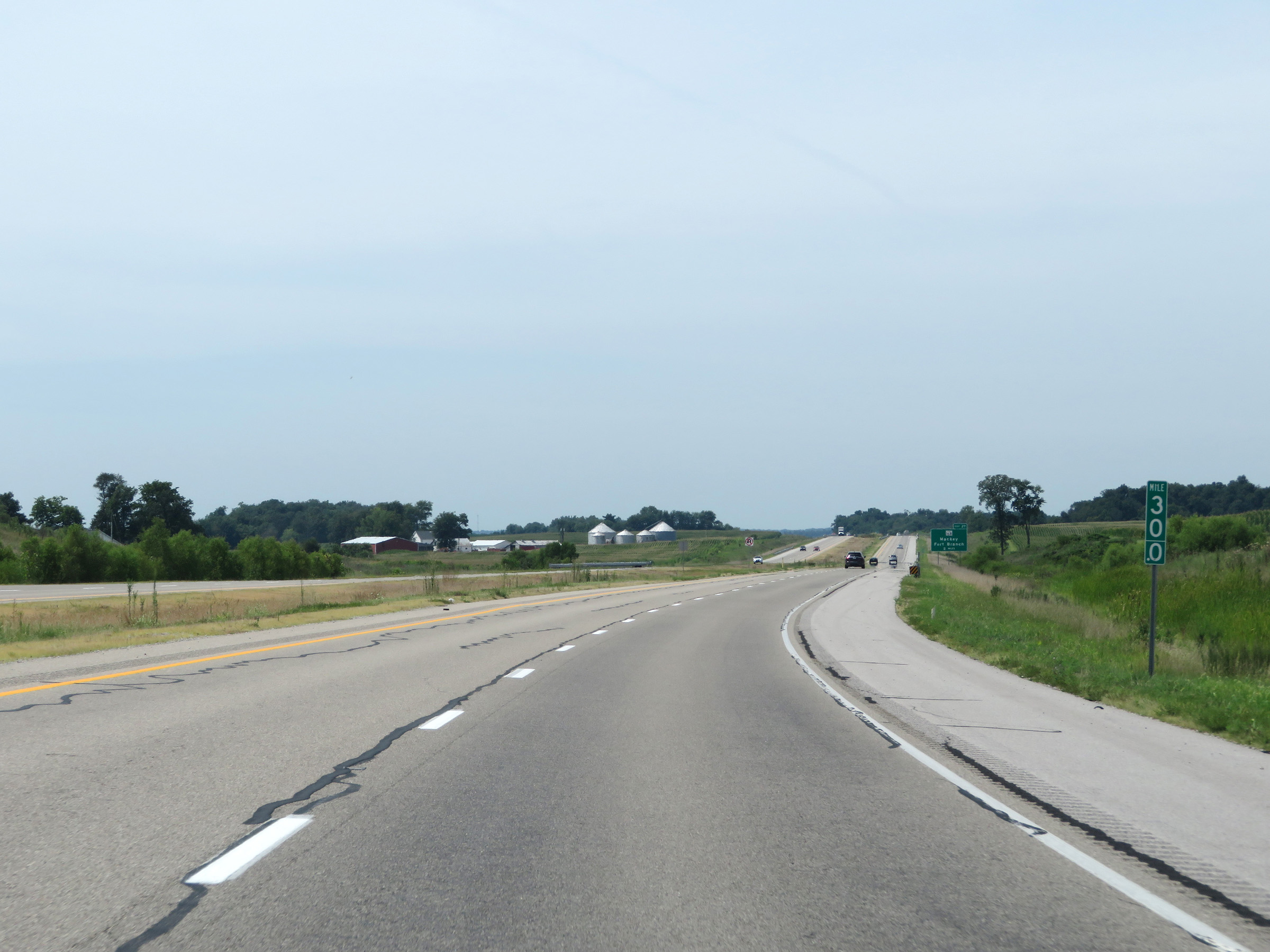
Interstate 69 South at Exit 27: IN 168 - Mackey / Fort Branch (Photo taken 8/11/19). |
 |
Interstate 69 South reassurance shield. (Photo taken 8/11/19). |
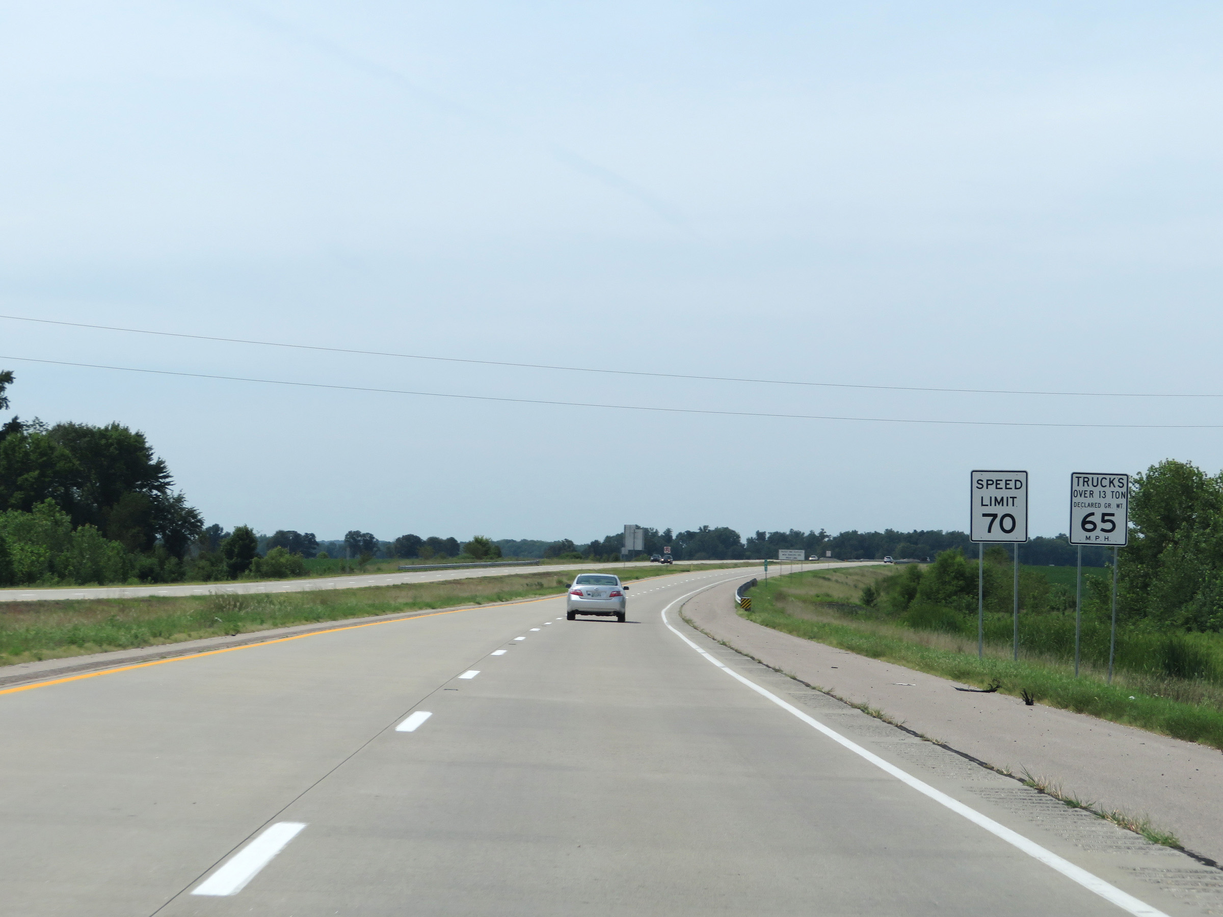 |
The speed limits remain 70 mph for automobiles and 65 mph for trucks. (Photo taken 8/11/19). |
 |
View on Interstate 69 South at mile marker 26. (Photo taken 8/11/19). |
 |
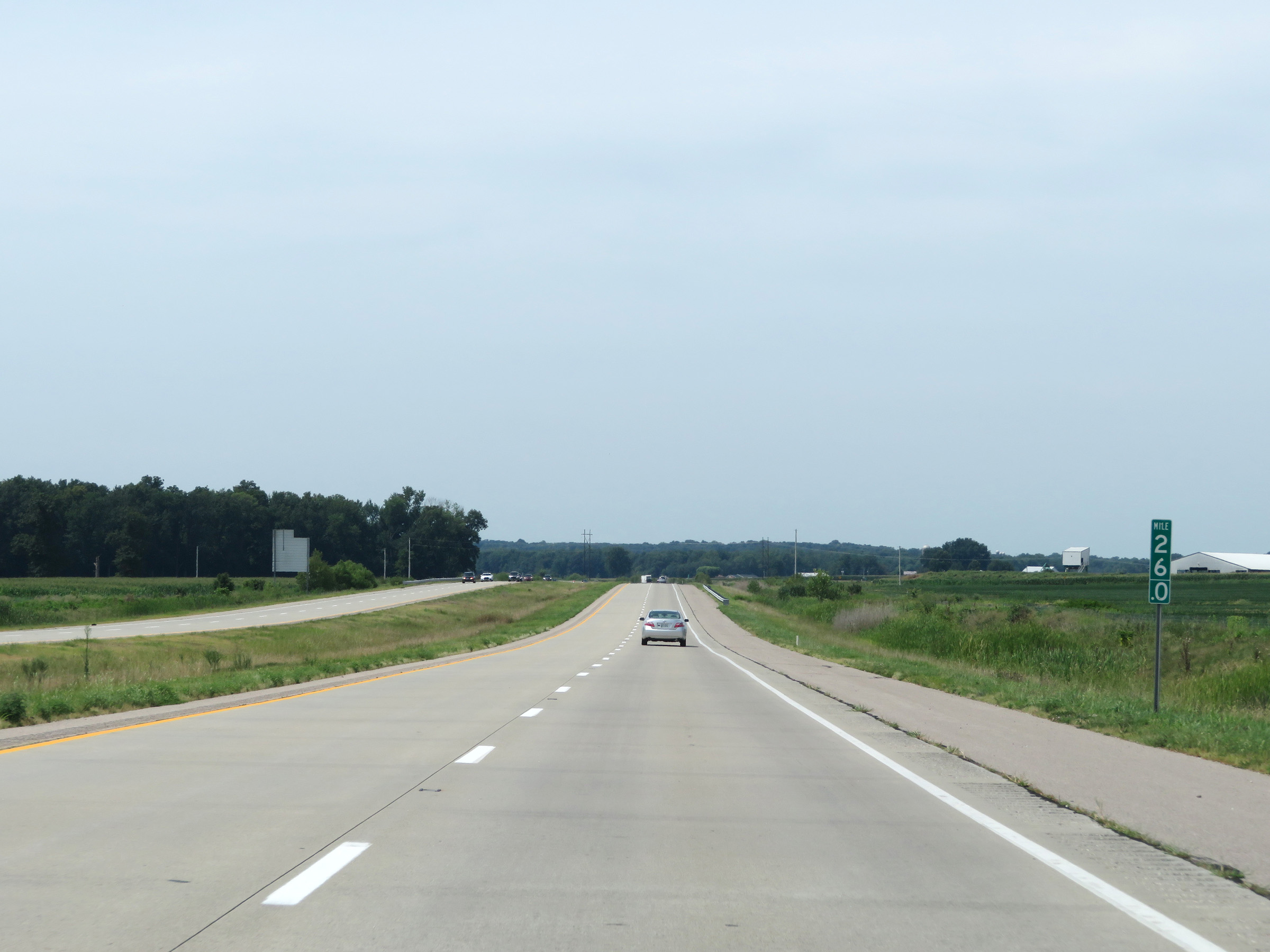
Mile marker 25 on Interstate 69 South in Gibson County. (Photo taken 8/11/19). |
 |
Interstate 69 South approaching Exit 22 - 1 mile. (Photo taken 8/11/19). |
 |
Interstate 69 South at Exit 22: IN 68 - Lynnville / Habustadt (Photo taken 8/11/19). |
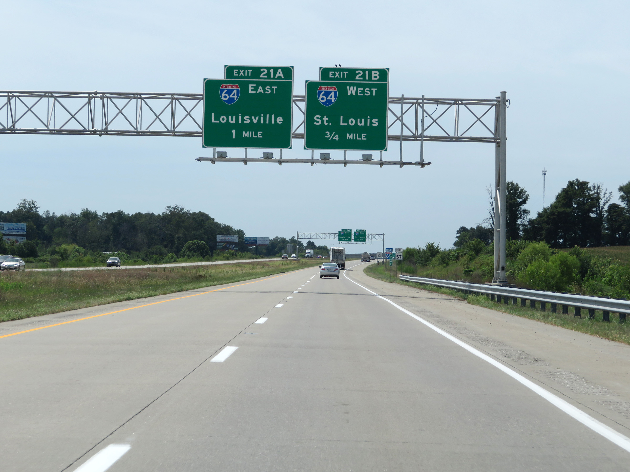 |
Interstate 69 South approaching Exit 21B - 3/4 mile. (Photo taken 8/11/19). |
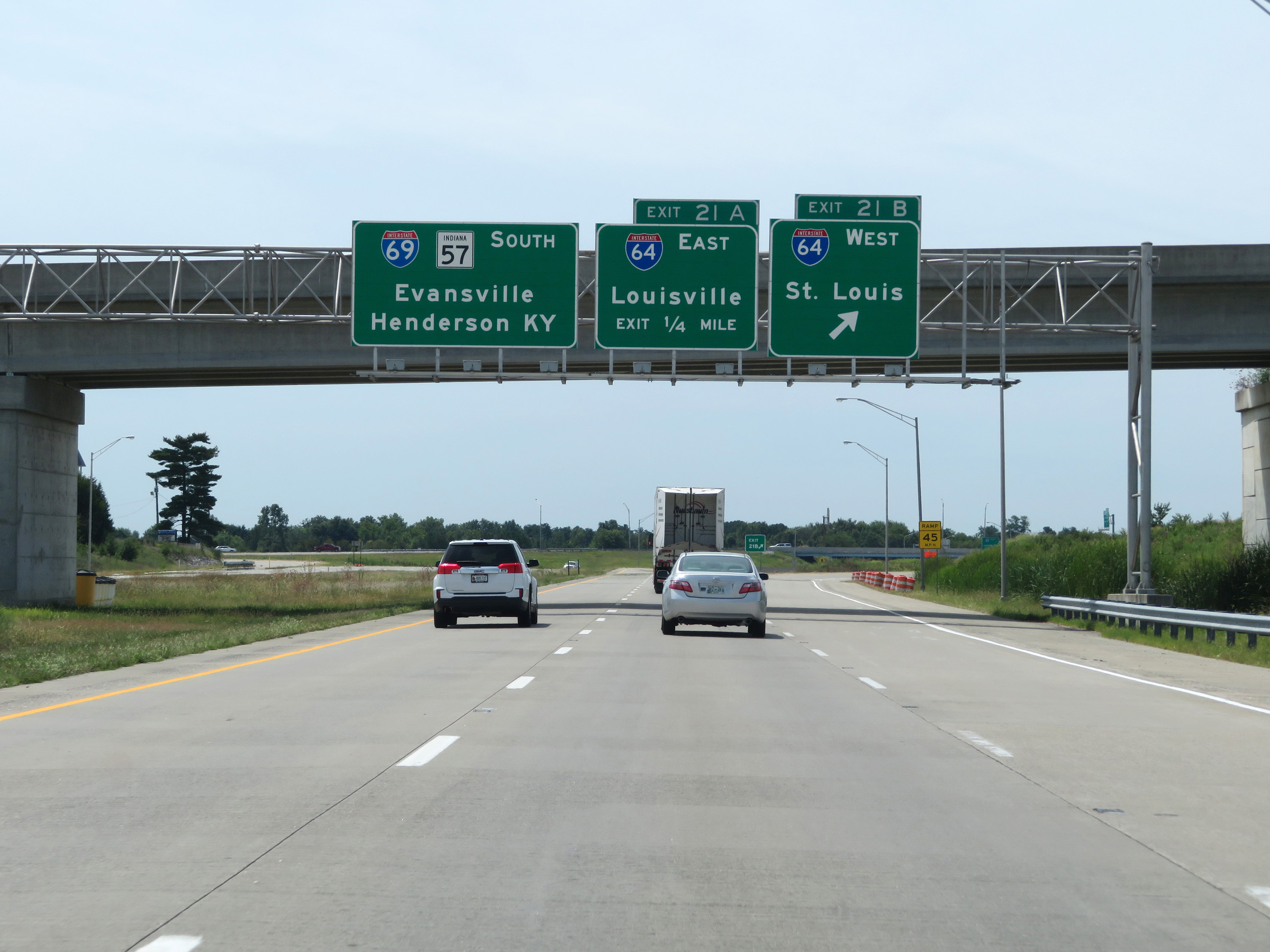 |
Interstate 69 South at Exit 21B: Interstate 64 West - St. Louis (Photo taken 8/11/19). |
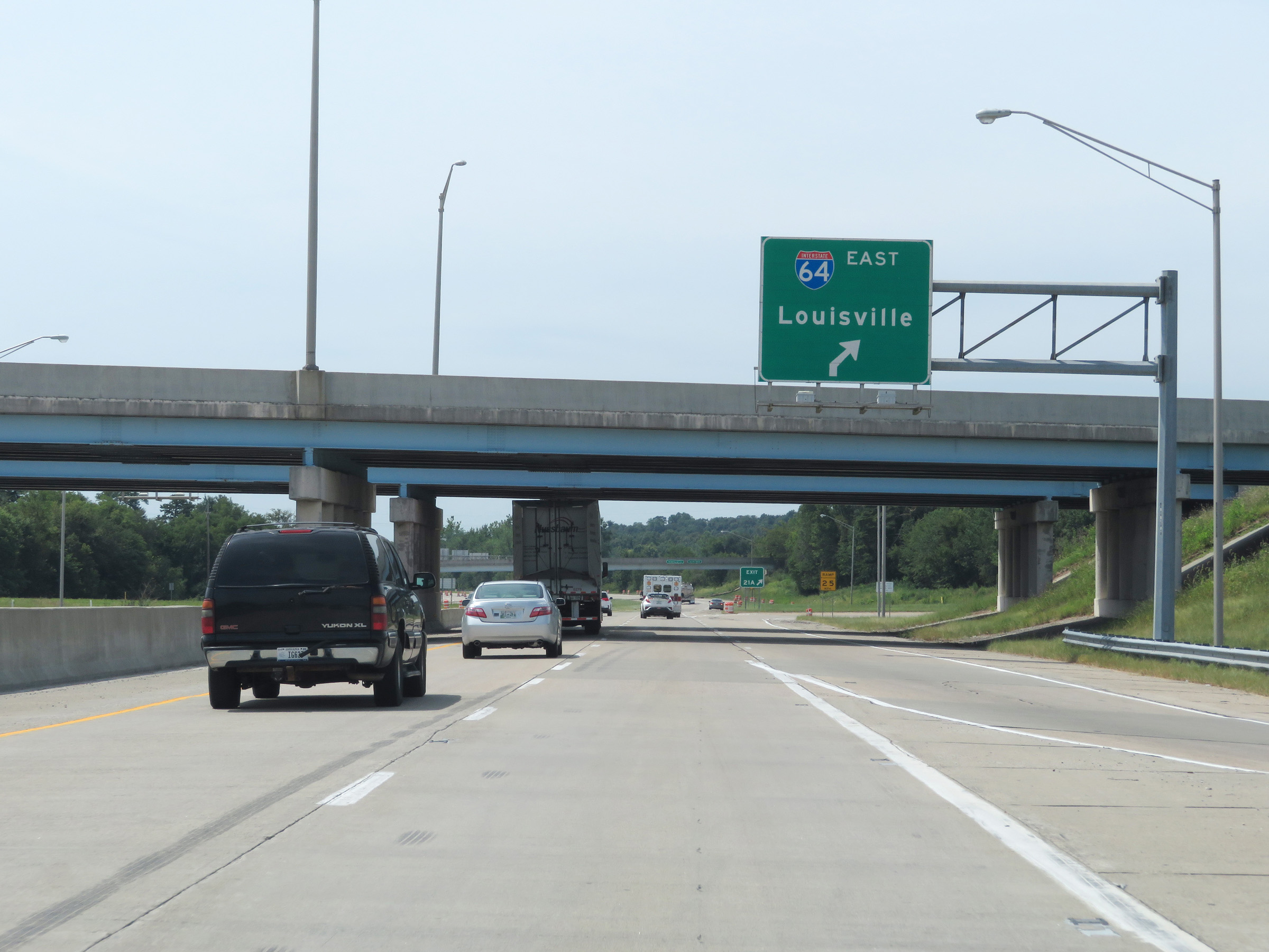 |
Interstate 69 South at Exit 21A: Interstate 64 East - Louisville (Photo taken 8/11/19). |
Section 4: Haubstadt (Exit 21A) to Southern Terminus
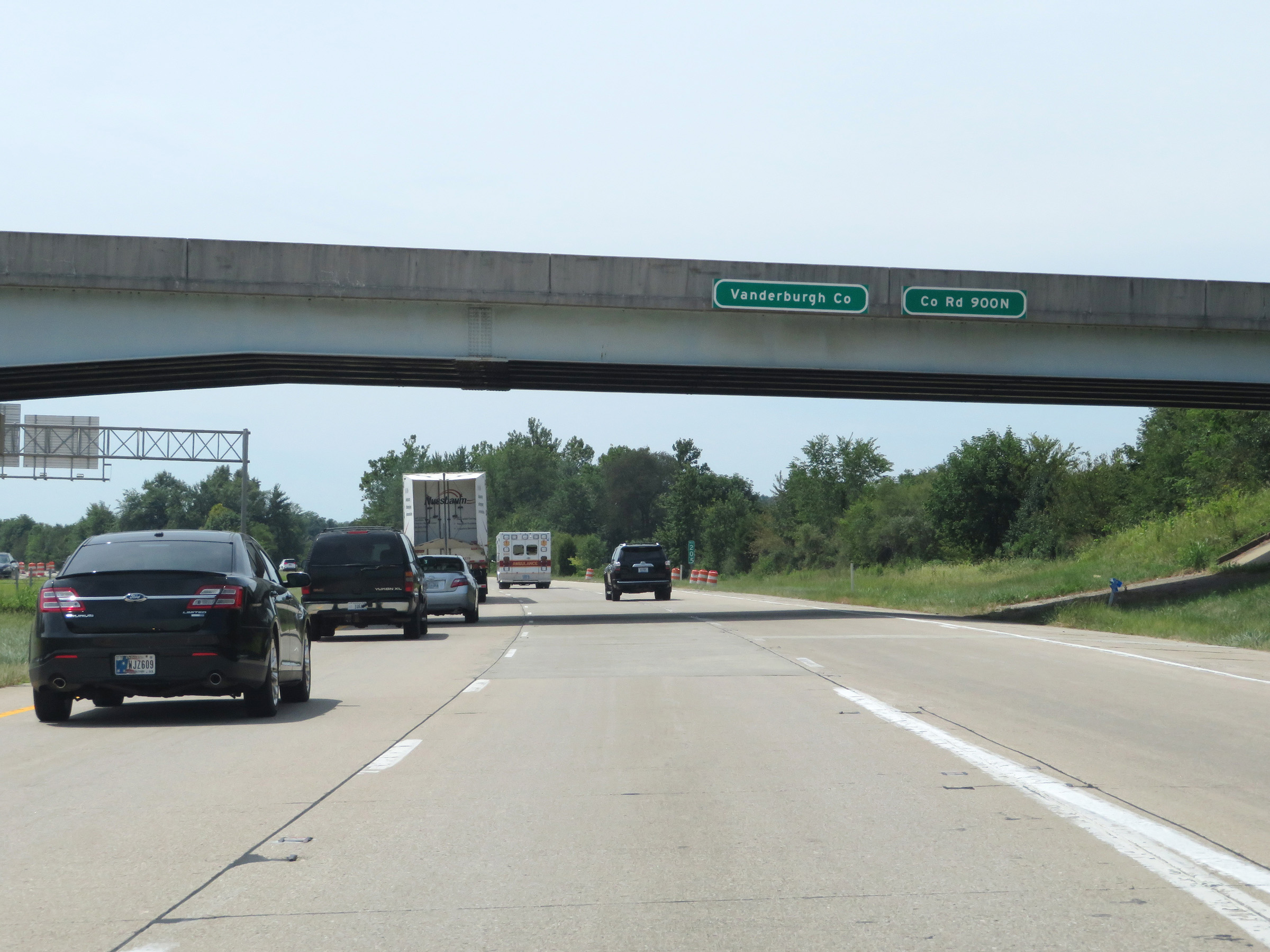 |
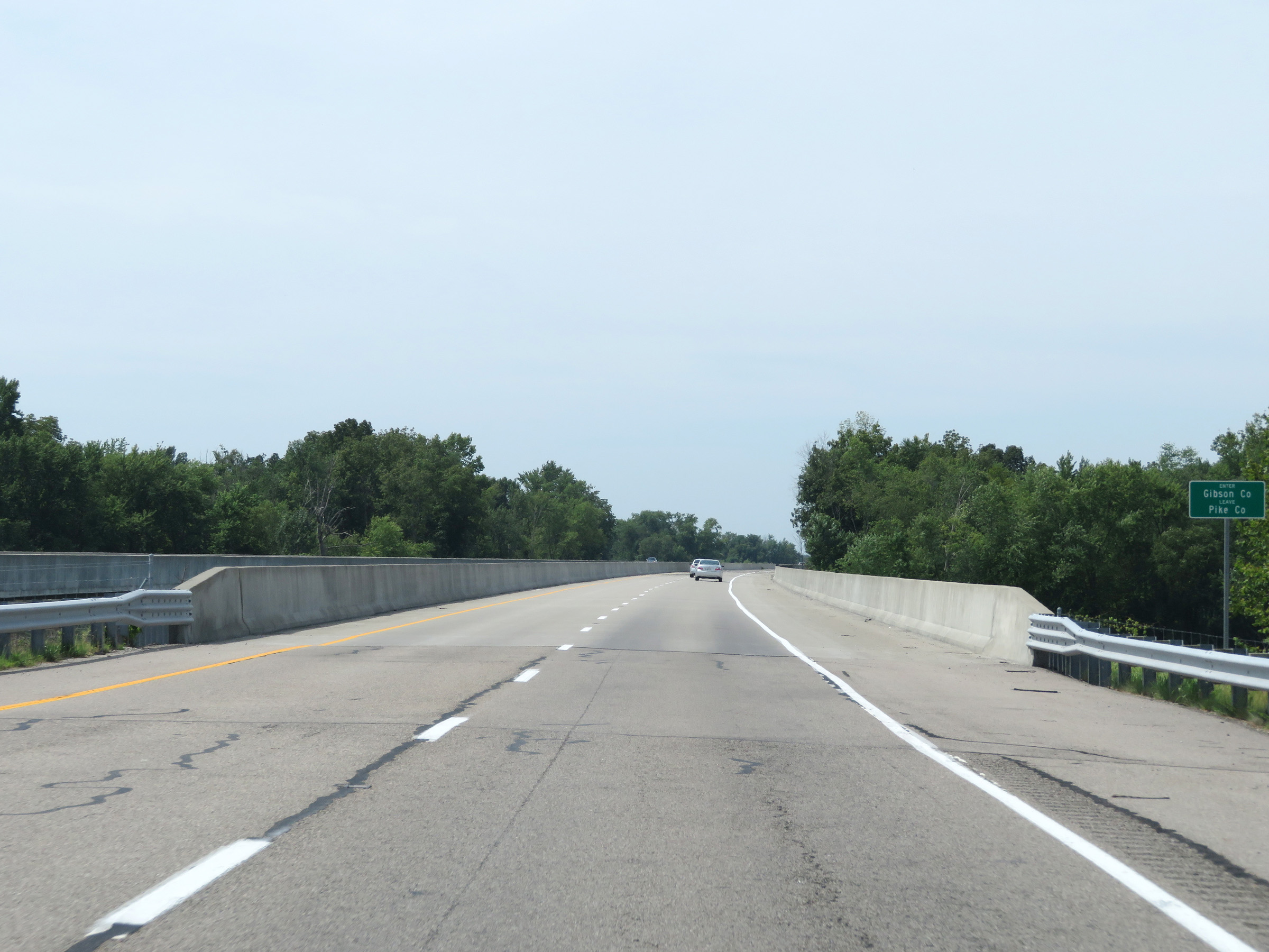
Just south of the junction of Interstate 64, Interstate 69 South enters Vanderburgh County. (Photo taken 8/11/19). |
 |
Take Exit 18 to Evansville Airport and Elberfeld. (Photo taken 8/11/19). |
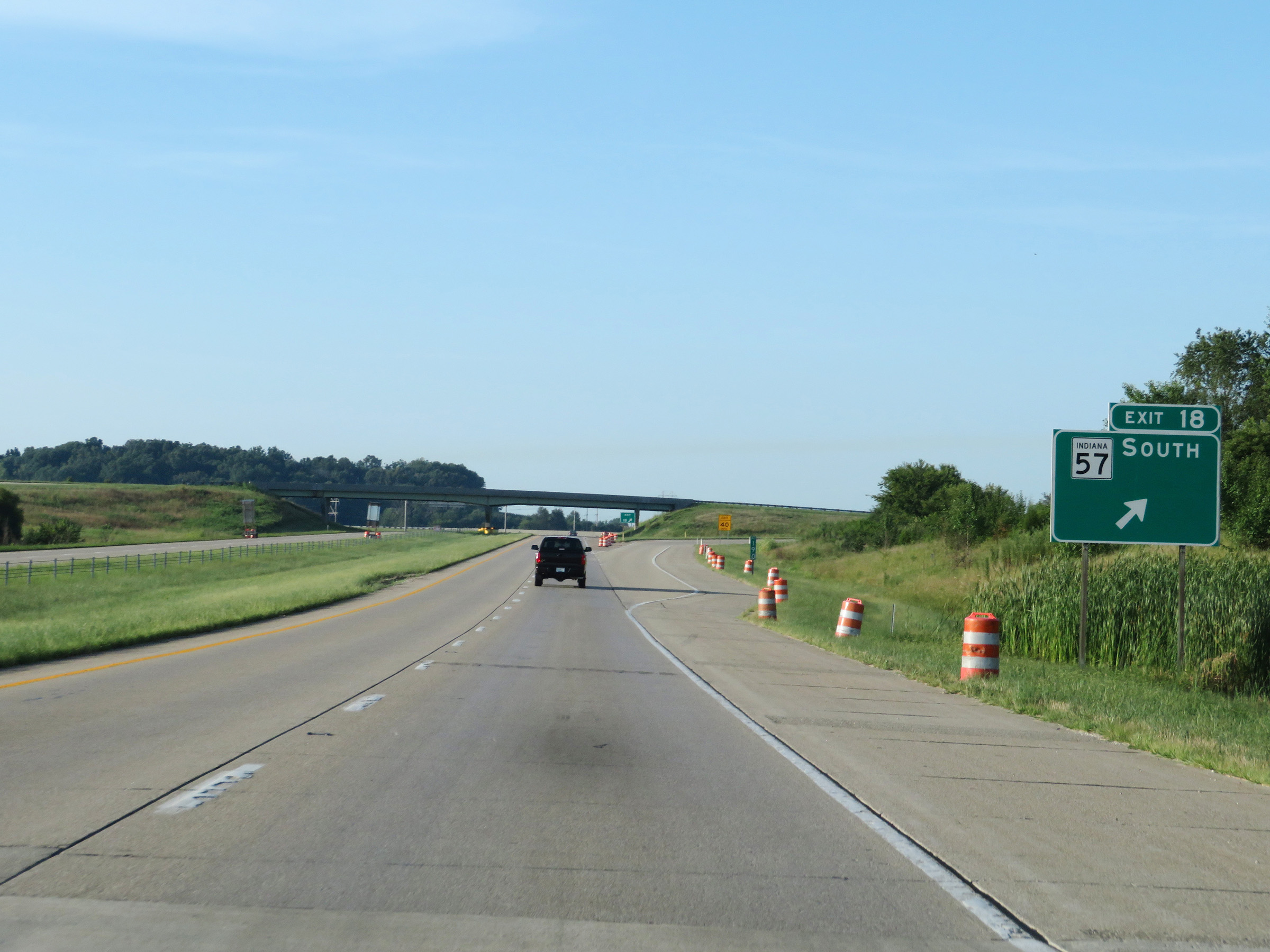 |
Interstate 69 South at Exit 18: IN 57 South (Photo taken 8/11/19). |
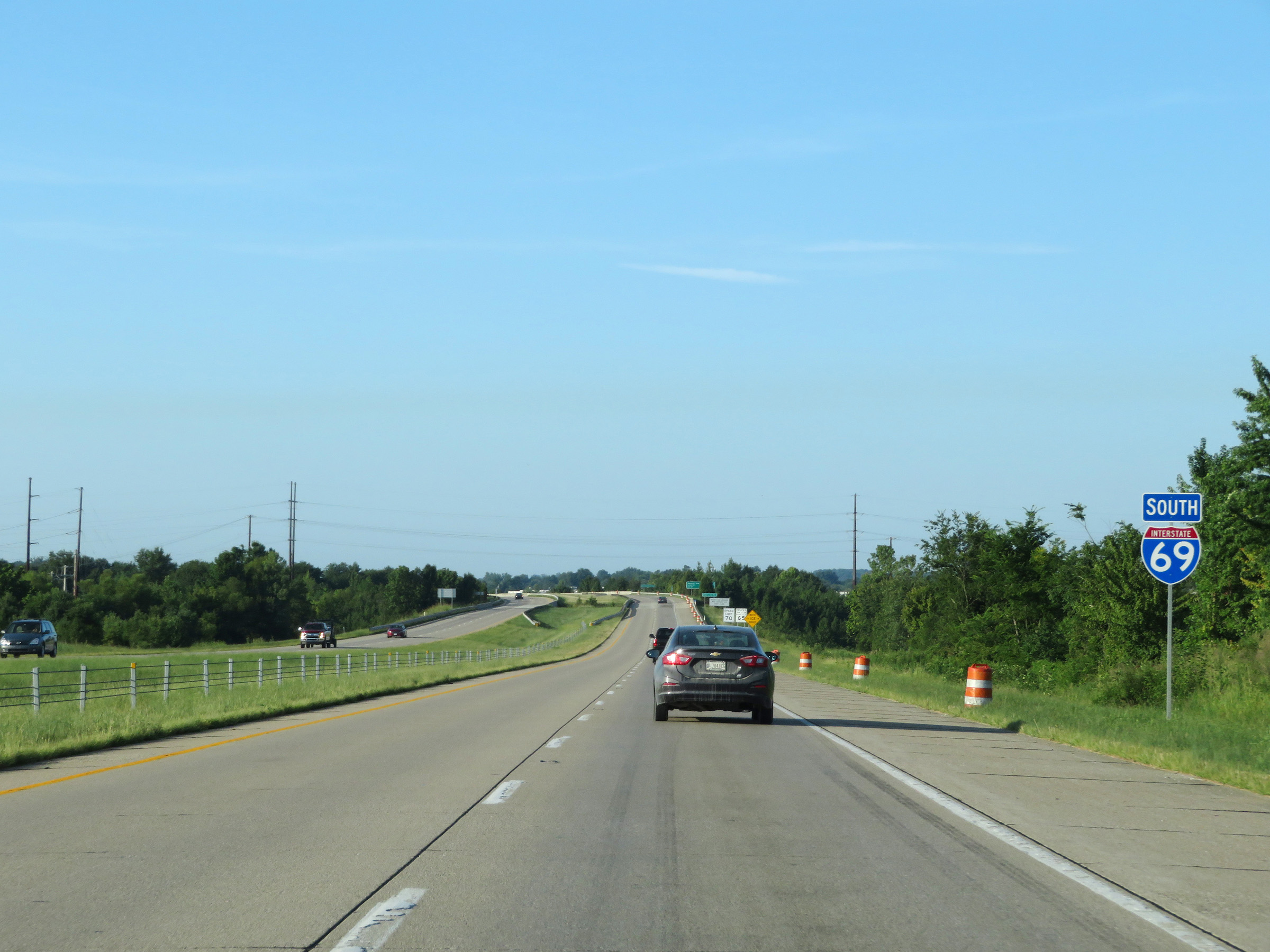 |
Another Interstate 69 South reassurance shield. (Photo taken 8/11/19). |
 |
The speed limits remain the rural standard 70 mph for automobiles and 65 mph for trucks. (Photo taken 8/11/19). |
 |
Take Exit 15 to Blue Grass FWA. (Photo taken 8/11/19). |
 |
Interstate 69 South at Exit 15: Boonville-New Harmony Rd (Photo taken 8/11/19). |
 |
View on Interstate 69 South at mile marker 14. (Photo taken 8/11/19). |
 |
Interstate 69 South at mile marker 12. (Photo taken 8/11/19). |
 |
Take any of the next 6 exits to Evansville. (Photo taken 8/11/19). |
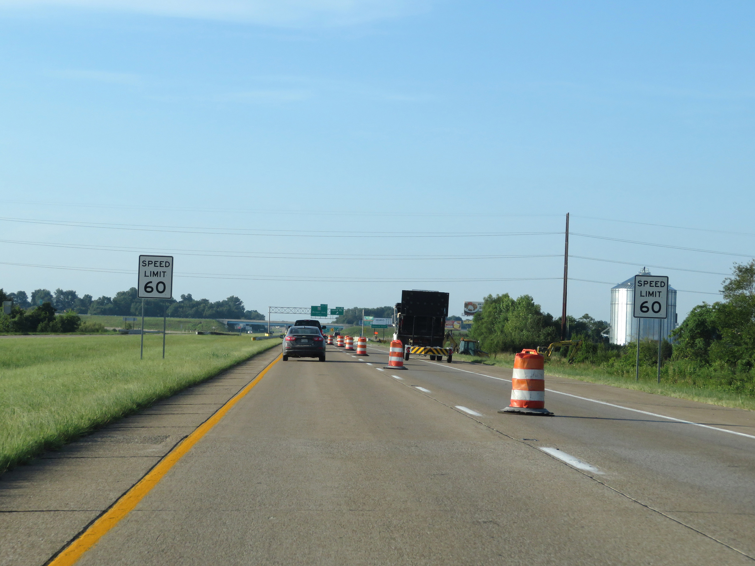 |
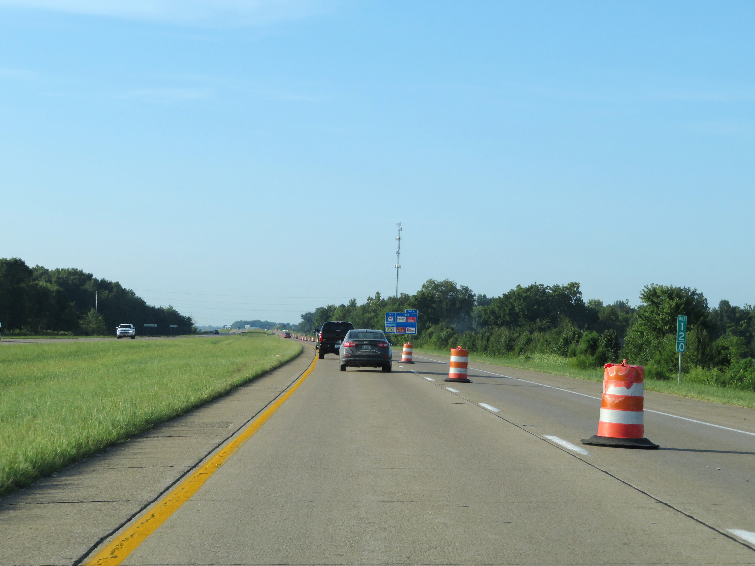
Approaching Exit 10, the speed limit decreases to 60 mph for all traffic on Interstate 69 South. (Photo taken 8/11/19). |
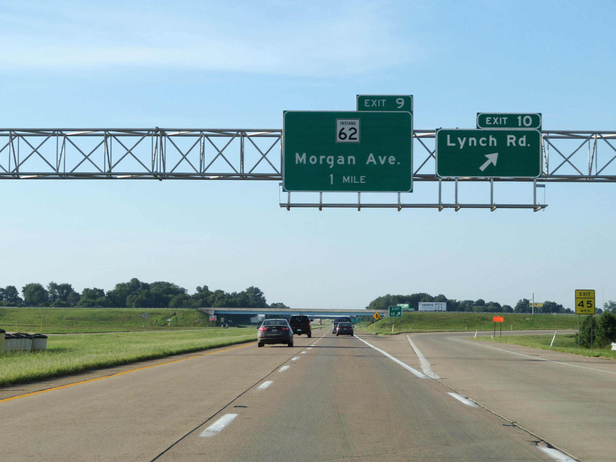 |
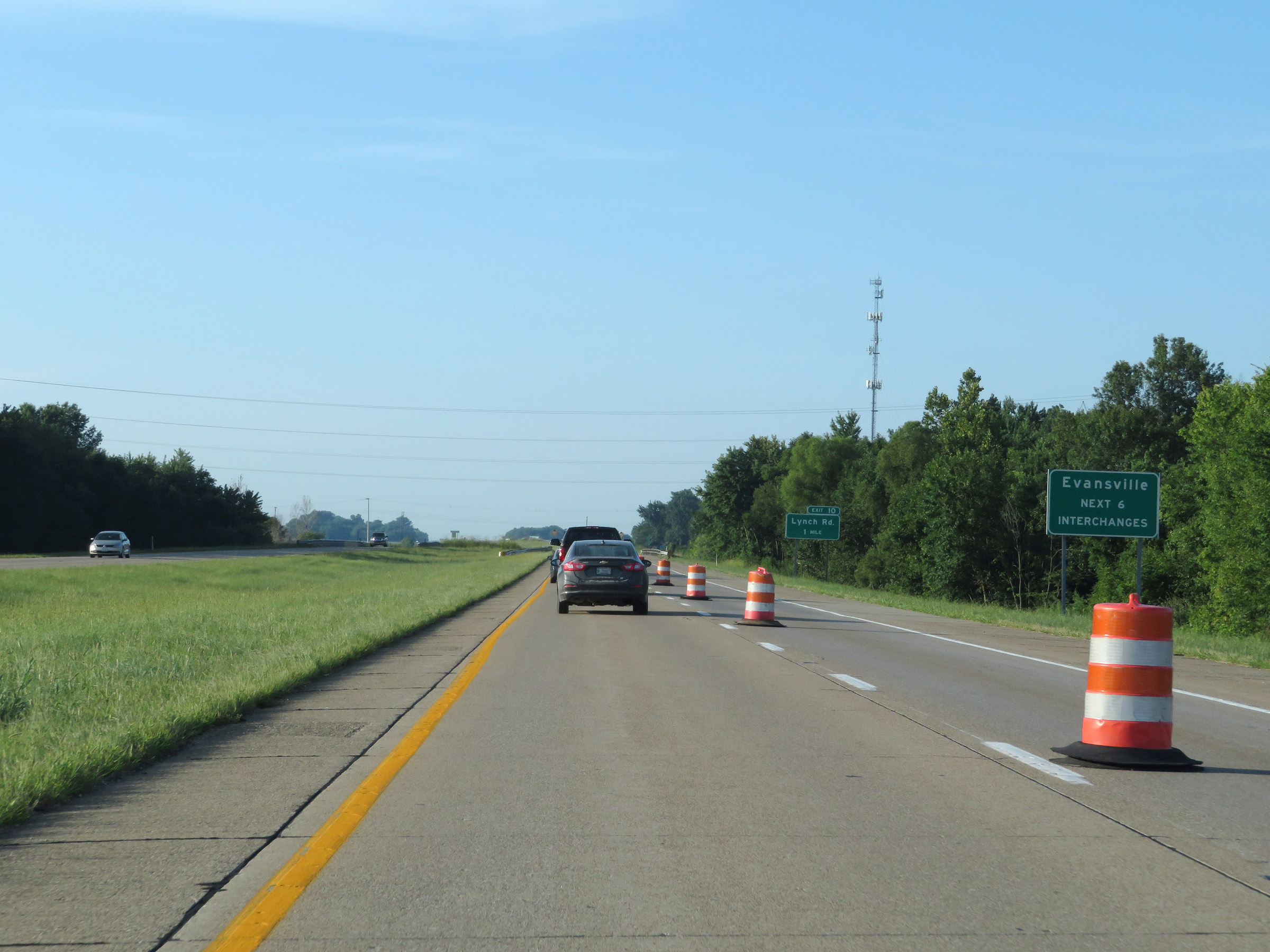
Interstate 69 South at Exit 10: Lynch Rd (Photo taken 8/11/19). |
 |
Take Exit 9 to Chandler and Boonville. (Photo taken 8/11/19). |
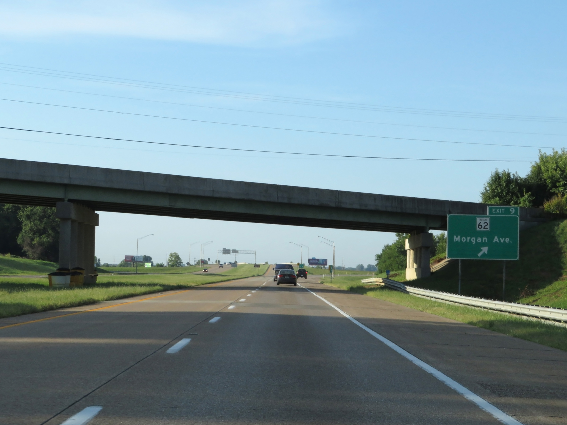 |
Interstate 69 South at Exit 9: IN 62 - Morgan Ave (Photo taken 8/11/19). |
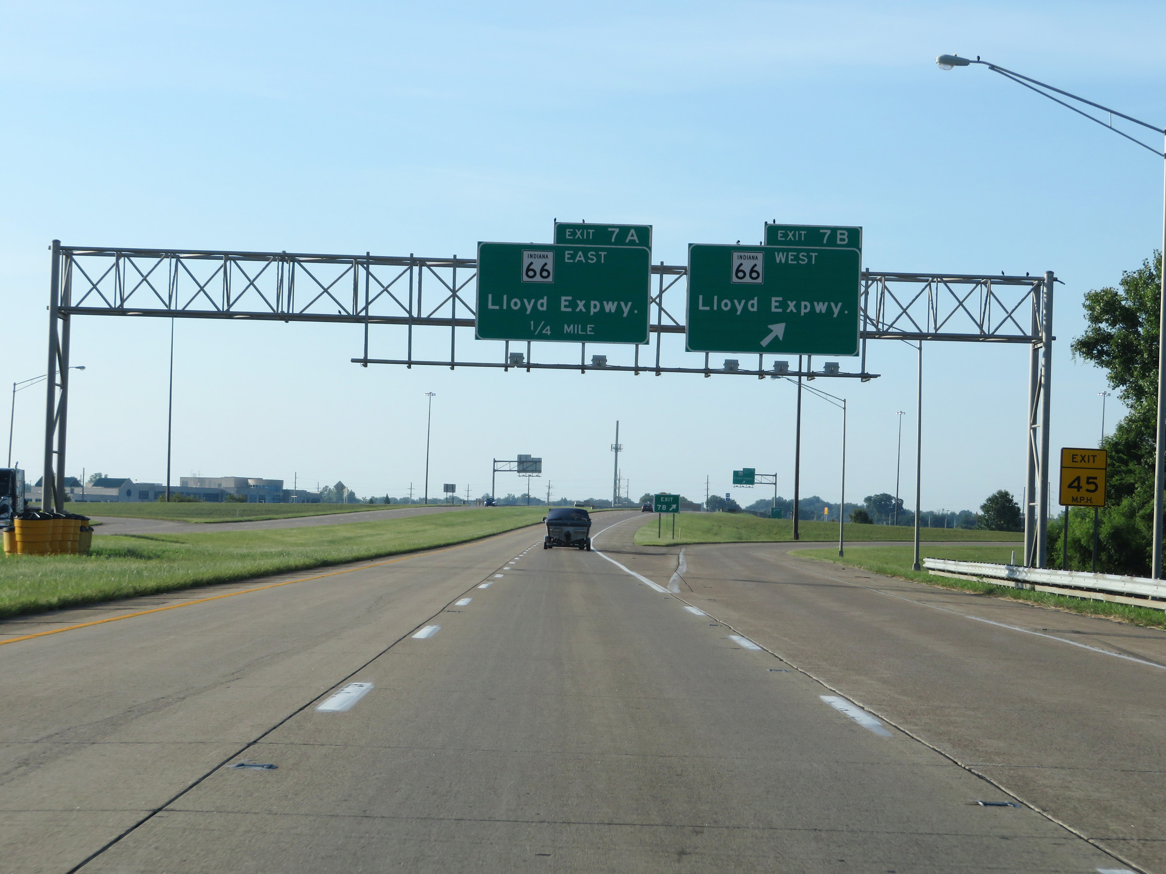 |
Interstate 69 South at Exit 7B: IN 66 West - Lloyd Expressway (Photo taken 8/11/19). |
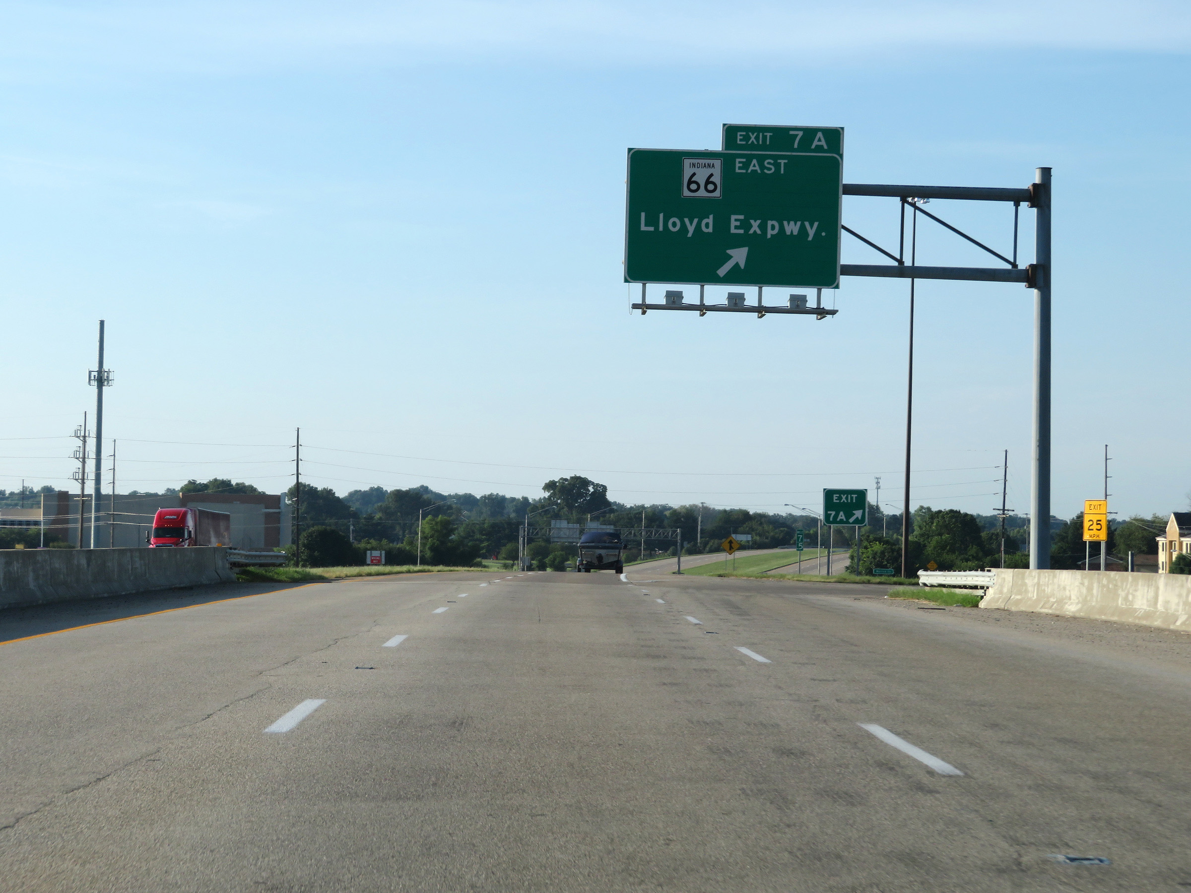 |
Interstate 69 South at Exit 7A: IN 66 East - Lloyd Expressway (Photo taken 8/11/19). |
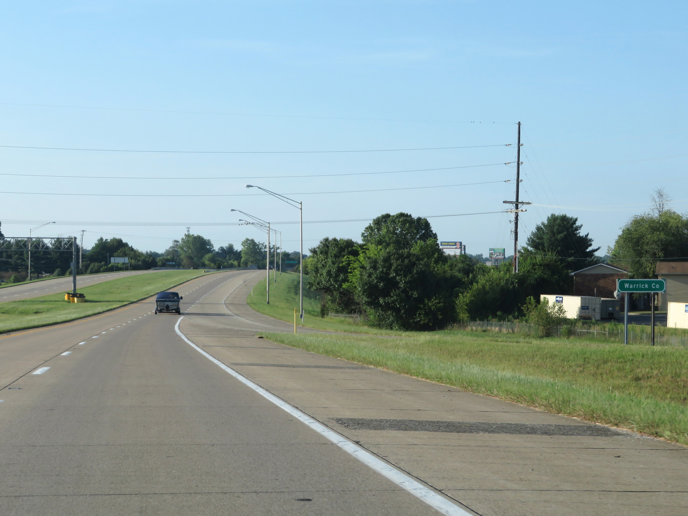 |
South of Exit 7A, Interstate 69 South dips into Warrick County. (Photo taken 8/11/19). |
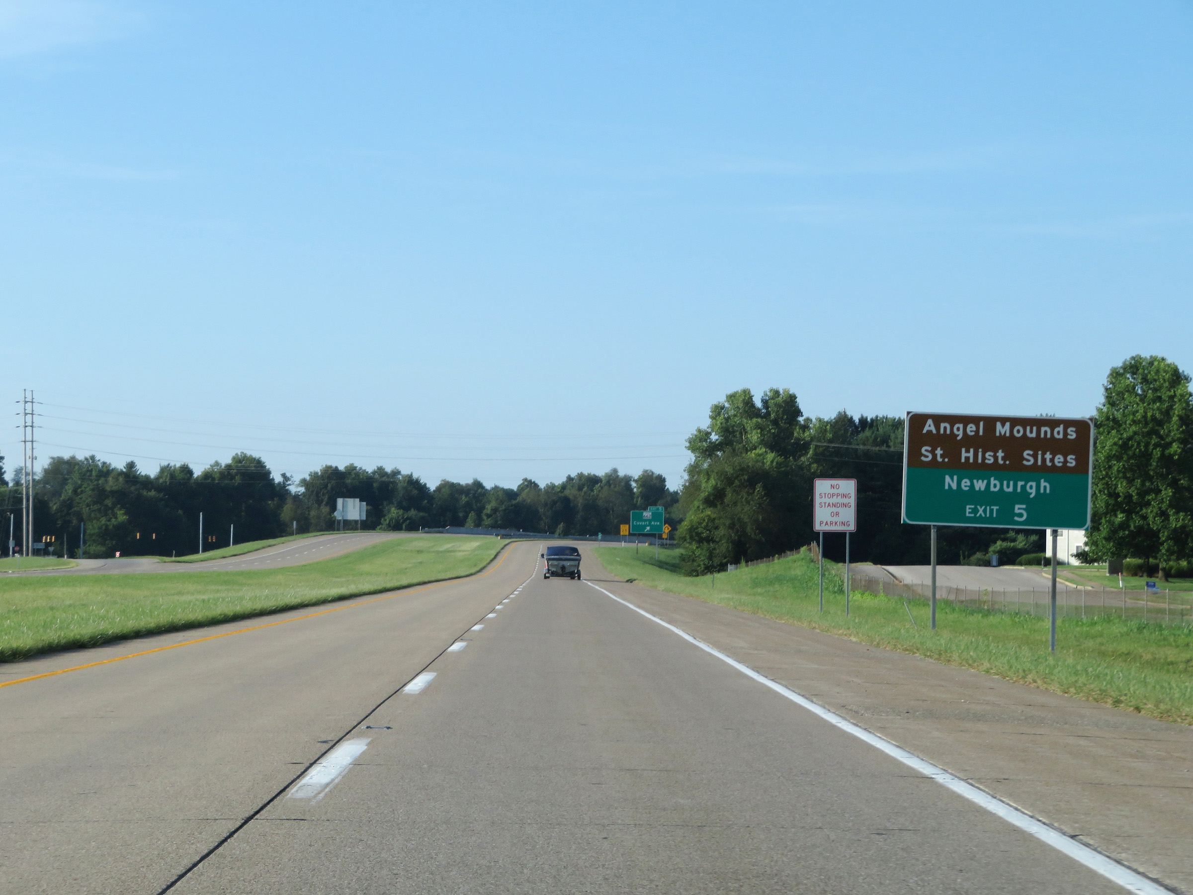 |
Take Exit 5 to Angel Mounds State Historic Sites and Newburgh. (Photo taken 8/11/19). |
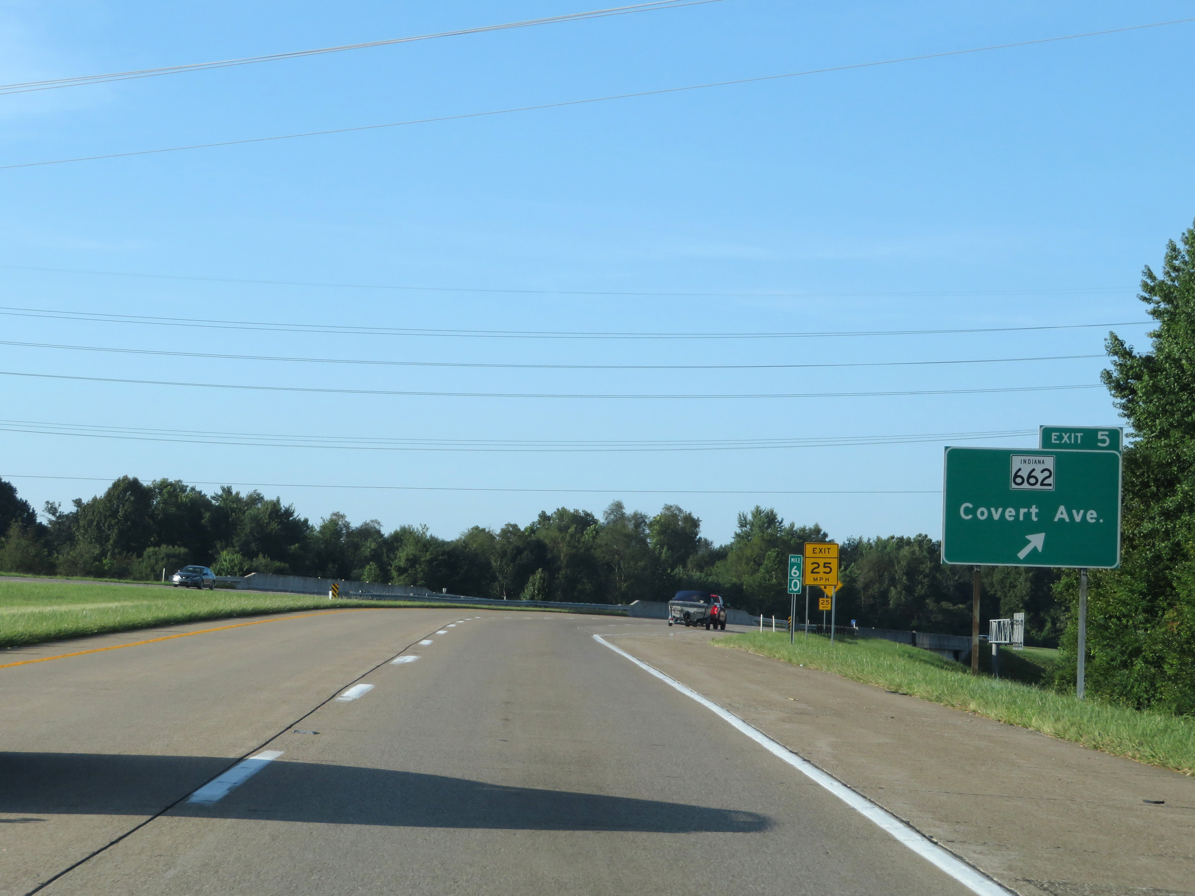 |
Interstate 69 South at Exit 5: IN 662 - Covert Ave (Photo taken 8/11/19). |
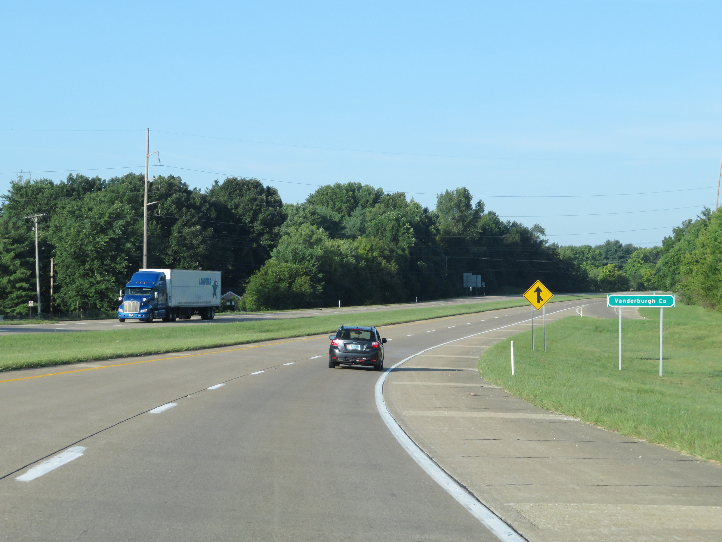 |
Interstate 69 South as it reenters Vanderburgh County and curves to the west. (Photo taken 8/11/19). |
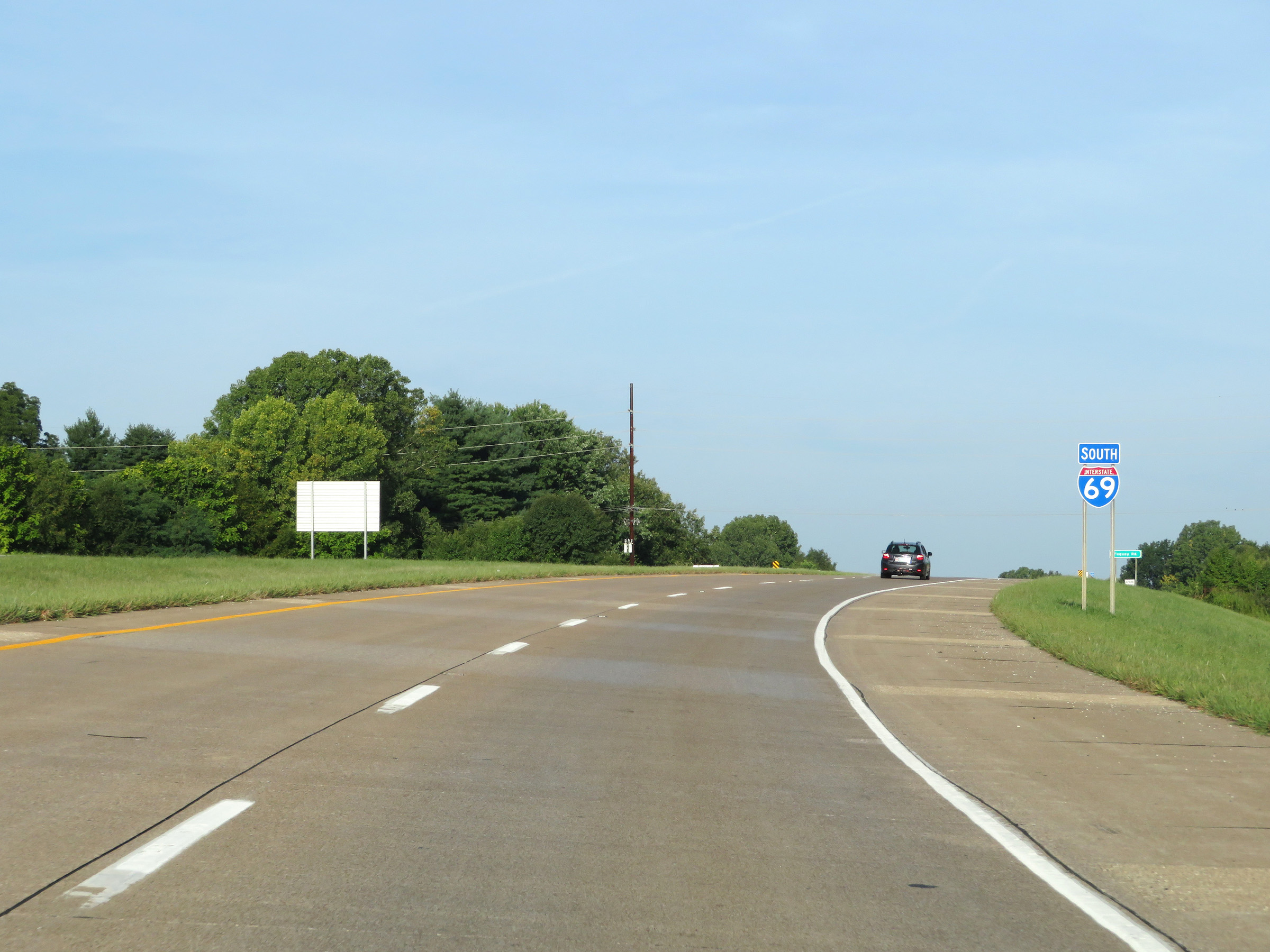 |
Interstate 69 South reassurance shield. (Photo taken 8/11/19). |
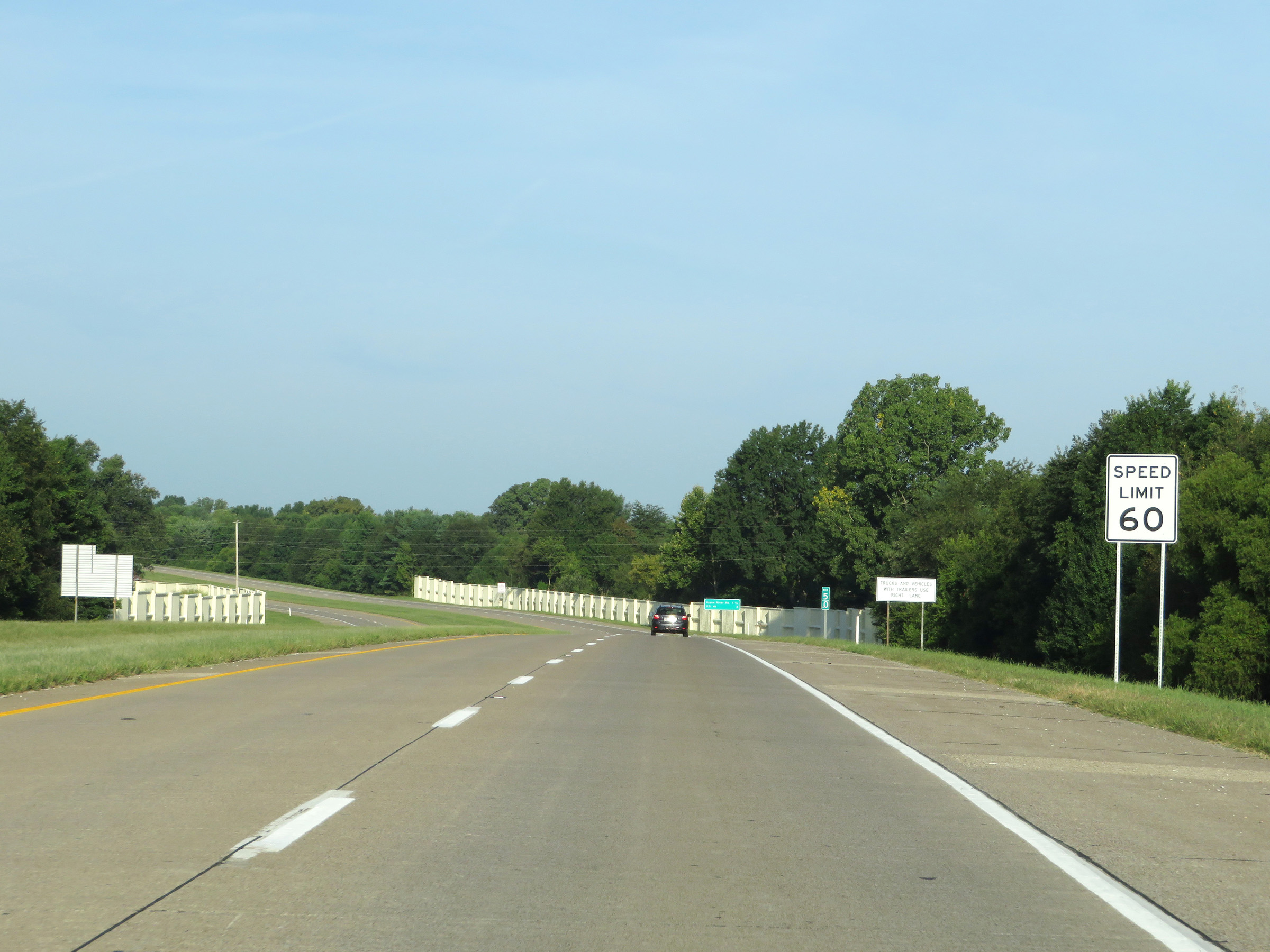 |
The speed limit remains 60 mph for all traffic on Interstate 69 South. (Photo taken 8/11/19). |
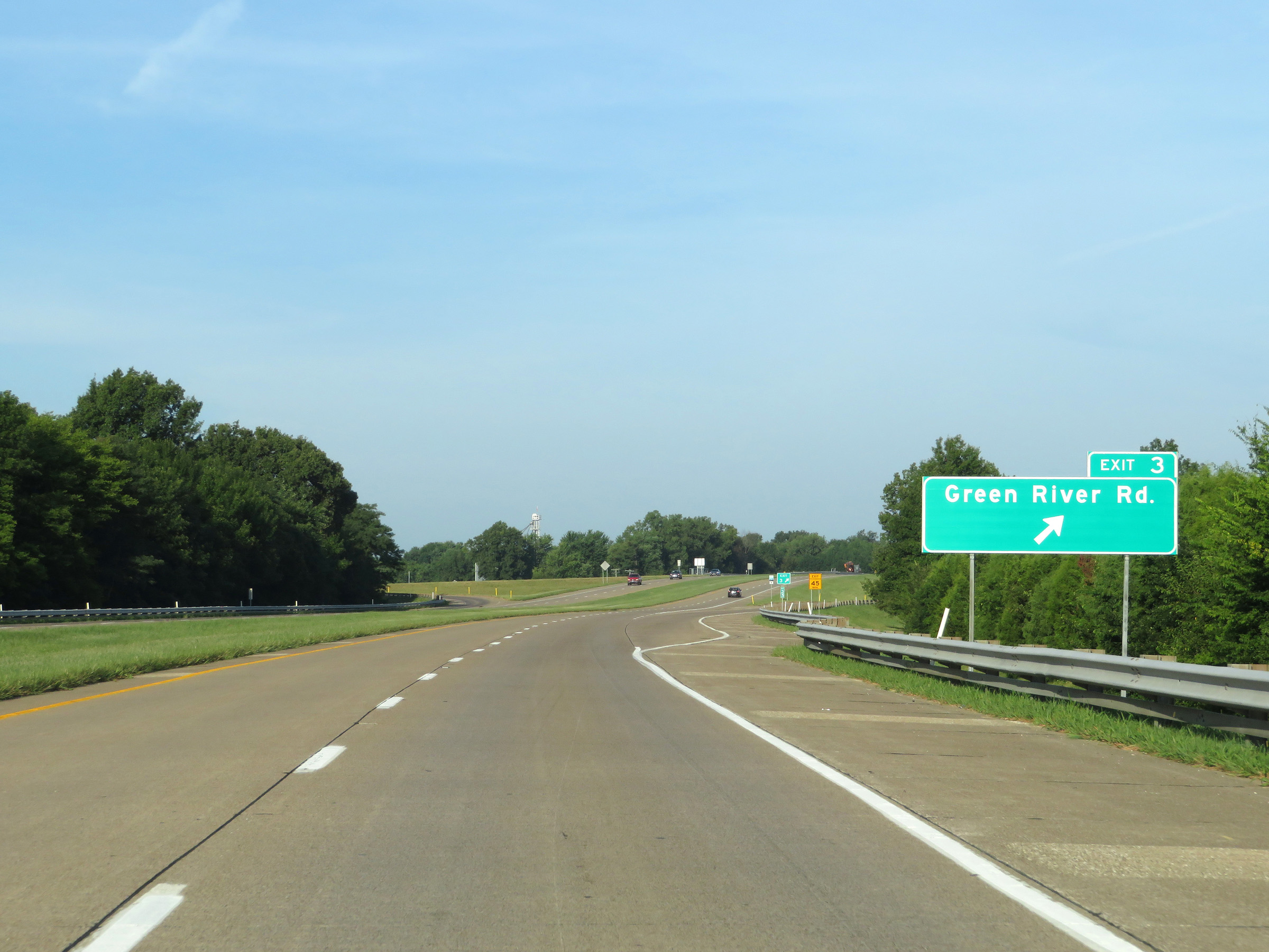 |
Interstate 69 South at Exit 3: Green River Rd (Photo taken 8/11/19). |
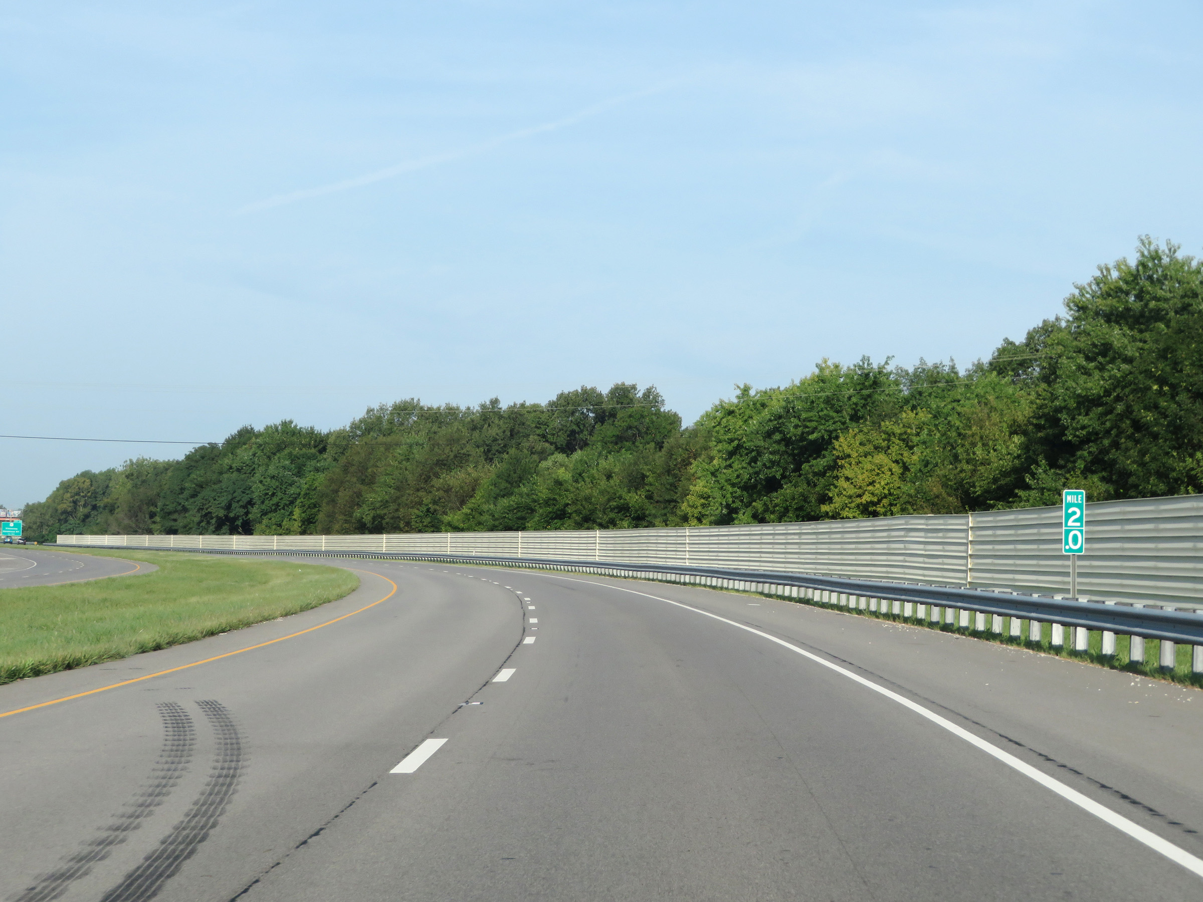 |
View on Interstate 69 South at mile marker 2. (Photo taken 8/11/19). |
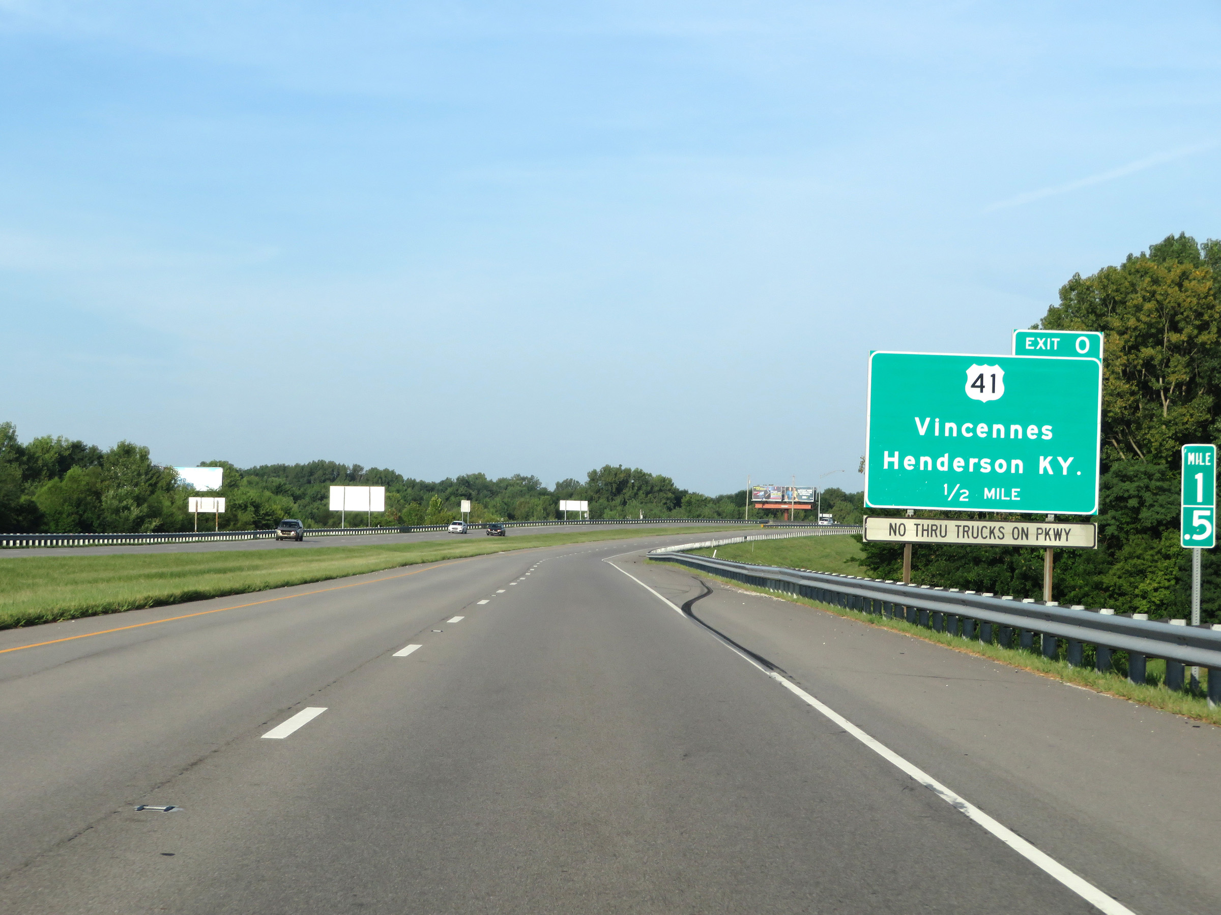 |
Interstate 69 South approaching Exit 0 - 1/2 mile. I-69 will reach its current southern terminus in Indiana at this exit. (Photo taken 8/11/19). |
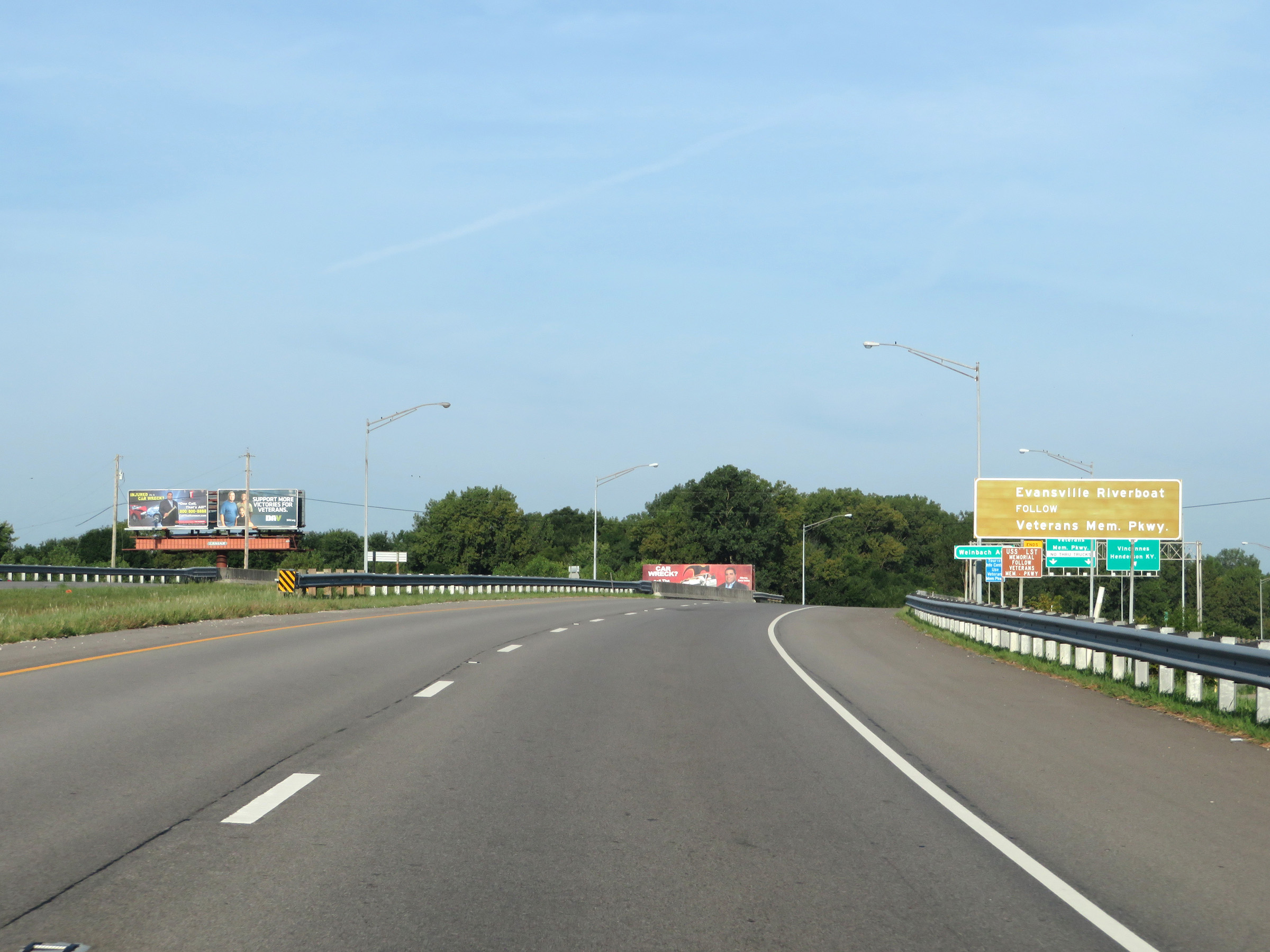 |
Traffic to Evansville Riverboat should follow Veterans Memorial Parkway by staying straight ahead. (Photo taken 8/11/19). |
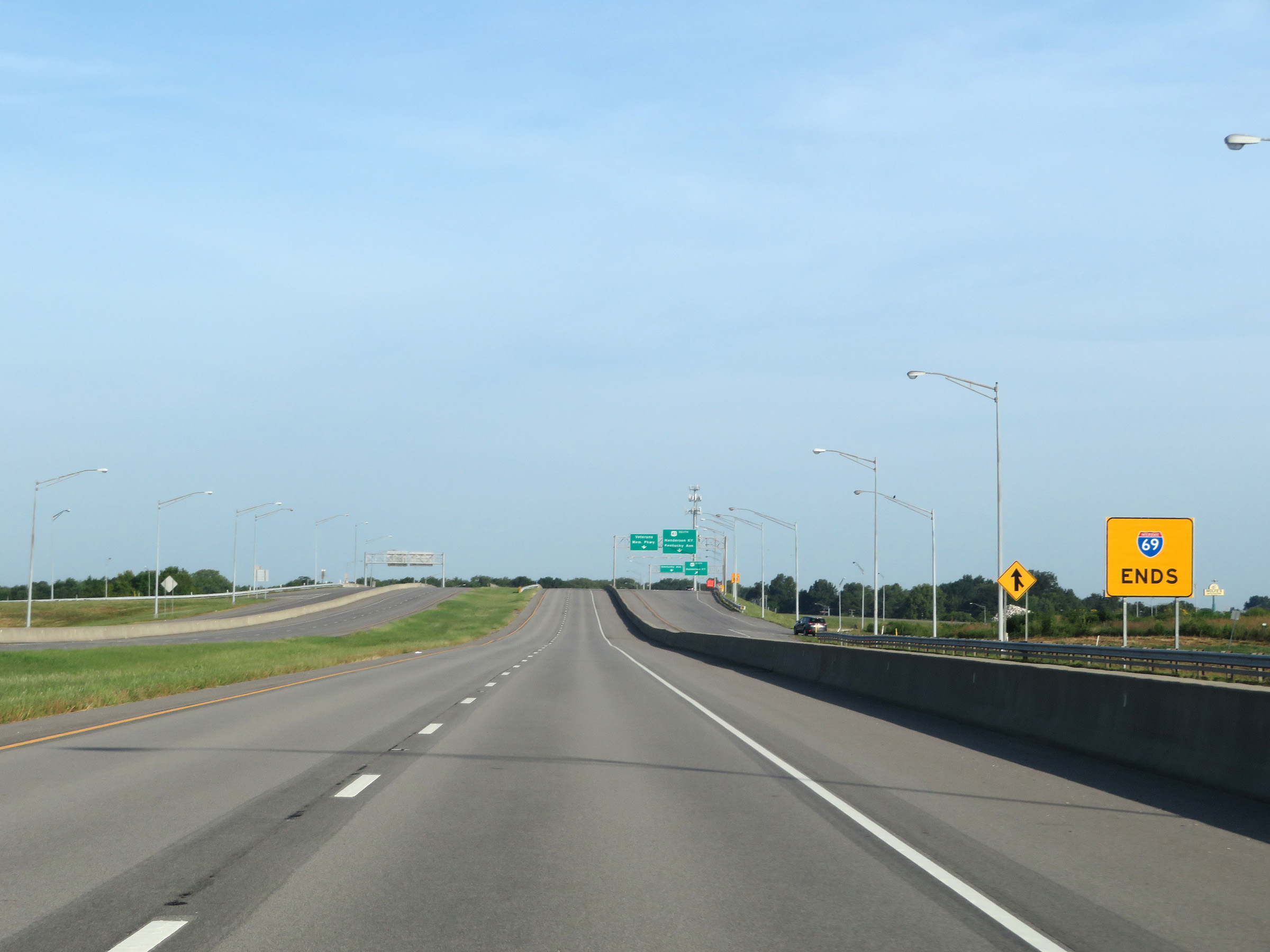
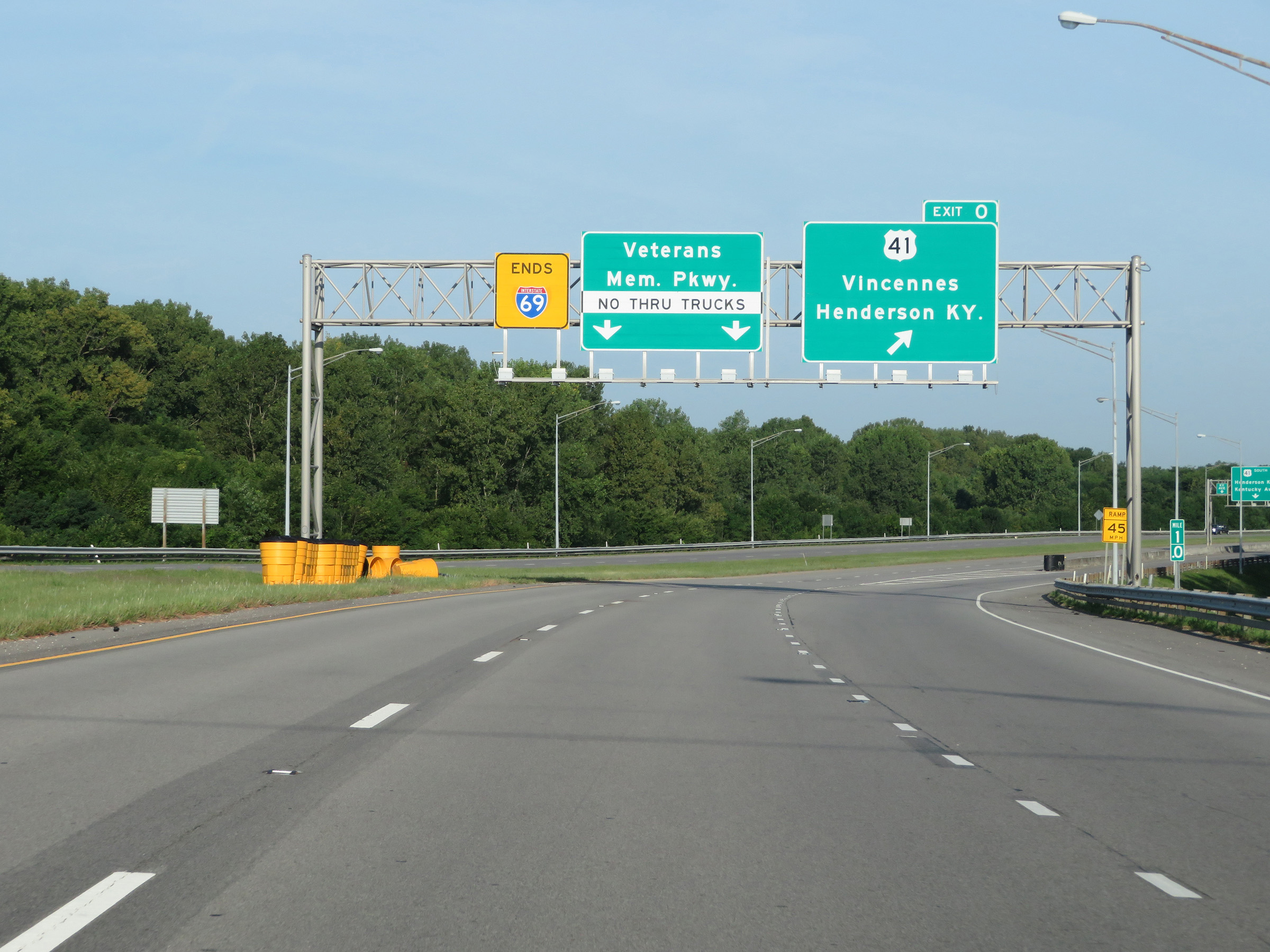 |
Interstate 69 South at Exit 0: US 41 - Vincennes / Henderson, KY (Photo taken 8/11/19). |
 |
Traffic continuing south should follow US 41 South across the Ohio River to Henderson, KY. South of there, Interstate 69 South will begin again. However, this point marks the beginning of a gap in its designation. (Photo taken 8/11/19). |
 |
Interstate 69 END marker as its two southbound lanes become the Veterans Memorial Parkway. (Photo taken 8/11/19). |
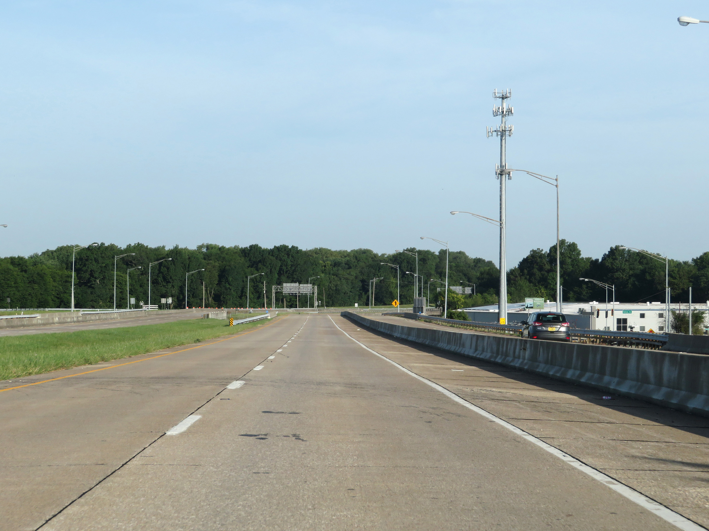 |
A view on Veterans Memorial Parkway as traffic from US 41 prepares to merge into it from the right ahead, just beyond the current southern terminus of Interstate 69 in Indiana. (Photo taken 8/11/19). |