Road Information |
||
 |
||
| Total Mileage in State: | 261 miles | |
| Northern End: | At US 20/US 12, in Gary | |
| Southern End: | At Kentucky state line | |
| Mileage covered in Photos: | 112 miles | |
| Counties covered in Photos: | Clark, Scott, Jackson, Bartholomew, Shelby, Johnson, Marion, Lake | |
| Major Junctions in Photos: | I-265 in Jeffersonville I-465/I-74, in Indianapolis I-70 West, in Indianapolis US 12/US 20, in Gary |
|
| Control Cities in Photos: | Jeffersonville, Seymour, Indianapolis, Gary | |
Northbound
- Section 1: Kentucky Border to Seymour (Exit 55)
- Section 2: Seymour (Exit 55) to Indianapolis (Exit 110B)
- Section 3: Gary (Exit 259B) to Northern Terminus
Section 1: Kentucky Border to Seymour (Exit 55)
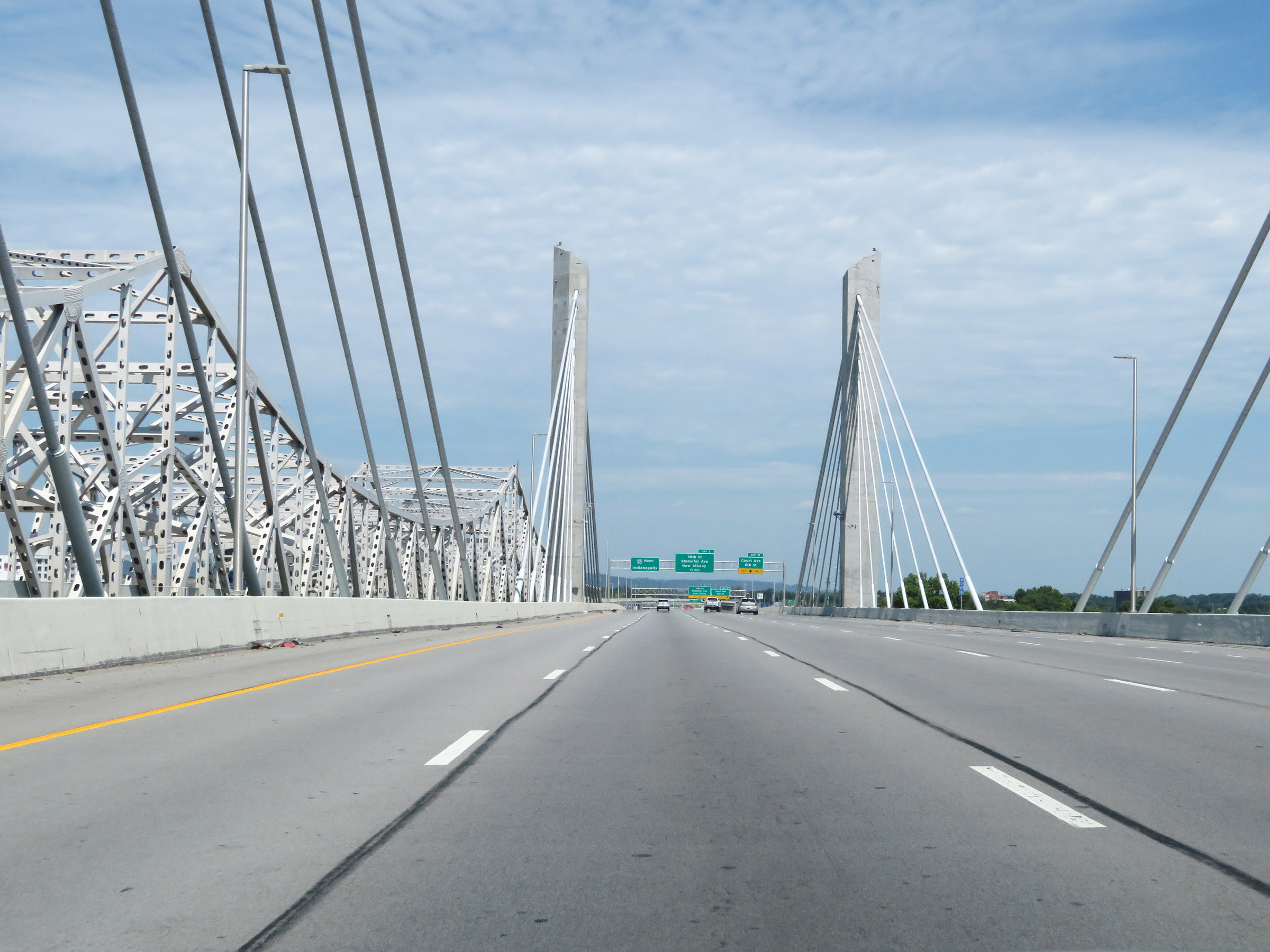 |
Interstate 65 North as it crosses the Abraham Lincoln Bridge, which is an electronically tolled bridge that carries traffic across the Ohio River from Kentucky into Indiana. (Photo taken 8/10/19). |
 |
Advance signage for Exit 0 as Interstate 65 North officially crosses the state line over the Ohio River on the Abraham Lincoln Bridge. (Photo taken 8/10/19). |
 |
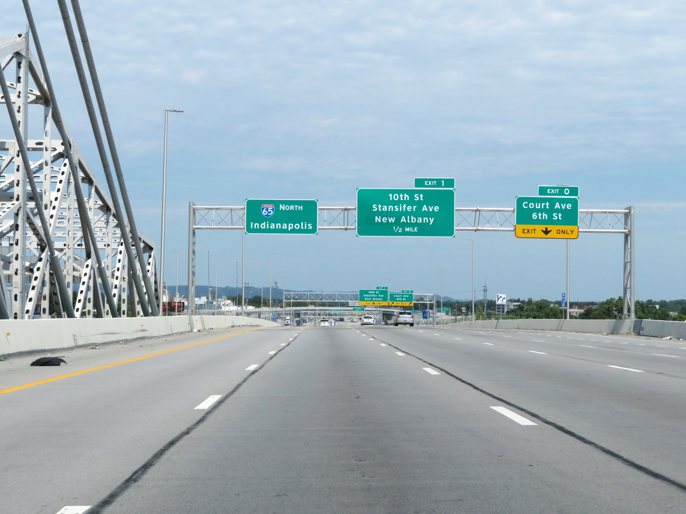
Interstate 65 North at Exit 0: Court Ave / 6th St (Photo taken 8/10/19). |
 |
Indiana welcome sign between Exits 0 and 1 on Interstate 65 North. (Photo taken 8/10/19). |
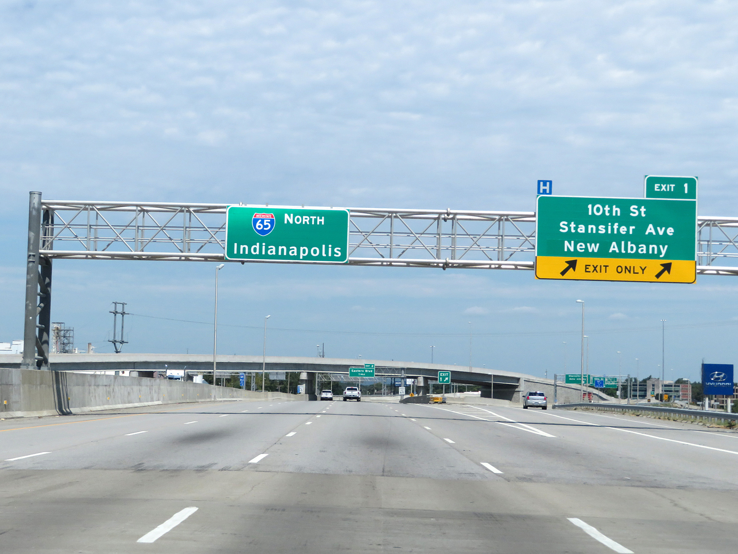 |
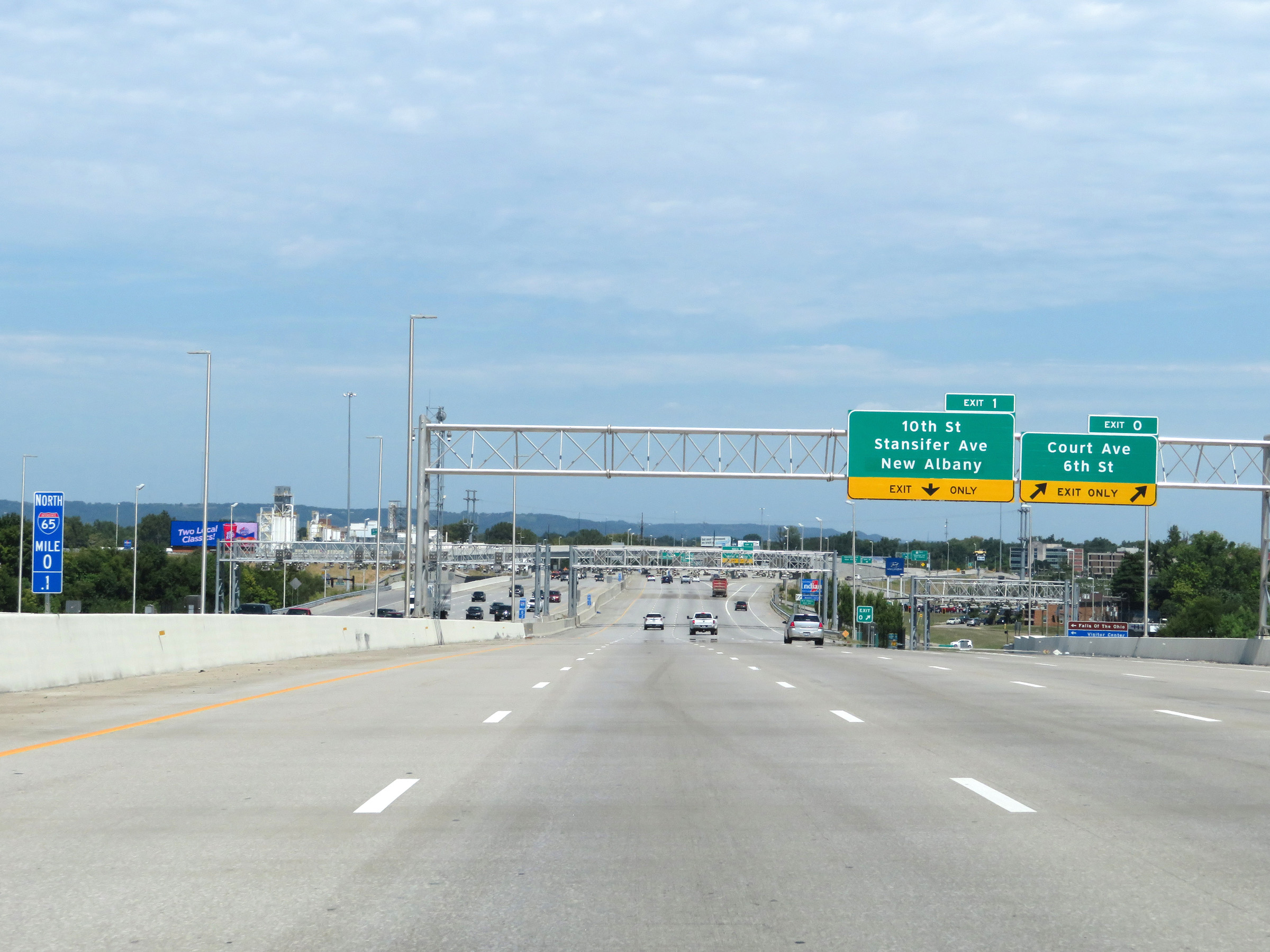
Interstate 65 North at Exit 1: 10th St / Stansifer Ave / New Albany (Photo taken 8/10/19). |
 |
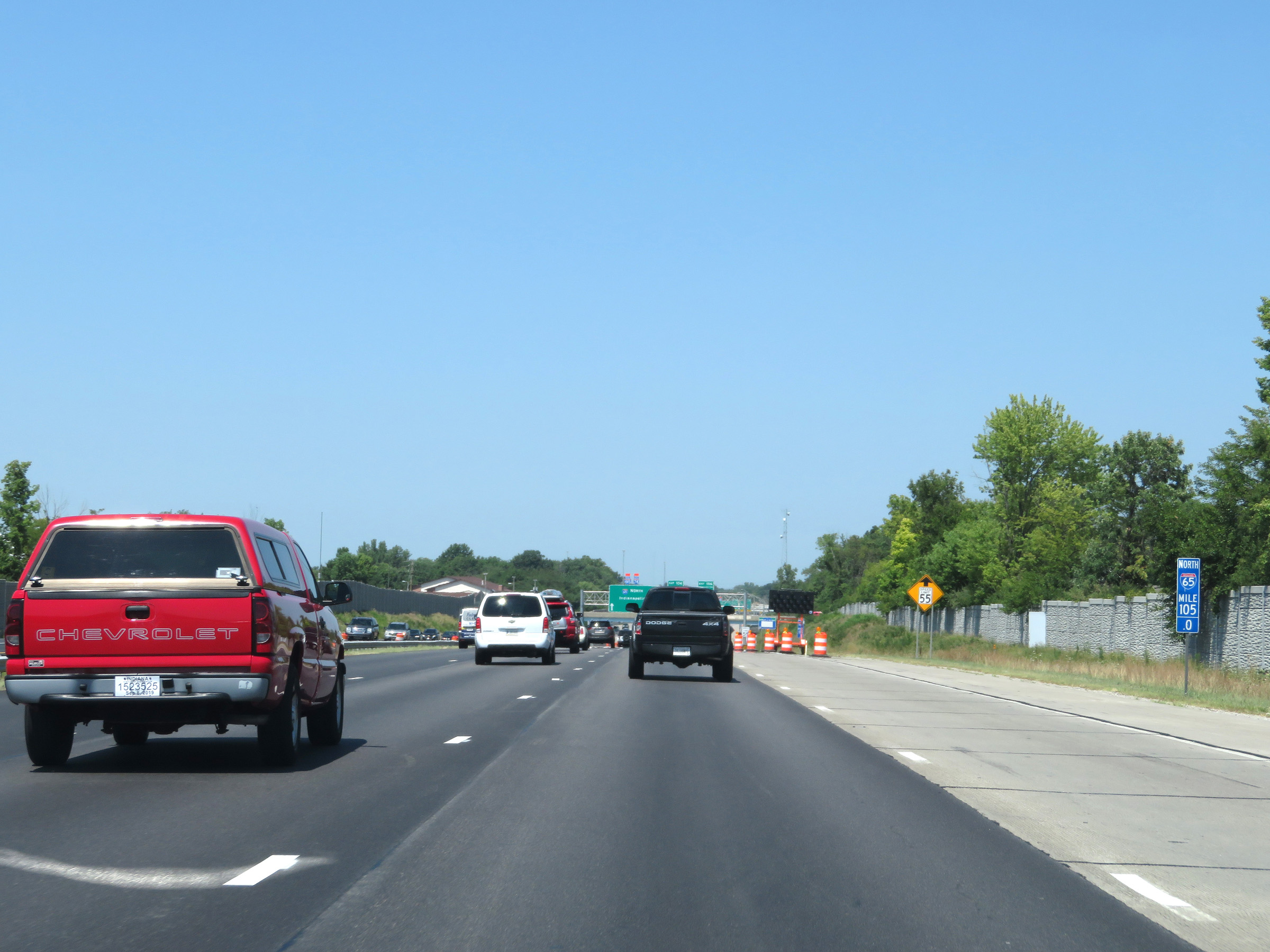
The speed limit on Interstate 65 North in Indiana starts out at 65 mph. (Photo taken 8/10/19). |
 |
View on Interstate 65 North at mile marker 1. (Photo taken 8/10/19). |
 |
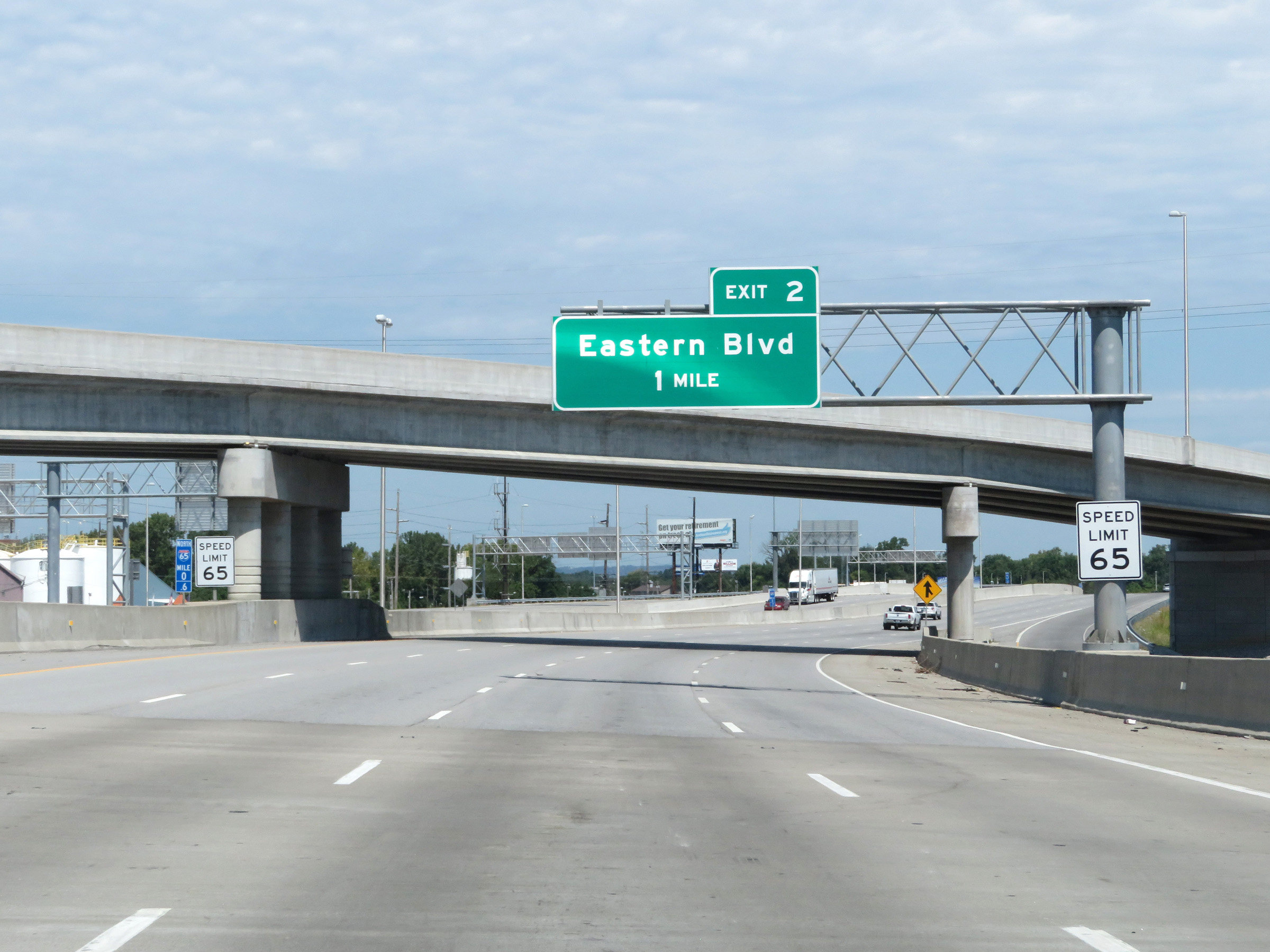
Interstate 65 North at Exit 2: Eastern Blvd (Photo taken 8/10/19). |
 |
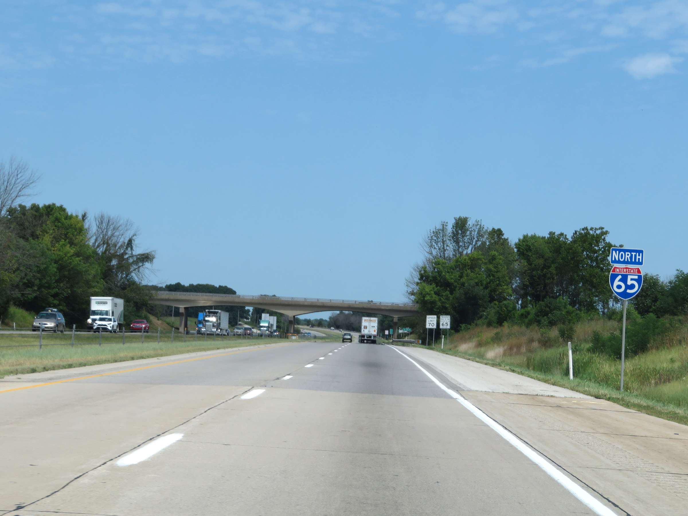
Interstate 65 North reassurance shield. (Photo taken 8/10/19). |
 |
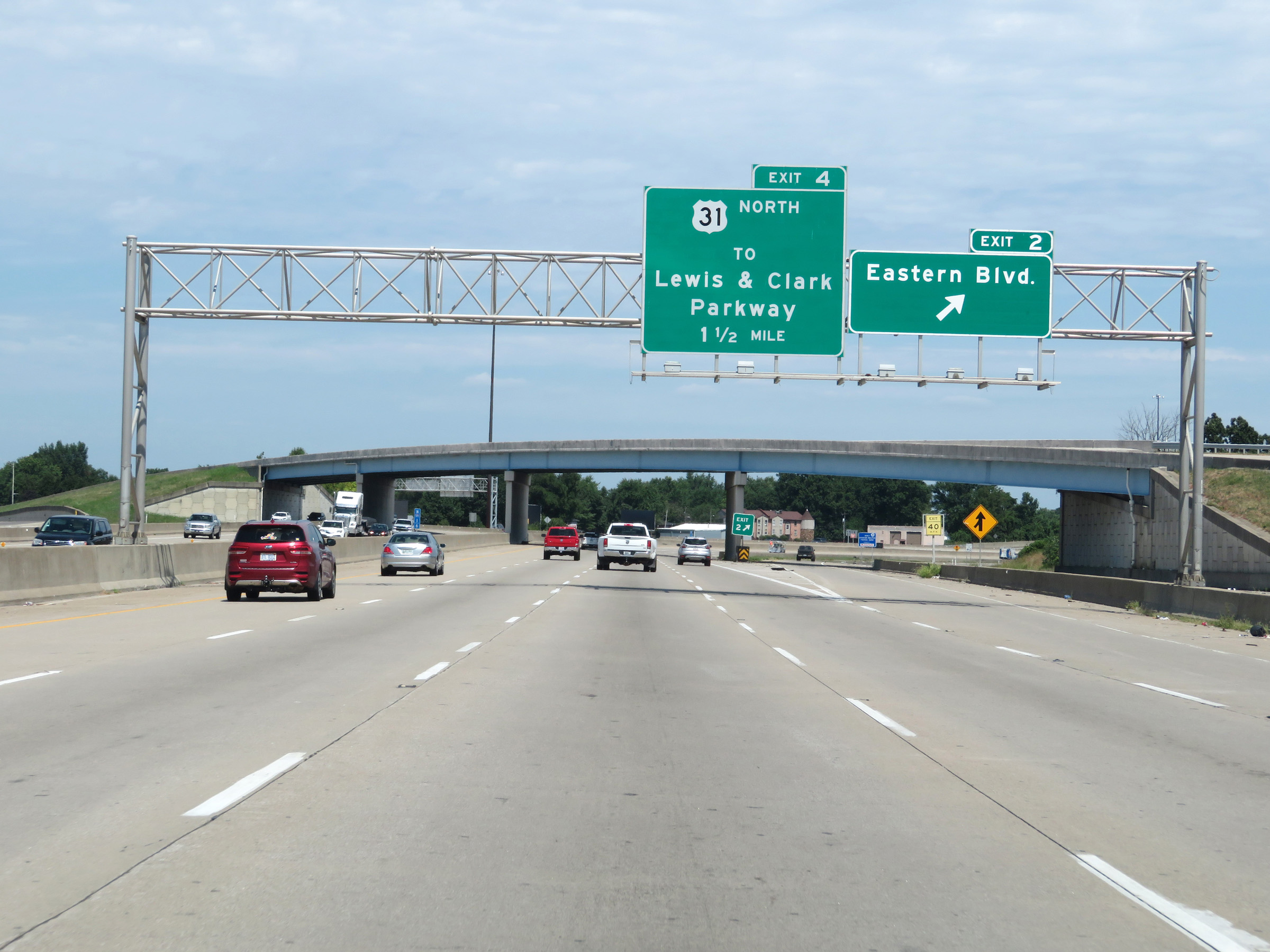
Interstate 65 North at Exit 4: US 31 North / To Lewis & Clark Parkway (Photo taken 8/10/19). |
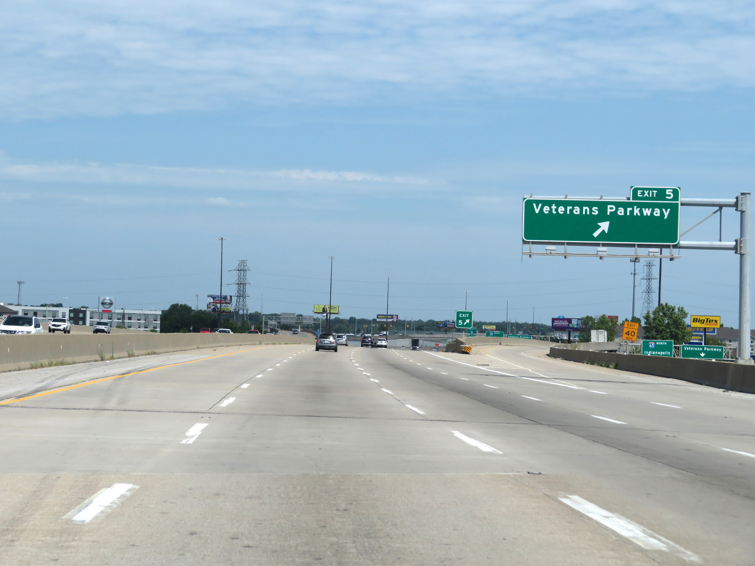 |
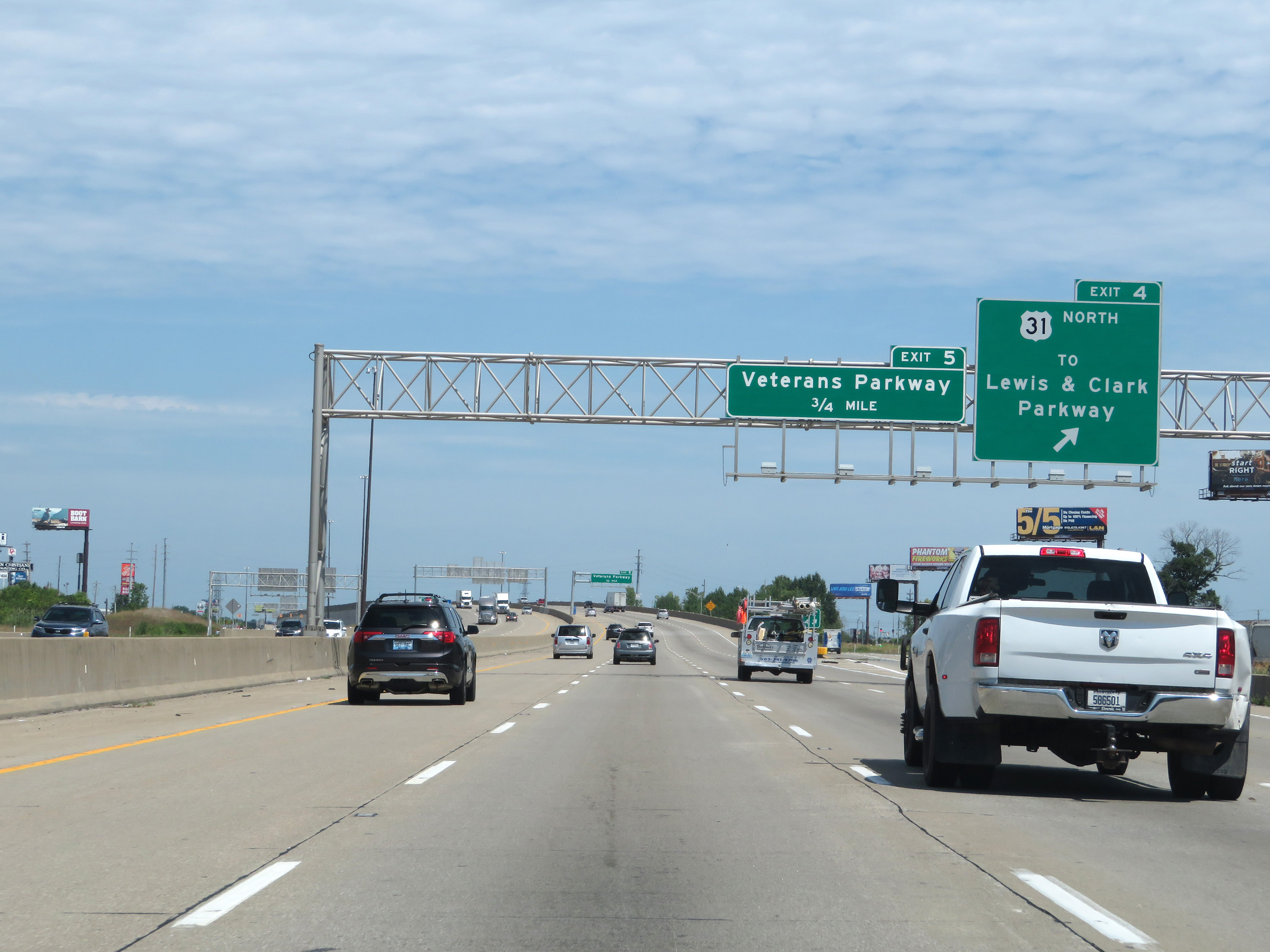
Interstate 65 North at Exit 5: Veterans Parkway (Photo taken 8/10/19). |
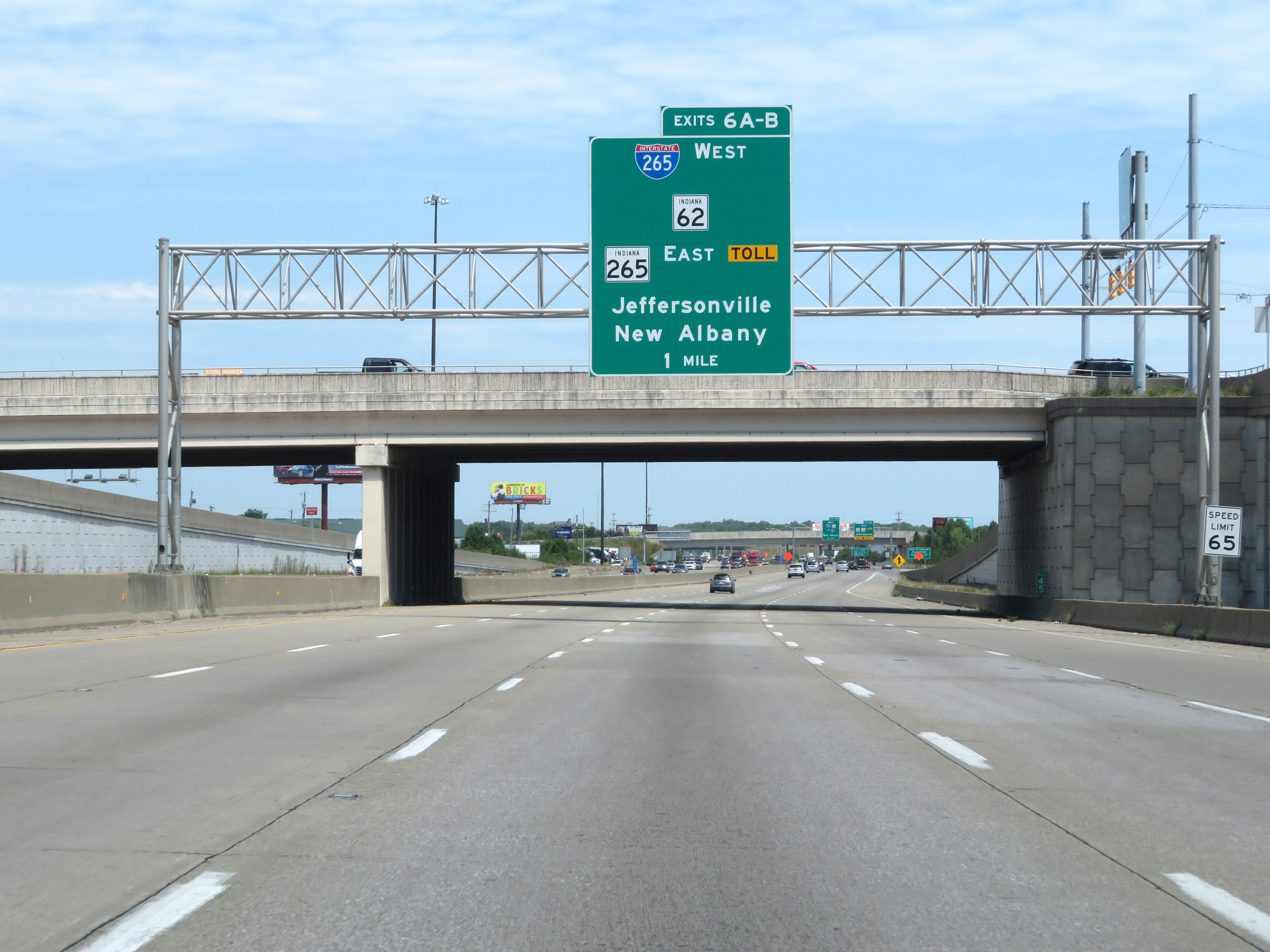 |
Interstate 65 North approaching Exits 6A-B - 1 mile. (Photo taken 8/10/19). |
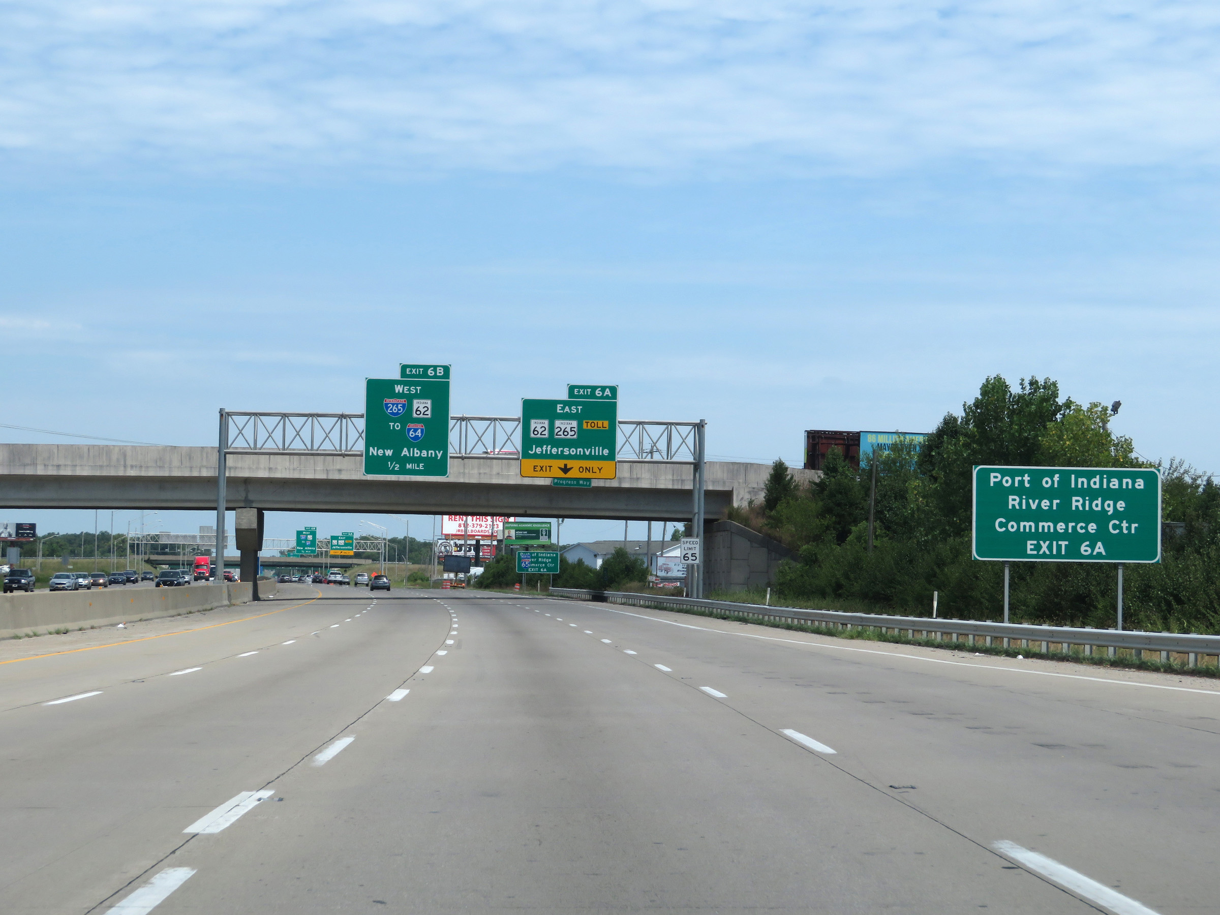 |
Take Exit 6A (Interstate 265 East / IN 265 East / IN 62 East) to the Port of Indiana and River Ridge Commerce Center. (Photo taken 8/10/19). |
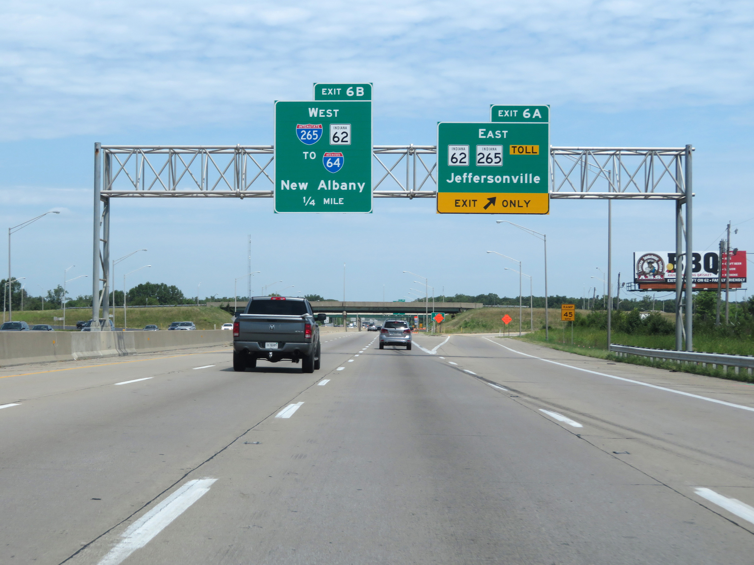 |
Interstate 65 North at Exit 6A: Interstate 265 East / IN 265 East / IN 62 East - Jeffersonville (Photo taken 8/10/19). |
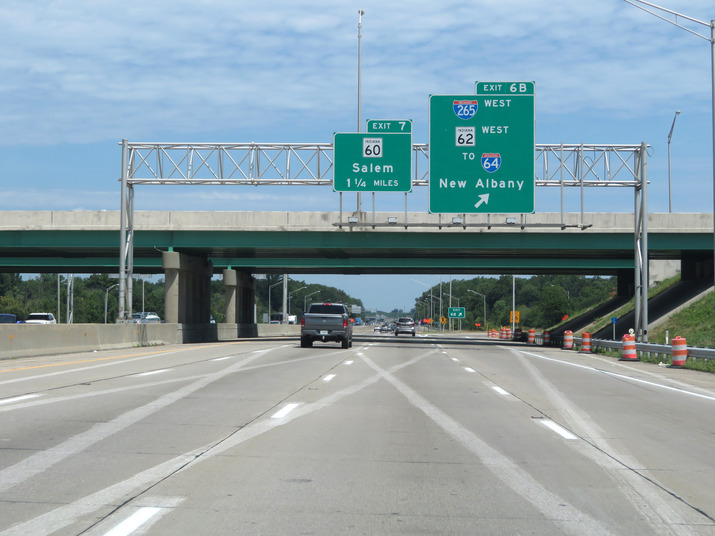 |
Interstate 65 North at Exit 6B: Interstate 265 West / IN 26 West / To Interstate 64 - New Albany (Photo taken 8/10/19). |
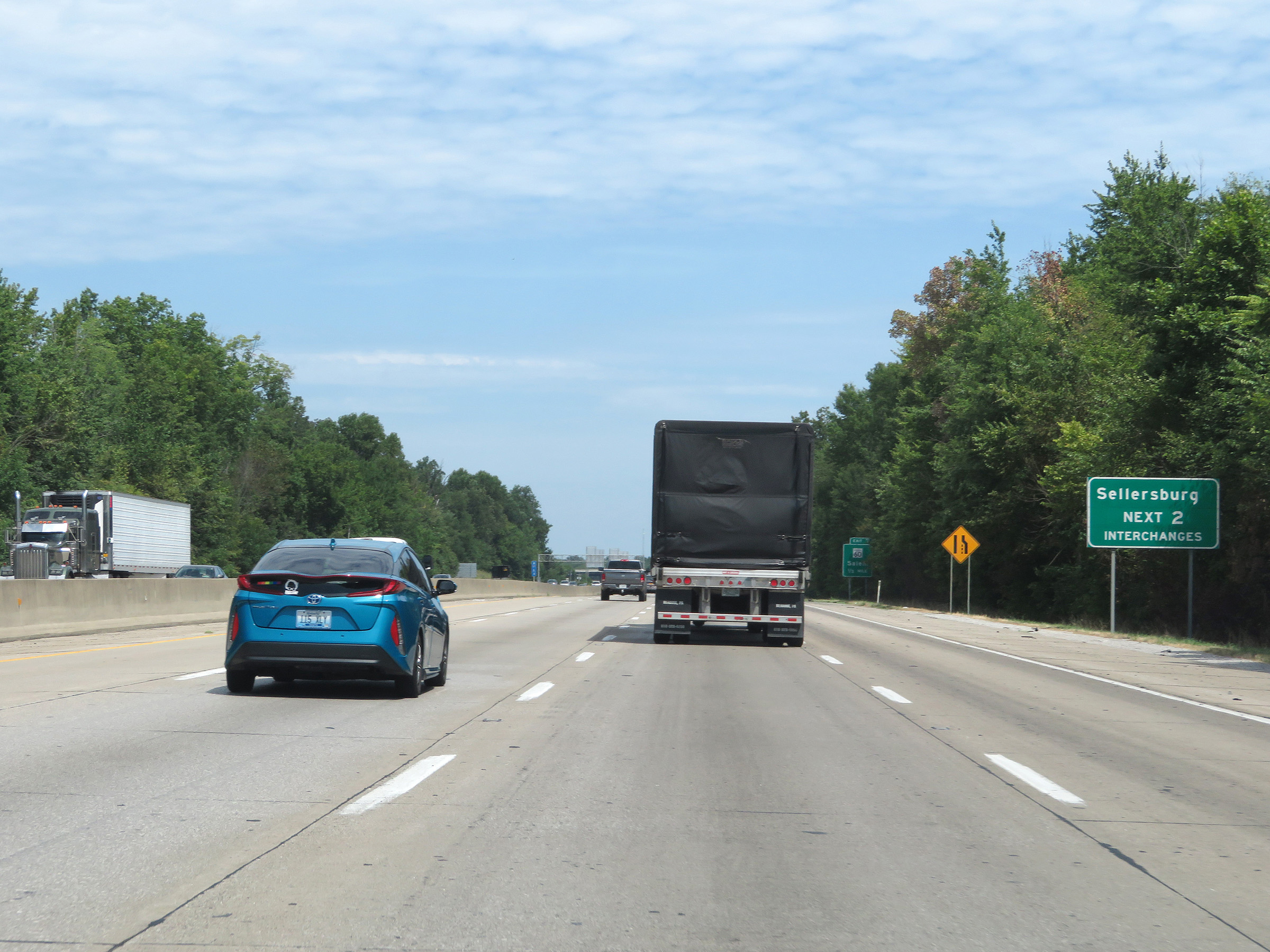 |
Take either of the next 2 exits to Sellersburg. (Photo taken 8/10/19). |
 |
Take Exit 7 to Deam Lake, Clark County Airport, and Fuzzy Zoeller's Covered Bridge Golf Club. (Photo taken 8/10/19). |
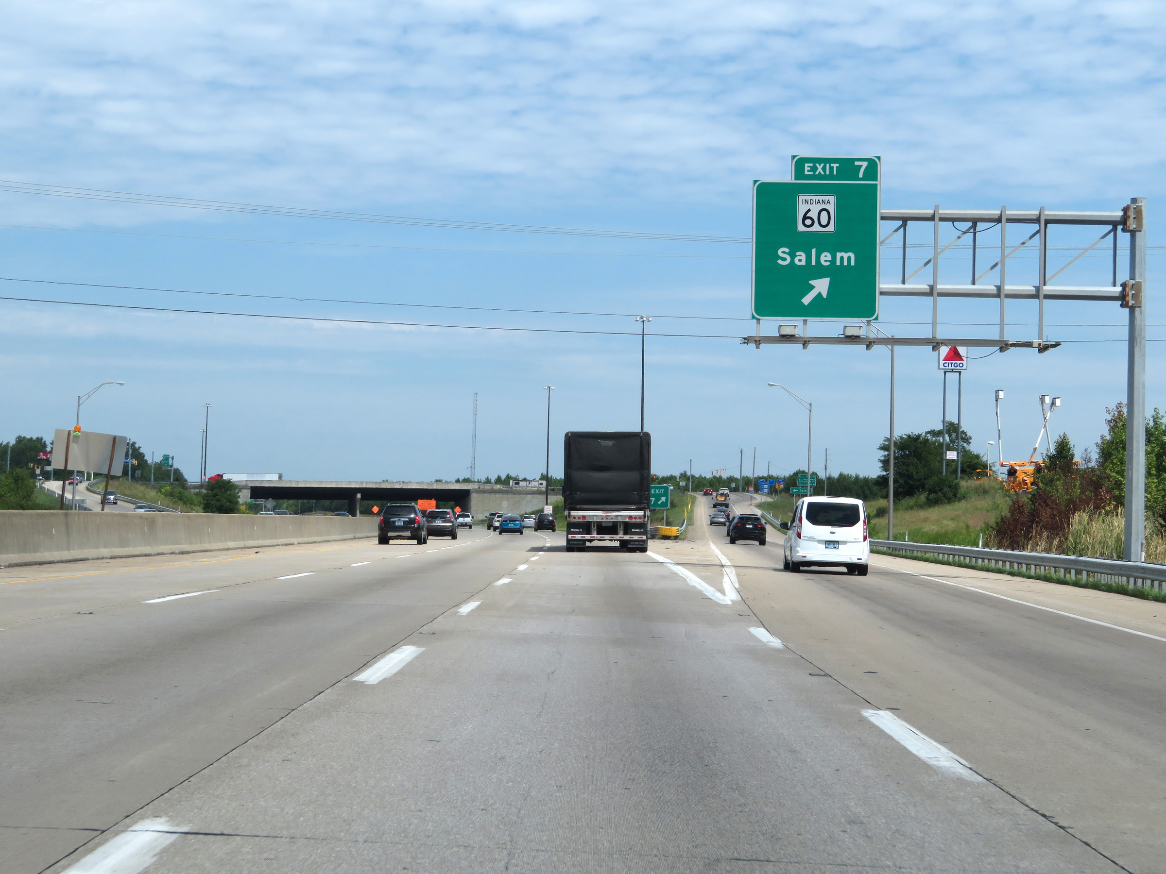 |
Interstate 65 North at Exit 7: IN 60 - Salem (Photo taken 8/10/19). |
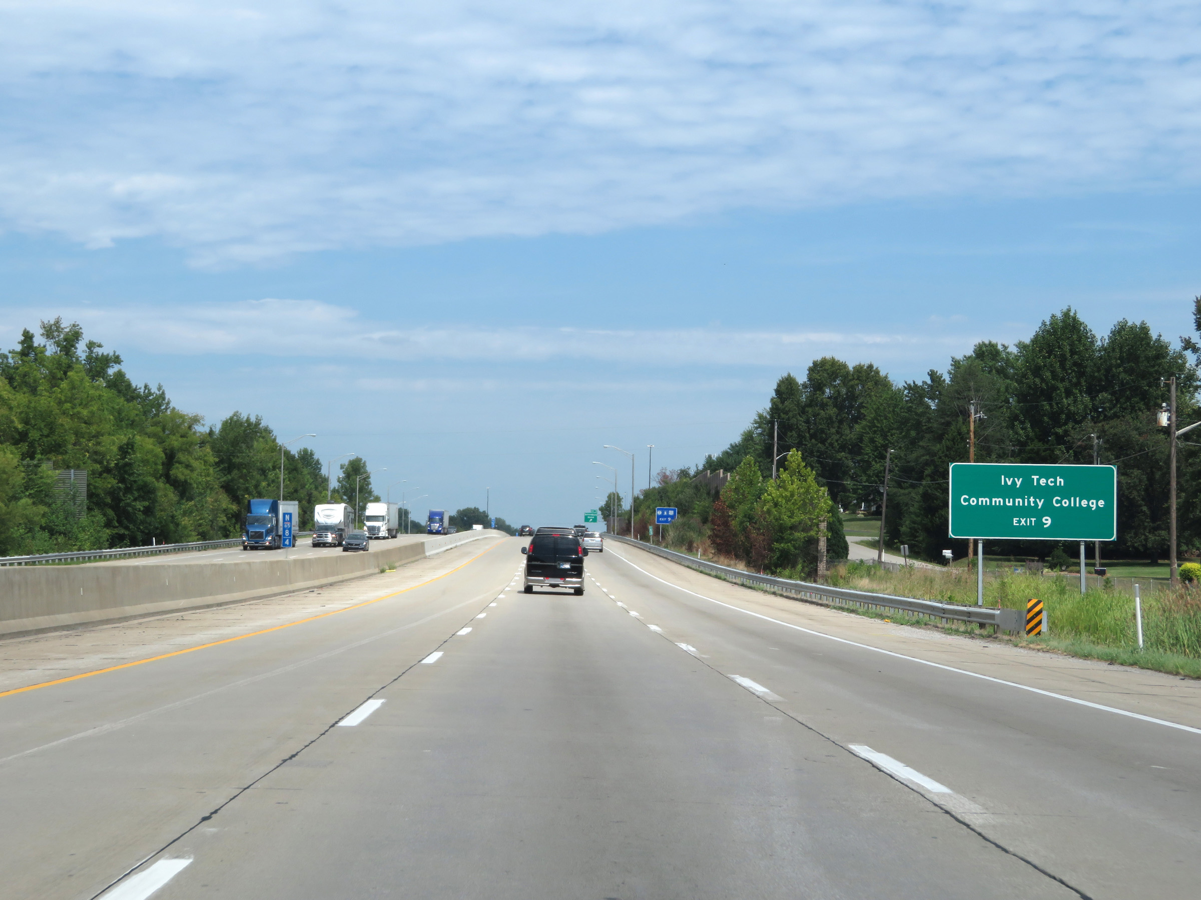 |
Take Exit 9 to Ivy Tech Community College. (Photo taken 8/10/19). |
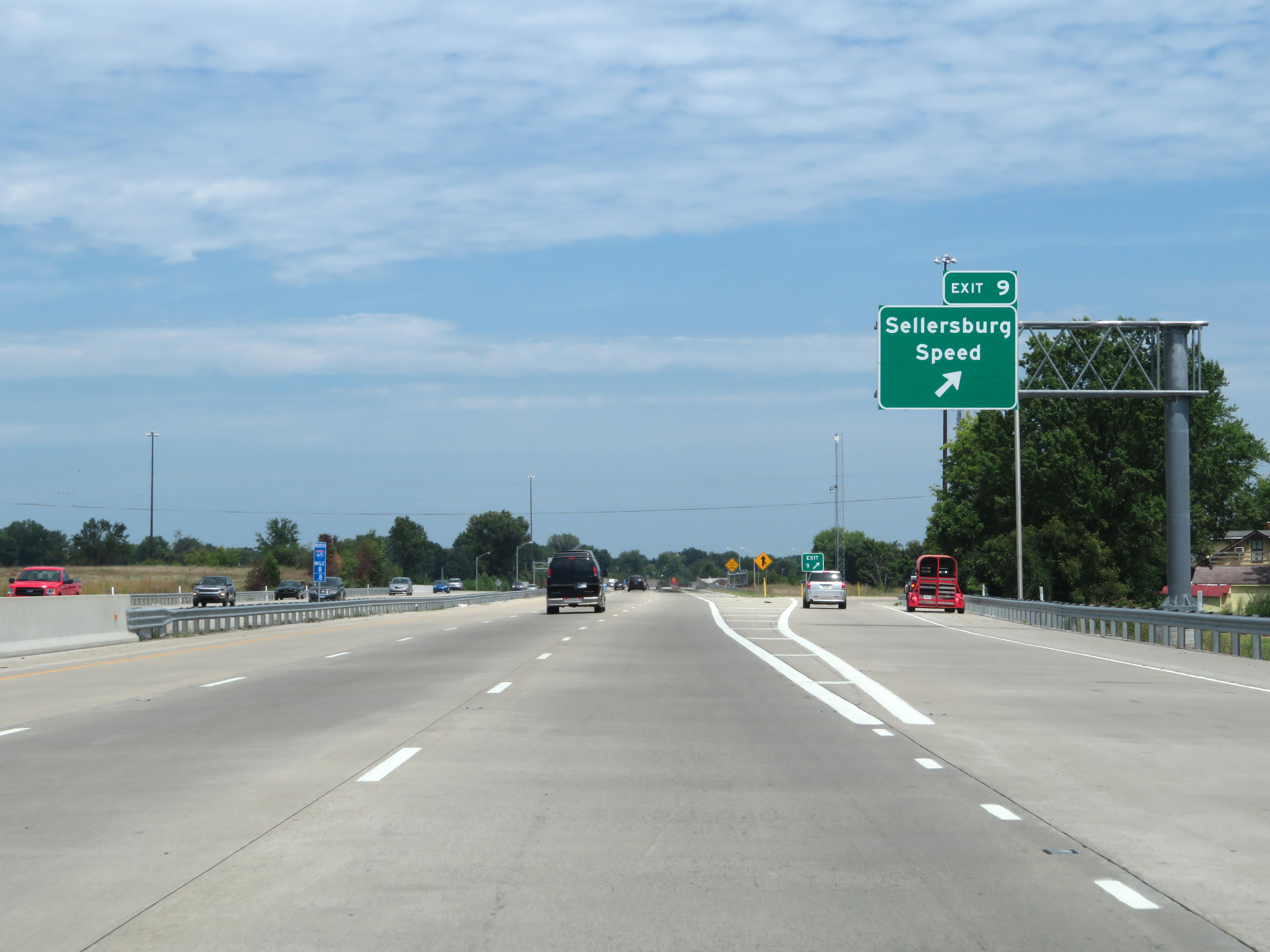 |
Interstate 65 North at Exit 9: Sellersburg / Speed (Photo taken 8/10/19). |
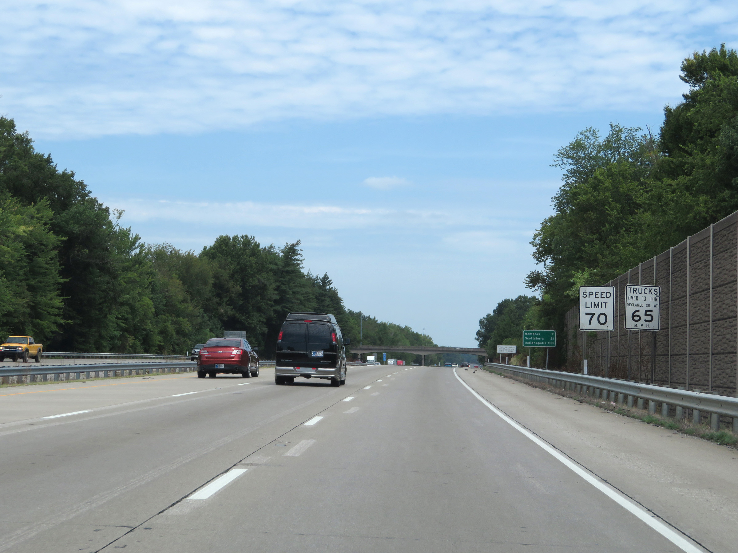 |
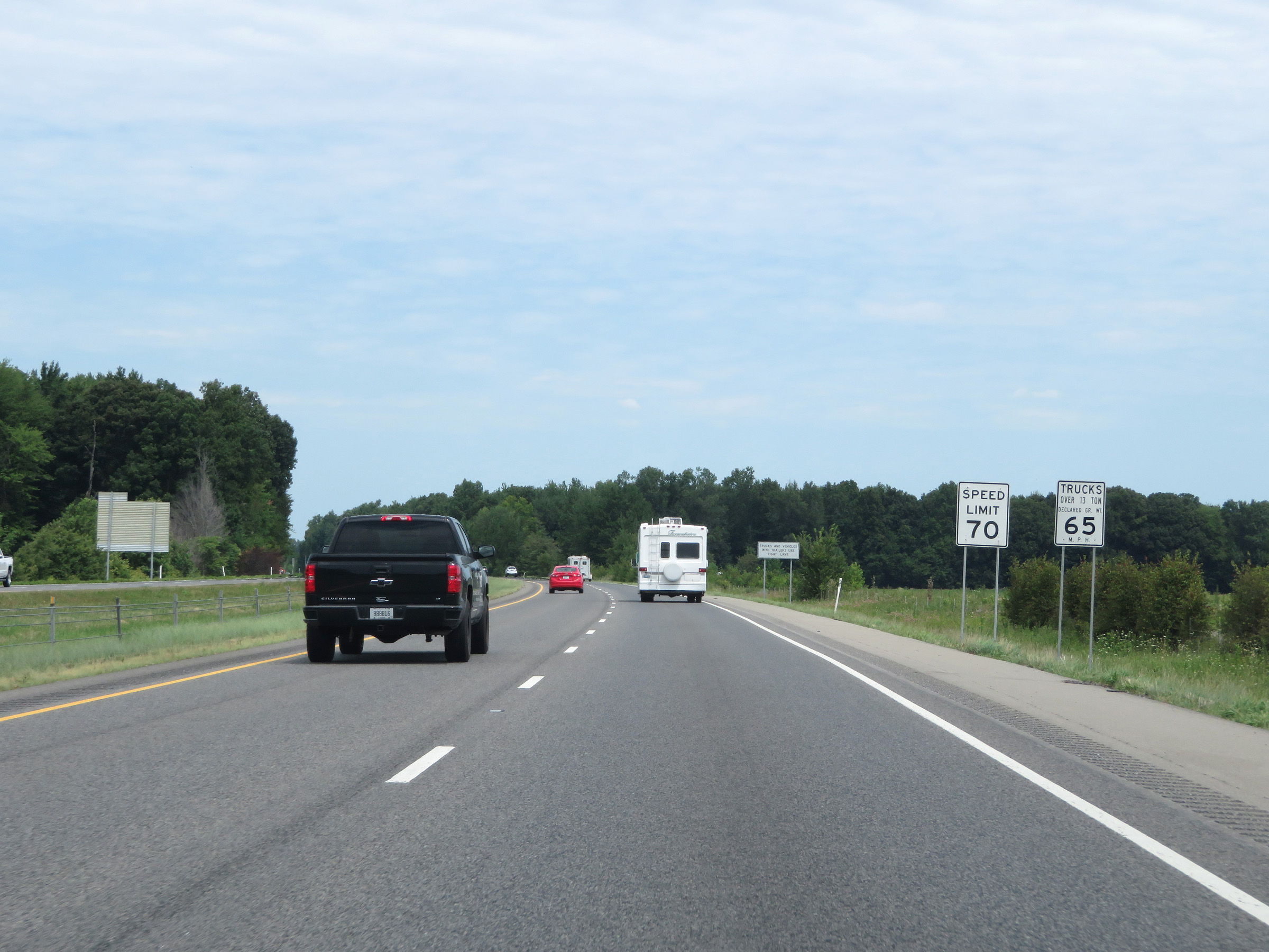
North of Exit 9, the speed limit for automobiles increases to 70 mph. The truck speed limit remains 65 mph. These are the standard speed limits on most rural Interstate highways in Indiana. (Photo taken 8/10/19). |
 |
View on Interstate 65 North at mile marker 12. (Photo taken 8/10/19). |
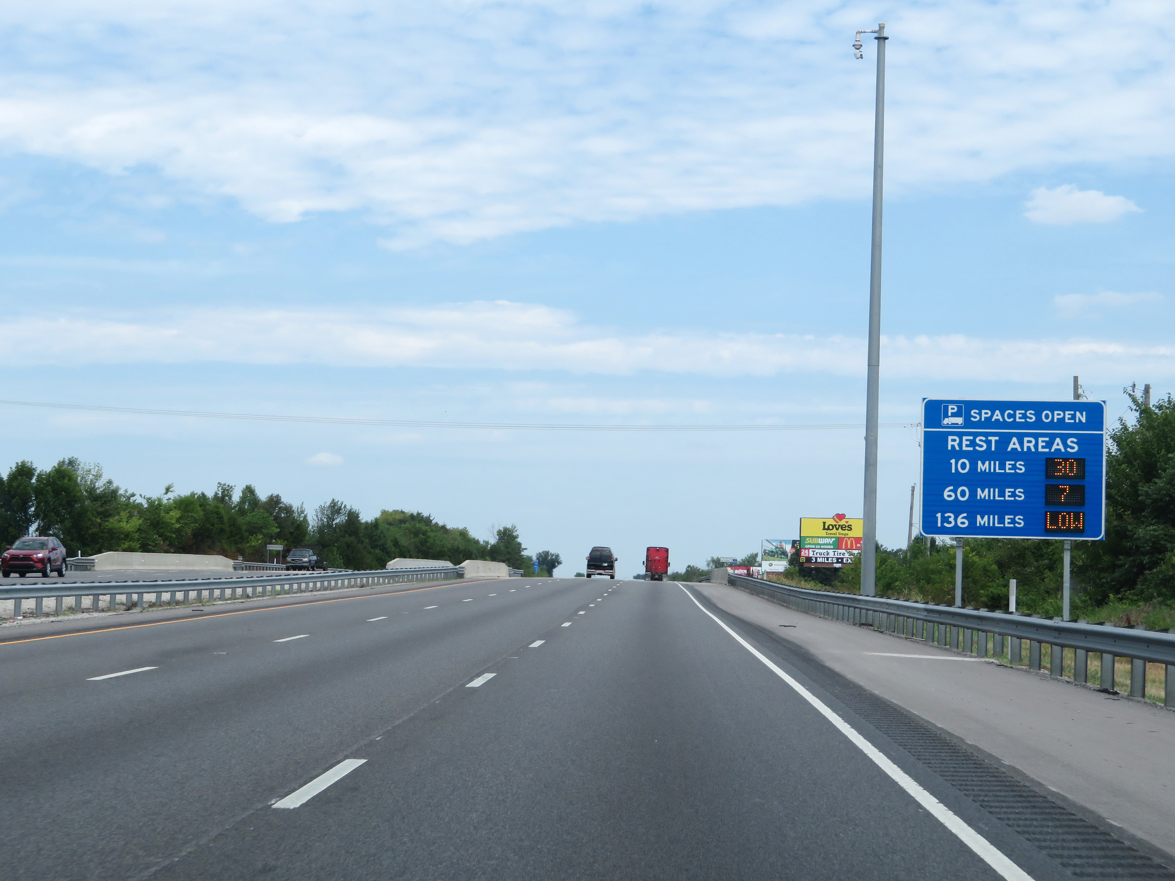 |
This sign dynamically displays the current number of truck parking spaces available at the next three Rest Areas on Interstate 65 North. (Photo taken 8/10/19). |
 |
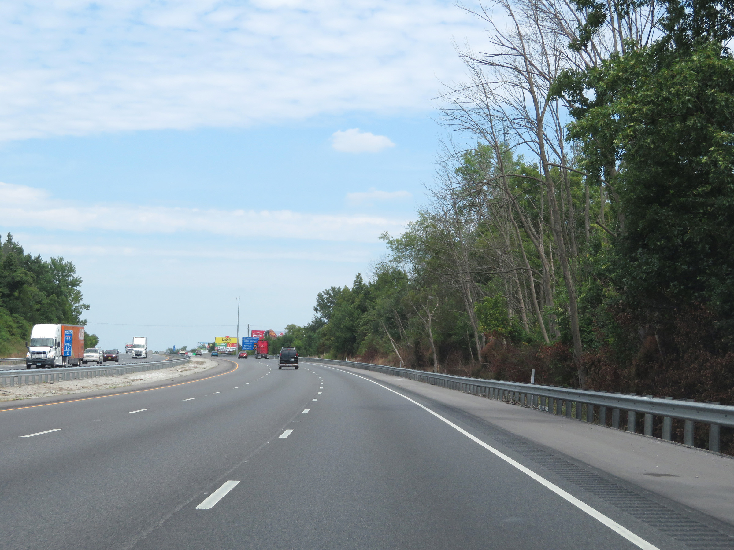
Interstate 65 North at mile marker 13. (Photo taken 8/10/19). |
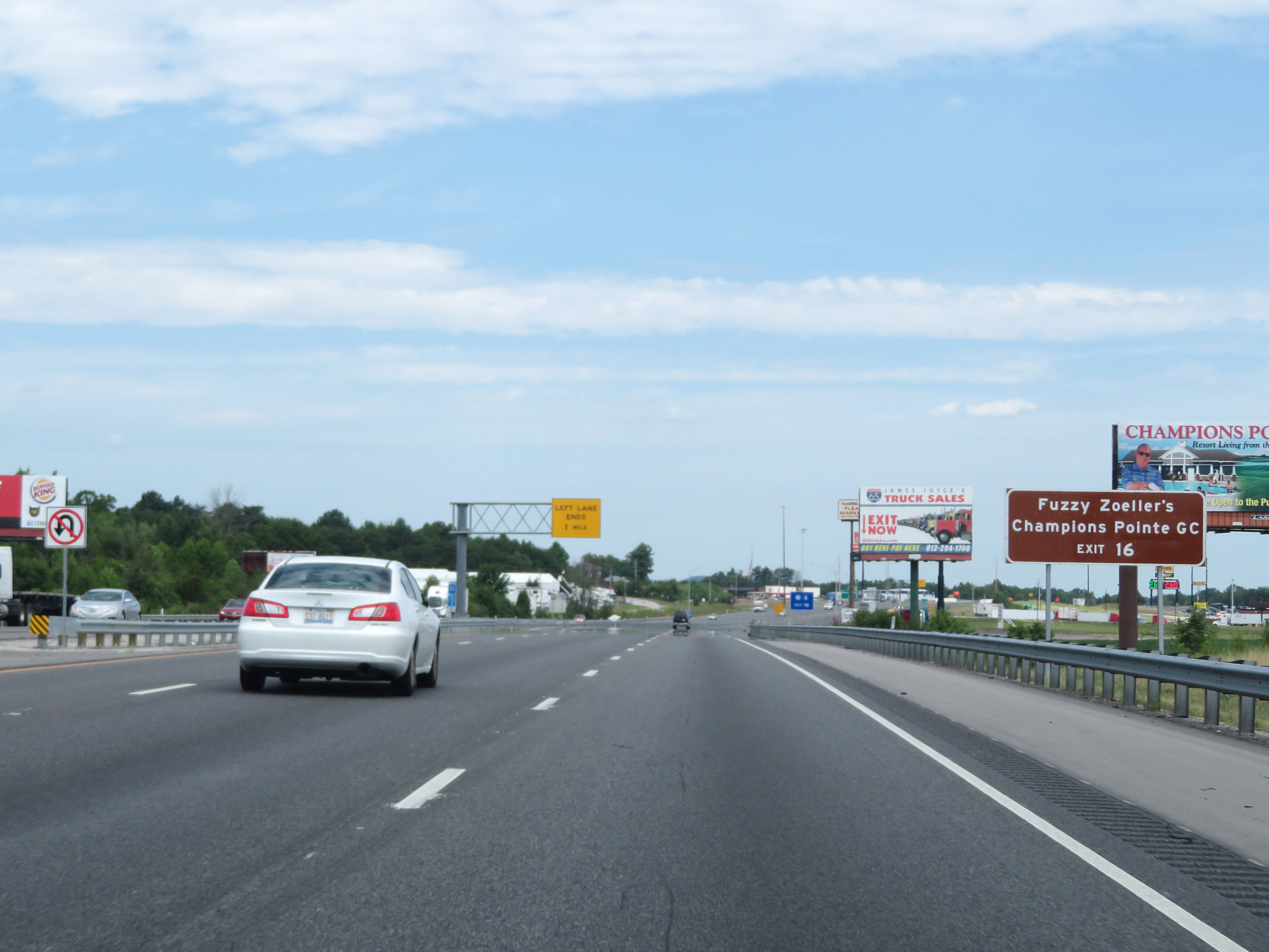 |
Take Exit 16 to Fuzzy Zoeller's Champions Pointe Golf Course. (Photo taken 8/10/19). |
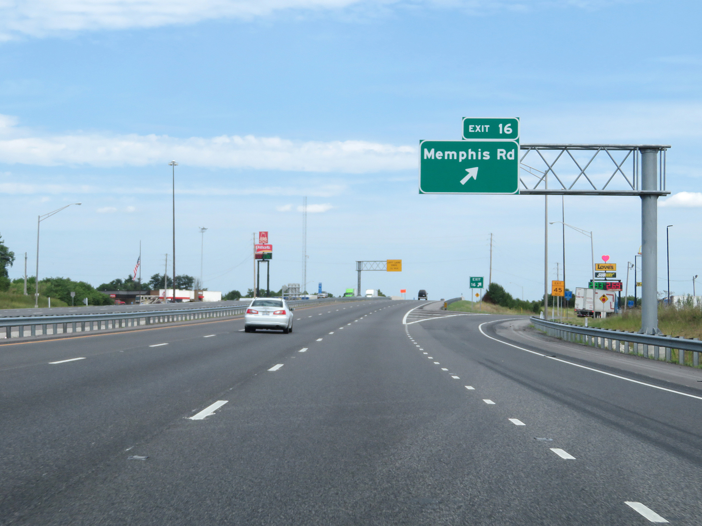 |
Interstate 65 North at Exit 16: Memphis Rd (Photo taken 8/10/19). |
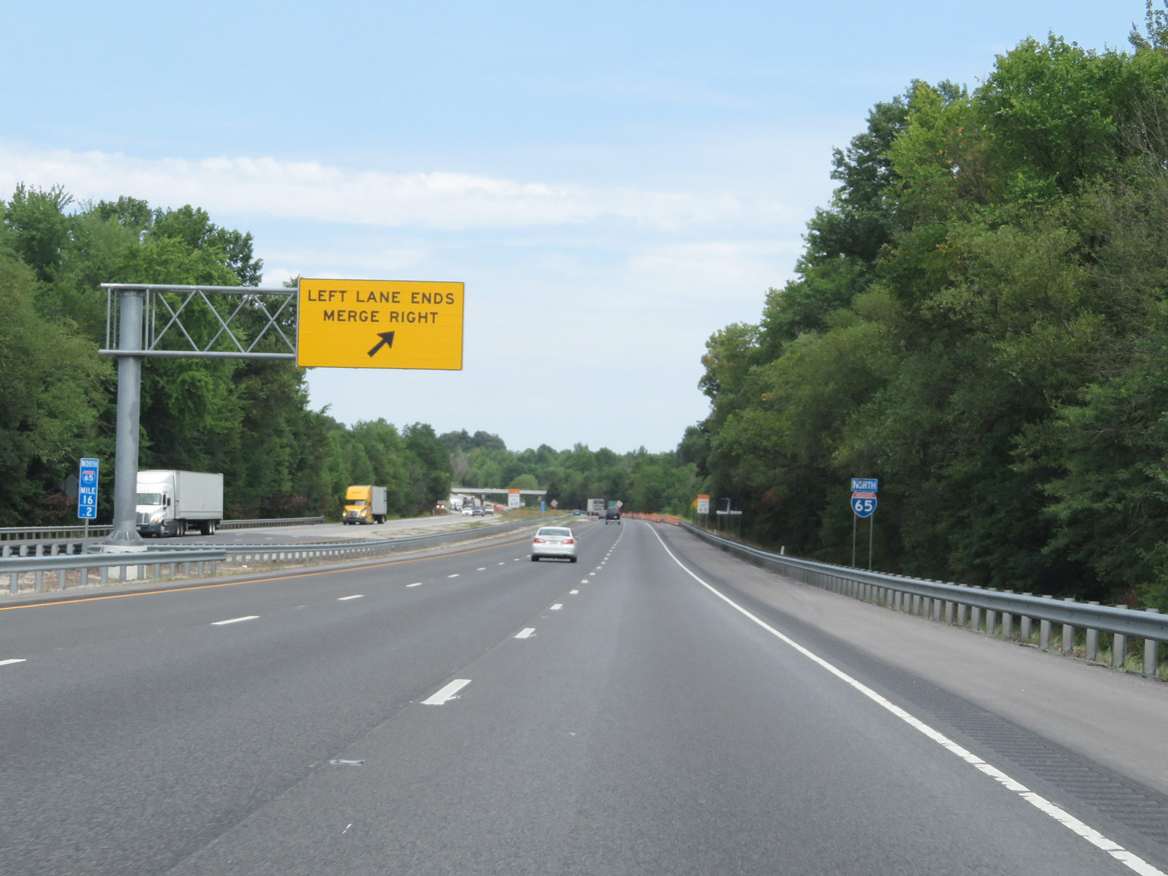 |
At mile marker 16.2, the left lane prepares to come to an end which will leave Interstate 65 North with 2 lanes. (Photo taken 8/10/19). |
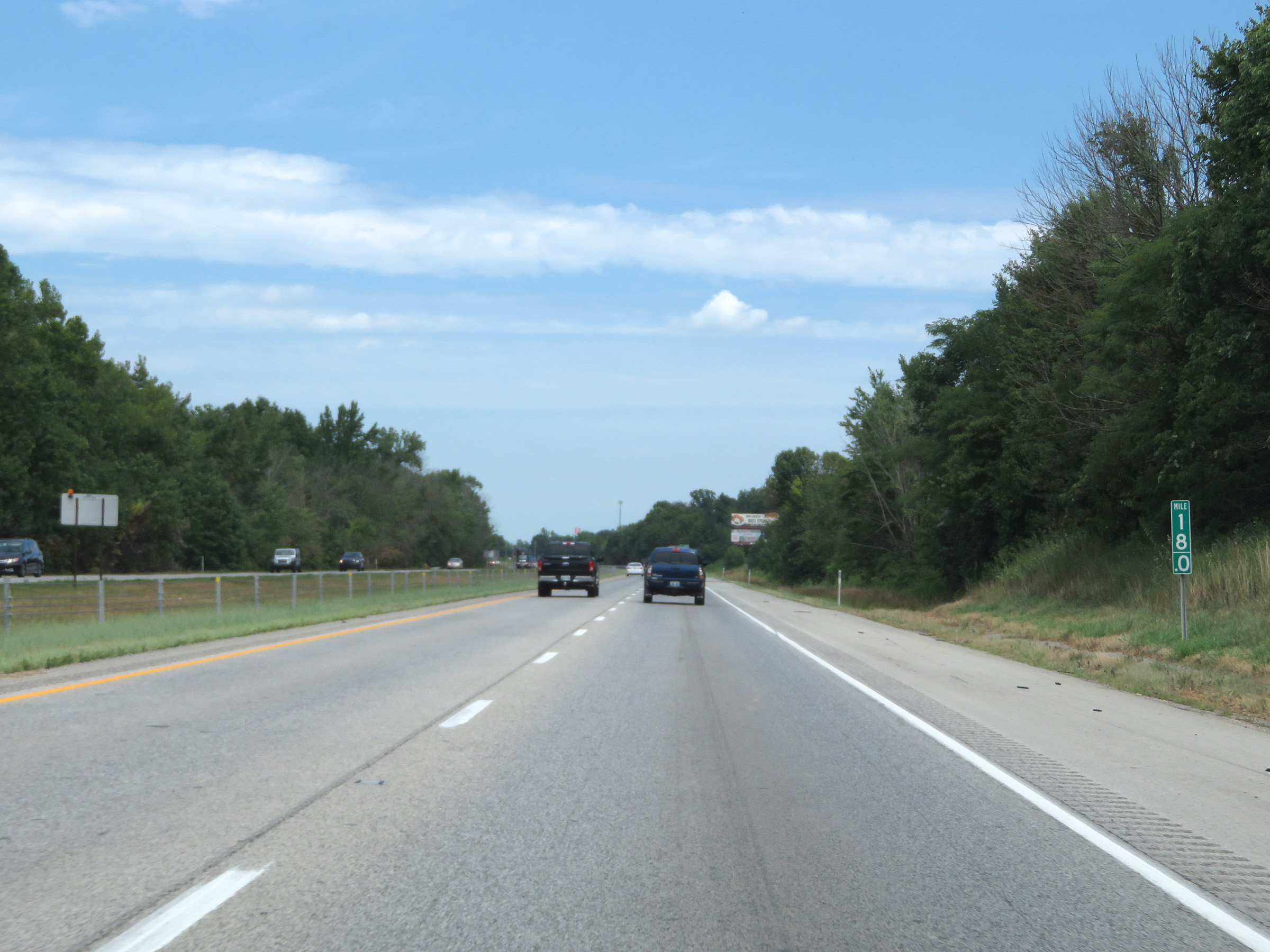 |
View on Interstate 65 North at mile marker 18. (Photo taken 8/10/19). |
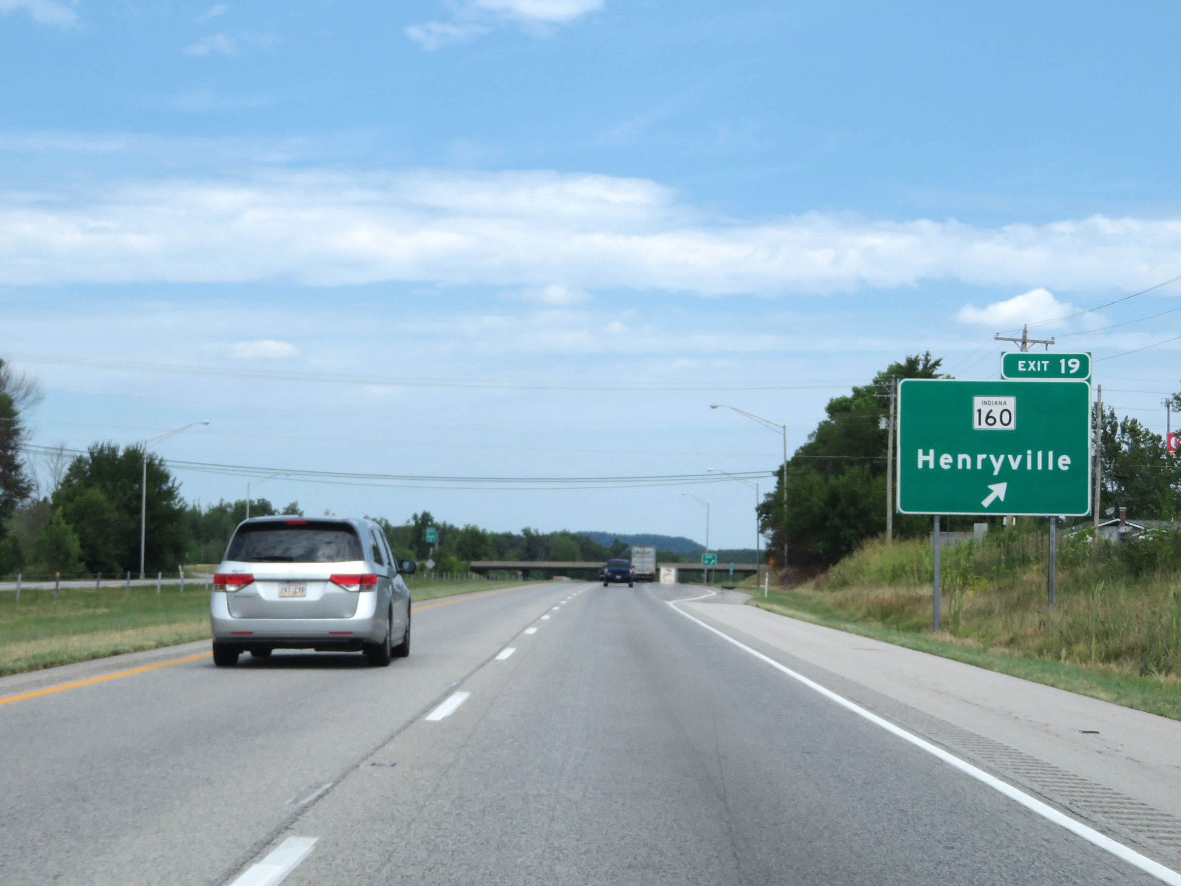 |
Interstate 65 North at Exit 19: IN 160 - Henryville (Photo taken 8/10/19). |
 |
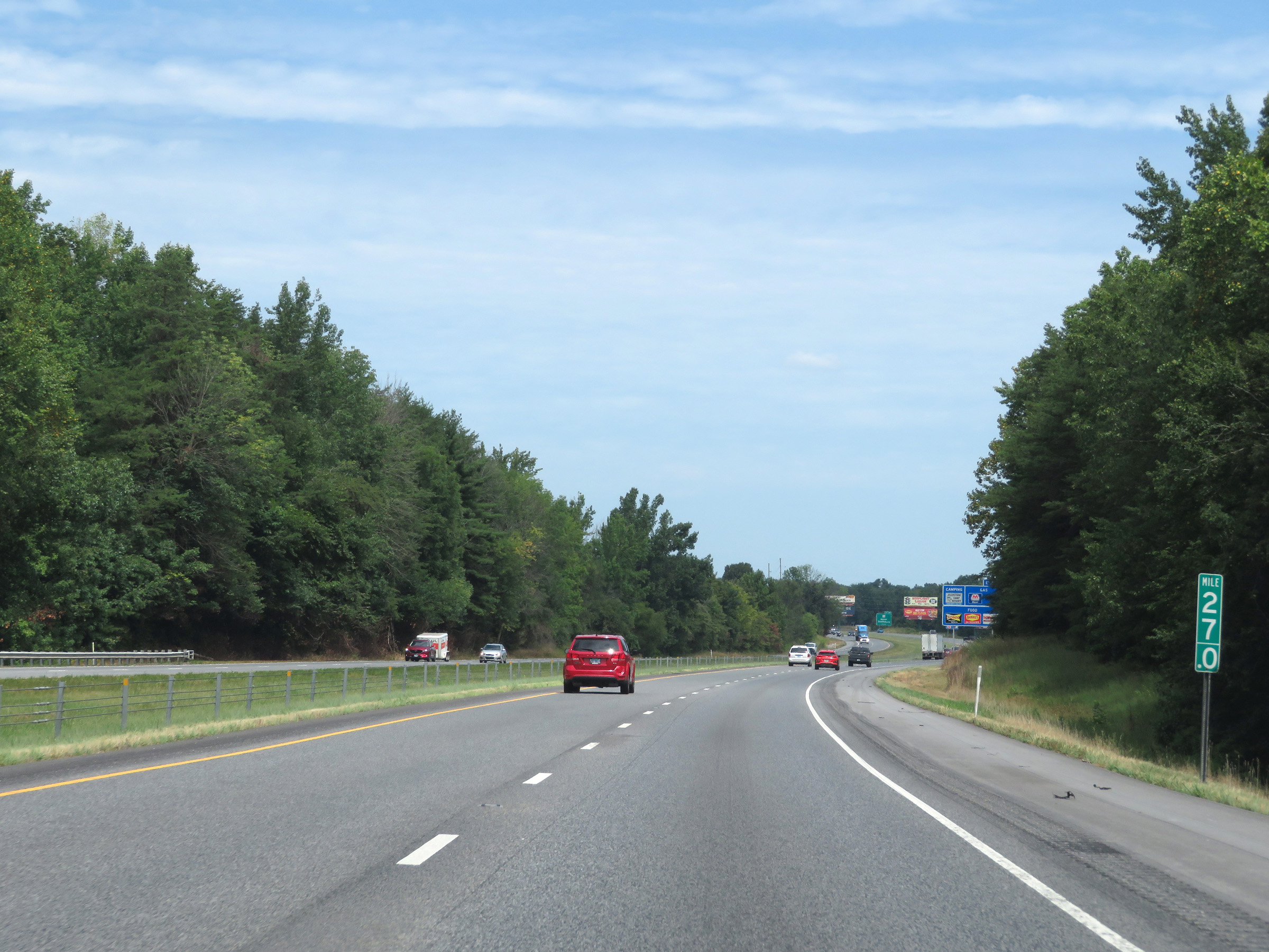
Interstate 65 North at mile marker 20. (Photo taken 8/10/19). |
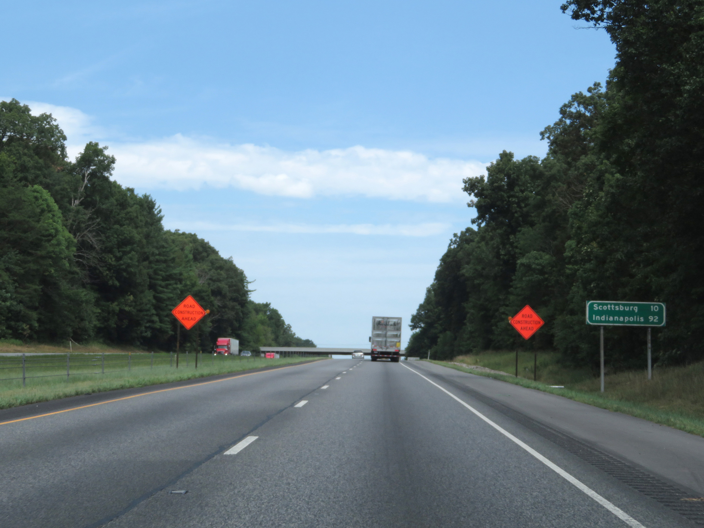 |
Mileage sign on Interstate 65 North. It's 10 miles to Scottsburg and 92 miles to Indianapolis. (Photo taken 8/10/19). |
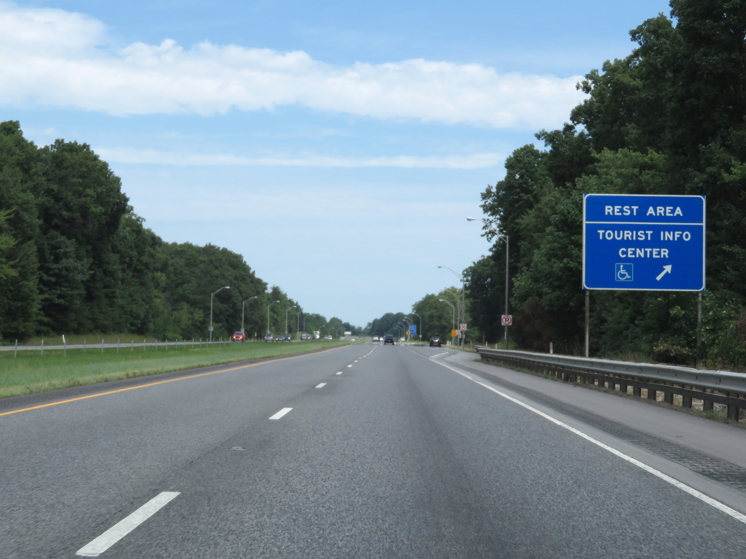 |
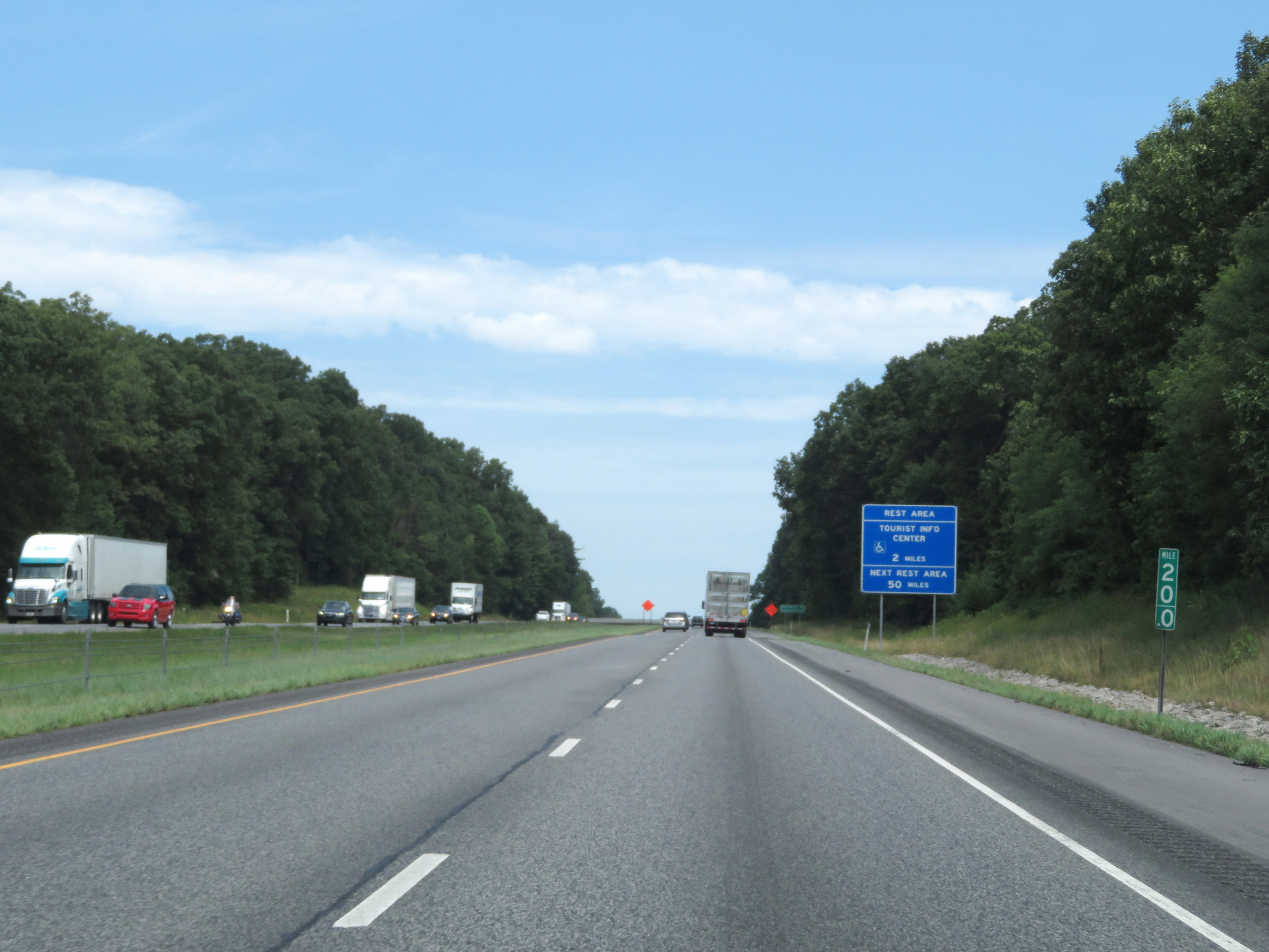
Rest Area / Tourist Info Center on Interstate 65 North in Clark County. (Photo taken 8/10/19). |
 |
Interstate 65 North as it enters Scott County. (Photo taken 8/10/19). |
 |
View on Interstate 65 North at mile marker 24. (Photo taken 8/10/19). |
 |
Mile marker 27 on Interstate 65 North in Scott County. (Photo taken 8/10/19). |
 |
Take Exit 29 to Historic Madison and Hanover College. (Photo taken 8/10/19). |
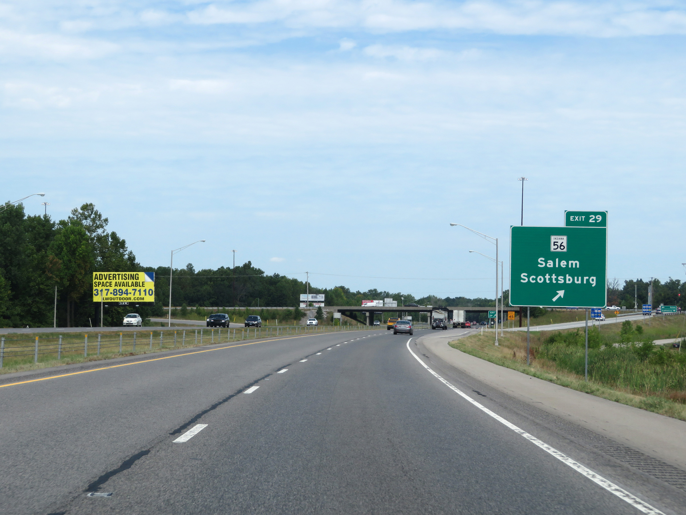 |
Interstate 65 North at Exit 29: IN 56 - Salem / Scottsburg (Photo taken 8/10/19). |
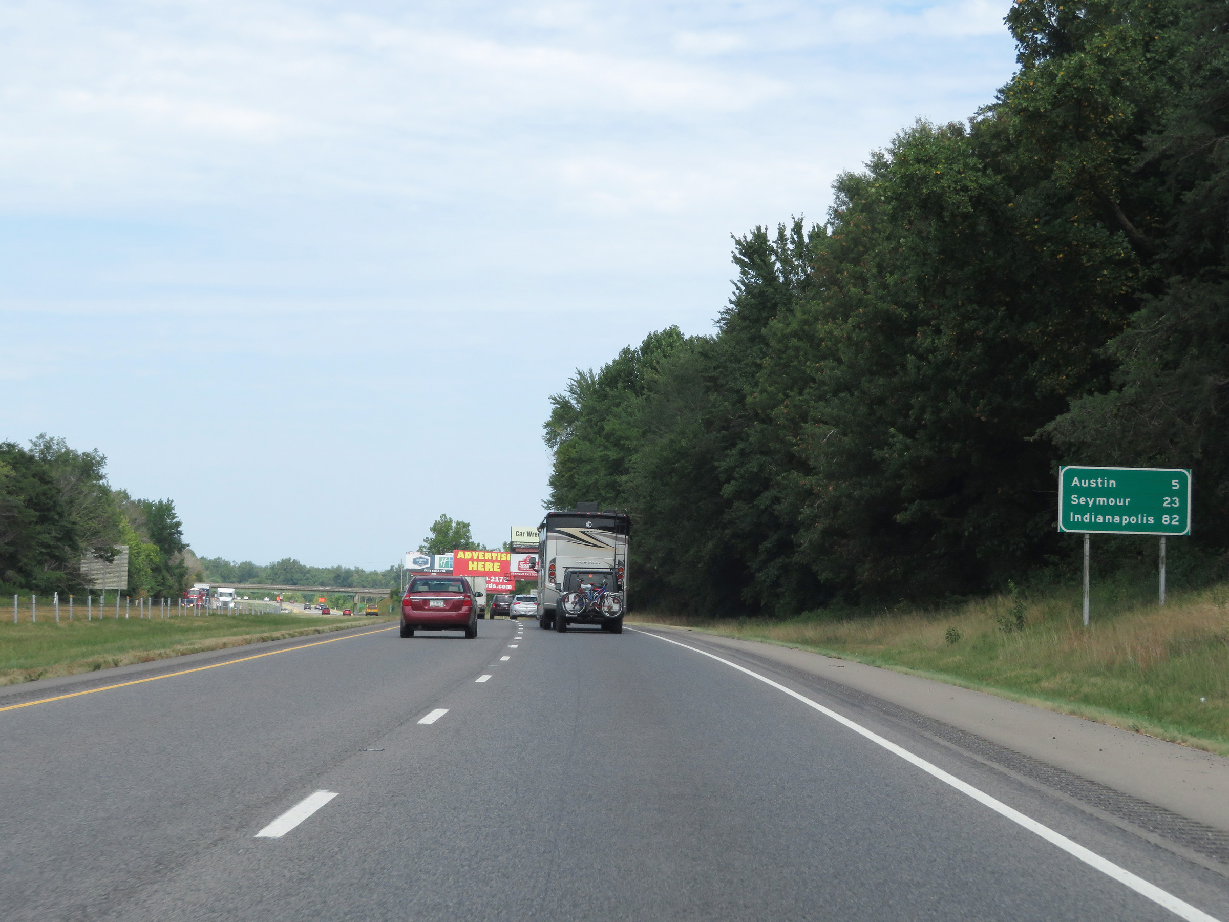 |
Another mileage sign on Interstate 65 North. It's 5 miles to Austin, 23 miles to Seymour, and 82 miles to Indianapolis. (Photo taken 8/10/19). |
 |
Interstate 65 North at Exit 34: IN 256 - Austin (Photo taken 8/10/19). |
 |
View on Interstate 65 North at mile marker 35. (Photo taken 8/10/19). |
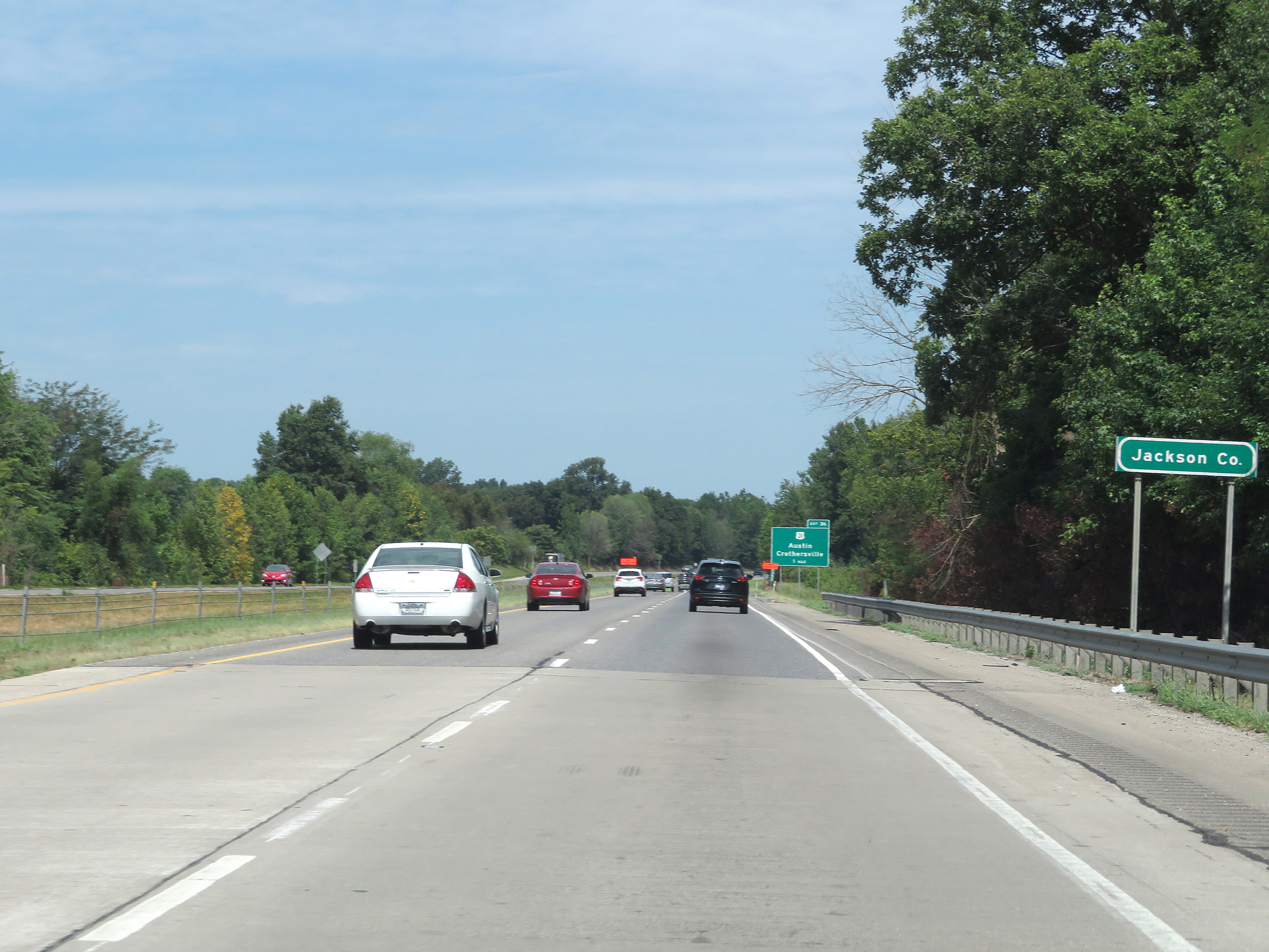 |
Approaching Exit 36, Interstate 65 North enters Jackson County. (Photo taken 8/10/19). |
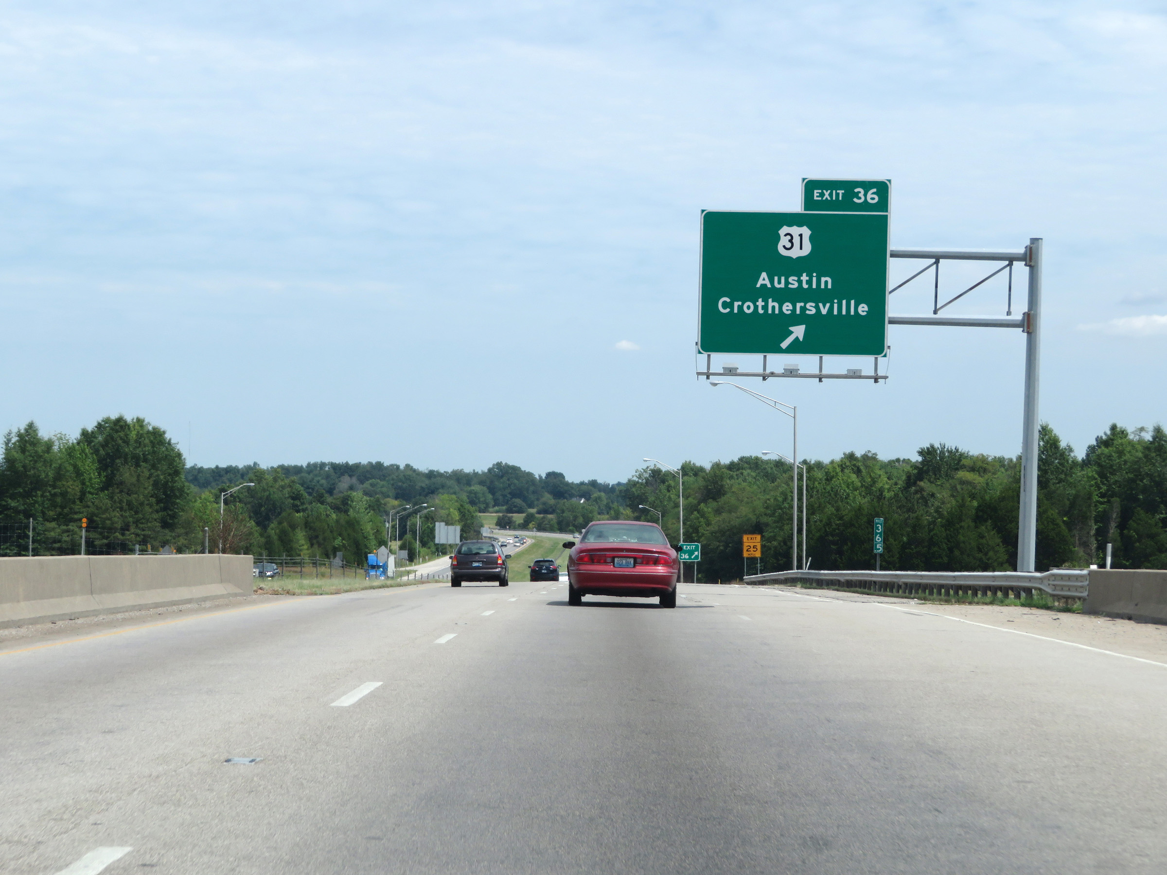 |
Interstate 65 North at Exit 36: US 31 - Austin / Crothersville (Photo taken 8/10/19). |
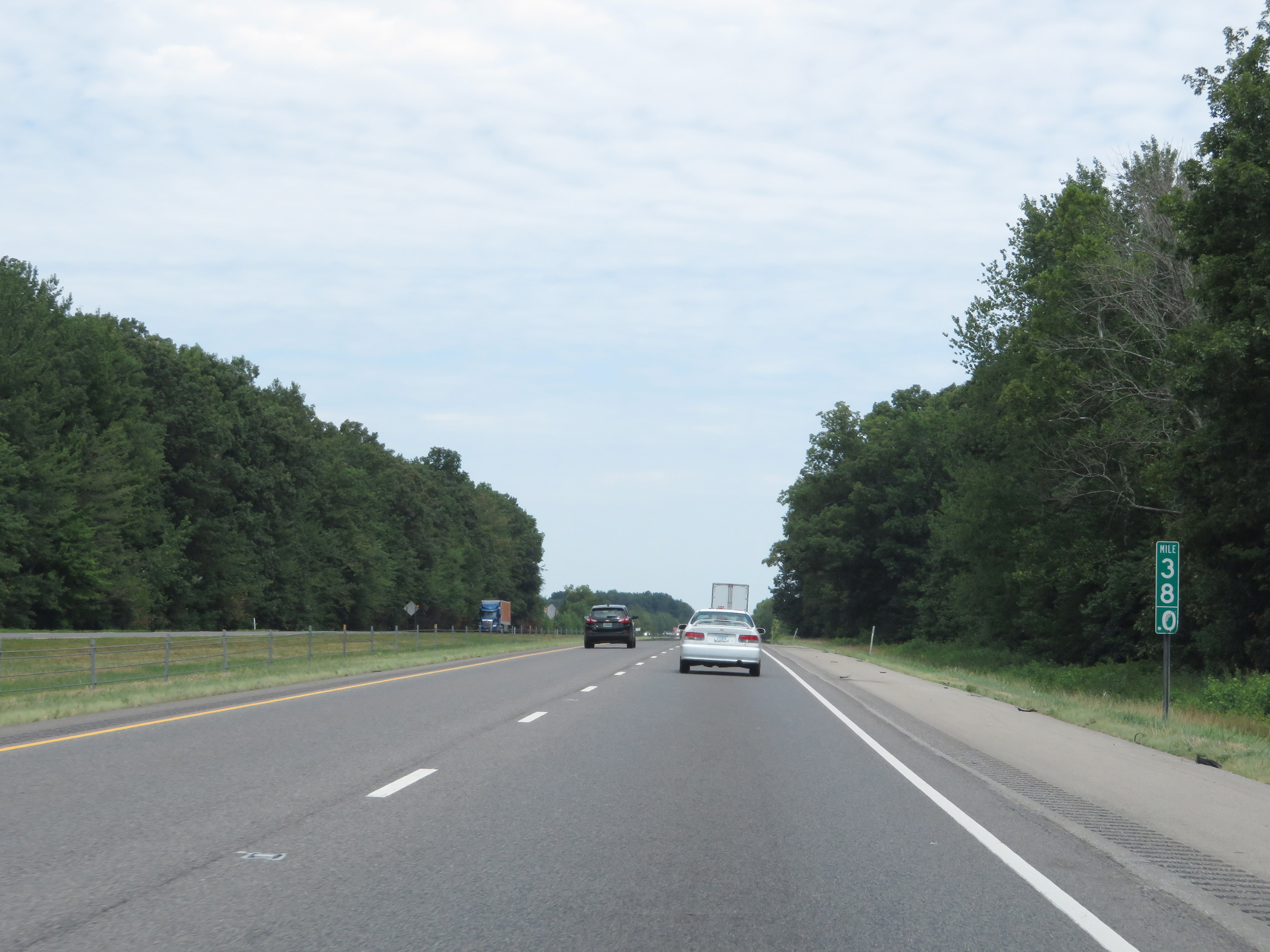 |
View on Interstate 65 North at mile marker 38. (Photo taken 8/10/19). |
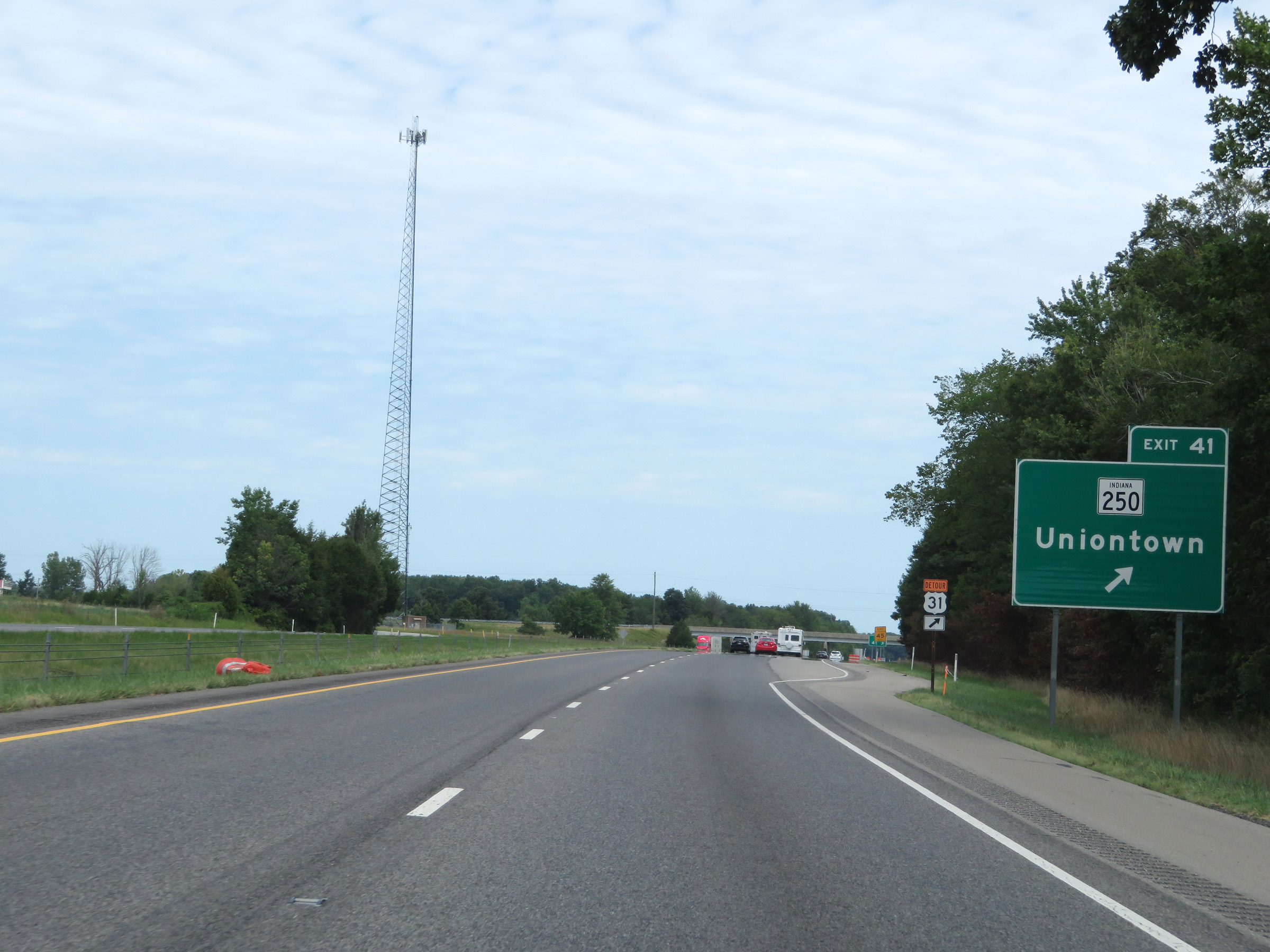 |
Interstate 65 North at Exit 41: IN 250 - Uniontown (Photo taken 8/10/19). |
 |
The speed limits remain the rural standard 70 mph for automobiles and 65 mph for trucks. (Photo taken 8/10/19). |
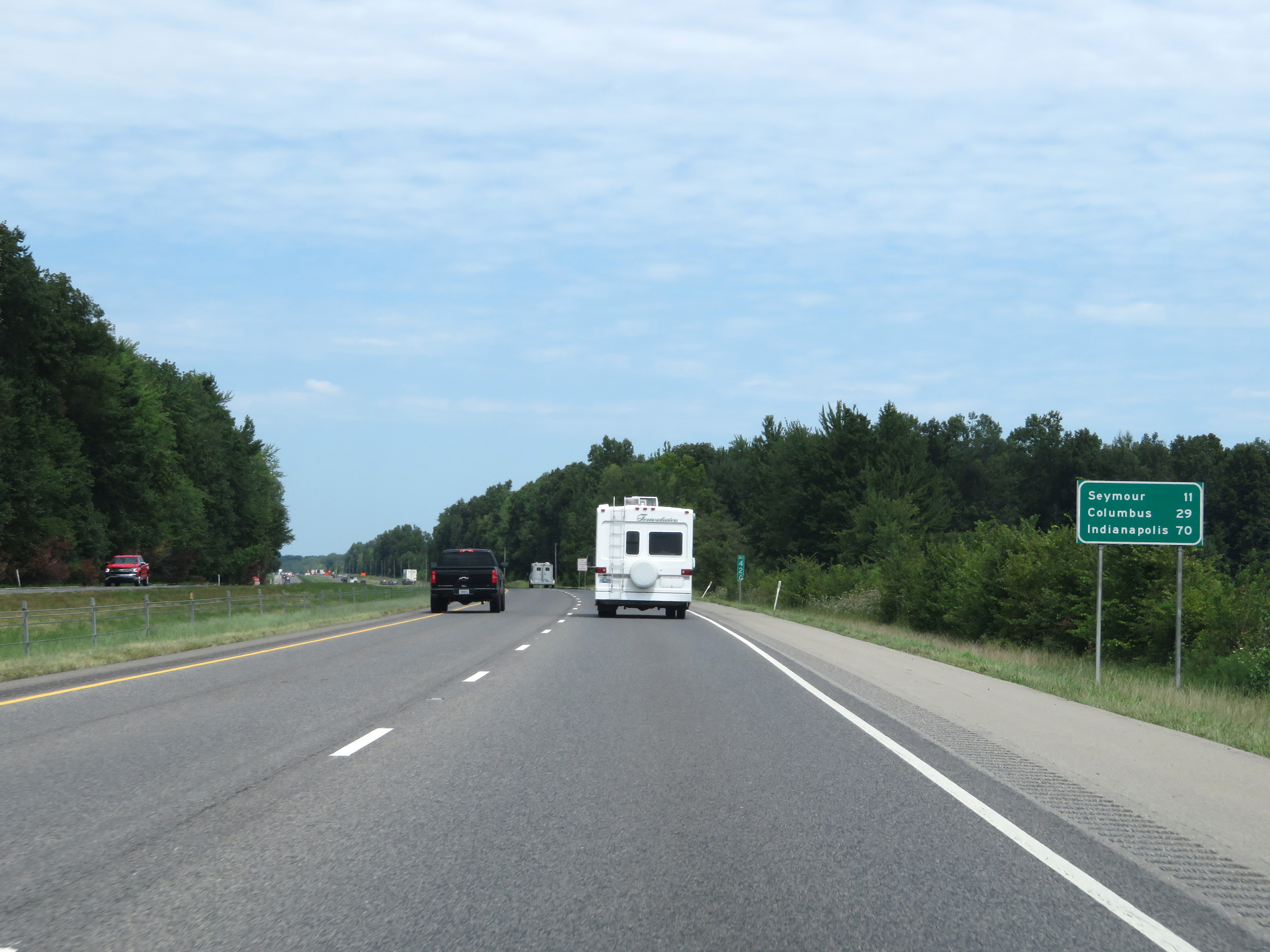 |
Mileage sign on Interstate 65 North. It's 11 miles to Seymour, 29 miles to Columbus, and 70 miles to Indianapolis. (Photo taken 8/10/19). |
 |
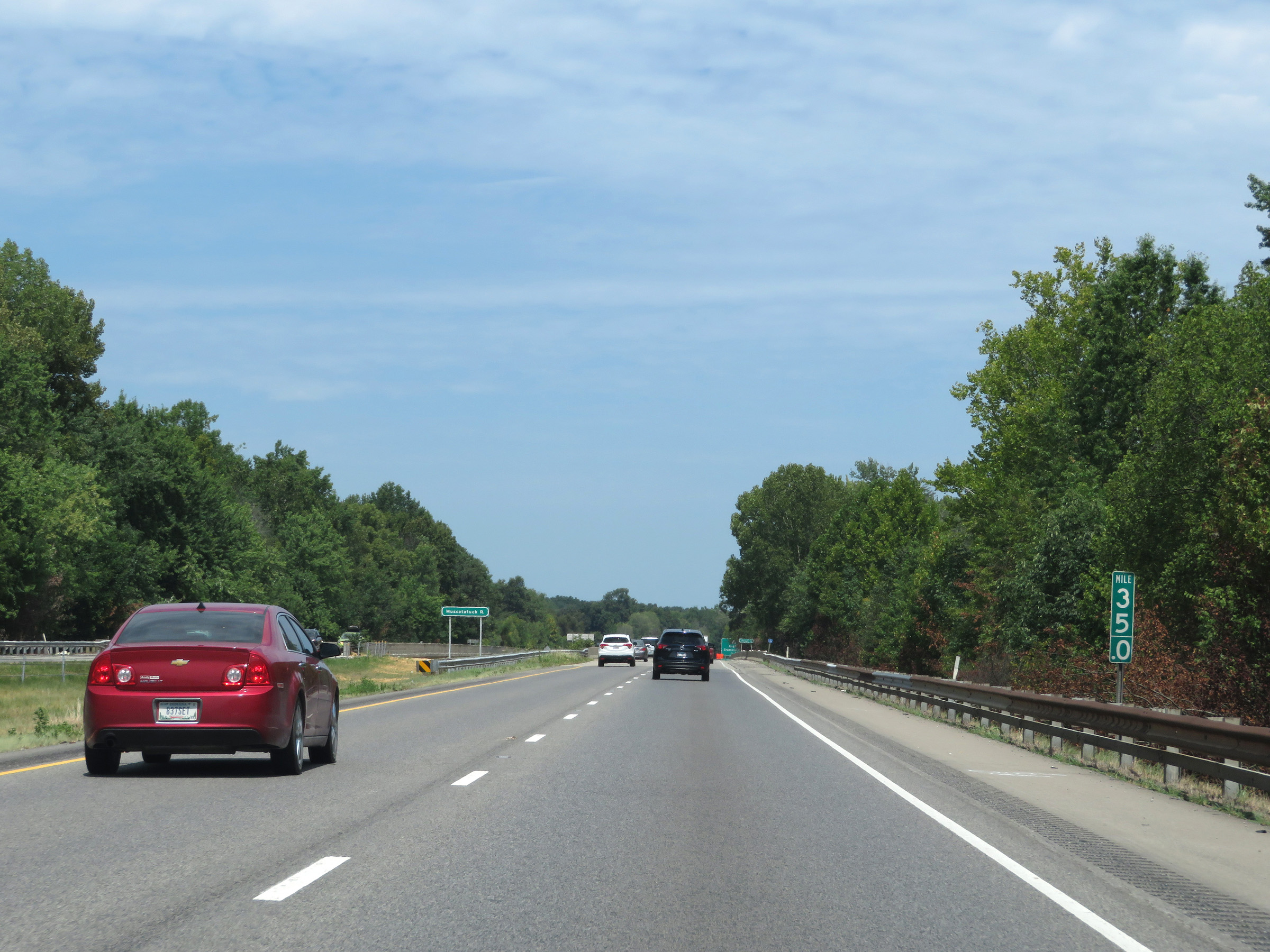
View on Interstate 65 North at mile marker 44. (Photo taken 8/10/19). |
 |
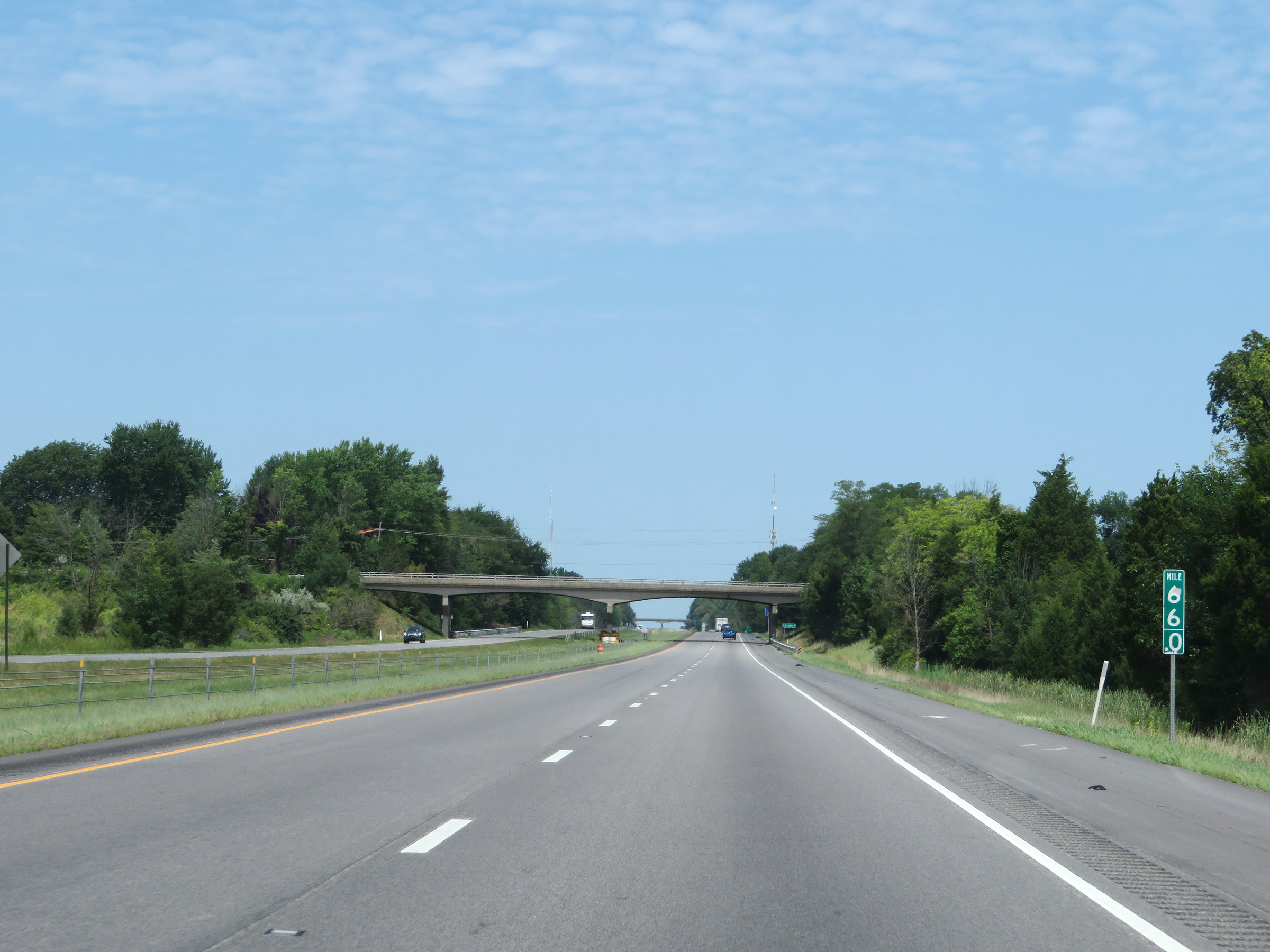
Mile marker 47 on Interstate 65 North in Jackson County. (Photo taken 8/10/19). |
 |
Take Exit 50B to the Jackson County Visitor Center. Take Exit 50A to Muscatatuck National Wildlife Refuge. (Photo taken 8/10/19). |
 |
Interstate 65 North at Exit 50A: US 50 East - North Vernon (Photo taken 8/10/19). |
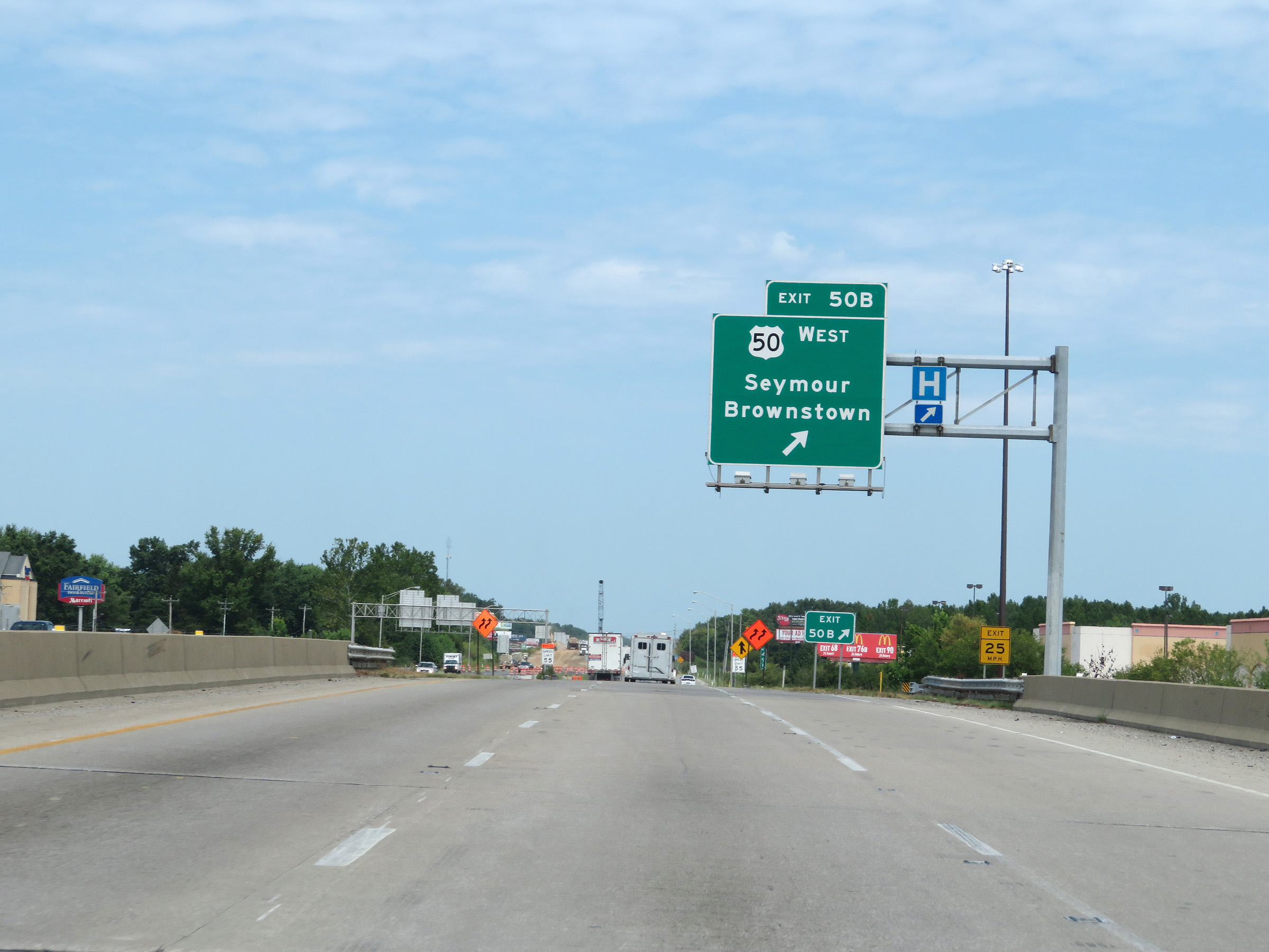 |
Interstate 65 North at Exit 50B: US 50 West - Seymour / Brownstown (Photo taken 8/10/19). |
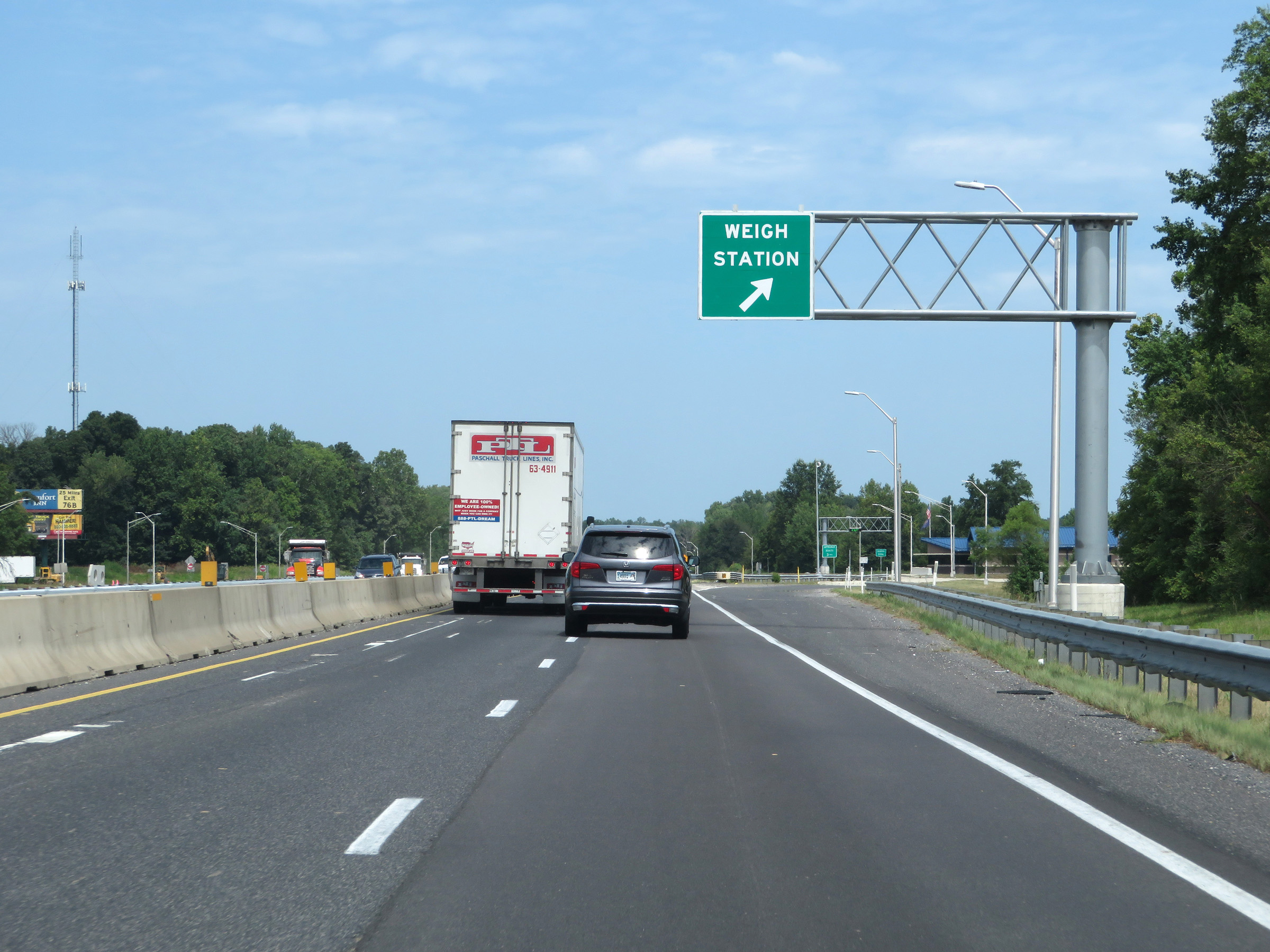 |
Weigh Station on Interstate 65 North in Jackson County. (Photo taken 8/10/19). |
 |
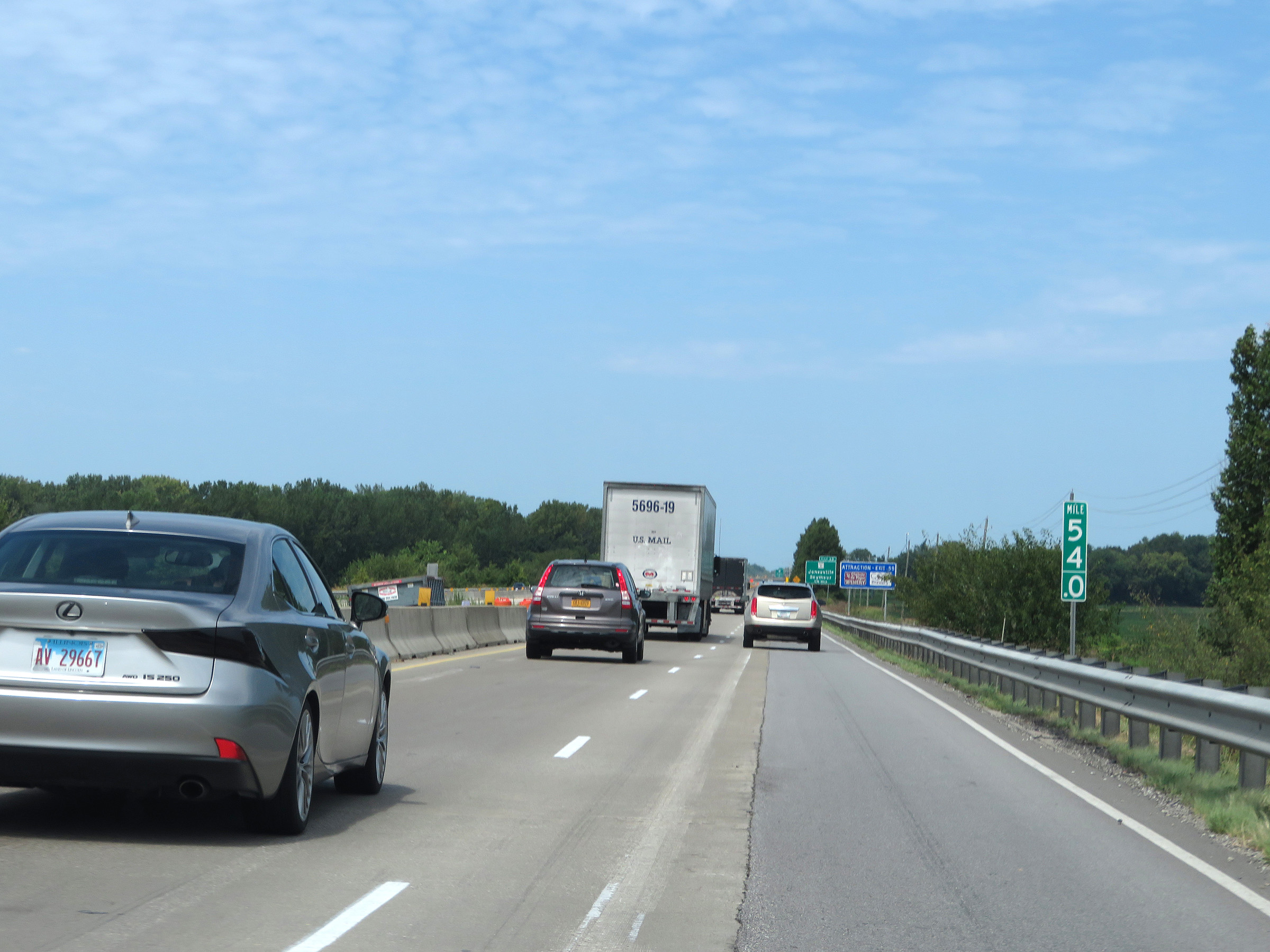
View on Interstate 65 North at mile marker 52. (Photo taken 8/10/19). |
 |
Mile marker 54 on Interstate 65 North in Jackson County. (Photo taken 8/10/19). |
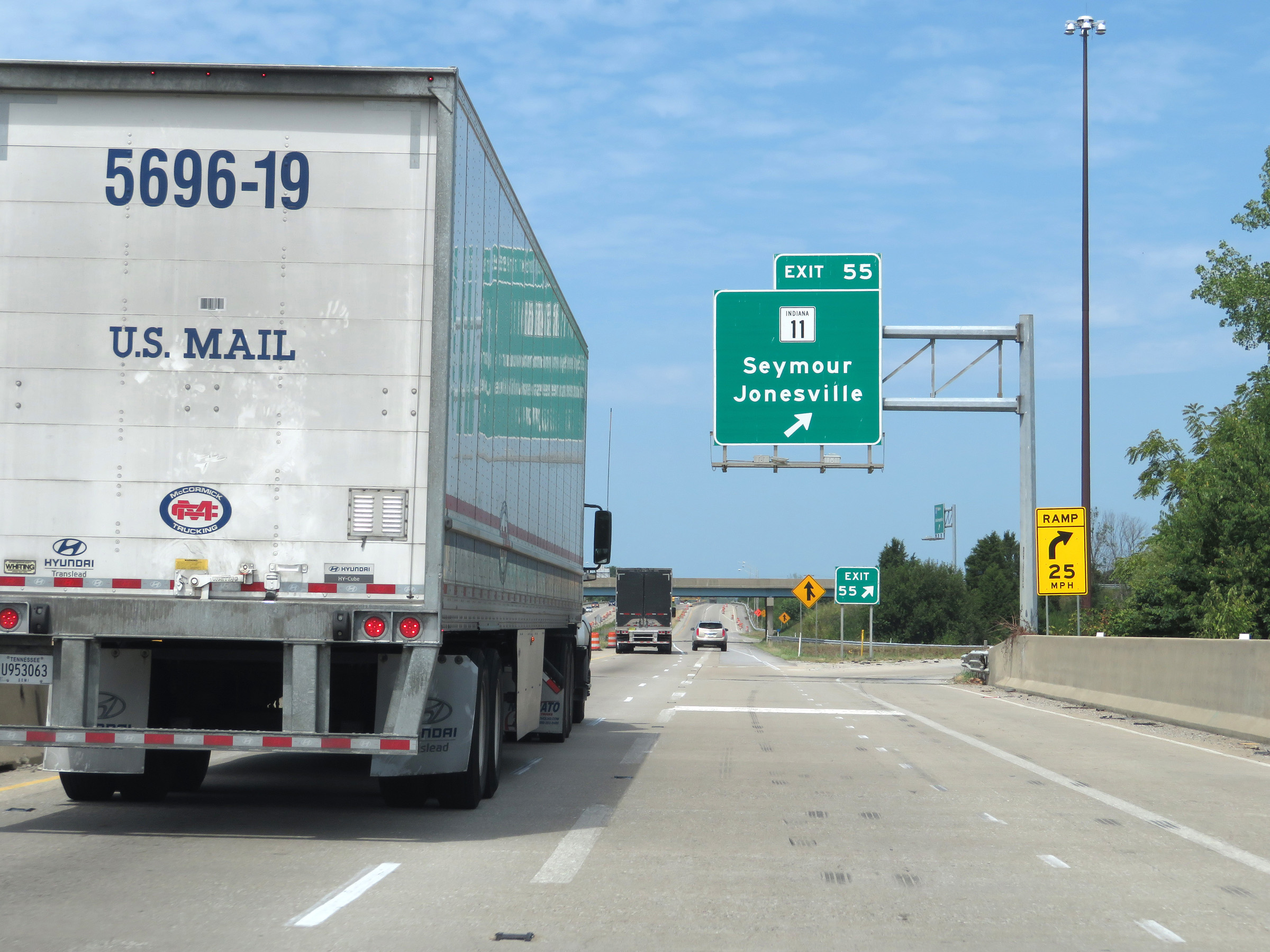 |
Interstate 65 North at Exit 55: IN 11 - Seymour / Jonesville (Photo taken 8/10/19). |
Section 2: Seymour (Exit 55) to Indianapolis (Exit 110B)
 |
Interstate 65 North at mile marker 56. (Photo taken 8/10/19). |
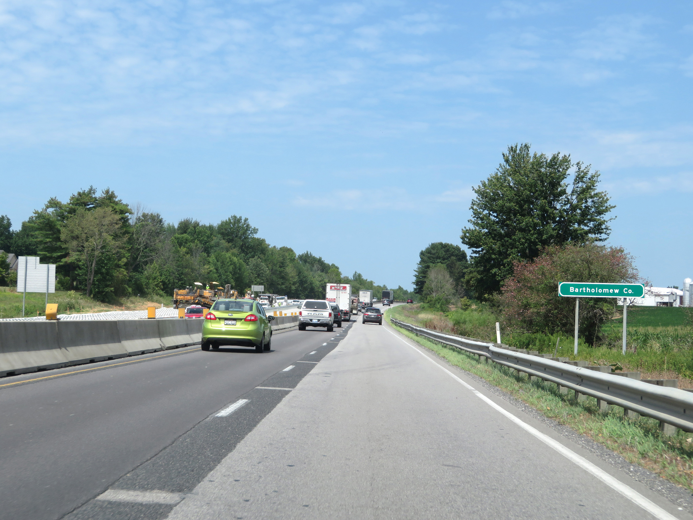 |
Entering Bartholomew County on Interstate 65 North. (Photo taken 8/10/19). |
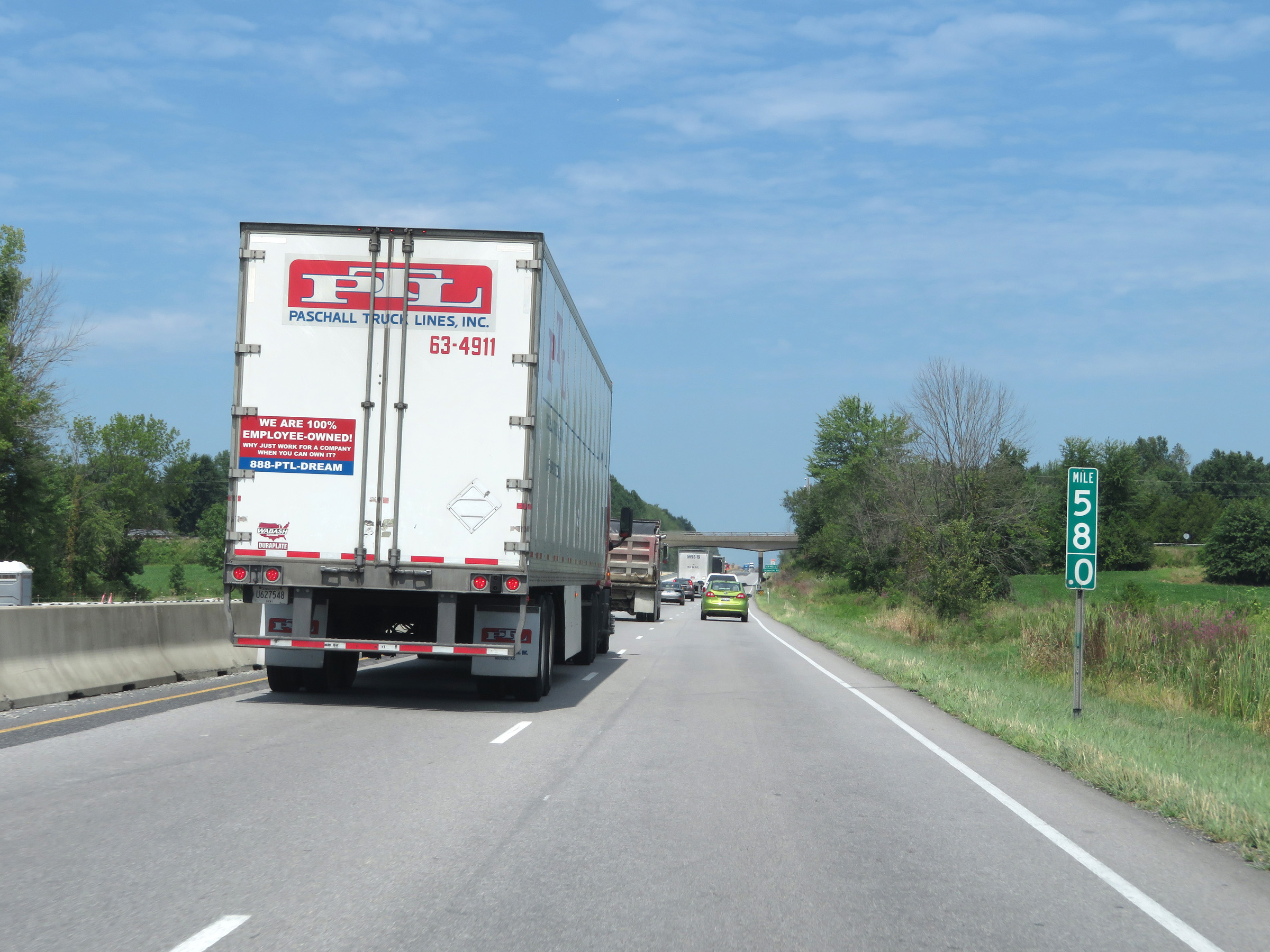 |
View on Interstate 65 North at mile marker 58. (Photo taken 8/10/19). |
 |
Mile marker 62 on Interstate 65 North in Bartholomew County. (Photo taken 8/10/19). |
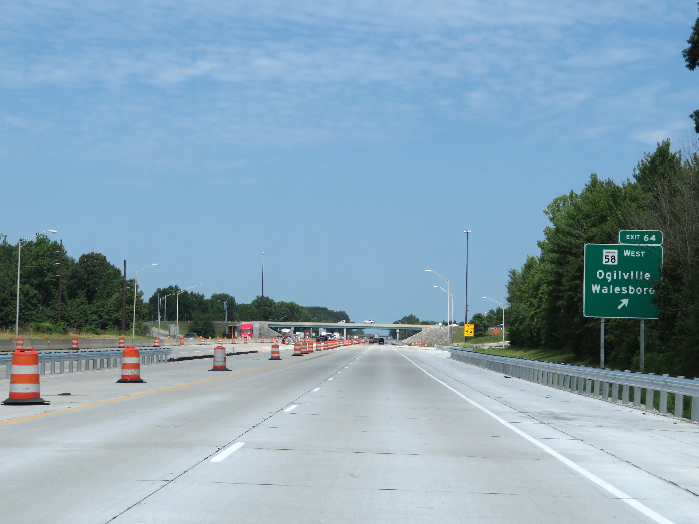 |
Interstate 65 North at Exit 64: IN 58 West - Ogilville / Walesboro (Photo taken 8/10/19). |
 |
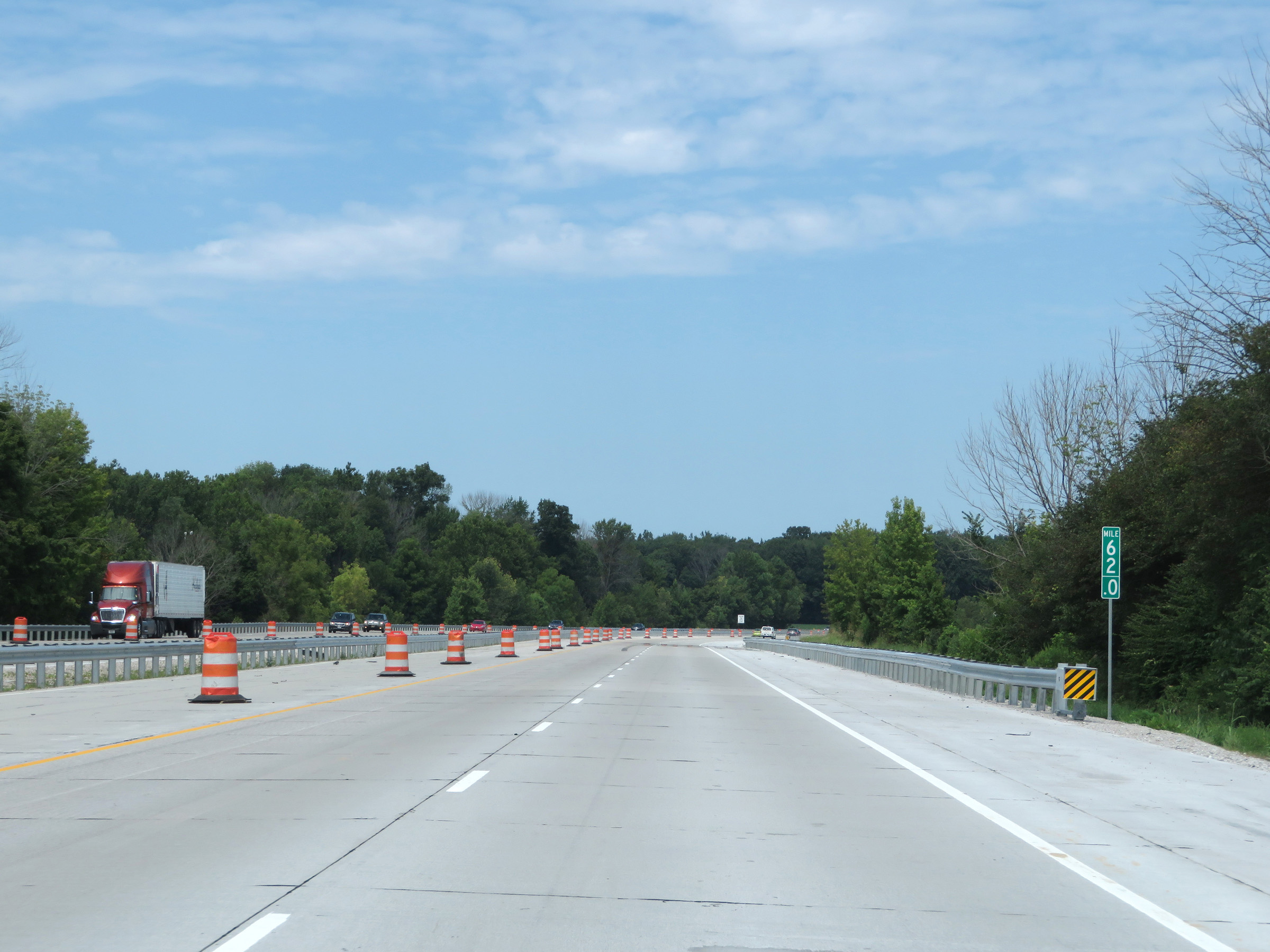
View on Interstate 65 North at mile marker 66. (Photo taken 8/10/19). |
 |
Take Exit 68 to Columbus, Nashville, and Visitors Centers. (Photo taken 8/10/19). |
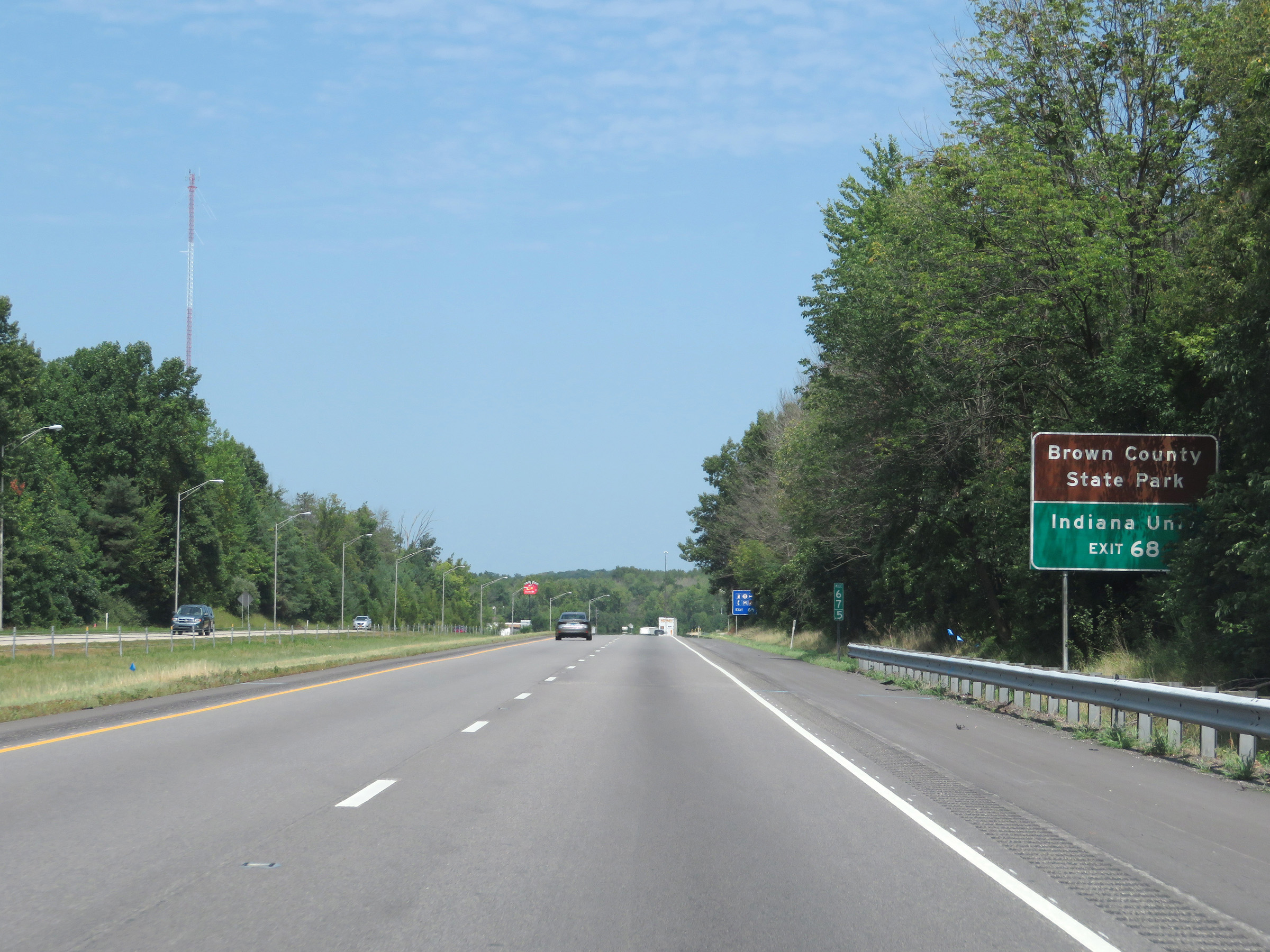 |
Also take Exit 68 to Brown County State Park and Indiana University. (Photo taken 8/10/19). |
 |
Interstate 65 North at Exit 68: IN 46 - Nashville / Bloomington / Columbus (Photo taken 8/10/19). |
 |
Another Interstate 65 North reassurance shield. (Photo taken 8/10/19). |
 |
Another mileage sign on Interstate 65 North. It's 7 miles to Taylorsville, 24 miles to Franklin, and 43 miles to Indianapolis. (Photo taken 8/10/19). |
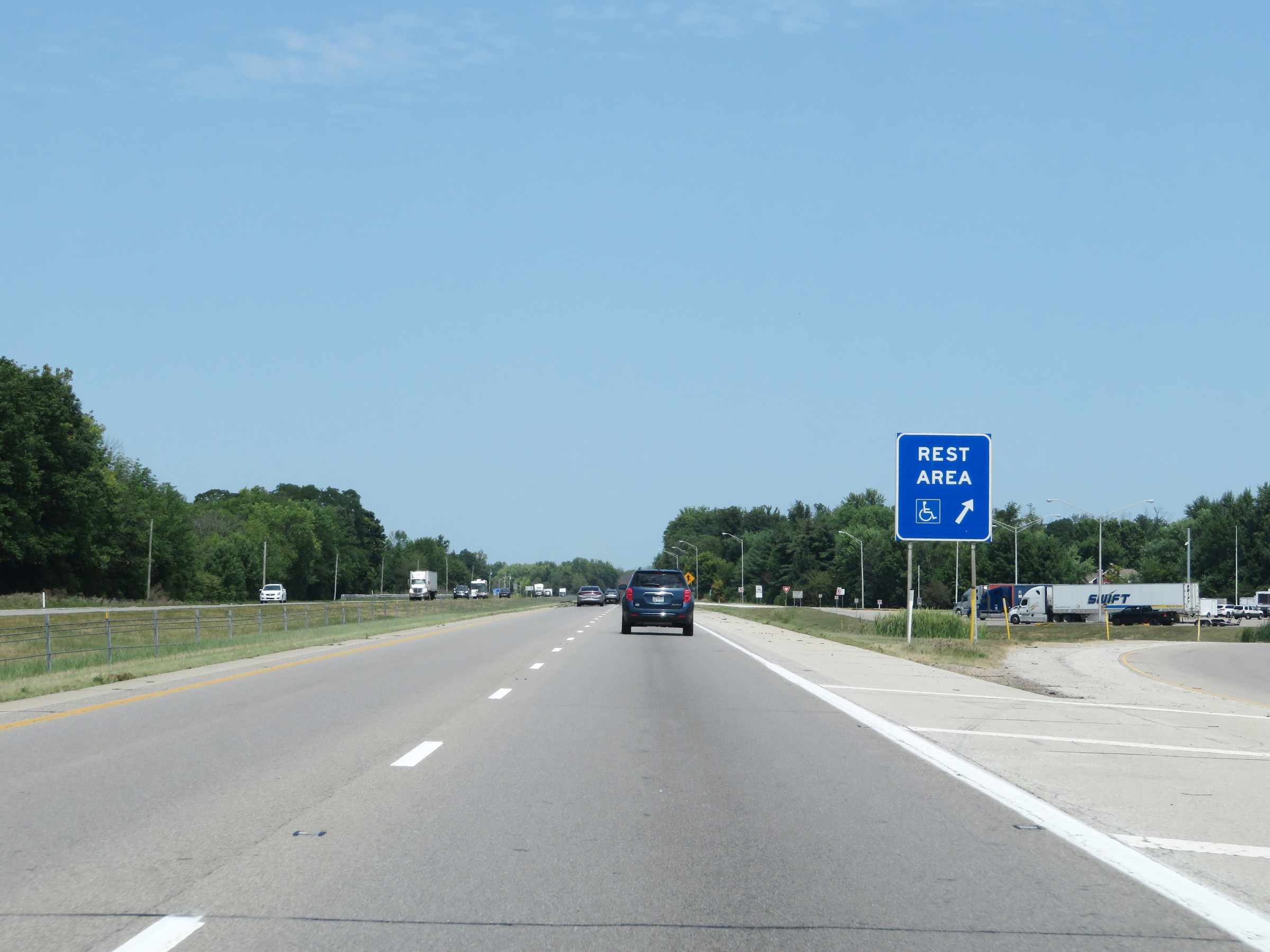 |
Rest Area on Interstate 65 North in Bartholomew County. (Photo taken 8/10/19). |
 |
View on Interstate 65 North at mile marker 73. (Photo taken 8/10/19). |
 |
Take Exit 76A to IUPUC and Ivy Tech. Take Exit 76B to Camp Atterbury. (Photo taken 8/10/19). |
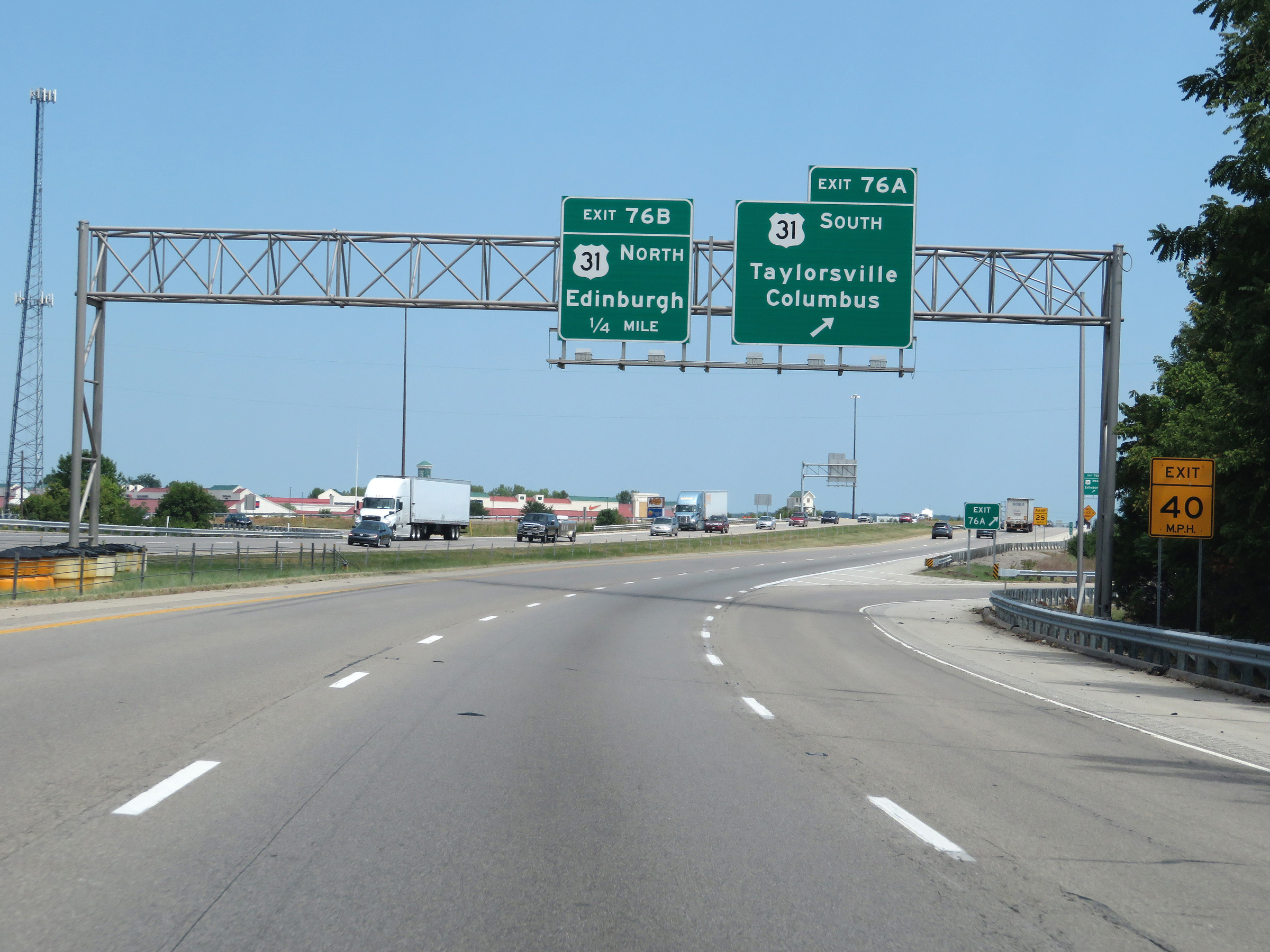 |
Interstate 65 North at Exit 76A: US 31 South - Taylorsville / Columbus (Photo taken 8/10/19). |
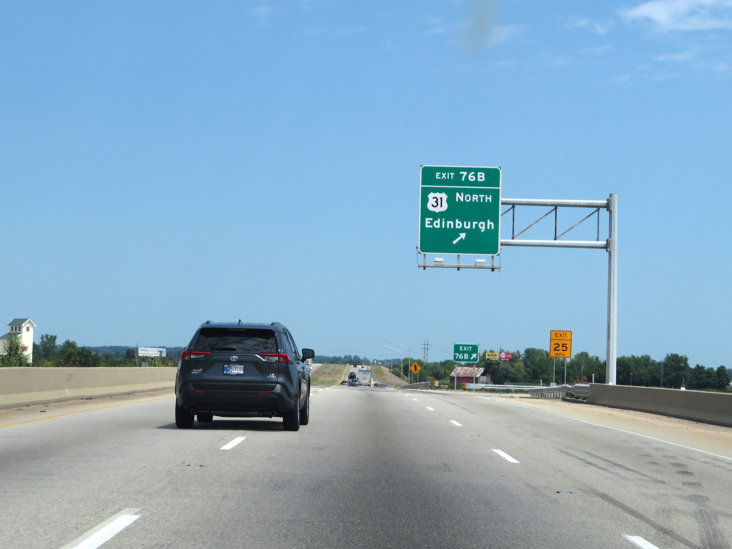 |
Interstate 65 North at Exit 76B: US 31 North - Edinburgh (Photo taken 8/10/19). |
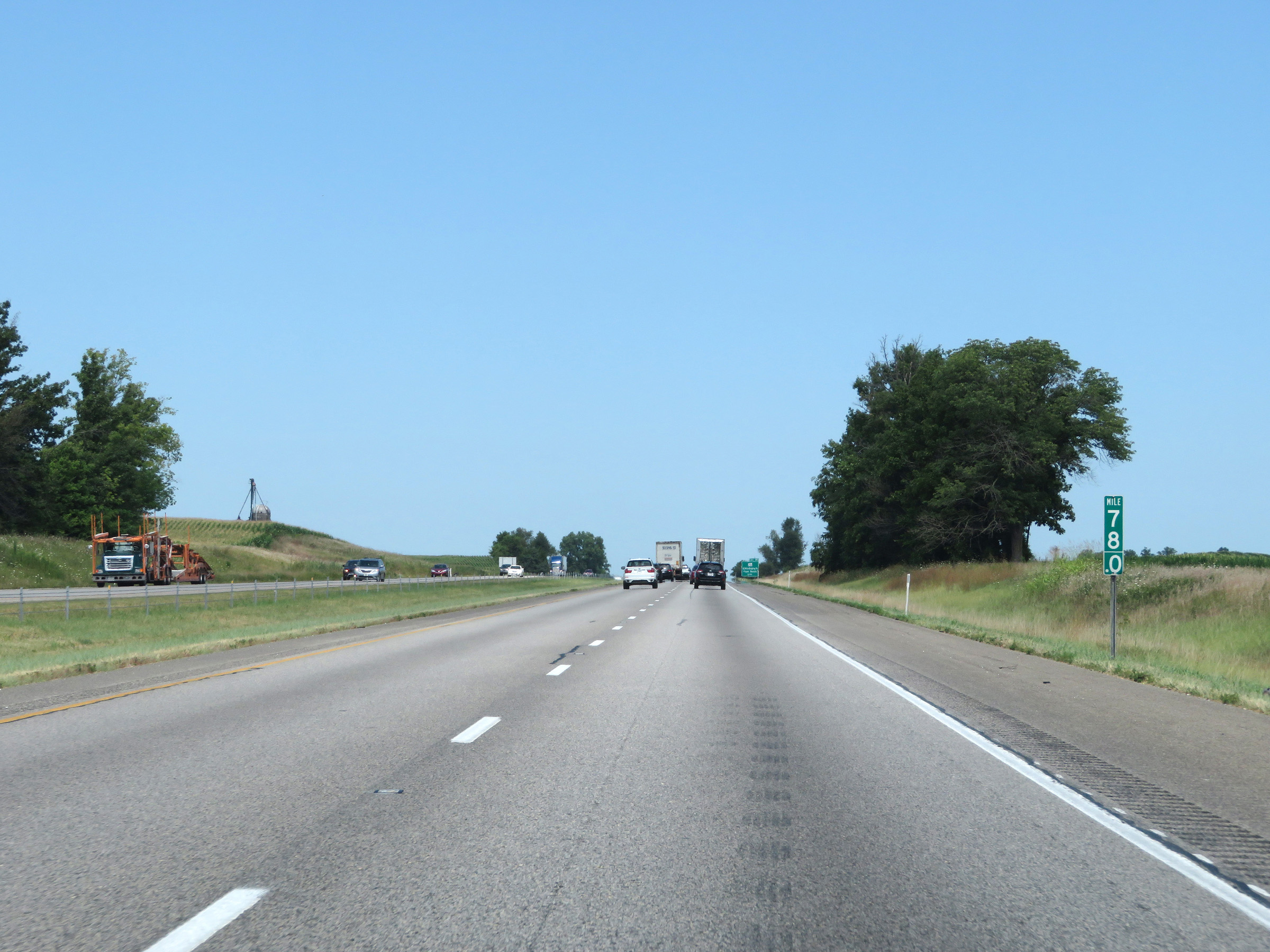 |
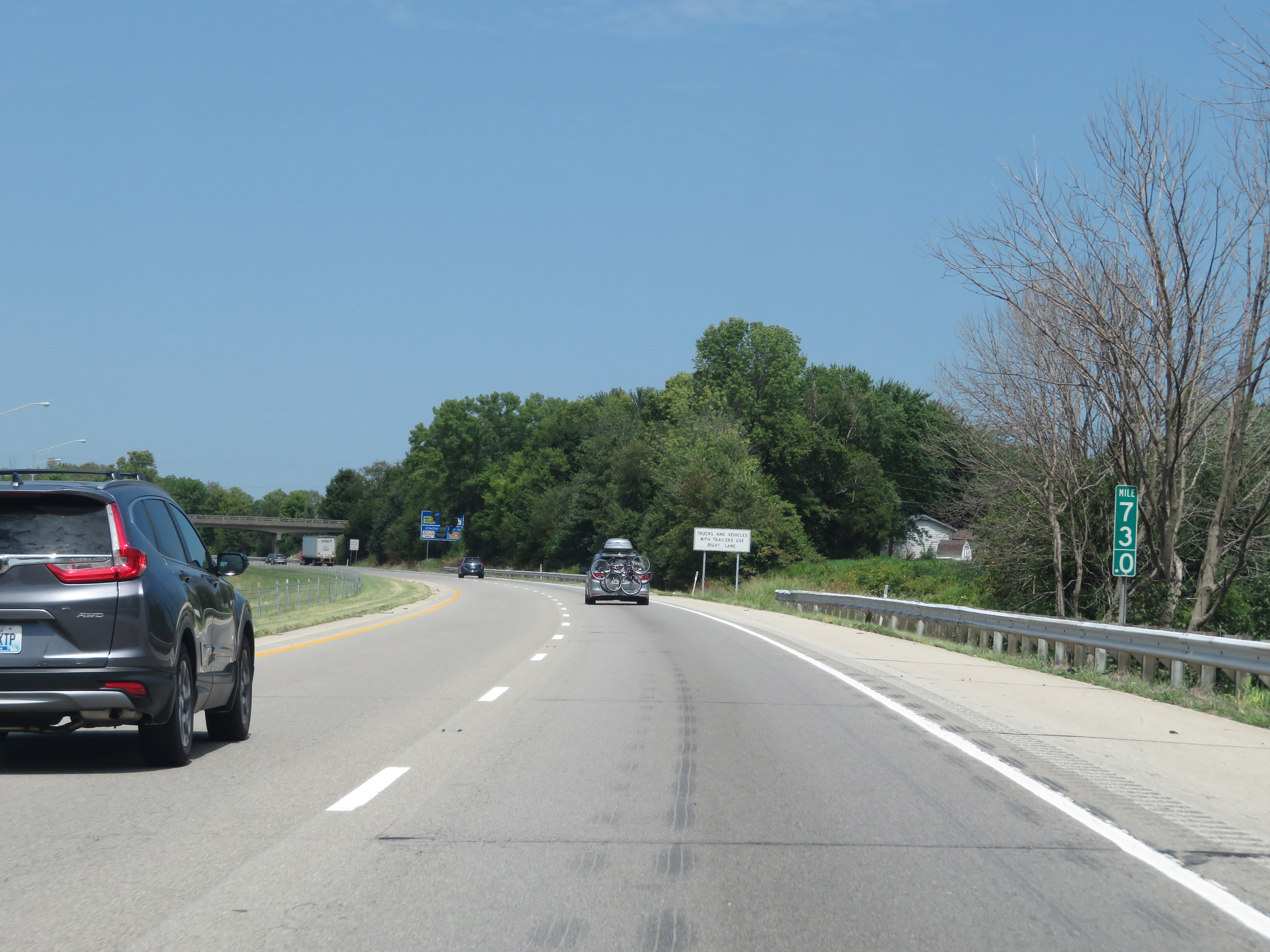
View on Interstate 65 North at mile marker 78. (Photo taken 8/10/19). |
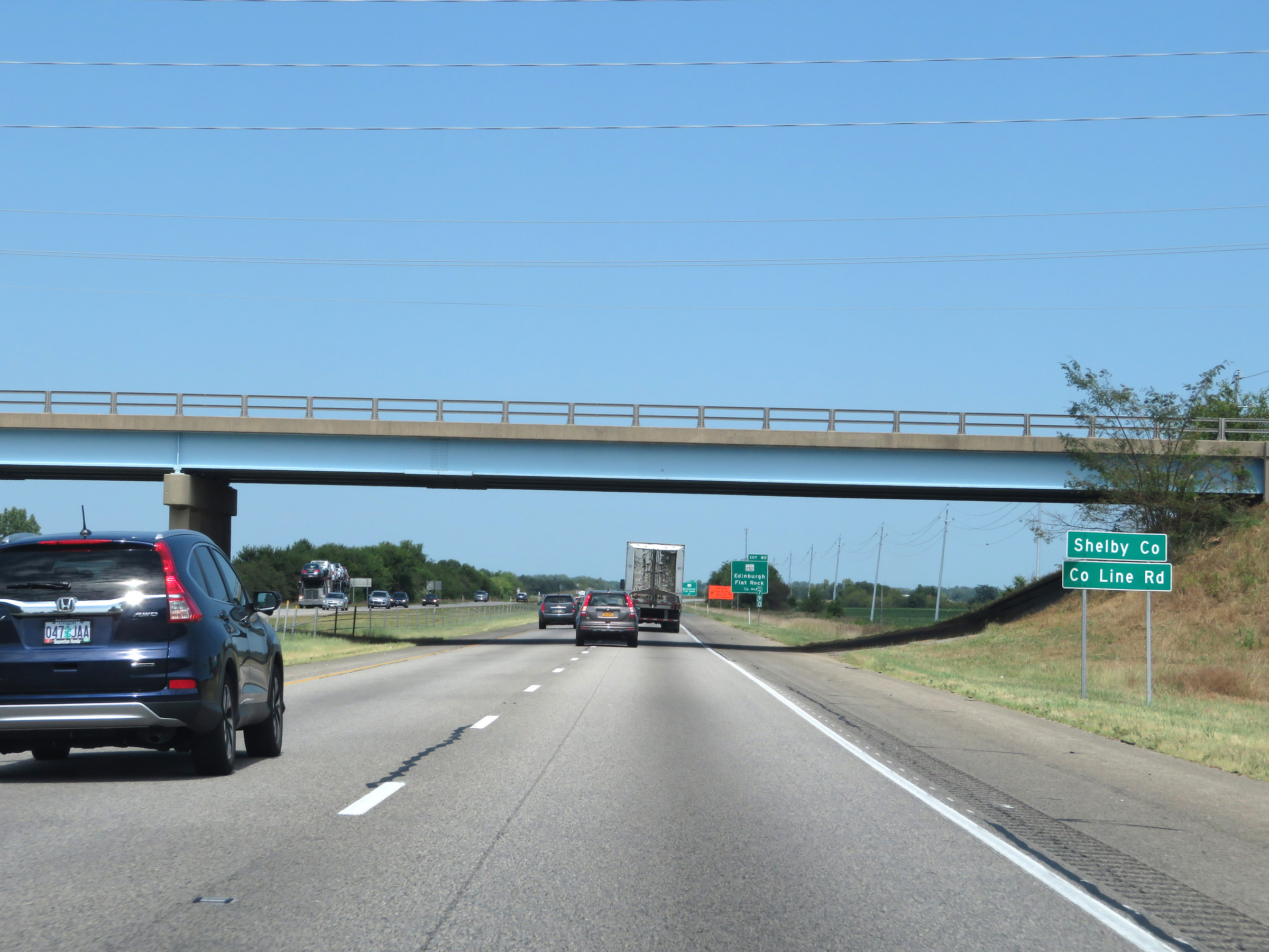 |
Interstate 65 North as it enters Shelby County. (Photo taken 8/10/19). |
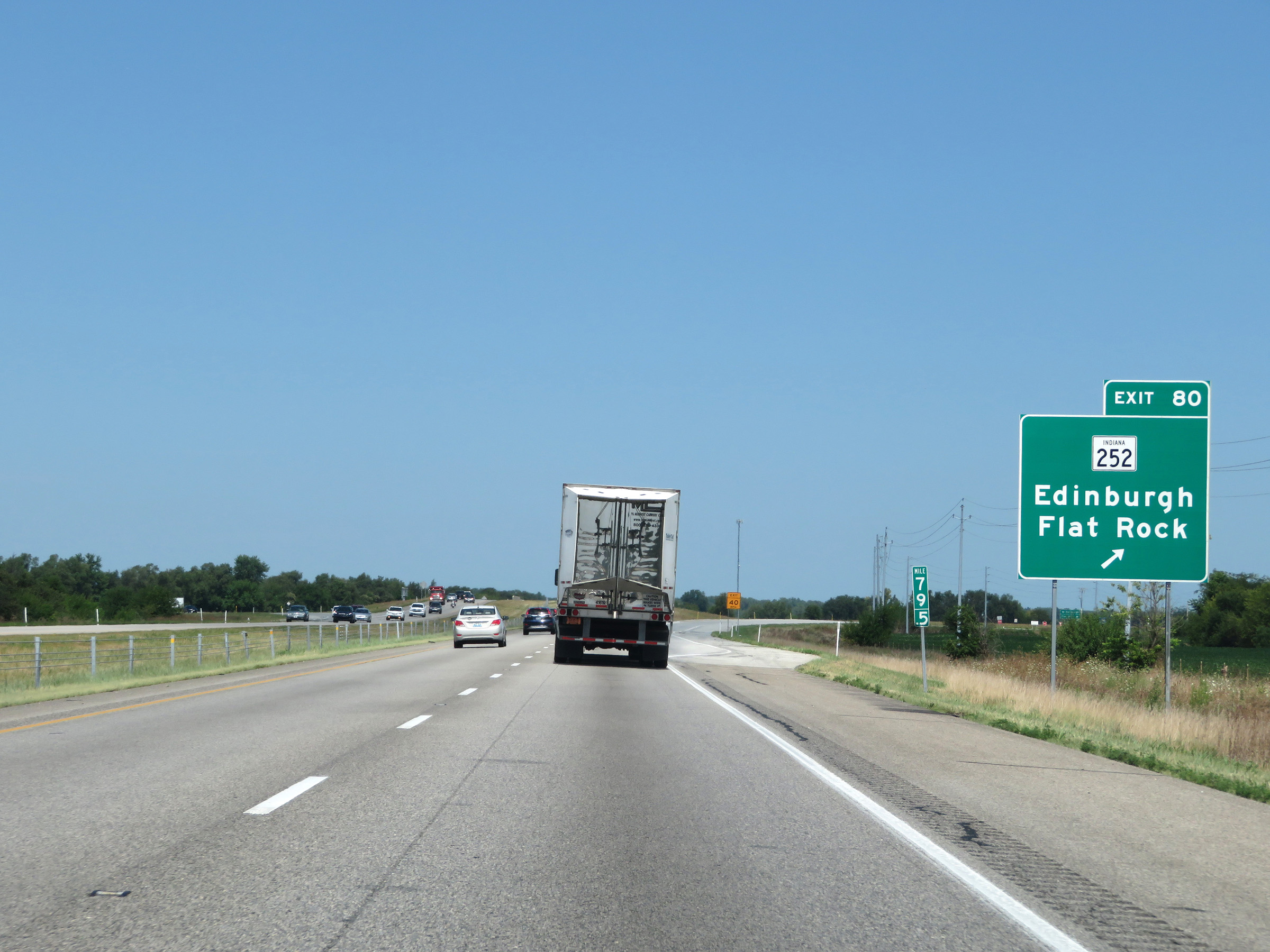 |
Interstate 65 North at Exit 80: IN 252 - Edinburgh / Flat Rock (Photo taken 8/10/19). |
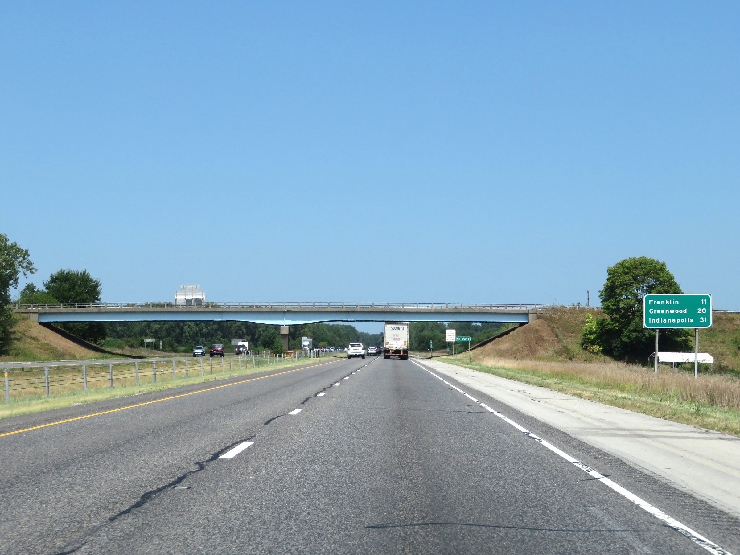 |
Mileage sign on Interstate 65 North. It's 11 miles to Franklin, 20 miles to Greenwood, and 31 miles to Indianapolis. (Photo taken 8/10/19). |
 |
Mile marker 82 on Interstate 65 North in Shelby County. (Photo taken 8/10/19). |
 |
Interstate 65 North as it enters Johnson County. (Photo taken 8/10/19). |
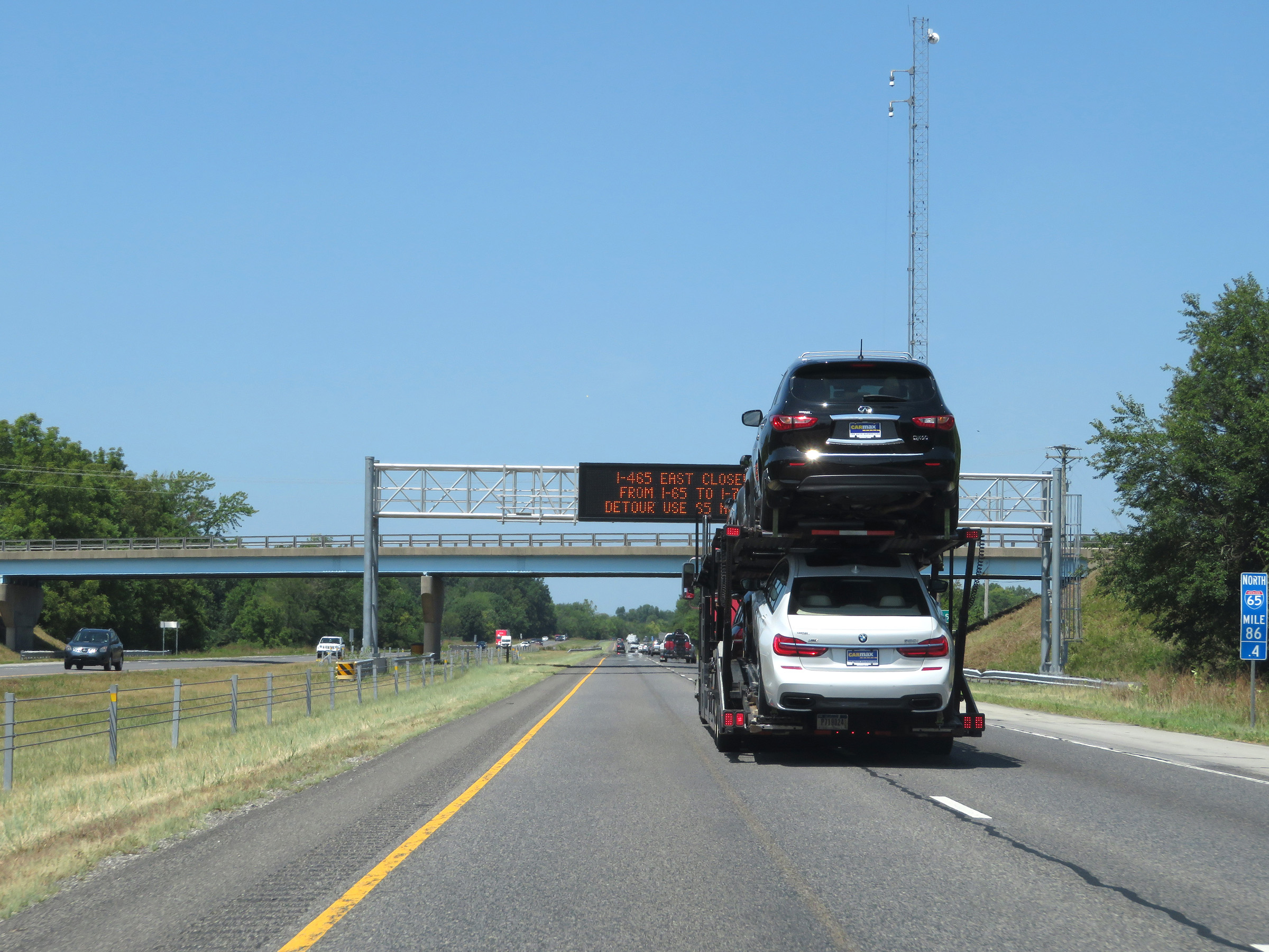 |
View on Interstate 65 North at mile marker 86.4. (Photo taken 8/10/19). |
 |
Mile marker 87.2 on Interstate 65 North in Johnson County. (Photo taken 8/10/19). |
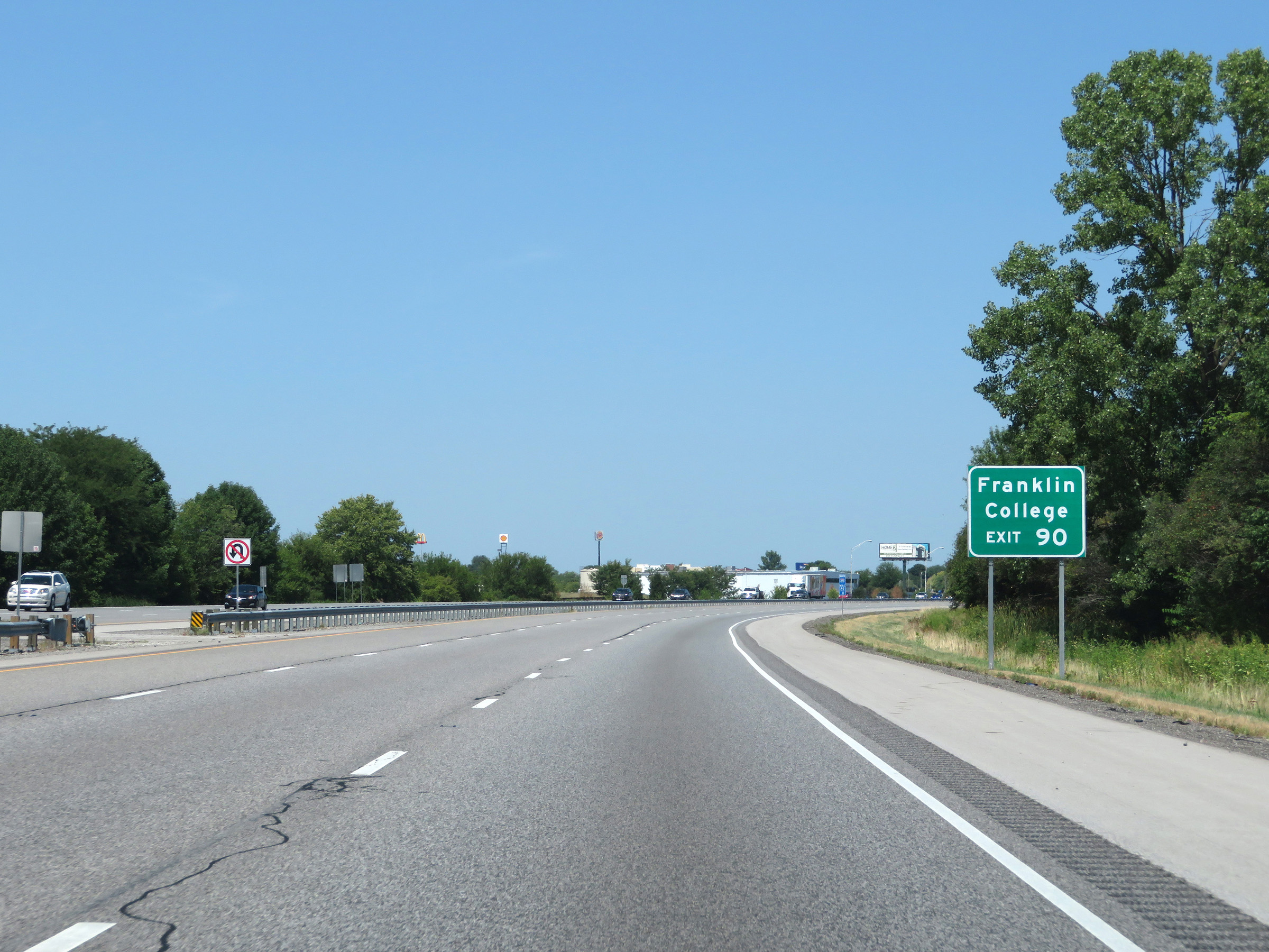 |
Take Exit 90 to Franklin College. (Photo taken 8/10/19). |
 |
Interstate 65 North at Exit 90: IN 44 - Franklin / Shelbyville (Photo taken 8/10/19). |
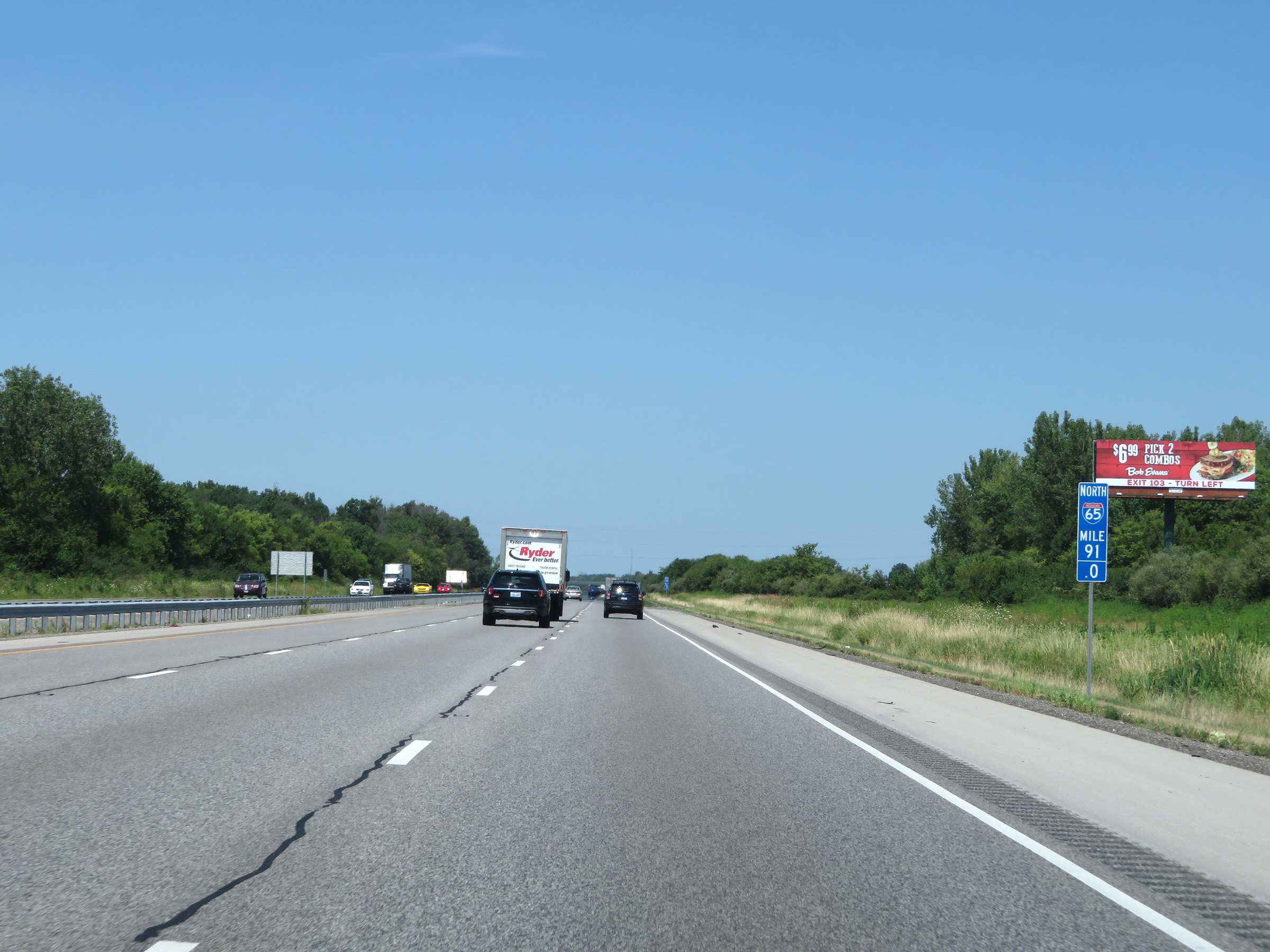 |
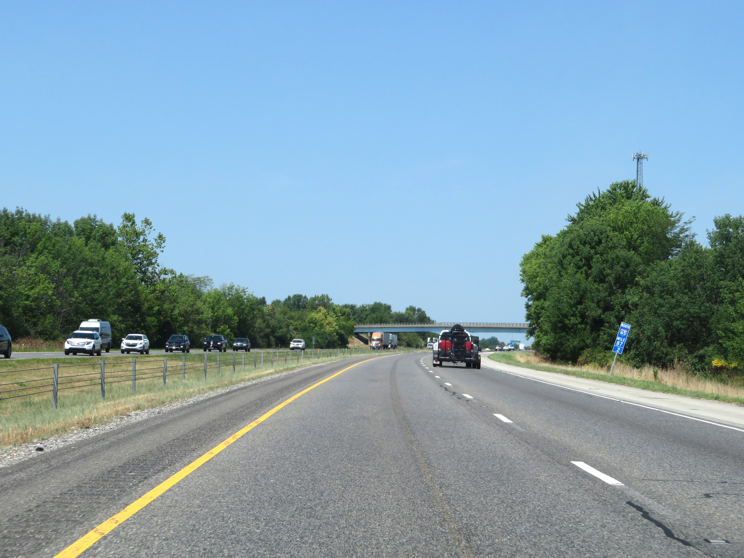
View on Interstate 65 North at mile marker 91. (Photo taken 8/10/19). |
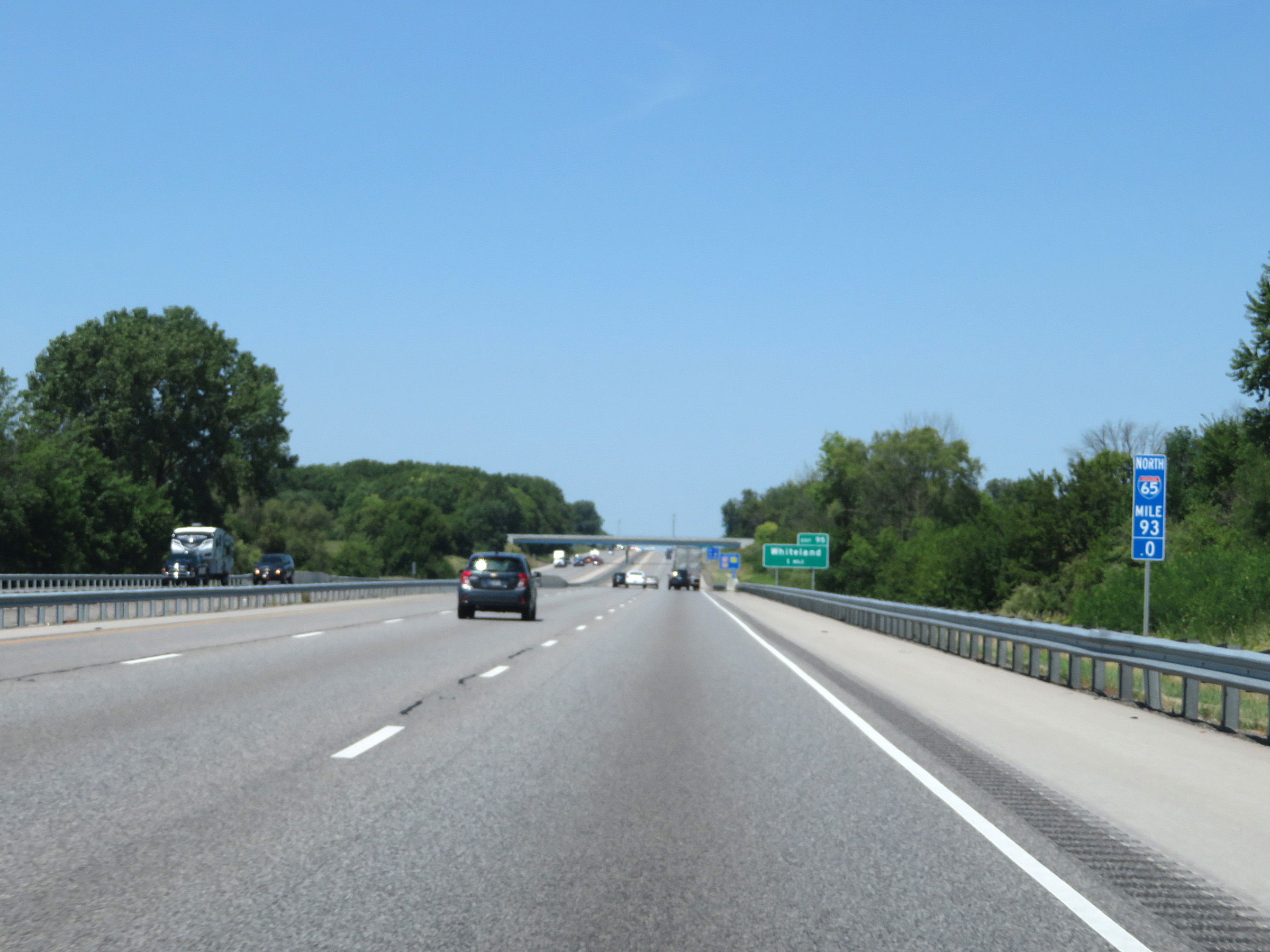 |
Interstate 65 North at mile marker 93. (Photo taken 8/10/19). |
 |
Interstate 65 North at Exit 95: Whiteland (Photo taken 8/10/19). |
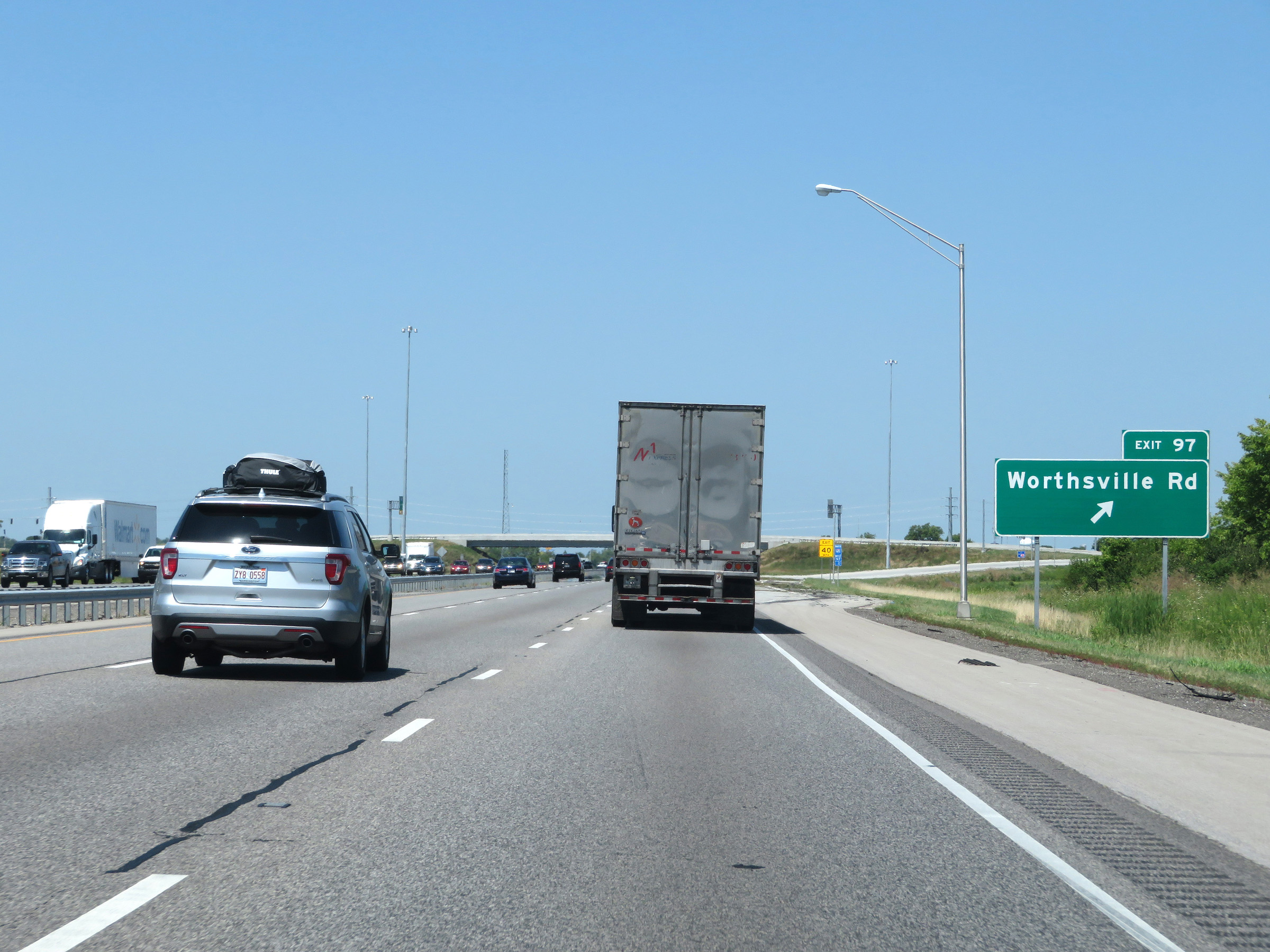 |
Interstate 65 North at Exit 97: Worthsville Rd (Photo taken 8/10/19). |
 |
North of Exit 97, the speed limits decrease to 65 mph for automobiles and 60 mph for trucks. (Photo taken 8/10/19). |
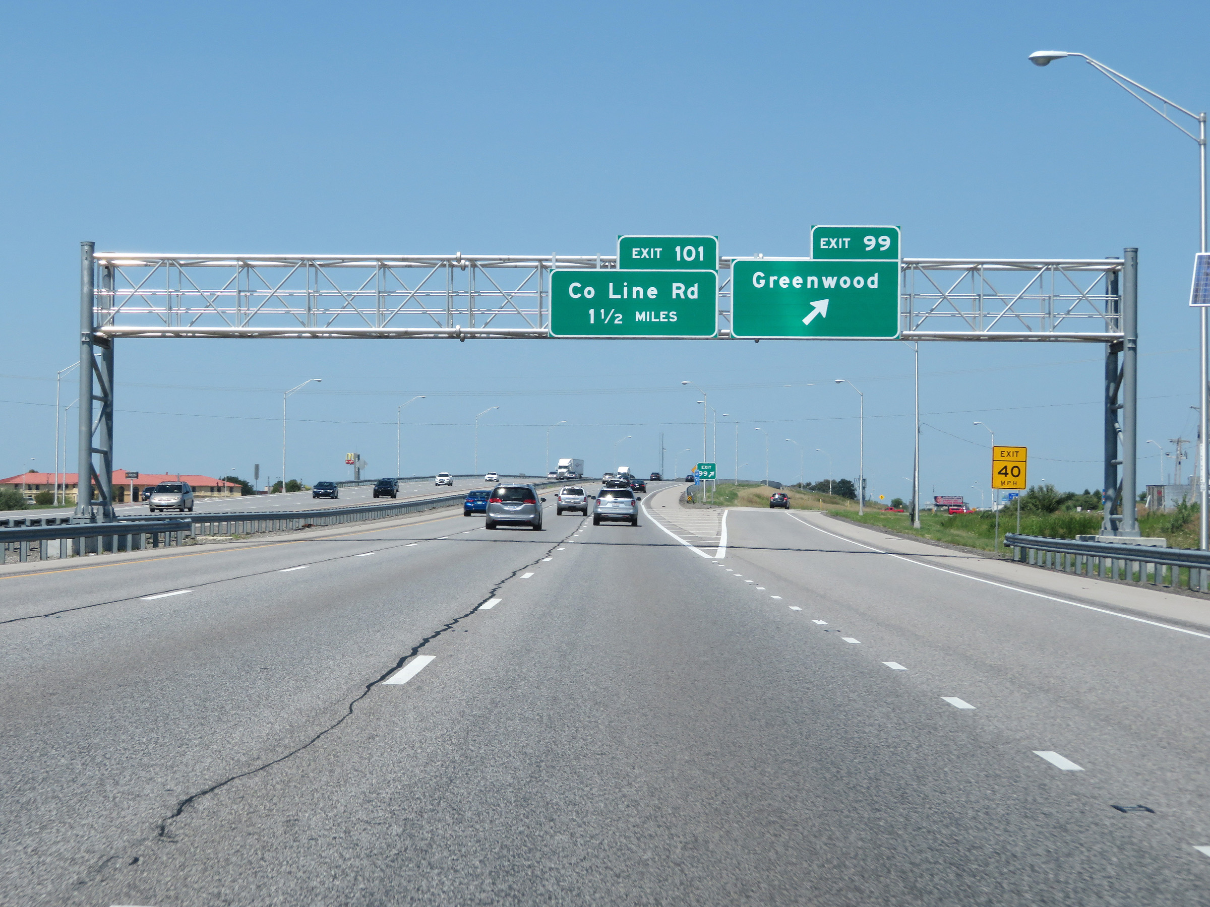 |
Interstate 65 North at Exit 99: Greenwood (Photo taken 8/10/19). |
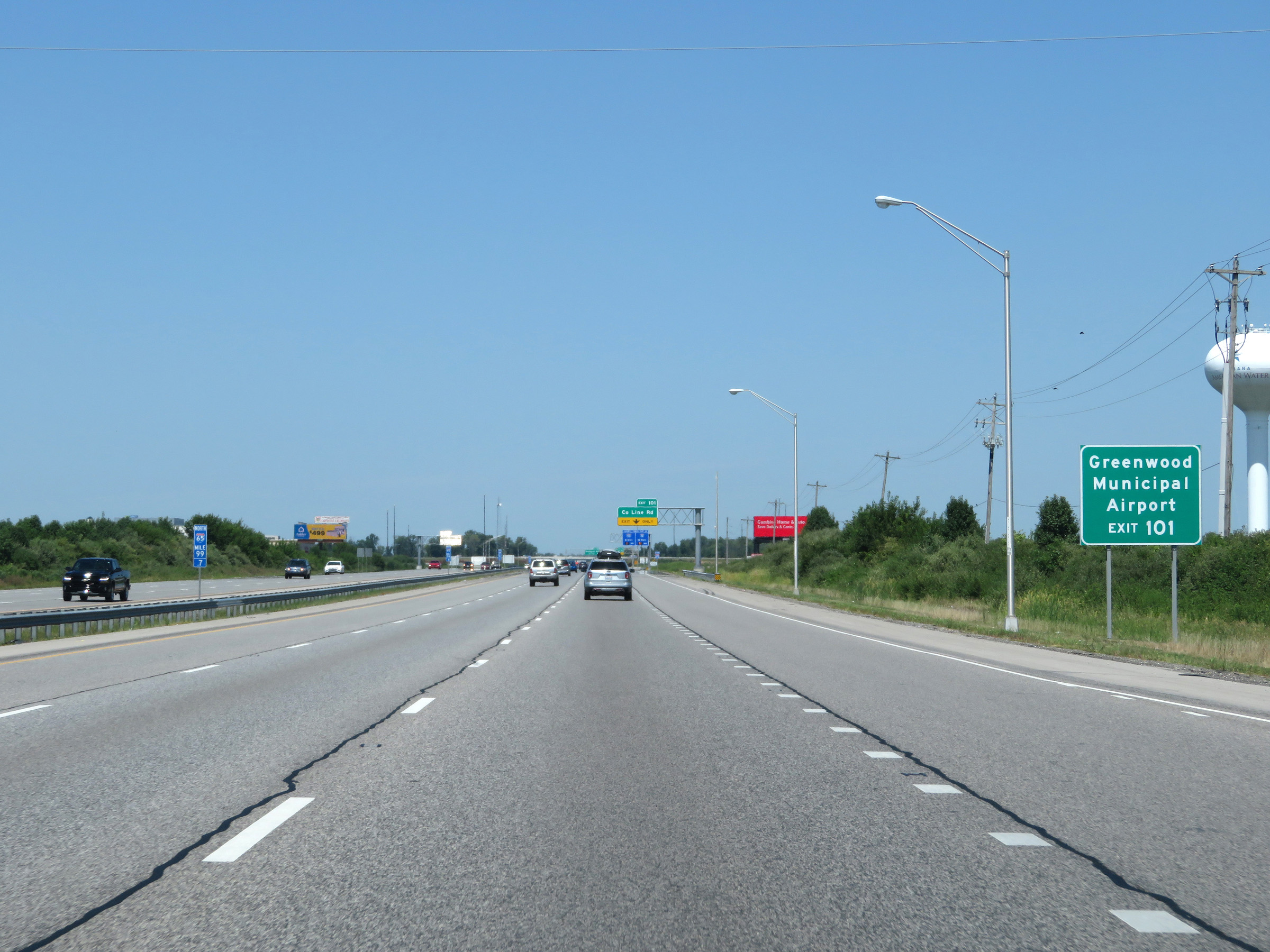 |
Take Exit 101 to Greenwood Municipal Airport. (Photo taken 8/10/19). |
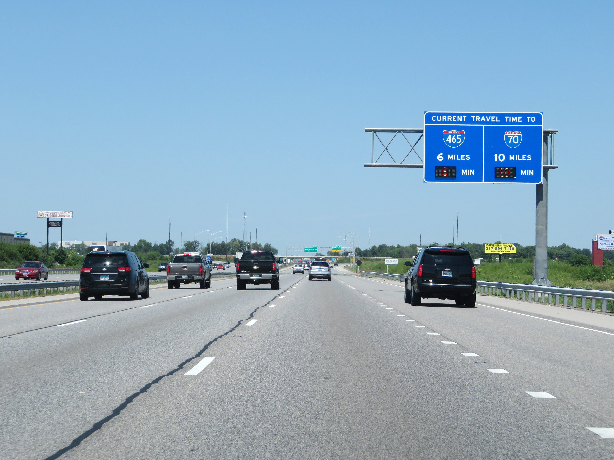 |
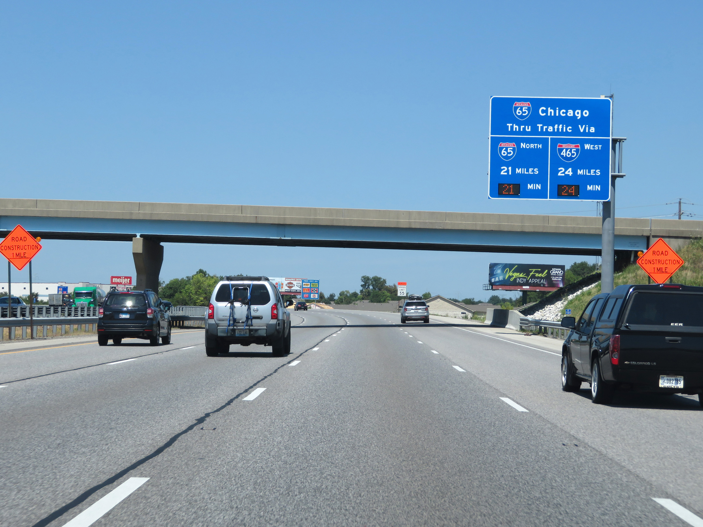
This overhead sign dynamically displayed the currently projected travel times to Interstate 465 and Interstate 70 on Interstate 65 North. (Photo taken 8/10/19). |
 |
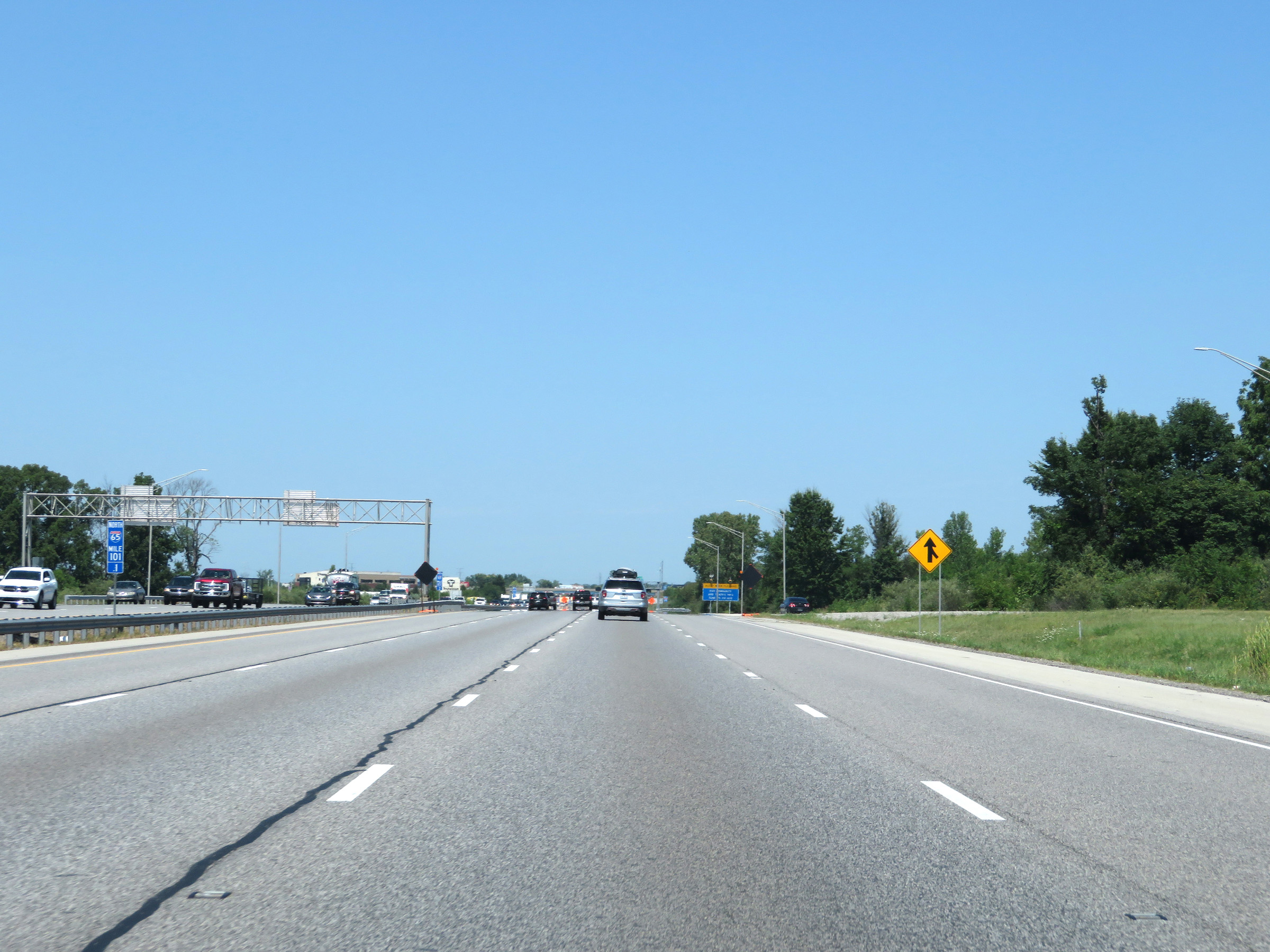
Interstate 65 North at Exit 101: County Line Rd (Photo taken 8/10/19). |
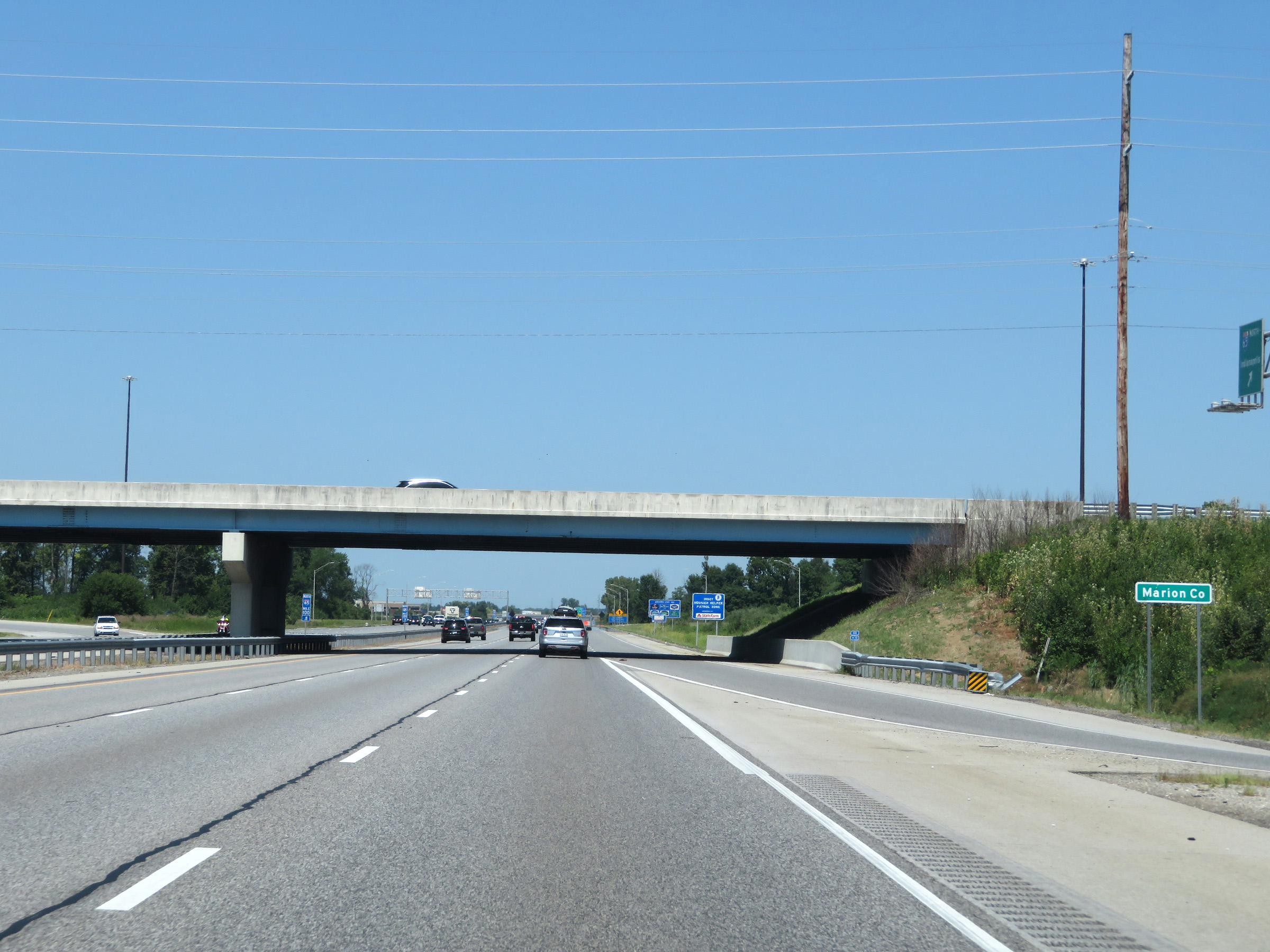 |
Interstate 65 North as it enters Marion County. (Photo taken 8/10/19). |
 |
View on Interstate 65 North at mile marker 101.1. (Photo taken 8/10/19). |
 |
Another dynamically generated overhead travel time sign on Interstate 65 North, displaying the currently projected travel times to Interstate 65 to the north of downtown Indianapolis via I-65 North and Interstate 465 West. (Photo taken 8/10/19). |
 |
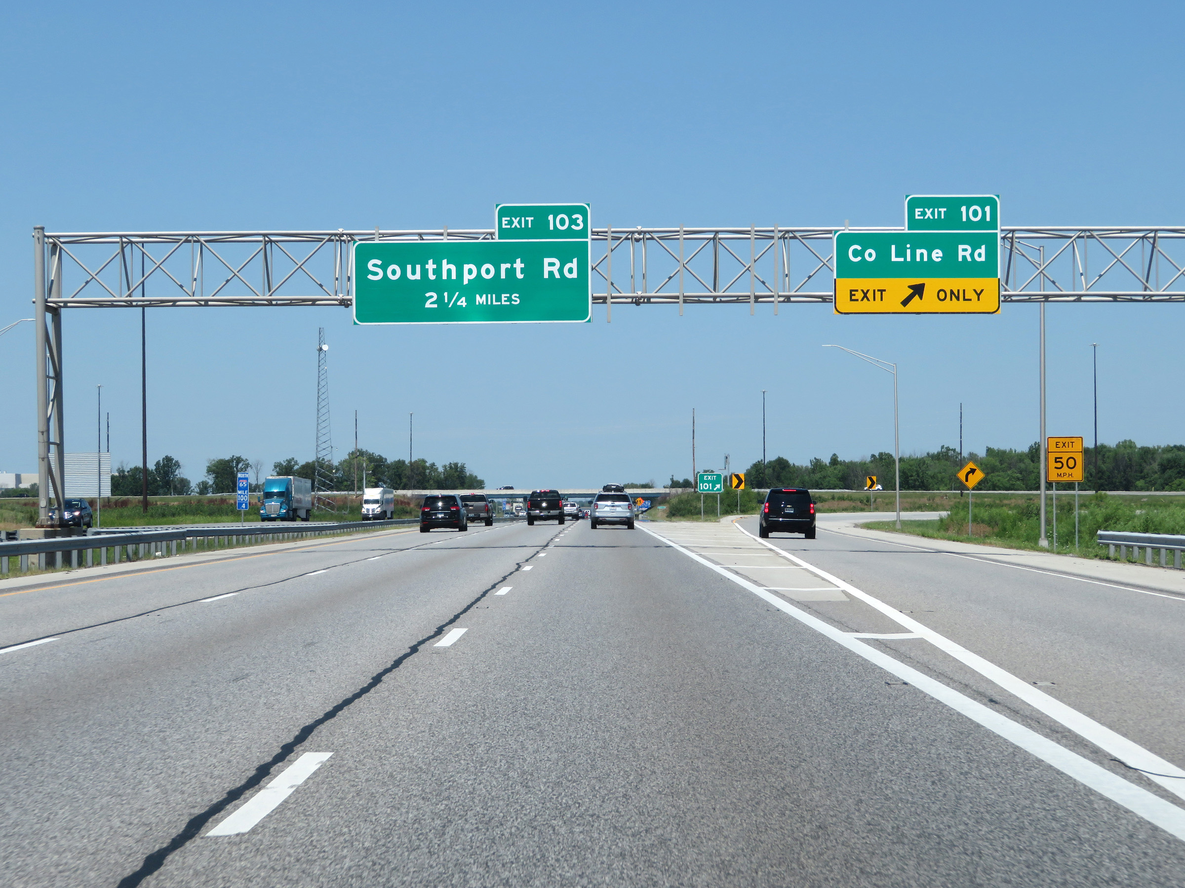
Take Exit 103 to Southport and Homecroft. (Photo taken 8/10/19). |
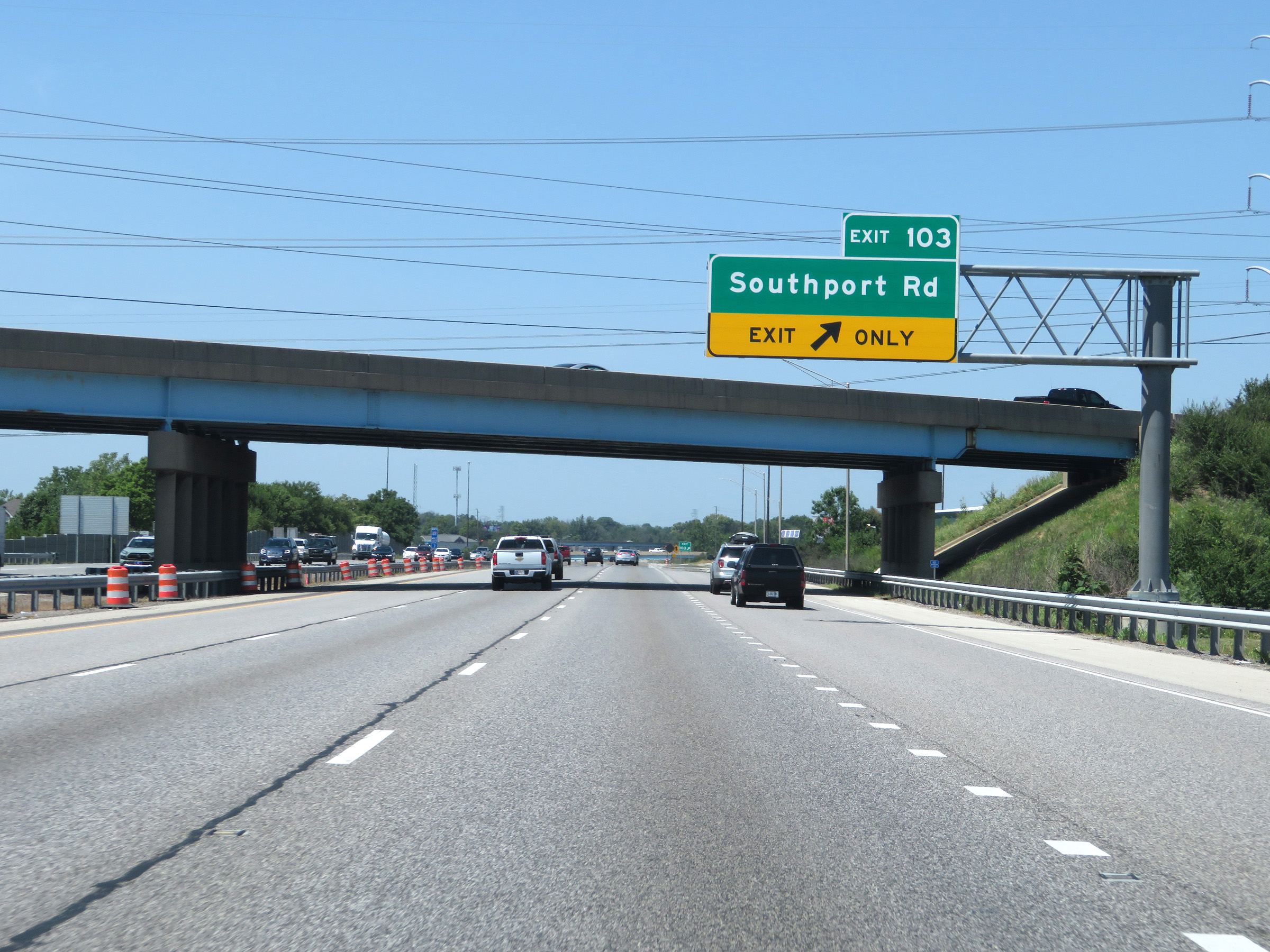 |
Interstate 65 North at Exit 103: Southport Rd (Photo taken 8/10/19). |
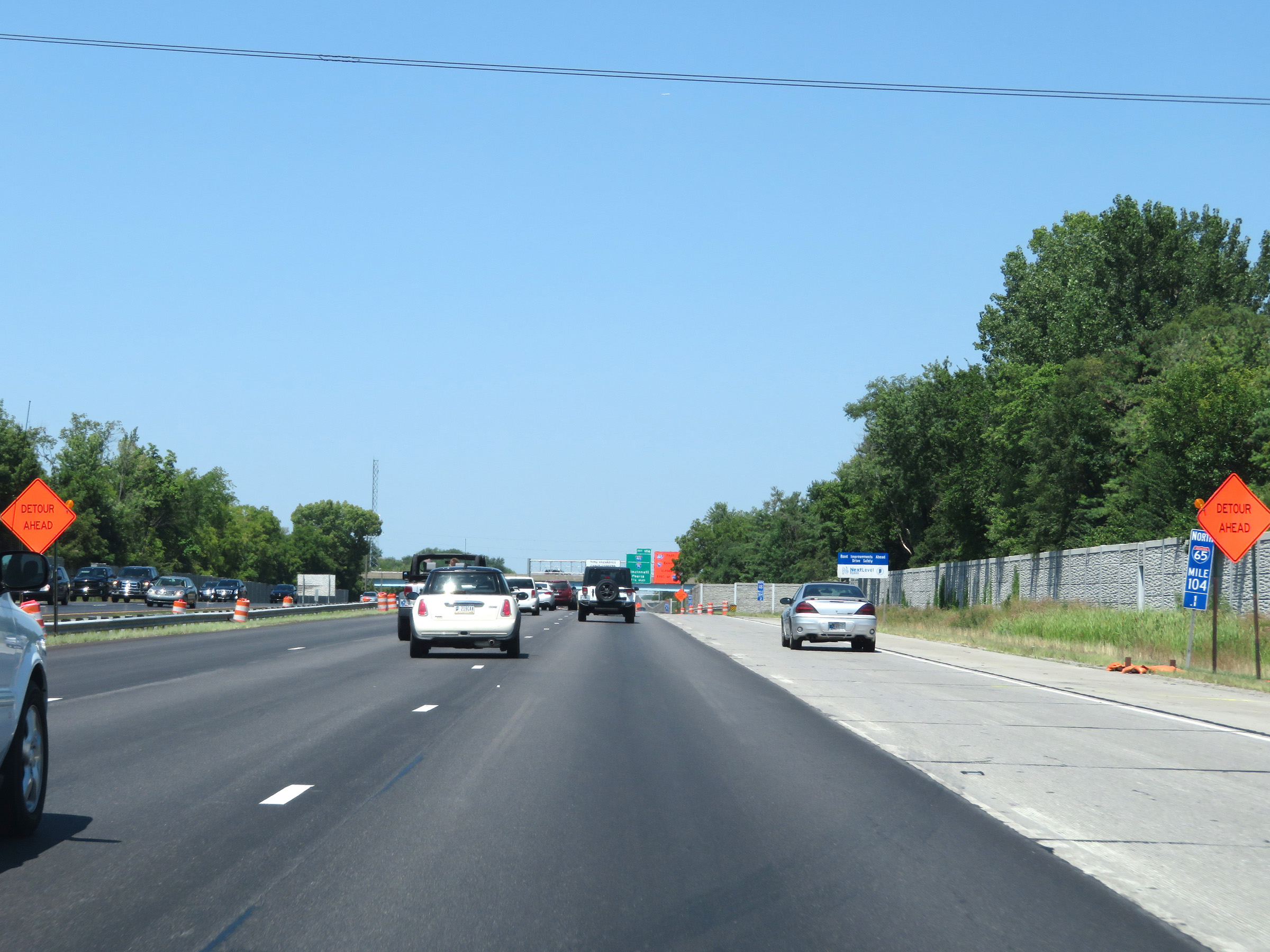 |
Interstate 65 North at mile marker 104.1. (Photo taken 8/10/19). |
 |
Interstate 65 North approaching Exit 106 - 1 1/2 miles. (Photo taken 8/10/19). |
 |
View on Interstate 65 North at mile marker 105. (Photo taken 8/10/19). |
 |
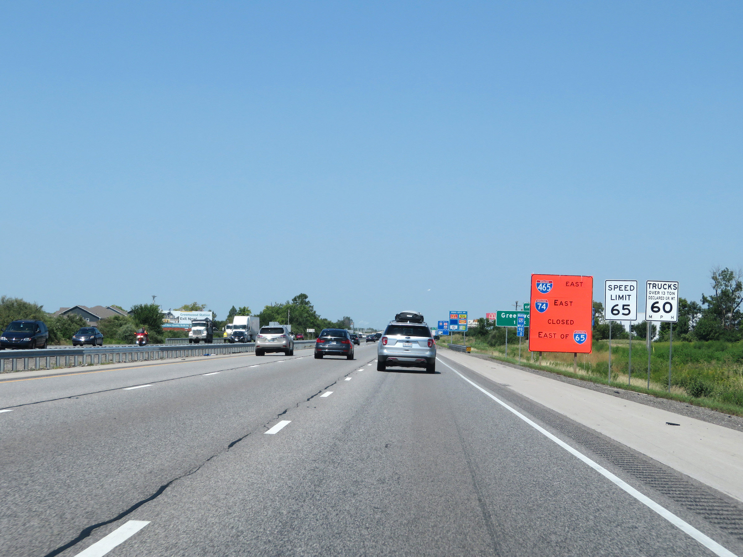
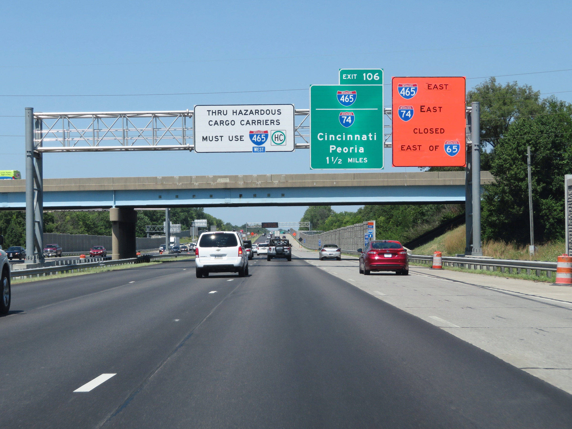
Approaching Exit 106 and the junction of Interstate 465 / Interstate 74, the speed limit on Interstate 65 North decreases to 55 mph for all traffic. (Photo taken 8/10/19). |
 |
Interstate 65 North at Exit 106: Interstate 465 East / Interstate 74 East - Cincinnati (Photo taken 5/15/18). |
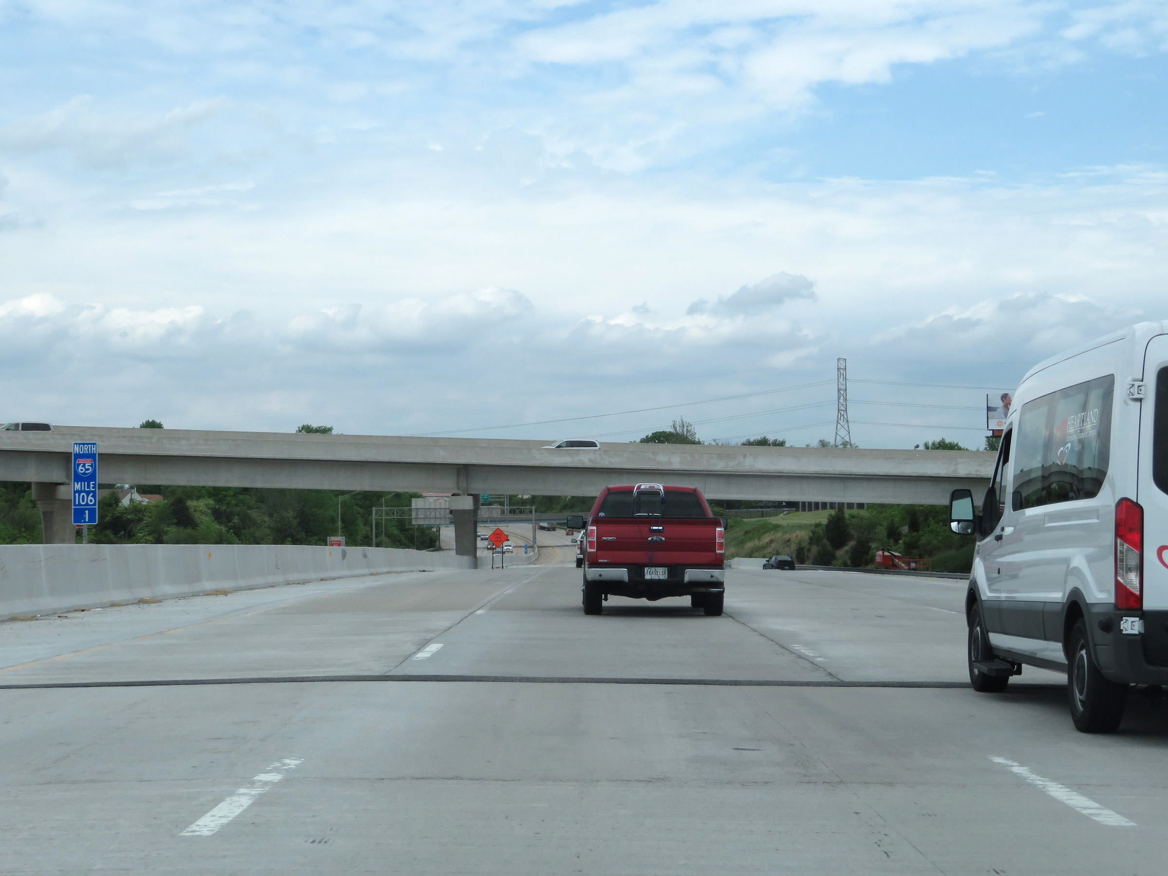 |
View on Interstate 65 North at mile marker 106.1, as it passes over Interstate 465 / Interstate 74 to the south of downtown Indianapolis. (Photo taken 5/15/18). |
 |
Take Exit 107 to the University of Indianapolis. (Photo taken 5/15/18). |
 |
View on Interstate 65 North at mile marker 106.8. (Photo taken 8/10/19). |
 |
Interstate 65 North at Exit 107: Keystone Ave (Photo taken 5/15/18). |
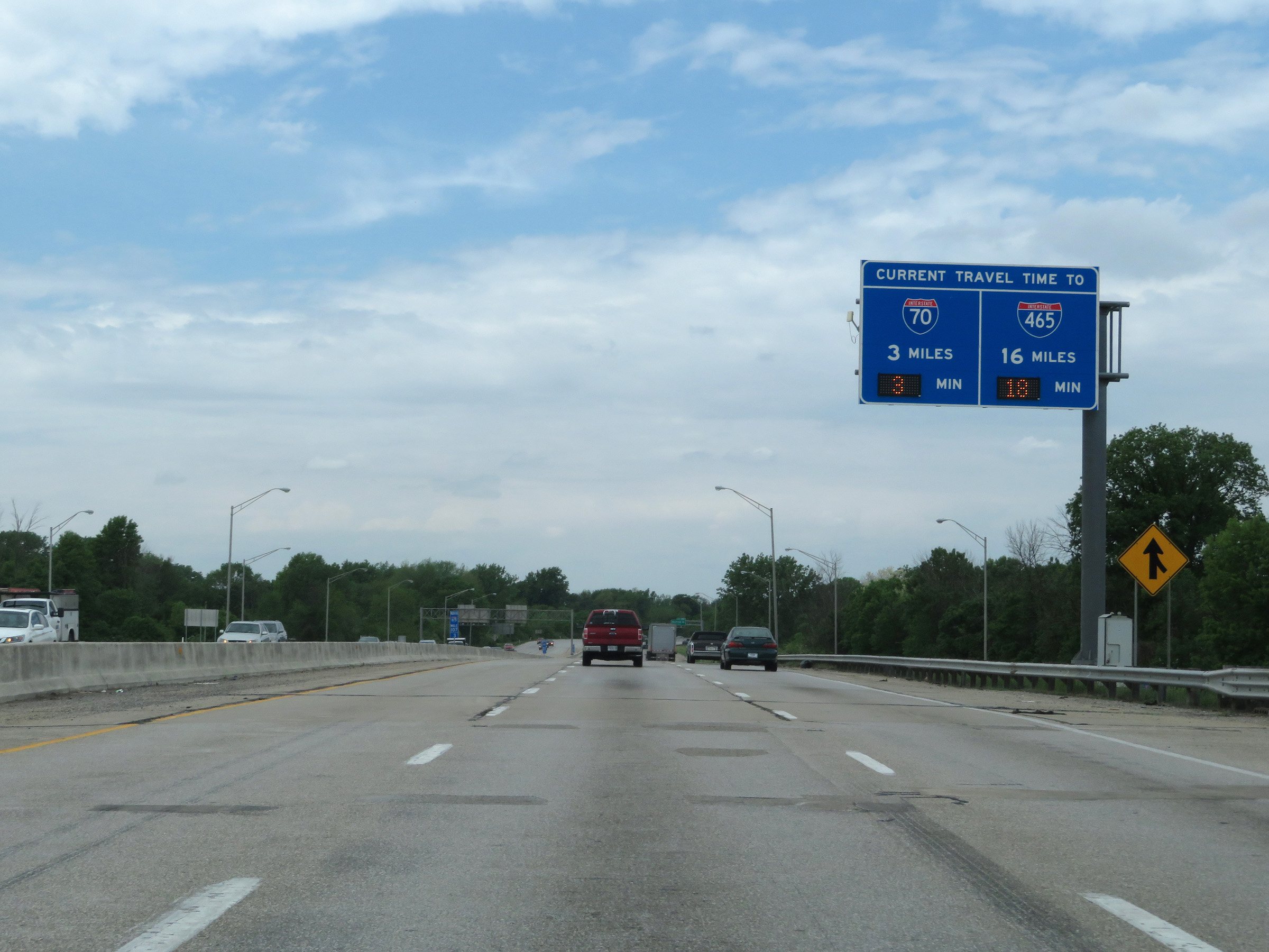 |
Another overhead dynamically generated digital sign displaying the current travel times to the junctions of Interstate 70 and Interstate 465 from this point on Interstate 65 North. (Photo taken 5/15/18). |
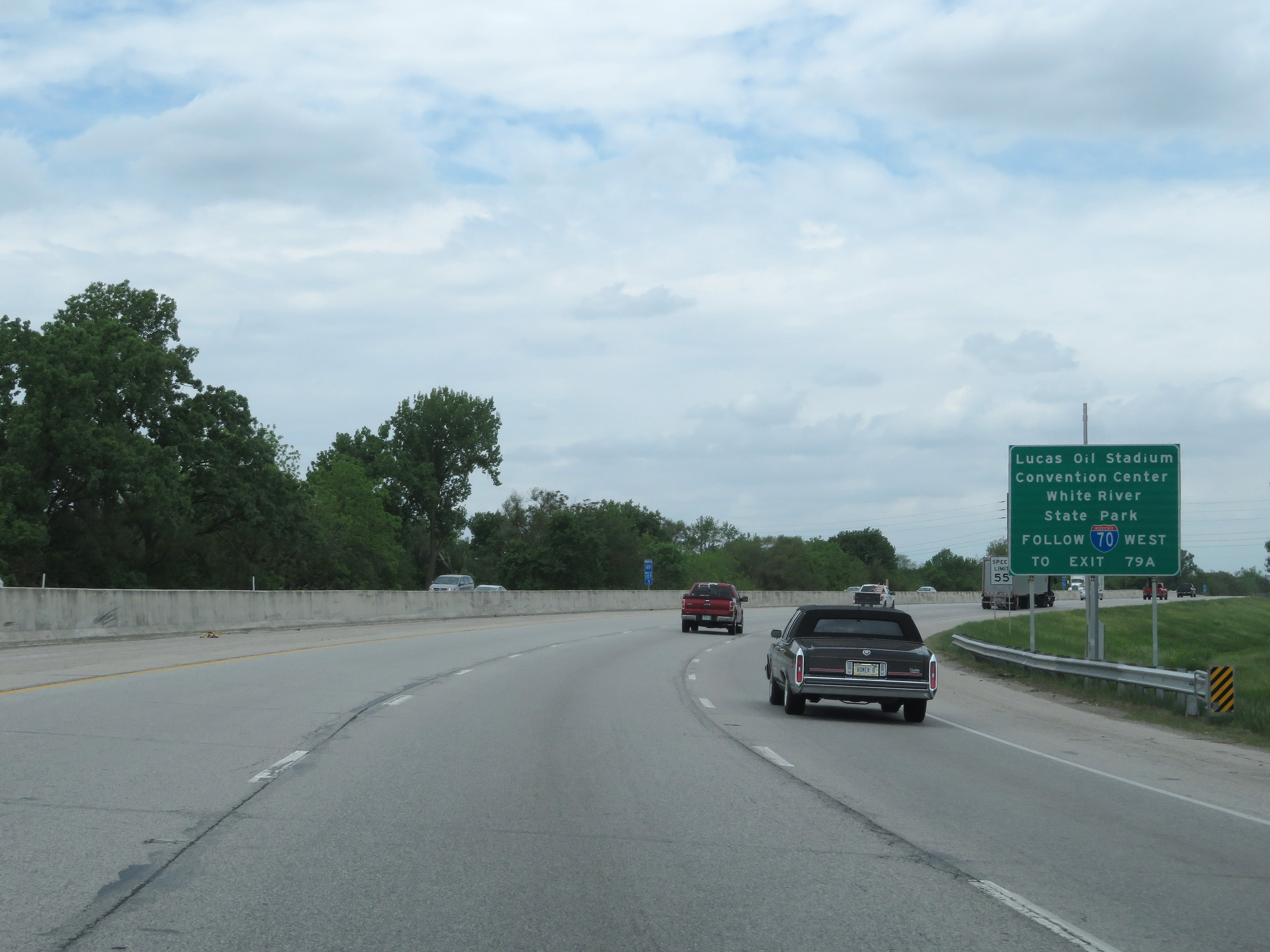 |
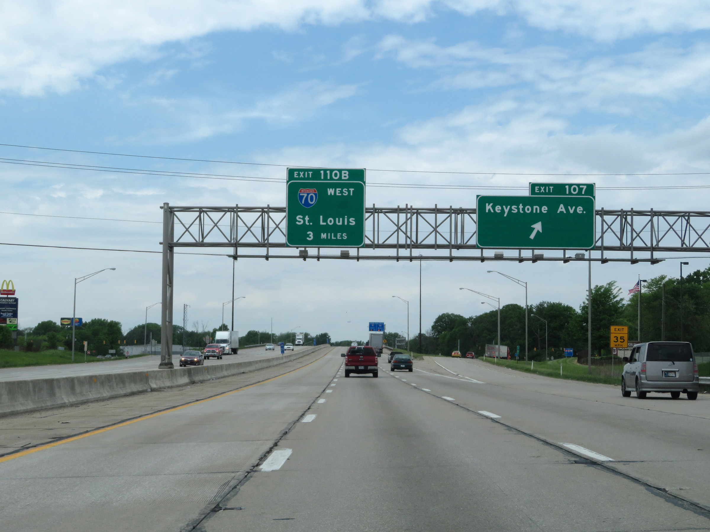
Traffic to Lucas Oil Stadium, the Convention Center, and White River State Park should follow Interstate 70 West via Exit 110B, which will be on the left ahead. (Photo taken 5/15/18). |
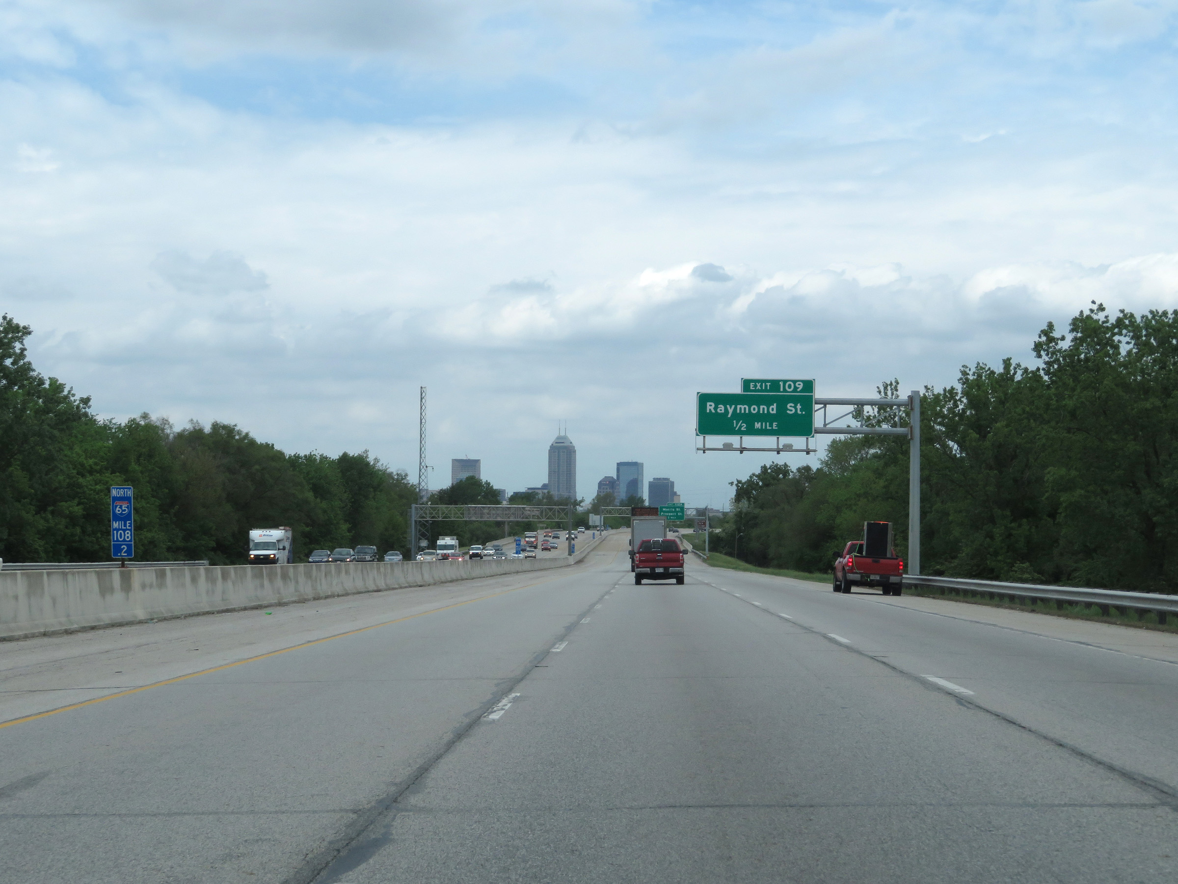 |
Downtown Indianapolis comes into view at mile marker 108.2 on Interstate 65 North. (Photo taken 5/15/18). |
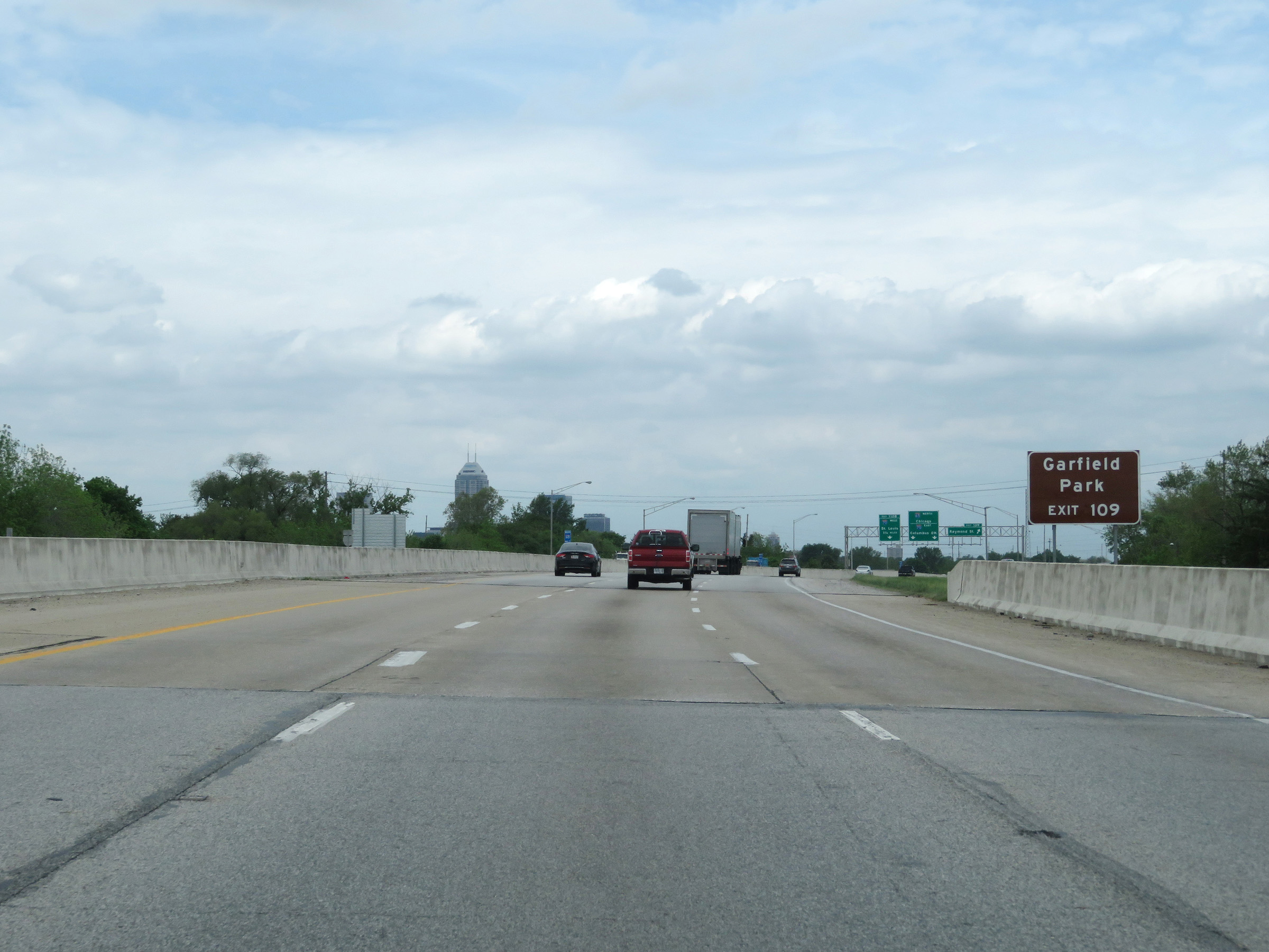 |
Take Exit 109 to Garfield Park. (Photo taken 5/15/18). |
 |
Interstate 65 North at Exit 109: Raymond St (Photo taken 5/15/18). |
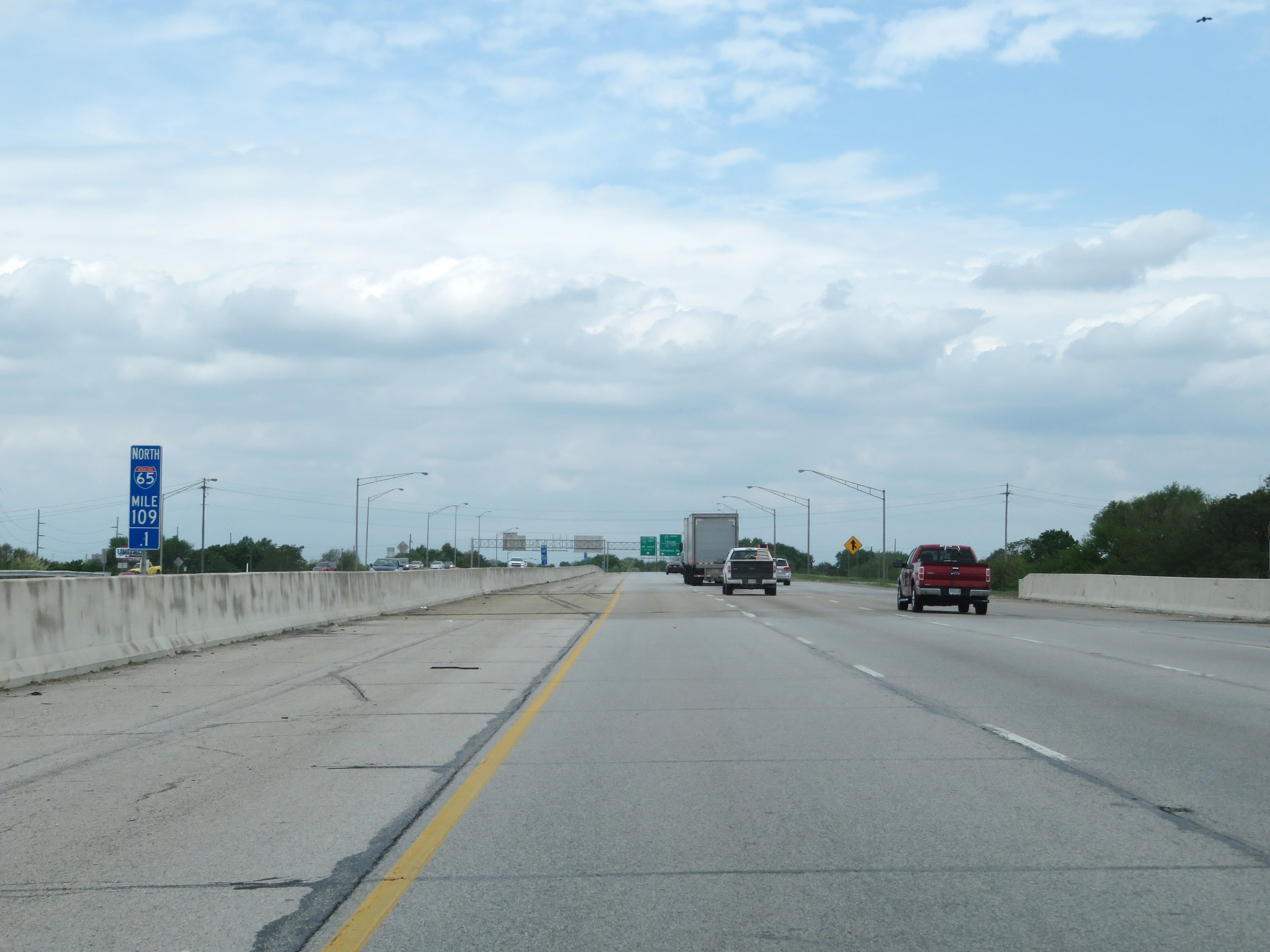 |
View on Interstate 65 North at mile marker 109.1. (Photo taken 5/15/18). |
 |
Interstate 65 North approaching Exit 110B - 1/2 mile on the left. (Photo taken 5/15/18). |
 |
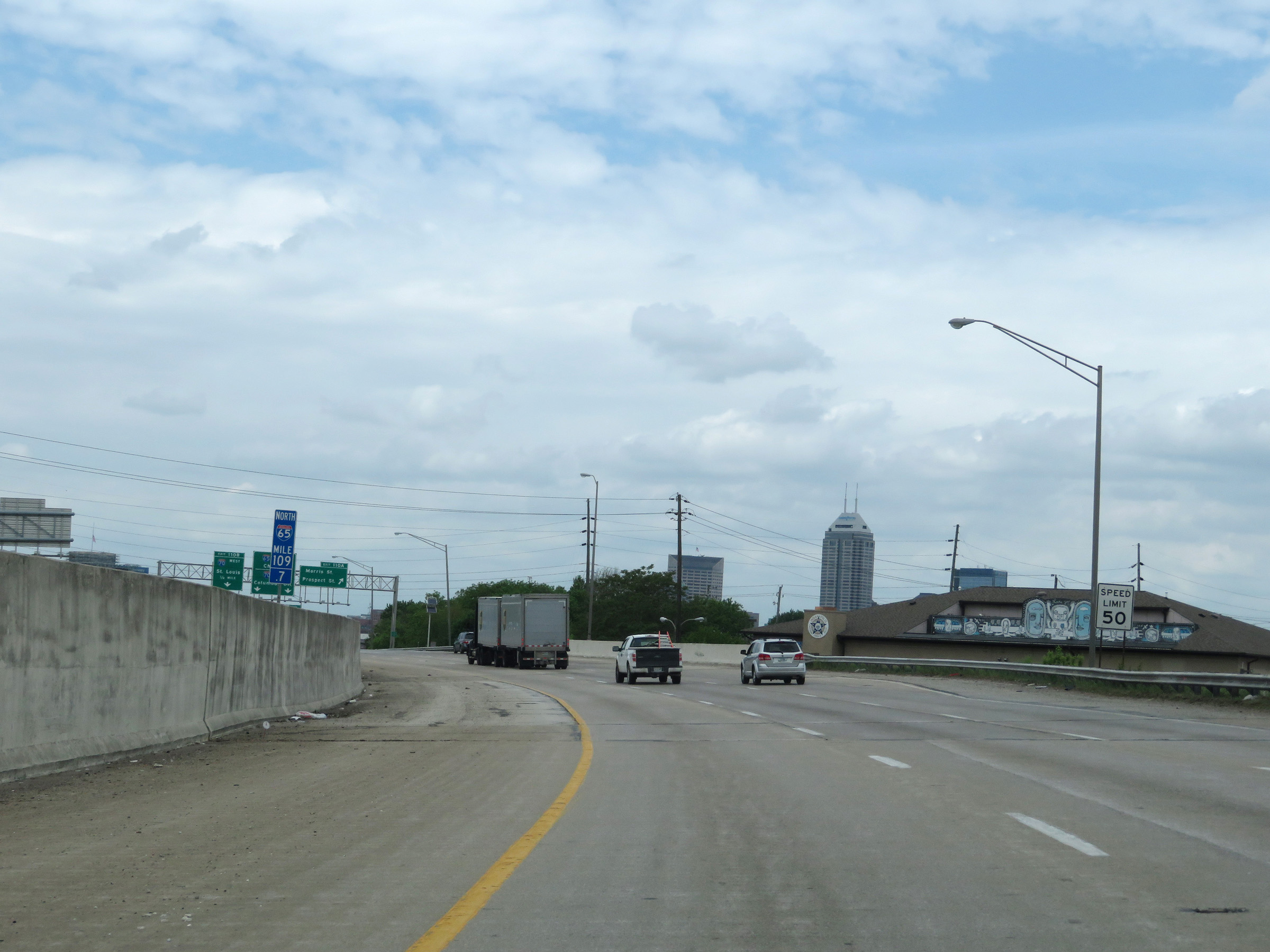
Interstate 65 North at mile marker 109.6, nearing downtown Indianapolis. (Photo taken 5/15/18). |
 |
At mile marker 109.7, the speed limit decreases to 50 mph for all traffic as Interstate 65 North enters downtown Indianapolis. (Photo taken 5/15/18). |
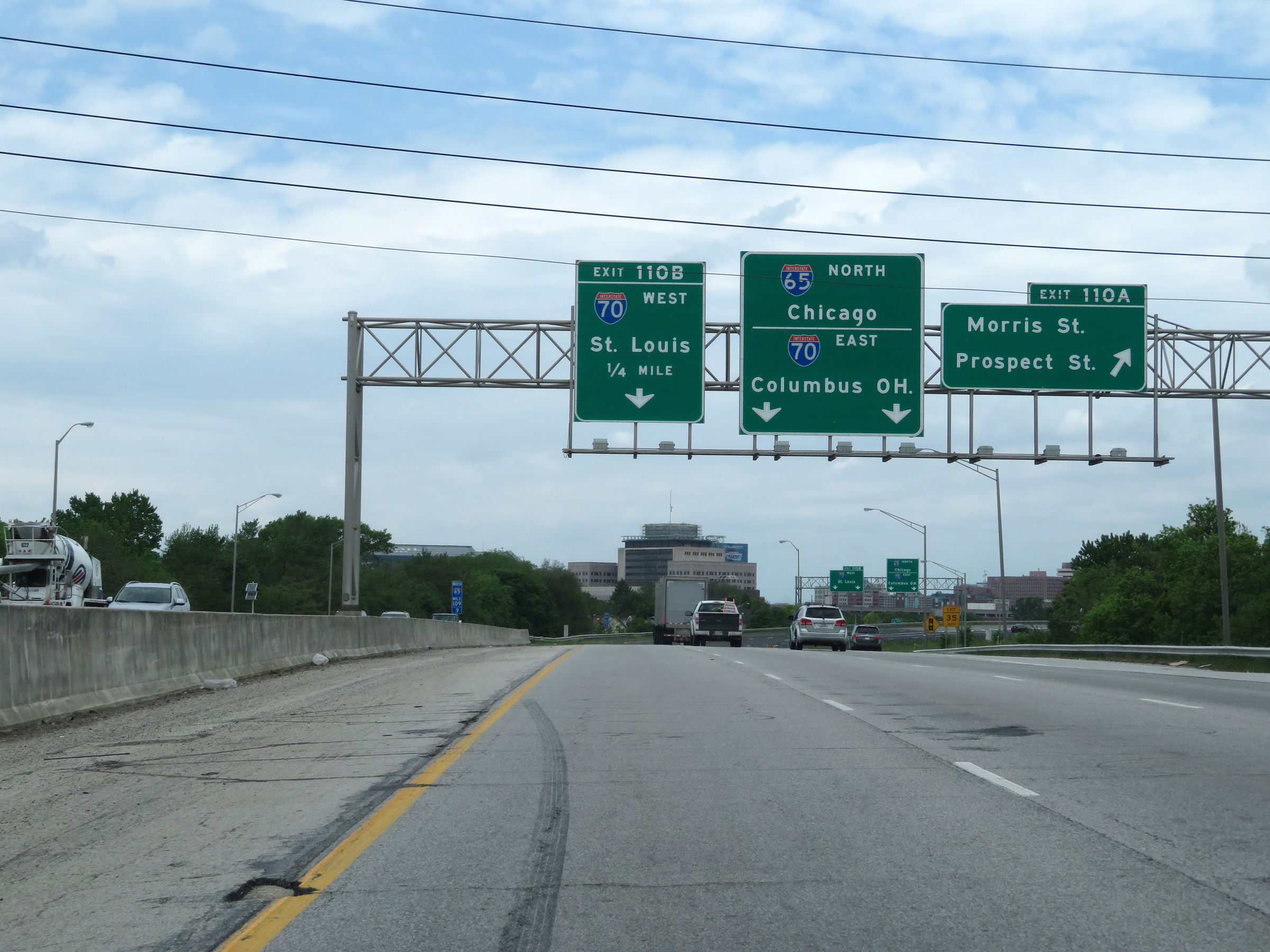 |
Interstate 65 North at Exit 110A: Morris St / Prospect St (Photo taken 5/15/18). |
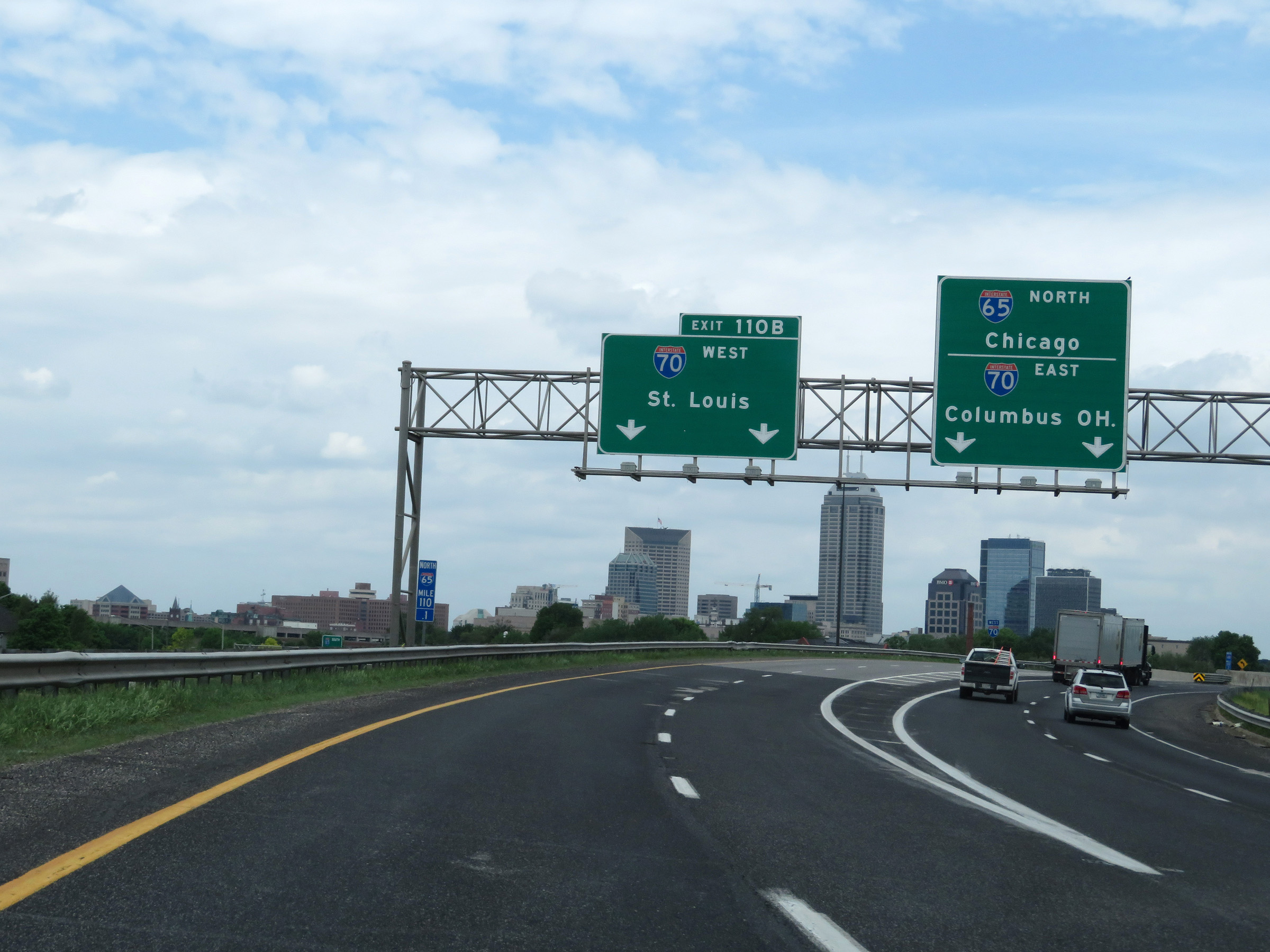 |
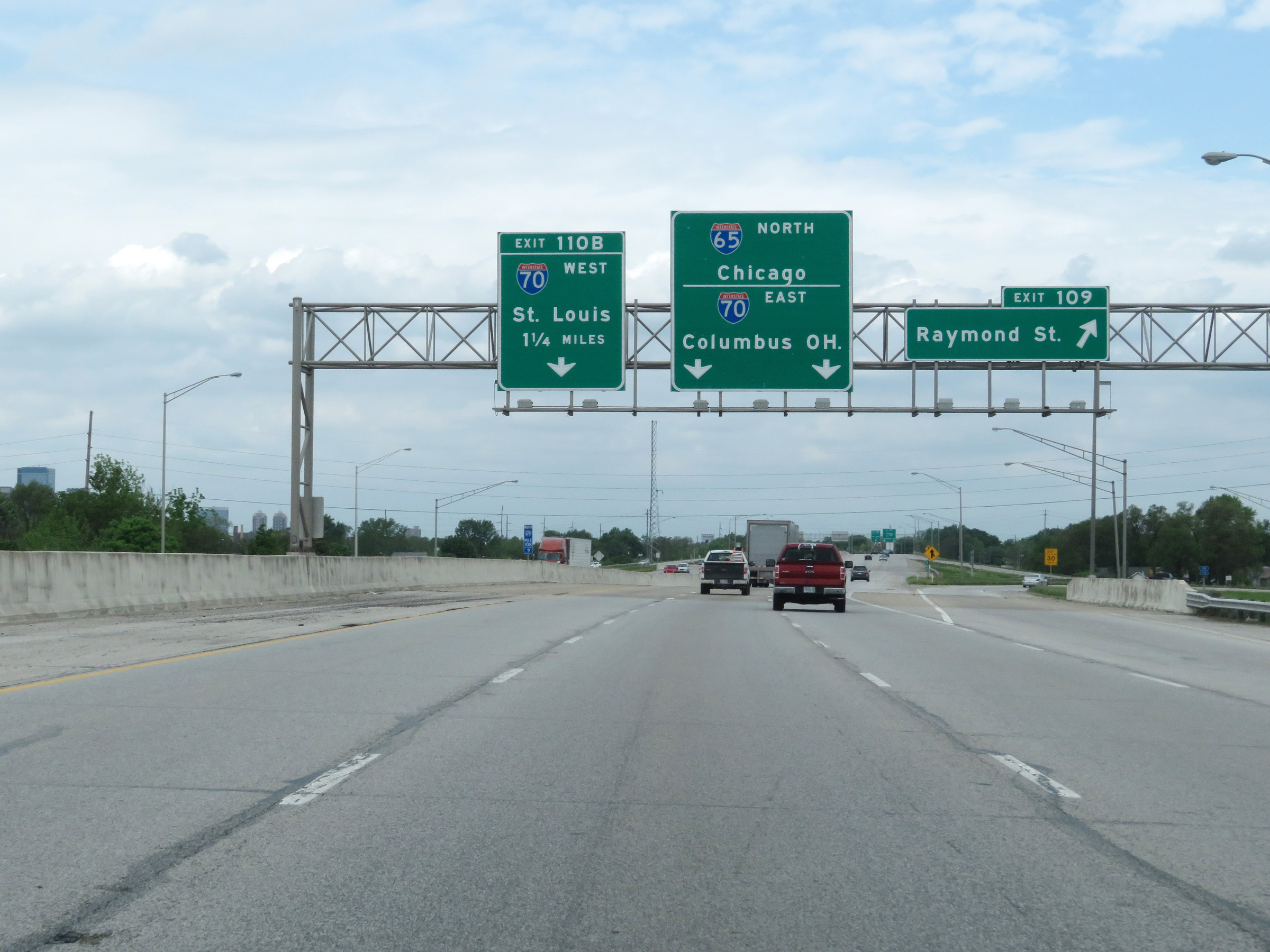
Interstate 65 North at Exit 110B: Interstate 70 West - St. Louis. Ahead, the eastbound traffic of I-70 East will merge with I-65 North to pass through downtown Indianapolis together. (Photo taken 5/15/18). |
Section 3: Gary (Exit 259B) to Northern Terminus
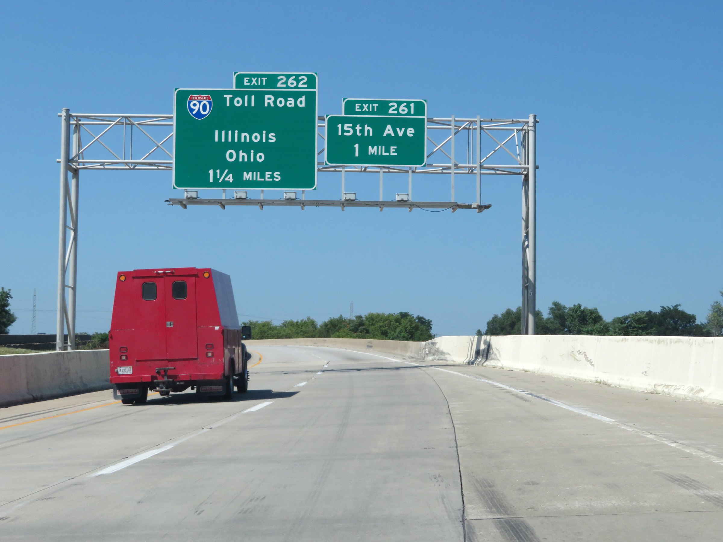 |
Interstate 65 North approaching Exit 262 - 1 1/4 miles. (Photo taken 7/18/17). |
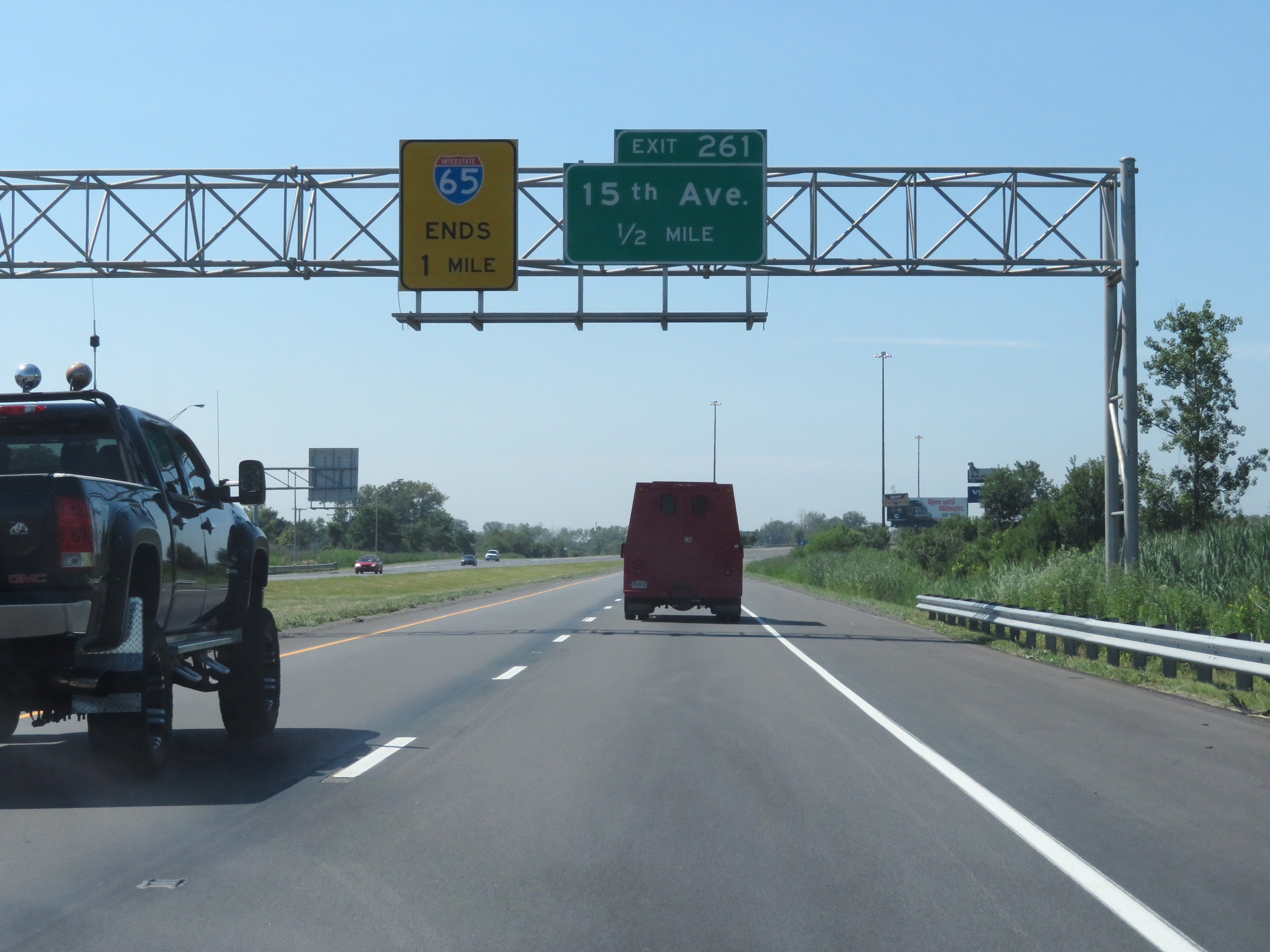 |
This overhead signage shows that Interstate 65 North reaches its northern terminus 1 mile ahead. (Photo taken 7/18/17). |
 |
View on Interstate 65 North at mile marker 261. (Photo taken 7/18/17). |
 |
As Interstate 65 North approaches its northern terminus in Gary, the speed limit is 50 mph for all traffic. (Photo taken 7/18/17). |
 |
Interstate 65 North at Exit 261: 15th Ave (Photo taken 7/18/17). |
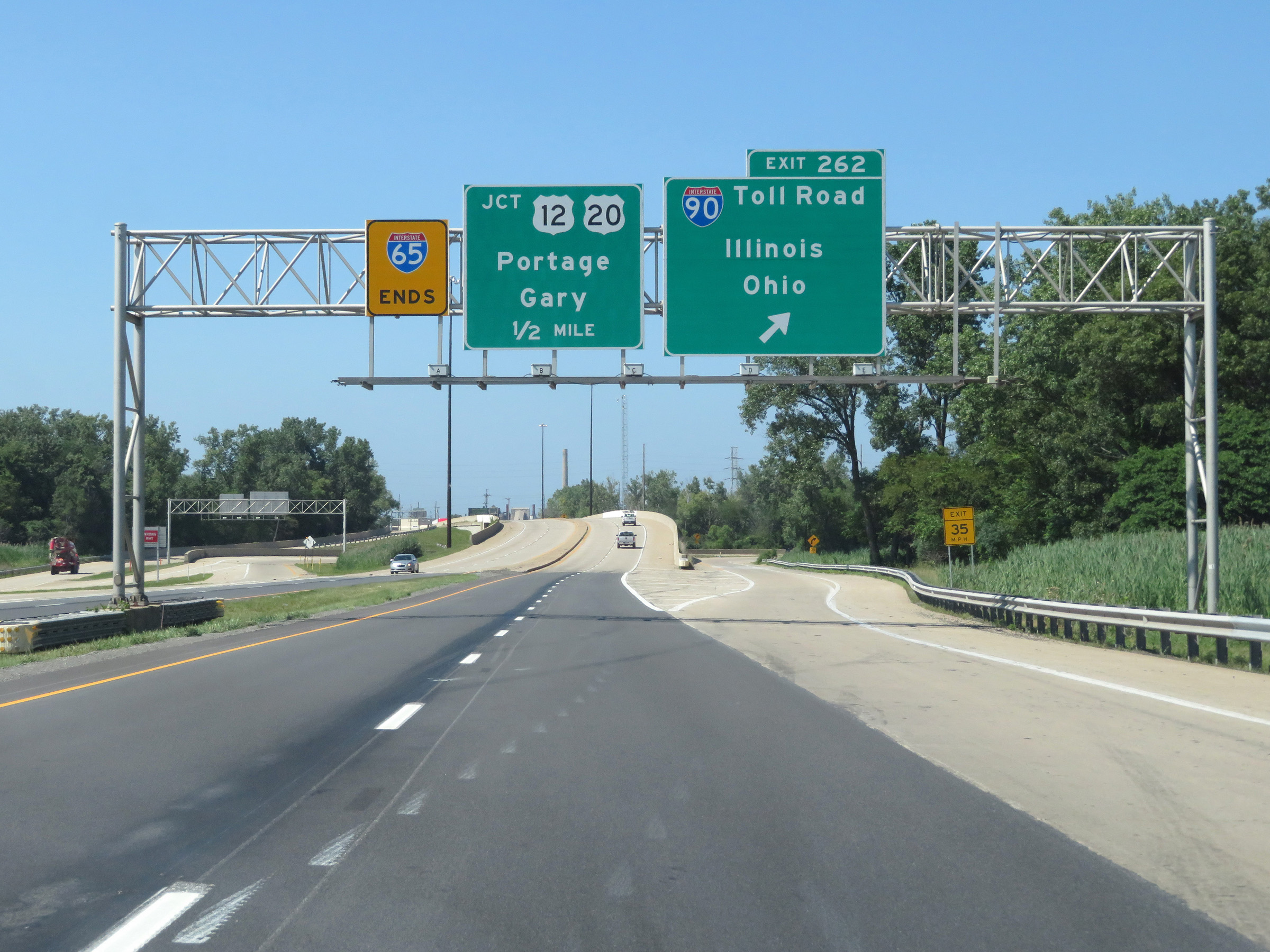 |
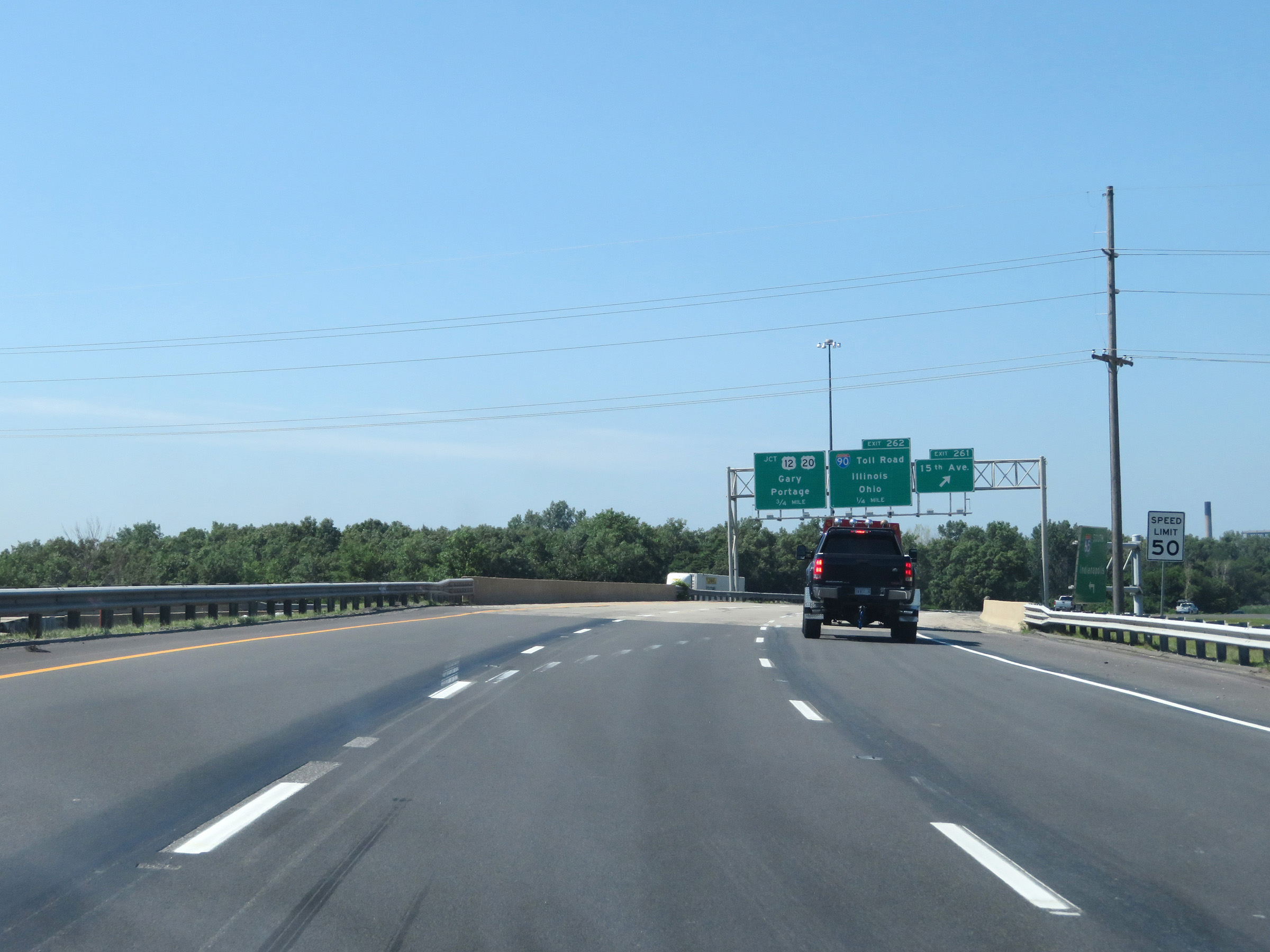
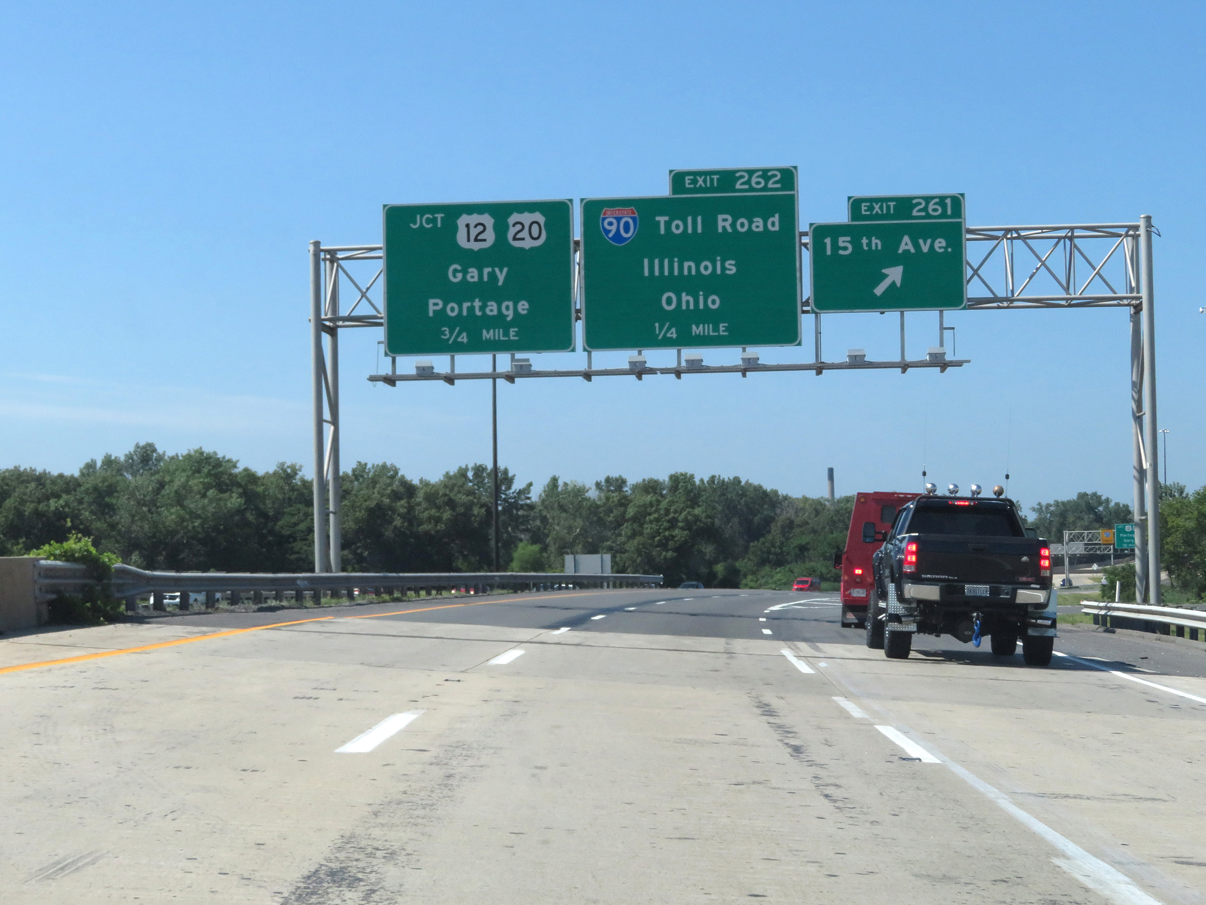
Interstate 65 North at Exit 262: Interstate 90 (Indiana Toll Road) - Illinois / Ohio (Photo taken 7/18/17). |
 |
As this warning sign shows, the two northbound lanes of Interstate 65 will lead to its northern terminus at a traffic signal ahead, which is at the junction of US 12 / US 20. (Photo taken 7/18/17). |
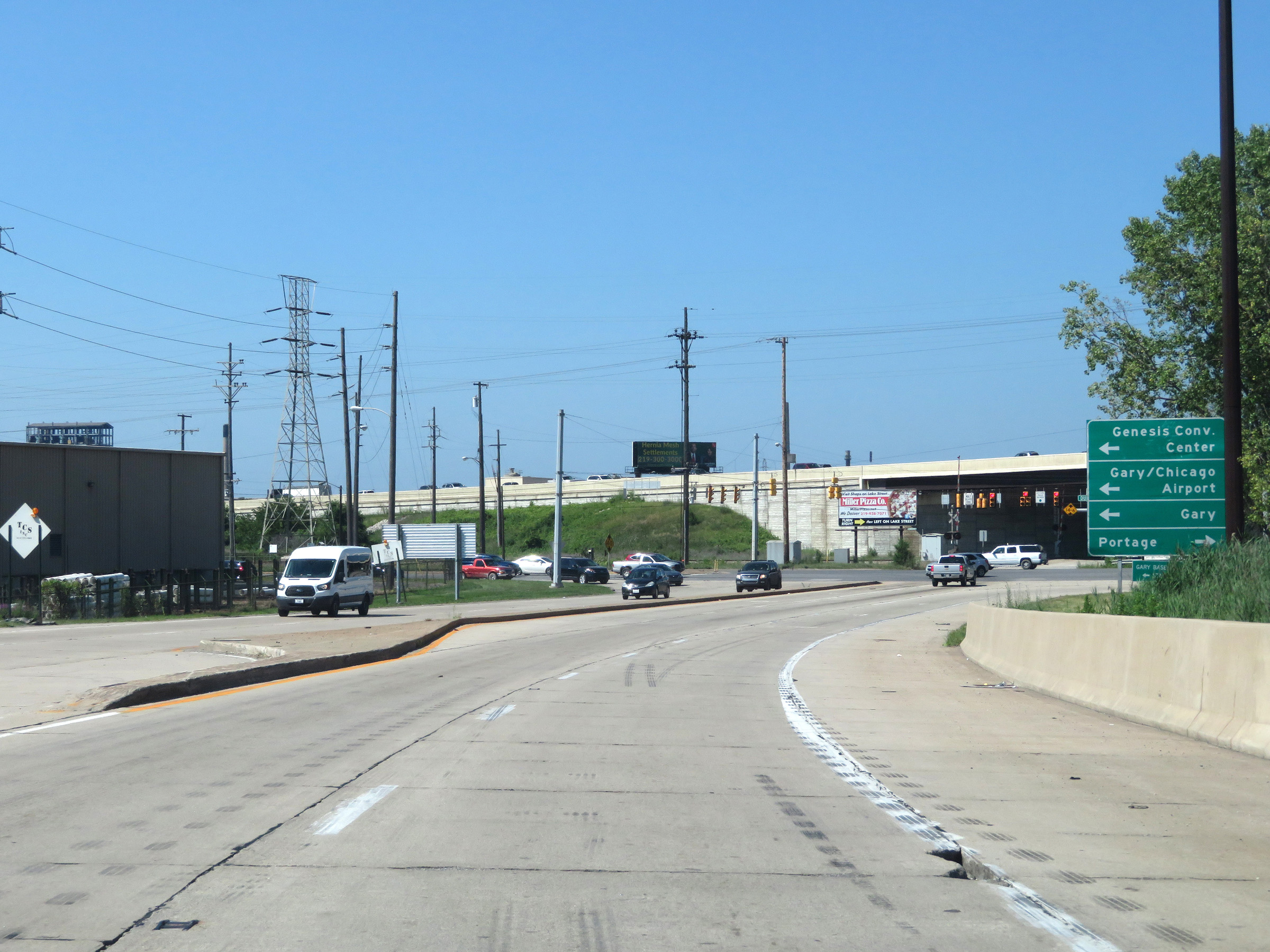 |
At the northern terminus of Interstate 65 in Gary, this signage directs traffic to westbound and eastbound destinations on US 12 / US 20. (Photo taken 7/18/17). |
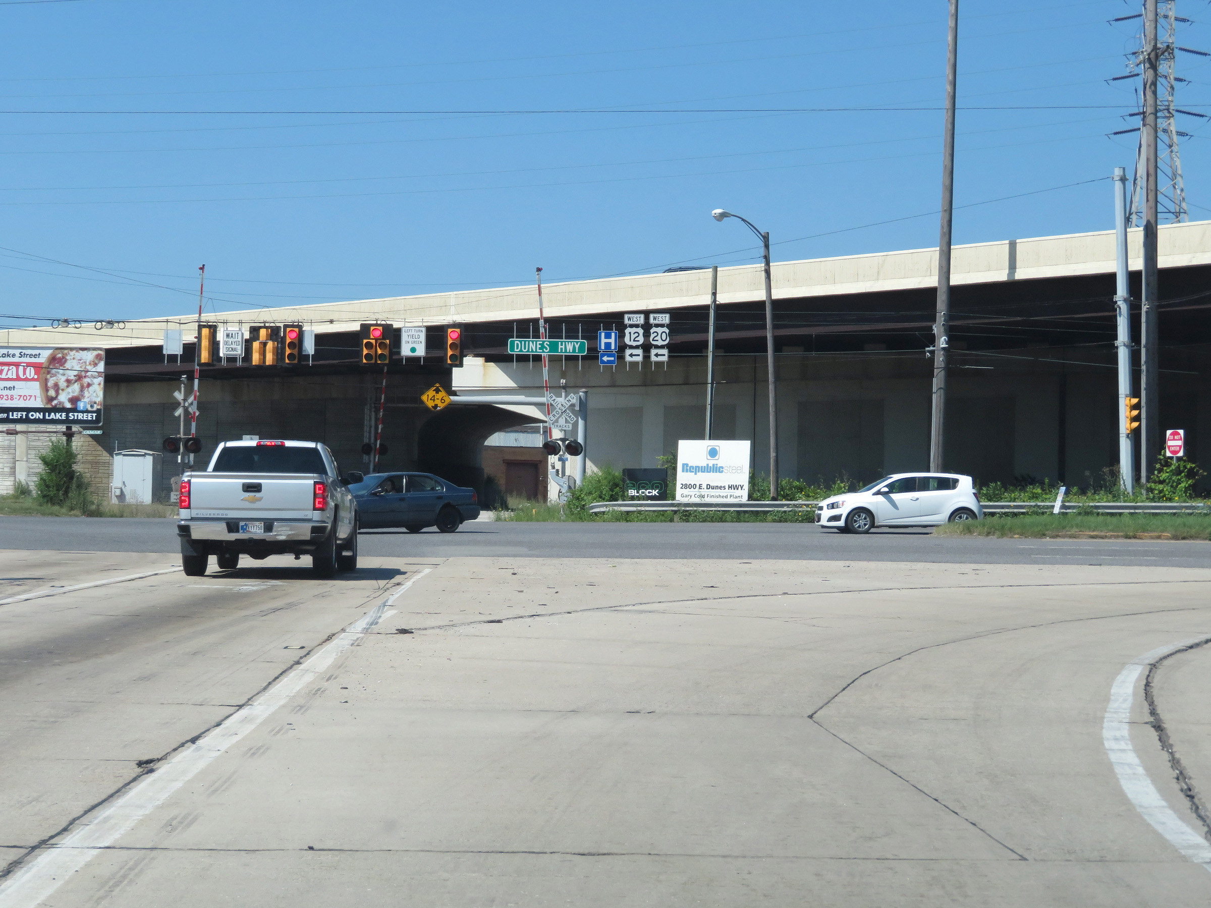 |
Interstate 65 reaches its national northern terminus here, at the junction of US 12 / US 20 in Gary. (Photo taken 7/18/17). |