Road Information |
||
 |
||
| Total Mileage in State: | 53 miles | |
| Beginning/End: | At I-65, Indianapolis | |
| Mileage covered in Photos: | 53 miles | |
| Counties covered in Photos: | Marion, Hamilton, Boone | |
| Major Junctions in Photos: | I-65, in Indianapolis I-74, in Indianapolis I-70, in Indianapolis I-69, in Indianapolis I-865, in Indianapolis I-65, in Indianapolis I-74, in Speedway I-70, in Indianapolis |
|
| Control Cities in Photos: | Indianapolis, Carmel, Zionsville | |
Outer Loop
- Section 1: Mile Marker 0 to Exit 23
- Section 2: Exit 23 to Mile Marker 0
Section 1: Mile Marker 0 to Exit 23
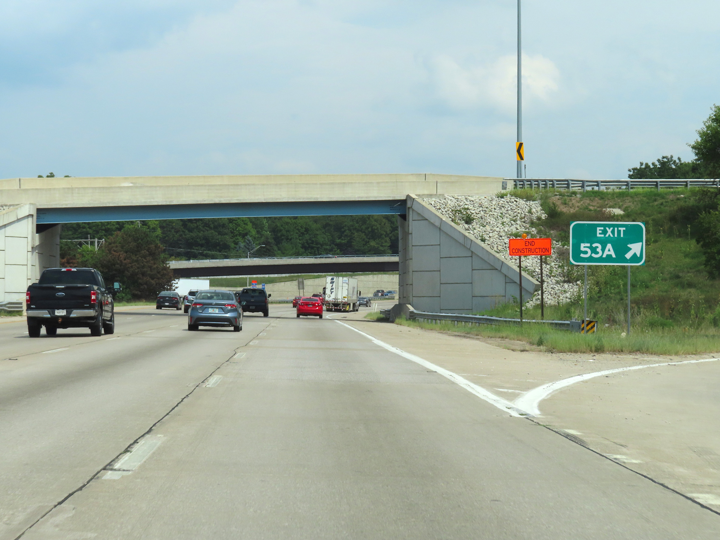 |
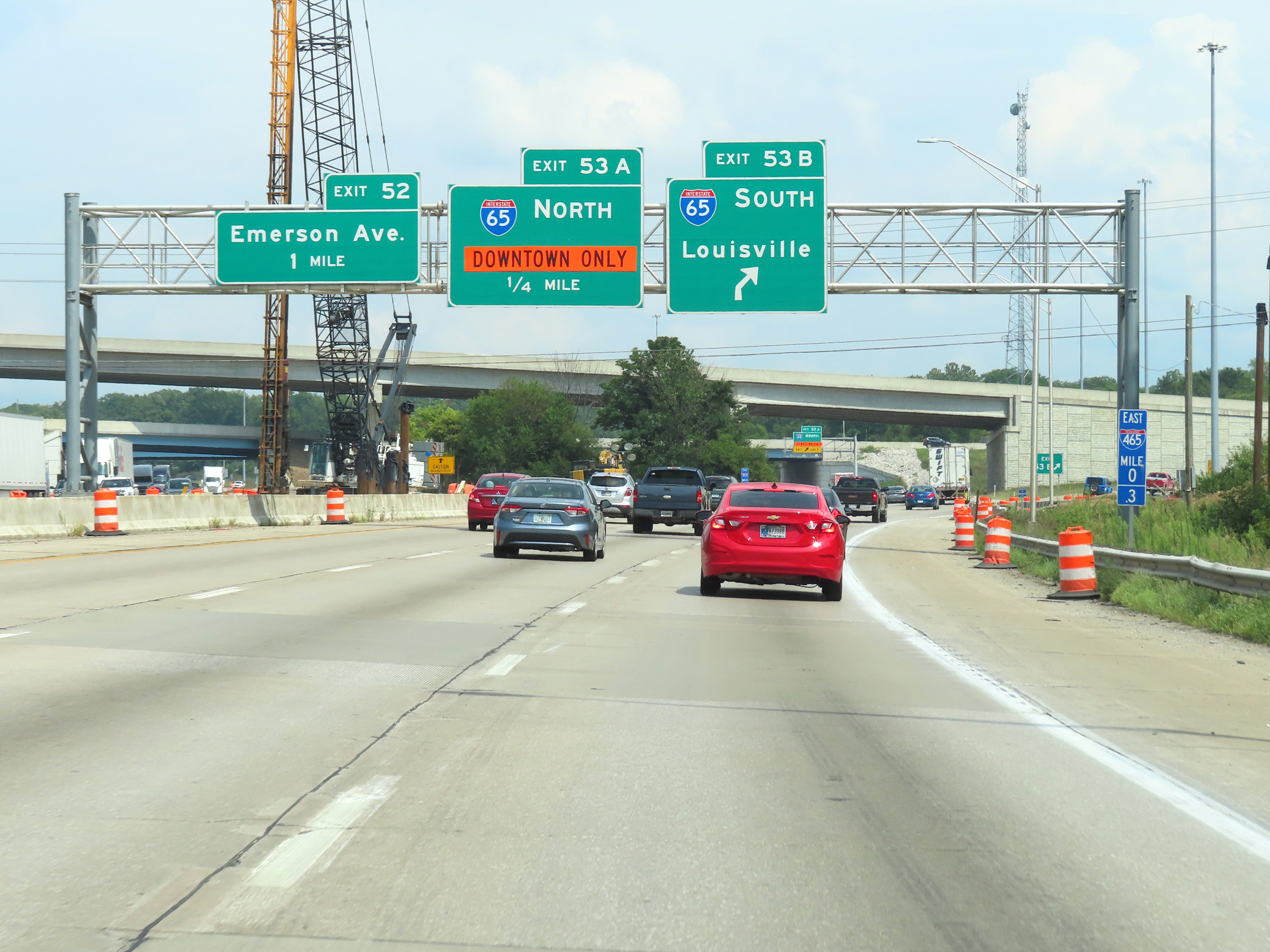
Interstate 465 Outer Loop (East) / Interstate 74 East at the ramp for Exit 53A, which leads to Interstate 65 North at the south side of the Indianapolis area. It is at this point which the mileage and exit numbers of the I-465 loop reset from 0 to 53, marking its beginning or end, depending how you look at it. (Photo taken 8/20/22). |
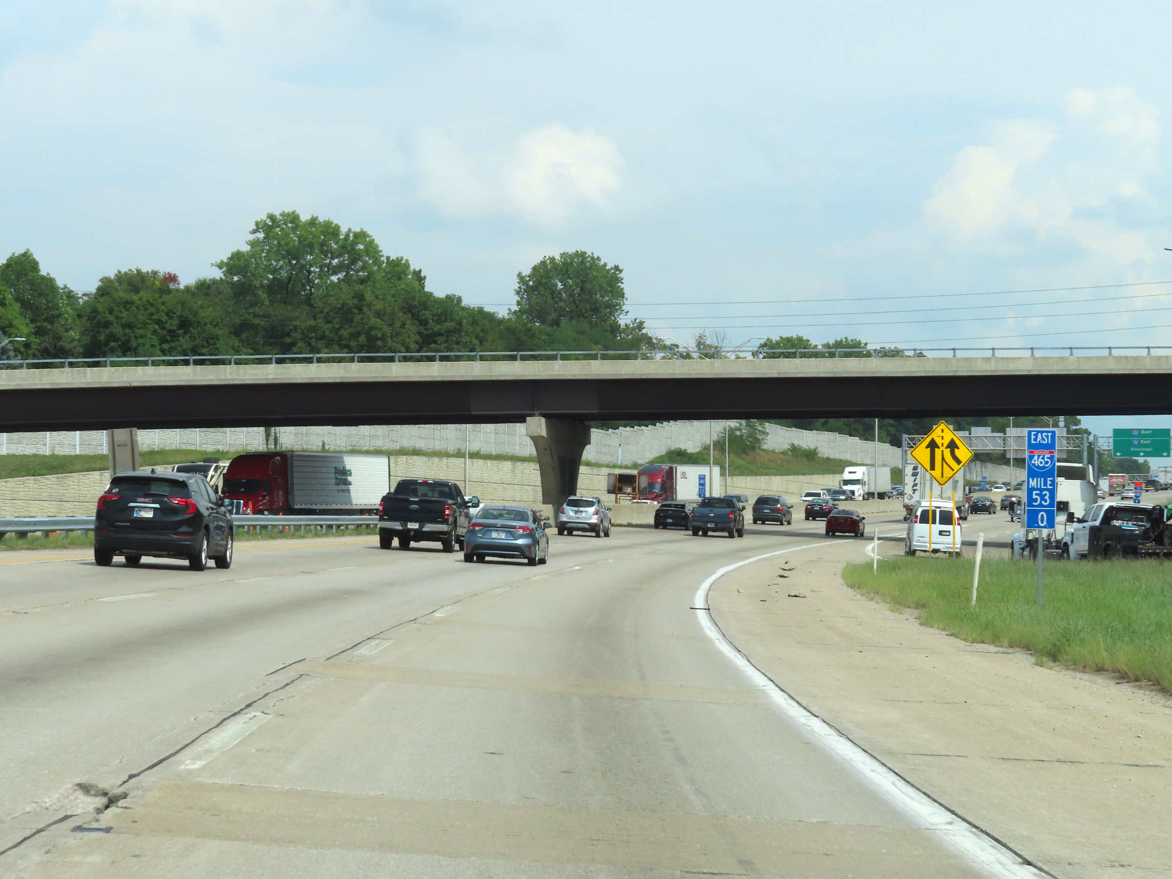 |
View on Interstate 465 Outer Loop (East) / Interstate 74 East at mile marker 53, as the mileage resets at the junction of Interstate 65 to the south of downtown Indianapolis. (Photo taken 8/20/22). |
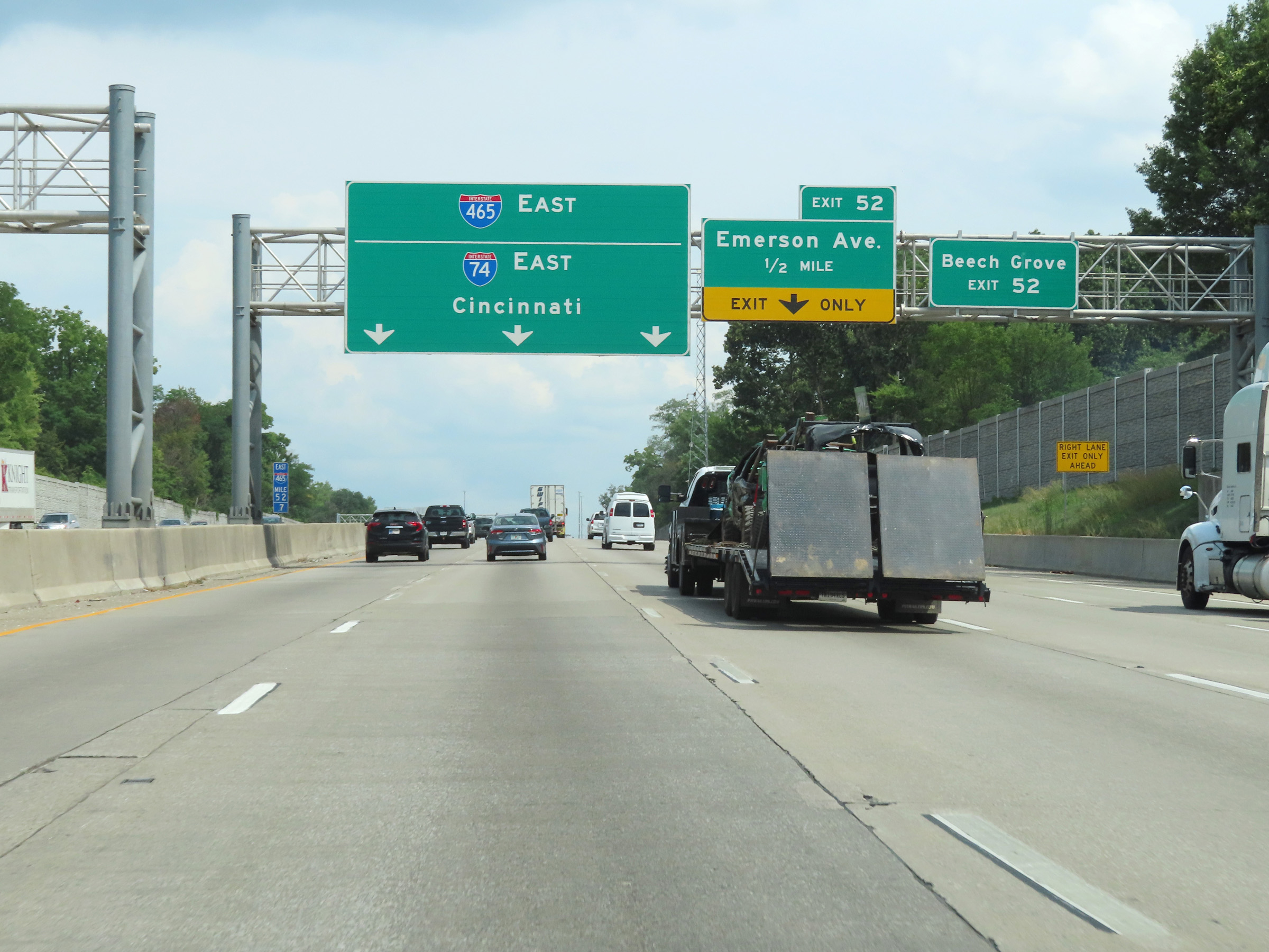 |
Take Exit 52 to Beech Grove. (Photo taken 8/20/22). |
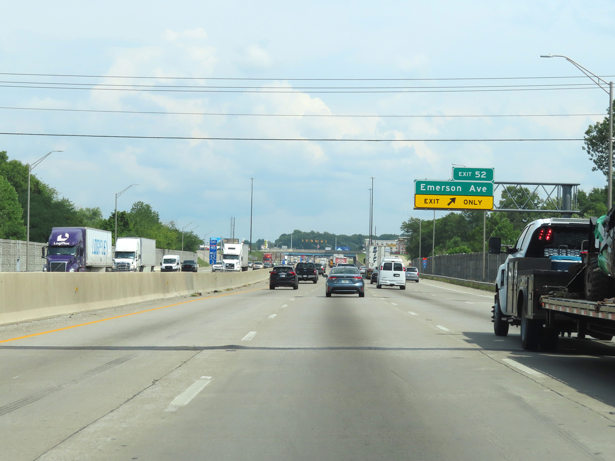 |
Interstate 465 Outer Loop (East) / Interstate 74 East at Exit 52: Emerson Ave (Photo taken 8/20/22). |
 |
Mile marker 51.4 on Interstate 465 Outer Loop (East) / Interstate 74 East. (Photo taken 8/20/22). |
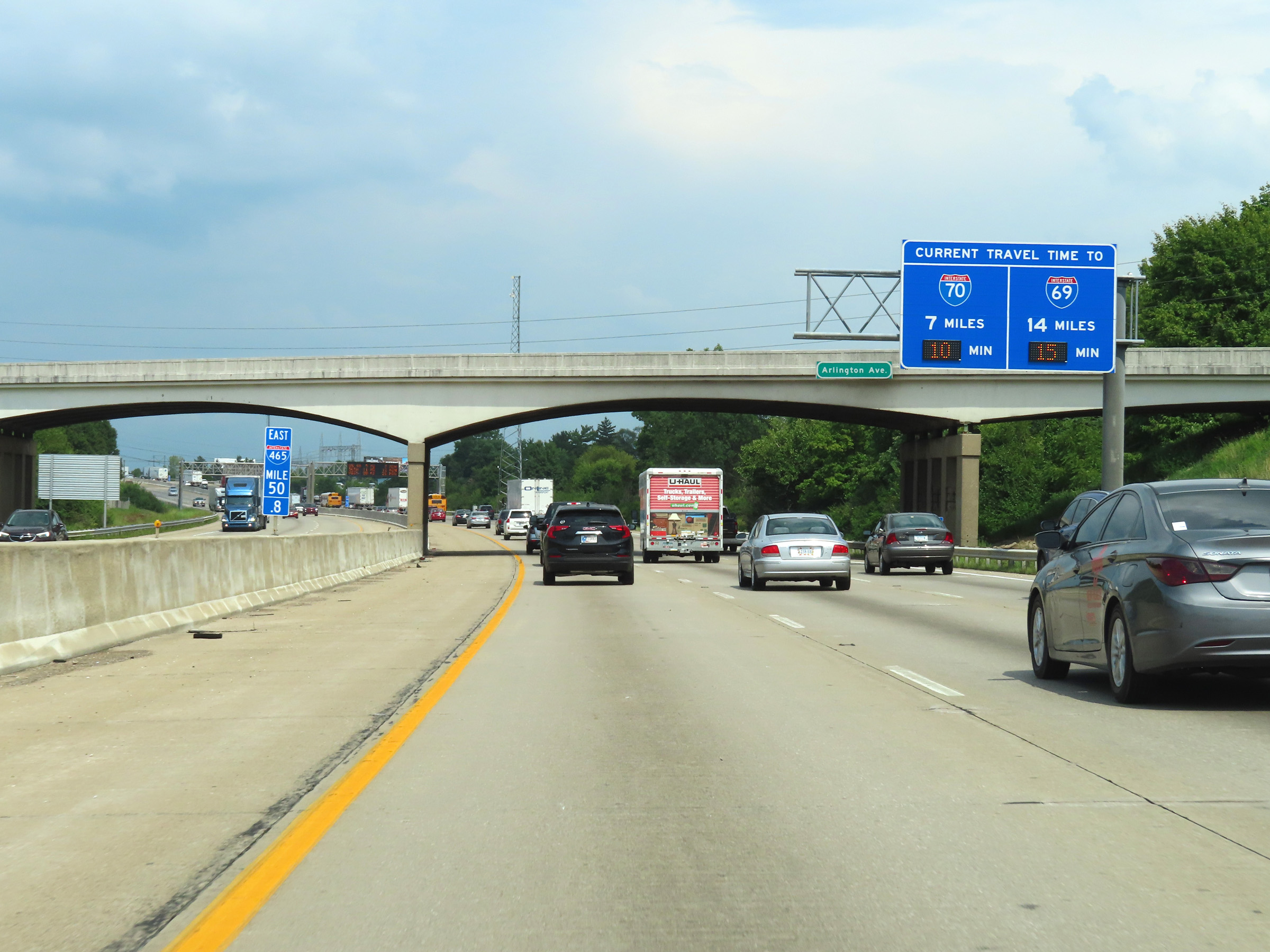 |
Overhead mileage sign at mile marker 50.8, which dynamically displays the current estimated travel times to the junctions of Interstate 70 and 69 on Interstate 465 Outer Loop. (Photo taken 8/20/22). |
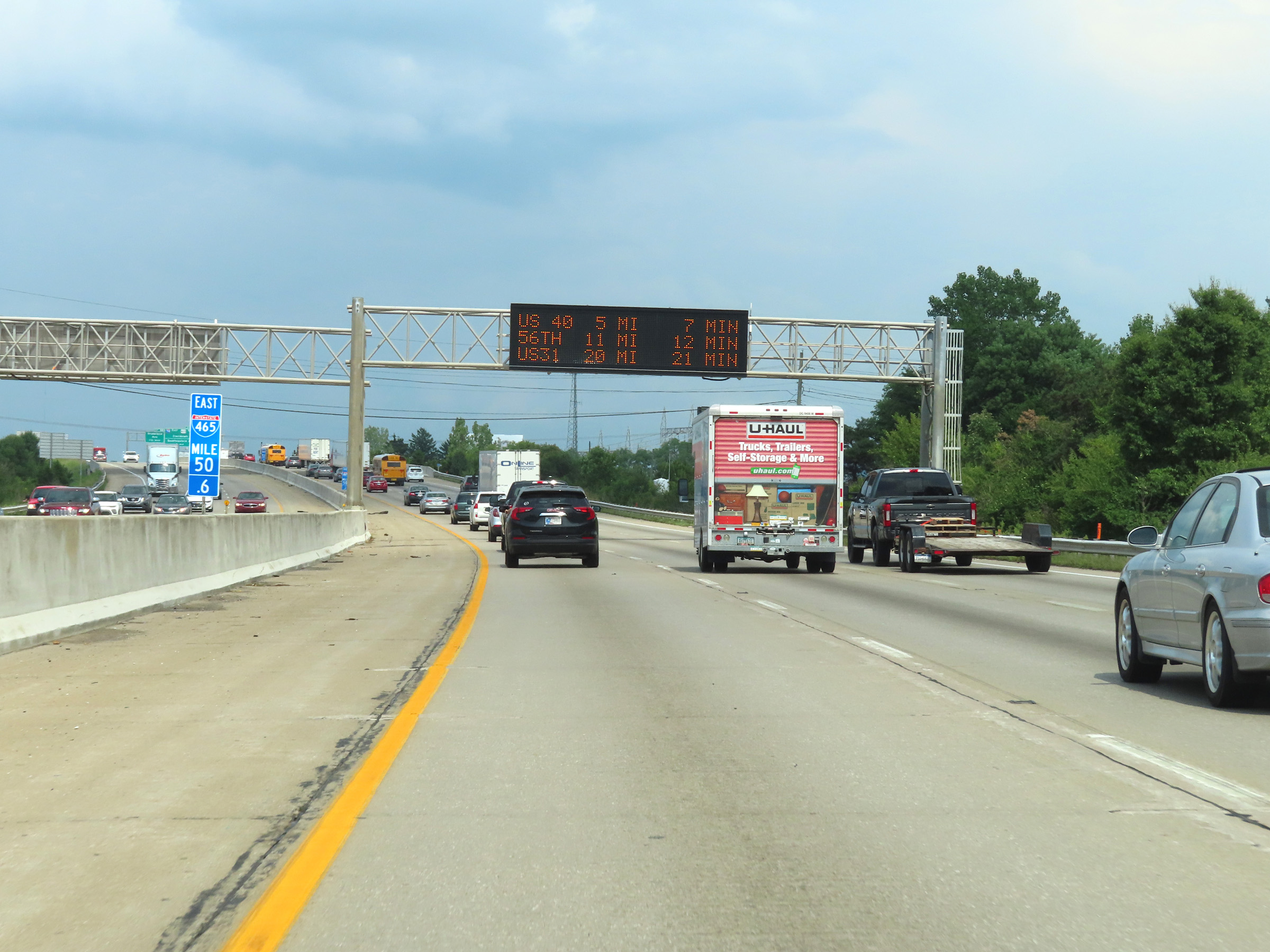 |
Interstate 465 Outer Loop (East) / Interstate 74 East at mile marker 50.6. (Photo taken 8/20/22). |
 |
Interstate 465 Outer Loop (East) / Interstate 74 East approaching Exit 49 - 1 mile. (Photo taken 8/20/22). |
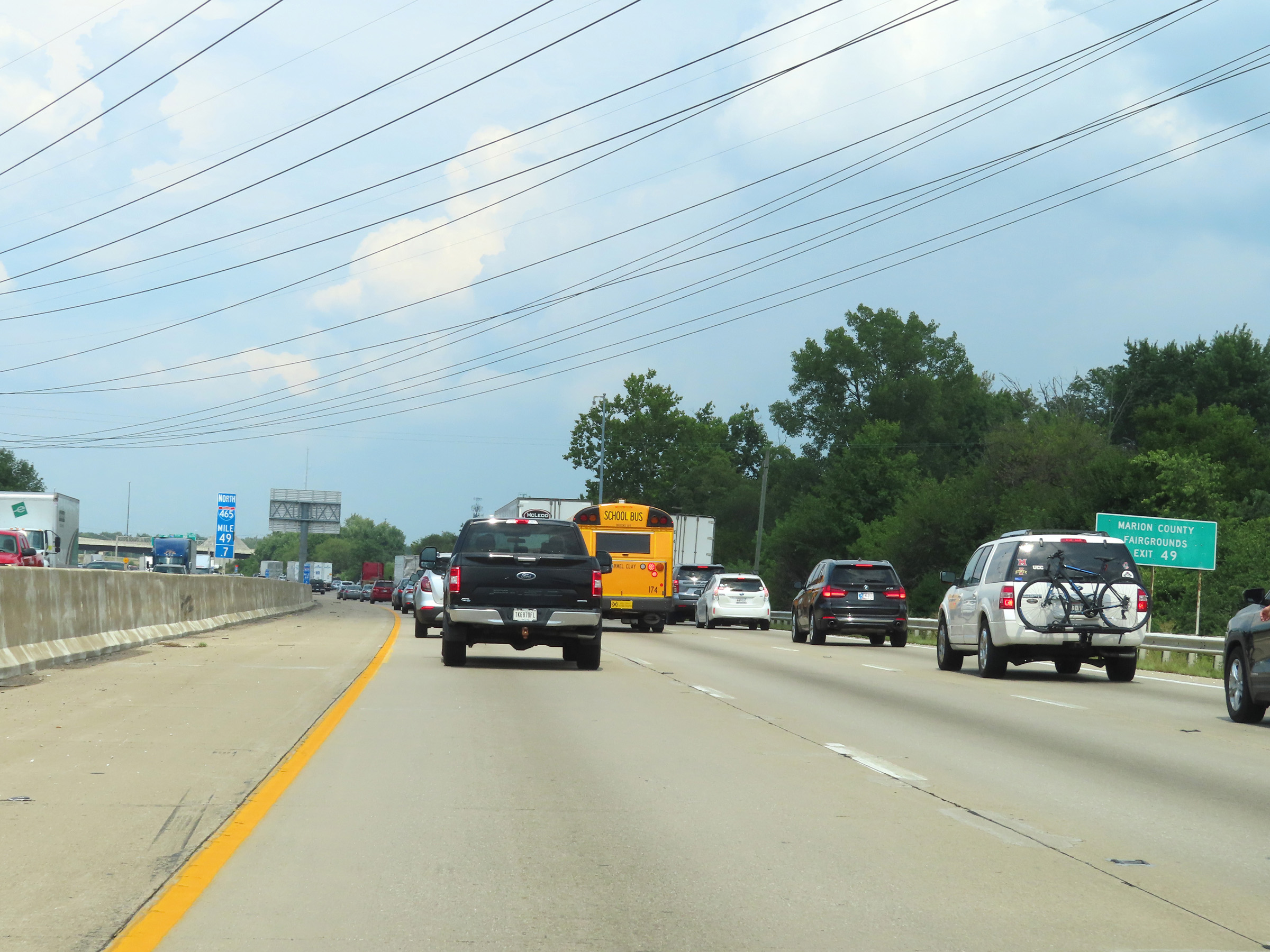 |
Take Exit 49 to the Marion County Fairgrounds. (Photo taken 8/20/22). |
 |
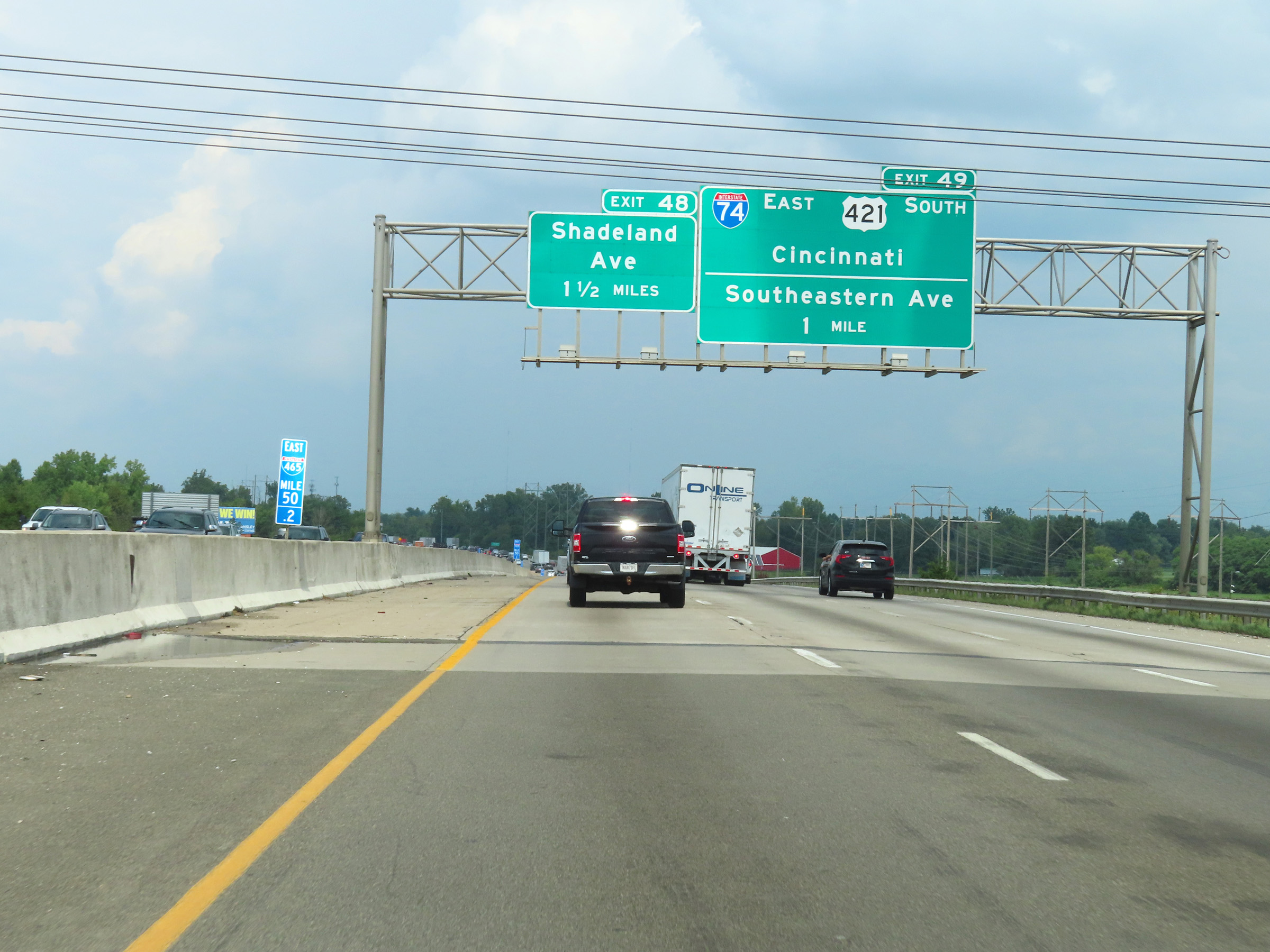
Interstate 465 Outer Loop (East) / Interstate 74 East at Exit 49: Interstate 74 East / US 421 South - Cincinnati / Southeastern Ave (Photo taken 8/20/22). |
 |
At mile marker 49, the directional signage of Interstate 465 Outer Loop changes from East to North at the southwestern corner of the Indianapolis area after the departure of Interstate 74 East. (Photo taken 8/20/22). |
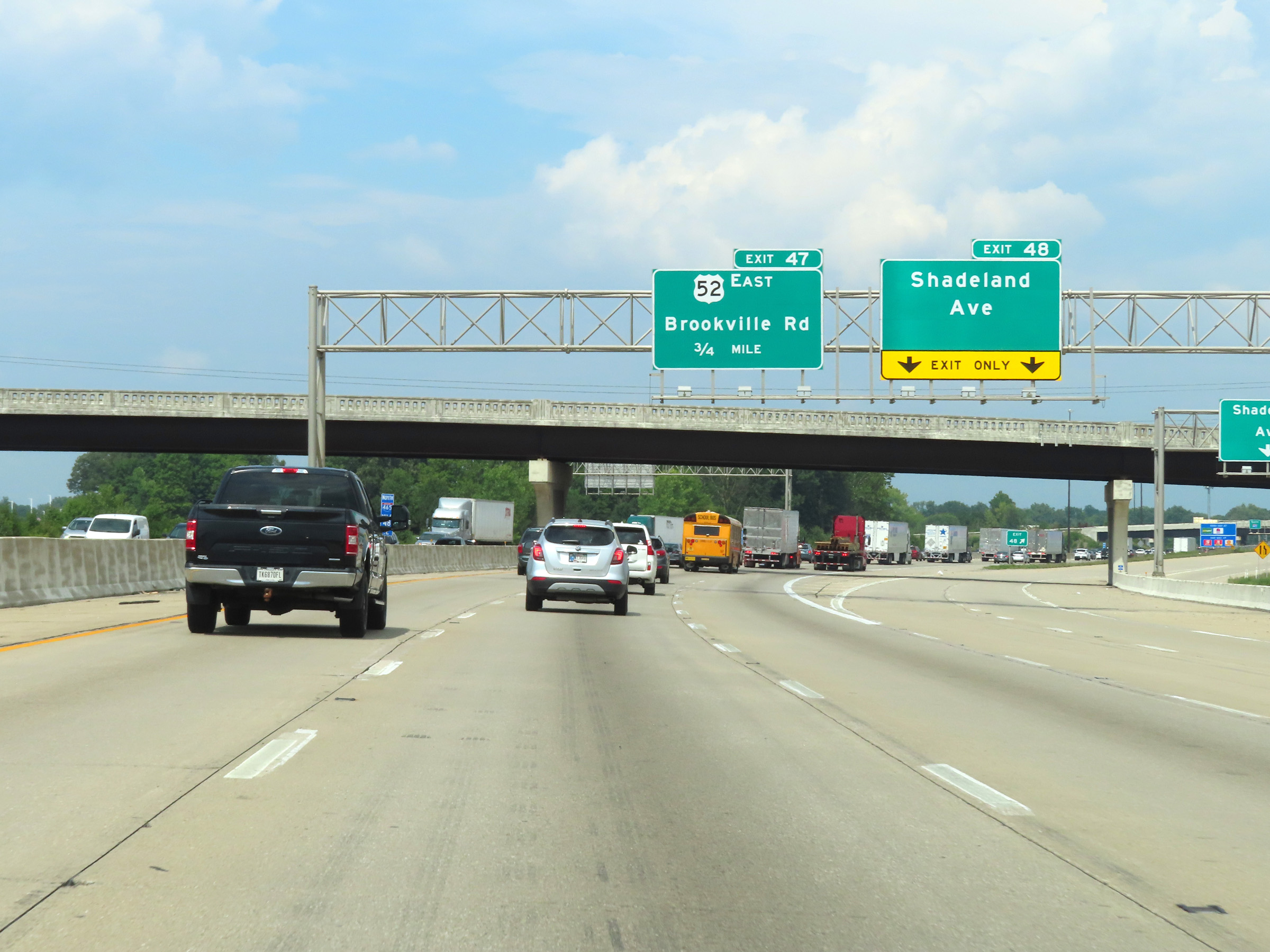 |
Interstate 465 Outer Loop (North) at Exit 48: Shadeland Ave (Photo taken 8/20/22). |
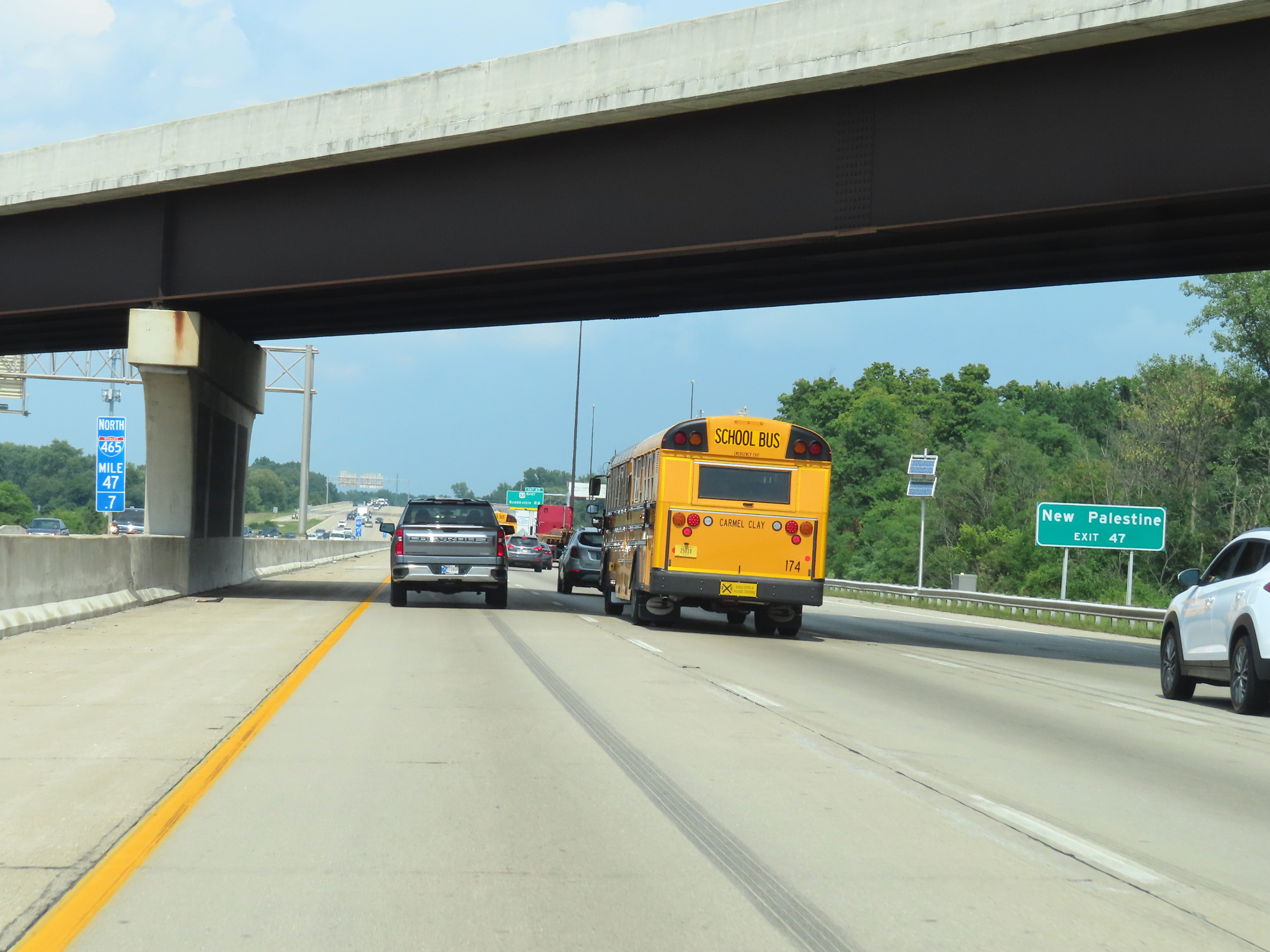 |
Take Exit 47 to New Palestine. (Photo taken 8/20/22). |
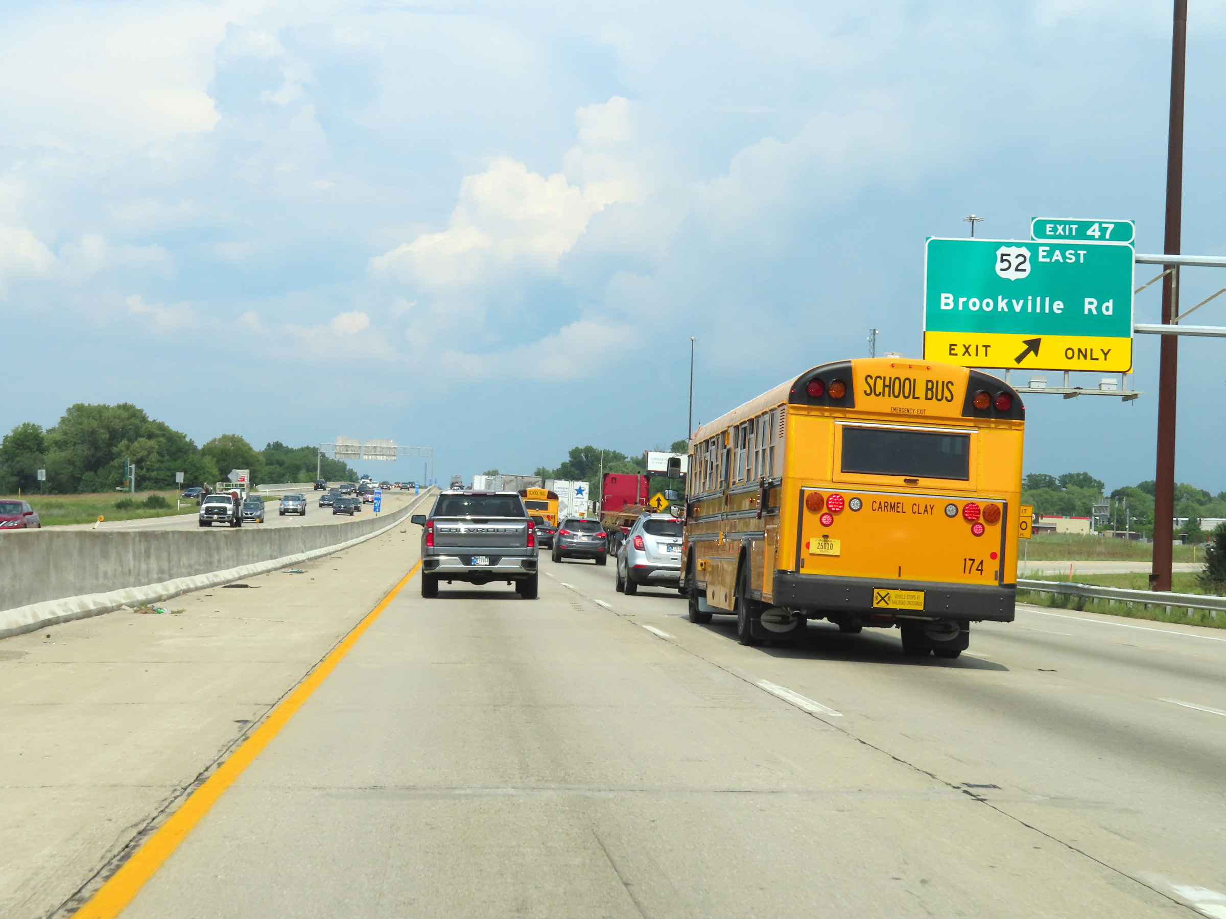 |
Interstate 465 Outer Loop (North) at Exit 47: US 52 East - Brookville Rd (Photo taken 8/20/22). |
 |
Interstate 465 North reassurance shield at mile marker 46.9. (Photo taken 8/20/22). |
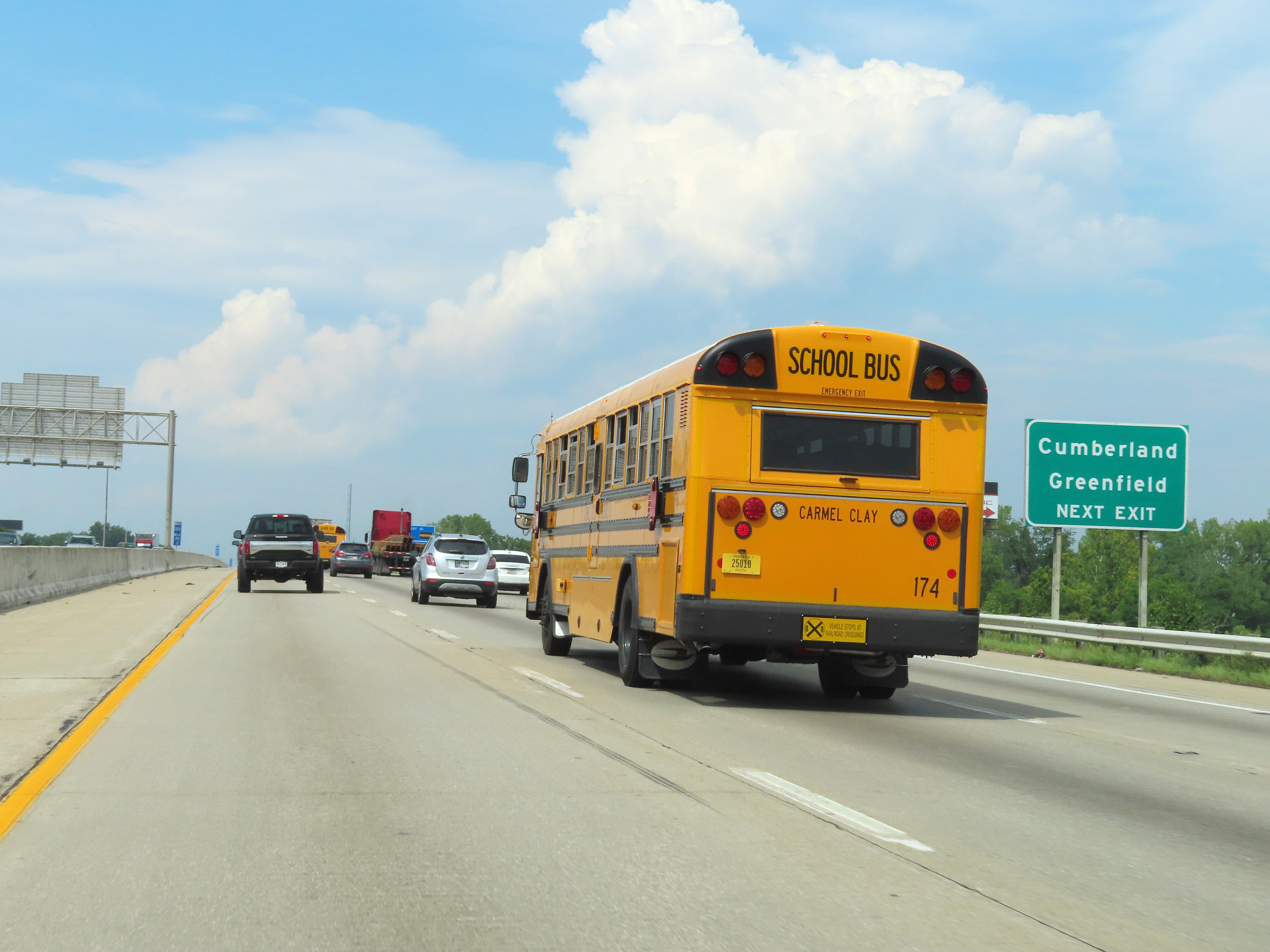 |
Take Exit 46 to Cumberland and Greenfield. (Photo taken 8/20/22). |
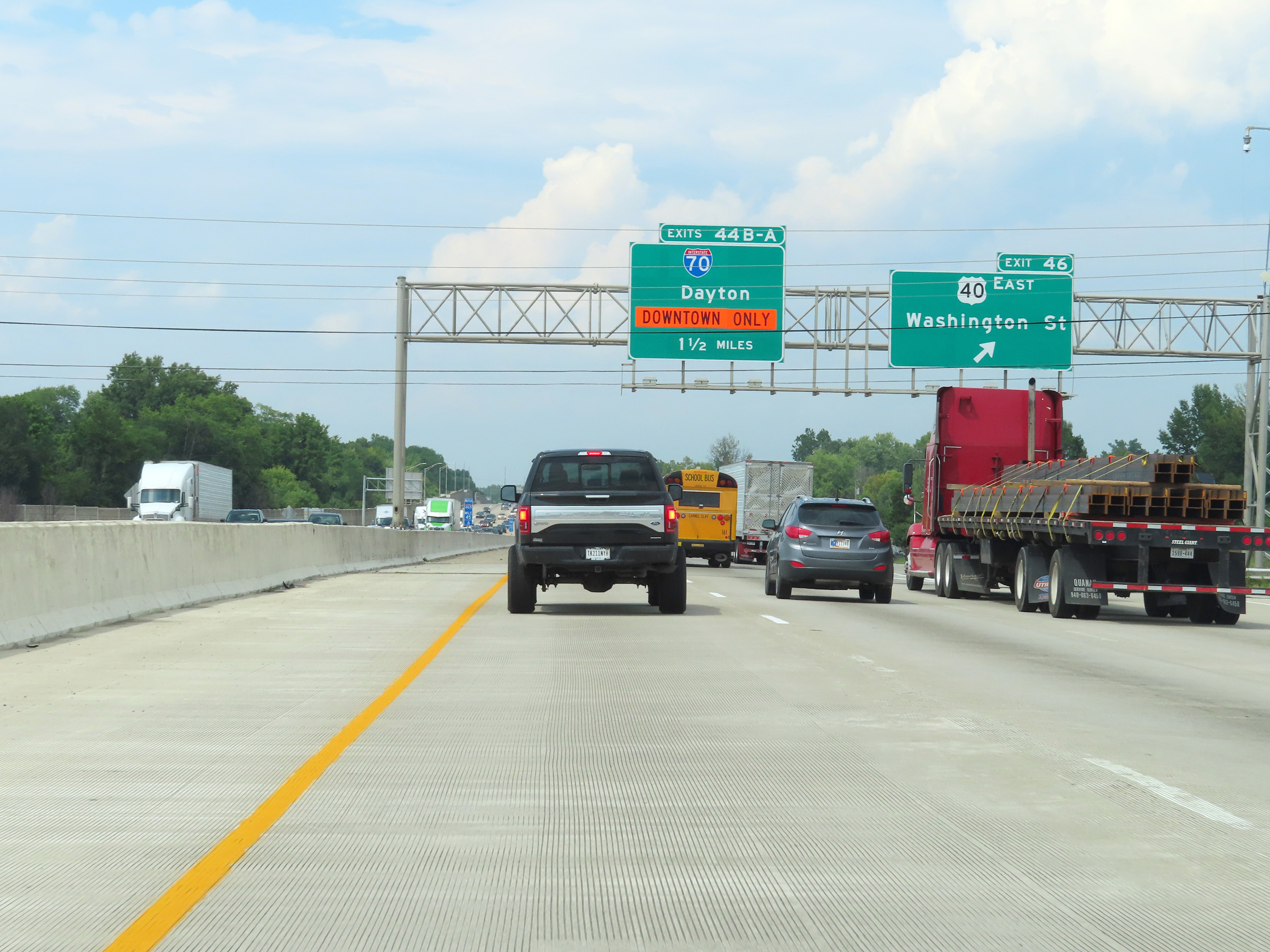 |
Interstate 465 Outer Loop (North) at Exit 46: US 40 East - Washington St (Photo taken 8/20/22). |
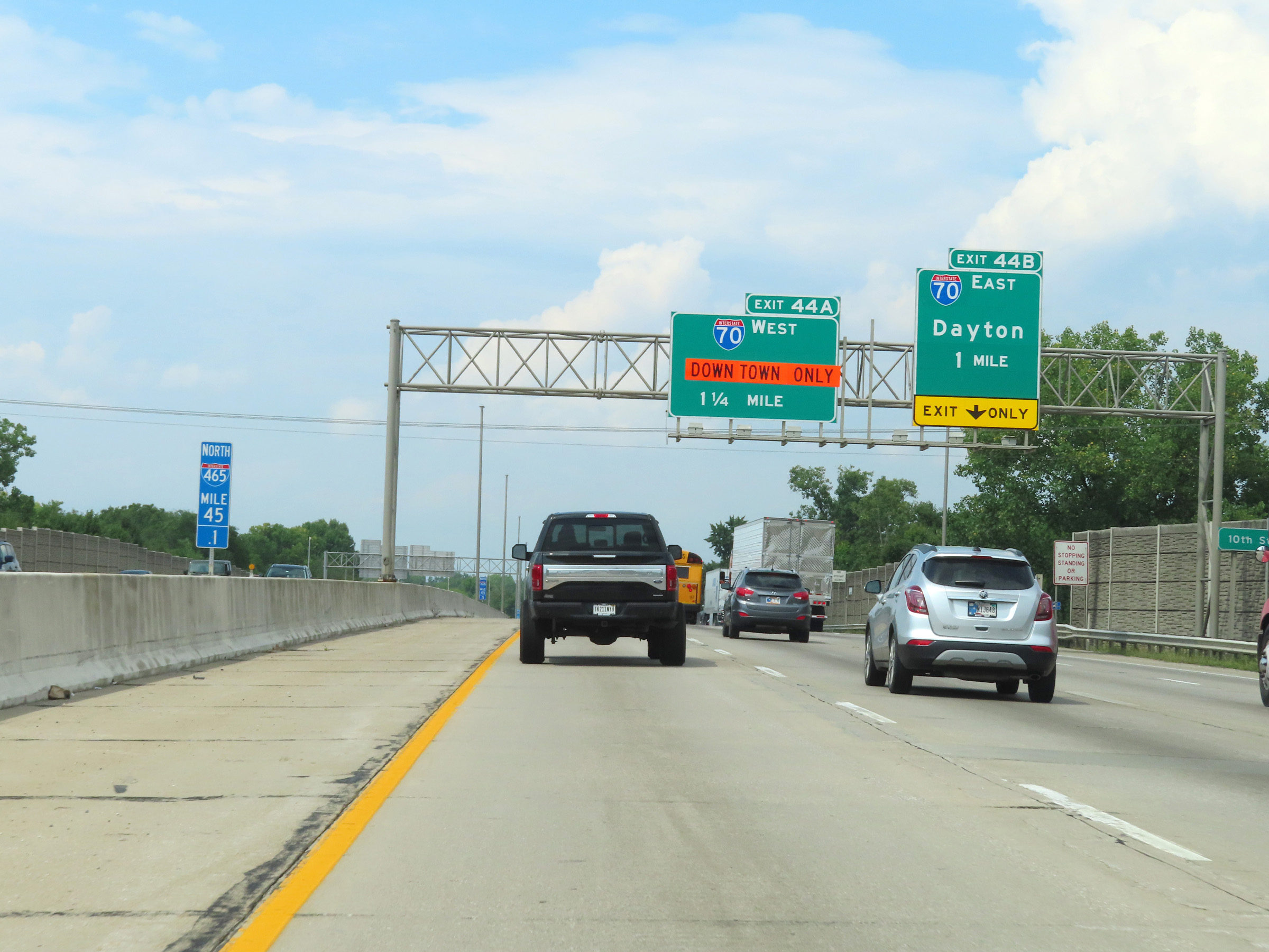 |
Interstate 465 Outer Loop (North) approaching Exits 44B-A - 1 mile and 1 1/4 miles, respectively. (Photo taken 8/20/22). |
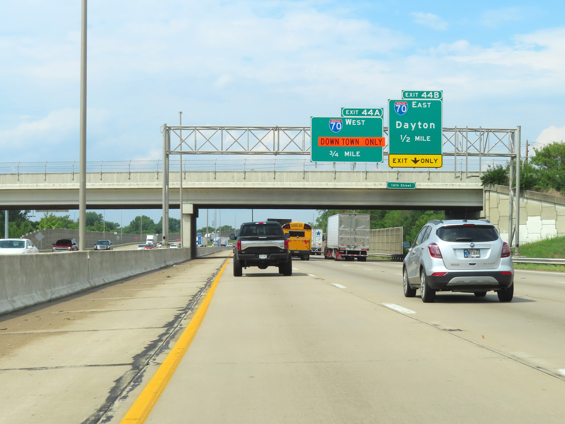 |
Interstate 465 Outer Loop (North) approaching Exit 44B - 1/2 mile. (Photo taken 8/20/22). |
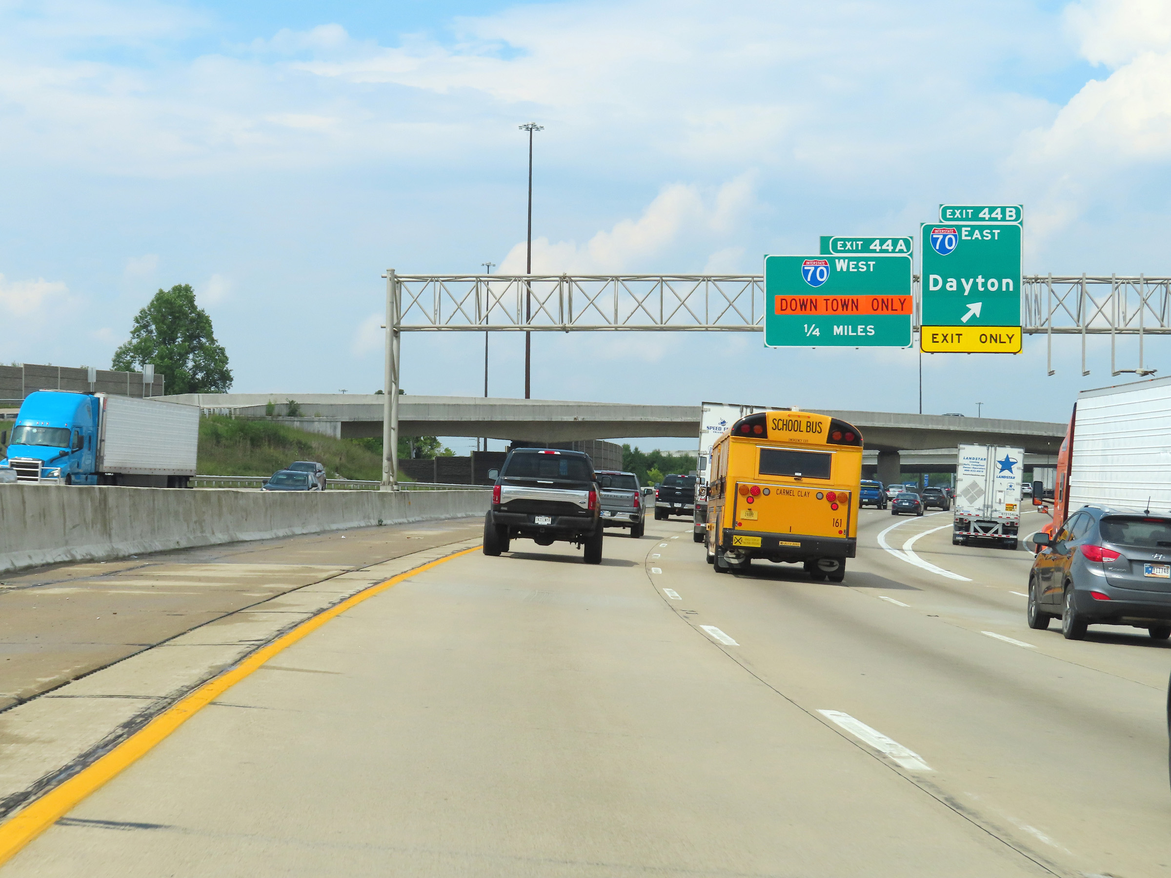 |
Interstate 465 Outer Loop (North) at Exit 44B: Interstate 70 East - Dayton (Photo taken 8/20/22). |
 |
View on Interstate 465 Outer Loop (North) at mile marker 44, as it passes over Interstate 70. (Photo taken 8/20/22). |
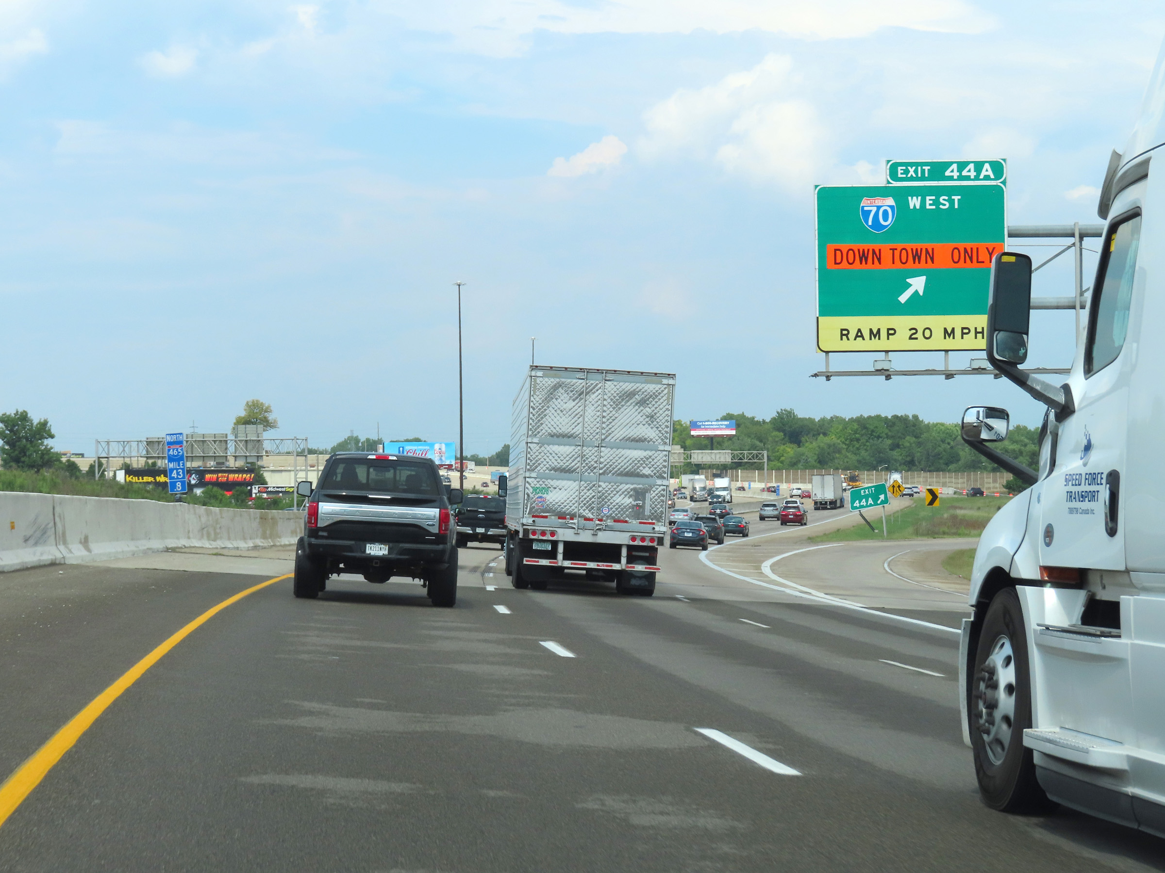 |
Interstate 465 Outer Loop (North) at Exit 44A: Interstate 70 West - Indianapolis (Photo taken 8/20/22). |
 |
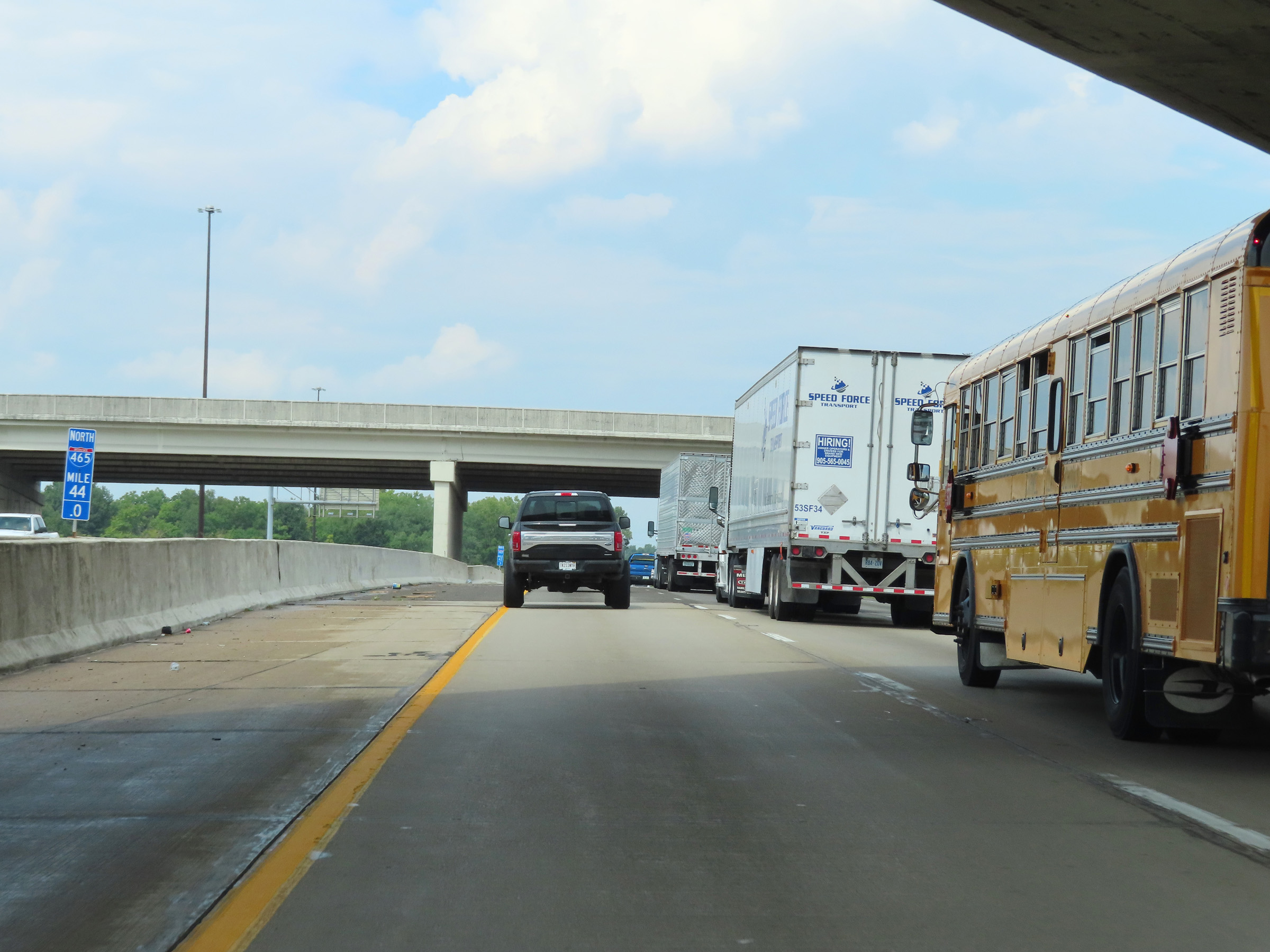
View on Interstate 465 Outer Loop (North) at mile marker 42.8. (Photo taken 8/20/22). |
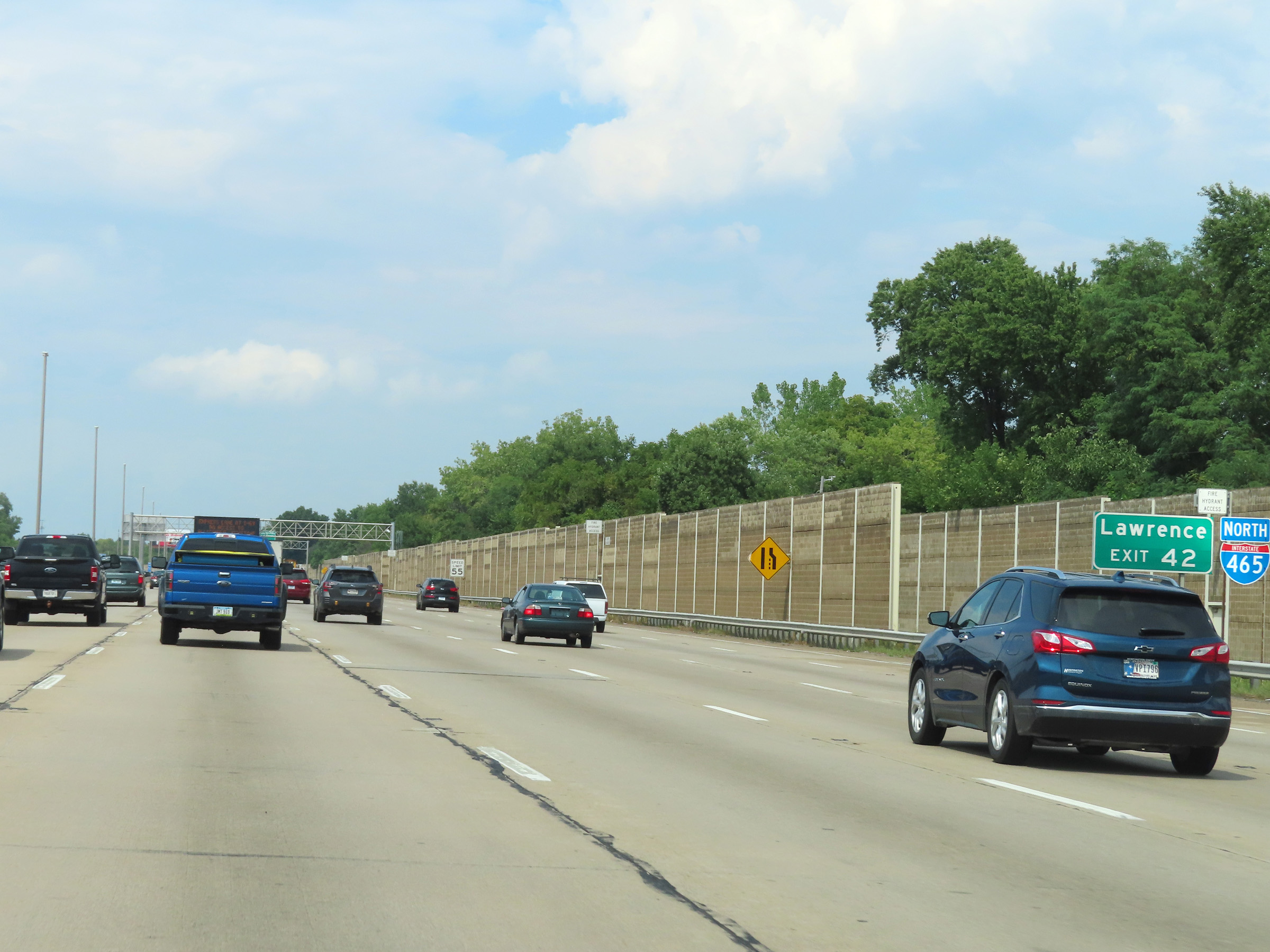 |
Take Exit 42 to Lawrence. (Photo taken 8/20/22). |
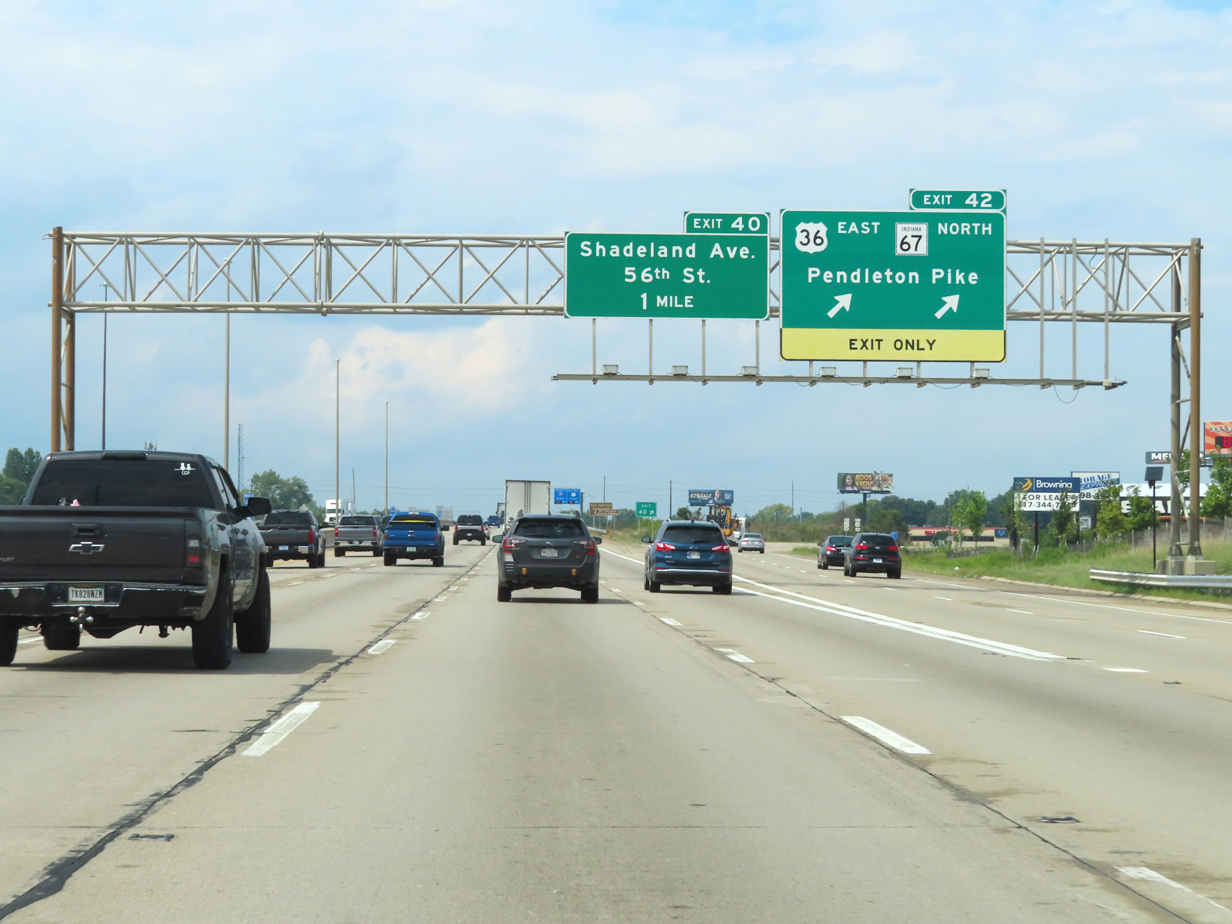 |
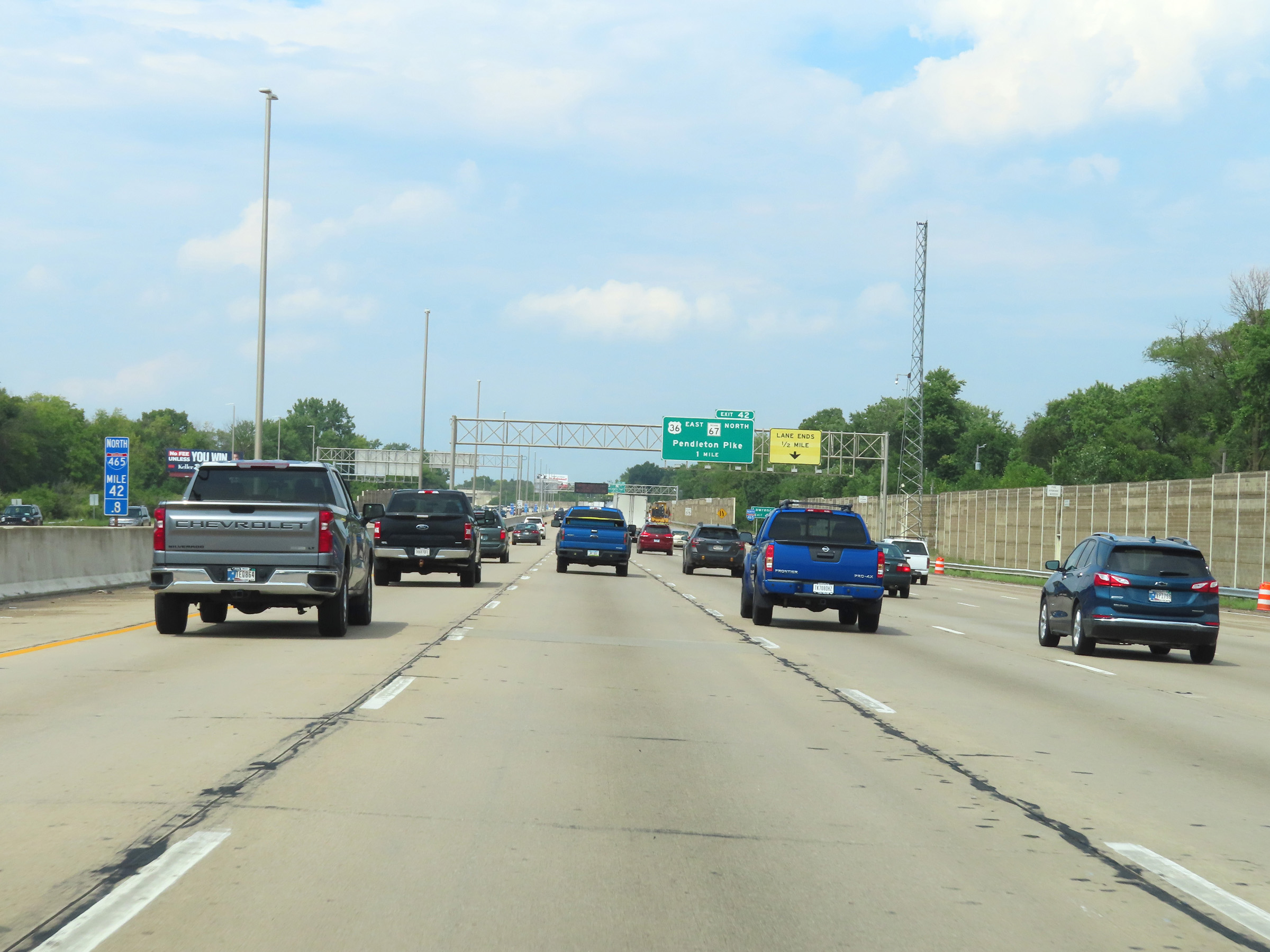
Interstate 465 Outer Loop (North) at Exit 42: US 36 East / IN 67 North - Pendleton Pike (Photo taken 8/20/22). |
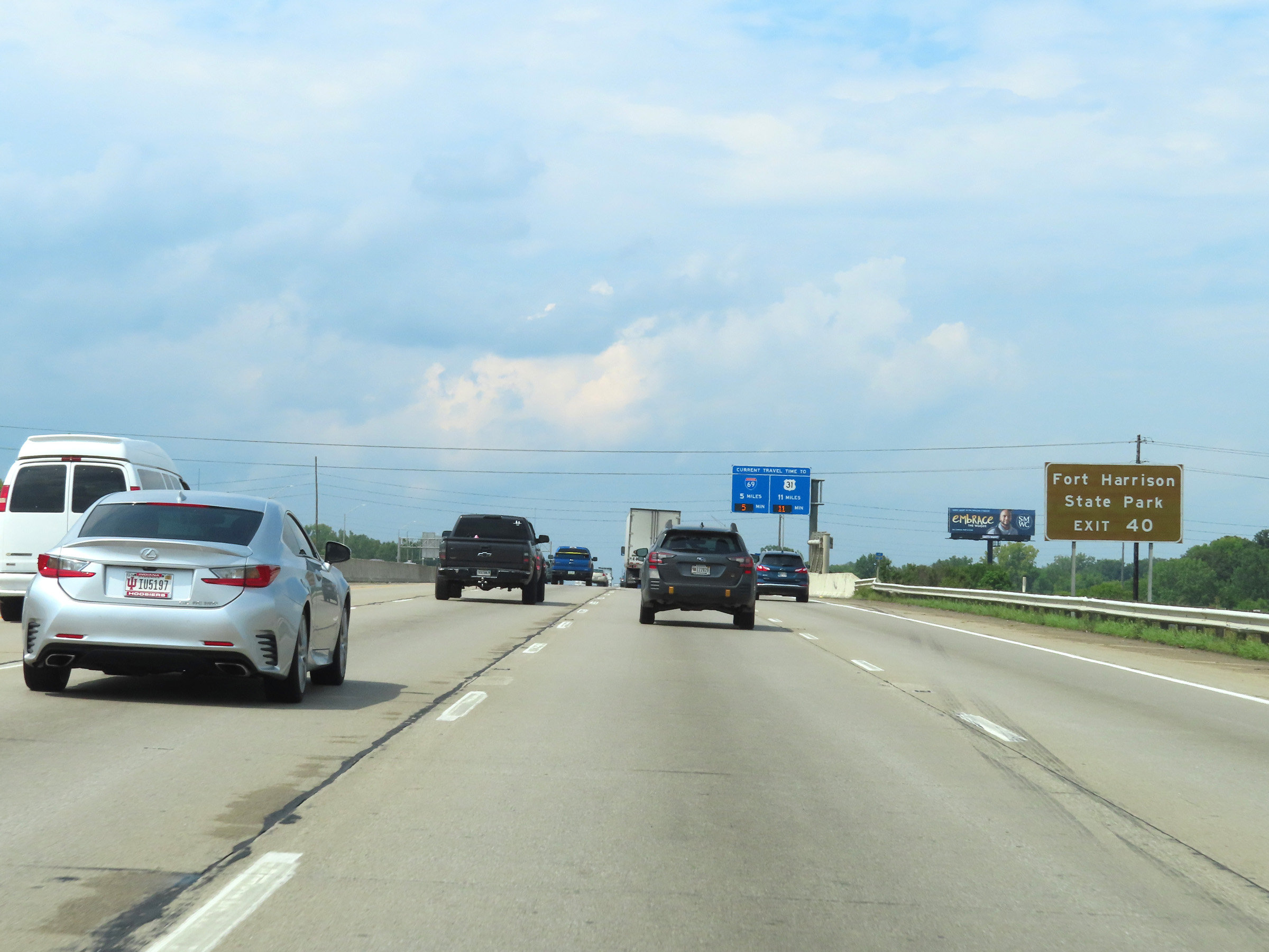 |
Take Exit 40 to Fort Harrison State Park. (Photo taken 8/20/22). |
 |
Interstate 465 North reassurance shield. (Photo taken 8/20/22). |
 |
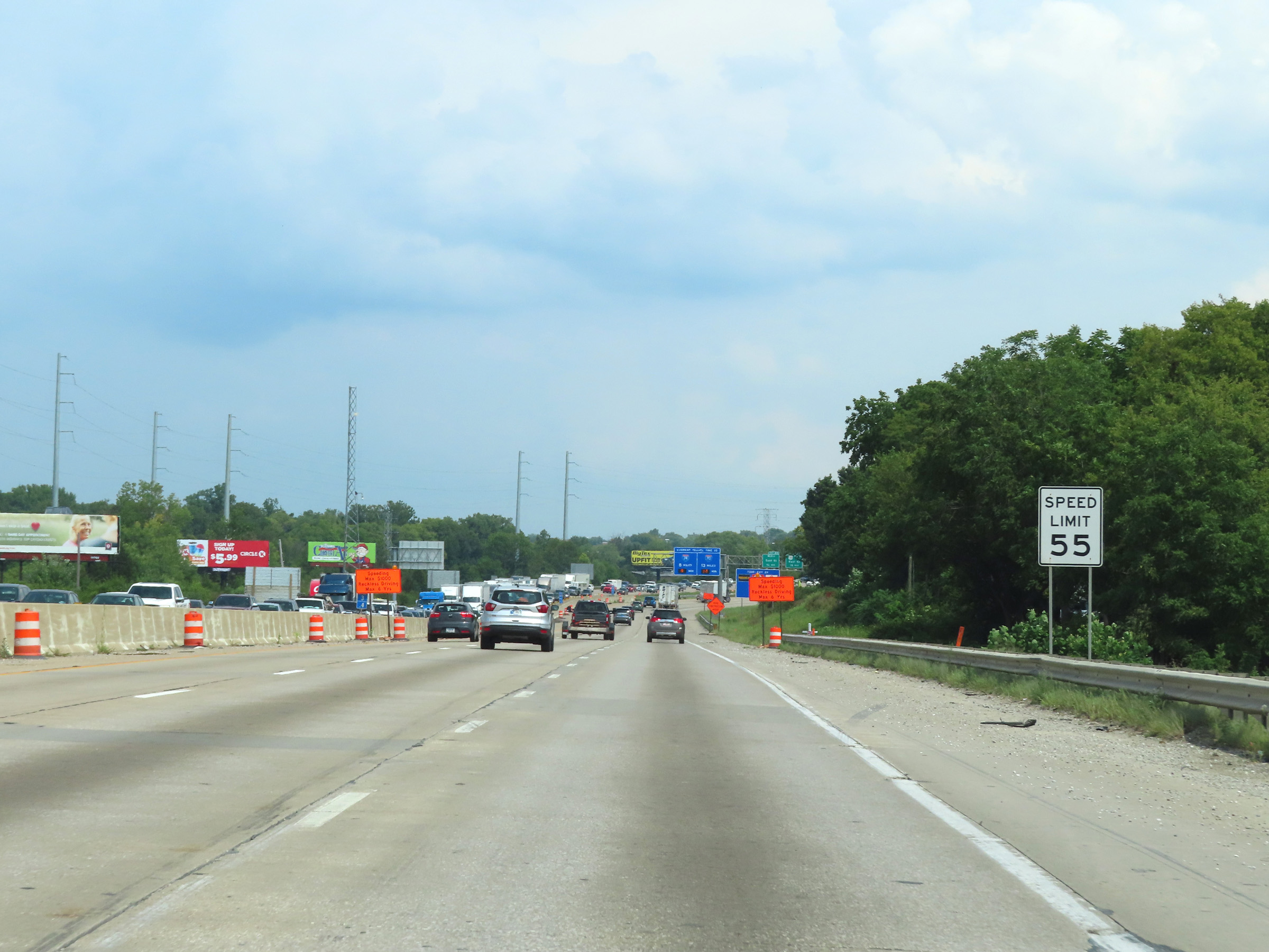
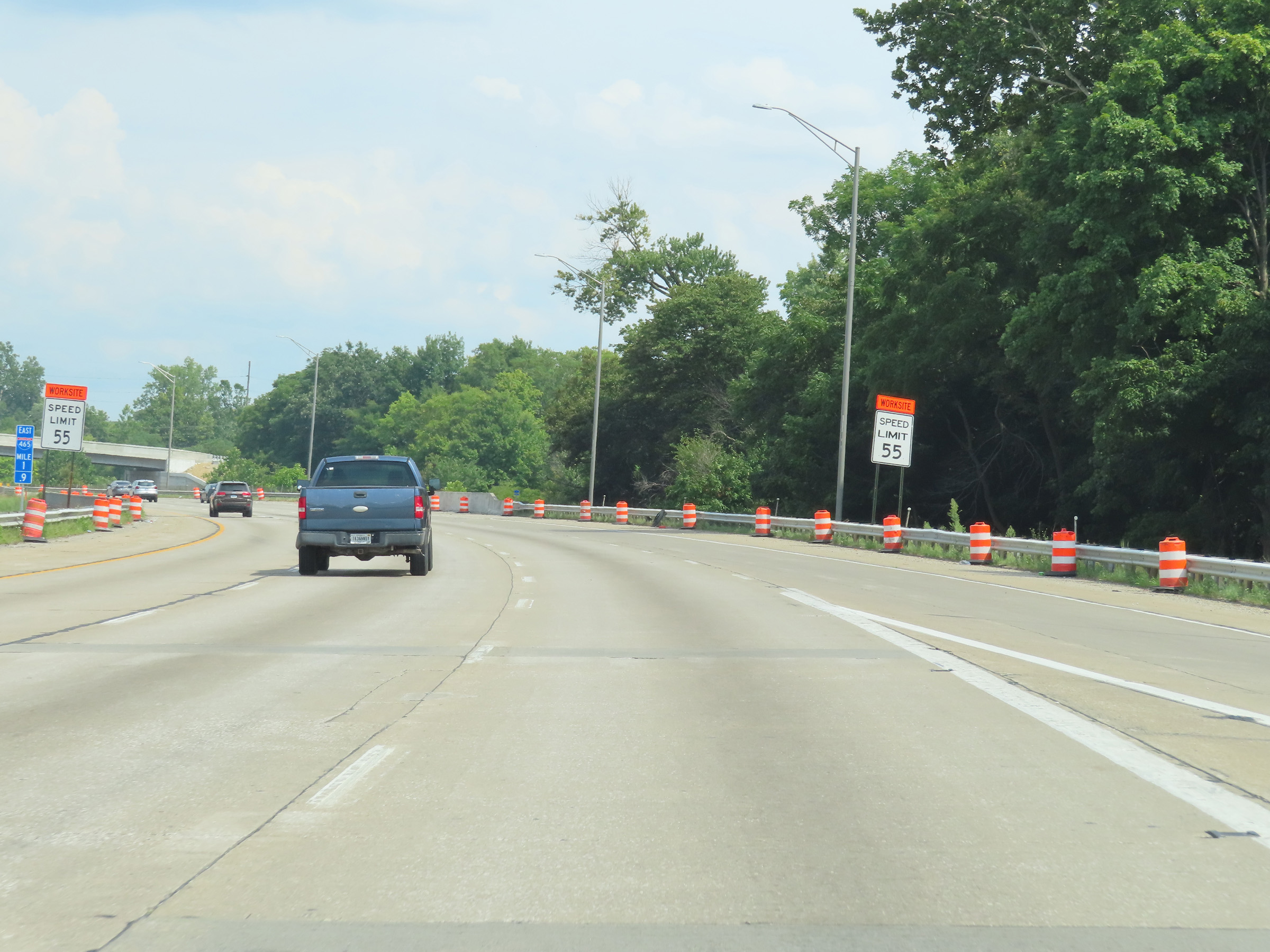
The speed limit on Interstate 465 Outer Loop is 55 mph. (Photo taken 8/20/22). |
 |
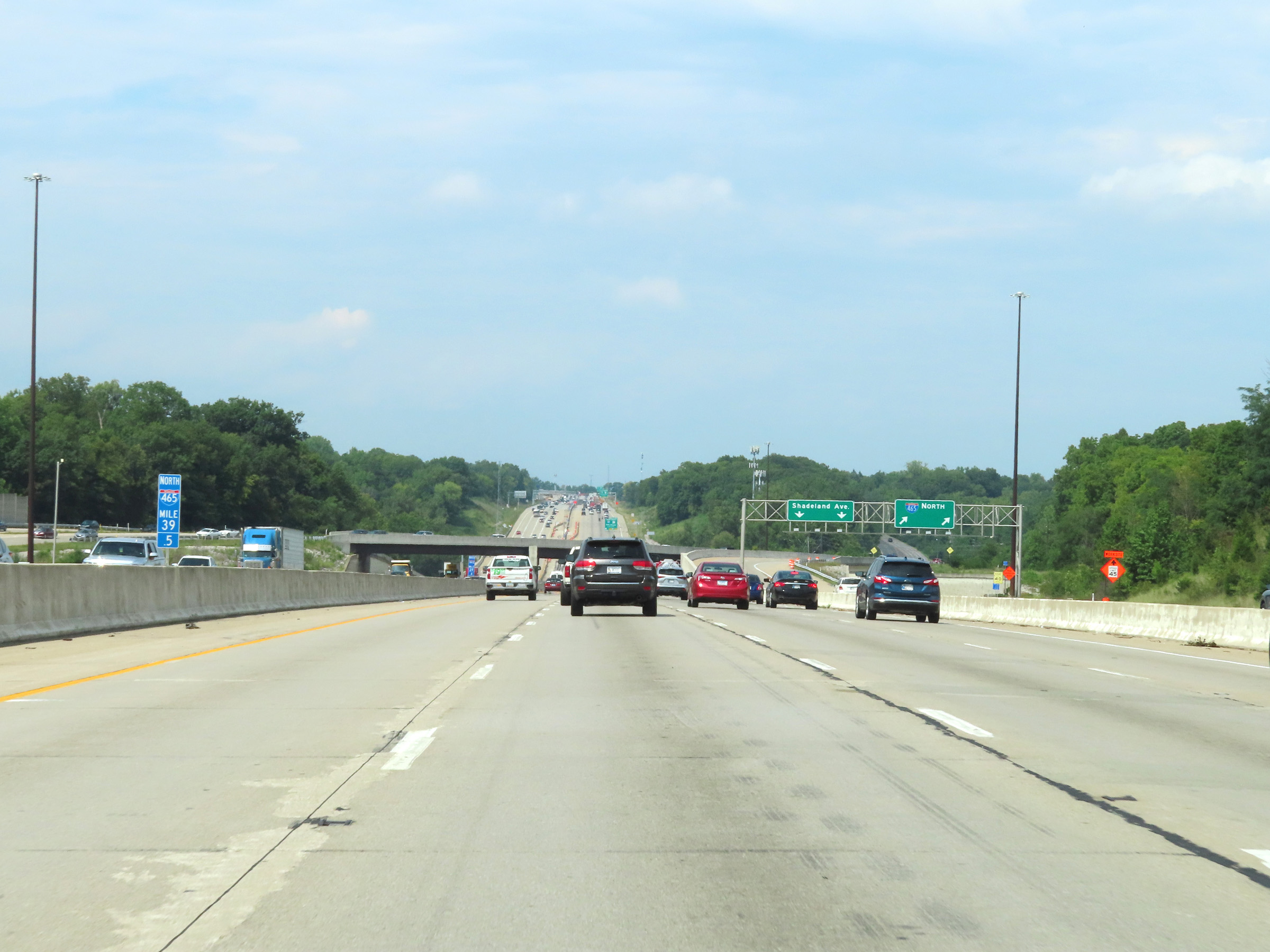
Interstate 465 Outer Loop (North) at Exit 40: Shadeland Ave / 56th St (Photo taken 8/20/22). |
 |
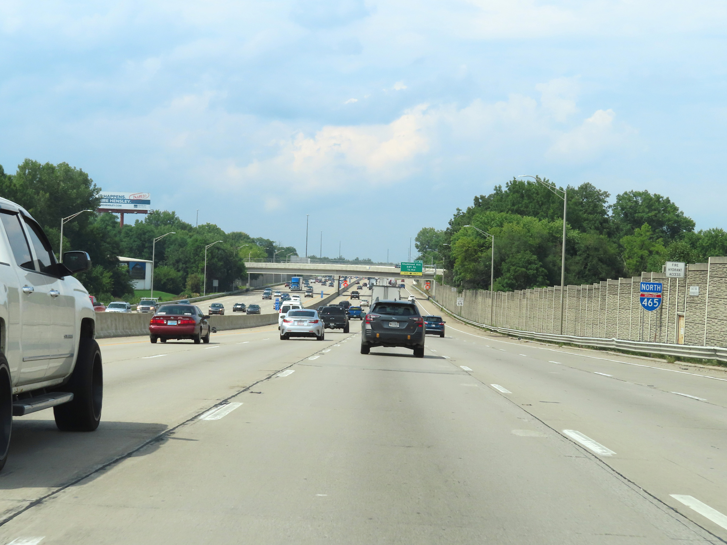
View on Interstate 465 Outer Loop (North) at mile marker 39.5. (Photo taken 8/20/22). |
 |
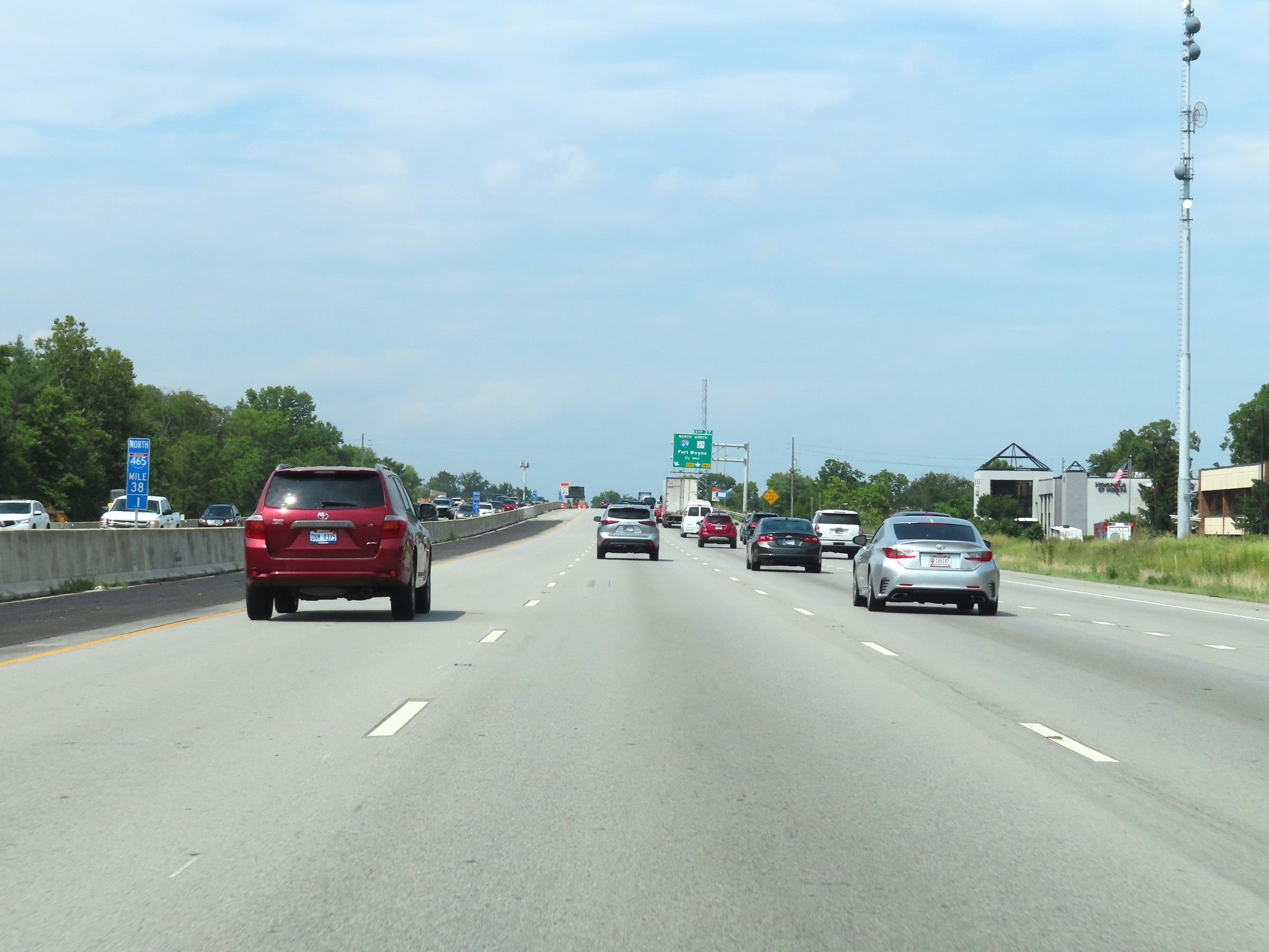
Interstate 465 Outer Loop (North) approaching Exit 37 - 1 mile. (Photo taken 8/20/22). |
 |
Mile marker 38.1 on Interstate 465 Outer Loop (North). (Photo taken 8/20/22). |
 |
View on Interstate 465 Outer Loop (North) at mile marker 37.6. (Photo taken 8/20/22). |
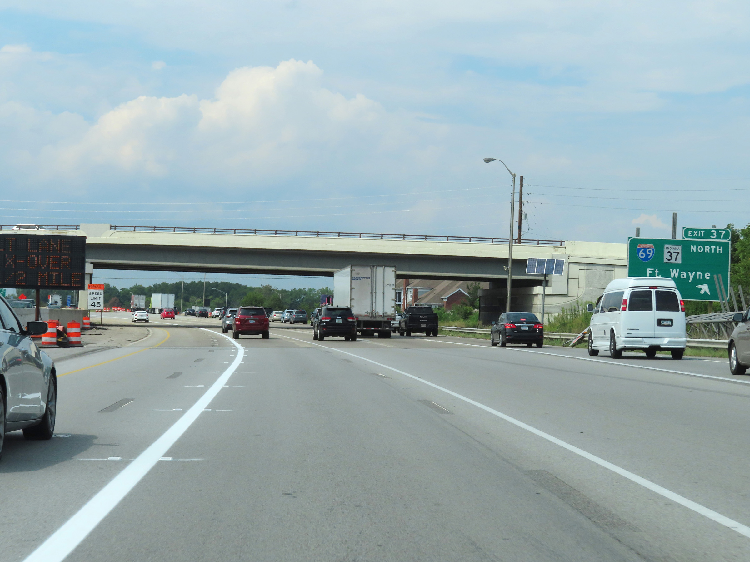 |
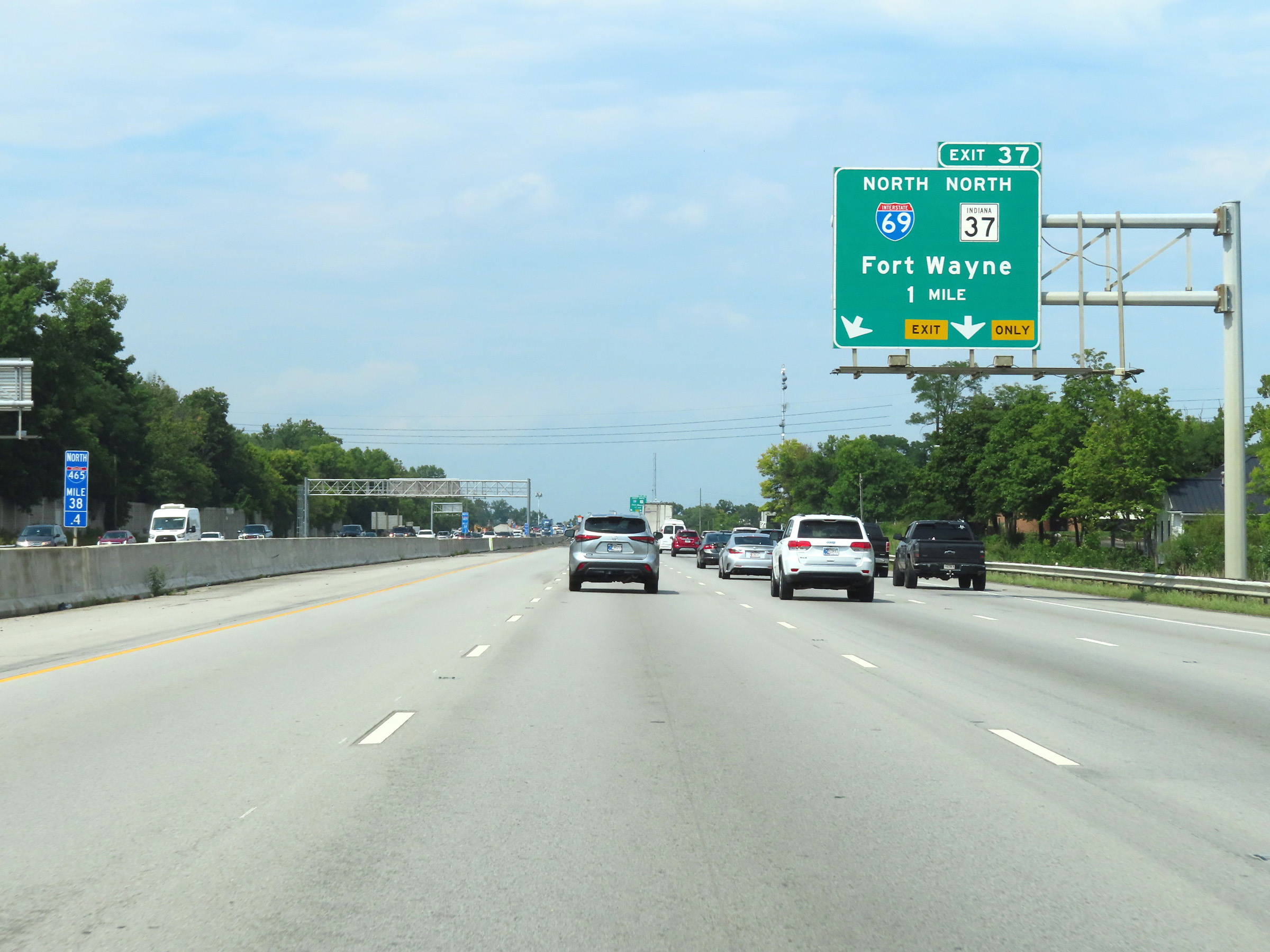
Interstate 465 Outer Loop (North) at Exit 37: Interstate 69 North / IN 37 North - Fort Wayne (Photo taken 8/20/22). |
 |
At mile marker 37.2, Interstate 465 Outer Loop begins to curve to the west. (Photo taken 8/20/22). |
 |
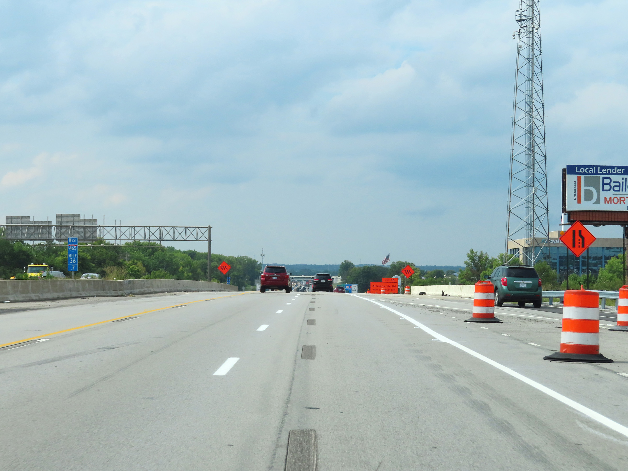
Advance signage for Exit 35 - 1 mile ahead. (Photo taken 8/20/22). |
 |
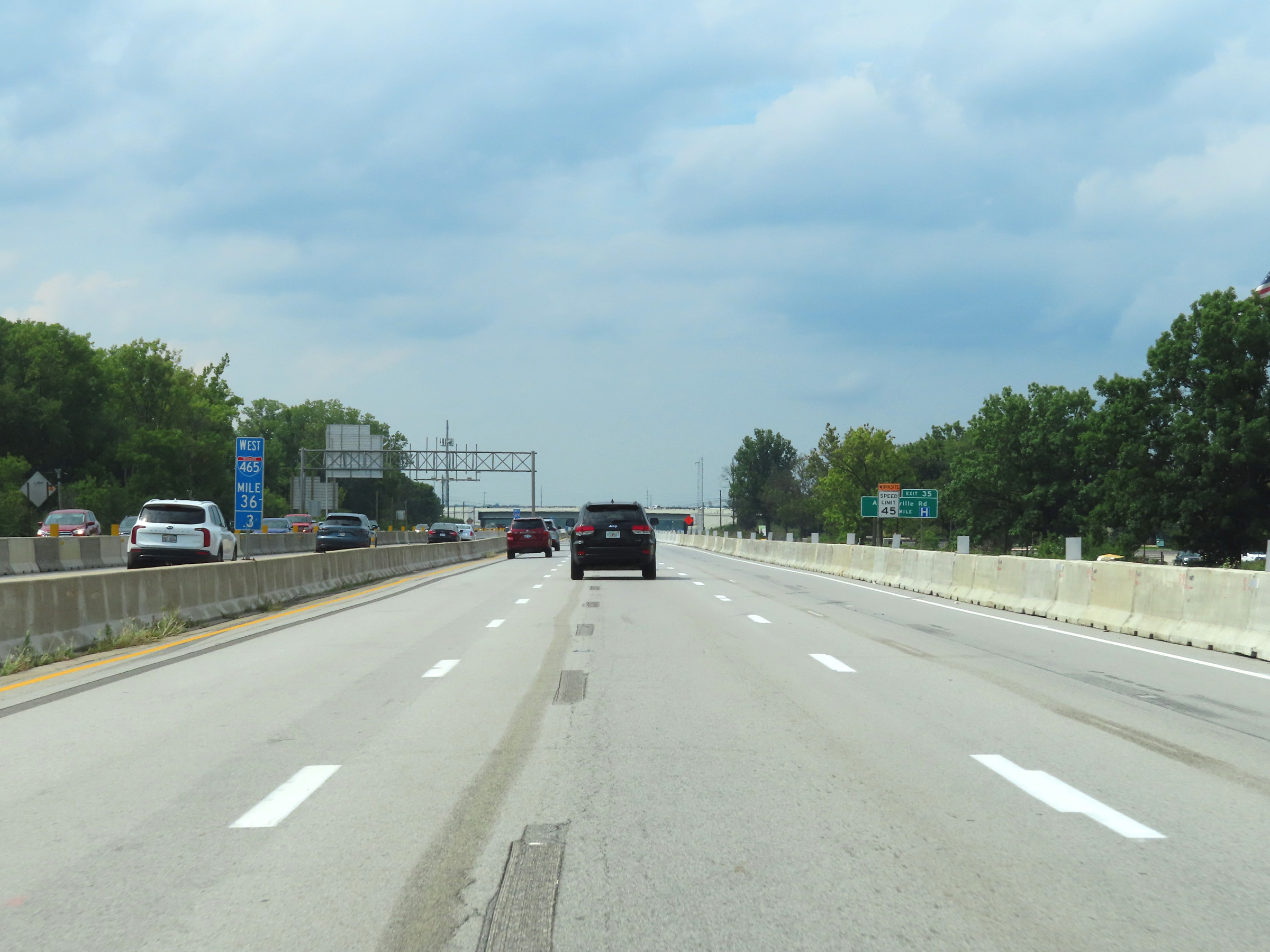
The directional signage of Interstate 465 Outer Loop changes from North to West at mile marker 36.7, at the northeastern corner of the Indianapolis area. (Photo taken 8/20/22). |
 |
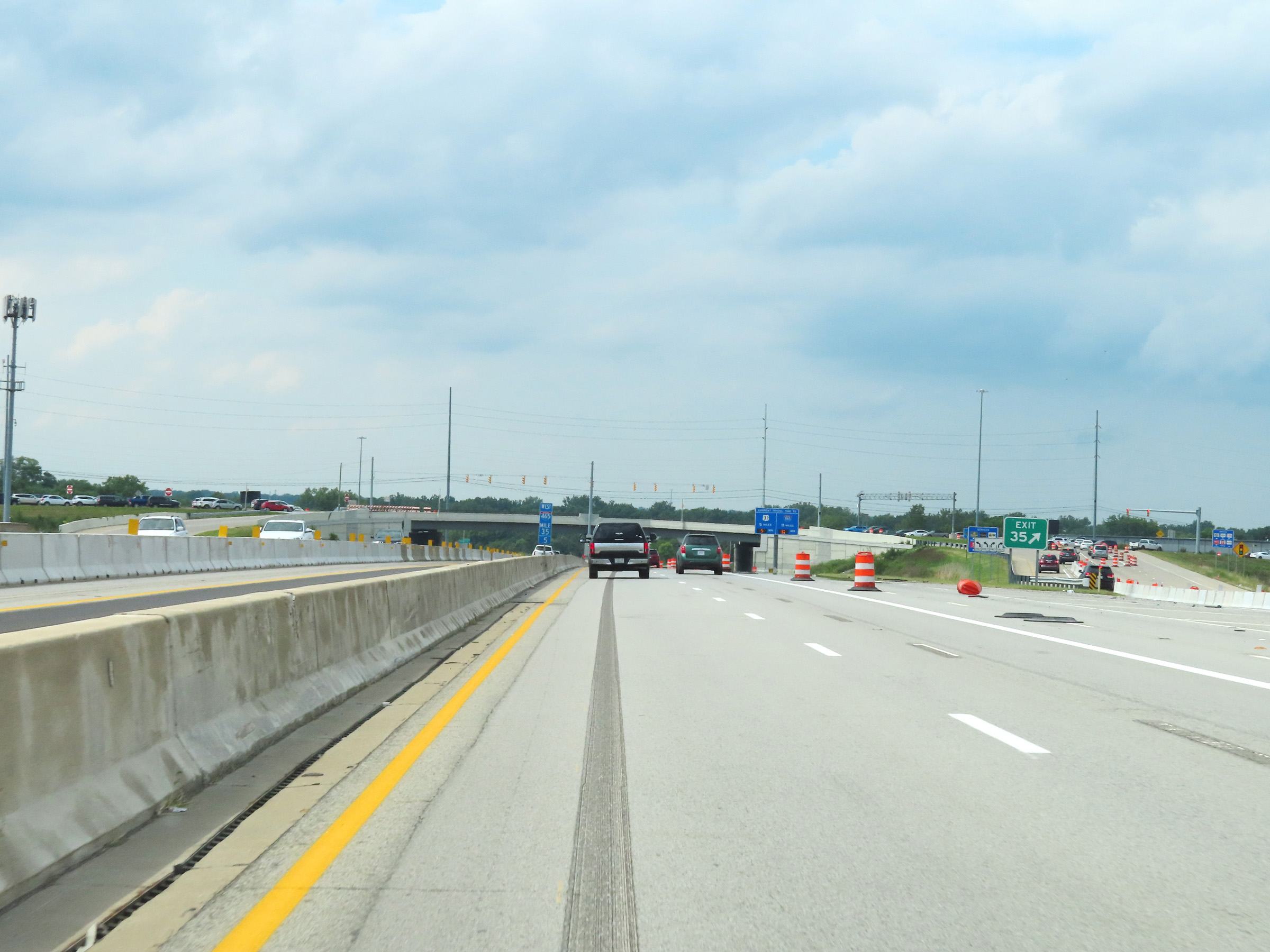
View on Interstate 465 Outer Loop (West) at mile marker 36.3. (Photo taken 8/20/22). |
 |
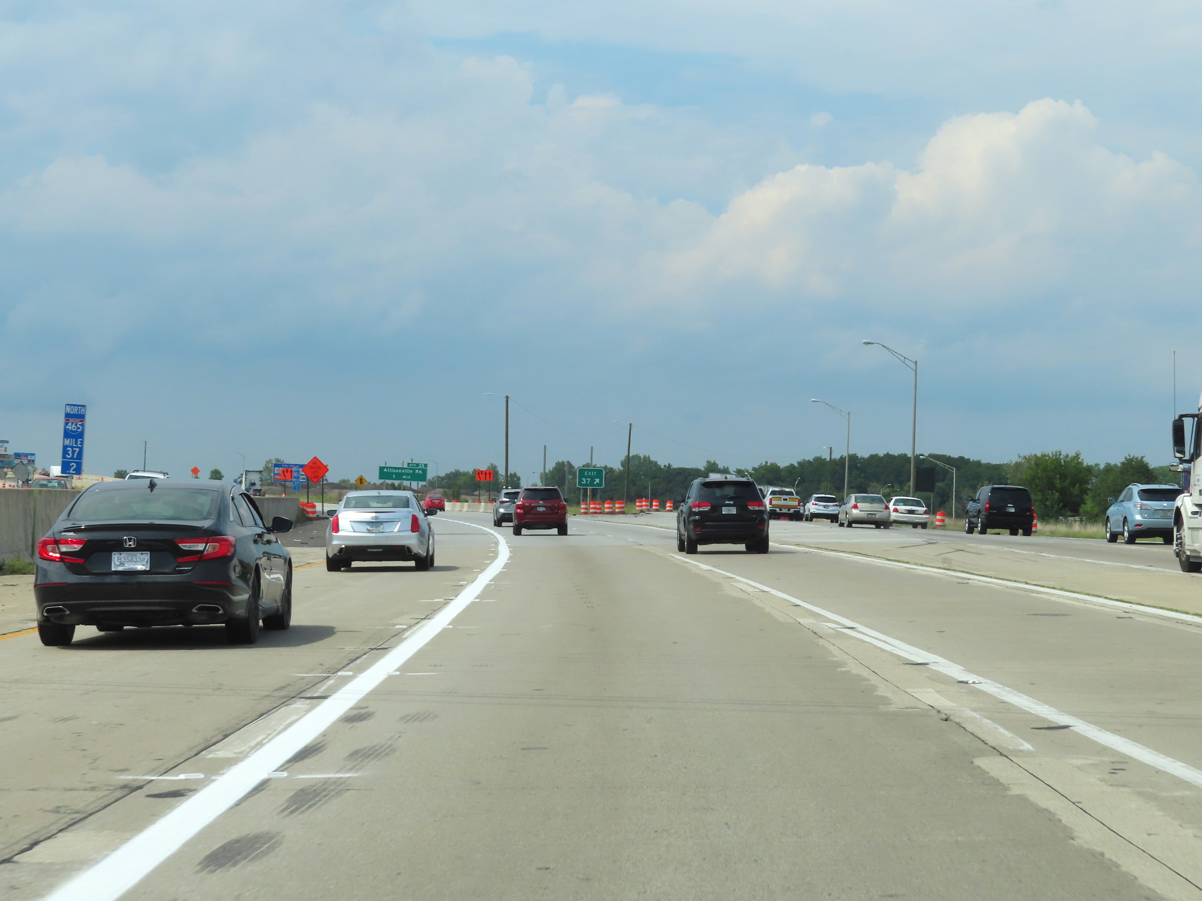
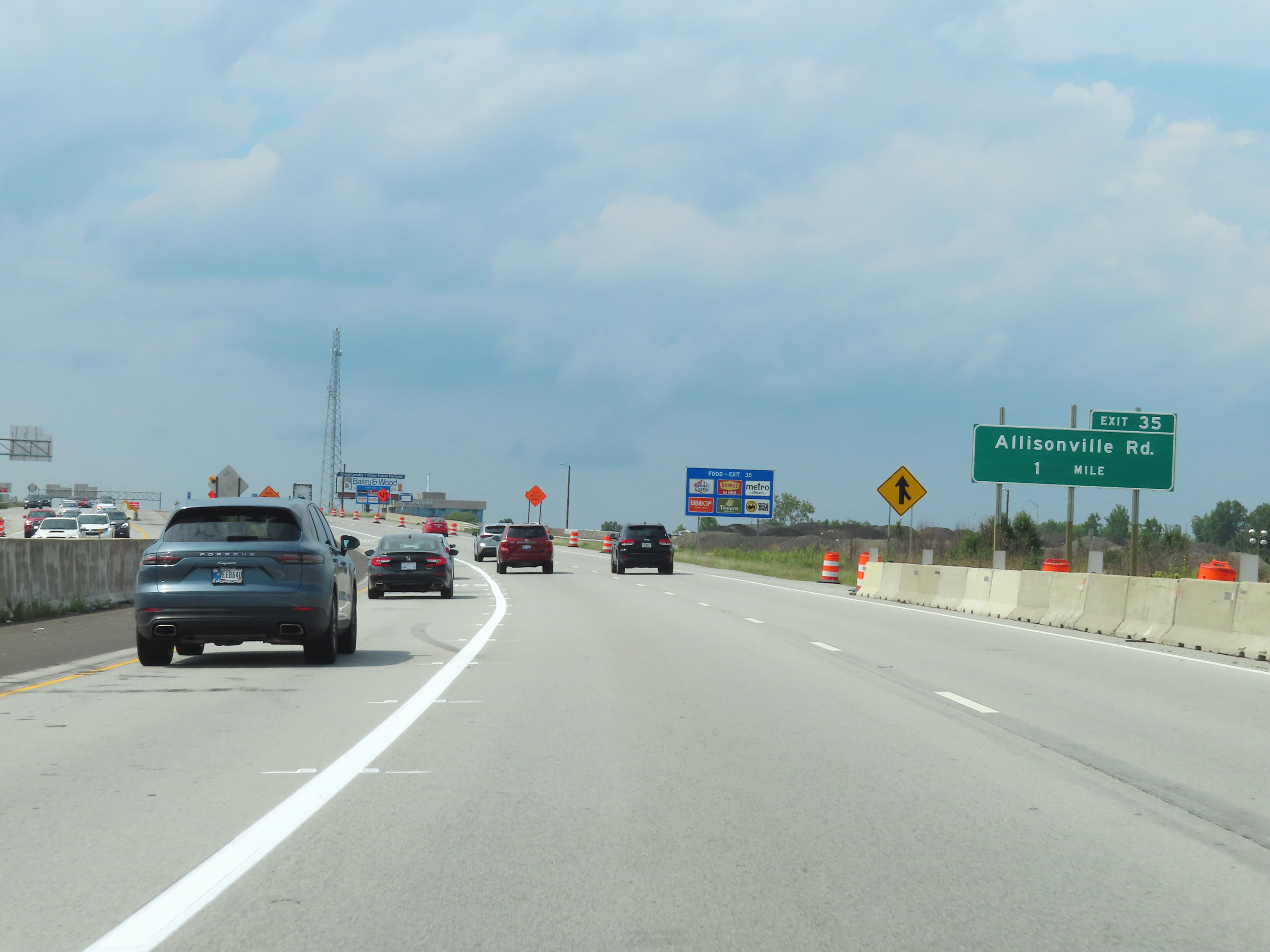
Interstate 465 Outer Loop (West) at Exit 35: Allisonville Rd (Photo taken 8/20/22). |
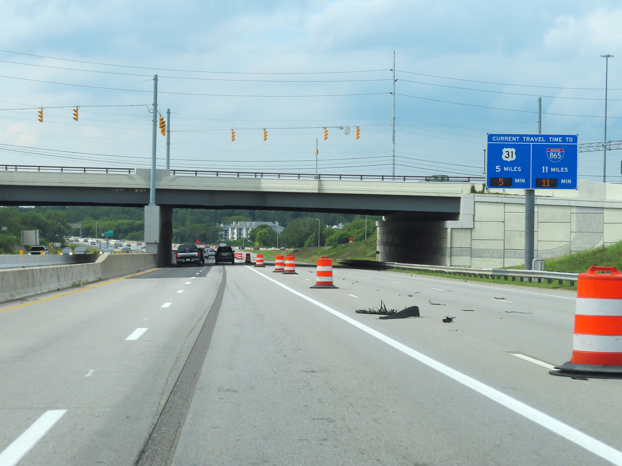 |
Another mileage sign dynamically showing the current estimated travel times to US 31 and Interstate 865 on Interstate 465 Outer Loop (West). (Photo taken 8/20/22). |
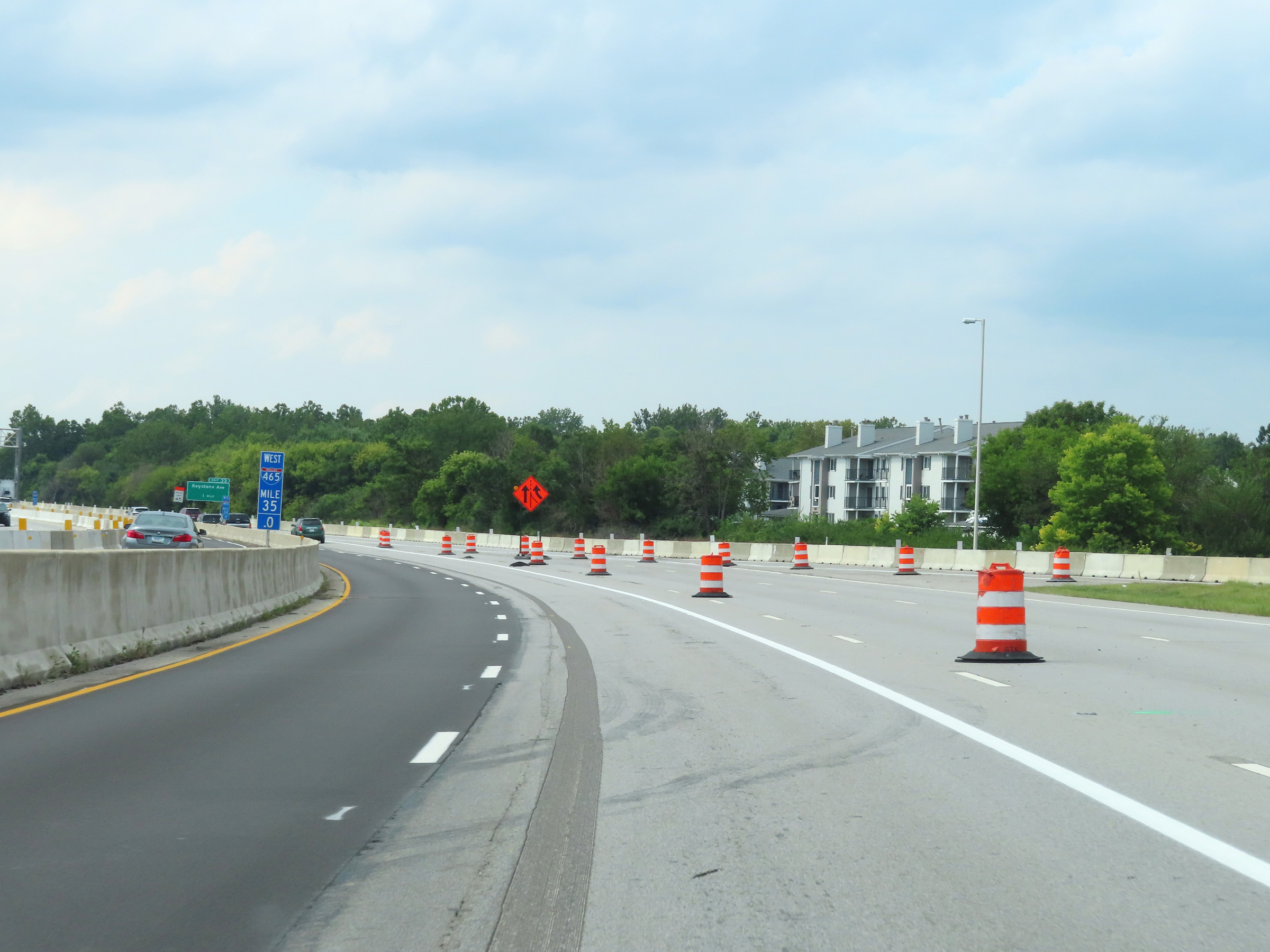 |
View on Interstate 465 Outer Loop (West) at mile marker 35. (Photo taken 8/20/22). |
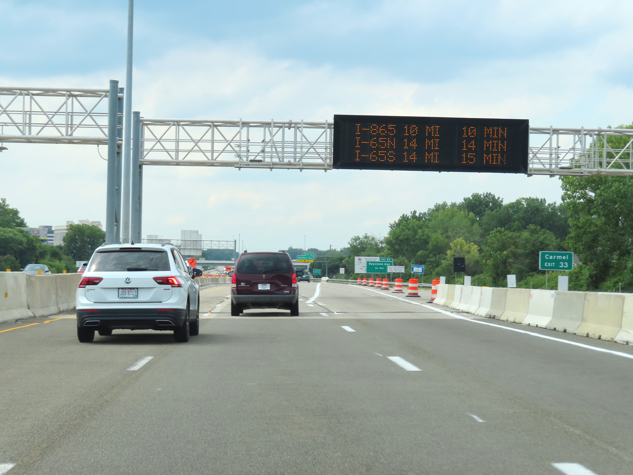 |
Take Exit 33 to Carmel. (Photo taken 8/20/22). |
 |
Trucks over 19,500 lbs GVW (Gross Vehicle Weight) are prohibited on Keystone Ave Northbound via Exit 33, except for local deliveries. Thru northbound trucks should use US 31 North. (Photo taken 8/20/22). |
 |
Take Exit 33 to The Center For The Performing Arts. (Photo taken 8/20/22). |
 |
Interstate 465 Outer Loop (West) at Exit 33: Keystone Ave (Photo taken 8/20/22). |
 |
Interstate 465 West reassurance shield. (Photo taken 8/20/22). |
 |
Interstate 465 Outer Loop (West) as it enters Hamilton County. (Photo taken 8/20/22). |
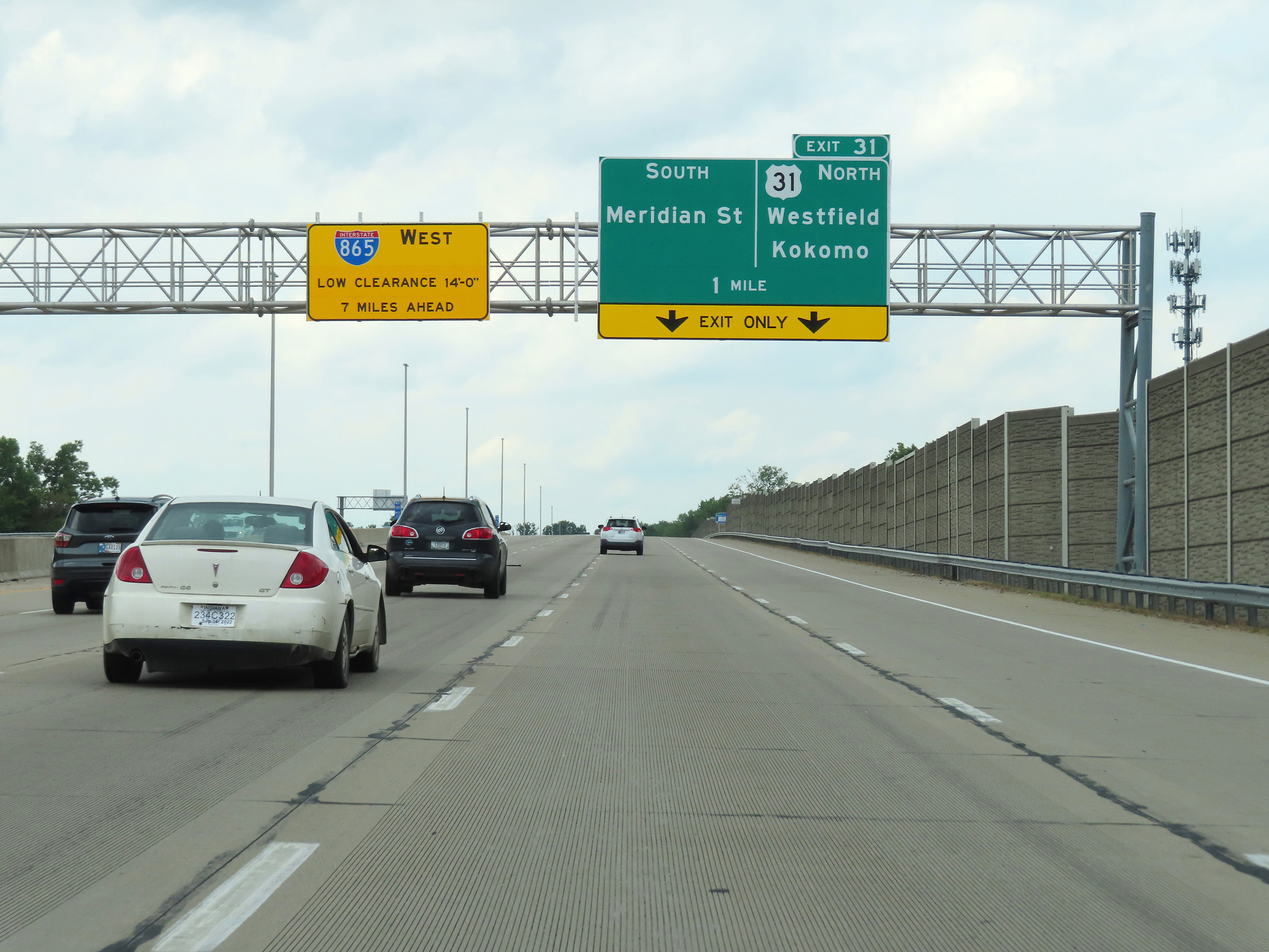 |
This overhead warning sign approaching Exit 31 states that there is a 14'-0" low vertical clearance on Interstate 865 West, 7 miles ahead. (Photo taken 8/20/22). |
 |
View on Interstate 465 Outer Loop (West) at mile marker 31.5. (Photo taken 8/20/22). |
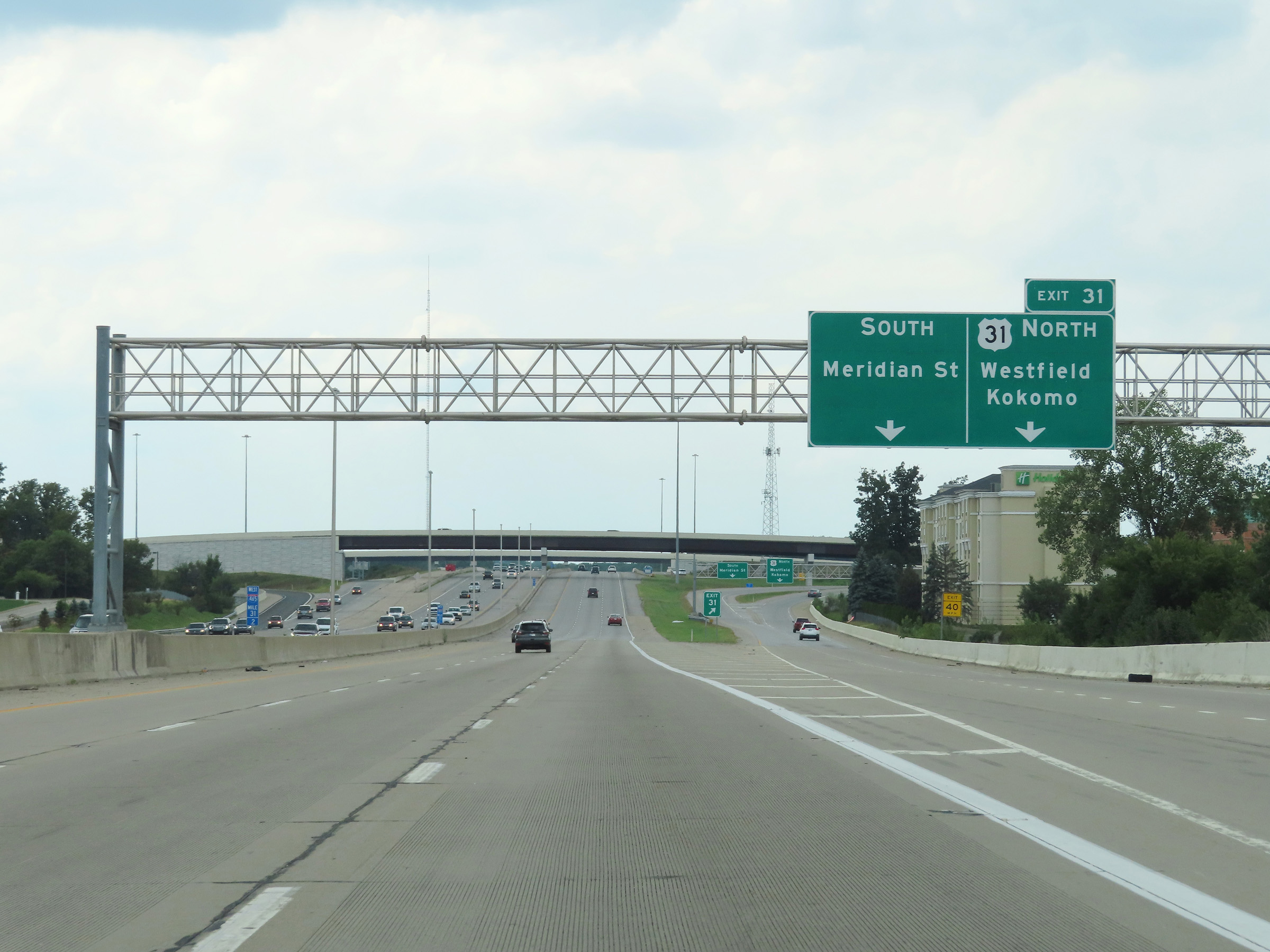 |
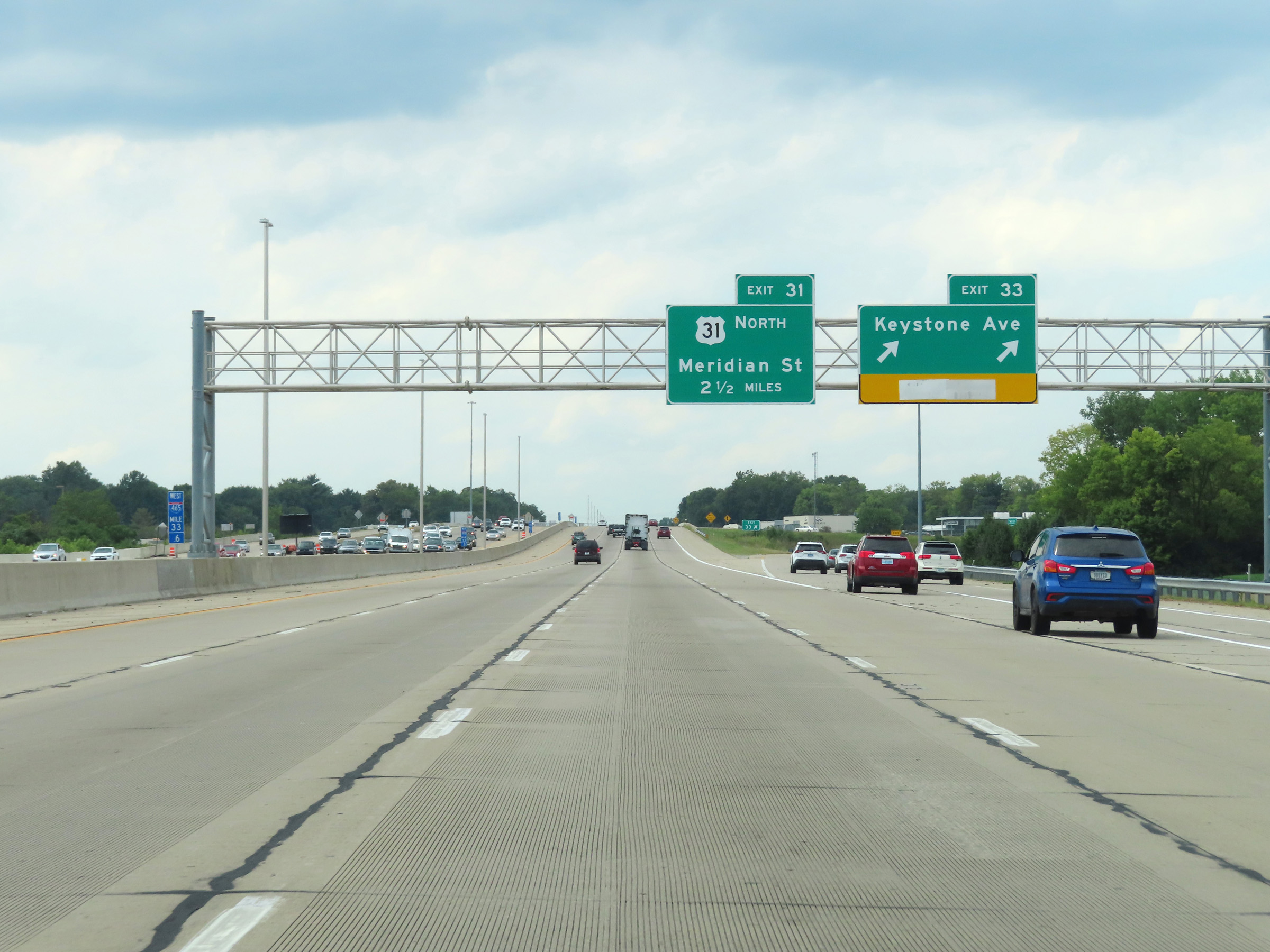
Interstate 465 Outer Loop (West) at Exit 31: US 31 North - Westfield / Kokomo; Meridian St South (Photo taken 8/20/22). |
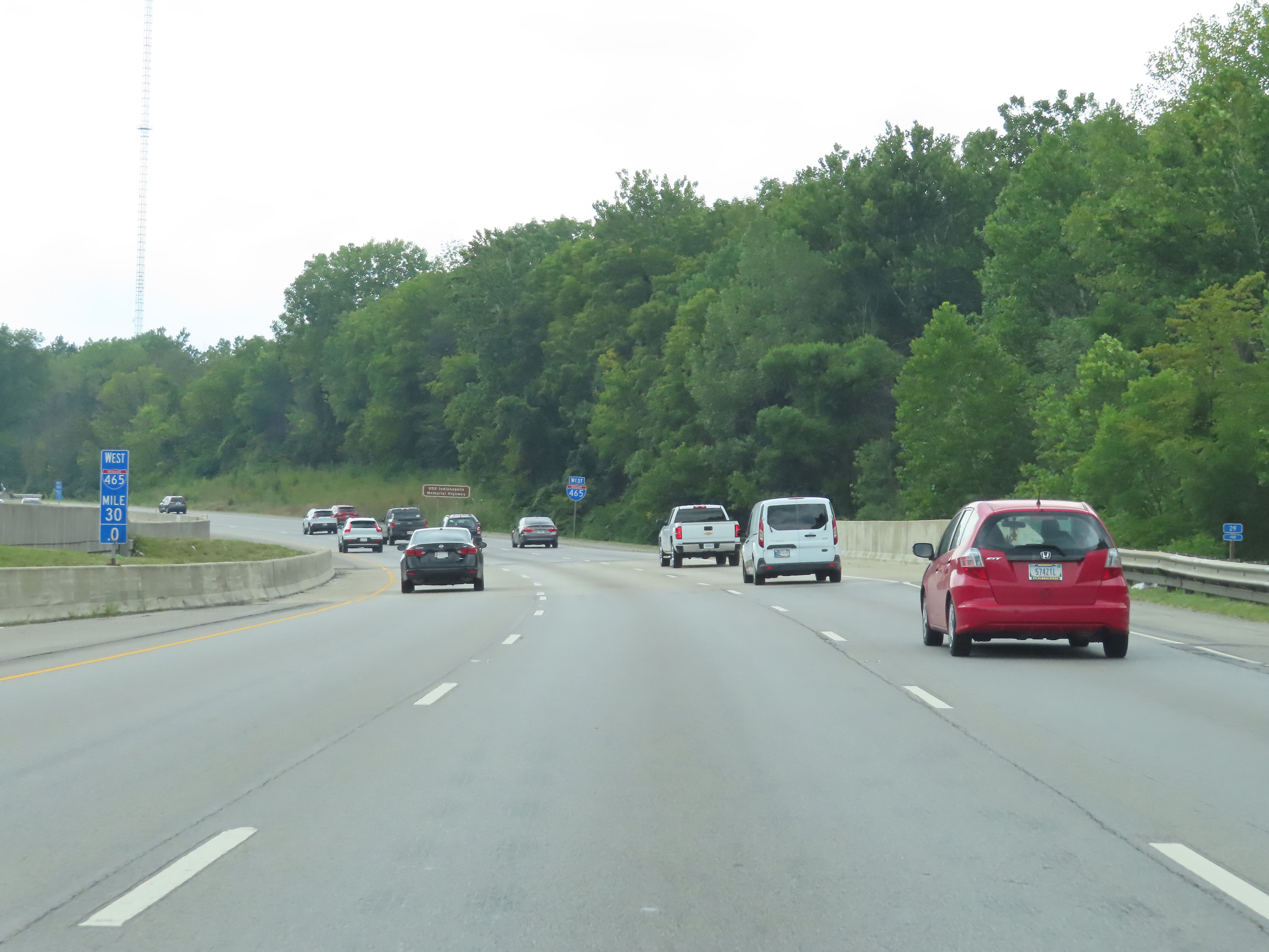 |
Interstate 465 Outer Loop (West) at mile marker 30. (Photo taken 8/20/22). |
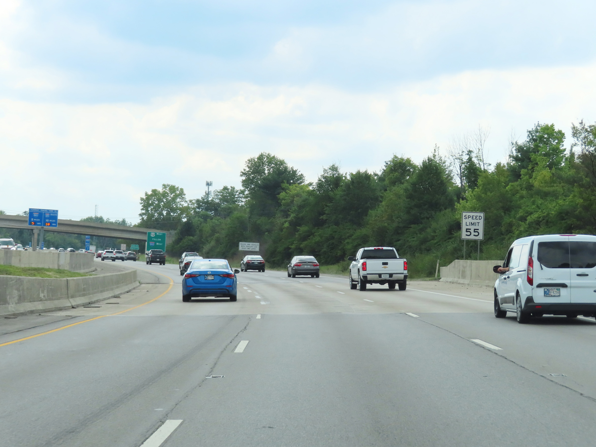 |
The speed limit remains 55 mph for all traffic on Interstate 465 Outer Loop (West). (Photo taken 8/20/22). |
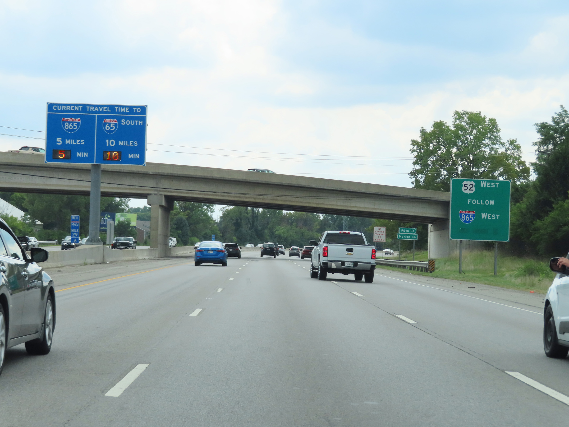 |
Traffic following US 52 West should follow Interstate 865 West via Exit 25. (Photo taken 8/20/22). |
 |
Interstate 465 Outer Loop (West) as it re-enters Marion County. (Photo taken 8/20/22). |
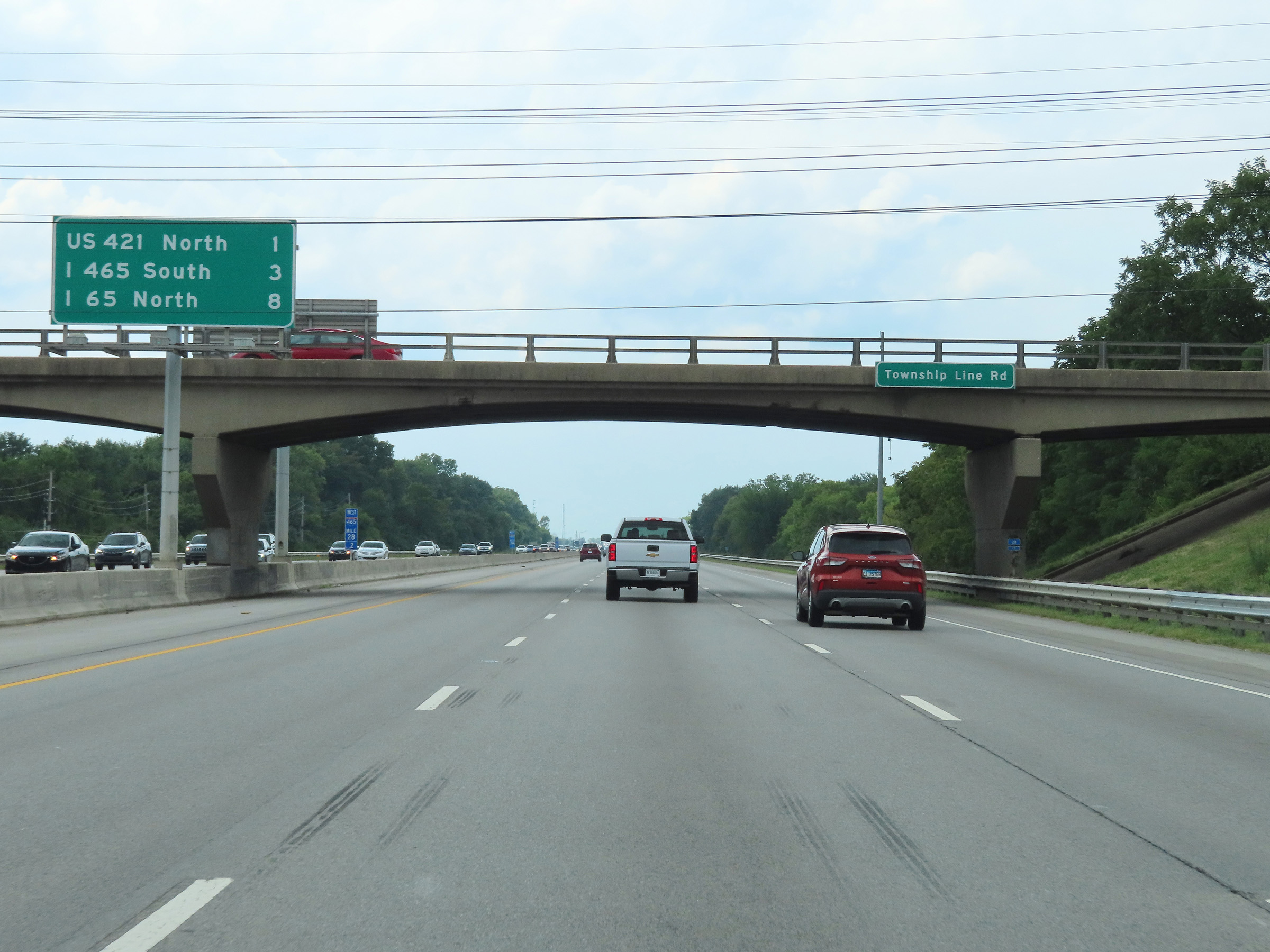 |
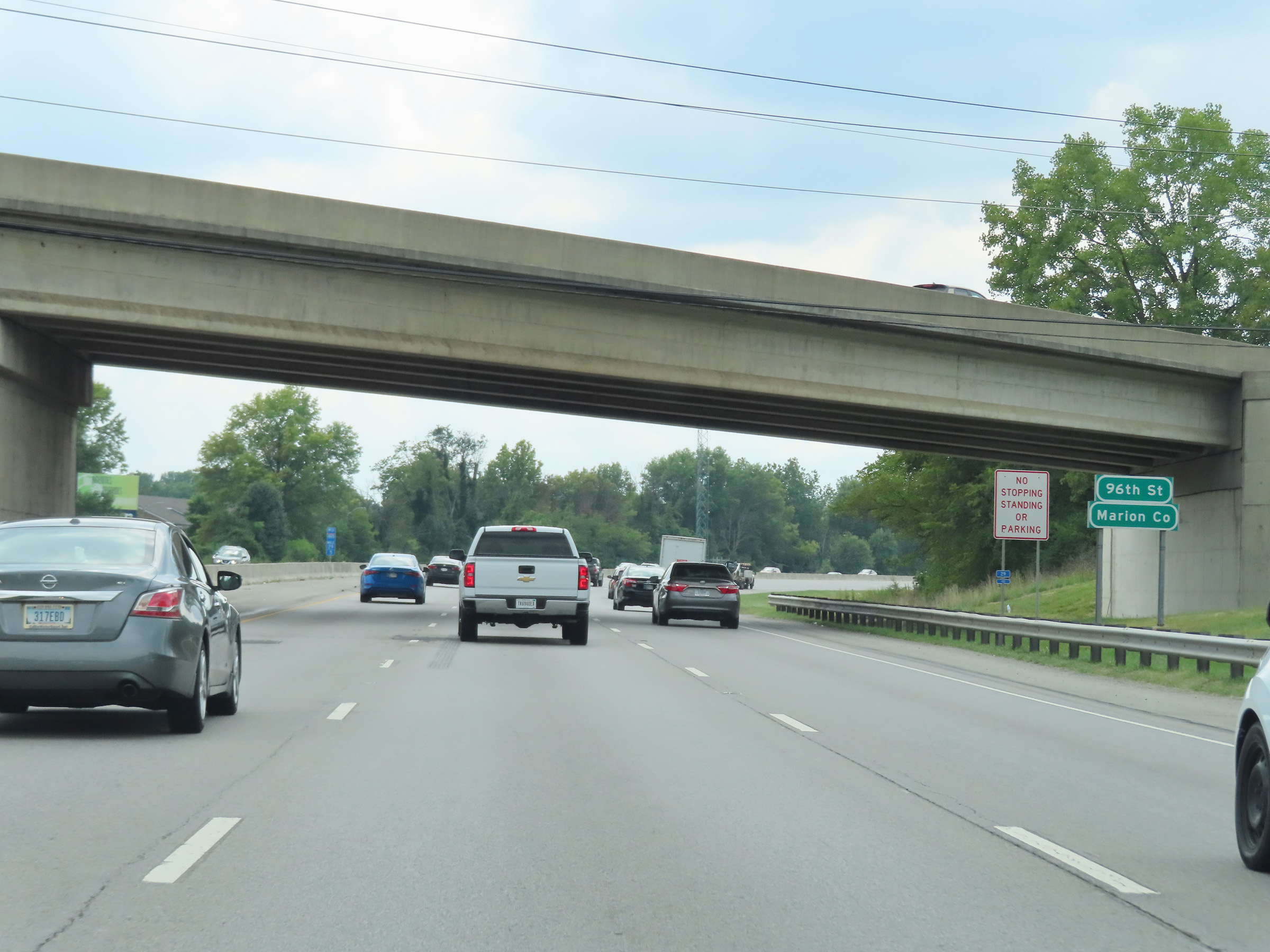
Overhead mileage sign on the median at mile marker 28.2. It's 1 miles to the junction of US 421 North, 3 miles to the exit to remain on Interstate 465 via I-465 South, and 8 miles to the junction of Interstate 65 North via I-865 West. (Photo taken 8/20/22). |
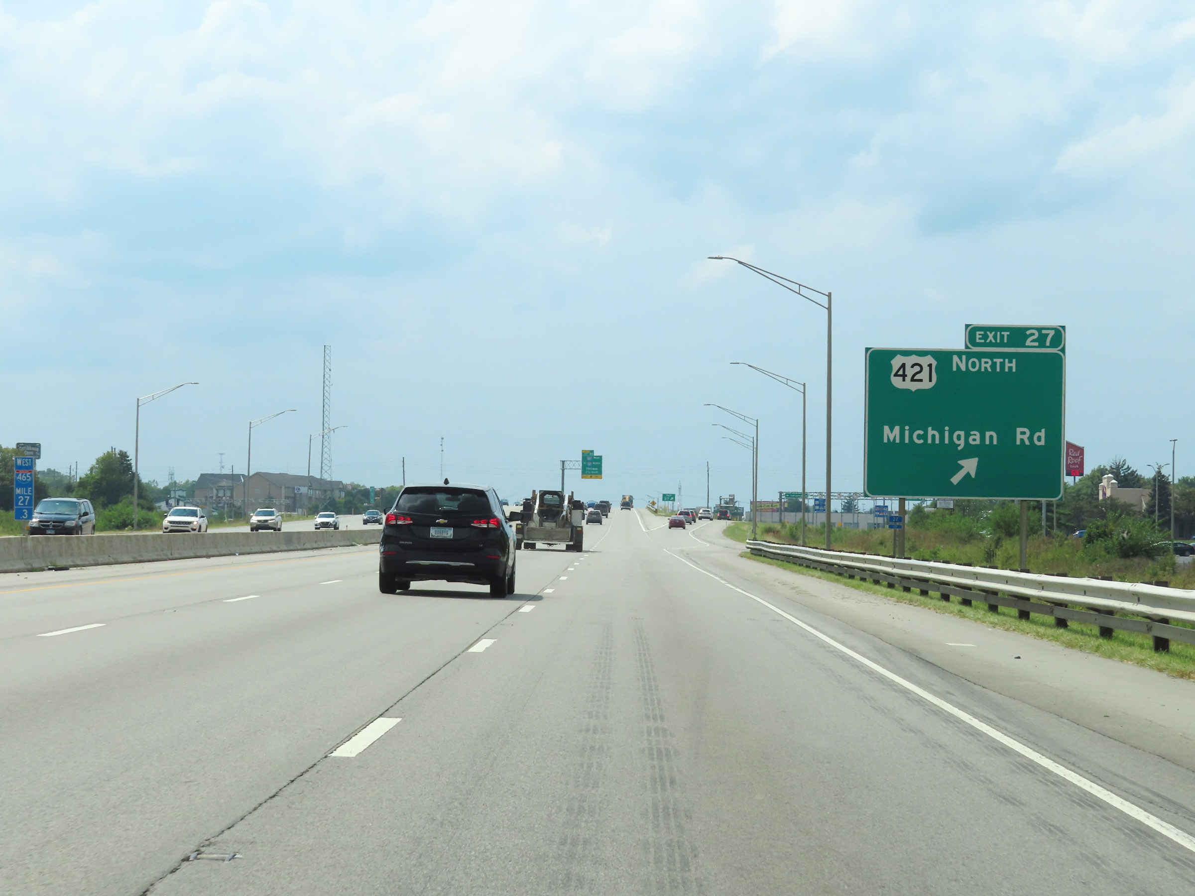 |
Interstate 465 Outer Loop (West) at Exit 27: US 421 North - Michigan Rd (Photo taken 8/20/22). |
 |
Interstate 465 Outer Loop (West) approaching Exit 25 - 1 mile on the left. (Photo taken 8/20/22). |
 |
About 1/2 mile from Exit 25, Interstate 465 Outer Loop (West) enters Boone County. (Photo taken 8/20/22). |
 |
View on Interstate 465 Outer Loop (West) at mile marker 25.4, approaching Exit 25. (Photo taken 8/20/22). |
 |
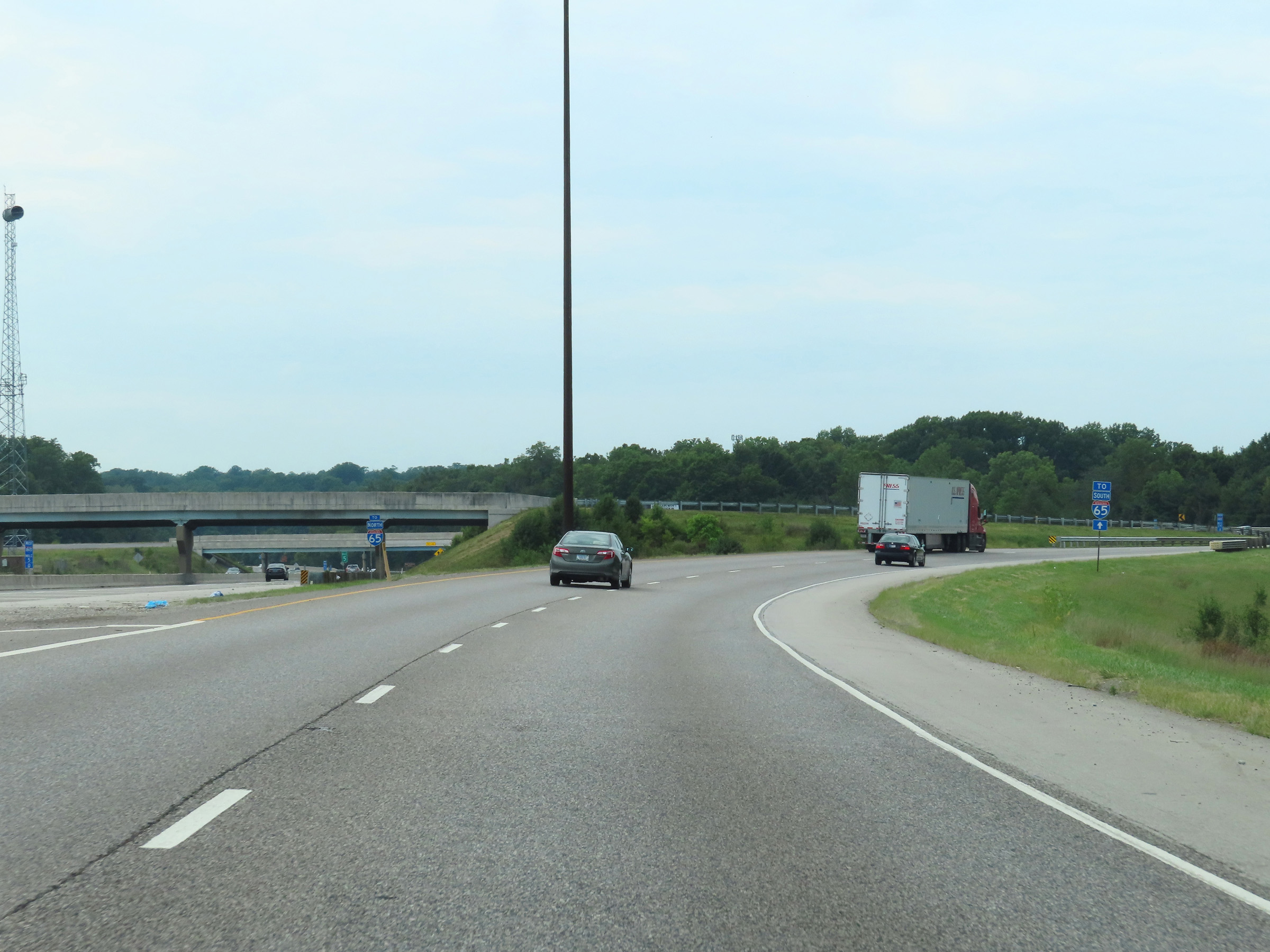
Interstate 465 Outer Loop (West) at Exit 25: Interstate 865 West / To Interstate 65 North - Chicago (Photo taken 8/20/22). |
 |
View of the ramp to Interstate 865 West via Exit 25 (on the left). I-465 Outer Loop (West) is reduced to two thru lanes at this point. (Photo taken 8/20/22). |
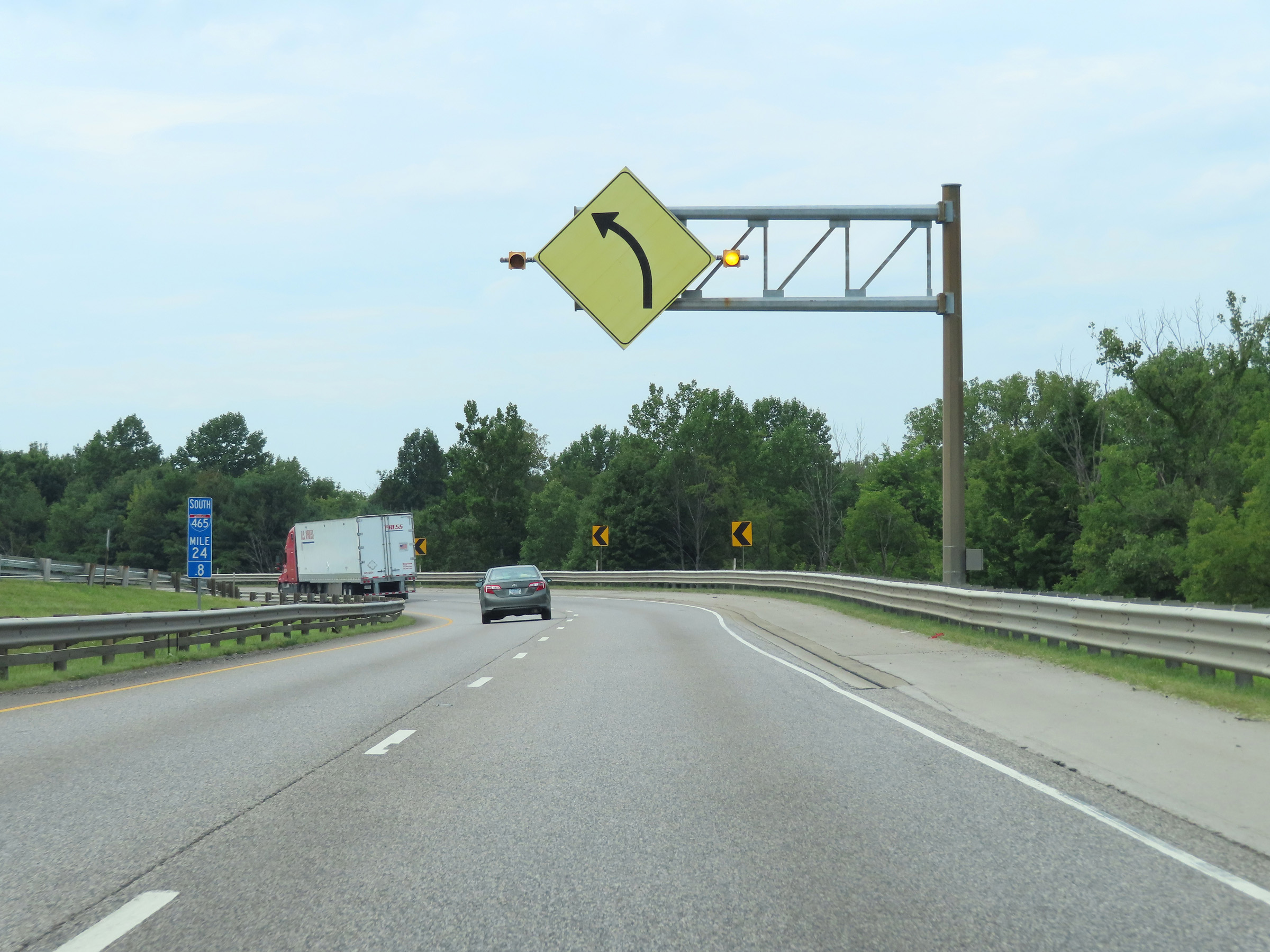 |
At mile marker 24.8, the directional signage on Interstate 465 Outer Loop changes from West to South, as this overhead warning sign shows that the two thru lanes of I-465 Outer Loop are about to curve hard to the left (south) at the northwestern corner of the Indianapolis area. (Photo taken 8/20/22). |
 |
View on Interstate 465 Outer Loop (South) as it continues to traverse the sharp curve to the south at mile marker 24.6. (Photo taken 8/20/22). |
 |
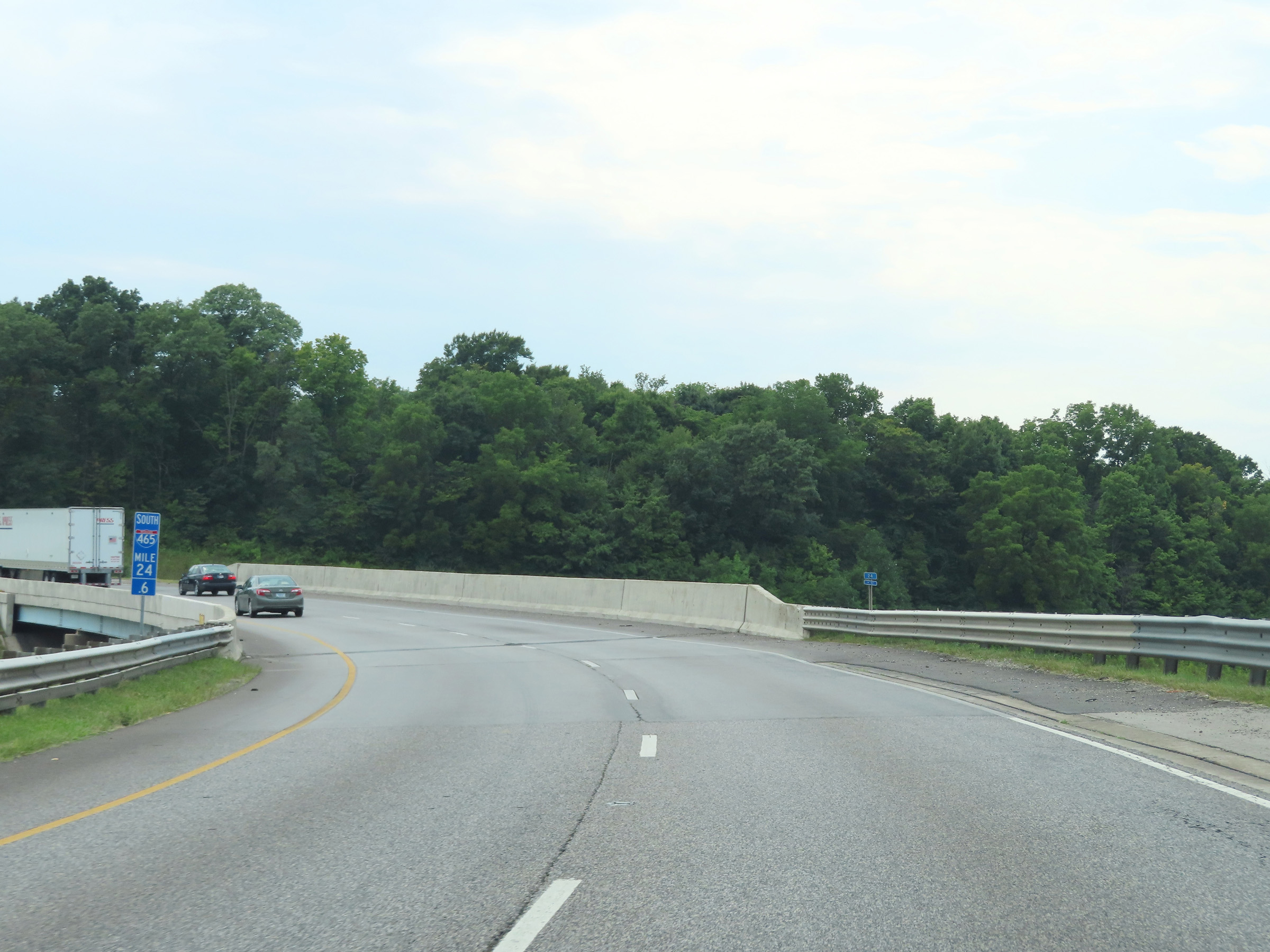
Interstate 465 Outer Loop (South) at mile marker 24.5, still curving to the south at the northwestern corner of the Indianapolis area. (Photo taken 8/20/22). |
 |
Interstate 465 South reassurance shield at mile marker 24.3. (Photo taken 8/20/22). |
 |
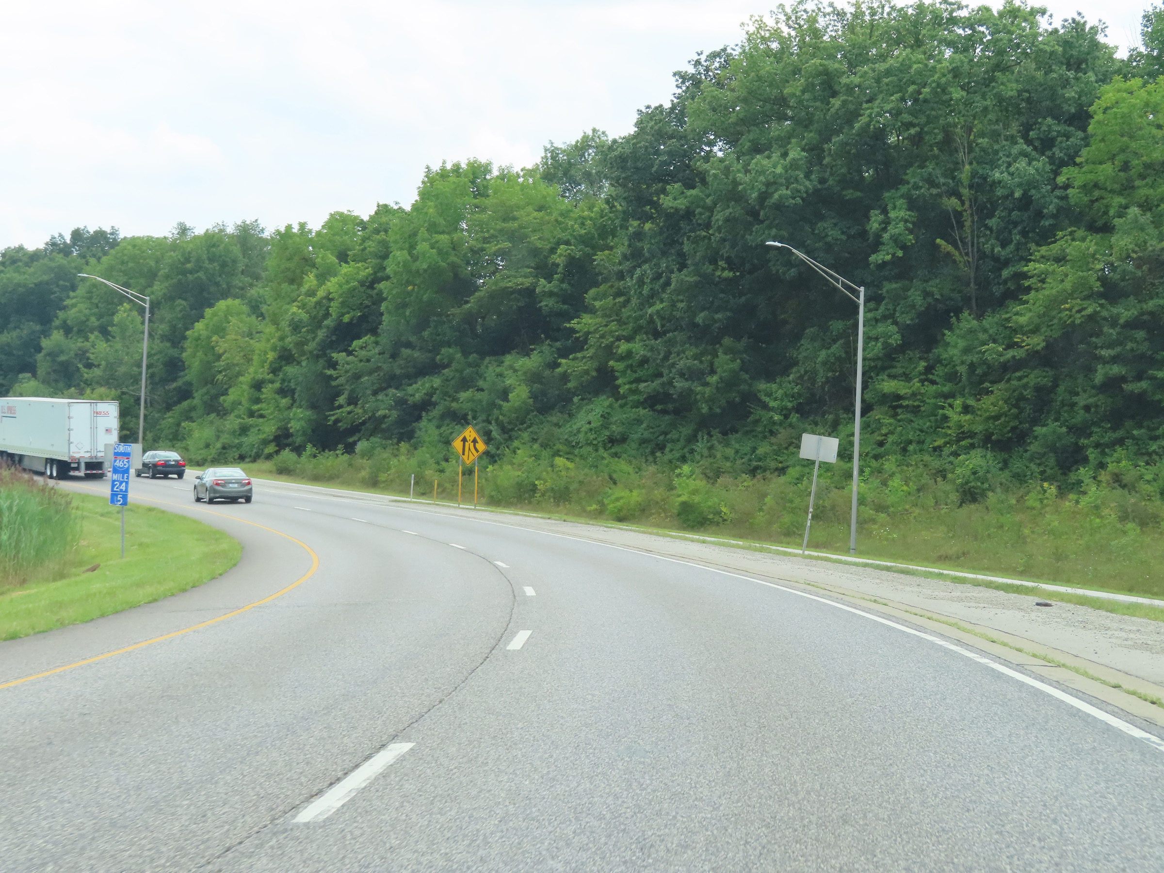
Interstate 465 Outer Loop (South) as it re-enters Marion County. (Photo taken 8/20/22). |
 |
The speed limit remains 55 mph on Interstate 465 Outer Loop (South). (Photo taken 8/20/22). |
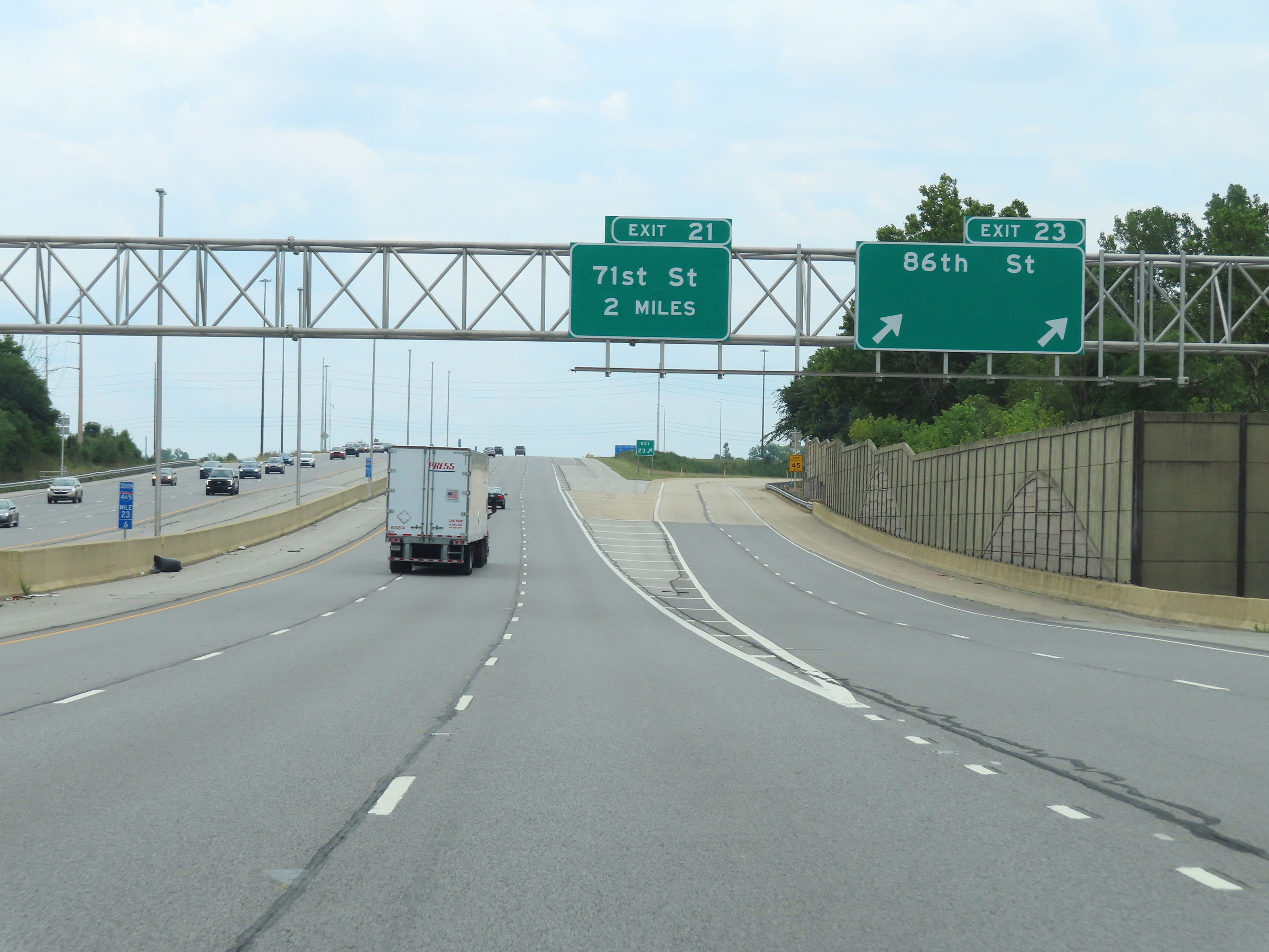 |
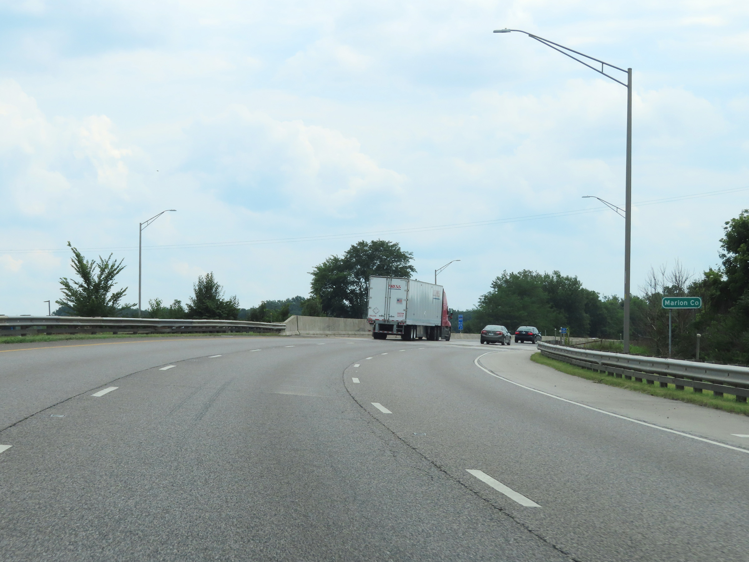
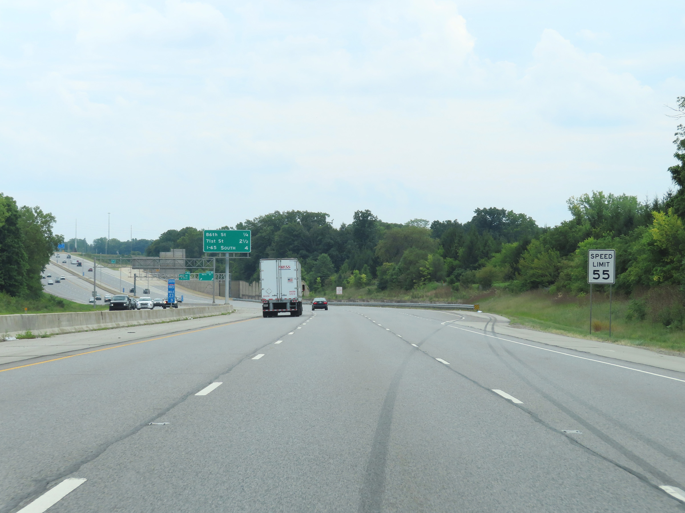
Interstate 465 Outer Loop (South) at Exit 23: 86th St (Photo taken 8/20/22). |
Section 2: Exit 23 to Mile Marker 0
 |
View on Interstate 465 Outer Loop (South) at mile marker 22.7. (Photo taken 8/20/22). |
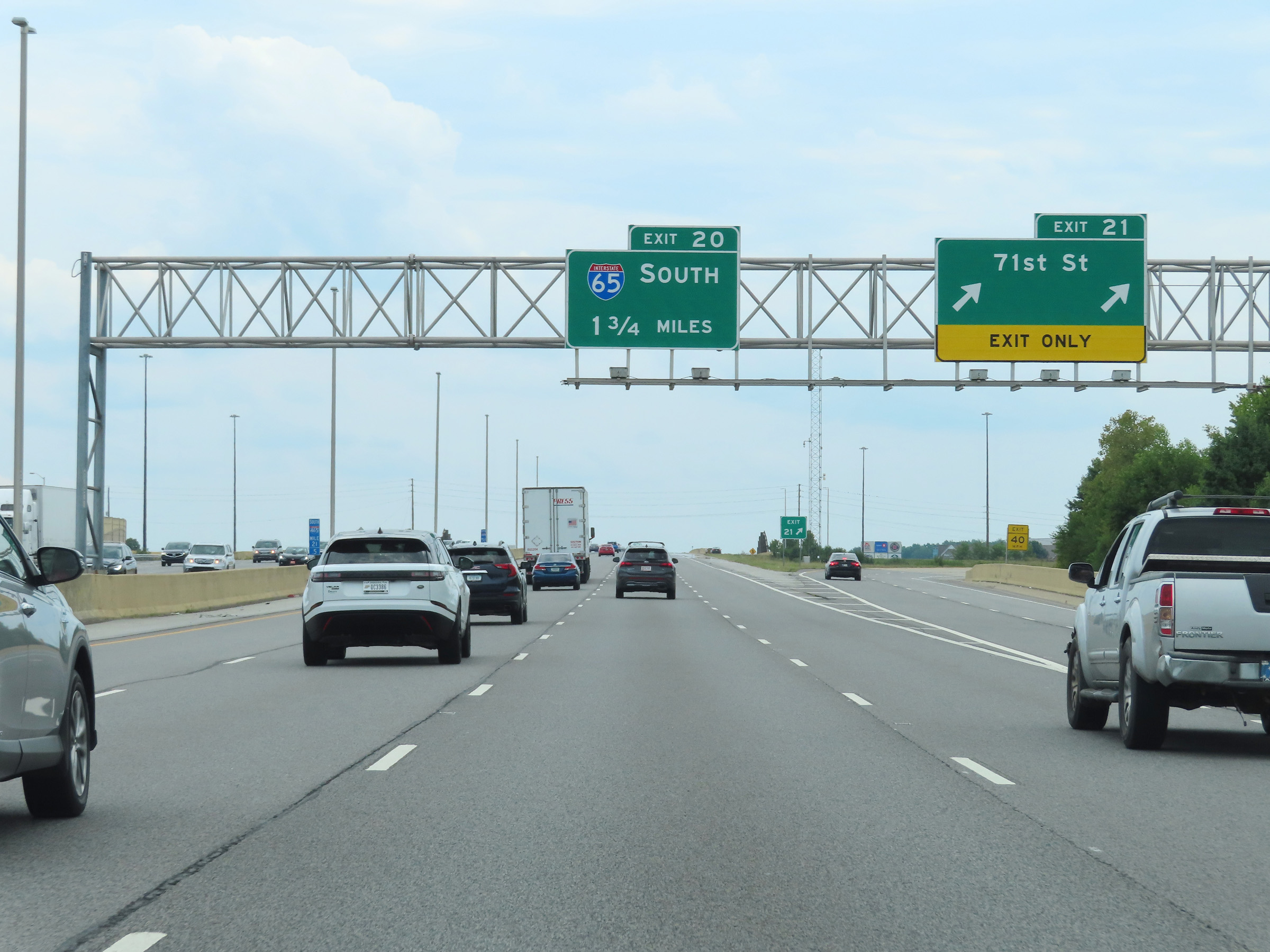 |
Interstate 465 Outer Loop (South) at Exit 21: 71st St (Photo taken 8/20/22). |
 |
Another Interstate 465 South reassurance shield. (Photo taken 8/20/22). |
 |
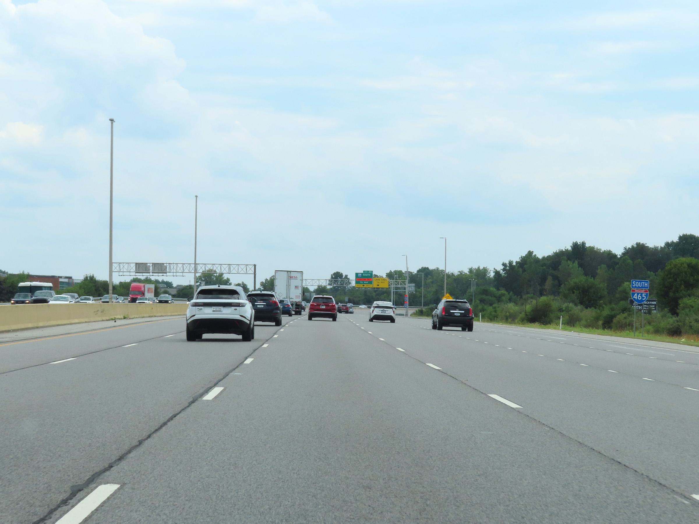
Interstate 465 Outer Loop (South) approaching Exit 20 - 1/2 mile. (Photo taken 8/20/22). |
 |
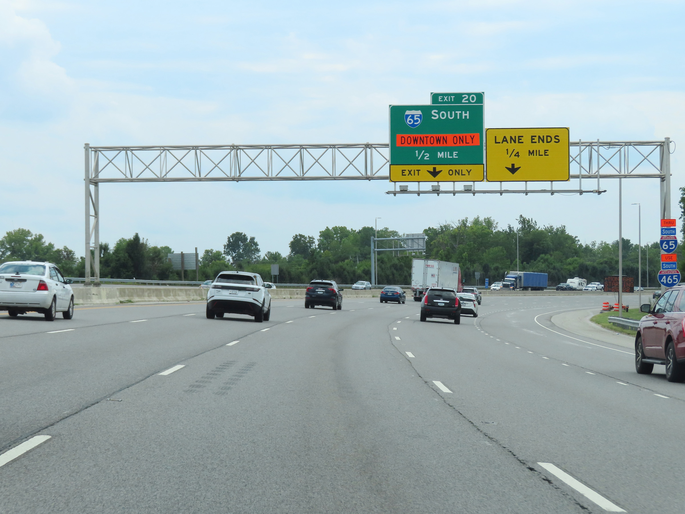
Interstate 465 Outer Loop (South) at Exit 20: Interstate 65 South - Indianapolis (Photo taken 8/20/22). |
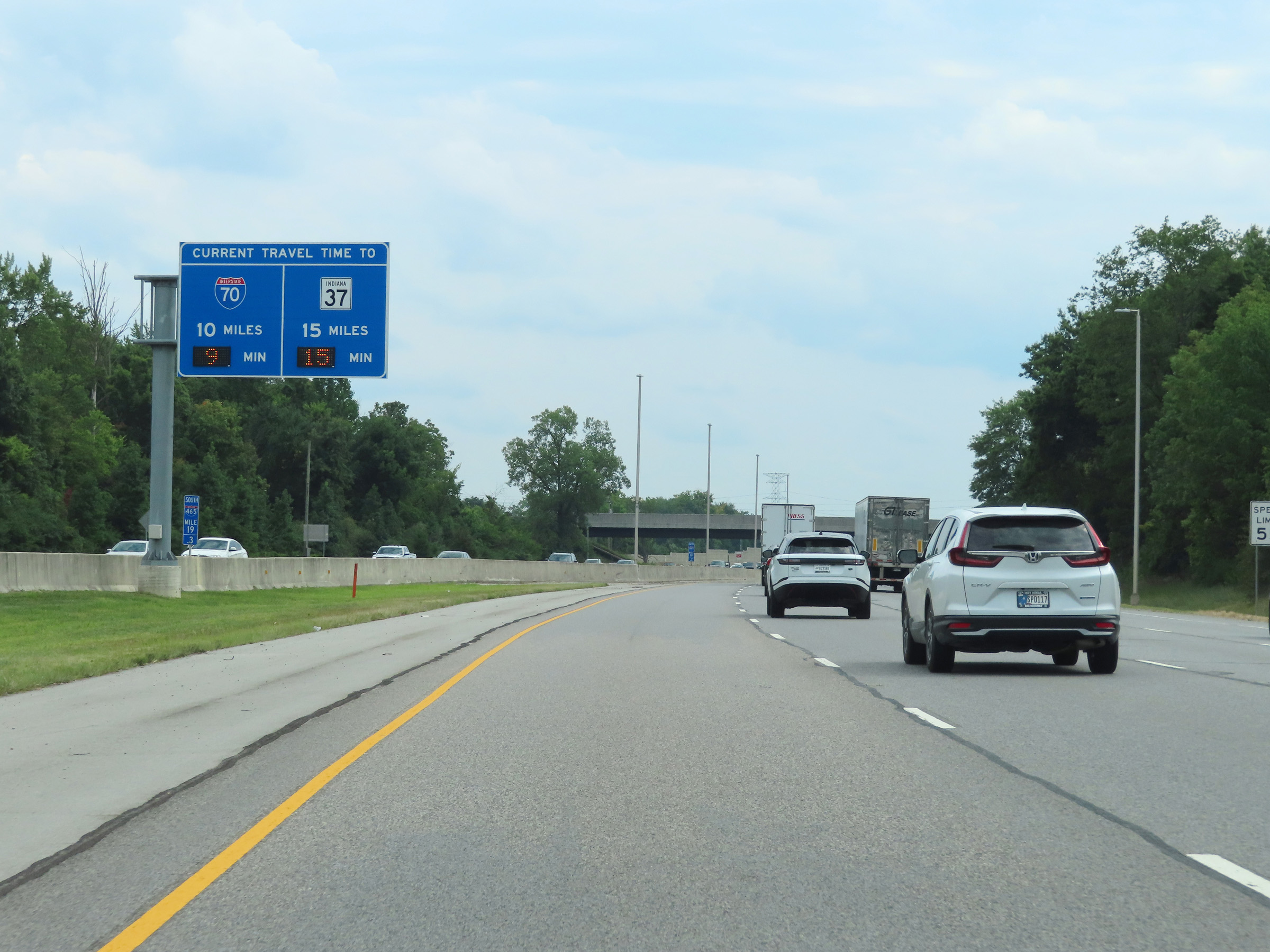 |
Overhead mileage sign at mile marker 19.3, dynamically showing the current estimated travel times to Interstate 70 and IN 37 on Interstate 465 Outer Loop. (Photo taken 8/20/22). |
 |
View on Interstate 465 Outer Loop (South) at mile marker 19. (Photo taken 8/20/22). |
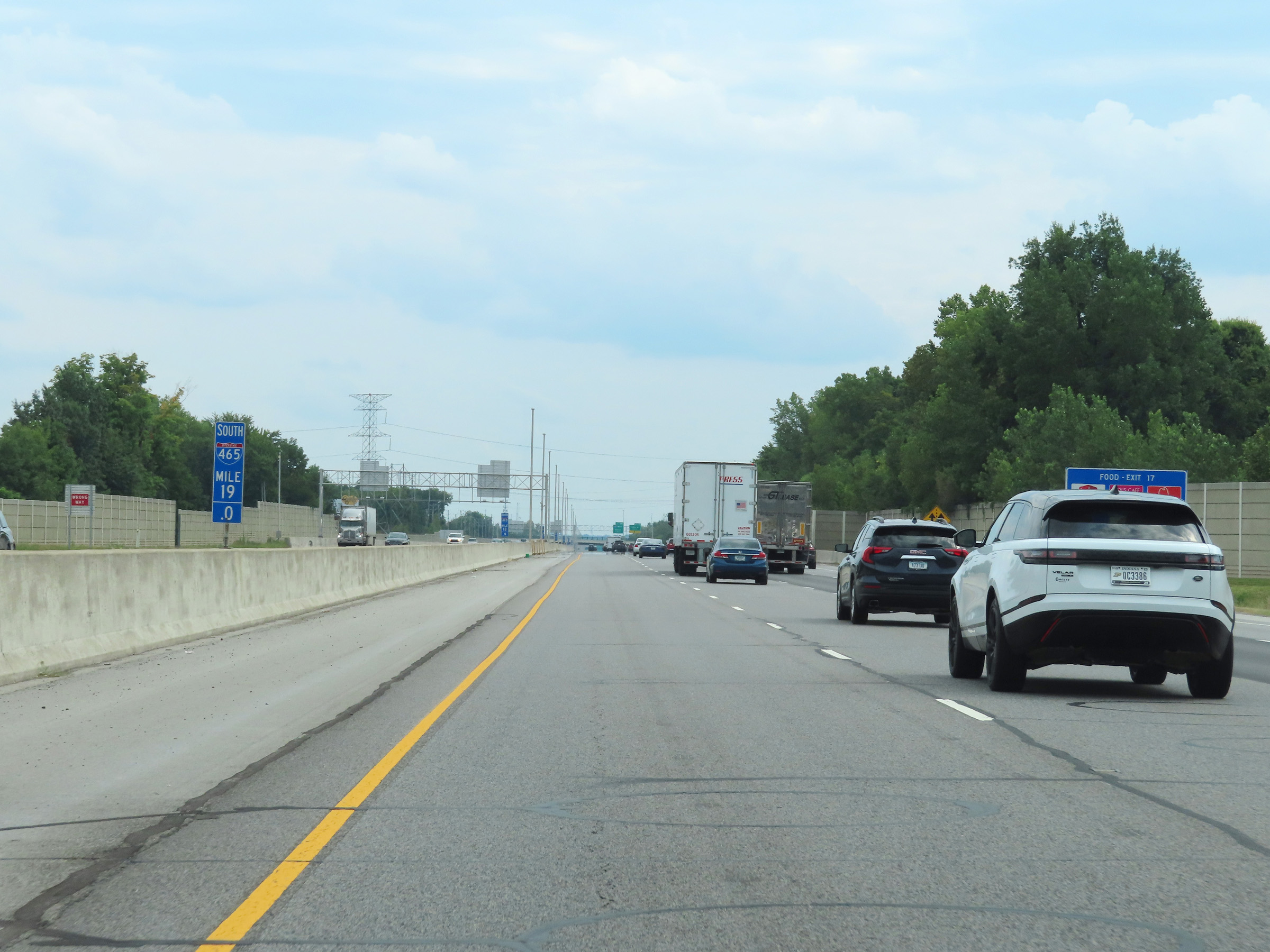
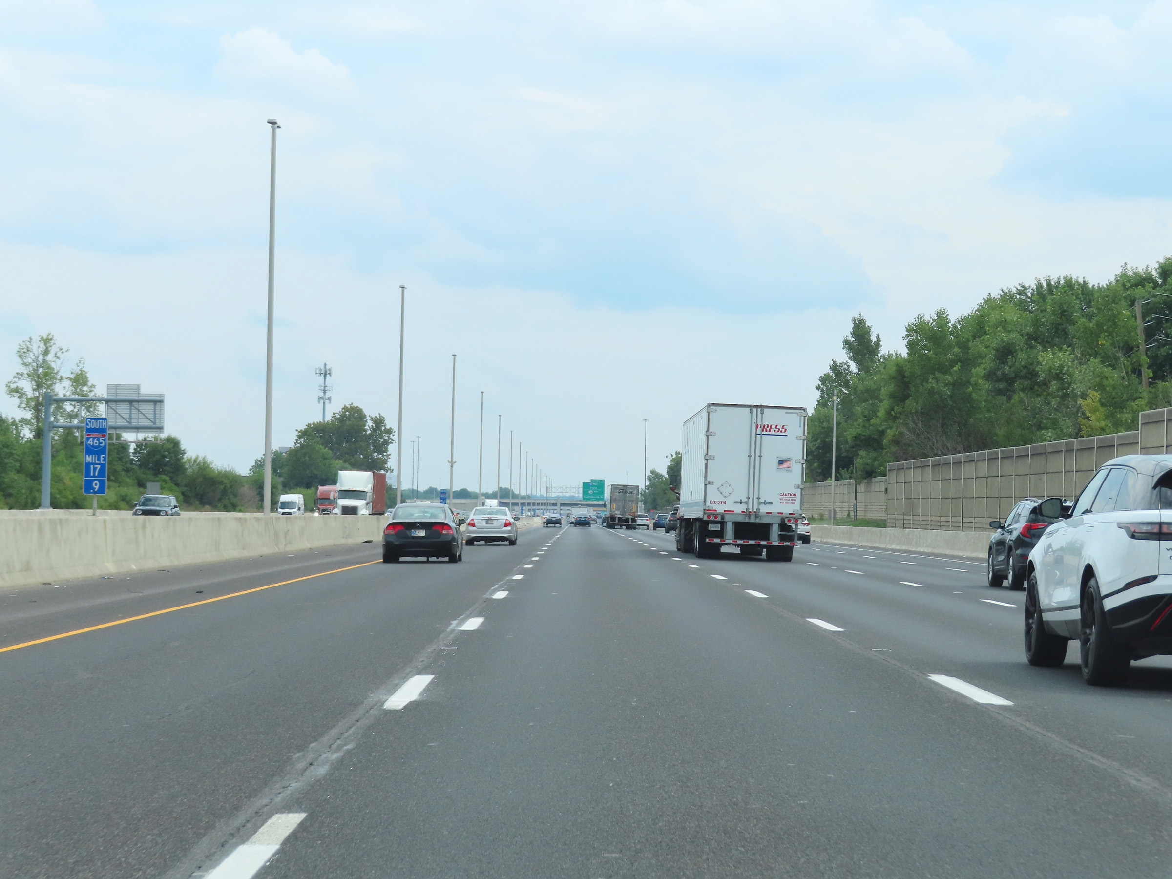 |
Interstate 465 Outer Loop (South) at mile marker 17.9. (Photo taken 8/20/22). |
 |
Interstate 465 Outer Loop (South) at Exit 17: 38th St (Photo taken 8/20/22). |
 |
Interstate 465 Outer Loop (South) approaching Exits 16A-B - 1/2 mile. (Photo taken 8/20/22). |
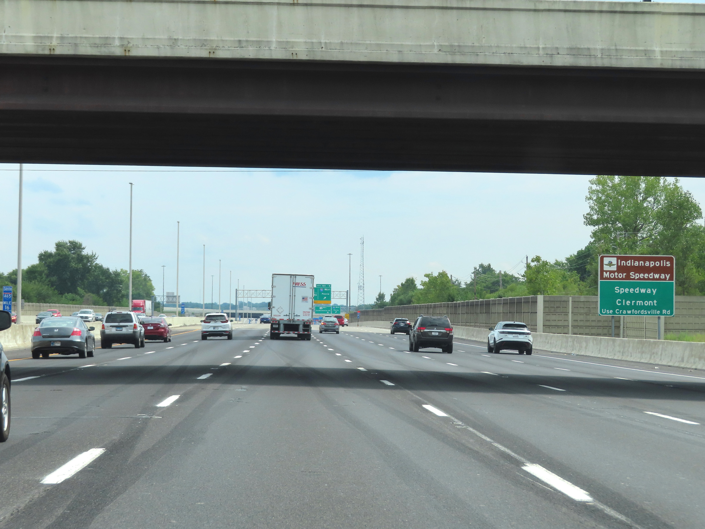 |
Take Exits 16A-B and follow US 136 (Crawfordsville Rd) to Indianapolis Motor Speedway, Speedway, and Clermont. (Photo taken 8/20/22). |
 |
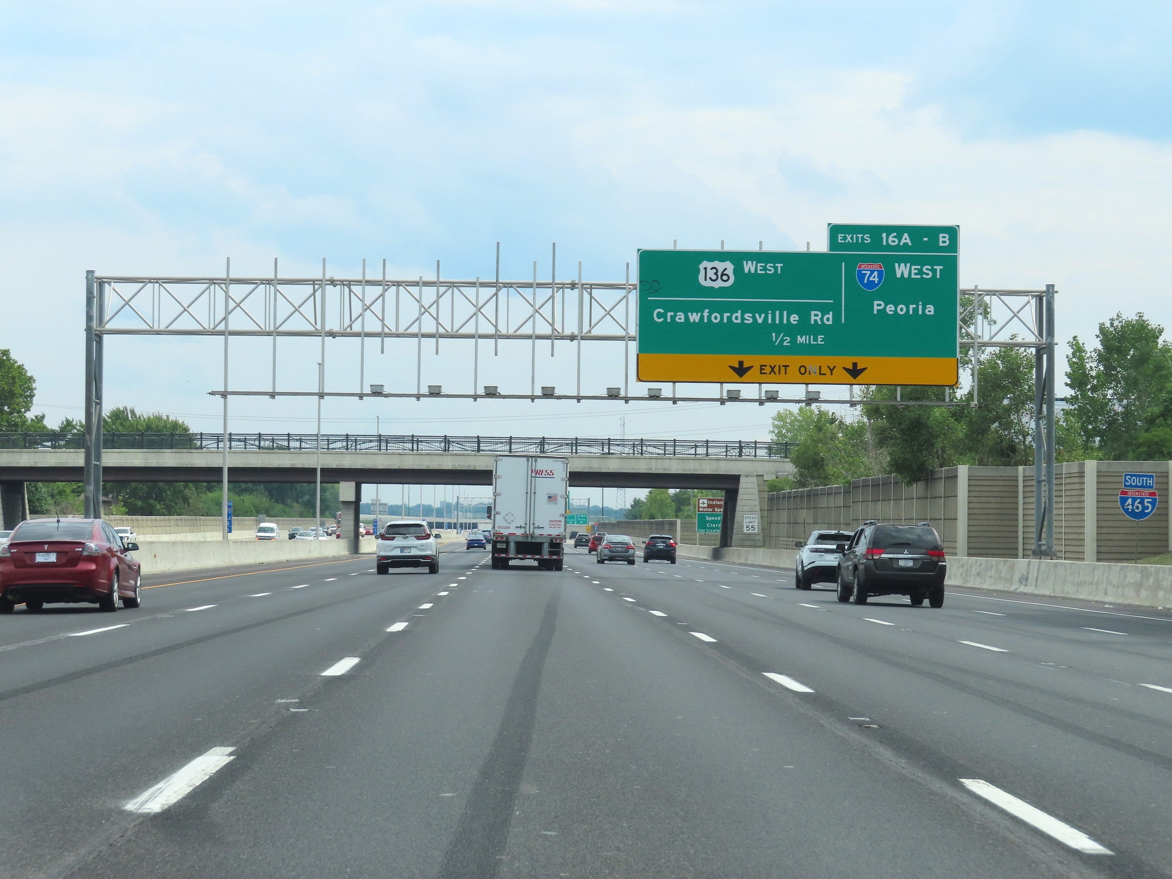
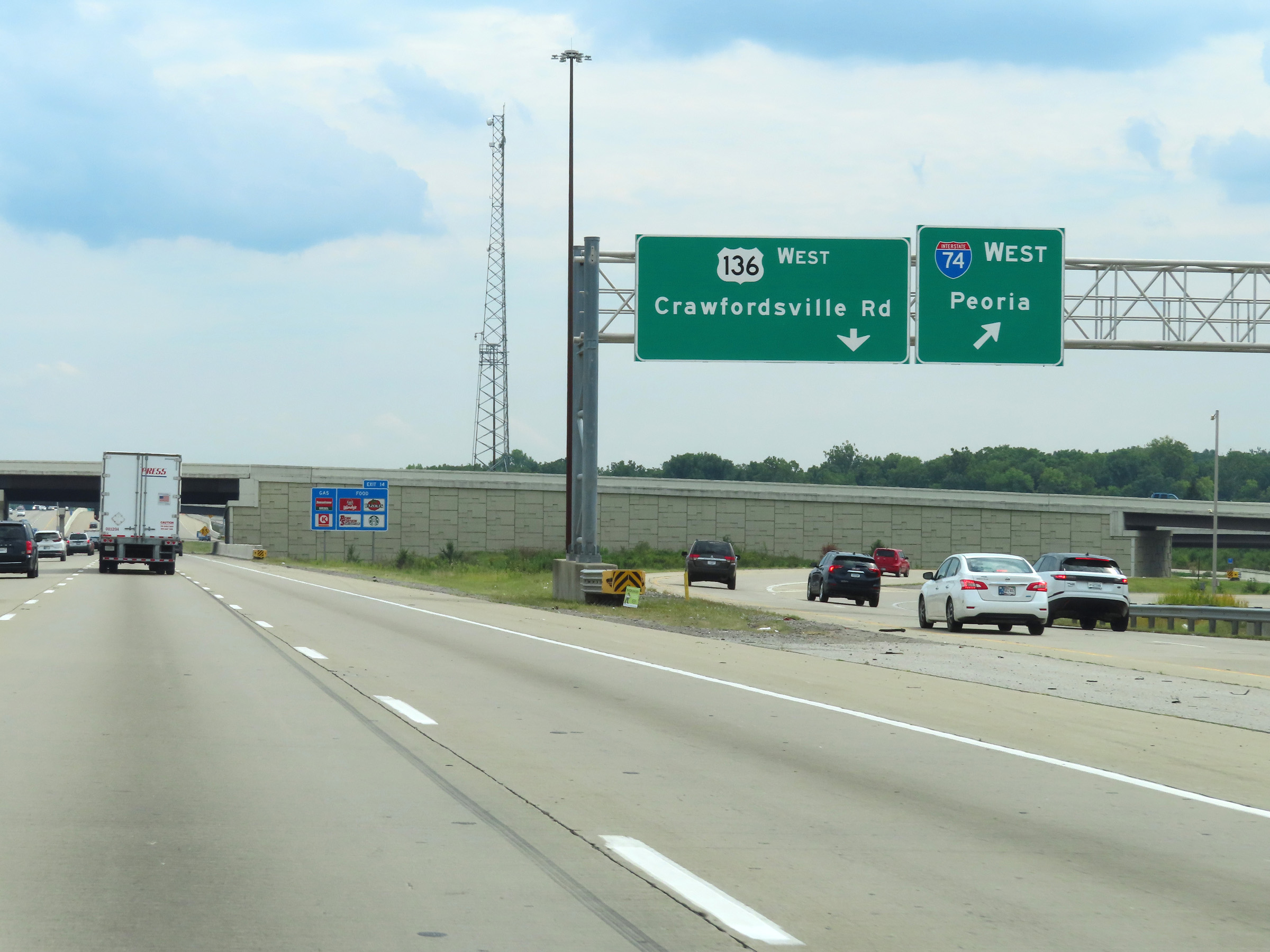
Interstate 465 Outer Loop (South) at Exits 16A-B: Interstate 74 West - Peoria; US 136 West - Crawfordsville Rd (Photo taken 8/20/22). |
 |
View of the ramp to Exits 16A-B as they split into their respective ramps. (Photo taken 8/20/22). |
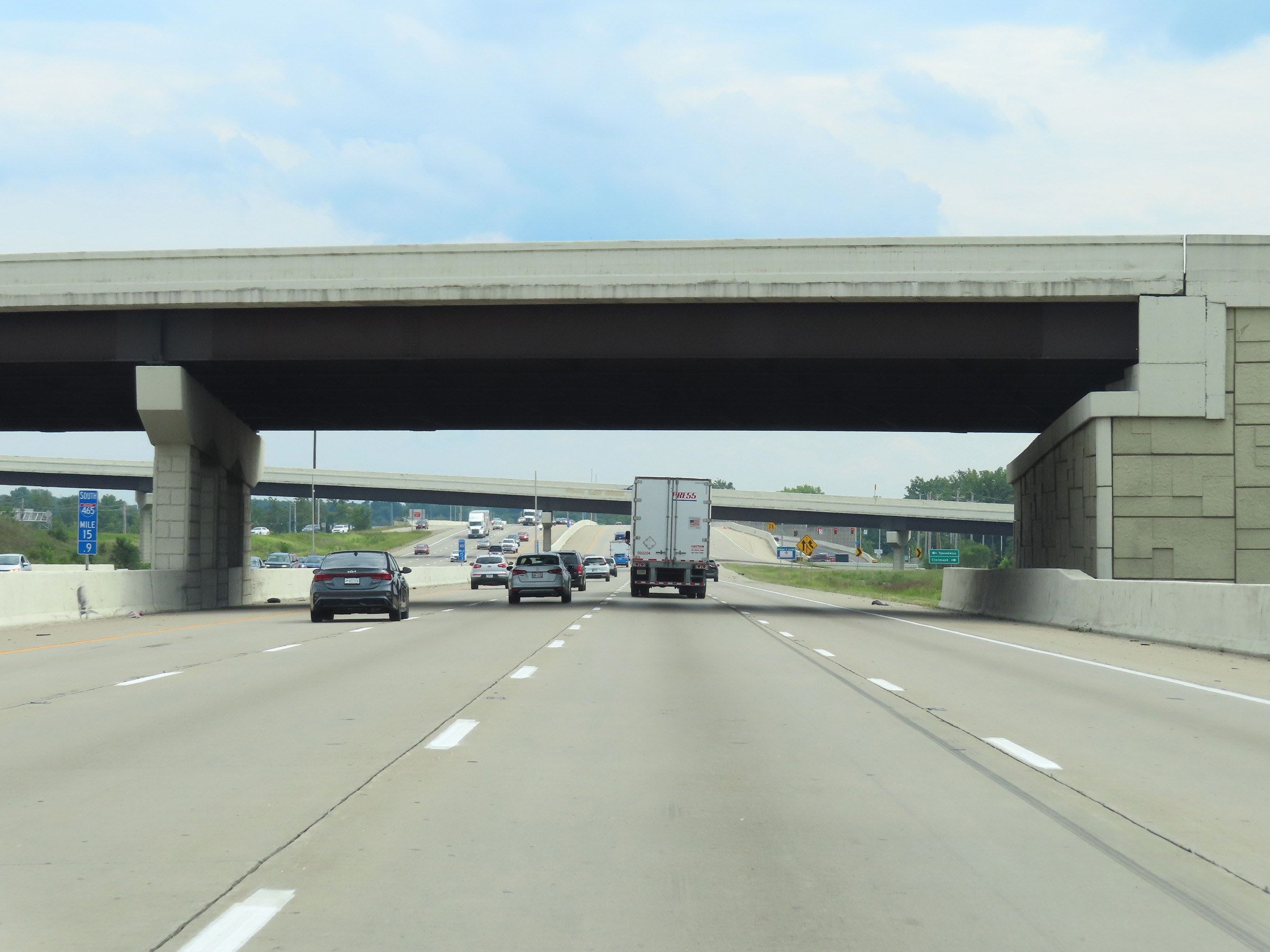 |
View on Interstate 465 Outer Loop (South) at mile marker 15.9, as it passes under Interstate 74 and prepares to join up with it ahead. (Photo taken 8/20/22). |
 |
Interstate 465 South / Interstate 74 East reassurance shields at mile marker 15.5. I-74 East will run concurrently with I-465 Outer Loop for the next 19.5 miles. During this concurrency, the mileposts and exit numbers remain based on the total mileage of I-465. (Photo taken 8/20/22). |
 |
View on Interstate 465 Outer Loop (South) / Interstate 74 East at mile marker 15.1. (Photo taken 8/20/22). |
 |
Interstate 465 Outer Loop (South) / Interstate 74 East at Exit 14: 10th St (Photo taken 8/20/22). |
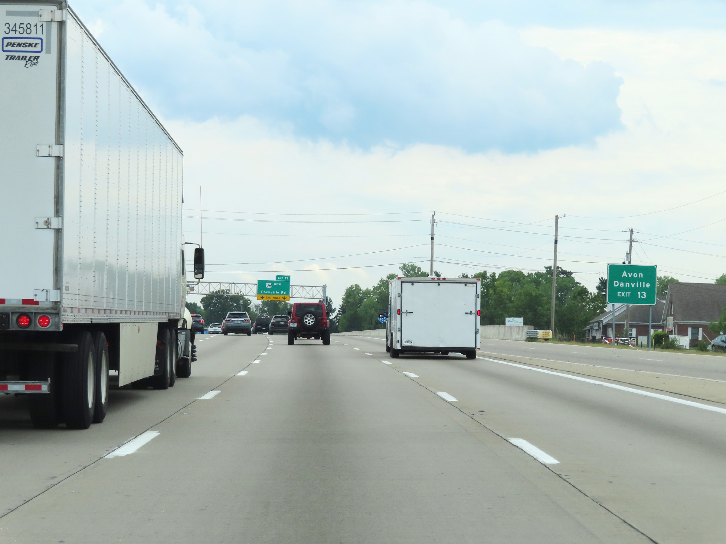 |
Take Exit 13 to Avon and Danville. (Photo taken 8/20/22). |
 |
The speed limit remains 55 mph for all traffic on Interstate 465 Outer Loop (South) / Interstate 74 East. (Photo taken 8/20/22). |
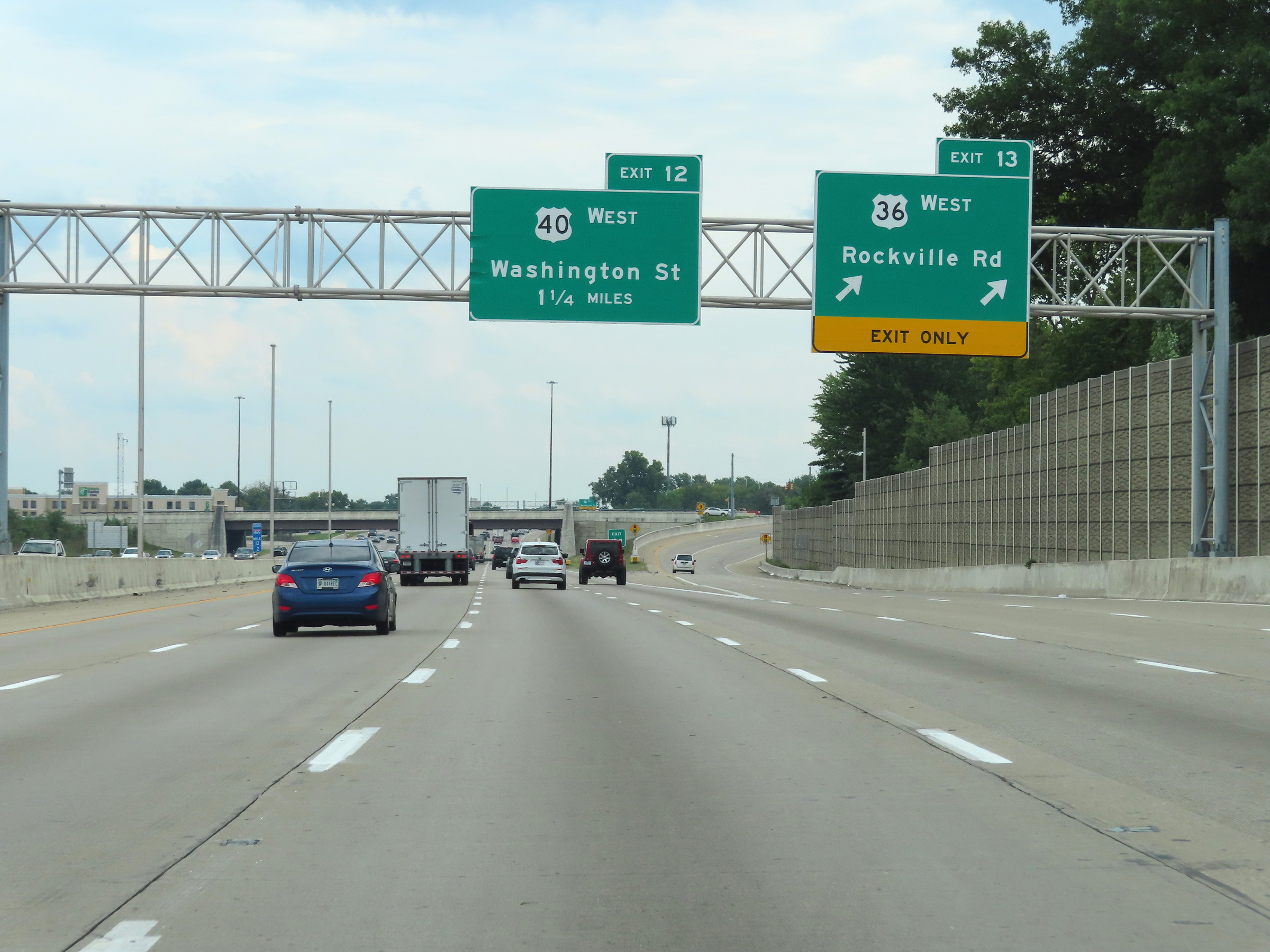 |
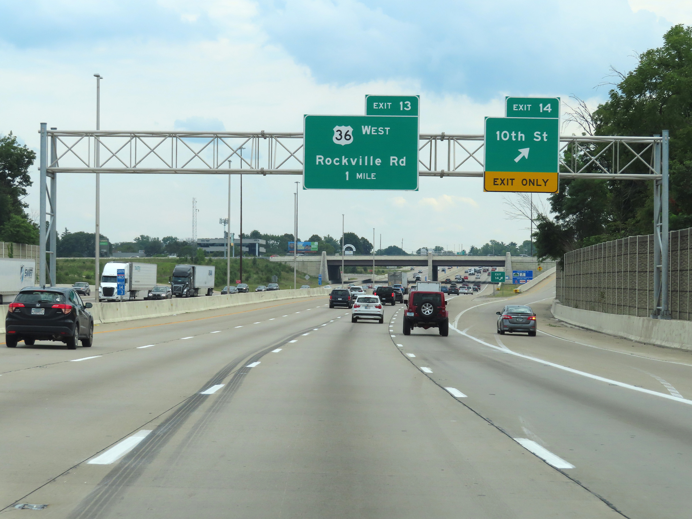
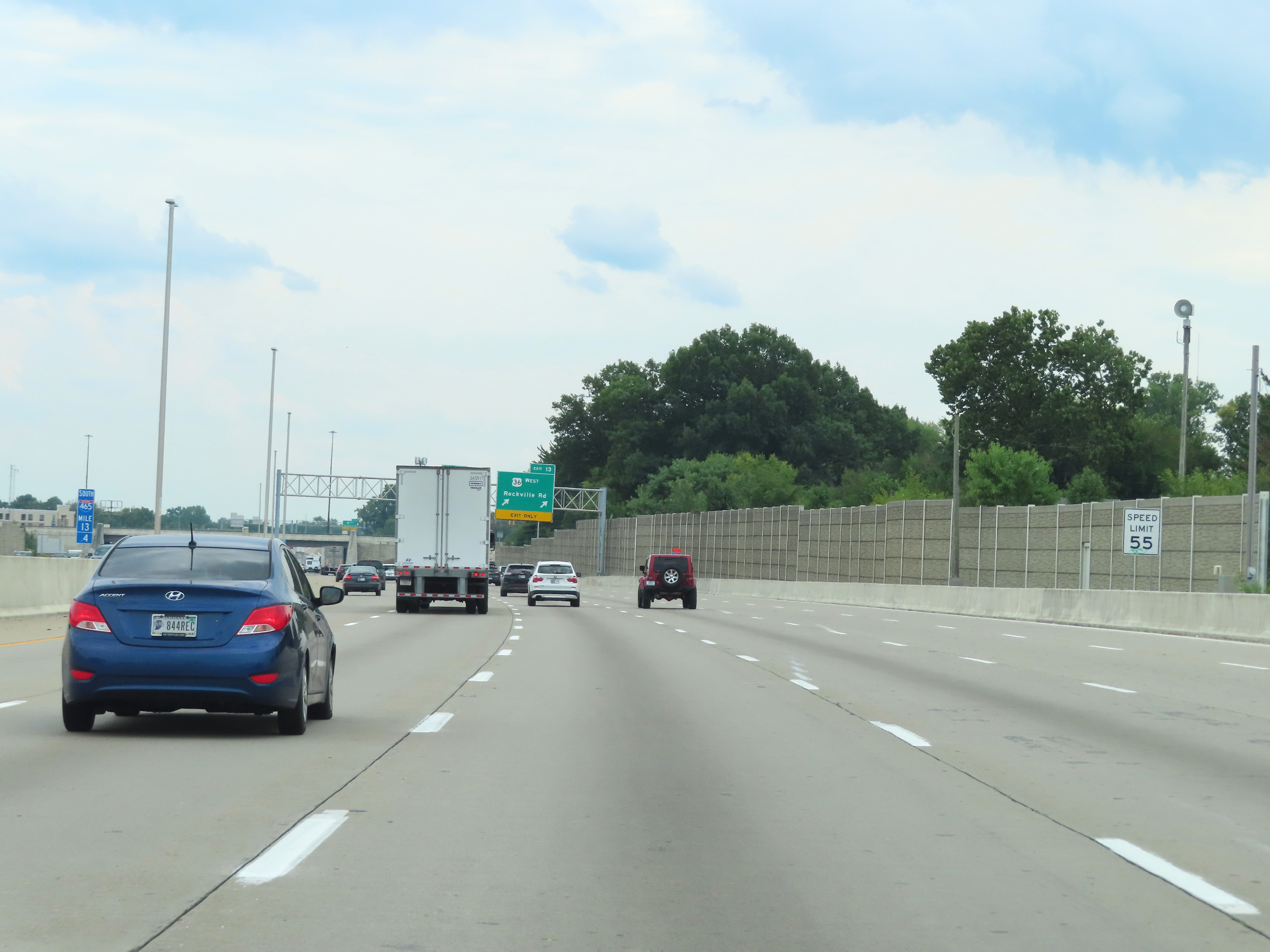
Interstate 465 Outer Loop (South) / Interstate 74 East at Exit 13: US 36 West - Rockville Rd (Photo taken 8/20/22). |
 |
Take Exit 12 to Plainfield. (Photo taken 8/20/22). |
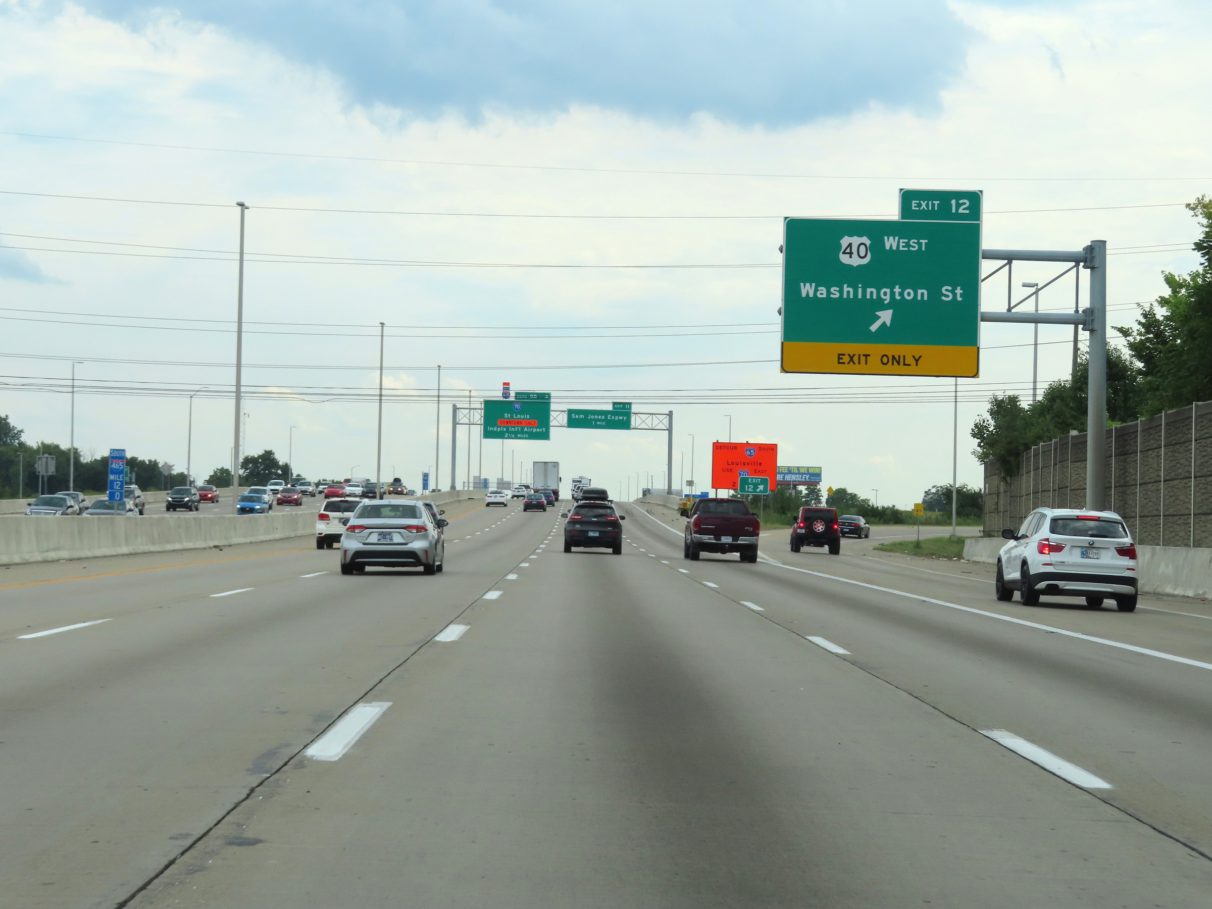 |
Interstate 465 Outer Loop (South) / Interstate 74 East at Exit 12: US 40 West - Washington St (Photo taken 8/20/22). |
 |
Another set of Interstate 465 South / Interstate 74 East reassurance shields. (Photo taken 8/20/22). |
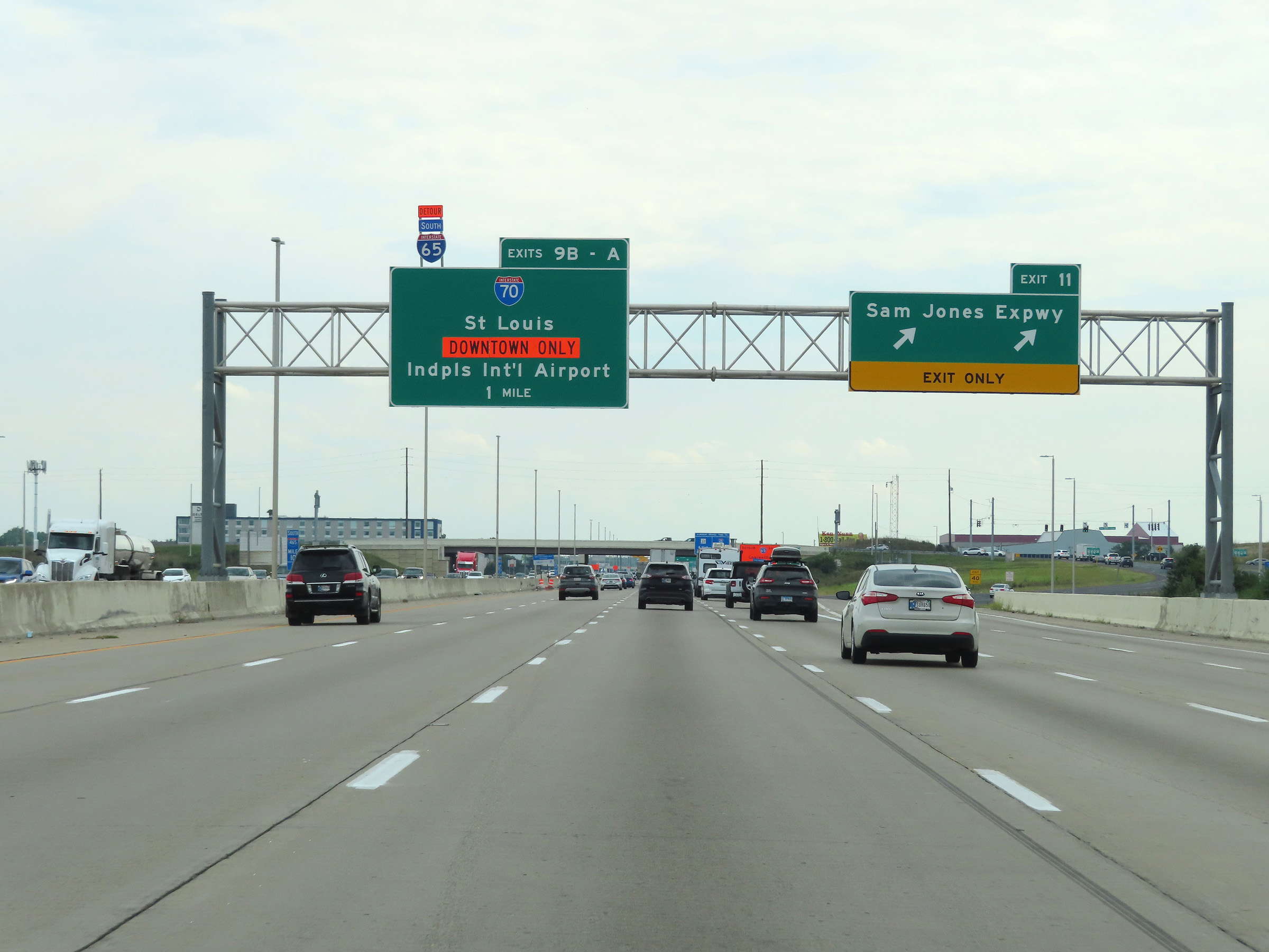 |
Interstate 465 Outer Loop (South) / Interstate 74 East at Exit 11: Sam Jones Expwy (Photo taken 8/20/22). |
 |
Another overhead mileage sign dynamically displaying the current estimated travel times on Interstate 465 Outer Loop (South) / Interstate 74 East. (Photo taken 8/20/22). |
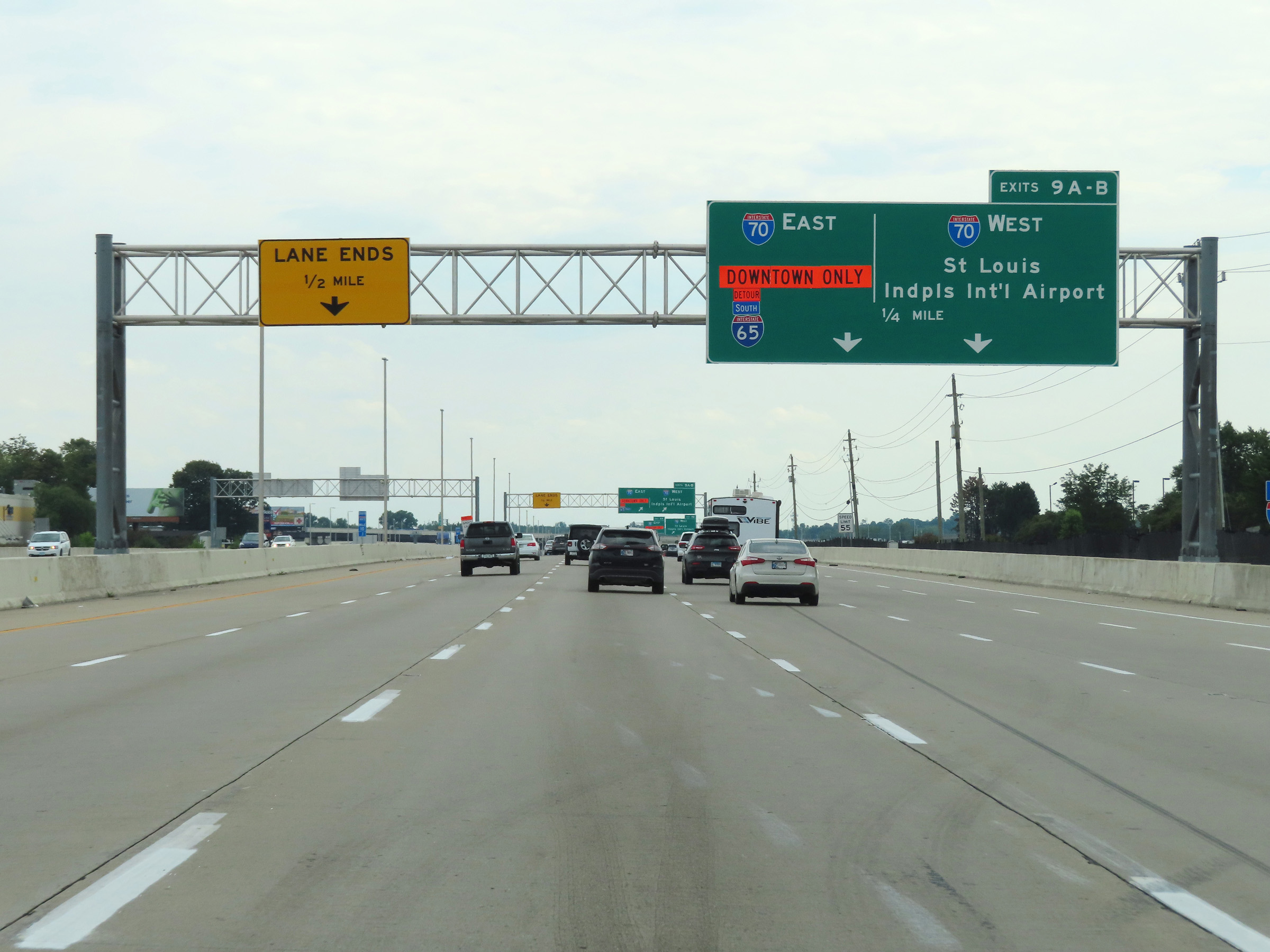 |
Interstate 465 Outer Loop (South) / Interstate 74 East approaching Exits 9A-B - 1/4 mile. (Photo taken 8/20/22). |
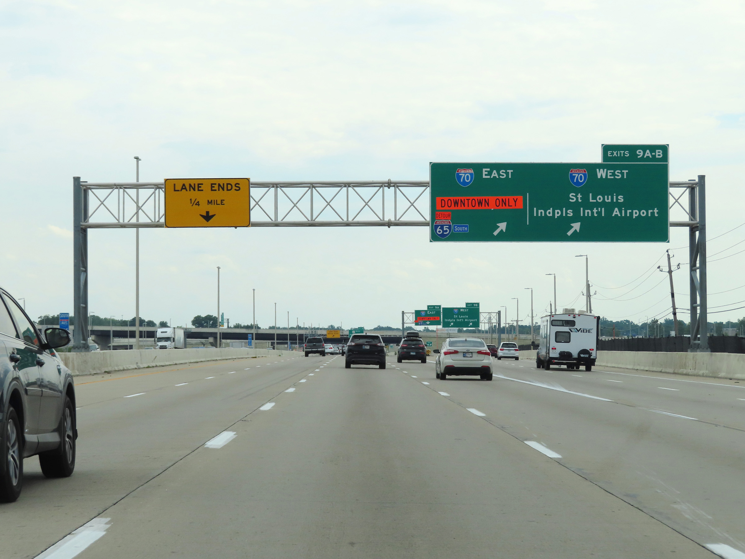 |
Interstate 465 Outer Loop (South) / Interstate 74 East at Exits 9A-B: Interstate 70 - St. Louis / Indianapolis International Airport / Indianapolis (Photo taken 8/20/22). |
 |
View of the ramp for Exit 9B: Interstate 70 West - St. Louis / Indianapolis International Airport (Photo taken 8/20/22). |
 |
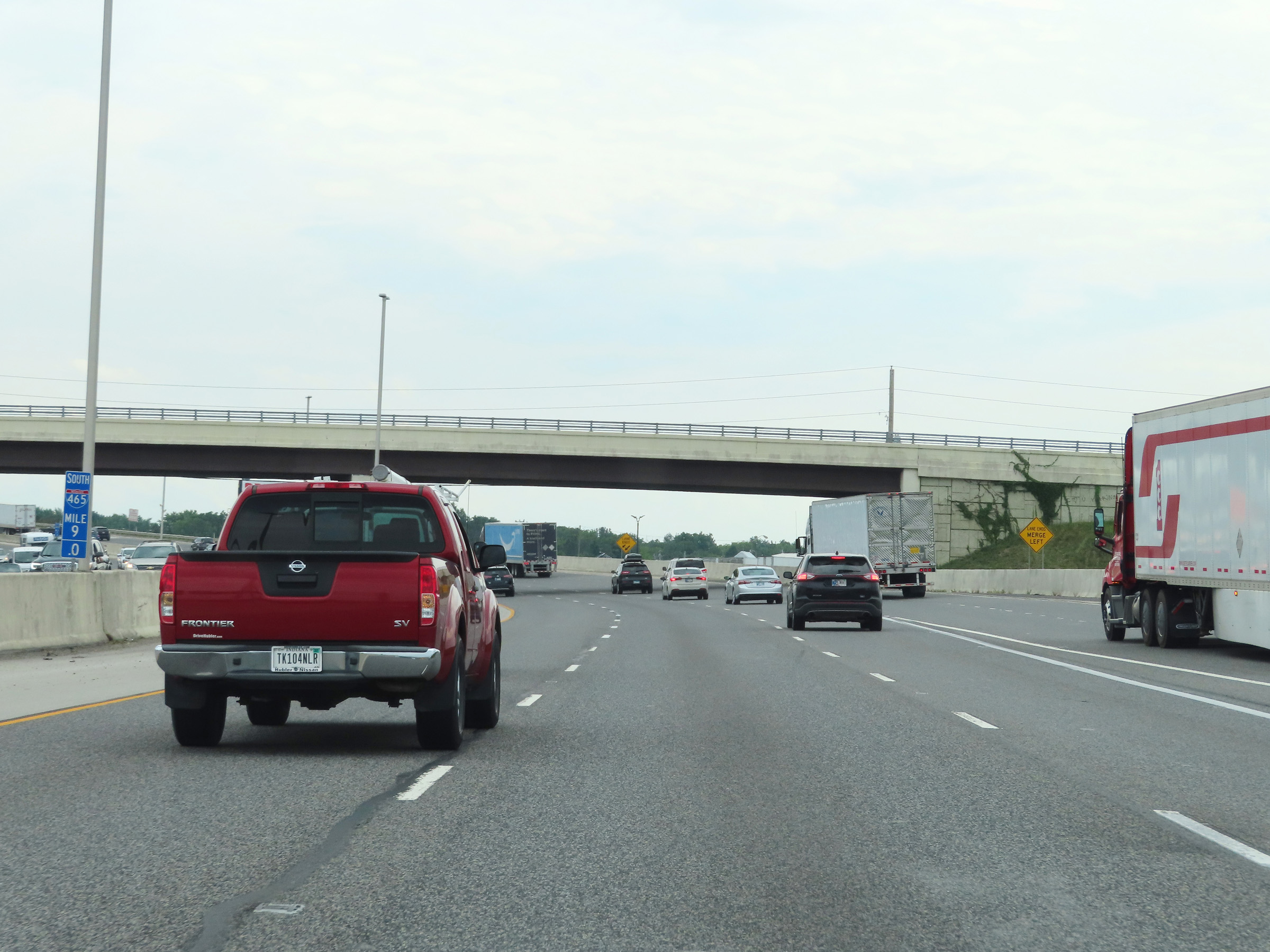
At mile marker 9.5, as Interstate 465 Outer Loop (South) / Interstate 74 East pass under Interstate 70, this sign warns that the left lane will come to an end ahead and the duplex will be reduced to three thru lanes. (Photo taken 8/20/22). |
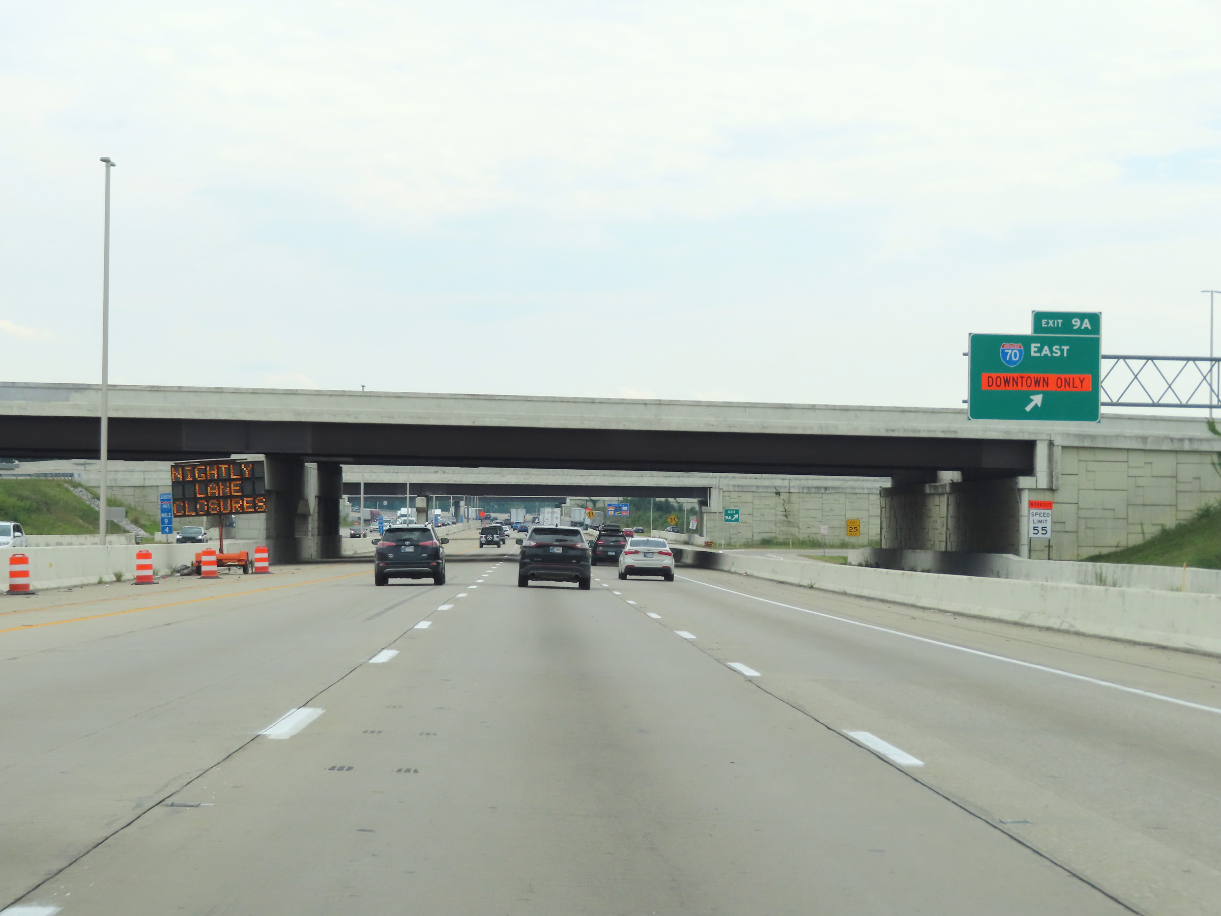 |
View of the ramp for Exit 9A: Interstate 70 East - Indianapolis (Photo taken 8/20/22). |
 |
At mile marker 9, Interstate 465 Outer Loop (South) / Interstate 74 East prepare to curve to the east. (Photo taken 8/20/22). |
 |
At mile marker 8.8, the directional signage of Interstate 465 Outer Loop changes from South to East at the southwestern corner of the Indianapolis area. (Photo taken 8/20/22). |
 |
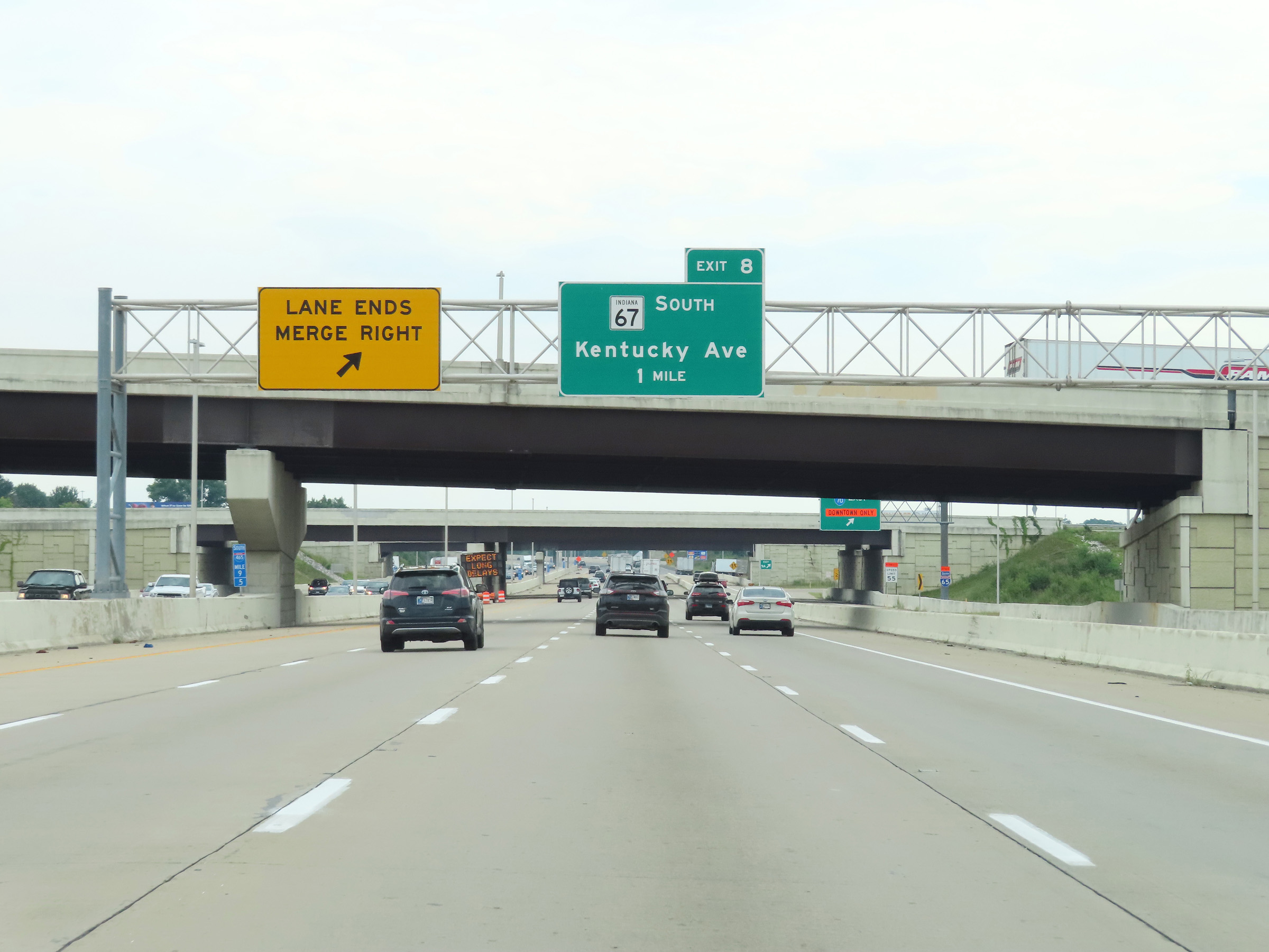
Advance signage for Exit 8, as Interstate 465 Outer Loop (East) / Interstate 74 East continue to curve to the east. (Photo taken 8/20/22). |
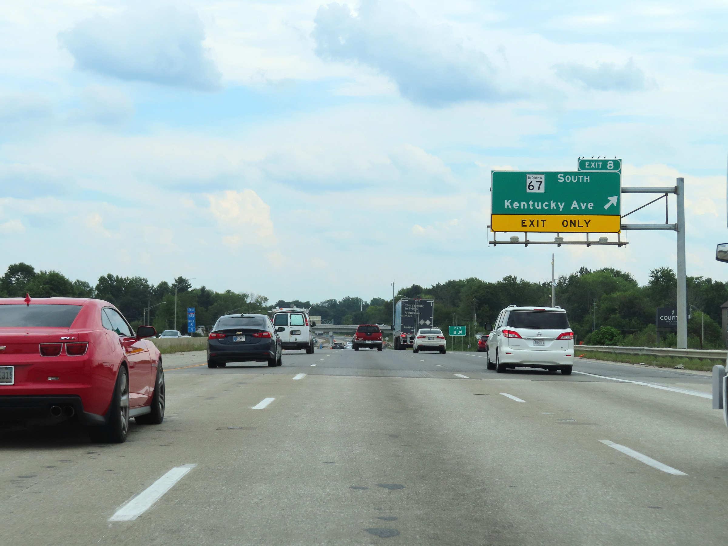 |
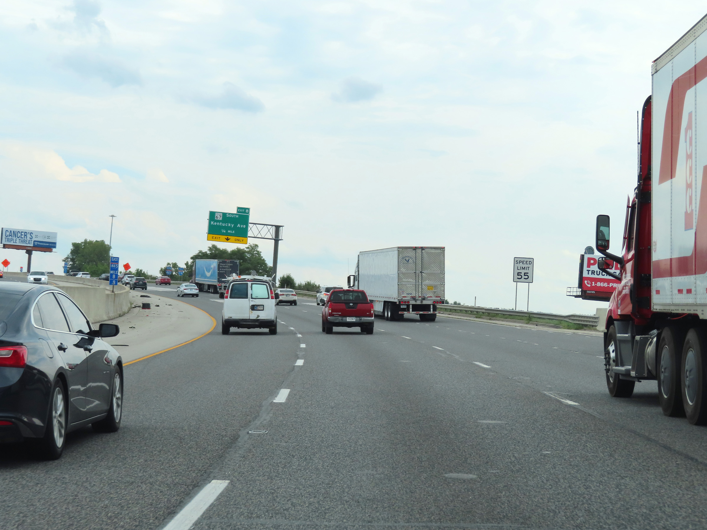
Interstate 465 Outer Loop (East) / Interstate 74 East at Exit 8: IN 67 South - Kentucky Ave (Photo taken 8/20/22). |
 |
A set of Interstate 465 East / Interstate 74 East reassurance shields at mile marker 8. (Photo taken 8/20/22). |
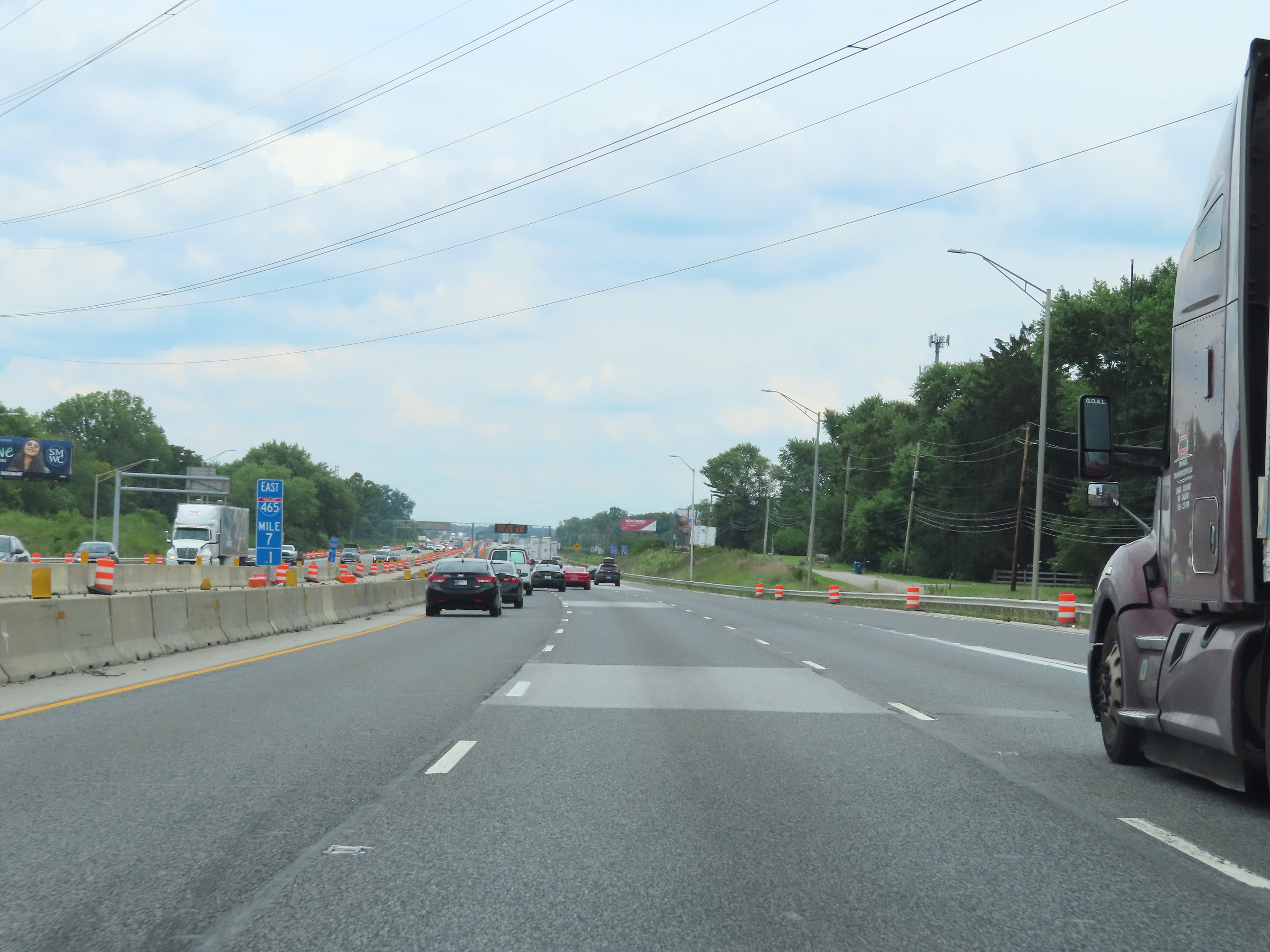 |
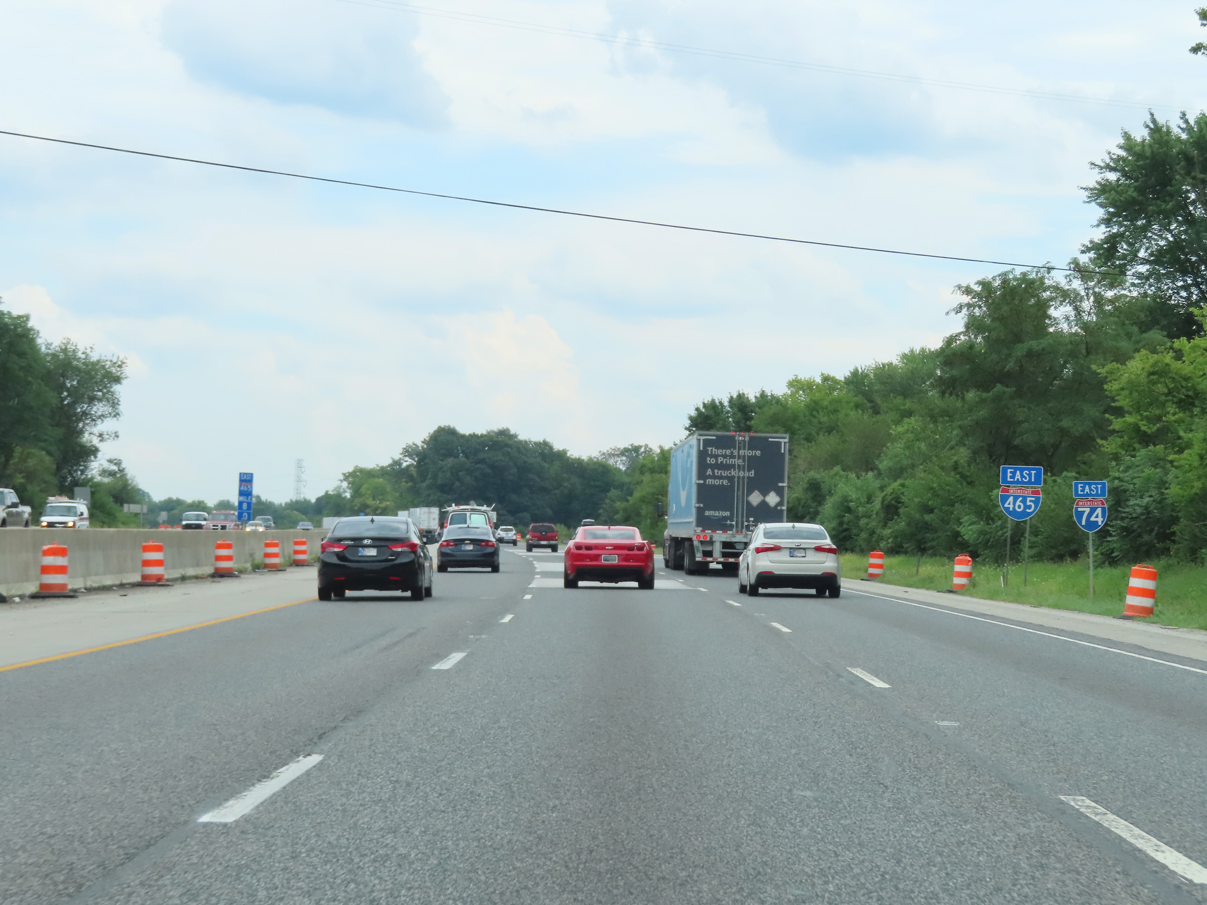
View on Interstate 465 Outer Loop (East) / Interstate 74 East at mile marker 7.1. (Photo taken 8/20/22). |
 |
Interstate 465 Outer Loop (East) / Interstate 74 East at mile marker 5.8. (Photo taken 8/20/22). |
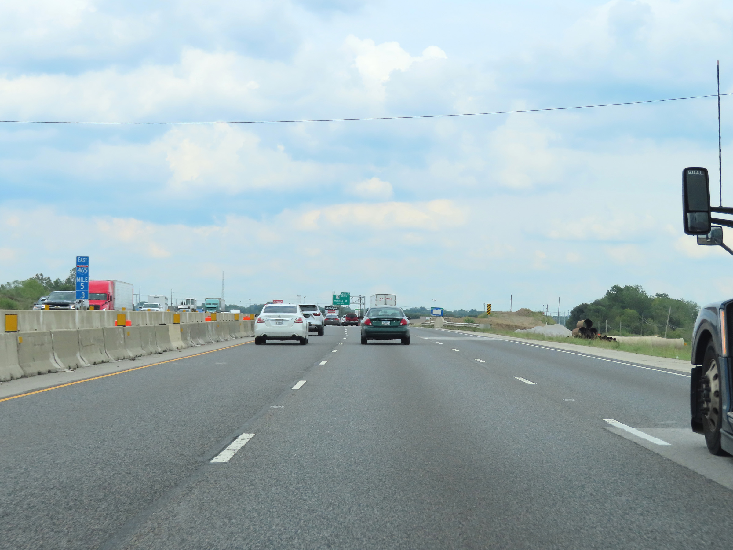 |
Mile marker 5.3 on Interstate 465 Outer Loop (East) / Interstate 74 East. (Photo taken 8/20/22). |
 |
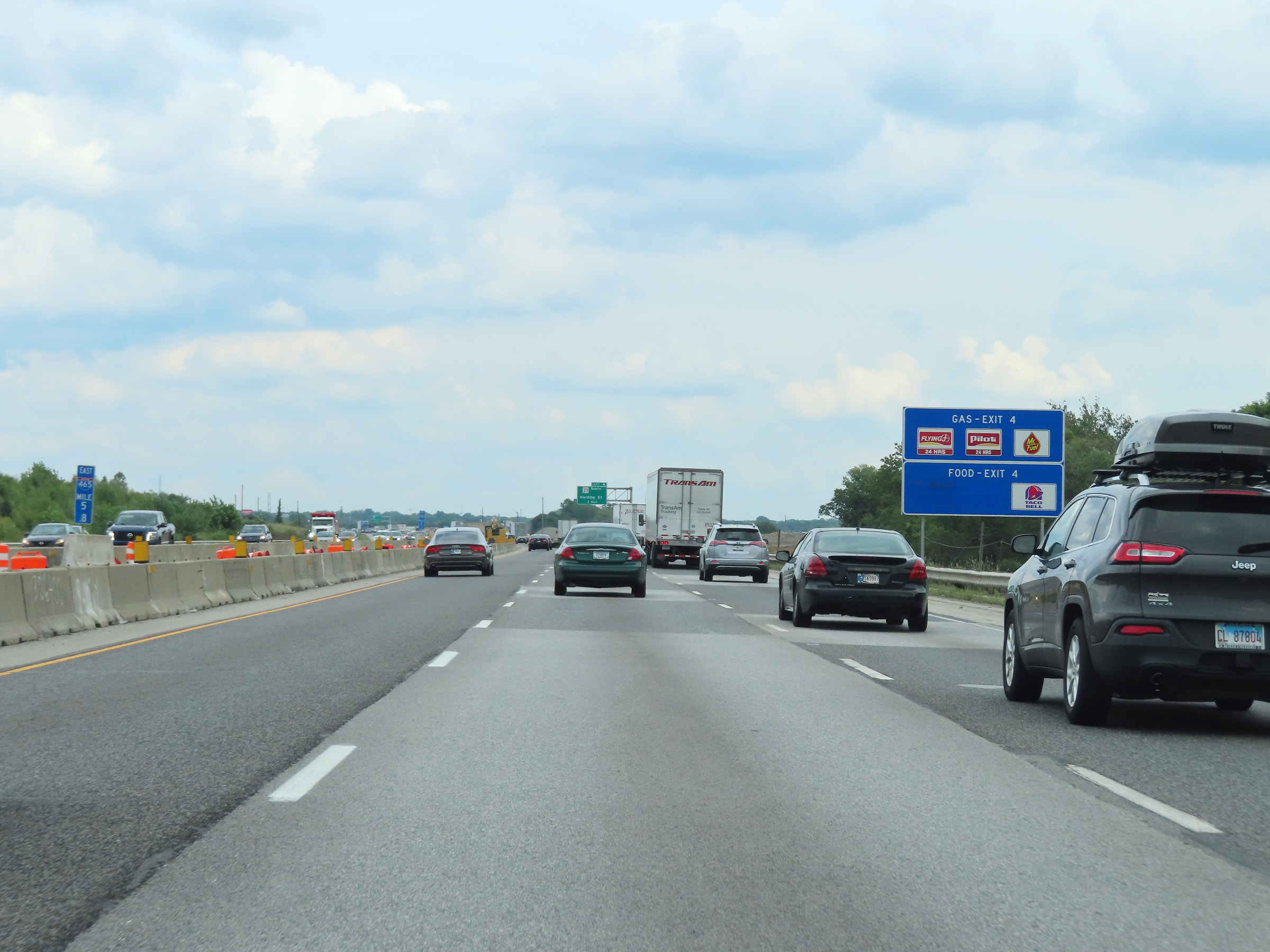
Take Exit 4 to Martinsville and Bloomington. (Photo taken 8/20/22). |
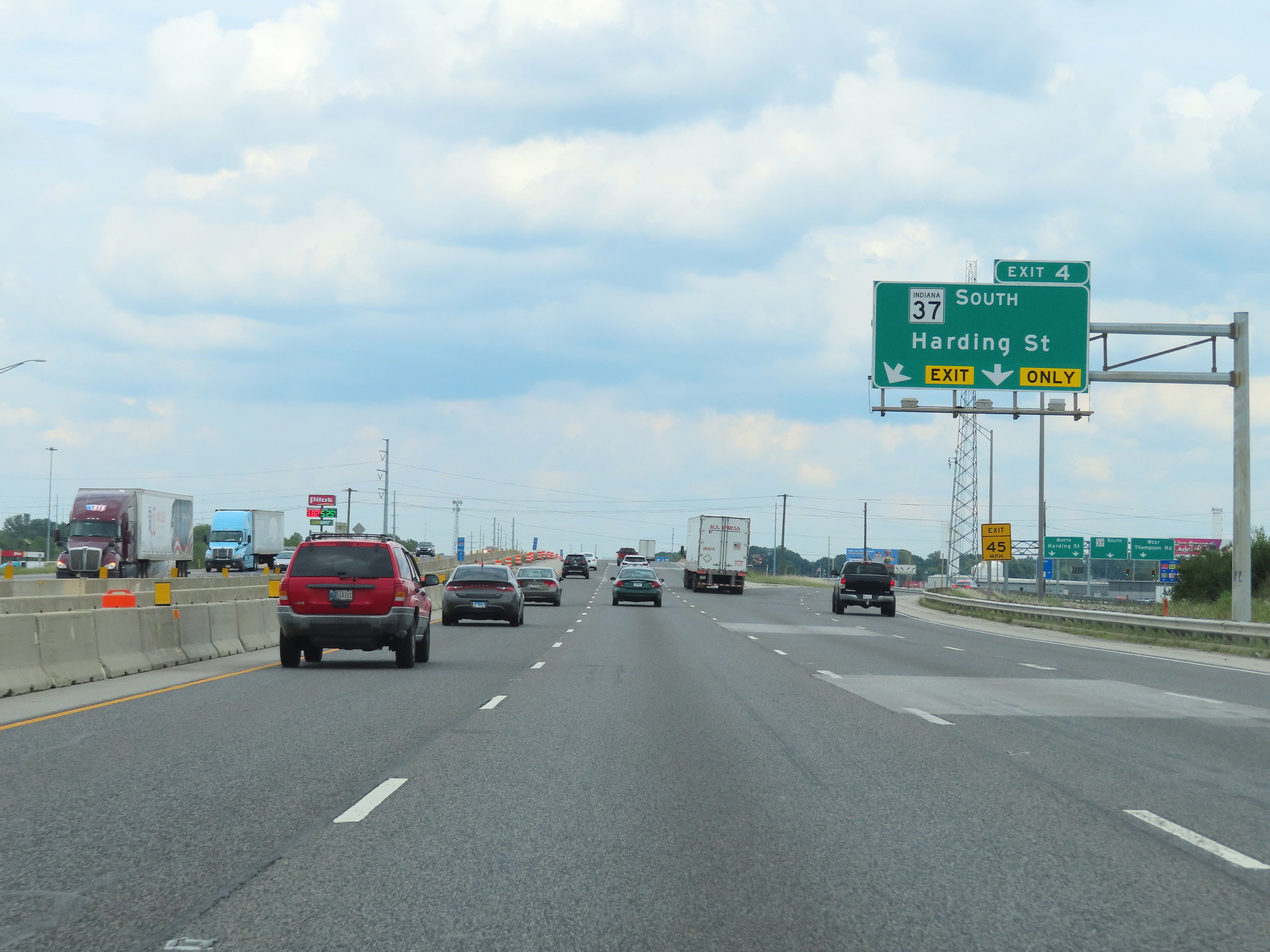 |
Interstate 465 Outer Loop (East) / Interstate 74 East at Exit 4: IN 37 South - Harding St (Photo taken 8/20/22). |
 |
View on Interstate 465 Outer Loop (East) / Interstate 74 East at mile marker 3.9. (Photo taken 8/20/22). |
 |
Another set of Interstate 465 East / Interstate 74 East reassurance shields. (Photo taken 8/20/22). |
 |
The speed limit remains 55 mph on Interstate 465 Outer Loop (East) / Interstate 74 East for all traffic. (Photo taken 8/20/22). |
 |
Overhead mileage sign dynamically displaying the current estimated travel times to the departure of Interstate 74 and the junction of Interstate 70 on the east side of Indianapolis. (Photo taken 8/20/22). |
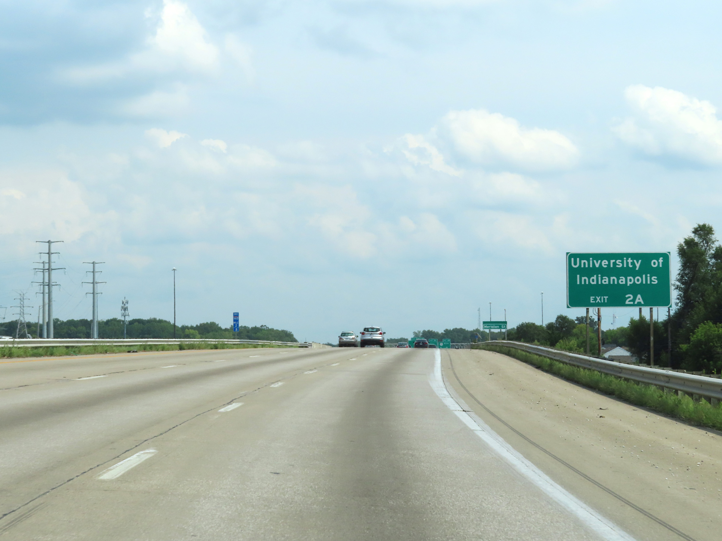 |
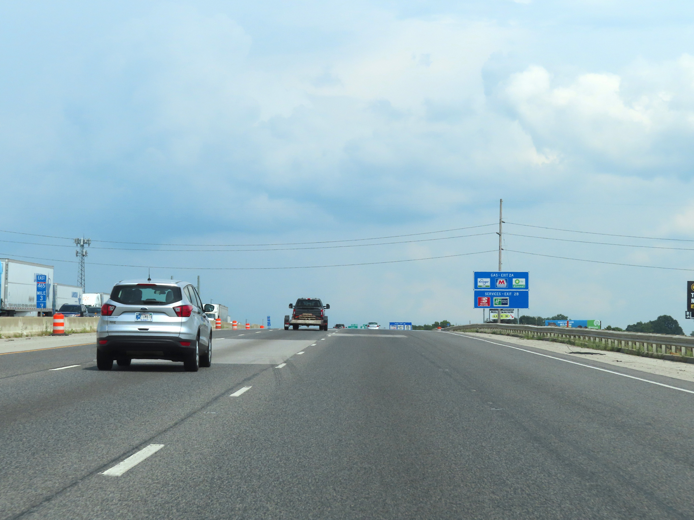
Take Exit 2A to the University of Indianapolis. (Photo taken 8/20/22). |
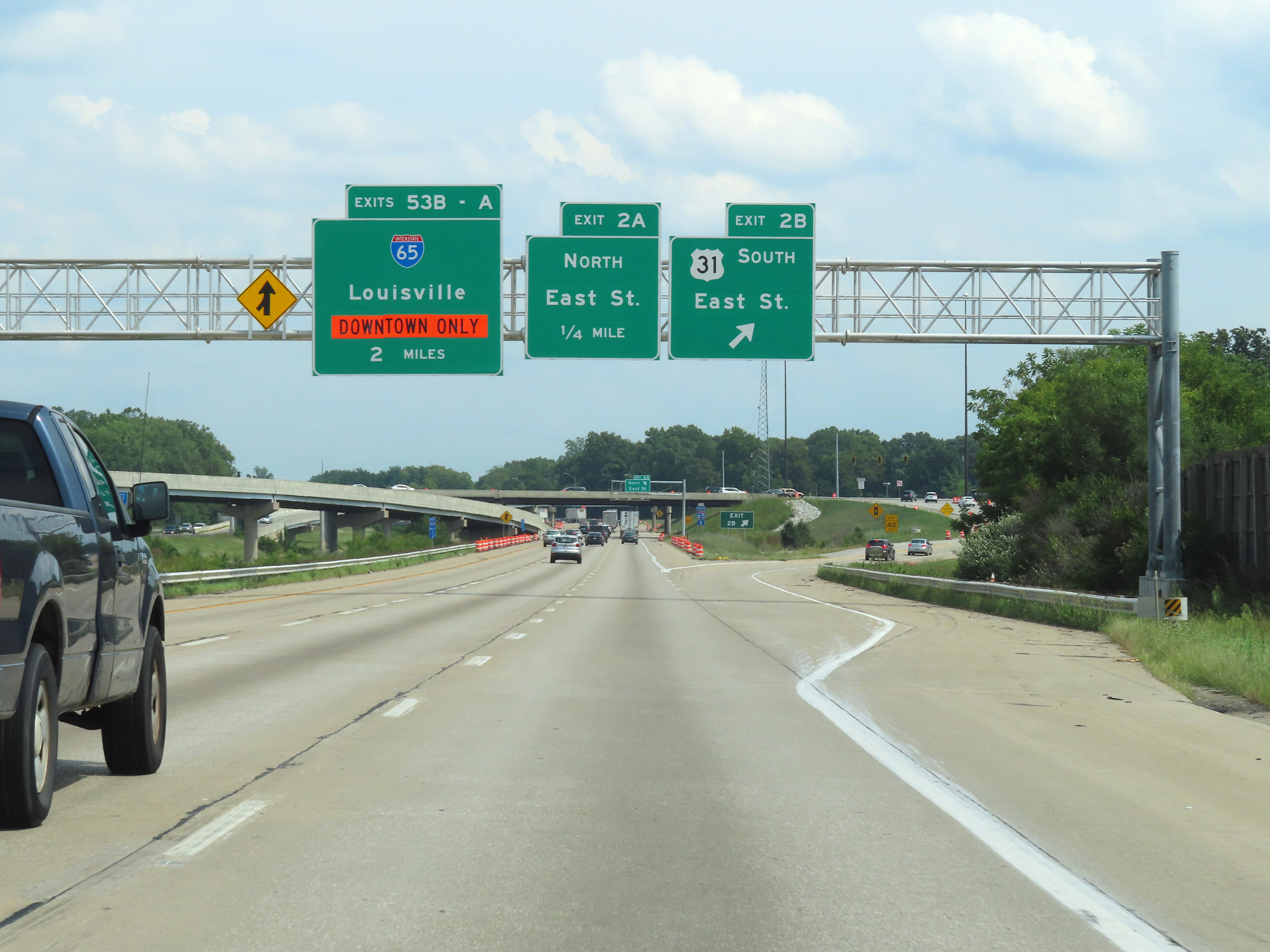 |
Interstate 465 Outer Loop (East) / Interstate 74 East at Exit 2B: US 31 South - East St (Photo taken 8/20/22). |
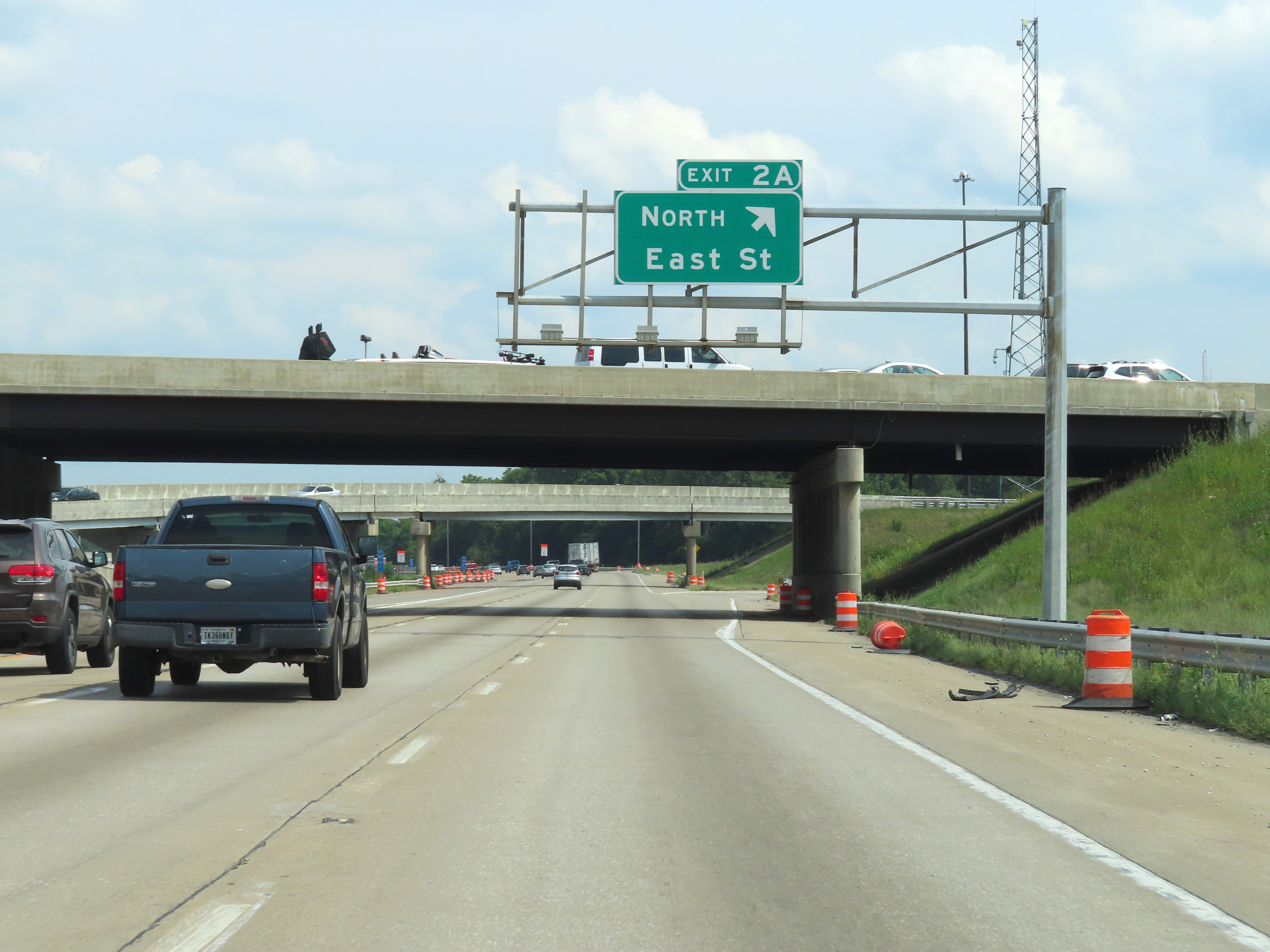 |
Interstate 465 Outer Loop (East) / Interstate 74 East at Exit 2A: East St North (Photo taken 8/20/22). |
 |
View on Interstate 465 Outer Loop (East) / Interstate 74 East at mile marker 1.9. (Photo taken 8/20/22). |
 |
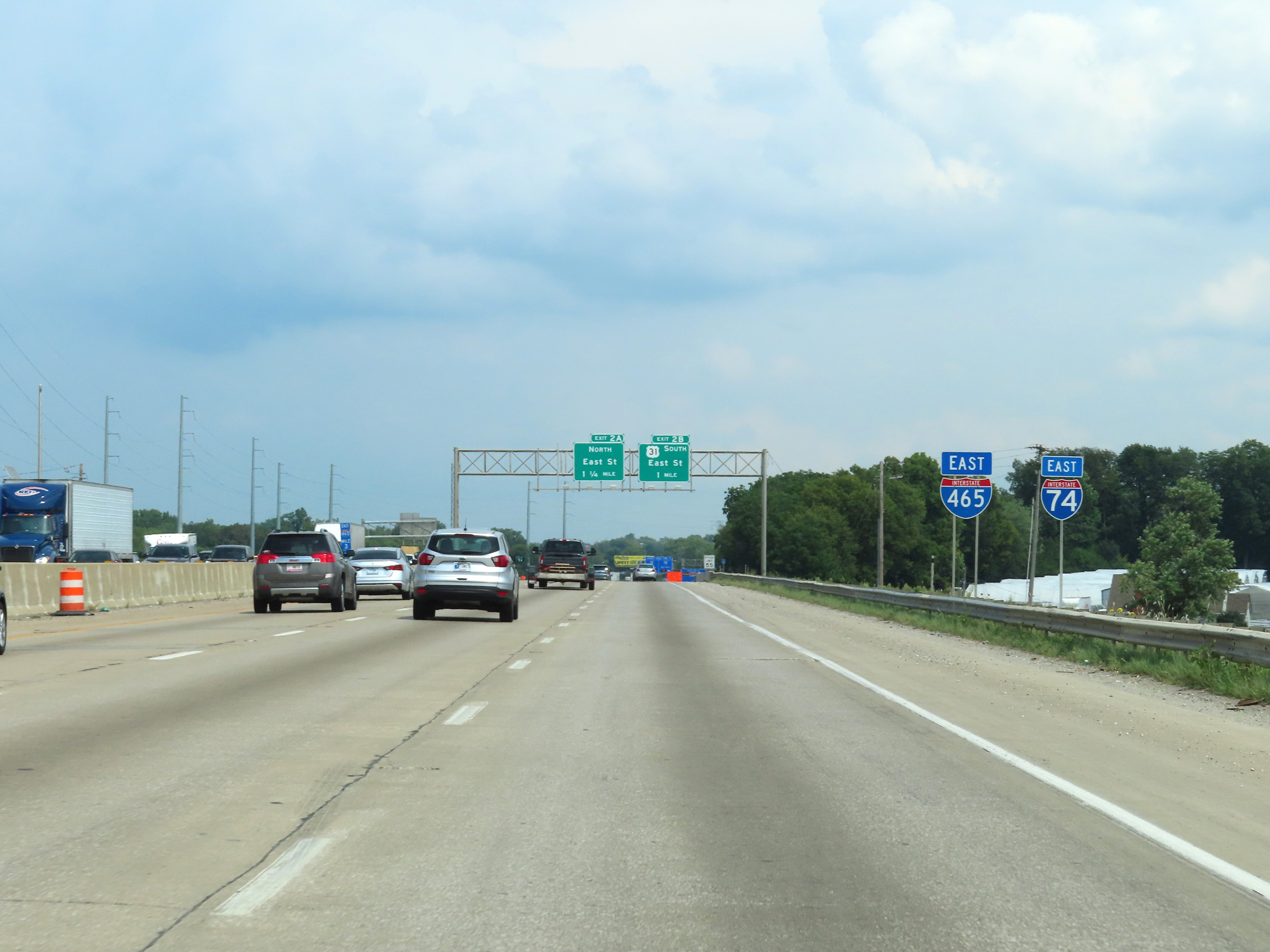
Interstate 465 Outer Loop (East) / Interstate 74 East approaching Exits 35B-A - 1 mile and 1 1/4 miles, respectively. (Photo taken 8/20/22). |
 |
View on Interstate 465 Outer Loop (East) / Interstate 74 East at mile marker 1. (Photo taken 8/20/22). |
 |
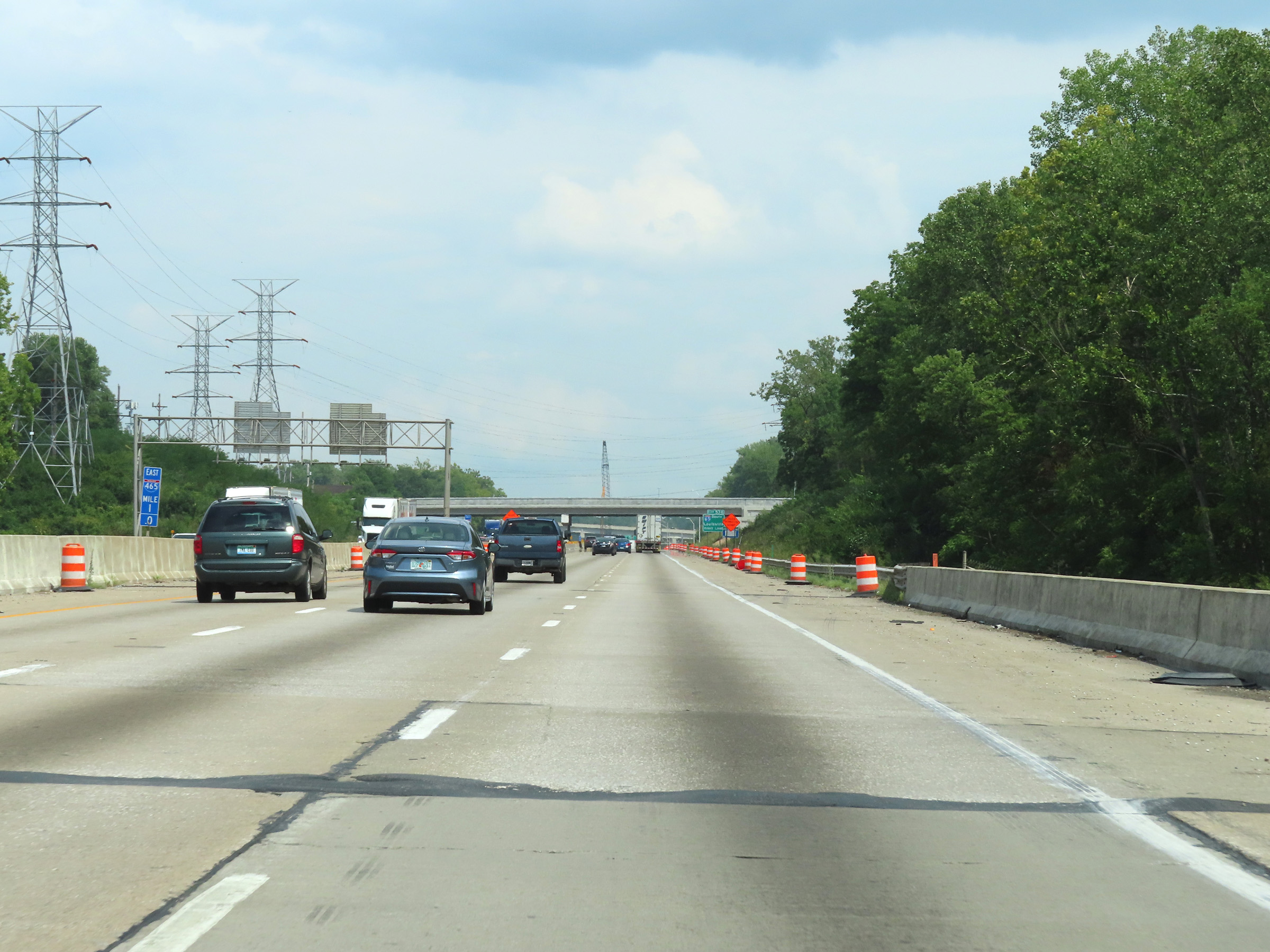
Interstate 465 Outer Loop (East) / Interstate 74 East at mile marker 0.6, approaching the junction of Interstate 65 on the south side of the Indianapolis area. (Photo taken 8/20/22). |
 |
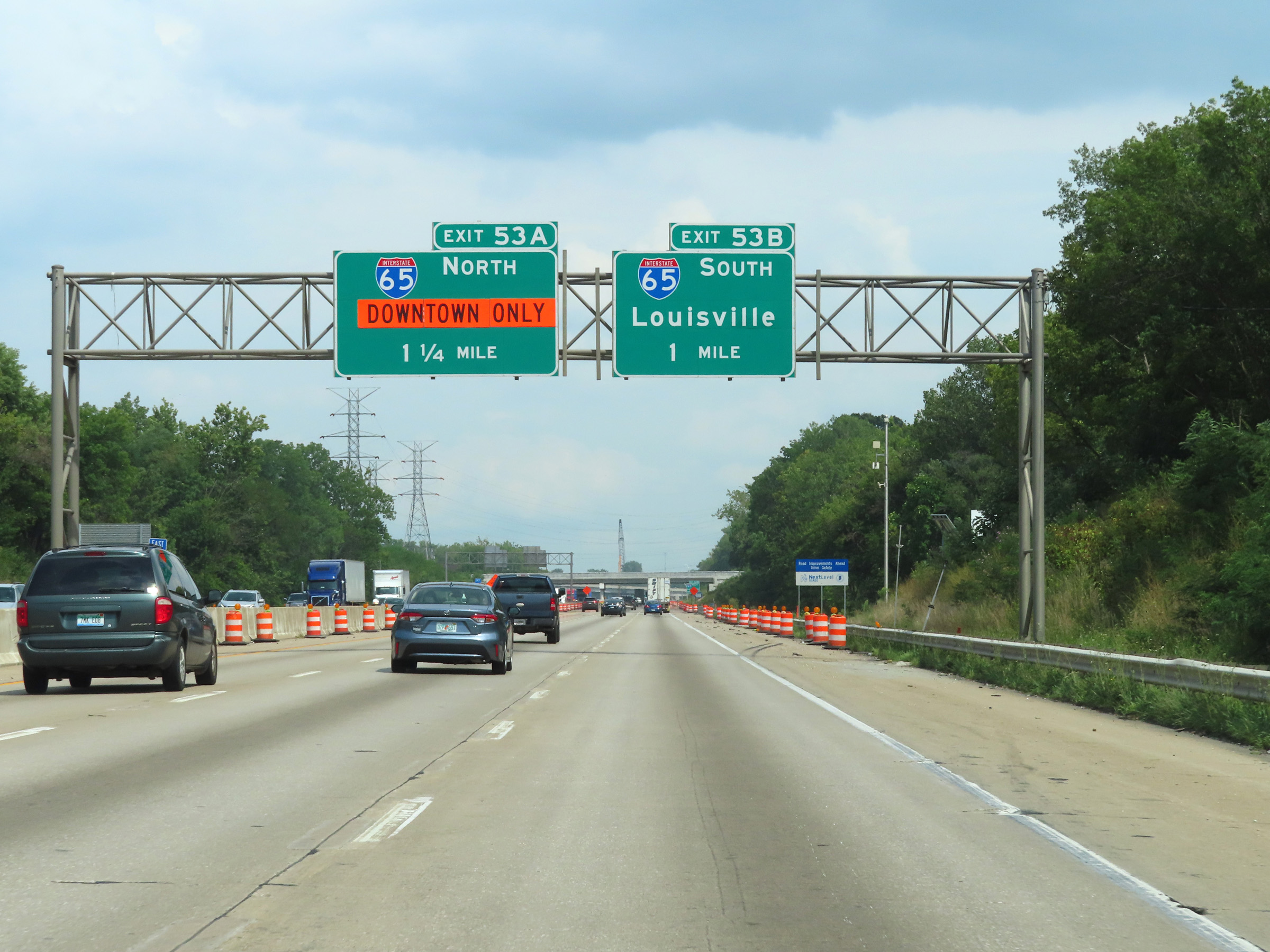
Interstate 465 Outer Loop (East) / Interstate 74 East at Exit 53B: Interstate 65 South - Louisville (Photo taken 8/20/22). |
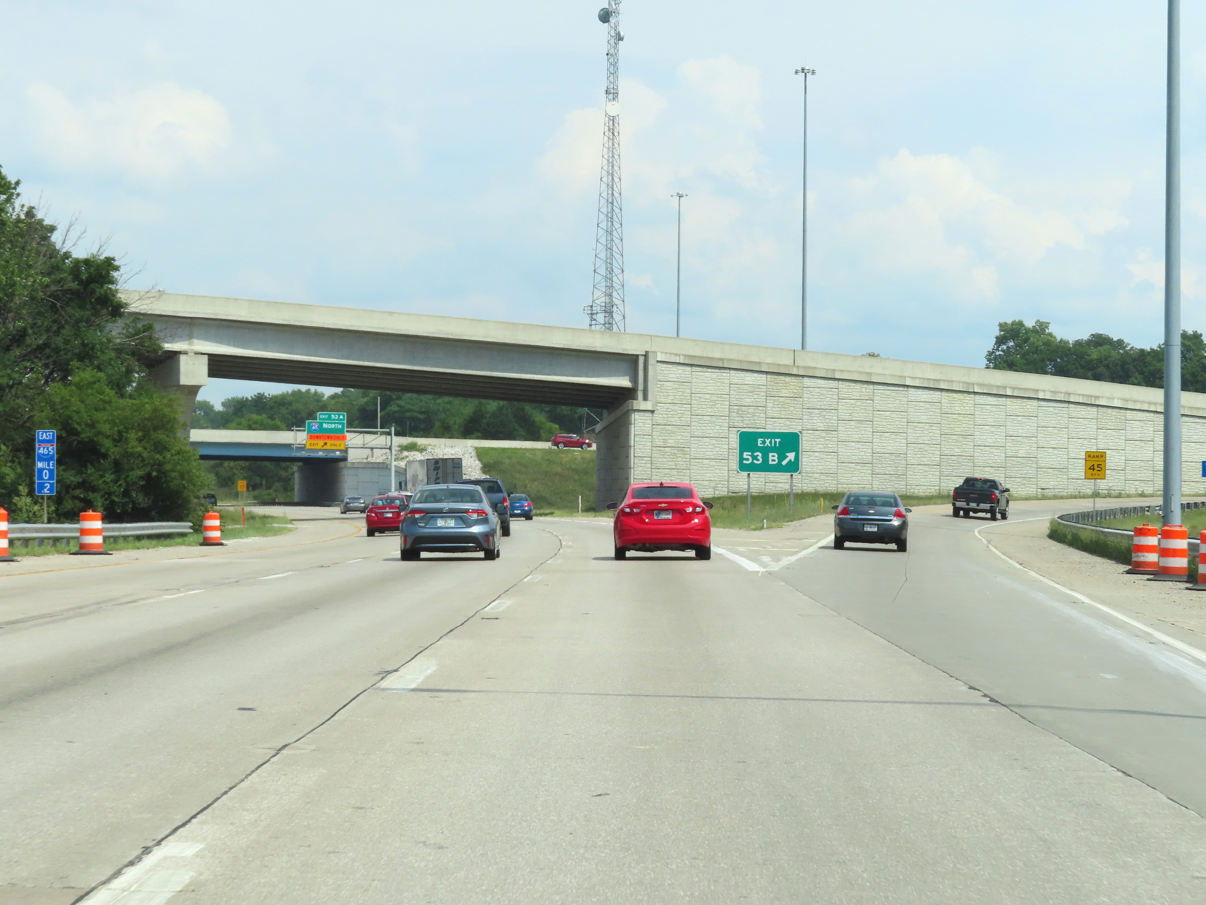 |
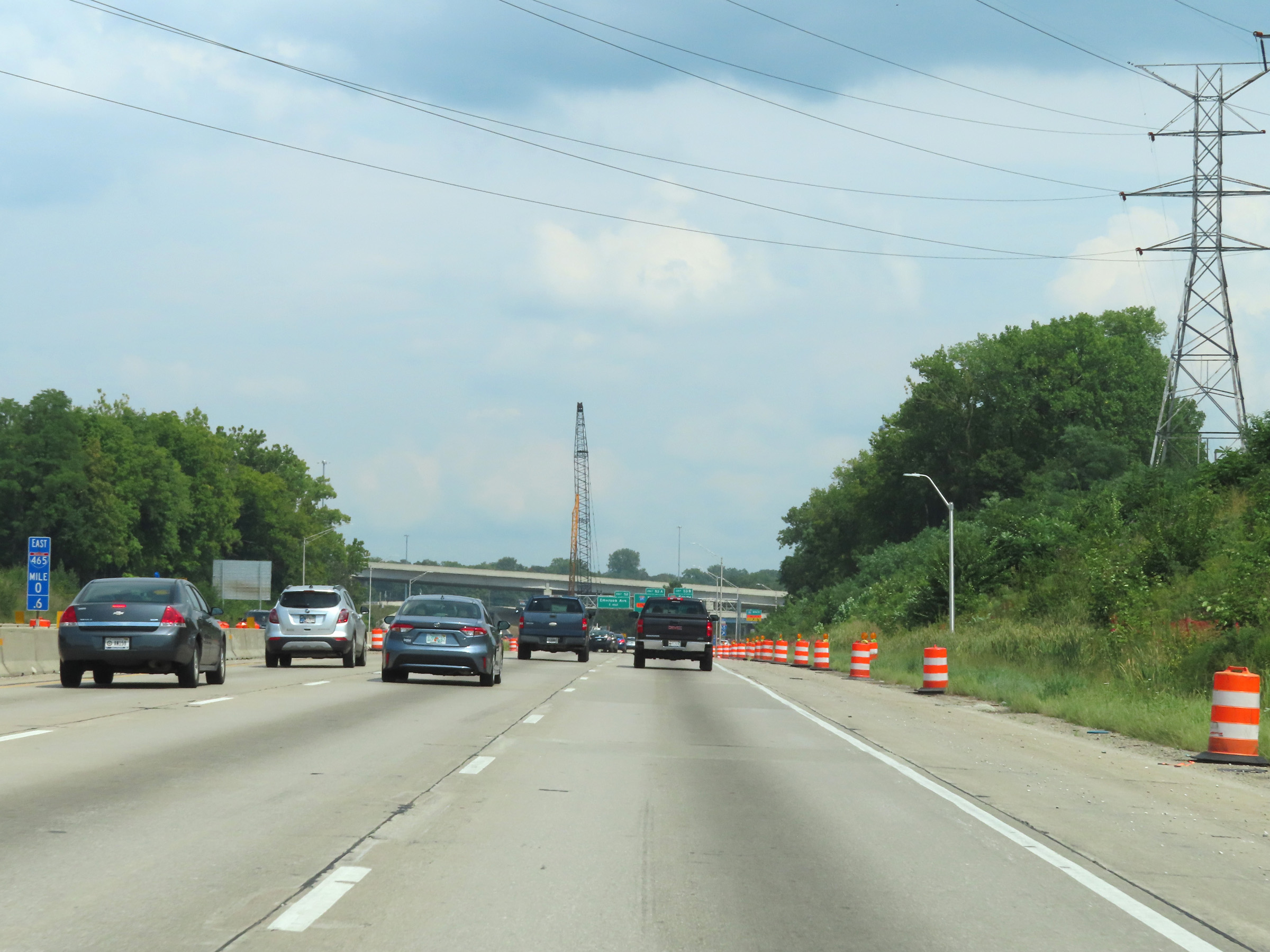
A view of the ramp to Interstate 65 South via Exit 53B at mile marker 0.2. Ahead, just beyond the ramp to Interstate 65 North via Exit 53A, the mileage and exit numbers of Interstate 465 will reset. (Photo taken 8/20/22). |
 |
View on Interstate 465 Outer Loop (East) / Interstate 74 East as the duplex passes under Interstate 65 on the south side of the Indianapolis area. (Photo taken 8/20/22). |
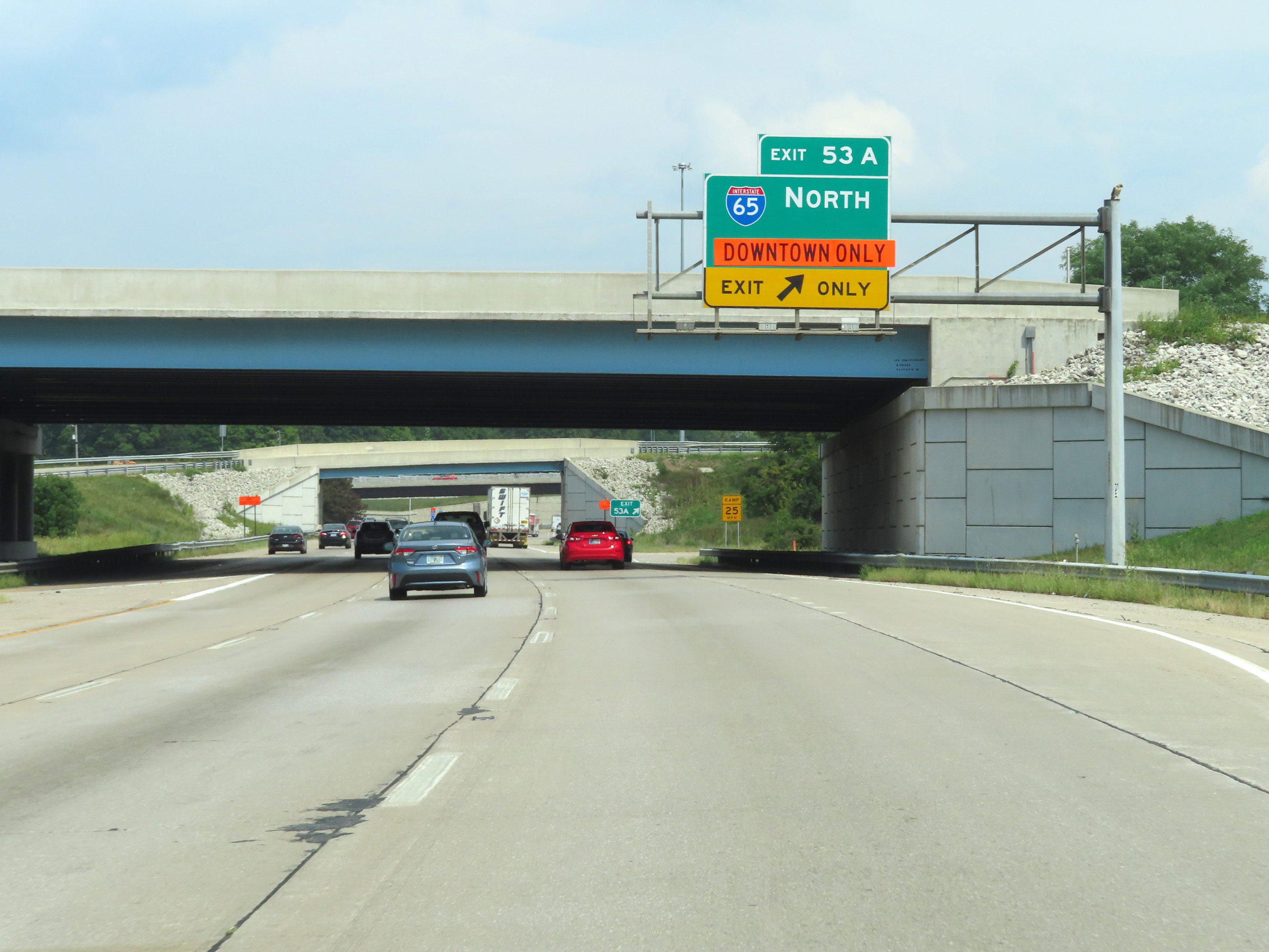 |
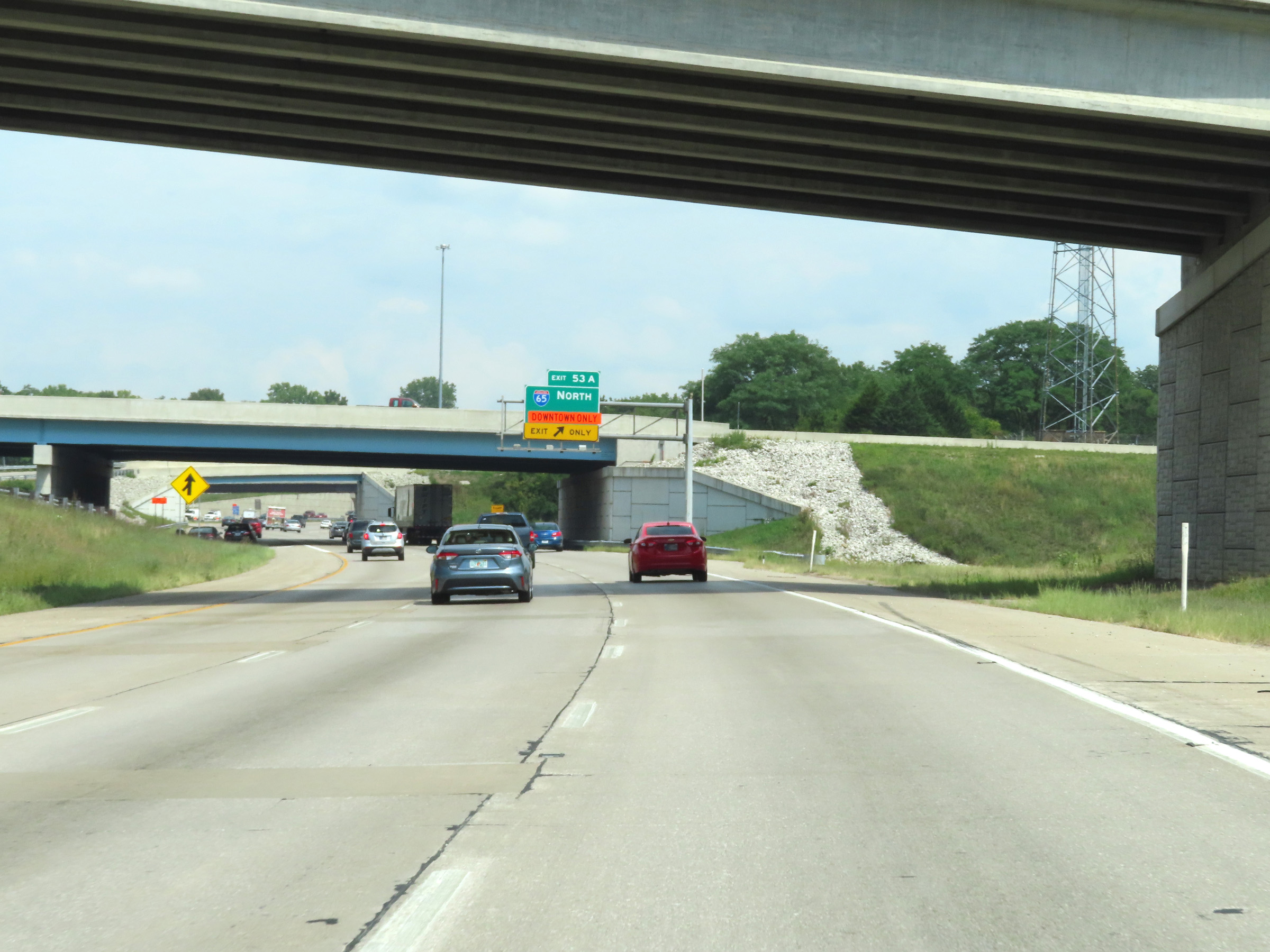
Interstate 465 Outer Loop (East) / Interstate 74 East at Exit 53A: Interstate 65 North - Indianapolis (Photo taken 8/20/22). |