Road Information |
||
 |
||
| Total Mileage in State: | 163 miles | |
| Eastern End: | At Indiana state line | |
| Western End: | At Iowa state line | |
| Mileage covered in Photos: | 163 miles | |
| Counties covered in Photos: | Rock Island, Henry, Bureau, LaSalle, Grundy, Kendall, Will, Cook | |
| Major Junctions in Photos: | I-88, near Colona I-74, near Colona I-39, near LaSalle I-55, in Joliet I-355, in New Lenox I-57, in Country Club Hills I-294, near Country Club Hills |
|
| Control Cities in Photos: | Rock Island, LaSalle, Joliet, Country Club Hills, South Holland | |
Eastbound
- Section 1: Iowa Border to Princeton (Exit 61)
- Section 2: Princeton (Exit 61) to Joliet (Exit 127)
- Section 3: Joliet (Exit 127) to Country Club Hills (Exit 151B)
- Section 4: Country Club Hills (Exit 151B) to Indiana Border
Section 1: Iowa Border to Princeton (Exit 61)
 |
Interstate 80 East as it enters Illinois from Iowa by crossing the Mississippi River on the Fred Schwengel Memorial Bridge. (Photo taken 8/19/22). |
 |
View on Interstate 80 East at mile marker 2 as it descends the Fred Schwengel Memorial Bridge over the Mississippi River and approaches Exit 1. (Photo taken 8/19/22). |
 |
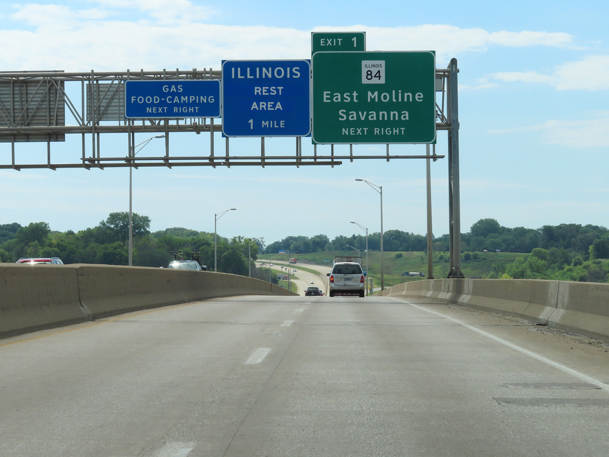
Interstate 80 East at Exit 1: IL 84 - East Moline / Savanna (Photo taken 8/19/22). |
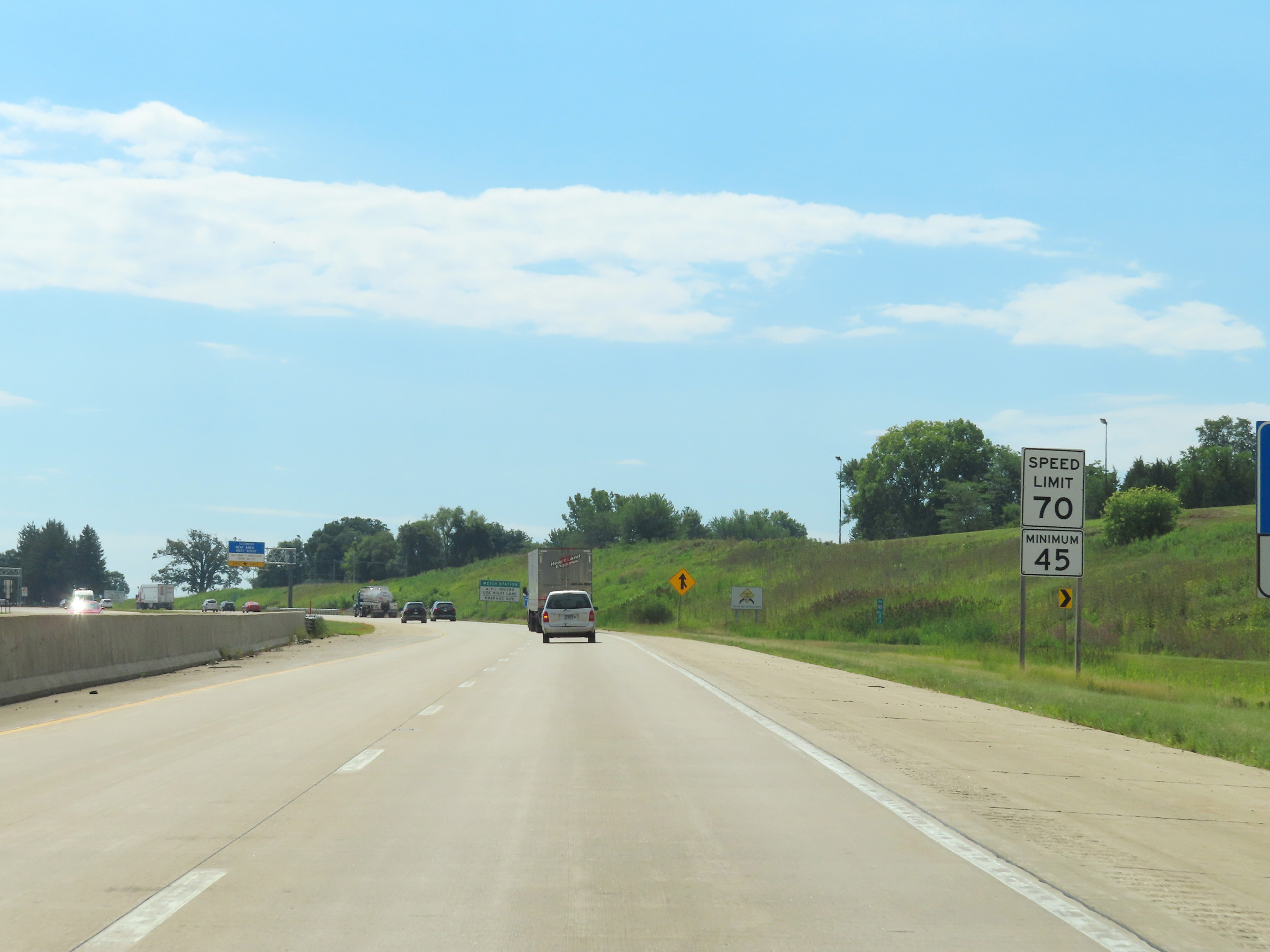 |
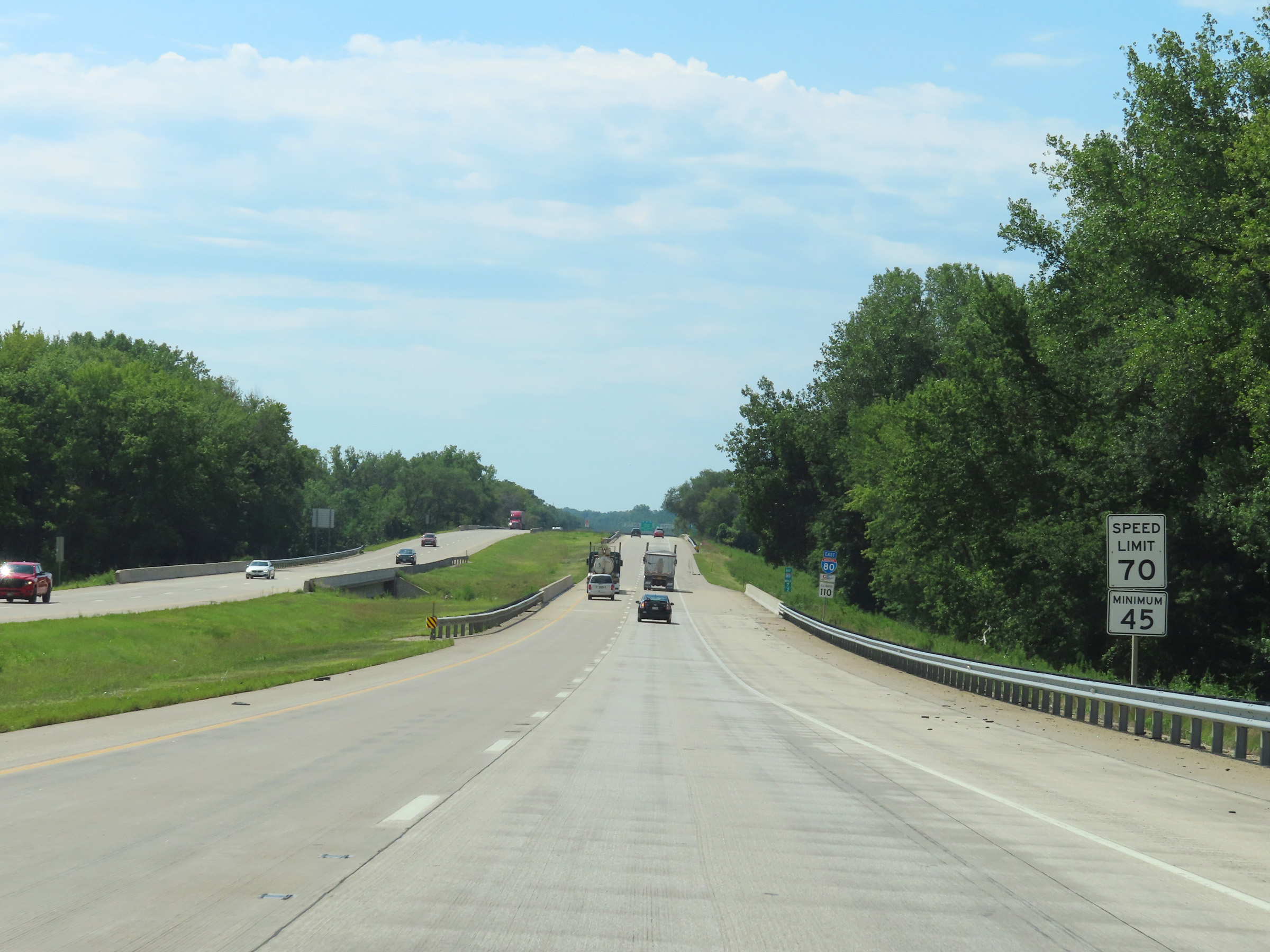
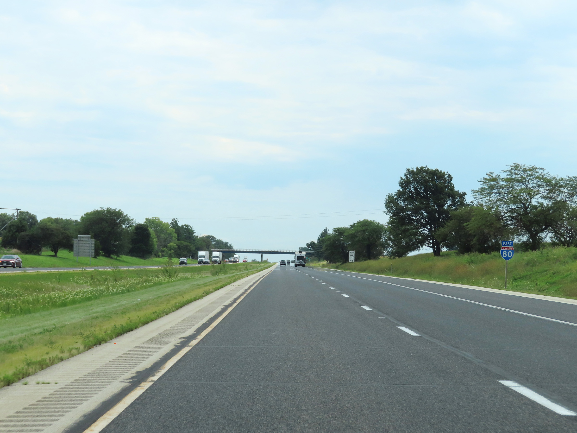
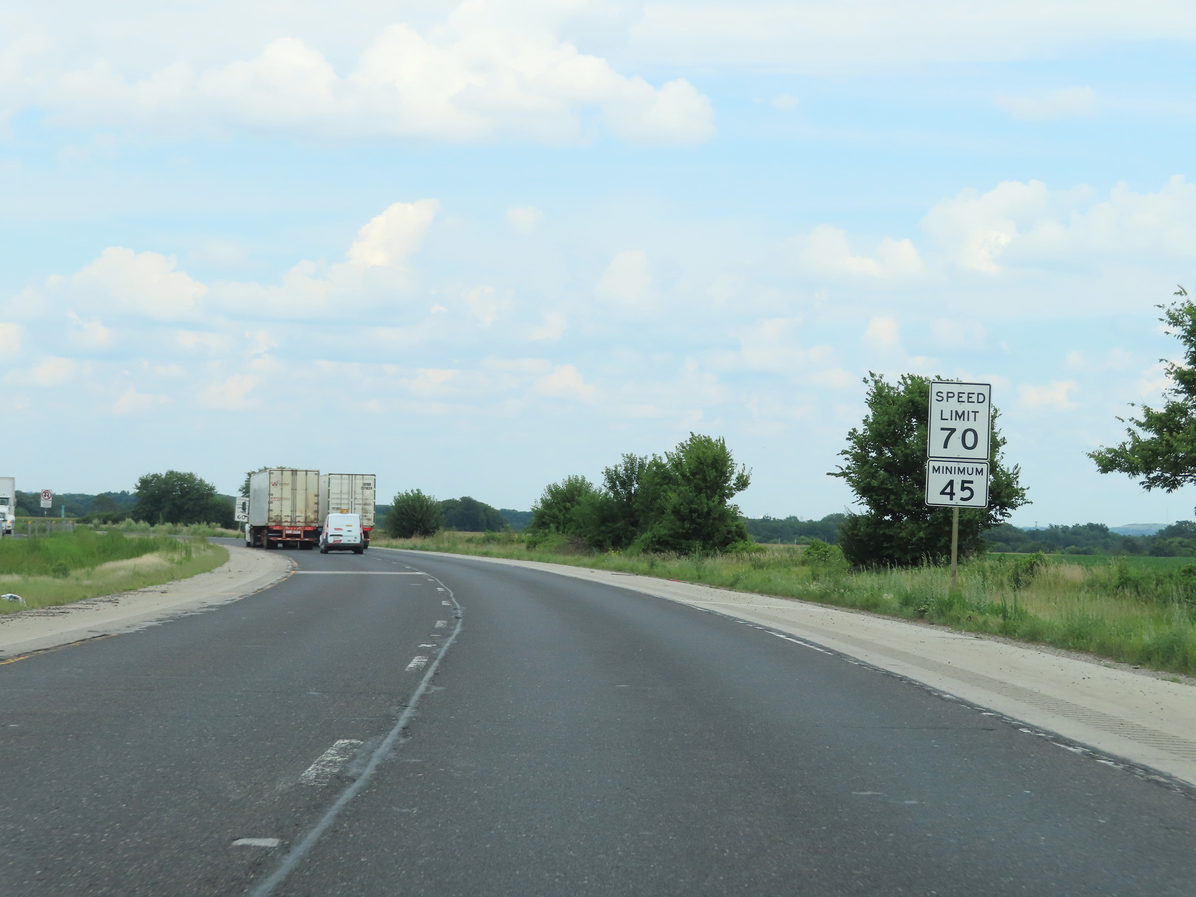
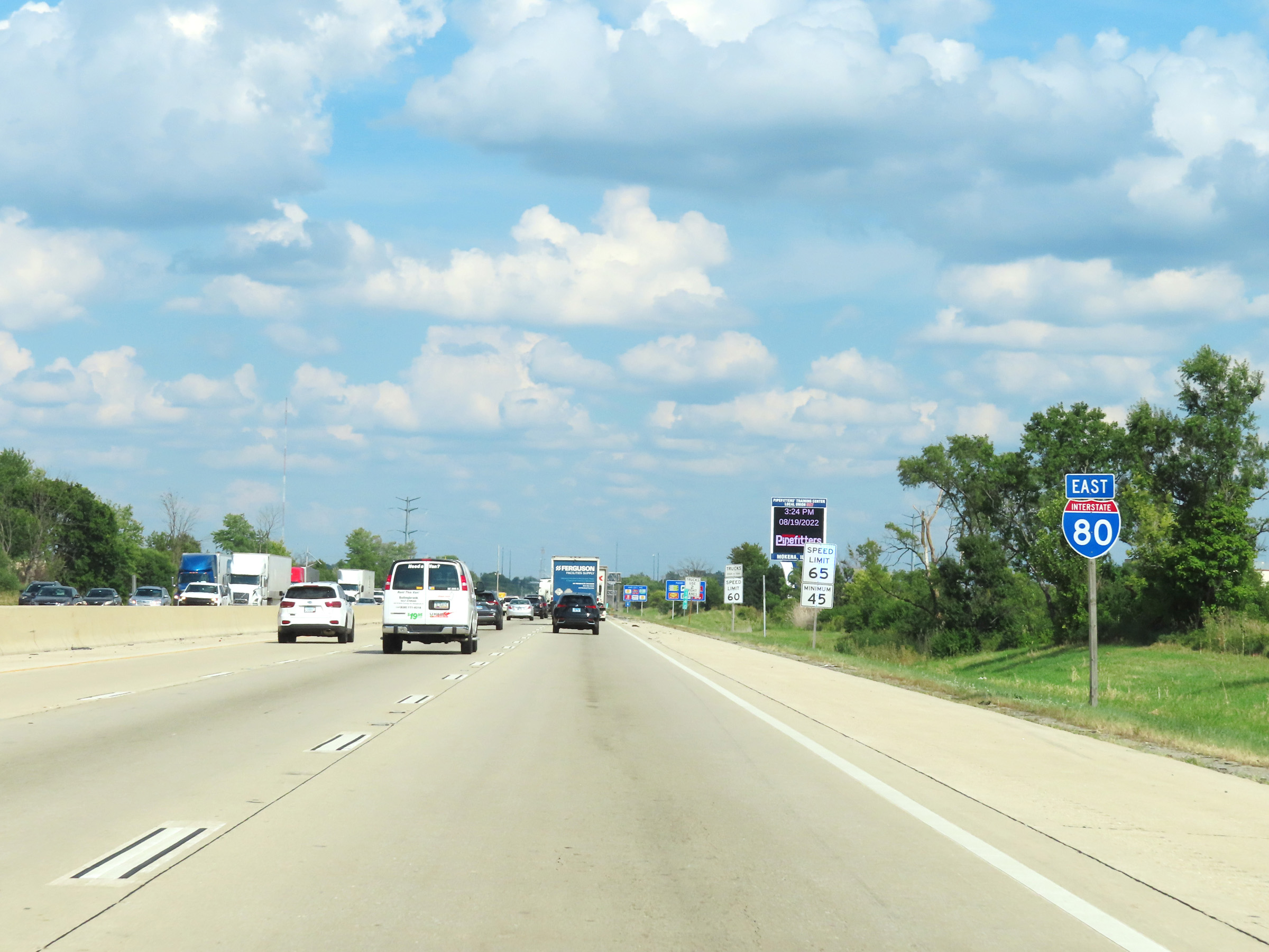
The speed limits on Interstate 80 East start out at 70 mph maximum and 45 mph minimum. These are the standard speed limits on most rural Interstate highways in Illinois. (Photo taken 8/19/22). |
 |
Illinois Welcome Center / Rest Area on Interstate 80 East at mile marker 1 in Rock Island County. (Photo taken 8/19/22). |
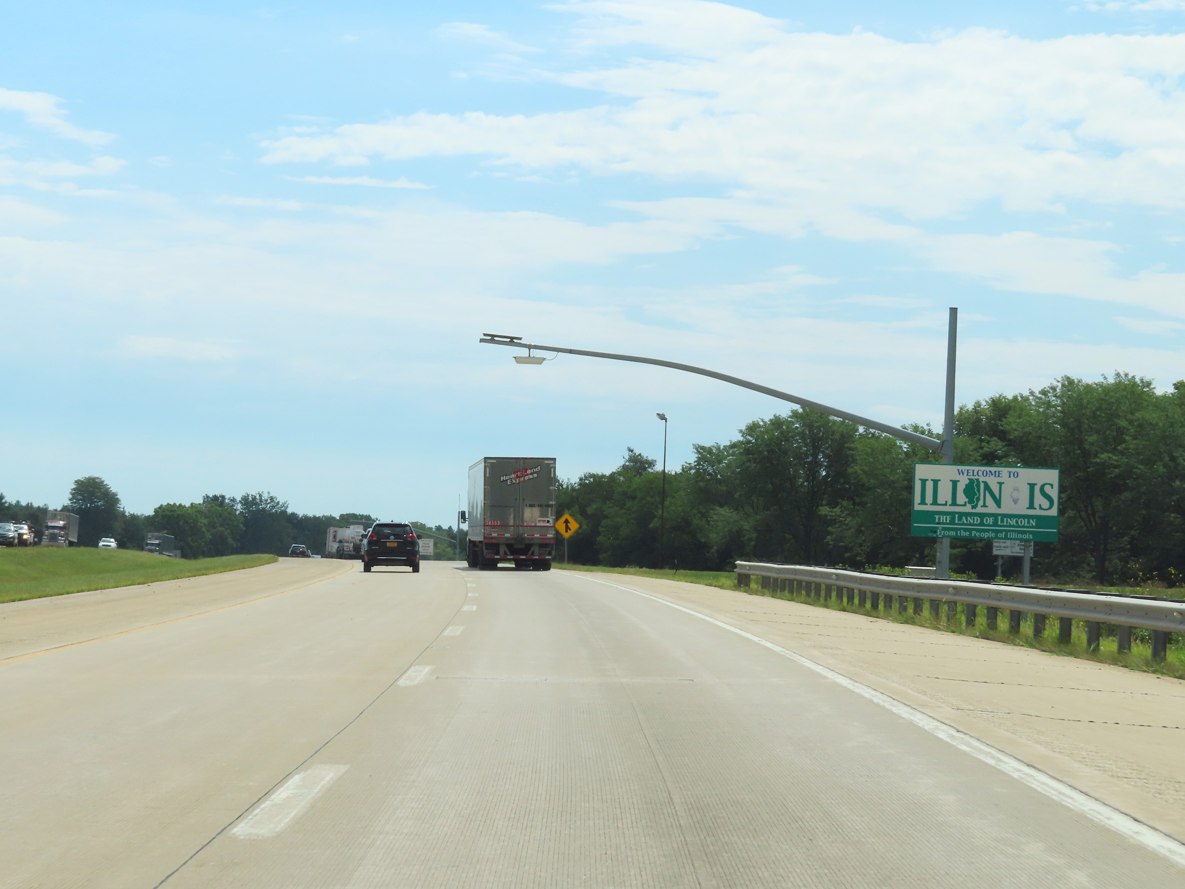 |
Illinois welcome sign on Interstate 80 East. (Photo taken 8/19/22). |
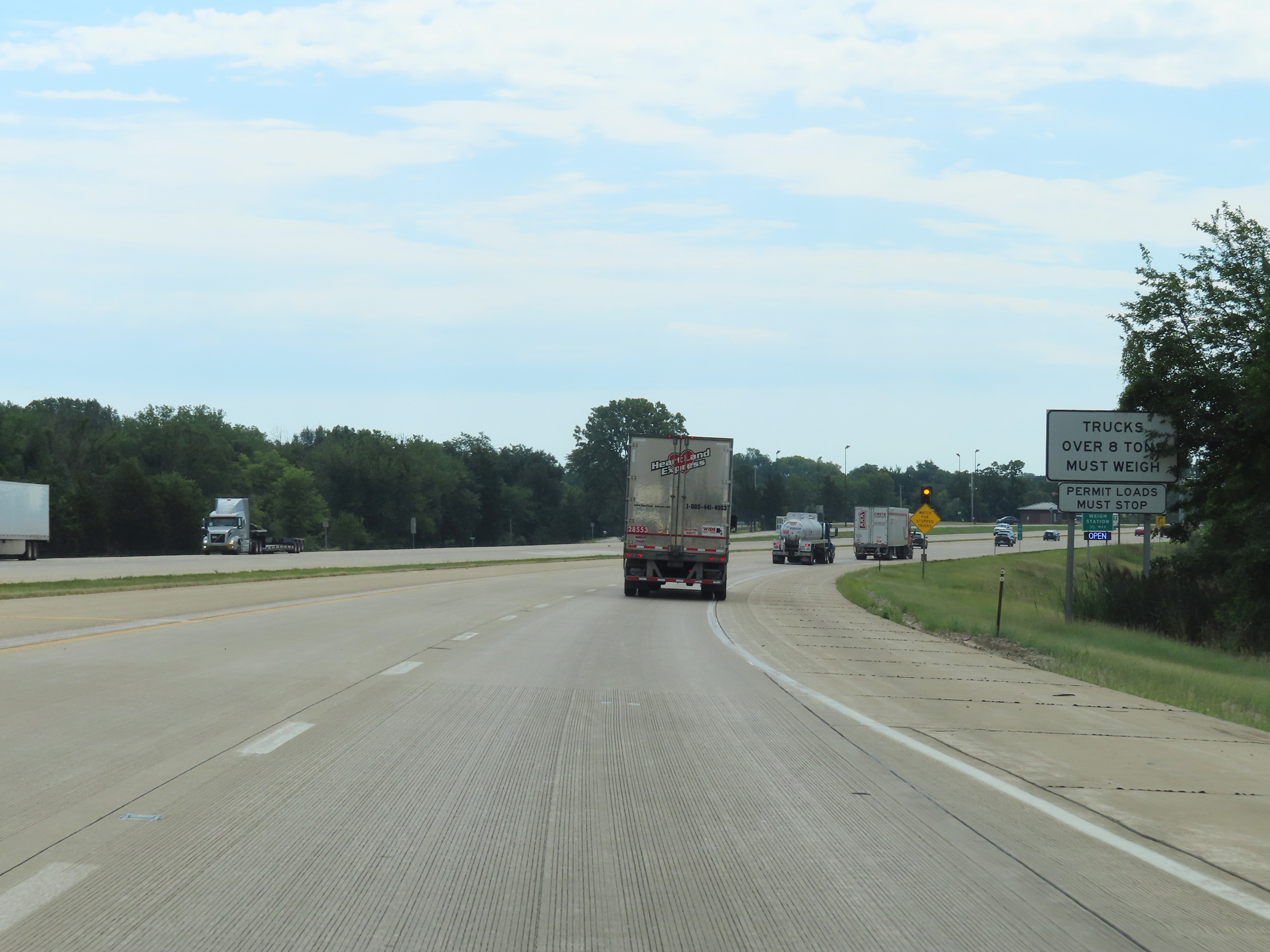 |
All trucks over 8 tons and permit loads must stop at the Weigh Station ahead. (Photo taken 8/19/22). |
 |
Weigh Station on Interstate 80 East in Rock Island County. (Photo taken 8/19/22). |
 |
View on Interstate 80 East at mile marker 2.4. (Photo taken 8/19/22). |
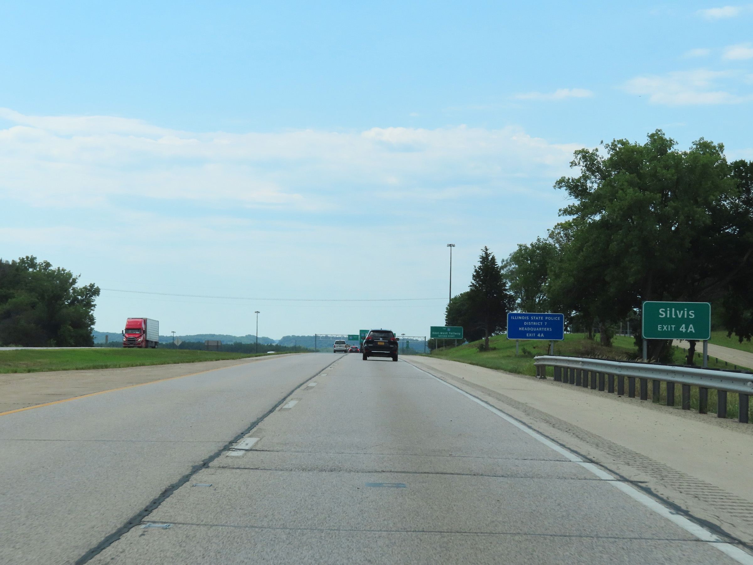 |
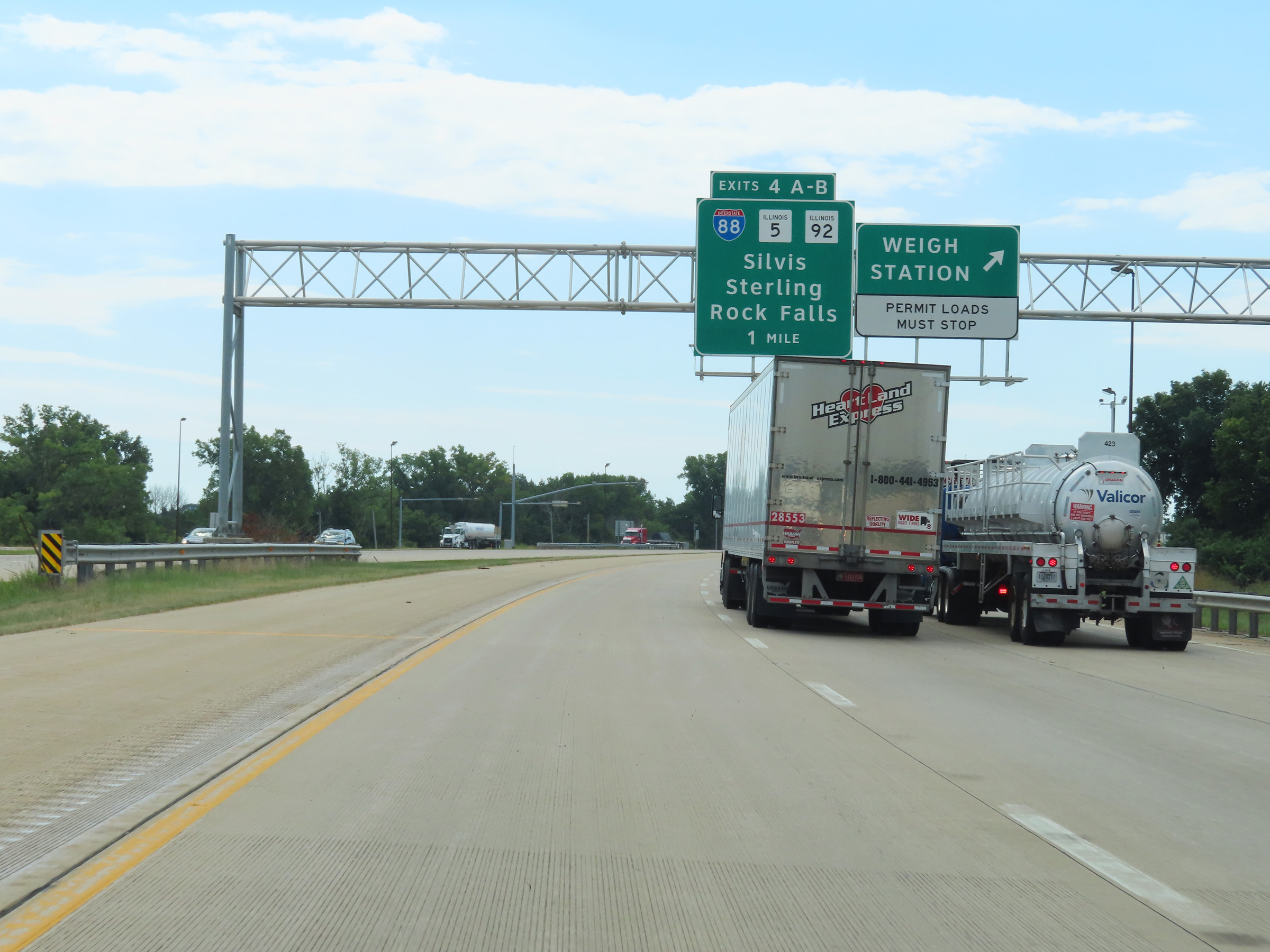
Take Exit 4A to Silvis. (Photo taken 8/19/22). |
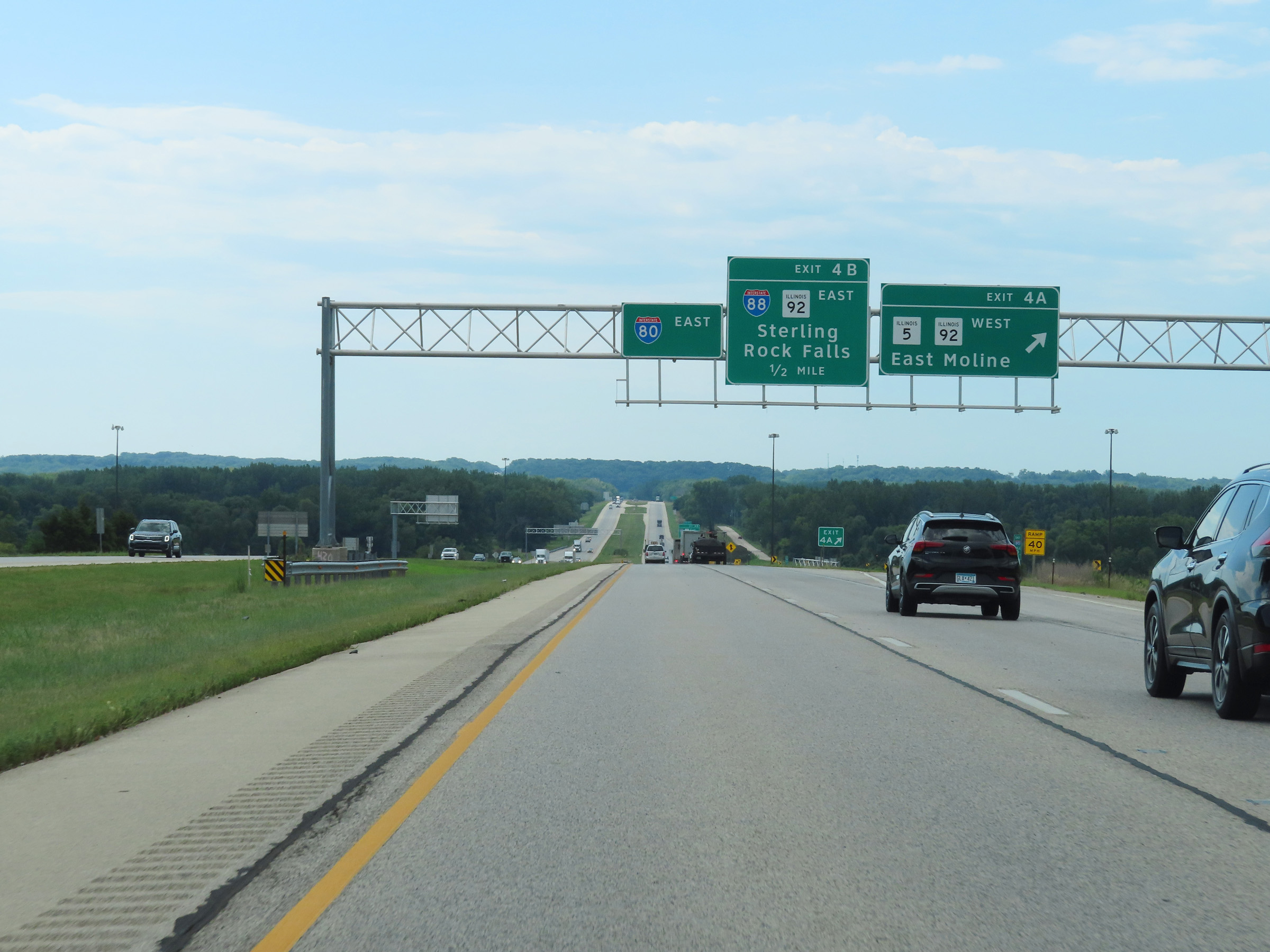 |
Interstate 80 East at Exit 4A: IL 5 West / IL 92 West - East Moline (Photo taken 8/19/22). |
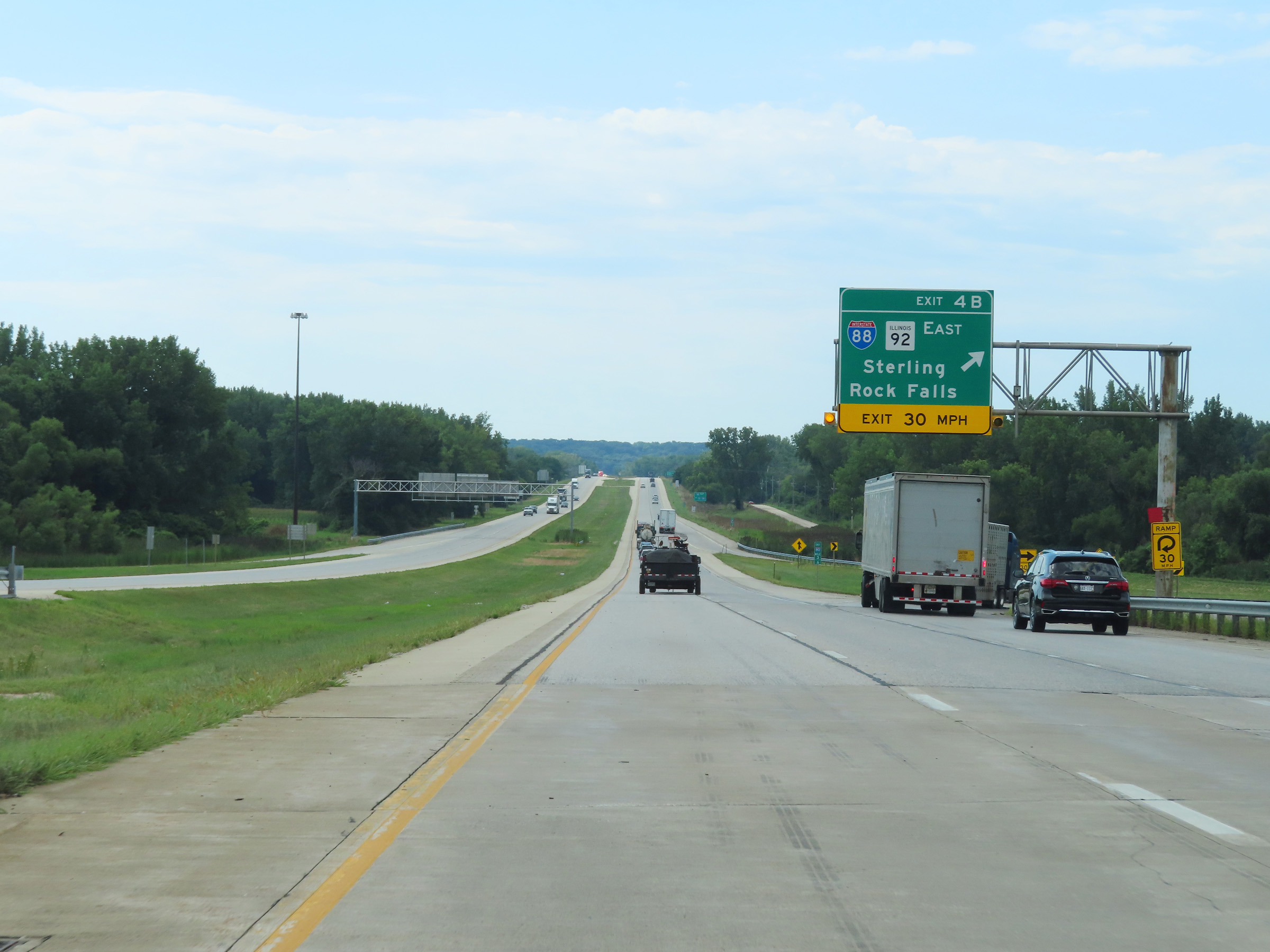 |
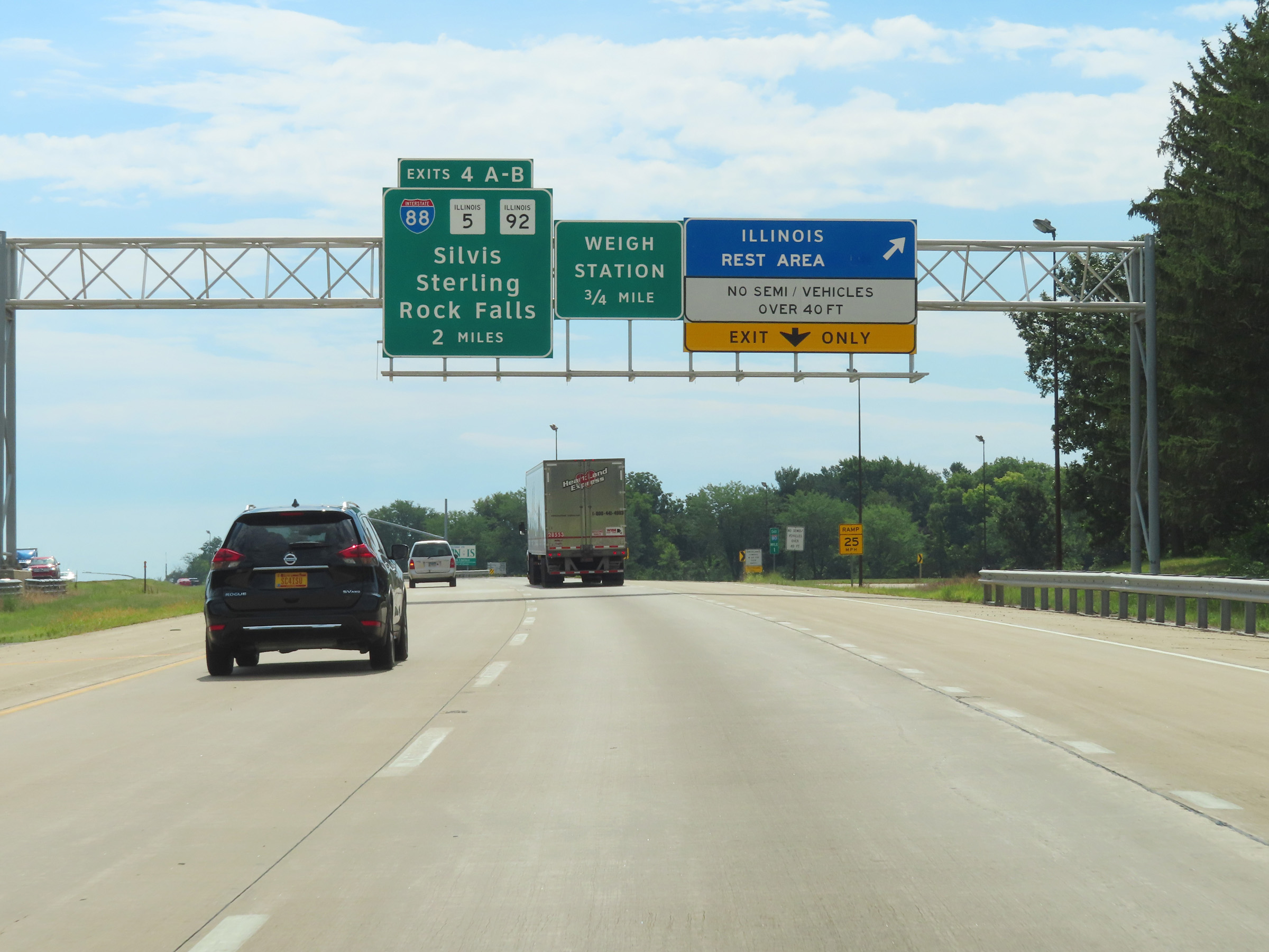
Interstate 80 East at Exit 4B: Interstate 88 East / IL 92 East - Sterling / Rock Falls (Photo taken 8/19/22). |
 |
Mile marker 4 on Interstate 80 East in Rock Island County. (Photo taken 8/19/22). |
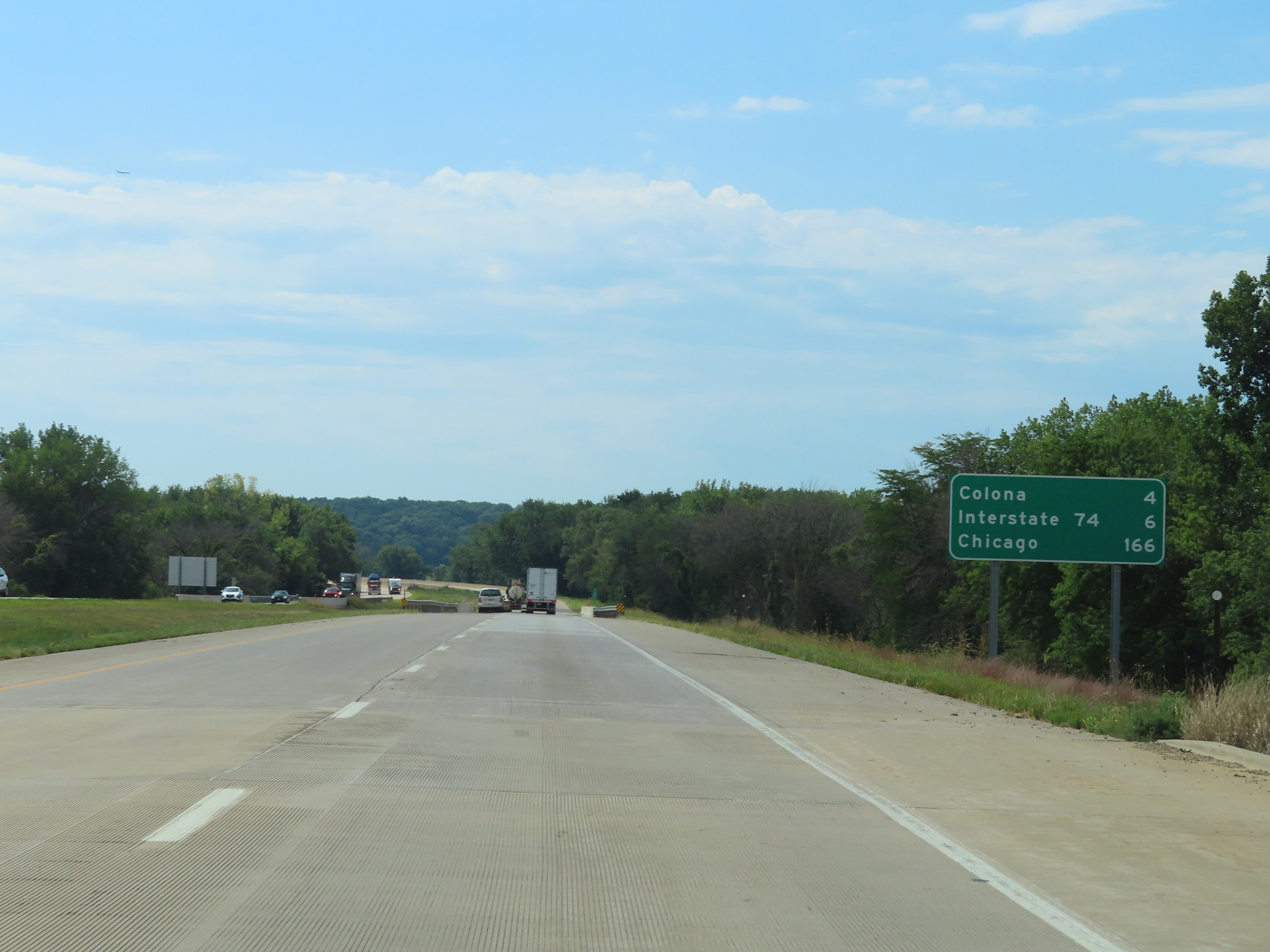 |
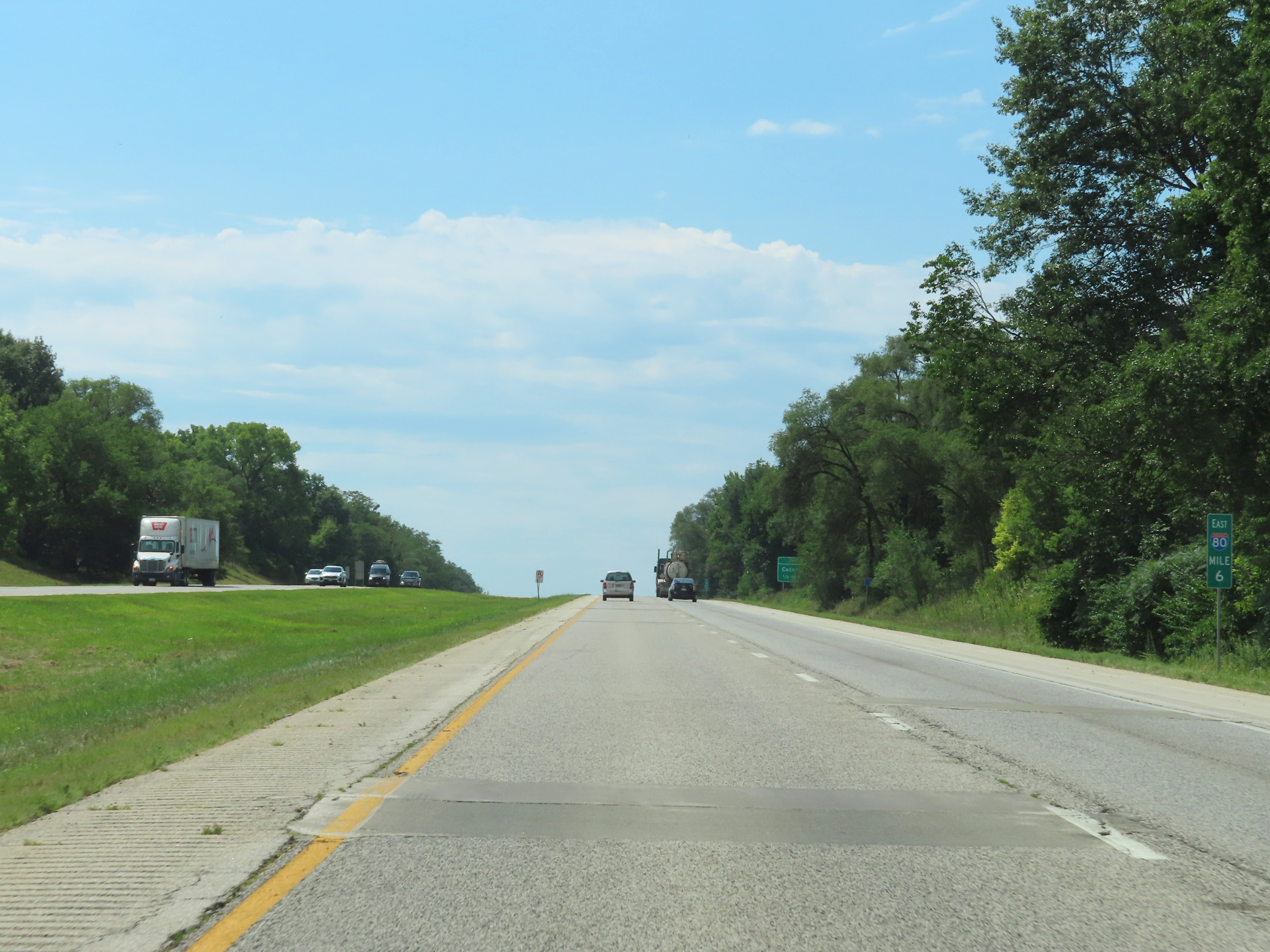
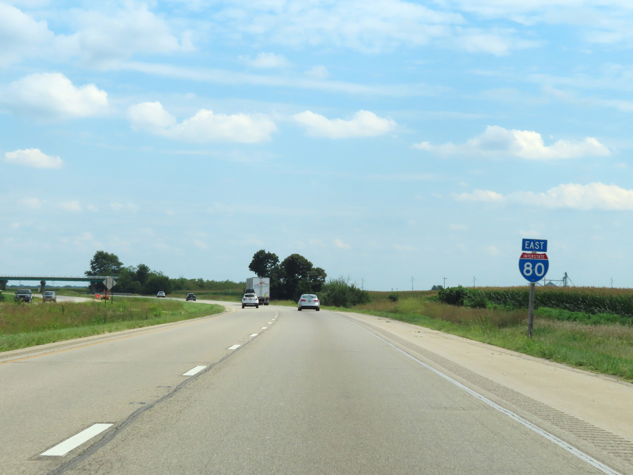
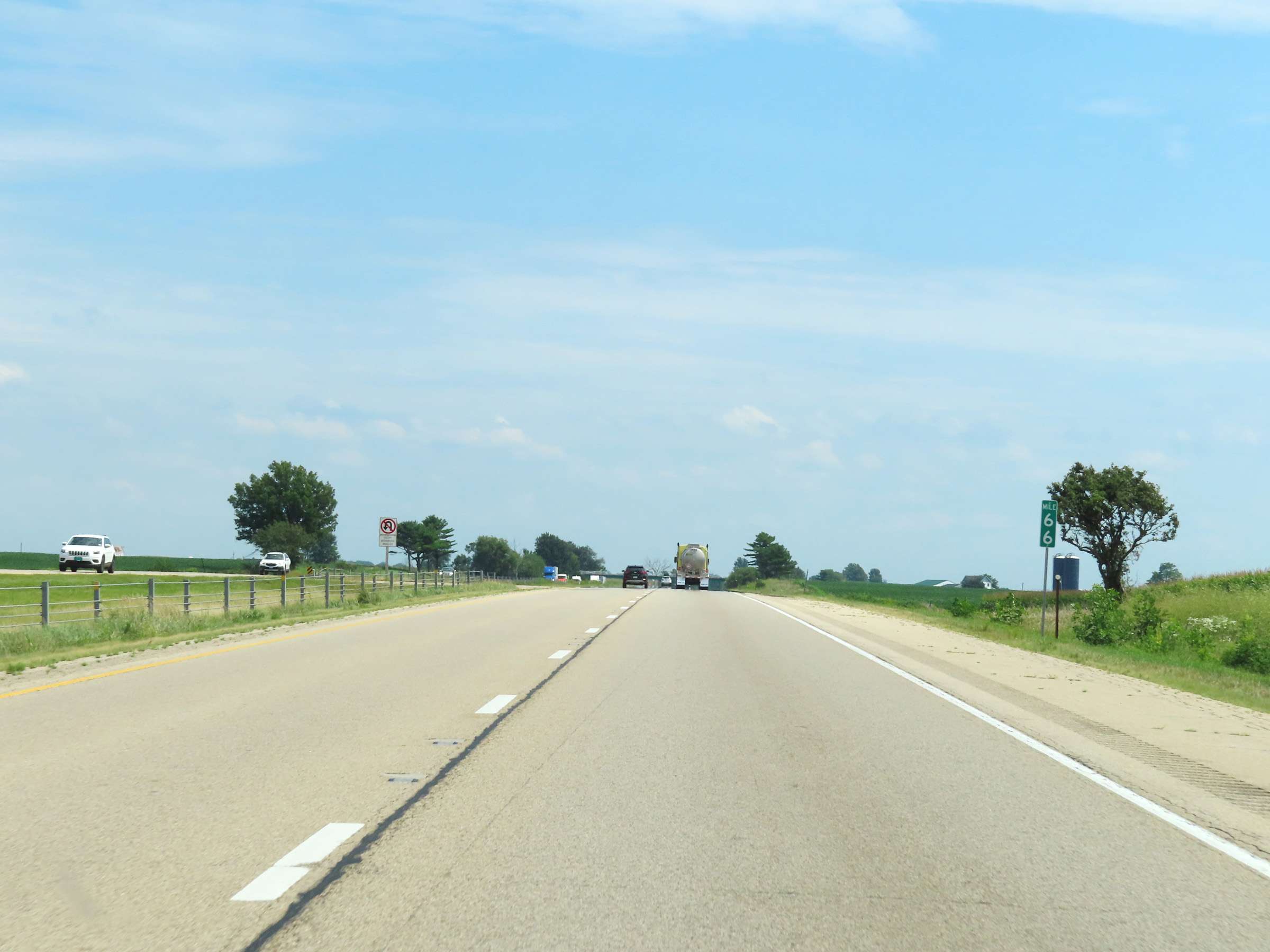
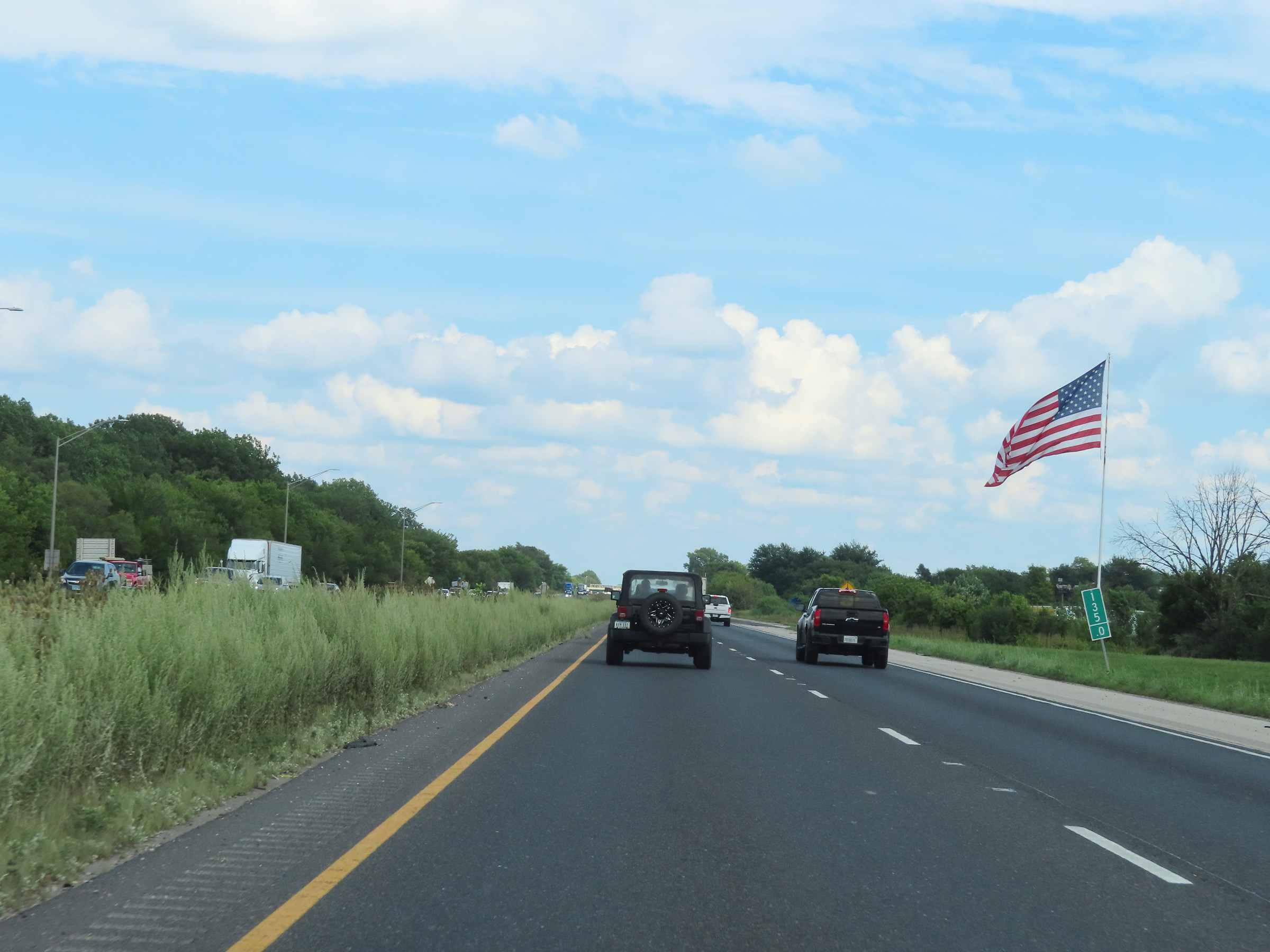
Mileage sign on Interstate 80 East. It's 4 miles to Colona, 6 miles to the junction of Interstate 74, and 166 miles to Chicago. (Photo taken 8/19/22). |
 |
View on Interstate 80 East at mile marker 5, as it crosses the Rock River. (Photo taken 8/19/22). |
 |
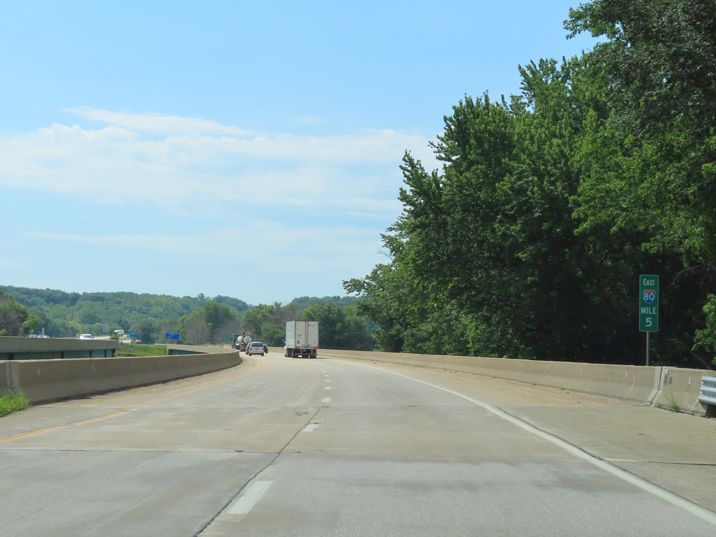
Interstate 80 East enters Henry County upon crossing the Rock River. (Photo taken 8/19/22). |
 |
View on Interstate 80 East at mile marker 6. (Photo taken 8/19/22). |
 |
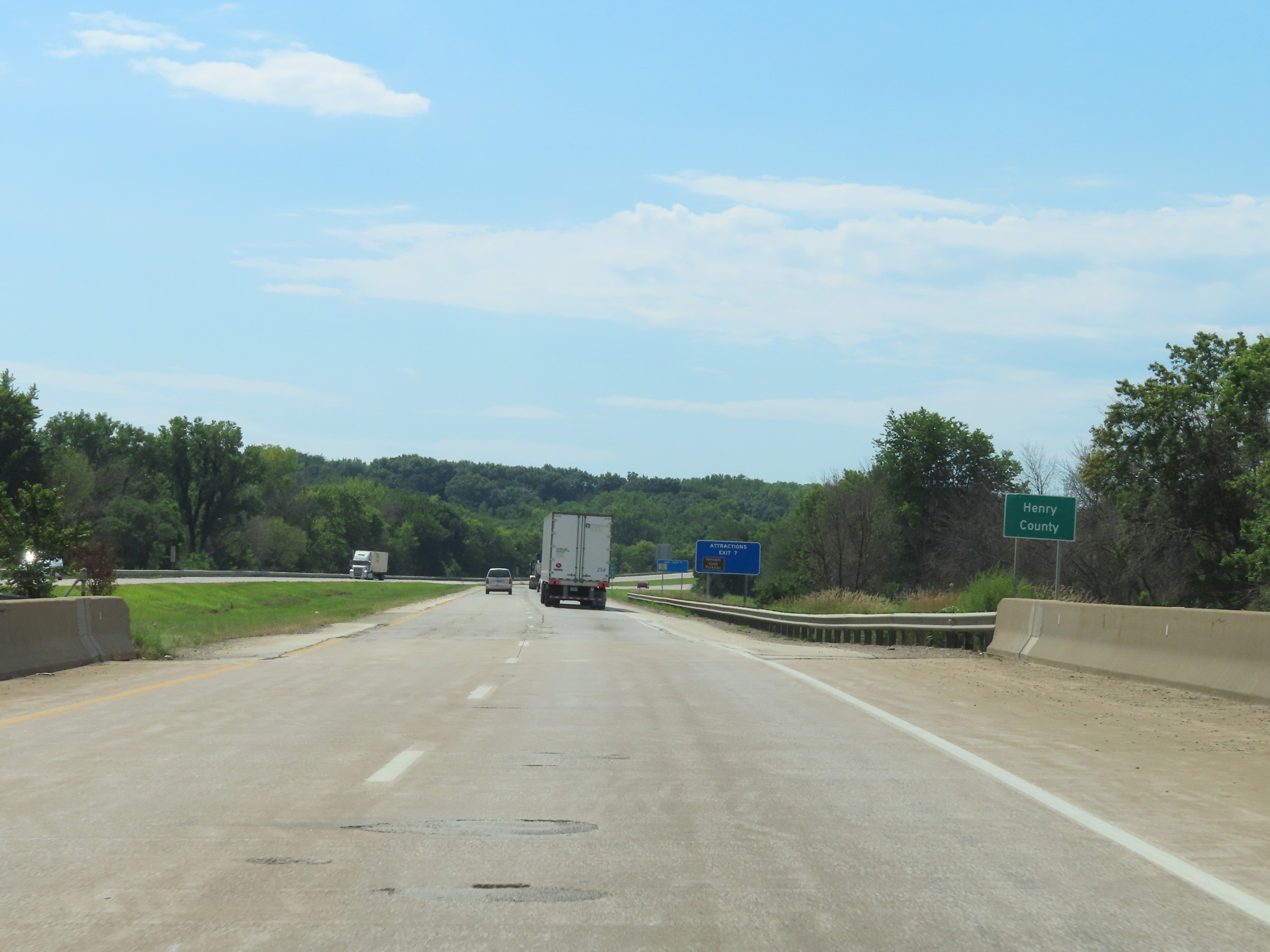
Interstate 80 East at Exit 7: Colona (Photo taken 8/19/22). |
 |
The speed limits remain 70 mph maximum and 45 mph minimum on Interstate 80 East. (Photo taken 8/19/22). |
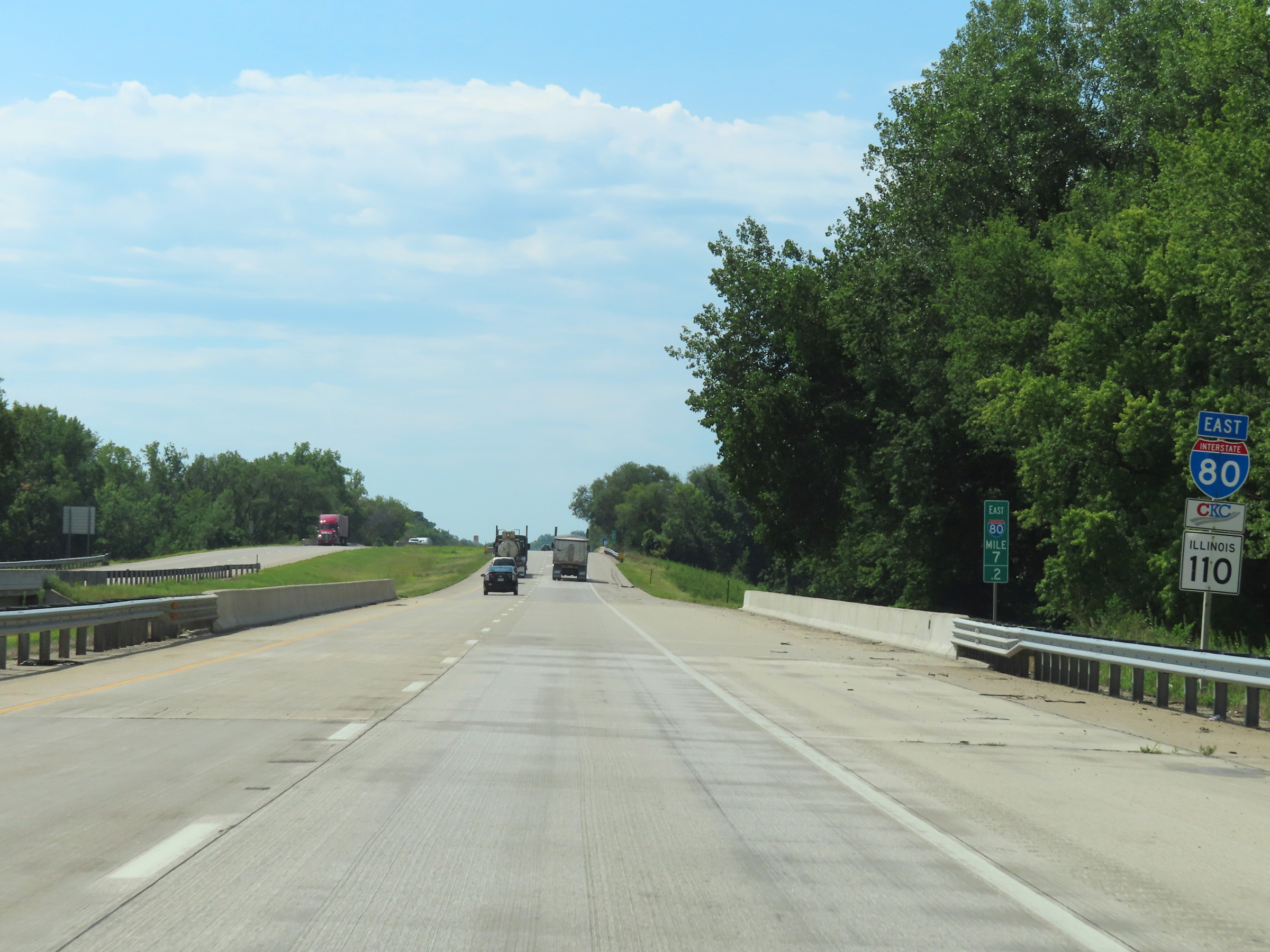 |
Interstate 80 East reassurance shield at mile marker 7.2. (Photo taken 8/19/22). |
 |
Interstate 80 East at mile marker 8.4. (Photo taken 8/19/22). |
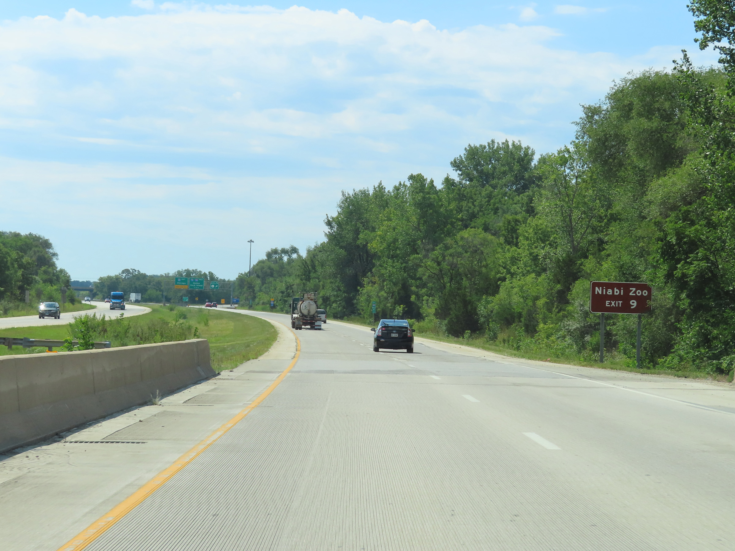 |
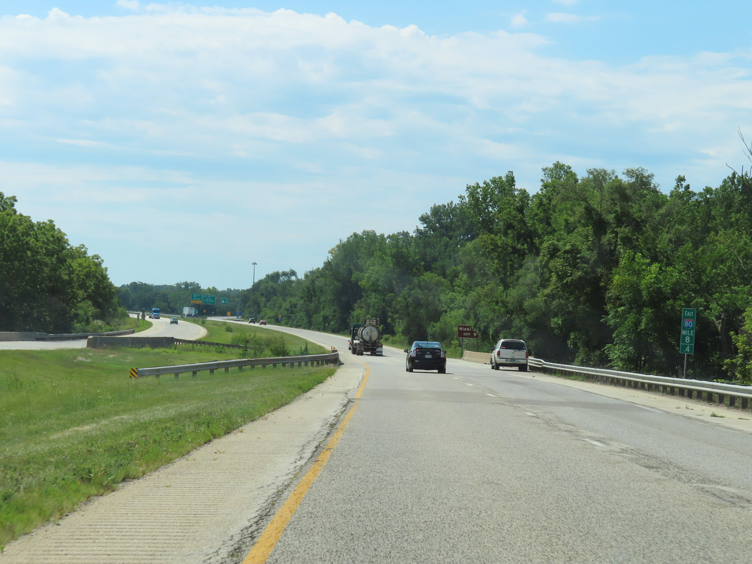
Take Exit 9 to Niabi Zoo. (Photo taken 8/19/22). |
 |
Interstate 80 East at Exit 9: US 6 (Photo taken 8/19/22). |
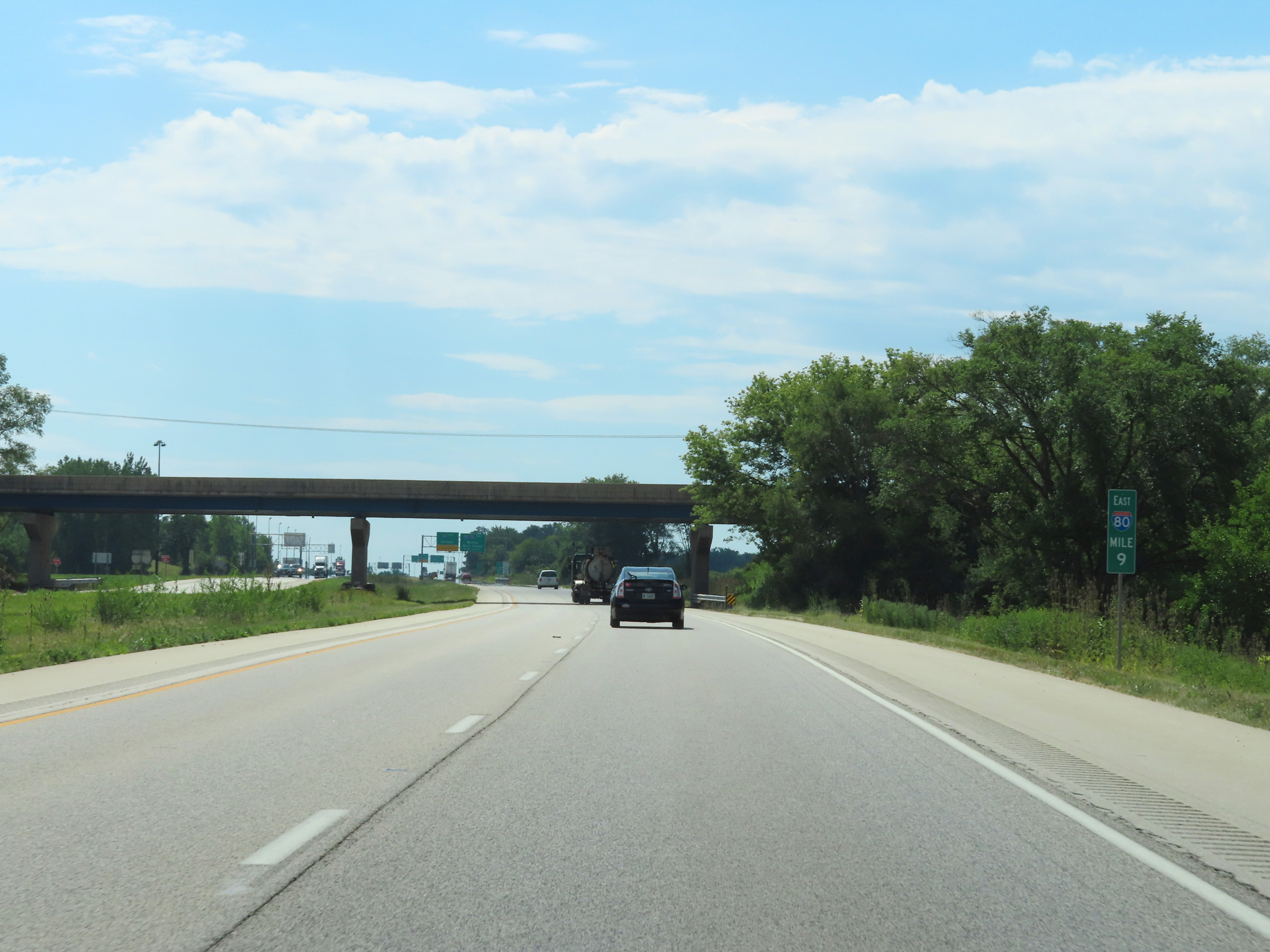 |
View on Interstate 80 East at mile marker 9. (Photo taken 8/19/22). |
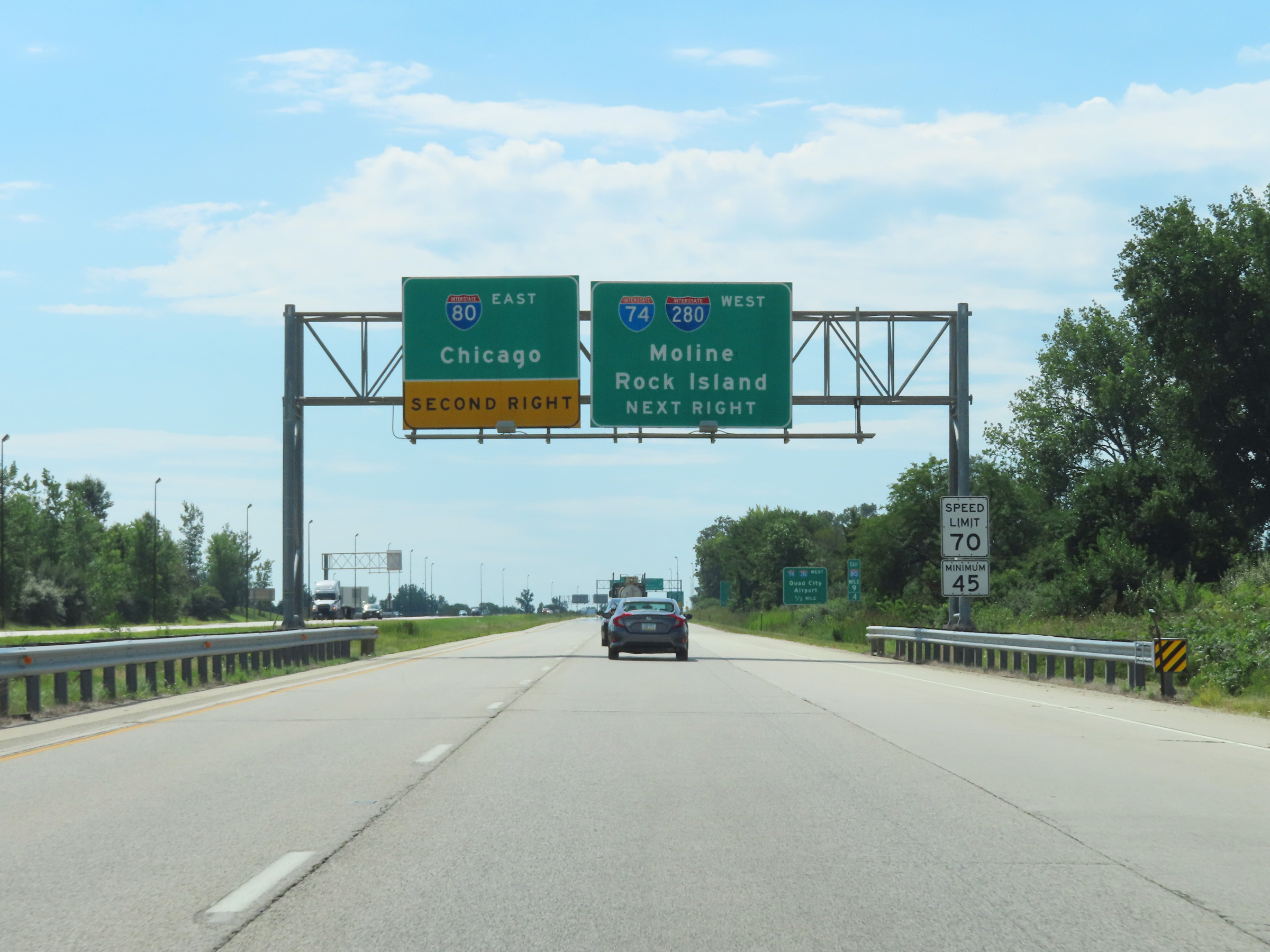 |
Interstate 80 East thru traffic will have to exit to the right ahead, which is noted by this overhead signage. (Photo taken 8/19/22). |
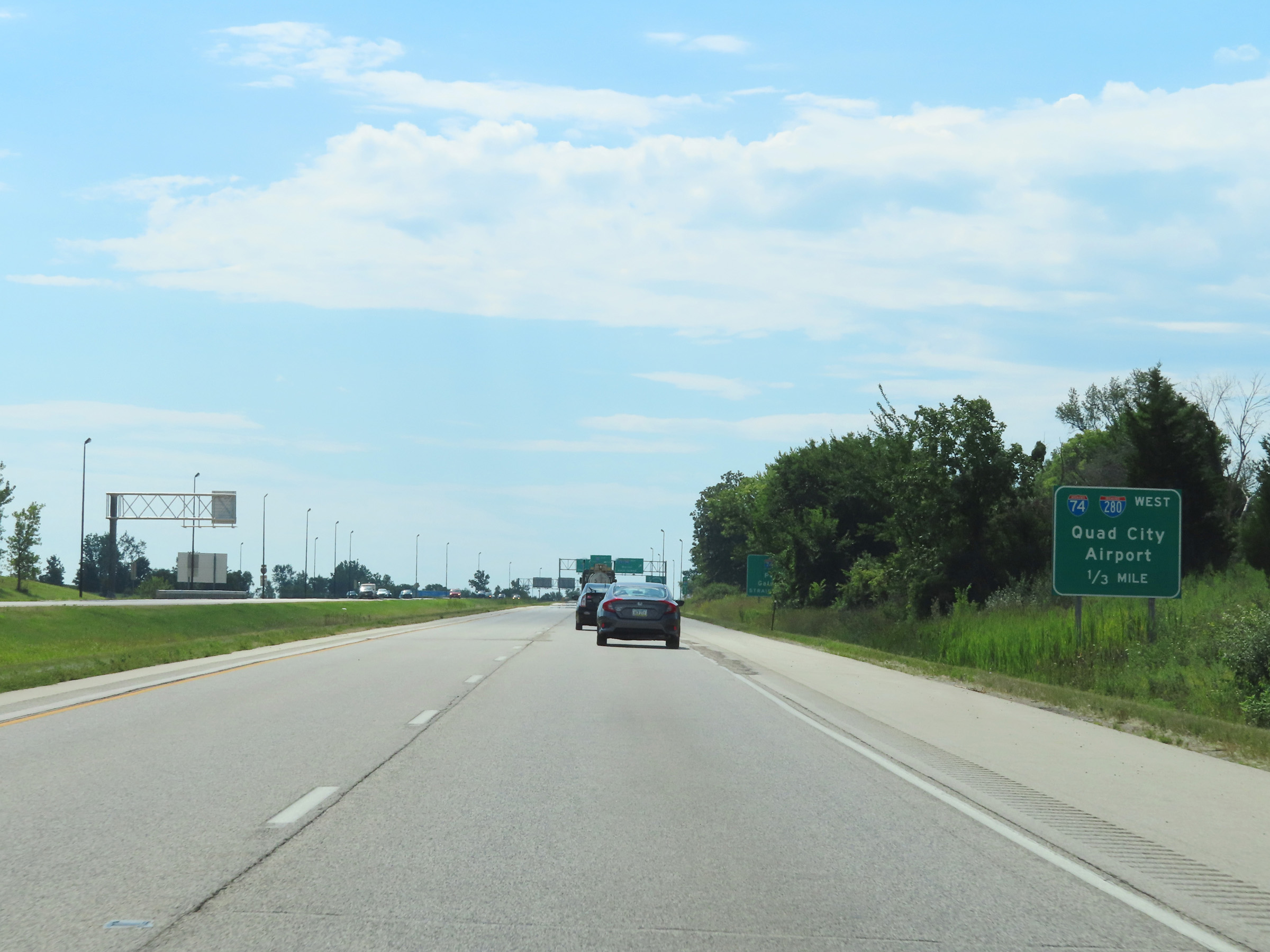 |
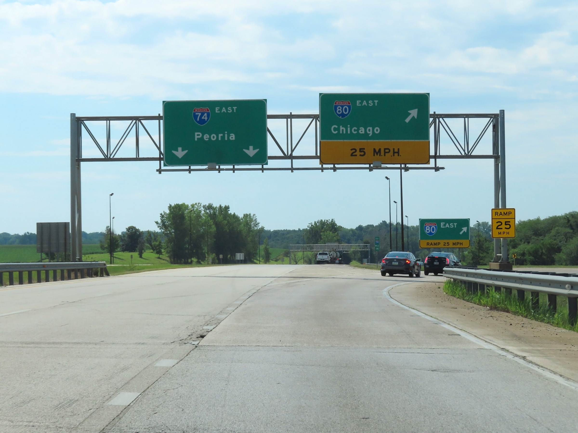
Traffic to Quad City Airport should follow Interstate 74 West / Interstate 280 West by exiting 1/3 mile ahead on the right. (Photo taken 8/19/22). |
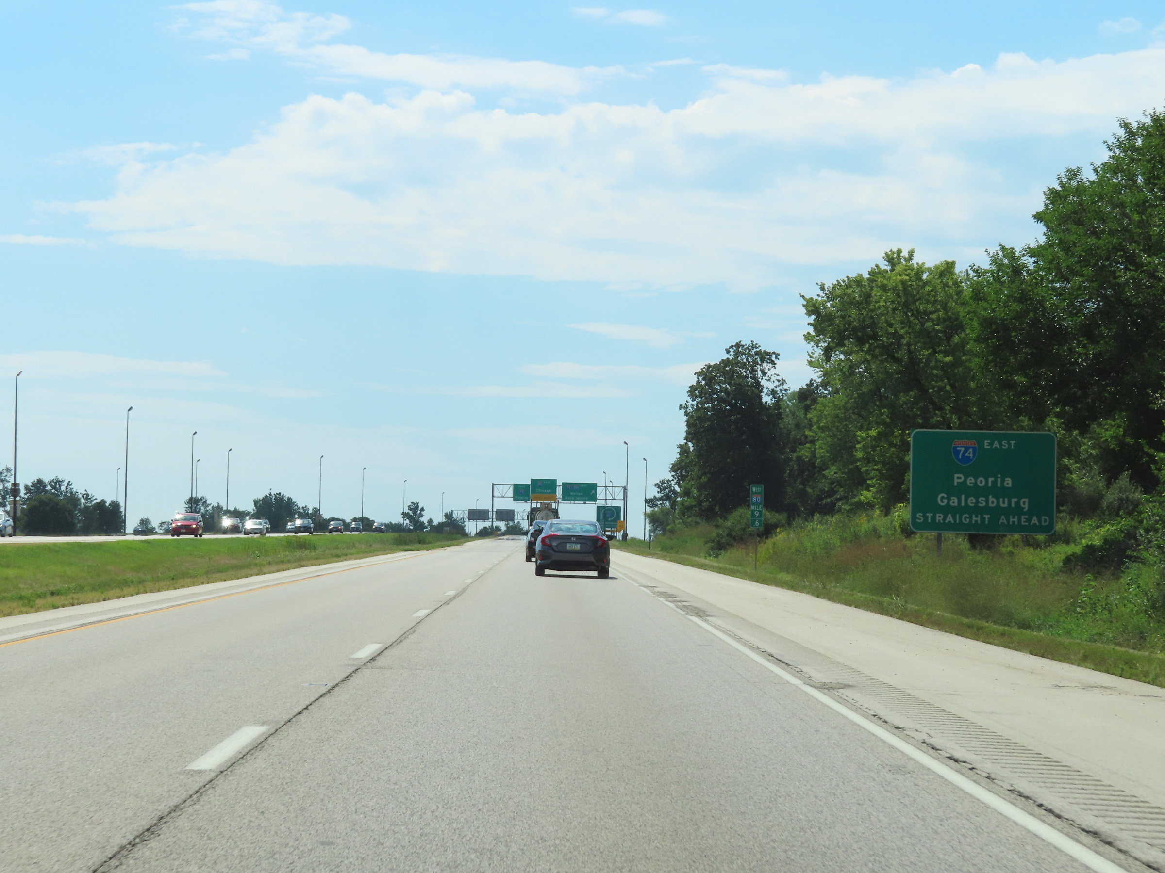 |
The two thru lanes of Interstate 80 East will become Interstate 74 East toward Peoria and Galesburg straight ahead. (Photo taken 8/19/22). |
 |
Interstate 80 East at Exit: Interstate 74 West / Interstate 280 West - Moline / Rock Island (Photo taken 8/19/22). |
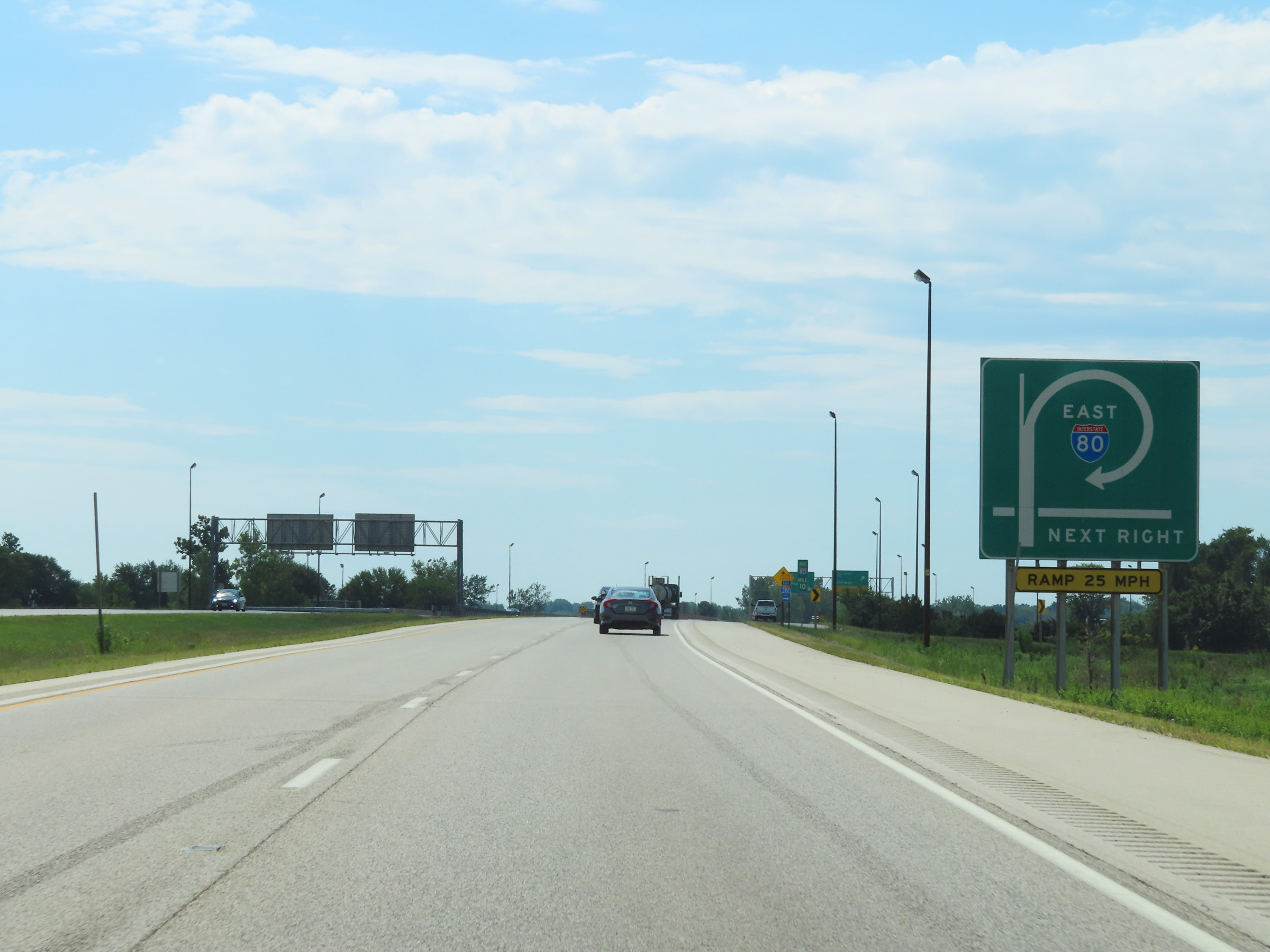 |
Again, the current two thru lanes of Interstate 80 East will become Interstate 74 East ahead. As this sign shows, Interstate 80 East thru traffic is thus required to take a loop ramp on the right ahead. (Photo taken 8/19/22). |
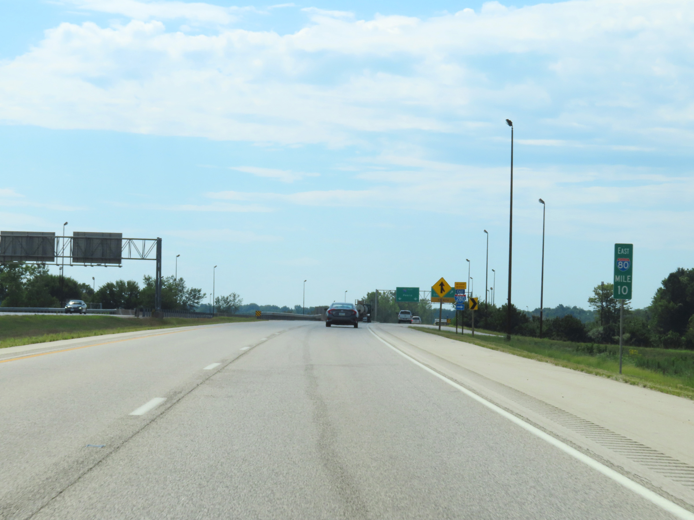 |
View on Interstate 80 East at mile marker 10. (Photo taken 8/19/22). |
 |
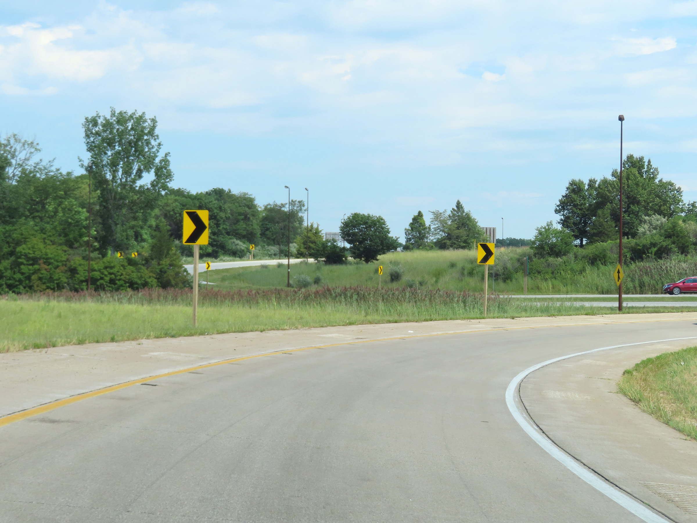
Interstate 80 East thru traffic must exit here to remain on the mainline. This loop ramp is rather sharp, so 25 mph is the advised speed. (Photo taken 8/19/22). |
 |
Gore point signage at the loop ramp to remain on Interstate 80 East. (Photo taken 8/19/22). |
 |
A view on the loop ramp to remain on Interstate 80 East. (Photo taken 8/19/22). |
 |
The ramp begins to straighten out here, now facing east at the eastern terminus of Interstate 280. (Photo taken 8/19/22). |
 |
Interstate 80 East returns to having two thru lanes at this point, after traversing the loop ramp in the previous photos. Access to Interstate 80 West can be made via the ramp on the right ahead. (Photo taken 8/19/22). |
 |
A view of the ramp to Interstate 80 West as Interstate 80 East continues eastward. (Photo taken 8/19/22). |
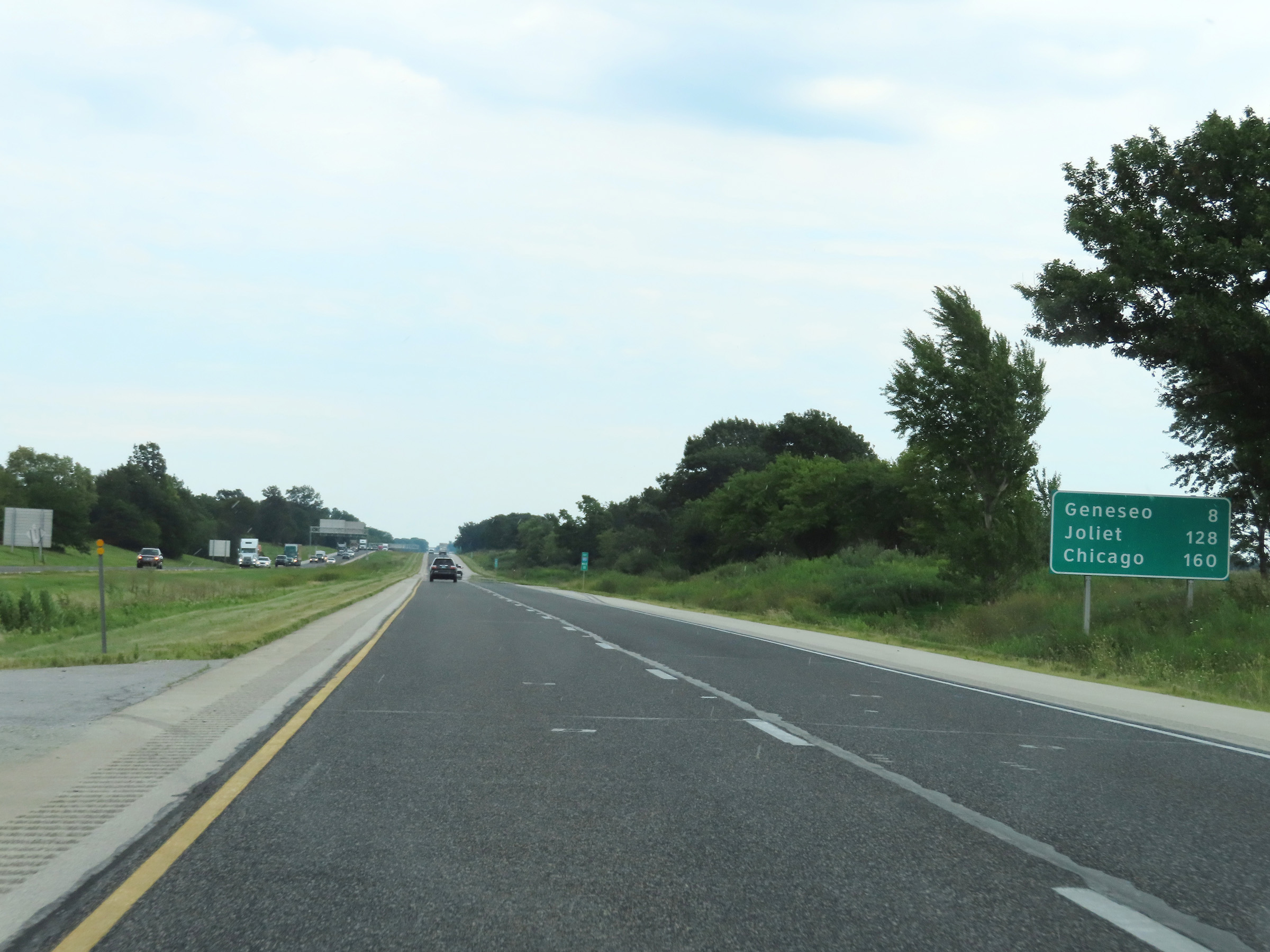 |
Another mileage sign on Interstate 80 East. It's 8 miles to Geneseo, 128 miles to Joliet, and 160 miles to Chicago. (Photo taken 8/19/22). |
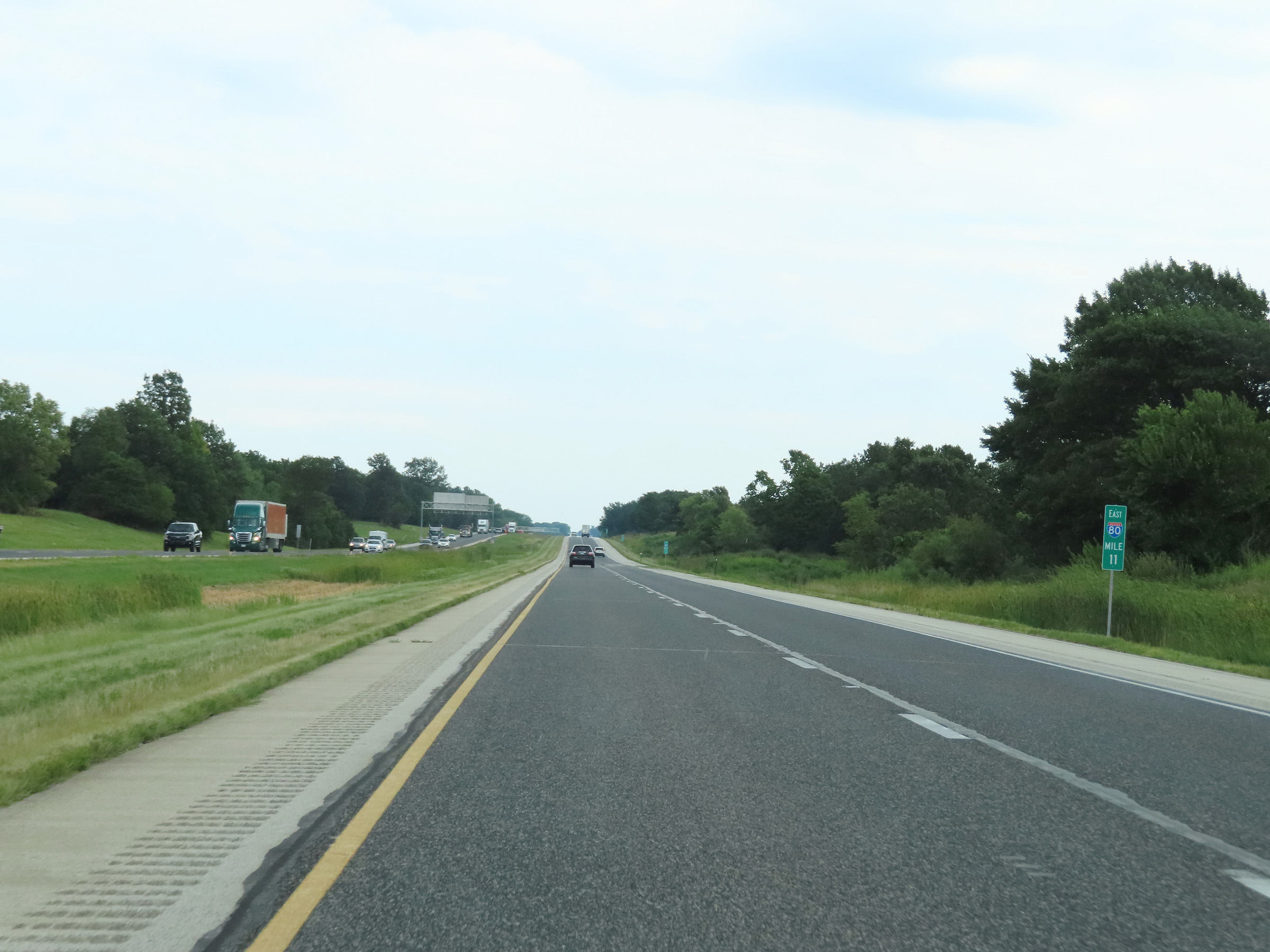 |
View on Interstate 80 East at mile marker 11. (Photo taken 8/19/22). |
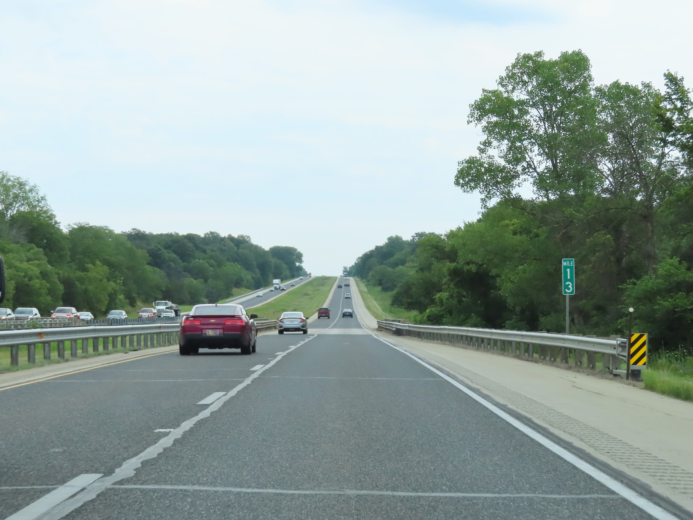 |
Mile marker 13 on Interstate 80 East in Henry County. (Photo taken 8/19/22). |
 |
Interstate 80 East at mile marker 15. (Photo taken 8/19/22). |
 |
View on Interstate 80 East at mile marker 17. (Photo taken 8/19/22). |
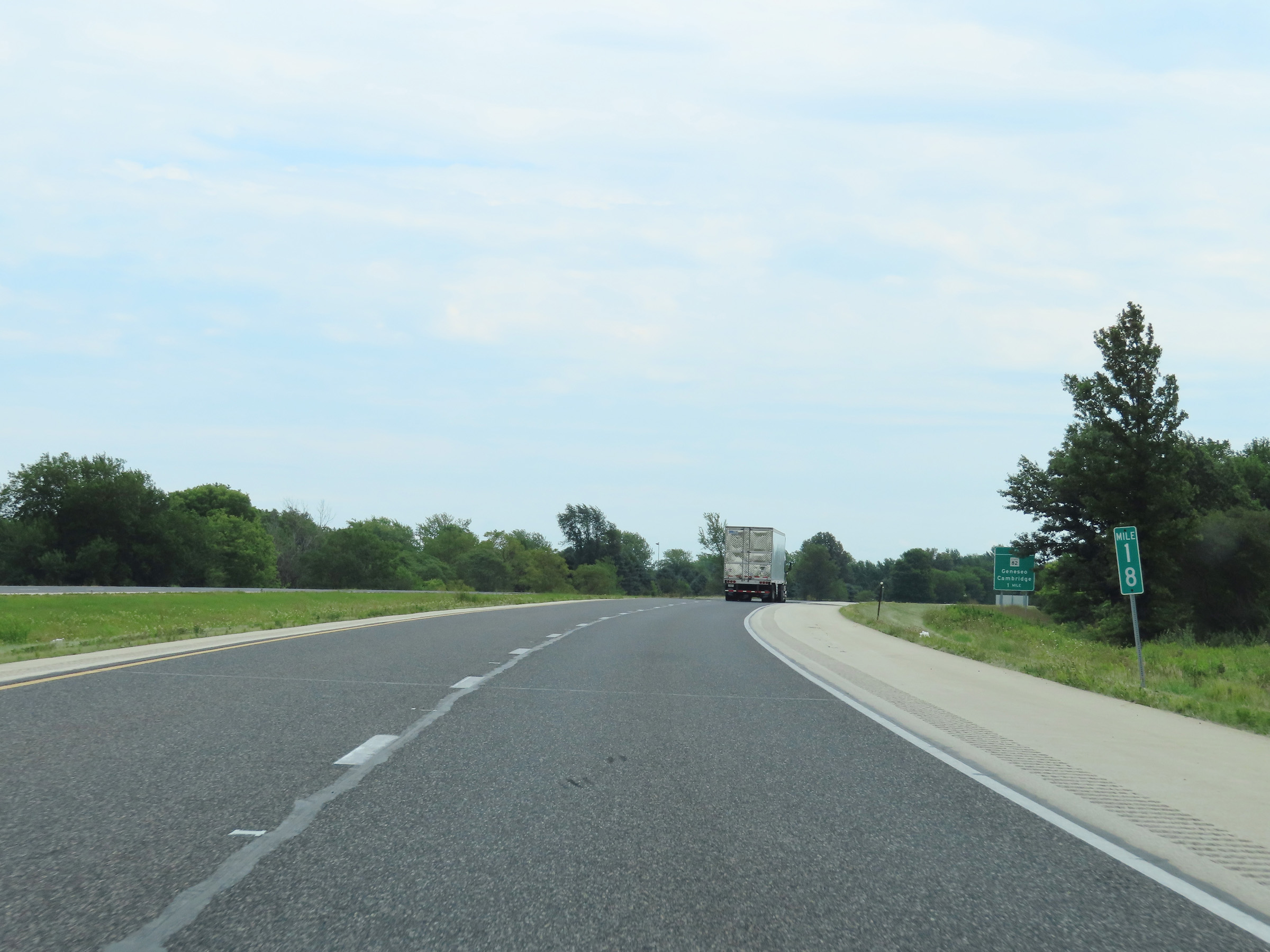 |
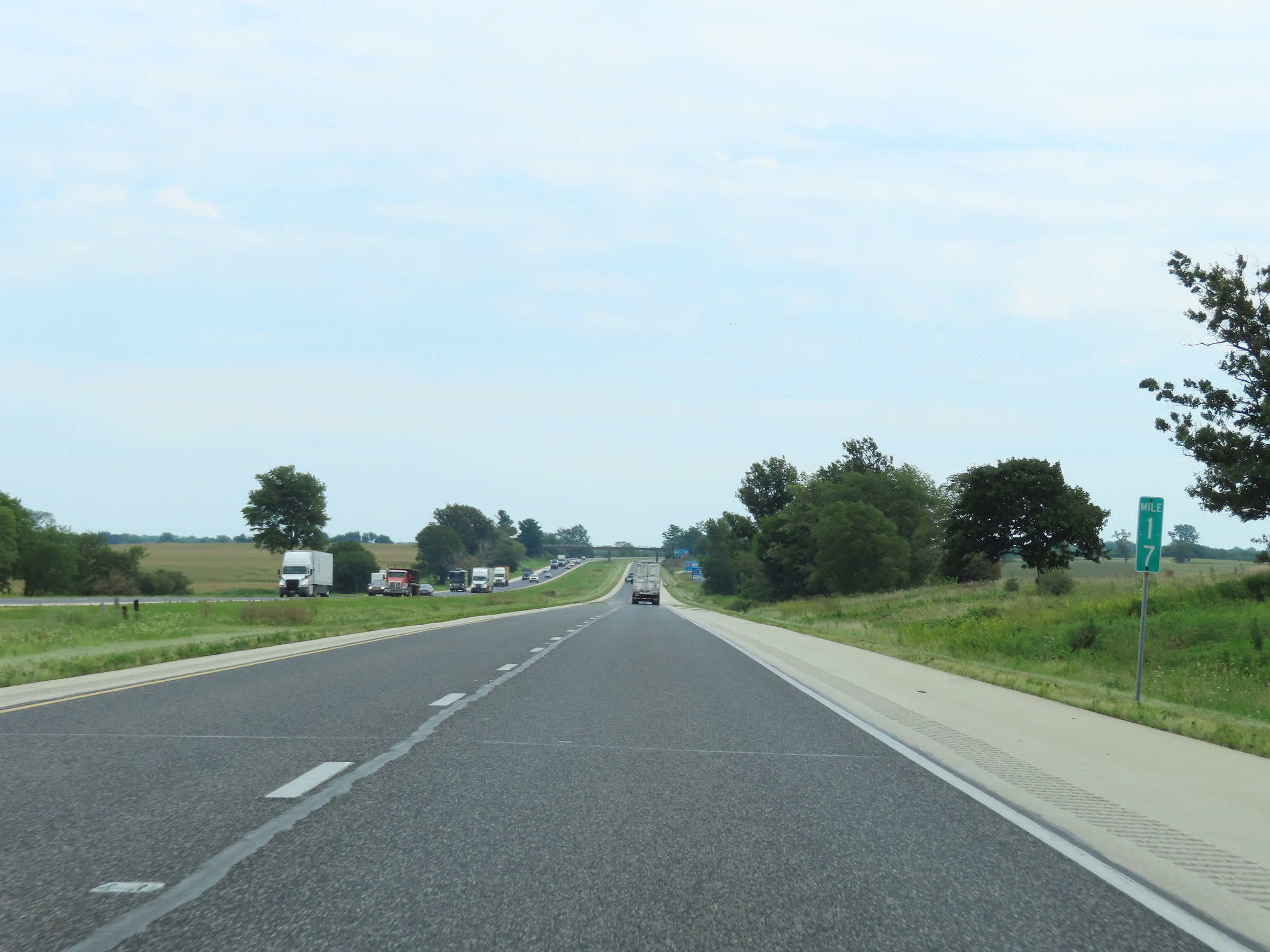
Mile marker 18 on Interstate 80 East in Henry County. (Photo taken 8/19/22). |
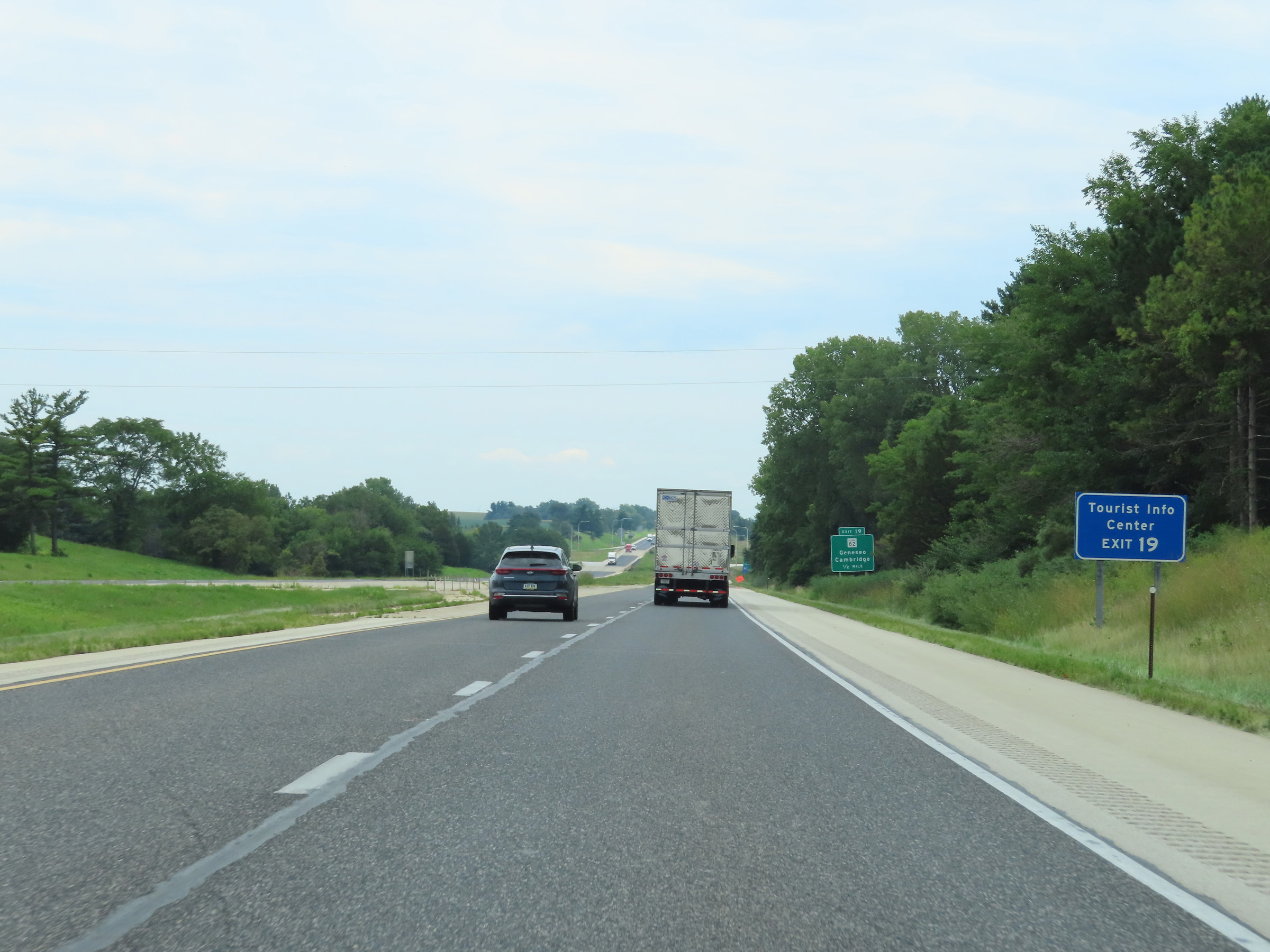 |
Take Exit 19 to a Tourist Info Center. (Photo taken 8/19/22). |
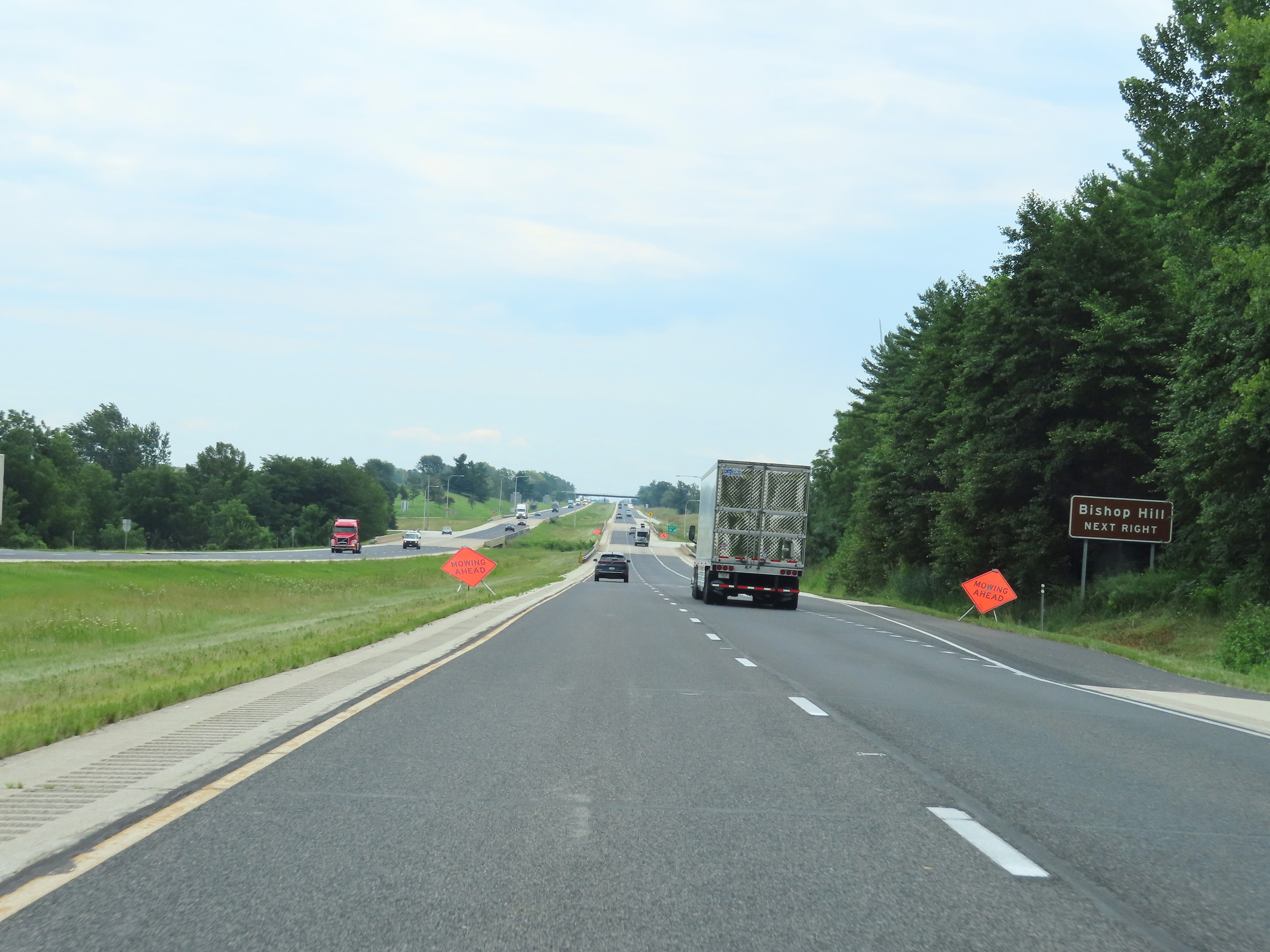 |
Also take Exit 19 to Bishop Hill. (Photo taken 8/19/22). |
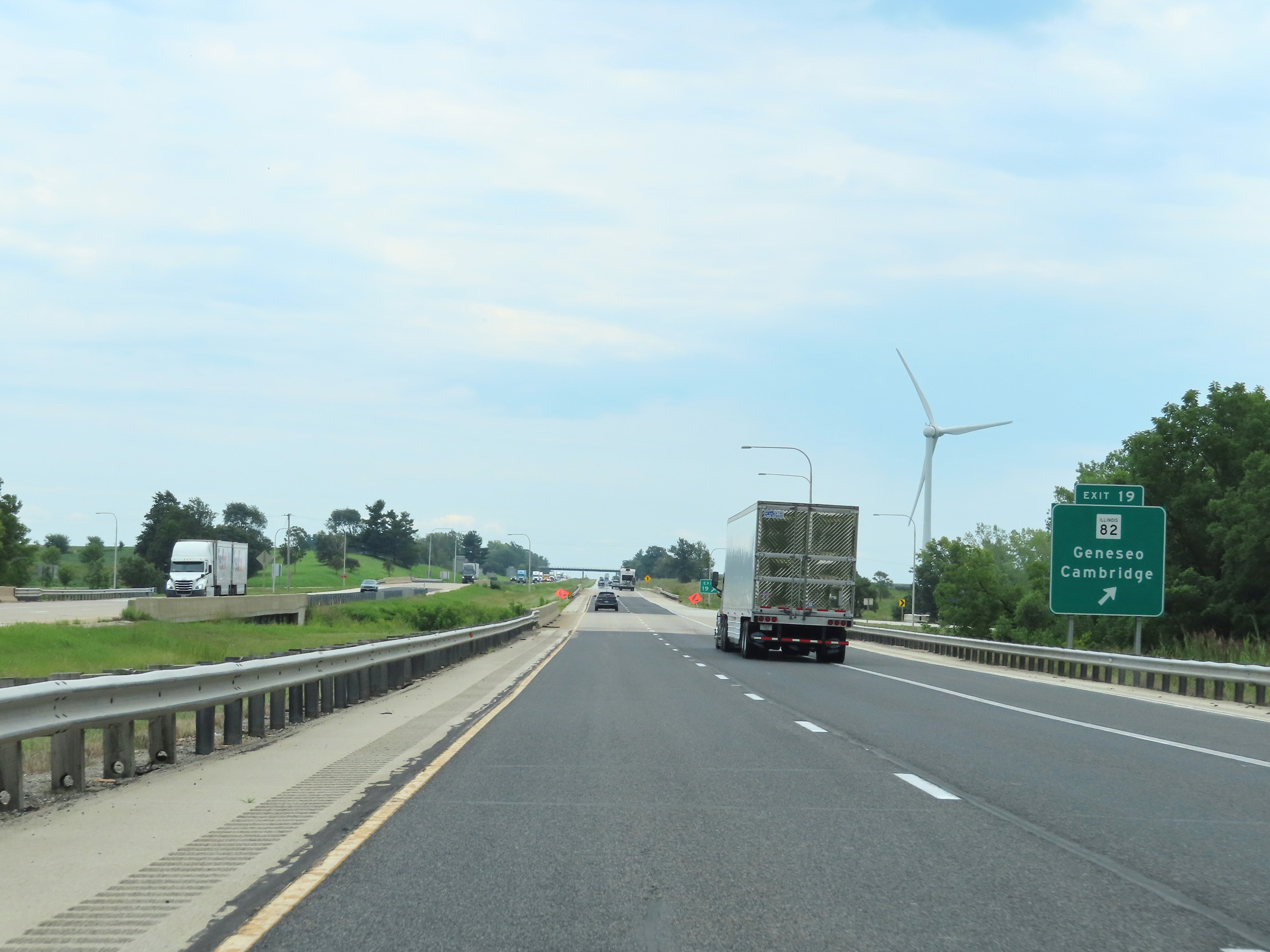 |
Interstate 80 East at Exit 19: IL 82 - Geneseo / Cambridge (Photo taken 8/19/22). |
 |
Interstate 80 East reassurance shield. (Photo taken 8/19/22). |
 |
Speed limit signs approaching mile marker 20. The speed limits remain the rural standard 70 mph maximum and 45 mph minimum. (Photo taken 8/19/22). |
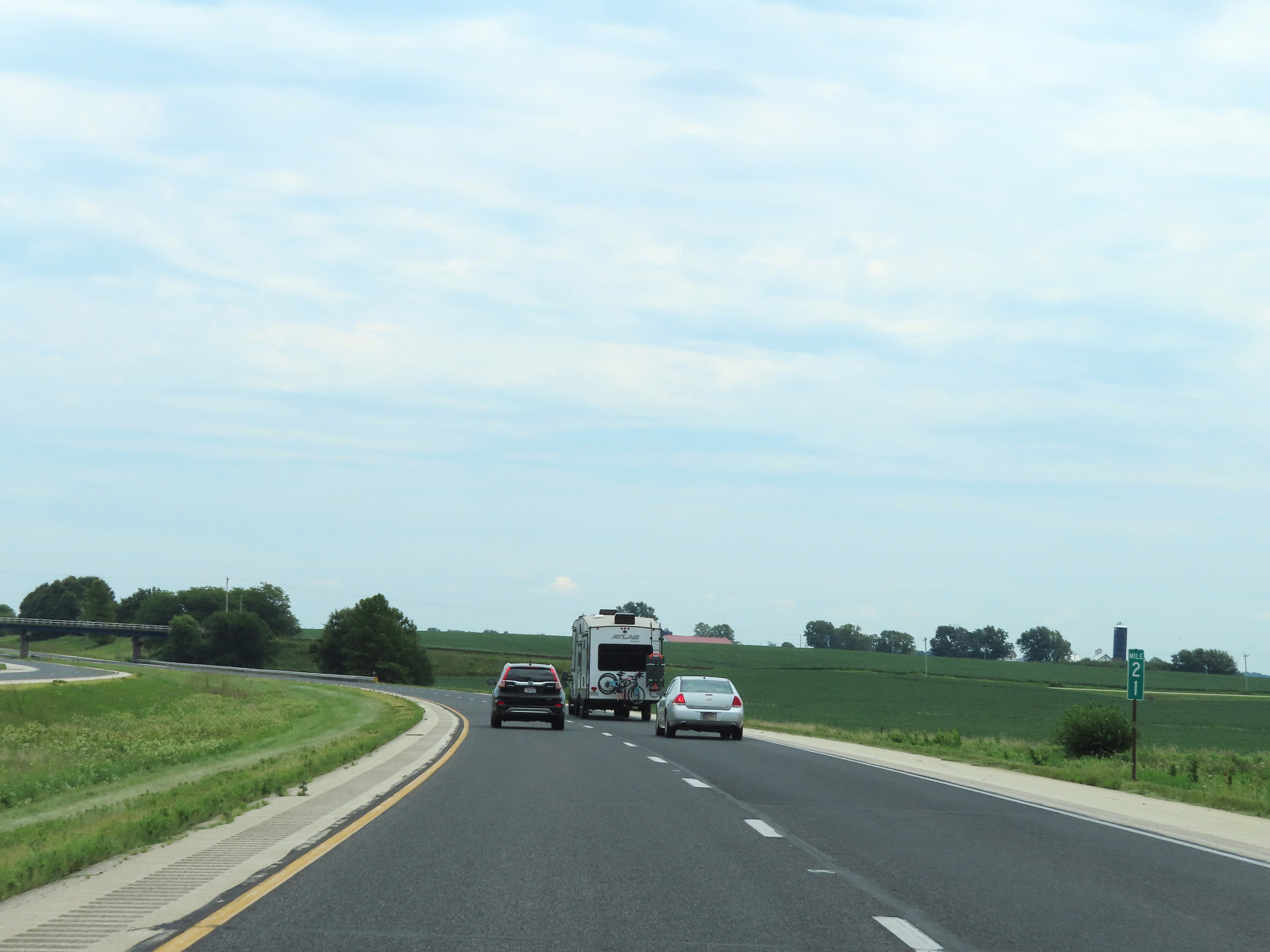 |
View on Interstate 80 East at mile marker 21. (Photo taken 8/19/22). |
 |
Mile marker 23 on Interstate 80 East in Henry County. (Photo taken 8/19/22). |
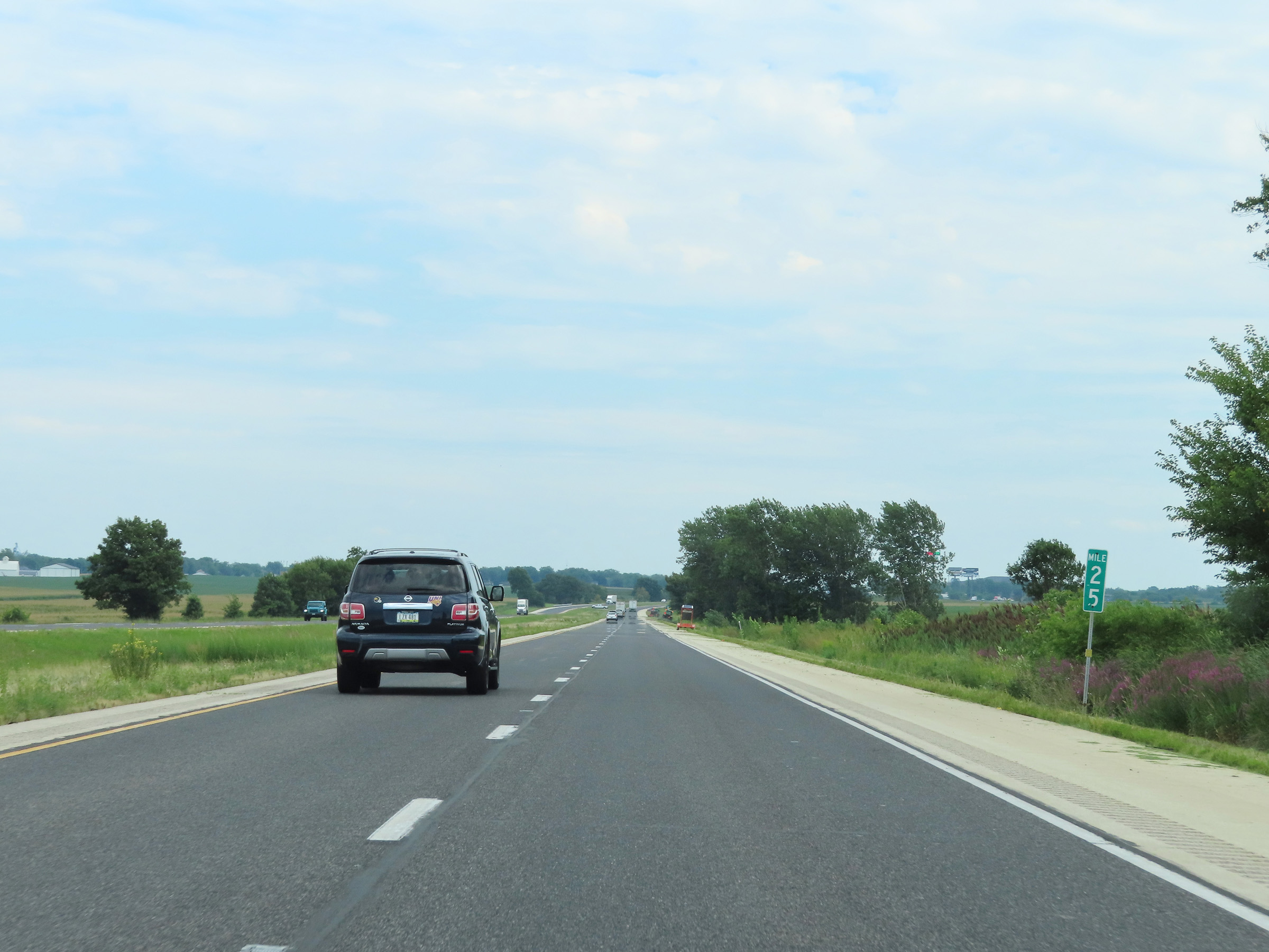 |
Interstate 80 East at mile marker 25. (Photo taken 8/19/22). |
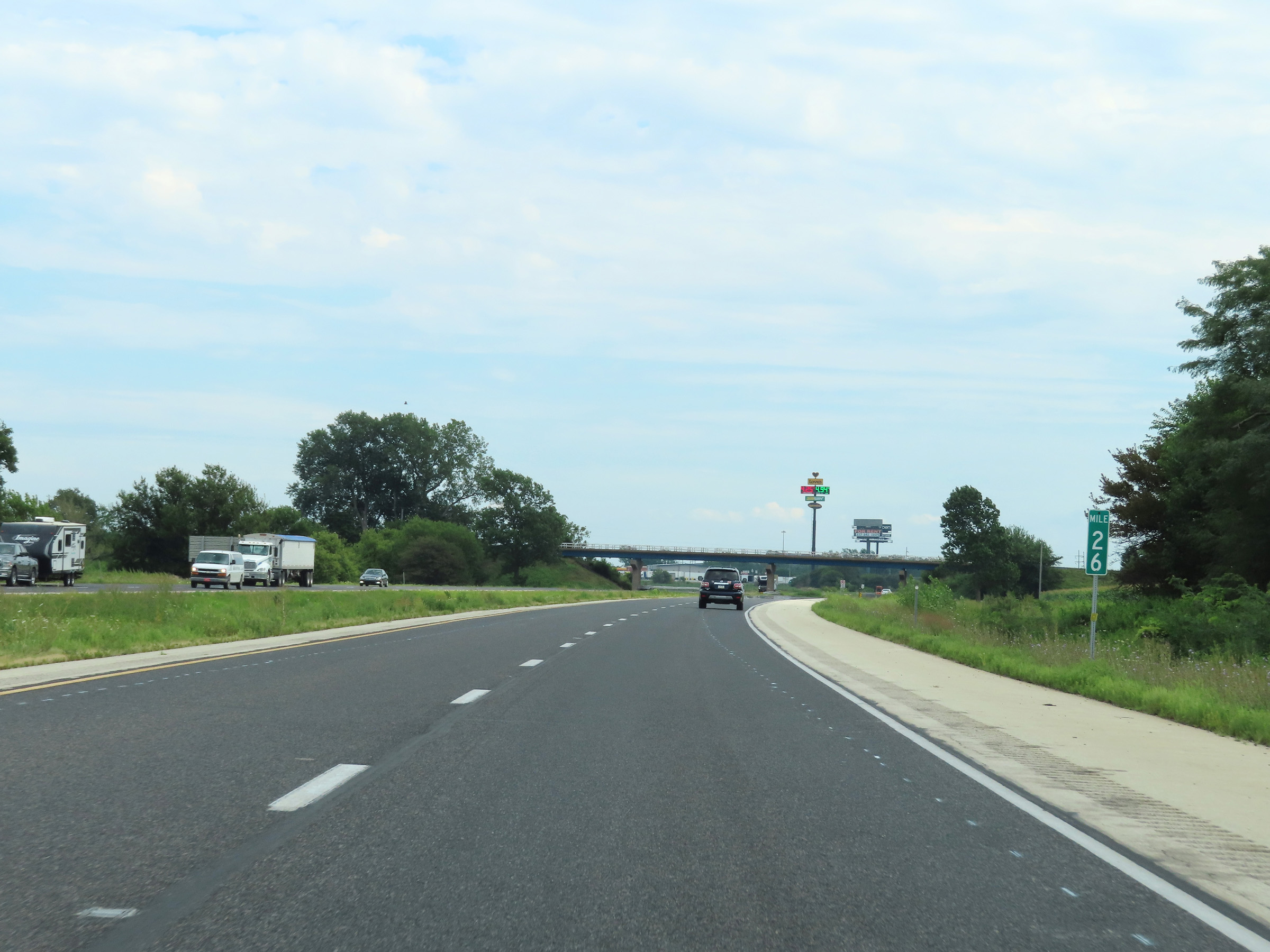 |
View on Interstate 80 East at mile marker 26. (Photo taken 8/19/22). |
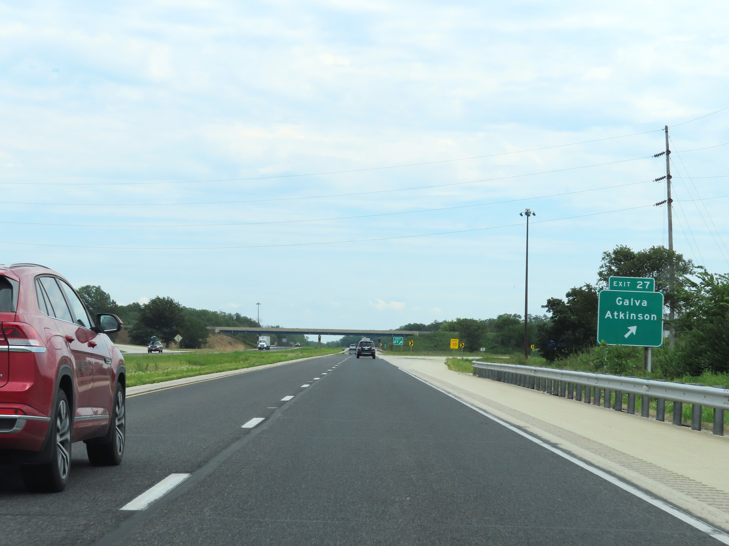 |
Interstate 80 East at Exit 27: Galva / Atkinson (Photo taken 8/19/22). |
 |
Mileage sign at mile marker 28. It's 5 miles to the junction of IL 78, 111 miles to Joliet, and 143 miles to Chicago. (Photo taken 8/19/22). |
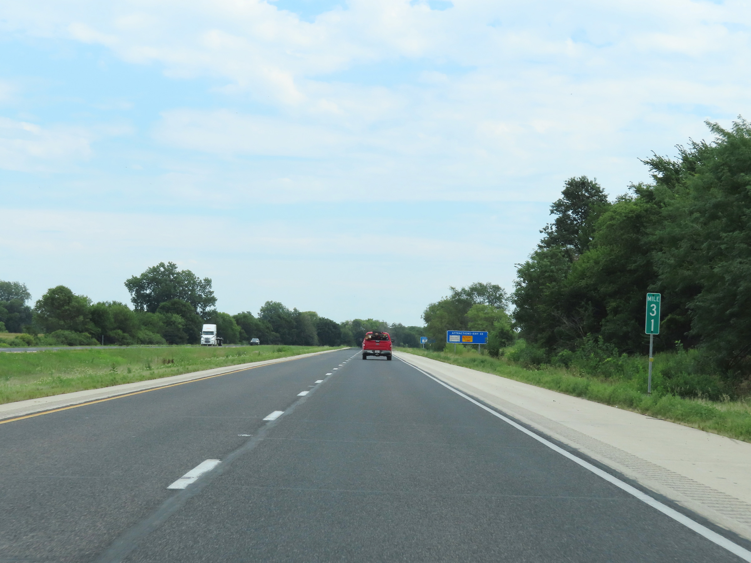 |
Mile marker 31 on Interstate 80 East in Henry County. (Photo taken 8/19/22). |
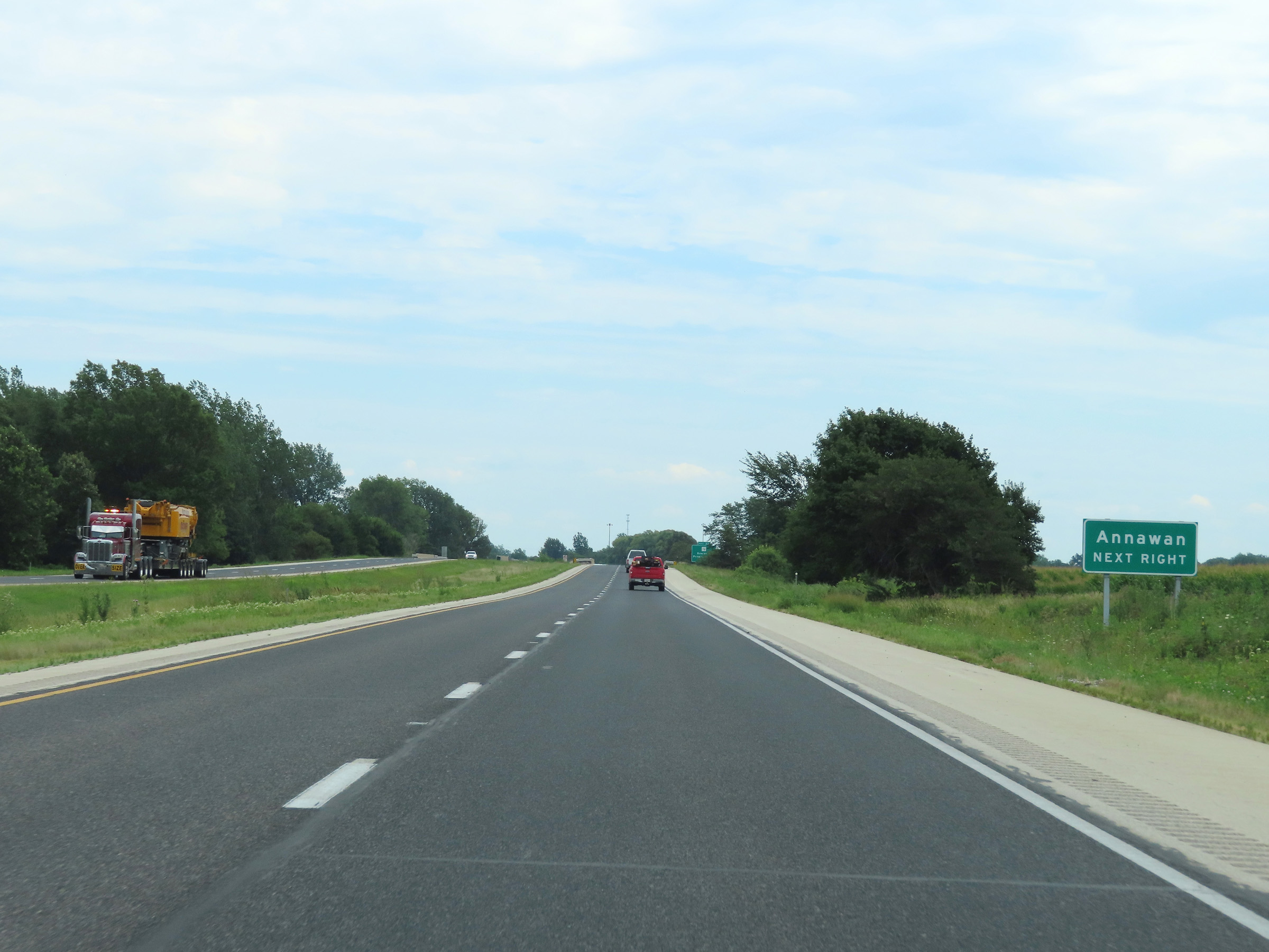 |
Take Exit 33 to Annawan. (Photo taken 8/19/22). |
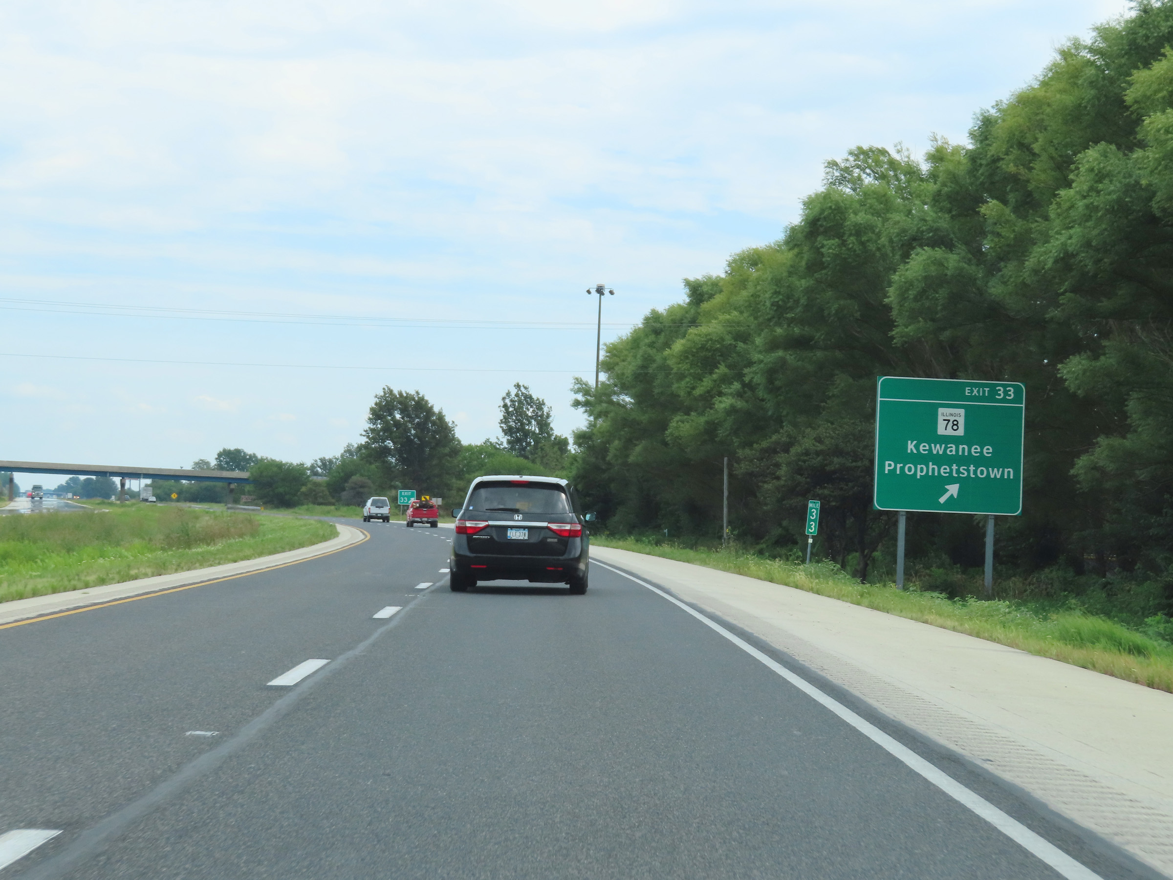 |
Interstate 80 East at Exit 33: IL 78 - Kewanee / Prophetstown (Photo taken 8/19/22). |
 |
Another Interstate 80 East reassurance shield. (Photo taken 8/19/22). |
 |
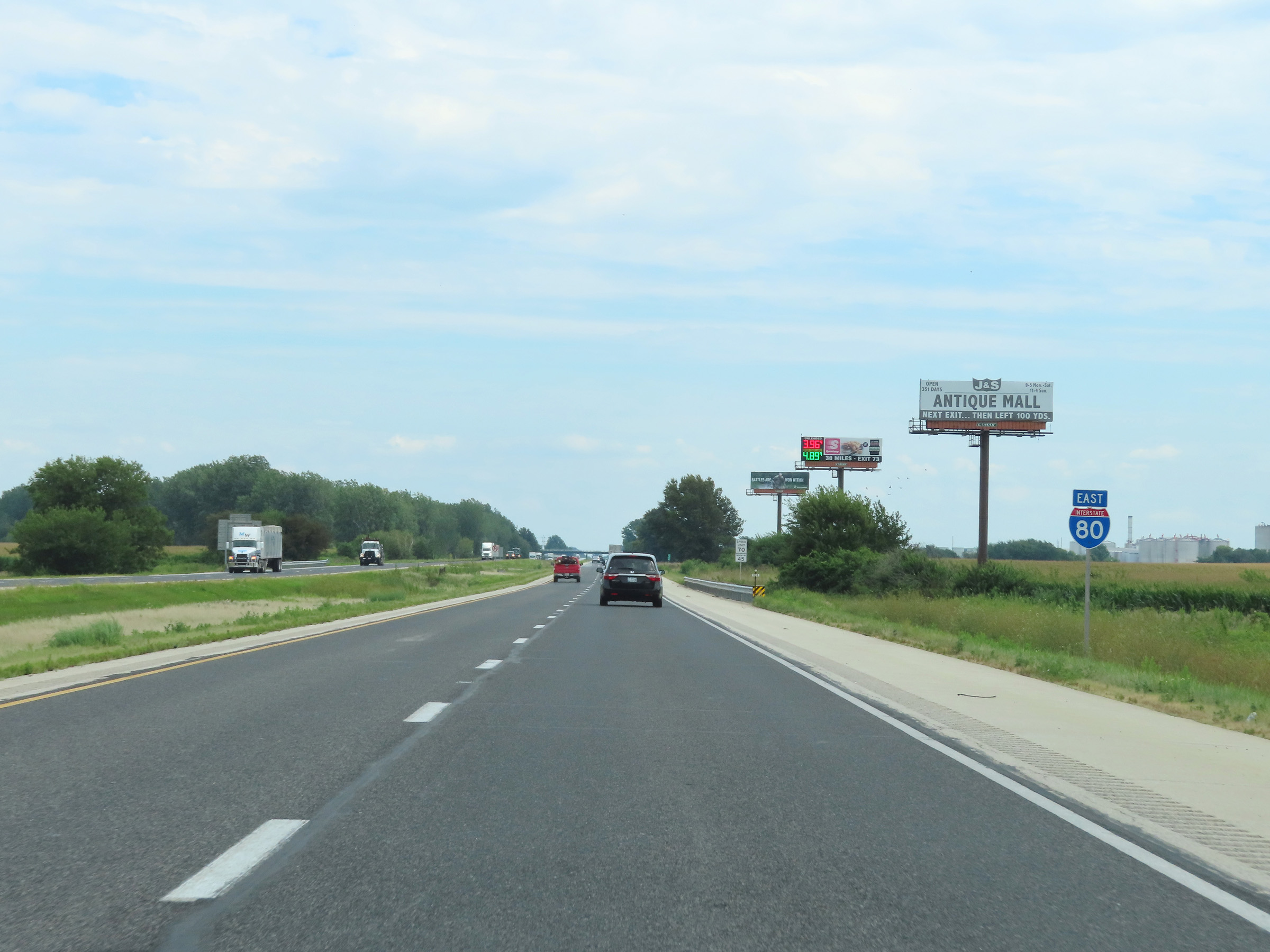
View on Interstate 80 East at mile marker 35. (Photo taken 8/19/22). |
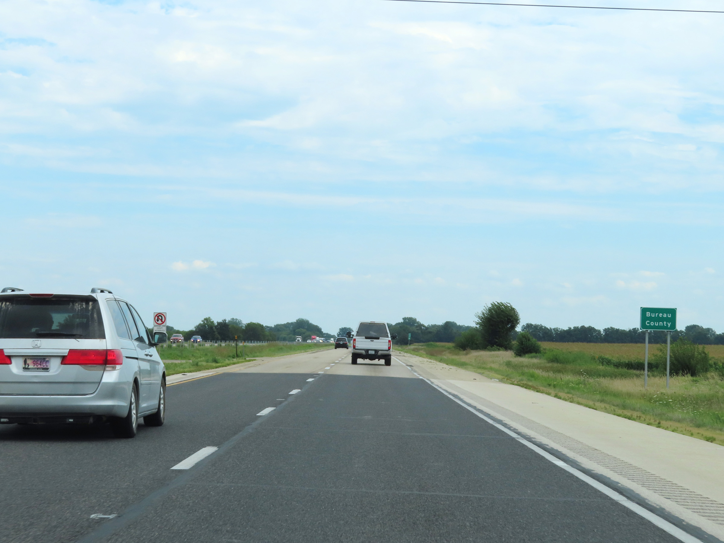 |
Interstate 80 East as it enters Bureau County near mile marker 36. (Photo taken 8/19/22). |
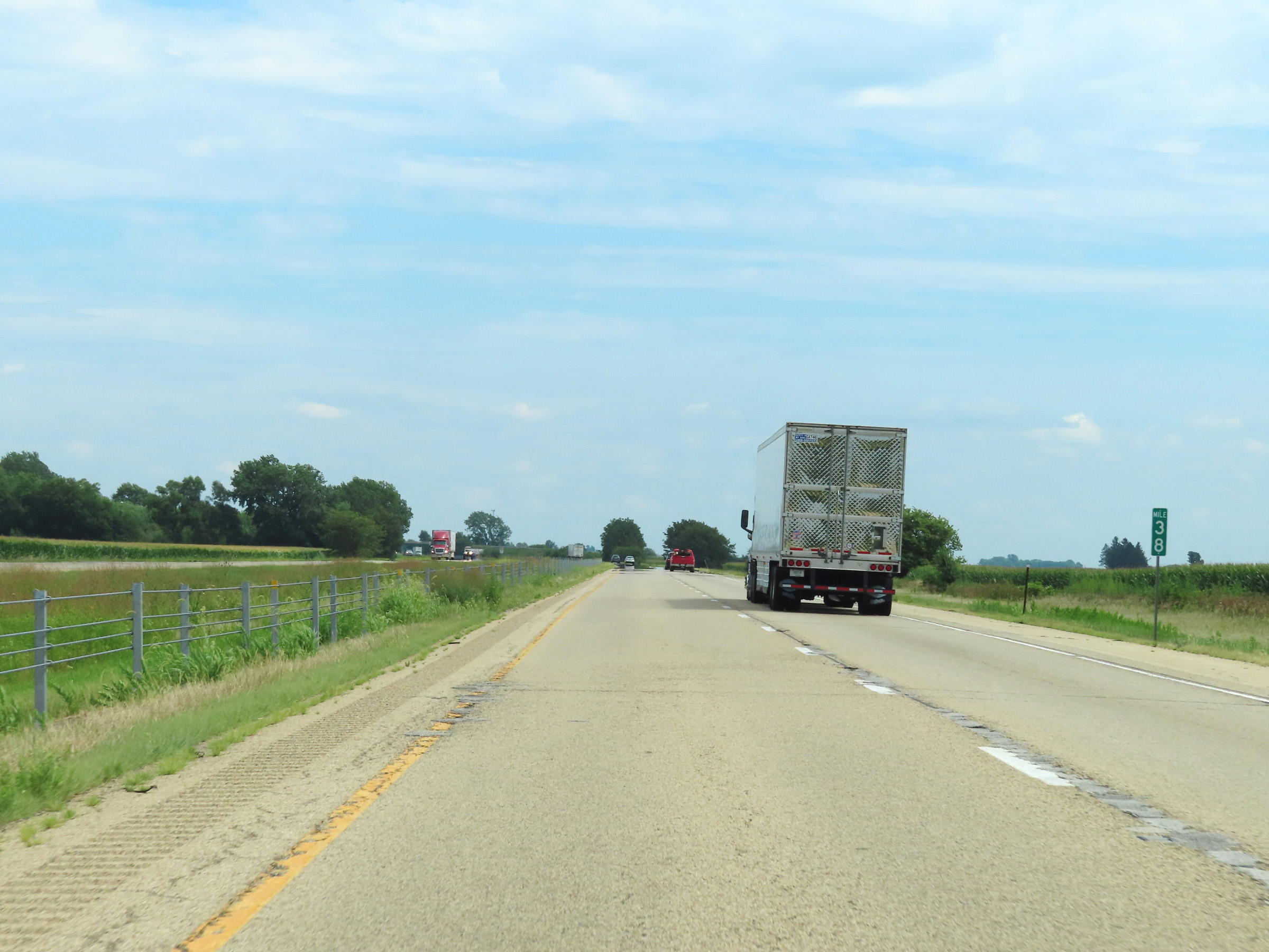 |
Interstate 80 East at mile marker 38. (Photo taken 8/19/22). |
 |
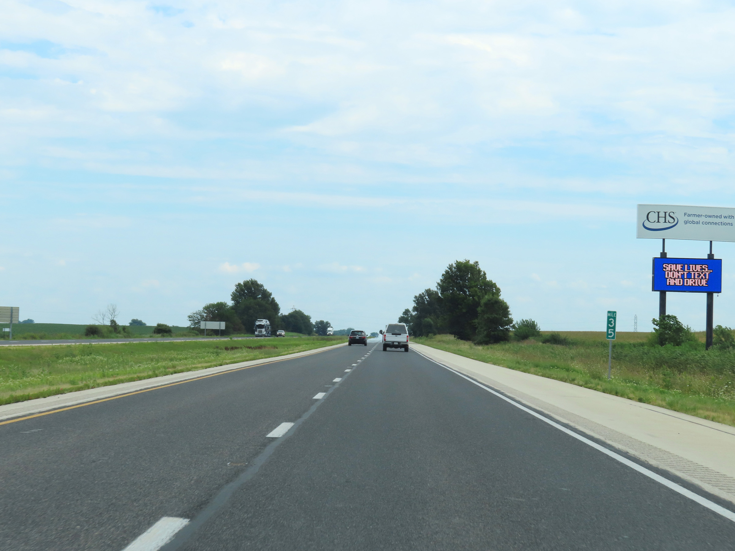
View on Interstate 80 East at mile marker 39. (Photo taken 8/19/22). |
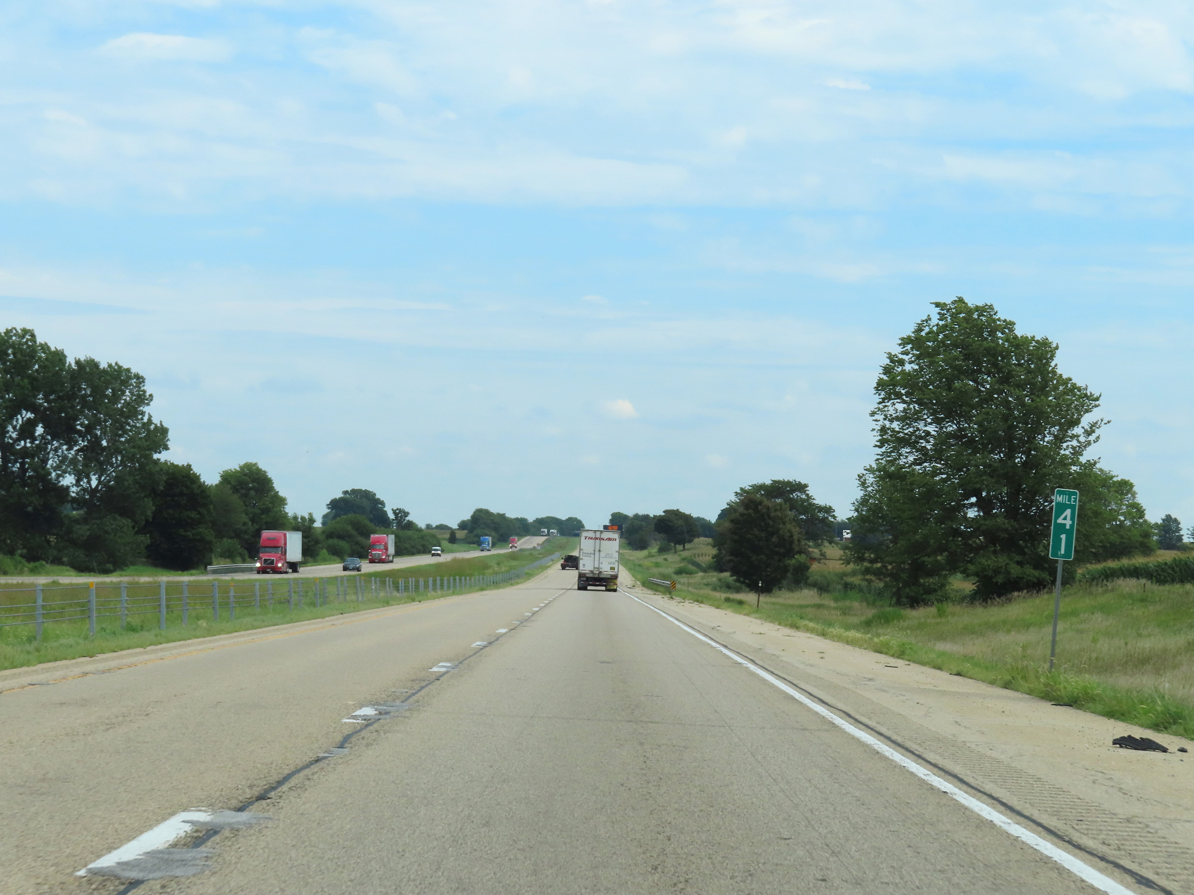 |
Mile marker 41 on Interstate 80 East in Bureau County. (Photo taken 8/19/22). |
 |
Interstate 80 East at mile marker 43. (Photo taken 8/19/22). |
 |
Take Exit 45 to the Hennepin Canal Parkway and Visitor Center. (Photo taken 8/19/22). |
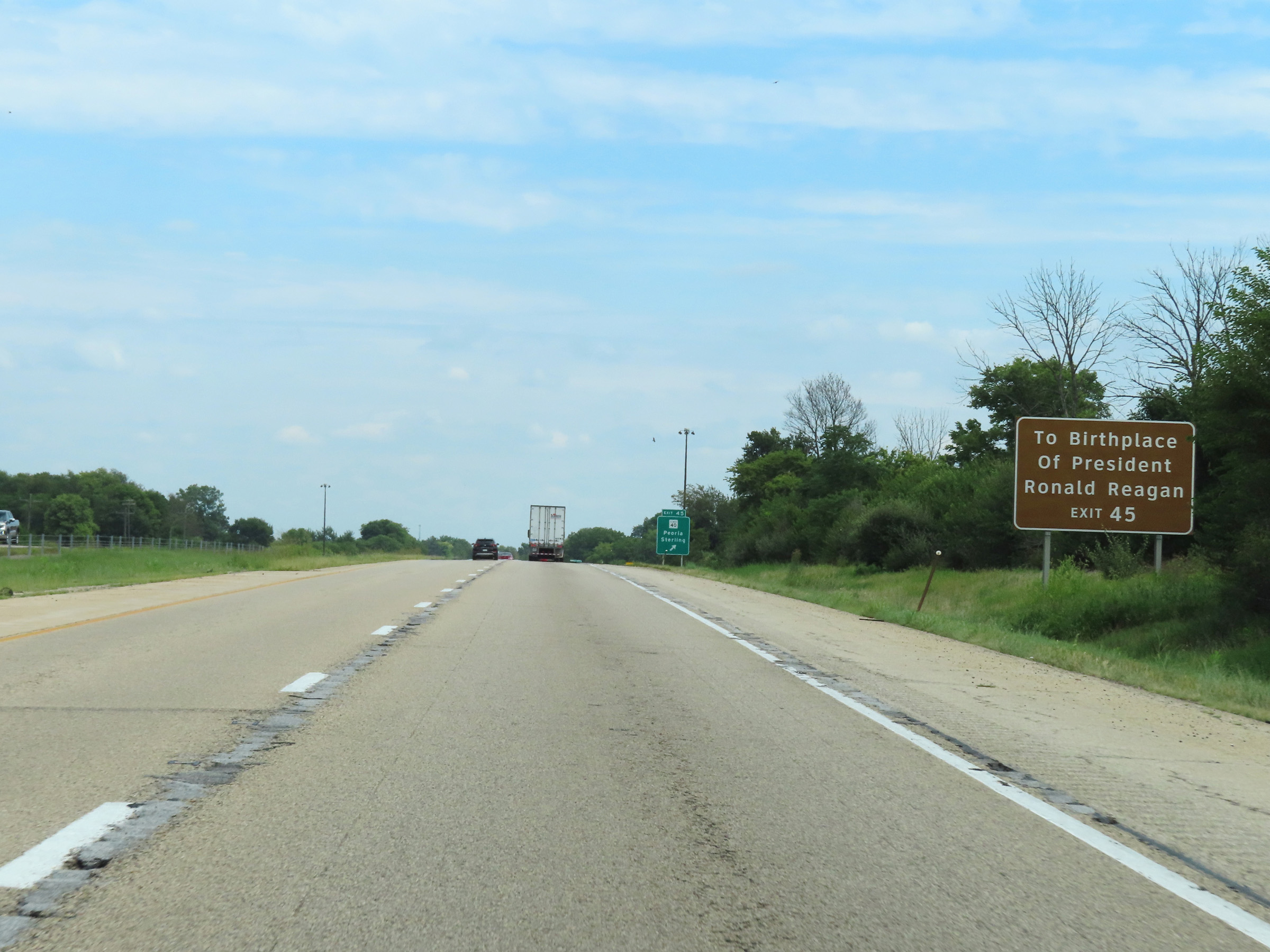 |
Also take Exit 45 to the Birthplace of President Ronald Reagan. (Photo taken 8/19/22). |
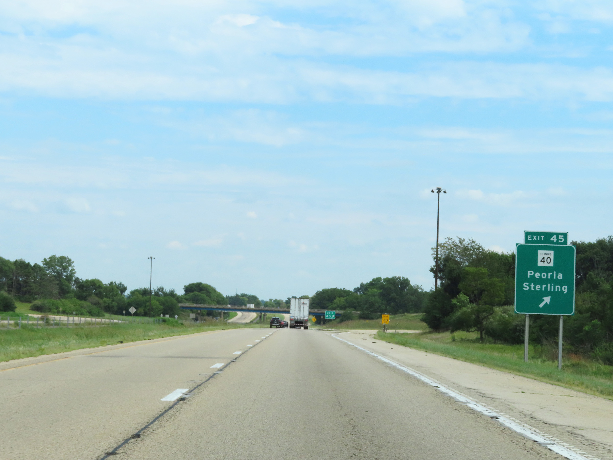 |
Interstate 80 East at Exit 45: IL 40 - Peoria / Sterling (Photo taken 8/19/22). |
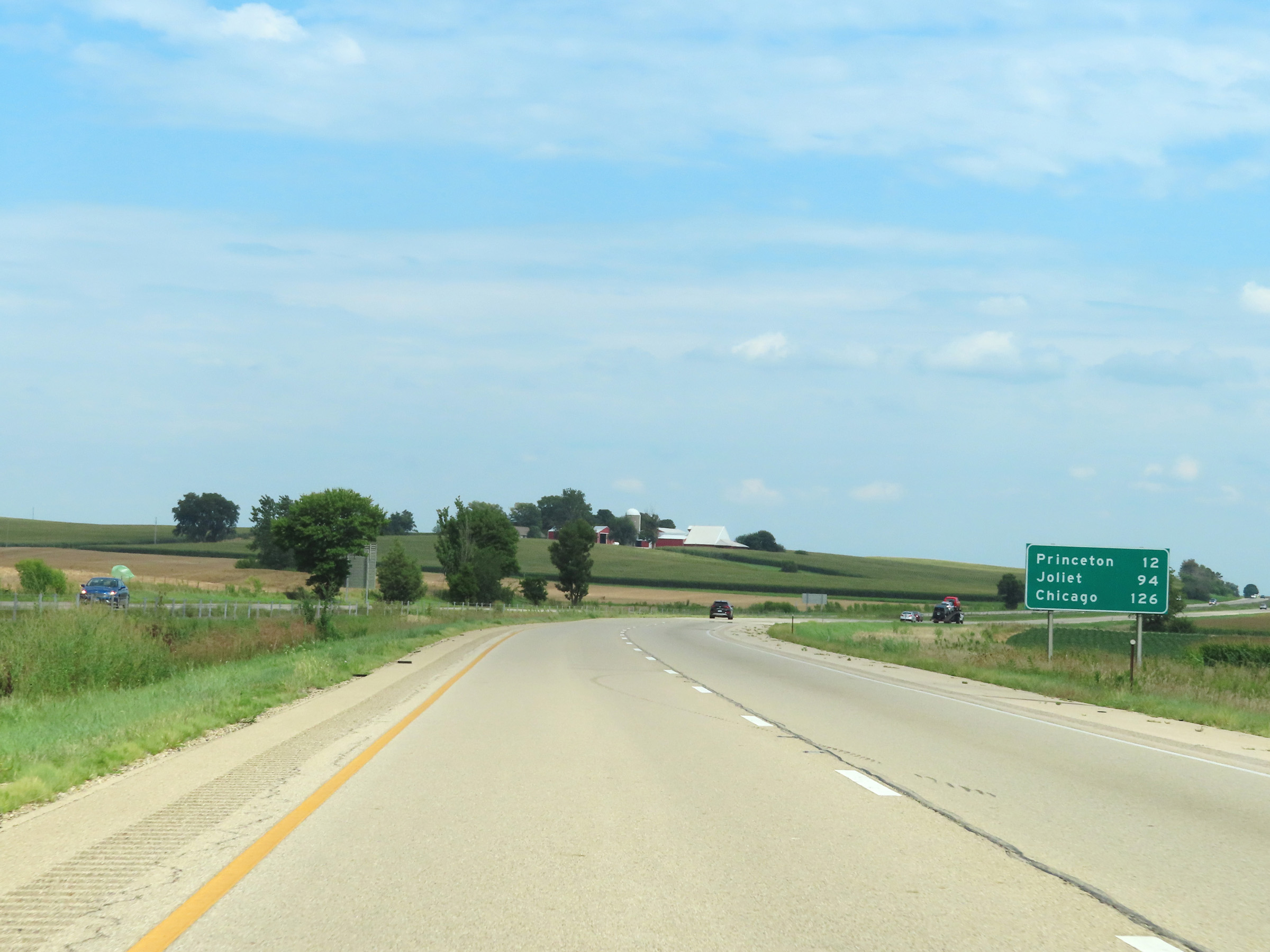 |
Another mileage sign on Interstate 80 East. It's 12 miles to Princeton, 94 miles to Joliet, and 126 miles to Chicago. (Photo taken 8/19/22). |
 |
View on Interstate 80 East at mile marker 46. (Photo taken 8/19/22). |
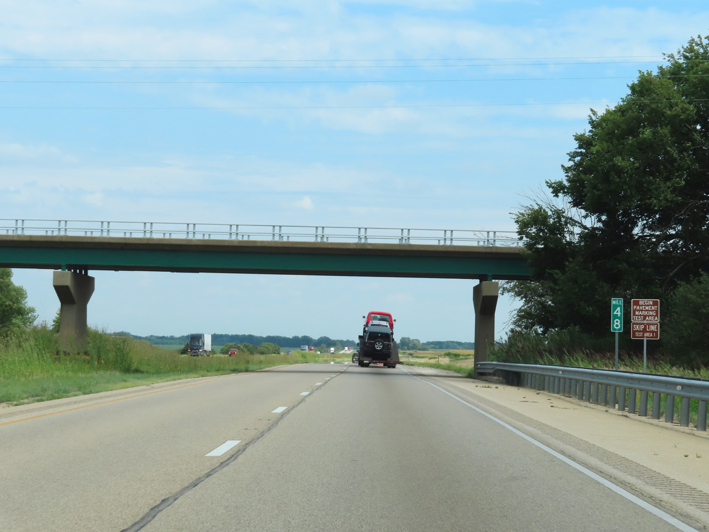 |
Interstate 80 East at mile marker 48. (Photo taken 8/19/22). |
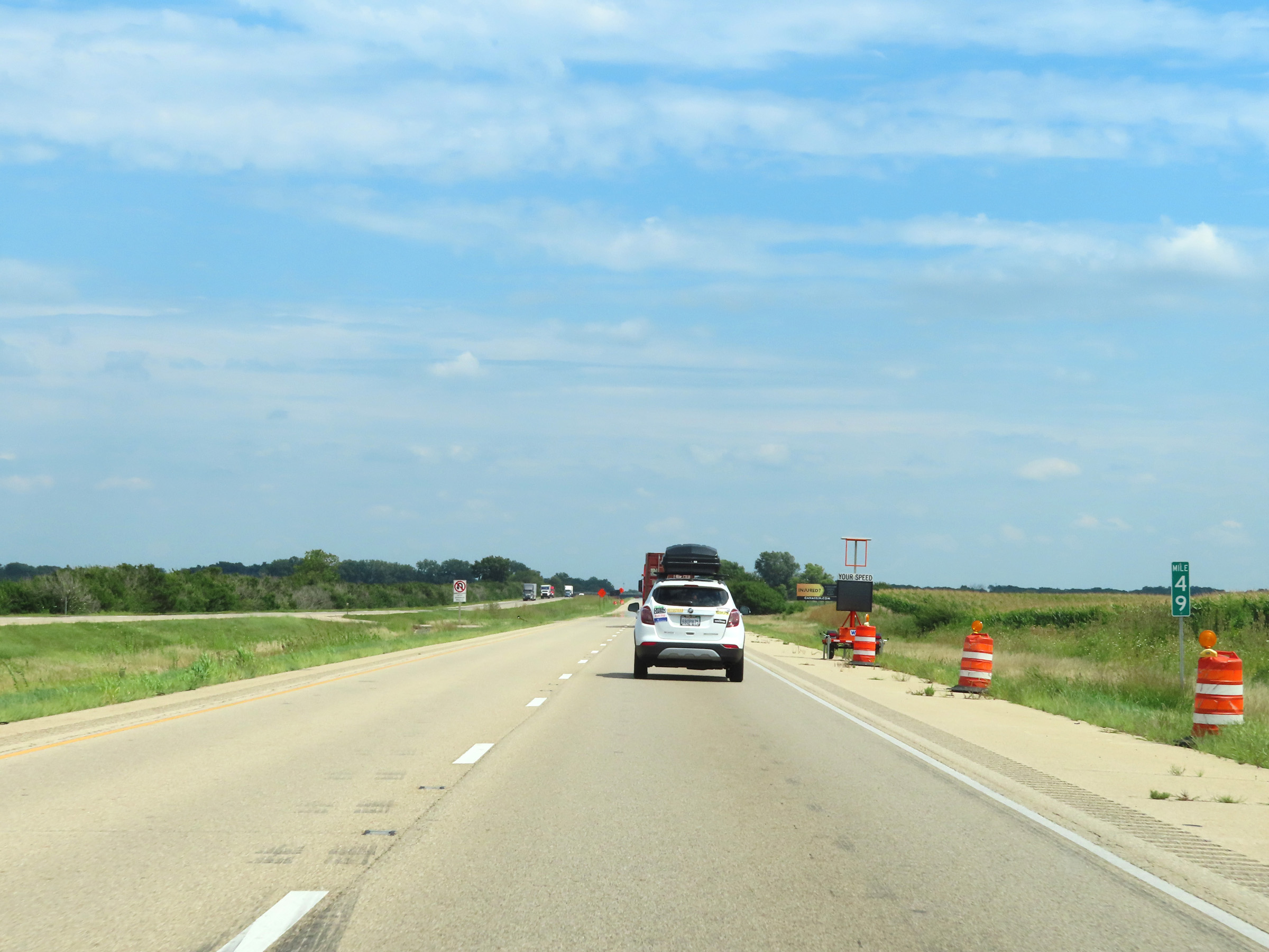 |
Interstate 80 East at mile marker 49. (Photo taken 8/19/22). |
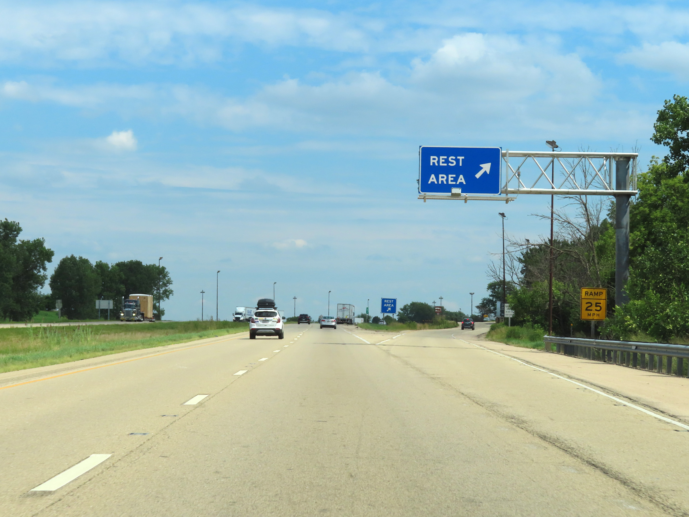 |
Rest Area on Interstate 80 East in Bureau County. (Photo taken 8/19/22). |
 |
Interstate 80 East reassurance shield. (Photo taken 8/19/22). |
 |
View on Interstate 80 East at mile marker 54. (Photo taken 8/19/22). |
 |
Mile marker 55 on Interstate 80 East in Bureau County. (Photo taken 8/19/22). |
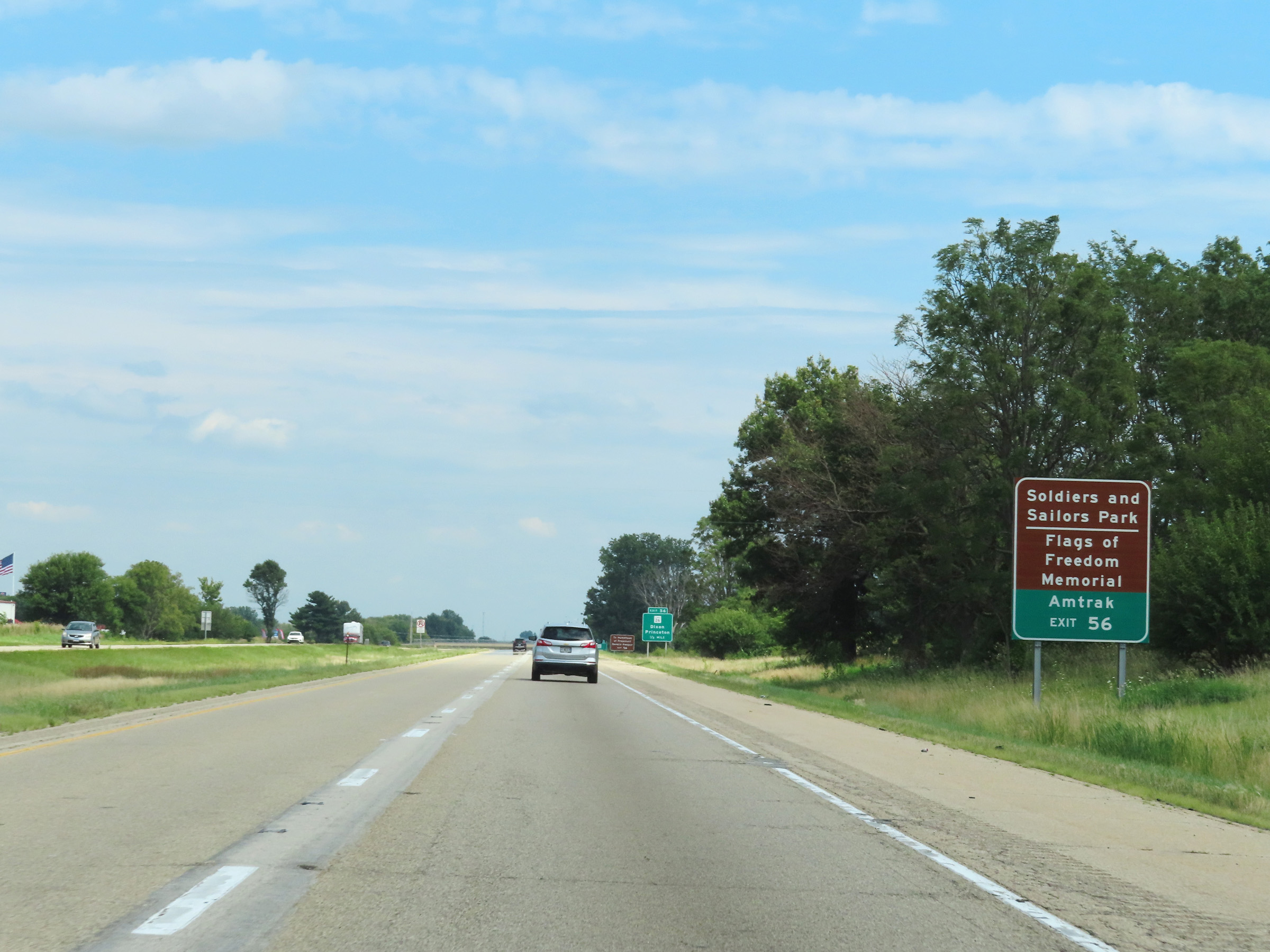 |
Take Exit 56 to Soldiers and Sailors Park, the Flags of Freedom Memorial, and the Amtrak Station. (Photo taken 8/19/22). |
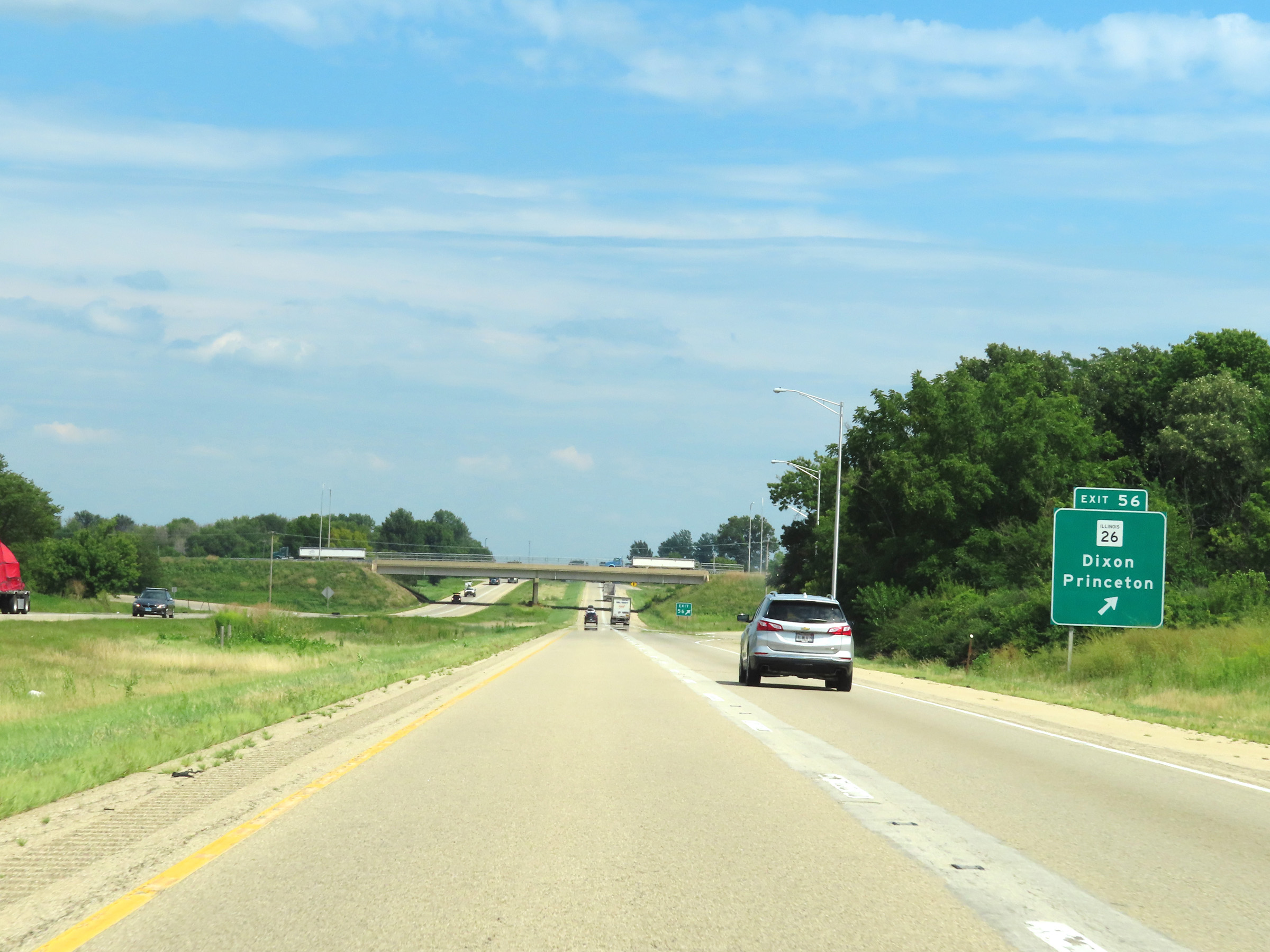 |
Interstate 80 East at Exit 56: IL 26 - Dixon / Princeton (Photo taken 8/19/22). |
 |
The speed limits on Interstate 80 East remain 70 mph maximum and 45 mph minimum. (Photo taken 8/19/22). |
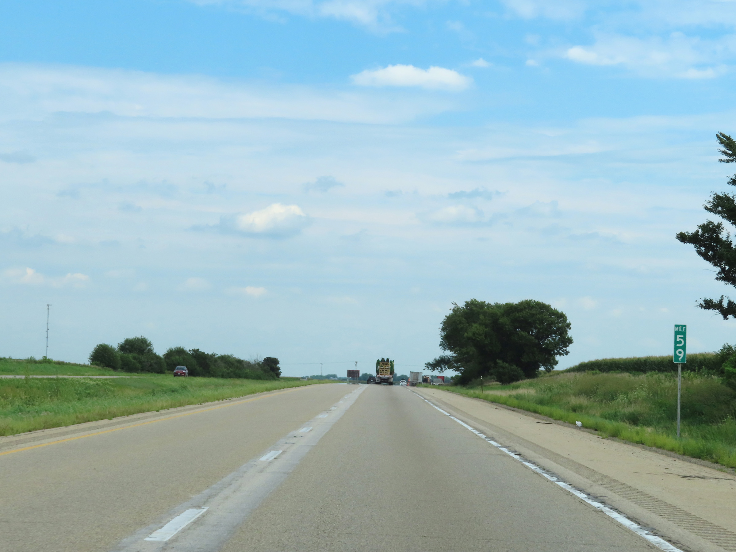 |
Interstate 80 East at mile marker 59. (Photo taken 8/19/22). |
 |
Interstate 80 East approaching Exit 61 - 1 mile. (Photo taken 8/19/22). |
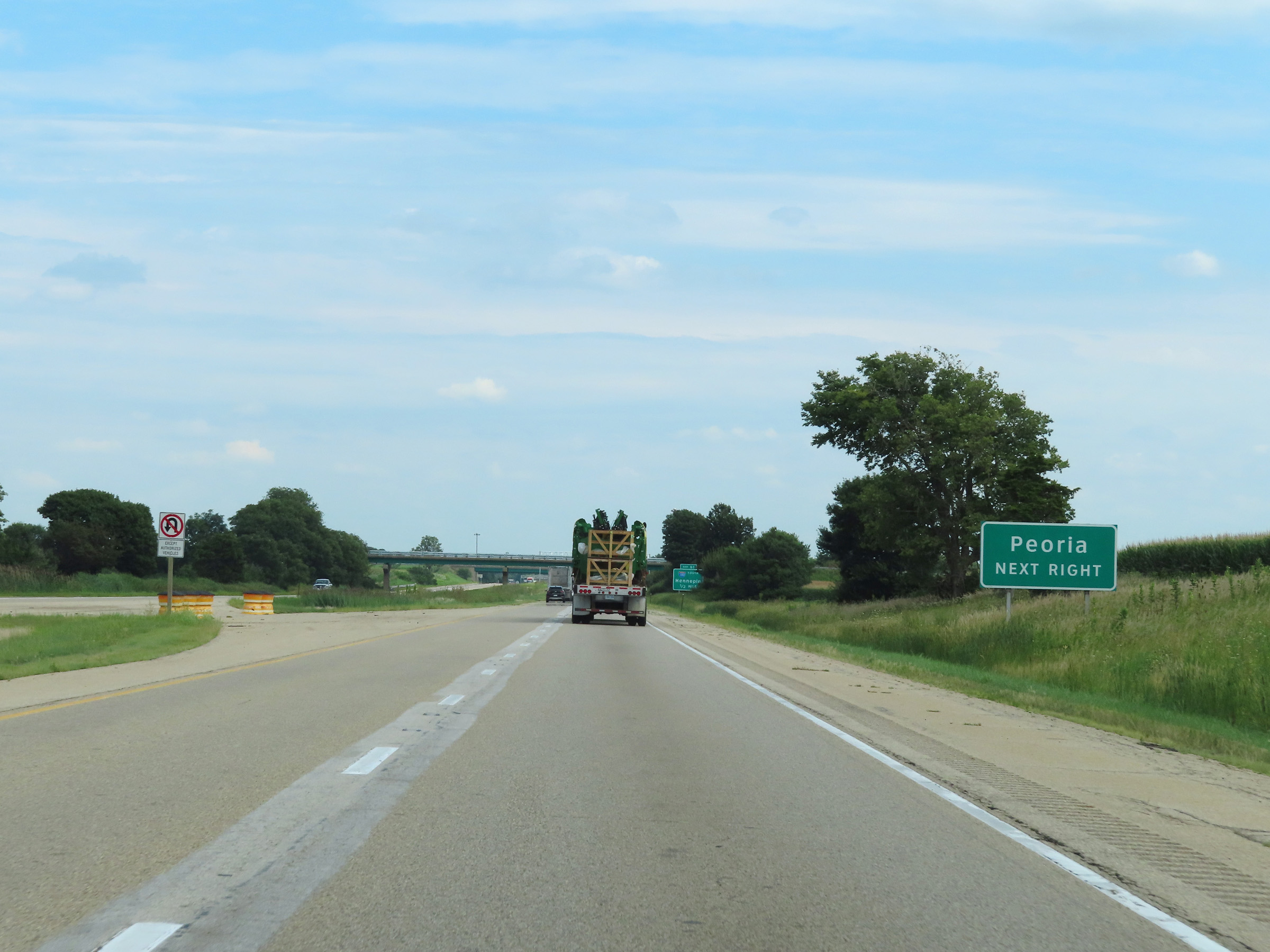 |
Take Exit 61 and follow Interstate 180 South to Peoria. (Photo taken 8/19/22). |
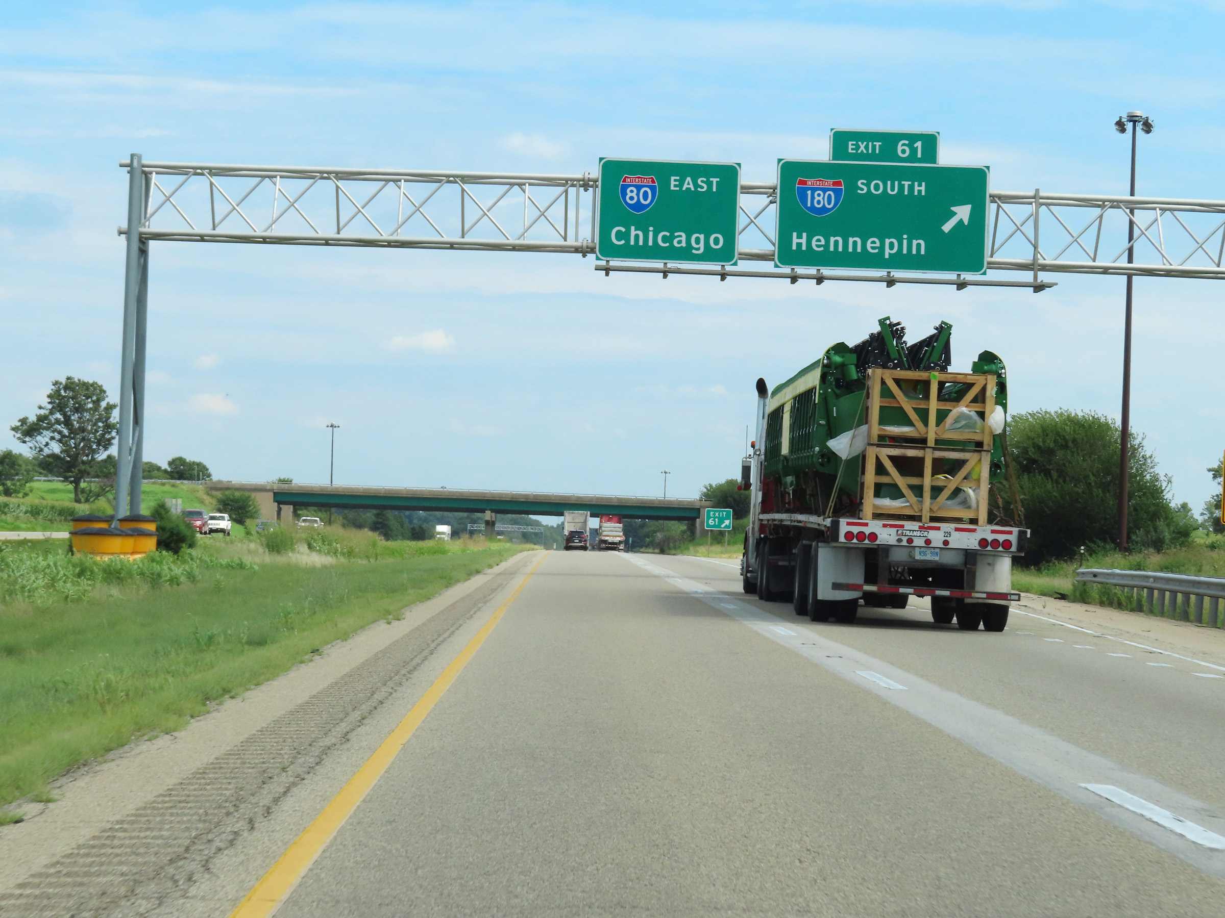 |
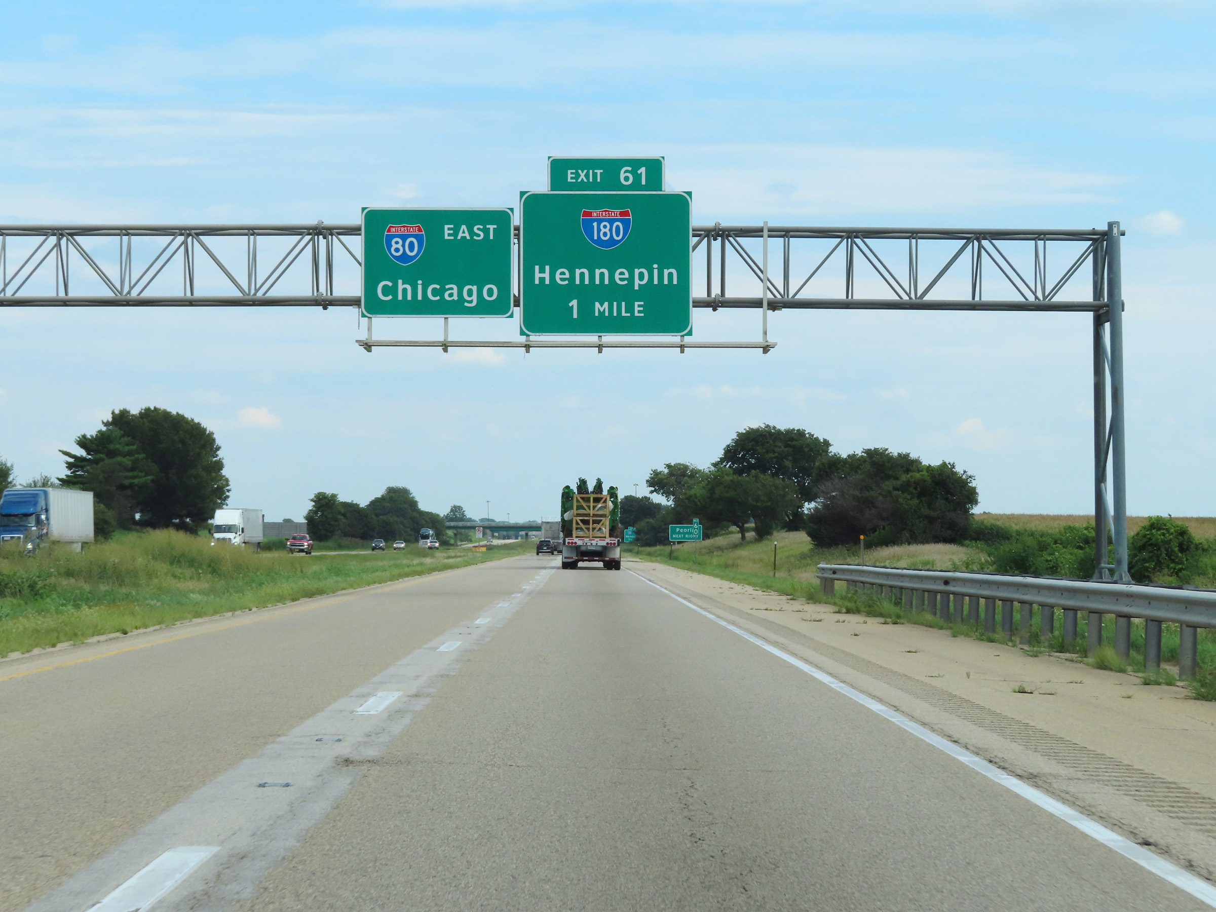
Interstate 80 East at Exit 61: Interstate 180 South - Hennepin (Photo taken 8/19/22). |
Section 2: Princeton (Exit 61) to Joliet (Exit 127)
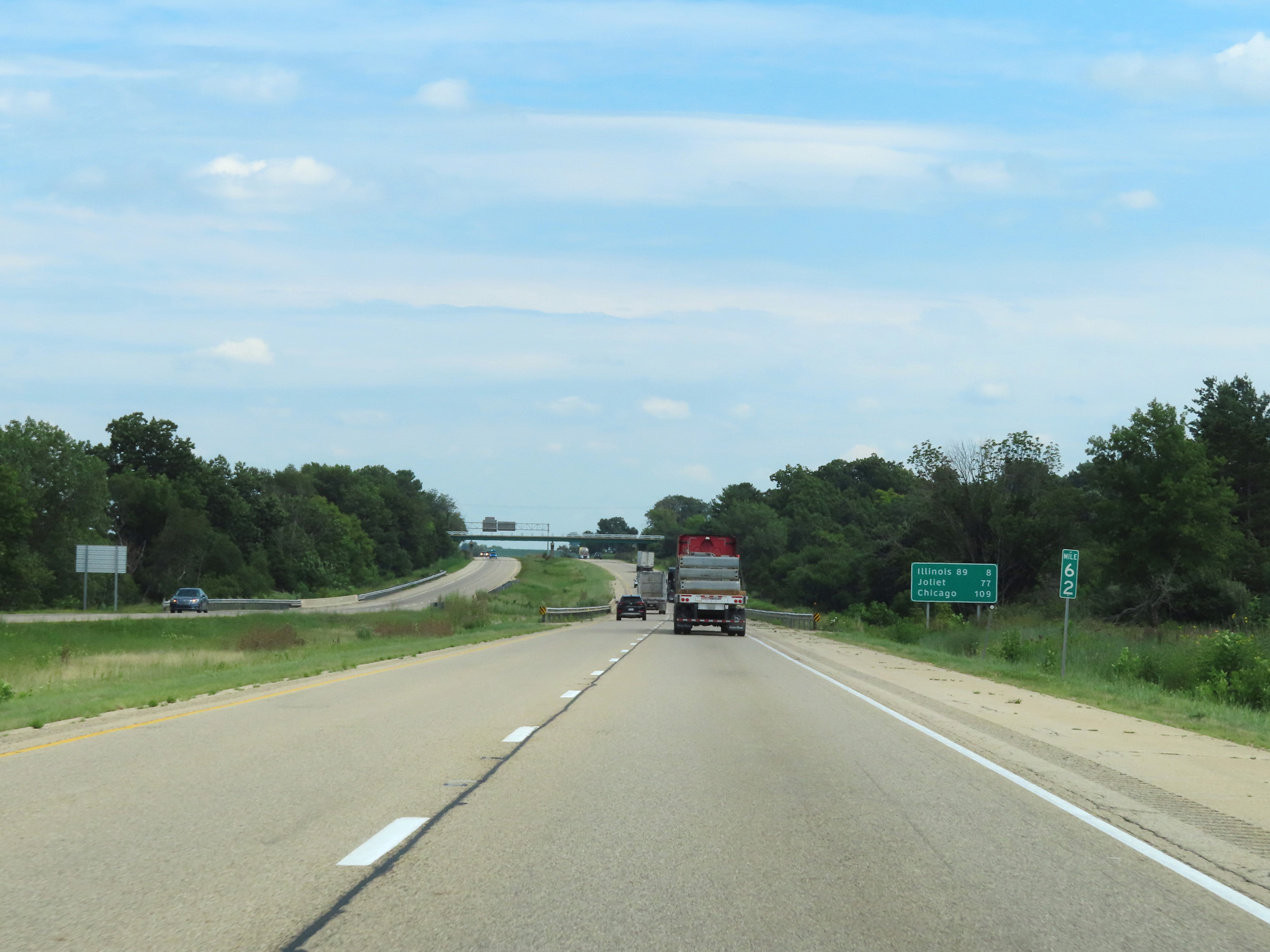 |
Mile marker 62 on Interstate 80 East in Bureau County. (Photo taken 8/19/22). |
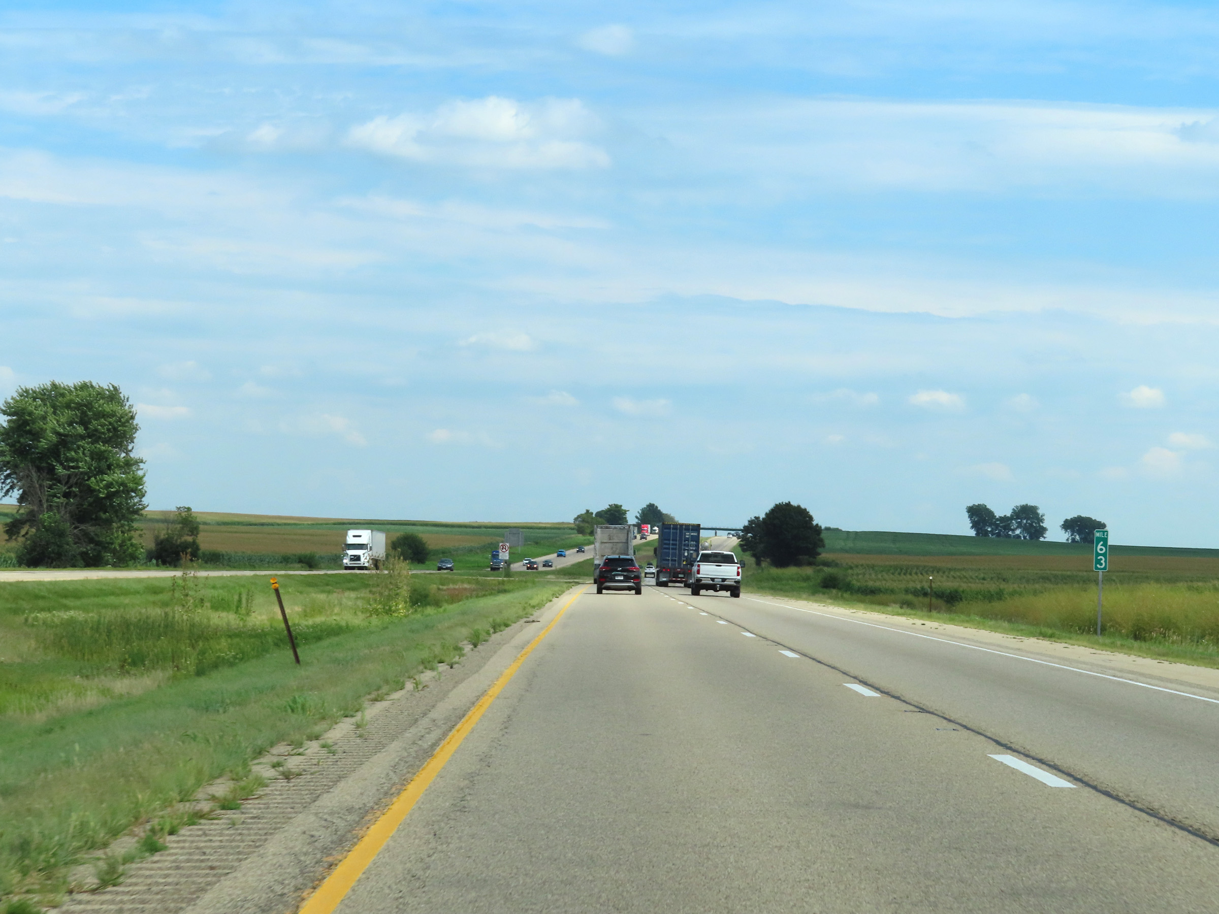 |
View on Interstate 80 East at mile marker 63. (Photo taken 8/19/22). |
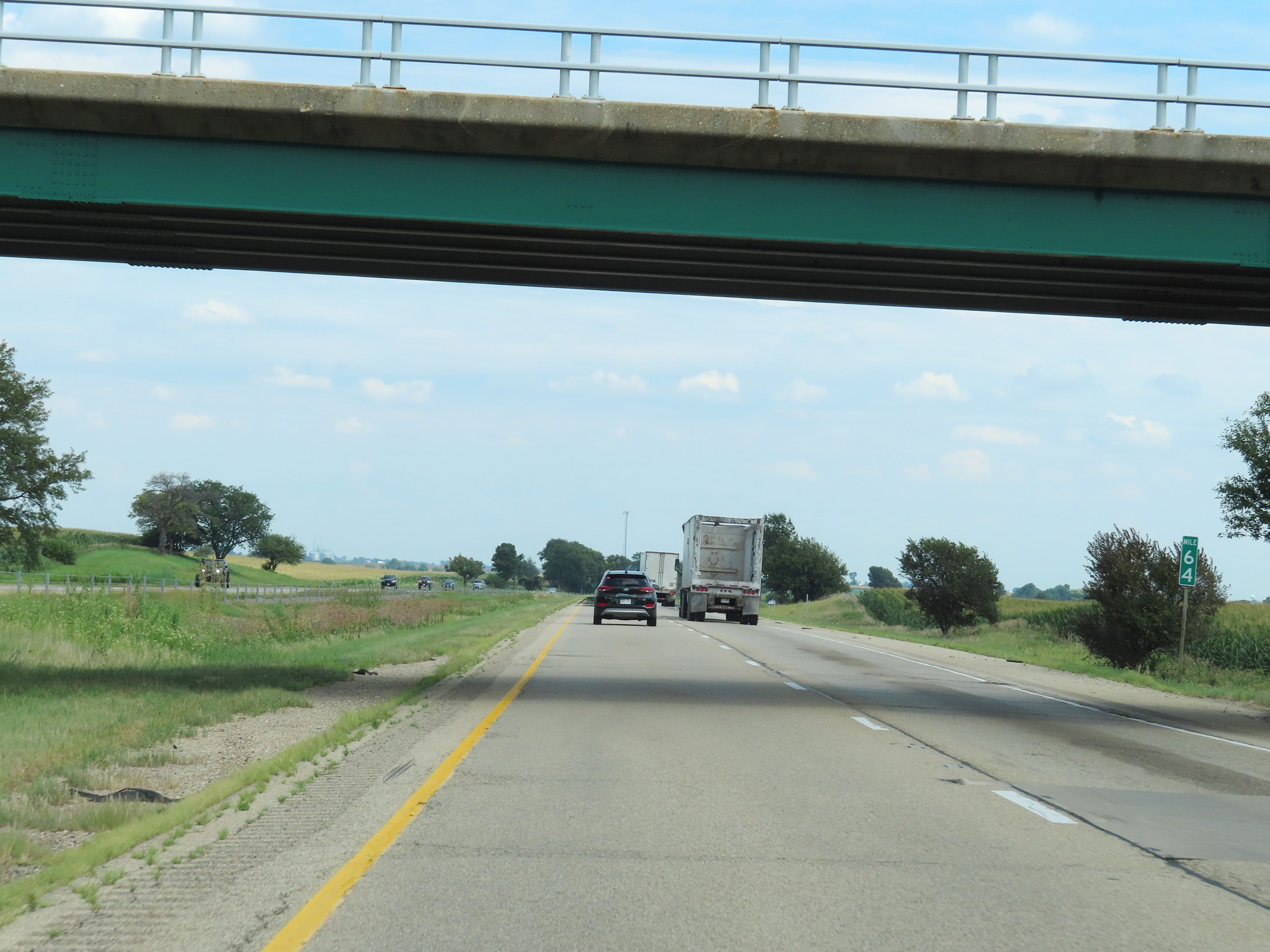 |
Interstate 80 East at mile marker 64. (Photo taken 8/19/22). |
 |
View on Interstate 80 East at mile marker 66. (Photo taken 8/19/22). |
 |
Mile marker 68 on Interstate 80 East in Bureau County. (Photo taken 8/19/22). |
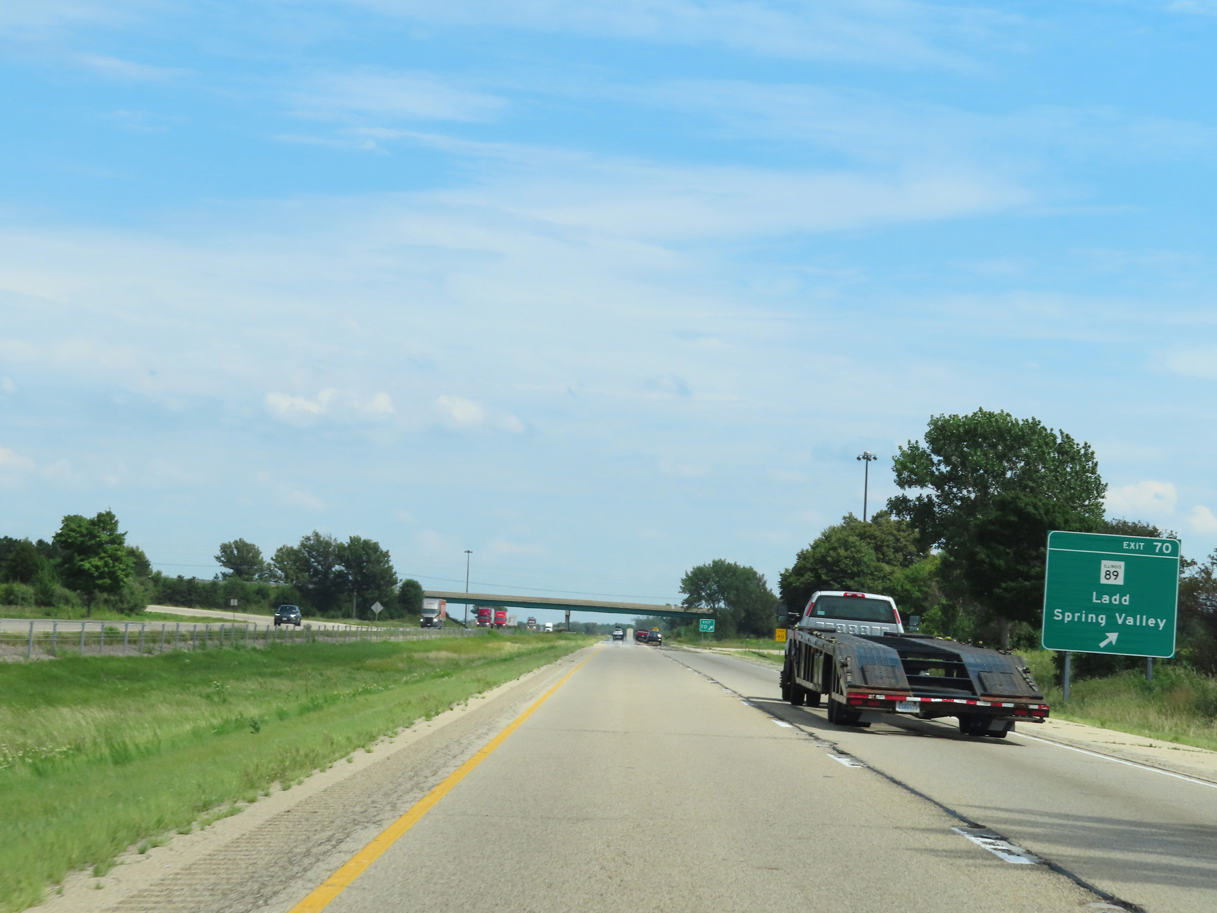 |
Interstate 80 East at Exit 70: IL 89 - Ladd / Spring Valley (Photo taken 8/19/22). |
 |
View on Interstate 80 East at mile marker 71. (Photo taken 8/19/22). |
 |
Interstate 80 East as it enters La Salle County. (Photo taken 8/19/22). |
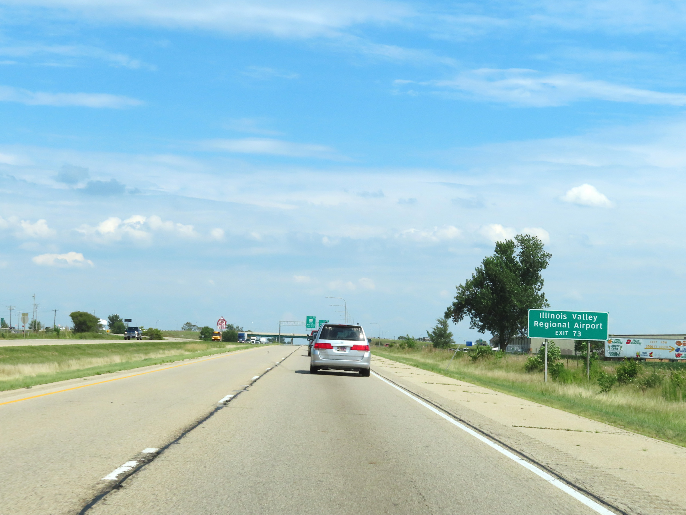 |
Take Exit 73 to Illinois Valley Regional Aiport. (Photo taken 8/19/22). |
 |
Interstate 80 East at Exit 73: Plank Road (Photo taken 8/19/22). |
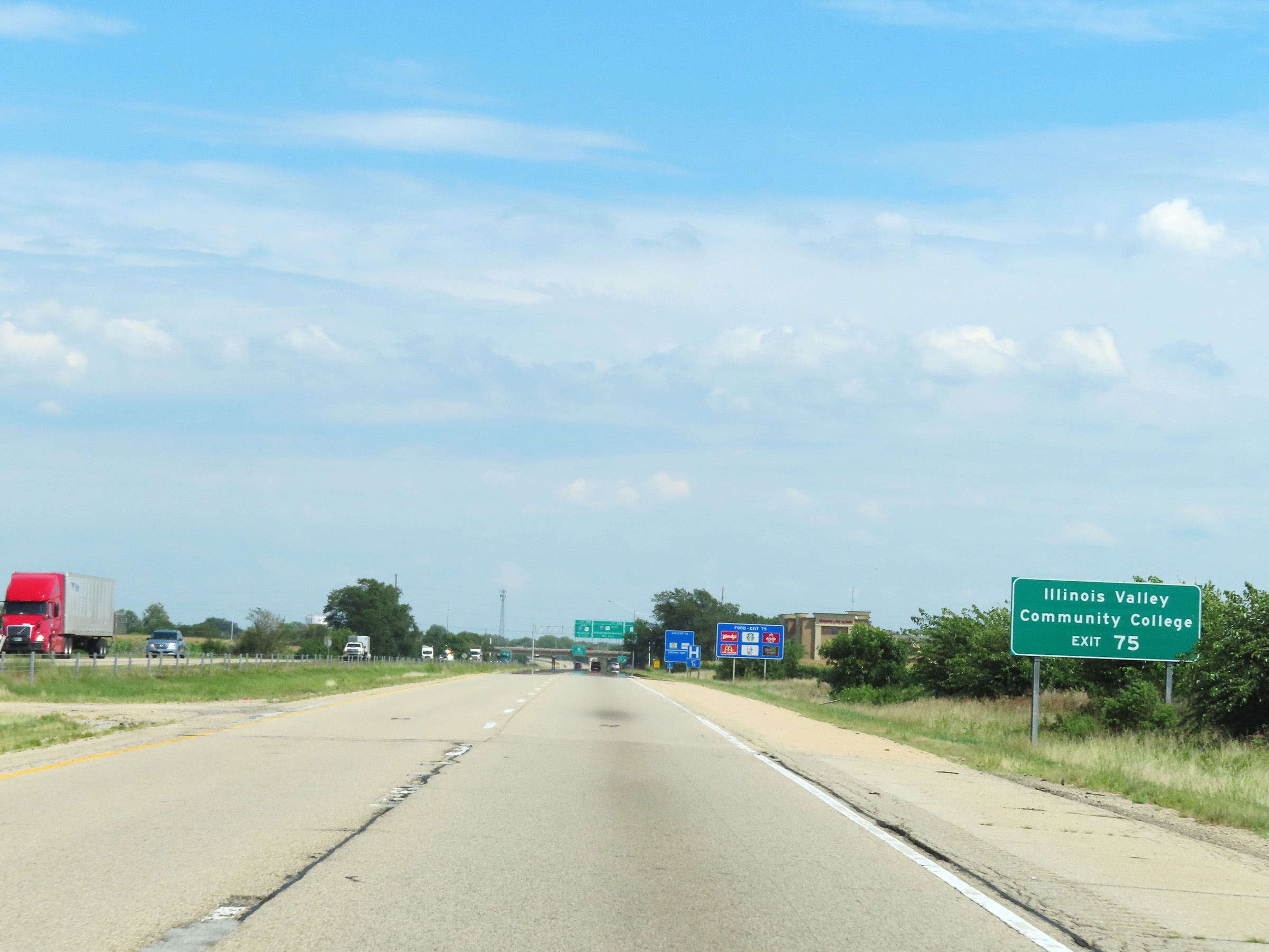 |
Take Exit 75 to Illinois Valley Community College. (Photo taken 8/19/22). |
 |
Interstate 80 East at Exit 75: IL 251 - Peru / Mendota (Photo taken 8/19/22). |
 |
Interstate 80 East reassurance shield. (Photo taken 8/19/22). |
 |
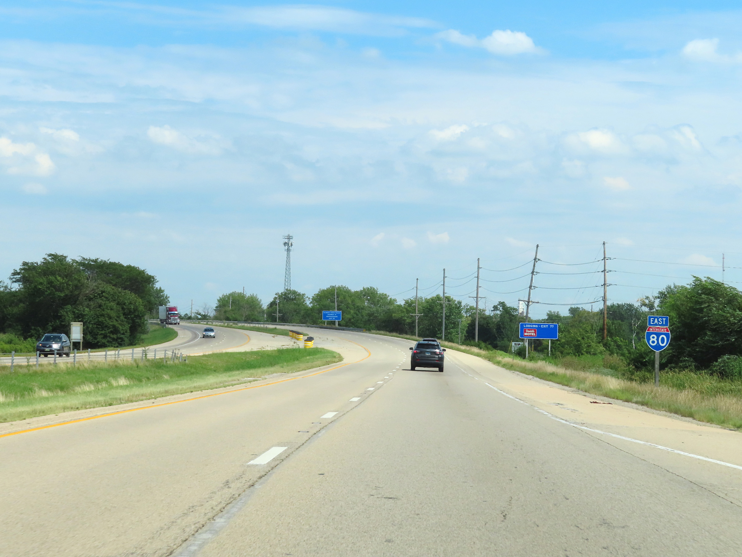
Interstate 80 East at Exit 77: IL 351 - La Salle (Photo taken 8/19/22). |
 |
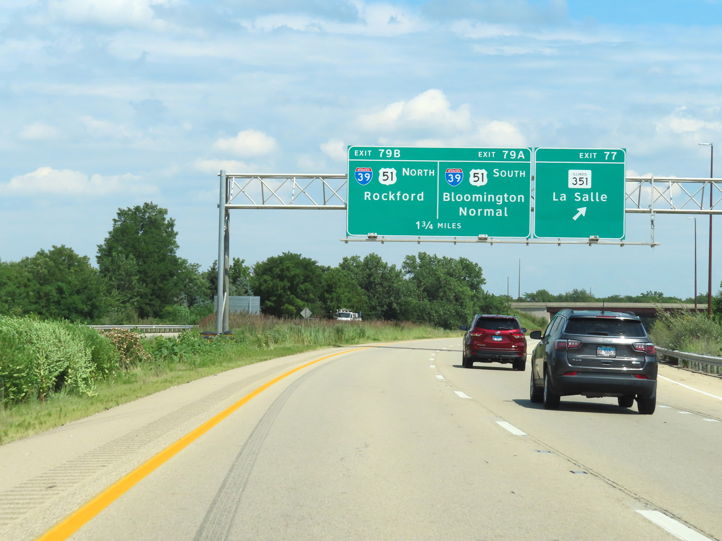
Advance signage for the junction of Interstate 39 / US 51 via Exits 79A-B, 1 mile ahead. (Photo taken 8/19/22). |
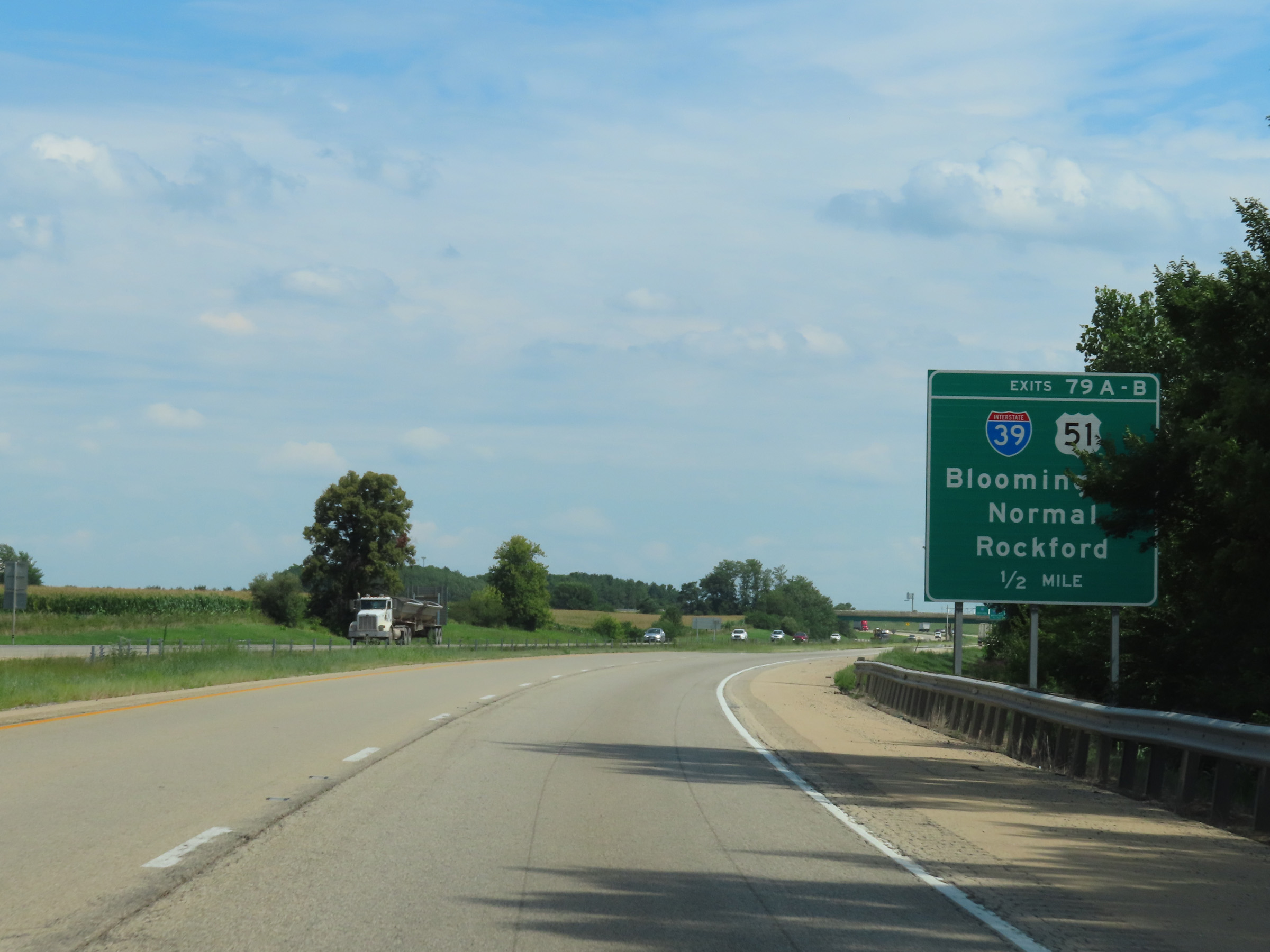 |
Interstate 80 East approaching Exits 79A-B - 1/2 mile. (Photo taken 8/19/22). |
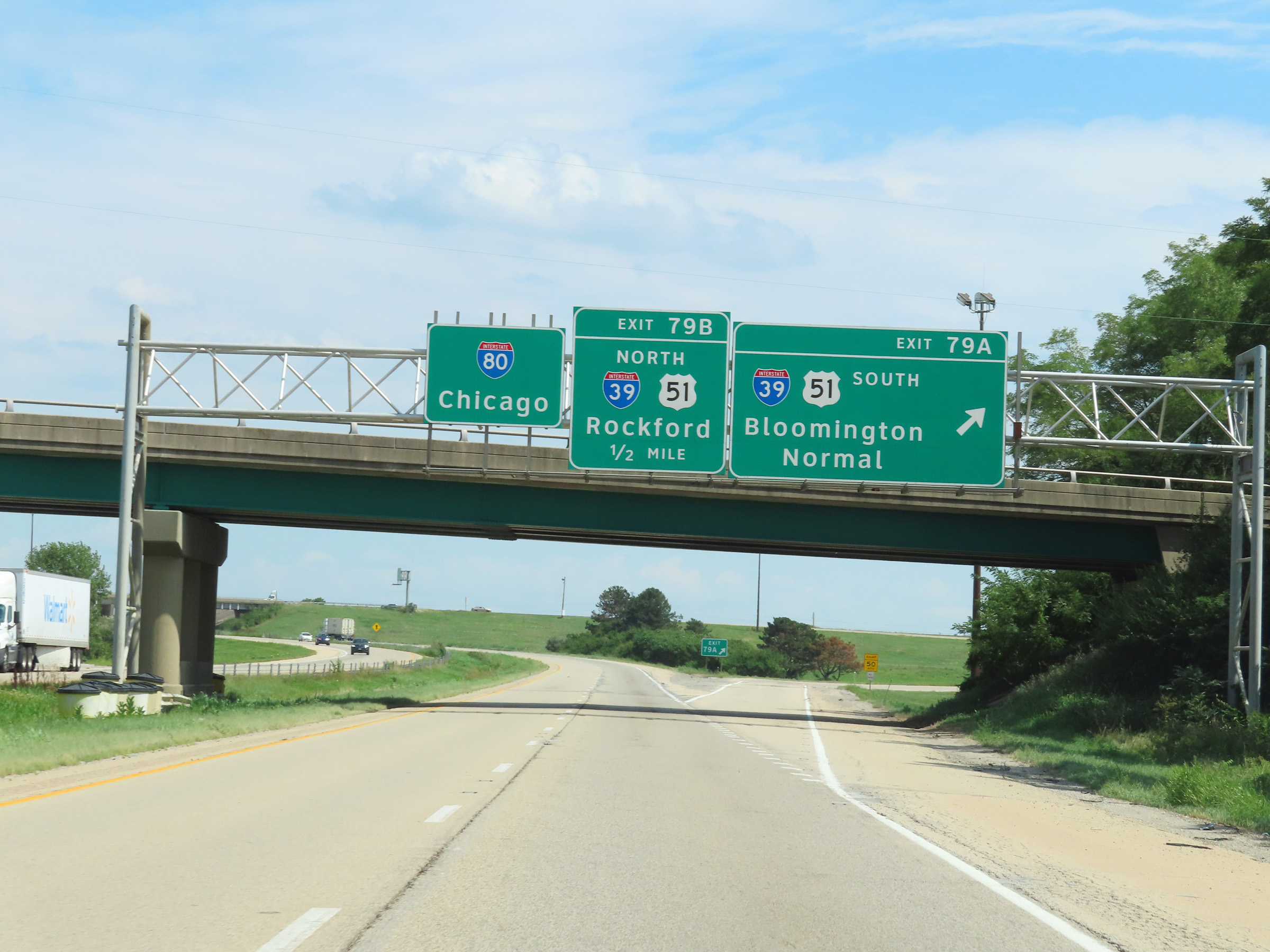 |
Interstate 80 East at Exit 79A: Interstate 39 South / US 51 South - Bloomington / Normal (Photo taken 8/19/22). |
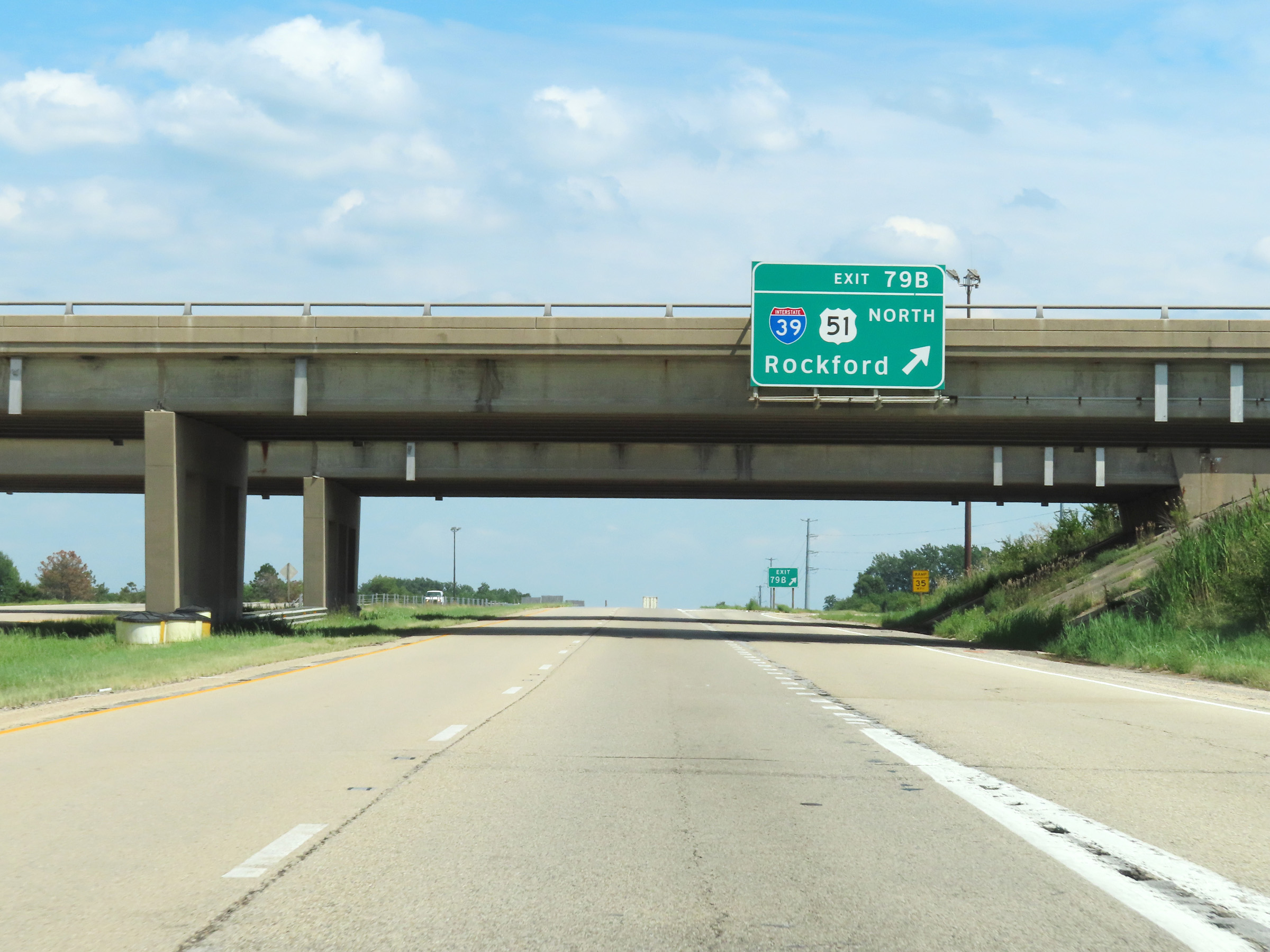 |
Interstate 80 East at Exit 79B: Interstate 39 North / US 51 North - Rockford (Photo taken 8/19/22). |
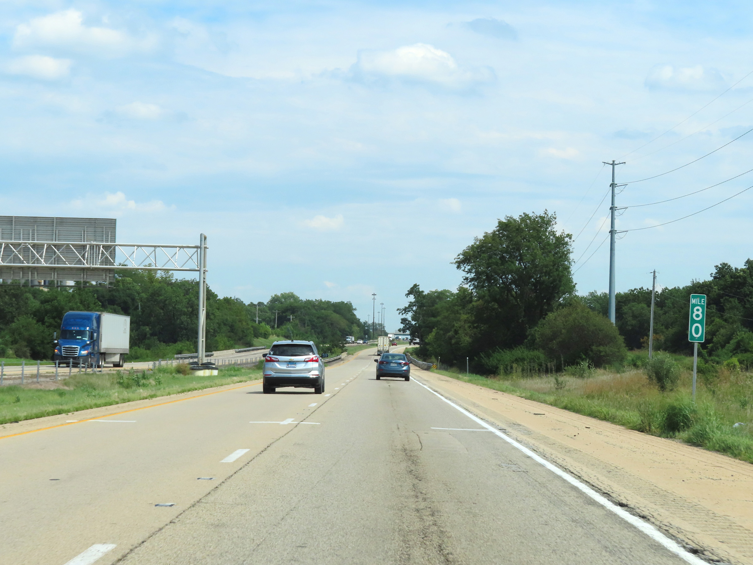 |
View on Interstate 80 East at mile marker 80. (Photo taken 8/19/22). |
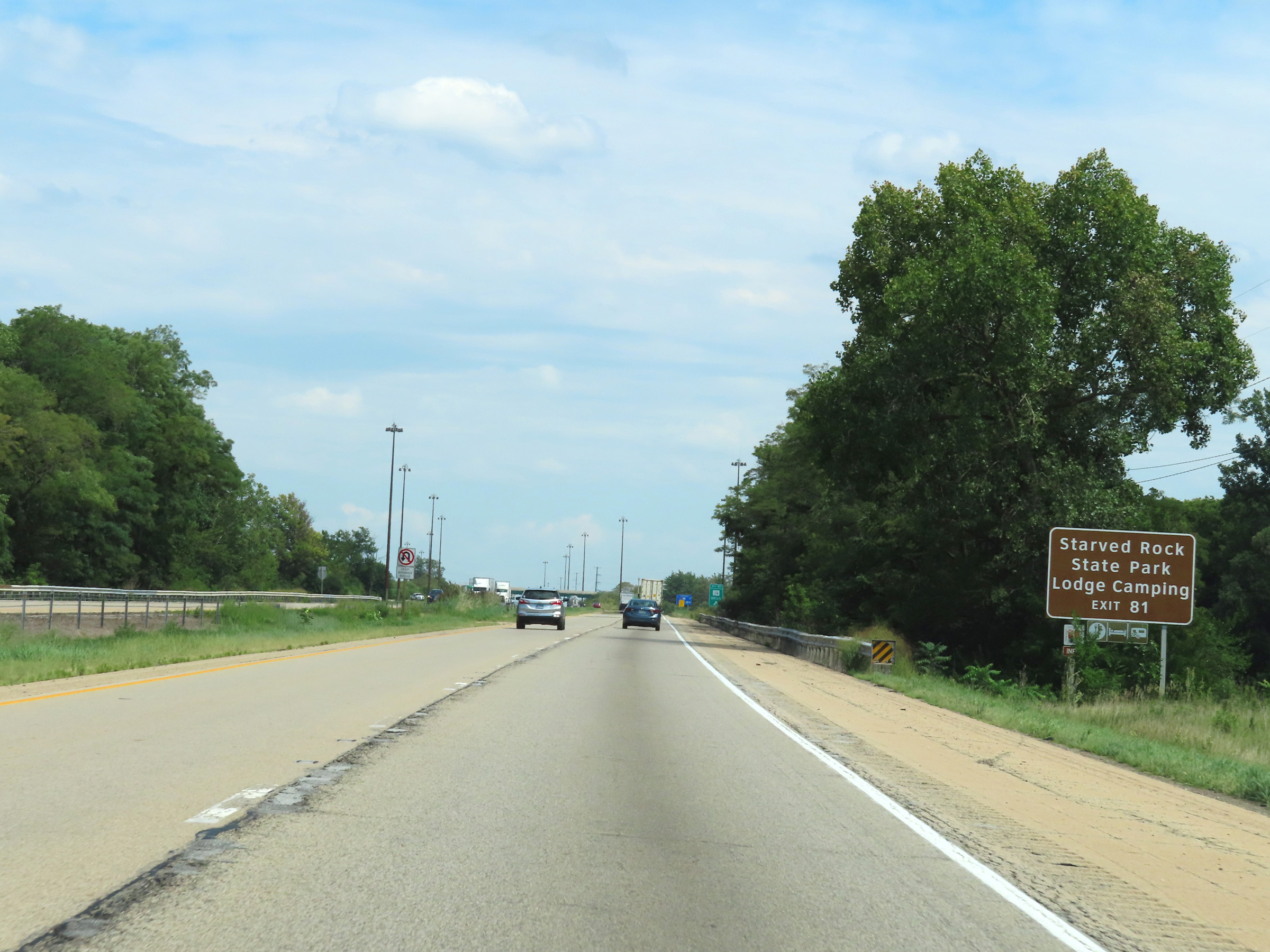 |
Take Exit 81 to Starved Rock State Park as well as its lodge and camping areas. (Photo taken 8/19/22). |
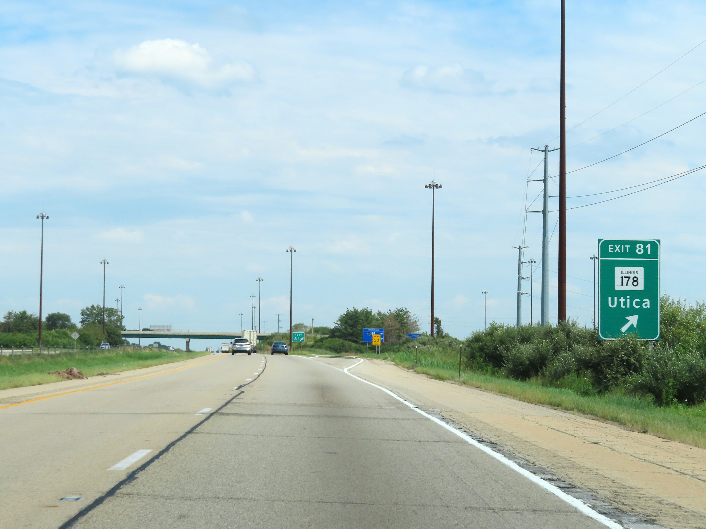 |
Interstate 80 East at Exit 81: IL 178 - Utica (Photo taken 8/19/22). |
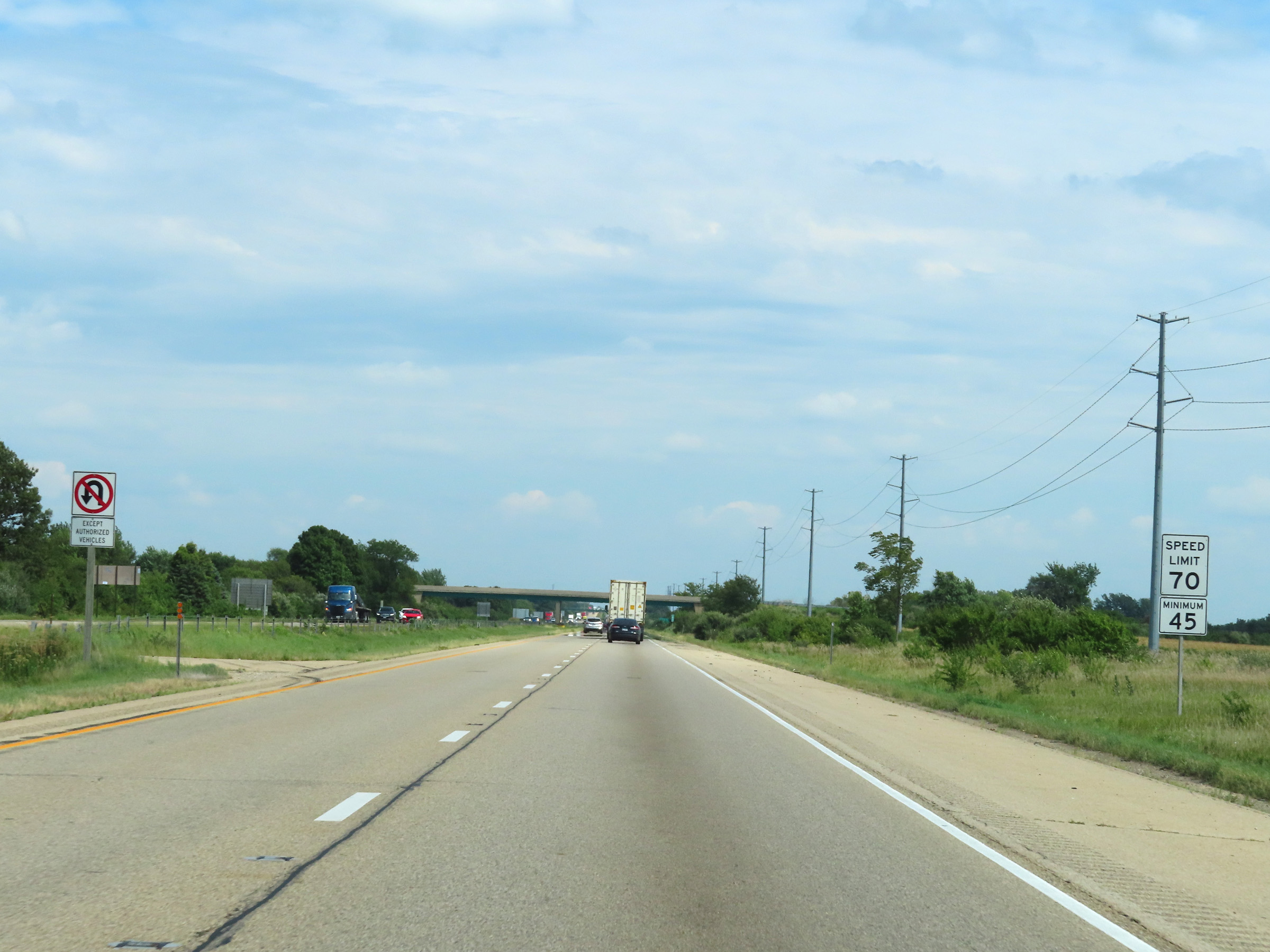 |
The speed limits on Interstate 80 East remain the rural standard 70 mph maximum and 45 mph minimum. (Photo taken 8/19/22). |
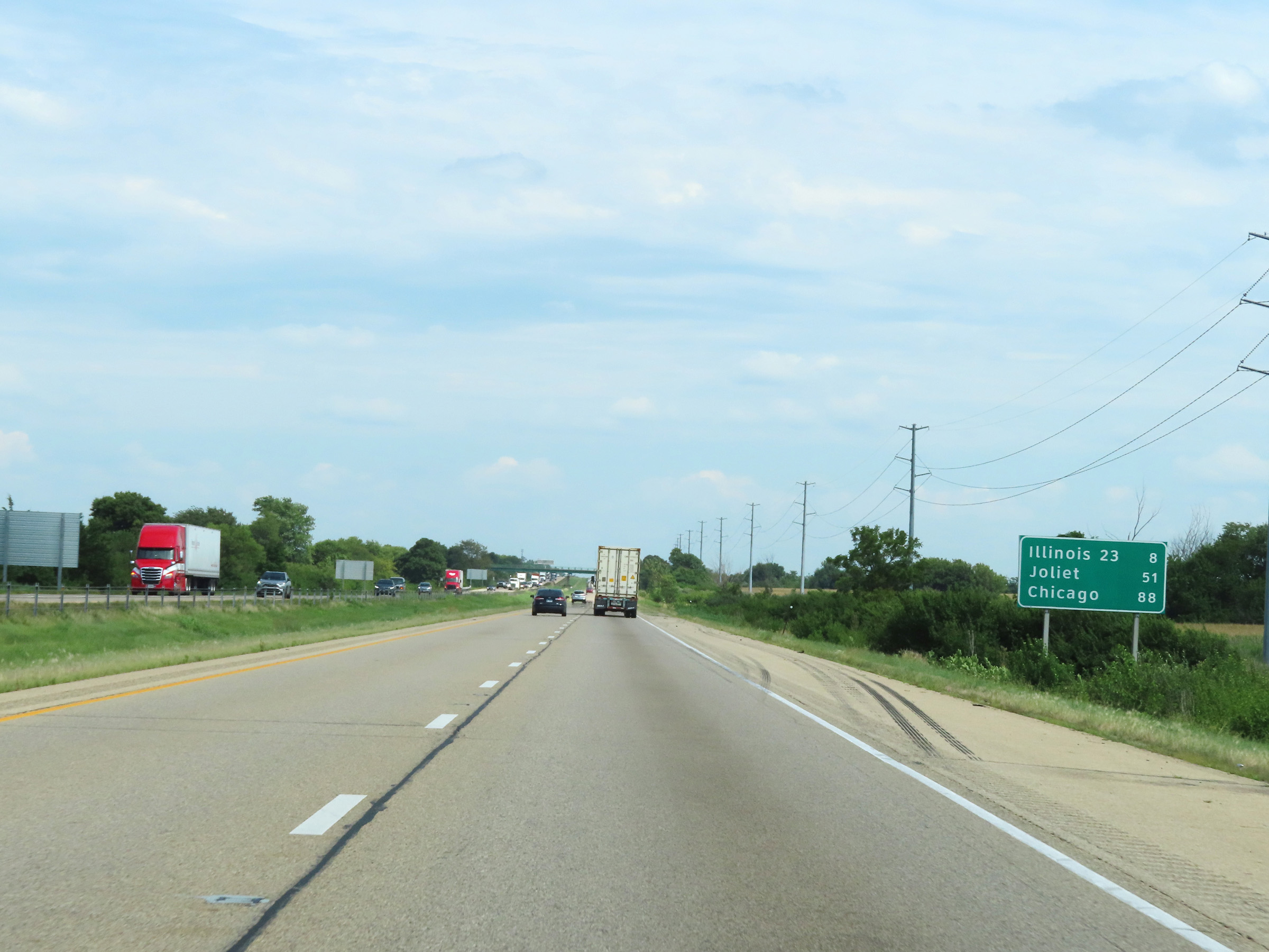 |
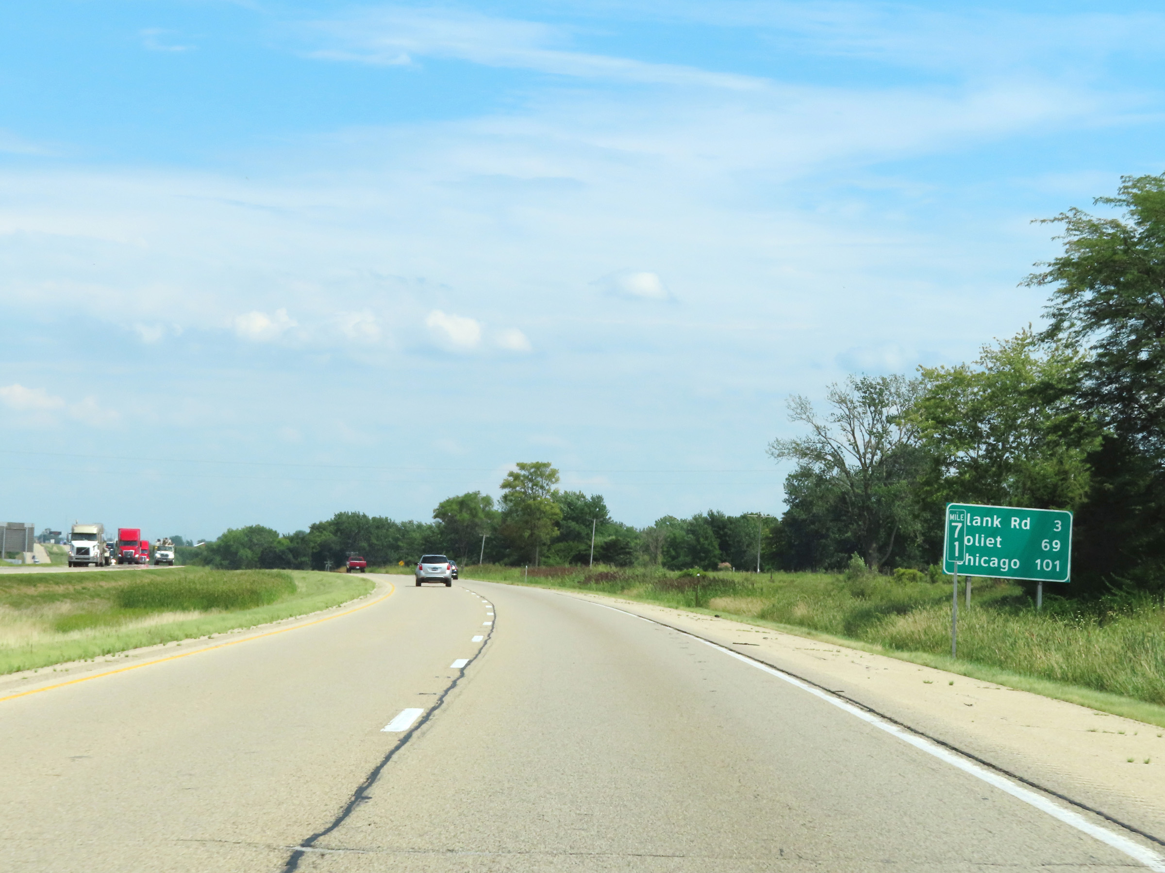
Mileage sign on Interstate 80 East. It's 8 miles to the junction of IL 23, 51 miles to Joliet, and 88 miles to Chicago. (Photo taken 8/19/22). |
 |
Mile marker 83 on Interstate 80 East in La Salle County. (Photo taken 8/19/22). |
 |
Interstate 80 East at mile marker 85. (Photo taken 8/19/22). |
 |
Interstate 80 East at mile marker 88. (Photo taken 8/19/22). |
 |
View on Interstate 80 East at mile marker 89. (Photo taken 8/19/22). |
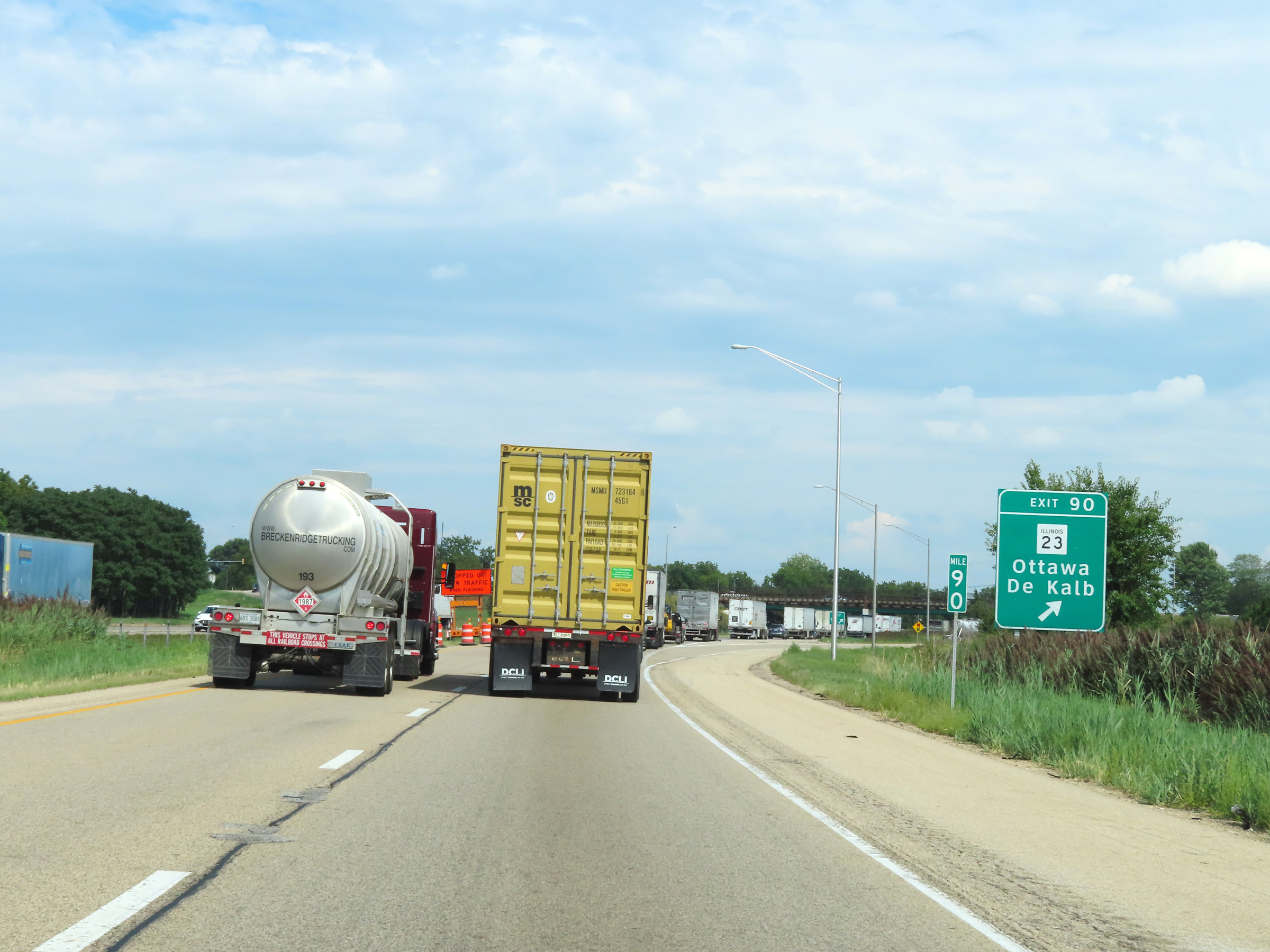 |
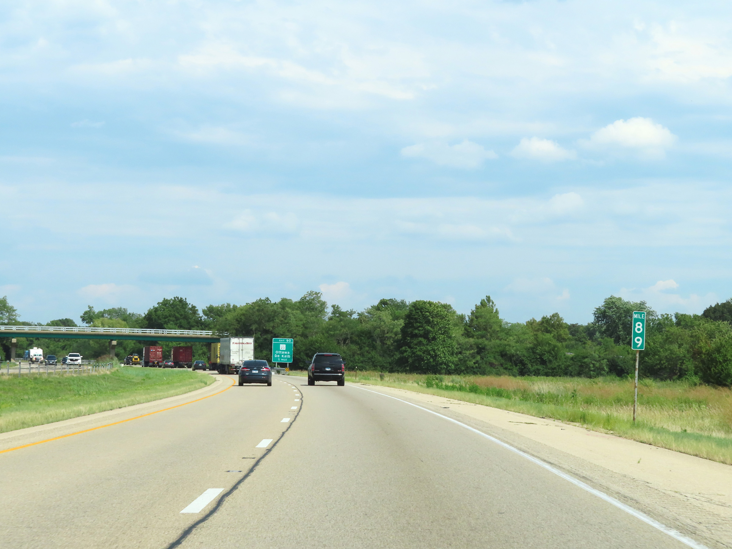
Interstate 80 East at Exit 90: IL 23 - Ottawa / De Kalb (Photo taken 8/19/22). |
 |
Mile marker 92 on Interstate 80 East in La Salle County. (Photo taken 8/19/22). |
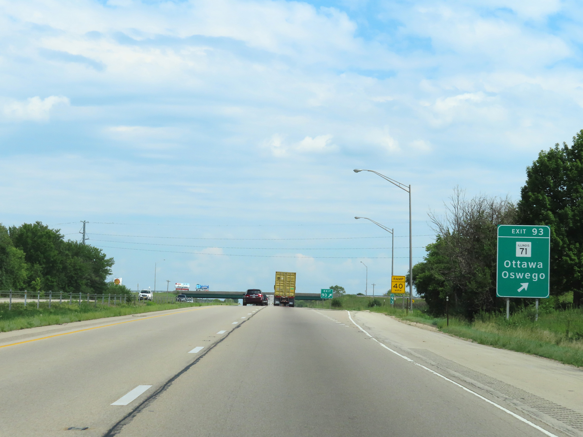 |
Interstate 80 East at Exit 93: IL 71 - Ottawa / Oswego (Photo taken 8/19/22). |
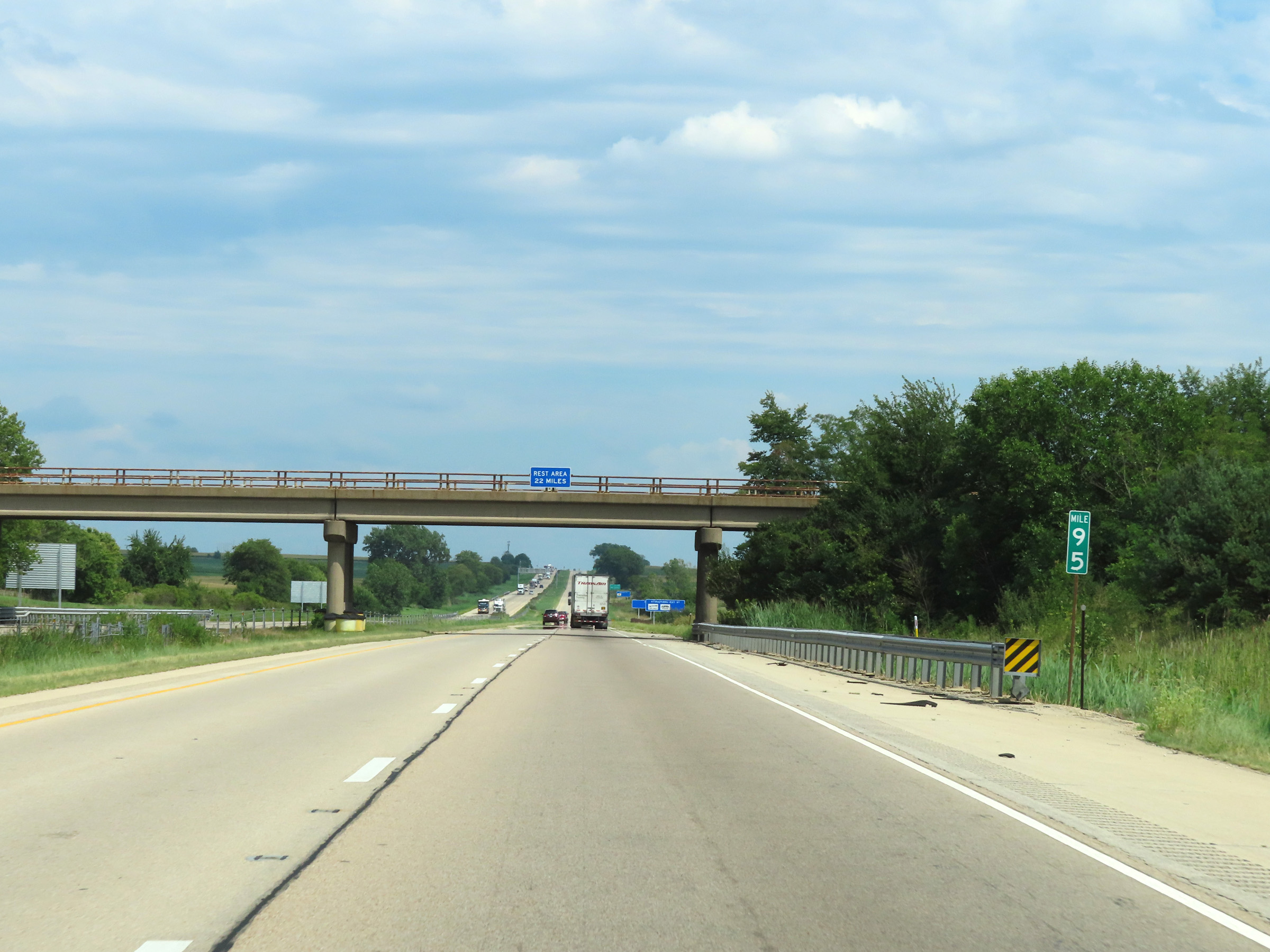 |
Mile marker 95 on Interstate 80 East in La Salle County. (Photo taken 8/19/22). |
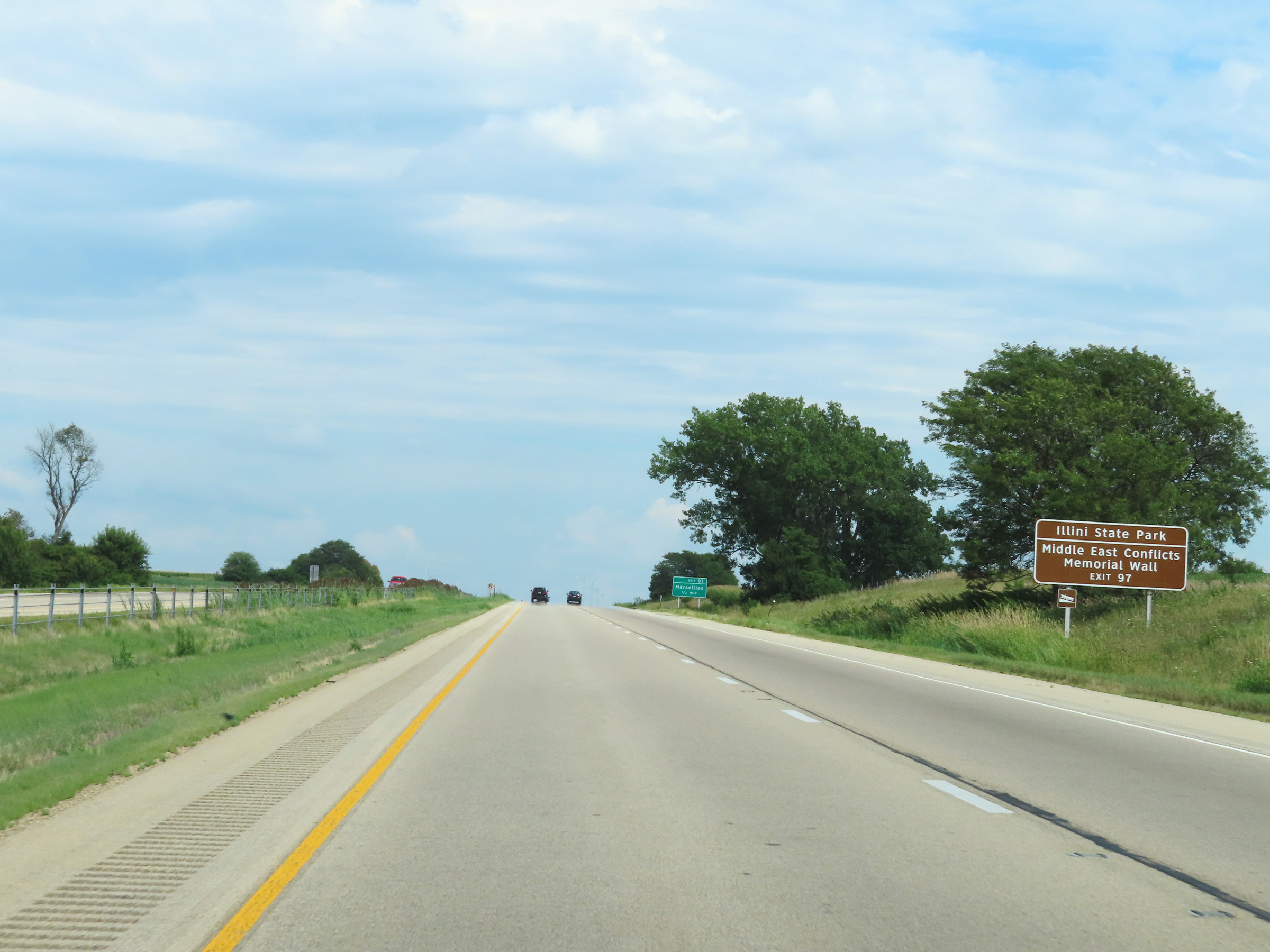 |
Take Exit 97 to Illini State Park and the Middle East Conflicts Memorial Wall. (Photo taken 8/19/22). |
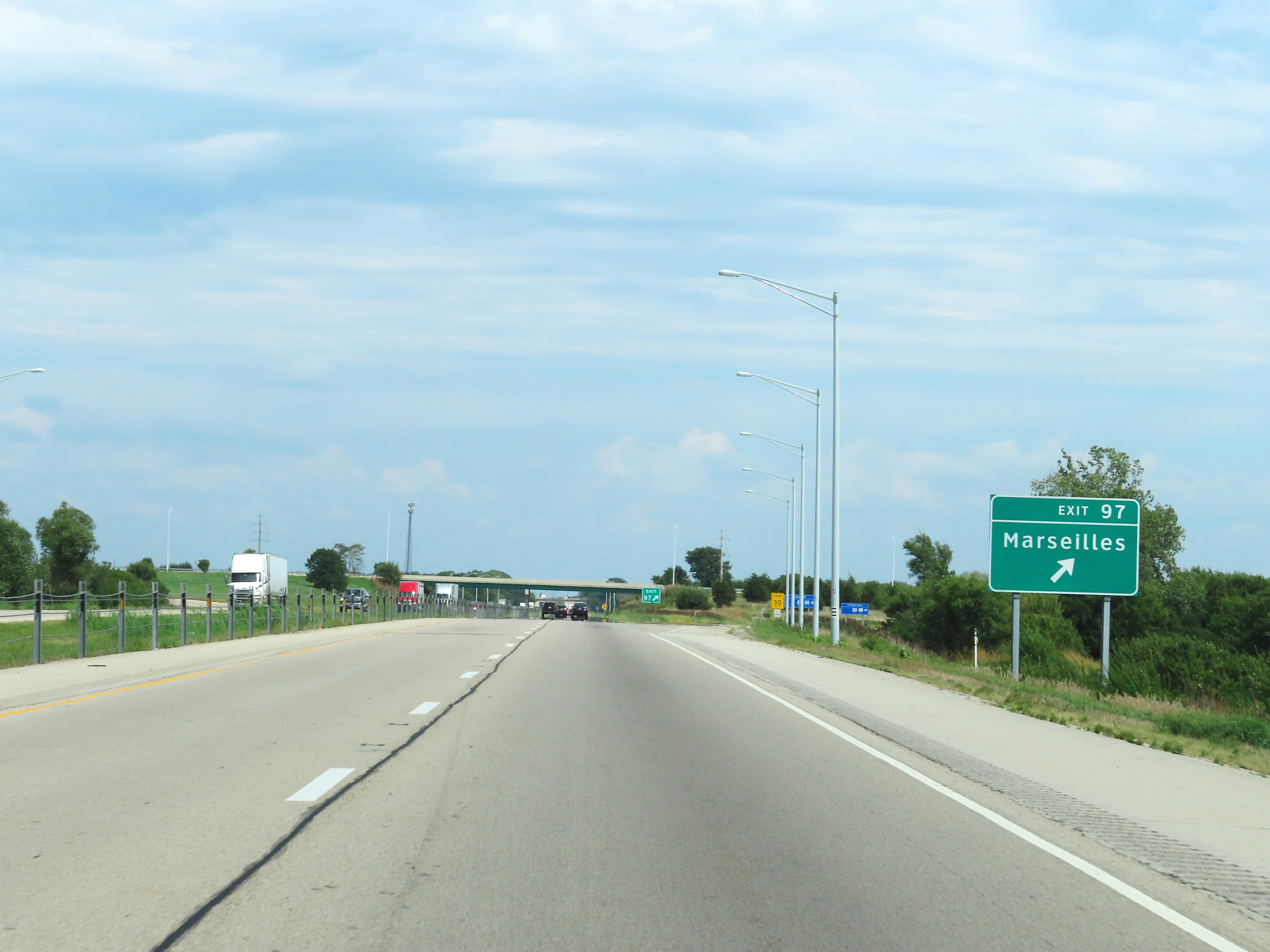 |
Interstate 80 East at Exit 97: Marseilles (Photo taken 8/19/22). |
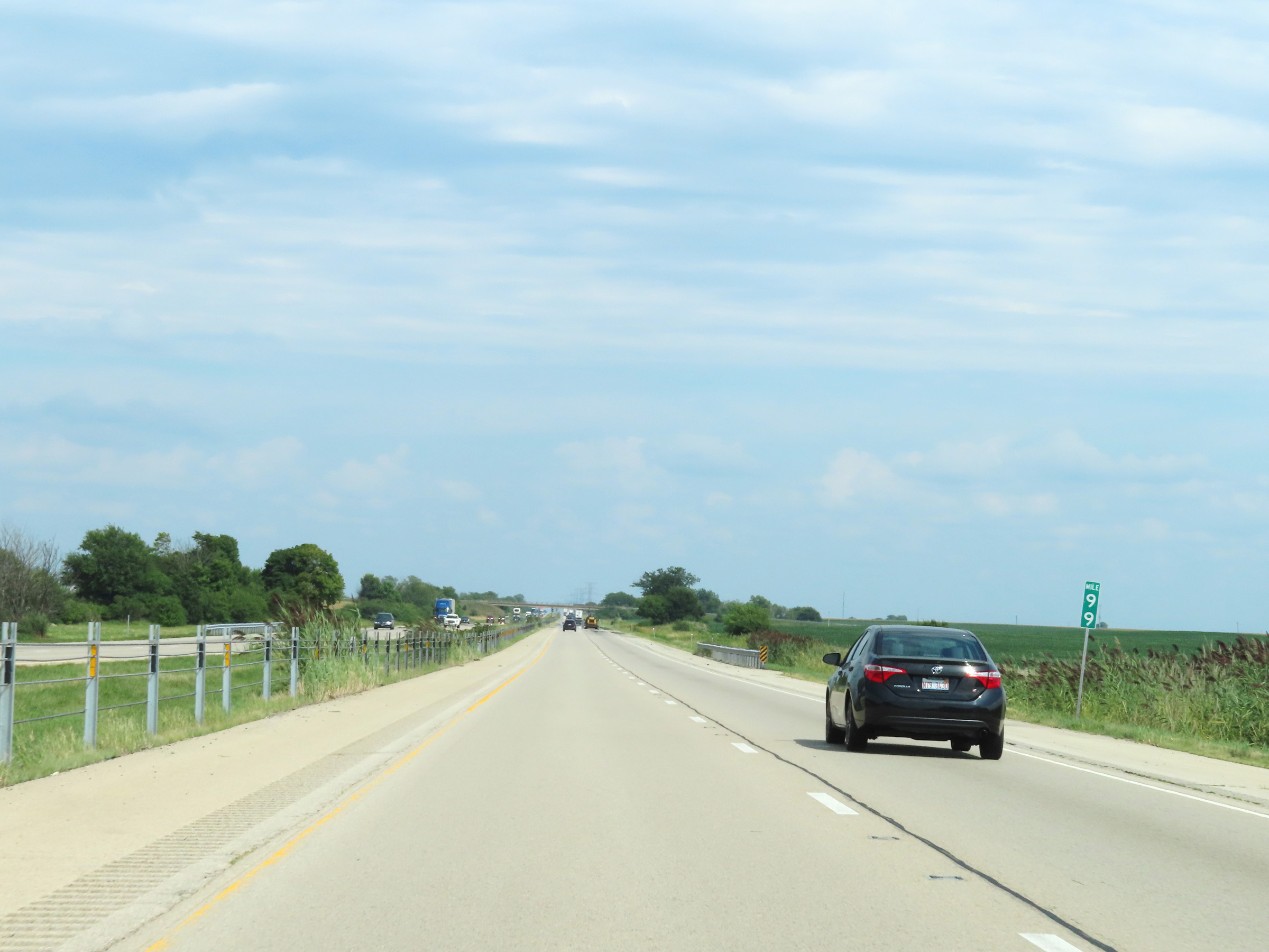 |
View on Interstate 80 East at mile marker 99. (Photo taken 8/19/22). |
 |
Interstate 80 East at mile marker 100. (Photo taken 8/19/22). |
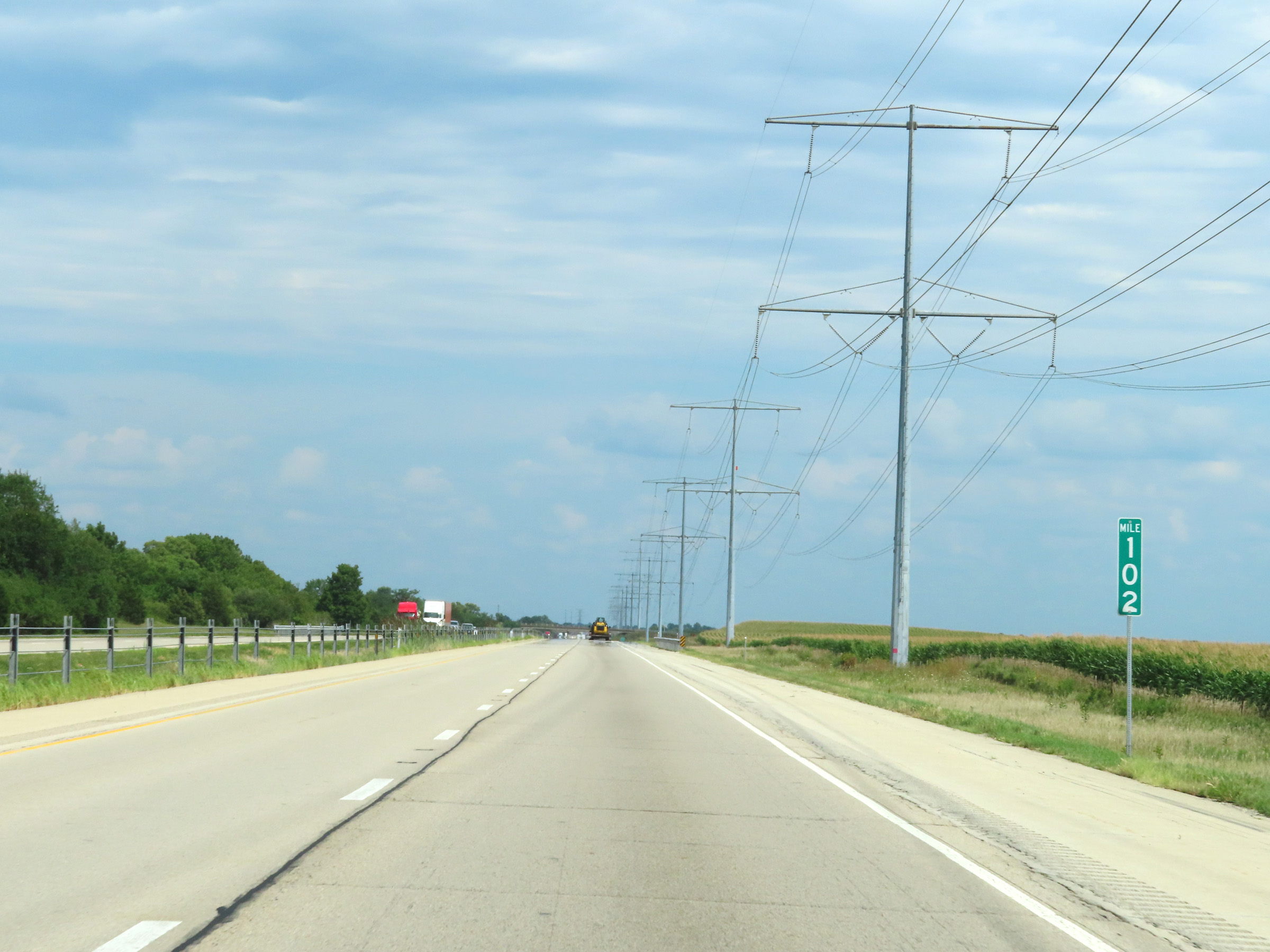 |
View on Interstate 80 East at mile marker 102. (Photo taken 8/19/22). |
 |
Interstate 80 East as it enters Grundy County. (Photo taken 8/19/22). |
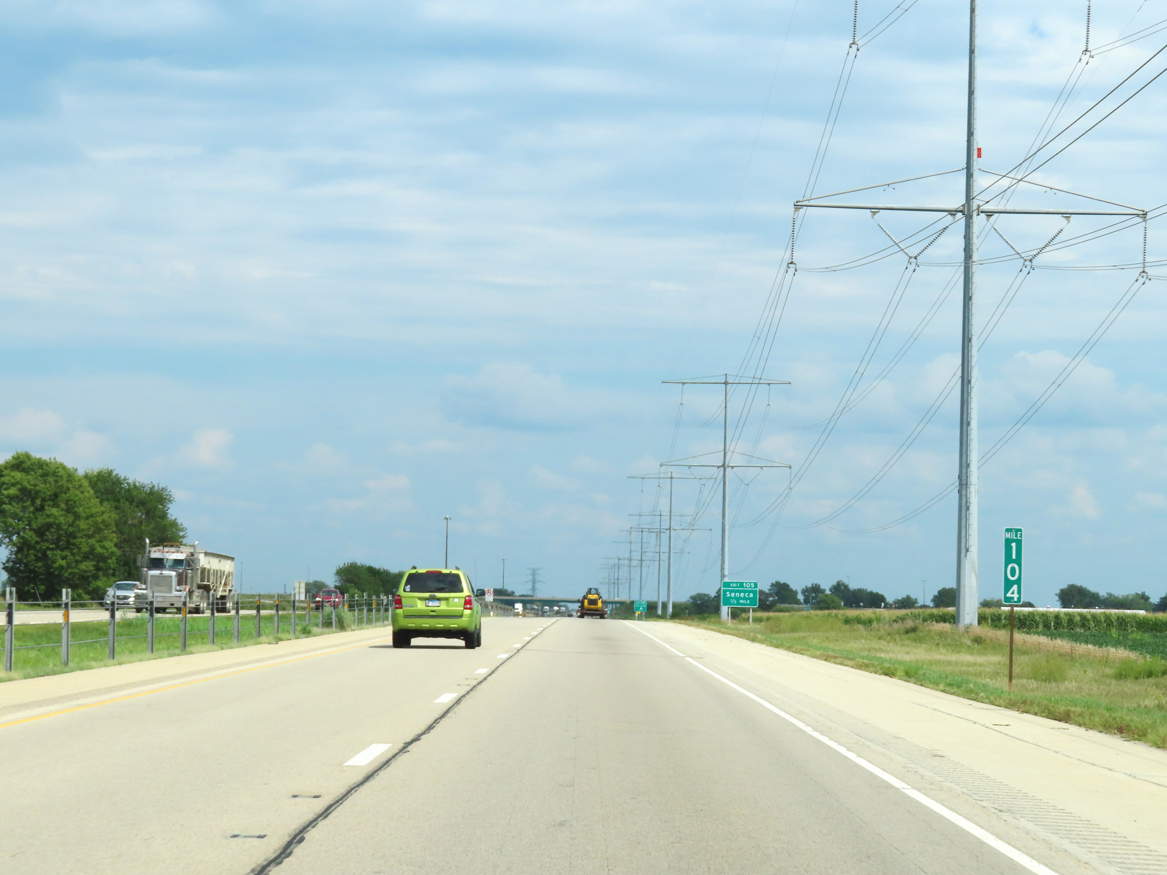 |
Mile marker 104 on Interstate 80 East in Grundy County. (Photo taken 8/19/22). |
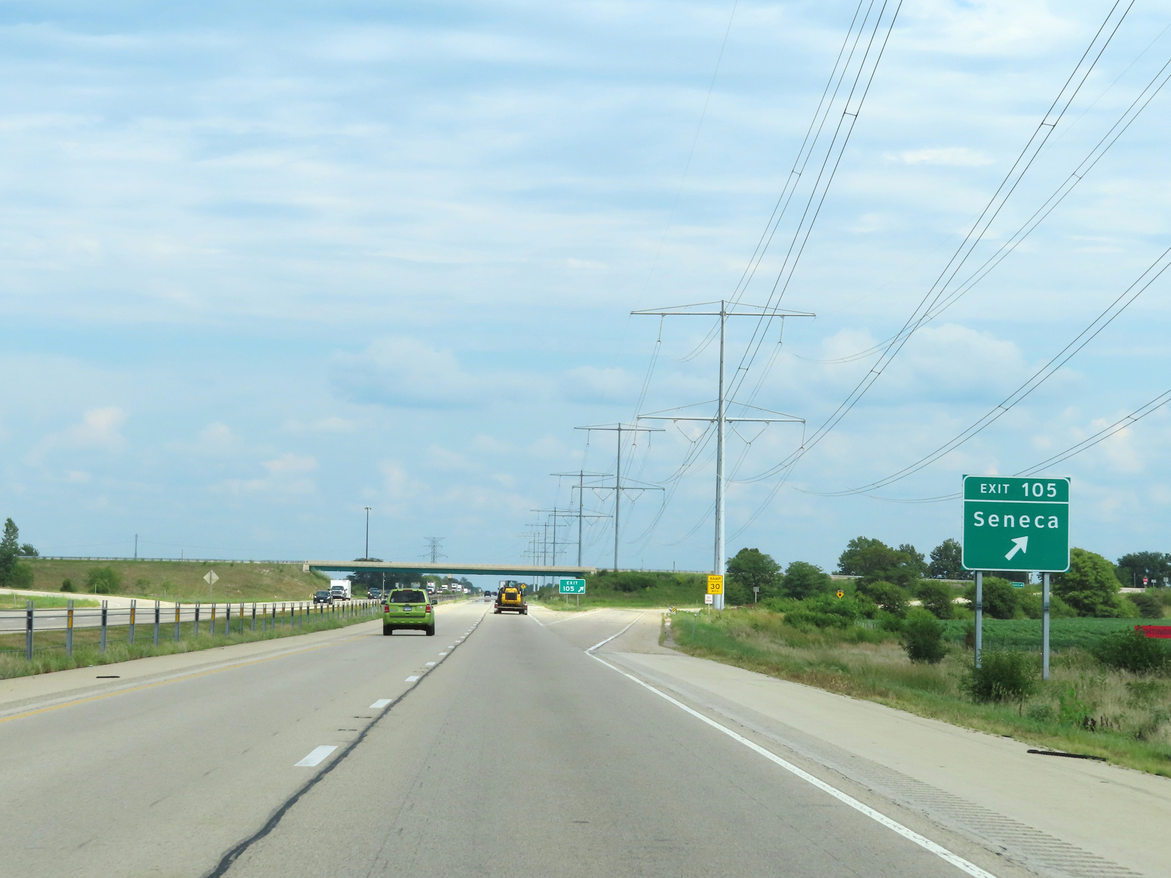 |
Interstate 80 East at Exit 105: Seneca (Photo taken 8/19/22). |
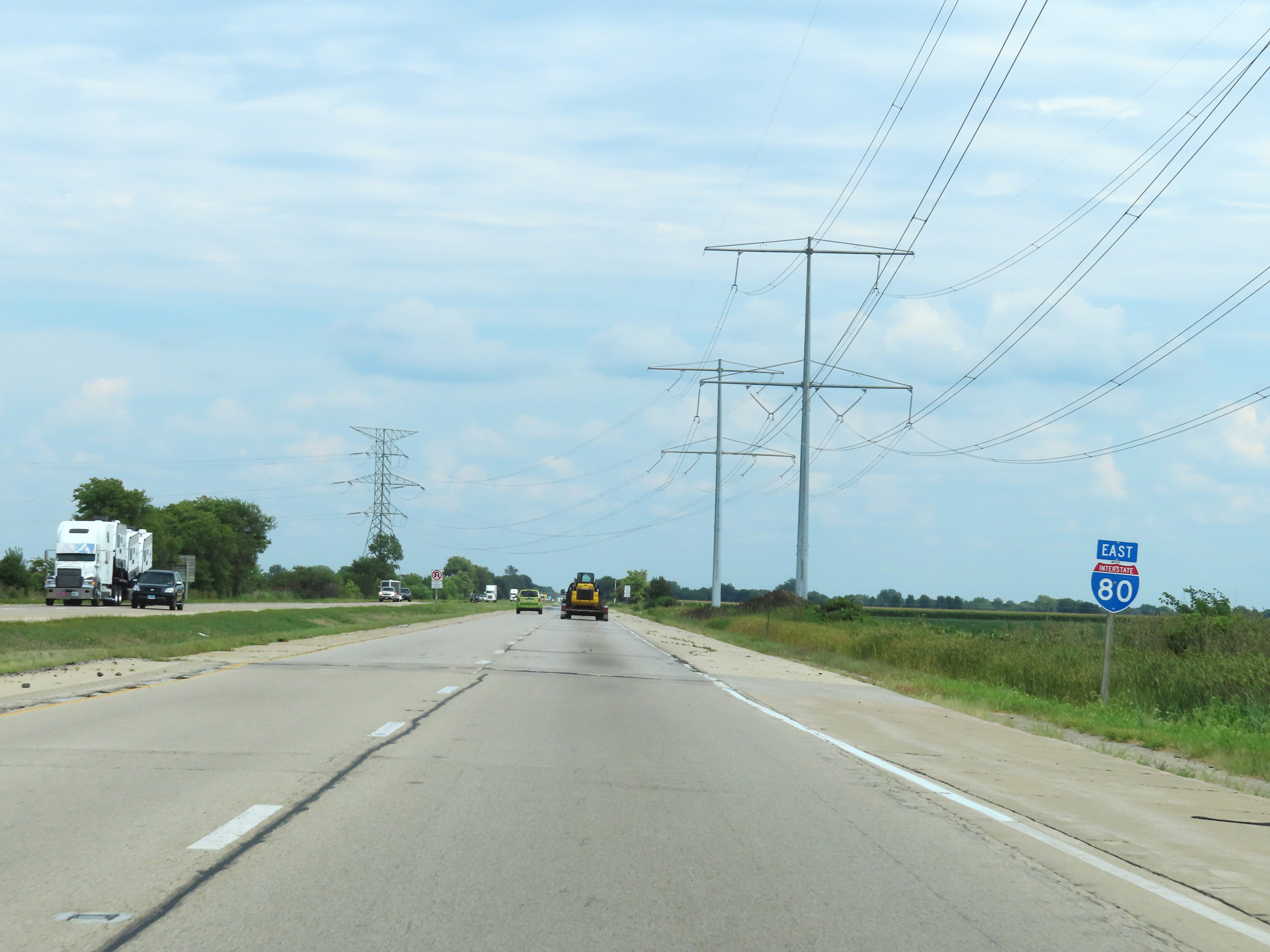 |
Another Interstate 80 East reassurance shield. (Photo taken 8/19/22). |
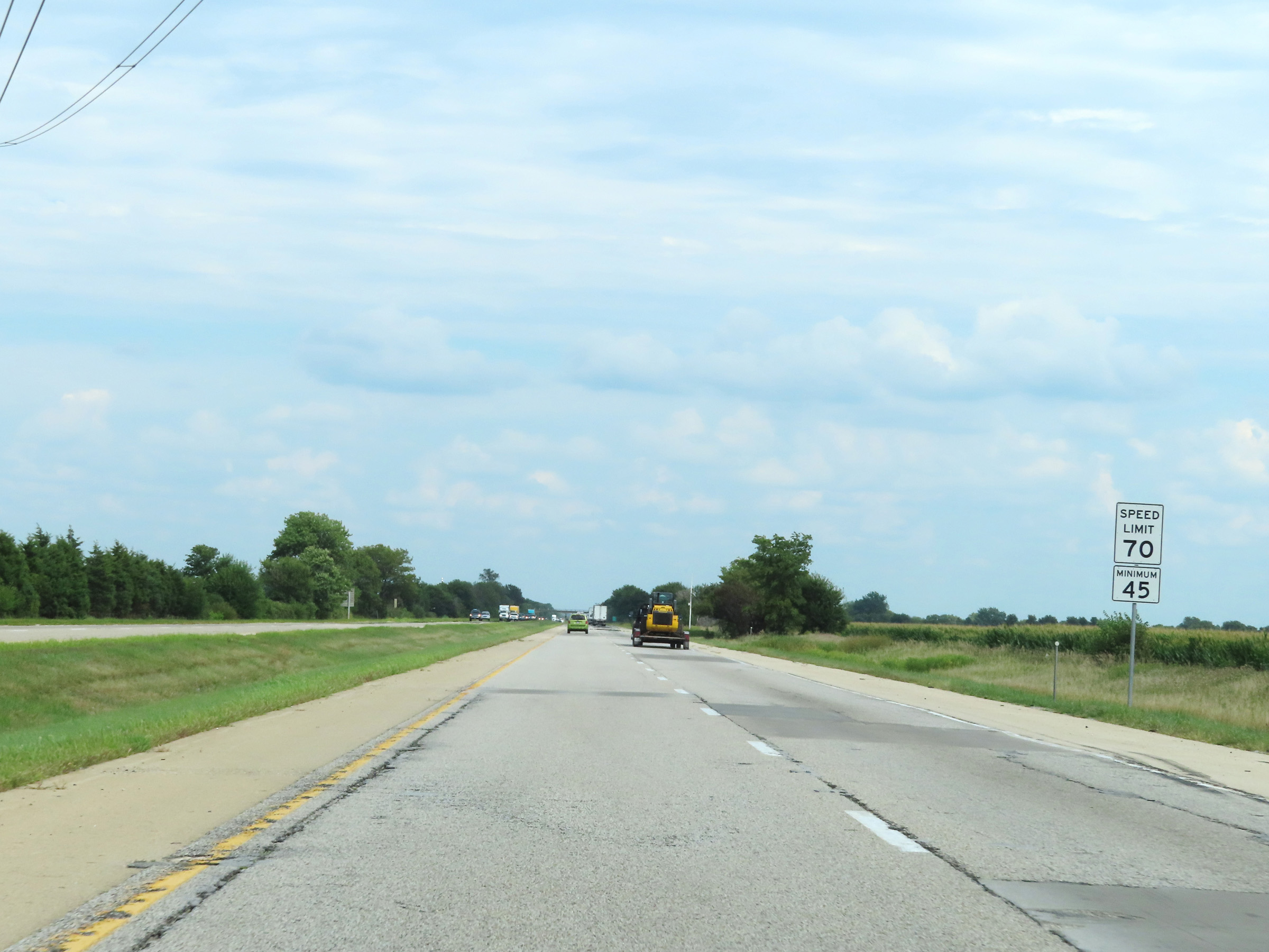 |
The speed limits remain 70 mph maximum and 45 mph minimum. (Photo taken 8/19/22). |
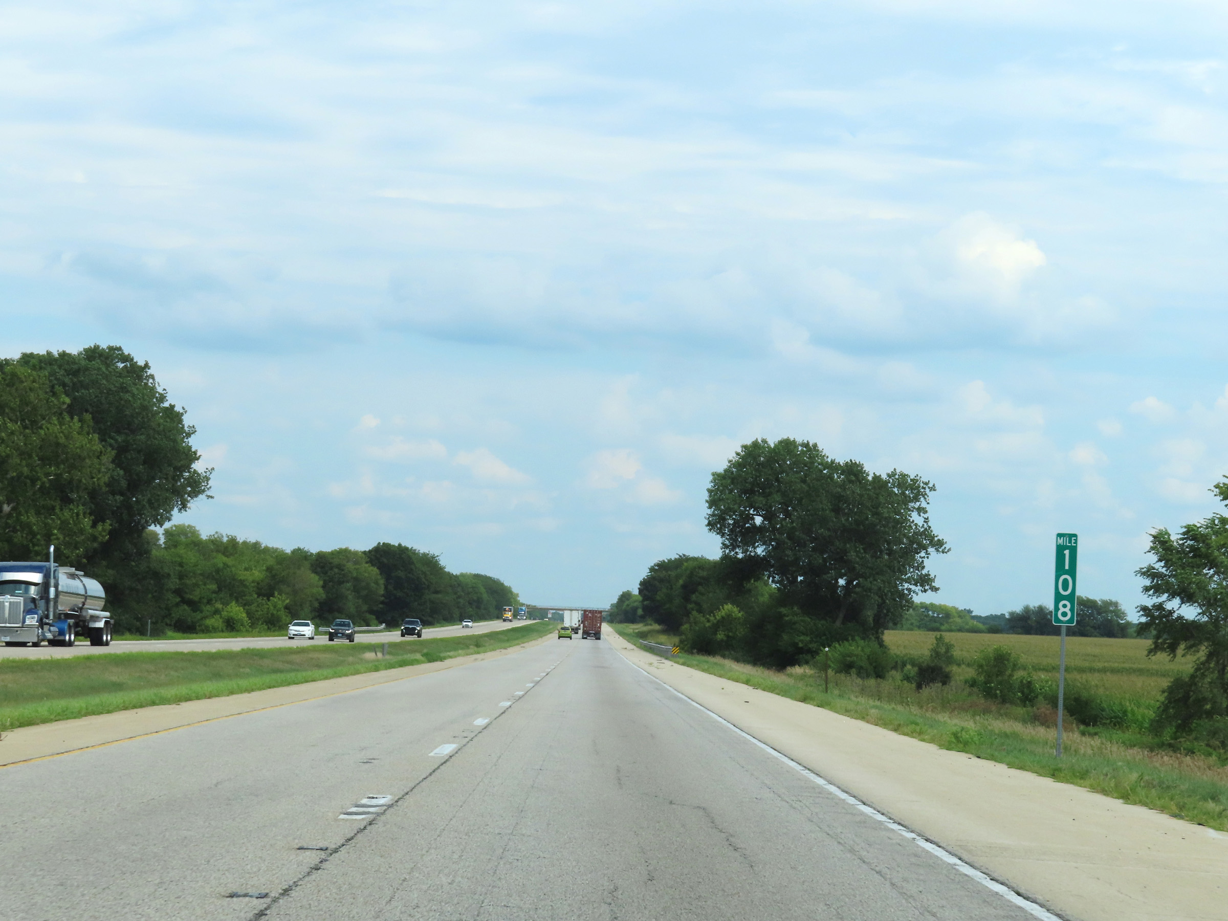 |
View on Interstate 80 East at mile marker 108. (Photo taken 8/19/22). |
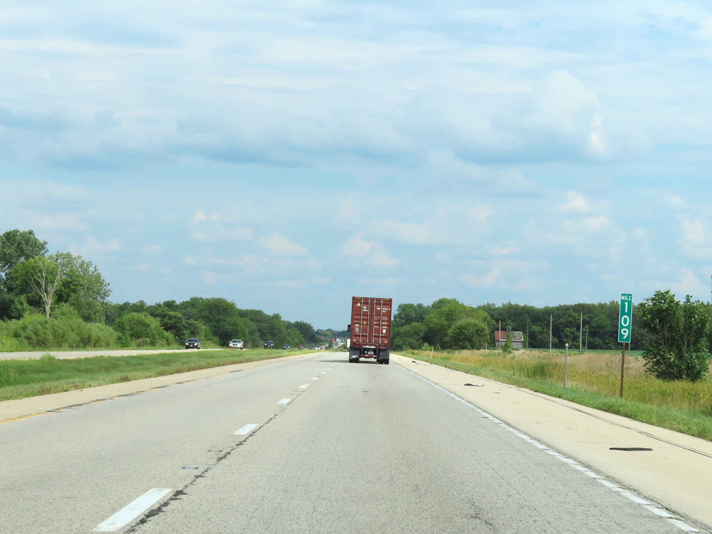 |
Mile marker 109 on Interstate 80 East in Grundy County. (Photo taken 8/19/22). |
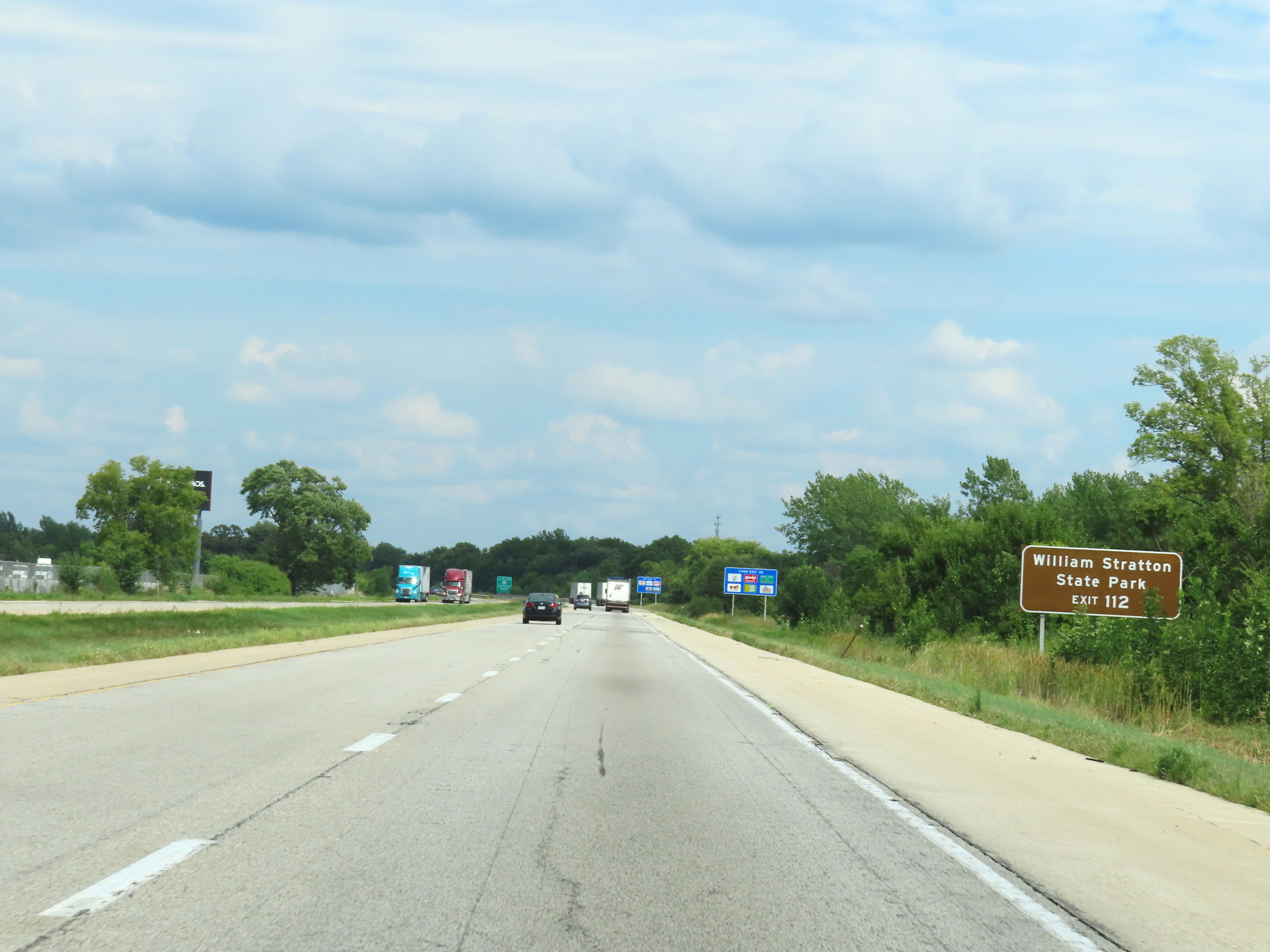 |
Take Exit 112 to William Stratton State Park. (Photo taken 8/19/22). |
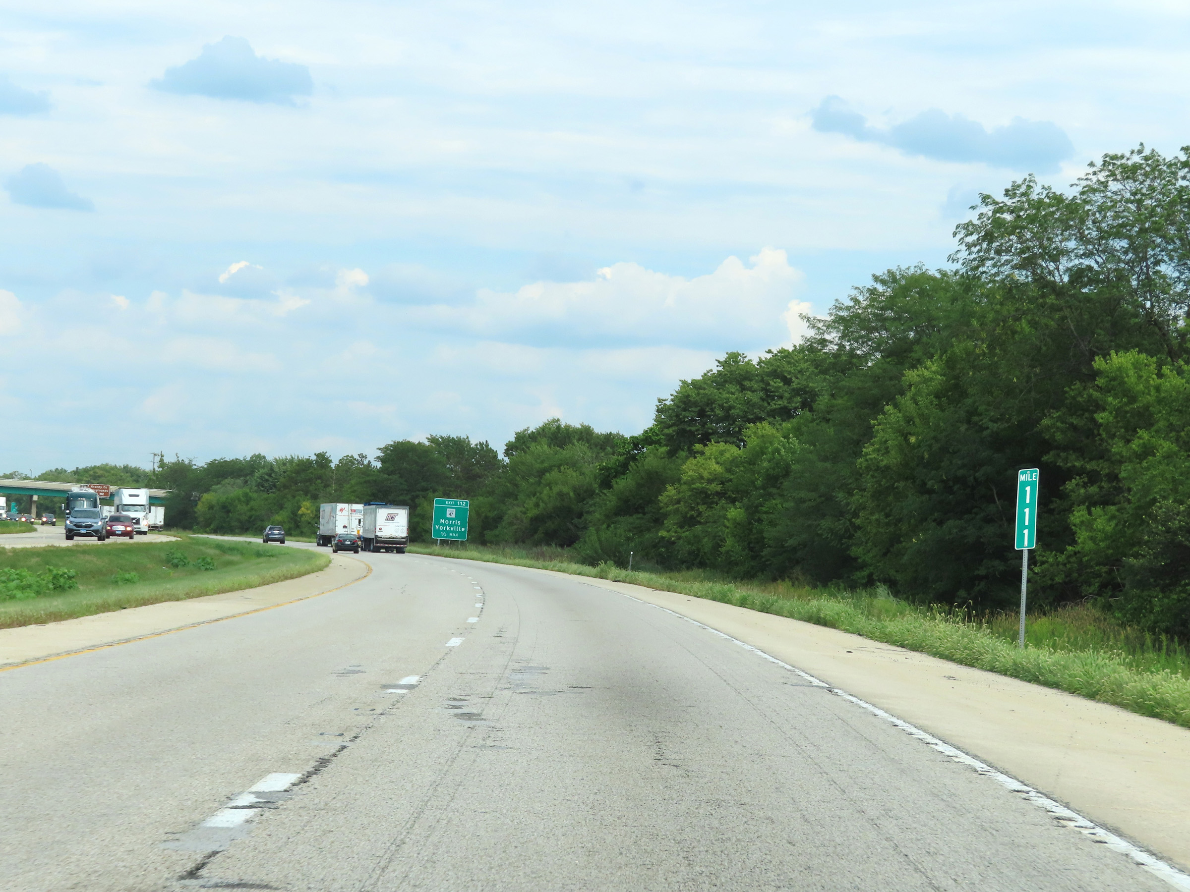 |
View on Interstate 80 East at mile marker 111. (Photo taken 8/19/22). |
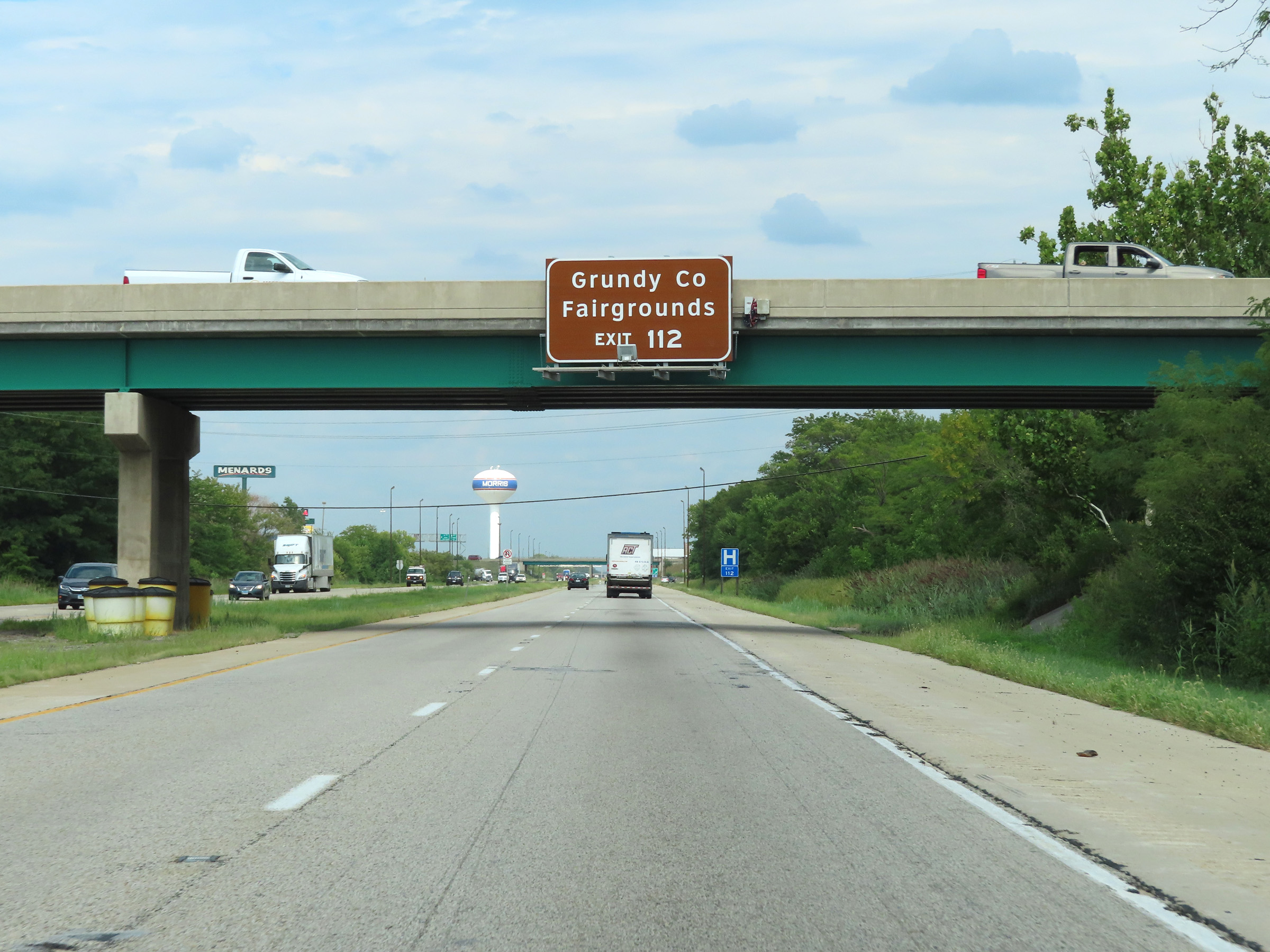 |
Also take Exit 112 to the Grundy County Fairgrounds. (Photo taken 8/19/22). |
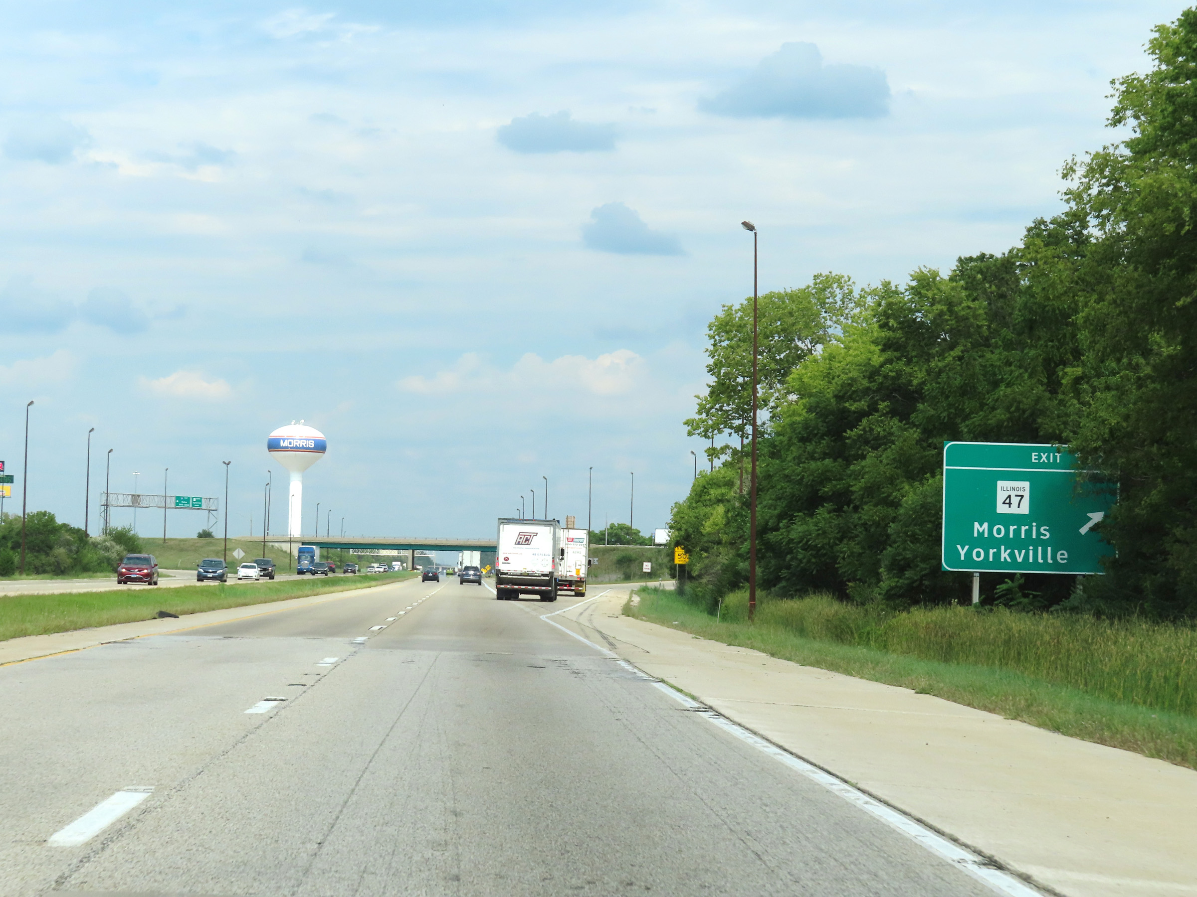 |
Interstate 80 East at Exit 112: IL 47 - Morris / Yorkville (Photo taken 8/19/22). |
 |
Mileage sign on Interstate 80 East. It's 12 miles to the junction of Interstate 55, 21 miles to Joliet, and 55 miles to Chicago. (Photo taken 8/19/22). |
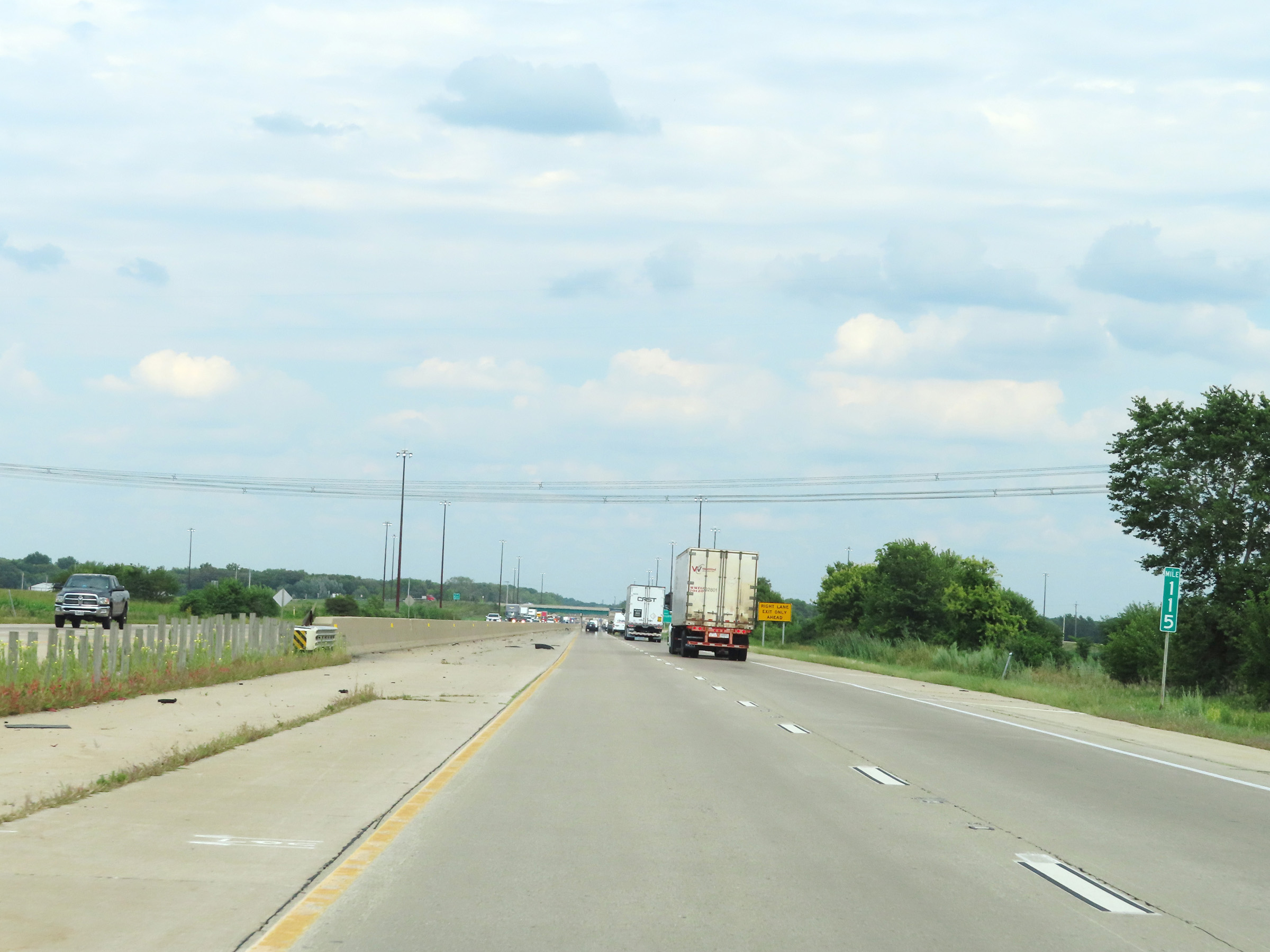 |
Interstate 80 East at mile marker 115. (Photo taken 8/19/22). |
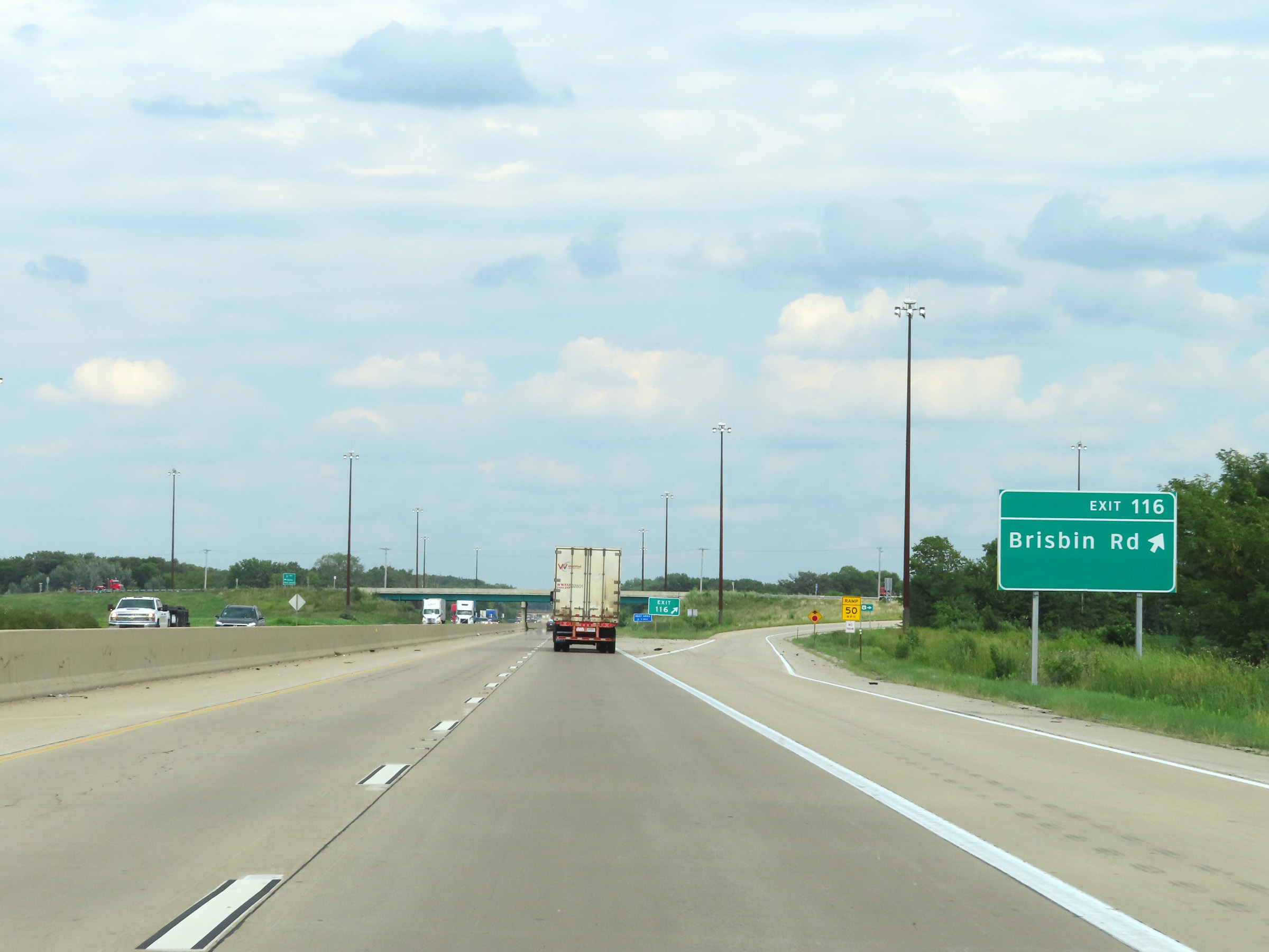 |
Interstate 80 East at Exit 116: Brisbin Rd (Photo taken 8/19/22). |
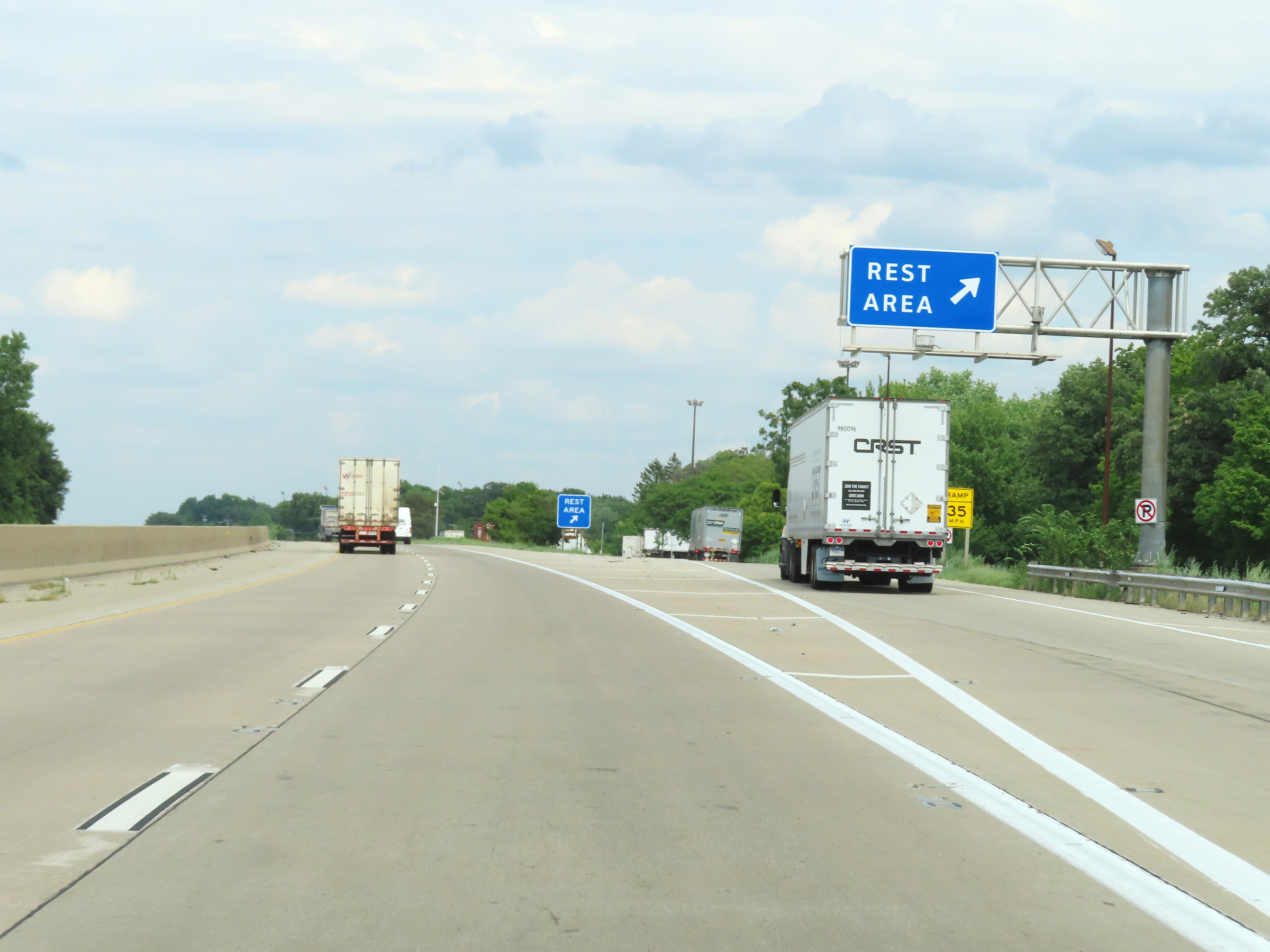 |
Rest Area on Interstate 80 East in Grundy County. (Photo taken 8/19/22). |
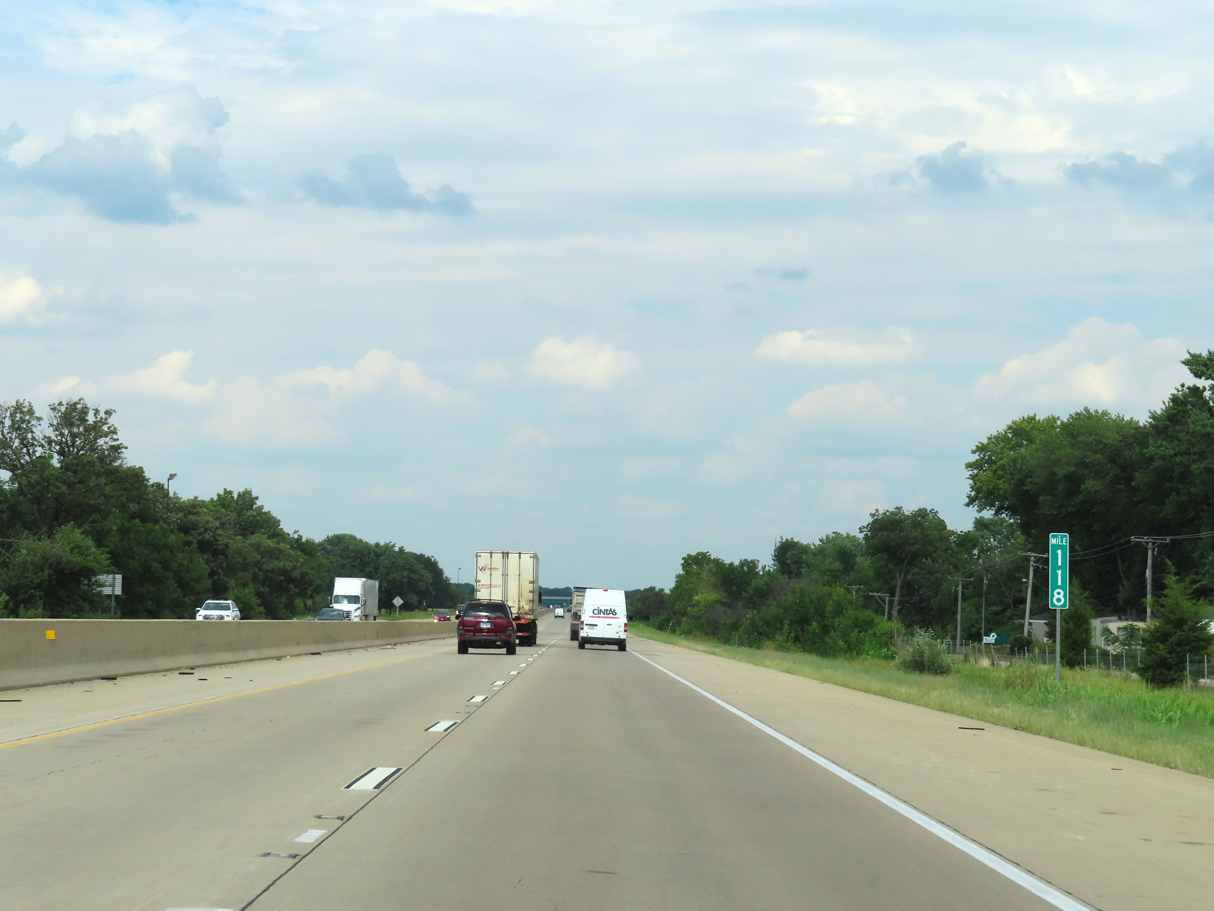 |
View on Interstate 80 East at mile marker 118. (Photo taken 8/19/22). |
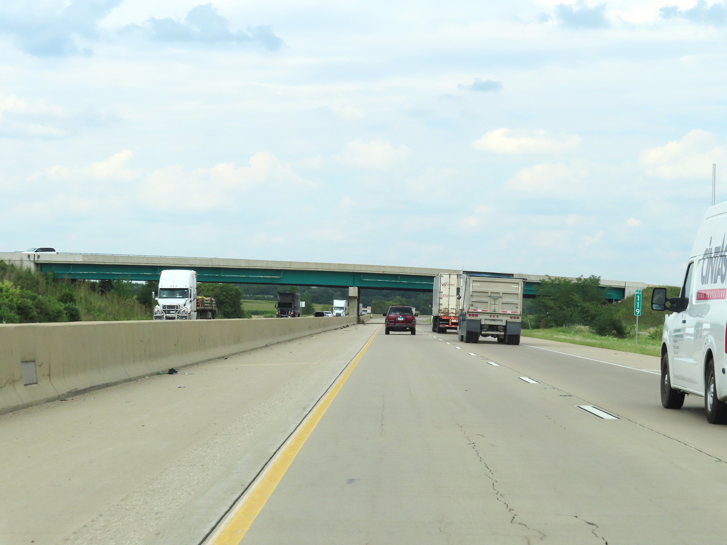 |
Interstate 80 East at mile marker 119. (Photo taken 8/19/22). |
 |
Interstate 80 East at Exit 122: Minooka (Photo taken 8/19/22). |
 |
Speed limit signs as Interstate 80 East enters Will County. The speed limits remain 70 mph maximum and 45 mph minimum. (Photo taken 8/19/22). |
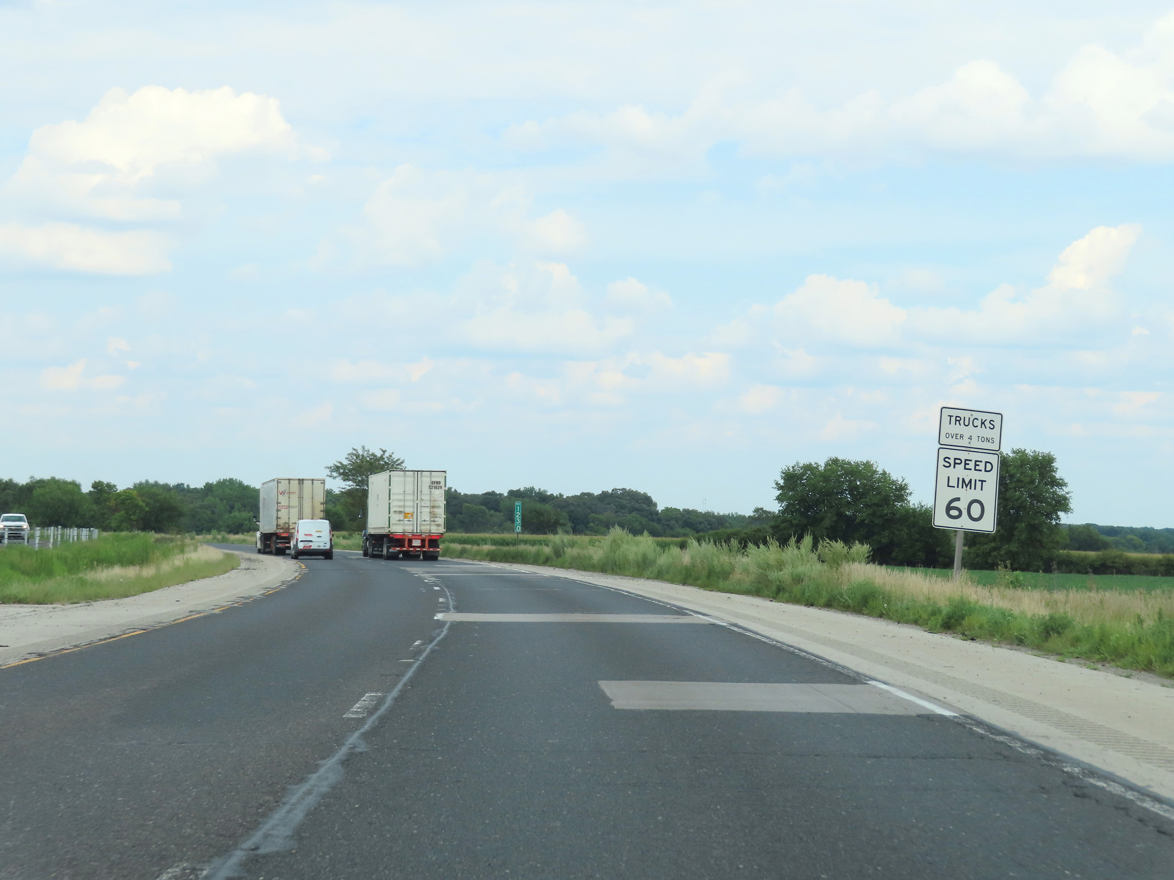 |
However, upon entering Will County, the truck speed limit is decreased to 60 mph. (Photo taken 8/19/22). |
 |
View on Interstate 80 East at mile marker 124. (Photo taken 8/19/22). |
 |
Interstate 80 East approaching Exit 126A - 1 mile. (Photo taken 8/19/22). |
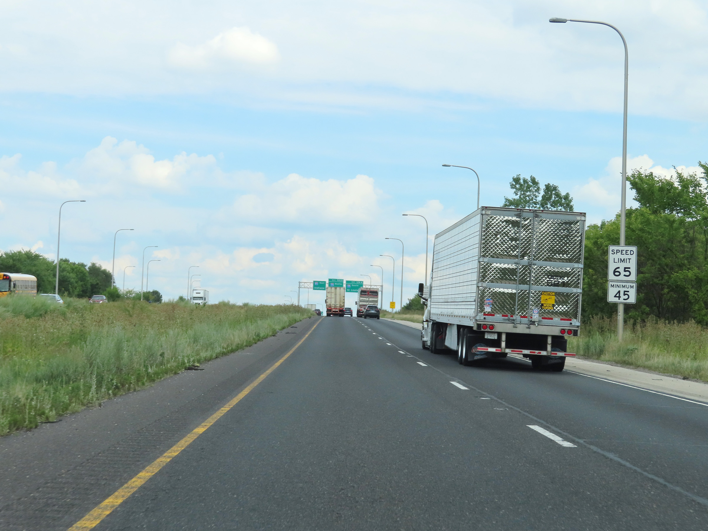 |
Approaching Exit 126A, the maximum speed limit for automobiles decreases to 65 mph. The minimum speed limit remains 45 mph. (Photo taken 8/19/22). |
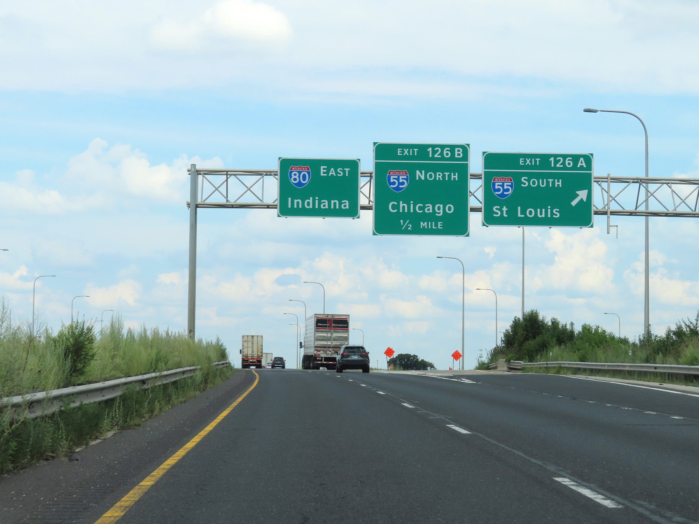 |
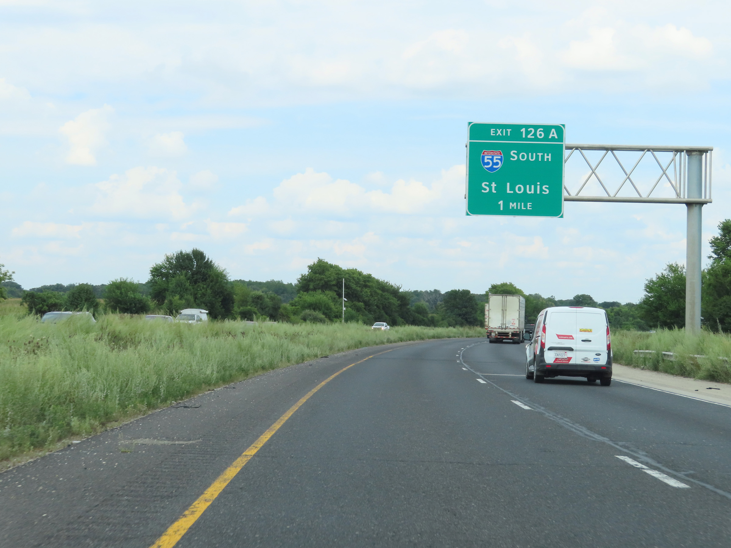
Interstate 80 East at Exit 126A: Interstate 55 South - St. Louis (Photo taken 8/19/22). |
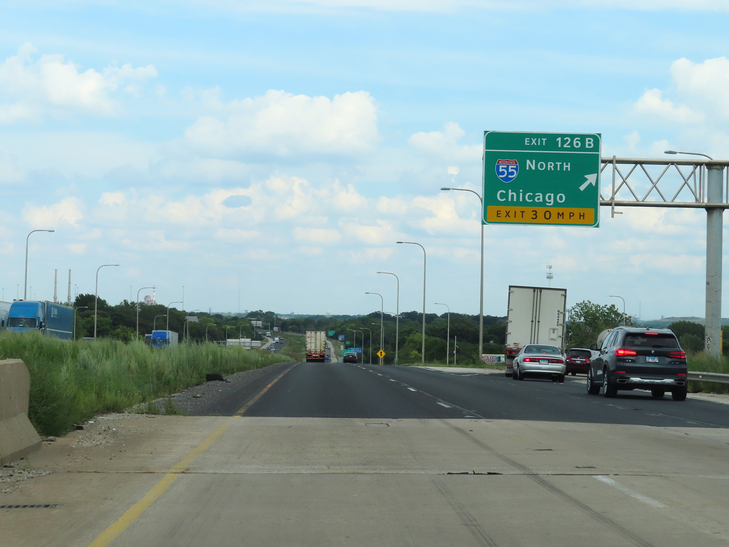 |
Interstate 80 East at Exit 126B: Interstate 55 North - Chicago (Photo taken 8/19/22). |
 |
Take any of the next 8 exits to Joliet. (Photo taken 8/19/22). |
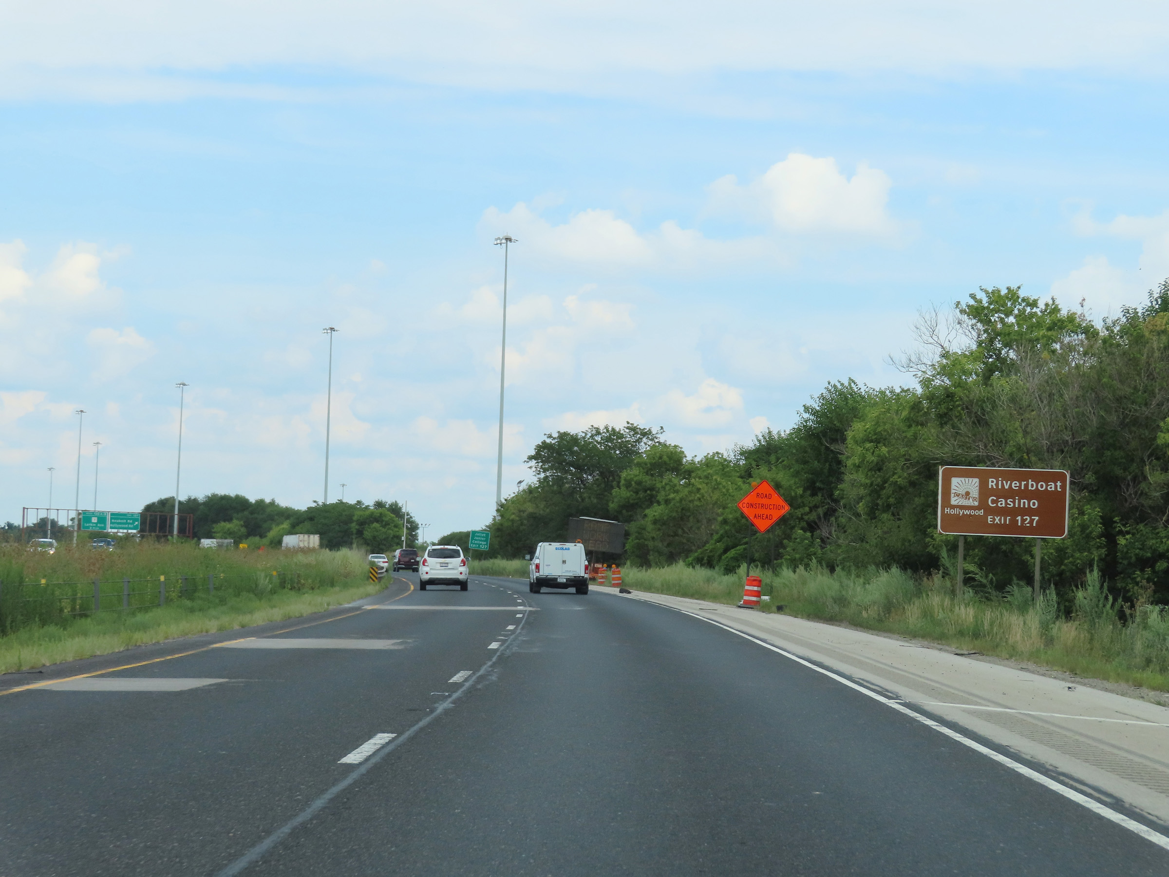 |
Take Exit 127 to the Riverboat Casino. (Photo taken 8/19/22). |
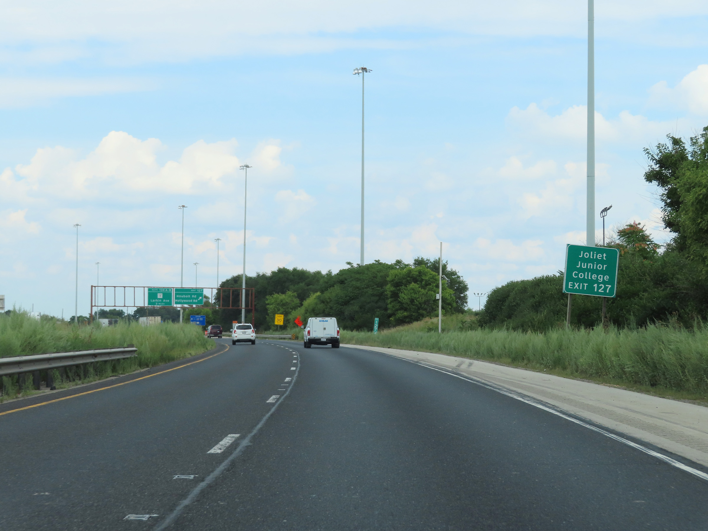 |
Also take Exit 127 to Joliet Junior College. (Photo taken 8/19/22). |
 |
Interstate 80 East at Exit 127: Houbolt Rd / Hollywood Rd (Photo taken 8/19/22). |
Section 3: Joliet (Exit 127) to Country Club Hills (Exit 151B)
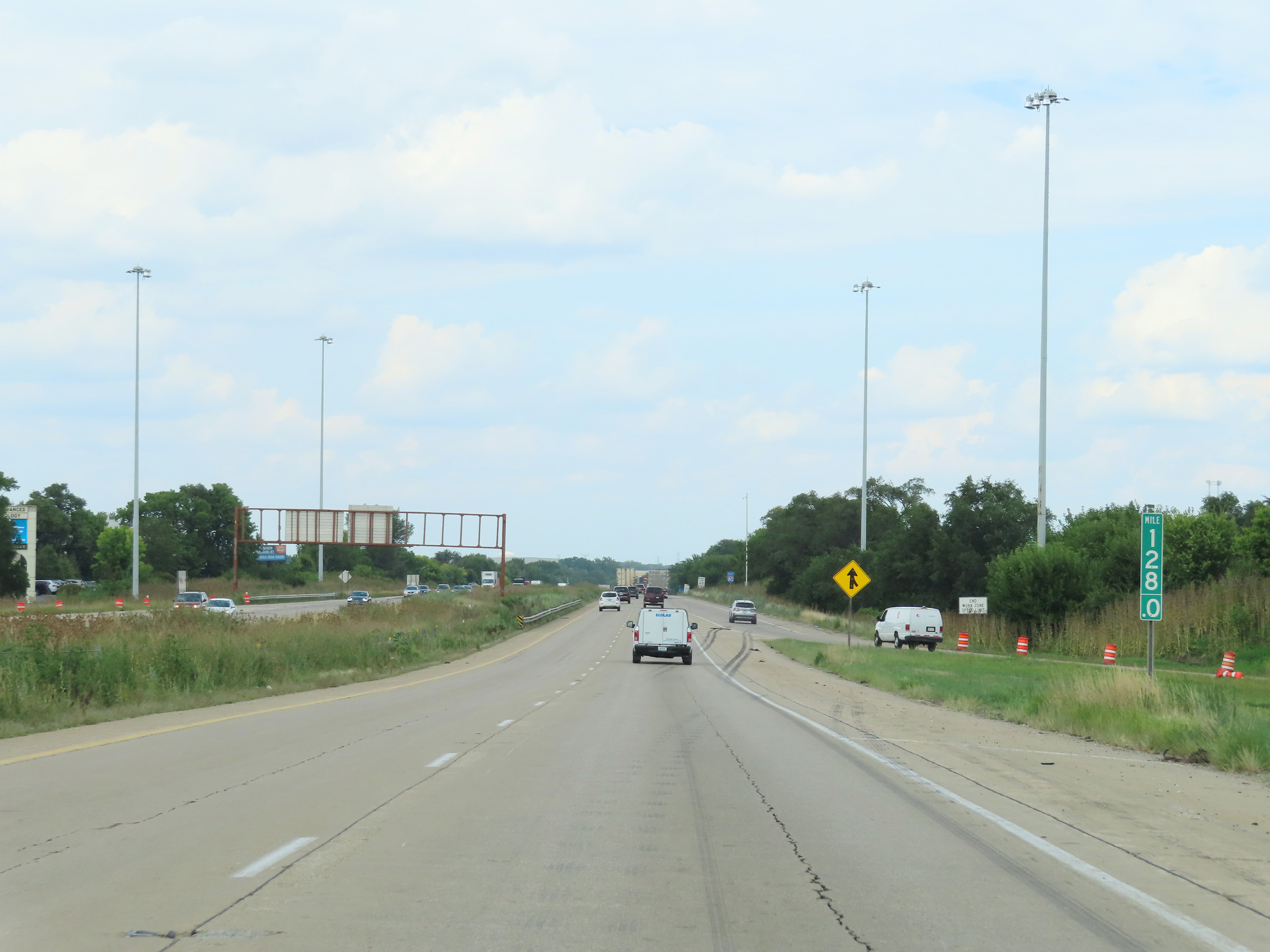 |
Interstate 80 East at mile marker 128. (Photo taken 8/19/22). |
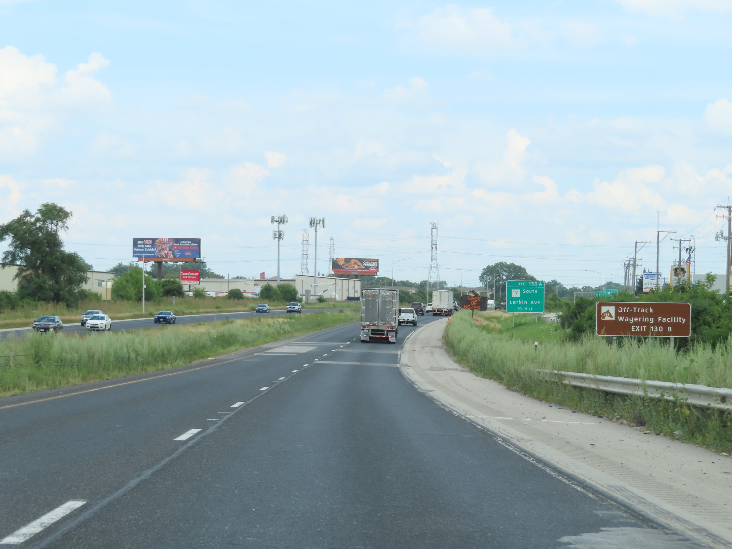 |
Take Exit 130B to the Off-Track Wagering Facility. (Photo taken 8/19/22). |
 |
Approaching Exit 130A, the maximum speed limit decreases to 55 mph for all traffic as Interstate 80 East enters a congested area in Joliet. The minimum speed limit remains 45 mph. (Photo taken 8/19/22). |
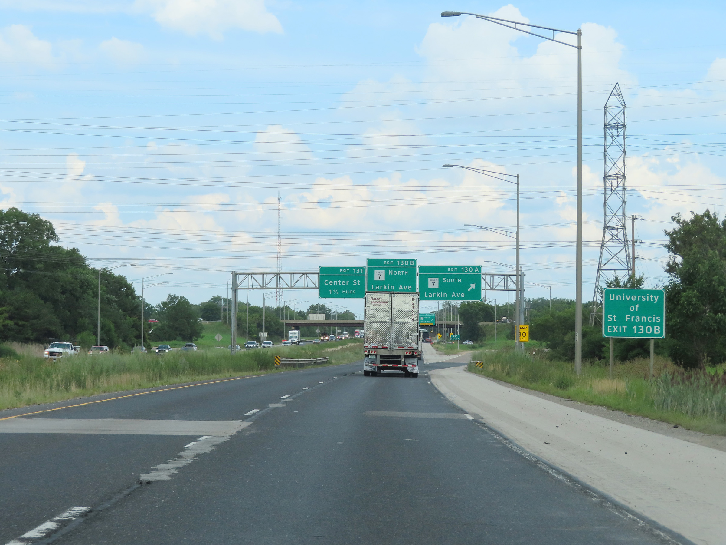 |
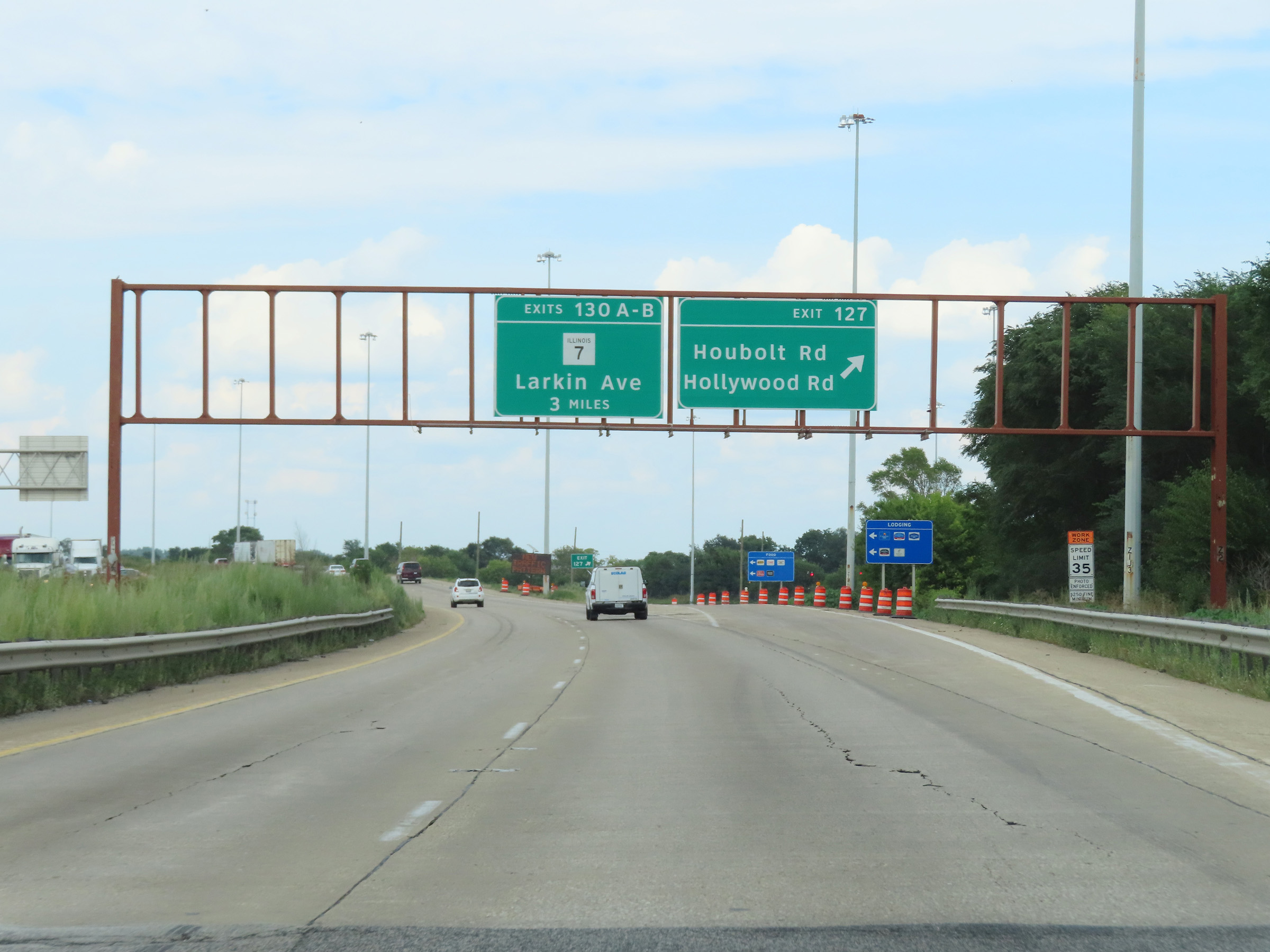
Take Exit 130A to University of St. Francis. (Photo taken 8/19/22). |
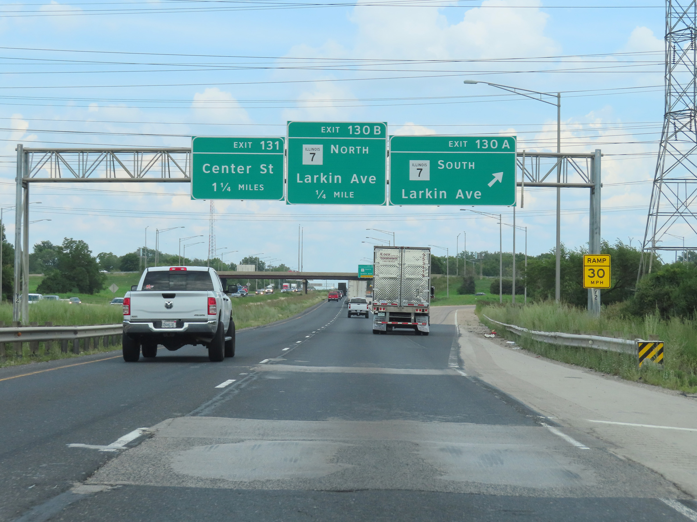 |
Interstate 80 East at Exit 130A: IL 7 South - Larkin Ave (Photo taken 8/19/22). |
 |
Interstate 80 East at Exit 130B: IL 7 North - Larkin Ave (Photo taken 8/19/22). |
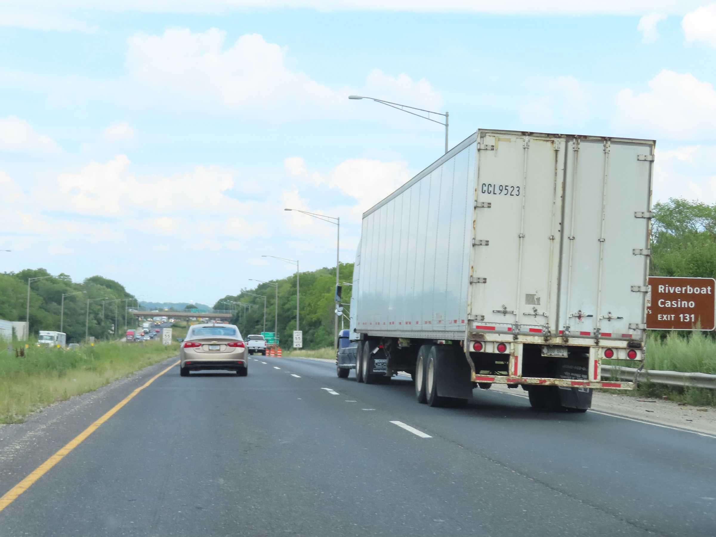 |
Take Exit 131 to the Riverboat Casino. (Photo taken 8/19/22). |
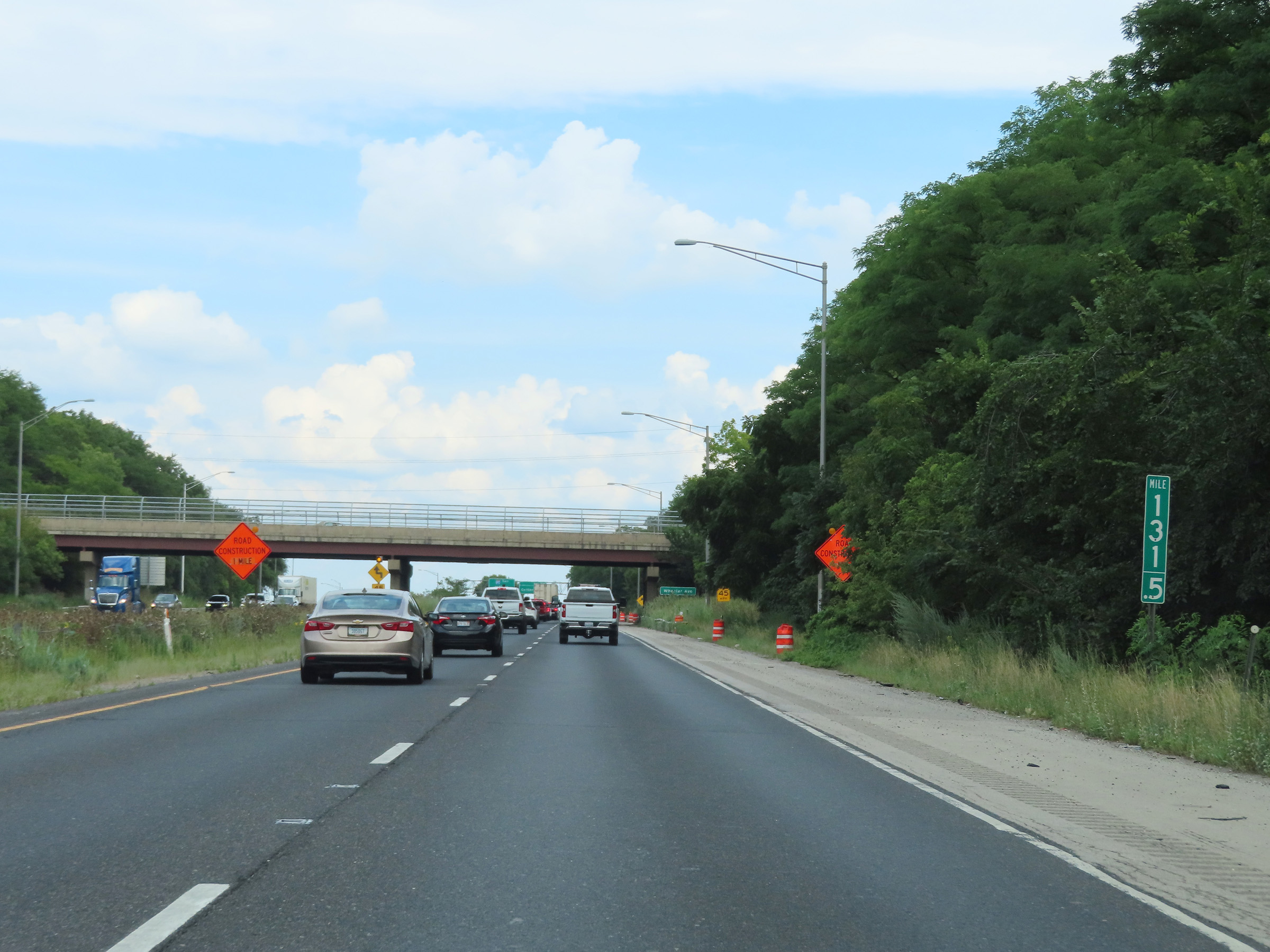 |
View on Interstate 80 East at mile marker 131.5. (Photo taken 8/19/22). |
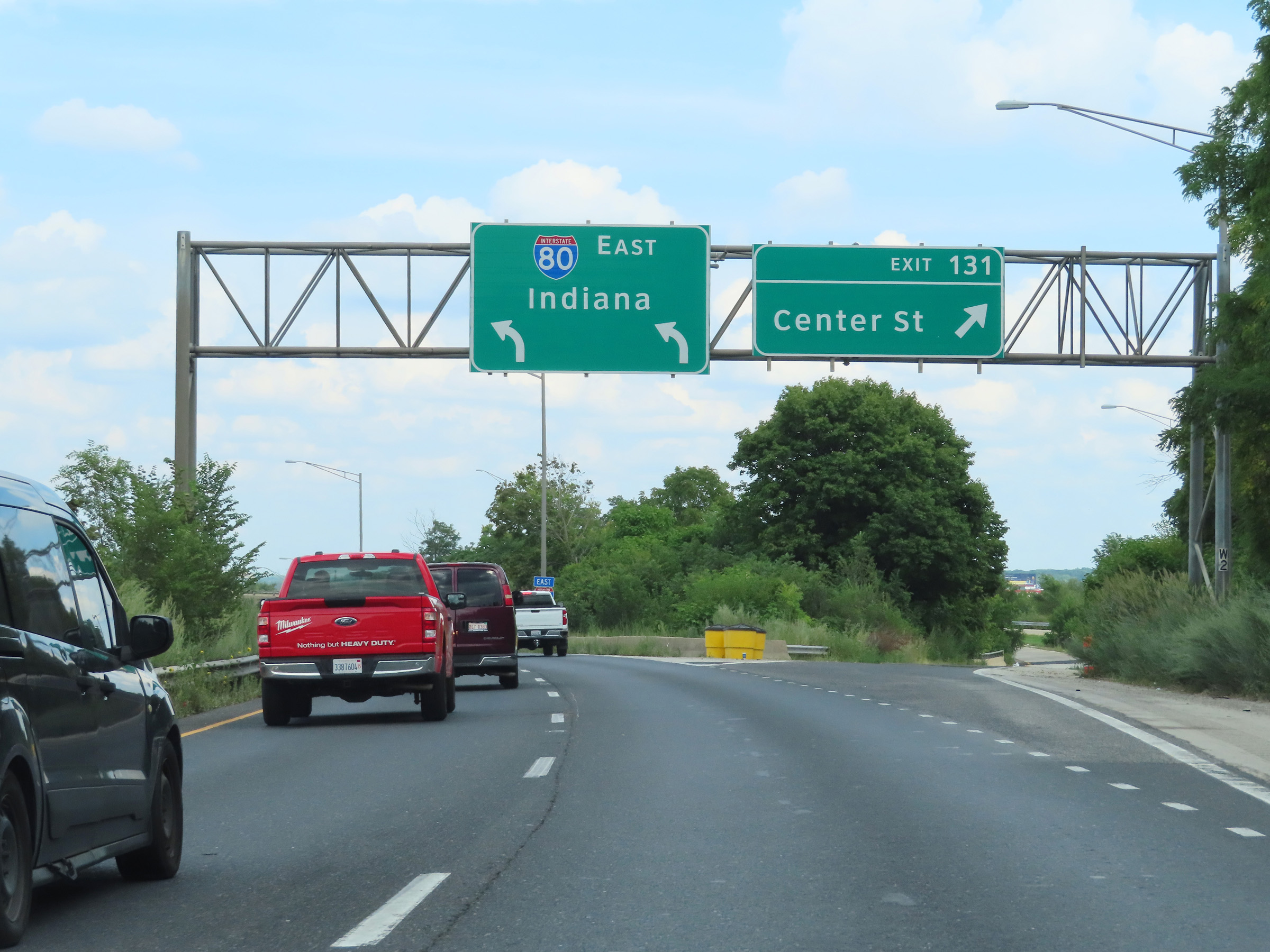 |
Interstate 80 East at Exit 131: Center St (Photo taken 8/19/22). |
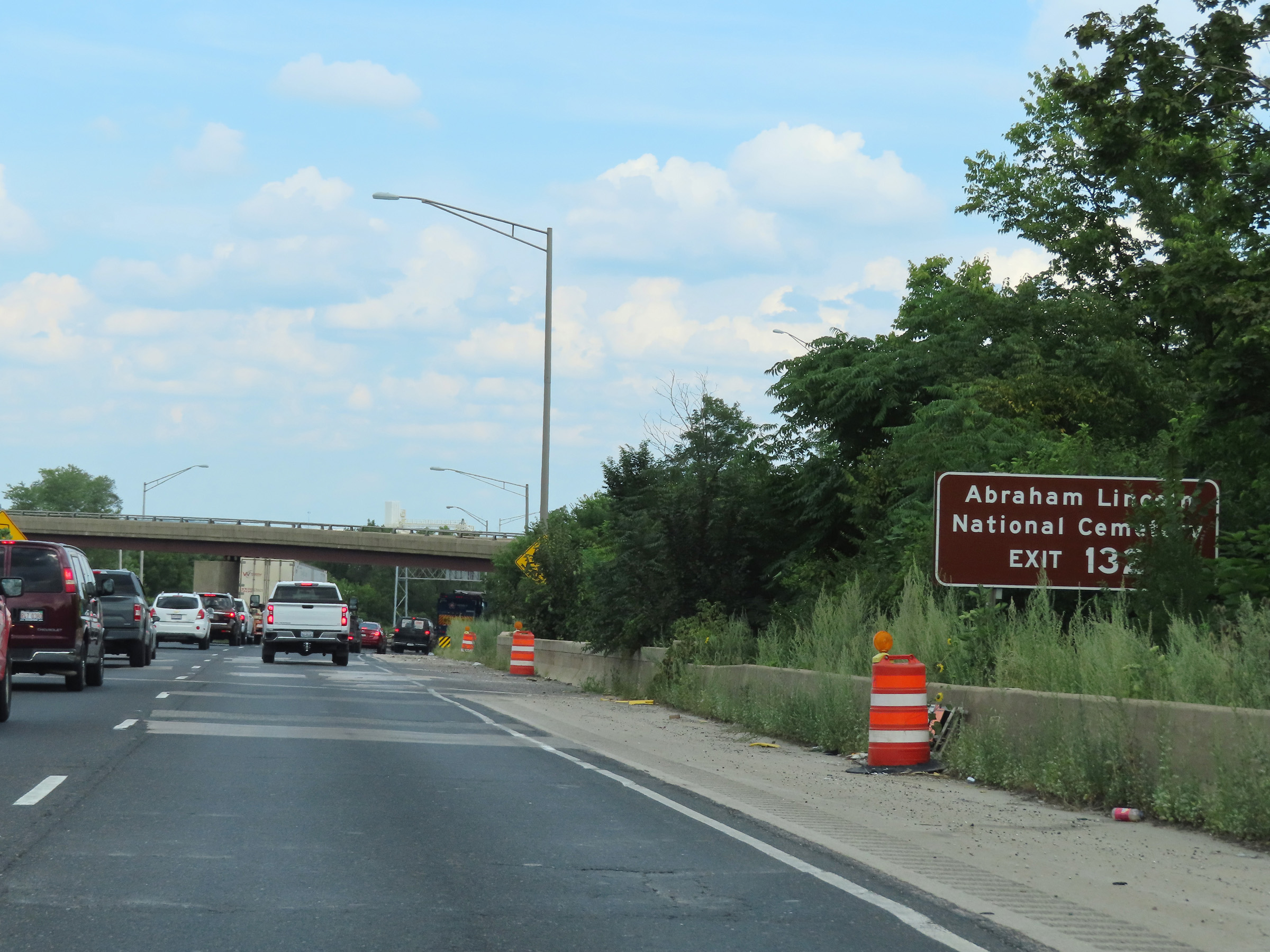 |
Take Exit 132A to Abraham Lincoln National Cemetery. (Photo taken 8/19/22). |
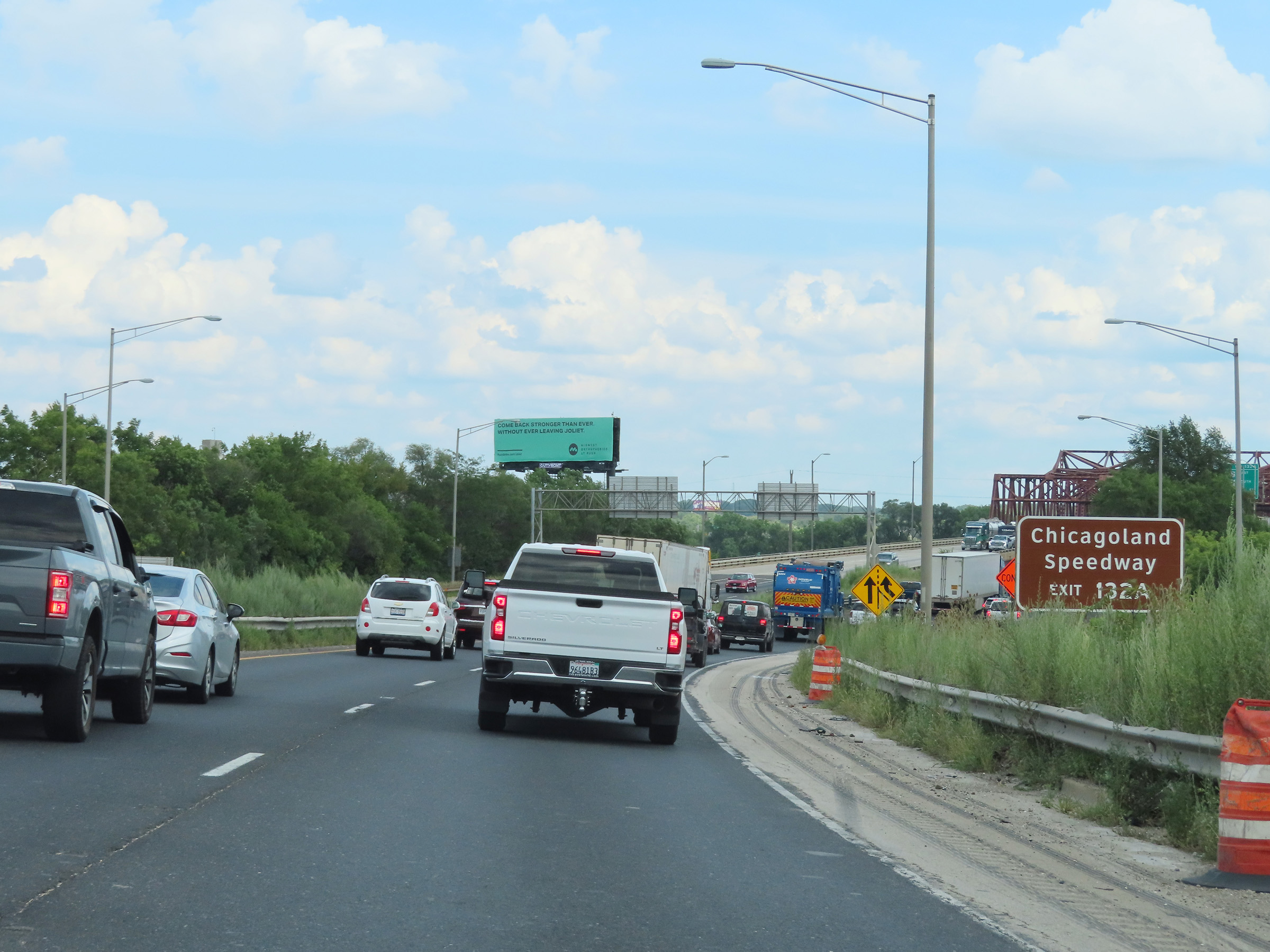 |
Also take Exit 132A to Chicagoland Speedway. (Photo taken 8/19/22). |
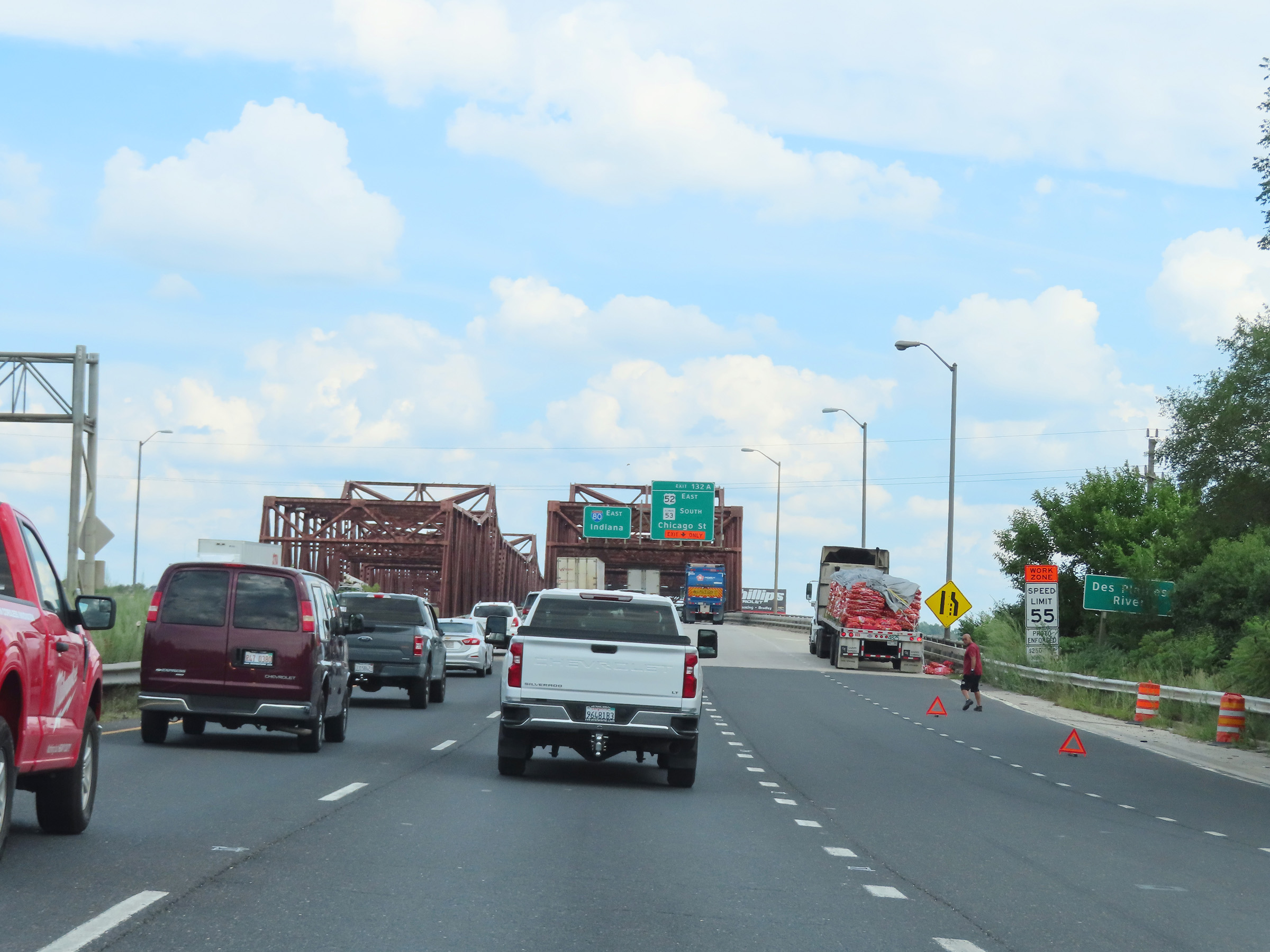 |
Interstate 80 East as it prepares to cross the Des Plaines River on the Des Plaines River Bridge. (Photo taken 8/19/22). |
 |
View on Interstate 80 East as it starts across the Des Plaines River Bridge over the Des Plaines River in Joliet. (Photo taken 8/19/22). |
 |
Interstate 80 East as it reaches the peak of the Des Plaines River Bridge. (Photo taken 8/19/22). |
 |
View on Interstate 80 East as it descends the east side of the Des Plaines River Bridge. (Photo taken 8/19/22). |
 |
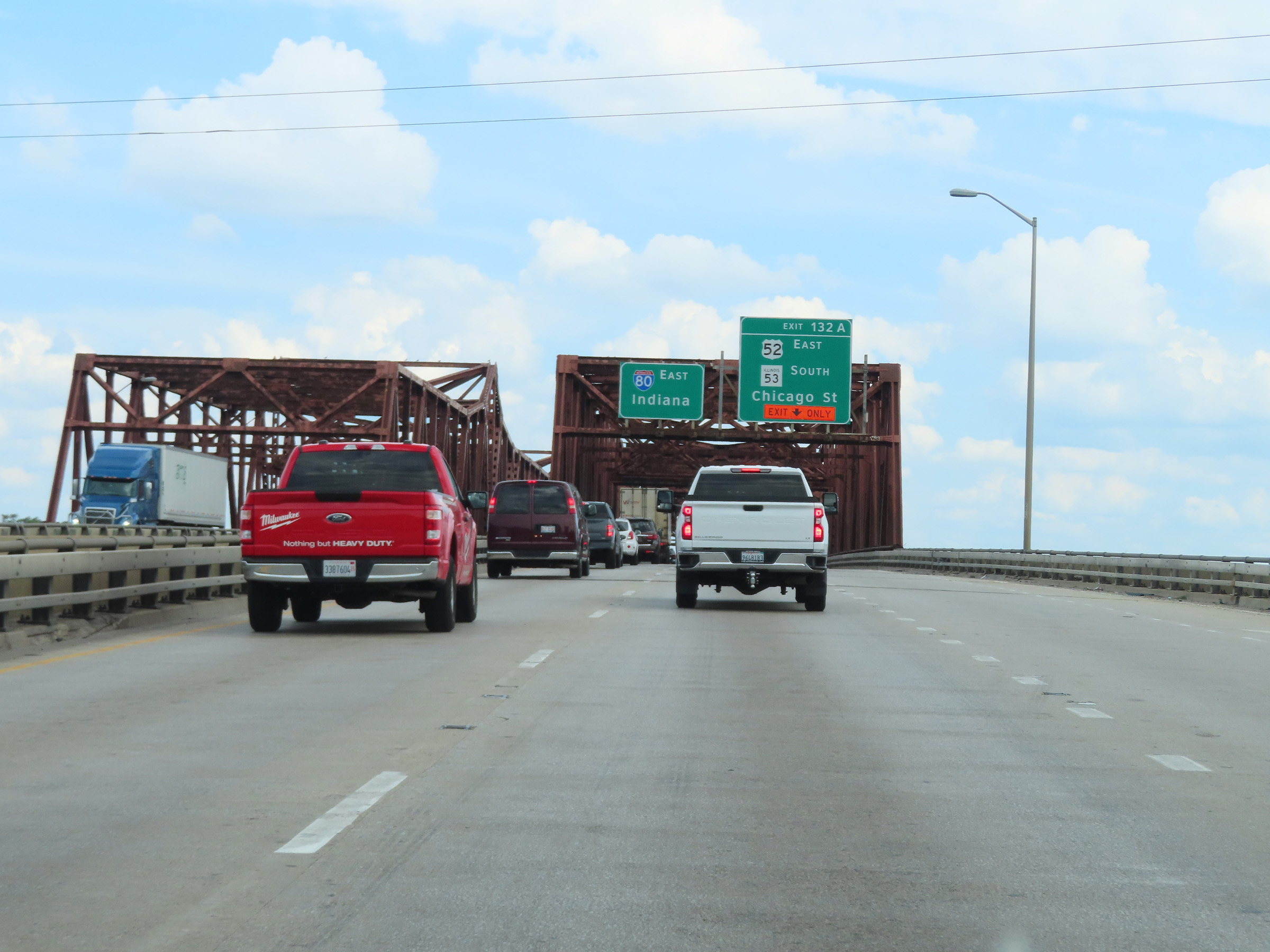
Interstate 80 East reassurance shield as it reaches the east side of the Des Plaines River in Joliet. (Photo taken 8/19/22). |
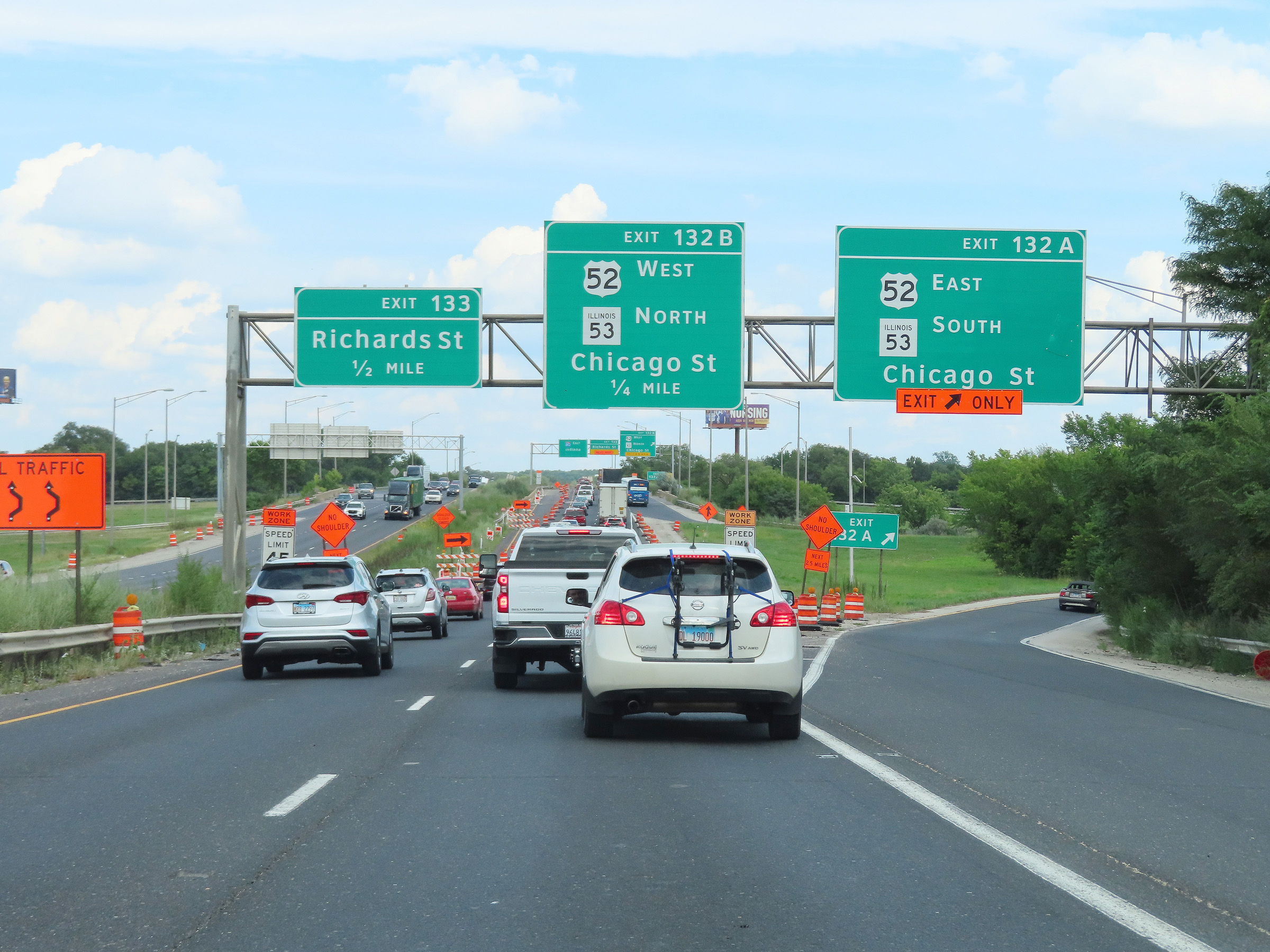 |
Interstate 80 East at Exit 132A: US 52 East / IL 53 South - Chicago St (Photo taken 8/19/22). |
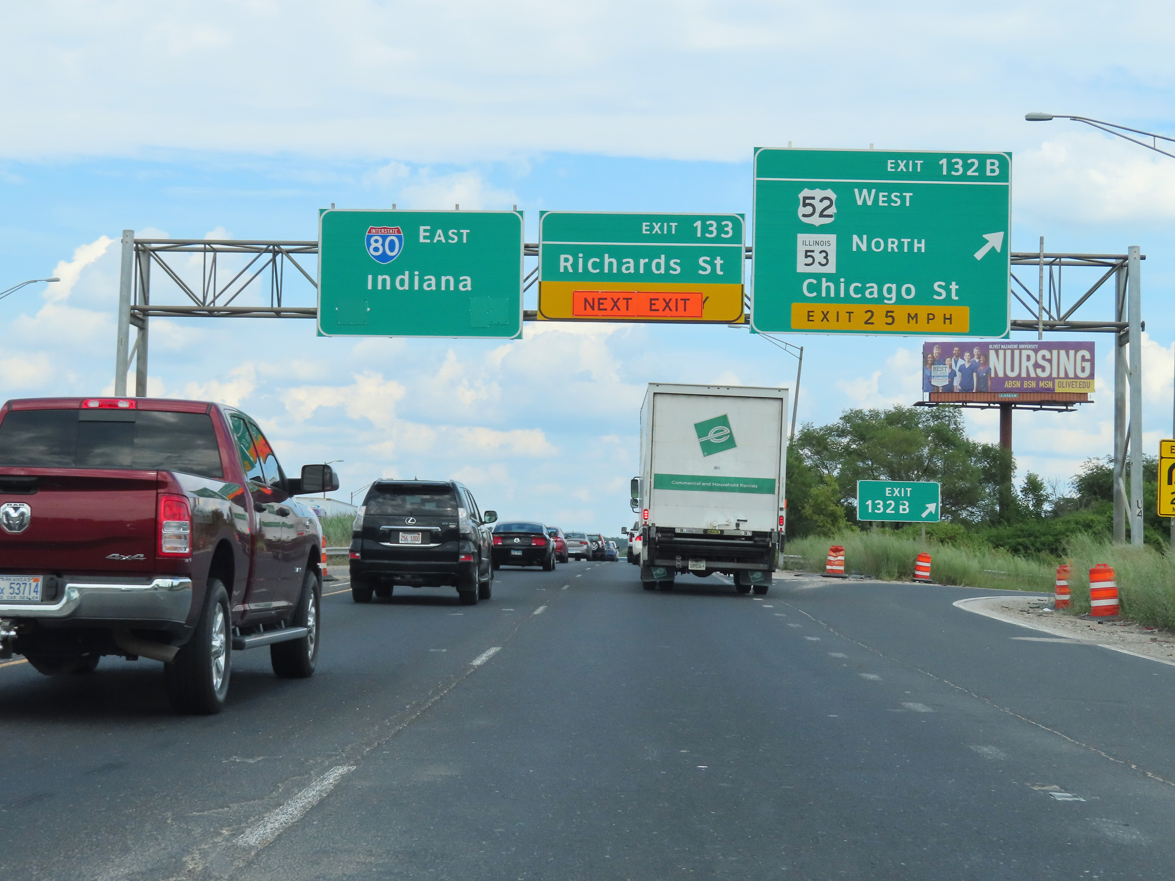 |
Interstate 80 East at Exit 132B: US 52 West / IL 53 North - Chicago St (Photo taken 8/19/22). |
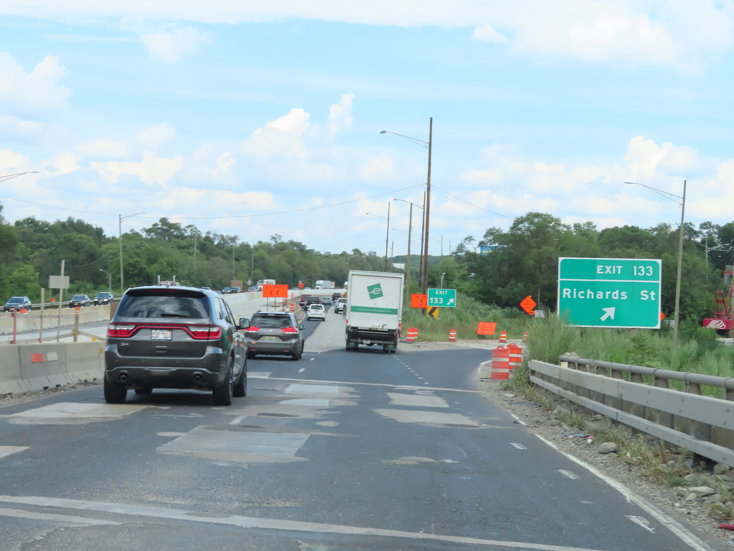 |
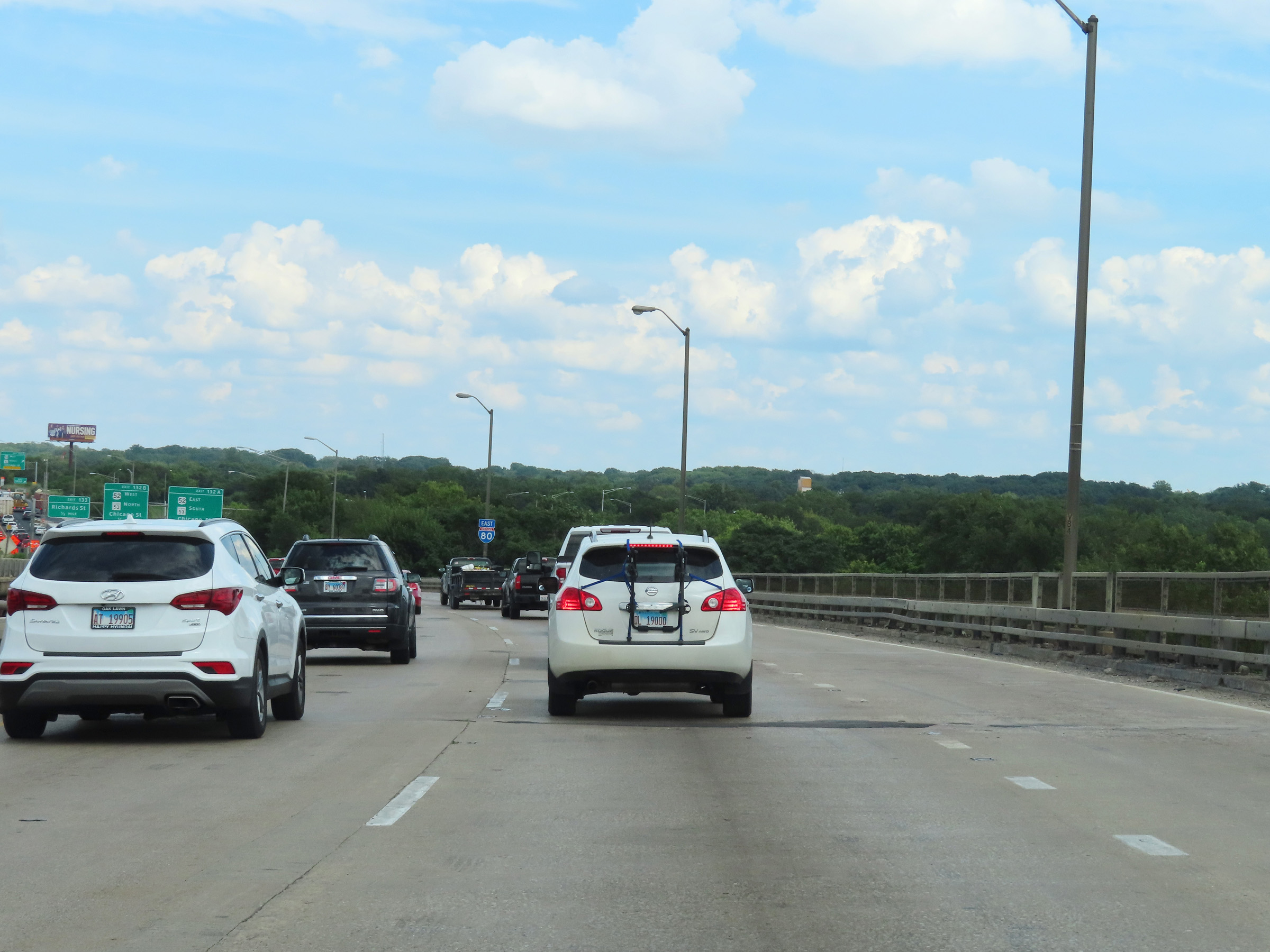
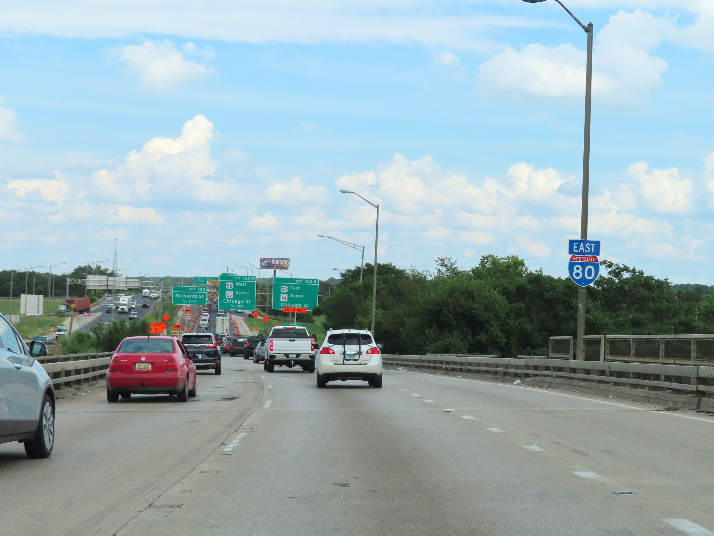
Interstate 80 East at Exit 133: Richards St (Photo taken 8/19/22). |
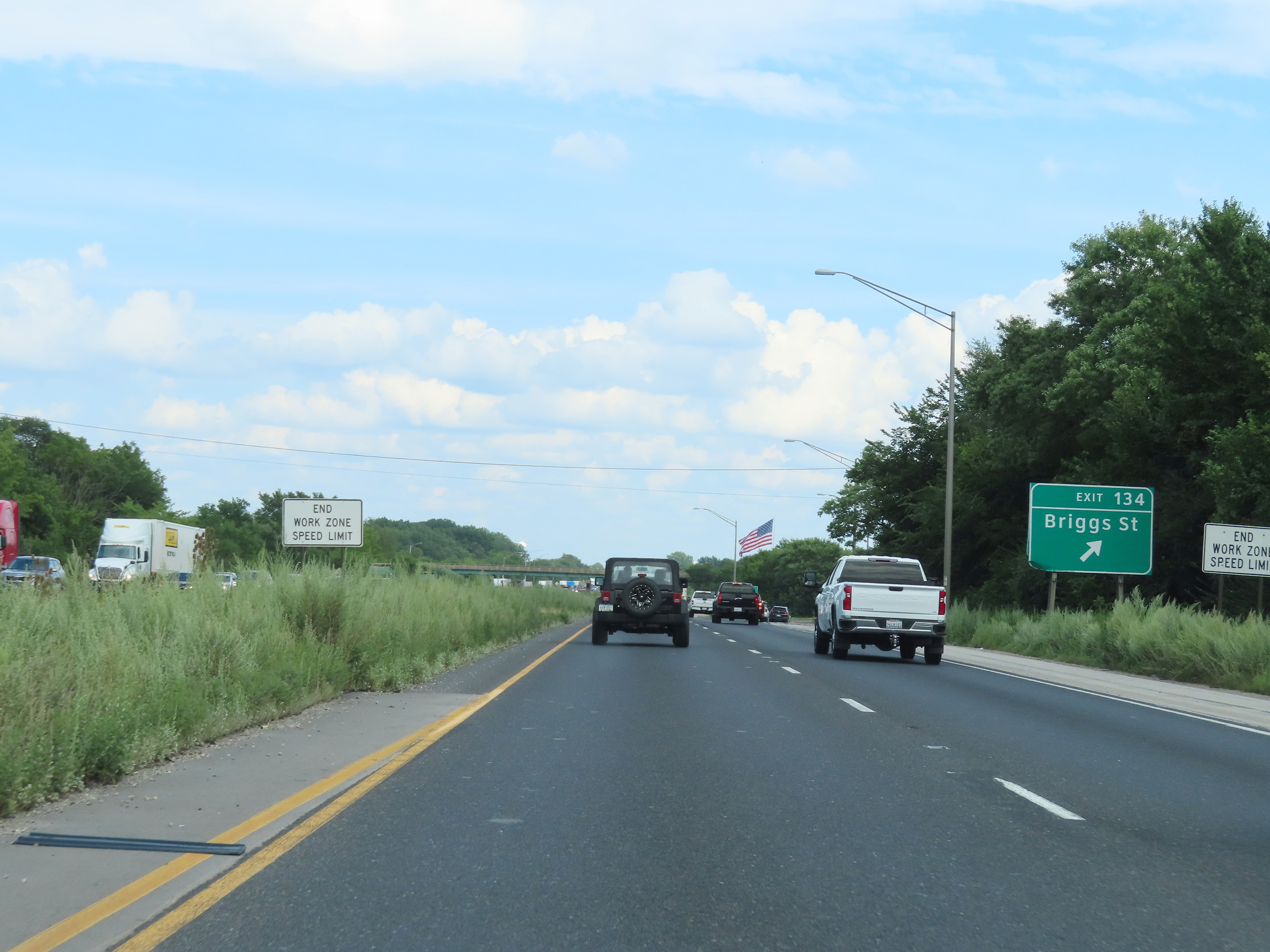 |
Interstate 80 East at Exit 134: Briggs St (Photo taken 8/19/22). |
 |
Mile marker 135 on Interstate 80 East in Will County. (Photo taken 8/19/22). |
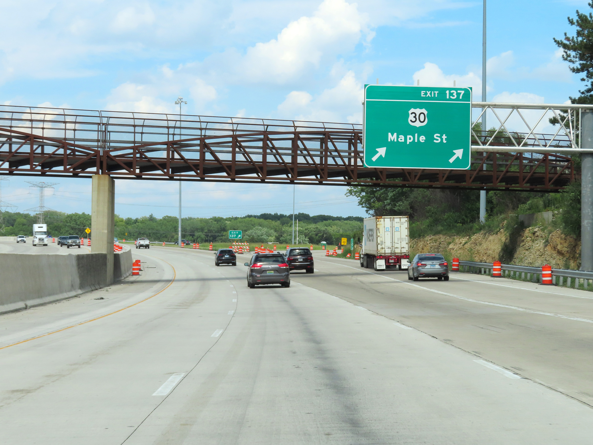 |
Interstate 80 East at Exit 137: US 30 - Maple St (Photo taken 8/19/22). |
 |
At mile marker 138, the maximum speed limit for automobiles increases to 65 mph once again. The minimum speed limit for all traffic remains 45 mph. (Photo taken 8/19/22). |
 |
The truck speed limit increases to 60 mph once again at mile marker 138. (Photo taken 8/19/22). |
 |
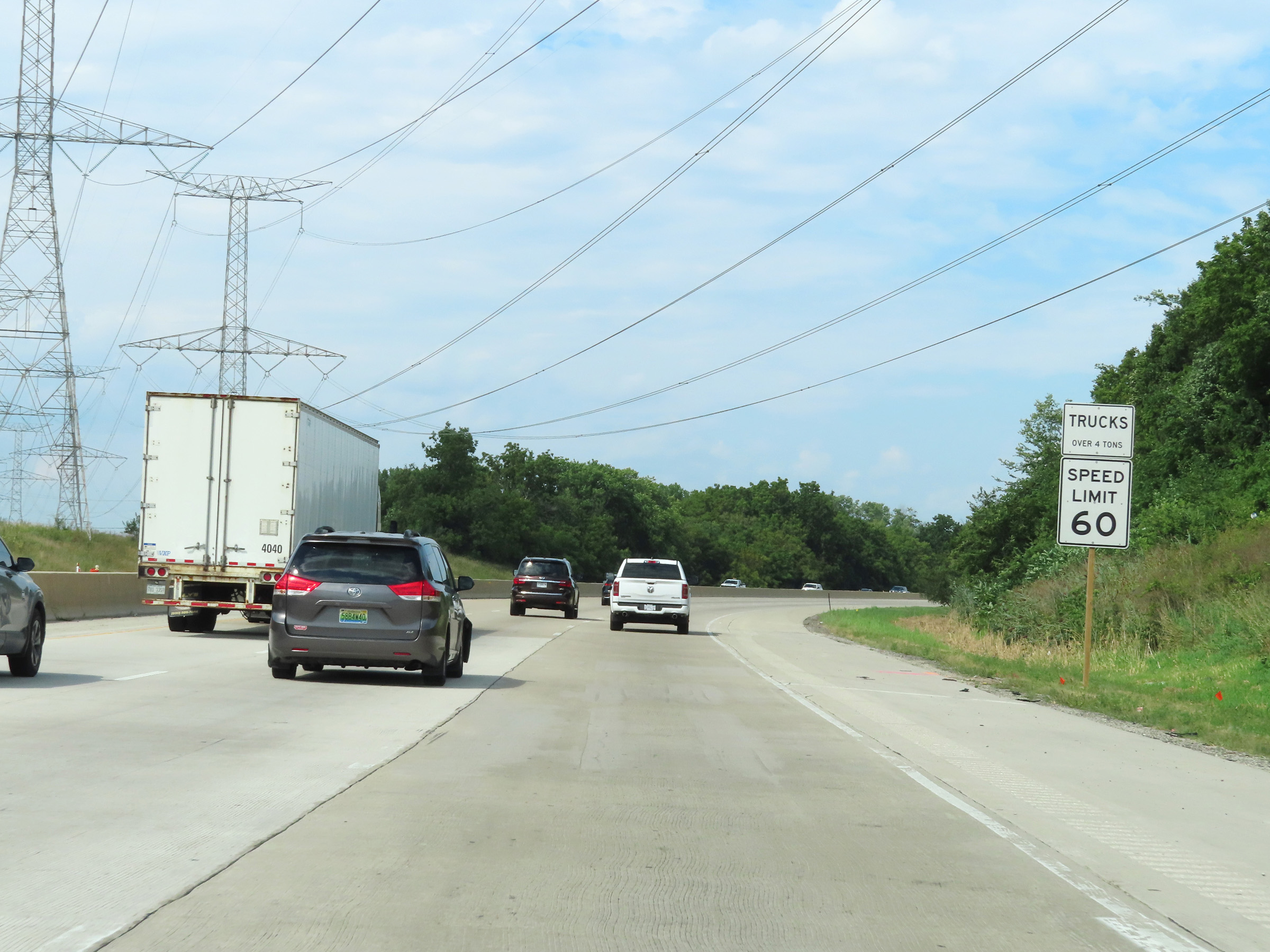
East of Exit 137, Interstate 80 East maintains three thru lanes. Trucks are restricted to the two right lanes. (Photo taken 8/19/22). |
 |
Interstate 80 East approaching Exit 140 - 1 mile. (Photo taken 8/19/22). |
 |
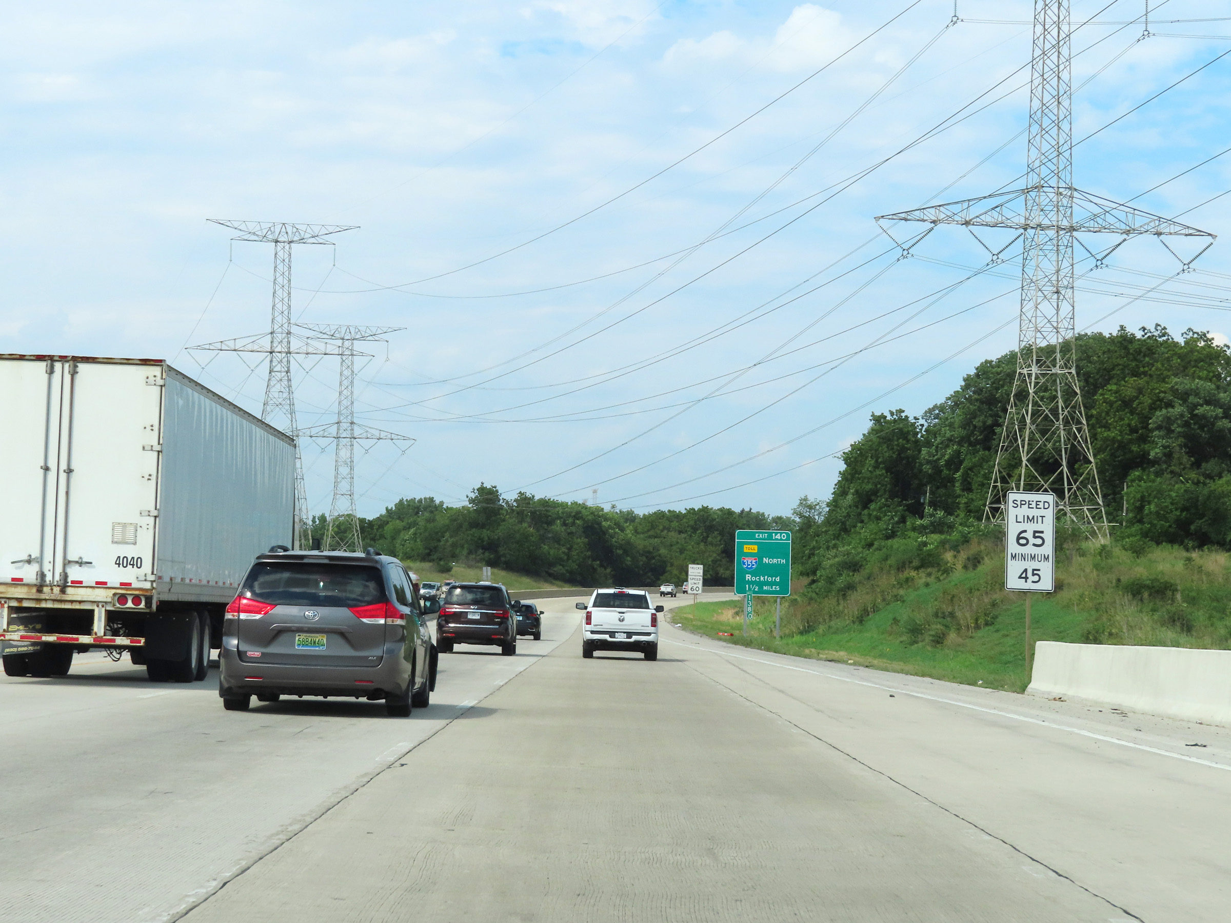
Take Exit 140 and follow Interstate 355 North to get to US 6. (Photo taken 8/19/22). |
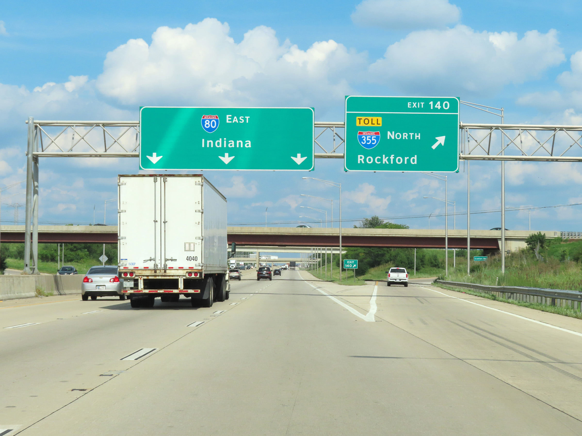 |
Interstate 80 East at Exit 140: Interstate 355 North - Rockford (Photo taken 8/19/22). |
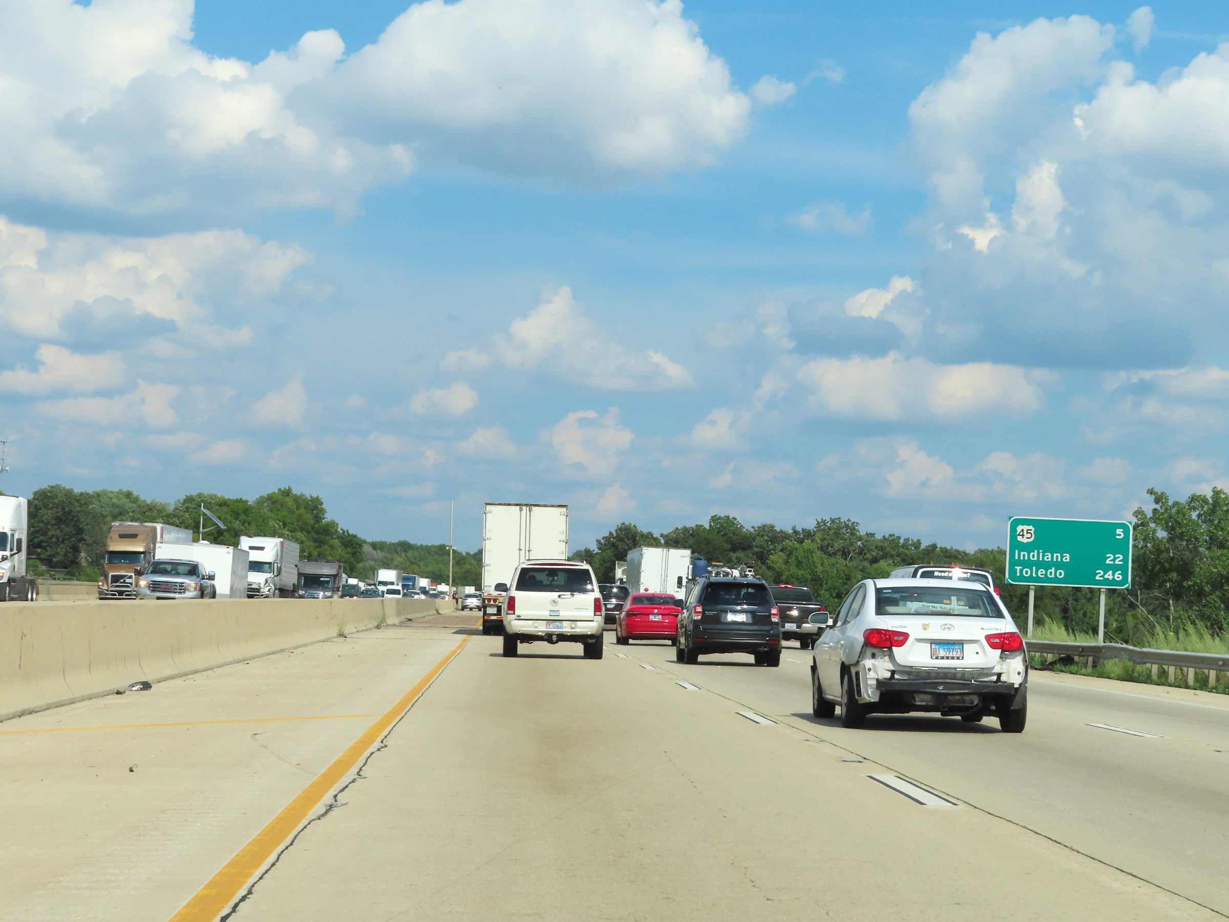 |
Mileage sign on Interstate 80 East. It's 5 miles to the junction of US 45, 22 miles to the Indiana state line, and 246 miles to Toledo. (Photo taken 8/19/22). |
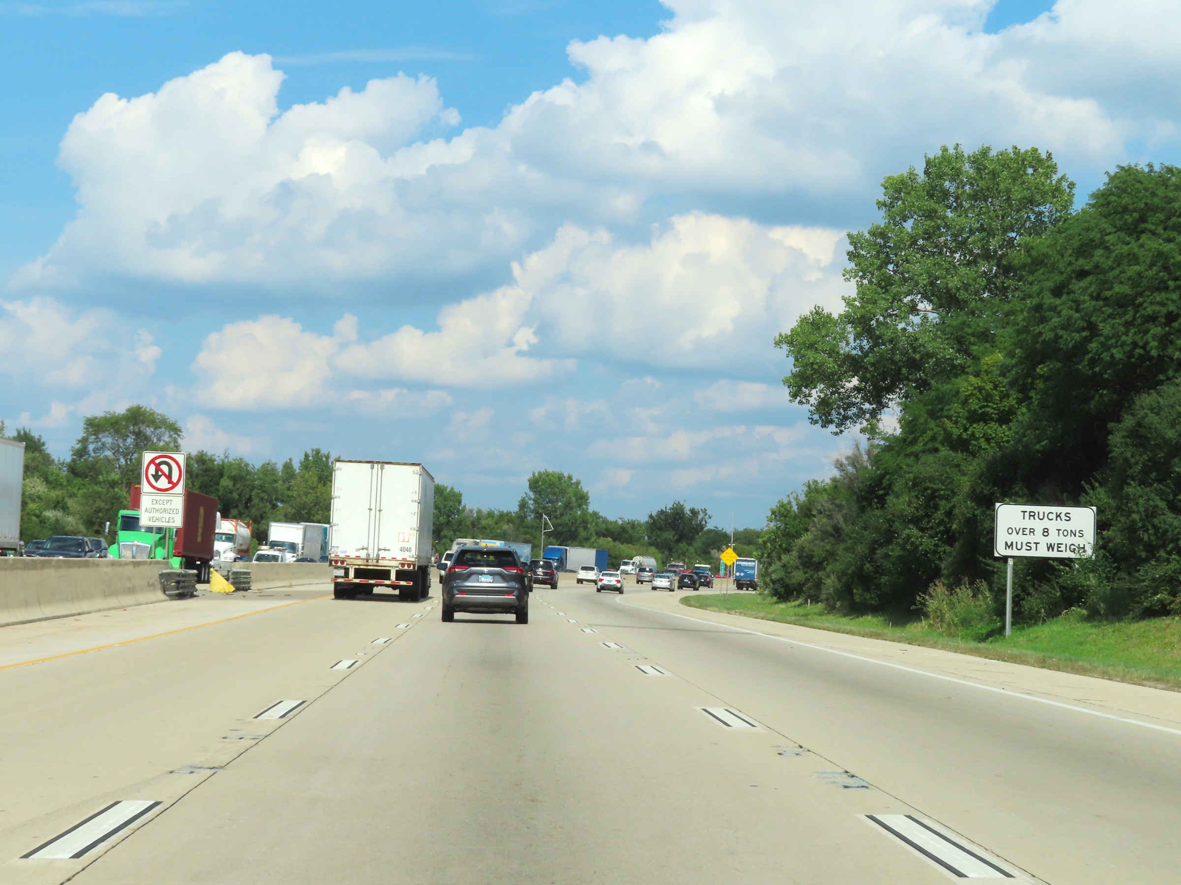 |
All trucks over 8 tons must enter the Weigh Station ahead when it is open. (Photo taken 8/19/22). |
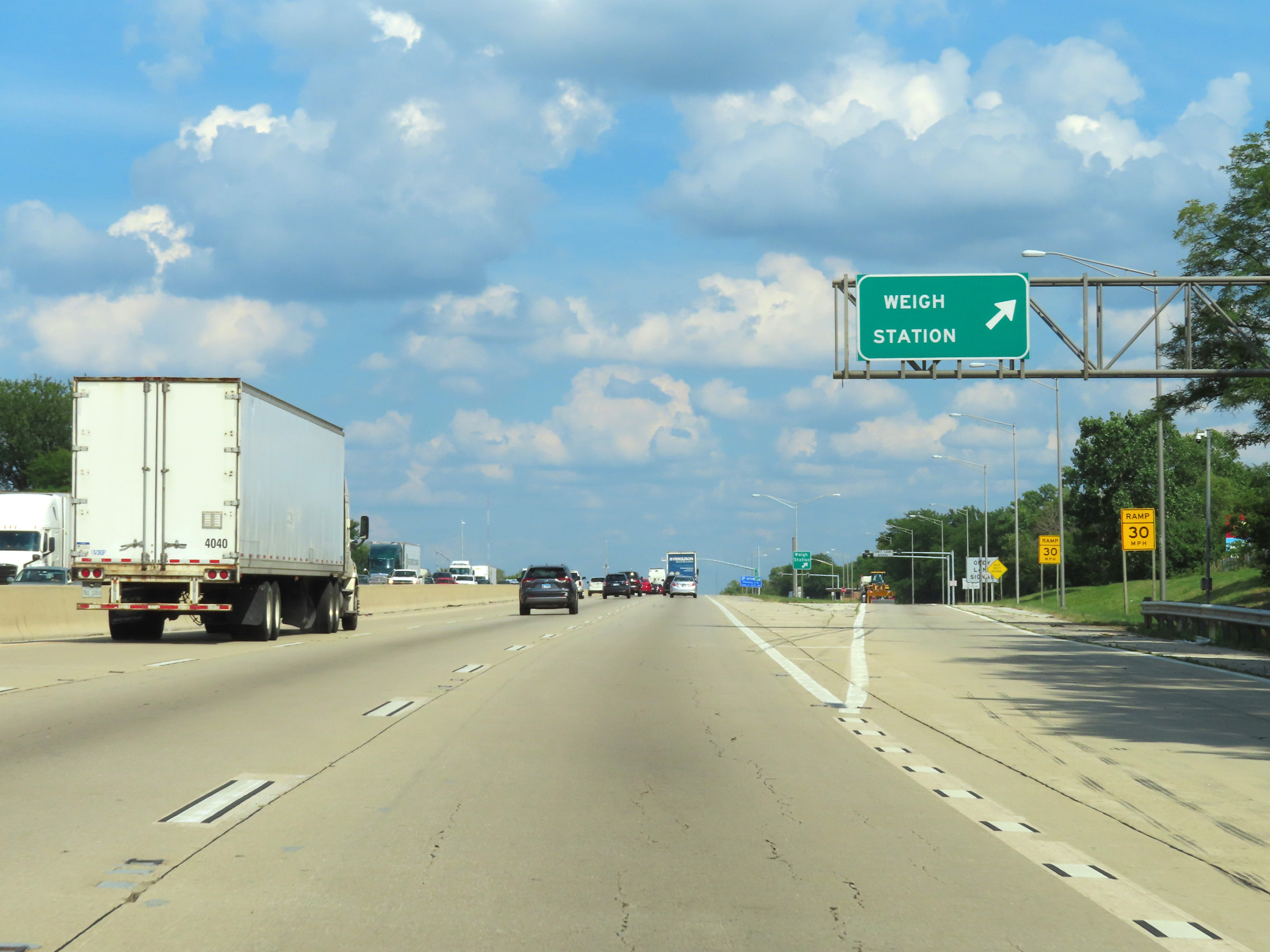 |
Weigh Station on Interstate 80 East in Will County. (Photo taken 8/19/22). |
 |
Another Interstate 80 East reassurance shield. (Photo taken 8/19/22). |
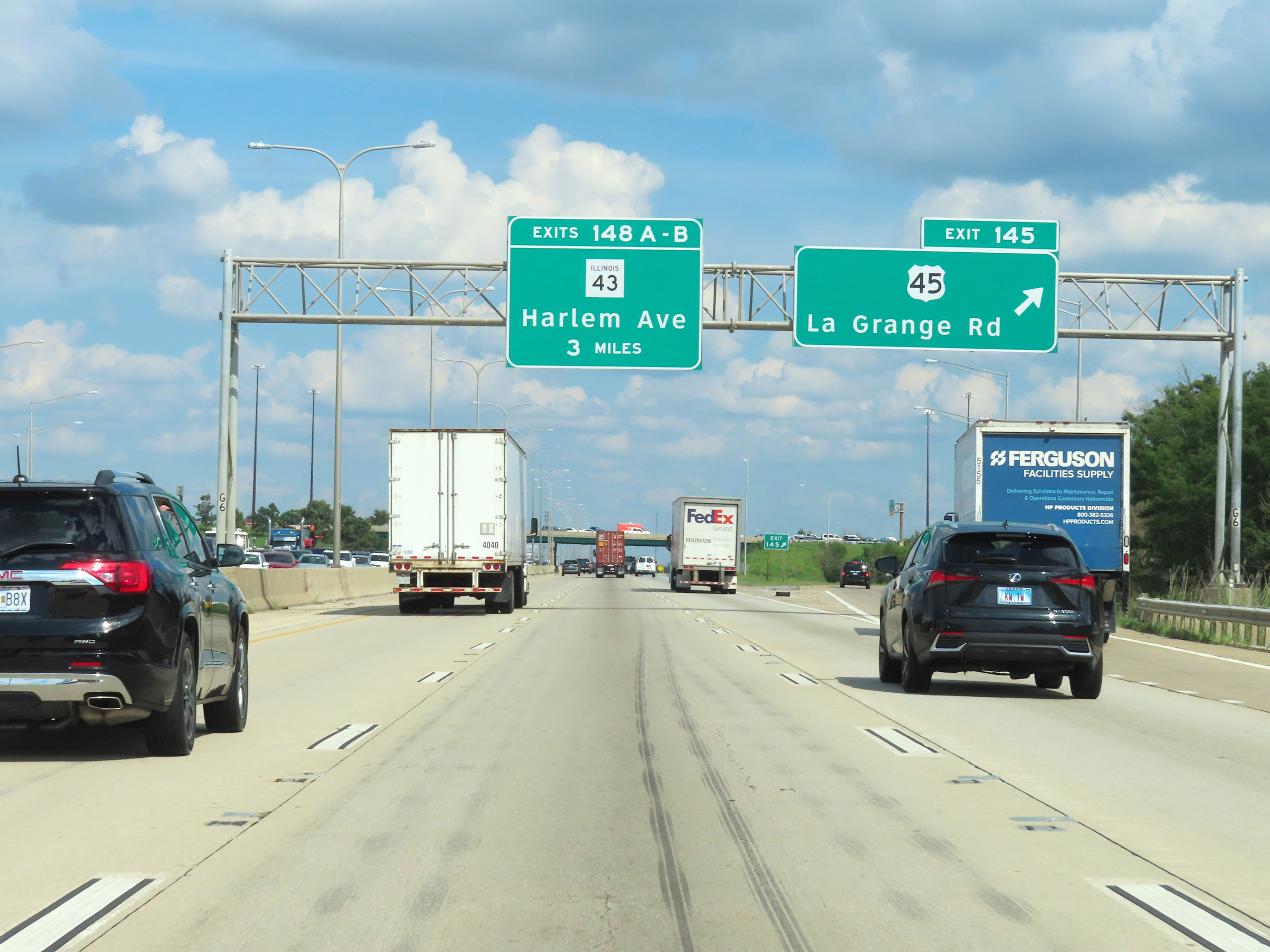 |
Interstate 80 East at Exit 145: US 45 - La Grange Rd (Photo taken 8/19/22). |
 |
View on Interstate 80 East at mile marker 147. (Photo taken 8/19/22). |
 |
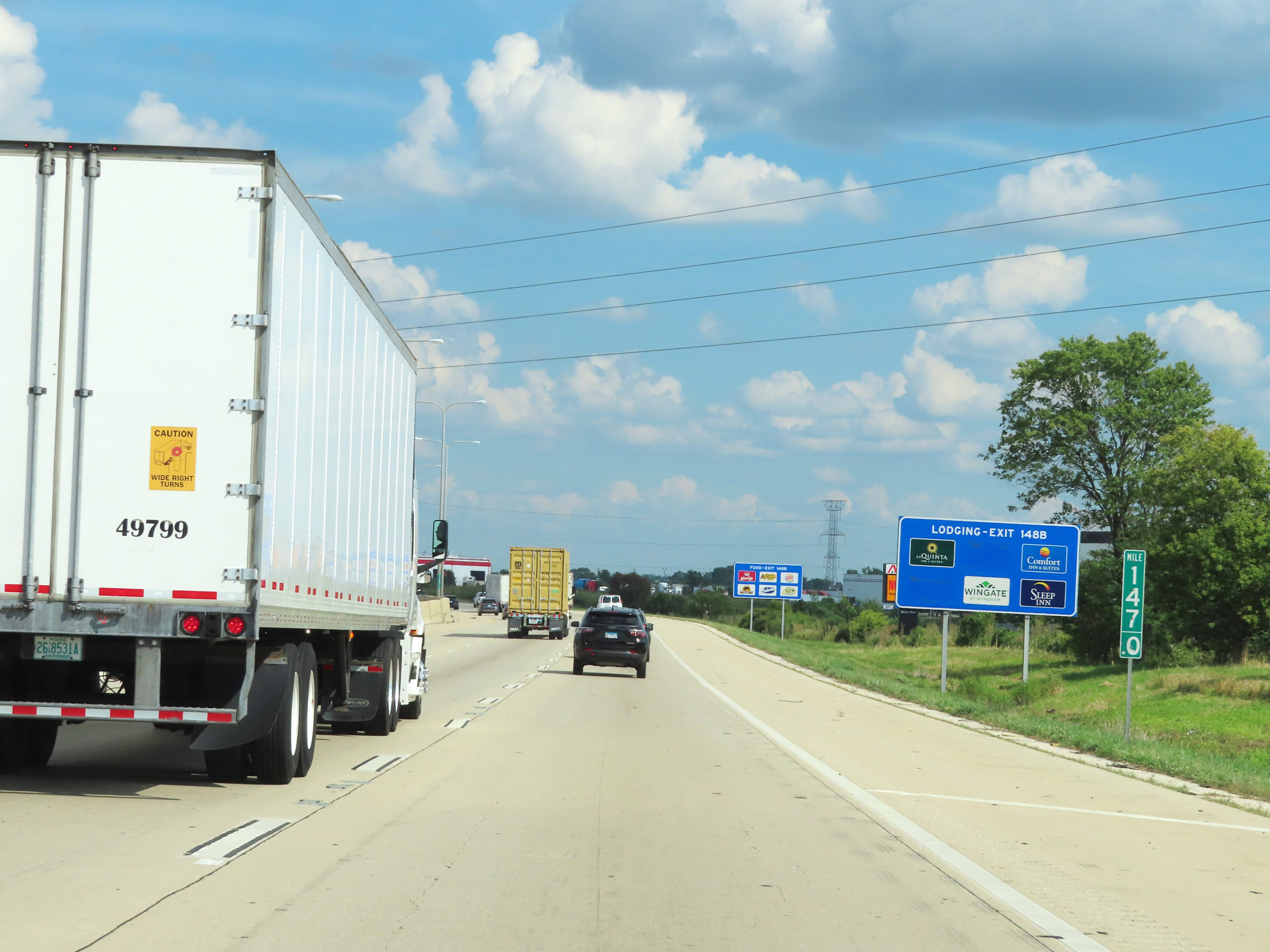
Take Exit 148B to Tinley Park. (Photo taken 8/19/22). |
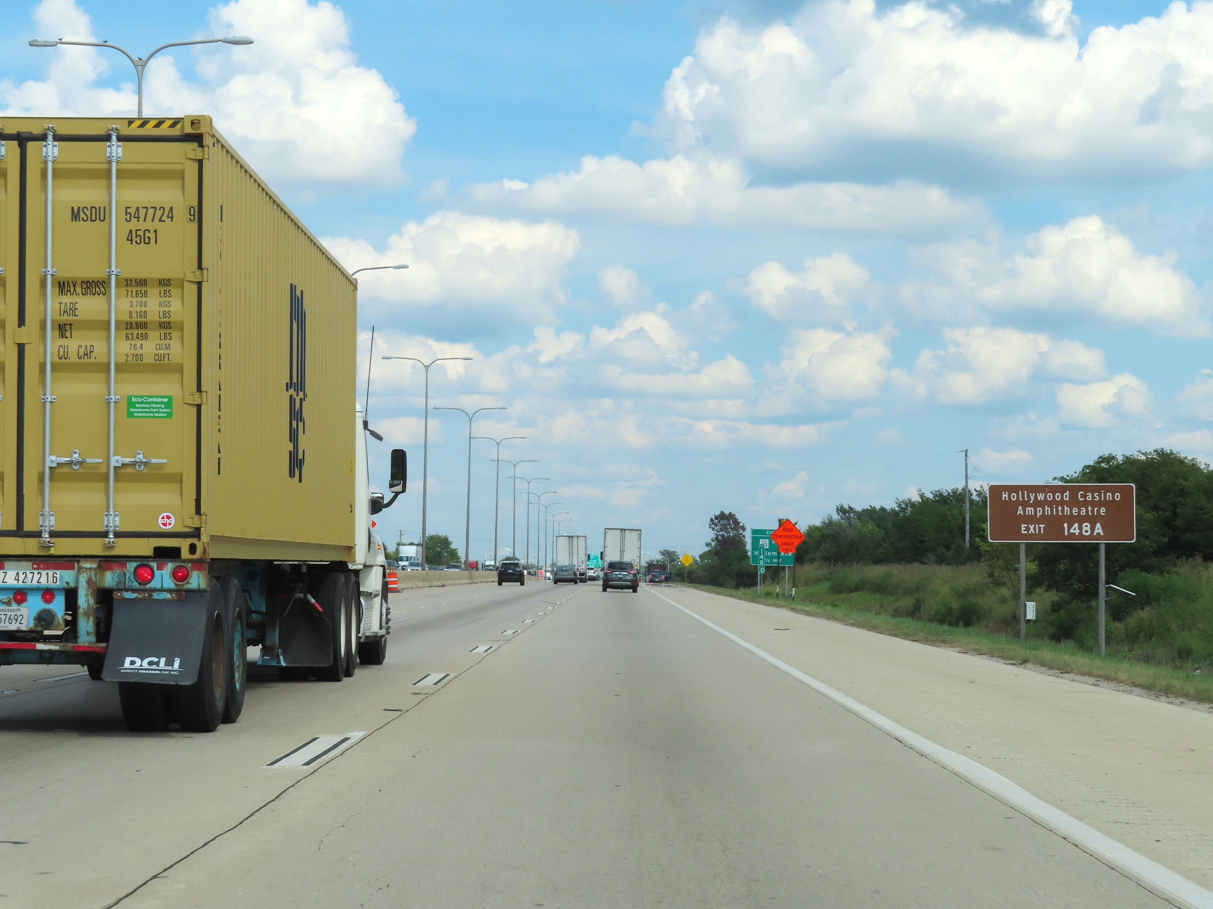 |
Take Exit 148A to Hollywood Casino Amphitheatre. (Photo taken 8/19/22). |
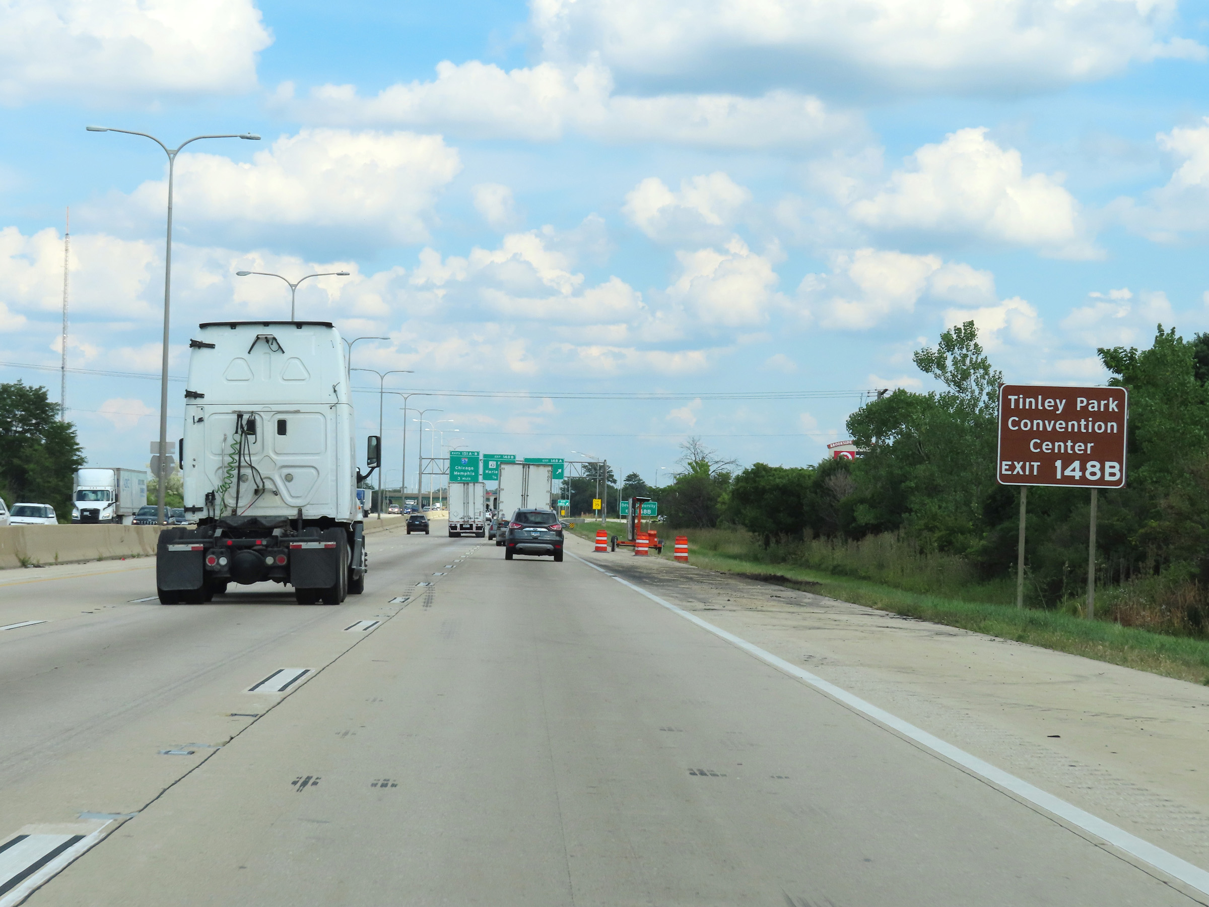 |
Also take Exit 148B to Tinely Park Convention Center. (Photo taken 8/19/22). |
 |
Traffic to Devry University should use Exit 148B. (Photo taken 8/19/22). |
 |
Interstate 80 East at Exit 148A: IL 43 South - Harlem Ave (Photo taken 8/19/22). |
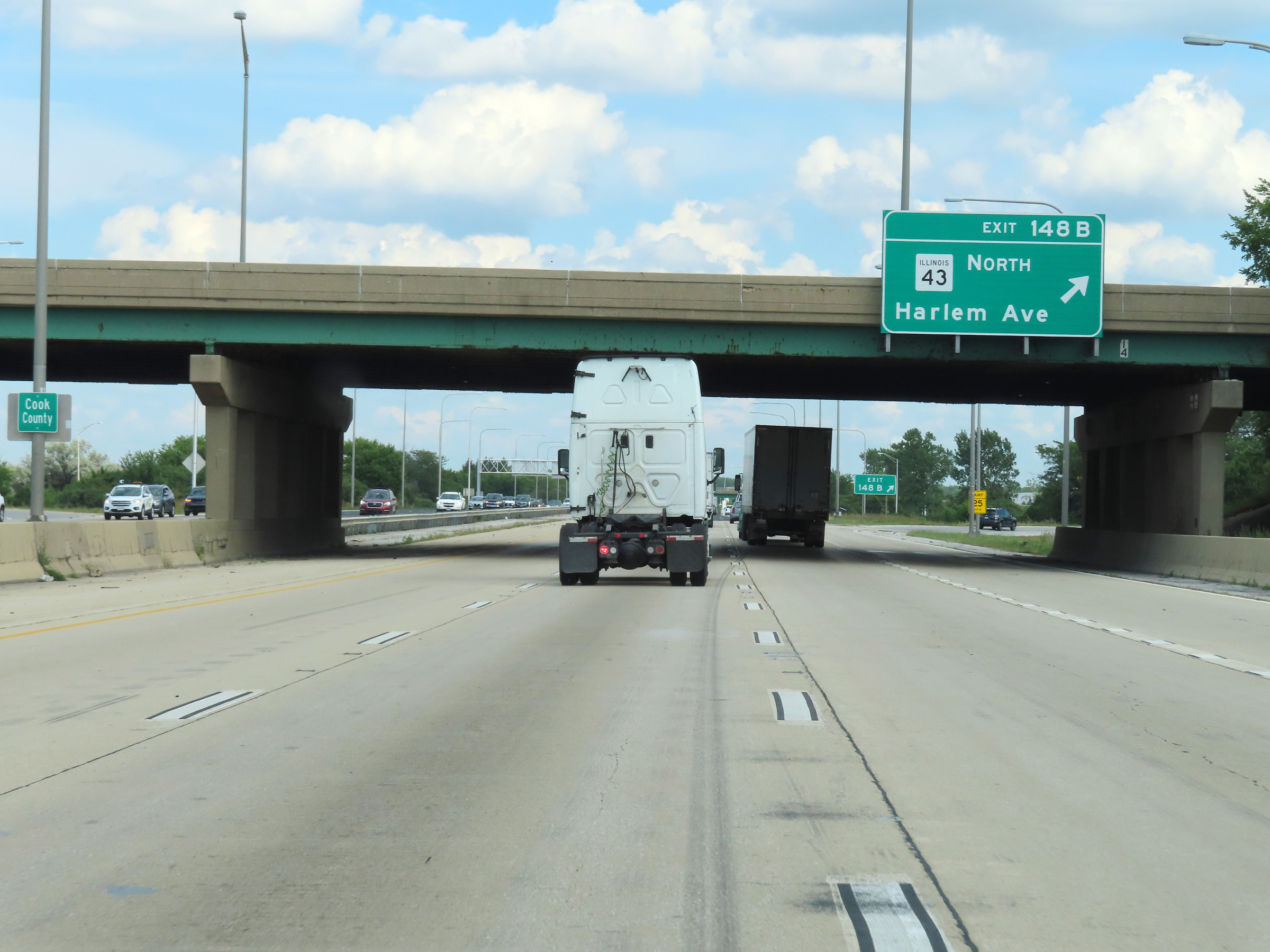 |
Interstate 80 East at Exit 148B: IL 43 North - Harlem Ave (Photo taken 8/19/22). |
 |
Advance signage for Exit 151A - 1 mile ahead. It is also at this point that Interstate 80 East enters Cook County. (Photo taken 8/19/22). |
 |
Upon entering Cook County, the maximum speed limit decreases to 55 mph for all traffic. The minimum speed limit remains 45 mph. (Photo taken 8/19/22). |
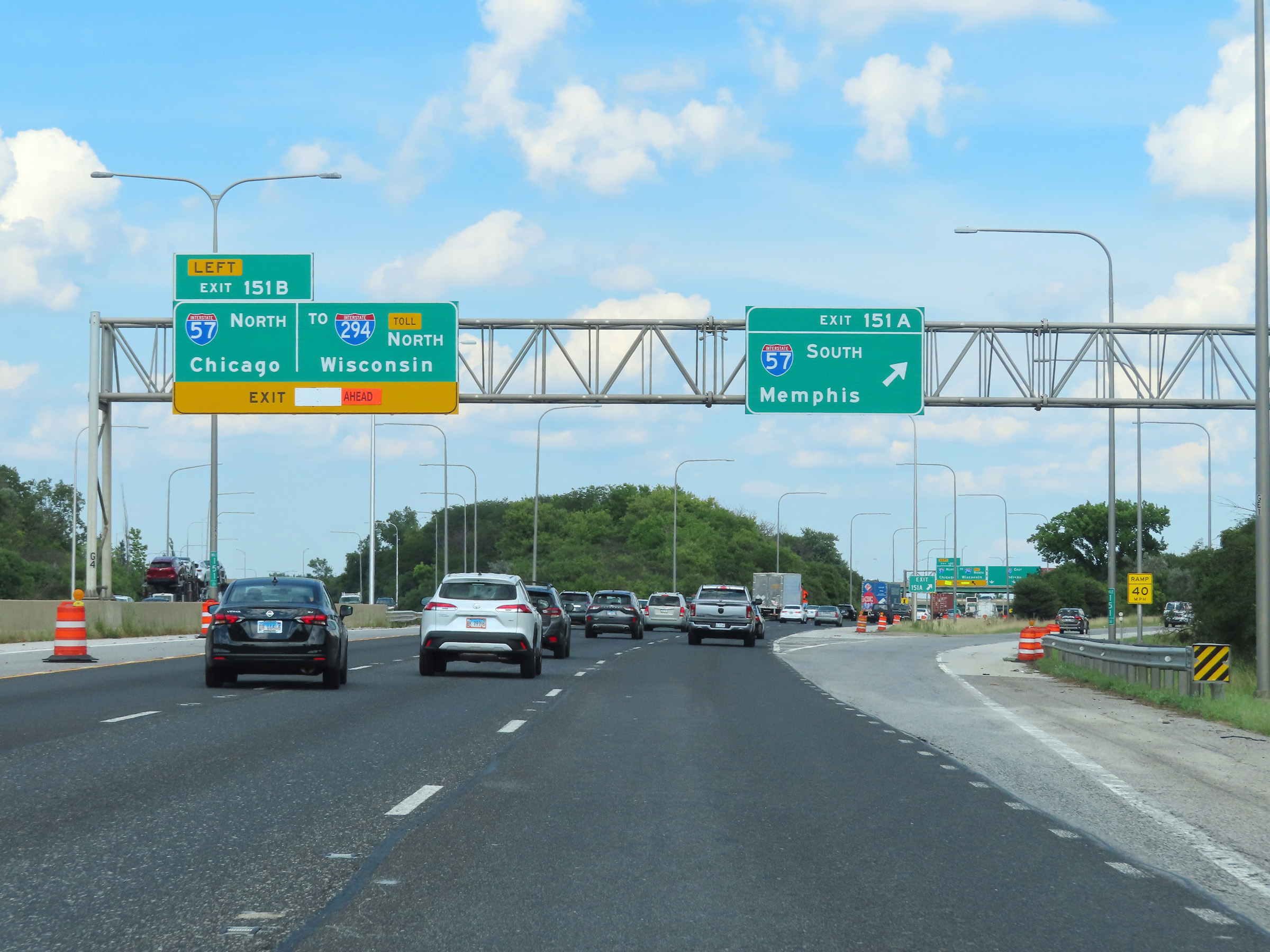 |
Interstate 80 East at Exit 151A: Interstate 57 South - Memphis (Photo taken 8/19/22). |
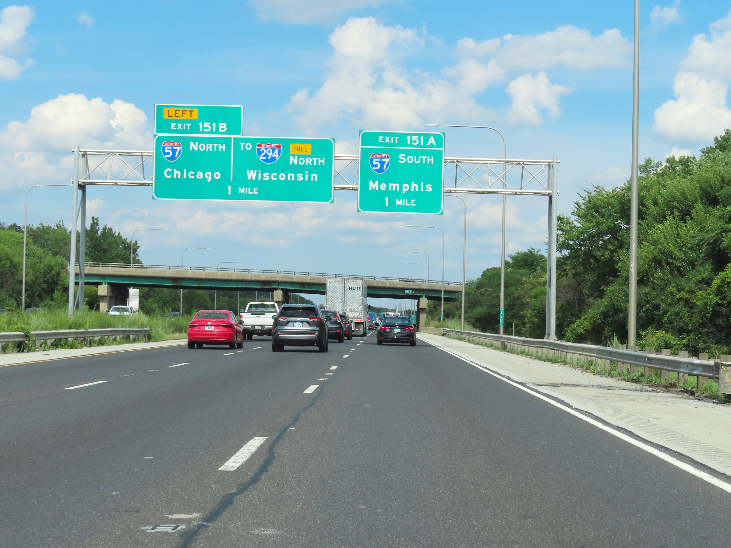
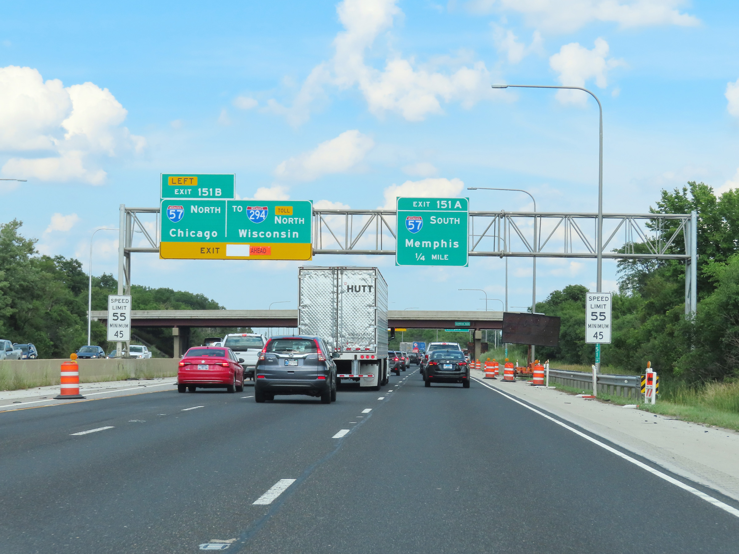
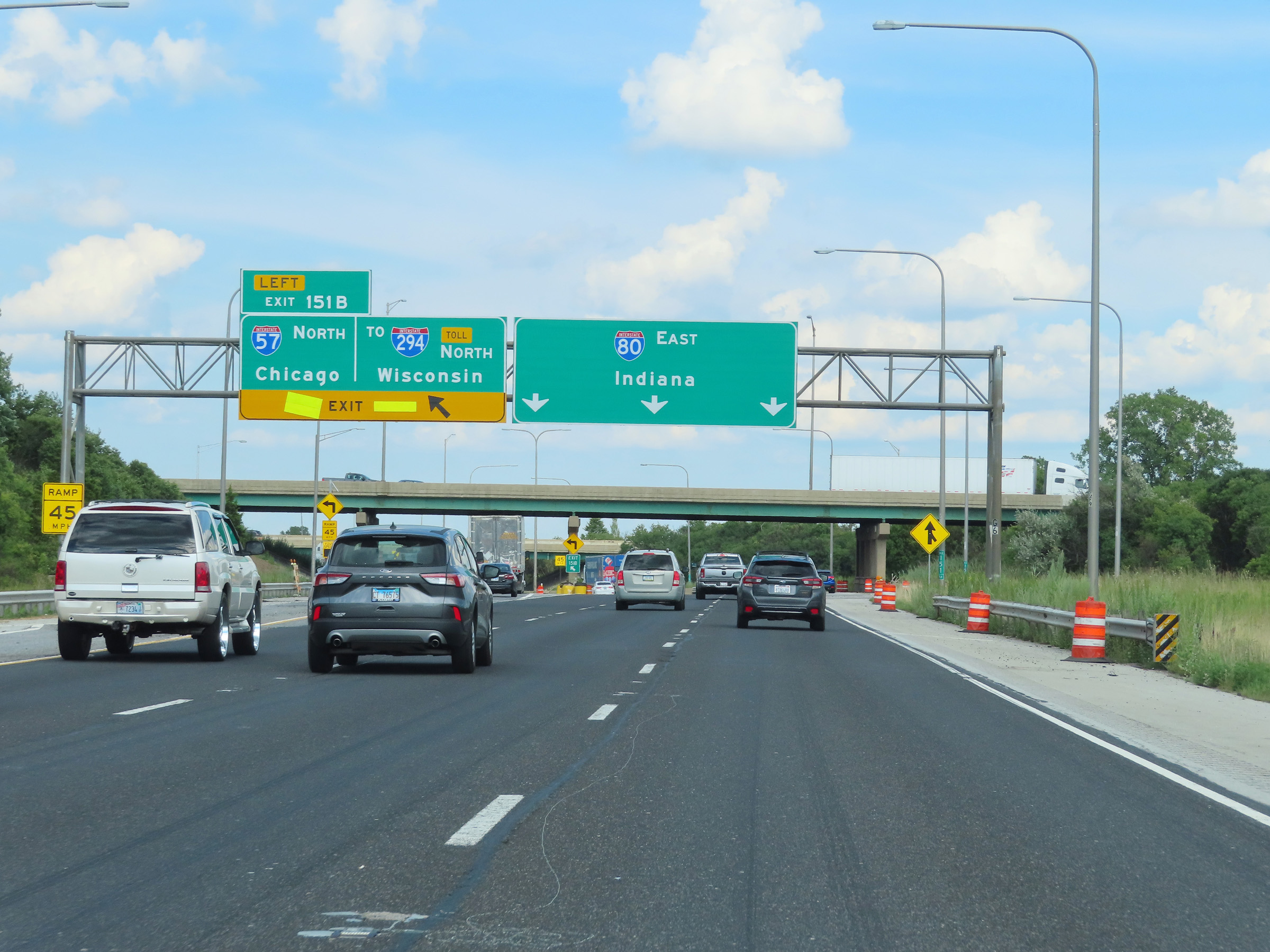 |
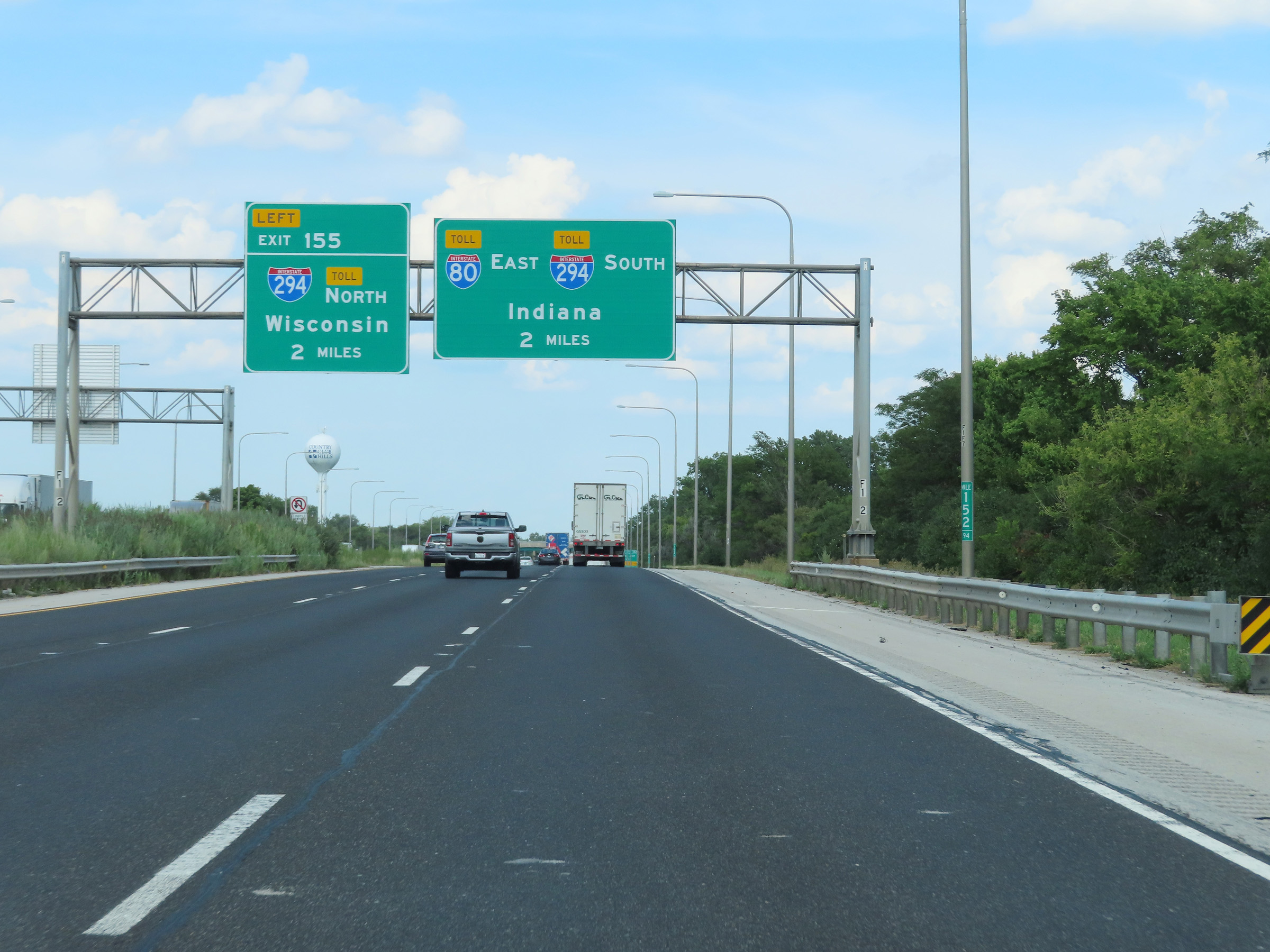
Interstate 80 East at Exit 151B: Interstate 57 North / To Interstate 294 North - Chicago / Wisconsin (Photo taken 8/19/22). |
Section 4: Country Club Hills (Exit 151B) to Indiana Border
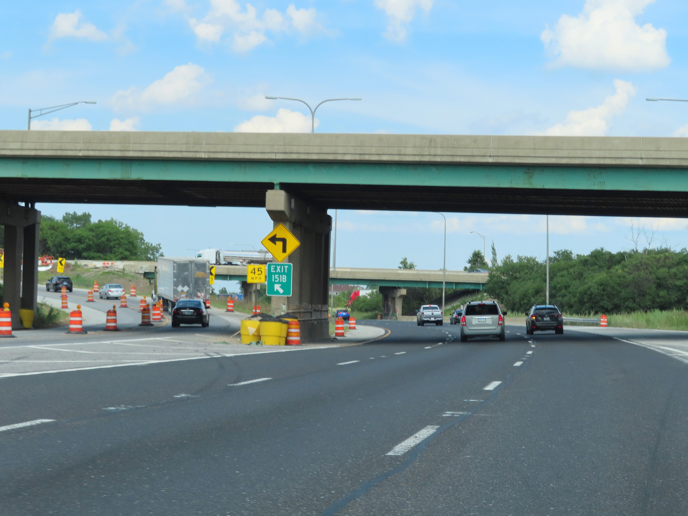 |
A closer view of the ramp to Interstate 57 North via Exit 151B, on the left. (Photo taken 8/19/22). |
 |
Interstate 80 East reassurance shield. (Photo taken 8/19/22). |
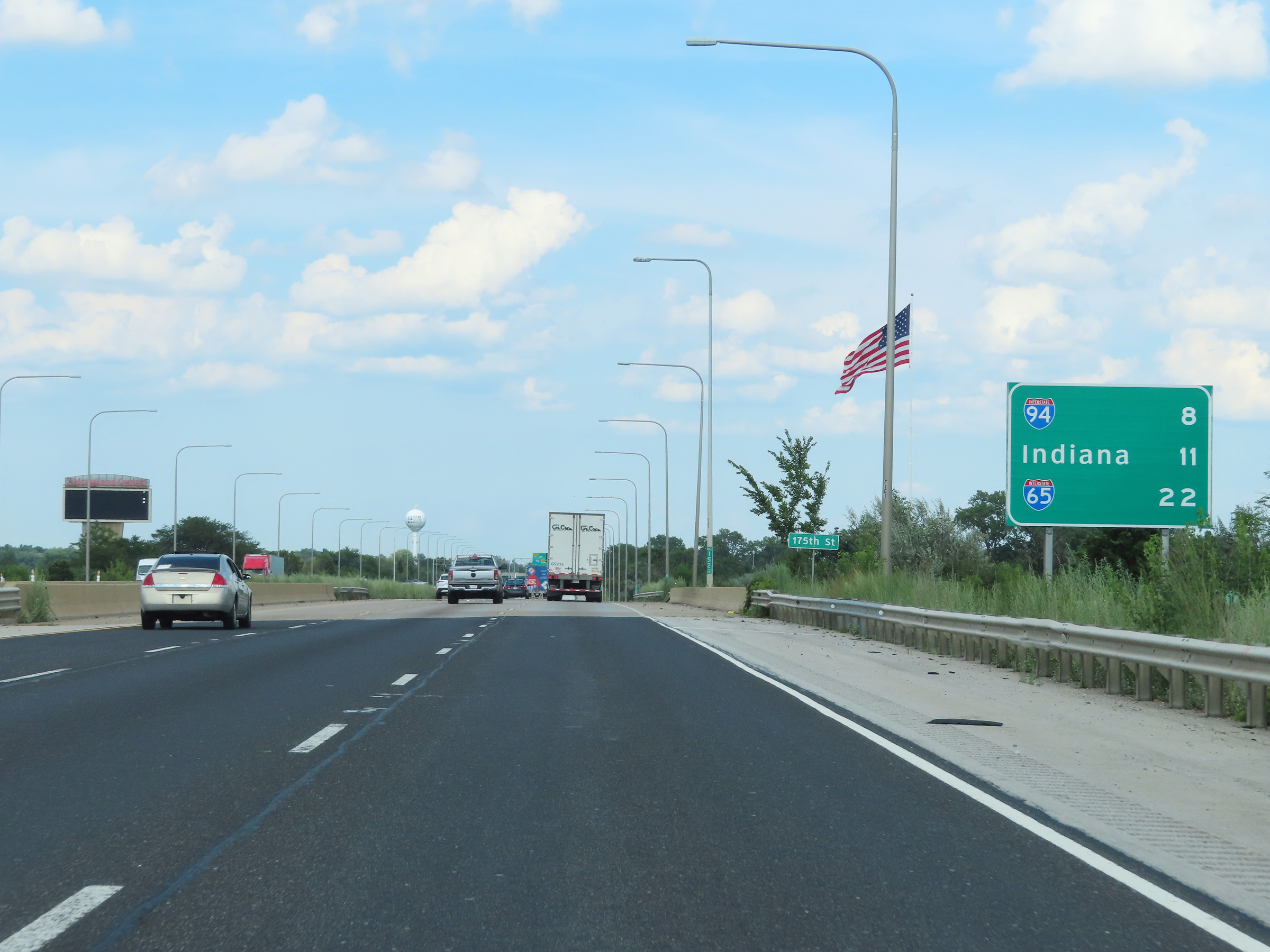 |
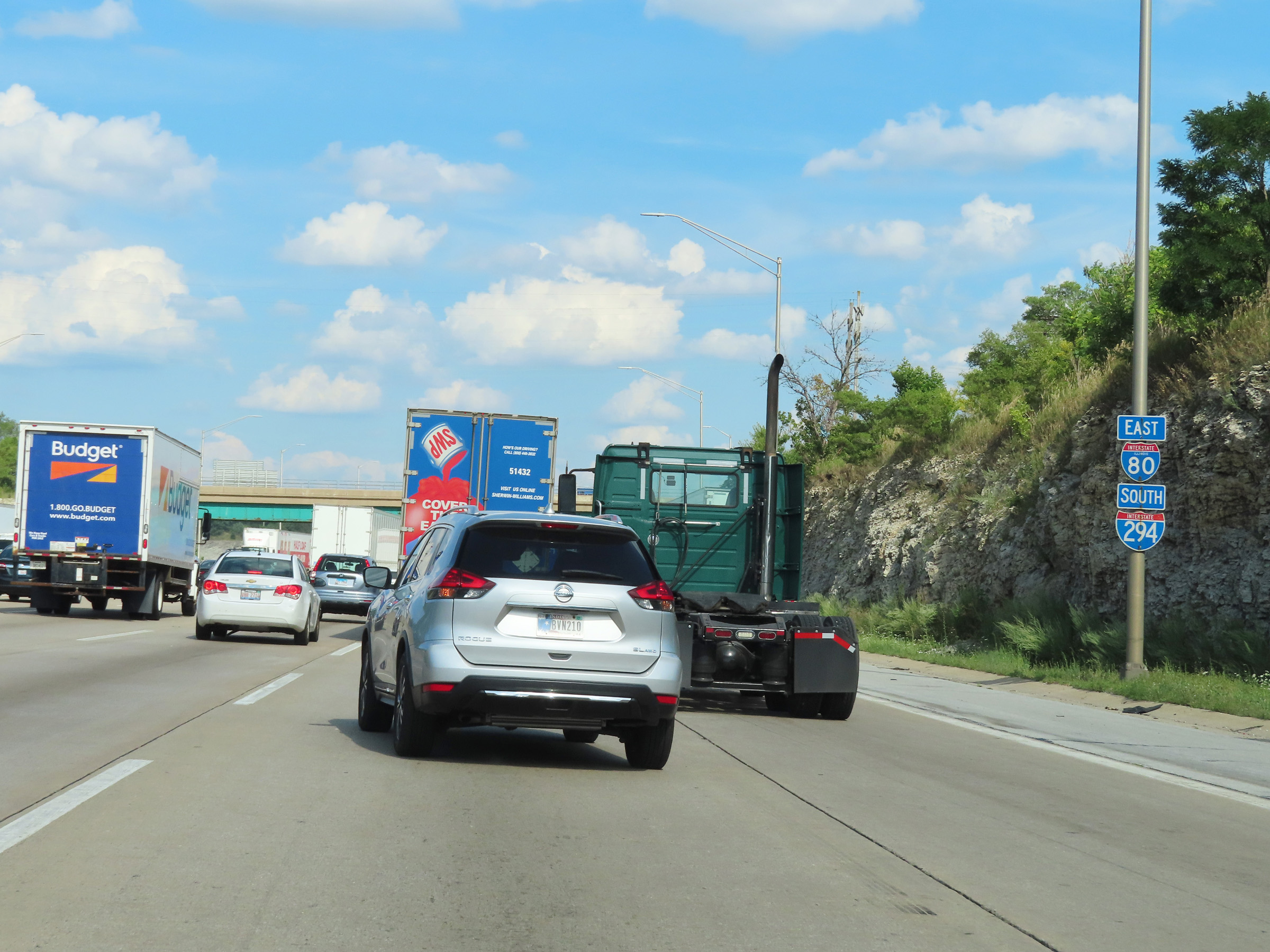
Mileage sign on Interstate 80 East. It's 8 miles to the junction of Interstate 94, 11 miles to the Indiana border, and 22 miles to the junction of Interstate 65. (Photo taken 8/19/22). |
 |
Interstate 80 East approaching the junction of Interstate 294 - 2 miles. (Photo taken 8/19/22). |
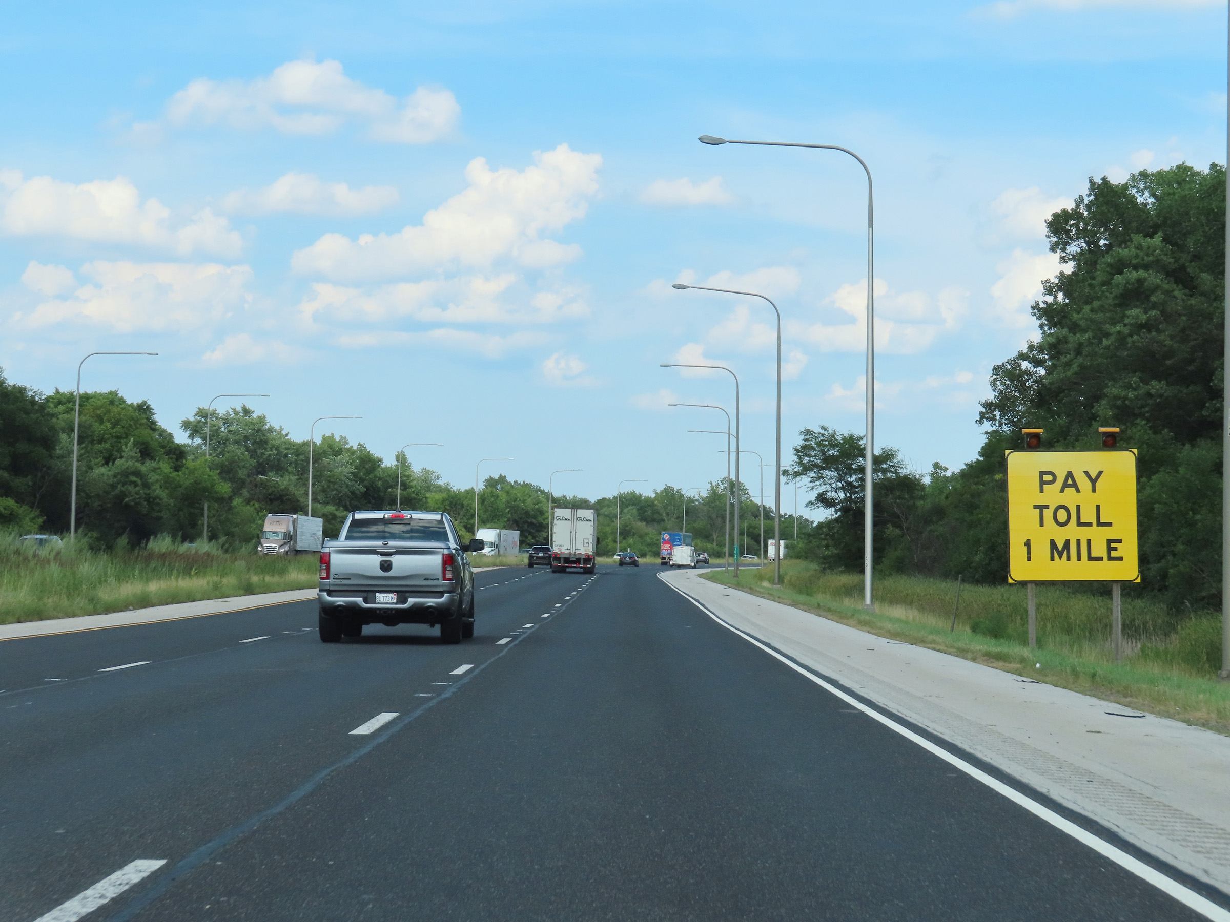 |
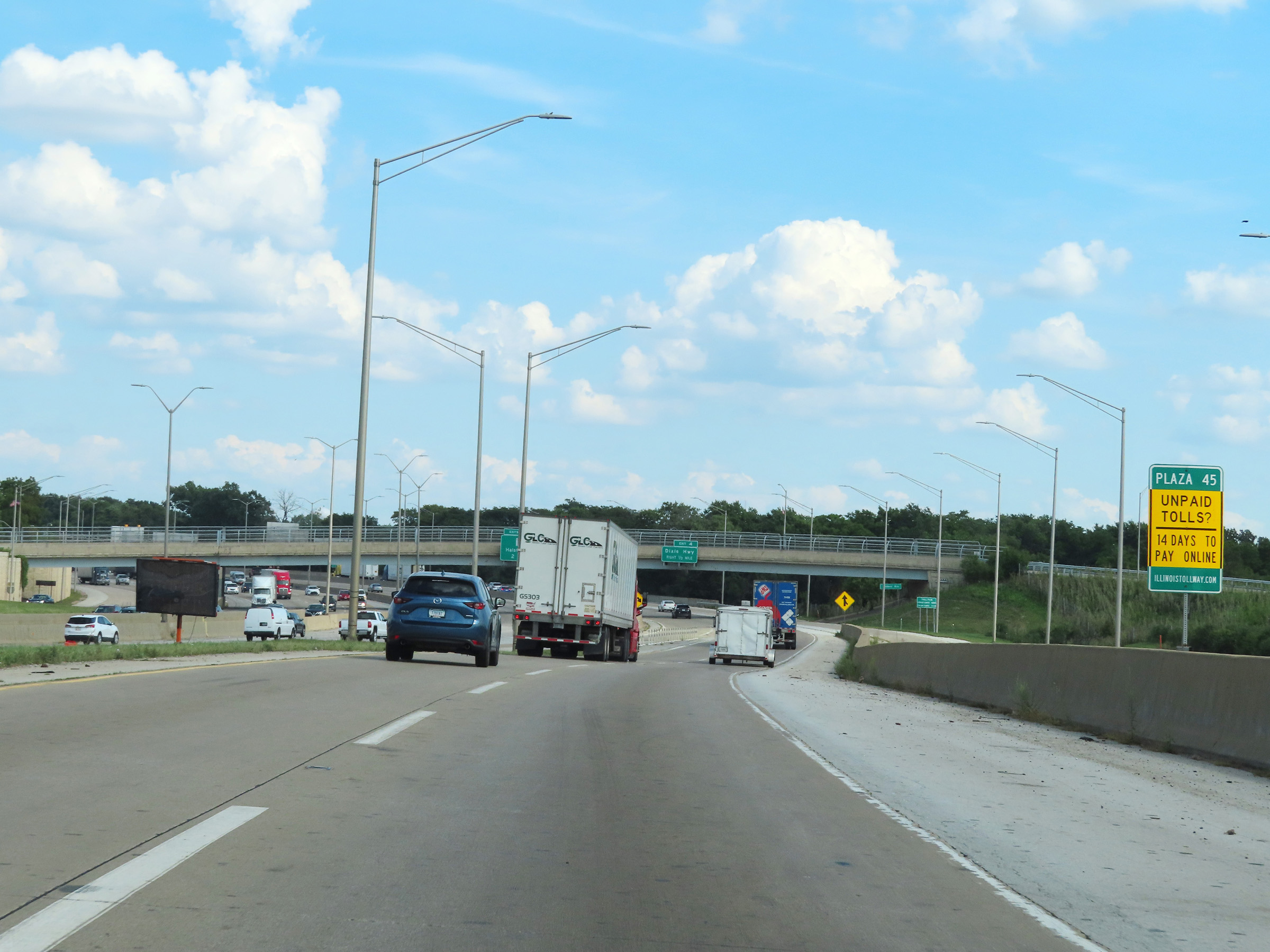
Interstate 80 East will run concurrently with Interstate 294 South ahead. Since I-294 is part of the Illinois Tollway, I-80 East traffic will have to pass through a toll plaza for it 1 mile ahead. (Photo taken 8/19/22). |
 |
View on Interstate 80 East at mile marker 153.72. (Photo taken 8/19/22). |
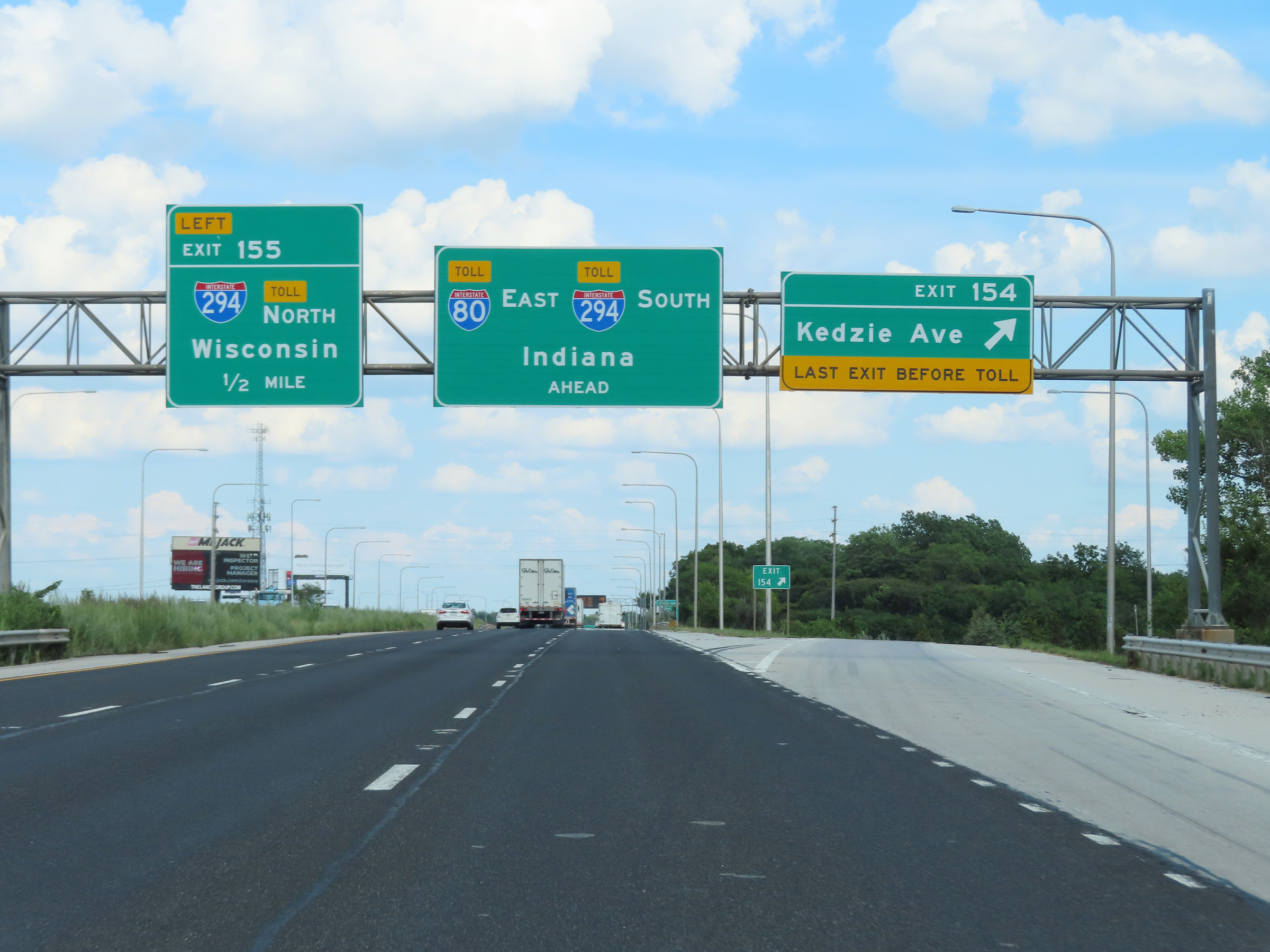 |
Interstate 80 East at Exit 154: Kedzie Ave (Photo taken 8/19/22). |
 |
Interstate 80 East approaching Exit 155 - 1/4 mile on the left. (Photo taken 8/19/22). |
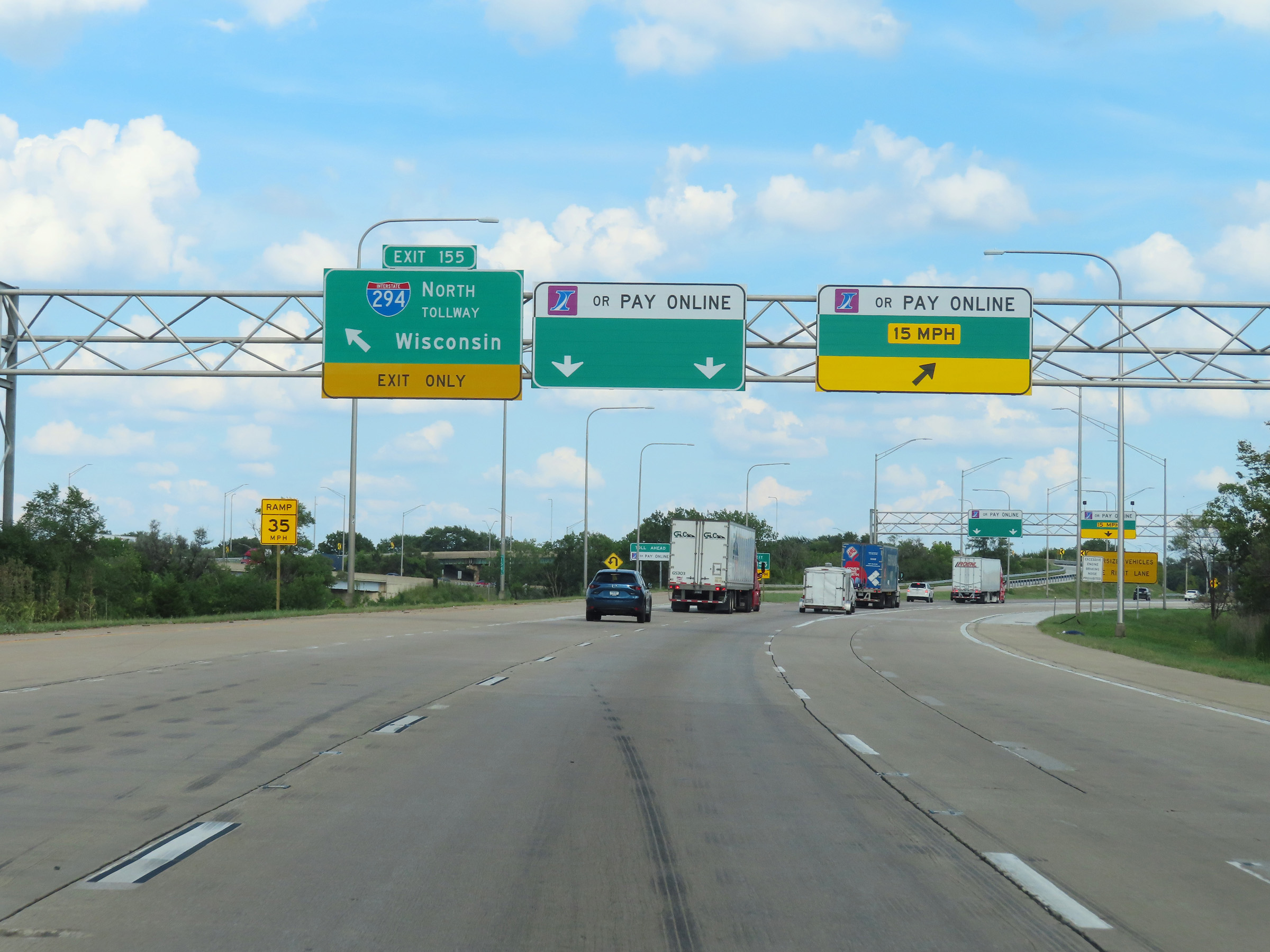 |
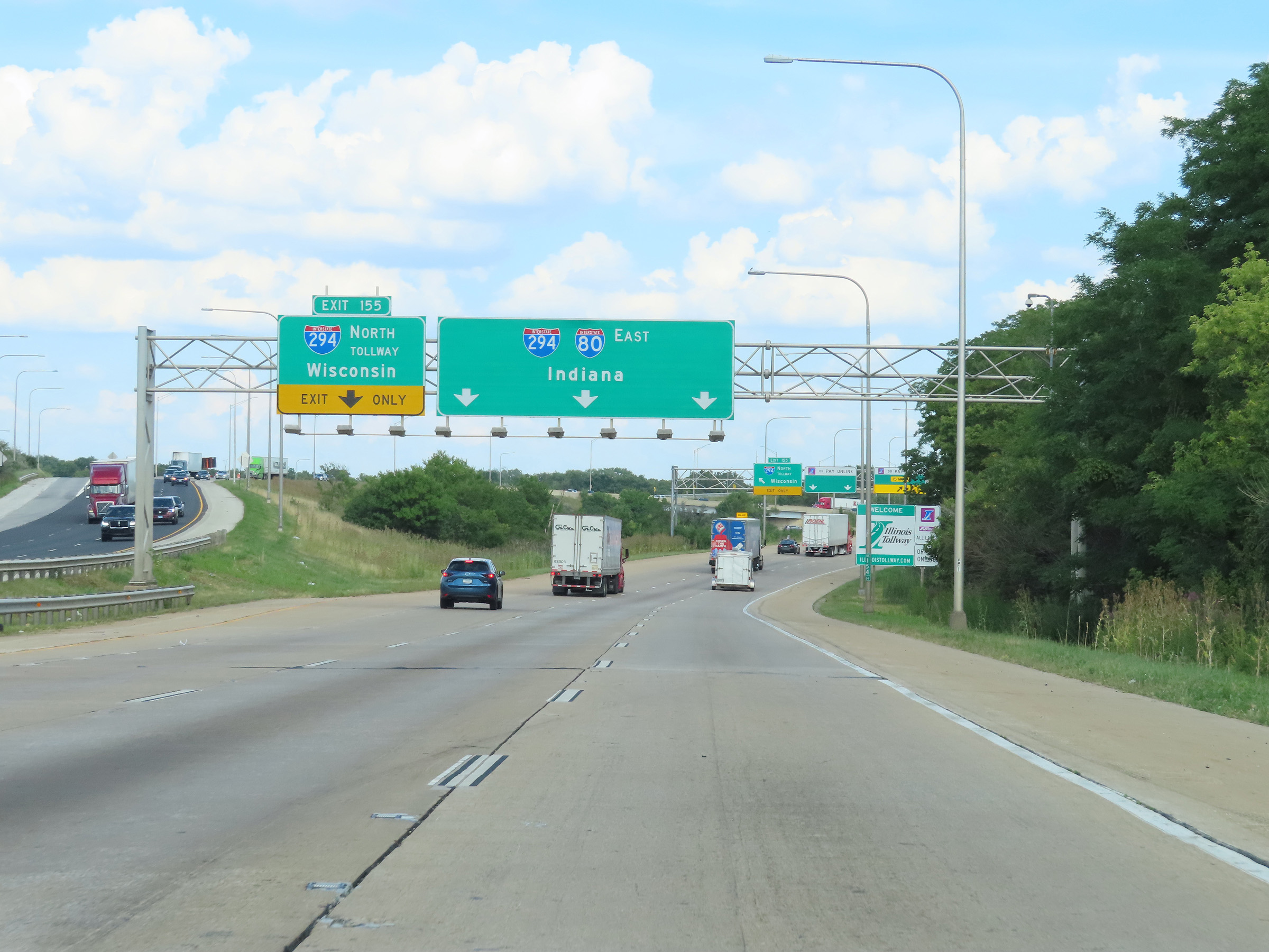
Interstate 80 East at Exit 155: Interstate 294 North - Wisconsin (Photo taken 8/19/22). |
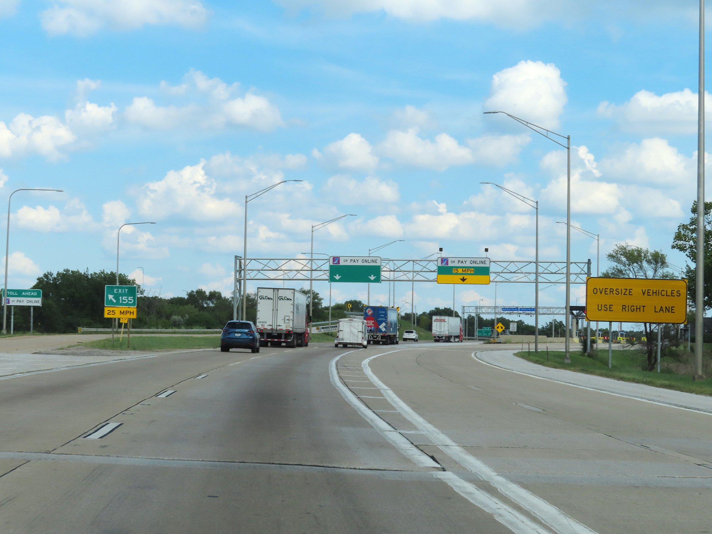 |
Approaching the toll plaza on Interstate 80 East as it prepares to join Interstate 294 South, we see that cash is no longer an option for payment. No matter what lane you use at the toll plaza, I-Pass/EZ Pass or Pay Online are the only two payment options. Toll collectors are no longer present at any toll plazas on the Illinois Tollway. (Photo taken 8/19/22). |
 |
A view of the ramp to the I-80 East toll plaza as well as the electronic express toll lanes straight ahead. (Photo taken 8/19/22). |
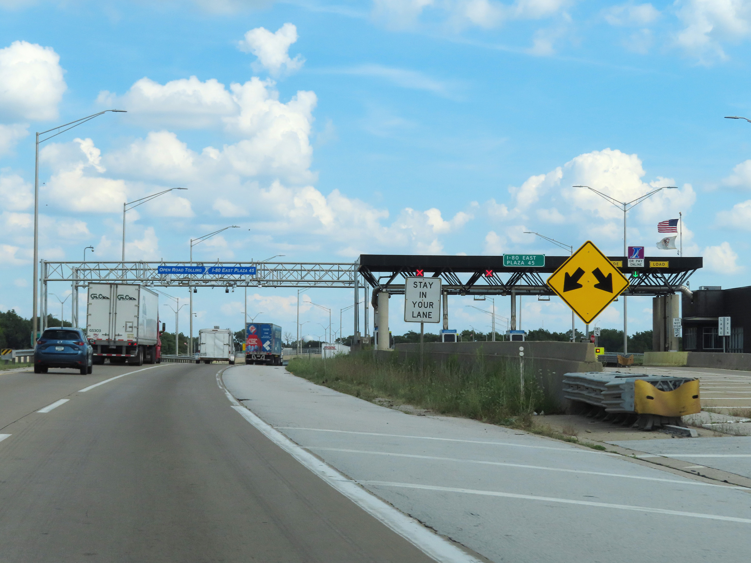 |
A closer view of the I-80 East toll plaza itself on the right. All oversize loads must exit off and pass through the toll plaza's lanes rather than using the express lanes. (Photo taken 8/19/22). |
 |
View on Interstate 80 East as it passes under the electronic toll gantry at the I-80 East toll plaza, preparing to merge into the southbound lanes of Interstate 294 ahead. (Photo taken 8/19/22). |
 |
Here, we see traffic from the toll plaza itself prepare to merge into the express toll lanes from the right on the east side of the I-80 East toll plaza. On the left, we see Interstate 294 South traffic. (Photo taken 8/19/22). |
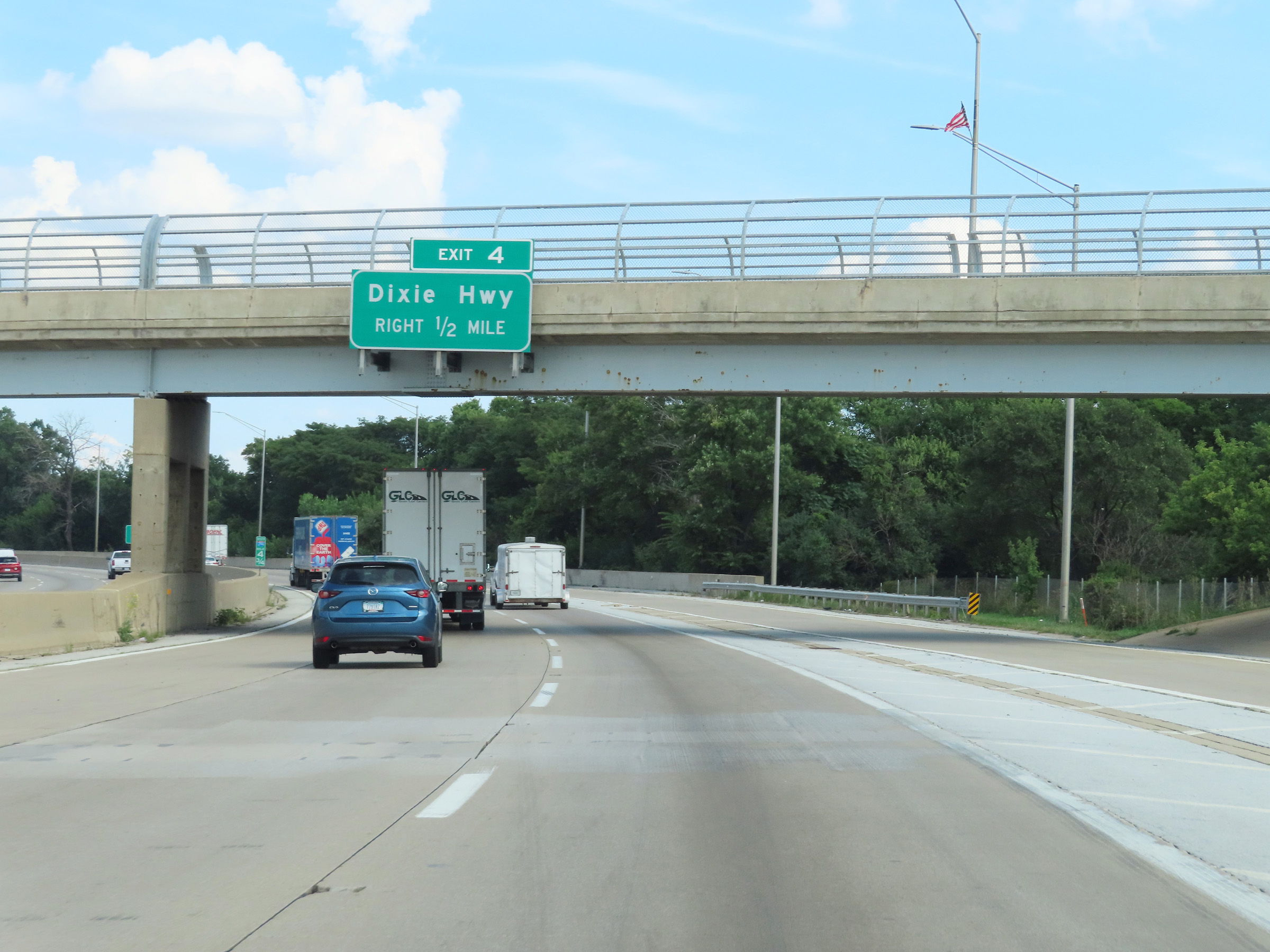 |
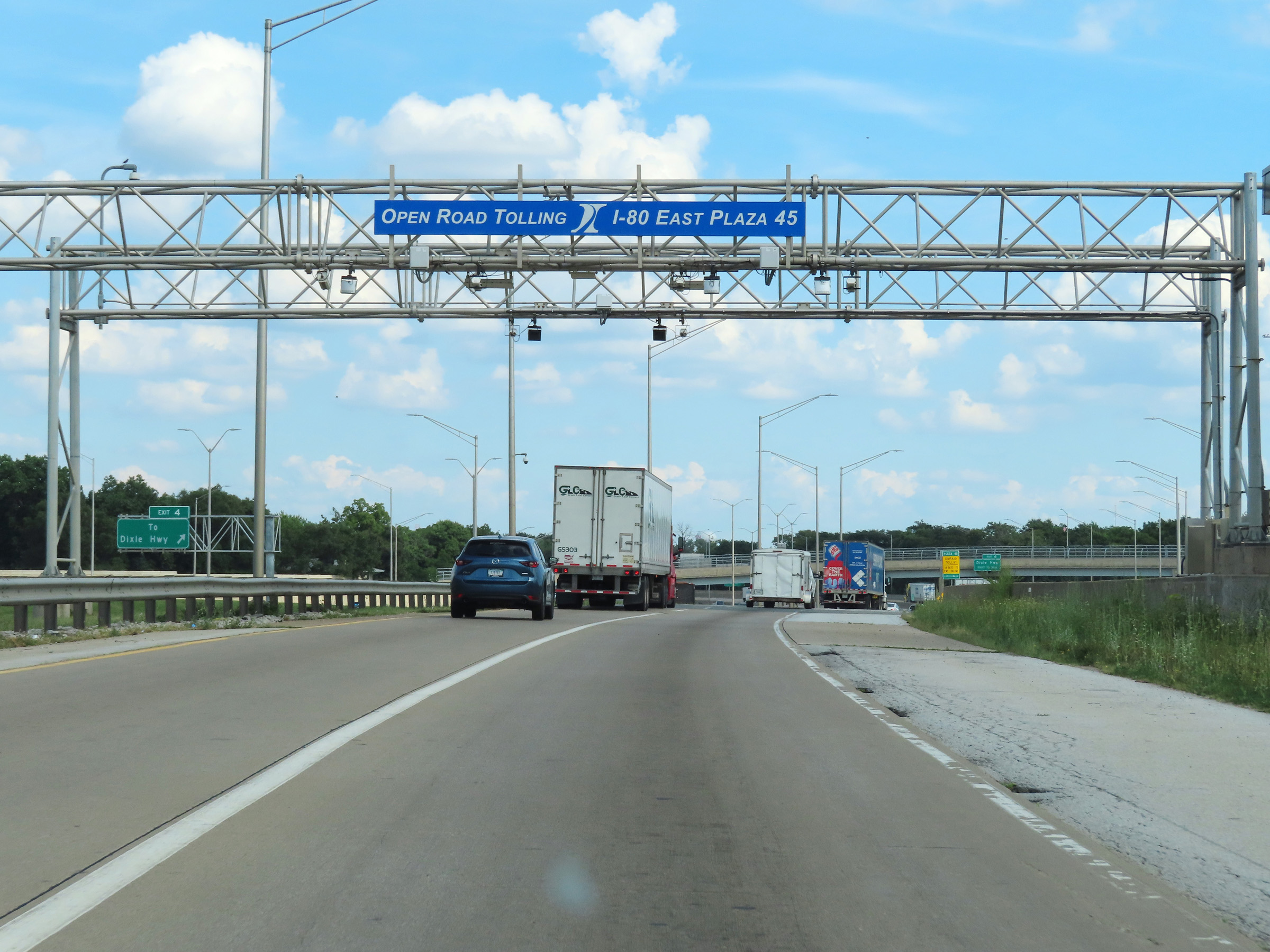
Advance signage for Exit 4, which will be the first exit after Interstate 80 East traffic combines with Interstate 294 South traffic. During the I-80 East / I-294 South concurrency, which will last for about 4 1/4 miles, the mileage and exit numbers are based on the total mileage of I-294. (Photo taken 8/19/22). |
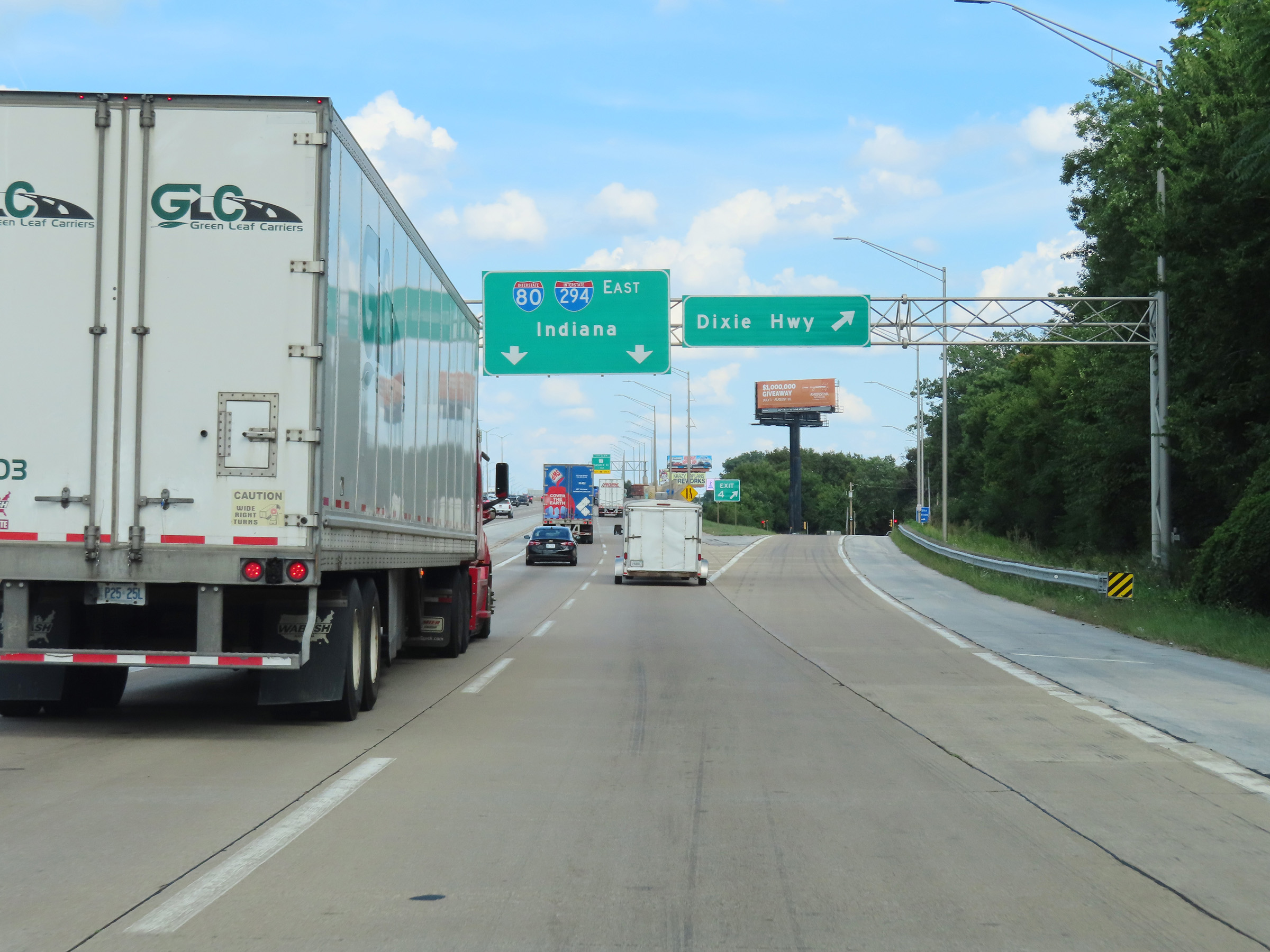 |
Interstate 80 East / Interstate 294 South at Exit 4: Dixie Hwy (Photo taken 8/19/22). |
 |
At mile marker 3.75, the eastbound lanes of Interstate 80 finally combine with the southbound lanes of Interstate 294. (Photo taken 8/19/22). |
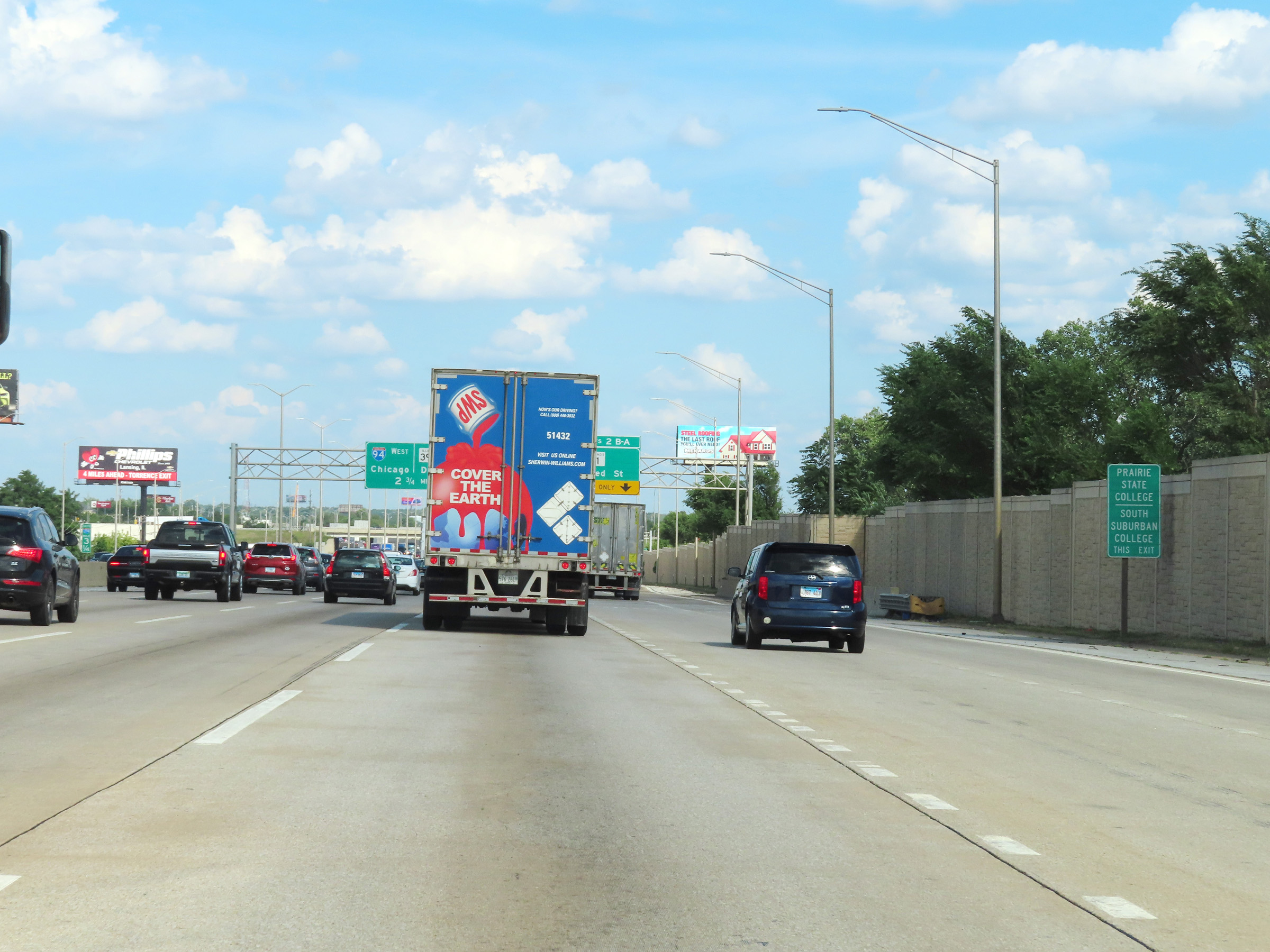 |
Take Exits 2B-A to Prairie State College and South Suburban College. (Photo taken 8/19/22). |
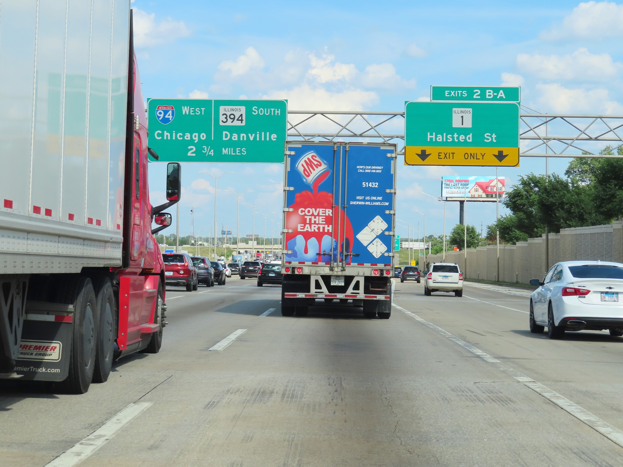 |
Interstate 80 East / Interstate 294 South at Exits 2B-A: IL 1 - Halsted St (Photo taken 8/19/22). |
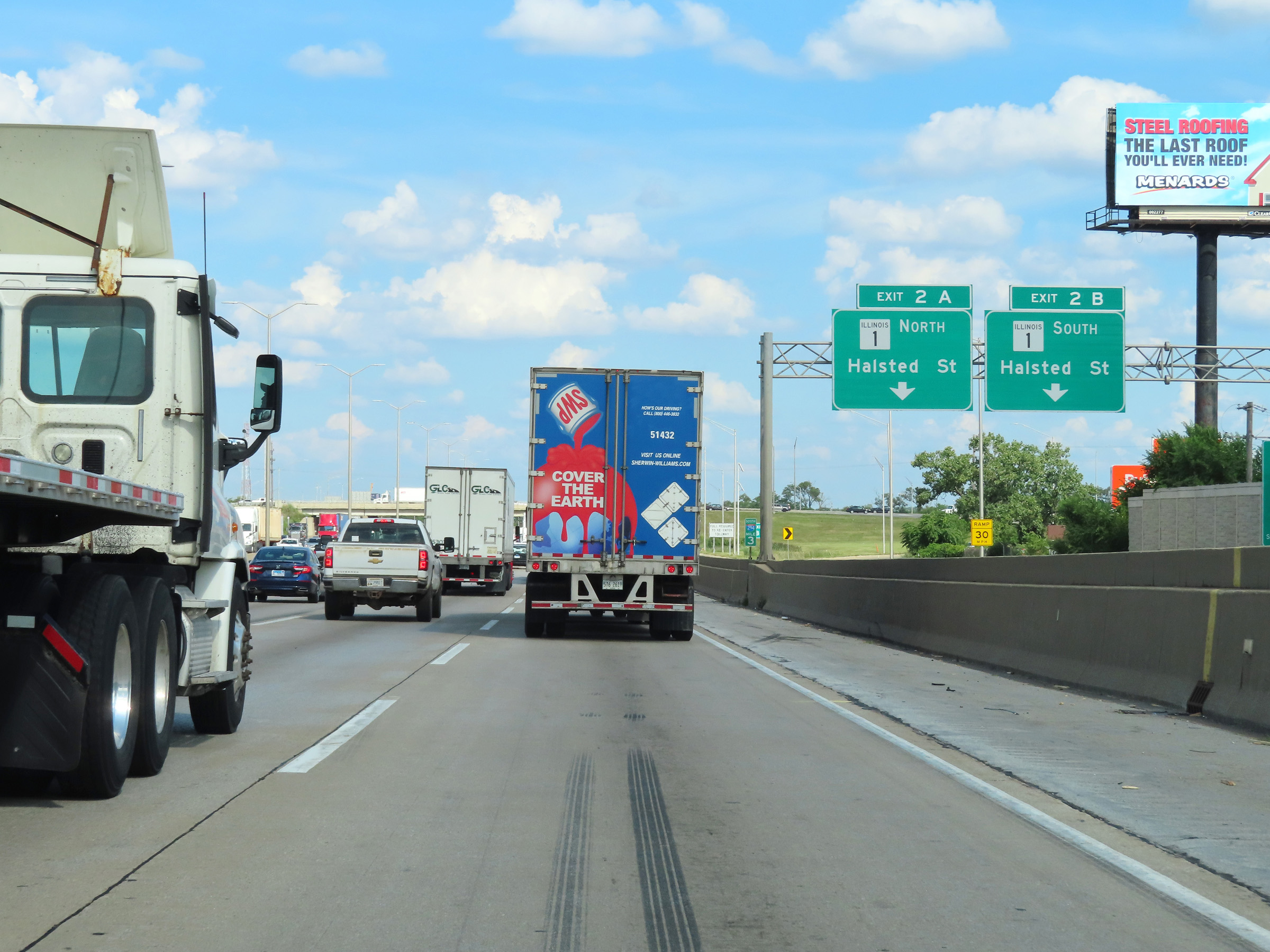 |
Interstate 80 East / Interstate 294 South at Exit 2B: IL 1 South - Halsted St (Photo taken 8/19/22). |
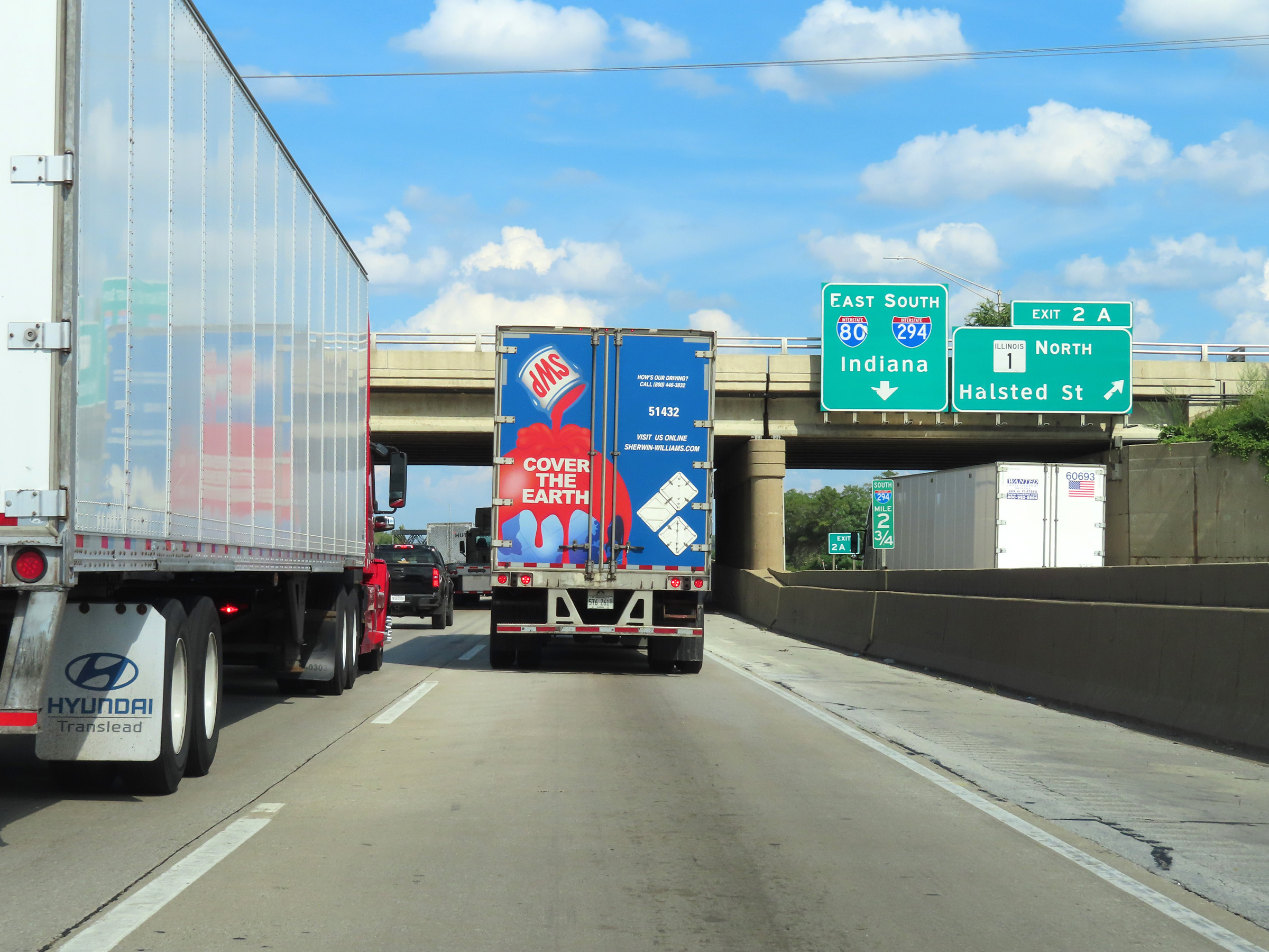 |
Interstate 80 East / Interstate 294 South at Exit 2A: IL 1 North - Halsted St (Photo taken 8/19/22). |
 |
View on Interstate 80 East / Interstate 294 South at mile marker 2.25. The speed limits remain 55 mph maximum and 45 mph minimum. (Photo taken 8/19/22). |
 |
A rare state-named Interstate 80 East reassurance shield alongside an Interstate 294 South reassurance shield. (Photo taken 8/19/22). |
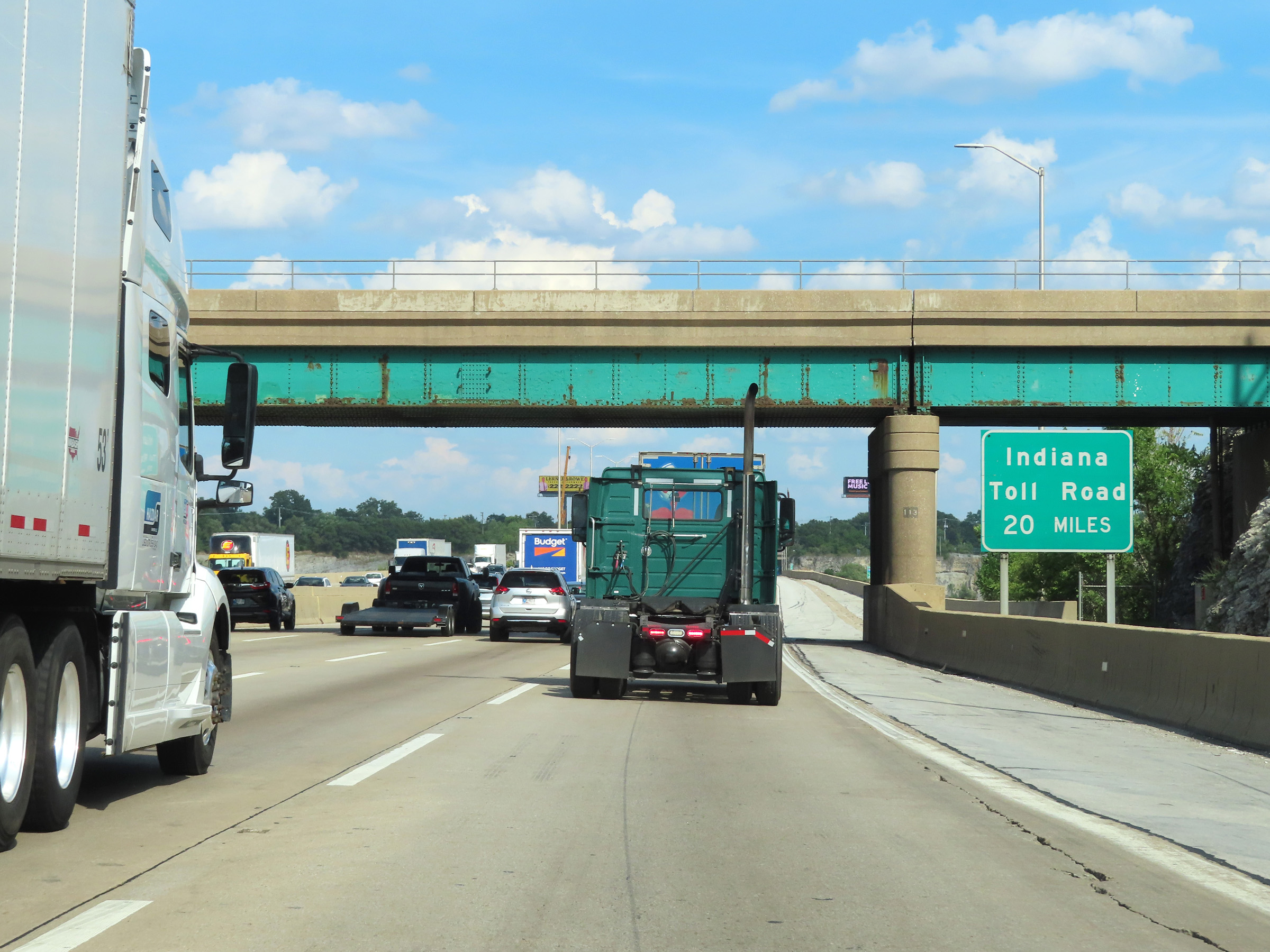 |
The Indiana Toll Road is now 20 miles ahead on Interstate 80 East, at the junction of Interstate 90 in Indiana. (Photo taken 8/19/22). |
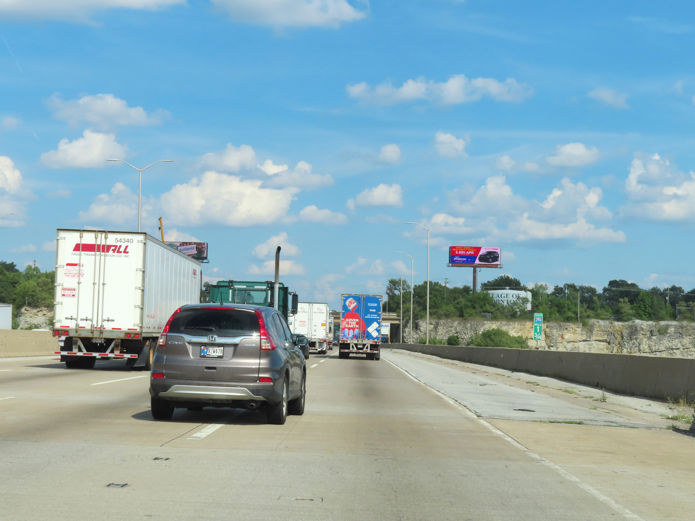 |
View on Interstate 80 East / Interstate 294 South at mile marker 1.75, as they pass over Thornton Quarry. (Photo taken 8/19/22). |
 |
This sign at mile marker 1.5 reminds trucks that they're restricted to the two right lanes on the Interstate 80 East / Interstate 294 South duplex. (Photo taken 8/19/22). |
 |
Interstate 80 East / Interstate 294 South approaching Exit 0 - 1 mile. (Photo taken 8/19/22). |
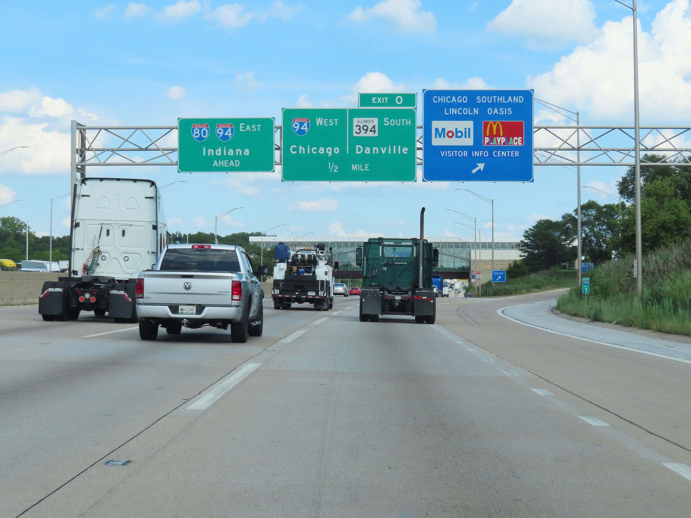 |
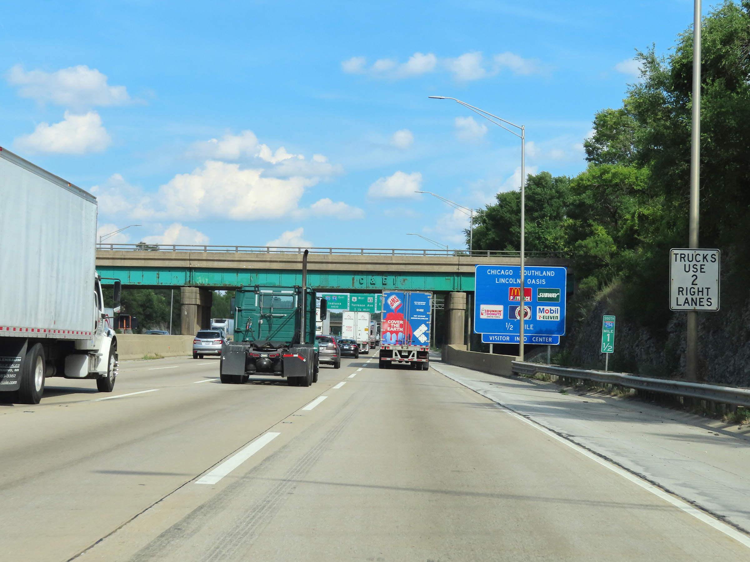
Interstate 80 East / Interstate 294 South at the Chicago Southland Lincoln Oasis, at mile marker 1 in Cook County. (Photo taken 8/19/22). |
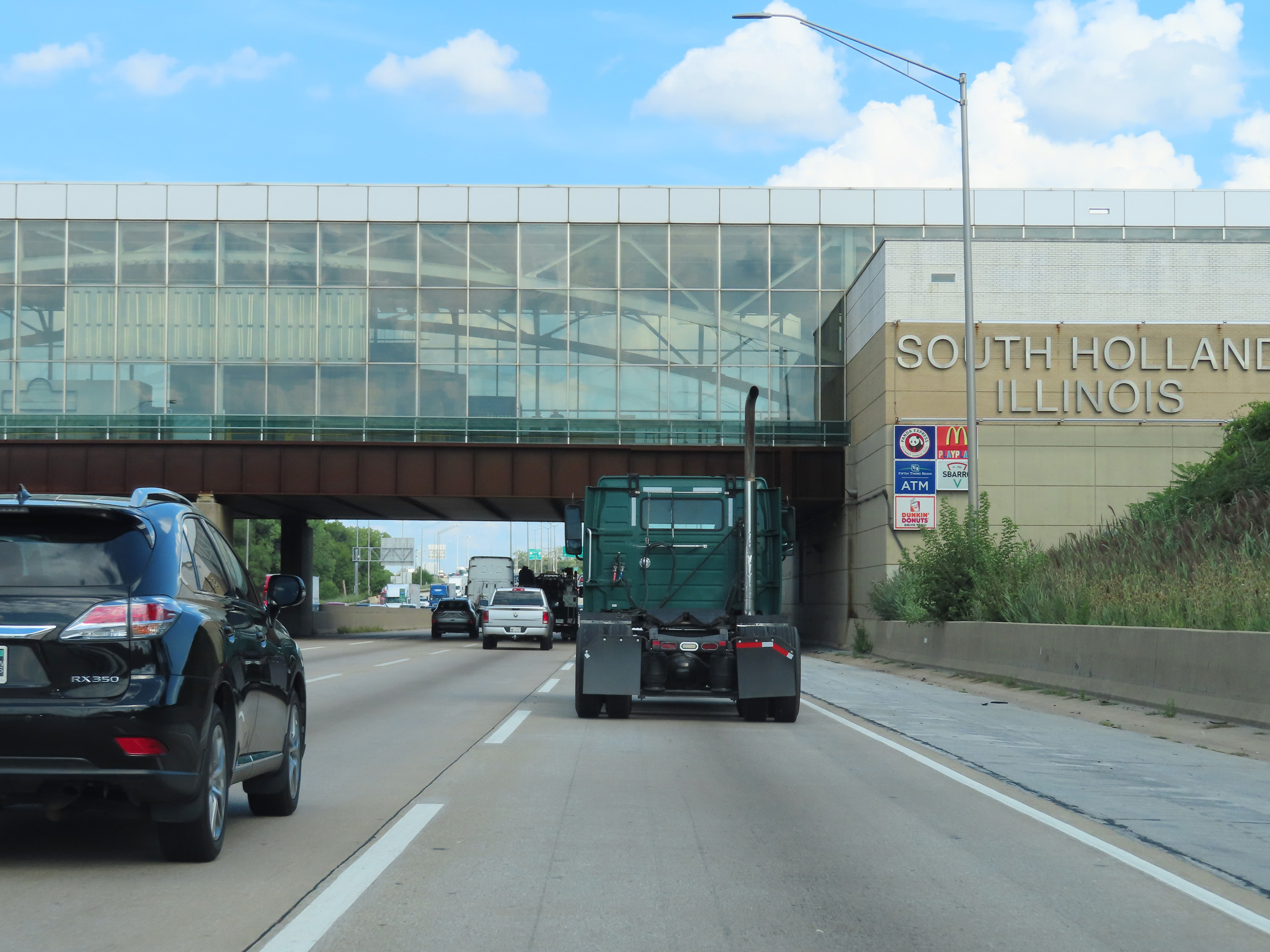 |
View on Interstate 80 East / Interstate 294 South as the duplex passes under the Chicago Southland Lincoln Oasis. (Photo taken 8/19/22). |
 |
Traffic to Interstate 94 West / IL 394 South via Exit 0 should use the right lane ahead. (Photo taken 8/19/22). |
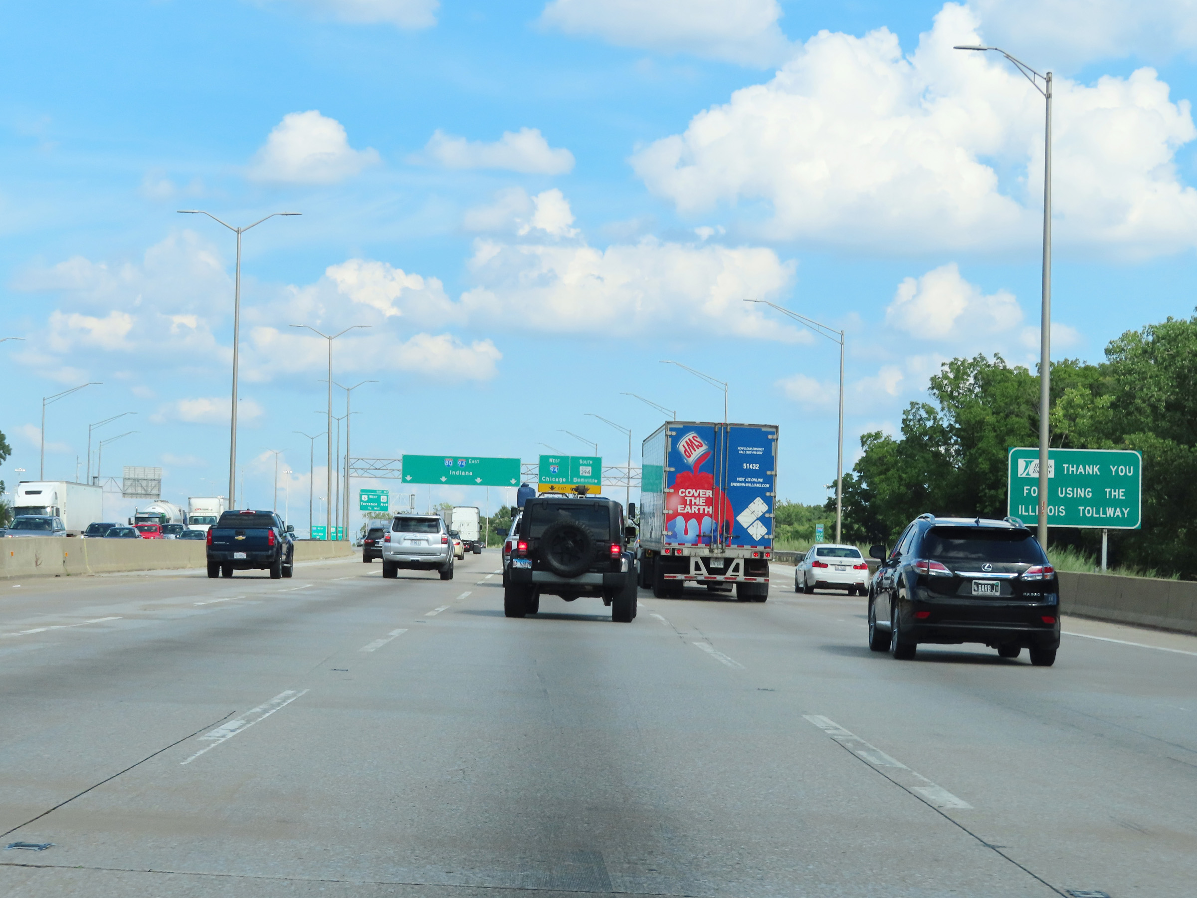 |
At mile marker 0.5, as Interstate 294 approaches its southern terminus, this sign thanks you for using the Illinois Tollway. (Photo taken 8/19/22). |
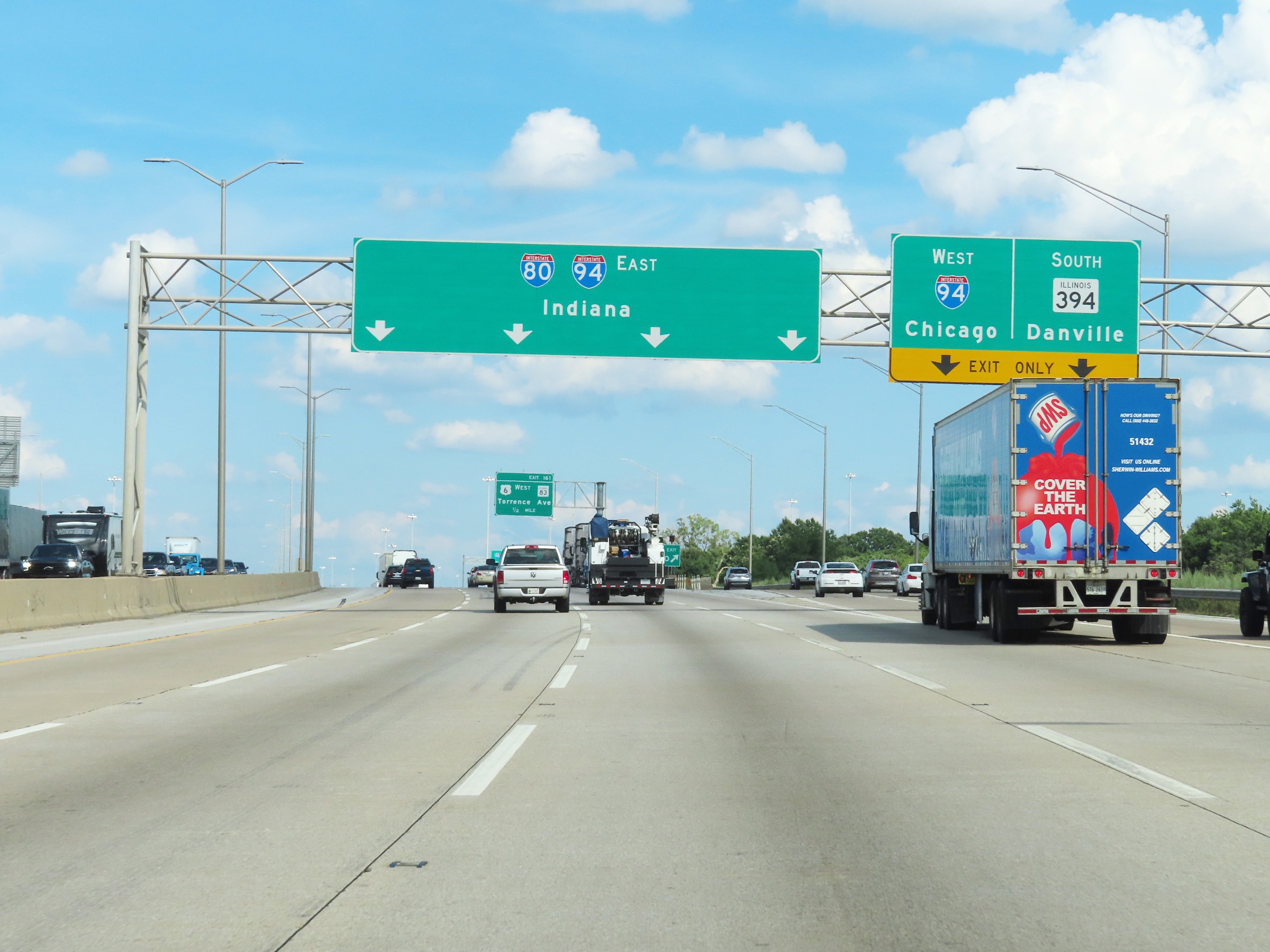 |
Interstate 80 East / Interstate 294 South at Exit 0: Interstate 94 West / IL 394 South - Chicago / Danville (Photo taken 8/19/22). |
 |
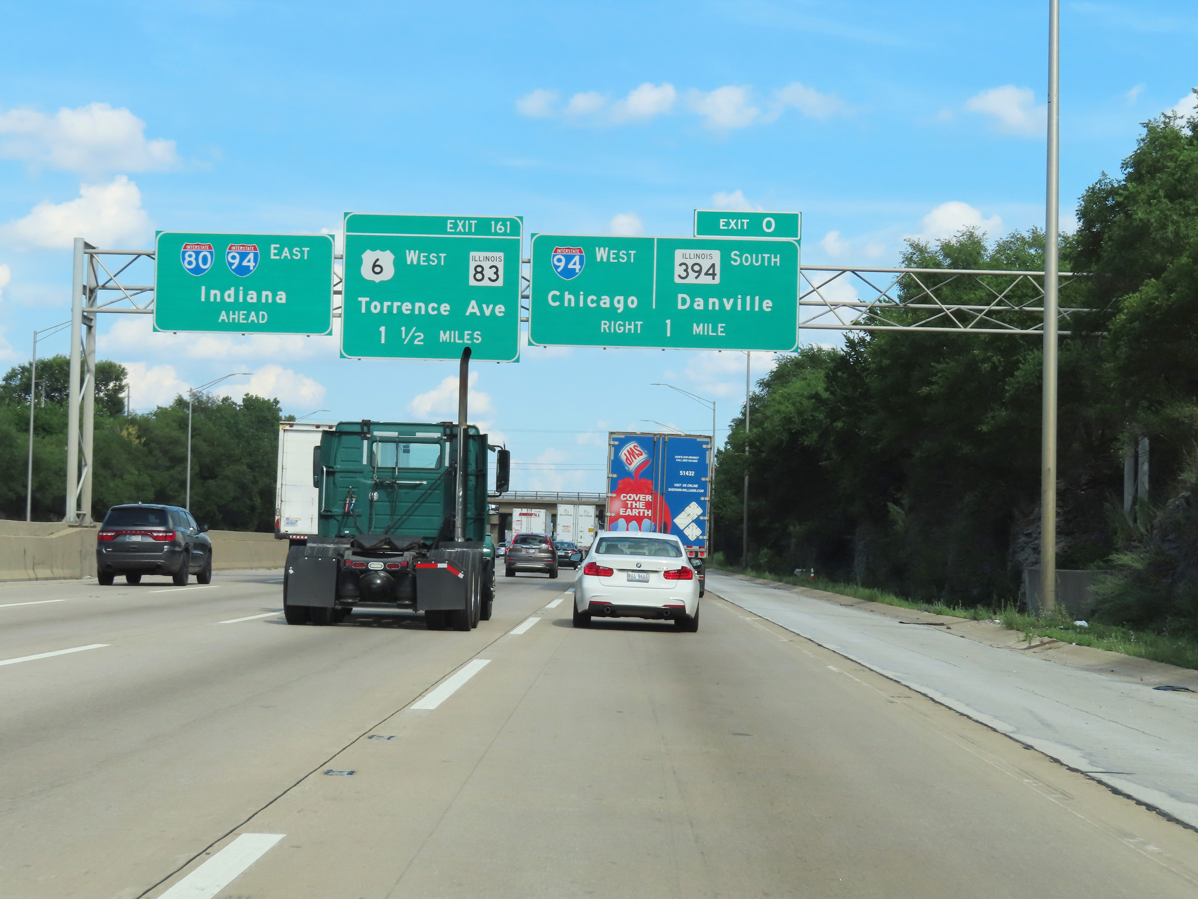
Advance signage for Exit 161, which is the first exit on Interstate 80 East after the southern terminus of Interstate 294 ahead. (Photo taken 8/19/22). |
 |
View on Interstate 80 East / Interstate 294 South at mile marker 0.25, as the extended ramp for Exit 0 runs alongside it on the right. (Photo taken 8/19/22). |
 |
Interstate 294 END marker as Interstate 80 East continues, and will combine with Interstate 94 East traffic ahead. I-80 East and I-94 East will run concurrently to the Indiana border and beyond. During the I-80 / I-94 concurrency in Illinois, the mileage and exit numbers are based on the total mileage of I-80. (Photo taken 8/19/22). |
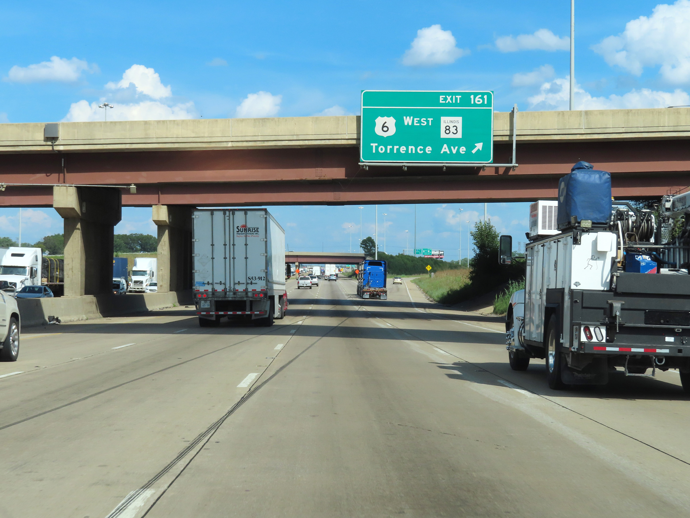 |
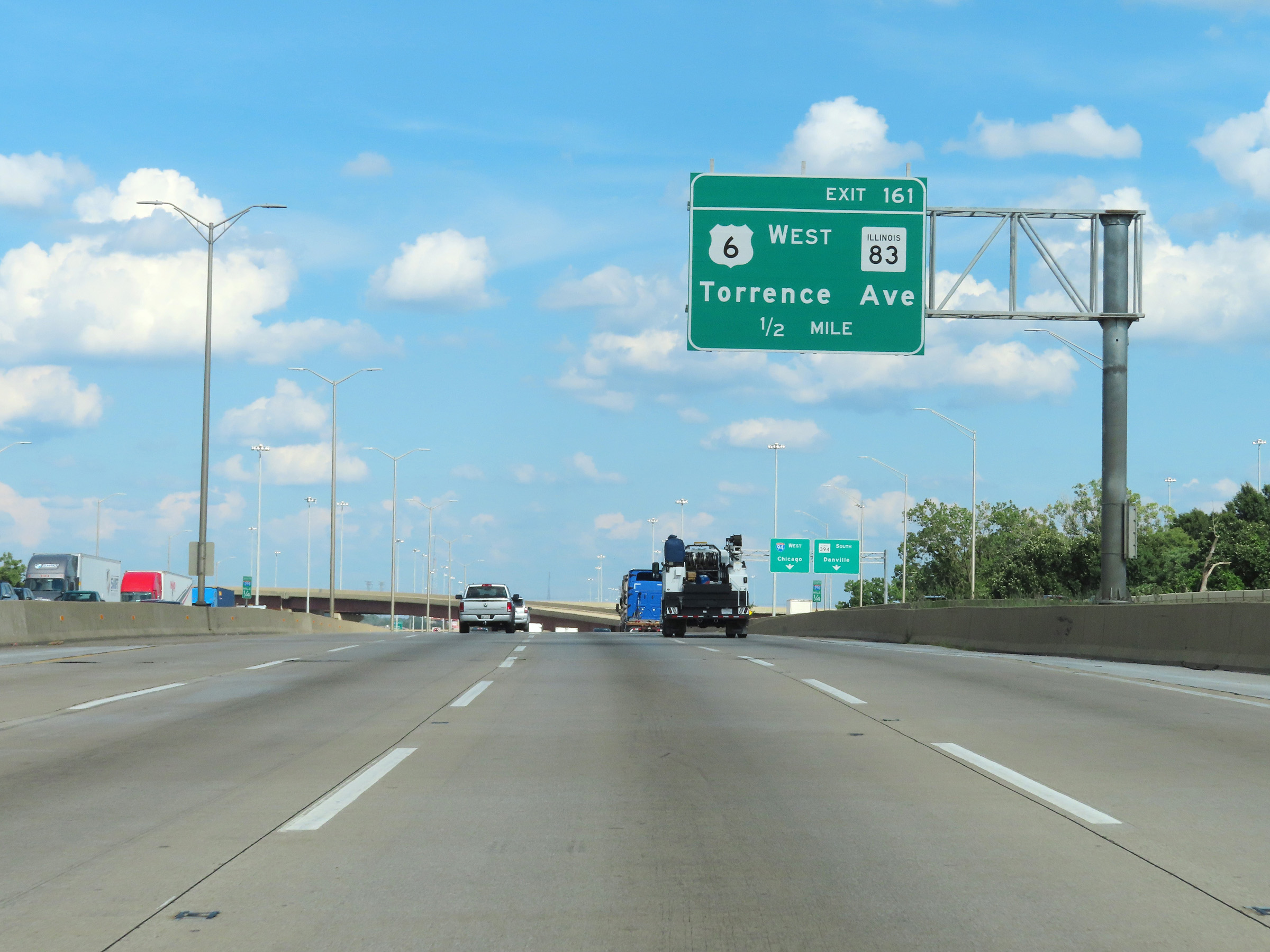
Interstate 80 East at Exit 161: US 6 West / IL 83 - Torrence Ave (Photo taken 8/19/22). |
 |
View on Interstate 80 East as Interstate 94 East traffic prepares to join it ahead from the right. (Photo taken 8/19/22). |
 |
Interstate 80 East / Interstate 94 East approaching Exit 1, which is the first exit on the duplex after it enters Indiana - 2 miles ahead. (Photo taken 8/19/22). |
 |
Interstate 80 East / Interstate 94 East reassurance shields. (Photo taken 8/19/22). |
 |
View on Interstate 80 East / Interstate 94 East at mile marker 162.6. (Photo taken 8/19/22). |
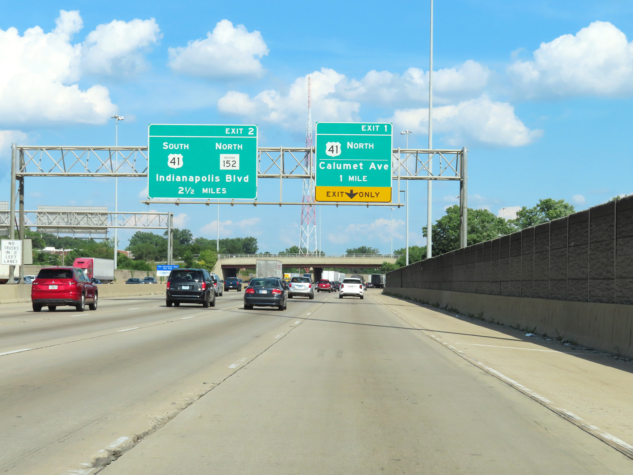 |
The right lane of Interstate 80 East / Interstate 94 East will become an Exit Only lane for Exit 1 upon entering Indiana ahead. (Photo taken 8/19/22). |
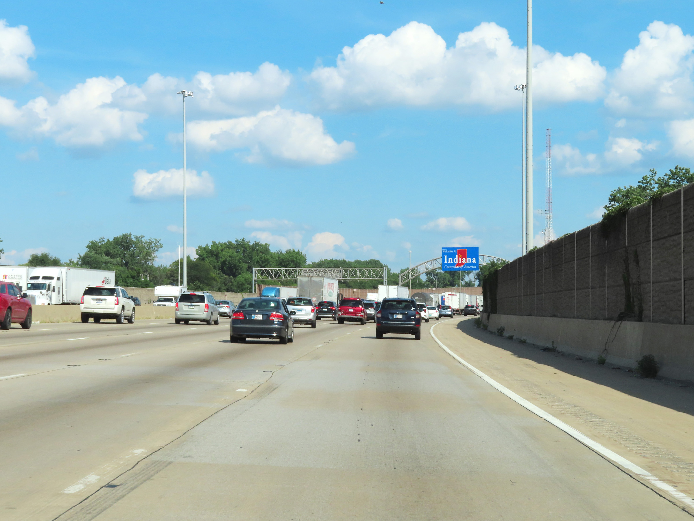 |
Interstate 80 East / Interstate 94 East as the duplex prepares to leave Illinois to enter Indiana. (Photo taken 8/19/22). |