Road Information |
||
 |
||
| Total Mileage in State: | 130 miles | |
| Eastern End: | At Indiana state line | |
| Western End: | At Missouri state line | |
| Mileage covered in Photos: | 130 miles | |
| Counties covered in Photos: | White, Wayne, Jefferson, Washington, Clinton, St. Clair | |
| Major Junctions in Photos: | I-57, in Mt. Vernon I-255, near Caseyville I-55, in East St. Louis |
|
| Control Cities in Photos: | Mt. Vernon, O'Fallon, East St. Louis | |
Westbound
- Section 1: Indiana Border to Mount Vernon (Exit 69)
- Section 2: Mount Vernon (Exit 69) to Missouri Border
Section 1: Indiana Border to Mount Vernon (Exit 69)
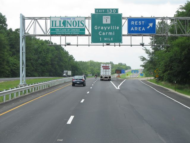 |
Illinois welcome sign as Interstate 64 West enters the state from Indiana. Also, there is a Rest Area right at the border. (Photo taken 7/18/11). |
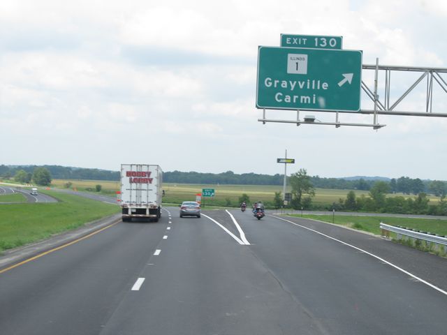 |
Interstate 64 West at Exit 130: IL 1 - Grayville / Carmi (Photo taken 7/18/11). |
 |
Interstate 64 West: Road view from mile marker 128. (Photo taken 7/18/11). |
 |
Interstate 64 West: Road view from mile marker 126. (Photo taken 7/18/11). |
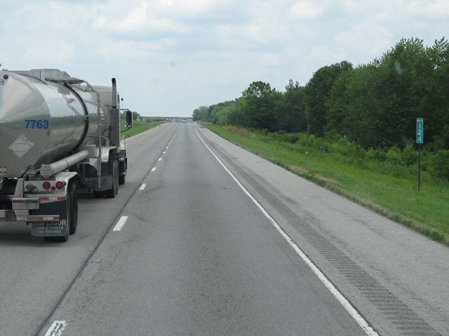 |
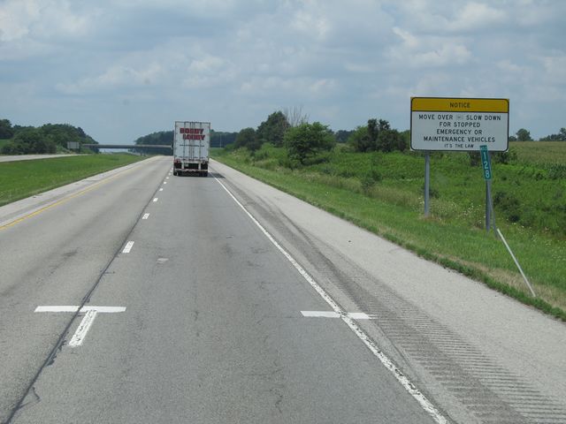
Interstate 64 West: Road view from mile marker 124. (Photo taken 7/18/11). |
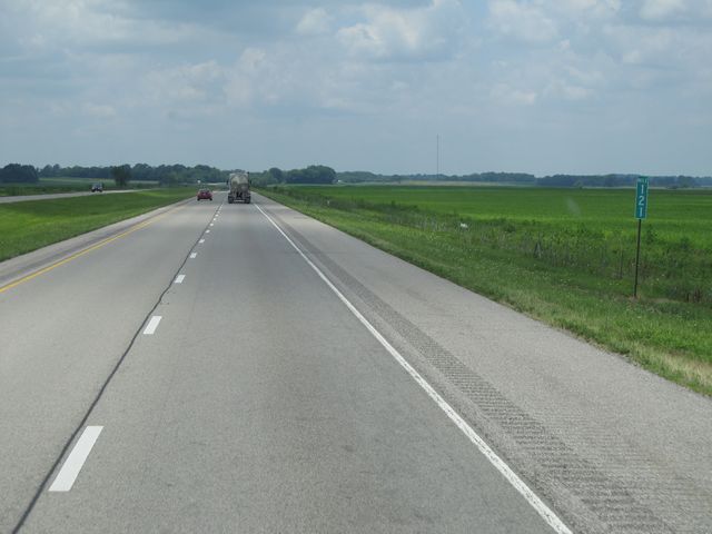 |
Interstate 64 West: Road view from mile marker 121. (Photo taken 7/18/11). |
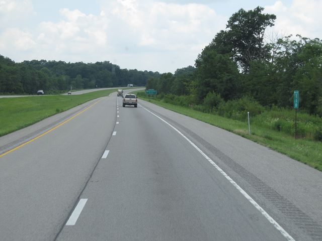 |
Interstate 64 West: Road view from mile marker 118. (Photo taken 7/18/11). |
 |
Interstate 64 West at Exit 117: Burnt Prairie (Photo taken 7/18/11). |
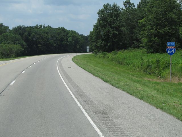 |
Interstate 64 West shield sign located near mile marker 116. (Photo taken 7/18/11). |
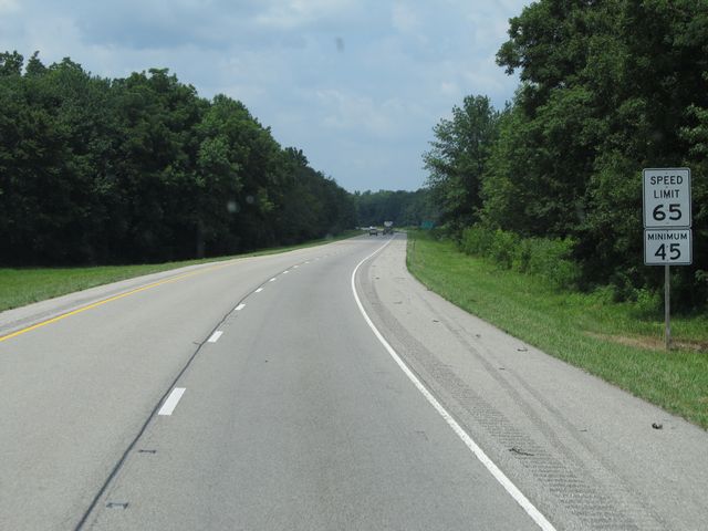 |
Speed limit sign located near mile marker 116. The speed limit on most rural Illinois freeways is 65 mph, with a minimum speed limit of 45 mph. (Photo taken 7/18/11). |
 |
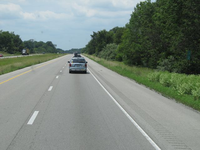
Mileage sign located at mile marker 116. It's 6 miles to the junction of US 45, 41 miles to Mt. Vernon, and 117 miles to St. Louis. (Photo taken 7/18/11). |
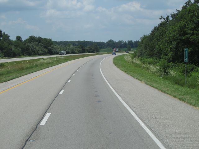 |
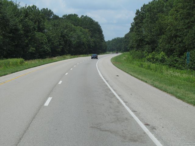
Interstate 64 West: Road view from mile marker 114. (Photo taken 7/18/11). |
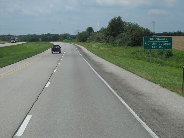 |
Take Exit 110 to get to Mill Shoals and Frontier College. (Photo taken 7/18/11). |
 |
Interstate 64 West at Exit 110: US 45 - Norris City / Fairfield (Photo taken 7/18/11). |
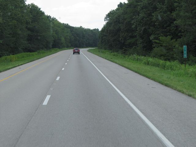 |
Interstate 64 West: Road view from mile marker 108. (Photo taken 7/18/11). |
 |
Interstate 64 West: Road view from mile marker 106. (Photo taken 7/18/11). |
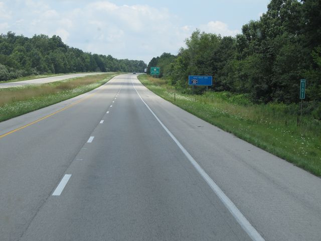 |
Interstate 64 West: Road view from mile marker 101. (Photo taken 7/18/11). |
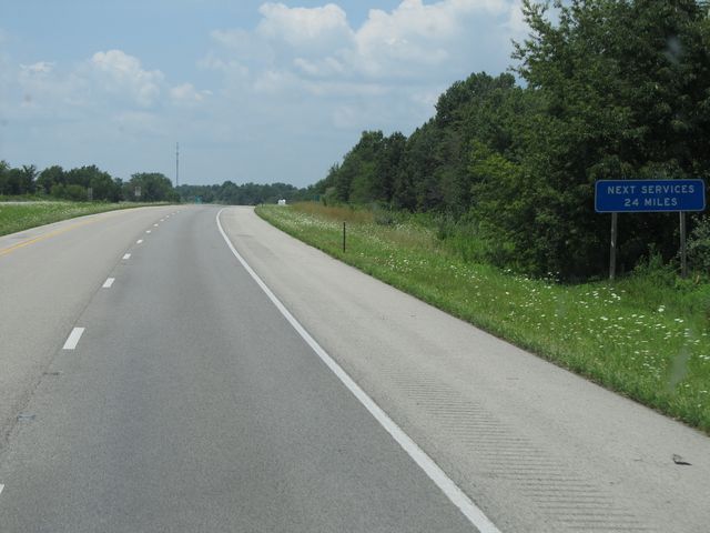 |
The next services after the next exit are 24 miles ahead. If you need gas, now is the time to fill up. (Photo taken 7/18/11). |
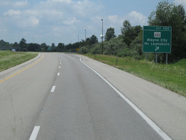 |
Interstate 64 West at Exit 100: IL 242 - Wayne City / McLeansboro (Photo taken 7/18/11). |
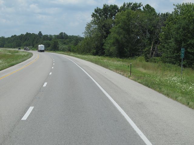 |
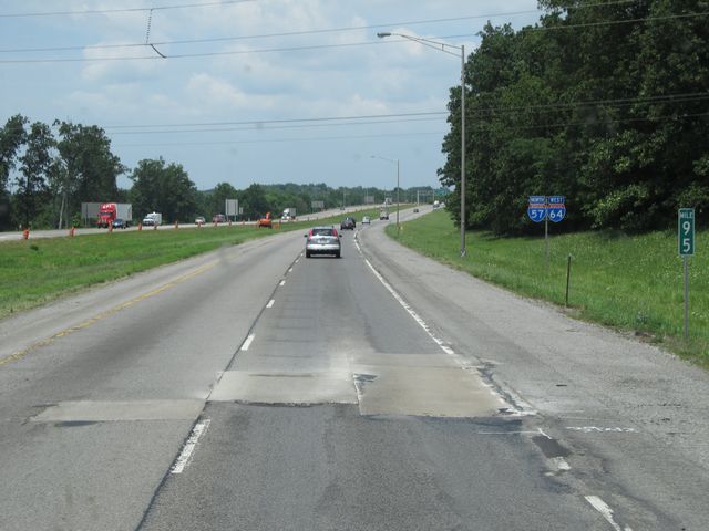
Interstate 64 West: Road view from mile marker 95. (Photo taken 7/18/11). |
 |
Interstate 64 West: Road view from mile marker 93. (Photo taken 7/18/11). |
 |
Interstate 64 West: Road view from mile marker 91. (Photo taken 7/18/11). |
 |
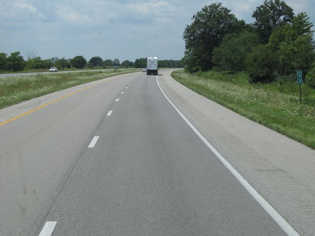
Interstate 64 West: Road view from mile marker 89. (Photo taken 7/18/11). |
 |
Interstate 64 West at Exit 89: Belle Rive / Bluford (Photo taken 7/18/11). |
 |
Interstate 64 West shield sign located near mile marker 88. (Photo taken 7/18/11). |
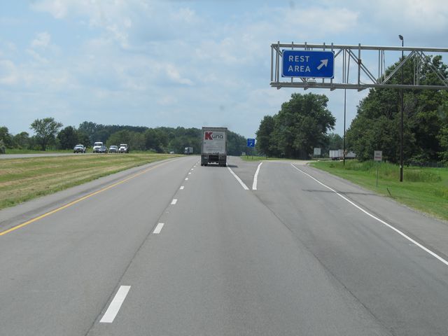 |
Interstate 64 West at the Rest Area located near mile marker 86. (Photo taken 7/18/11). |
 |
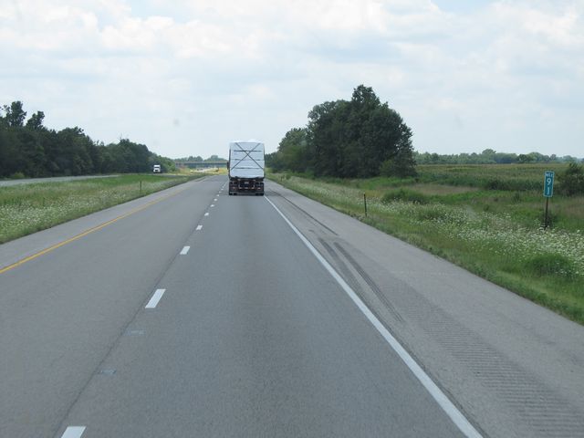
Interstate 64 West: Road view from mile marker 81. (Photo taken 7/18/11). |
 |
Interstate 64 West at Exit 80: IL 37 - Mt. Vernon (Photo taken 7/18/11). |
 |
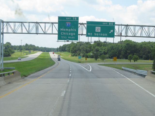
Interstate 64 West approaching the junction of Interstate 57 - 1/4 mile. Keep to the left for I-57 South, and keep to the right for I-64 West / I-57 North. (Photo taken 7/18/11). |
 |
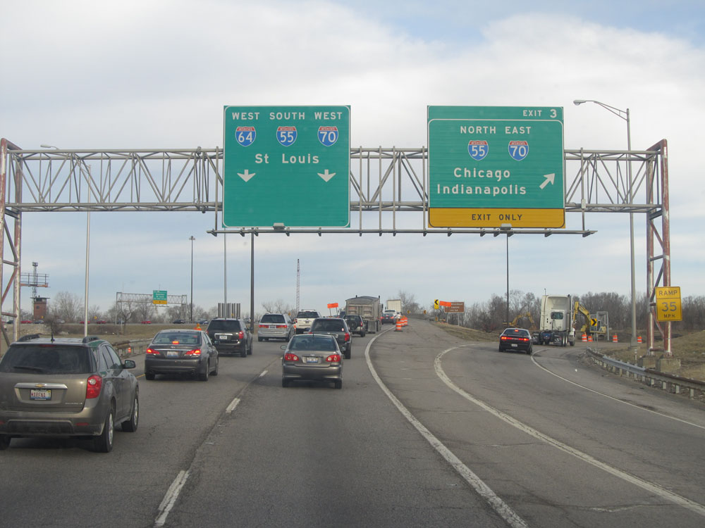
Interstate 64 West at Exit 78: Interstate 57 South - Memphis (Photo taken 7/18/11). |
 |
Interstate 64 West / Interstate 57 North: Road view from mile marker 92. During this duplex, the mileage is based off Interstate 57's mileage. (Photo taken 7/18/11). |
 |
Interstate 64 West / Interstate 57 North shield signs located near mile marker 93. (Photo taken 7/18/11). |
 |
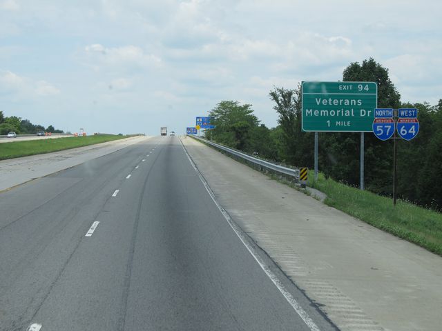
Interstate 64 West / Interstate 57 North at Exit 94: Veterans Memorial Dr (Photo taken 7/18/11). |
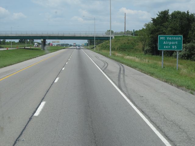 |
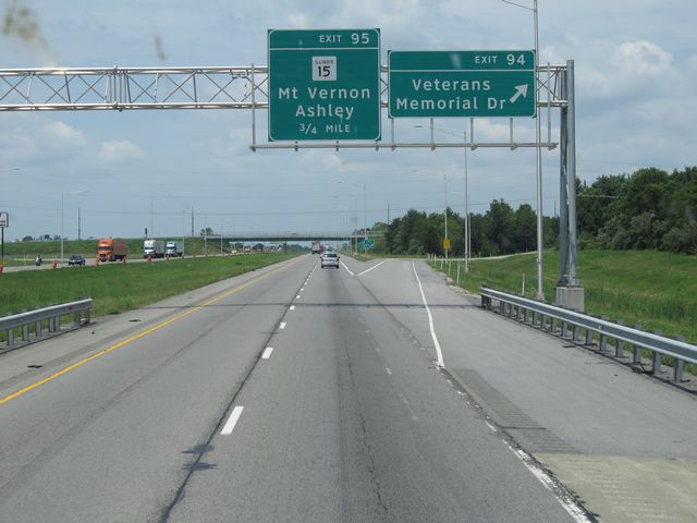
Use Exit 95 to get to Mt. Vernon Airport. (Photo taken 7/18/11). |
 |
Interstate 64 West / Interstate 57 North at Exit 95: IL 15 - Mt. Vernon / Ashley (Photo taken 7/18/11). |
 |
Interstate 64 West / Interstate 57 North: Road view from mile marker 95. (Photo taken 7/18/11). |
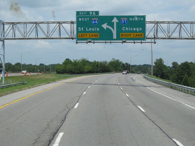 |
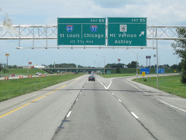
Interstate 64 West / Interstate 57 North approaching Exit 96 - 1/4 mile. Keep to the left for I-64 West and keep to the right for I-57 North. (Photo taken 7/18/11). |
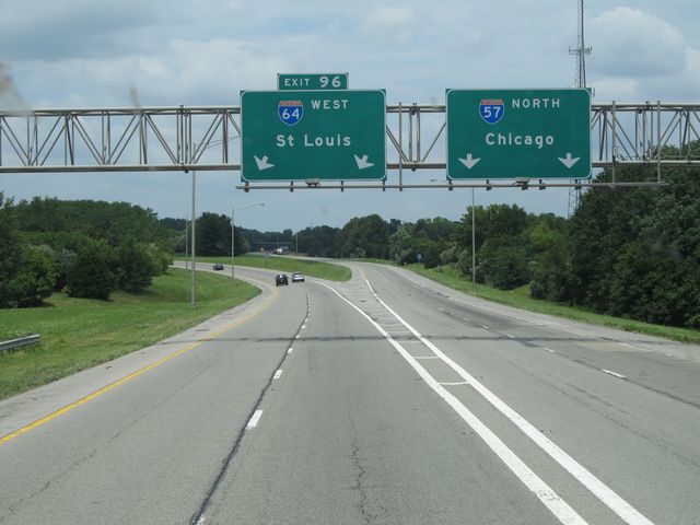 |
Interstate 64 West / Interstate 57 North at Exit 96: Interstate 64 West - St. Louis (Photo taken 7/18/11). |
 |
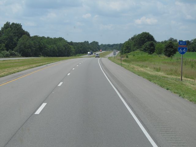
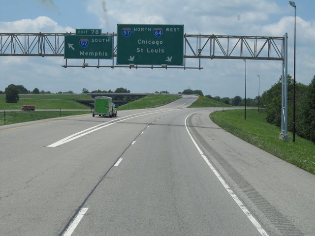
Interstate 64 West assurance shield just after I-64 branches off to the west from Interstate 57. (Photo taken 7/18/11). |
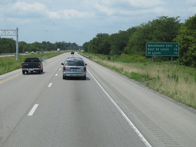 |
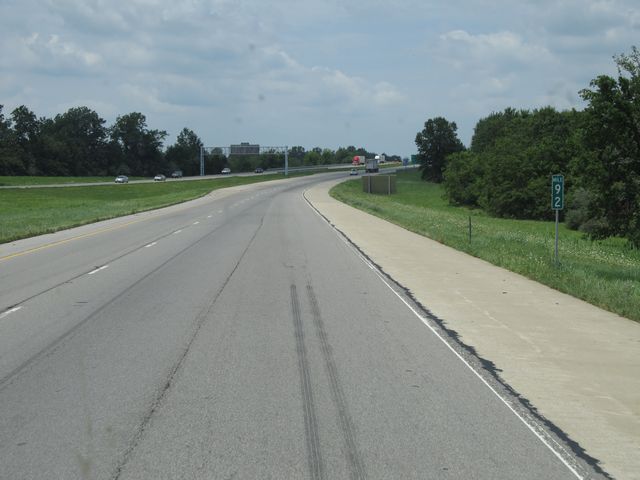
Mileage sign located near mile marker 73. It's 4 miles to the Woodlawn exit, 70 miles to East St. Louis, and 73 miles to St. Louis. (Photo taken 7/18/11). |
 |
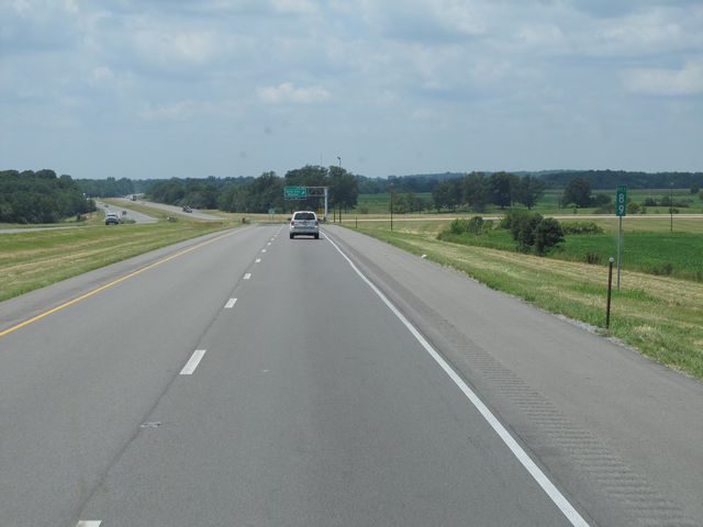
Interstate 64 West: Road view from mile marker 72. (Photo taken 7/18/11). |
 |
Interstate 64 West: Road view from mile marker 71. (Photo taken 7/18/11). |
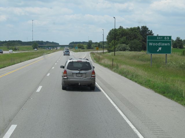 |
Interstate 64 West at Exit 69: Woodlawn (Photo taken 7/18/11). |
Section 2: Mount Vernon (Exit 69) to Missouri Border
 |
Interstate 64 West: Road view from mile marker 67. (Photo taken 7/18/11). |
 |
Interstate 64 West: Road view from mile marker 66. (Photo taken 7/18/11). |
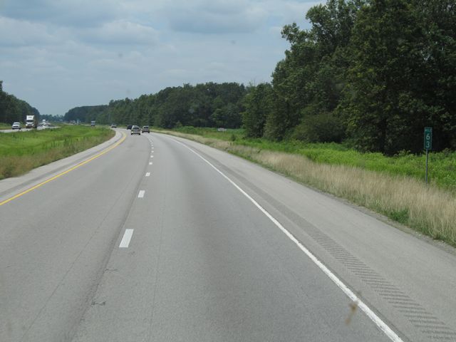 |
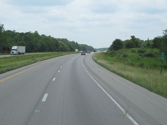
Interstate 64 West: Road view from mile marker 63. (Photo taken 7/18/11). |
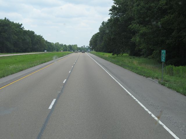 |
Interstate 64 West: Road view from mile marker 62. (Photo taken 7/18/11). |
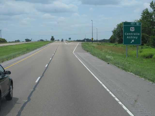 |
Interstate 64 West at Exit 61: US 51 - Centralia / Ashley (Photo taken 7/18/11). |
 |
Interstate 64 West: Road view from mile marker 56. (Photo taken 7/18/11). |
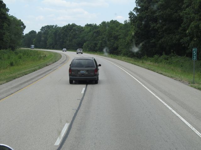 |
Interstate 64 West: Road view from mile marker 53. (Photo taken 7/18/11). |
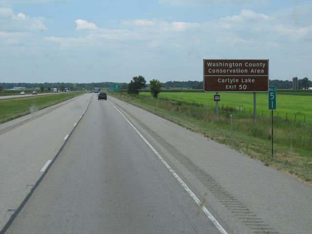 |
Use Exit 50 to get to Washington County Conservation Area and Carlyle Lake. (Photo taken 7/18/11). |
 |
Interstate 64 West at Exit 50: IL 127 - Carlyle / Nashville, IL (Photo taken 7/18/11). |
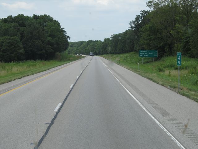 |
Interstate 64 West: Road view from mile marker 49. (Photo taken 7/18/11). |
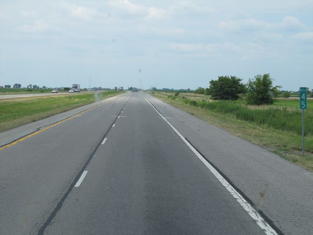 |
Interstate 64 West: Road view from mile marker 45. (Photo taken 7/18/11). |
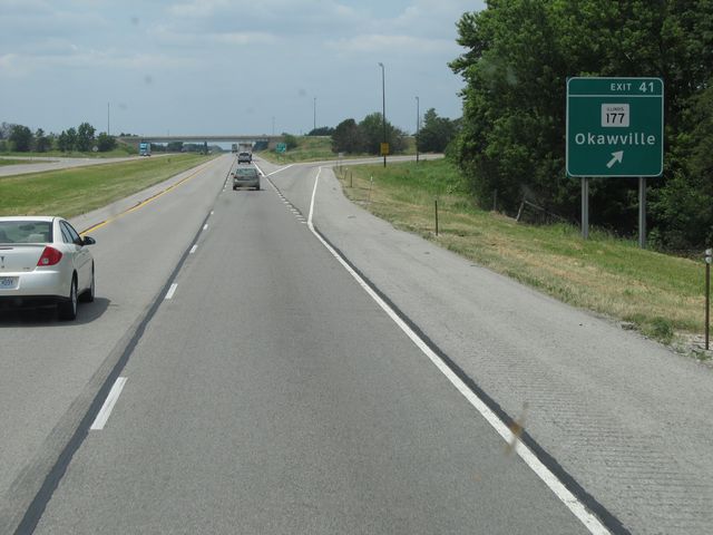 |
Interstate 64 West at Exit 41: IL 177 - Okawville (Photo taken 7/18/11). |
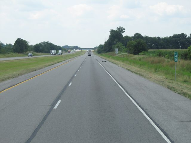 |
Interstate 64 West: Road view from mile marker 40. (Photo taken 7/18/11). |
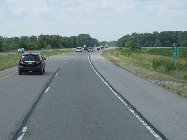 |
Interstate 64 West: Road view from mile marker 38. (Photo taken 7/18/11). |
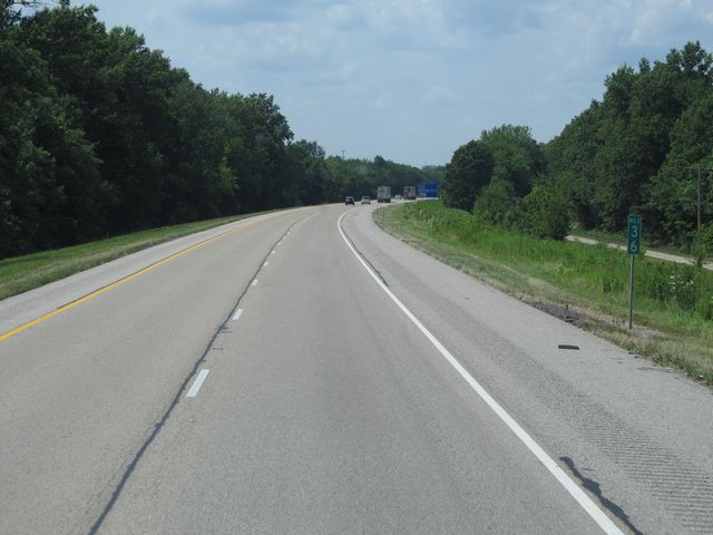 |
Interstate 64 West: Road view from mile marker 36. (Photo taken 7/18/11). |
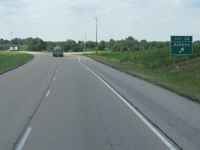 |
Interstate 64 West at Exit 34: Albers (Photo taken 7/18/11). |
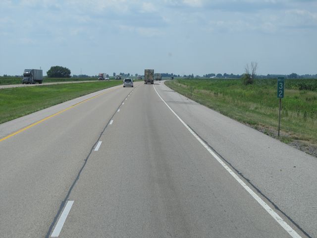 |
Interstate 64 West: Road view from mile marker 32. (Photo taken 7/18/11). |
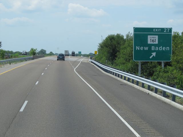 |
Interstate 64 West at Exit 27: IL 161 - New Baden (Photo taken 7/18/11). |
 |
Interstate 64 West at the Rest Area located near mile marker 25. (Photo taken 7/18/11). |
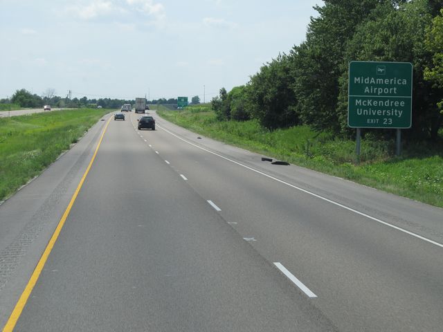 |
Use Exit 23 to get to MidAmerica Airport and McKenree University. (Photo taken 7/18/11). |
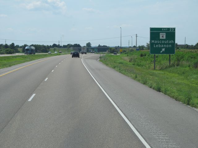 |
Interstate 64 West at Exit 23: IL 4 - Mascoutah / Lebanon (Photo taken 7/18/11). |
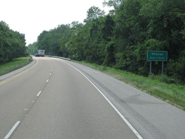 |
Use any of the next 3 exits to get to O'Fallon. (Photo taken 7/18/11). |
 |
Interstate 64 West at Exit 19B: US 50 East - O'Fallon (Photo taken 7/18/11). |
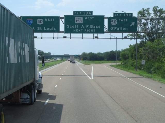
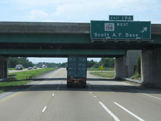 |
Interstate 64 West at Exit 19A: IL 158 West - Scott Air Force Base (Photo taken 7/18/11). |
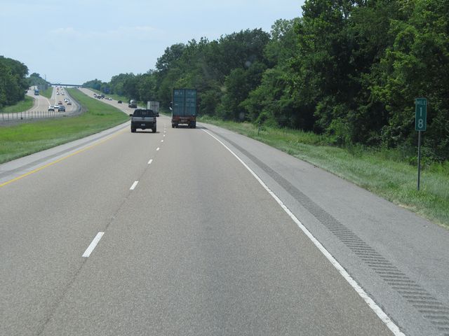 |
Interstate 64 West: Road view from mile marker 18. (Photo taken 7/18/11). |
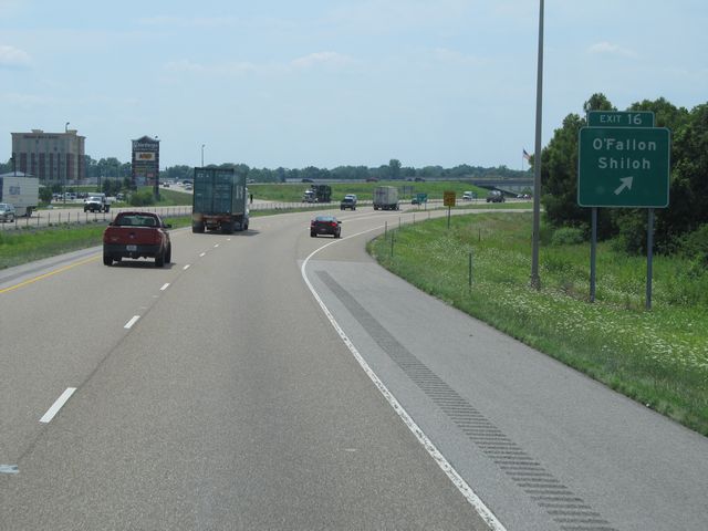 |
Interstate 64 West at Exit 16: O'Fallon / Shiloh (Photo taken 7/18/11). |
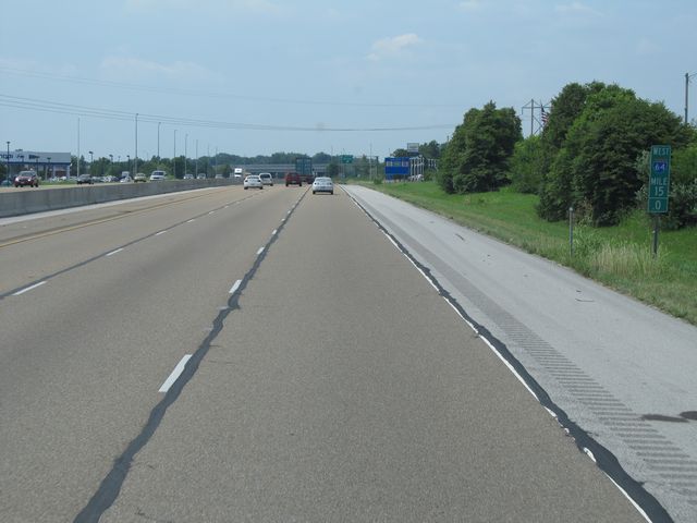 |
Interstate 64 West: Road view from mile marker 15. (Photo taken 7/18/11). |
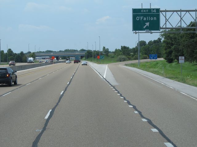 |
Interstate 64 West at Exit 14: O'Fallon (Photo taken 7/18/11). |
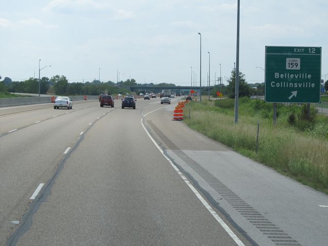 |
Interstate 64 West at Exit 12: IL 159 - Belleville / Collinsville (Photo taken 7/18/11). |
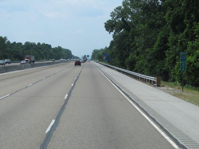 |
Interstate 64 West: Road view from mile marker 10. (Photo taken 7/18/11). |
 |
Use Interstate 255 North to get to the Cahokia Mounds Historic Site and Interstate 255 South to get to Our Lady of Snows Shrine. (Photo taken 7/18/11). |
 |
Interstate 64 West at Exit 9: IL 157 - Caseyville / Centreville (Photo taken 7/18/11). |
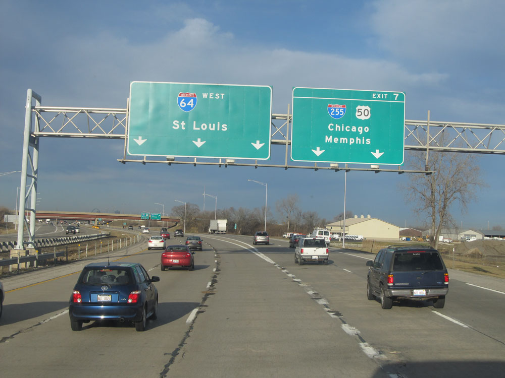 |
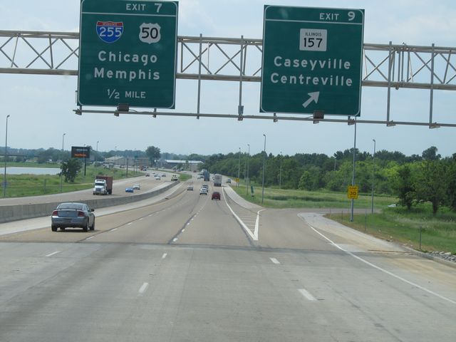
Interstate 64 West at Exit 7: Interstate 255 / US 50 - Chicago / Memphis (Photo taken 2/22/12). |
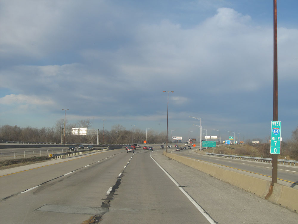 |
Interstate 64 West at mile marker 7. (Photo taken 2/22/12). |
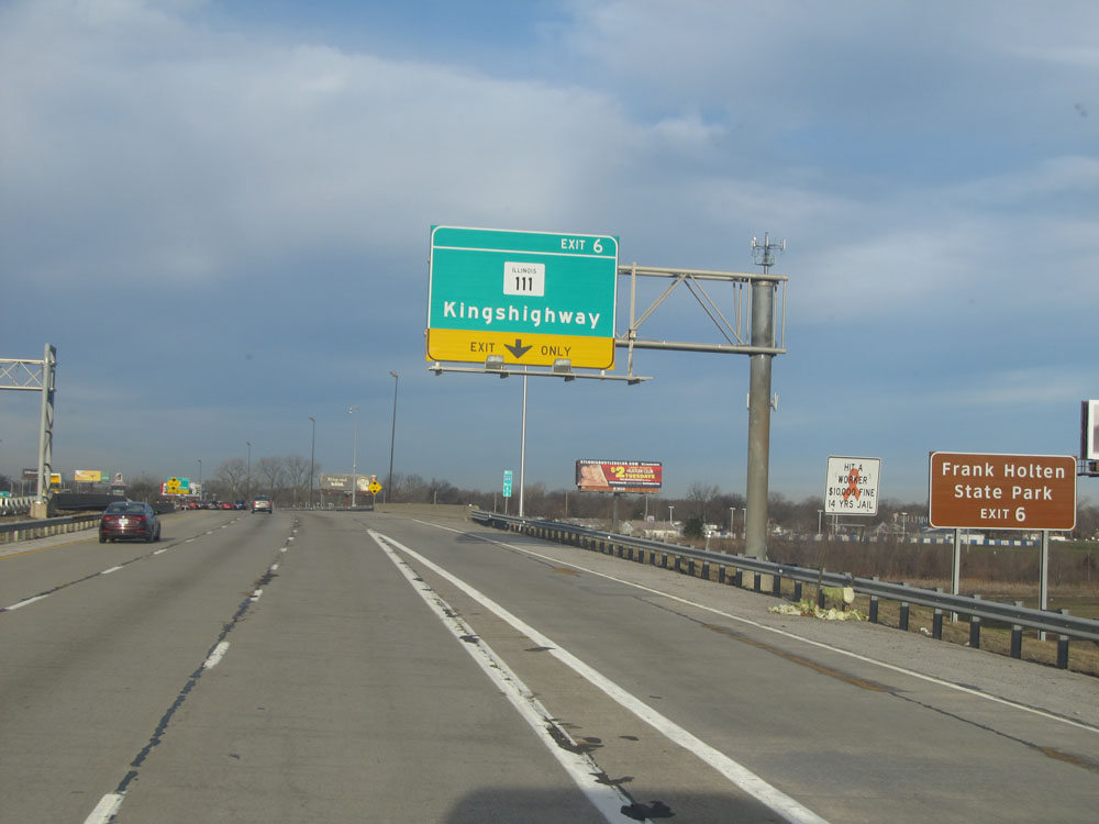 |
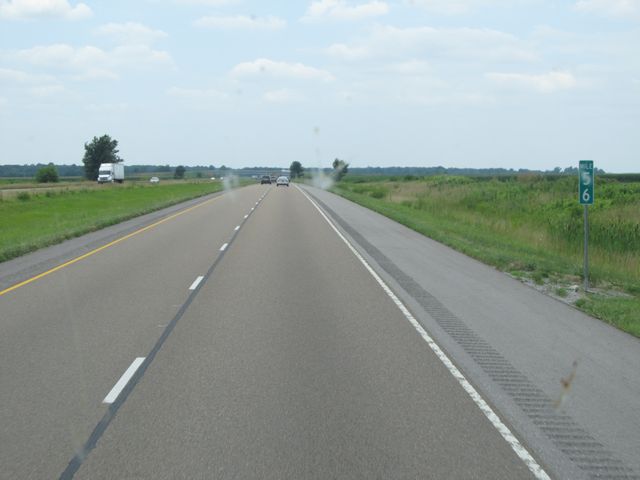
Take Exit 6 to Frank Holten State Park. (Photo taken 2/22/12). |
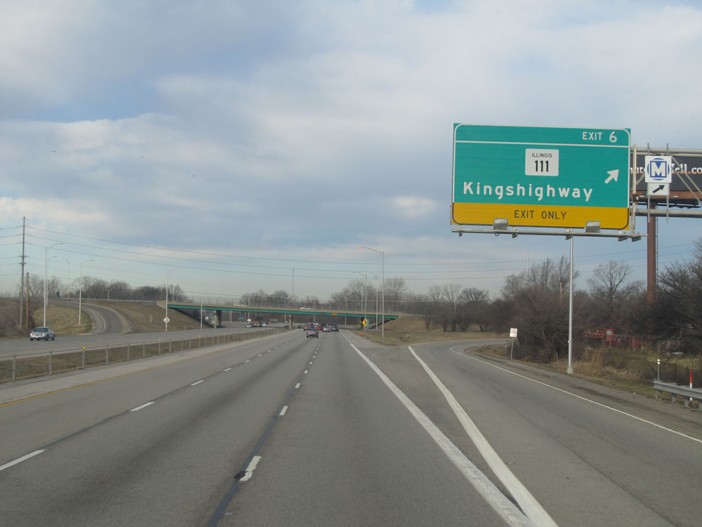 |
Interstate 64 West at Exit 6: IL 111 - Kingshighway (Photo taken 2/22/12). |
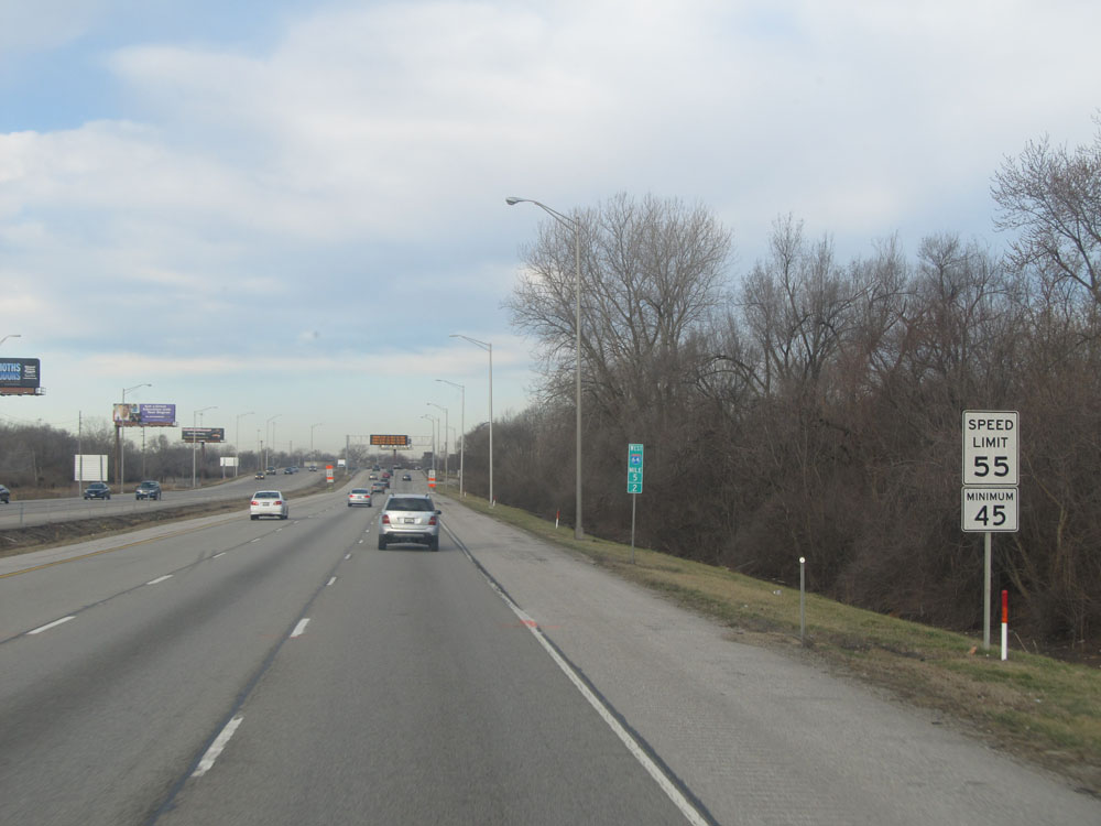 |
Speed limit signs at mile marker 5.2. Speed Limit - 55 mph, Minimum Speed Limit - 45 mph. (Photo taken 2/22/12). |
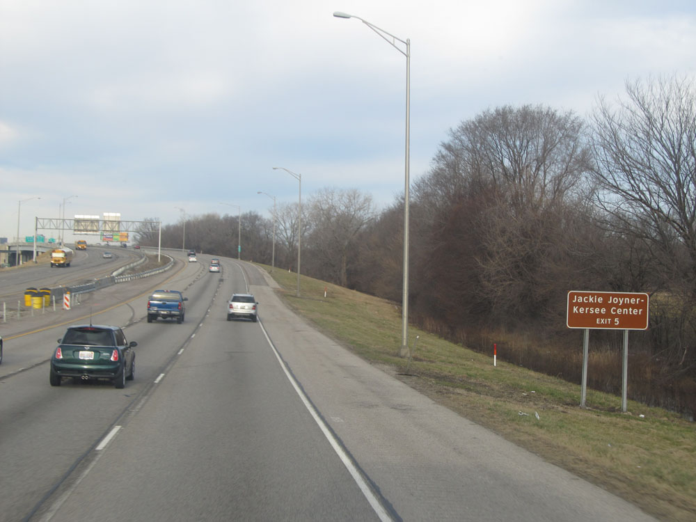 |
Take Exit 5 to Jackie Joyner-Kersee Center. (Photo taken 2/22/12). |
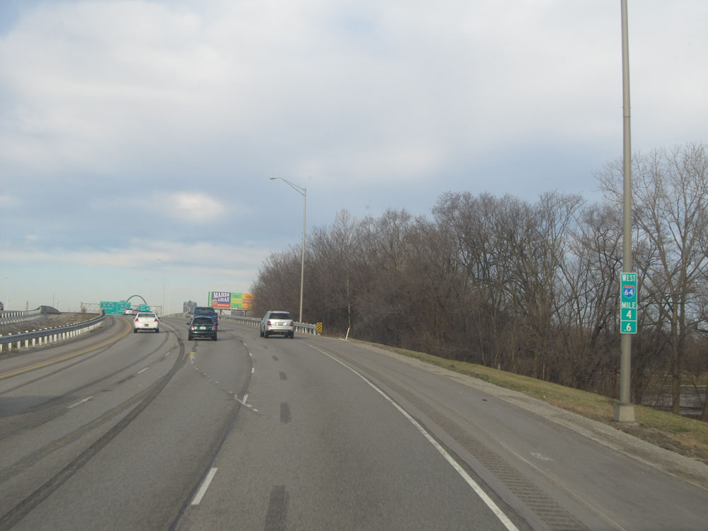 |
Interstate 64 West at mile marker 4.6. (Photo taken 2/22/12). |
 |
Interstate 64 West at Exit 5: 25th Street (Photo taken 2/22/12). |
 |
Interstate 64 West approaching Exit 4. (Photo taken 2/22/12). |
 |
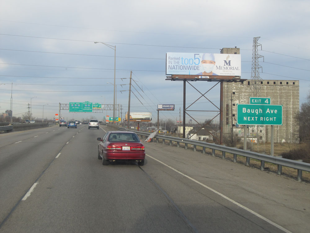
Interstate 64 West at Exit 4: Baugh Ave (Photo taken 2/22/12). |
 |
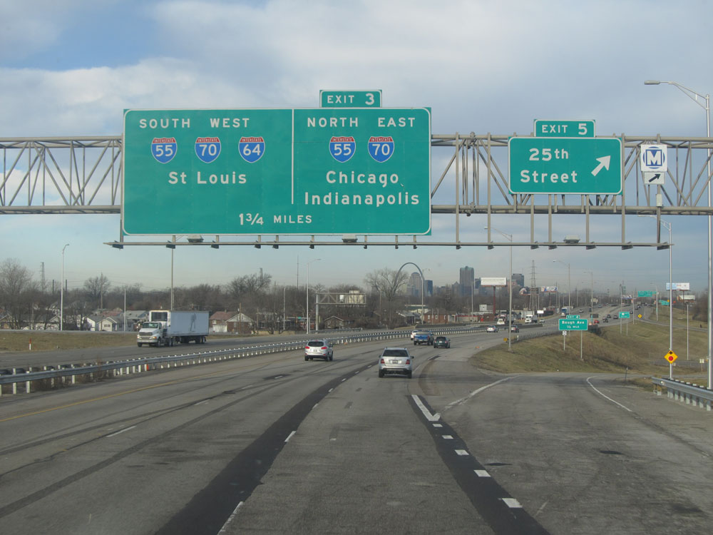
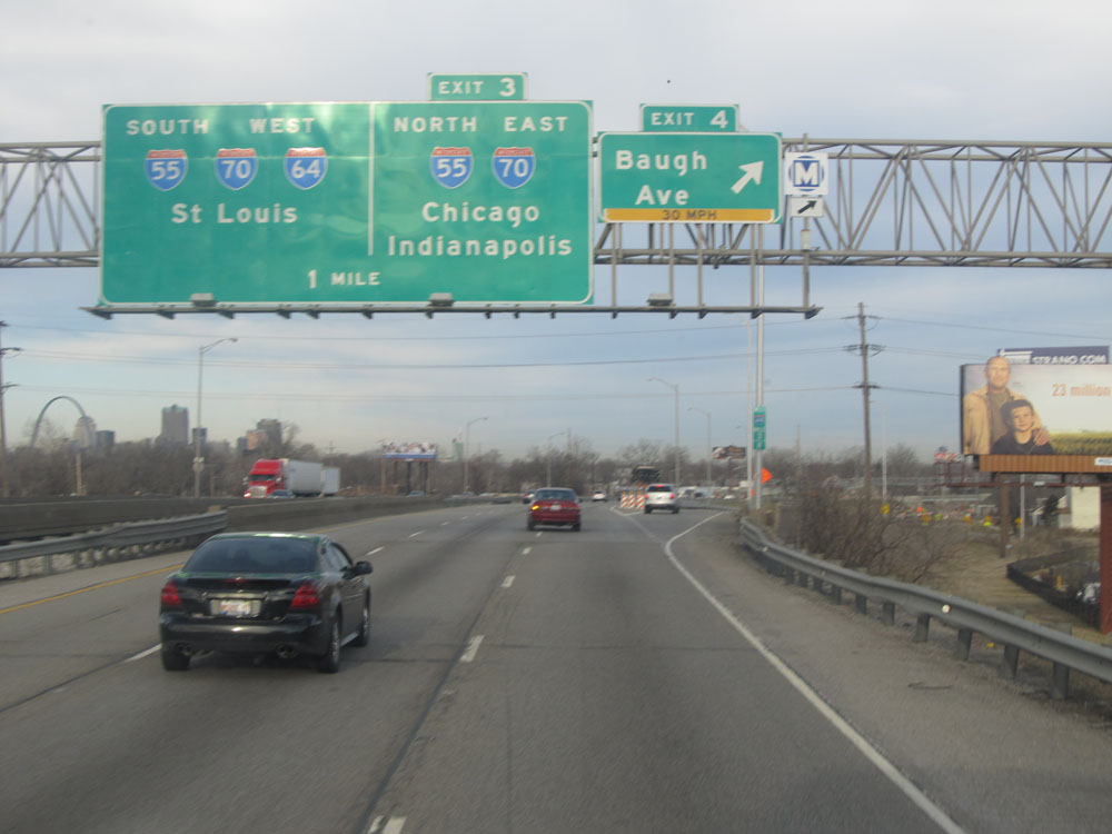
Interstate 64 West at Exit 3: Interstate 55 North / Interstate 70 East - Chicago / Indianapolis. Since the time this photo was taken, I-70's alignment has been changed to cross the Mississippi River via the Stan Musial Bridge and no longer runs concurrently with I-64 into downtown St. Louis. (Photo taken 2/22/12). |
 |
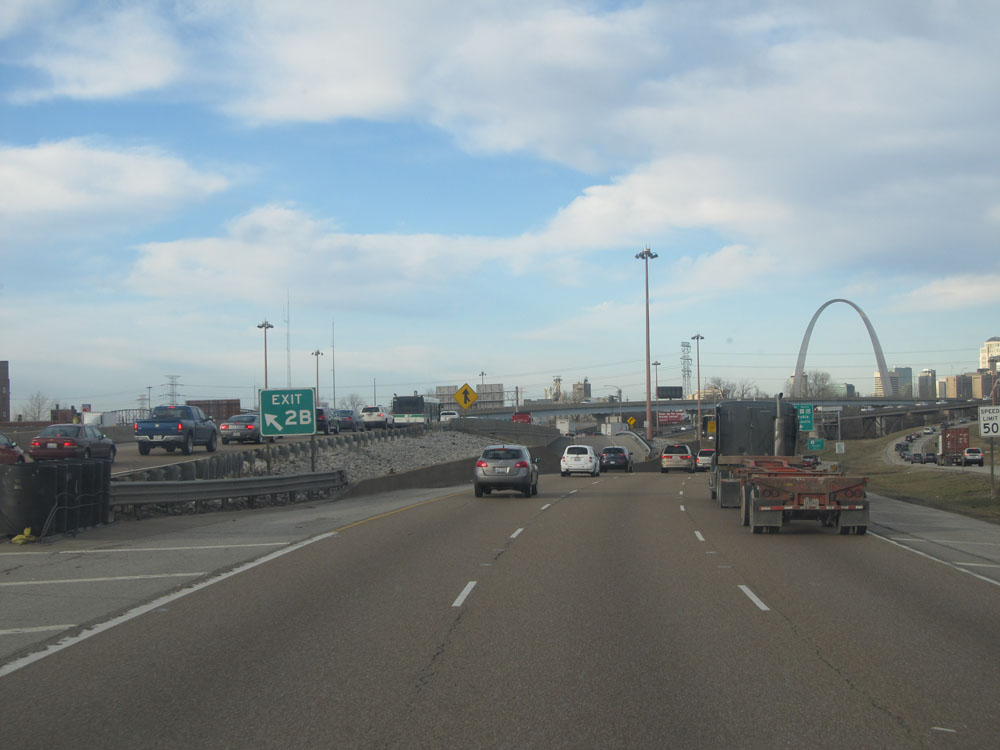
Interstate 64 West / Interstate 55 South approaching Exit 2B - 1/4 mile on the left, as the Gateway Arch comes into view. (Photo taken 2/22/12). |
 |
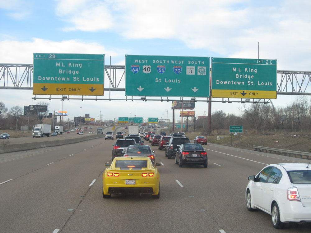
Interstate 64 West at Exit 2C: M.L. King Bridge / Downtown St. Louis (Photo taken 2/22/12). |
 |
Interstate 64 West / Interstate 55 South at Exit 2B: M.L. King Bridge / Downtown St. Louis. This I-64/I-55 concurrency has seen a major overhaul since 2012. (Photo taken 2/22/12). |
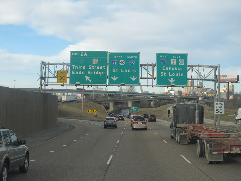 |
Interstate 64 West / Interstate 55 South at Exit 2A: Third Street / Eads Bridge. Also of note is that the speed limit decreases to 50 mph here. (Photo taken 2/22/12). |
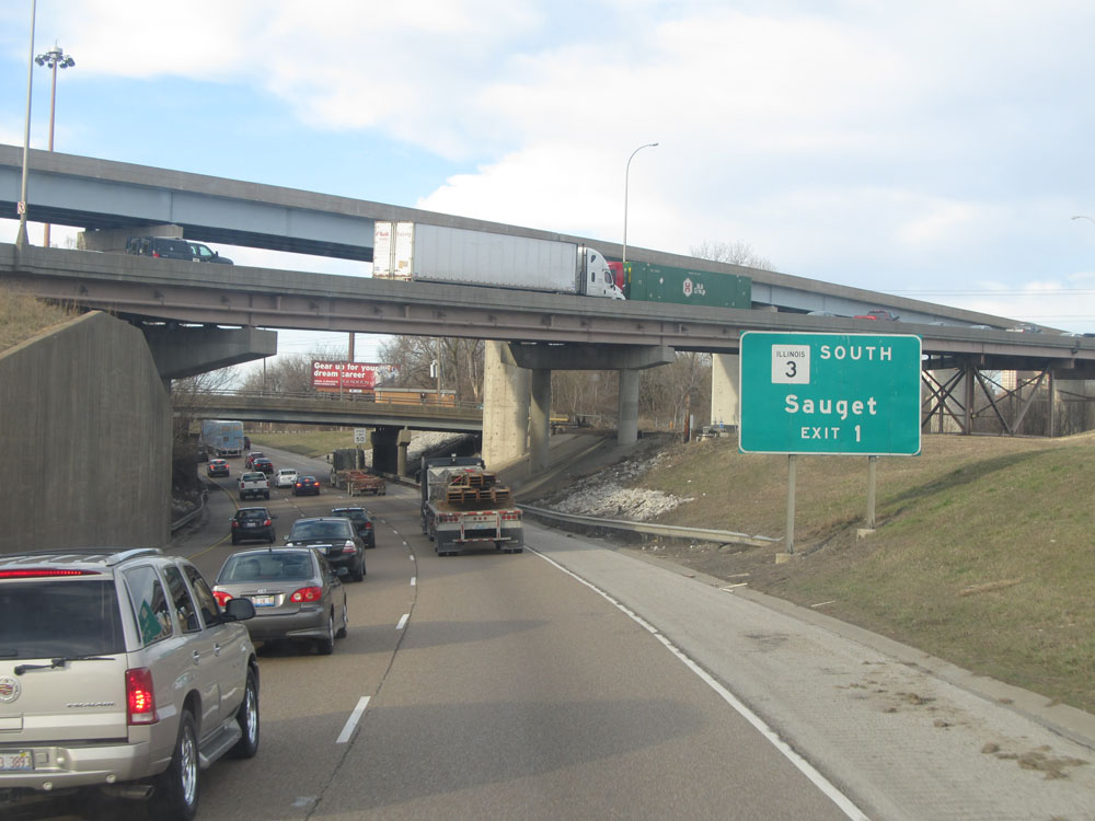 |
Take Exit 1 for IL 3 South to Sauget. (Photo taken 2/22/12). |
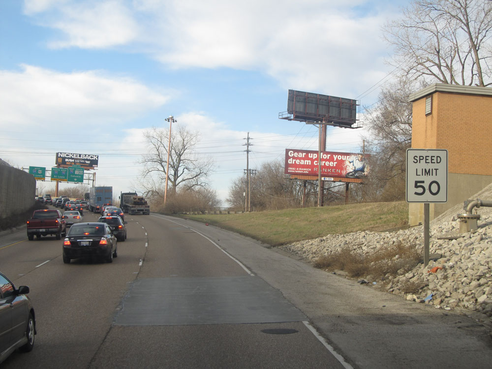 |
Speed limit assurance sign near mile marker 1.5. Speed Limit - 50 mph. (Photo taken 2/22/12). |
 |
Interstate 64 West / Interstate 55 South approaching Exit 1. You can use any lane here to remain on I-64 West / I-55 South. They split ahead, but join up again before crossing the river into Missouri. (Photo taken 2/22/12). |
 |
Interstate 64 West / Interstate 55 South at Exit : 13th St / Tudor Ave (Photo taken 2/22/12). |
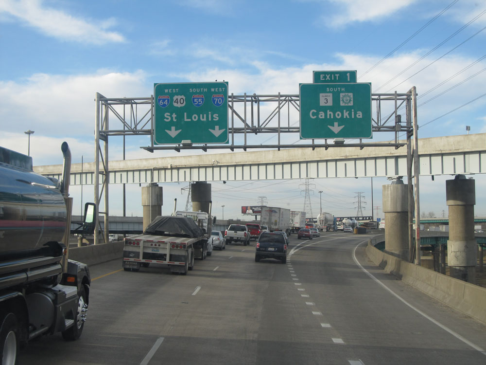 |
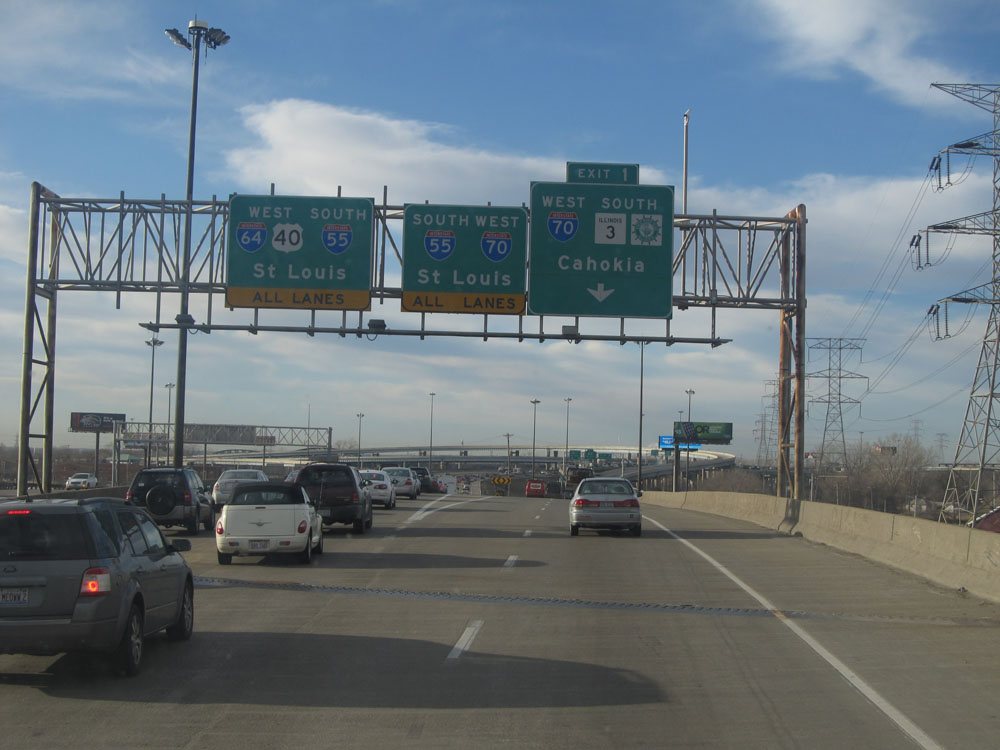
Interstate 64 West / Interstate 55 South at Exit 1: IL 3 South / Great River Road South - Cahokia (Photo taken 2/22/12). |
 |
Interstate 64 West / Interstate 55 South as the split lanes join back together in preparation to cross the Mississippi River into Missouri and downtown St. Louis. (Photo taken 2/22/12). |