Road Information |
||
 |
||
| Total Mileage in State: | 13 miles | |
| Northern End: | At I-80, in Princeton | |
| Southern End: | At IL 71, in Hennepin | |
| Mileage covered in Photos: | 13 miles | |
| Counties covered in Photos: | Bureau, Putnam | |
| Major Junctions in Photos: | US 6, in Princton | |
| Control Cities in Photos: | Princeton, Hennepin | |
Southbound
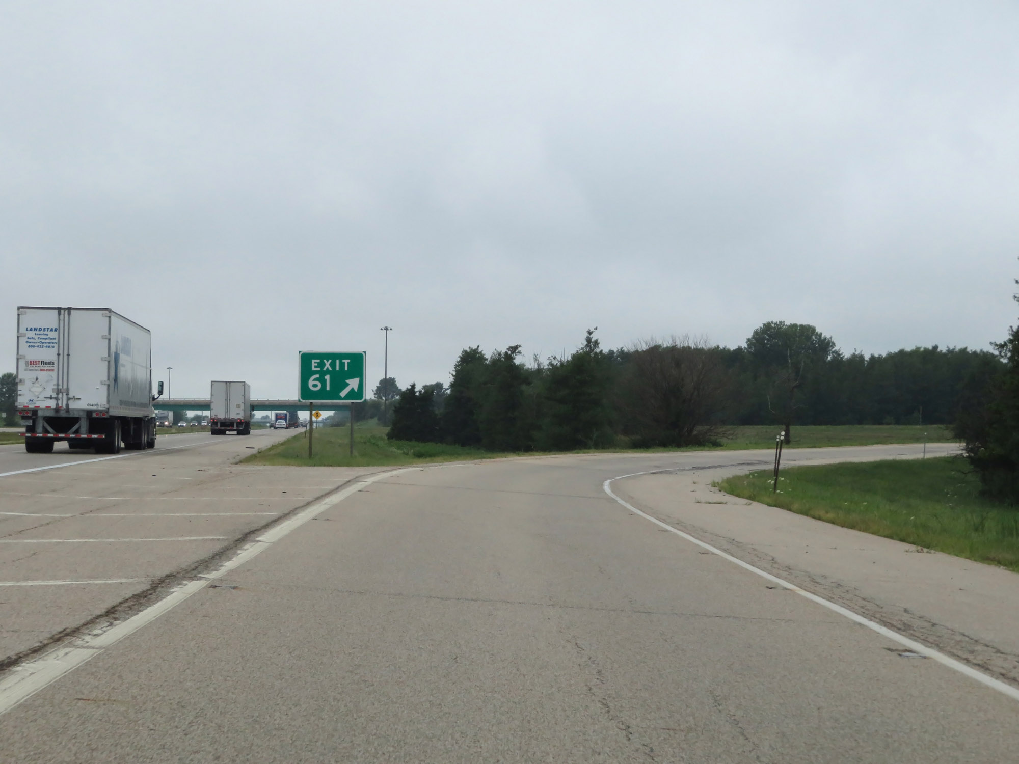 |
Merging onto Interstate 180 South via Exit 61 on Interstate 80 West. (Photo taken 8/14/19). |
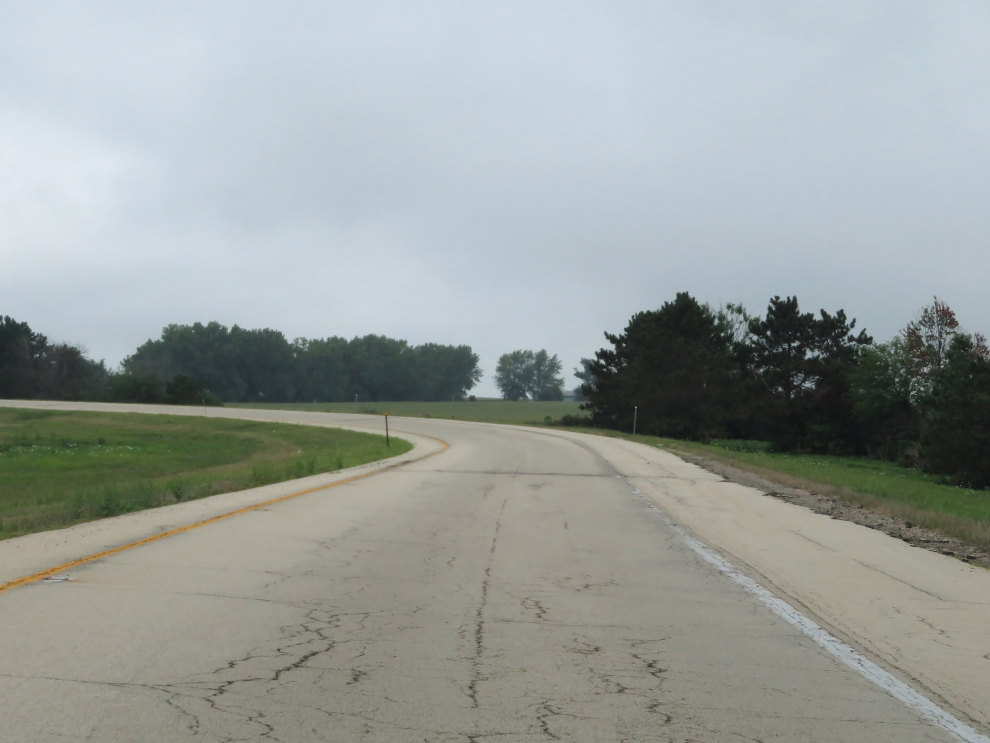 |
View on the ramp to Interstate 180 South from Interstate 80 West. (Photo taken 8/14/19). |
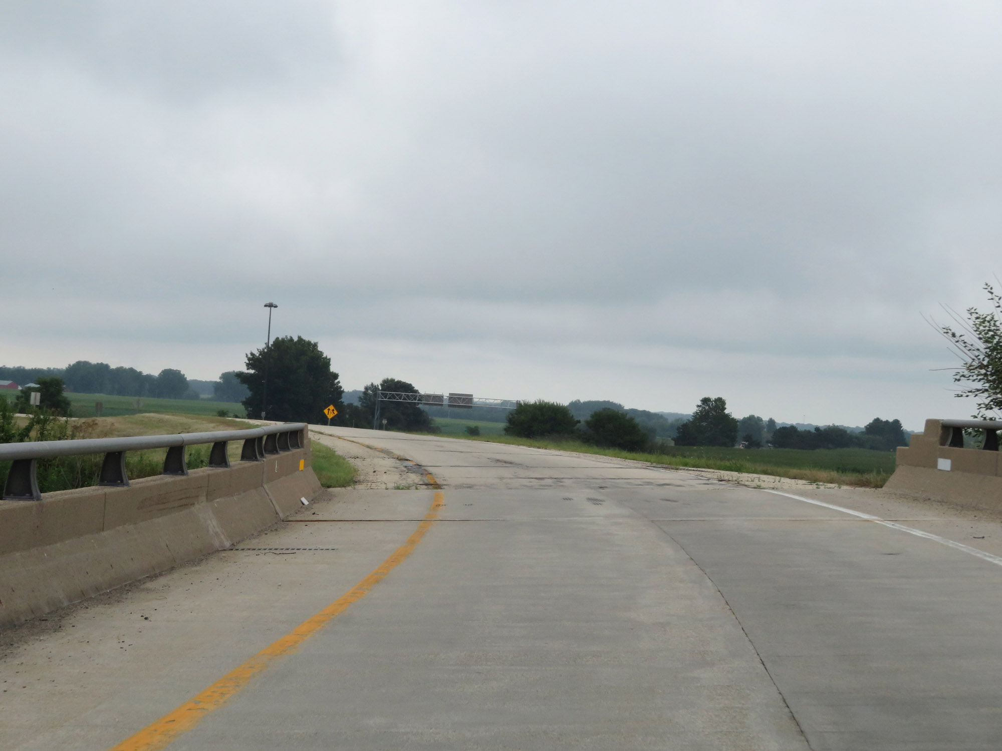 |
View on the ramp as it crosses over Interstate 80 in Princeton, preparing to head due south. (Photo taken 8/14/19). |
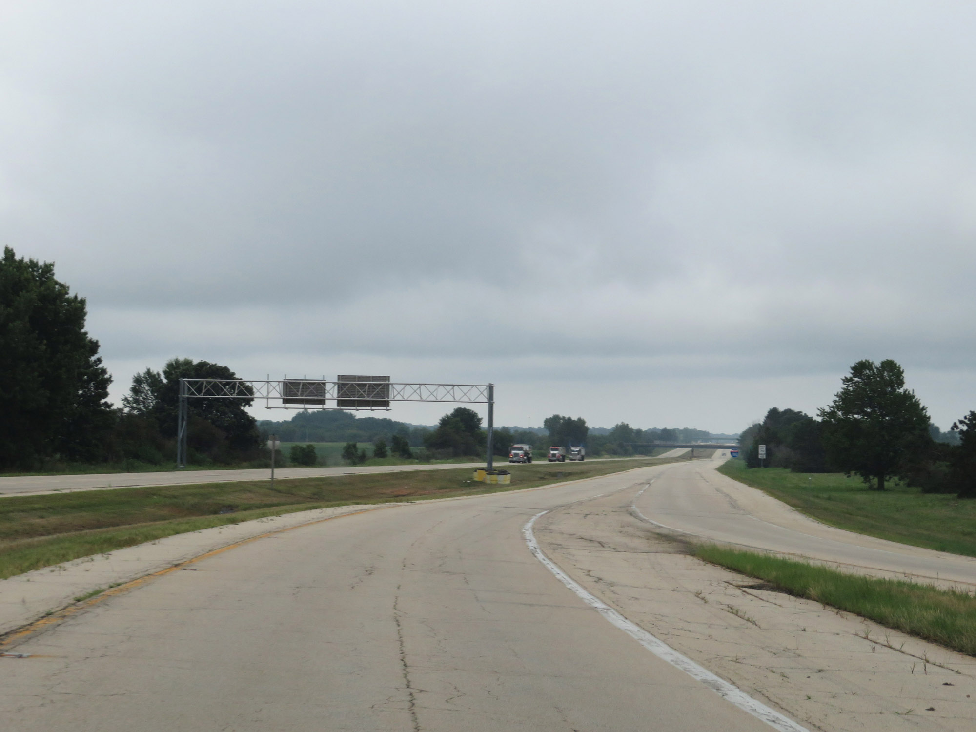 |
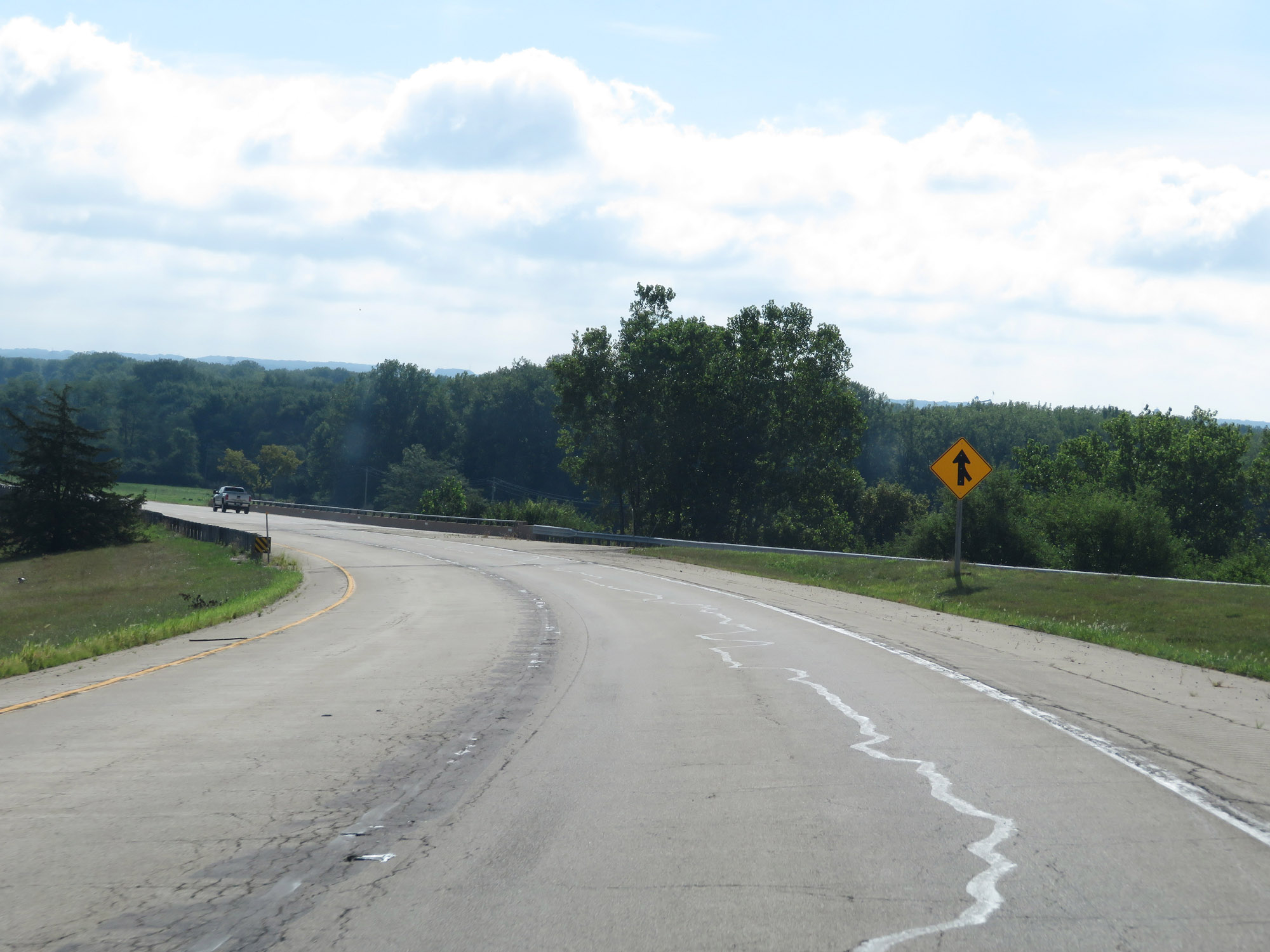
The ramp from Interstate 80 West joins the ramp from Interstate 80 East here, giving Interstate 180 South two southbound lanes. It maintains two lanes for its entire duration. (Photo taken 8/14/19). |
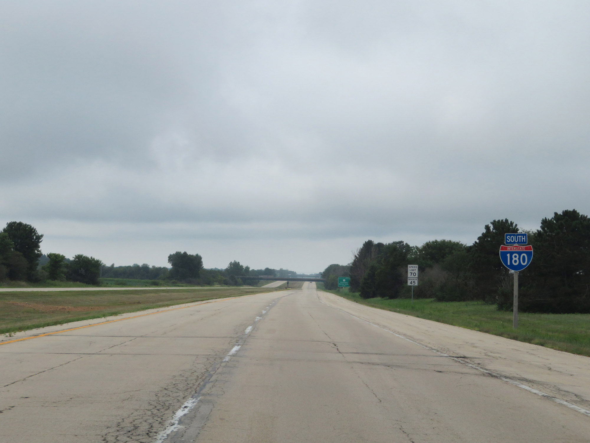 |
Interstate 180 South reassurance shield. (Photo taken 8/14/19). |
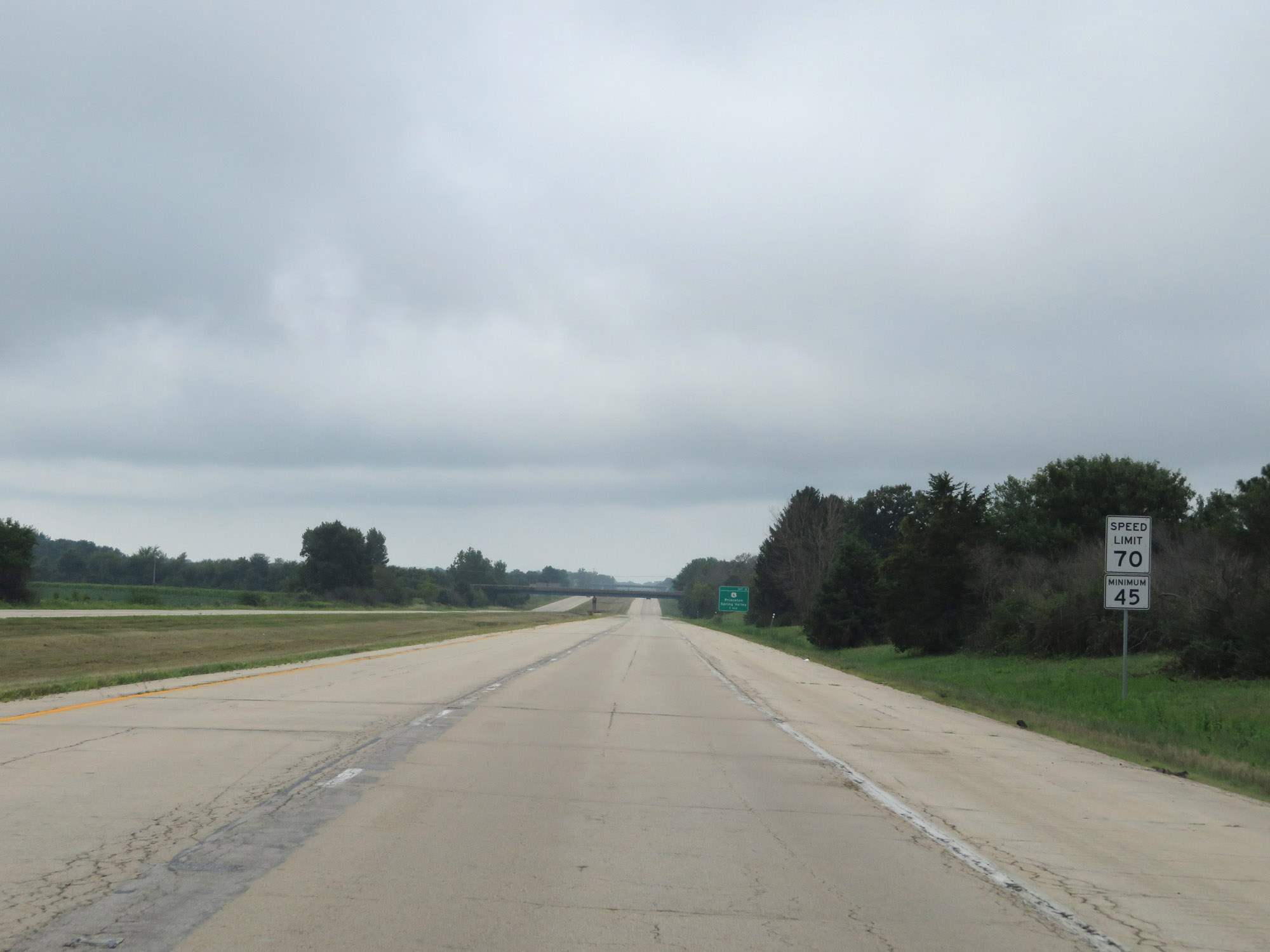 |
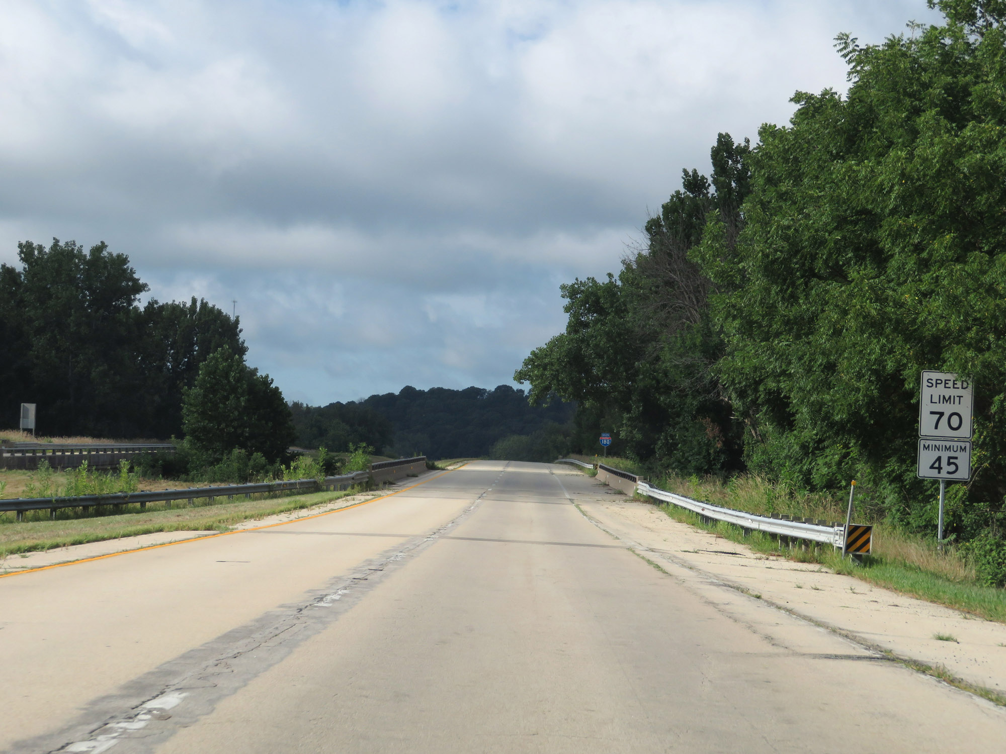
The speed limits on Interstate 180 South start out at 70 mph maximum and 45 mph minimum. They remain that way for the entire 13-mile length of I-180. These are the standard speed limits on most rural Interstate highways in Illinois. (Photo taken 8/14/19). |
 |
Interstate 180 South at mile marker 2. Two things here make I-180 in Illinois a bit different. First, the mile markers and exit numbers increases as you go south, which is the opposite of Interstate standards. Second, the northern terminus of I-180 at Interstate 80 is at mile marker 1 rather than mile marker 0. (Photo taken 8/14/19). |
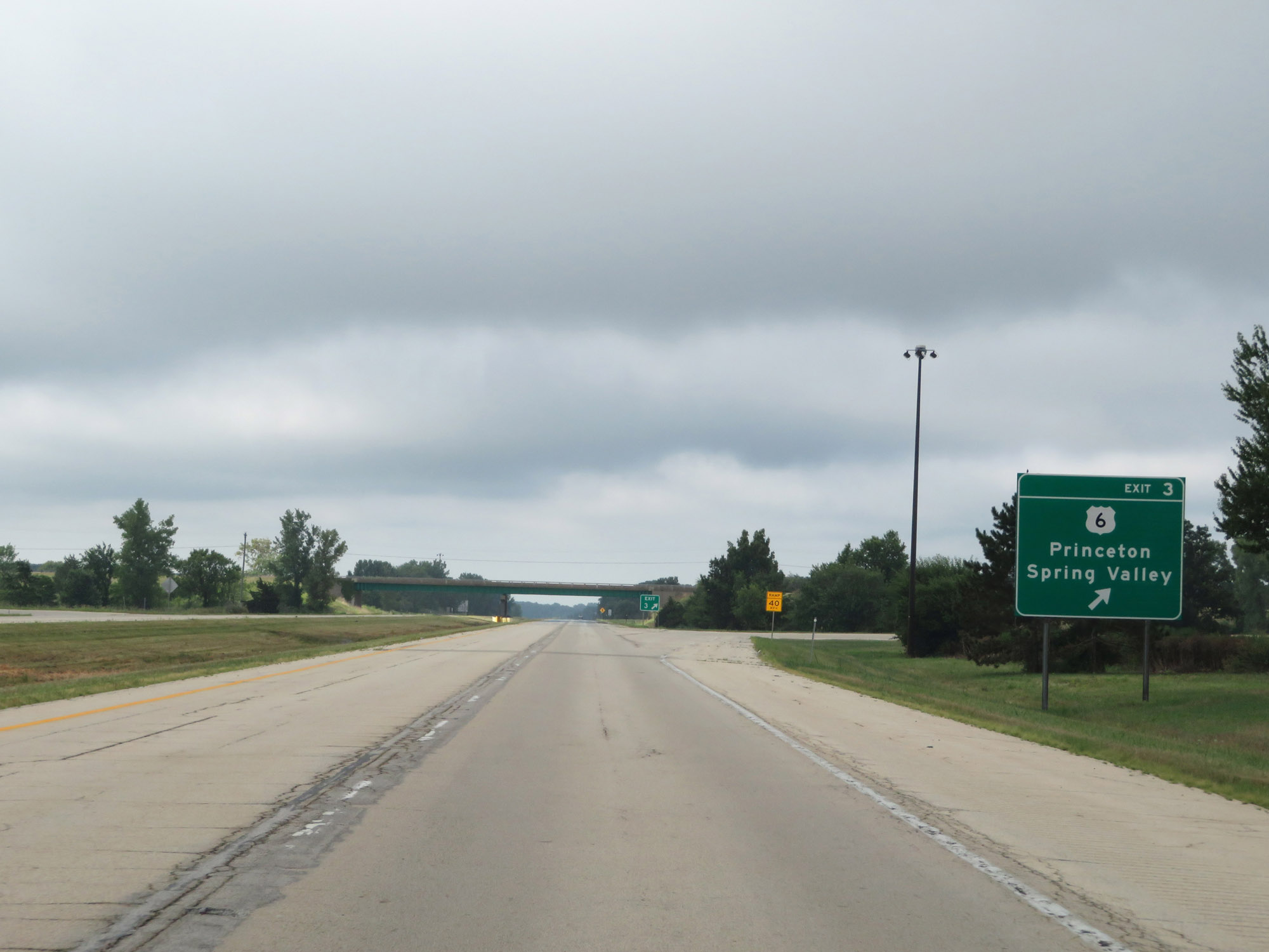 |
Interstate 180 South at Exit 3: US 6 - Princeton / Spring Valley (Photo taken 8/14/19). |
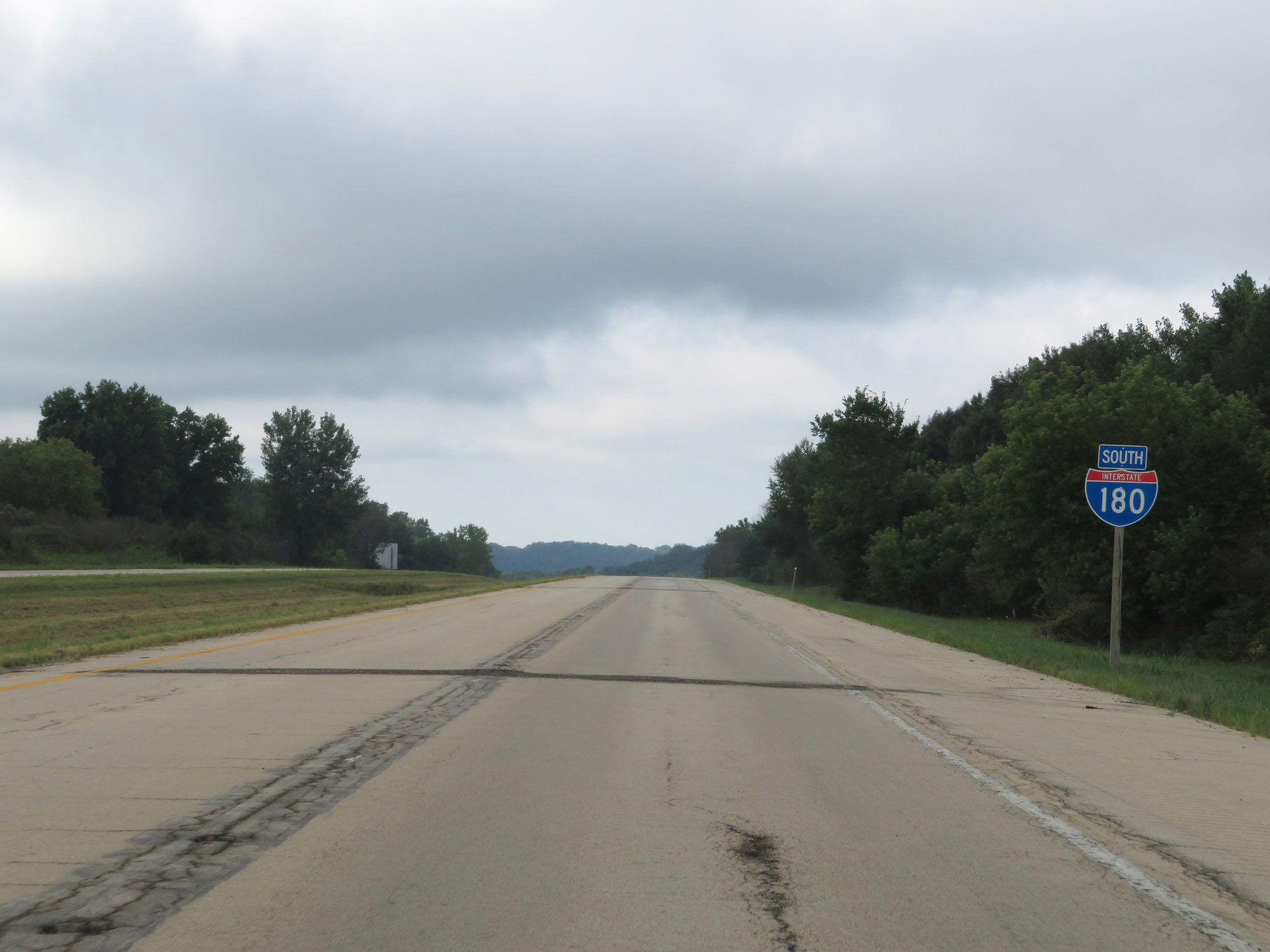 |
Another Interstate 180 South reassurance shield. (Photo taken 8/14/19). |
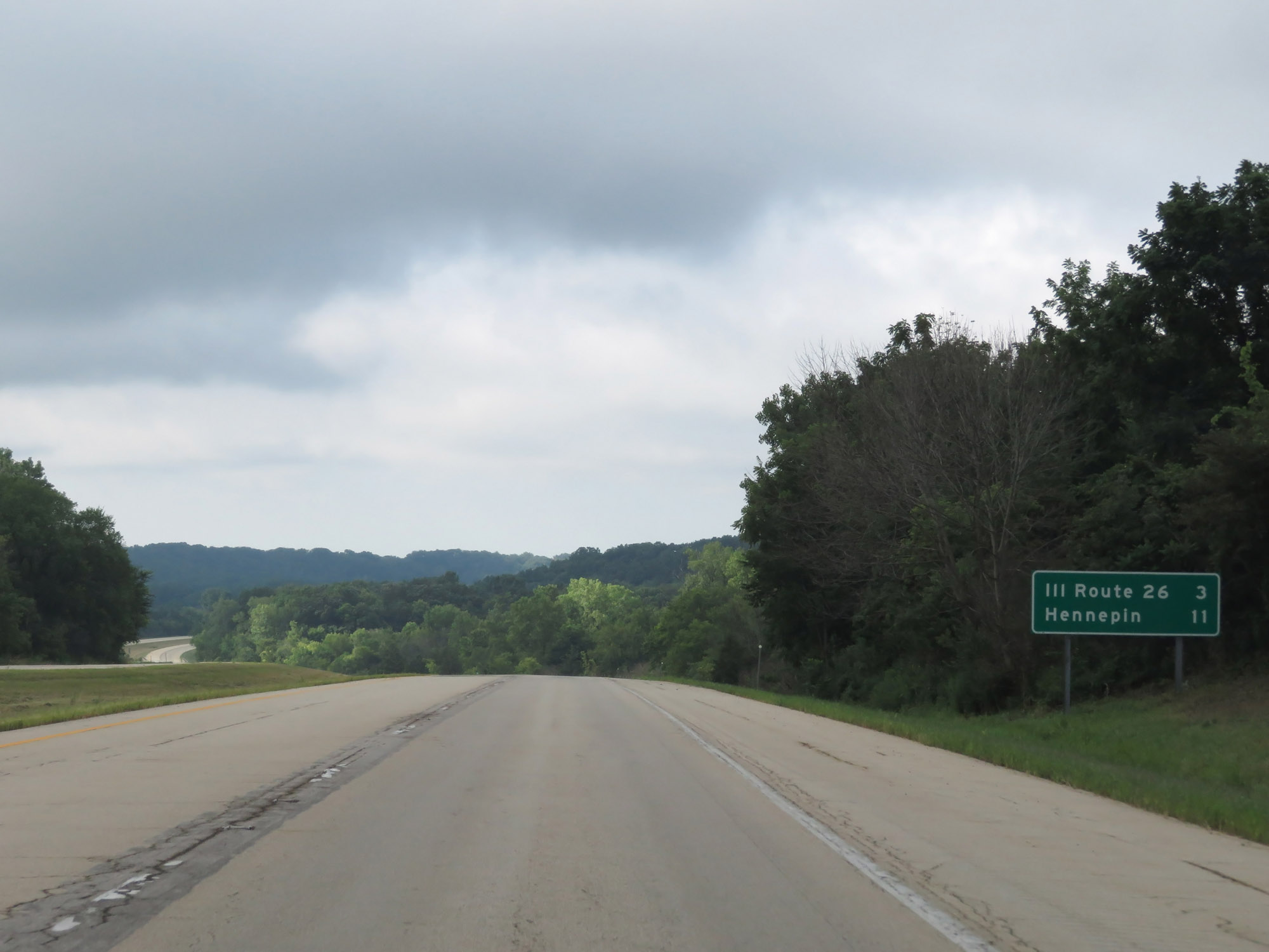 |
Mileage sign on Interstate 180 South. It's 3 miles to the junction of IL 26 and 11 miles to Hennepin. (Photo taken 8/14/19). |
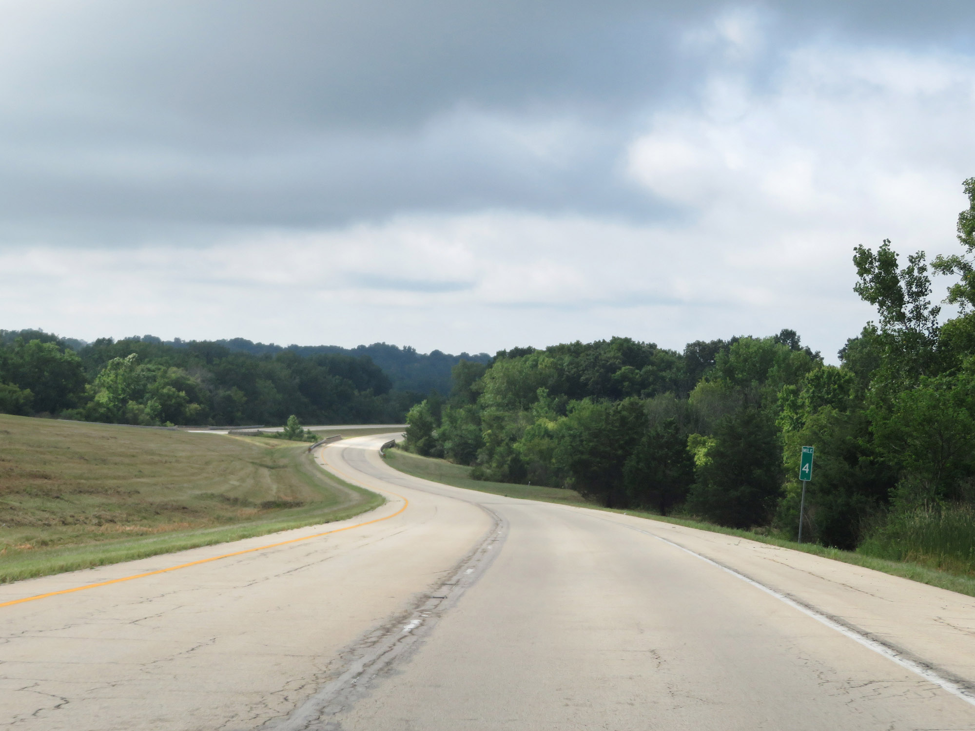 |
View on Interstate 180 South at mile marker 4. (Photo taken 8/14/19). |
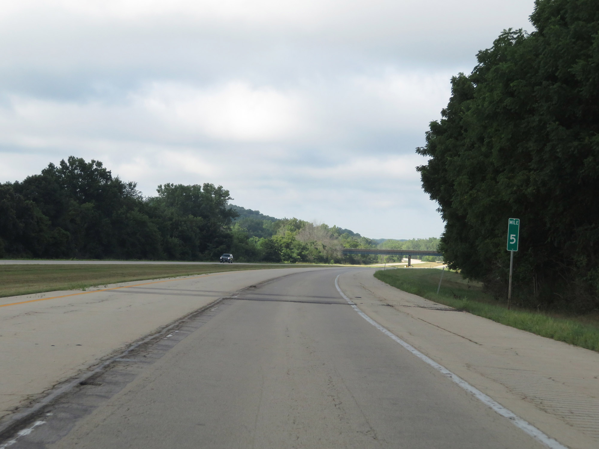 |
Interstate 180 South at mile marker 5. (Photo taken 8/14/19). |
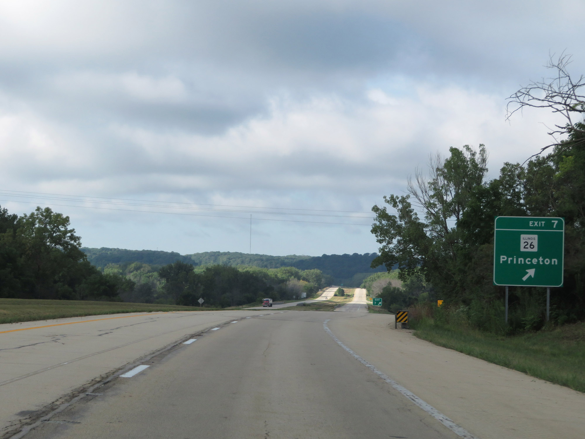 |
Interstate 180 South at Exit 7: IL 26 - Princeton (Photo taken 8/14/19). |
 |
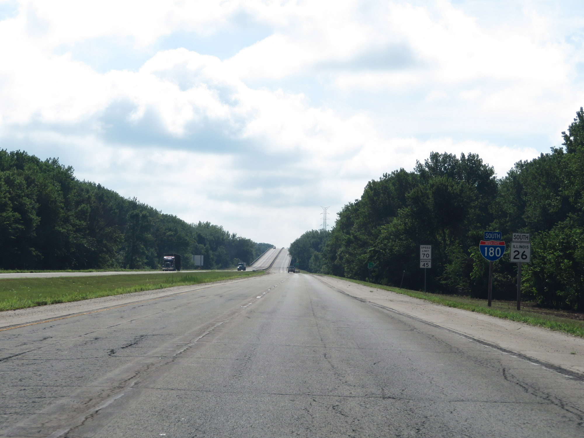
The speed limits remain 70 mph maximum and 45 mph minimum. (Photo taken 8/14/19). |
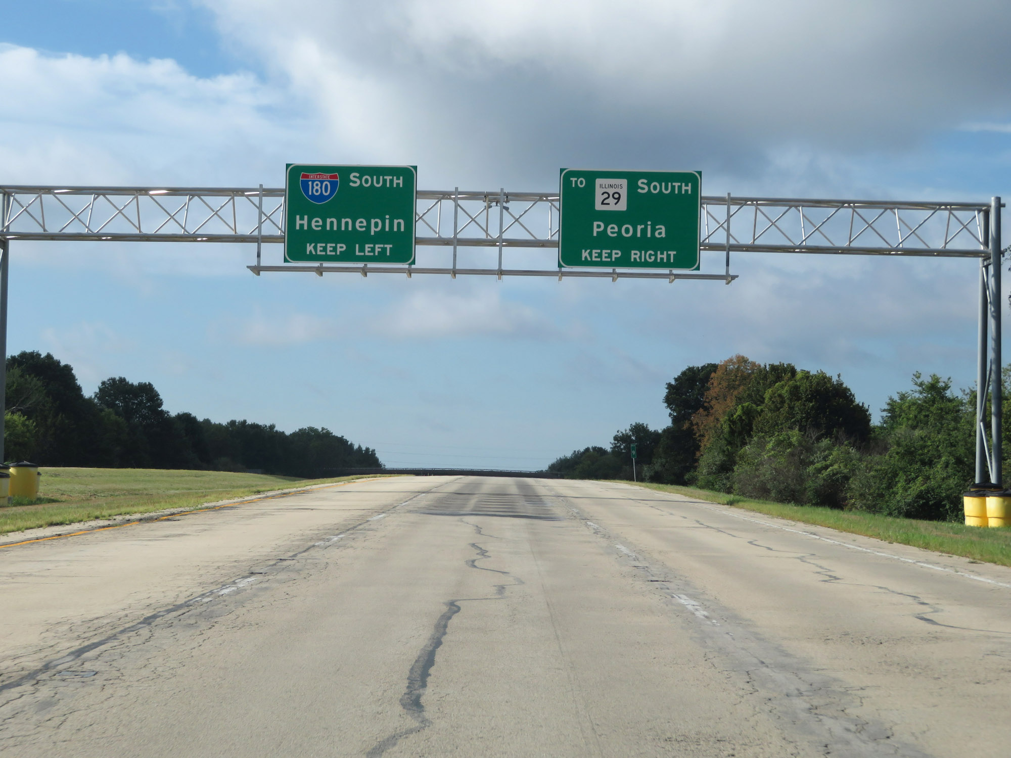 |
Ahead, Interstate 180 South will have an unnumbered interchange to IL 29 South. I-180 South thru traffic should use the center and/or left lanes. (Photo taken 8/14/19). |
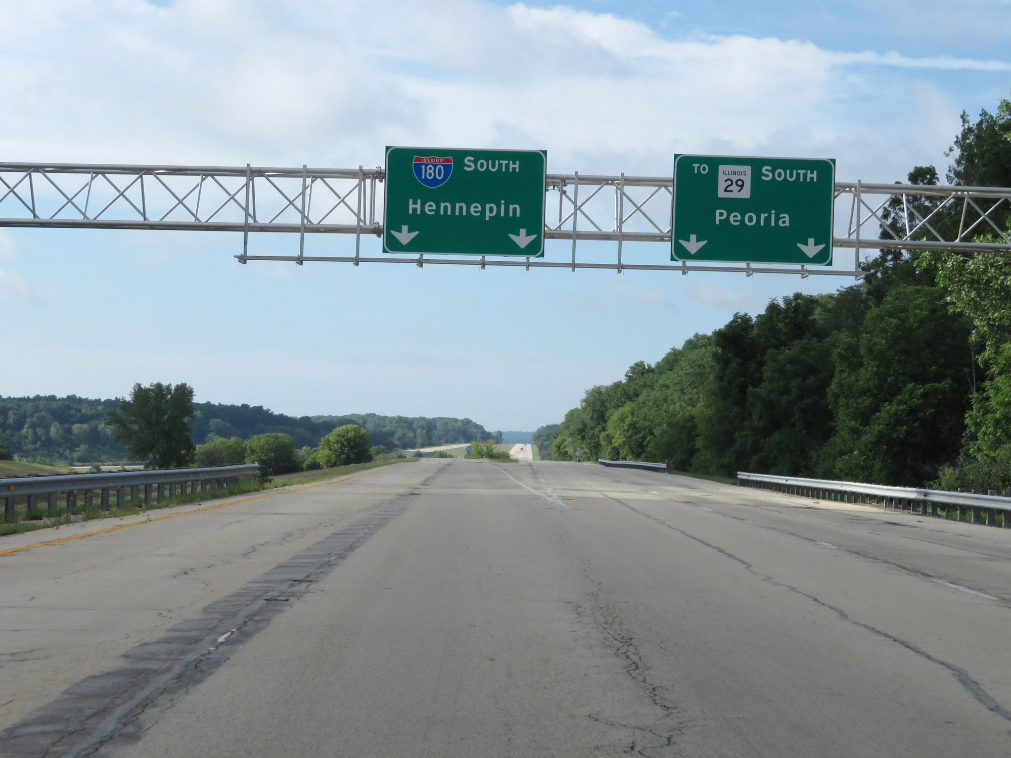 |
Interstate 180 South at Exit: To IL 29 South - Peoria (Photo taken 8/14/19). |
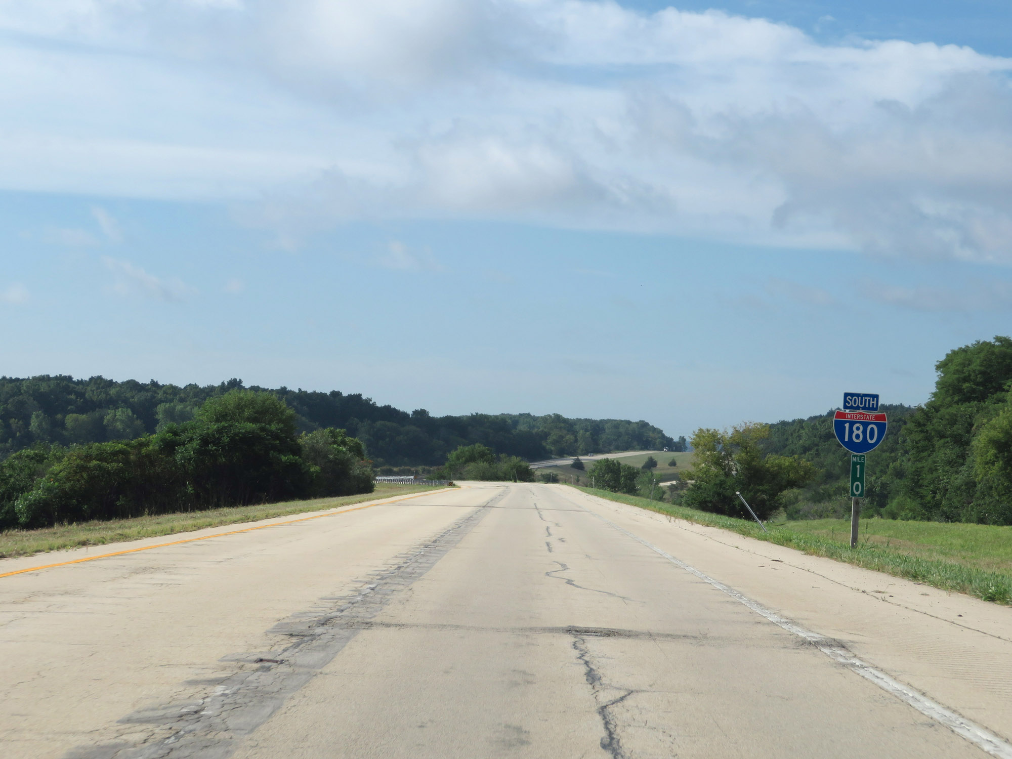 |
Interstate 180 South reassurance shield at mile marker 10. (Photo taken 8/14/19). |
 |
View on Interstate 180 South as it curve to the east and traffic from an unnamed connector road to IL 29 merges ahead on the right. (Photo taken 8/14/19). |
 |
Interstate 180 South at mile marker 11. (Photo taken 8/14/19). |
 |
View on Interstate 180 South at mile marker 12. (Photo taken 8/14/19). |
 |
One final Interstate 180 South reassurance shield. (Photo taken 8/14/19). |
 |
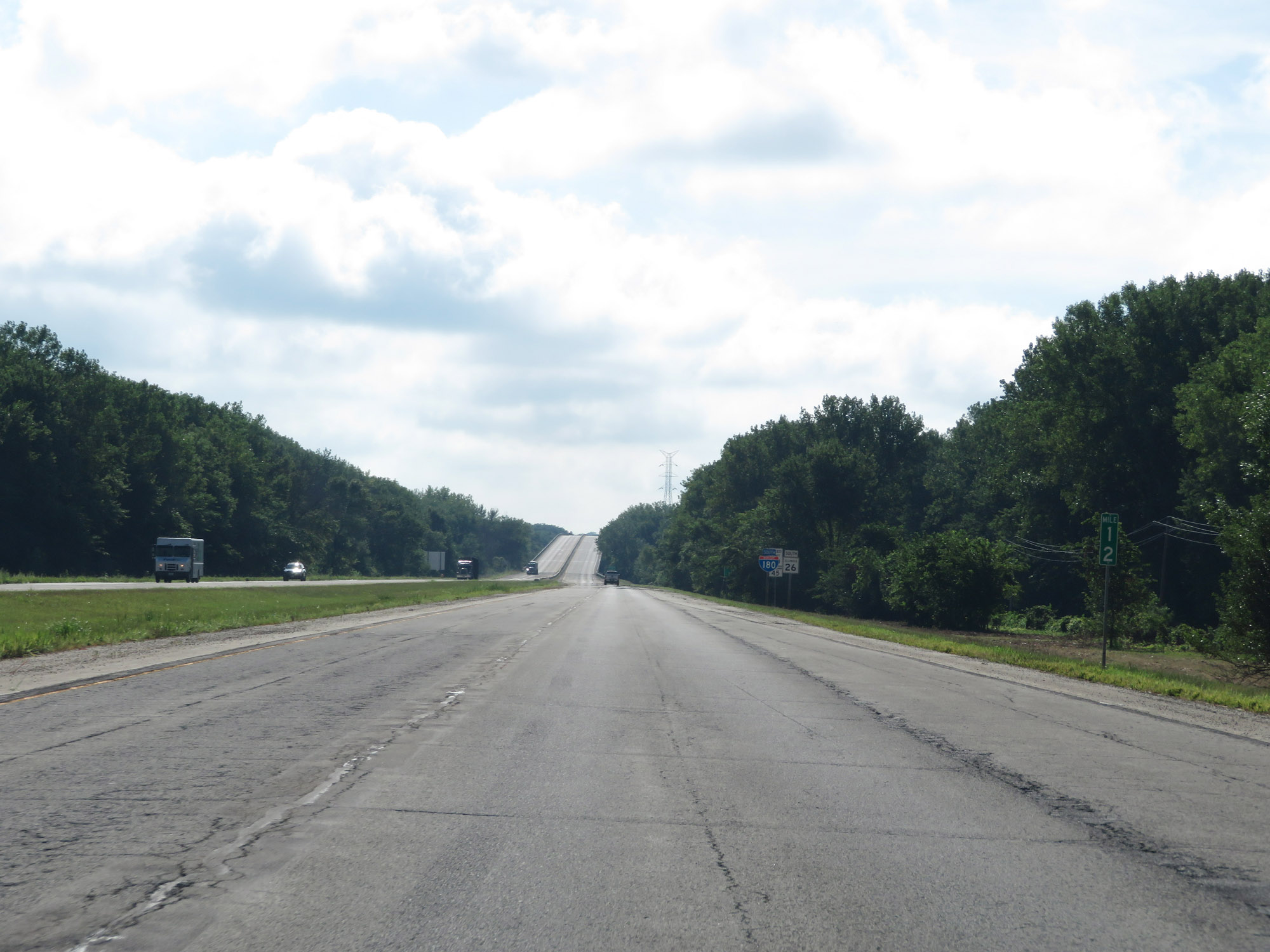
Interstate 180 South as it prepares to cross the Illinois River via the Gudmund "Sonny" Jessen Bridge. (Photo taken 8/14/19). |
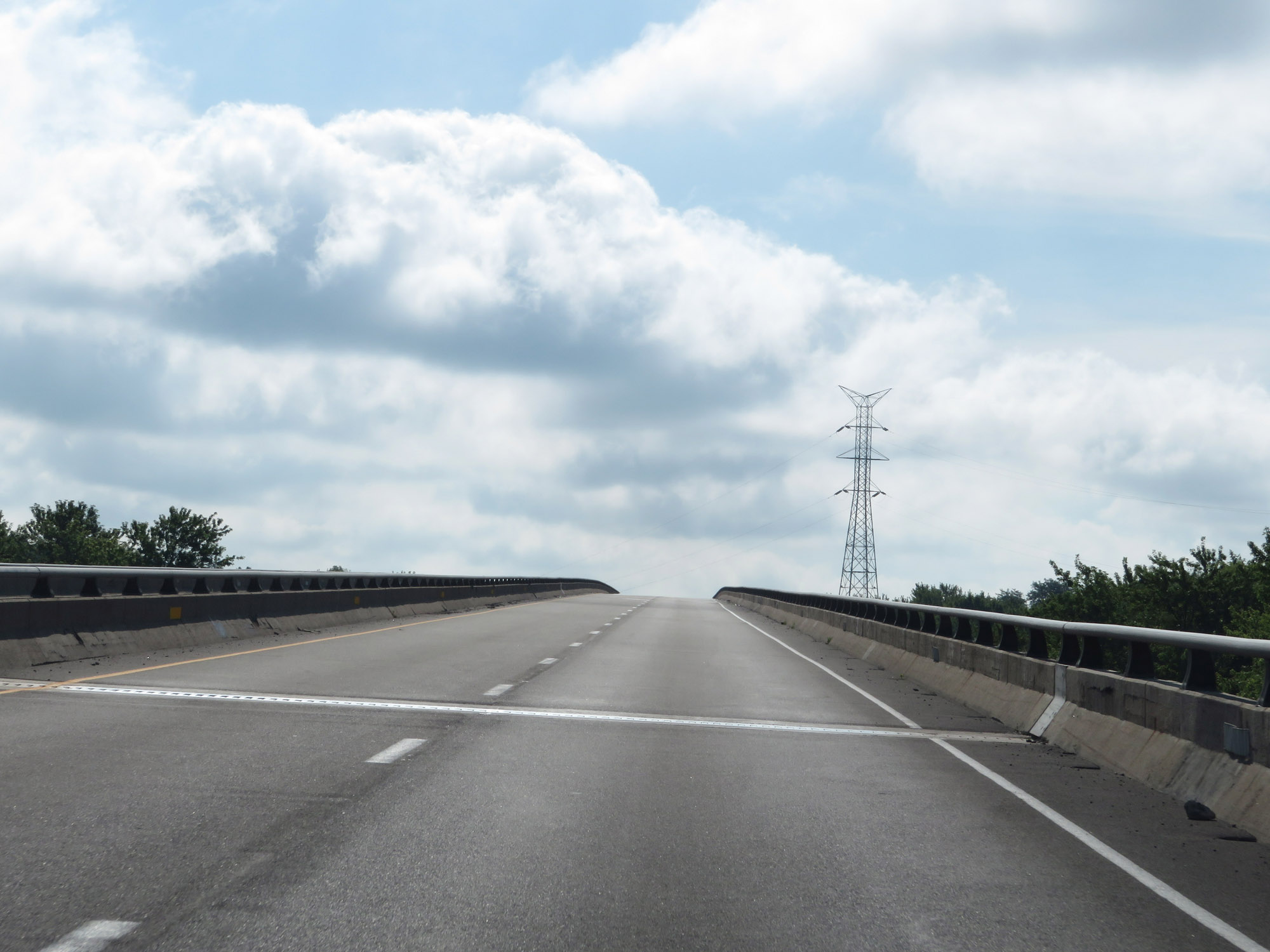 |
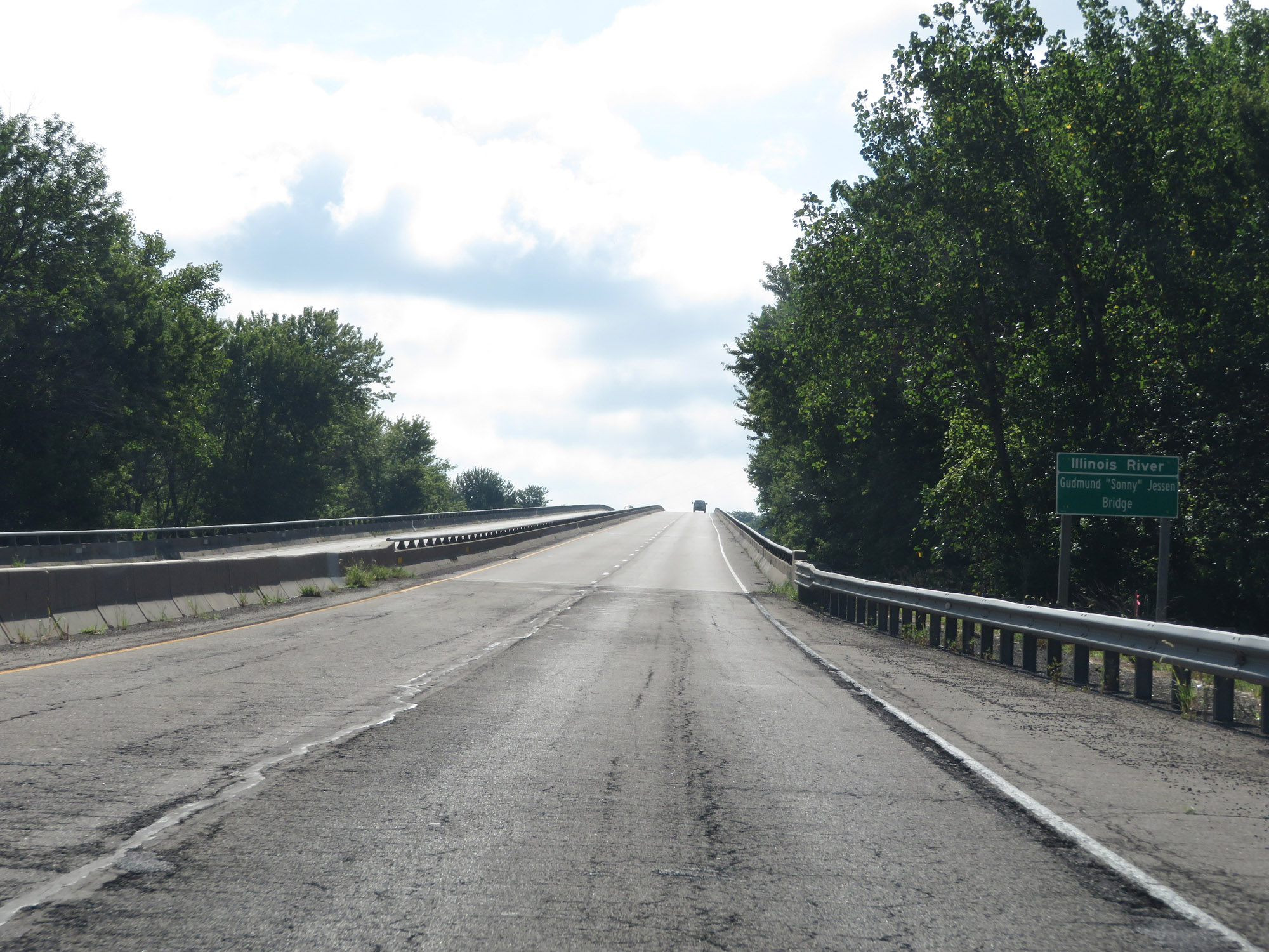
View on the Gudmund "Sonny" Jessen Bridge as it starts over the Illinois River. (Photo taken 8/14/19). |
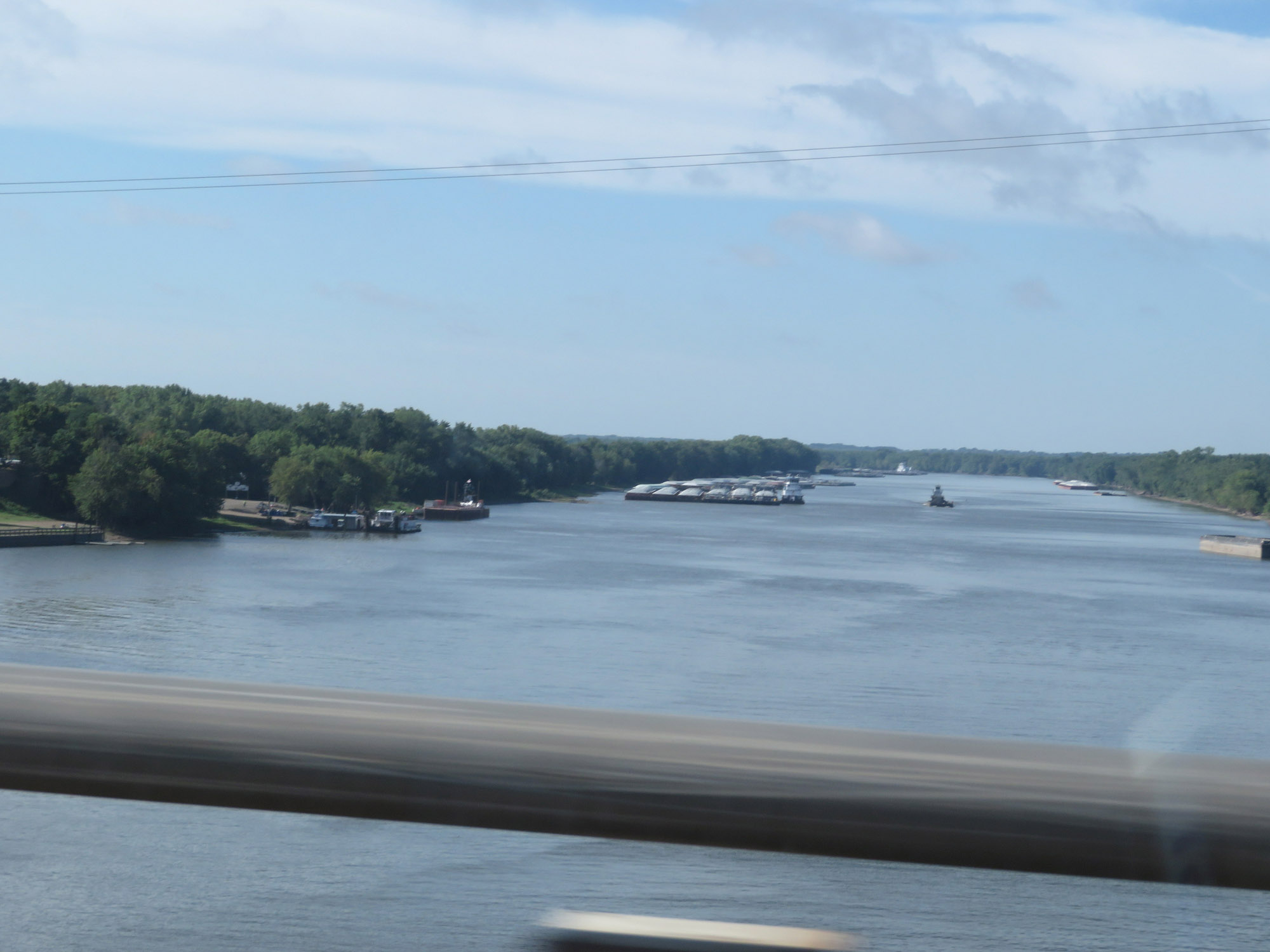 |
A view of the Illinois River, looking to the south on Interstate 80 South. (Photo taken 8/14/19). |
 |
Upon crossing the Illinois River, Interstate 180 South enters Putnam County. (Photo taken 8/14/19). |
 |
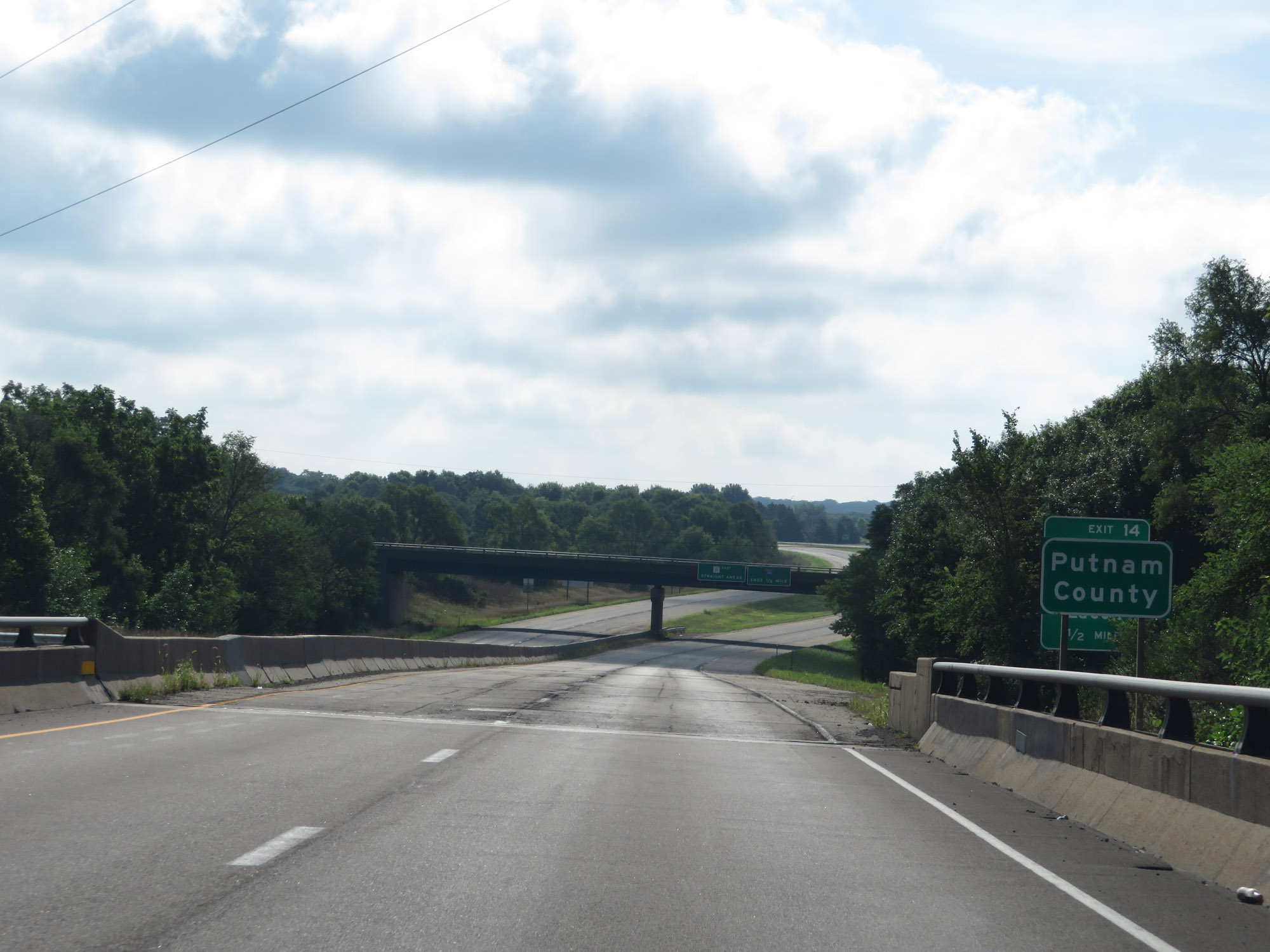
Interstate 180 South at Exit 14: IL 26 South - Hennepin / Lacon (Photo taken 8/14/19). |
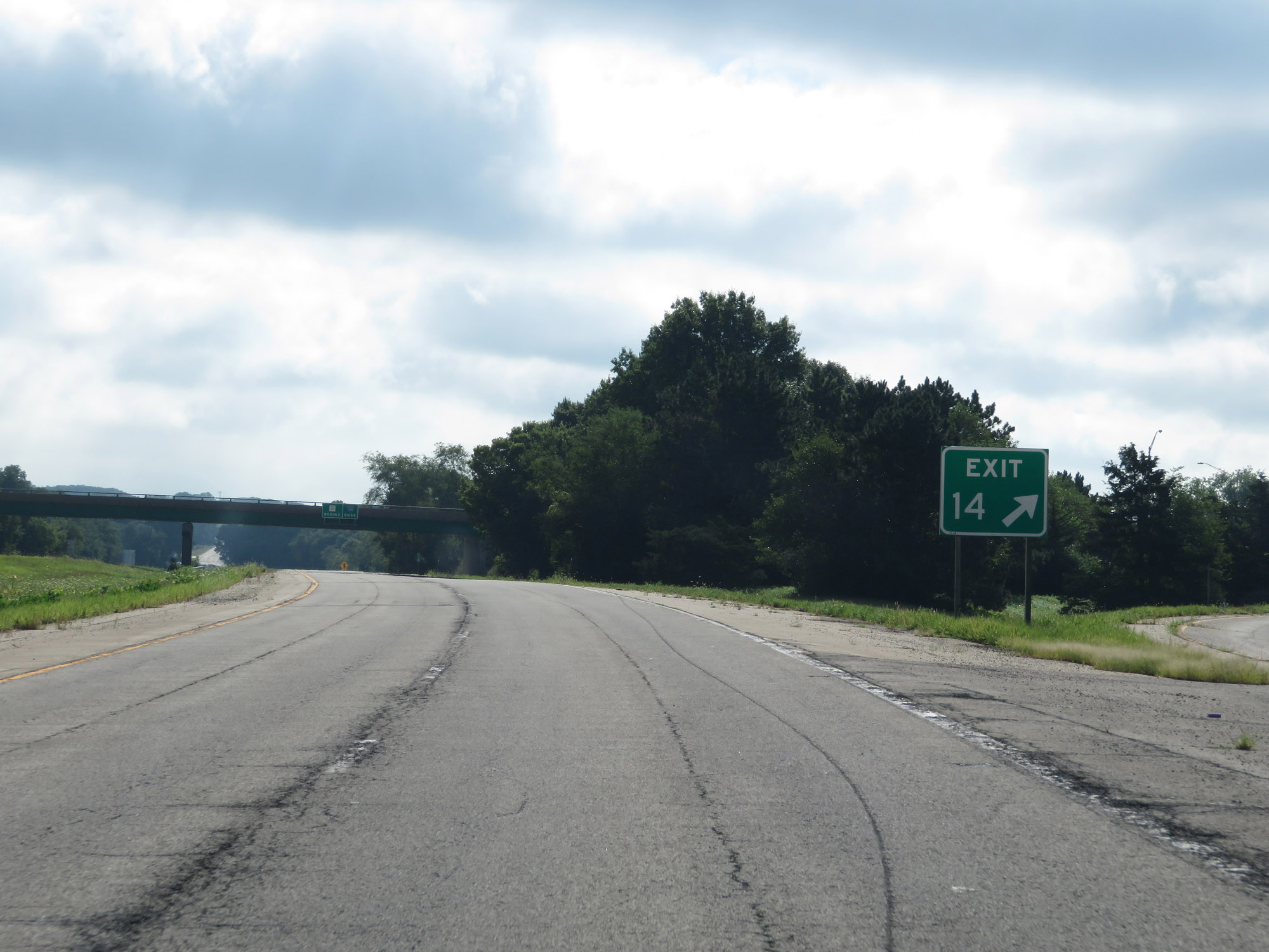 |
Gore point signage for Exit 14, which is the final exit on Interstate 180 South. (Photo taken 8/14/19). |
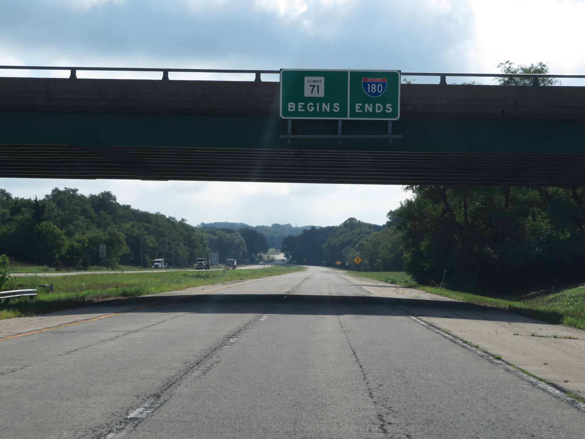 |
Interstate 180 South END marker just beyond Exit 14. At this point, IL 71 begins and heads due east. (Photo taken 8/14/19). |
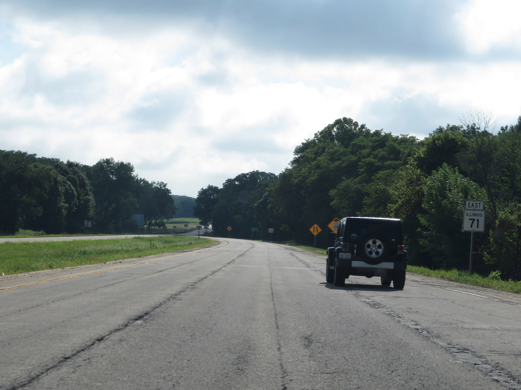 |
IL 71 East reassurance marker beyond the southern terminus of Interstate 180. (Photo taken 8/14/19). |
 |
The speed limit on IL 71 East is decreased to 55 mph as it is reduced to two undivided lanes ahead. (Photo taken 8/14/19). |