Road Information |
||
 |
||
| Total Mileage in State: | 275 miles | |
| Eastern End: | At Utah state line | |
| Western End: | At Oregon state line | |
| Mileage covered in Photos: | 275 miles | |
| Counties covered in Photos: | Oneida, Cassia, Minidoka, Jerome, Gooding, Elmore, Ada, Canyon, Payette | |
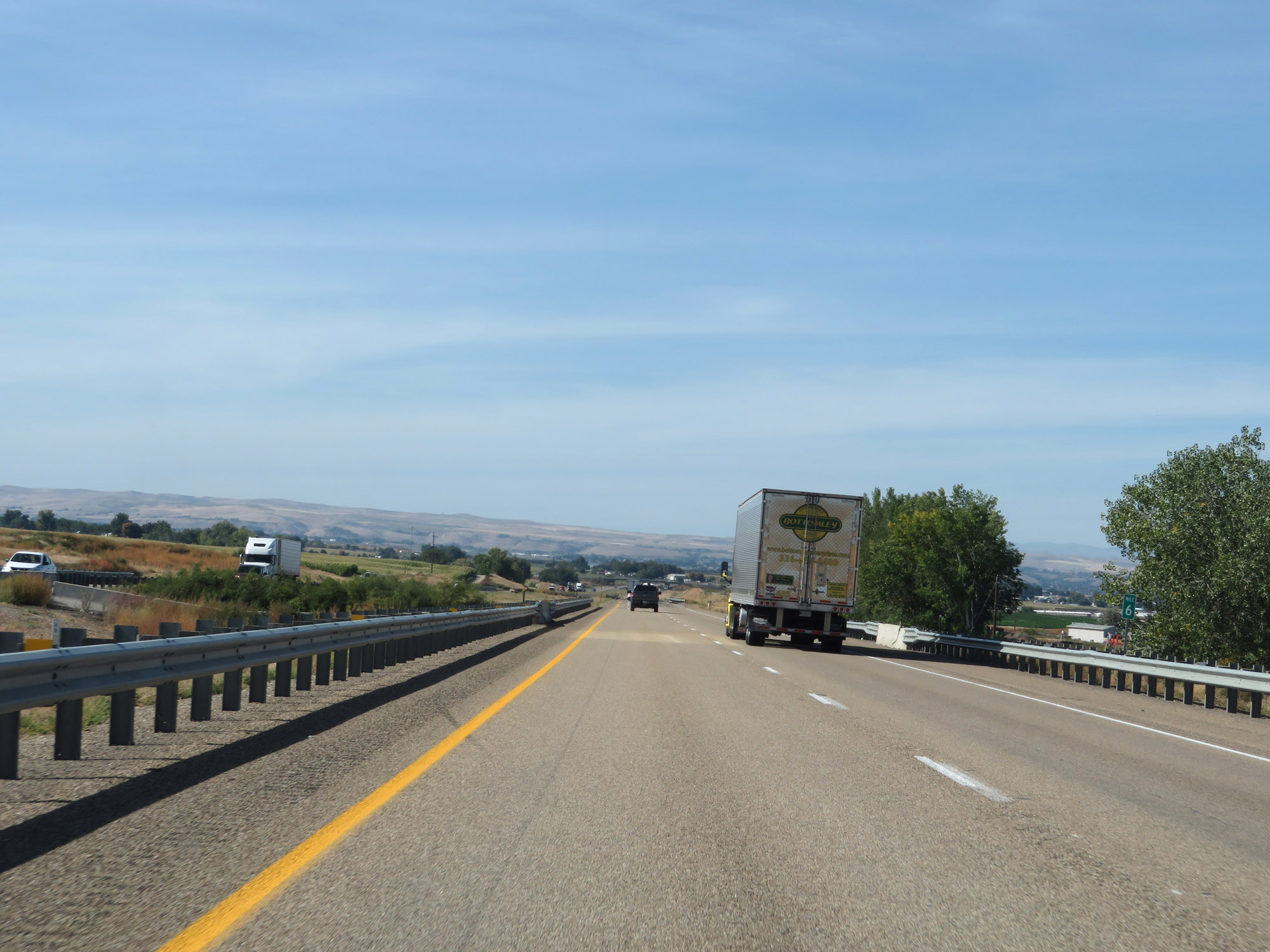
| Major Junctions in Photos: | I-86, near Declo US 93, in Twin Falls I-184, in Boise US 95, near Fruitland |
|
| Control Cities in Photos: | Declo, Twin Falls, Mountain Home, Boise, Nampa, Caldwell | |
Westbound
- Section 1: Utah Border to Burley (Exit 208)
- Section 2: Burley (Exit 208) to Mountain Home (Exit 95)
- Section 3: Mountain Home (Exit 95) to Boise (Exit 49)
- Section 4: Boise (Exit 49) to Oregon Border
Section 1: Utah Border to Burley (Exit 208)
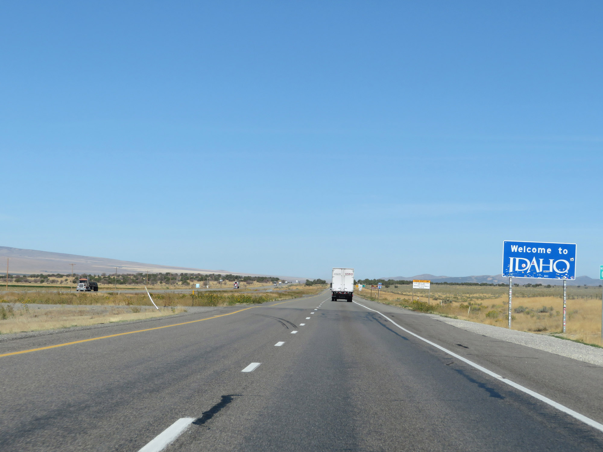 |
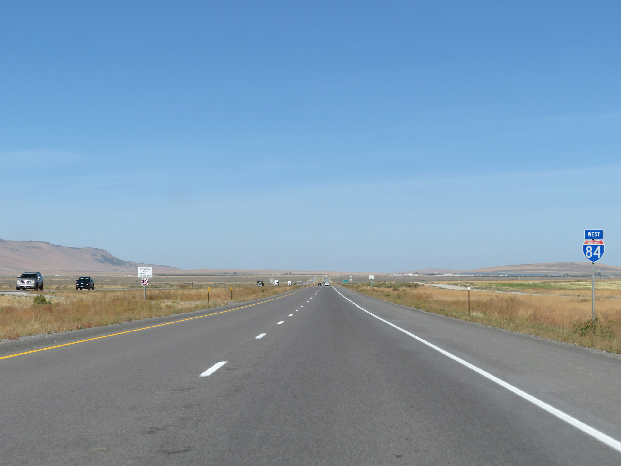
Idaho welcome sign as Interstate 84 West enters the Gem State from Utah. (Photo taken 9/25/19). |
 |
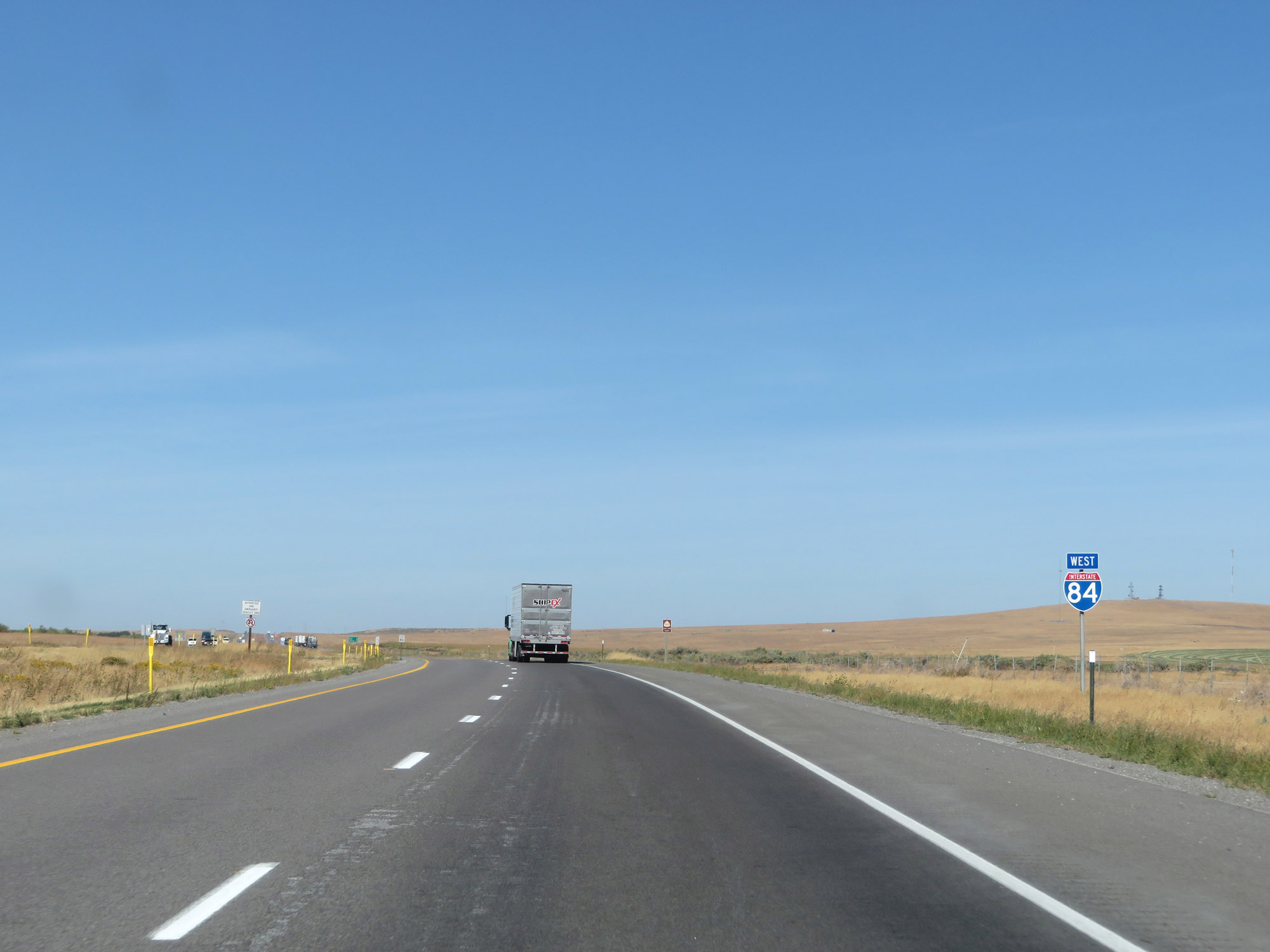
Interstate 84 West reassurance shield upon entering Idaho in Oneida County. (Photo taken 9/25/19). |
 |
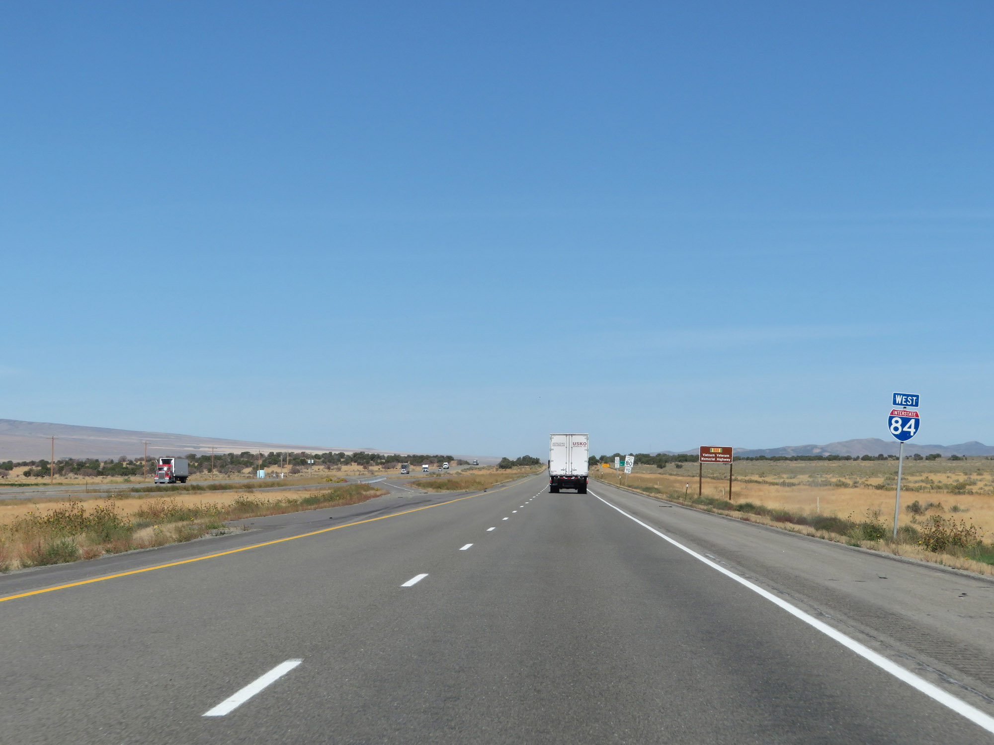
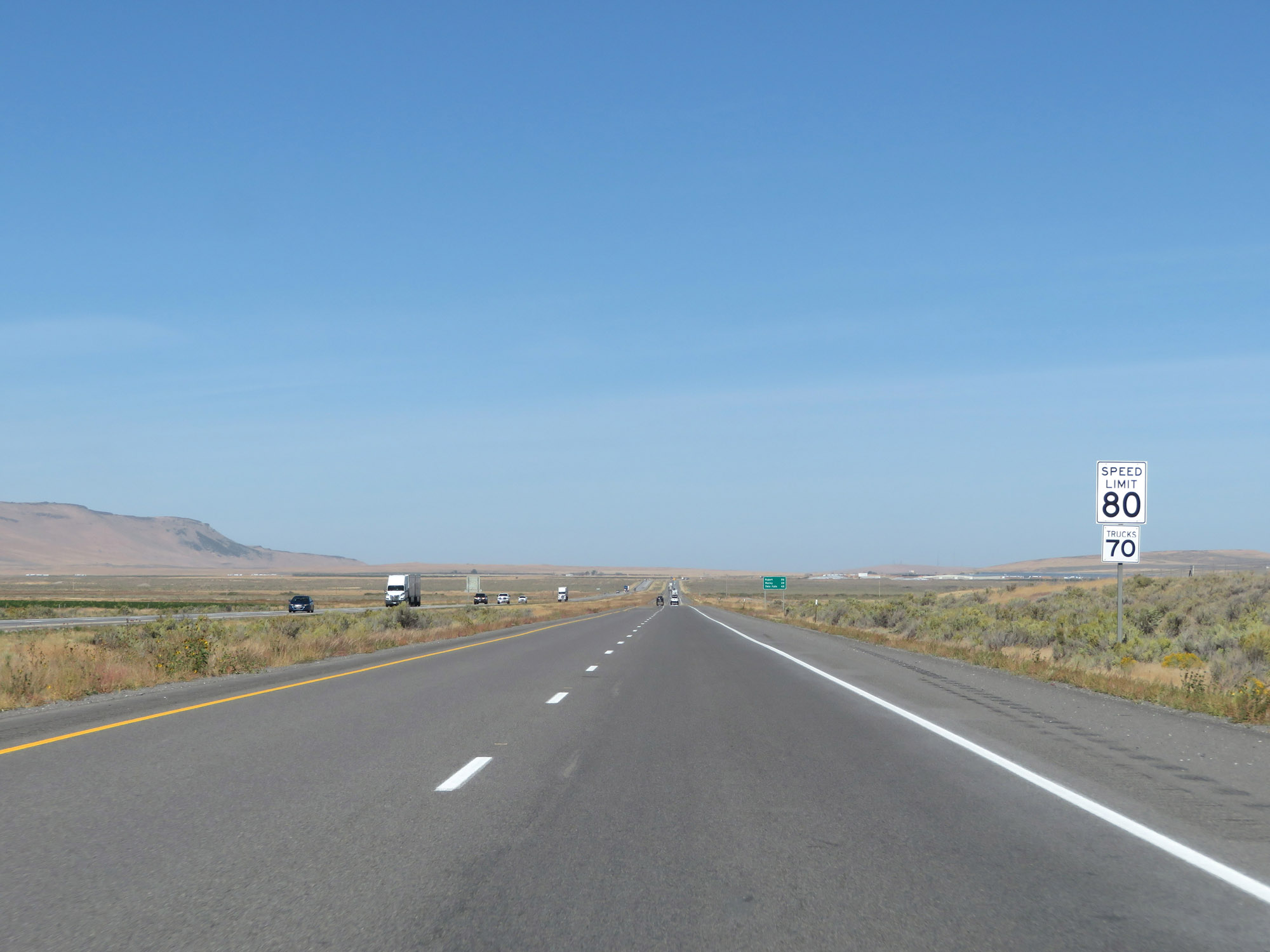
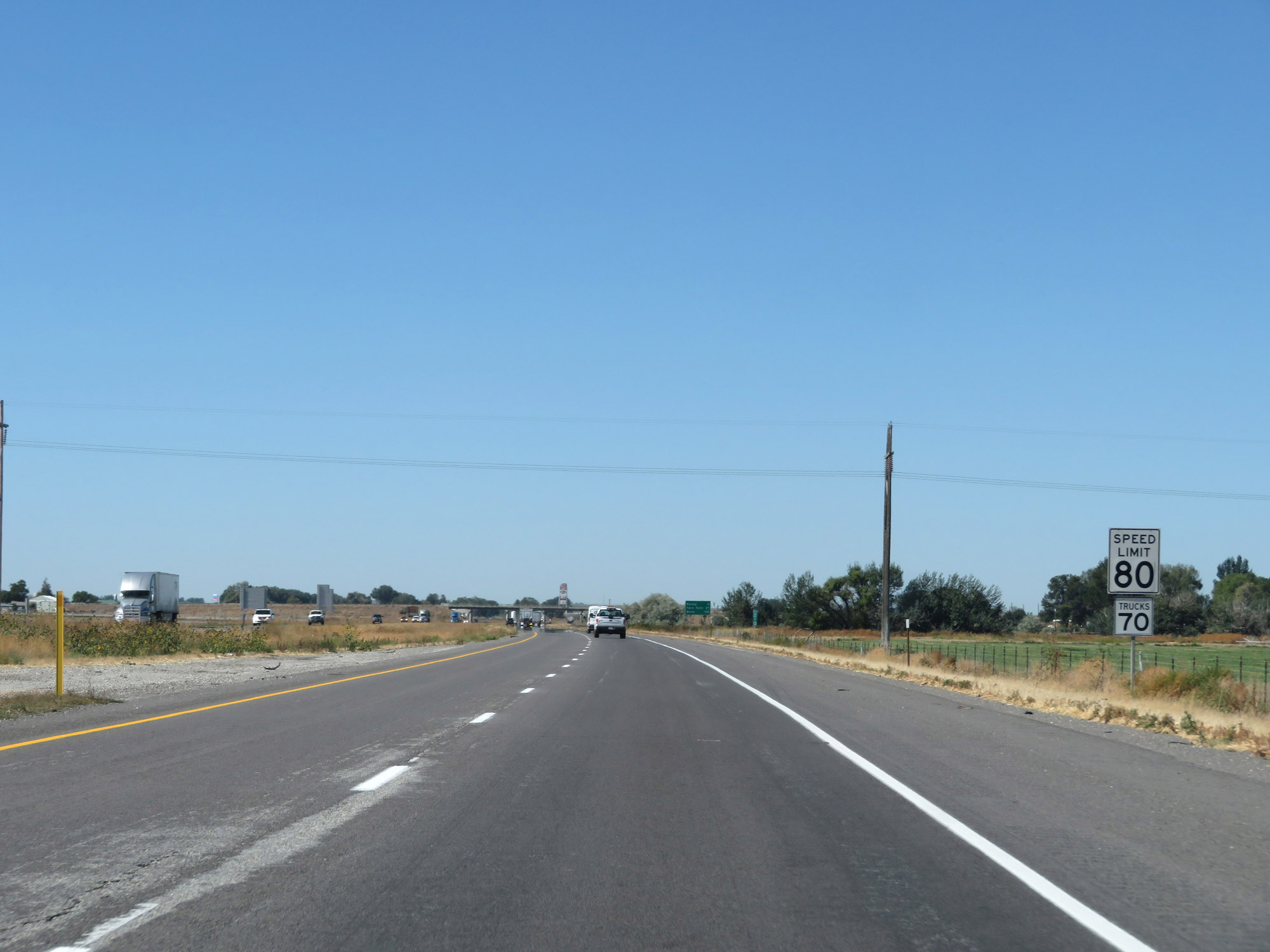
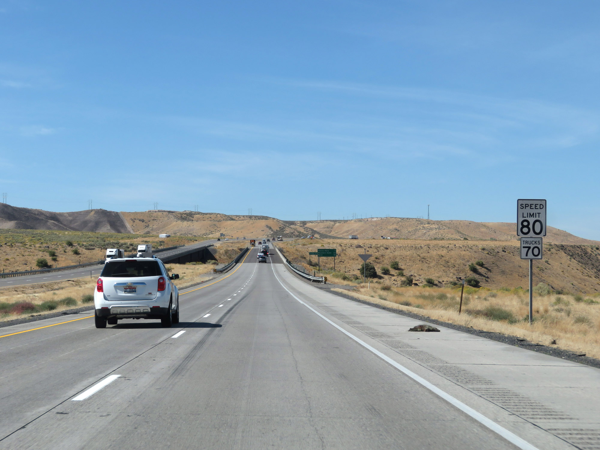
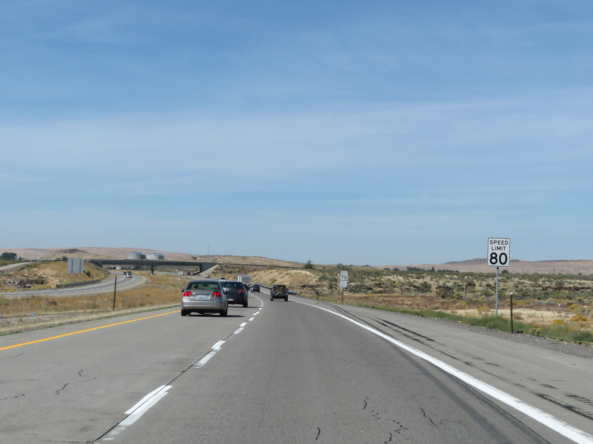
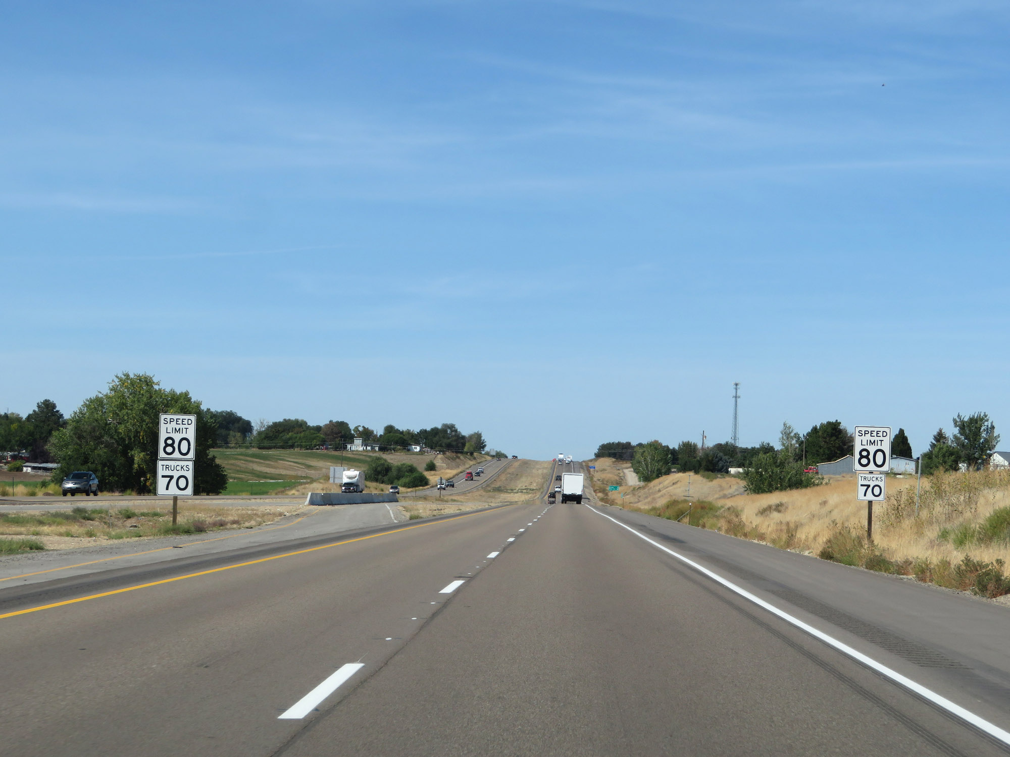
The speed limits on Interstate 84 West in Idaho start out at 80 mph for automobiles and 70 mph for trucks. These are the standard speed limits on many (but not all) rural Interstate highways in Idaho. (Photo taken 9/25/19). |
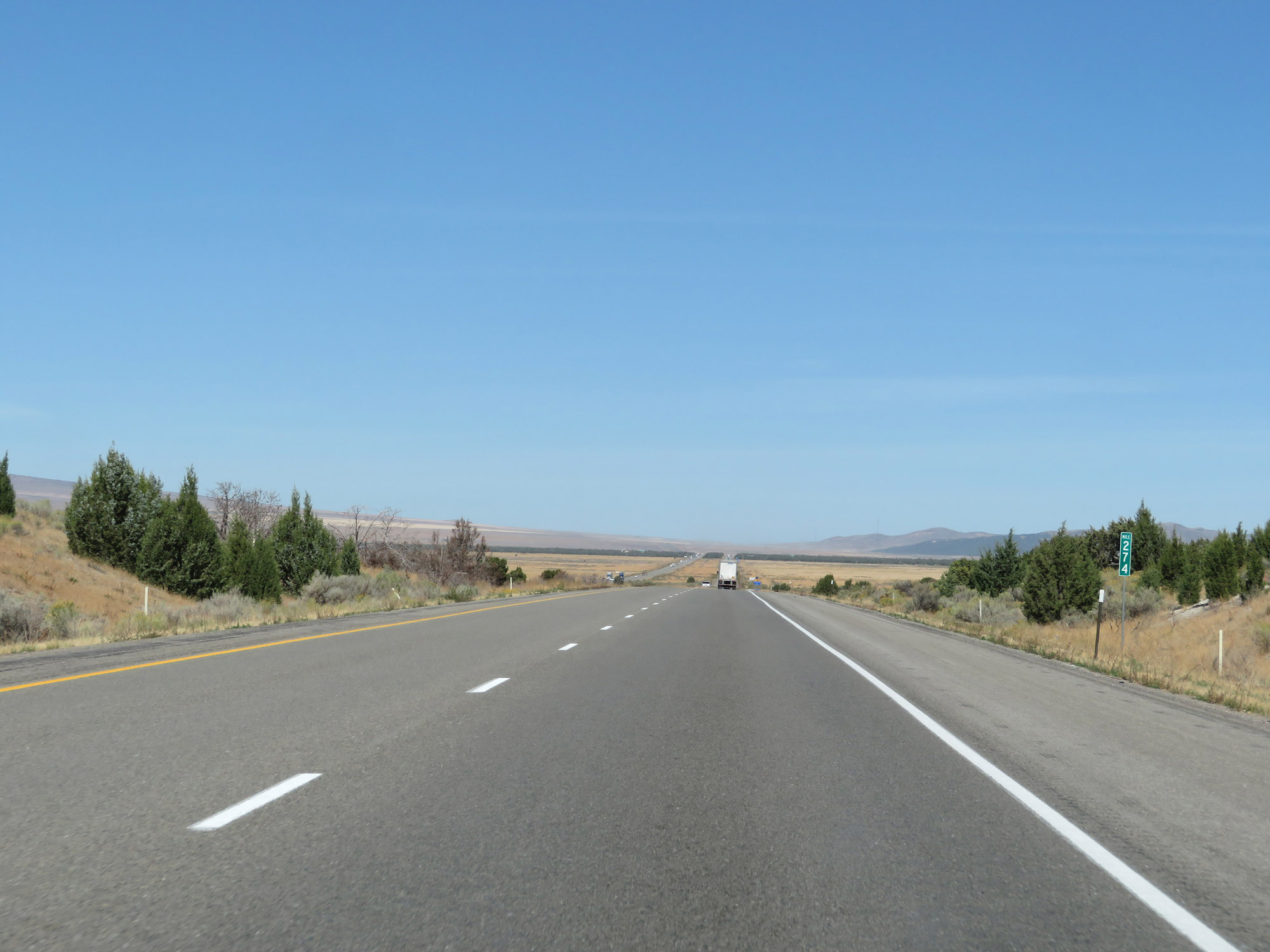 |
Interstate 84 West at mile marker 274. (Photo taken 9/25/19). |
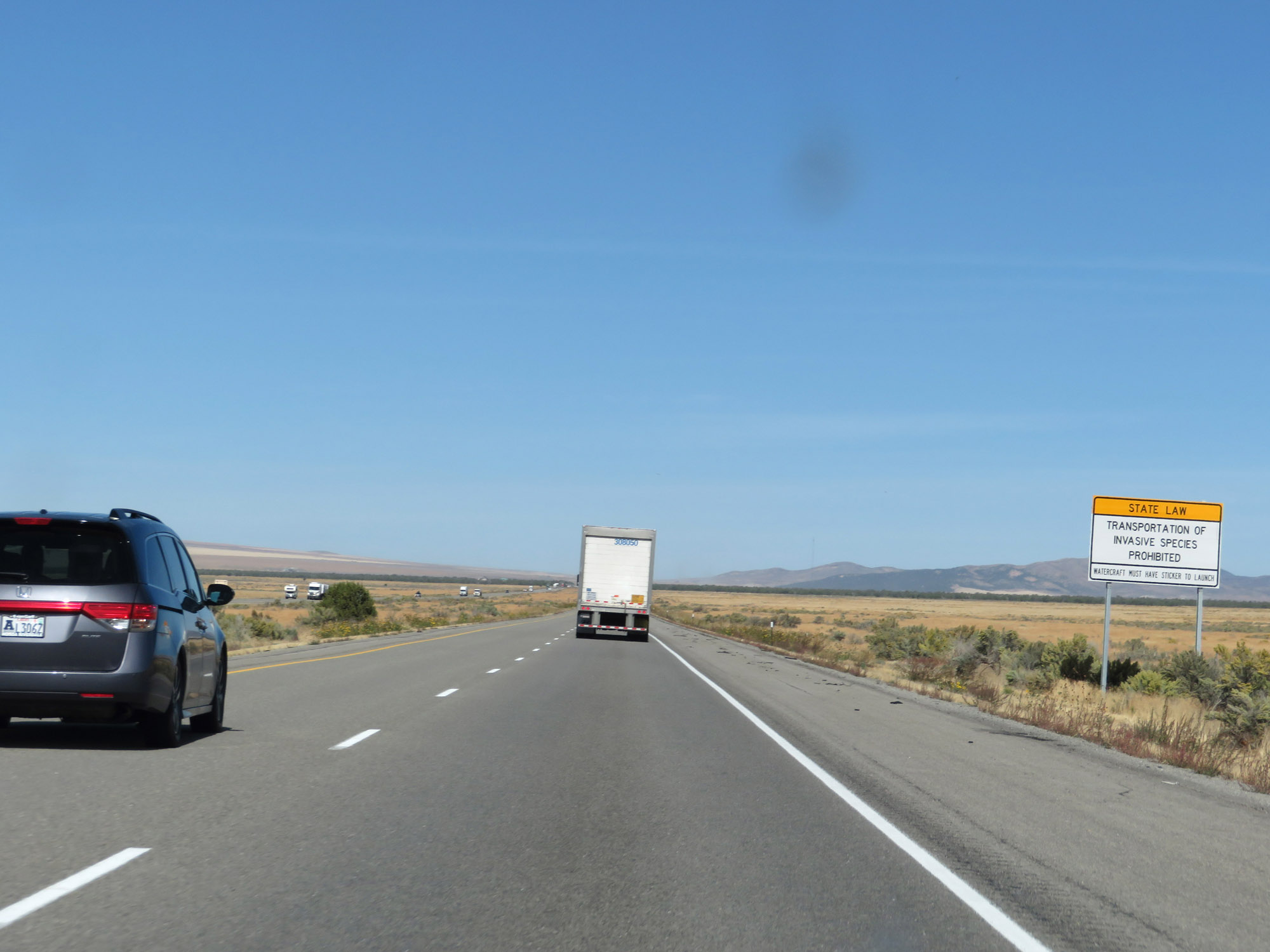 |
This sign communicates that Idaho state law prohibits the transportation of invasive species. (Photo taken 9/25/19). |
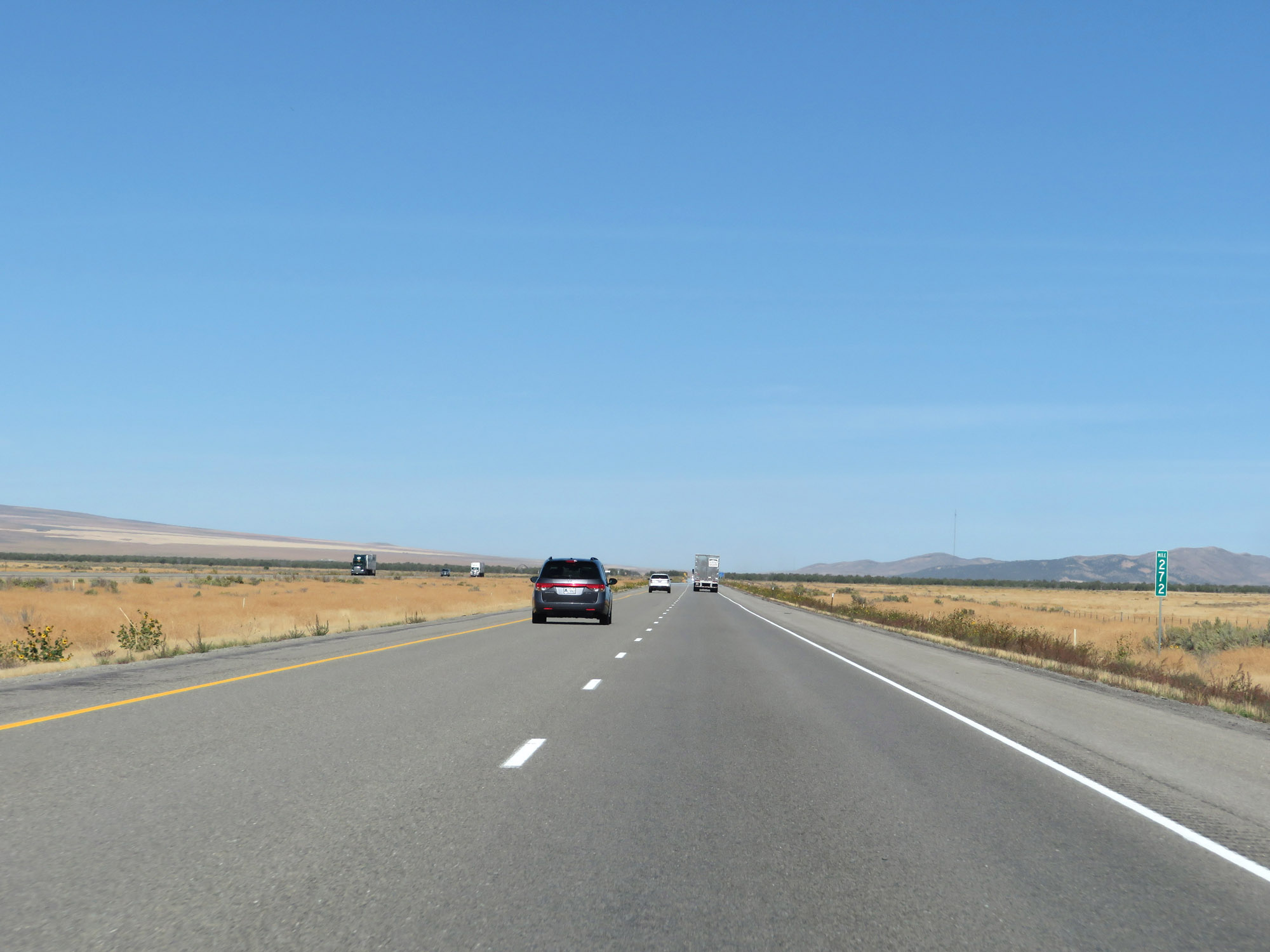 |
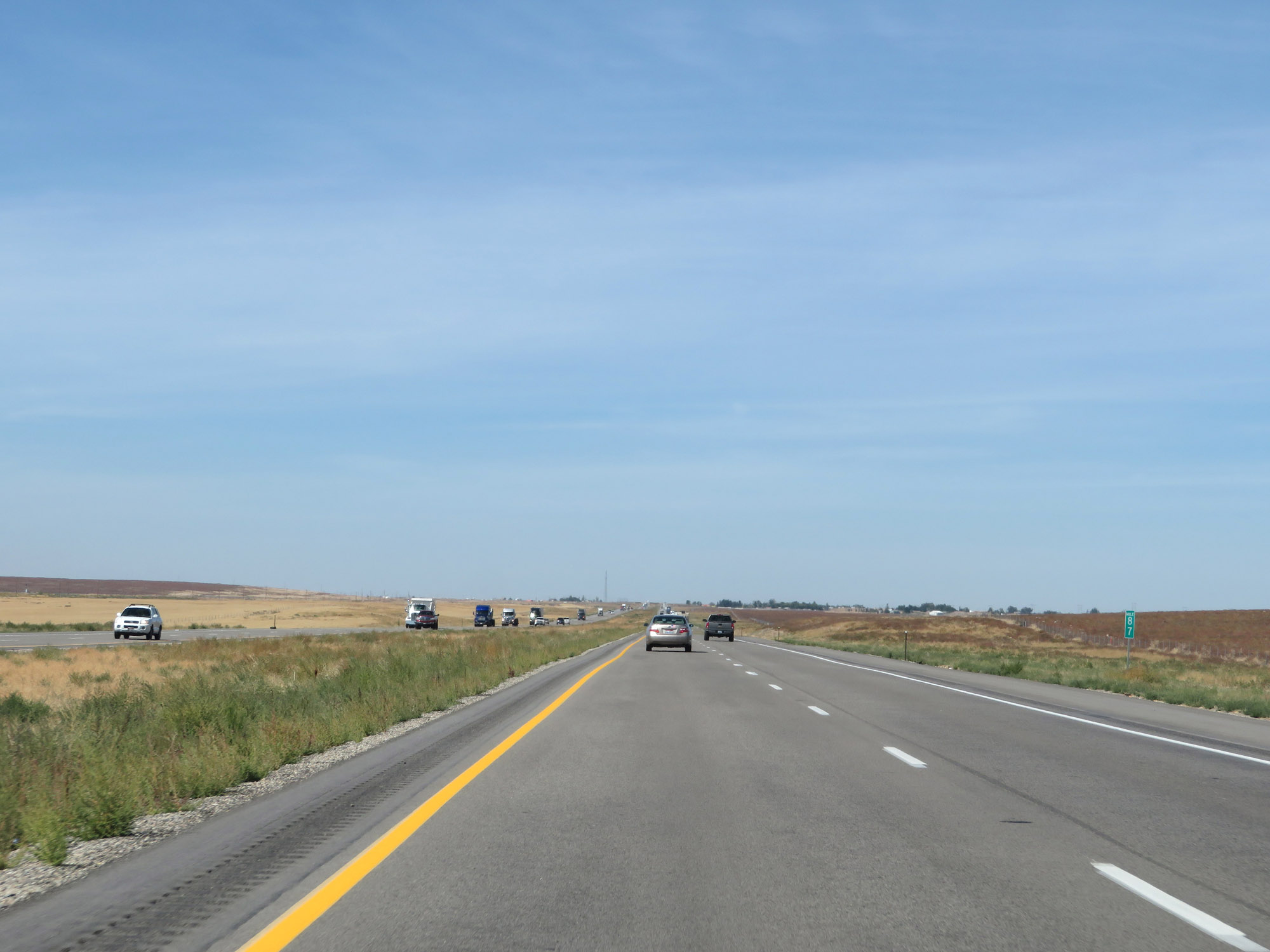
View on Interstate 84 West at mile marker 272. (Photo taken 9/25/19). |
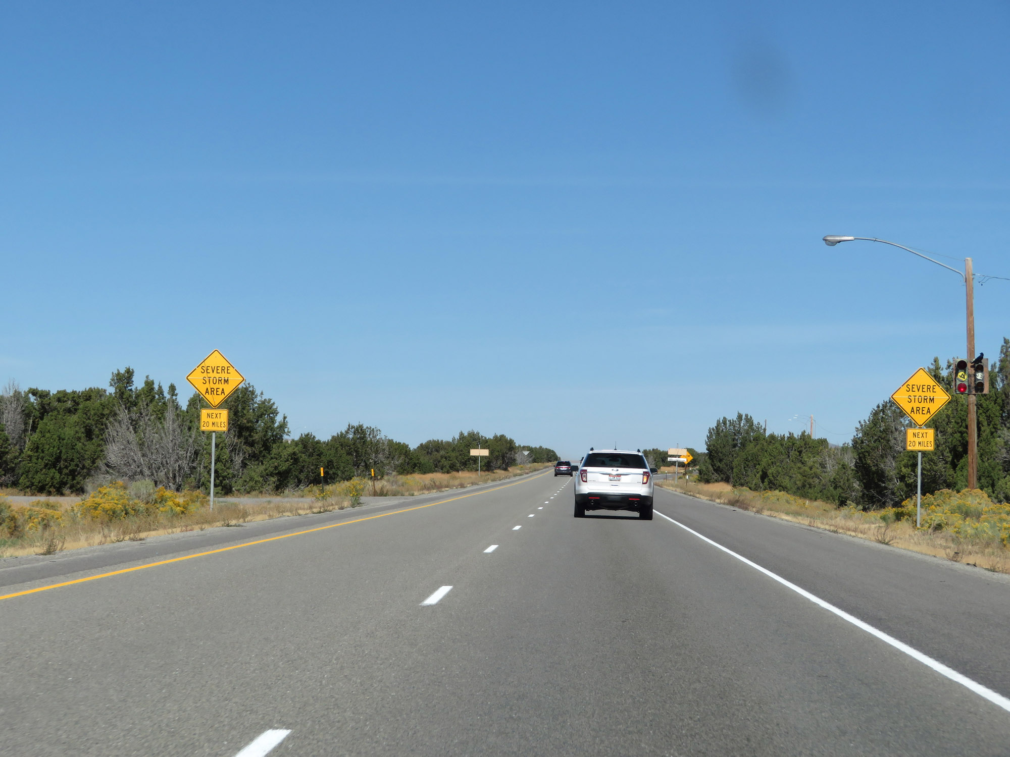 |
As these warning signs state, Interstate 84 West will pass through an area subject to severe storms for the next 20 miles. (Photo taken 9/25/19). |
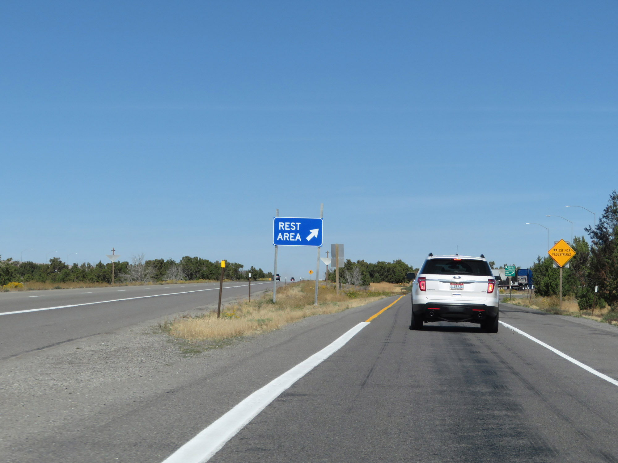 |
Rest Area on Interstate 84 West in Oneida County. (Photo taken 9/25/19). |
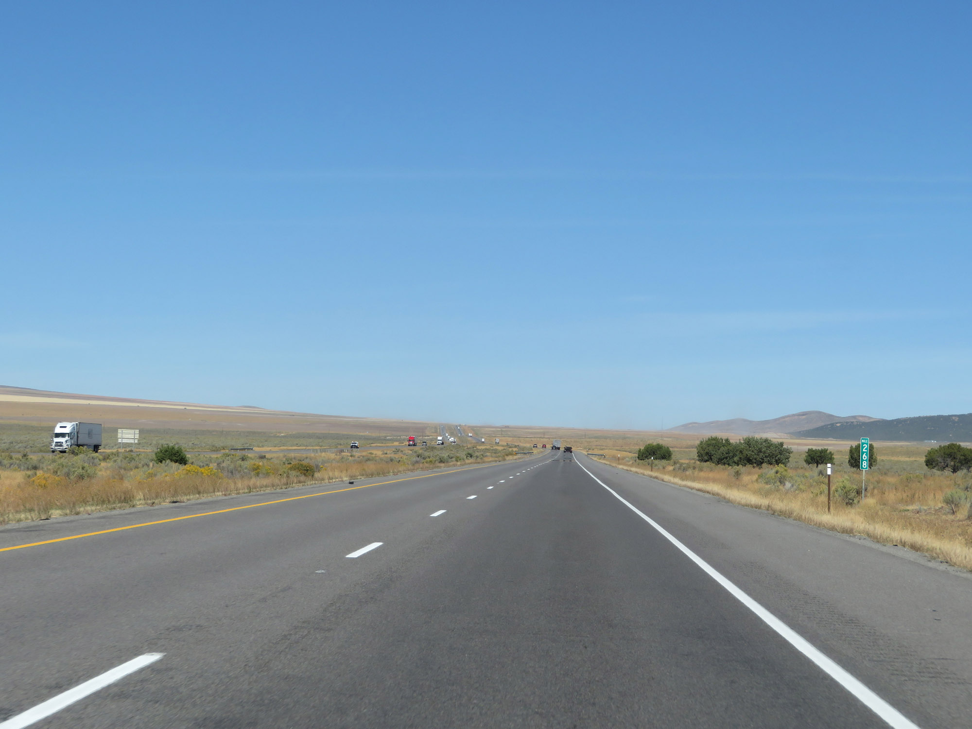 |
Interstate 84 West at mile marker 268. (Photo taken 9/25/19). |
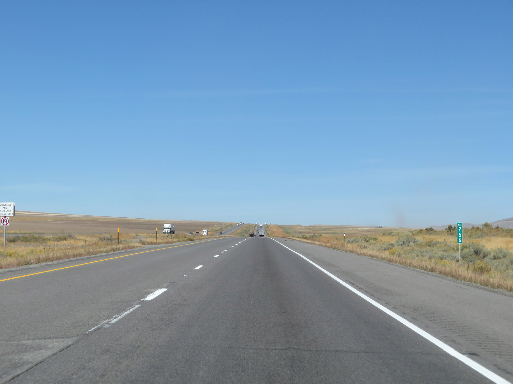 |
View on Interstate 84 West at mile marker 266. (Photo taken 9/25/19). |
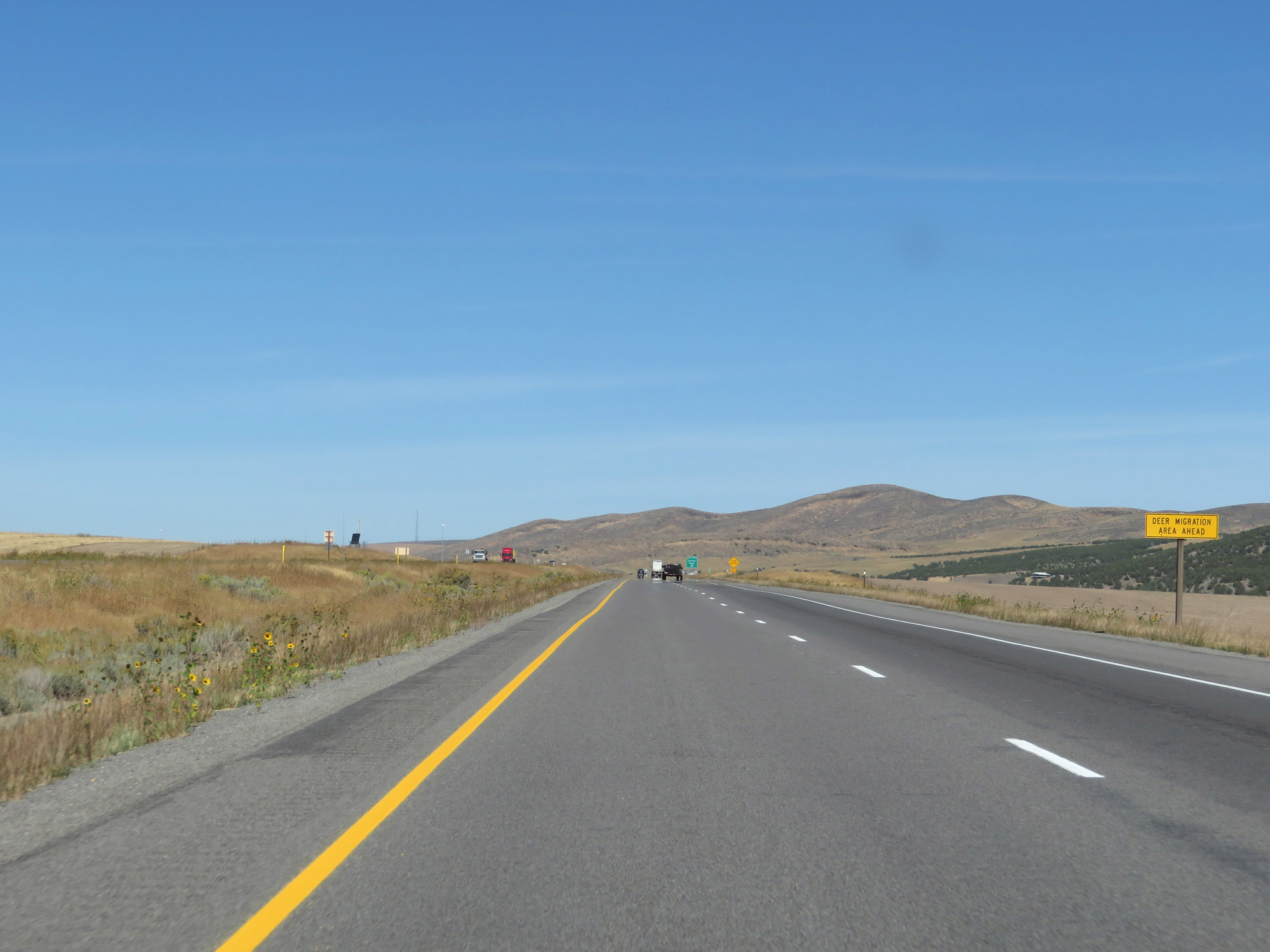 |
This sign warns that Interstate 84 West will be passing through a deer migration area ahead. (Photo taken 9/25/19). |
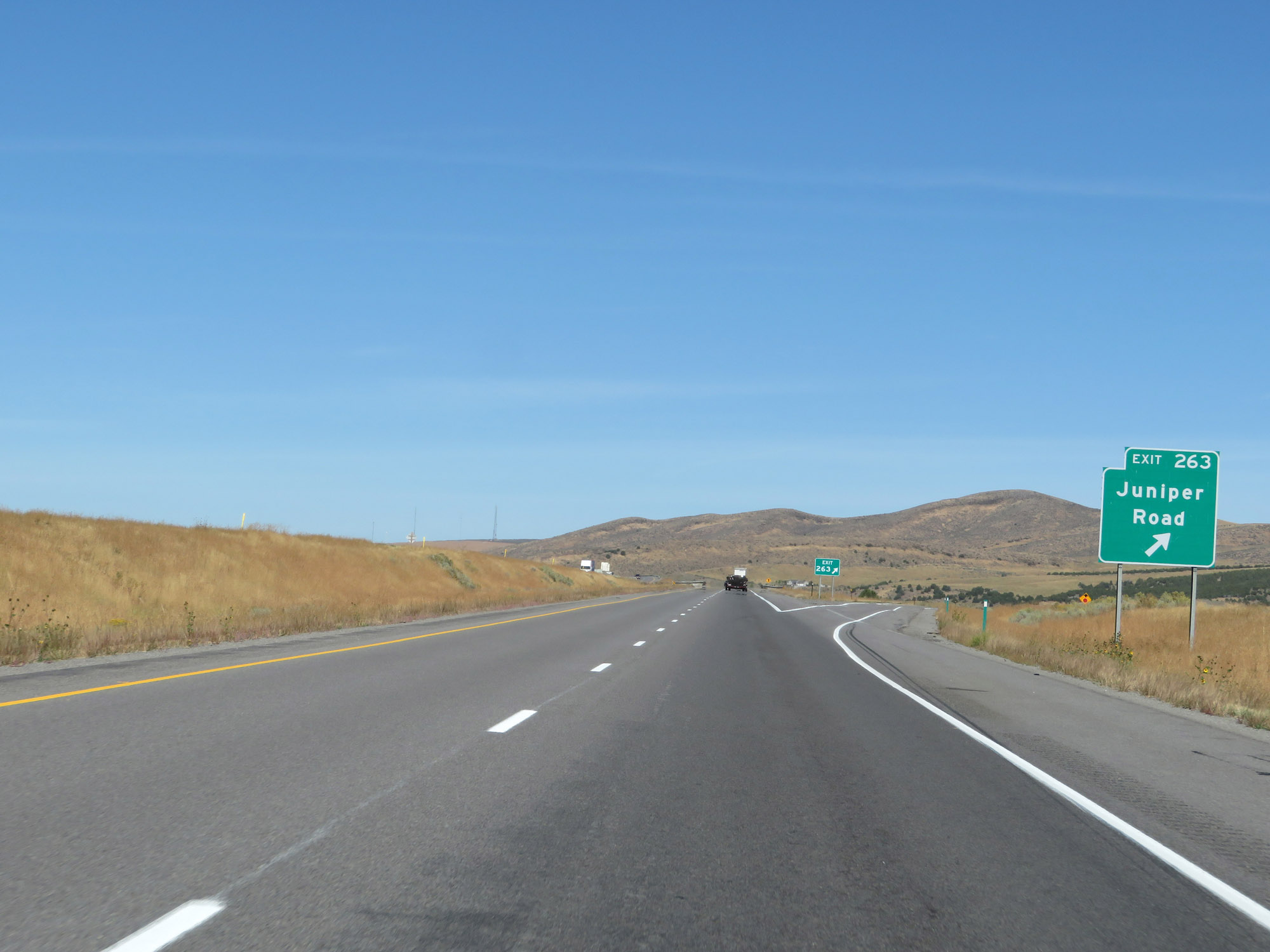 |
Interstate 84 West at Exit 263: Juniper Road (Photo taken 9/25/19). |
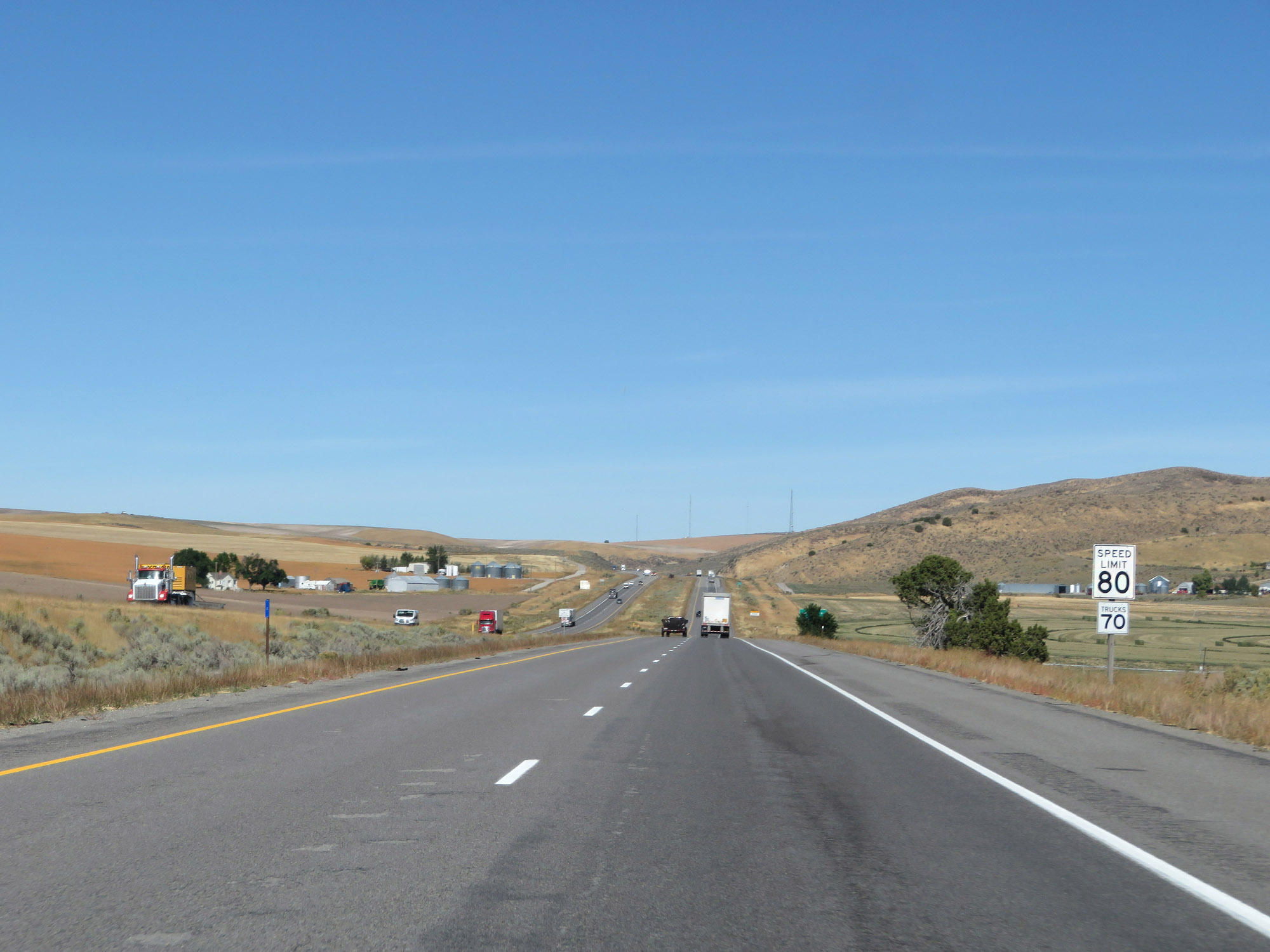 |
The speed limits remain 80 mph for cars and 70 mph for trucks. (Photo taken 9/25/19). |
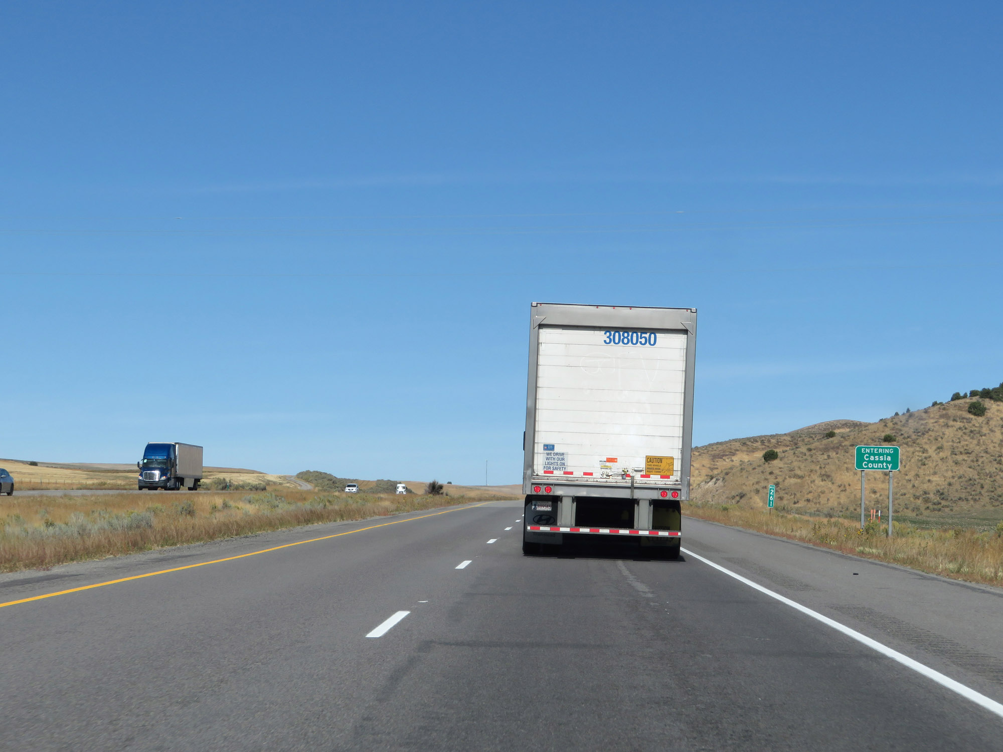 |
Entering Cassia County on Interstate 84 West at mile marker 261. (Photo taken 9/25/19). |
 |
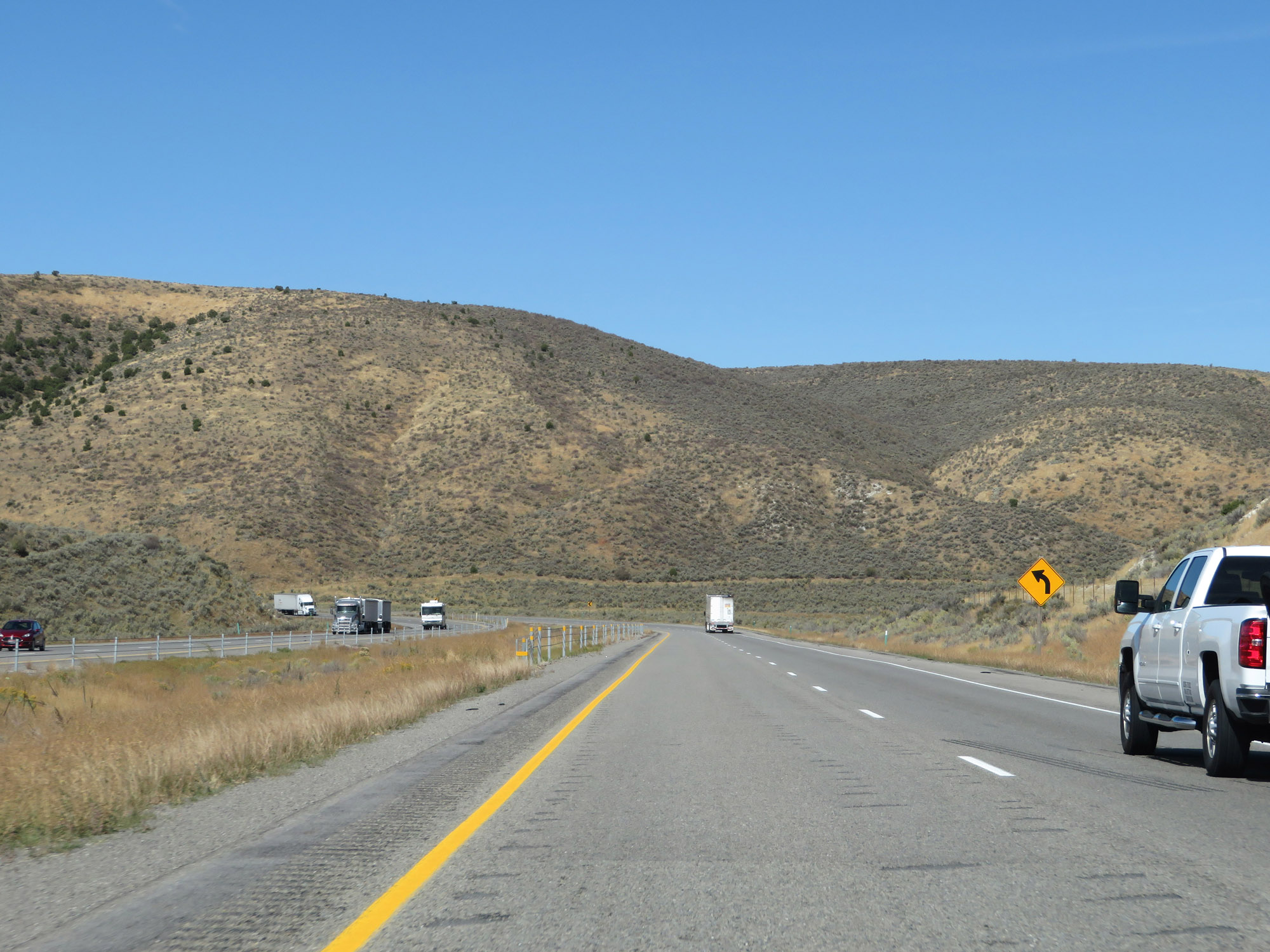
At mile marker 260, Interstate 84 West begins to climb a grade known as Sweetzer Summit. (Photo taken 9/25/19). |
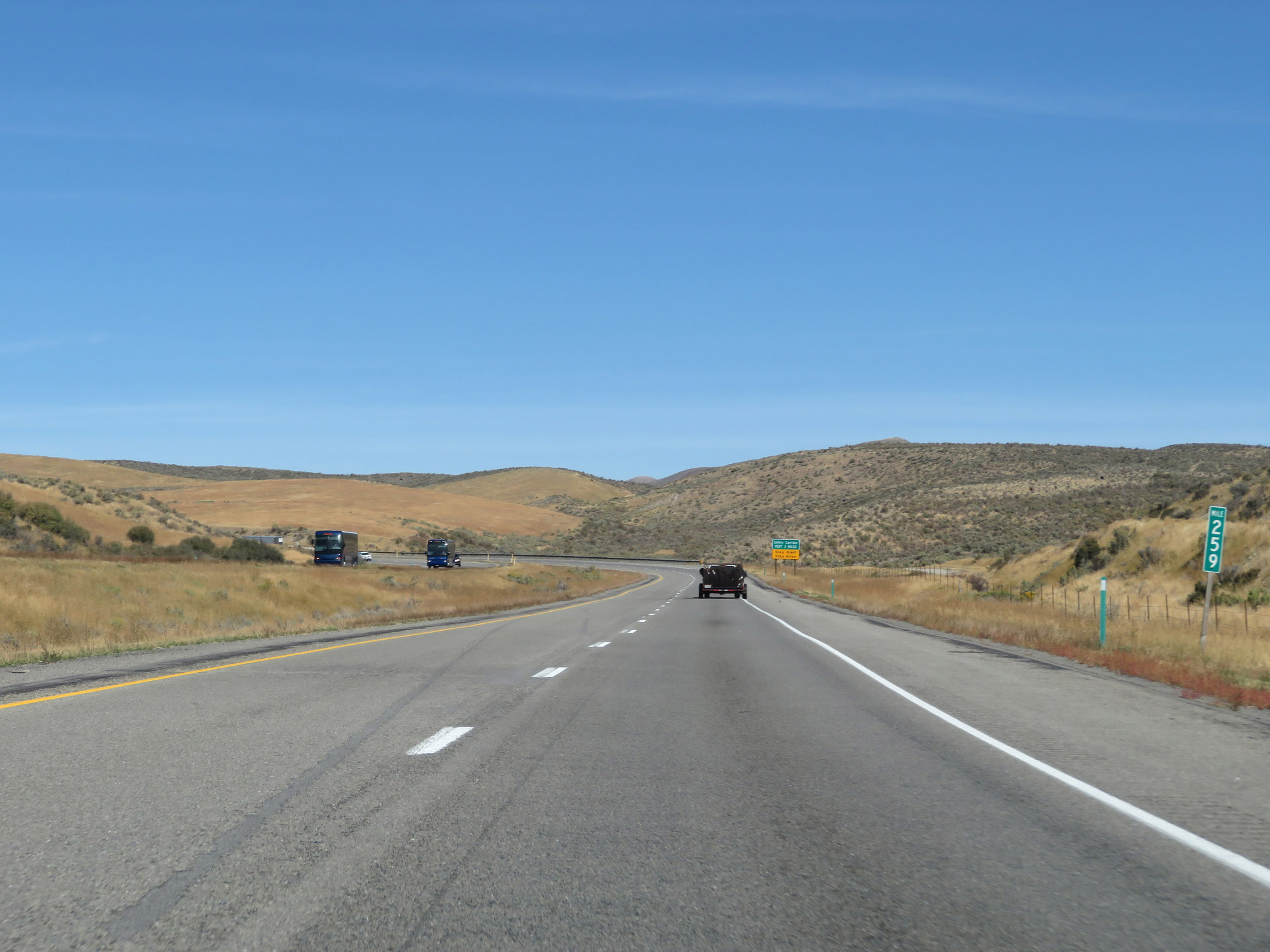 |
View on Interstate 84 West at mile marker 259, continuing up Sweetzer Summit. (Photo taken 9/25/19). |
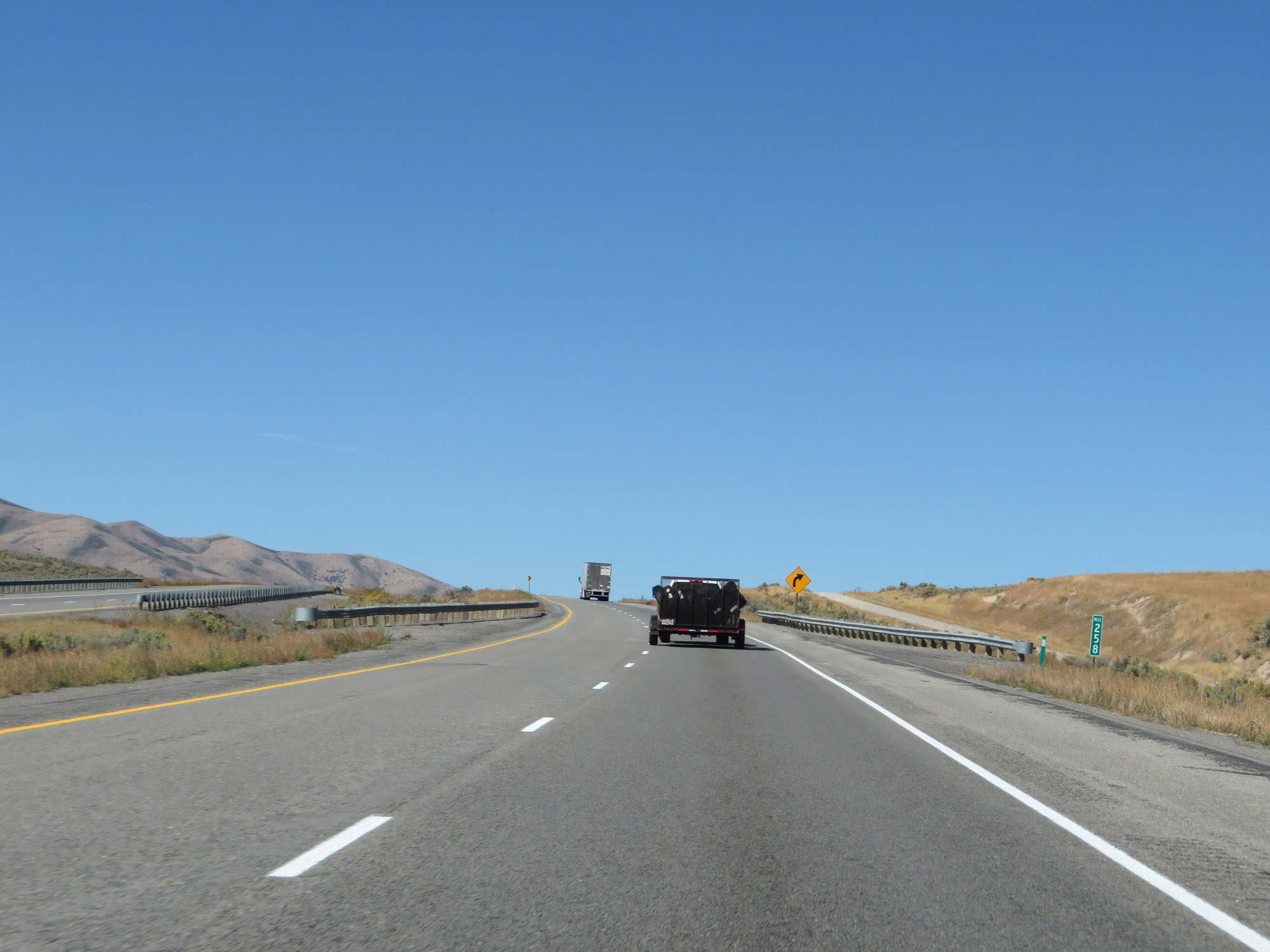 |
Interstate 84 West at mile marker 258, nearing the top of Sweetzer Summit. (Photo taken 9/25/19). |
 |
Interstate 84 West at the top of Sweetzer Summit. (Photo taken 9/25/19). |
 |
View on Interstate 84 West as it descends Sweetzer Summit. (Photo taken 9/25/19). |
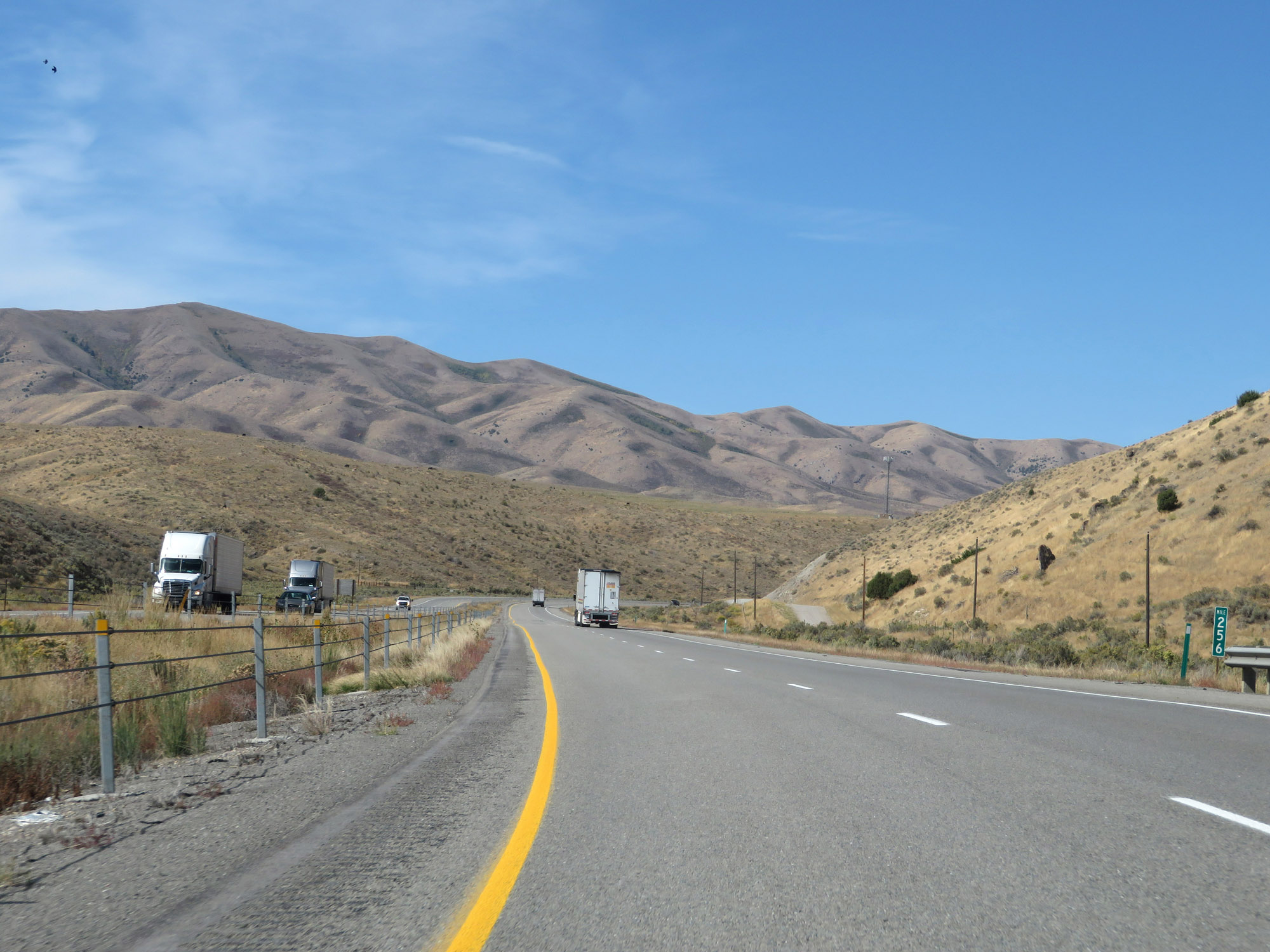 |
Interstate 84 West at mile marker 256, still going down in elevation. (Photo taken 9/25/19). |
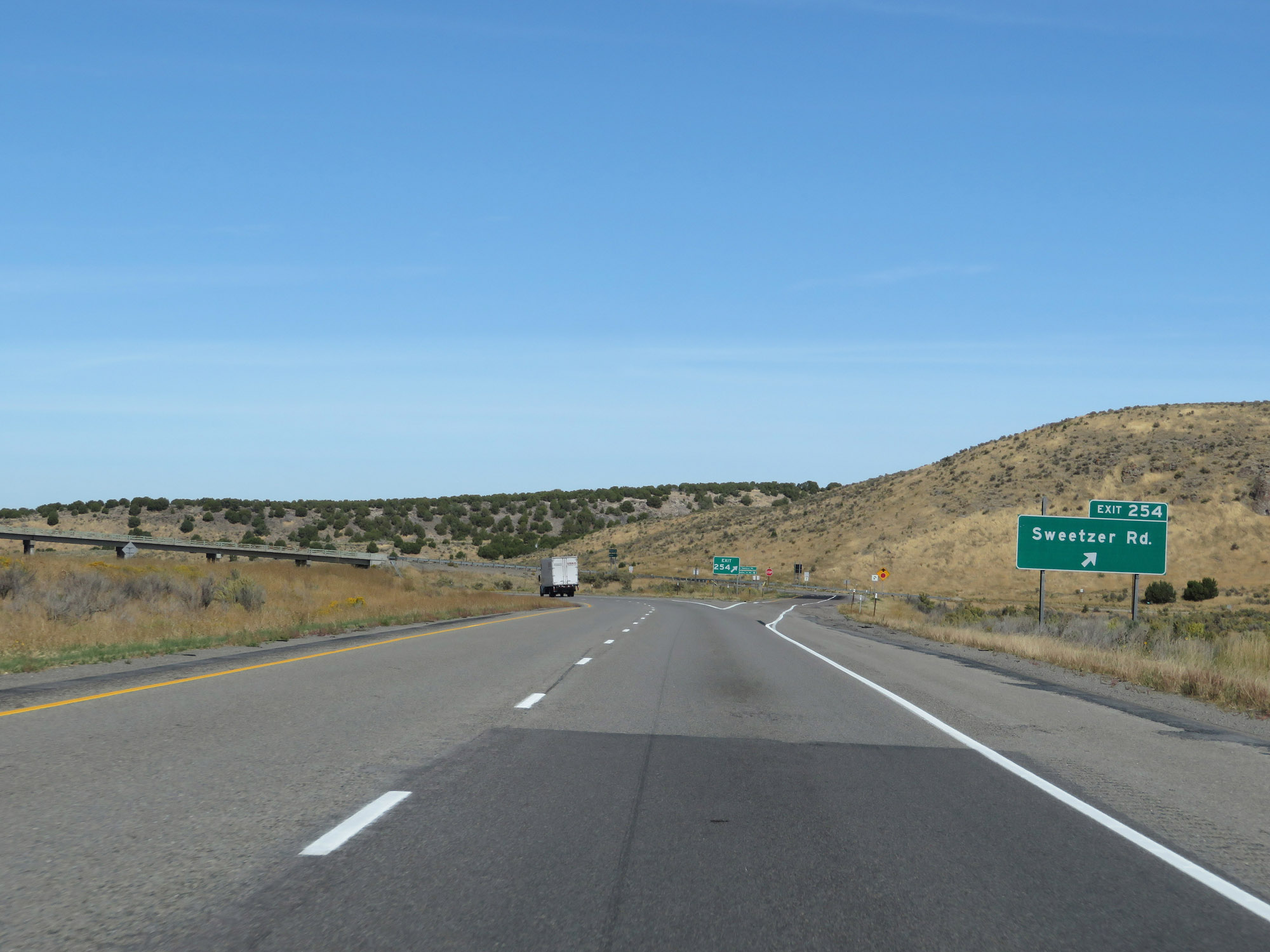 |
Interstate 84 West at Exit 254: Sweetzer Rd (Photo taken 9/25/19). |
 |
Another Interstate 84 West reassurance shield. (Photo taken 9/25/19). |
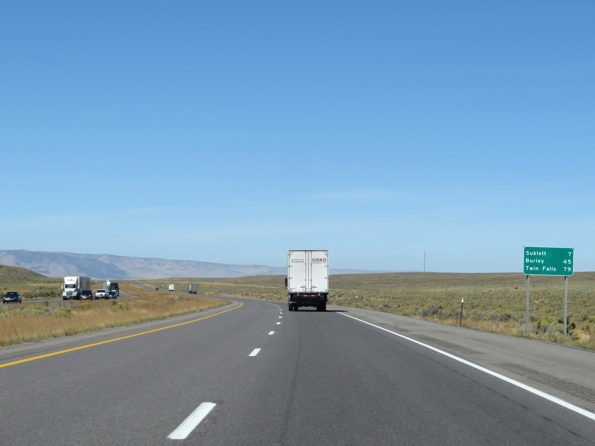 |
Mileage sign on Interstate 84 West. It's 7 miles to Sublett, 45 miles to Burley, and 79 miles to Twin Falls. (Photo taken 9/25/19). |
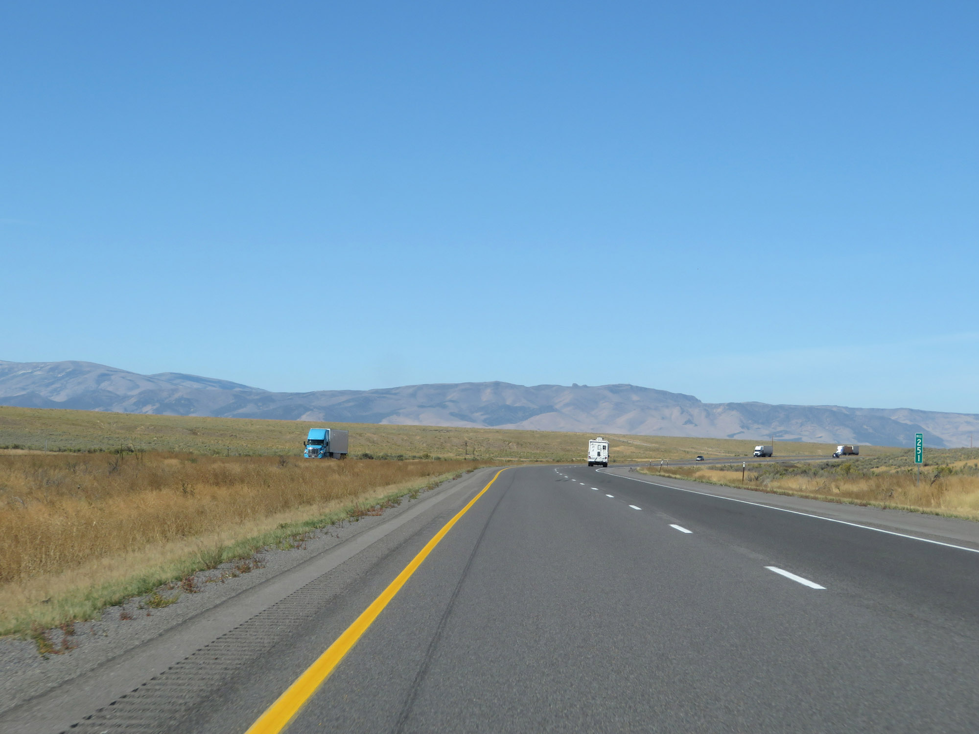 |
View on Interstate 84 West at mile marker 251. (Photo taken 9/25/19). |
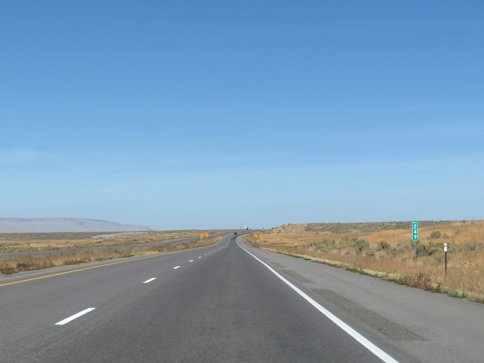 |
Interstate 84 West at mile marker 249. (Photo taken 9/25/19). |
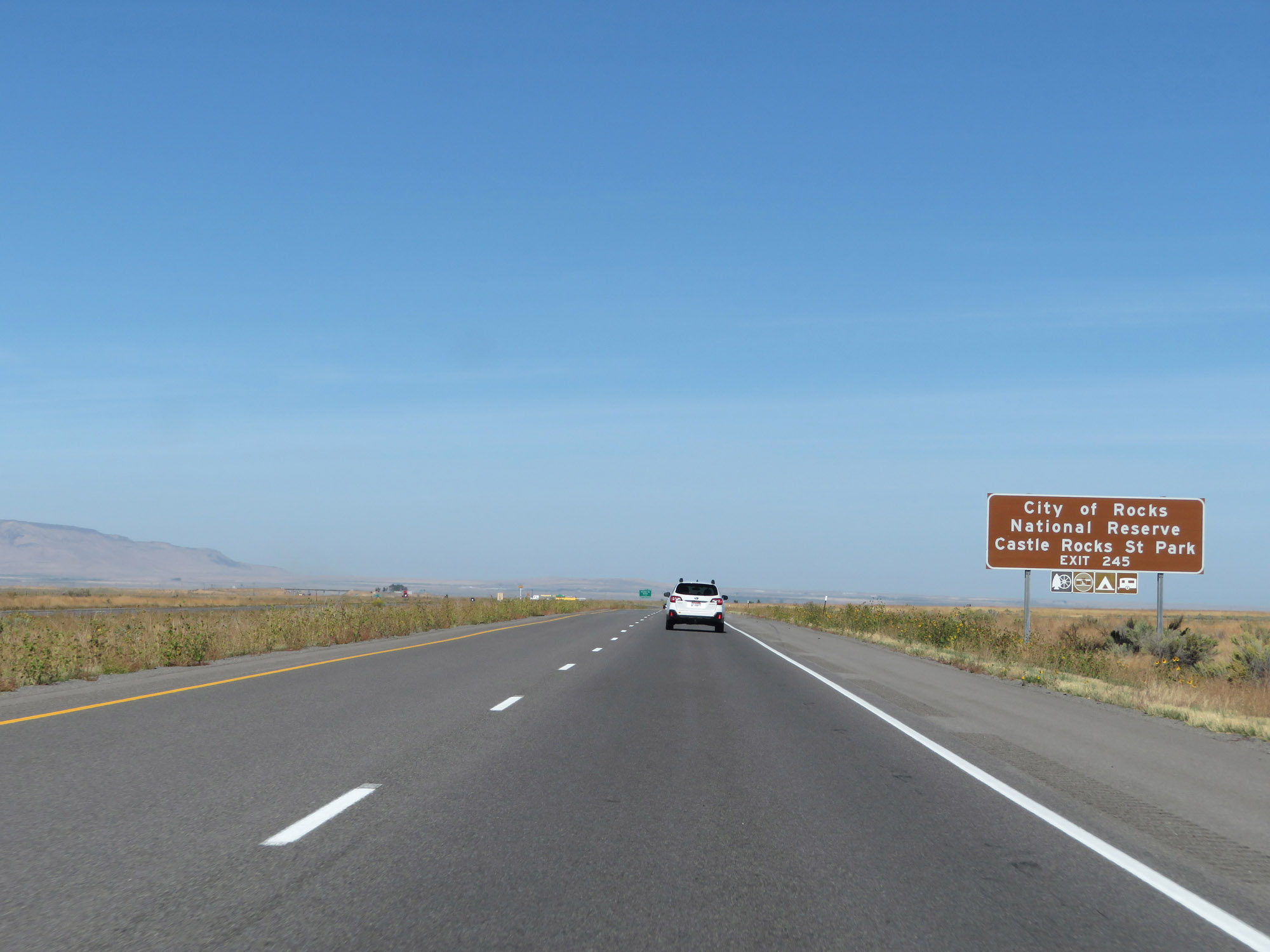 |
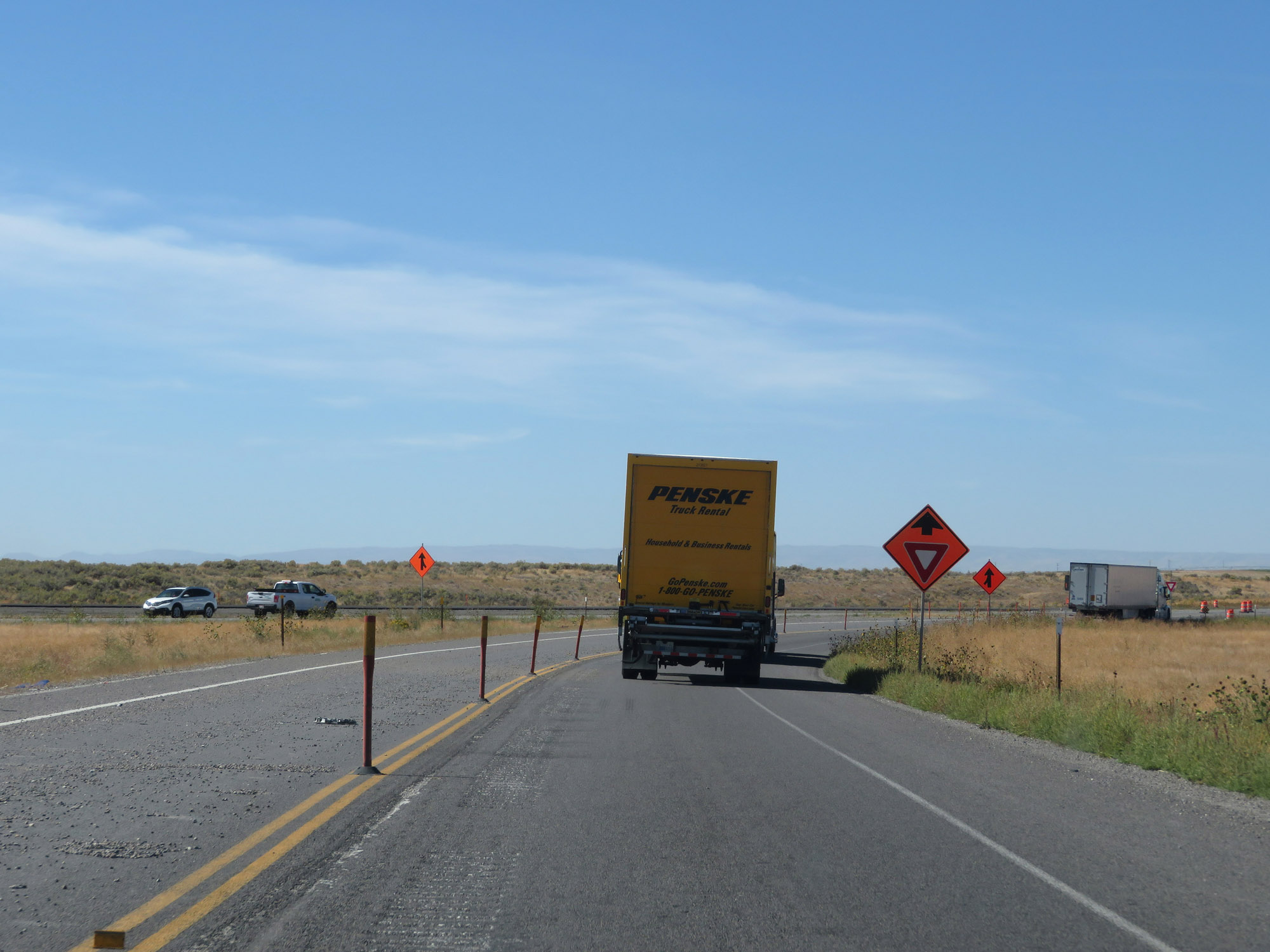
Take Exit 245 to City of Rocks National Reserve and Castle Rocks State Park. (Photo taken 9/25/19). |
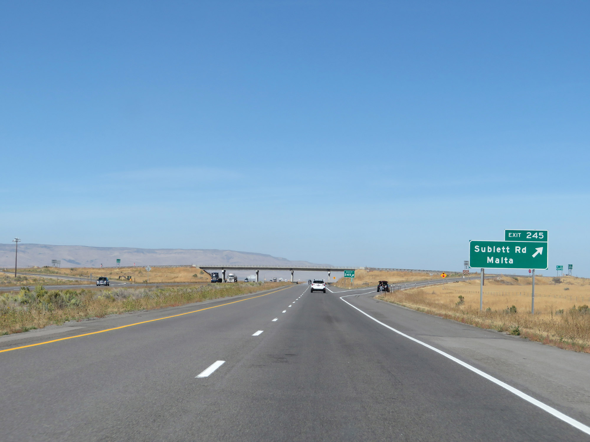 |
Interstate 84 West at Exit 245: Sublett Rd / Malta (Photo taken 9/25/19). |
 |
Another mileage sign on Interstate 84 West. It's 34 miles to Rupert, 36 miles to Burley, and 70 miles to Twin Falls. (Photo taken 9/25/19). |
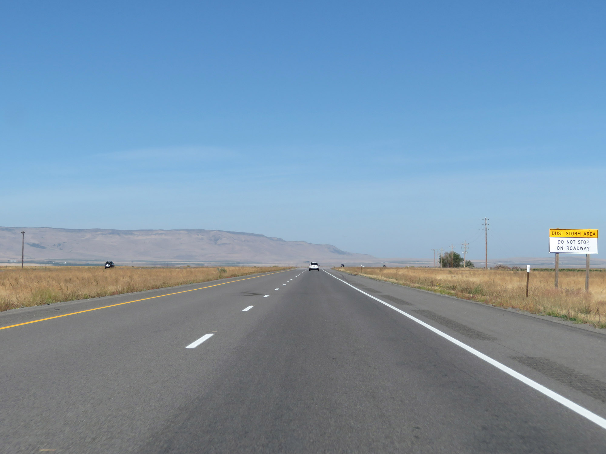 |
This stretch of Interstate 84 is subject to dust storms, as this sign says. In the event of a blinding dust storm, motorists are reminded to never stop in the middle of the roadway. (Photo taken 9/25/19). |
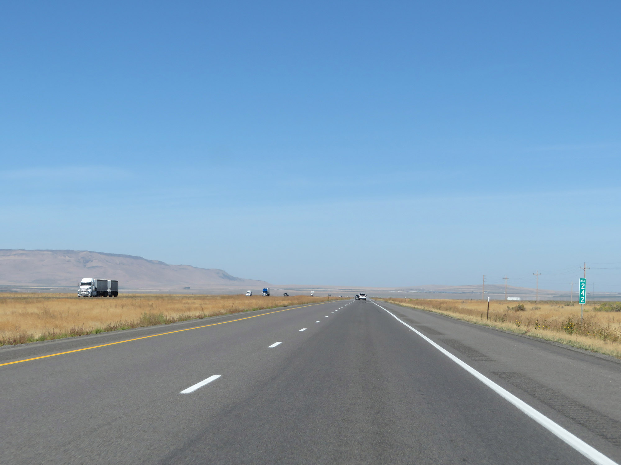 |
Interstate 84 West at mile marker 242. (Photo taken 9/25/19). |
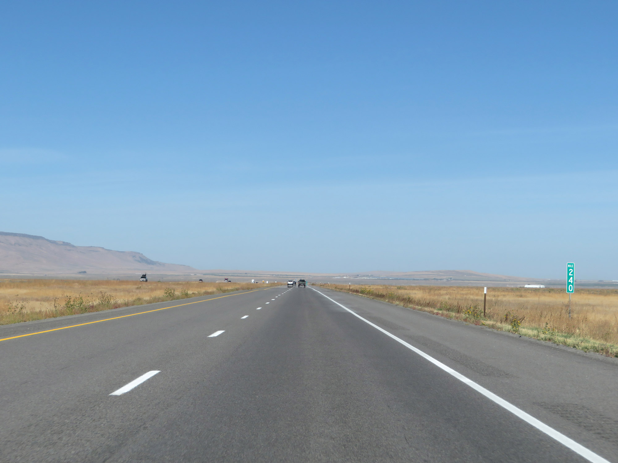 |
View on Interstate 84 West at mile marker 240. (Photo taken 9/25/19). |
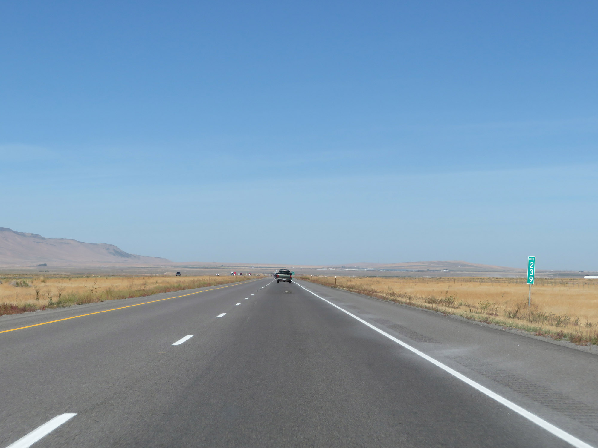 |
Interstate 84 West at mile marker 239. (Photo taken 9/25/19). |
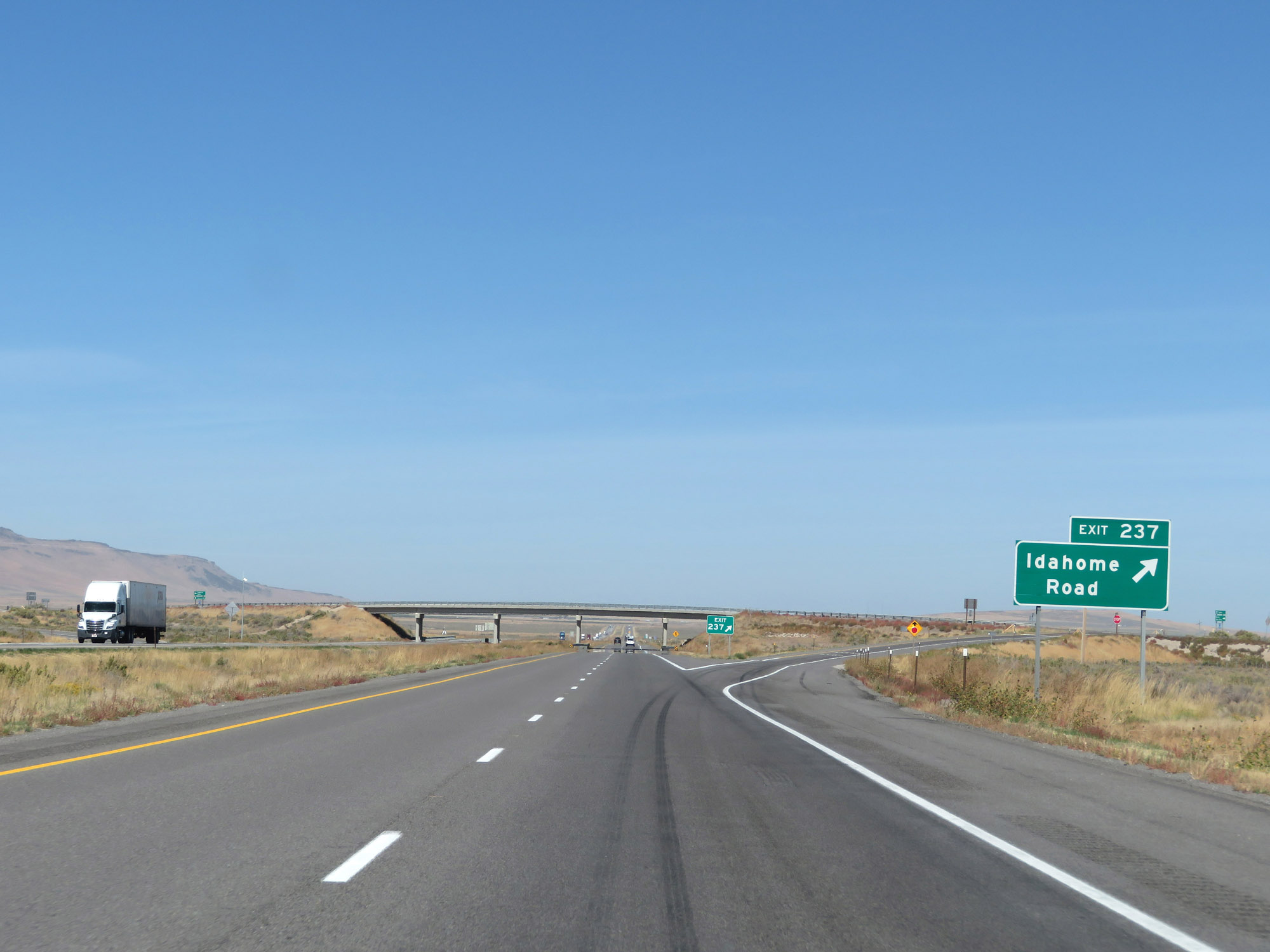 |
Interstate 84 West at Exit 237: Idahome Road (Photo taken 9/25/19). |
 |
Interstate 84 West reassurance shield. (Photo taken 9/25/19). |
 |
The speed limits remain 80 mph for automobiles and 70 mph for trucks. (Photo taken 9/25/19). |
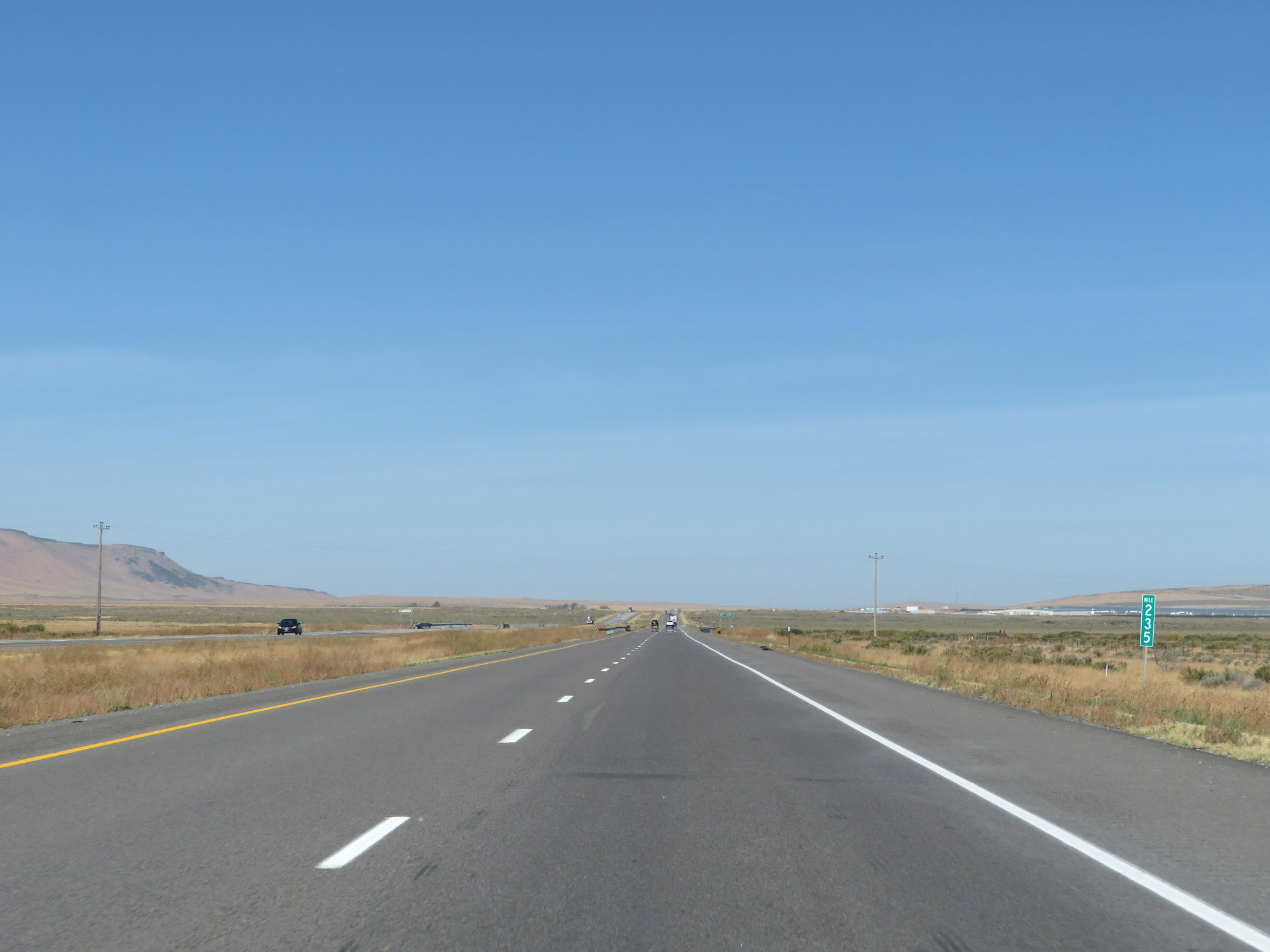 |
View on Interstate 84 West at mile marker 235. (Photo taken 9/25/19). |
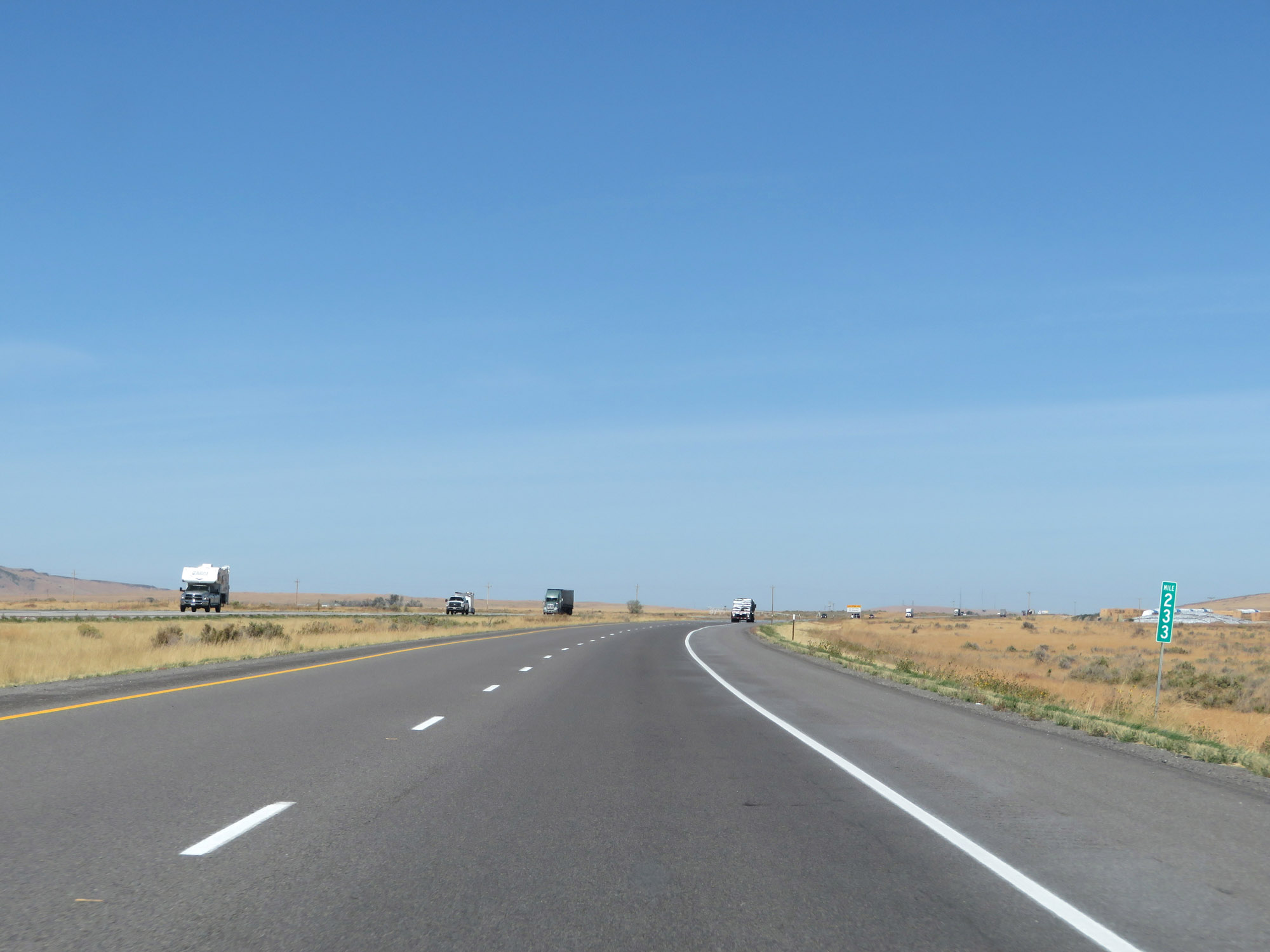 |
Interstate 84 West at mile marker 233. (Photo taken 9/25/19). |
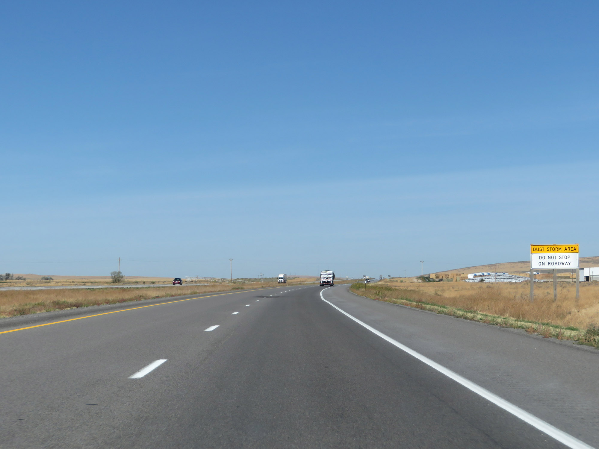 |
Another warning sign signaling that the area is subject to dust storms. Again, never stop in the middle of the roadway in the event of a blinding dust storm. (Photo taken 9/25/19). |
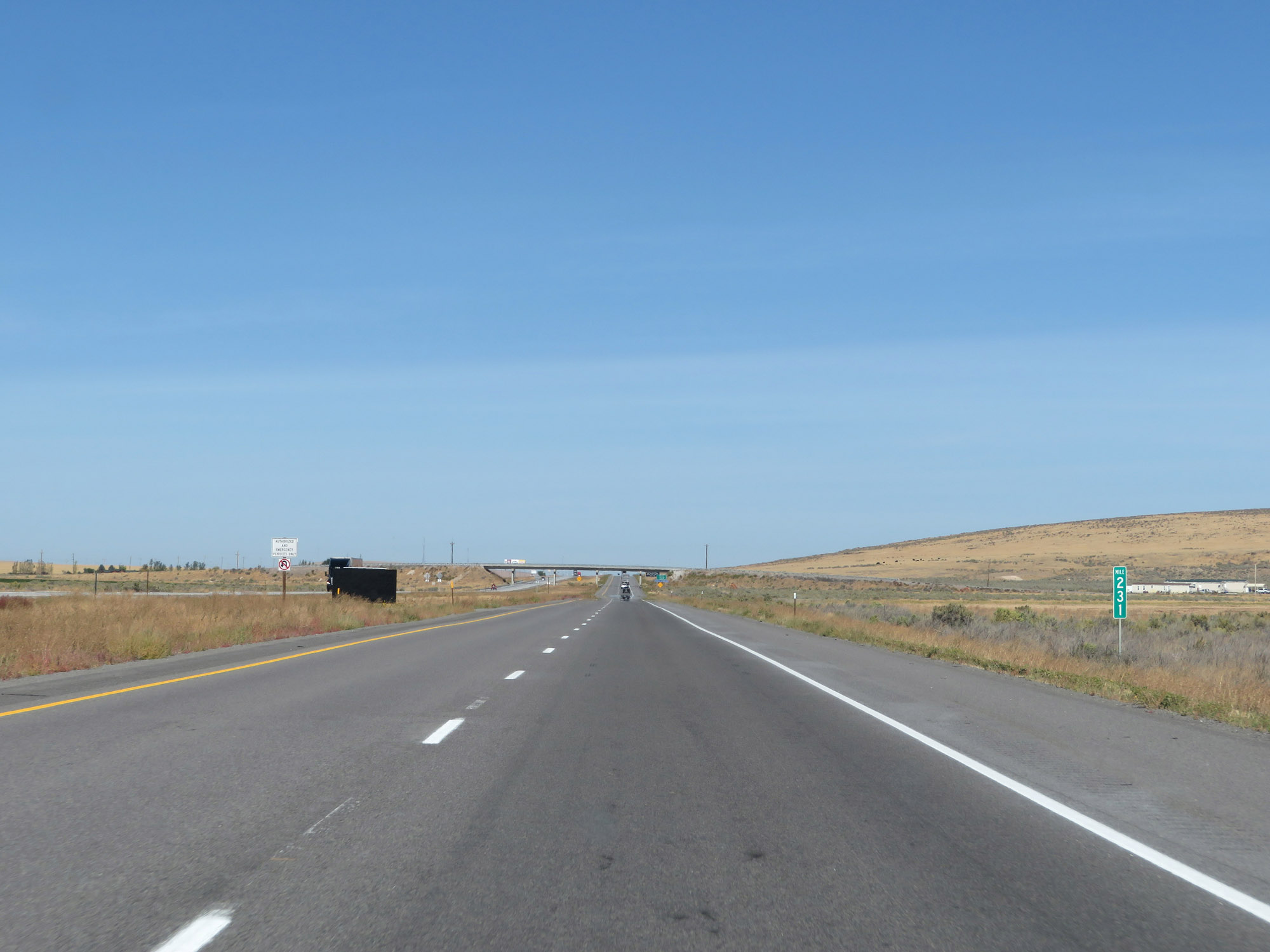 |
View on Interstate 84 West at mile marker 231. (Photo taken 9/25/19). |
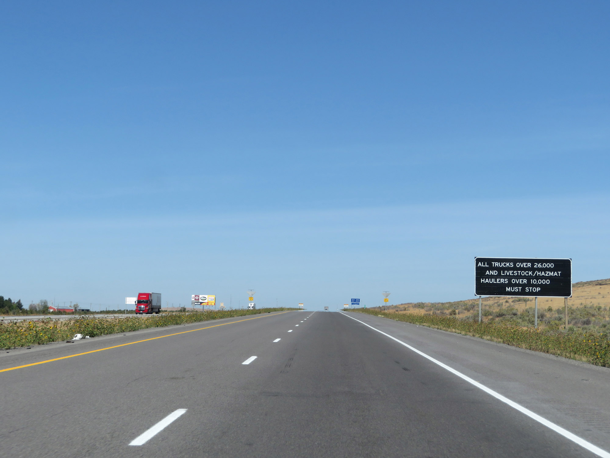 |
With a Weigh Station coming up ahead, this sign states that all trucks over 26,000 lbs and livestock/Hazmat haulers over 10,000 lbs must enter the scales. (Photo taken 9/25/19). |
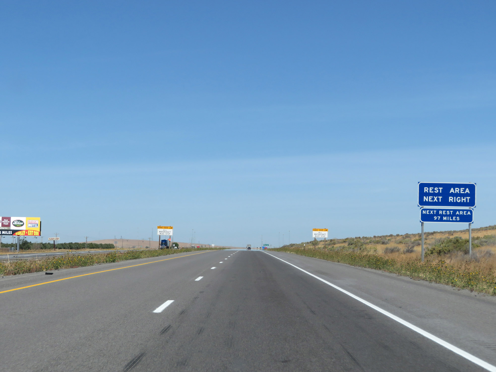 |
A Rest Area exists at the Weigh Station ahead, and it is open to all motorists. Beyond this, the next Rest Area on Interstate 84 West is 97 miles ahead. (Photo taken 9/25/19). |
 |
Weigh Station / Rest Area on Interstate 84 West in Cassia County. (Photo taken 9/25/19). |
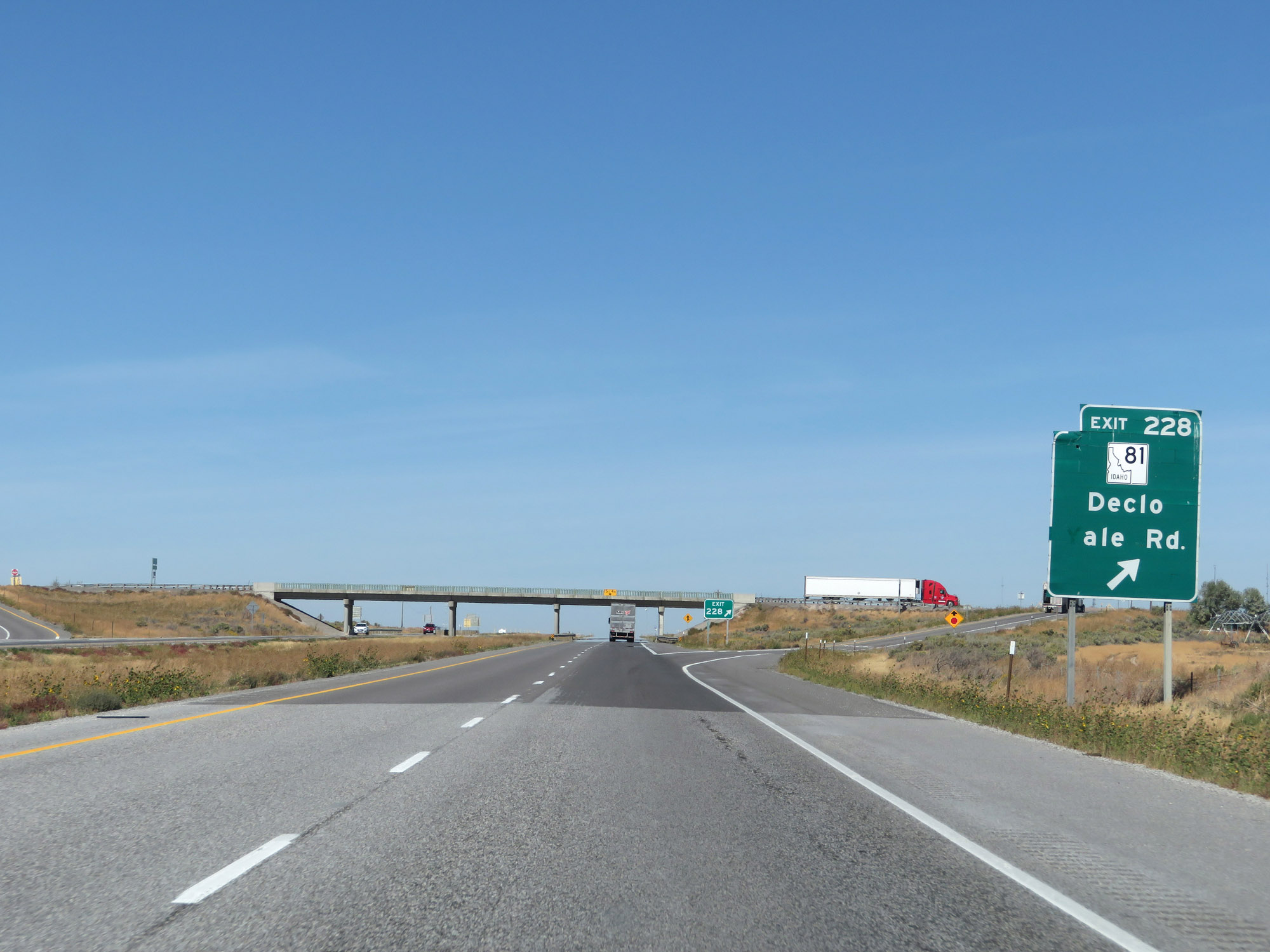 |
Interstate 84 West at Exit 228: ID 81 - Declo / Yale Rd (Photo taken 9/25/19). |
 |
Another Interstate 84 West reassurance shield. (Photo taken 9/25/19). |
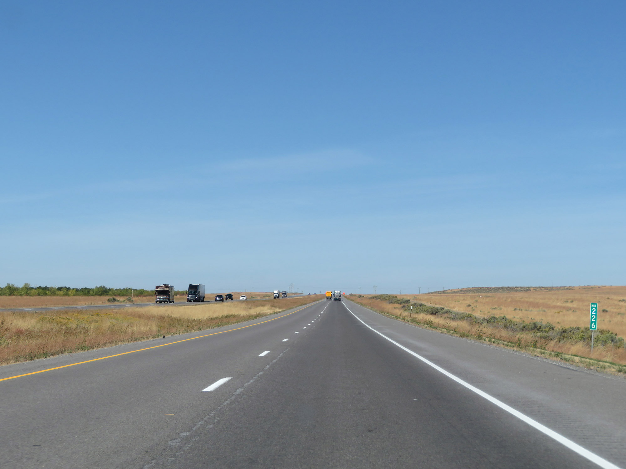 |
Interstate 84 West at mile marker 226. (Photo taken 9/25/19). |
 |
Interstate 84 West approaching Exit 222 - 1 mile. (Photo taken 9/25/19). |
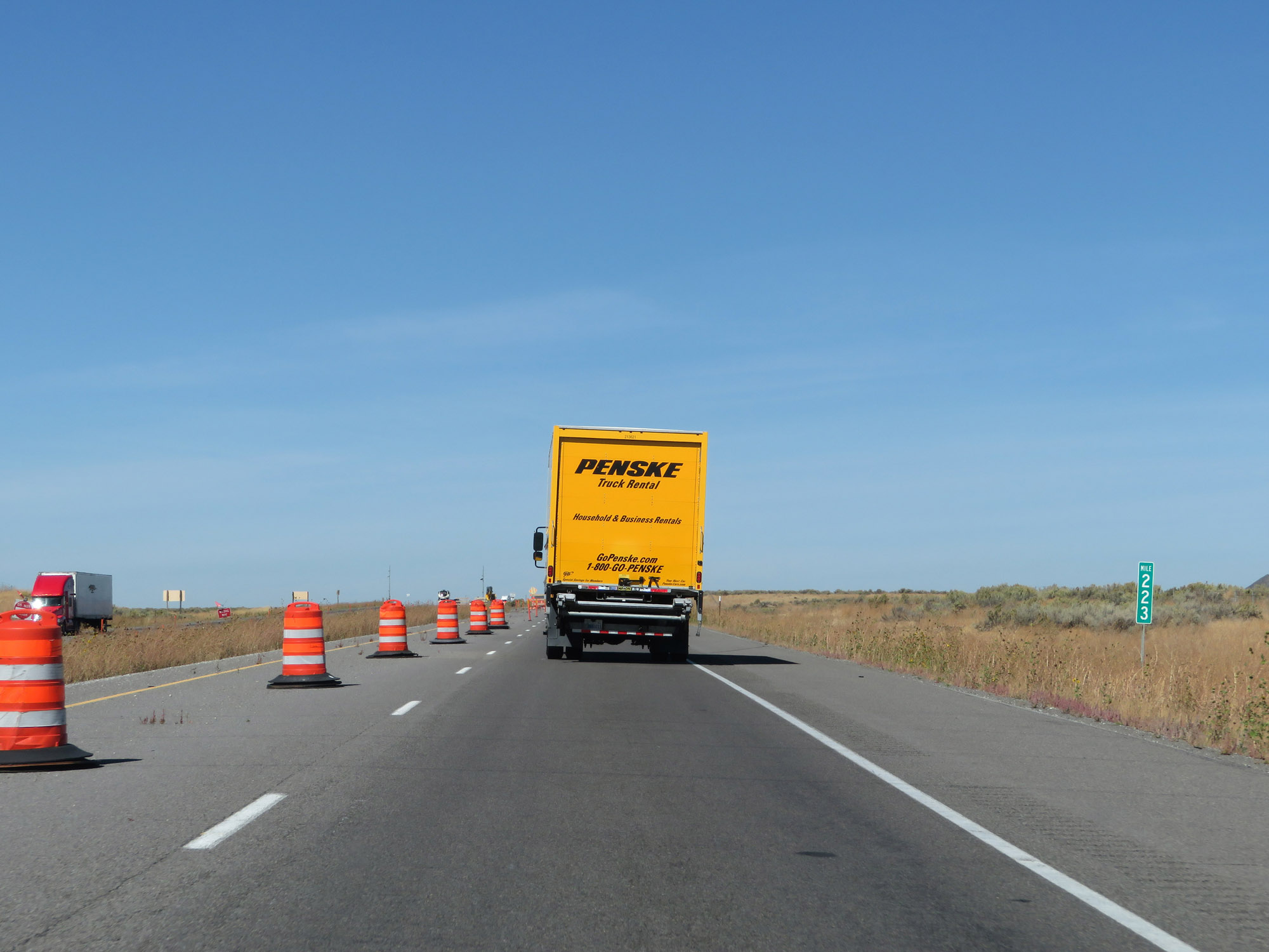 |
Interstate 84 West at mile marker 223. (Photo taken 9/25/19). |
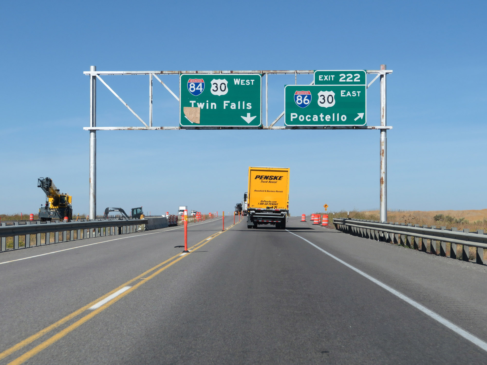 |
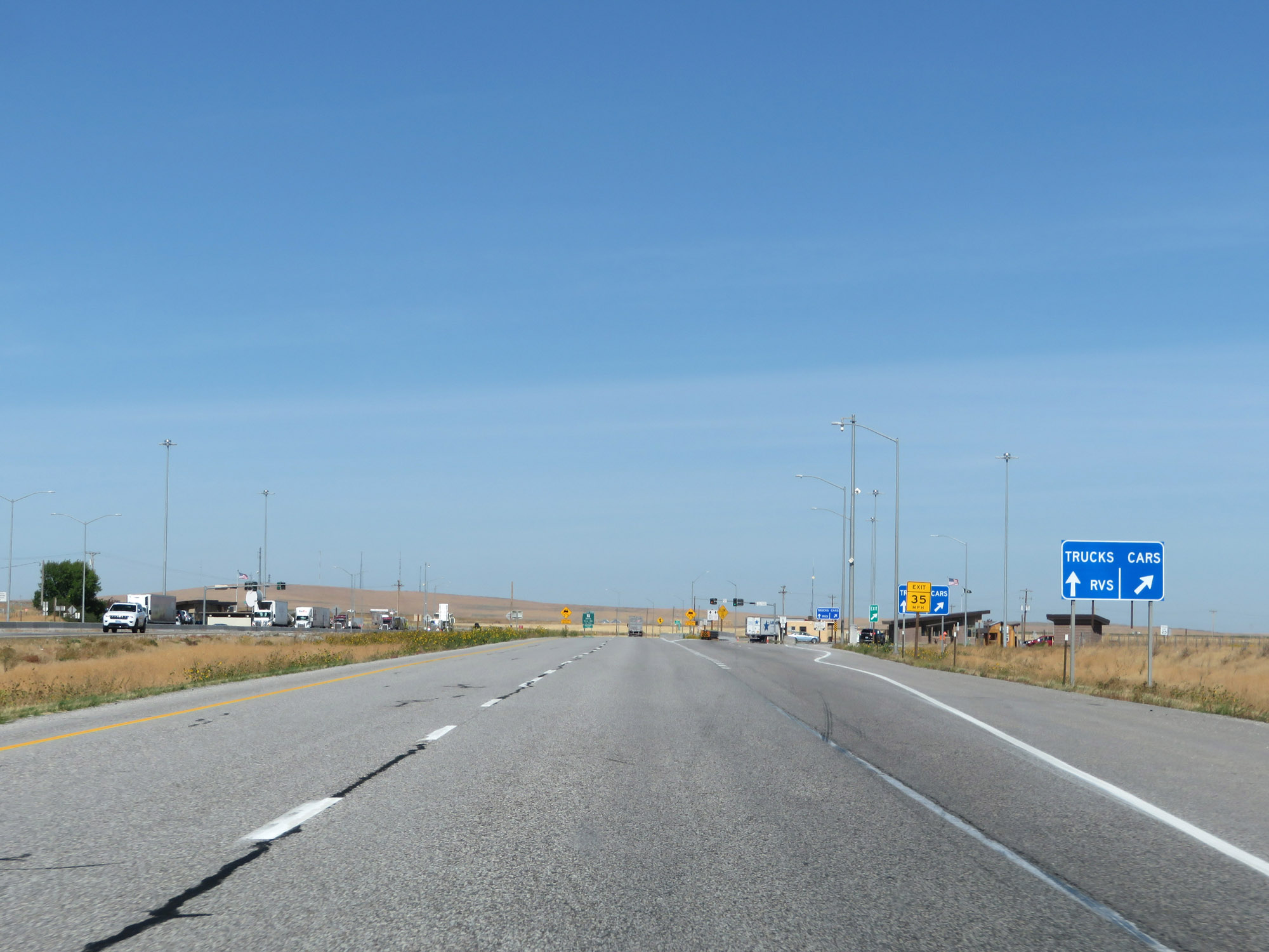
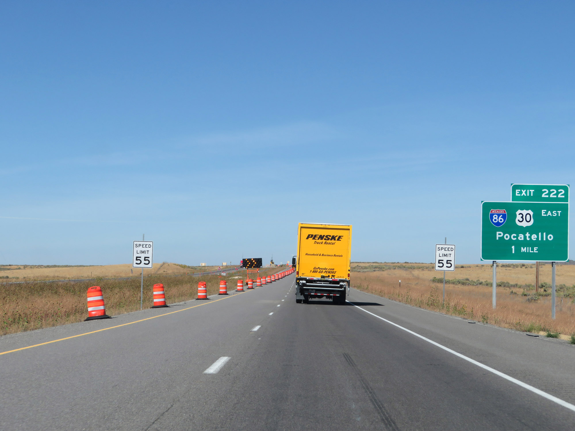
Interstate 84 West at Exit 222: Interstate 86 East / US 30 East - Pocatello (Photo taken 9/25/19). |
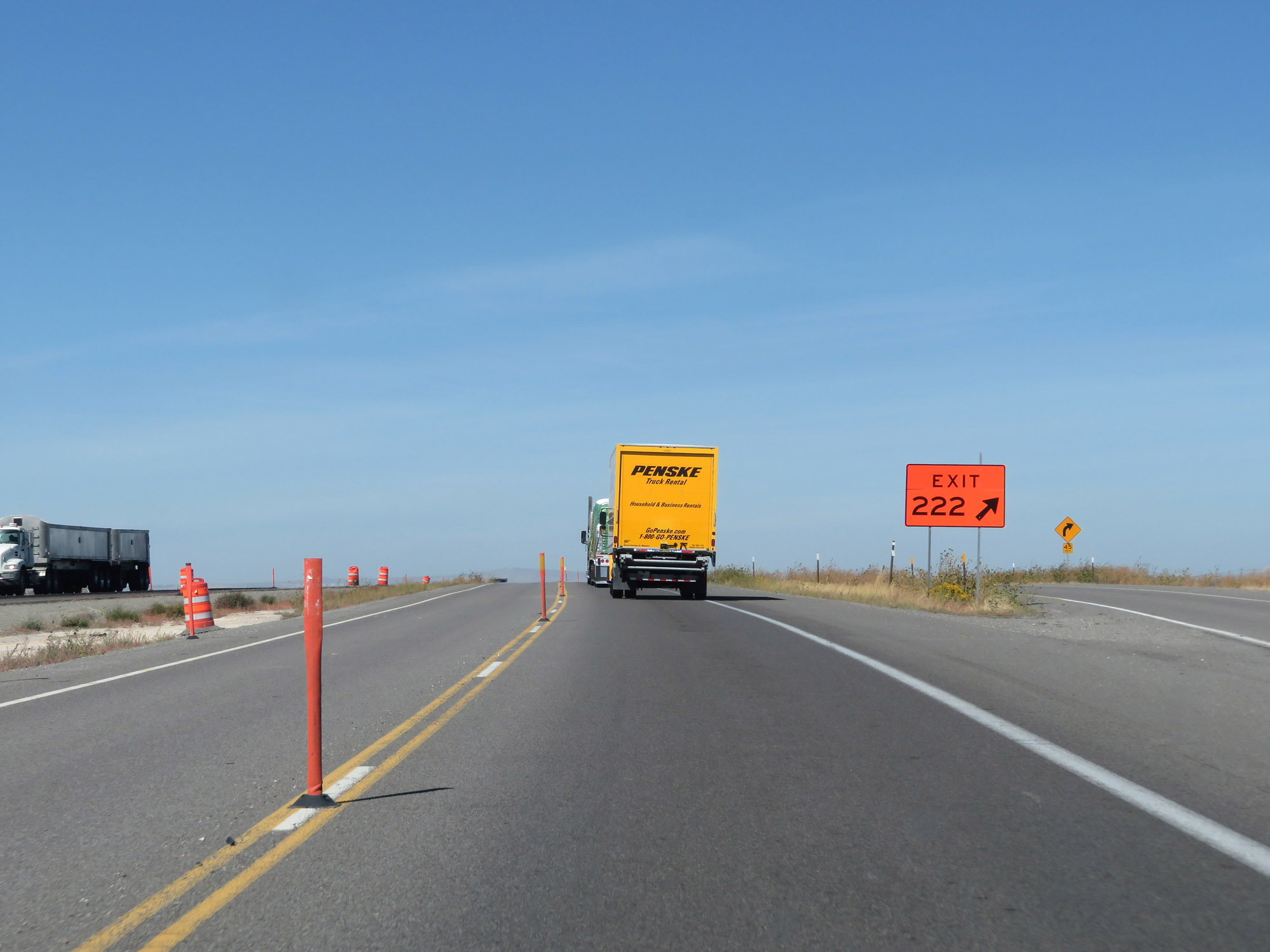 |
A view of the ramp to Interstate 86 East / US 30 East via Exit 222. (Photo taken 9/25/19). |
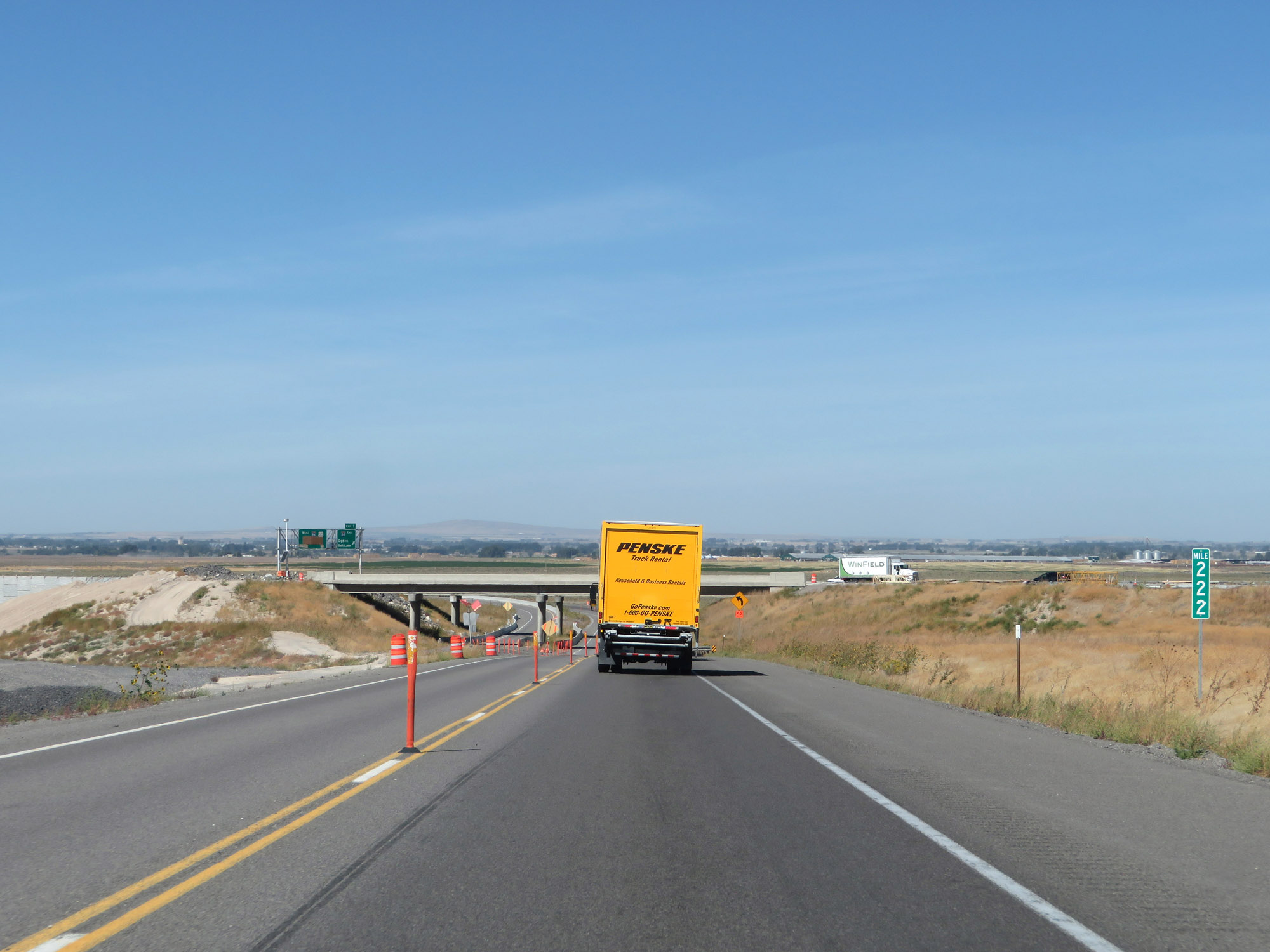 |
At mile marker 222, we see that Interstate 84 West will pass under Interstate 86 ahead. It will then curve sharply to the west to join up with traffic from Interstate 86 West. (Photo taken 9/25/19). |
 |
Interstate 84 West as it curves directly to the west to accomodate traffic from Interstate 86 West. (Photo taken 9/25/19). |
 |
Interstate 84 West as the westbound lanes of Interstate 86 come into view. This is the western terminus of the western segment of I-86. (Photo taken 9/25/19). |
 |
At mile marker 221, Interstate 86 West traffic merges into Interstate 84 West, marking the western terminus of I-86. (Photo taken 9/25/19). |
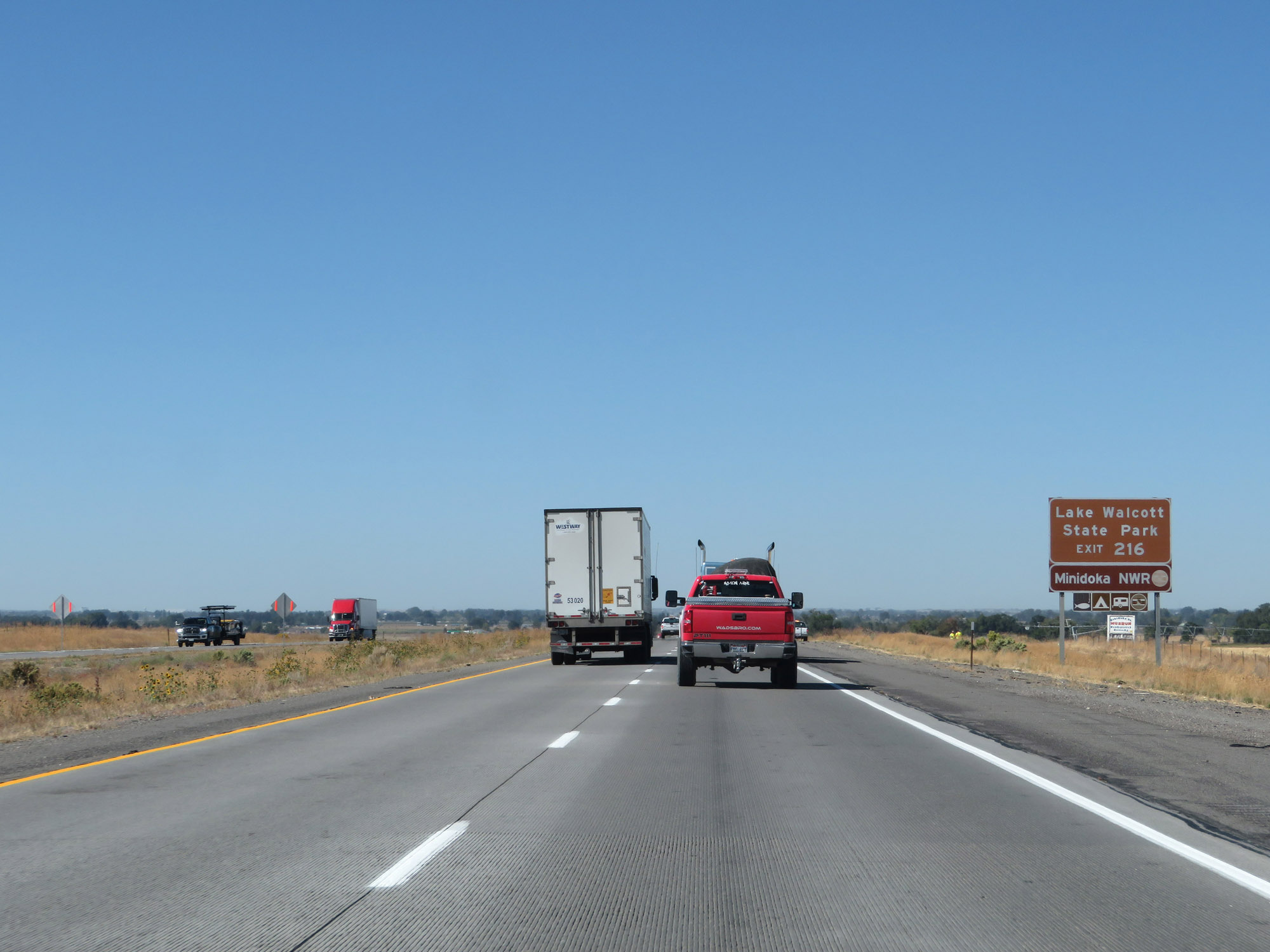 |
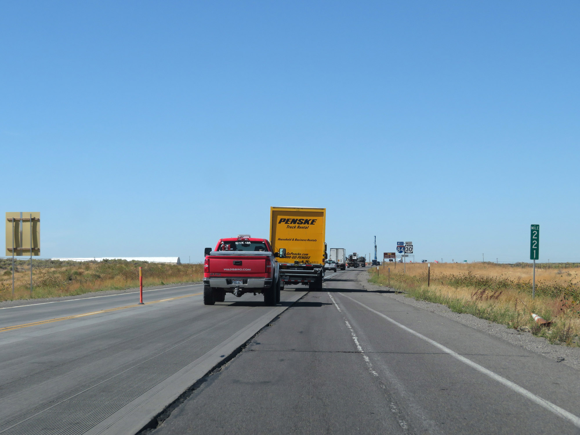
Take Exit 216 to Lake Walcott State Park. (Photo taken 9/25/19). |
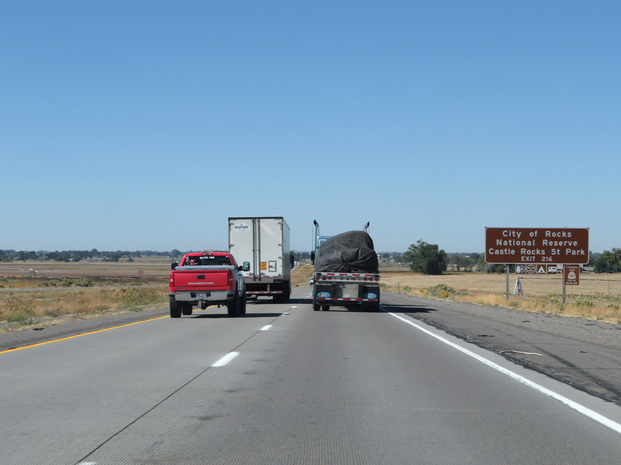 |
Also take Exit 216 to City of Rocks National Reserve and Castle Rocks State Park. (Photo taken 9/25/19). |
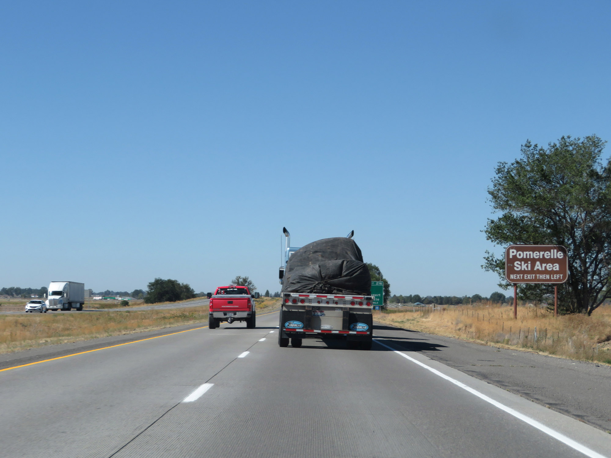 |
Take Exit 216 to Pomerelle Ski Area as well. (Photo taken 9/25/19). |
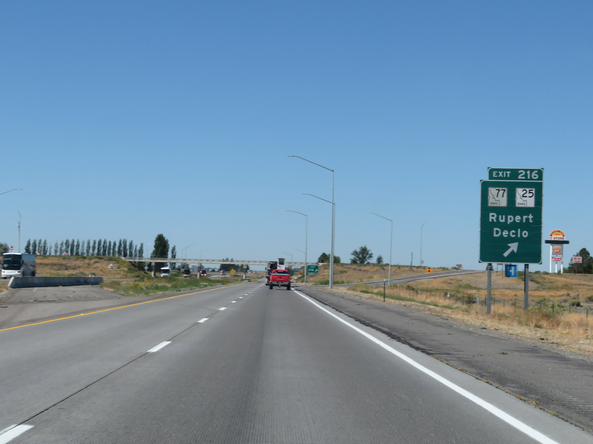 |
Interstate 84 West at Exit 216: ID 77 / ID 25 - Rupert / Declo (Photo taken 9/25/19). |
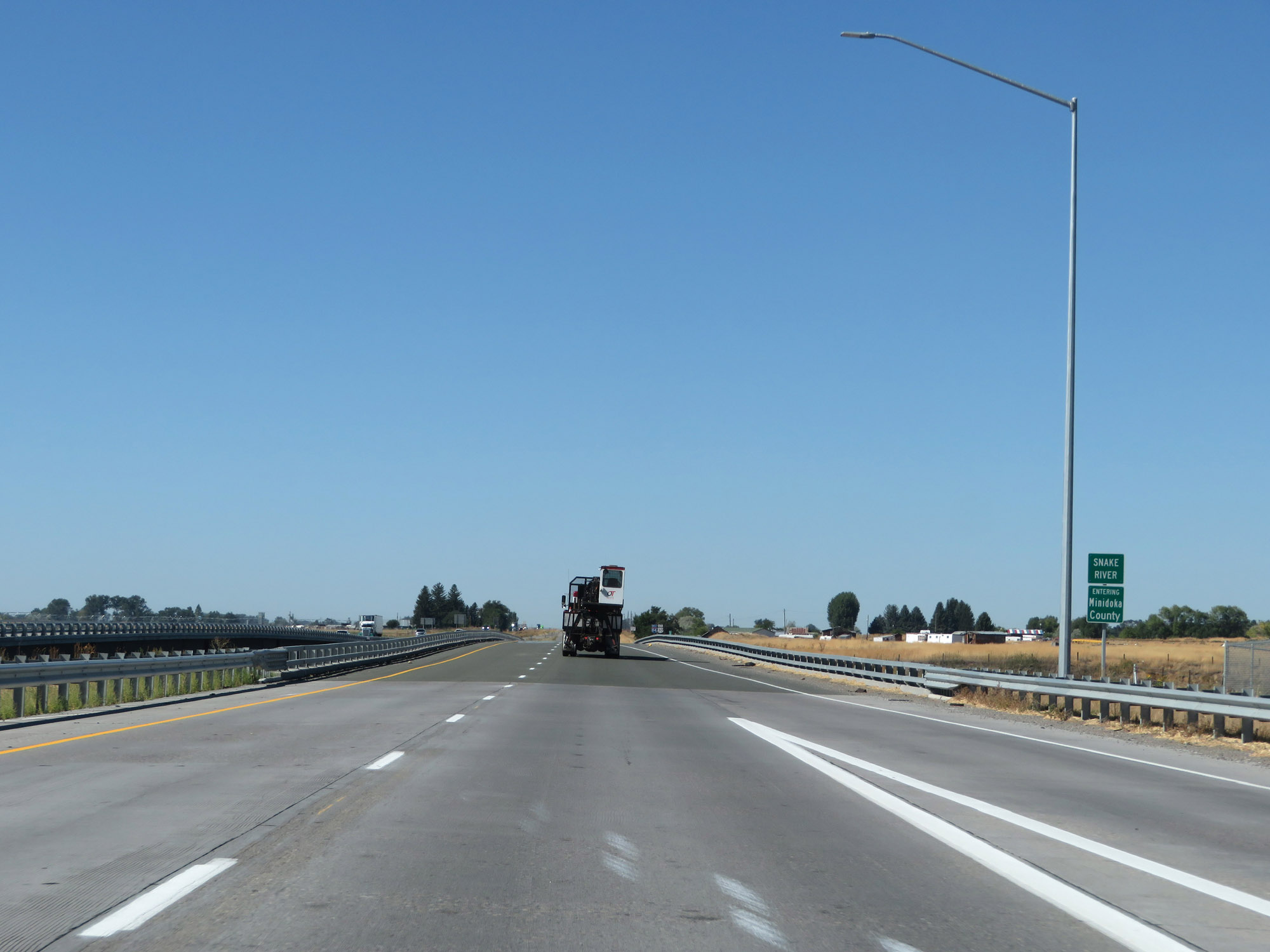 |
Interstate 84 West as it enters Minidoka County. (Photo taken 9/25/19). |
 |
Interstate 84 West reassurance shield. (Photo taken 9/25/19). |
 |
View on Interstate 84 West at mile marker 215. (Photo taken 9/25/19). |
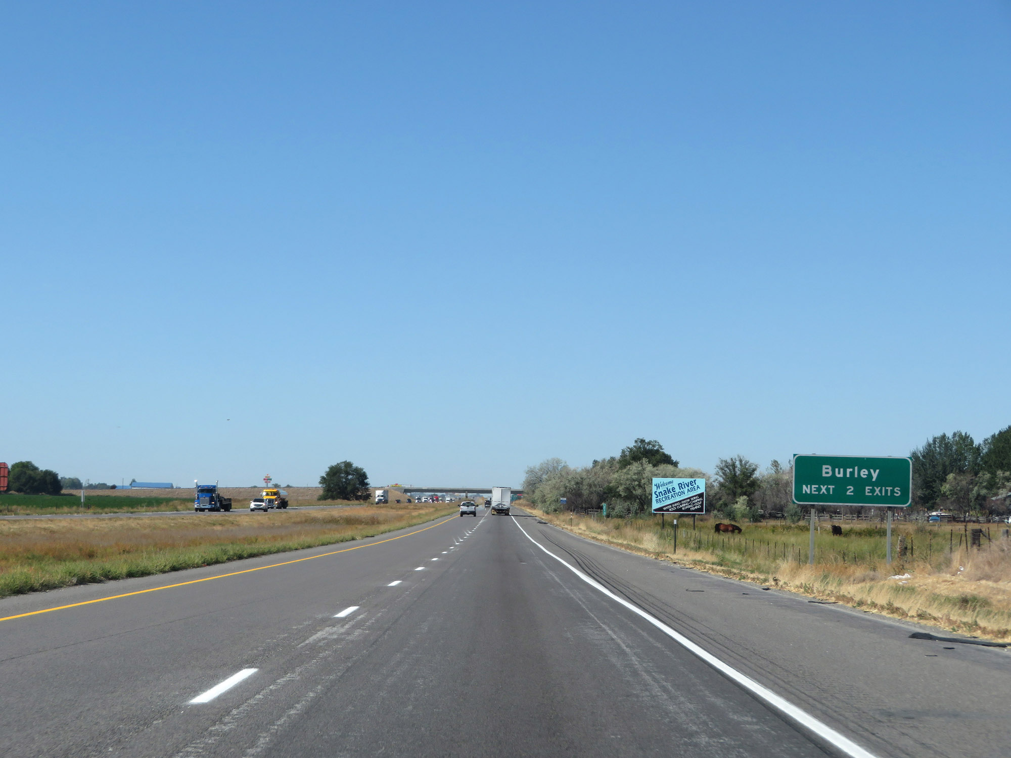 |
Take either of the next 2 exits to Burley. (Photo taken 9/25/19). |
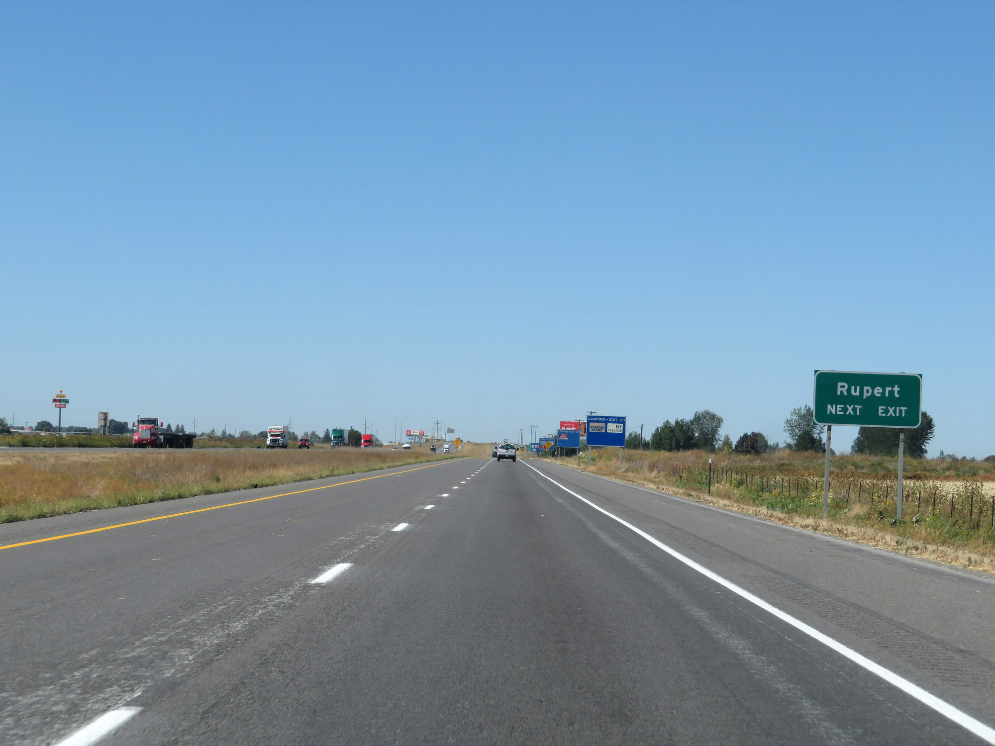 |
Take Exit 211 to Rupert. (Photo taken 9/25/19). |
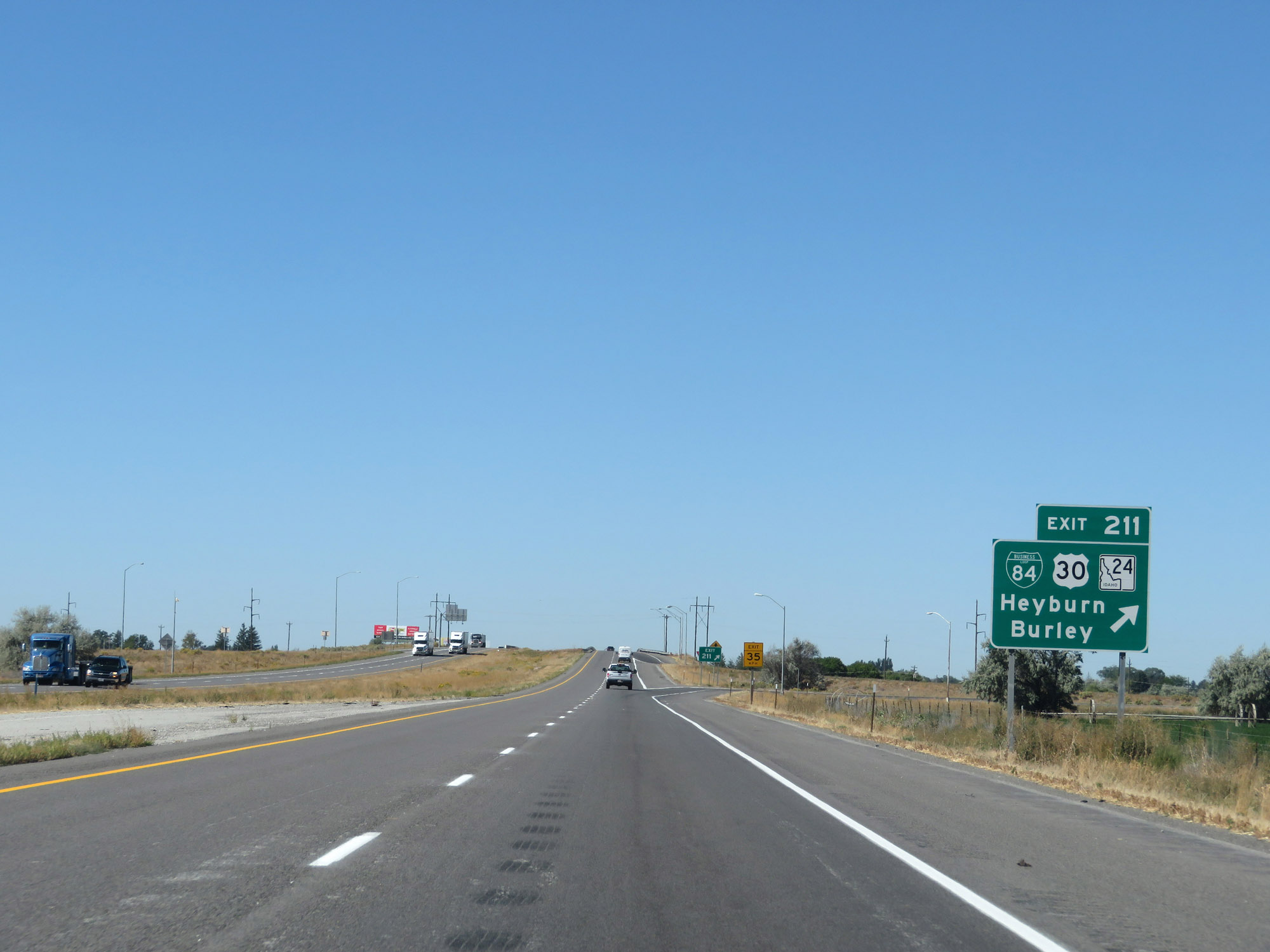 |
Interstate 84 West at Exit 211: Interstate 84 Business Loop / US 30 / ID 24 - Heyburn / Burley (Photo taken 9/25/19). |
 |
The speed limits remain 80 mph for cars and 70 mph for trucks. (Photo taken 9/25/19). |
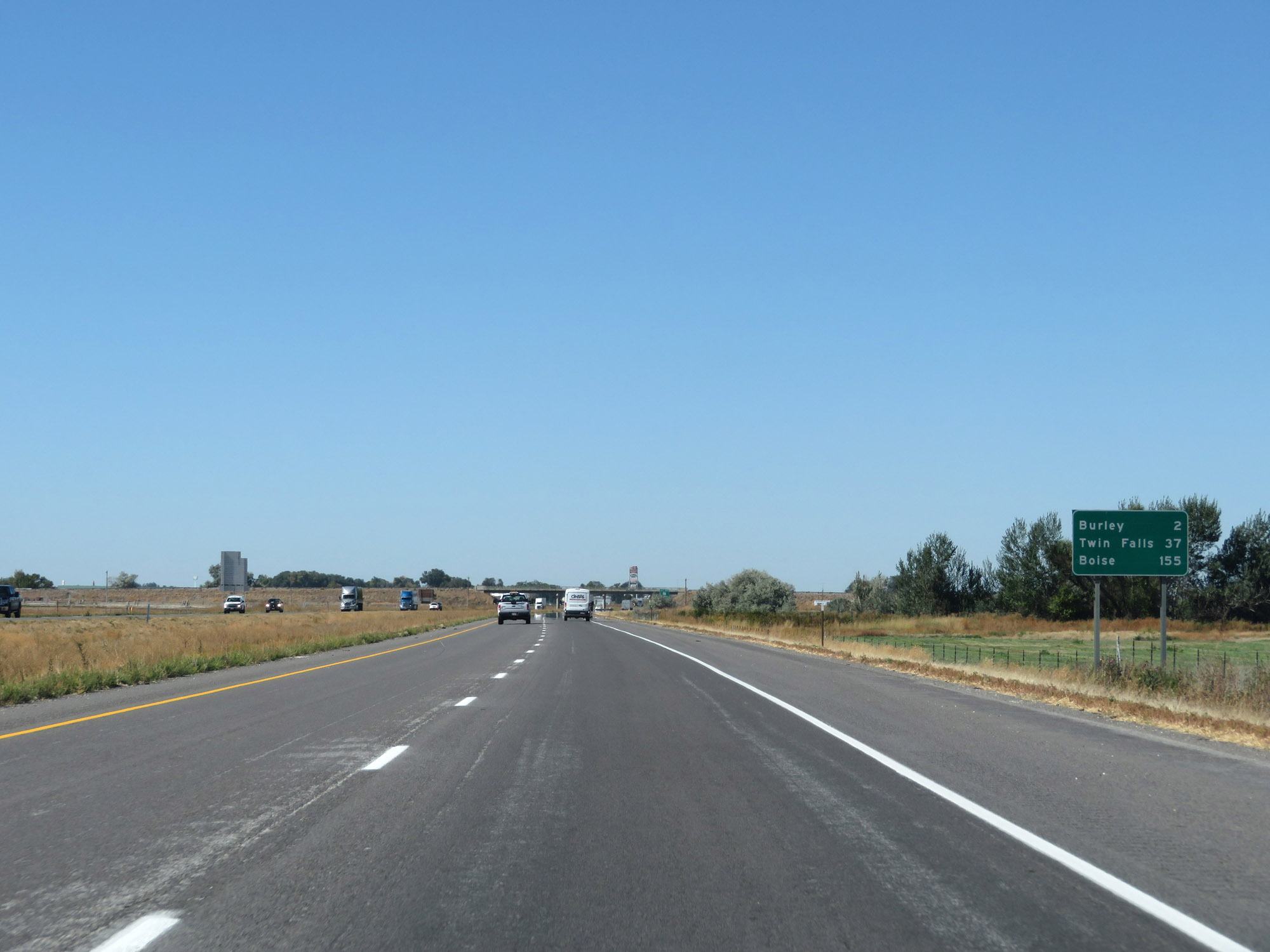 |
Mileage sign on Interstate 84 West. It's 2 miles to Burley, 37 miles to Twin Falls, and 155 miles to Boise. (Photo taken 9/25/19). |
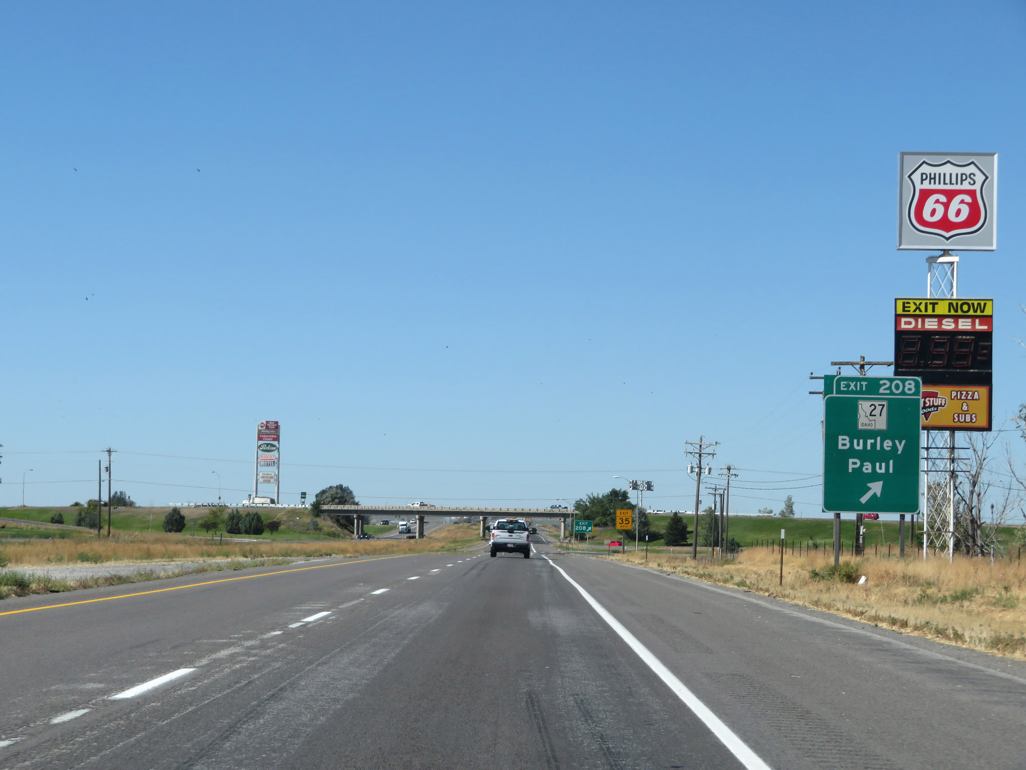 |
Interstate 84 West at Exit 208: ID 27 - Burley / Paul (Photo taken 9/25/19). |
Section 2: Burley (Exit 208) to Mountain Home (Exit 95)
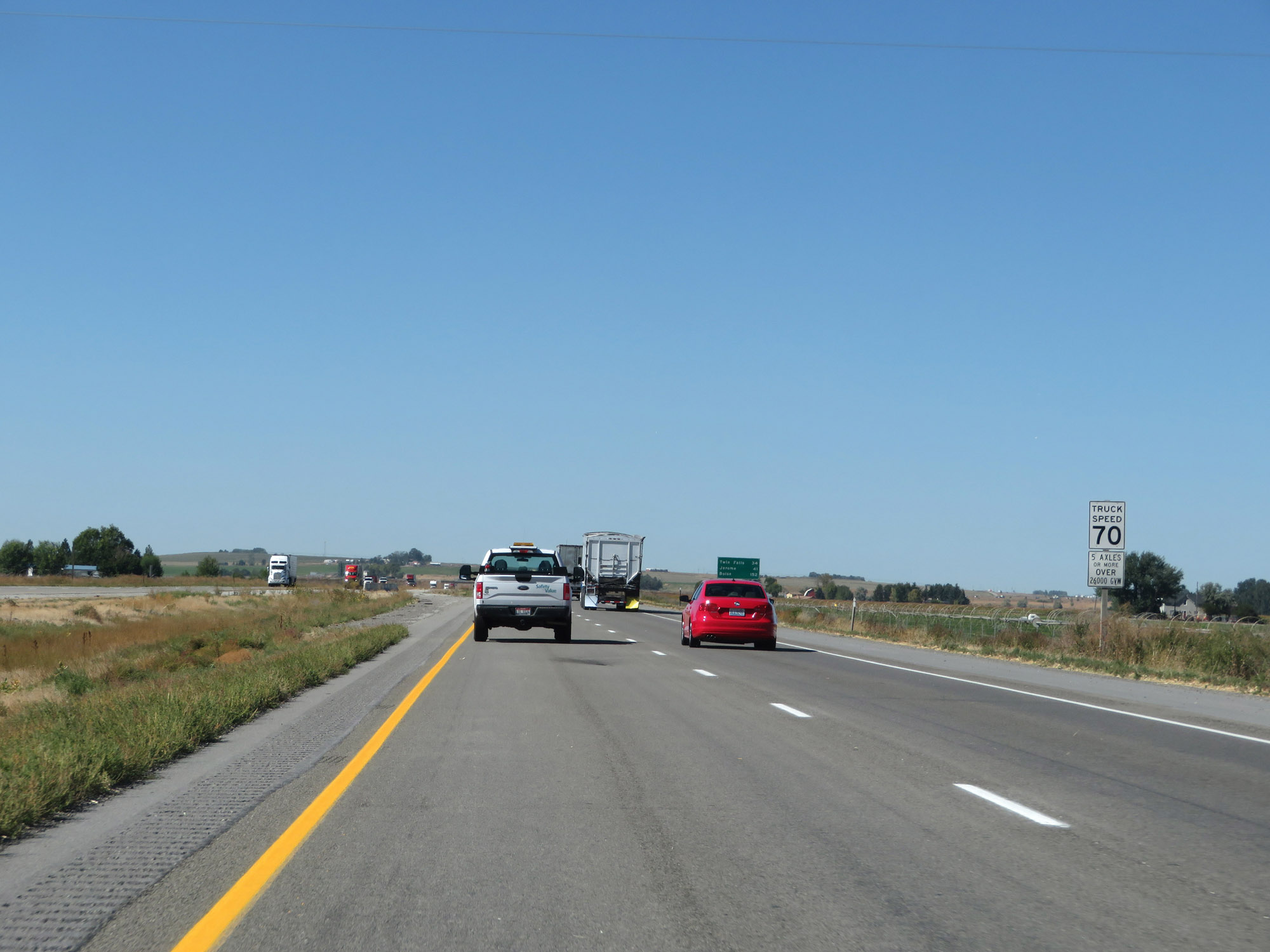 |
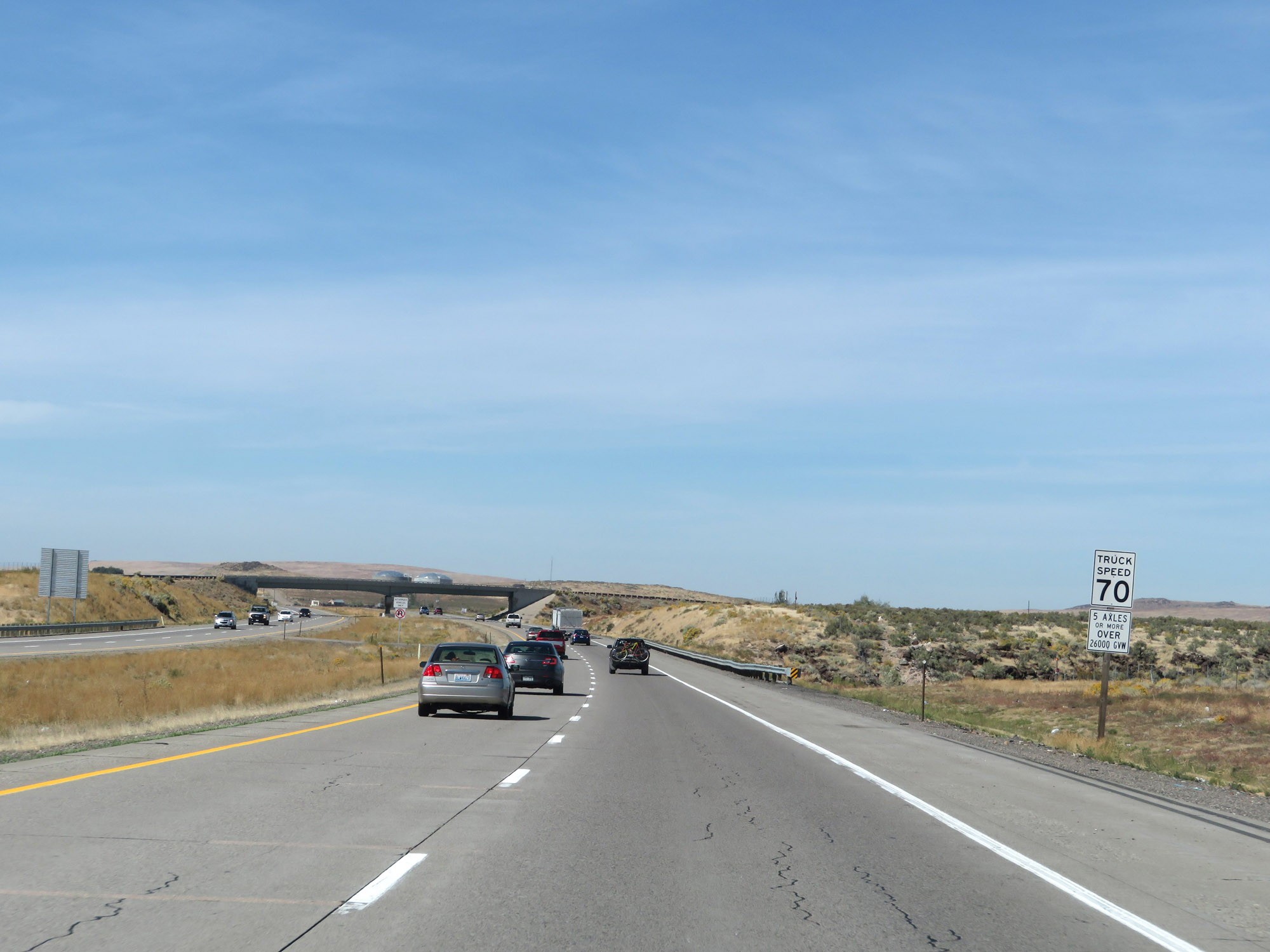
This sign details exactly what trucks are restricted to 70 mph in Idaho. The 70 mph speed limit applies to trucks of 5 or more axles that are over 26,000 lbs GVW (Gross Vehicle Weight). (Photo taken 9/25/19). |
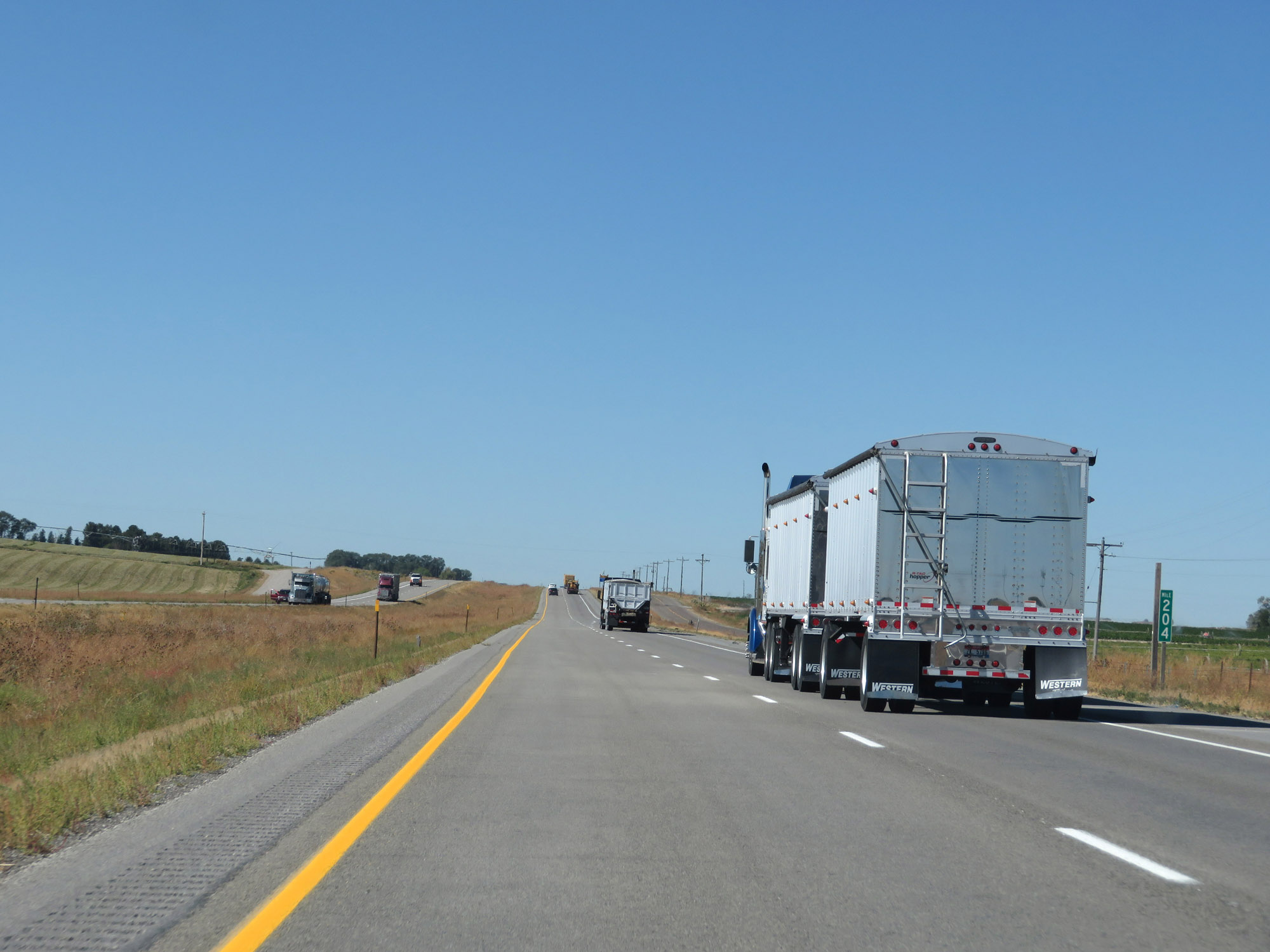 |
View on Interstate 84 West at mile marker 204. (Photo taken 9/25/19). |
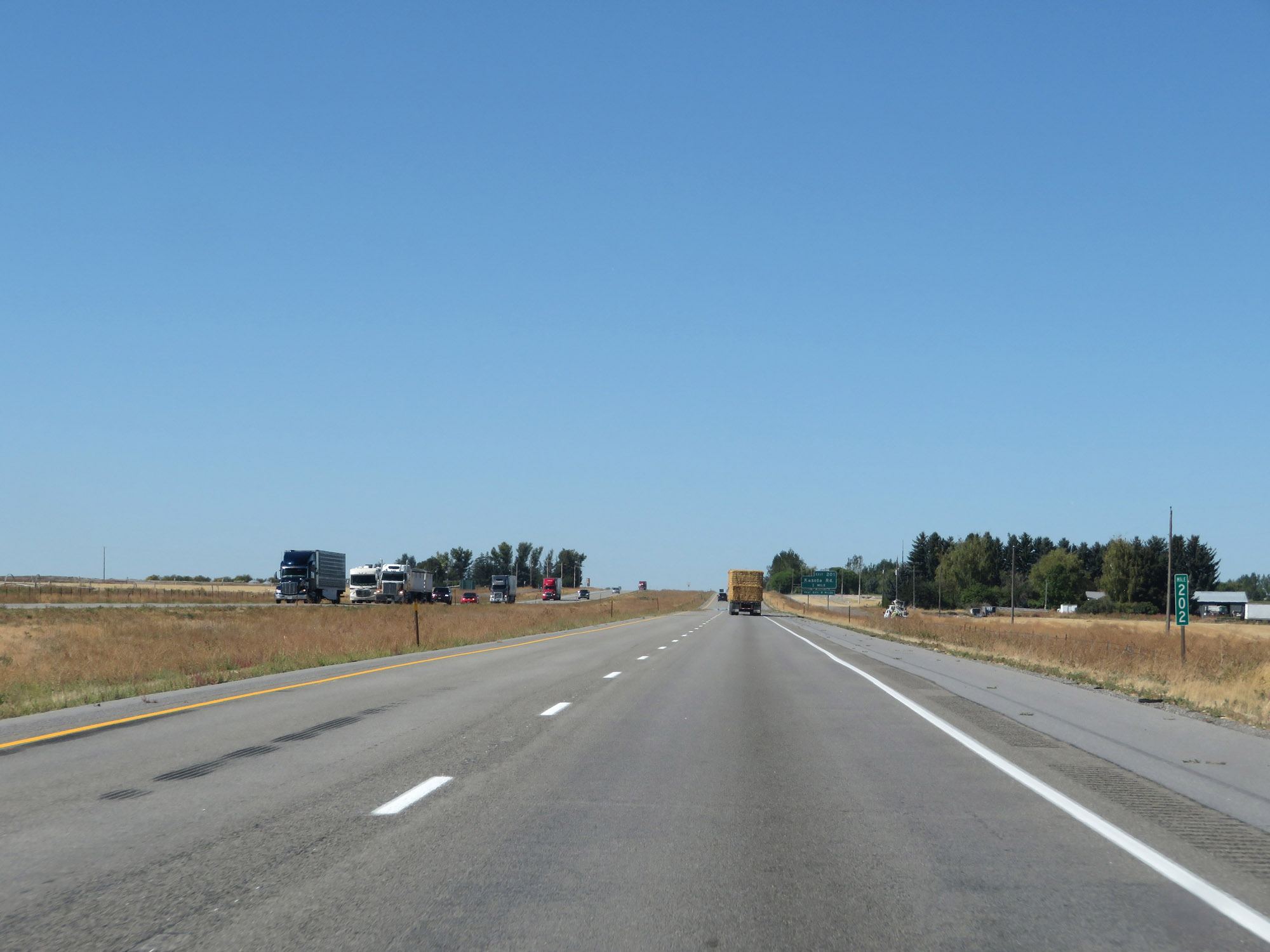 |
Interstate 84 West at mile marker 202. (Photo taken 9/25/19). |
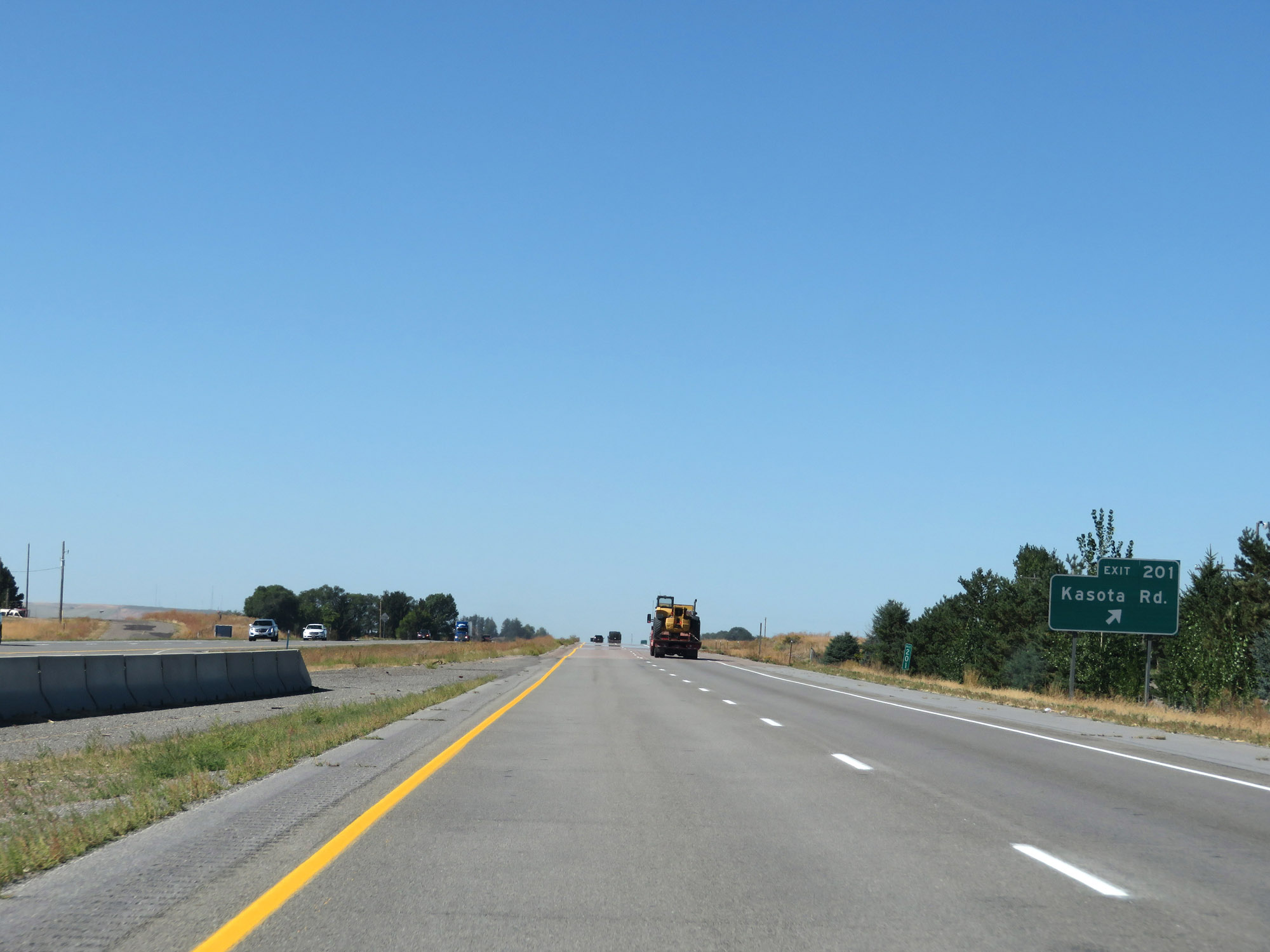 |
Interstate 84 West at Exit 201: Kasota Rd (Photo taken 9/25/19). |
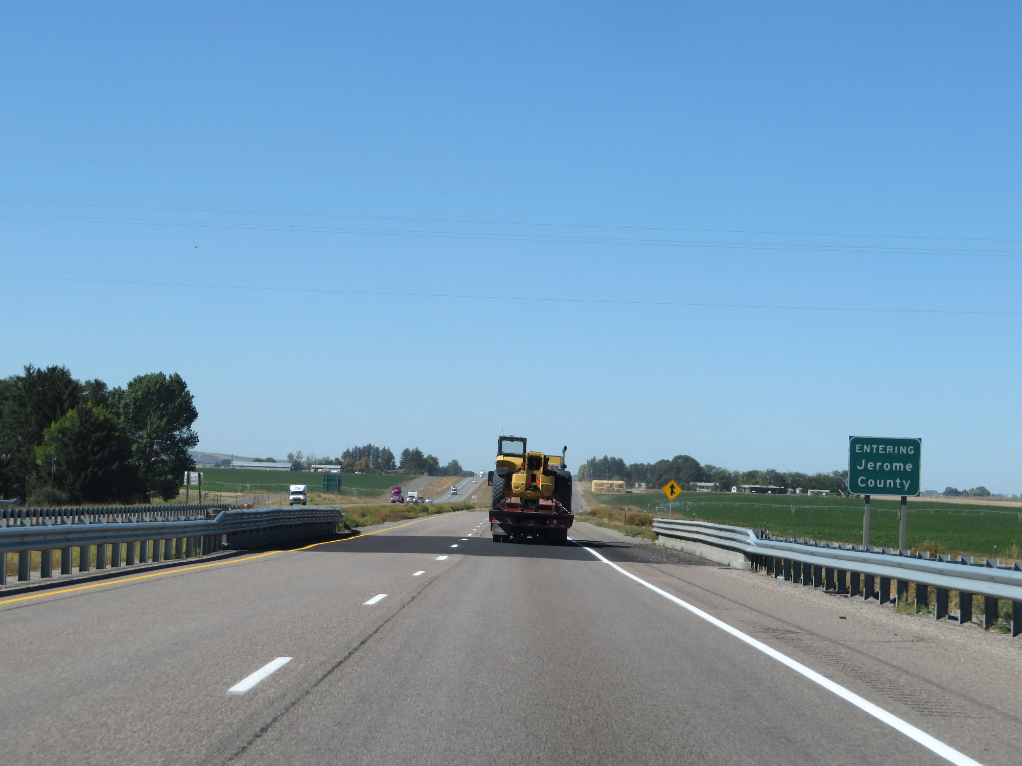 |
Entering Jerome County on Interstate 84 West. (Photo taken 9/25/19). |
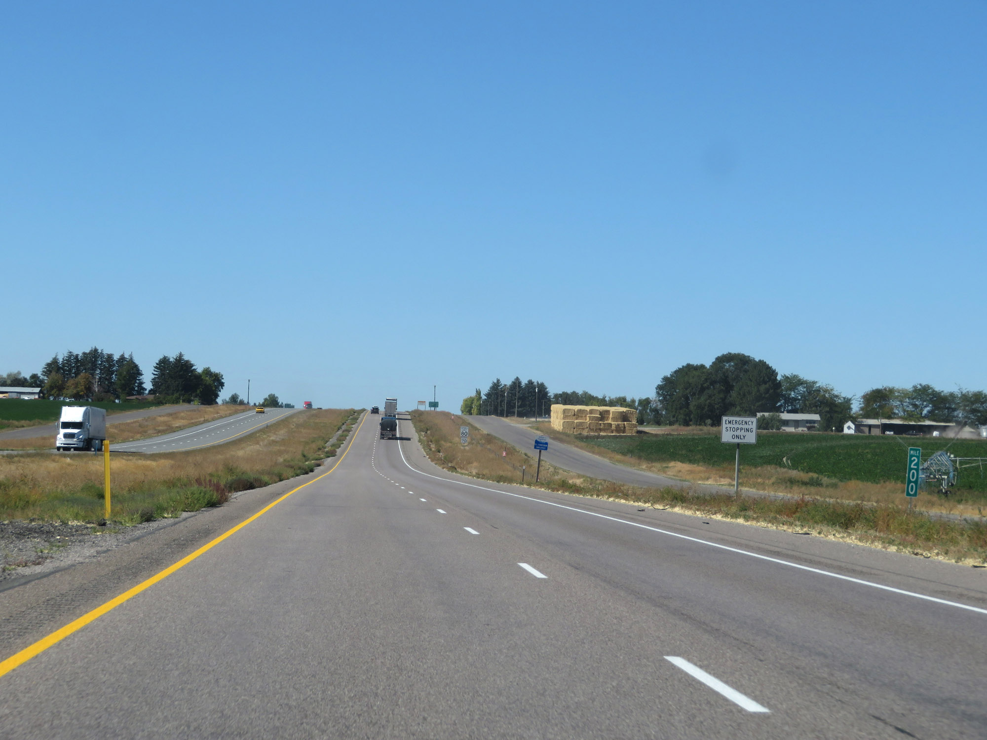 |
View on Interstate 84 West at mile marker 200. (Photo taken 9/25/19). |
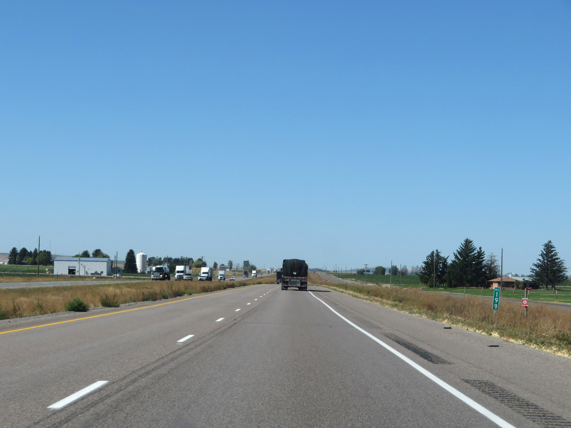 |
Interstate 84 West at mile marker 199. (Photo taken 9/25/19). |
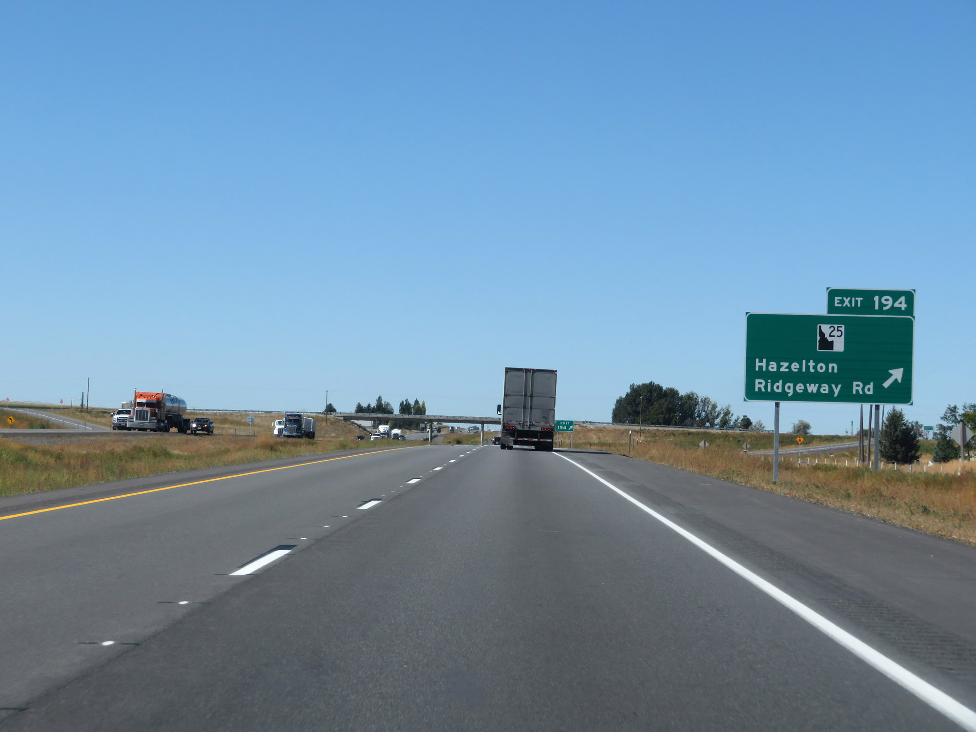 |
Interstate 84 West at Exit 194: ID 25 - Hazelton / Ridgeway Rd (Photo taken 9/25/19). |
 |
Another mileage sign on Interstate 84 West. It's 19 miles to Twin Falls, 26 miles to Jerome, and 138 miles to Boise. (Photo taken 9/25/19). |
 |
Interstate 84 West at mile marker 191. (Photo taken 9/25/19). |
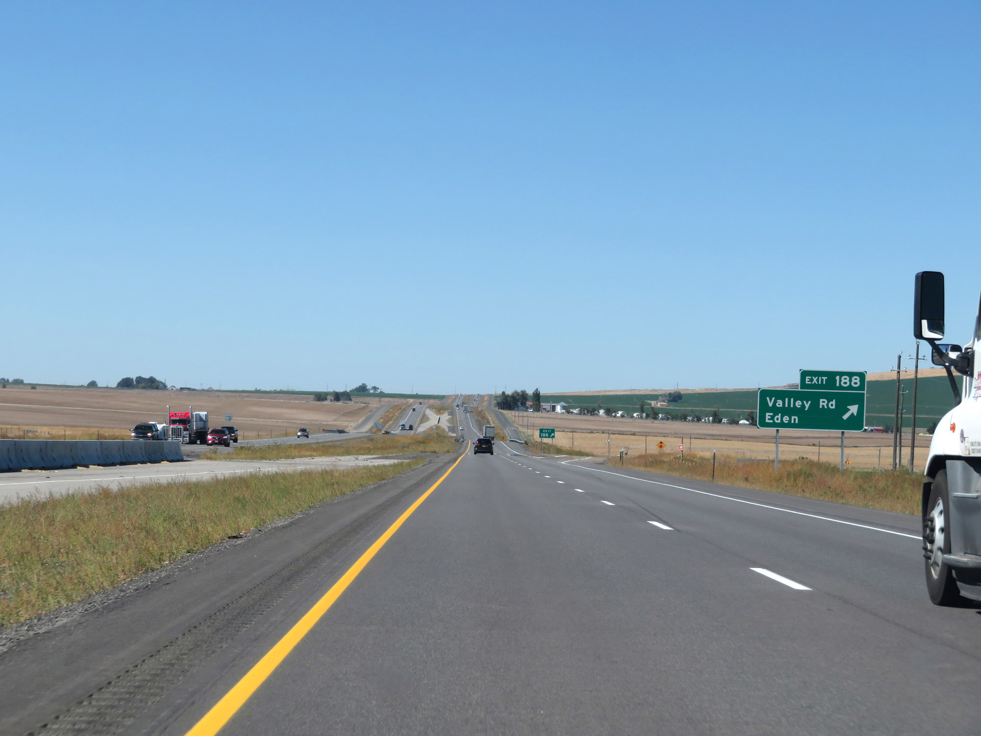 |
Interstate 84 West at Exit 188: Valley Rd / Eden (Photo taken 9/25/19). |
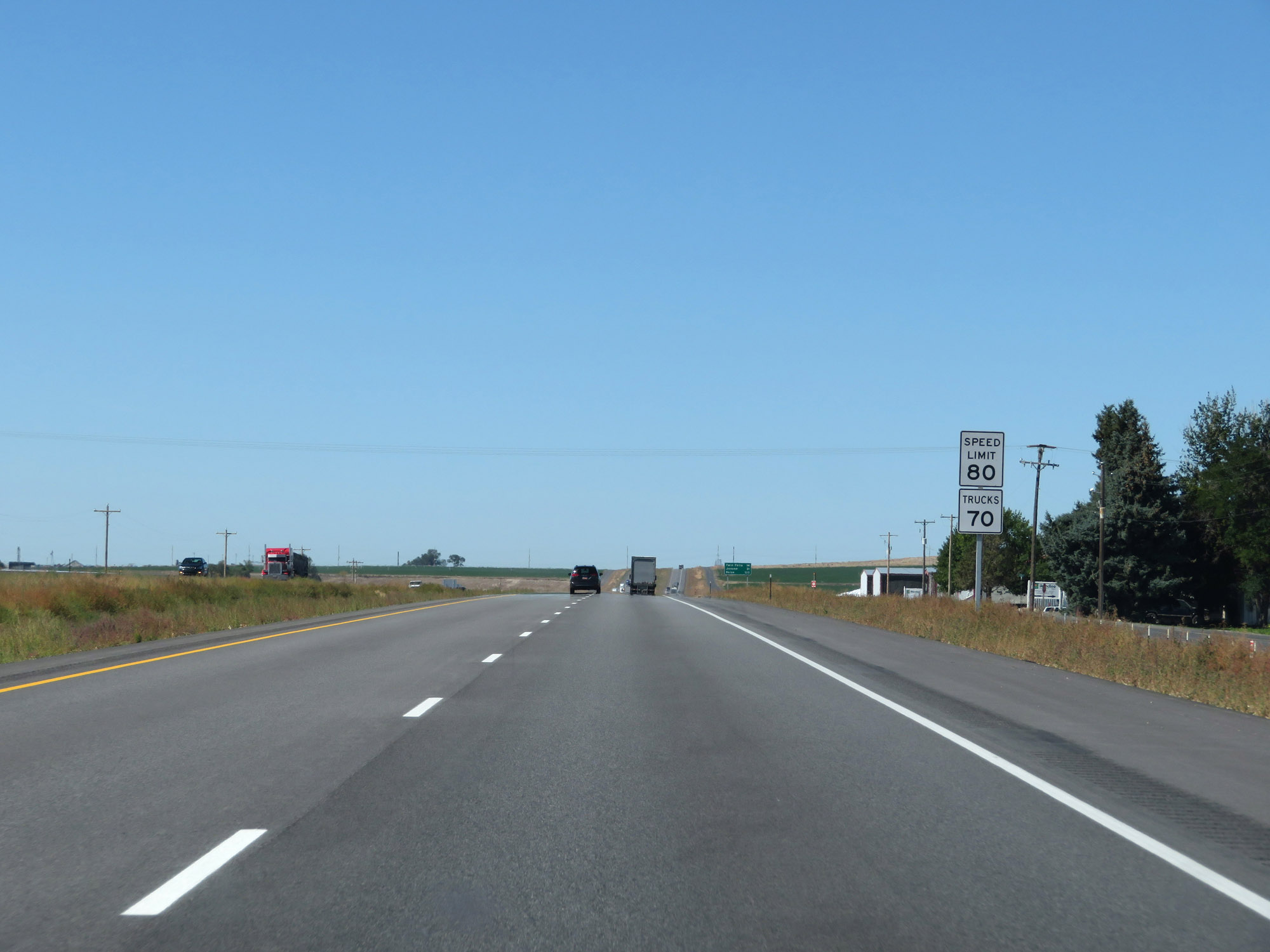 |
Speed limit signs on Interstate 84 West. The speed limits are 80 mph for cars and 70 mph for trucks. These are the standard speed limits on most (but not all) rural Interstate highways in Idaho. (Photo taken 9/25/19). |
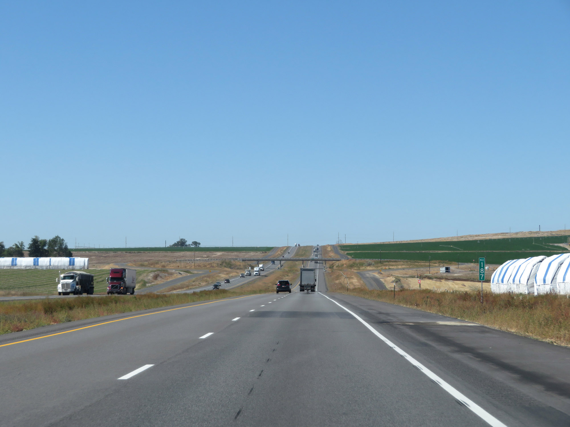 |
View on Interstate 84 West at mile marker 187. (Photo taken 9/25/19). |
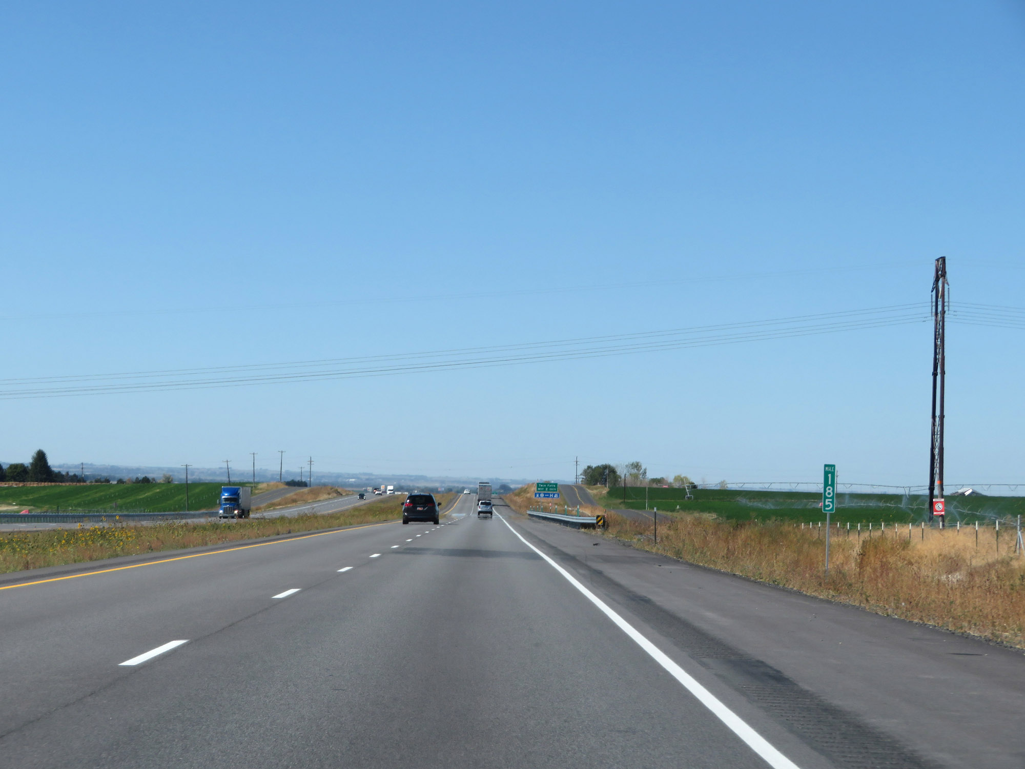 |
Interstate 84 West at mile marker 185. (Photo taken 9/25/19). |
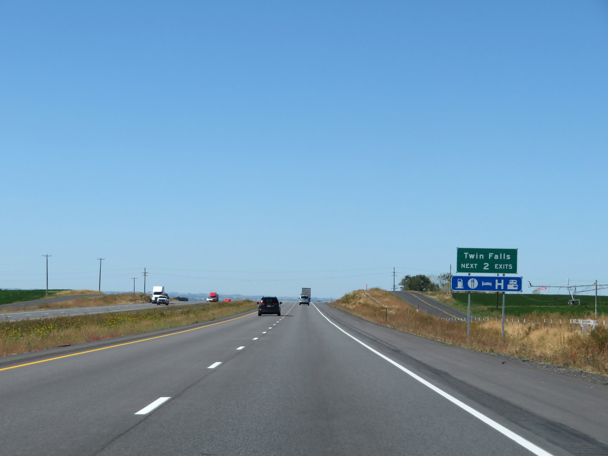 |
Take either of the next 2 exits to Twin Falls. (Photo taken 9/25/19). |
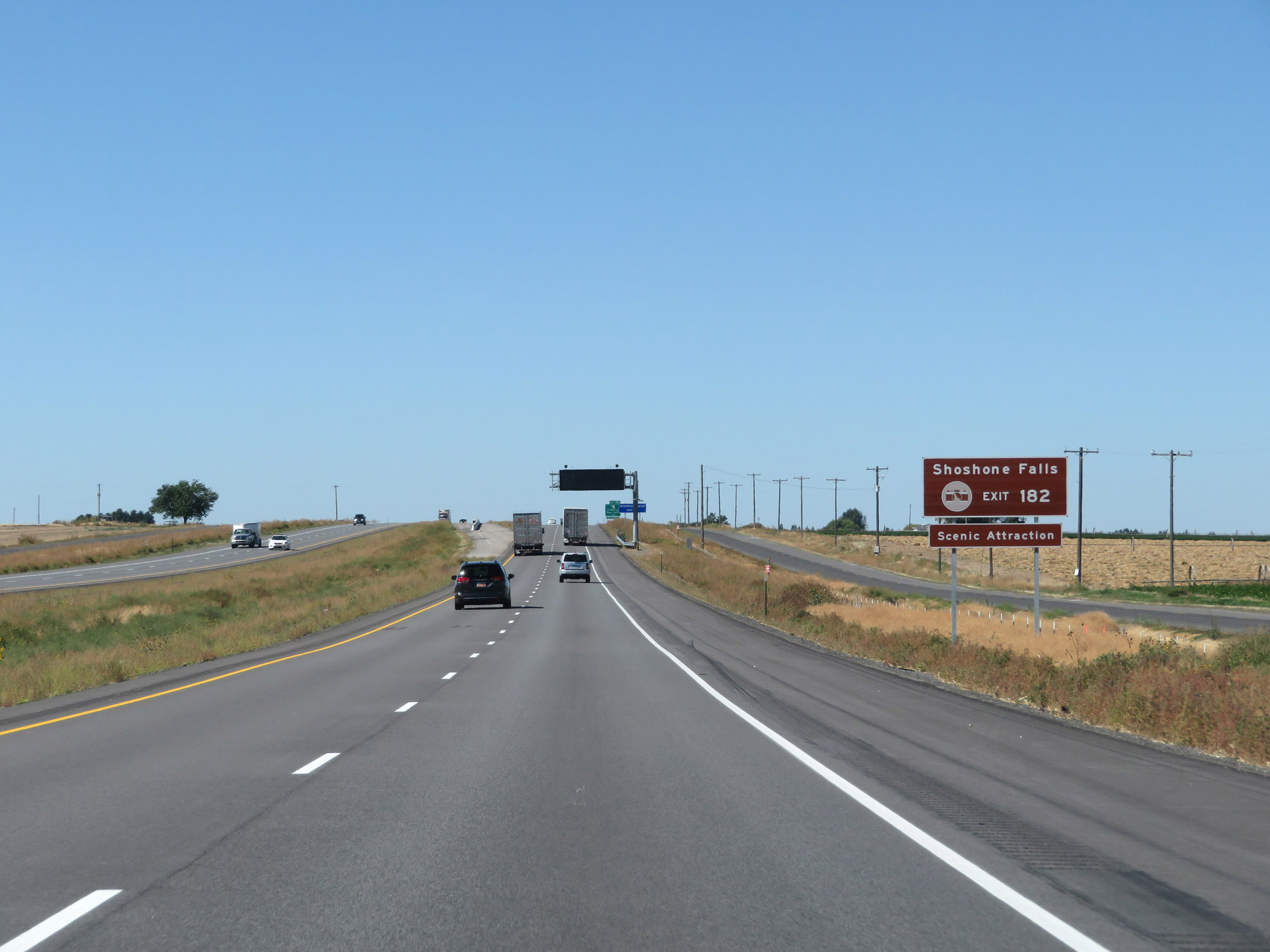 |
Take Exit 182 to Shoshone Falls Scenic Attraction. (Photo taken 9/25/19). |
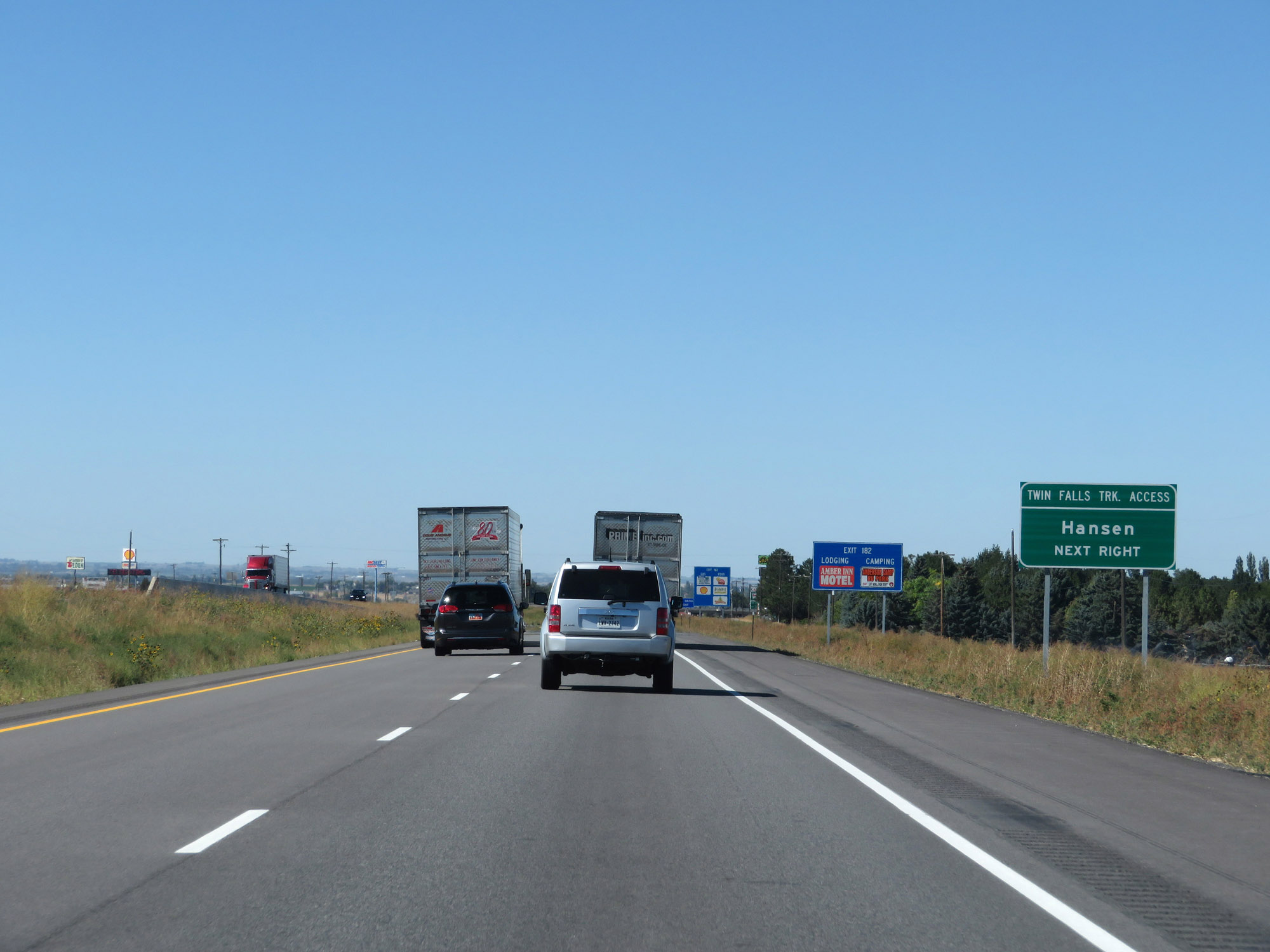 |
Also take Exit 182 to Hansen and for truck access to Twin Falls. (Photo taken 9/25/19). |
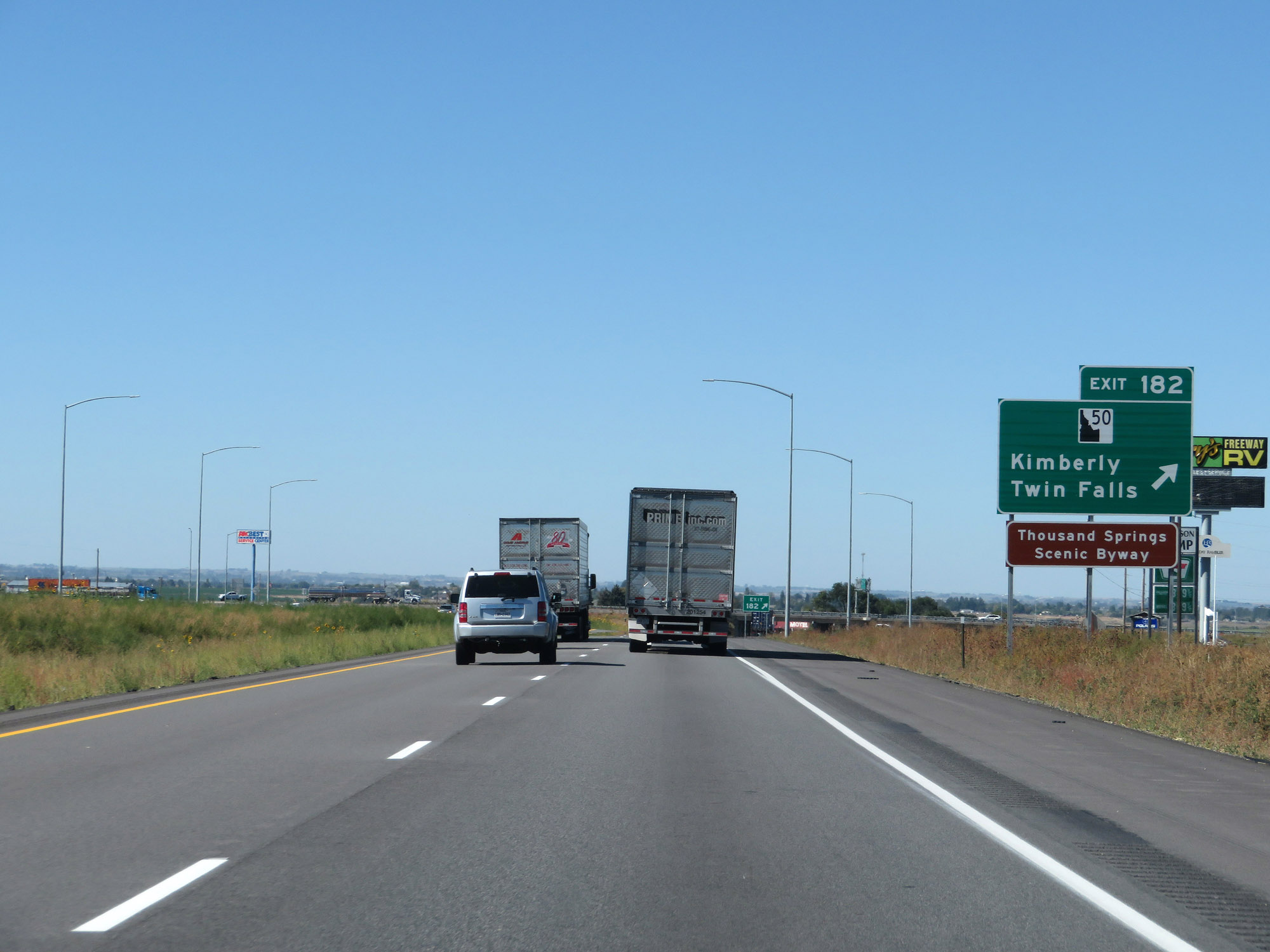 |
Interstate 84 West at Exit 182: ID 50 - Kimberly / Twin Falls (Photo taken 9/25/19). |
 |
Interstate 84 West reassurance shield. (Photo taken 9/25/19). |
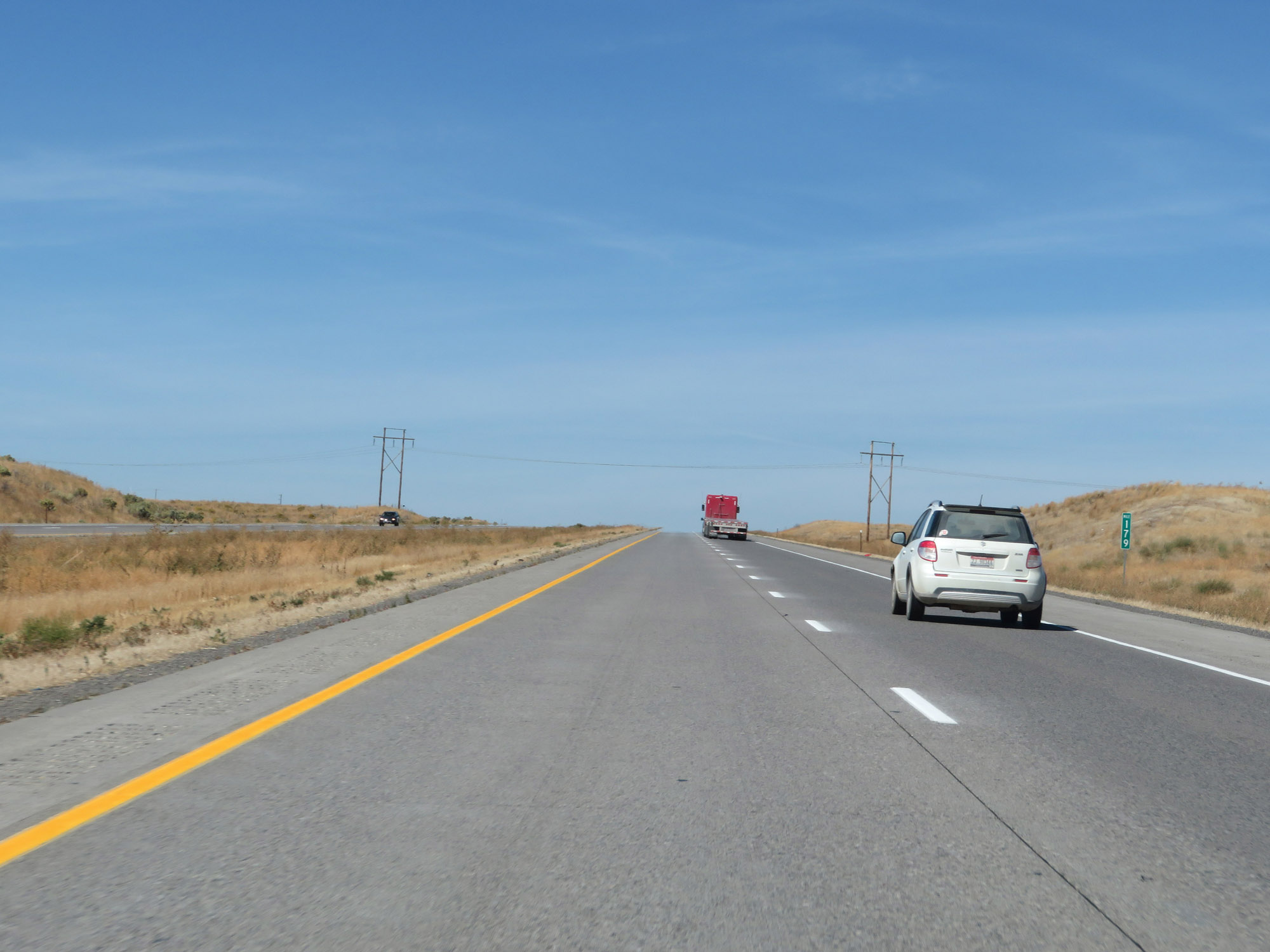 |
View on Interstate 84 West at mile marker 179. (Photo taken 9/25/19). |
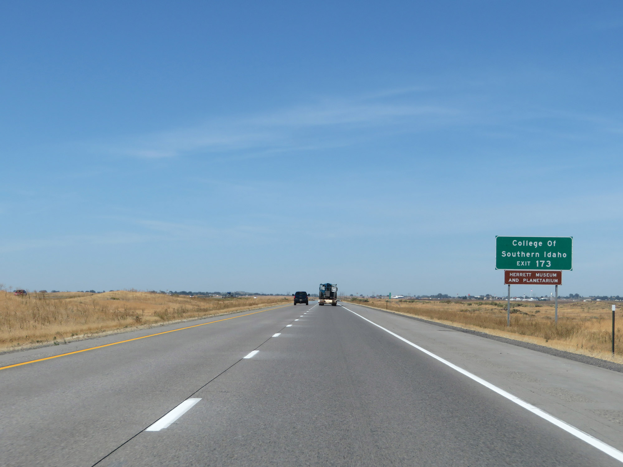 |
Take Exit 173 to College of Southern Idaho as well as Herrett Museum and Planetarium. (Photo taken 9/25/19). |
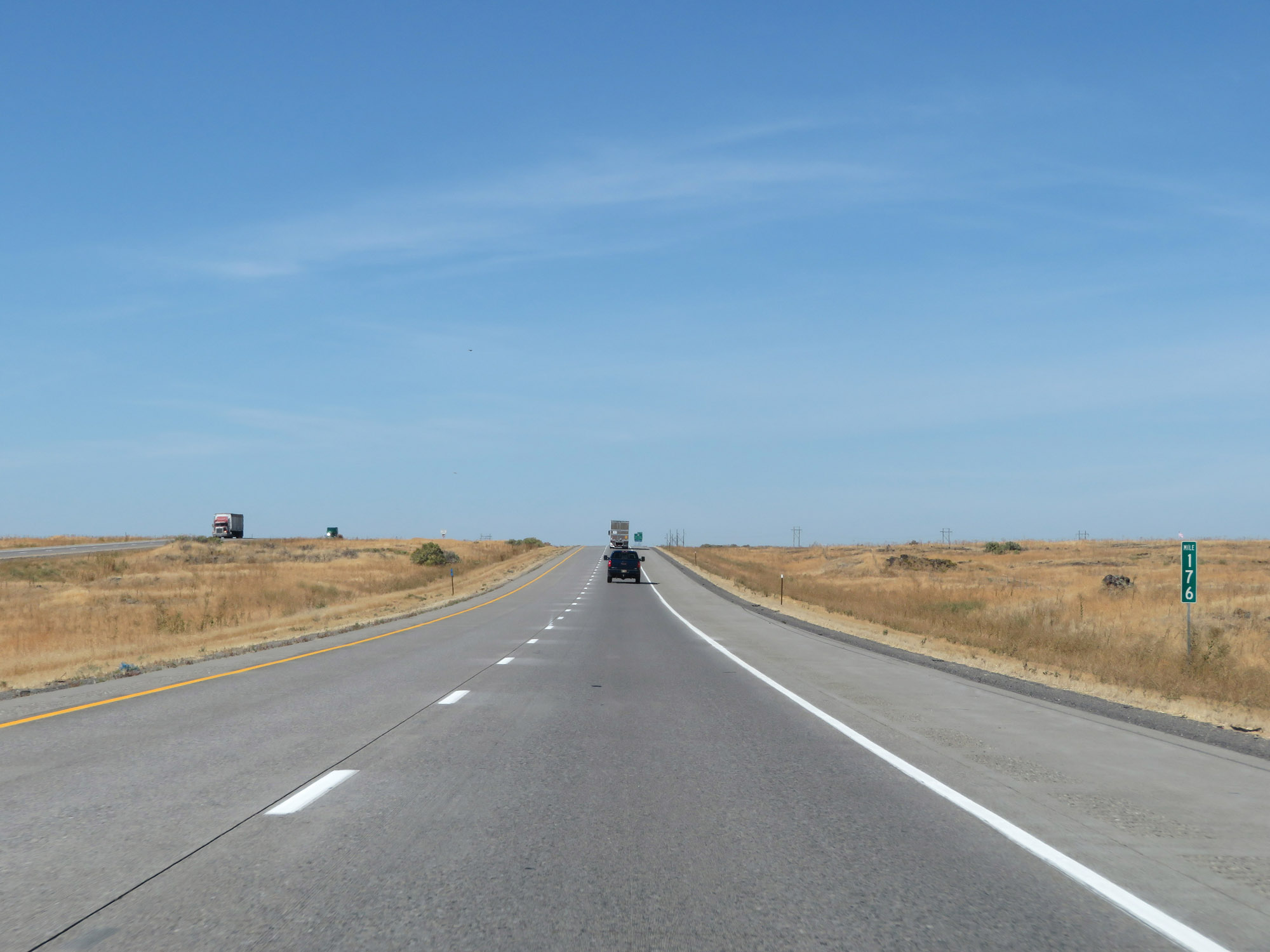 |
Interstate 84 West at mile marker 176. (Photo taken 9/25/19). |
 |
Interstate 84 West approaching Exit 173 - 1 mile. (Photo taken 9/25/19). |
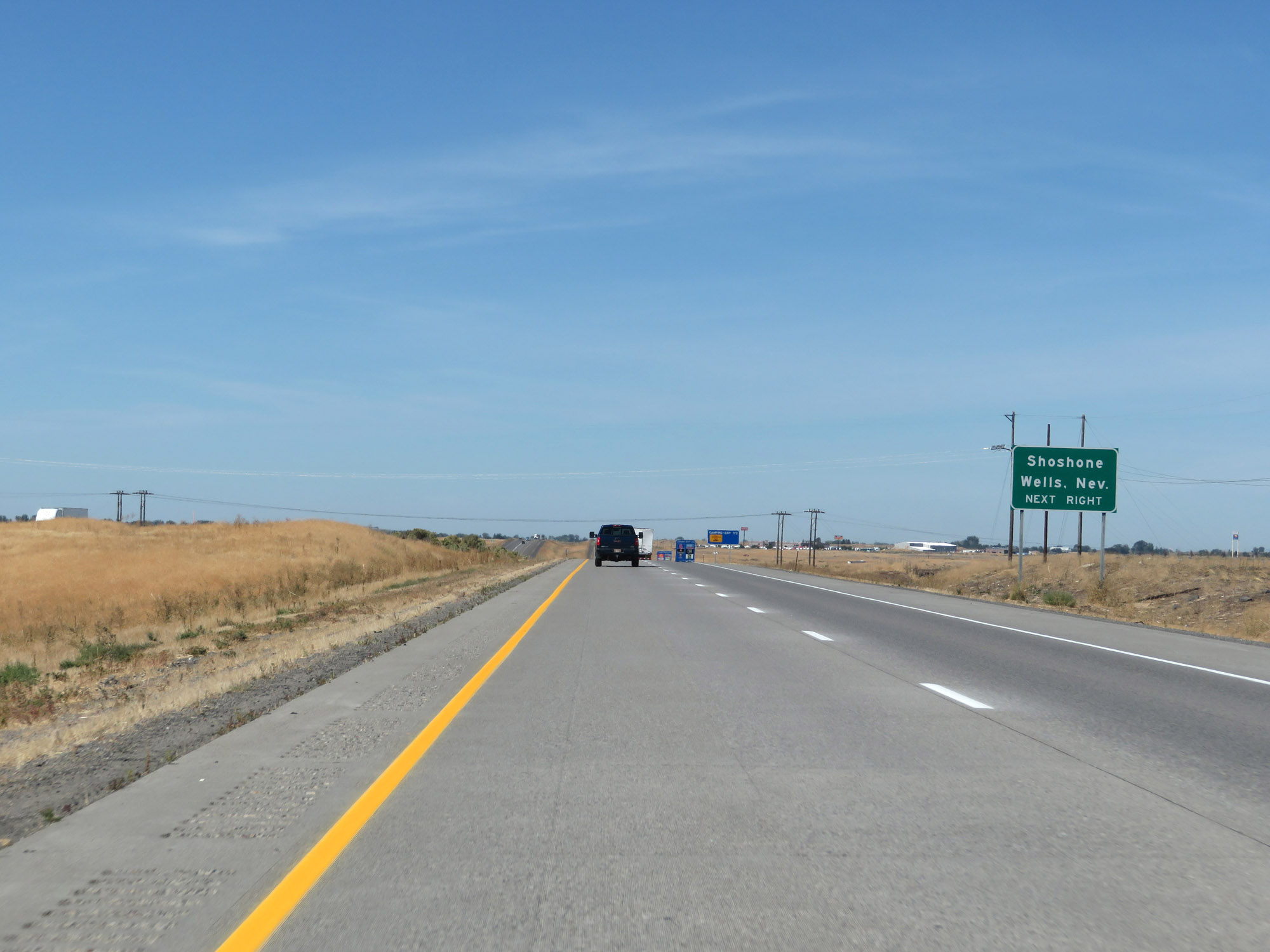 |
Also take Exit 173 to Shoshone and Wells, NV. (Photo taken 9/25/19). |
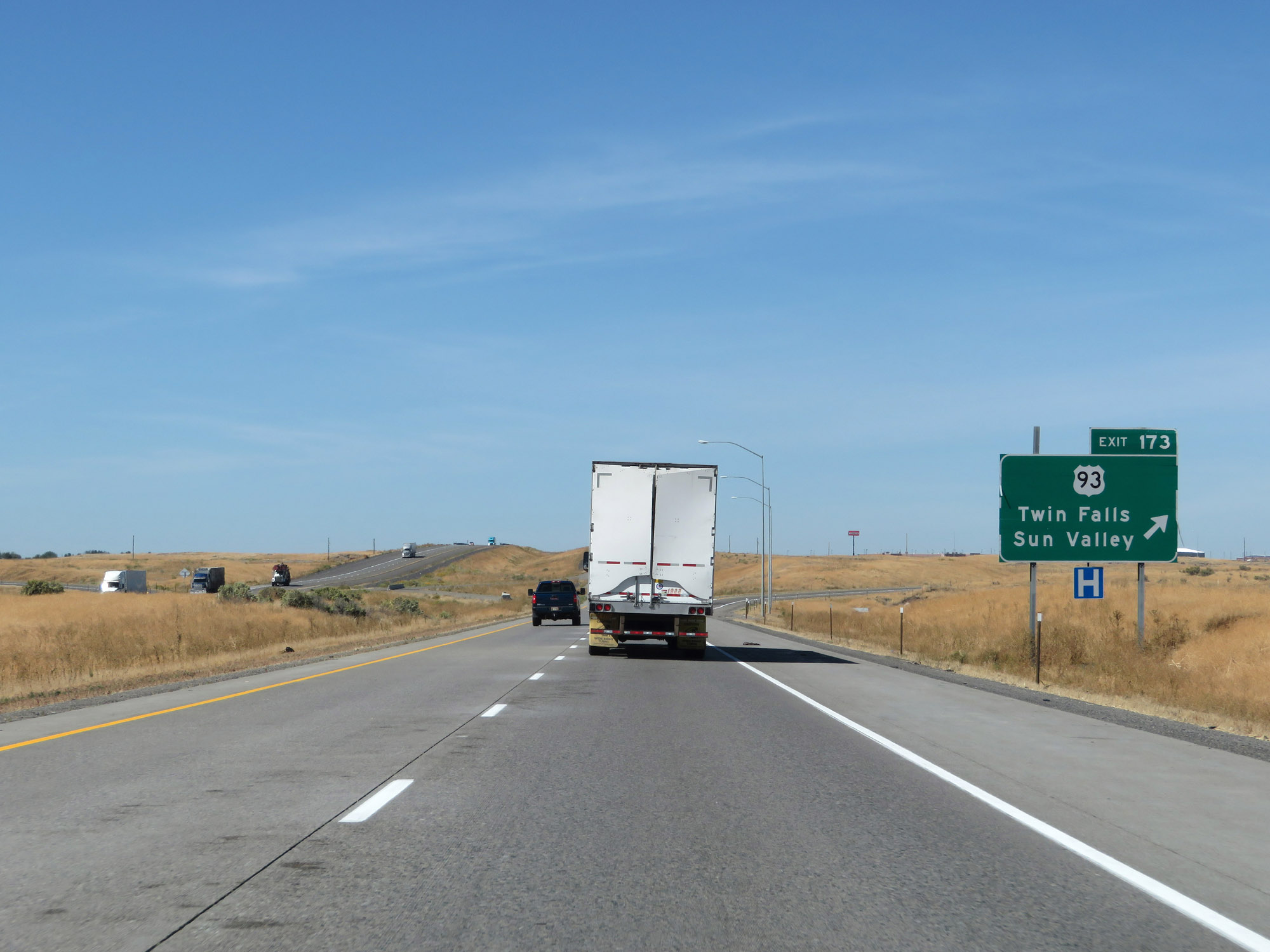 |
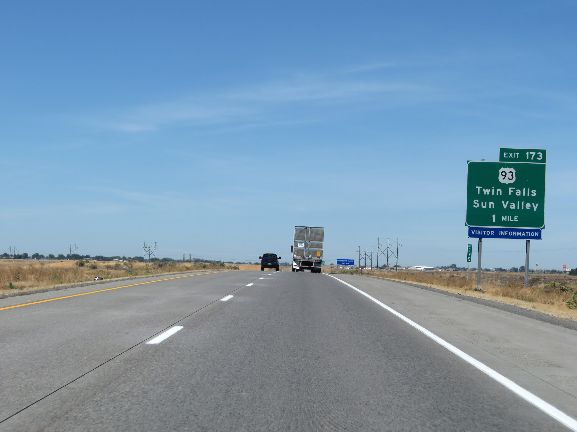
Interstate 84 West at Exit 173: US 93 - Twin Falls / Sun Valley (Photo taken 9/25/19). |
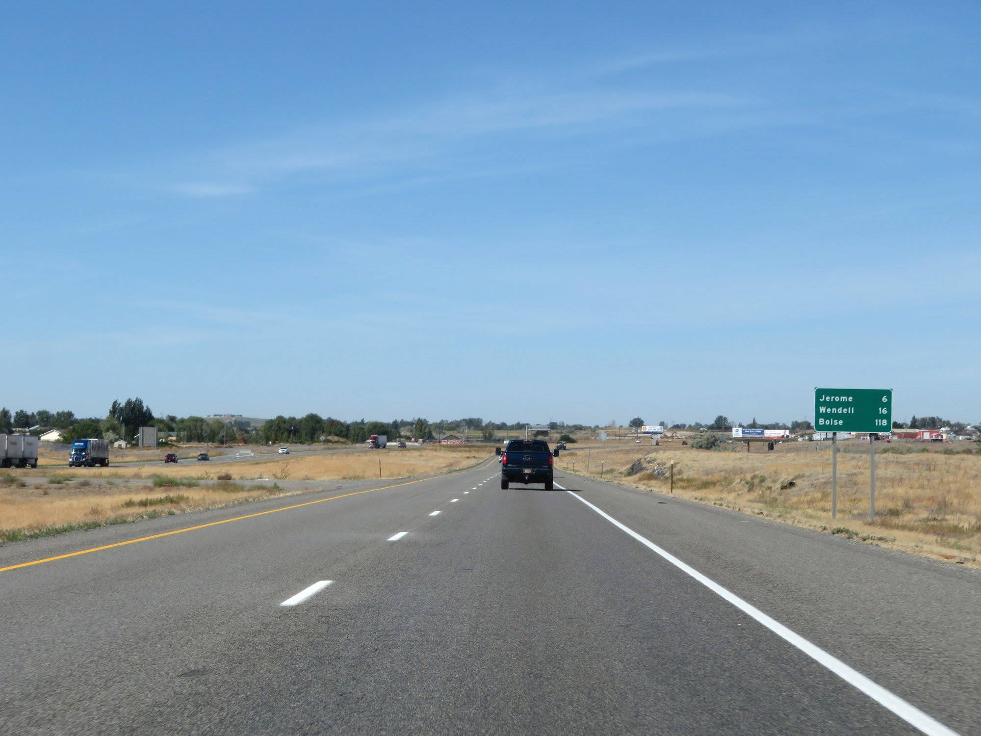 |
Mileage sign on Interstate 84 West. It's 6 miles to Jerome, 16 miles to Wendell, and 118 miles to Boise. (Photo taken 9/25/19). |
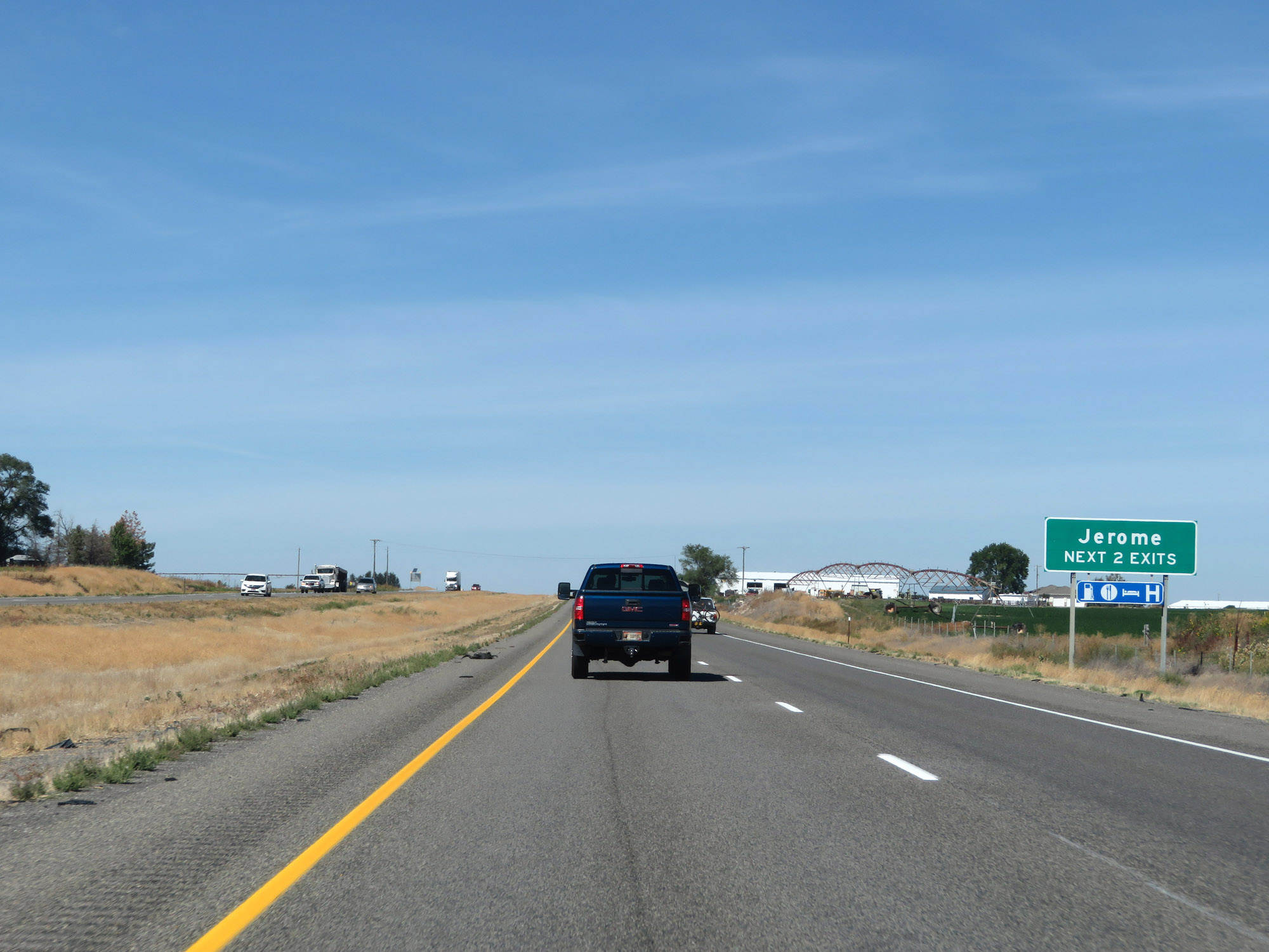 |
Take either of the next 2 exits to Jerome. (Photo taken 9/25/19). |
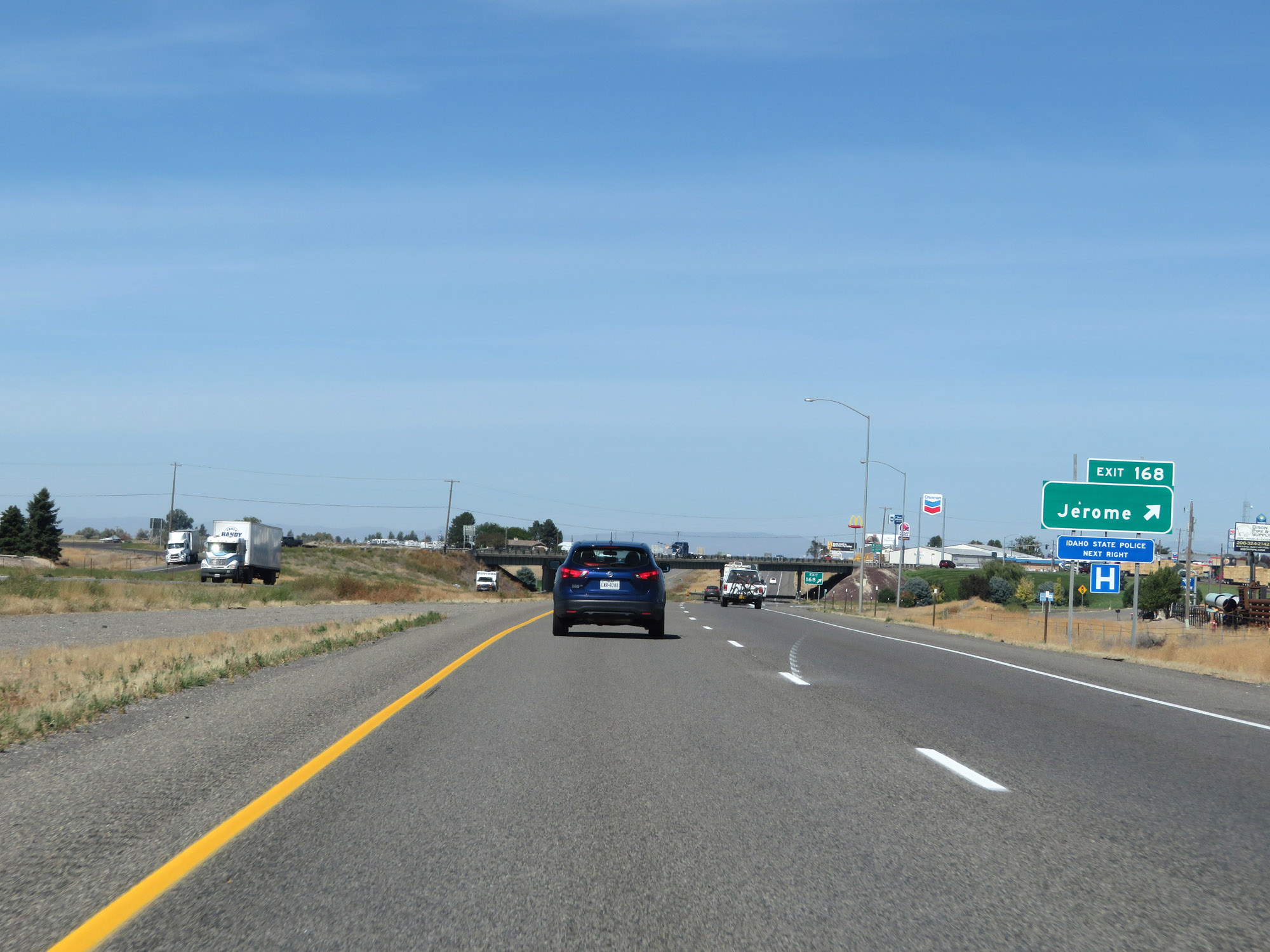 |
Interstate 84 West at Exit 168: Jerome (Photo taken 9/25/19). |
 |
View on Interstate 84 West at mile marker 166. (Photo taken 9/25/19). |
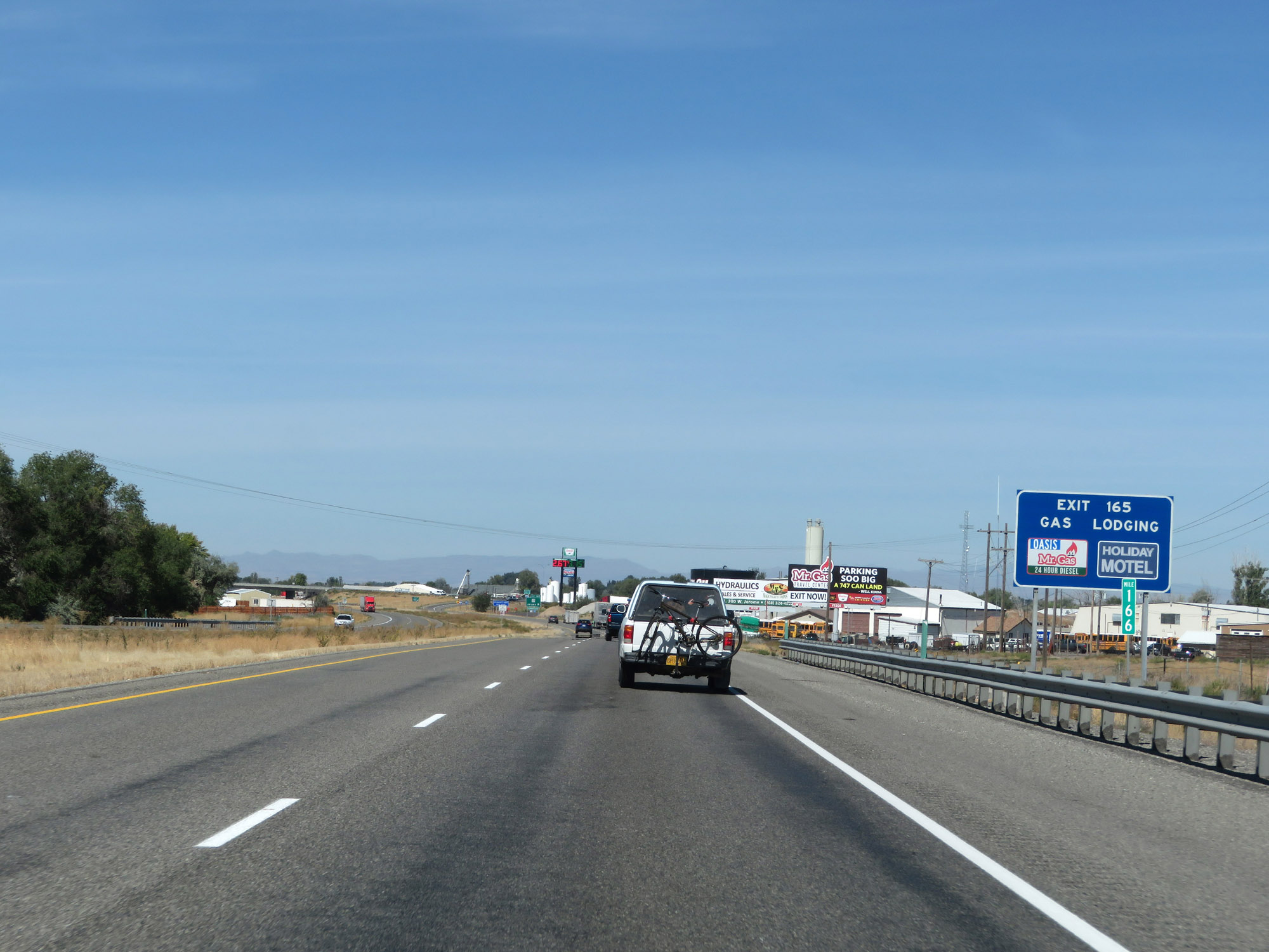
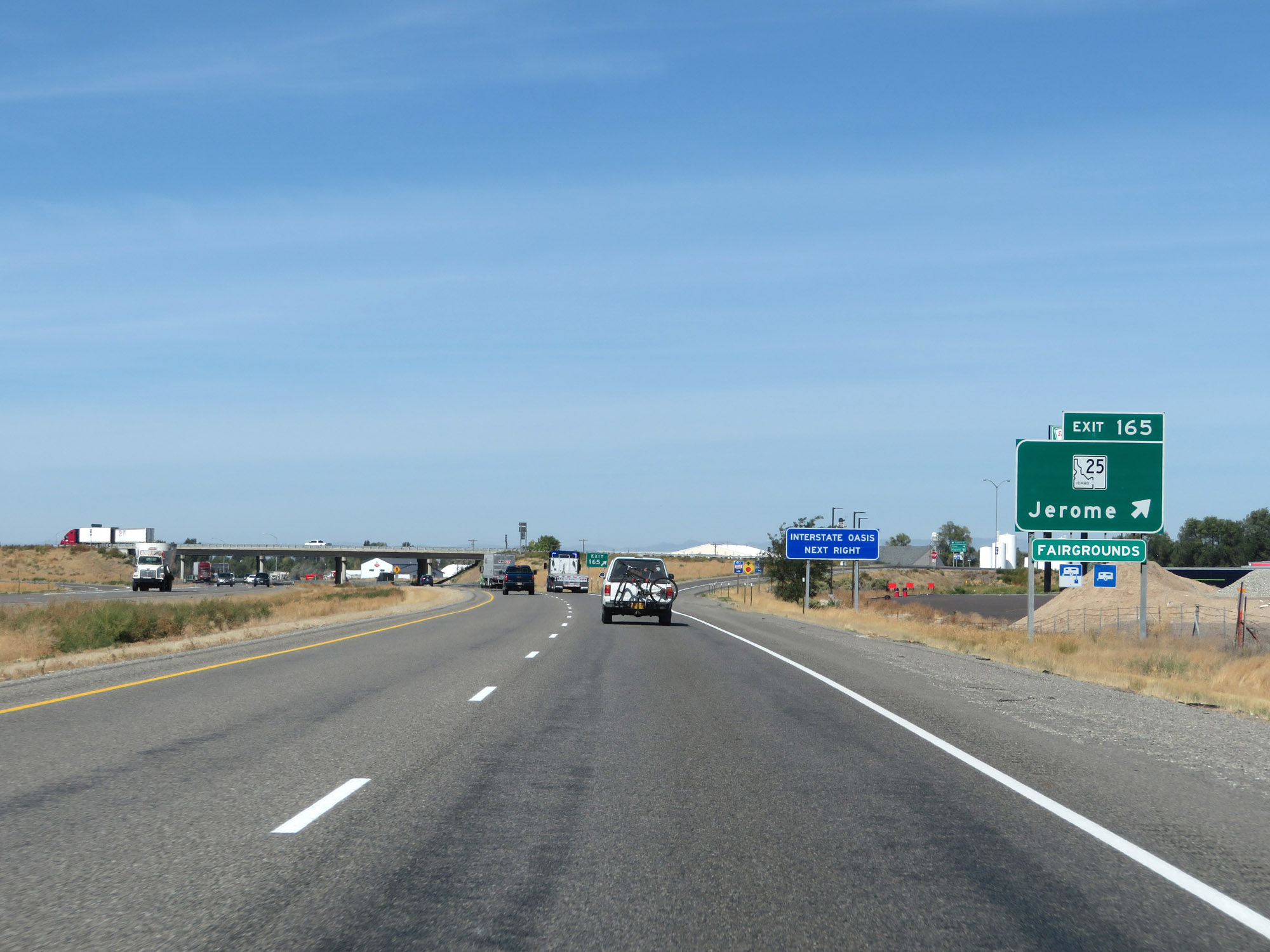 |
Interstate 84 West at Exit 165: ID 25 - Jerome (Photo taken 9/25/19). |
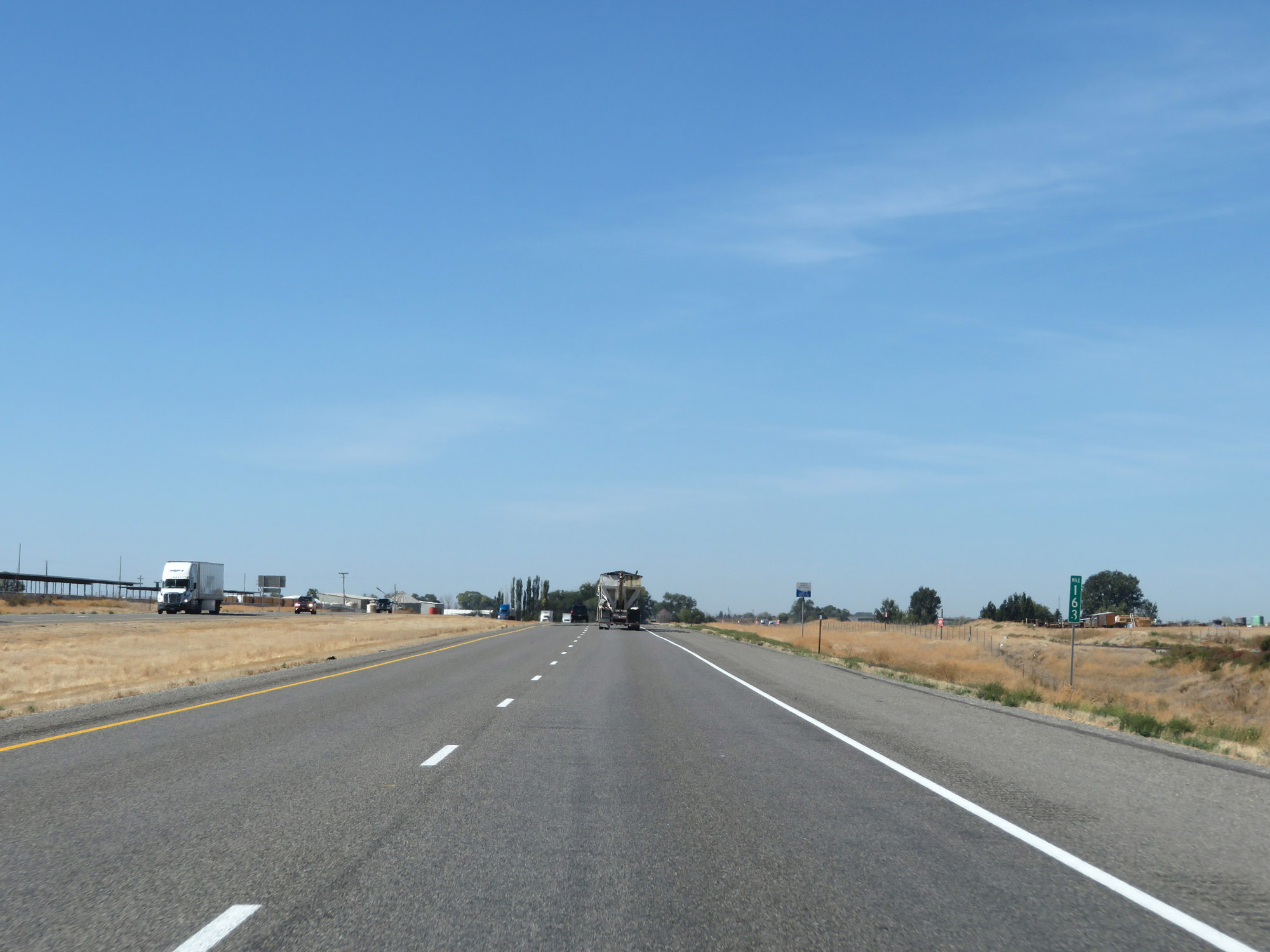 |
Interstate 84 West at mile marker 163. (Photo taken 9/25/19). |
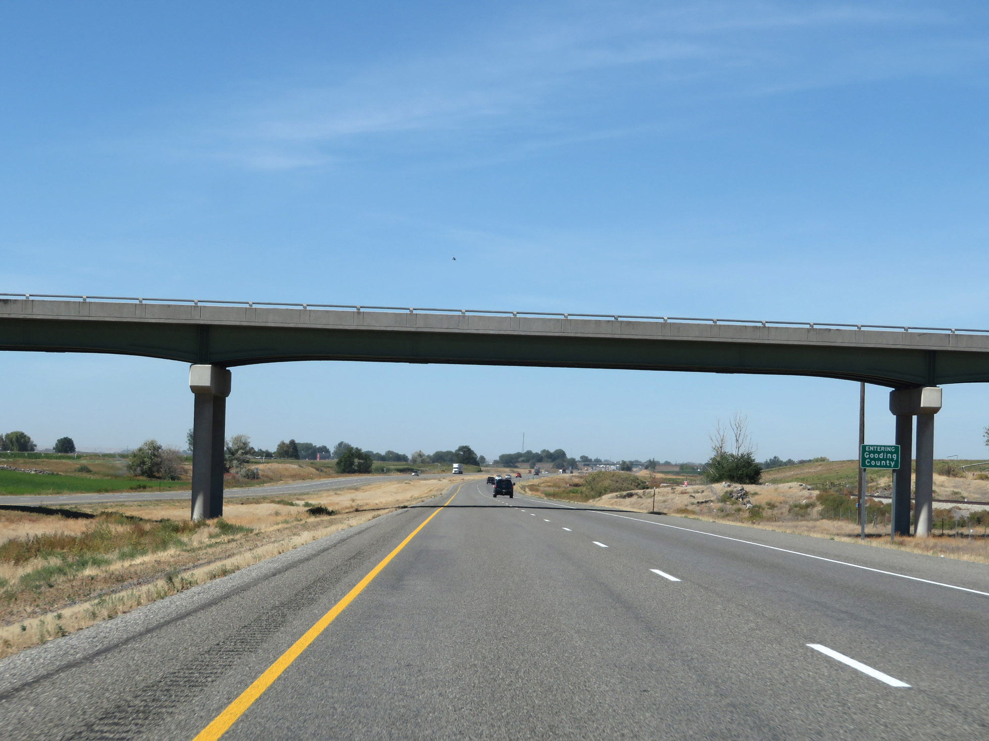 |
Interstate 84 West as it enters Gooding County. (Photo taken 9/25/19). |
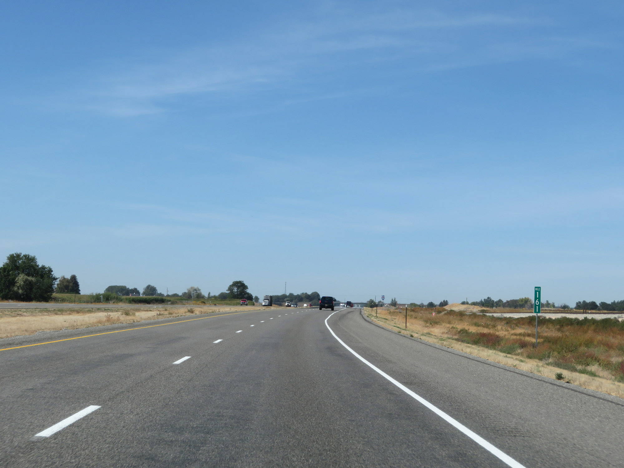 |
View on Interstate 84 West at mile marker 161. (Photo taken 9/25/19). |
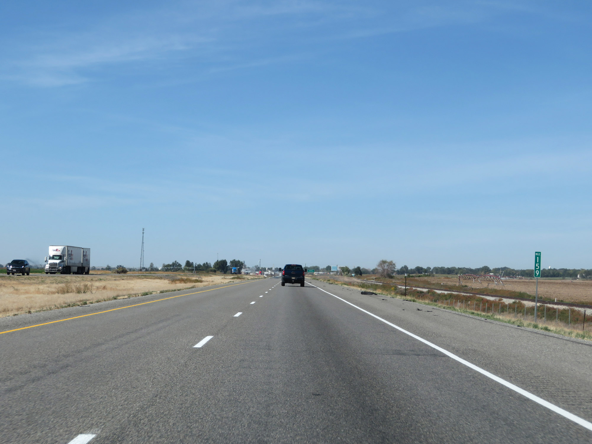 |
Interstate 84 West at mile marker 159. (Photo taken 9/25/19). |
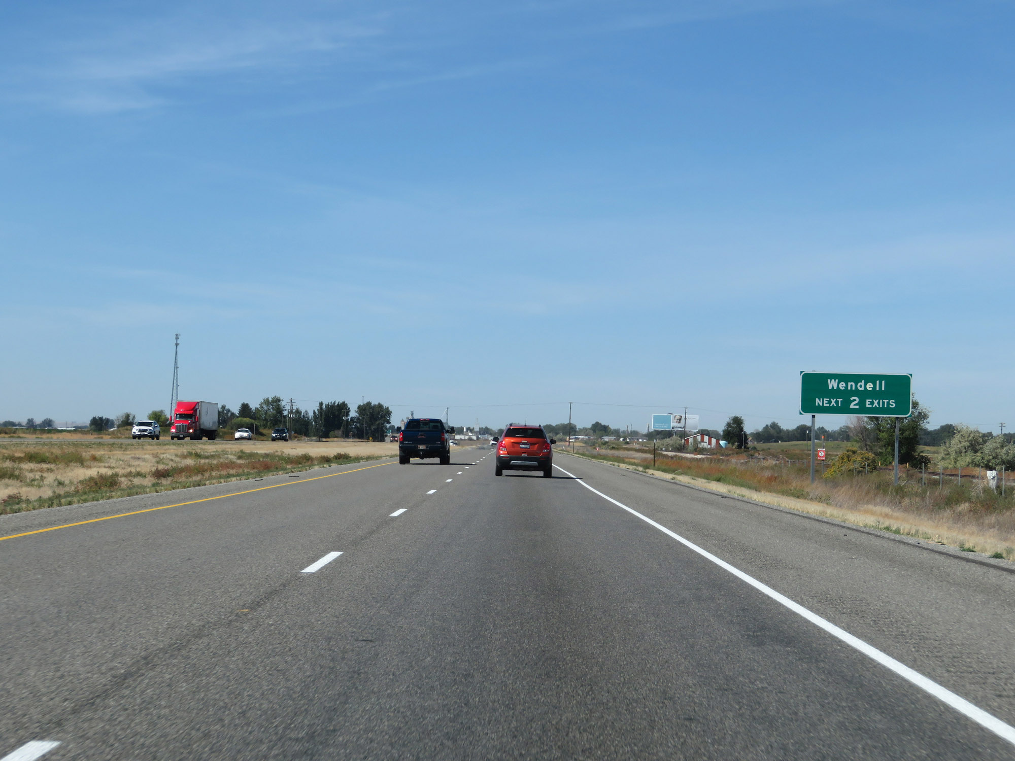 |
Take either of the next 2 exits to Wendell. (Photo taken 9/25/19). |
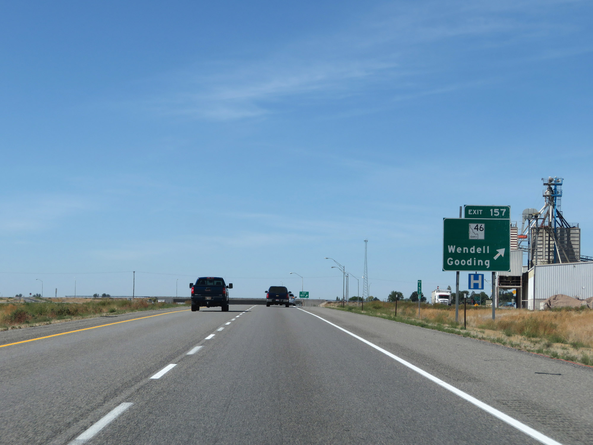 |
Interstate 84 West at Exit 157: ID 46 - Wendell / Gooding (Photo taken 9/25/19). |
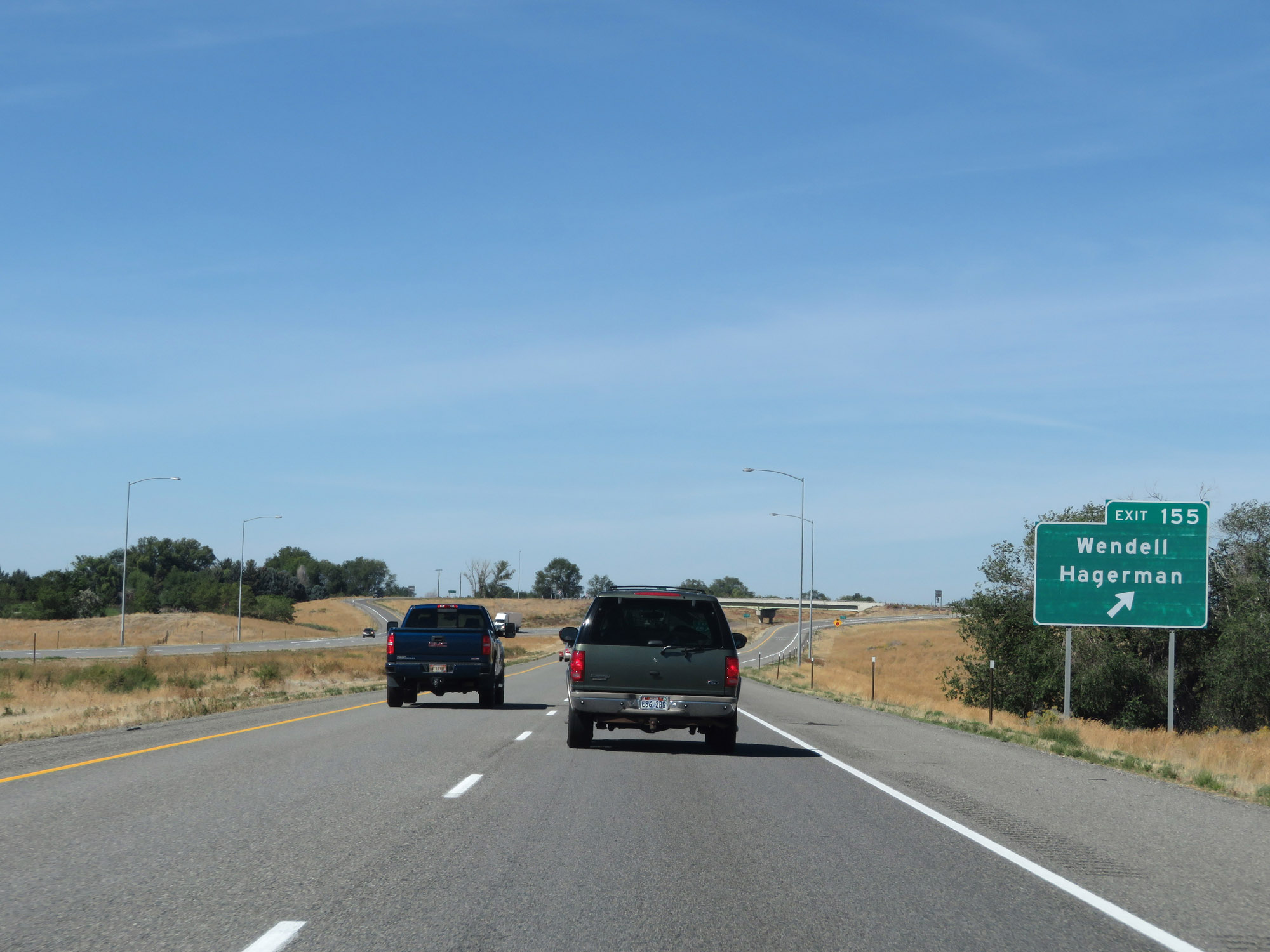 |
Interstate 84 West at Exit 155: Wendell / Hagerman (Photo taken 9/25/19). |
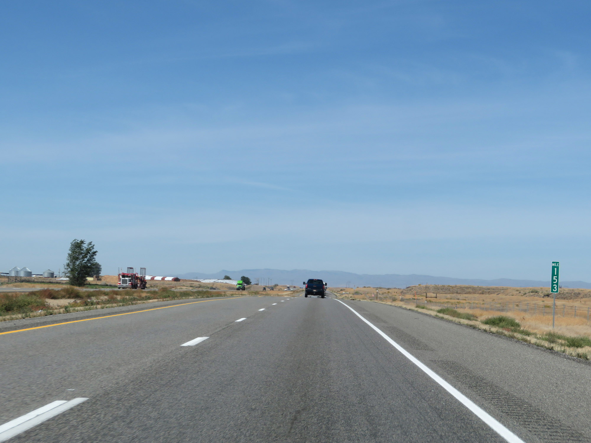 |
View on Interstate 84 West at mile marker 153. (Photo taken 9/25/19). |
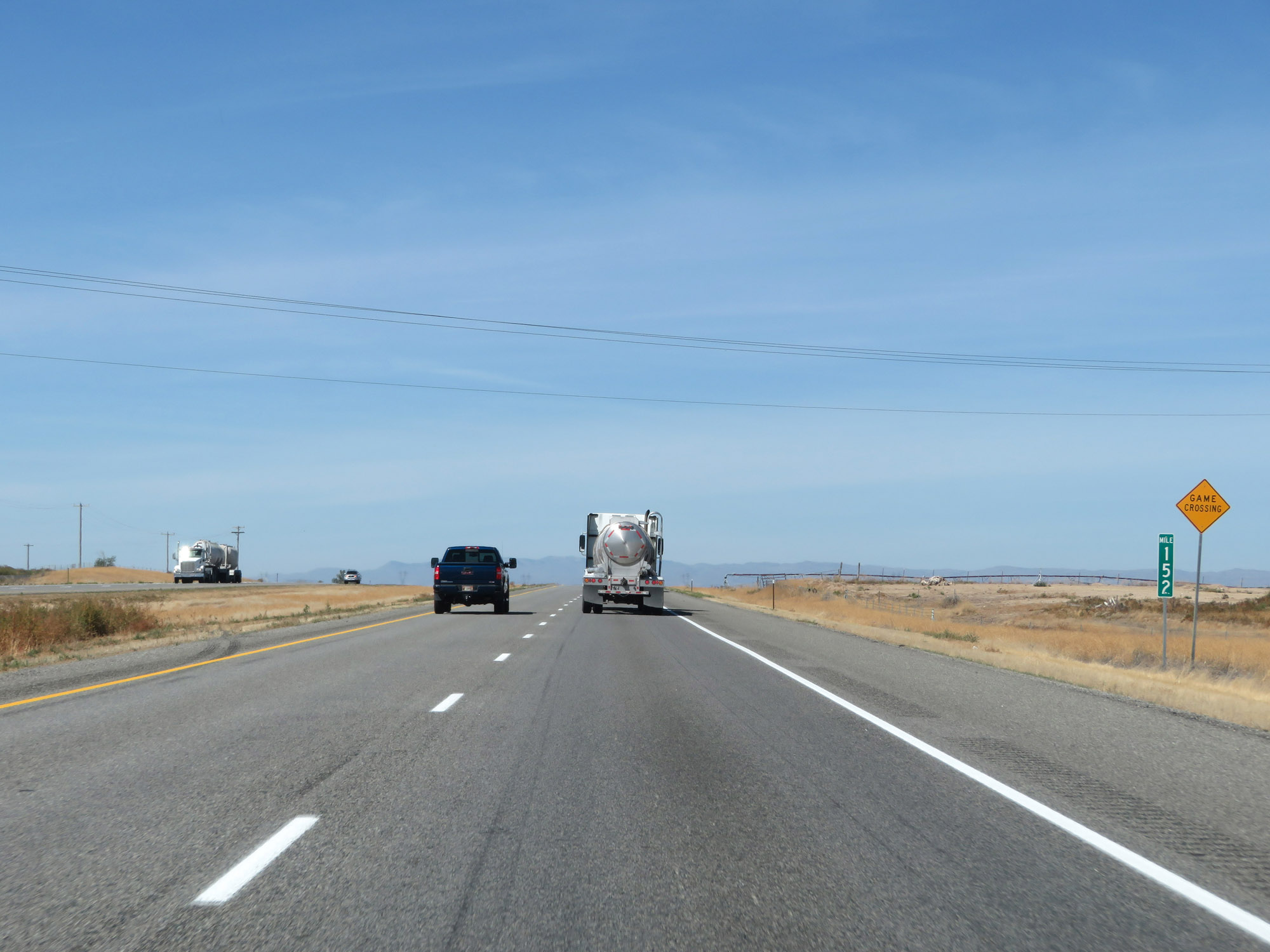 |
Interstate 84 West at mile marker 152. (Photo taken 9/25/19). |
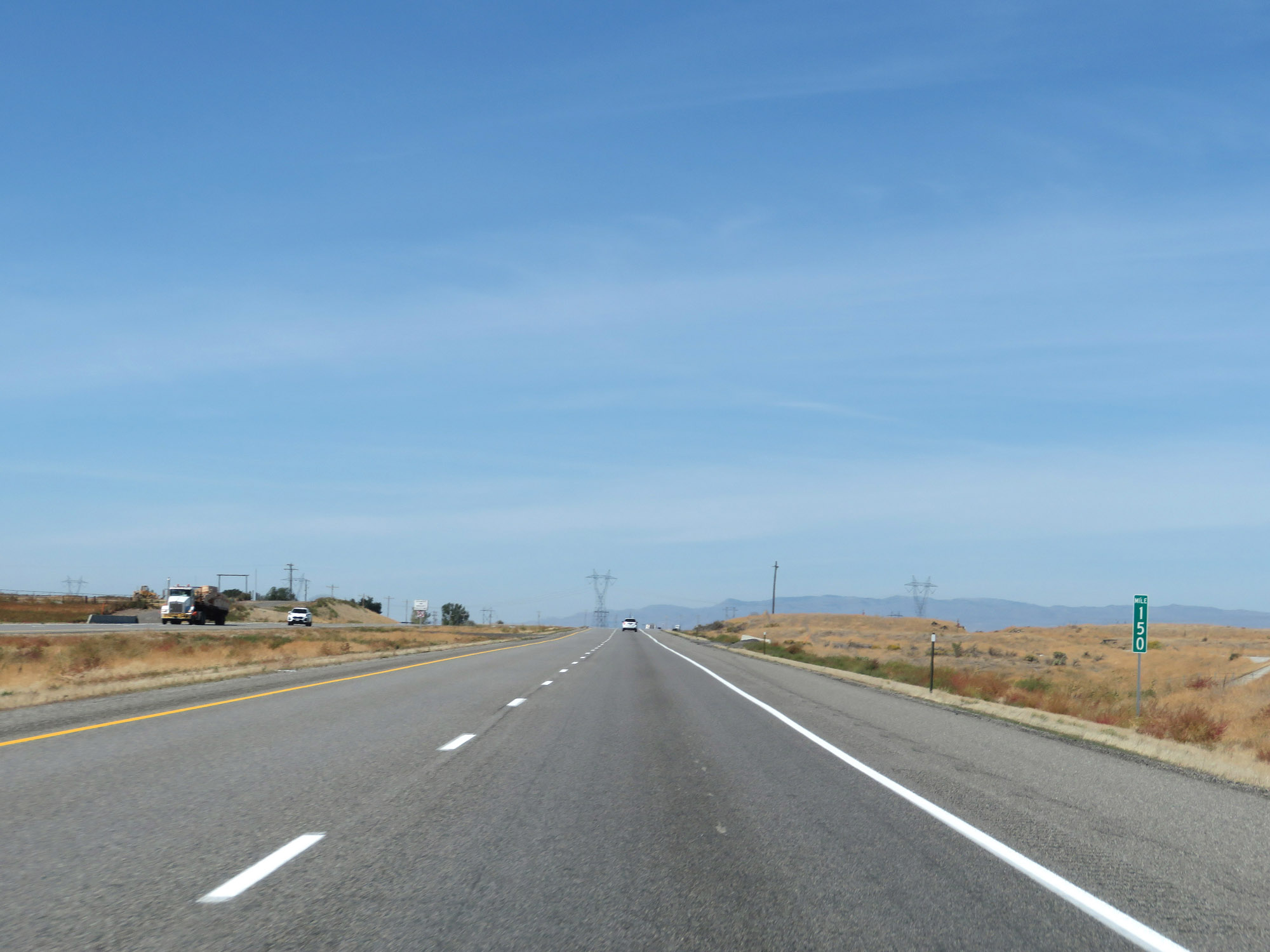 |
View on Interstate 84 West at mile marker 150. (Photo taken 9/25/19). |
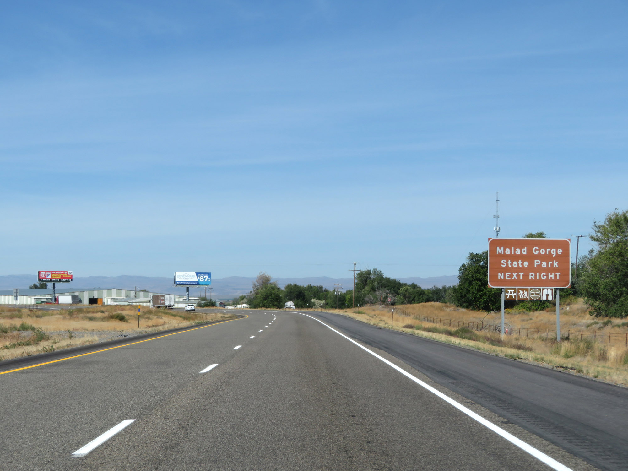 |
Take Exit 147 to Malad Gorge State Park. (Photo taken 9/25/19). |
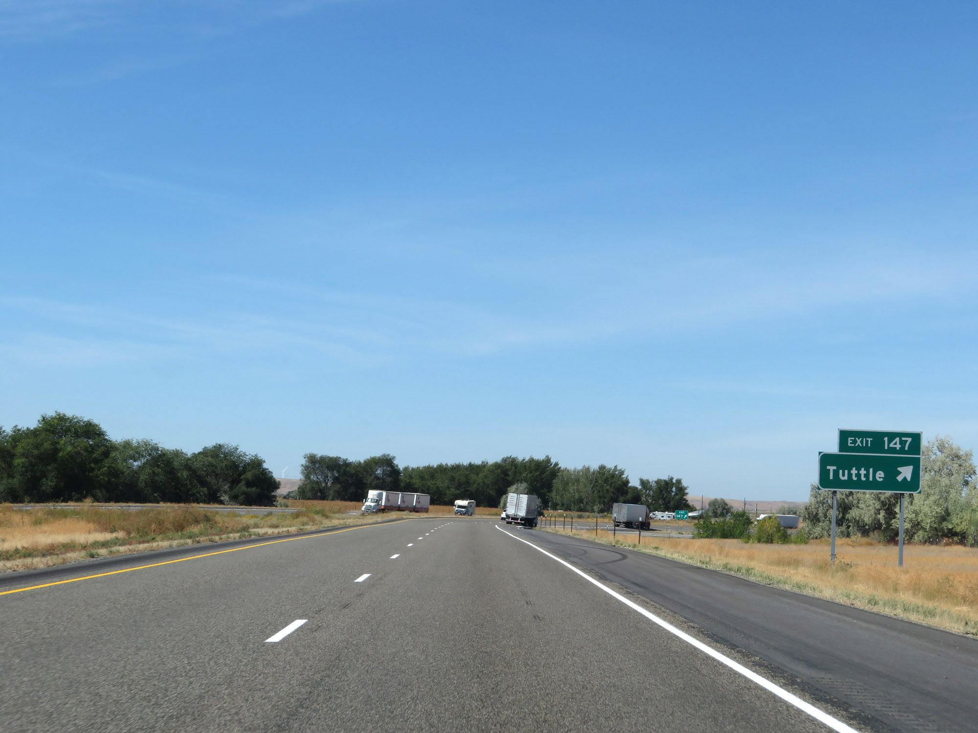 |
Interstate 84 West at Exit 147: Tuttle (Photo taken 9/25/19). |
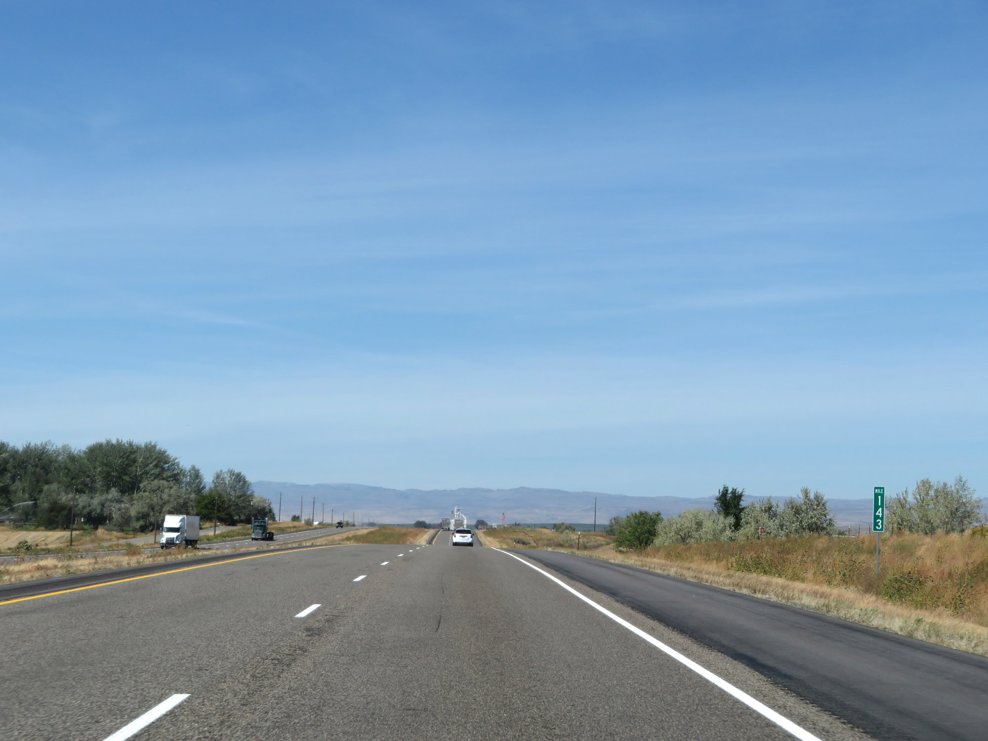 |
Interstate 84 West at mile marker 143. (Photo taken 9/25/19). |
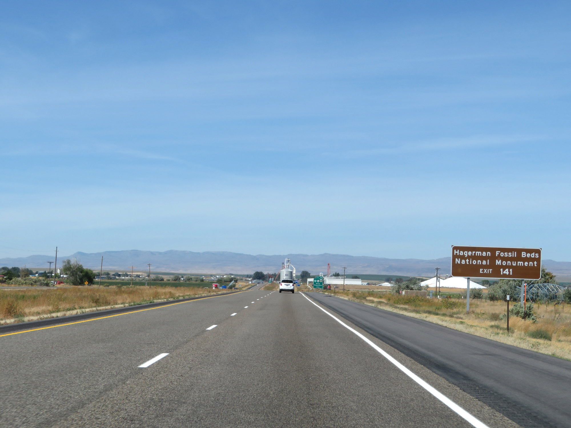 |
Take Exit 141 to Hagerman Fossil Beds National Monument. (Photo taken 9/25/19). |
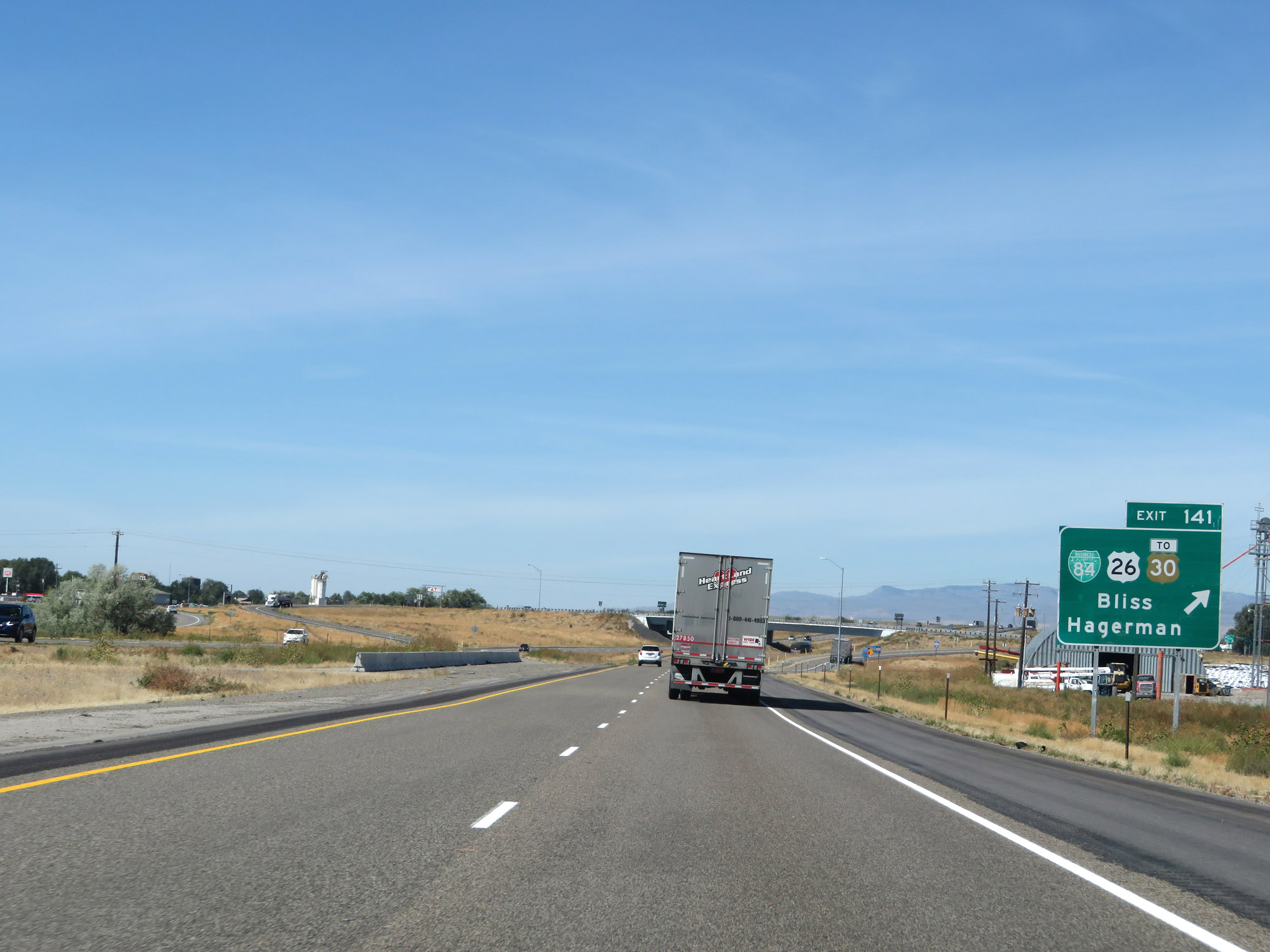 |
Interstate 84 West at Exit 141: Interstate 84 Business Loop / US 26 / To US 30 - Bliss / Hagerman (Photo taken 9/25/19). |
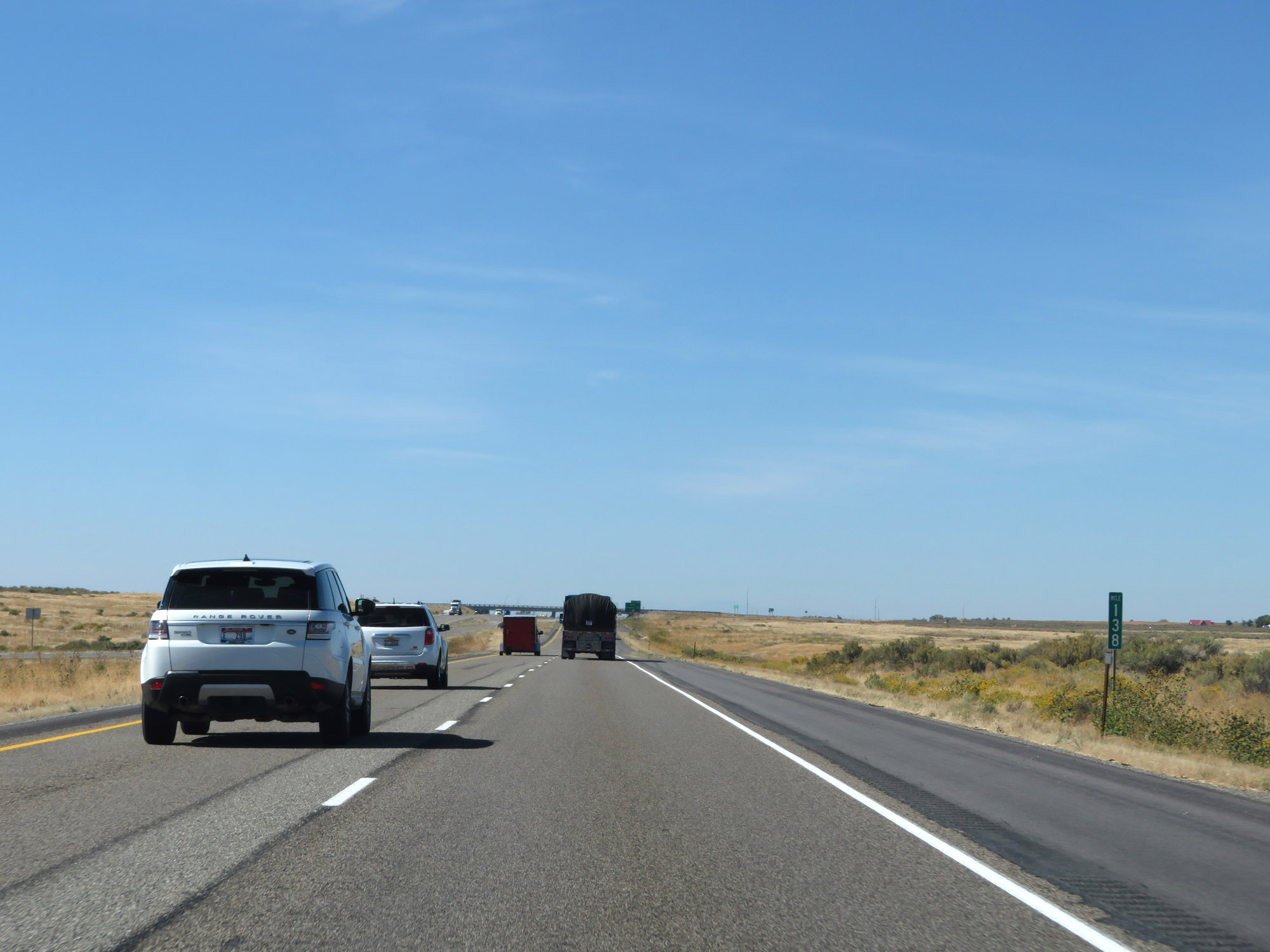 |
View on Interstate 84 West at mile marker 138. (Photo taken 9/25/19). |
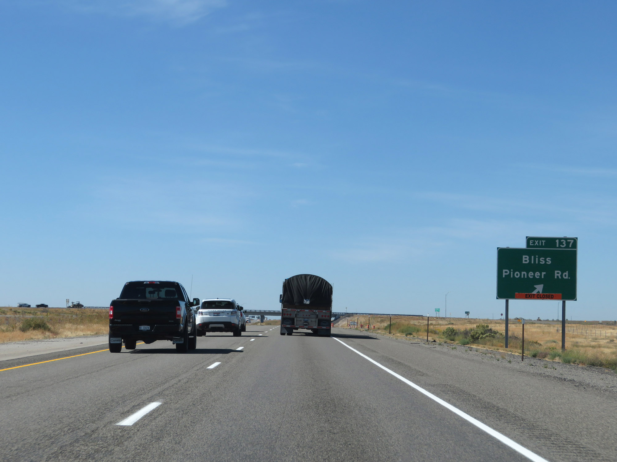 |
Interstate 84 West at Exit 137: Bliss / Pioneer Rd (Photo taken 9/25/19). |
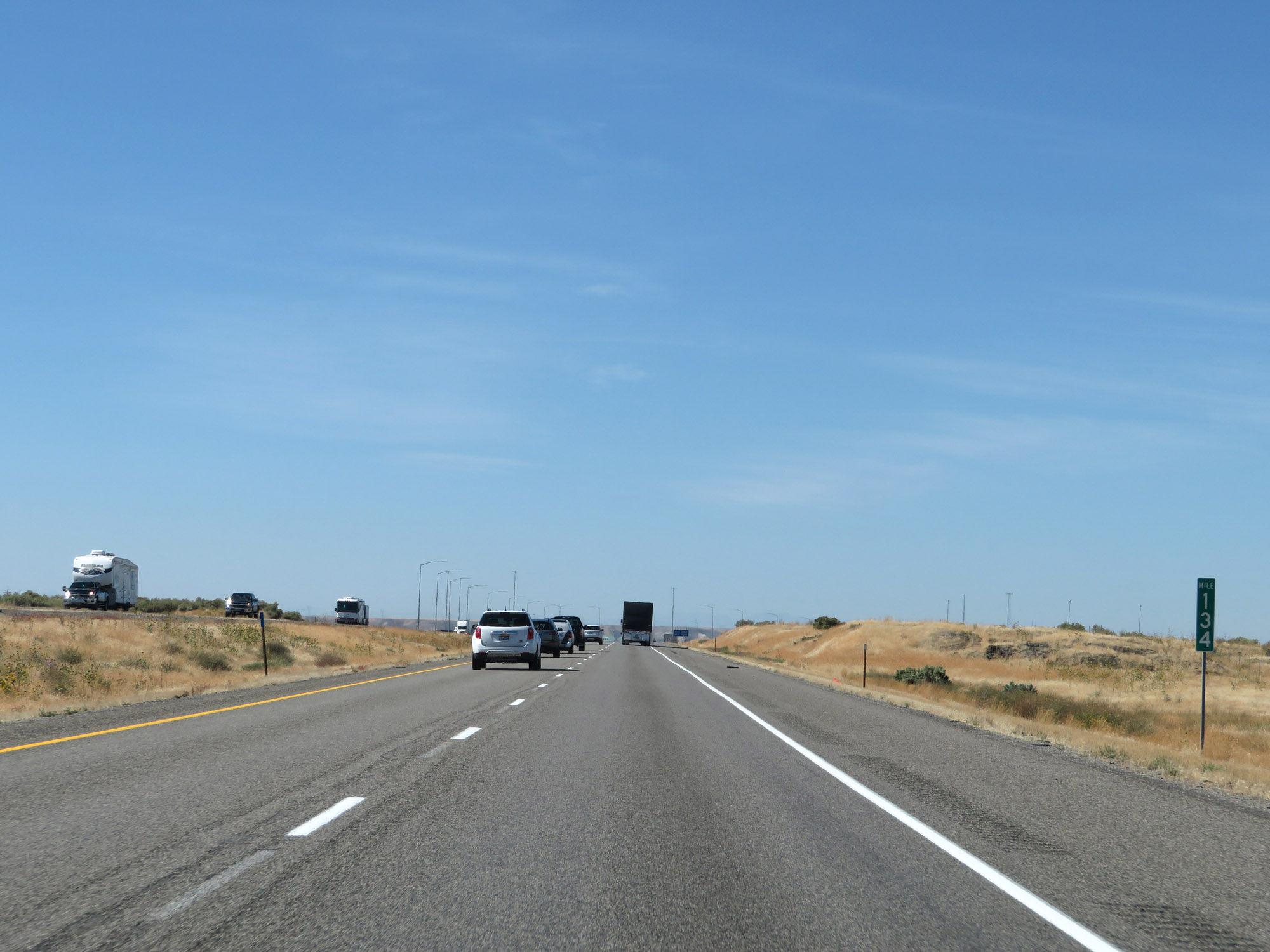 |
Interstate 84 West at mile marker 134. (Photo taken 9/25/19). |
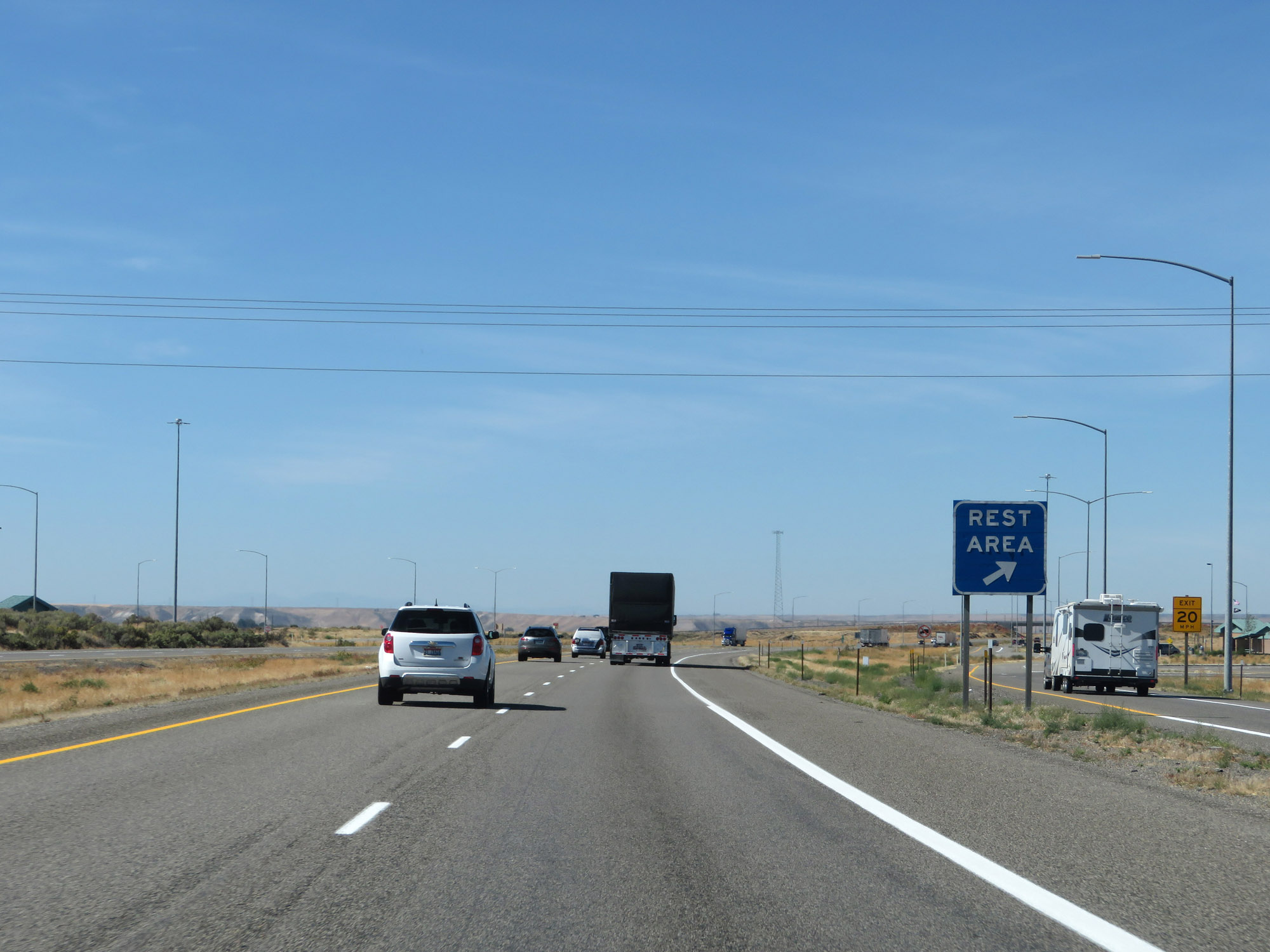 |
Rest Area on Interstate 84 West in Gooding County. (Photo taken 9/25/19). |
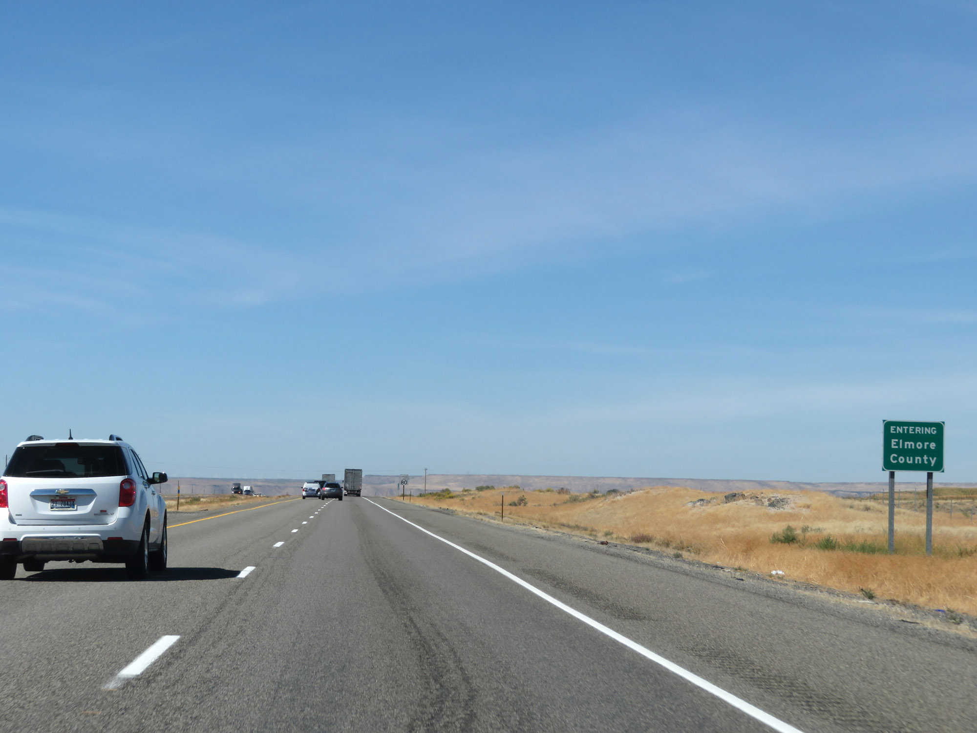 |
Entering Elmore County on Interstate 84 West. (Photo taken 9/25/19). |
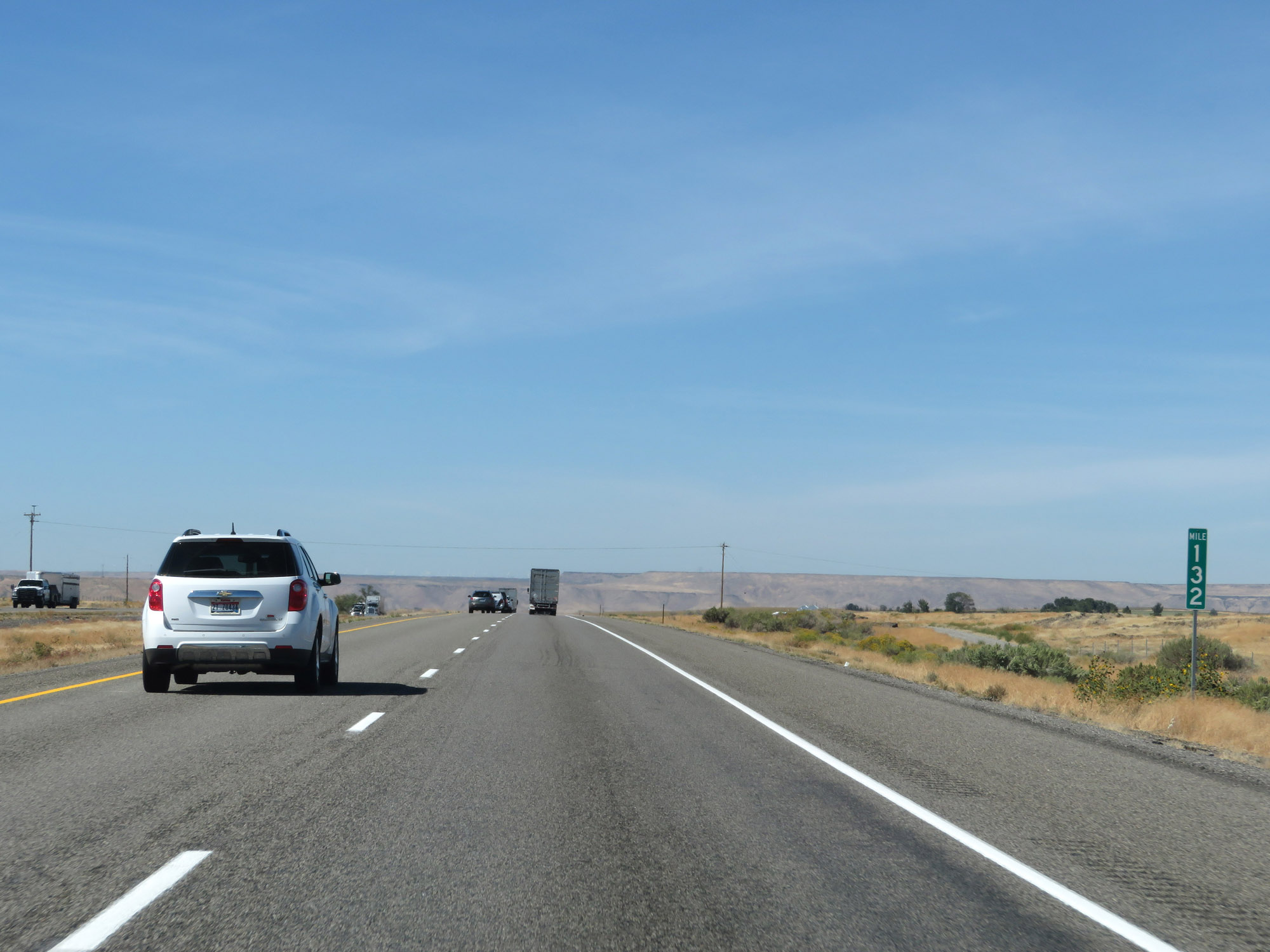 |
View on Interstate 84 West at mile marker 132. (Photo taken 9/25/19). |
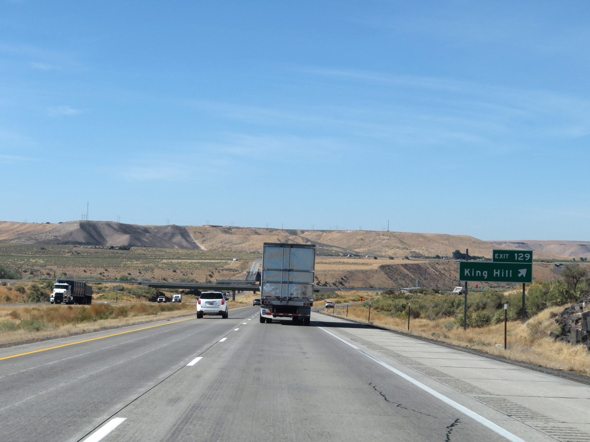 |
Interstate 84 West at Exit 129: King Hill (Photo taken 9/25/19). |
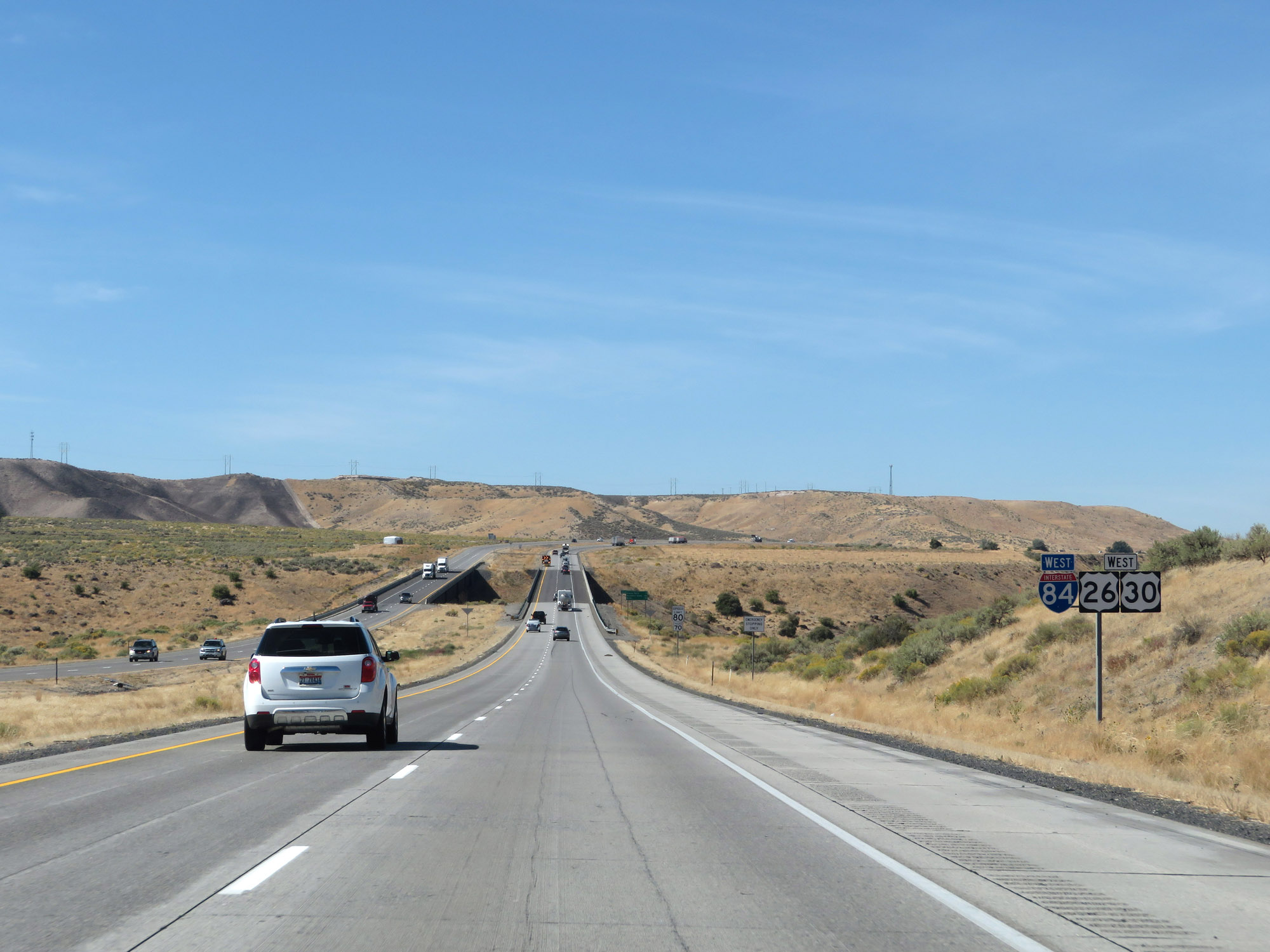 |
Interstate 84 West reassurance shield alongside US 26 West and US 30 West markers. (Photo taken 9/25/19). |
 |
The speed limits remain 80 mph for automobiles and 70 mph for trucks. (Photo taken 9/25/19). |
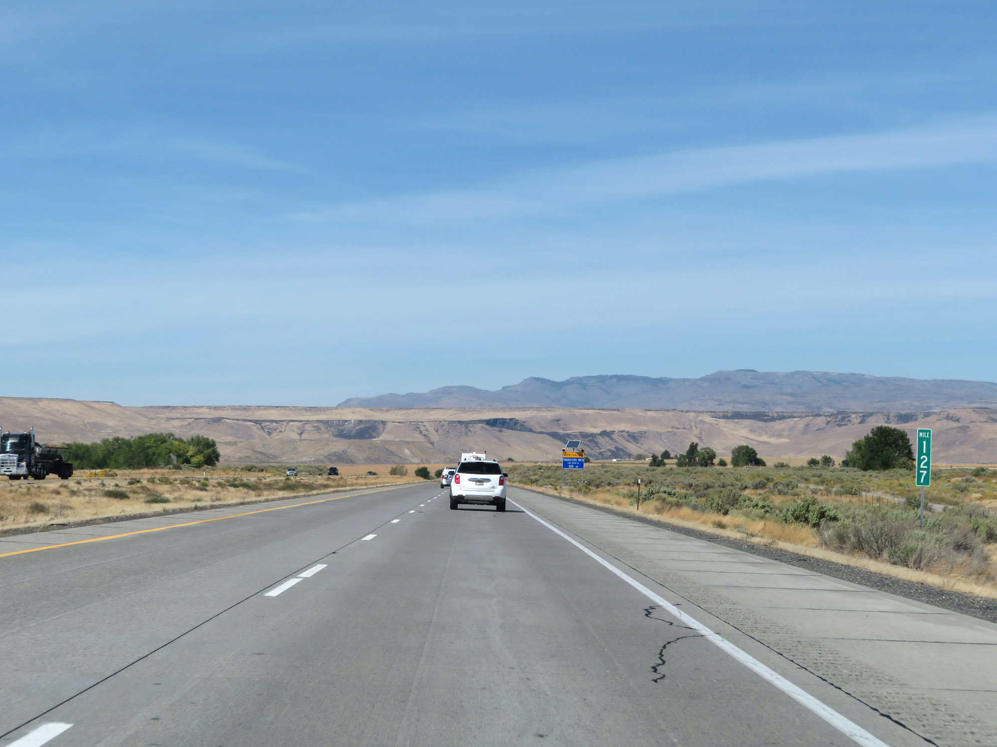 |
View on Interstate 84 West at mile marker 127. (Photo taken 9/25/19). |
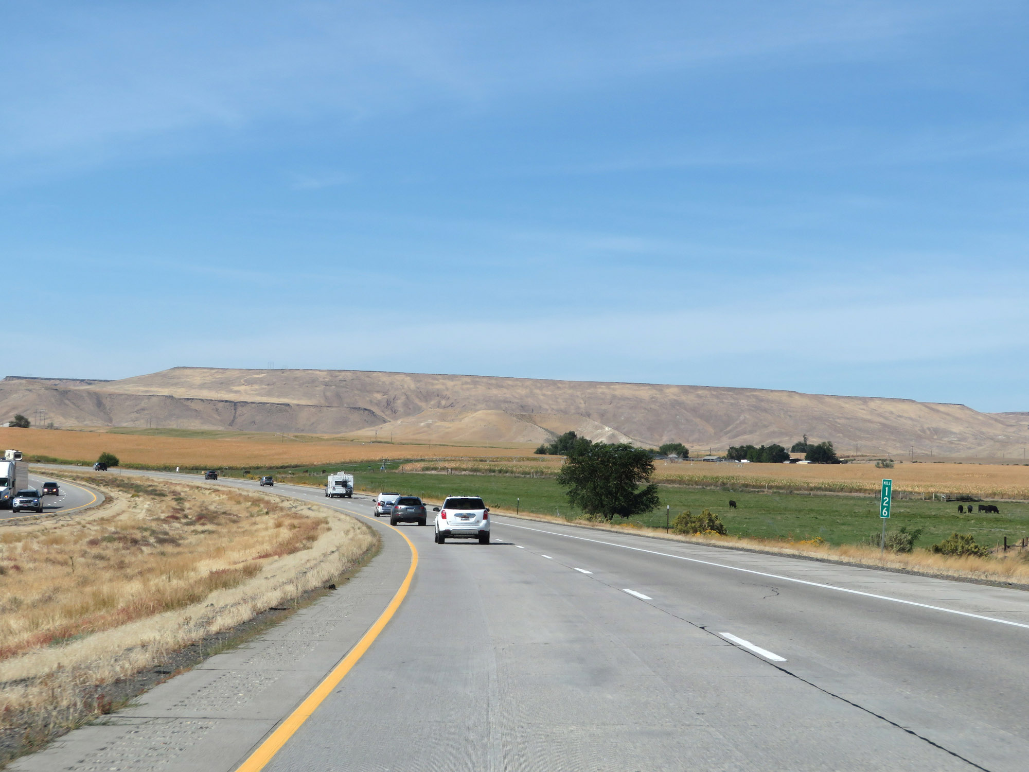 |
Interstate 84 West at mile marker 126. (Photo taken 9/25/19). |
 |
Interstate 84 West at Exit 125: Paradise Valley (Photo taken 9/25/19). |
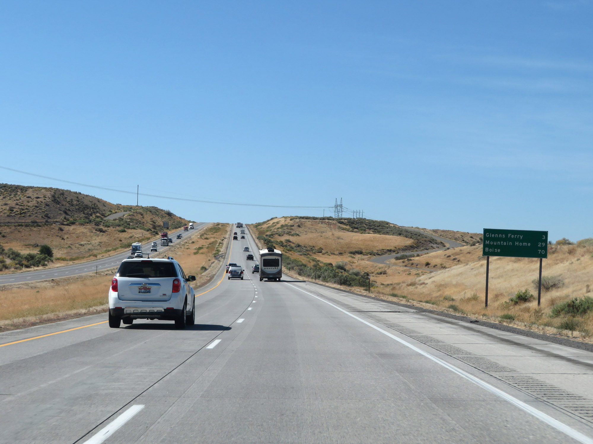 |
Mileage sign on Interstate 84 West. It's 3 miles to Glenns Ferry, 29 miles to Mountain Home, and 70 miles to Boise. (Photo taken 9/25/19). |
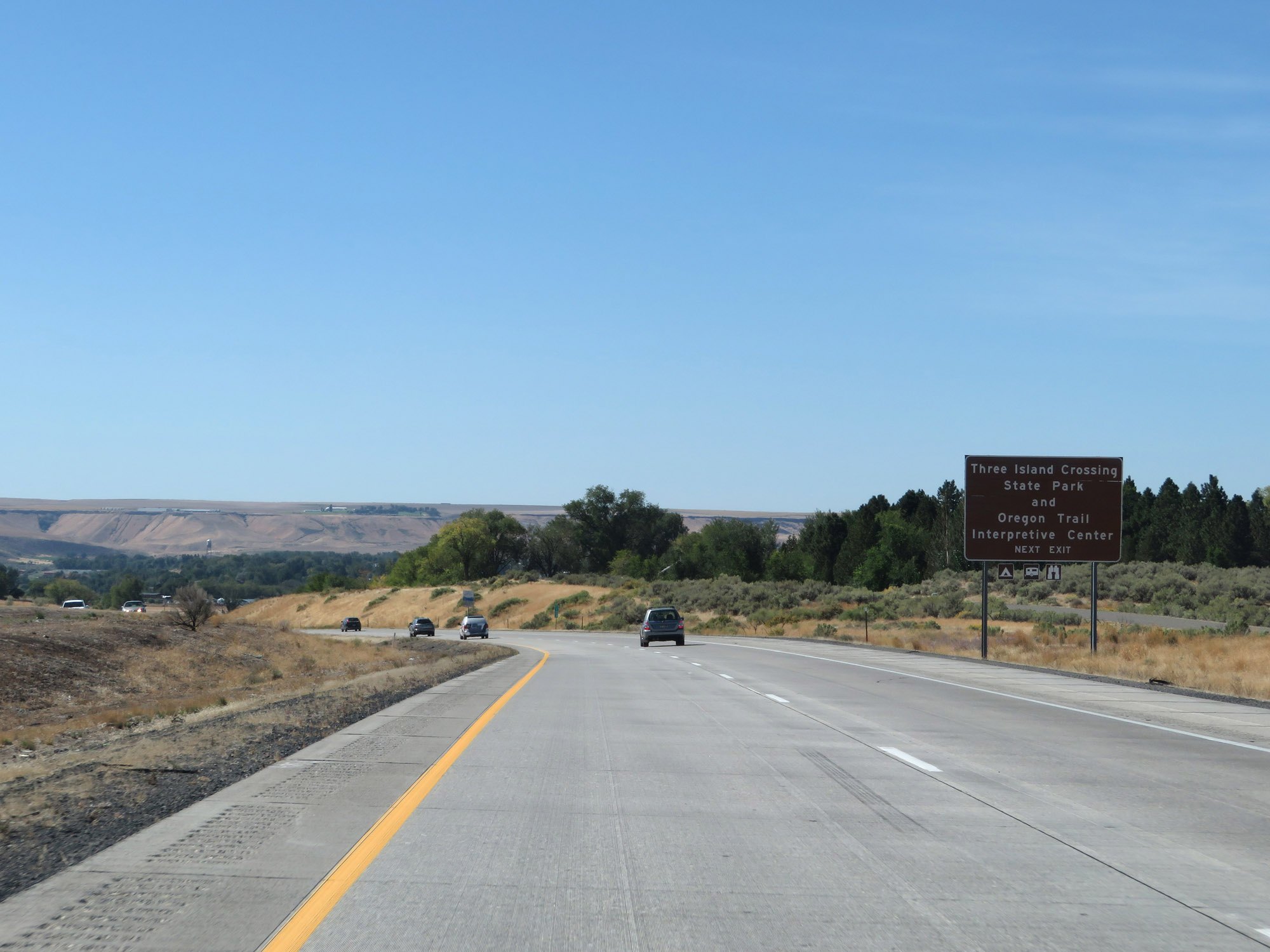 |
Take Exit 121 to Three Island Crossing State Park and Oregon Trail Interpretive Center. (Photo taken 9/25/19). |
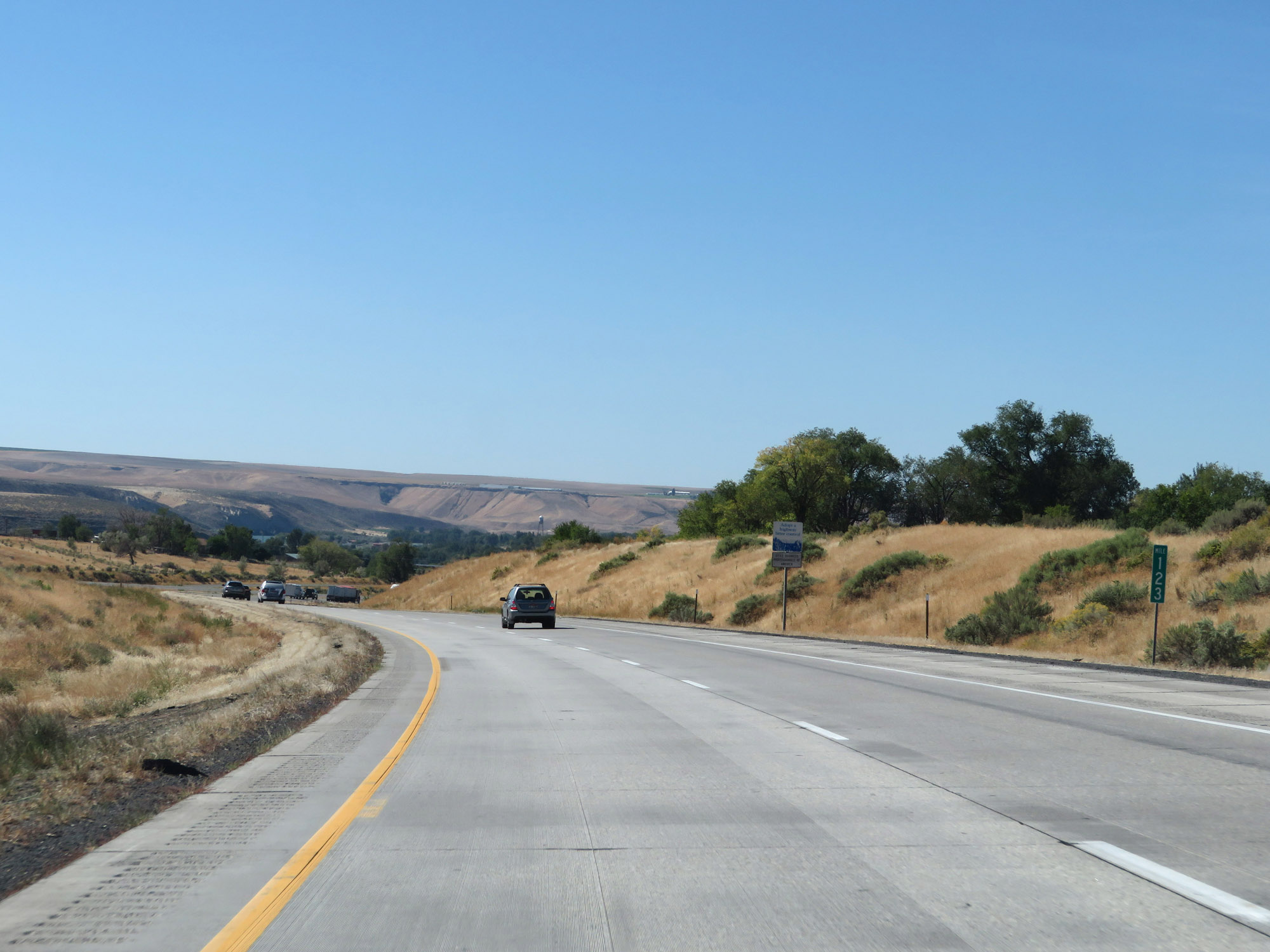 |
View on Interstate 84 West at mile marker 123. (Photo taken 9/25/19). |
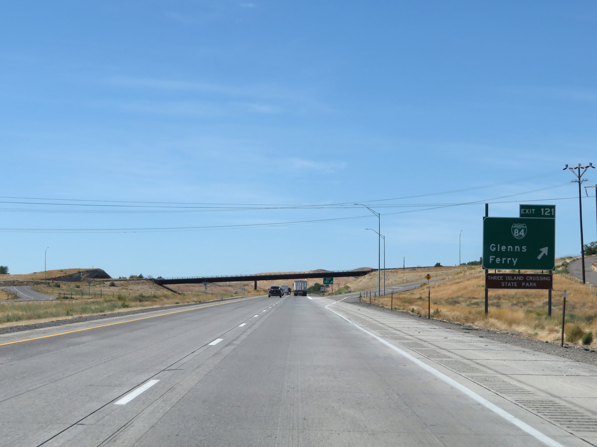 |
Interstate 84 West at Exit 121: Interstate 84 Business Loop - Glenns Ferry (Photo taken 9/25/19). |
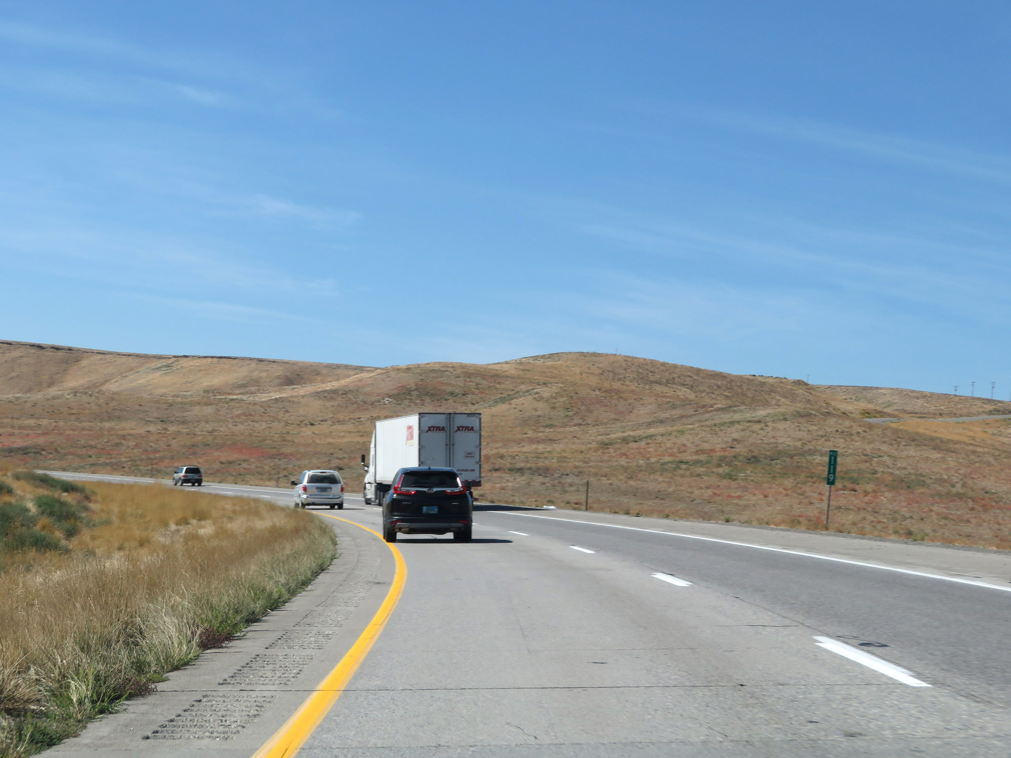 |
Interstate 84 West at mile marker 119. (Photo taken 9/25/19). |
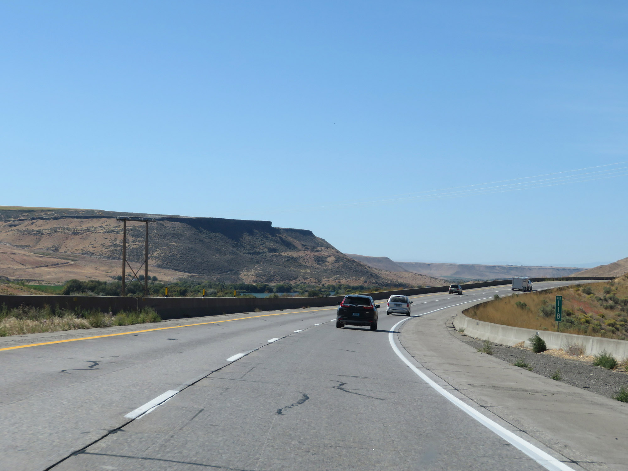 |
View on Interstate 84 West at mile marker 118. (Photo taken 9/25/19). |
 |
Interstate 84 West at mile marker 116. (Photo taken 9/25/19). |
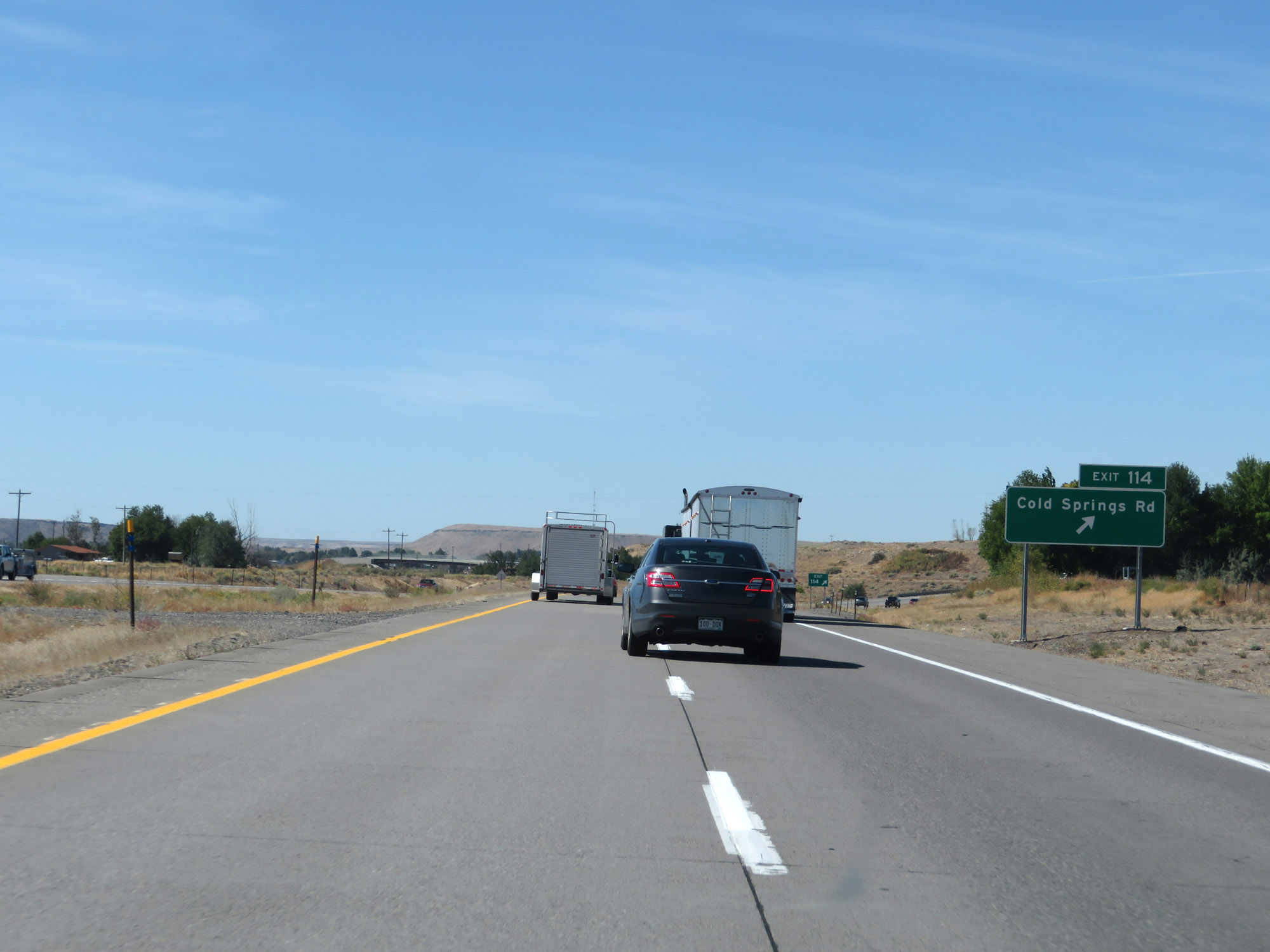 |
Interstate 84 West at Exit 114: Cold Springs Rd (Photo taken 9/25/19). |
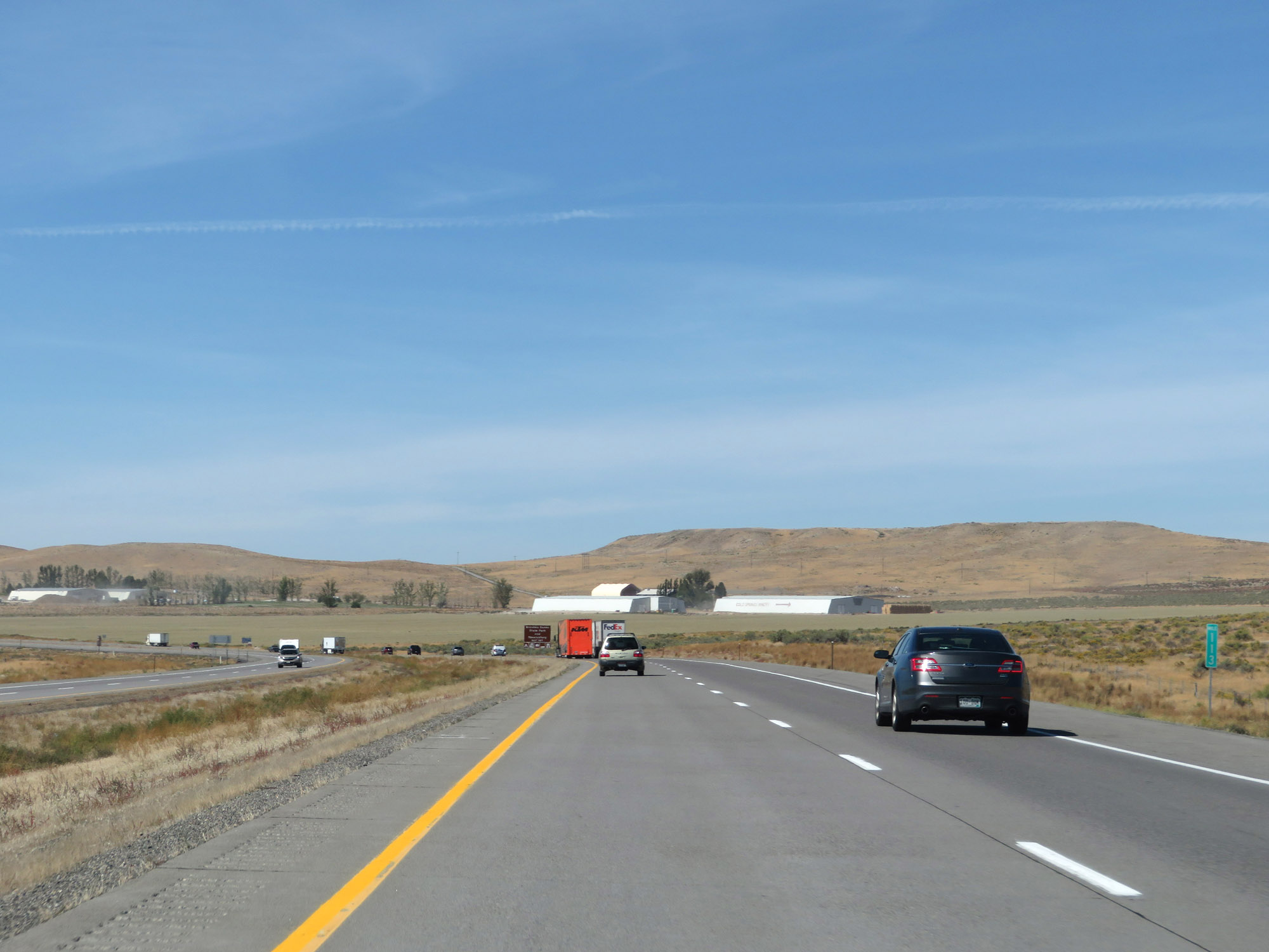 |
View on Interstate 84 West at mile marker 113. (Photo taken 9/25/19). |
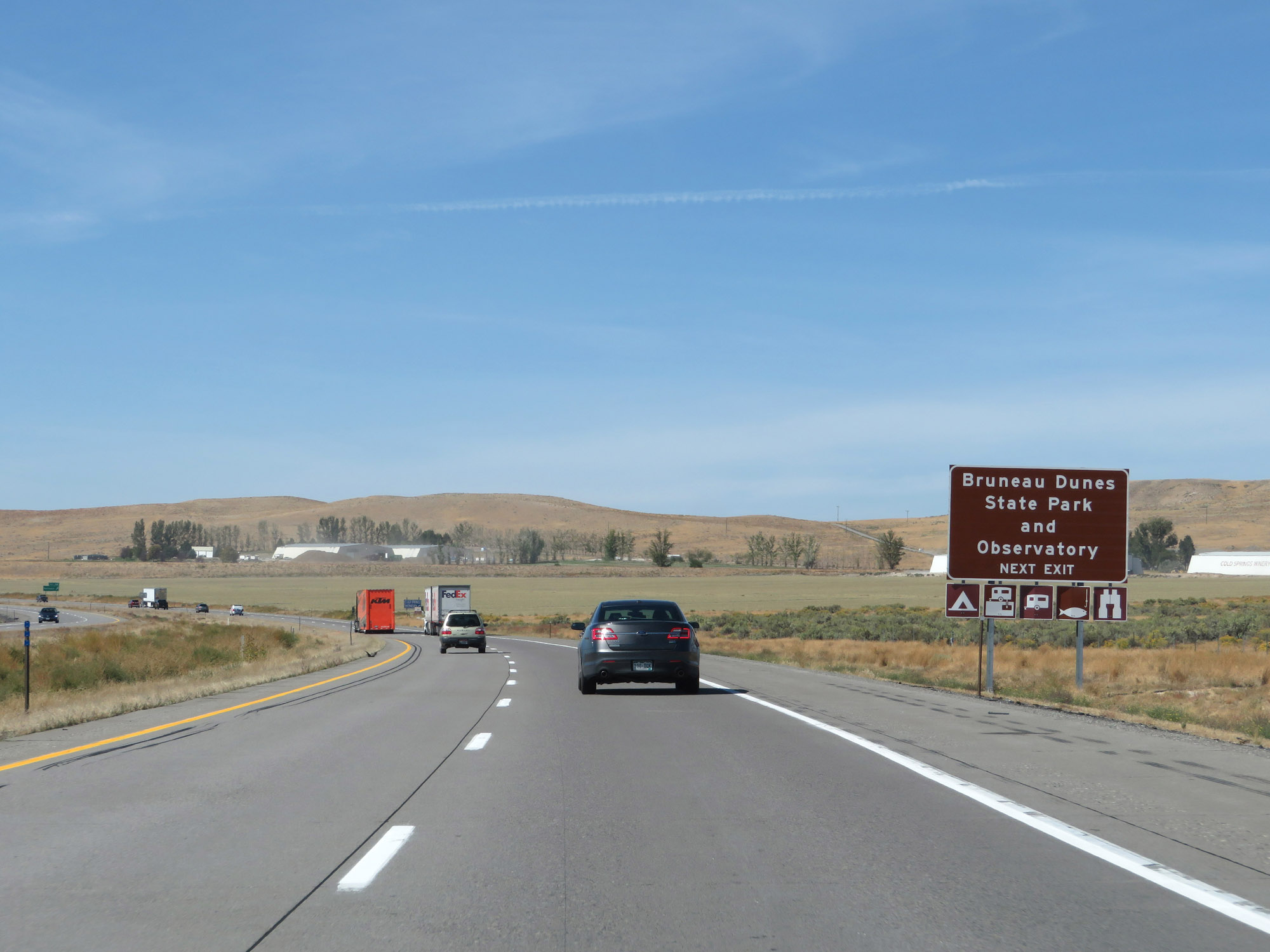 |
Take Exit 112 to Bruneau Dunes State Park and Observatory. (Photo taken 9/25/19). |
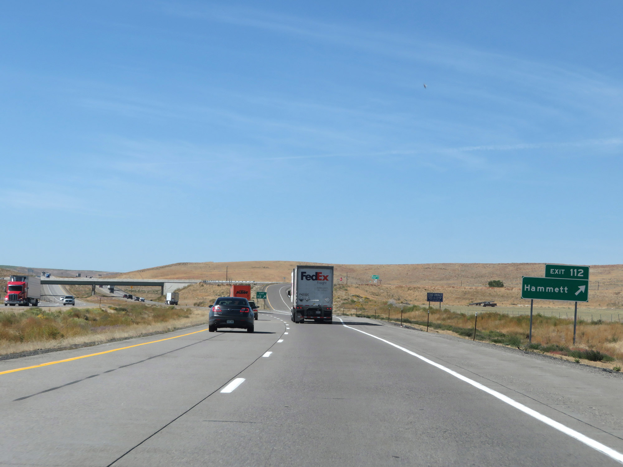 |
Interstate 84 West at Exit 112: Hammett (Photo taken 9/25/19). |
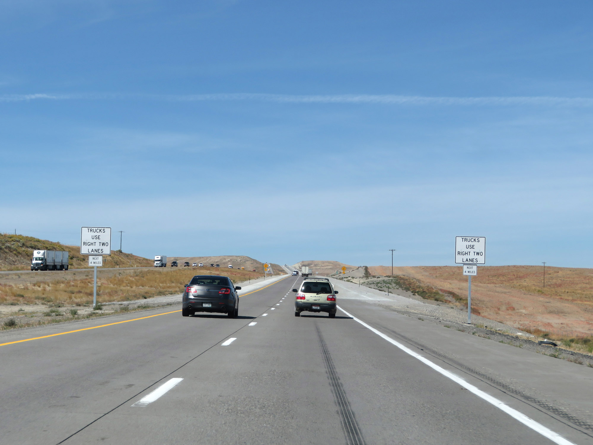 |
Near mile marker 111, Interstate 84 West begins to make a bit of a climb. A climbing lane appears ahead, and trucks are restricted to the two right lanes for the next 4 miles, until the top of the grade. (Photo taken 9/25/19). |
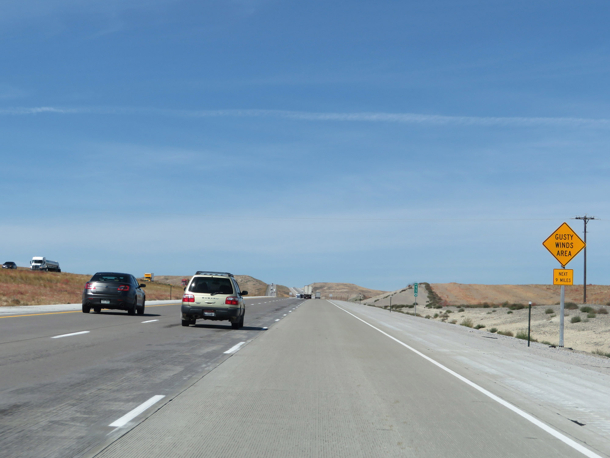 |
At mile marker 110, this sign warns of the possibility of gusty winds in the area for the next 9 miles. (Photo taken 9/25/19). |
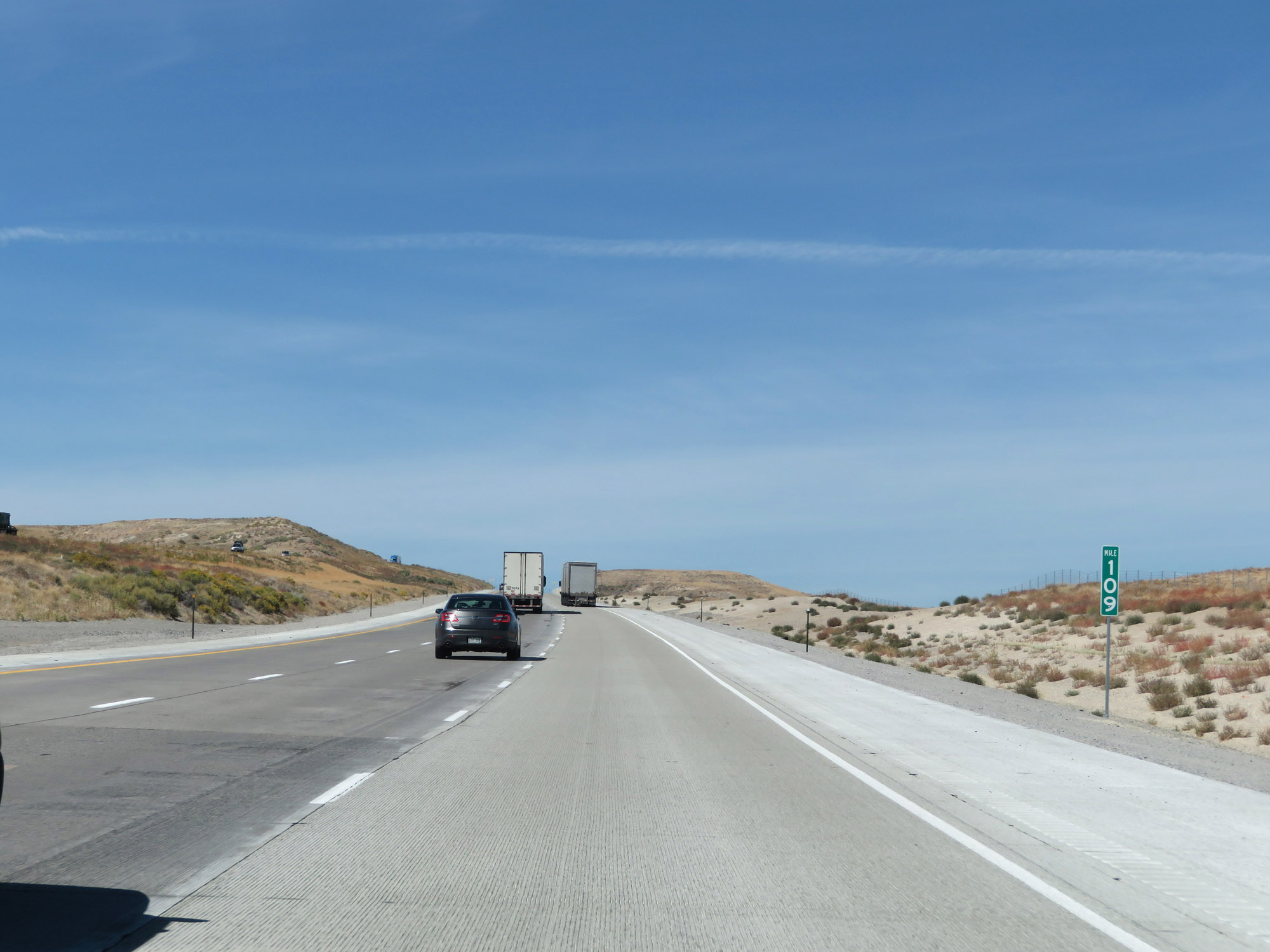 |
Interstate 84 West at mile marker 109. (Photo taken 9/25/19). |
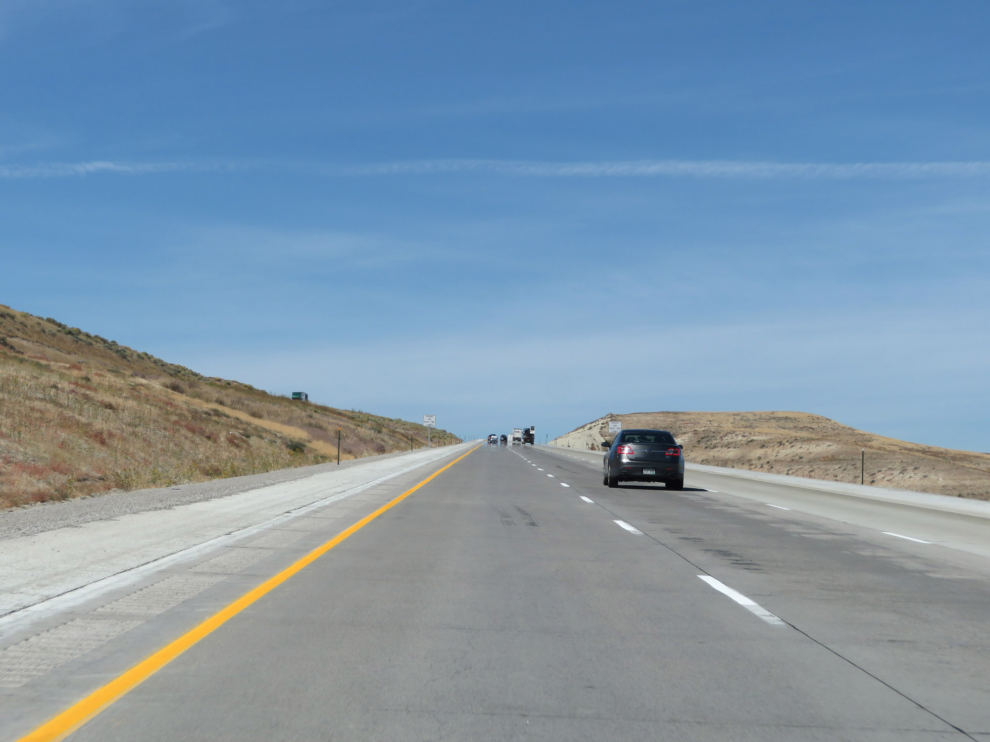 |
View on Interstate 84 West as it continues to climb. (Photo taken 9/25/19). |
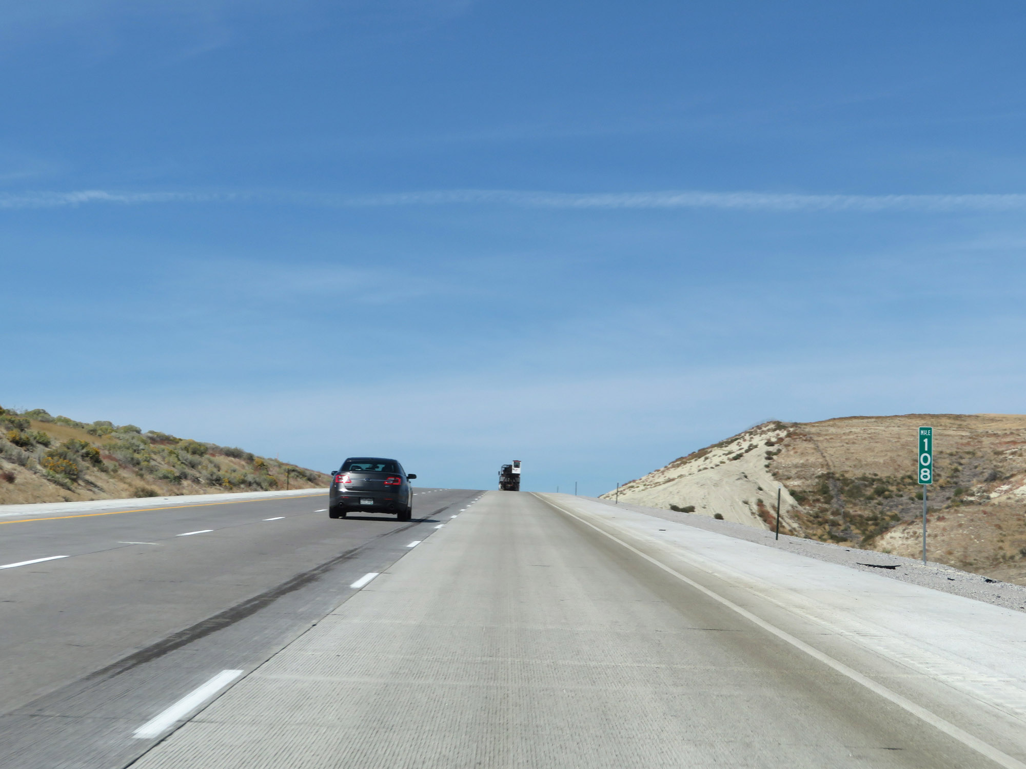 |
Interstate 84 West at mile marker 108. (Photo taken 9/25/19). |
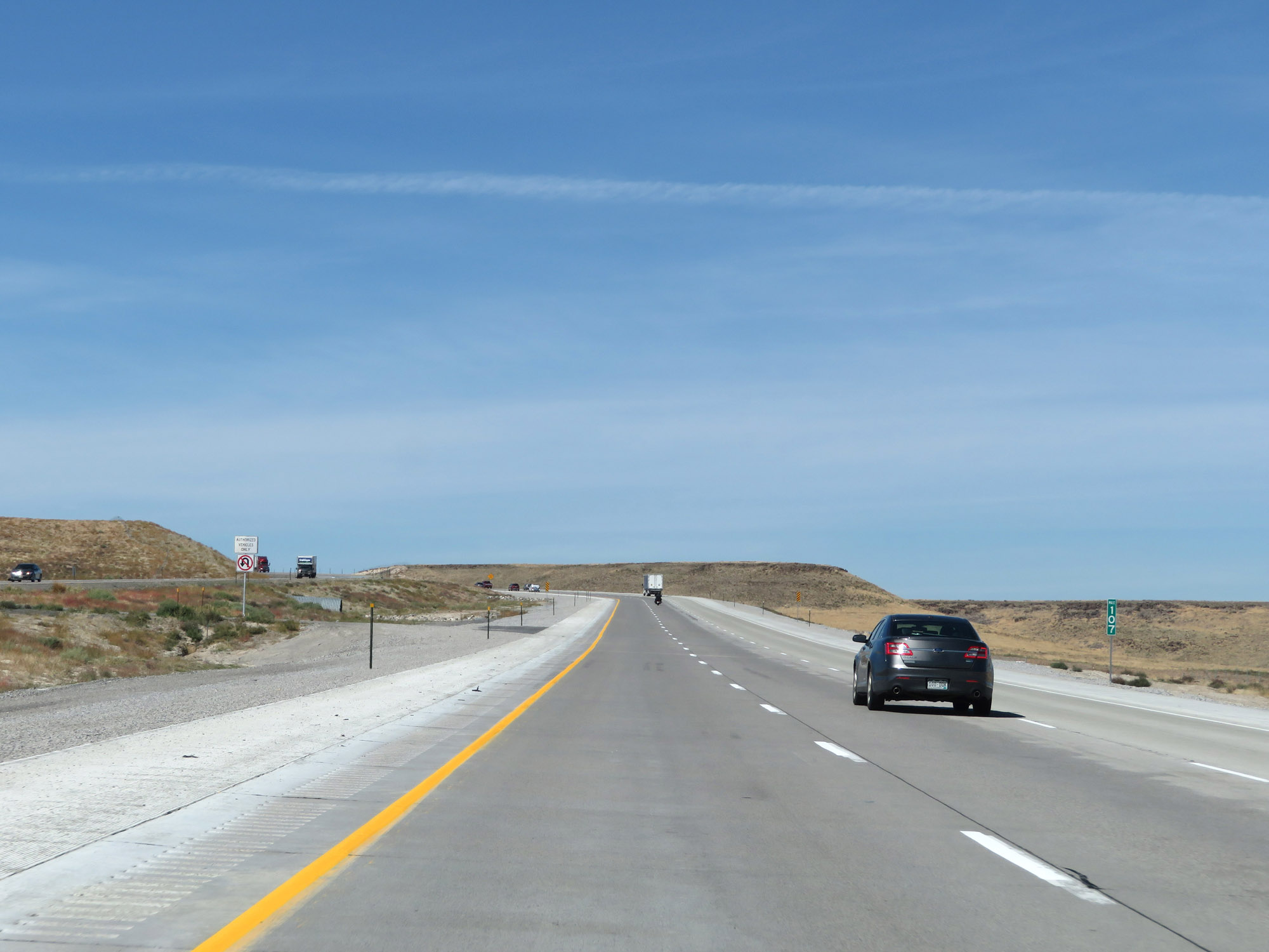 |
Interstate 84 West at mile marker 107, as the top of this grade comes into view in the distance. (Photo taken 9/25/19). |
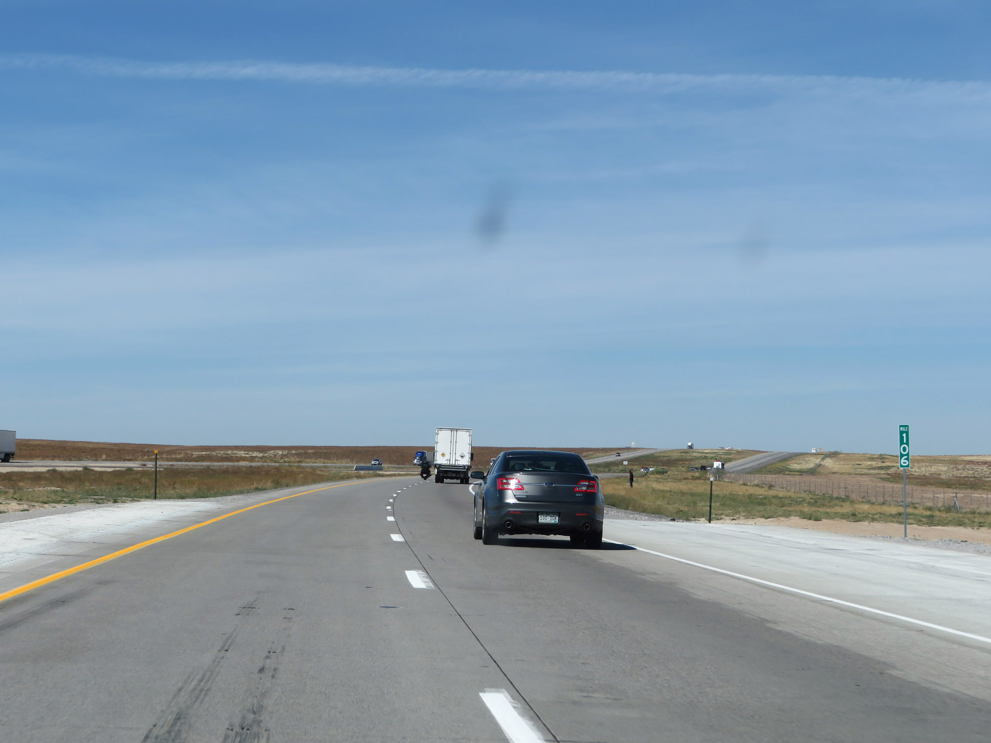 |
At mile marker 106, Interstate 84 West reaches the top of the grade and the truck climbing lane comes to an end. (Photo taken 9/25/19). |
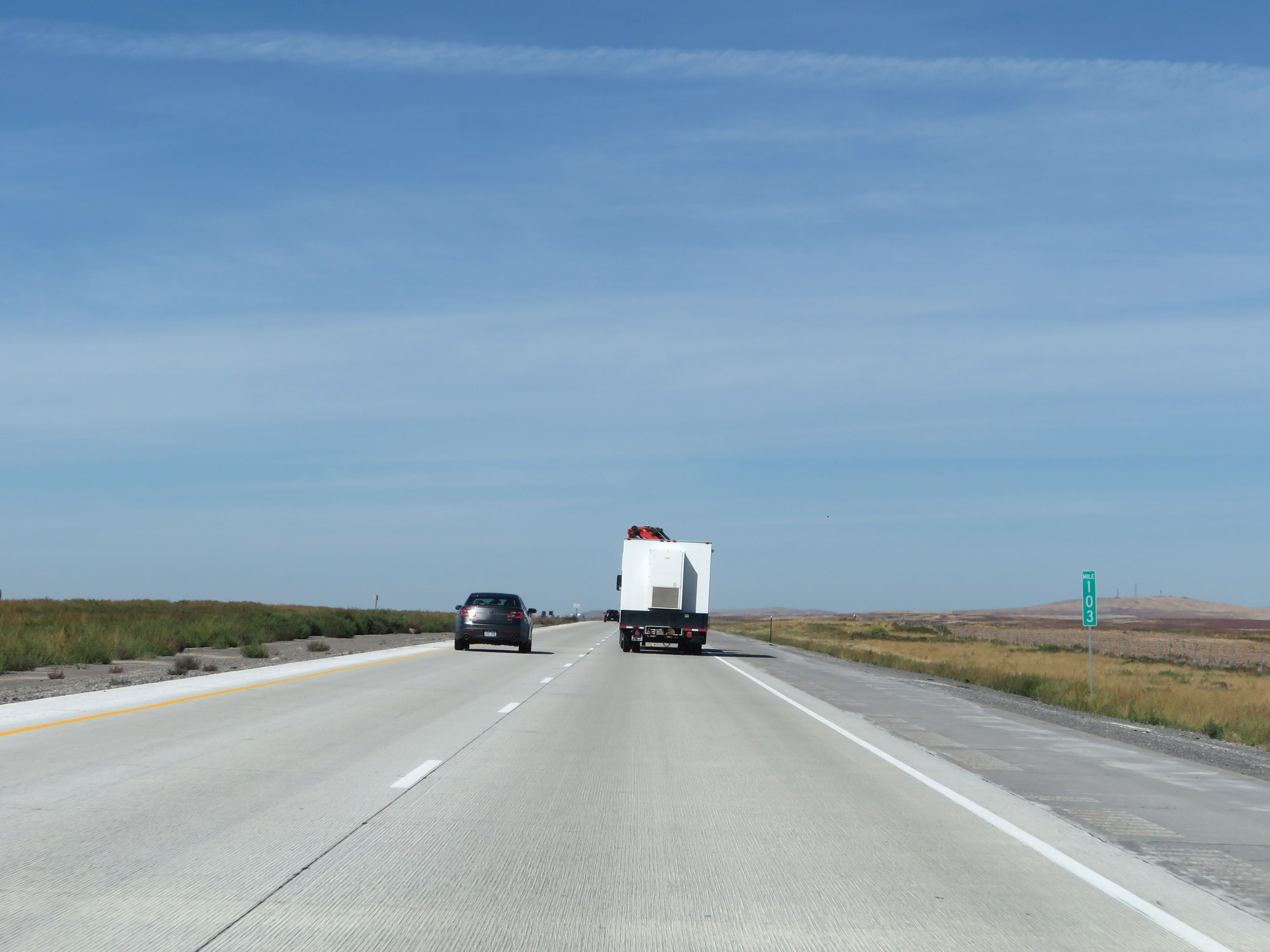 |
Interstate 84 West at mile marker 103. (Photo taken 9/25/19). |
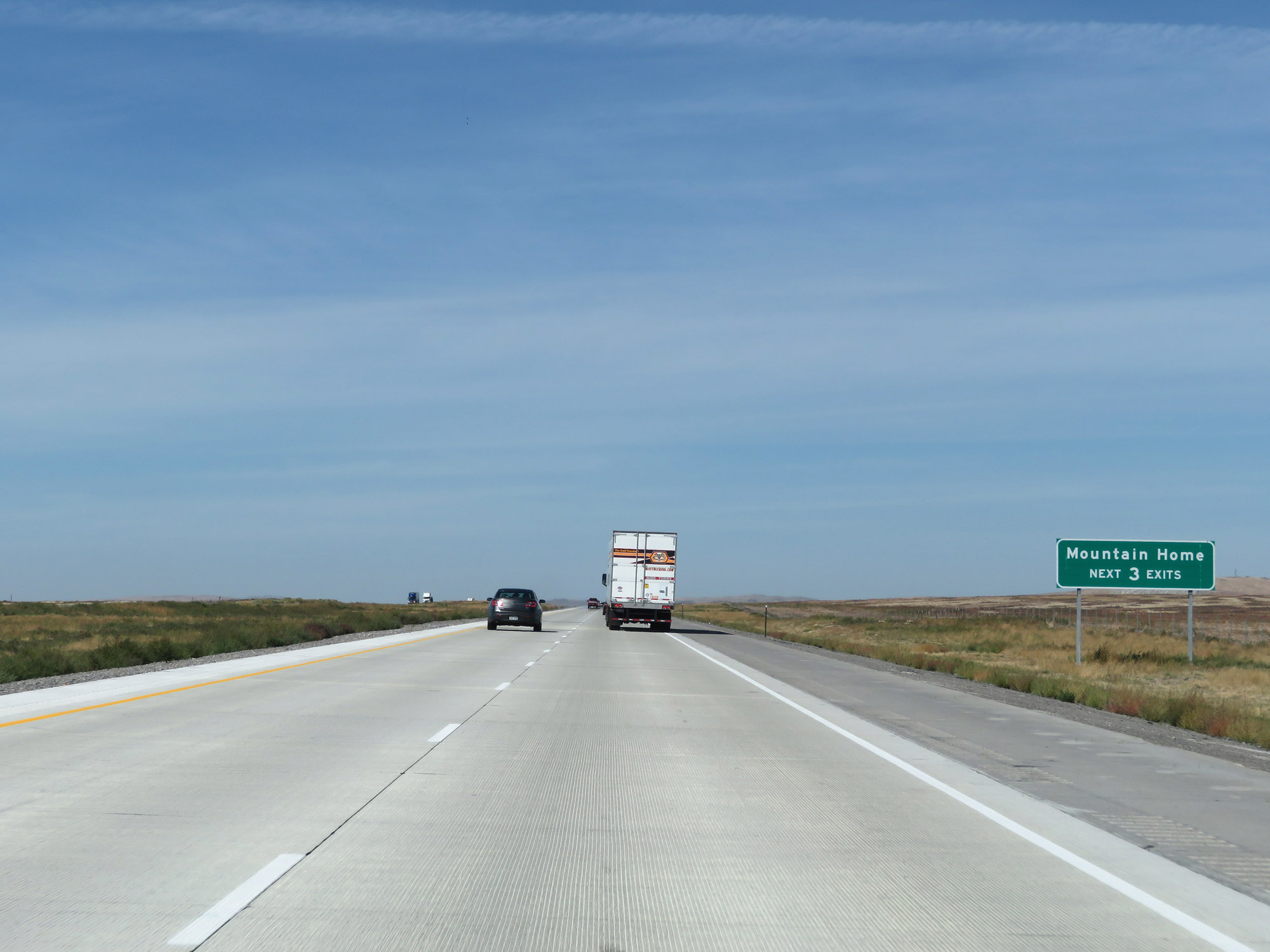 |
Take any of the next 3 exits to Mountain Home. (Photo taken 9/25/19). |
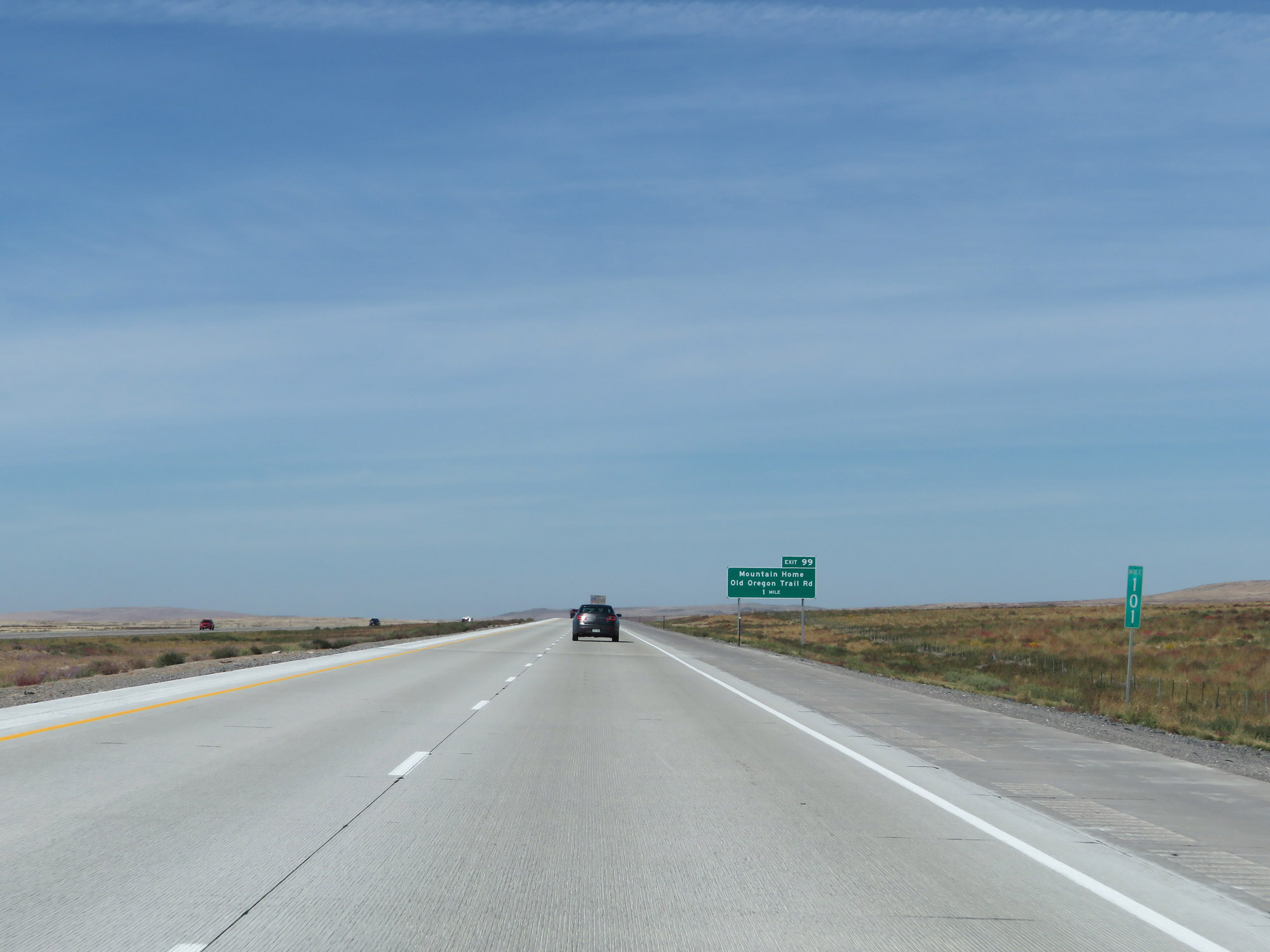 |
View on Interstate 84 West at mile marker 101. (Photo taken 9/25/19). |
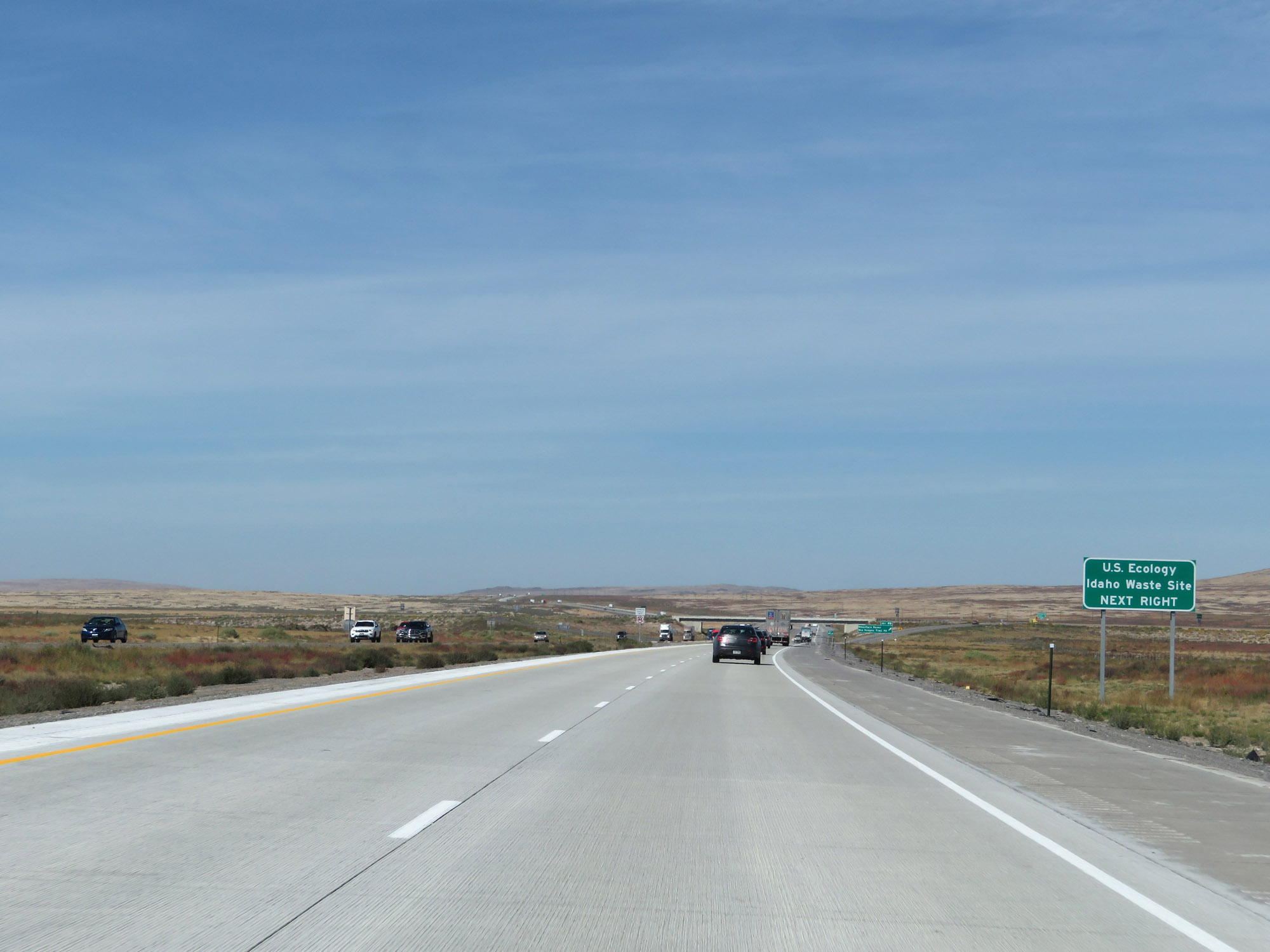 |
Take Exit 99 to the U.S. Ecology Idaho Waste Site. (Photo taken 9/25/19). |
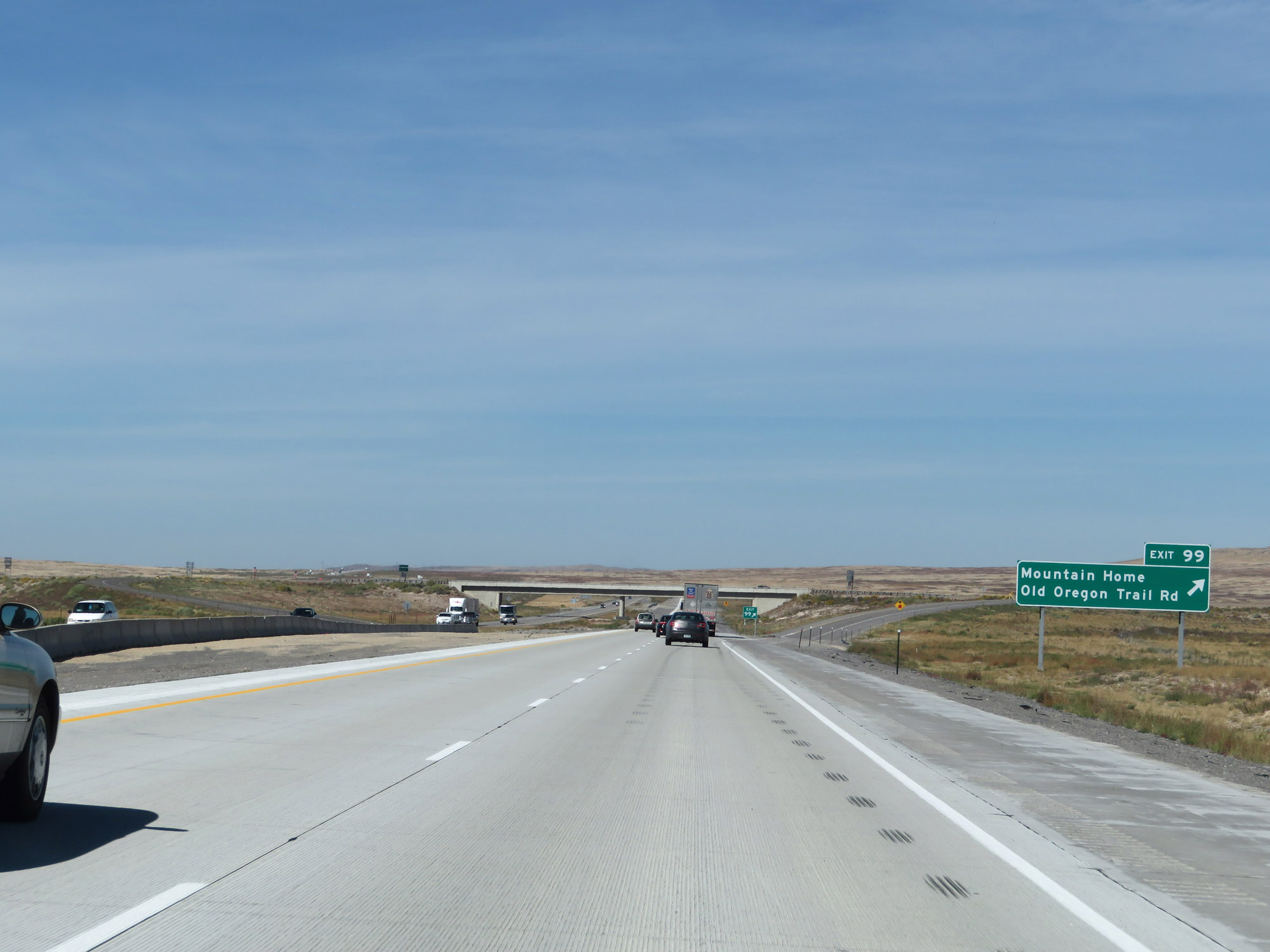 |
Interstate 84 West at Exit 99: Mountain Home / Old Oregon Trail Rd (Photo taken 9/25/19). |
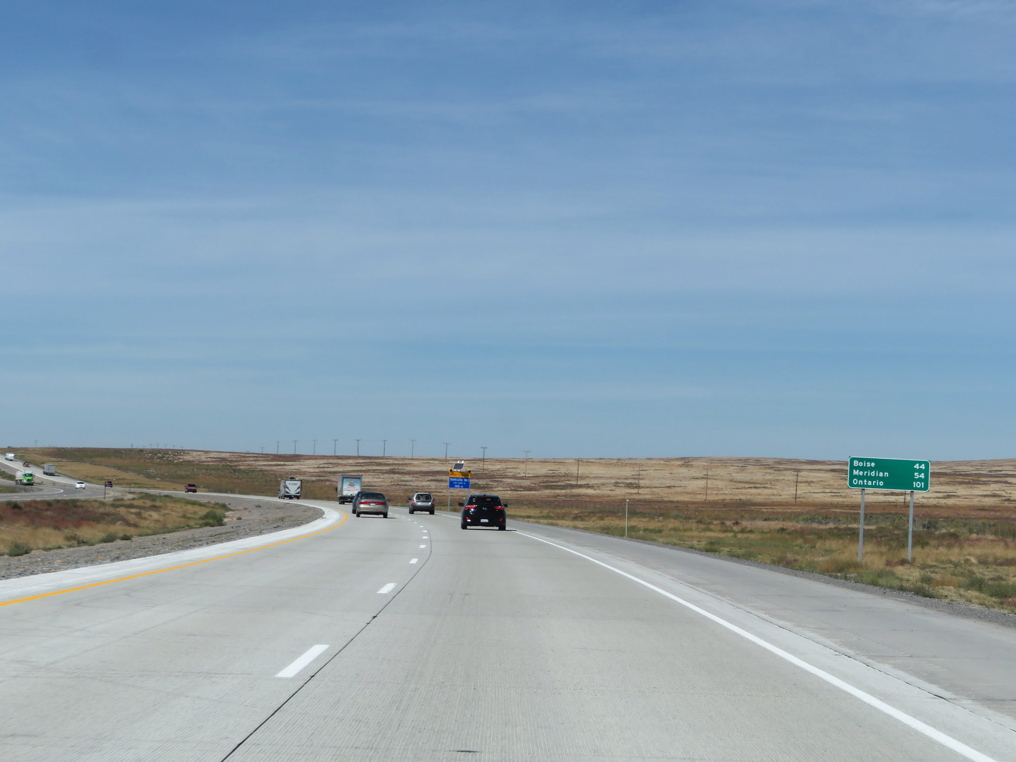 |
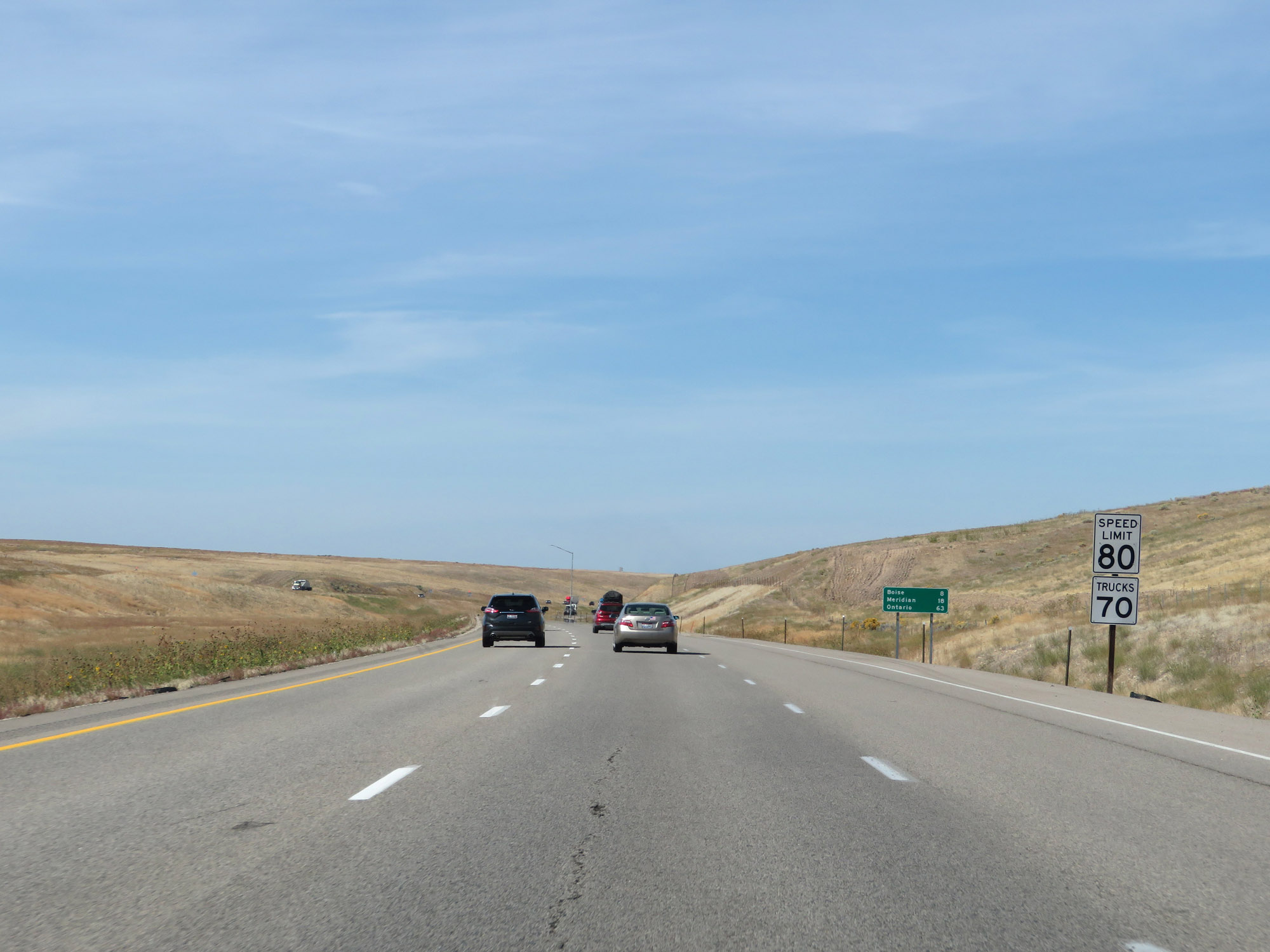
Mileage sign on Interstate 84 West. It's 44 miles to Boise, 54 miles to Meridian, and 101 miles to Ontario. (Photo taken 9/25/19). |
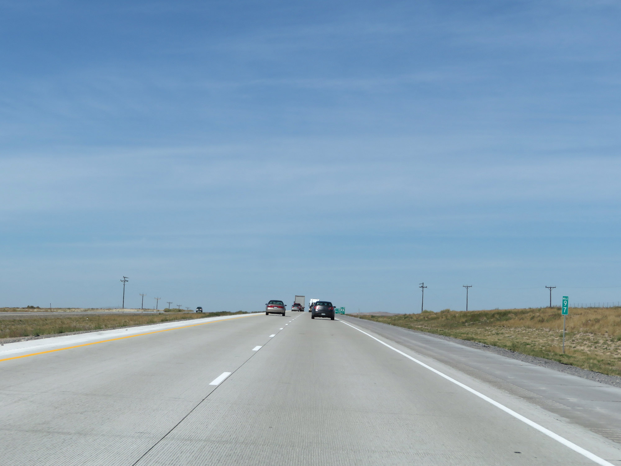 |
View on Interstate 84 West at mile marker 97. (Photo taken 9/25/19). |
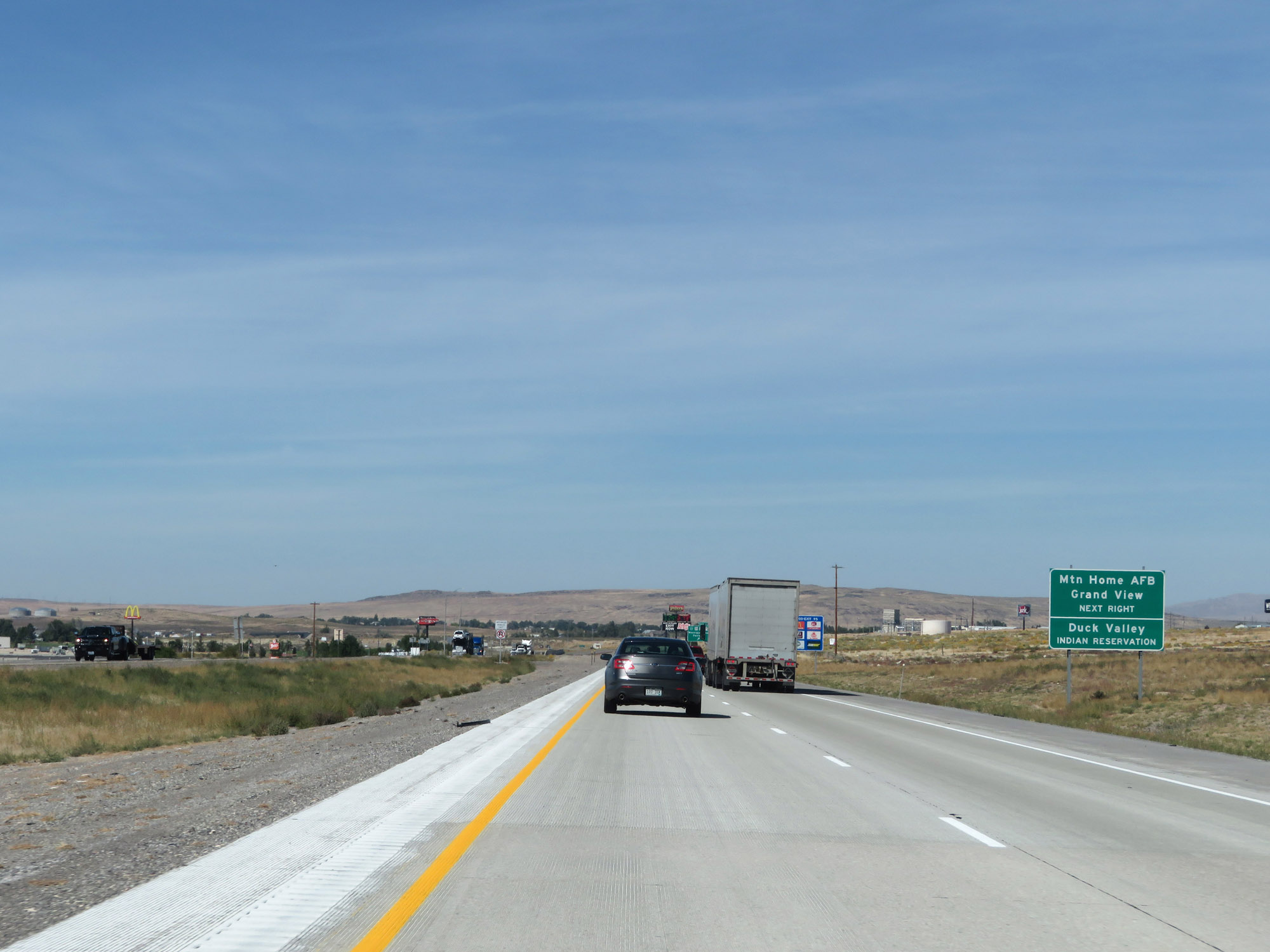 |
Take Exit 95 to Mountain Home Air Force Base, Grand View, and Duck Valley Indian Reservation. (Photo taken 9/25/19). |
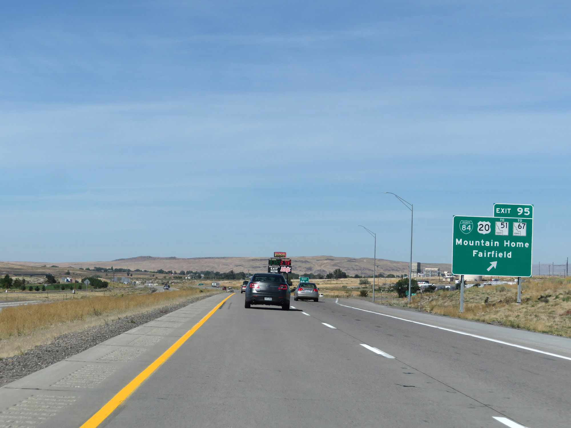 |
Interstate 84 West at Exit 95: Interstate 84 Business Loop / US 20 / To ID 51 / To ID 67 - Mountain Home / Fairfield (Photo taken 9/25/19). |
Section 3: Mountain Home (Exit 95) to Boise (Exit 49)
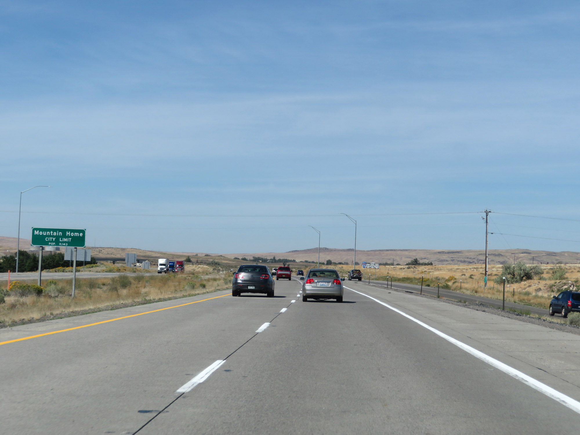 |
Interstate 84 West as it enters the Mountain Home city limits. (Photo taken 9/25/19). |
 |
The speed limit remains 80 mph for automobiles through the Mountain Home area. (Photo taken 9/25/19). |
 |
This speed limit sign details what trucks are restricted to 70 mph in Idaho. Again, trucks of 5 or more axles over 26,000 lbs GVW are bound by the 70 mph truck speed limit. (Photo taken 9/25/19). |
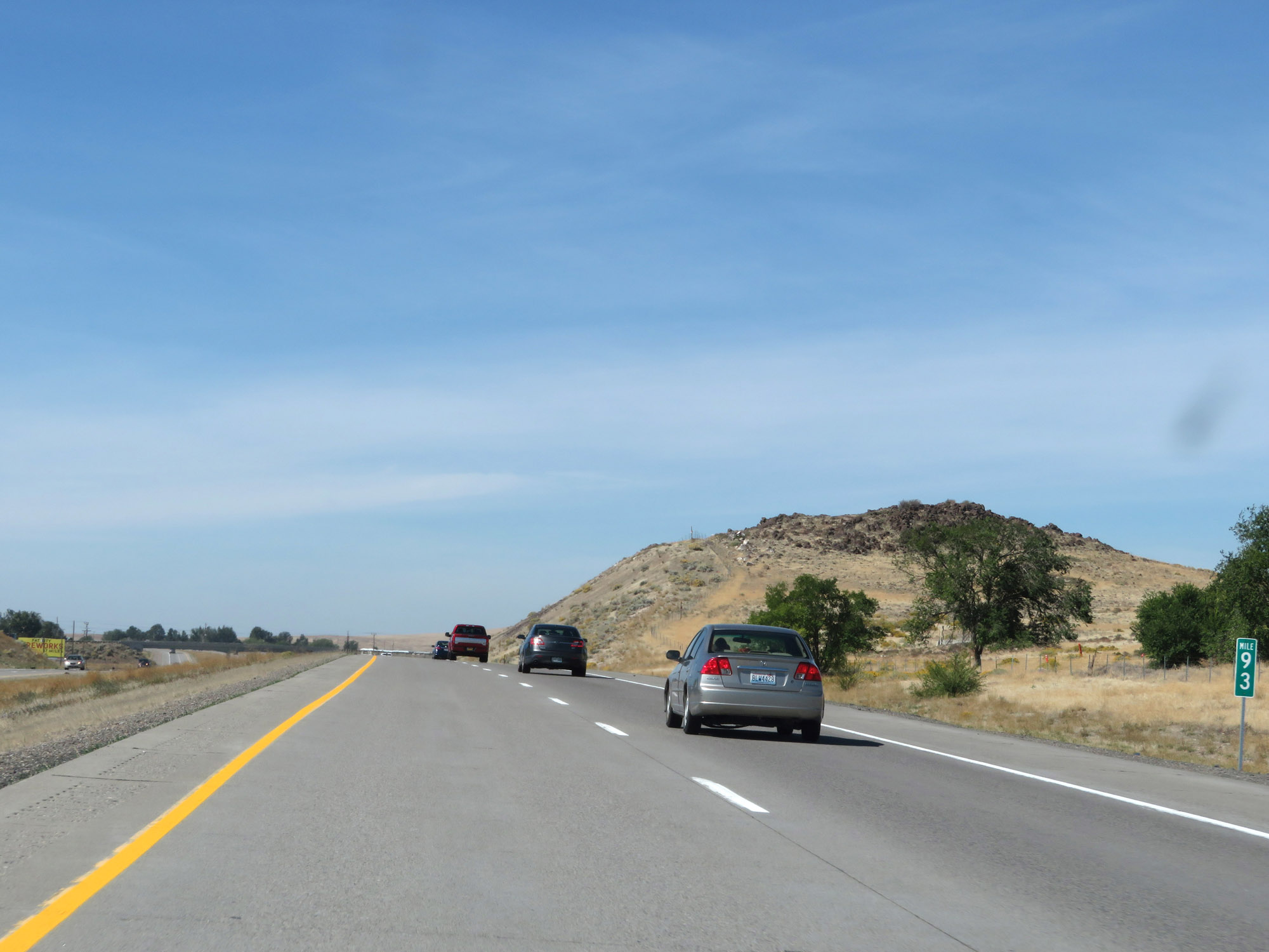 |
Interstate 84 West at mile marker 93. (Photo taken 9/25/19). |
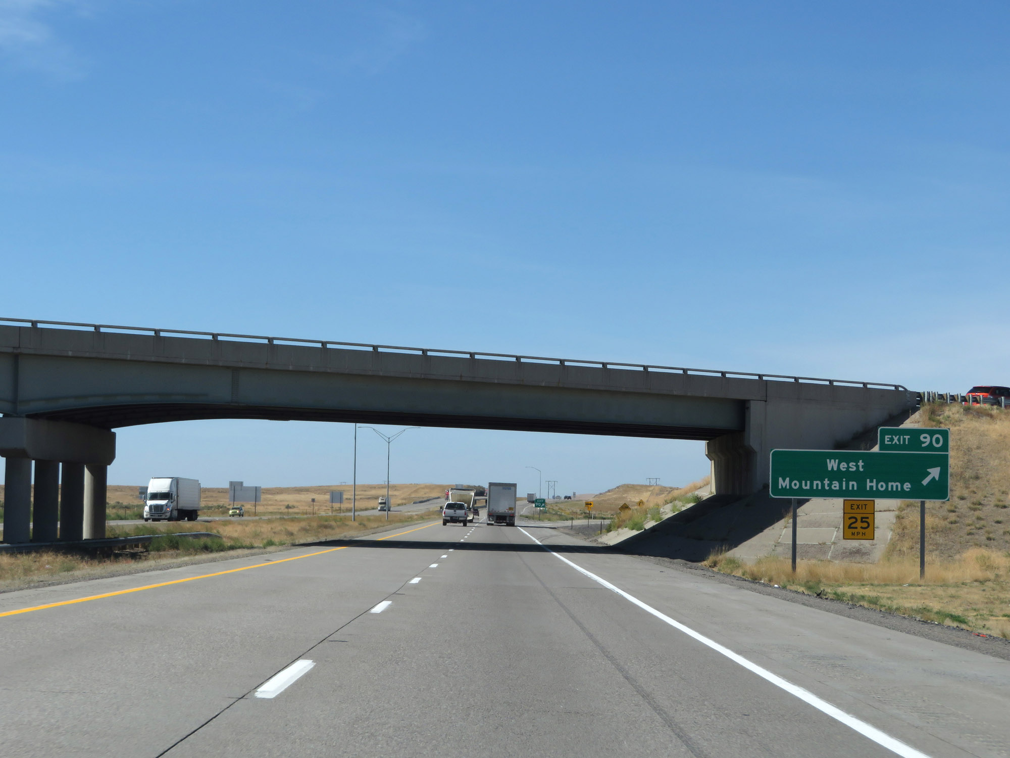 |
Interstate 84 West at Exit 90: West Mountain Home (Photo taken 9/25/19). |
 |
View on Interstate 84 West at mile marker 87. (Photo taken 9/25/19). |
 |
Interstate 84 West at mile marker 86. (Photo taken 9/25/19). |
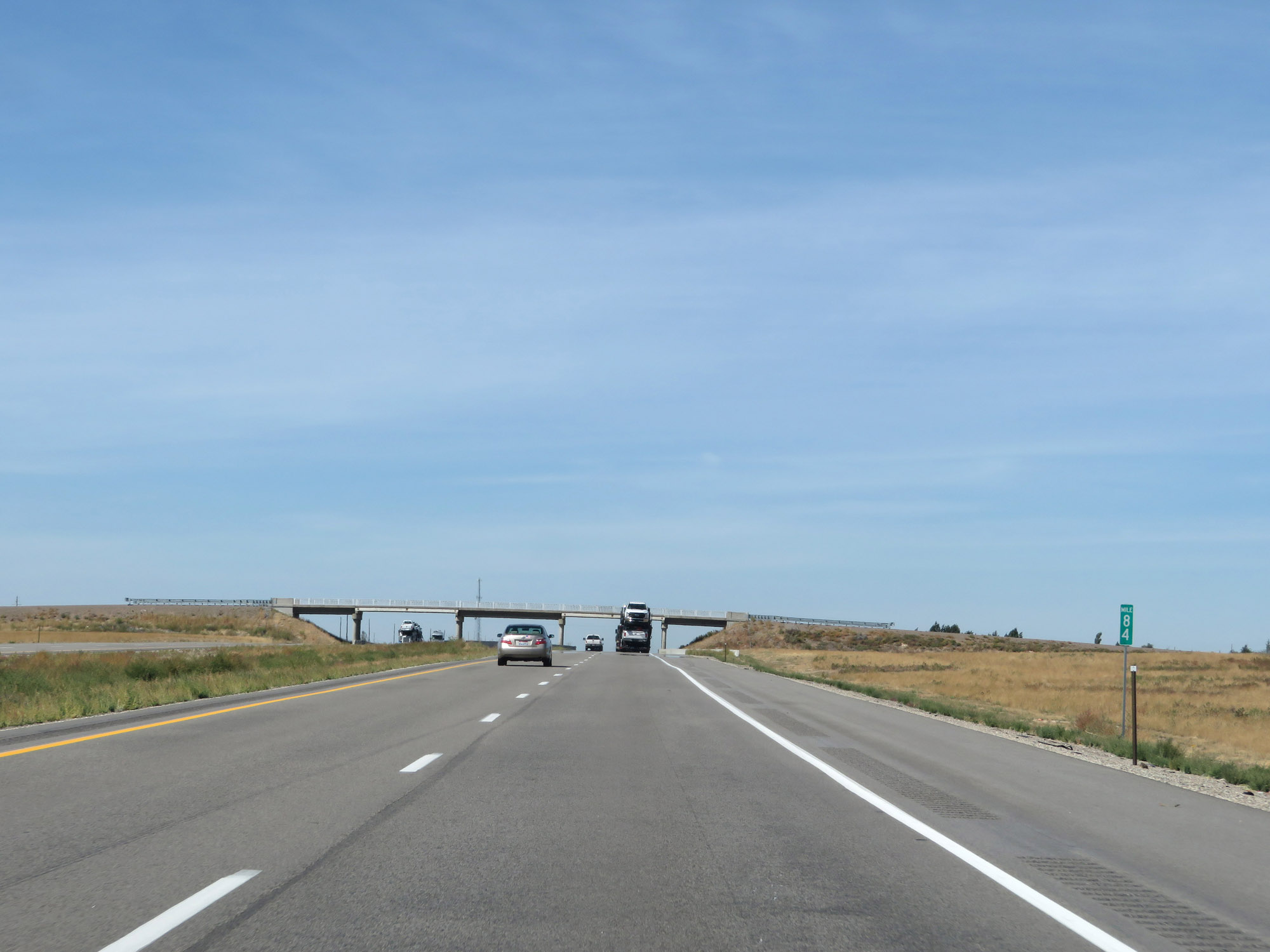 |
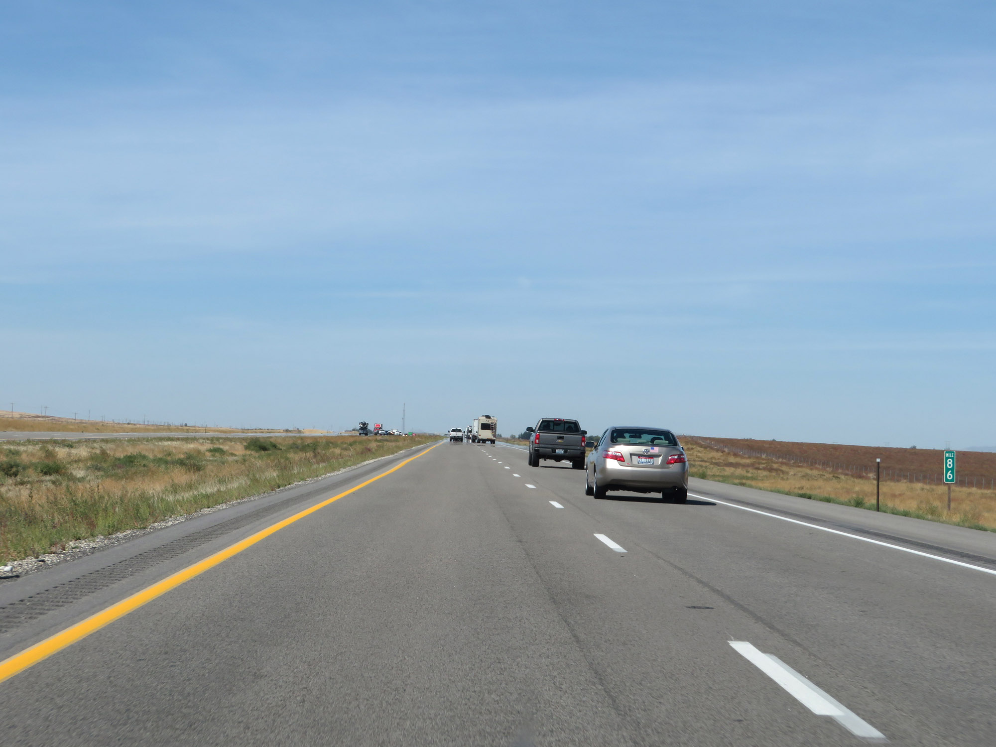
Interstate 84 West at mile marker 84. (Photo taken 9/25/19). |
 |
View on Interstate 84 West at mile marker 81. (Photo taken 9/25/19). |
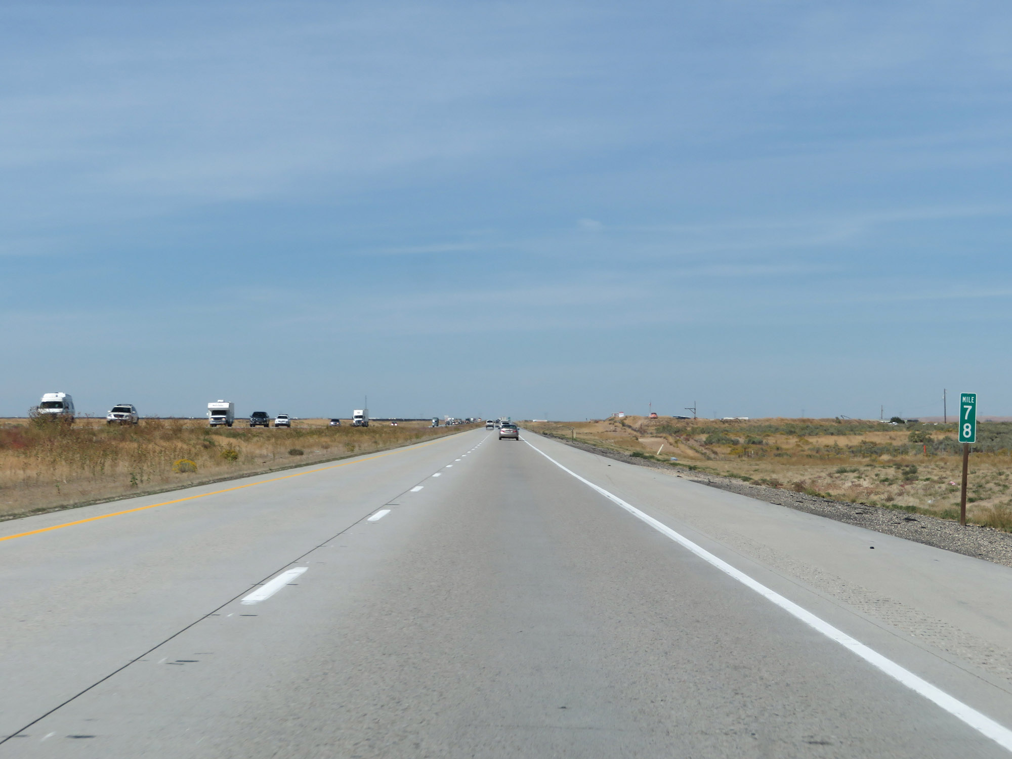 |
Interstate 84 West at mile marker 78. (Photo taken 9/25/19). |
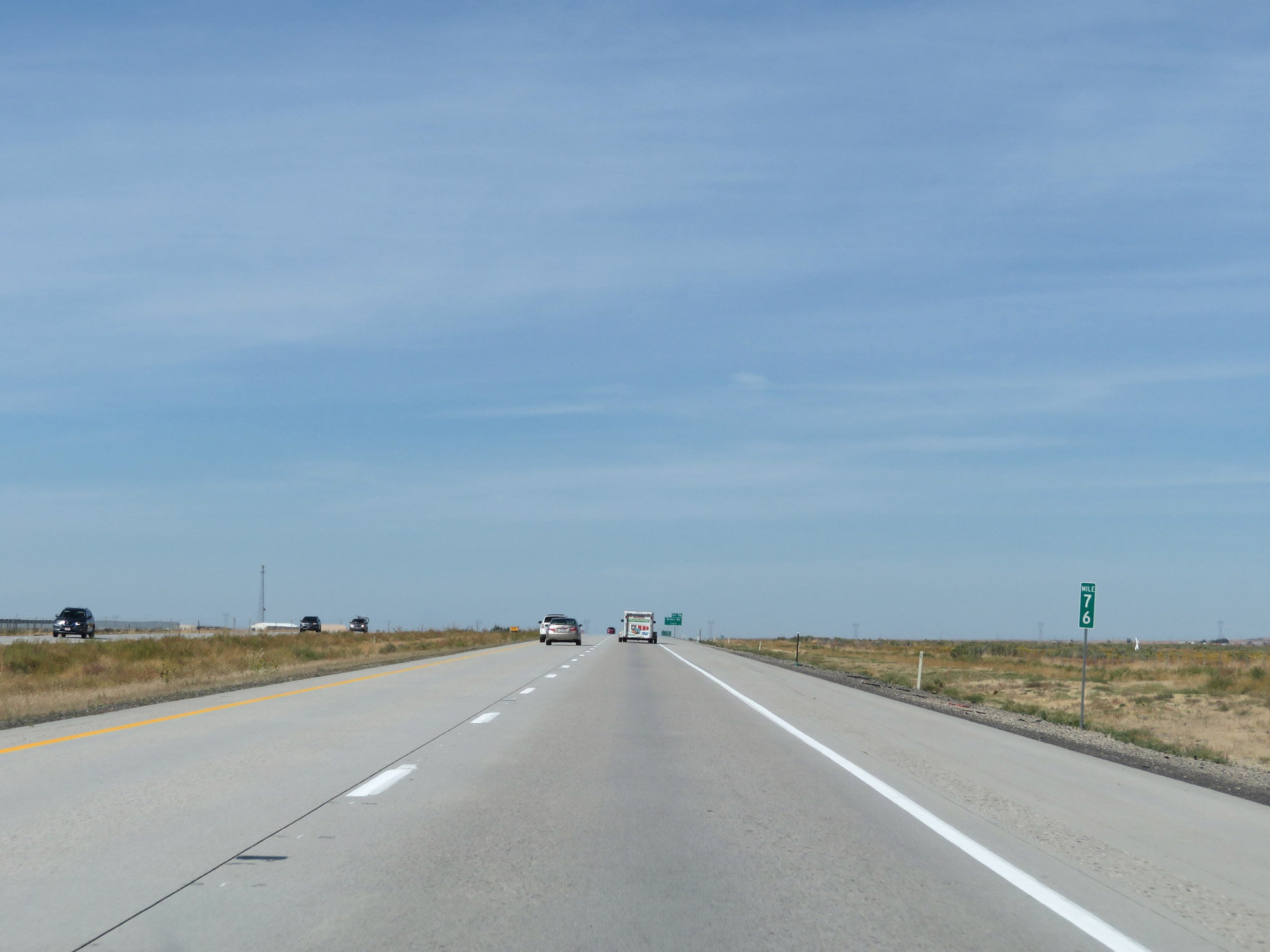 |
View on Interstate 84 West at mile marker 76. (Photo taken 9/25/19). |
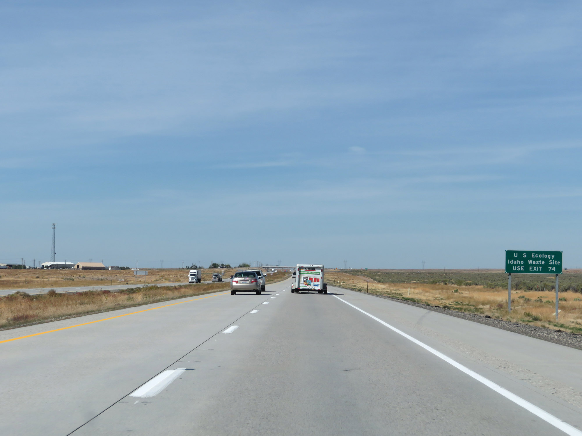 |
Take Exit 74 to the U.S. Ecology Idaho Waste Site. (Photo taken 9/25/19). |
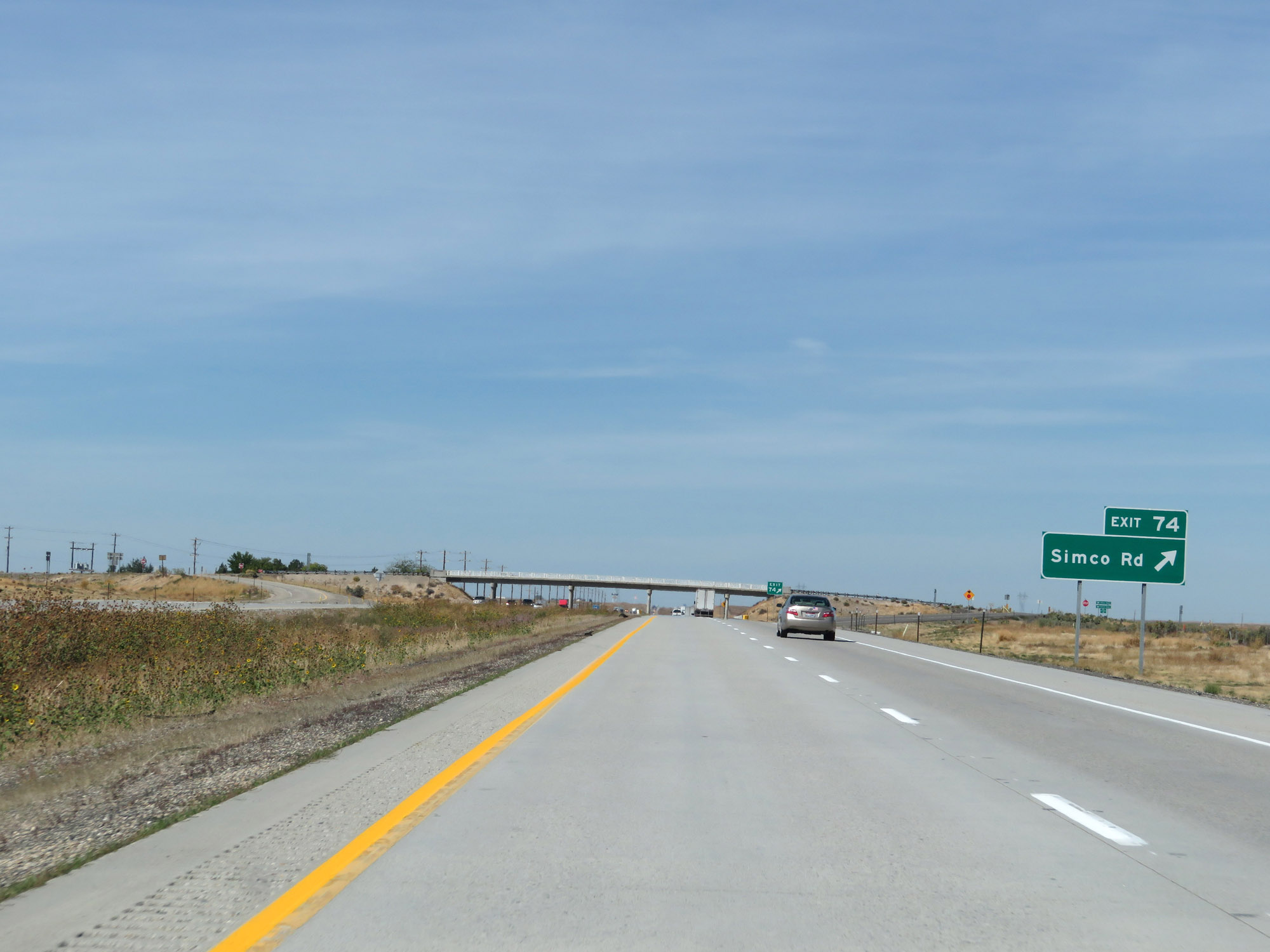 |
Interstate 84 West at Exit 74: Simco Rd (Photo taken 9/25/19). |
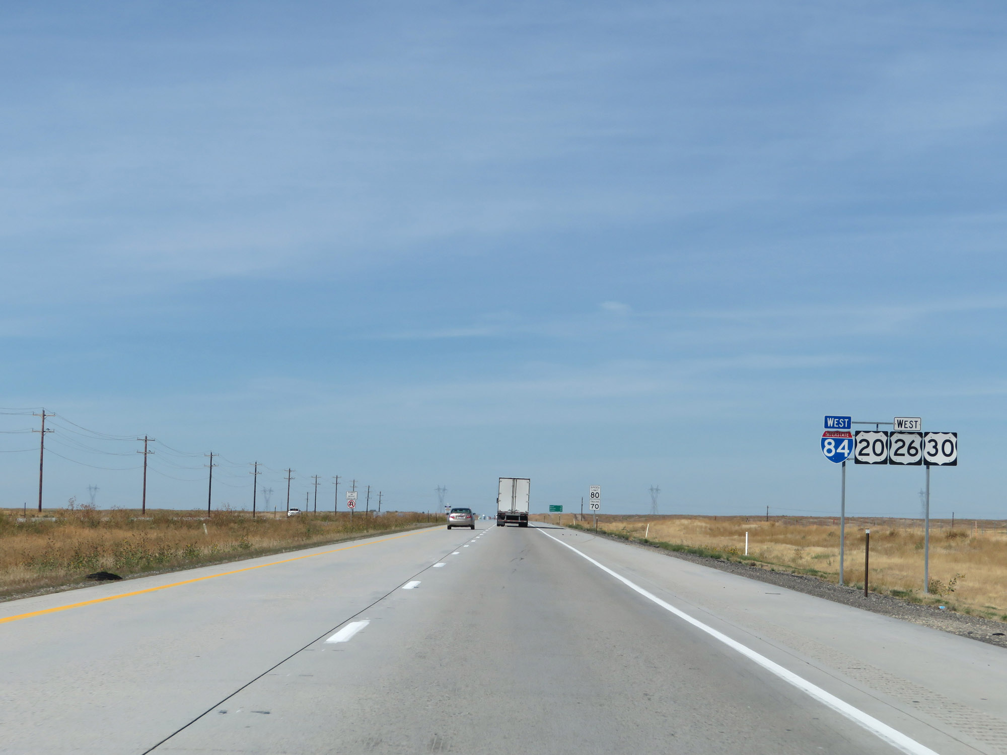 |
Interstate 84 West reassurance shield alongside US 20 West / US 26 West / US 30 West markers. (Photo taken 9/25/19). |
 |
Mileage sign on Interstate 84 West. It's 19 miles to Boise, 29 miles to Meridian, and 75 miles to Ontario. (Photo taken 9/25/19). |
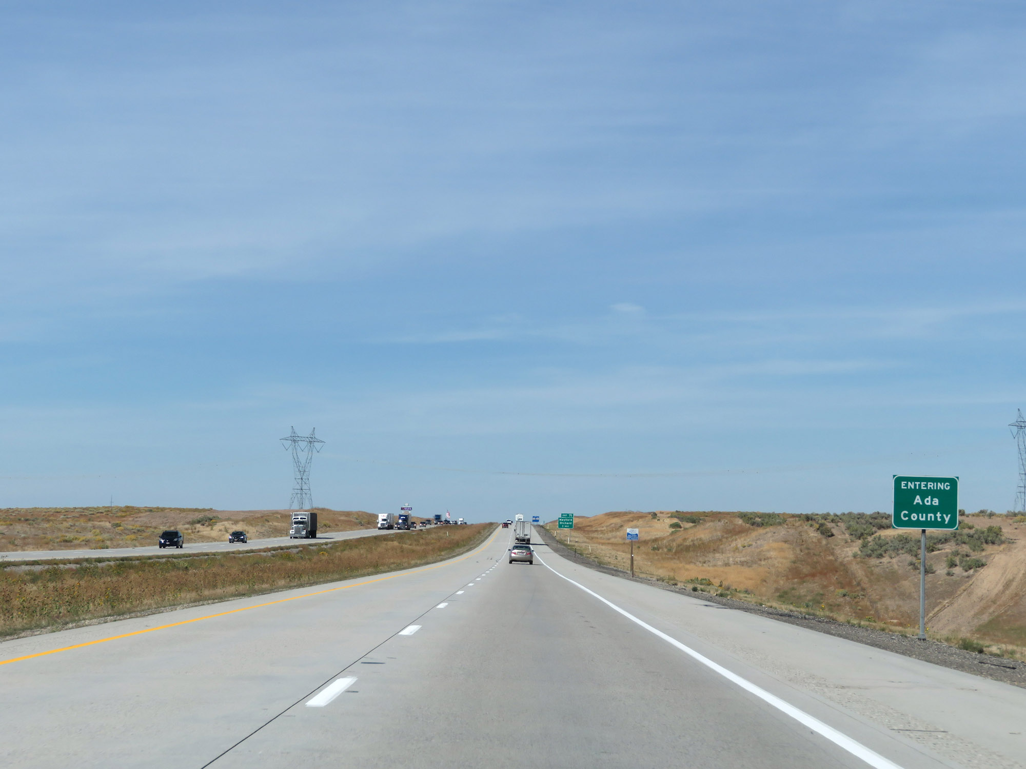 |
Interstate 84 West as it enters Ada County. (Photo taken 9/25/19). |
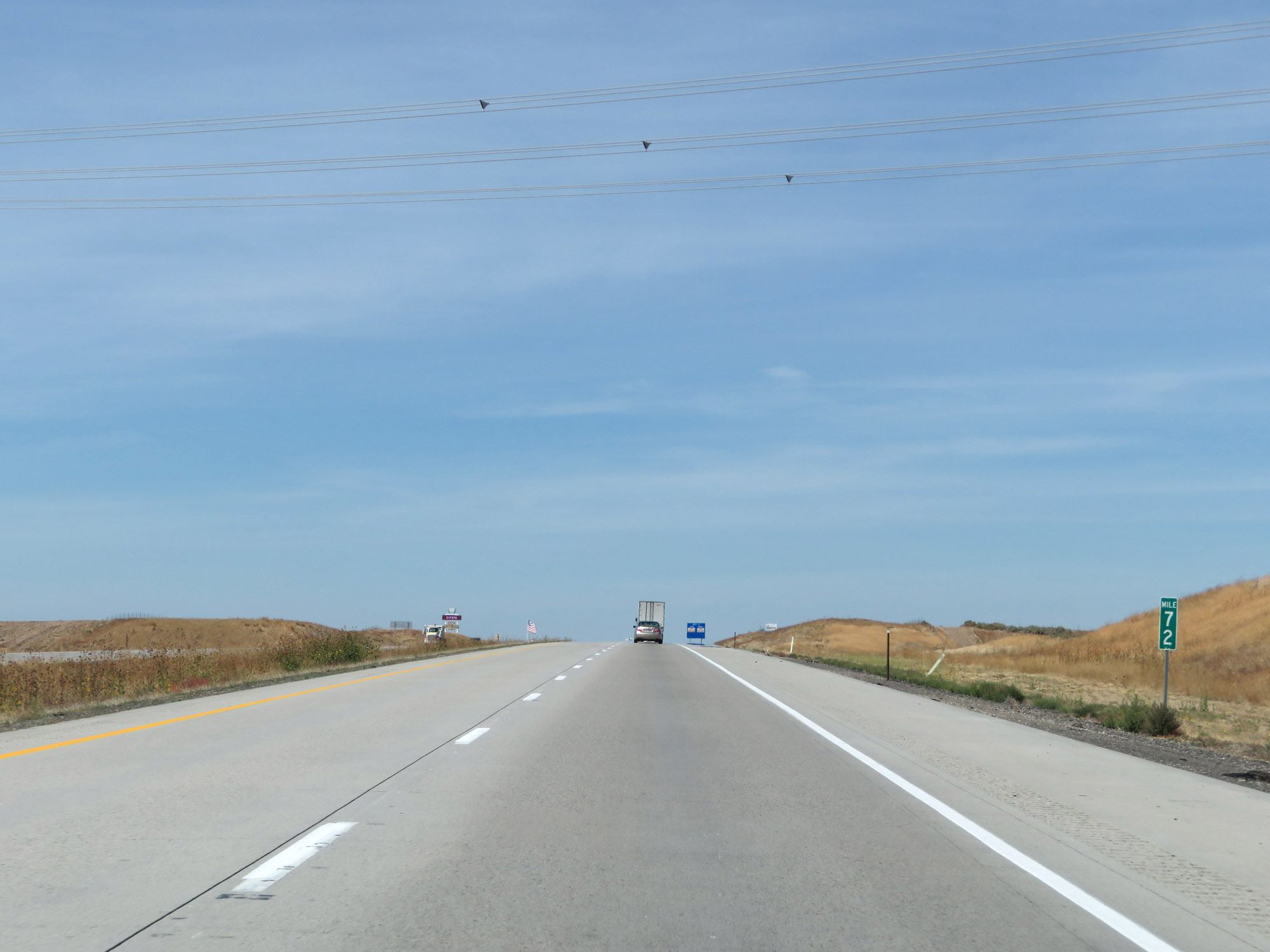 |
View on Interstate 84 West at mile marker 72. (Photo taken 9/25/19). |
 |
Interstate 84 West at Exit 71: Mayfield / Orchard (Photo taken 9/25/19). |
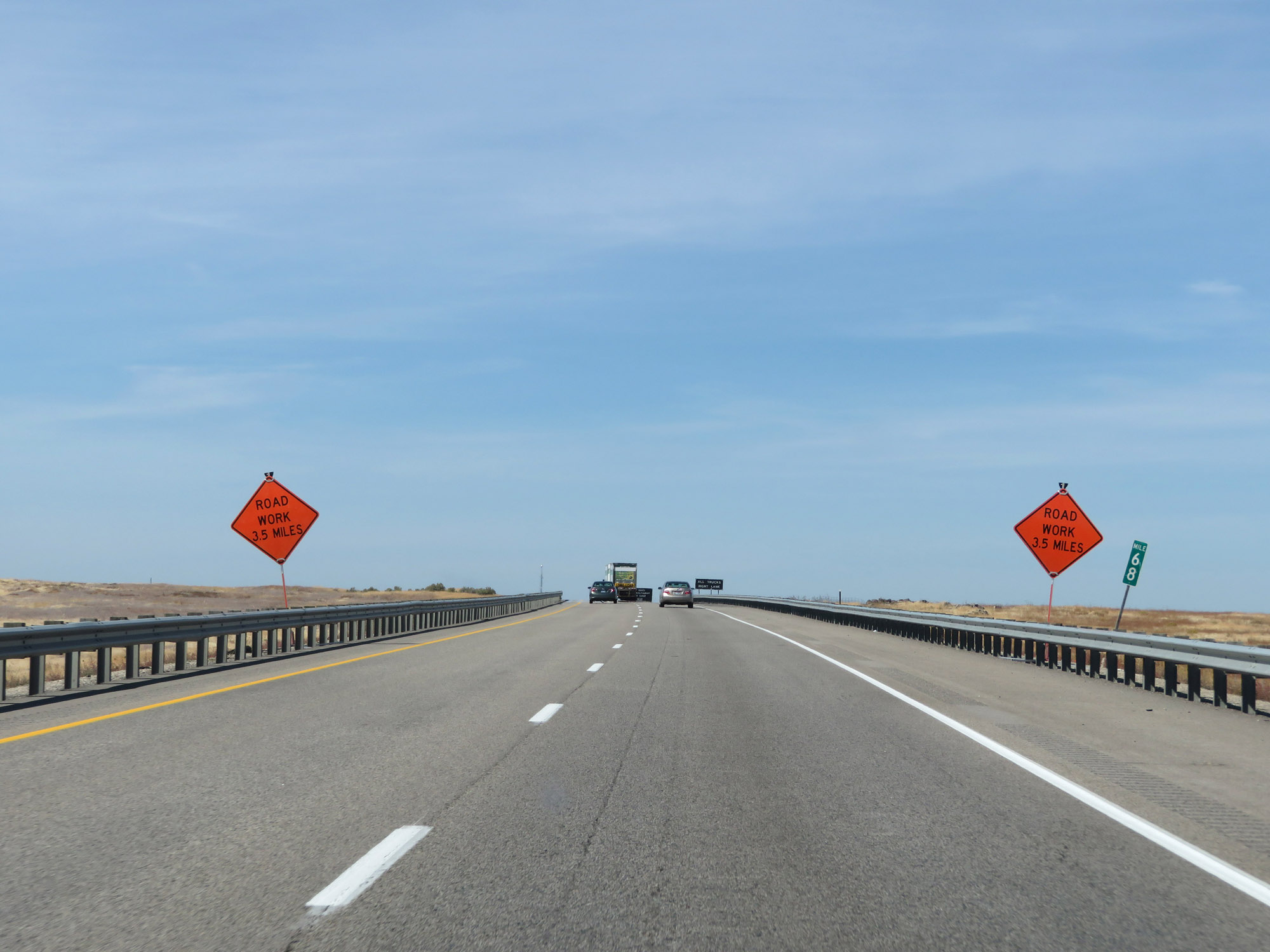 |
Interstate 84 West at mile marker 68. (Photo taken 9/25/19). |
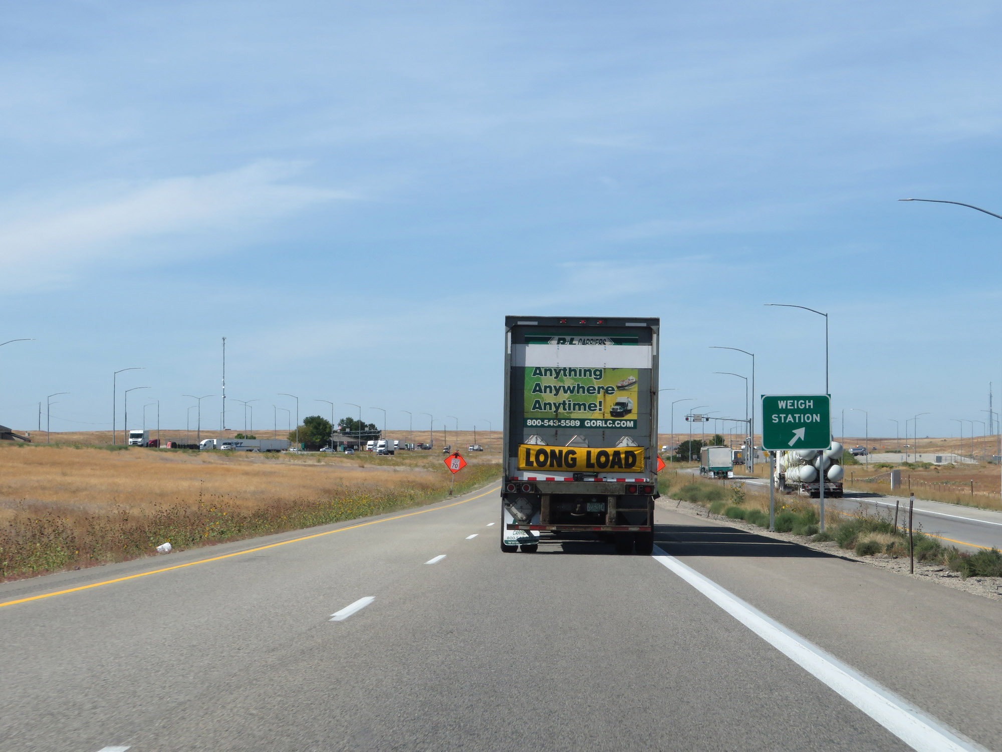 |
Weigh Station on Interstate 84 West in Ada County. (Photo taken 9/25/19). |
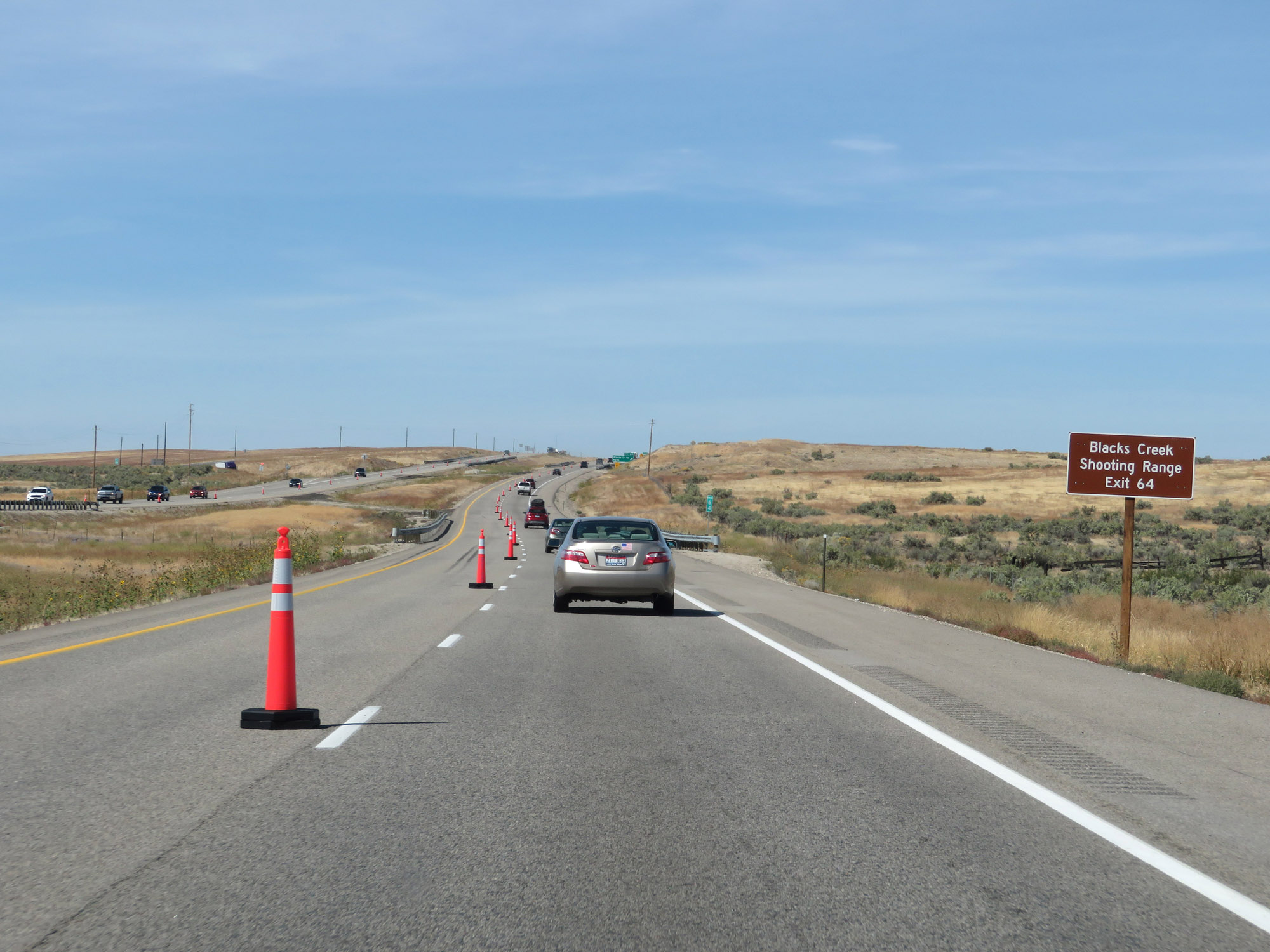 |
Take Exit 64 to Blacks Creek Shooting Range. (Photo taken 9/25/19). |
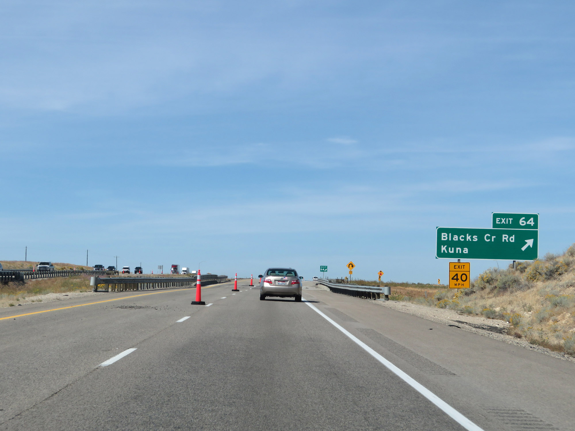 |
Interstate 84 West at Exit 64: Blacks Creek Rd / Kuna (Photo taken 9/25/19). |
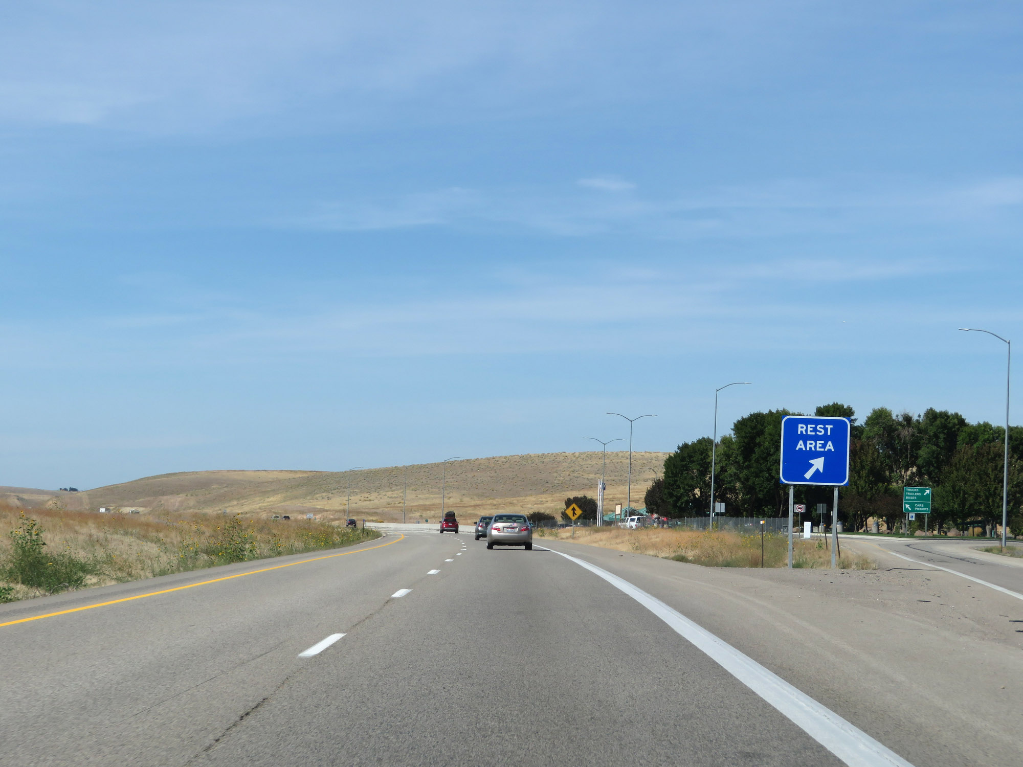 |
Rest Area on Interstate 84 West in Ada County. (Photo taken 9/25/19). |
 |
The speed limits remain 80 mph for cars and 70 mph for trucks. (Photo taken 9/25/19). |
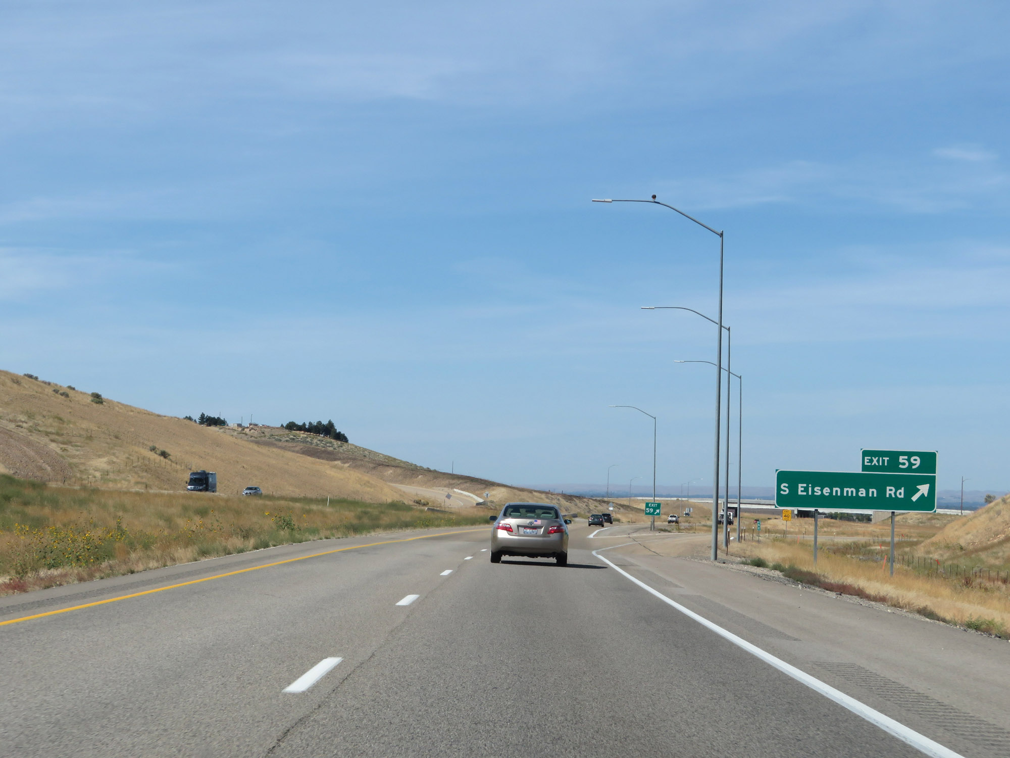 |
Interstate 84 West at Exit 59: S Eisenman Rd (Photo taken 9/25/19). |
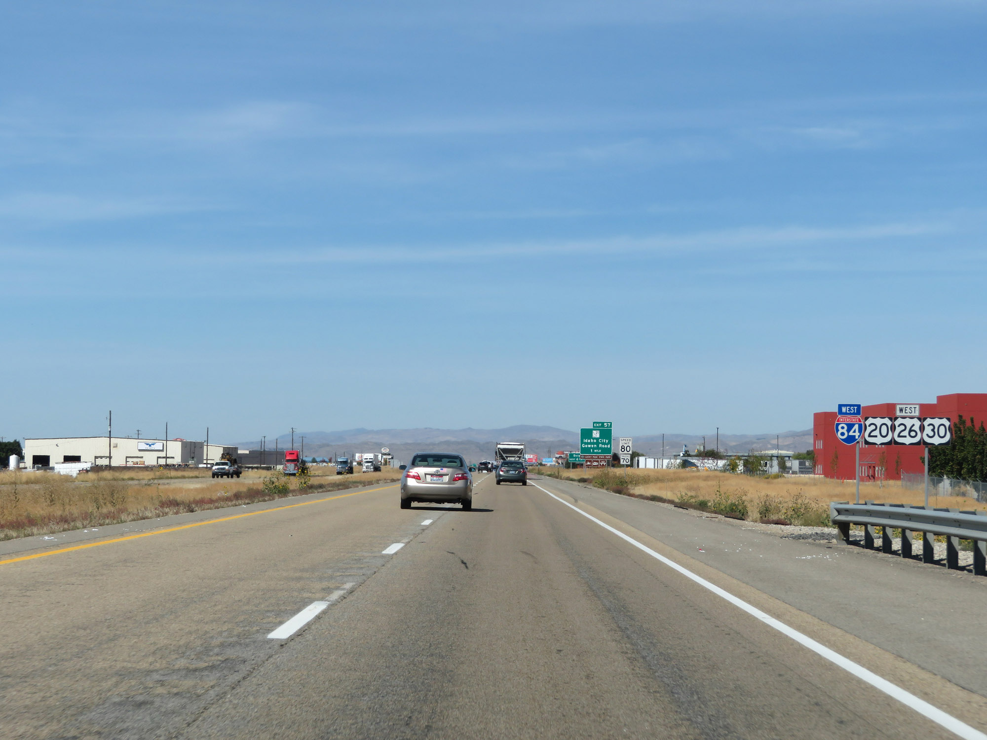 |
Another Interstate 84 West reassurance shield alongside US 20 West / US 26 West / US 30 West shields. (Photo taken 9/25/19). |
 |
Take any of the next 6 exits to Boise. (Photo taken 9/25/19). |
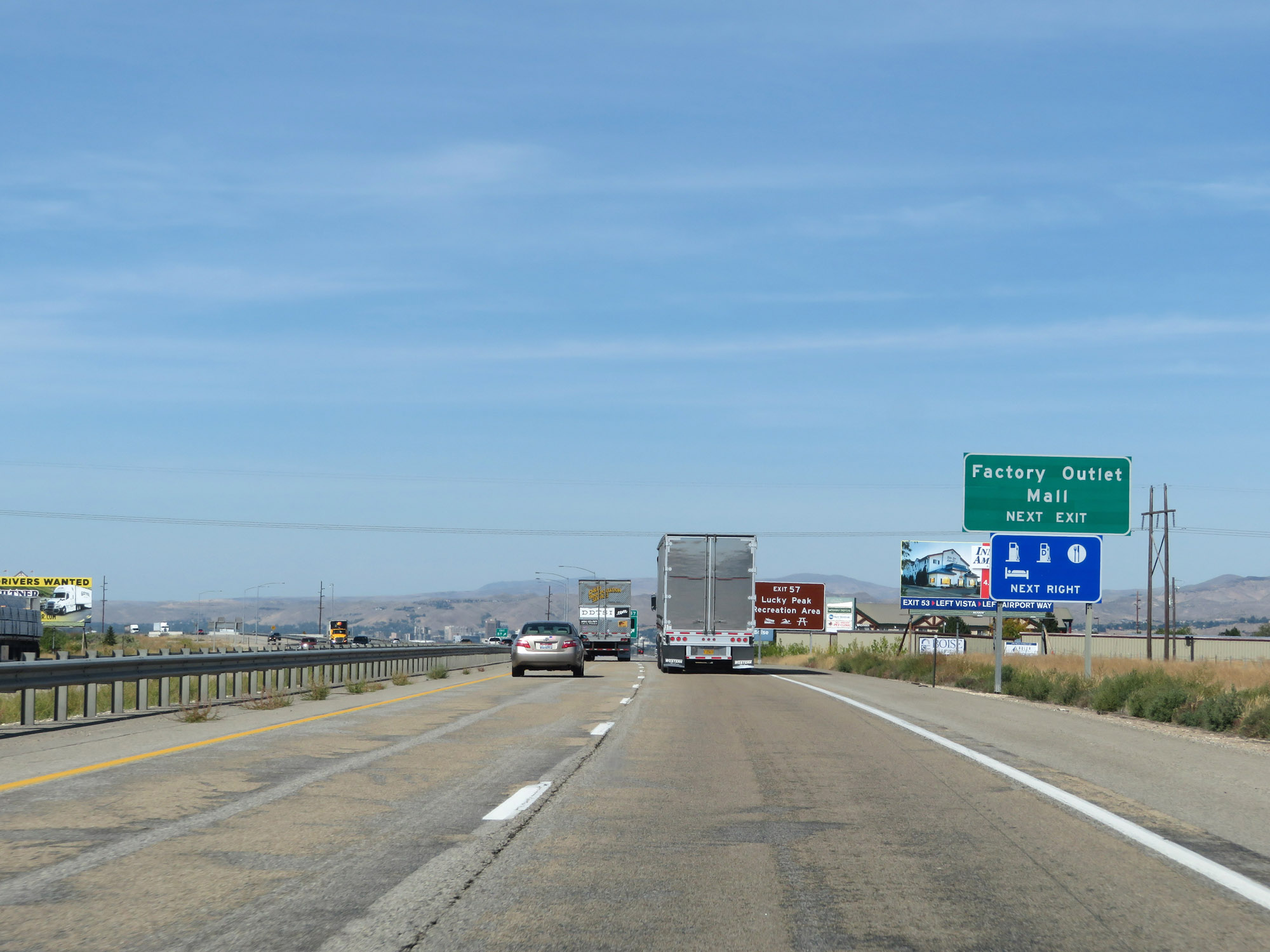 |
Take Exit 57 to the Factory Outlet Mall. (Photo taken 9/25/19). |
 |
Also take Exit 57 to Lucky Peak Recreation Area. (Photo taken 9/25/19). |
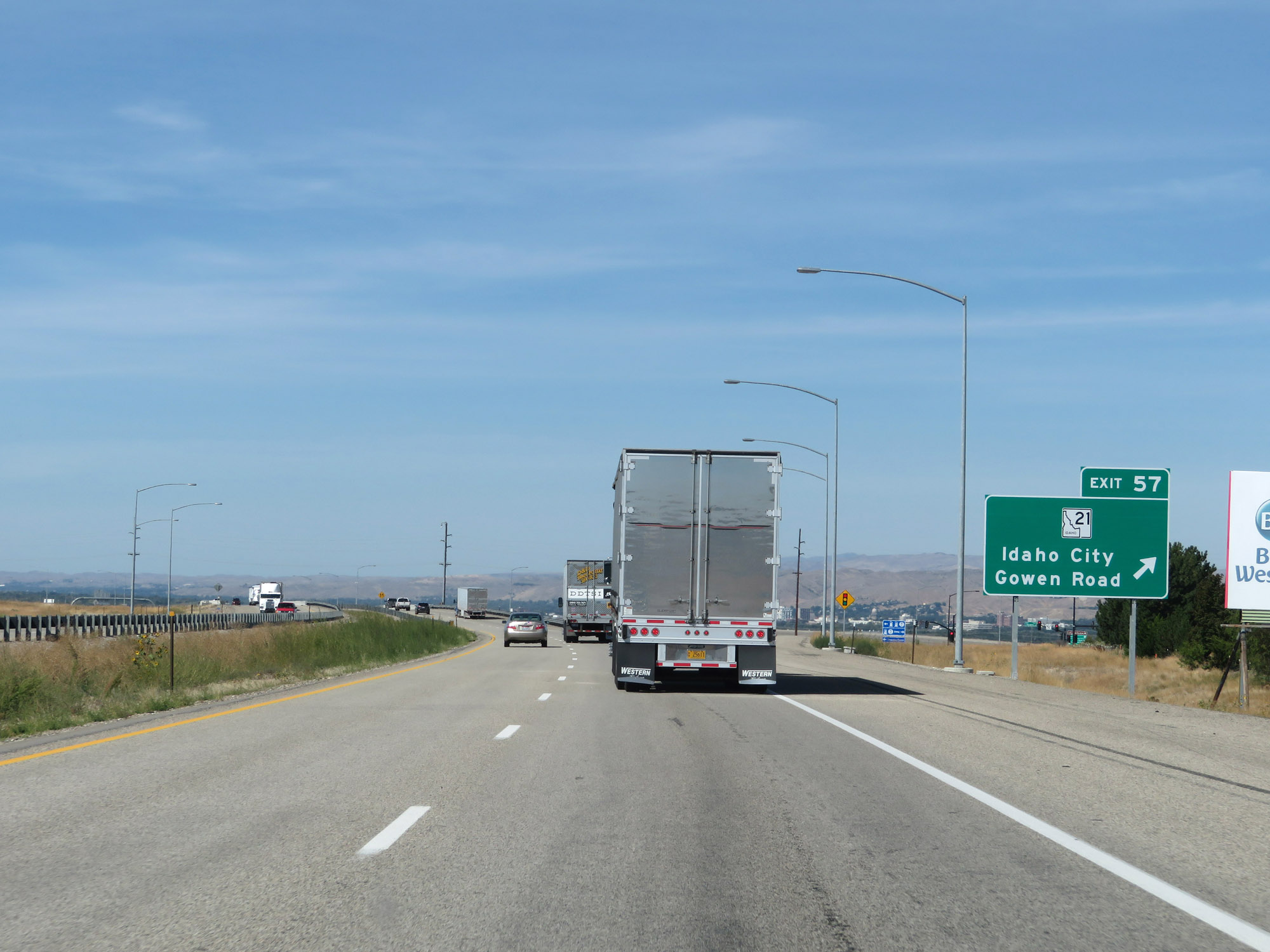 |
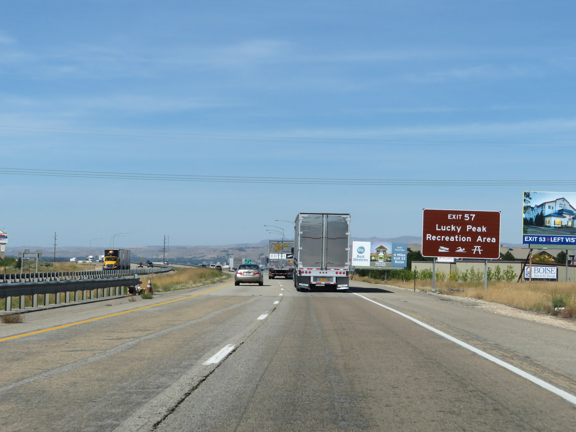
Interstate 84 West at Exit 57: ID 21 - Idaho City / Gowen Road (Photo taken 9/25/19). |
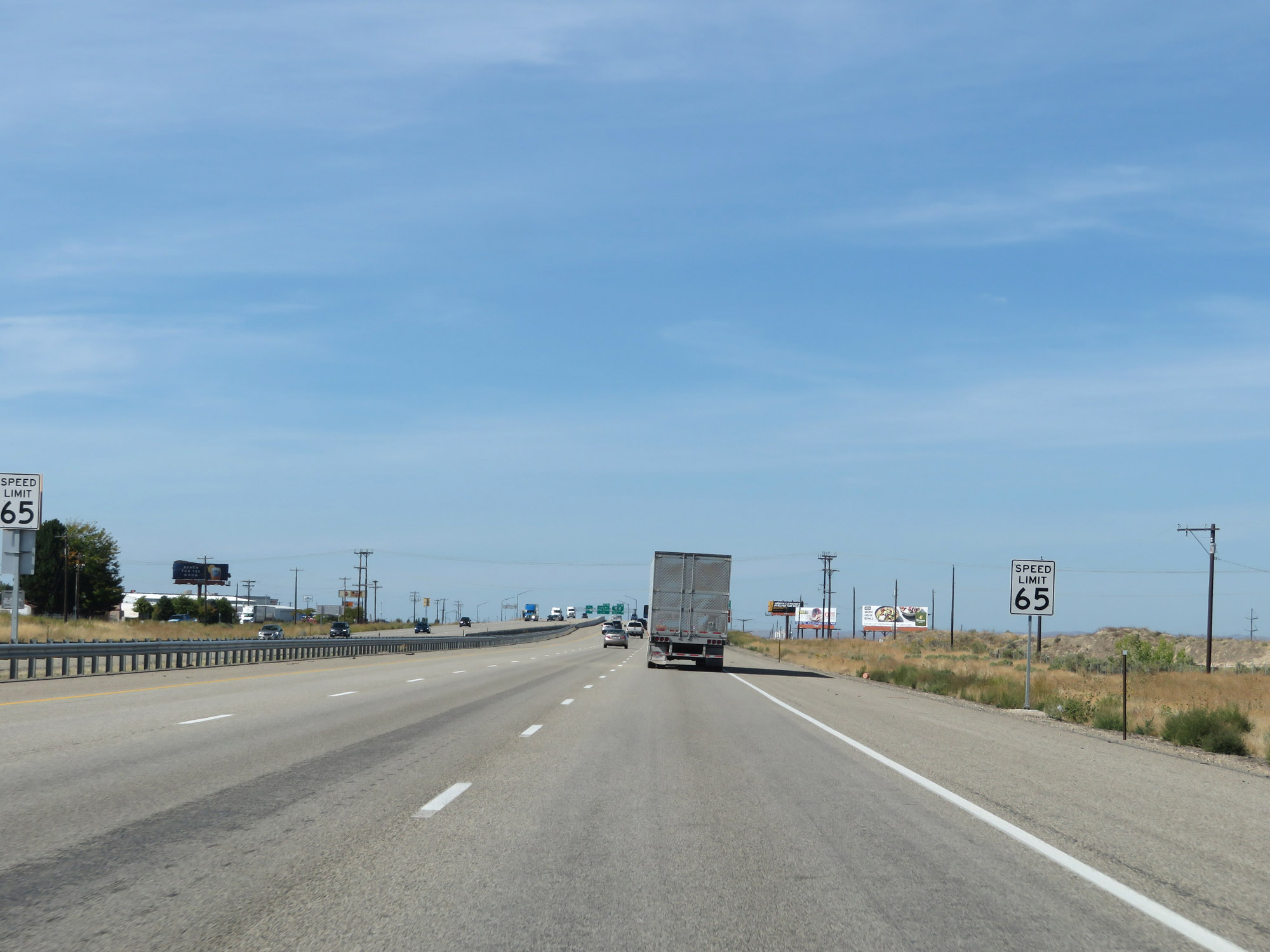 |
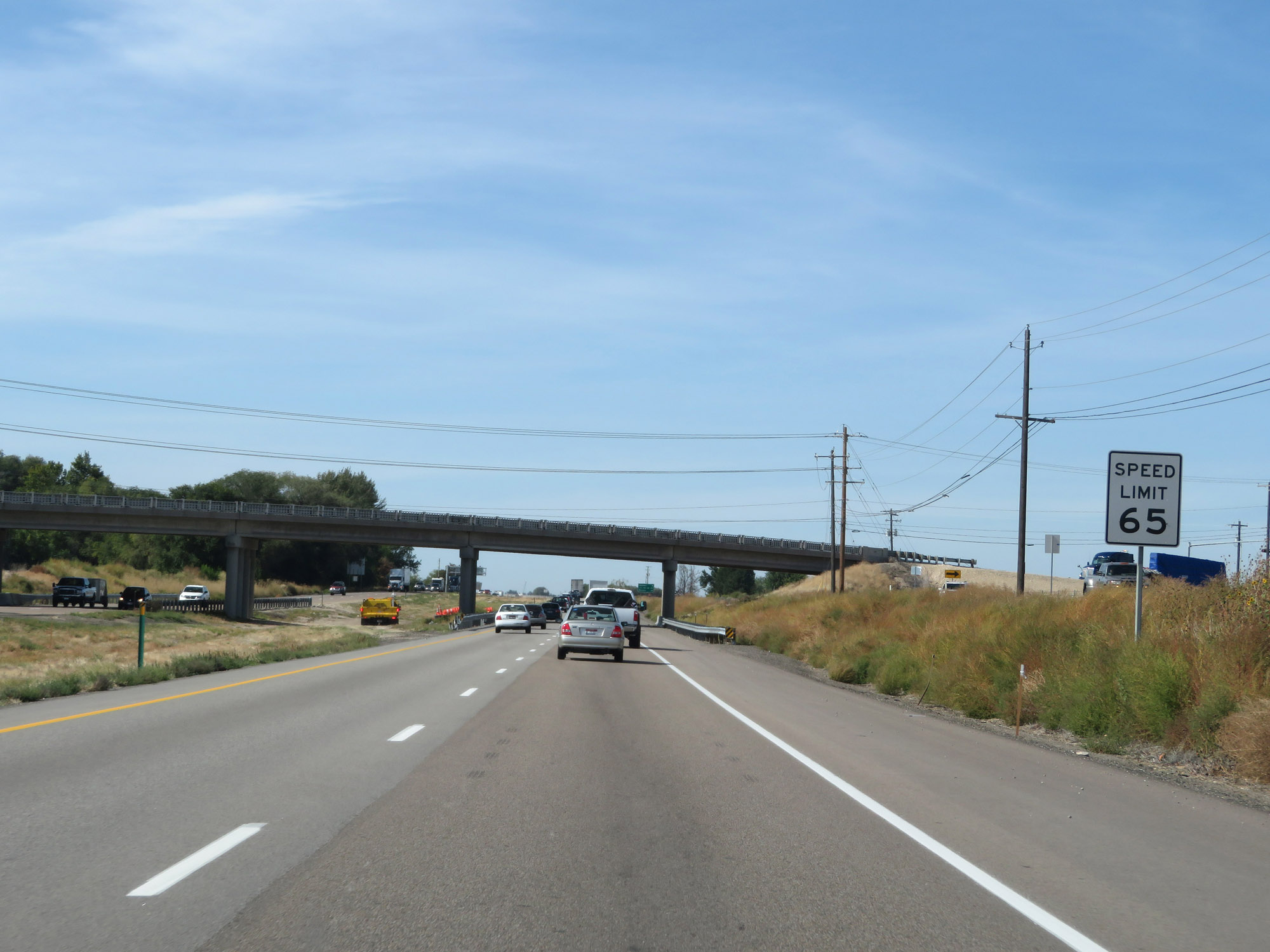
Entering the Boise area, the speed limit decreases to 65 mph for all traffic. (Photo taken 9/25/19). |
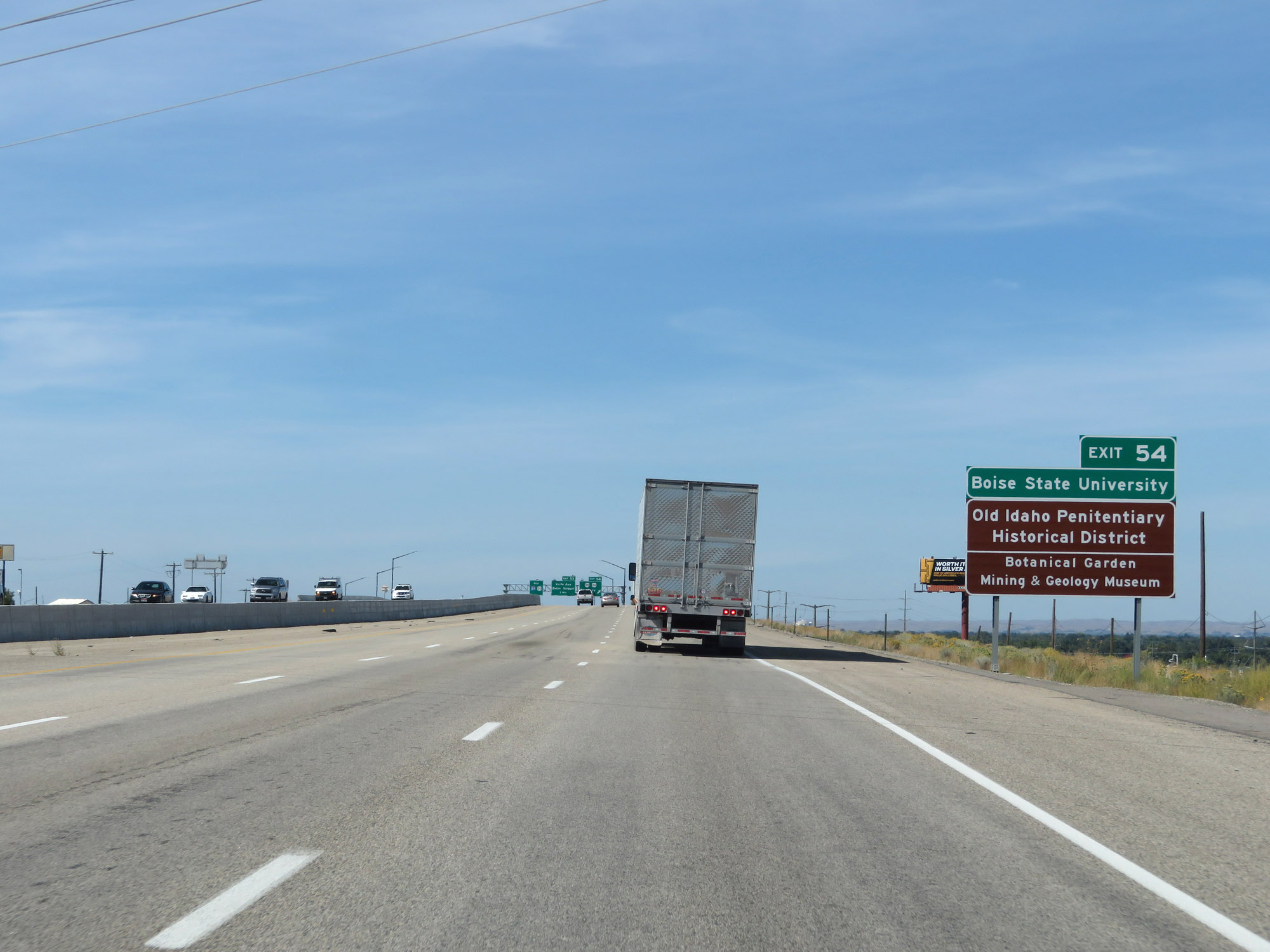 |
Take Exit 54 to Boise State University, Old Idaho Penitentiary Historical District, the Botanical Garden, and the Mining & Geology Museum. (Photo taken 9/25/19). |
 |
Interstate 84 West at Exit 54: US 20 / US 26 - Broadway Avenue (Photo taken 9/25/19). |
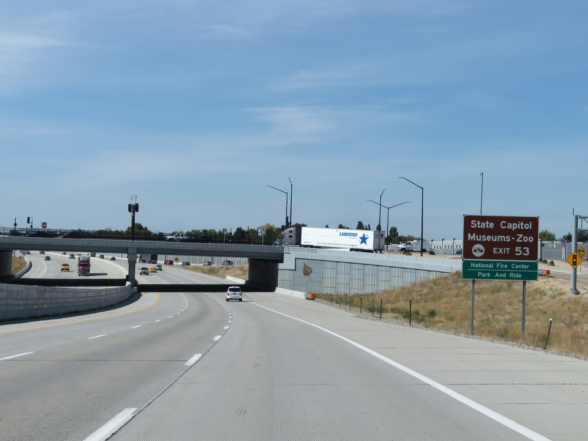 |
Take Exit 53 to the State Capitol, Museums, Zoo, and the National Fire Center. (Photo taken 9/25/19). |
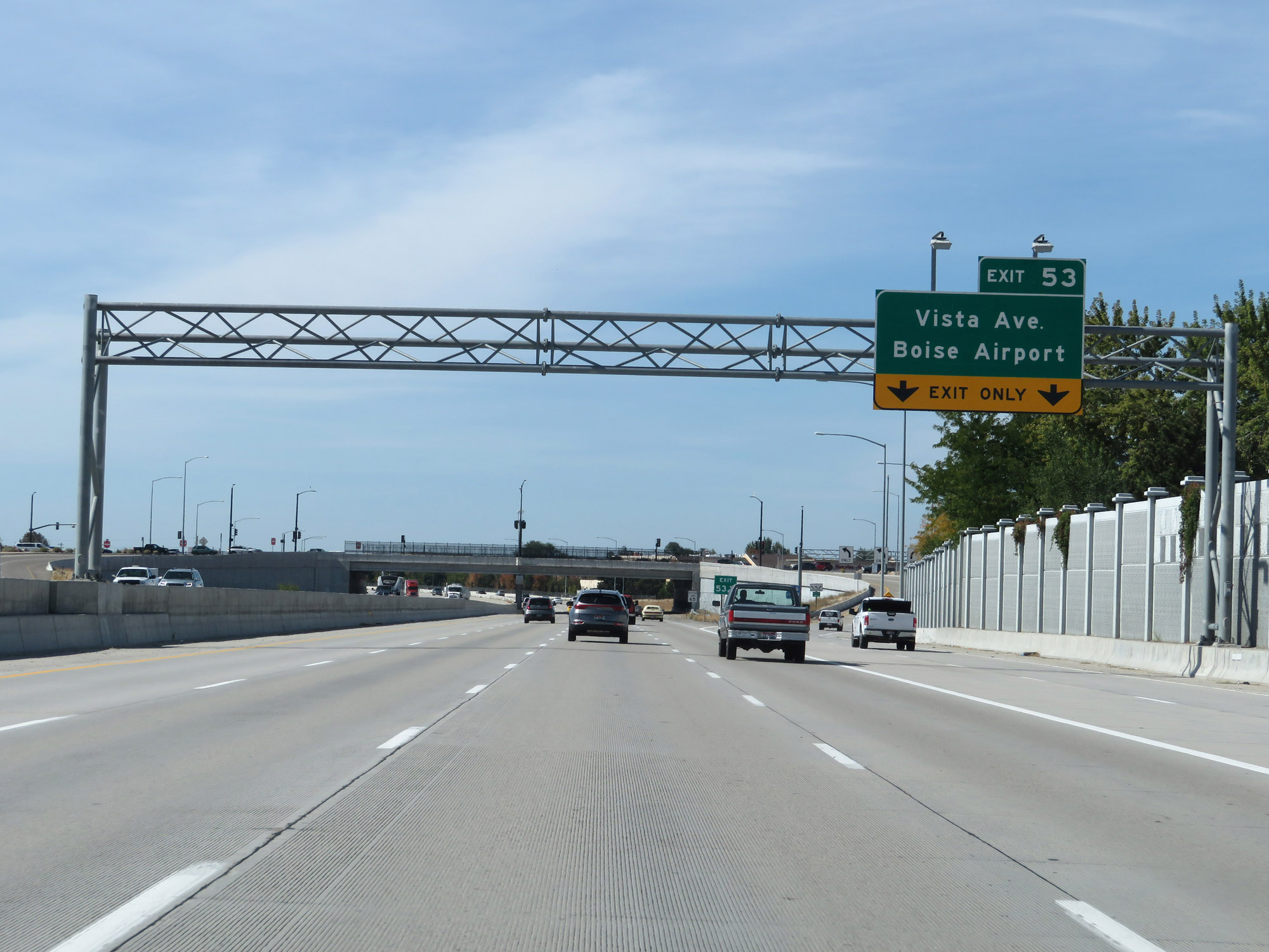 |
Interstate 84 West at Exit 53: Vista Ave / Boise Airport (Photo taken 9/25/19). |
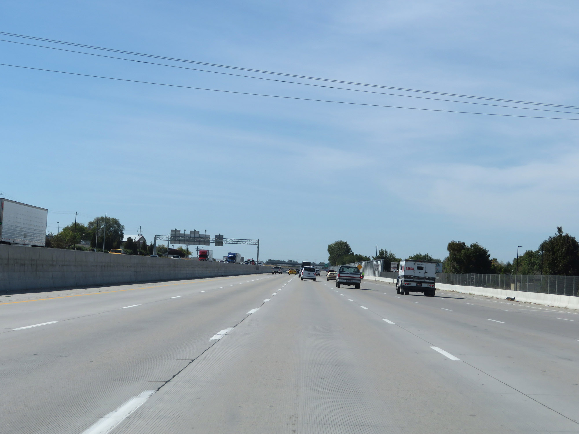 |
View on Interstate 84 West in Boise, as it maintains 4 thru lanes. (Photo taken 9/25/19). |
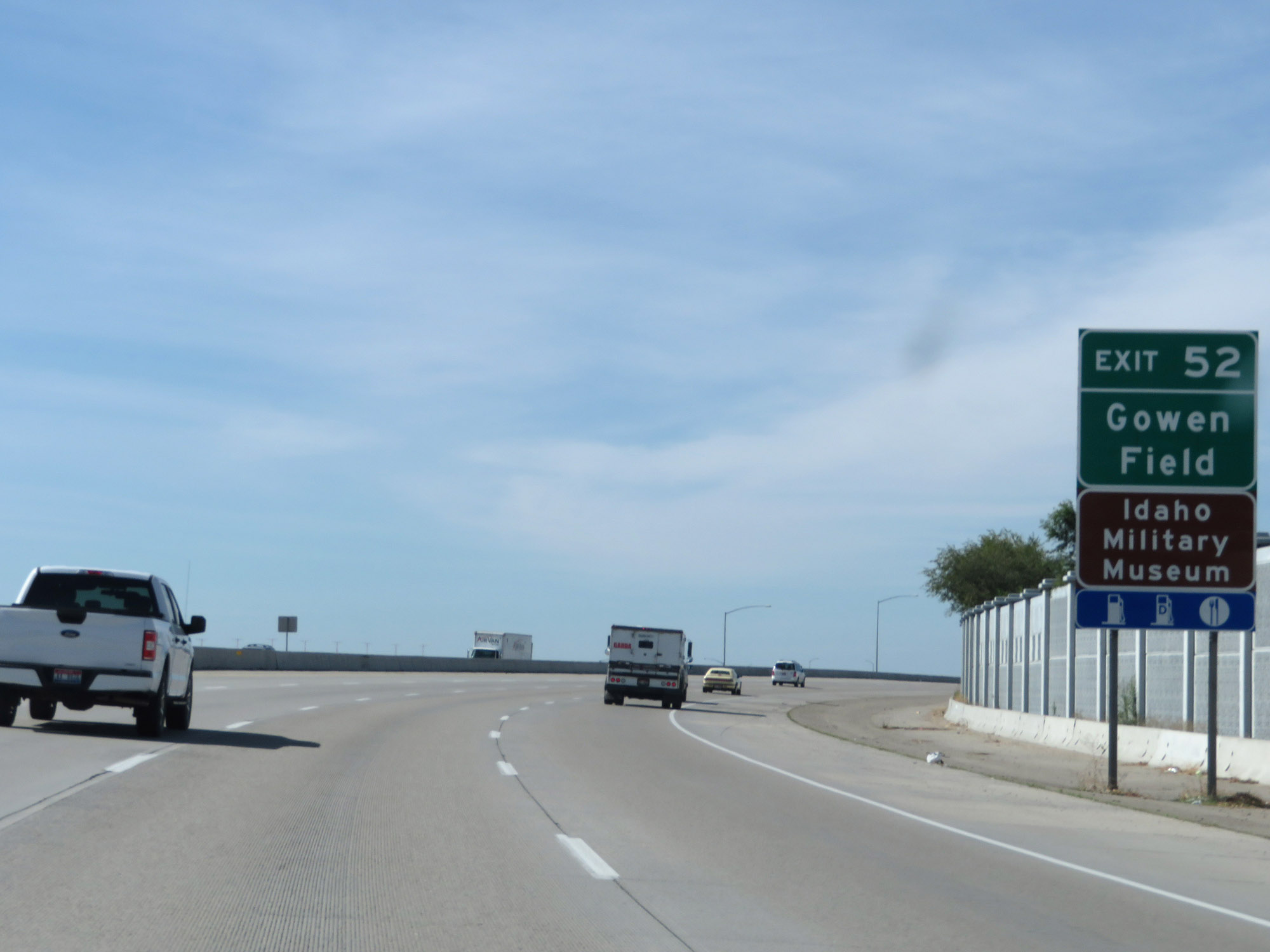 |
Take Exit 52 to Gowen Field and the Idaho Military Museum. (Photo taken 9/25/19). |
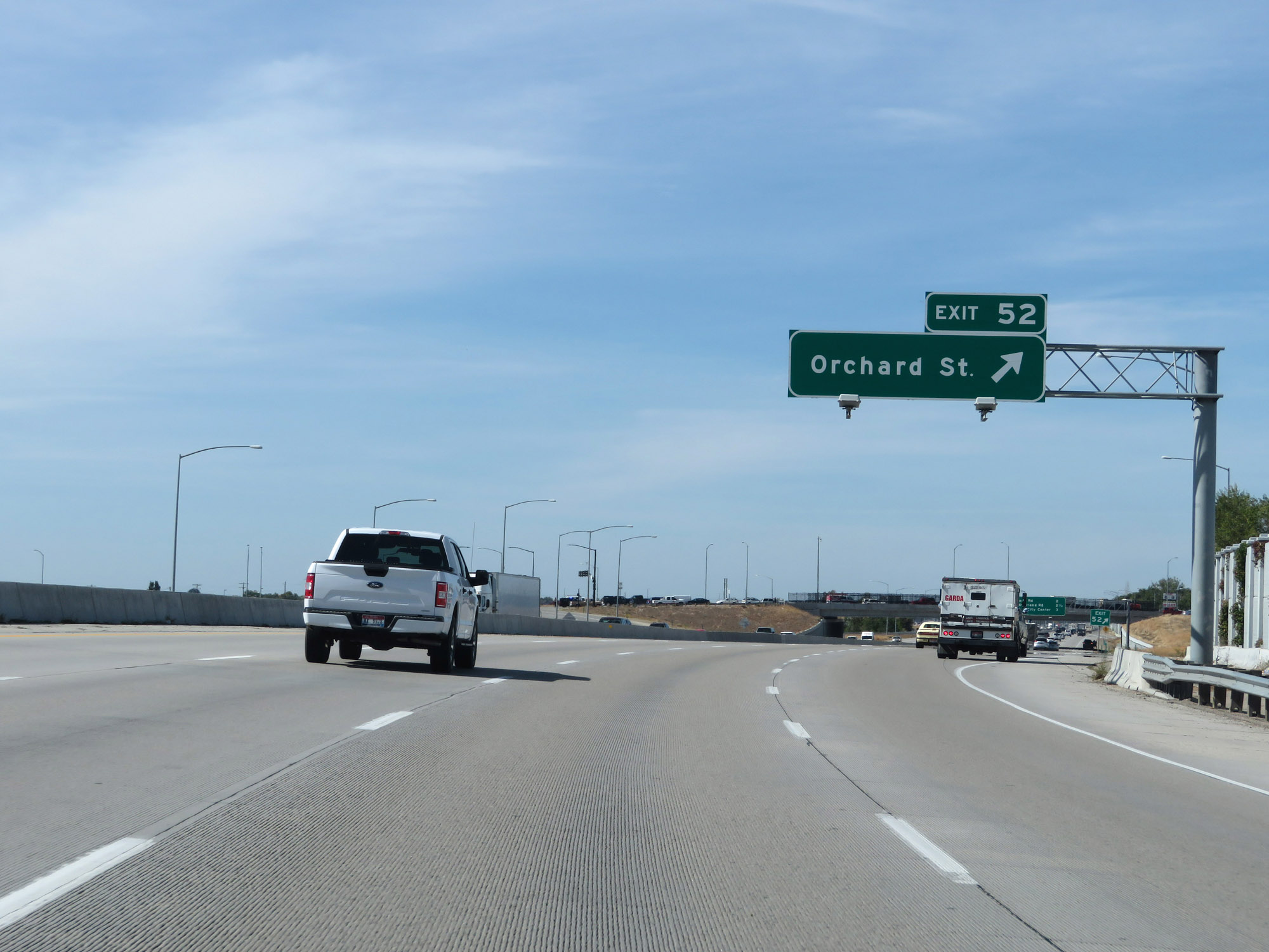 |
Interstate 84 West at Exit 52: Orchard St (Photo taken 9/25/19). |
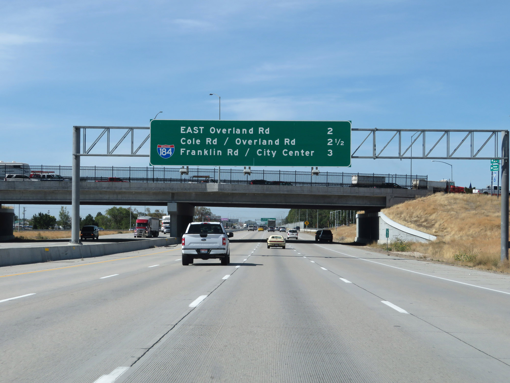 |
Overhead mileage sign listing the distances to the three upcoming interchanges in Boise. (Photo taken 9/25/19). |
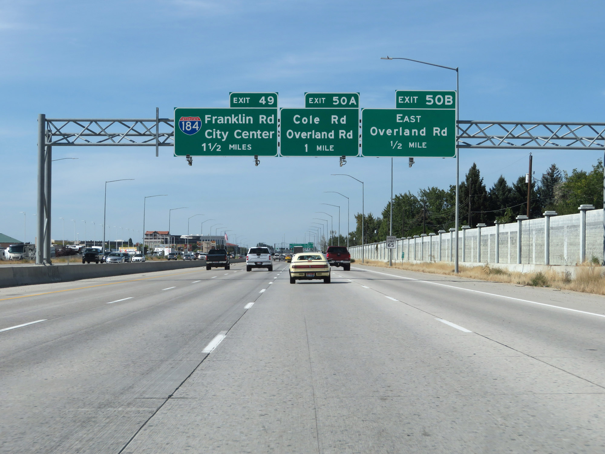 |
Interstate 84 West approaching Exit 49 - 1 1/2 miles. (Photo taken 9/25/19). |
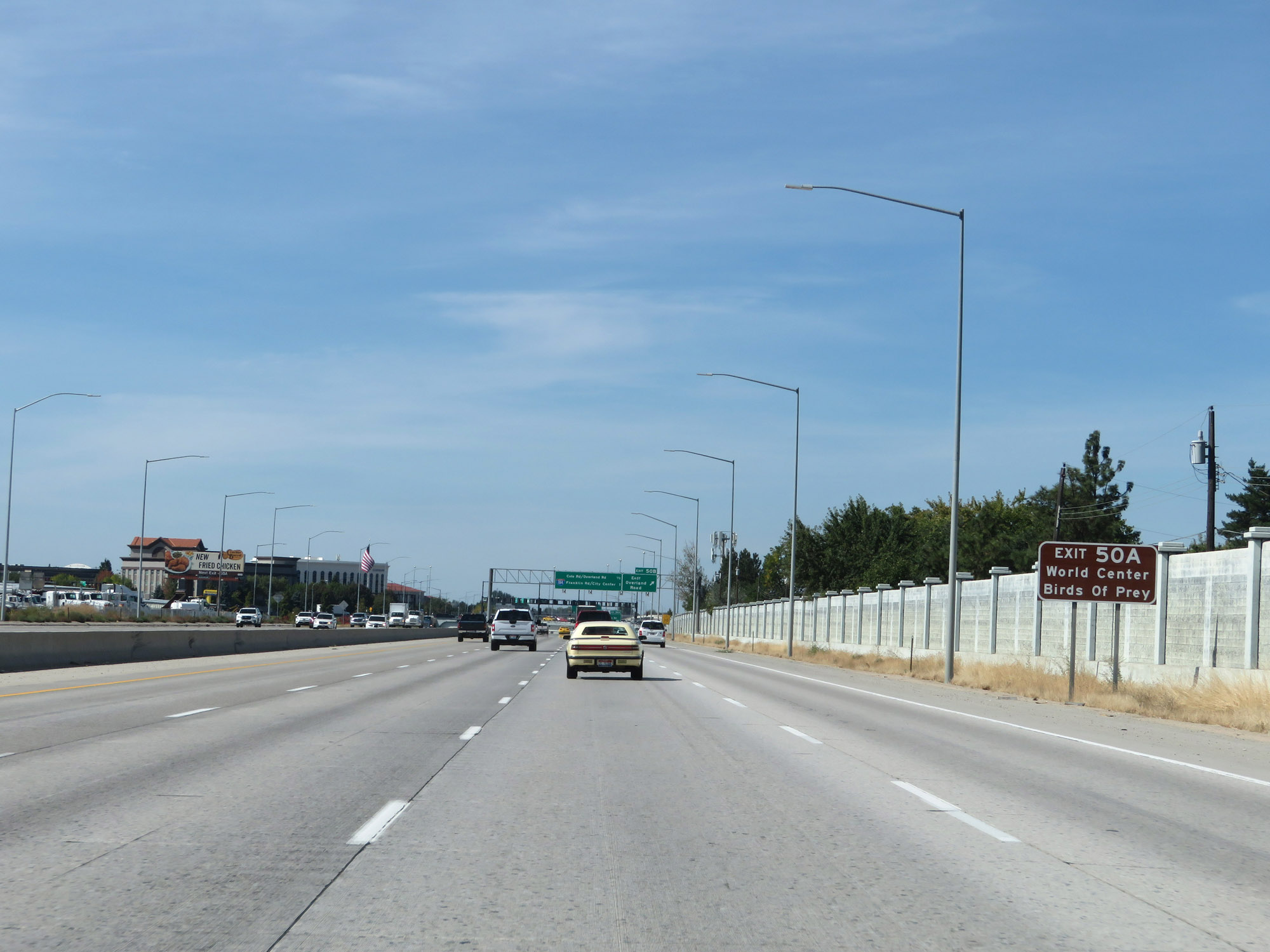 |
Take Exit 50A to the World Center for Birds of Prey. (Photo taken 9/25/19). |
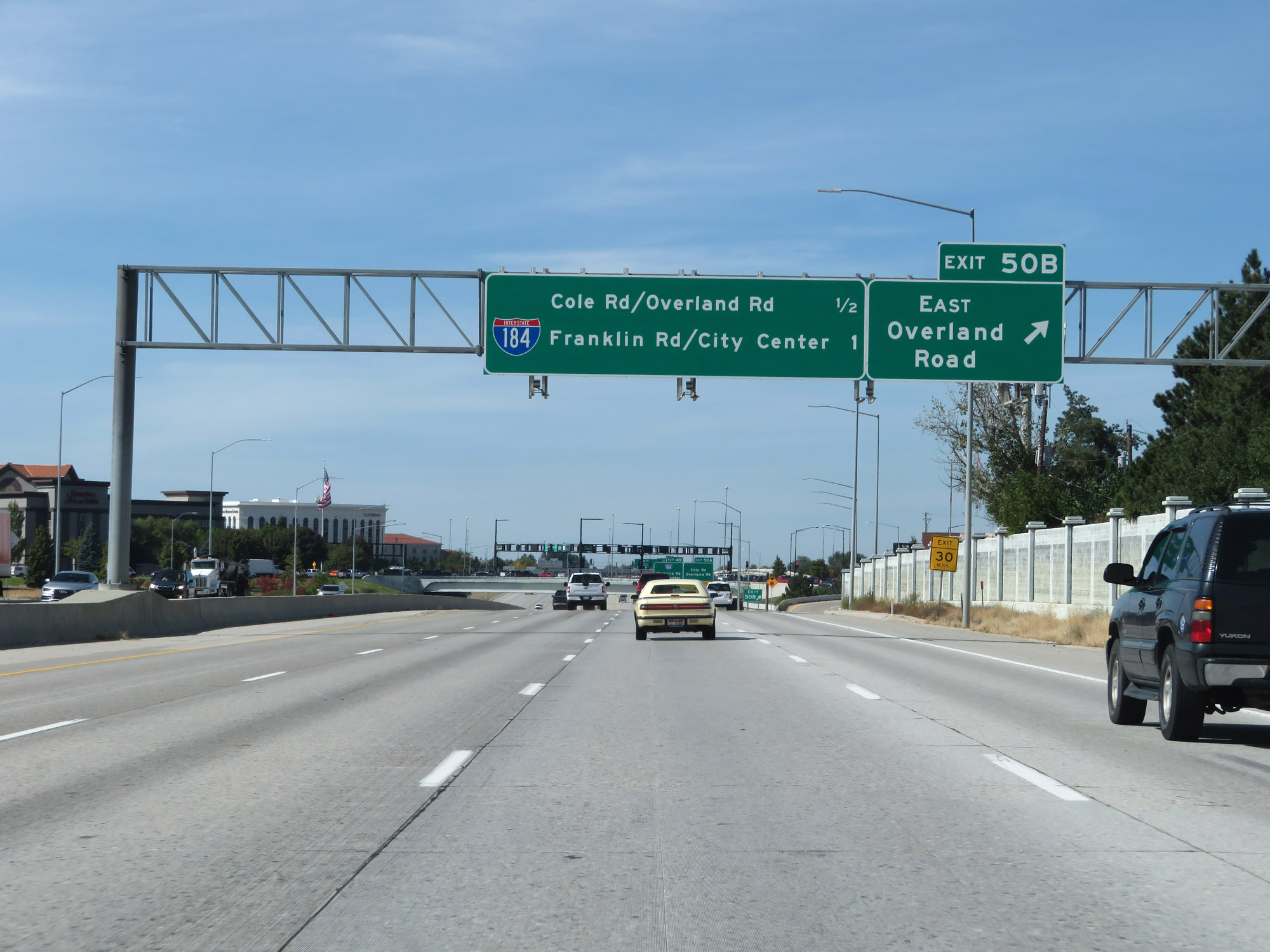 |
Interstate 84 West at Exit 50B: Overland Road East (Photo taken 9/25/19). |
 |
Interstate 84 West at Exit 50A: Cole Rd / Overland Rd (Photo taken 9/25/19). |
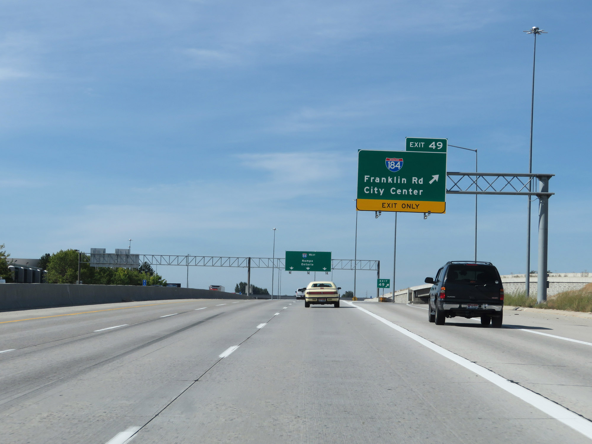 |
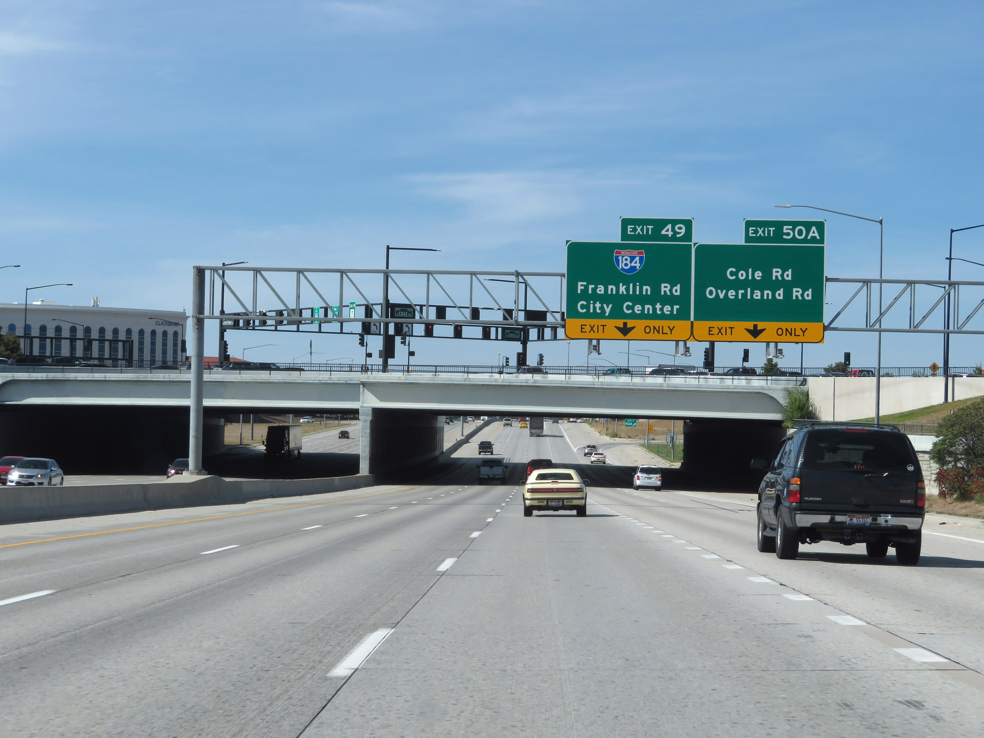
Interstate 84 West at Exit 49: Interstate 184 - Franklin Rd / City Center (Photo taken 9/25/19). |
Section 4: Boise (Exit 49) to Oregon Border
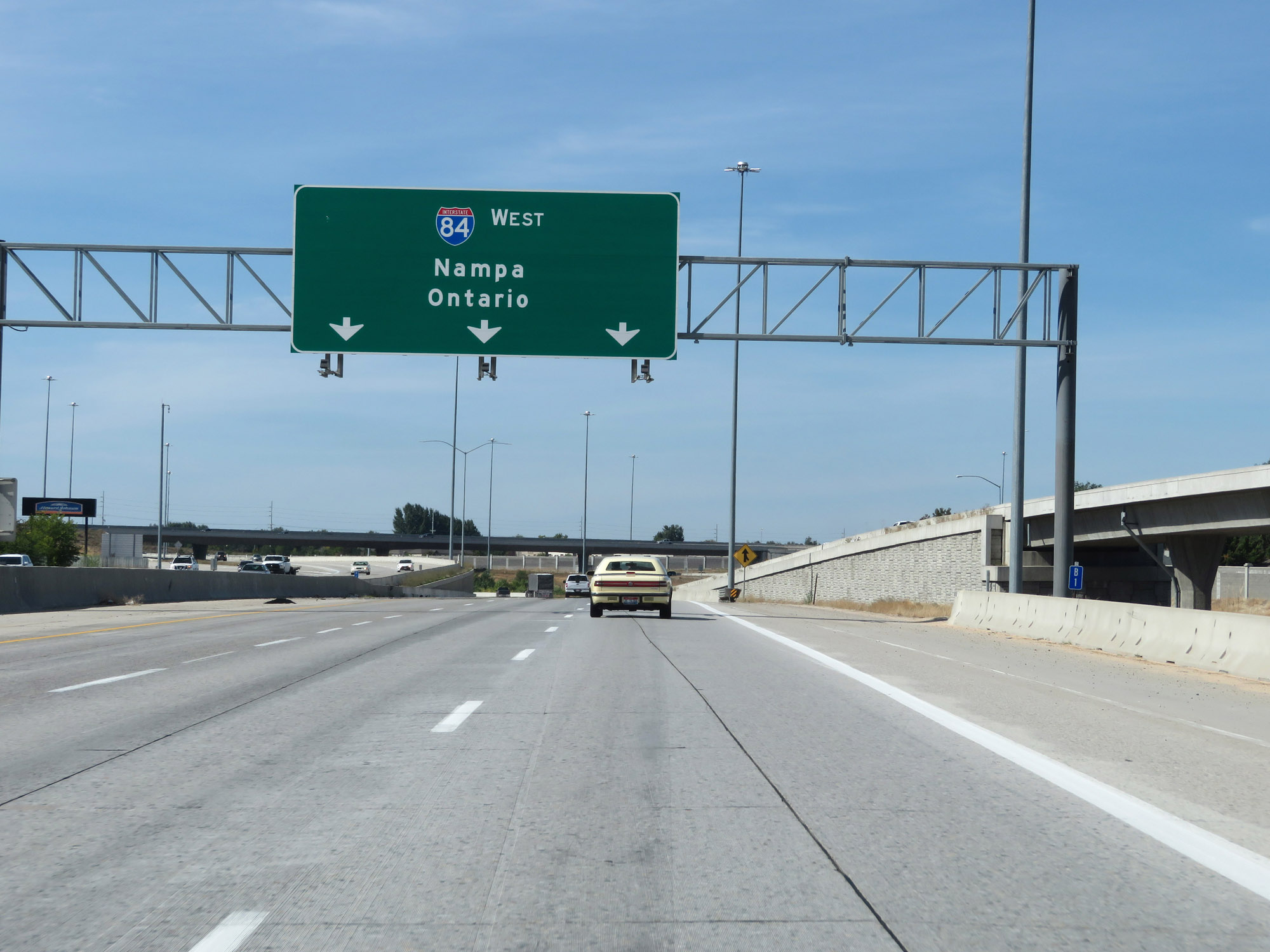 |
Interstate 84 West as traffic from Interstate 184 West prepares to merge into it on the right. (Photo taken 9/25/19). |
 |
The speed limit remains 65 mph for all traffic. (Photo taken 9/25/19). |
 |
This mileage sign lists the distances to the three upcoming exits to Meridian. (Photo taken 9/25/19). |
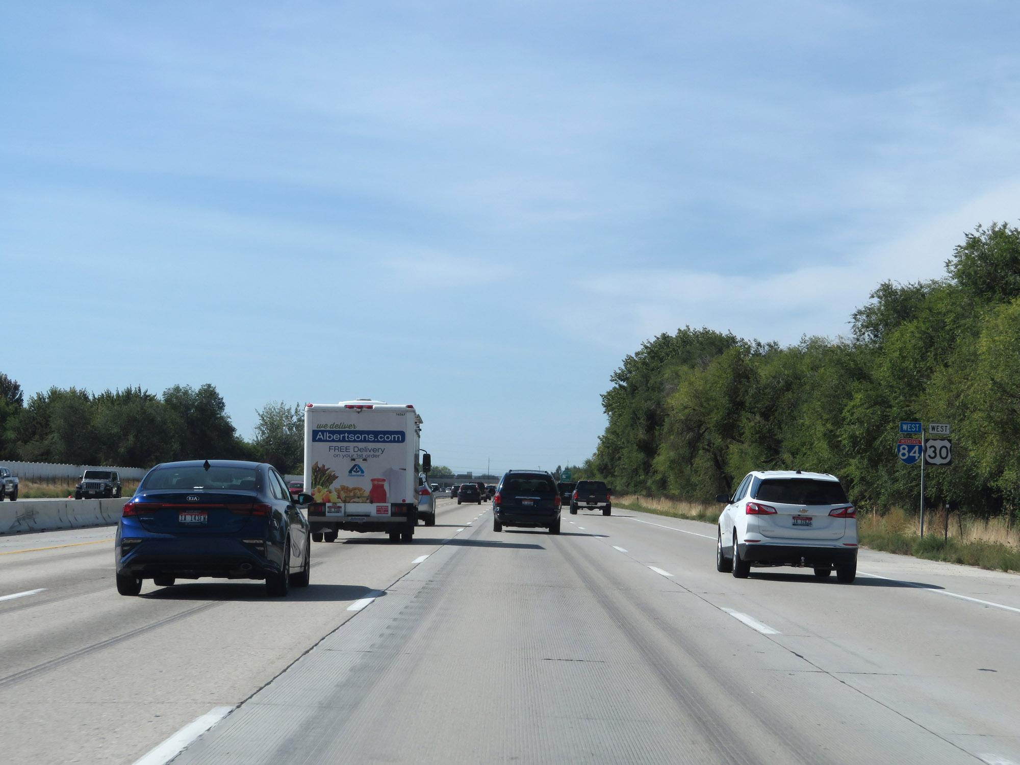 |
Interstate 84 West / US 30 West reassurance shields in Boise. (Photo taken 9/25/19). |
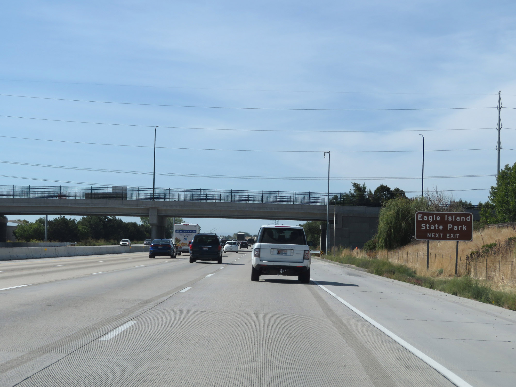 |
Take Exit 46 to Eagle Island State Park. (Photo taken 9/25/19). |
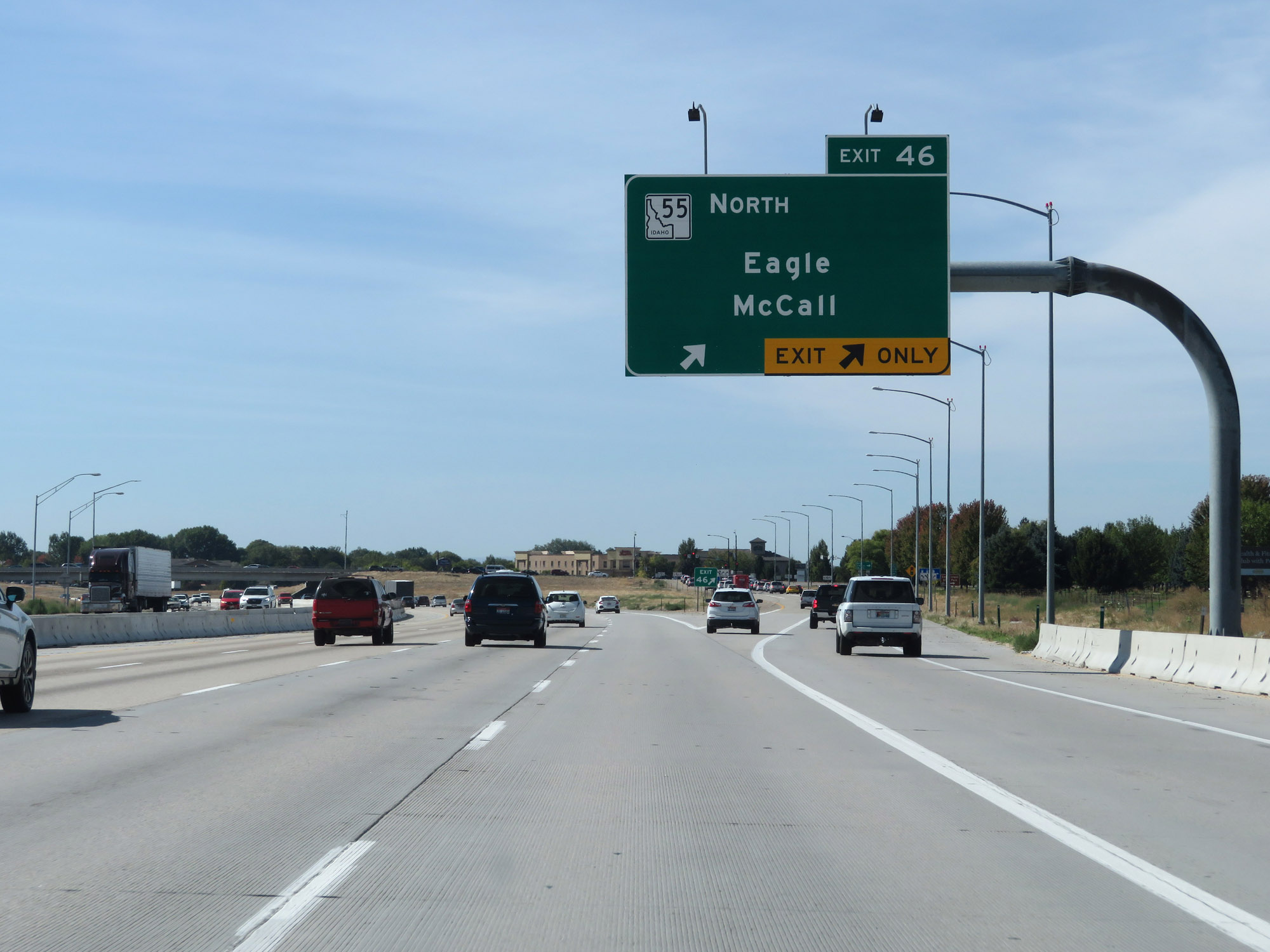 |
Interstate 84 West at Exit 46: ID 55 North - Eagle / McCall (Photo taken 9/25/19). |
 |
Take Exit 44 to the Idaho Peace Officers Memorial and Visitor Information. (Photo taken 9/25/19). |
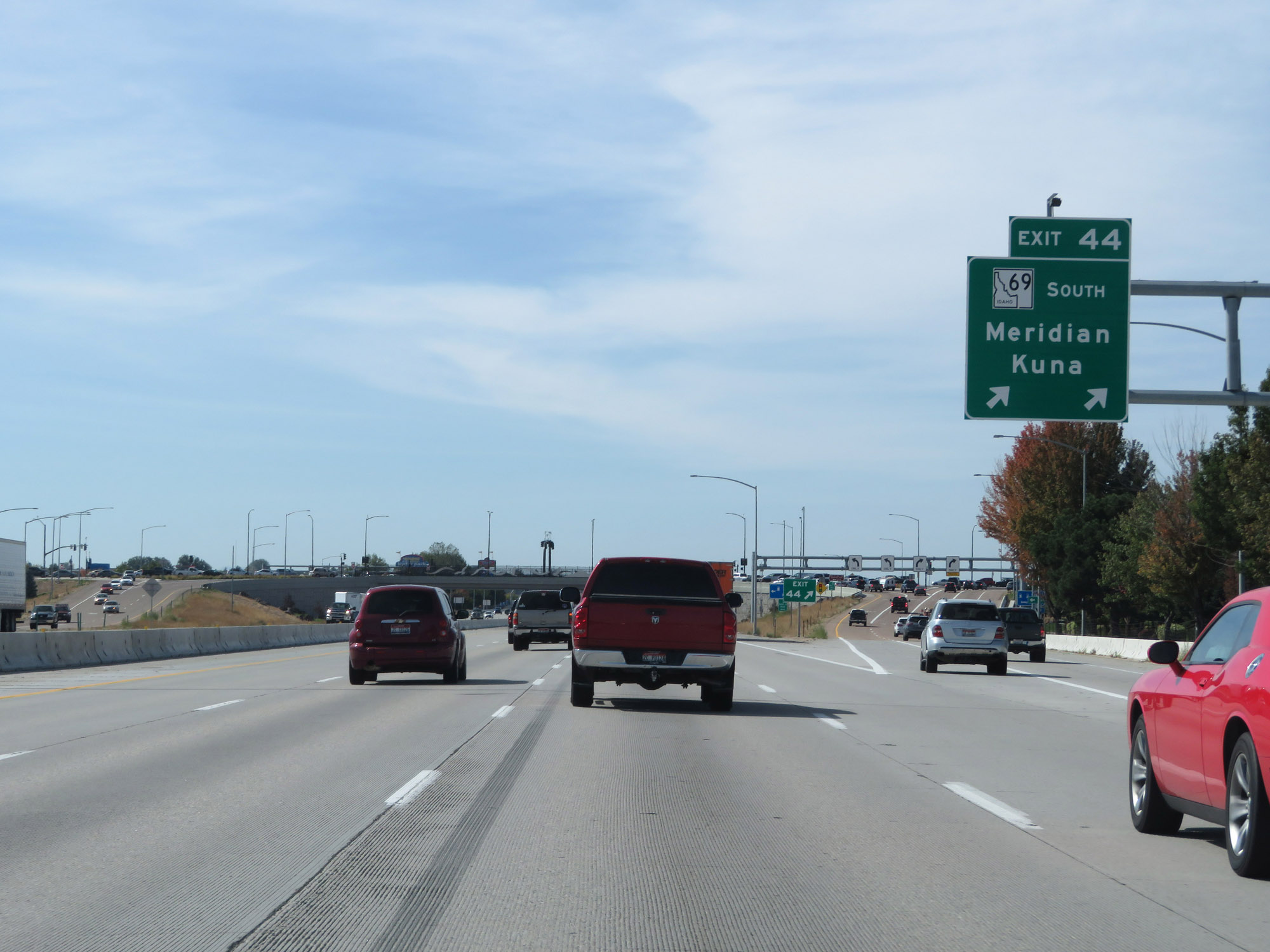 |
Interstate 84 West at Exit 44: ID 69 South - Meridian / Kuna (Photo taken 9/25/19). |
 |
View on Interstate 84 West at mile marker 43. (Photo taken 9/25/19). |
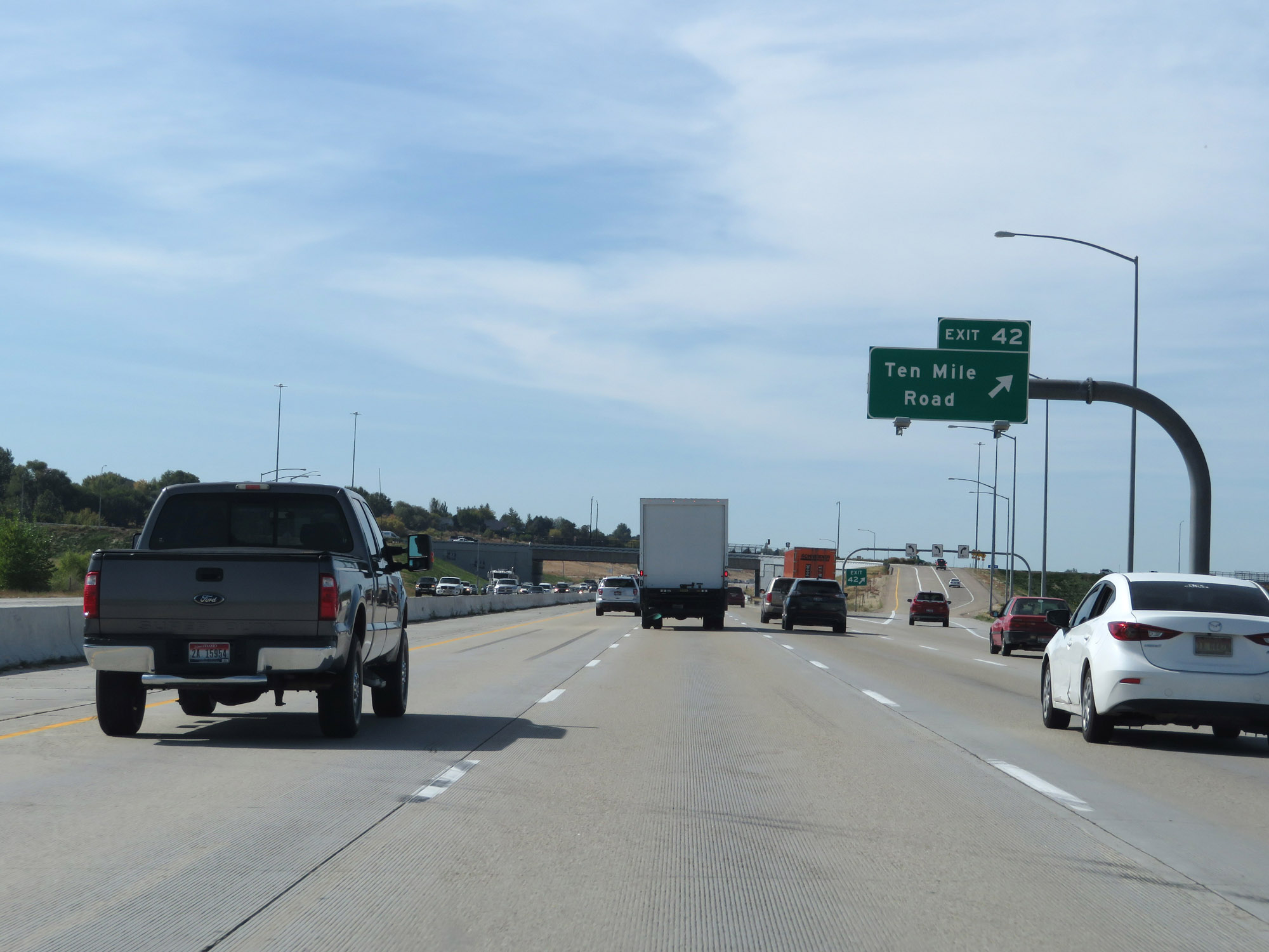 |
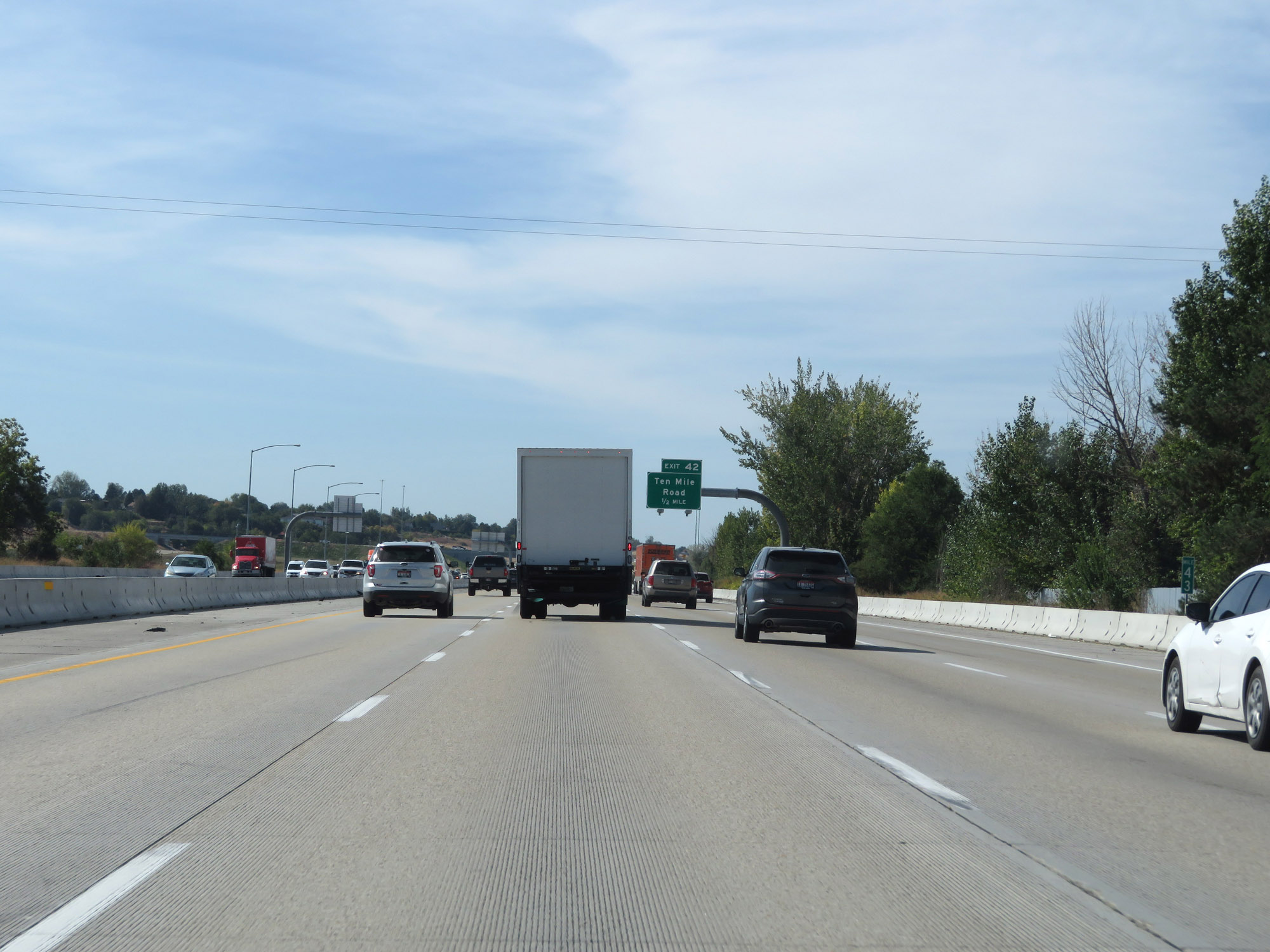
Interstate 84 West at Exit 42: Ten Mile Road (Photo taken 9/25/19). |
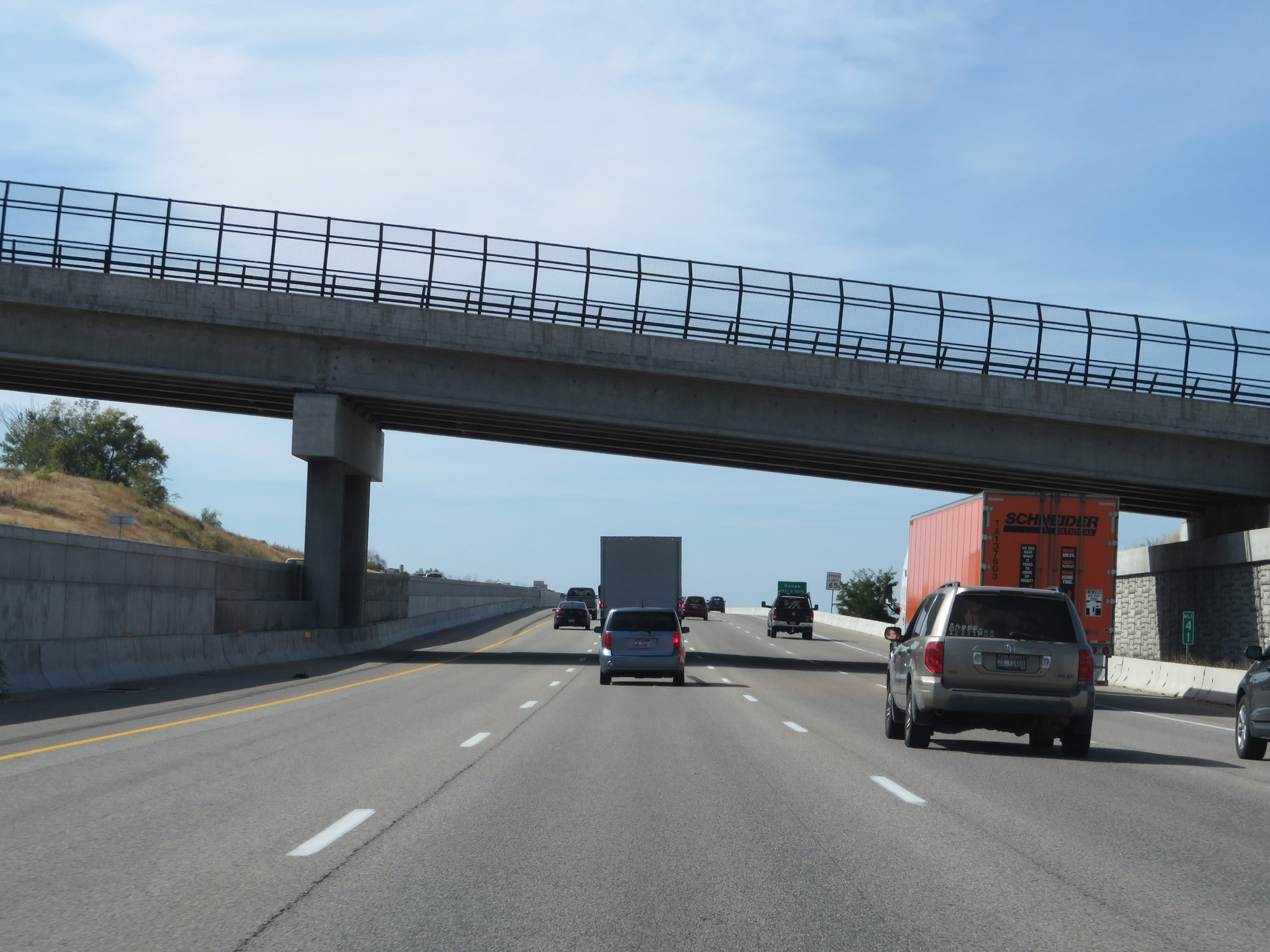 |
Interstate 84 West at mile marker 41. (Photo taken 9/25/19). |
 |
Take any of the next 4 exits to Nampa. (Photo taken 9/25/19). |
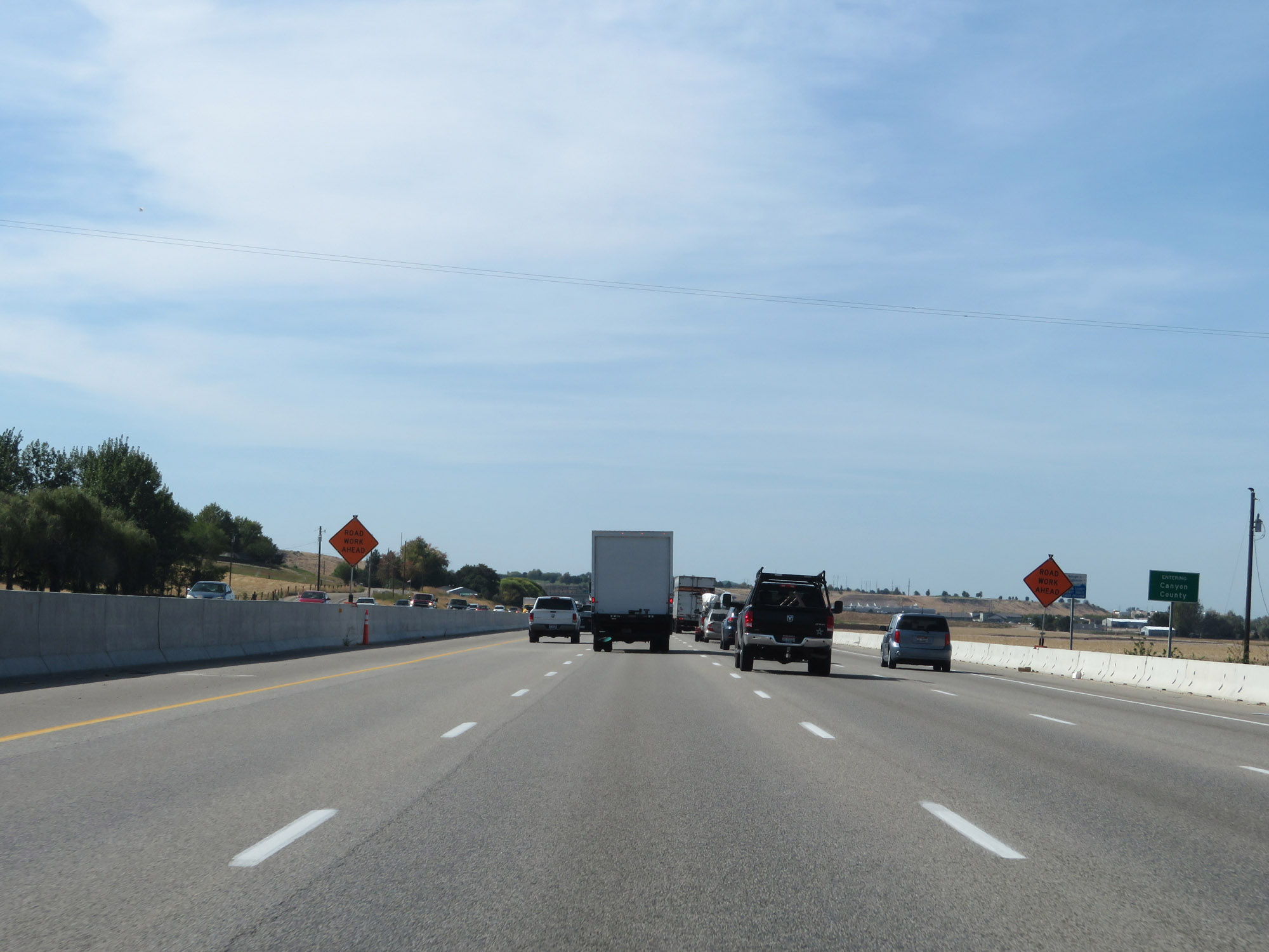 |
Interstate 84 West as it enters Canyon County. (Photo taken 9/25/19). |
 |
Upon entering Canyon County, Interstate 84 West also enters the Nampa city limits. (Photo taken 9/25/19). |
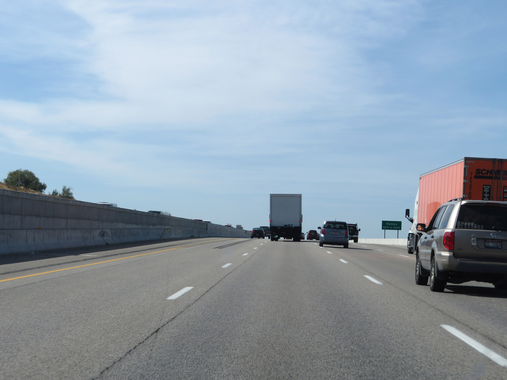
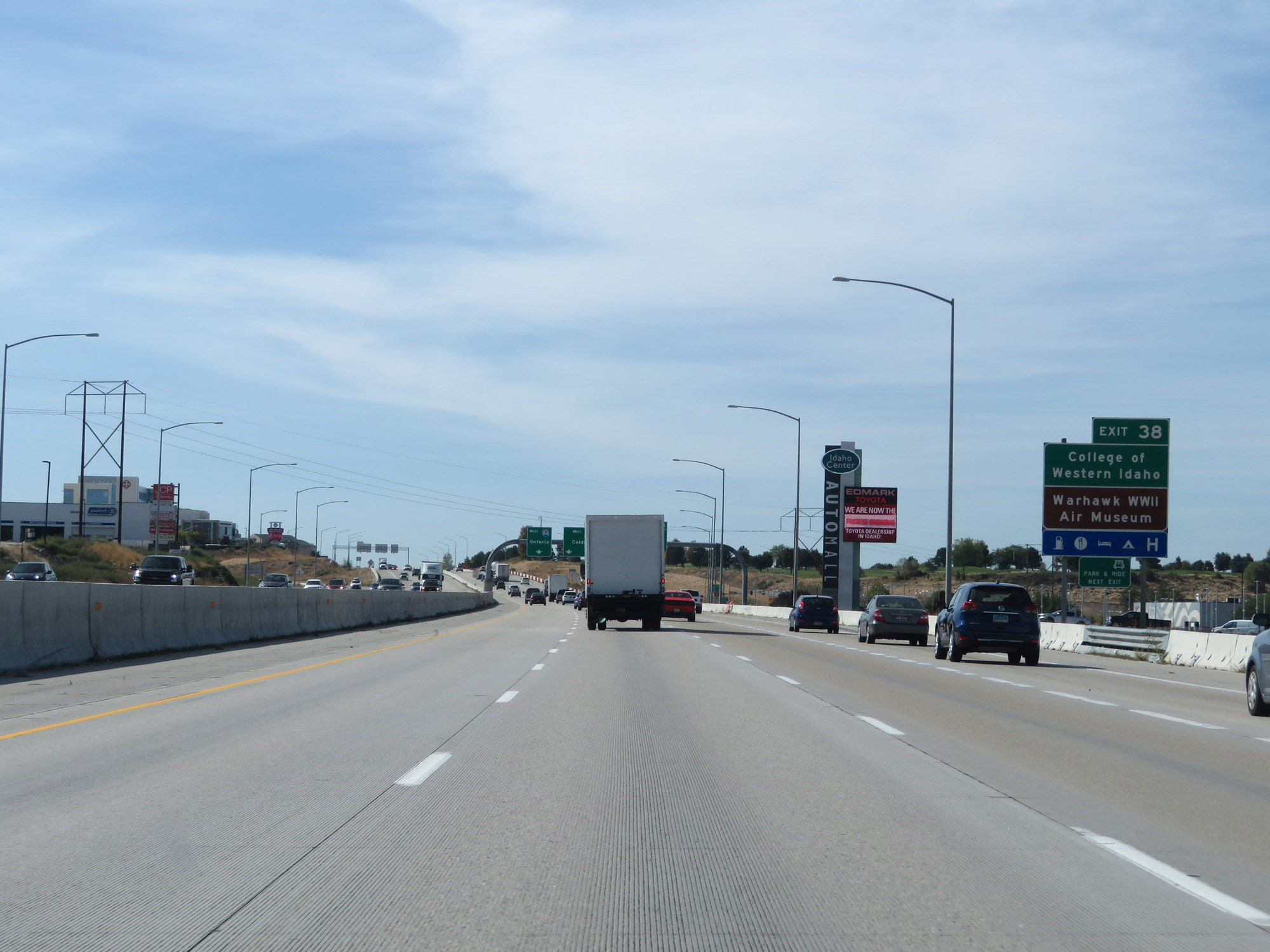 |
Take Exit 38 to College of Western Idaho and the Warhawk WWII Air Museum. (Photo taken 9/25/19). |
|
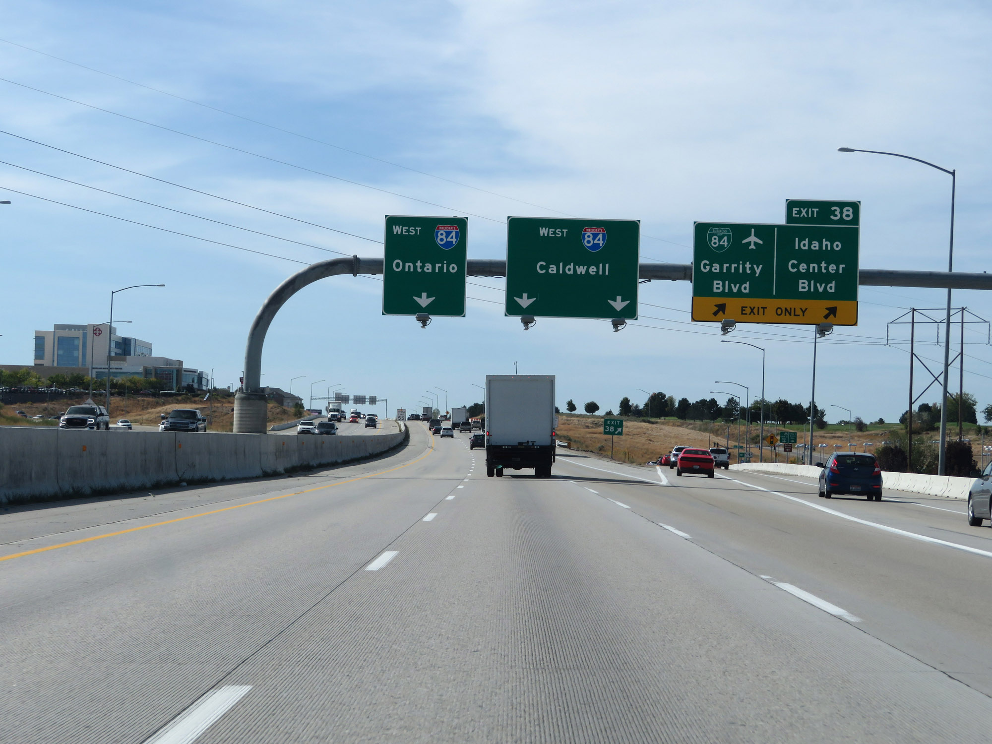
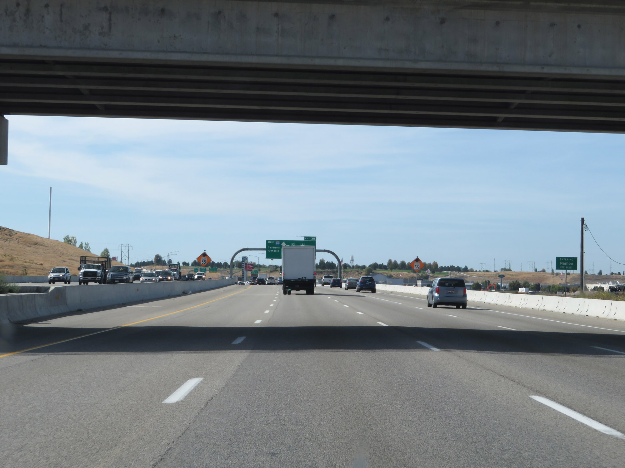
Interstate 84 West at Exit 38: Interstate 84 Business Loop - Garrity Blvd / Idaho Center Blvd (Photo taken 9/25/19). |
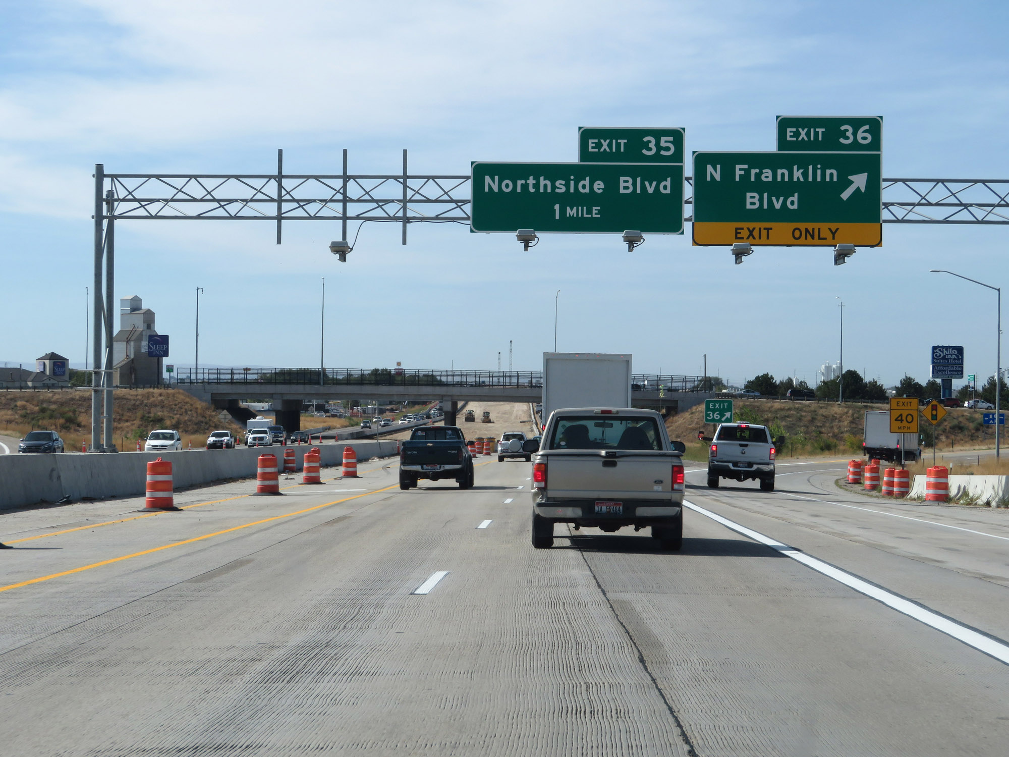 |
Interstate 84 West at Exit 36: N Franklin Blvd (Photo taken 9/25/19). |
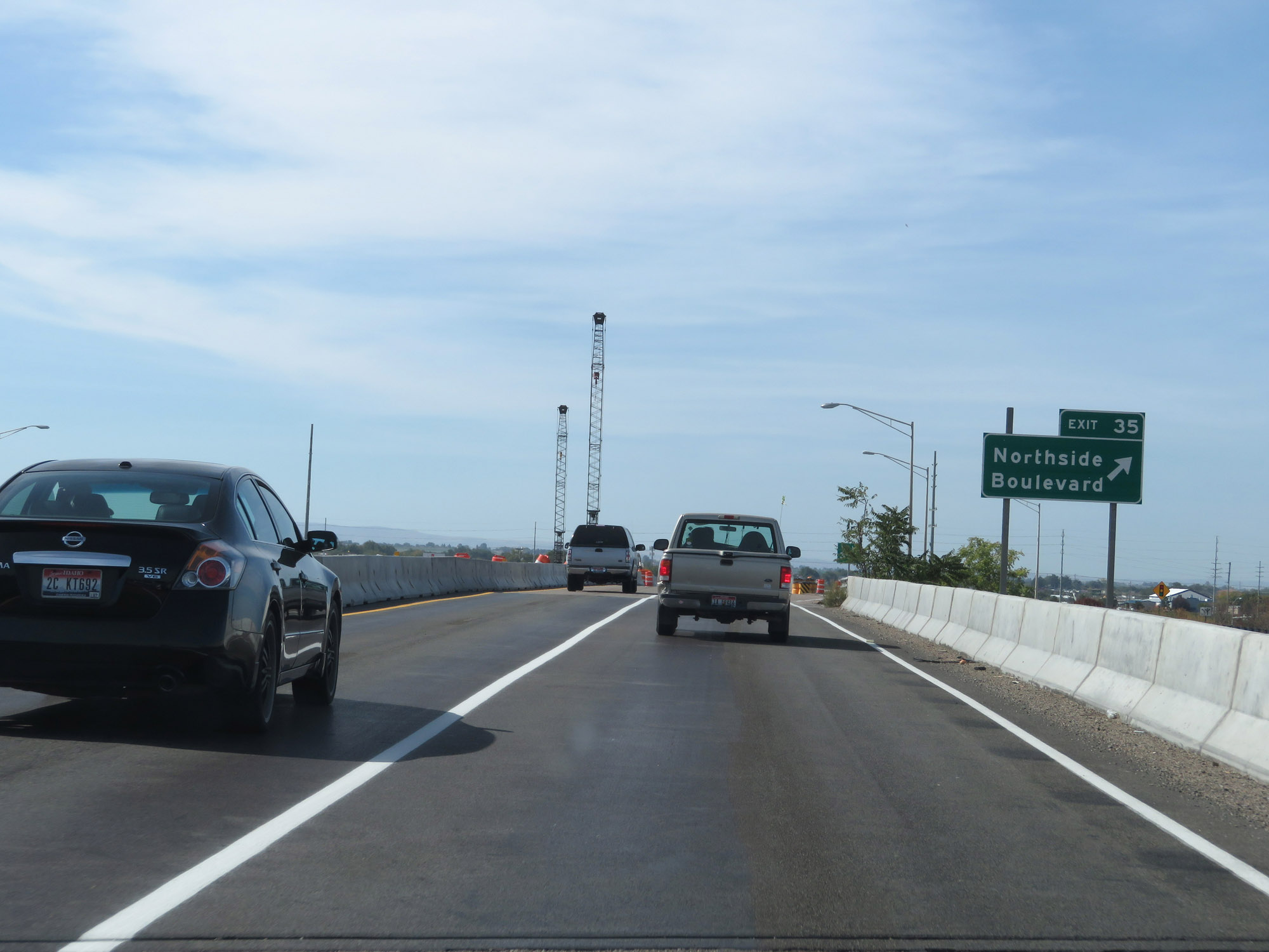 |
Interstate 84 West at Exit 35: Northside Boulevard (Photo taken 9/25/19). |
 |
Another set of Interstate 84 West / US 30 West reassurance shields in Nampa. (Photo taken 9/25/19). |
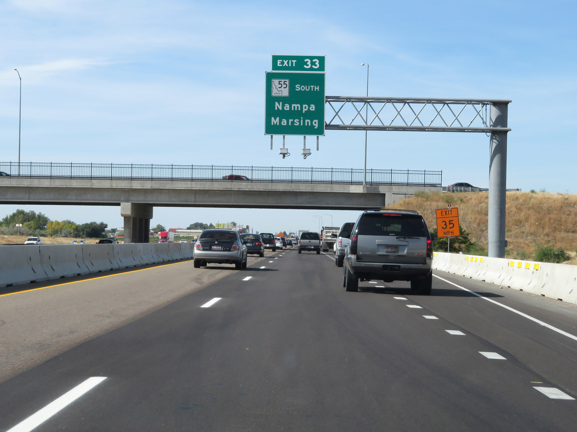 |
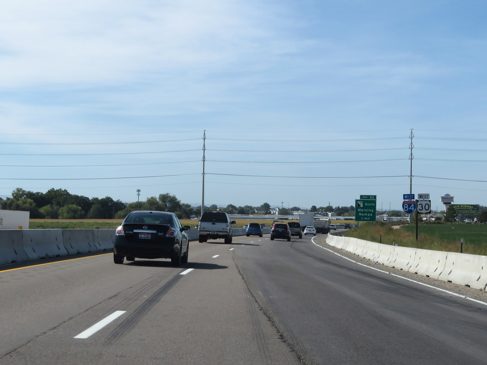
Interstate 84 West at Exit 33: ID 55 South - Nampa / Marsing (Photo taken 9/25/19). |
 |
The speed limit remains 65 mph for all traffic through the Nampa area. (Photo taken 9/25/19). |
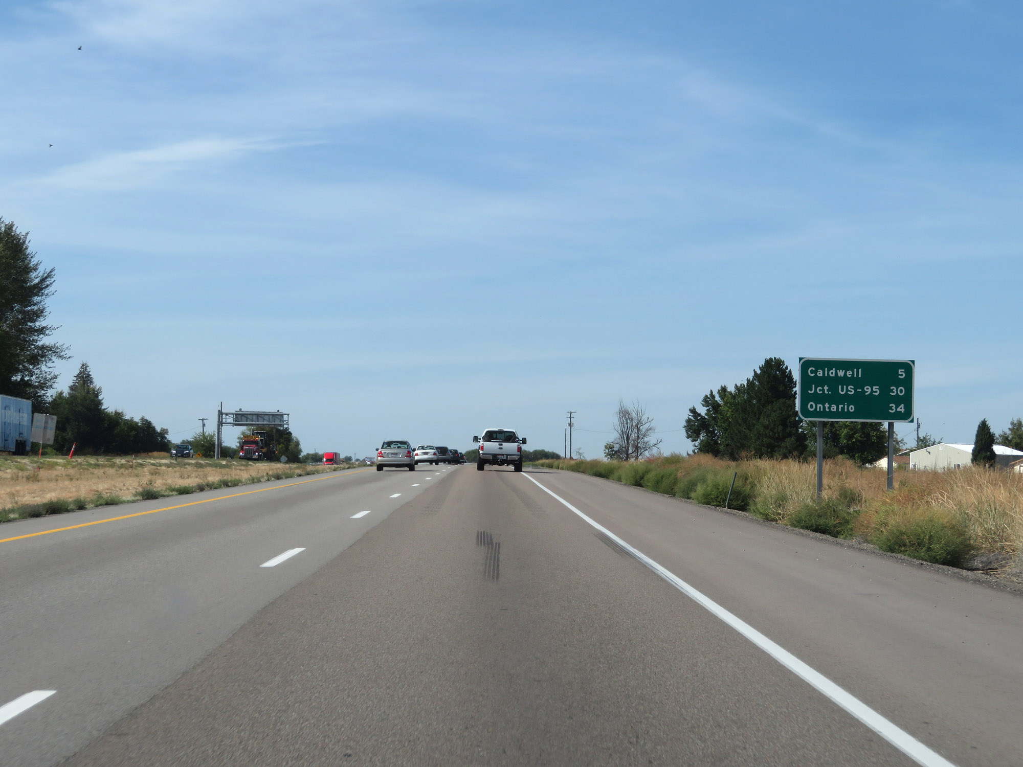 |
Mileage sign on Interstate 84 West. It's 5 miles to Caldwell, 30 miles to the junction of US 95, and 34 miles to Ontario. (Photo taken 9/25/19). |
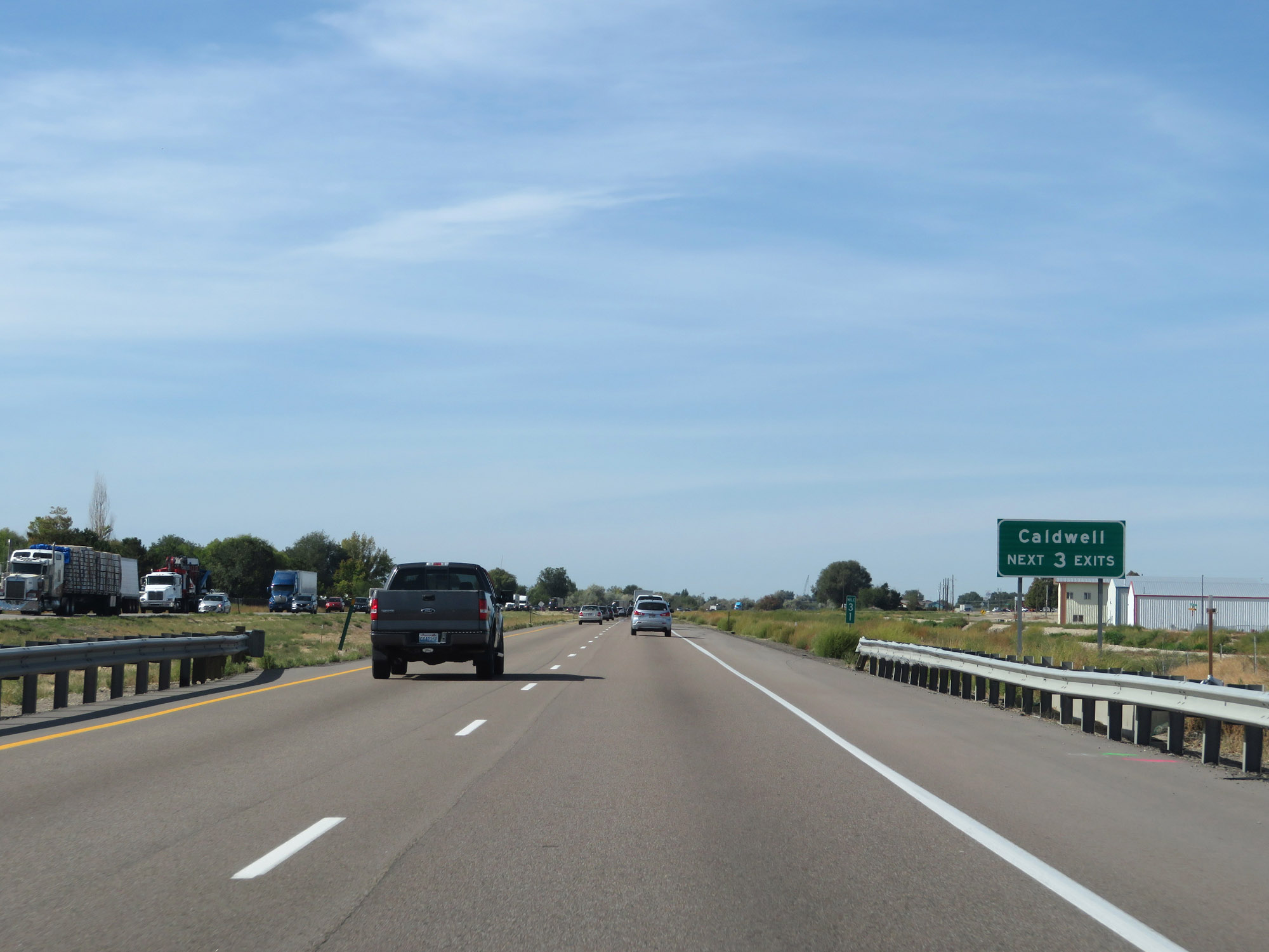 |
Take any of the next 3 exits to Caldwell. (Photo taken 9/25/19). |
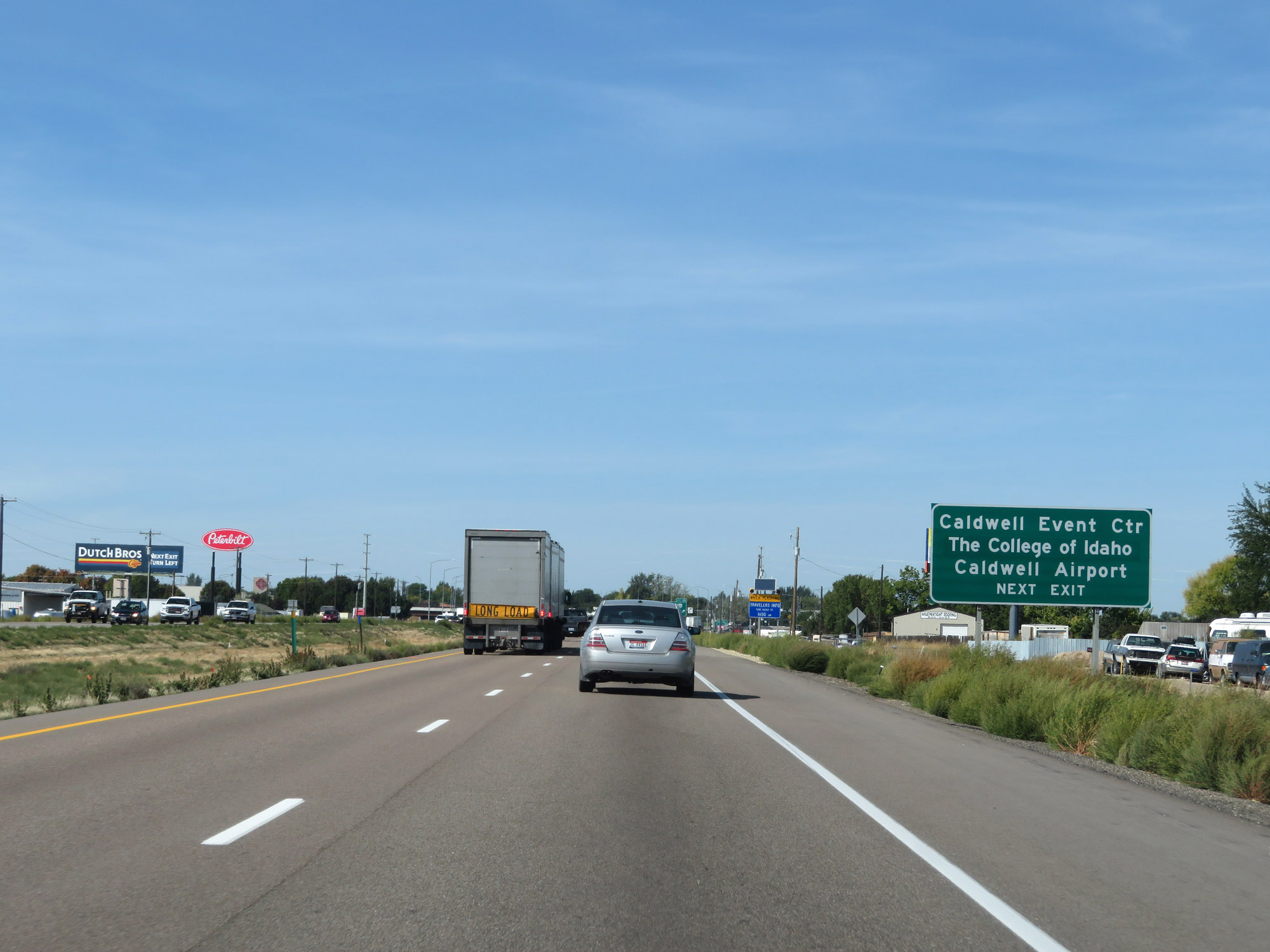 |
Take Exit 29 to the Caldwell Event Center, The College of Idaho, and Caldwell Airport. (Photo taken 9/25/19). |
 |
Interstate 84 West at Exit 29: US 20 / US 26 - Franklin Road (Photo taken 9/25/19). |
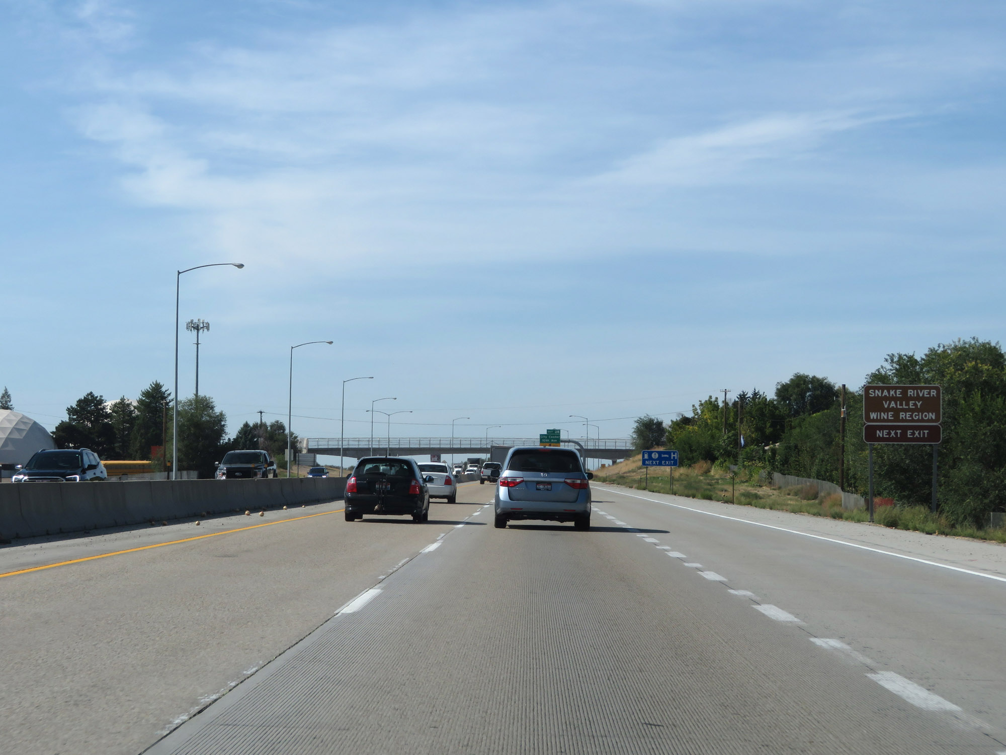 |
Take Exit 28 to the Snake Valley Wine Region. (Photo taken 9/25/19). |
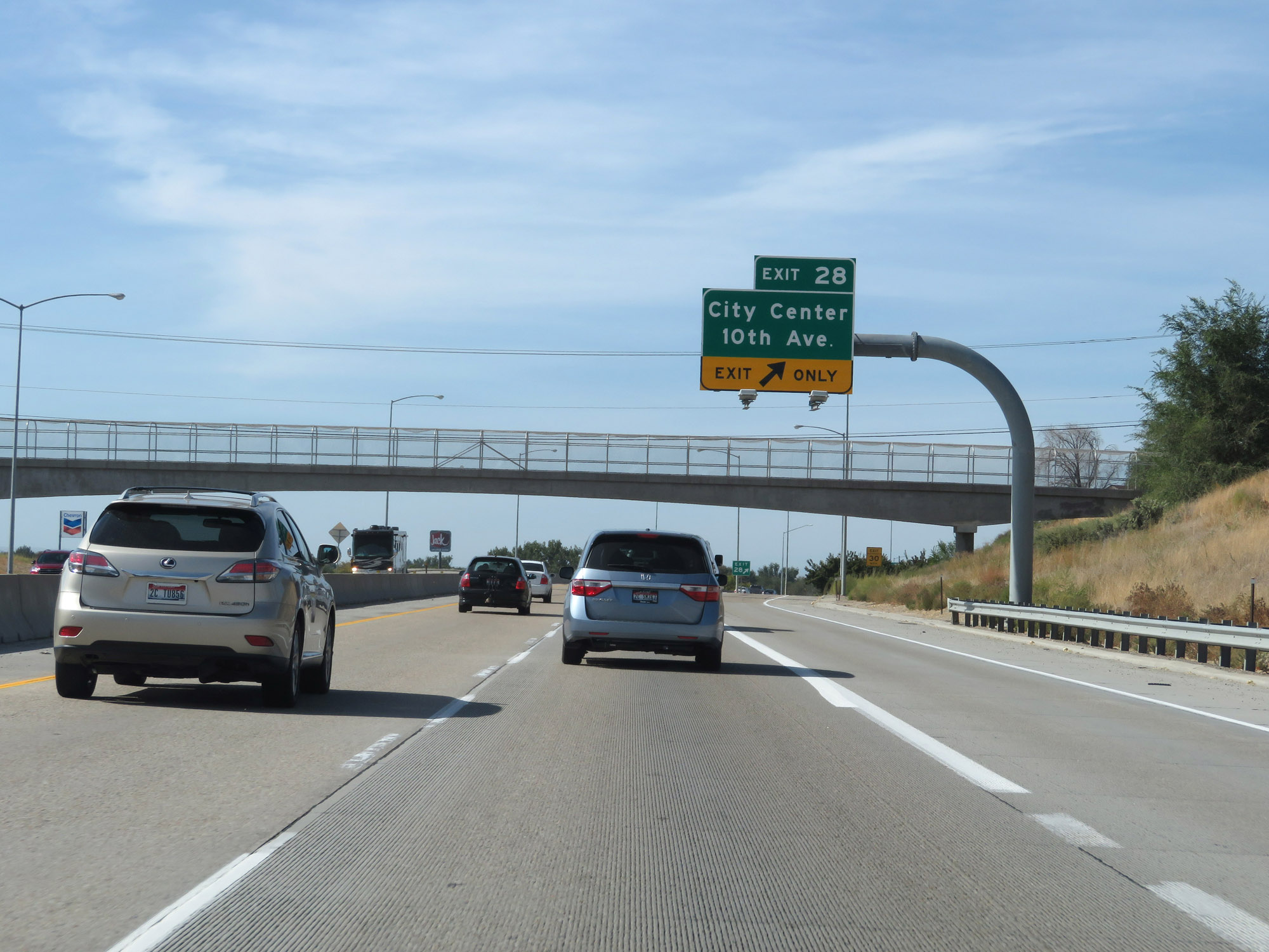 |
Interstate 84 West at Exit 28: City Center / 10th Ave (Photo taken 9/25/19). |
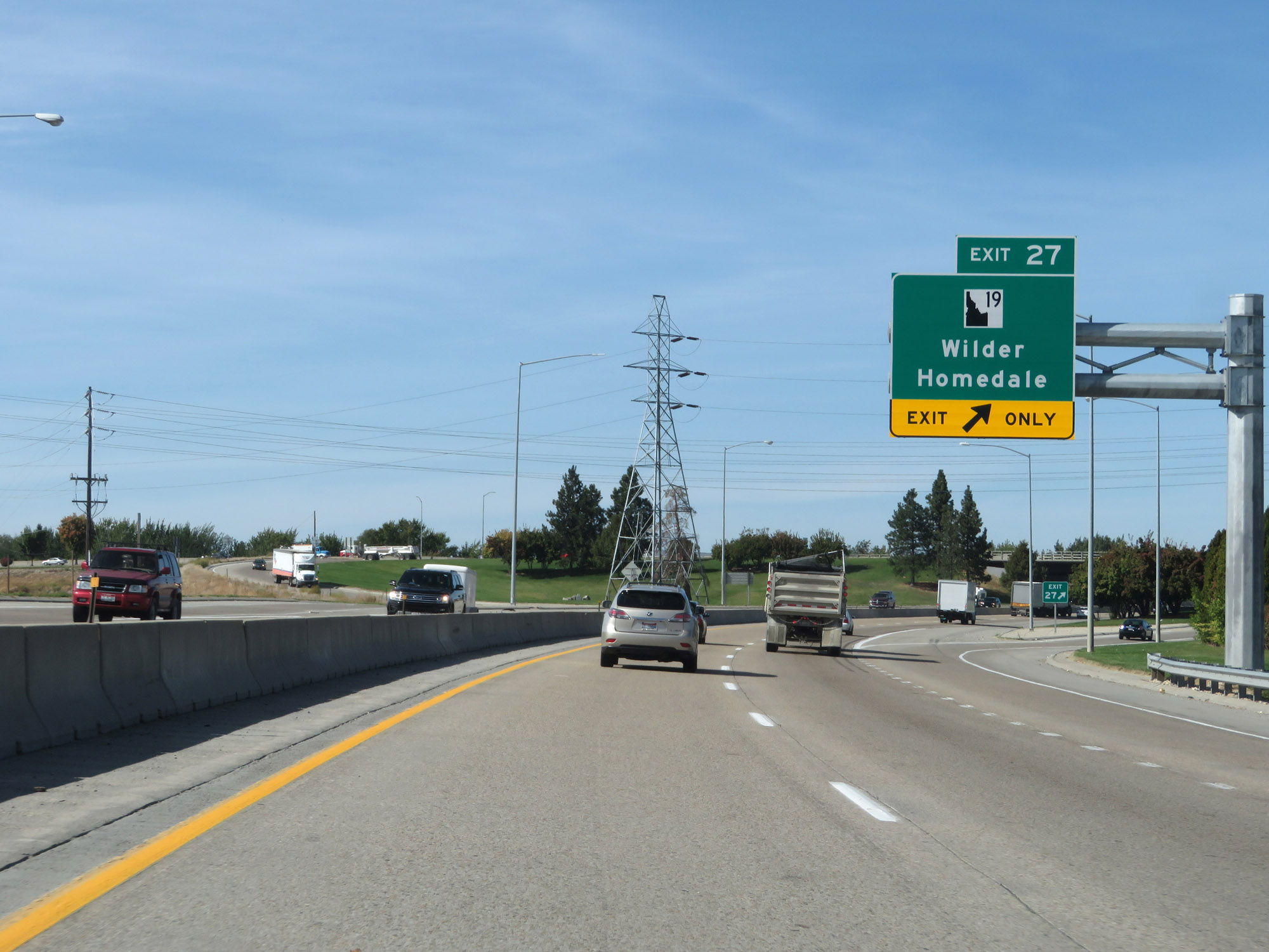 |
Interstate 84 West at Exit 27: ID 19 - Wilder / Homedale (Photo taken 9/25/19). |
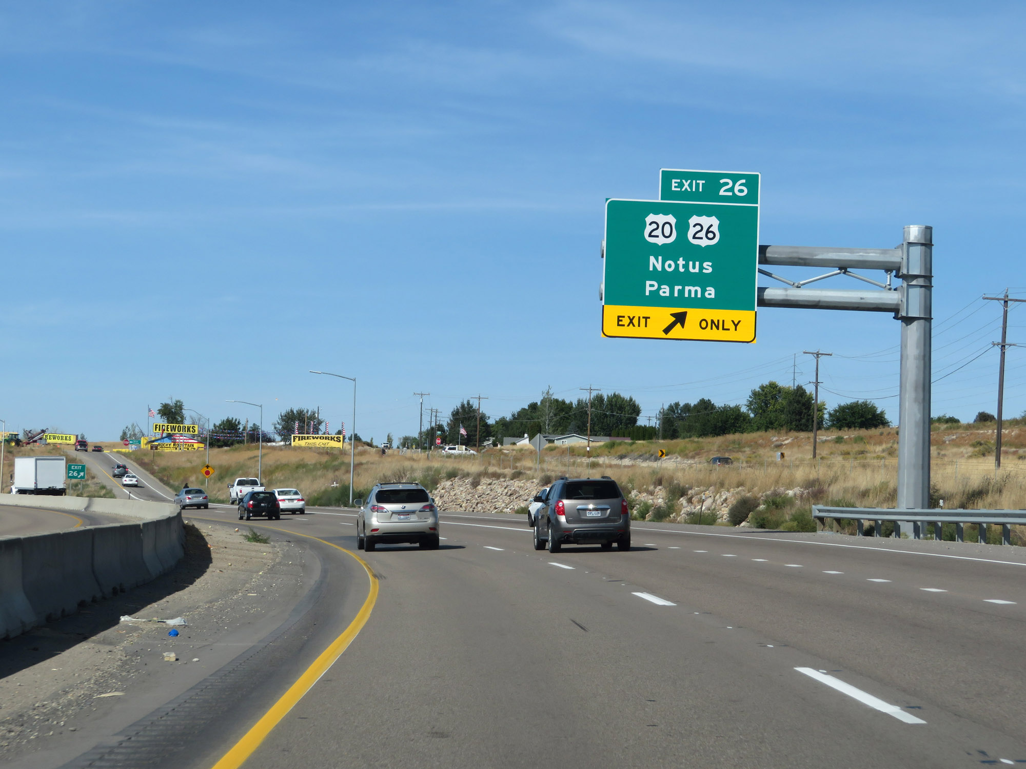 |
Interstate 84 West at Exit 26: US 20 / US 26 - Notus / Parma (Photo taken 9/25/19). |
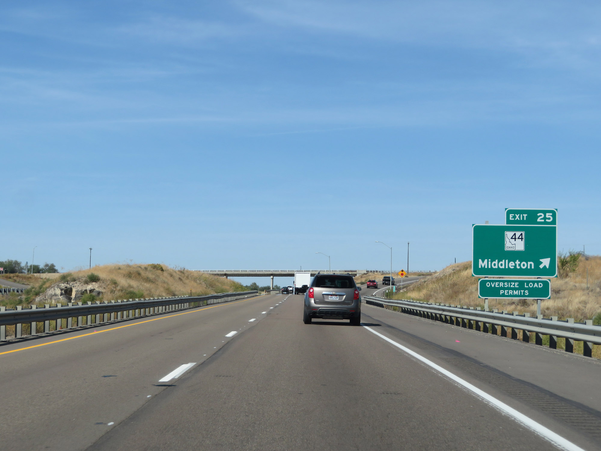 |
Interstate 84 West at Exit 25: ID 44 - Middleton (Photo taken 9/25/19). |
 |
West of Exit 25, the speed limits return to the rural standars of 80 mph for cars and 70 mph for trucks. (Photo taken 9/25/19). |
 |
Mileage sign on Interstate 84 West. It's 26 miles to Ontario and 100 miles to Baker City. (Photo taken 9/25/19). |
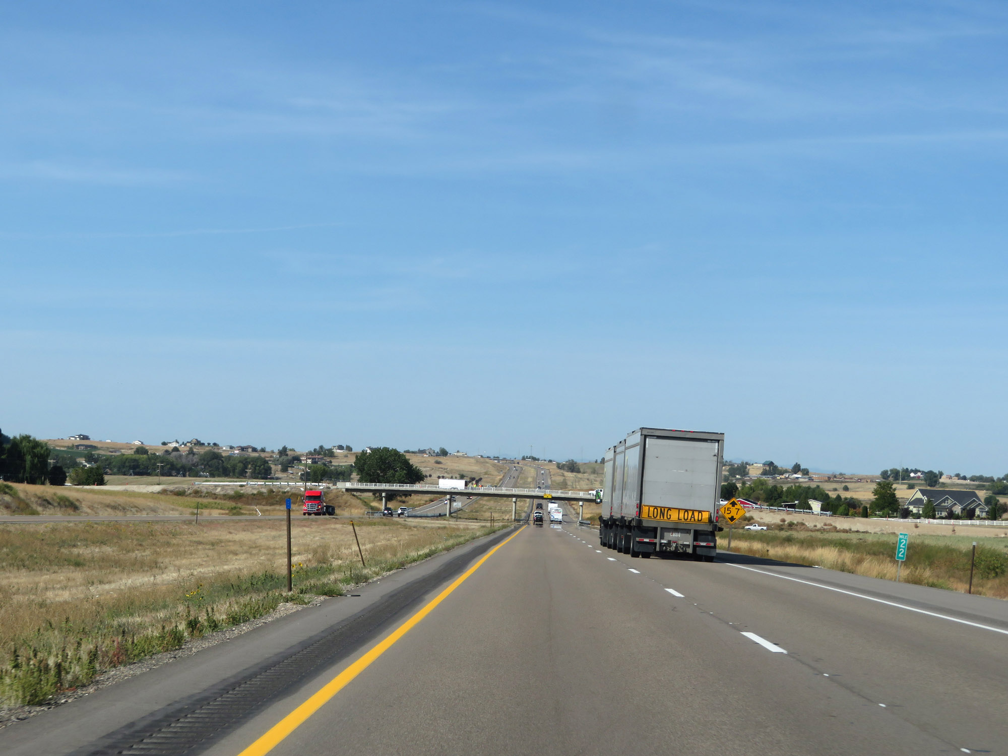 |
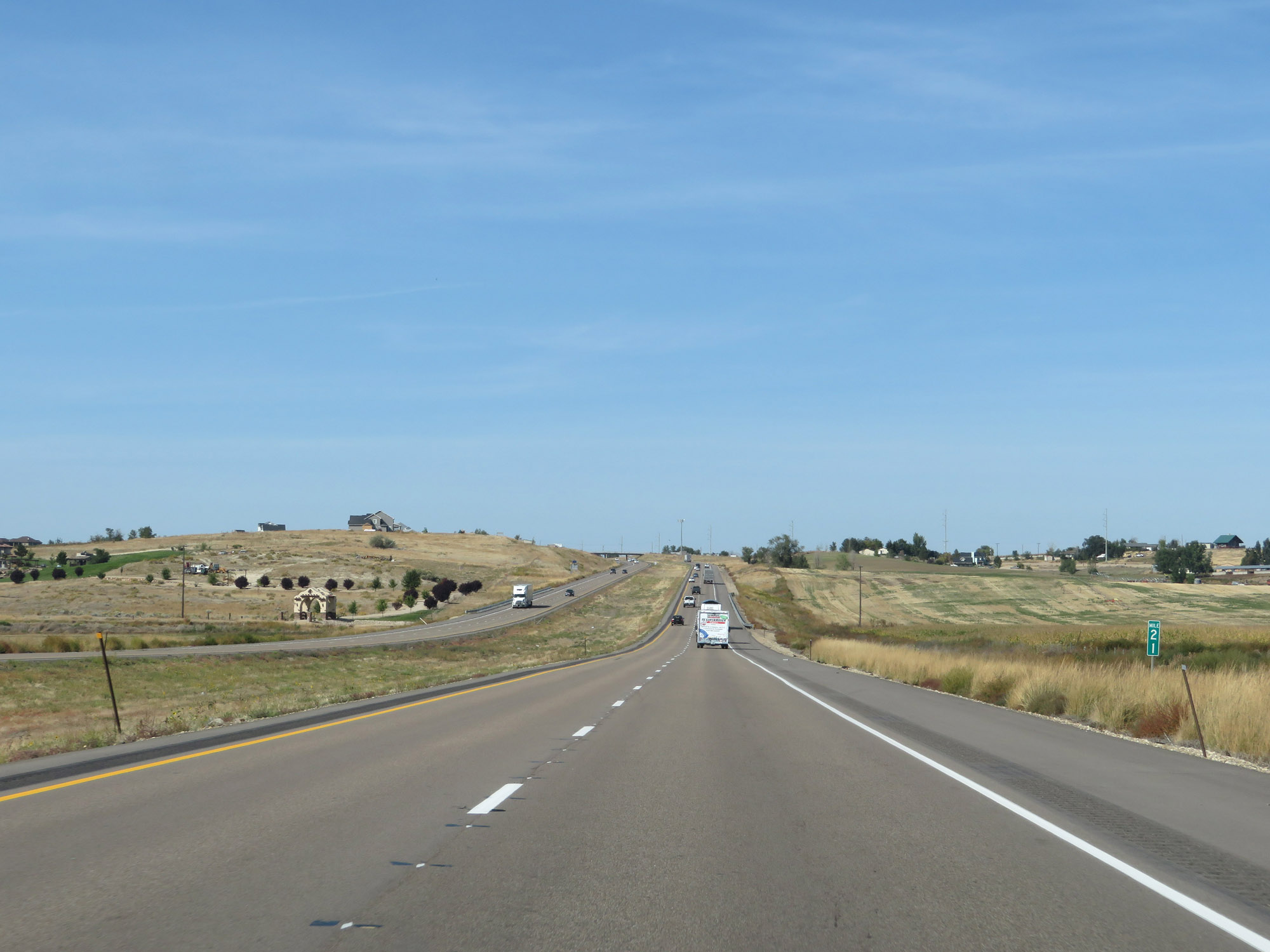
View on Interstate 84 West at mile marker 22. (Photo taken 9/25/19). |
 |
Interstate 84 West at mile marker 21. (Photo taken 9/25/19). |
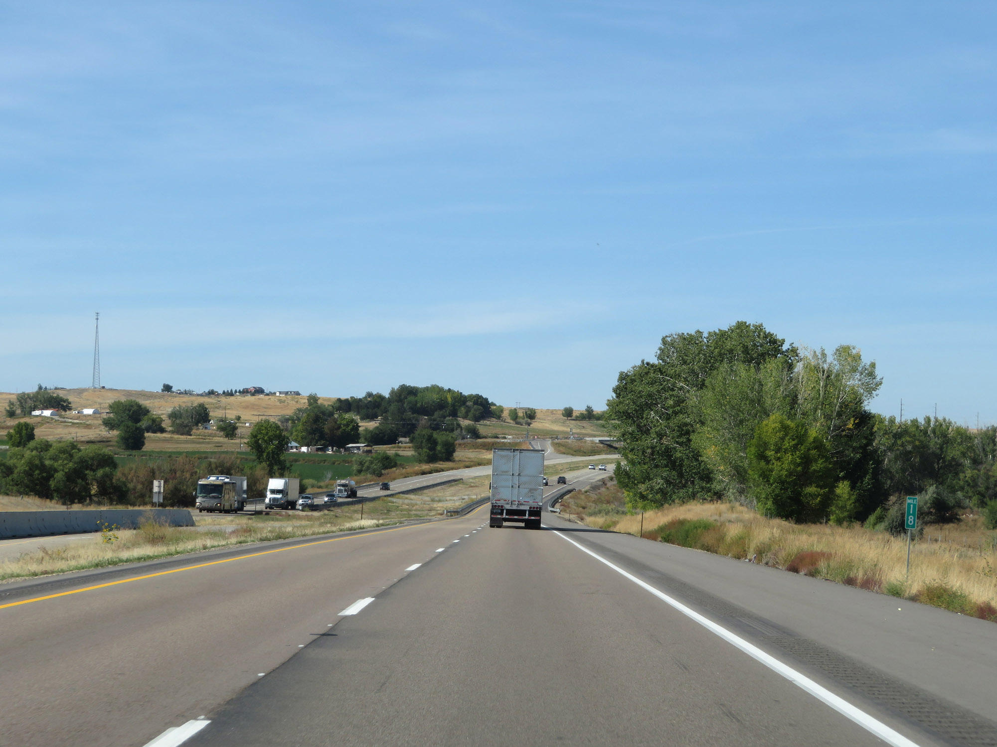 |
View on Interstate 84 West at mile marker 18. (Photo taken 9/25/19). |
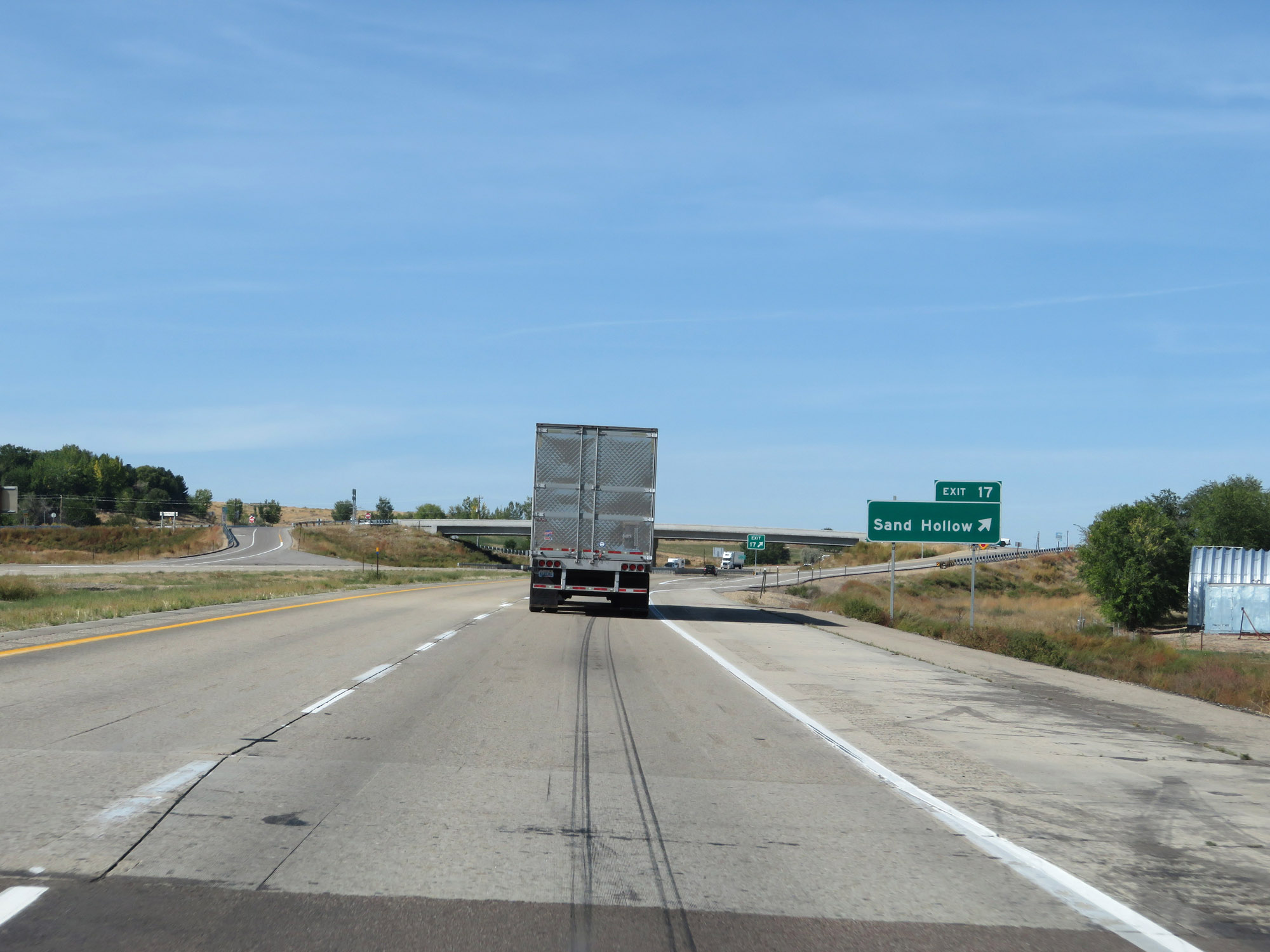 |
Interstate 84 West at Exit 17: Sand Hollow (Photo taken 9/25/19). |
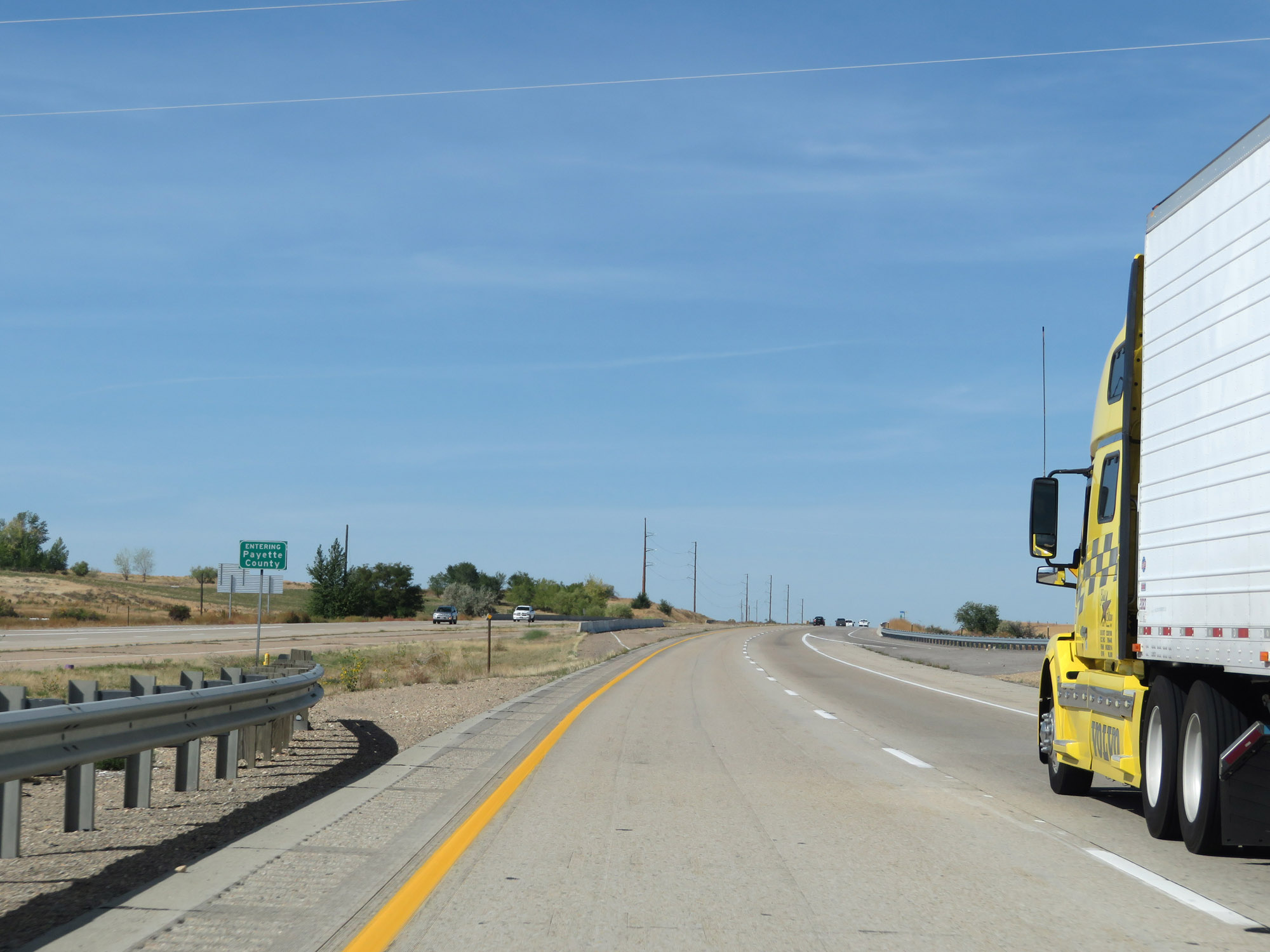 |
Entering Payette County on Interstate 84 West. (Photo taken 9/25/19). |
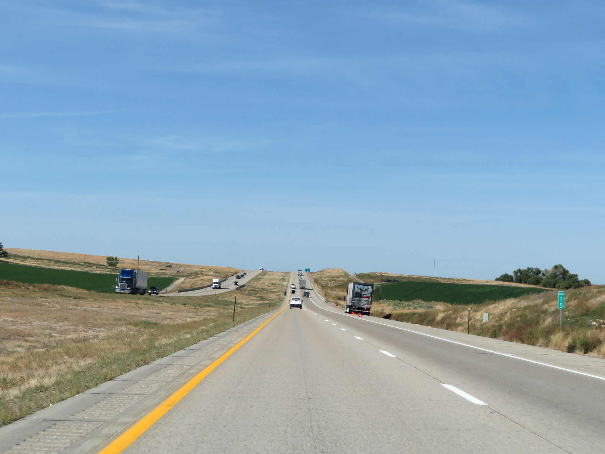 |
View on Interstate 84 West at mile marker 15. (Photo taken 9/25/19). |
 |
Interstate 84 West at Exit 13: Black Canyon Junction (Photo taken 9/25/19). |
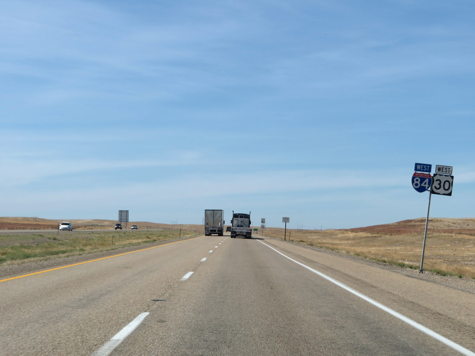 |
Interstate 84 West / US 30 West reassurance shields. (Photo taken 9/25/19). |
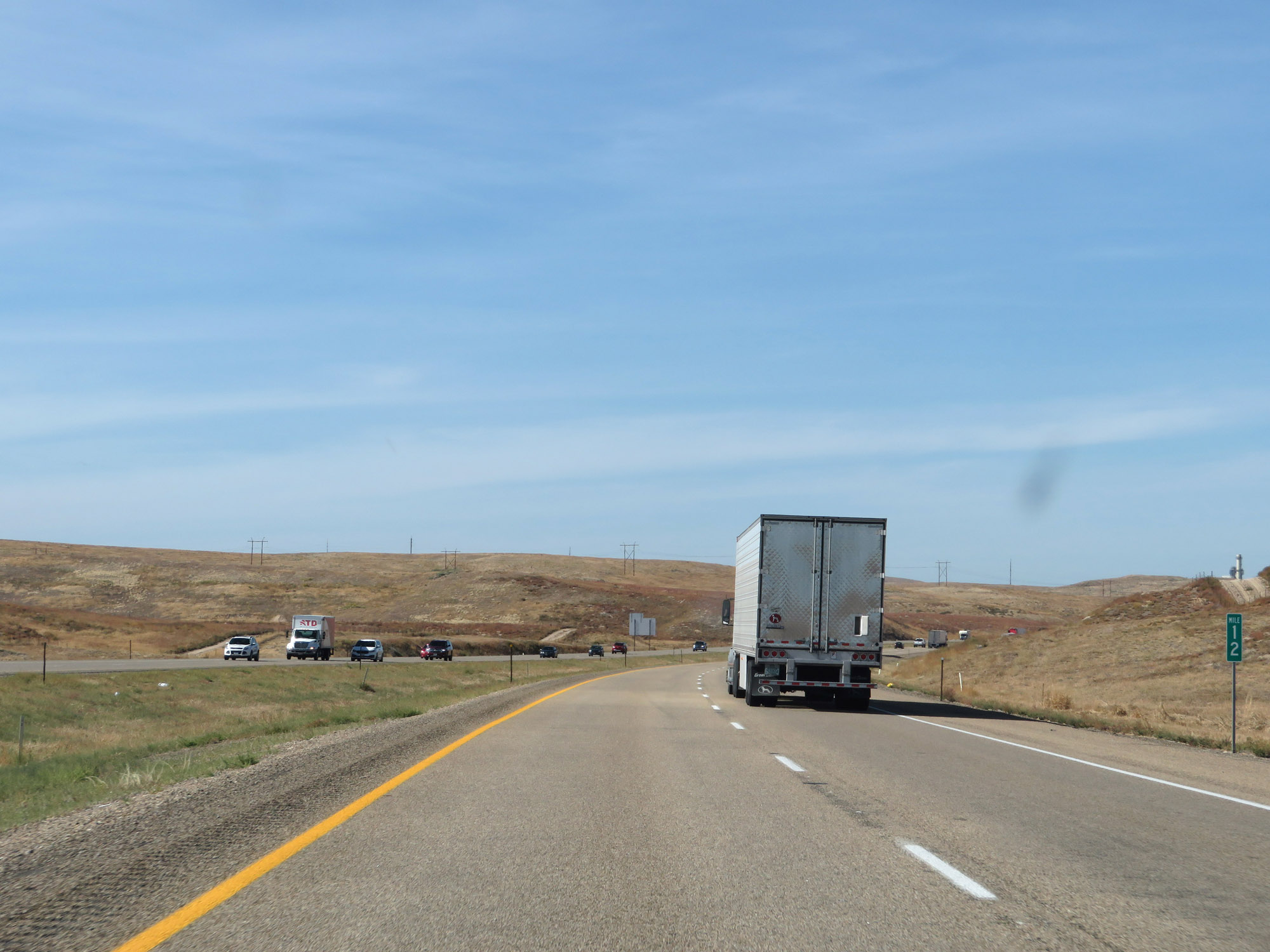 |
Interstate 84 West at mile marker 12. (Photo taken 9/25/19). |
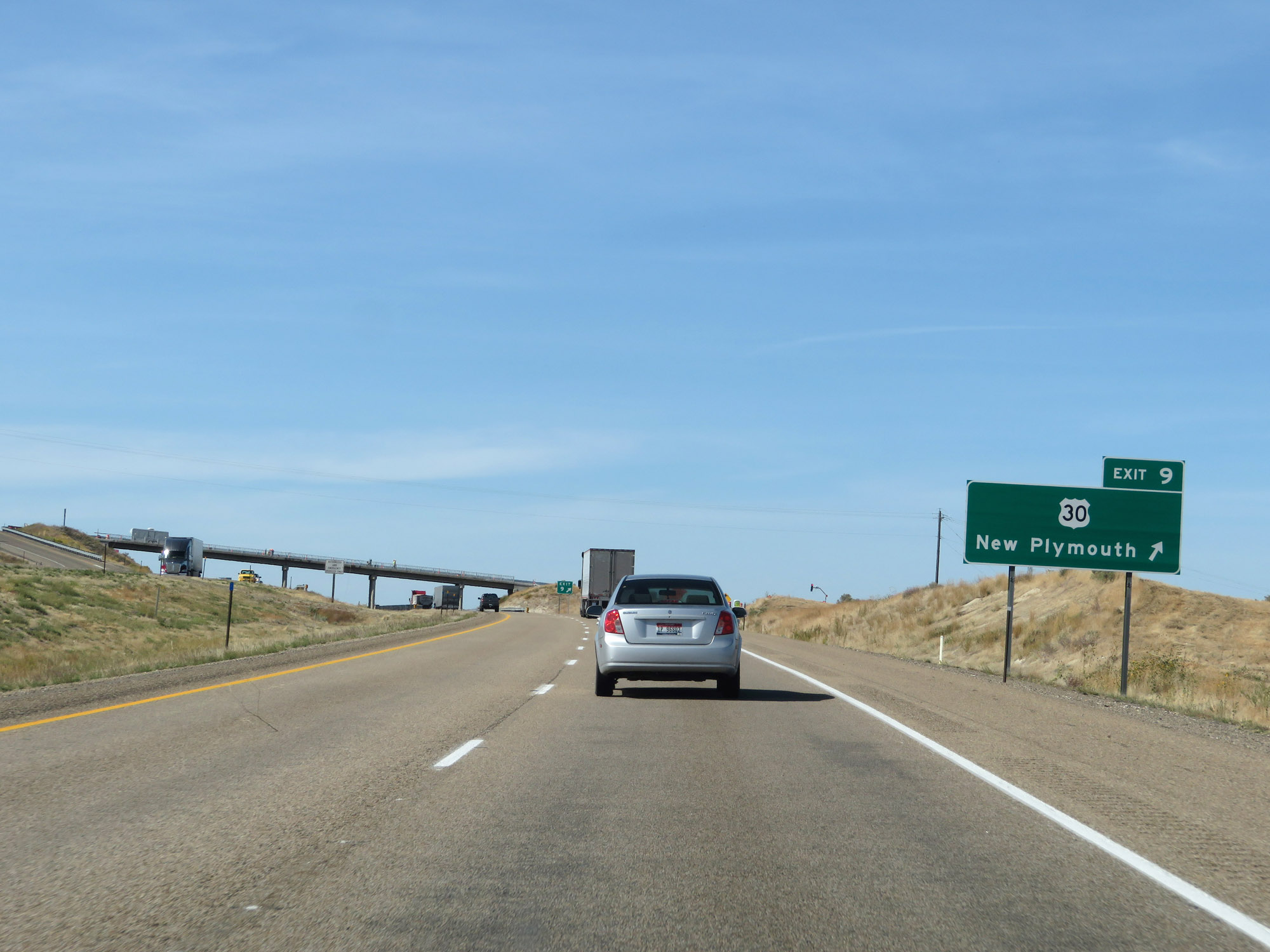 |
Interstate 84 West at Exit 9: US 30 - New Plymouth (Photo taken 9/25/19). |
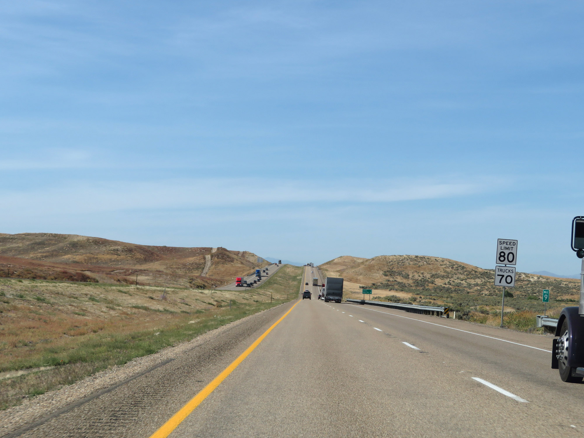 |
View on Interstate 84 West at mile marker 9. The speed limits remain 80 mph for automobiles and 70 mph for trucks. (Photo taken 9/25/19). |
 |
Interstate 84 West at mile marker 6. (Photo taken 9/25/19). |
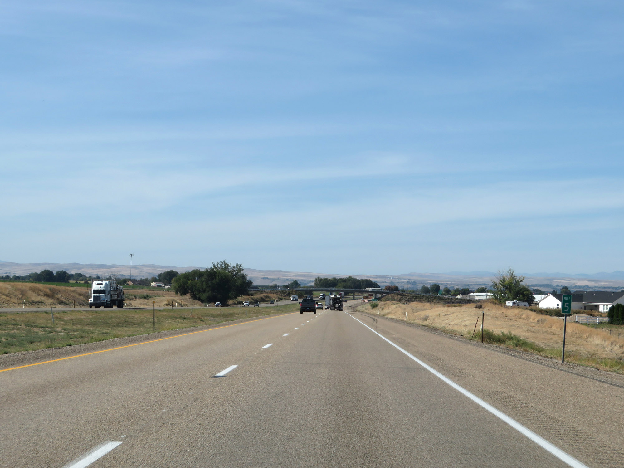 |
View on Interstate 84 West at mile marker 5. (Photo taken 9/25/19). |
 |
Take either of the next 2 exits to Fruitland. (Photo taken 9/25/19). |
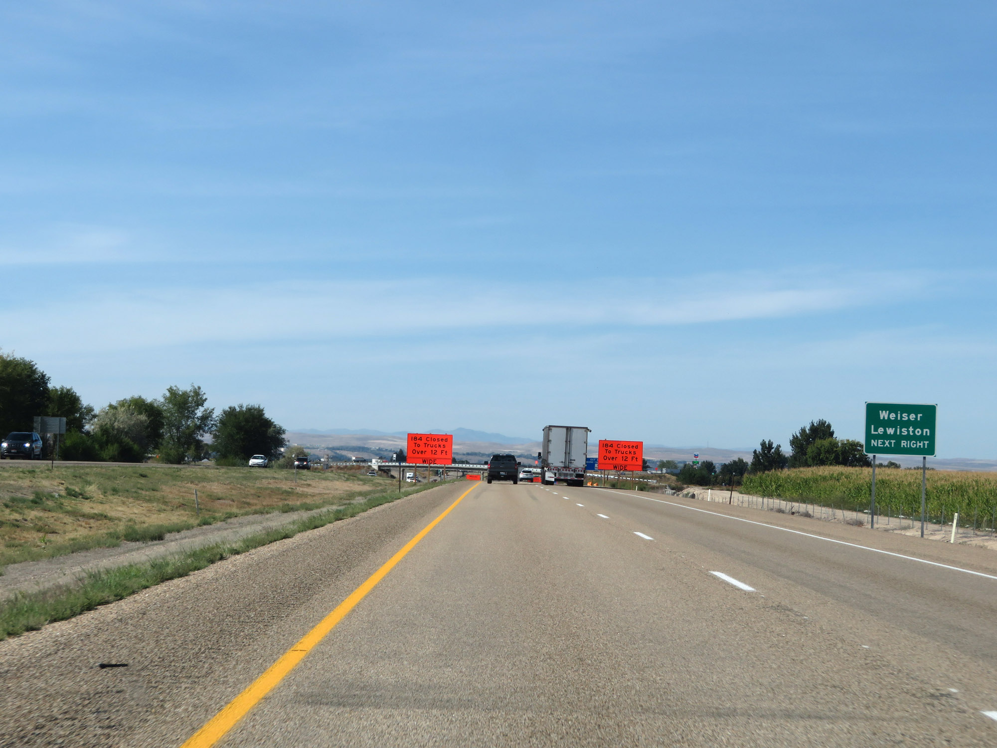 |
Take Exit 3 to Weiser and Lewiston. (Photo taken 9/25/19). |
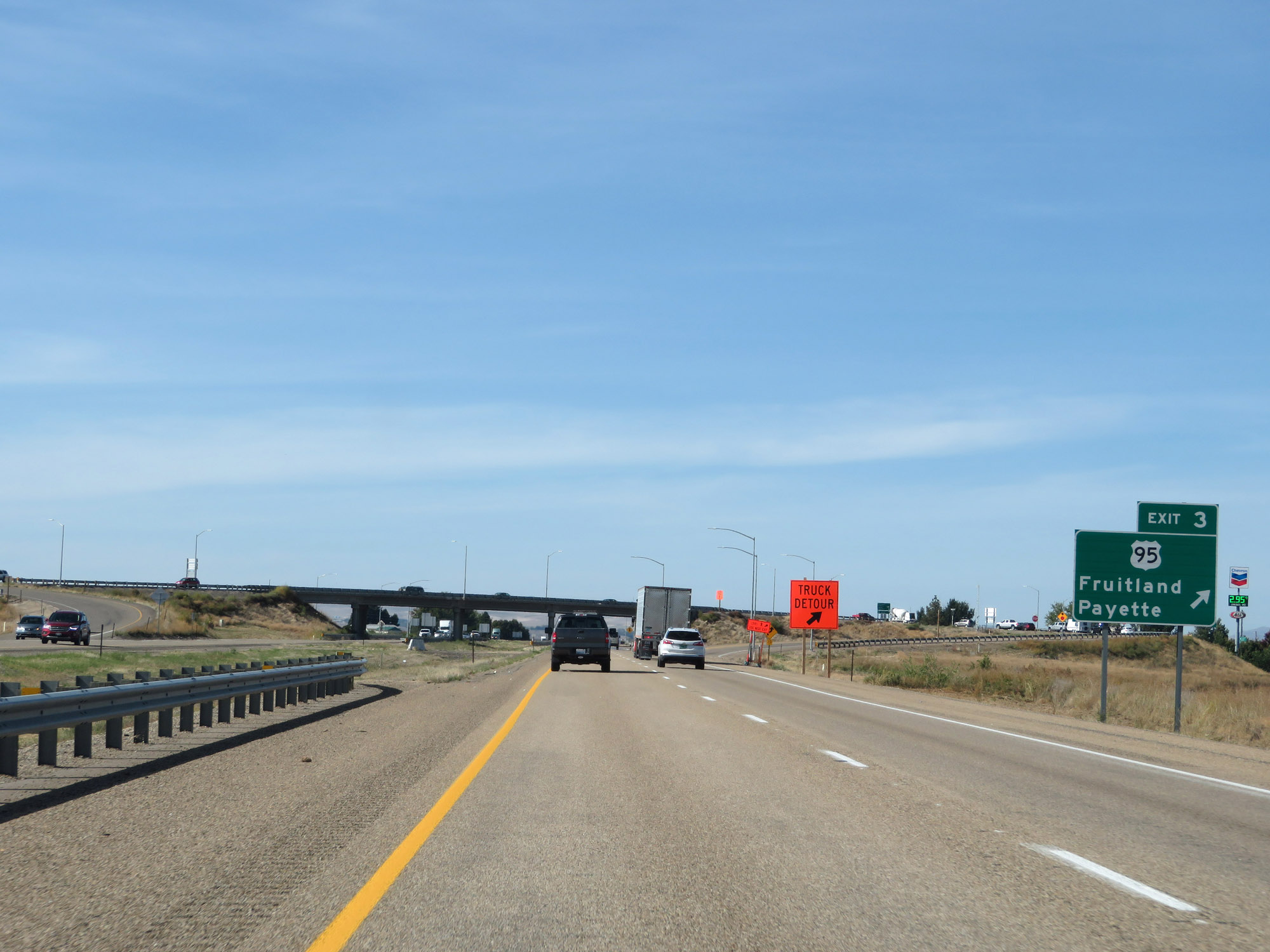 |
Interstate 84 West at Exit 3: US 95 - Fruitland / Payette (Photo taken 9/25/19). |
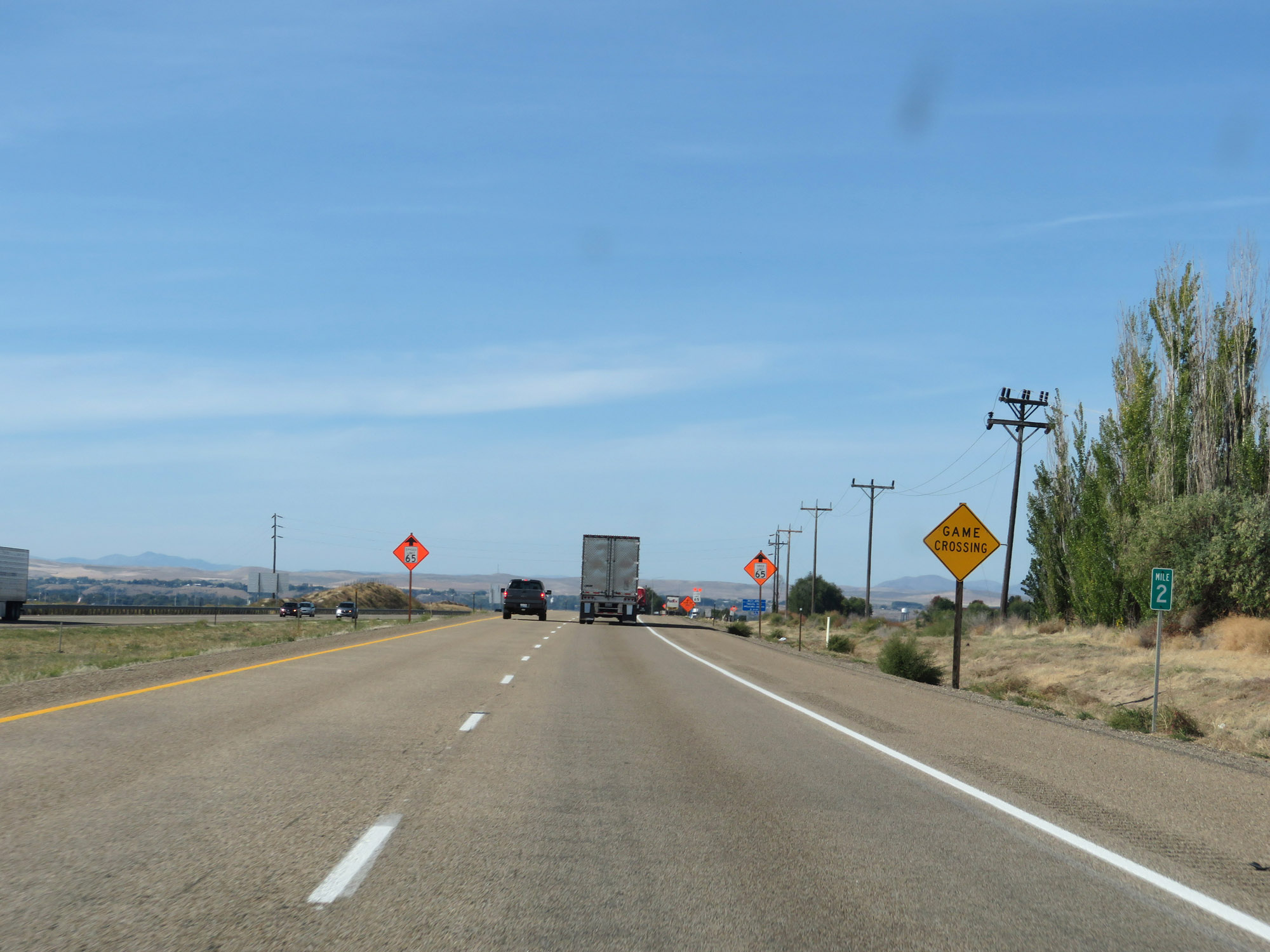 |
View on Interstate 84 West at mile marker 2. (Photo taken 9/25/19). |
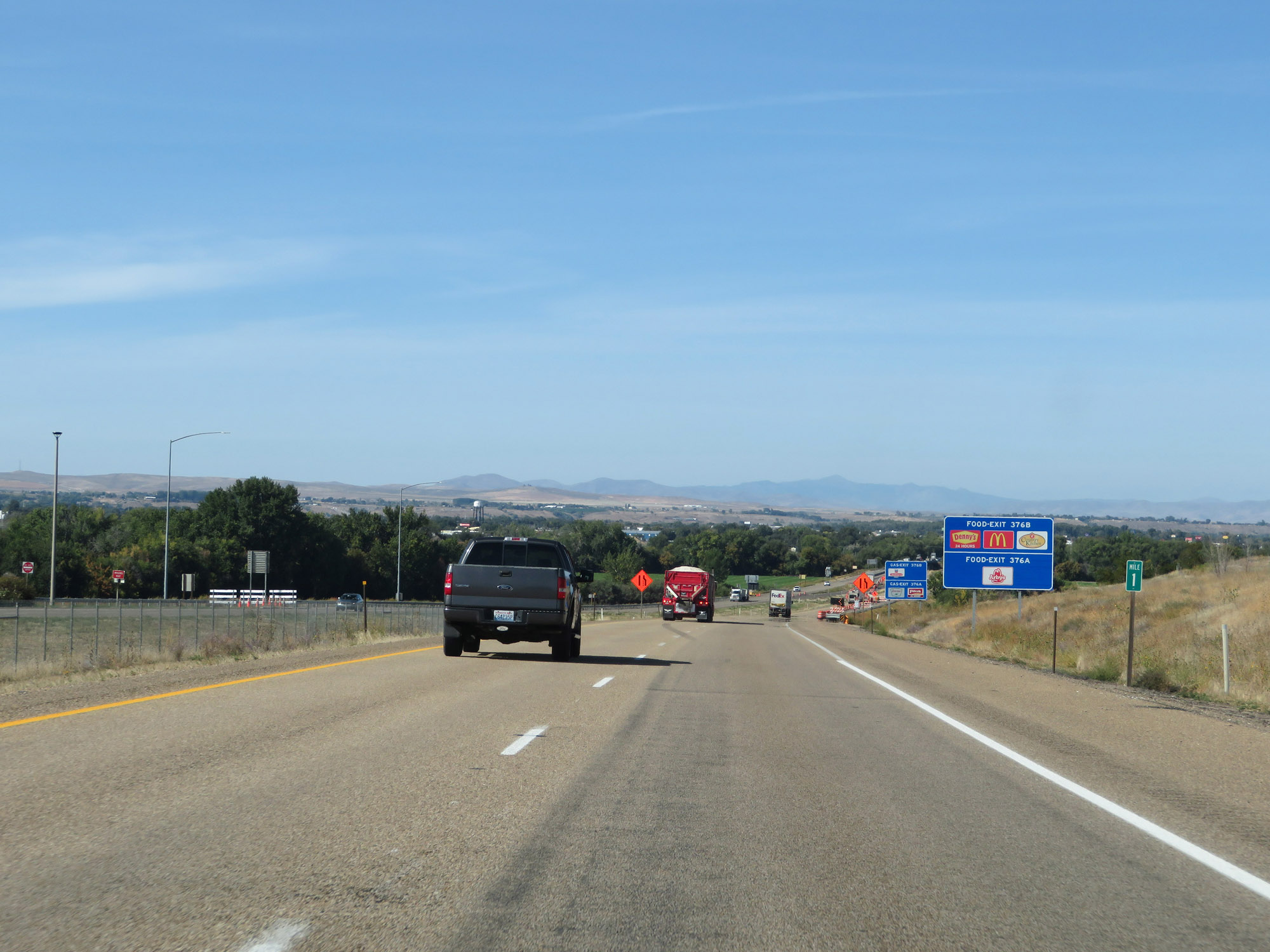 |
Interstate 84 West at mile marker 1. (Photo taken 9/25/19). |
 |
Interstate 84 West as it prepares to cross the Devo Bridge over the Snake River, which marks the Idaho/Oregon border. (Photo taken 9/25/19). |
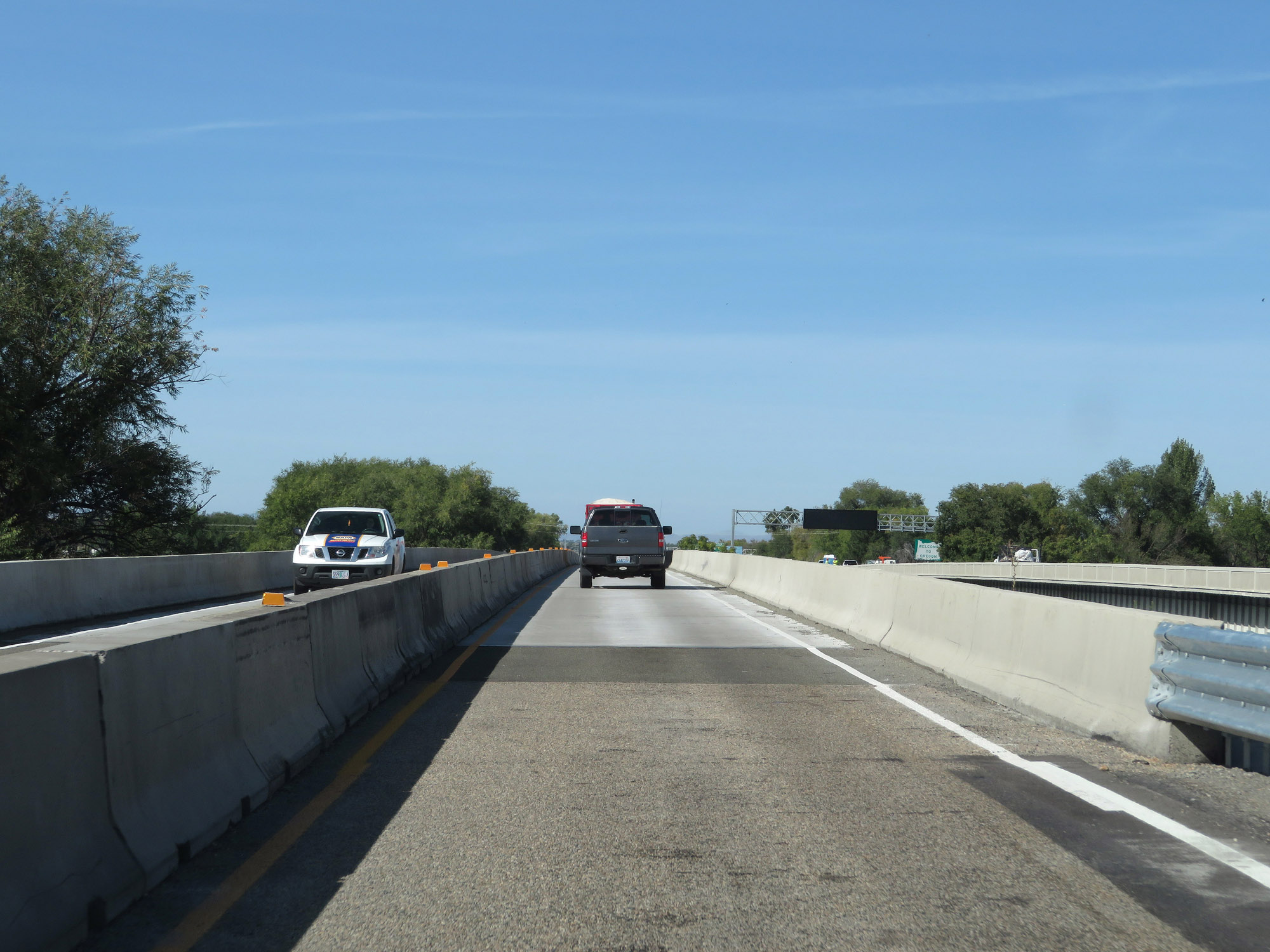 |
Interstate 84 West as it crosses the Snake River into Oregon. (Photo taken 9/25/19). |