Road Information |
||
 |
||
| Total Mileage in State: | 196 miles | |
| Northern End: | At Montana state line | |
| Southern End: | At Utah state line | |
| Mileage covered in Photos: | 196 miles | |
| Counties covered in Photos: | Clark, Jefferson, Bonneville, Bingham, Bannock, Oneida | |
| Major Junctions in Photos: | US 26, in Blackfoot US 20, in Idaho Falls I-86, in Pocatello US 91, near Arimo |
|
| Control Cities in Photos: | Dubois, Idaho Falls, Blackfoot, Pocatello, Malad City | |
Southbound
- Section 1: Montana Border to Idaho Falls (Exit 119)
- Section 2: Idaho Falls (Exit 119) to Pocatello (Exit 71)
- Section 3: Pocatello (Exit 71) to Utah Border
Section 1: Montana Border to Idaho Falls (Exit 119)
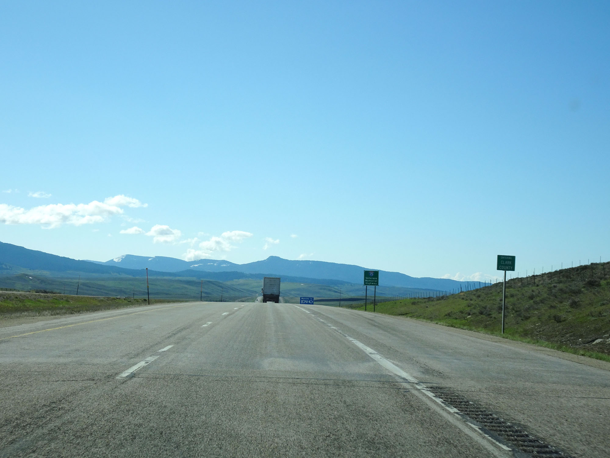 |
Interstate 15 South entering Idaho and Clark County from Montana. (Photo taken 5/26/16). |
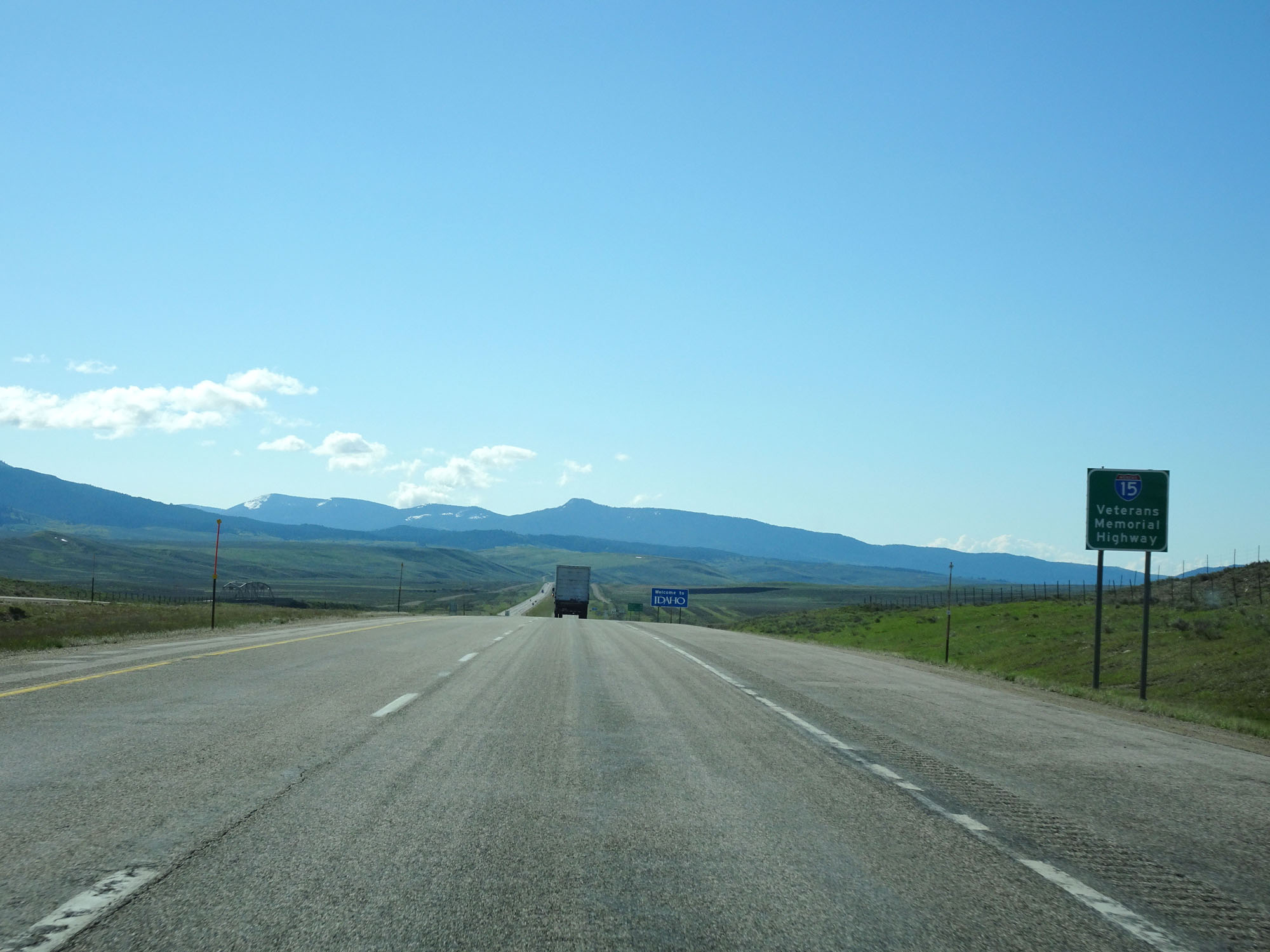 |
Interstate 15 in Idaho is also called Veterans Memorial Highway. (Photo taken 5/26/16). |
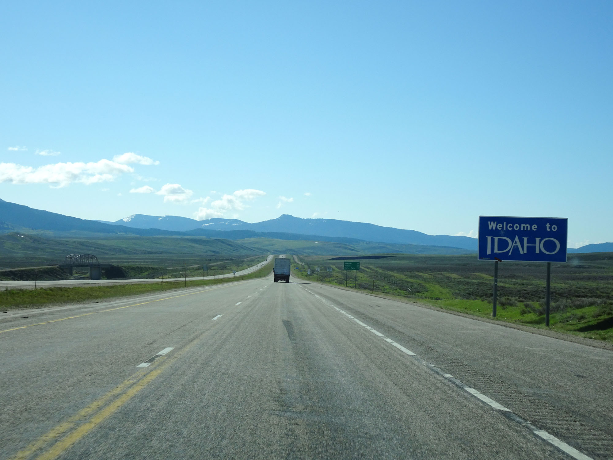 |
Idaho welcome sign on Interstate 15 South. (Photo taken 5/26/16). |
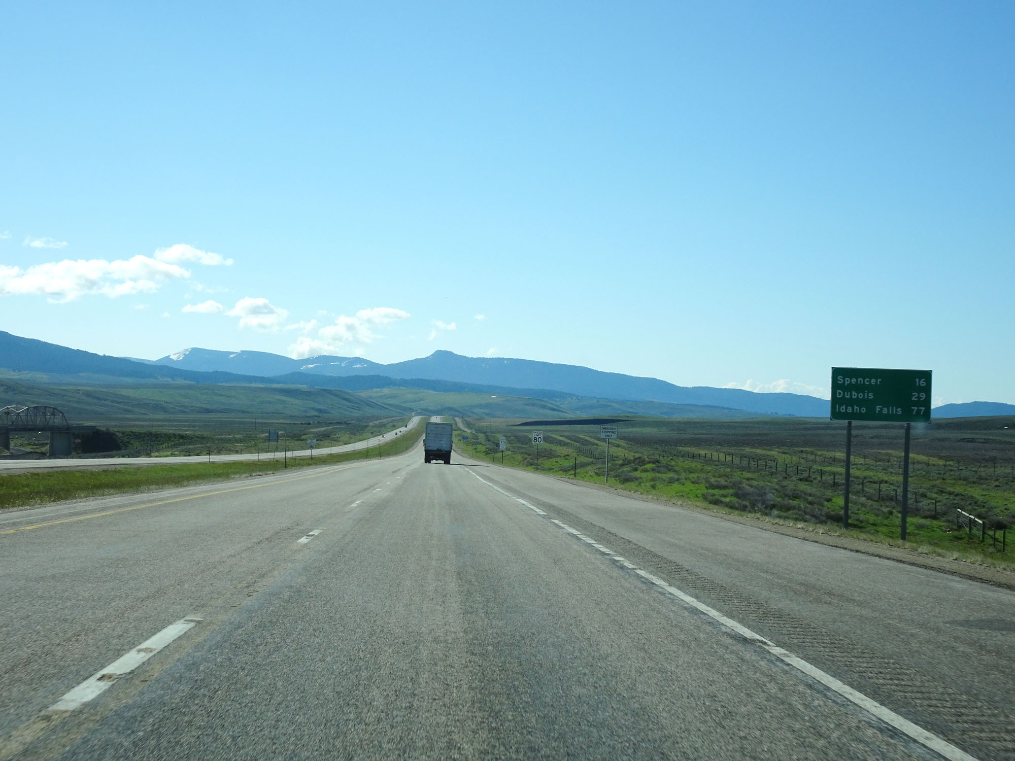 |
Mileage sign on Interstate 15 South. It's 16 miles to Spencer, 29 miles to Dubois, and 77 miles to Idaho Falls. (Photo taken 5/26/16). |
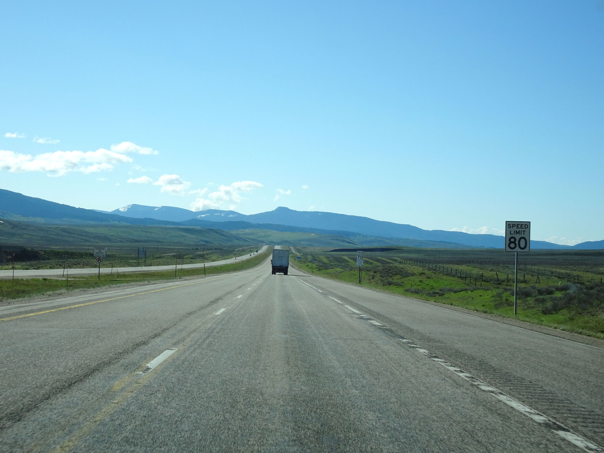 |
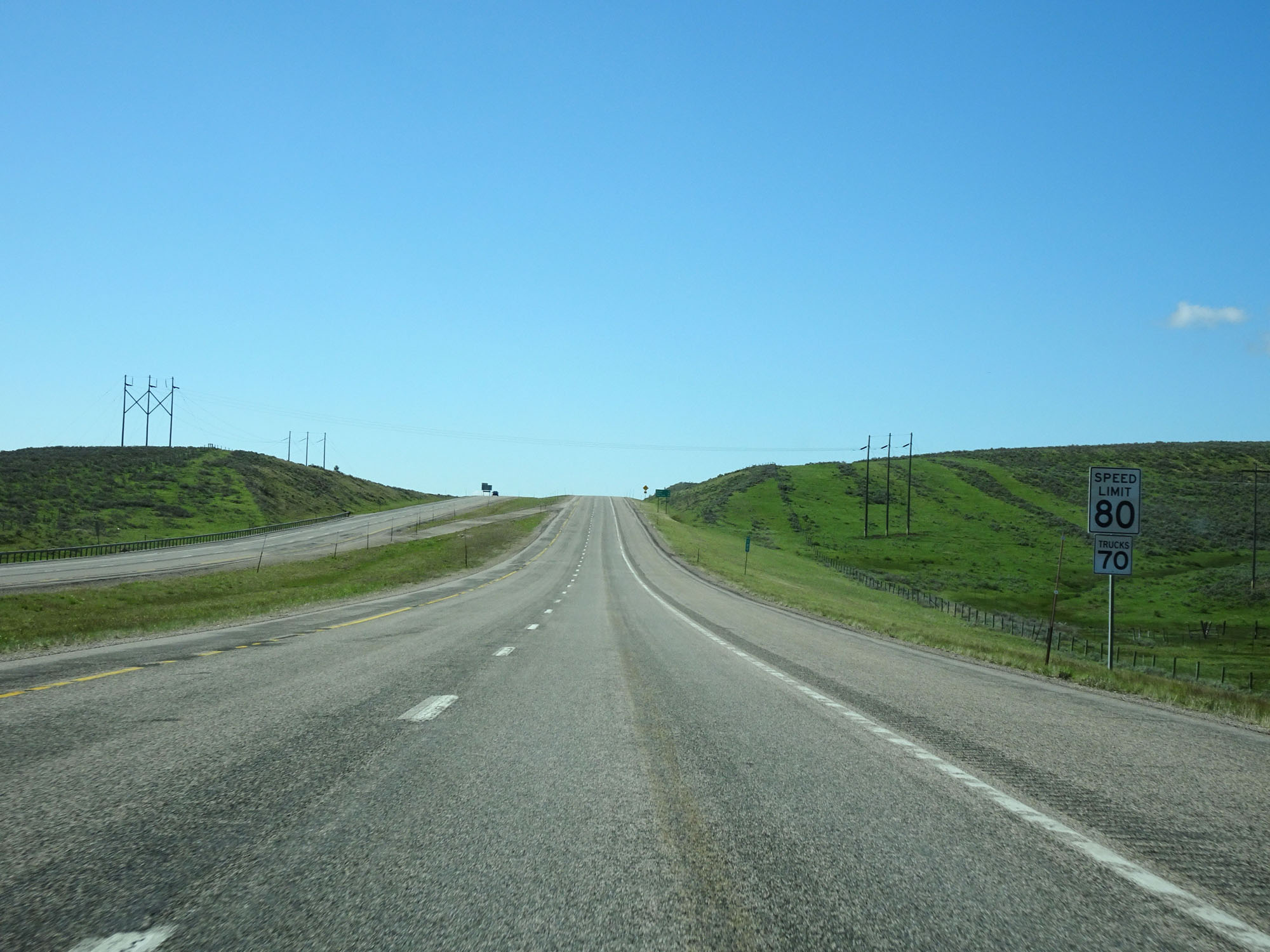
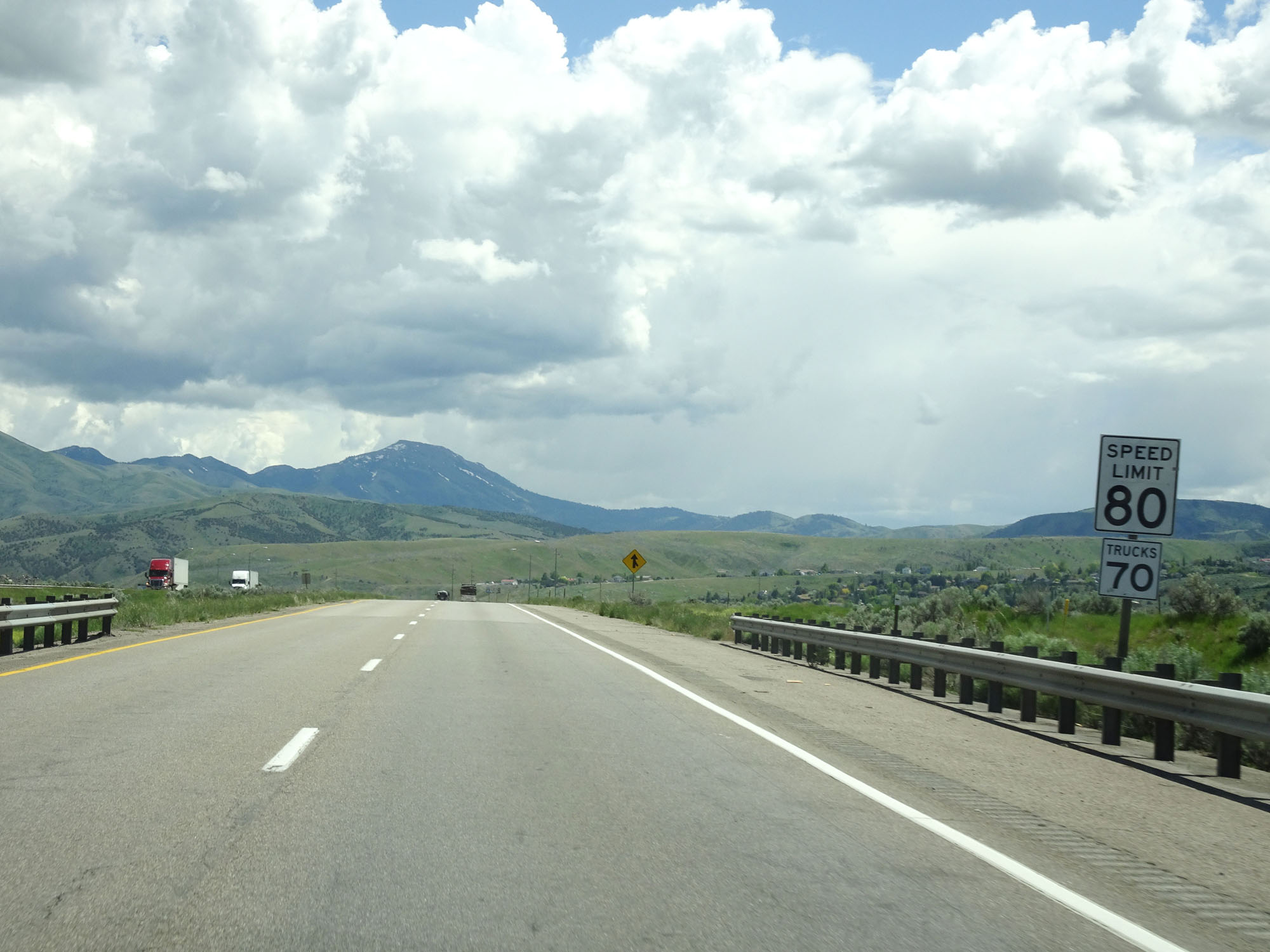
Speed limit sign on Interstate 15 South. The speed limit on most rural Interstate highways in Idaho is 80 mph for cars. (Photo taken 5/26/16). |
 |
A second speed limit sign for trucks. The speed limit on most rural Interstate highways in Idaho is 70 mph for trucks. (Photo taken 5/26/16). |
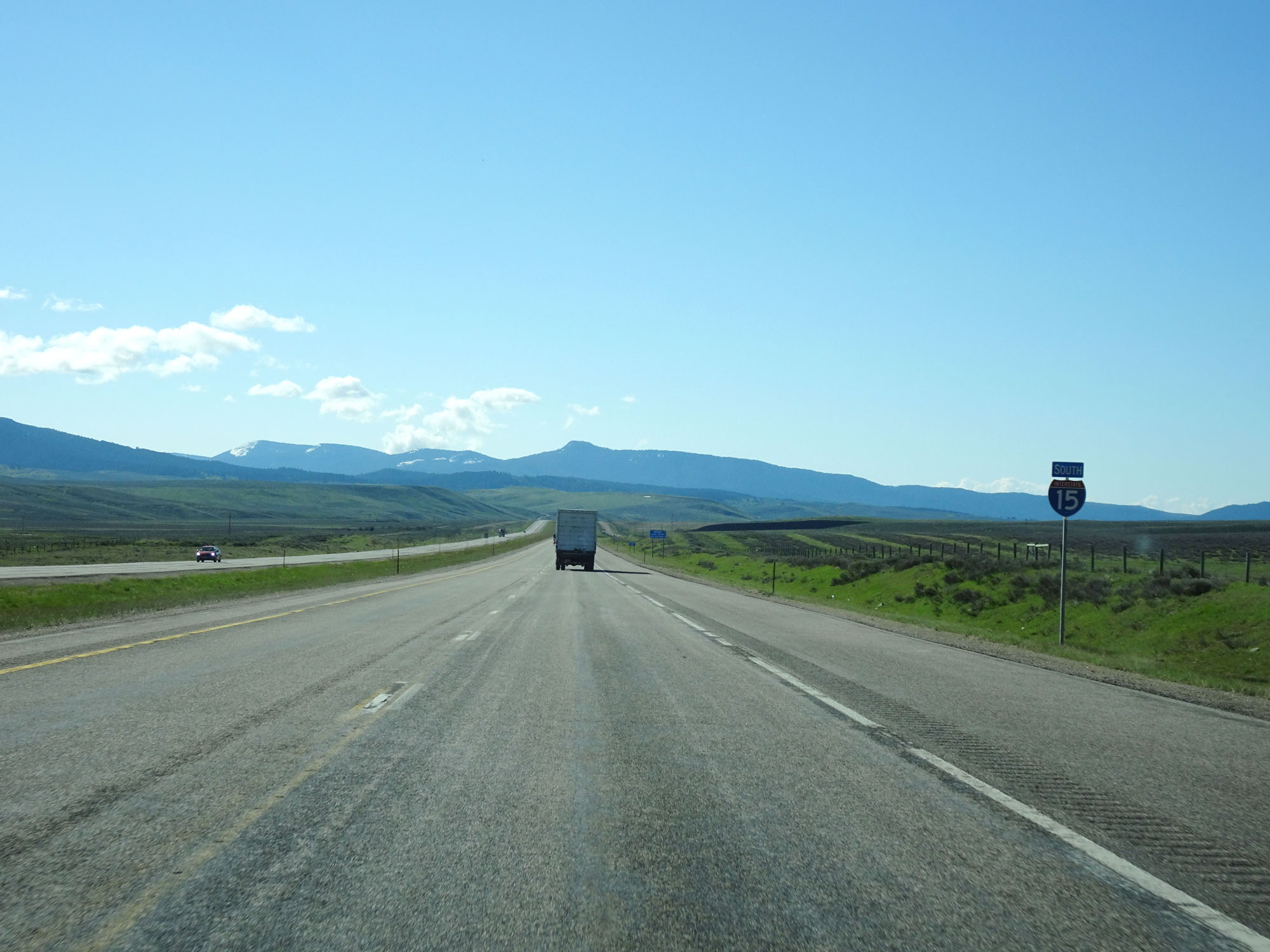 |
Interstate 15 South reassurance shield. (Photo taken 5/26/16). |
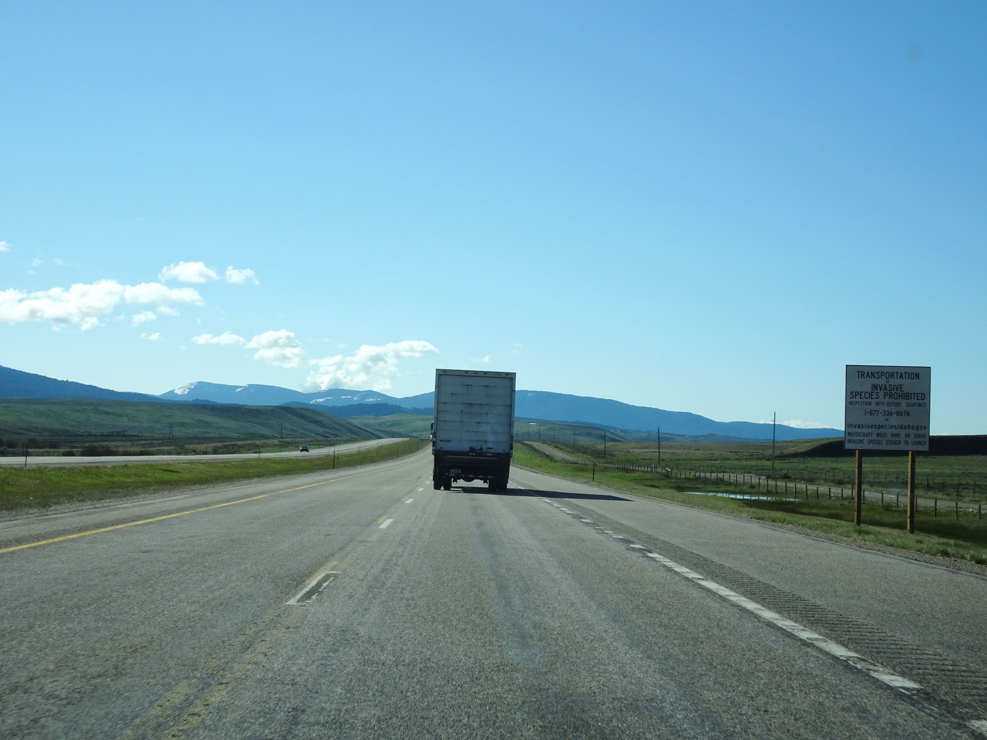 |
This sign warns that the transportation of invasive species is prohibited. (Photo taken 5/26/16). |
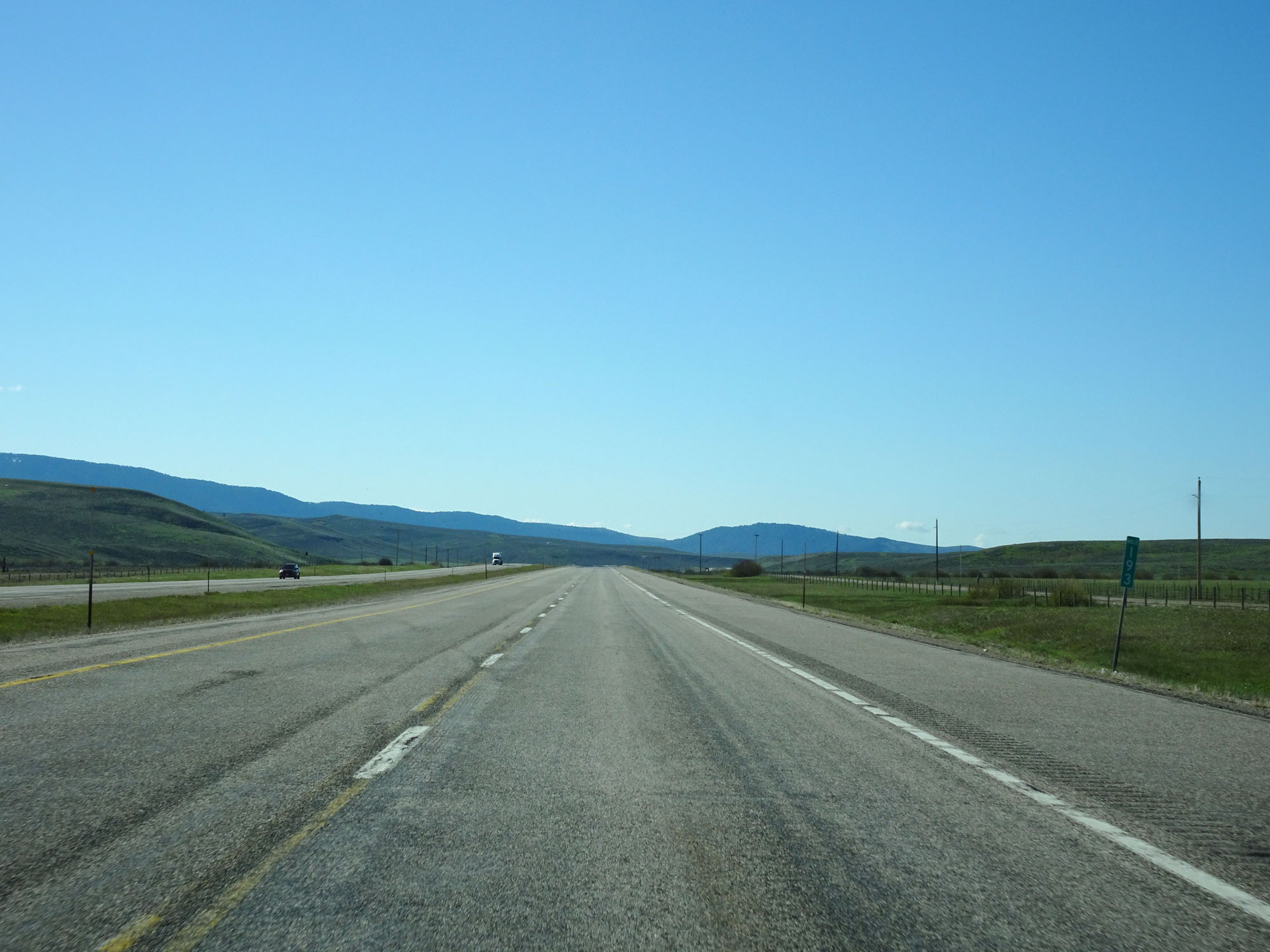 |
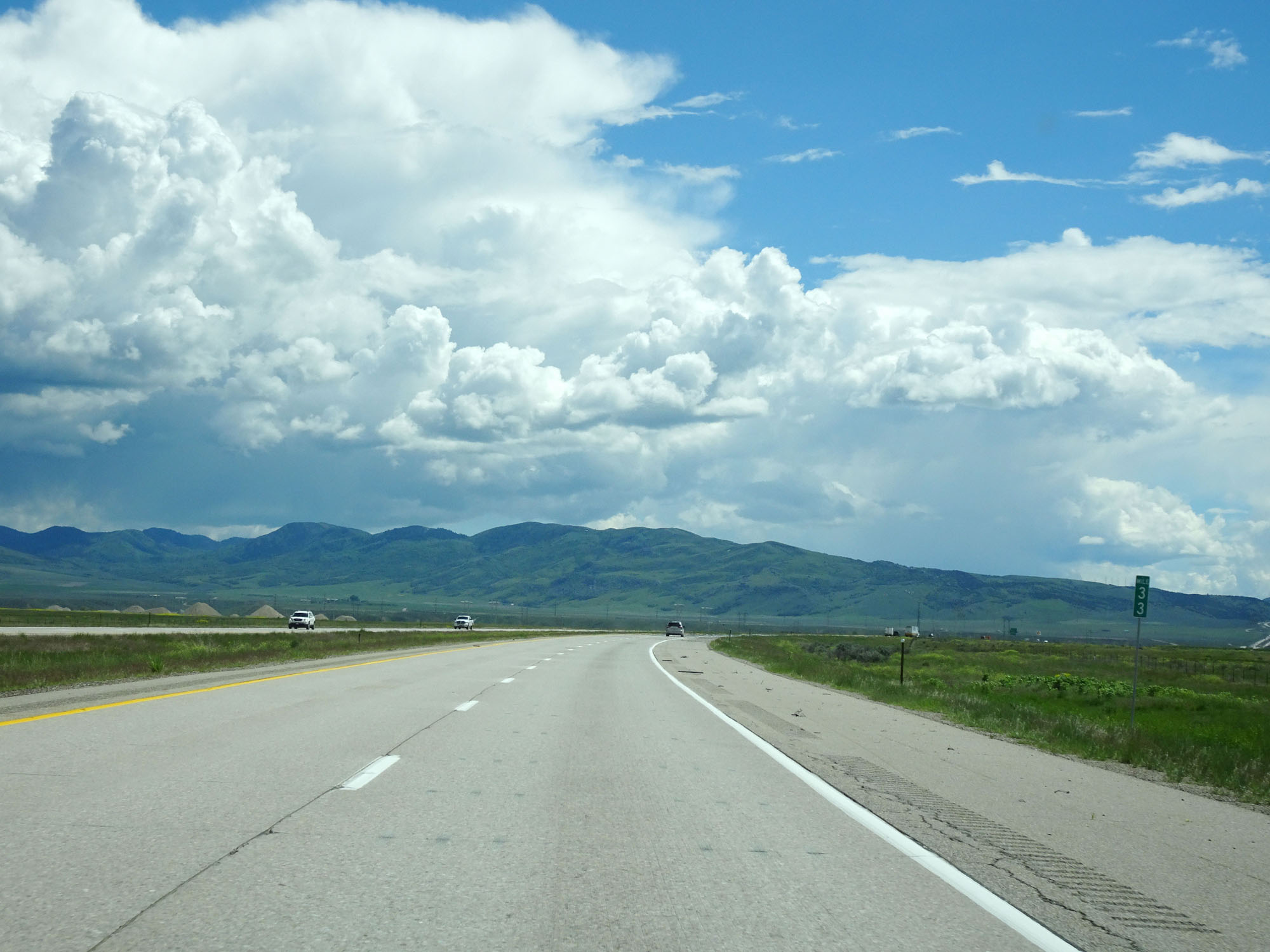
Interstate 15 South at mile marker 193. (Photo taken 5/26/16). |
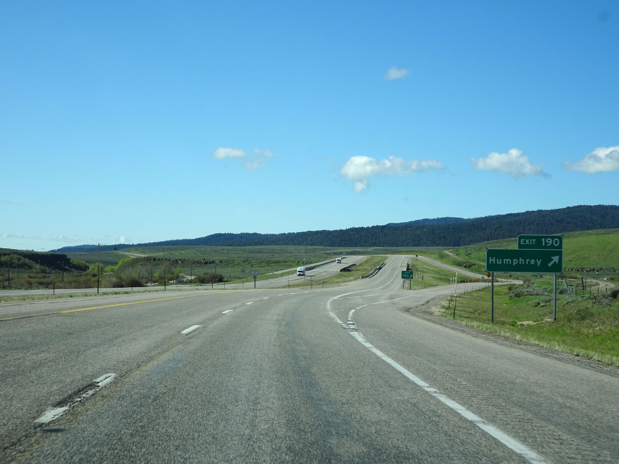 |
Interstate 15 South at Exit 190: Humphrey (Photo taken 5/26/16). |
 |
Another Interstate 15 South reassurance shield. (Photo taken 5/26/16). |
 |
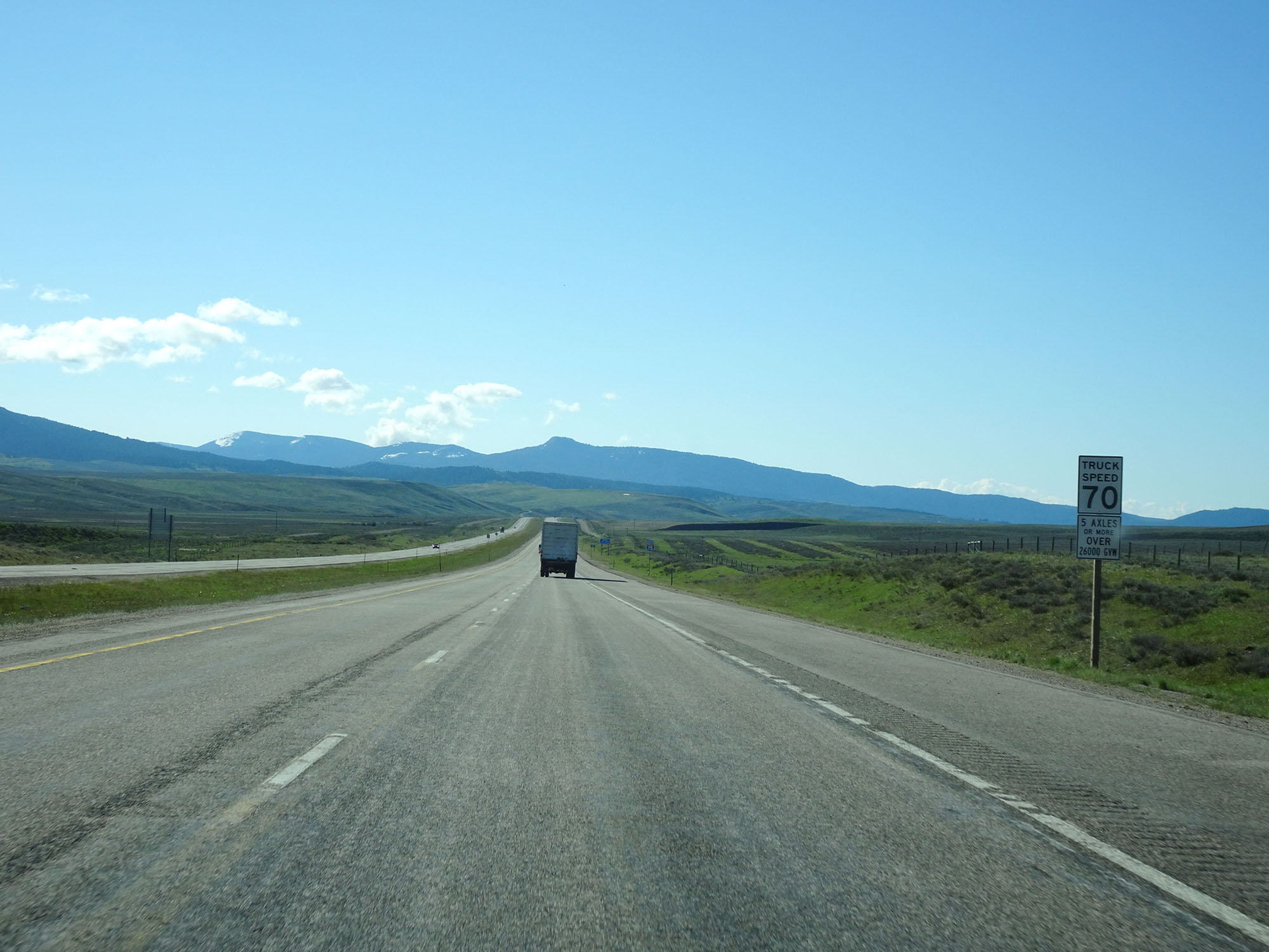
A set of speed limit signs on Interstate 15 South. The speed limits remain 80 mph for cars and 70 mph for trucks. (Photo taken 5/26/16). |
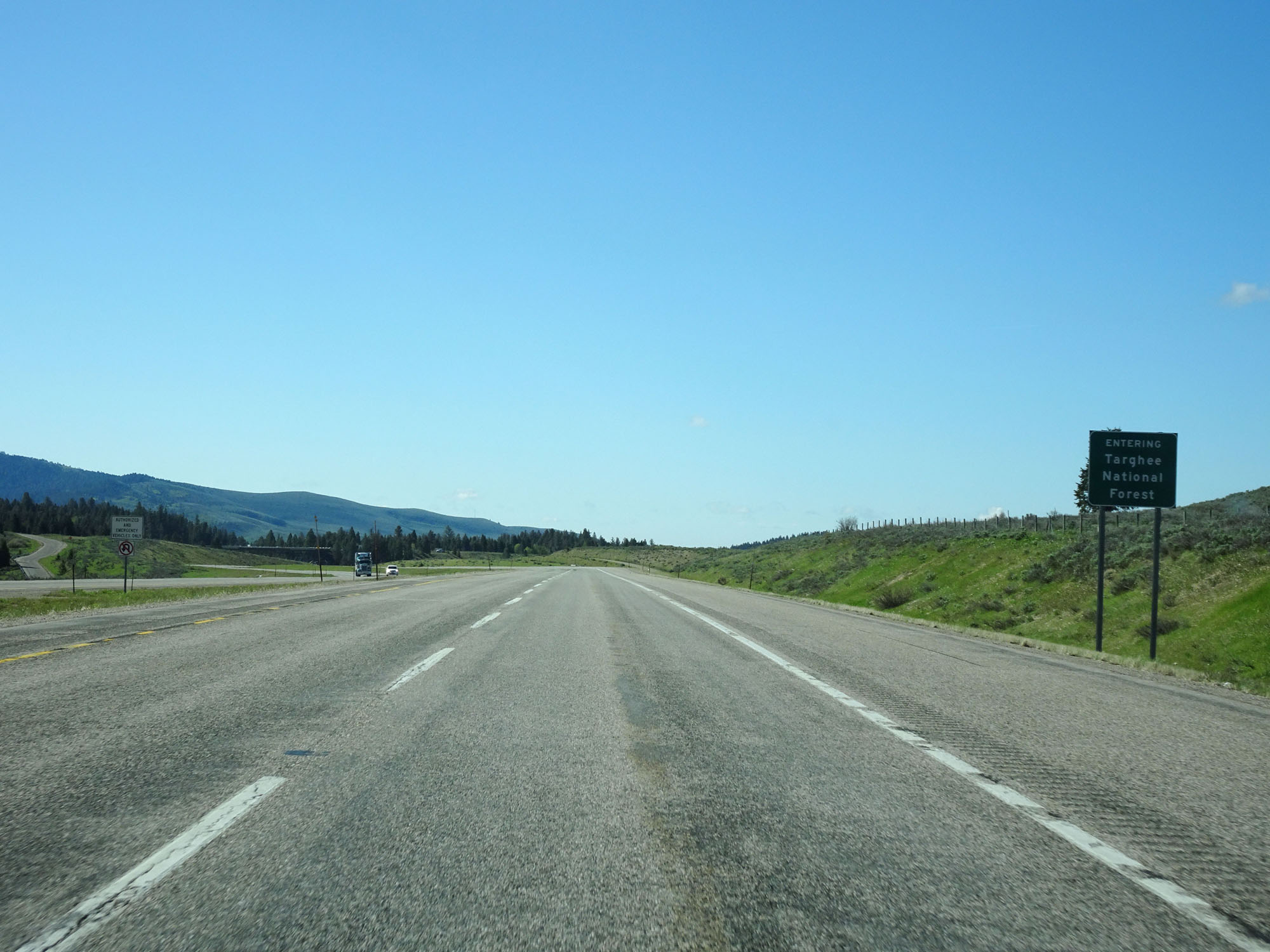 |
Interstate 15 South entering Targhee National Forest. (Photo taken 5/26/16). |
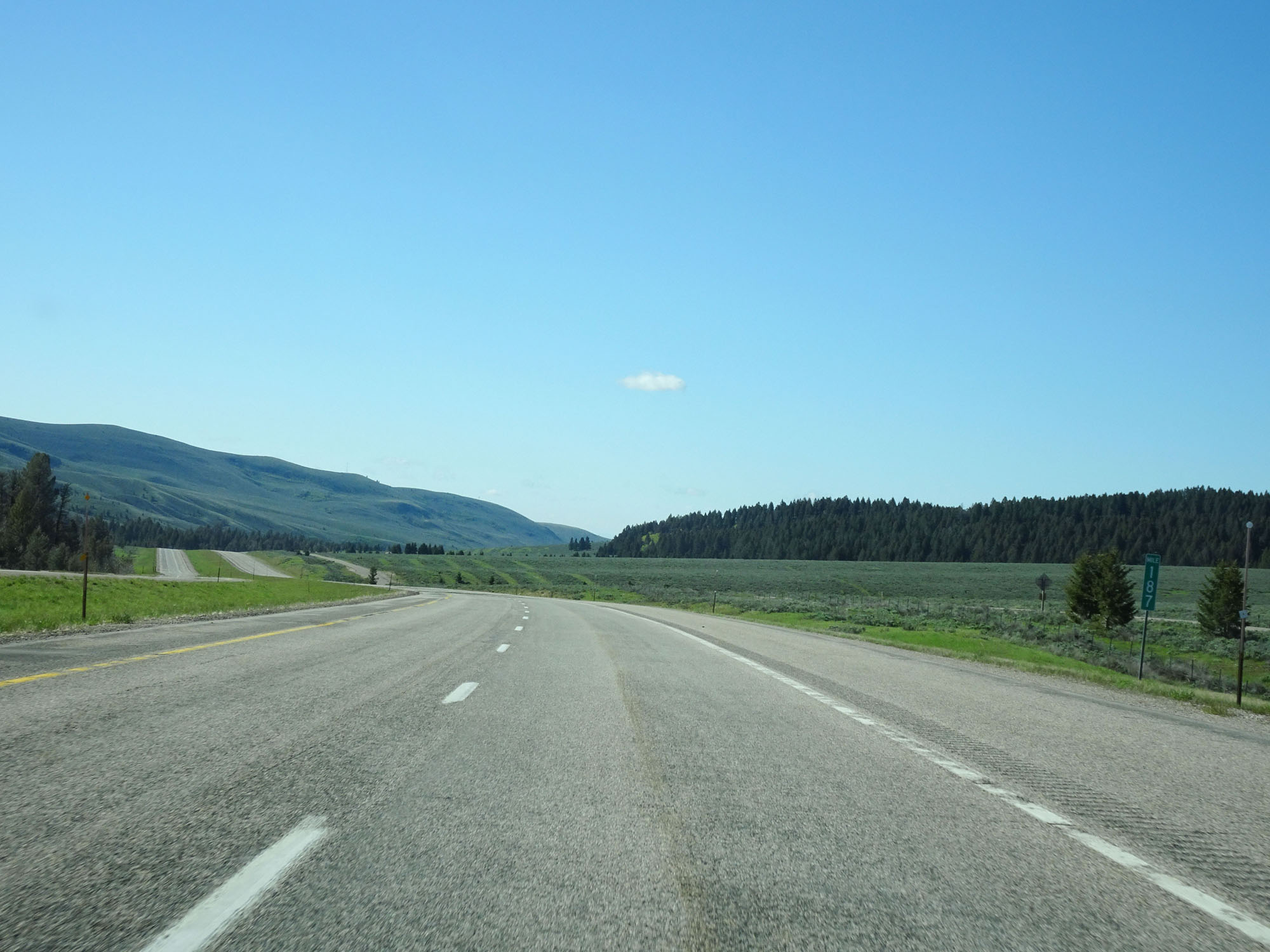 |
Interstate 15 South at mile marker 187. (Photo taken 5/26/16). |
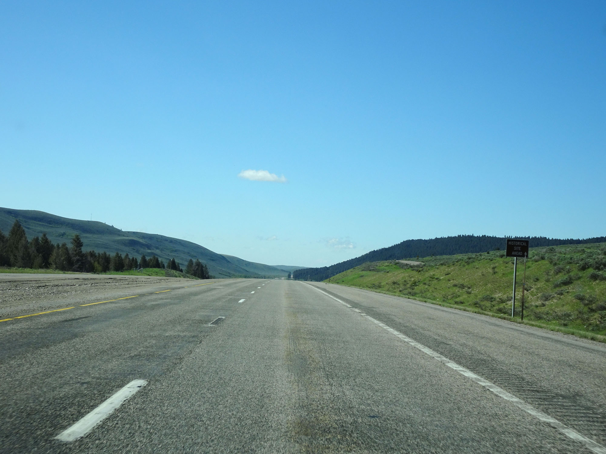 |
This small sign states that there is a Historic Site of some sort ahead. (Photo taken 5/26/16). |
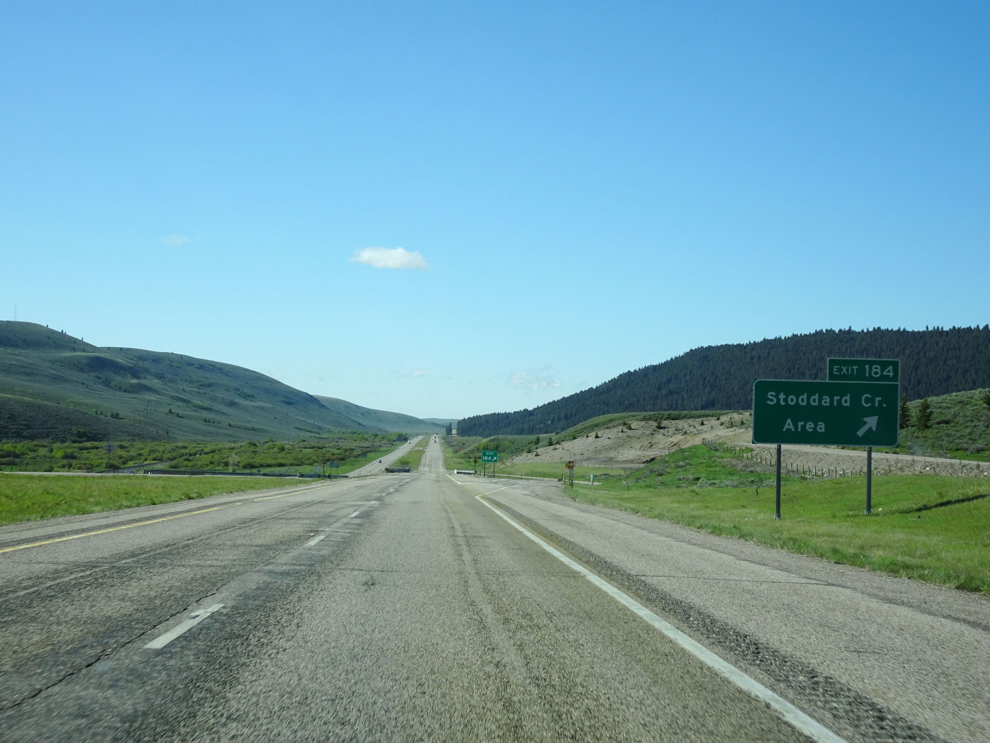 |
Interstate 15 South at Exit 184: Stoddard Creek Area (Photo taken 5/26/16). |
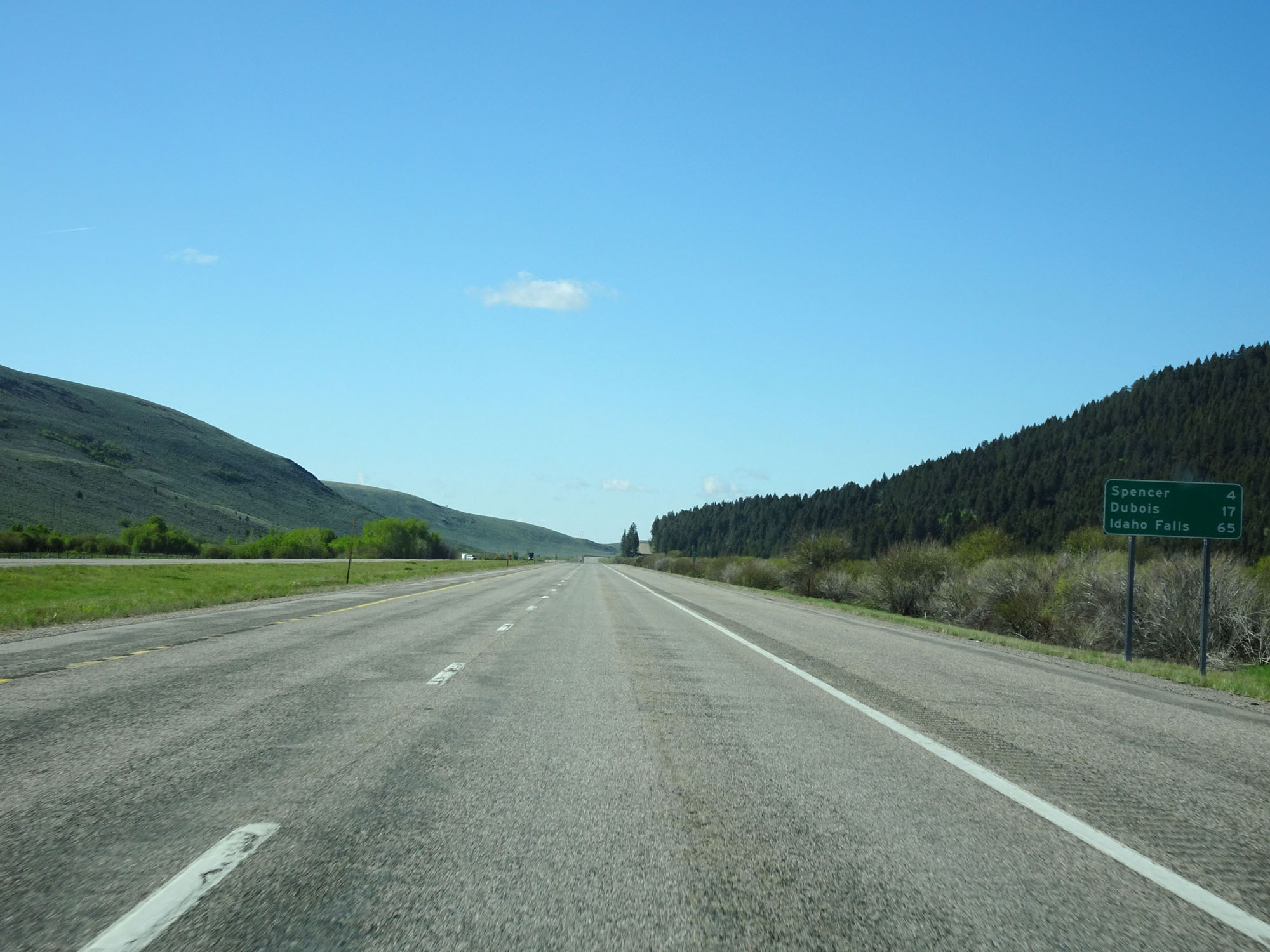 |
Mileage sign on Interstate 15 South. It's 4 miles to Spencer, 17 miles to Dubois, and 65 miles to Idaho Falls. (Photo taken 5/26/16). |
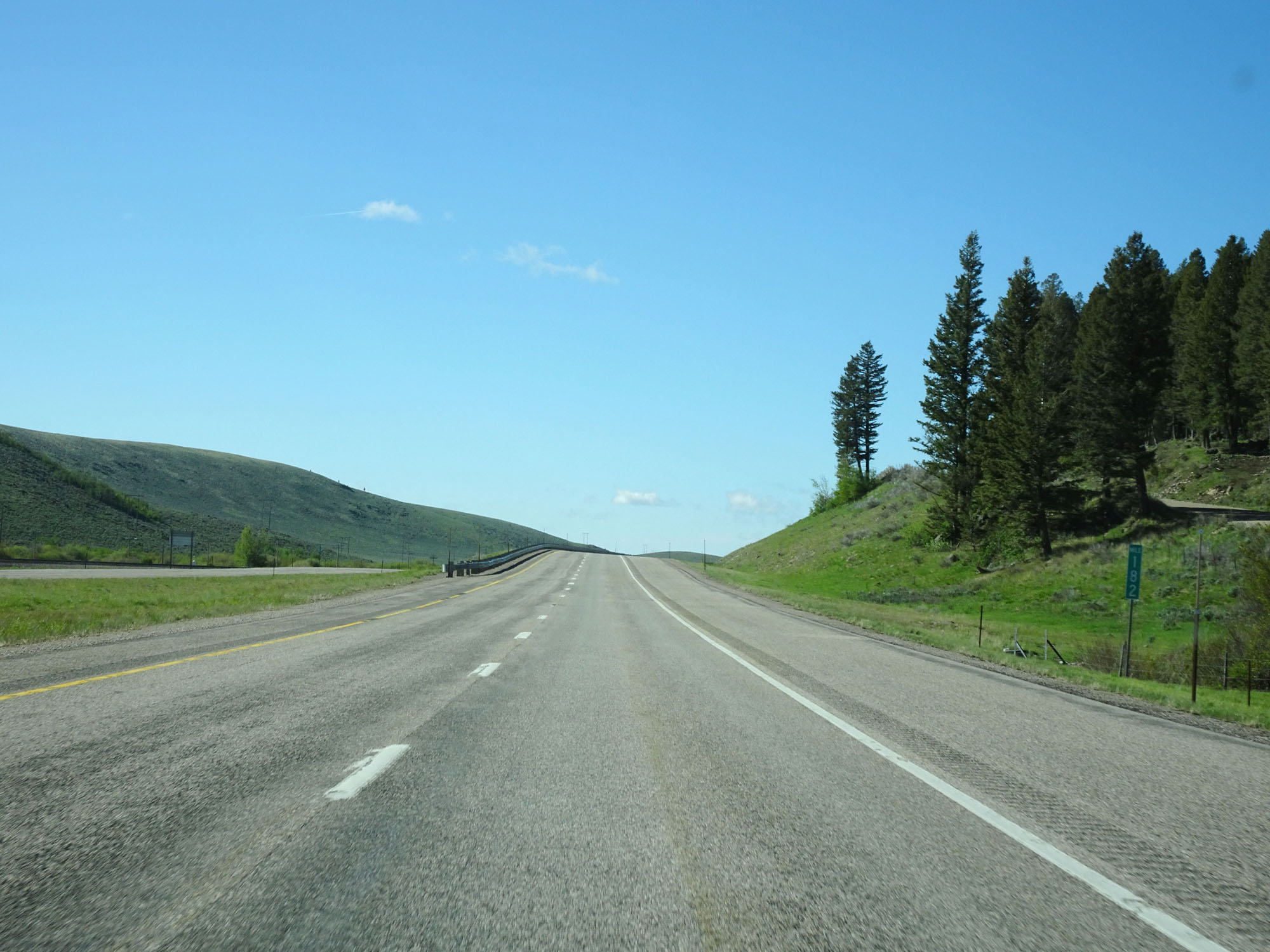 |
Interstate 15 South at mile marker 182. (Photo taken 5/26/16). |
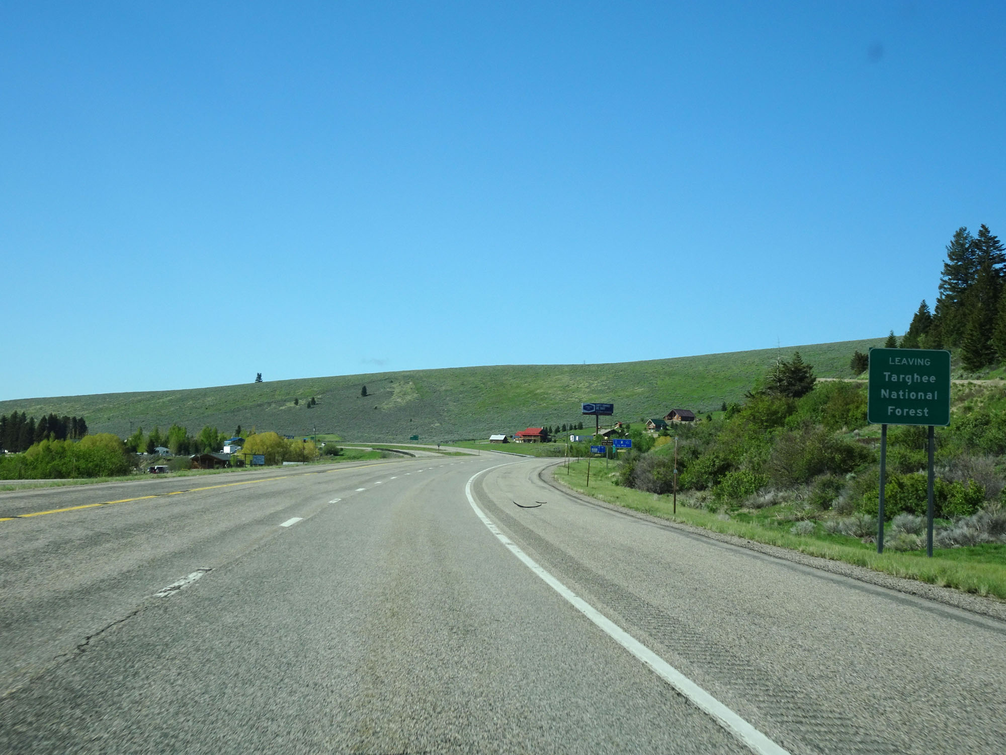 |
Interstate 15 South as it leaves Targhee National Forest. (Photo taken 5/26/16). |
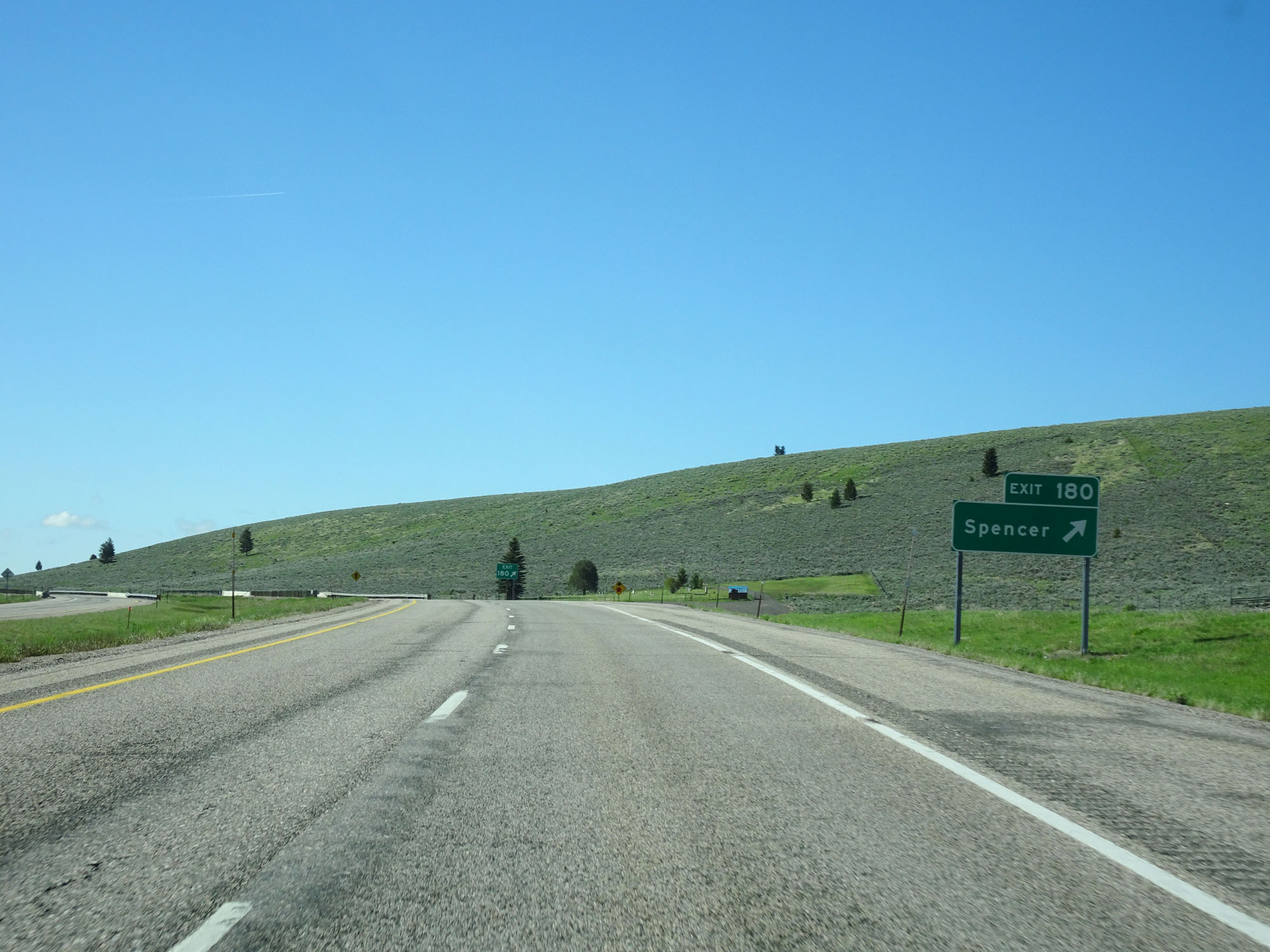 |
Interstate 15 South at Exit 180: Spencer (Photo taken 5/26/16). |
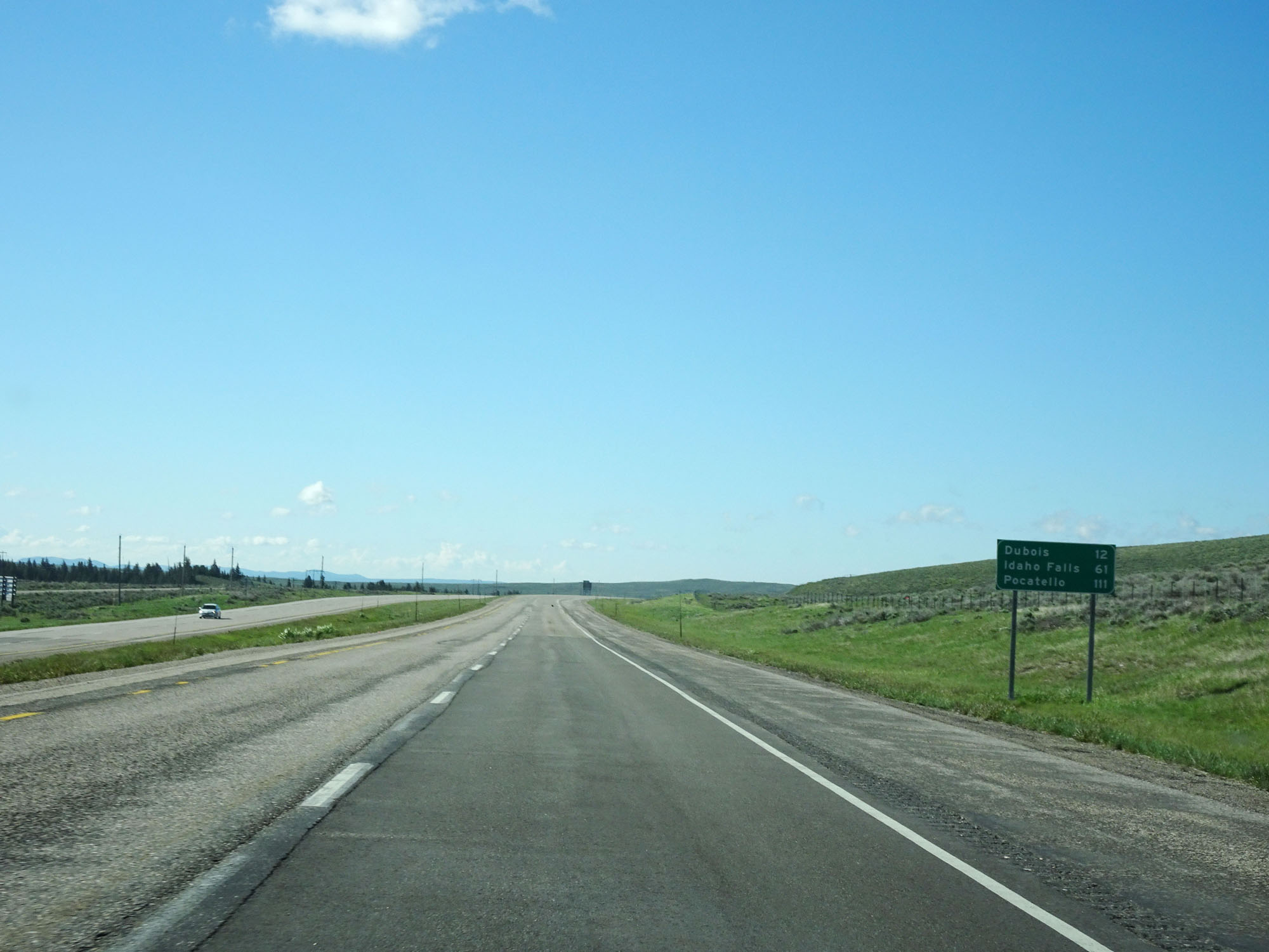 |
Another mileage sign on Interstate 15 South. It's 12 miles to Dubois, 61 miles to Idaho Falls, and 111 miles to Pocatello. (Photo taken 5/26/16). |
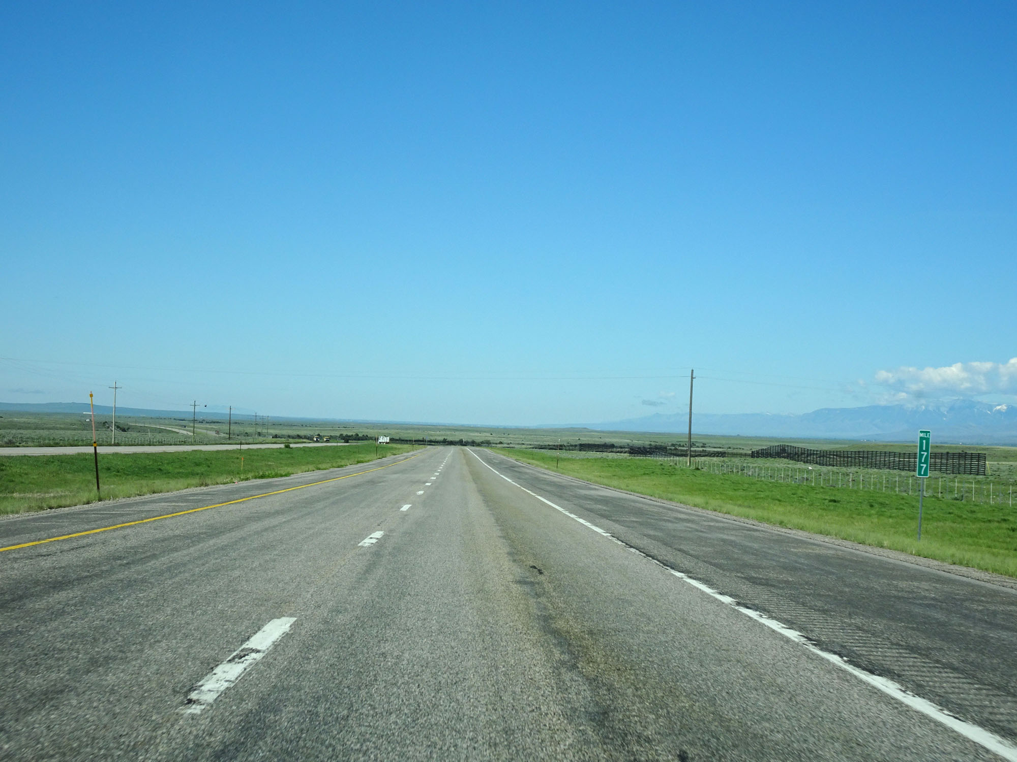 |
Interstate 15 South at mile marker 177. (Photo taken 5/26/16). |
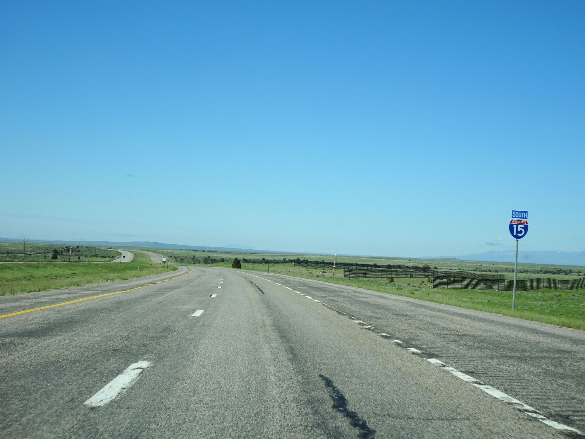 |
Interstate 15 South reassurance shield. (Photo taken 5/26/16). |
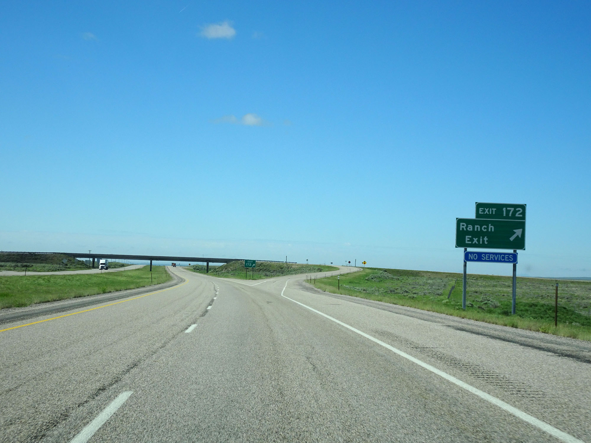 |
Interstate 15 South at Exit 172: Ranch Exit (Photo taken 5/26/16). |
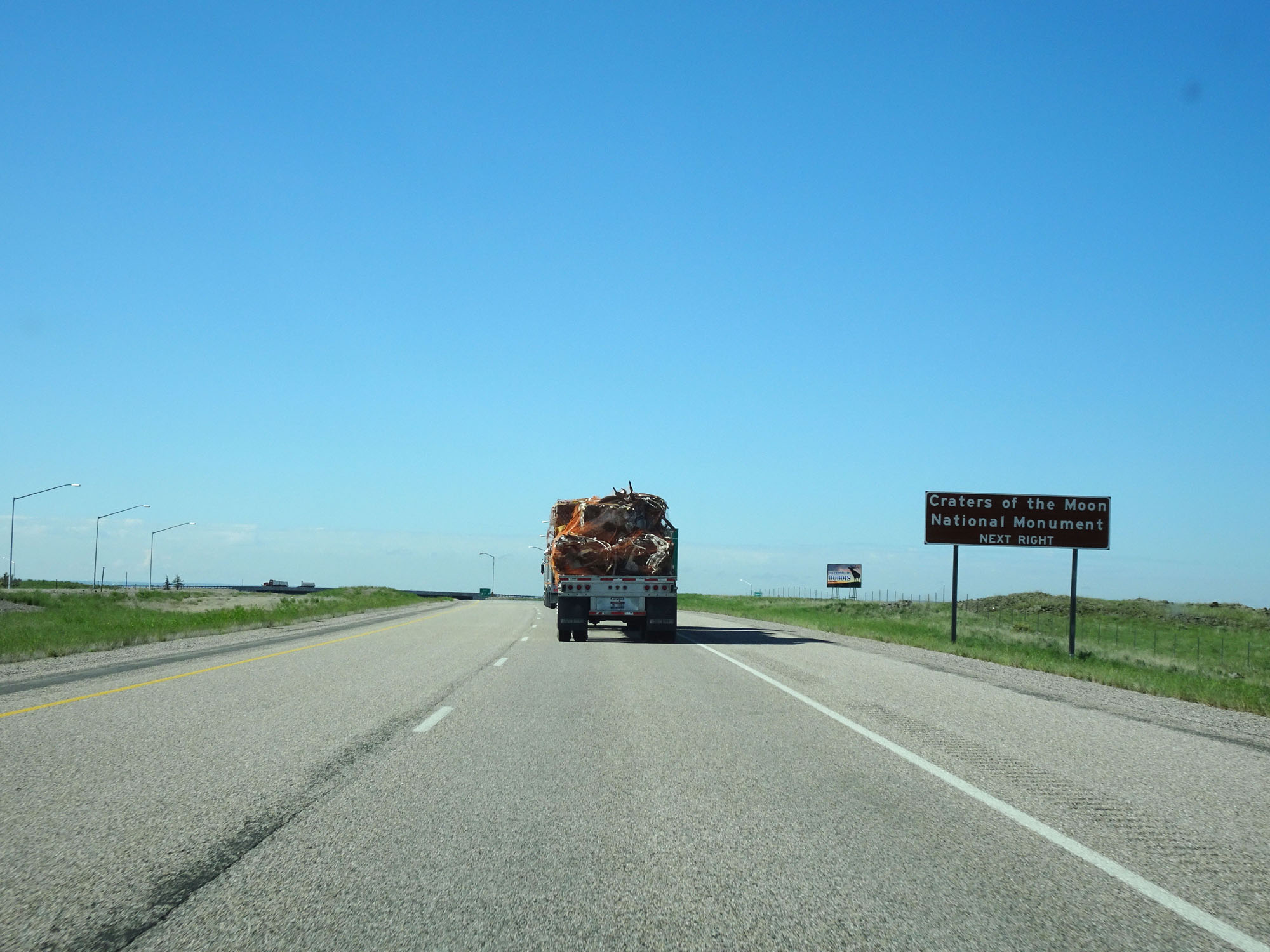 |
Take Exit 167 to Craters of the Moon National Monument. (Photo taken 5/26/16). |
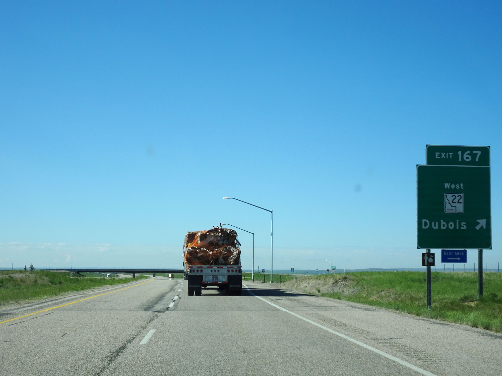 |
Interstate 15 South at Exit 167: ID 22 West - Dubois (Photo taken 5/26/16). |
 |
Interstate 15 South at mile marker 162. (Photo taken 5/26/16). |
 |
Interstate 15 South entering Jefferson County. (Photo taken 5/26/16). |
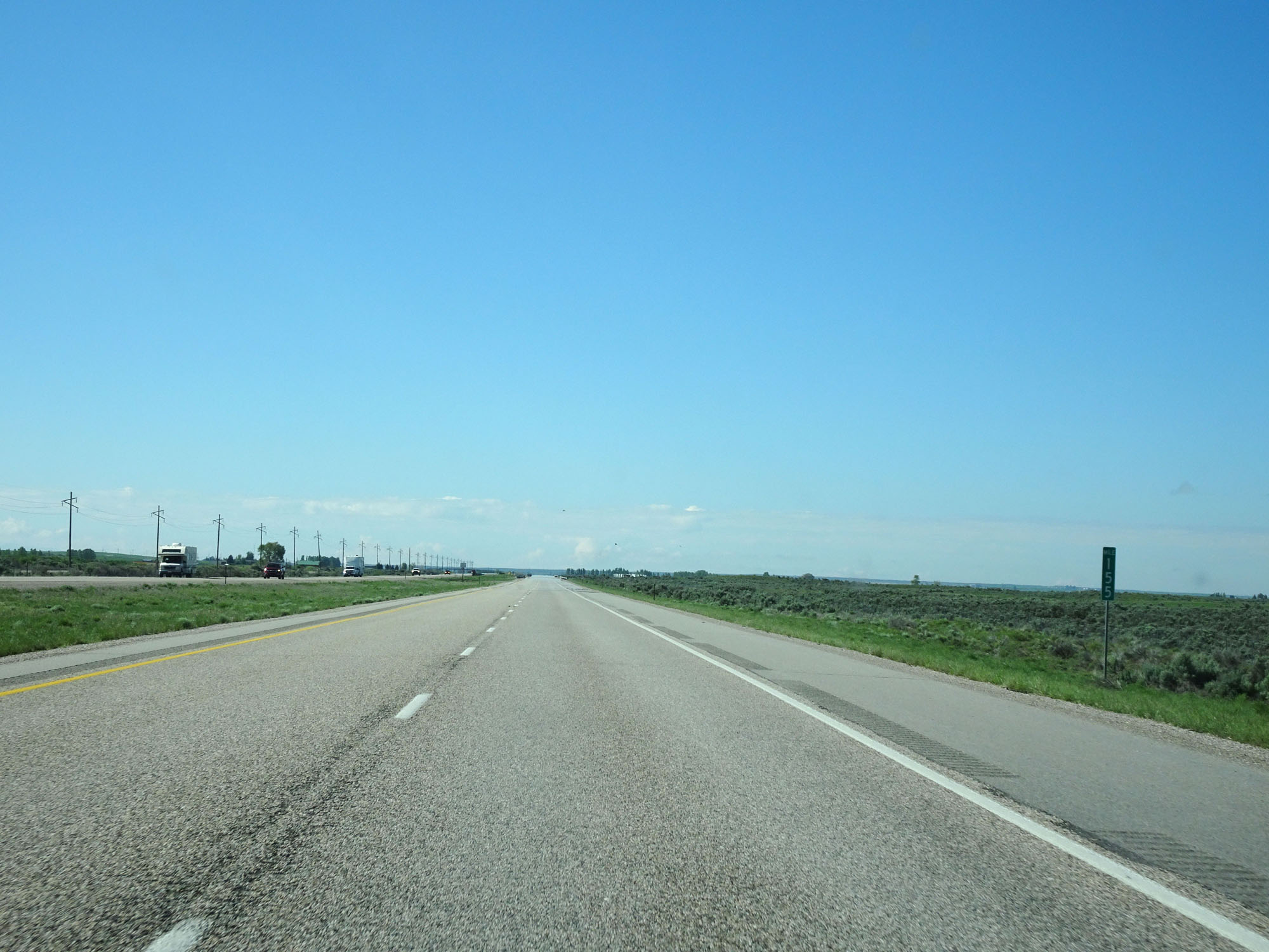 |
Interstate 15 South at mile marker 155. (Photo taken 5/26/16). |
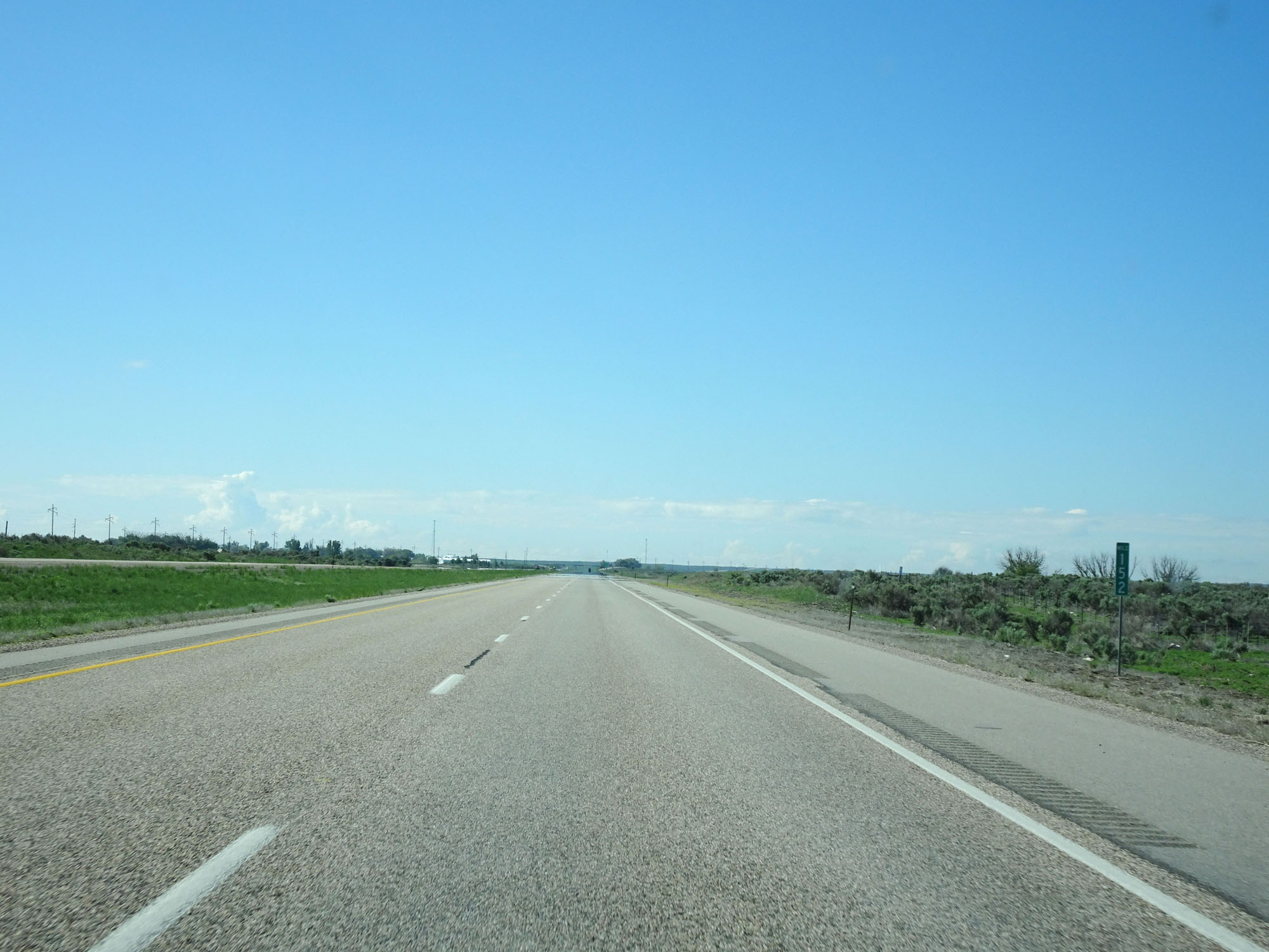 |
Interstate 15 South at mile marker 152. (Photo taken 5/26/16). |
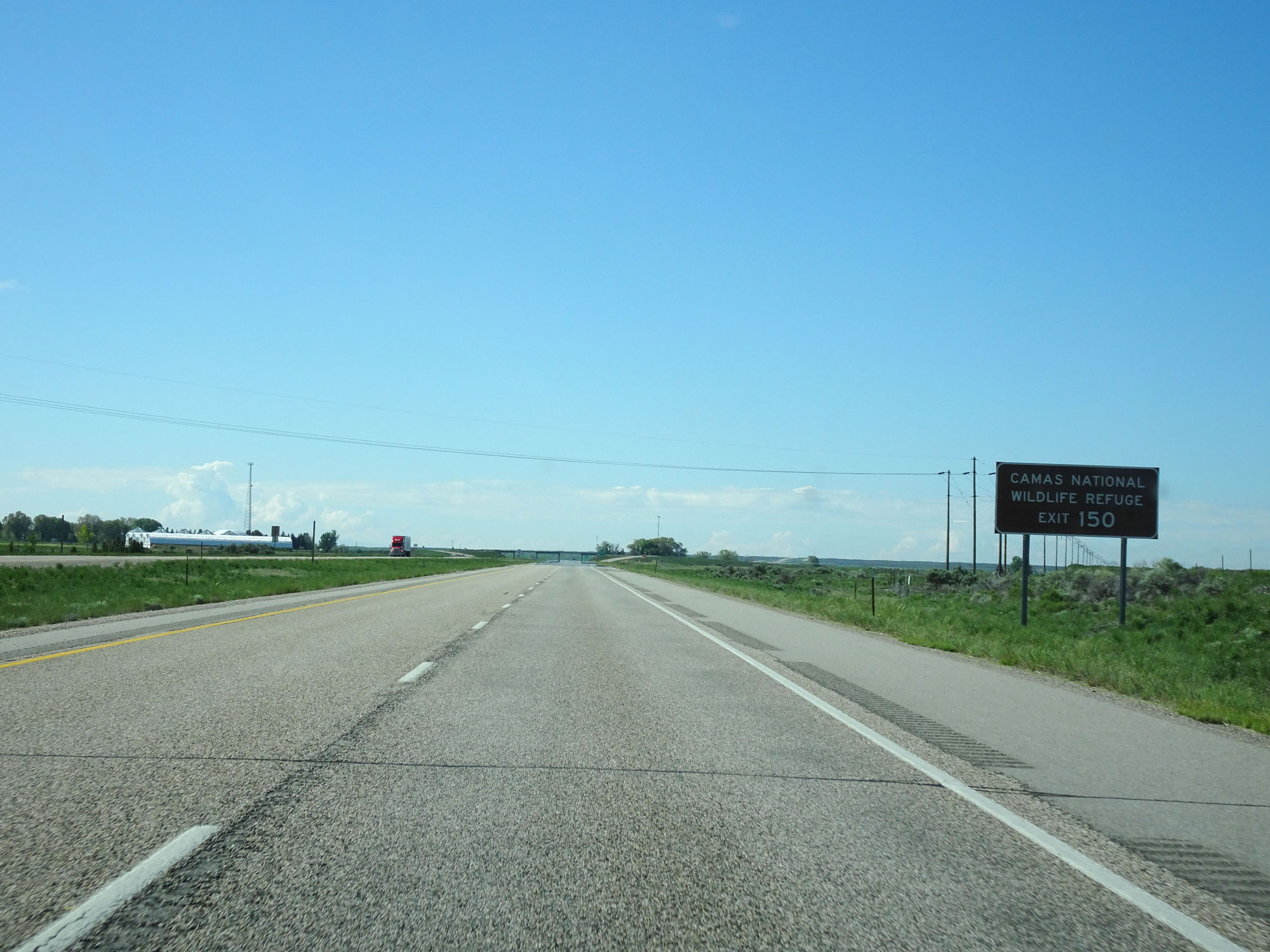 |
Take Exit 150 to Camas National Wildlife Refuge. (Photo taken 5/26/16). |
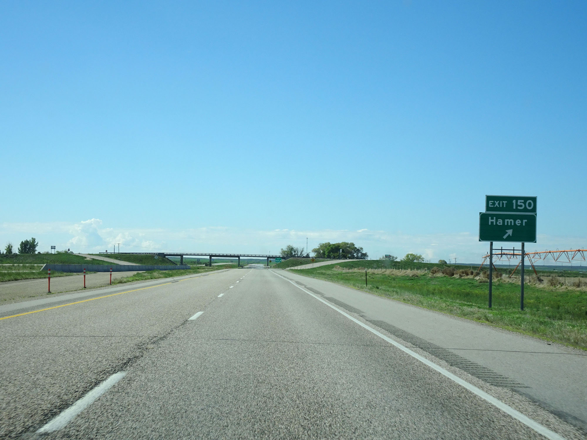 |
Interstate 15 South at Exit 150: Hamer (Photo taken 5/26/16). |
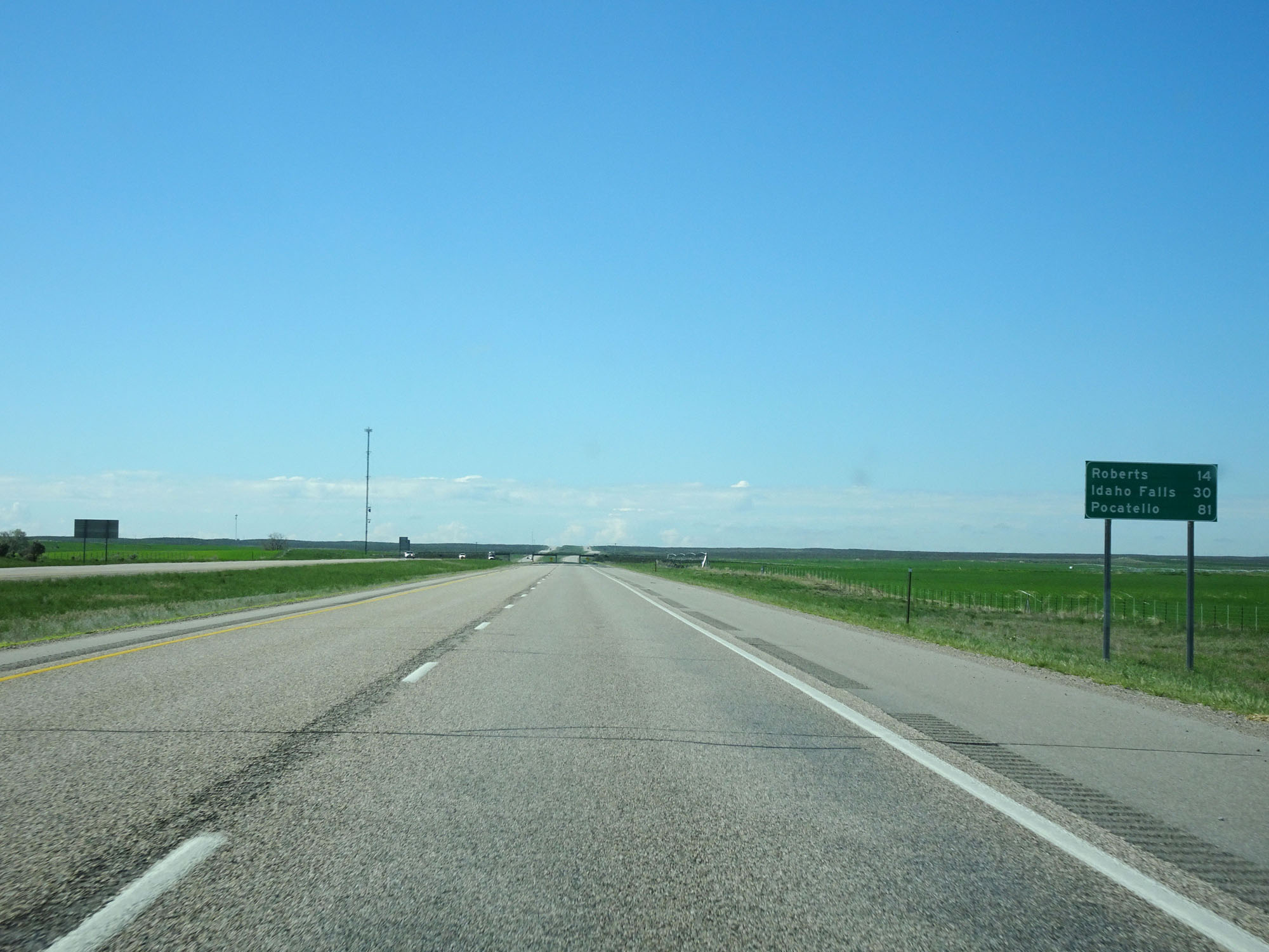 |
Mileage sign on Interstate 15 South. It's 14 miles to Roberts, 30 miles to Idaho Falls, and 81 miles to Pocatello. (Photo taken 5/26/16). |
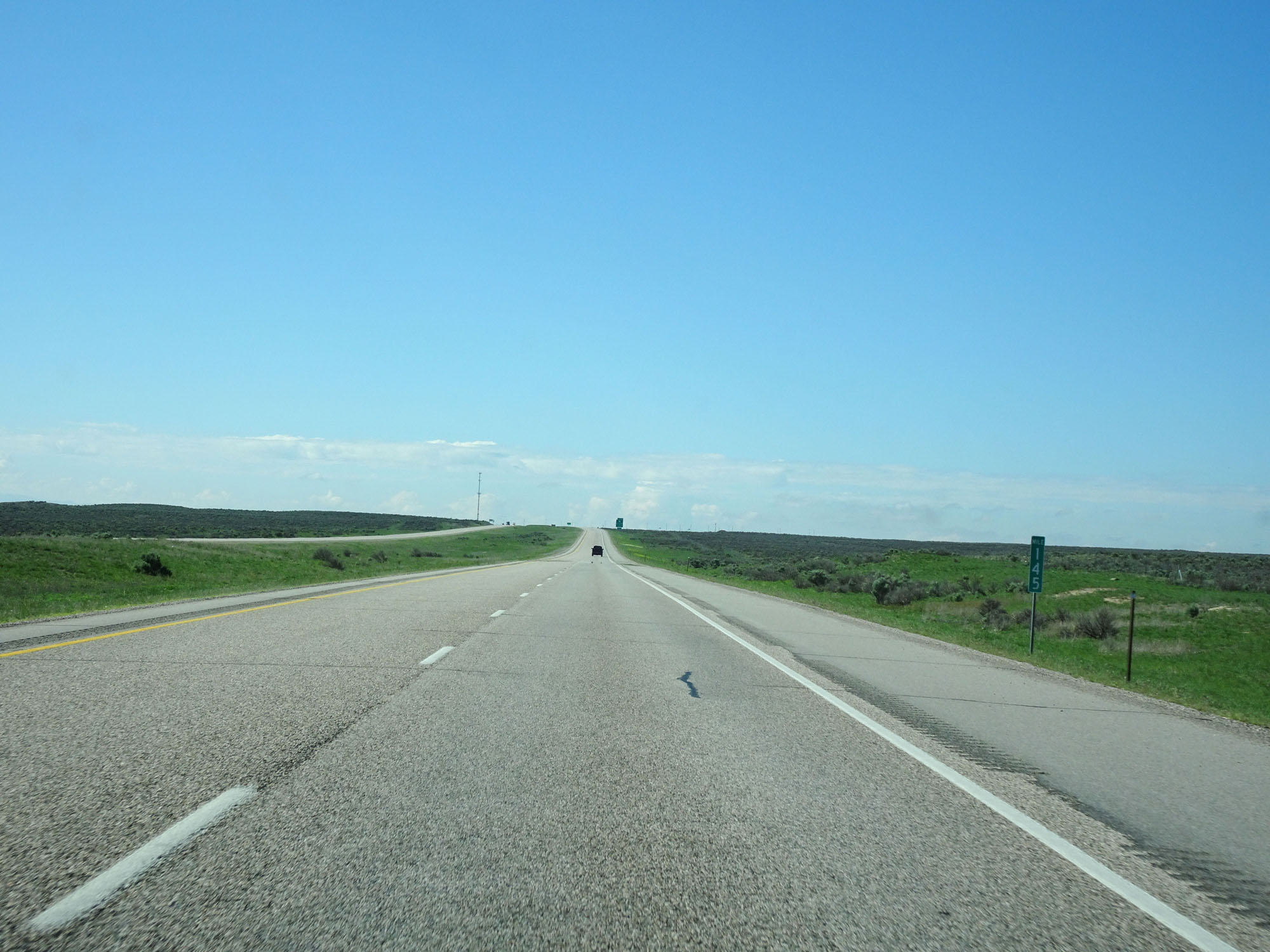 |
Interstate 15 South at mile marker 145. (Photo taken 5/26/16). |
 |
Interstate 15 South approaching Exit 143 - 1 mile. (Photo taken 5/26/16). |
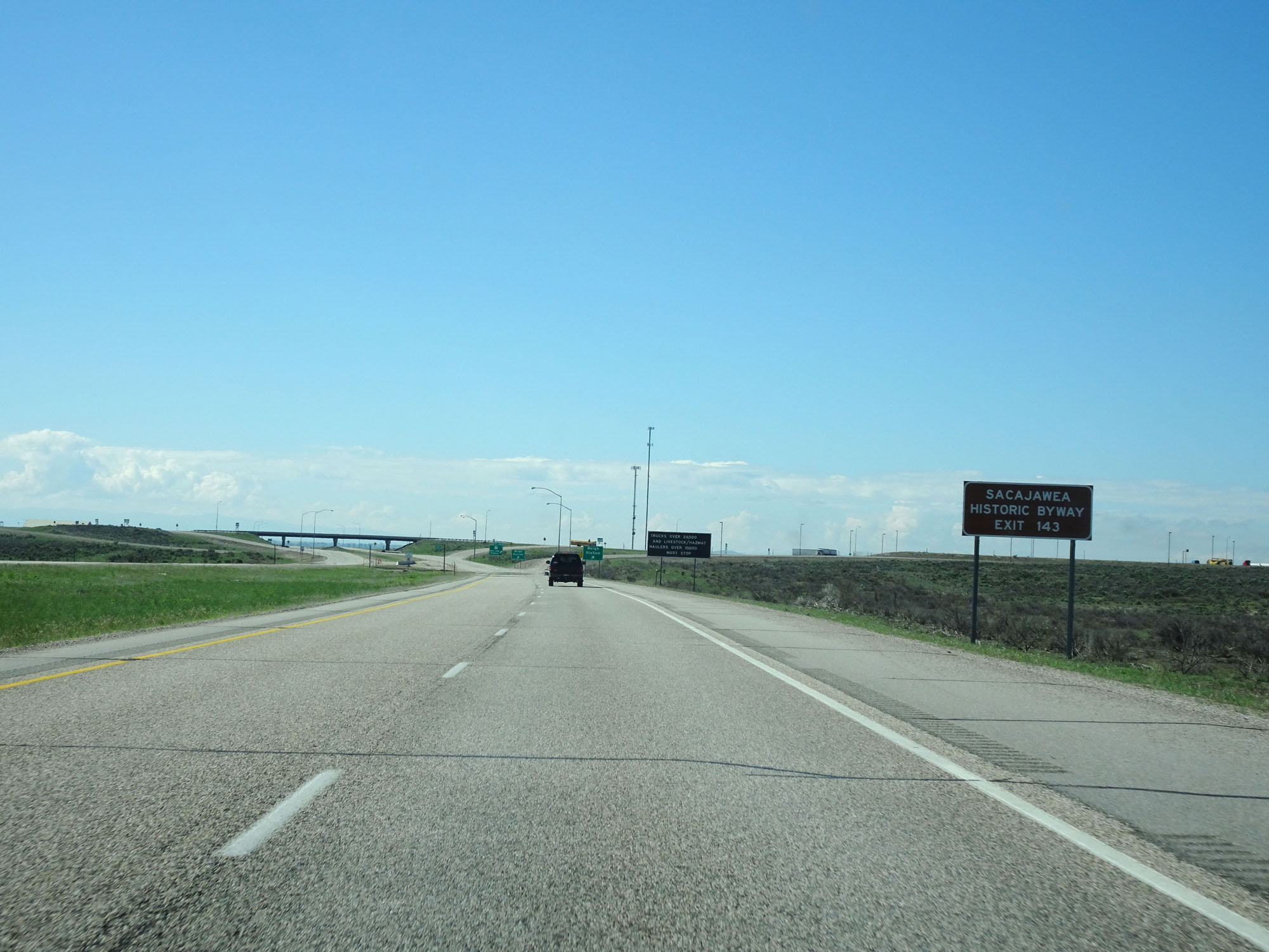 |
Take Exit 143 to Sacajawea Historic Byway. (Photo taken 5/26/16). |
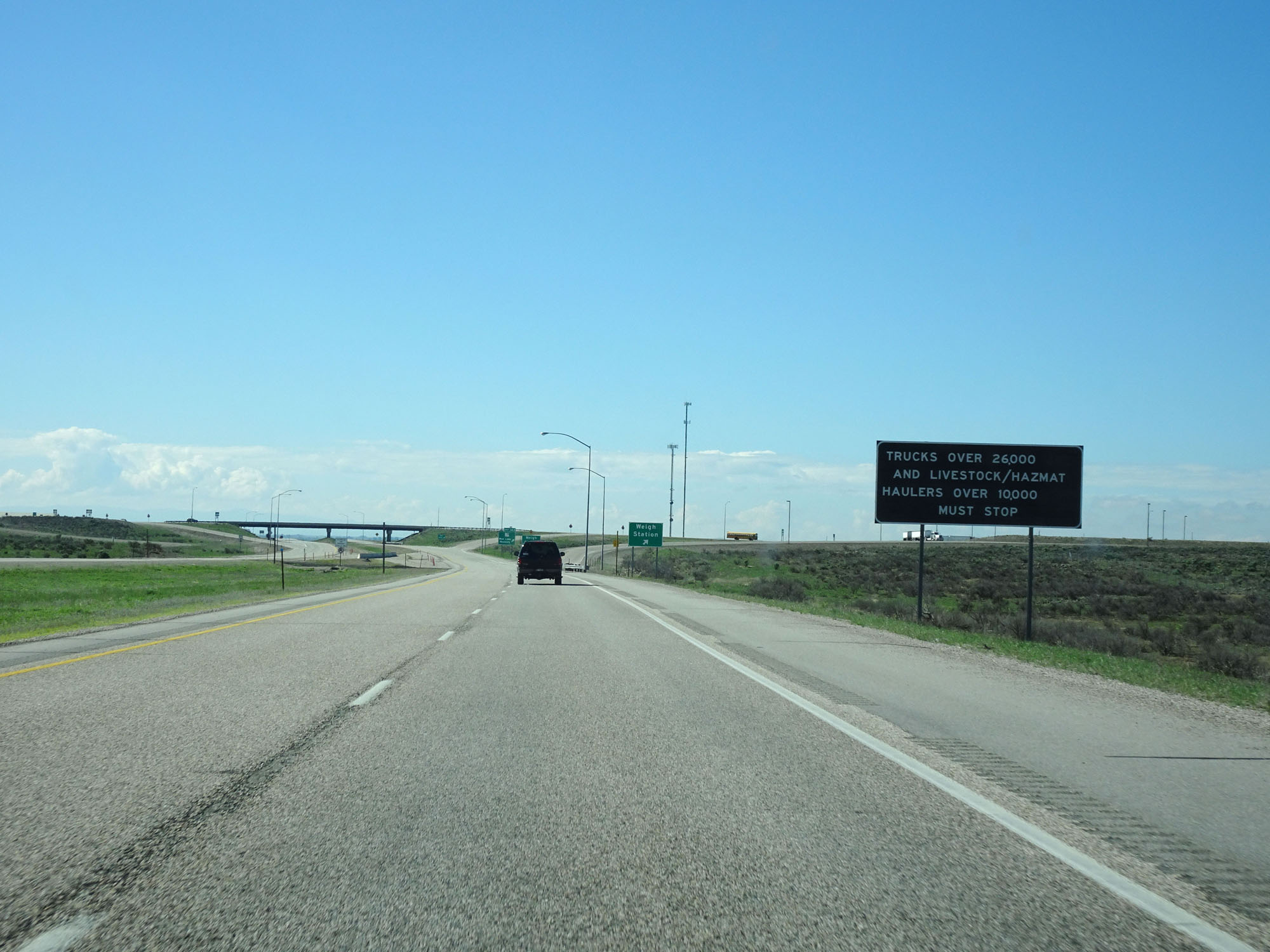 |
This sign warns that all trucks over 26,000 lbs and livestock/Hazmat haulers over 10,000 lbs must enter the Weigh Station located immediately before Exit 143 ahead. (Photo taken 5/26/16). |
 |
Interstate 15 South at the Weigh Station in Jefferson County. (Photo taken 5/26/16). |
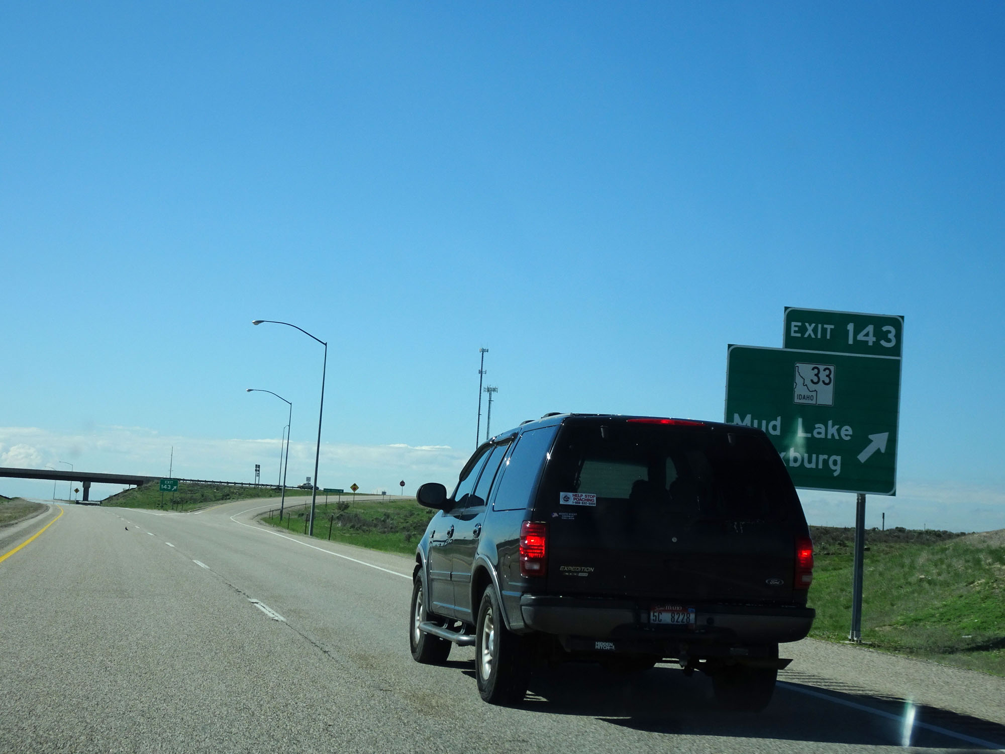 |
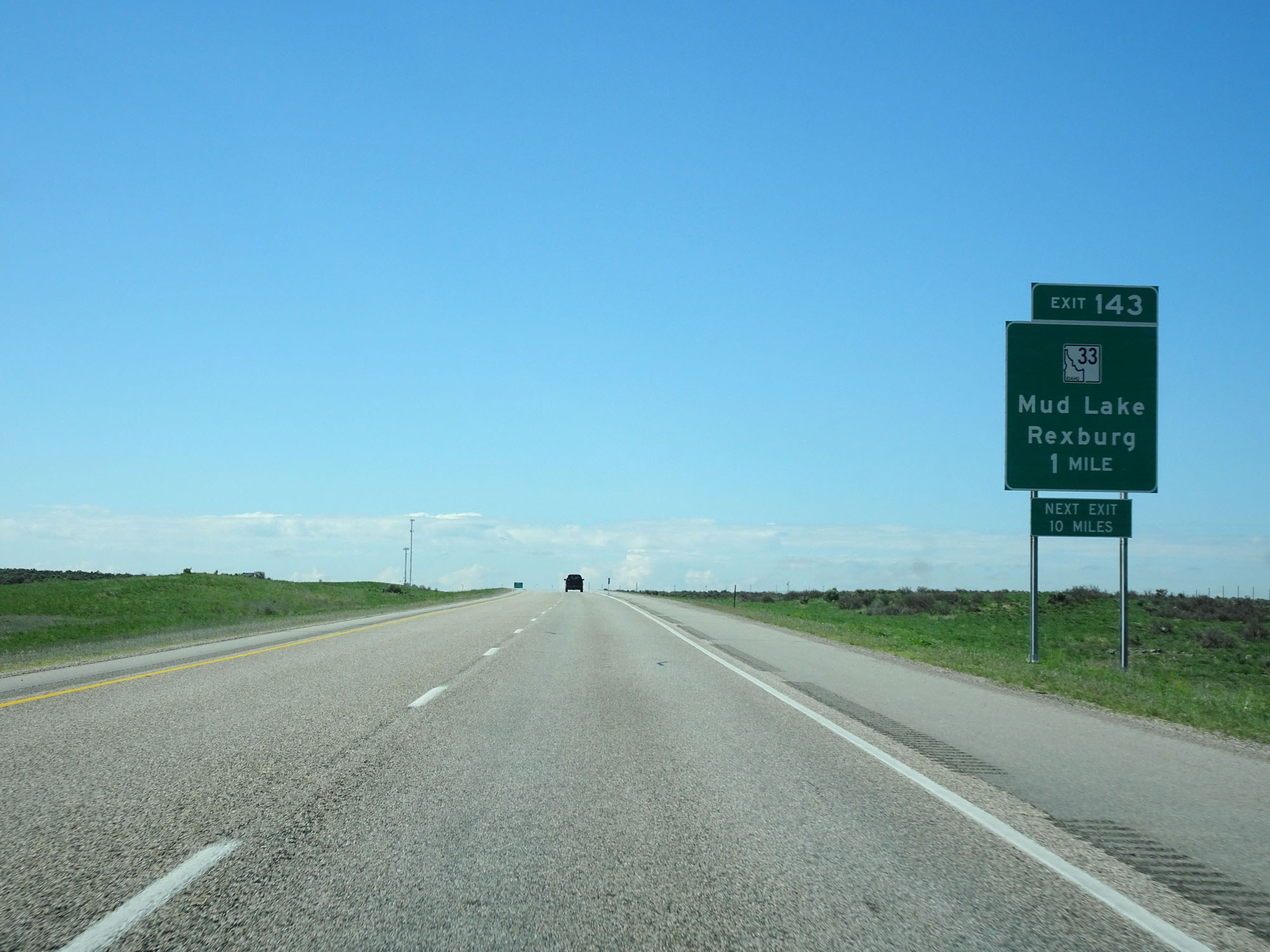
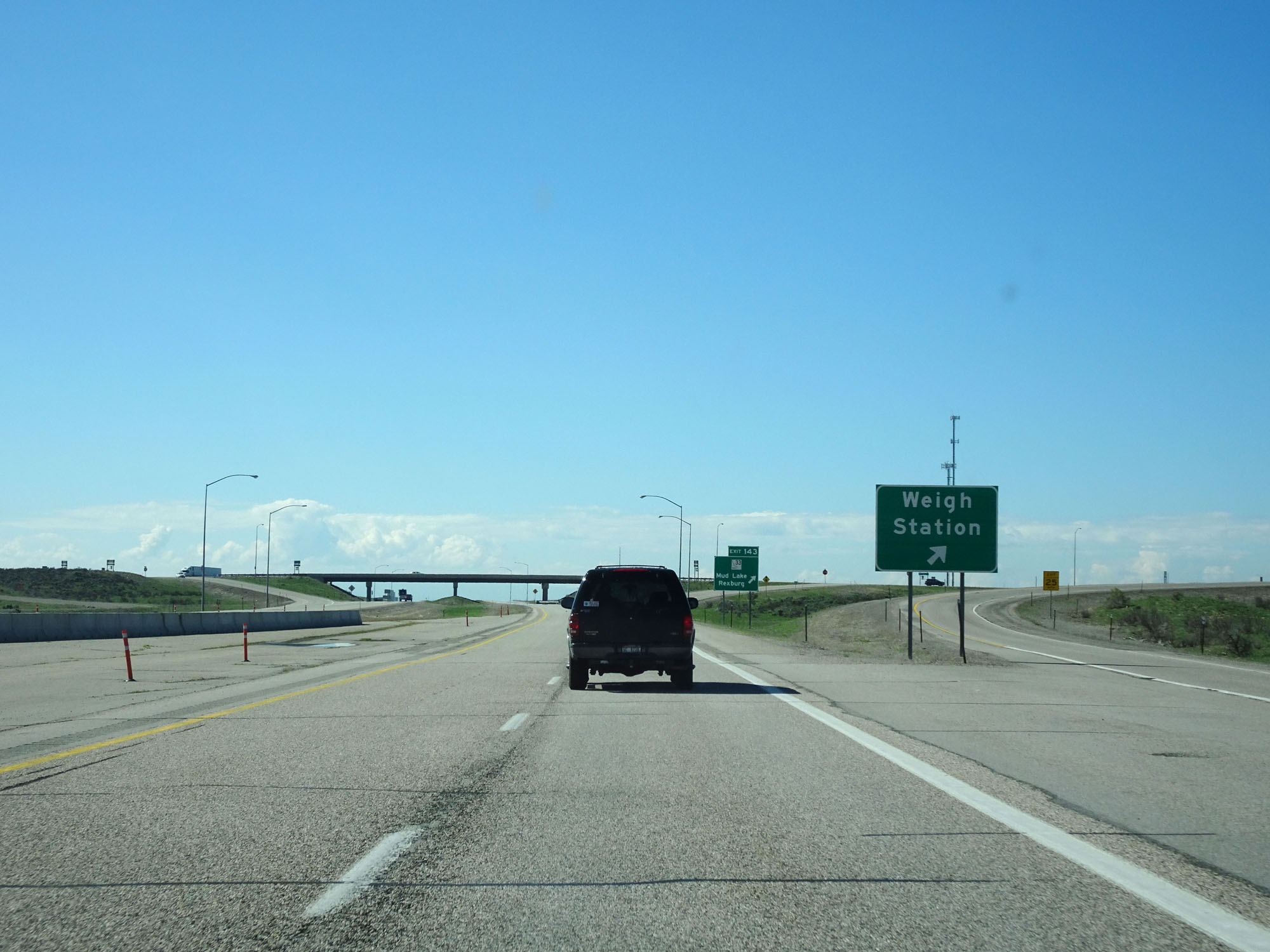
Interstate 15 South at Exit 143: ID 33 - Mud Lake / Rexburg (Photo taken 5/26/16). |
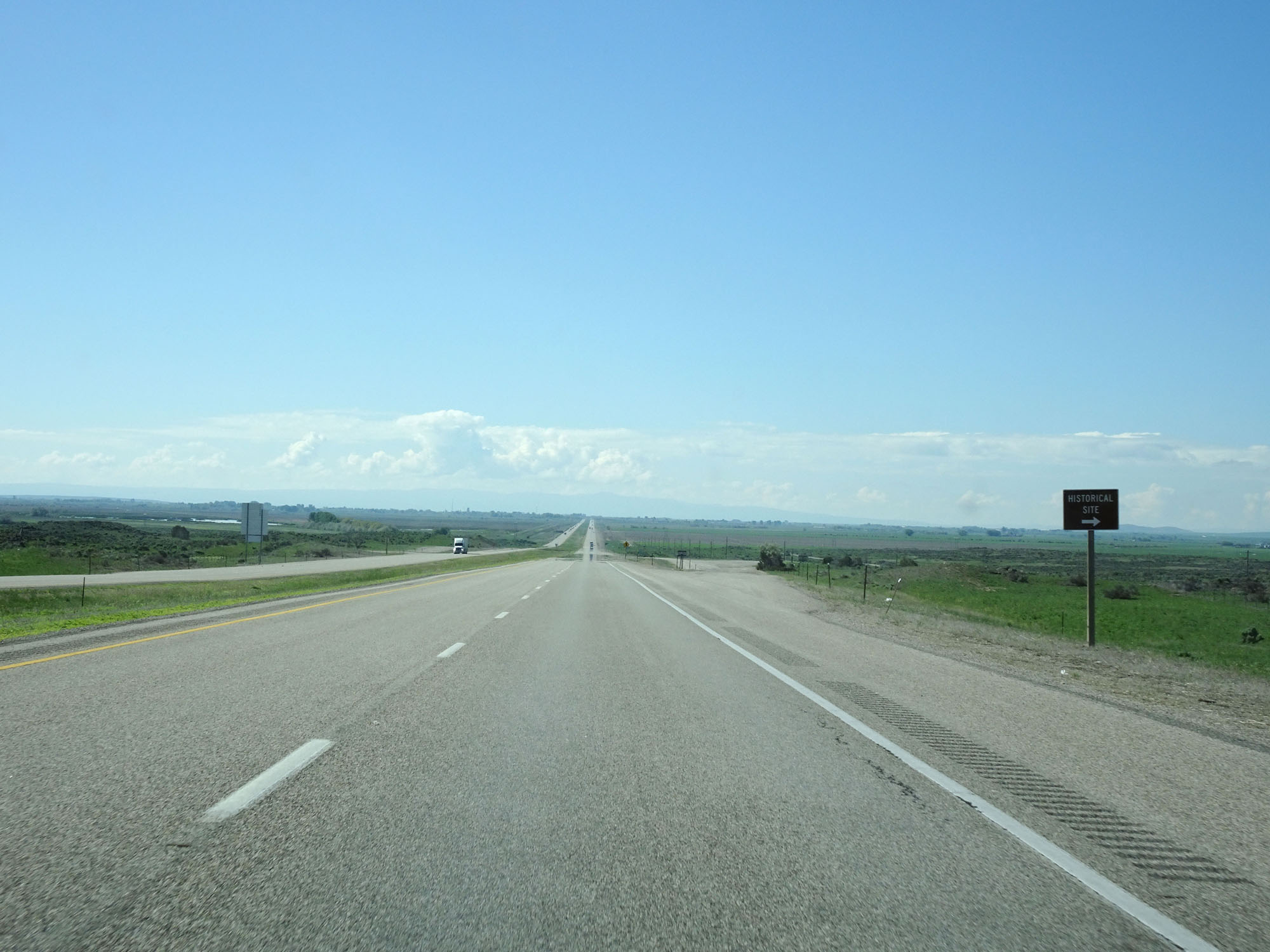 |
Interstate 15 South at another Historical Site ahead on the right. (Photo taken 5/26/16). |
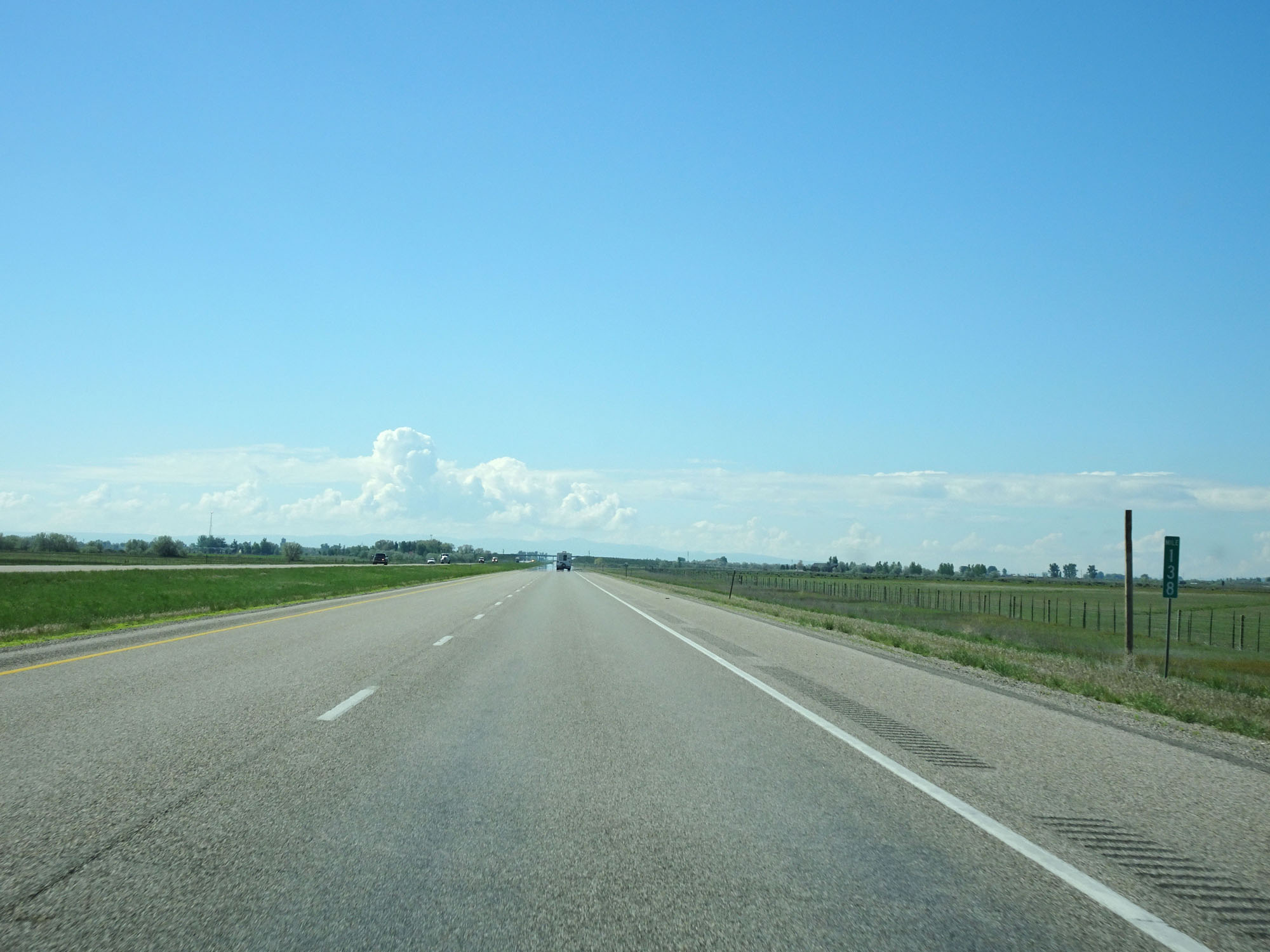 |
Interstate 15 South at mile marker 138. (Photo taken 5/26/16). |
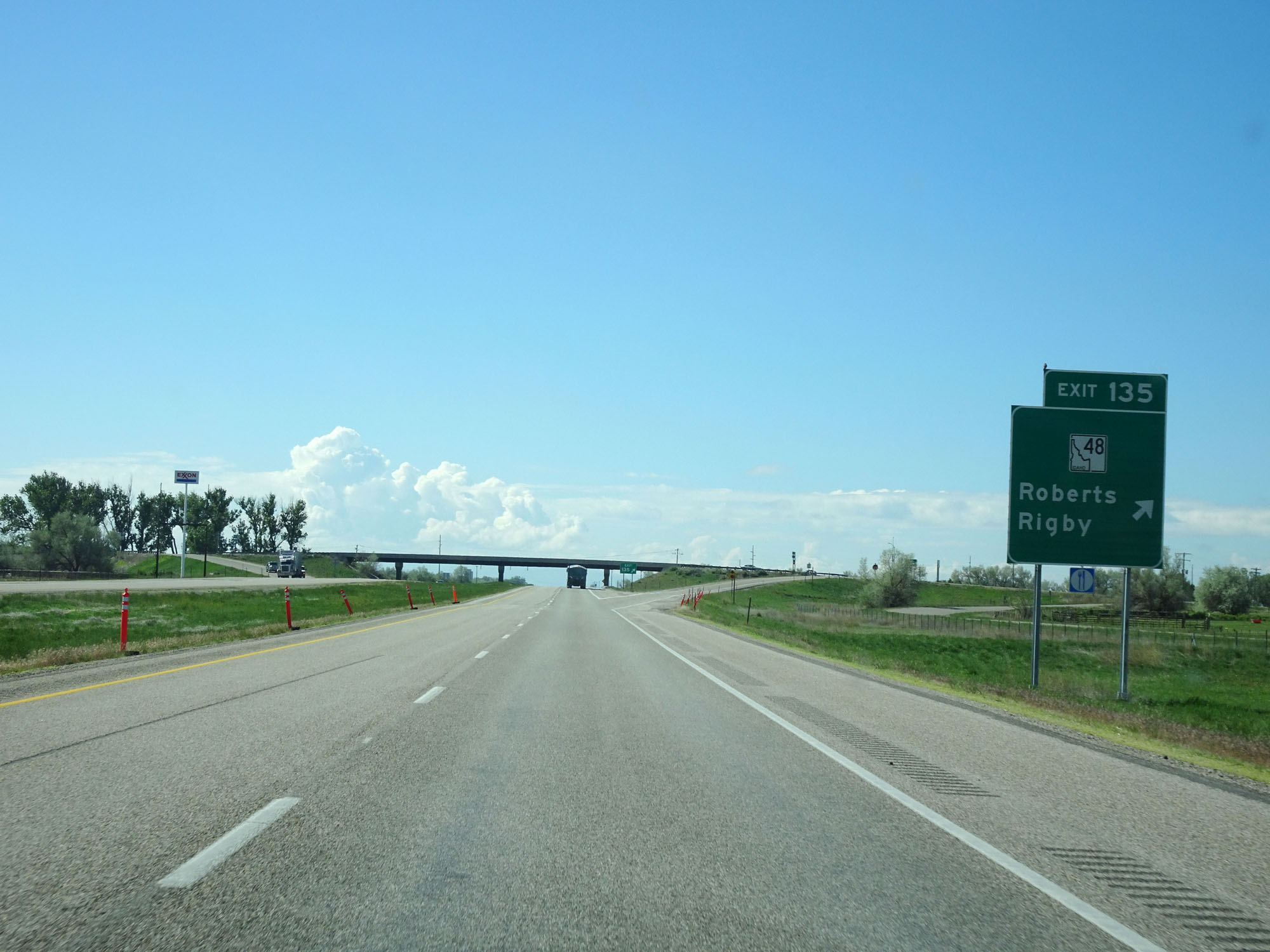 |
Interstate 15 South at Exit 135: ID 48 - Roberts / Rigby (Photo taken 5/26/16). |
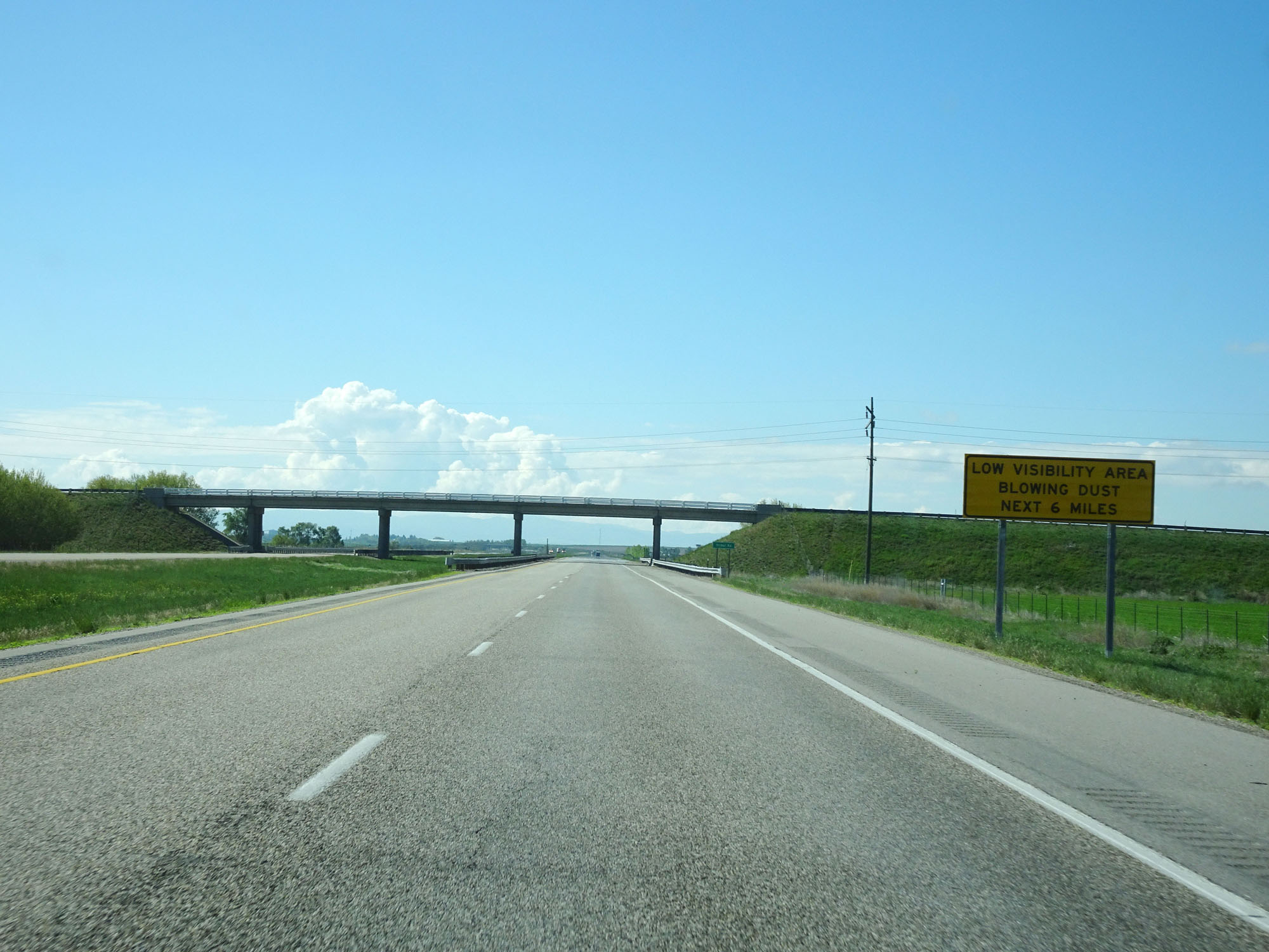 |
This sign warns of the possibility of low visibility and blowing dust for the next 6 miles. (Photo taken 5/26/16). |
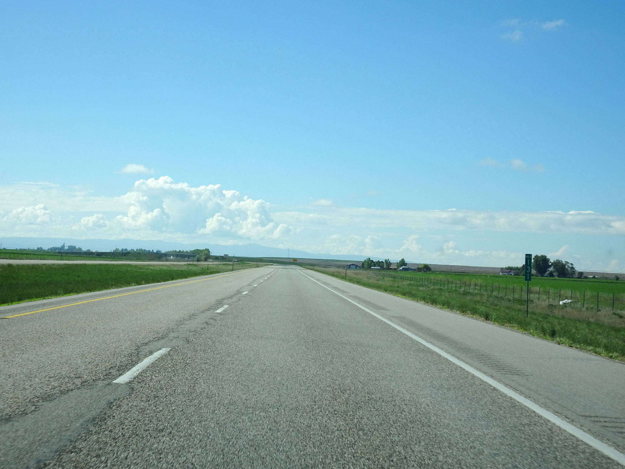 |
Interstate 15 South at mile marker 131. (Photo taken 5/26/16). |
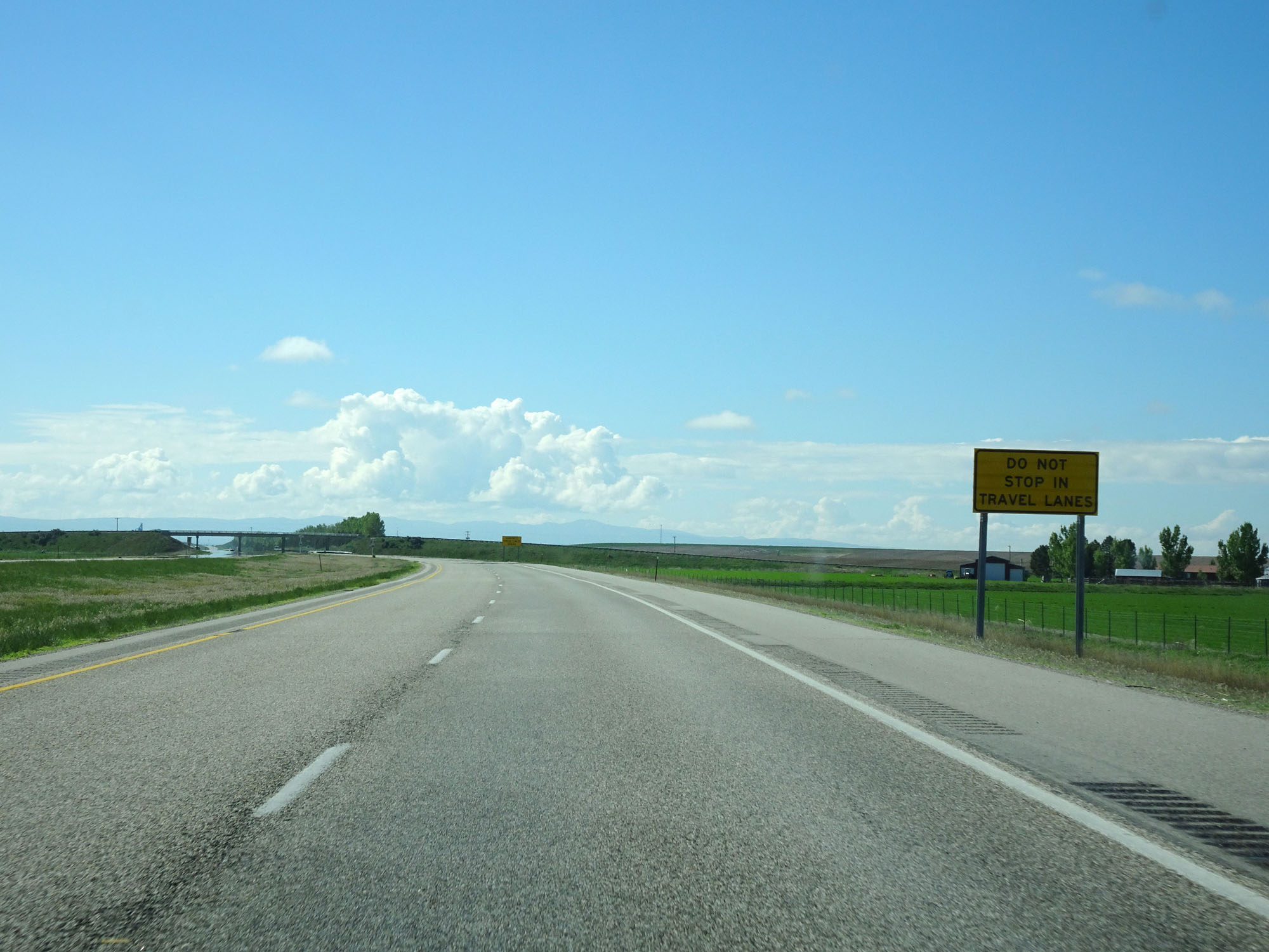 |
In the event of blinding dust storms, this sign warns you to not stop in the travel lanes. (Photo taken 5/26/16). |
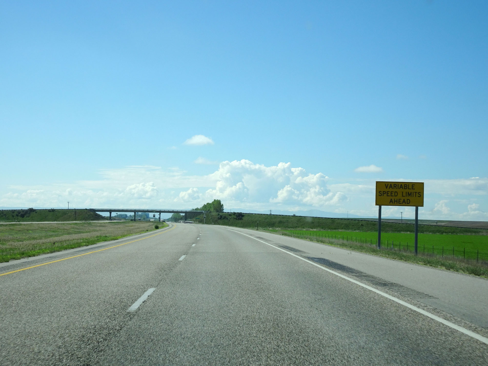 |
This sign warns of variable speed limits ahead. (Photo taken 5/26/16). |
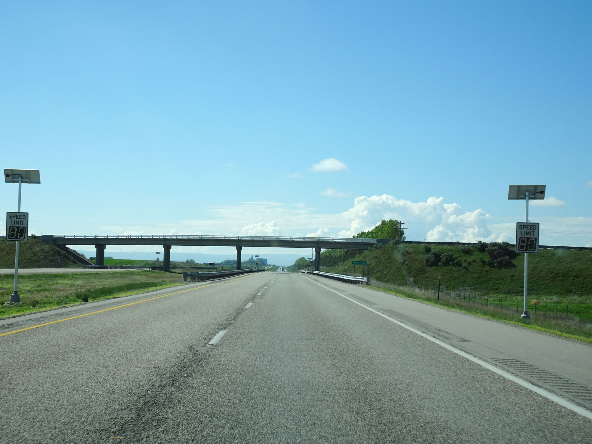 |
Variable speed limit signs on Interstate 15 South. At this time, the standard rural speed limit remained 80 mph for cars due to good visibility. (Photo taken 5/26/16). |
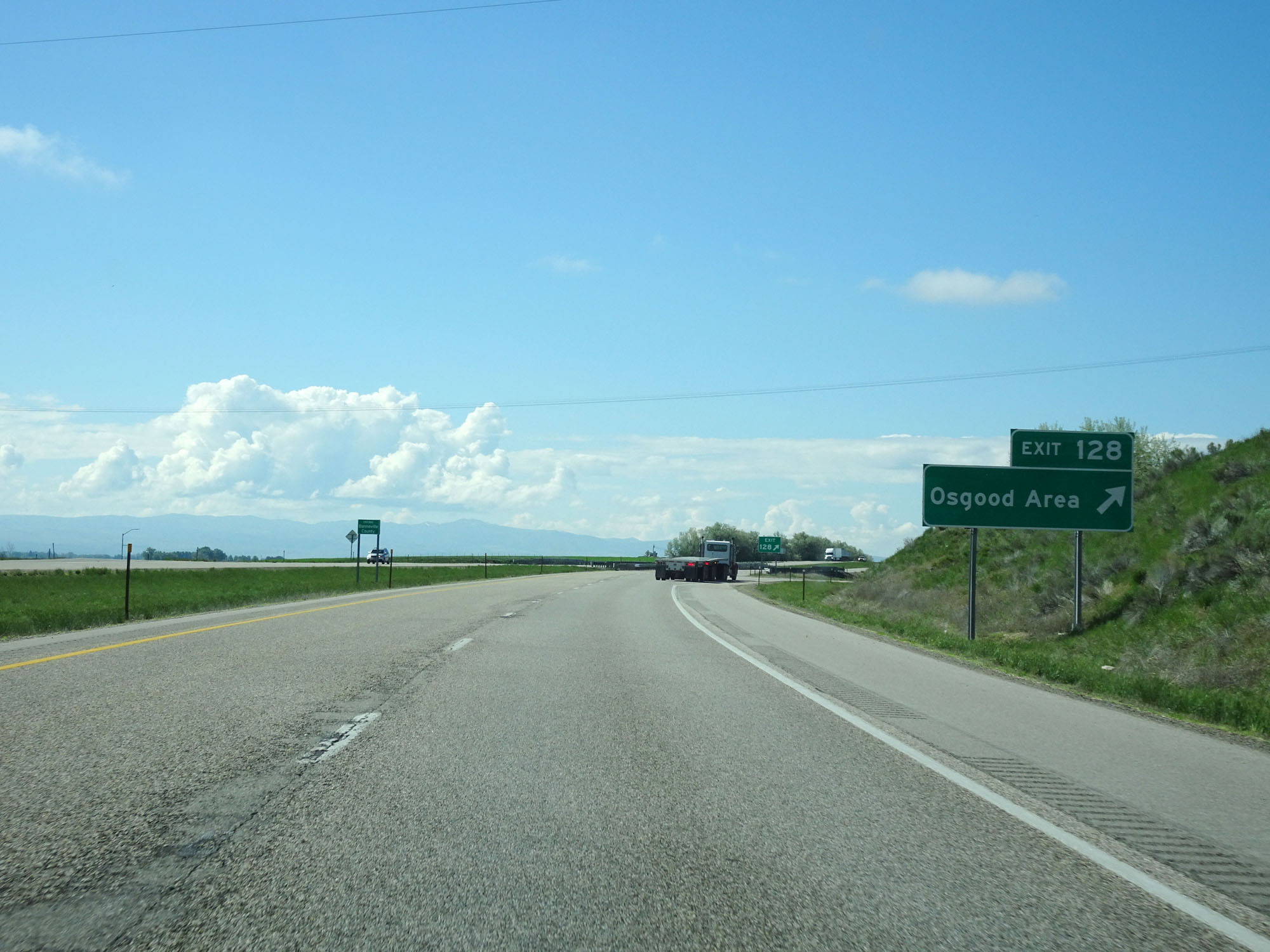 |
Interstate 15 South at Exit 128: Osgood Area (Photo taken 5/26/16). |
 |
Interstate 15 South reassurance shield. (Photo taken 5/26/16). |
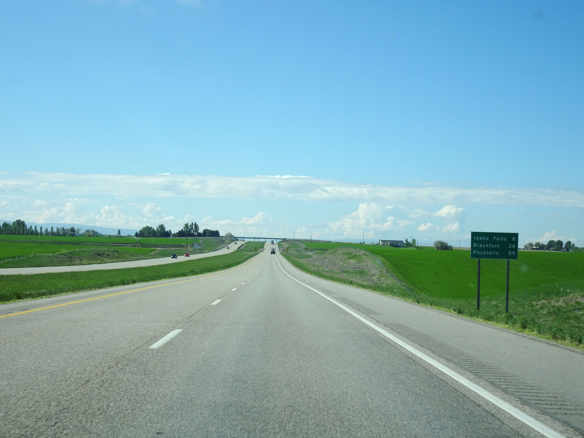 |
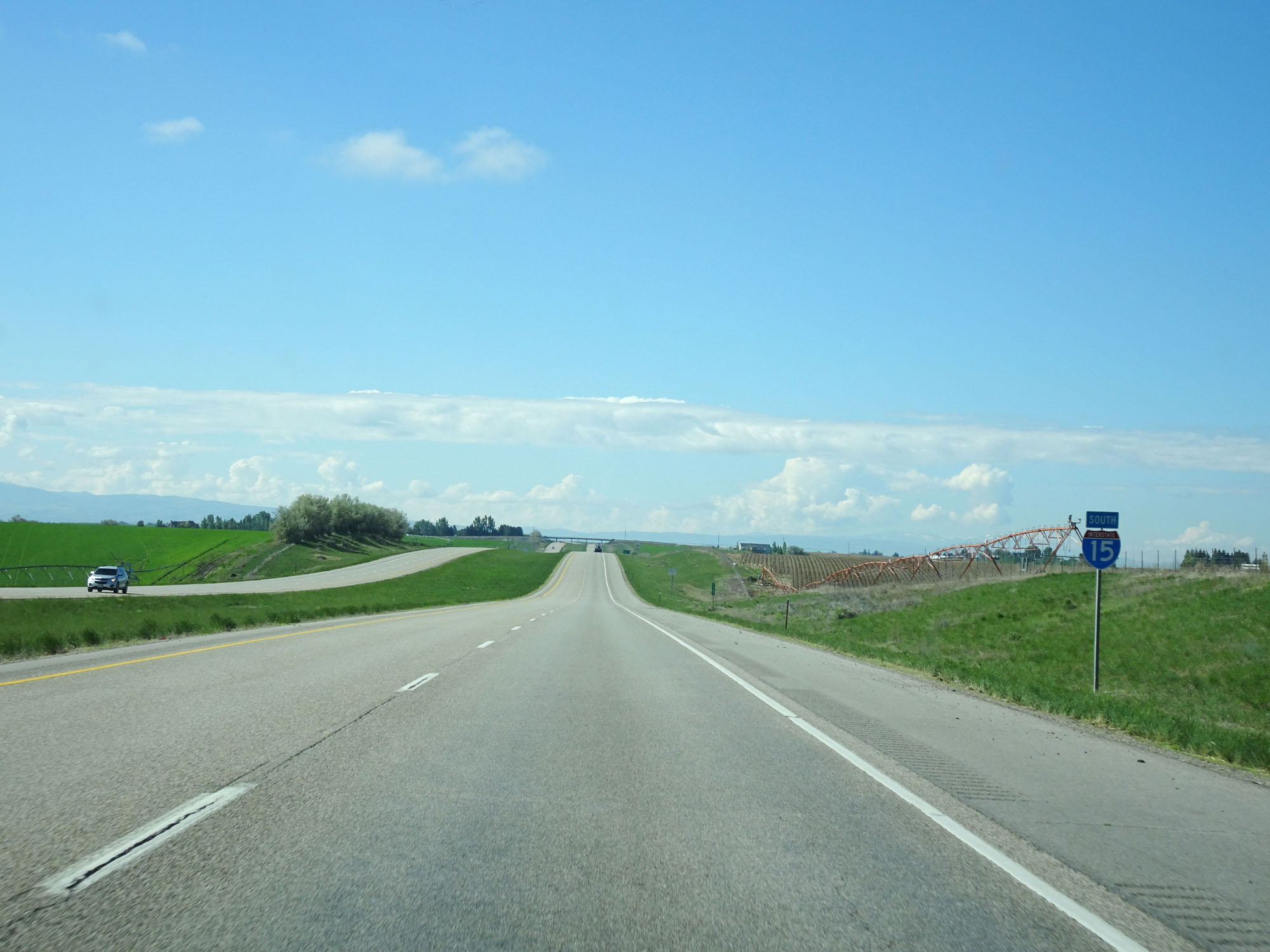
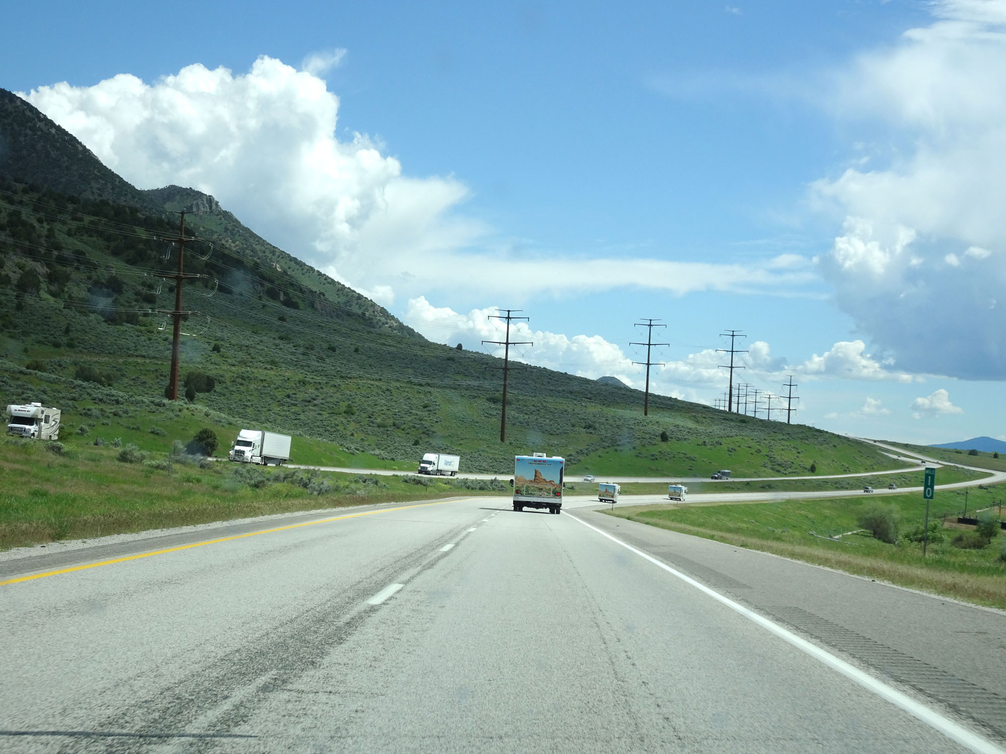
Mileage sign on Interstate 15 South. It's 8 miles to Idaho Falls, 34 miles to Blackfoot, and 59 miles to Pocatello. (Photo taken 5/26/16). |
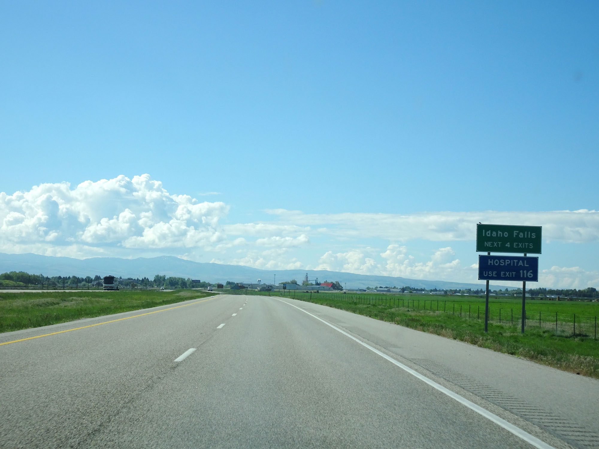 |
Take any of the next 4 exits to Idaho Falls. (Photo taken 5/26/16). |
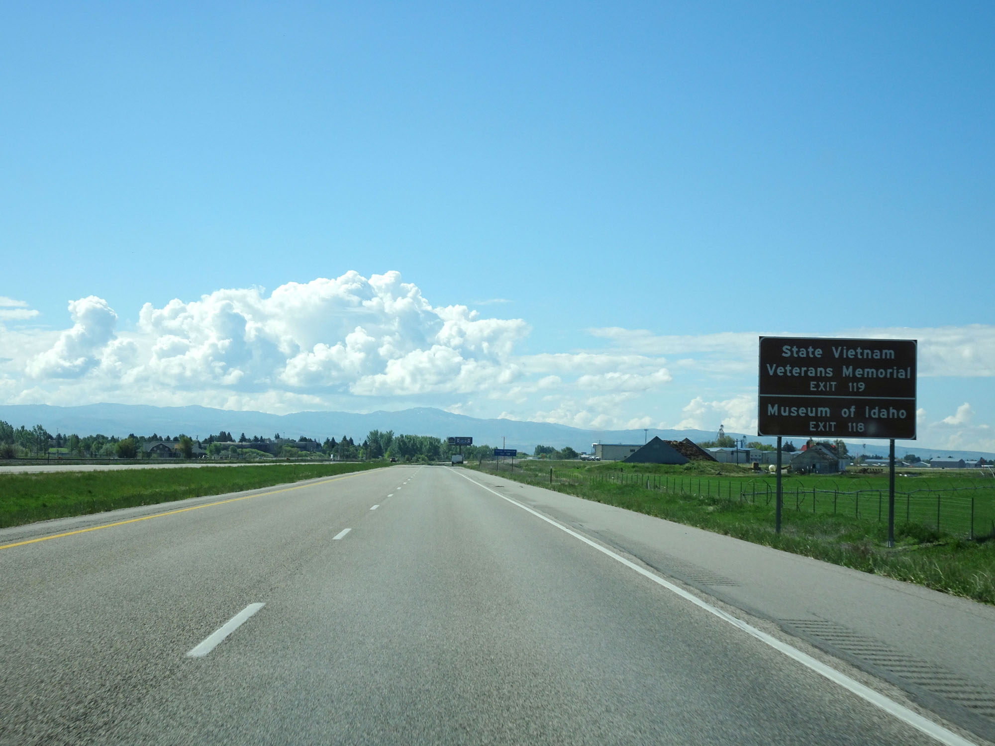 |
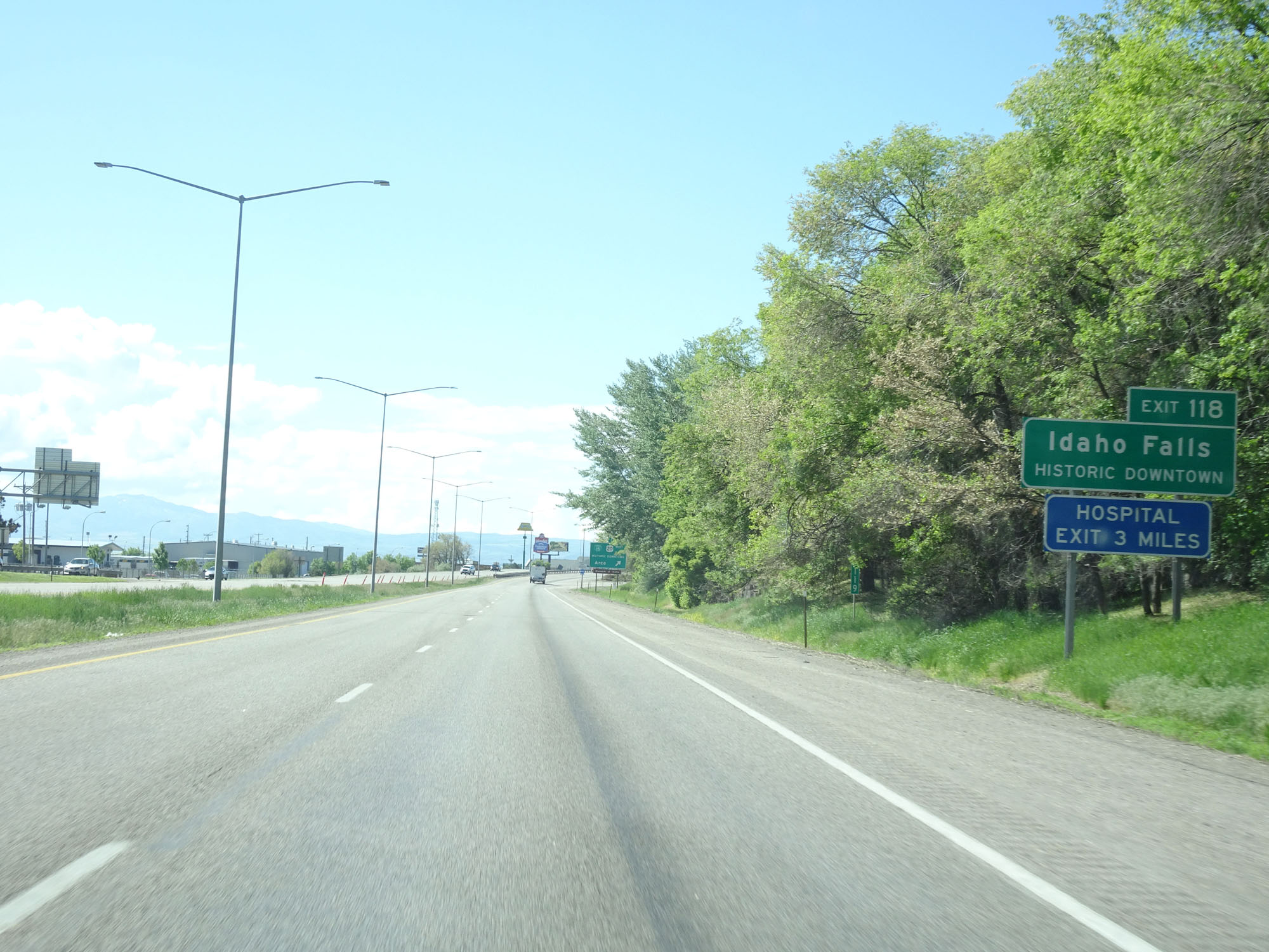
Take Exit 119 to the State Vietnam Veterans Memorial. Take Exit 118 to the Museum of Idaho. (Photo taken 5/26/16). |
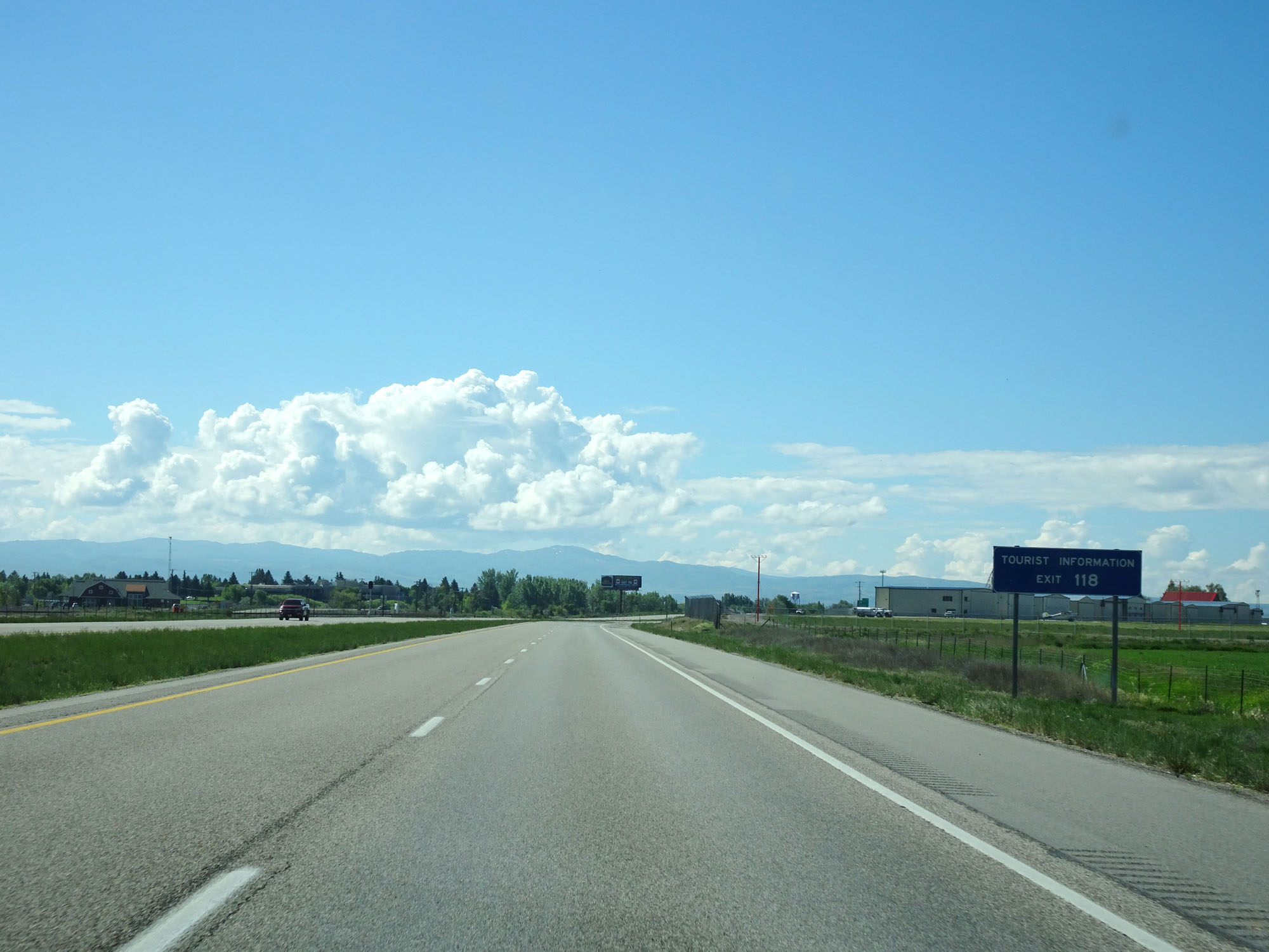 |
Take Exit 118 to Tourist Information as well. (Photo taken 5/26/16). |
 |
Interstate 15 South approaching Exit 119 - 1 mile. (Photo taken 5/26/16). |
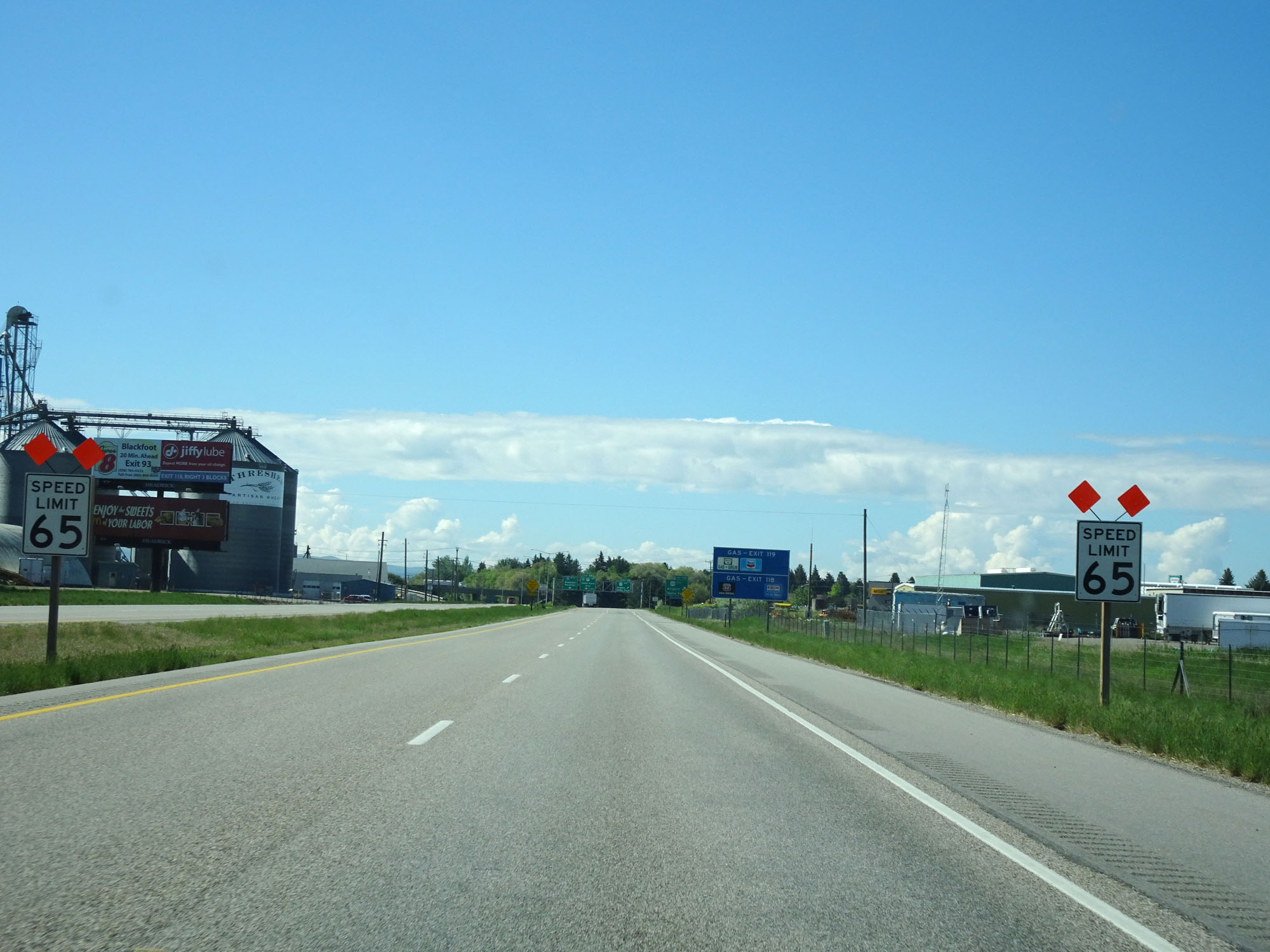 |
Entering the Idaho Falls area, the speed limit decreases to 65 mph for all traffic. (Photo taken 5/26/16). |
 |
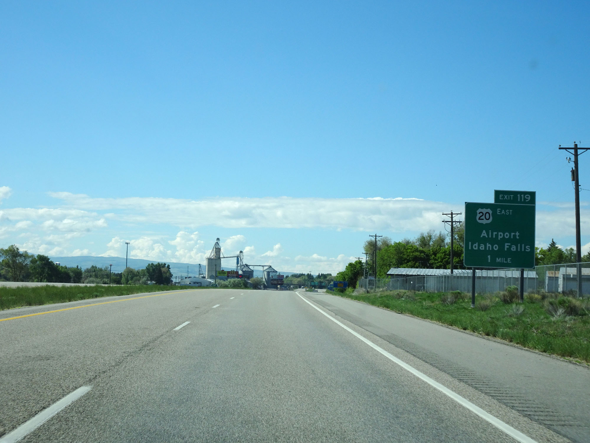
Interstate 15 South at Exit 119: US 20 East - Airport / Idaho Falls (Photo taken 5/26/16). |
Section 2: Idaho Falls (Exit 119) to Pocatello (Exit 71)
 |
Take Exit 118 to Historic Downtown Idaho Falls. (Photo taken 5/26/16). |
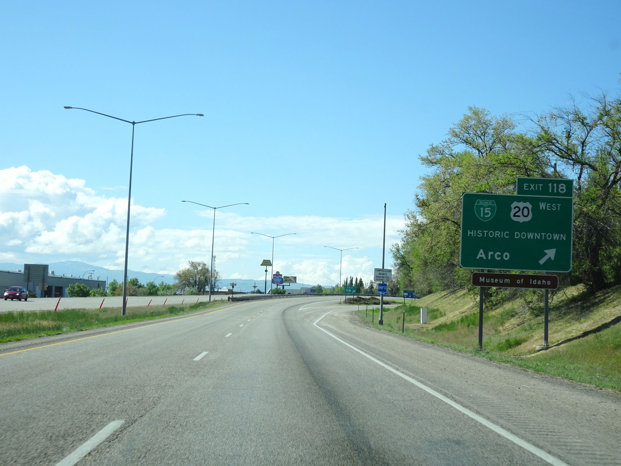 |
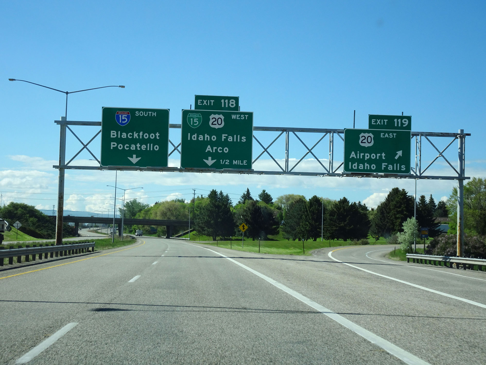
Interstate 15 South at Exit 118: Interstate 15 Business Loop / US 20 West - Historic Downtown / Arco (Photo taken 5/26/16). |
 |
Interstate 15 South reassurance shield. (Photo taken 5/26/16). |
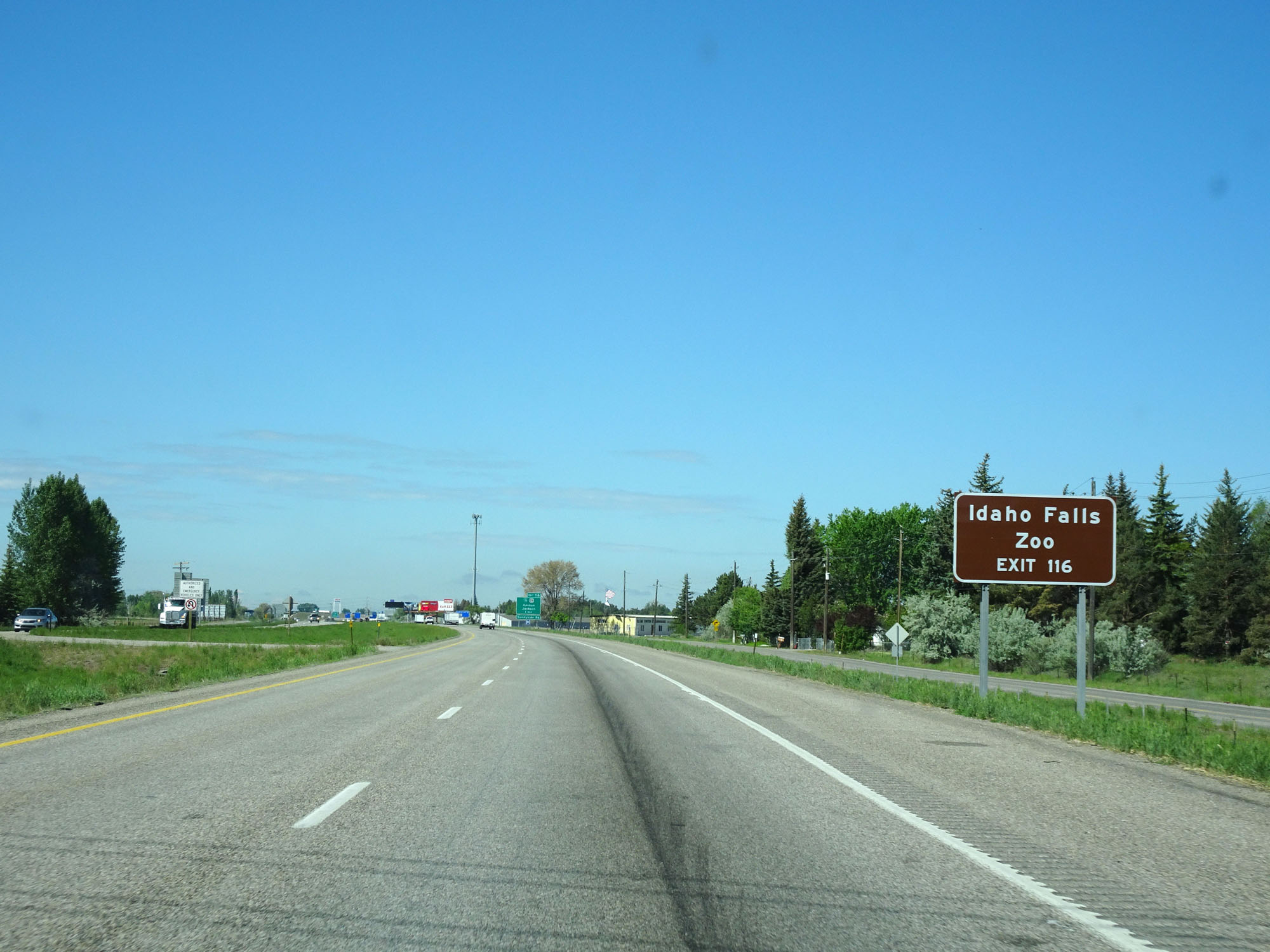 |
Take Exit 116 to Idaho Falls Zoo. (Photo taken 5/26/16). |
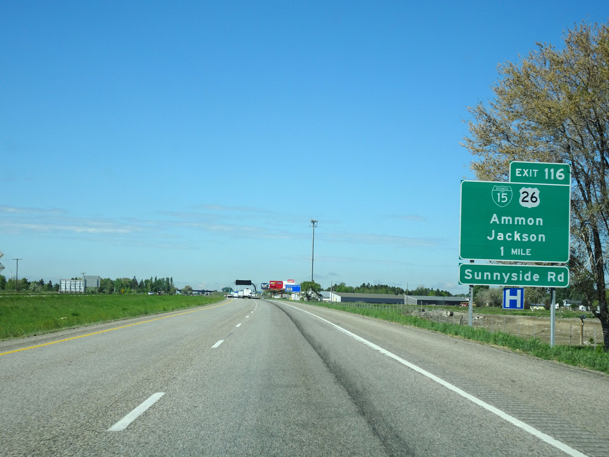 |
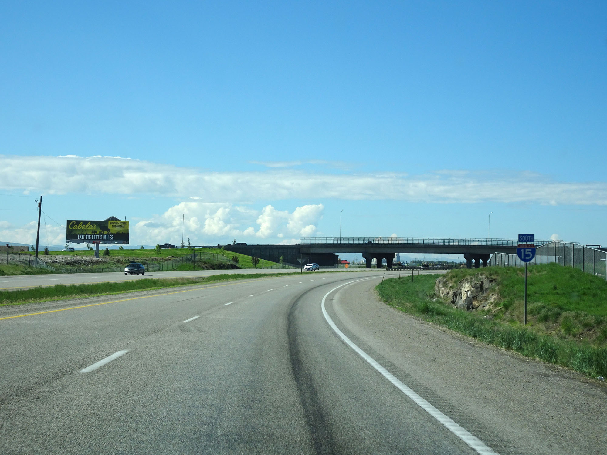
Interstate 15 South approaching Exit 116 - 1 mile. (Photo taken 5/26/16). |
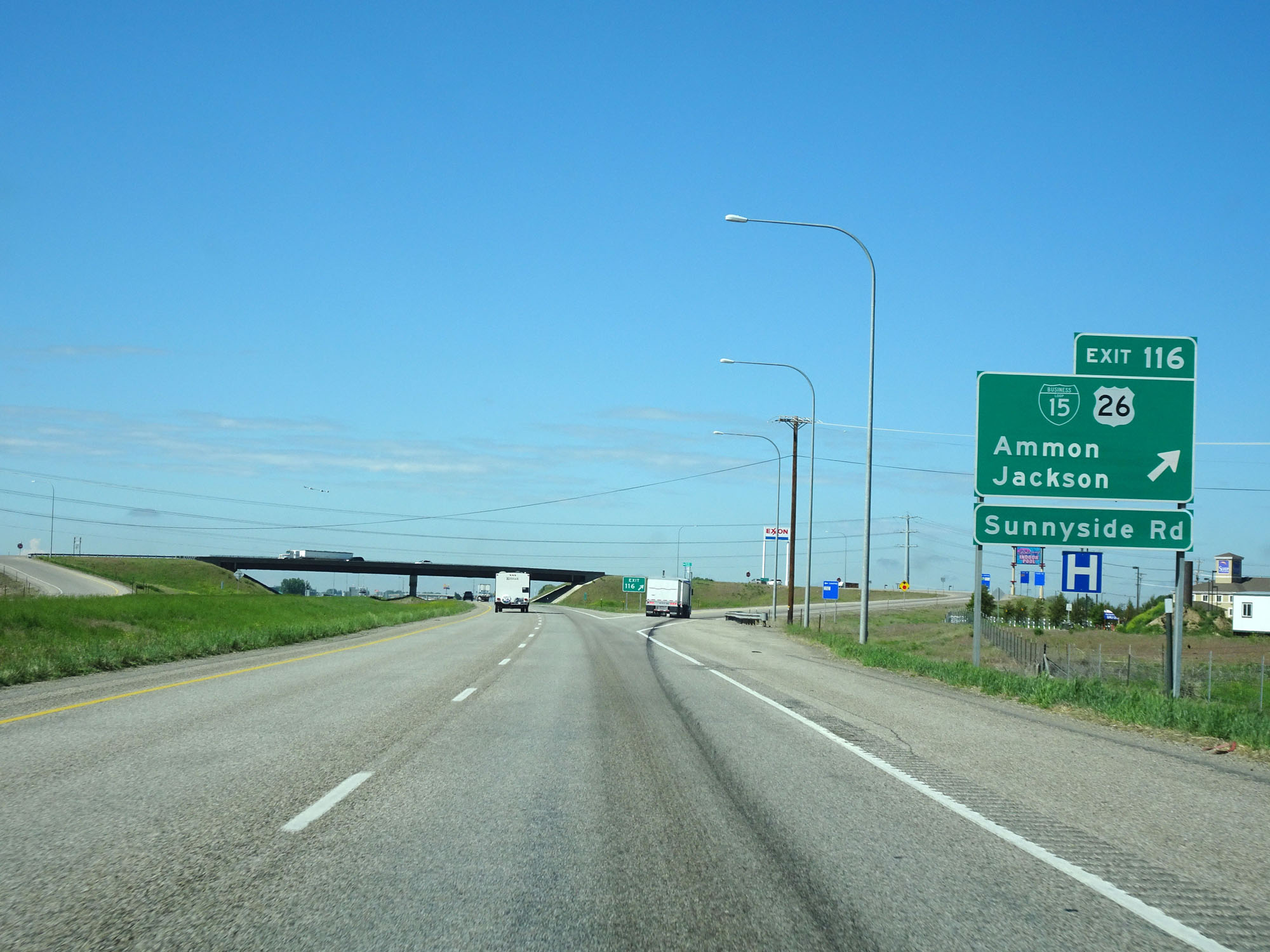 |
Interstate 15 South at Exit 116: Interstate 15 Business Loop / US 26 - Ammon / Jackson / Sunnyside Rd (Photo taken 5/26/16). |
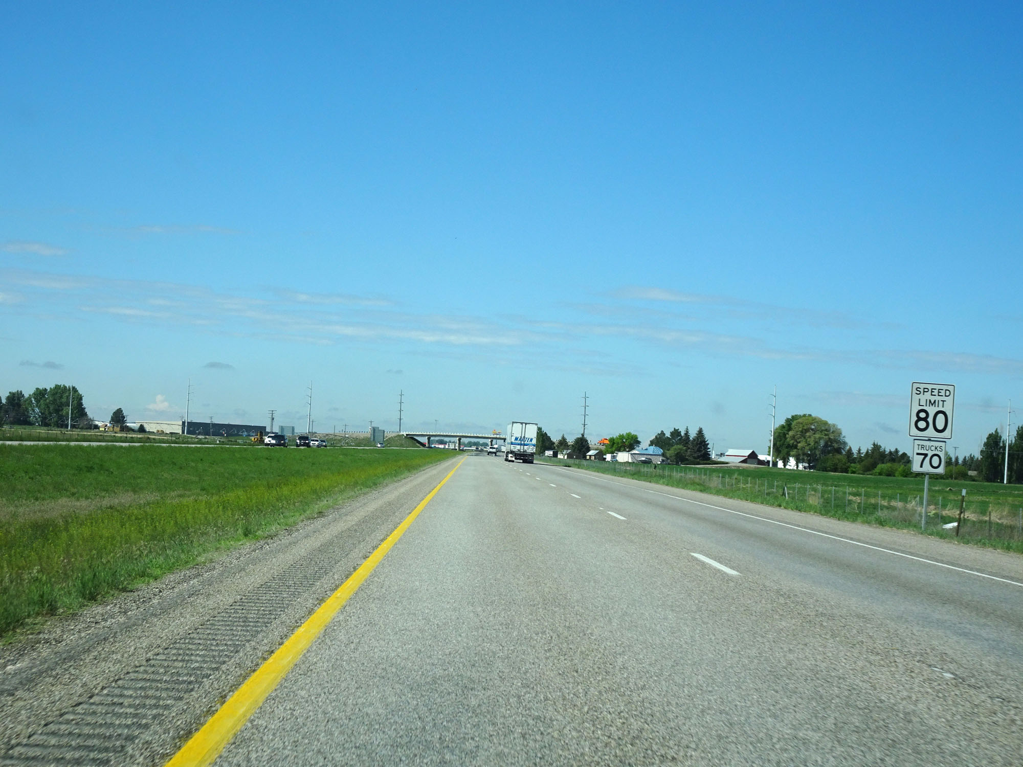 |
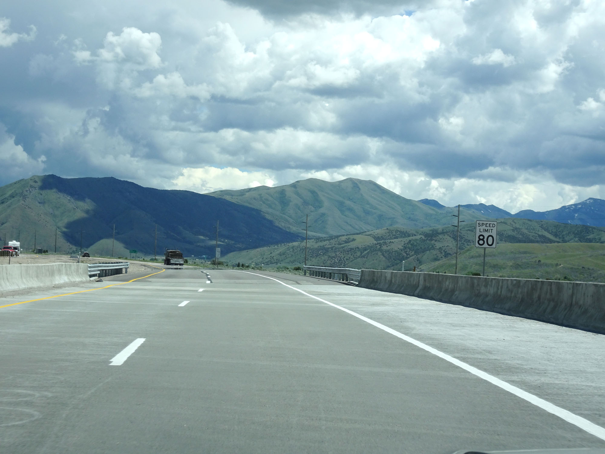
South of Exit 116, the standard rural speed limits of 80 mph for cars and 70 mph for trucks resume. (Photo taken 5/26/16). |
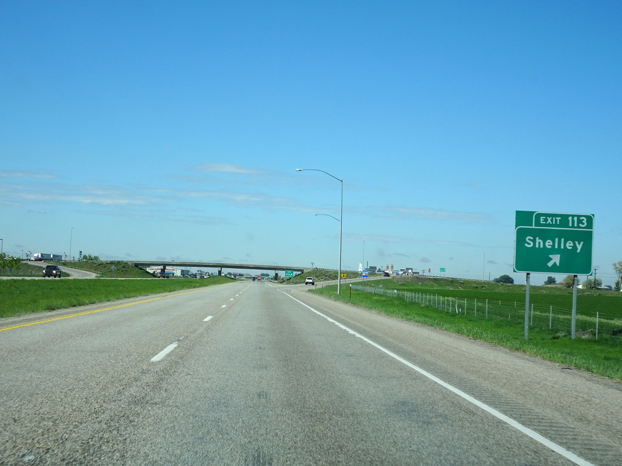 |
Interstate 15 South at Exit 113: Shelley (Photo taken 5/26/16). |
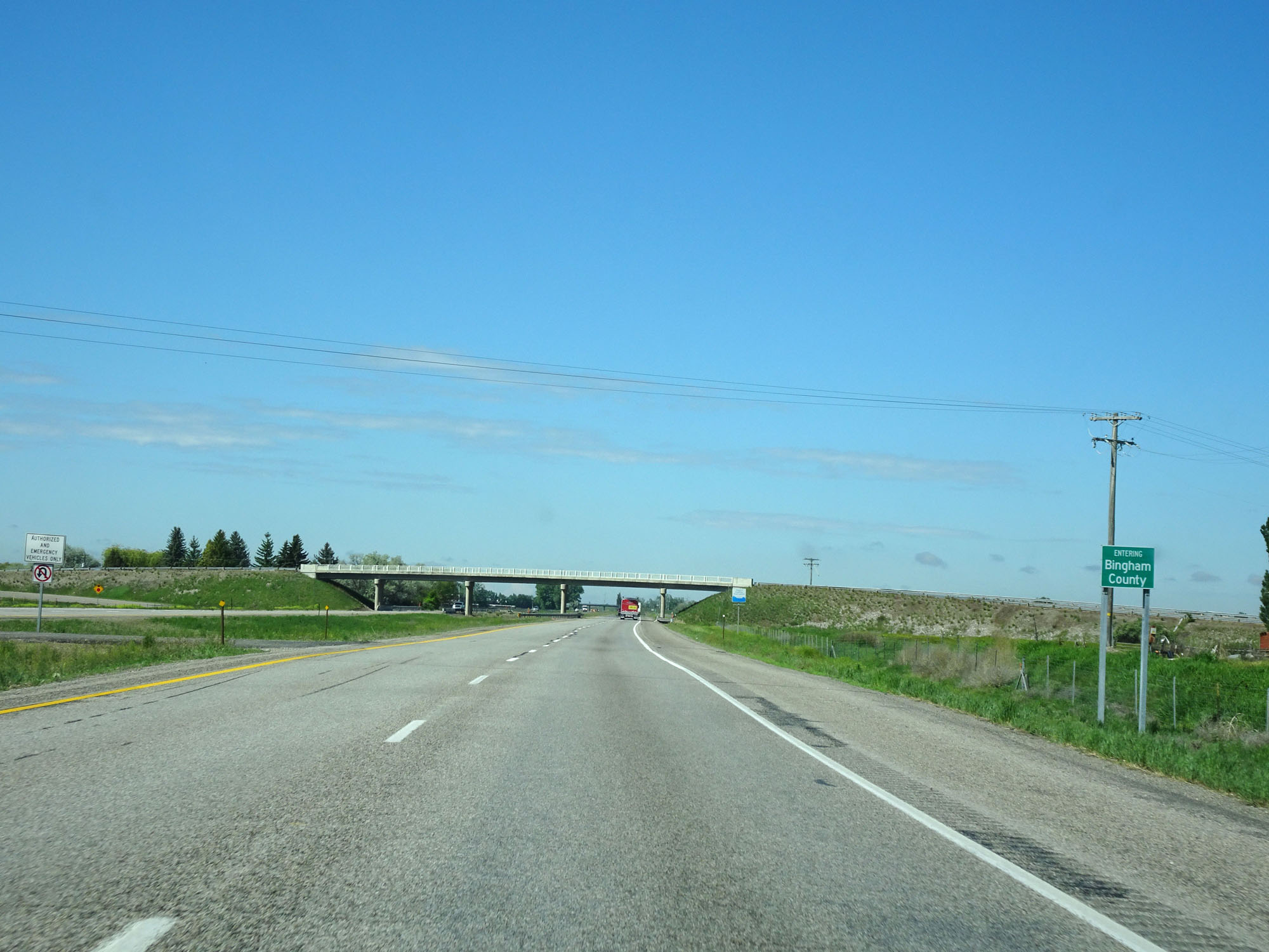 |
Interstate 15 South entering Bingham County. (Photo taken 5/26/16). |
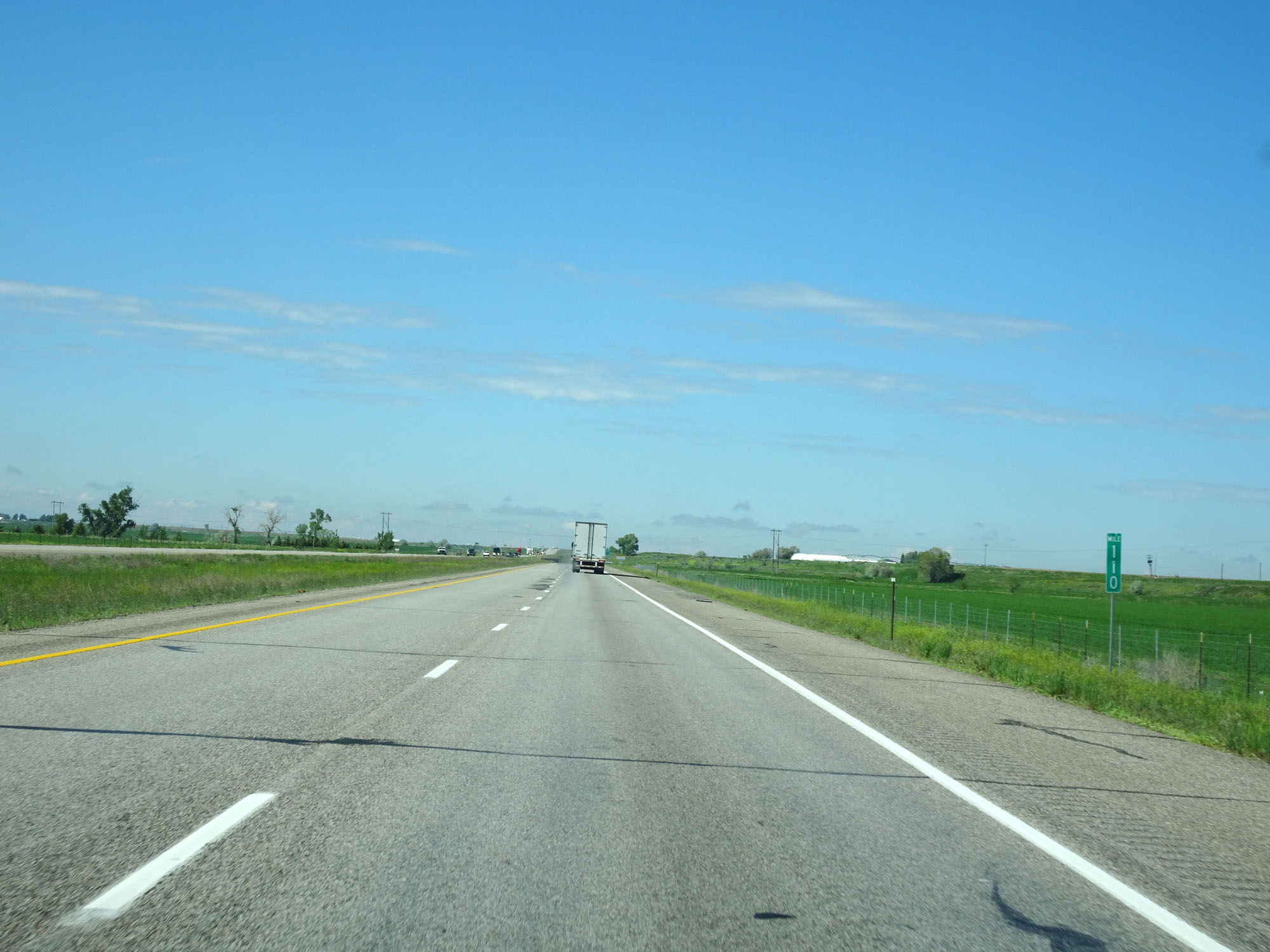 |
Interstate 15 South at mile marker 110. (Photo taken 5/26/16). |
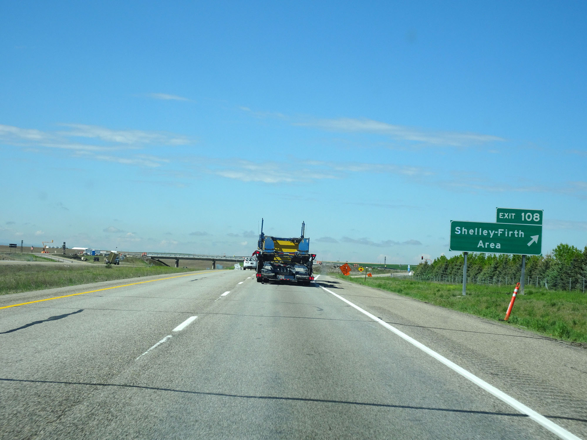 |
Interstate 15 South at Exit 108: Shelley - Firth Area (Photo taken 5/26/16). |
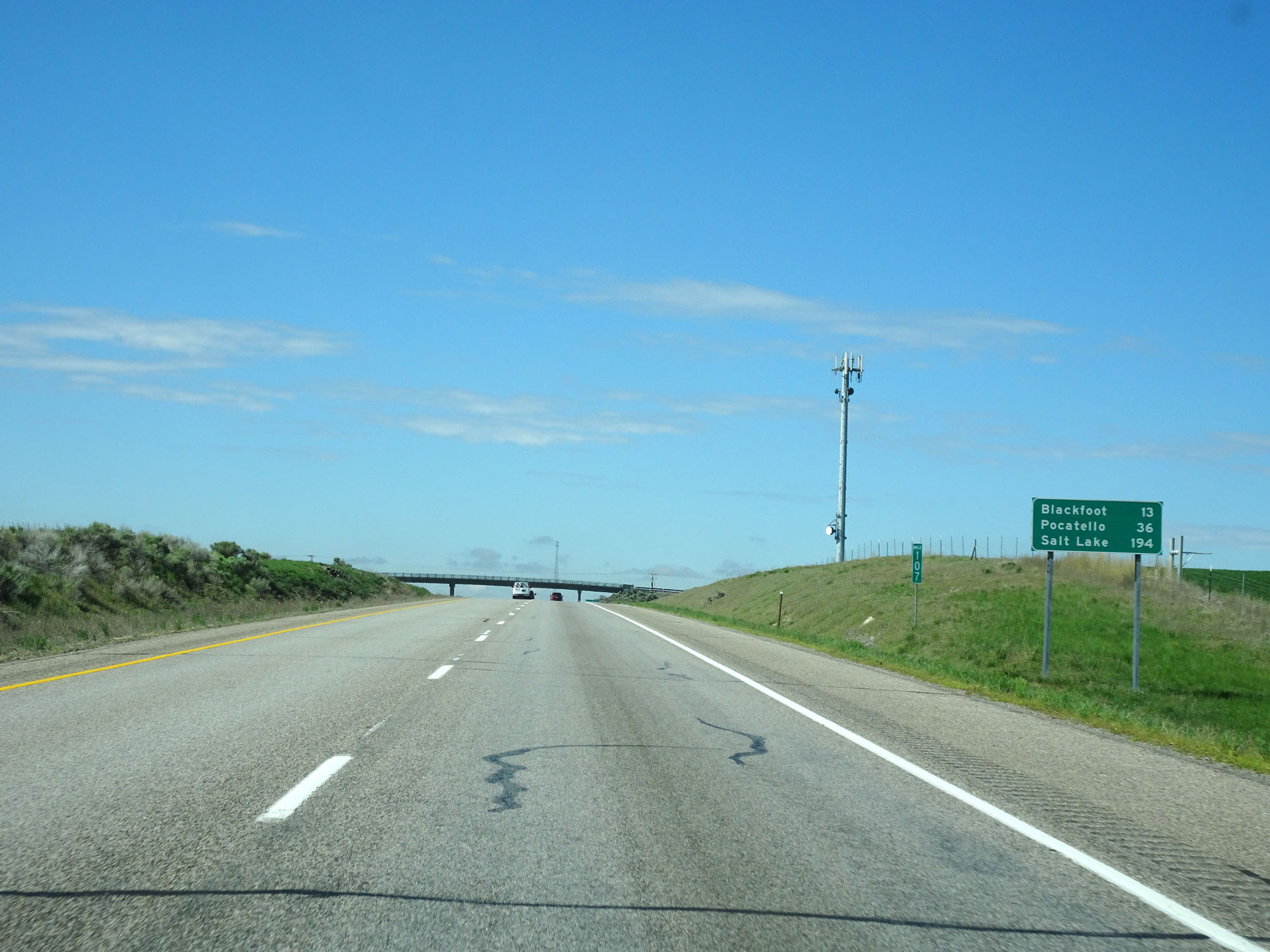 |
Mileage sign on Interstate 15 South. It's 13 miles to Blackfoot, 36 miles to Pocatello, and |
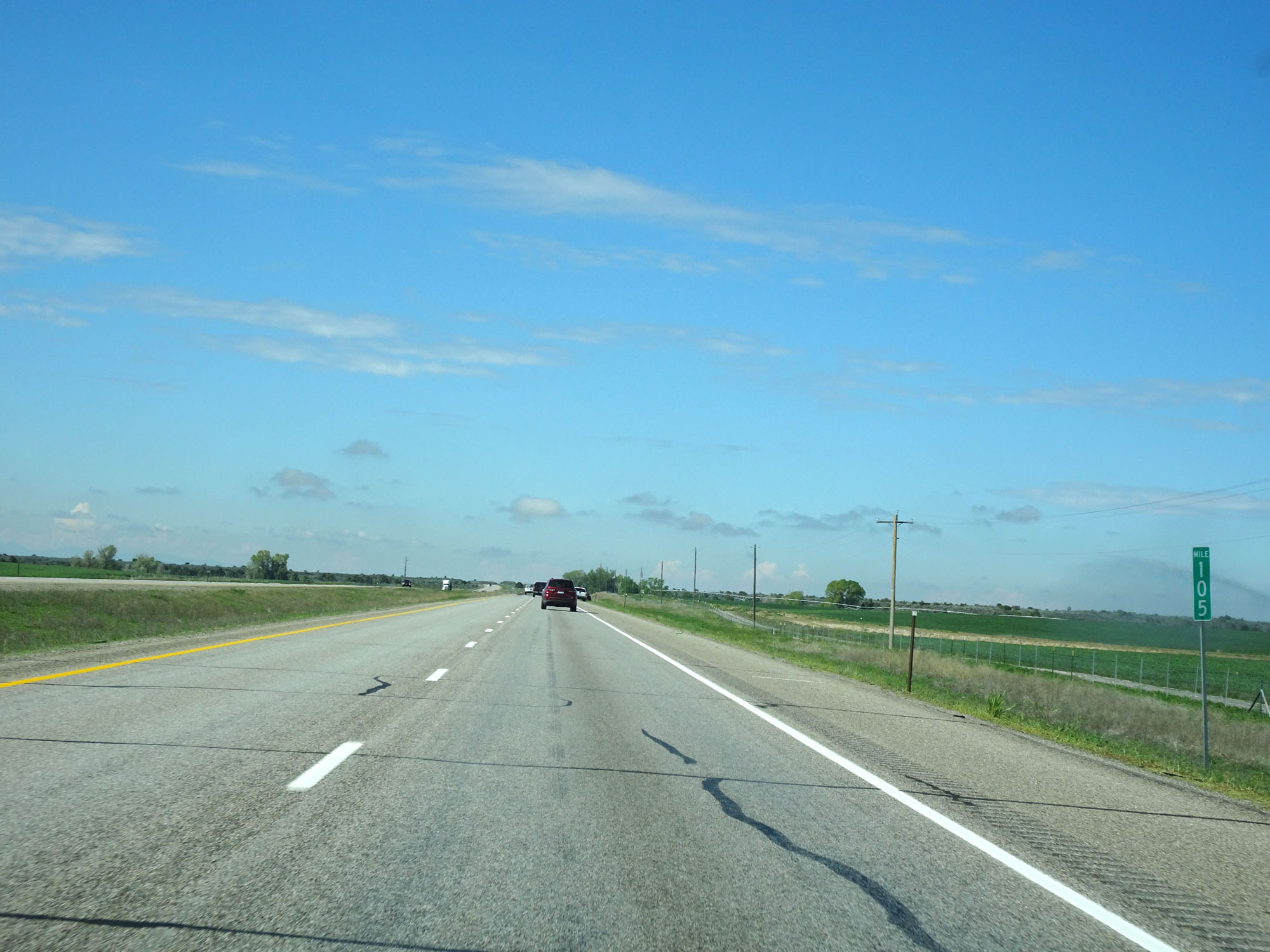 |
Interstate 15 South at mile marker 105. (Photo taken 5/26/16). |
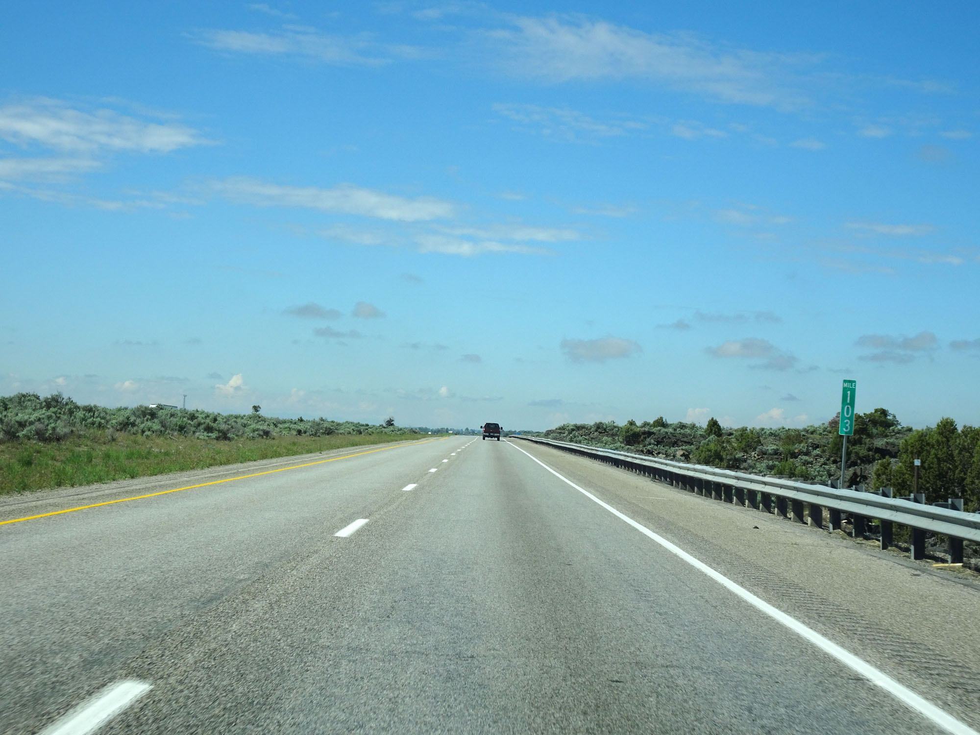 |
Interstate 15 South at mile marker 103. (Photo taken 5/26/16). |
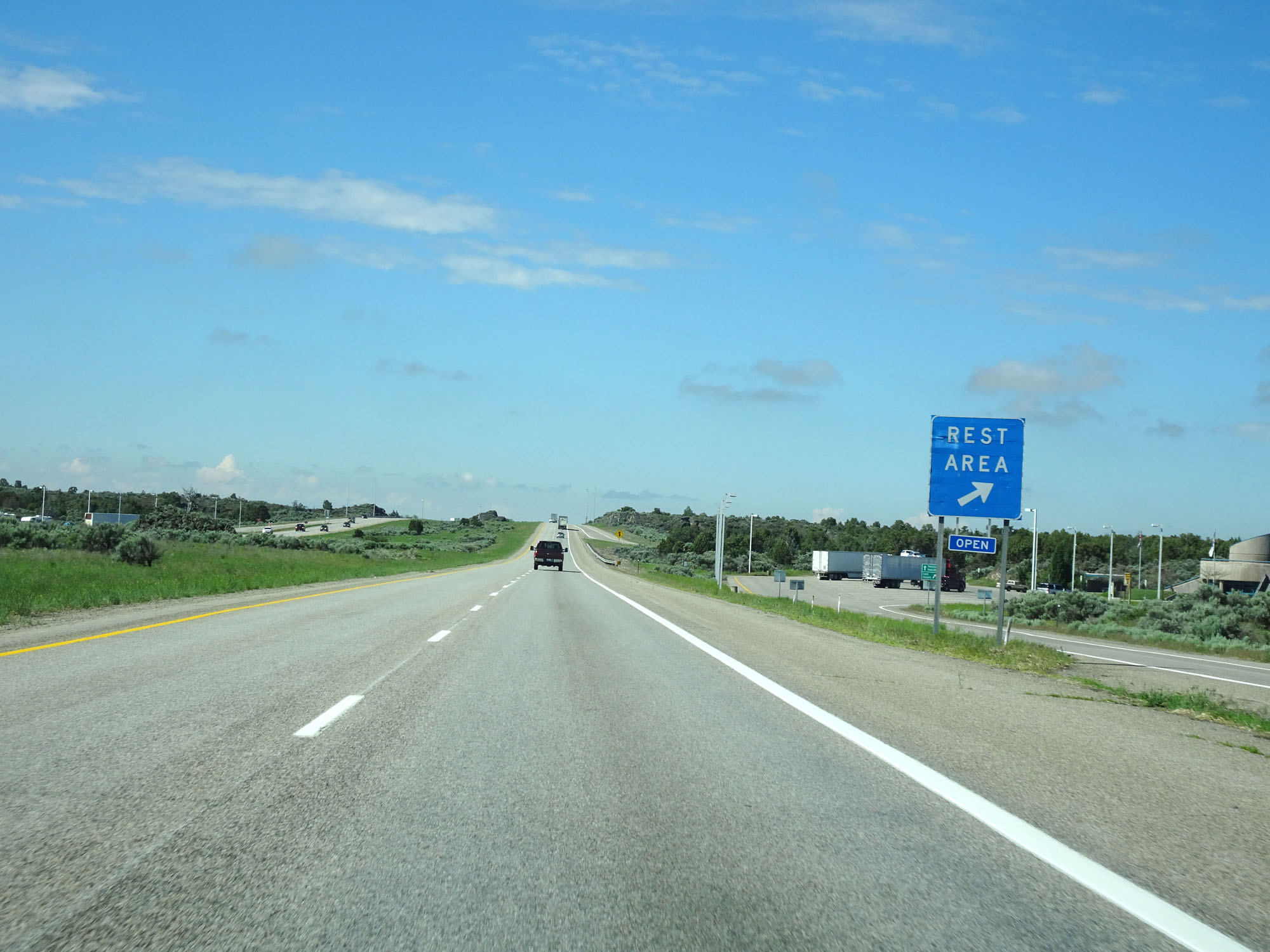 |
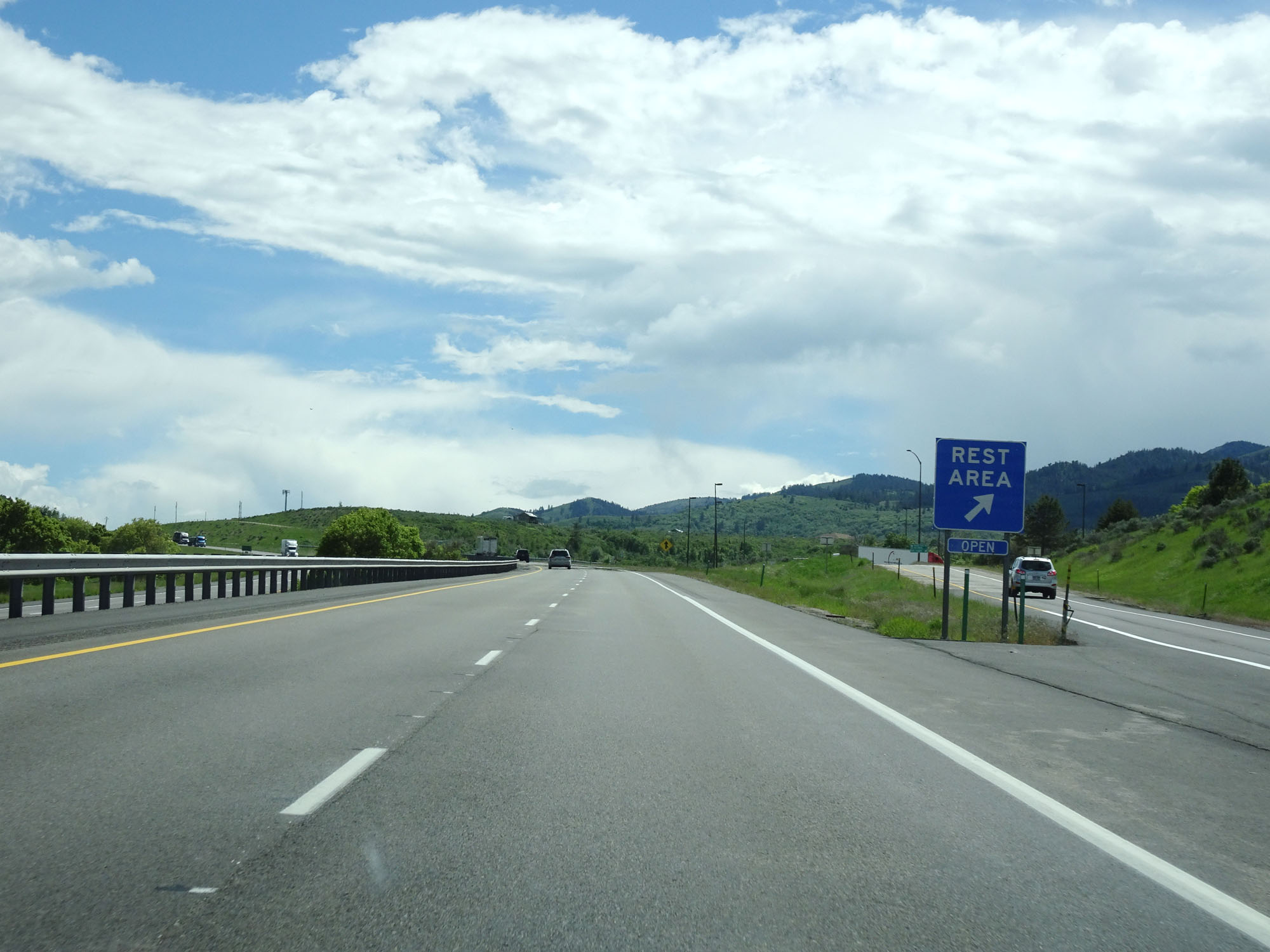
Interstate 15 South at the Rest Area in Bingham County. (Photo taken 5/26/16). |
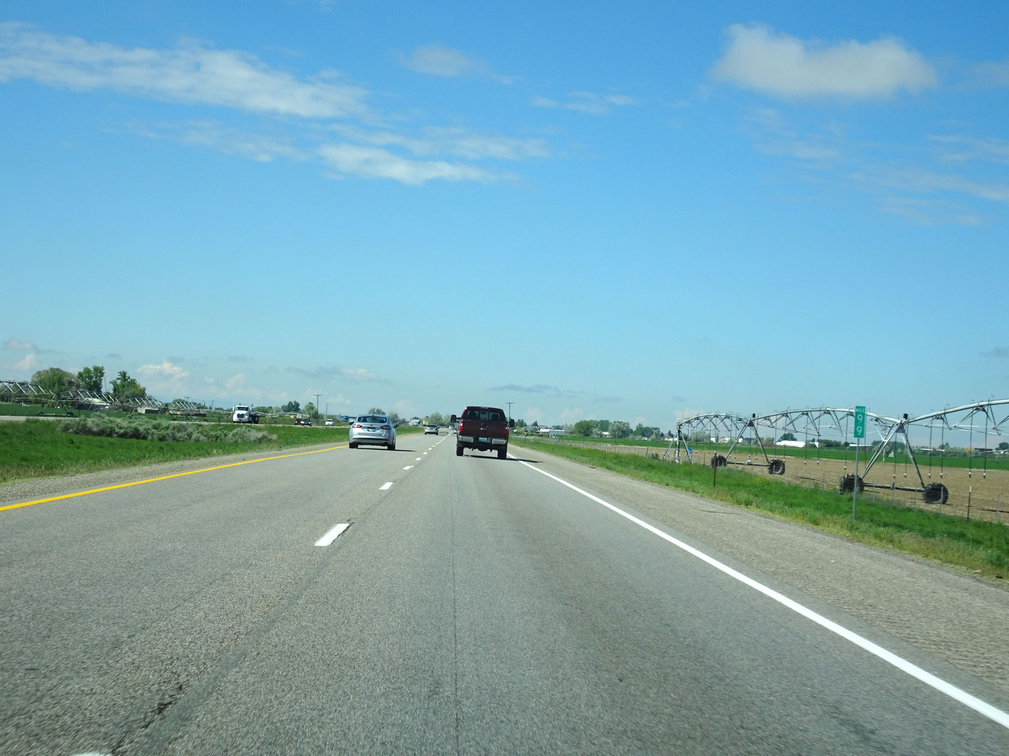 |
Interstate 15 South at mile marker 99. (Photo taken 5/26/16). |
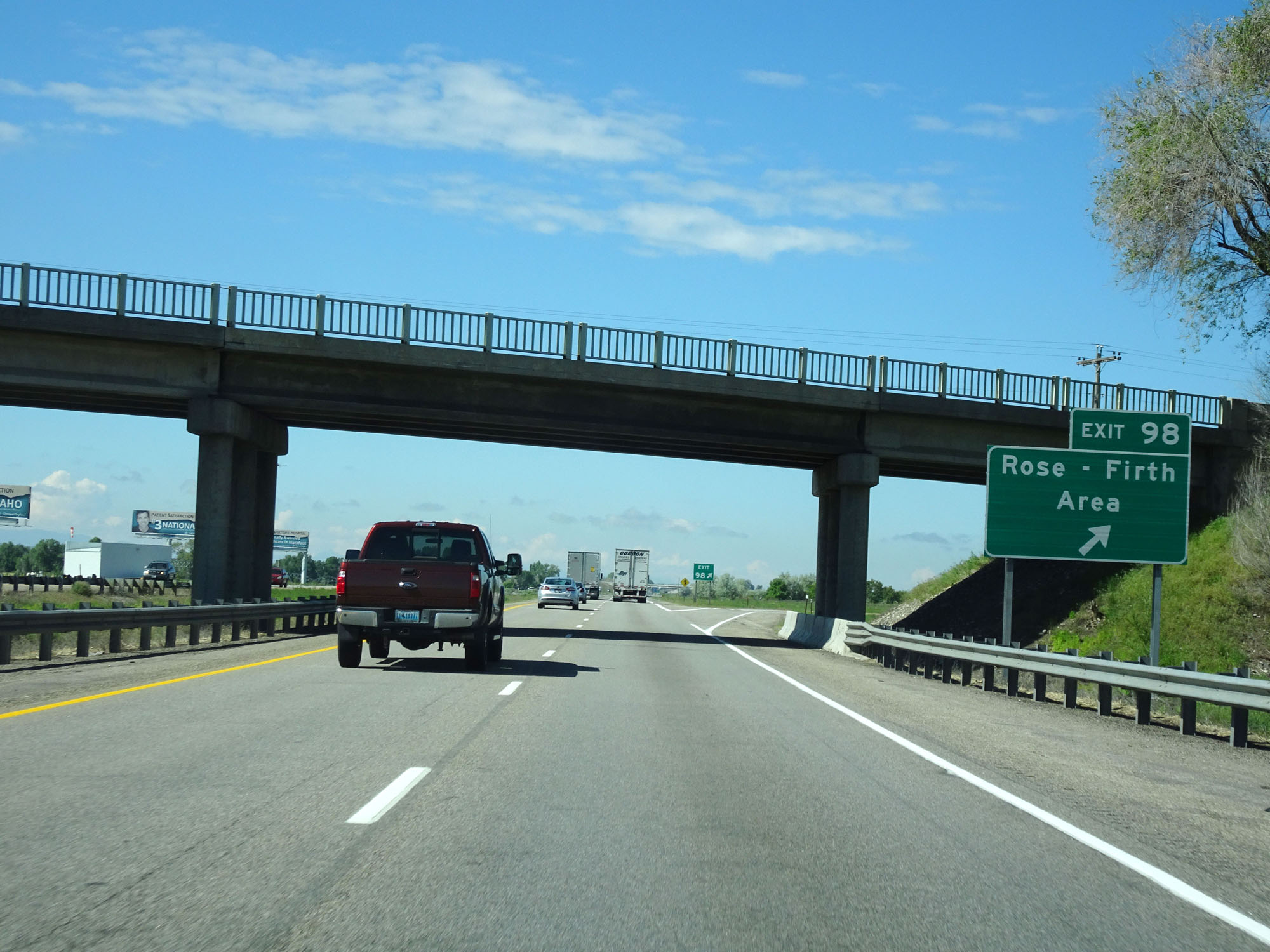 |
Interstate 15 South at Exit 98: Rose - Firth Area (Photo taken 5/26/16). |
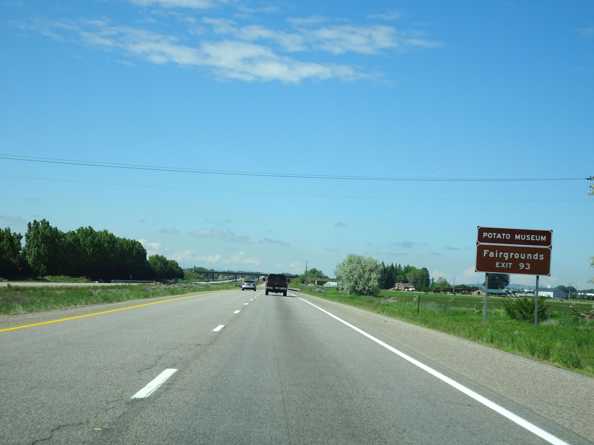 |
Take Exit 93 to the Potato Museum and Fairgrounds. (Photo taken 5/26/16). |
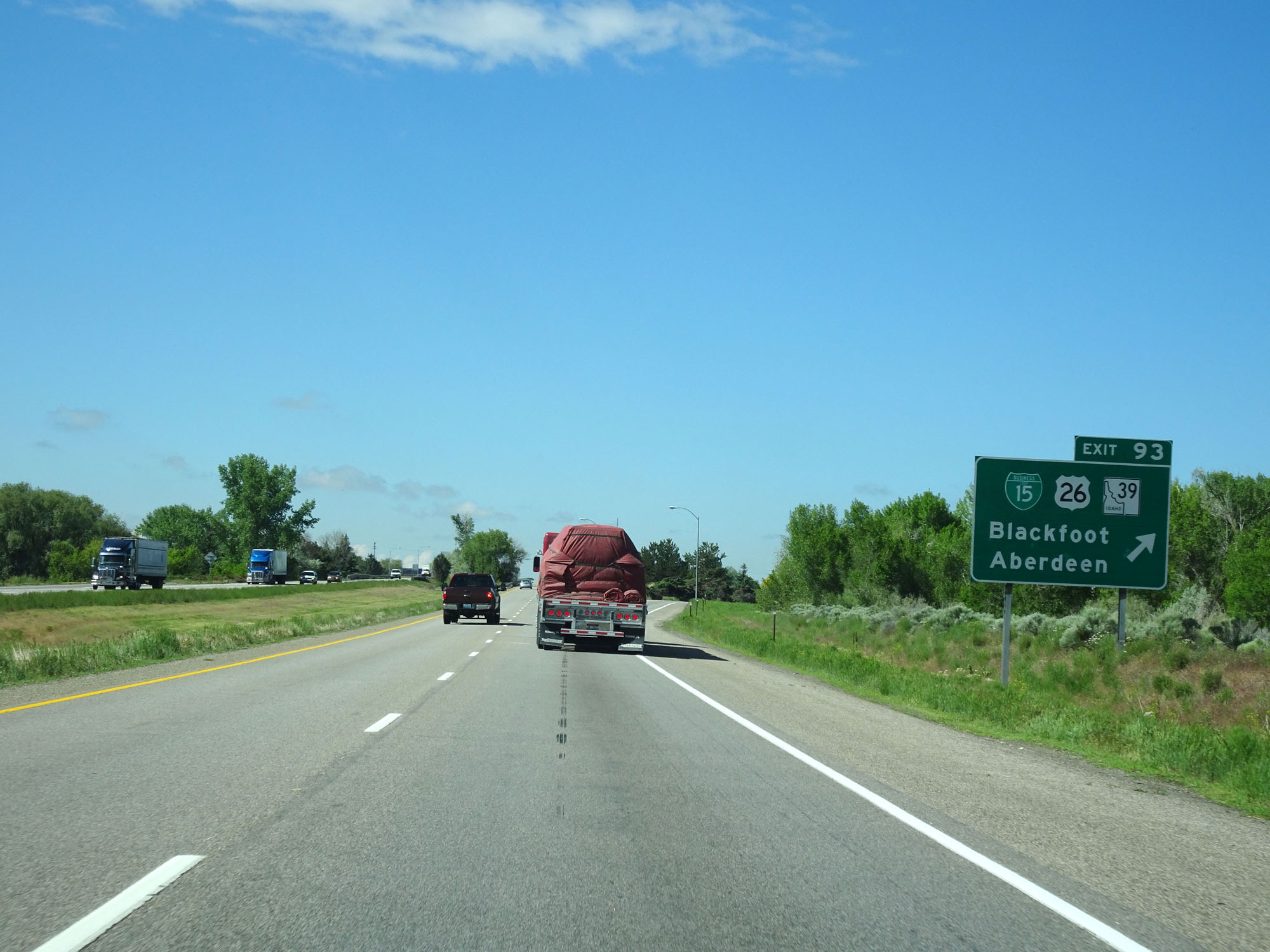 |
Interstate 15 South at Exit 93: Interstate 15 Business Loop / US 26 / ID 39 - Blackfoot / Aberdeen (Photo taken 5/26/16). |
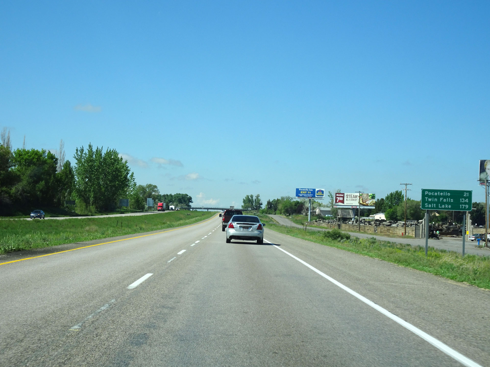 |
Mileage sign on Interstate 15 South. It's 21 miles to Pocatello, 134 miles to Twin Falls, and 179 miles to Salt Lake City. (Photo taken 5/26/16). |
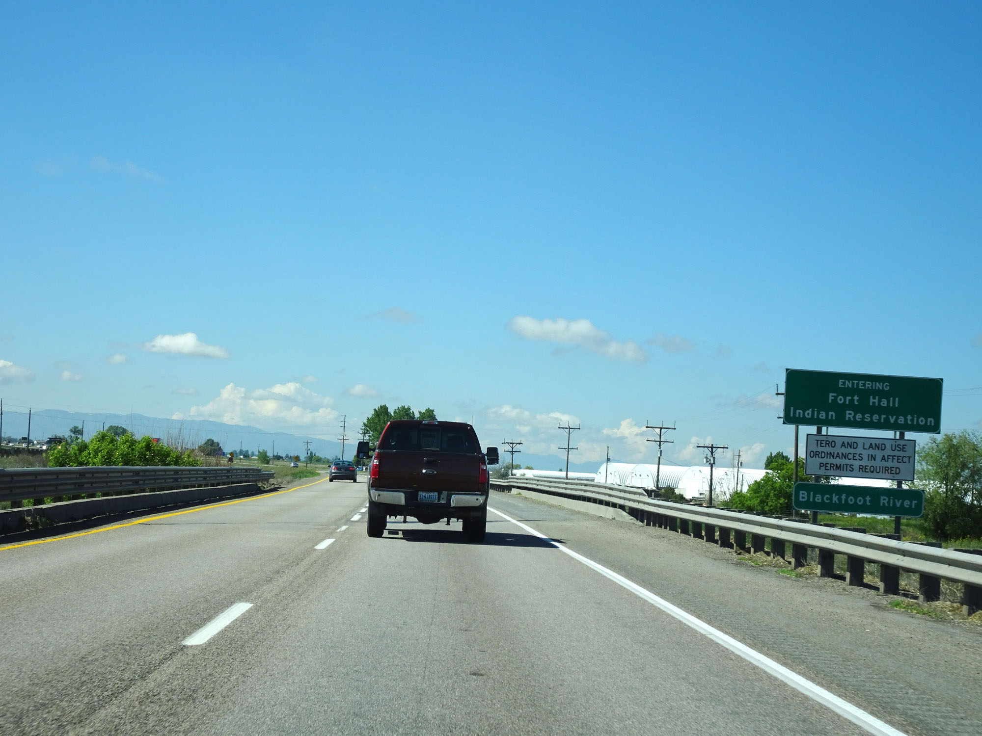 |
Interstate 15 South as it enters the Fort Hall Indian Reservation. (Photo taken 5/26/16). |
 |
Interstate 15 South approaching Exit 89 - 1 mile. (Photo taken 5/26/16). |
 |
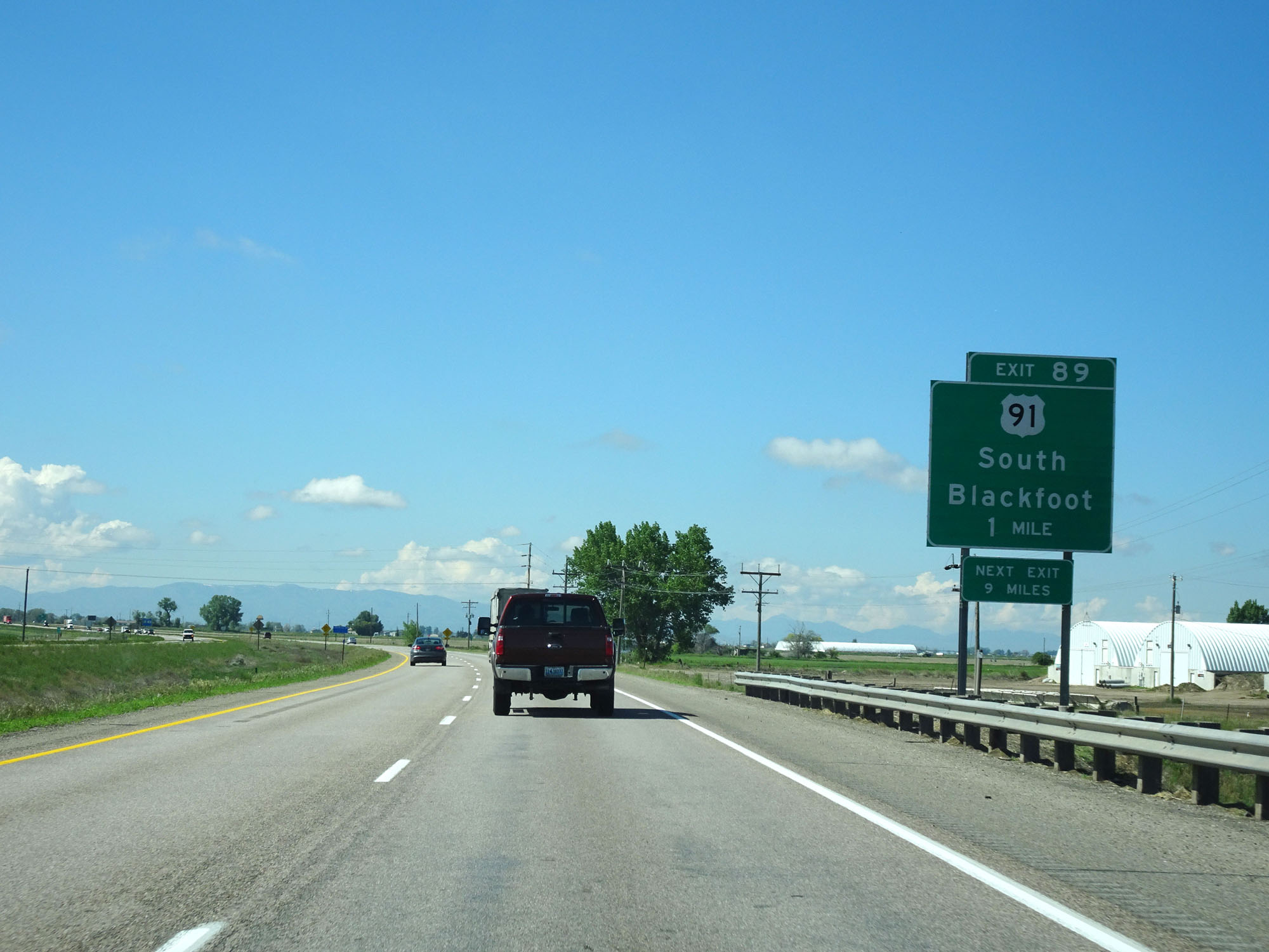
Interstate 15 South at Exit 89: US 91 - South Blackfoot (Photo taken 5/26/16). |
 |
Interstate 15 South at mile marker 85. (Photo taken 5/26/16). |
 |
Interstate 15 South at mile marker 82. (Photo taken 5/26/16). |
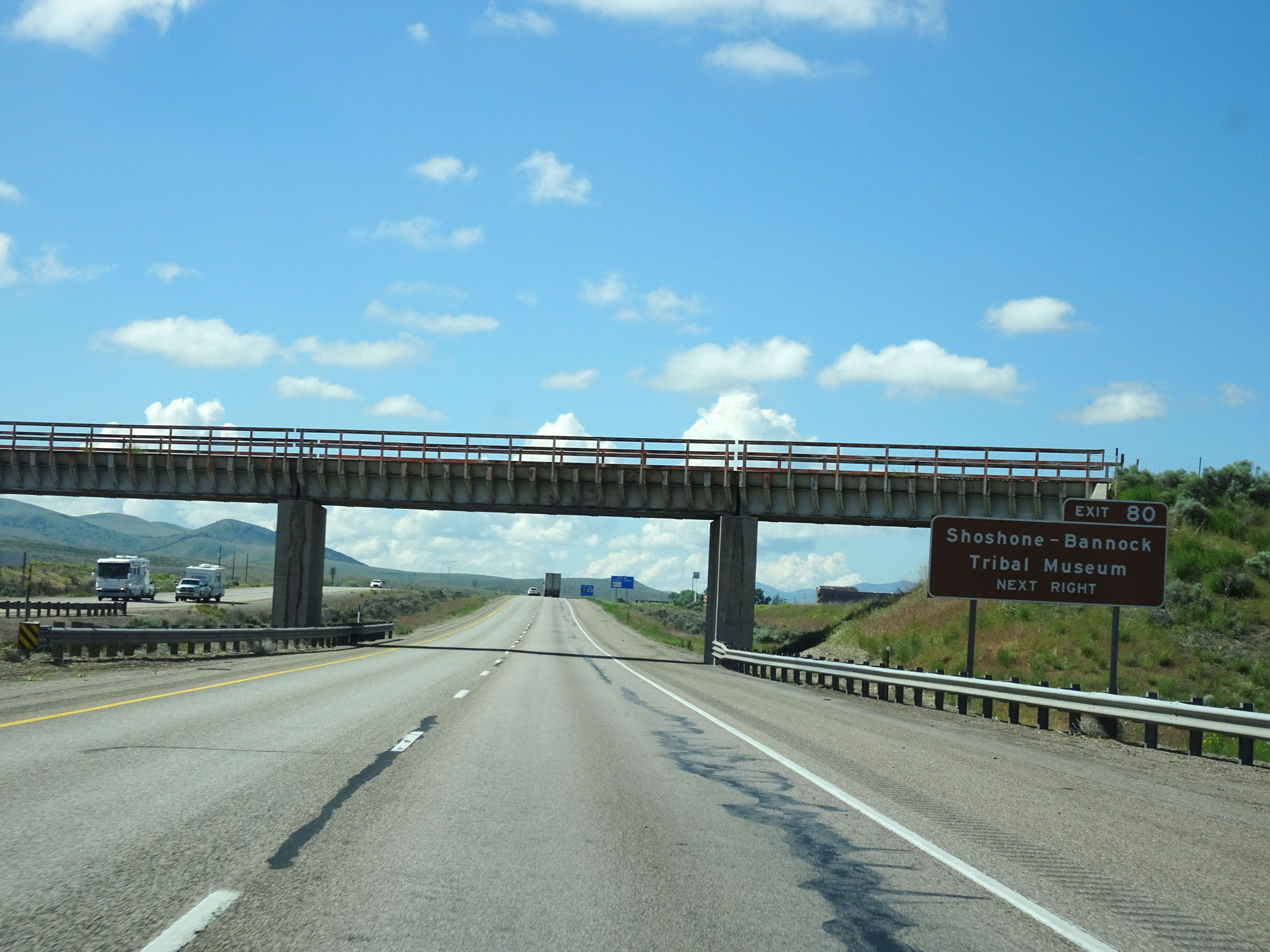 |
Take Exit 80 to Shoshone - Bannock Tribal Museum. (Photo taken 5/26/16). |
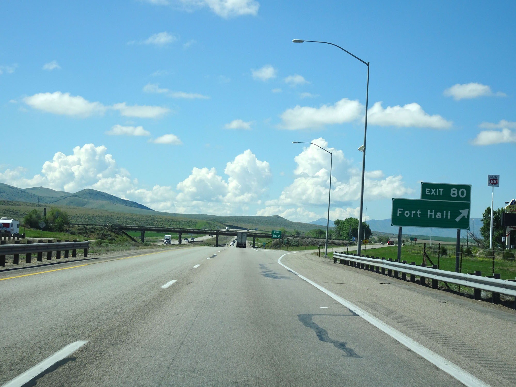 |
Interstate 15 South at Exit 80: Fort Hall (Photo taken 5/26/16). |
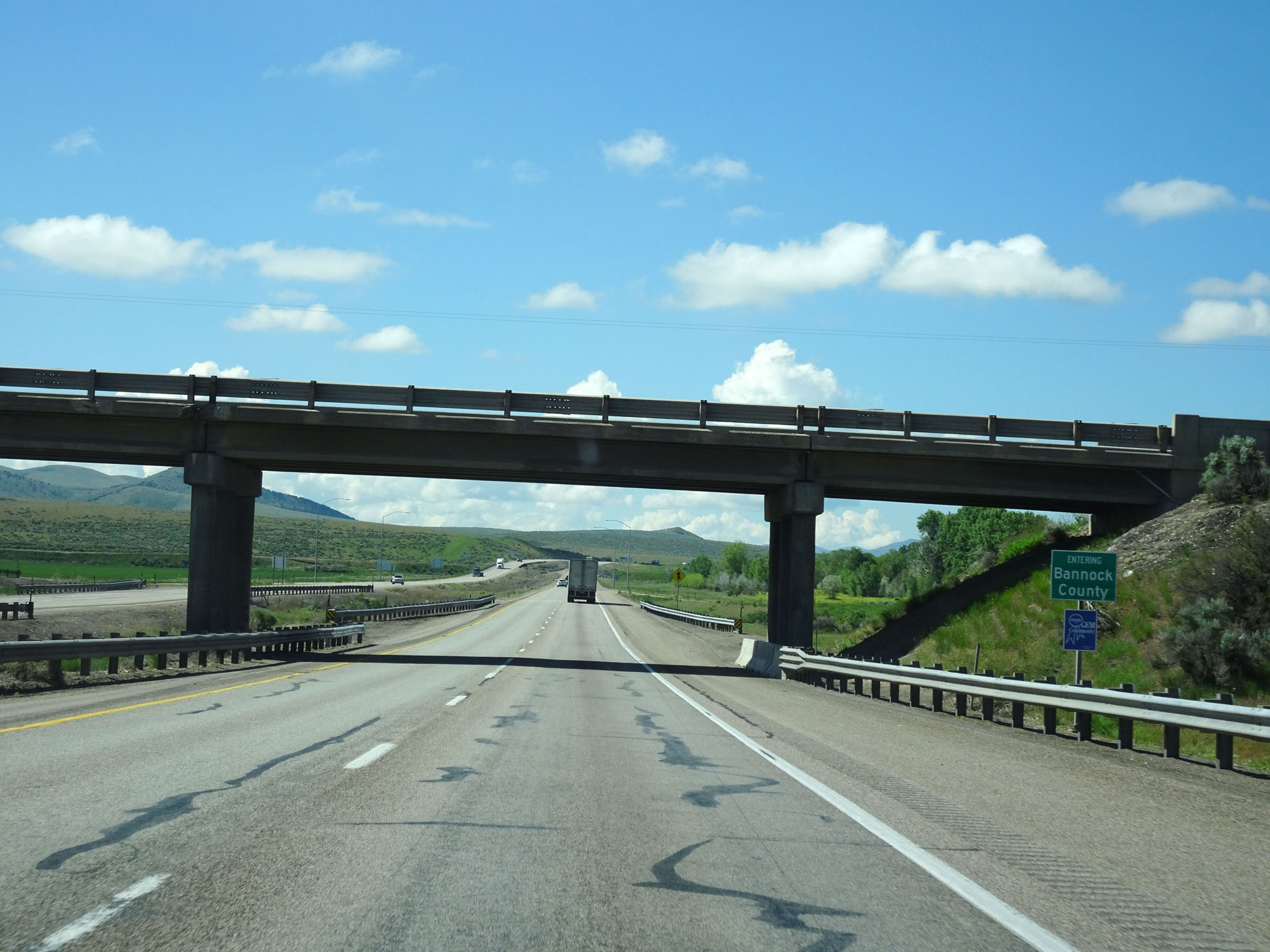 |
Interstate 15 South entering Bannock County. (Photo taken 5/26/16). |
 |
Interstate 15 South at mile marker 76. (Photo taken 5/26/16). |
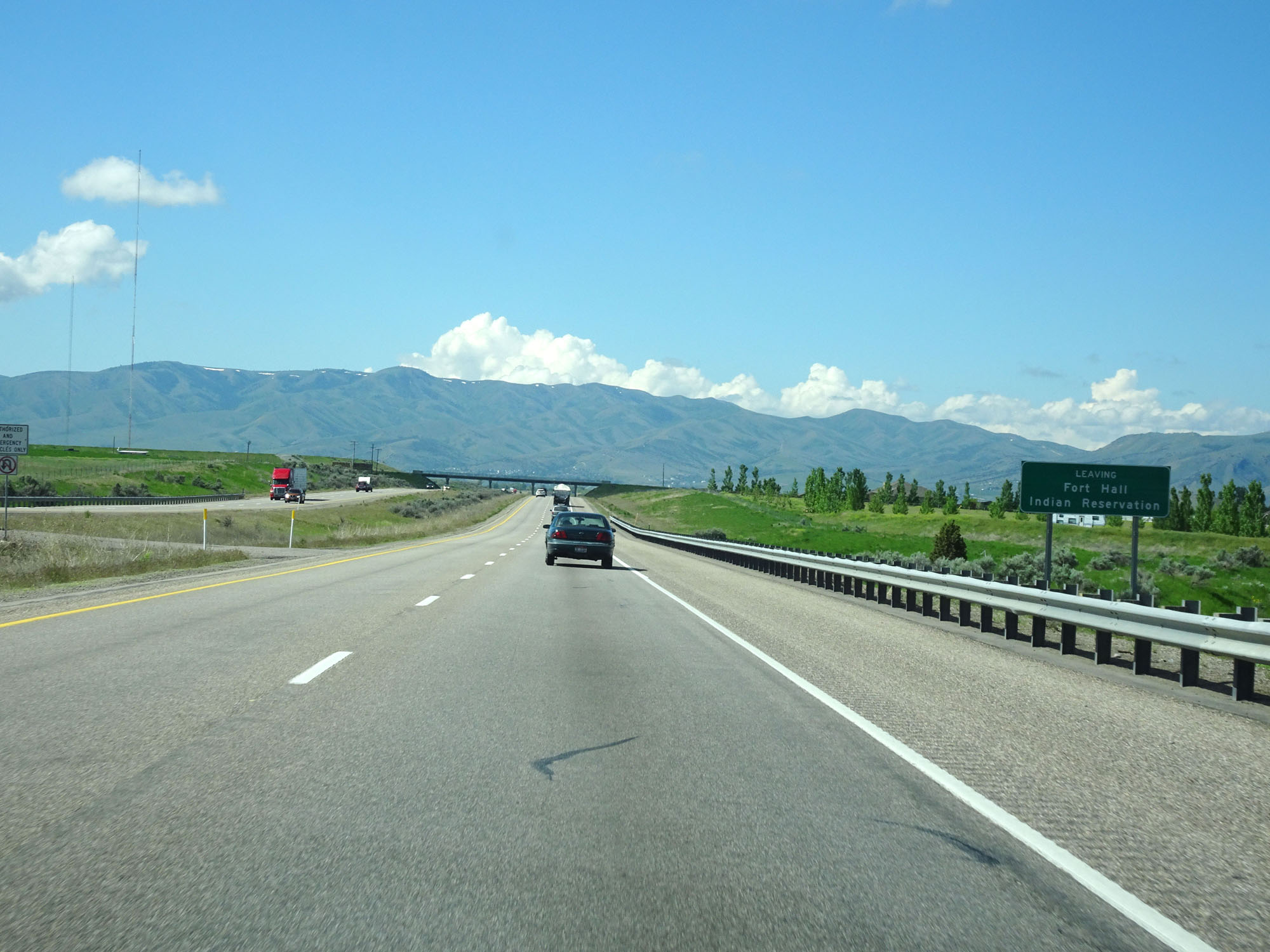 |
Interstate 15 South as it leaves Fort Hall Indian Reservation. (Photo taken 5/26/16). |
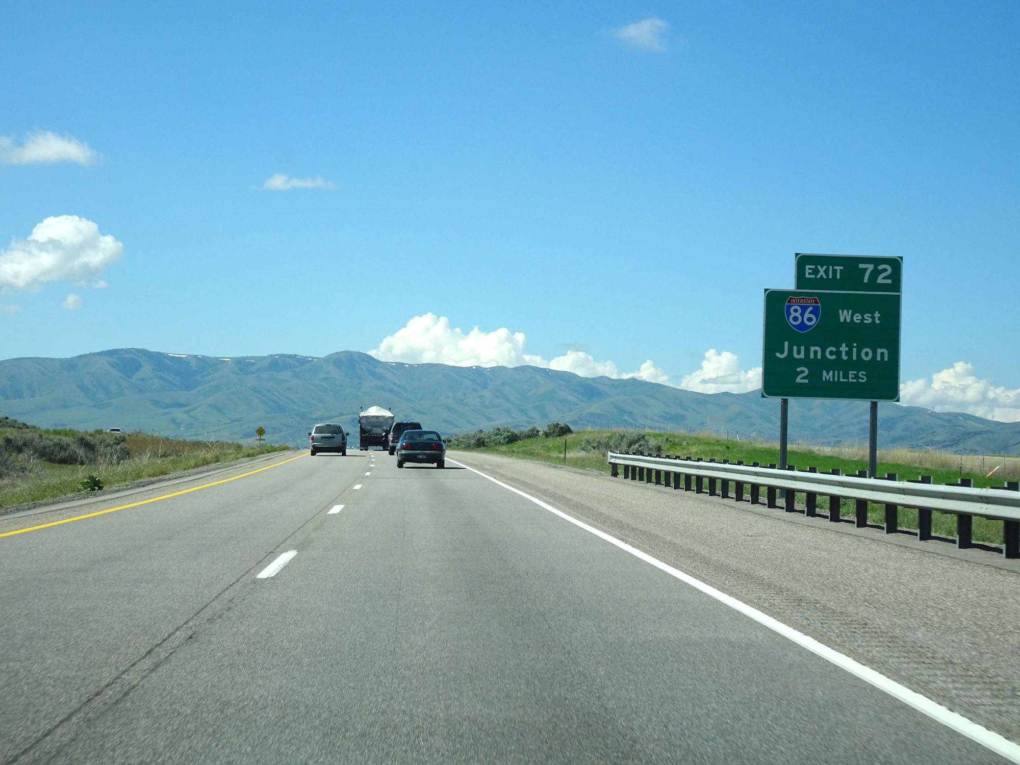 |
Interstate 15 South approaching Exit 72 - 2 miles. (Photo taken 5/26/16). |
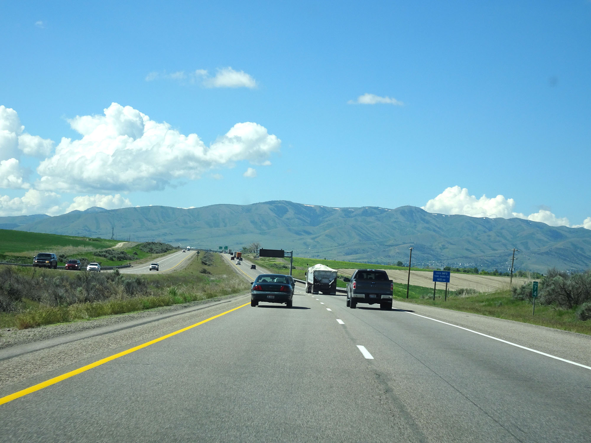 |
Interstate 15 South at mile marker 74. (Photo taken 5/26/16). |
 |
Interstate 15 South approaching Exit 72 - 1/2 mile. (Photo taken 5/26/16). |
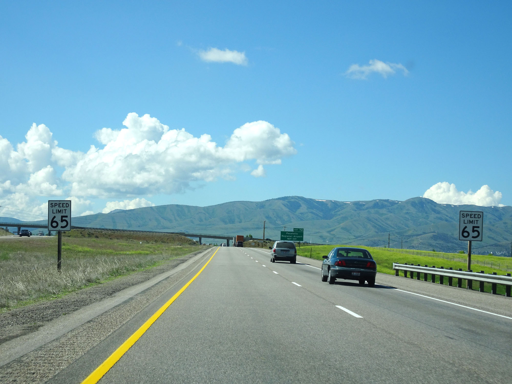 |
Nearing the Pocatello area, the speed limit once again decreases to 65 mph for all traffic. (Photo taken 5/26/16). |
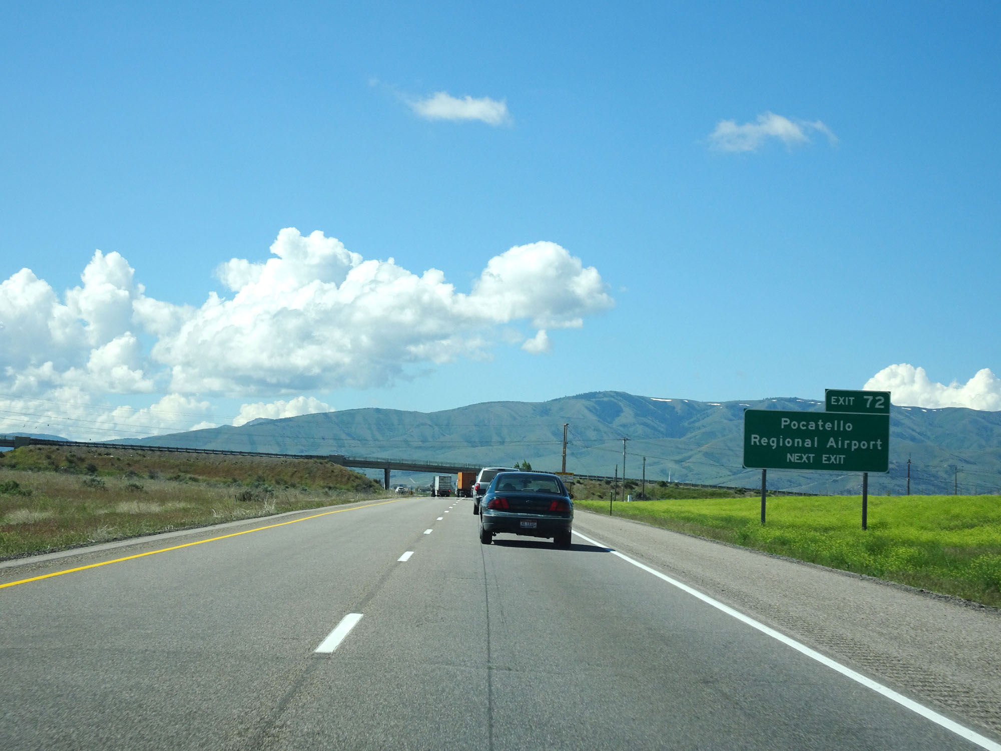 |
Take Exit 72 to Pocatello Regional Airport. (Photo taken 5/26/16). |
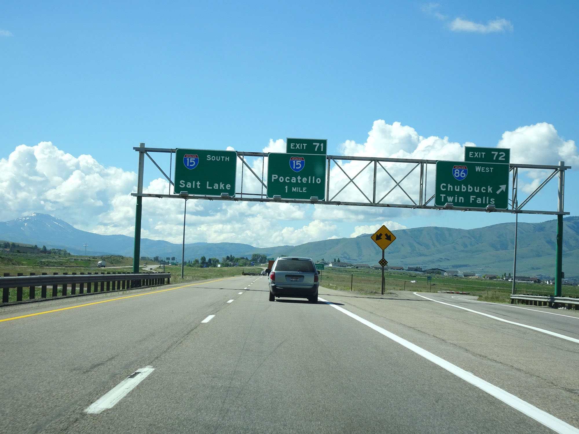 |
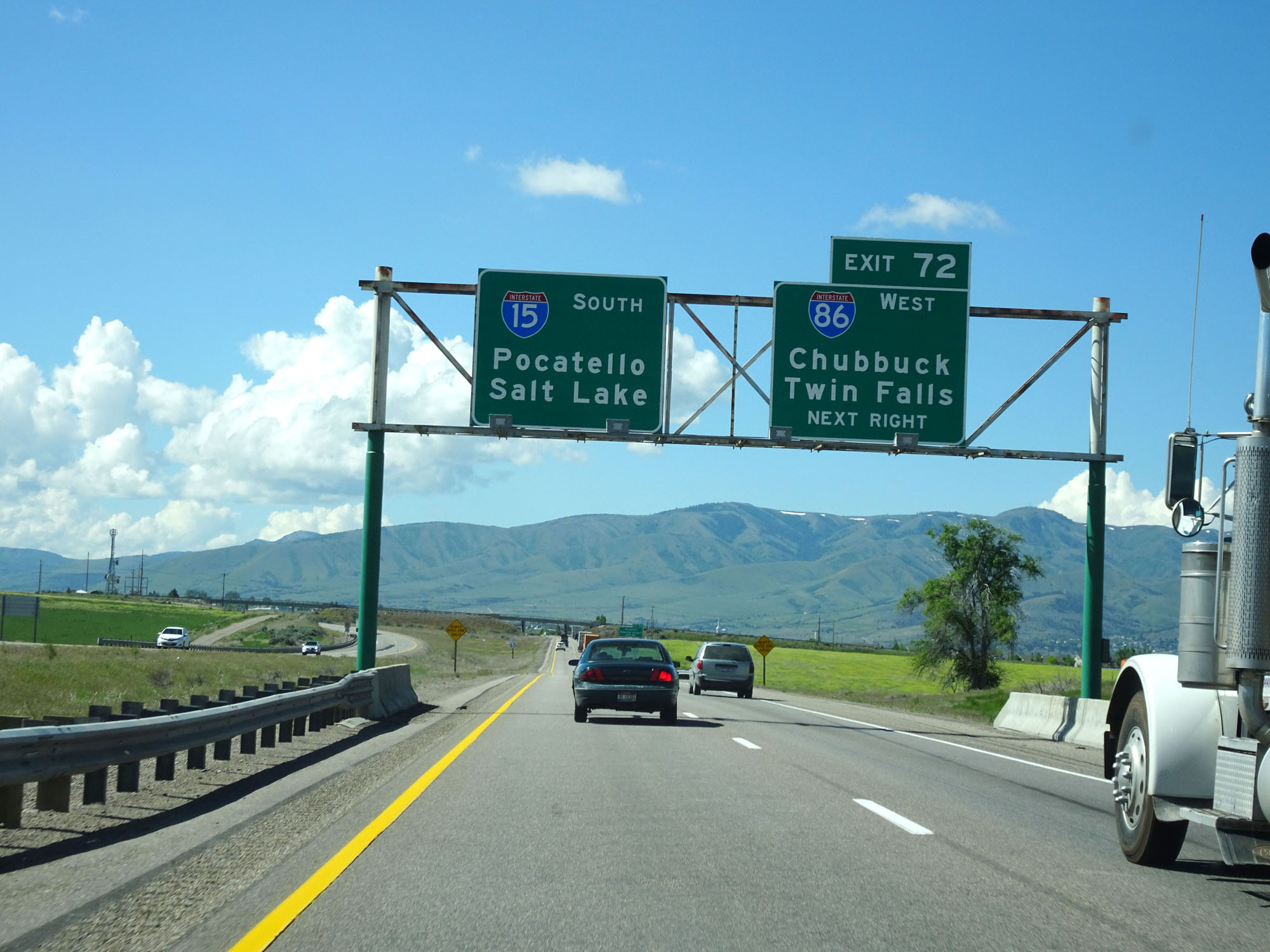
Interstate 15 South at Exit 72: Interstate 86 West - Chubbuck / Twin Falls (Photo taken 5/26/16). |
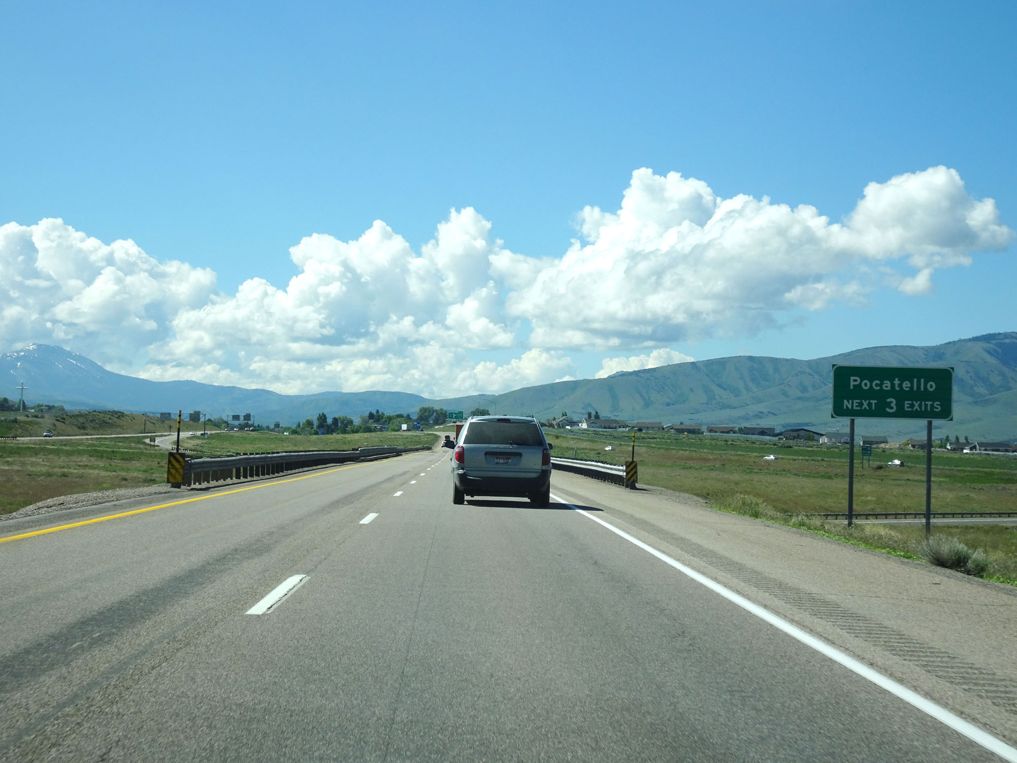 |
Take any of the next 3 exits to Pocatello. (Photo taken 5/26/16). |
 |
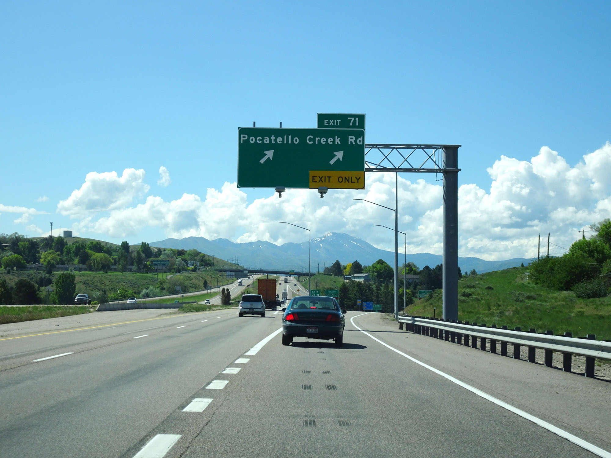
Take Exit 71 to Interstate 15 Business Loop and Pocatello Creek Rd. (Photo taken 5/26/16). |
 |
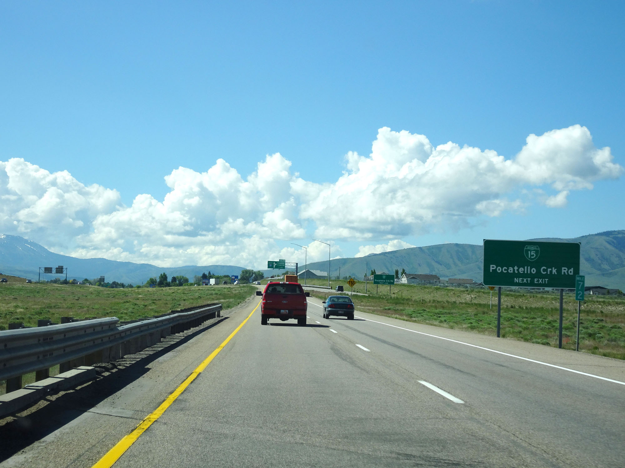
Interstate 15 South at Exit 71: Pocatello Creek Rd (Photo taken 5/26/16). |
Section 3: Pocatello (Exit 71) to Utah Border
 |
The speed limit remains 65 mph in the Pocatello area. (Photo taken 5/26/16). |
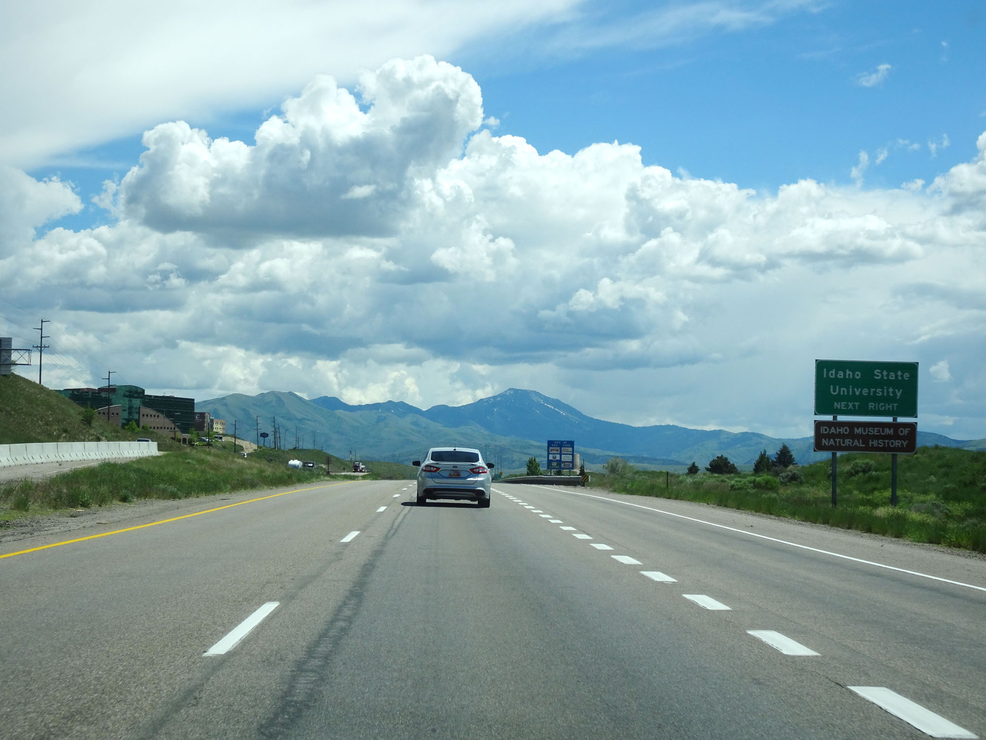 |
Take Exit 69 to Idaho State University. (Photo taken 5/26/16). |
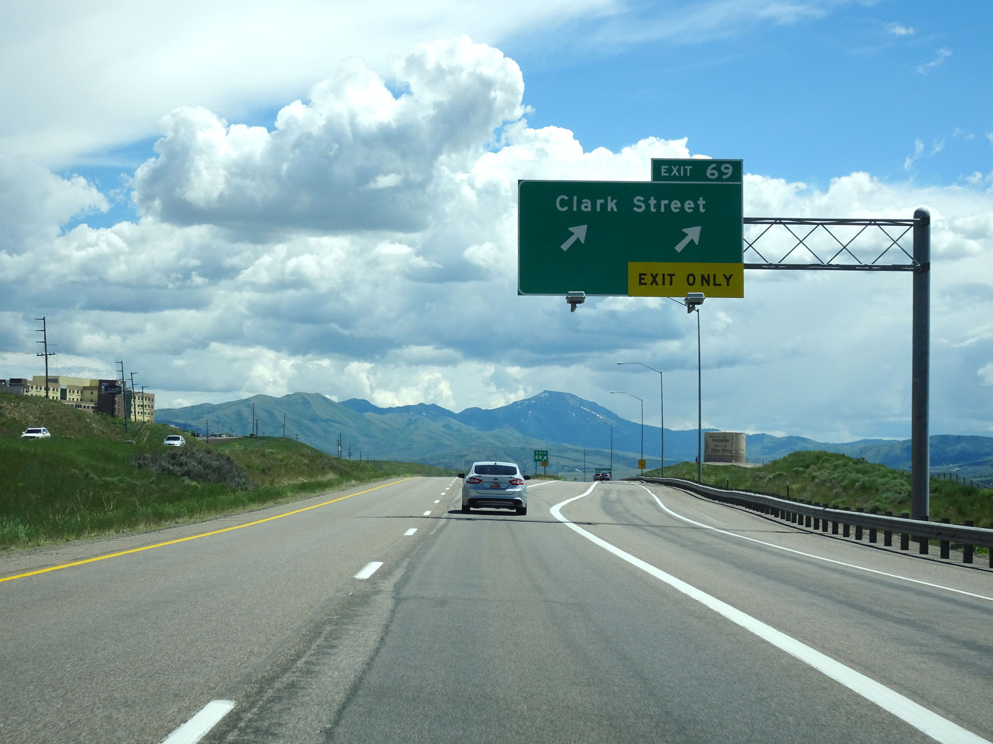 |
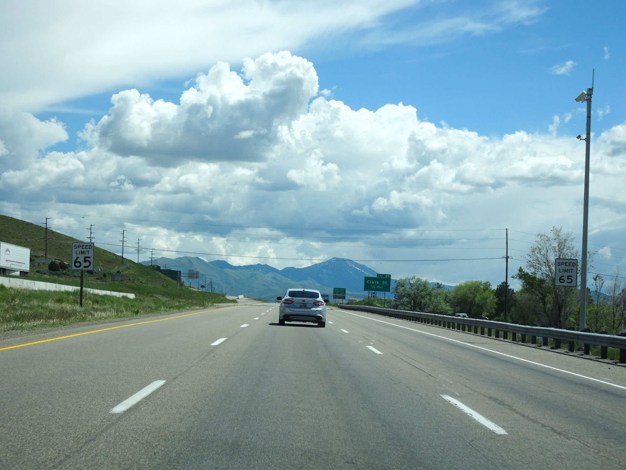
Interstate 15 South at Exit 69: Clark Street (Photo taken 5/26/16). |
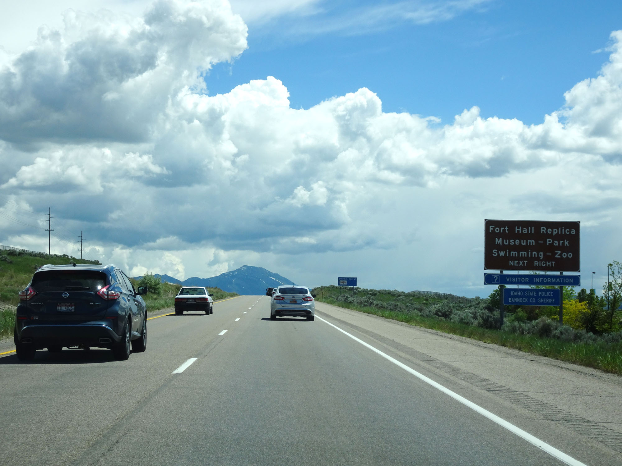 |
Take Exit 67 to Fort Hall Replica Museum, Park, Swimming, and Zoo. (Photo taken 5/26/16). |
 |
Interstate 15 South at mile marker 68. (Photo taken 5/26/16). |
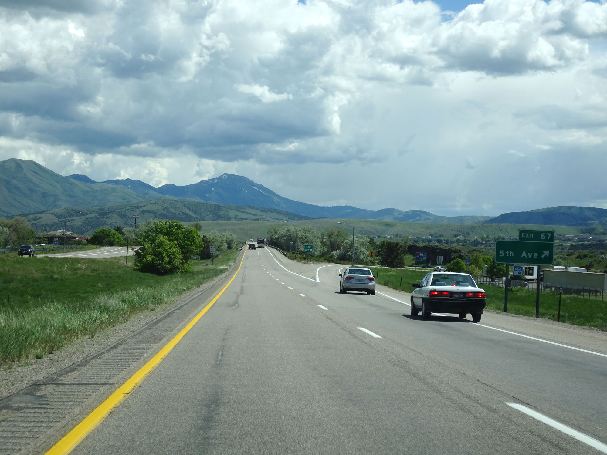 |
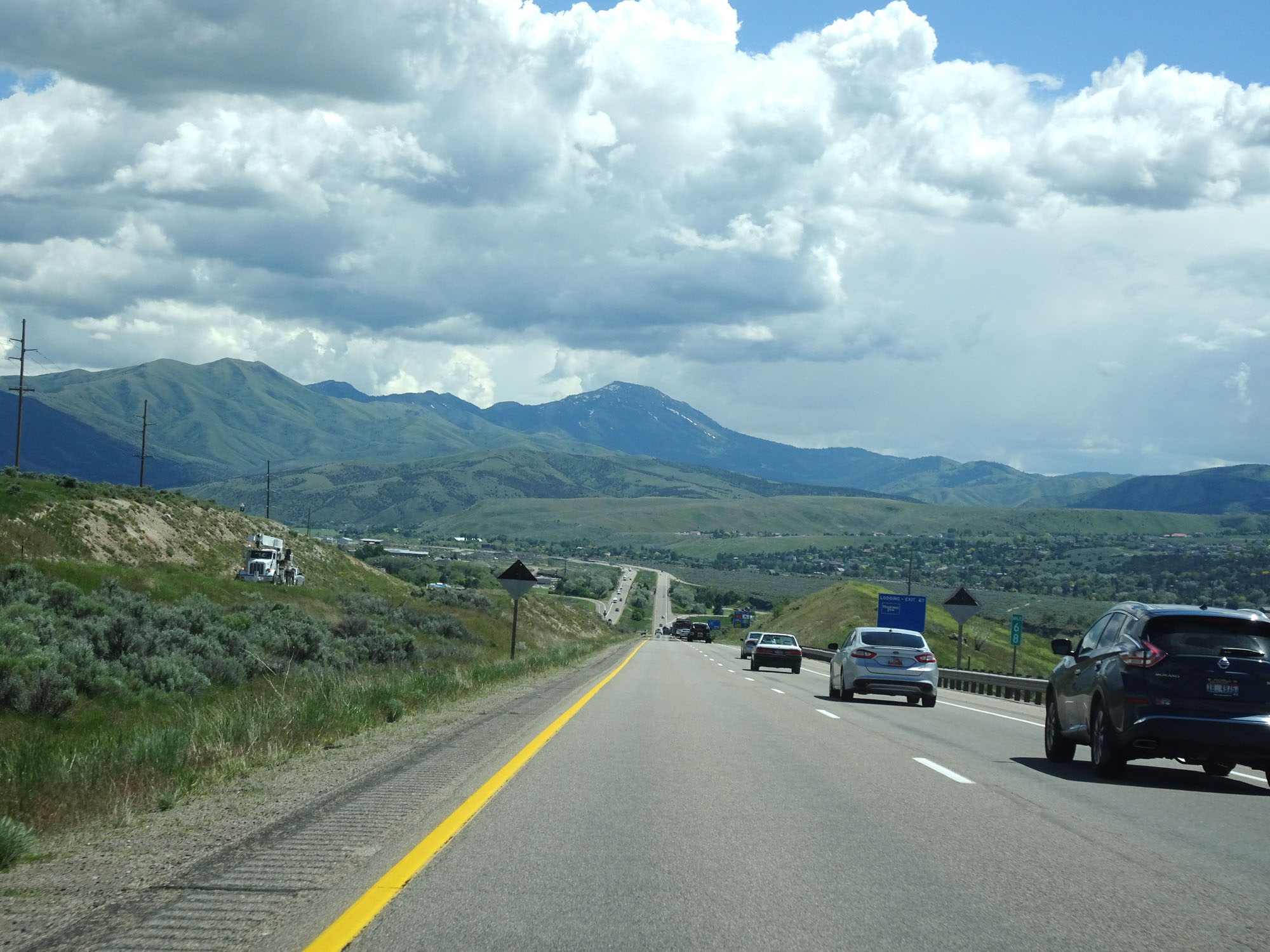
Interstate 15 South at Exit 67: 5th Ave (Photo taken 5/26/16). |
 |
South of Exit 67, the standard rural speed limits of 80 mph for cars and 70 mph for trucks resume. (Photo taken 5/26/16). |
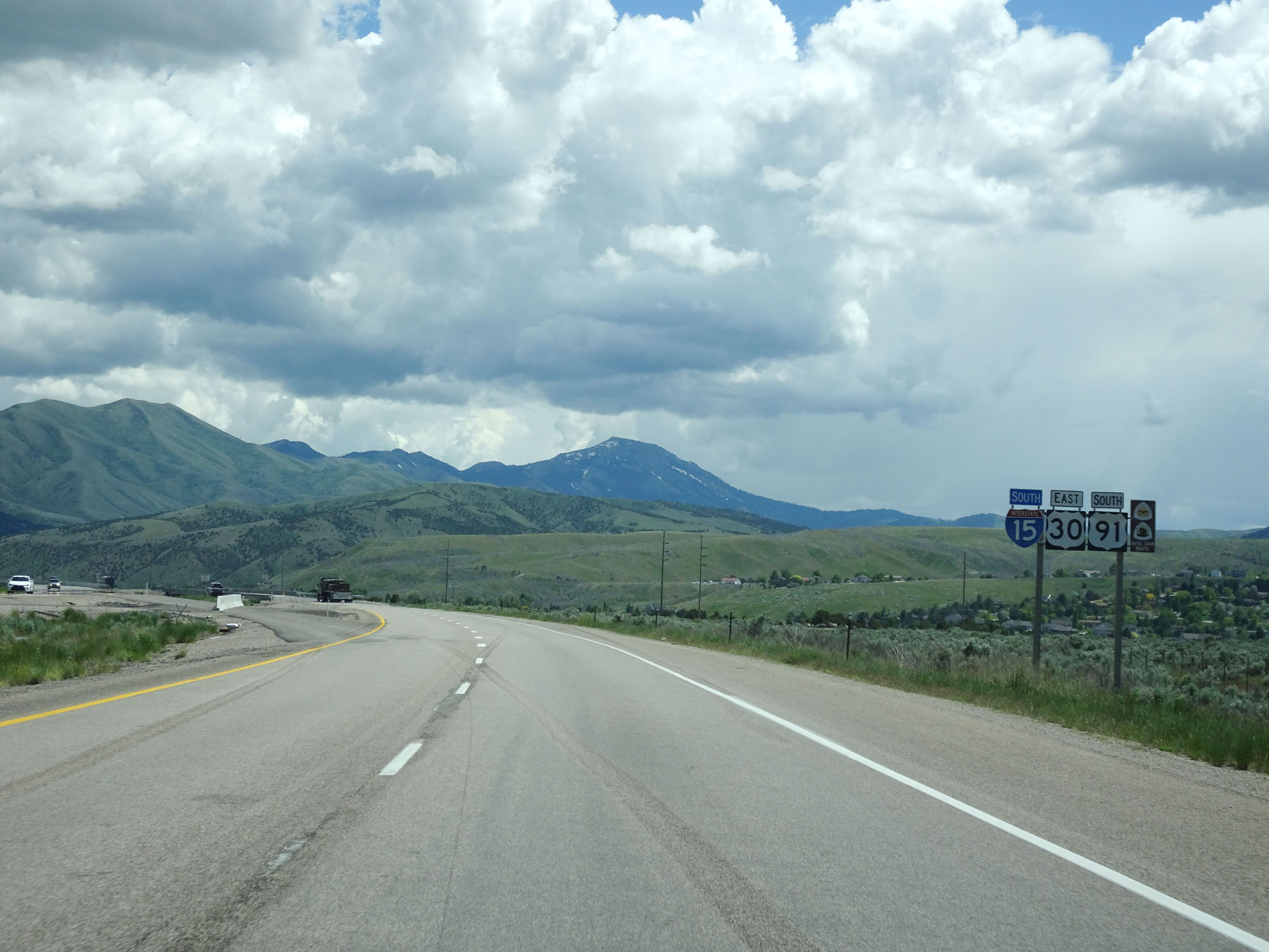 |
Interstate 15 South / US 30 East / US 91 South reassurance markers. (Photo taken 5/26/16). |
 |
Another Speed Limit - 80 mph sign. (Photo taken 5/26/16). |
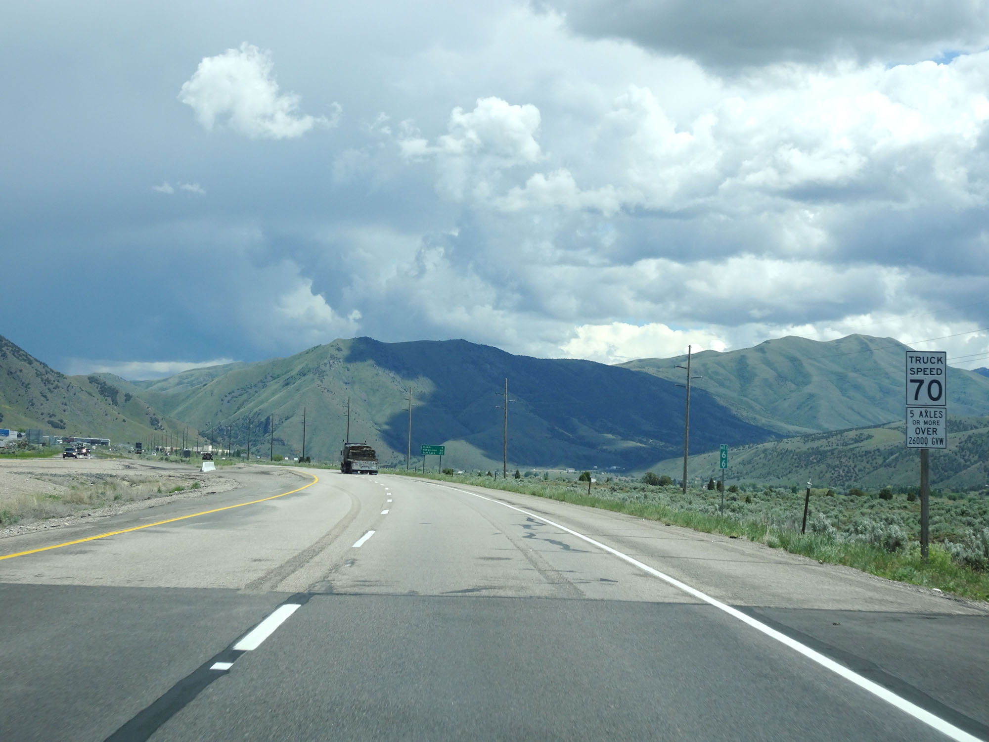 |
Speed Limit - 70 mph sign for trucks. The sign below defines what trucks are restricted to the 70 mph speed limit. (Photo taken 5/26/16). |
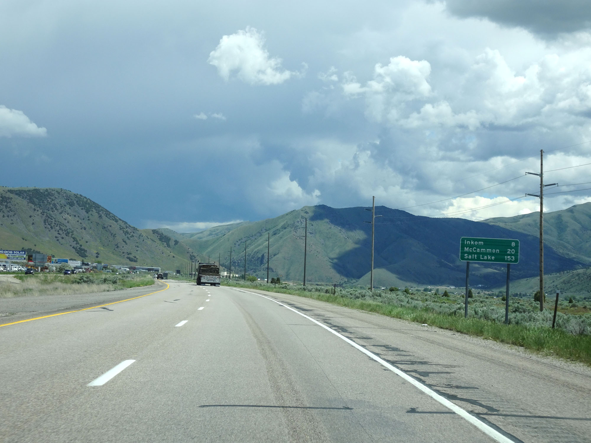 |
Mileage sign on Interstate 15 South. It's 8 miles to Inkom, 20 miles to McCammon, and 153 miles to Salt Lake City. (Photo taken 5/26/16). |
 |
Interstate 15 South at mile marker 65. (Photo taken 5/26/16). |
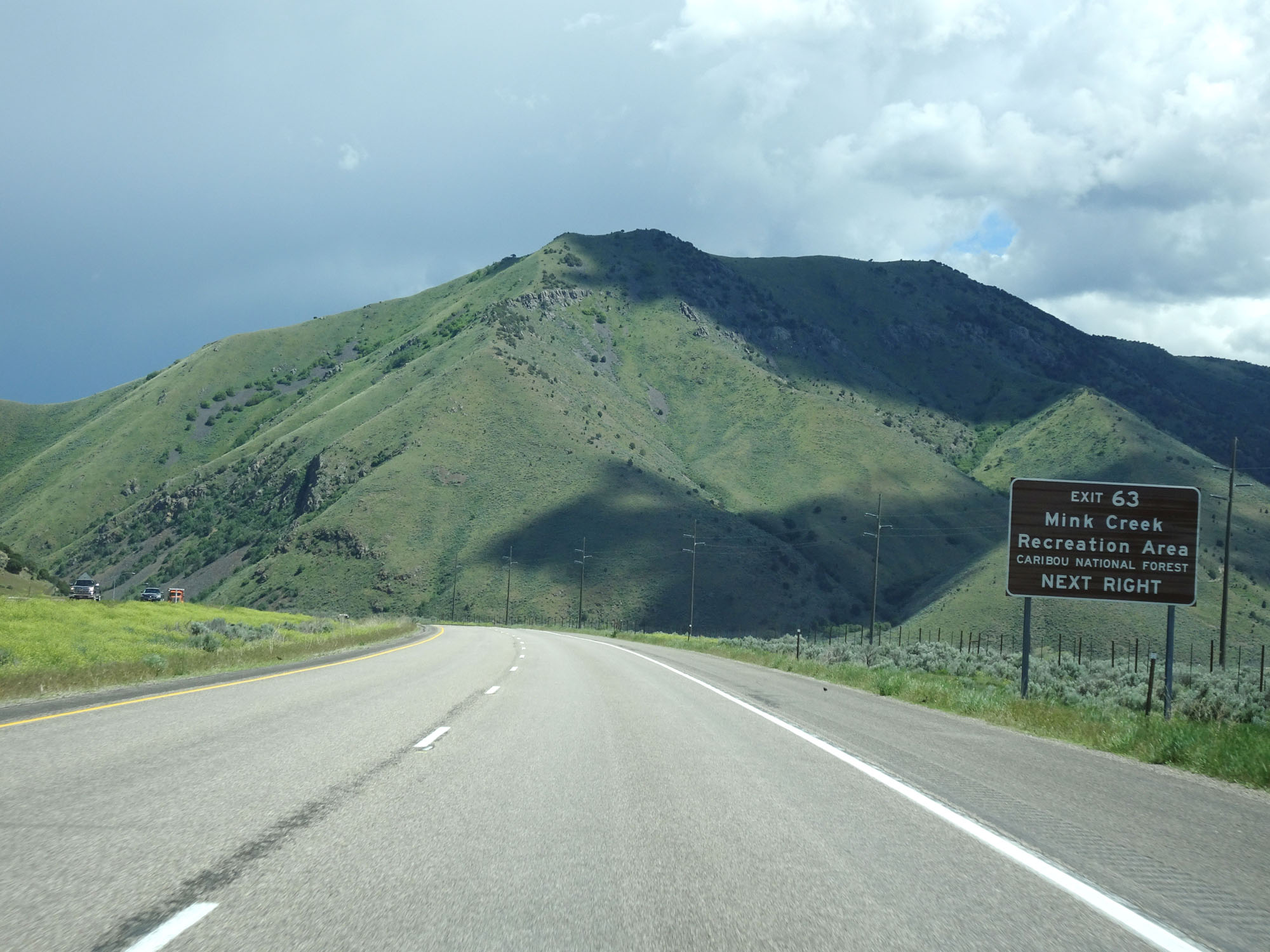 |
Take Exit 63 to Mink Creek Recreation Area. (Photo taken 5/26/16). |
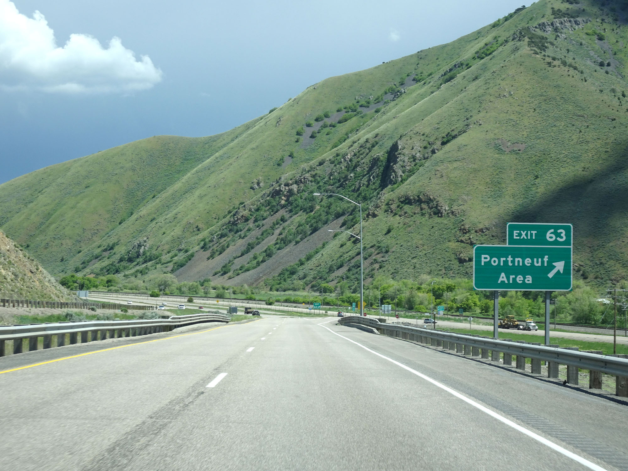 |
Interstate 15 South at Exit 63: Portneuf Area (Photo taken 5/26/16). |
 |
Interstate 15 South at mile marker 62. (Photo taken 5/26/16). |
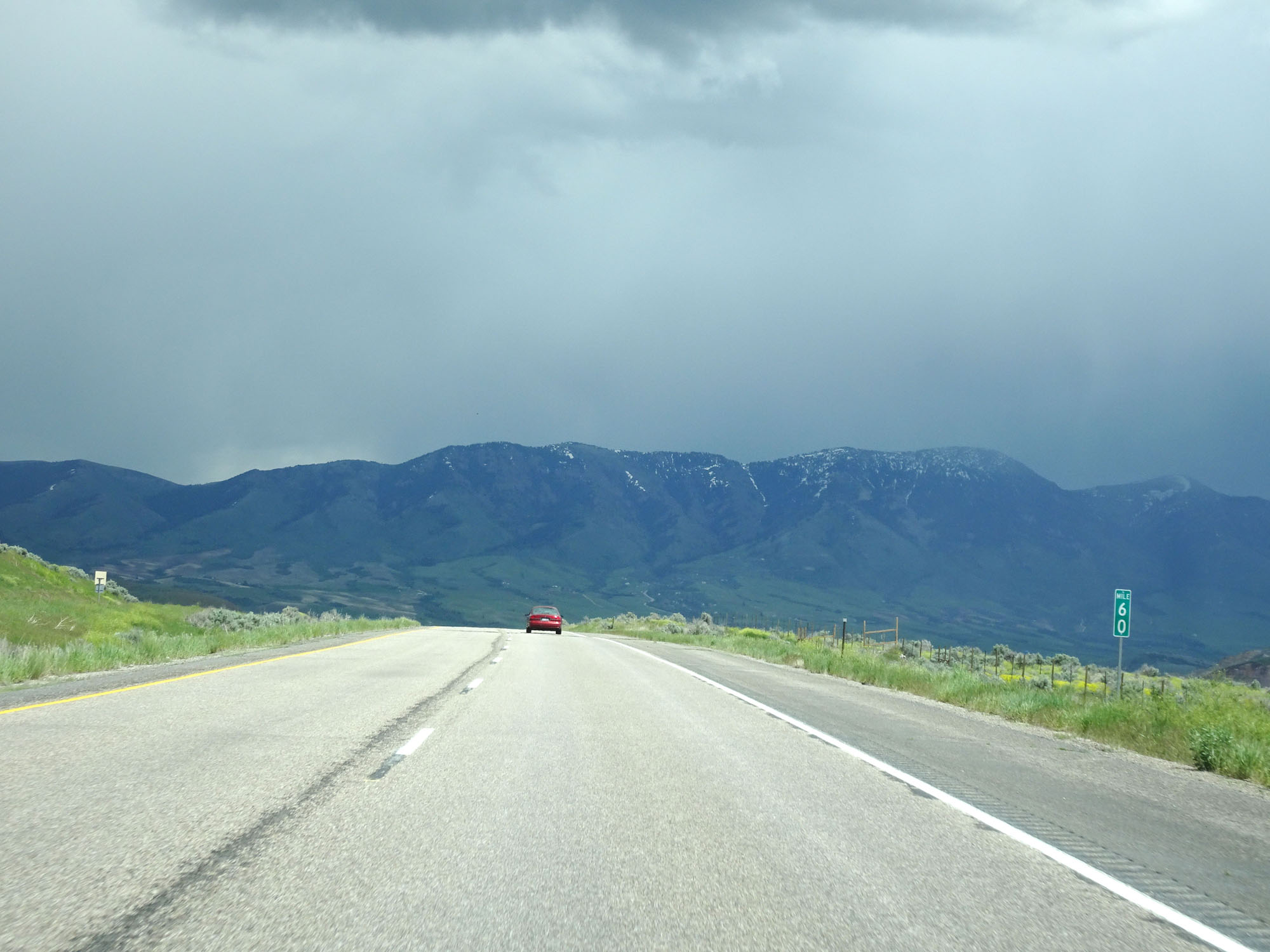 |
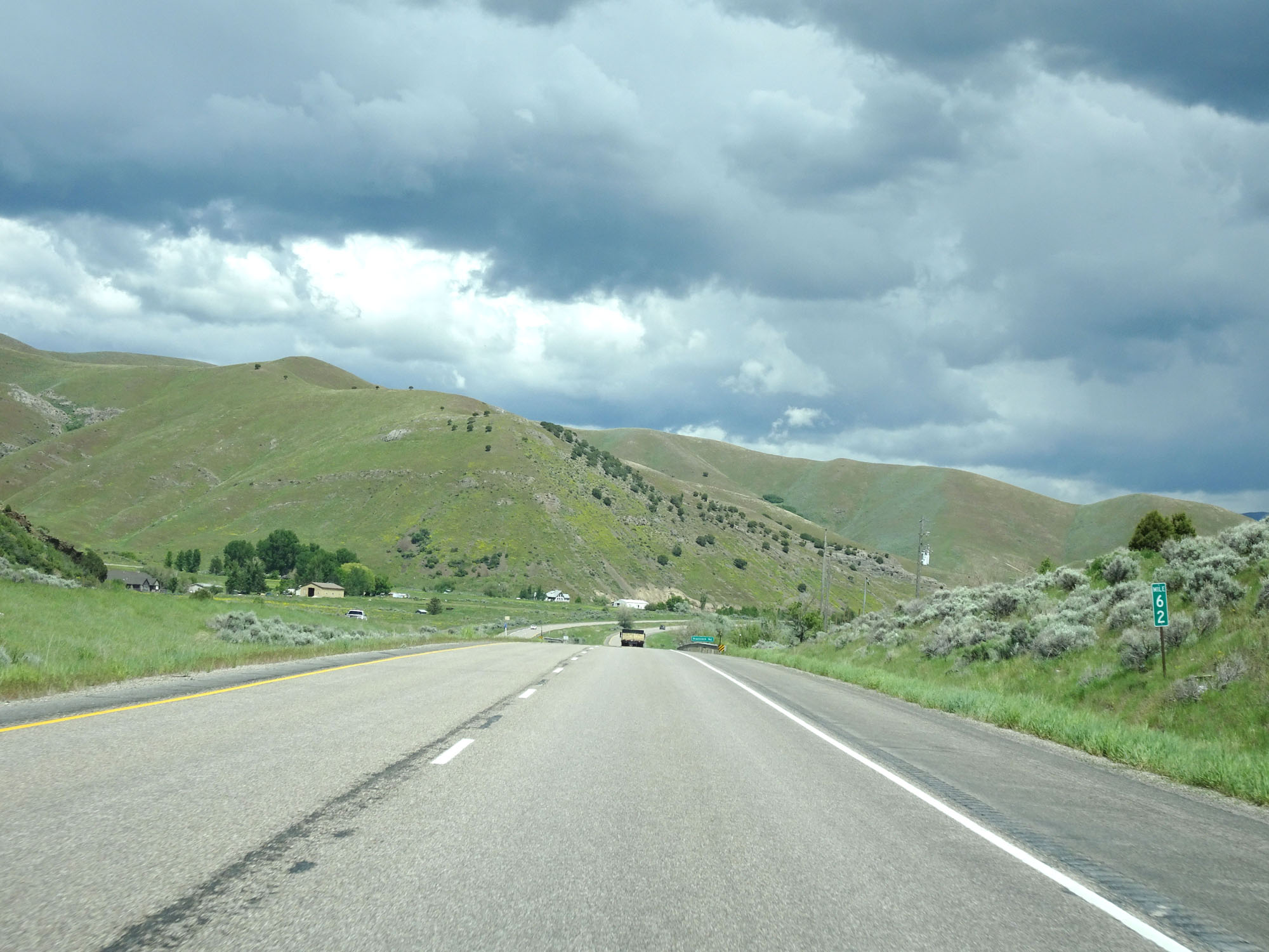
Interstate 15 South at mile marker 60. (Photo taken 5/26/16). |
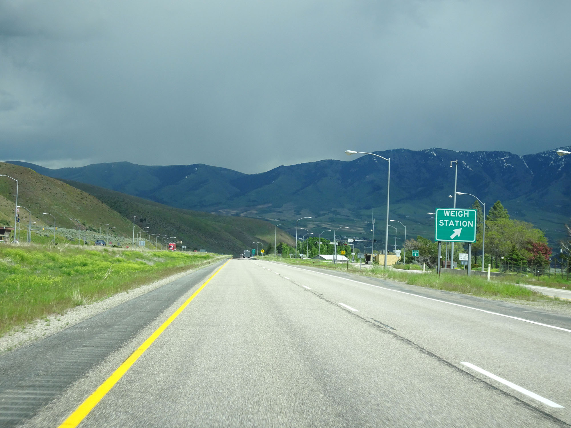 |
Interstate 15 South at the Weigh Station in Bannock County. (Photo taken 5/26/16). |
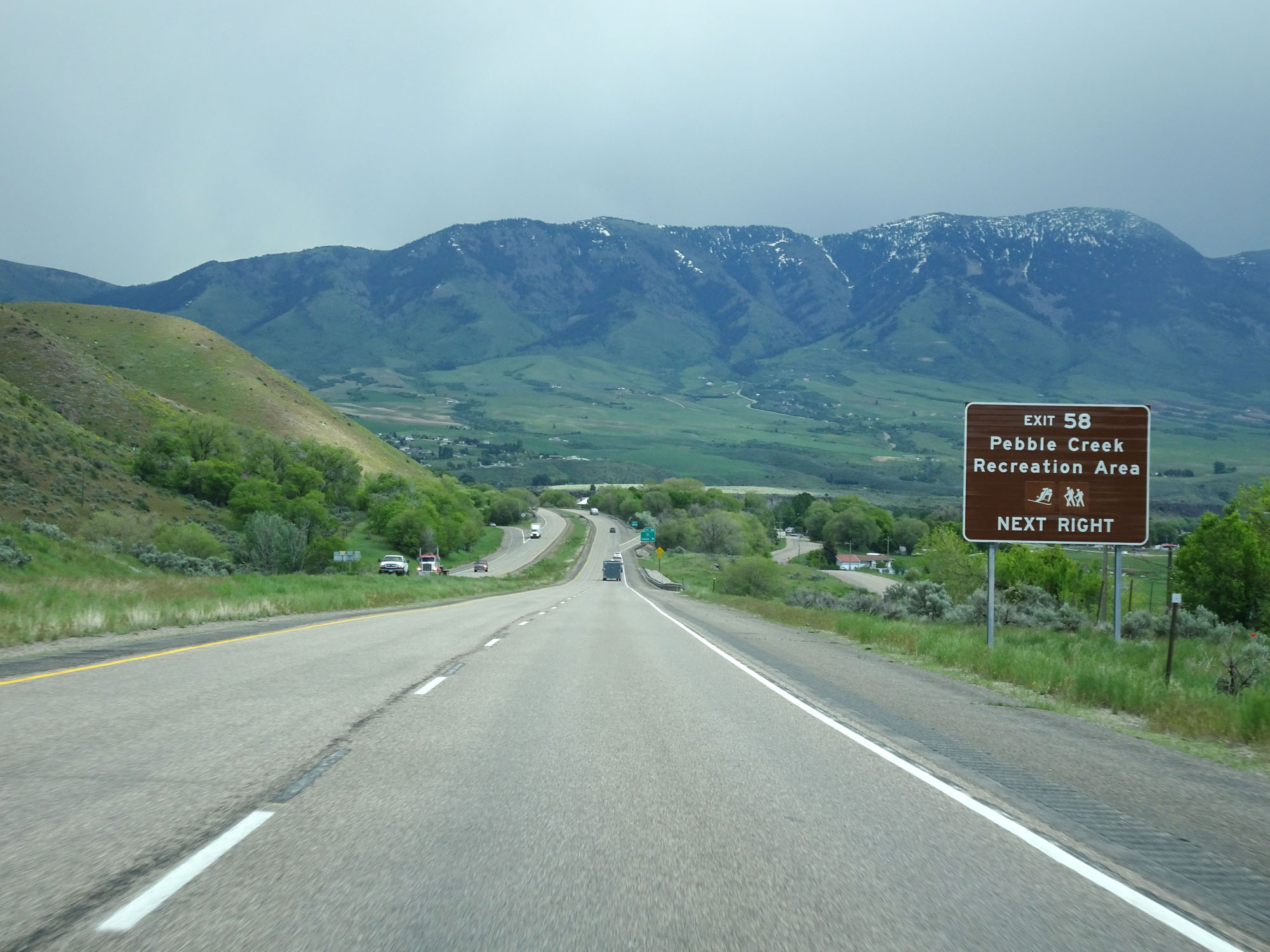 |
Take Exit 58 to Pebble Creek Recreation Area. (Photo taken 5/26/16). |
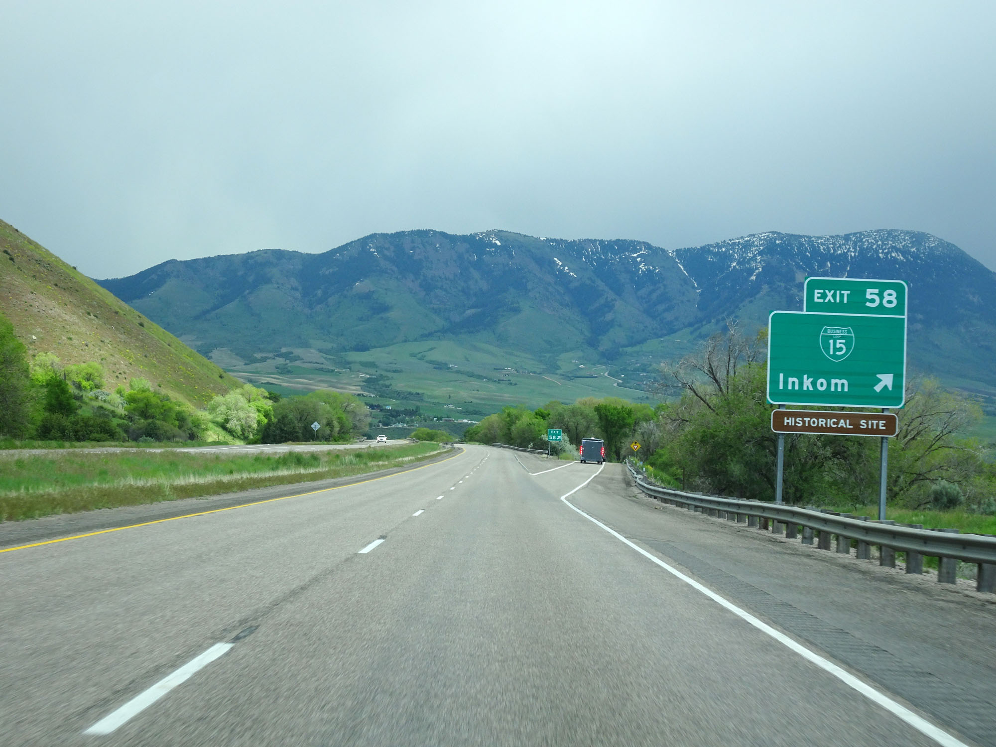 |
Interstate 15 South at Exit 58: Interstate 15 Business Loop - Inkom (Photo taken 5/26/16). |
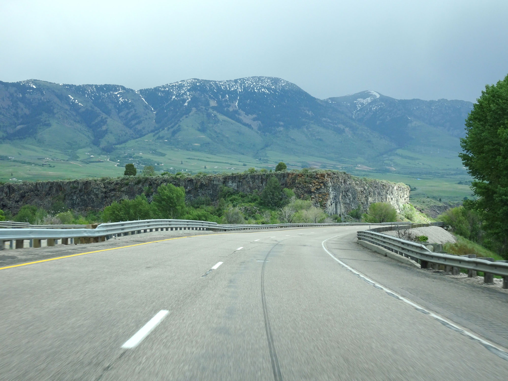 |
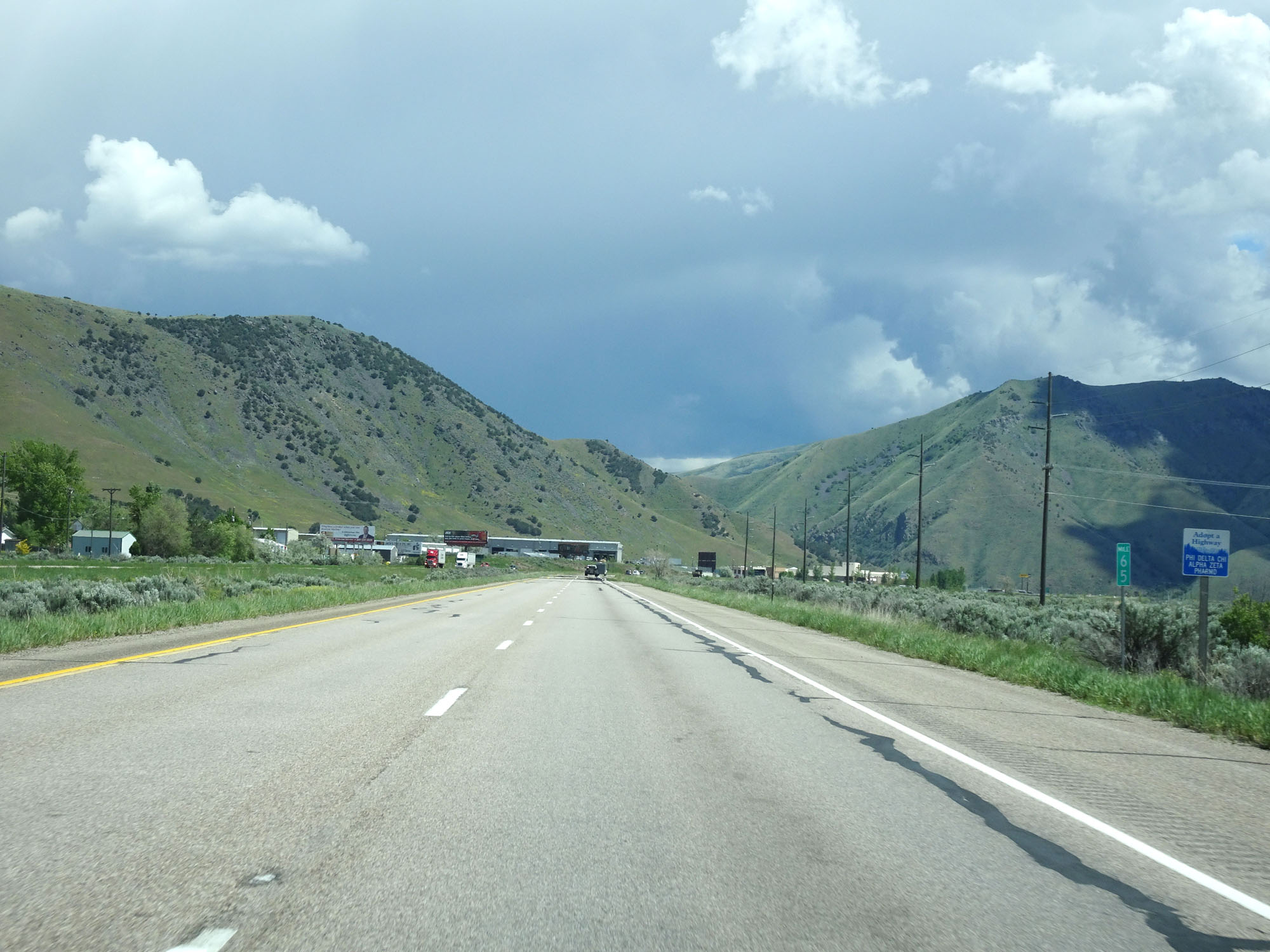
View on Interstate 15 South. (Photo taken 5/26/16). |
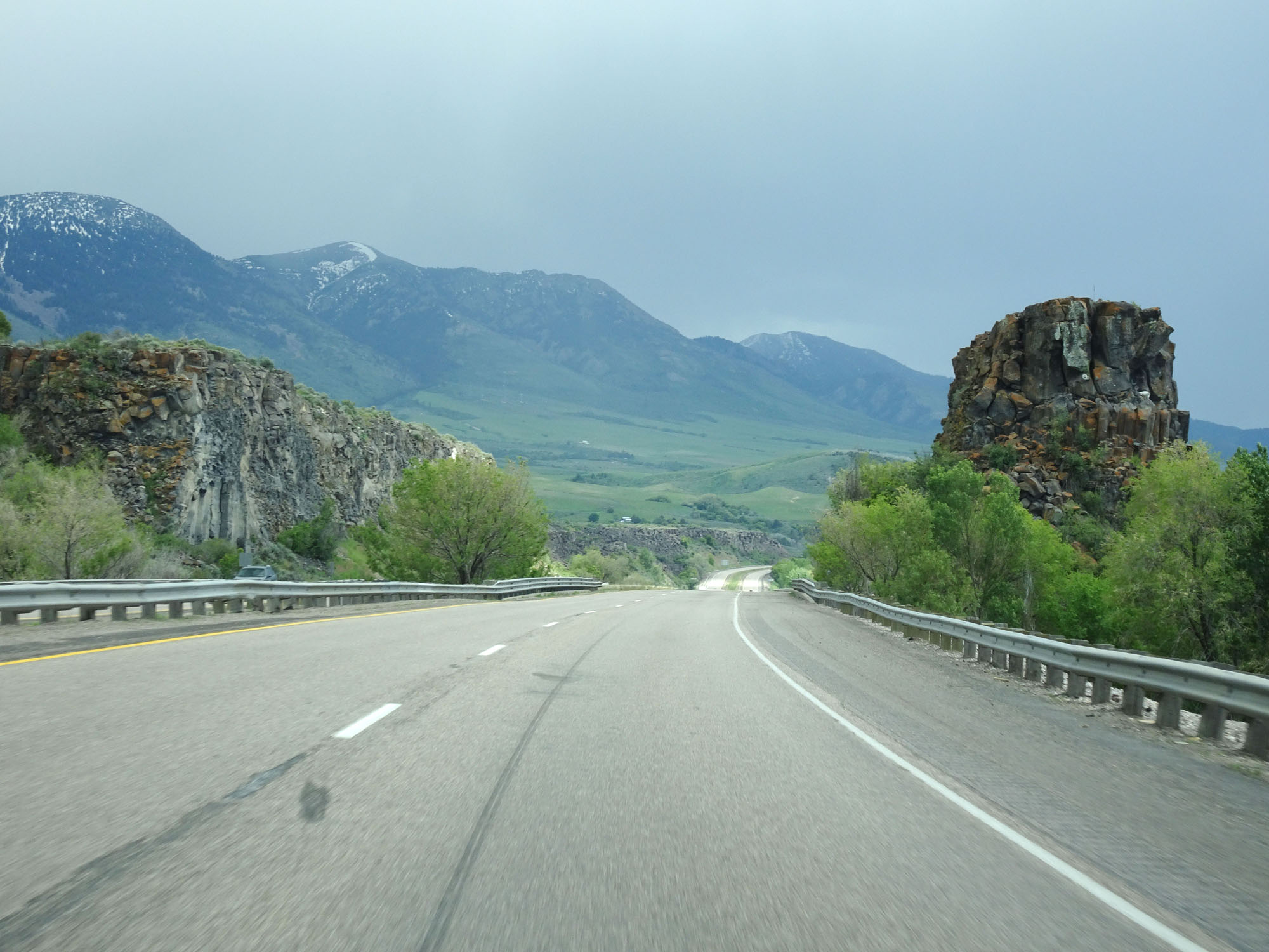 |
Another view on Interstate 15 South. (Photo taken 5/26/16). |
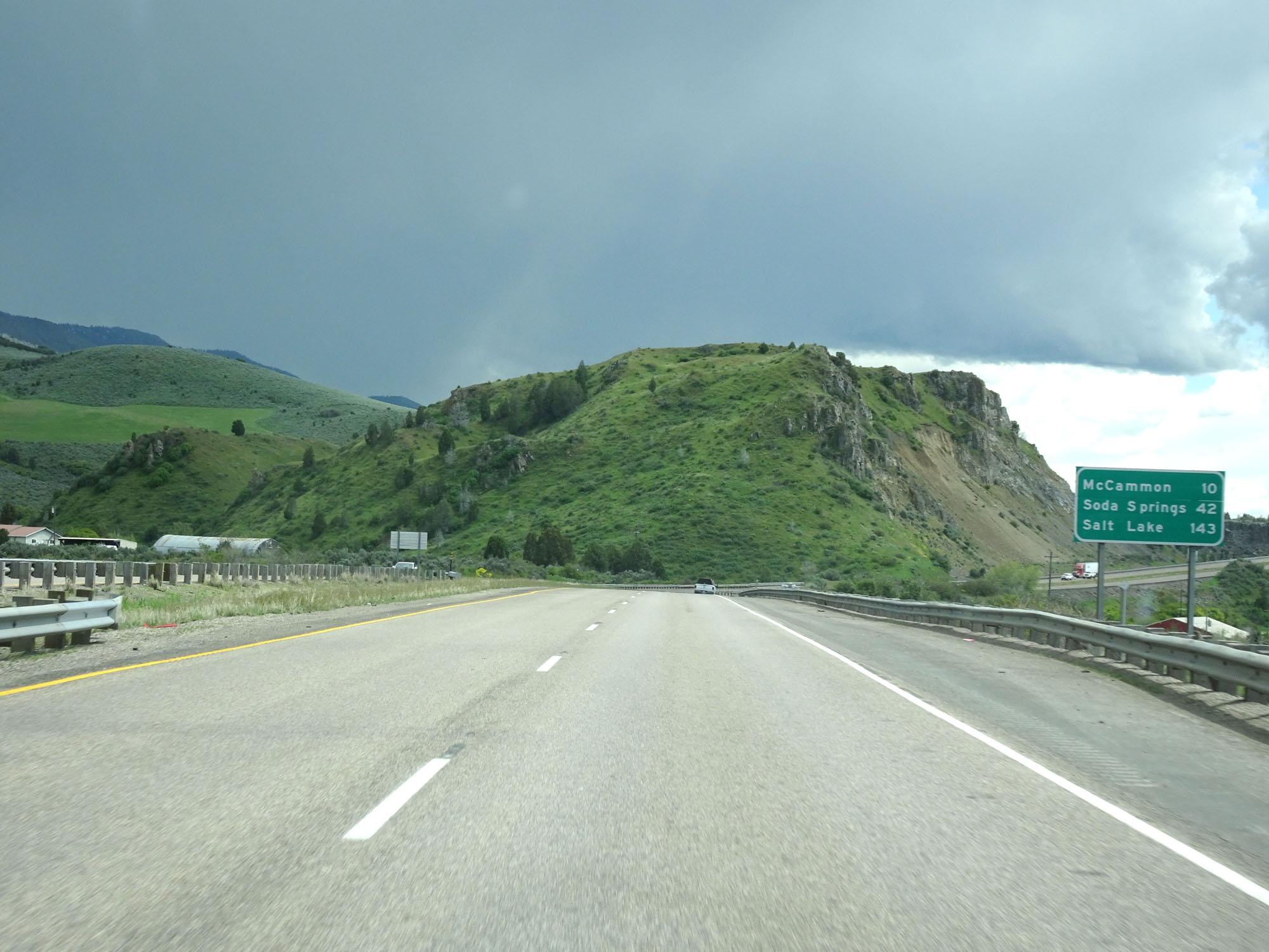 |
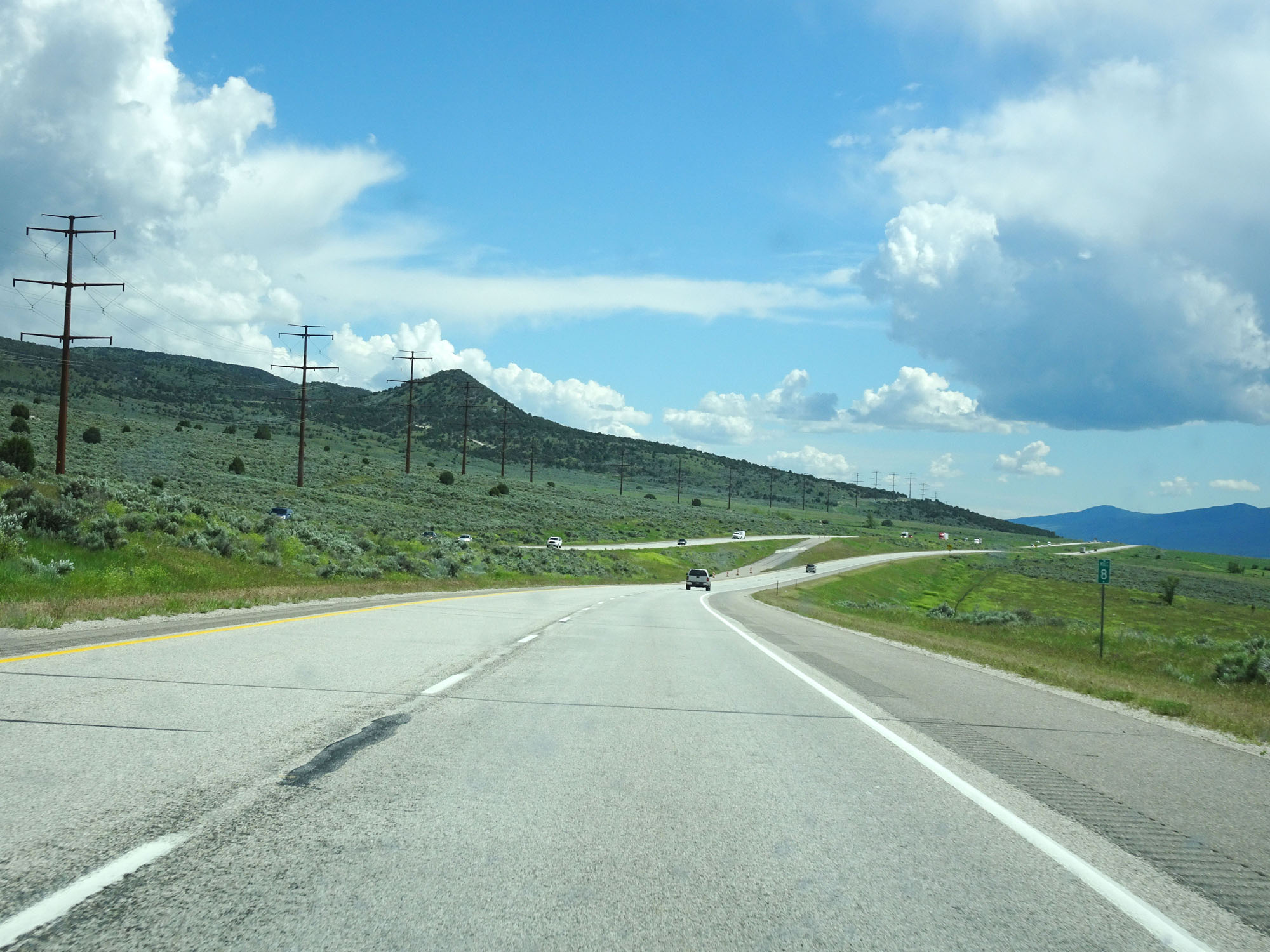
Mileage sign on Interstate 15 South. It's 10 miles to McCammon, 42 miles to Soda Springs, and 143 miles to Salt Lake City. (Photo taken 5/26/16). |
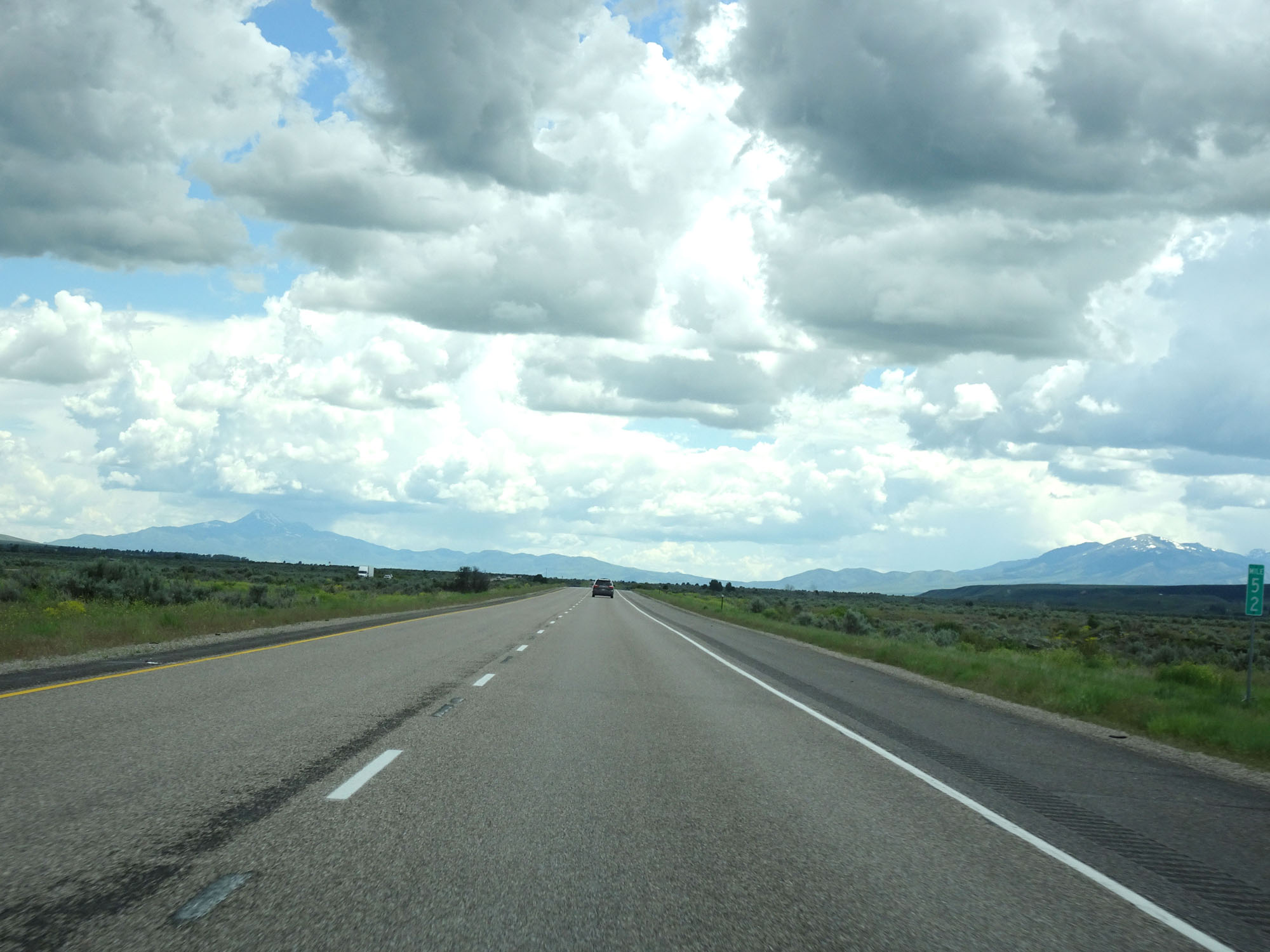 |
Interstate 15 South at mile marker 52. (Photo taken 5/26/16). |
 |
Interstate 15 South approaching Exit 47 - 1 mile. (Photo taken 5/26/16). |
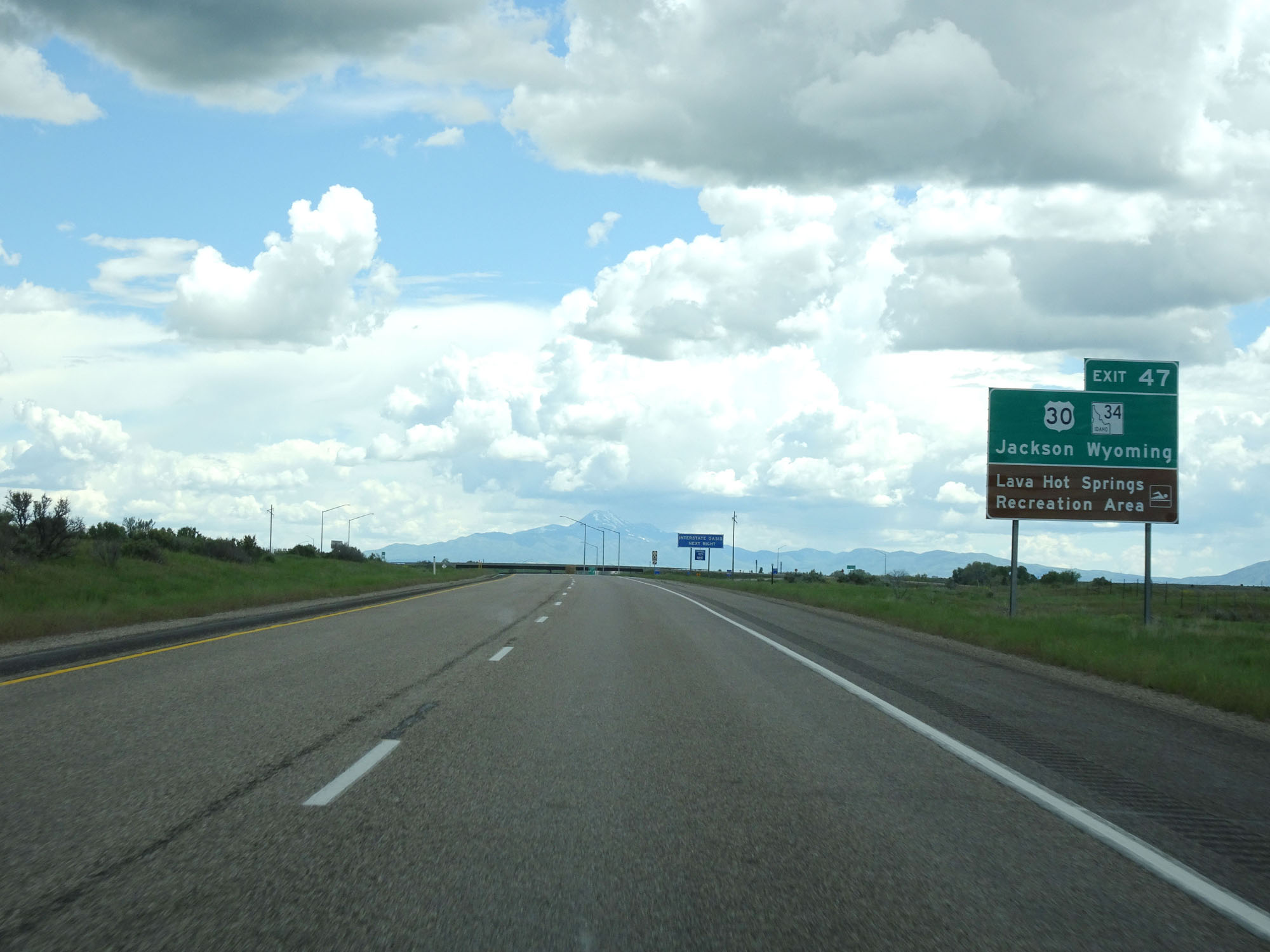 |
Take Exit 47 to US 30 / ID 34 toward Jackson, WY. Also take Exit 47 to Lava Hot Springs Recreation Area. (Photo taken 5/26/16). |
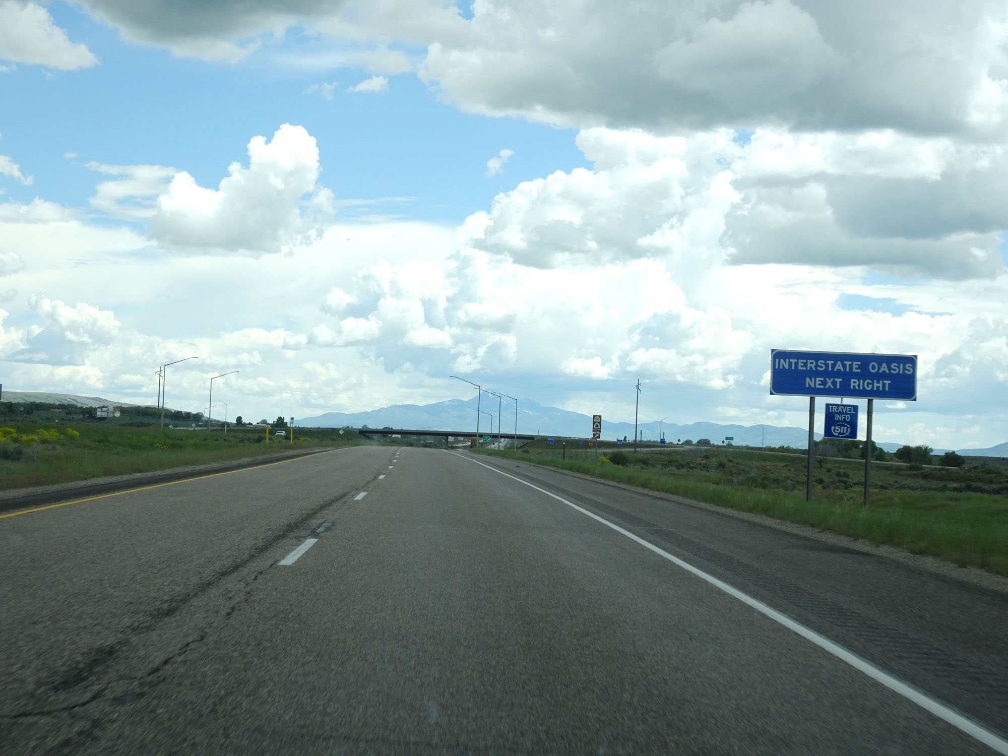 |
An Interstate Oasis exists off the next exit (Exit 47). (Photo taken 5/26/16). |
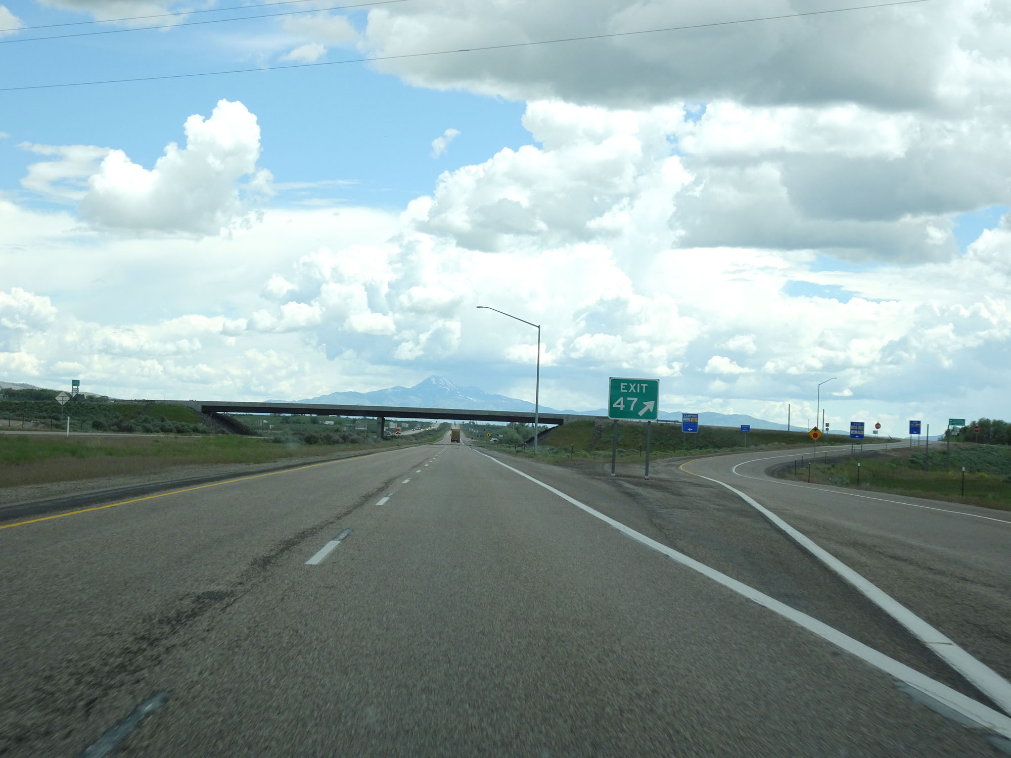 |
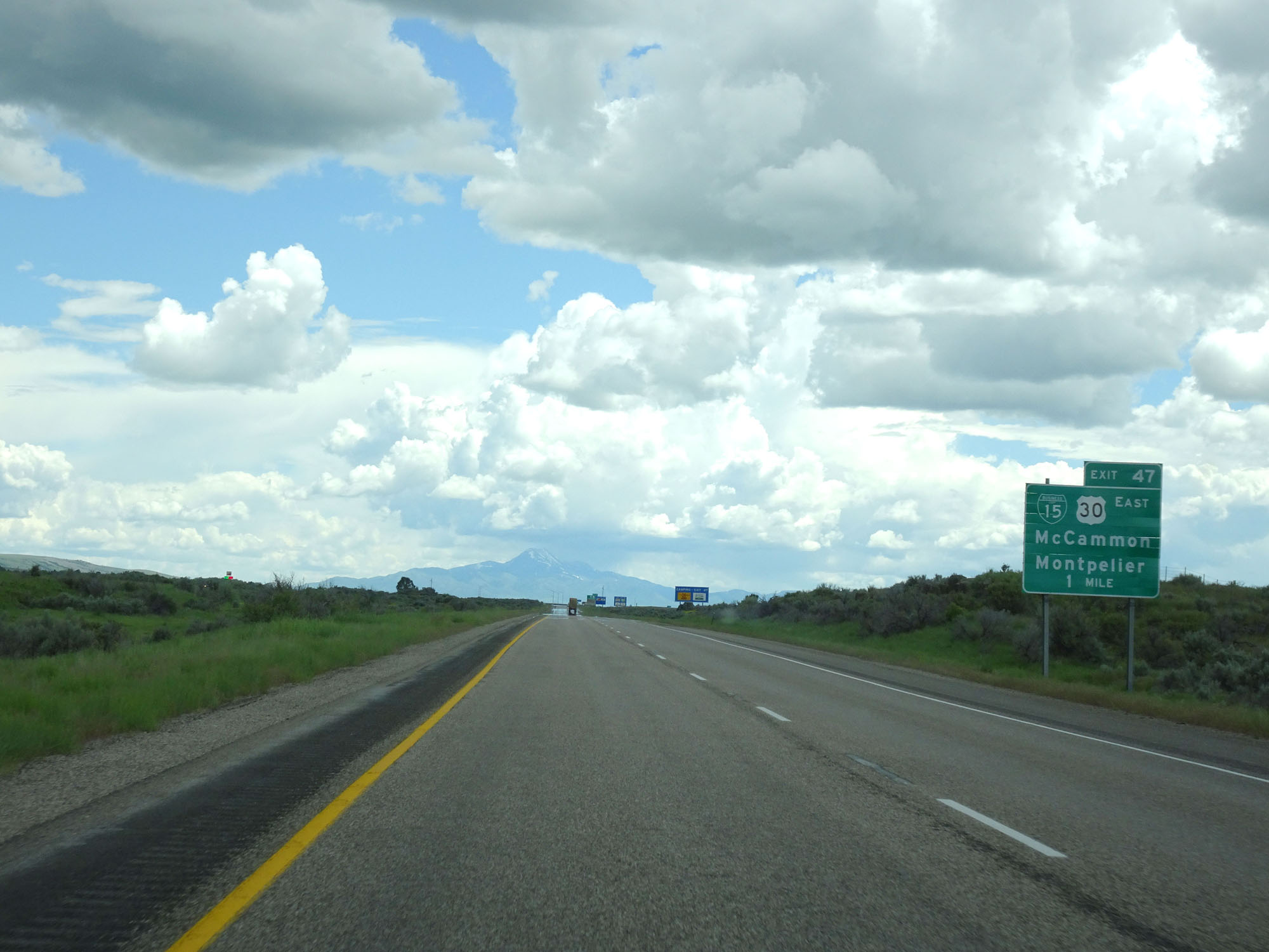
Interstate 15 South at Exit 47: Interstate 15 Business Loop / US 30 East - McCammon / Montpelier (Photo taken 5/26/16). |
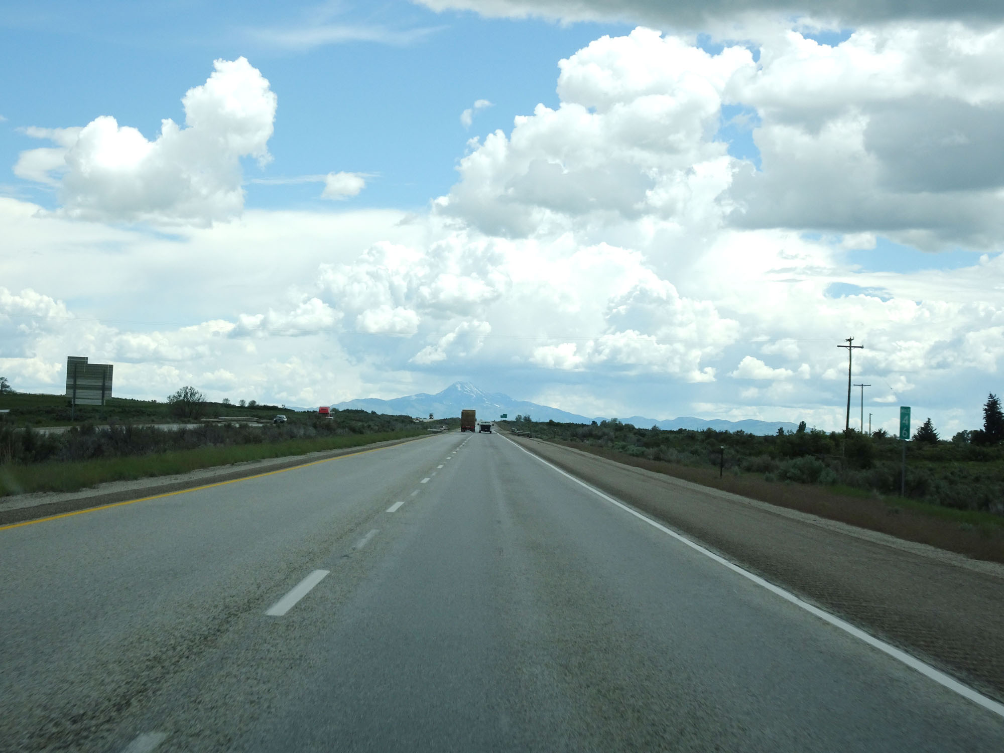 |
Interstate 15 South at mile marker 46. (Photo taken 5/26/16). |
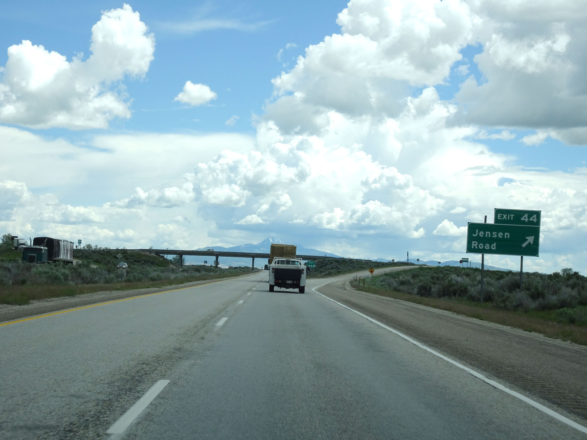 |
Interstate 15 South at Exit 44: Jensen Road (Photo taken 5/26/16). |
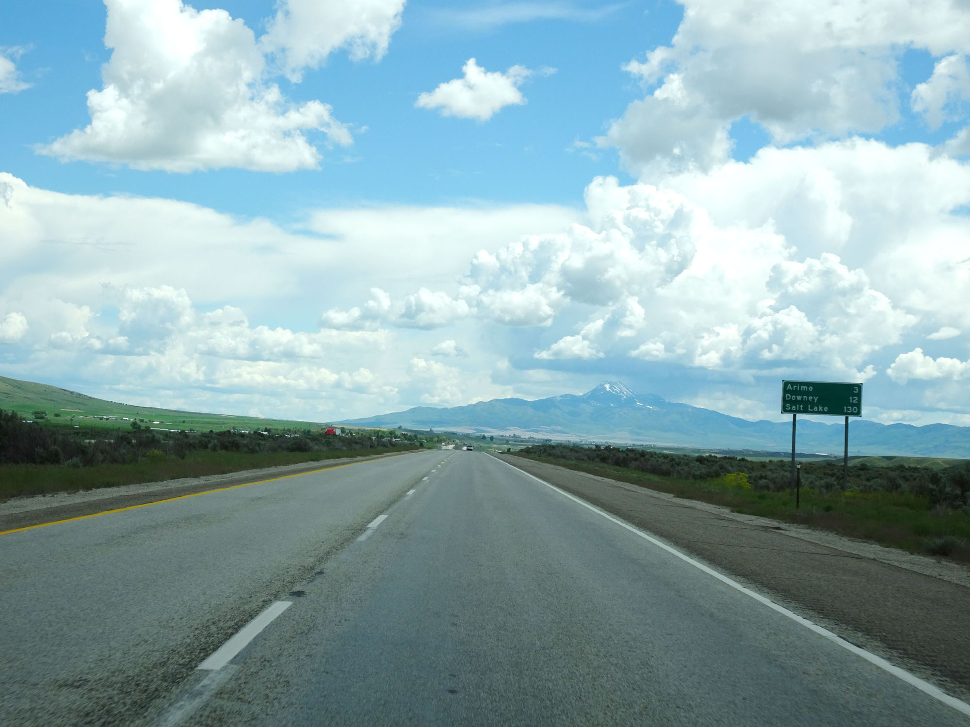 |
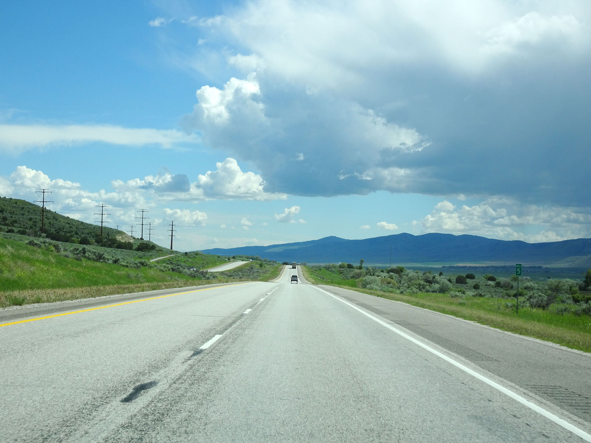
Mileage sign on Interstate 15 South. It's 3 miles to Arimo, 12 miles to Downey, and 130 miles to Salt Lake City. (Photo taken 5/26/16). |
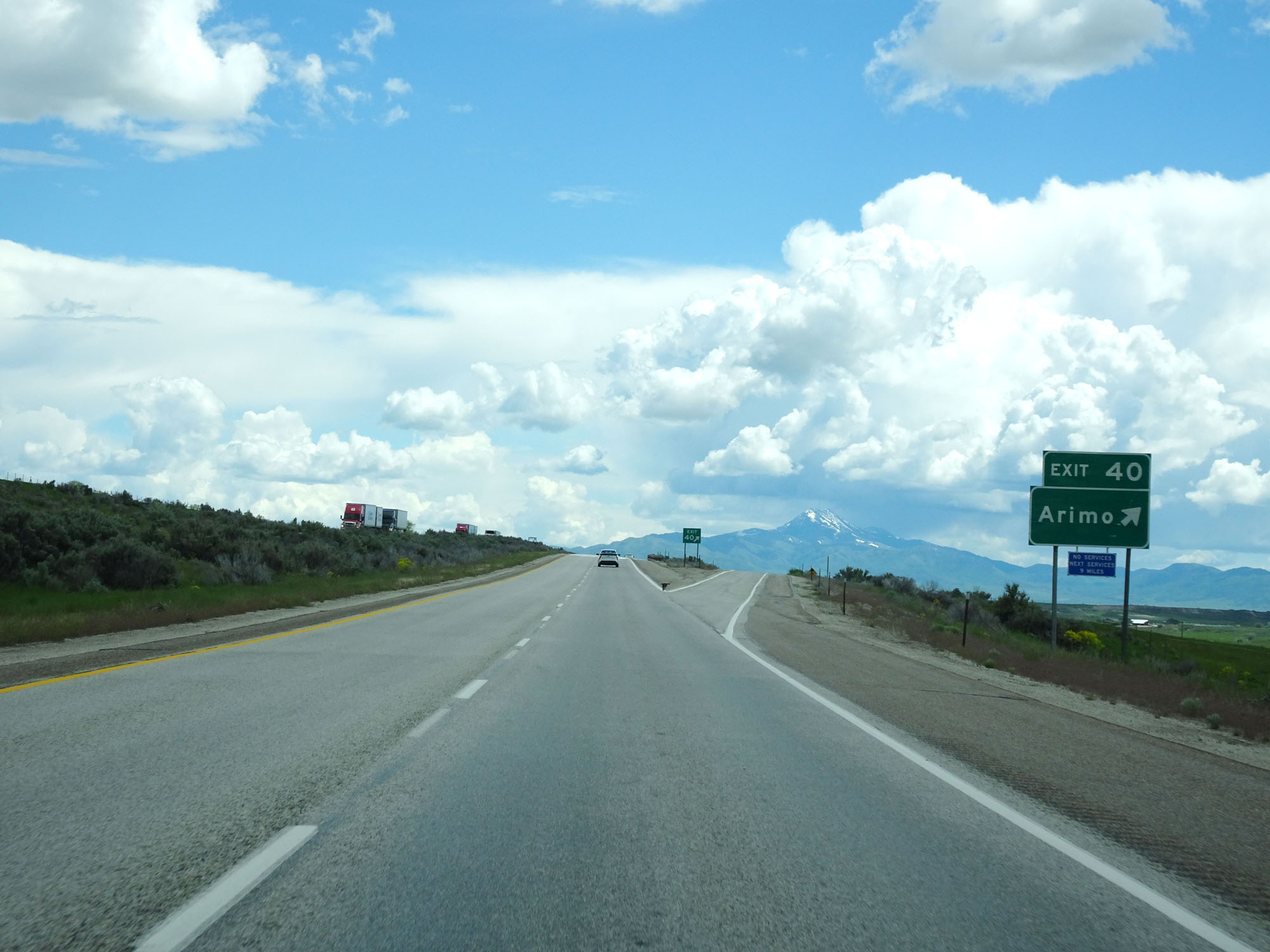 |
Interstate 15 South at Exit 40: Arimo (Photo taken 5/26/16). |
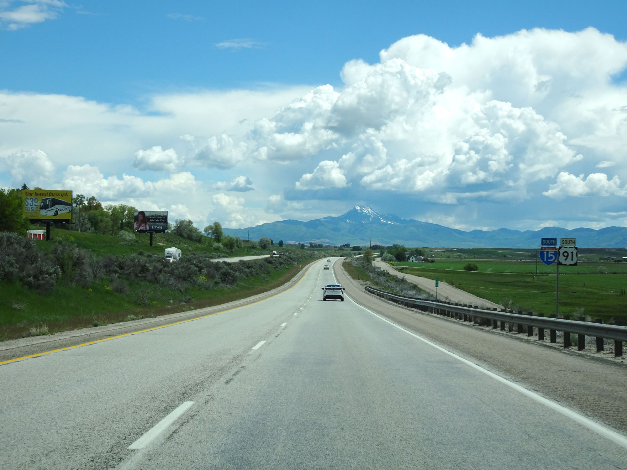 |
Interstate 15 South / US 91 South reassurance markers. (Photo taken 5/26/16). |
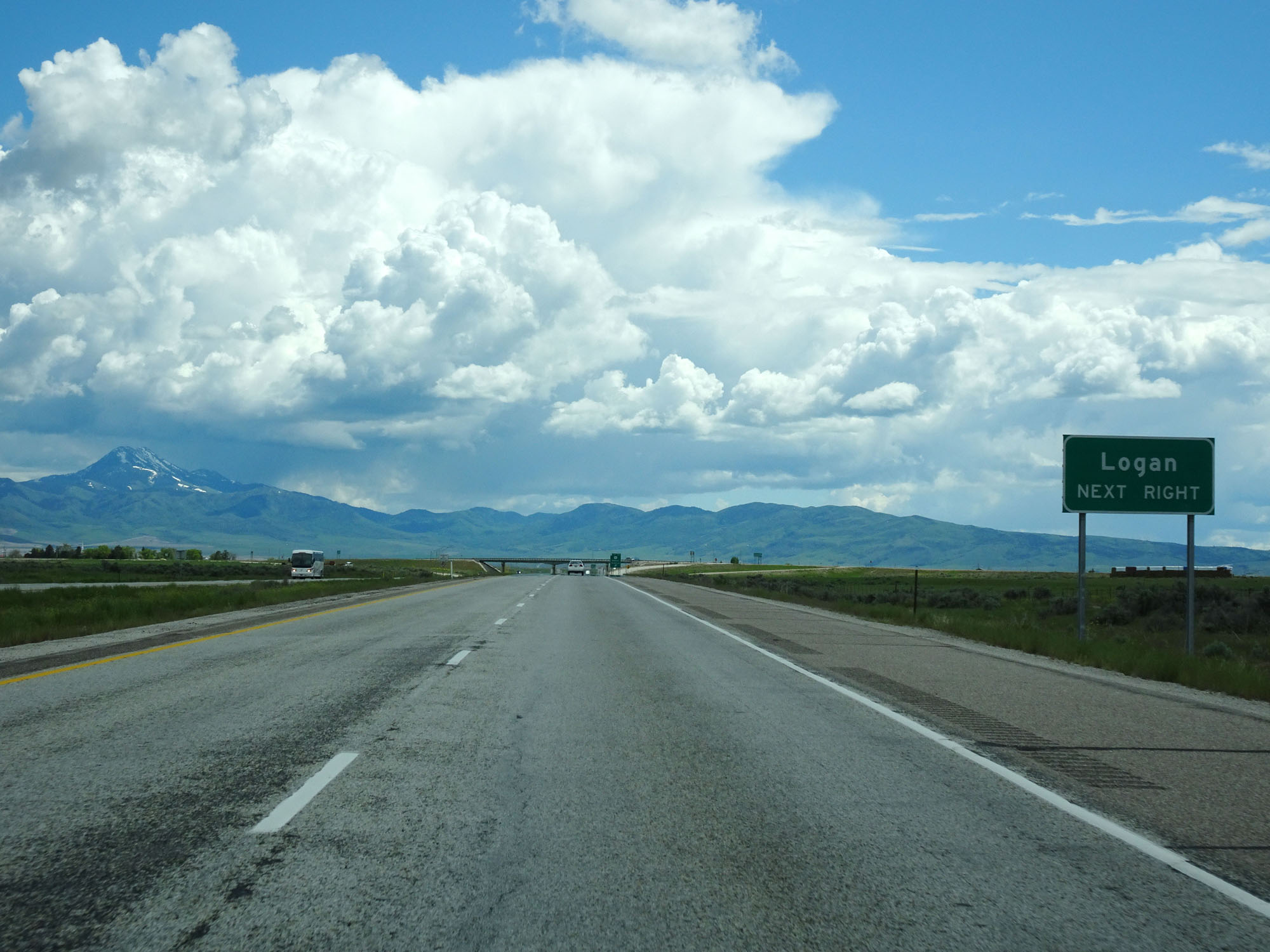 |
Take Exit 36 to Logan. (Photo taken 5/26/16). |
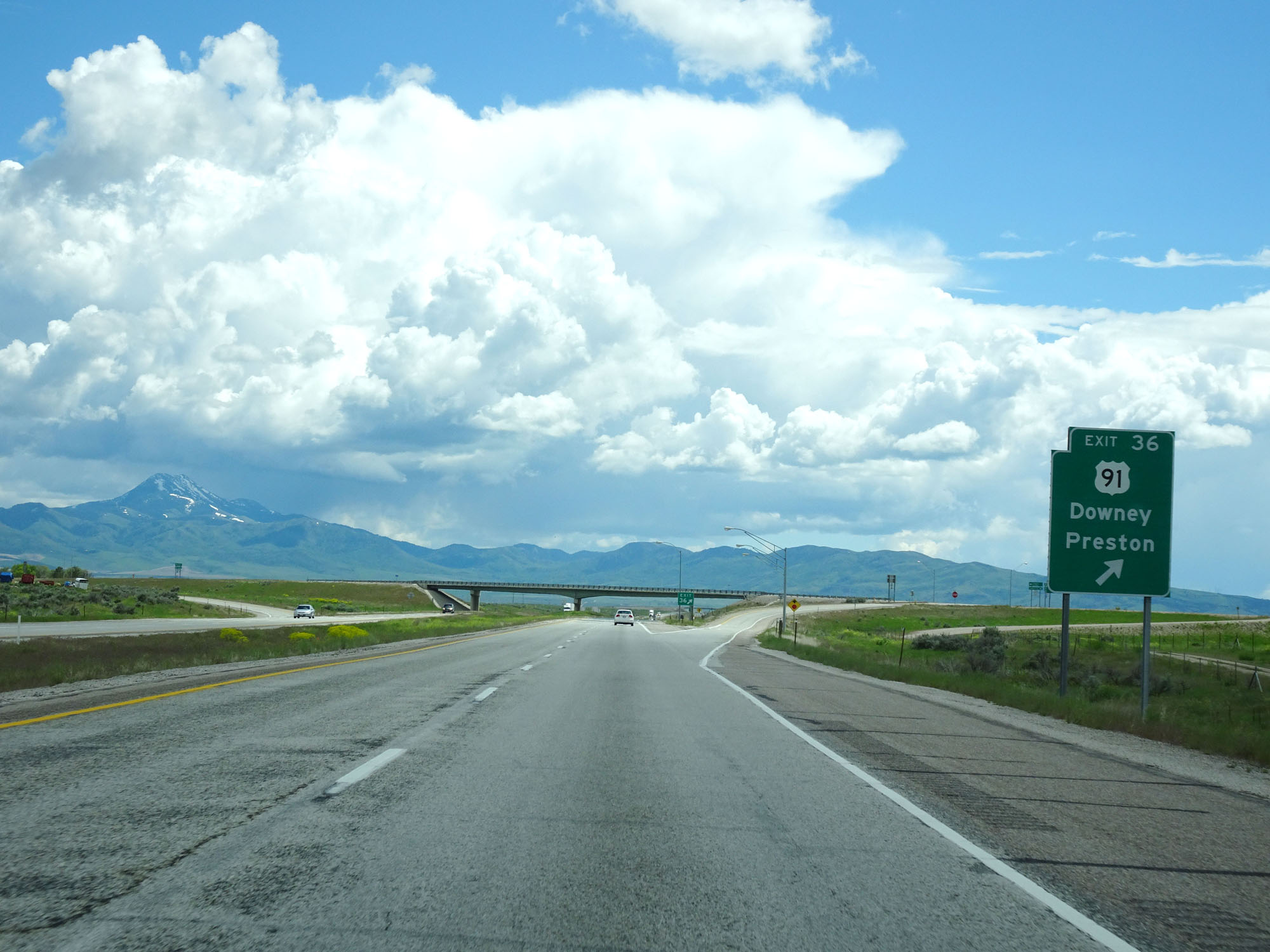 |
Interstate 15 South at Exit 36: US 91 - Downey / Preston (Photo taken 5/26/16). |
 |
Interstate 15 South at mile marker 33. (Photo taken 5/26/16). |
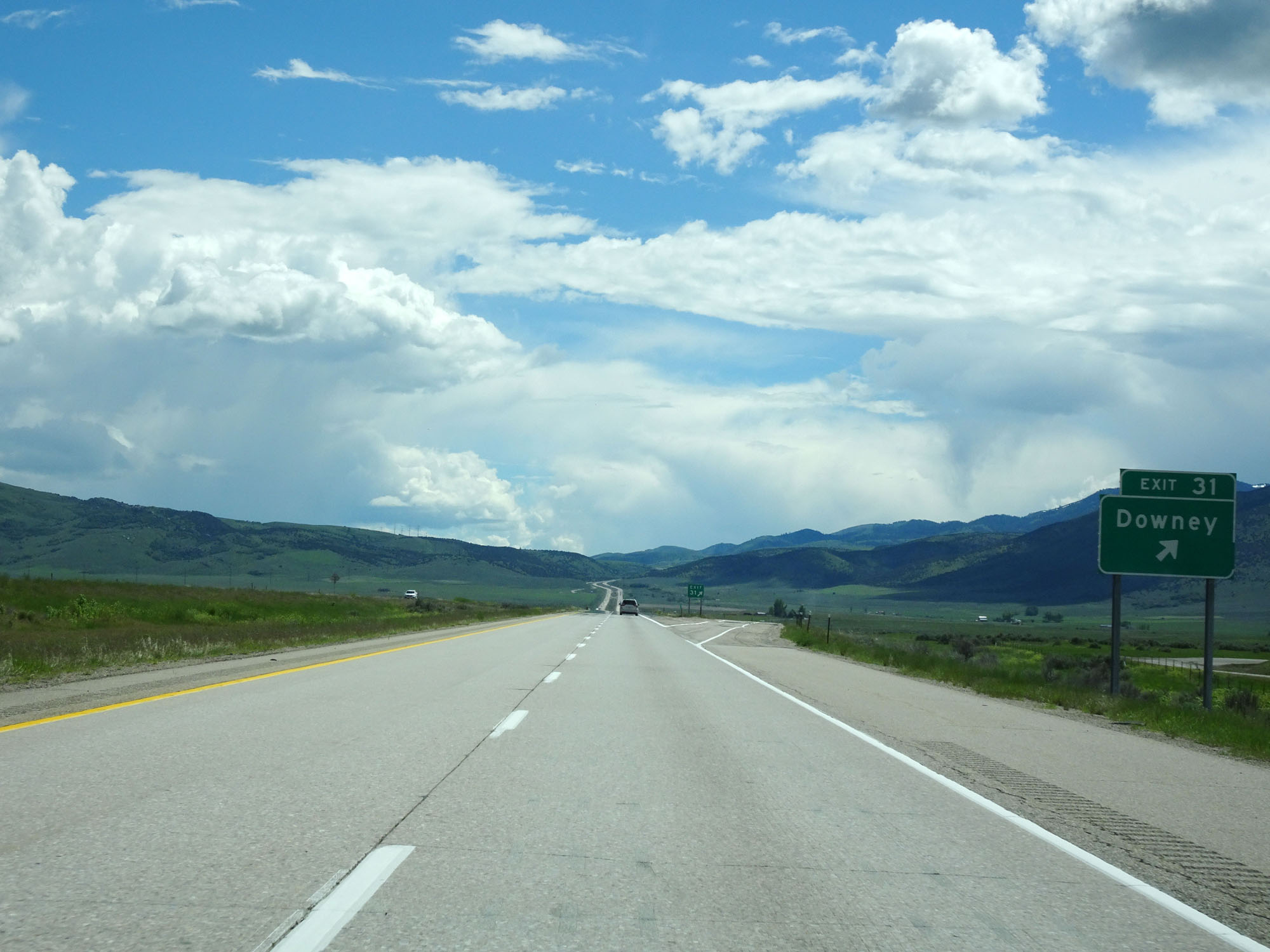 |
Interstate 15 South at Exit 31: Downey (Photo taken 5/26/16). |
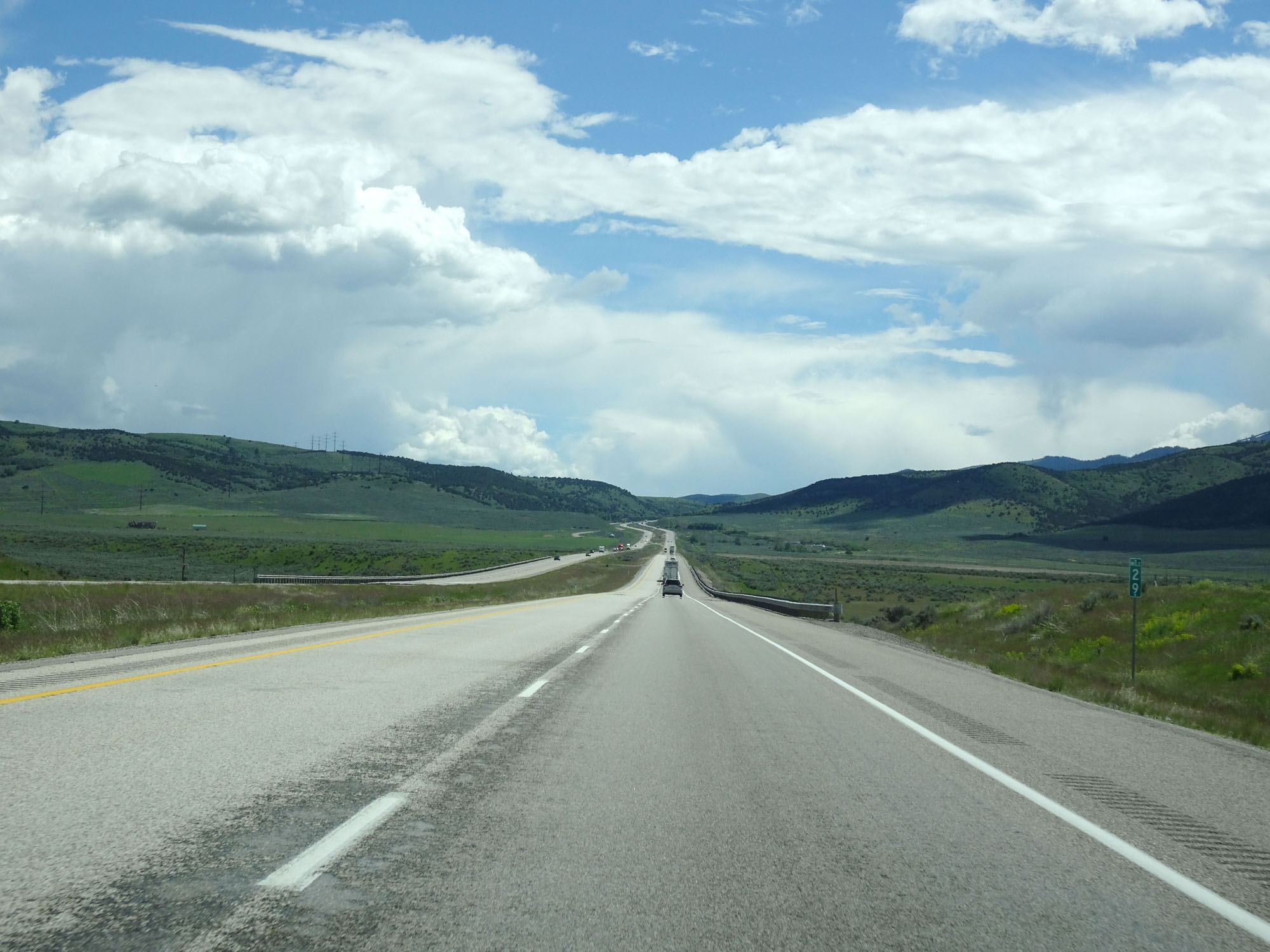 |
Interstate 15 South at mile marker 29. (Photo taken 5/26/16). |
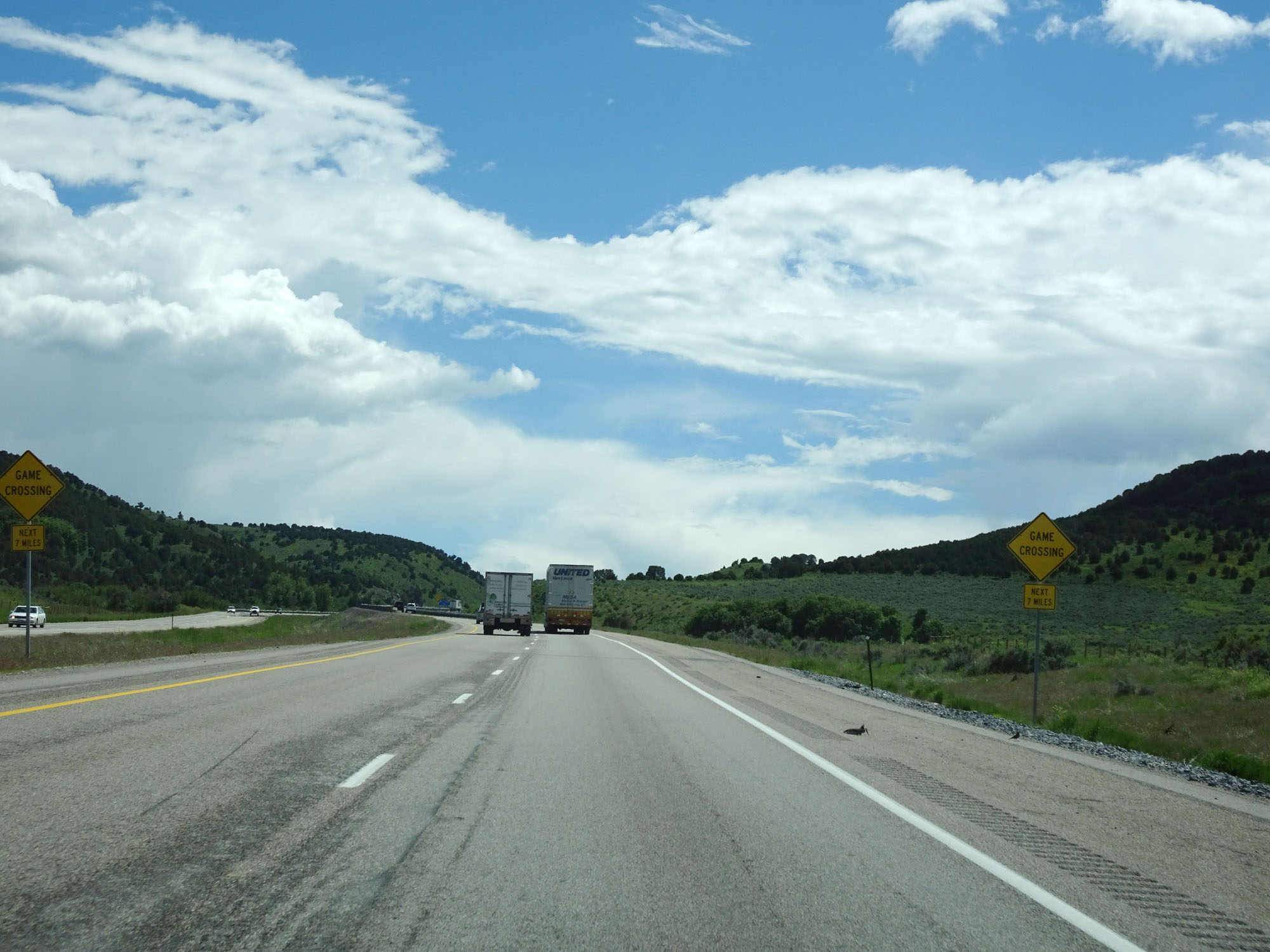 |
Watch for game crossing the roadway for the next 7 miles. (Photo taken 5/26/16). |
 |
Interstate 15 South at another Rest Area in Bannock County. (Photo taken 5/26/16). |
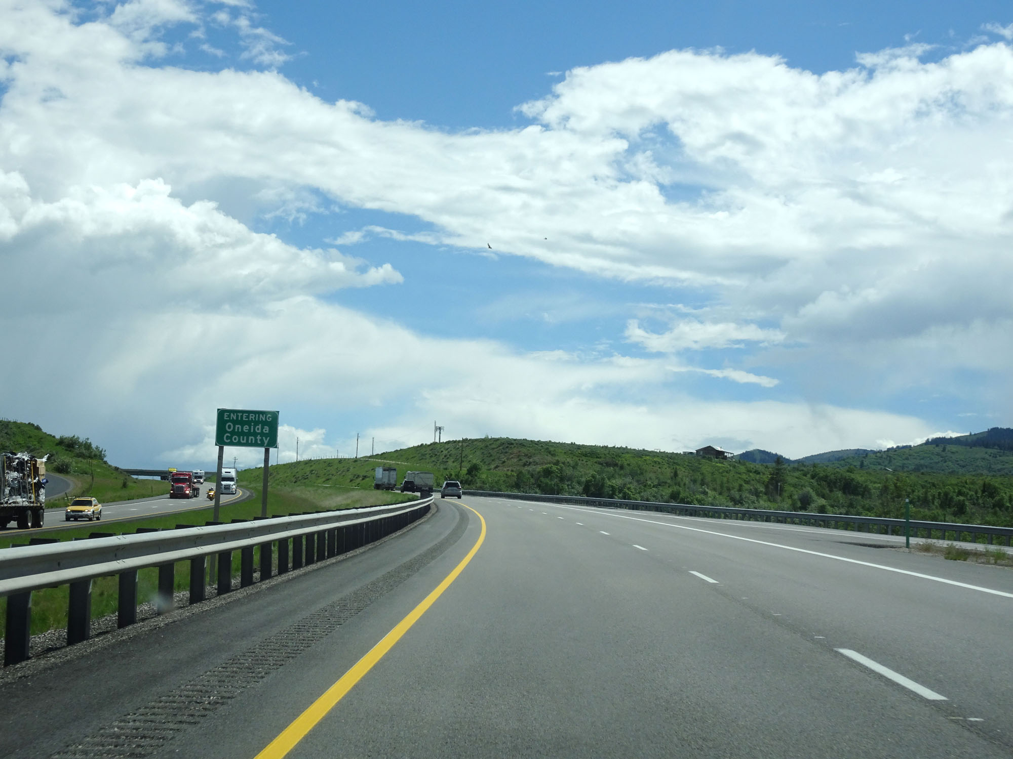 |
Interstate 15 South entering Oneida County. (Photo taken 5/26/16). |
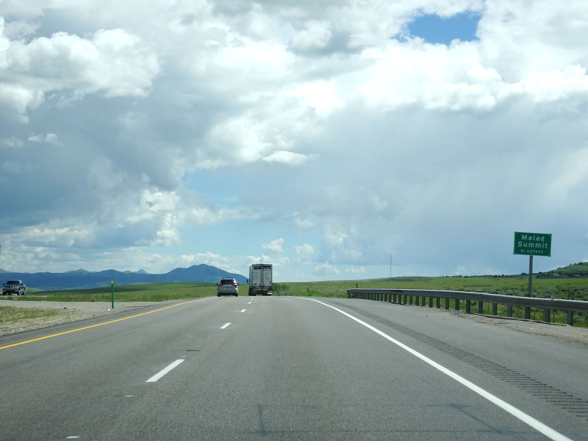 |
Interstate 15 South as it reaches Malad Summit at an elevation of 5,574 feet. (Photo taken 5/26/16). |
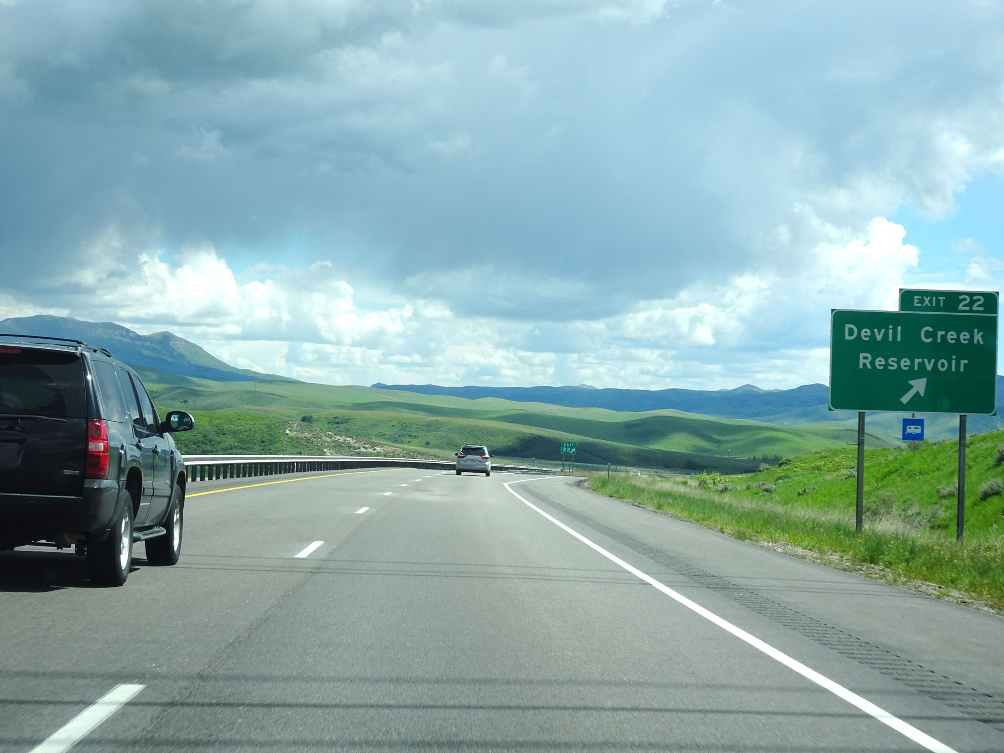 |
Interstate 15 South at Exit 22: Devil Creek Reservoir (Photo taken 5/26/16). |
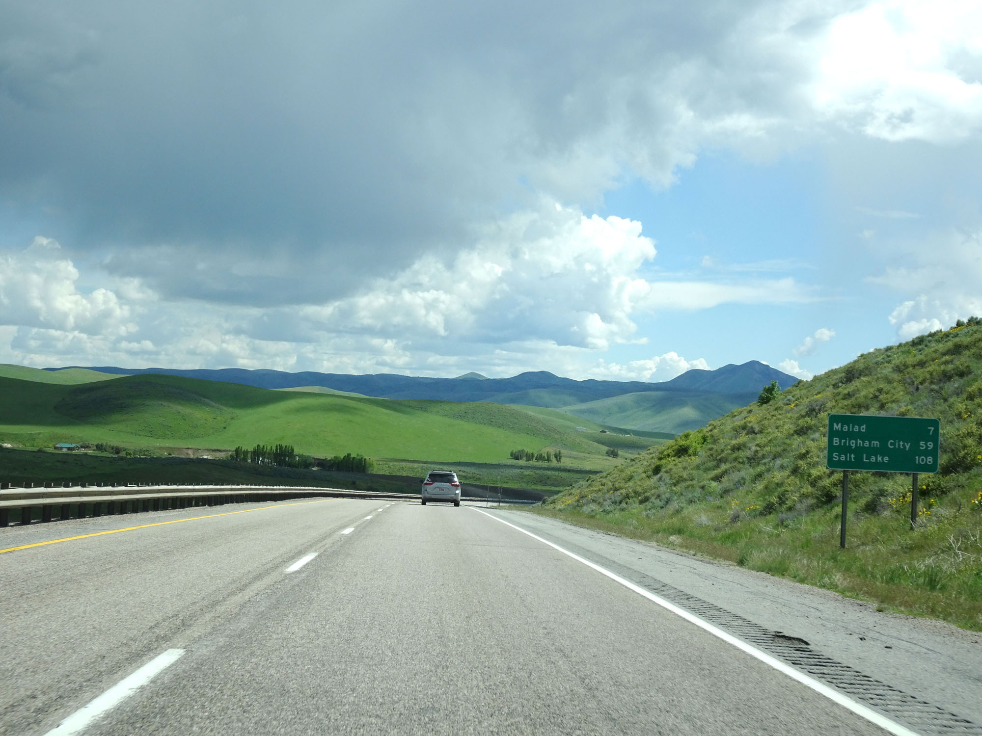 |
Mileage sign on Interstate 15 South. It's 7 miles to Malad, 59 miles to Brigham City, and 108 miles to Salt Lake City. (Photo taken 5/26/16). |
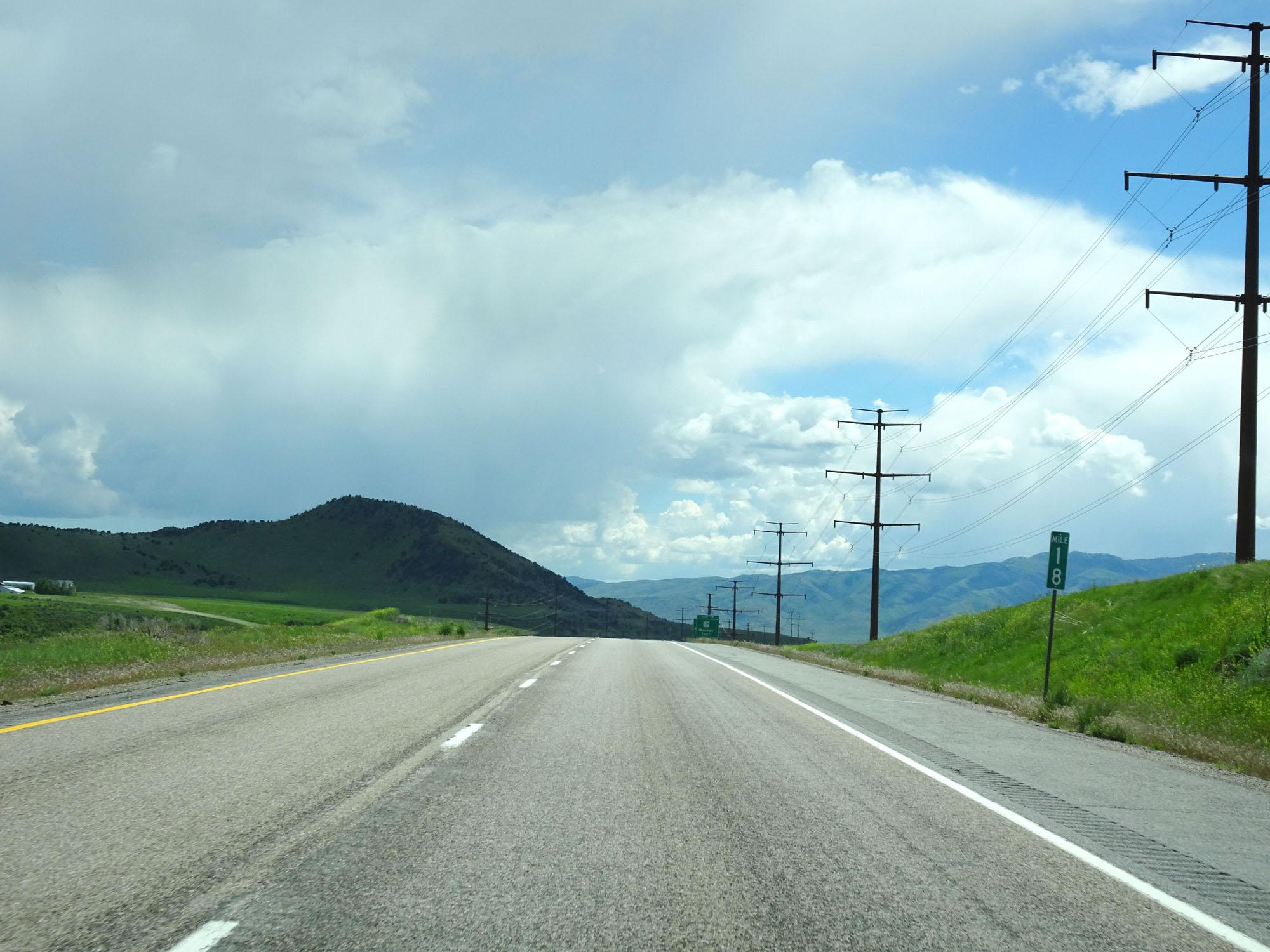 |
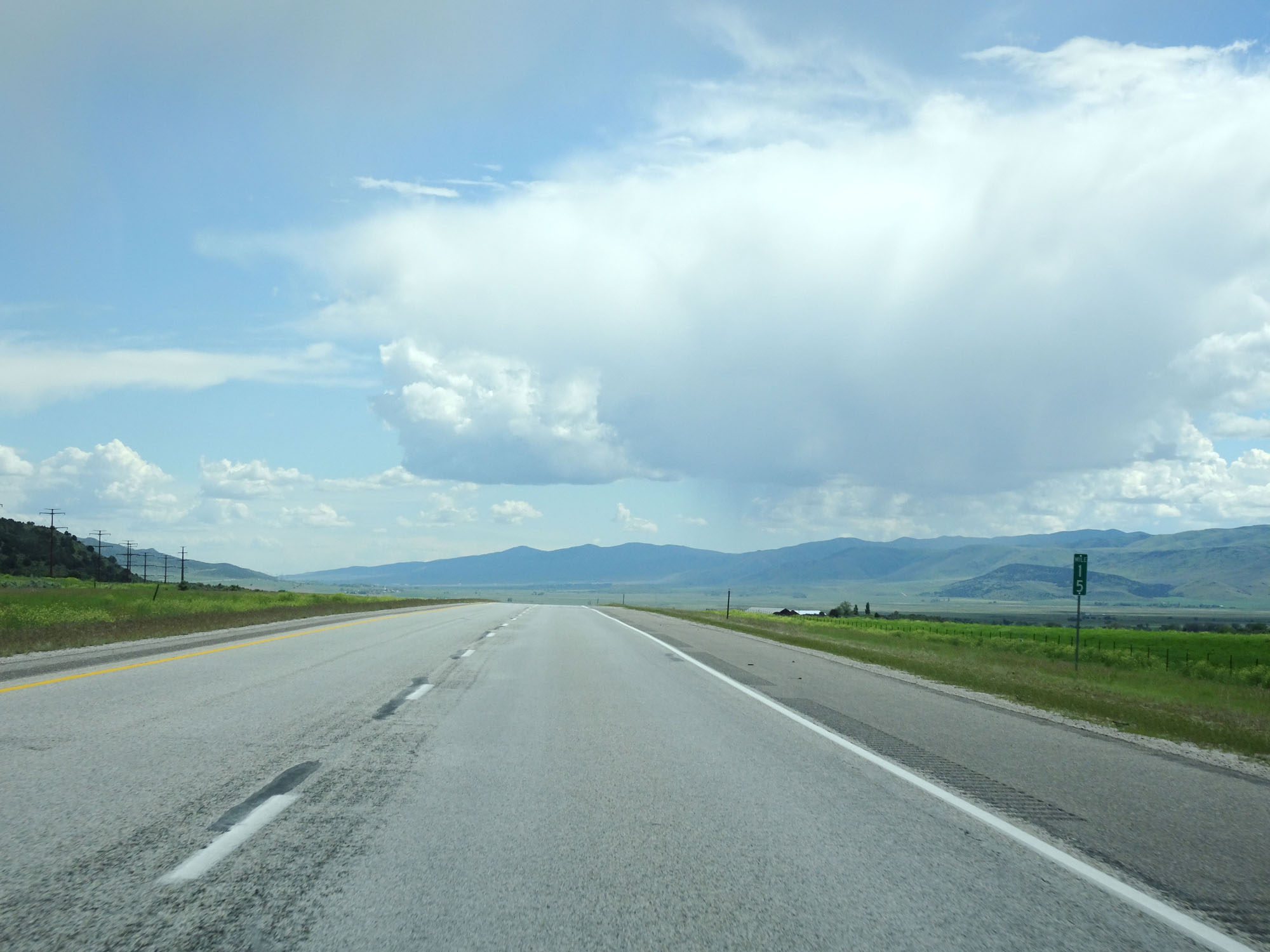
Interstate 15 South at mile marker 18. (Photo taken 5/26/16). |
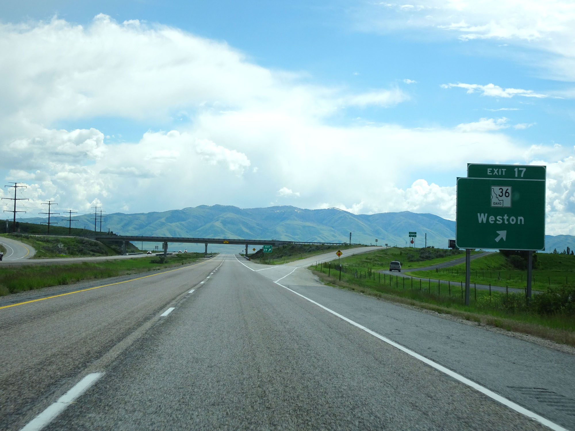 |
Interstate 15 South at Exit 17: ID 36 - Weston (Photo taken 5/26/16). |
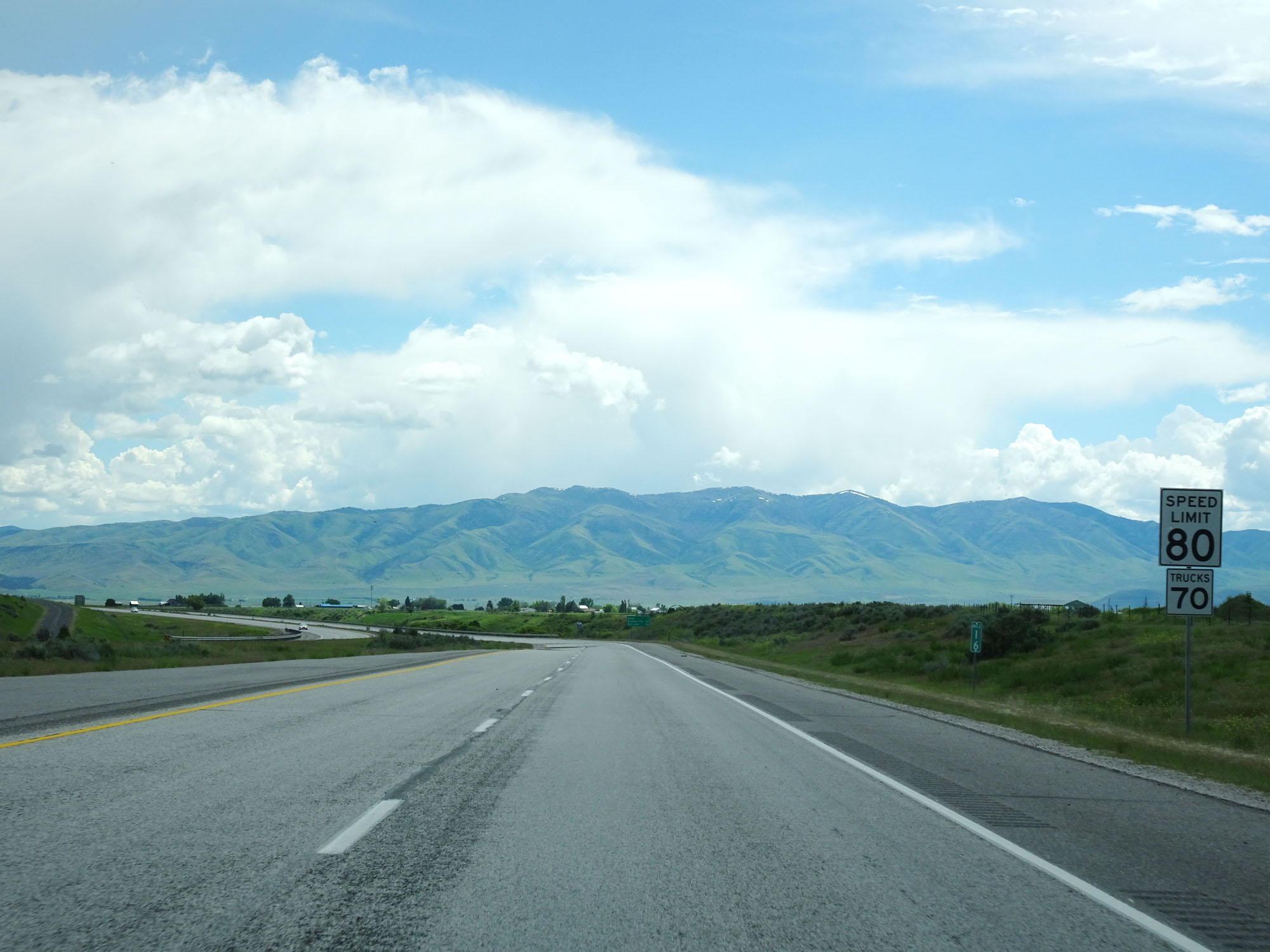 |
Speed limit signs at mile marker 16. The speed limits remain 80 mph for cars and 70 mph for trucks. (Photo taken 5/26/16). |
 |
Interstate 15 South at mile marker 15. (Photo taken 5/26/16). |
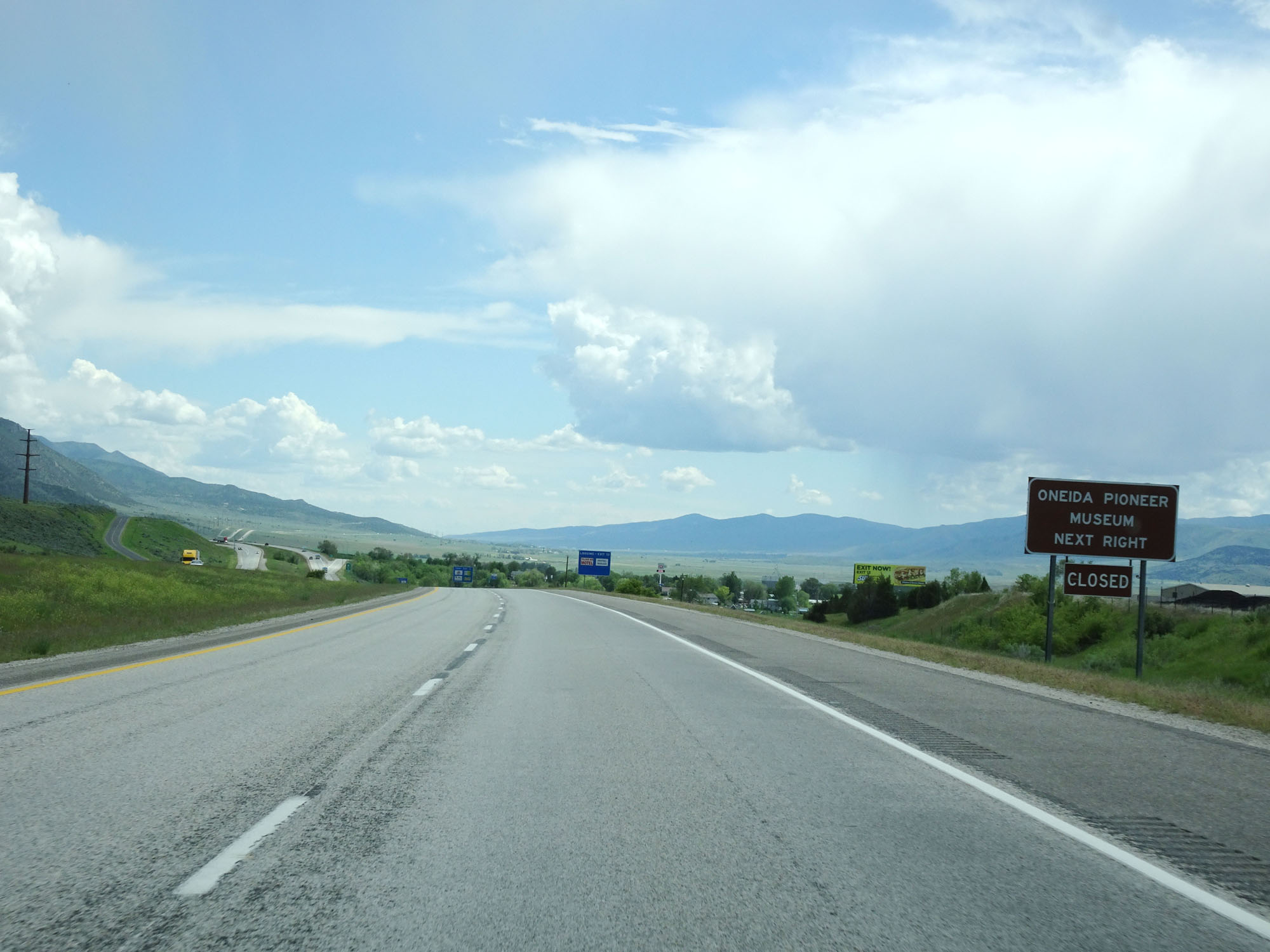 |
Take Exit 13 to Oneida Pioneer Museum. (Photo taken 5/26/16). |
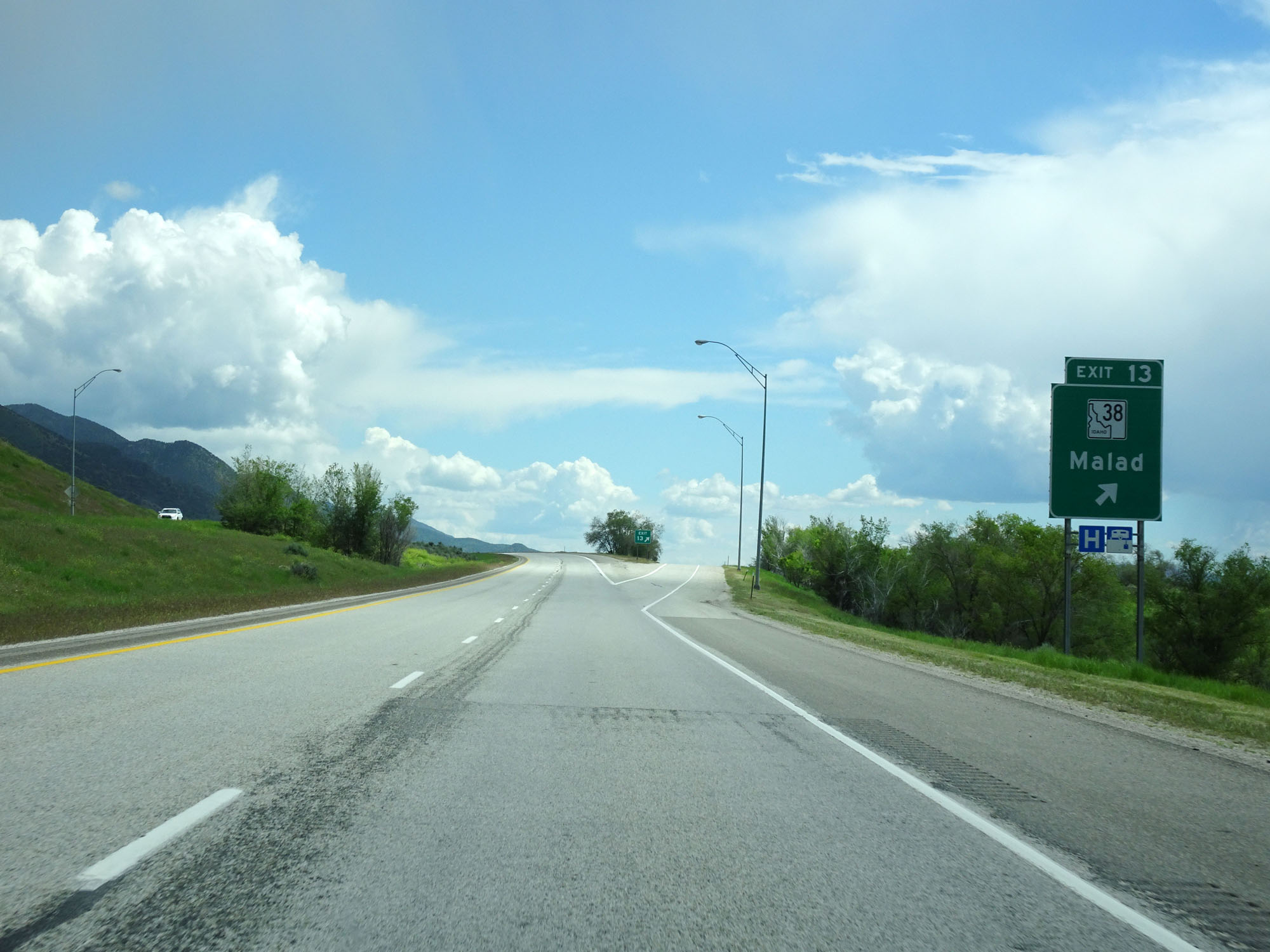 |
Interstate 15 South at Exit 13: ID 38 - Malad (Photo taken 5/26/16). |
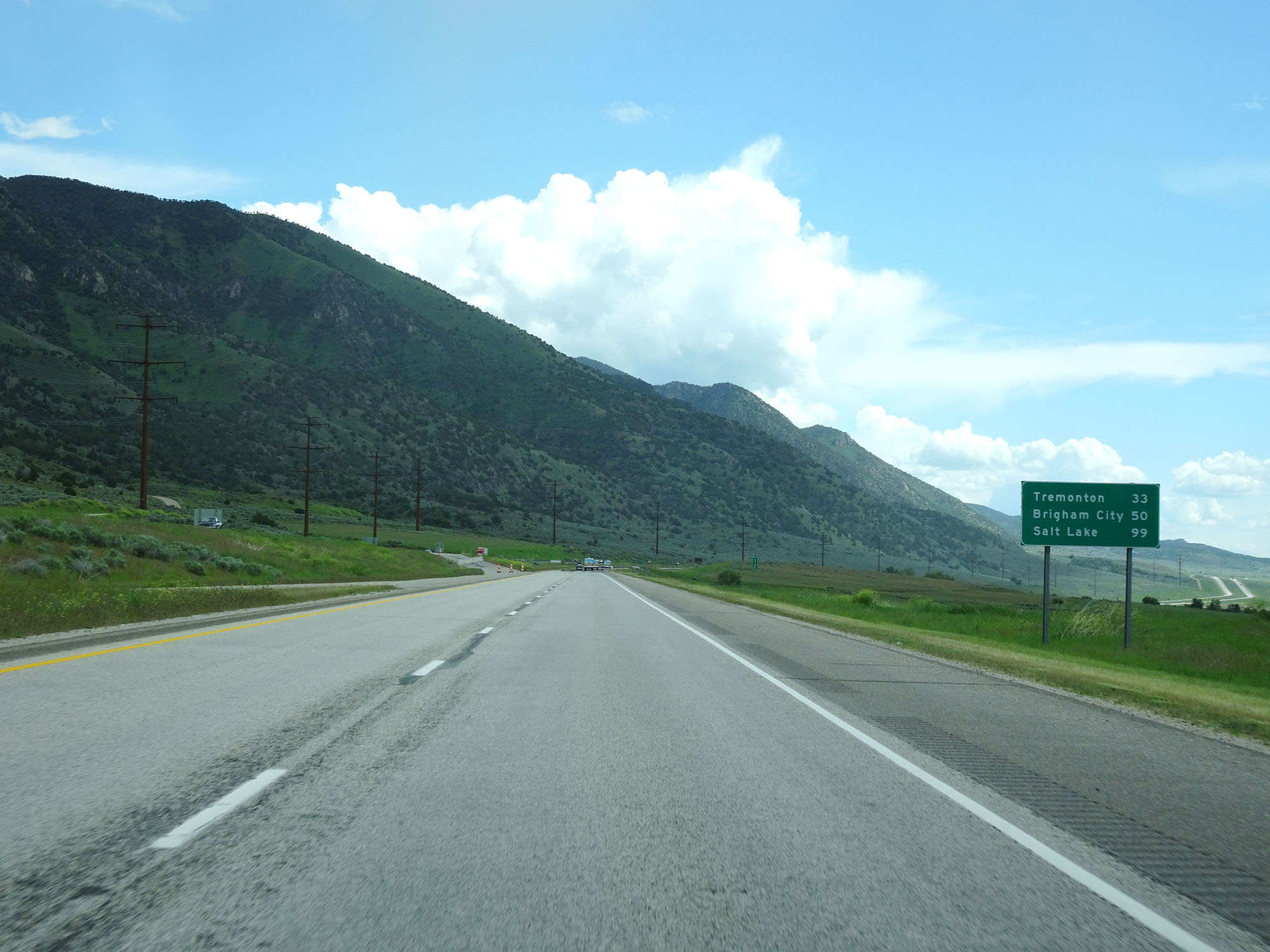 |
Another mileage sign on Interstate 15 South. It's 33 miles to Tremonton, 50 miles to Brigham City, and 99 miles to Salt Lake City. (Photo taken 5/26/16). |
 |
Interstate 15 South at mile marker 10. (Photo taken 5/26/16). |
 |
Interstate 15 South at mile marker 8. (Photo taken 5/26/16). |
 |
Interstate 15 South at mile marker 5. (Photo taken 5/26/16). |
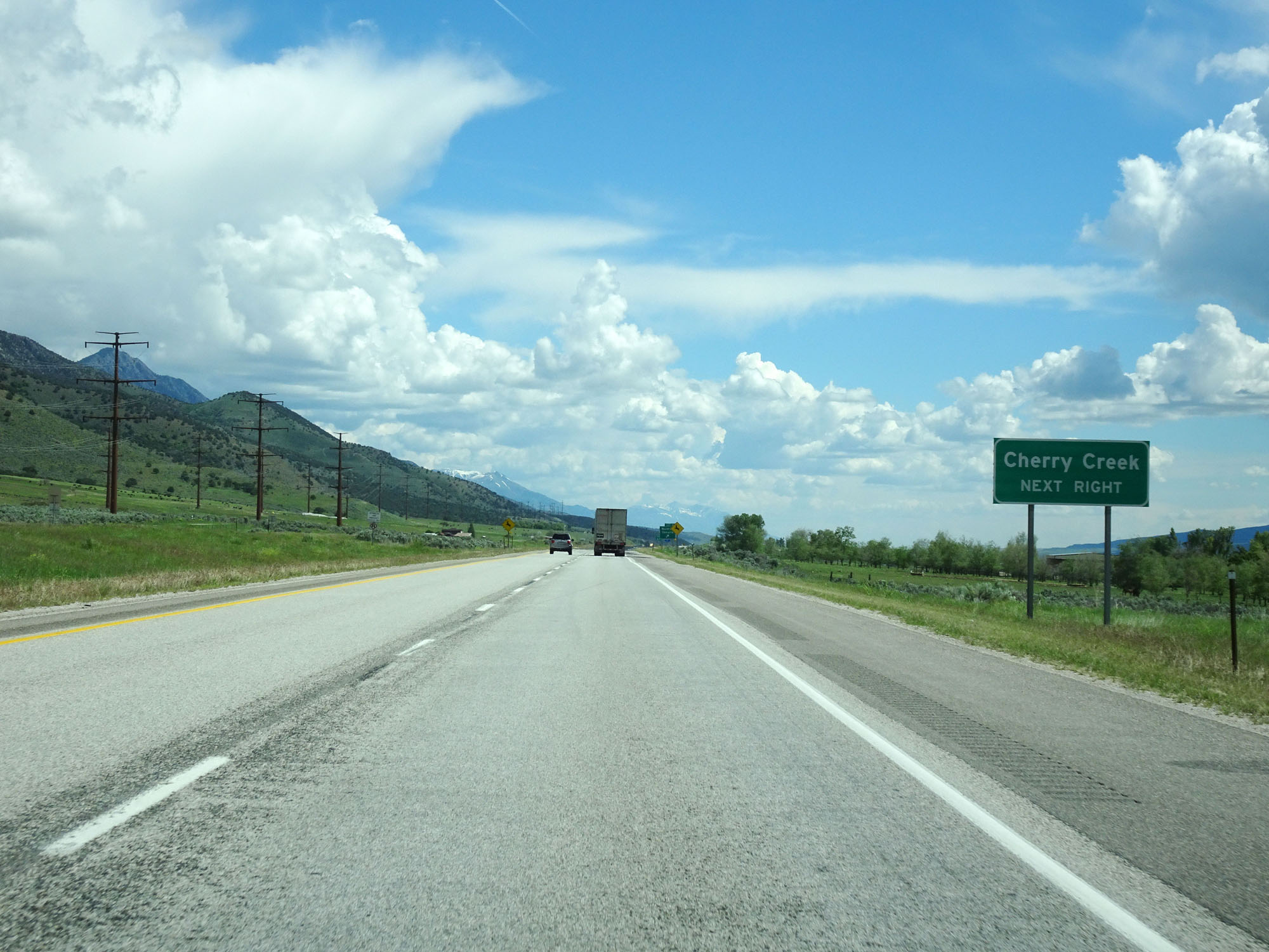 |
Take Exit 3 to Cherry Creek. (Photo taken 5/26/16). |
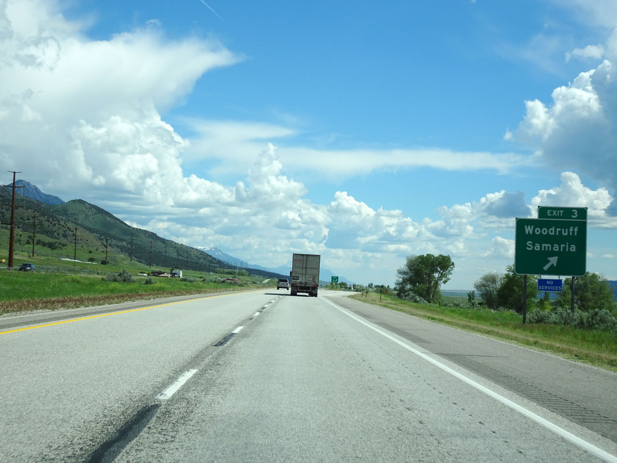 |
Interstate 15 South at Exit 3: Woodruff / Samaria (Photo taken 5/26/16). |
 |
Interstate 15 South at mile marker 2. (Photo taken 5/26/16). |
 |
Interstate 15 South at mile marker 1. Ahead, I-15 prepares to cross into Utah. (Photo taken 5/26/16). |