Road Information |
||
 |
||
| Total Mileage in State: | 180 miles | |
| Northern End: | At South Carolina state line | |
| Southern End: | At Alabama state line | |
| Mileage covered in Photos: | 180 miles | |
| Counties covered in Photos: | Harris, Troup, Meriwether, Coweta, Fulton, Clayton, Fulton, DeKalb, Gwinnett, Barrow, Jackson, Banks, Franklin, Hart | |
| Major Junctions in Photos: | I-185, near LaGrange I-285, in College Park I-75, in Atlanta I-20, in Atlanta I-75, in Atlanta I-285, near Doraville I-985, in Suwanee |
|
| Control Cities in Photos: | LaGrange, Newnan, Atlanta, Norcross, Commerce | |
Northbound
- Section 1: Alabama Border to College Park (Exit 68)
- Section 2: College Park (Exit 68) to Doraville (Exit 95)
- Section 3: Doraville (Exit 95) to South Carolina Border
Section 1: Alabama Border to College Park (Exit 68)
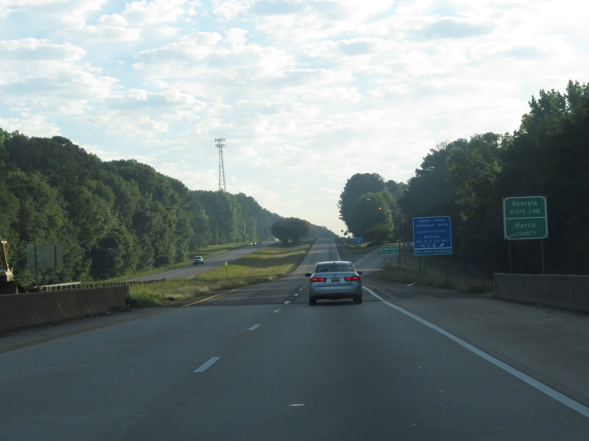 |
Interstate 85 North entering Georgia and Harris County from Alabama. (Photo taken 5/27/17). |
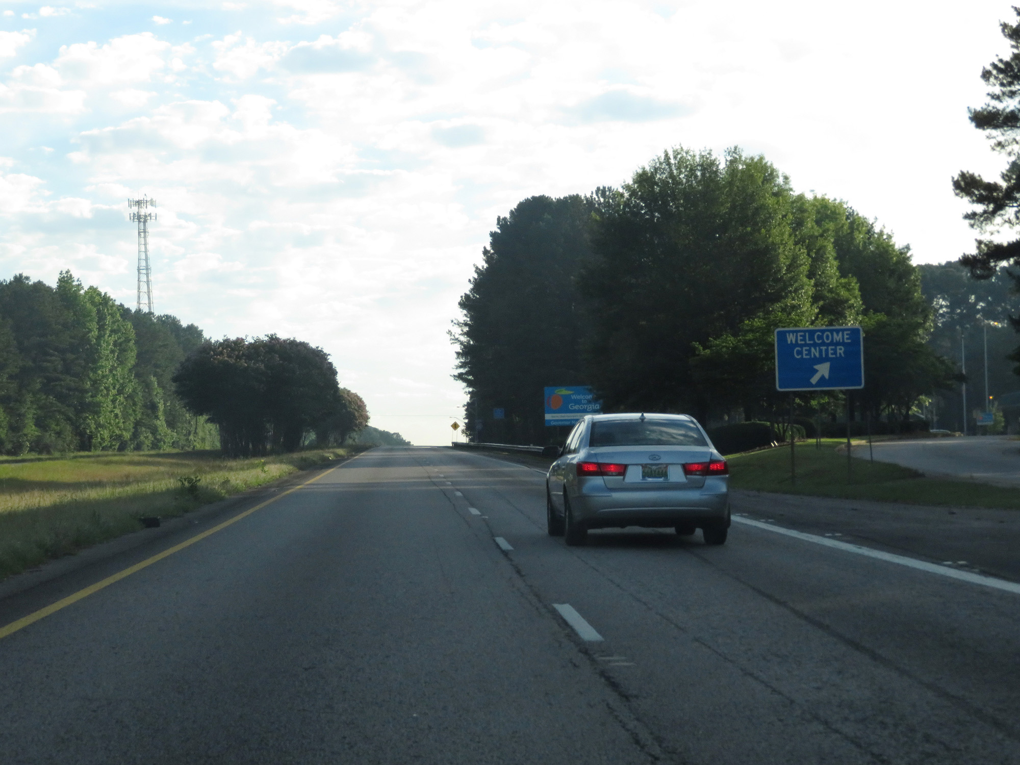 |
Interstate 85 North at the Welcome Center / Rest Area upon crossing into Georgia. (Photo taken 5/27/17). |
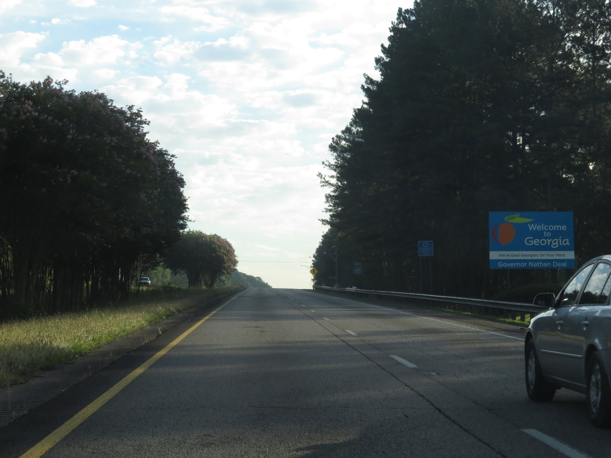 |
Georgia welcome sign on Interstate 85 North. (Photo taken 5/27/17). |
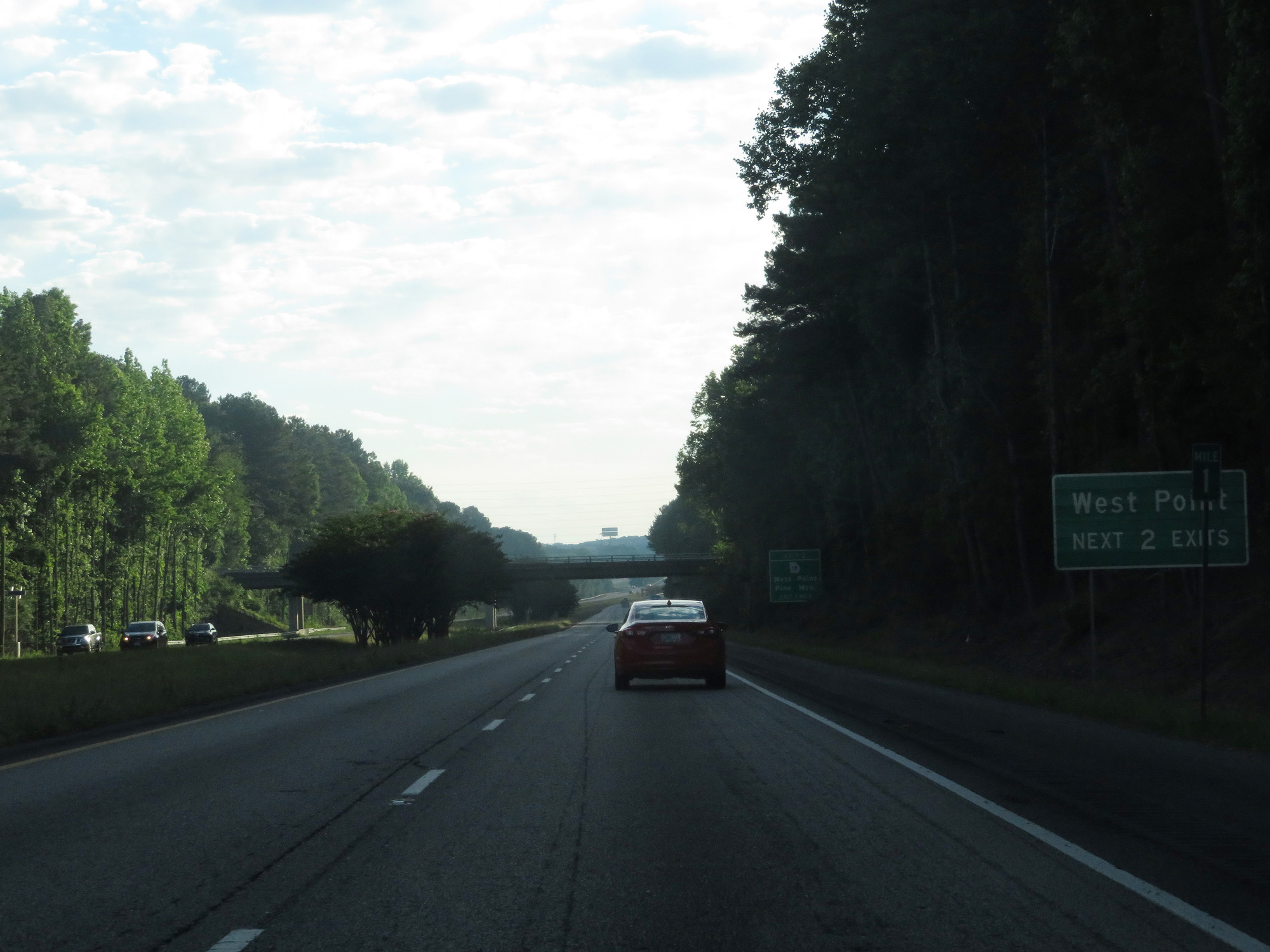 |
Take either of the next 2 exits to West Point. (Photo taken 5/27/17). |
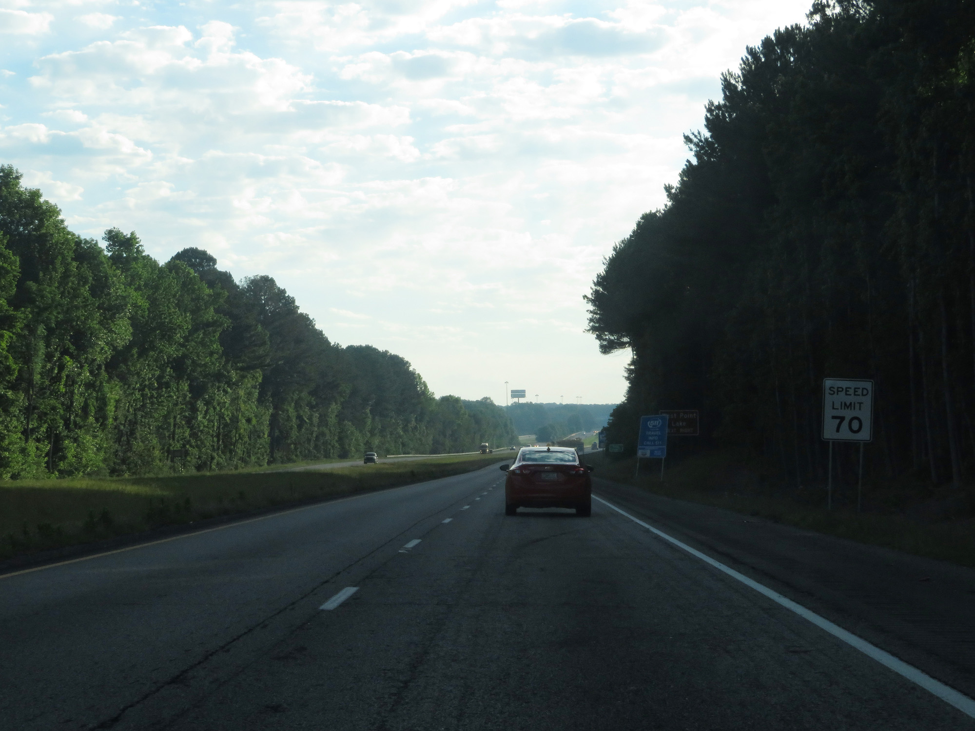 |
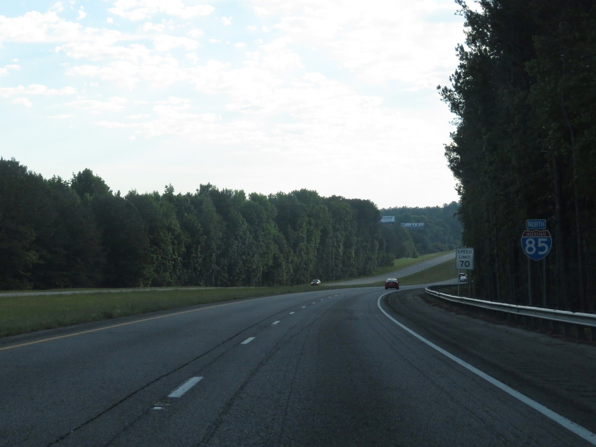
The speed limit on Interstate 85 North starts out at 70 mph, which is the standard speed limit on most rural Interstate highways in Georgia. (Photo taken 5/27/17). |
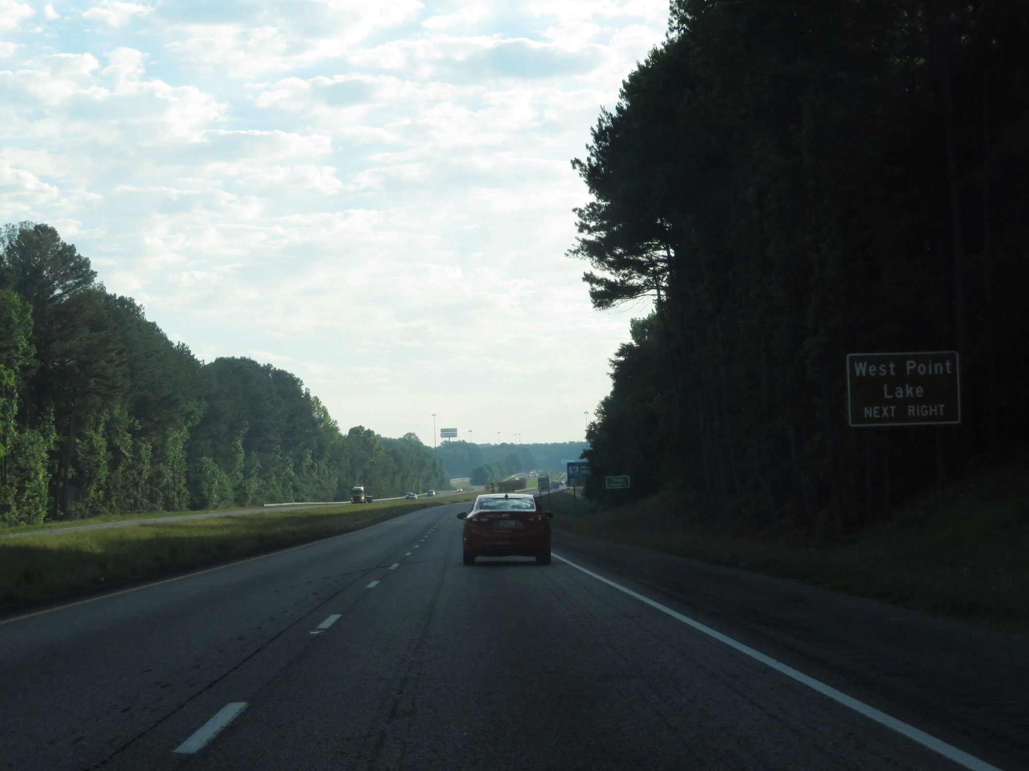 |
Take Exit 2 to West Point Lake. (Photo taken 5/27/17). |
 |
After a brief stint in Harris County, Interstate 85 North enters Troup County near mile marker 2. (Photo taken 5/27/17). |
 |
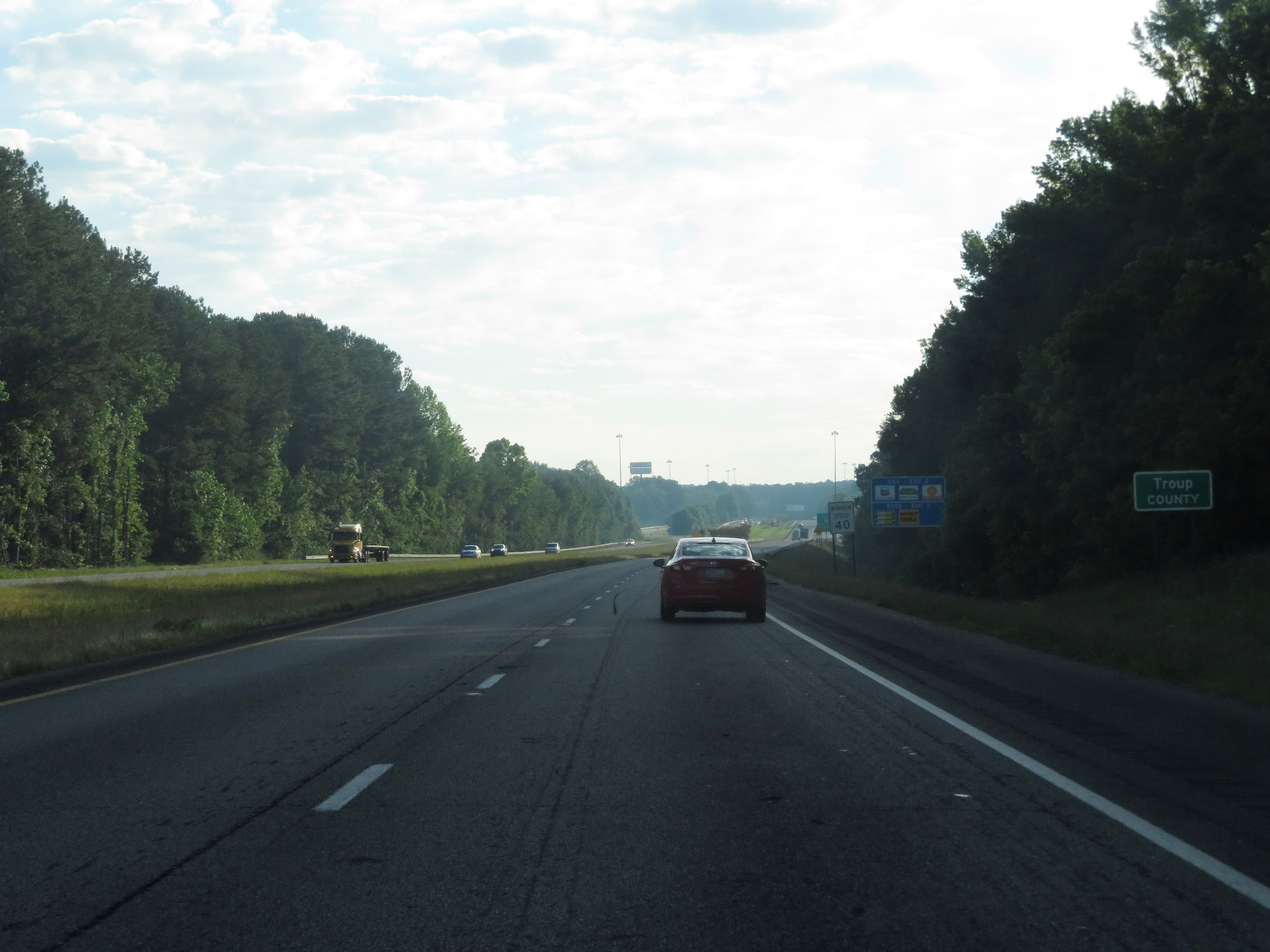
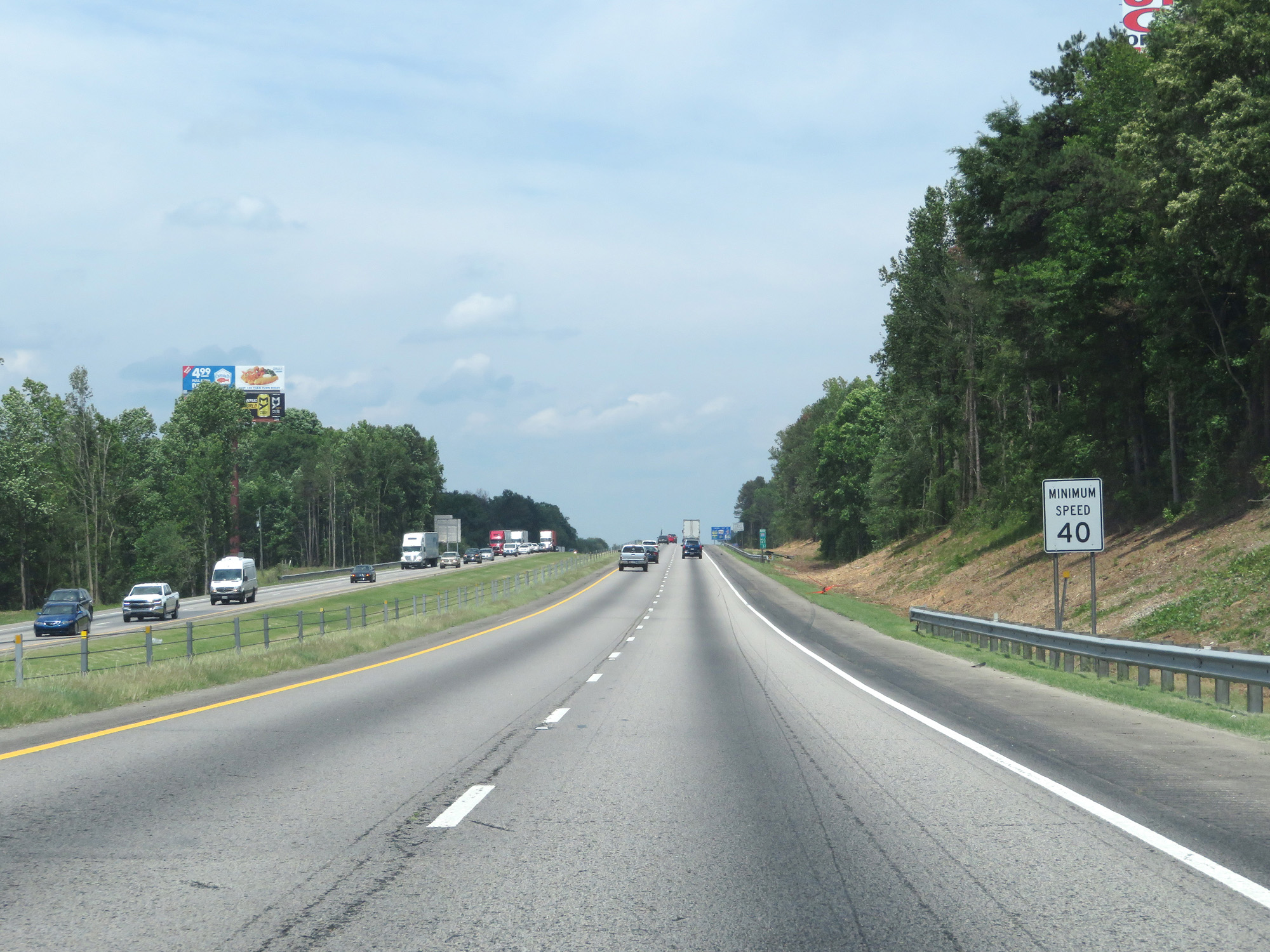
Also standard on Interstate highways in Georgia is a 40 mph minimum speed limit, as seen here. (Photo taken 5/27/17). |
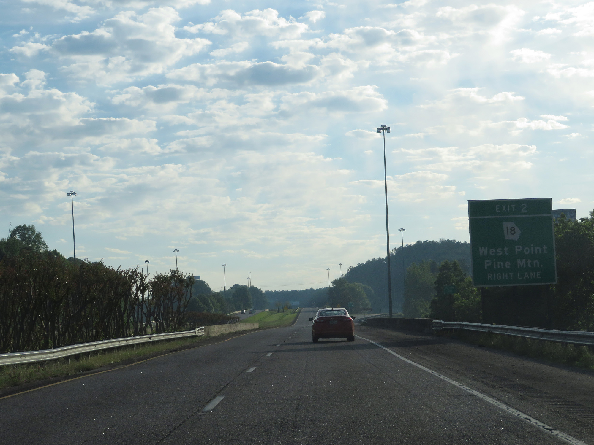 |
Interstate 85 North at Exit 2: GA 18 - West Point / Pine Mtn (Photo taken 5/27/17). |
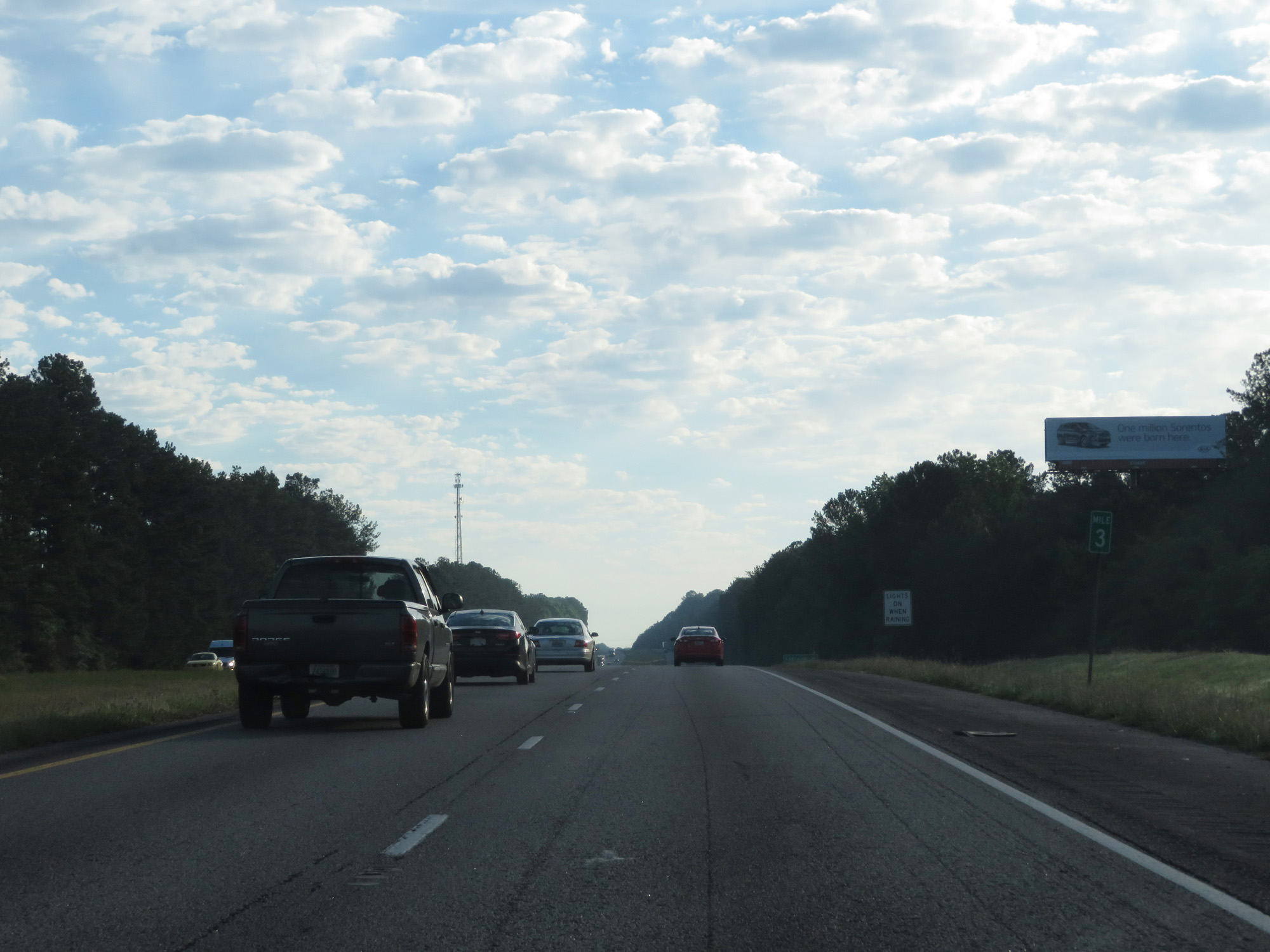 |
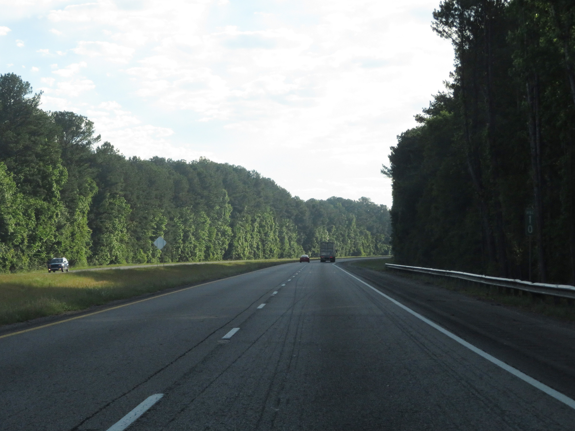
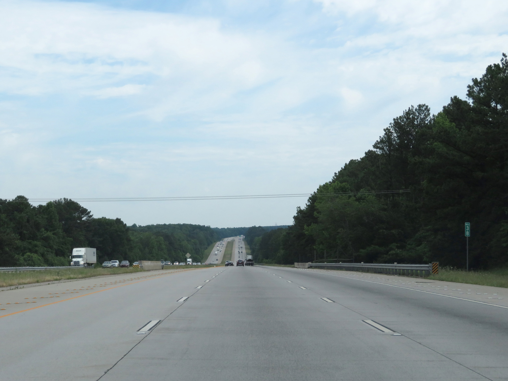
Interstate 85 North at mile marker 3. (Photo taken 5/27/17). |
 |
Mileage sign on Interstate 85 North. It's 13 miles to LaGrange and 79 miles to Atlanta. (Photo taken 5/27/17). |
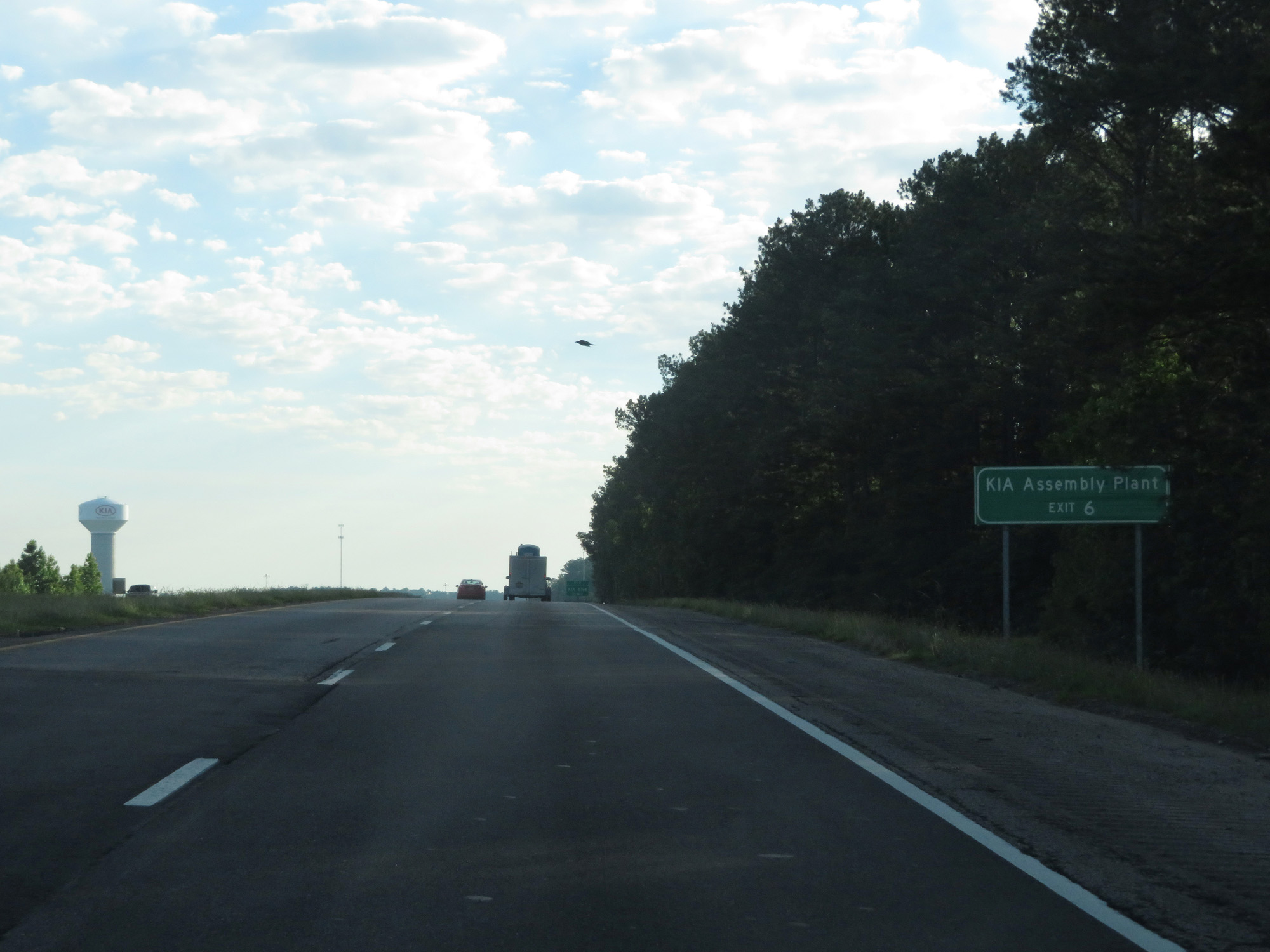 |
Take Exit 6 to the KIA Assembly Plant. (Photo taken 5/27/17). |
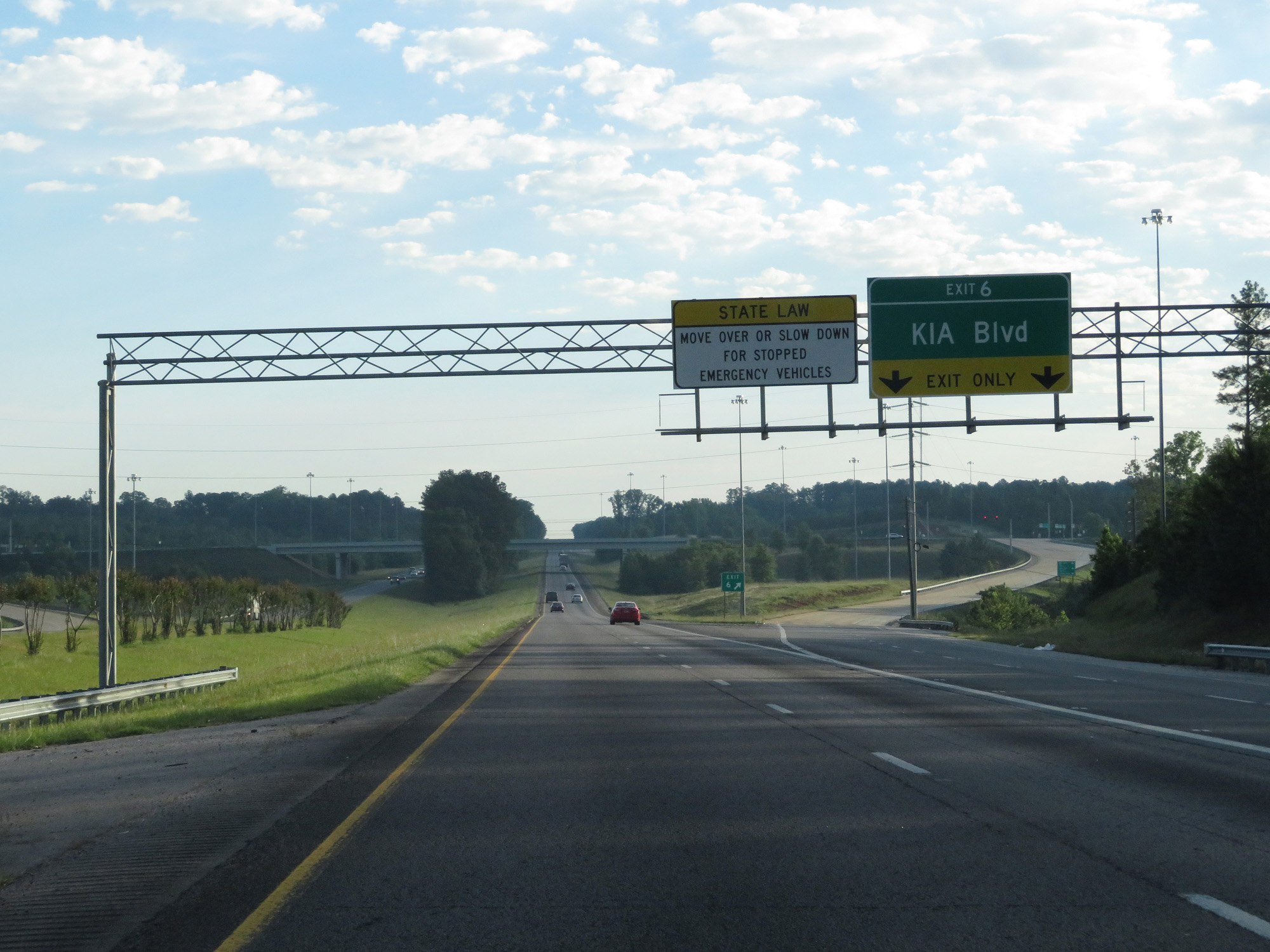 |
Interstate 85 North at Exit 6: KIA Blvd (Photo taken 5/27/17). |
 |
Interstate 85 North reassurance shield. (Photo taken 5/27/17). |
 |
Interstate 85 North at mile marker 10. (Photo taken 5/27/17). |
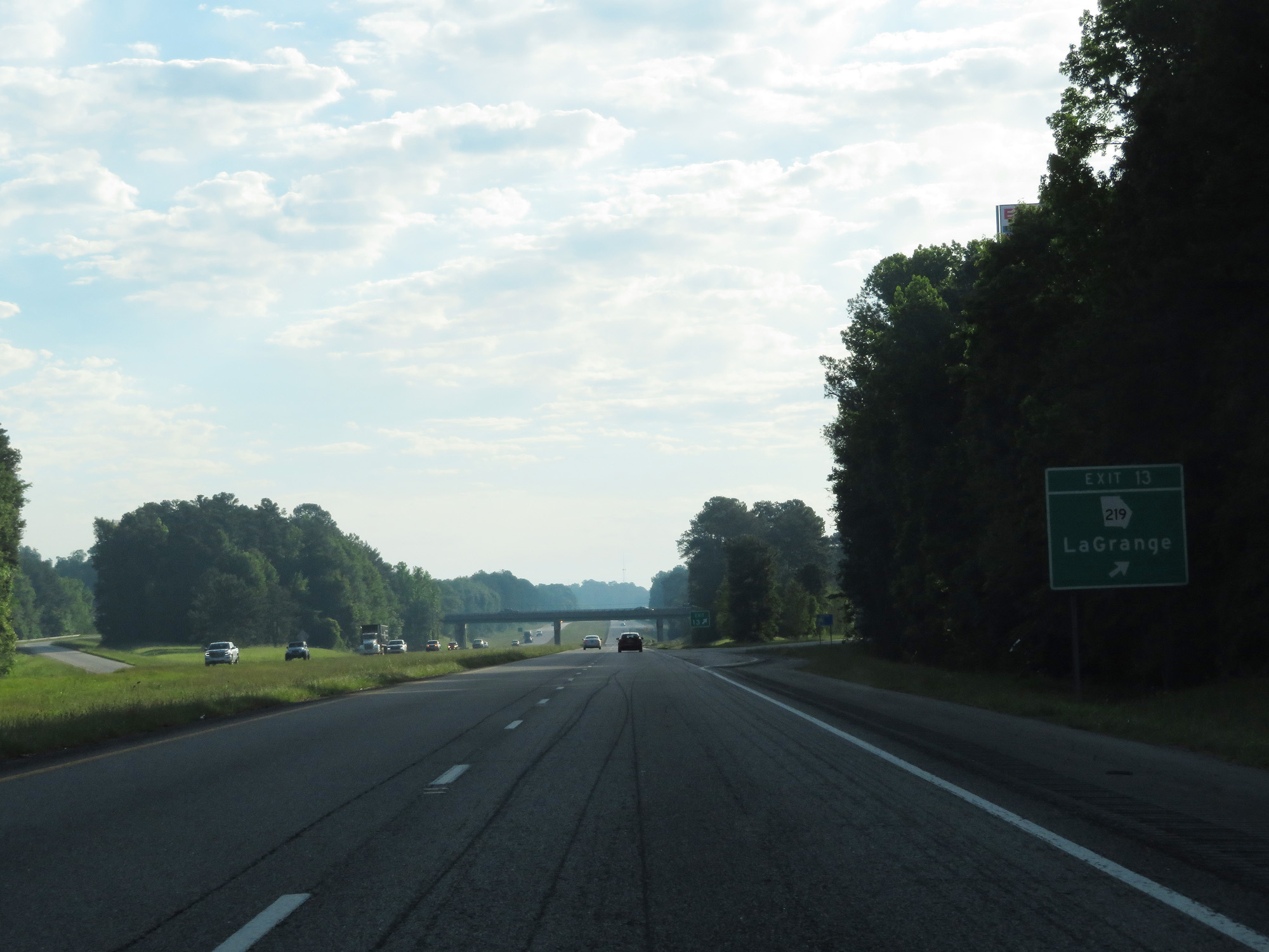 |
Interstate 85 North at Exit 13: GA 219 - LaGrange (Photo taken 5/27/17). |
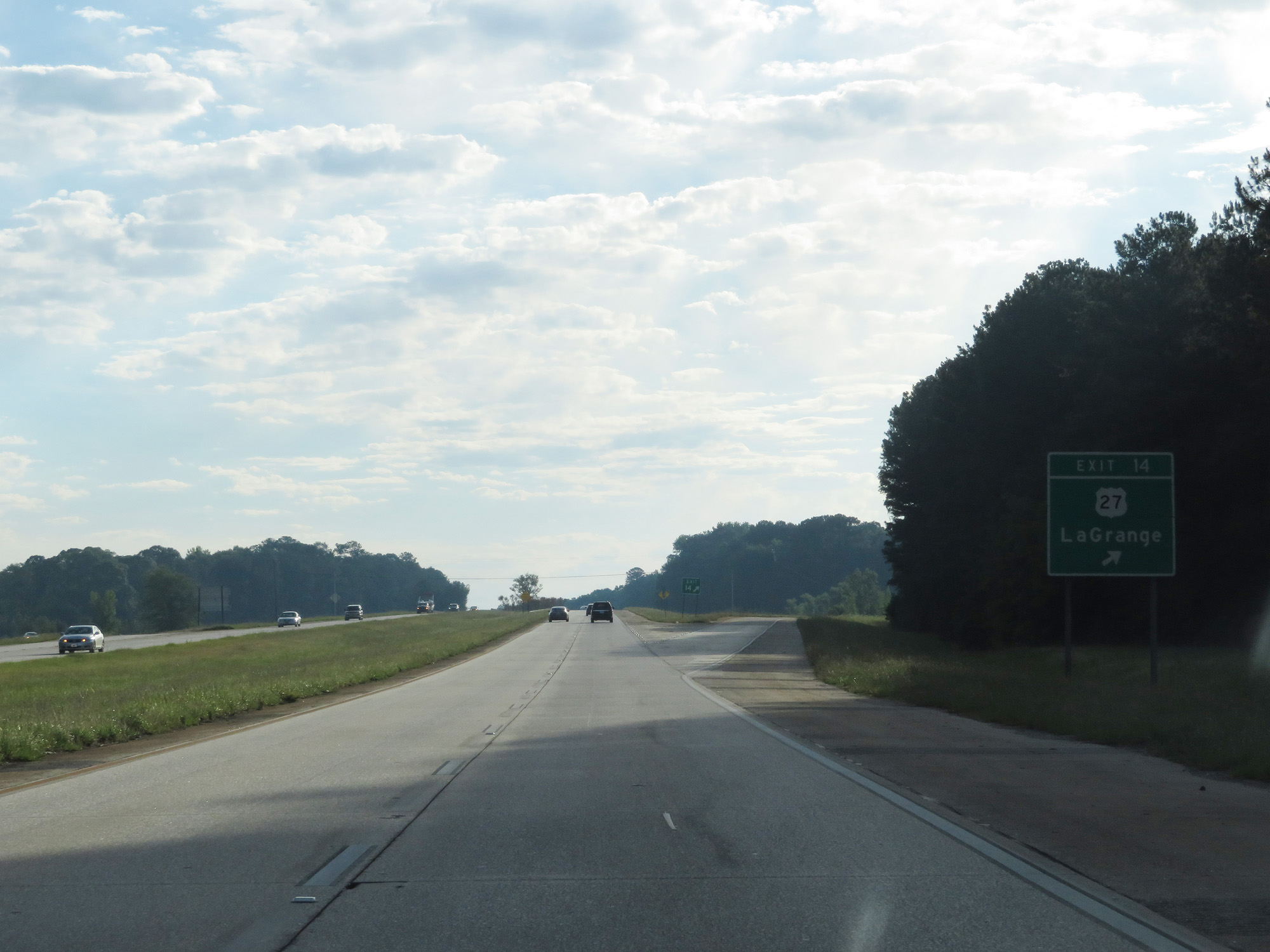 |
Interstate 85 North at Exit 14: US 27 - LaGrange (Photo taken 5/27/17). |
 |
State-named Interstate 85 North reassurance shield. (Photo taken 5/27/17). |
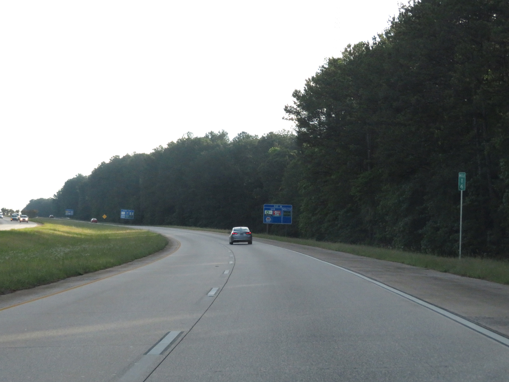 |
Interstate 85 North at mile marker 16. (Photo taken 5/27/17). |
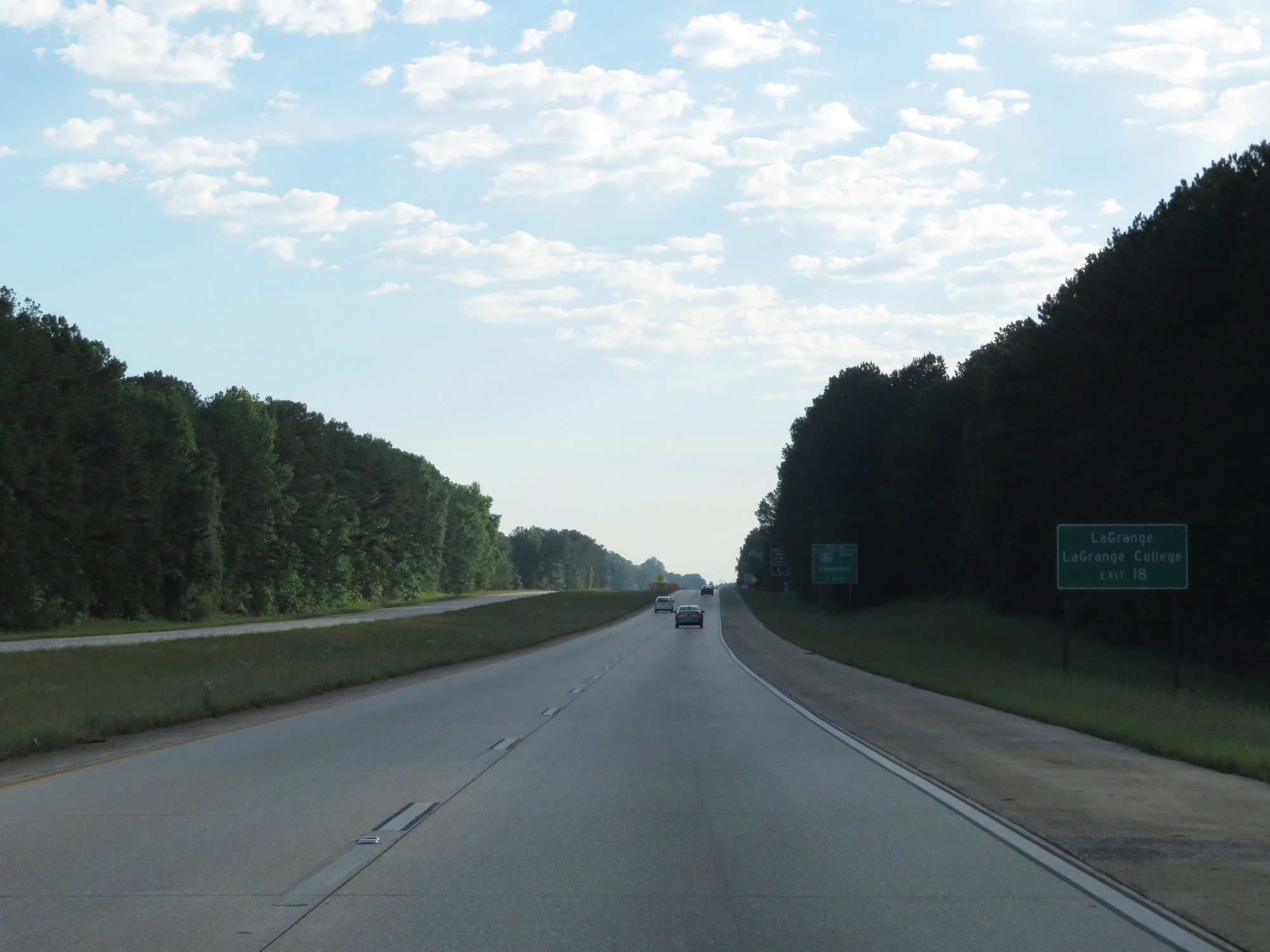 |
Take Exit 18 to LaGrange and LaGrange College. (Photo taken 5/27/17). |
 |
Interstate 85 North approaching Exit 21 - 2 miles. (Photo taken 5/27/17). |
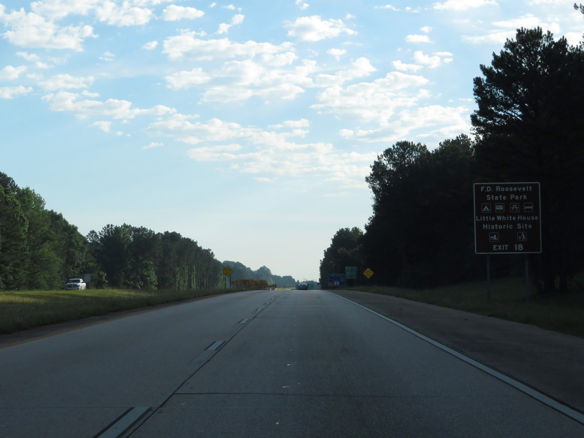 |
Take Exit 18 to F.D. Roosevelt State Park and Little White House Historic Site. (Photo taken 5/27/17). |
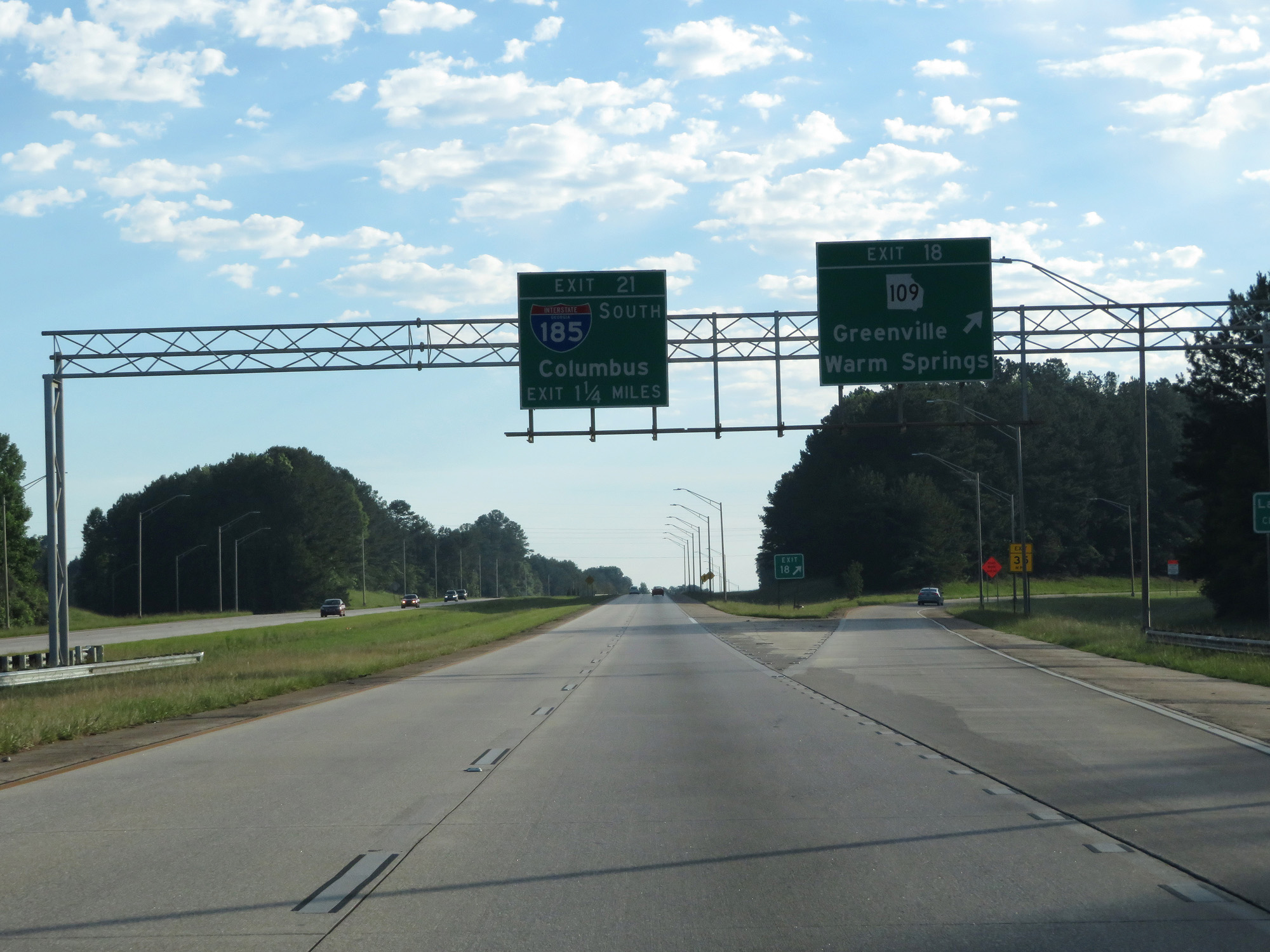 |
Interstate 85 North at Exit 18: GA 109 - Greenville / Warm Springs (Photo taken 5/27/17). |
 |
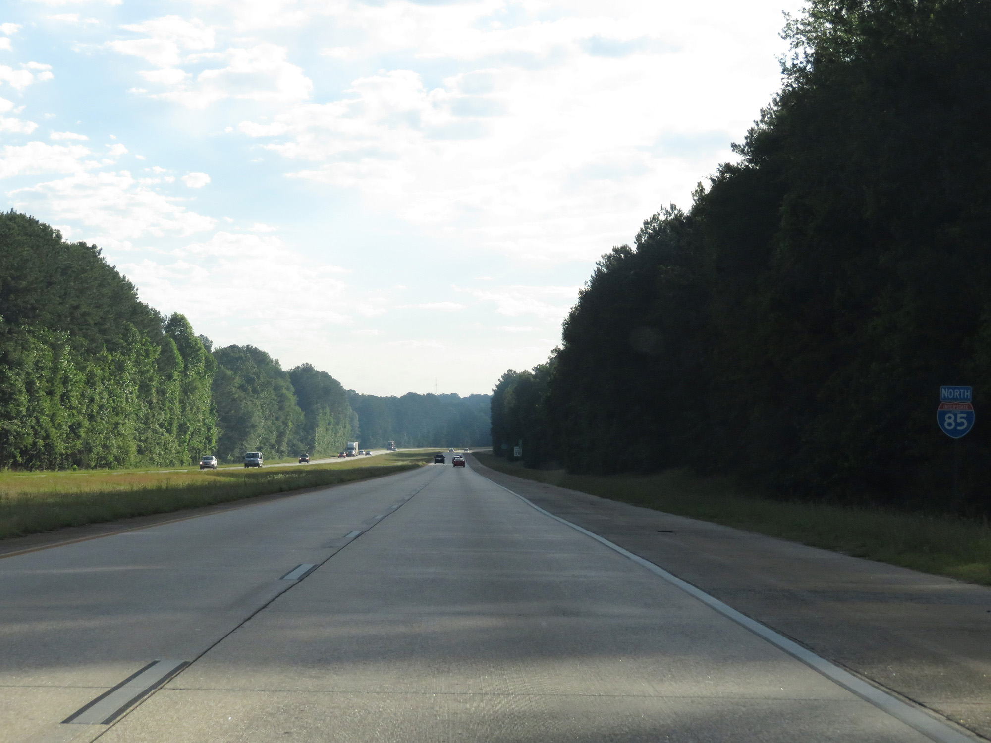
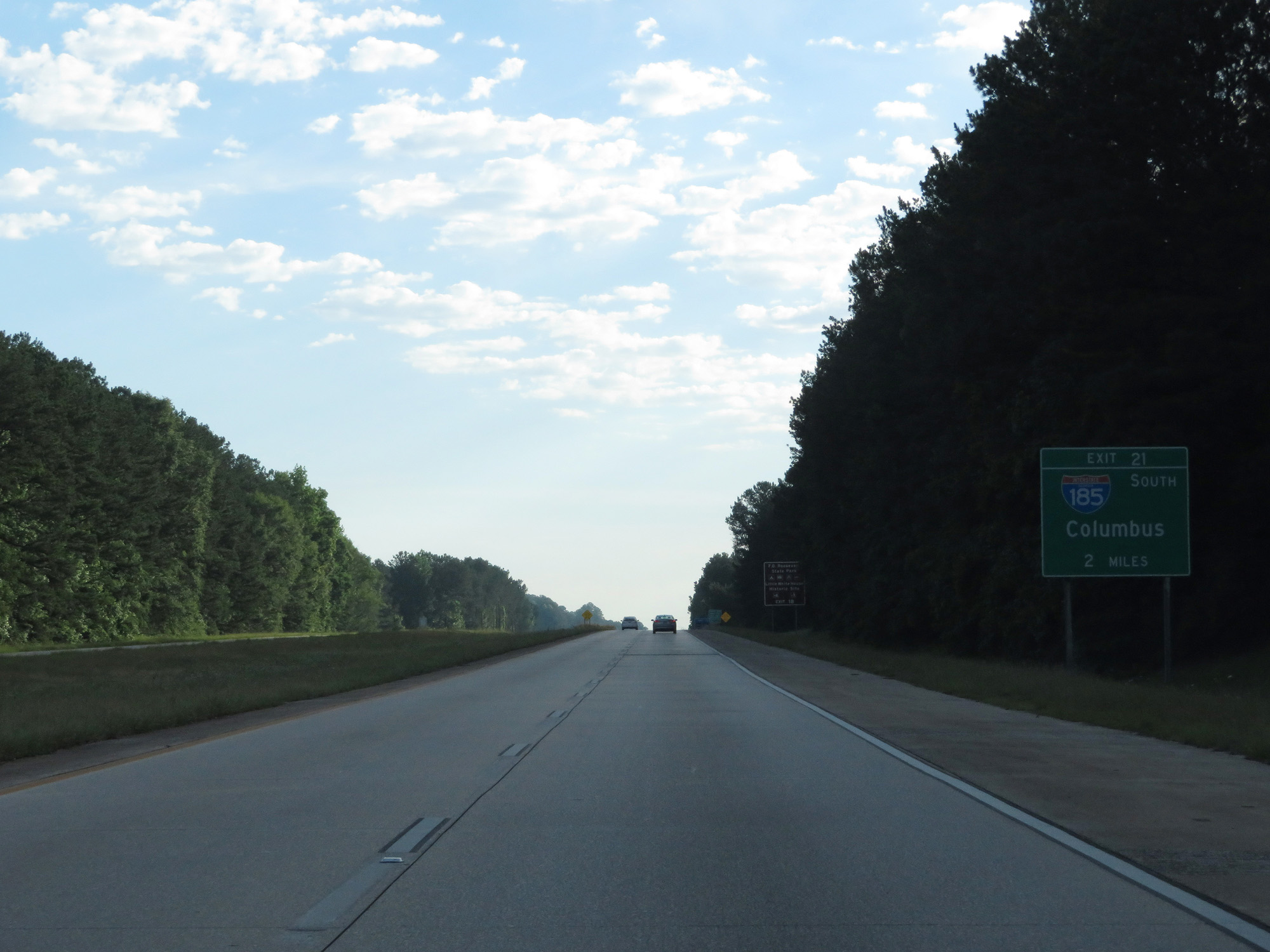
Take Exit 21 to Fort Benning via Interstate 185 South. (Photo taken 5/27/17). |
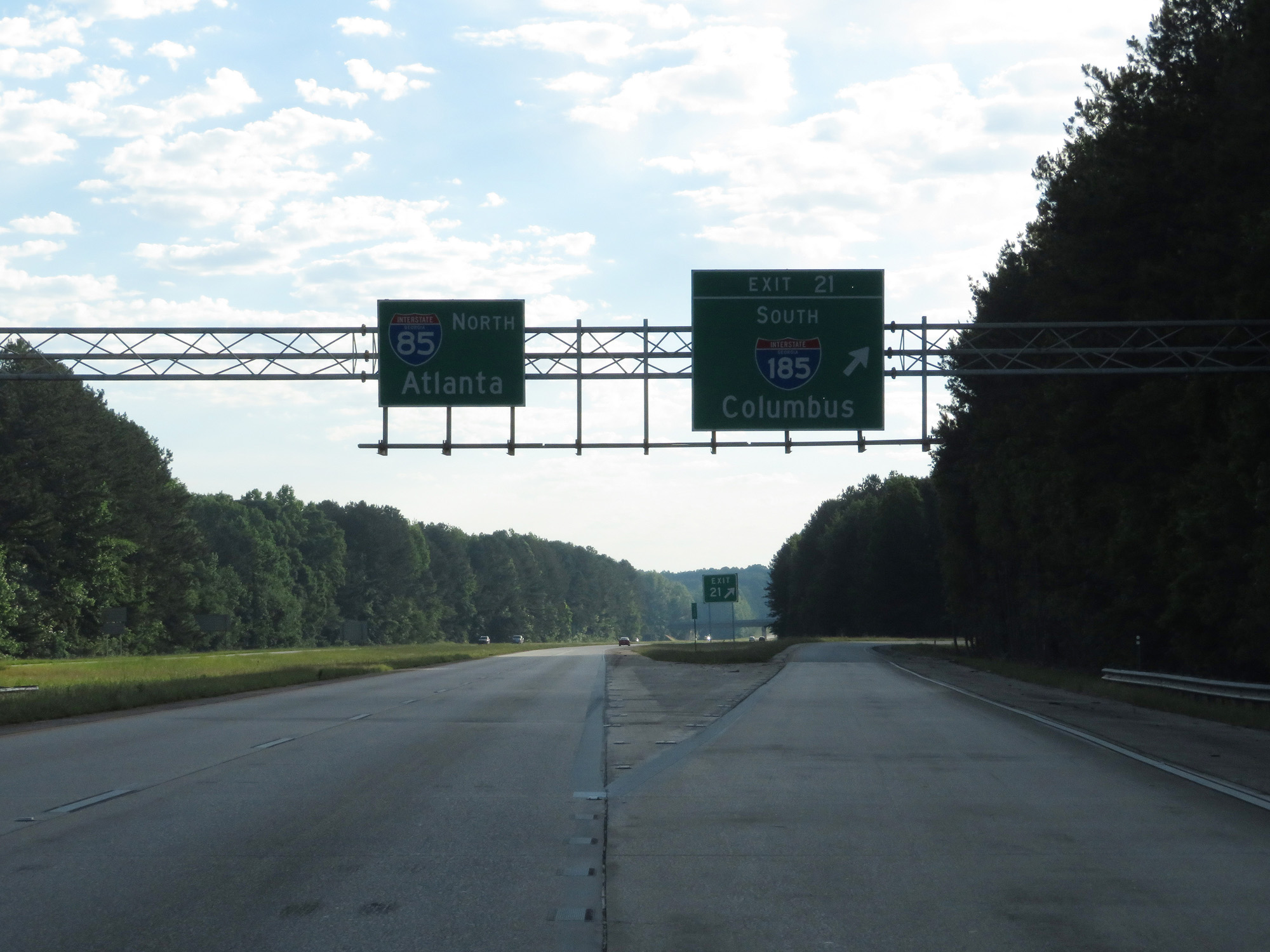 |
Interstate 85 North at Exit 21: Interstate 185 South - Columbus (Photo taken 5/27/17). |
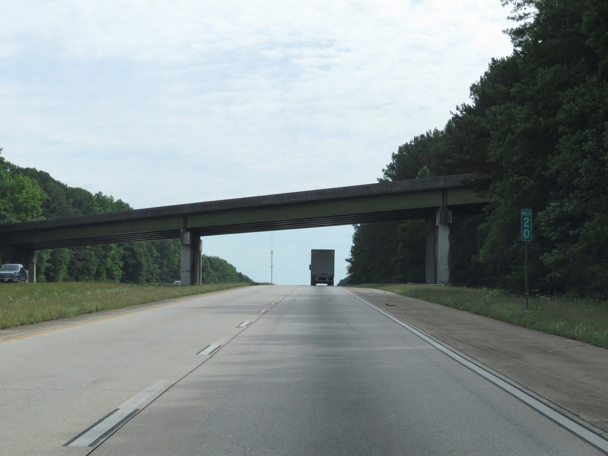 |
Interstate 85 North at mile marker 20. (Photo taken 5/27/17). |
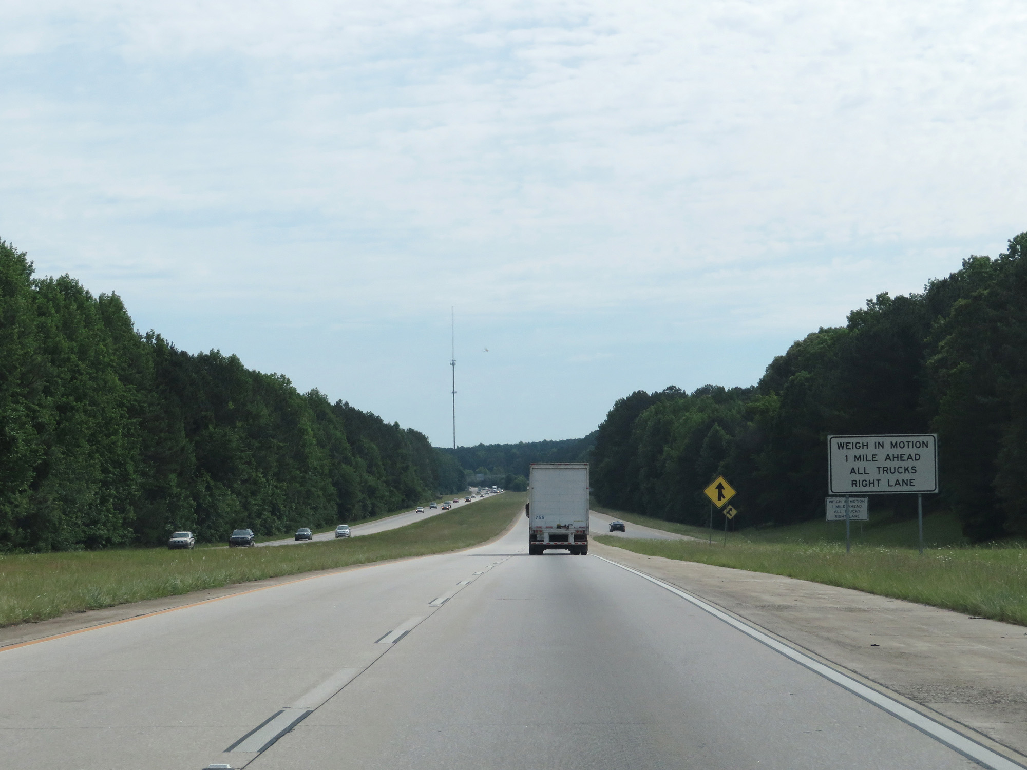 |
Interstate 85 North as the ramp from Interstate 185 North merges into it. The Weigh Station 1 mile ahead uses weigh in motion technology. All trucks should use the right lane. (Photo taken 5/27/17). |
 |
State-named Interstate 85 North reassurance shield. (Photo taken 5/27/17). |
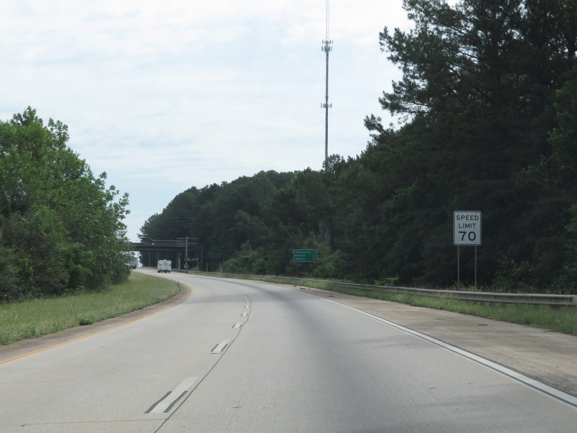 |
The speed limit remains 70 mph. (Photo taken 5/27/17). |
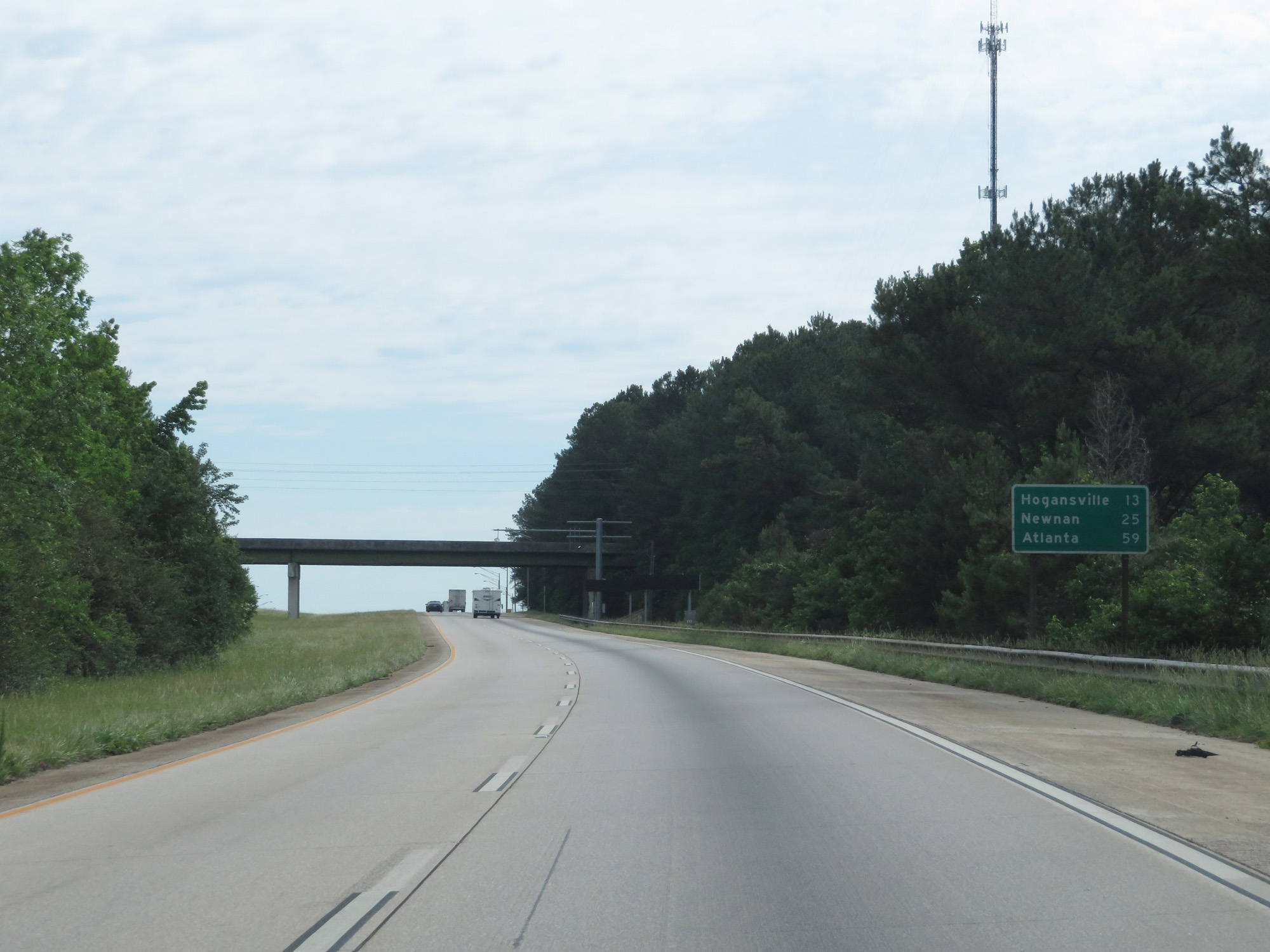 |
Mileage sign on Interstate 85 North. It's 13 miles to Hogansville, 25 miles to Newnan, and 59 miles to Atlanta. (Photo taken 5/27/17). |
 |
Interstate 85 North at the Weigh Station in Troup County. (Photo taken 5/27/17). |
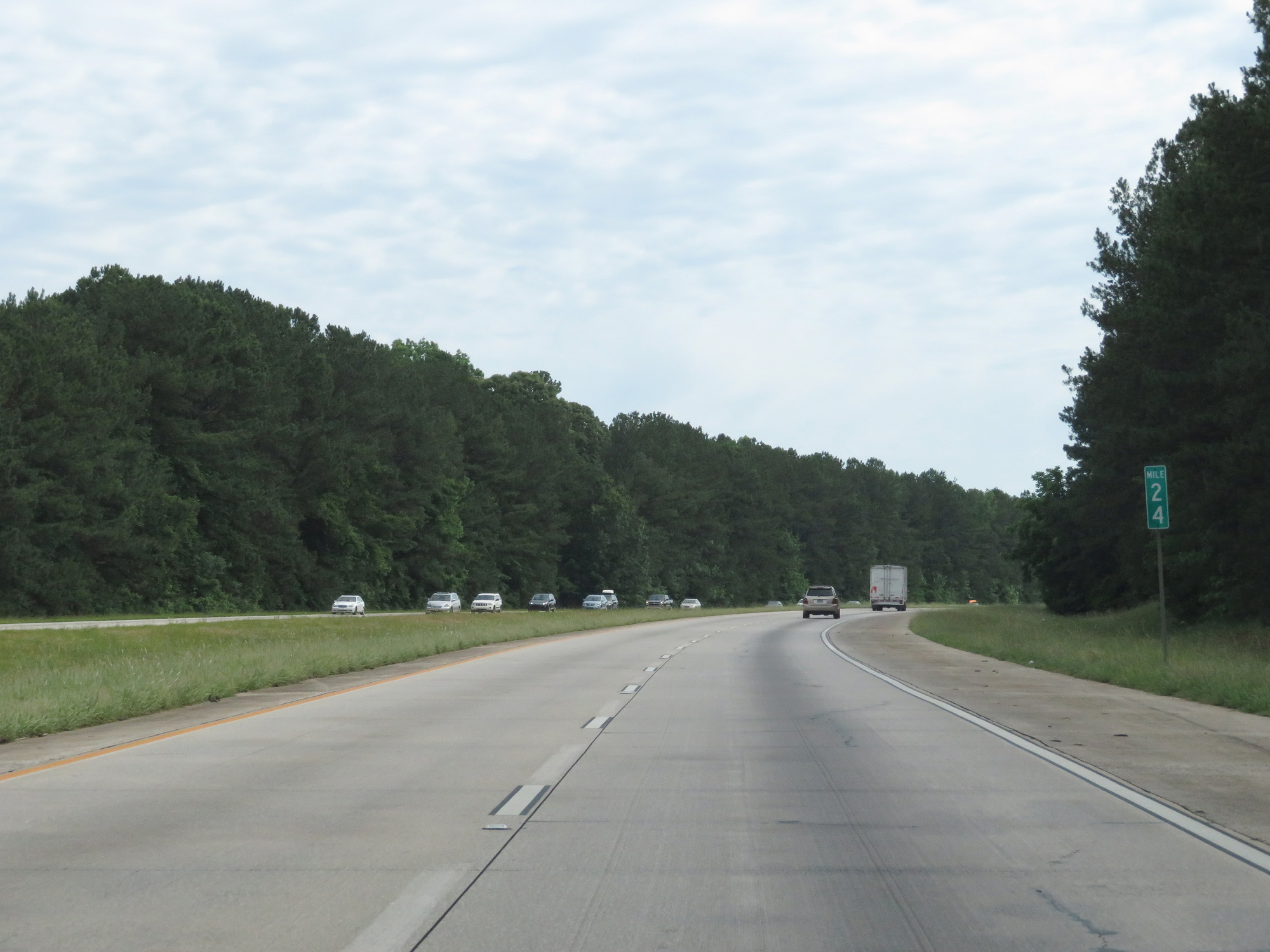 |
Interstate 85 North at mile marker 24. (Photo taken 5/27/17). |
 |
Interstate 85 North at mile marker 27. (Photo taken 5/27/17). |
 |
Interstate 85 North at Exit 28: GA 54 / GA 100 - Hogansville (Photo taken 5/27/17). |
 |
Interstate 85 North as it enters Meriwether County. (Photo taken 5/27/17). |
 |
Interstate 85 North at mile marker 32. (Photo taken 5/27/17). |
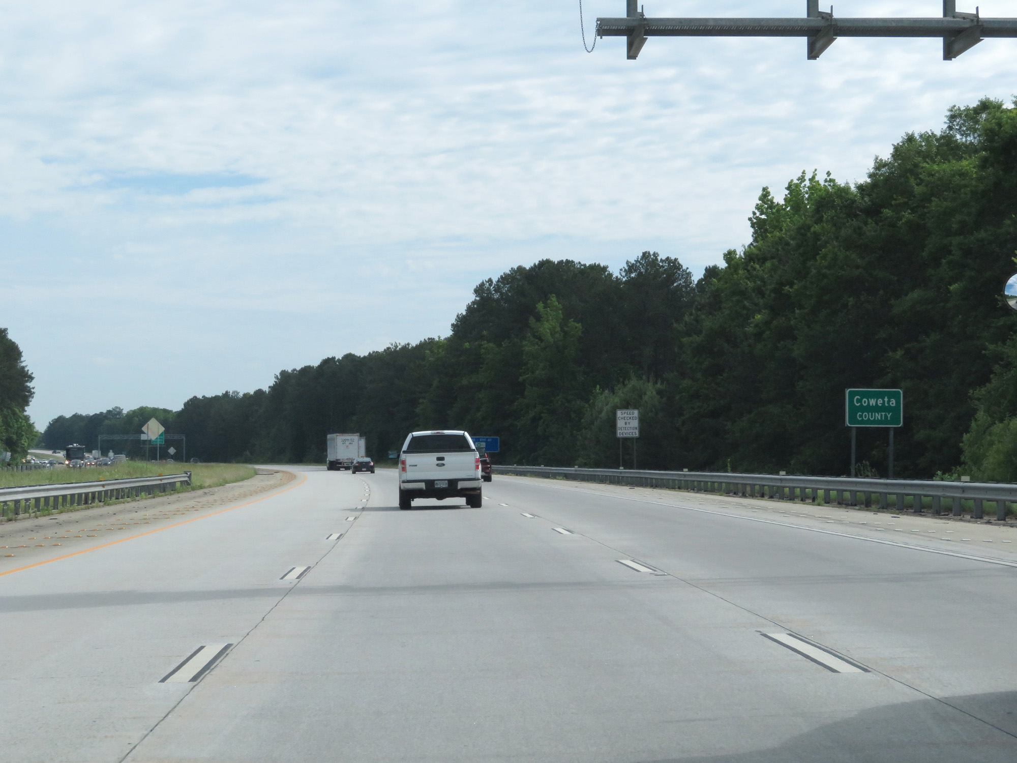 |
Interstate 85 North entering Coweta County. (Photo taken 5/27/17). |
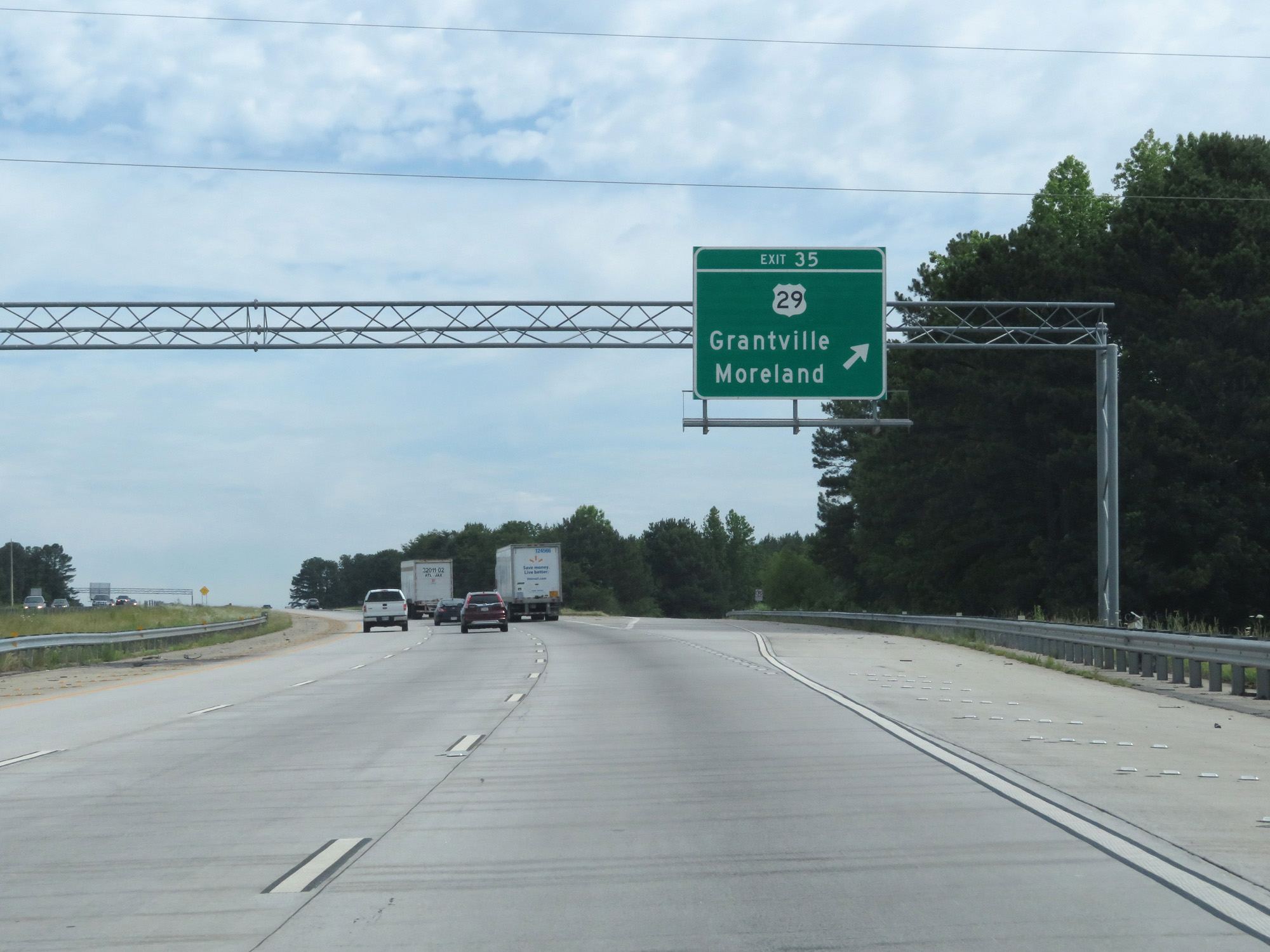 |
Interstate 85 North at Exit 35: US 29 - Grantville / Moreland (Photo taken 5/27/17). |
 |
Interstate 85 North at mile marker 38. (Photo taken 5/27/17). |
 |
Take either of the next 2 exits to Historic Newnan. (Photo taken 5/27/17). |
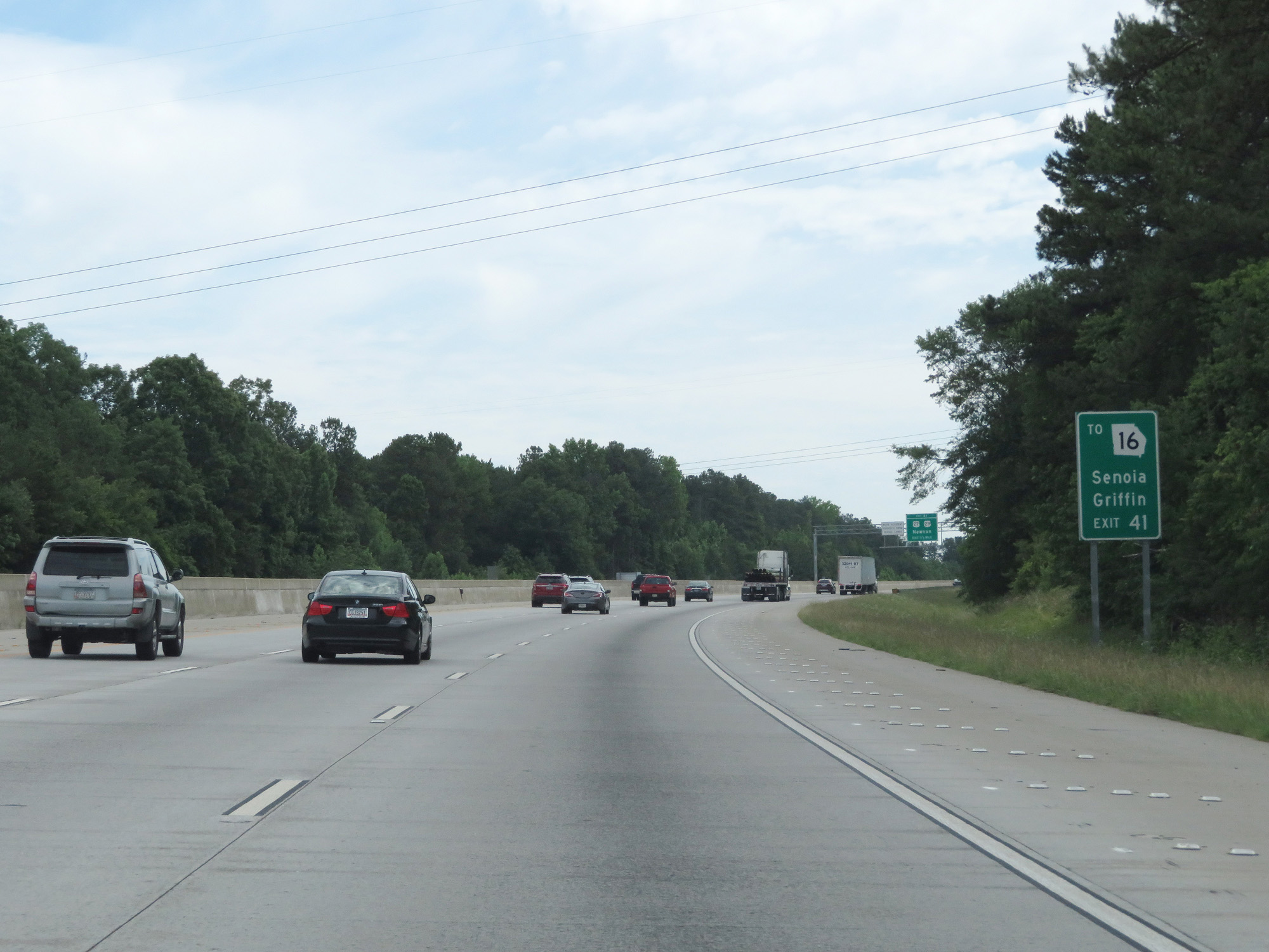 |
Take Exit 41 to GA 16 toward Senoia and Griffin. (Photo taken 5/27/17). |
 |
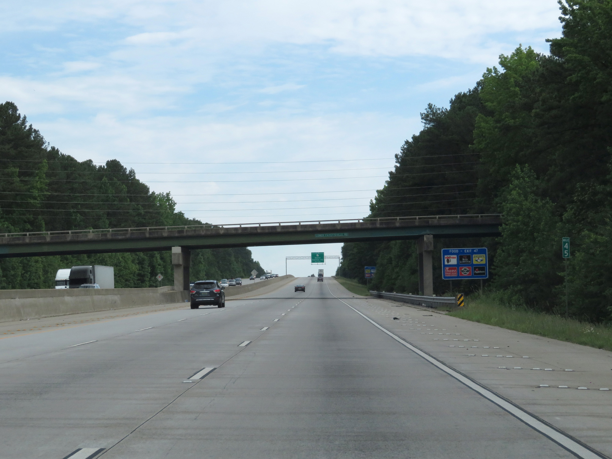
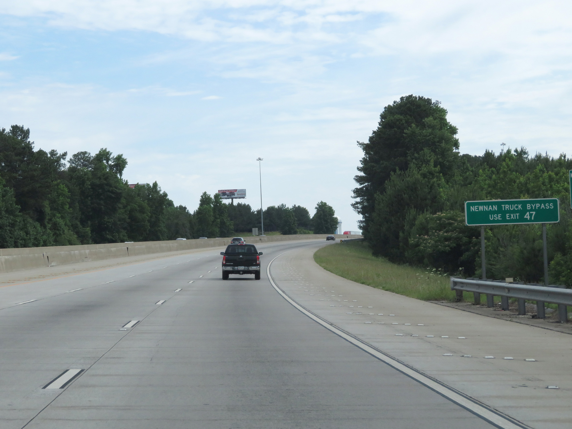
Take Exit 47 for the Newnan Truck Bypass. (Photo taken 5/27/17). |
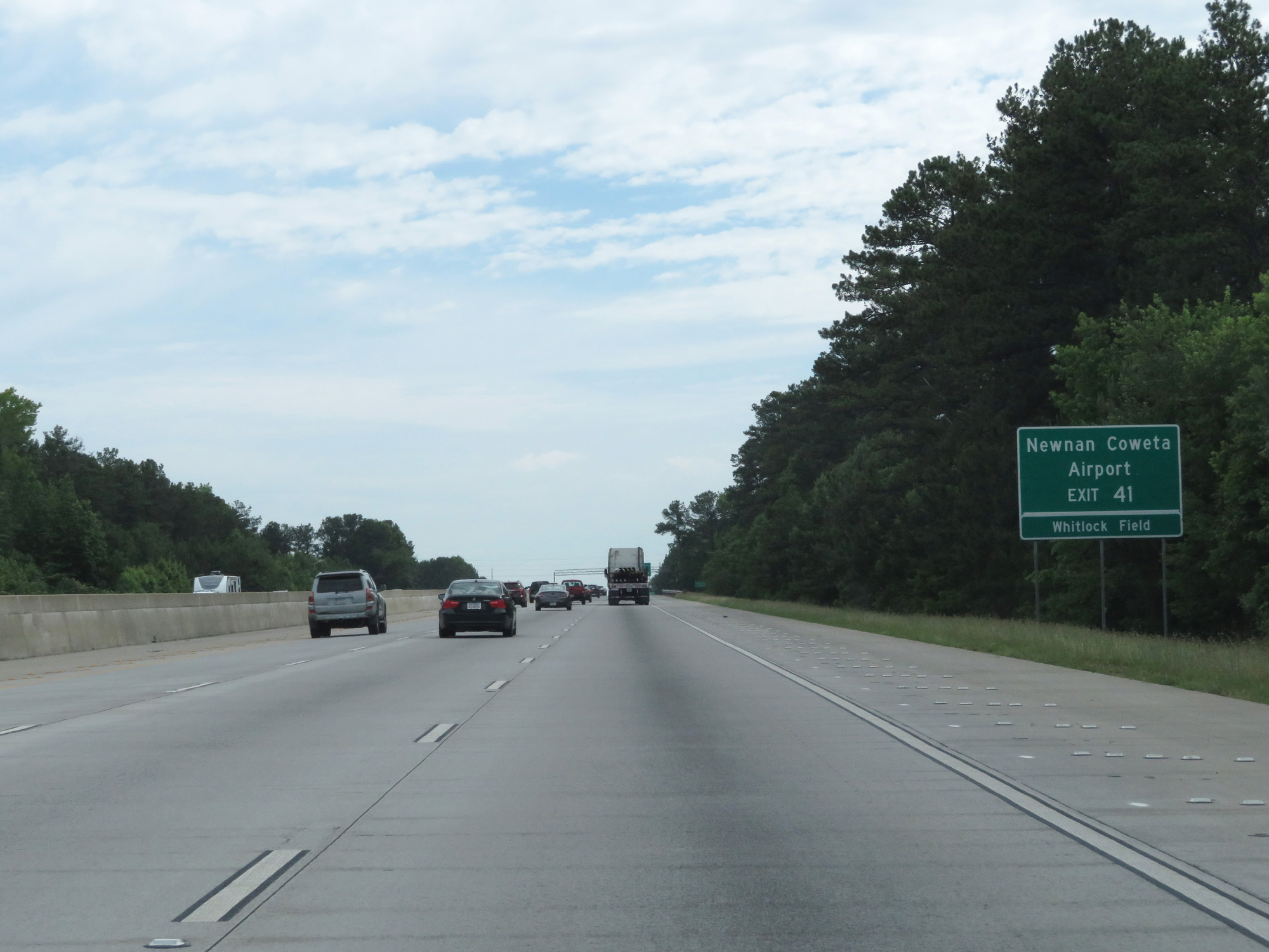 |
Take Exit 41 to Newnan Coweta Airport and Whitlock Field. (Photo taken 5/27/17). |
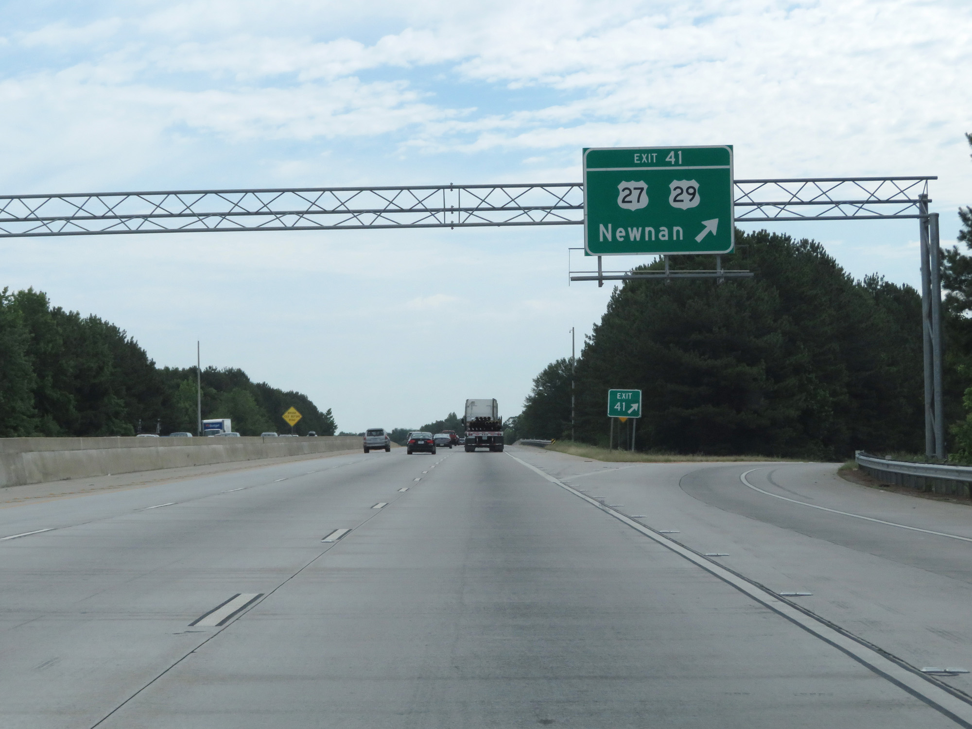 |
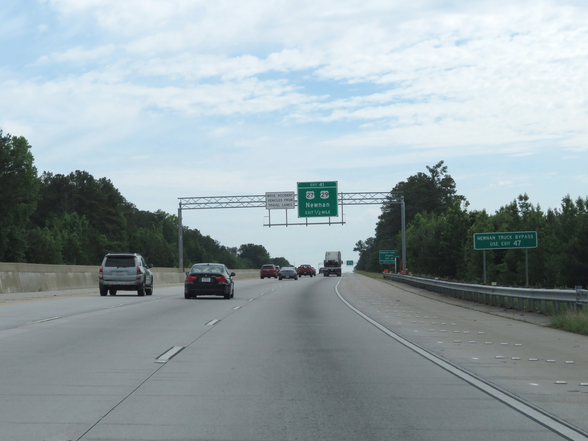
Interstate 85 North at Exit 41: US 27 / US 29 - Newnan (Photo taken 5/27/17). |
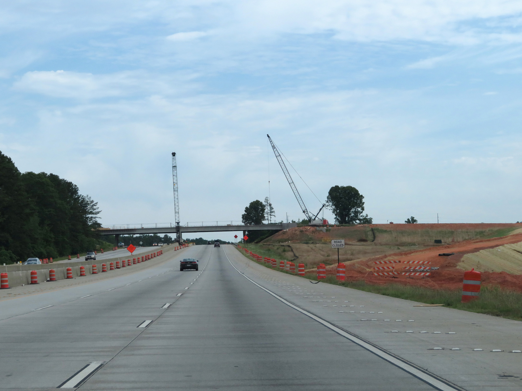 |
A look at the construction of a future interchange on Interstate 85 North in Newnan. (Photo taken 5/27/17). |
 |
Interstate 85 North at mile marker 45. (Photo taken 5/27/17). |
 |
Take Exit 47 to Shenandoah. (Photo taken 5/27/17). |
 |
Again, trucks should use Exit 47 to bypass Newnan. (Photo taken 5/27/17). |
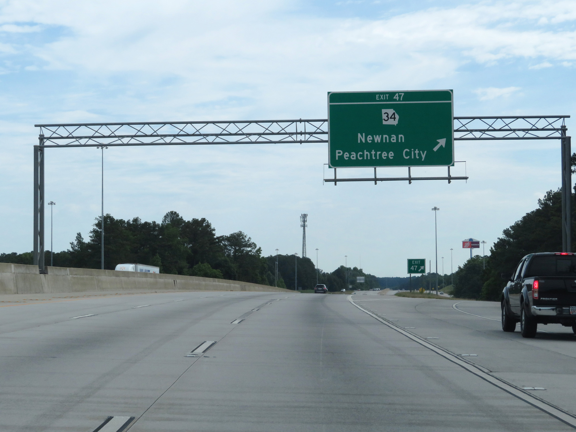 |
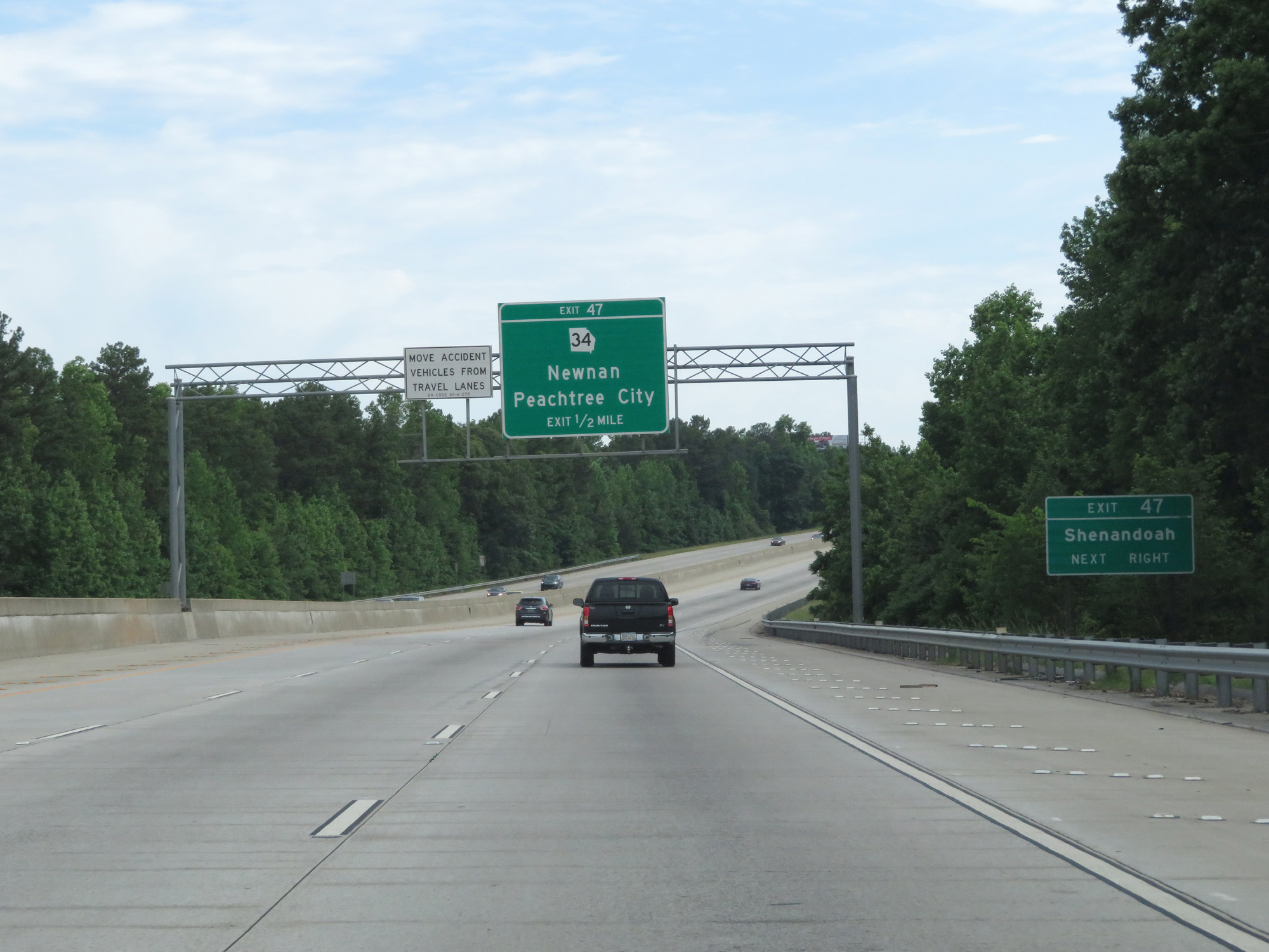
Interstate 85 North at Exit 47: GA 34 - Newnan / Peachtree City (Photo taken 5/27/17). |
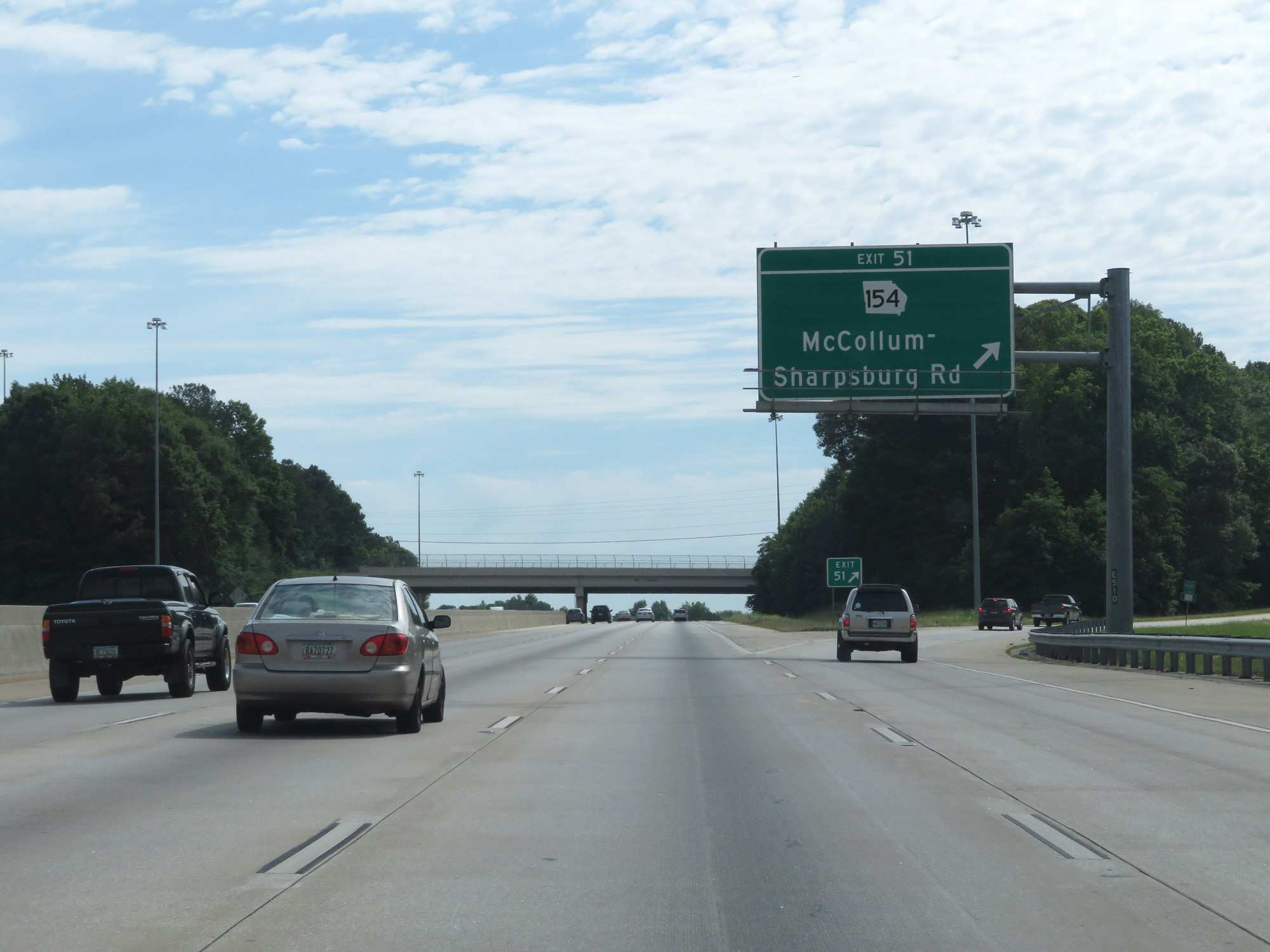 |
Interstate 85 North at Exit 51: GA 154 - McCollum-Sharpsburg Rd (Photo taken 5/27/17). |
 |
Interstate 85 North at mile marker 52. (Photo taken 5/27/17). |
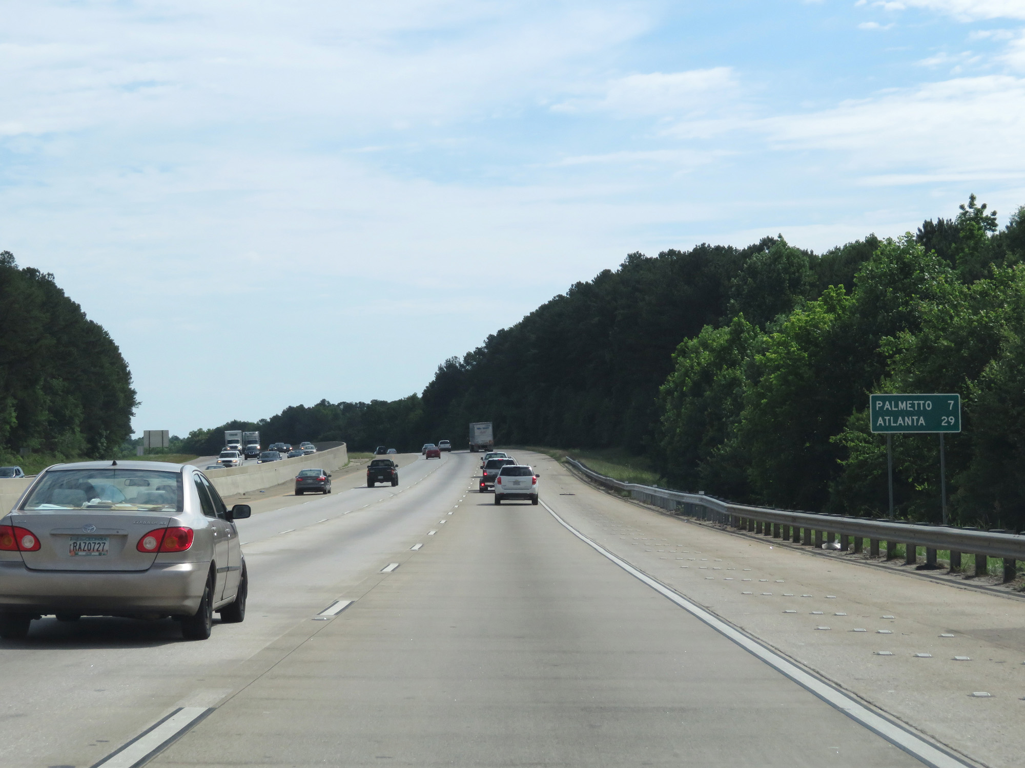 |
Mileage sign on Interstate 85 North. It's now 29 miles to Atlanta. (Photo taken 5/27/17). |
 |
Interstate 85 North approaching Exit 56 - 1 mile. (Photo taken 5/27/17). |
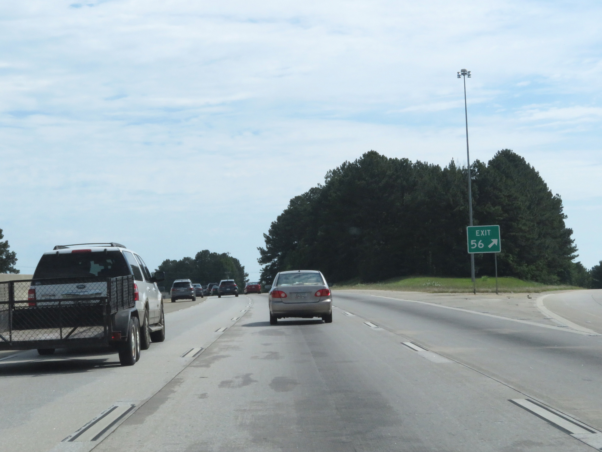 |
Interstate 85 North at Exit 56: Collinsworth Rd / Palmetto / Tyrone (Photo taken 5/27/17). |
 |
Interstate 85 North entering Fulton County. (Photo taken 5/27/17). |
 |
The speed limit remains 70 mph for the time being. (Photo taken 5/27/17). |
 |
Interstate 85 North at mile marker 60. (Photo taken 5/27/17). |
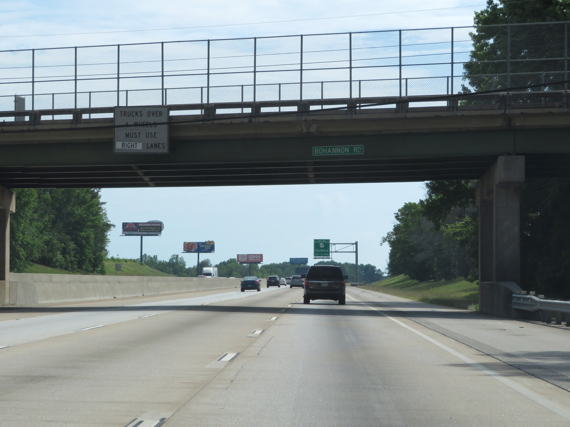 |
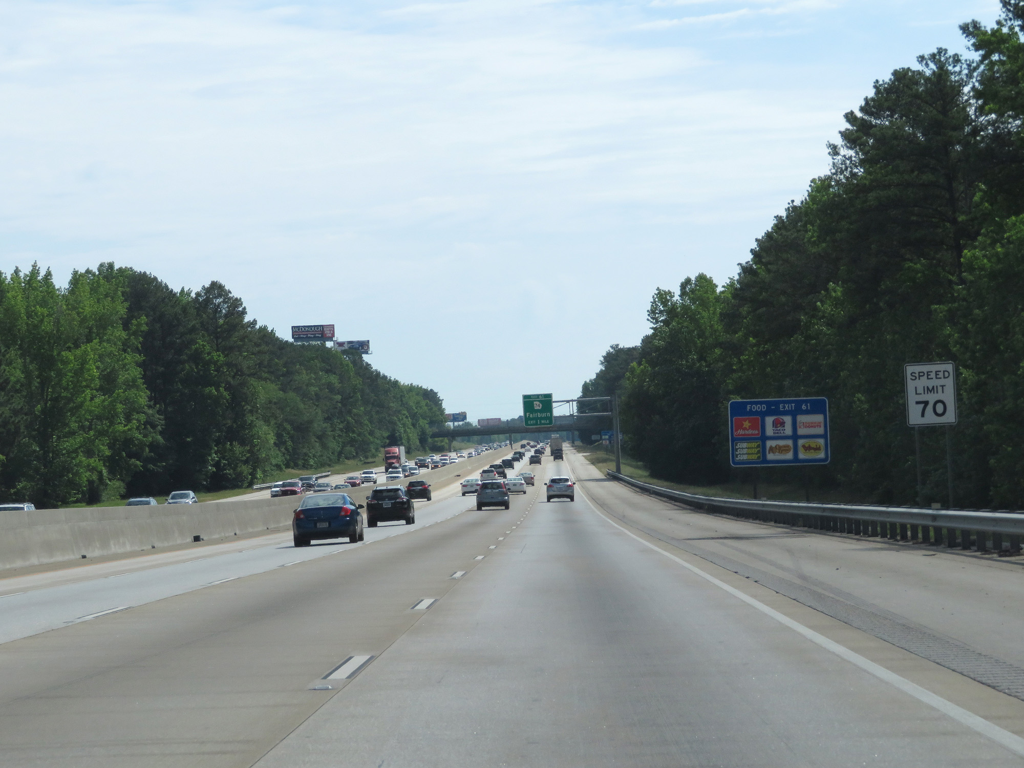
Trucks over 6 wheels are prohibited in the two leftmost lanes. (Photo taken 5/27/17). |
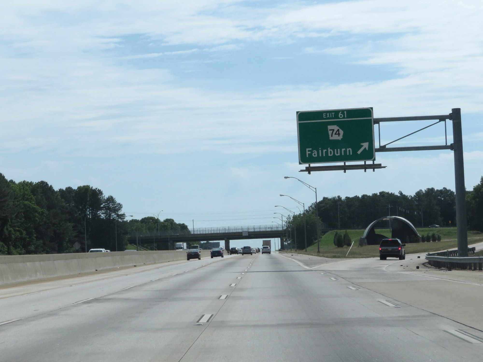 |
Interstate 85 North at Exit 61: GA 74 - Fairburn (Photo taken 5/27/17). |
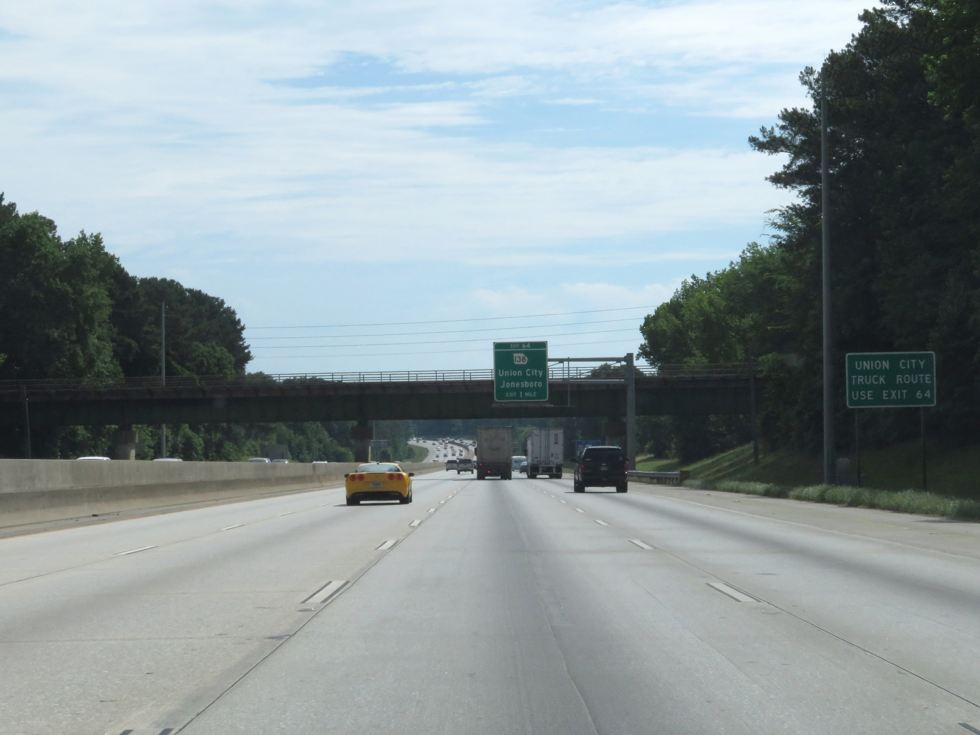 |
Use Exit 64 for the truck route to Union City. (Photo taken 5/27/17). |
 |
Interstate 85 North at Exit 64: GA 138 - Union City / Jonesboro (Photo taken 5/27/17). |
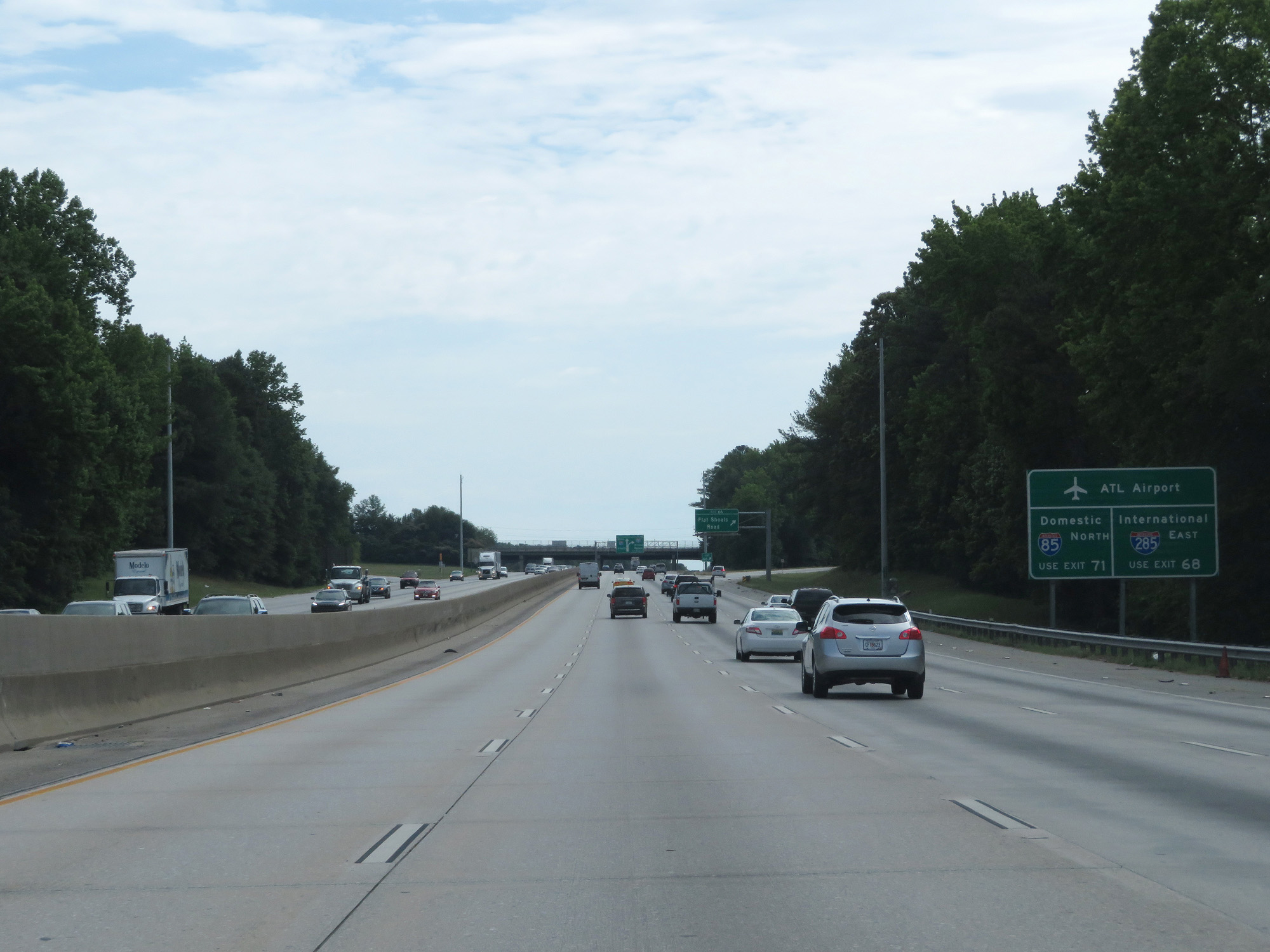 |
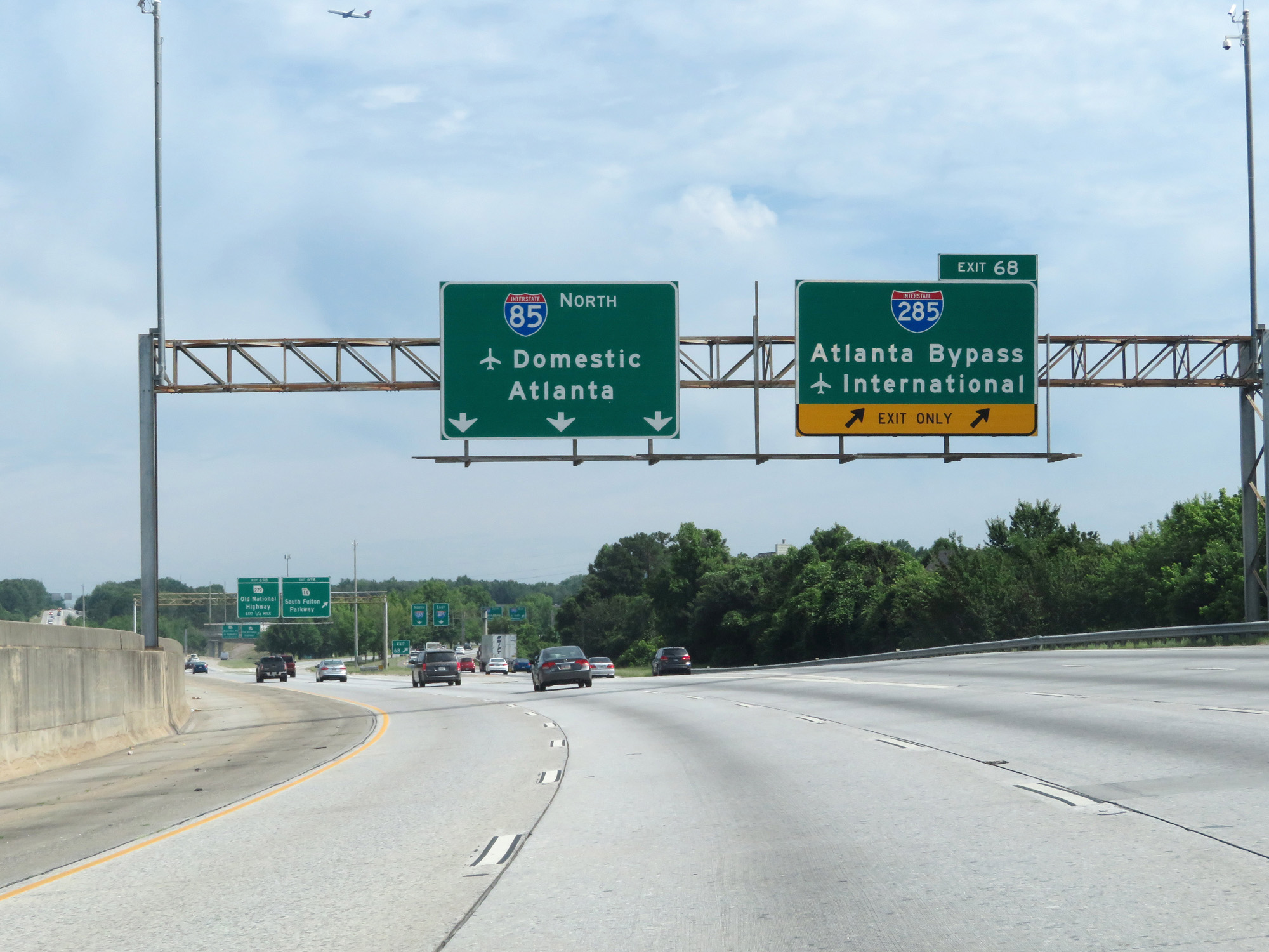
Use Exit 71 on Interstate 85 North to the ATL Airport's Domestic Terminals. Take Exit 68 and use Interstate 285 East to get to the airport's International Terminals. (Photo taken 5/27/17). |
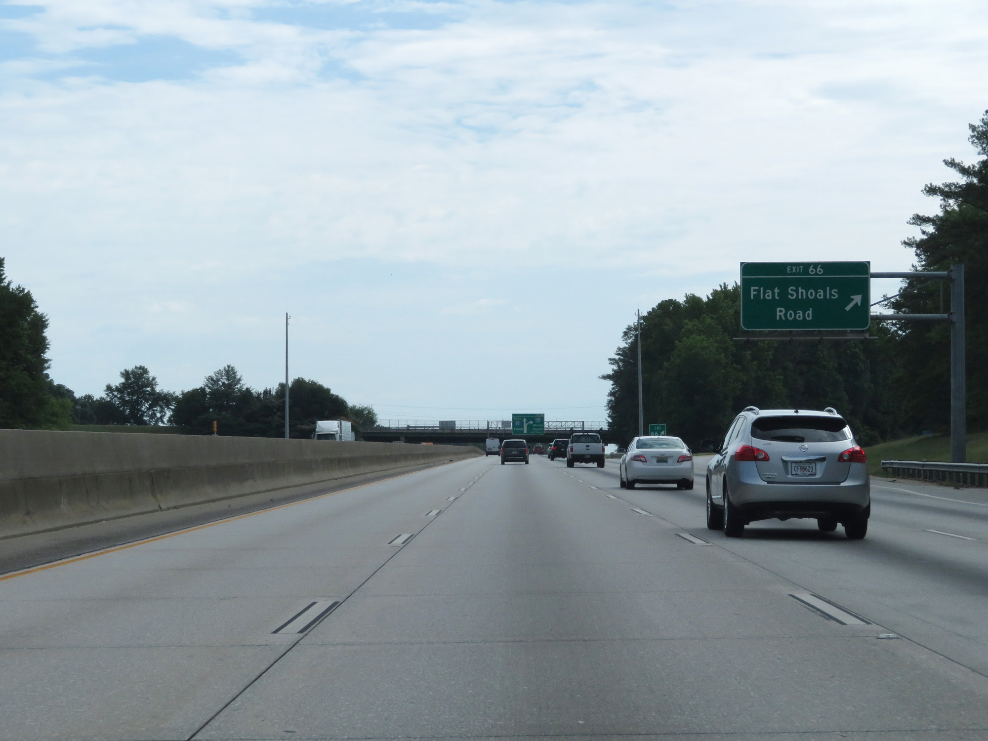 |
Interstate 85 North at Exit 66: Flat Shoals Road (Photo taken 5/27/17). |
 |
Approaching the junction of Interstate 285 ("The Perimeter"), the speed limit decreases to 65 mph. (Photo taken 5/27/17). |
 |
Interstate 85 North approaching Exit 68 - 1 mile. (Photo taken 5/27/17). |
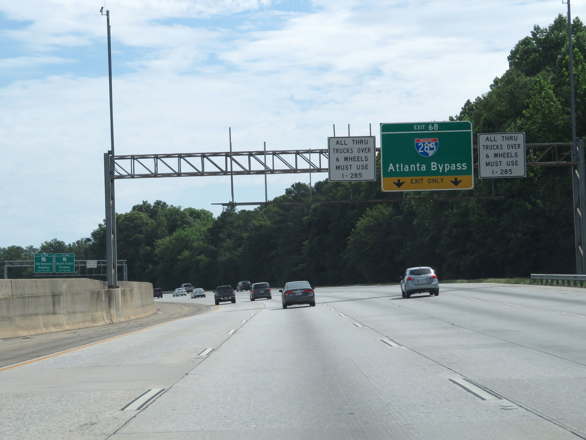 |
As these signs read, all thru trucks over 6 wheels must use Interstate 285 to bypass downtown Atlanta. (Photo taken 5/27/17). |
 |
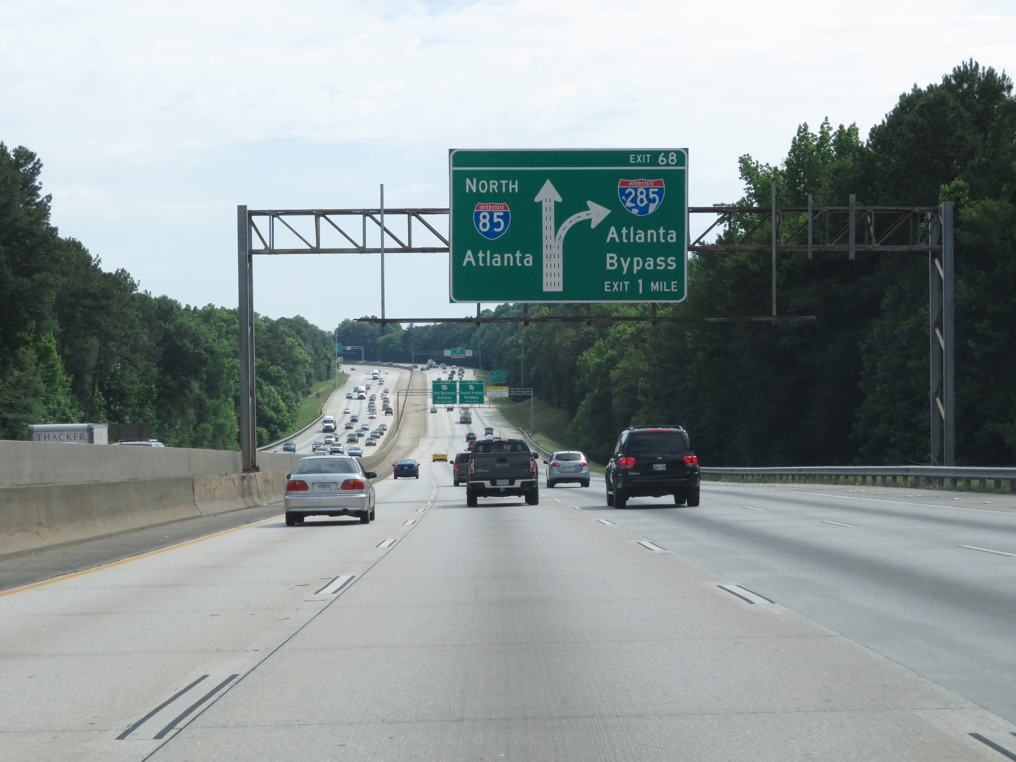
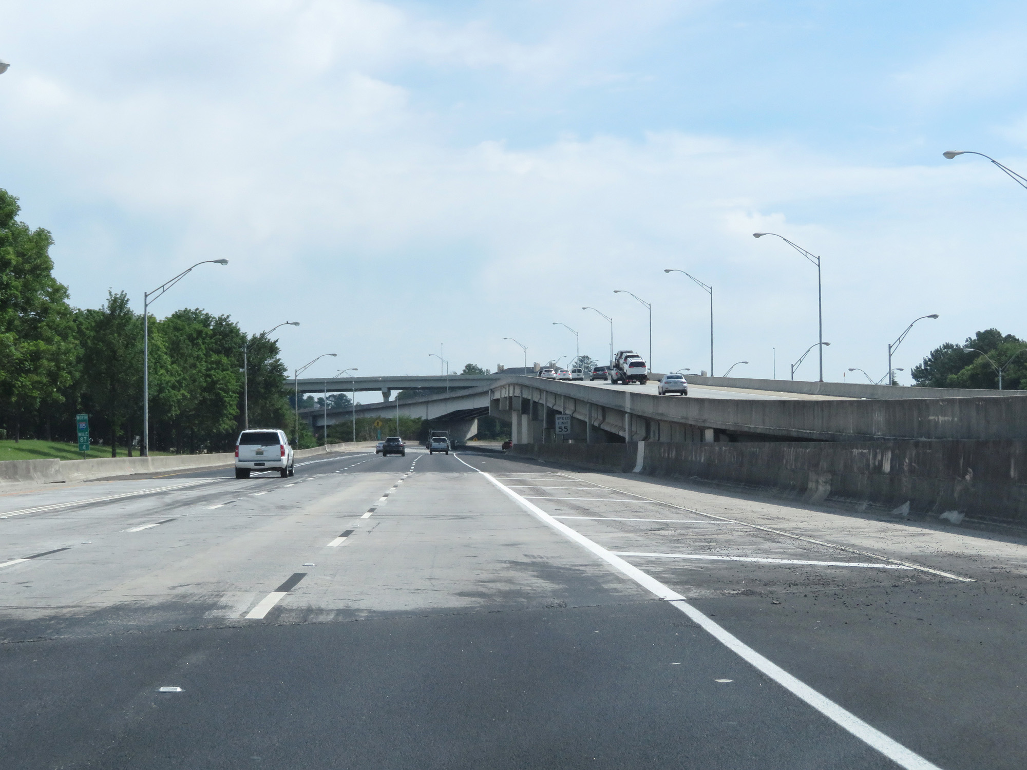
Interstate 85 North at Exit 68: Interstate 285 - Atlanta Bypass / International Terminals (Photo taken 5/27/17). |
Section 2: College Park (Exit 68) to Doraville (Exit 95)
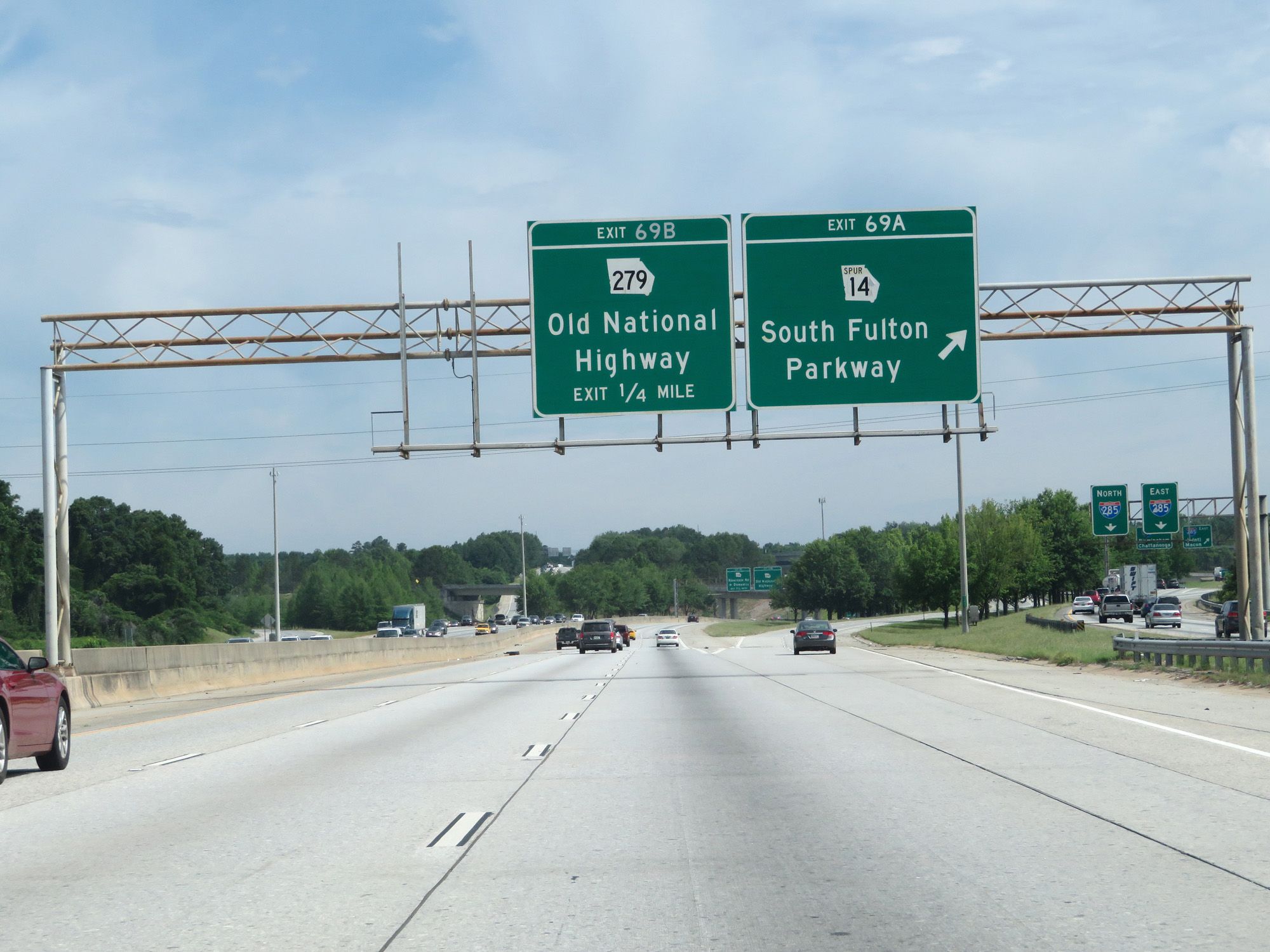 |
Interstate 85 North at Exit 69A: GA 14 Spur - South Fulton Parkway (Photo taken 5/27/17). |
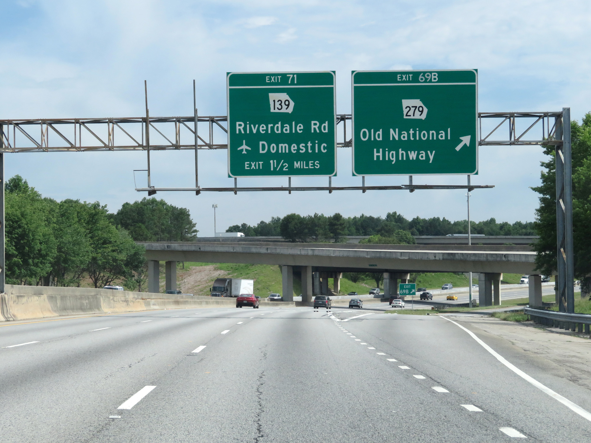 |
Interstate 85 North at Exit 69B: GA 279 - Old National Highway (Photo taken 5/27/17). |
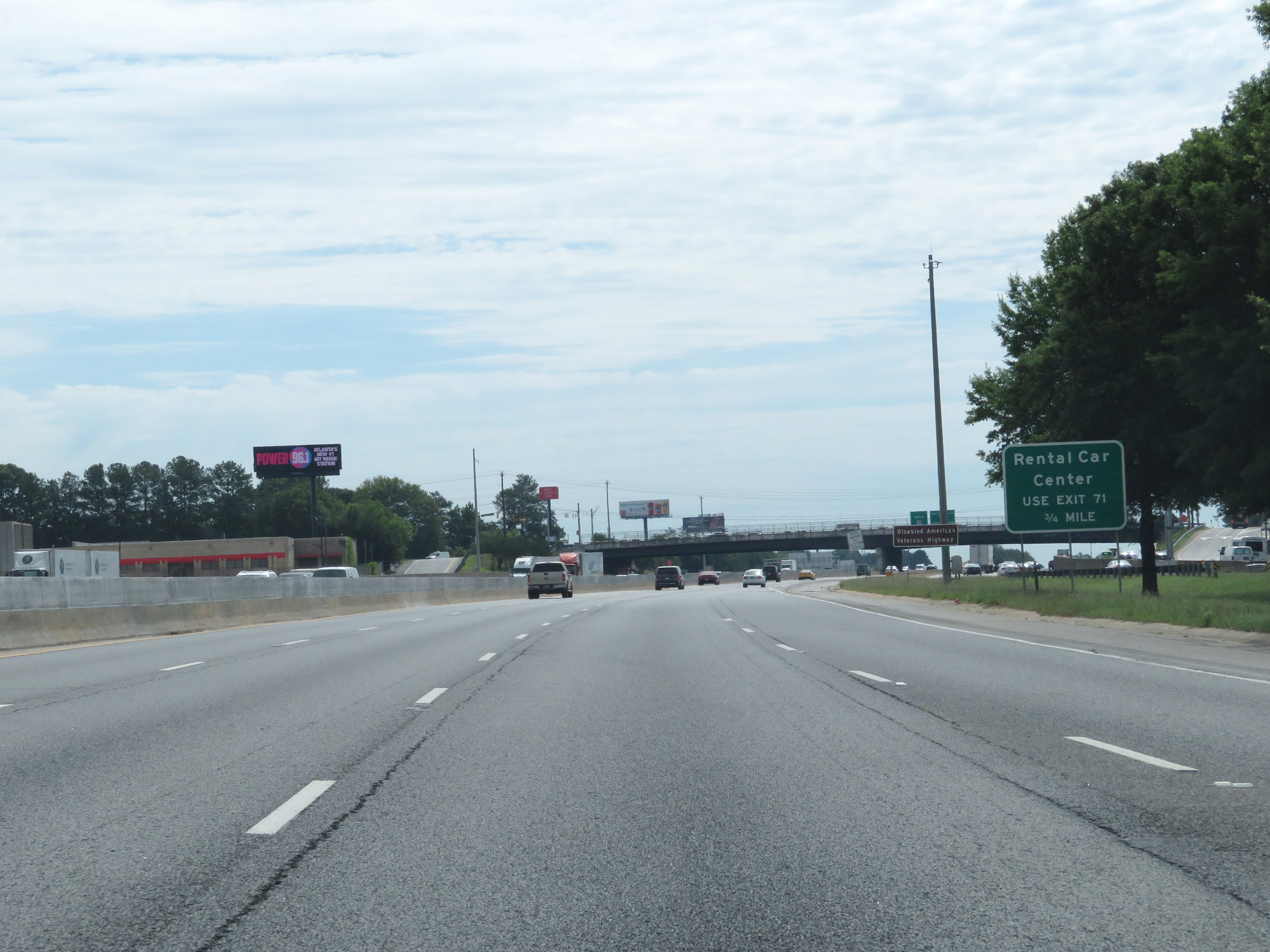 |
Take Exit 71 to the Rental Car Center. (Photo taken 5/27/17). |
 |
View on Interstate 85 North, as Interstate 285 Outer Loop (East) runs directly beside it on the right. The two highways don't share any concurrency with one another. (Photo taken 5/27/17). |
 |
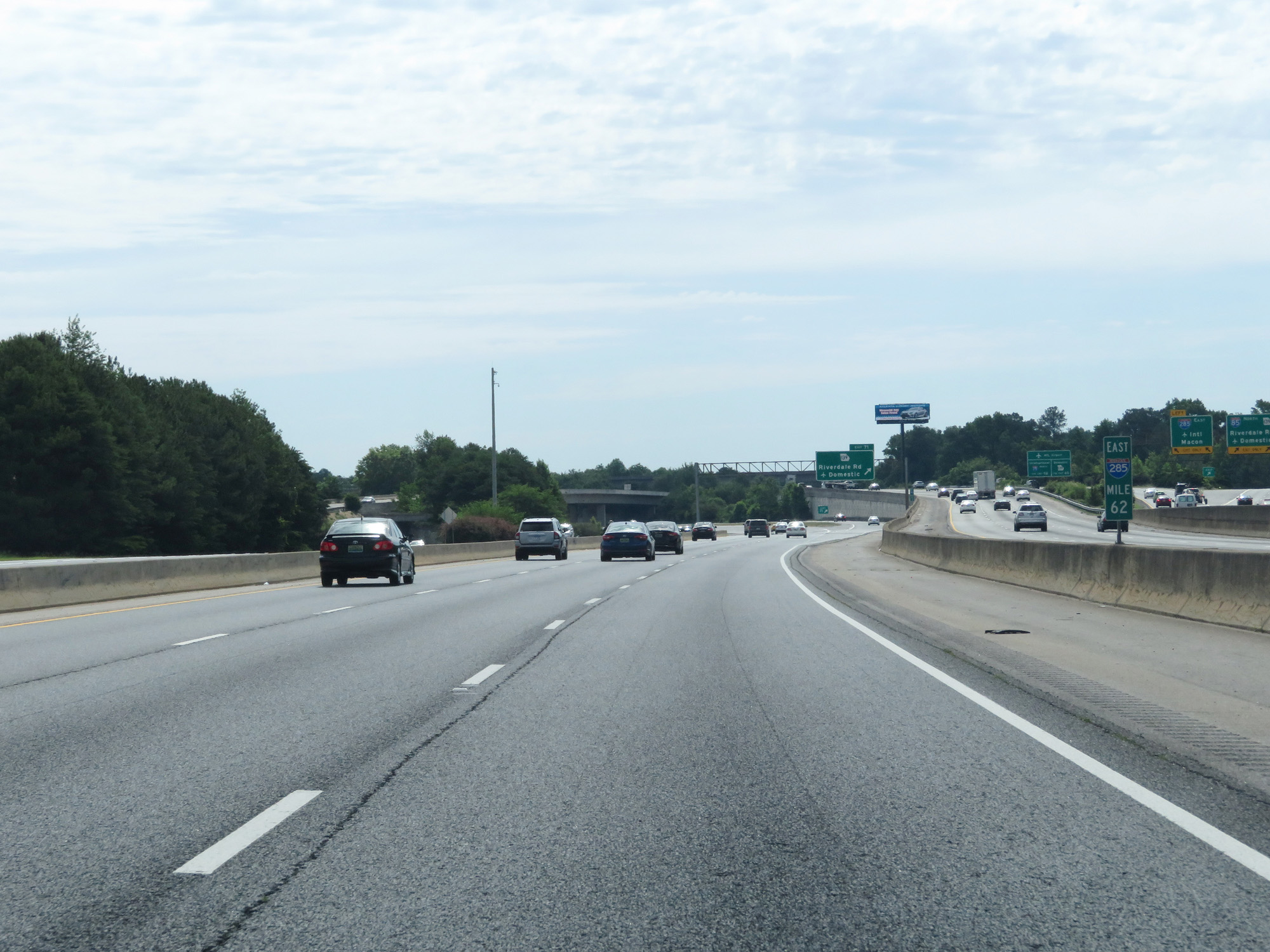
Interstate 85 North at Exit 71: GA 139 - Riverdale Rd / Domestic Terminals (Photo taken 5/27/17). |
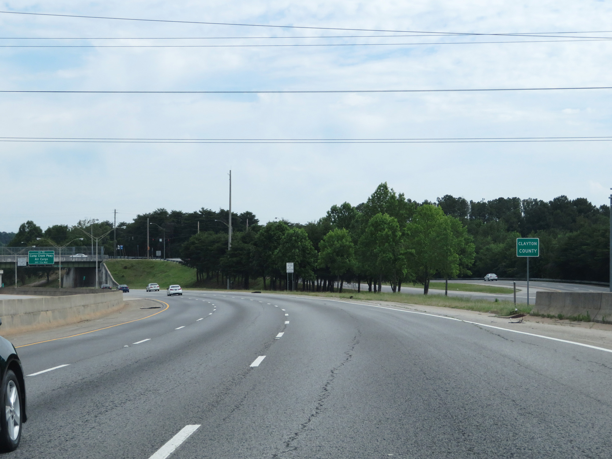 |
Interstate 85 North entering Clayton County, as it curves to the north away from Interstate 285. (Photo taken 5/27/17). |
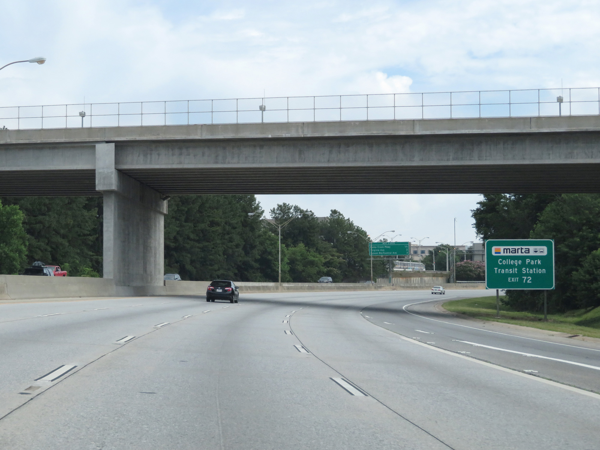 |
Take Exit 72 to College Park Transit Station. (Photo taken 5/27/17). |
 |
Interstate 85 North at Exit 72: Camp Creek Parkway / Air Cargo (Photo taken 5/27/17). |
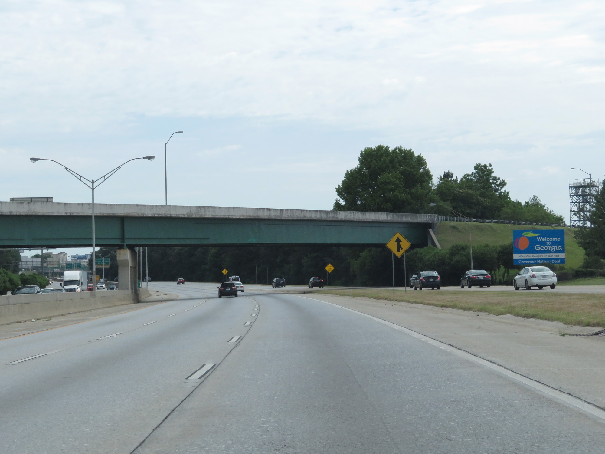 |
A Georgia welcome sign for those who flew into the airport and are now merging onto Interstate 85 North. (Photo taken 5/27/17). |
 |
Overhead mileage sign listing the distances to the next 3 exits on Interstate 85 North. (Photo taken 5/27/17). |
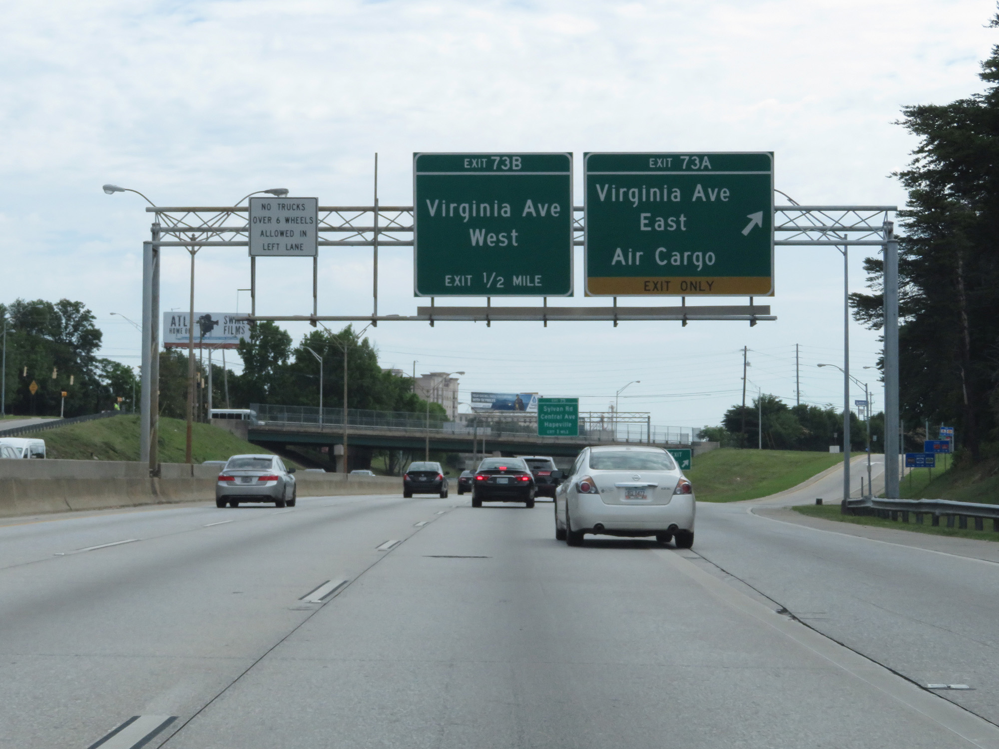 |
Interstate 85 North at Exit 73A: Virginia Ave East / Air Cargo (Photo taken 5/27/17). |
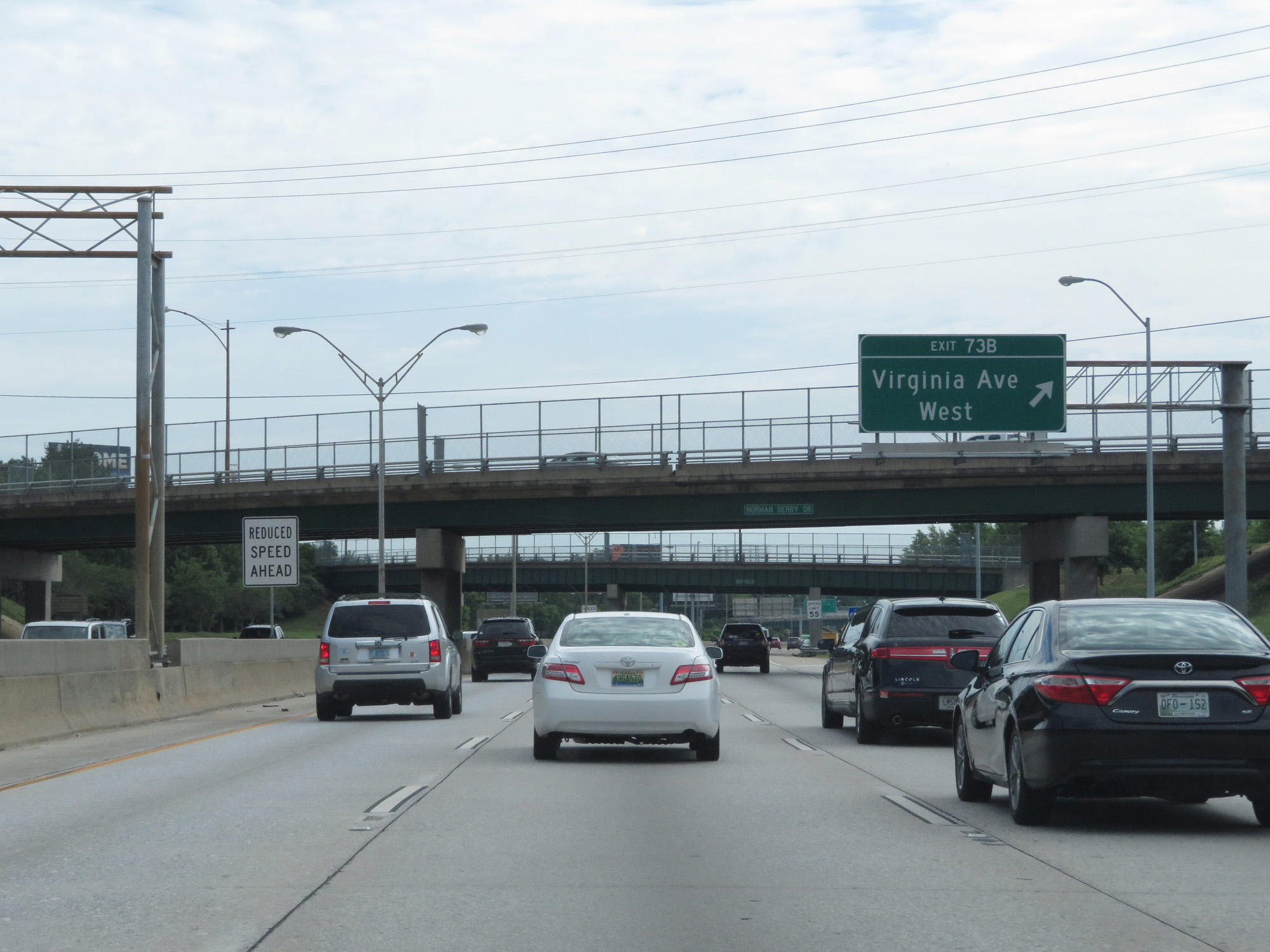 |
Interstate 85 North at Exit 73B: Virginia Ave West (Photo taken 5/27/17). |
 |
Approaching Exit 75, the speed limit decreases to 55 mph and remains that way through downtown Atlanta. (Photo taken 5/27/17). |
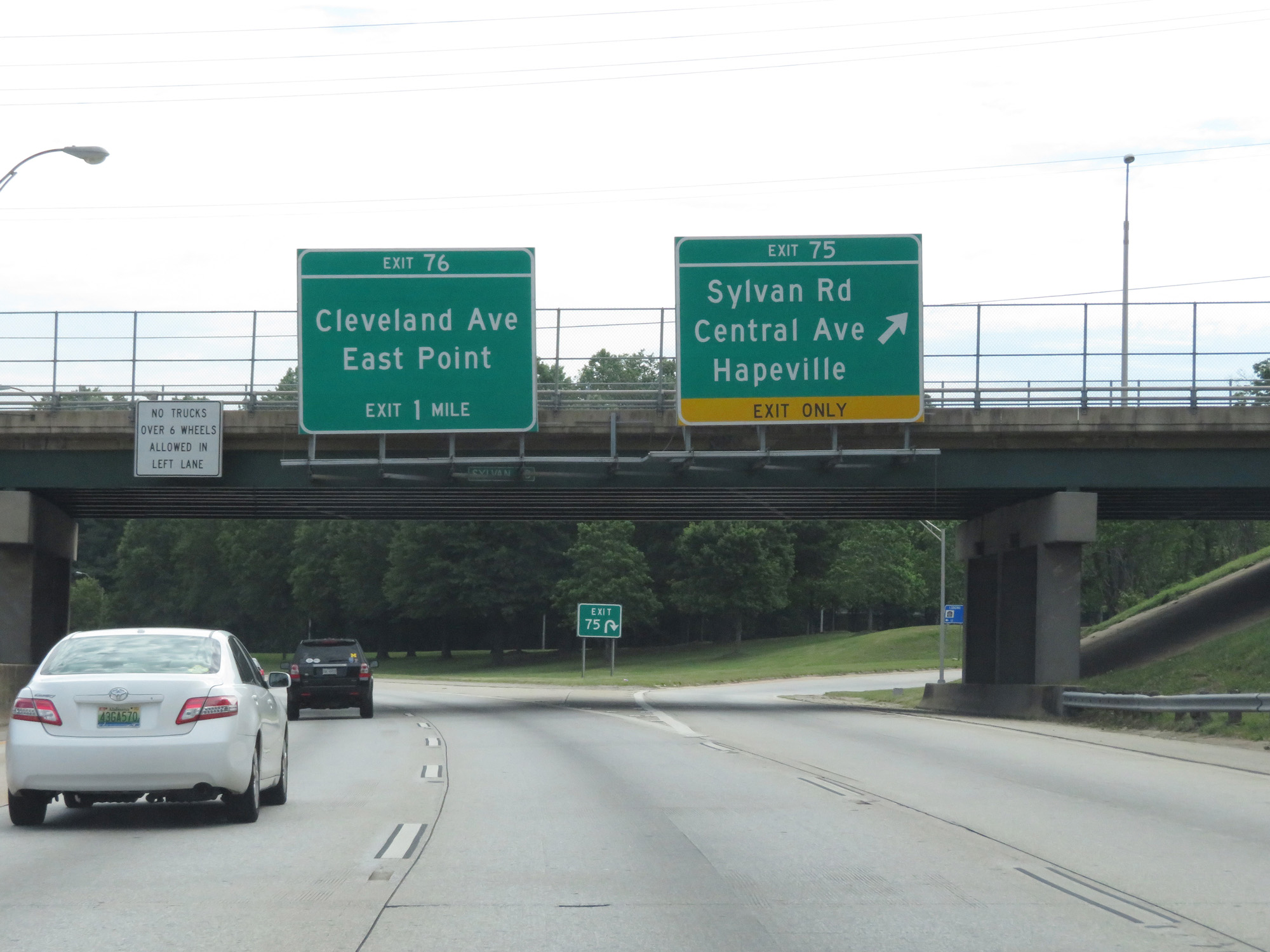 |
Interstate 85 North at Exit 75: Sylvan Rd / Central Ave / Hapeville (Photo taken 5/27/17). |
 |
Again, the speed limit is 55 mph through downtown Atlanta. (Photo taken 5/27/17). |
 |
Interstate 85 North at mile marker 75. (Photo taken 5/27/17). |
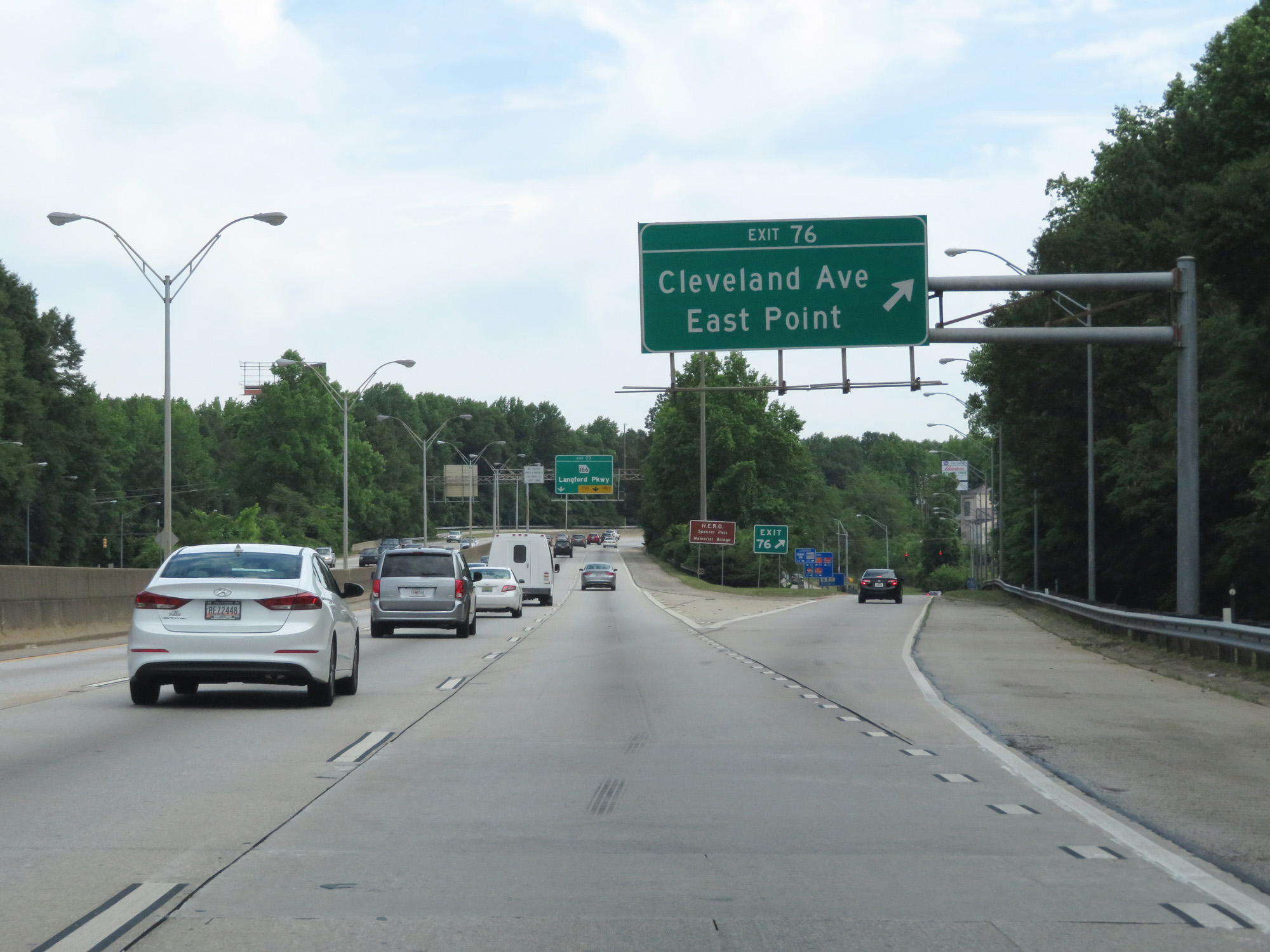 |
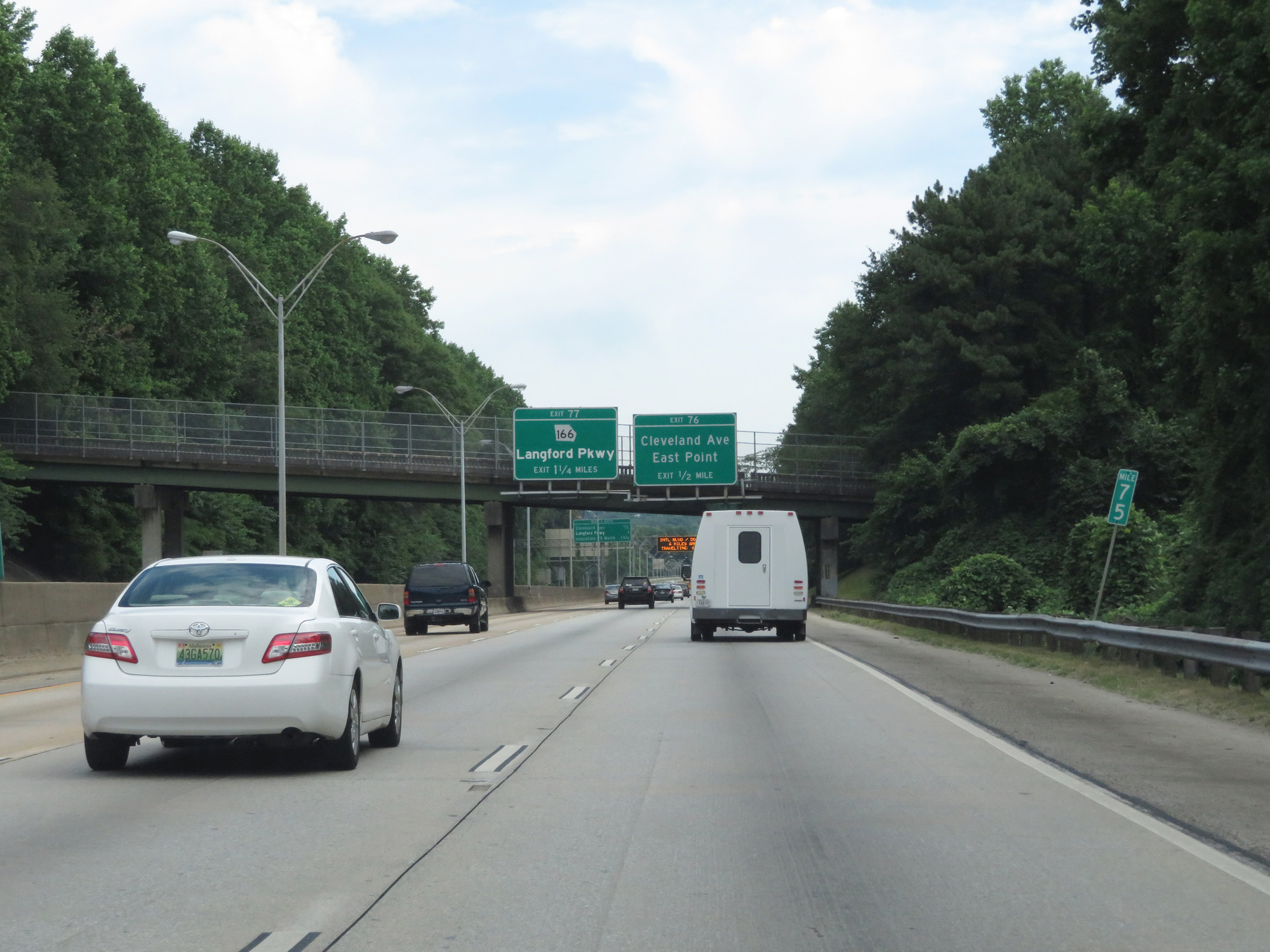
Interstate 85 North at Exit 76: Cleveland Ave / East Point (Photo taken 5/27/17). |
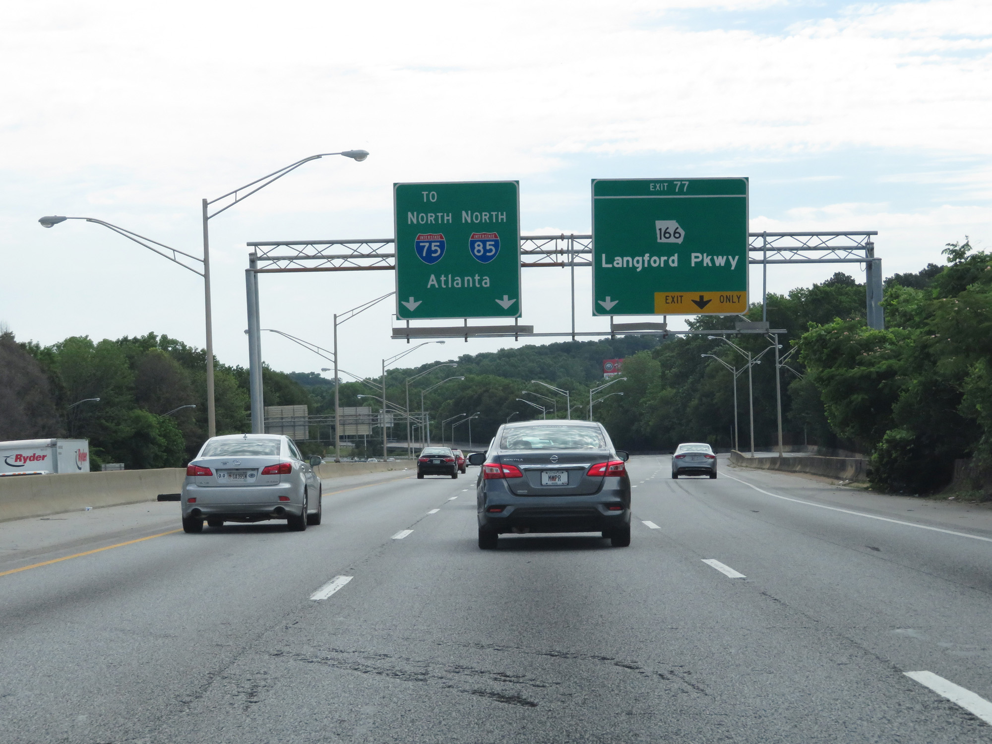 |
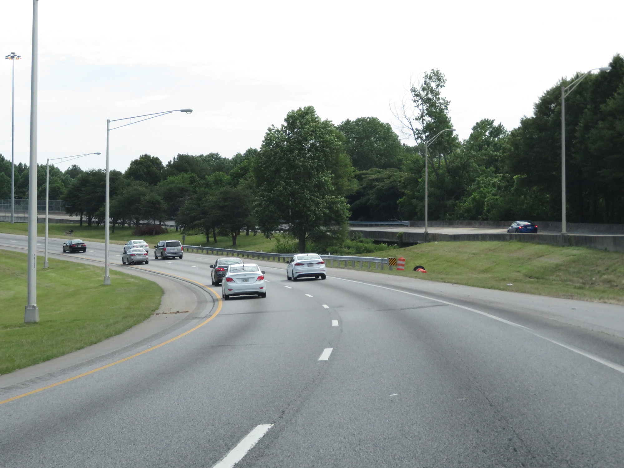
Interstate 85 North at Exit 77: GA 166 - Langford Pkwy (Photo taken 5/27/17). |
 |
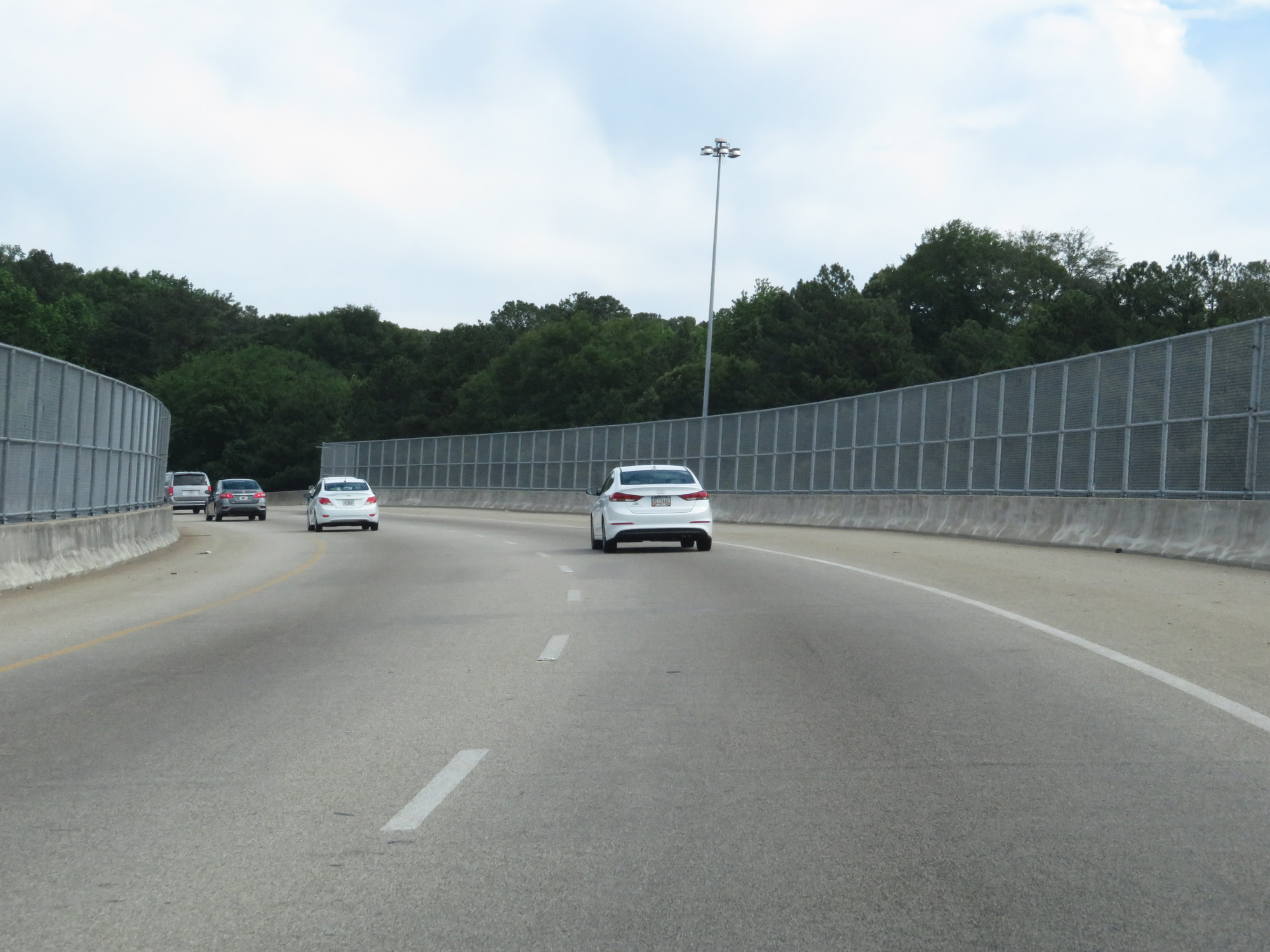
Interstate 85 North as it once again curves to the north in preparation to join up with Interstate 75 North into downtown. (Photo taken 5/27/17). |
 |
Interstate 85 North as it crosses over Interstate 75 before joining up with it just ahead. (Photo taken 5/27/17). |
 |
View on Interstate 85 North as it prepares to merge into Interstate 75 North for a roughly 8-mile concurrency into downtown Atlanta. (Photo taken 5/27/17). |
 |
Dual Interstate 85 North / Interstate 75 North reassurance shields as their concurrency begins. During it, the exit numbers and mileage are based on those of Interstate 75. (Photo taken 5/27/17). |
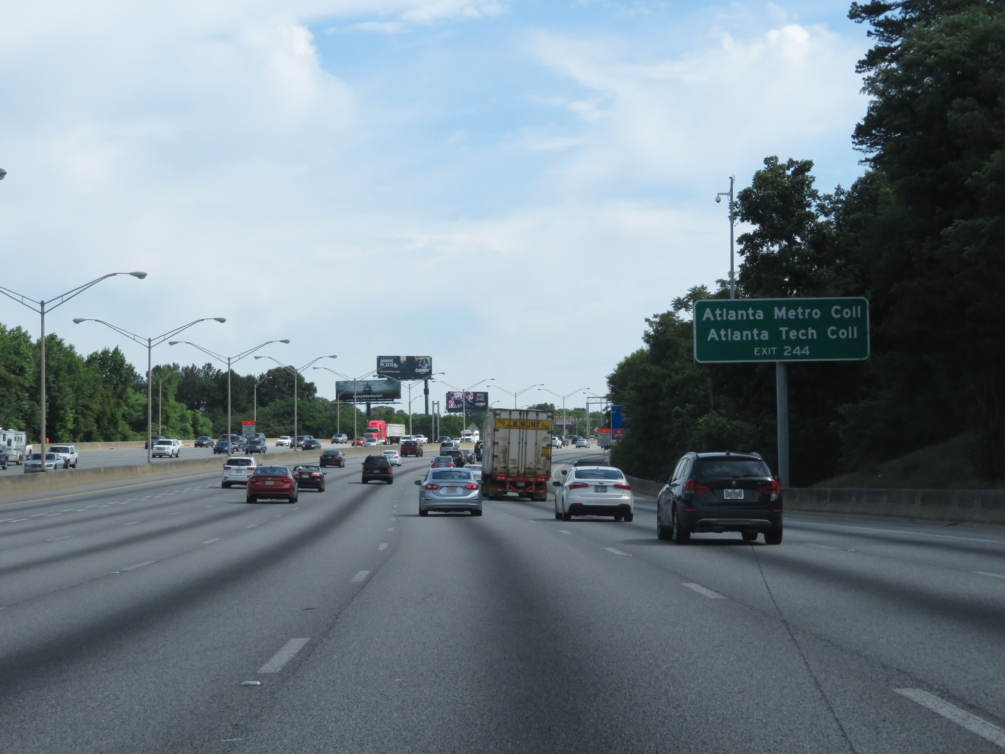 |
Take Exit 244 to Atlanta Metro College and Atlanta Tech College. (Photo taken 5/27/17). |
 |
Interstate 85 North / Interstate 75 North at Exit 244: University Ave / Pryor St (Photo taken 5/27/17). |
 |
Take Exit 246 to Underground Atlanta, Georgia Dome, and Philips Arena. (Photo taken 5/27/17). |
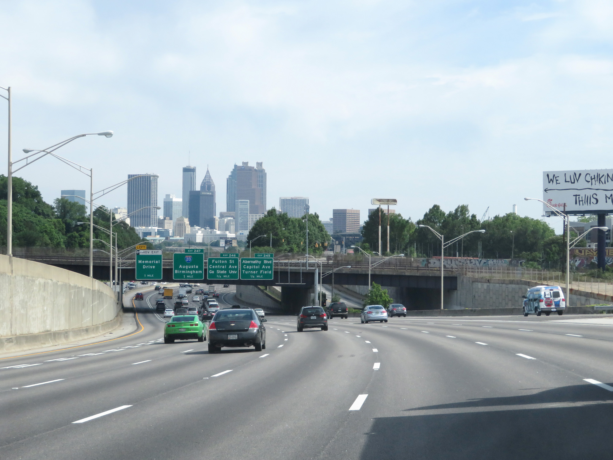 |
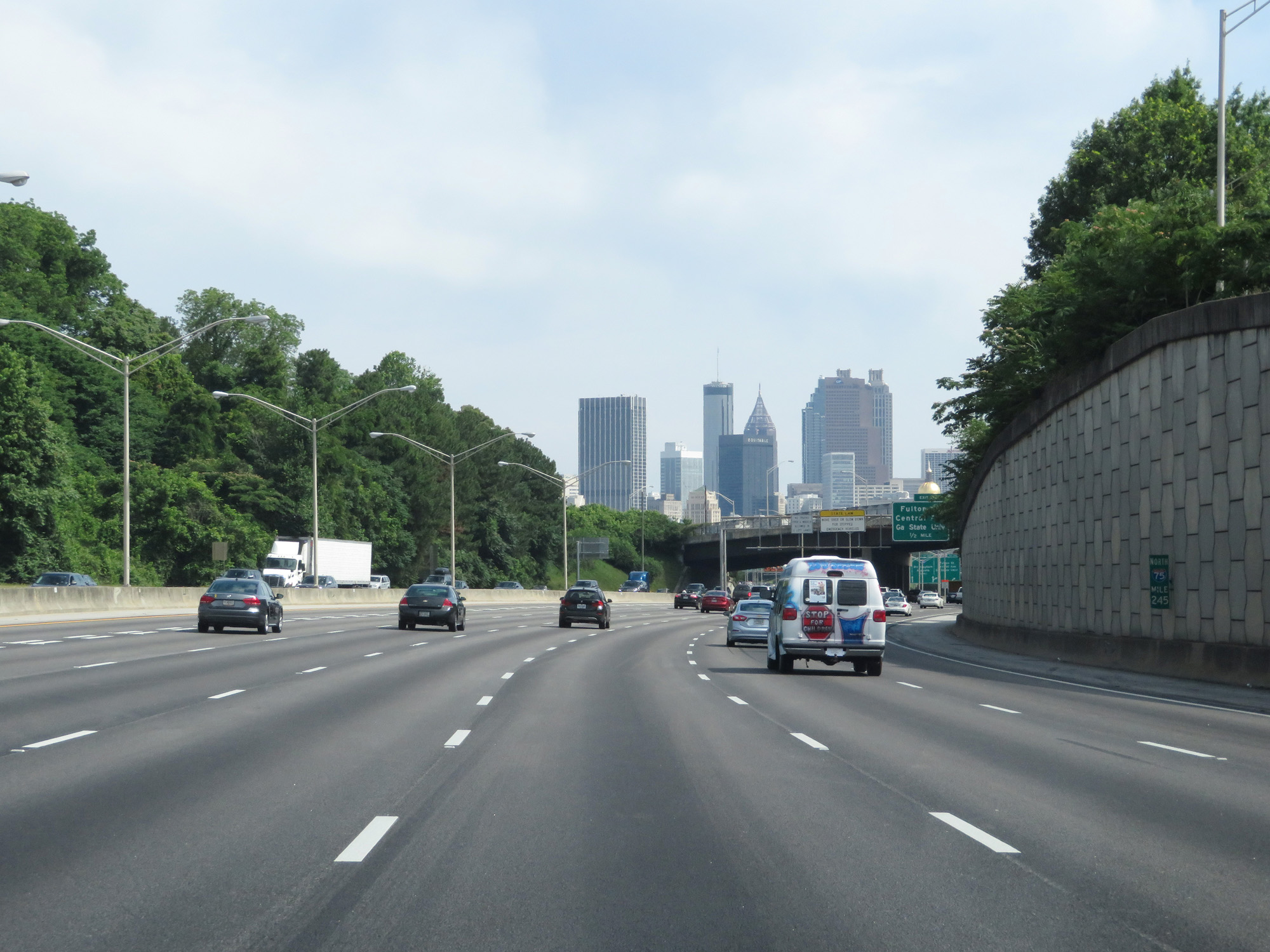
View on Interstate 85 North / Interstate 75 North as you get one of the first good views of downtown Atlanta. (Photo taken 5/27/17). |
 |
Interstate 85 North / Interstate 75 North approaching Exit 247 - 1 mile. (Photo taken 5/27/17). |
 |
Interstate 85 North / Interstate 75 North at mile marker 245. (Photo taken 5/27/17). |
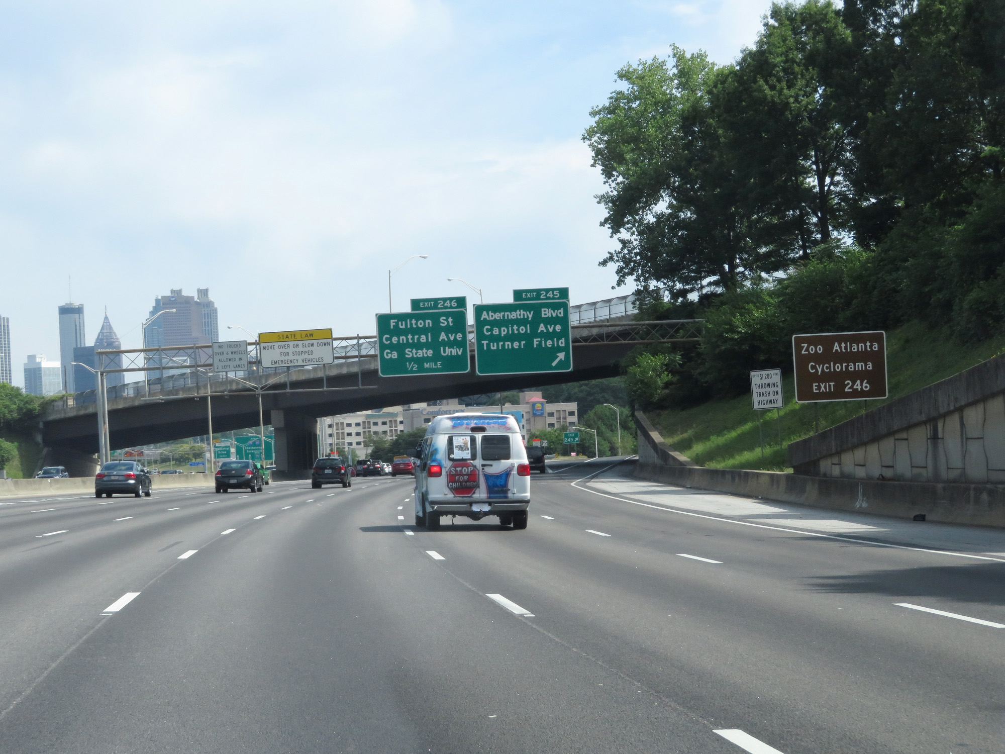 |
Take Exit 246 to Zoo Atlanta and Cyclorama. (Photo taken 5/27/17). |
 |
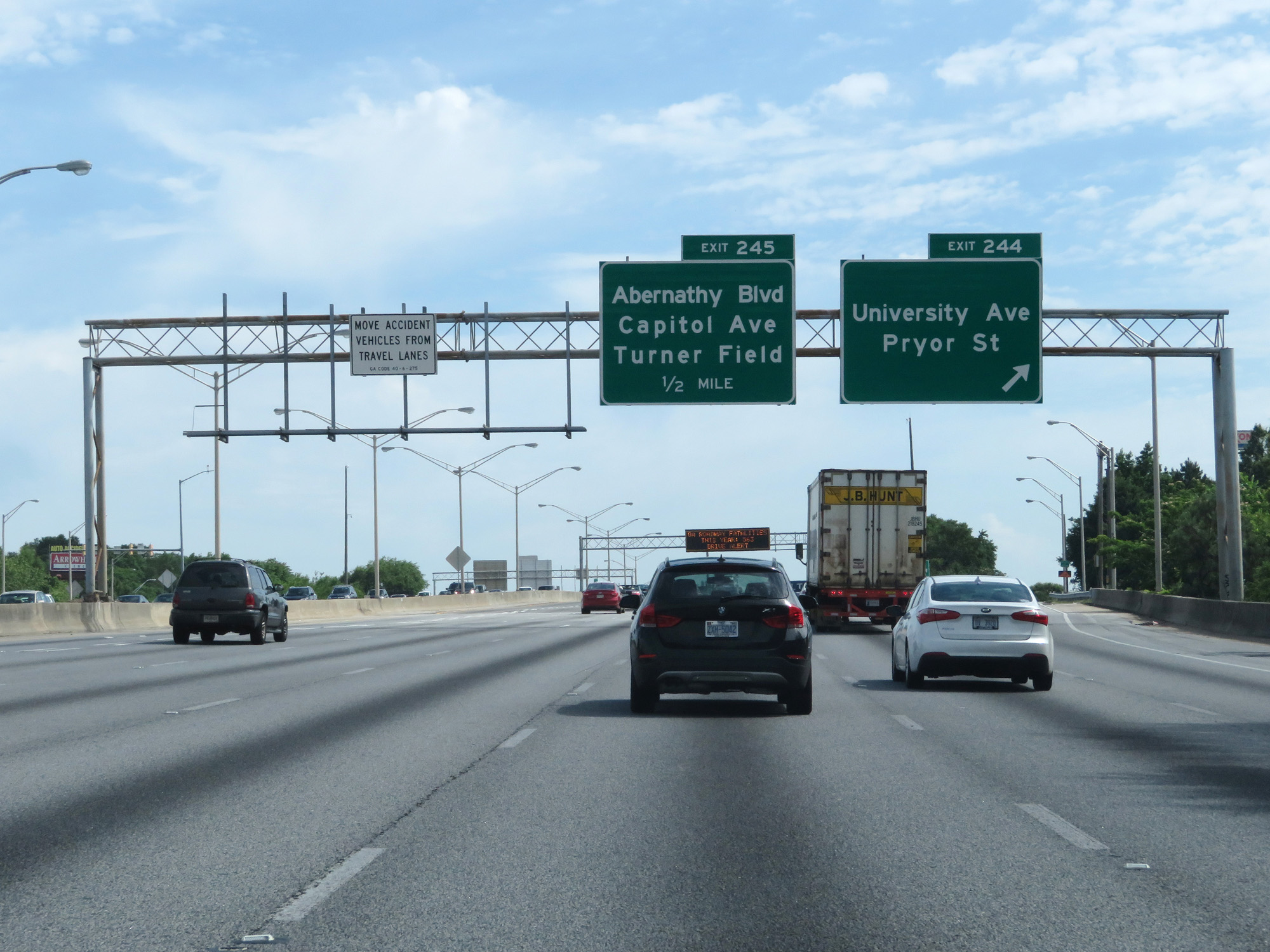
Interstate 85 North / Interstate 75 North at Exit 245: Abernathy Blvd / Capitol Ave / Turner Field (Photo taken 5/27/17). |
 |
Interstate 85 North / Interstate 75 North at Exit 246: Fulton St / Central Ave / GA State University (Photo taken 5/27/17). |
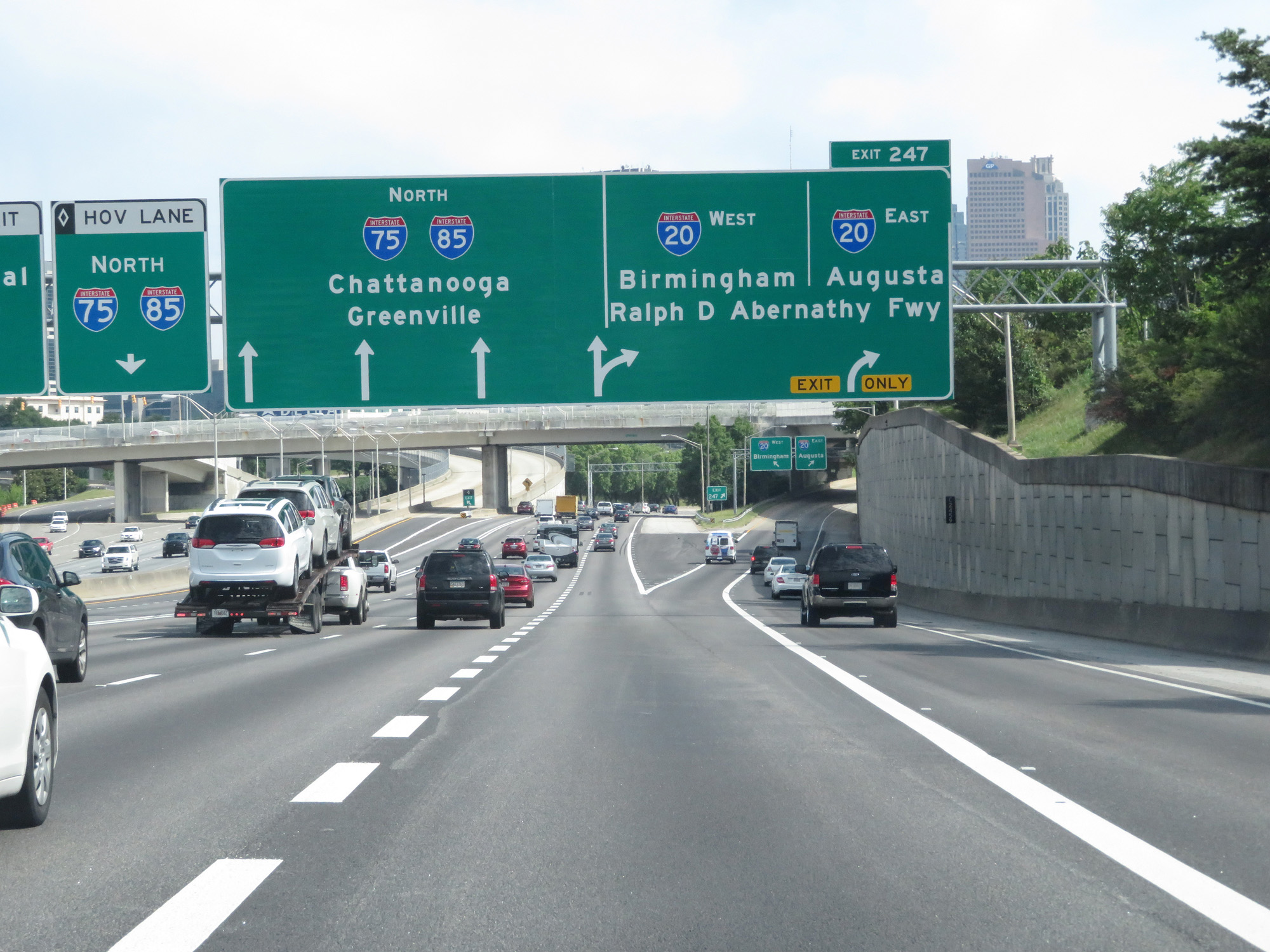 |
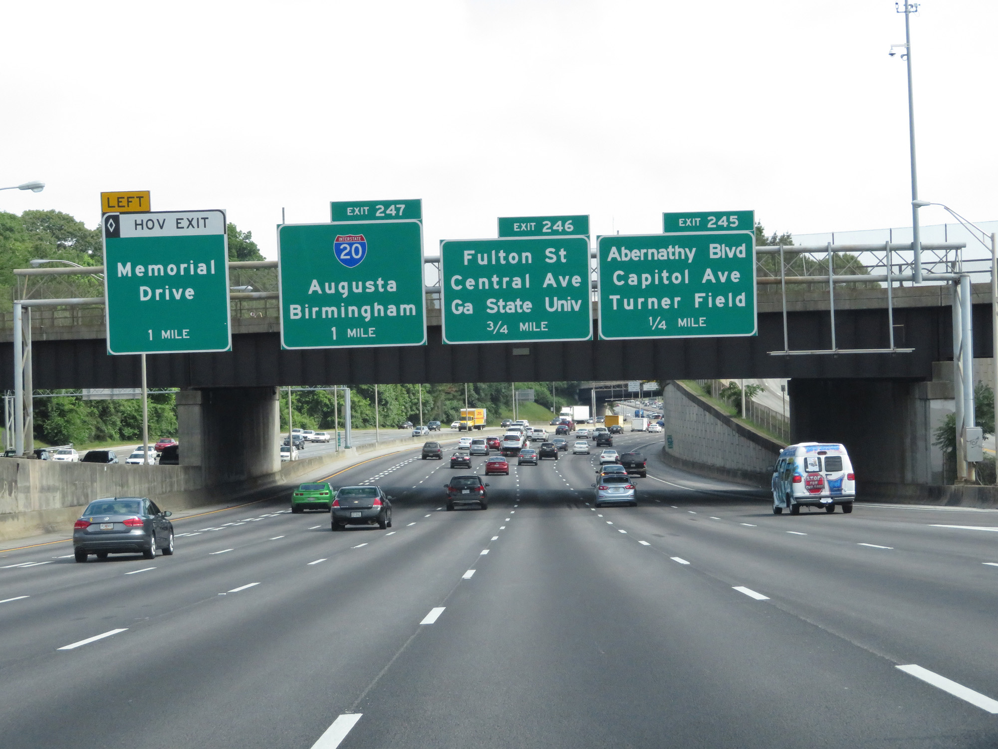
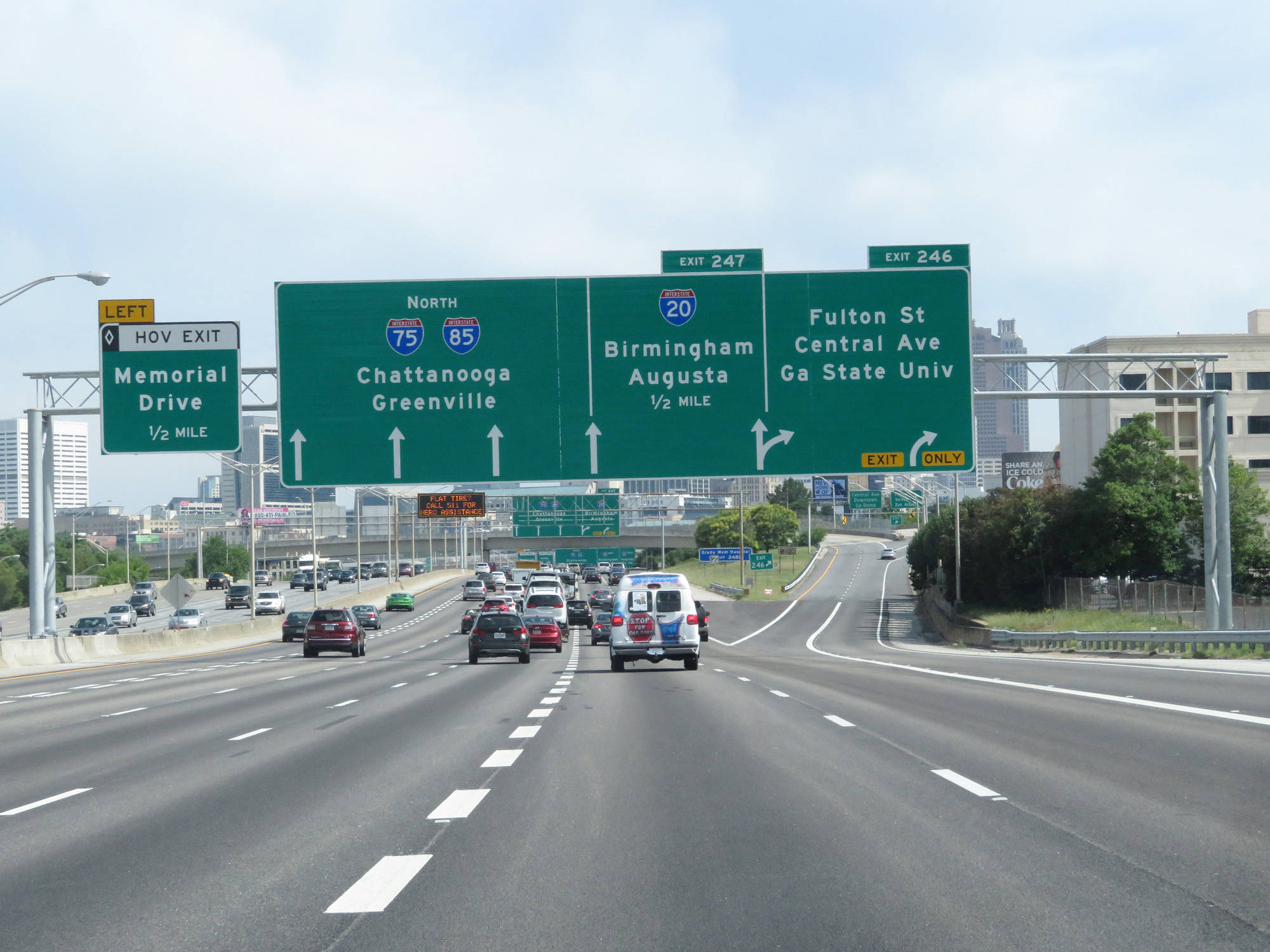
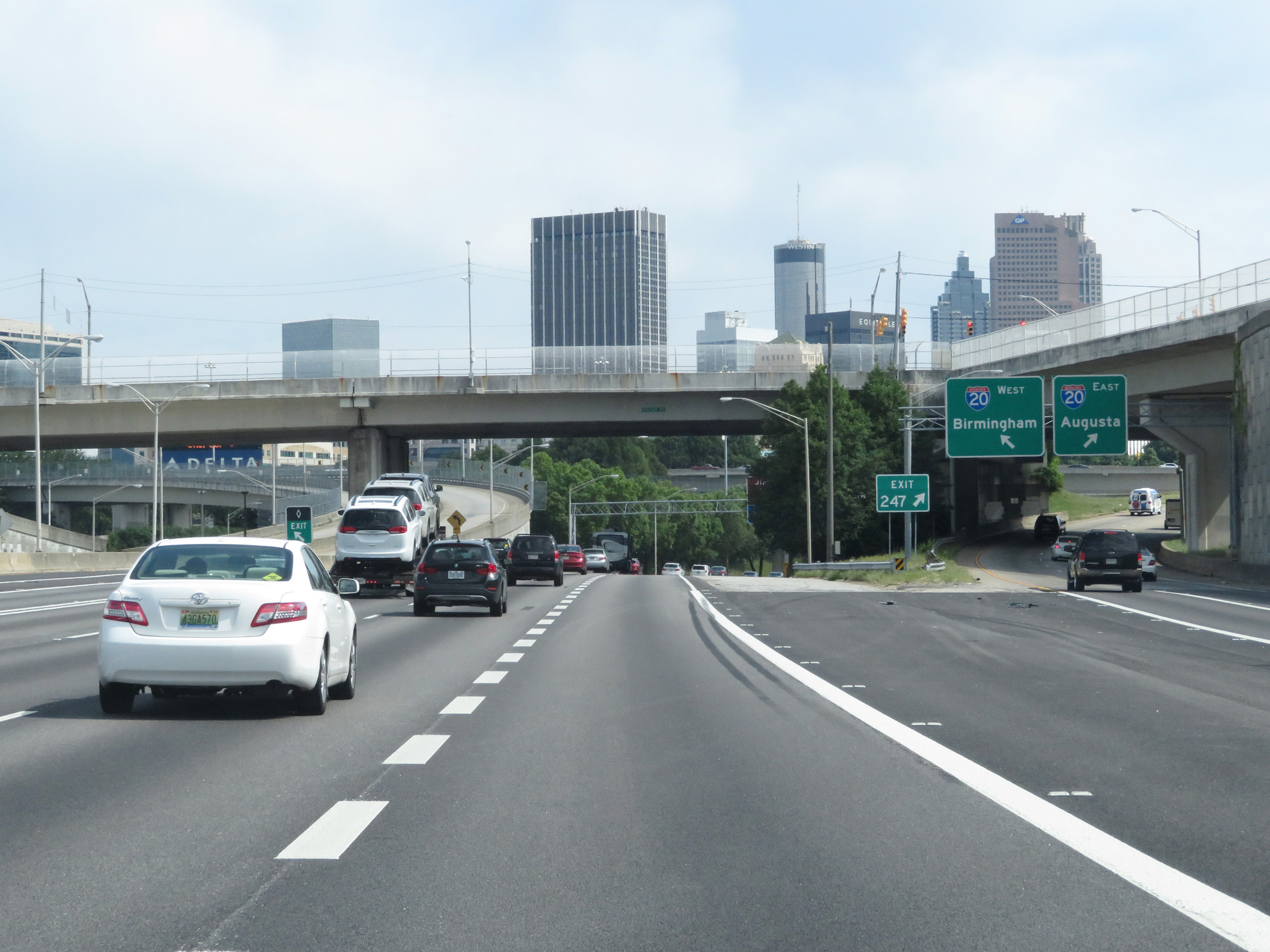
Interstate 85 North / Interstate 75 North at Exit 247: Interstate 20 / Ralph D. Abernathy Fwy / Birmingham / Augusta (Photo taken 5/27/17). |
 |
View of the ramp for Exit 247. (Photo taken 5/27/17). |
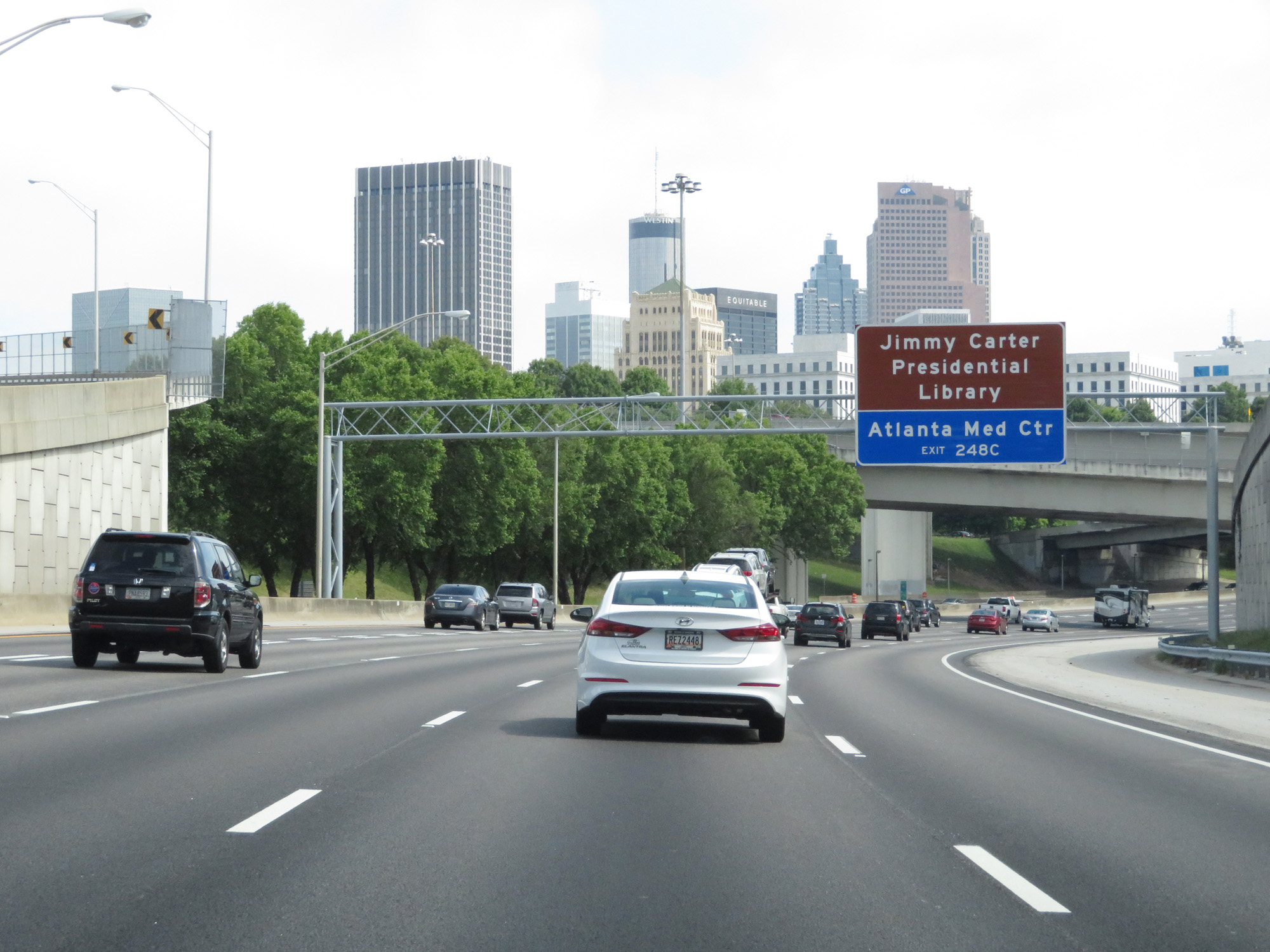 |
Take Exit 248C to Jimmy Carter Presidential Library and Atlanta Medical Center. (Photo taken 5/27/17). |
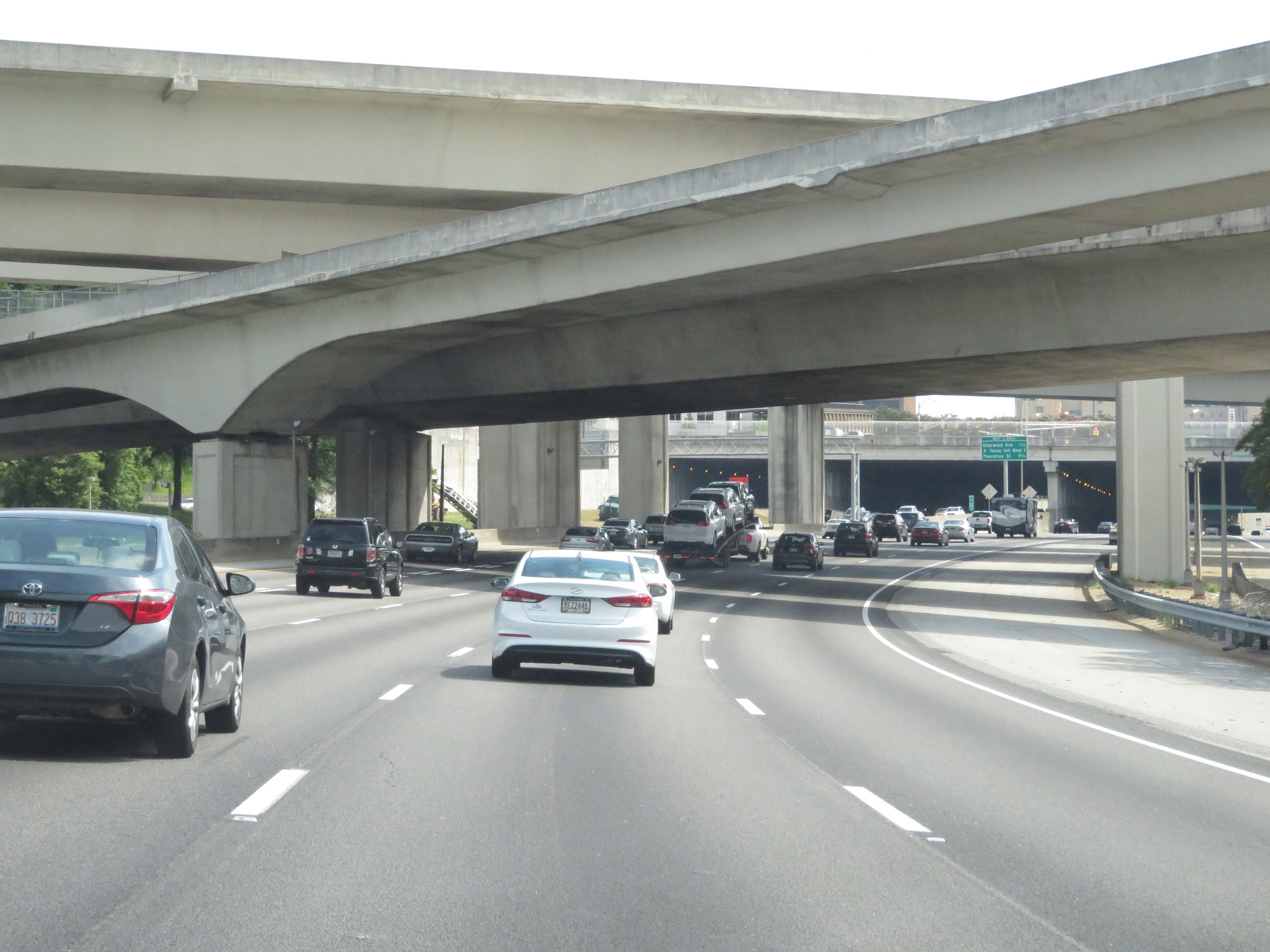 |
Interstate 85 North / Interstate 75 North passing under Interstate 20 and the ramps to and from it in downtown Atlanta. (Photo taken 5/27/17). |
 |
Interstate 85 North / Interstate 75 North at mile marker 246.4, as the duplex prepares to pass under Memorial Dr and Capitol Ave. (Photo taken 5/27/17). |
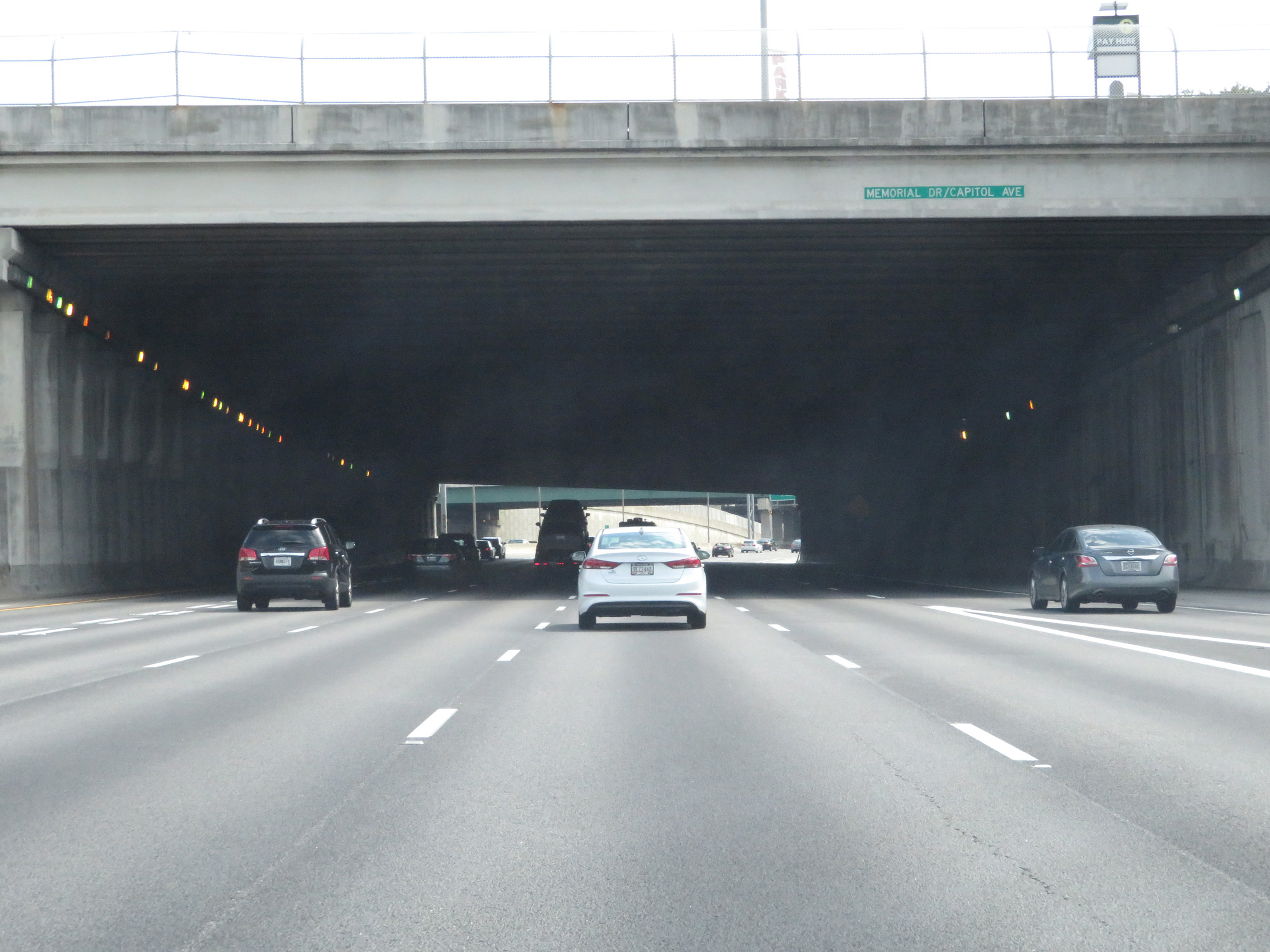 |
A closer view of the overpass for Memorial Dr / Capitol Ave. (Photo taken 5/27/17). |
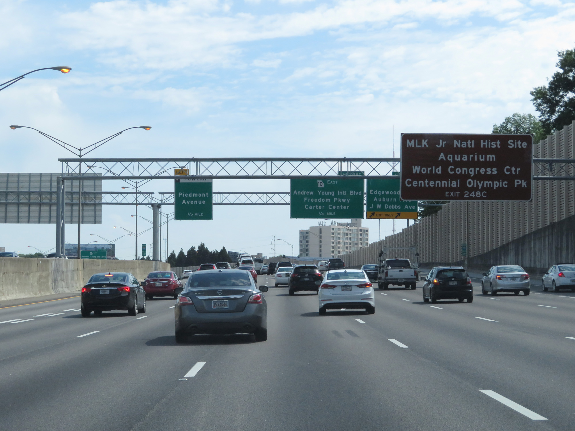 |
Take Exit 248C to MLK Jr. National Historic Site, the Aquarium, World Congress Center, and Centennial Olympic Park. (Photo taken 5/27/17). |
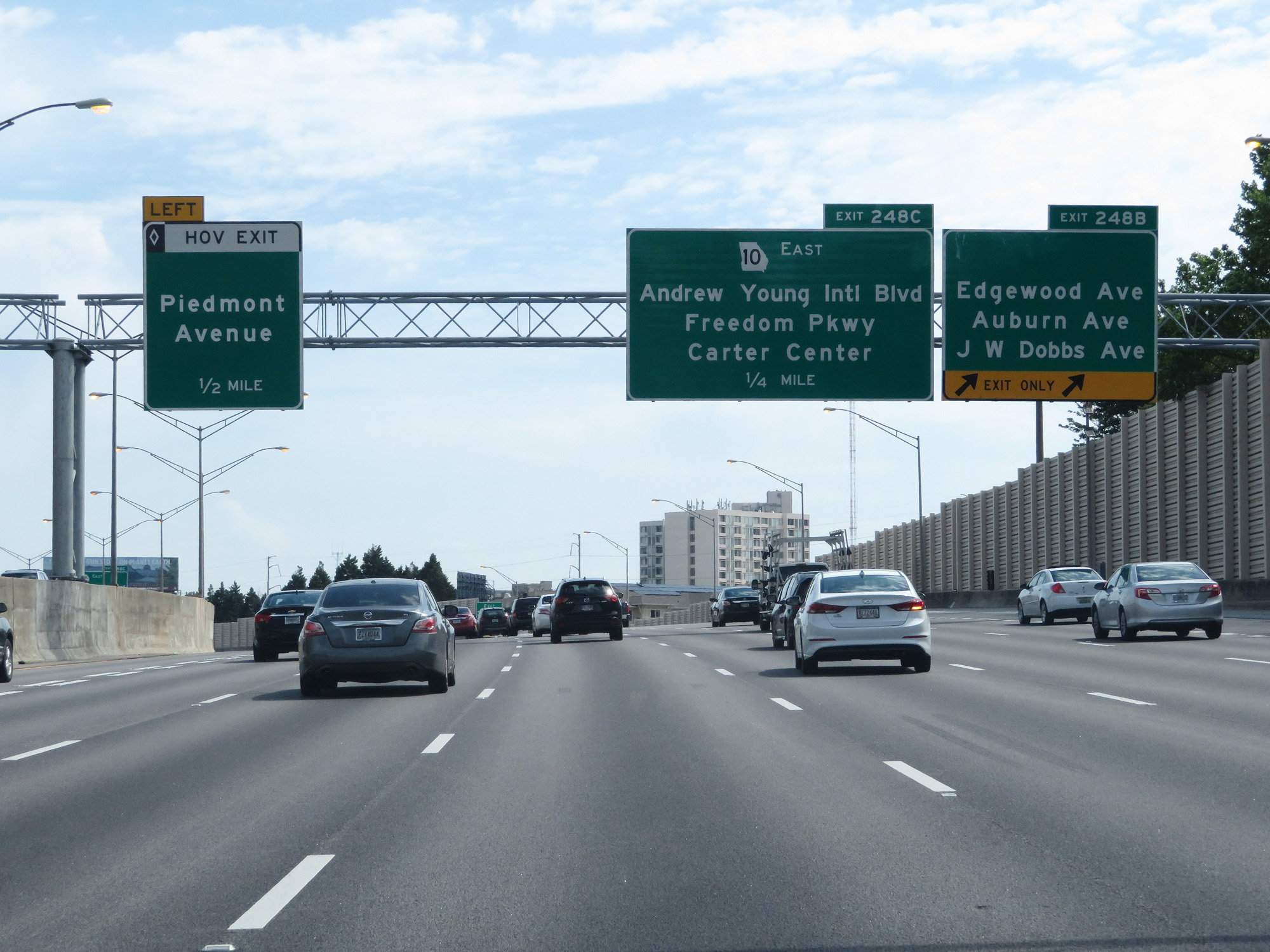 |
Interstate 85 North / Interstate 75 North at Exit 248B: Edgewood Ave / Auburn Ave / J.W. Dobbs Ave (Photo taken 5/27/17). |
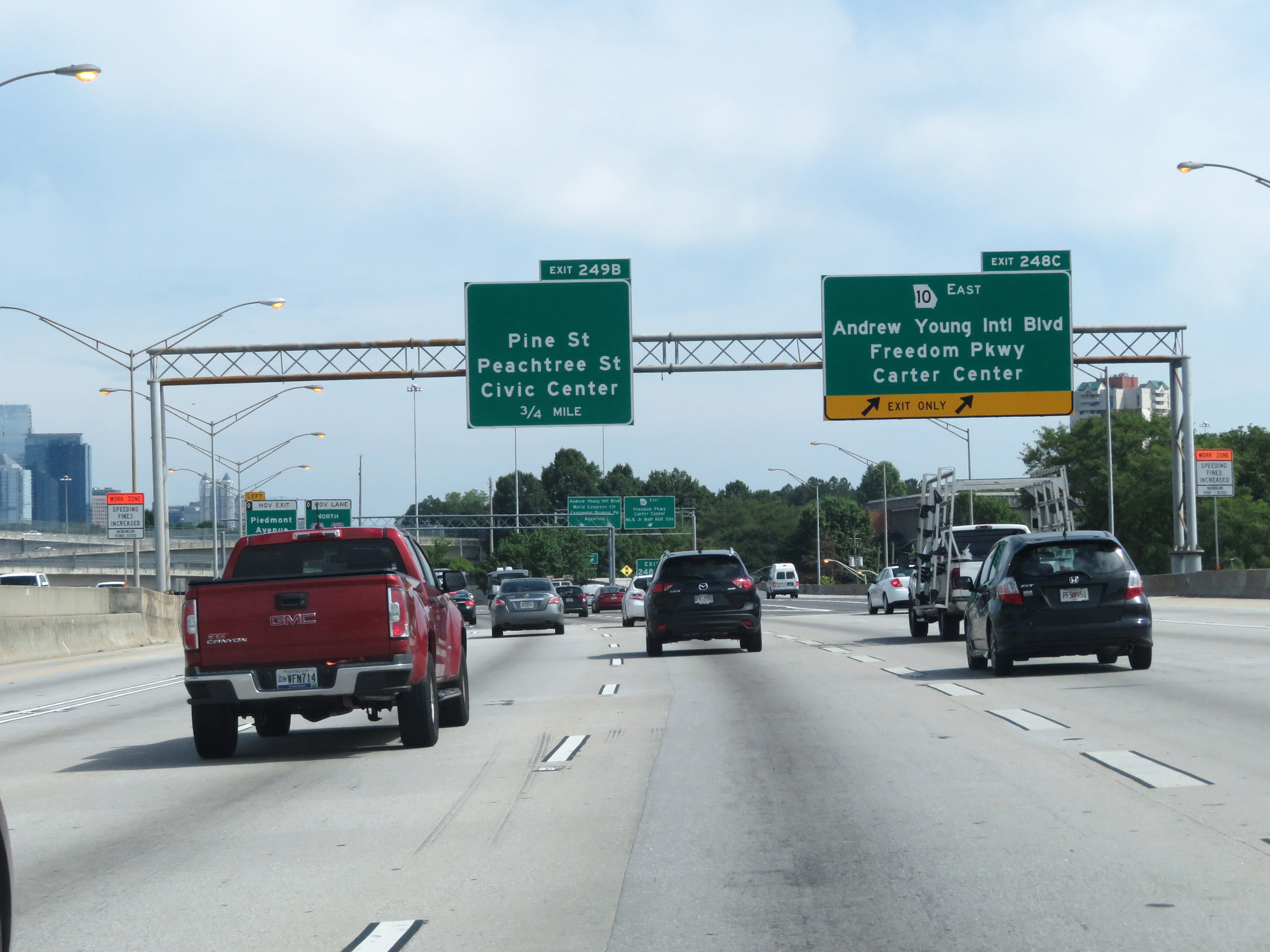 |
Interstate 85 North / Interstate 75 North at Exit 248C: GA 10 East - Andrew Young International Blvd / Freedom Pkwy / Carter Center (Photo taken 5/27/17). |
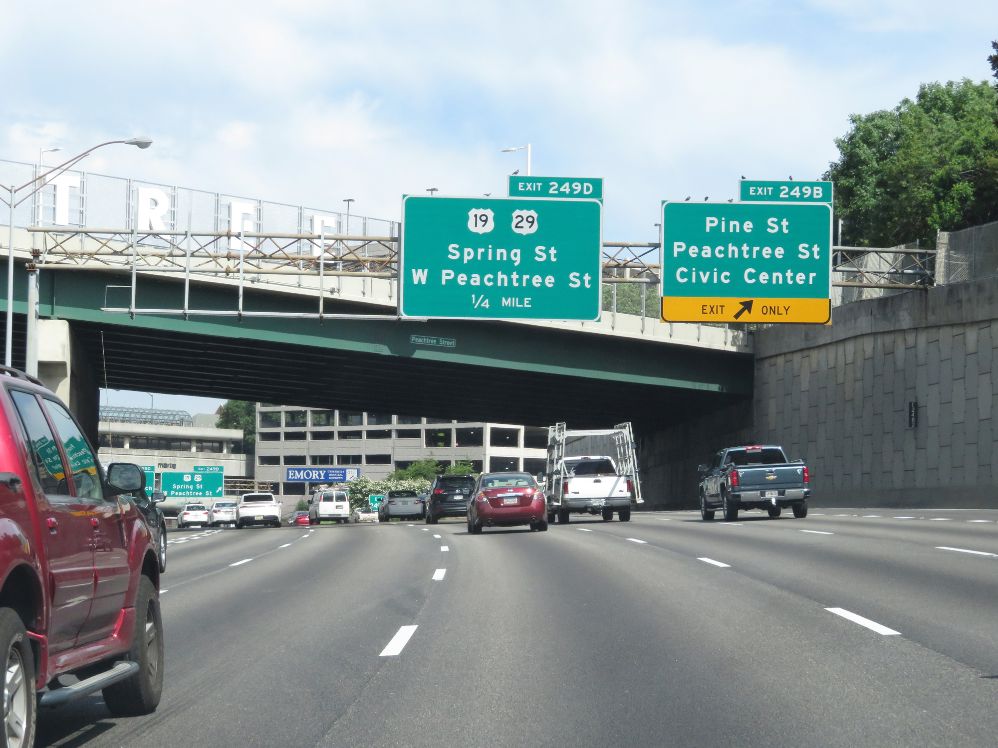 |
Interstate 85 North / Interstate 75 North at Exit 249B: Pine St / Peachtree St / Civic Center (Photo taken 5/27/17). |
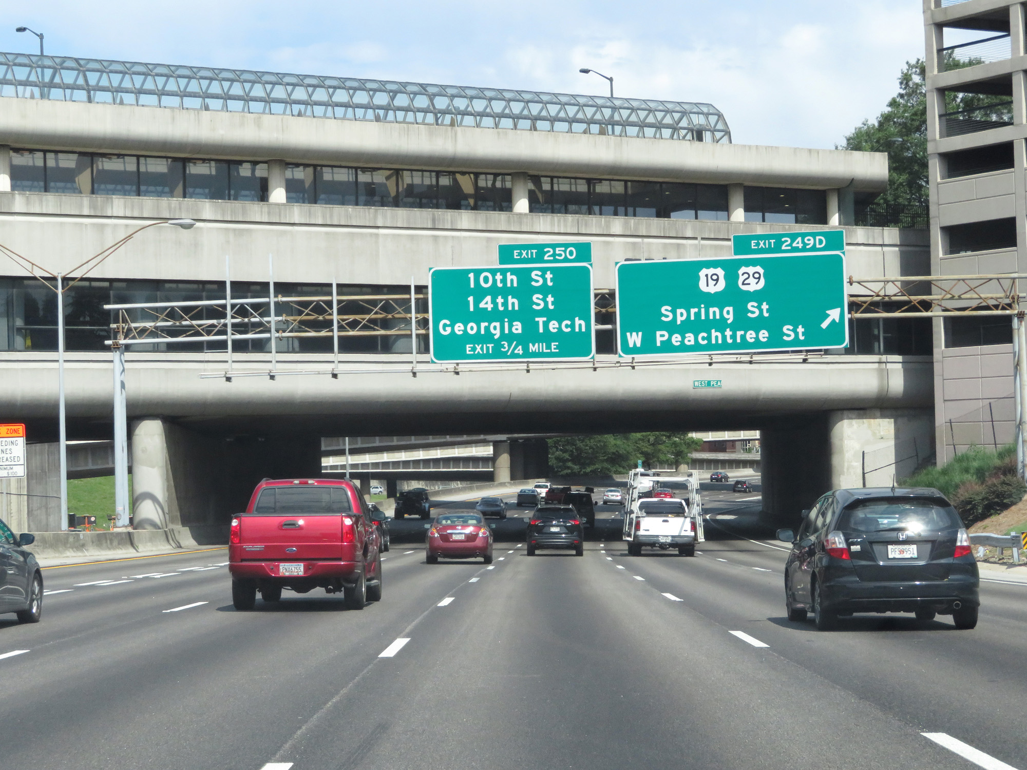 |
Interstate 85 North / Interstate 75 North at Exit 249D: US 19 / US 29 - Spring St / W Peachtree St (Photo taken 5/27/17). |
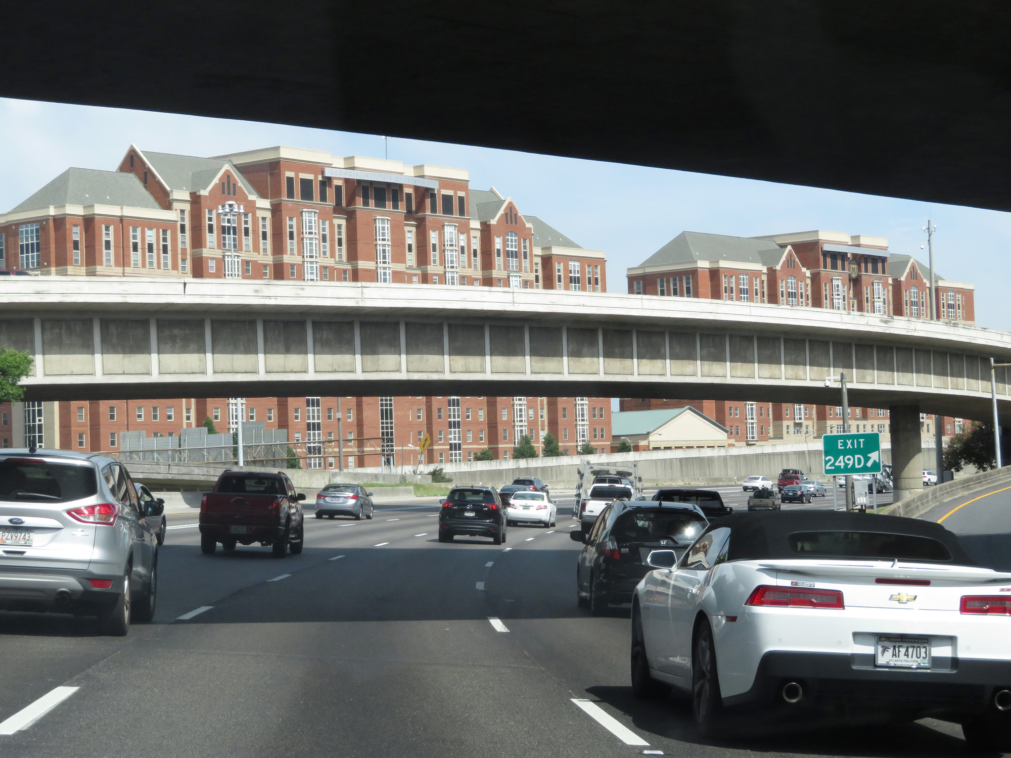 |
Gore point signage for Exit 249D. (Photo taken 5/27/17). |
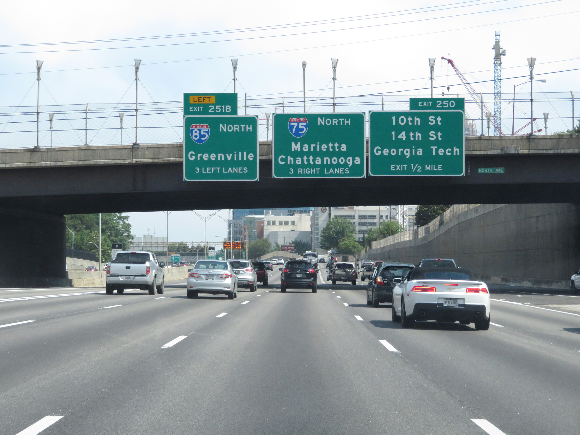 |
Nearing the northern end of the Interstate 85 / Interstate 75 concurrency, these guide signs state that Interstate 85 North traffic should use the 3 left lanes. (Photo taken 5/27/17). |
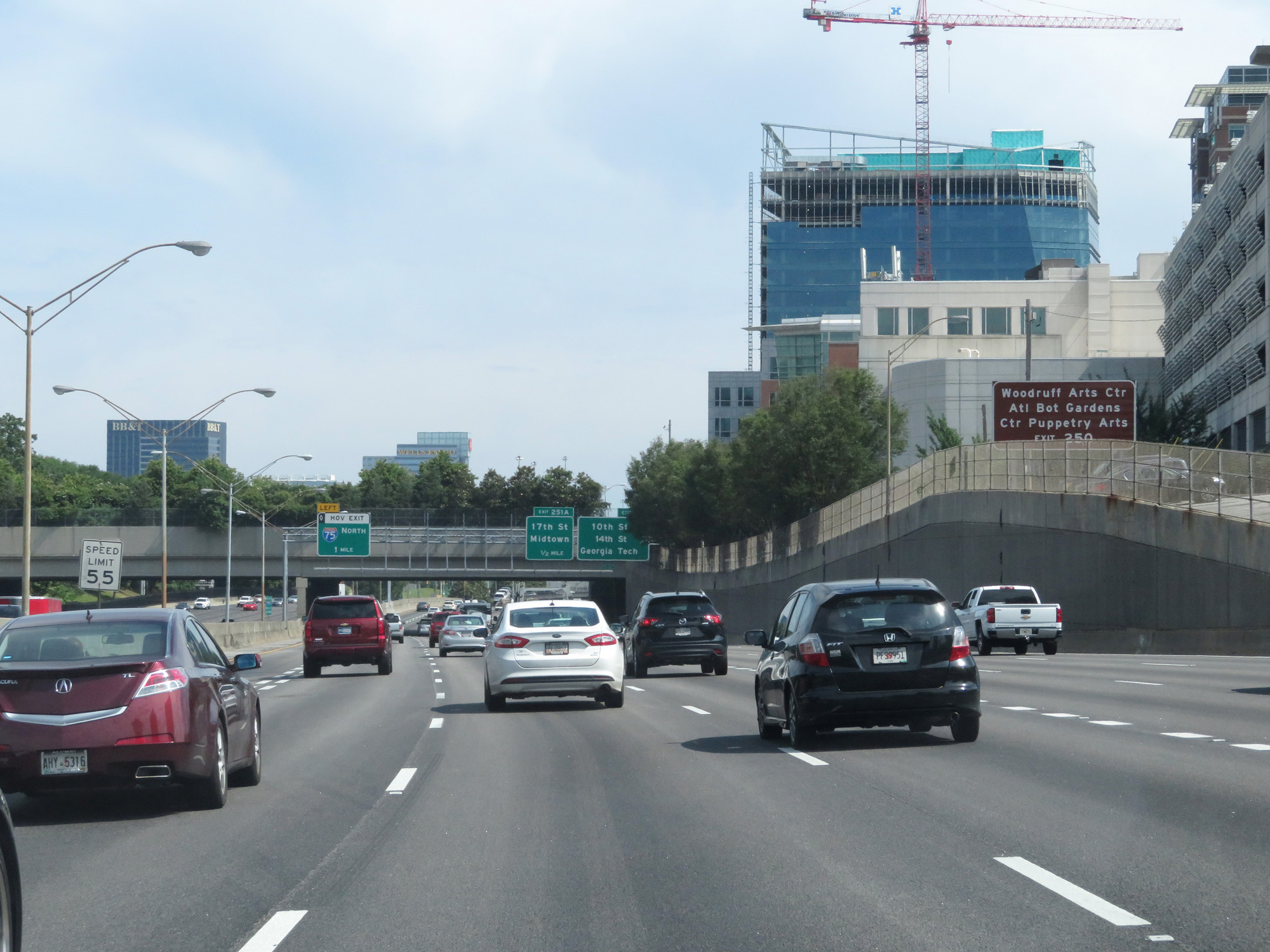 |
Take Exit 250 to Woodruff Arts Center, Atlanta Botanical Gardens, and Center for Puppetry Arts. (Photo taken 5/27/17). |
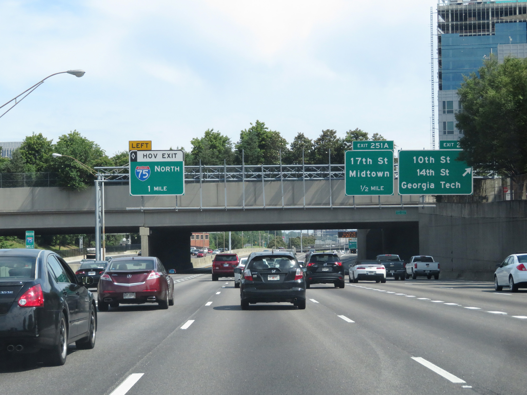 |
Interstate 85 North / Interstate 75 North at Exit 250: 10th St / 14th St / Georgia Tech (Photo taken 5/27/17). |
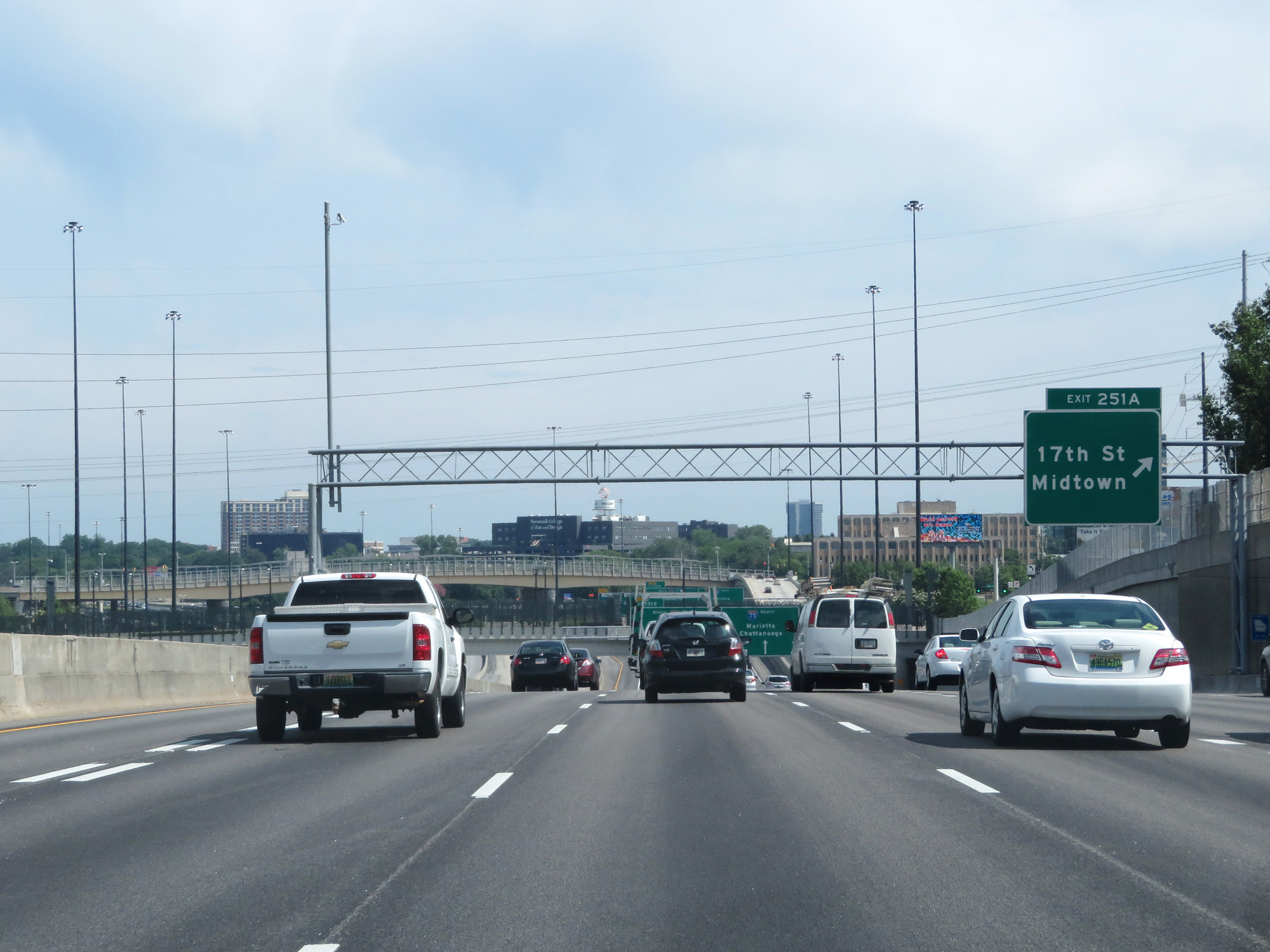 |
Interstate 85 North / Interstate 75 North at Exit 251A: 17th St / Midtown (Photo taken 5/27/17). |
 |
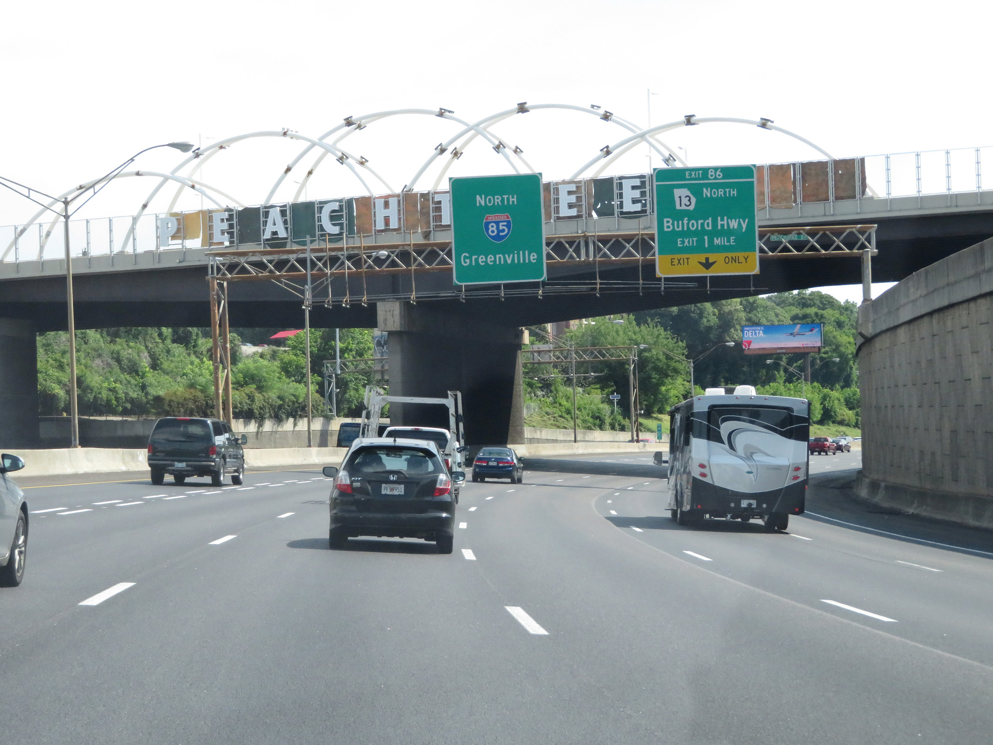
Interstate 85 North / Interstate 75 North approaching the northern end of their concurrency. (Photo taken 5/27/17). |
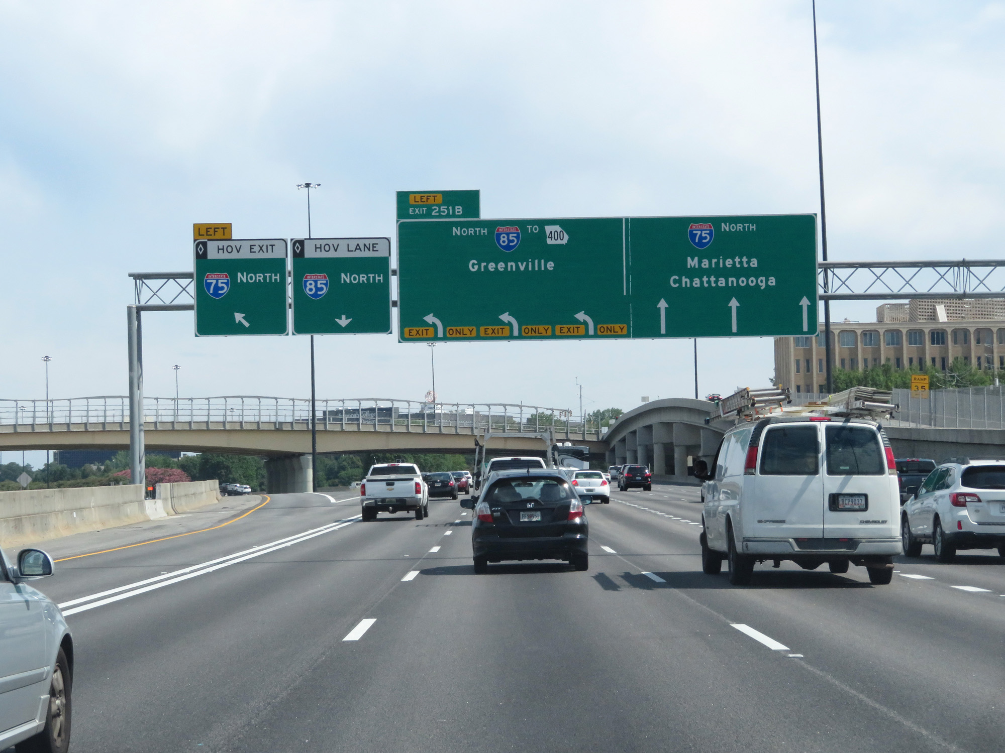 |
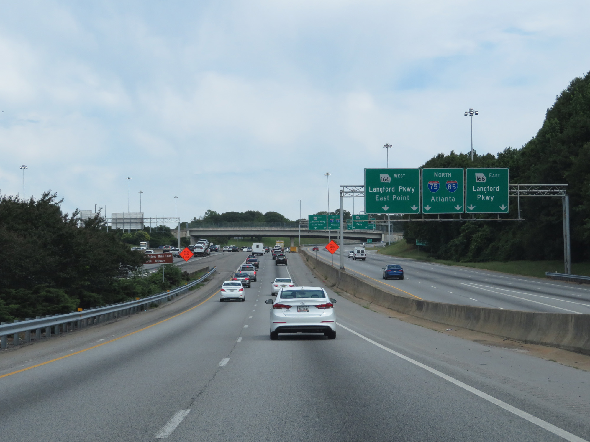
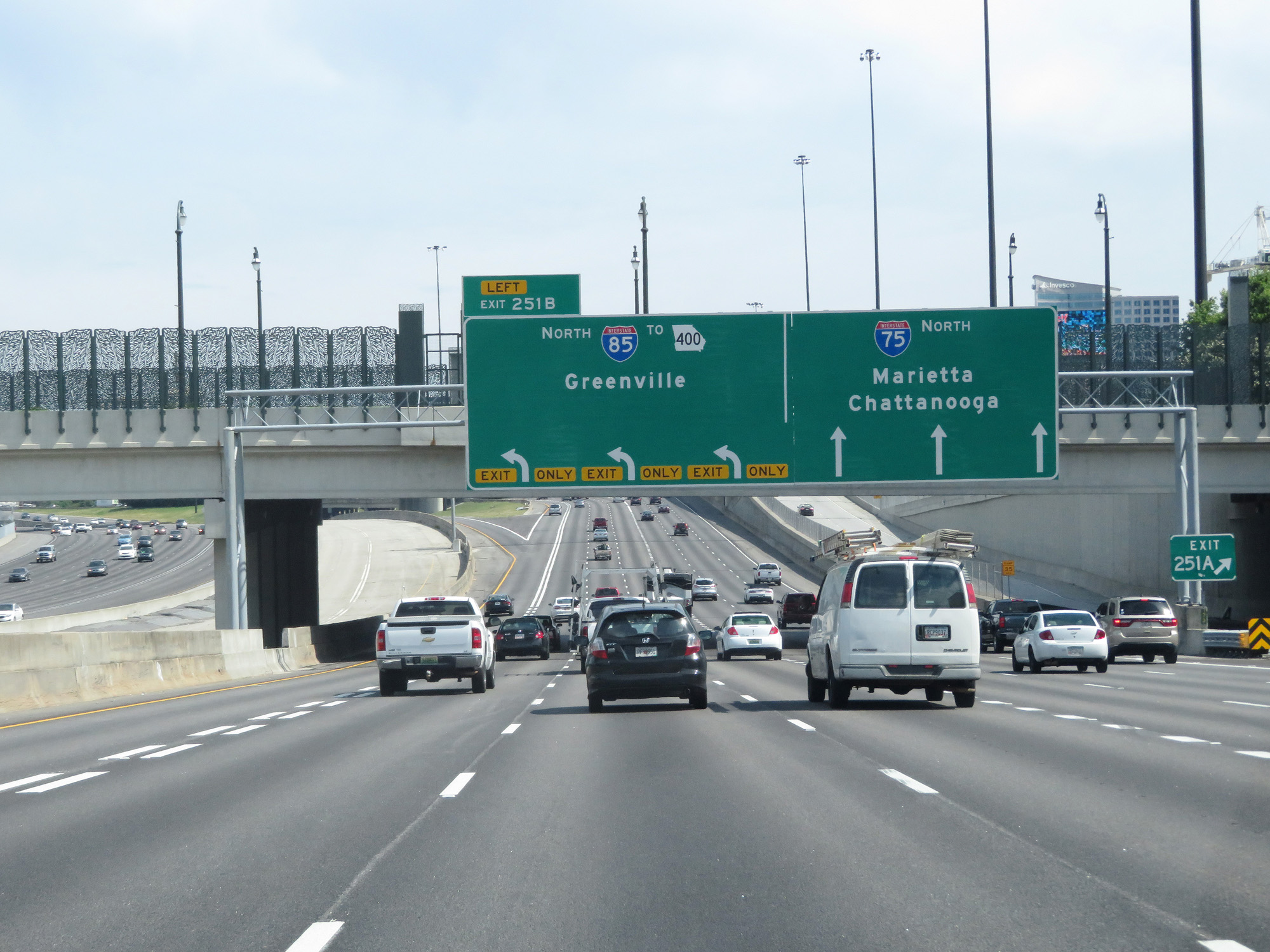
Interstate 85 North / Interstate 75 North at Exit 251B: Interstate 85 North / To GA 400 - Greenville (Photo taken 5/27/17). |
 |
Gore point signage for Exit 251B. (Photo taken 5/27/17). |
 |
Interstate 85 North as it curves to the northeast after leaving Interstate 75. (Photo taken 5/27/17). |
 |
View on Interstate 85 North. (Photo taken 5/27/17). |
 |
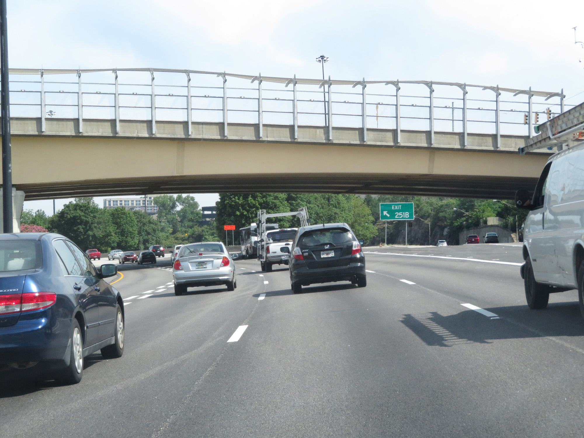
Interstate 85 North approaching Exit 86 - 1 mile. (Photo taken 5/27/17). |
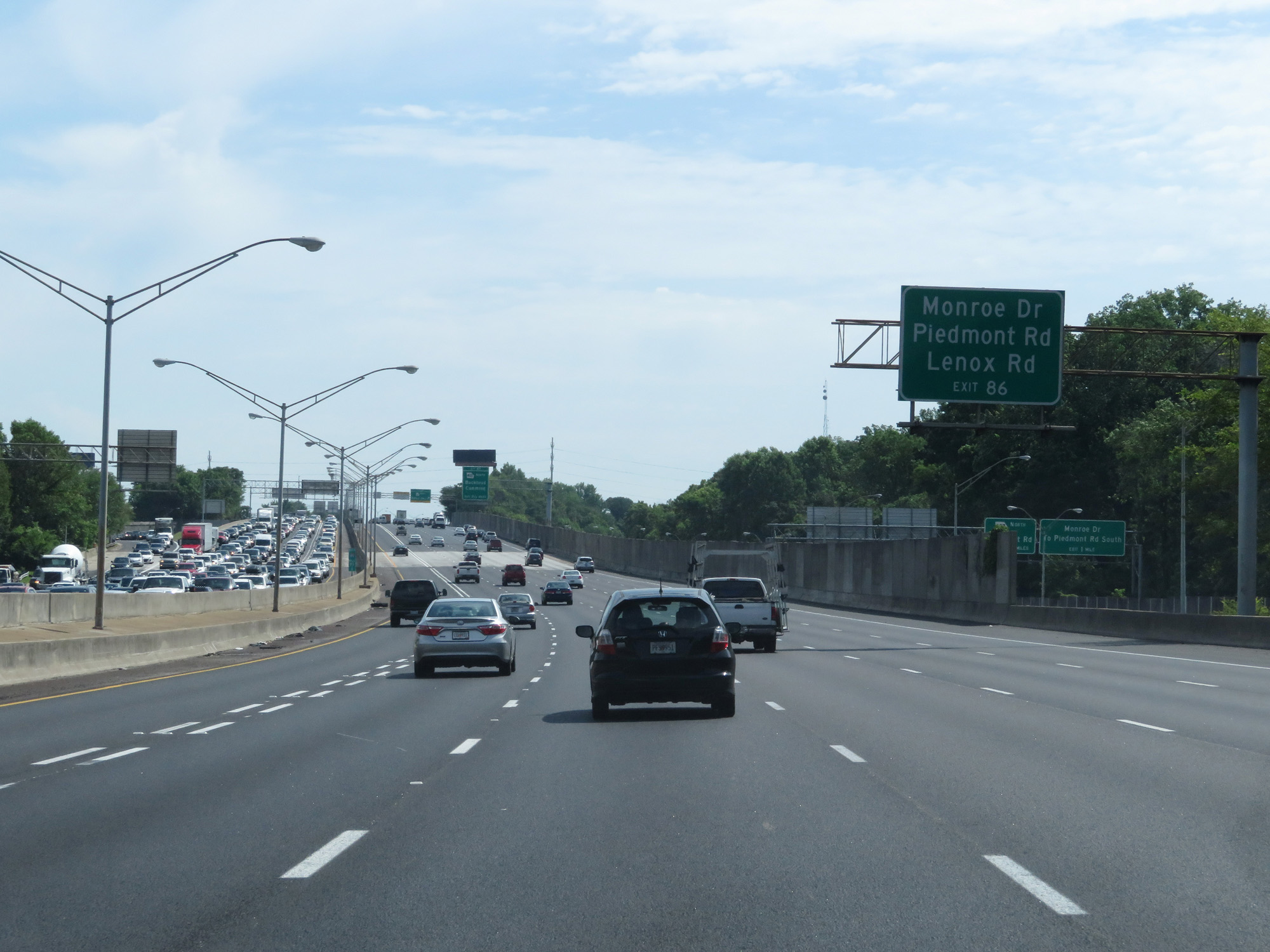 |
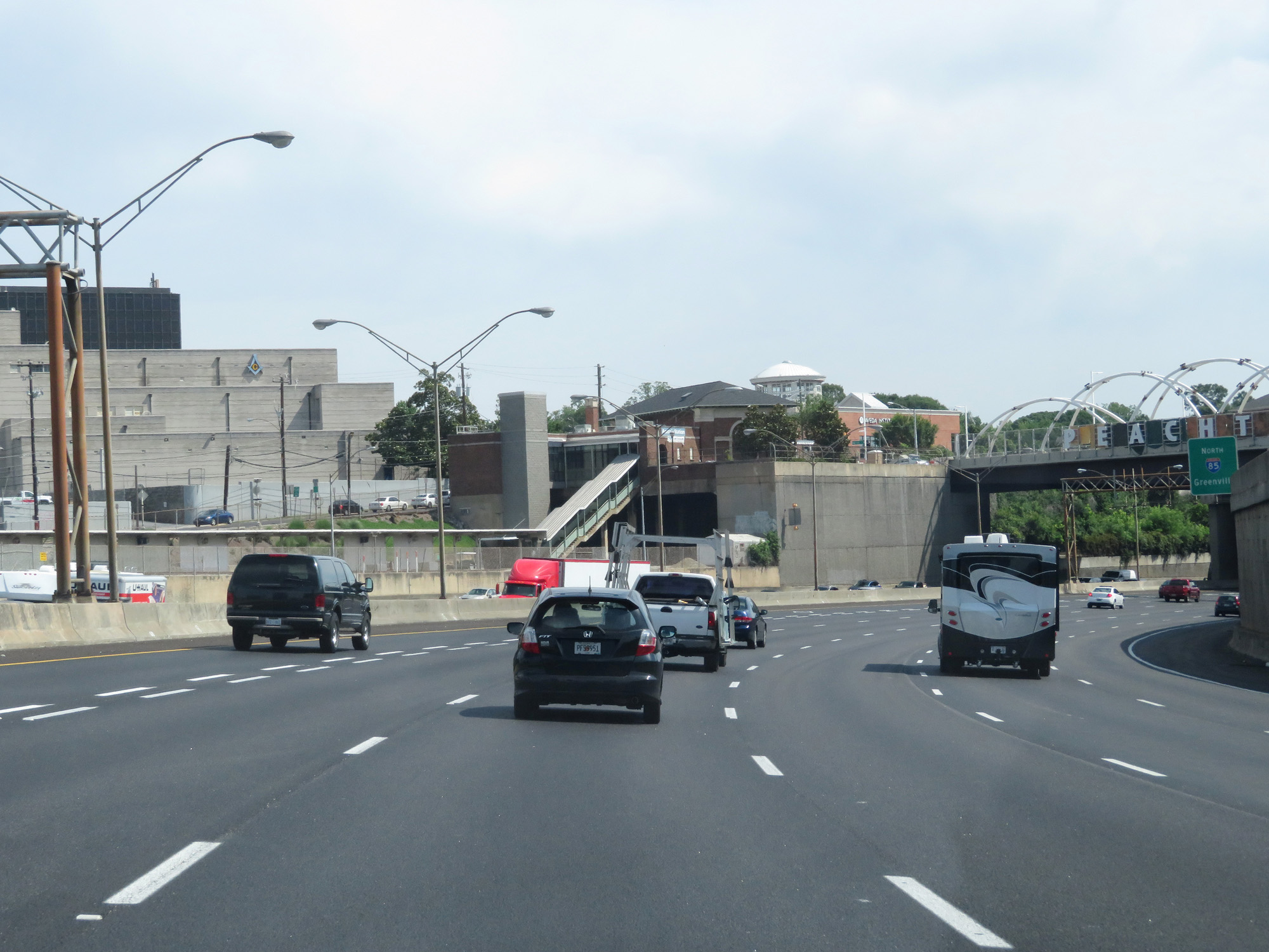
Take Exit 86 to Monroe Dr, Piedmont Rd, and Lenox Rd. (Photo taken 5/27/17). |
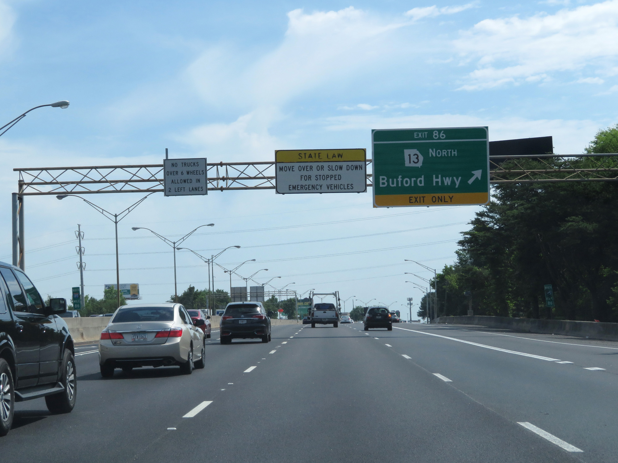 |
Interstate 85 North at Exit 86: GA 13 North - Buford Hwy (Photo taken 5/27/17). |
 |
View on Interstate 85 North of the bridge which collapsed in late March 2017. Fortunately, they were able to rebuild this bridge in only about a month and a half which is very impressive. (Photo taken 5/27/17). |
 |
Another view of the newly-rebuilt bridge on Interstate 85 North, northeast of downtown Atlanta. (Photo taken 5/27/17). |
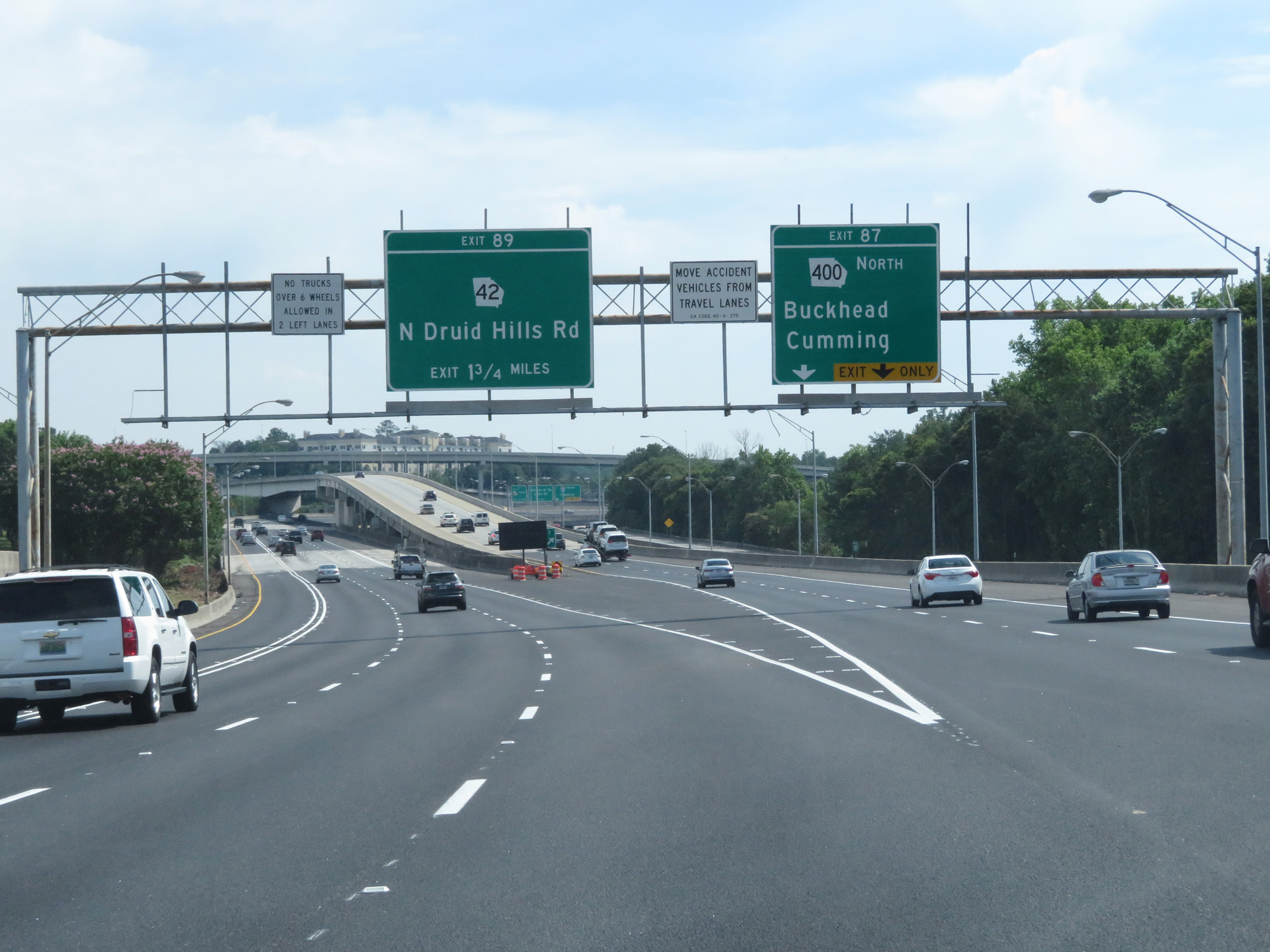 |
Interstate 85 North at Exit 87: GA 400 North - Buckhead / Cumming (Photo taken 5/27/17). |
 |
View of the ramp to GA 400 at mile marker 87.4 on Interstate 85 North. (Photo taken 5/27/17). |
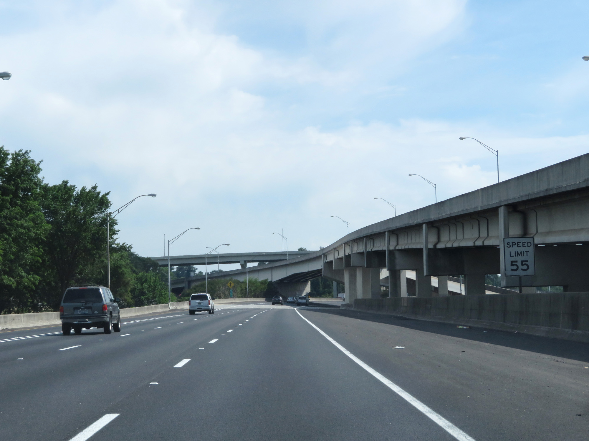 |
The speed limit remains 55 mph on Interstate 85 North. (Photo taken 5/27/17). |
 |
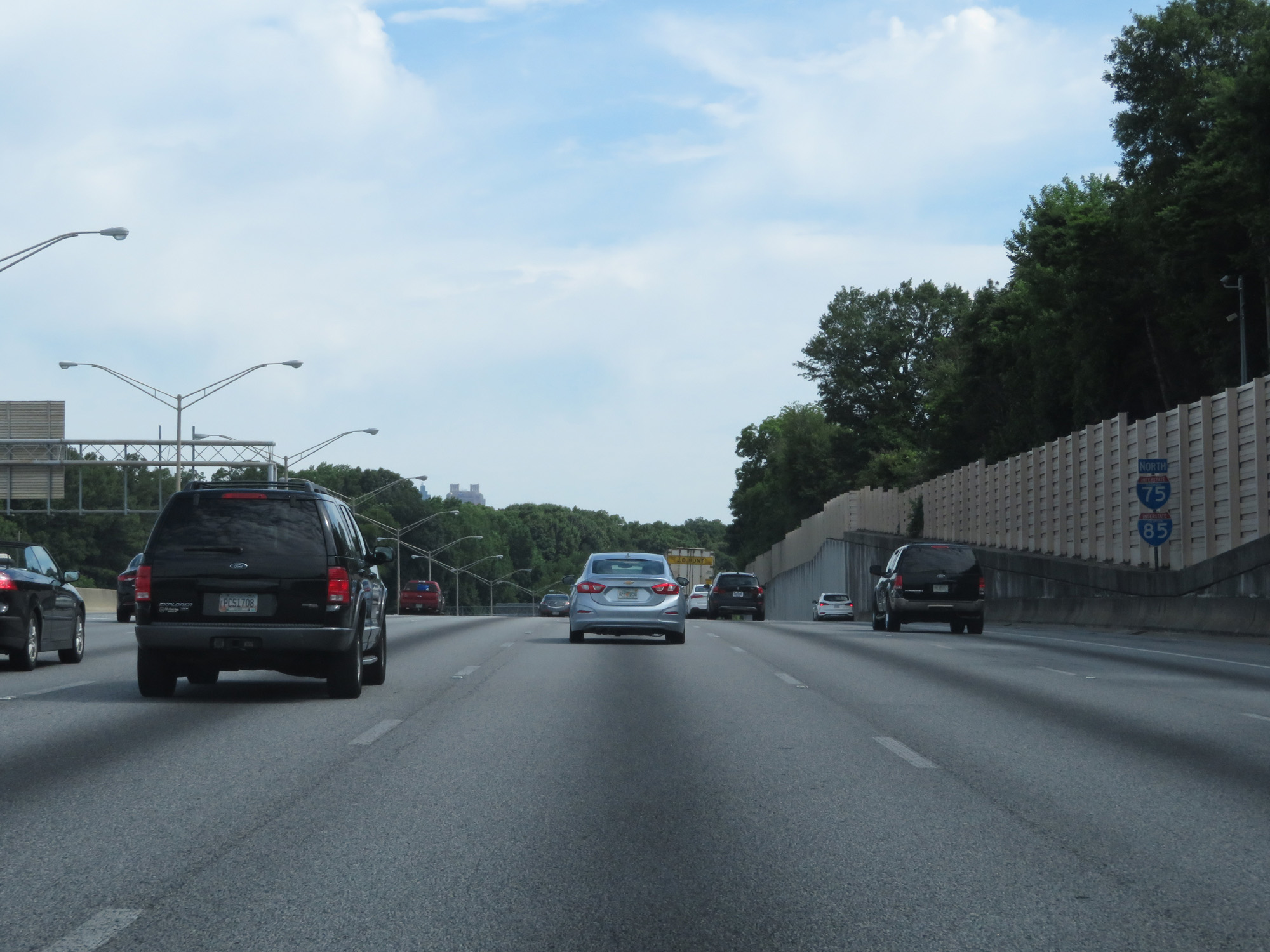
View on Interstate 85 North as it carries 6 lanes and a HOV lane northbound. (Photo taken 5/27/17). |
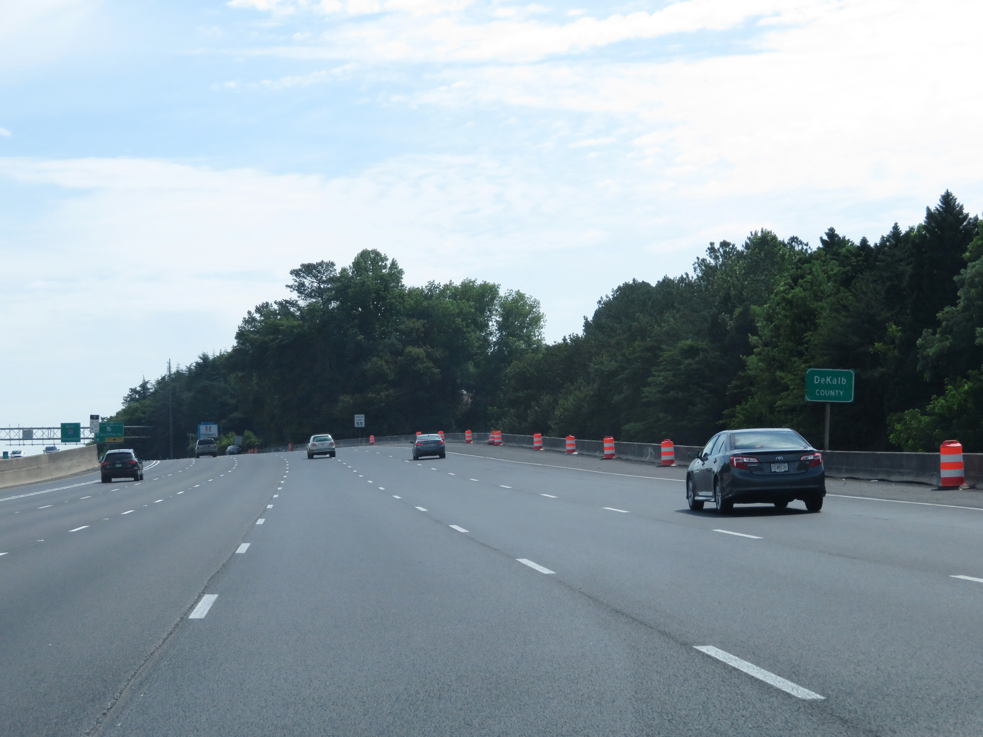 |
Interstate 85 North entering DeKalb County. (Photo taken 5/27/17). |
 |
Take Exit 89 to Oglethorpe University. (Photo taken 5/27/17). |
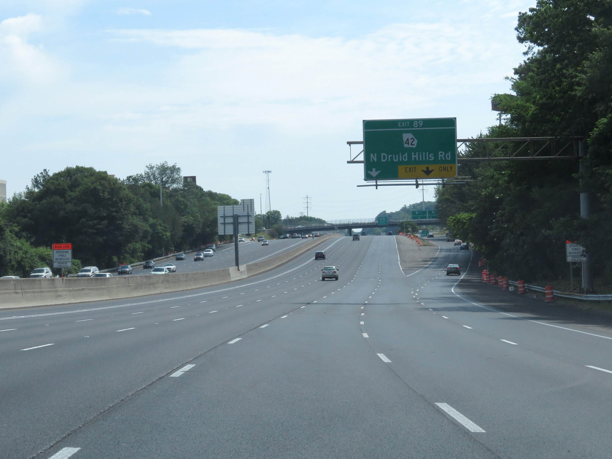 |
Interstate 85 North at Exit 89: GA 42 - N Druid Hills Rd (Photo taken 5/27/17). |
 |
Just beyond Exit 89, the speed limit increases to 65 mph on Interstate 85 North. (Photo taken 5/27/17). |
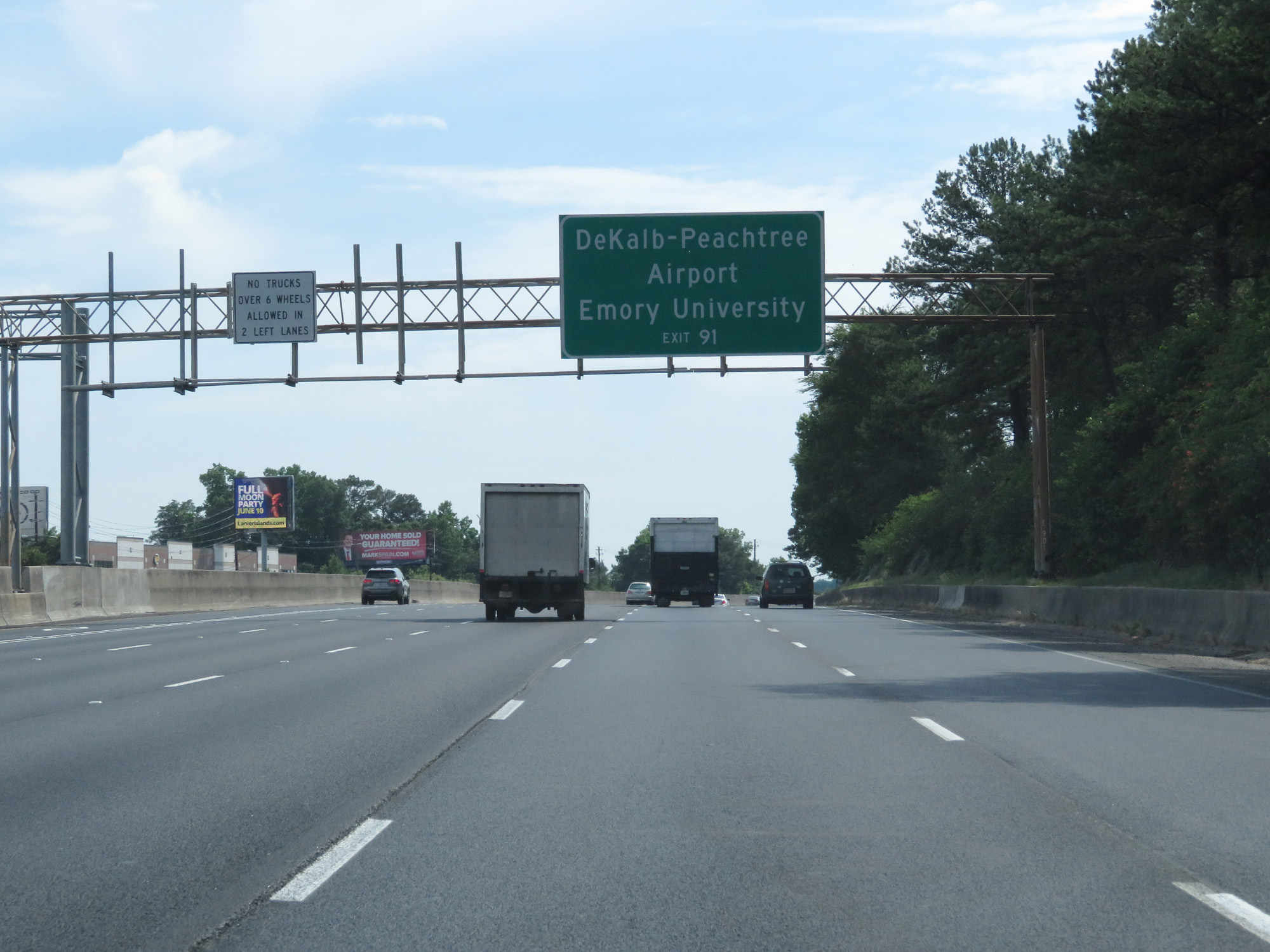 |
Take Exit 91 to DeKalb-Peachtree Airport and Emory University. (Photo taken 5/27/17). |
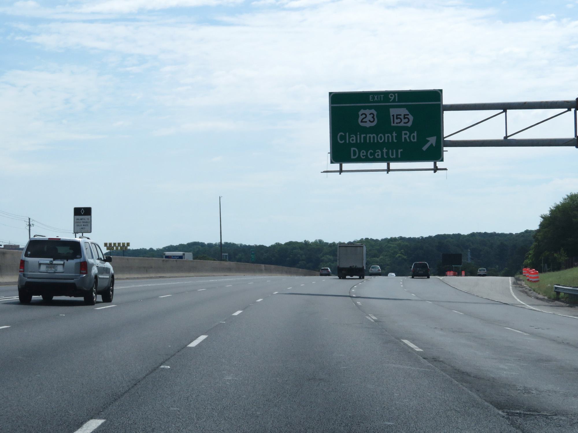 |
Interstate 85 North at Exit 91: US 23 / GA 155 - Clairmont Rd / Decatur (Photo taken 5/27/17). |
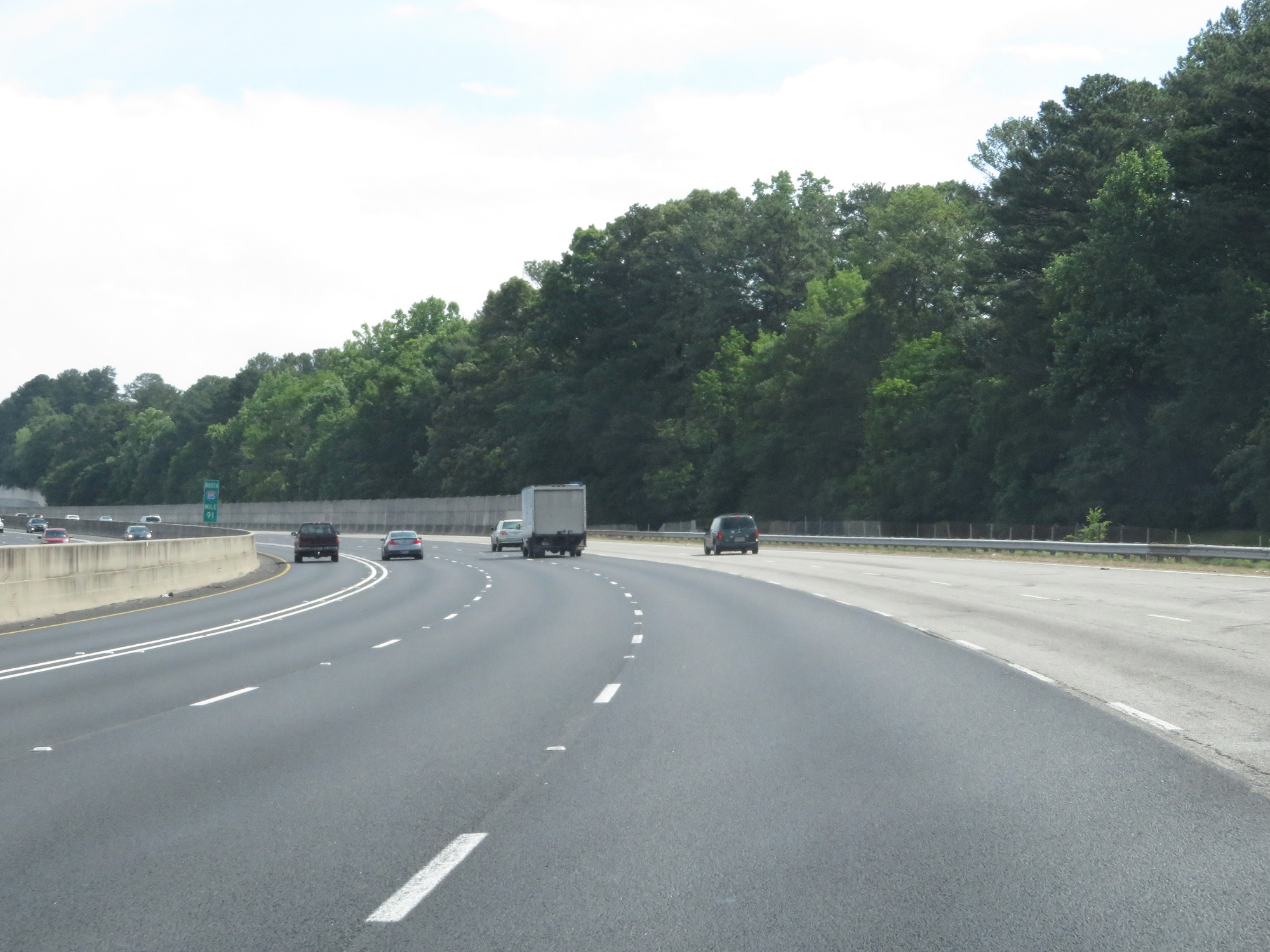 |
Interstate 85 North at mile marker 91. (Photo taken 5/27/17). |
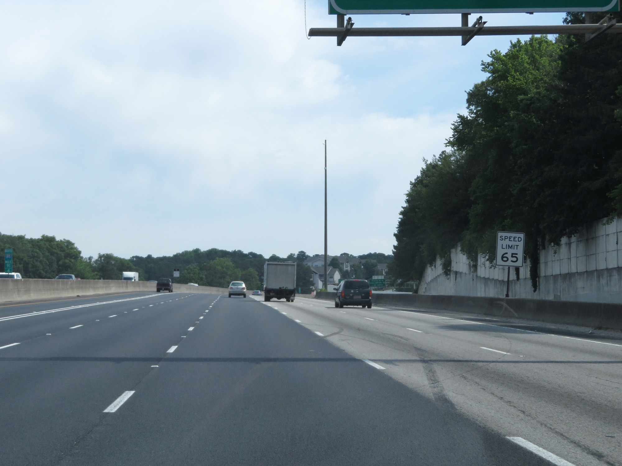 |
Speed Limit - 65 mph. (Photo taken 5/27/17). |
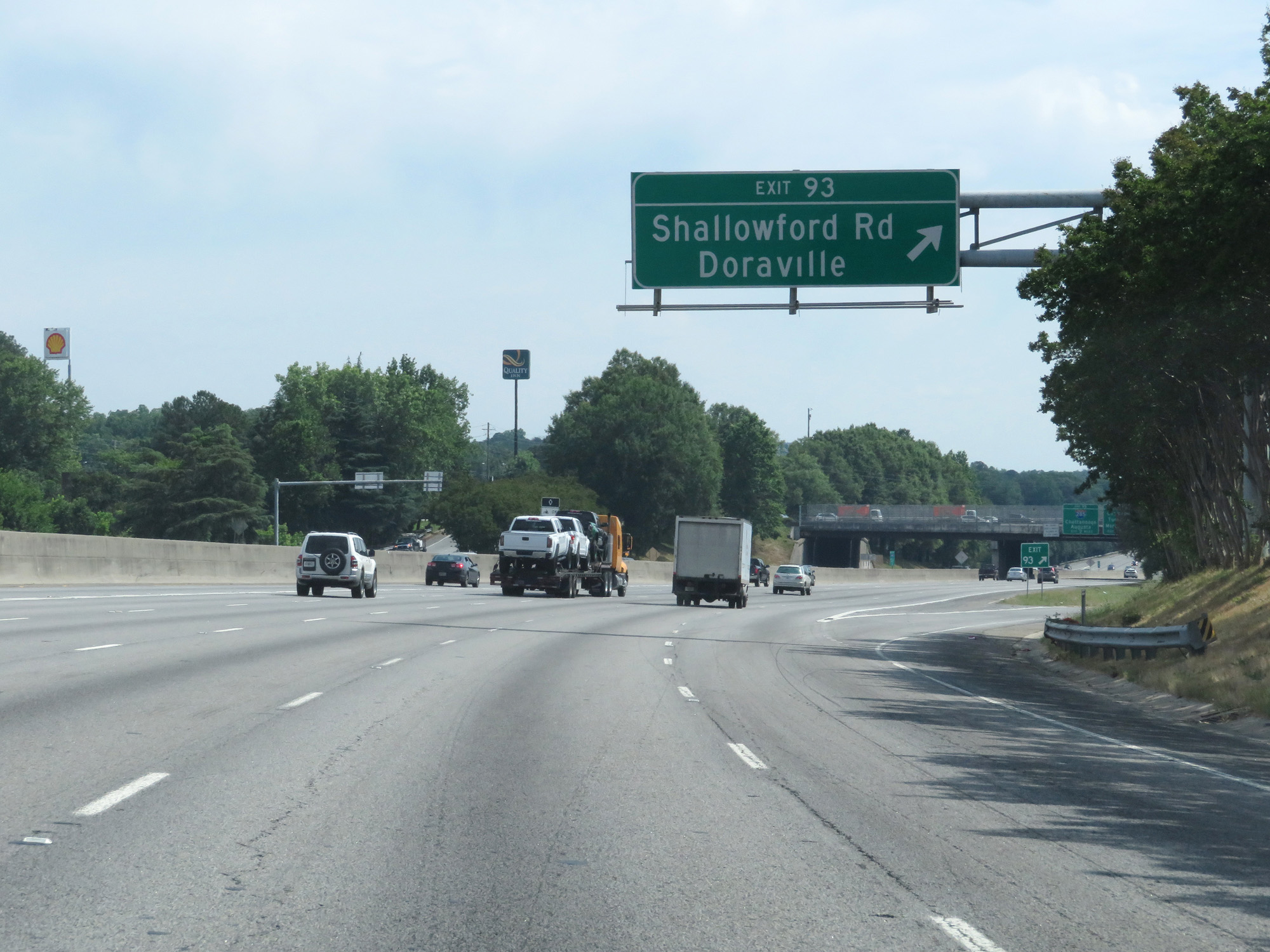 |
Interstate 85 North at Exit 93: Shallowford Rd / Doraville (Photo taken 5/27/17). |
 |
Trucks are prohibited in the two leftmost lanes. (Photo taken 5/27/17). |
 |
Take Exit 94 to International Village. (Photo taken 5/27/17). |
 |
Interstate 85 North at mile marker 93. (Photo taken 5/27/17). |
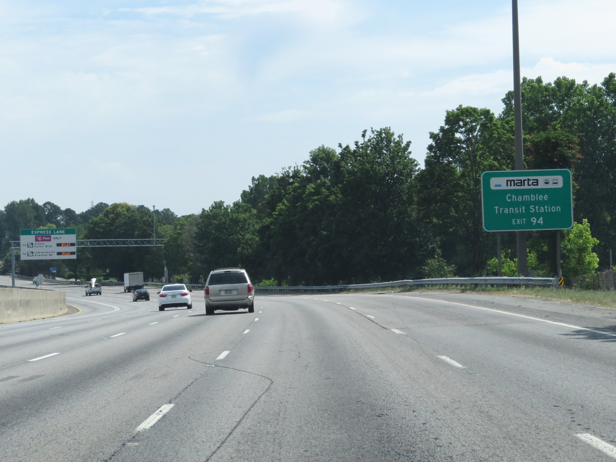 |
Take Exit 94 to Chamblee Transit Station. (Photo taken 5/27/17). |
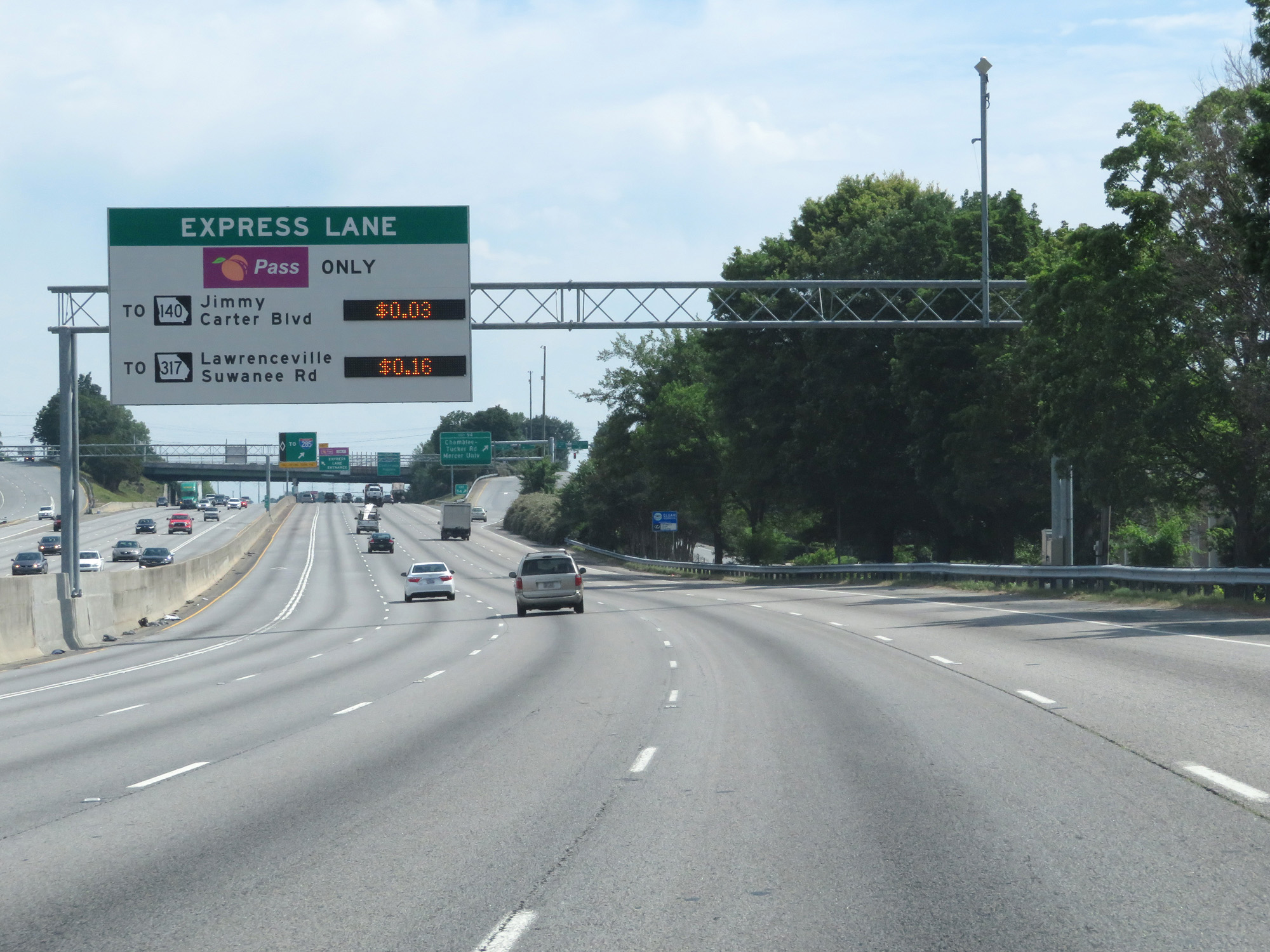 |
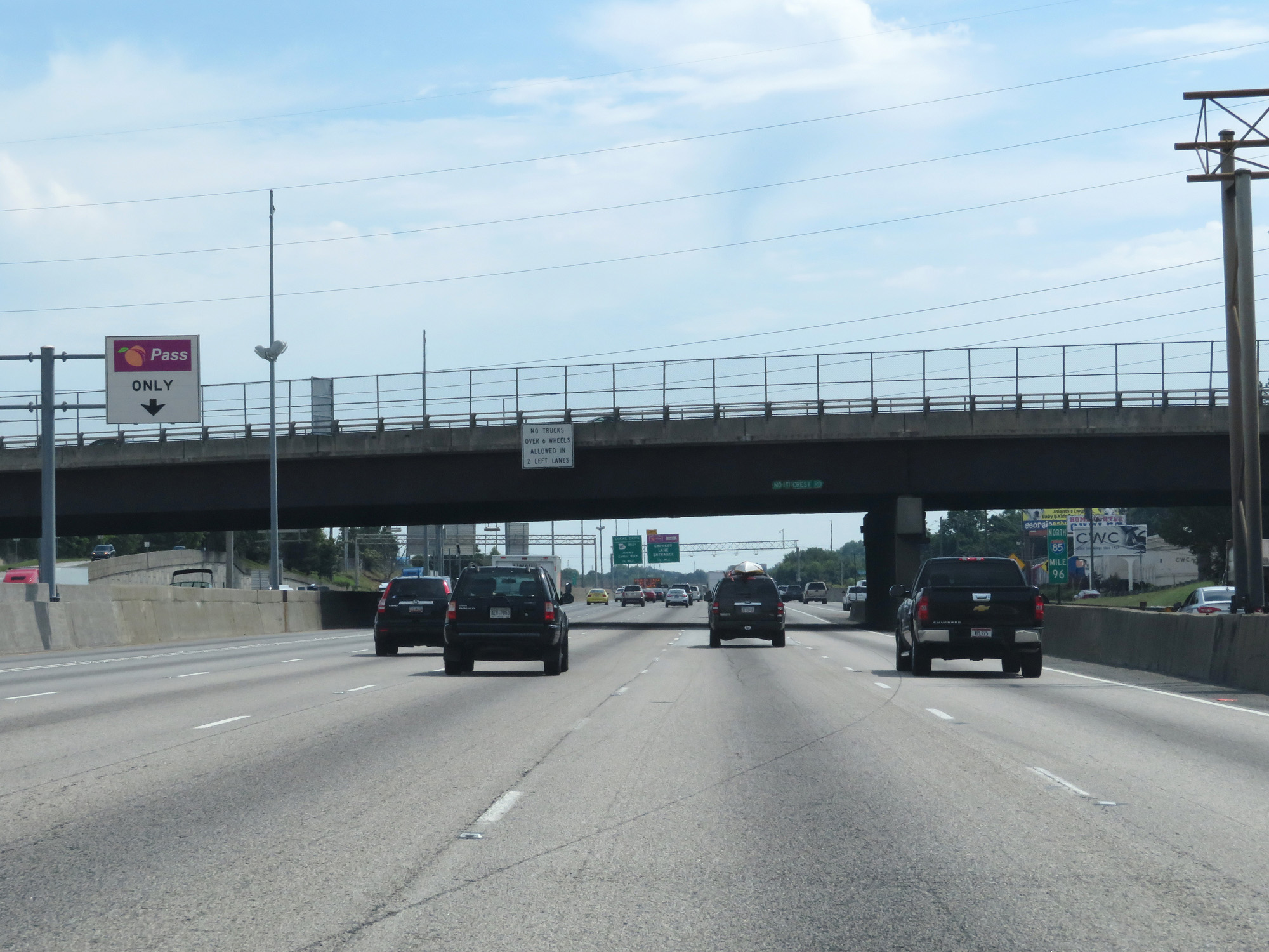
This sign lists the toll rates, which vary by the time and day, to the two upcoming Toll HOV Lane exits. You must have PeachPass to use the Toll HOV lanes. (Photo taken 5/27/17). |
 |
Interstate 85 North at Exit 94: Chamblee-Tucker Rd / Mercer University (Photo taken 5/27/17). |
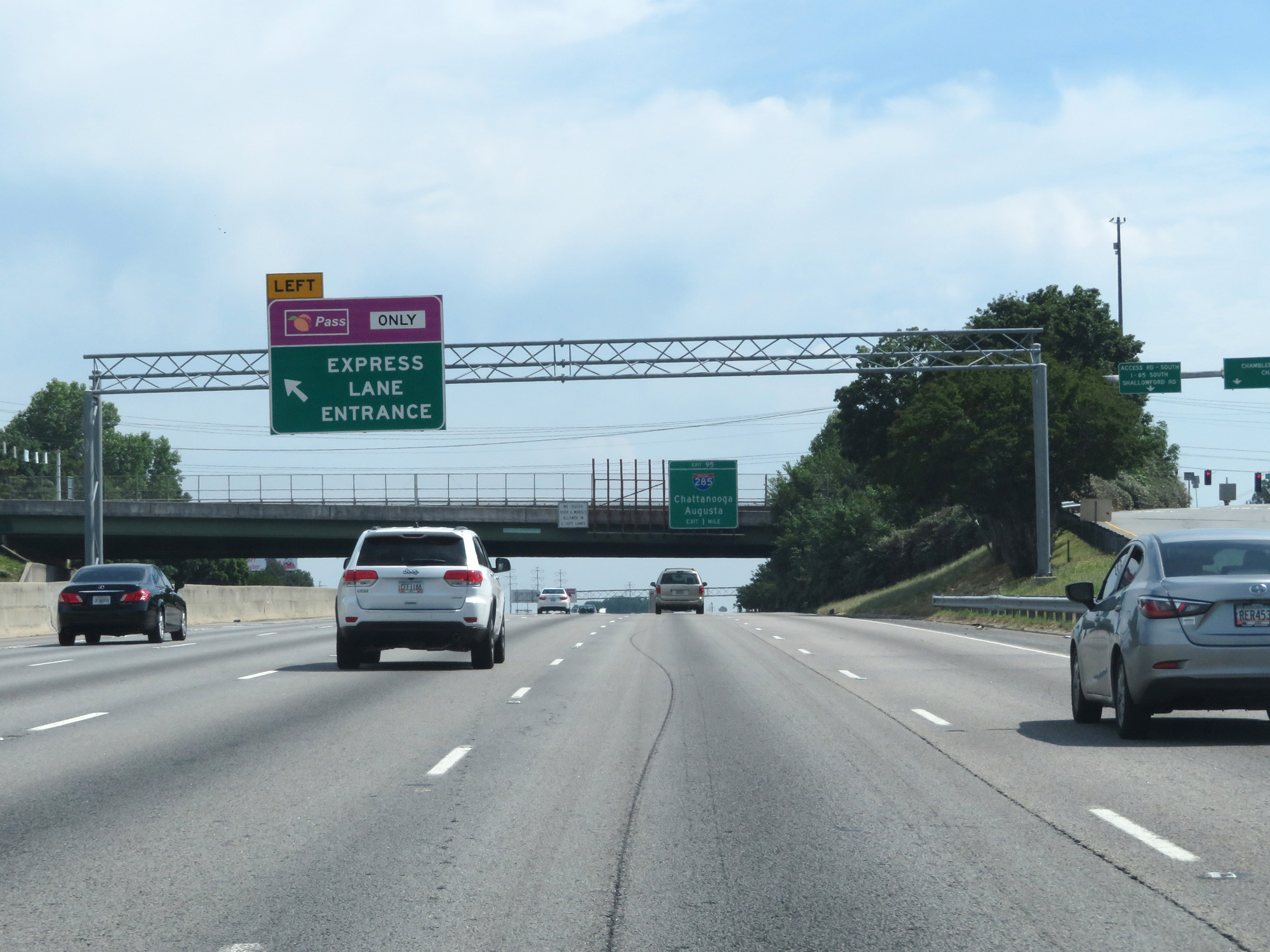 |
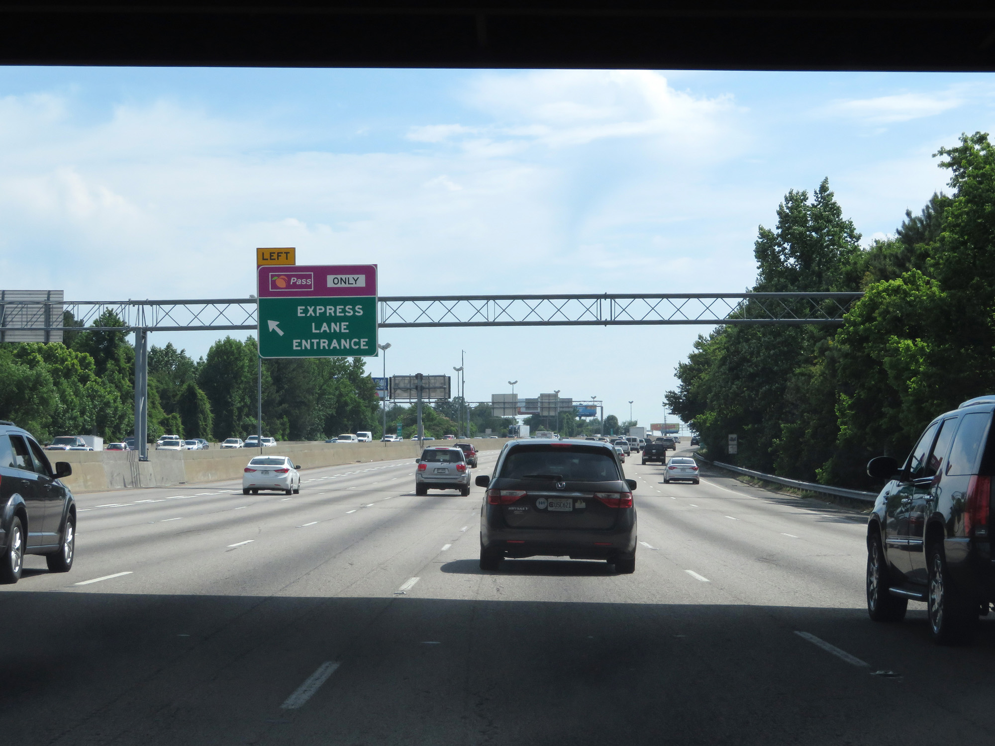
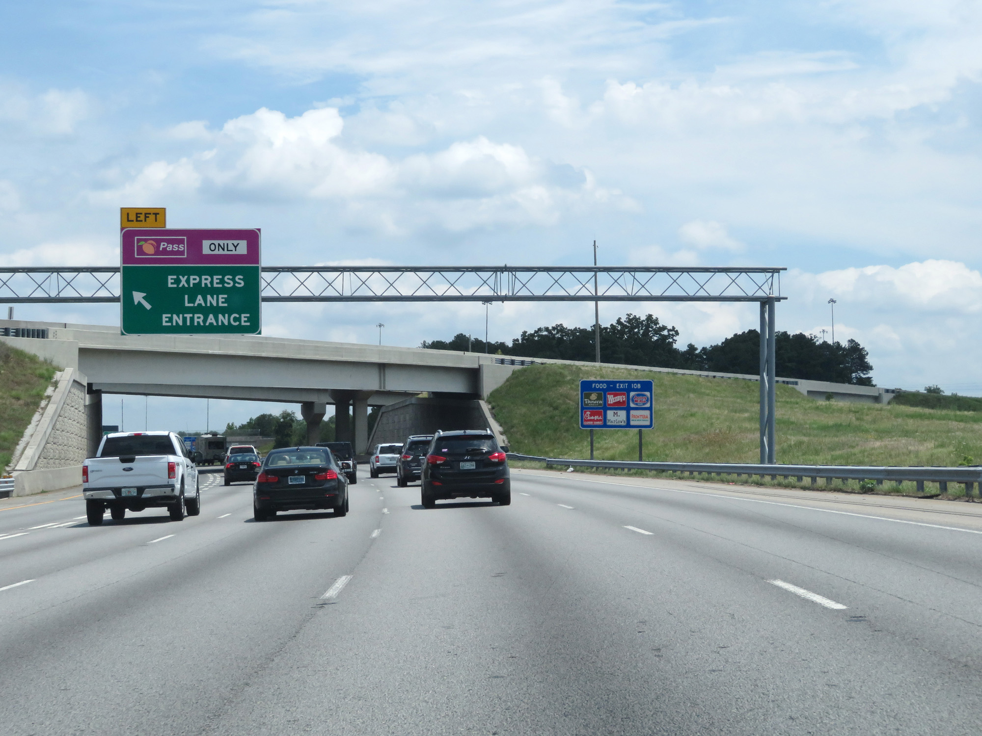
Interstate 85 North at an Express Lane entrance on the left. (Photo taken 5/27/17). |
 |
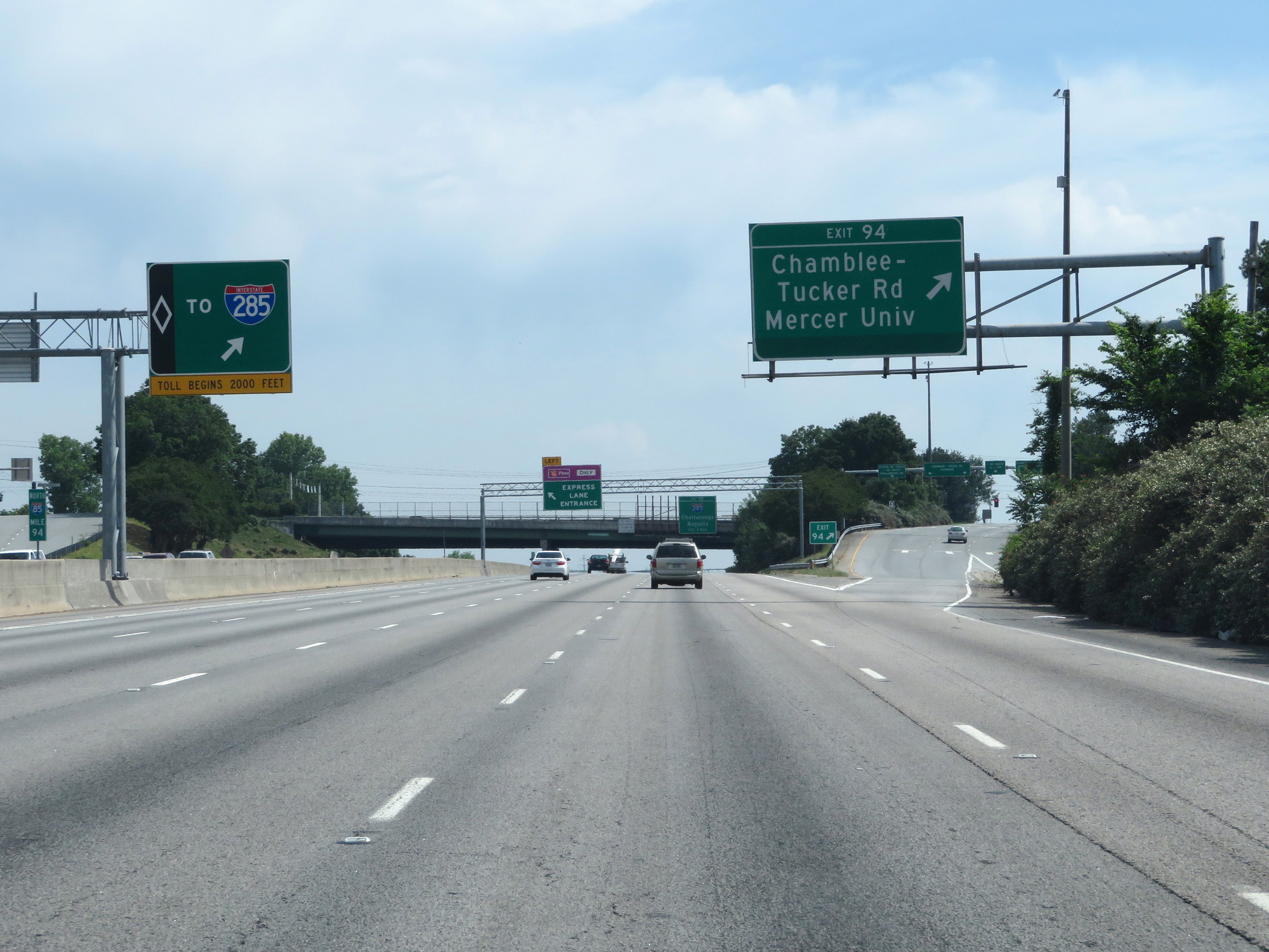
Interstate 85 North approaching Exit 95 - 1 mile. (Photo taken 5/27/17). |
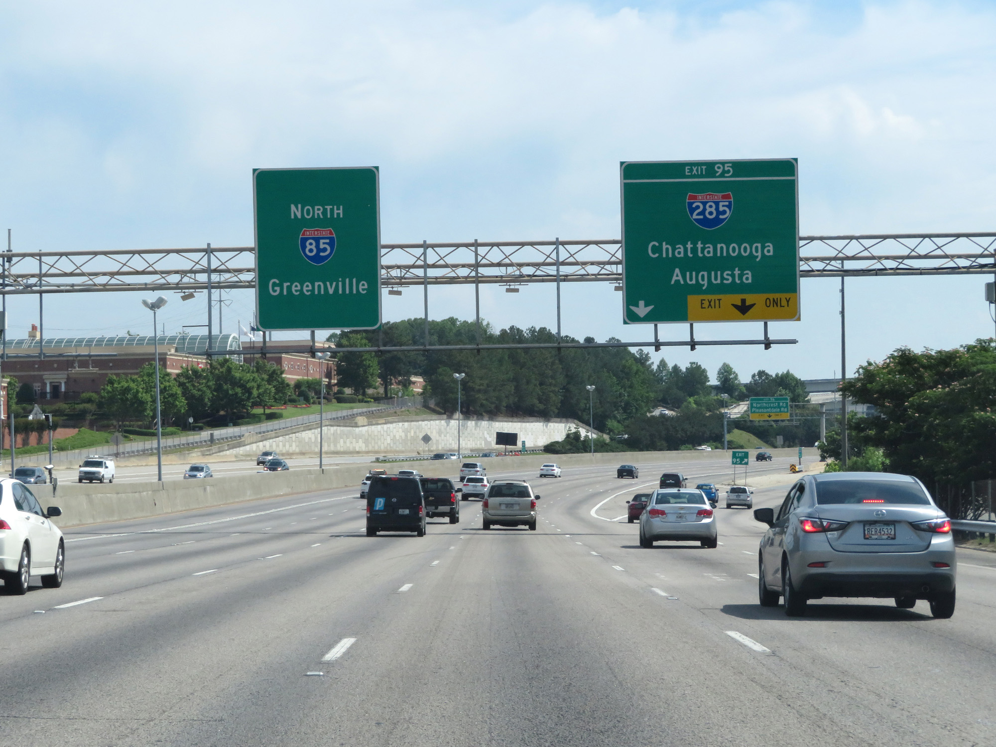 |
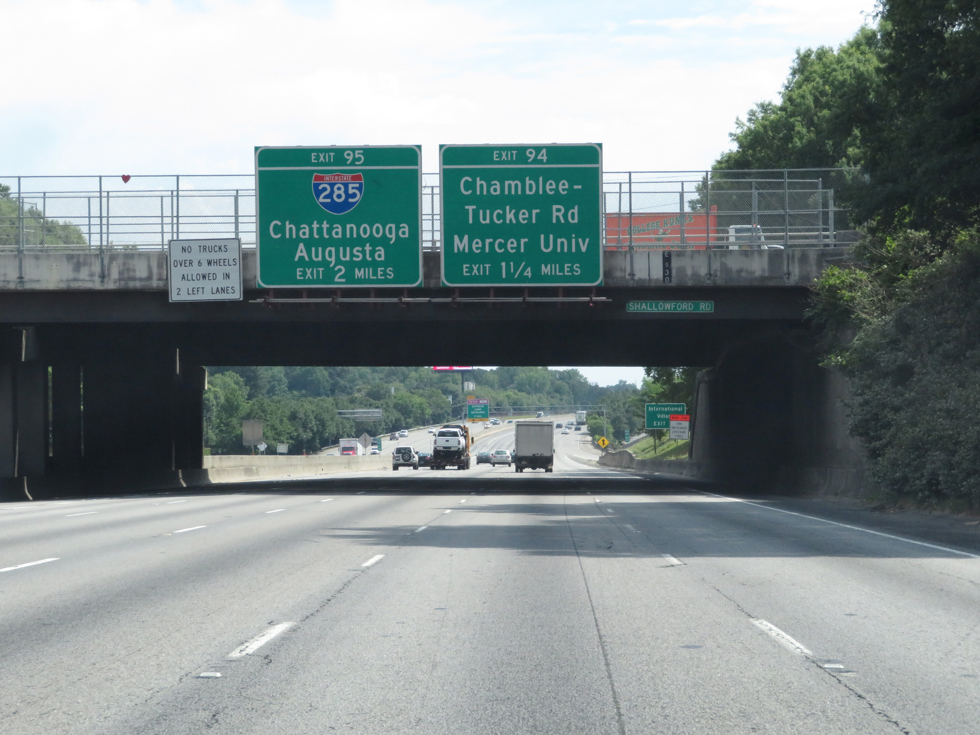
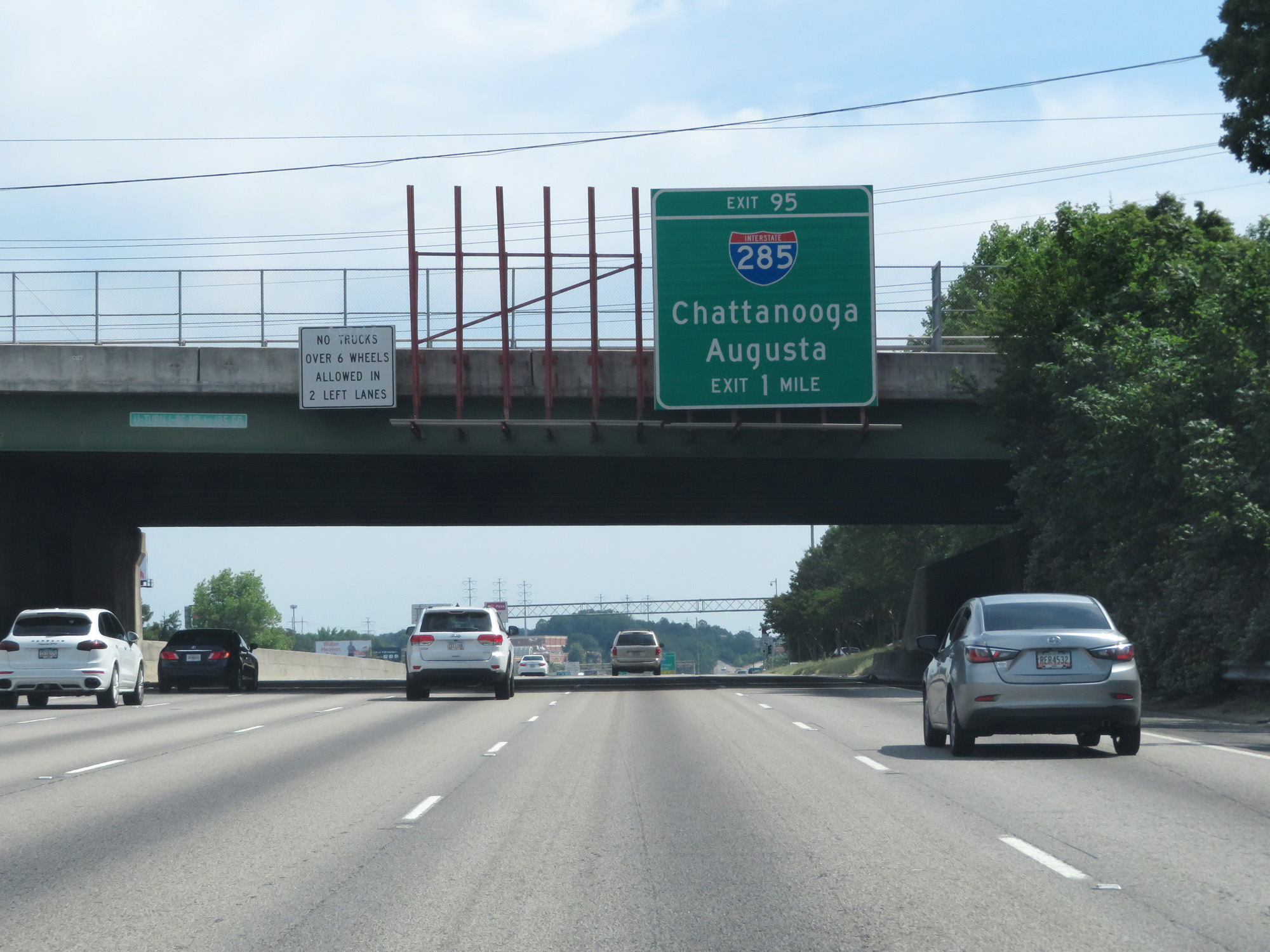
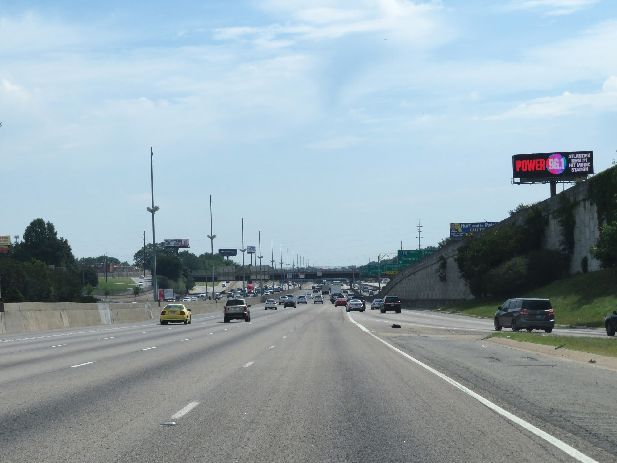
Interstate 85 North at Exit 95: Interstate 285 - Chattanooga / Augusta (Photo taken 5/27/17). |
Section 3: Doraville (Exit 95) to South Carolina Border
 |
Interstate 85 North at Exit 96: Northcrest Rd / Pleasantdale Rd (Photo taken 5/27/17). |
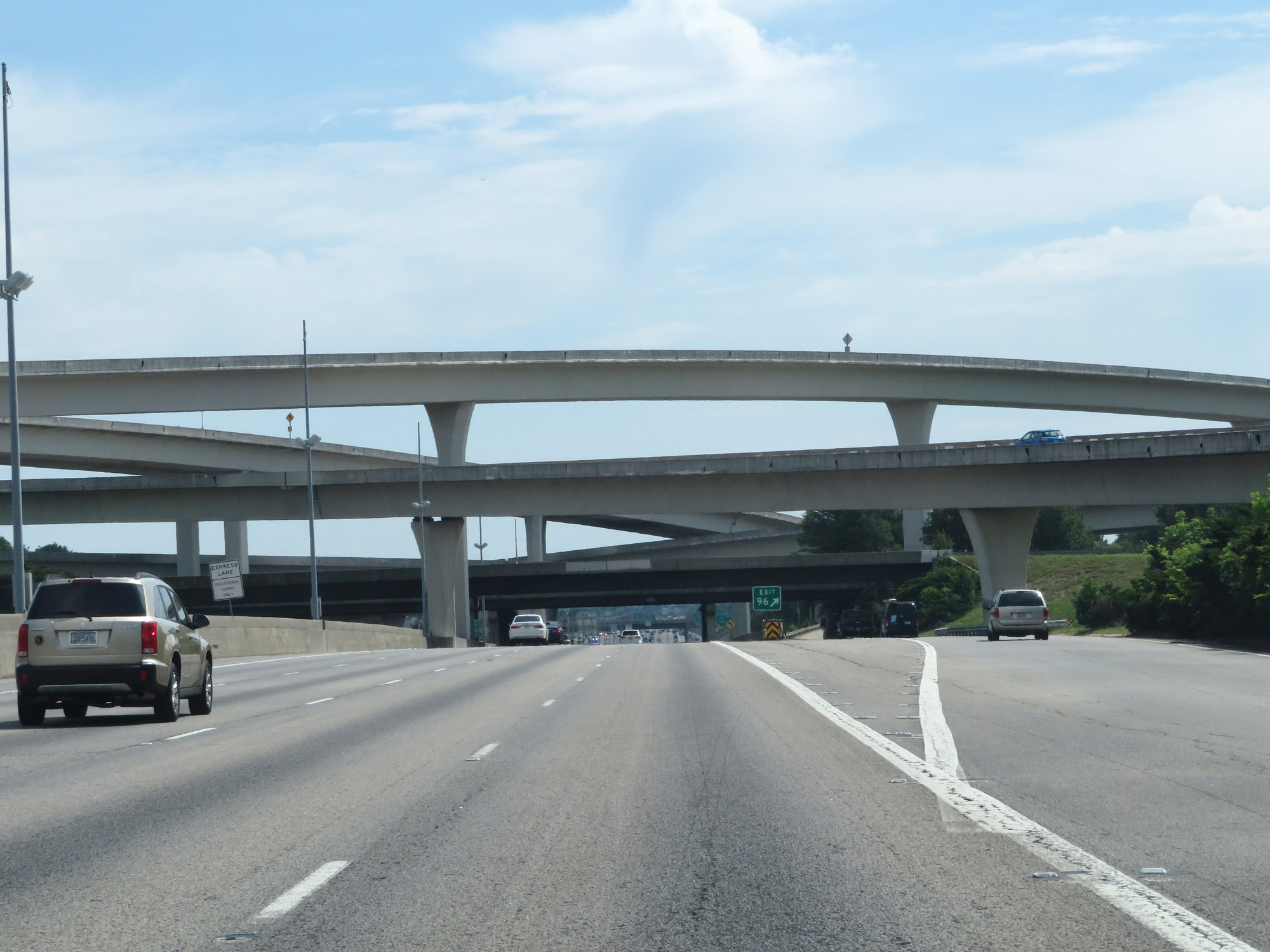 |
Interstate 85 North as it prepares to cross under Interstate 285 and the ramps to and from it. This major interchange is also known as the Tom Moreland Interchange. (Photo taken 5/27/17). |
 |
Interstate 85 North as traffic from Interstate 285 merges into it. (Photo taken 5/27/17). |
 |
Interstate 85 North at mile marker 96. (Photo taken 5/27/17). |
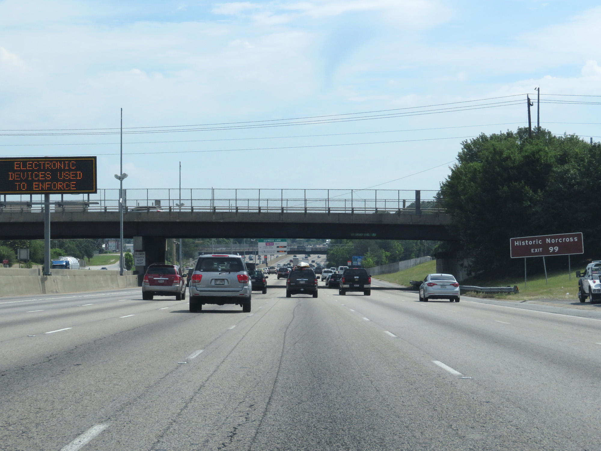 |
Take Exit 99 to Historic Norcross. (Photo taken 5/27/17). |
 |
Another Express Lane entrance on the left. (Photo taken 5/27/17). |
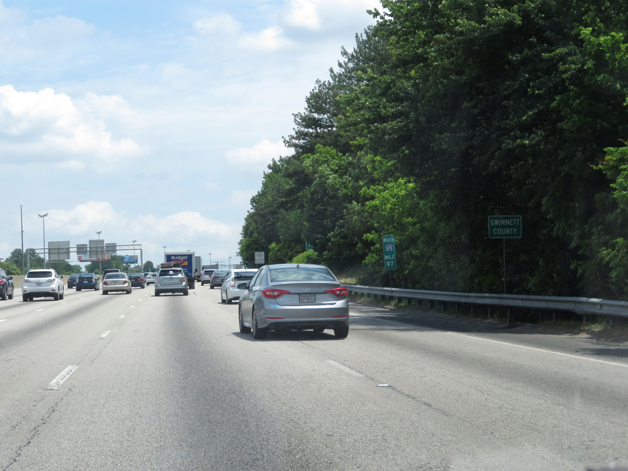 |
Interstate 85 North entering Gwinnett County at mile marker 97. Upon entering Gwinnett County, the speed limit increases to 70 mph as well. (Photo taken 5/27/17). |
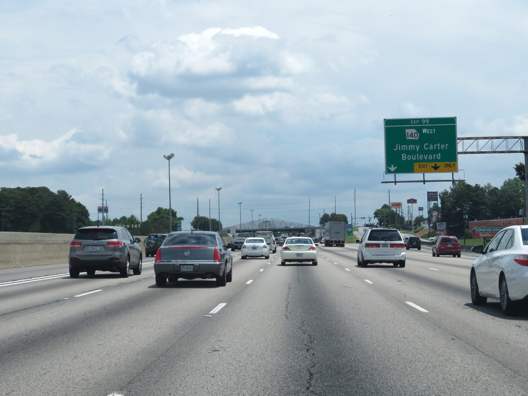 |
Interstate 85 North at Exit 99: GA 140 West - Jimmy Carter Boulevard (Photo taken 5/27/17). |
 |
Another overhead sign showing the current toll rates for the express lanes to the two exits listed. (Photo taken 5/27/17). |
 |
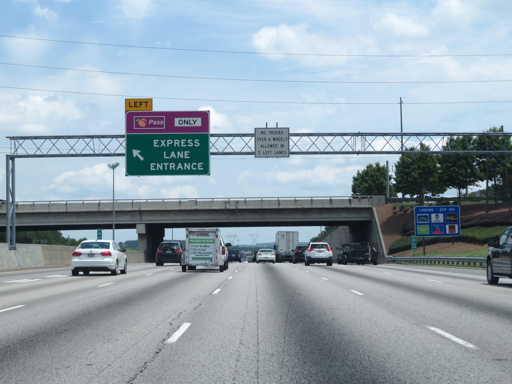
Another Express Lane entrance on Interstate 85 North. (Photo taken 5/27/17). |
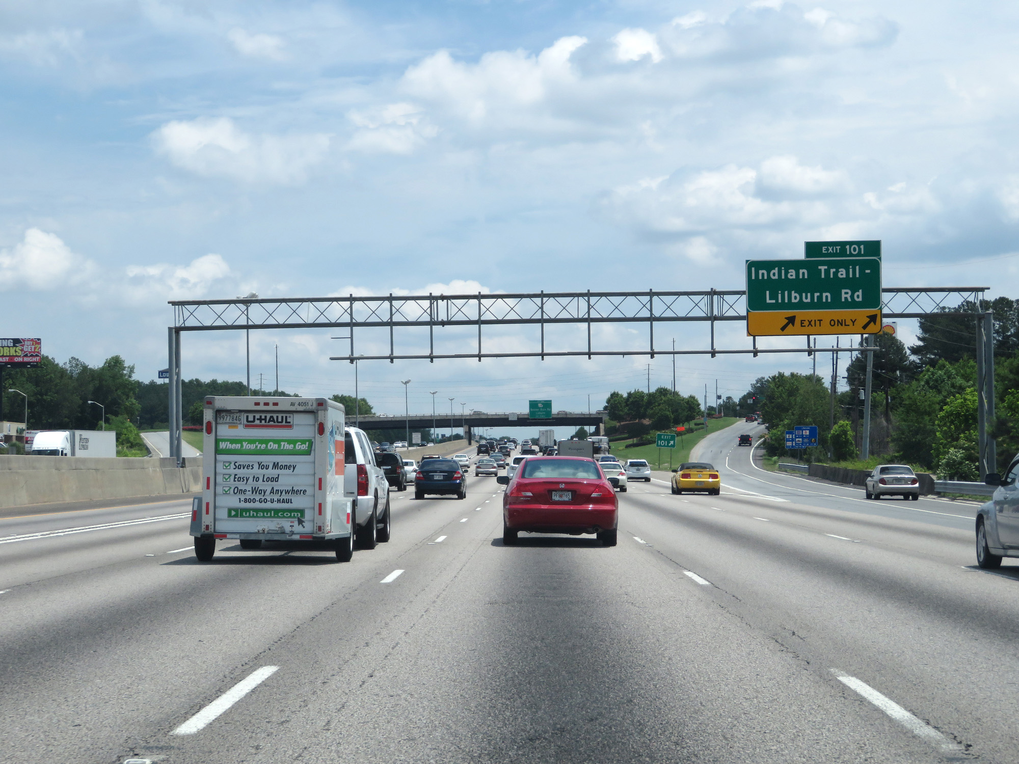 |
Interstate 85 North at Exit 101: Indian Trail-Lilburn Rd (Photo taken 5/27/17). |
 |
Another Express Lane toll rate sign. (Photo taken 5/27/17). |
 |
Interstate 85 North at Exit 102: GA 378 - Beaver Ruin Road (Photo taken 5/27/17). |
 |
Express Lane entrance on Interstate 85 North at mile marker 102. (Photo taken 5/27/17). |
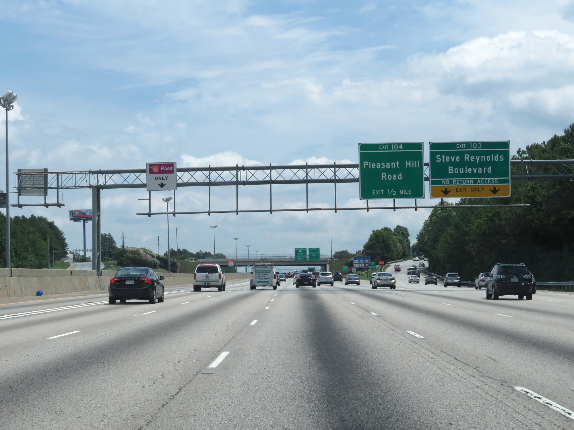 |
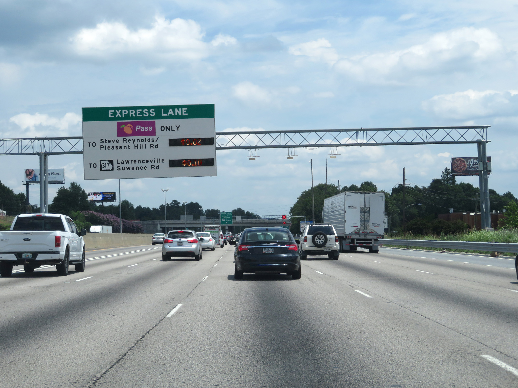
Interstate 85 North at Exit 103: Steve Reynolds Boulevard (Photo taken 5/27/17). |
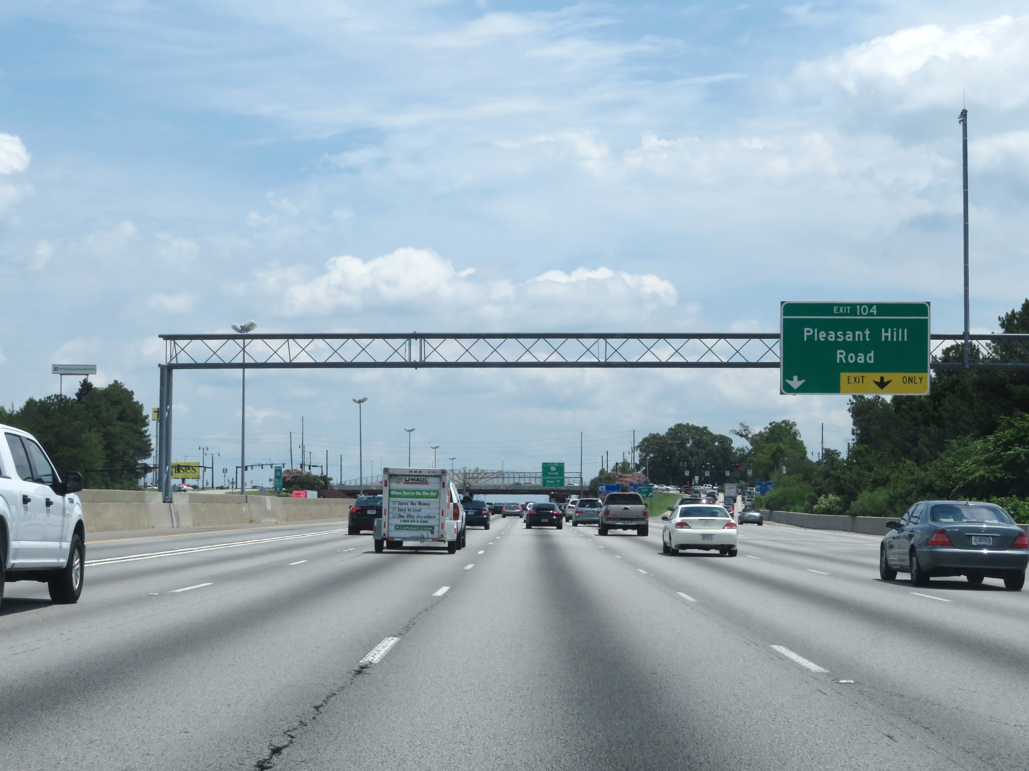 |
Interstate 85 North at Exit 104: Pleasant Hill Road (Photo taken 5/27/17). |
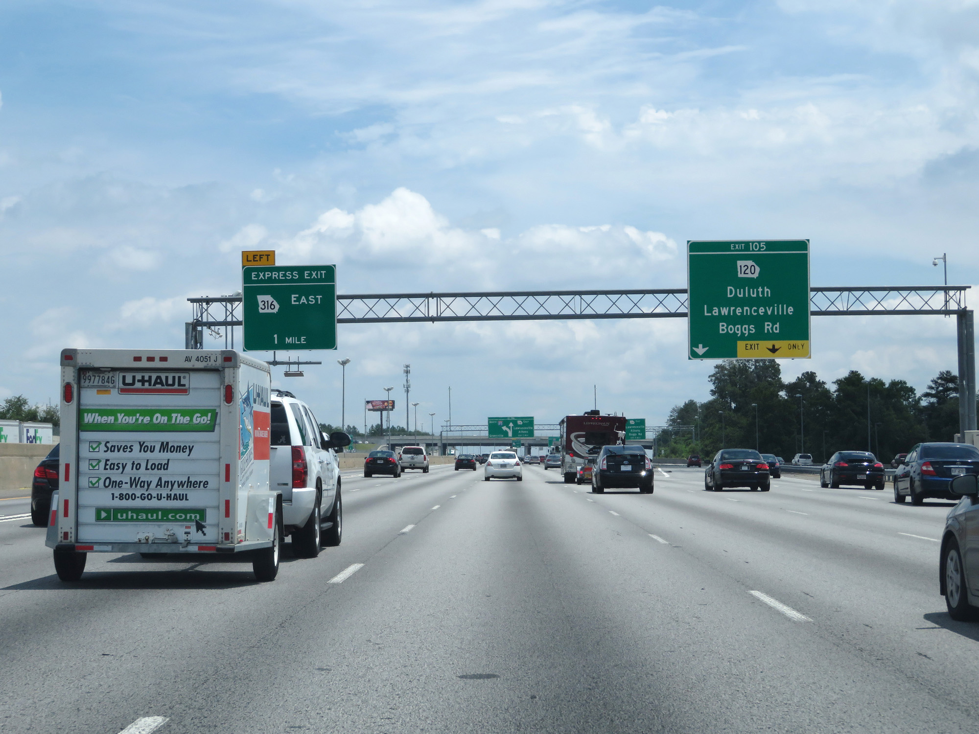 |
Interstate 85 North at Exit 105: GA 120 - Duluth / Lawrenceville / Boggs Rd (Photo taken 5/27/17). |
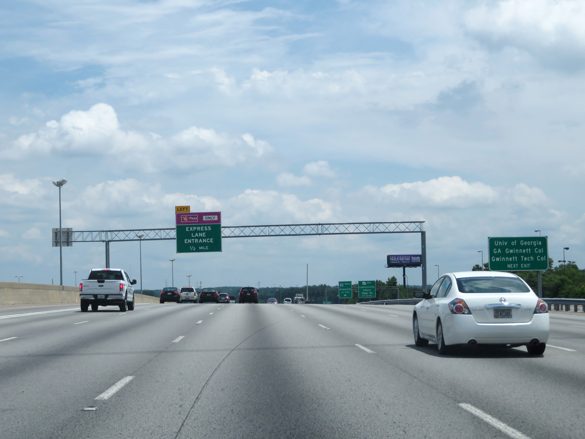 |
Take Exit 106 to the University of Georgia, GA Gwinnett College, and Gwinnett Tech College. (Photo taken 5/27/17). |
 |
Exit 106 can be accessed directly from the Express Lanes. (Photo taken 5/27/17). |
 |
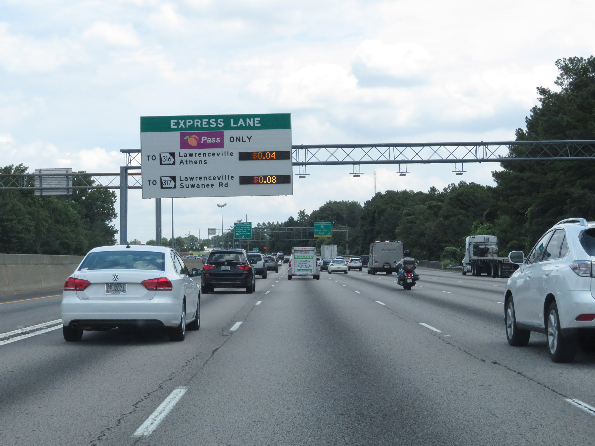
Interstate 85 North at Exit 106: GA 316 East - Lawrenceville / Athens (Photo taken 5/27/17). |
 |
Another Express Lane entrance on Interstate 85 North. (Photo taken 5/27/17). |
 |
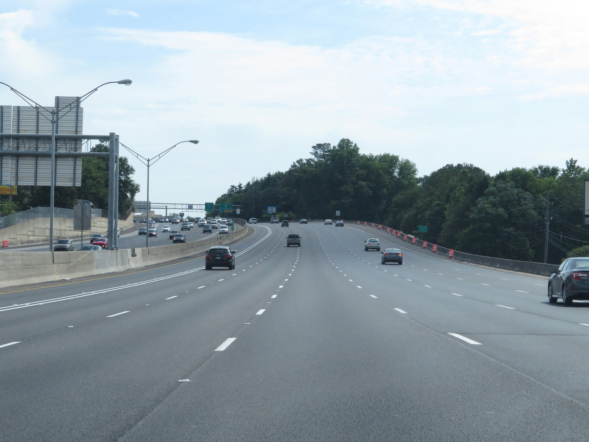
The speed limit remains 70 mph the whole way to the South Carolina border. (Photo taken 5/27/17). |
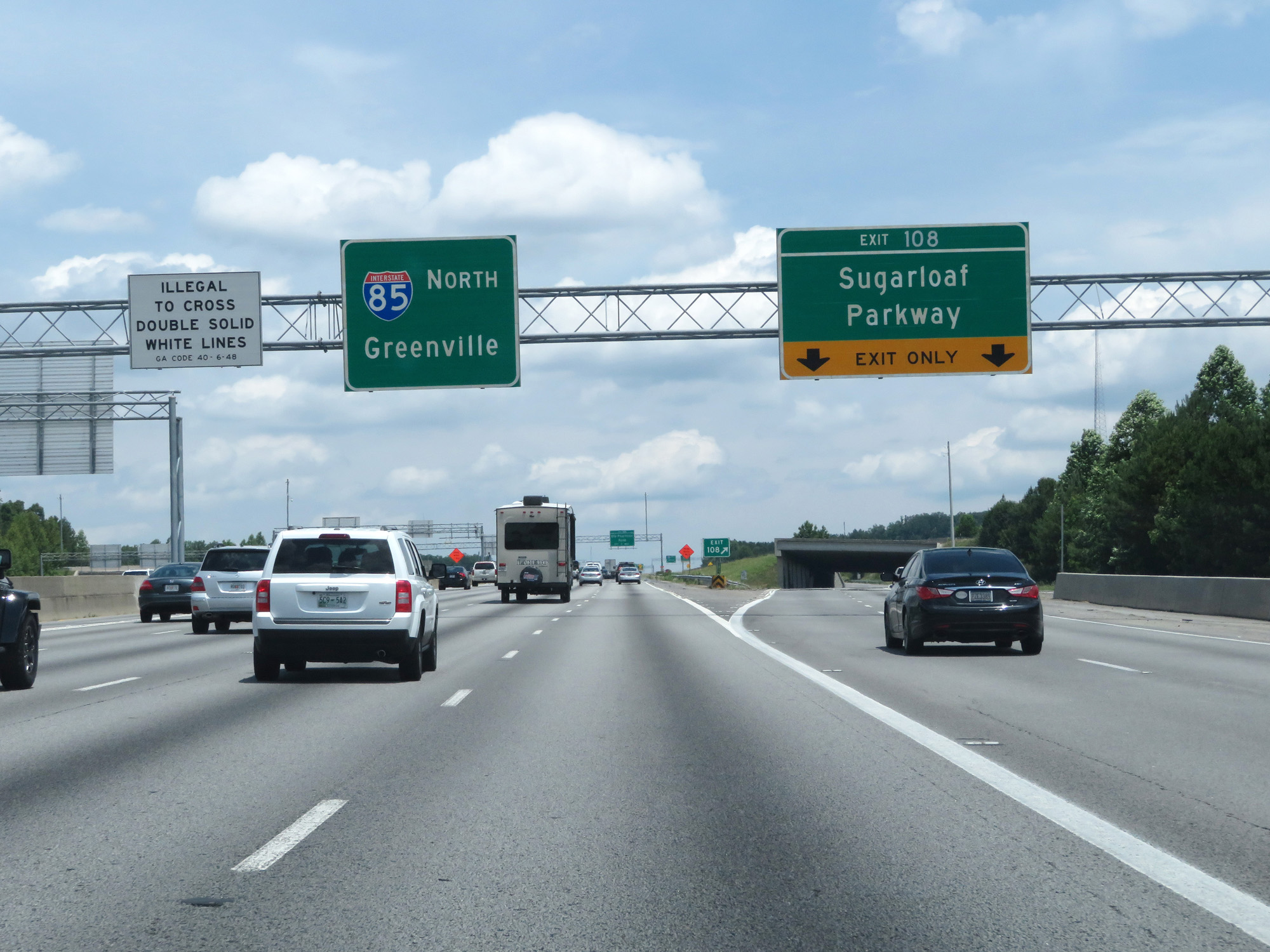 |
Interstate 85 North at Exit 108: Sugarloaf Parkway (Photo taken 5/27/17). |
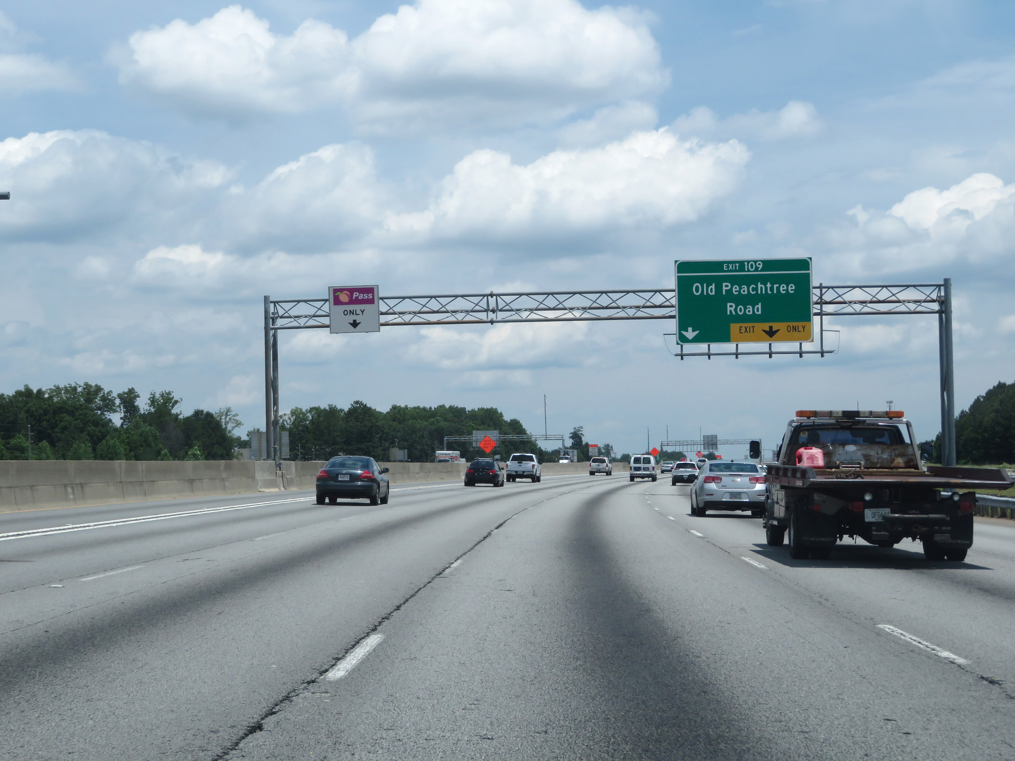 |
Interstate 85 North at Exit 109: Old Peachtree Road (Photo taken 5/27/17). |
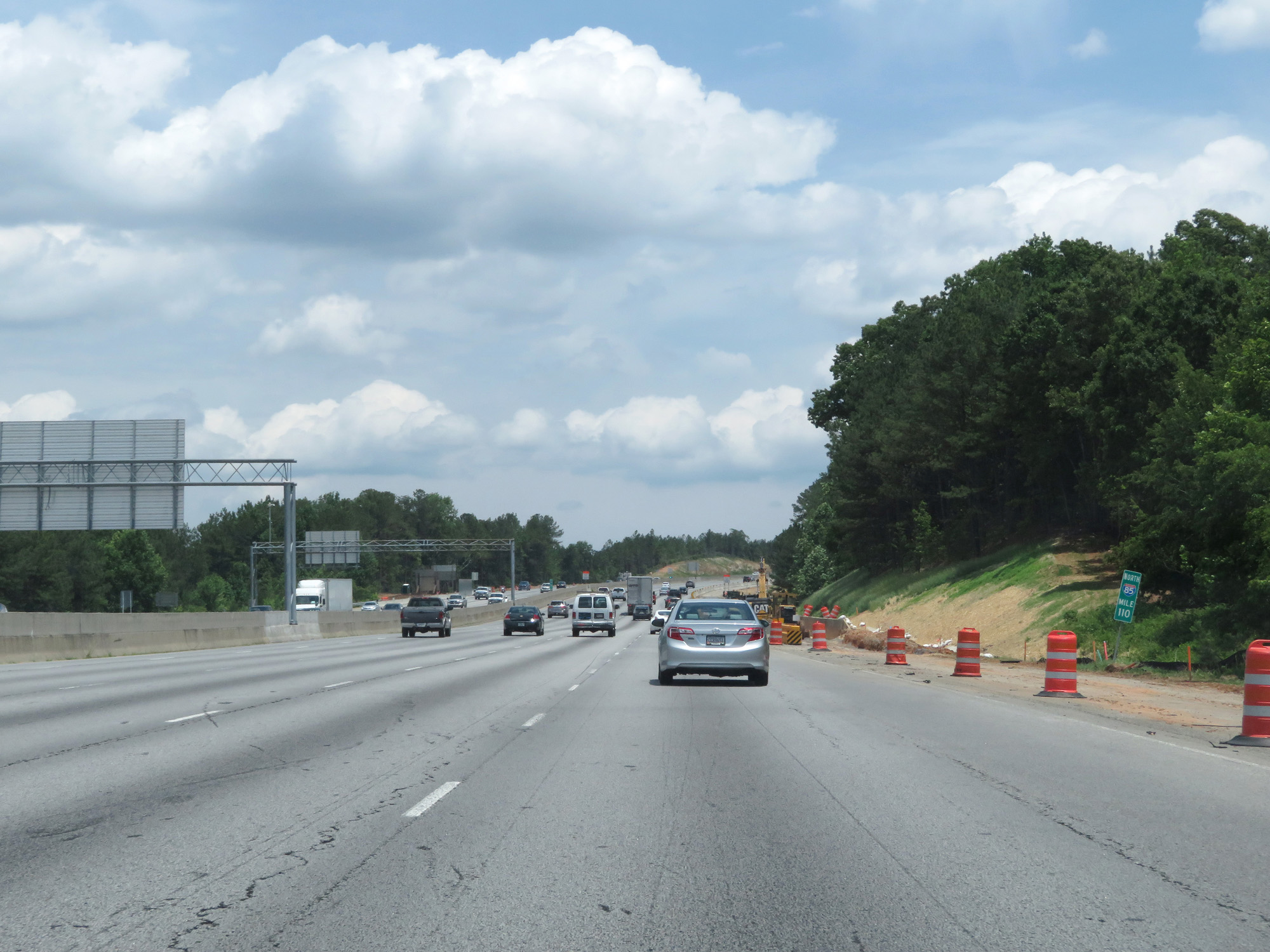 |
Interstate 85 North at mile marker 110. (Photo taken 5/27/17). |
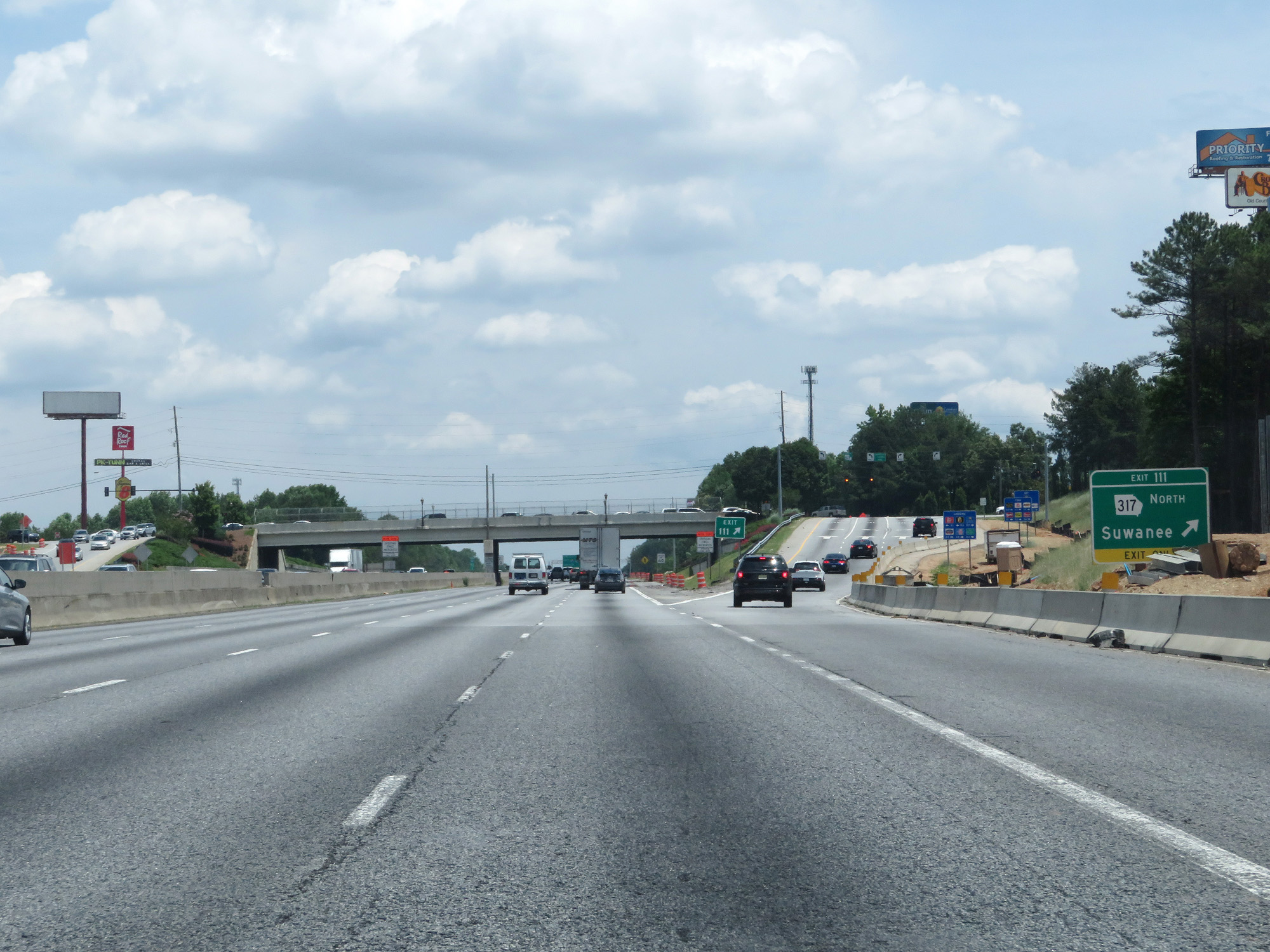 |
Interstate 85 North at Exit 111: GA 317 North - Suwanee (Photo taken 5/27/17). |
 |
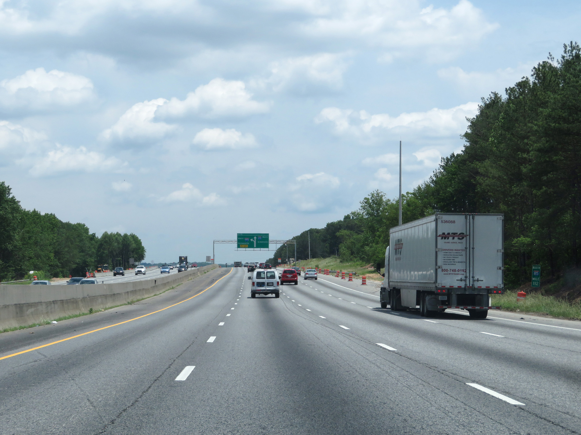
Interstate 85 North approaching Exit 113 - 1 mile on the left. (Photo taken 5/27/17). |
 |
Interstate 85 North at mile marker 112. (Photo taken 5/27/17). |
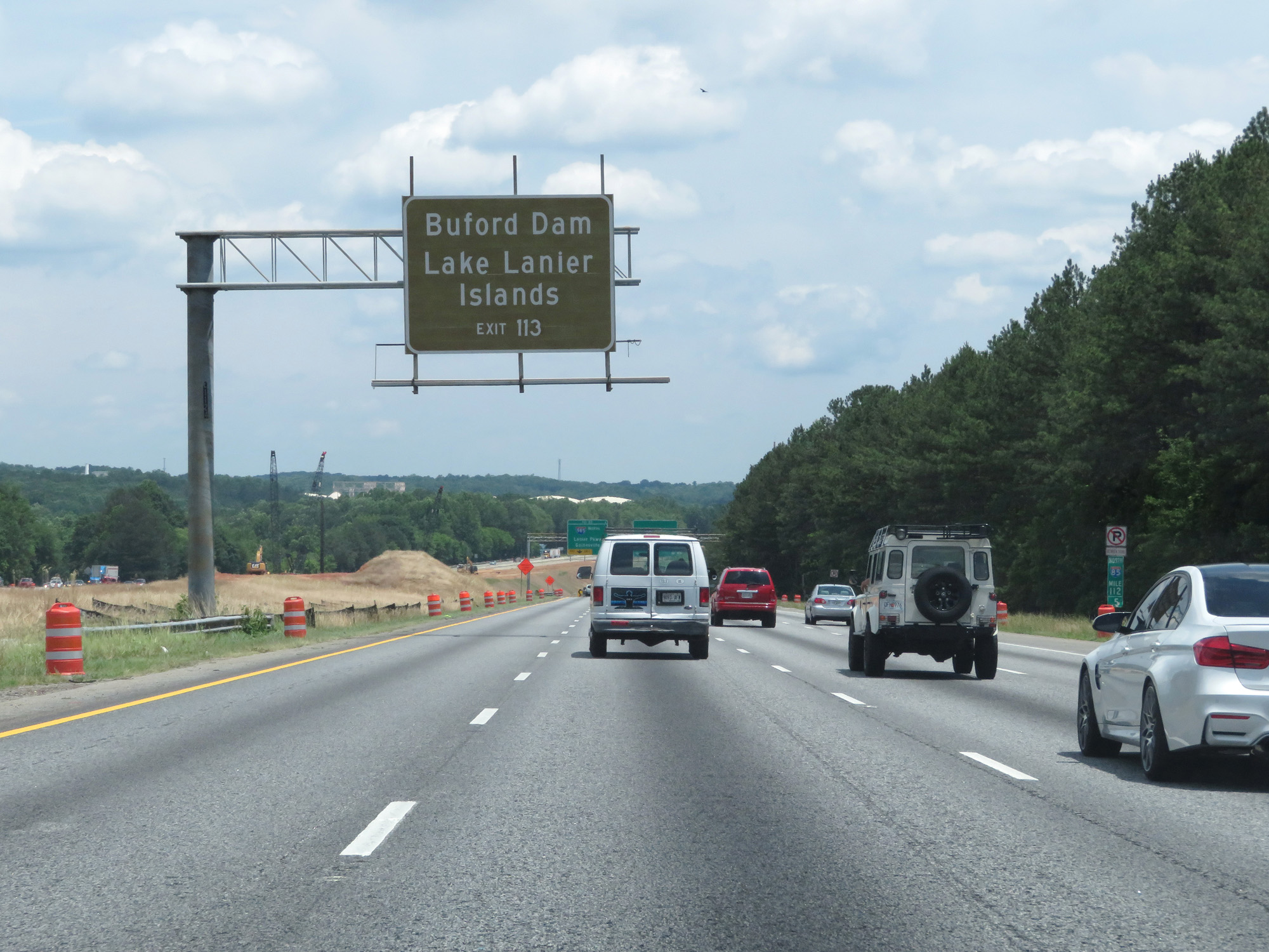 |
Take Exit 113 to Buford Dam and Lake Lanier Islands. (Photo taken 5/27/17). |
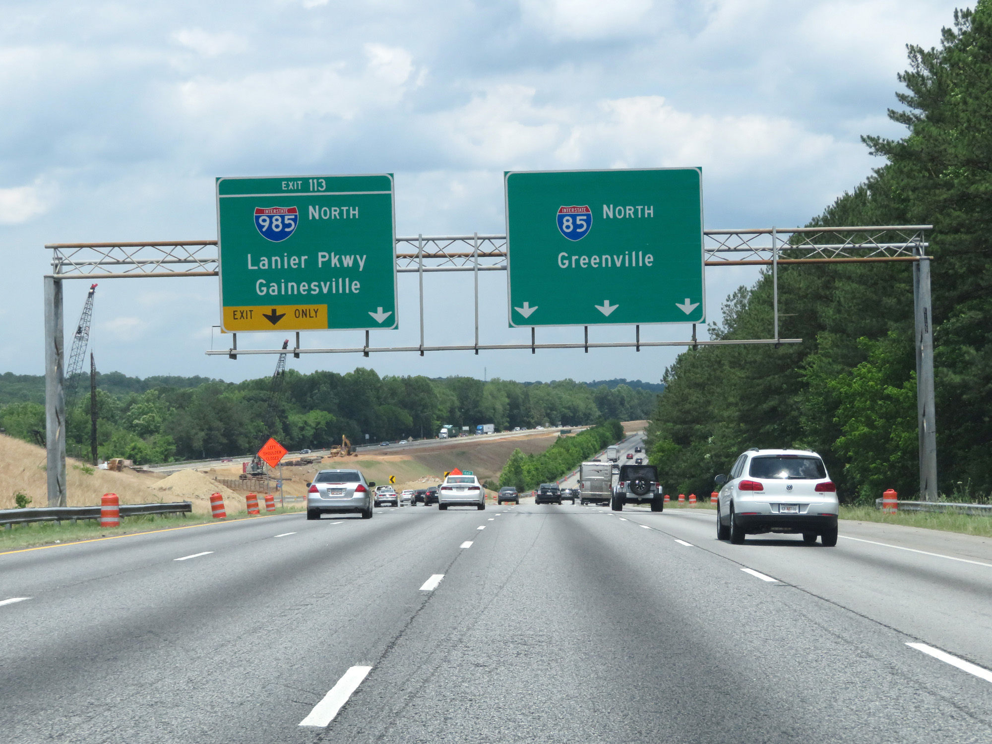 |
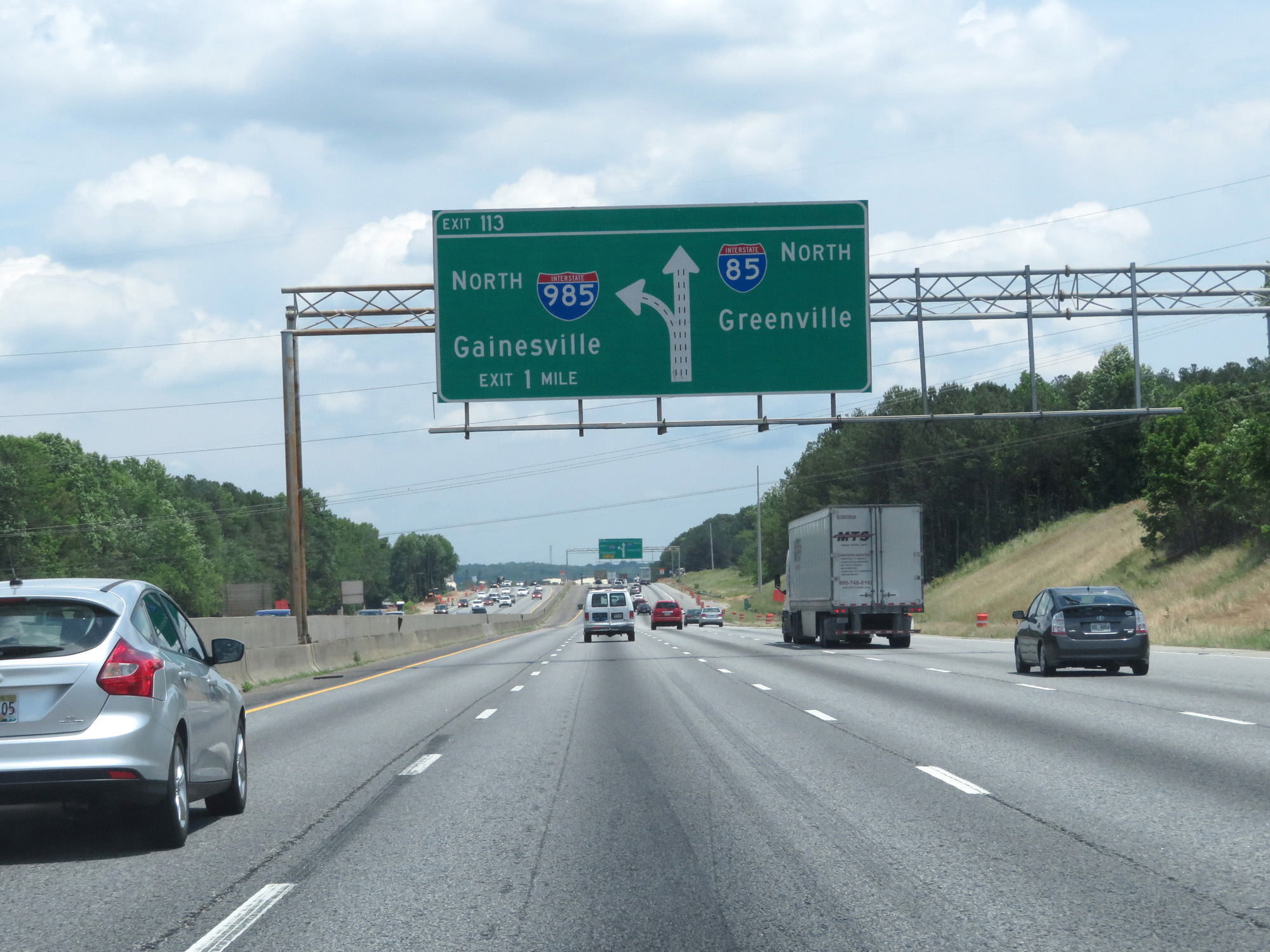
Interstate 85 North at Exit 113: Interstate 985 North - Lanier Pkwy / Gainesville (Photo taken 5/27/17). |
 |
State-named Interstate 85 North reassurance shield. (Photo taken 5/27/17). |
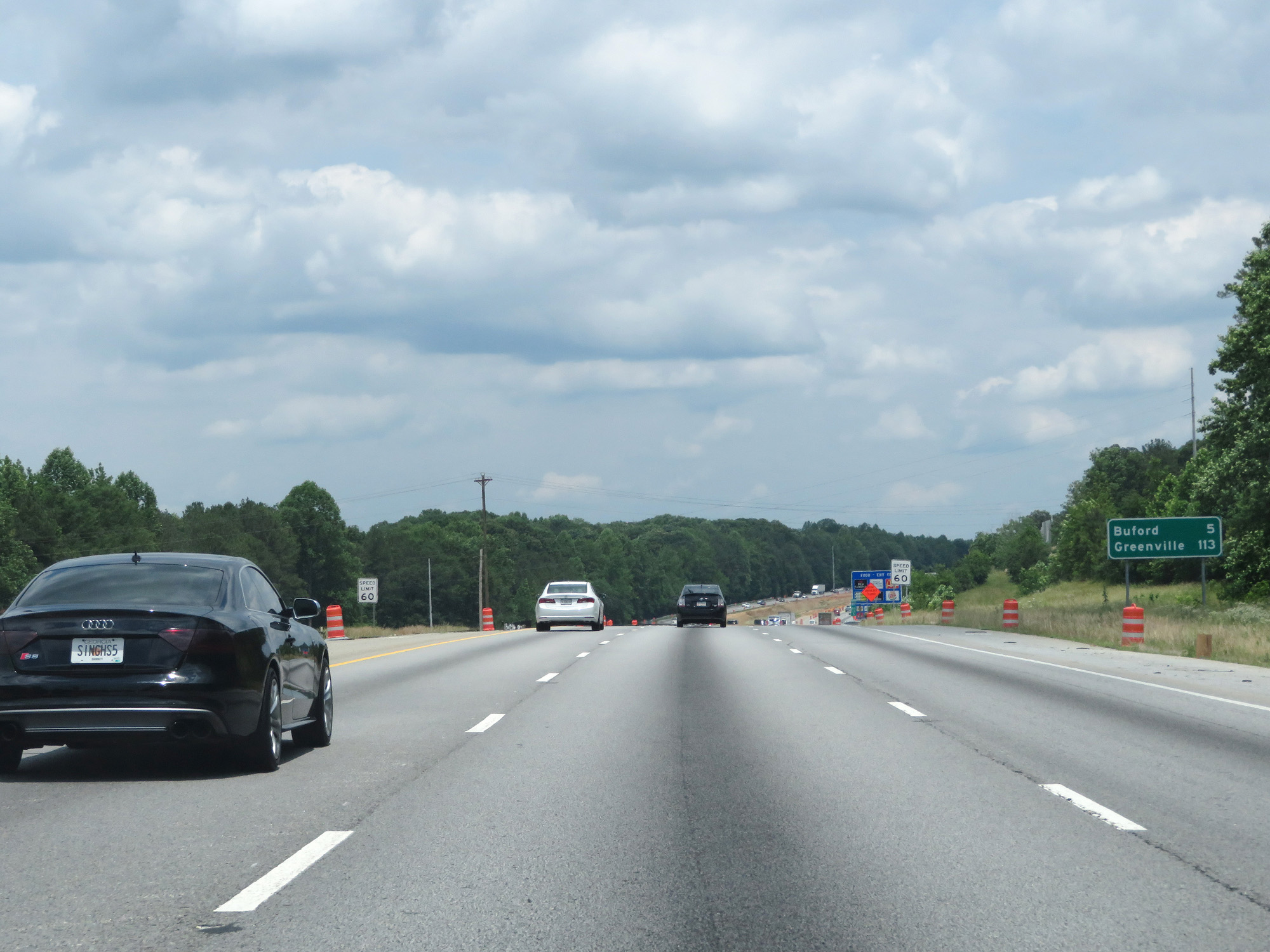 |
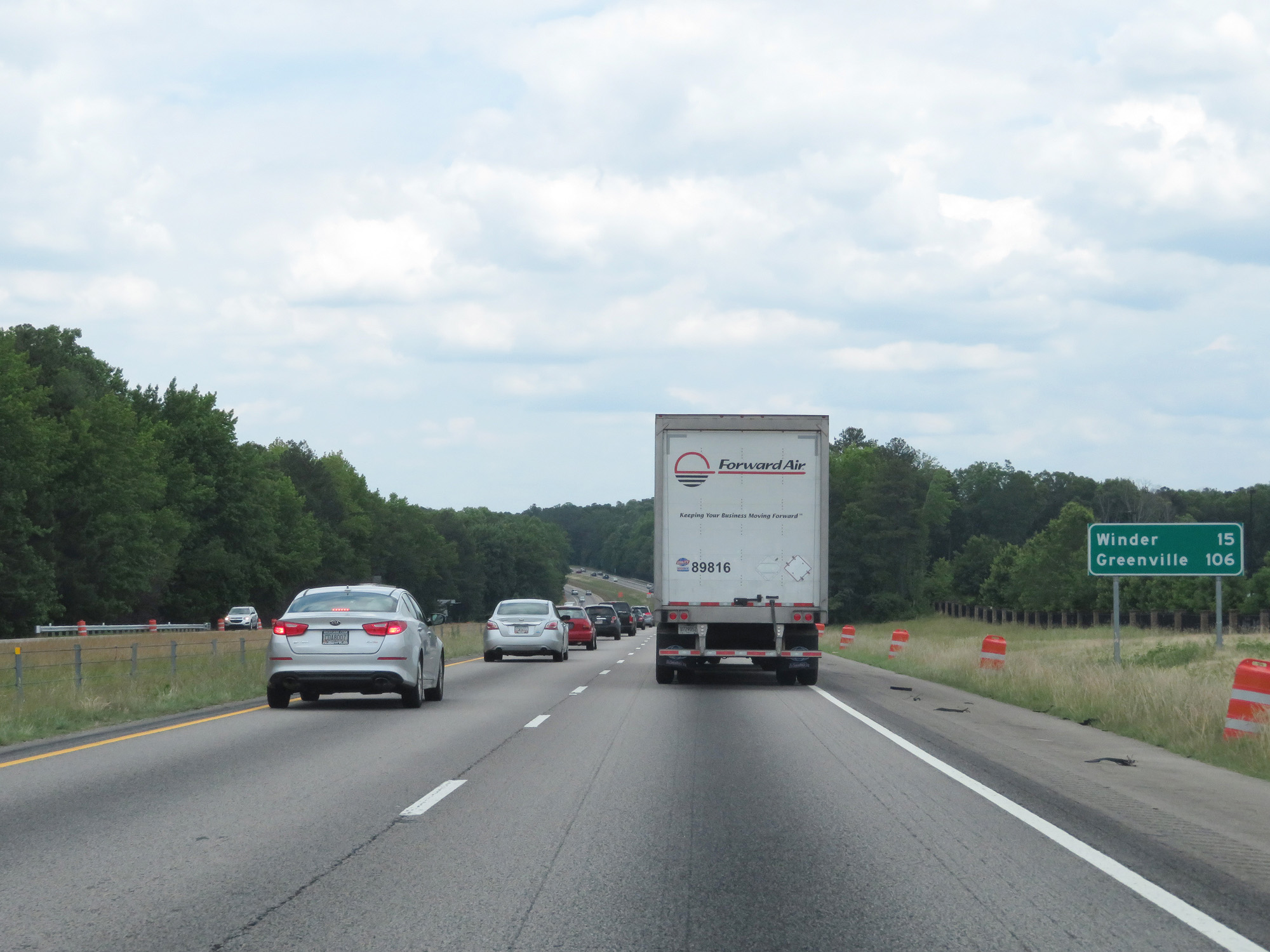
Mileage sign on Interstate 85 North. It's 5 miles to Buford and 113 miles to Greenville. (Photo taken 5/27/17). |
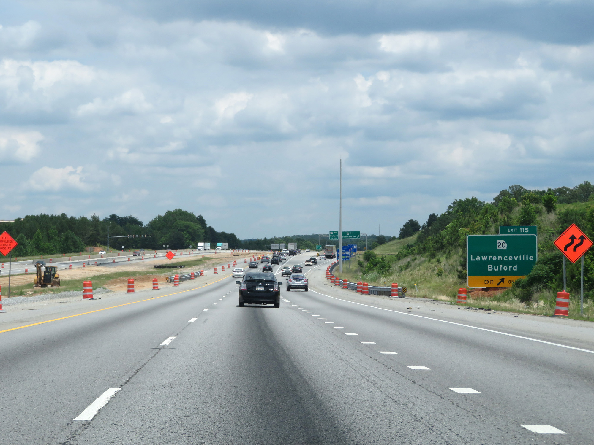 |
Interstate 85 North at Exit 115: GA 20 - Lawrenceville / Buford (Photo taken 5/27/17). |
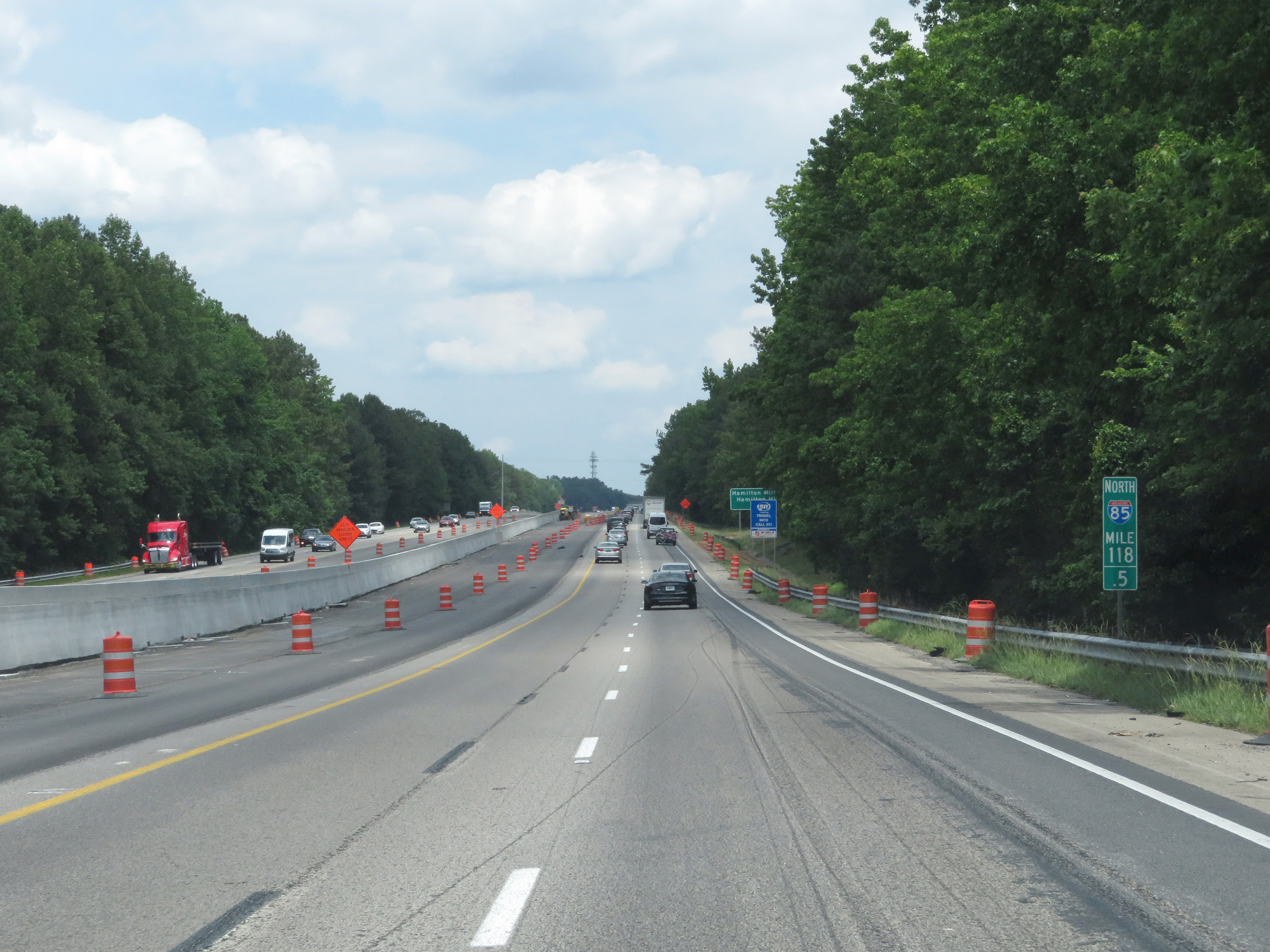 |
Interstate 85 North at mile marker 118.5. (Photo taken 5/27/17). |
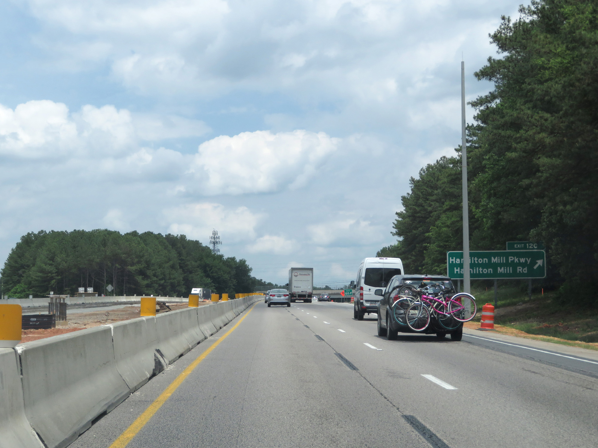 |
Interstate 85 North at Exit 120: Hamilton Mill Pkwy / Hamilton Mill Rd (Photo taken 5/27/17). |
 |
Mileage sign on Interstate 85 North. It's 15 miles to Winder and 106 miles to Greenville. (Photo taken 5/27/17). |
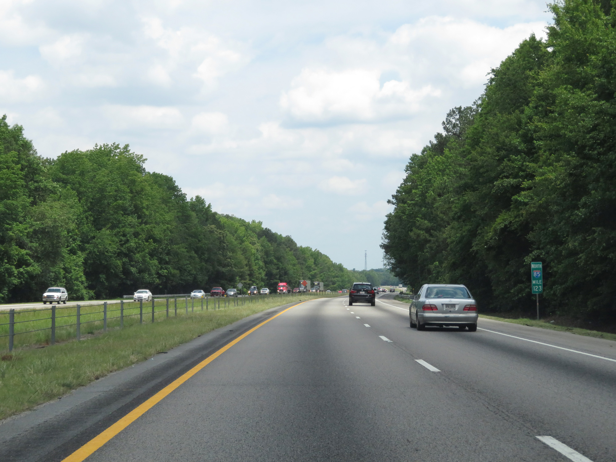 |
Interstate 85 North at mile marker 123. (Photo taken 5/27/17). |
 |
Another state-named Interstate 85 North reassurance shield. (Photo taken 5/27/17). |
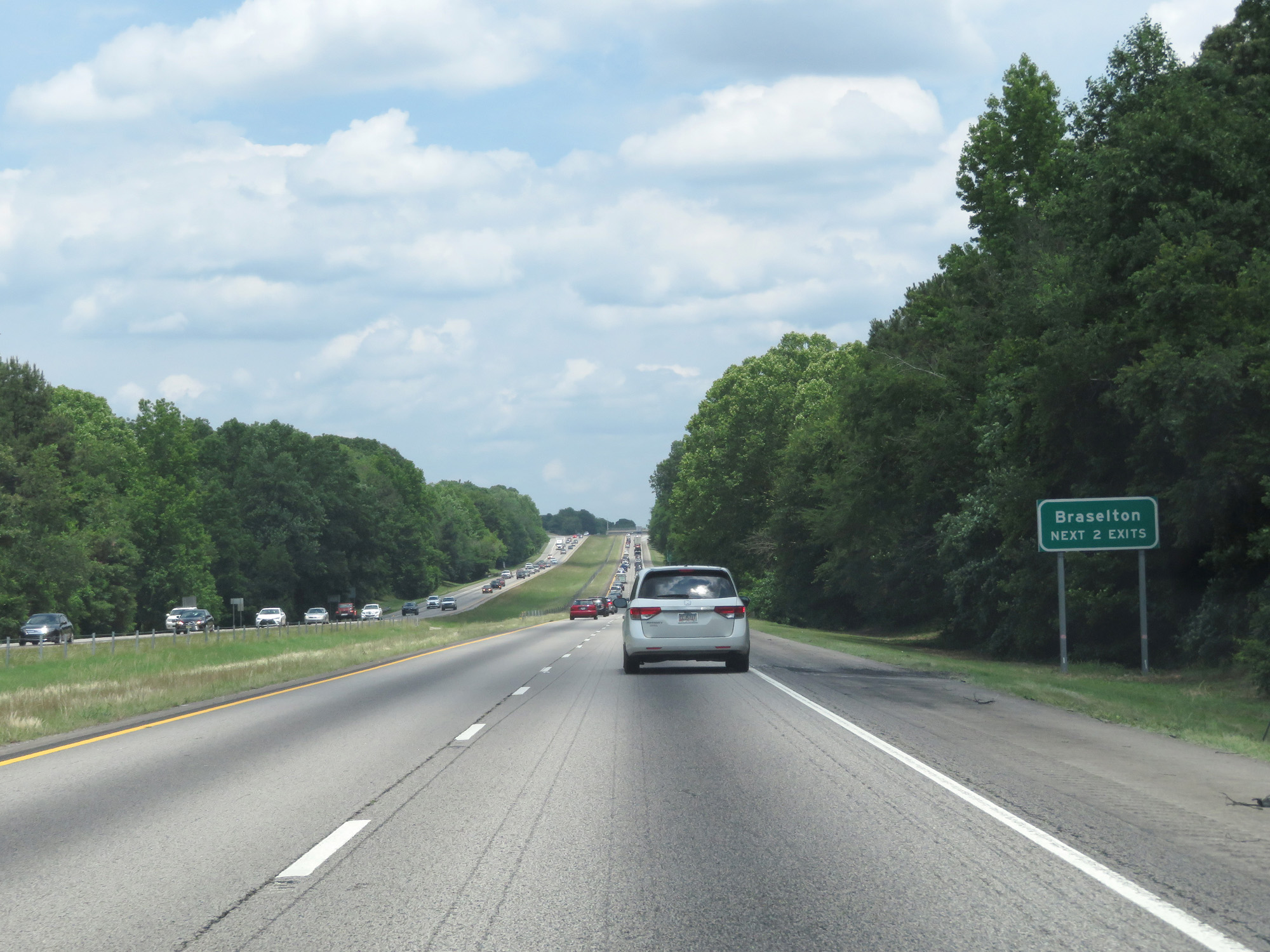 |
Take either of the next 2 exits to Braselton. (Photo taken 5/27/17). |
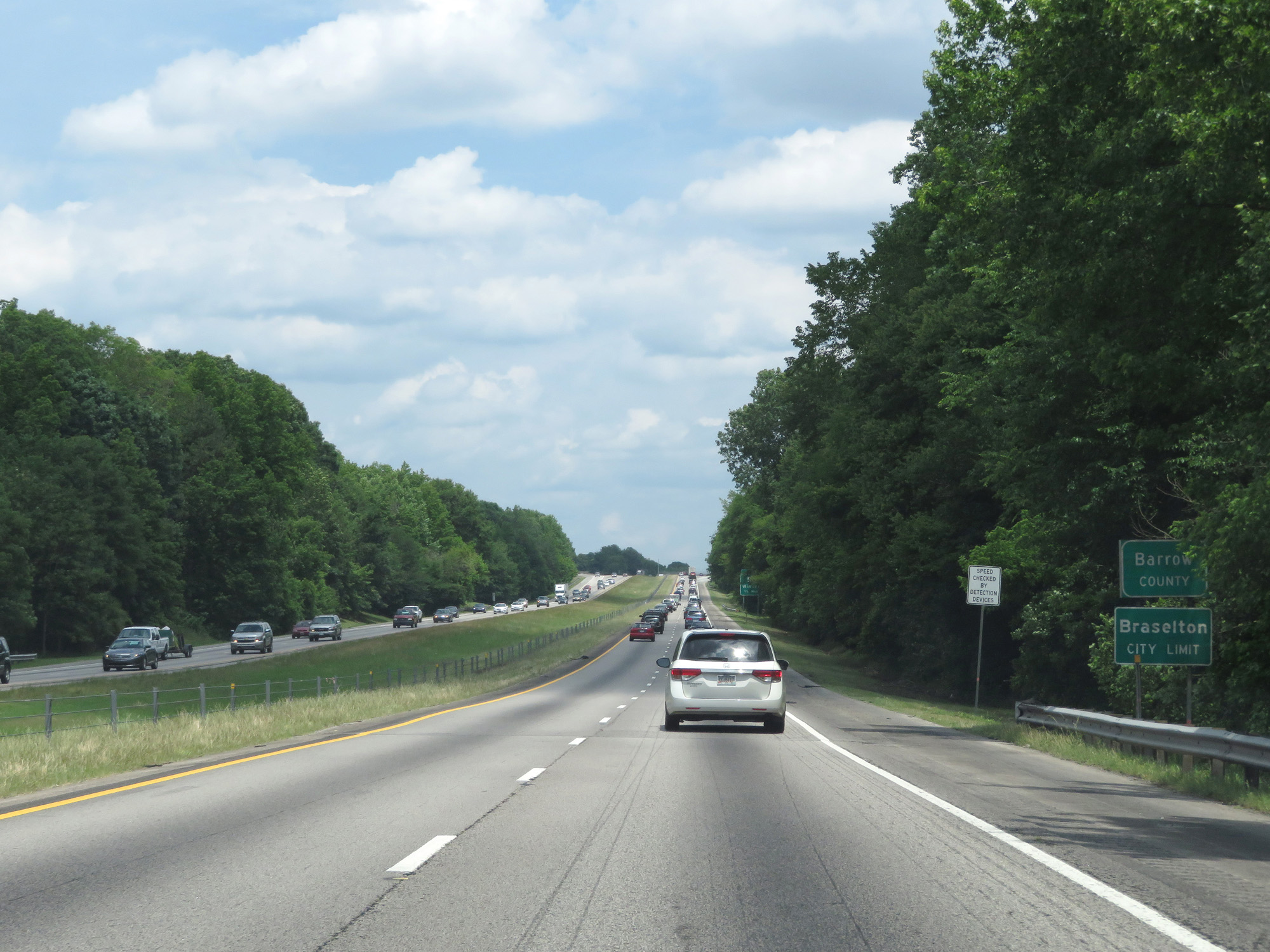 |
Interstate 85 North entering Barrow County. (Photo taken 5/27/17). |
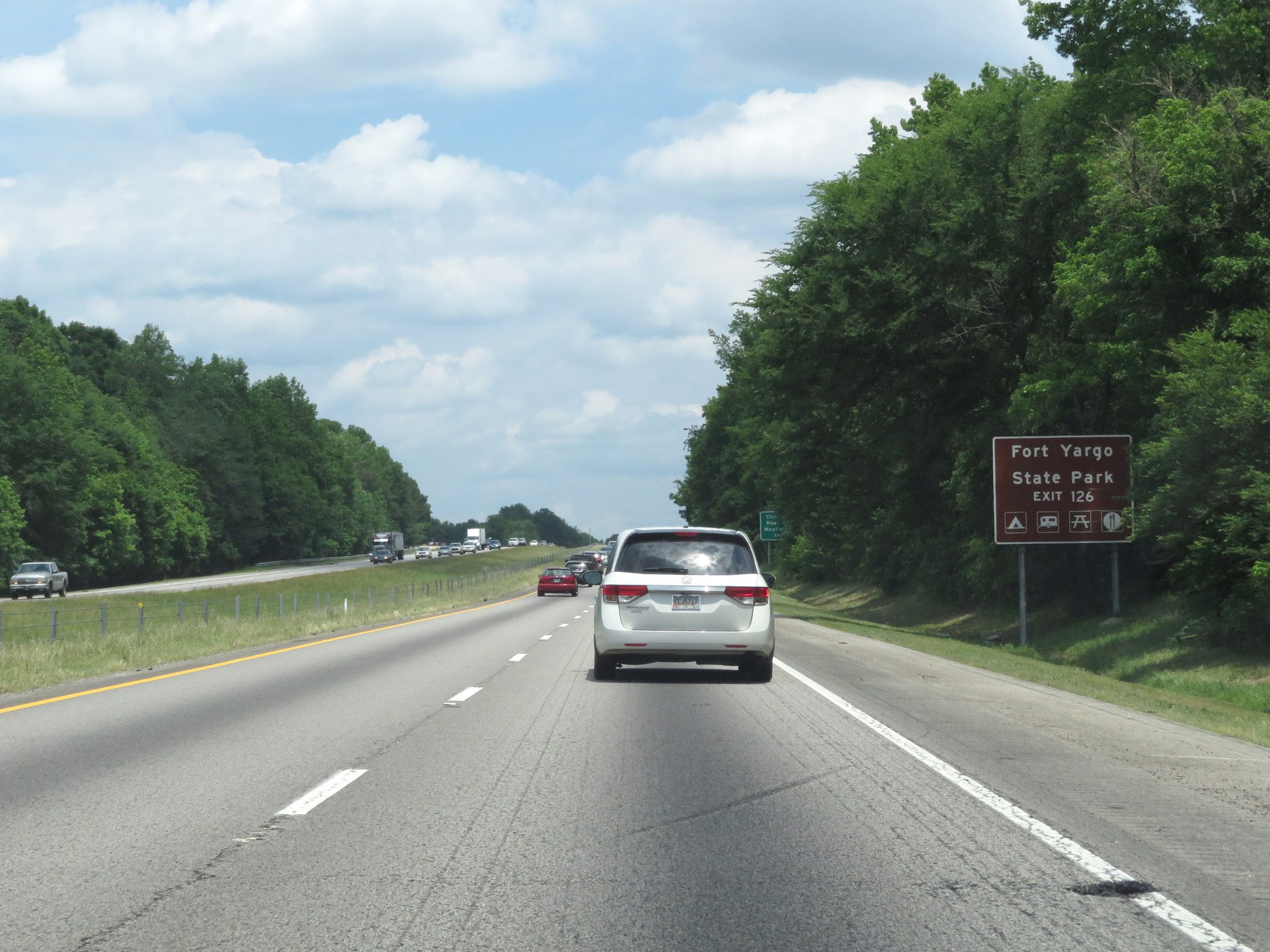 |
Take Exit 126 to Fort Yargo State Park. (Photo taken 5/27/17). |
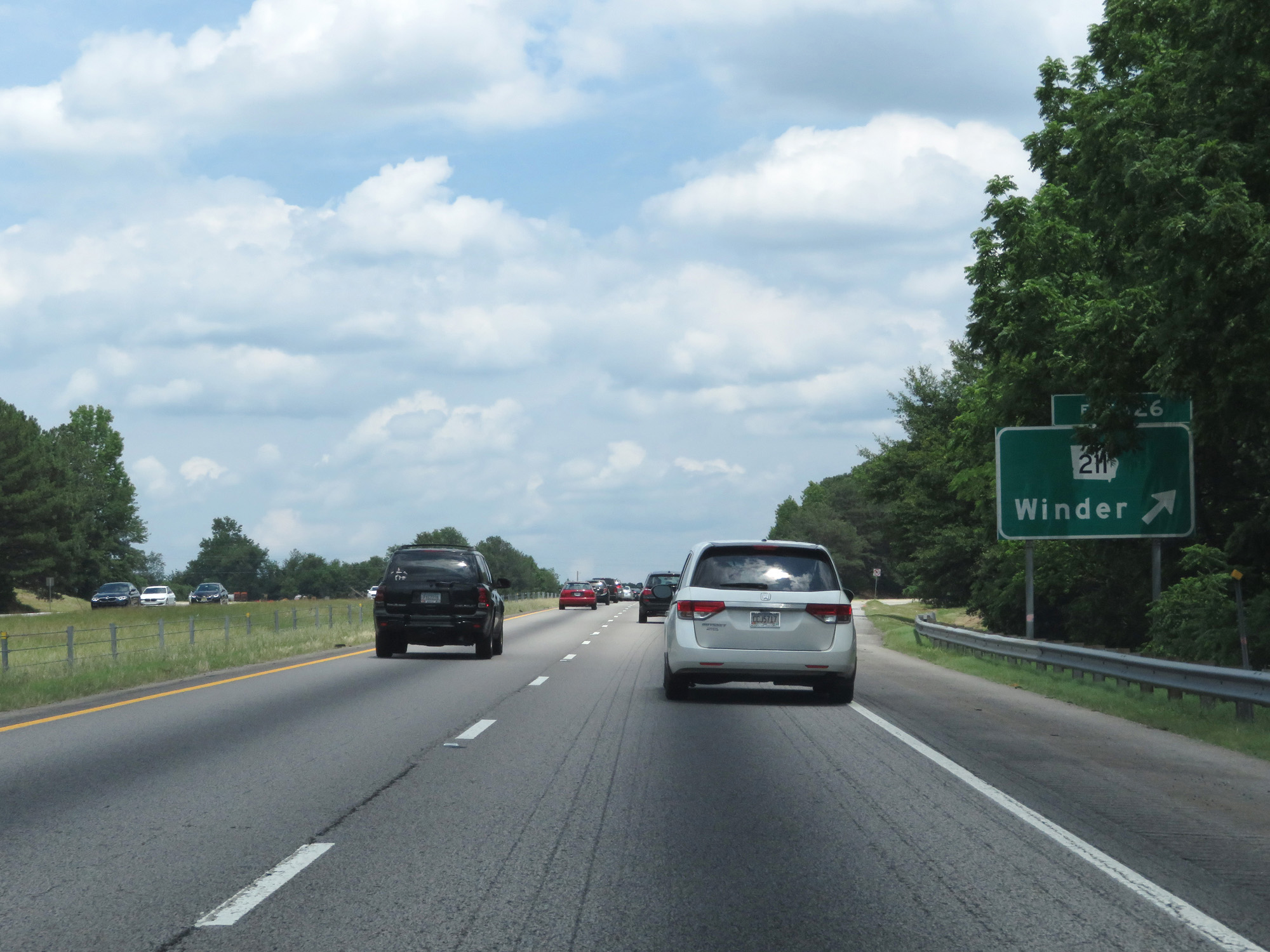 |
Interstate 85 North at Exit 126: GA 211 - Winder (Photo taken 5/27/17). |
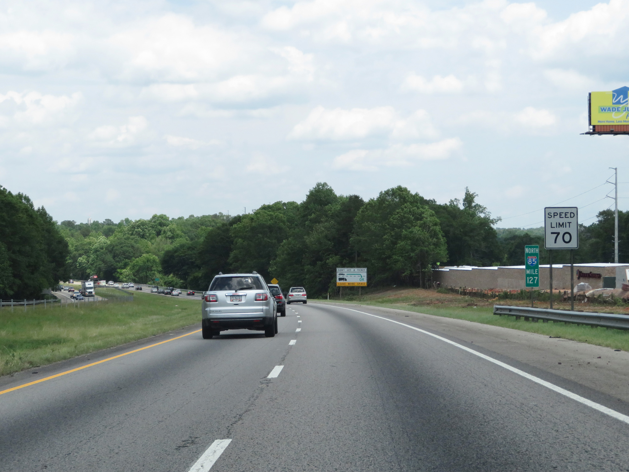 |
Interstate 85 North at mile marker 127. (Photo taken 5/27/17). |
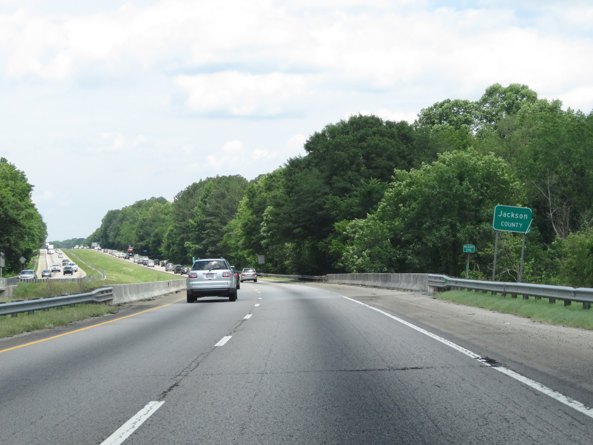 |
Interstate 85 North entering Jackson County. (Photo taken 5/27/17). |
 |
Take Exit 129 to Lanier National Speedway. (Photo taken 5/27/17). |
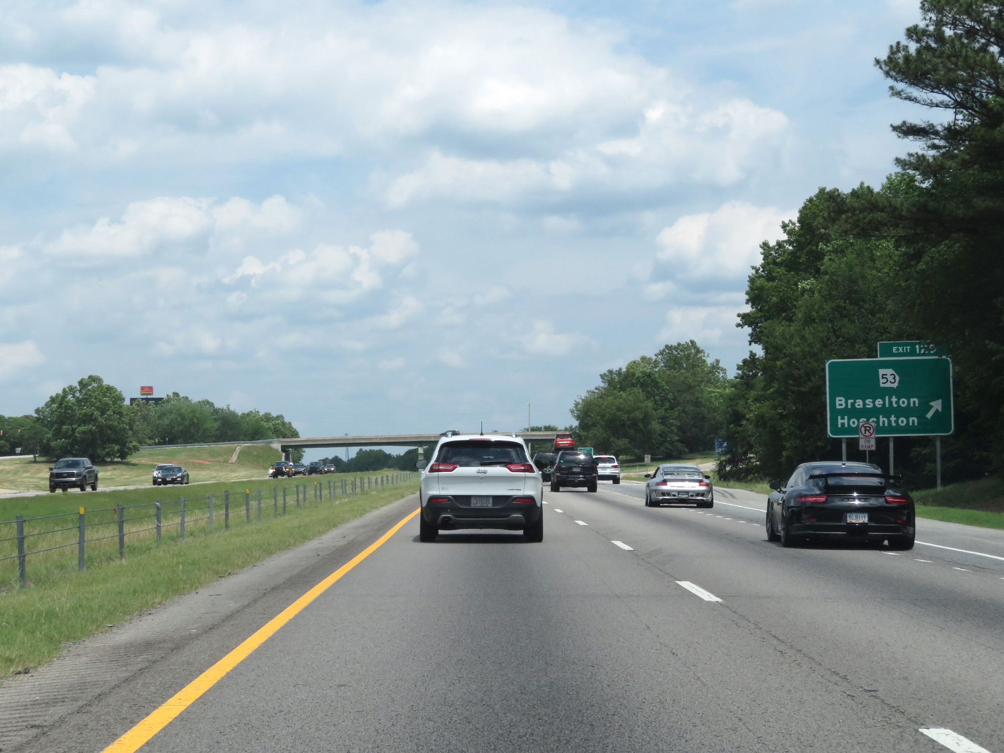 |
Interstate 85 North at Exit 129: GA 53 - Braselton / Hoschton (Photo taken 5/27/17). |
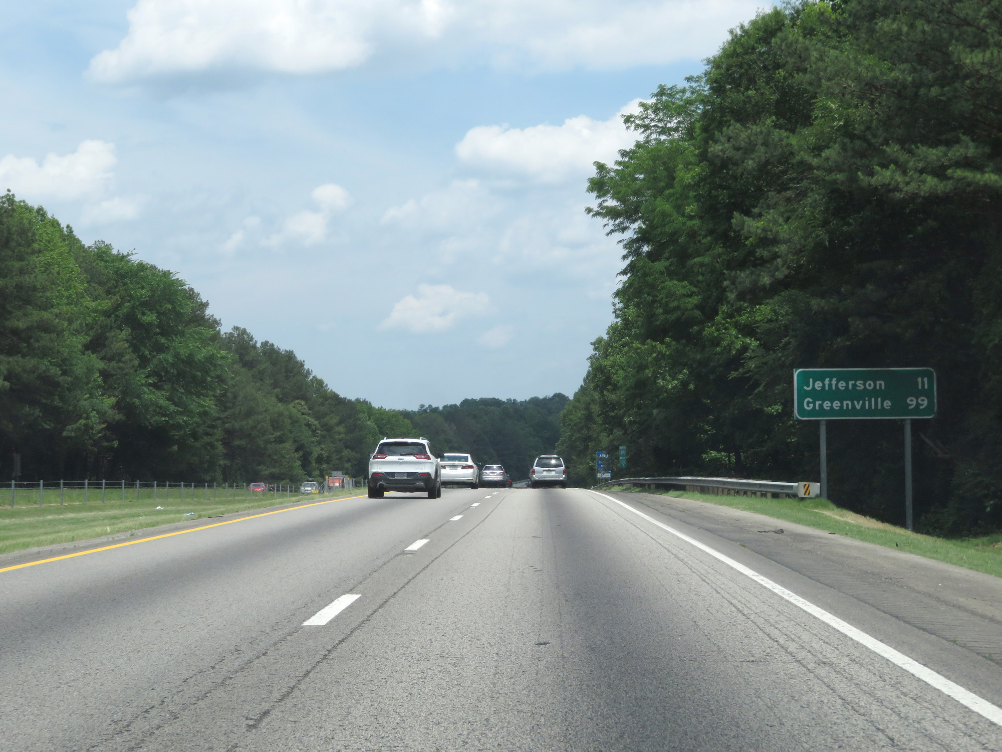 |
Mileage sign on Interstate 85 North. It's 11 miles to Jefferson and 99 miles to Greenville. (Photo taken 5/27/17). |
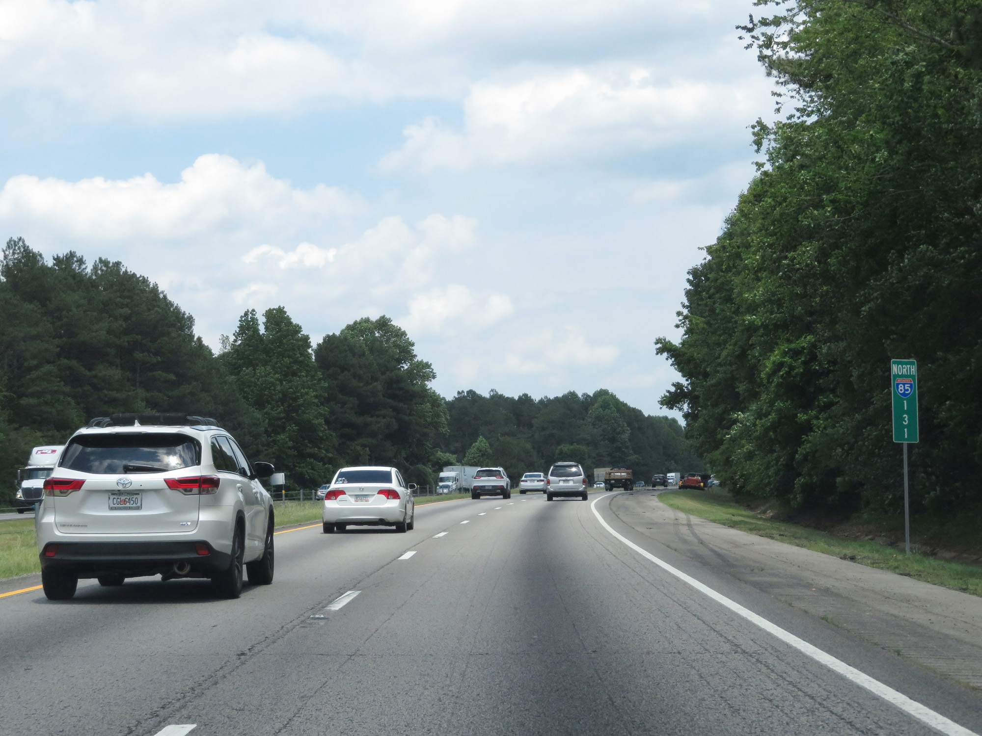 |
Interstate 85 North at mile marker 131. (Photo taken 5/27/17). |
 |
Take Exit 137 to Athens and the University of Georgia. (Photo taken 5/27/17). |
 |
Also take Exit 137 to Crawford W. Long Museum. (Photo taken 5/27/17). |
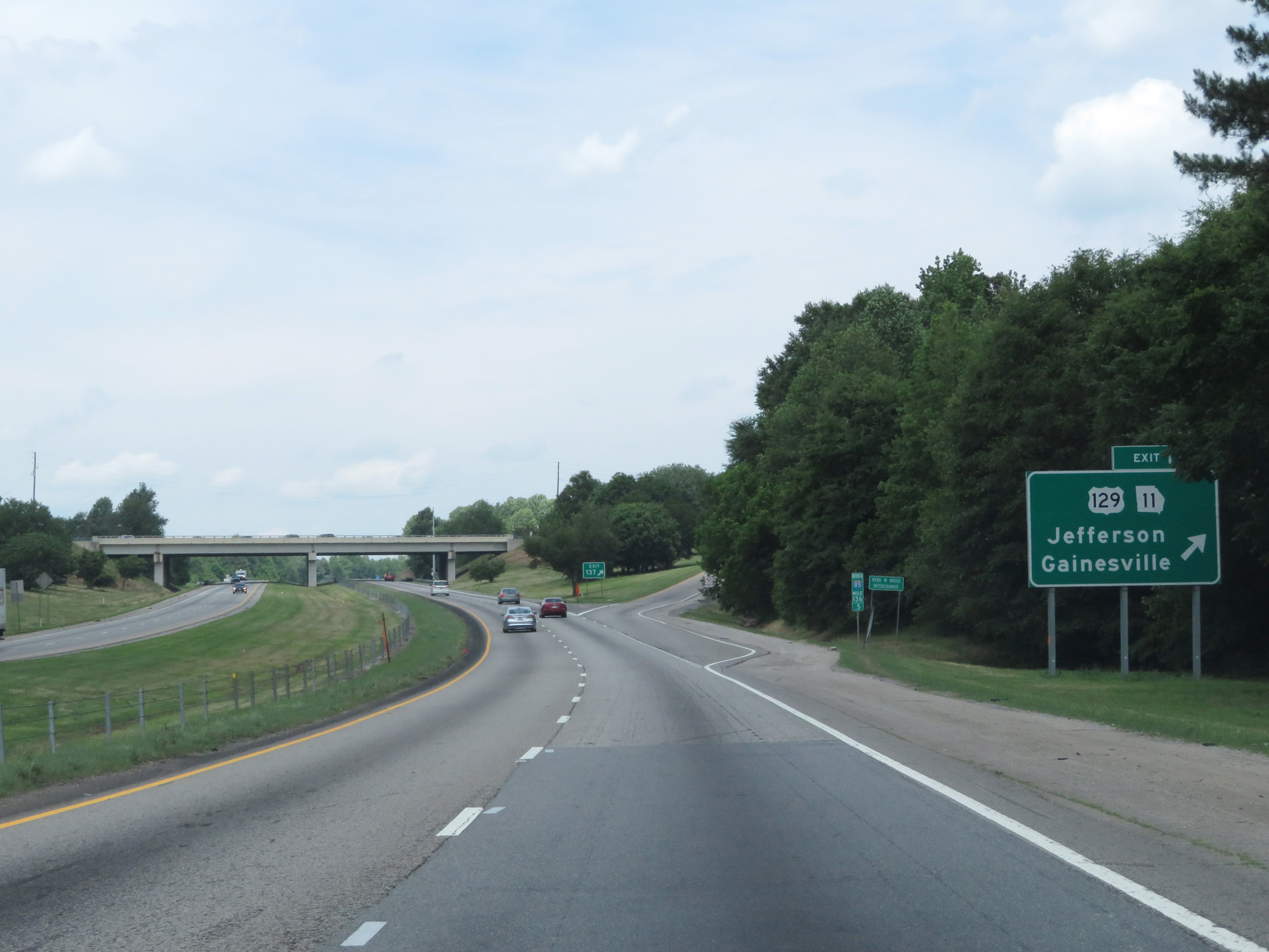 |
Interstate 85 North at Exit 137: US 129 / GA 11 - Jefferson / Gainesville (Photo taken 5/27/17). |
 |
Take Exit 140 to Gresham Motorsports Park. (Photo taken 5/27/17). |
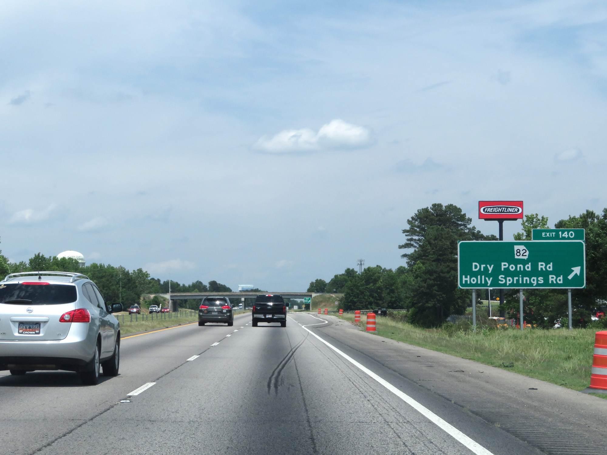 |
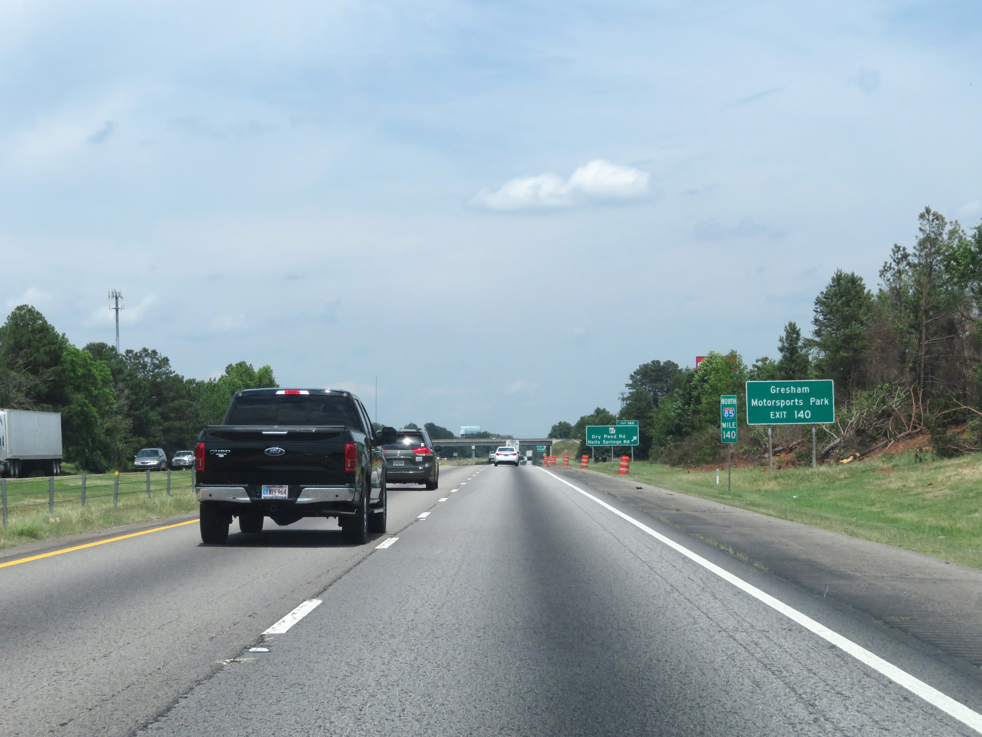
Interstate 85 North at Exit 140: GA 82 - Dry Pond Rd / Holly Springs Rd (Photo taken 5/27/17). |
 |
State-named Interstate 85 North reassurance shield. (Photo taken 5/27/17). |
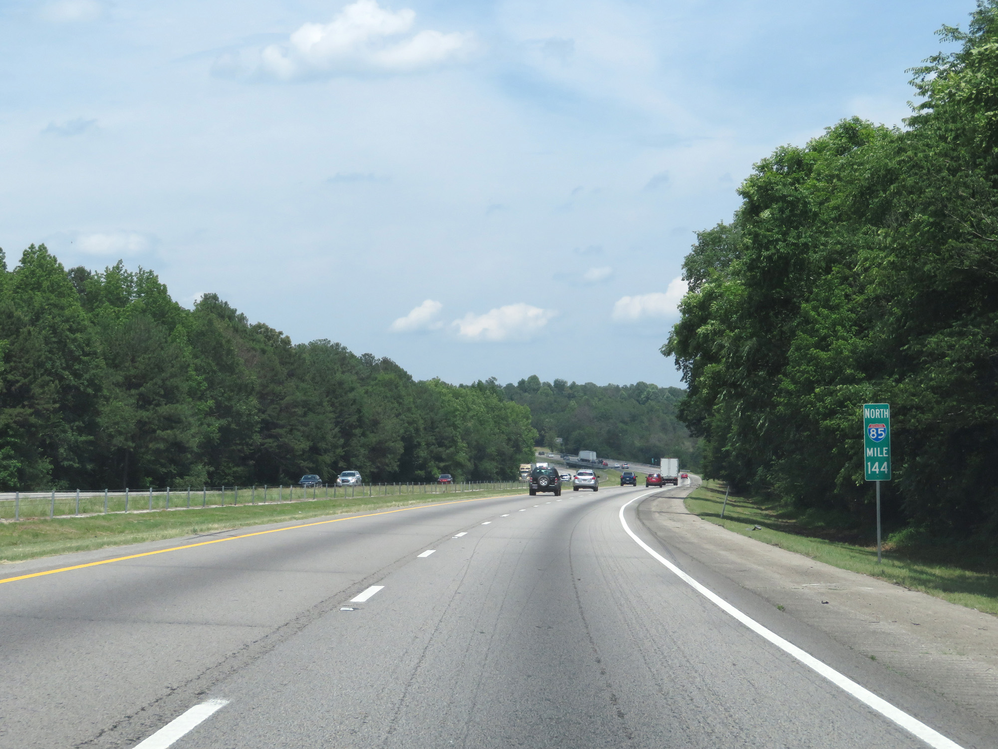 |
Interstate 85 North at mile marker 144. (Photo taken 5/27/17). |
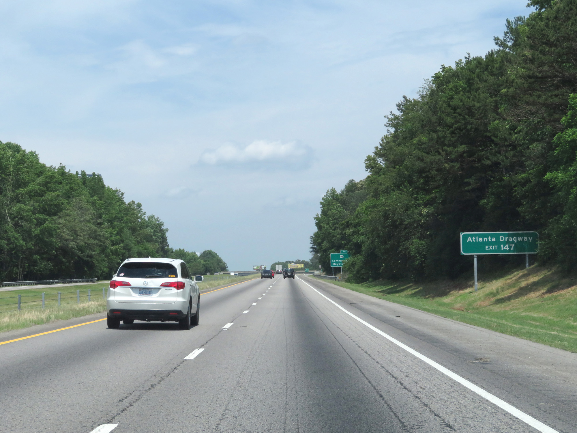 |
Take Exit 147 to Atlanta Dragway. (Photo taken 5/27/17). |
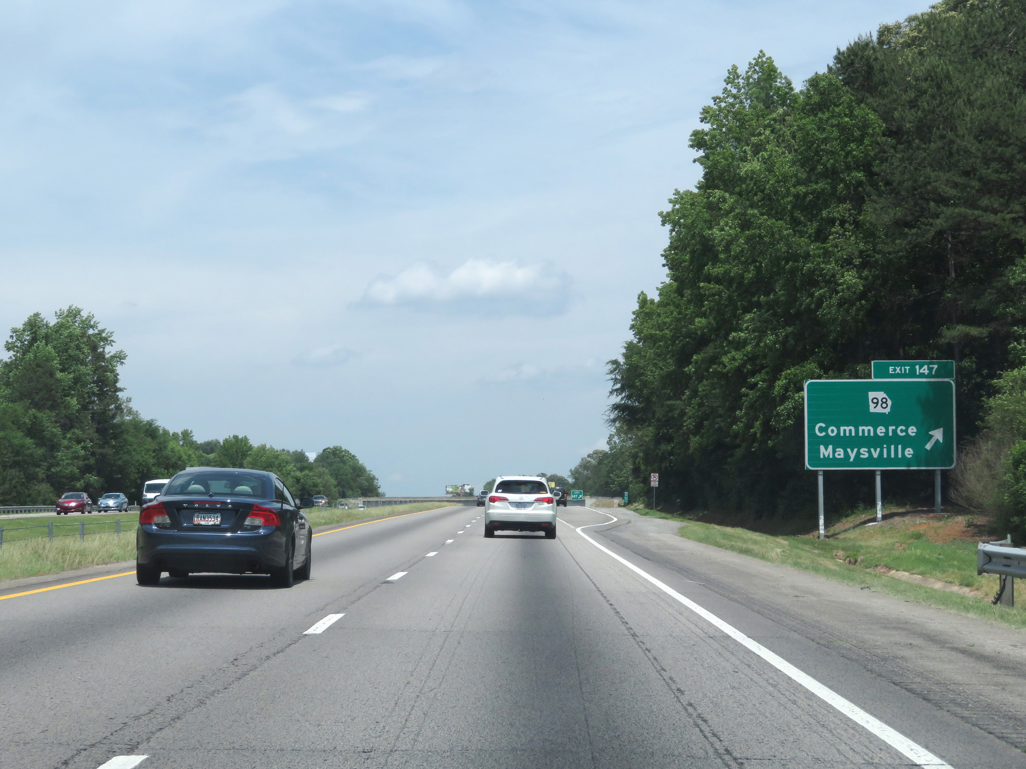 |
Interstate 85 North at Exit 147: GA 98 - Commerce / Maysville (Photo taken 5/27/17). |
 |
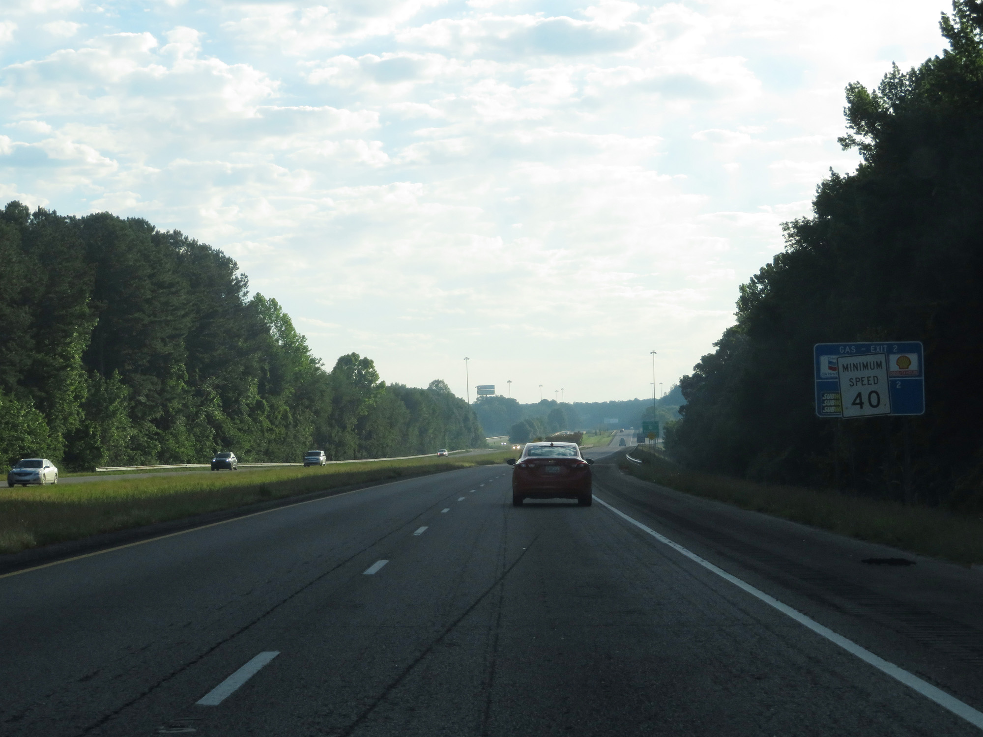
A reminder that the minimum speed limit on Interstate highways in Georgia is 40 mph. (Photo taken 5/27/17). |
 |
Interstate 85 North entering Banks County. (Photo taken 5/27/17). |
 |
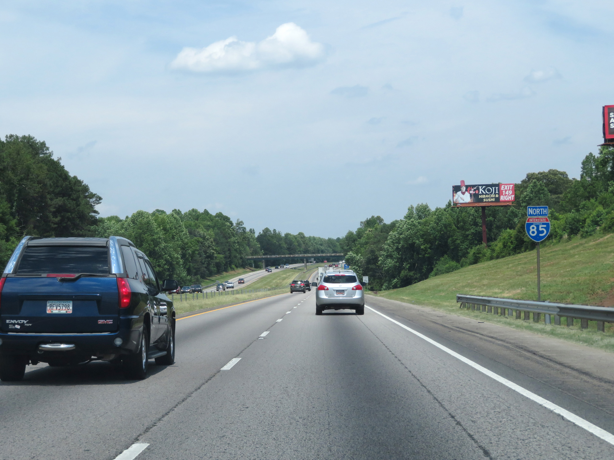
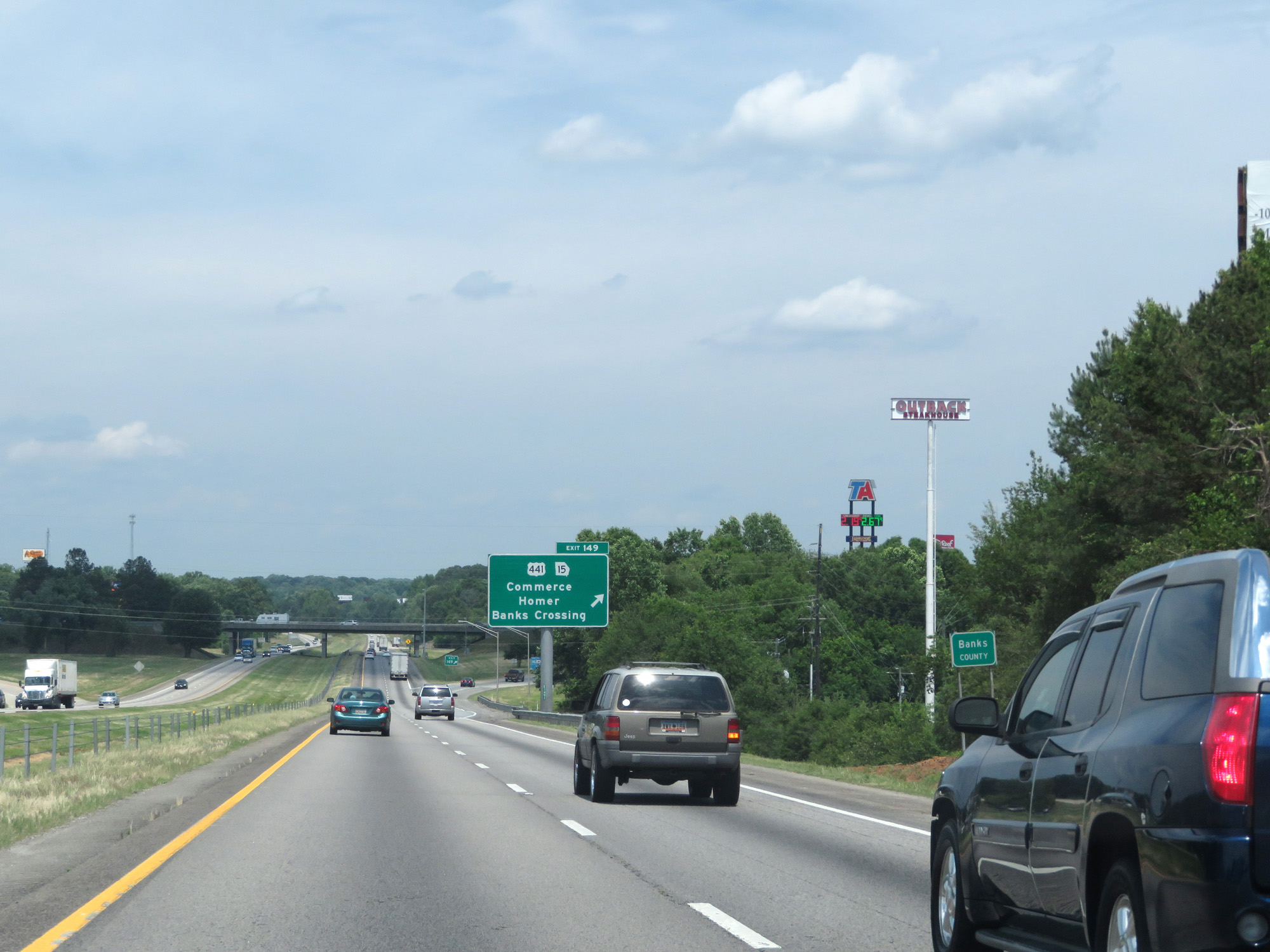
Interstate 85 North at Exit 149: US 441 / GA 15 - Commerce / Homer / Banks Crossing (Photo taken 5/27/17). |
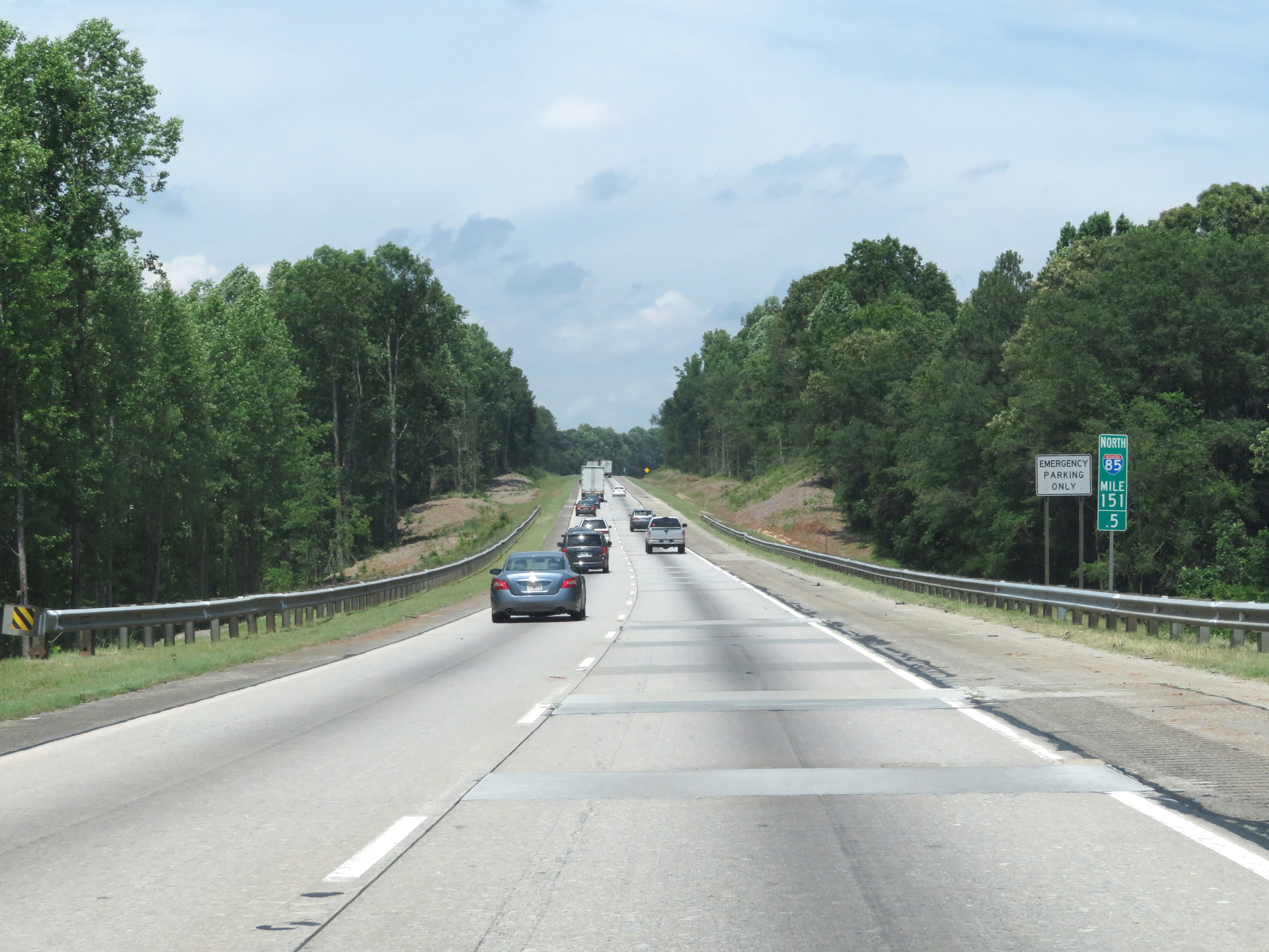 |
Interstate 85 North at mile marker 151.5. (Photo taken 5/27/17). |
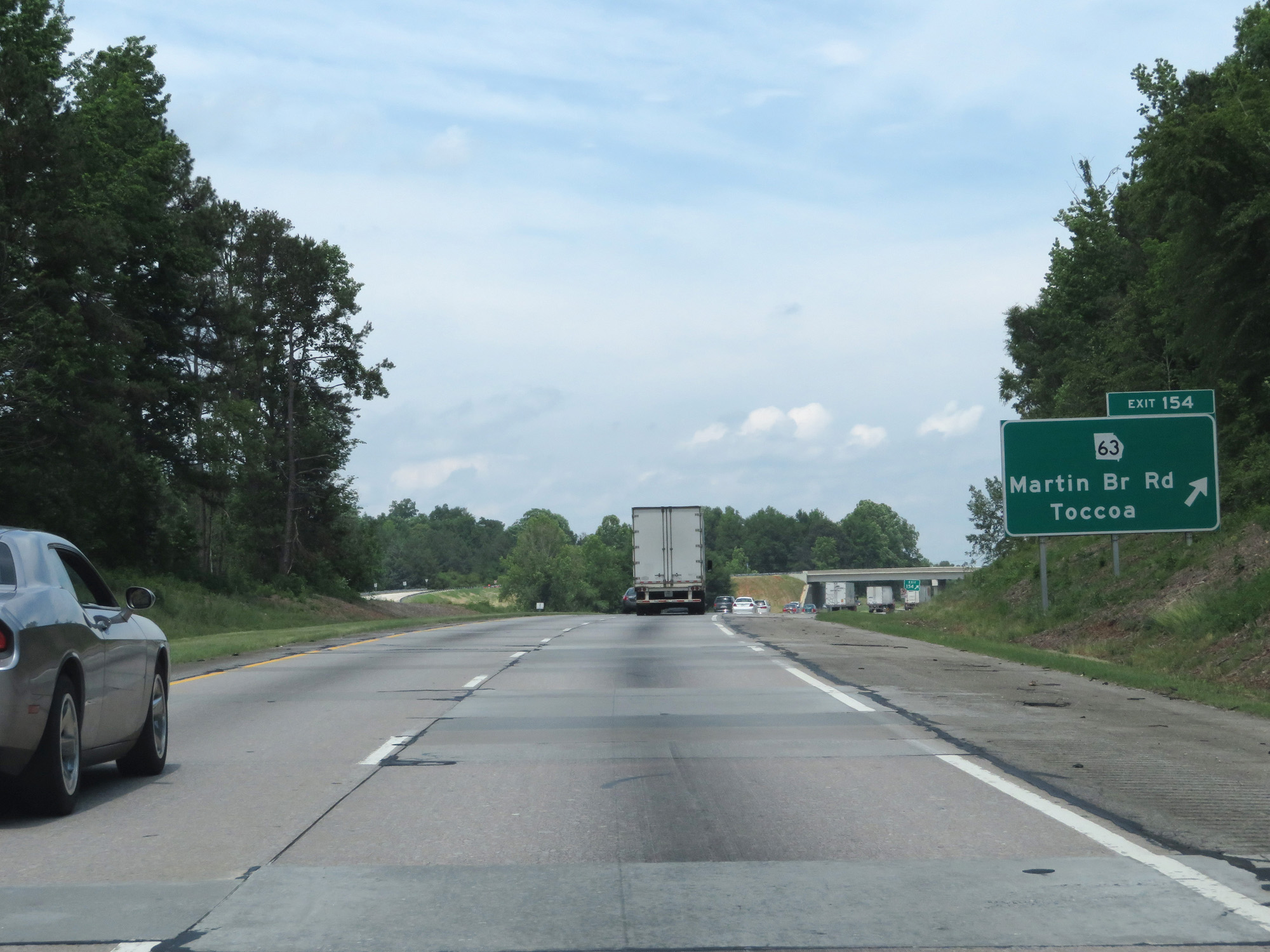 |
Interstate 85 North at Exit 154: GA 63 - Martin Bridge Rd / Toccoa (Photo taken 5/27/17). |
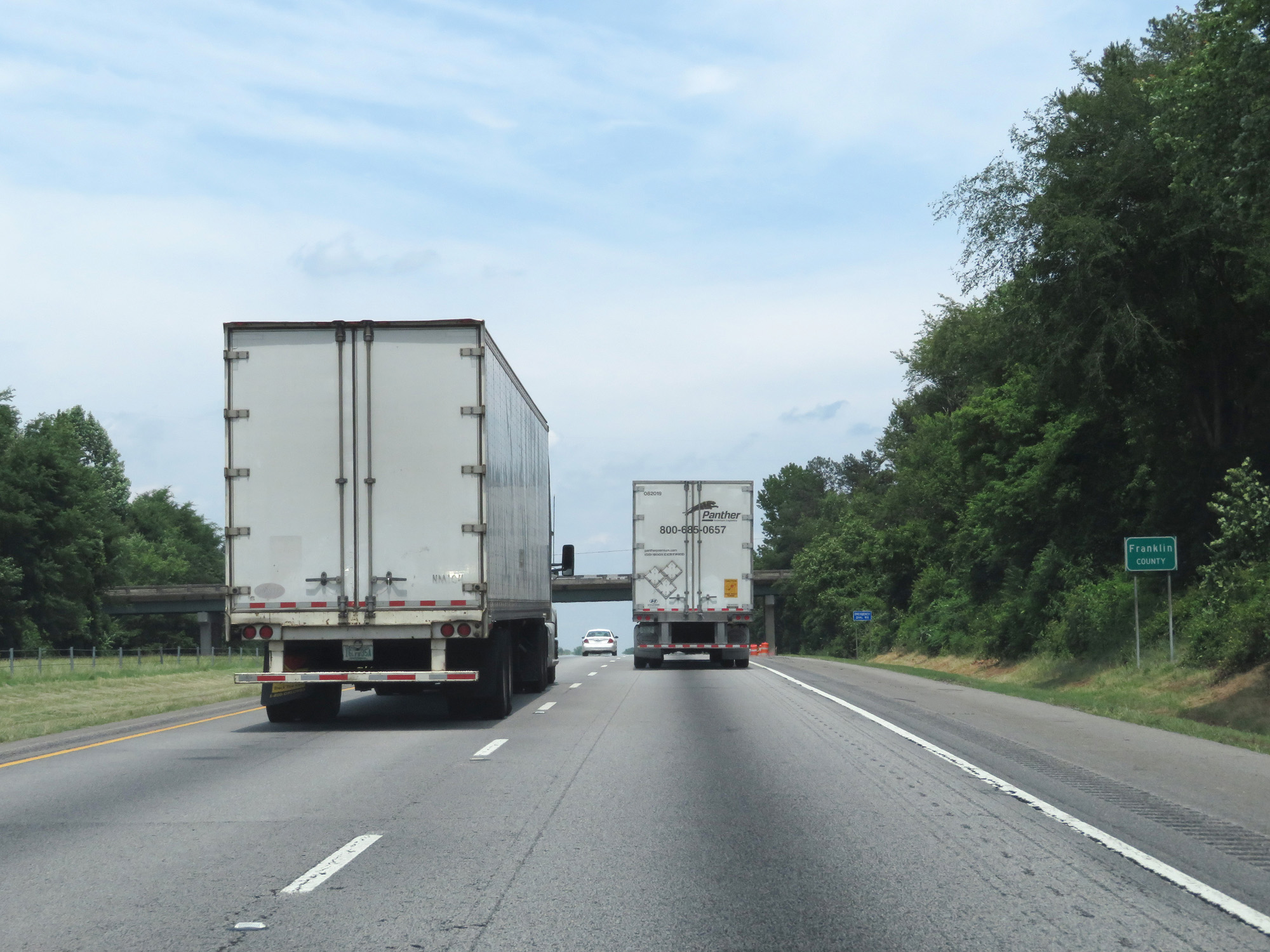 |
Interstate 85 North entering Franklin County. (Photo taken 5/27/17). |
 |
Interstate 85 North at mile marker 158.5. (Photo taken 5/27/17). |
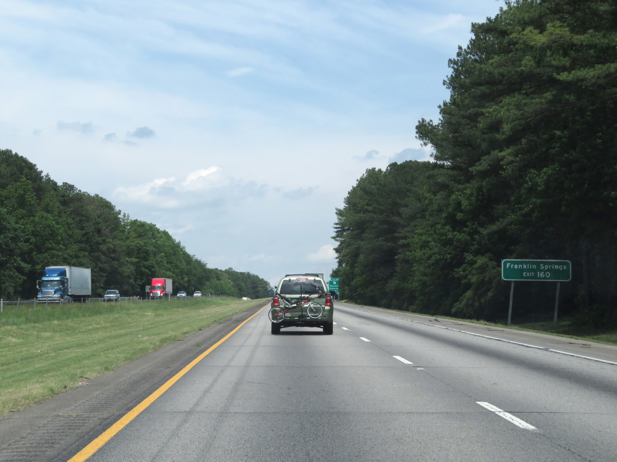 |
Take Exit 160 to Franklin Springs. (Photo taken 5/27/17). |
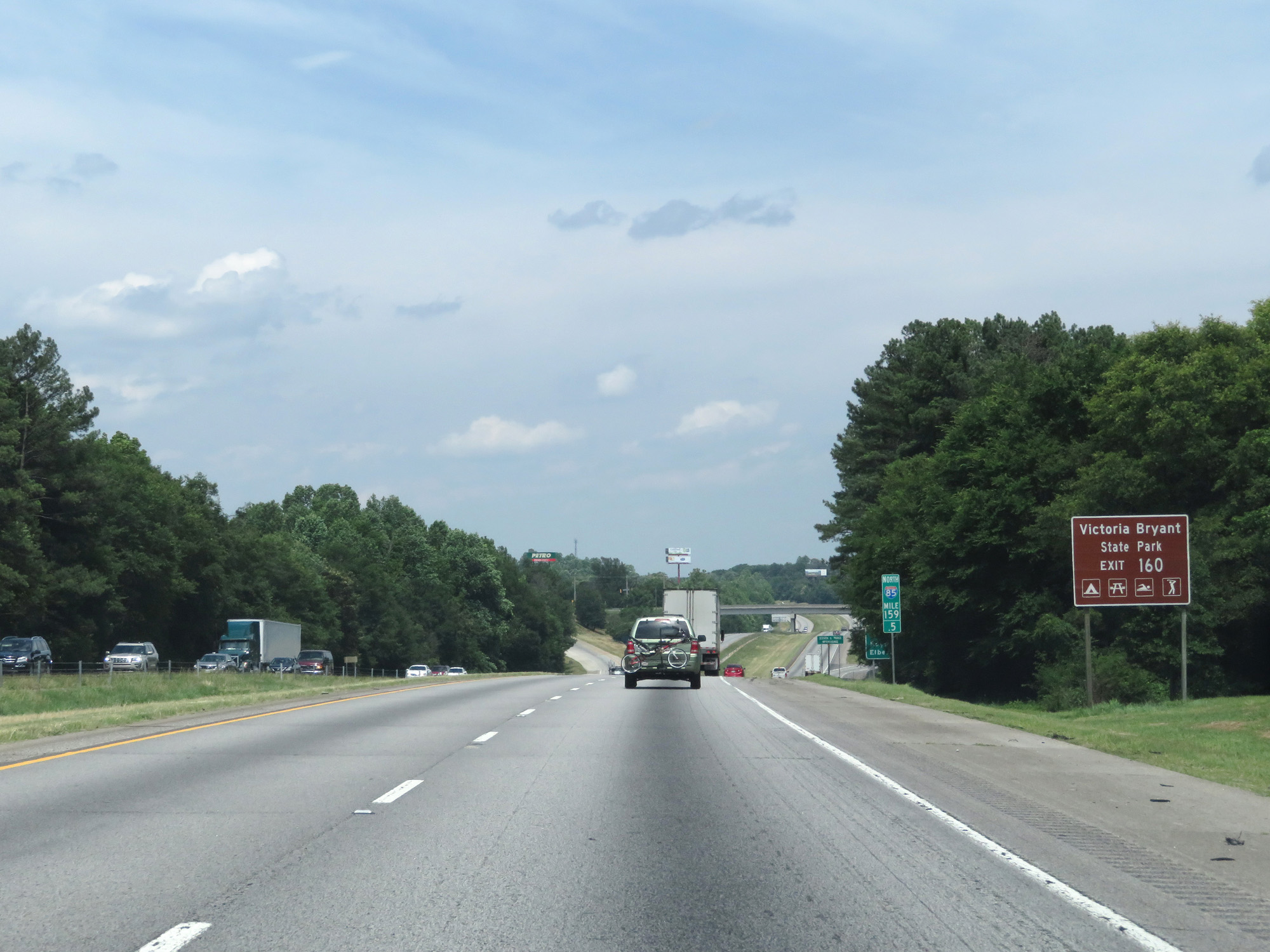 |
Also take Exit 160 to Victoria Bryant State Park. (Photo taken 5/27/17). |
 |
Interstate 85 North at Exit 160: GA 51 - Royston / Elberton (Photo taken 5/27/17). |
 |
Take Exit 164 to Toccoa Falls College. (Photo taken 5/27/17). |
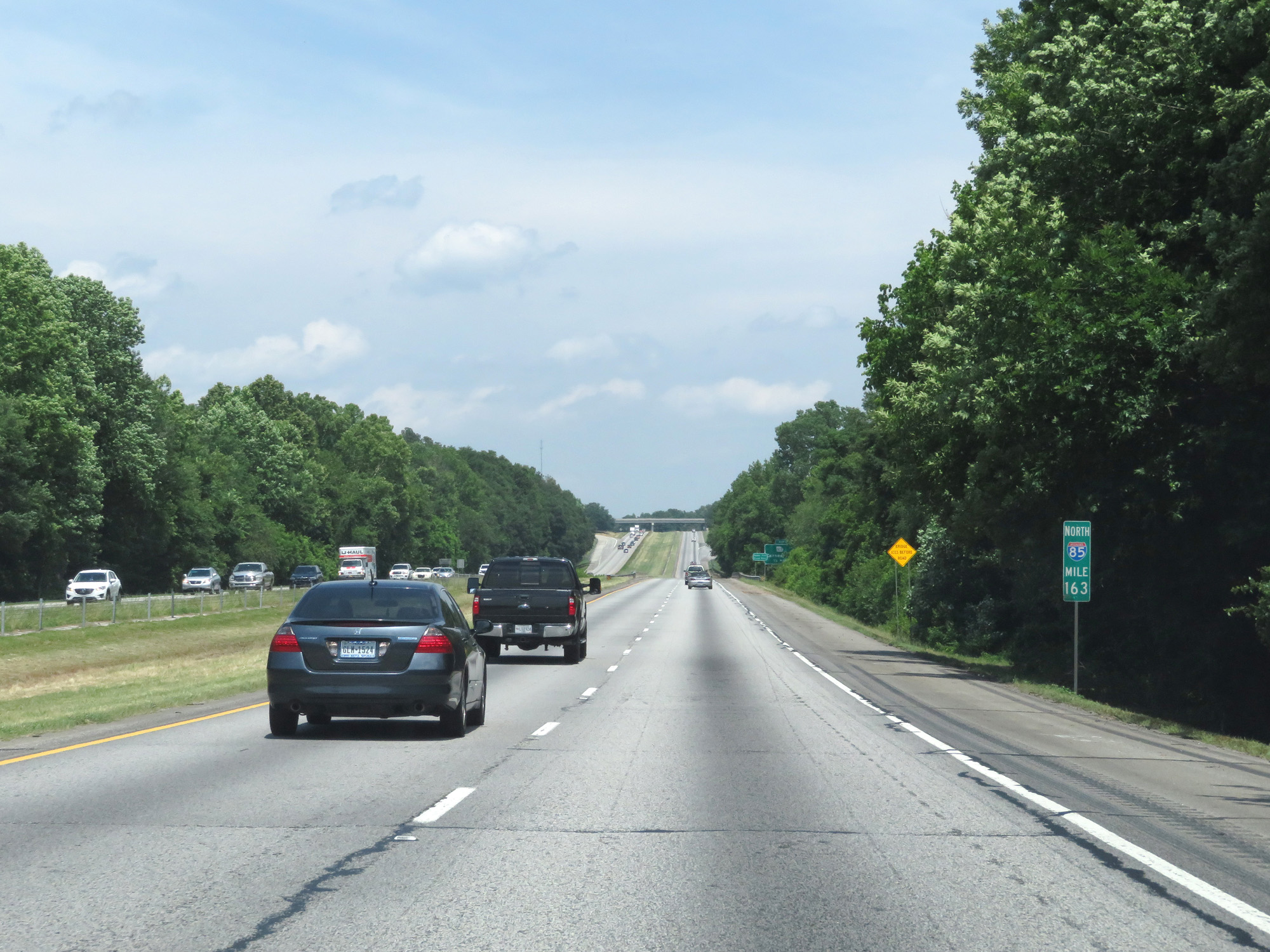 |
Interstate 85 North at mile marker 163. (Photo taken 5/27/17). |
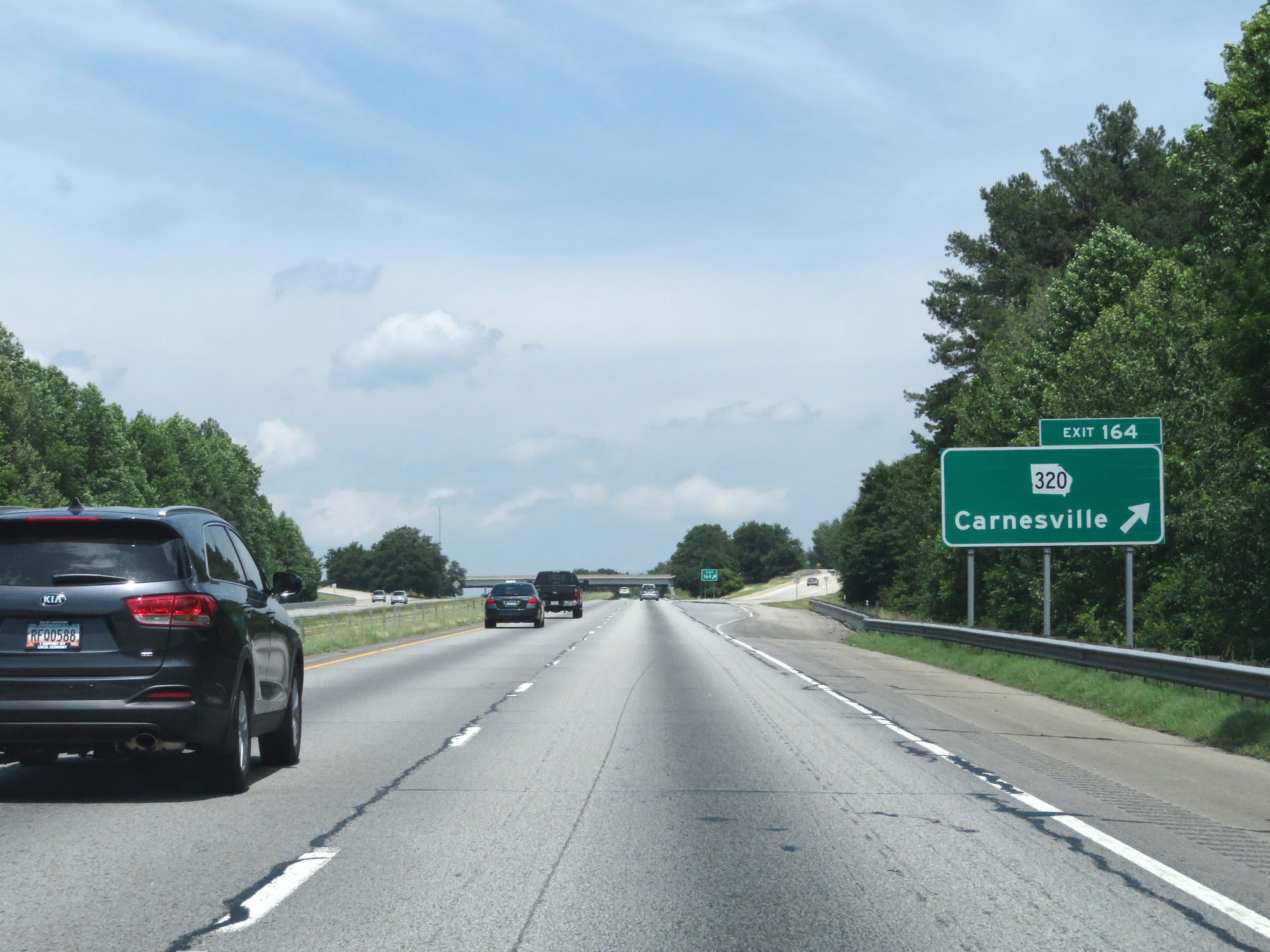 |
Interstate 85 North at Exit 164: GA 320 - Carnesville (Photo taken 5/27/17). |
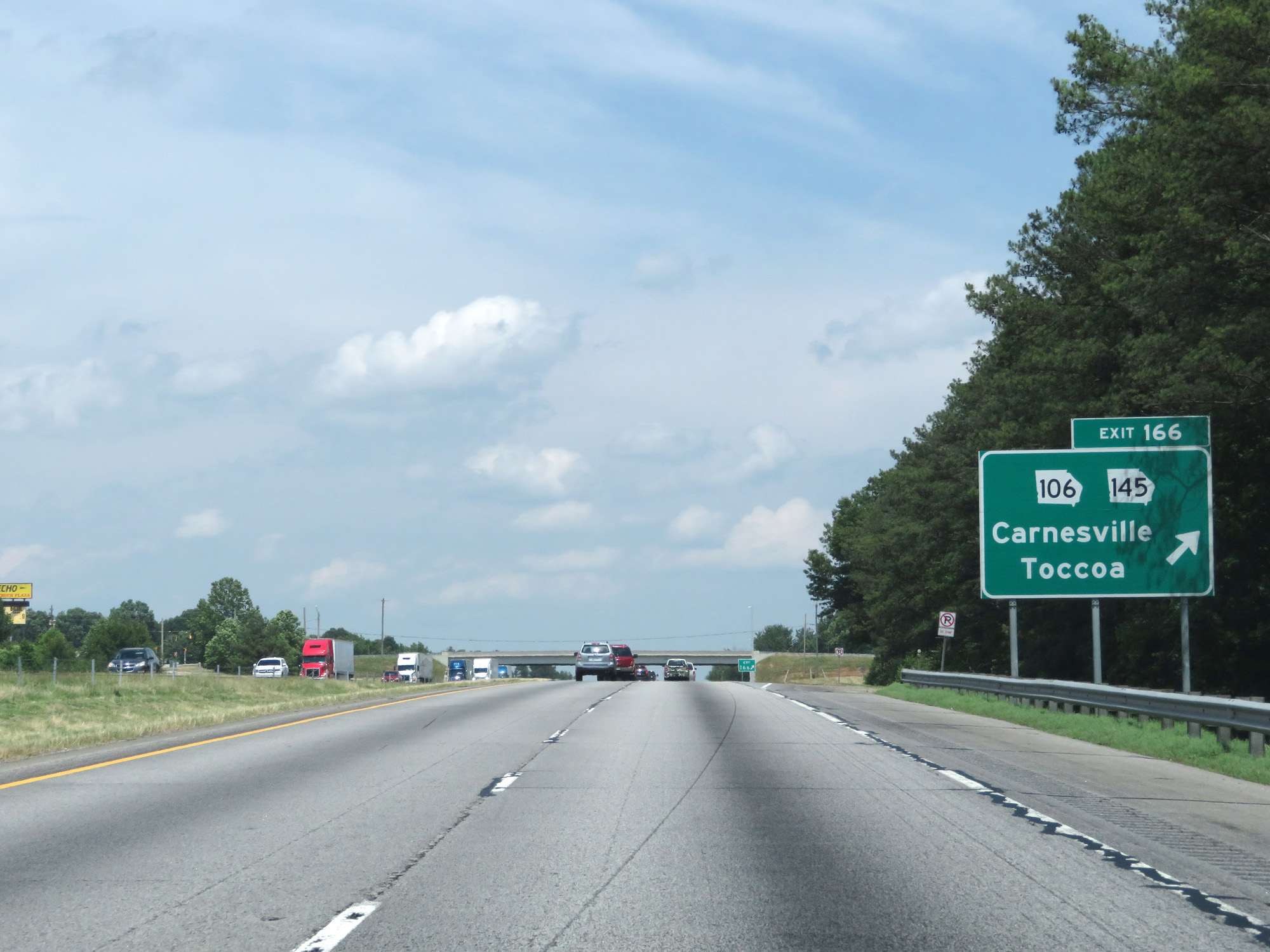 |
Interstate 85 North at Exit 166: GA 106 / GA 145 - Carnesville / Toccoa (Photo taken 5/27/17). |
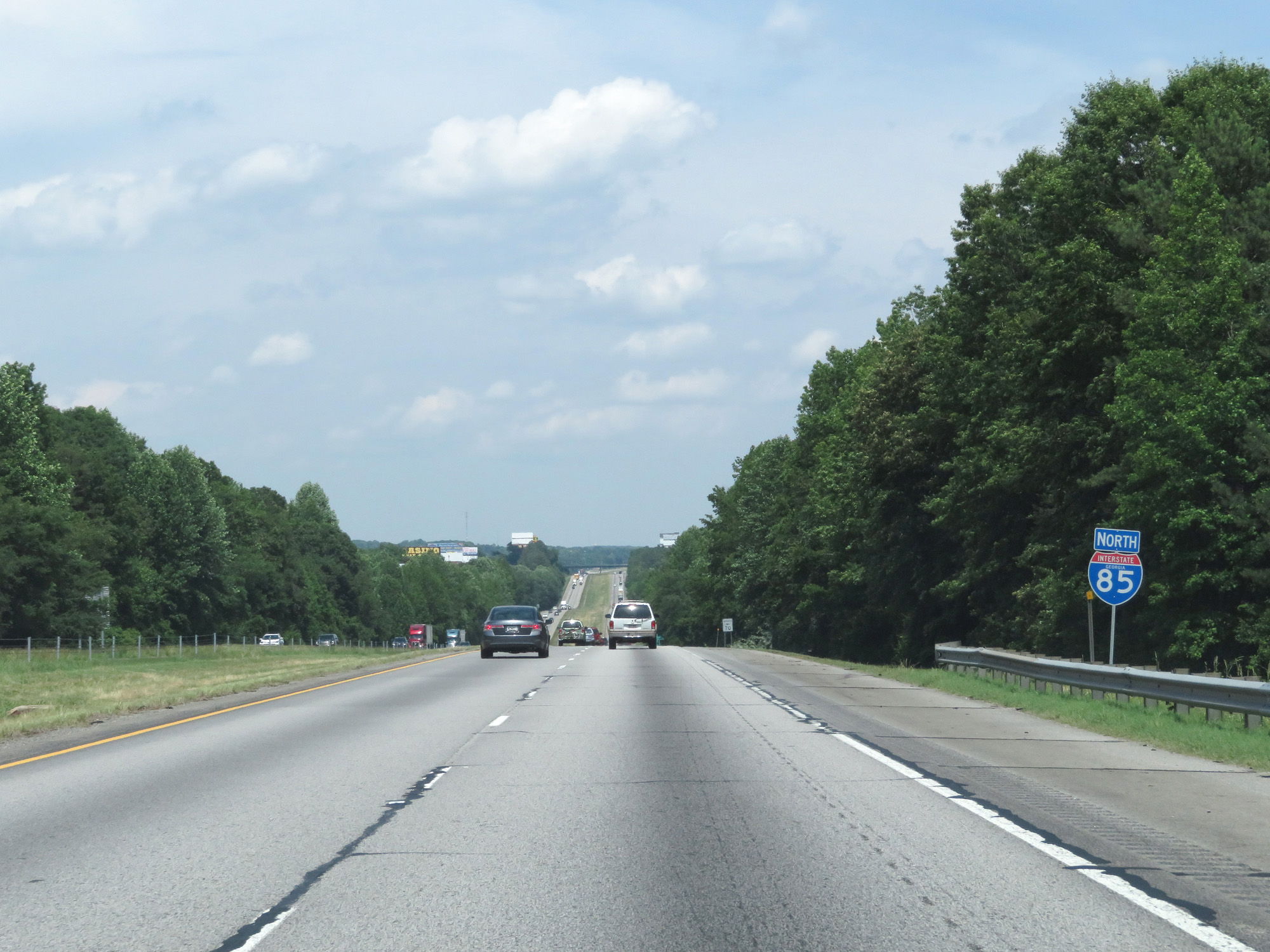 |
State-named Interstate 85 North reassurance shield. (Photo taken 5/27/17). |
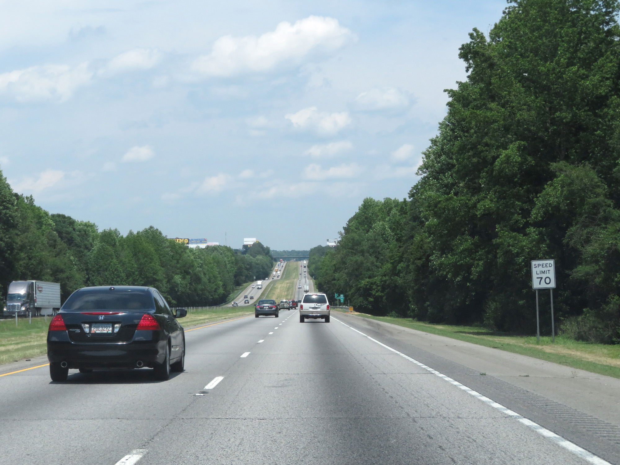 |
The speed limit remains 70 mph. (Photo taken 5/27/17). |
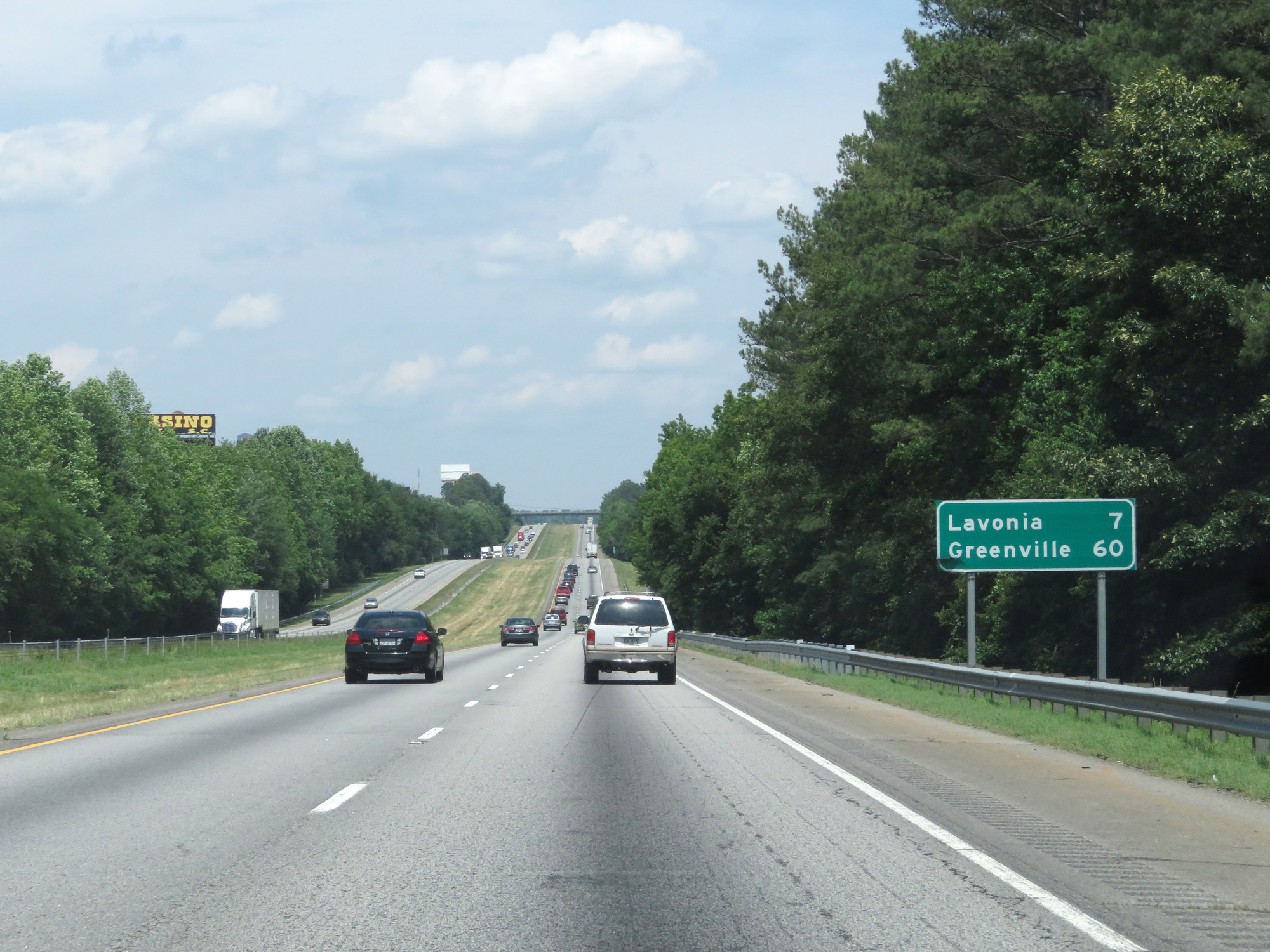 |
Mileage sign on Interstate 85 North. It's 7 miles to Lavonia and 60 miles to Greenville. (Photo taken 5/27/17). |
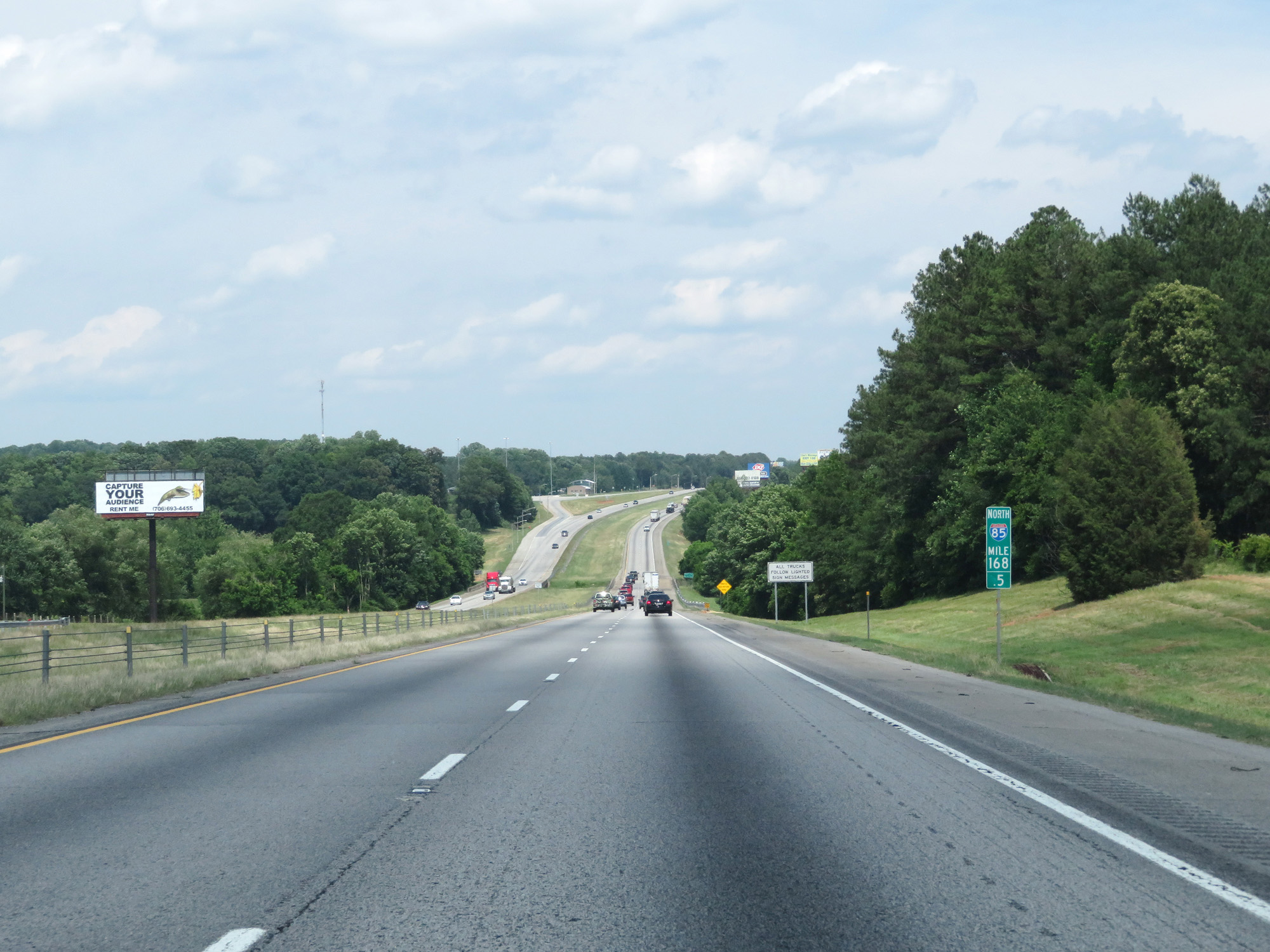 |
Interstate 85 North at mile marker 168.5. (Photo taken 5/27/17). |
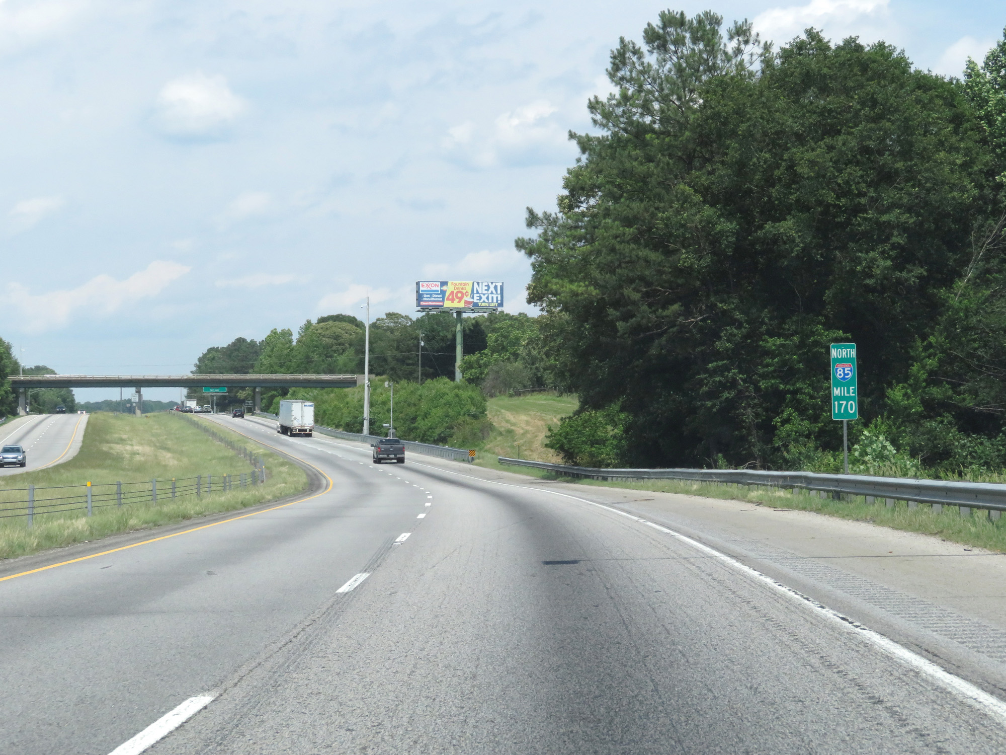 |
Interstate 85 North at mile marker 170. (Photo taken 5/27/17). |
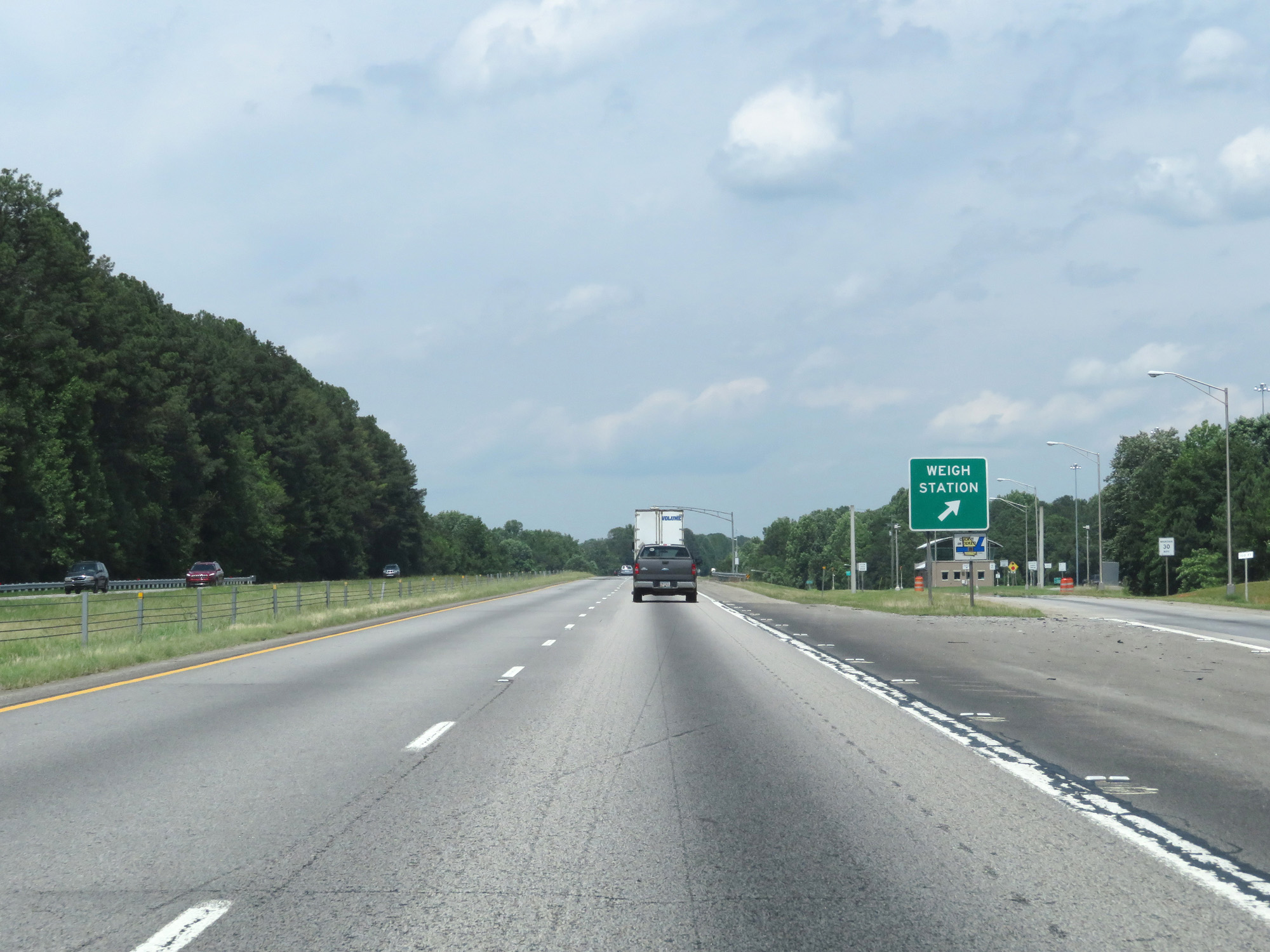 |
Interstate 85 North at the Weigh Station in Franklin County. (Photo taken 5/27/17). |
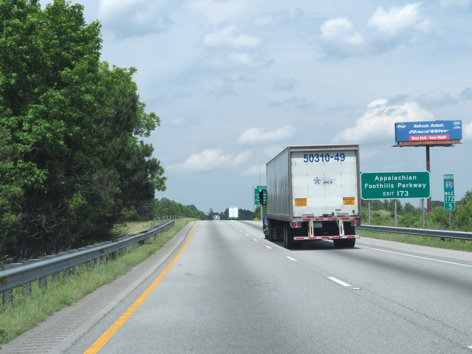 |
Take Exit 173 to Appalachian Foothills Parkway. (Photo taken 5/27/17). |
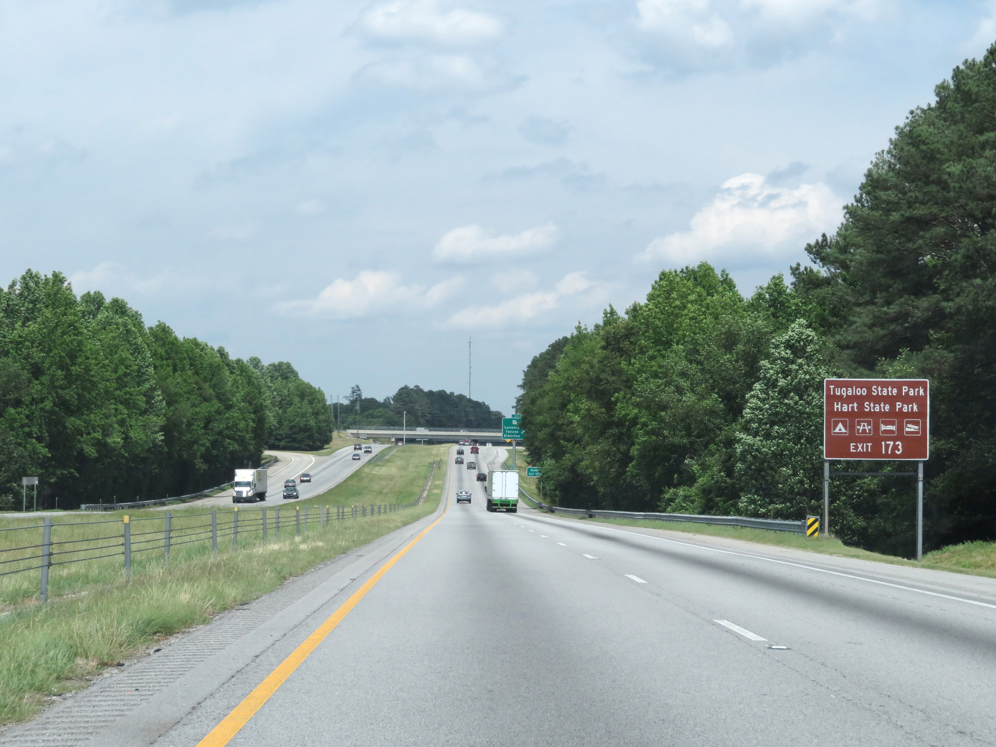 |
Also take Exit 173 to Tugaloo State Park and Hart State Park. (Photo taken 5/27/17). |
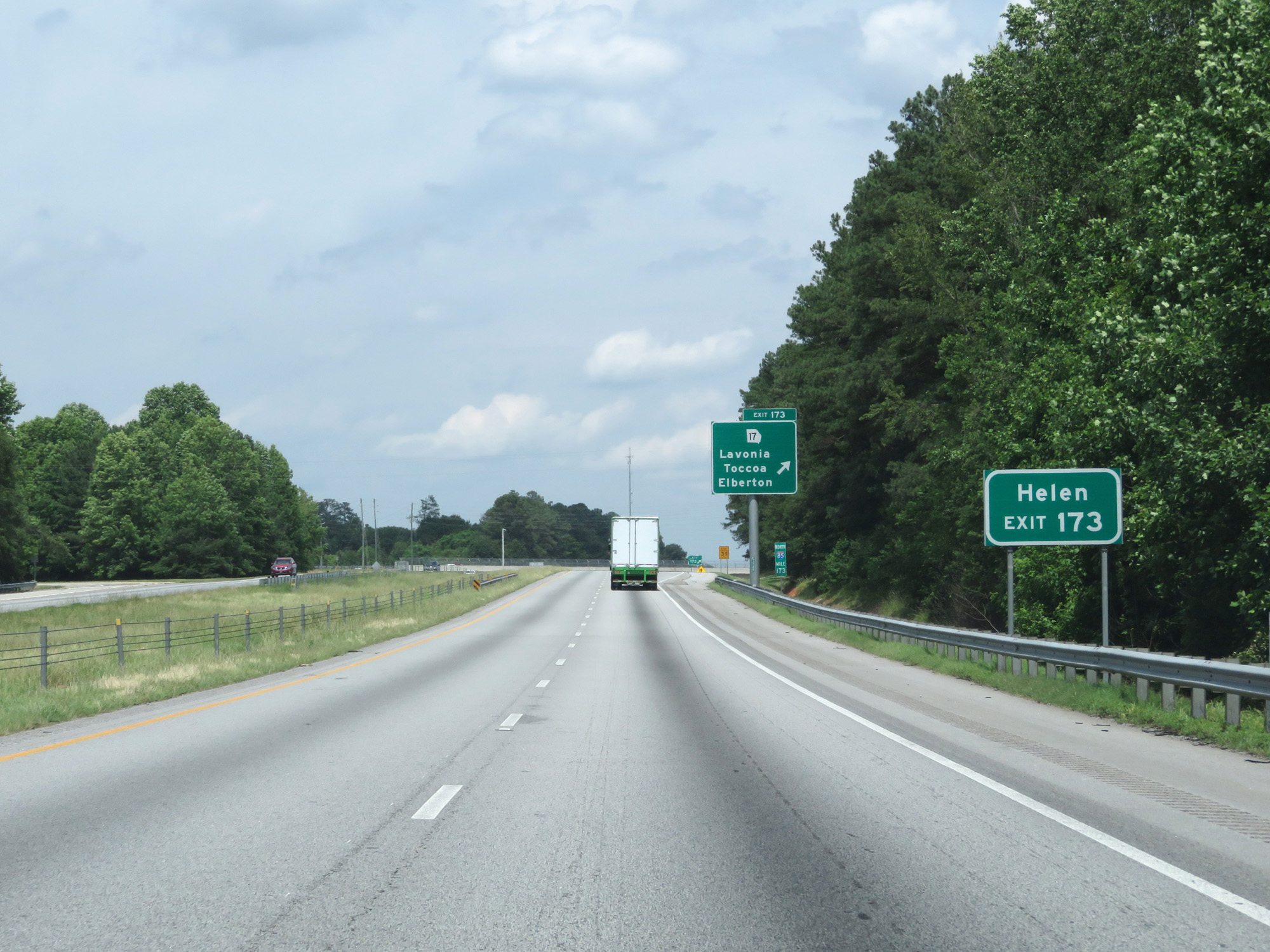 |
Take Exit 173 to Helen as well. (Photo taken 5/27/17). |
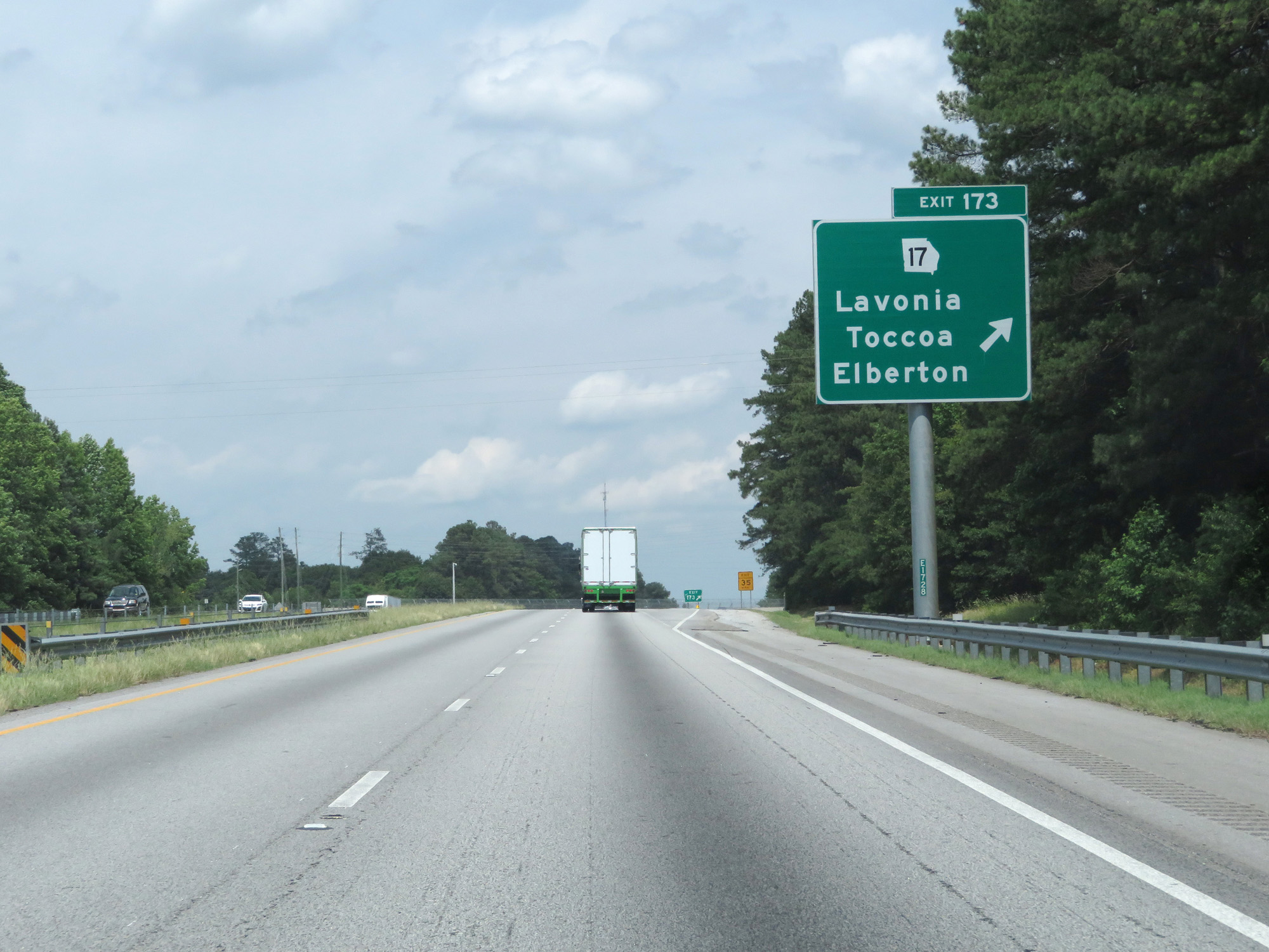 |
Interstate 85 North at Exit 173: GA 17 - Lavonia / Toccoa / Elberton (Photo taken 5/27/17). |
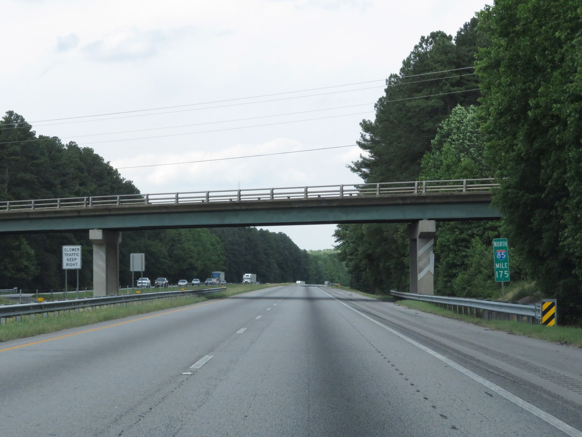 |
Interstate 85 North at mile marker 175. (Photo taken 5/27/17). |
 |
Interstate 85 North approaching Exit 177 - 1 mile. (Photo taken 5/27/17). |
 |
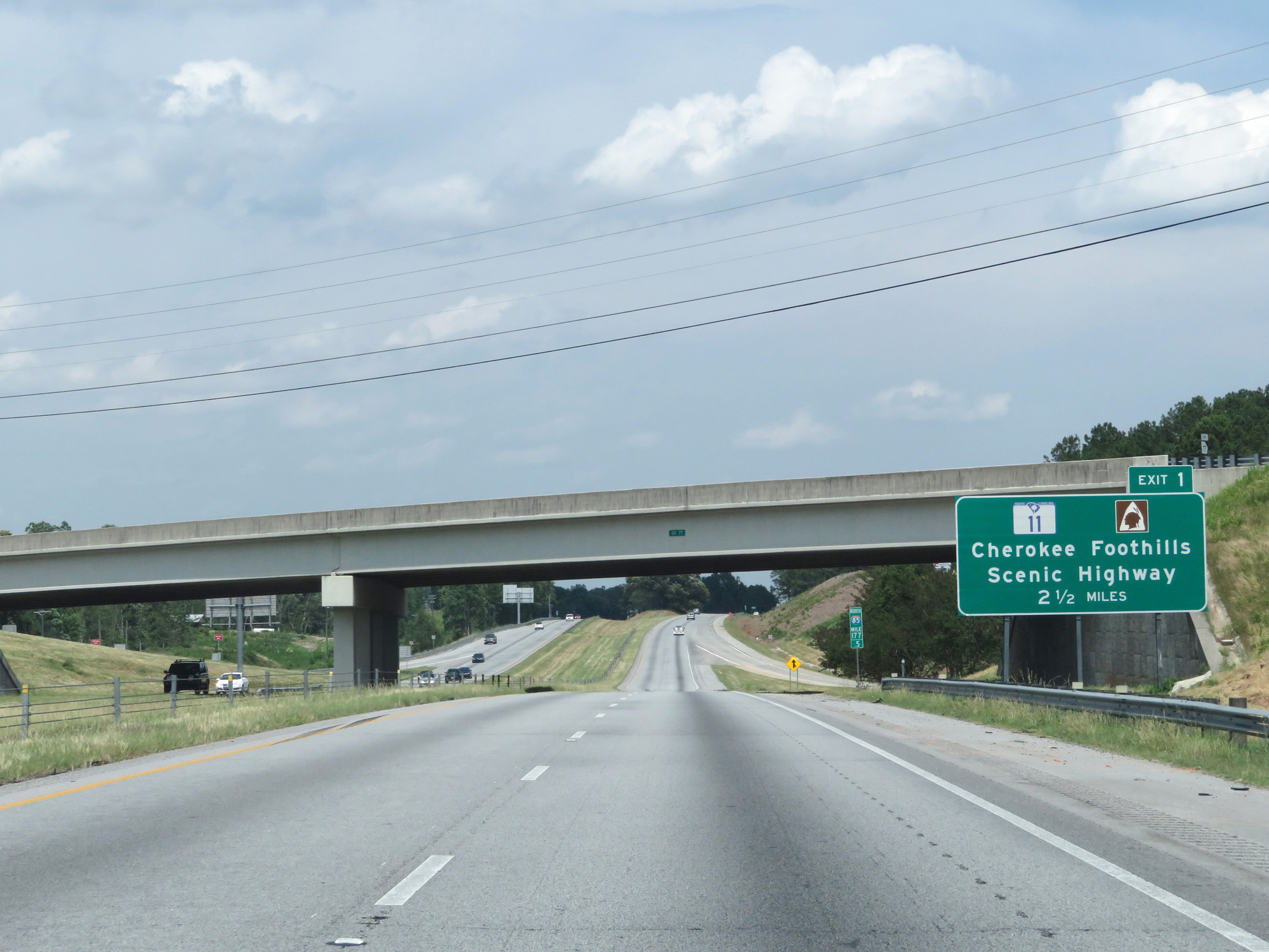
Interstate 85 North at Exit 177: GA 77 South - Hartwell / Lake Hartwell (Photo taken 5/27/17). |
 |
Interstate 85 North entering Hart County at Exit 177. (Photo taken 5/27/17). |
 |
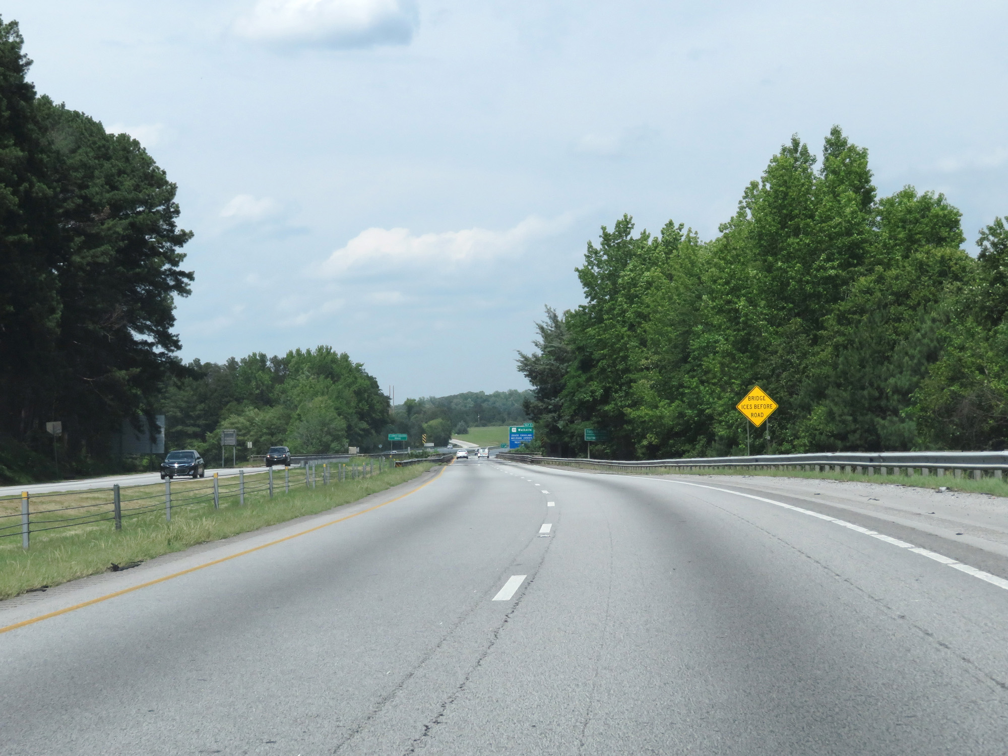
Advance mileage sign for the next exit, which is Exit 1 in South Carolina. (Photo taken 5/27/17). |
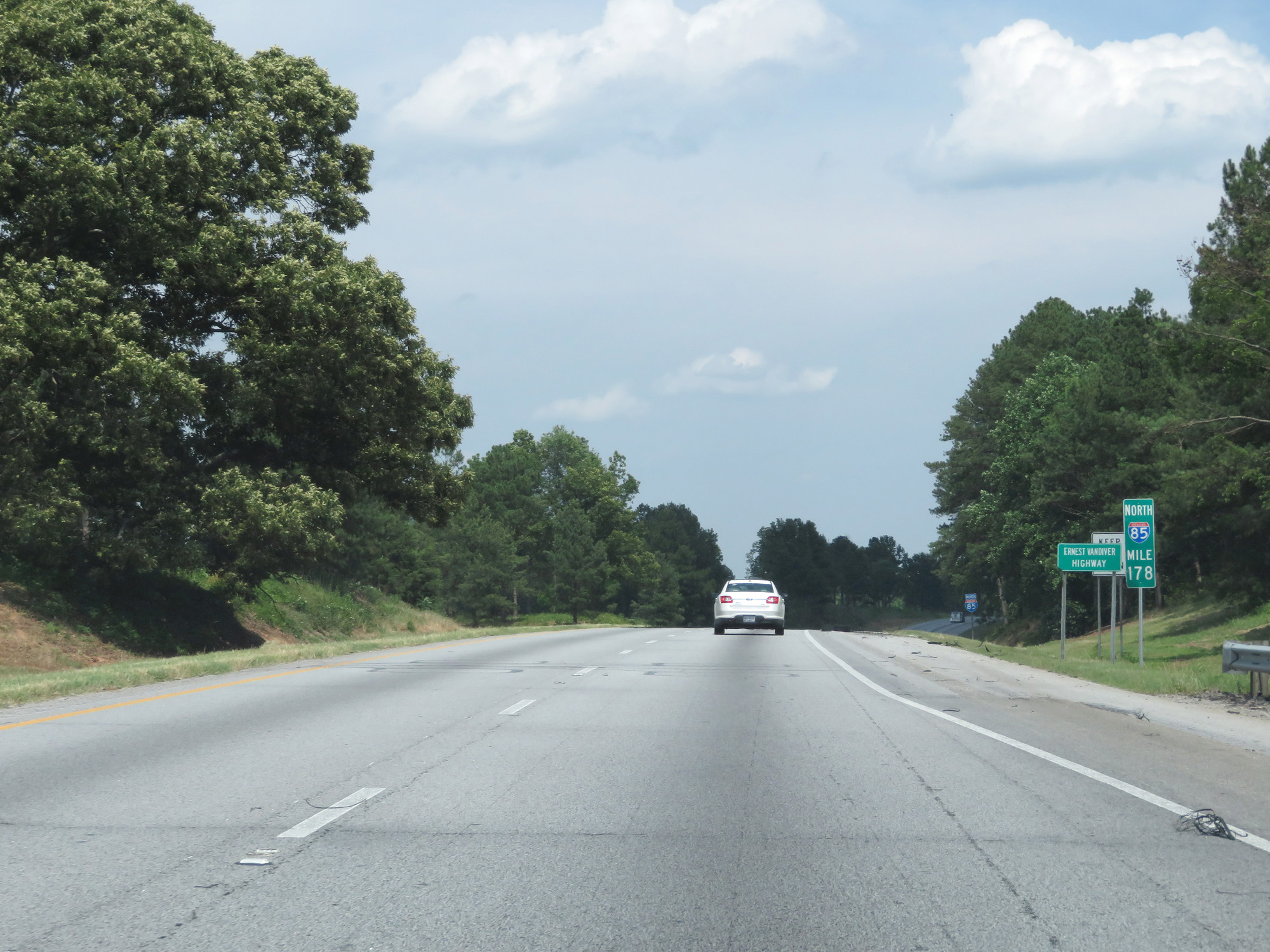 |
Interstate 85 North at mile marker 178. (Photo taken 5/27/17). |
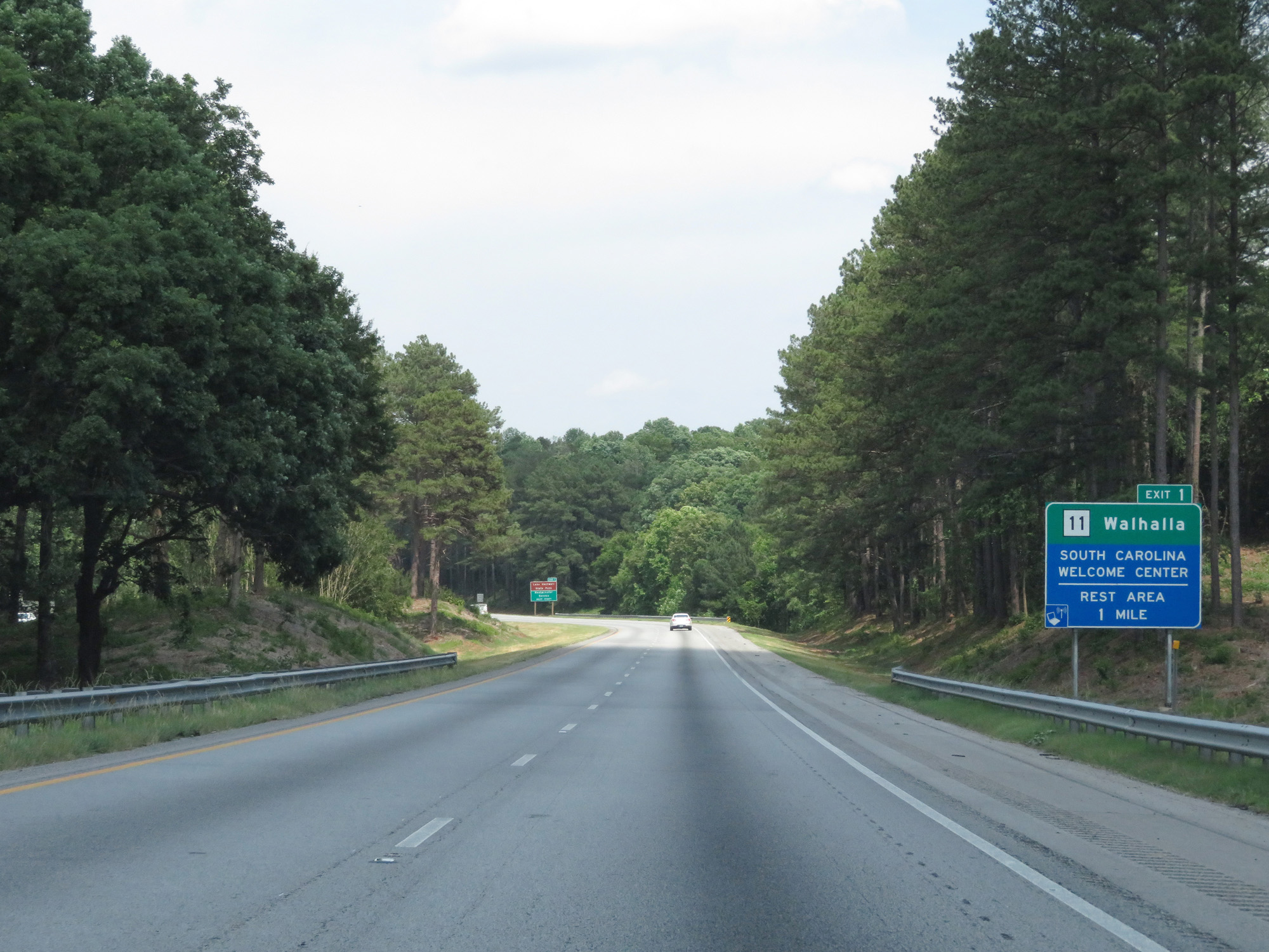 |
The South Carolina Welcome Center is located at Exit 1. (Photo taken 5/27/17). |
 |
Take Exit 1 in South Carolina to Lake Hartwell State Park, Westminster, and Seneca. (Photo taken 5/27/17). |
 |
Interstate 85 North as it prepares to leave Georgia to enter South Carolina via crossing the Tugaloo River. (Photo taken 5/27/17). |