Road Information |
||
 |
||
| Total Mileage in State: | 49 miles | |
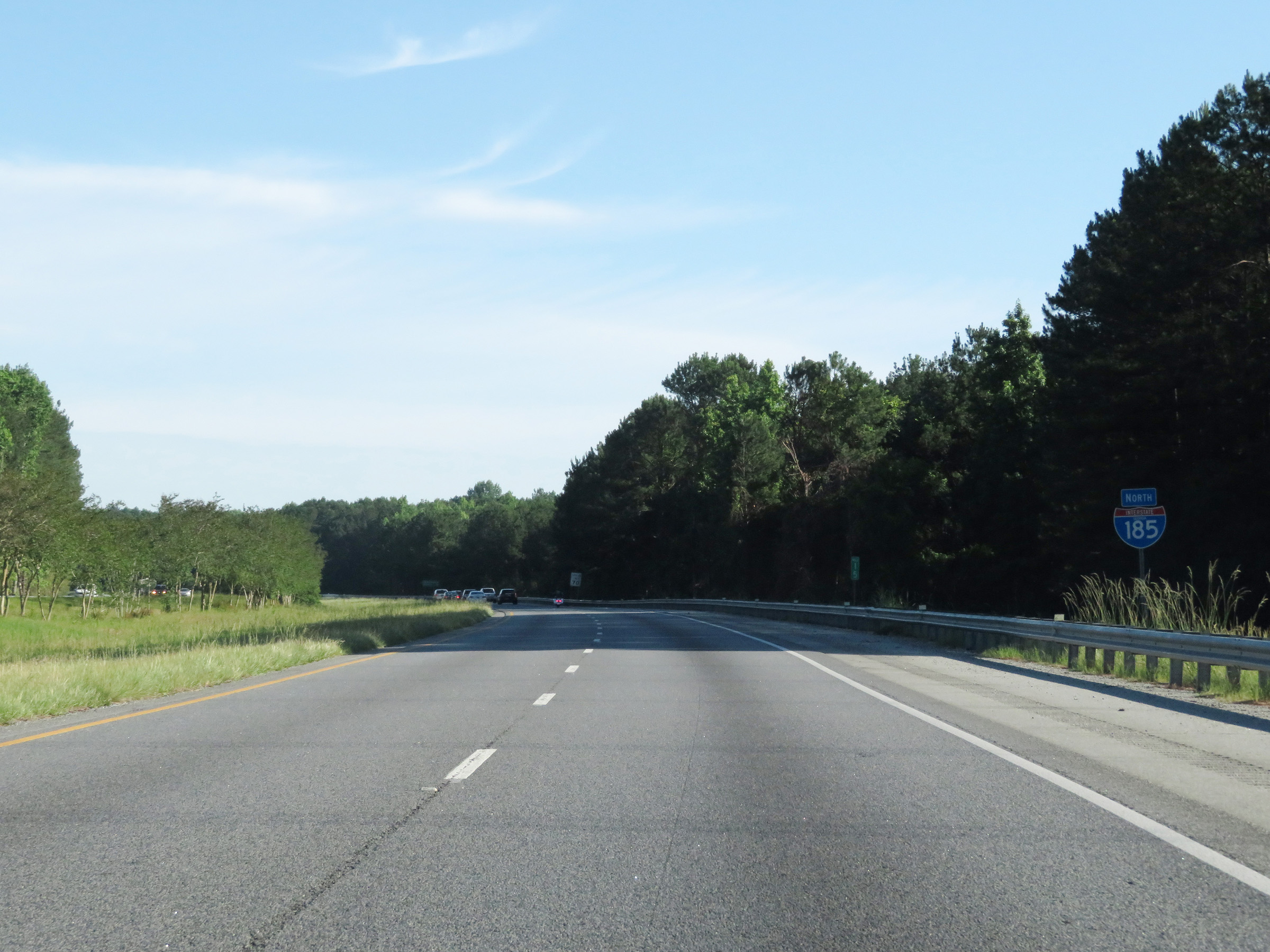
| Northern End: | At I-85, near LaGrange | |
| Southern End: | At Lindsey Creek Pkwy, in Fort Benning | |
| Mileage covered in Photos: | 49 miles | |
| Counties covered in Photos: | Muscogee, Harris, Troup | |
| Major Junctions in Photos: | US 80/GA 22, in Columbus I-85, near LaGrange |
|
| Control Cities in Photos: | Fort Benning, Columbus, Mulberry Grove, Whitesville | |
Northbound
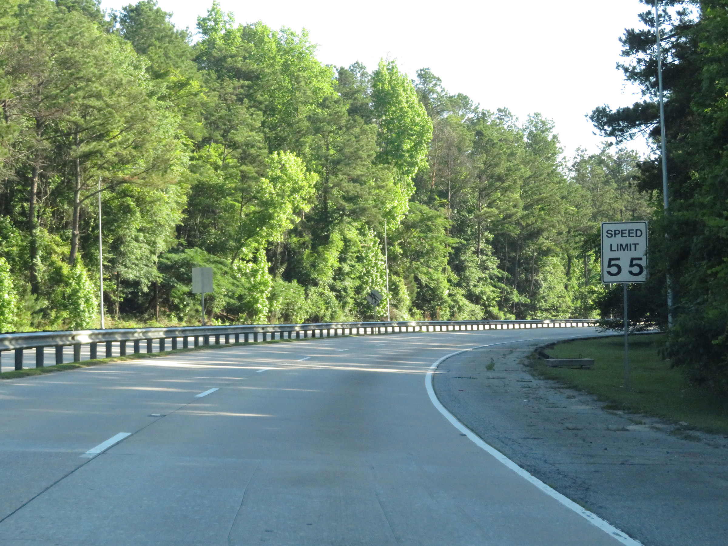 |
Leaving Fort Benning on Lindsey Creek Parkway, the maximum speed limit is 55 mph as it approaches the beginning of Interstate 185 North in Columbus. (Photo taken 5/27/17). |
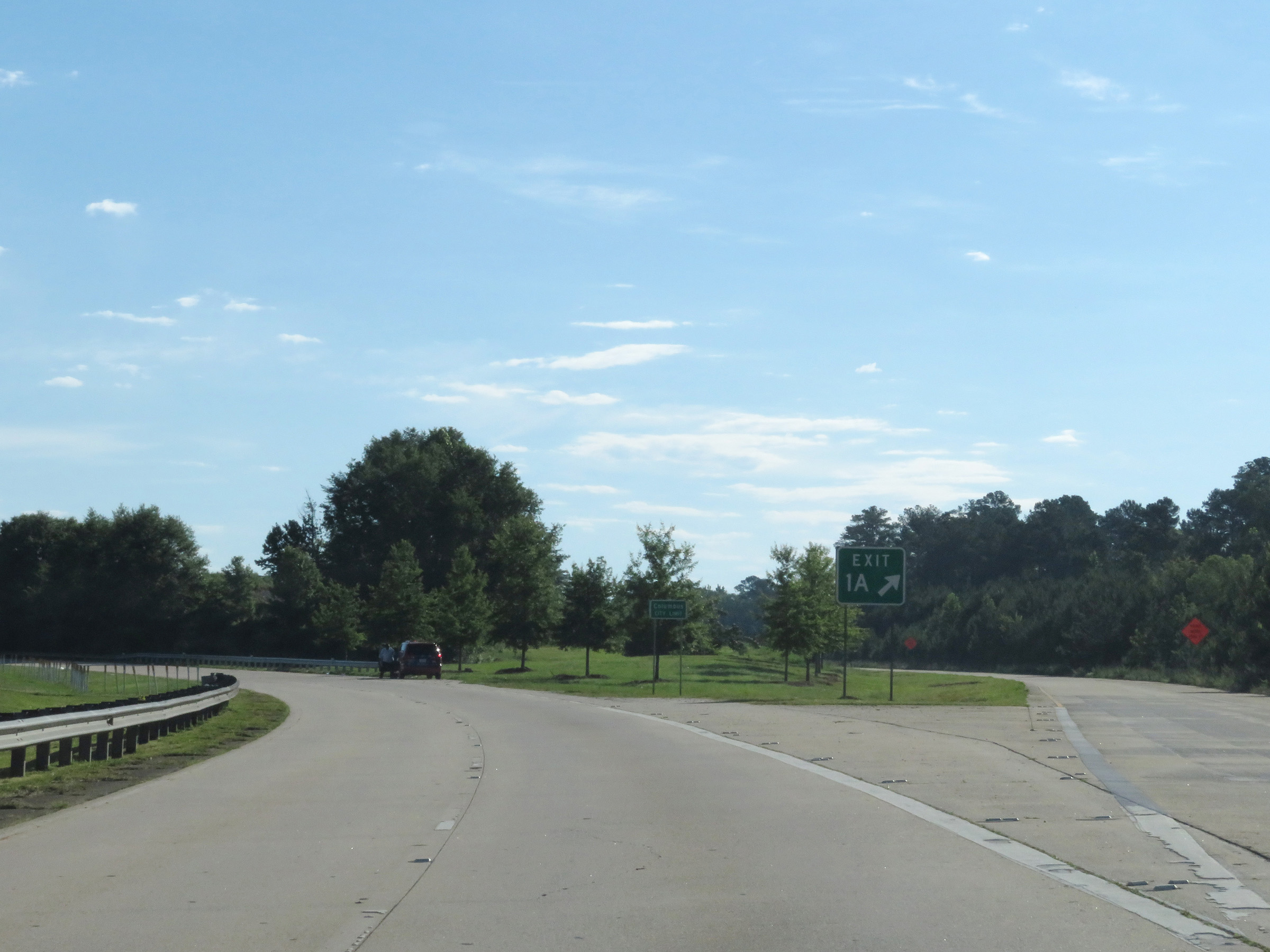 |
Interstate 185 North at Exit 1A: US 27 South / US 280 East / GA 520 East - Victory Dr (Photo taken 5/27/17). |
 |
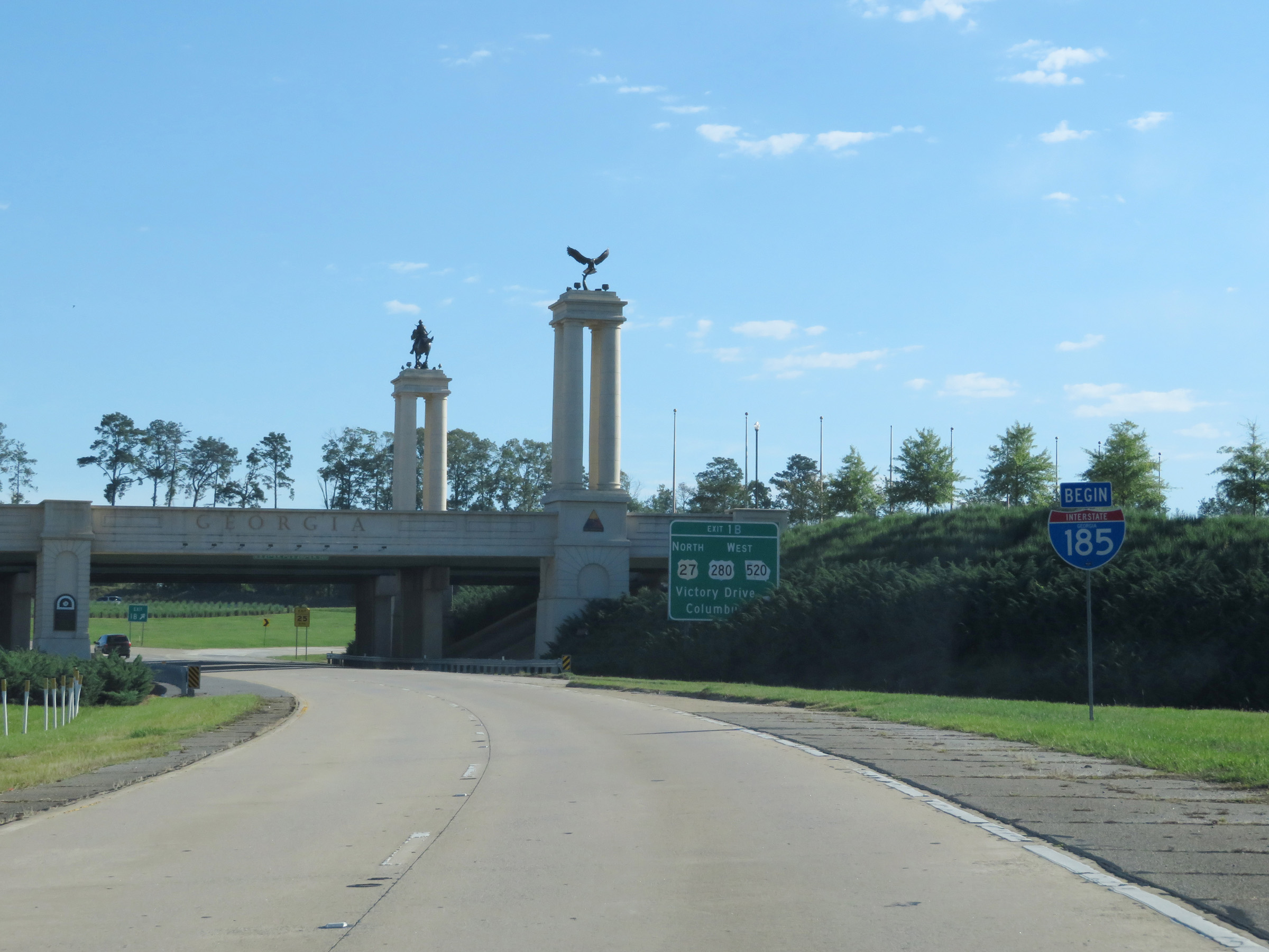
At the junction of US 280 / US 27 / GA 520, Interstate 185 North enters the Columbus city limits and Lindsey Creek Pkwy comes to an end. (Photo taken 5/27/17). |
 |
This shield confirms the beginning of Interstate 185 North in Columbus. (Photo taken 5/27/17). |
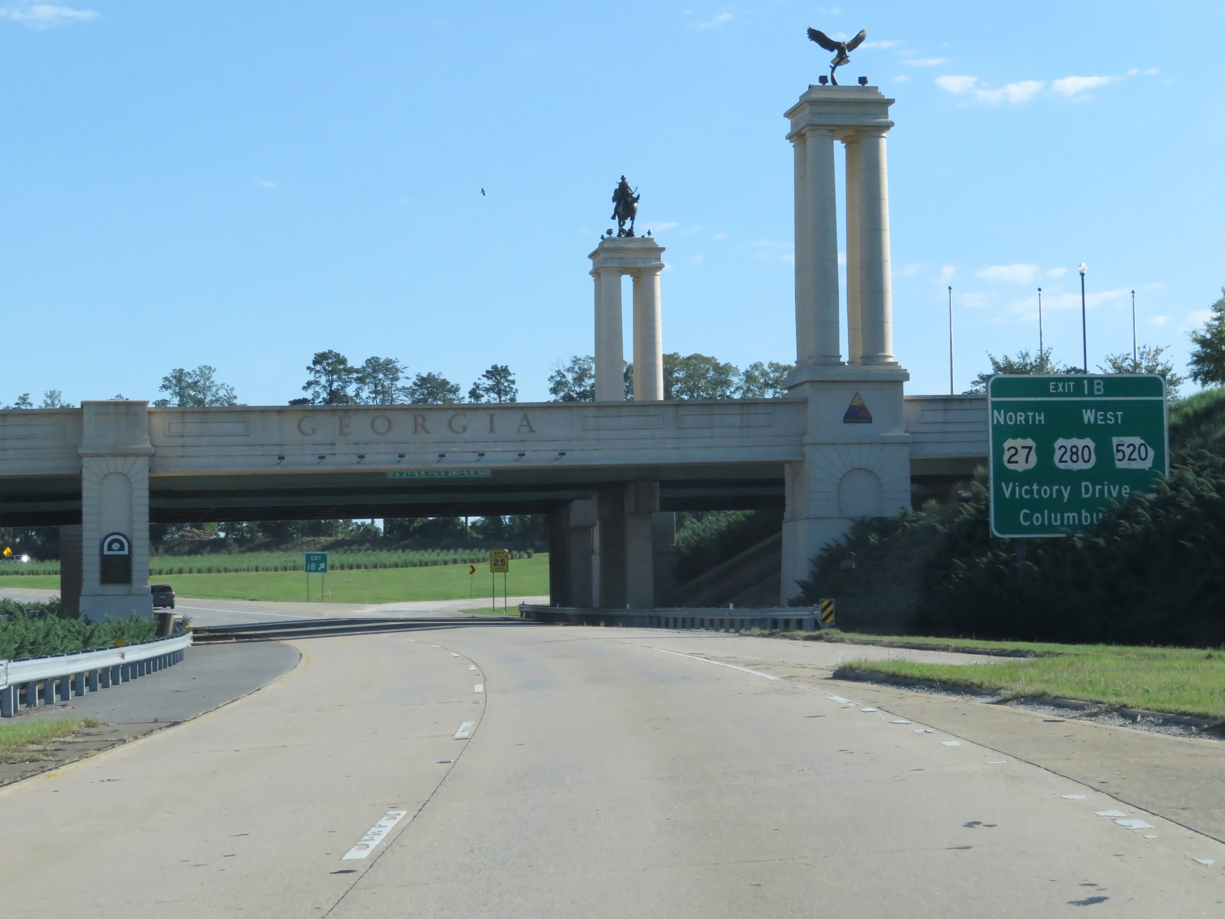 |
Interstate 185 North at Exit 1B: US 27 North / US 280 West / GA 520 West - Victory Drive / Columbus (Photo taken 5/27/17). |
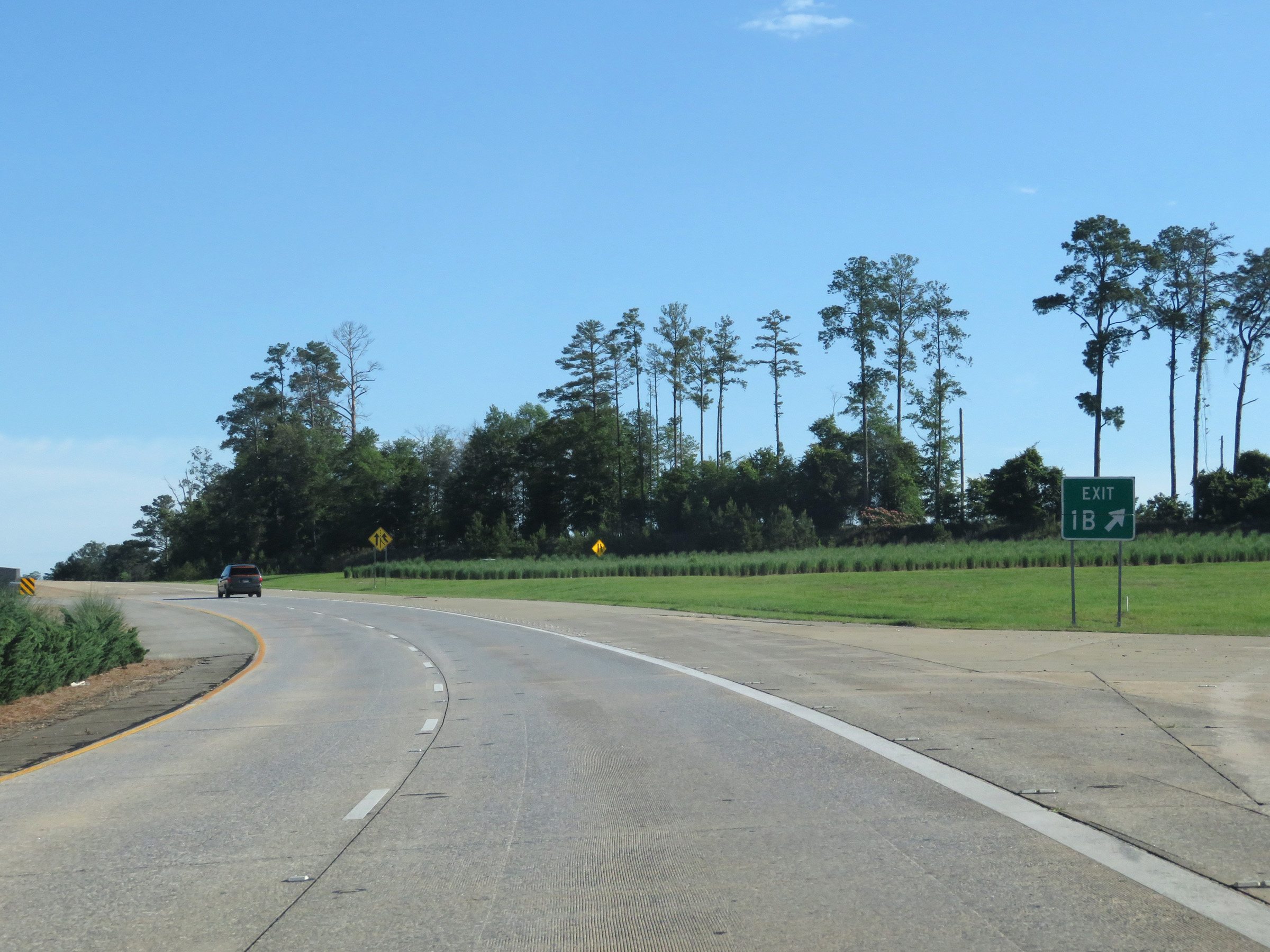 |
Gore point signage for Exit 1B. (Photo taken 5/27/17). |
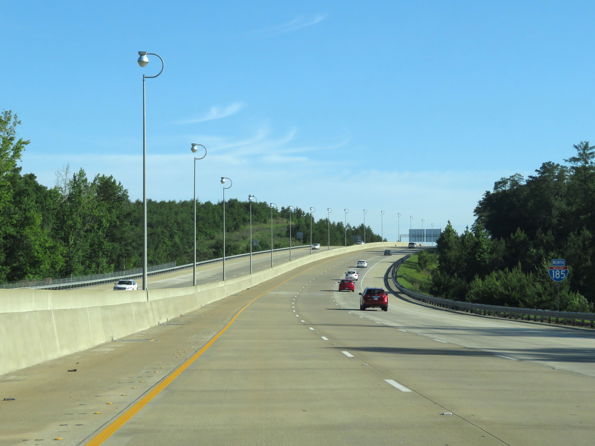 |
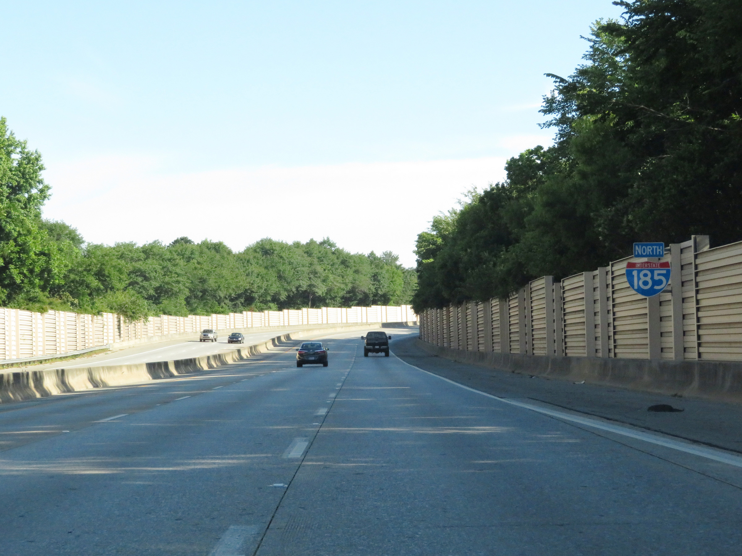
Interstate 185 North reassurance shield as it maintains 3 northbound lanes through the Columbus area. (Photo taken 5/27/17). |
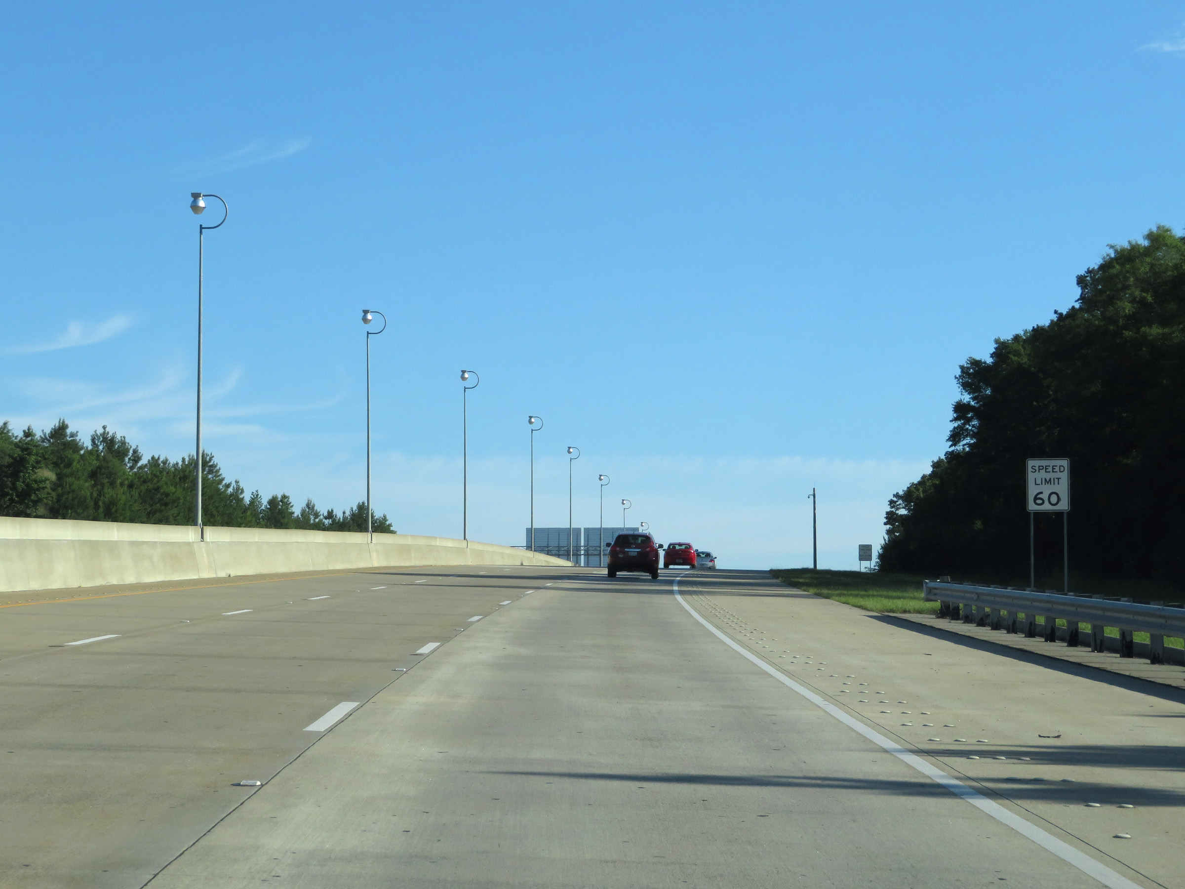 |
The maximum speed limit on Interstate 185 North is bumped up slightly to 60 mph as it runs through the Columbus area. (Photo taken 5/27/17). |
 |
View on Interstate 185 North at mile marker 1. I-185 maintains 3 northbound lanes through the Columbus area. (Photo taken 5/27/17). |
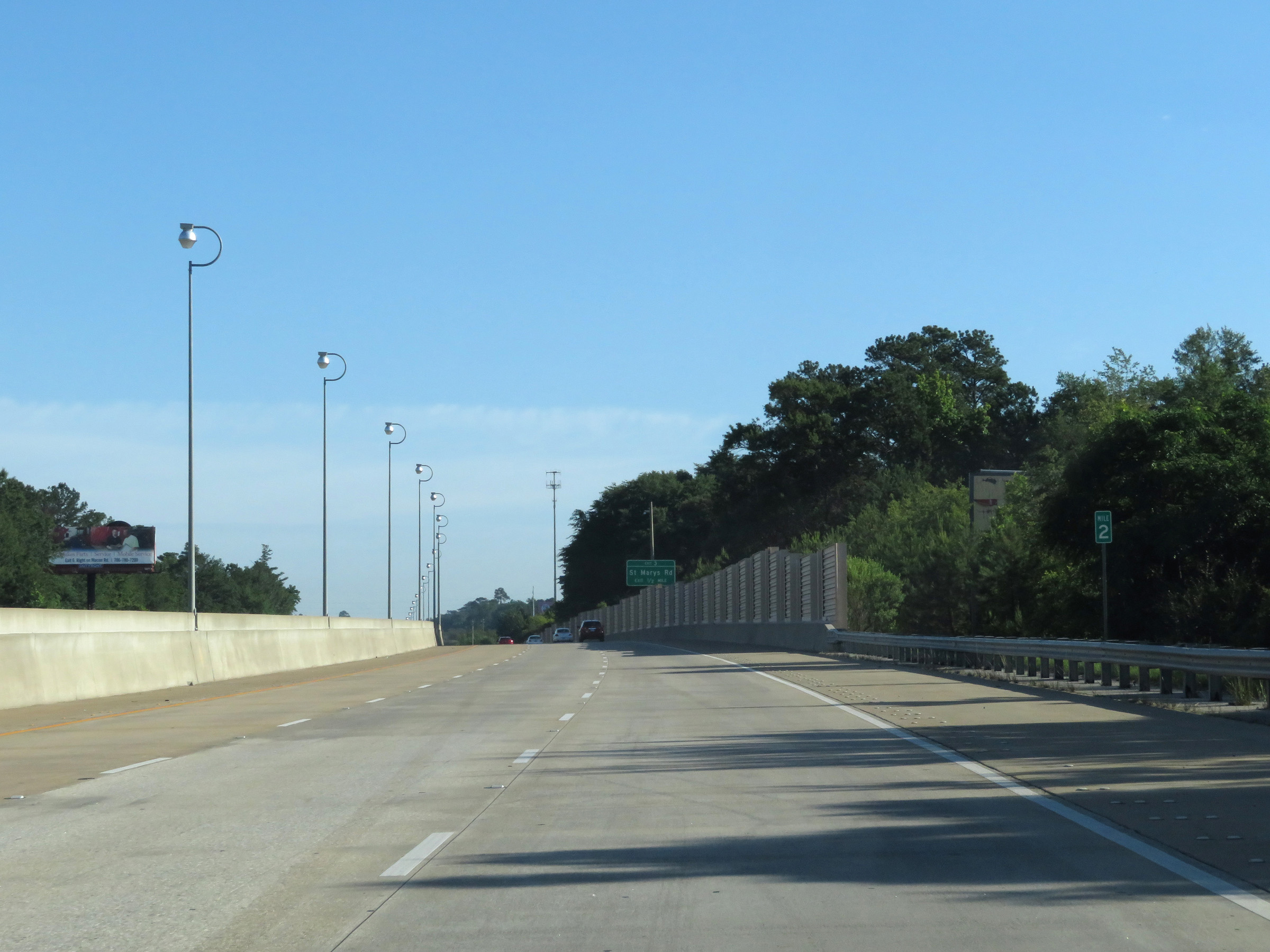 |
Interstate 185 North at mile marker 2. (Photo taken 5/27/17). |
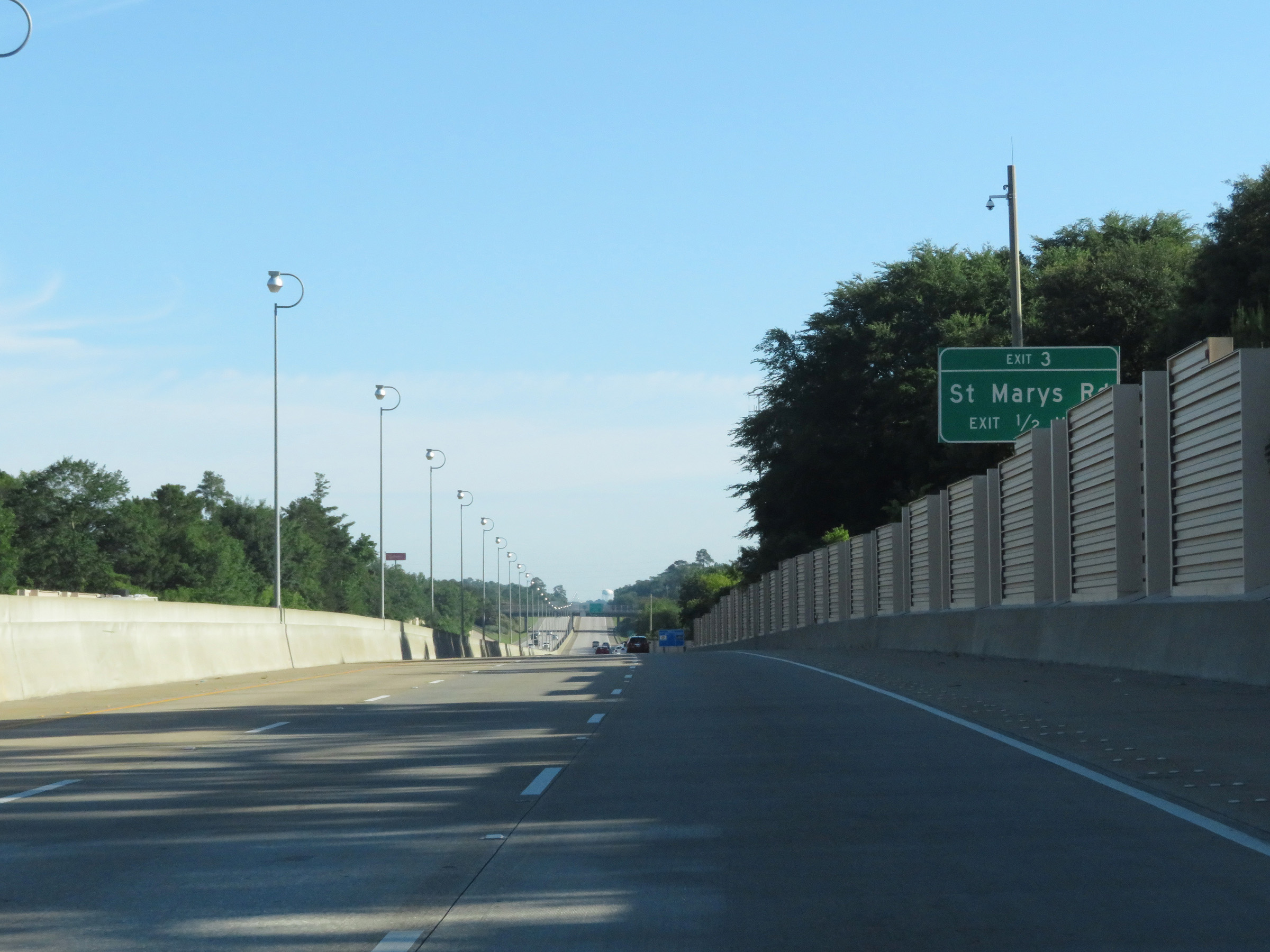 |
Interstate 185 North approaching Exit 3 - 1/2 mile. (Photo taken 5/27/17). |
 |
Interstate 185 North at Exit 3: St Marys Rd (Photo taken 5/27/17). |
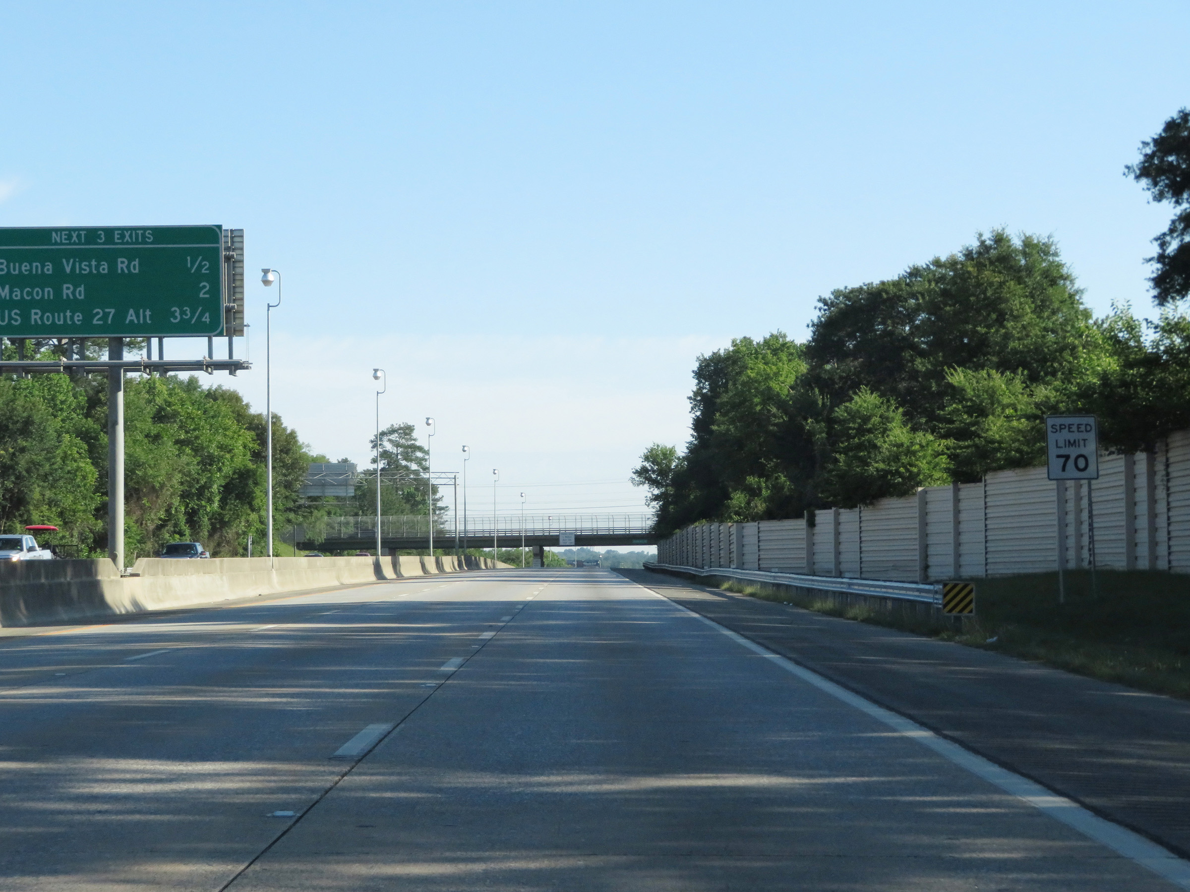 |
North of Exit 3, the maximum speed limit on Interstate 185 North increases to 70 mph. This is the standard maximum speed limit on most rural Interstate highways in Georgia. (Photo taken 5/27/17). |
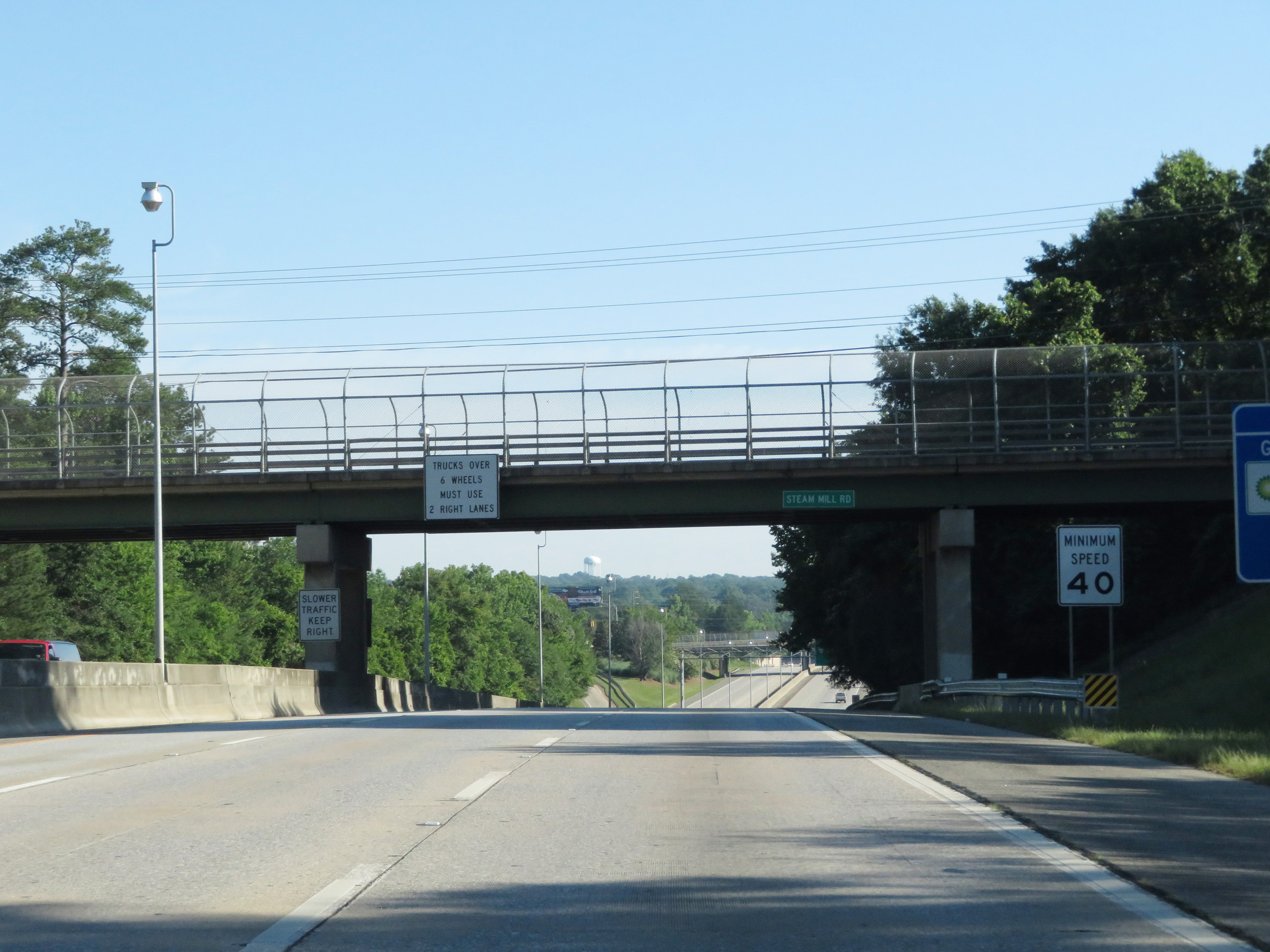 |
The standard minimum speed limit on most Interstate highway is Georgia is 40 mph, as this sign reads. (Photo taken 5/27/17). |
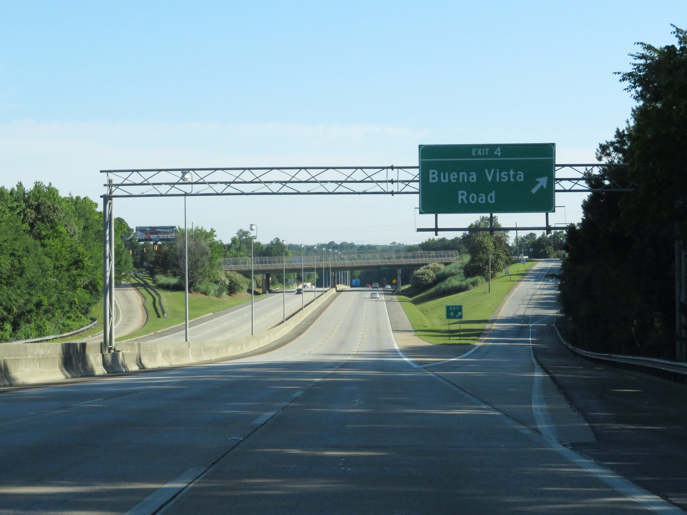 |
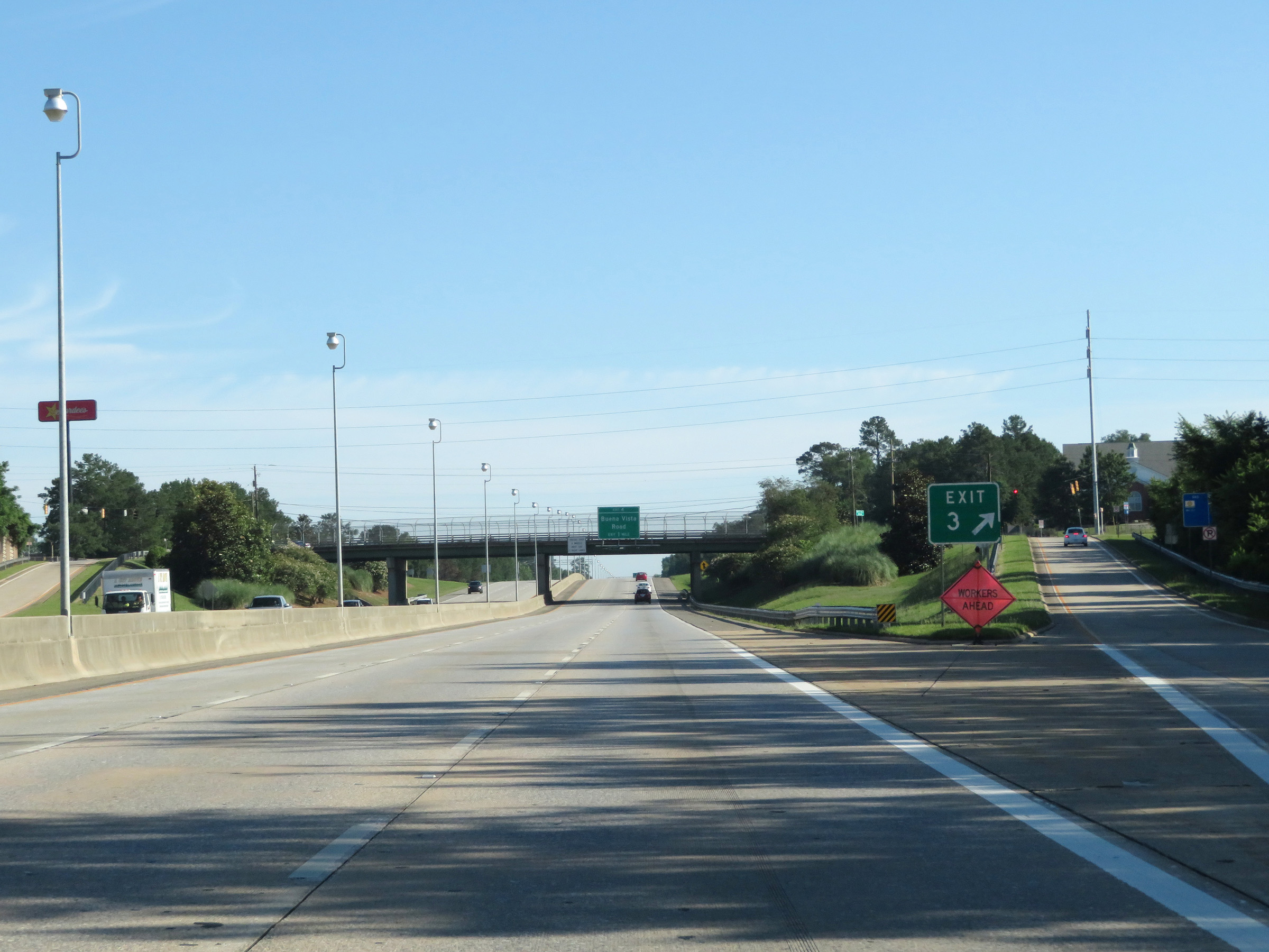
Interstate 185 North at Exit 4: Buena Vista Road (Photo taken 5/27/17). |
 |
Interstate 185 North at Exit 6: GA 22 Spur - Macon Rd (Photo taken 5/27/17). |
 |
Another Interstate 185 North reassurance shield in Columbus. (Photo taken 5/27/17). |
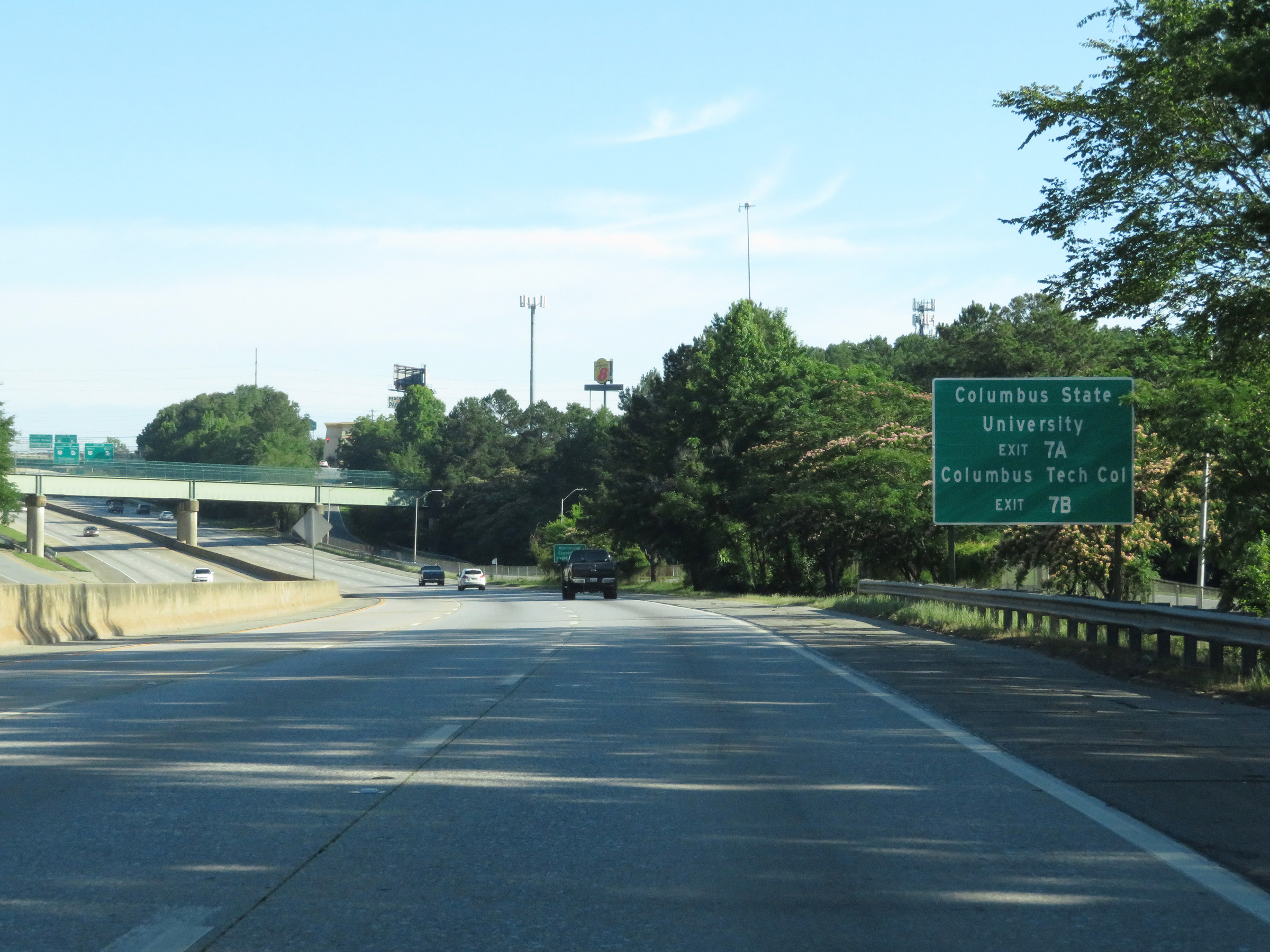 |
Take Exit 7A to Columbus State University. Take Exit 7B to Columbus Tech College. (Photo taken 5/27/17). |
 |
Exits 7A-B provide access to US 27 Alternate, which is also known as Manchester Expressway. (Photo taken 5/27/17). |
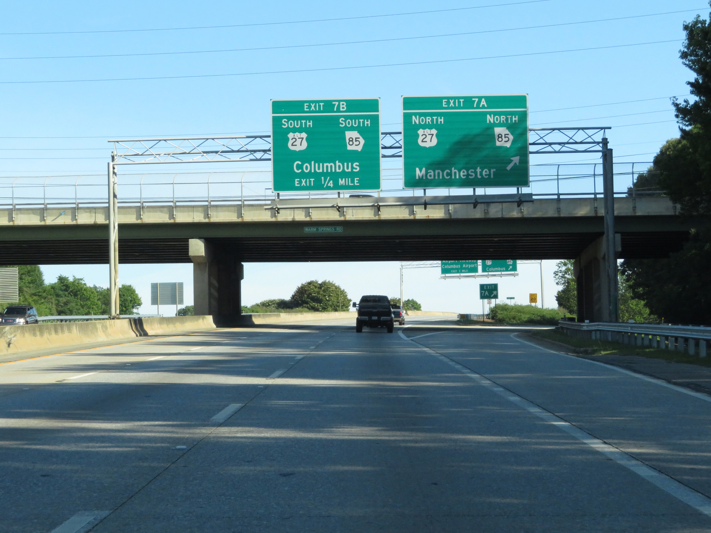 |
Interstate 185 North at Exit 7A: US 27 Alternate North / GA 85 North - Manchester (Photo taken 5/27/17). |
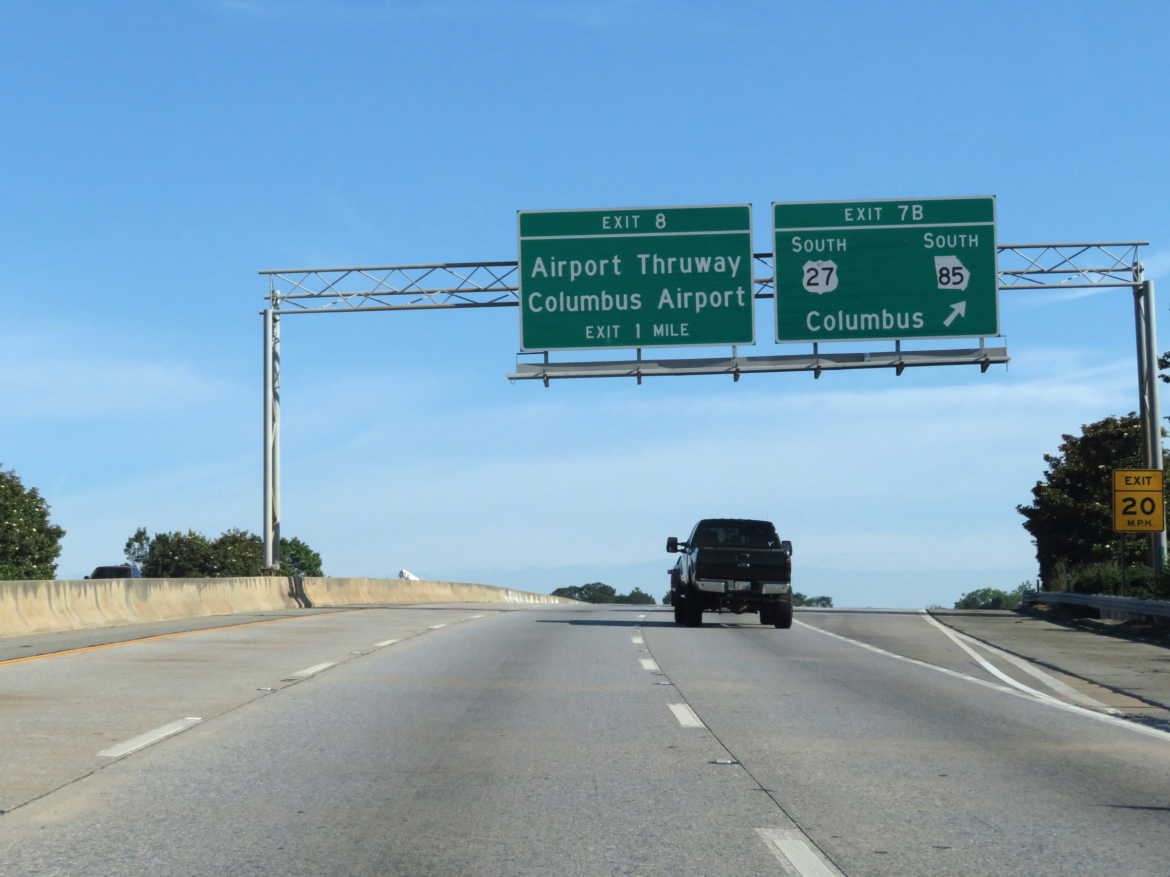 |
Interstate 185 North at Exit 7B: US 27 Alternate South / GA 85 South - Columbus (Photo taken 5/27/17). |
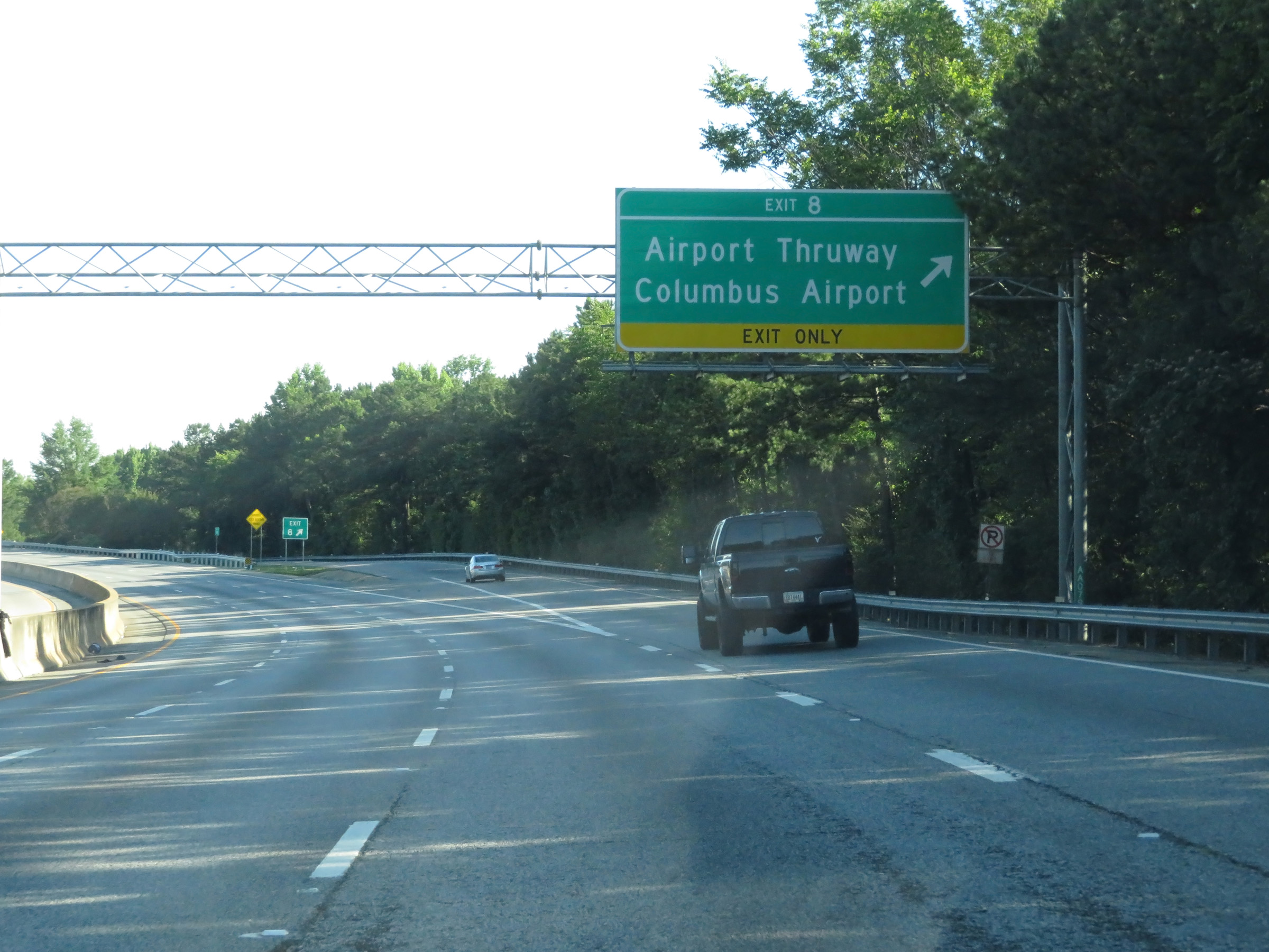 |
Interstate 185 North at Exit 8: Airport Thruway / Columbus Airport (Photo taken 5/27/17). |
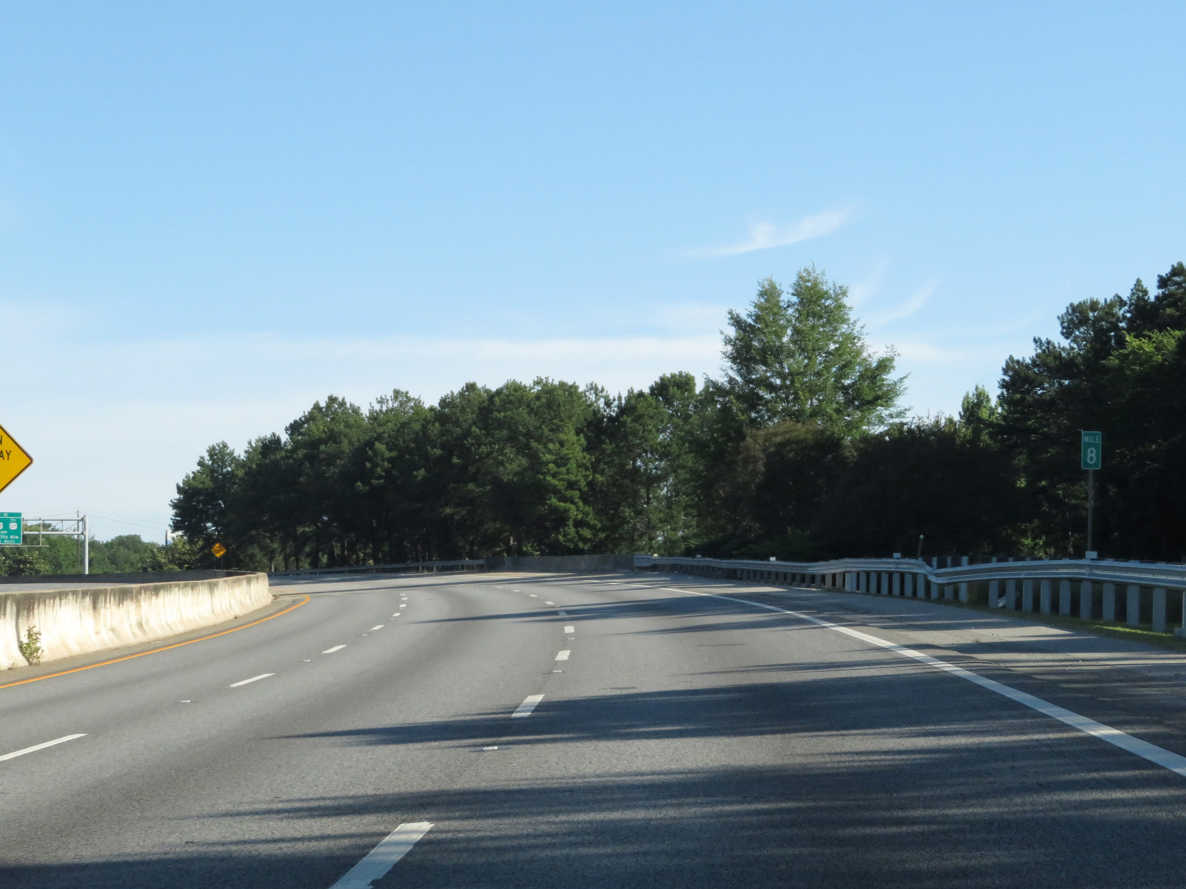 |
View on Interstate 185 North at mile marker 8. (Photo taken 5/27/17). |
 |
Interstate 185 North at mile marker 9. (Photo taken 5/27/17). |
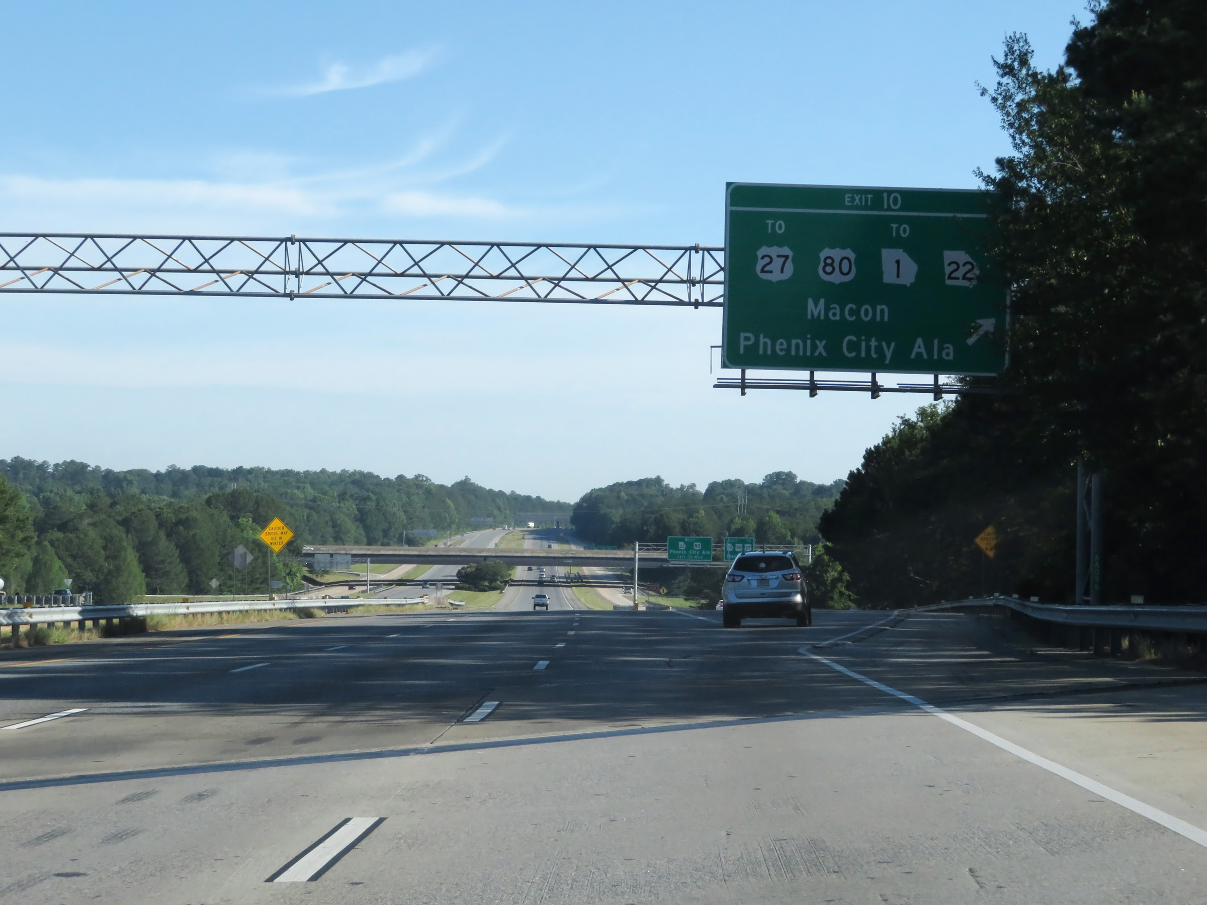 |
Interstate 185 North at Exit 10: US 80 / GA 22 / To US 27 / To GA 1 - Macon / Phenix City, AL (Photo taken 5/27/17). |
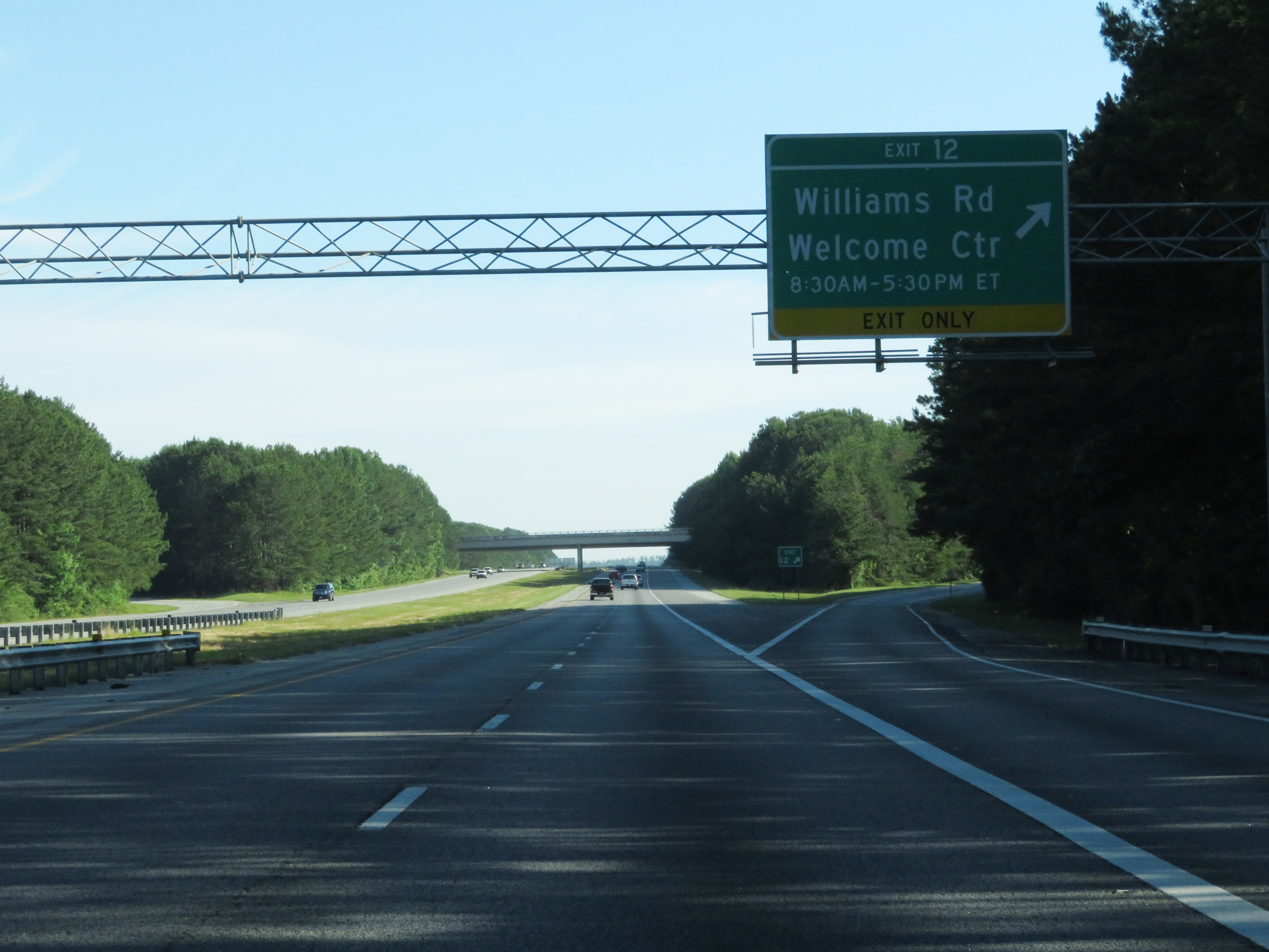 |
Interstate 185 North at Exit 12: Williams Rd / Welcome Center (Photo taken 5/27/17). |
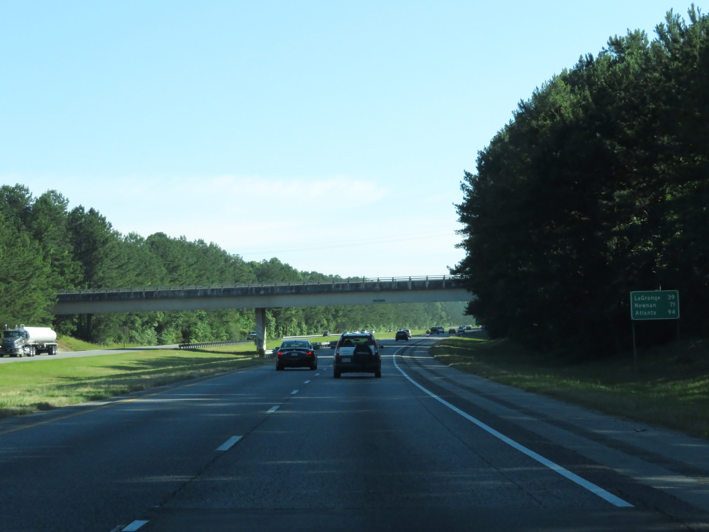 |
Mileage sign on Interstate 185 North. It's 39 miles to LaGrange, 71 miles to Newnan, and 94 miles to Atlanta. (Photo taken 5/27/17). |
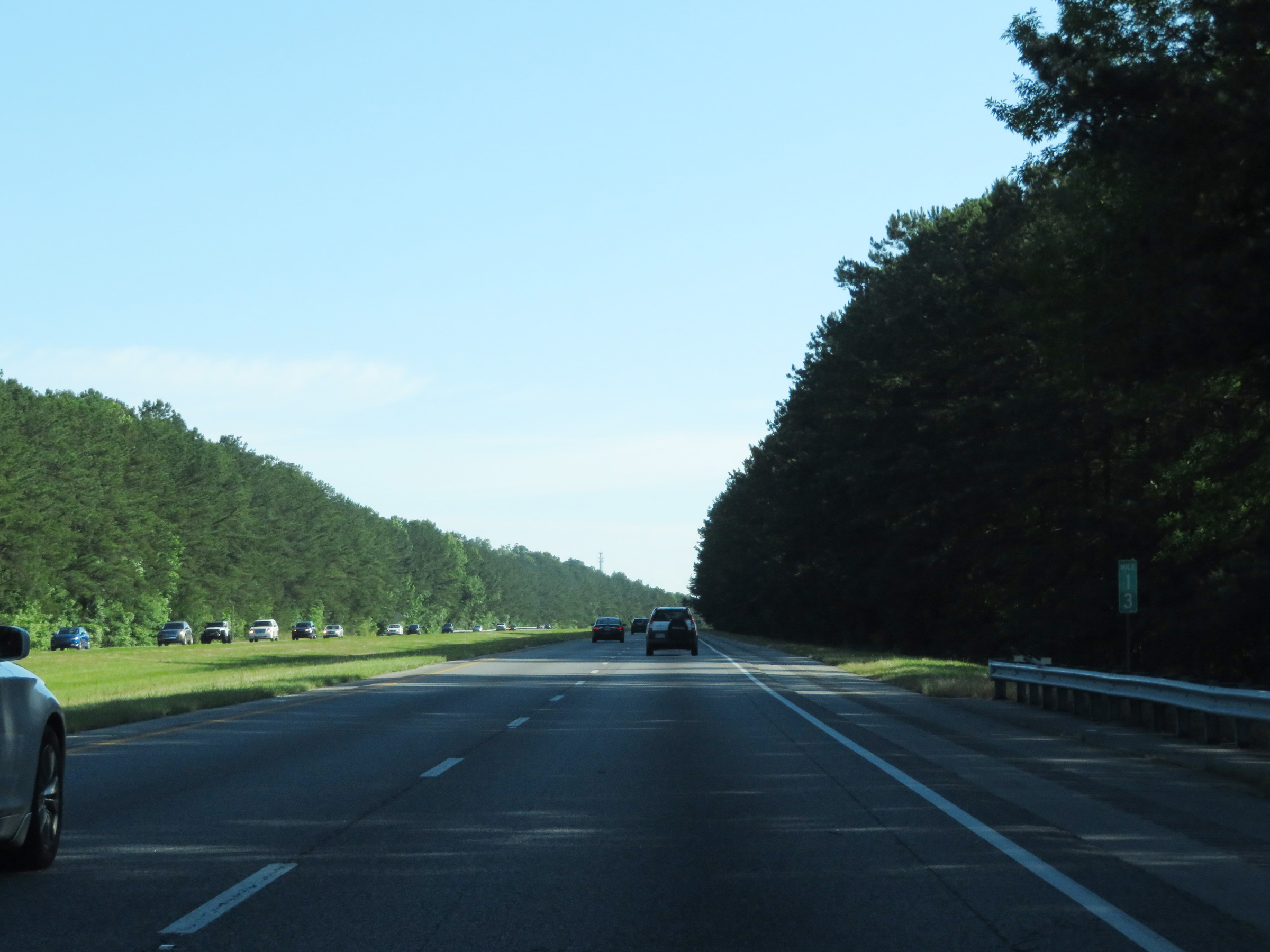 |
View on Interstate 185 North at mile marker 13. (Photo taken 5/27/17). |
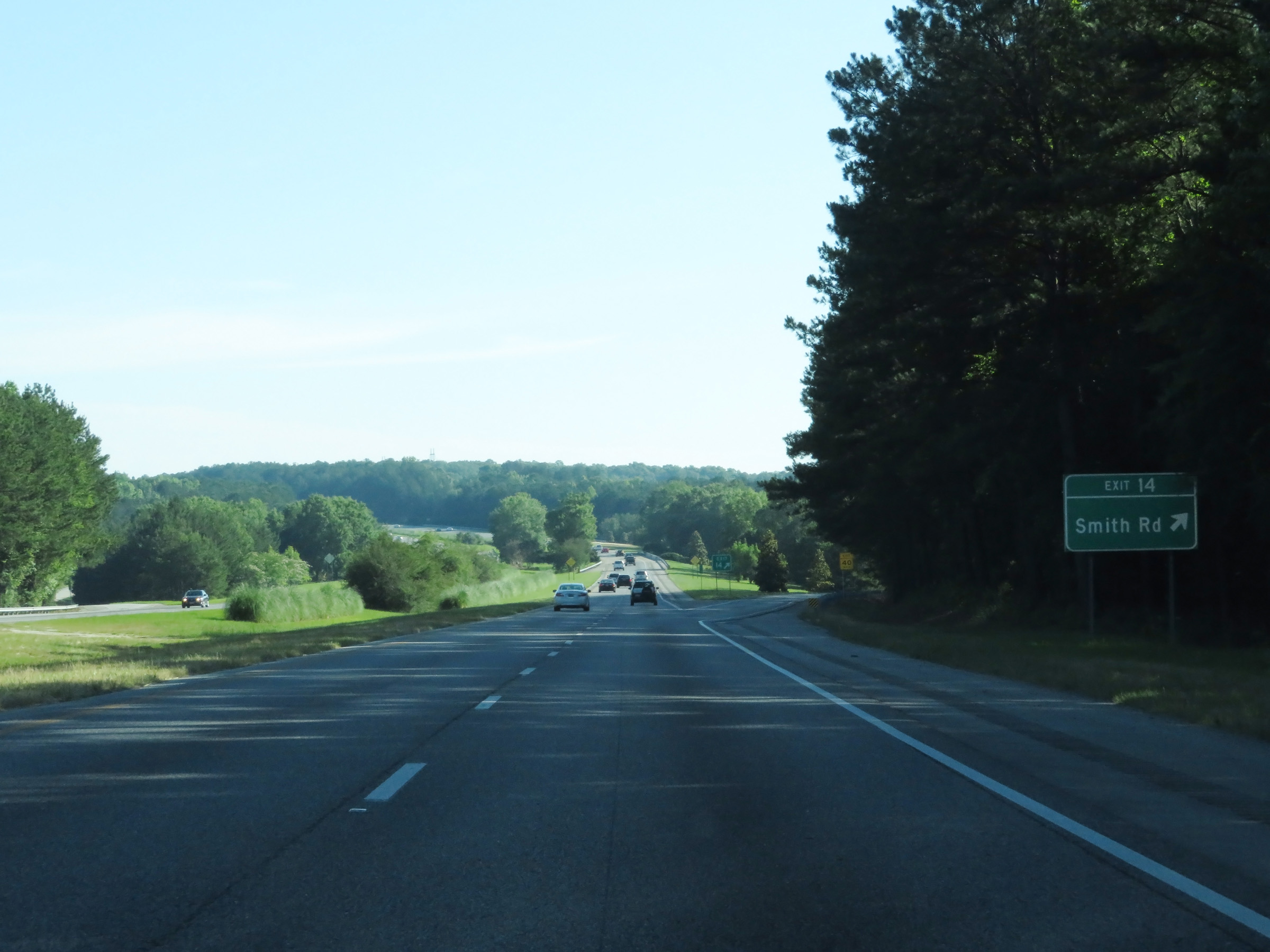 |
Interstate 185 North at Exit 14: Smith Rd (Photo taken 5/27/17). |
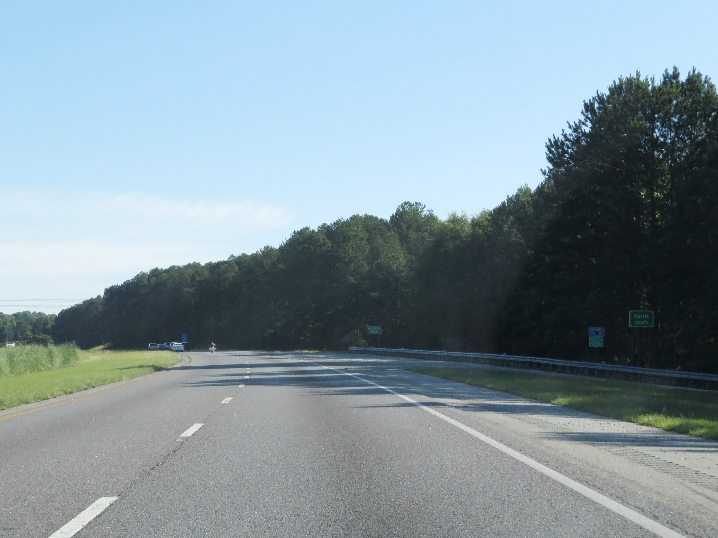 |
Interstate 185 North as it enters Harris County. (Photo taken 5/27/17). |
 |
State-named Interstate 185 North reassurance shield at mile marker 15. (Photo taken 5/27/17). |
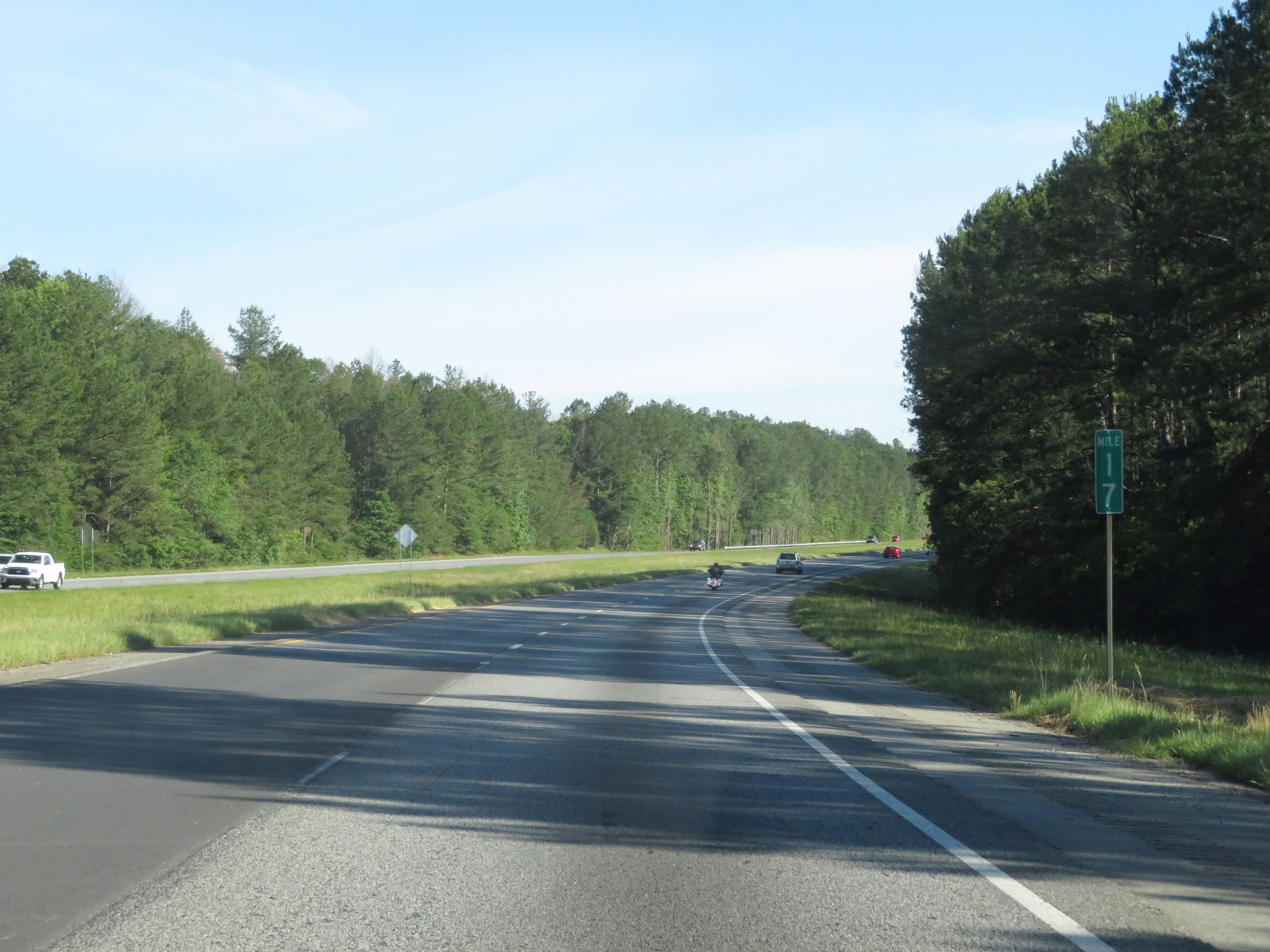 |
View on Interstate 185 North at mile marker 17. (Photo taken 5/27/17). |
 |
Interstate 185 North at mile marker 18. (Photo taken 5/27/17). |
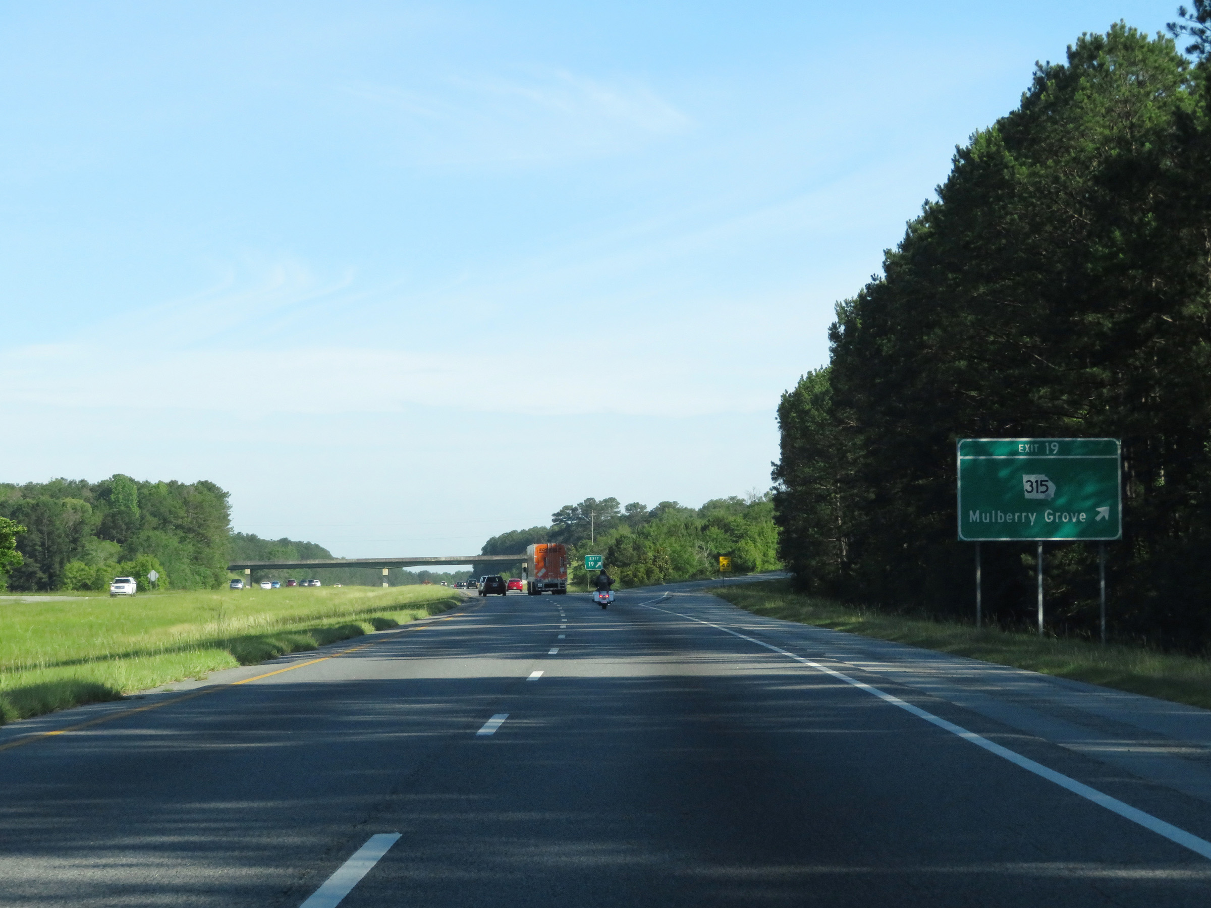 |
Interstate 185 North at Exit 19: GA 315 - Mulberry Grove (Photo taken 5/27/17). |
 |
View on Interstate 185 North at mile marker 21. (Photo taken 5/27/17). |
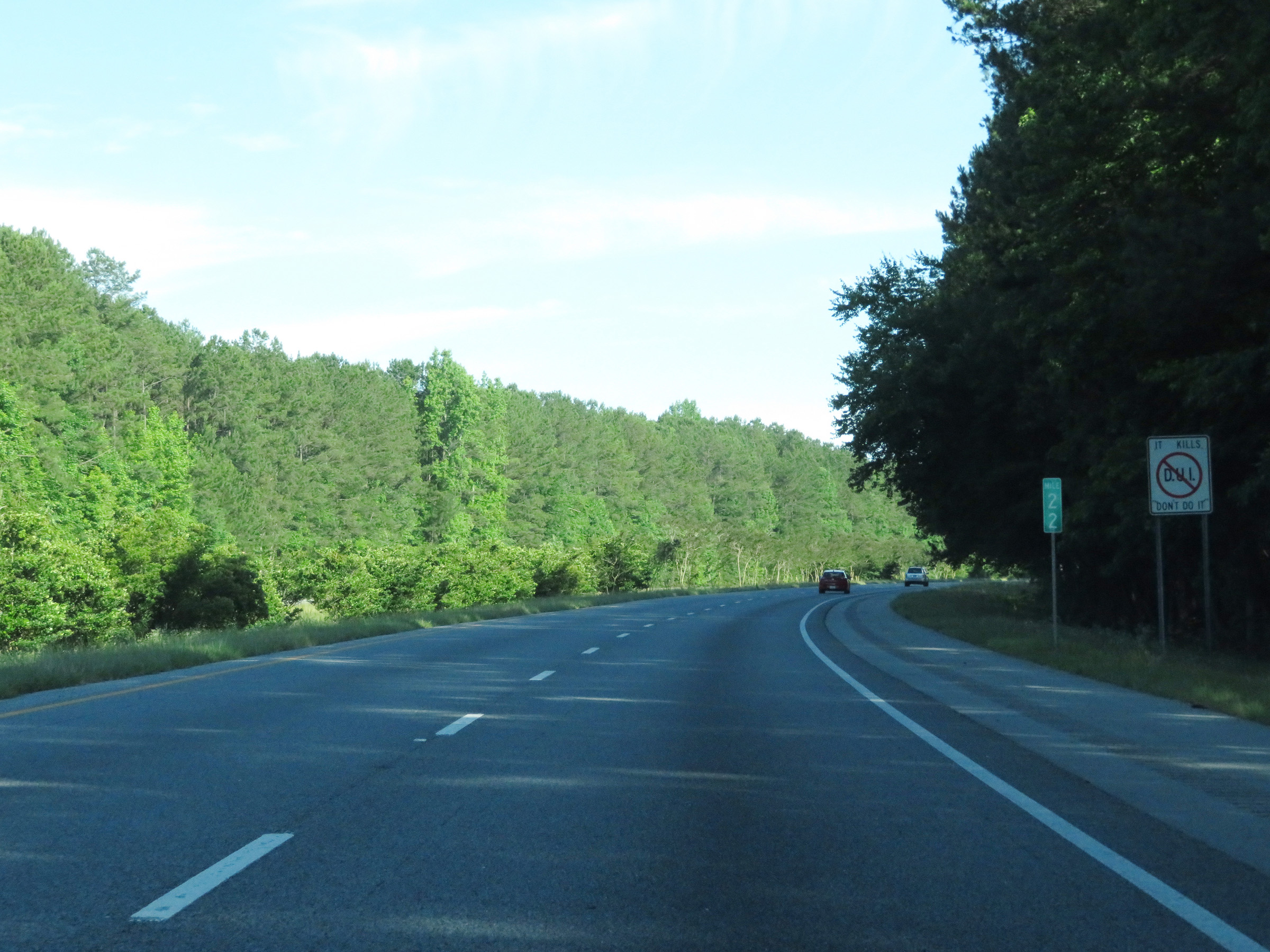 |
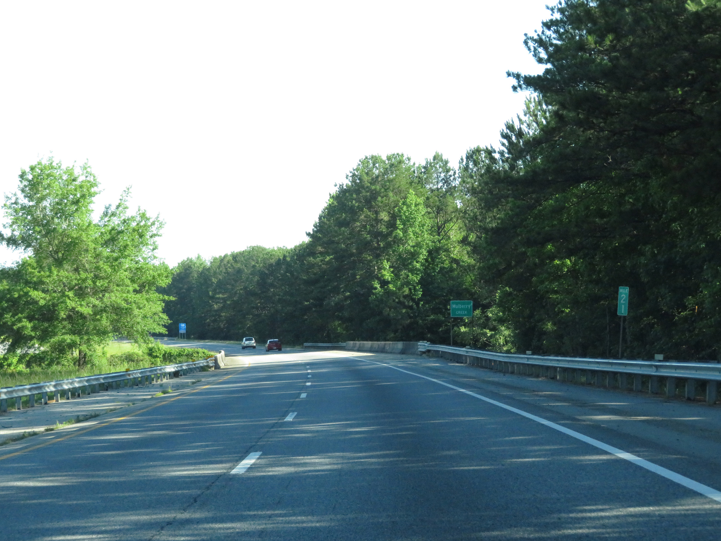
Interstate 185 North at mile marker 22. (Photo taken 5/27/17). |
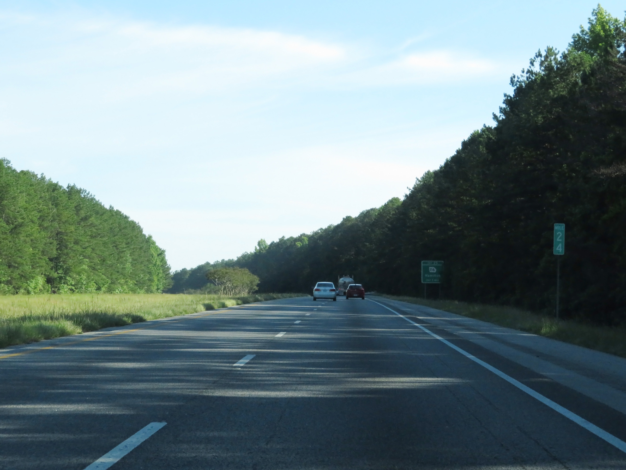 |
Mile marker 24 on Interstate 185 North in Harris County. (Photo taken 5/27/17). |
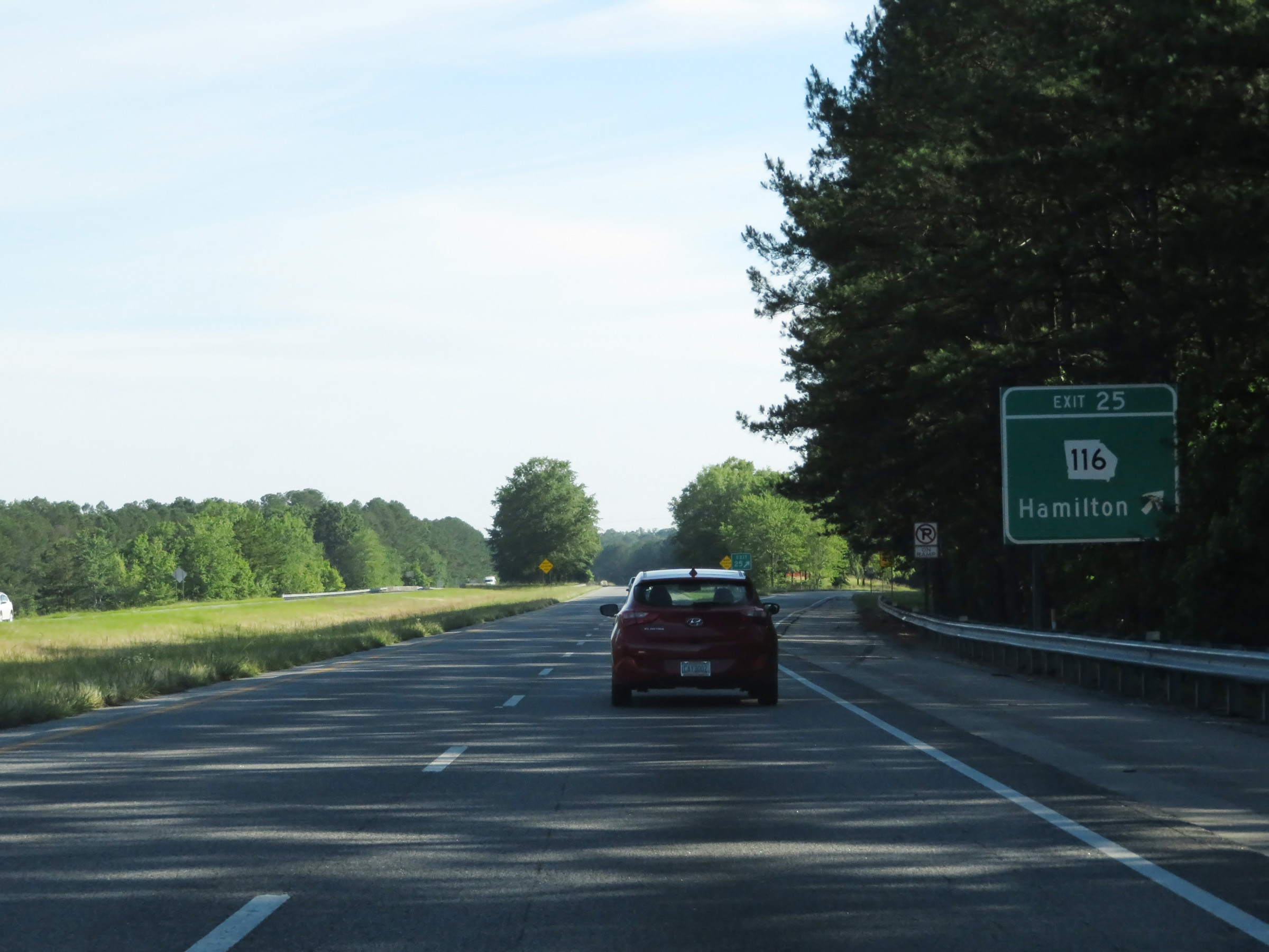 |
Interstate 185 North at Exit 25: GA 116 - Hamilton (Photo taken 5/27/17). |
 |
View on Interstate 185 North at mile marker 27. (Photo taken 5/27/17). |
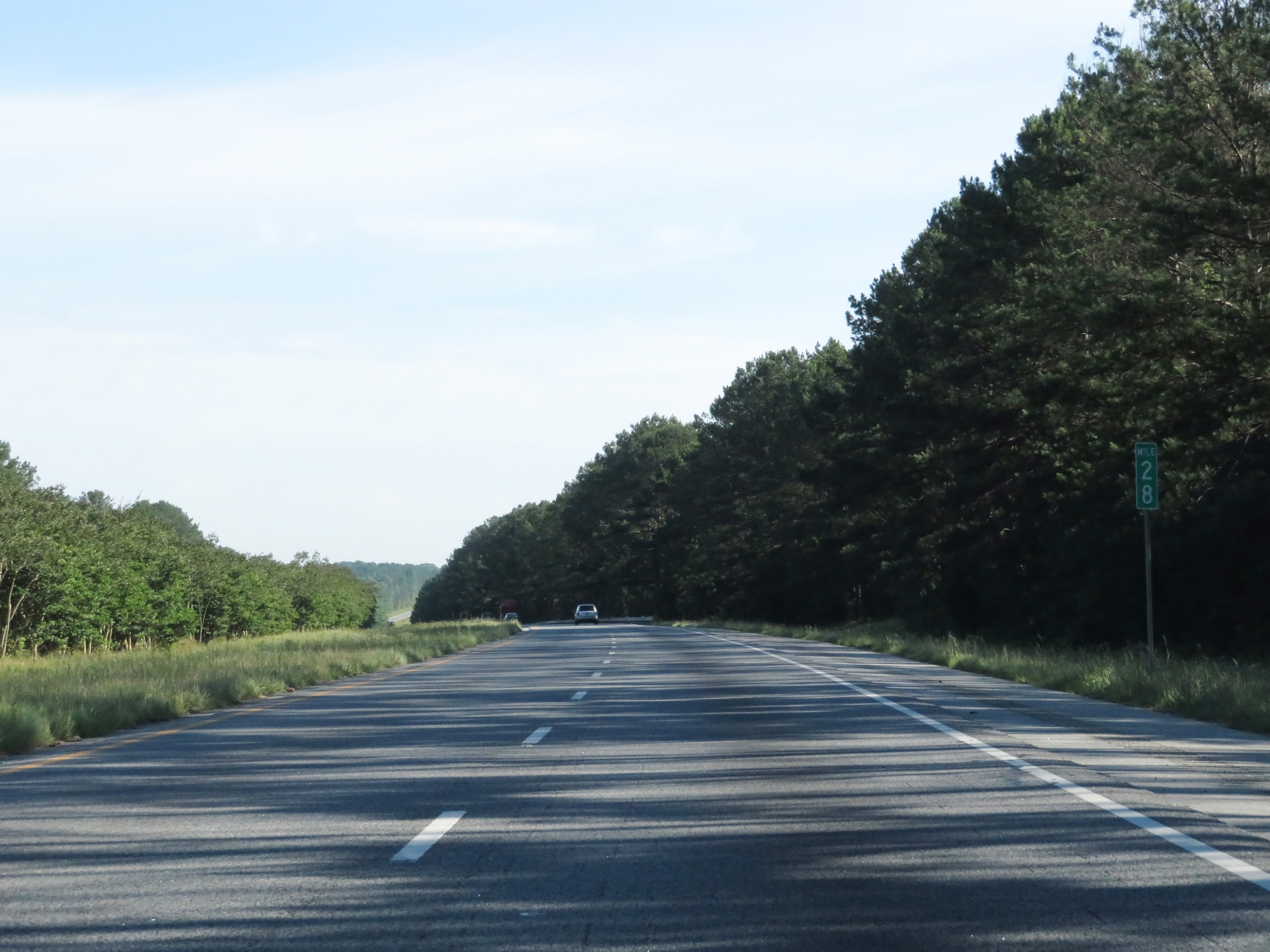 |
Interstate 185 North at mile marker 28. (Photo taken 5/27/17). |
 |
Interstate 185 North at Exit 30: Hopewell Church Rd / Whitesville (Photo taken 5/27/17). |
 |
View on Interstate 185 North at mile marker 32. (Photo taken 5/27/17). |
 |
Take Exit 34 to Callaway Gardens, Little White House, and Roosevelt State Park. (Photo taken 5/27/17). |
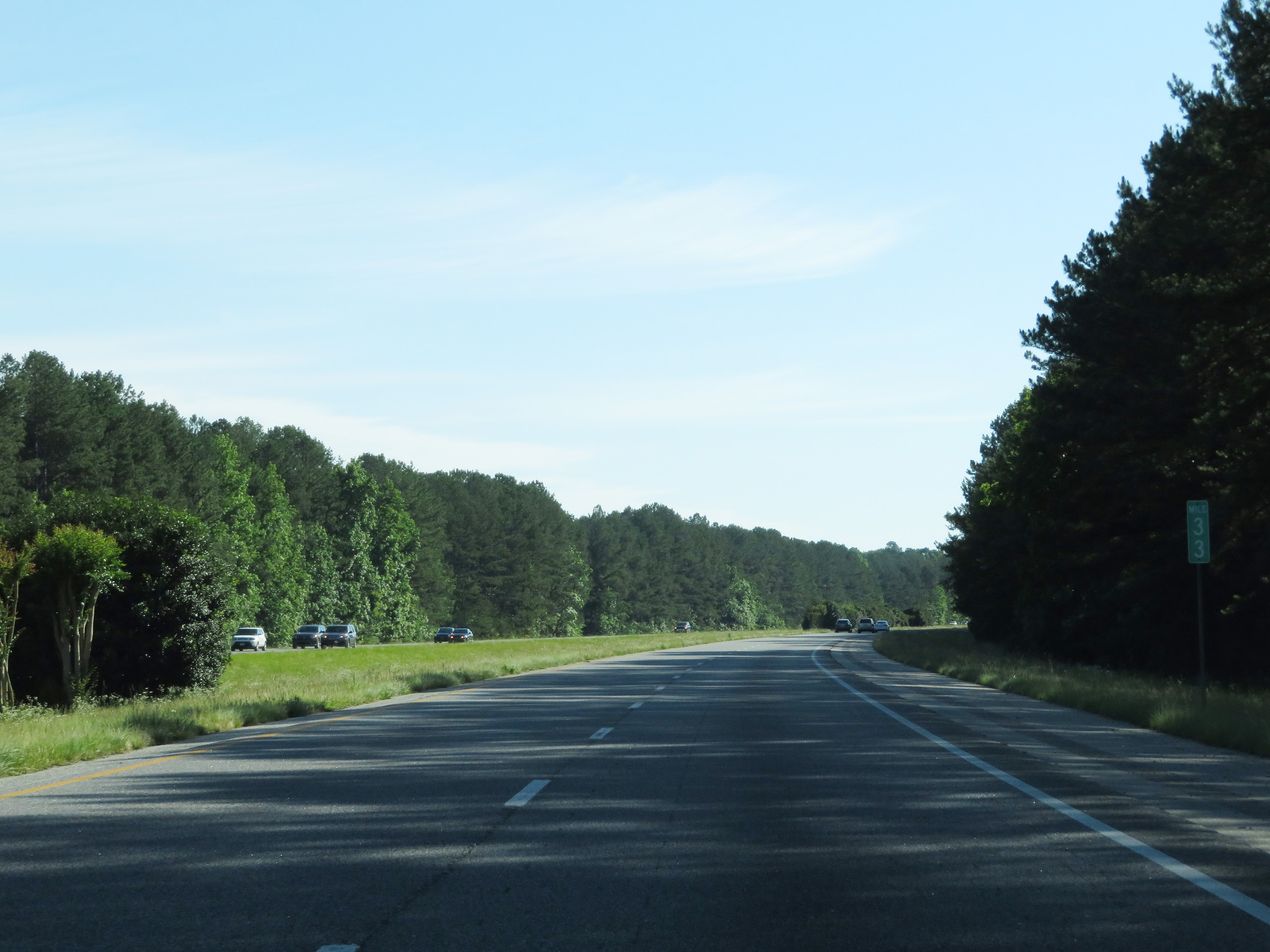 |
Interstate 185 North at mile marker 33. (Photo taken 5/27/17). |
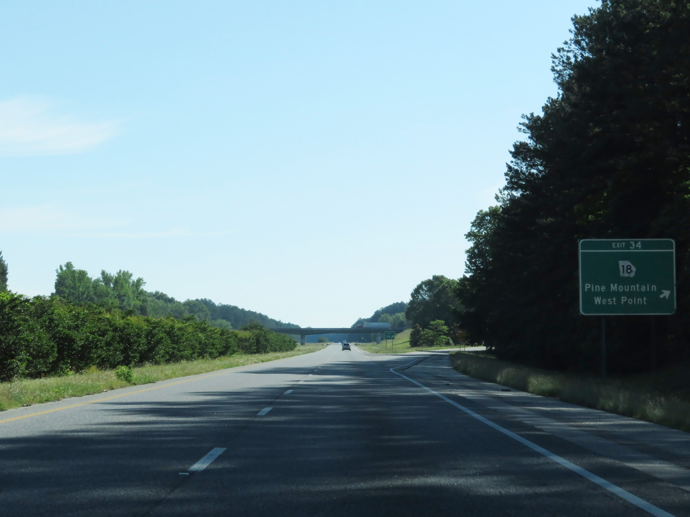 |
Interstate 185 North at Exit 34: GA 18 - Pine Mountain / West Point (Photo taken 5/27/17). |
 |
Interstate 185 North as it enters Troup County. (Photo taken 5/27/17). |
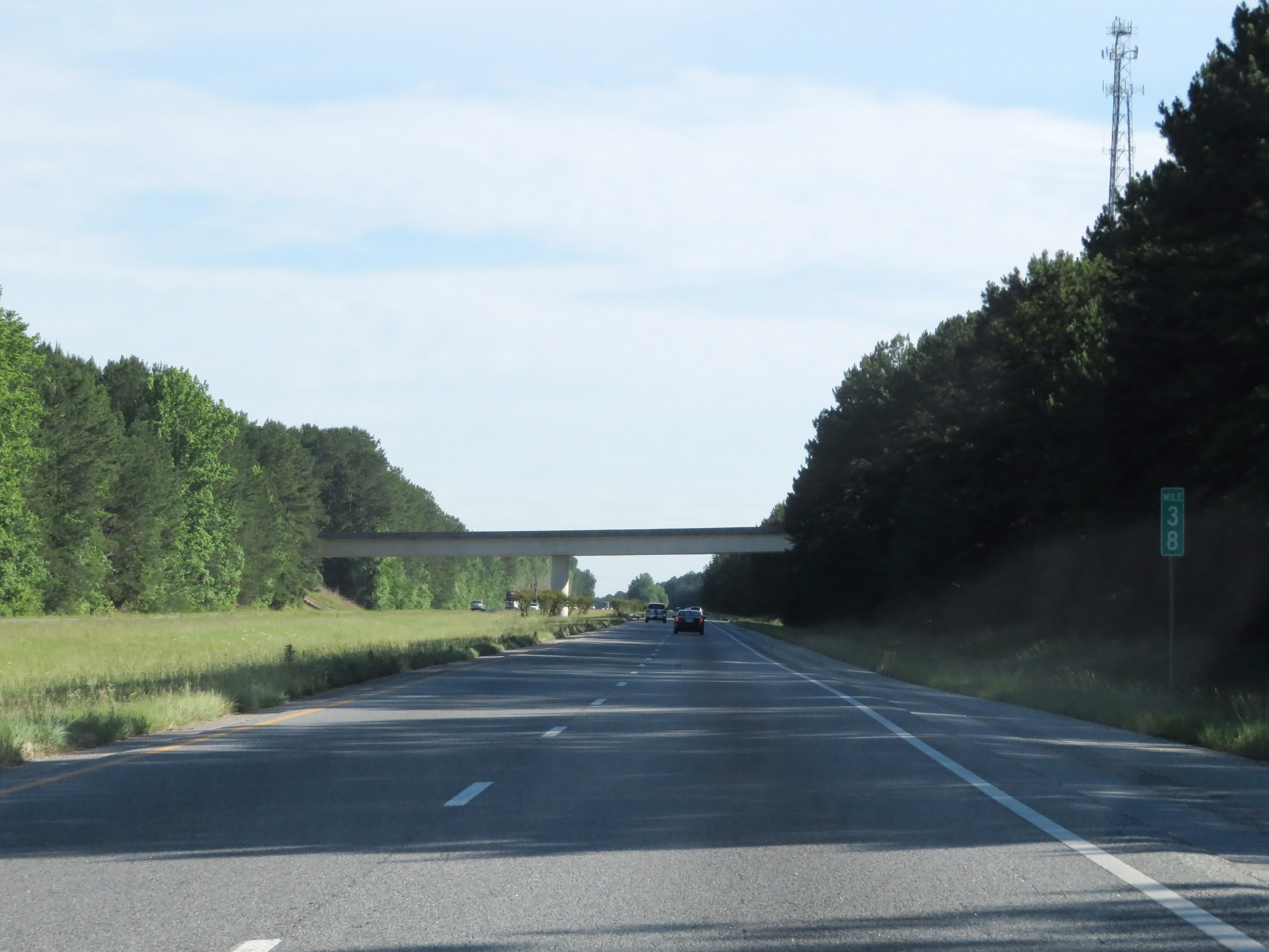 |
View on Interstate 185 North at mile marker 38. (Photo taken 5/27/17). |
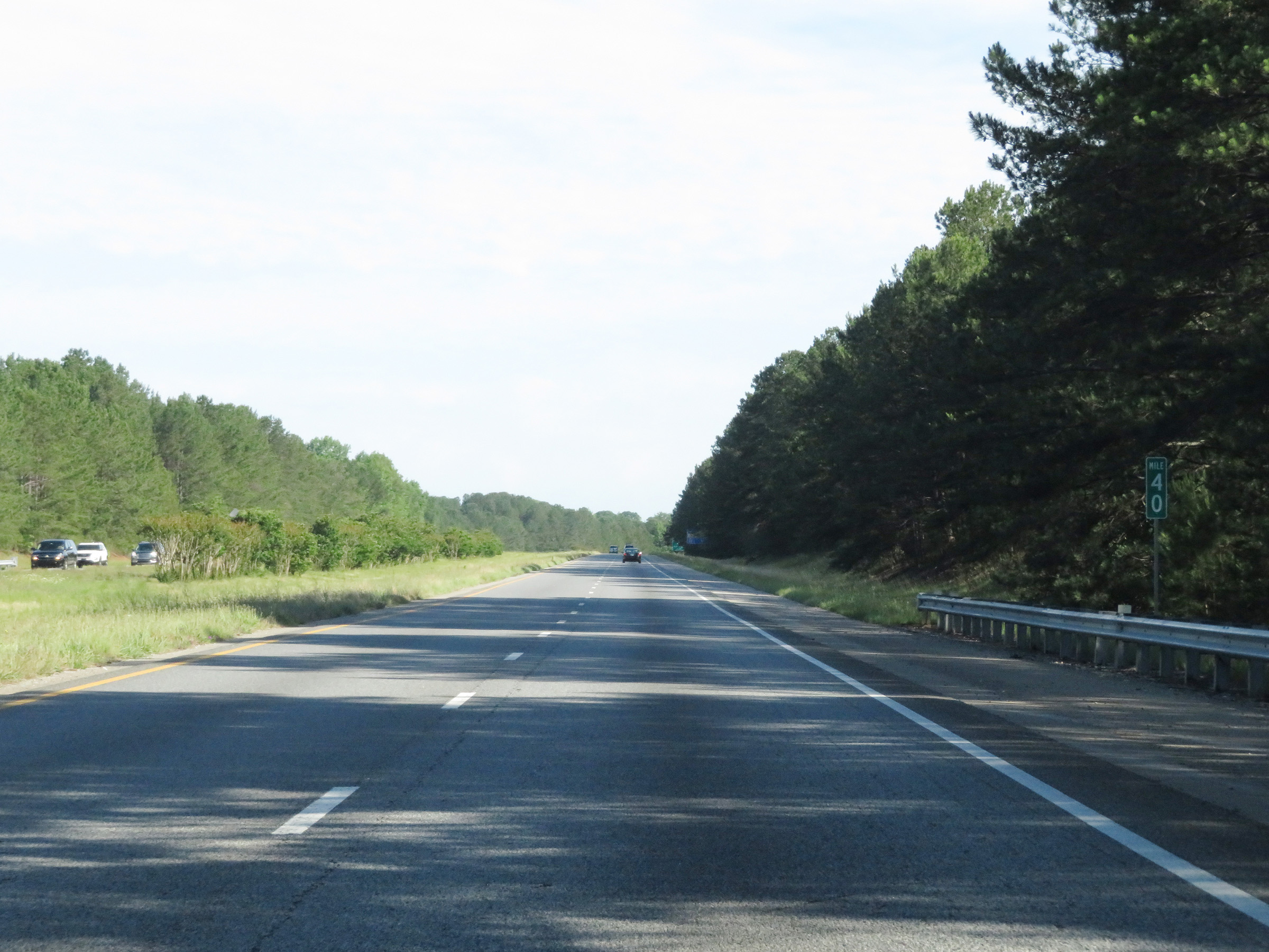 |
Interstate 185 North at mile marker 40. (Photo taken 5/27/17). |
 |
Interstate 185 North at Exit 42: US 27 - LaGrange (Photo taken 5/27/17). |
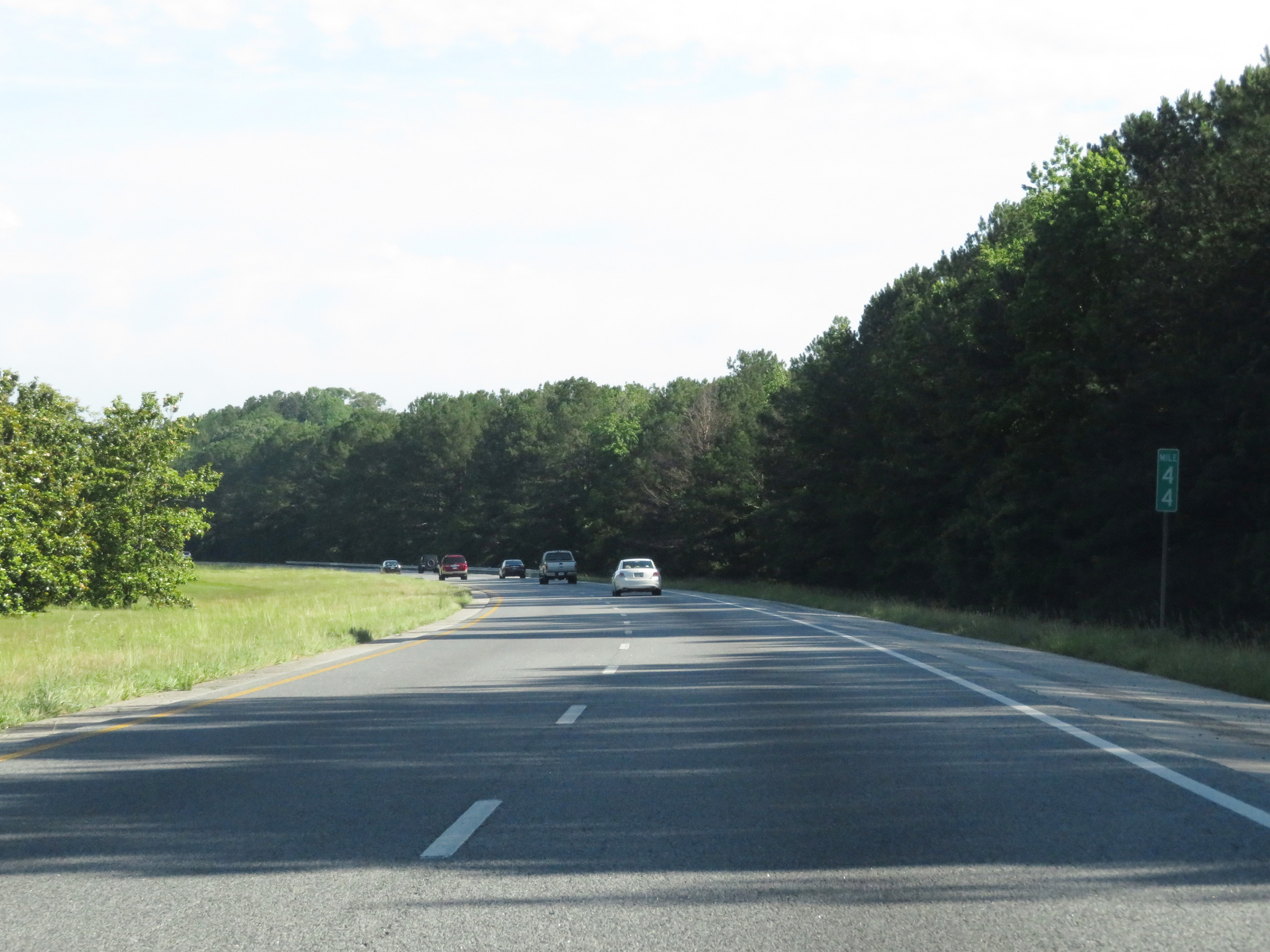 |
Mile marker 44 on Interstate 185 North in Troup County. (Photo taken 5/27/17). |
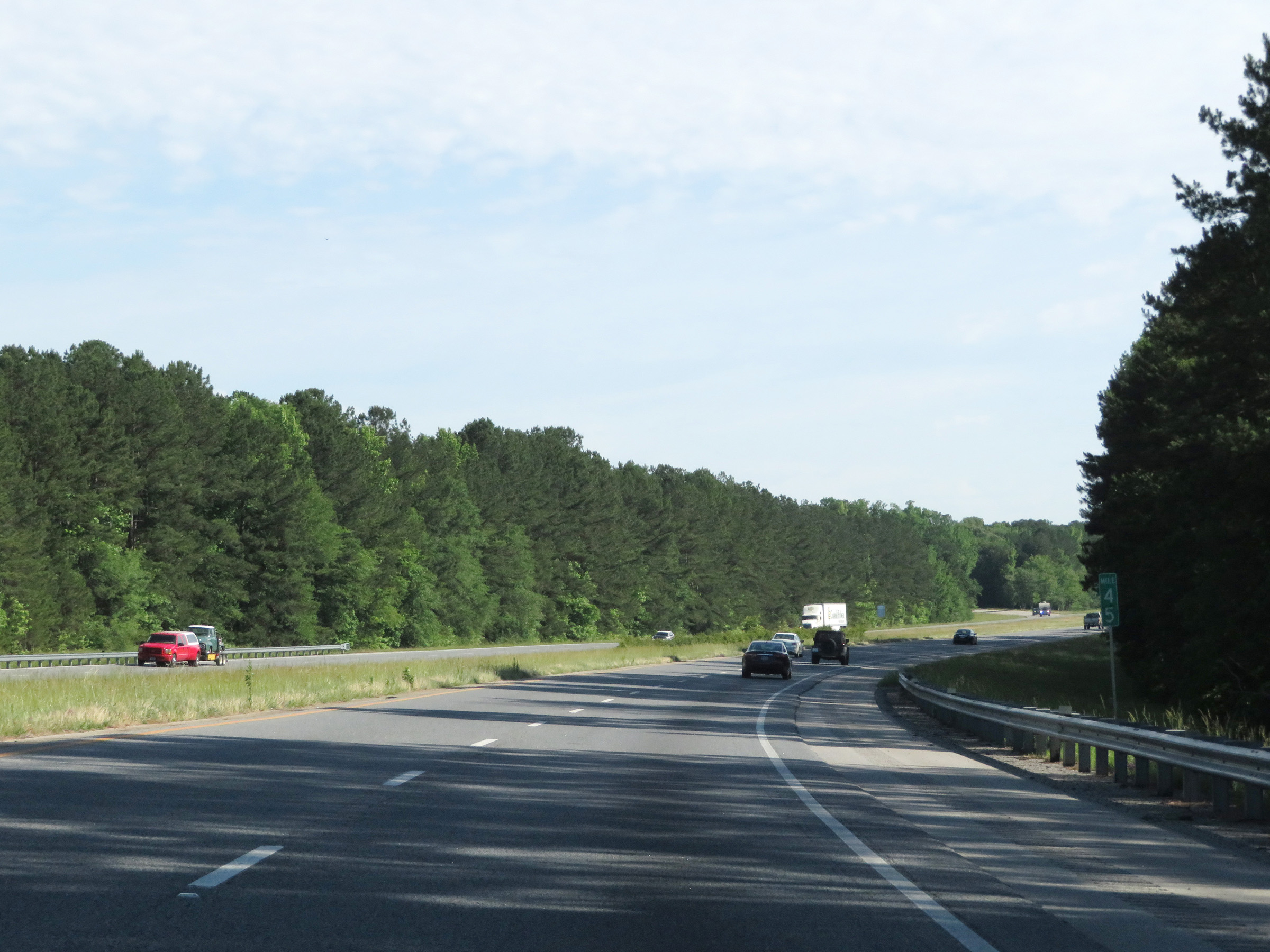 |
View on Interstate 185 North at mile marker 45. (Photo taken 5/27/17). |
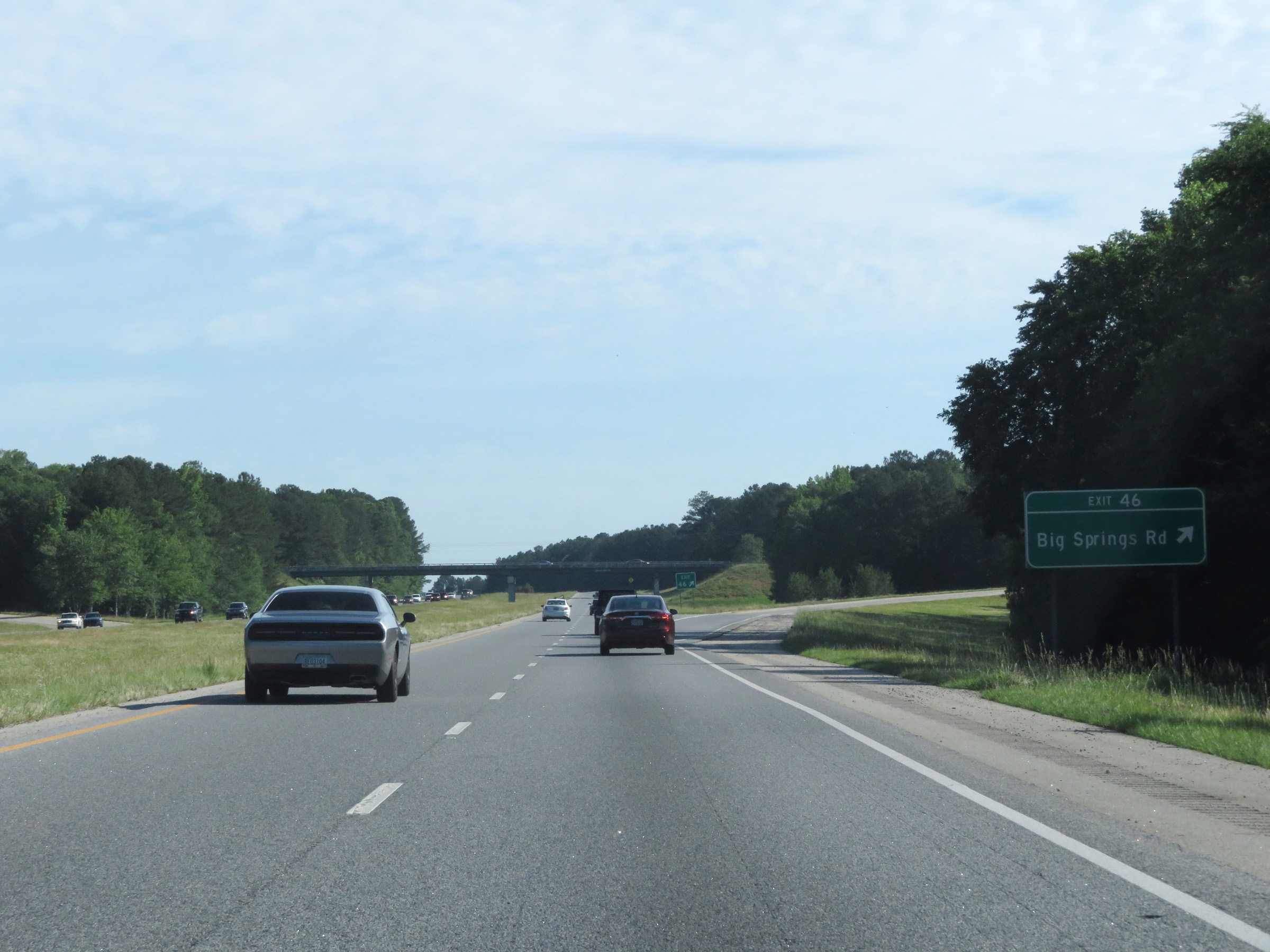 |
Interstate 185 North at Exit 46: Big Springs Rd (Photo taken 5/27/17). |
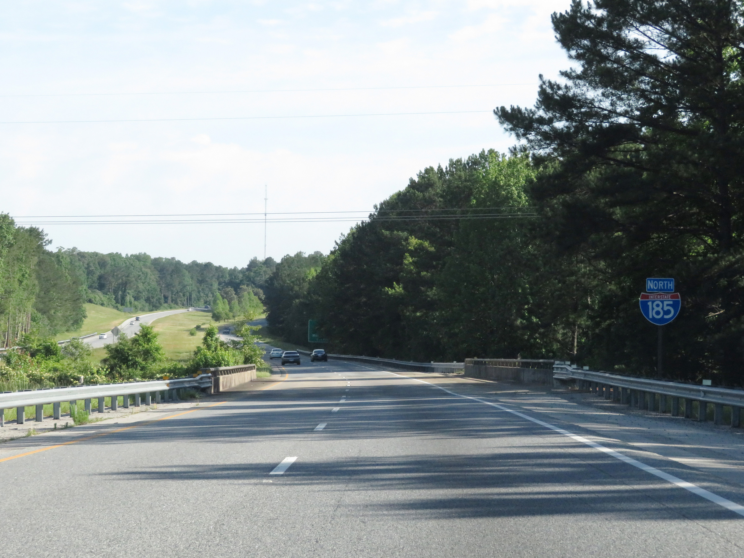 |
Interstate 185 North reassurance shield. (Photo taken 5/27/17). |
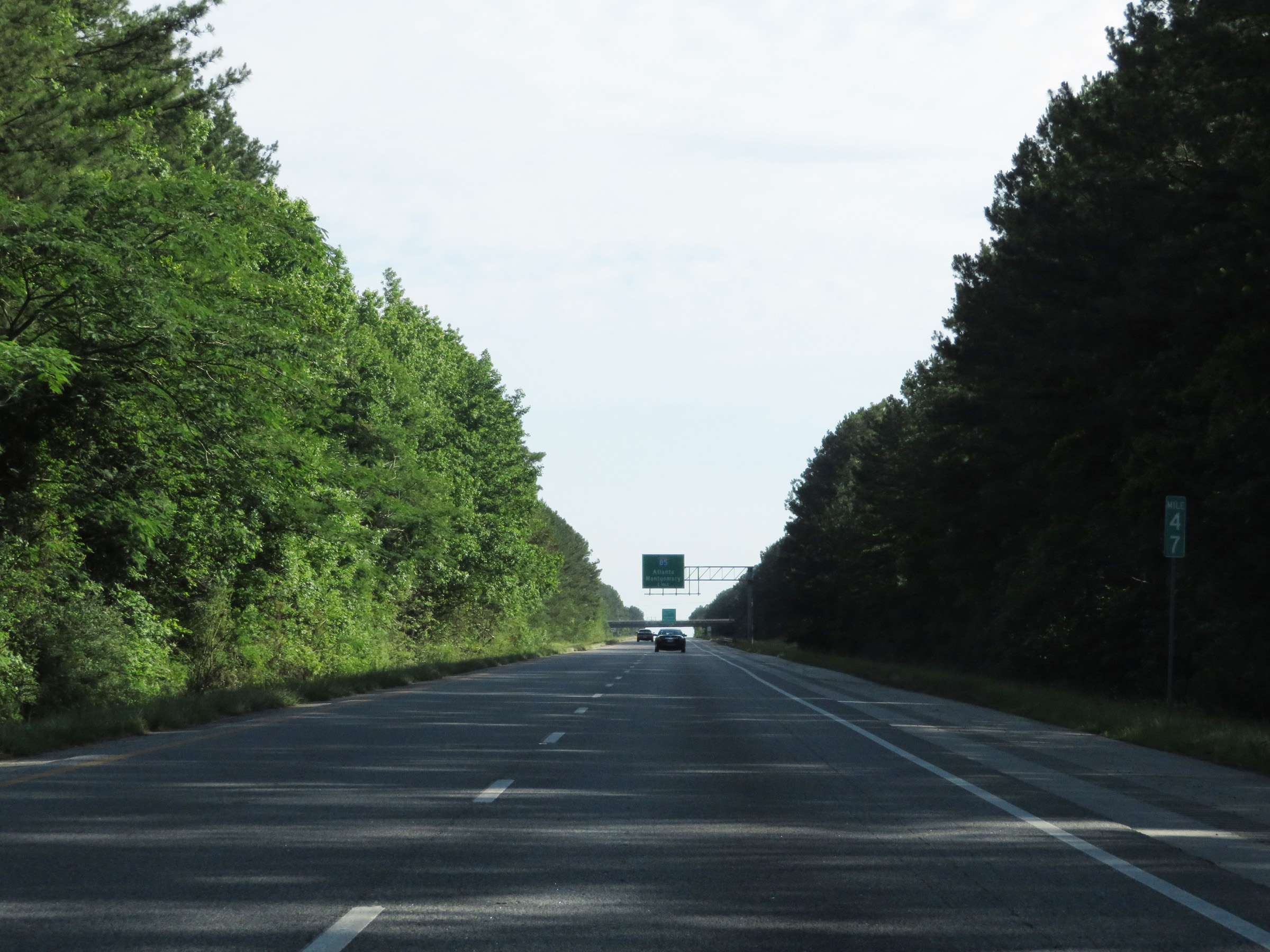 |
View on Interstate 185 North at mile marker 47. (Photo taken 5/27/17). |
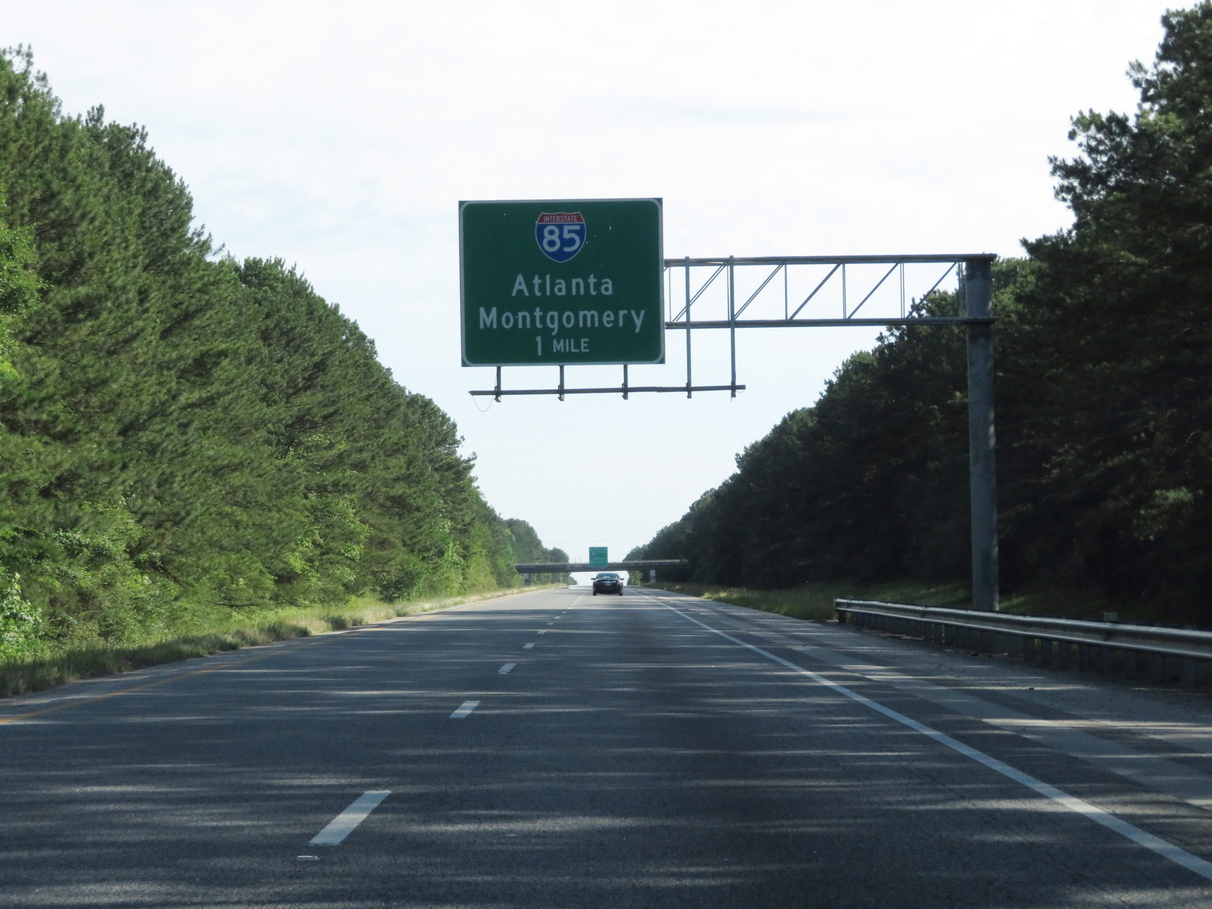 |
Interstate 185 North approaching its northern terminus at the junction of Interstate 85 - 1 mile. (Photo taken 5/27/17). |
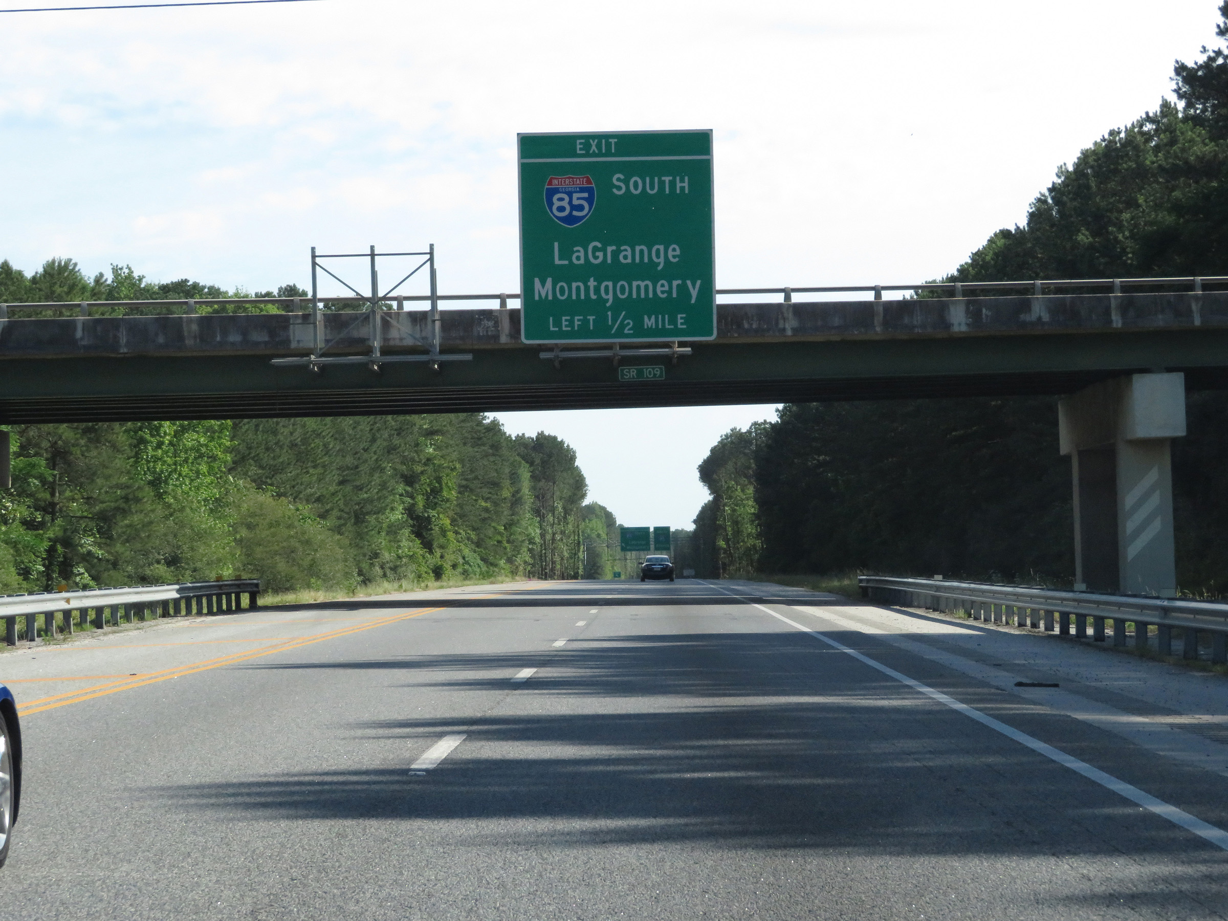 |
Traffic to Interstate 85 South should use the left lane. (Photo taken 5/27/17). |
 |
Interstate 185 North at the junction of Interstate 85 near LaGrange. Traffic to Interstate 85 South will exit off to the left here while the two northbound lanes of I-185 become the ramp to I-85 North. (Photo taken 5/27/17). |
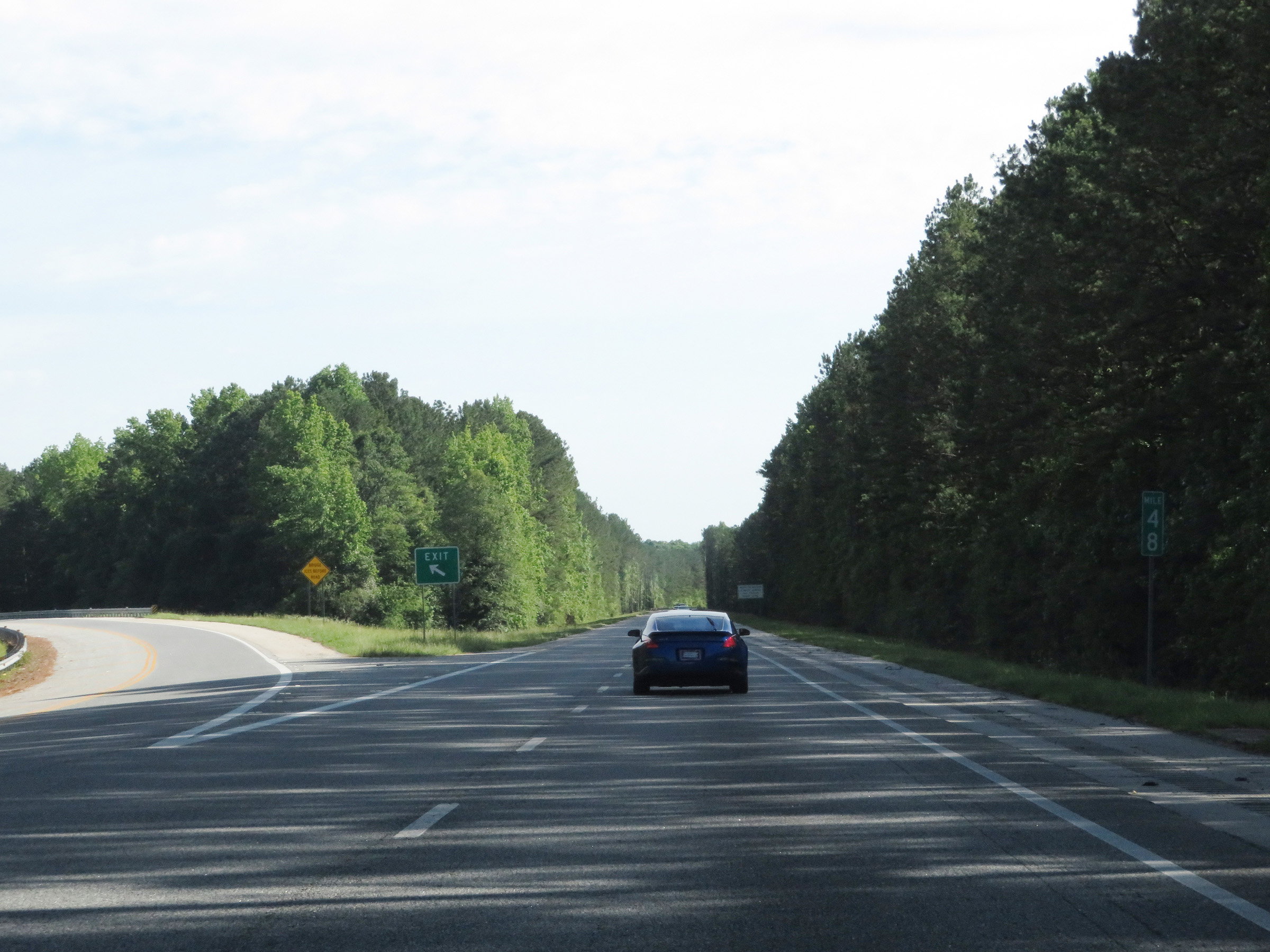 |
A closer view of the ramp to Interstate 85 South at mile marker 48. (Photo taken 5/27/17). |
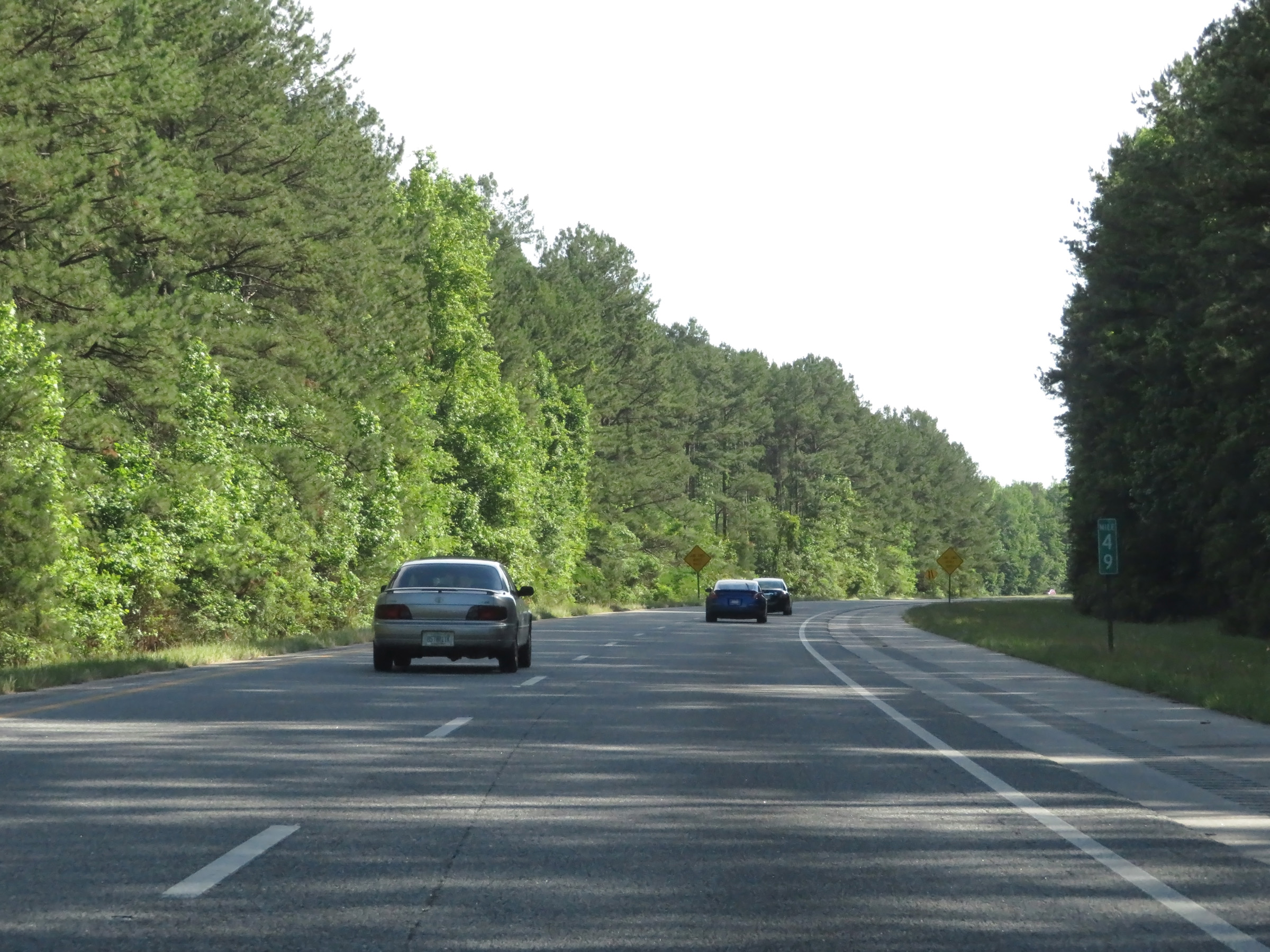 |
Interstate 185 North at mile marker 49, on the ramp to Interstate 85 North. (Photo taken 5/27/17). |
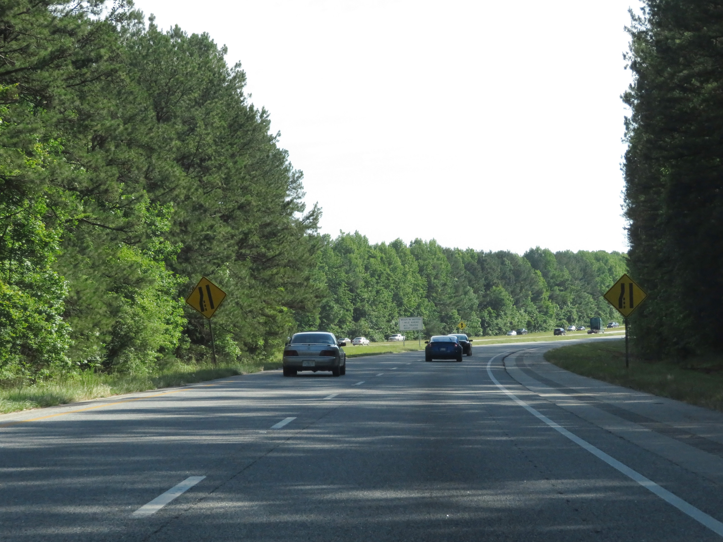 |
The ramp's two lanes are reduced to a single lane ahead, as Interstate 85 traffic comes into view straight ahead. (Photo taken 5/27/17). |
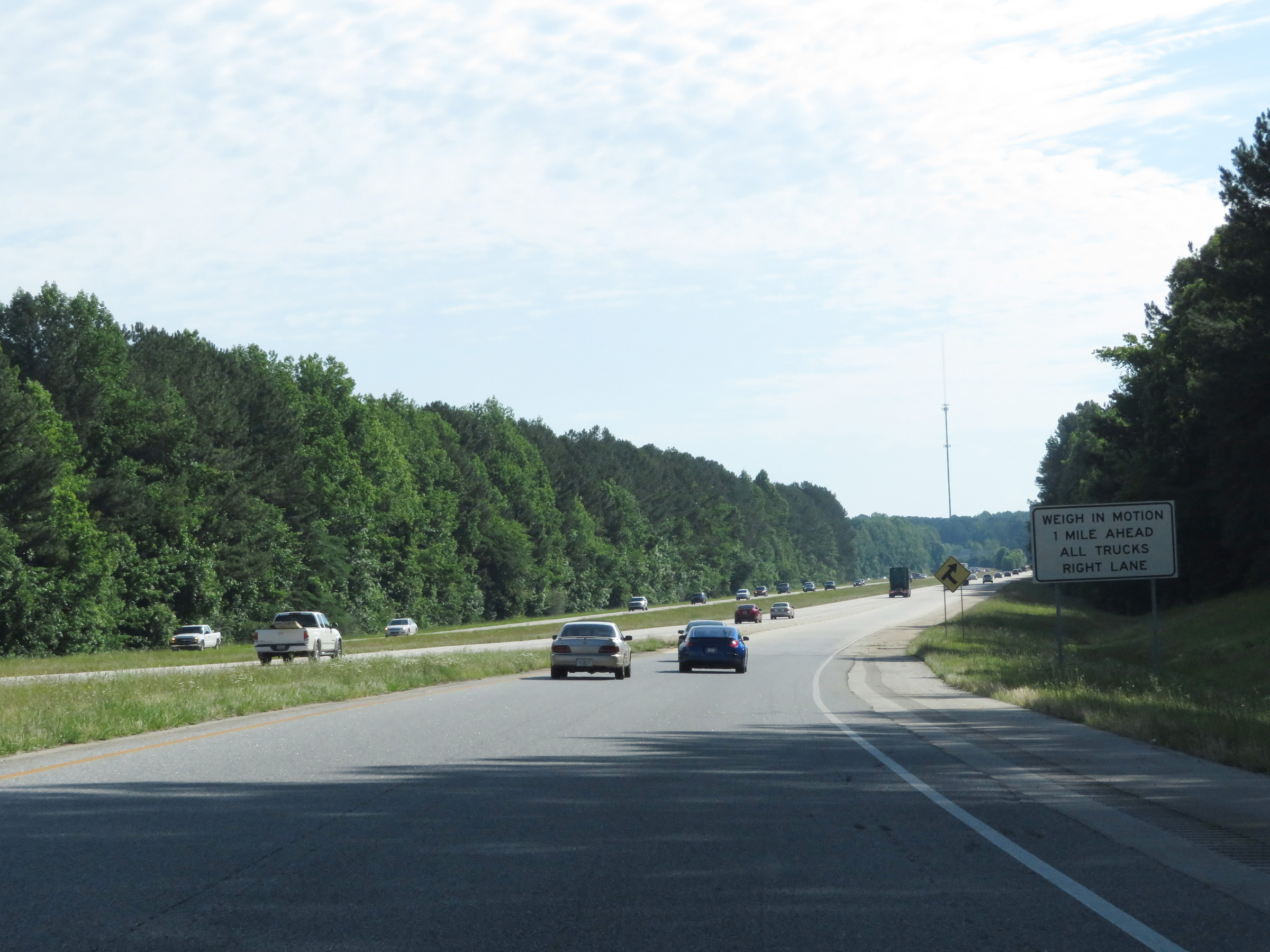 |
As the ramp is reduced to a single lane, this sign warns of a Weigh Station one mile ahead on Interstate 85 North. (Photo taken 5/27/17). |
 |
The ramp from Interstate 185 North as it meets the northbound lanes of Interstate 85. (Photo taken 5/27/17). |