Road Information |
||
 |
||
| Total Mileage in State: | 449 miles | |
| Eastern End: | At Kansas state line | |
| Western End: | At Utah state line | |
| Mileage covered in Photos: | 282 miles | |
| Counties covered in Photos: | Mesa, Garfield, Eagle, Summit, Clear Creek, Jefferson, Denver, Adams | |
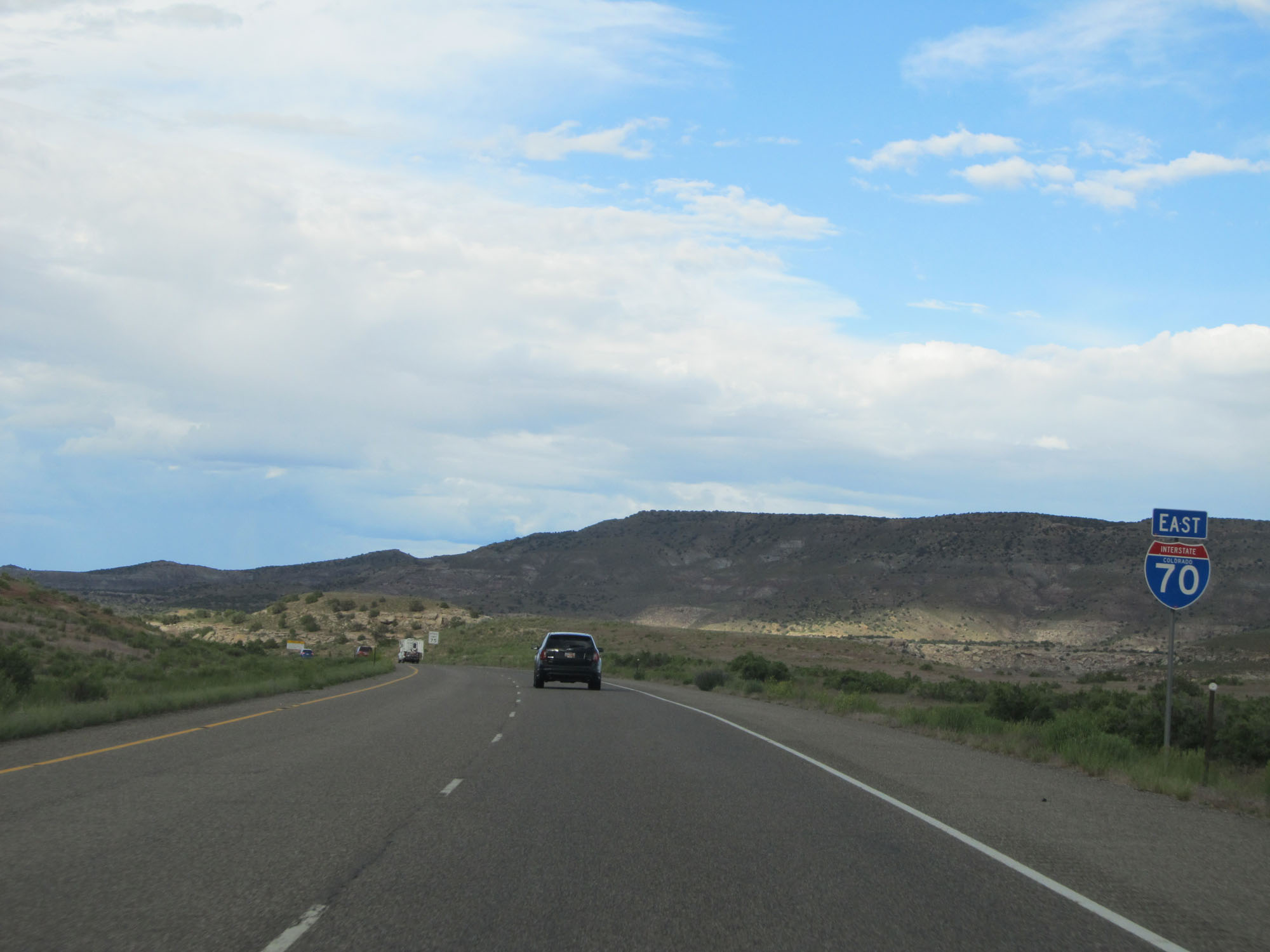
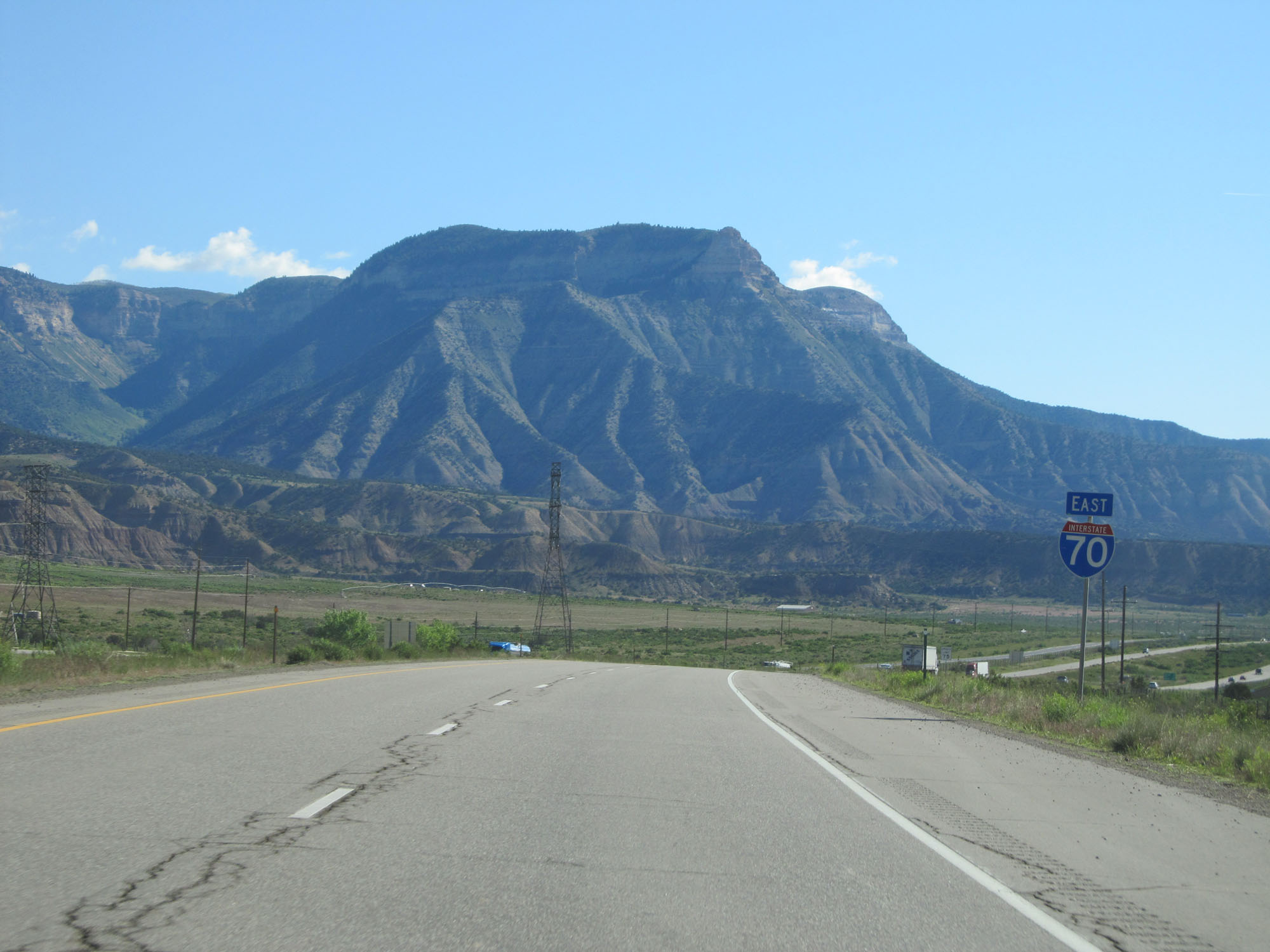
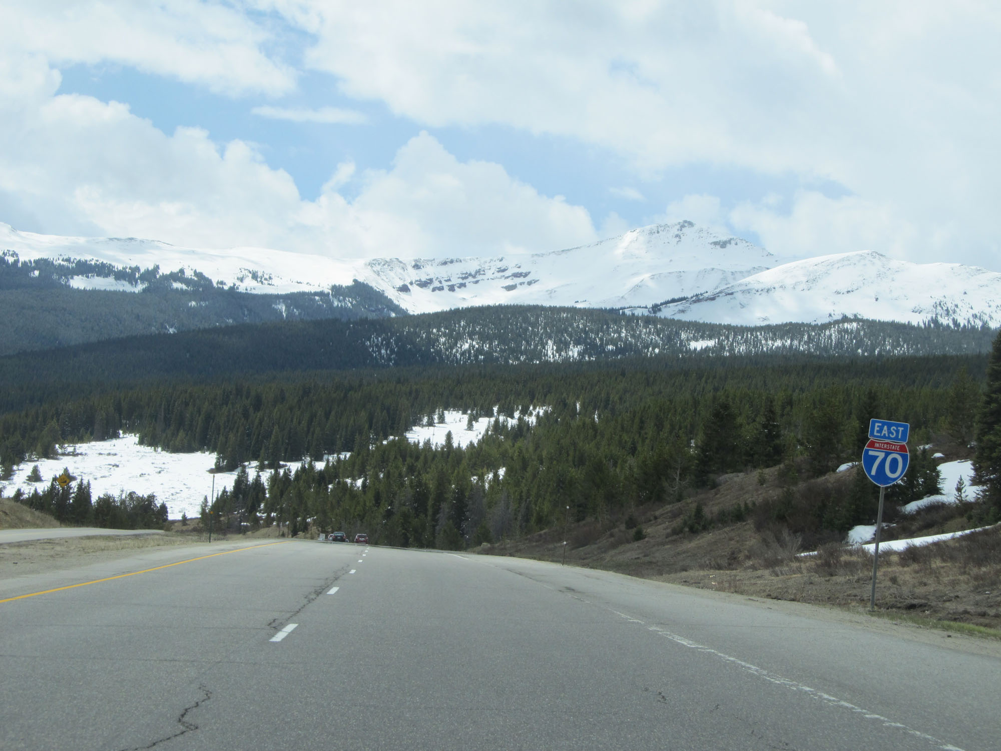
| Major Junctions in Photos: | US 50, in Grand Junction US 24, in Vail US 40, near Empire I-76, in Arvada I-25/US 87, in Denver I-225, in Aurora |
|
| Control Cities in Photos: | Grand Junction, Glenwood Springs, Avon, Vail, Idaho Springs, Golden, Wheat Ridge, Denver, Aurora | |
Eastbound
- Section 1: Utah Border to Grand Junction (Exit 31)
- Section 2: Grand Junction (Exit 31) to Glenwood Springs (Exit 114)
- Section 3: Glenwood Springs (Exit 114) to Vail (Exit 176)
- Section 4: Vail (Exit 176) to Eisenhower Tunnel (Exit 216)
- Section 5: Eisenhower Tunnel (Exit 216) to Idaho Springs (Exit 241)
- Section 6: Idaho Springs (Exit 241) to Denver (Exit 282)
Section 1: Utah Border to Grand Junction (Exit 31)
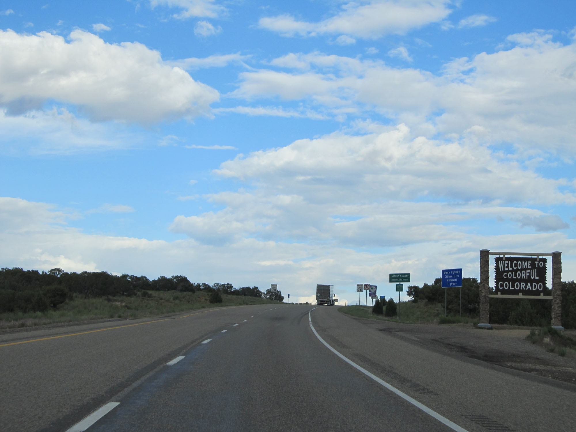 |
Colorado welcome sign as Interstate 70 East makes its entrance from Utah. (Photo taken 5/27/16). |
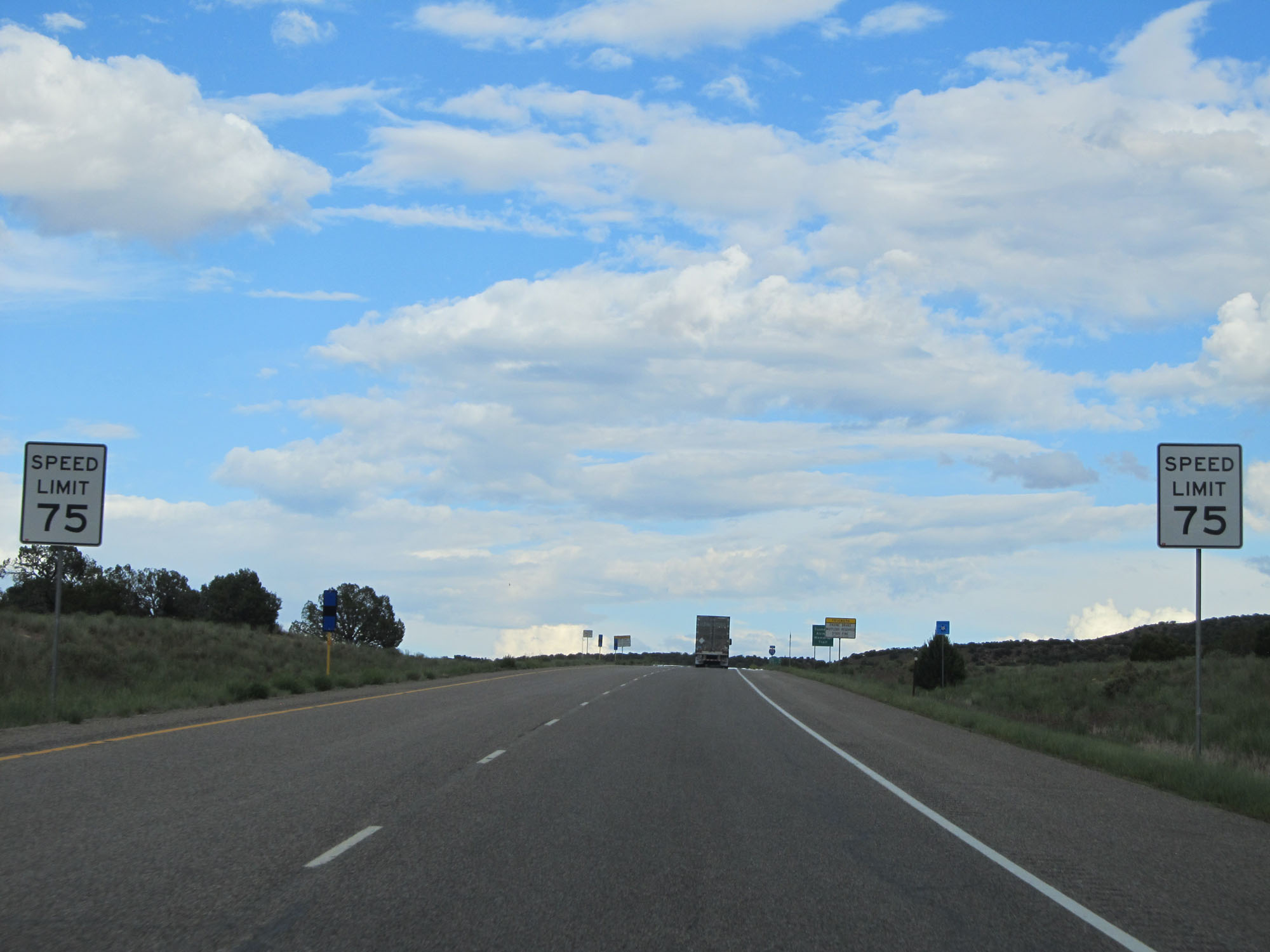 |
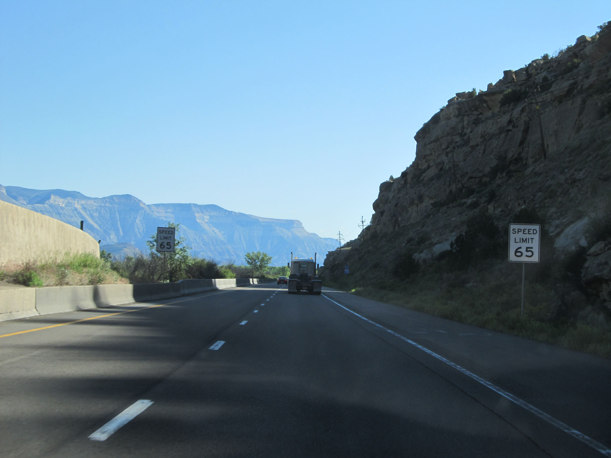
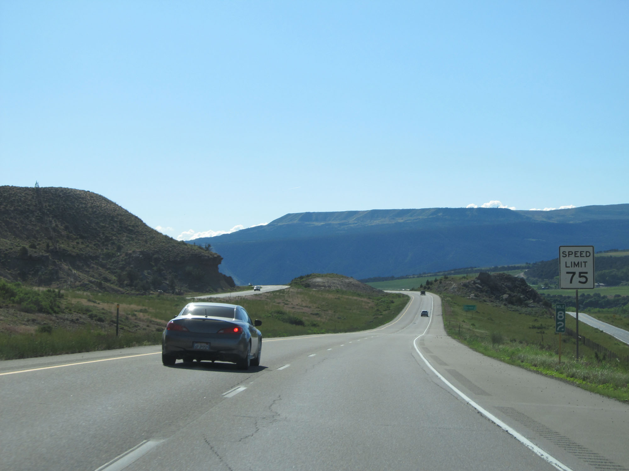
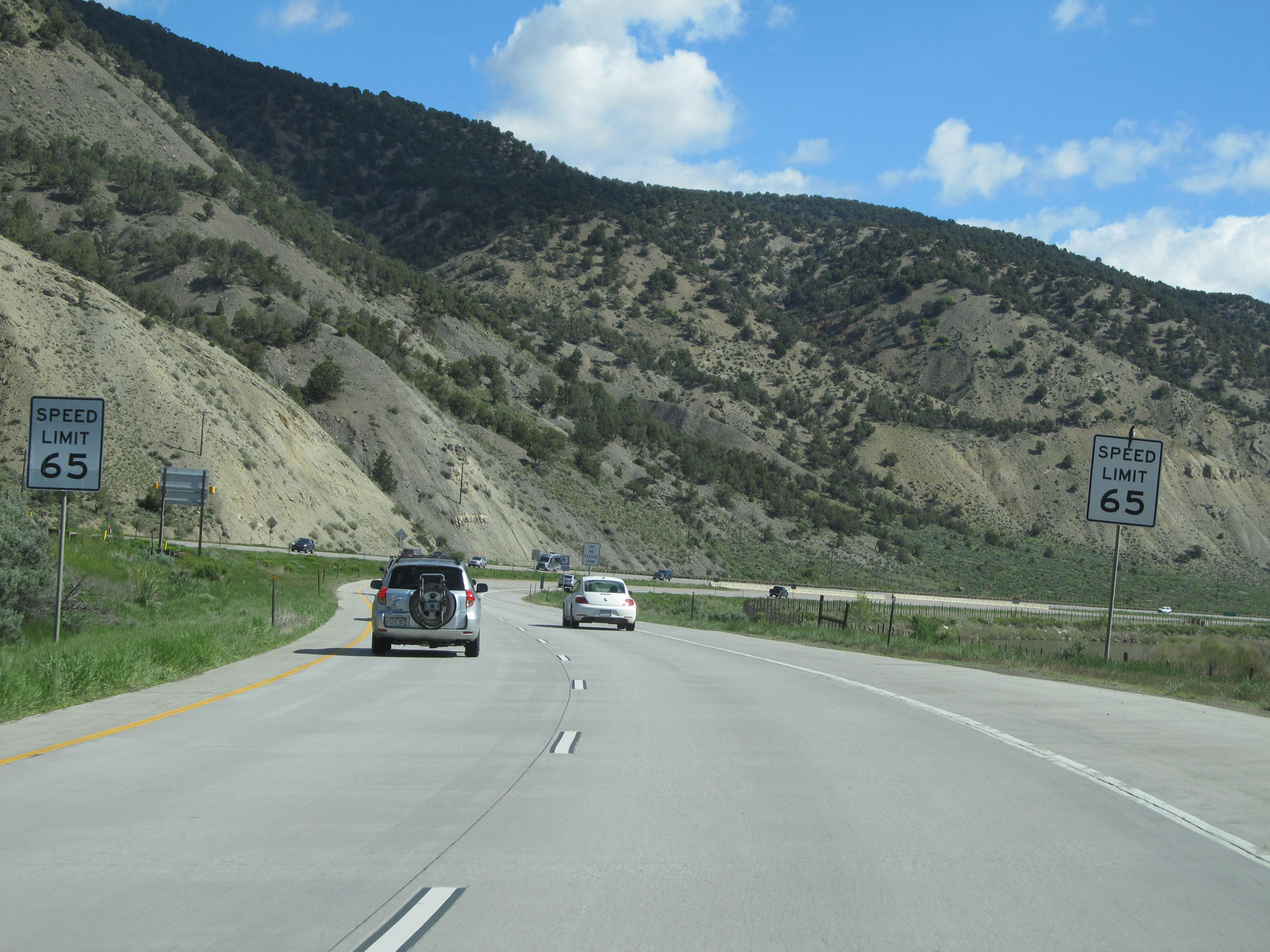
The speed limit on most rural Interstate highways in Colorado is 75 mph, as these signs read. (Photo taken 5/27/16). |
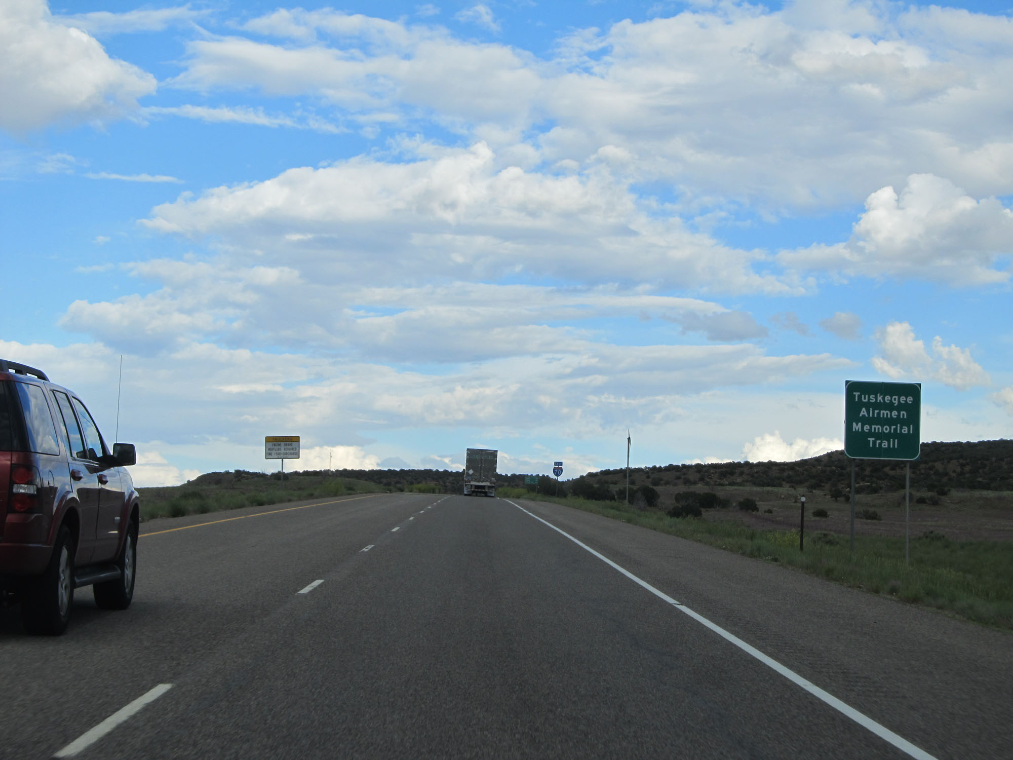 |
This section of Interstate 70 in Colorado is also called the Tuskegee Airmen Memorial Trail. (Photo taken 5/27/16). |
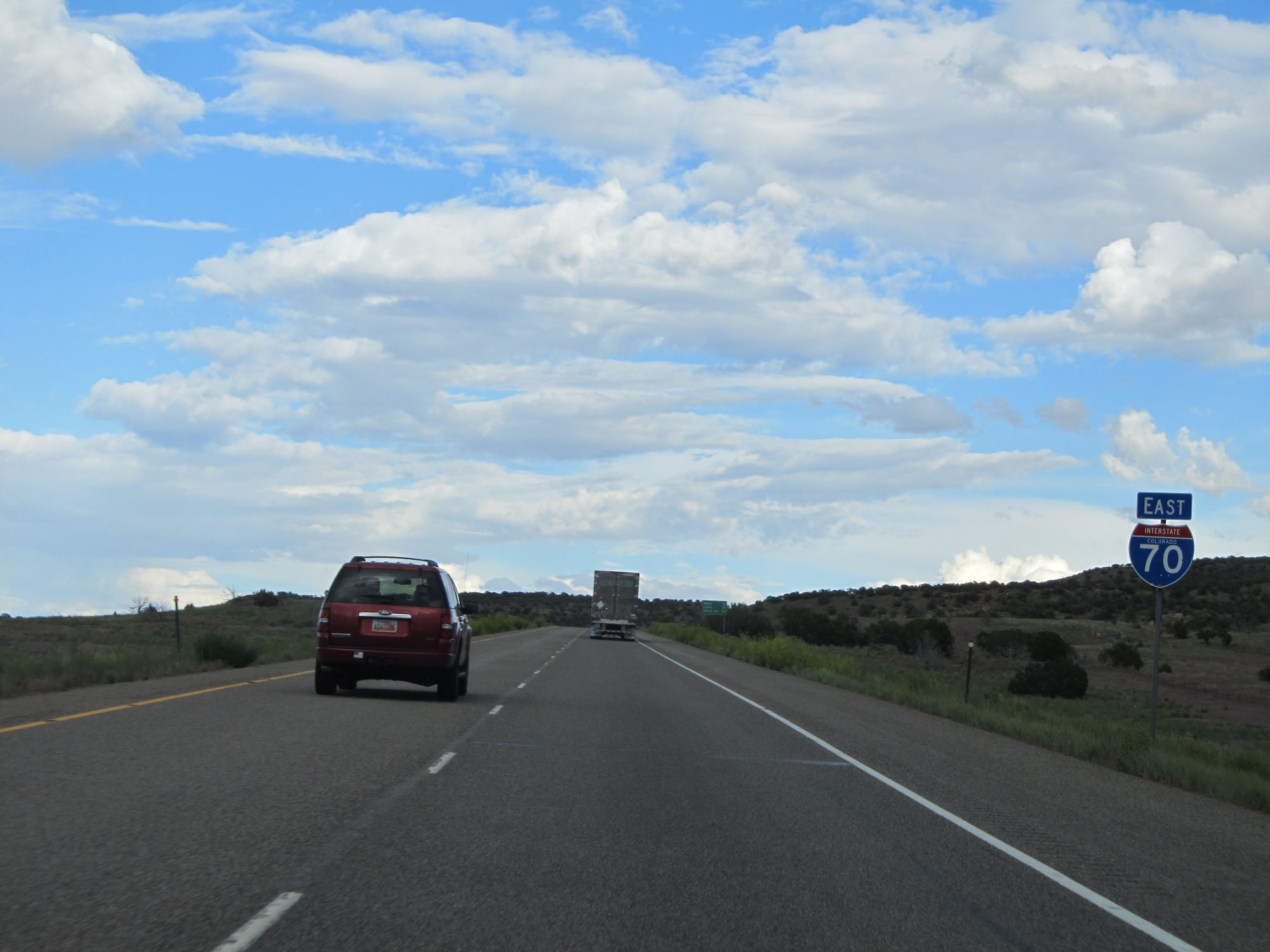 |
State-named Interstate 70 East reassurance shield. (Photo taken 5/27/16). |
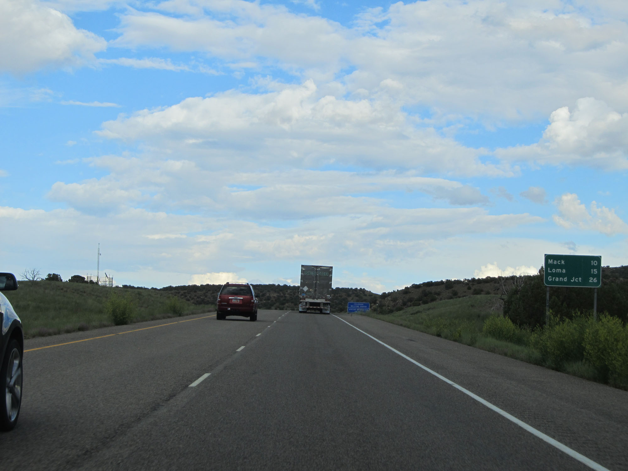 |
Mileage sign on Interstate 70 East. It's 10 miles to Mack, 15 miles to Loma, and 26 miles to Grand Junction. (Photo taken 5/27/16). |
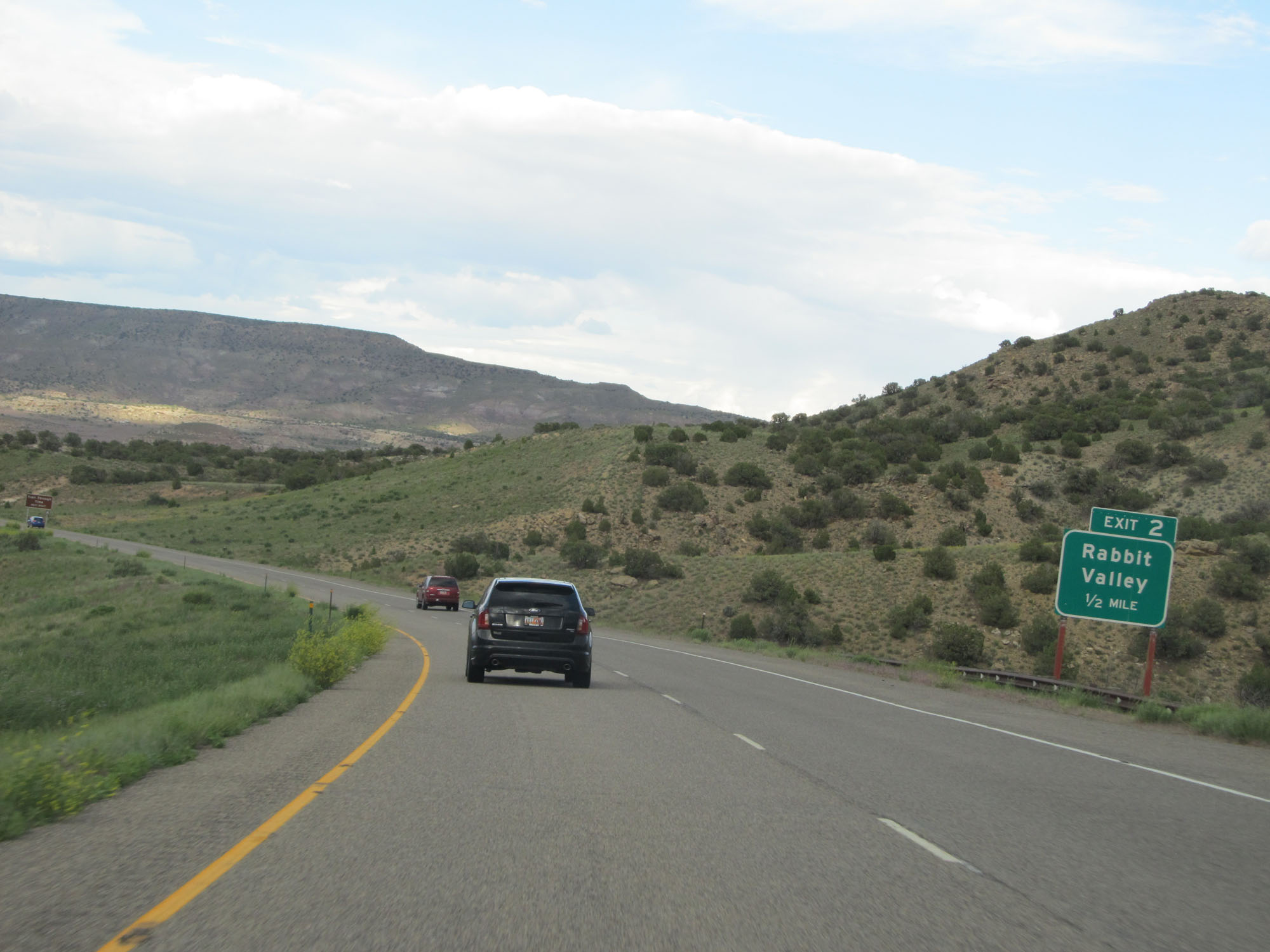 |
Interstate 70 East approaching Exit 2 - 1/2 mile. (Photo taken 5/27/16). |
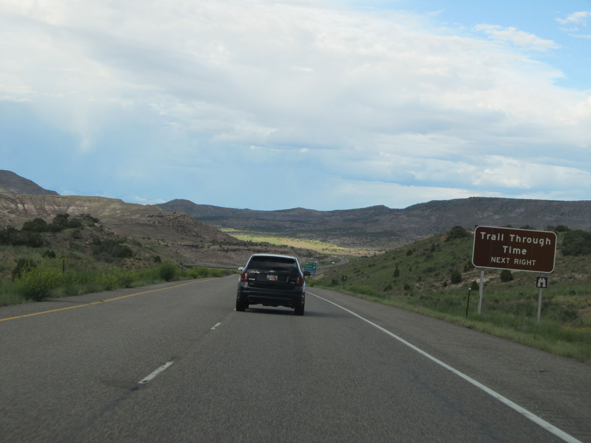 |
Take Exit 2 to Trail Through Time. (Photo taken 5/27/16). |
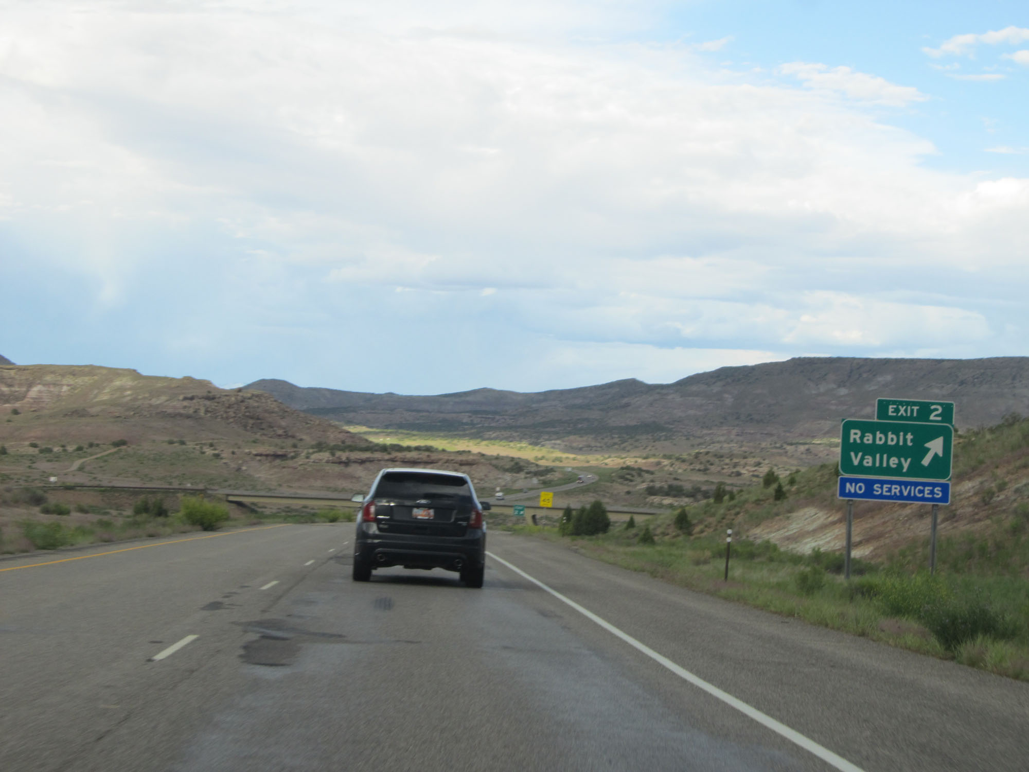 |
Interstate 70 East at Exit 2: Rabbit Valley (Photo taken 5/27/16). |
 |
Another state-named Interstate 70 East reassurance shield. (Photo taken 5/27/16). |
 |
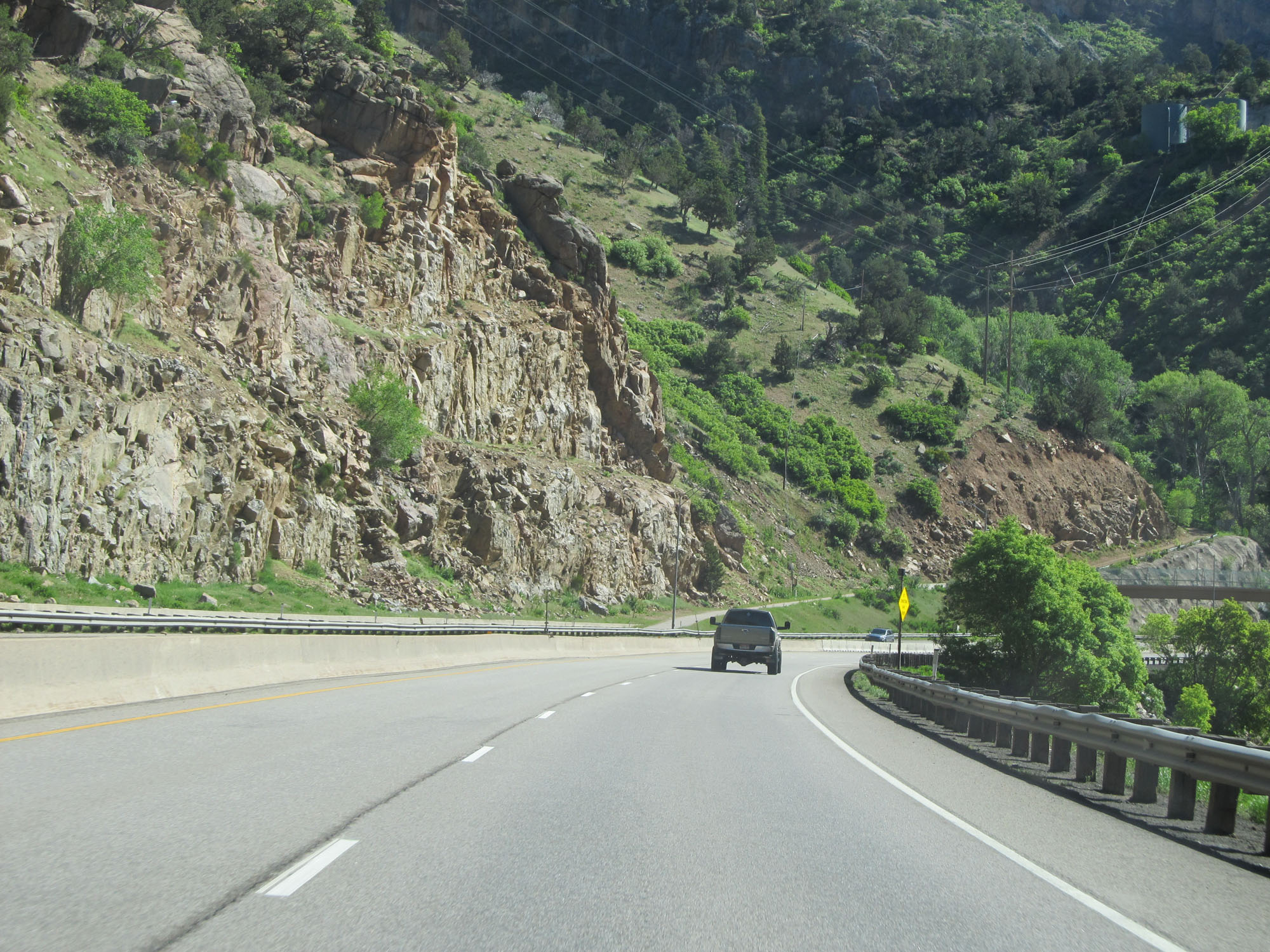
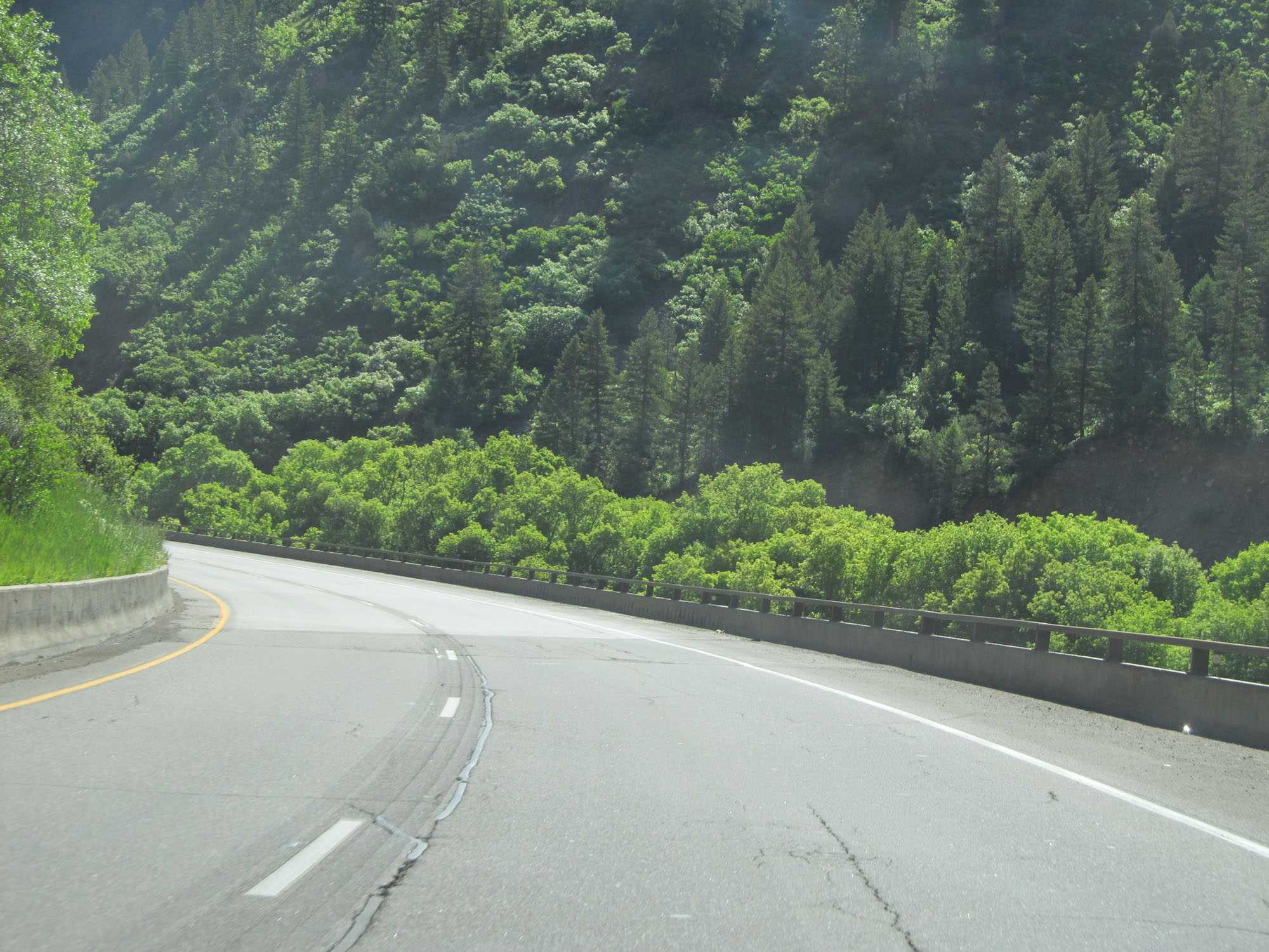
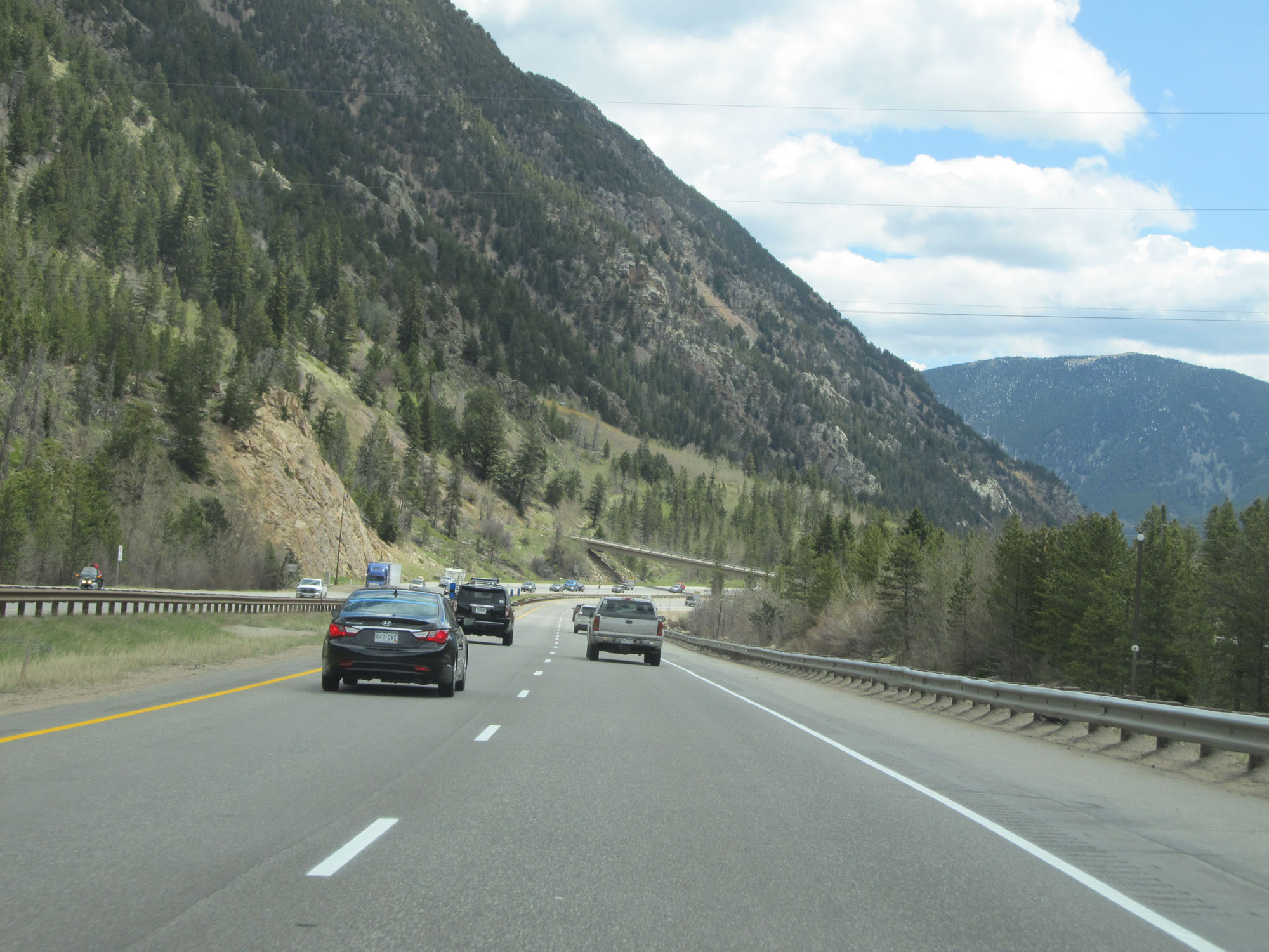
View on Interstate 70 East. (Photo taken 5/27/16). |
 |
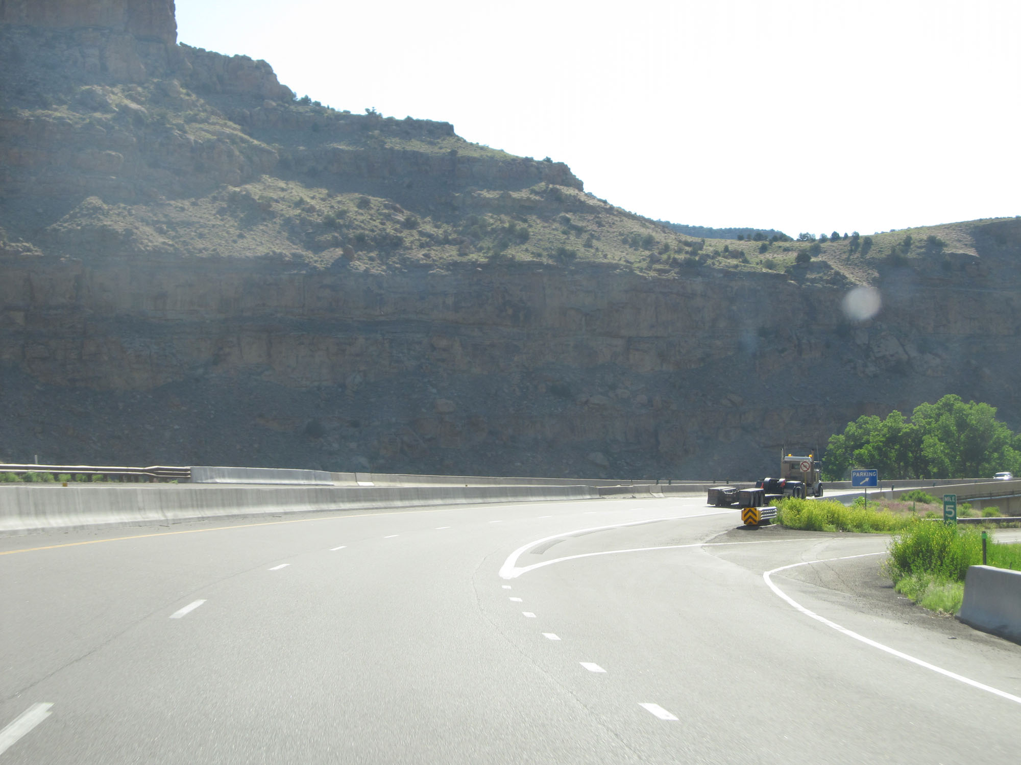
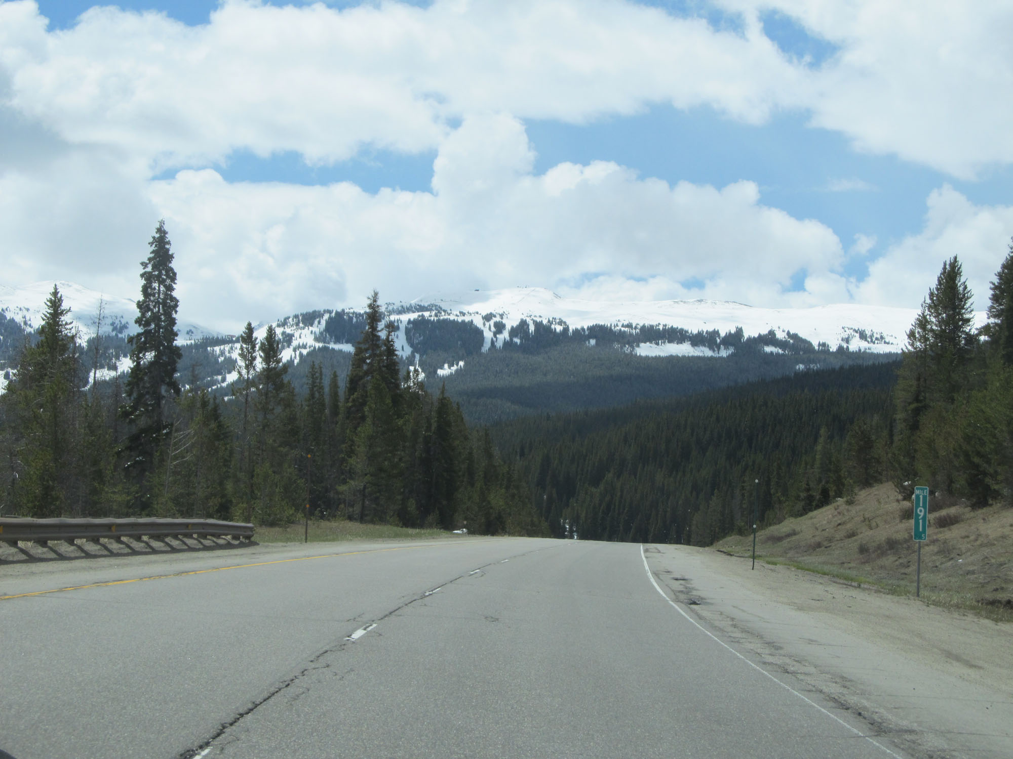
Interstate 70 East at mile marker 5. (Photo taken 5/27/16). |
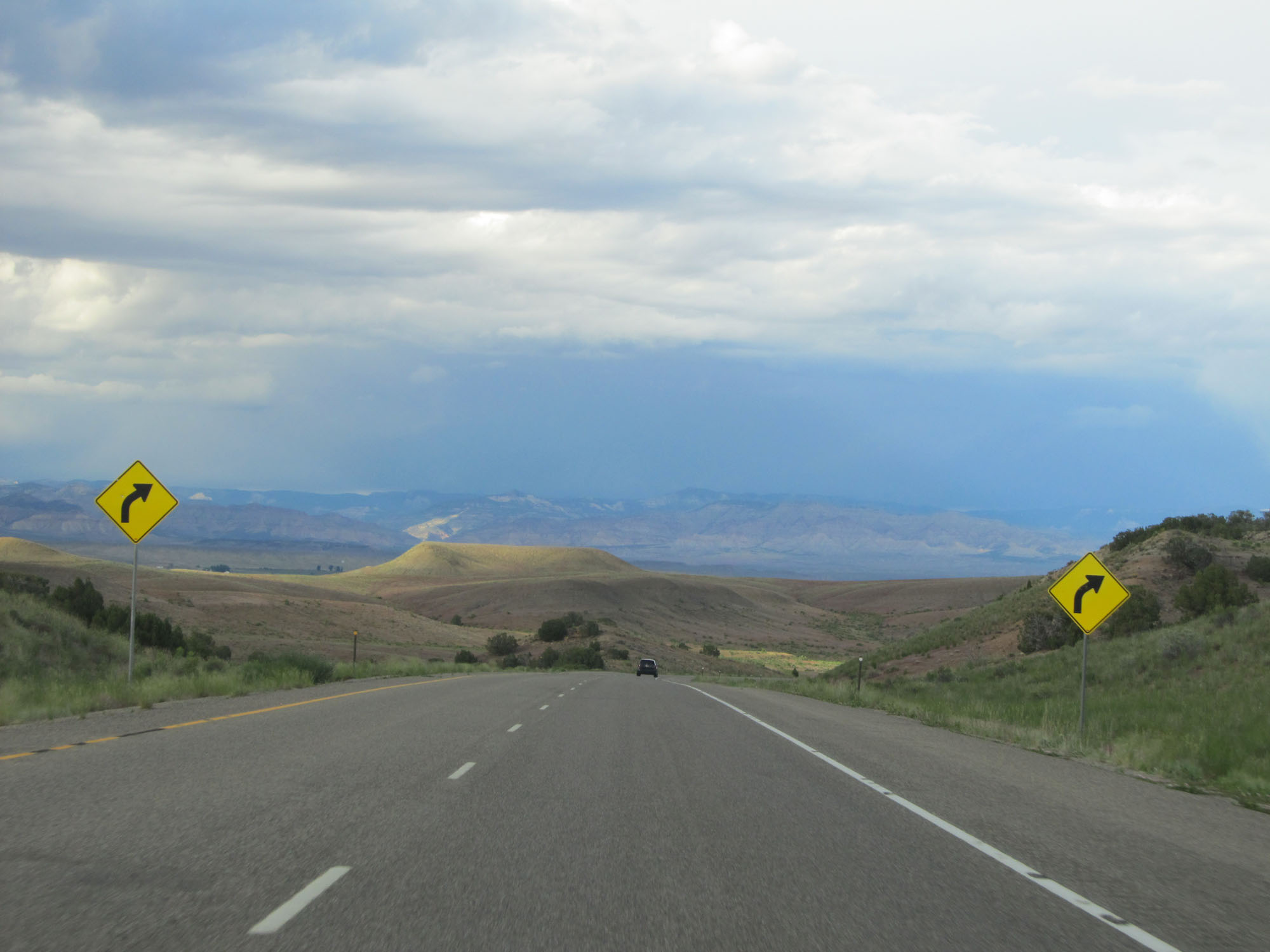 |
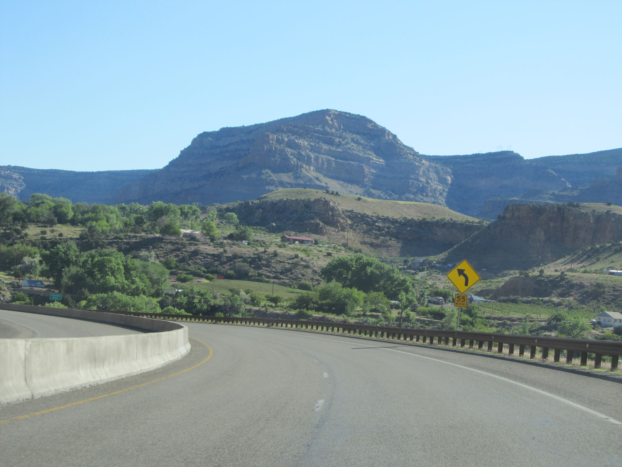
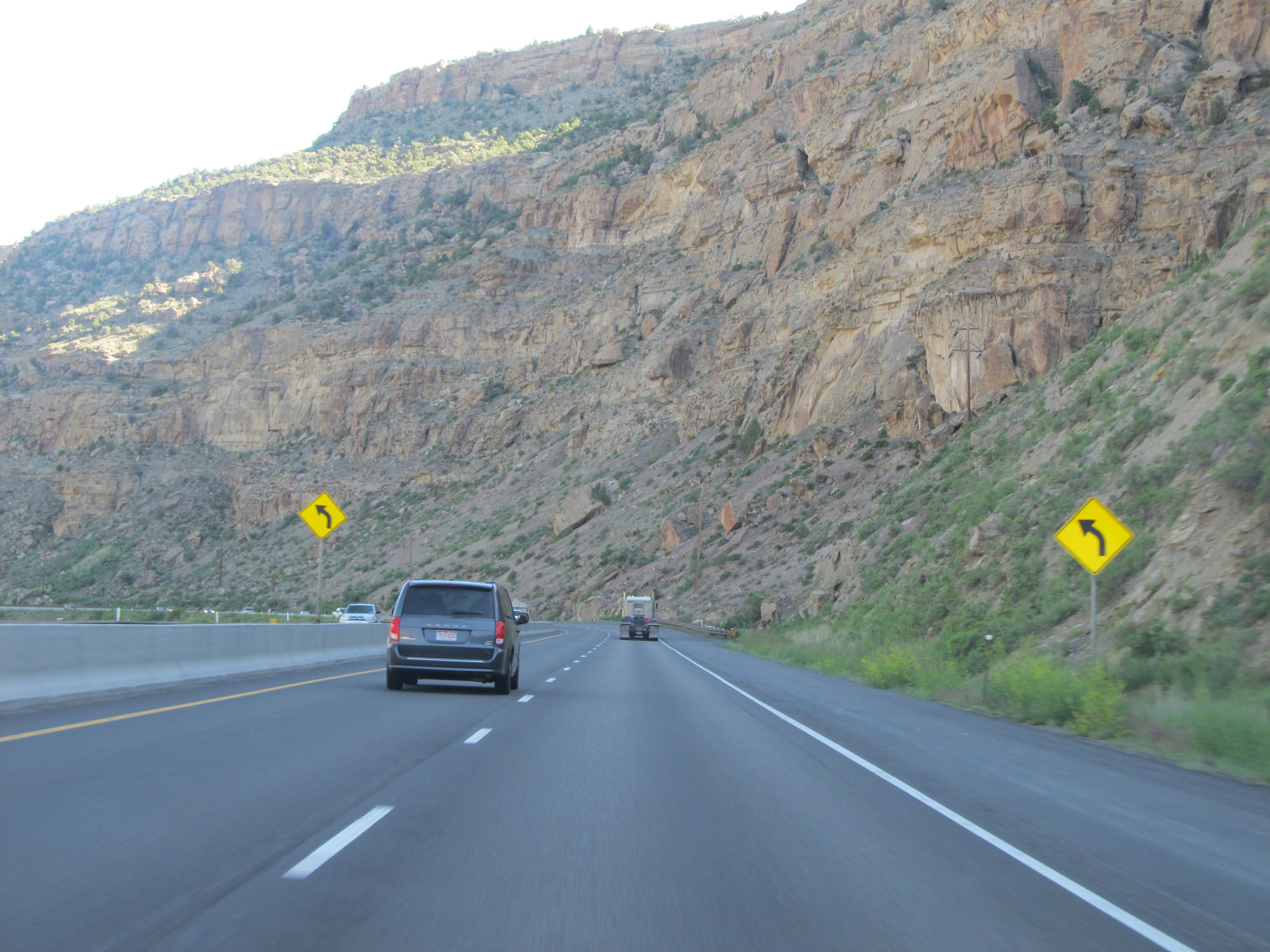
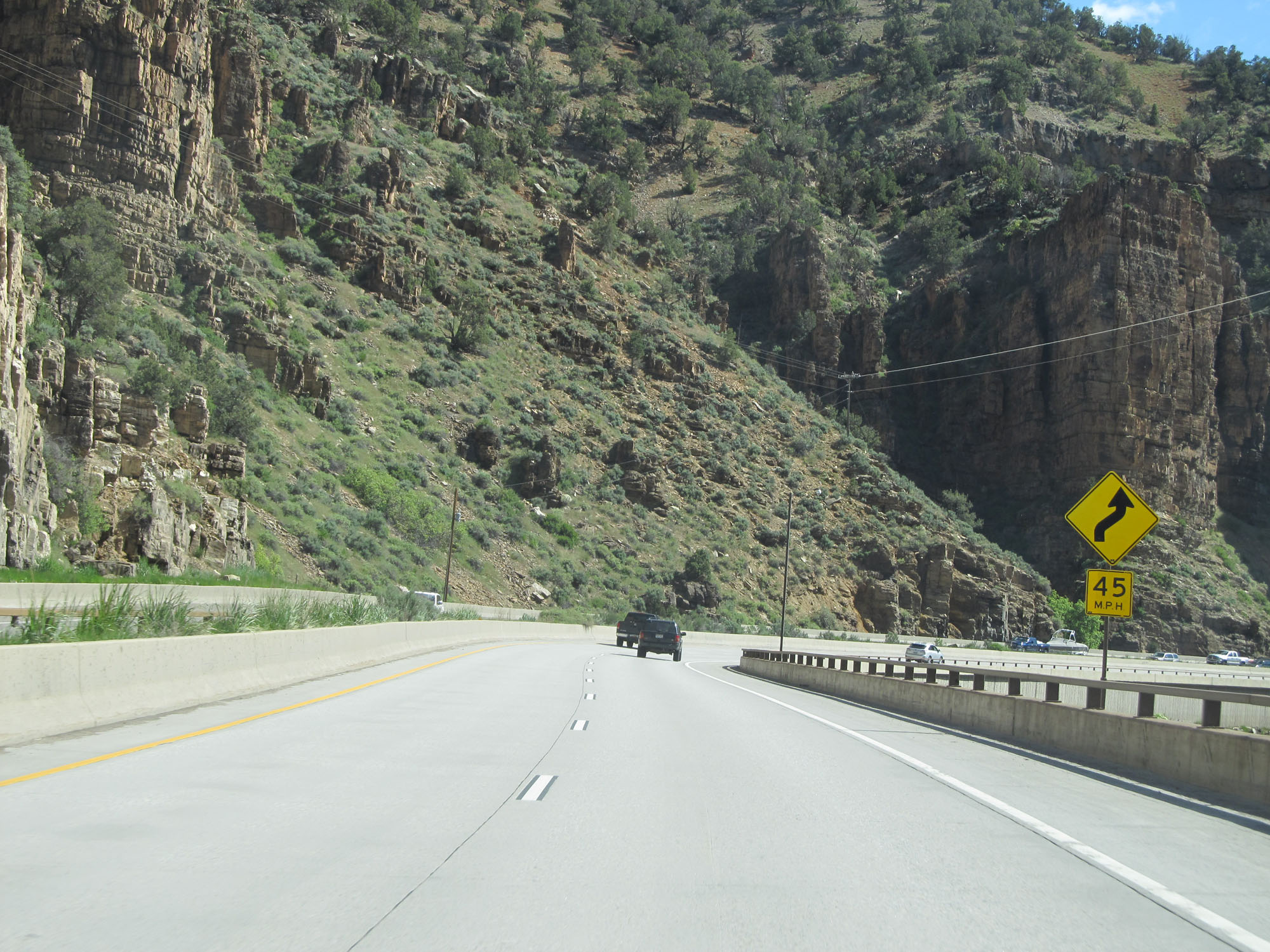
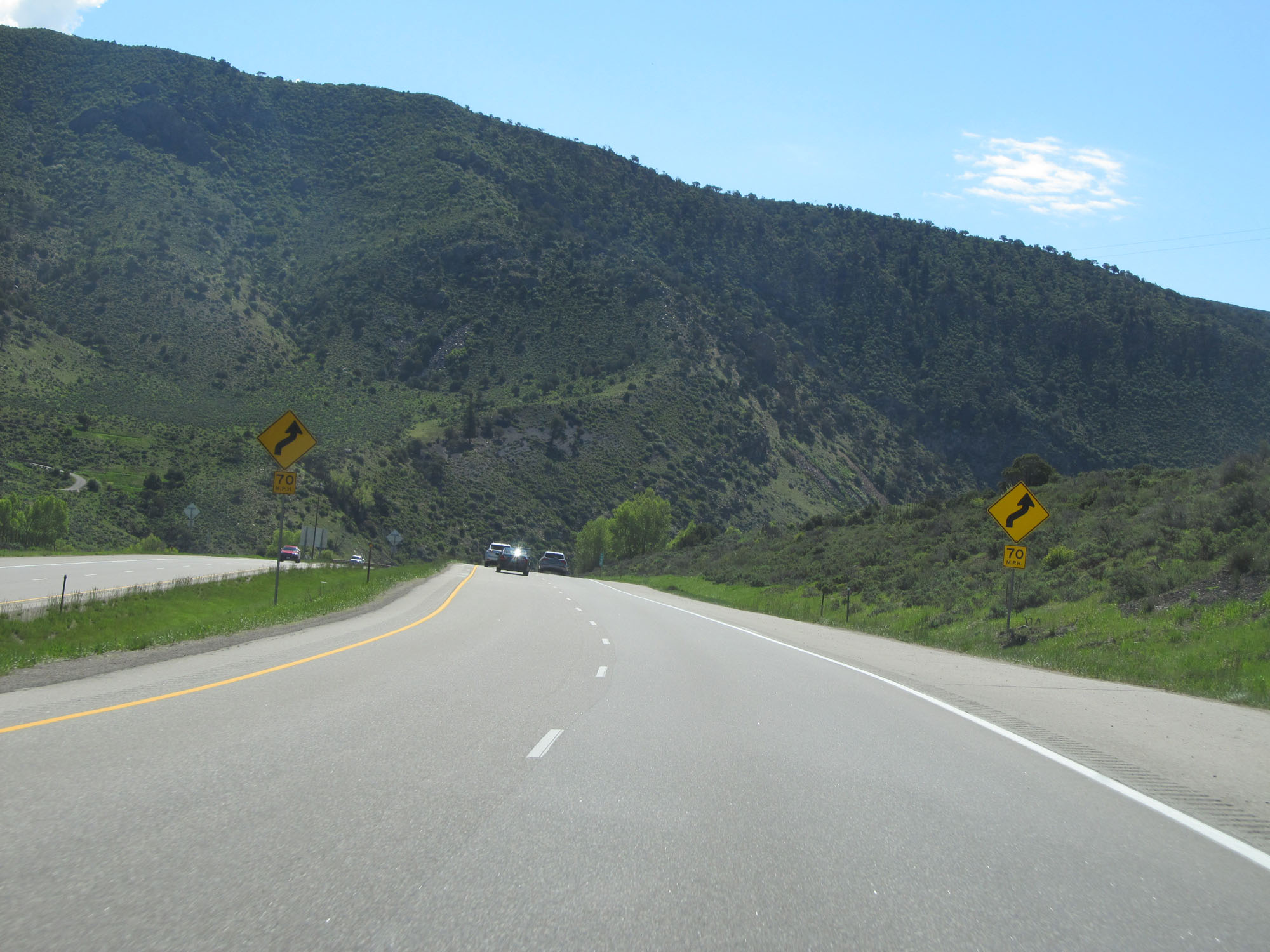
Right curve ahead. (Photo taken 5/27/16). |
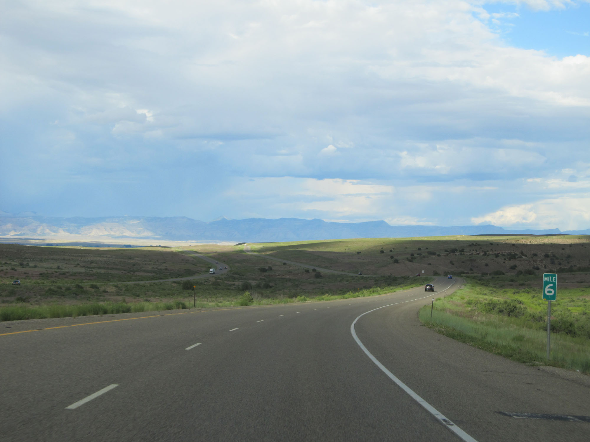 |
Interstate 70 East at mile marker 6. (Photo taken 5/27/16). |
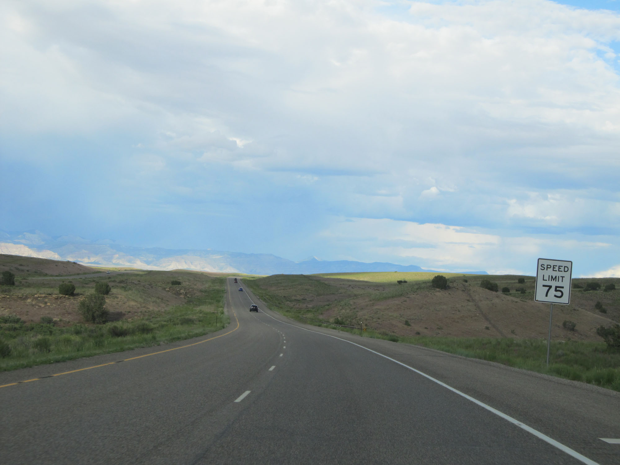 |
The speed limit remains 75 mph. (Photo taken 5/27/16). |
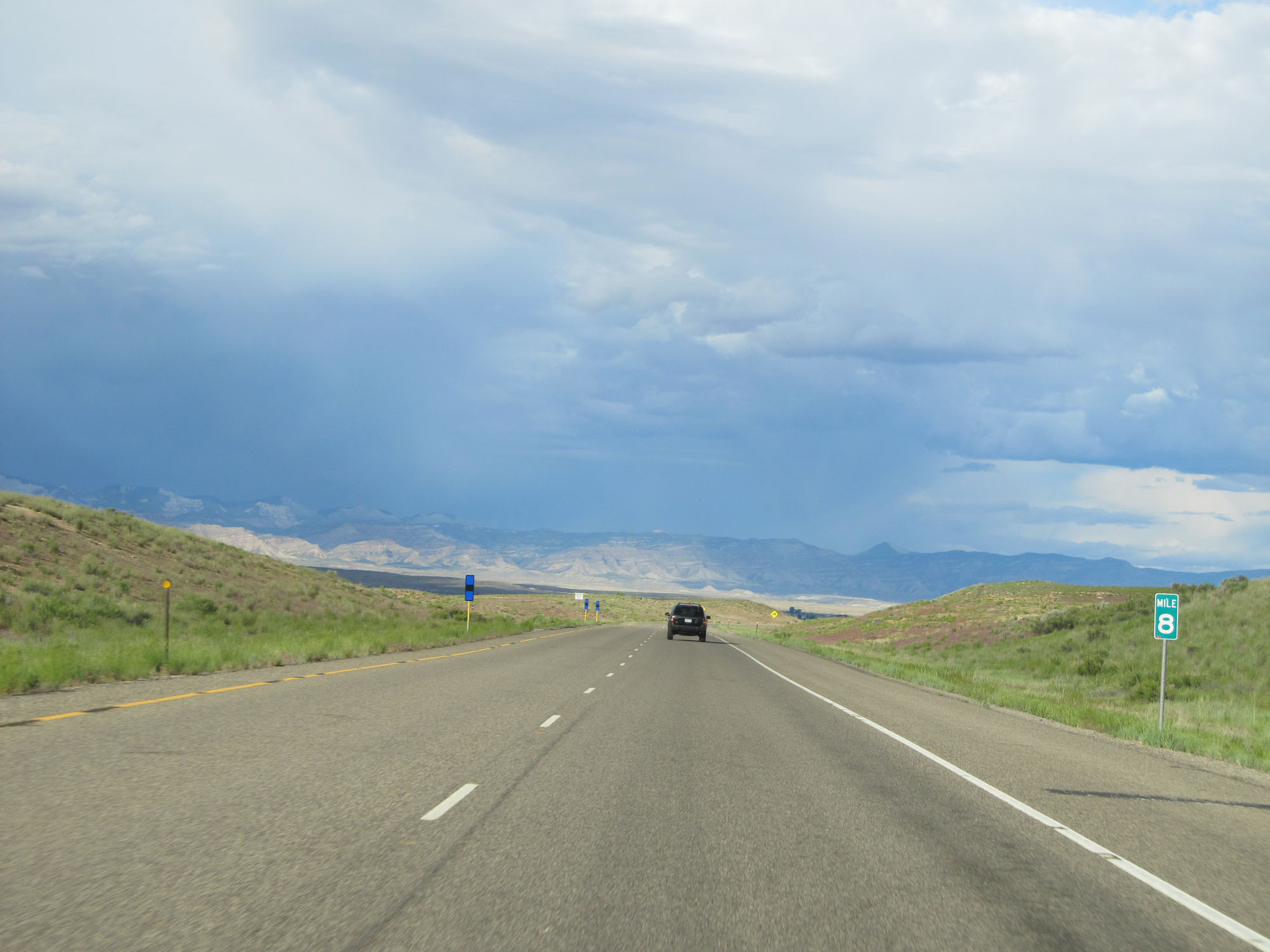 |
Interstate 70 East at mile marker 8. (Photo taken 5/27/16). |
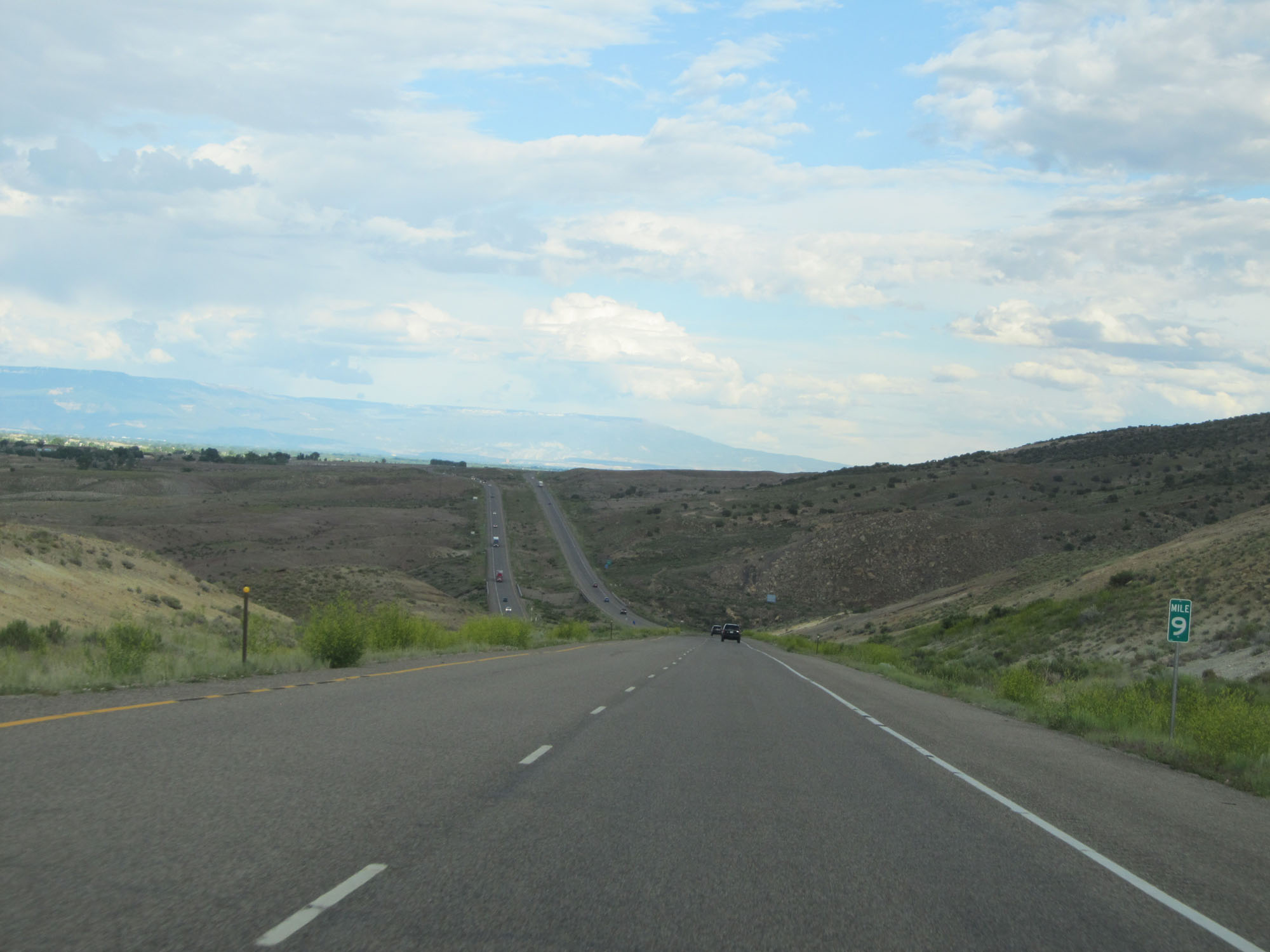 |
Interstate 70 East at mile marker 9. (Photo taken 5/27/16). |
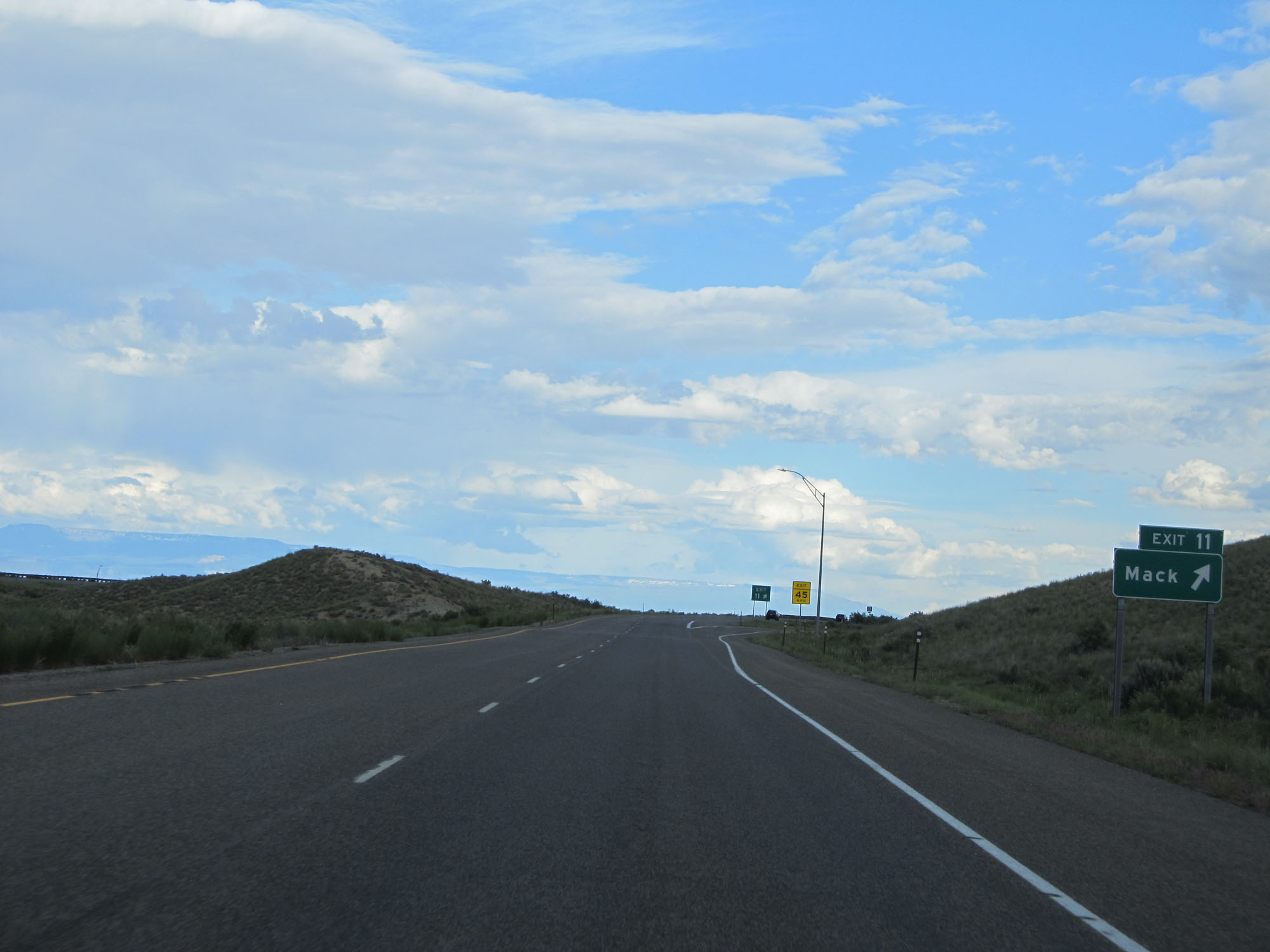 |
Interstate 70 East at Exit 11: Mack (Photo taken 5/27/16). |
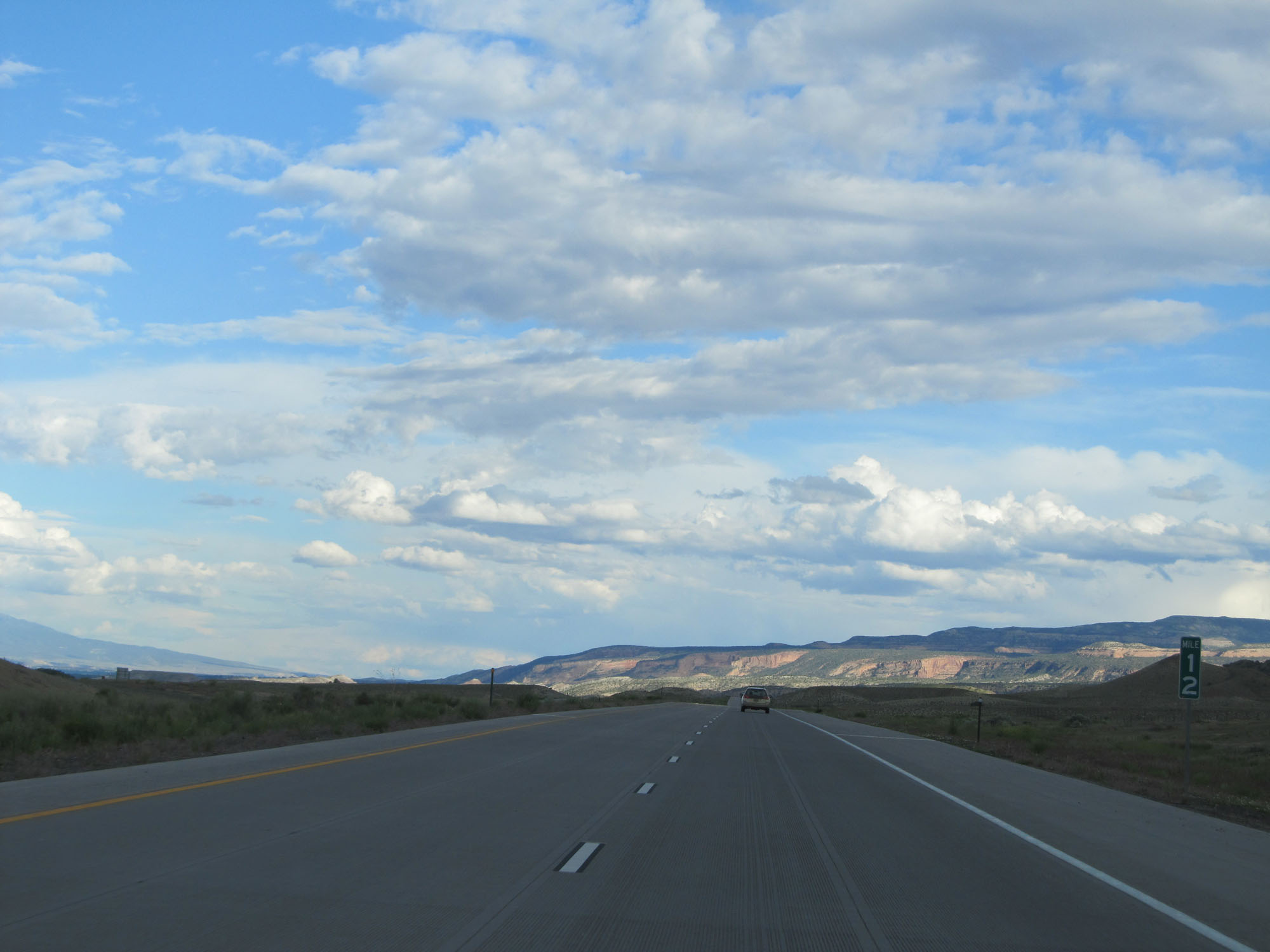 |
Interstate 70 East at mile marker 12. (Photo taken 5/27/16). |
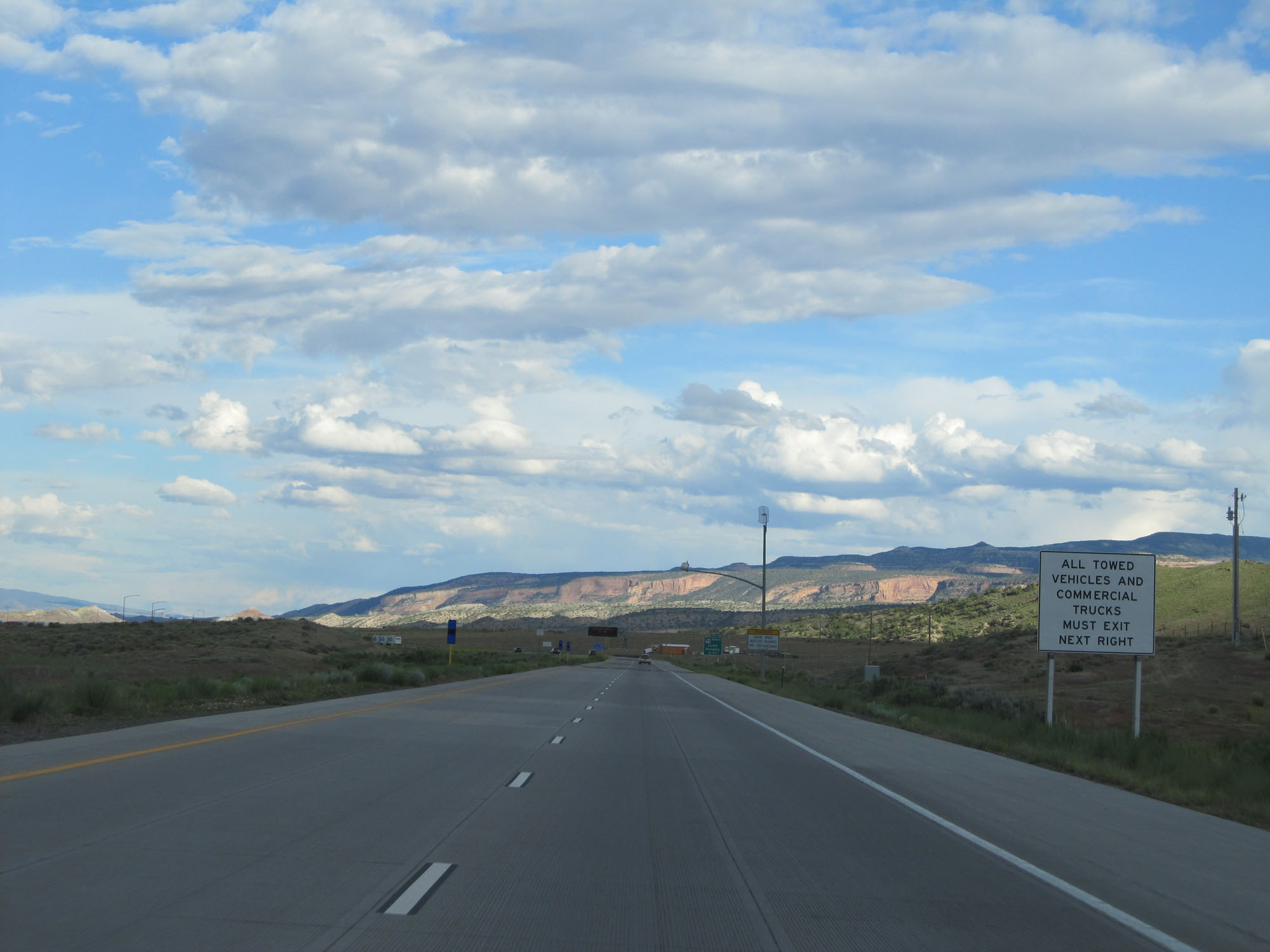 |
All towed vehicles and commercial vehicles must enter the Port of Entry ahead. (Photo taken 5/27/16). |
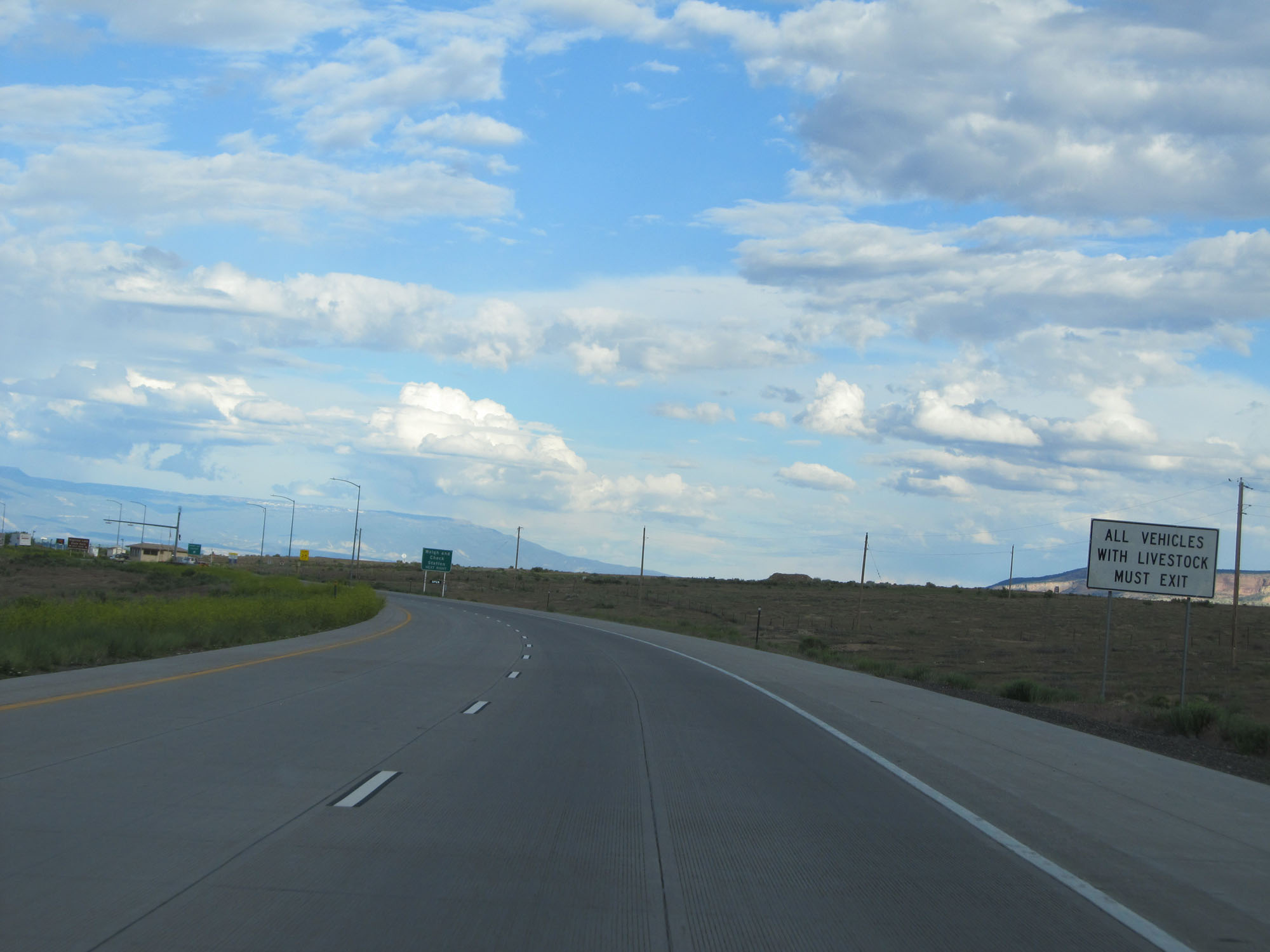 |
All vehicles with livestock must also exit at the Port of Entry. (Photo taken 5/27/16). |
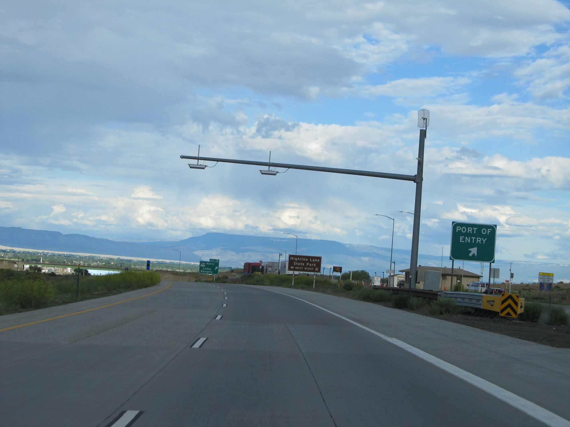 |
Interstate 70 East at the Port of Entry in Mesa County. (Photo taken 5/27/16). |
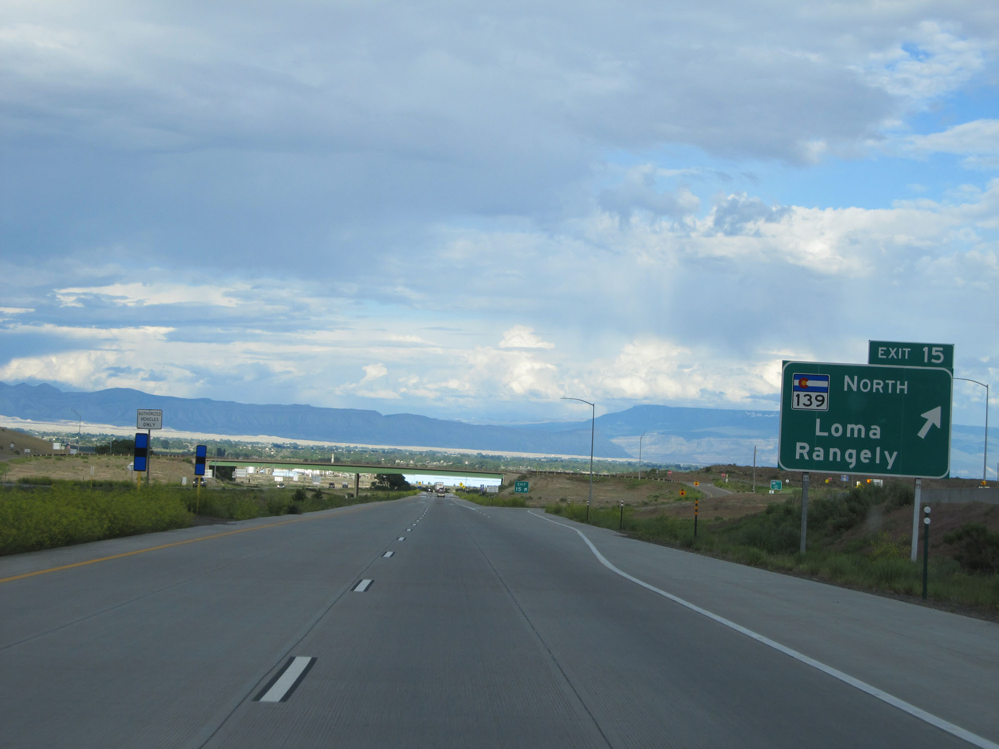 |
Interstate 70 East at Exit 15: CO 139 North - Loma / Rangely (Photo taken 5/27/16). |
 |
State-named Interstate 70 East reassurance shield. (Photo taken 5/27/16). |
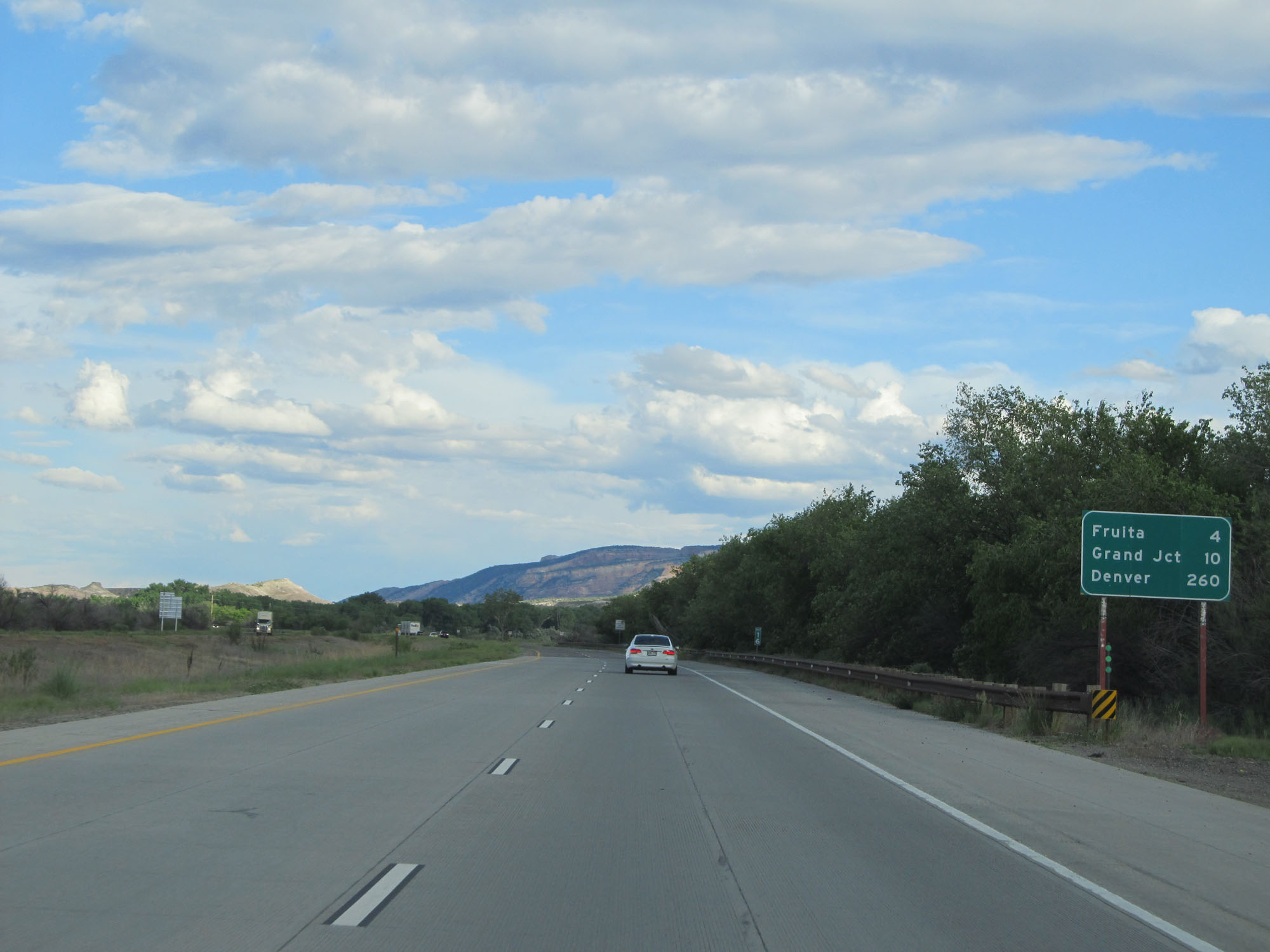 |
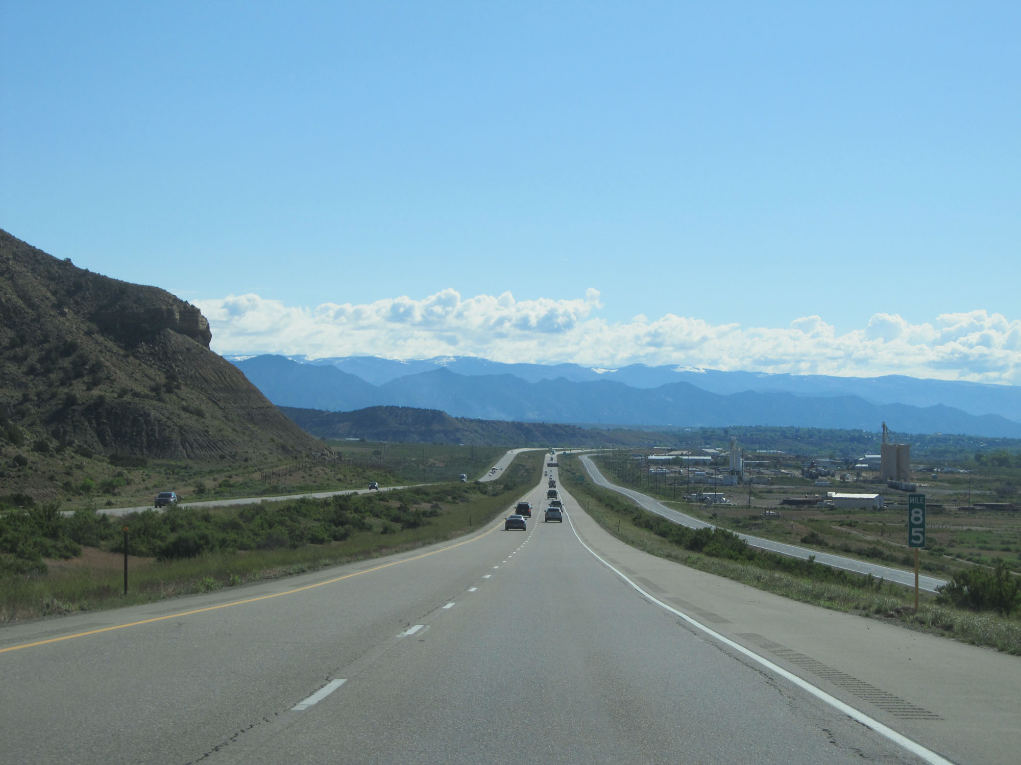
Mileage sign on Interstate 70 East. It's 4 miles to Fruita, 10 miles to Grand Junction, and 260 miles to Denver. (Photo taken 5/27/16). |
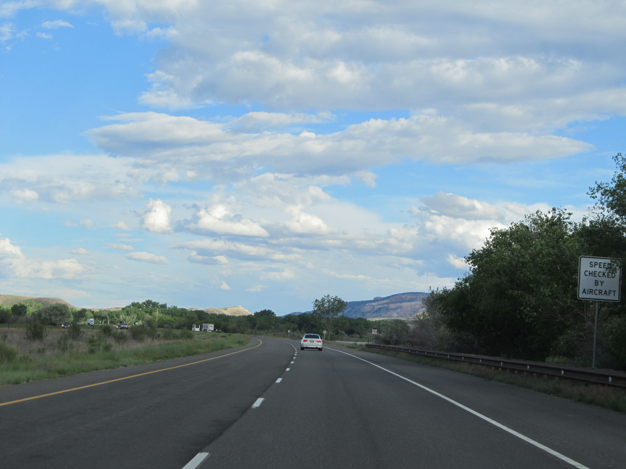 |
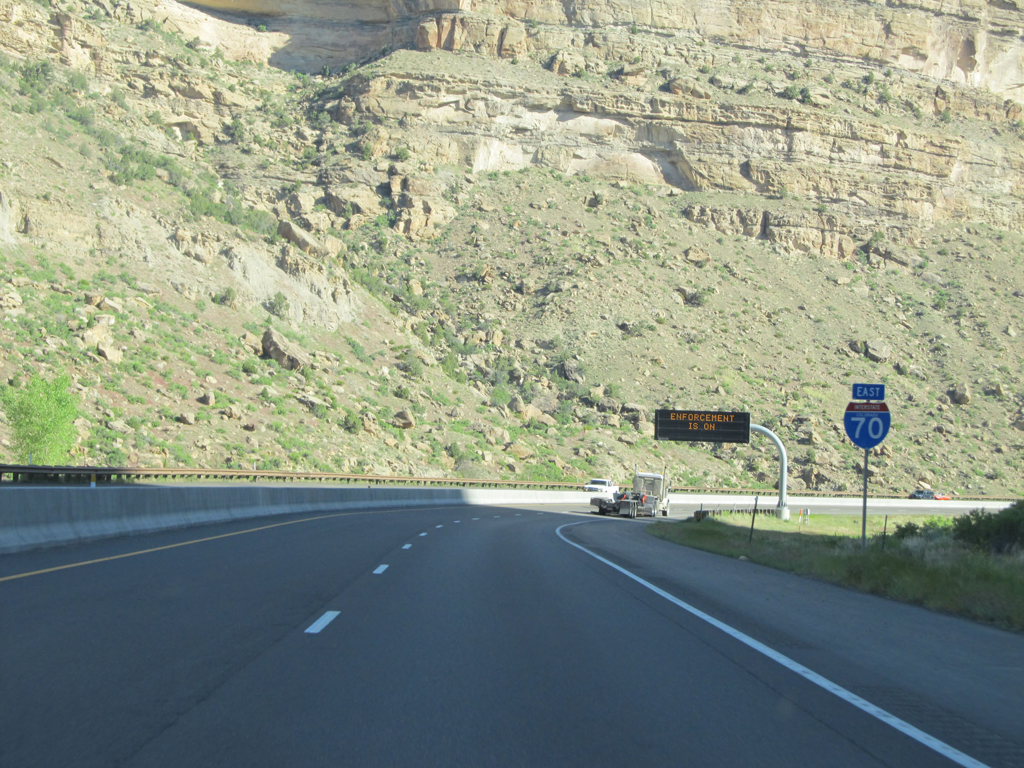
This sign warns that speed laws are enforced using aircraft. (Photo taken 5/27/16). |
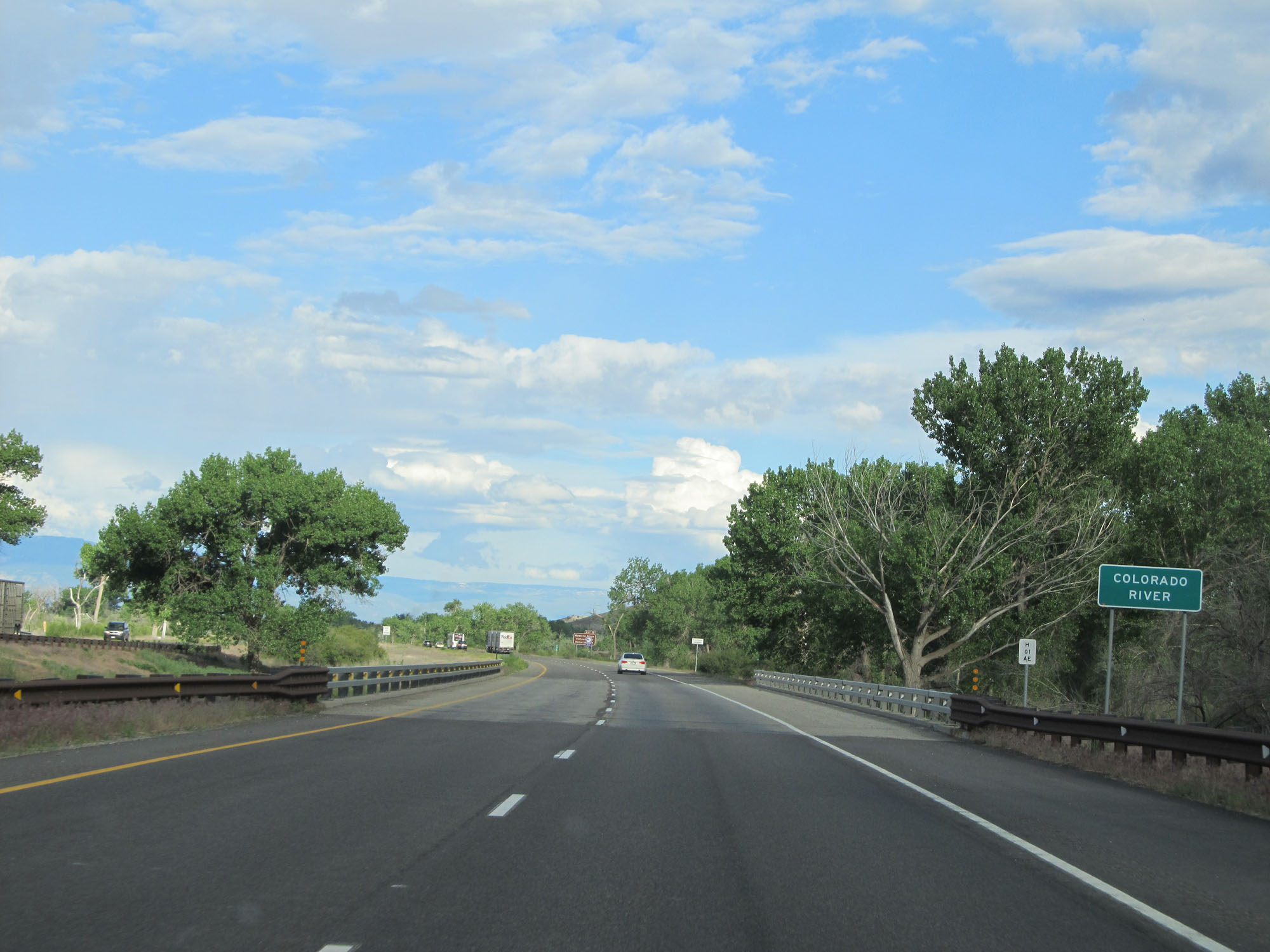 |
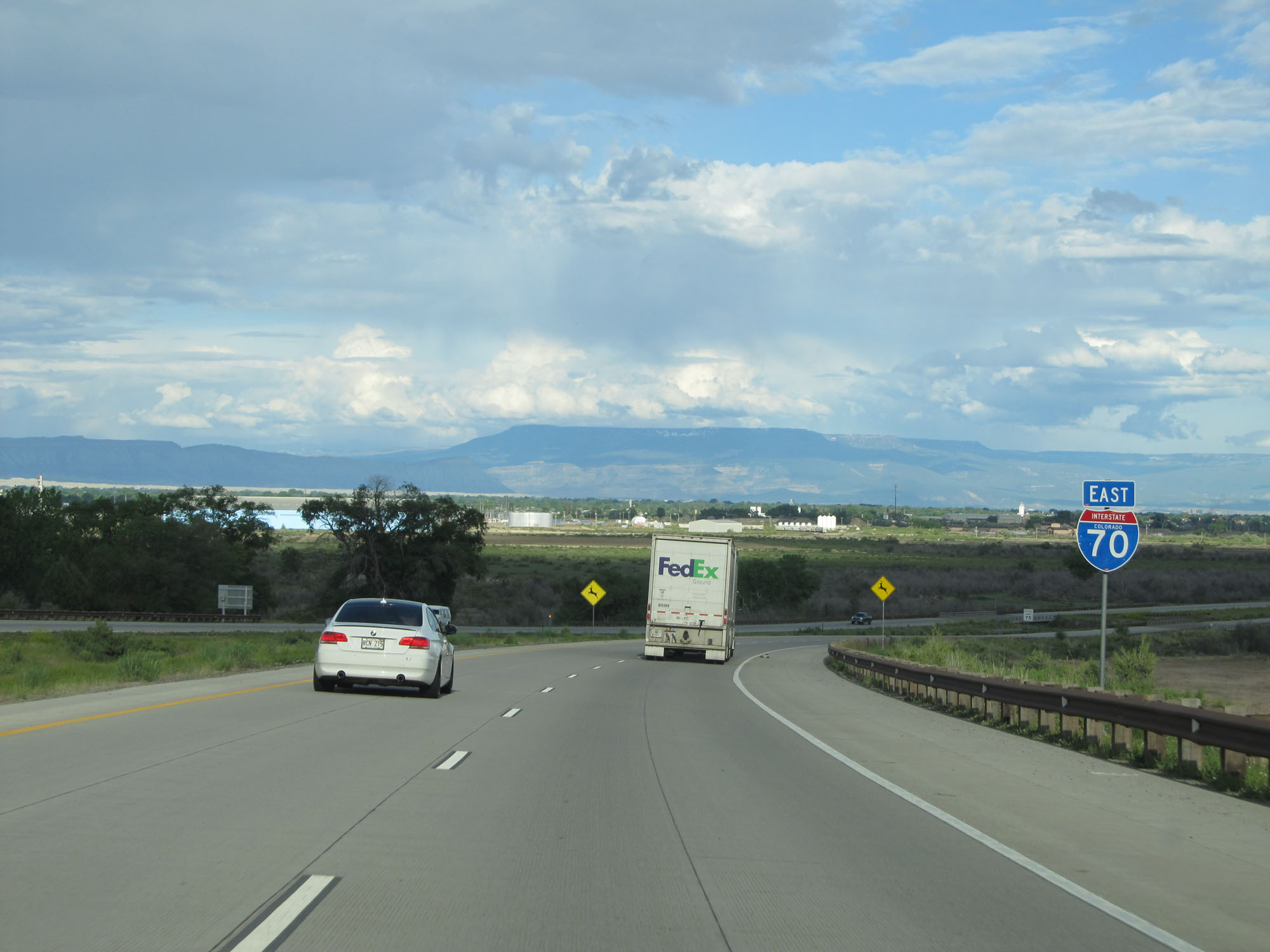
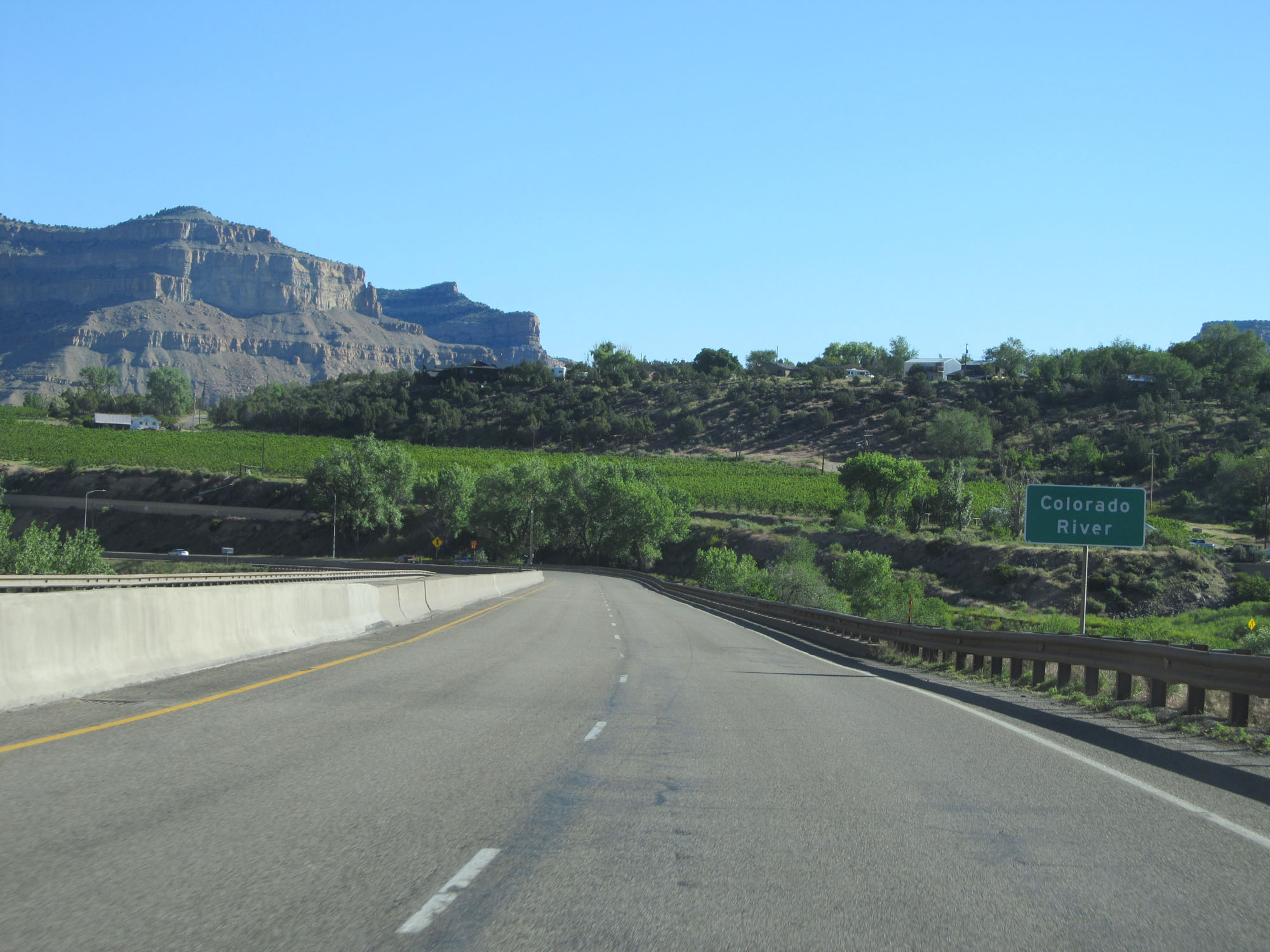
Interstate 70 East crossing the Colorado River to the west of Grand Junction. (Photo taken 5/27/16). |
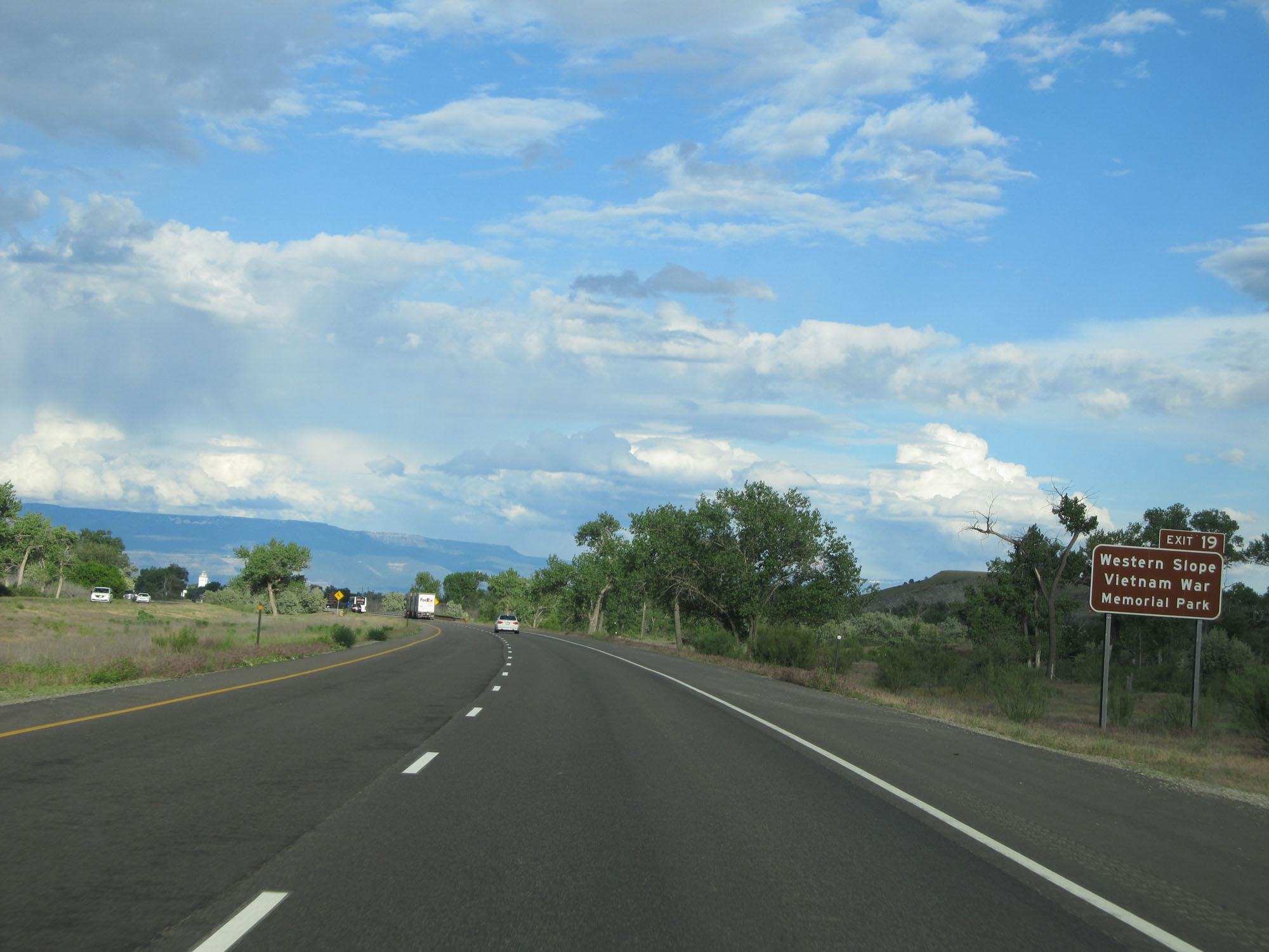 |
Take Exit 19 to Western Slope Vietnam War Memorial Park. (Photo taken 5/27/16). |
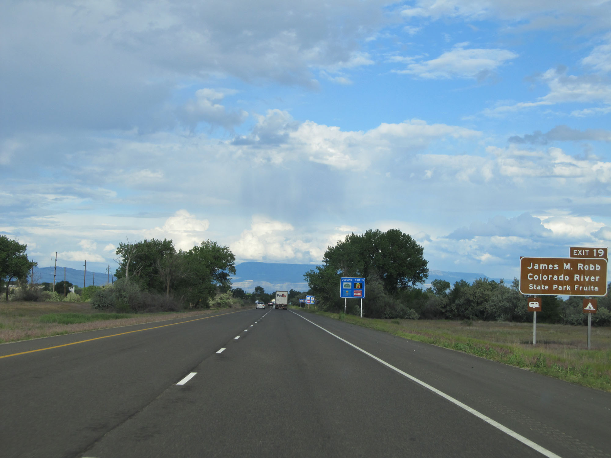 |
Take Exit 19 to James M. Robb Colorado River State Park Fruita. (Photo taken 5/27/16). |
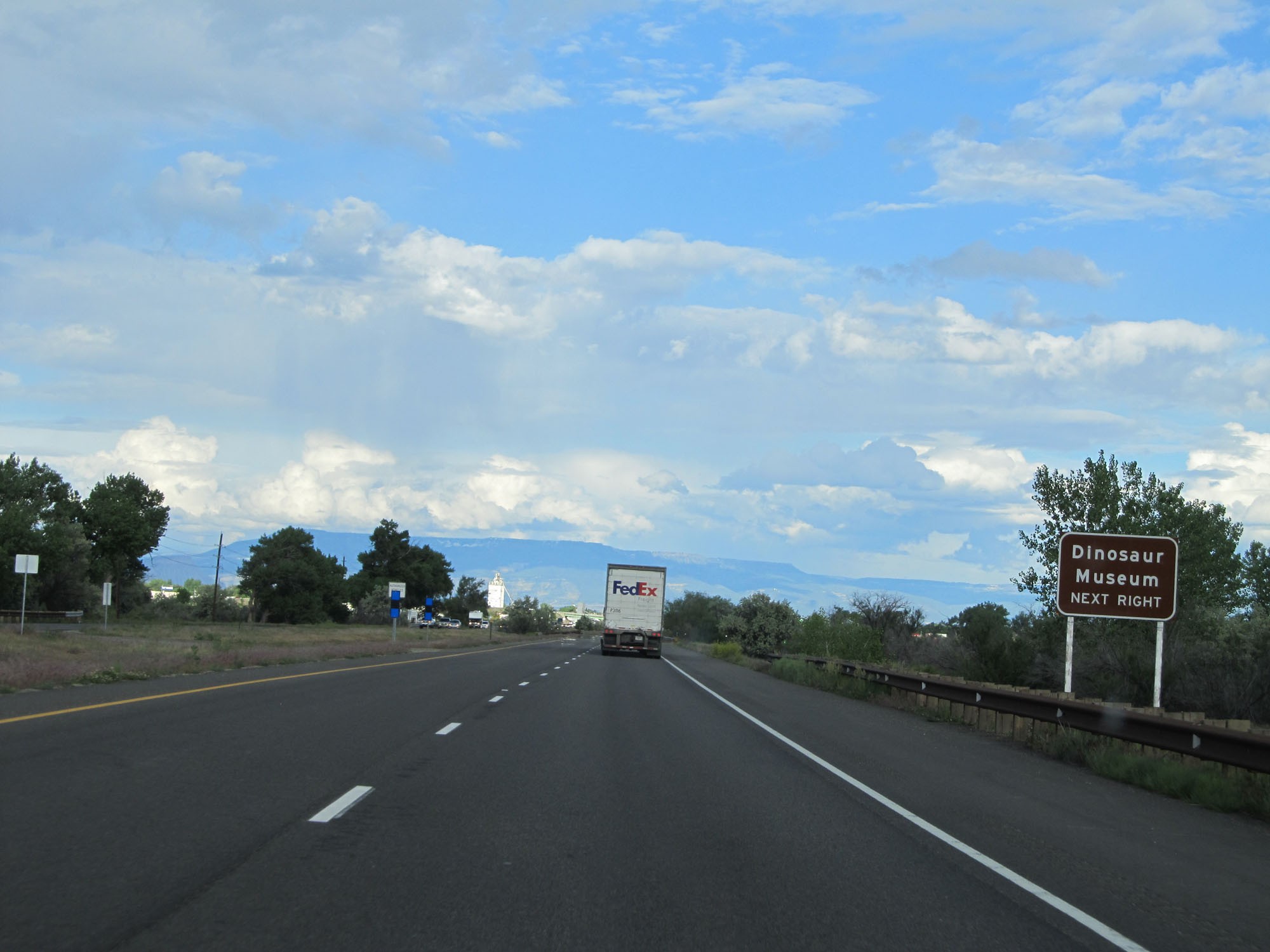 |
Take Exit 19 to the Dinosaur Museum as well. (Photo taken 5/27/16). |
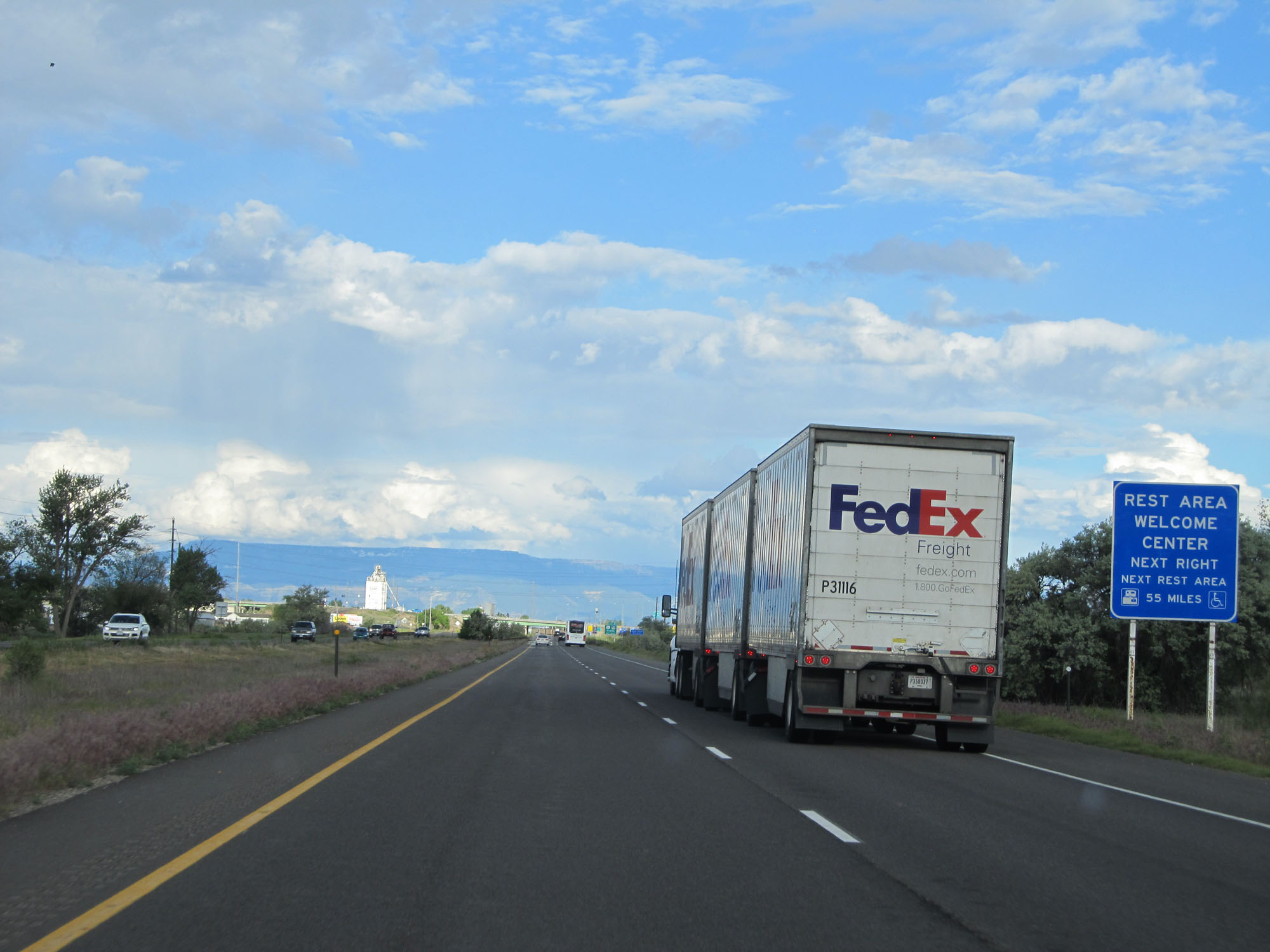 |
A Rest Area / Welcome Center is available at Exit 19. The next Rest Area on Interstate 70 East is 55 miles ahead. (Photo taken 5/27/16). |
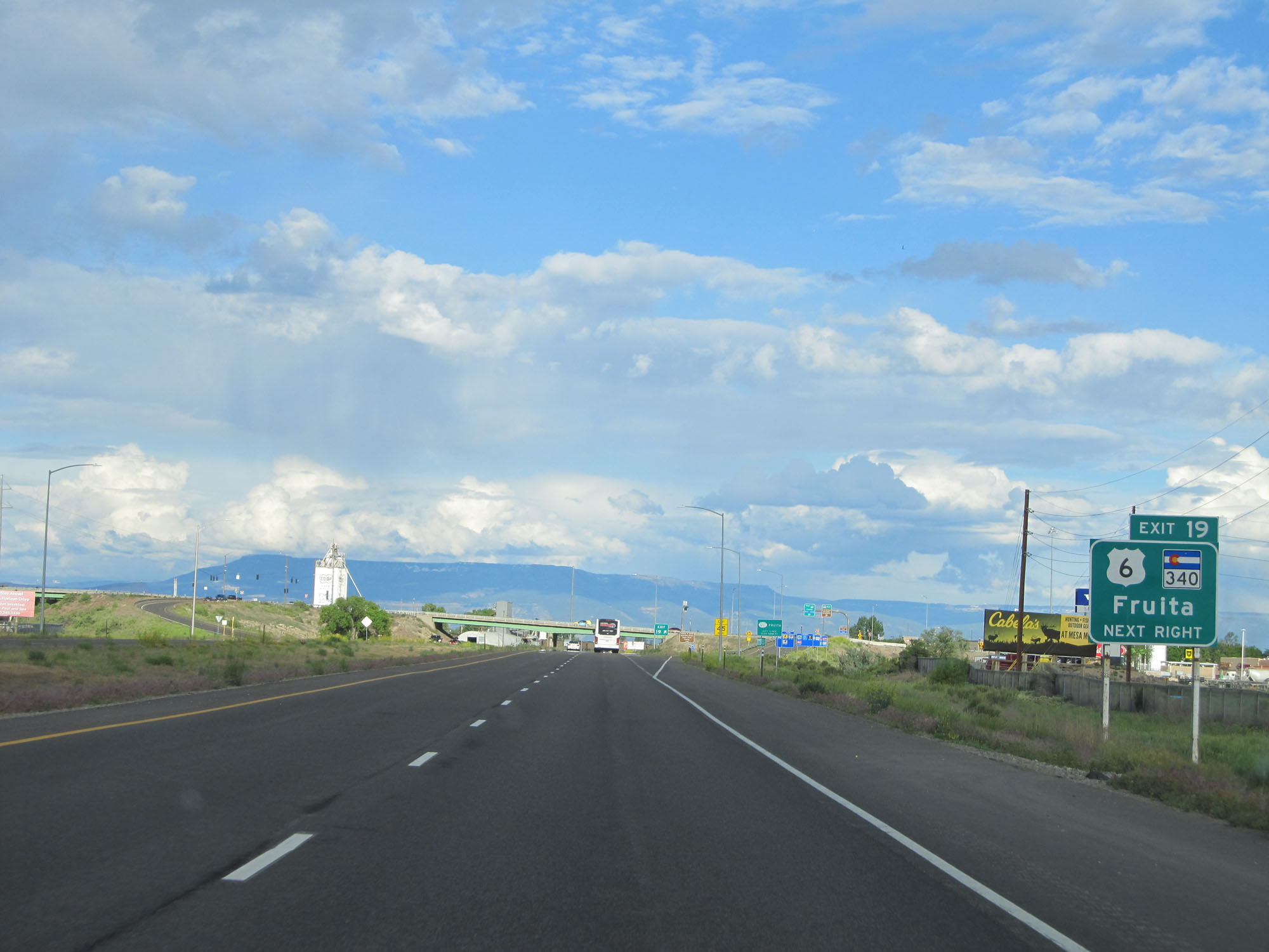 |
Interstate 70 East at Exit 19: US 6 / CO 340 - Fruita (Photo taken 5/27/16). |
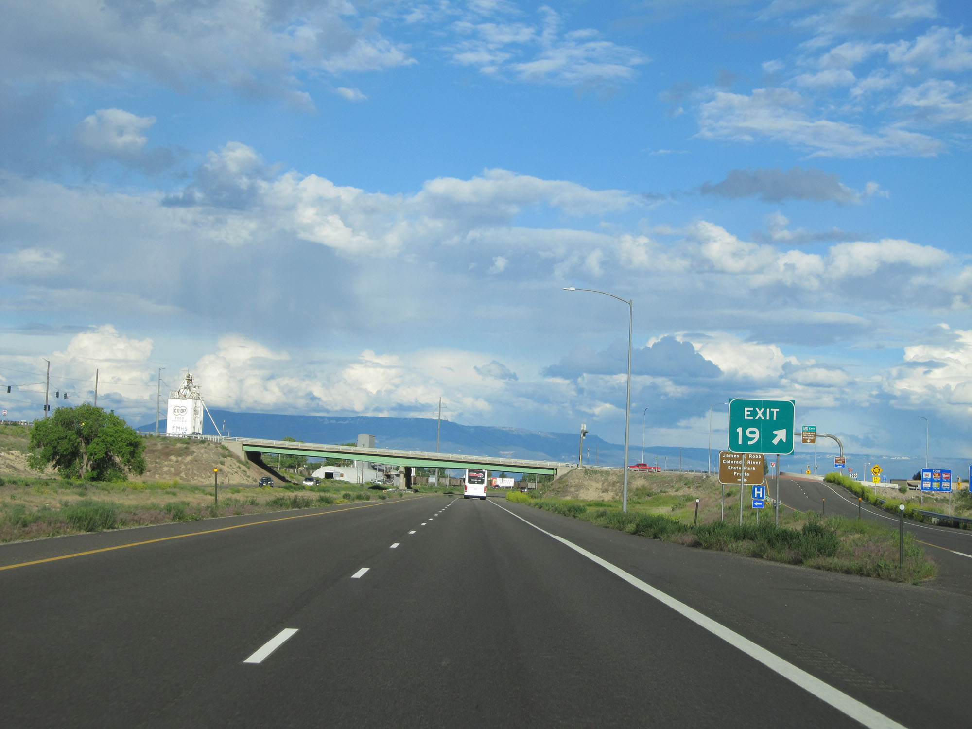 |
Gore point signage for Exit 19. (Photo taken 5/27/16). |
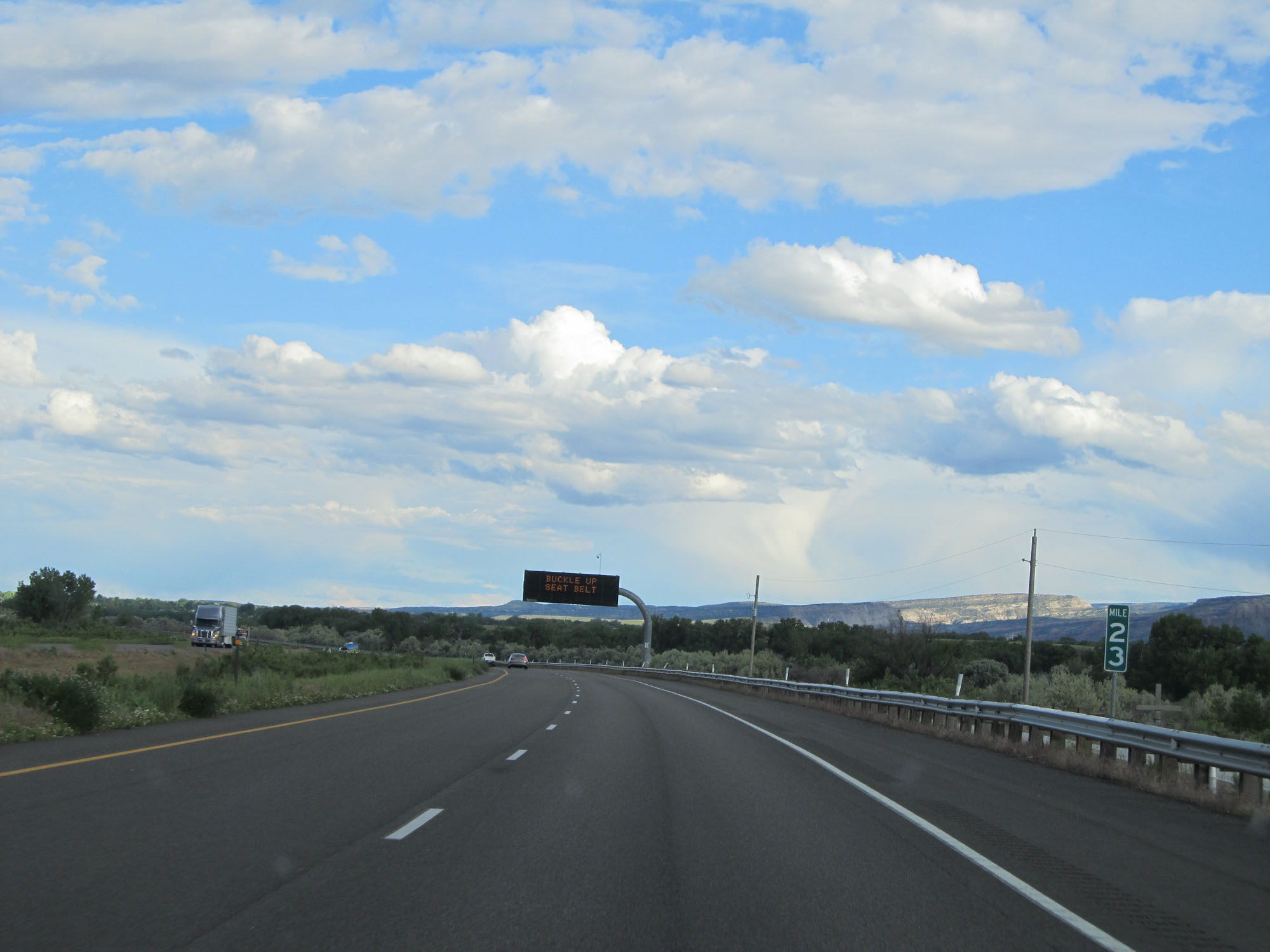 |
Interstate 70 East at mile marker 23. (Photo taken 5/27/16). |
 |
Sign listing the distances to the three upcoming exits to Grand Junction. (Photo taken 5/27/16). |
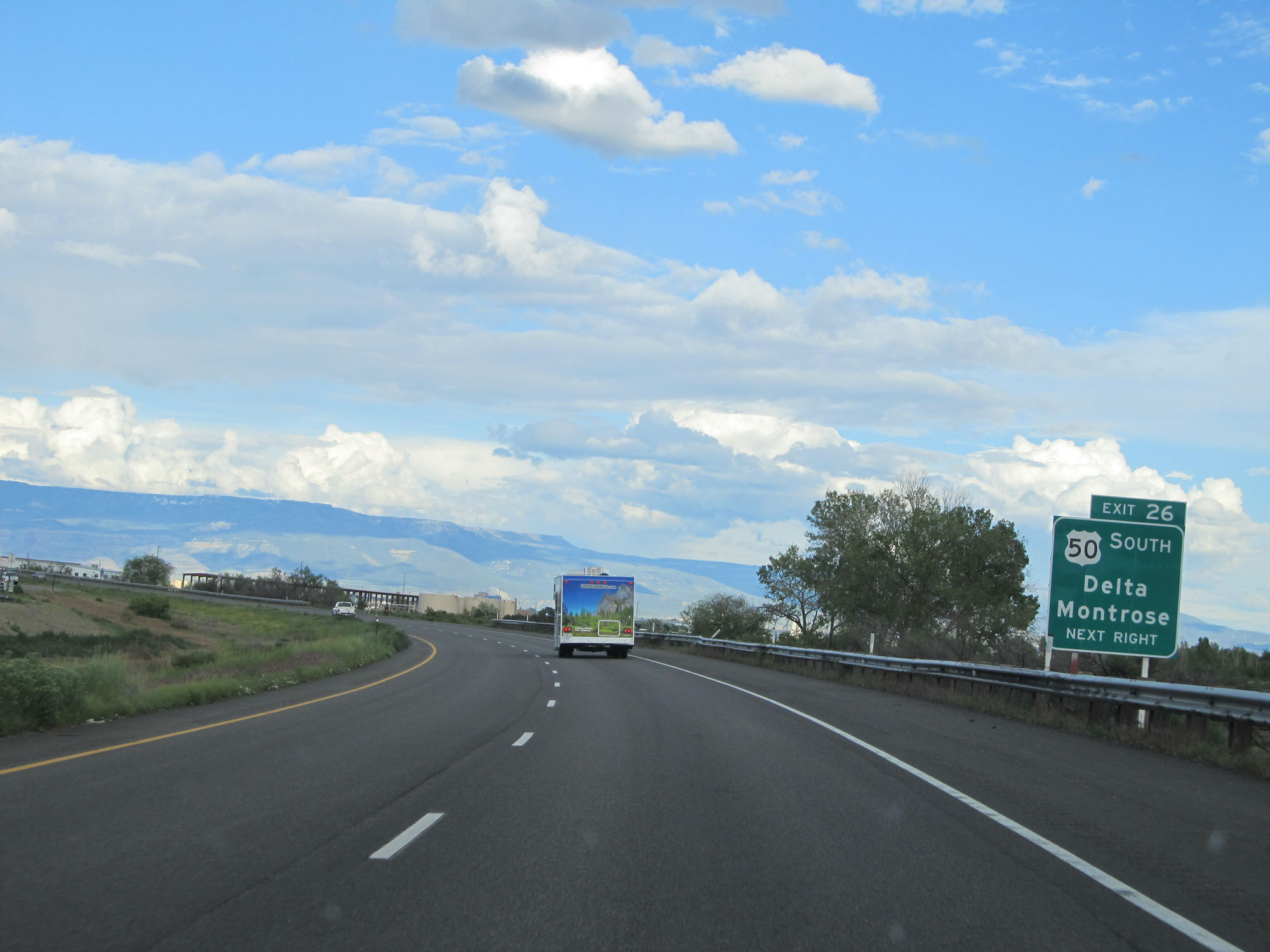 |
Take Exit 26 to Montrose and Delta. (Photo taken 5/27/16). |
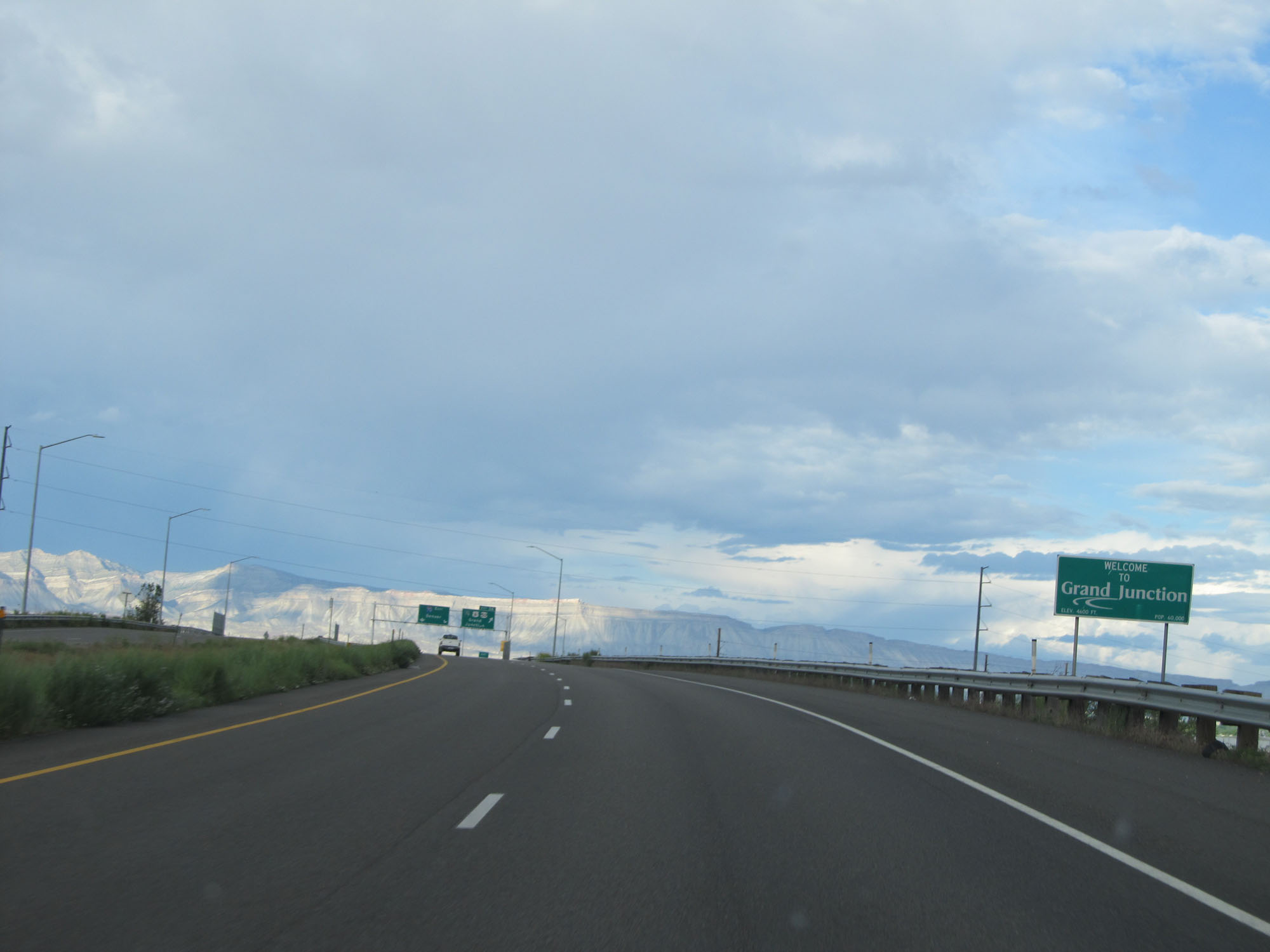 |
This sign welcomes motorists to Grand Junction. (Photo taken 5/27/16). |
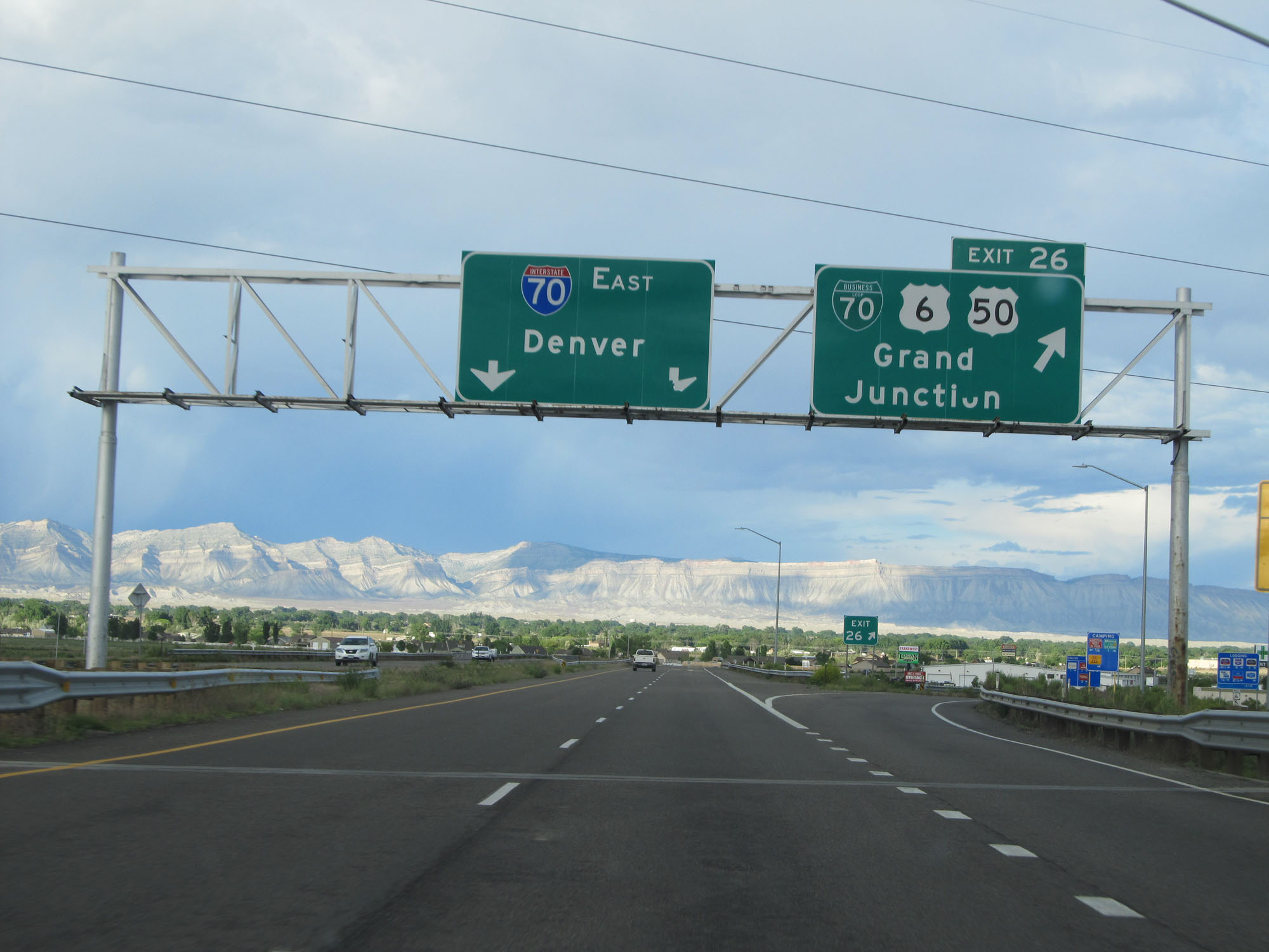 |
Interstate 70 East at Exit 26: Interstate 70 Business Loop / US 6 / US 50 - Grand Junction (Photo taken 5/27/16). |
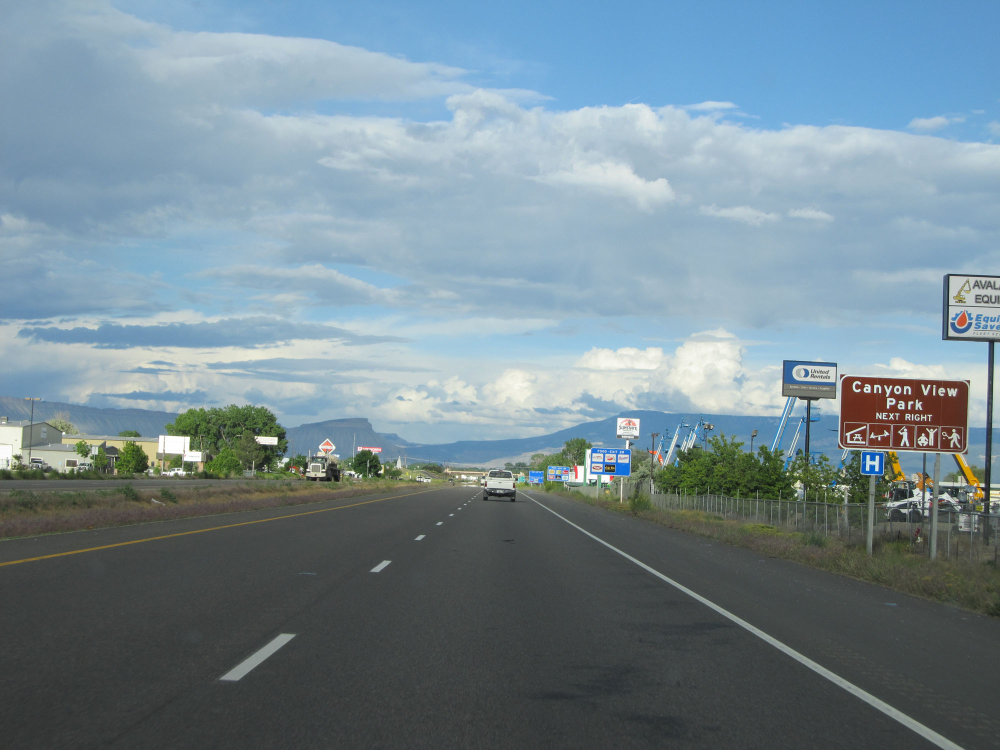 |
Take Exit 28 to Canyon View Park. (Photo taken 5/27/16). |
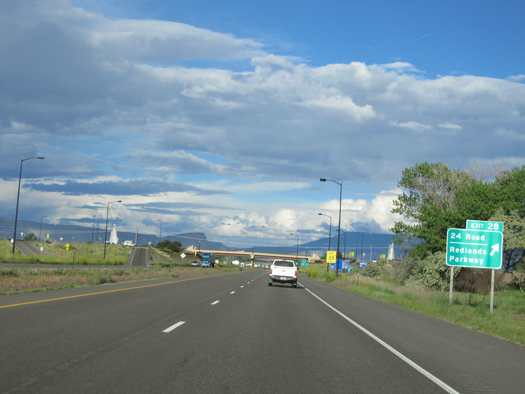 |
Interstate 70 East at Exit 28: 24 Road / Redlands Parkway (Photo taken 5/27/16). |
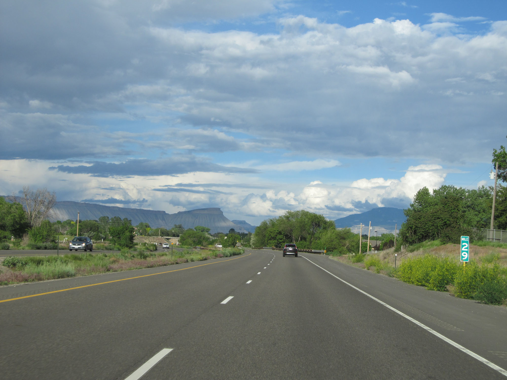 |
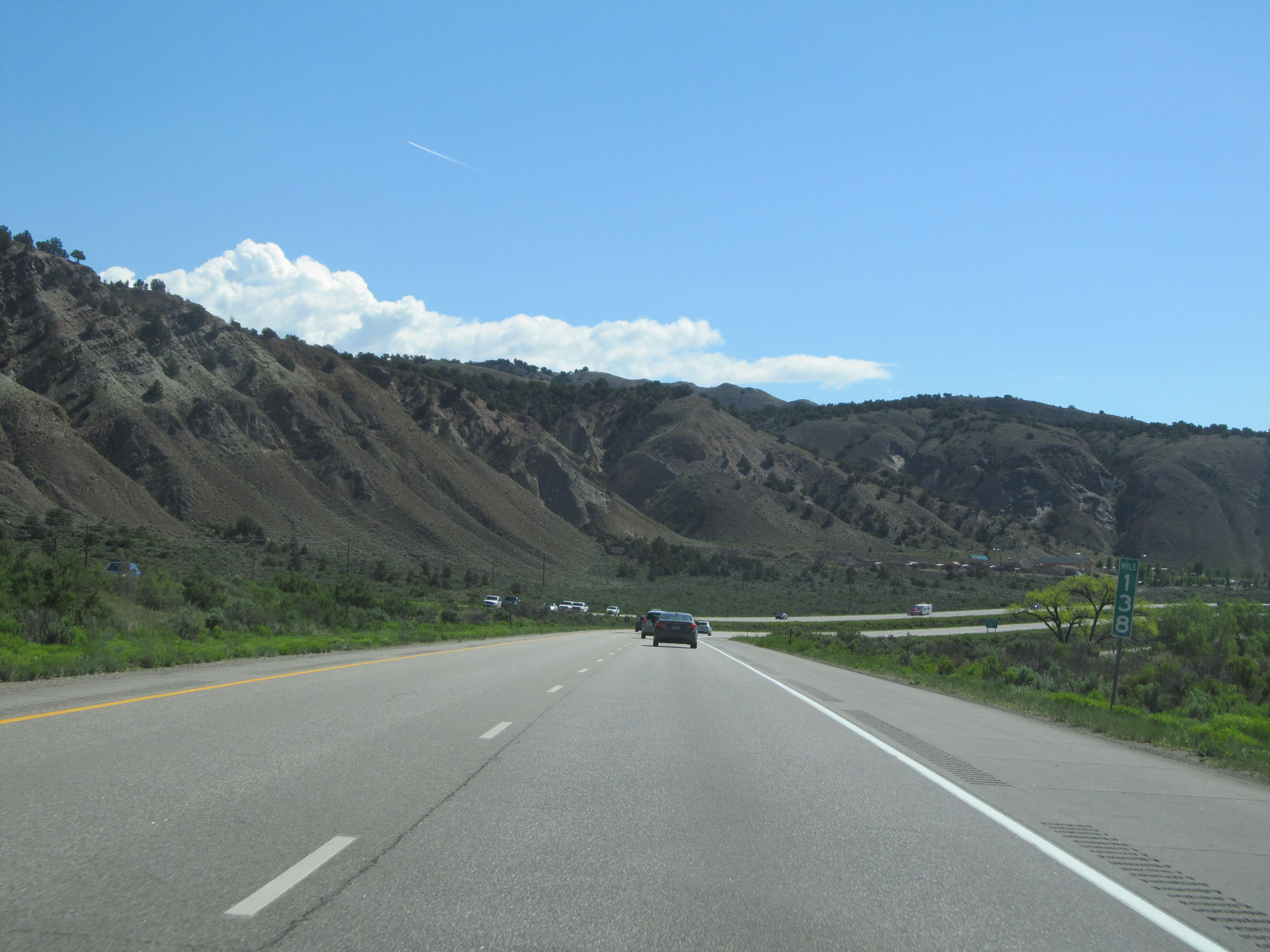
Interstate 70 East at mile marker 29. (Photo taken 5/27/16). |
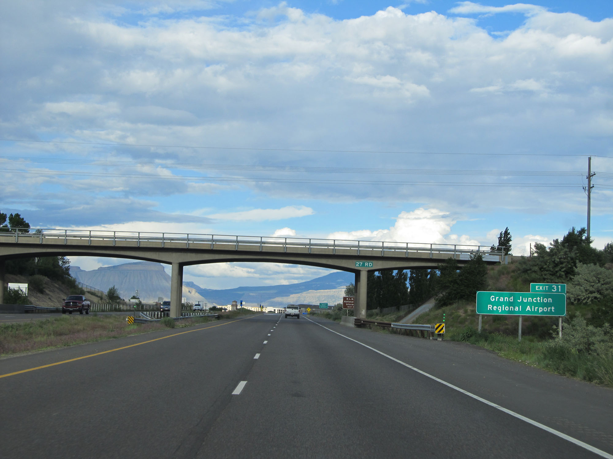 |
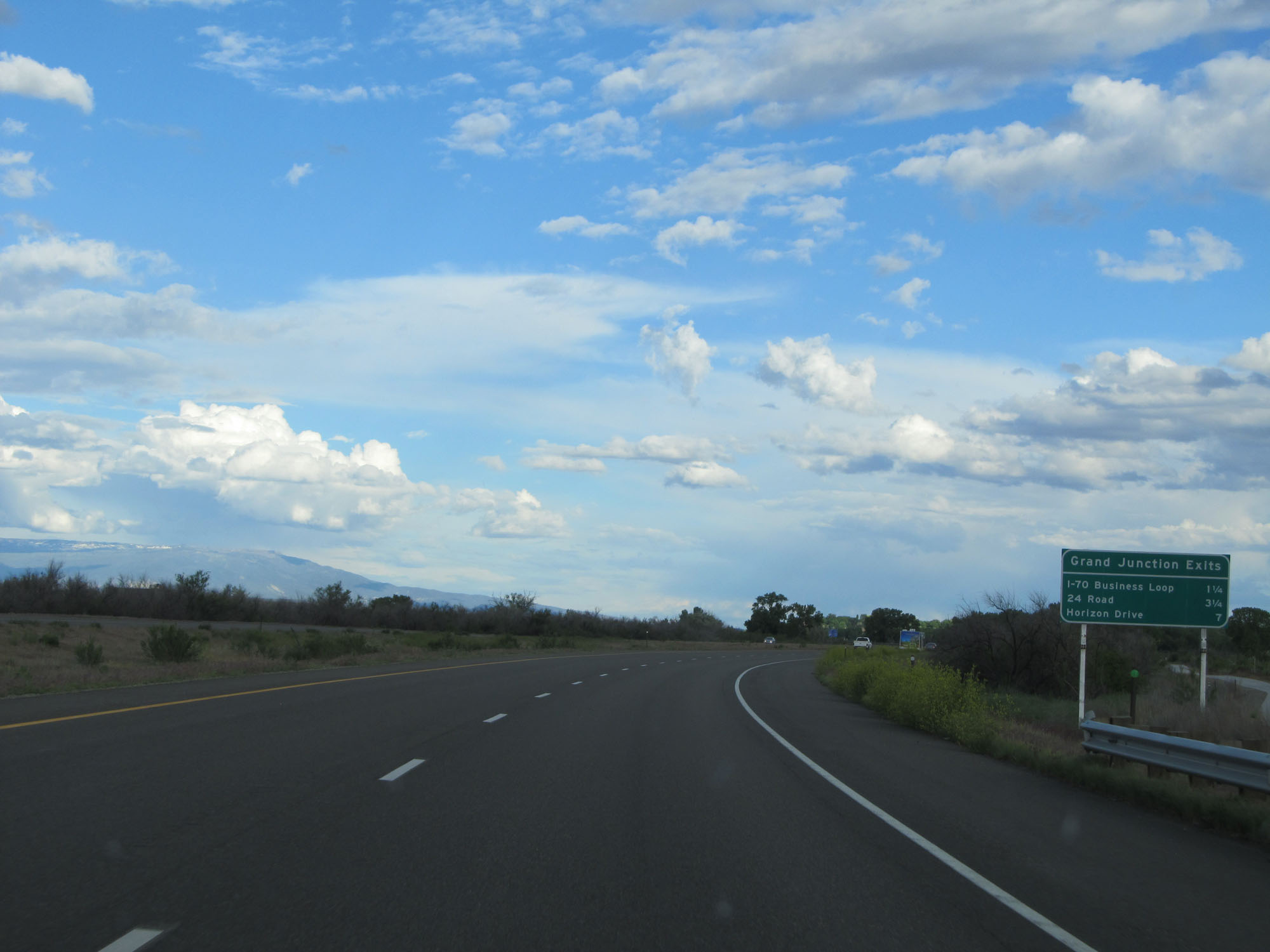
Take Exit 31 to Grand Junction Regional Airport. (Photo taken 5/27/16). |
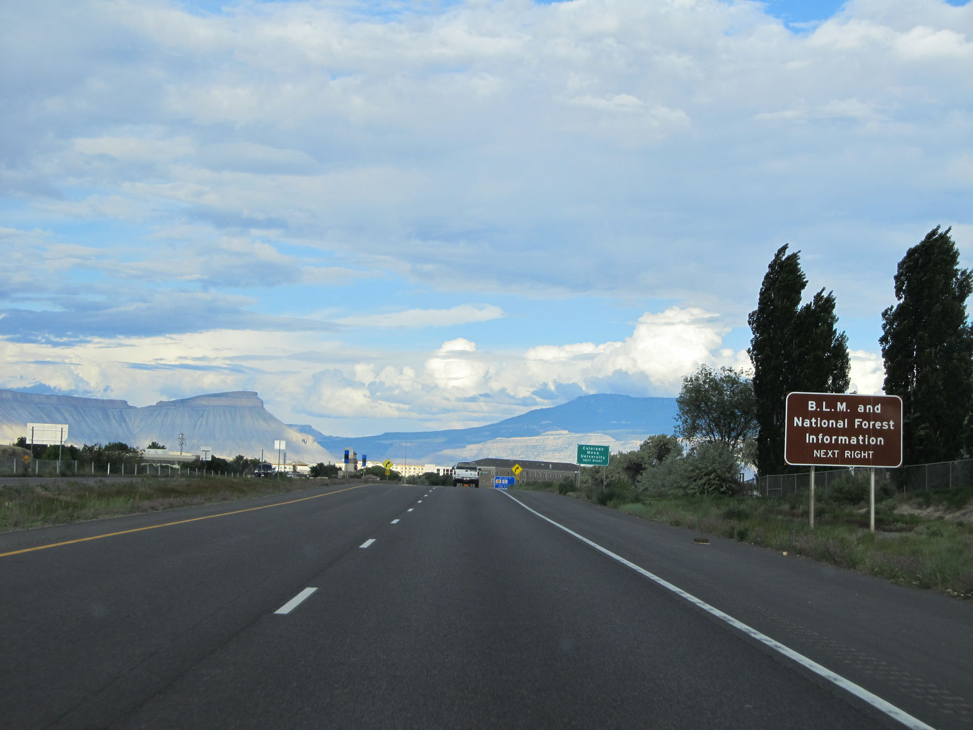 |
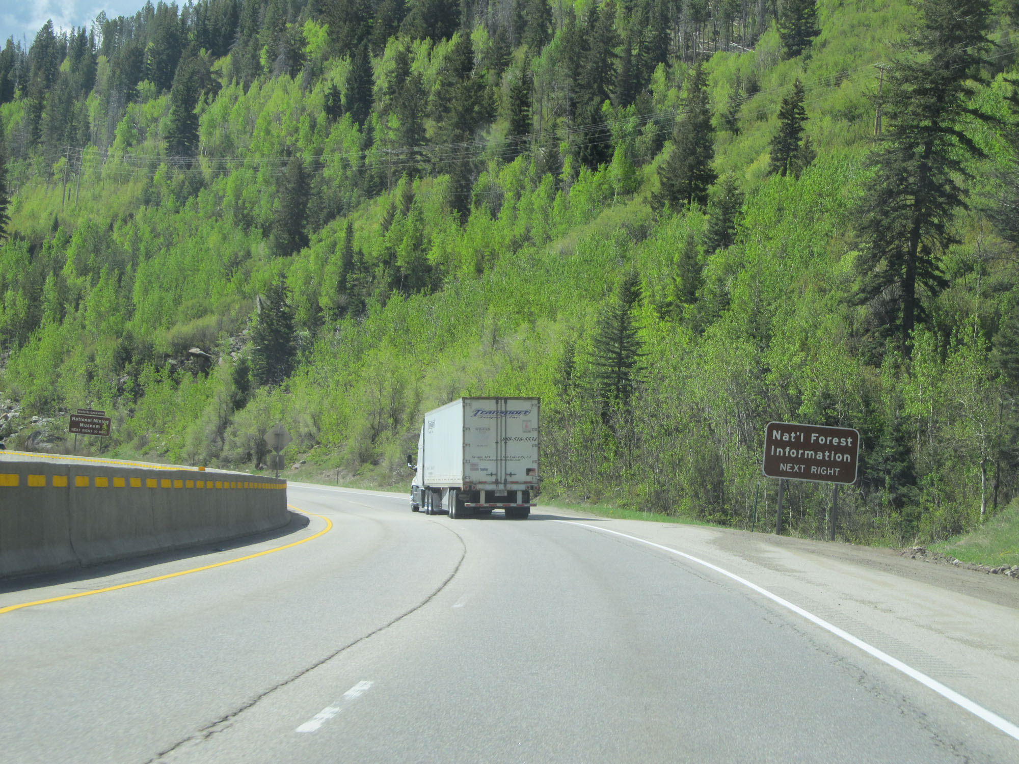
Take Exit 31 to B.L.M. and National Forest Information as well. (Photo taken 5/27/16). |
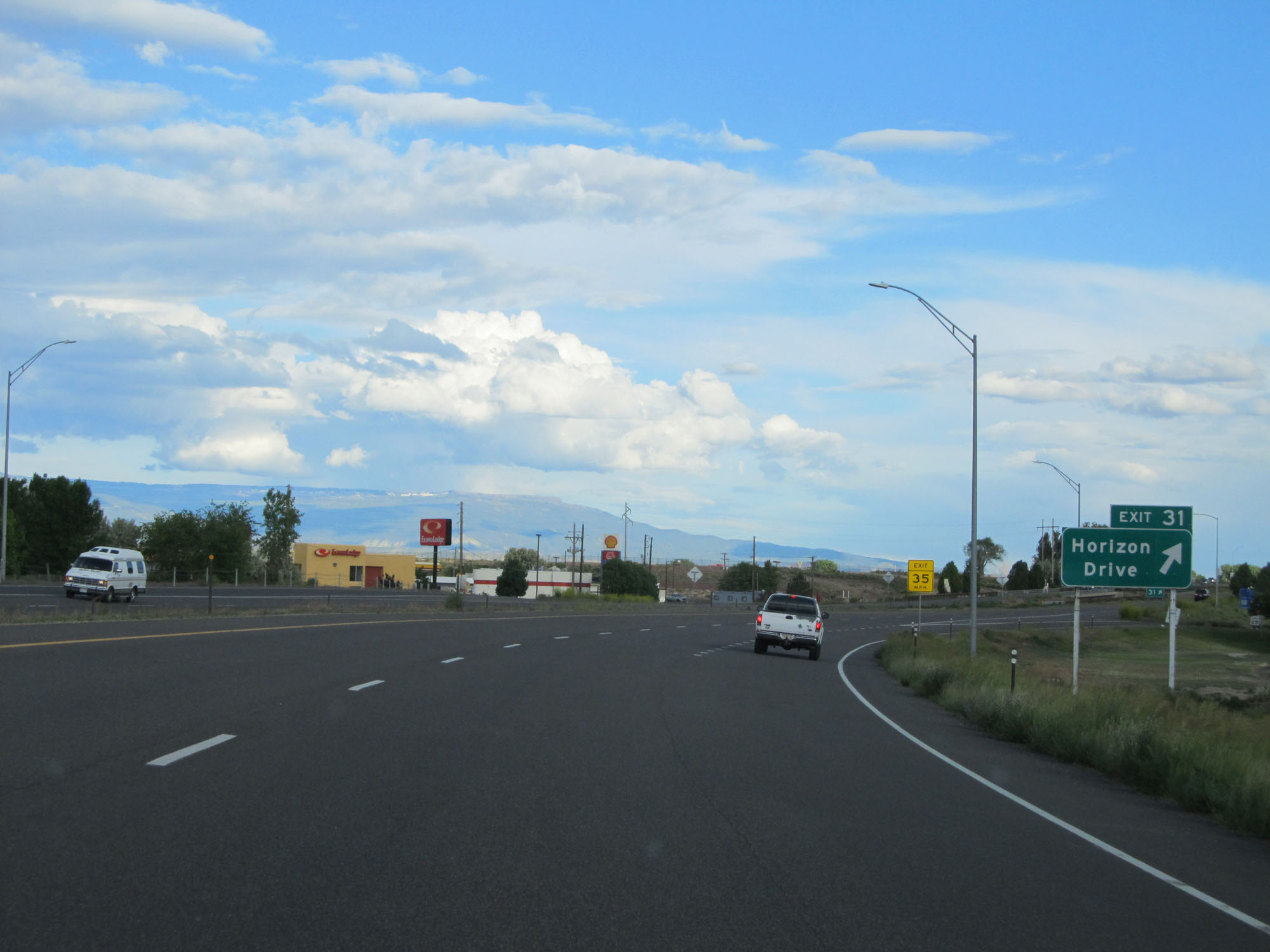 |
Interstate 70 East at Exit 31: Horizon Drive (Photo taken 5/27/16). |
Section 2: Grand Junction (Exit 31) to Glenwood Springs (Exit 114)
 |
Interstate 70 East at mile marker 33. (Photo taken 5/28/16). |
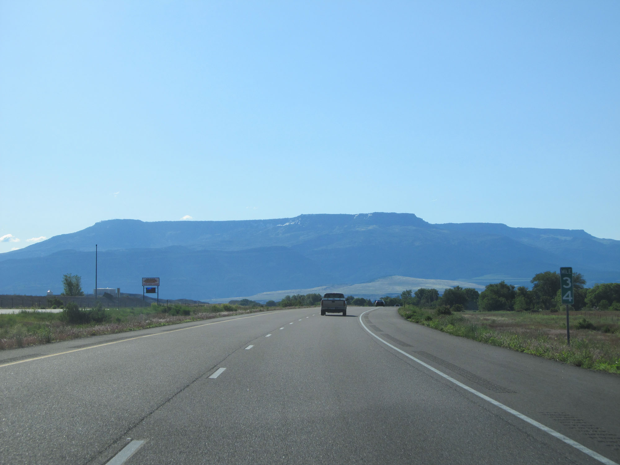 |
Interstate 70 East at mile marker 34. (Photo taken 5/28/16). |
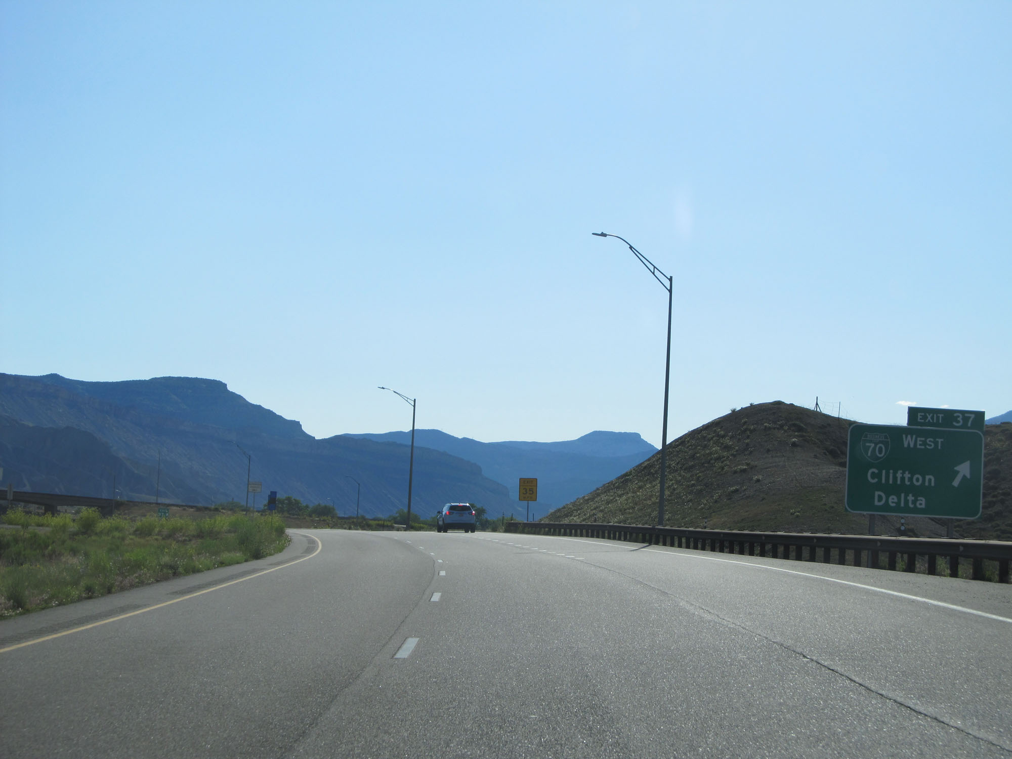 |
Interstate 70 East at Exit 37: Interstate 70 Business Loop West - Clifton / Delta (Photo taken 5/28/16). |
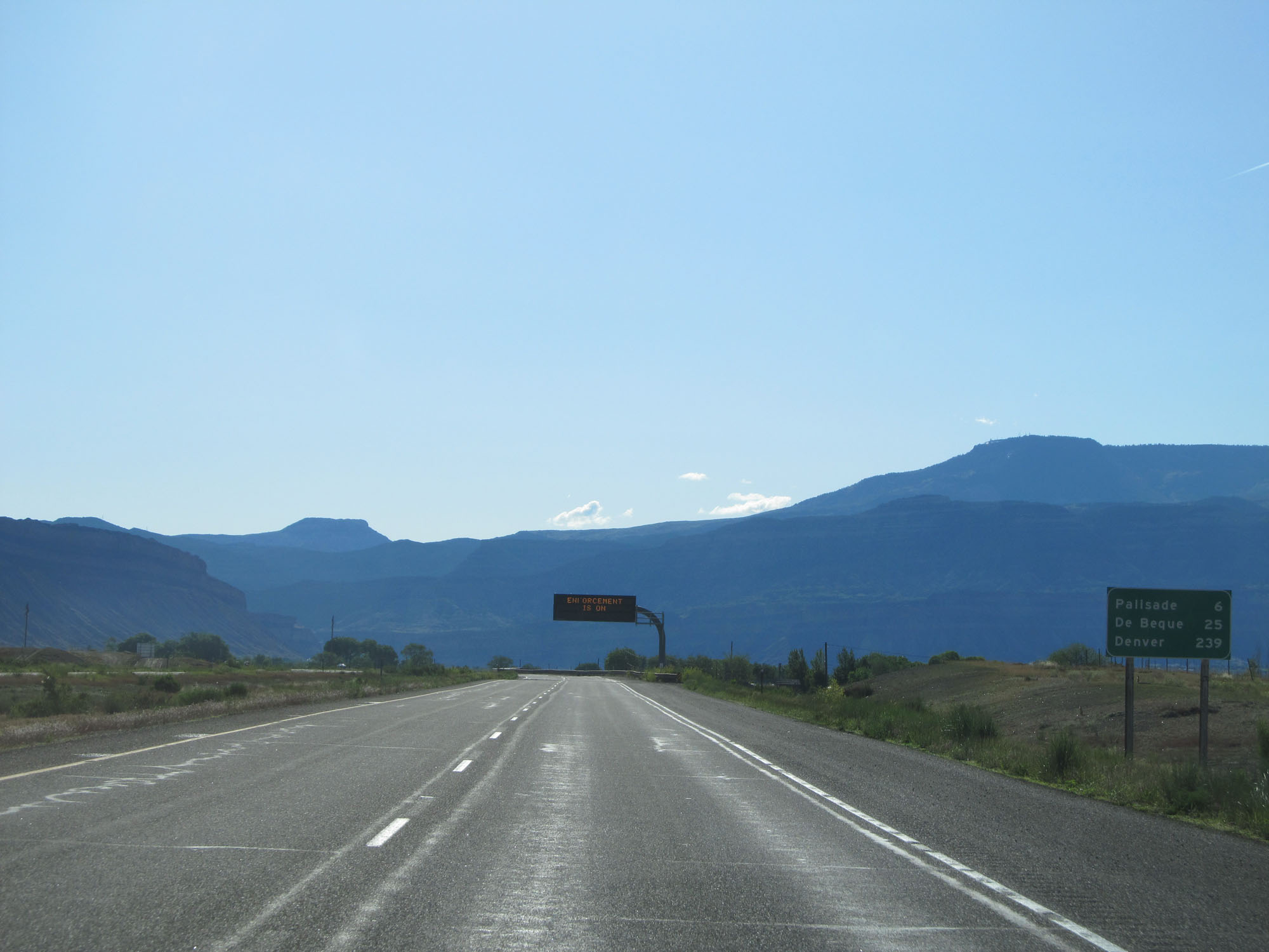 |
Mileage sign on Interstate 70 East. It's 6 miles to Palisade, 25 miles to De Beque, and 239 miles to Denver. (Photo taken 5/28/16). |
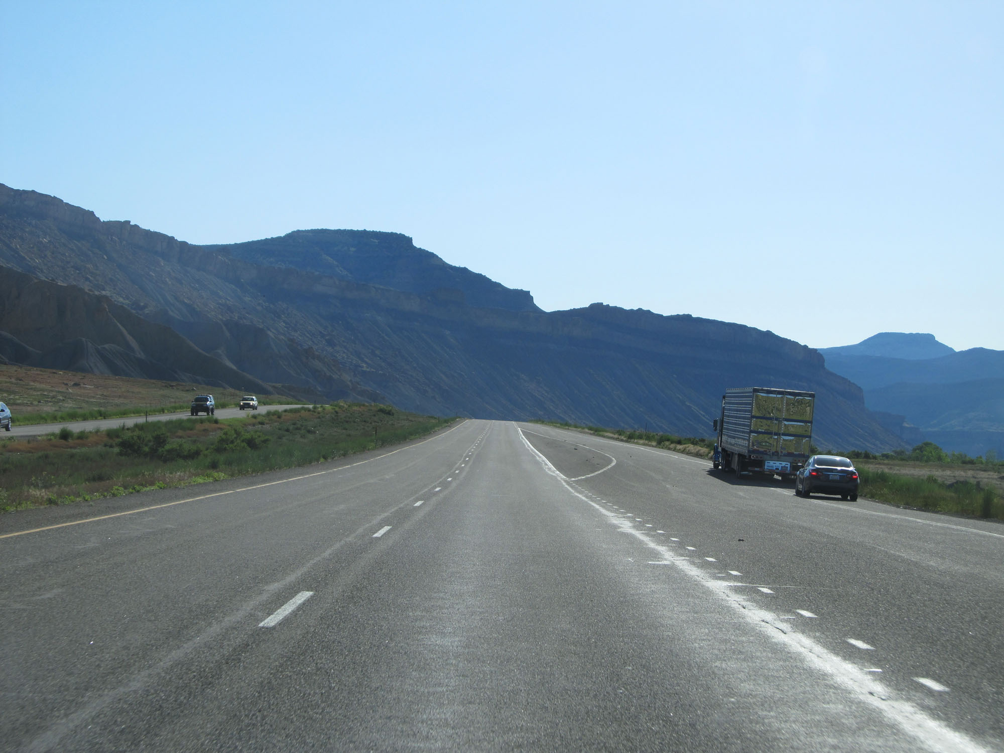 |
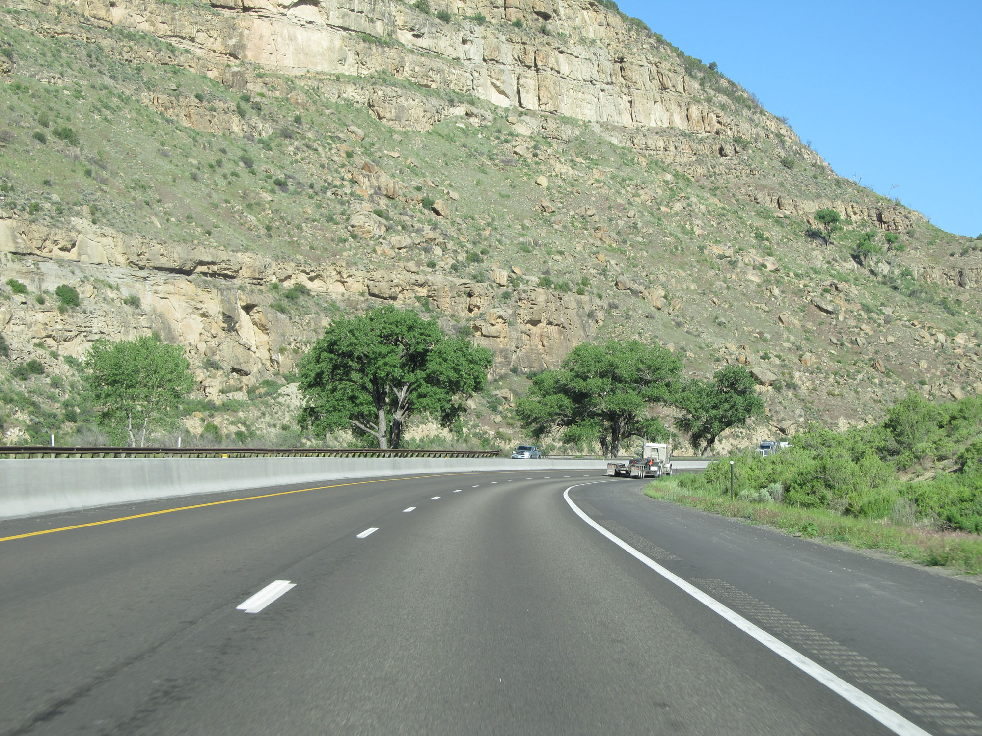
View on Interstate 70 East. (Photo taken 5/28/16). |
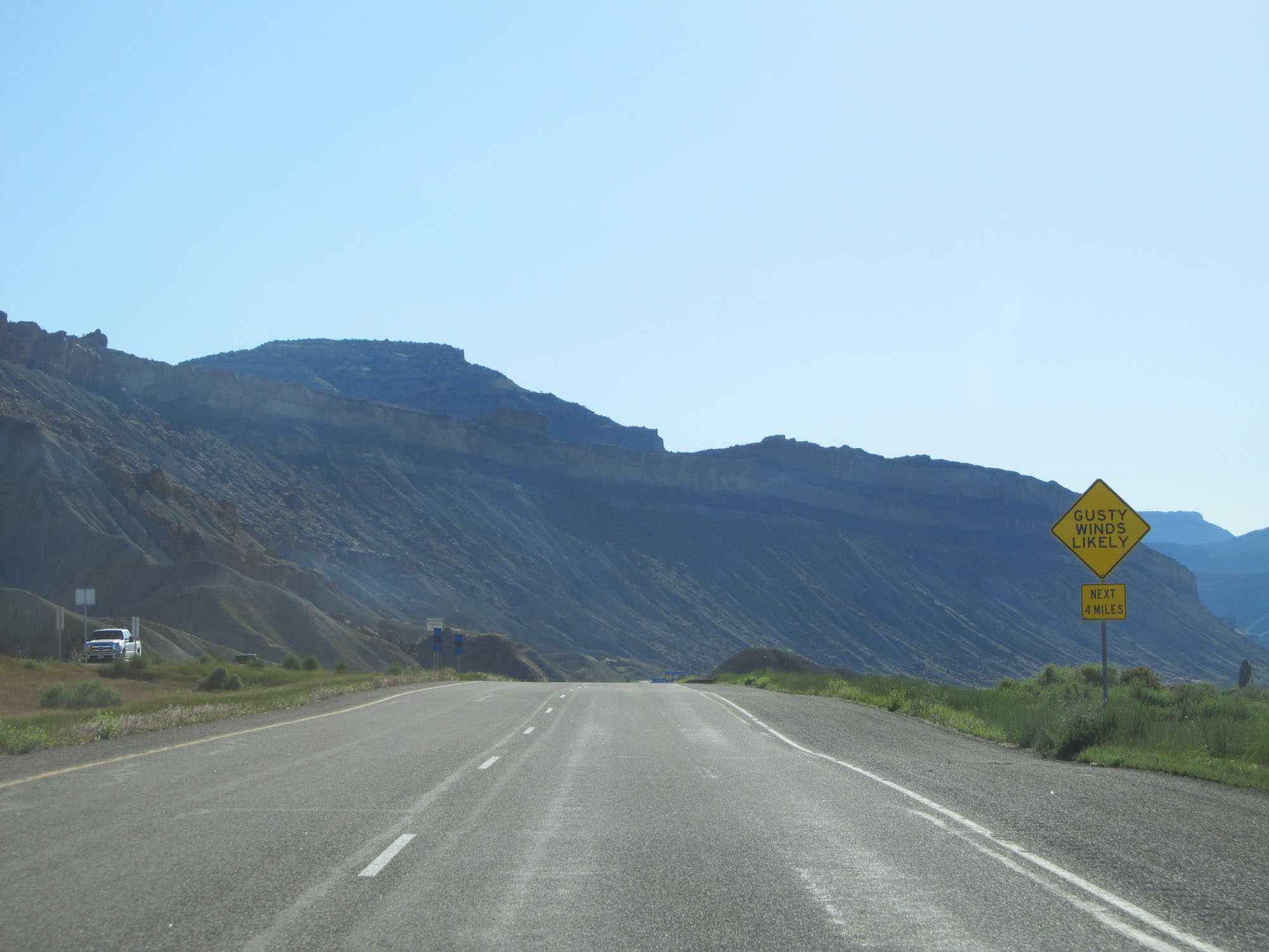 |
This sign warns that gusty winds are likely for the next 4 miles. (Photo taken 5/28/16). |
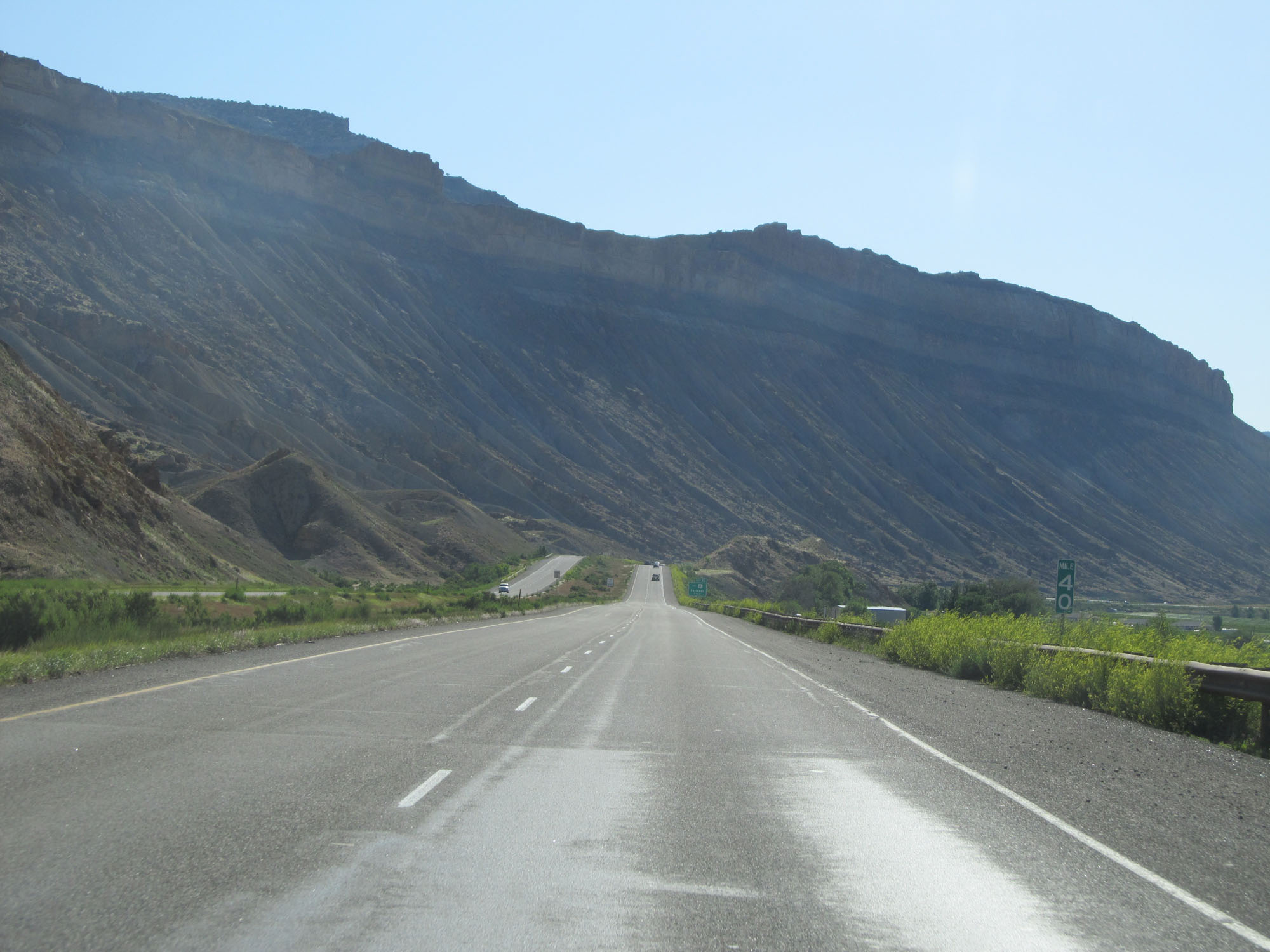 |
Interstate 70 East at mile marker 40. (Photo taken 5/28/16). |
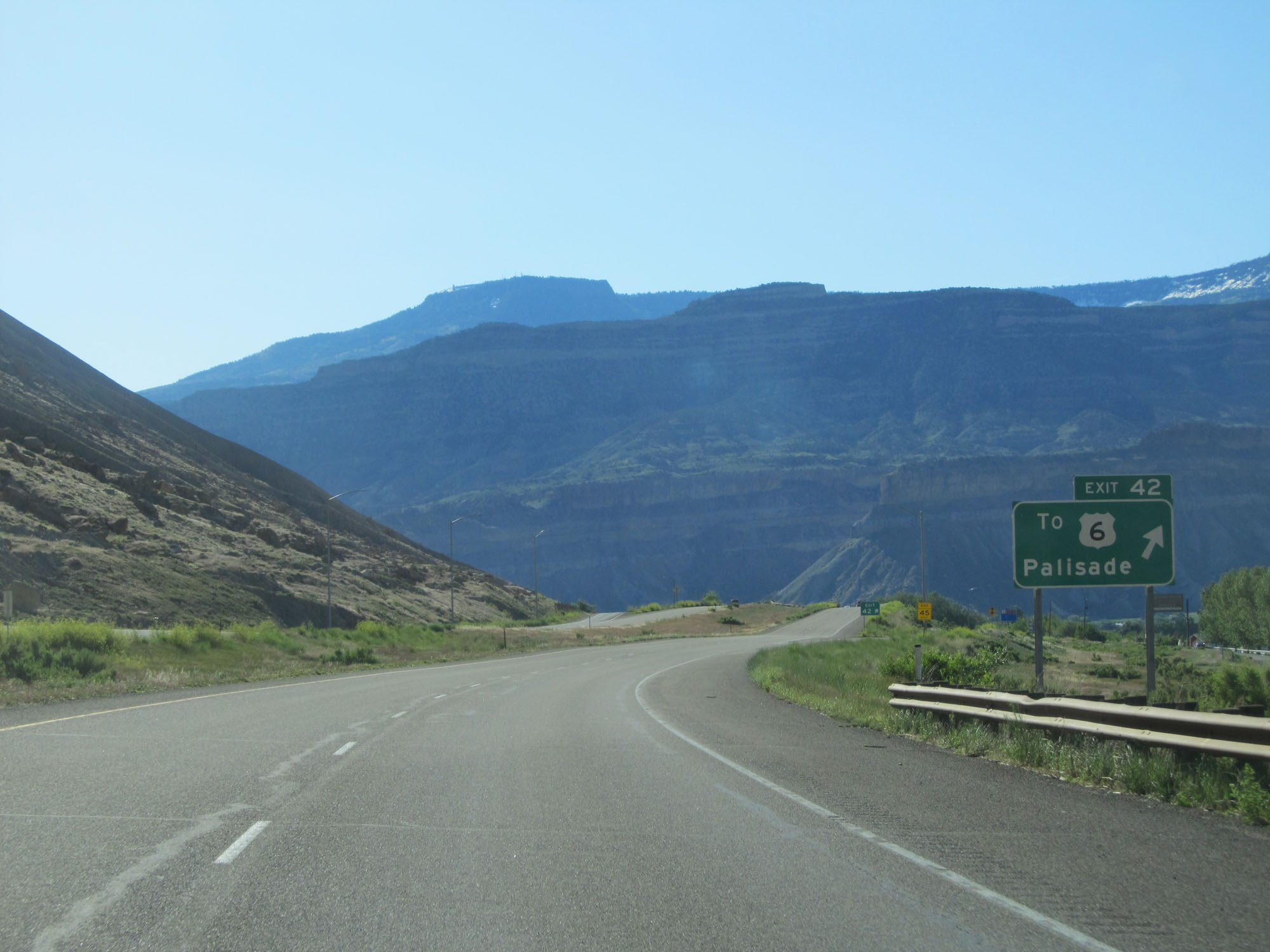 |
Interstate 70 East at Exit 42: To US 6 - Palisade (Photo taken 5/28/16). |
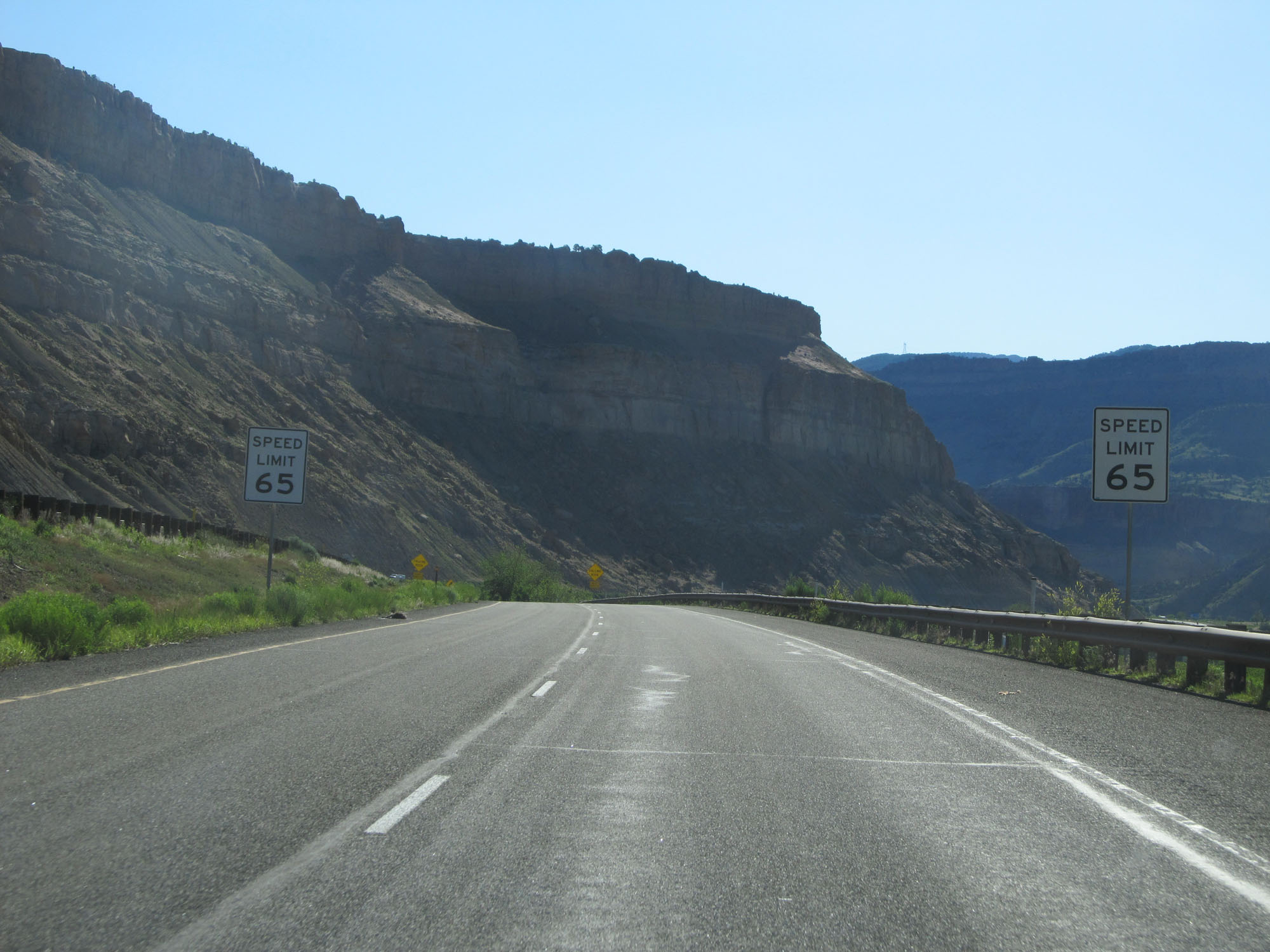 |
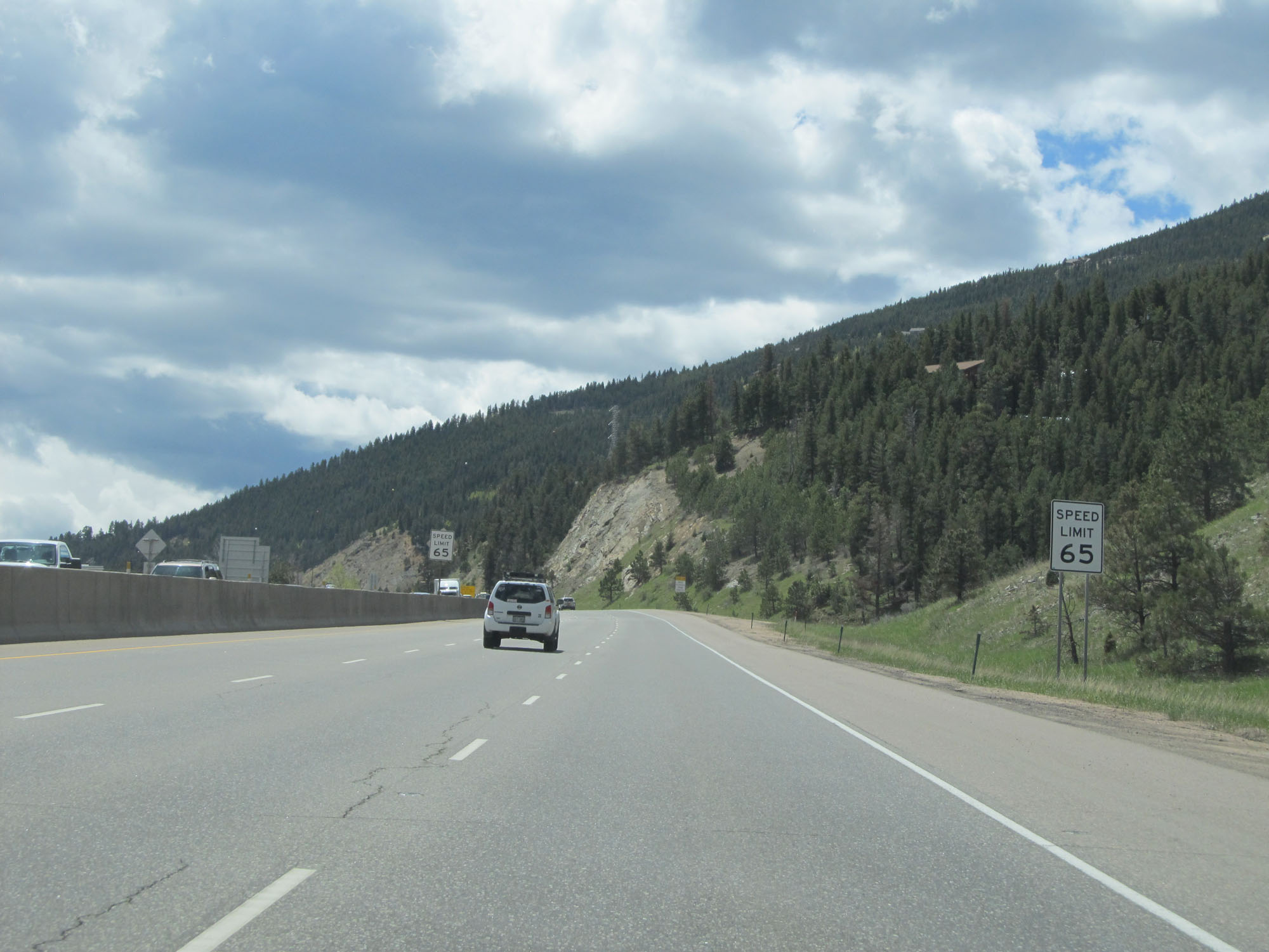
East of Exit 42, the speed limit decreases to 65 mph. (Photo taken 5/28/16). |
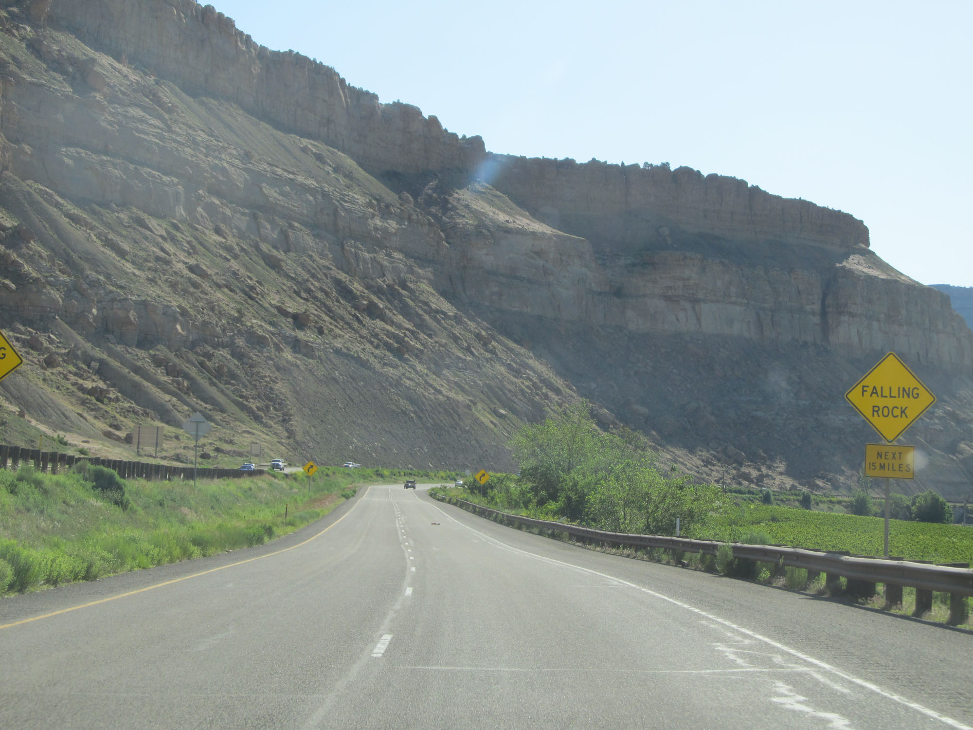 |
Watch for falling rocks for the next 15 miles. (Photo taken 5/28/16). |
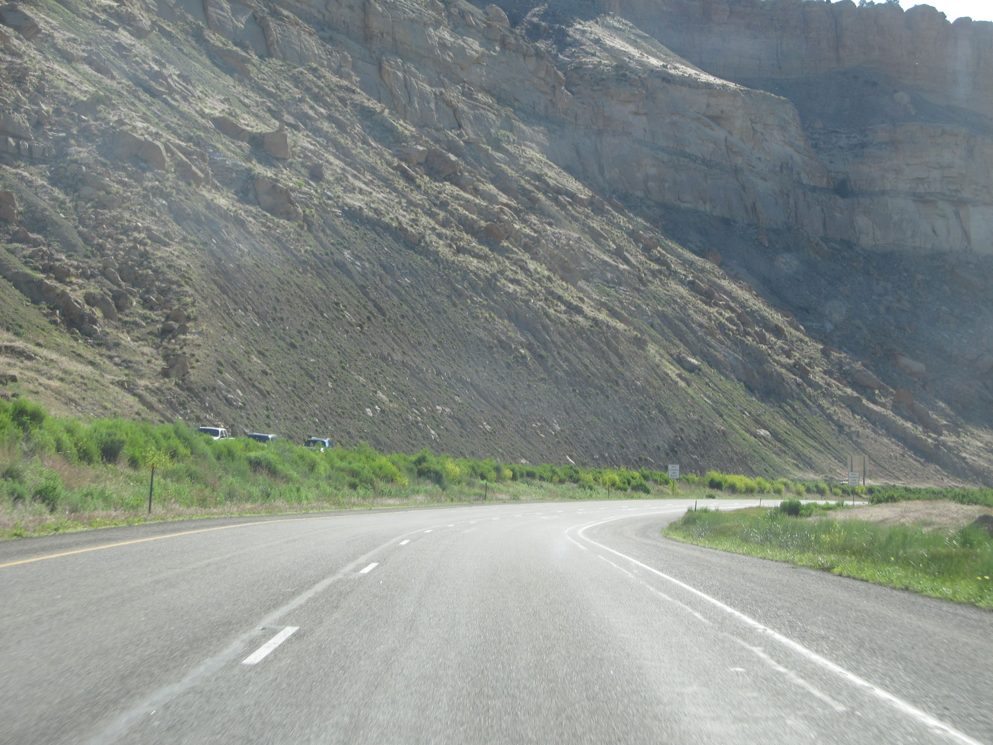 |
View on Interstate 70 East. (Photo taken 5/28/16). |
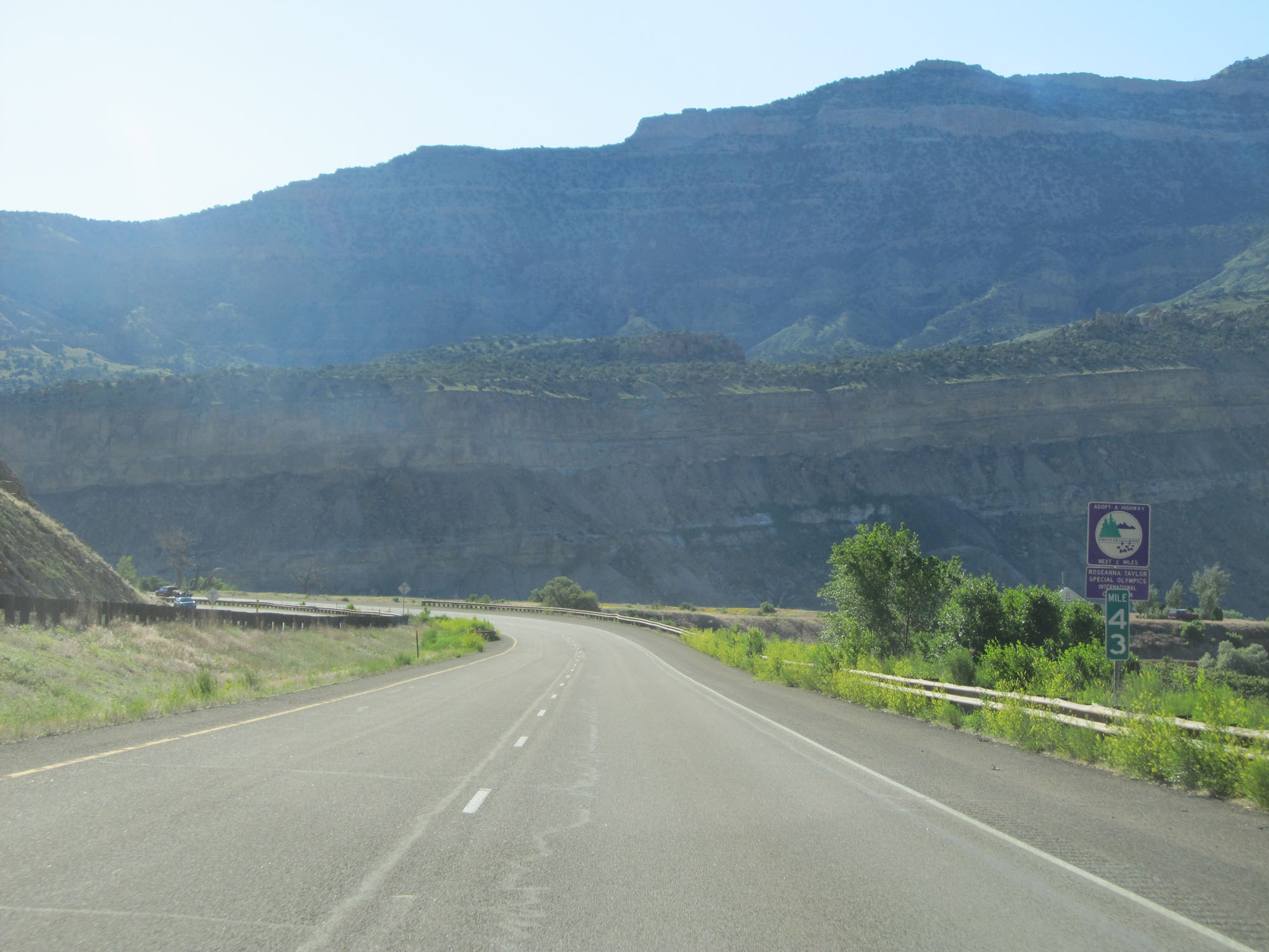 |
Interstate 70 East at mile marker 43. (Photo taken 5/28/16). |
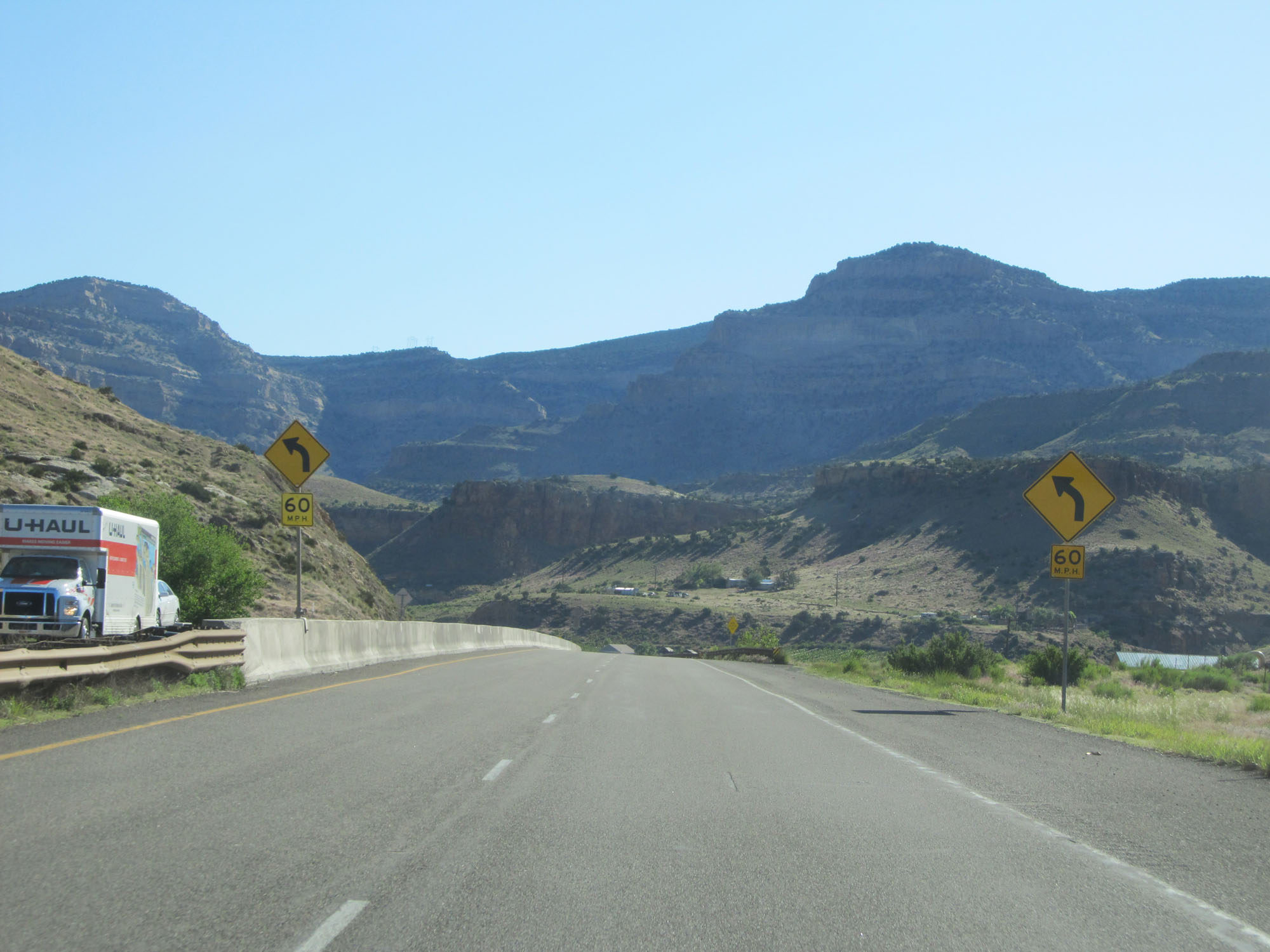 |
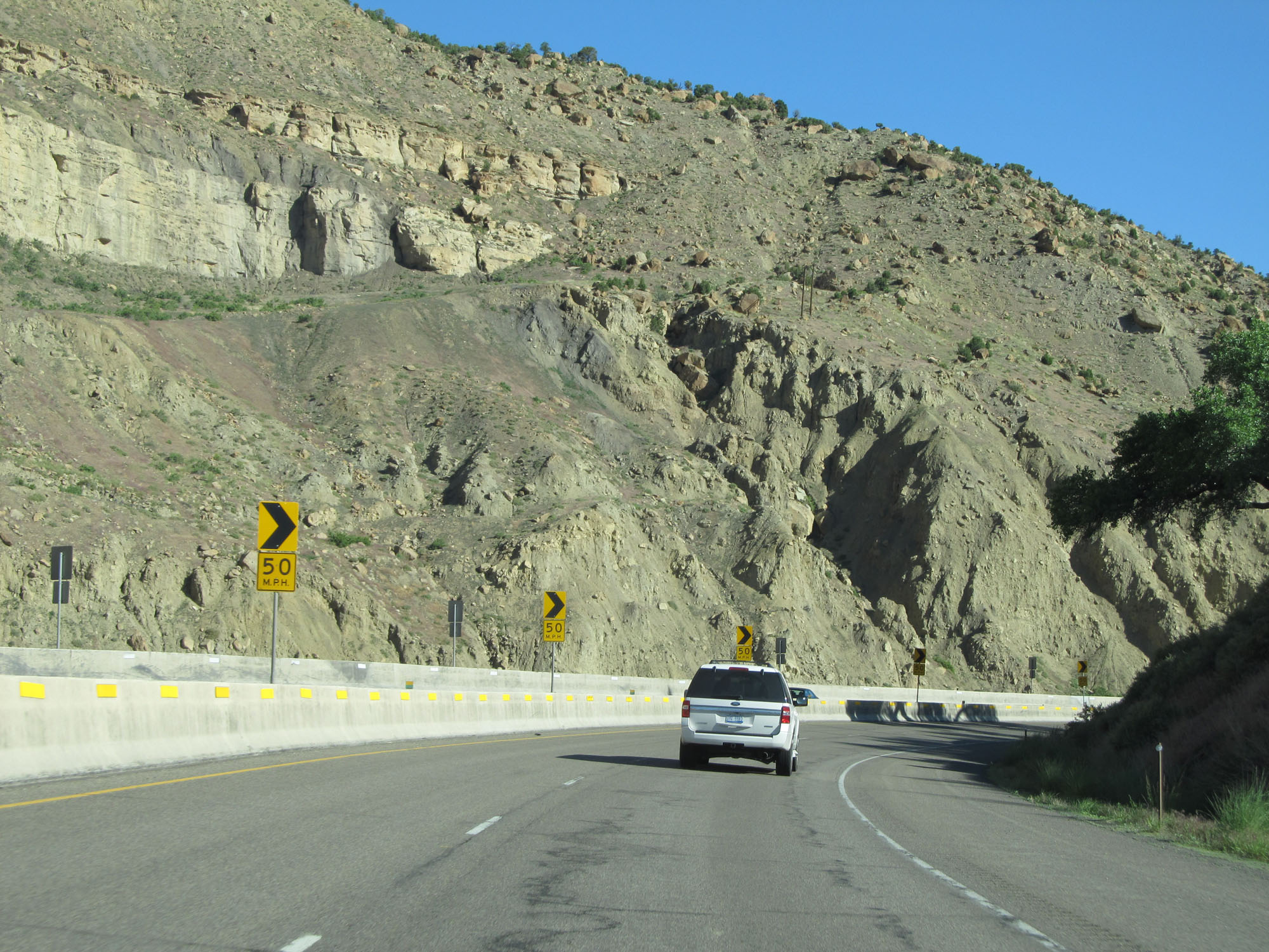
A 60 mph curve to the left lies just ahead. (Photo taken 5/28/16). |
 |
Another view on Interstate 70 East. (Photo taken 5/28/16). |
 |
Interstate 70 East crossing the Colorado River for a second time. (Photo taken 5/28/16). |
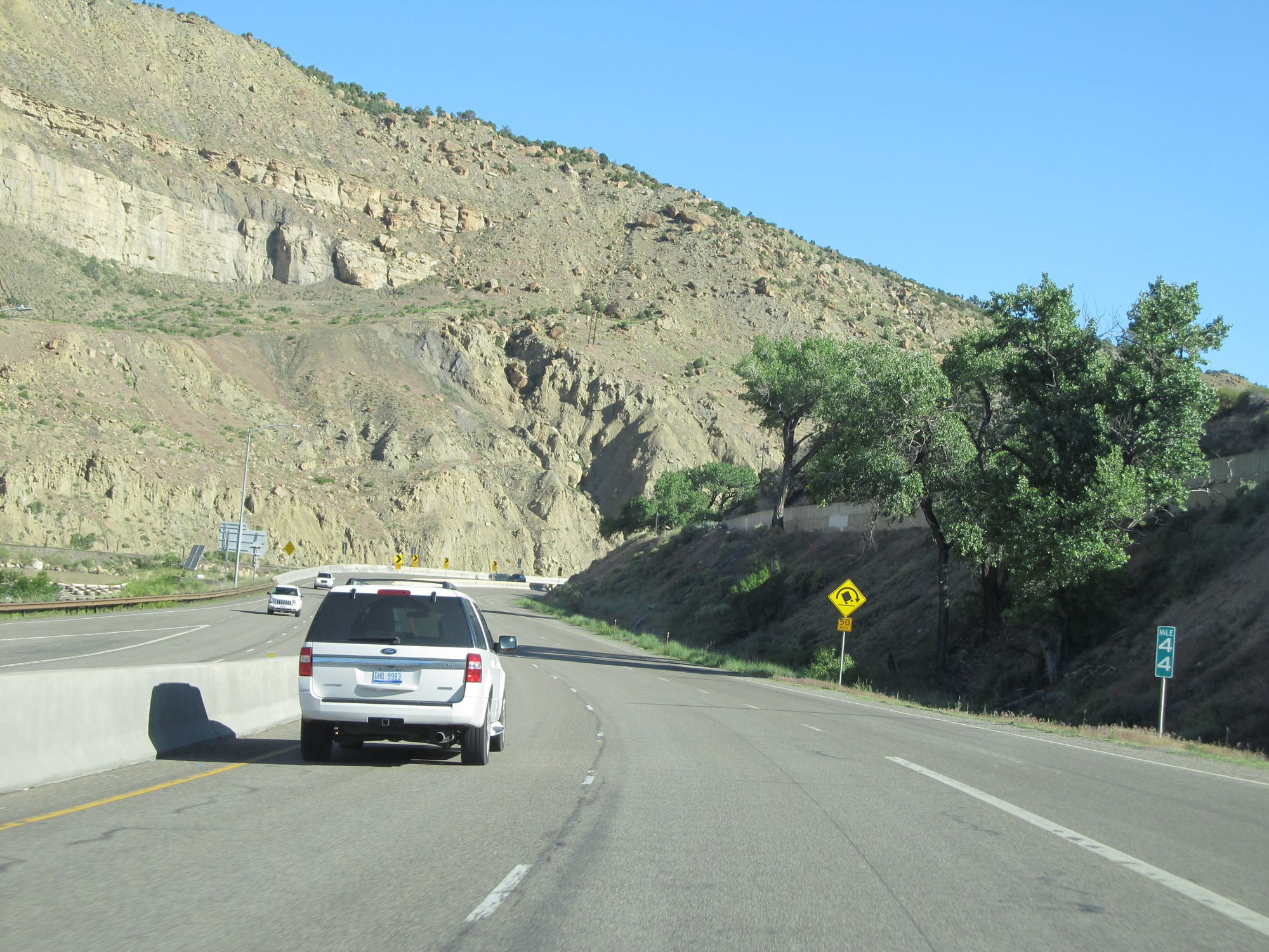 |
Interstate 70 East at mile marker 44. (Photo taken 5/28/16). |
 |
View on Interstate 70 East. (Photo taken 5/28/16). |
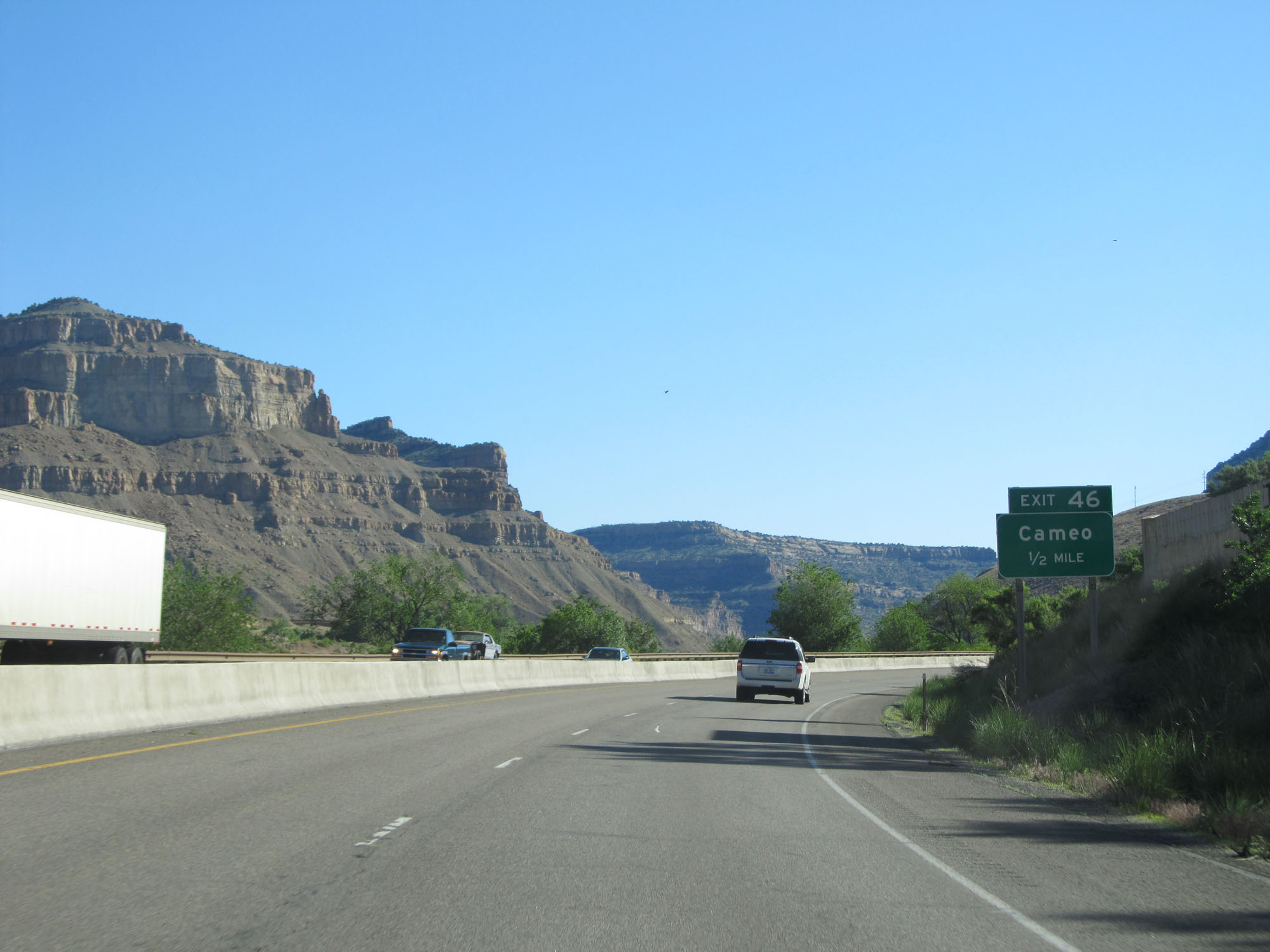 |
Interstate 70 East approaching Exit 46 - 1/2 mile. (Photo taken 5/28/16). |
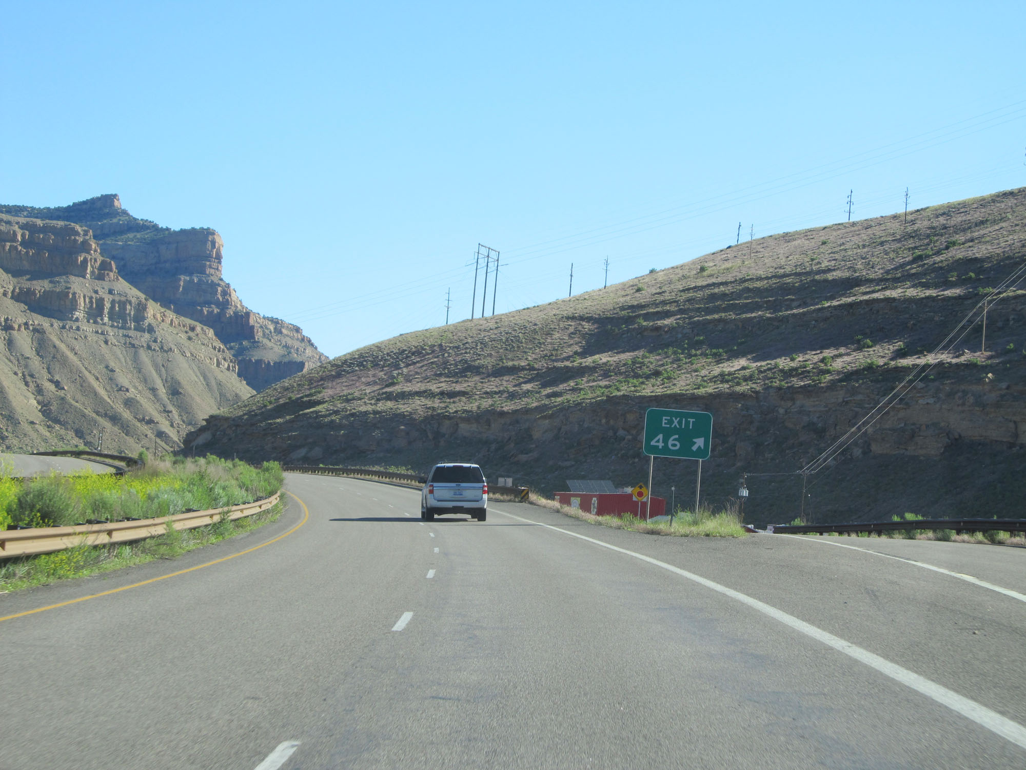 |
Interstate 70 East at Exit 46: Cameo (Photo taken 5/28/16). |
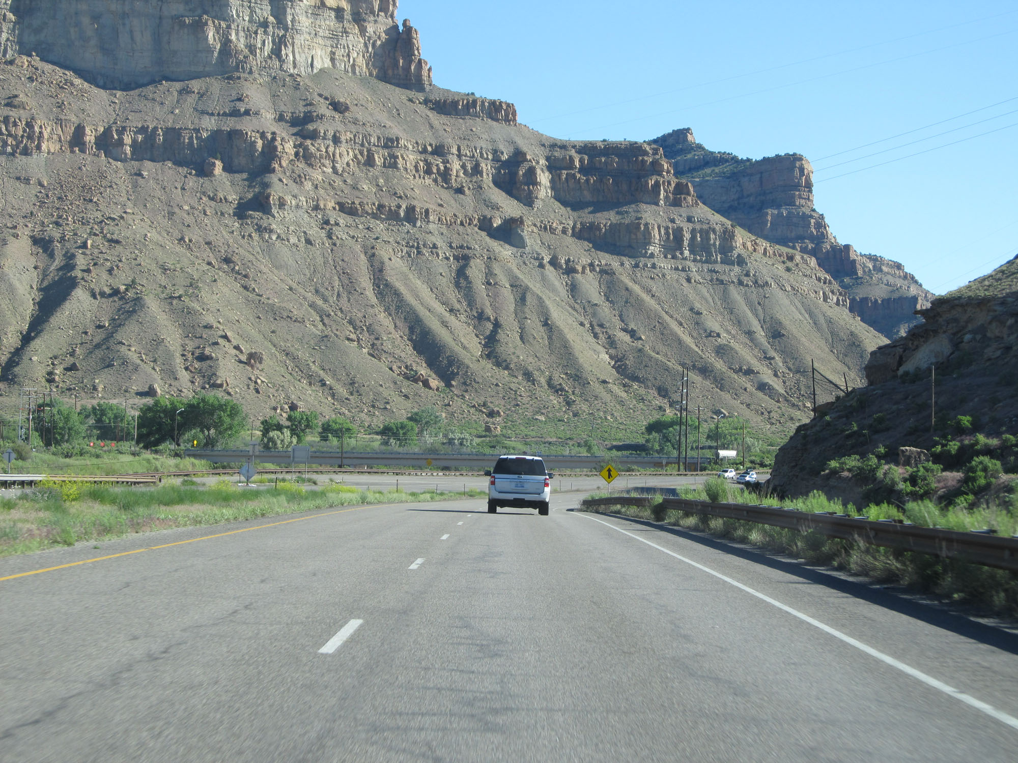 |
Another view on Interstate 70 East. (Photo taken 5/28/16). |
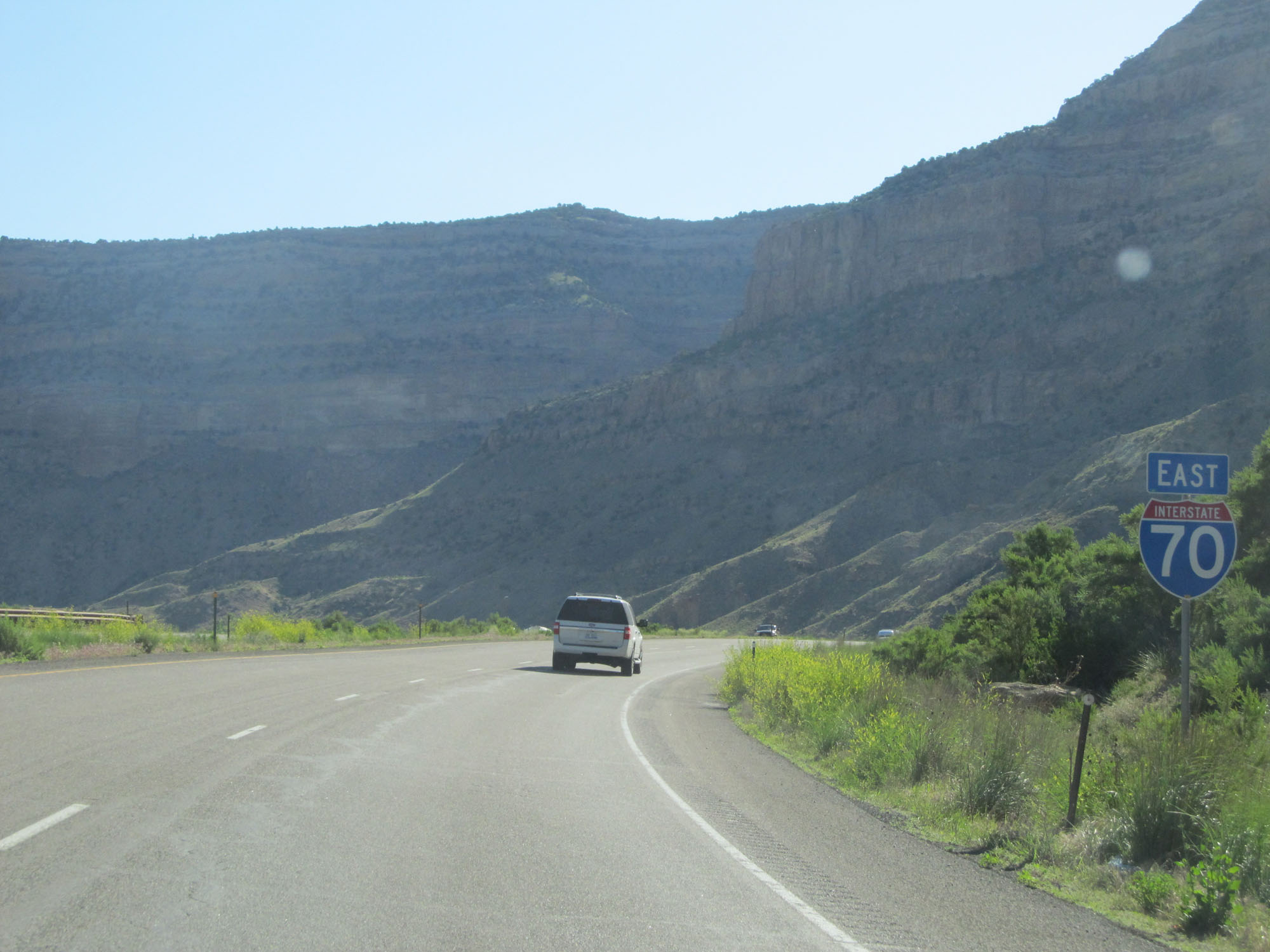 |
Interstate 70 East reassurance shield. (Photo taken 5/28/16). |
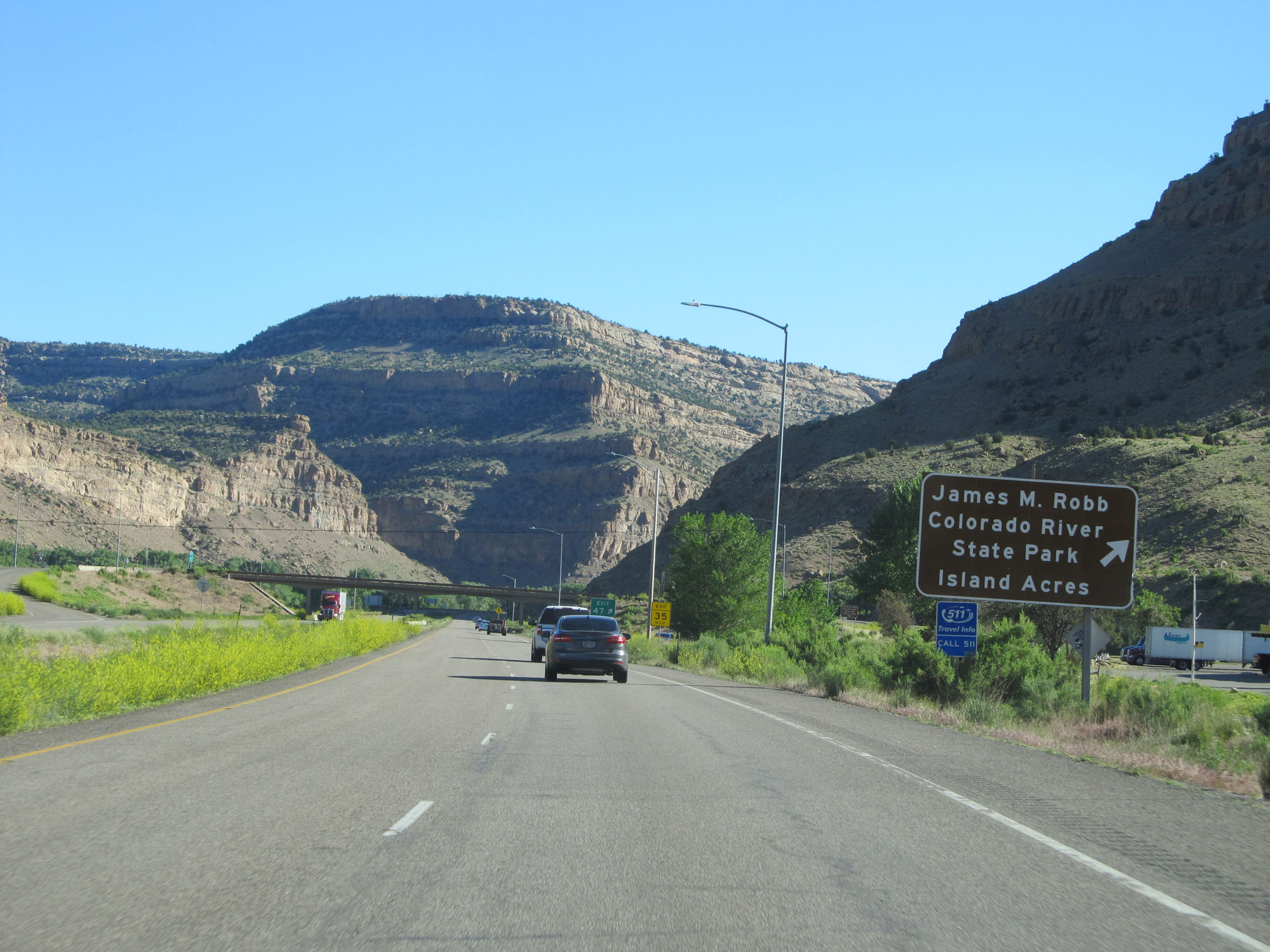 |
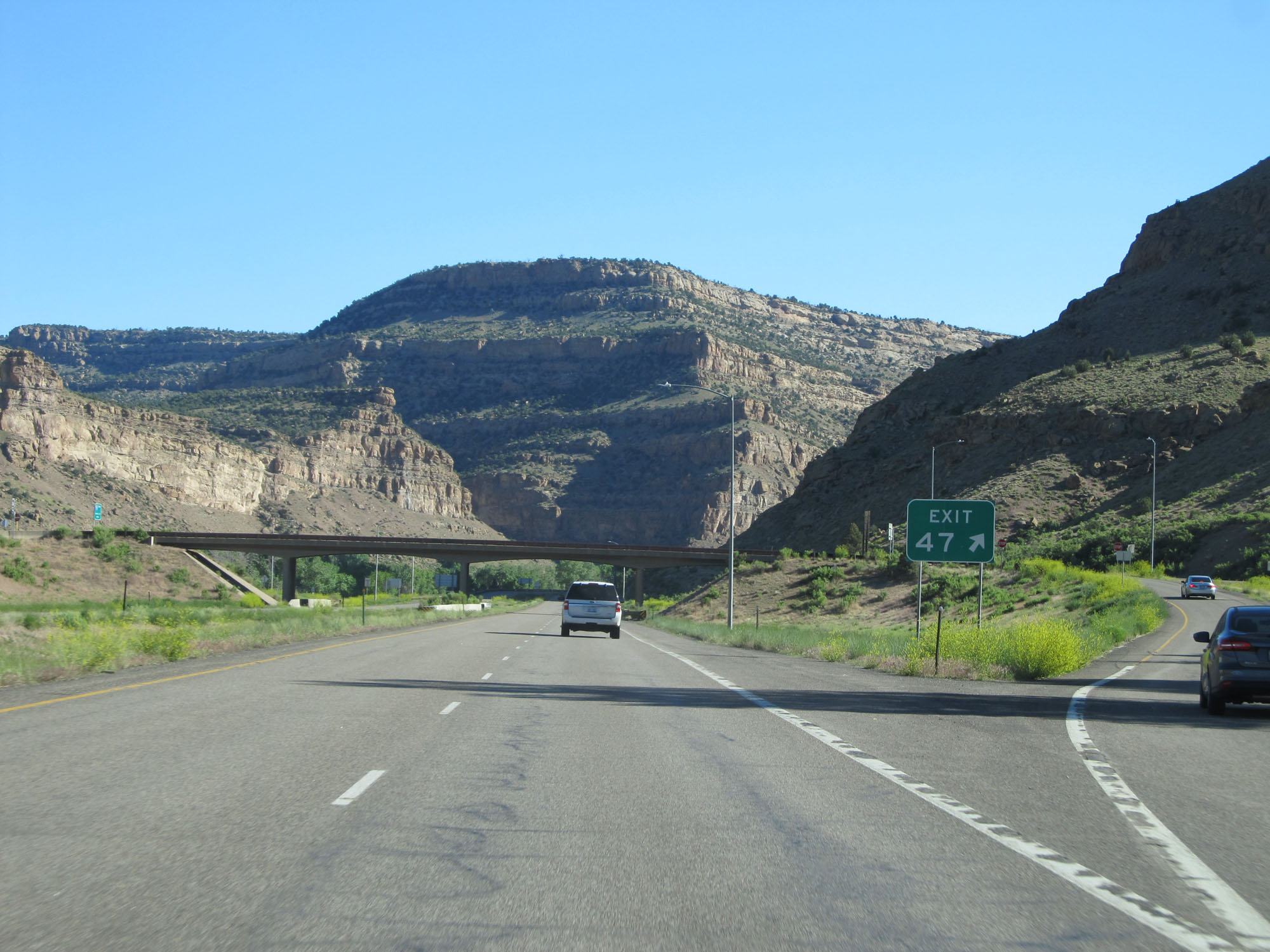
Interstate 70 East at Exit 47: James M. Robb Colorado River State Park / Island Acres (Photo taken 5/28/16). |
 |
Gore point signage for Exit 47. (Photo taken 5/28/16). |
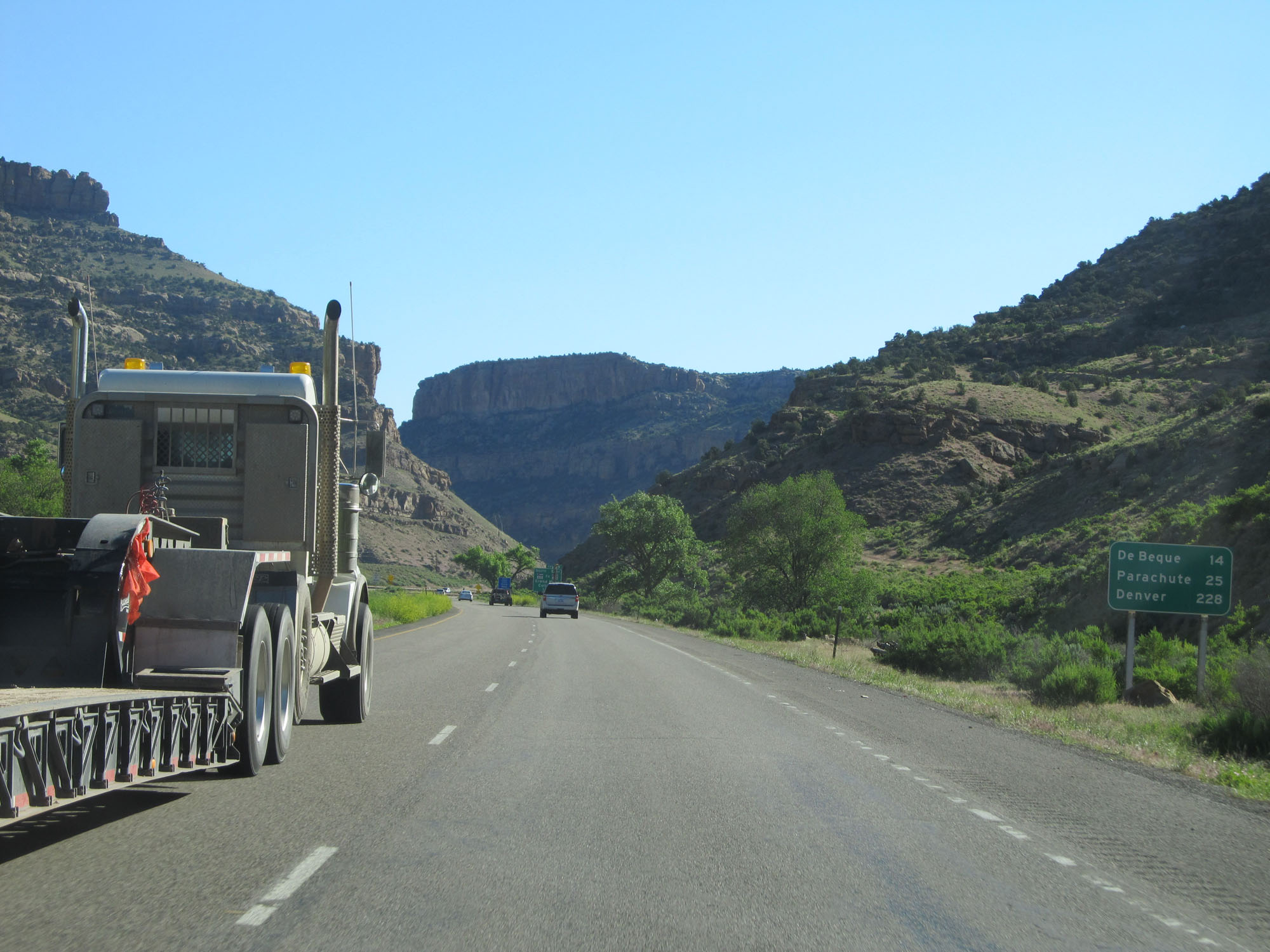 |
Mileage sign on Interstate 70 East. It's 14 miles to De Beque, 25 miles to Parachute, and 228 miles to Denver. (Photo taken 5/28/16). |
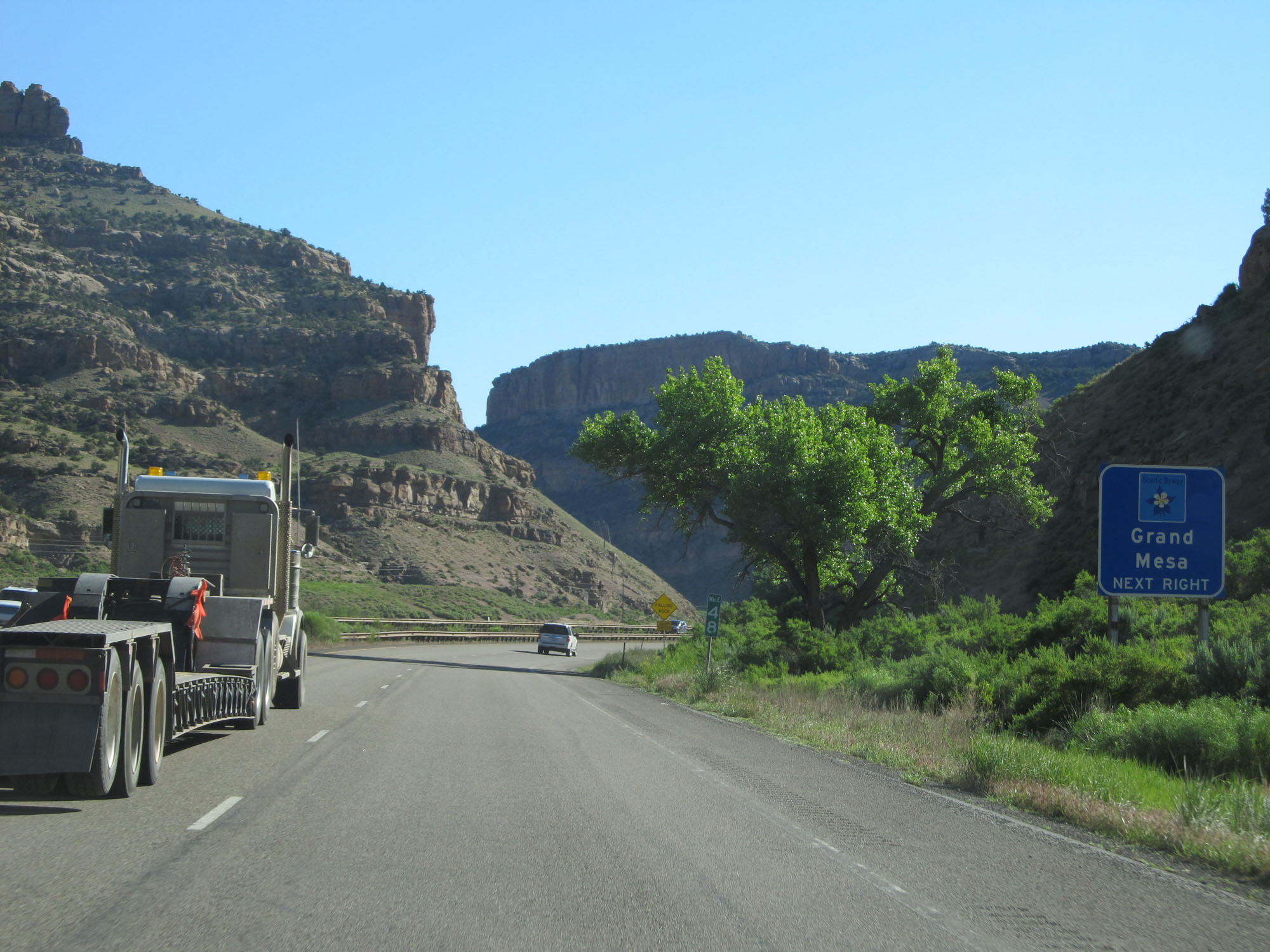 |
Take Exit 49 to Grand Mesa Scenic Byway. (Photo taken 5/28/16). |
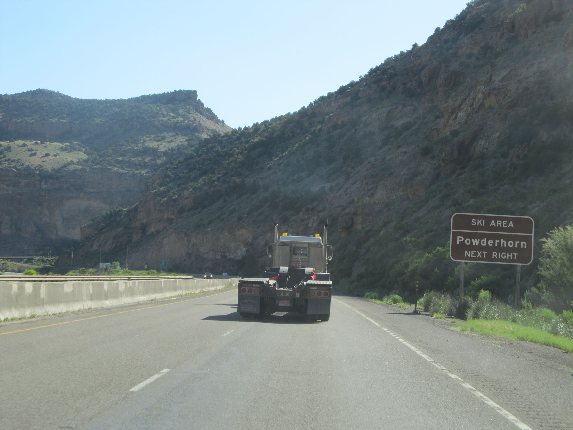 |
Take Exit 49 to Powderhorn Ski Area as well. (Photo taken 5/28/16). |
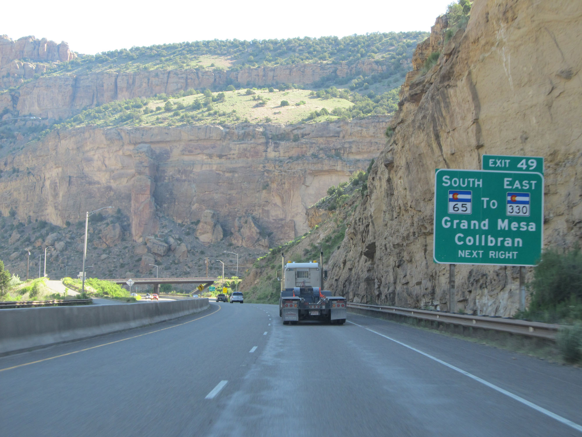 |
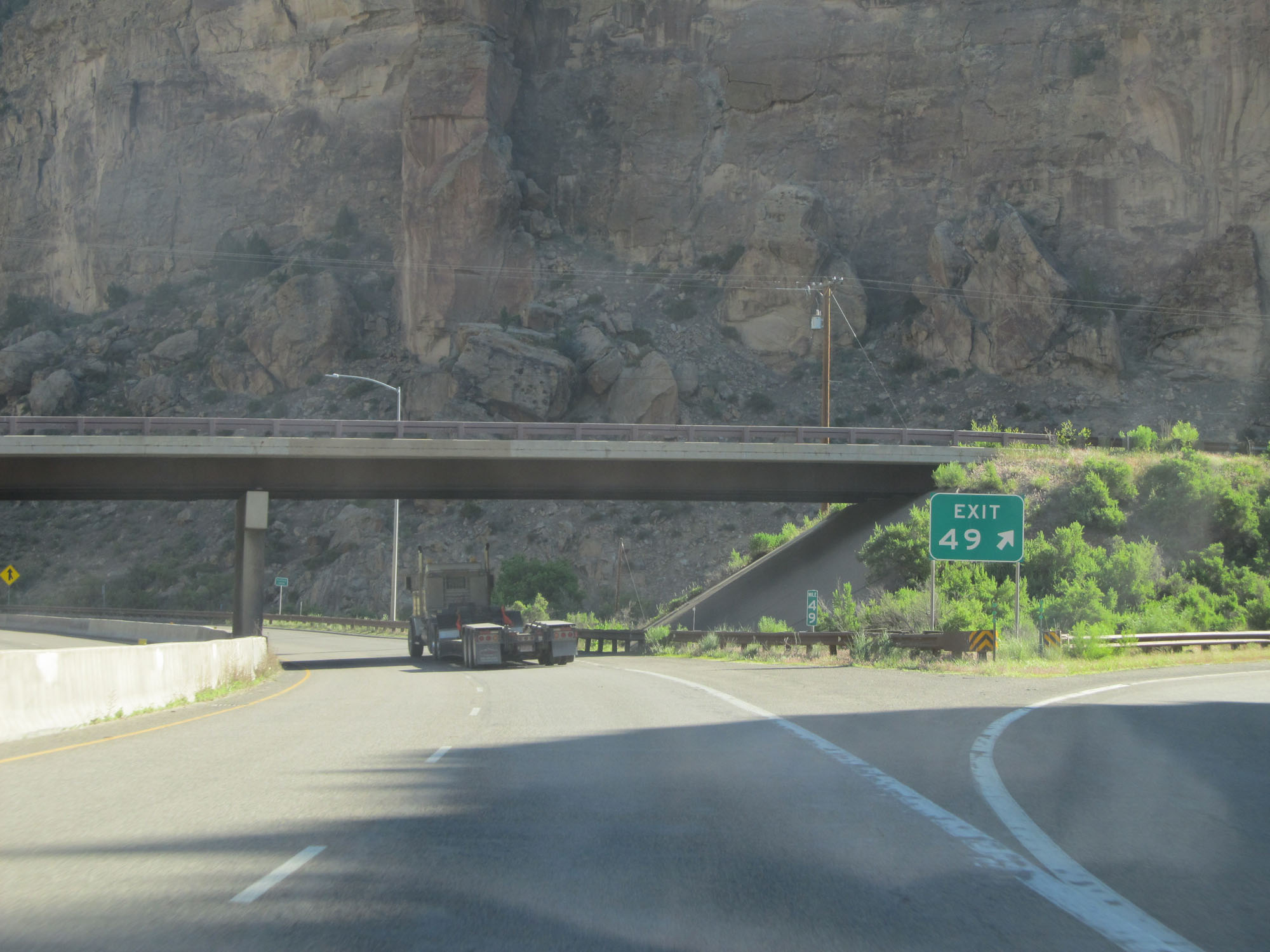
Interstate 70 East at Exit 49: CO 65 South / To CO 330 East - Grand Mesa / Collbran (Photo taken 5/28/16). |
 |
Gore point signage for Exit 49. (Photo taken 5/28/16). |
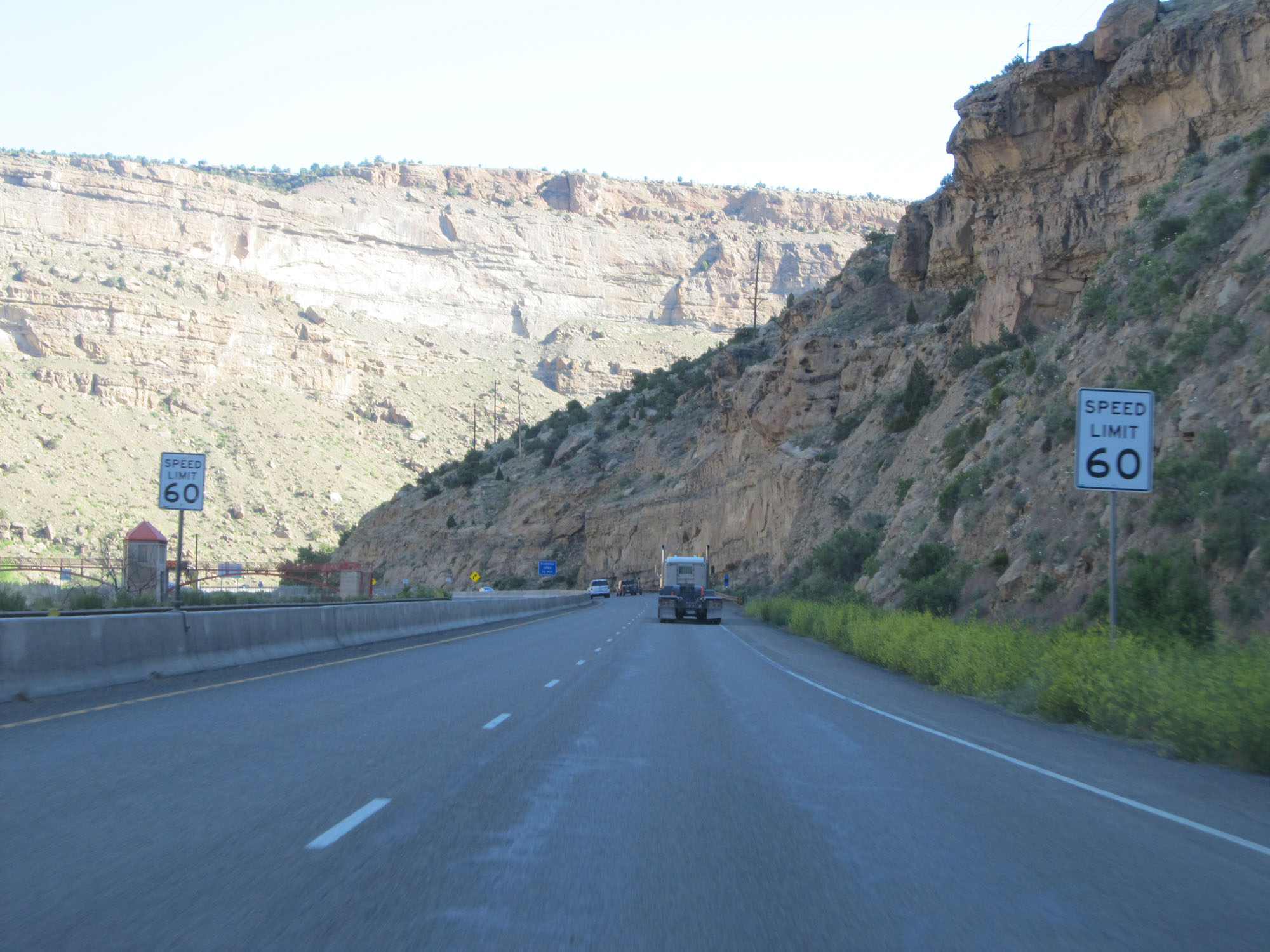 |
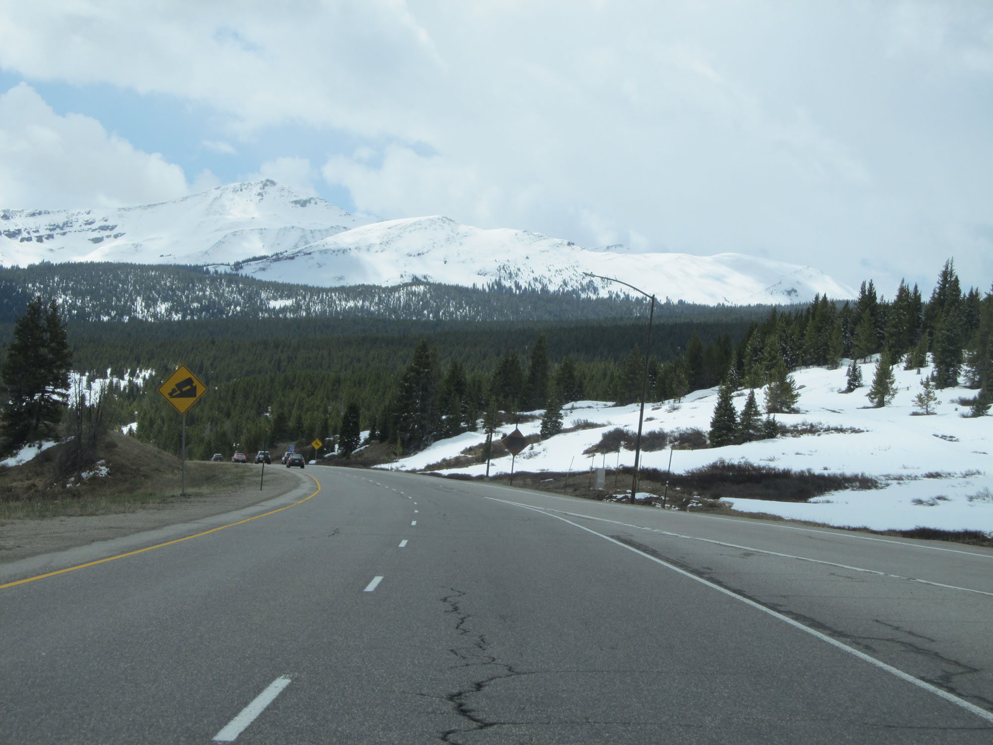
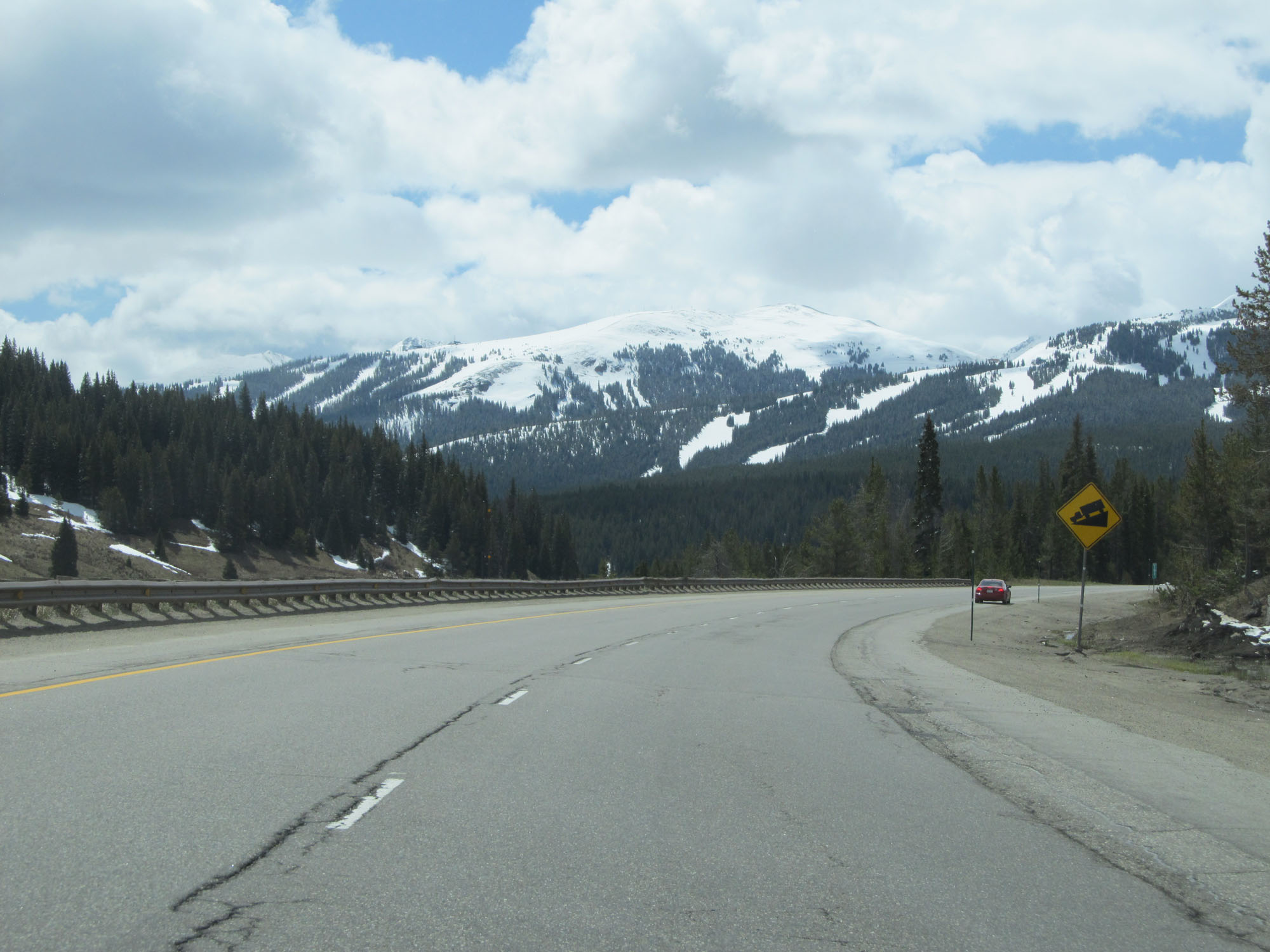
The speed limit decreases further to 60 mph east of Exit 49 as Interstate 70 winds around quite a bit. (Photo taken 5/28/16). |
 |
State-named Interstate 70 East reassurance shield. (Photo taken 5/28/16). |
 |
Parking Area at mile marker 50 on Interstate 70 East. (Photo taken 5/28/16). |
 |
View on Interstate 70 East approaching the Beavertail Tunnel. (Photo taken 5/28/16). |
 |
View on Interstate 70 East approaching the Beavertail Tunnel. (Photo taken 5/28/16). |
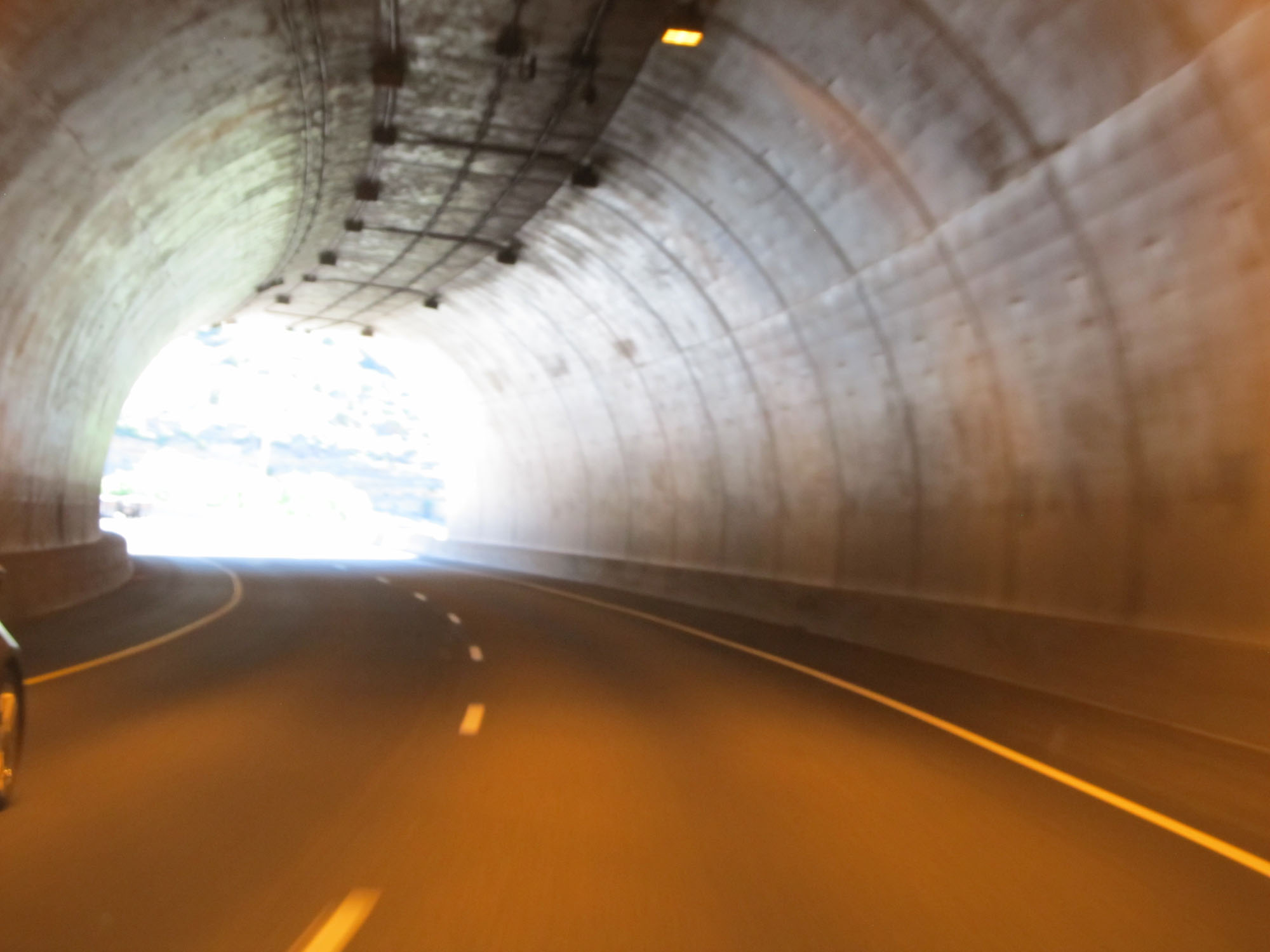 |
View from inside the Beavertail Tunnel on Interstate 70 East. (Photo taken 5/28/16). |
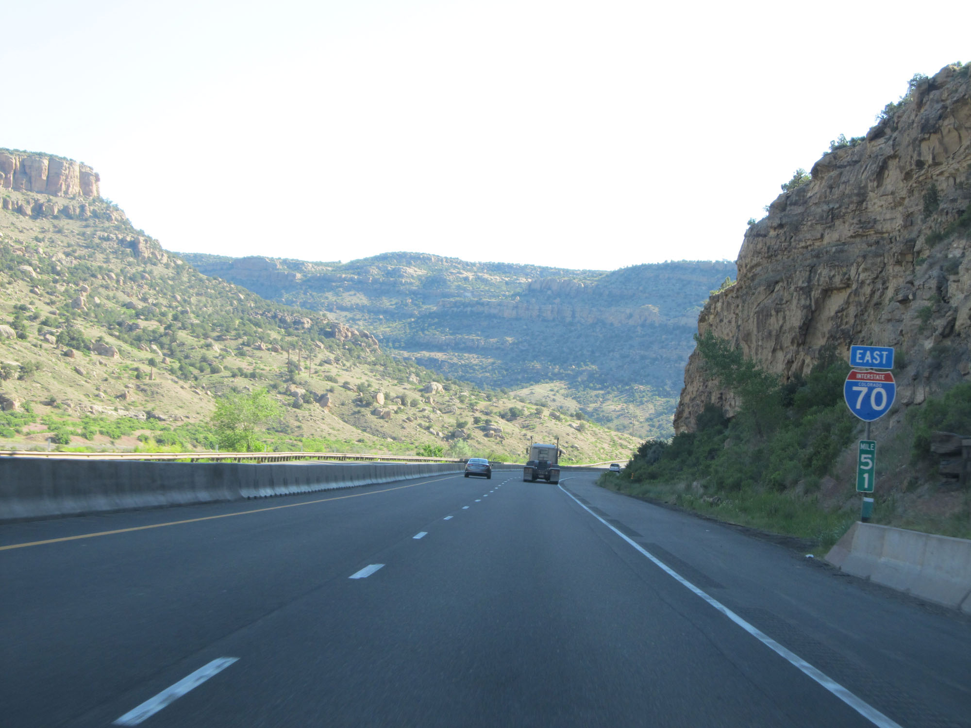 |
Interstate 70 East at mile marker 51. (Photo taken 5/28/16). |
 |
The speed limit remains 60 mph. (Photo taken 5/28/16). |
 |
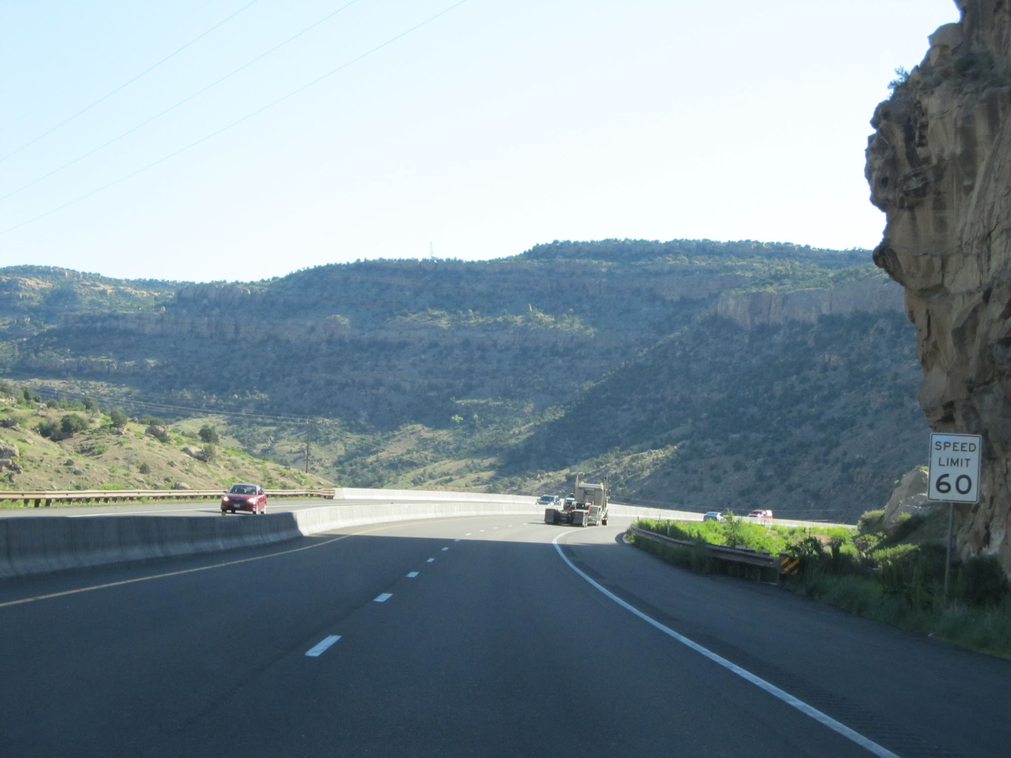
Interstate 70 East at mile marker 52. (Photo taken 5/28/16). |
 |
Left curve ahead. (Photo taken 5/28/16). |
 |
Another view on Interstate 70 East. (Photo taken 5/28/16). |
 |
Interstate 70 East at mile marker 54. (Photo taken 5/28/16). |
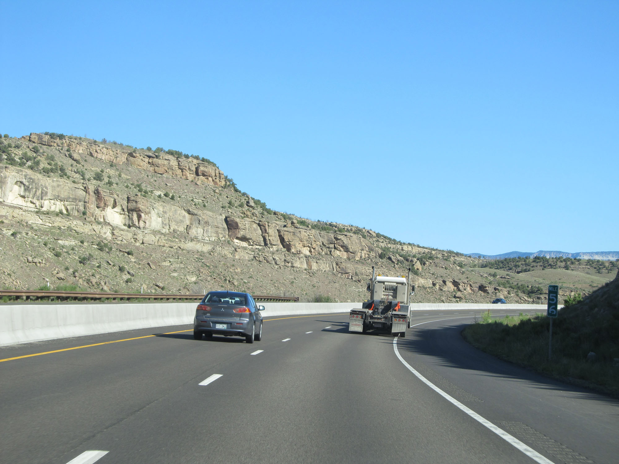 |
Interstate 70 East at mile marker 56. (Photo taken 5/28/16). |
 |
Here, the speed limit gets a slight bump up to 65 mph as the windiest parts of this stretch come to an end. (Photo taken 5/28/16). |
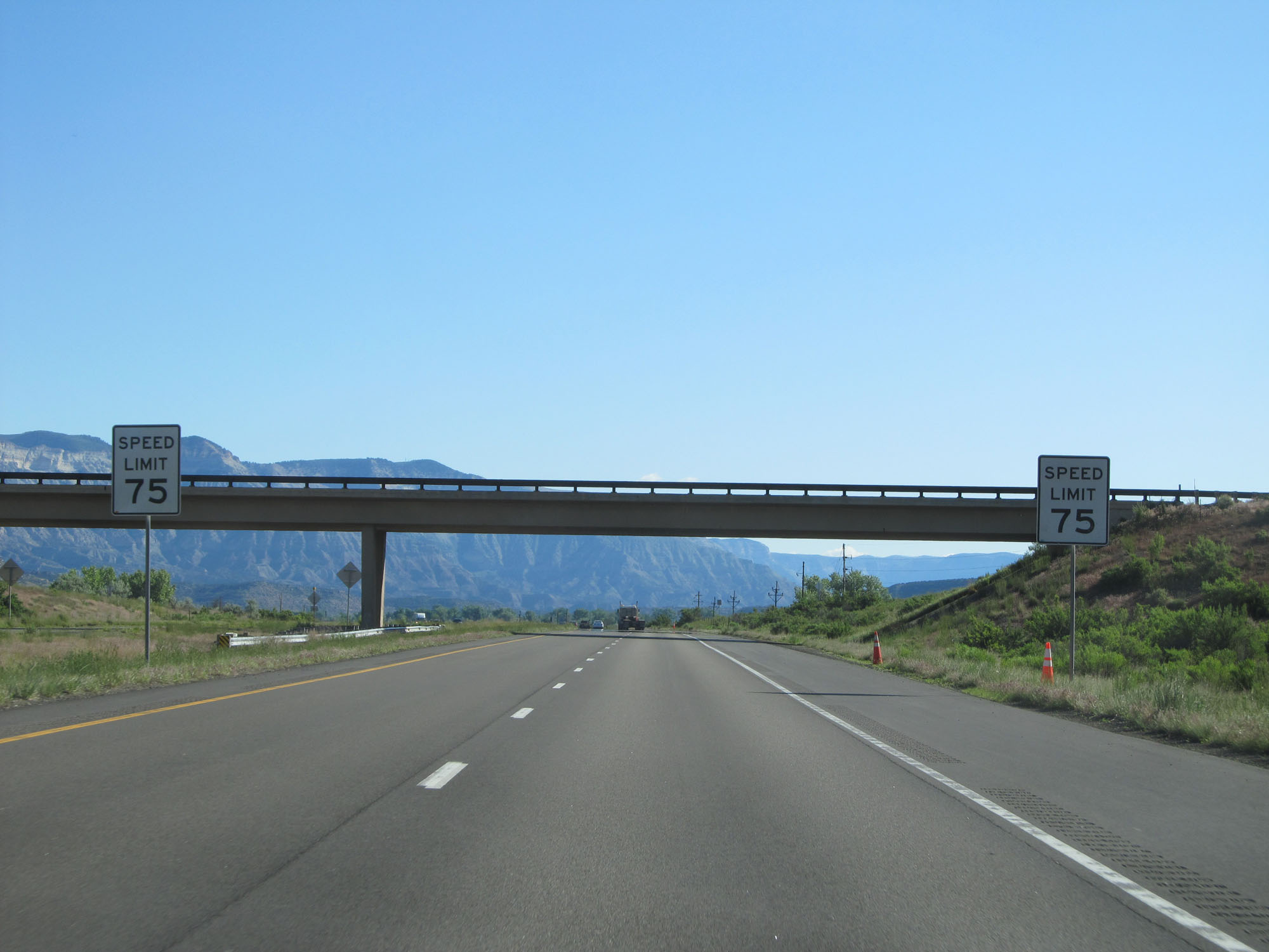 |
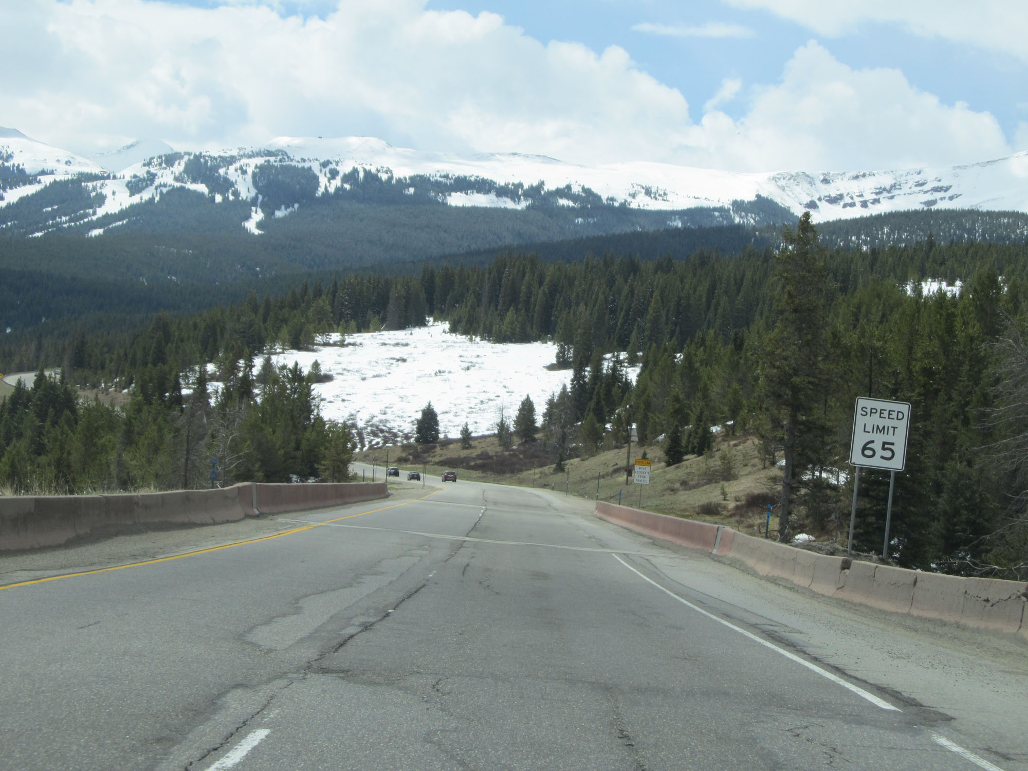
The standard speed limit of 75 mph finally resumes here. (Photo taken 5/28/16). |
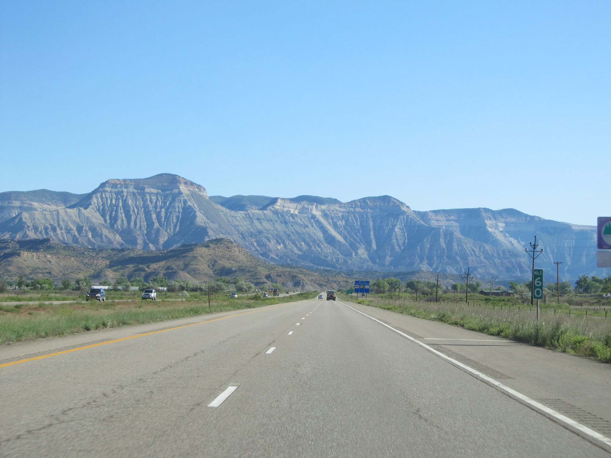 |
Interstate 70 East at mile marker 60. (Photo taken 5/28/16). |
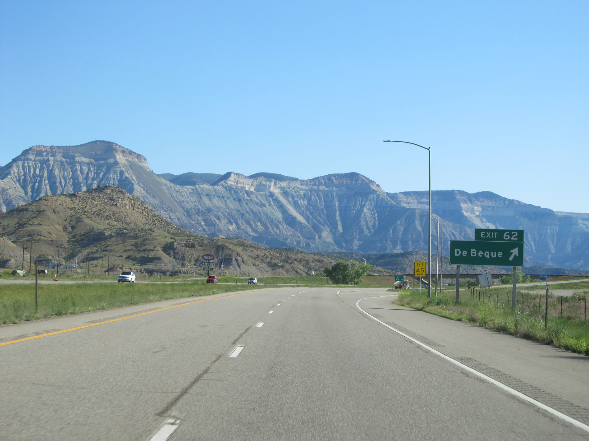 |
Interstate 70 East at Exit 62: De Beque (Photo taken 5/28/16). |
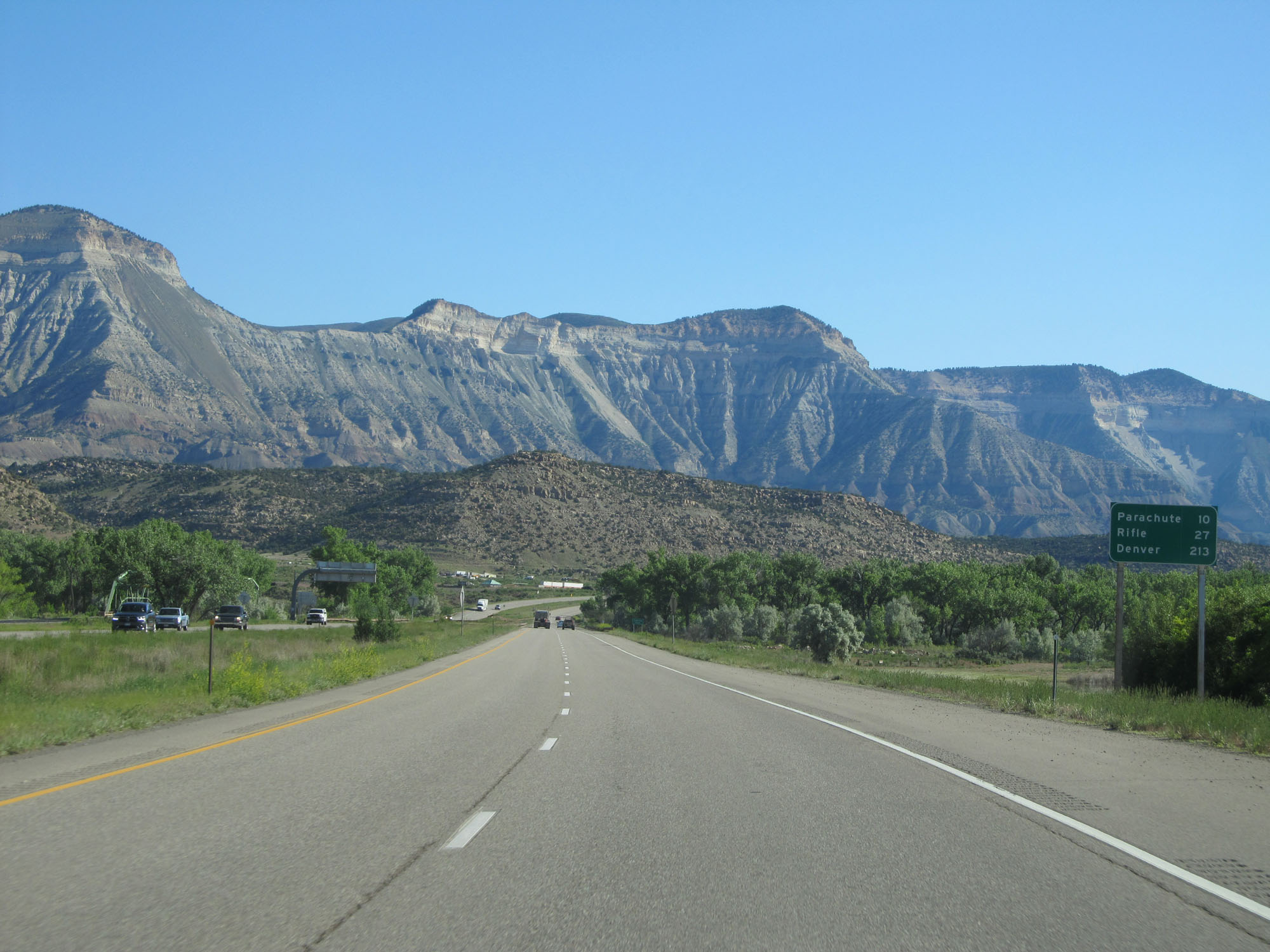 |
Mileage sign on Interstate 70 East. It's 10 miles to Parachute, 27 miles to Rifle, and 213 miles to Denver. (Photo taken 5/28/16). |
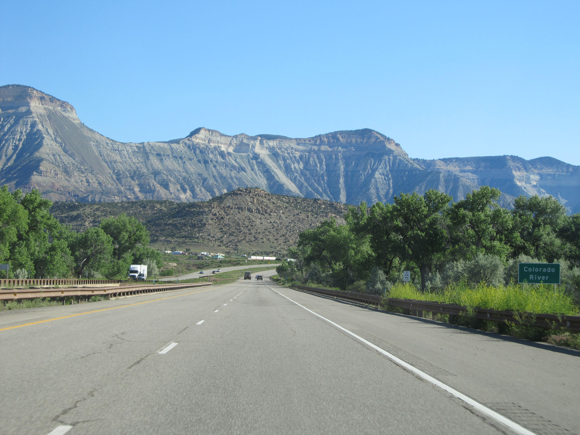 |
Interstate 70 East as it crosses to Colorado River once again. (Photo taken 5/28/16). |
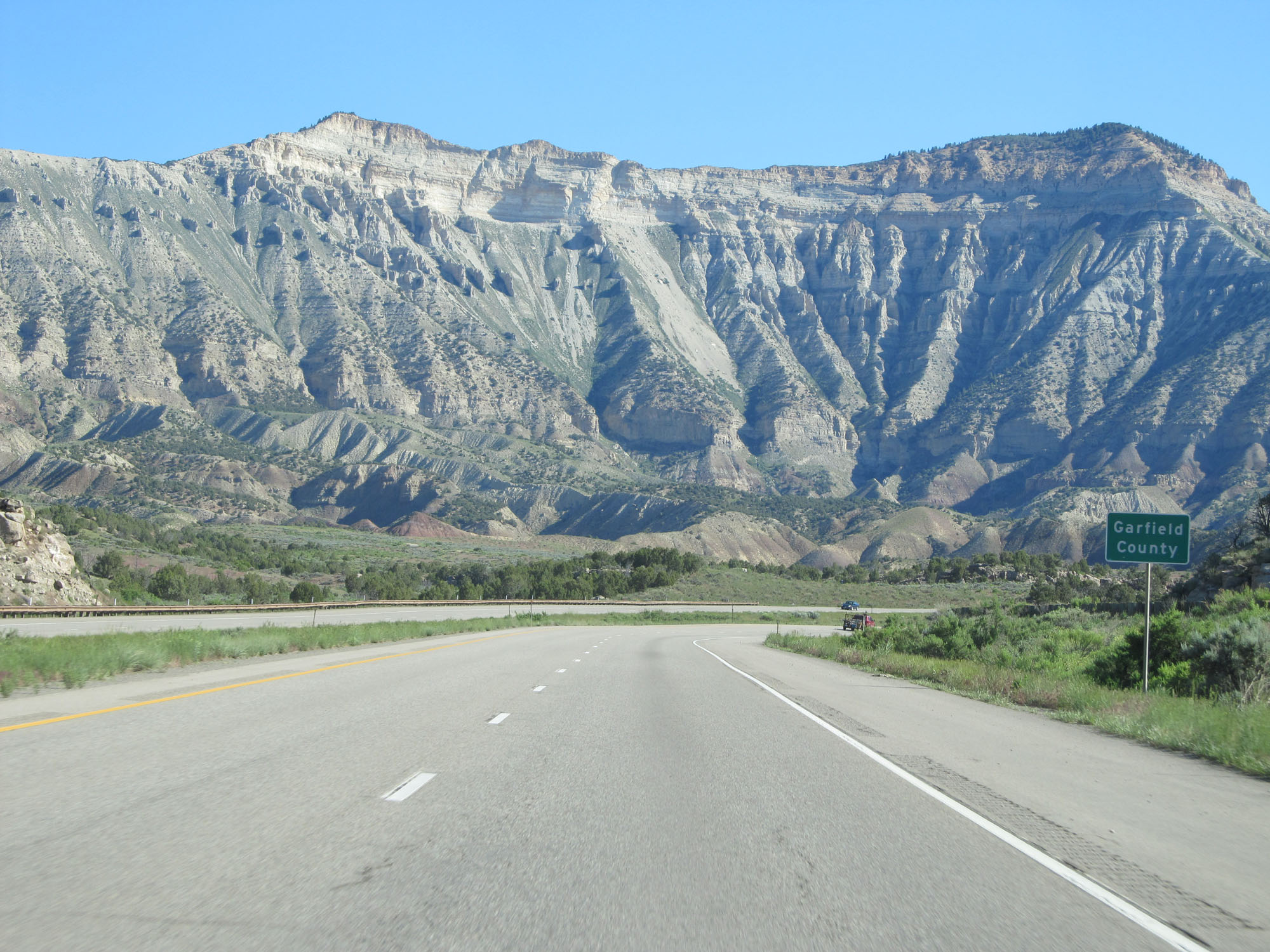 |
Interstate 70 East entering Garfield County. (Photo taken 5/28/16). |
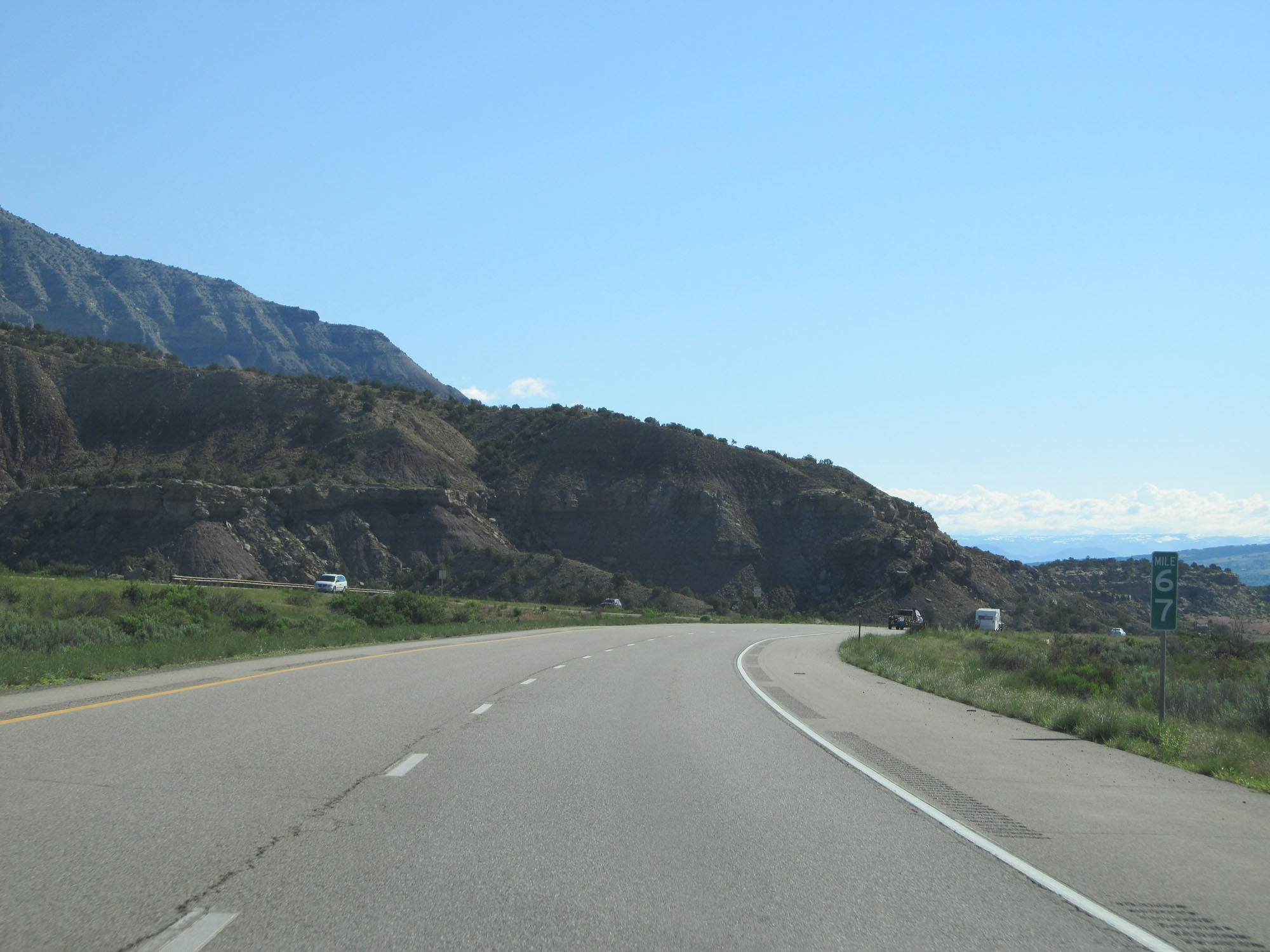 |
Interstate 70 East at mile marker 67. (Photo taken 5/28/16). |
 |
Interstate 70 East at mile marker 70. (Photo taken 5/28/16). |
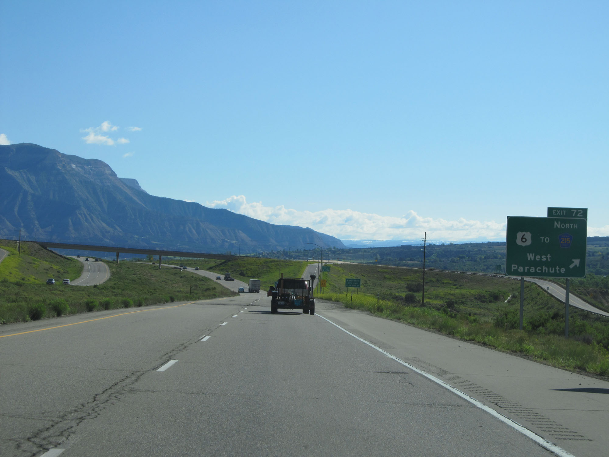 |
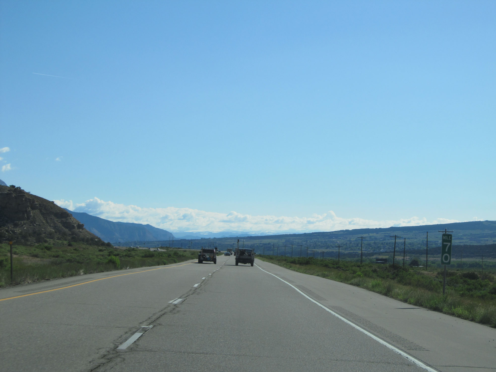
Interstate 70 East at Exit 72: US 6 / To CR 215 North - West Parachute (Photo taken 5/28/16). |
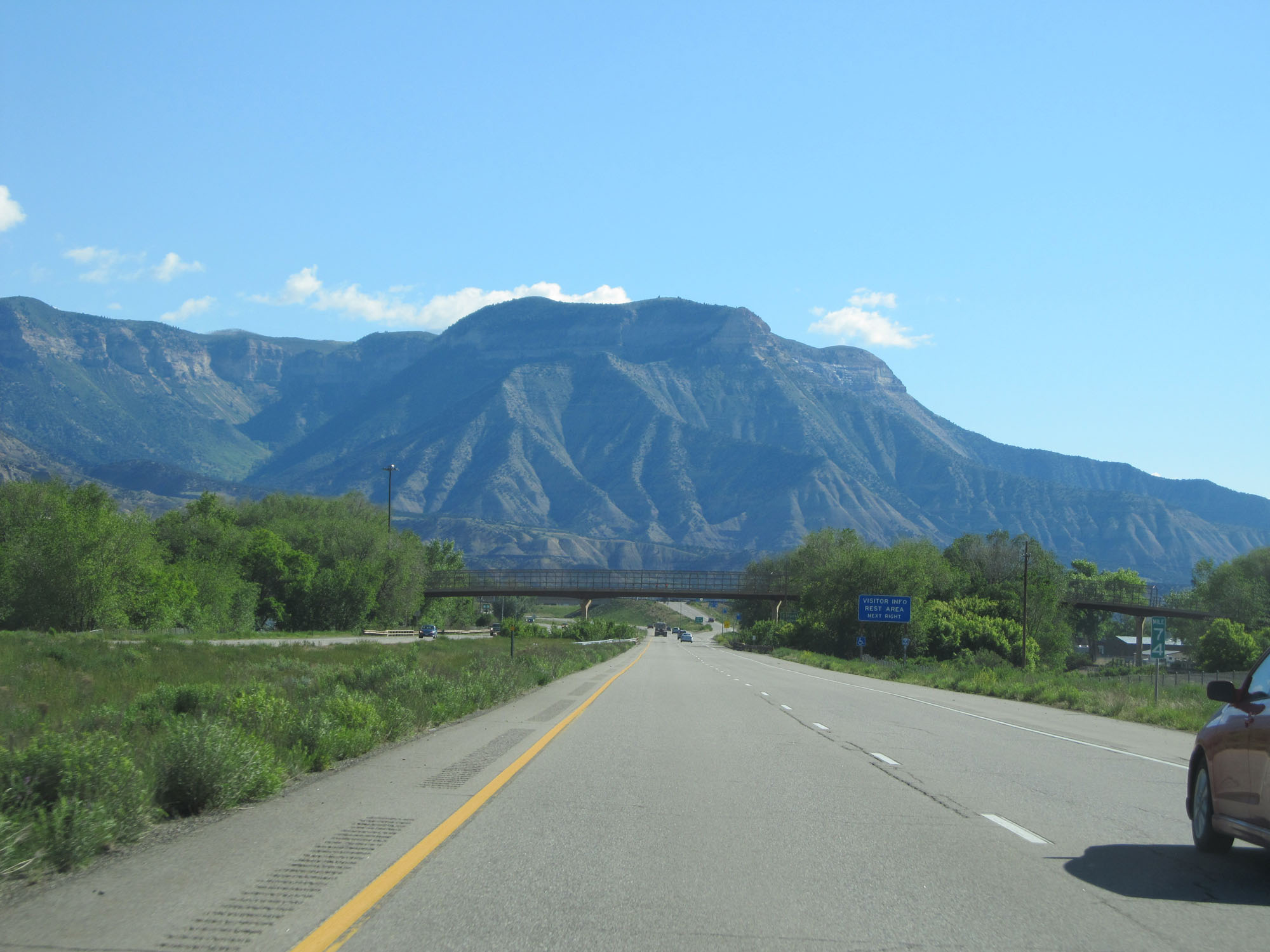 |
Interstate 70 East at mile marker 74. (Photo taken 5/28/16). |
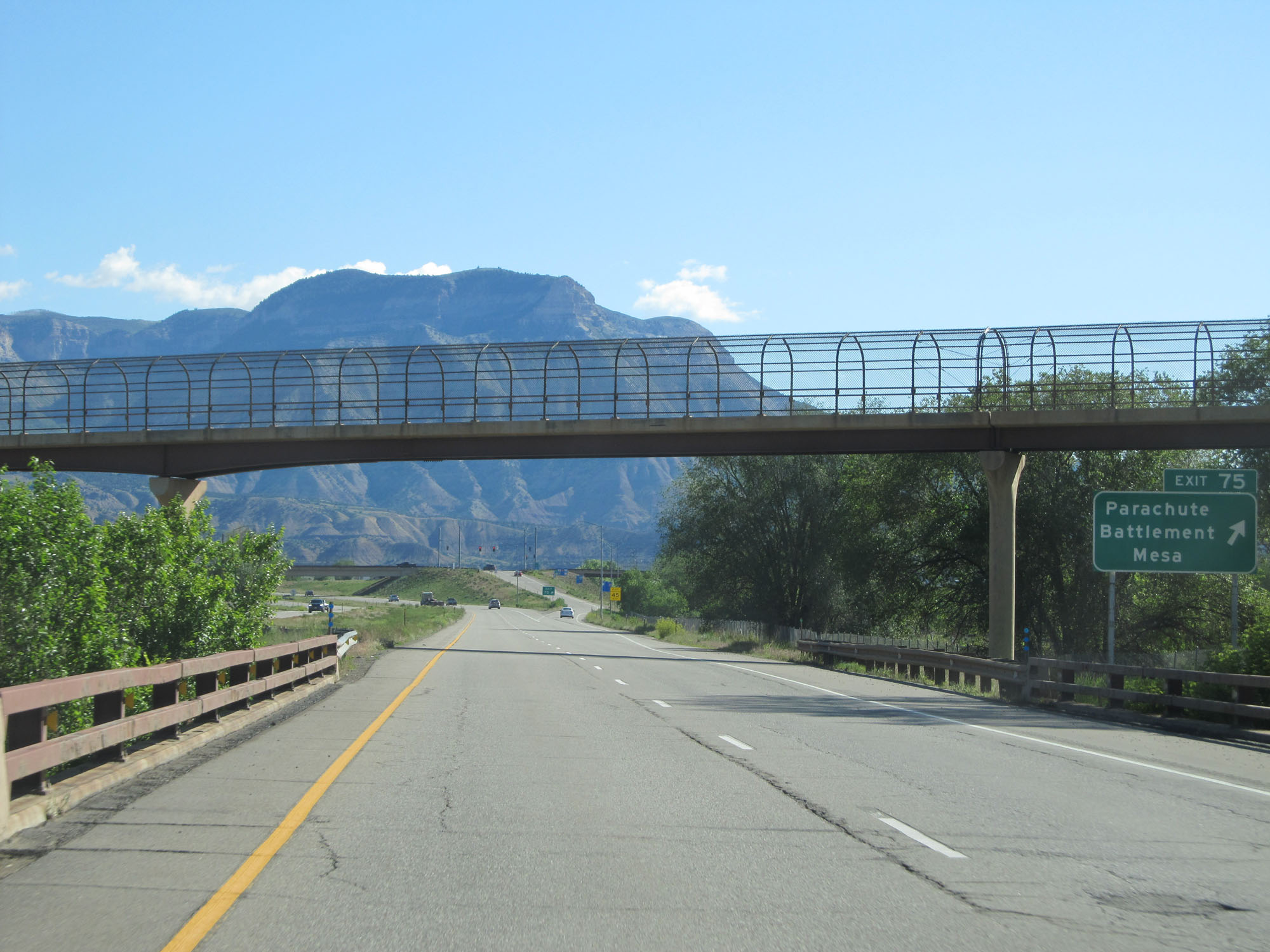 |
Interstate 70 East at Exit 75: Parachute / Battlement Mesa (Photo taken 5/28/16). |
 |
Interstate 70 East reassurance shield. (Photo taken 5/28/16). |
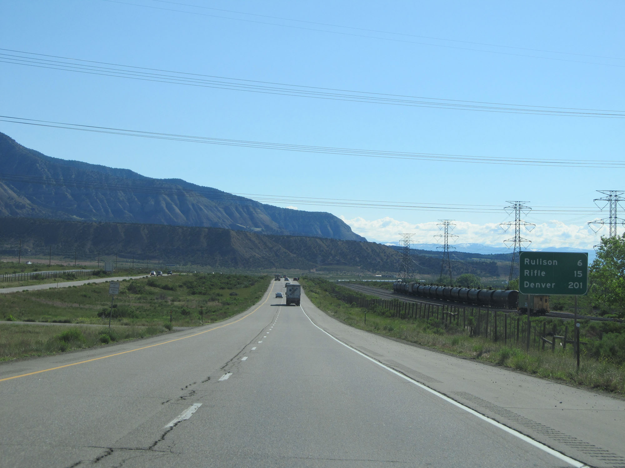 |
Mileage sign on Interstate 70 East. It's 6 miles to Rulison, 15 miles to Rifle, and 201 miles to Denver. (Photo taken 5/28/16). |
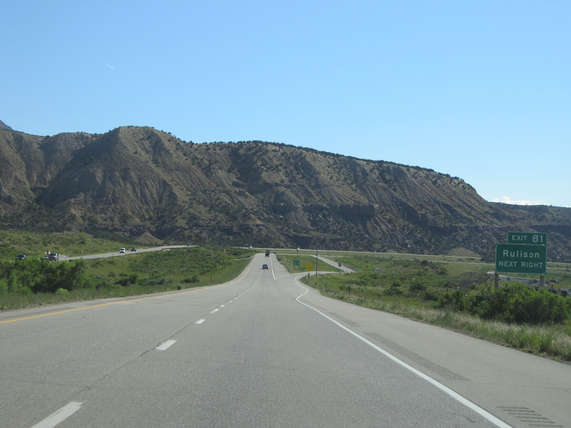 |
Interstate 70 East at Exit 81: Rulison (Photo taken 5/28/16). |
 |
Gore point signage for Exit 81. (Photo taken 5/28/16). |
 |
The speed limit remains 75 mph. (Photo taken 5/28/16). |
 |
Interstate 70 East at mile marker 85. (Photo taken 5/28/16). |
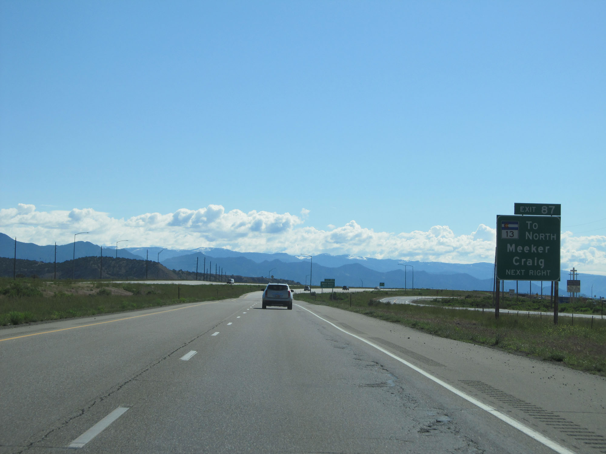 |
Take Exit 87 to CO 13 North toward Meeker and Craig (Photo taken 5/28/16). |
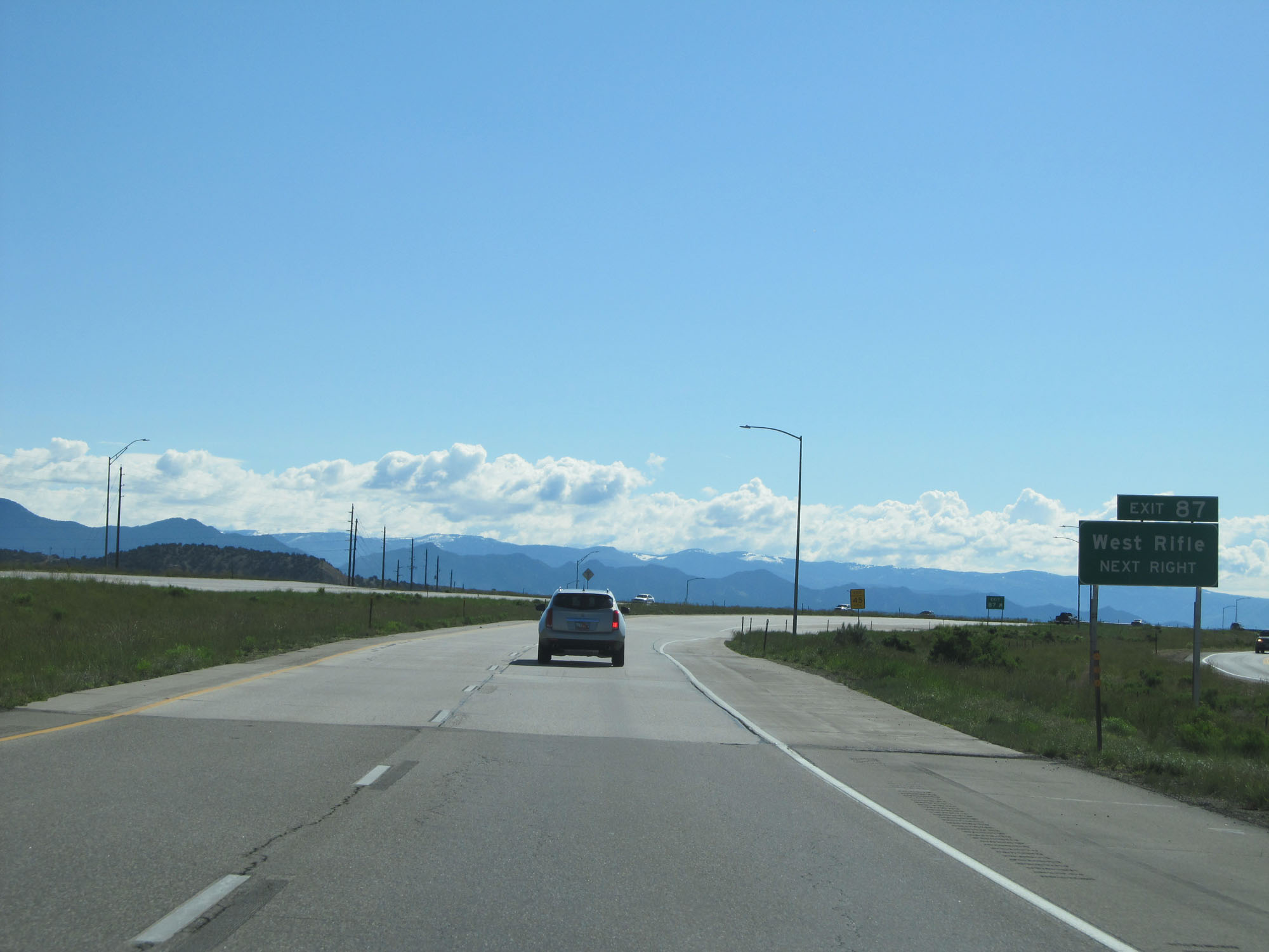 |
Interstate 70 East at Exit 87: West Rifle (Photo taken 5/28/16). |
 |
Interstate 70 East reassurance shield. (Photo taken 5/28/16). |
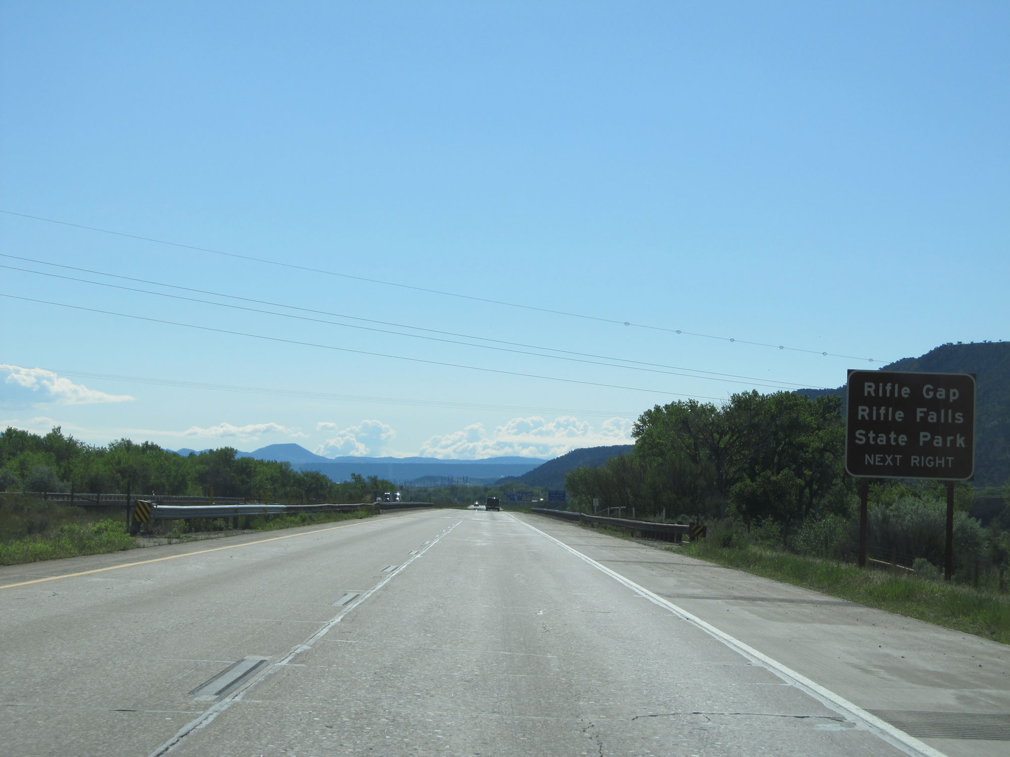 |
Take Exit 90 to Rifle Gap Rifle Falls State Park. (Photo taken 5/28/16). |
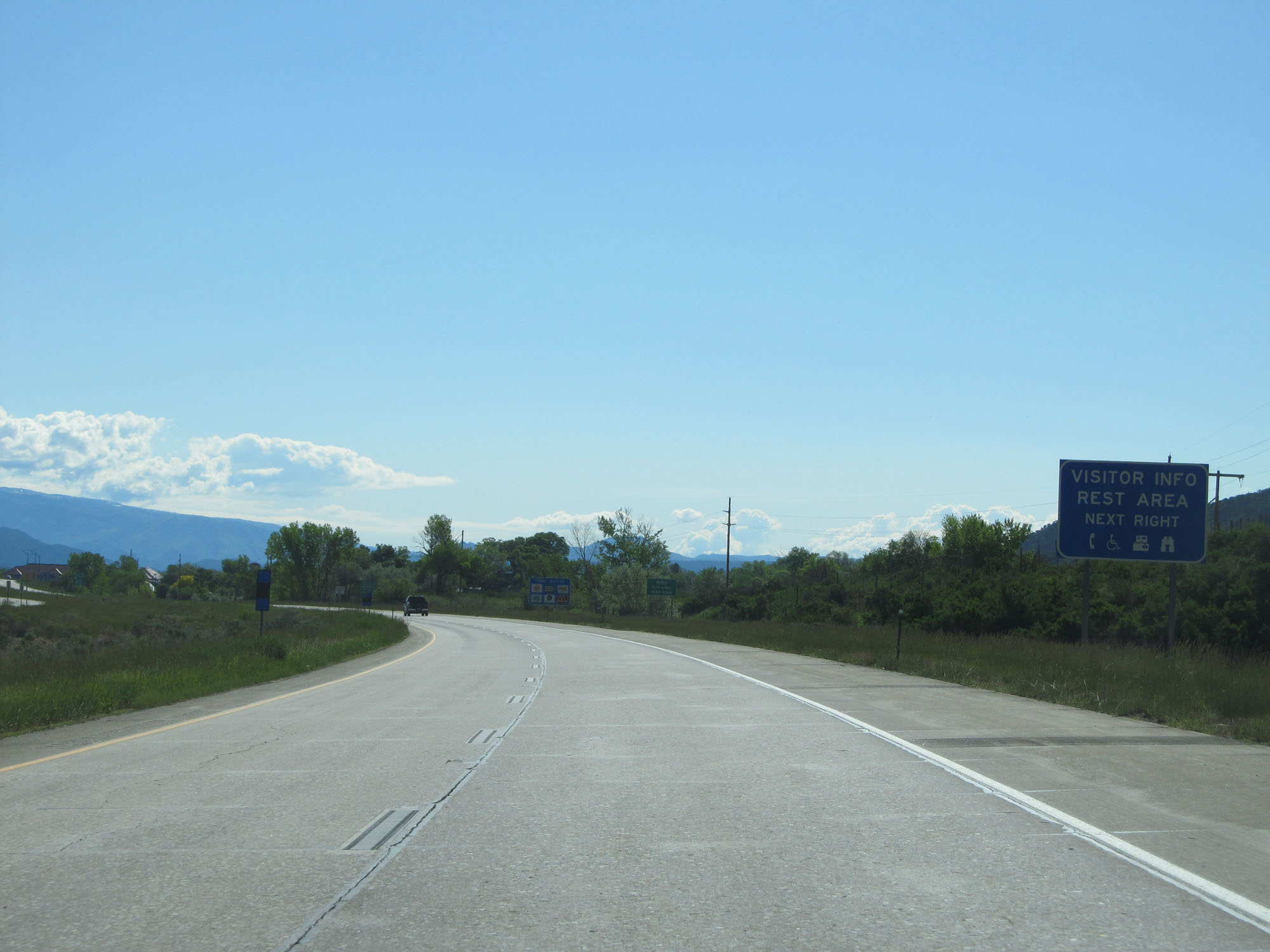 |
A Rest Area exists off Exit 90. (Photo taken 5/28/16). |
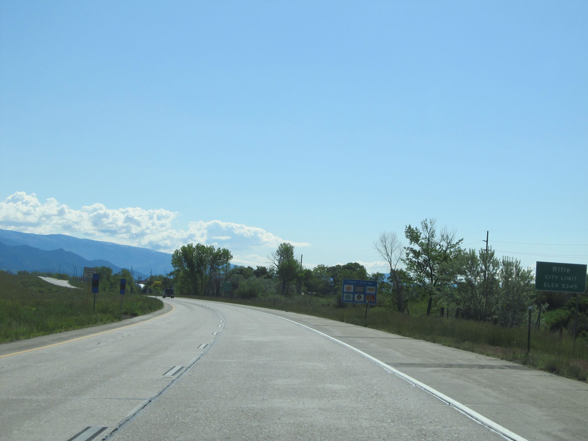 |
Interstate 70 East as it enters the Rifle city limits at an elevation of 5,345 feet. (Photo taken 5/28/16). |
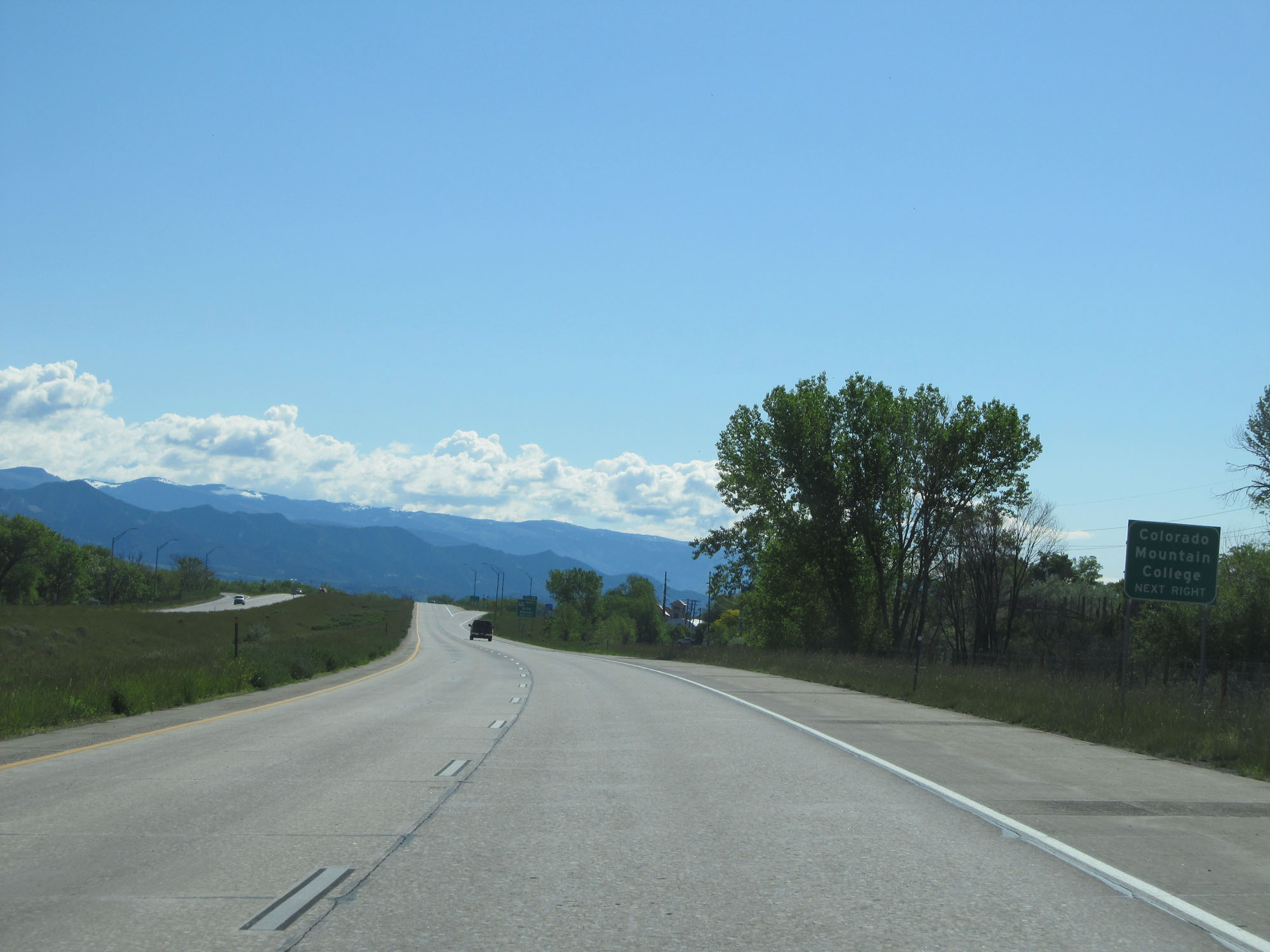 |
Take Exit 90 to Colorado Mountain College as well. (Photo taken 5/28/16). |
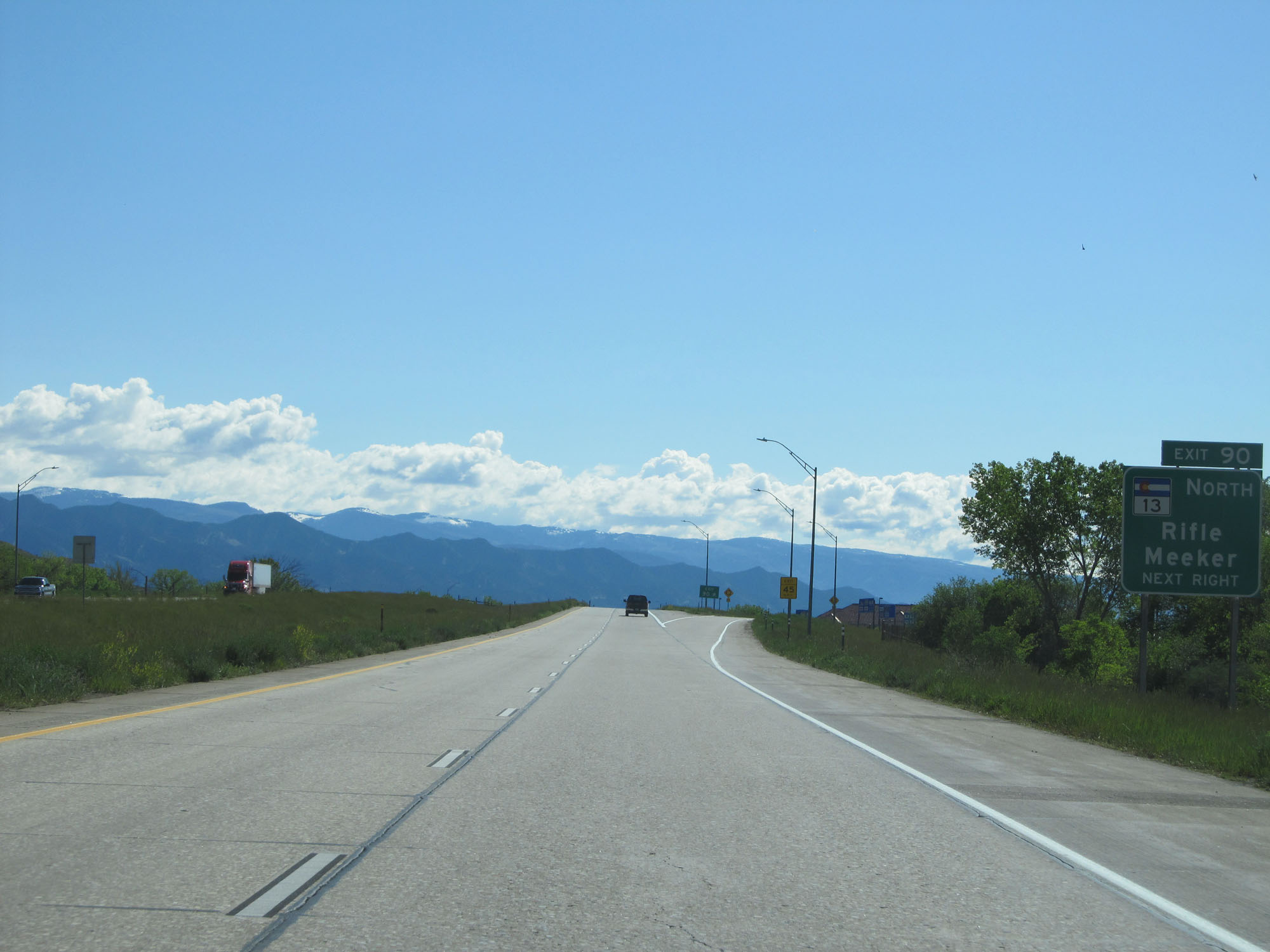 |
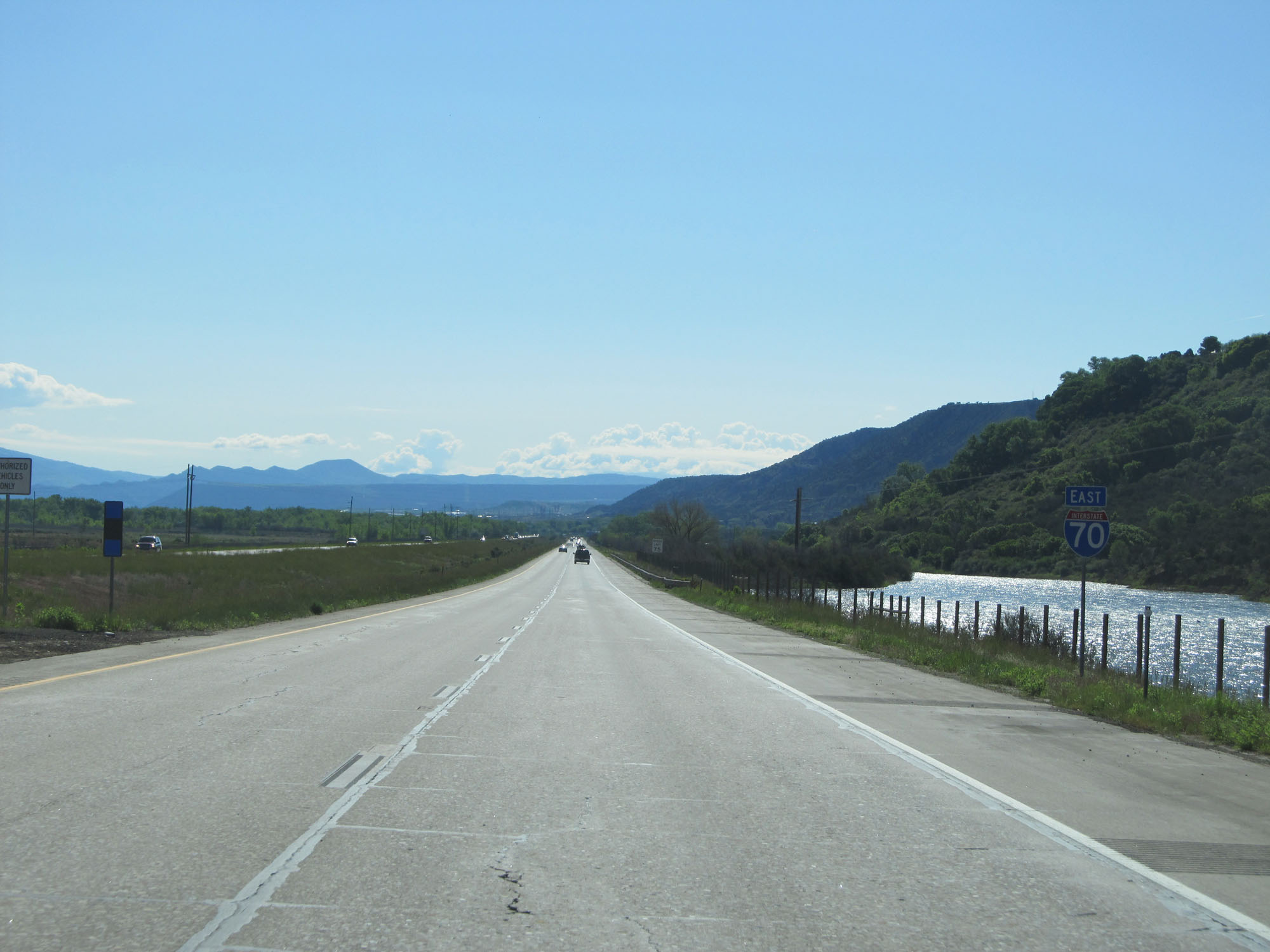
Interstate 70 East at Exit 90: CO 13 North - Rifle / Meeker (Photo taken 5/28/16). |
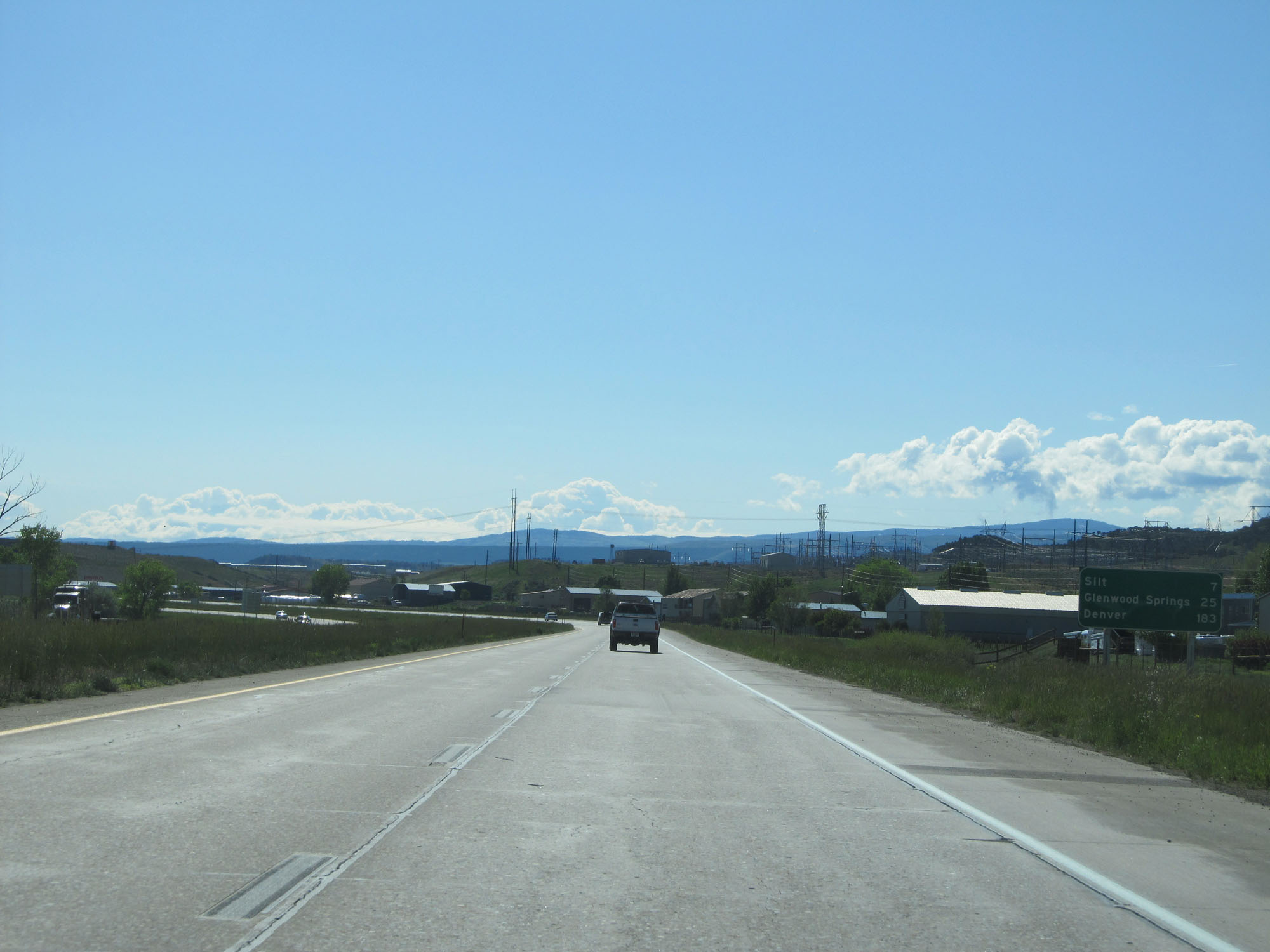 |
Mileage sign on Interstate 70 East. It's 7 miles to Silt, 25 miles to Glenwood Springs, and 183 miles to Denver. (Photo taken 5/28/16). |
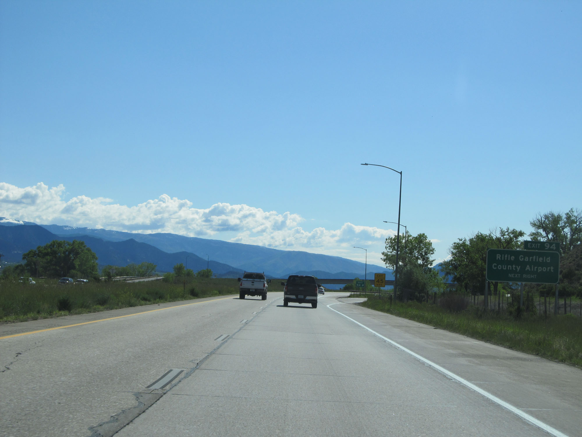 |
Interstate 70 East at Exit 94: Rifle / Garfield County Regional Airport (Photo taken 5/28/16). |
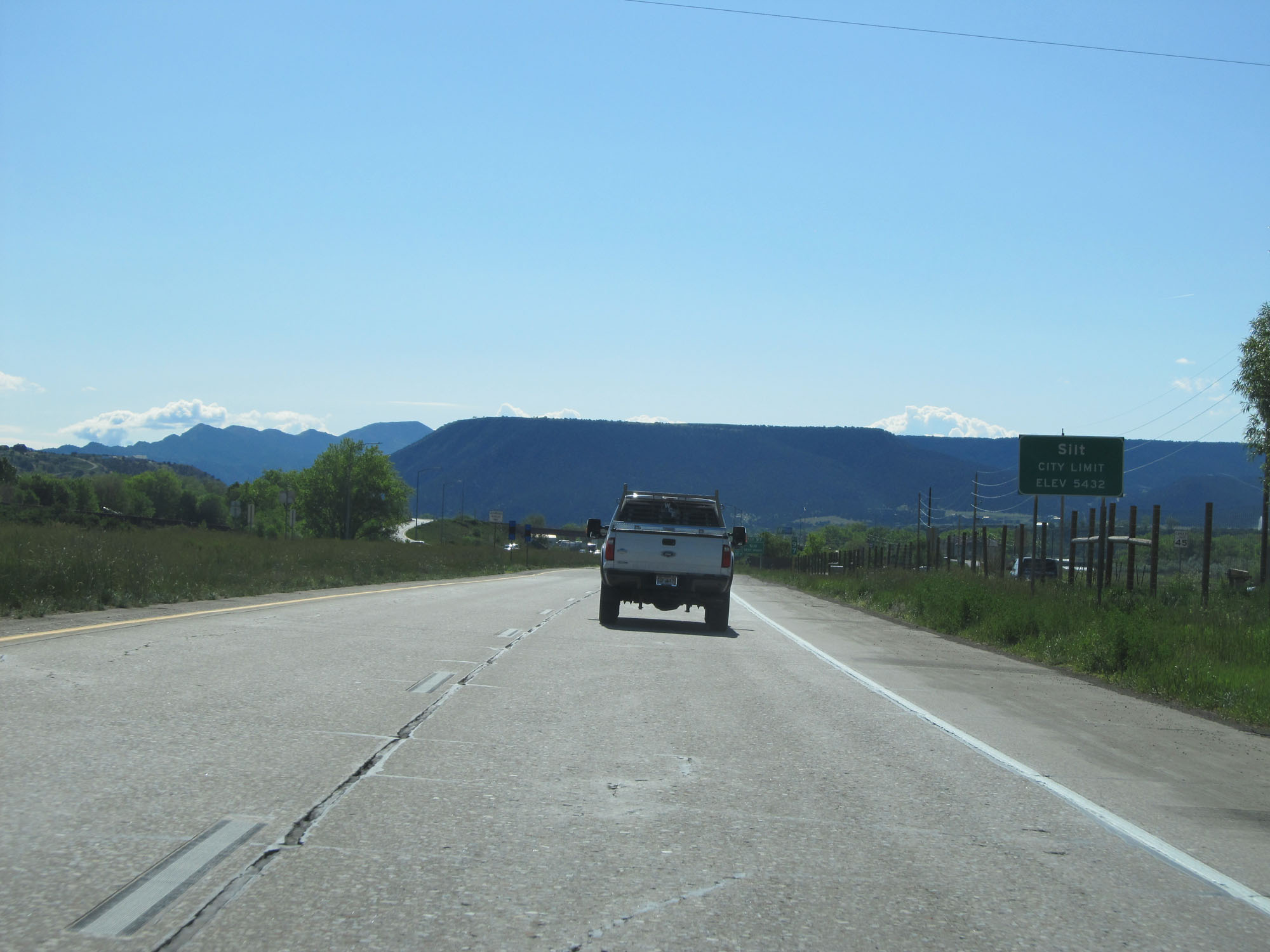 |
Interstate 70 East entering the Silt city limits at an elevation of 5,432 feet. (Photo taken 5/28/16). |
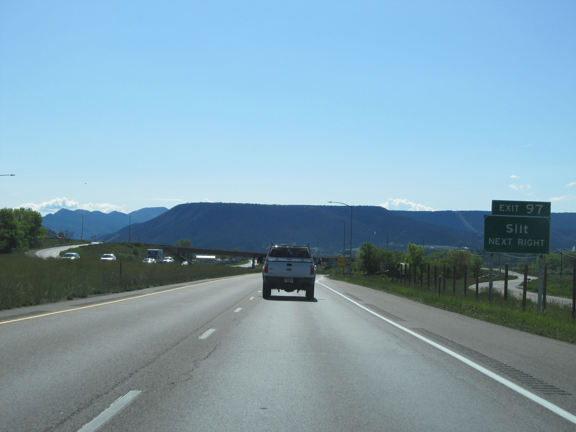 |
Interstate 70 East at Exit 97: Silt (Photo taken 5/28/16). |
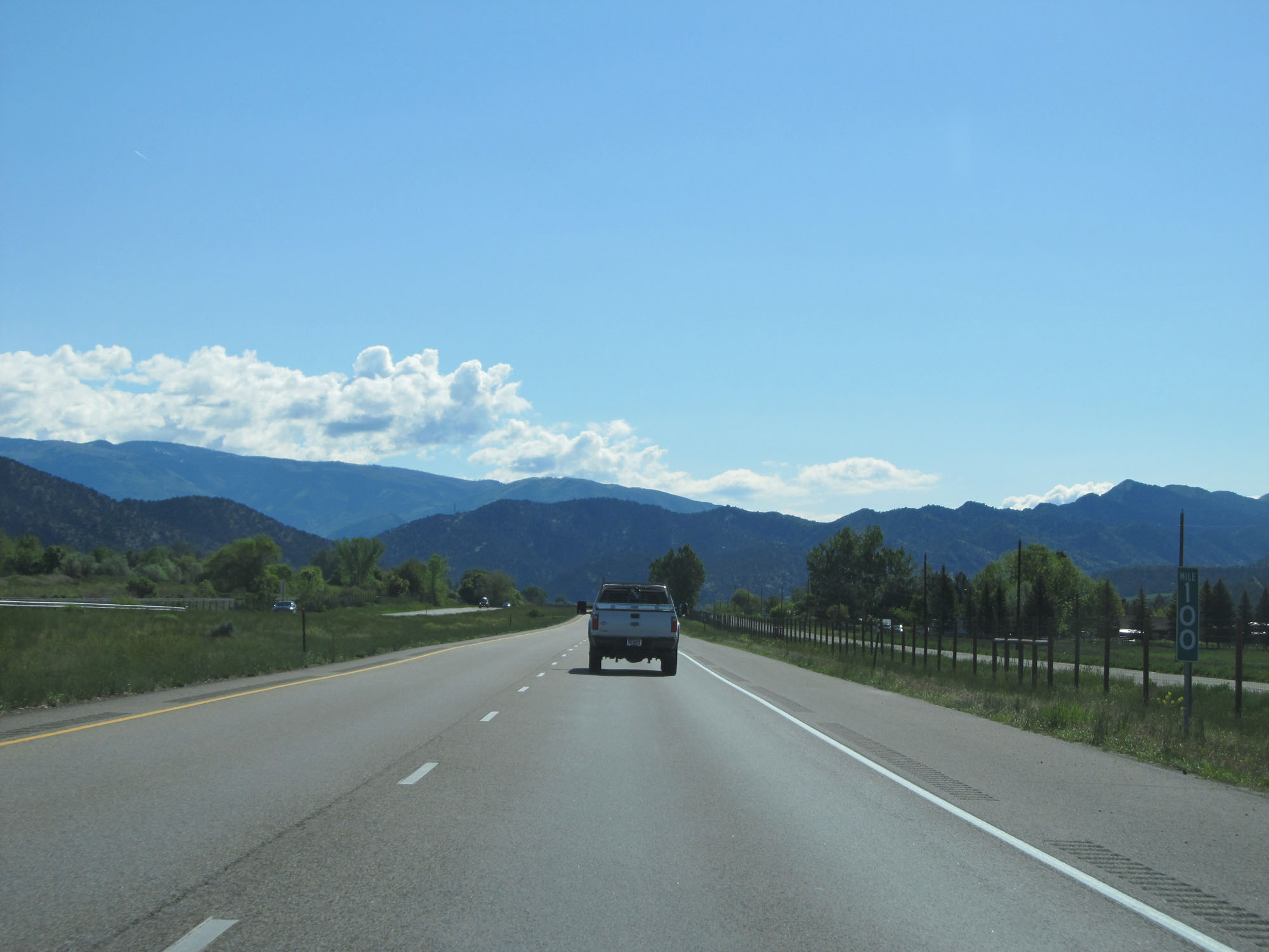 |
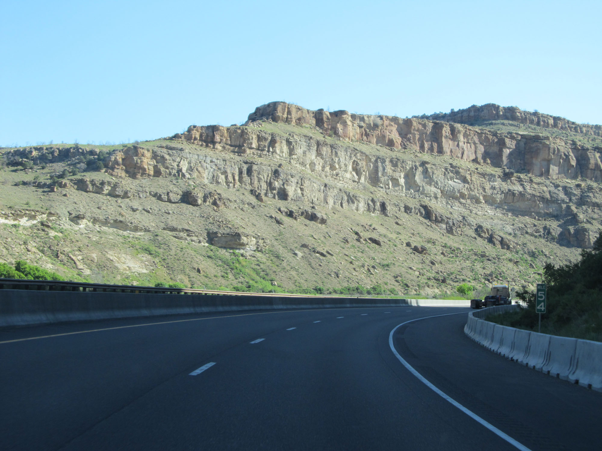
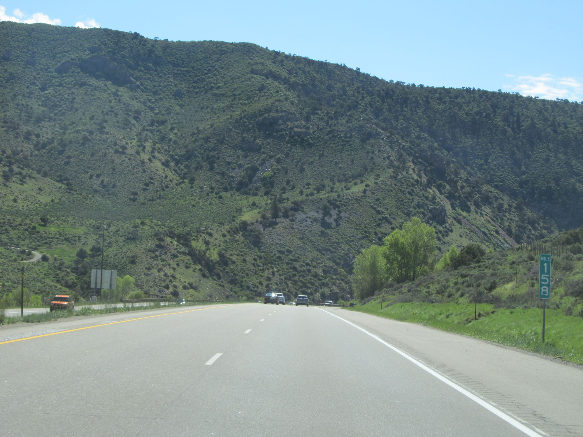
Interstate 70 East at mile marker 100. (Photo taken 5/28/16). |
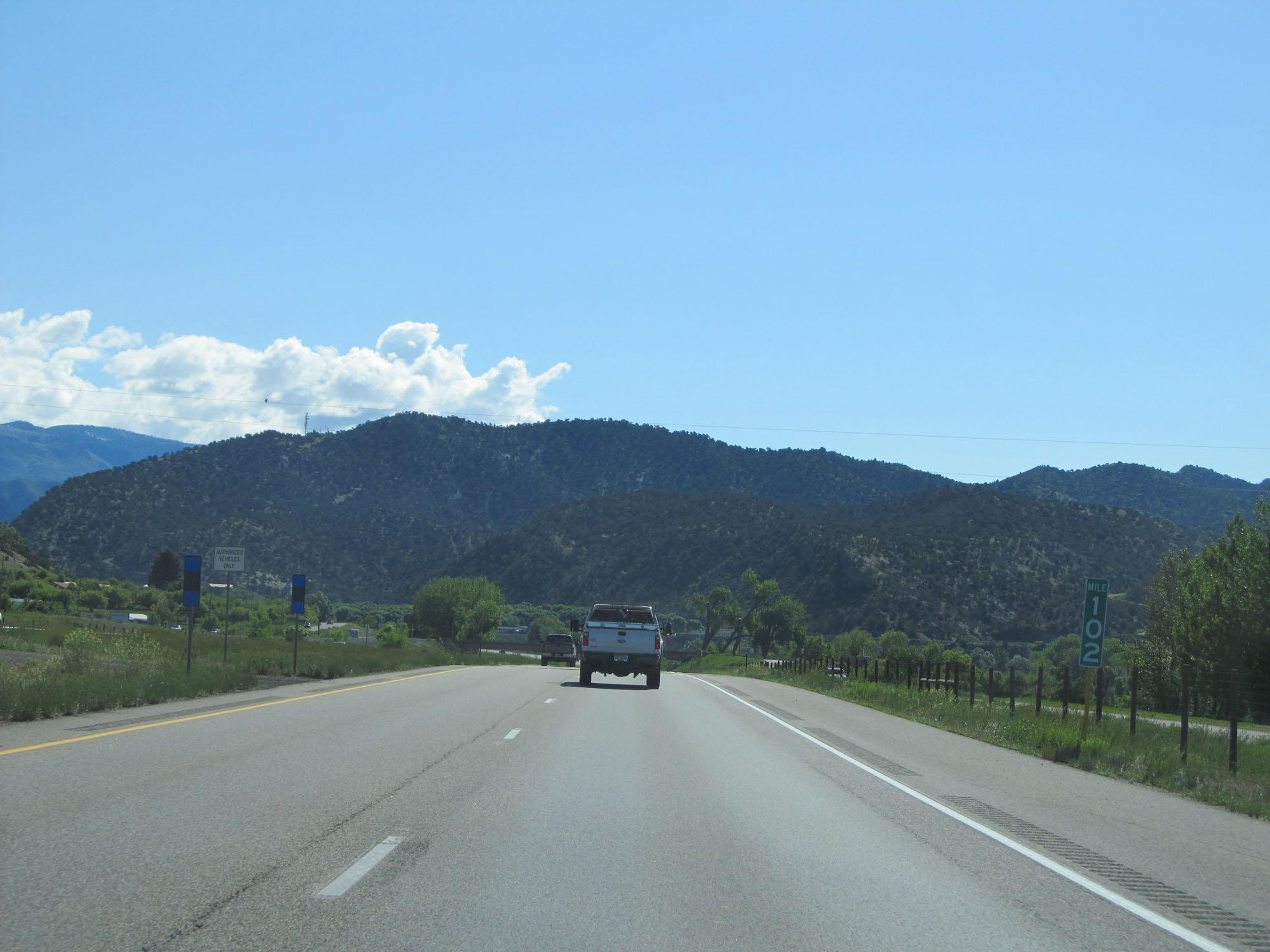 |
Interstate 70 East at mile marker 102. (Photo taken 5/28/16). |
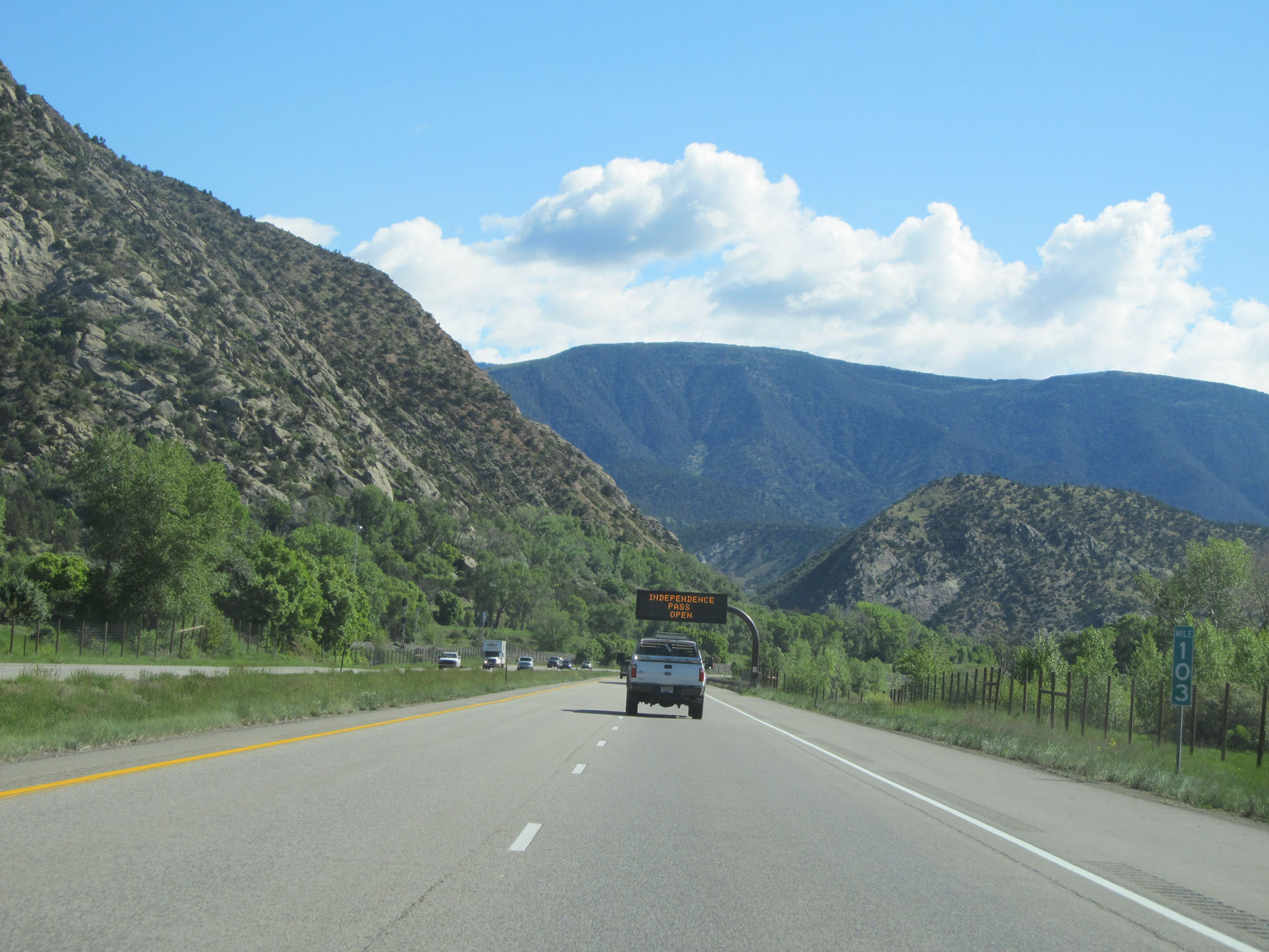 |
Interstate 70 East at mile marker 103. (Photo taken 5/28/16). |
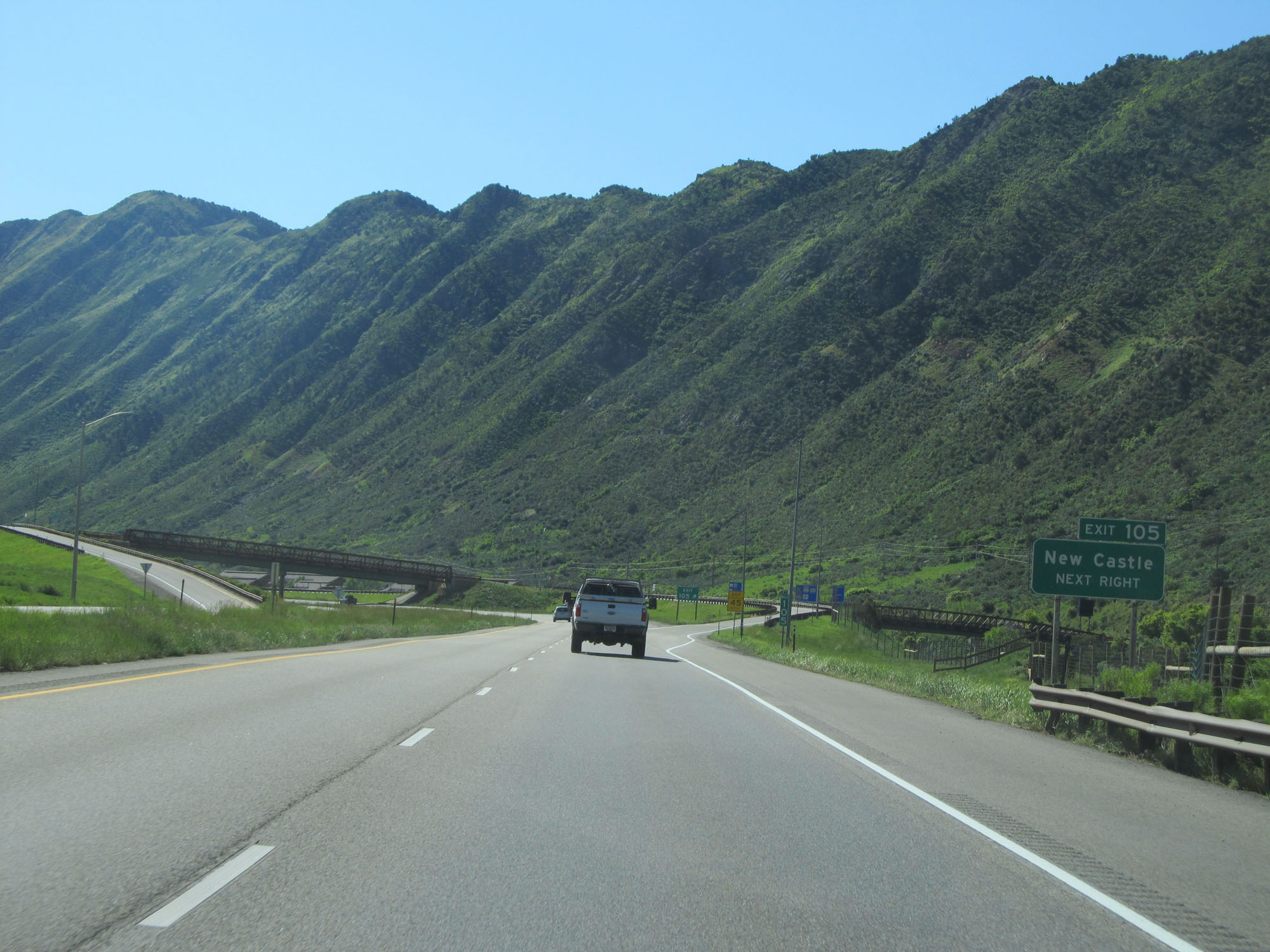 |
Interstate 70 East at Exit 105: New Castle (Photo taken 5/28/16). |
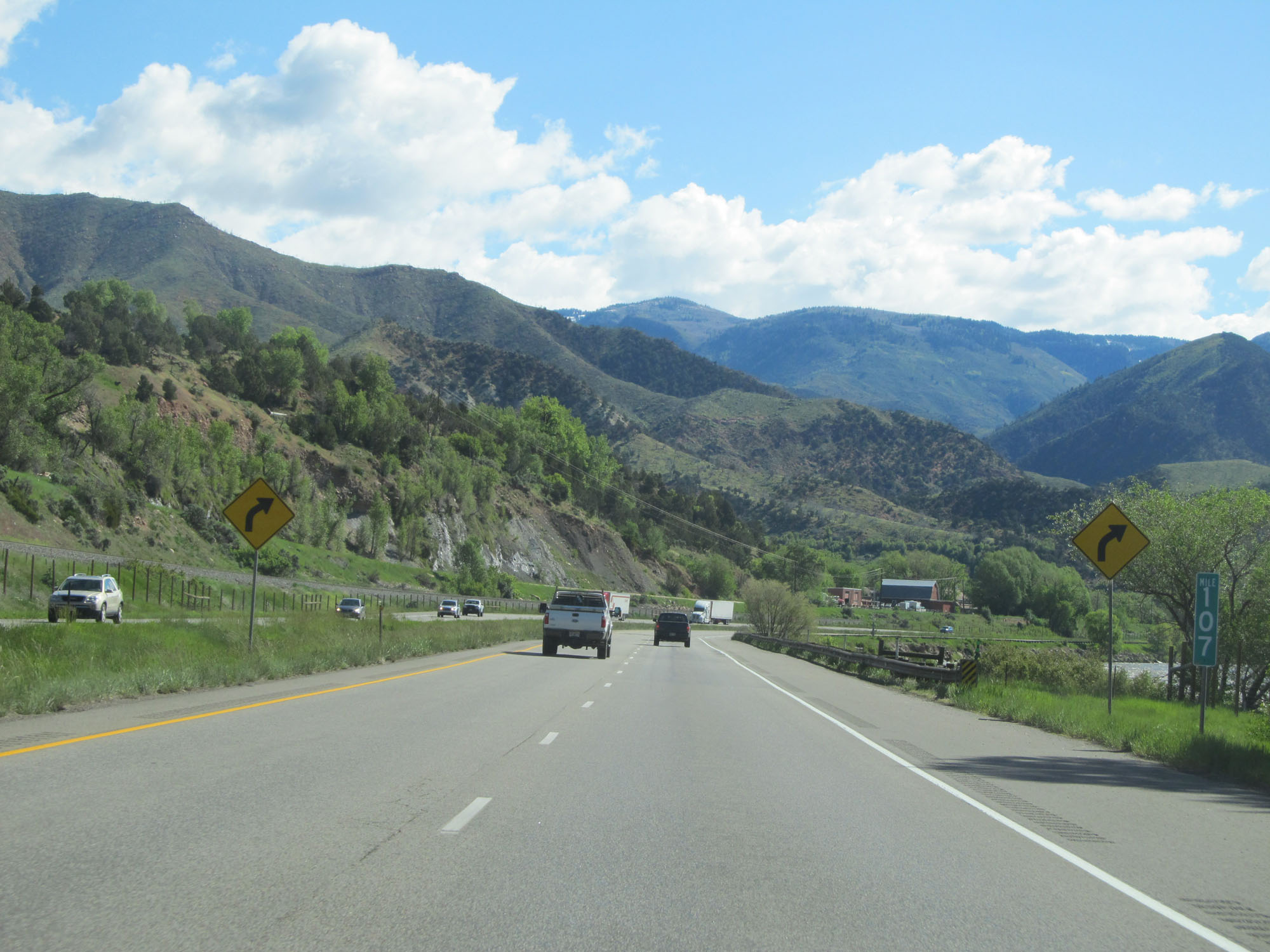 |
Interstate 70 East at mile marker 107. (Photo taken 5/28/16). |
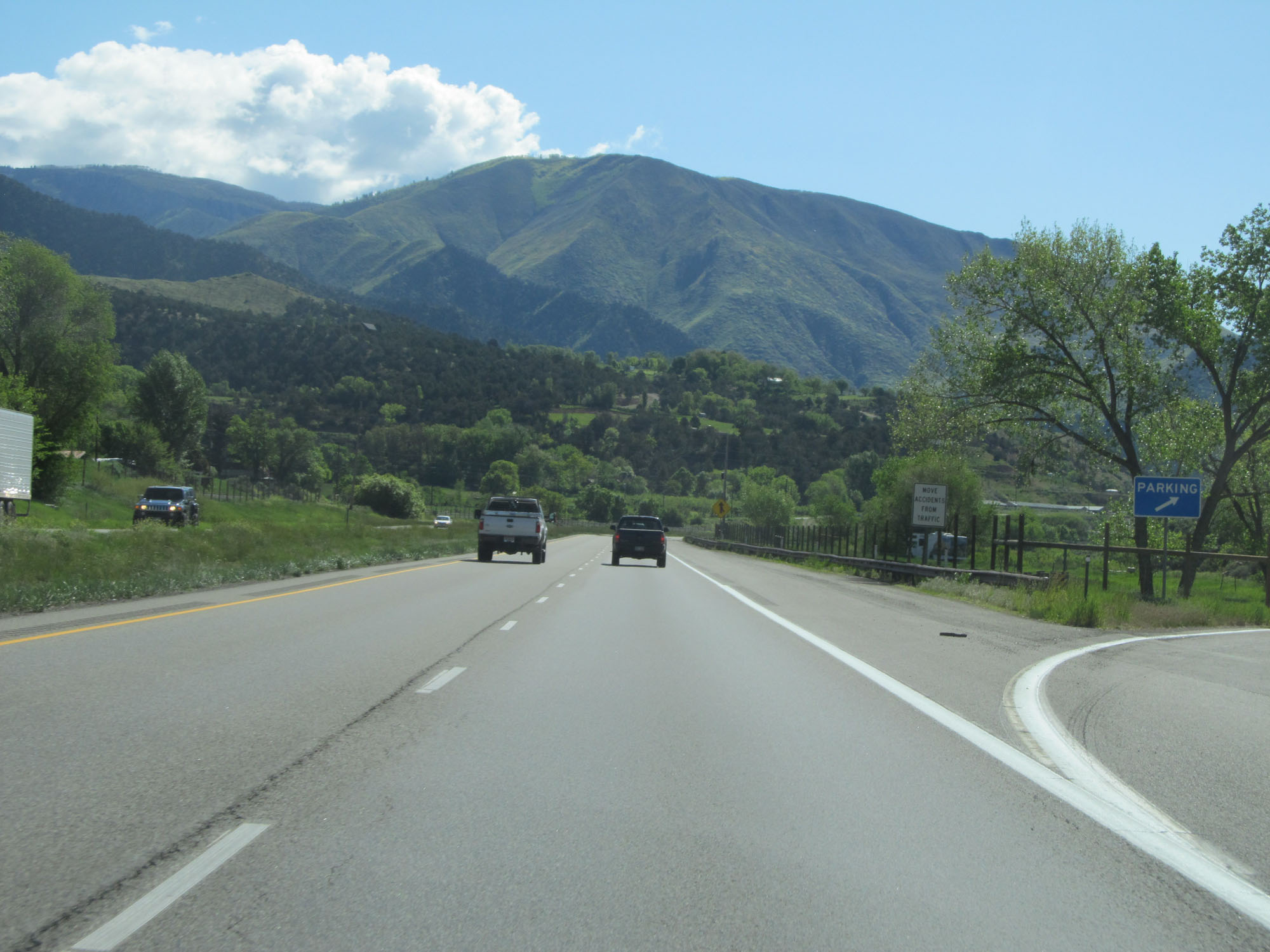 |
Parking Area on Interstate 70 East. (Photo taken 5/28/16). |
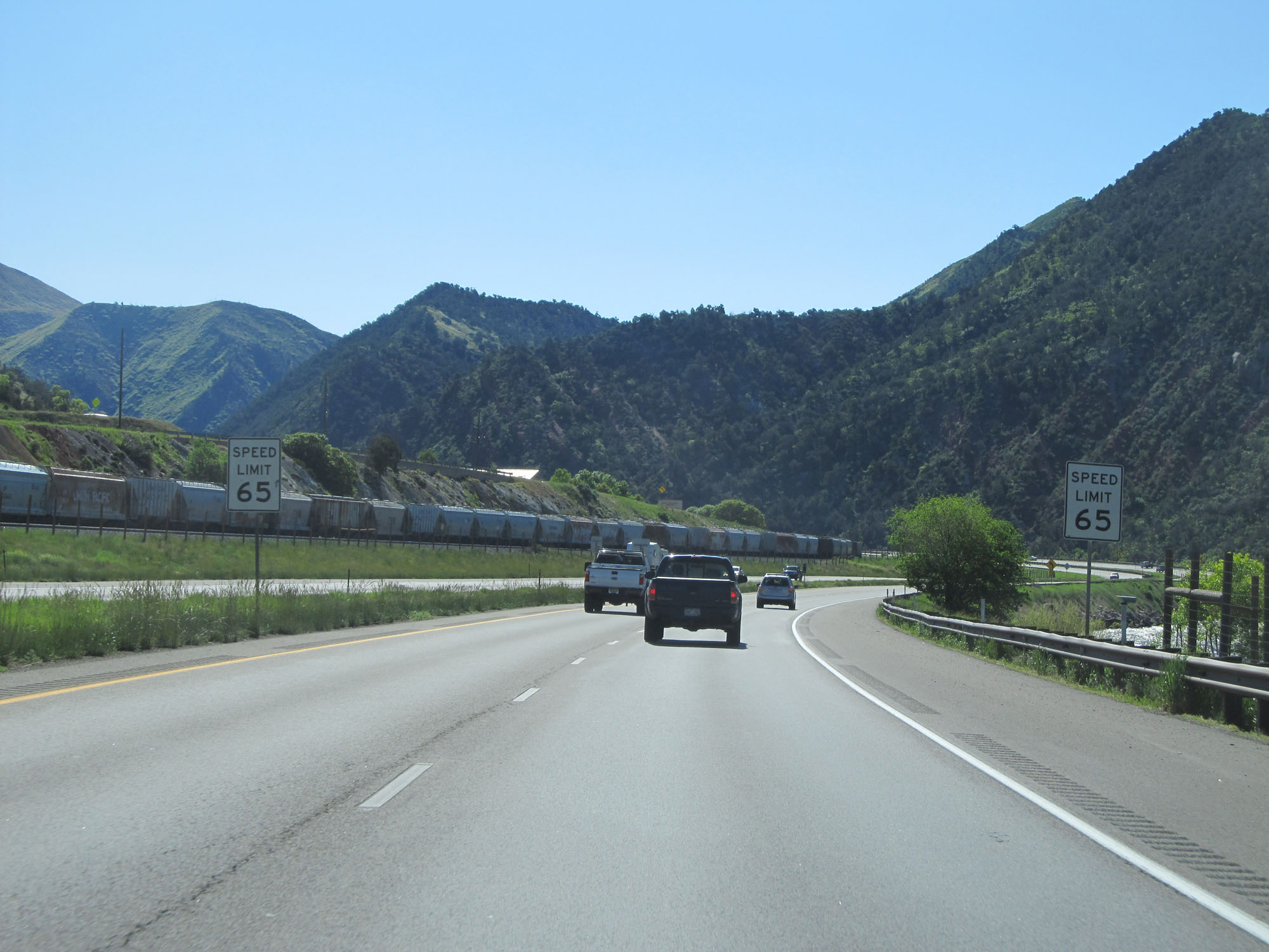 |
Approaching Glenwood Springs, the speed limit decreases to 65 mph. (Photo taken 5/28/16). |
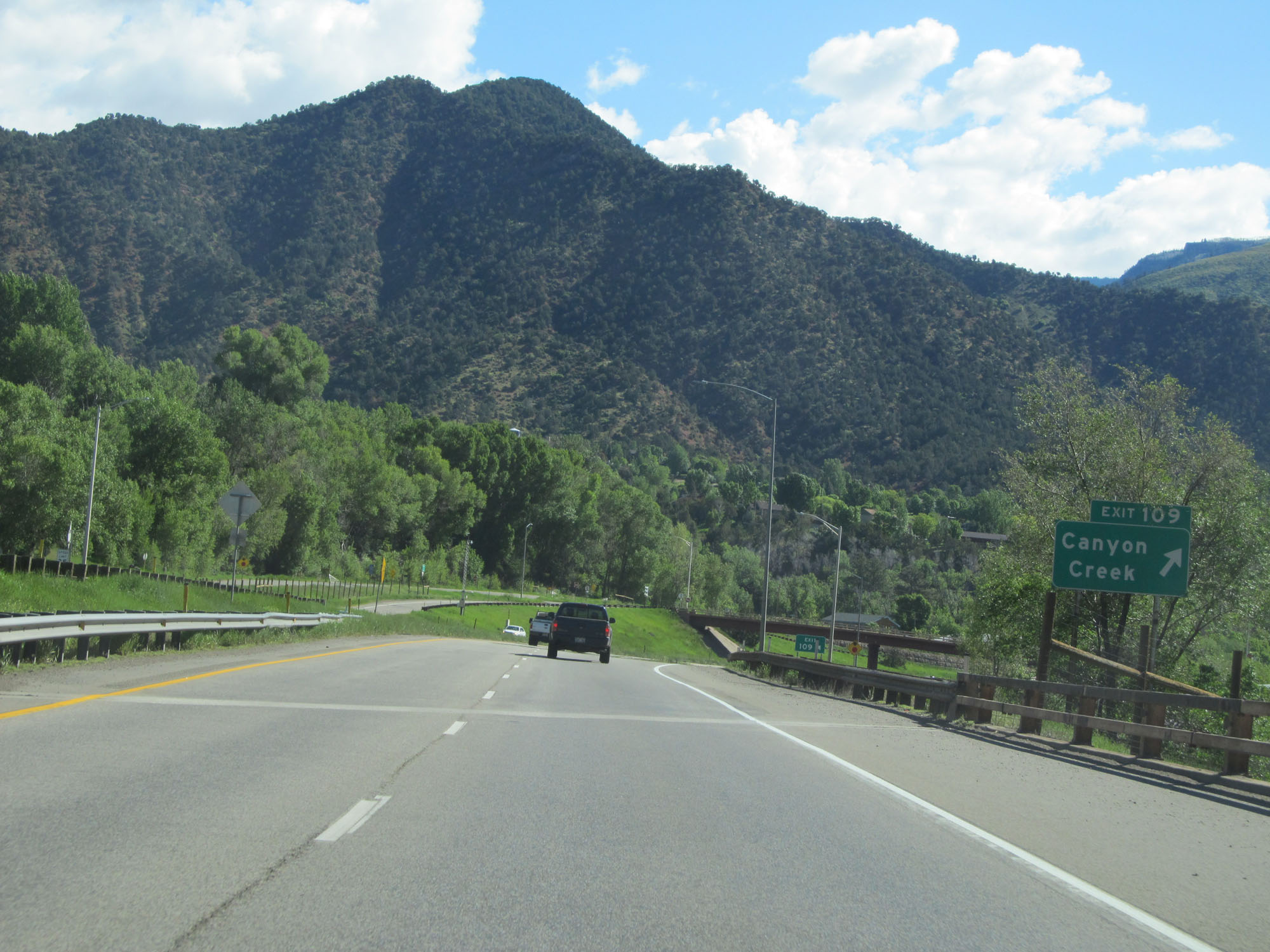 |
Interstate 70 East at Exit 109: Canyon Creek (Photo taken 5/28/16). |
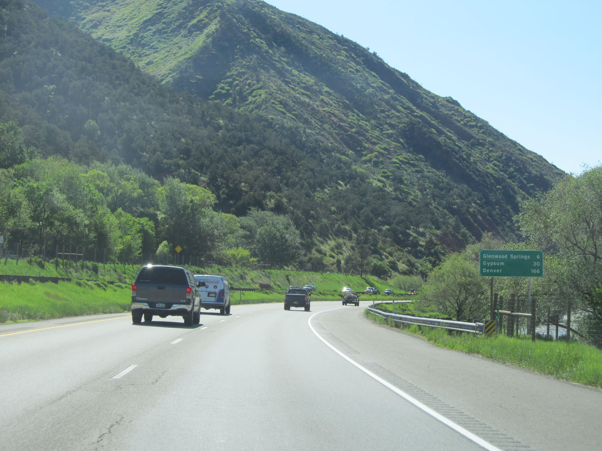 |
Mileage sign on Interstate 70 East. It's 6 miles to Glenwood Springs, 30 miles to Gypsum, and 166 miles to Denver. (Photo taken 5/28/16). |
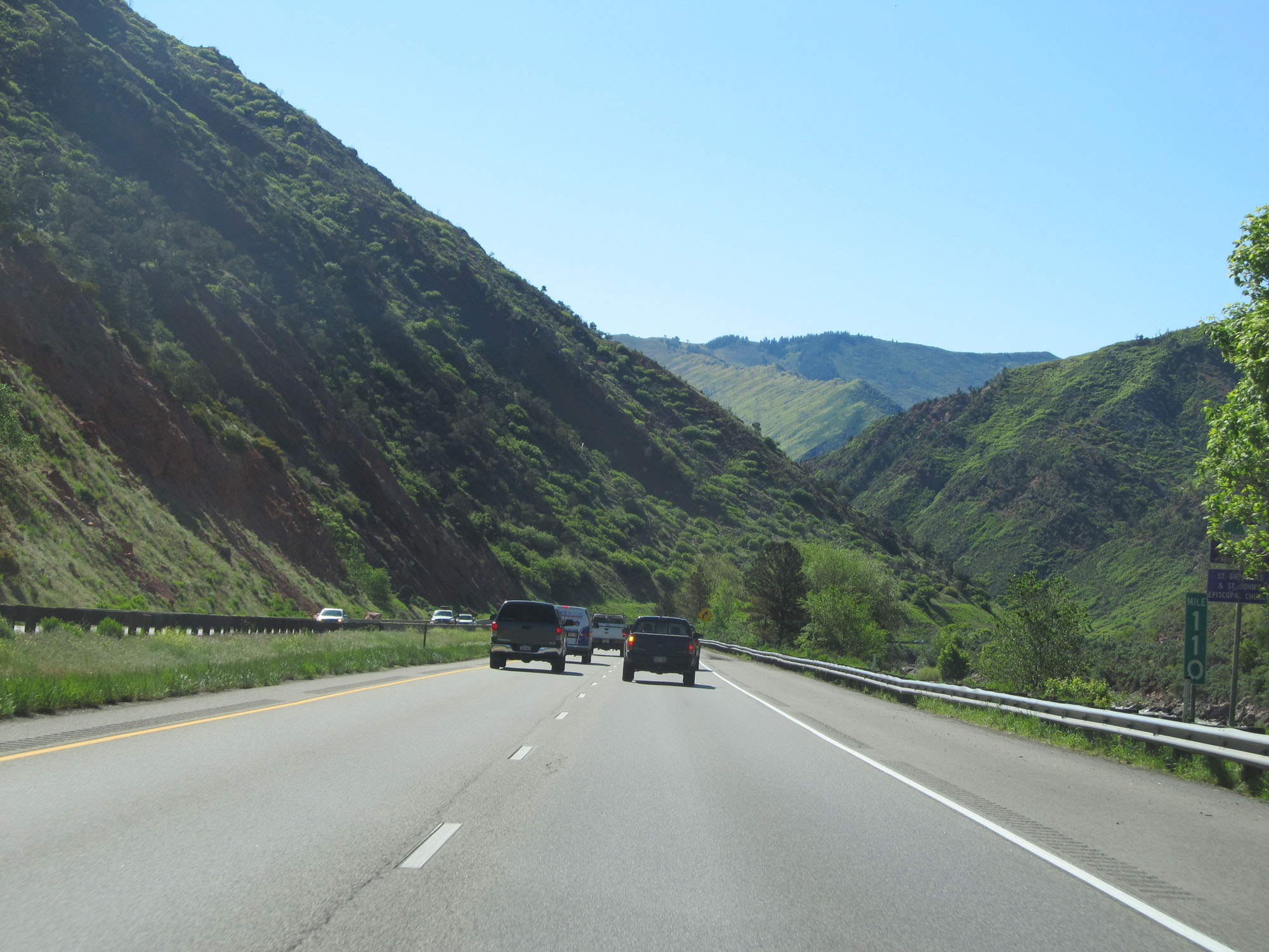 |
Interstate 70 East at mile marker 110. (Photo taken 5/28/16). |
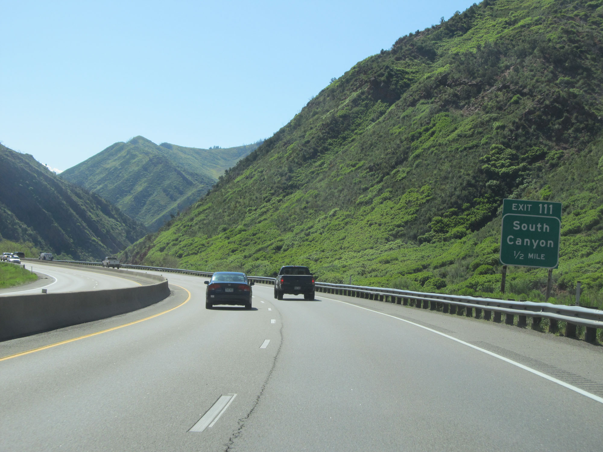 |
Interstate 70 East approaching Exit 111 - 1/2 mile. (Photo taken 5/28/16). |
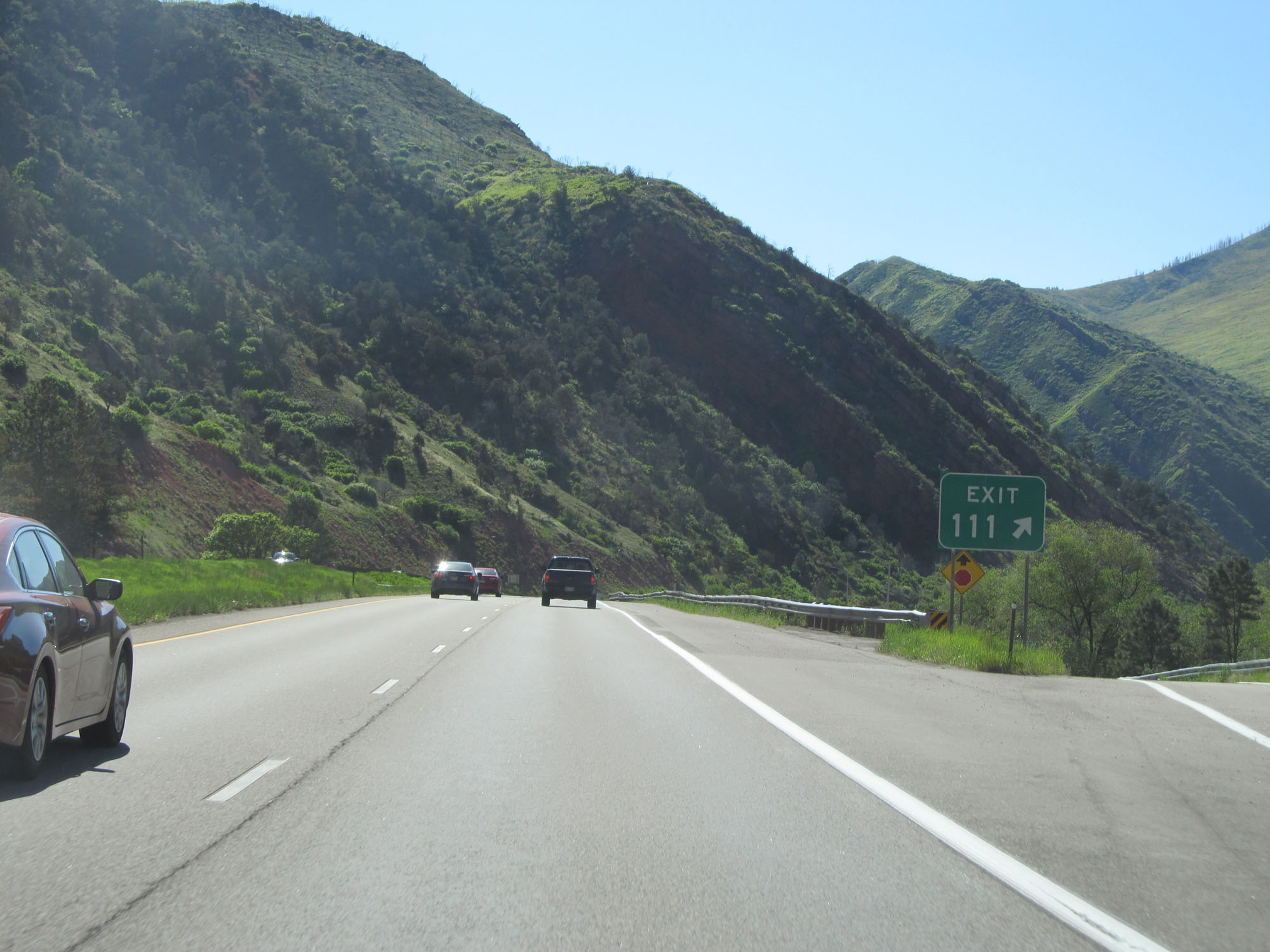 |
Interstate 70 East at Exit 111: South Canyon (Photo taken 5/28/16). |
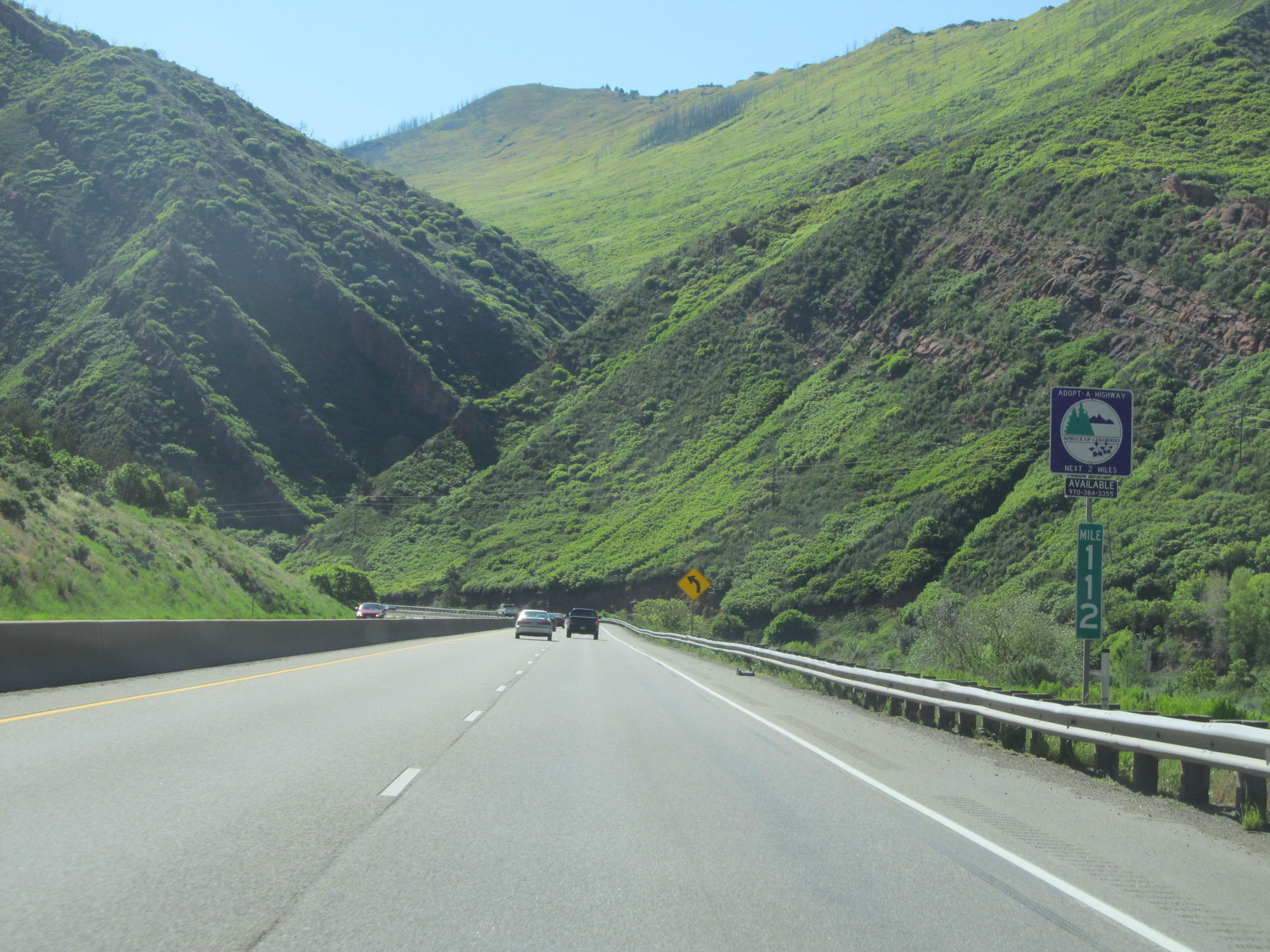 |
Interstate 70 East at mile marker 112. (Photo taken 5/28/16). |
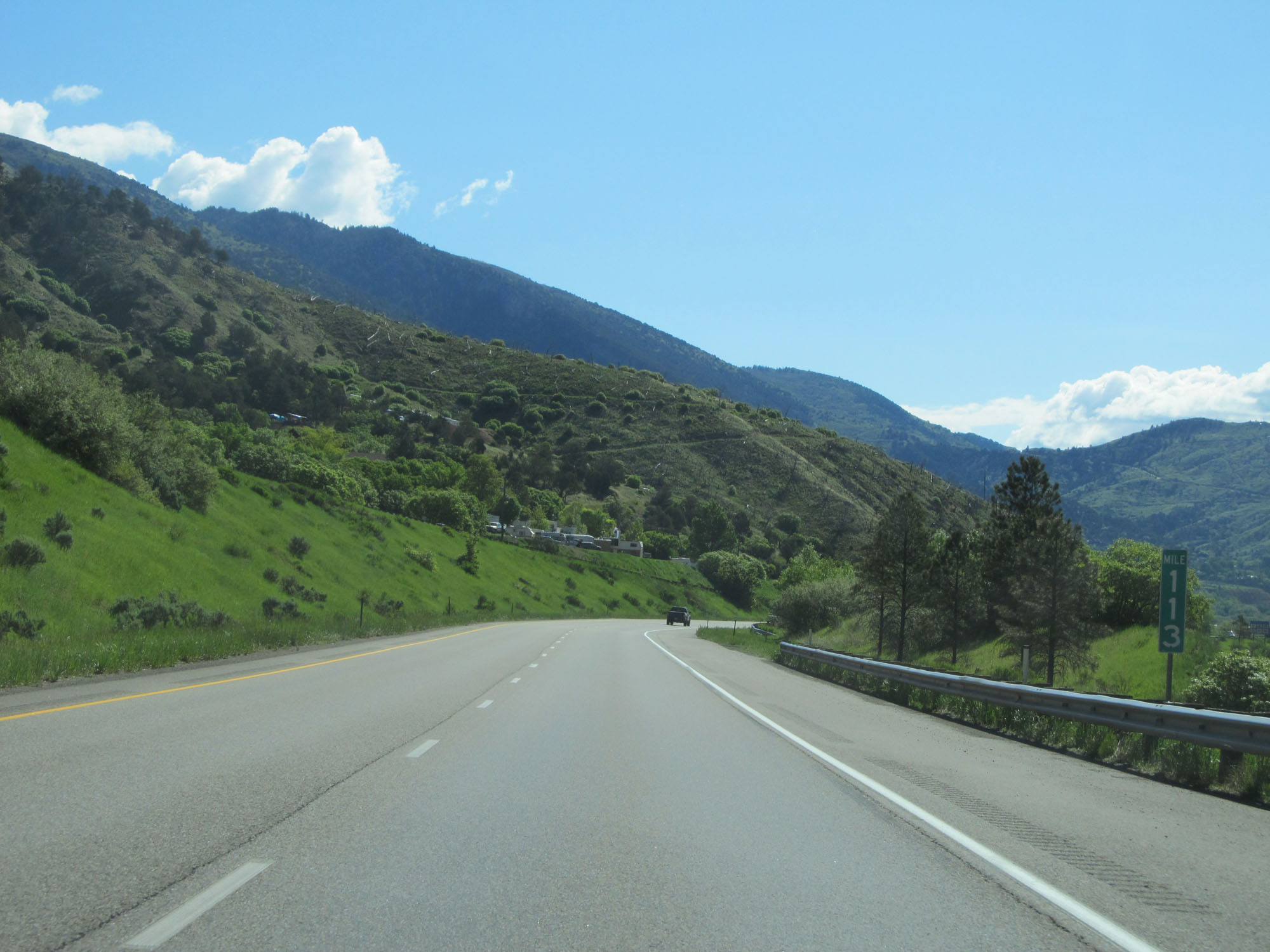 |
Interstate 70 East at mile marker 113. (Photo taken 5/28/16). |
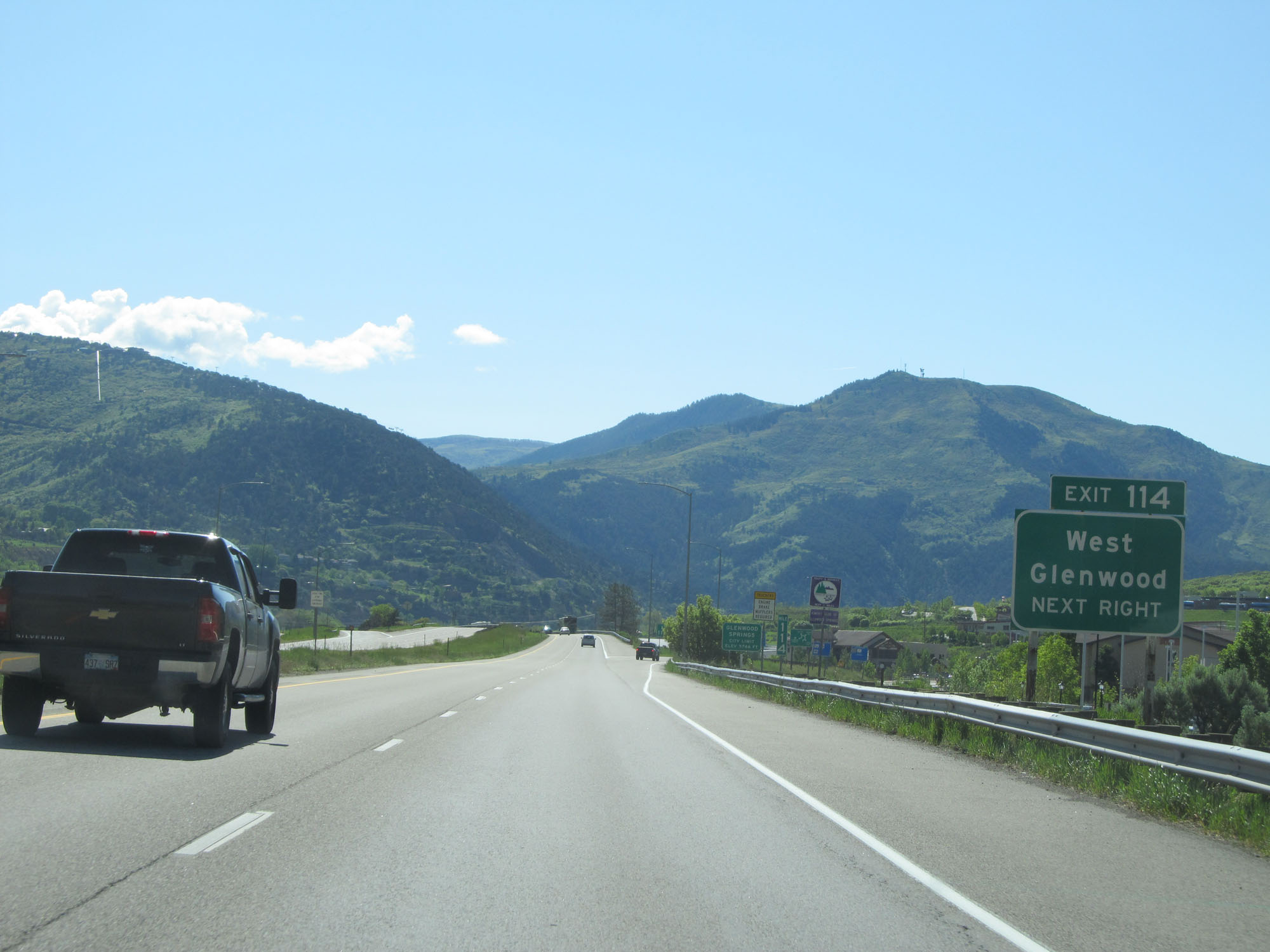 |
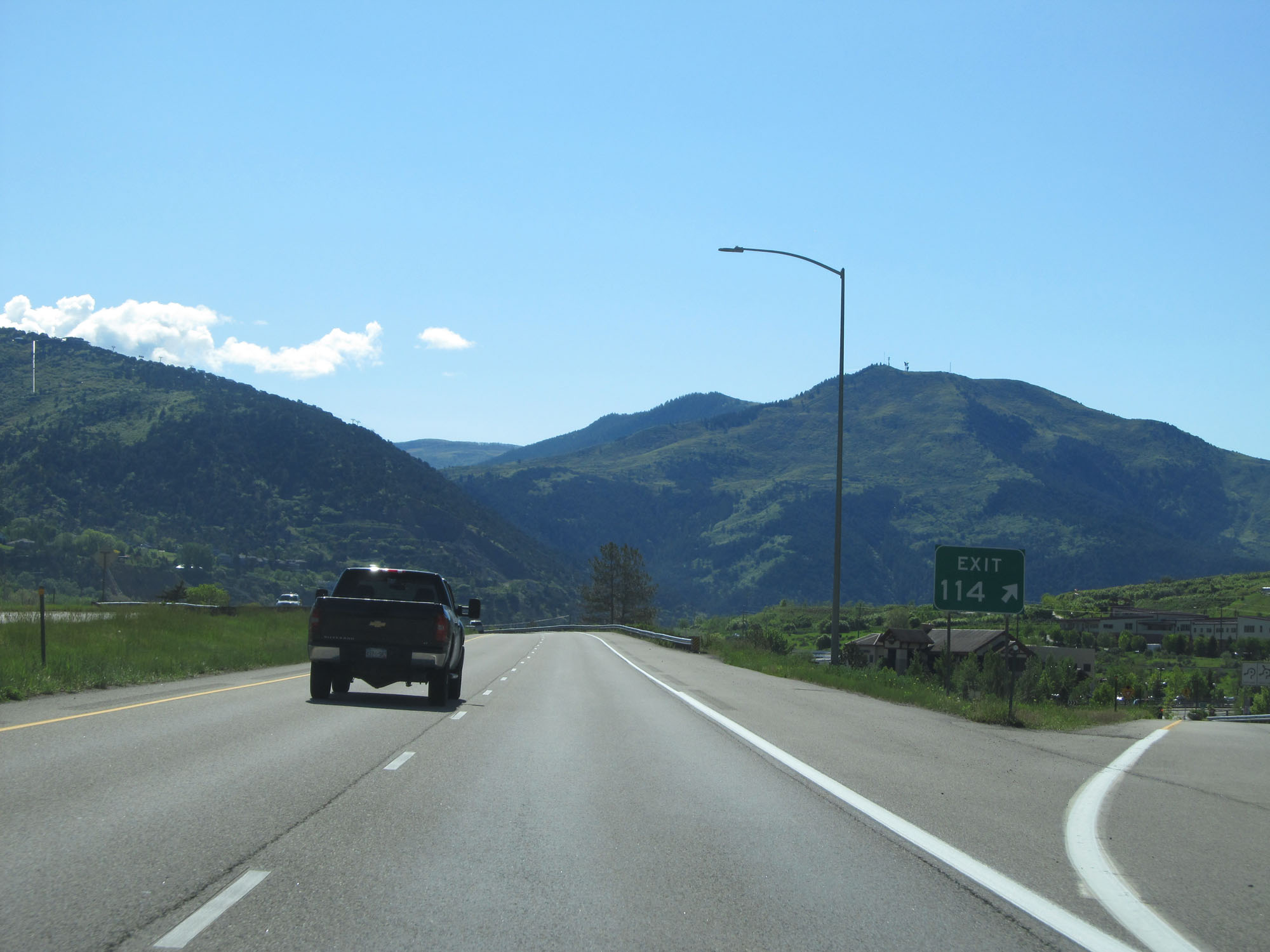
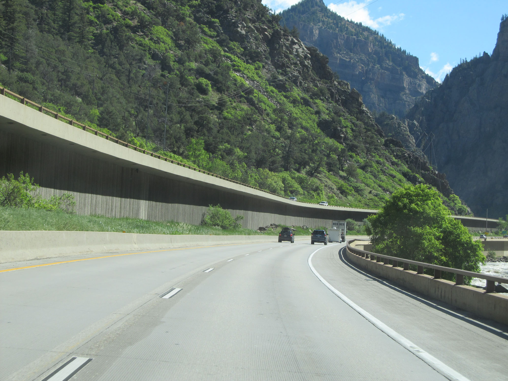
Interstate 70 East at Exit 114: West Glenwood (Photo taken 5/28/16). |
 |
Gore point signage for Exit 114. (Photo taken 5/28/16). |
Section 3: Glenwood Springs (Exit 114) to Vail (Exit 176)
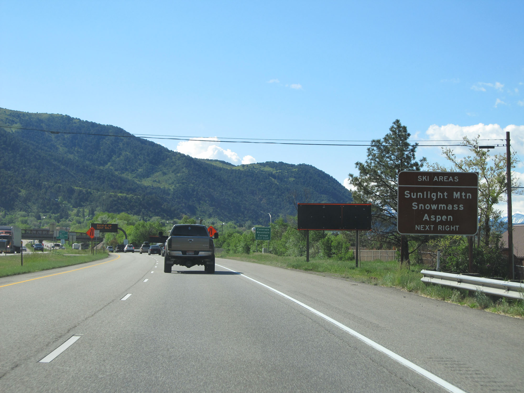 |
Take Exit 116 to Sunlight Mountain, Snowmass, and Aspen Ski Areas. (Photo taken 5/28/16). |
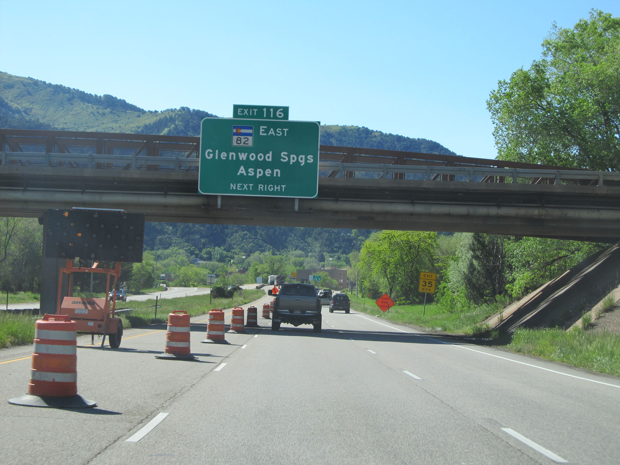 |
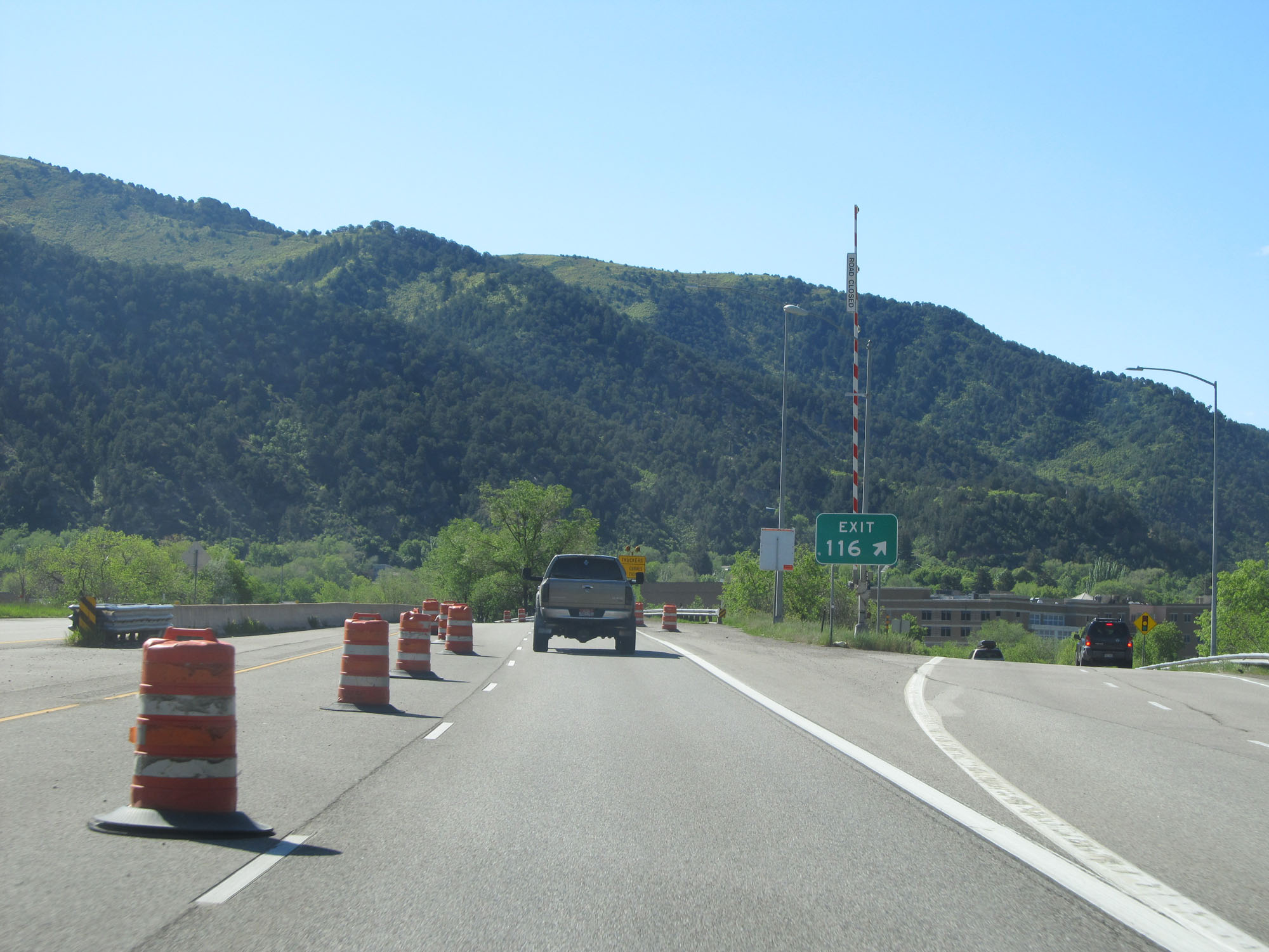
Interstate 70 East at Exit 116: CO 82 East - Glenwood Springs / Aspen (Photo taken 5/28/16). |
 |
Gore point signage for Exit 116. (Photo taken 5/28/16). |
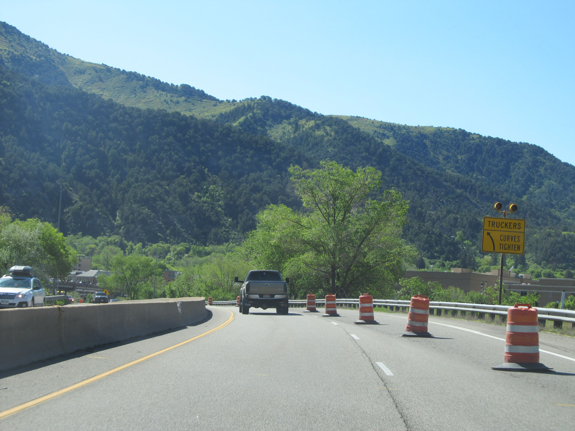 |
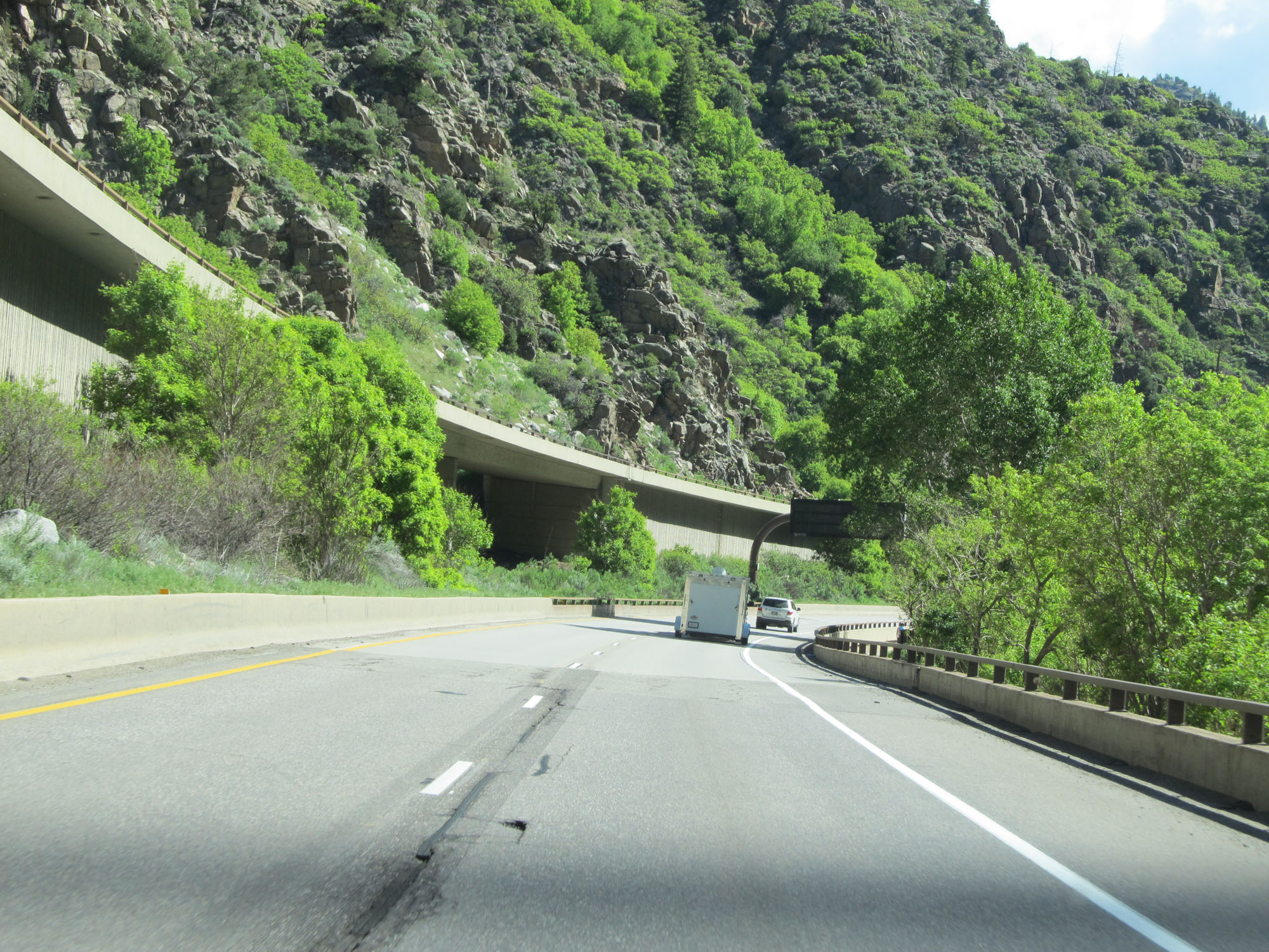
This sign warns trucks of sharp curves ahead as Interstate 70 East prepares to enter Glenwood Canyon. (Photo taken 5/28/16). |
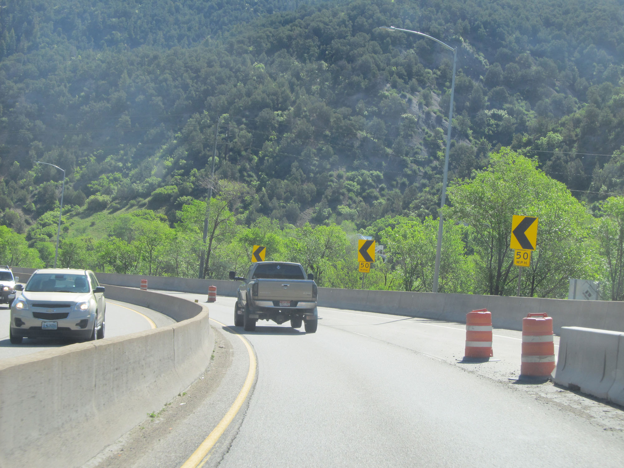 |
50 mph curve on Interstate 70 East entering Glenwood Canyon. (Photo taken 5/28/16). |
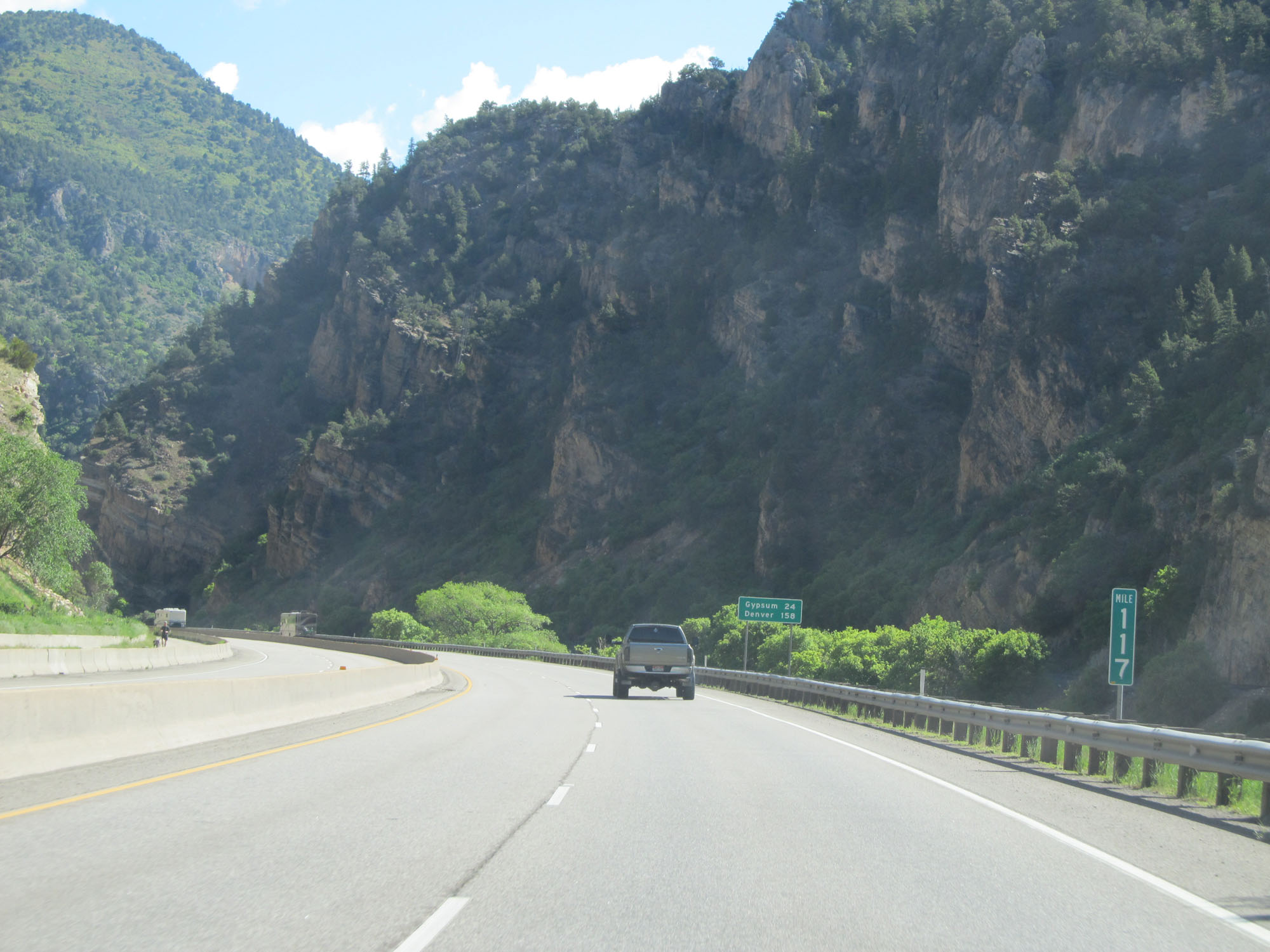 |
Interstate 70 East at mile marker 117. (Photo taken 5/28/16). |
 |
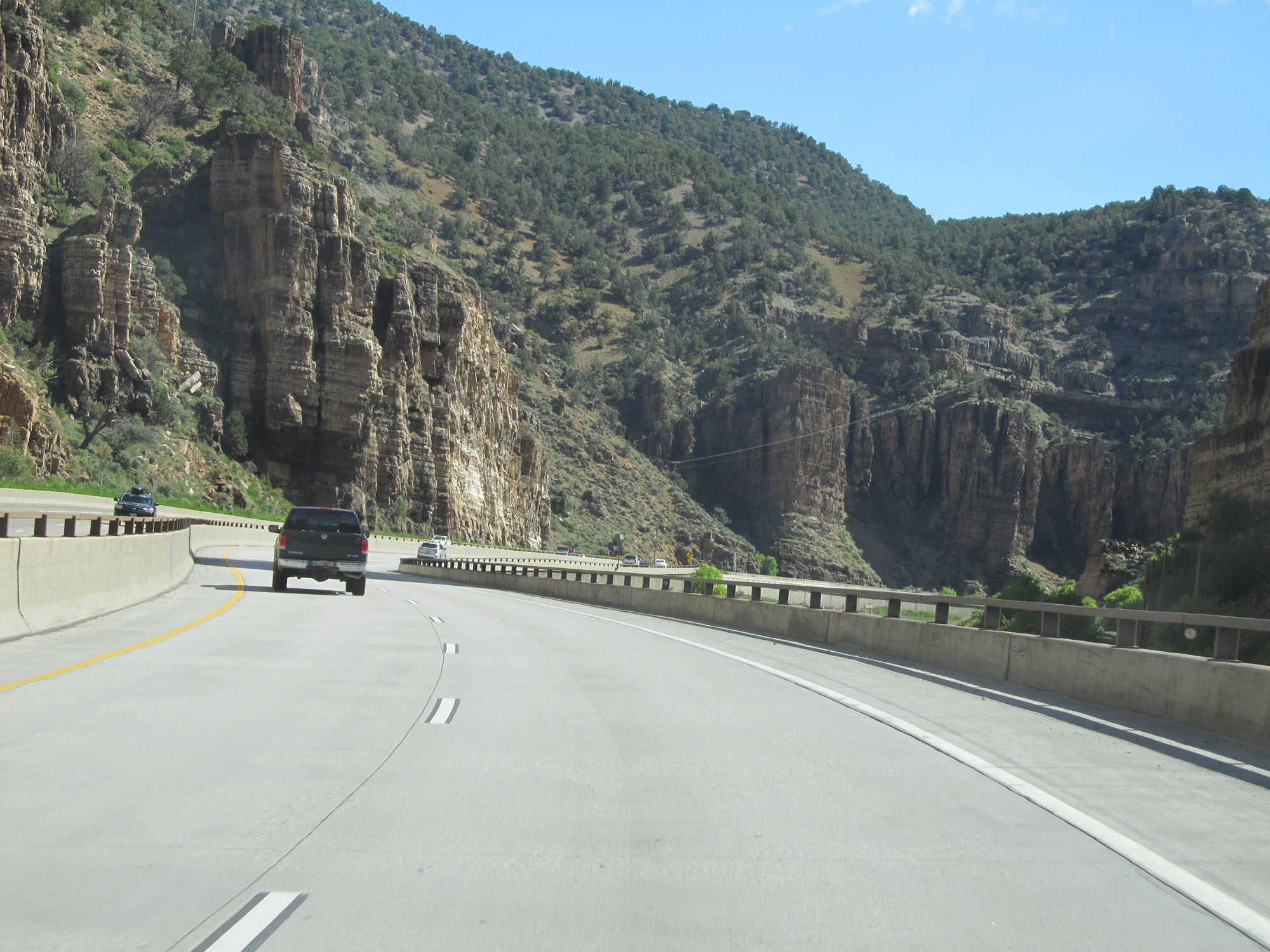
View on Interstate 70 East on the west side of Glenwood Canyon. (Photo taken 5/28/16). |
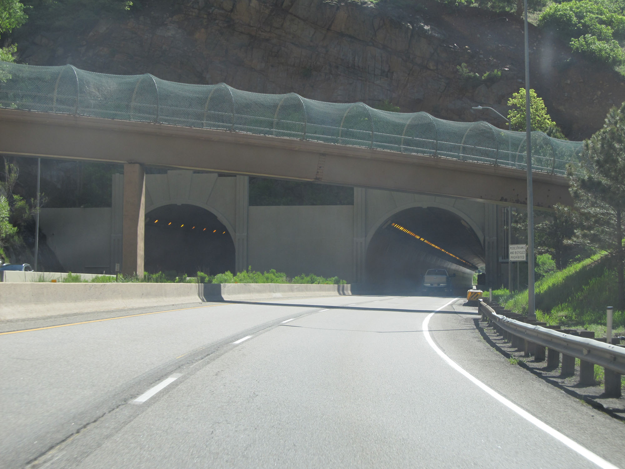 |
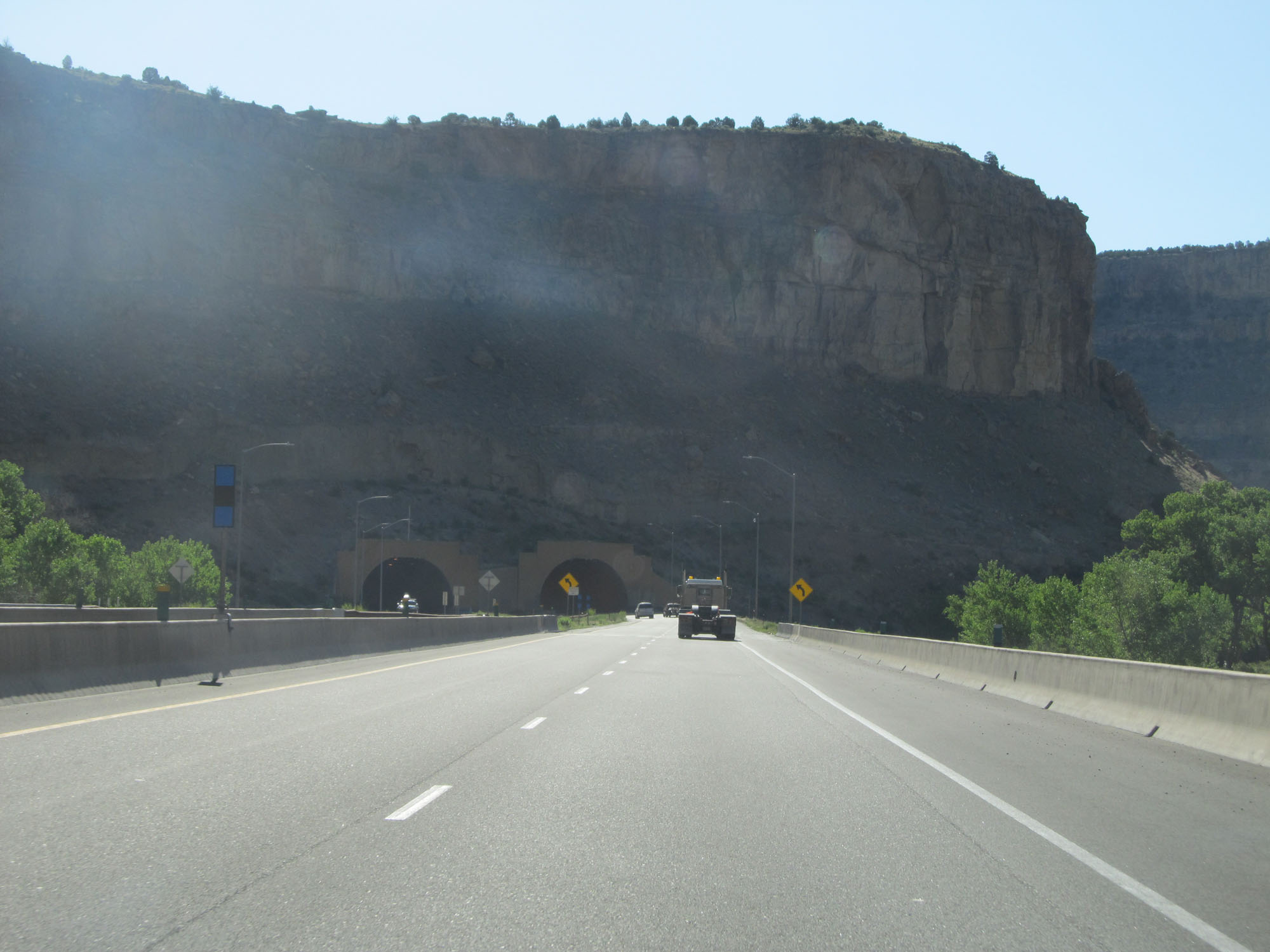
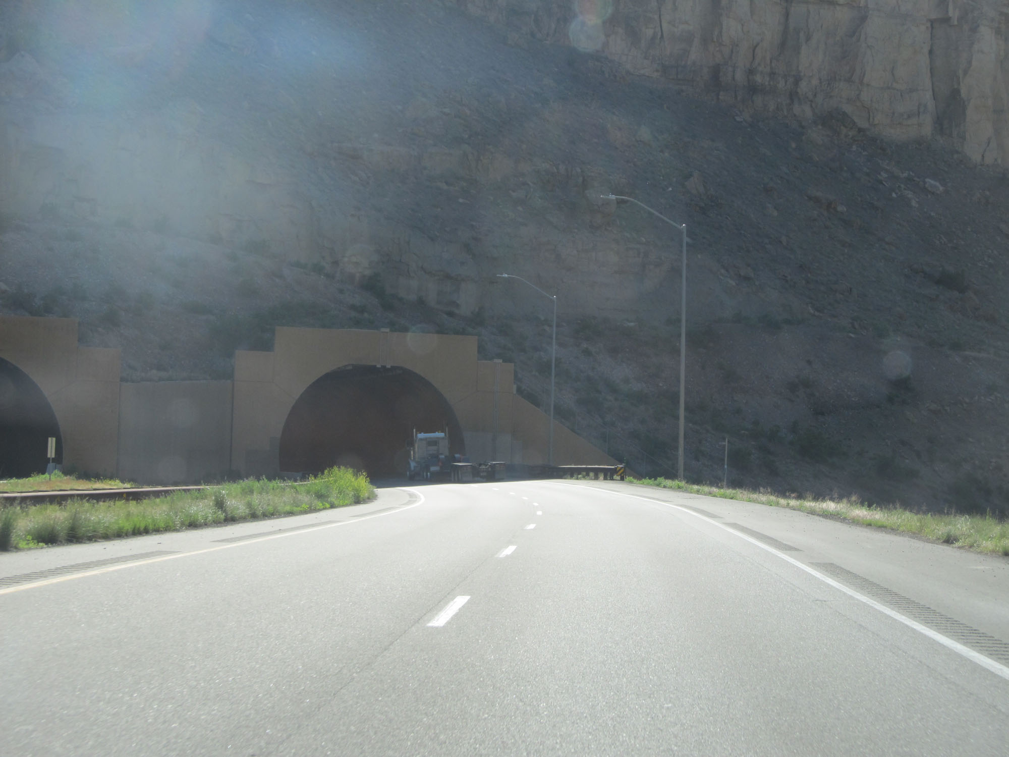
Interstate 70 East approaching a short tunnel into Glenwood Canyon. (Photo taken 5/28/16). |
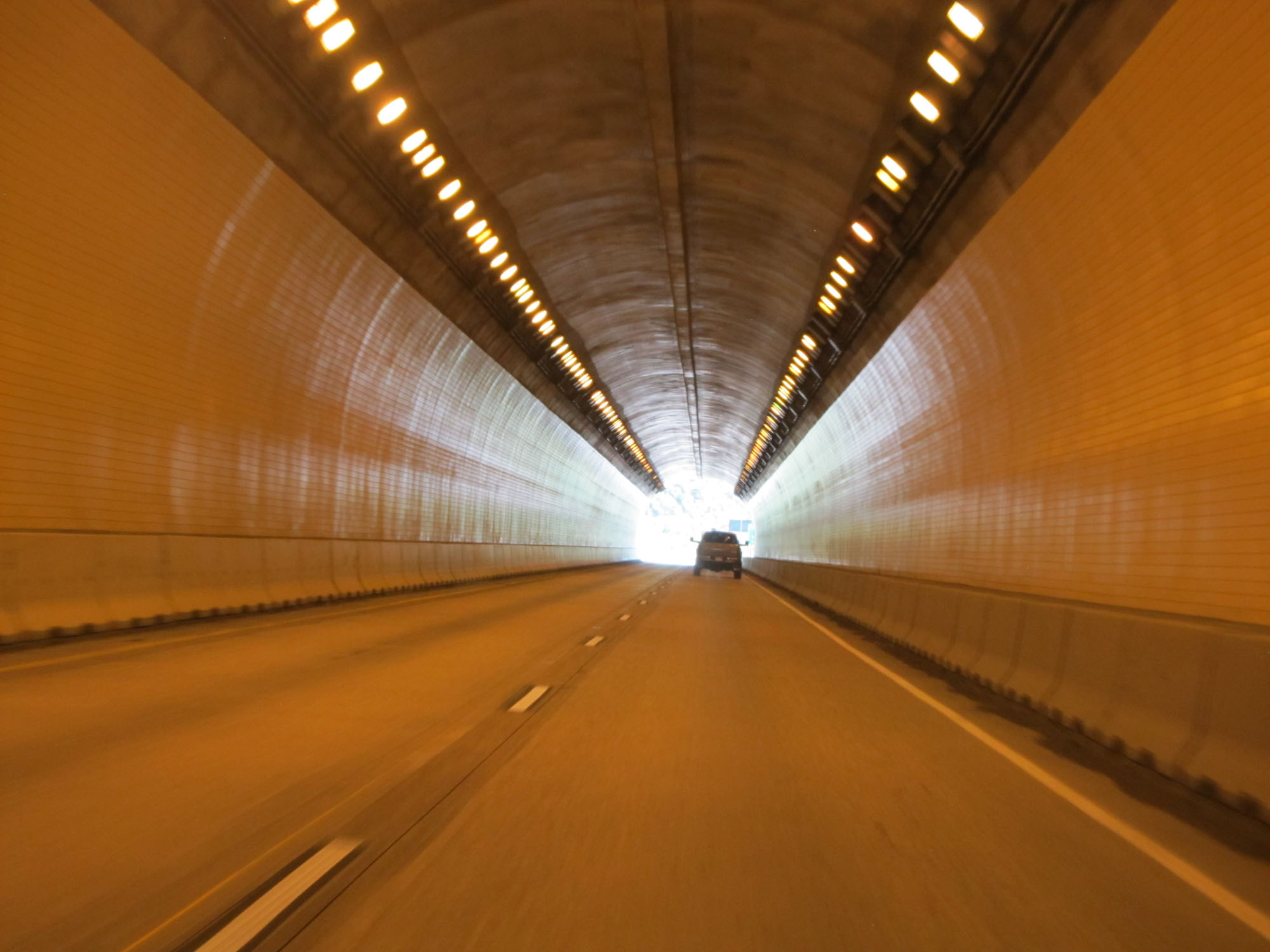 |
View from inside the tunnel. (Photo taken 5/28/16). |
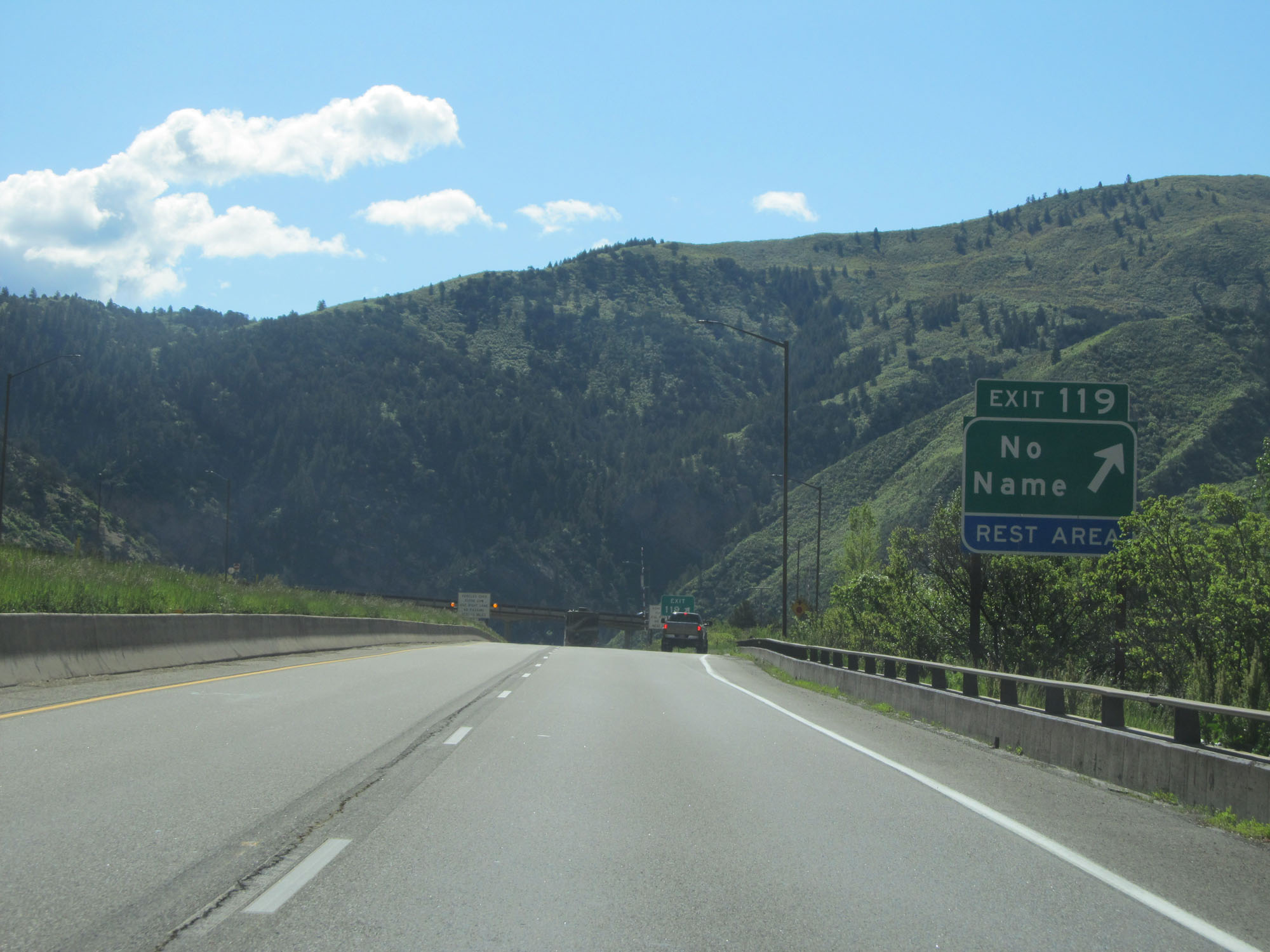 |
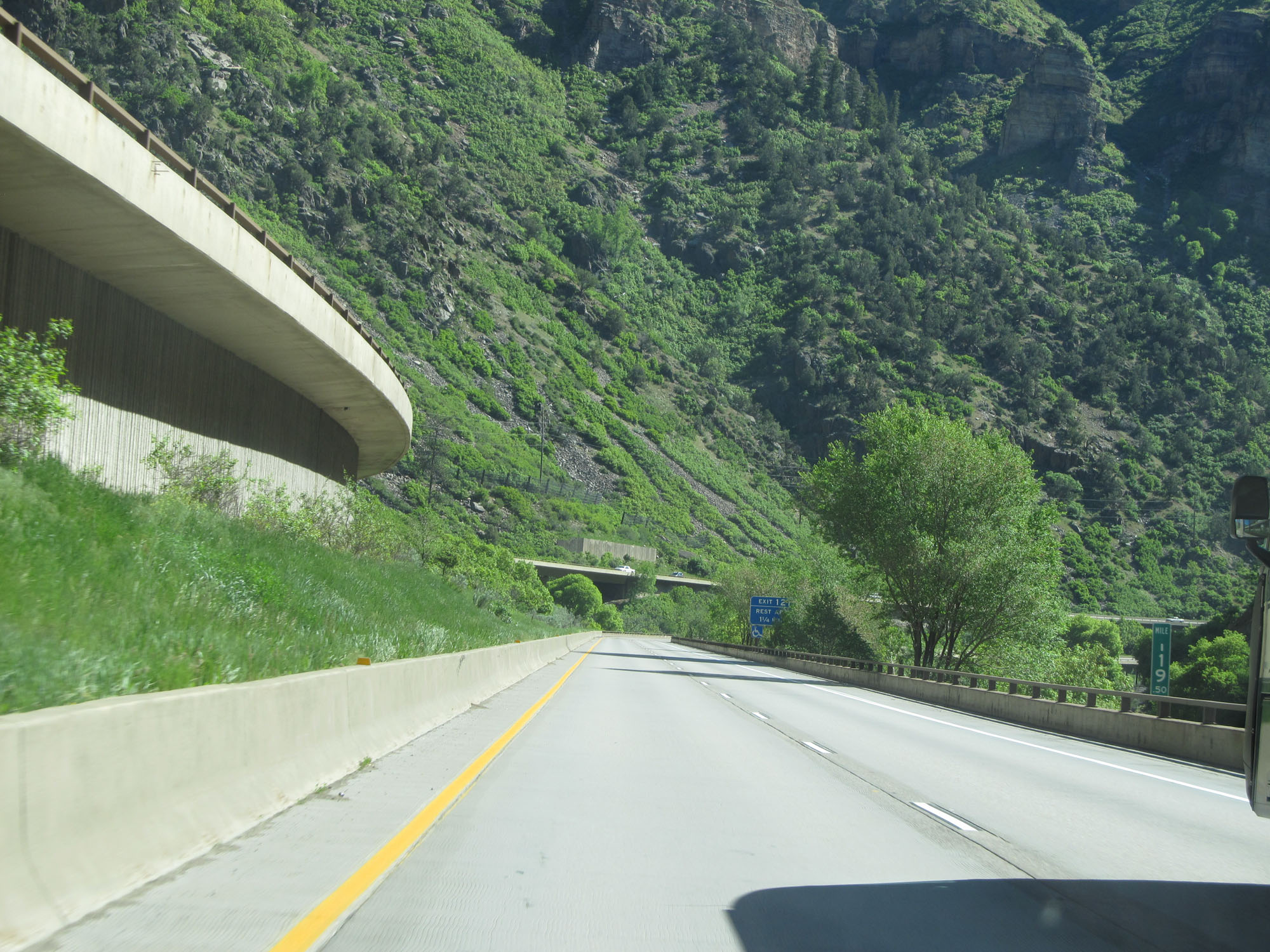
Interstate 70 East at Exit 119: No Name / Rest Area (Photo taken 5/28/16). |
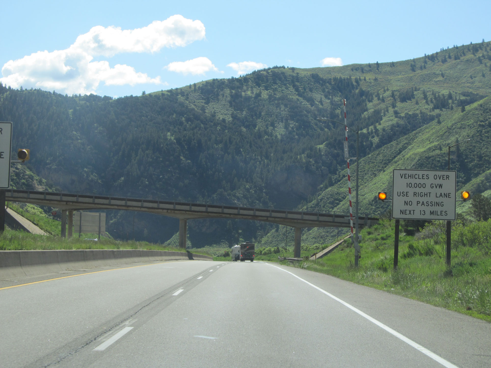 |
This sign with flashing lights warns that vehicles over 10,000 lbs Gross Vehicle Weight (GVW) are restricted to the right lane and prohibited from passing for the next 13 miles as Interstate 70 East passes through Glenwood Canyon. (Photo taken 5/28/16). |
 |
View on Interstate 70 East. (Photo taken 5/28/16). |
 |
The speed limit for all traffic through Glenwood Canyon on Interstate 70 East is 50 mph. (Photo taken 5/28/16). |
 |
Another view on Interstate 70 East passing through Glenwood Canyon. (Photo taken 5/28/16). |
 |
Interstate 70 East at mile marker 119.5. (Photo taken 5/28/16). |
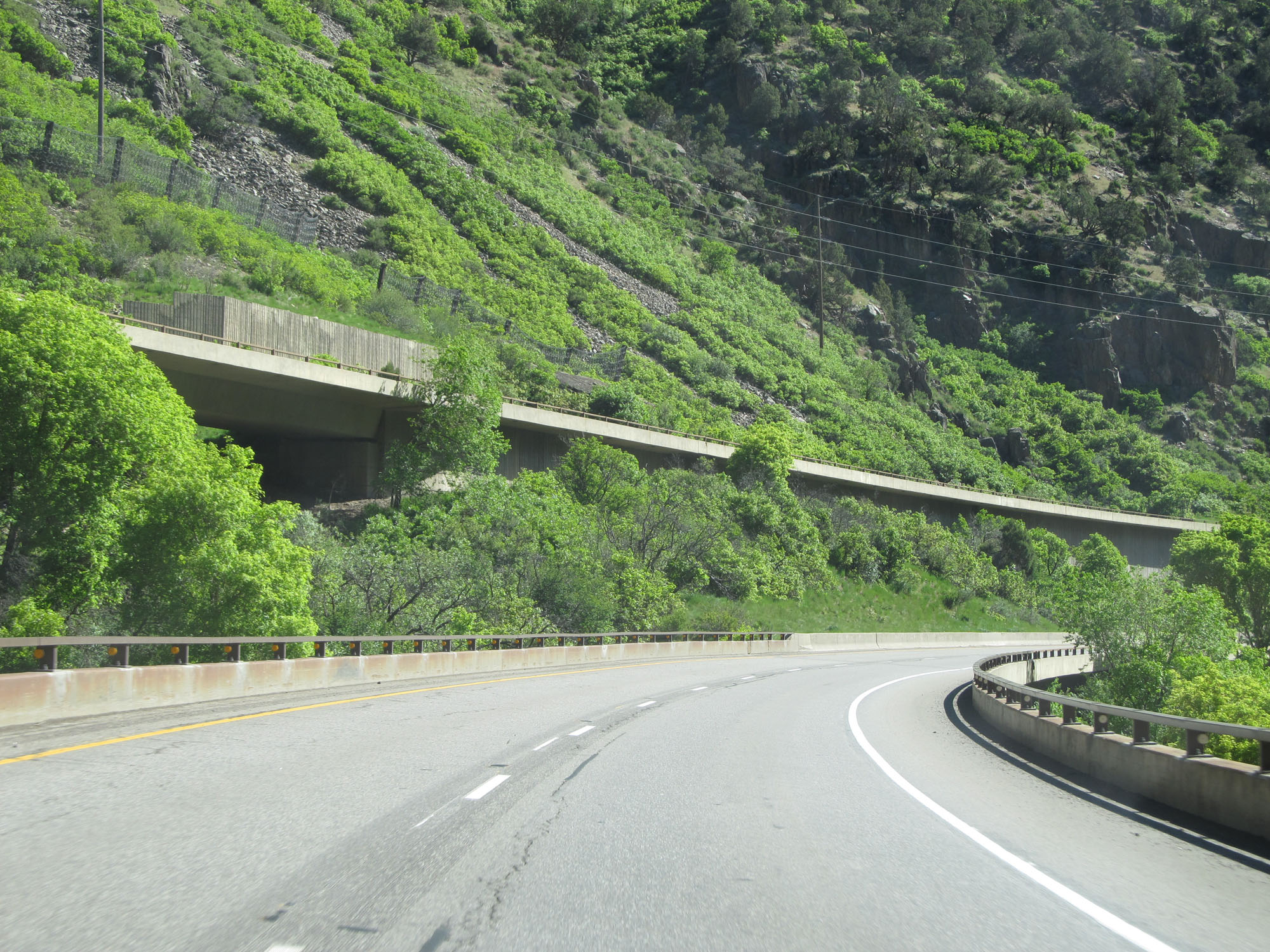 |
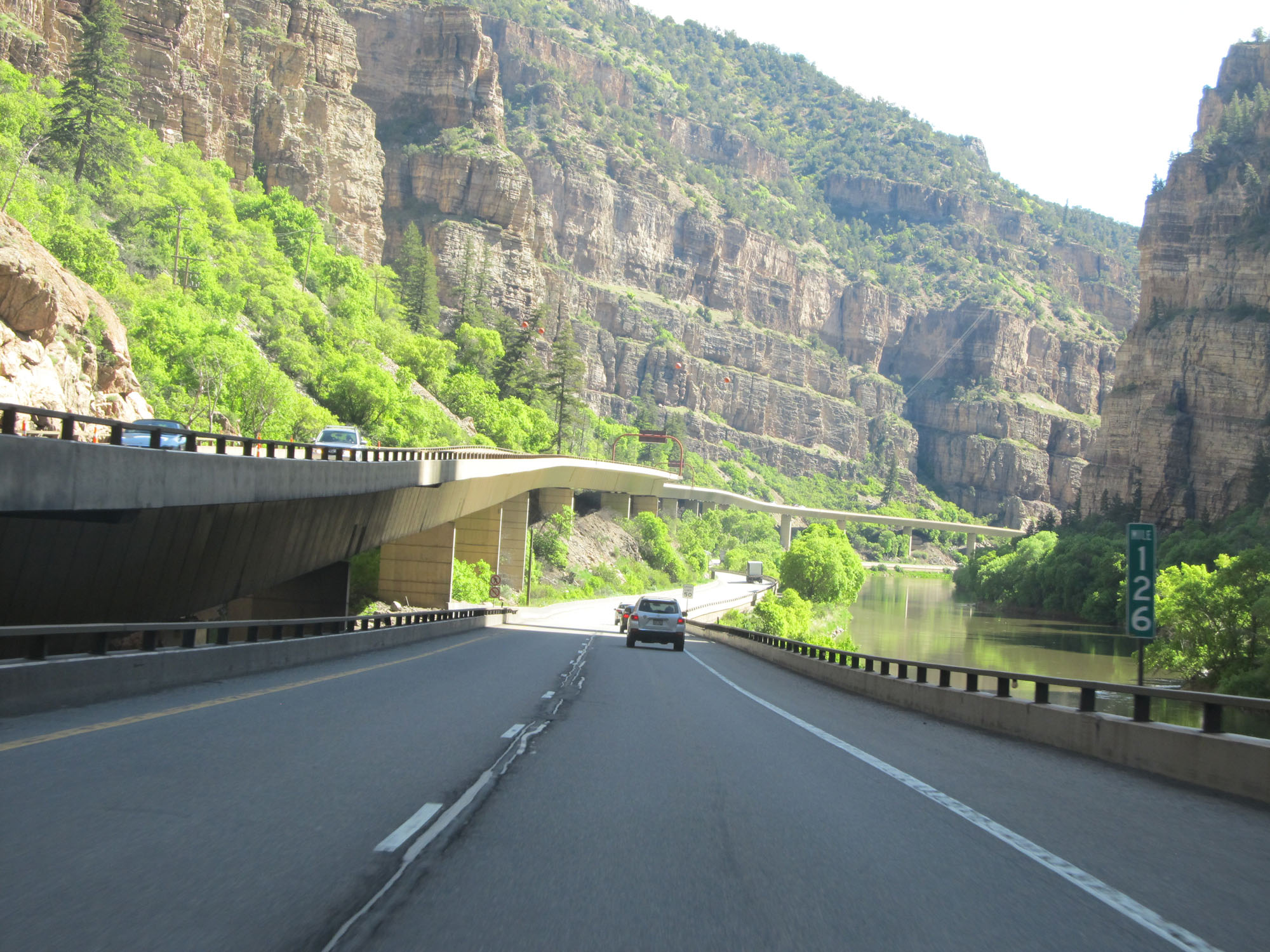
Another view on Interstate 70 East in Glenwood Canyon. This shot gives a nice view of the slightly elevated westbound lanes. (Photo taken 5/28/16). |
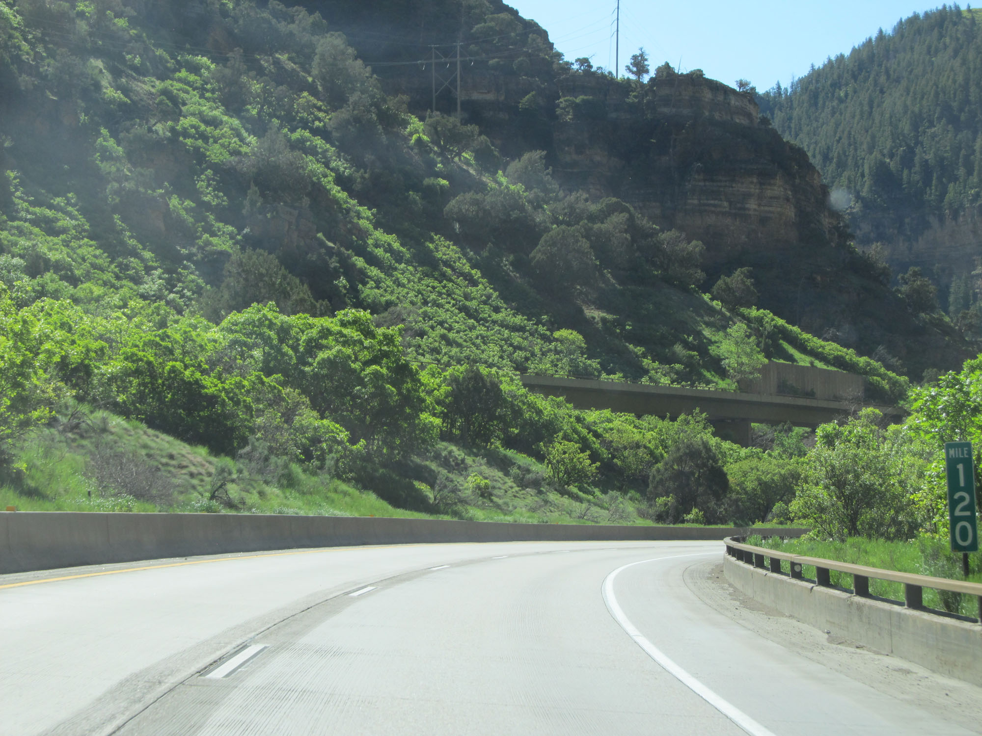 |
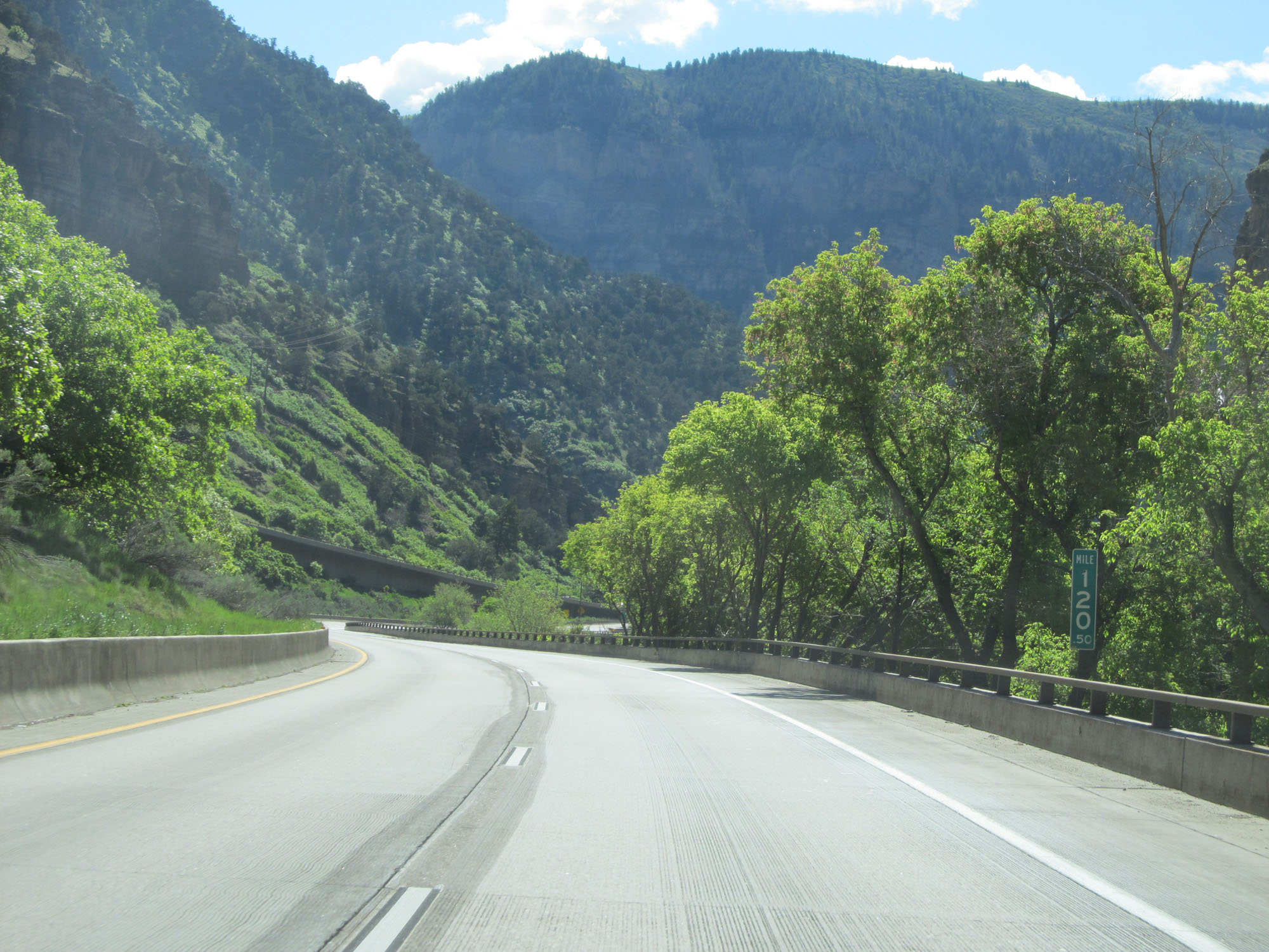
Interstate 70 East at mile marker 120. (Photo taken 5/28/16). |
 |
Interstate 70 East approaching Exit 121 - 1/2 mile. (Photo taken 5/28/16). |
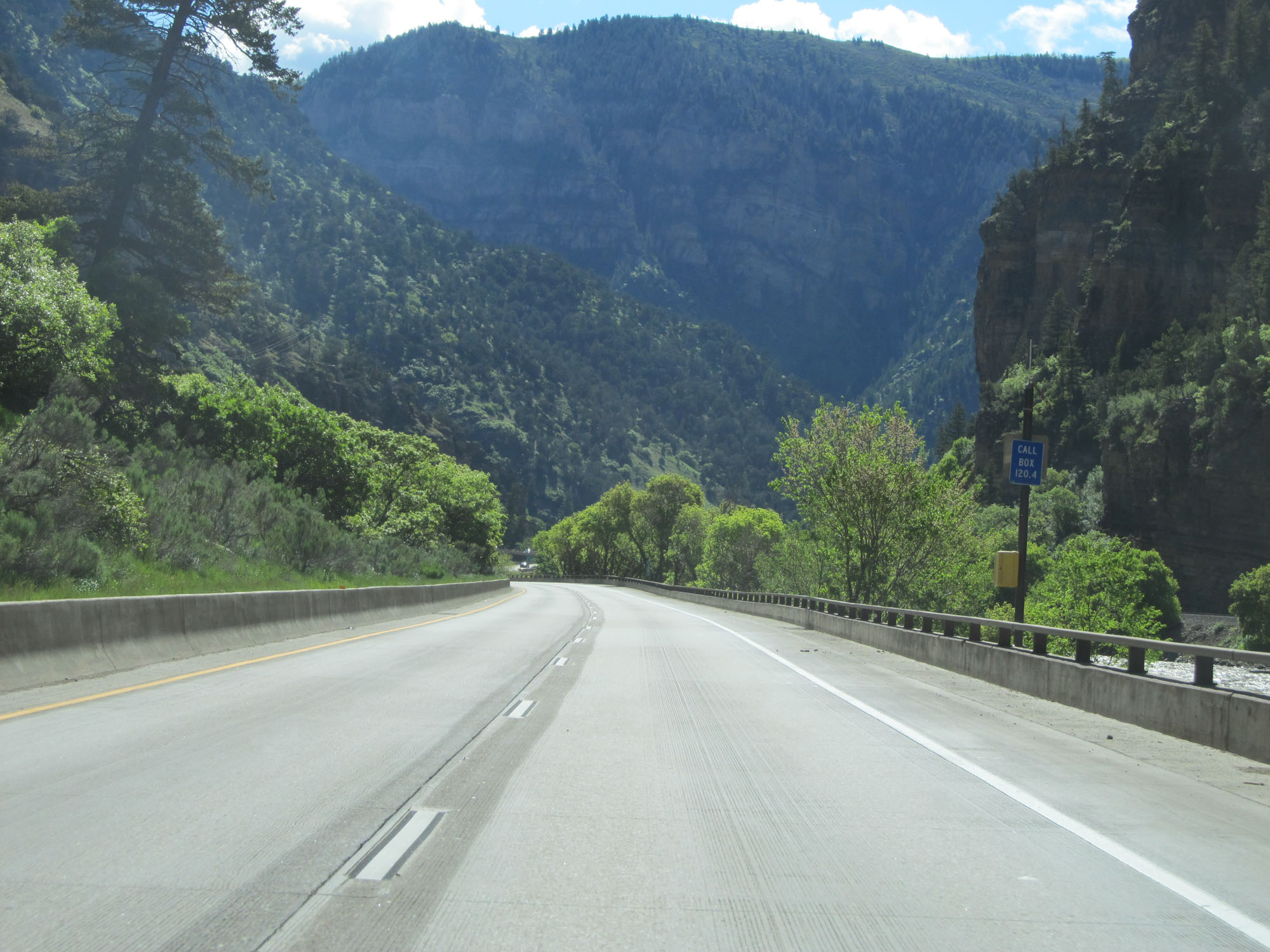 |
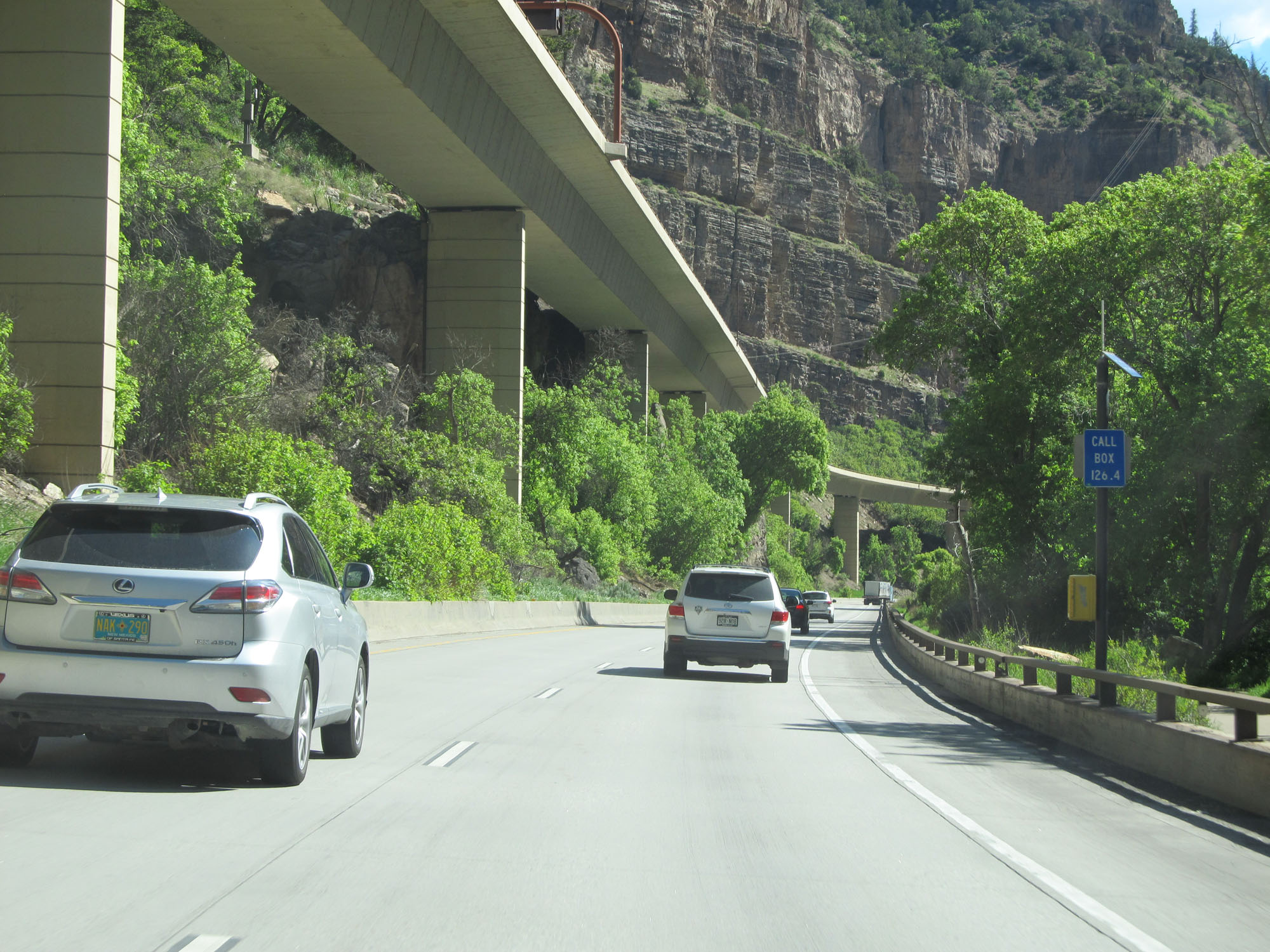
There are emergency call boxes like the one seen here during this stretch of Interstate 70 through Glenwood Canyon. (Photo taken 5/28/16). |
 |
Interstate 70 East at mile marker 120.5. (Photo taken 5/28/16). |
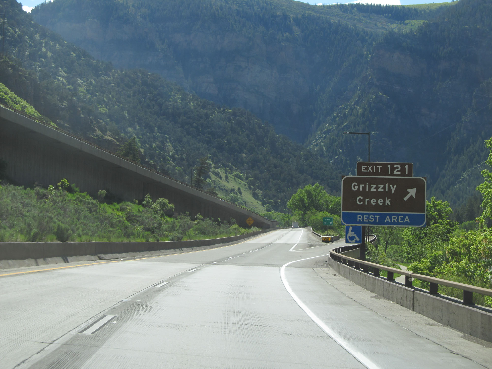 |
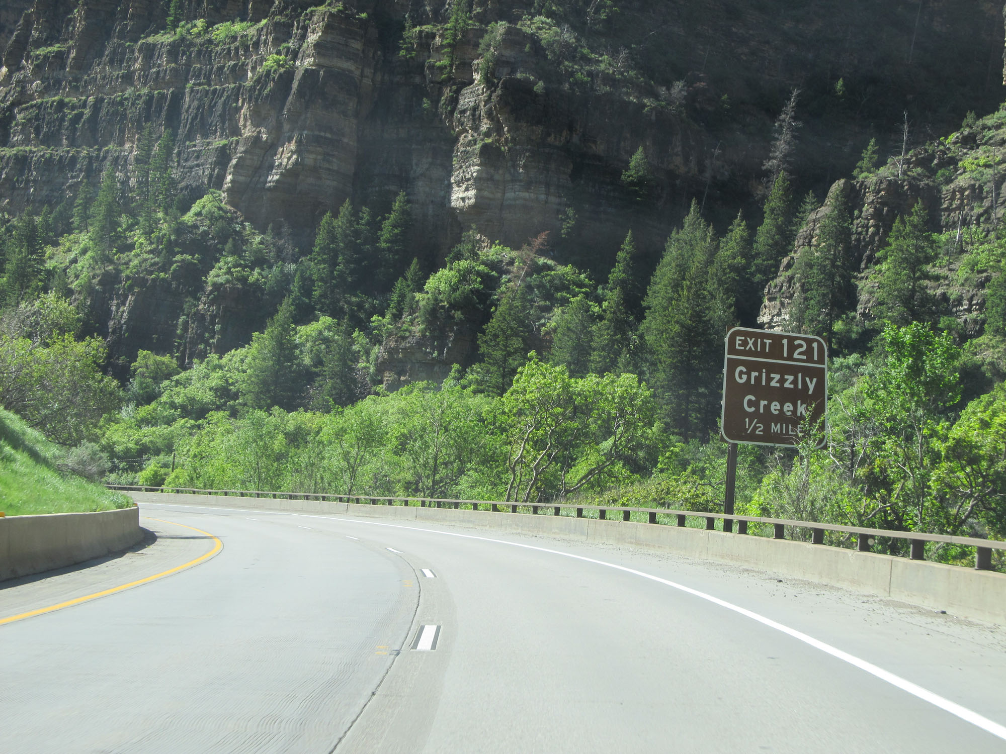
Interstate 70 East at Exit 121: Grizzly Creek / Rest Area (Photo taken 5/28/16). |
 |
Another view on Interstate 70 East in Glenwood Canyon. (Photo taken 5/28/16). |
 |
View on Interstate 70 East. (Photo taken 5/28/16). |
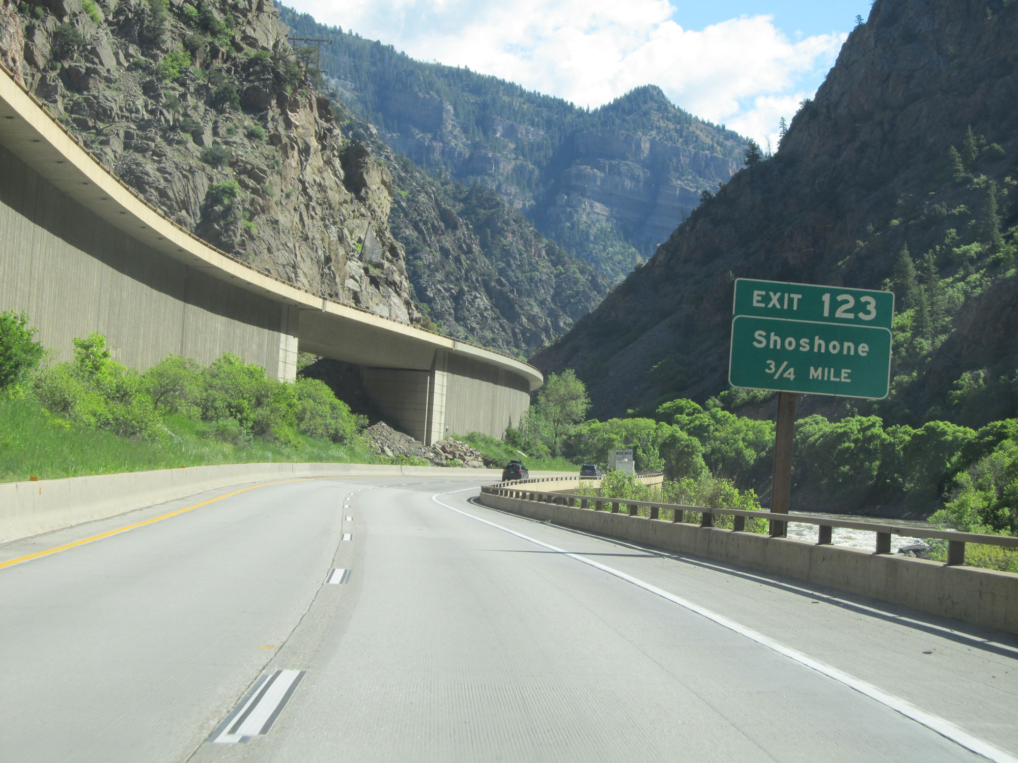 |
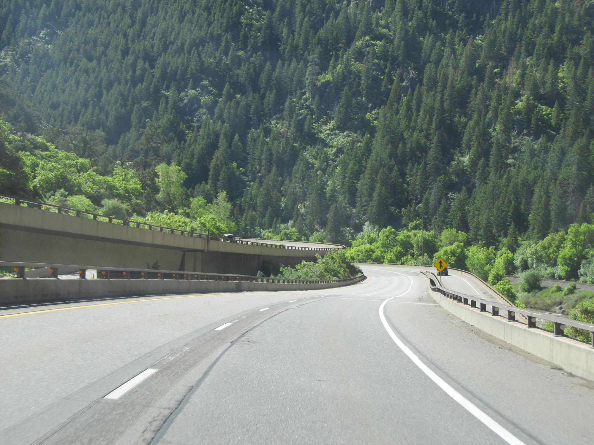
Interstate 70 East approaching Exit 123 - 3/4 mile. (Photo taken 5/28/16). |
 |
View on Interstate 70 East as we once again get a good look at the elevated westbound lanes. (Photo taken 5/28/16). |
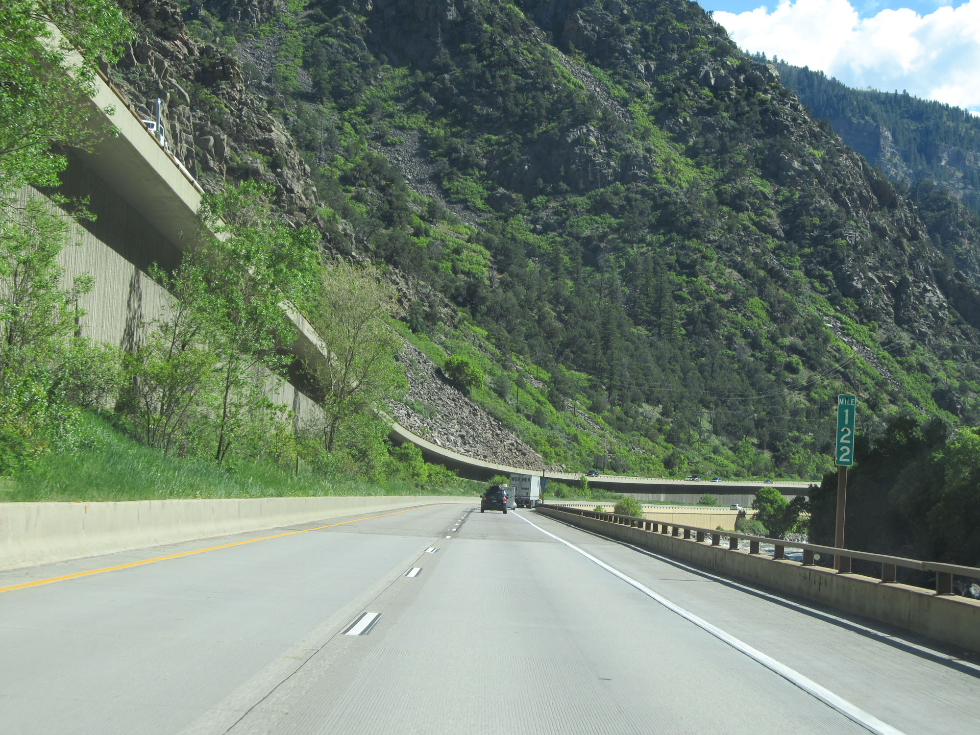 |
Interstate 70 East at mile marker 122. (Photo taken 5/28/16). |
 |
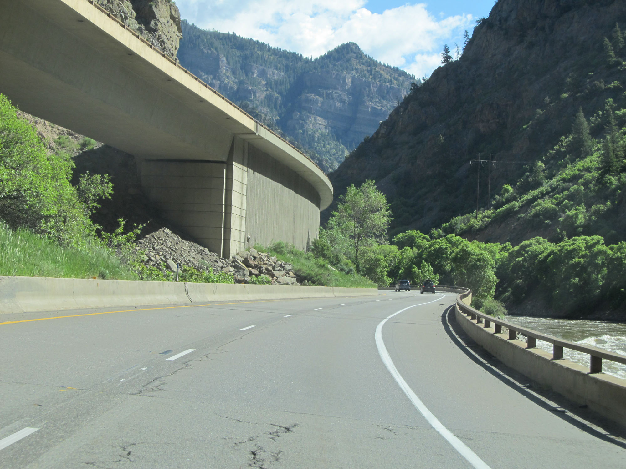
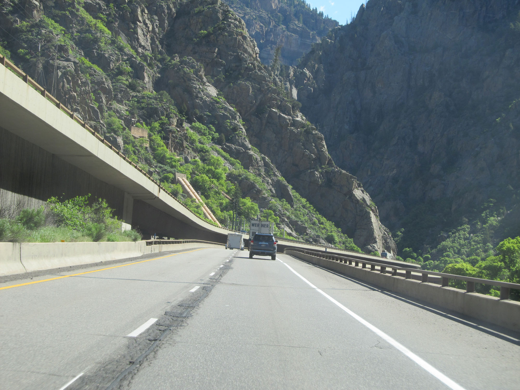
View on Interstate 70 East in Glenwood Canyon. (Photo taken 5/28/16). |
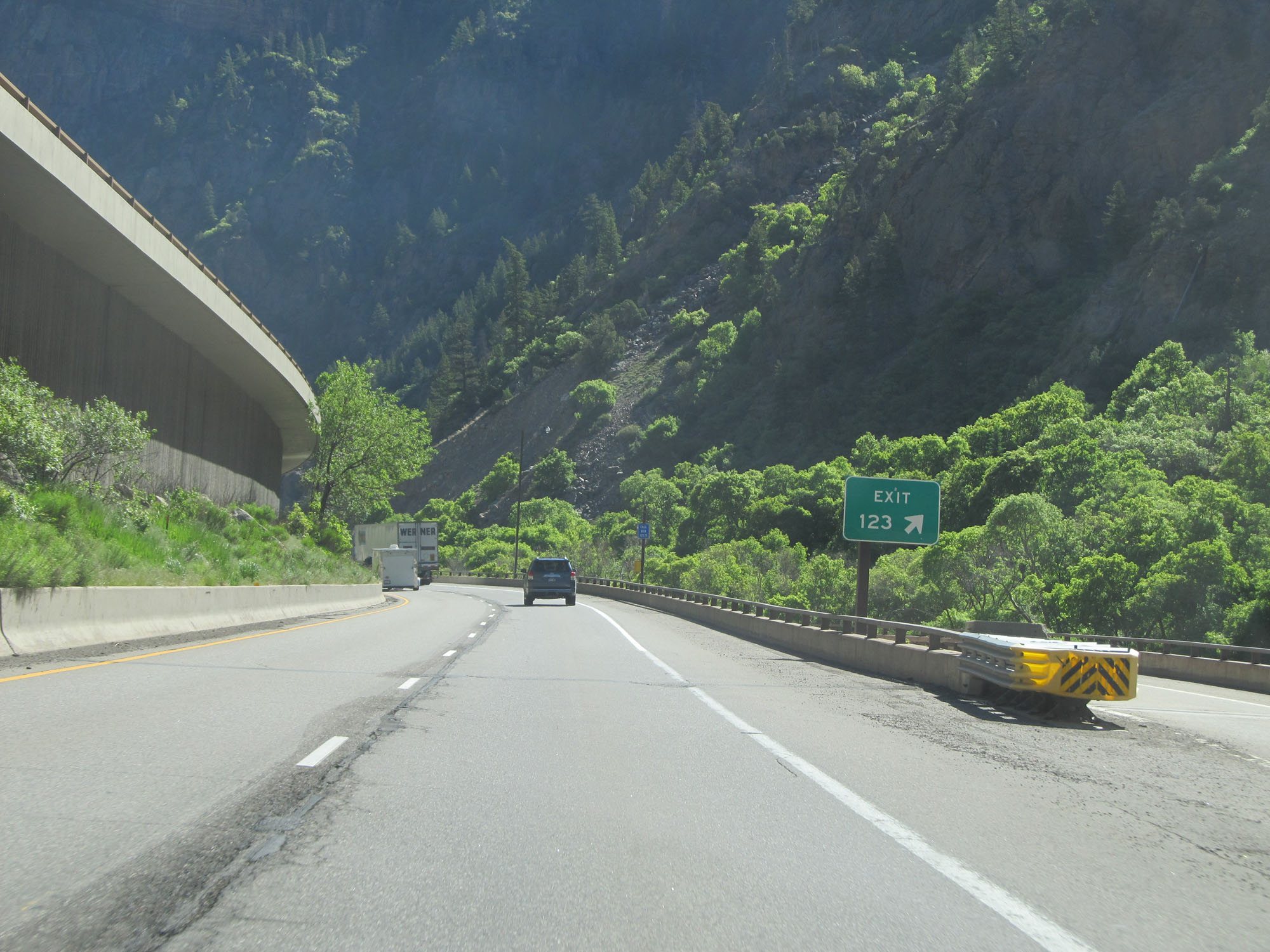 |
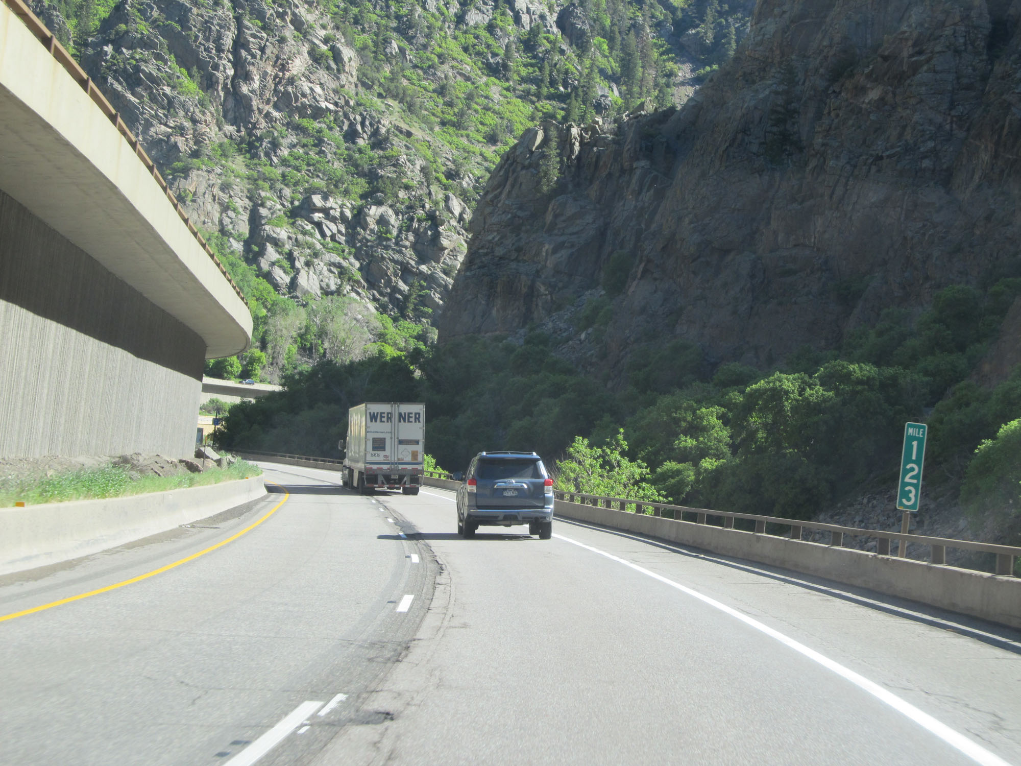
Interstate 70 East at Exit 123: Shoshone (Photo taken 5/28/16). |
 |
Another view on Interstate 70 East. (Photo taken 5/28/16). |
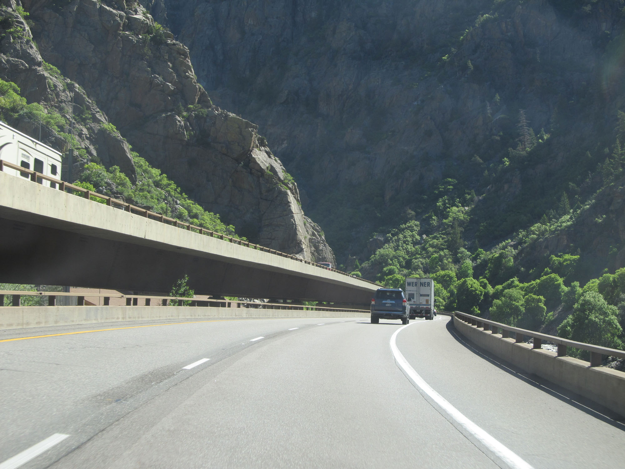 |
And another. (Photo taken 5/28/16). |
 |
Interstate 70 East at mile marker 123. (Photo taken 5/28/16). |
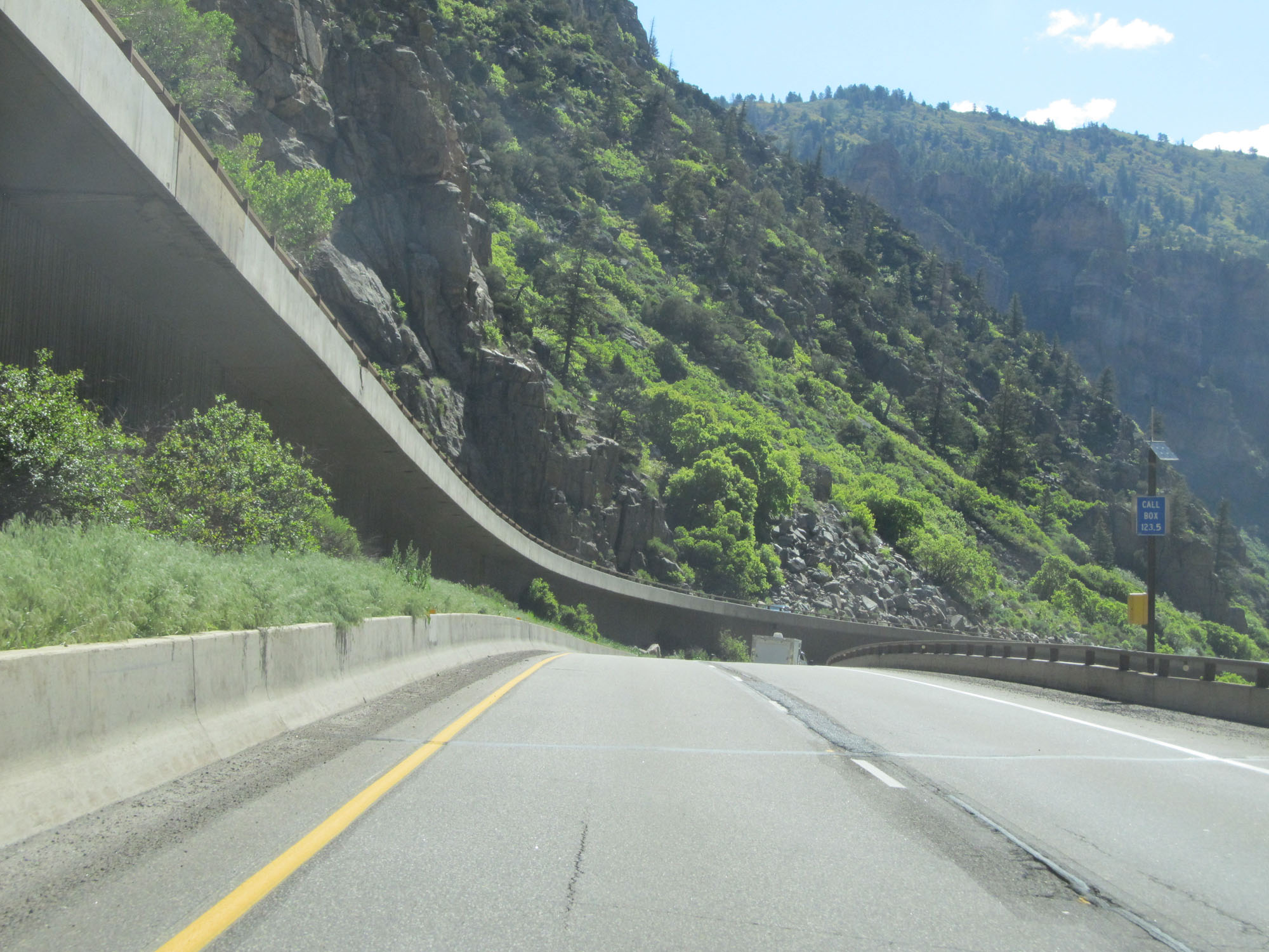 |
Interstate 70 East at mile marker 123.5. (Photo taken 5/28/16). |
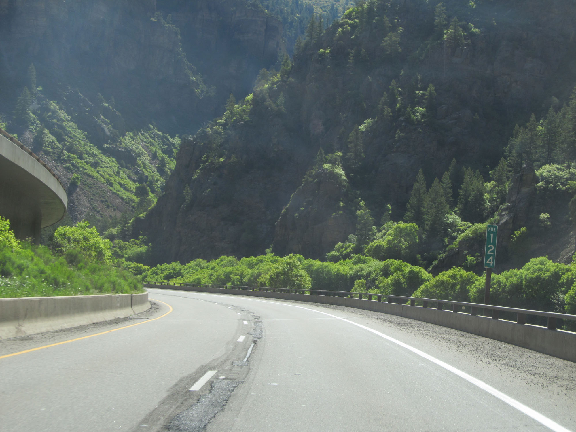 |
Interstate 70 East at mile marker 124. (Photo taken 5/28/16). |
 |
Interstate 70 East approaching Exit 125 - 3/4 mile. (Photo taken 5/28/16). |
 |
Another view on Interstate 70 East in Glenwood Canyon approaching Exit 125. (Photo taken 5/28/16). |
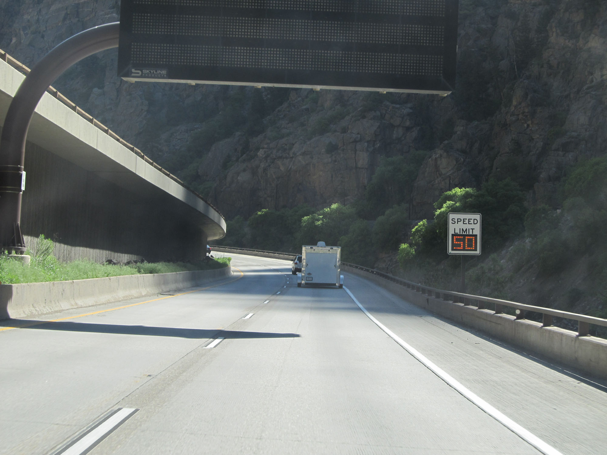 |
Approaching Exit 125, variable speed limits are used. The speed limit remained 50 mph at the time. (Photo taken 5/28/16). |
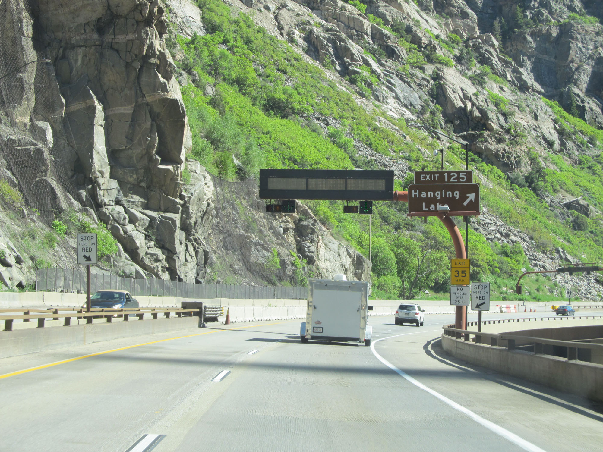 |
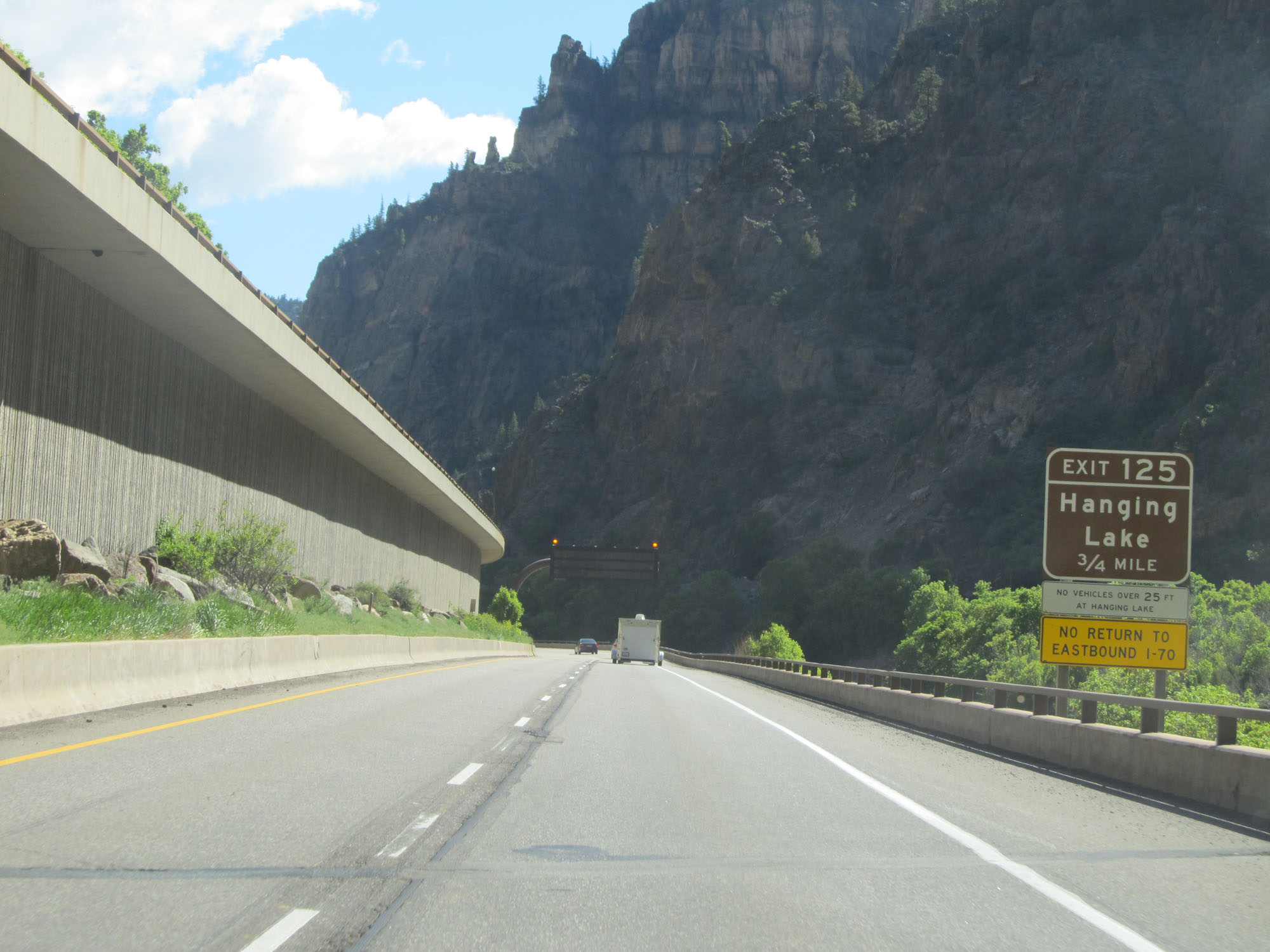
Interstate 70 East at Exit 125: Hanging Lake (Photo taken 5/28/16). |
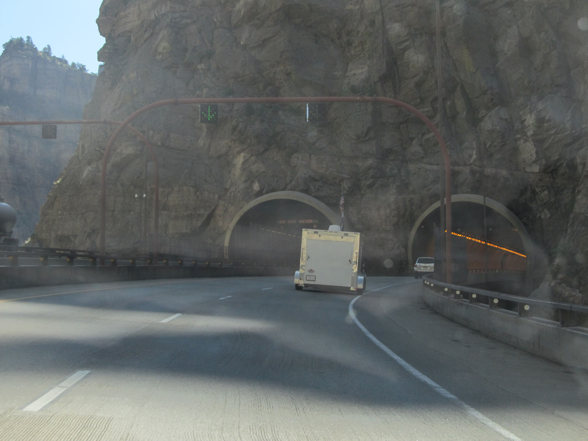 |
Interstate 70 East approaching the entrance of the Hanging Lake Tunnel. (Photo taken 5/28/16). |
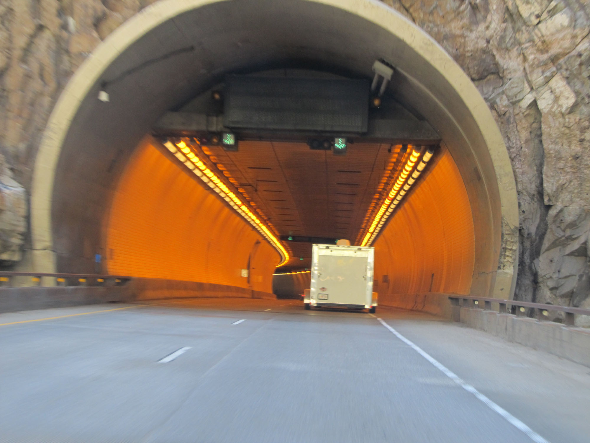 |
Interstate 70 East entering the Hanging Lake Tunnel in Glenwood Canyon. (Photo taken 5/28/16). |
 |
View inside the Hanging Lake Tunnel on Interstate 70 East. (Photo taken 5/28/16). |
 |
Interstate 70 East at mile marker 126, on the east side of Hanging Lake Tunnel. (Photo taken 5/28/16). |
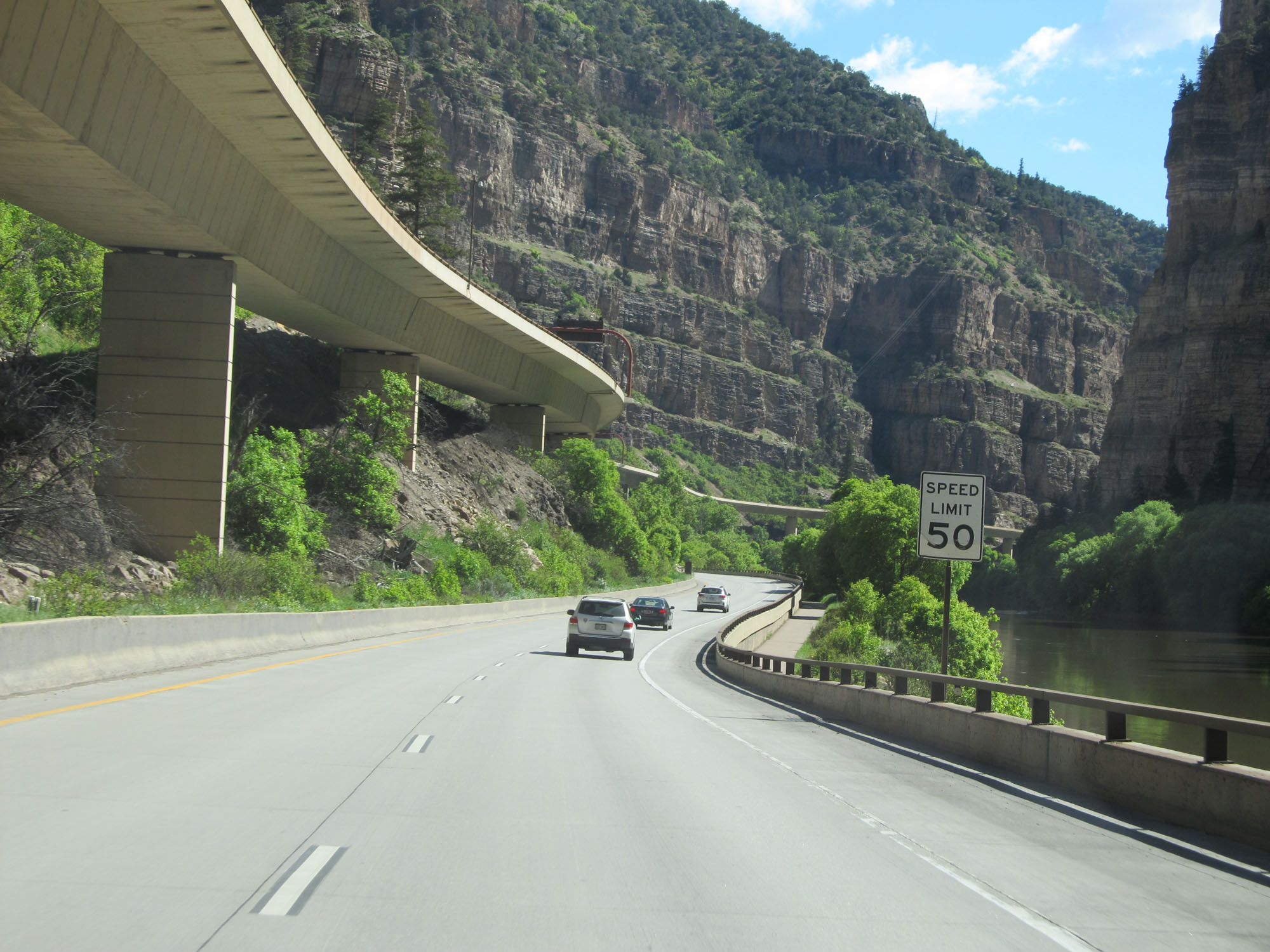 |
The speed limit remains 50 mph for all traffic. (Photo taken 5/28/16). |
 |
Interstate 70 East at mile marker 126.4. (Photo taken 5/28/16). |
 |
View on Interstate 70 East, looking at the elevated westbound lanes yet again. (Photo taken 5/28/16). |
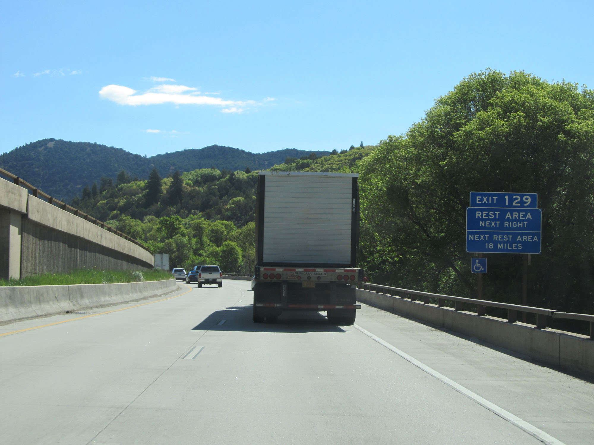 |
A Rest Area exists off Exit 129 ahead. The next Rest Area beyond this one is 18 miles ahead. (Photo taken 5/28/16). |
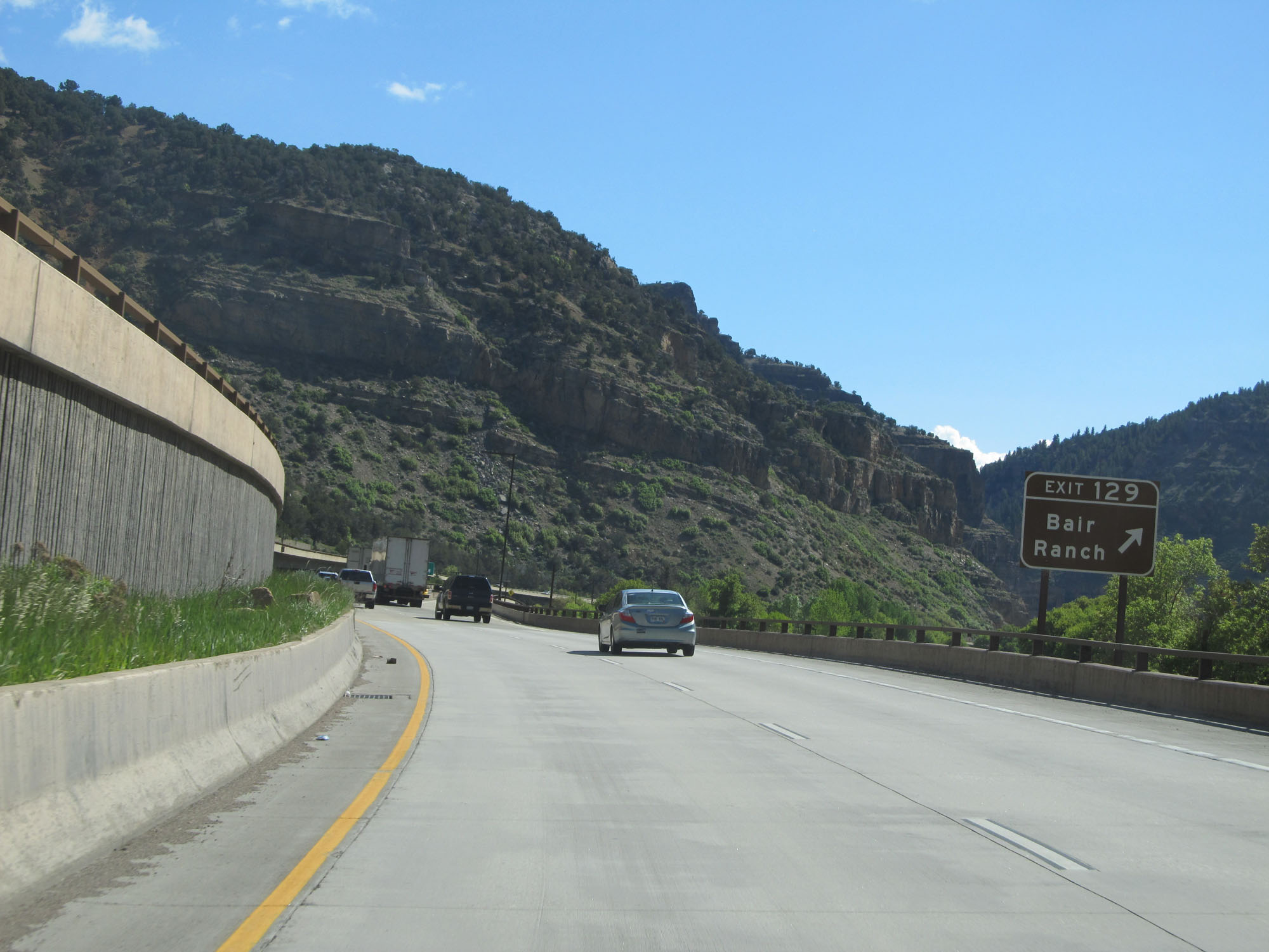 |
Interstate 70 East at Exit 129: Bair Ranch (Photo taken 5/28/16). |
 |
View on Interstate 70 East in Glenwood Canyon. (Photo taken 5/28/16). |
 |
The sharp curves continue ahead. (Photo taken 5/28/16). |
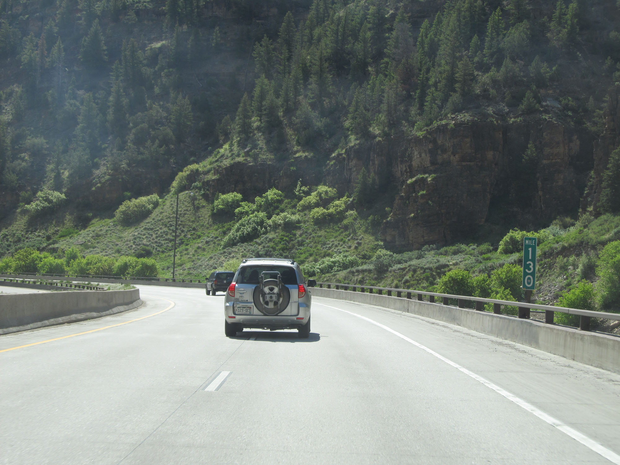 |
Interstate 70 East at mile marker 130. (Photo taken 5/28/16). |
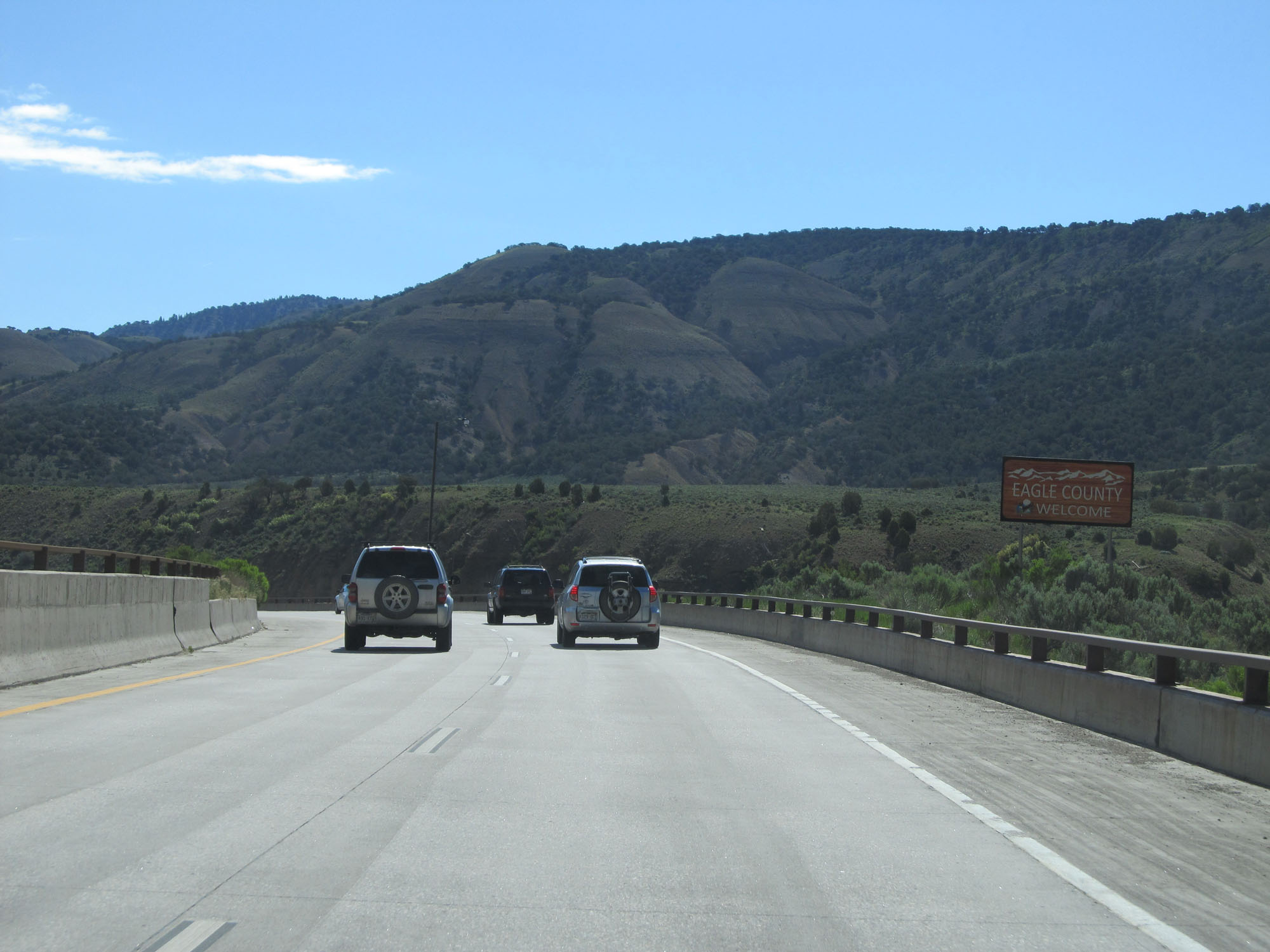 |
Interstate 70 East enters Eagle County here at the eastern edge of Glenwood Canyon. (Photo taken 5/28/16). |
 |
Since the sharp curves are now over with, the speed limit increases to 65 mph. (Photo taken 5/28/16). |
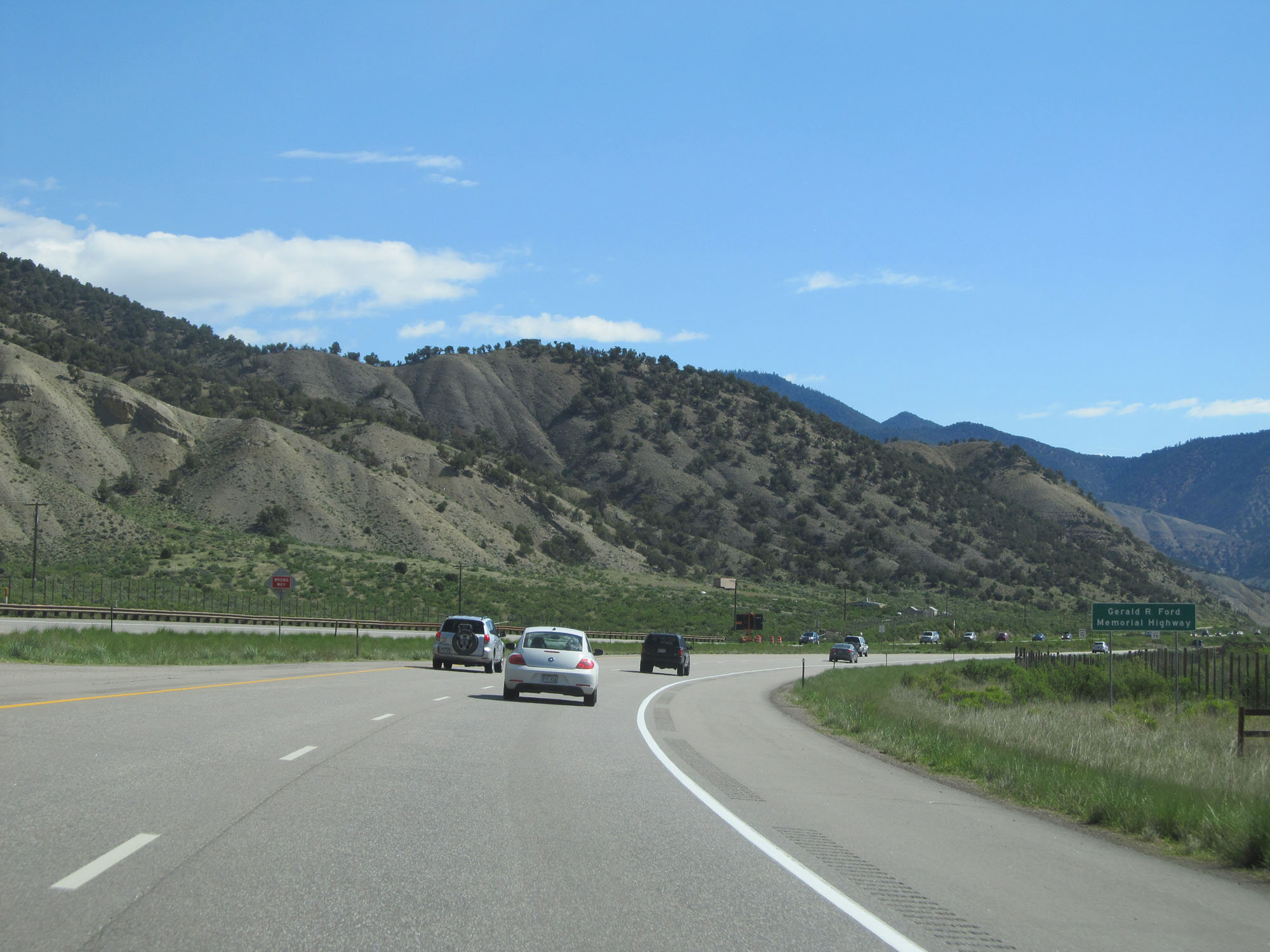 |
This section of Interstate 70 is also known as Gerald R. Ford Memorial Highway. (Photo taken 5/28/16). |
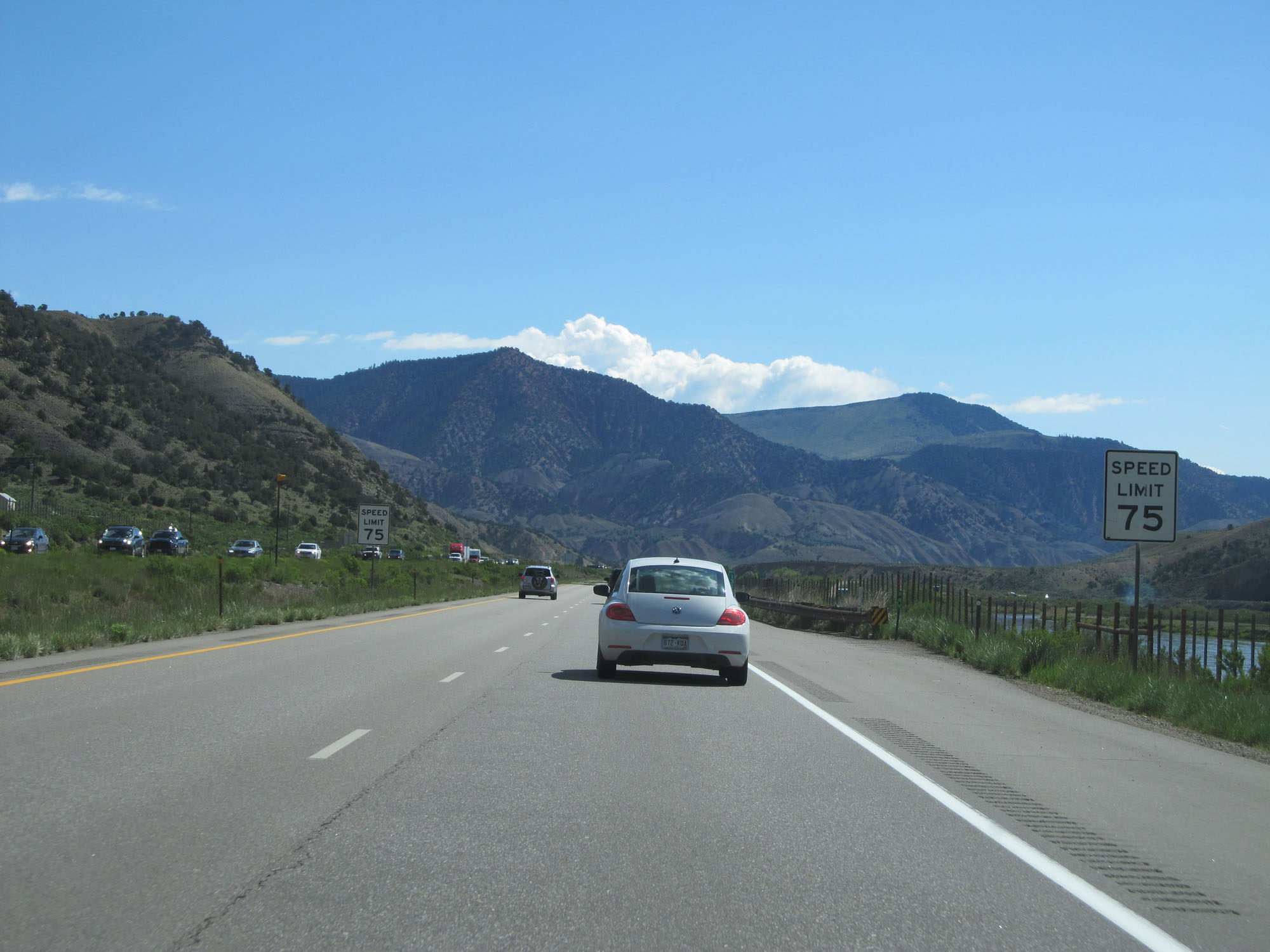 |
Finally, the standard speed limit of 75 mph returns now that we're well east of Glenwood Canyon. (Photo taken 5/28/16). |
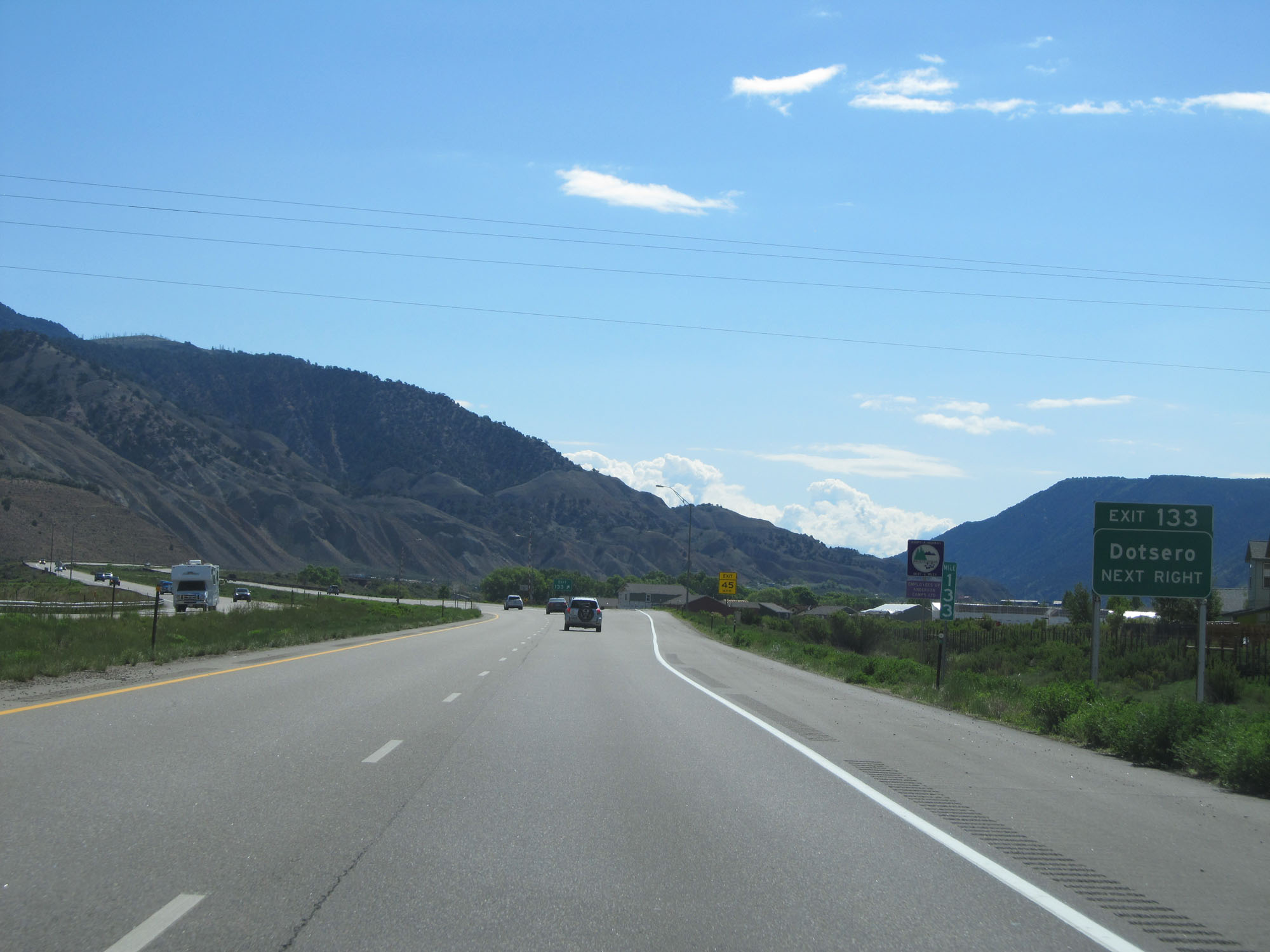 |
Interstate 70 East at Exit 133: Dotsero (Photo taken 5/28/16). |
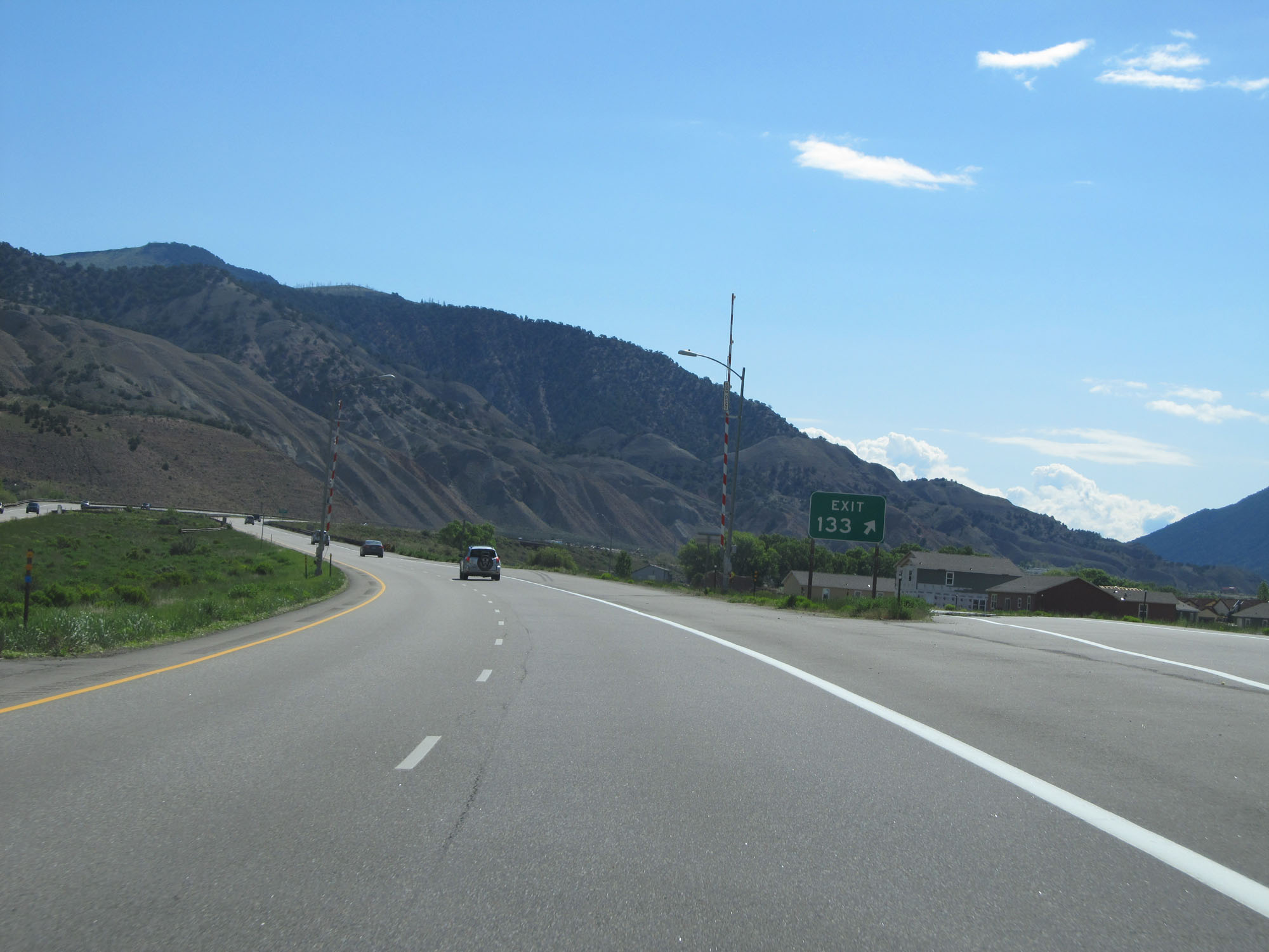 |
Gore point signage for Exit 133. (Photo taken 5/28/16). |
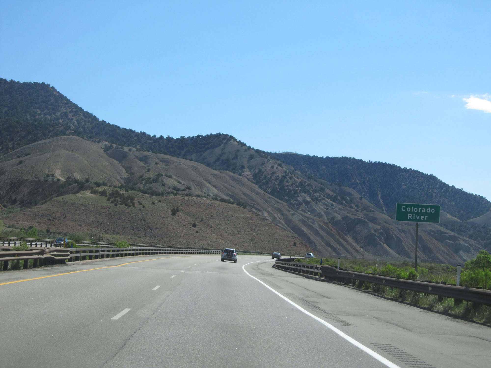 |
Interstate 70 East as it crosses the Colorado River yet again. (Photo taken 5/28/16). |
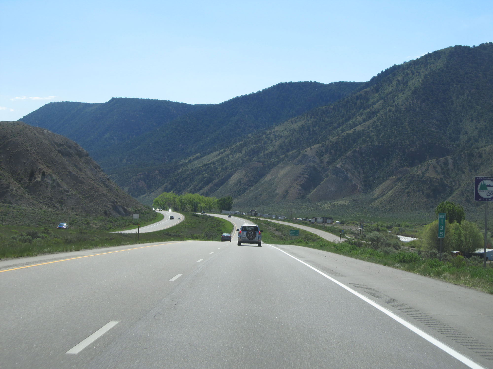 |
Interstate 70 East at mile marker 135. (Photo taken 5/28/16). |
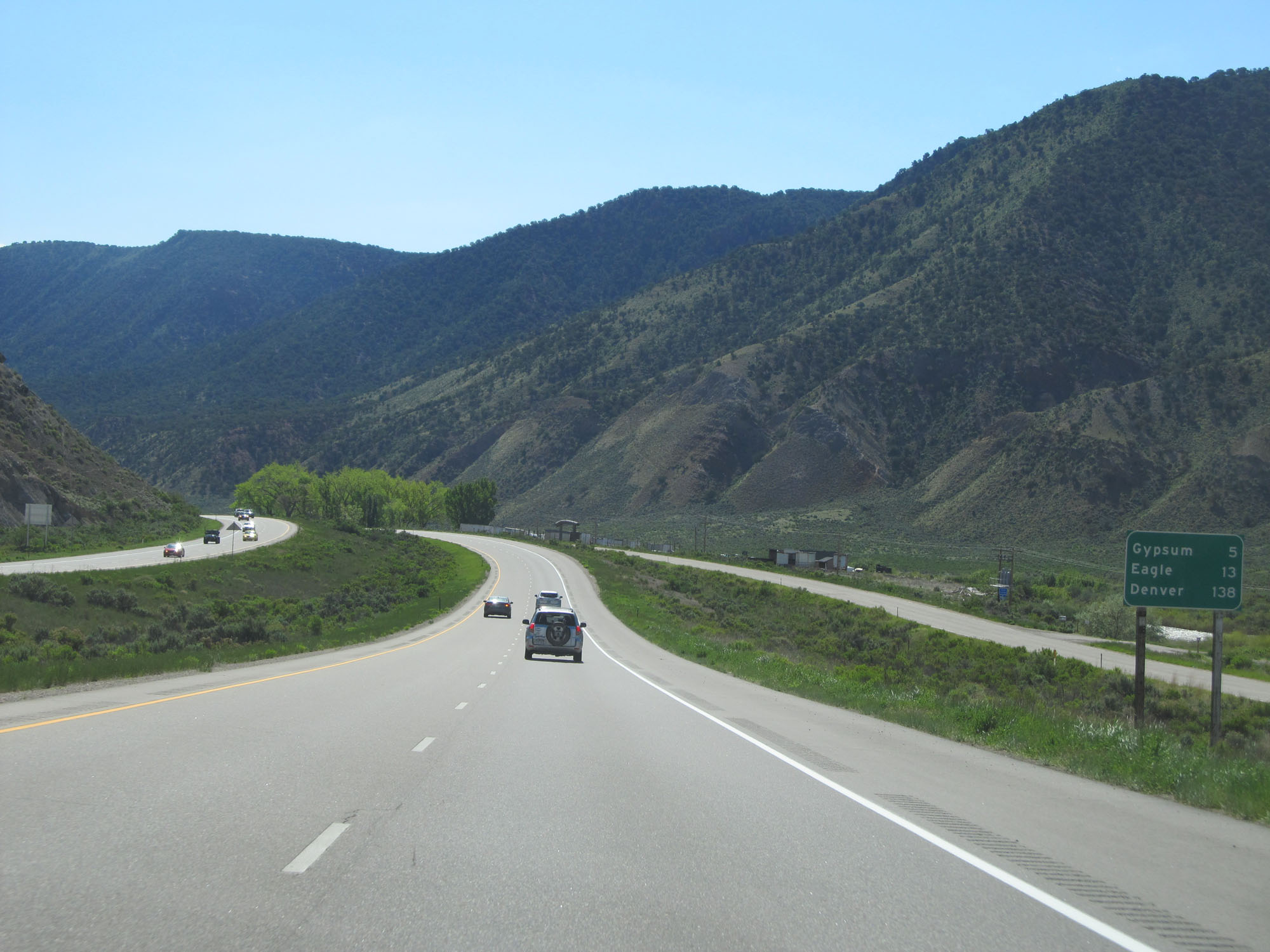 |
Mileage sign on Interstate 70 East. It's 5 miles to Gypsum, 13 miles to Eagle, and 138 miles to Denver. (Photo taken 5/28/16). |
 |
Interstate 70 East at mile marker 138. (Photo taken 5/28/16). |
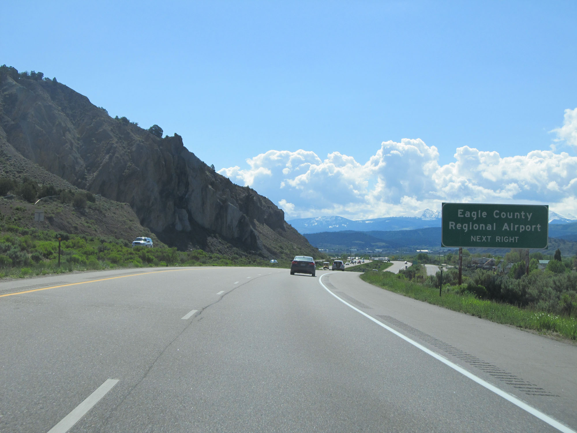 |
Take Exit 140 to Eagle County Regional Airport. (Photo taken 5/28/16). |
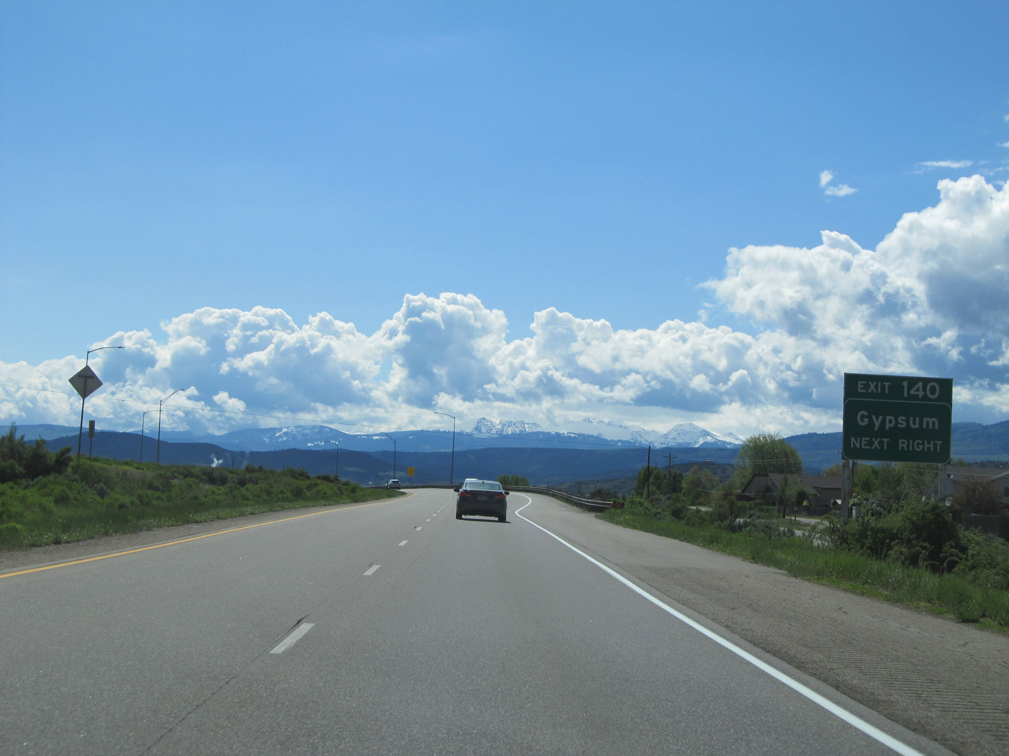 |
Interstate 70 East at Exit 140: Gypsum (Photo taken 5/28/16). |
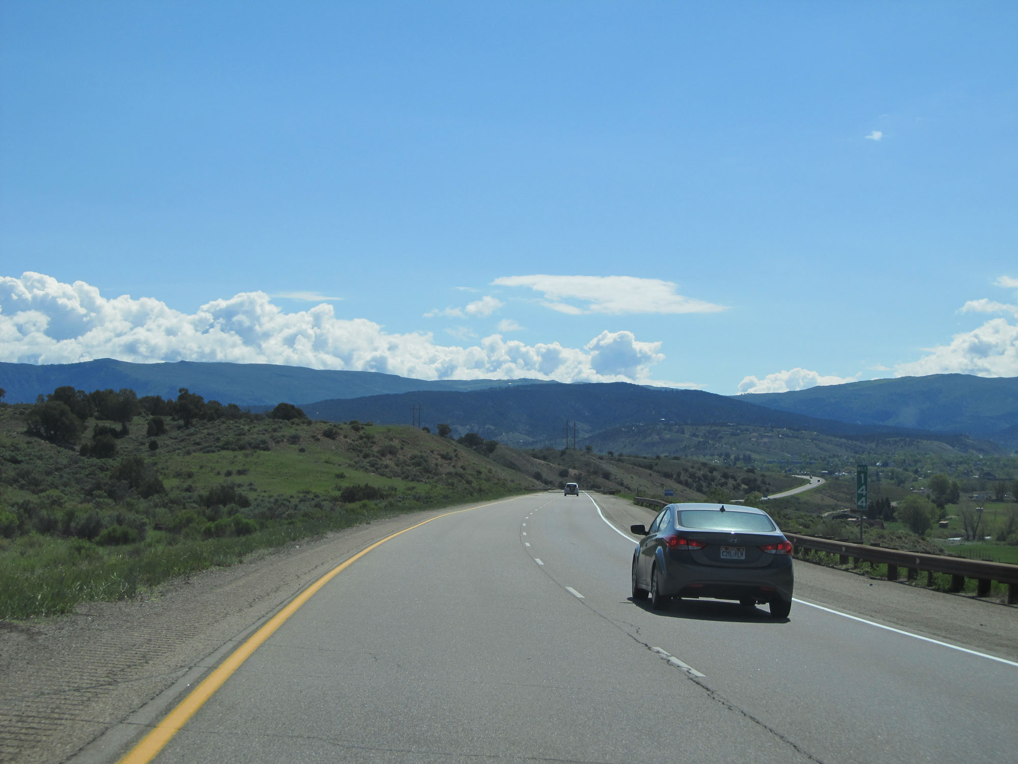 |
Interstate 70 East at mile marker 144. (Photo taken 5/28/16). |
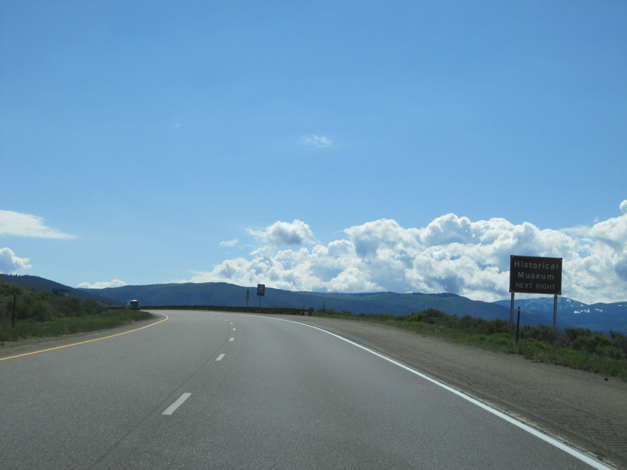 |
Take Exit 147 to the Historical Museum. (Photo taken 5/28/16). |
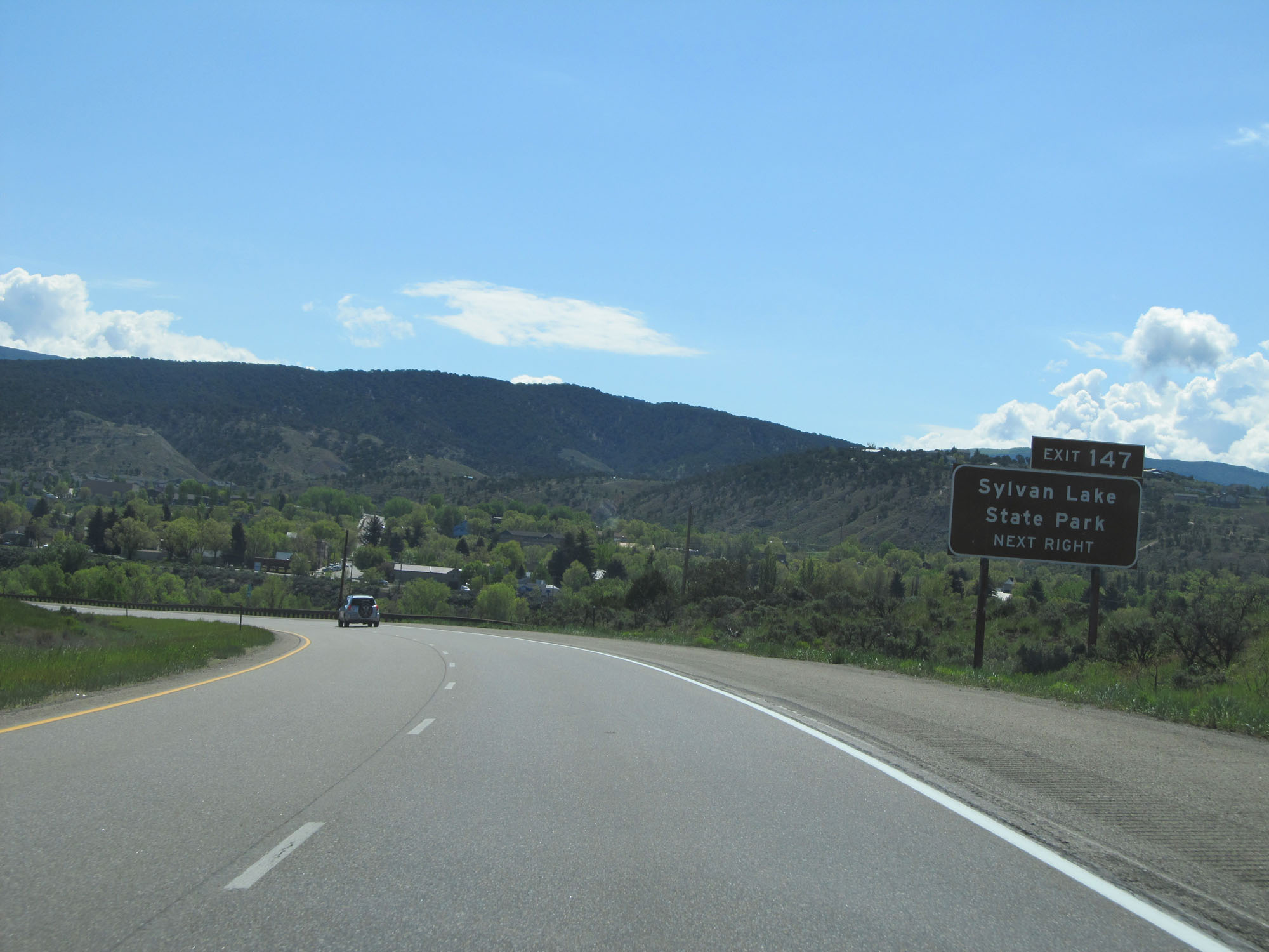 |
Take Exit 147 to Sylvan Lake State Park as well. (Photo taken 5/28/16). |
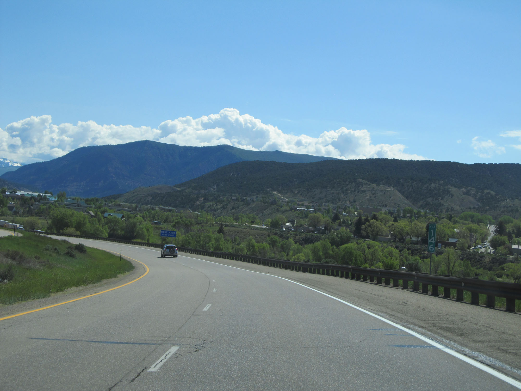 |
Interstate 70 East at mile marker 146. (Photo taken 5/28/16). |
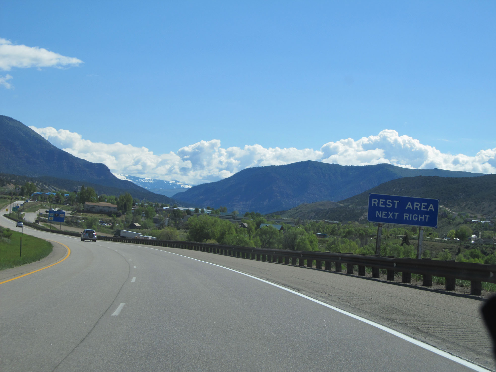 |
A Rest Area exists at Exit 147 also. (Photo taken 5/28/16). |
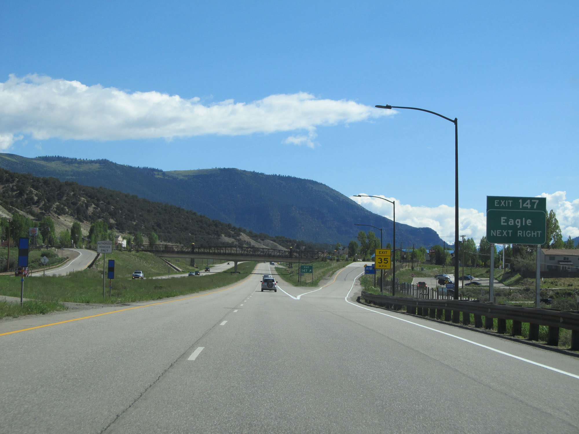 |
Interstate 70 East at Exit 147: Eagle (Photo taken 5/28/16). |
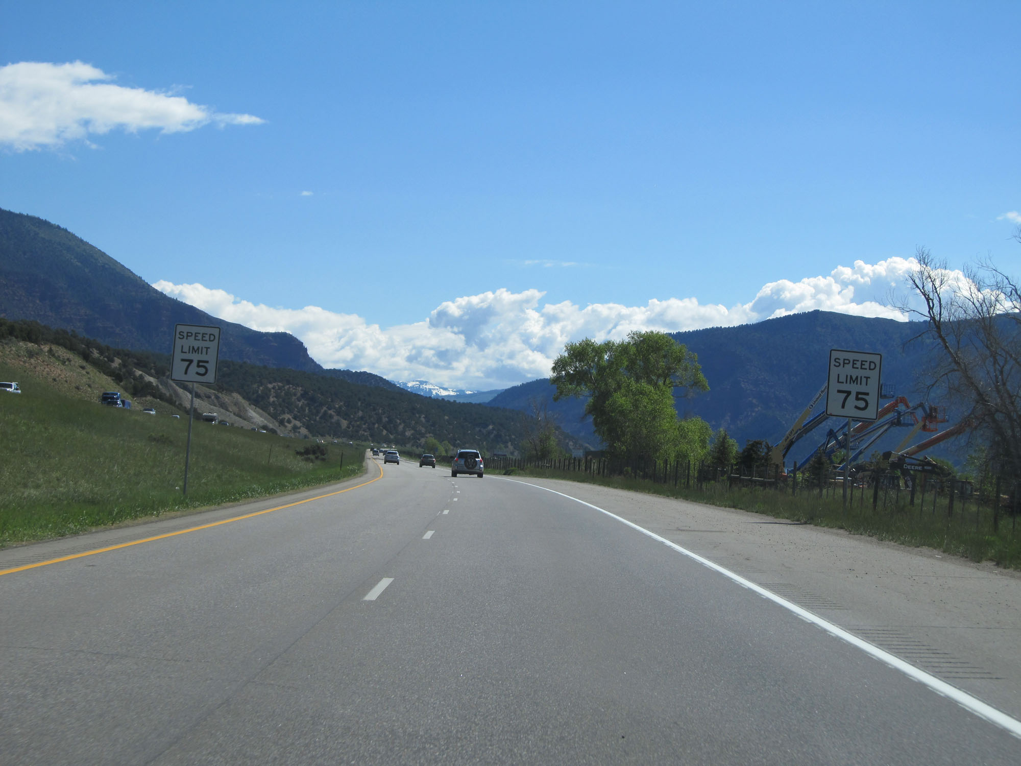 |
The speed limit remains 75 mph. (Photo taken 5/28/16). |
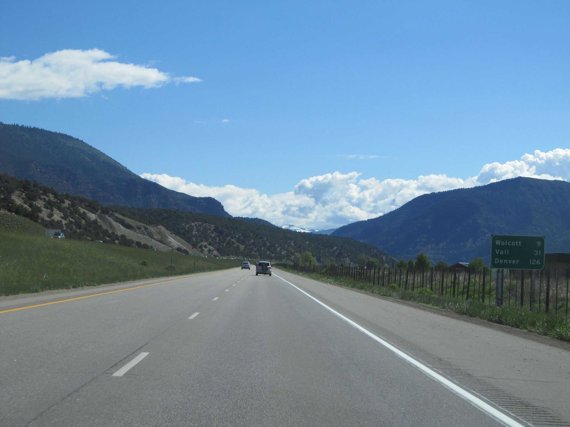 |
Mileage sign on Interstate 70 East. It's 9 miles to Wolcott, 31 miles to Vail, and 126 miles to Denver. (Photo taken 5/28/16). |
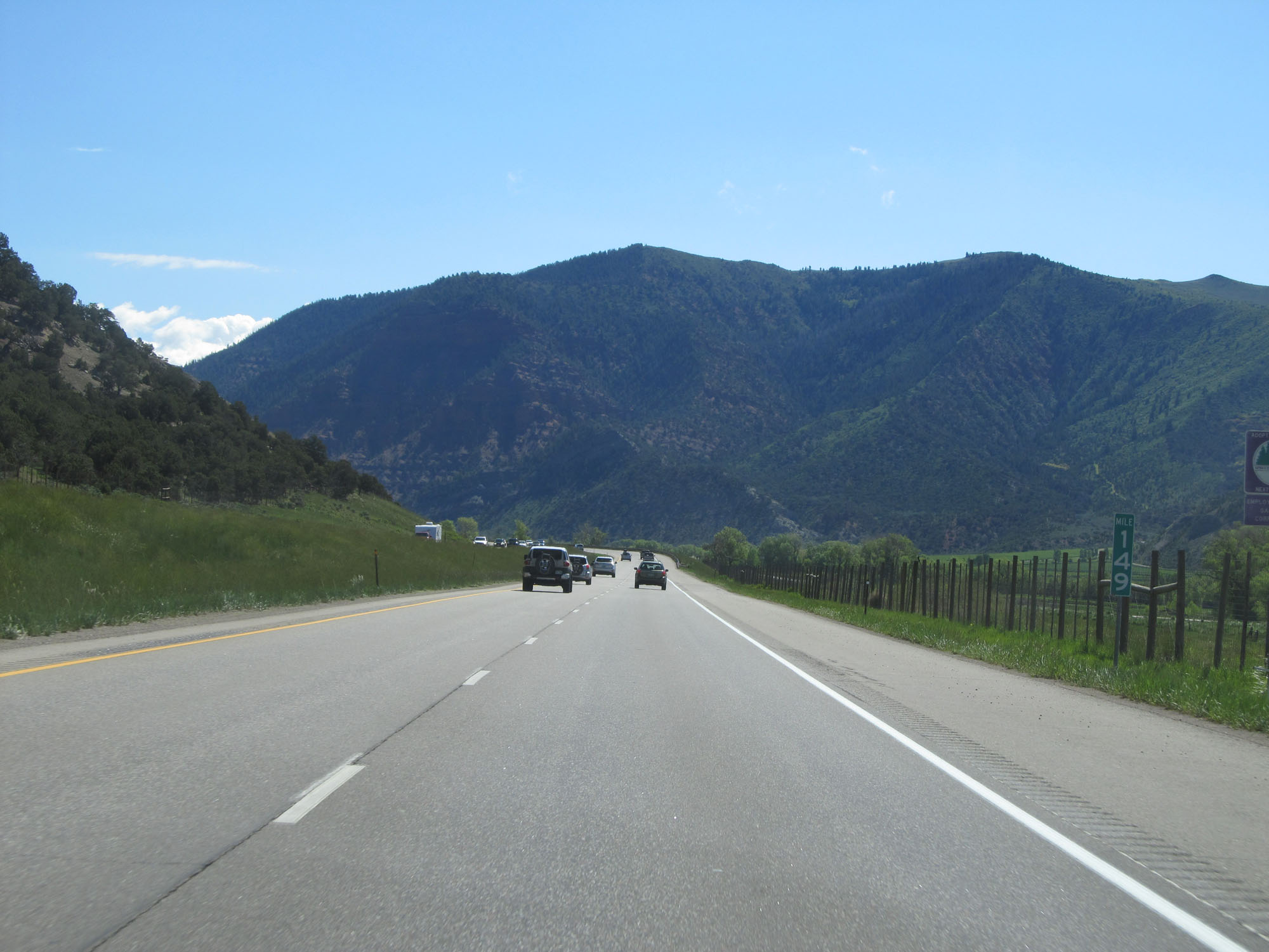 |
Interstate 70 East at mile marker 149. (Photo taken 5/28/16). |
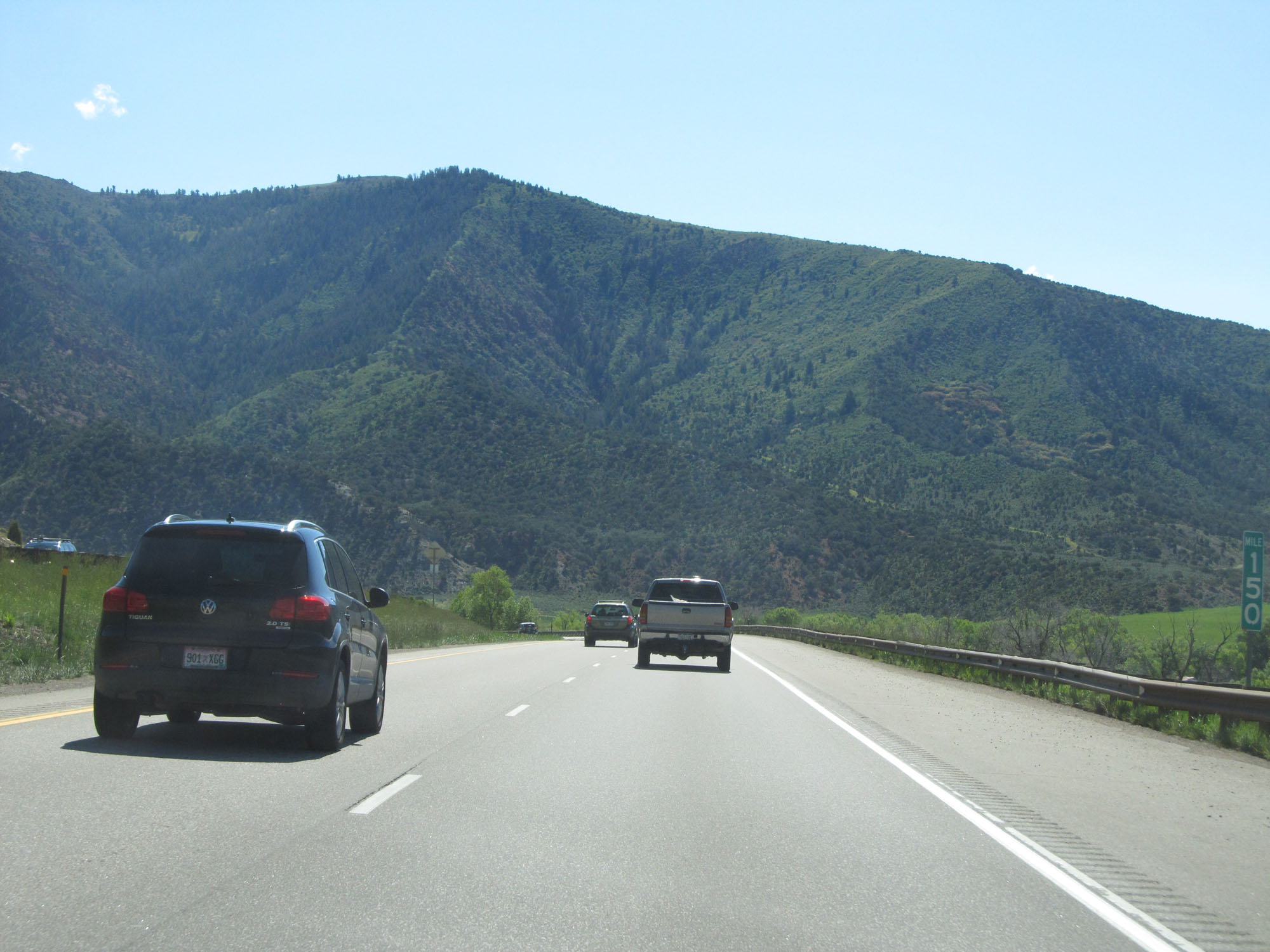 |
Interstate 70 East at mile marker 150. (Photo taken 5/28/16). |
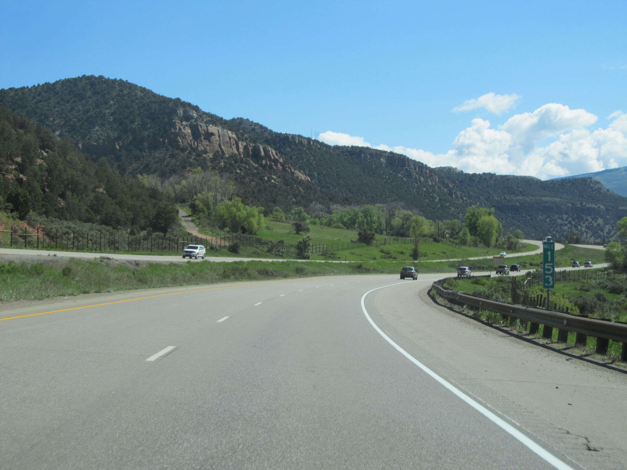 |
Interstate 70 East at mile marker 153. (Photo taken 5/28/16). |
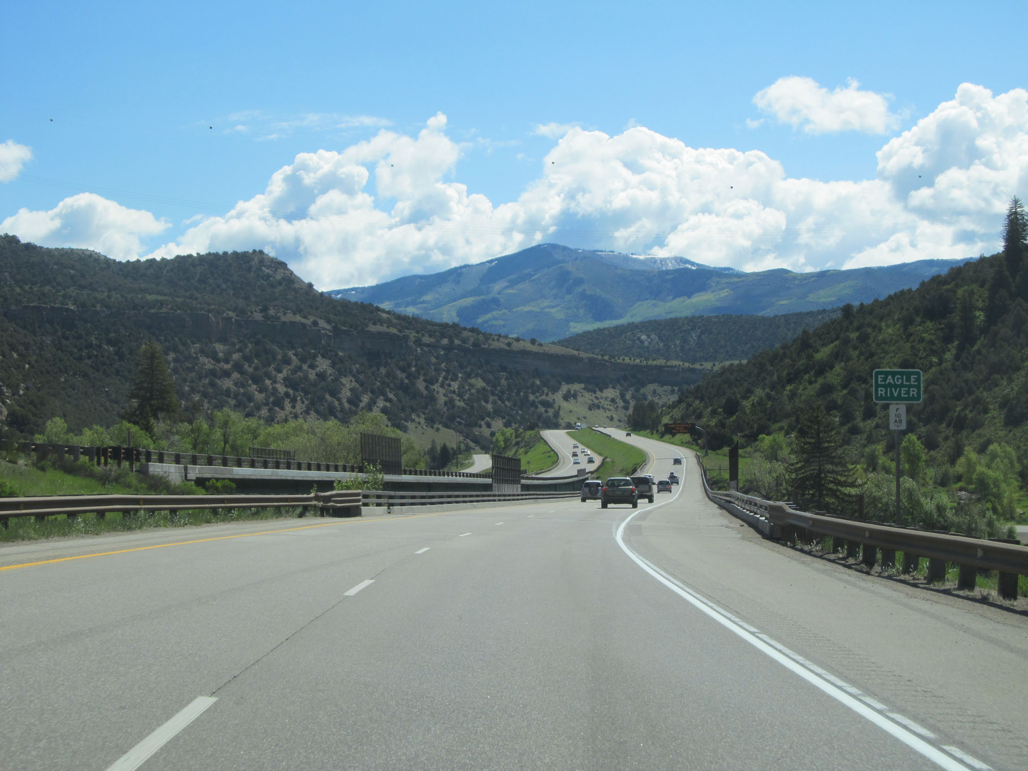 |
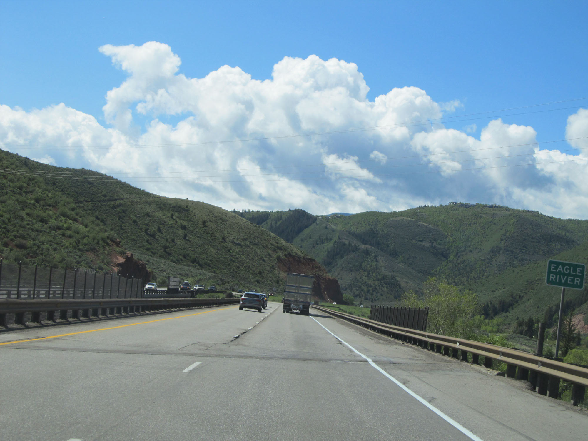
Interstate 70 East crossing the Eagle River. (Photo taken 5/28/16). |
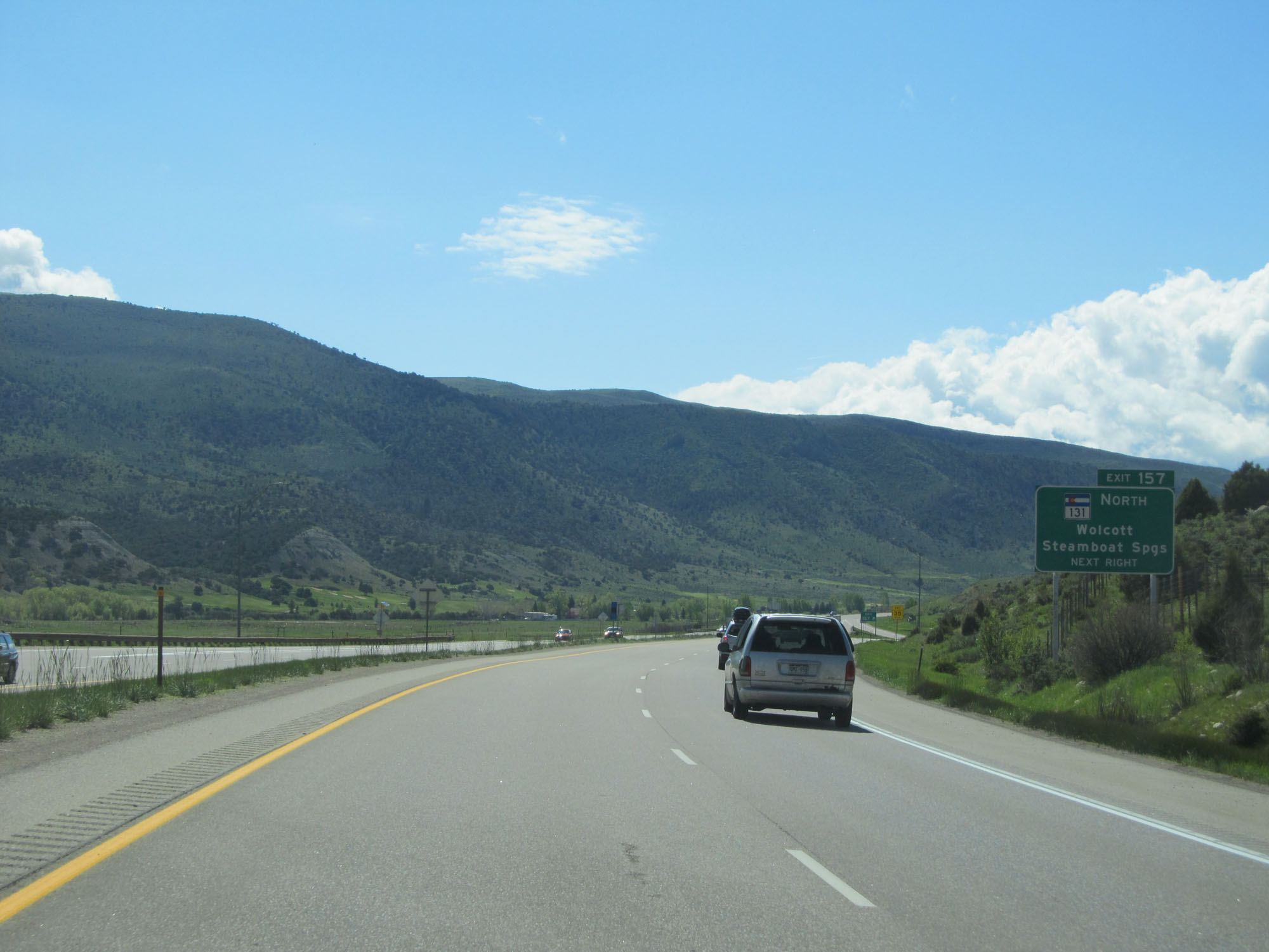 |
Interstate 70 East at Exit 157: CO 131 North - Wolcott / Steamboat Springs (Photo taken 5/28/16). |
 |
View on Interstate 70 East approaching a set of 70 mph curves. (Photo taken 5/28/16). |
 |
Interstate 70 East at mile marker 158. (Photo taken 5/28/16). |
 |
Interstate 70 East as it crosses the Eagle River for a second time. (Photo taken 5/28/16). |
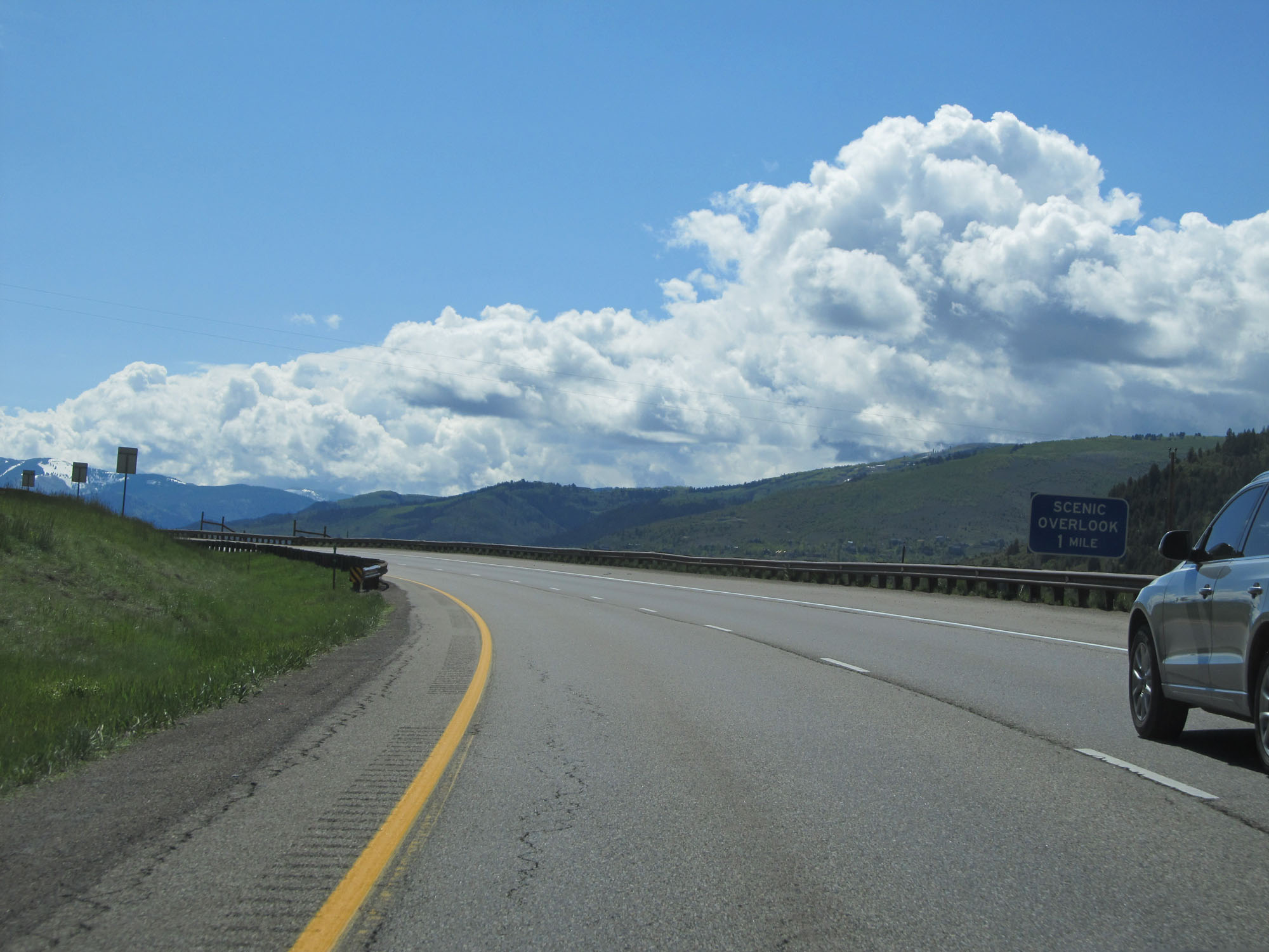 |
Interstate 70 East approaching a Scenic Overlook - 1 mile. (Photo taken 5/28/16). |
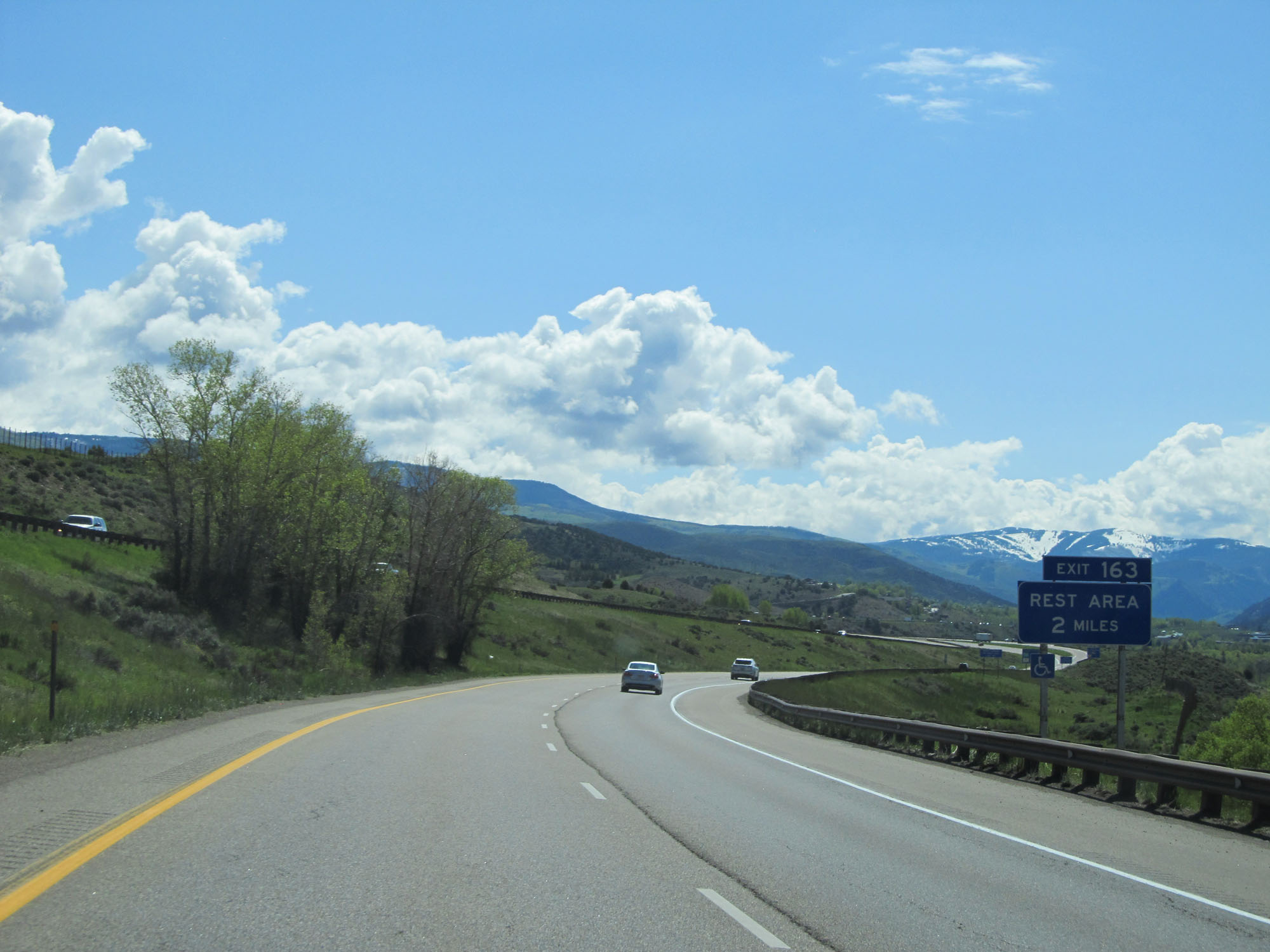 |
Another Rest Area exists off Exit 163, 2 miles ahead. (Photo taken 5/28/16). |
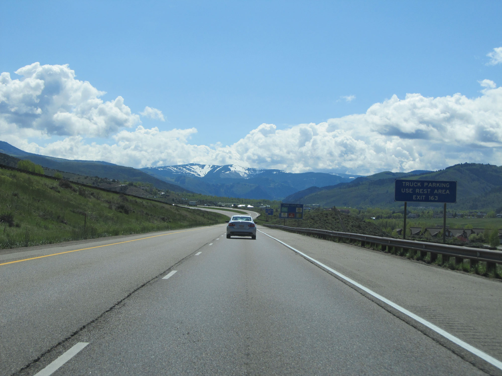 |
Truck Parking is available at the Rest Area off Exit 163. (Photo taken 5/28/16). |
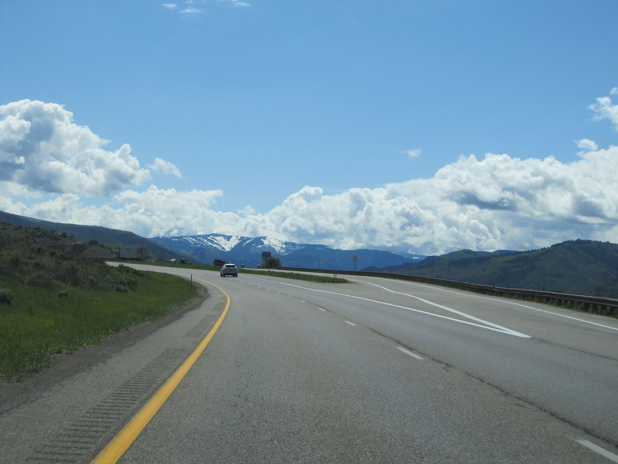 |
Interstate 70 East at the Scenic Overlook in Eagle County. (Photo taken 5/28/16). |
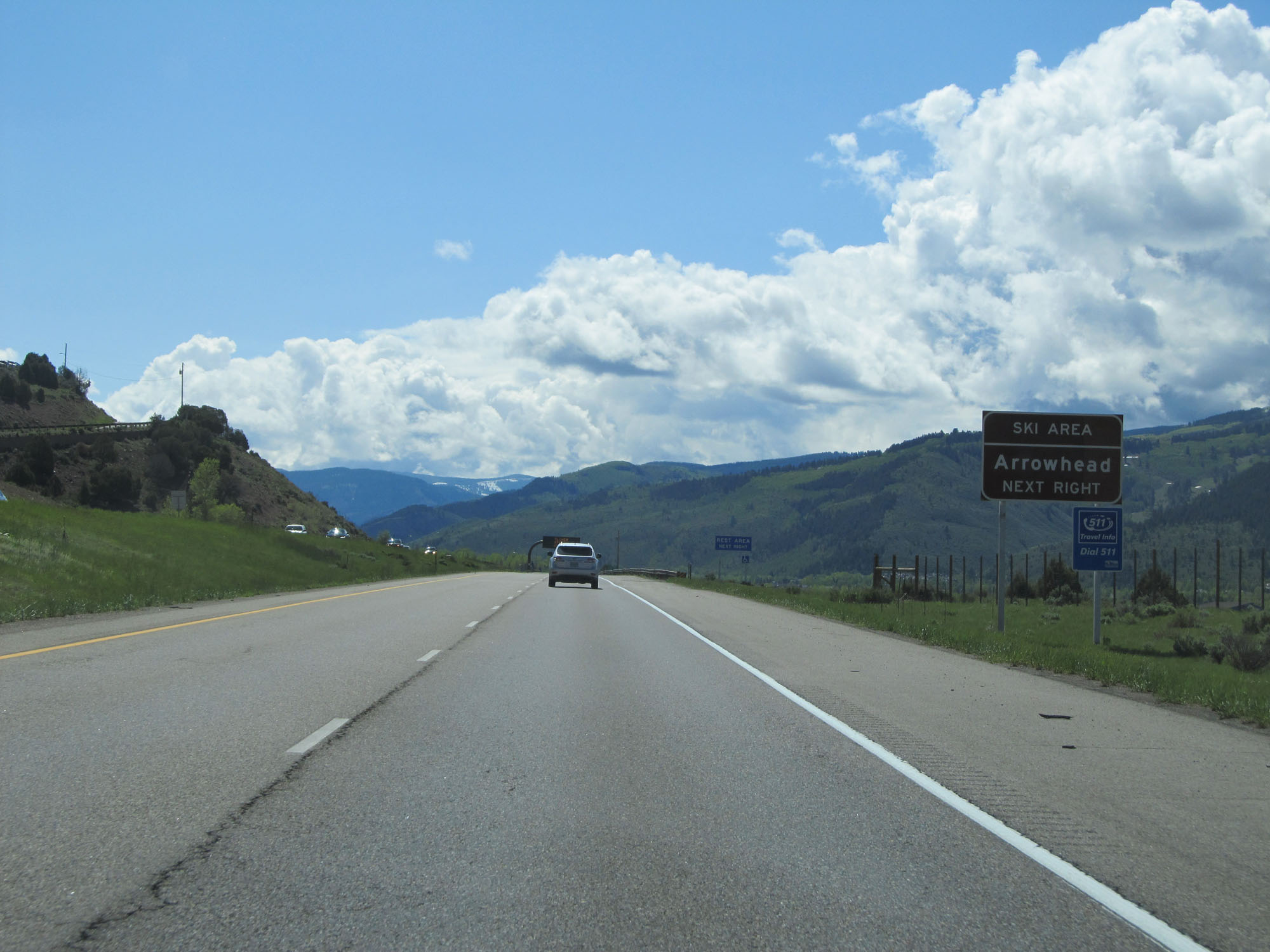 |
Take Exit 163 to Arrowhead Ski Area. (Photo taken 5/28/16). |
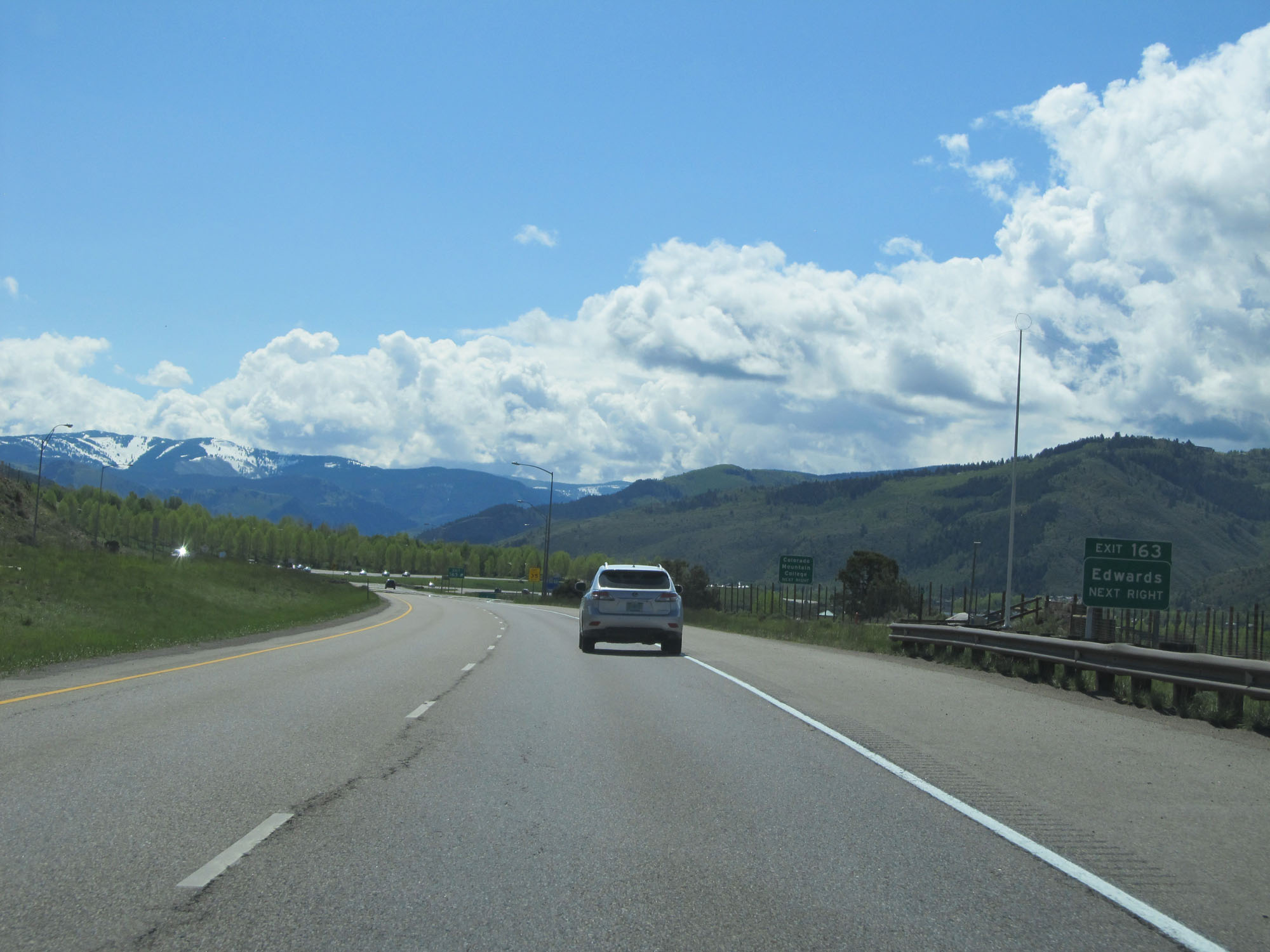 |
Interstate 70 East at Exit 163: Edwards (Photo taken 5/28/16). |
 |
State-named Interstate 70 East reassurance shield. (Photo taken 5/28/16). |
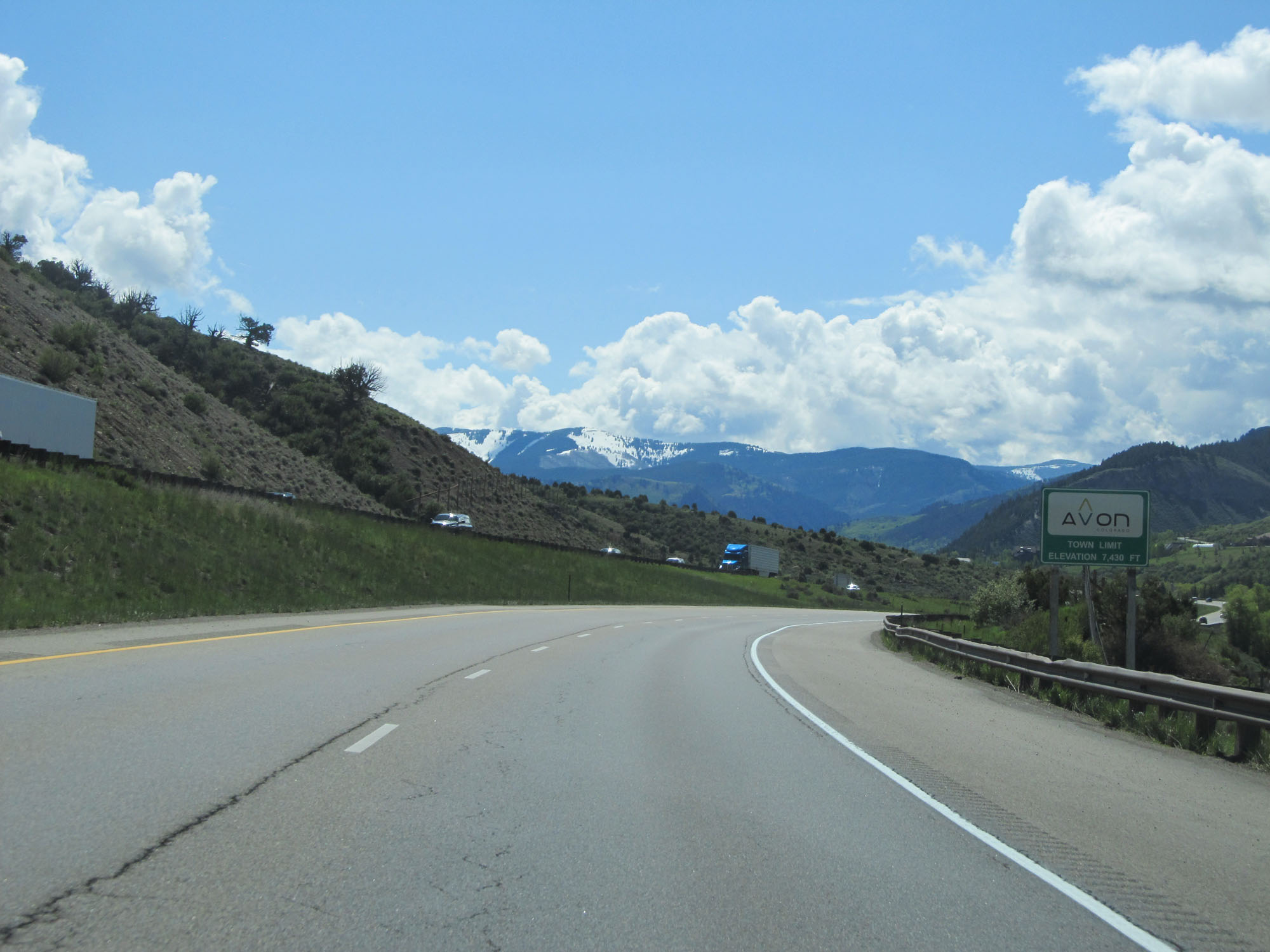 |
Interstate 70 East entering the Avon town limits at an elevation of 7,430 feet. (Photo taken 5/28/16). |
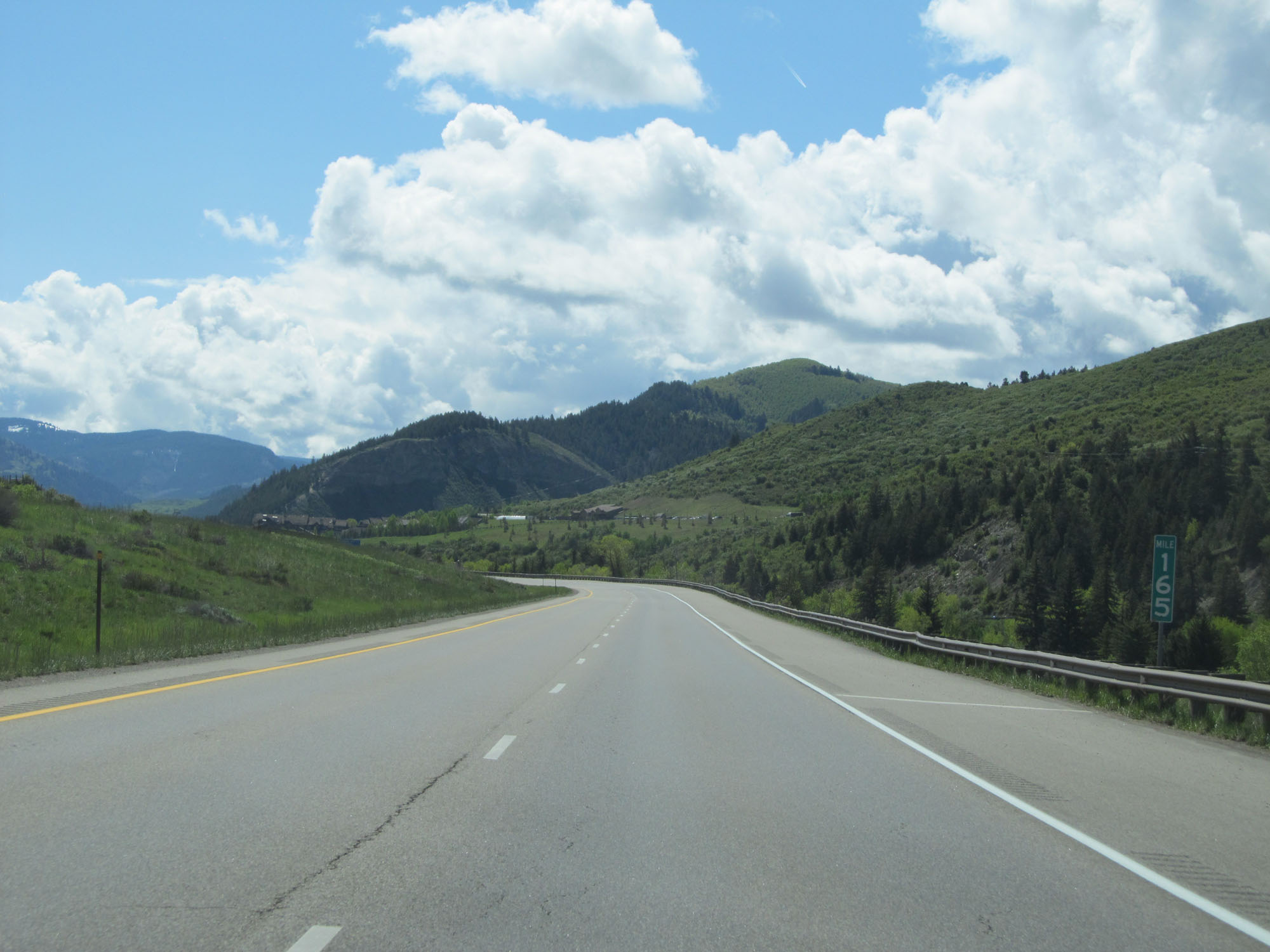 |
Interstate 70 East at mile marker 165. (Photo taken 5/28/16). |
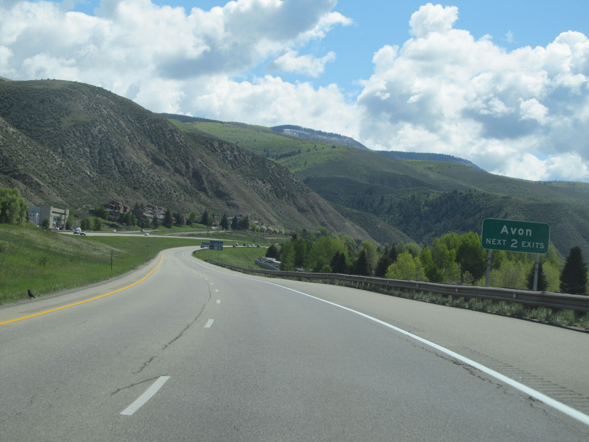 |
Take either of the next 2 exits to Avon. (Photo taken 5/28/16). |
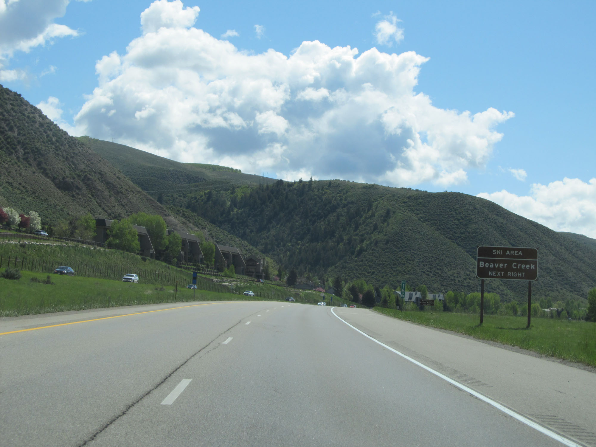 |
Take Exit 167 to Beaver Creek Ski Area. (Photo taken 5/28/16). |
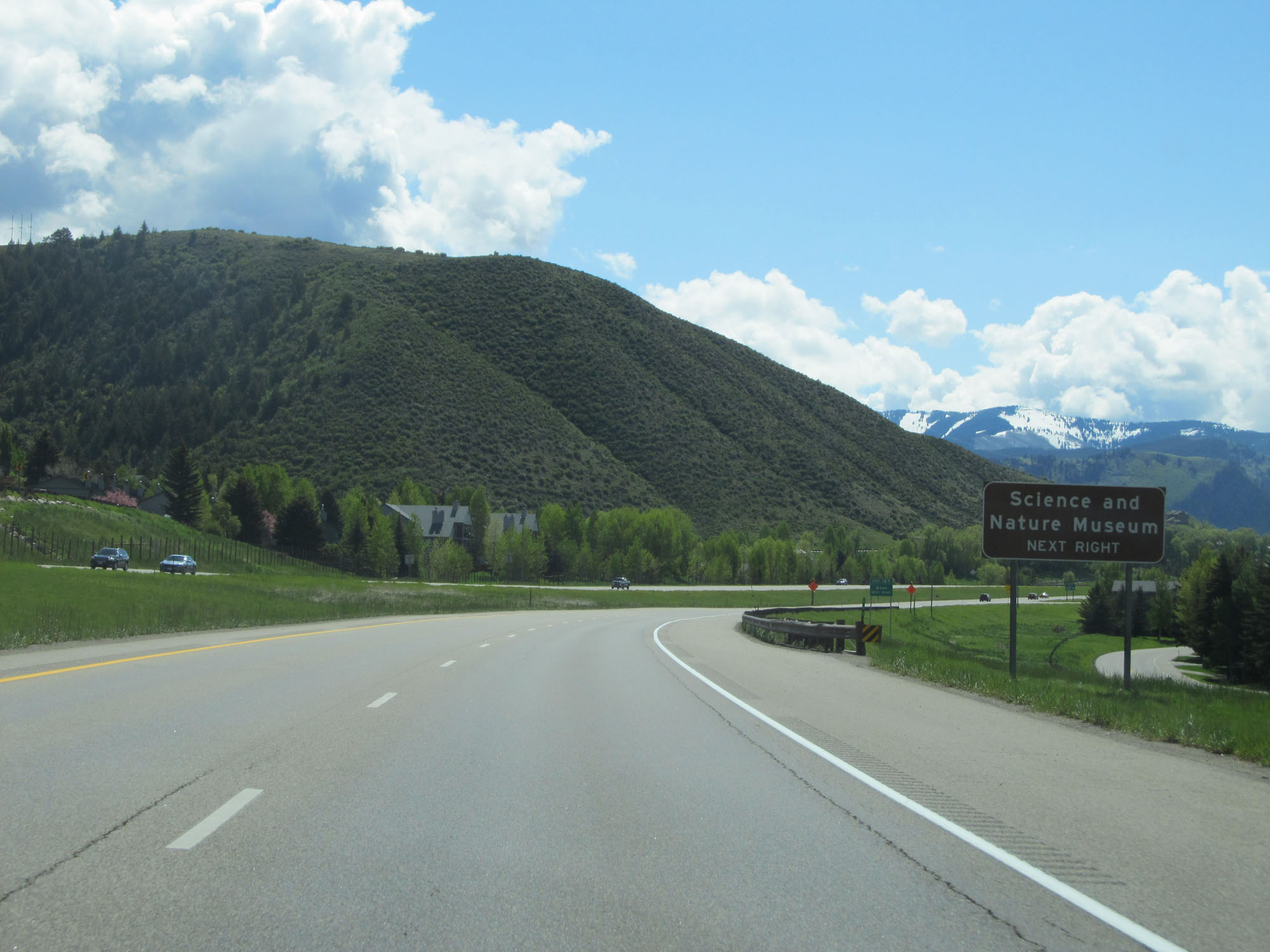 |
Take Exit 167 to the Science and Nature Museum as well. (Photo taken 5/28/16). |
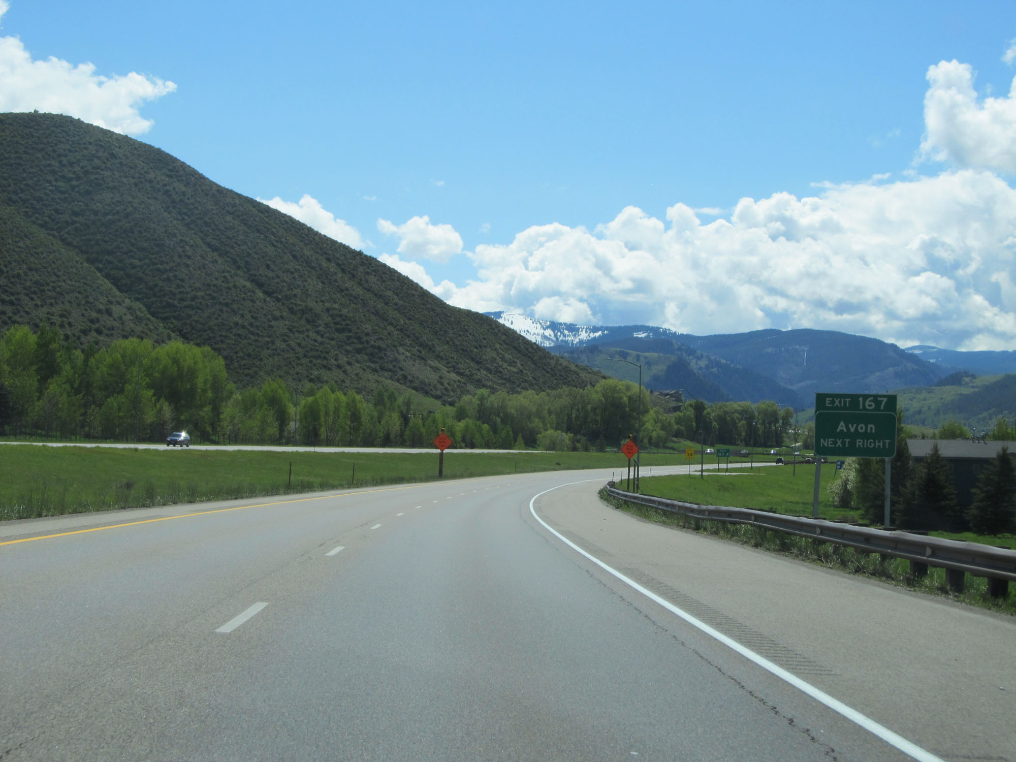 |
Interstate 70 East at Exit 167: Avon (Photo taken 5/28/16). |
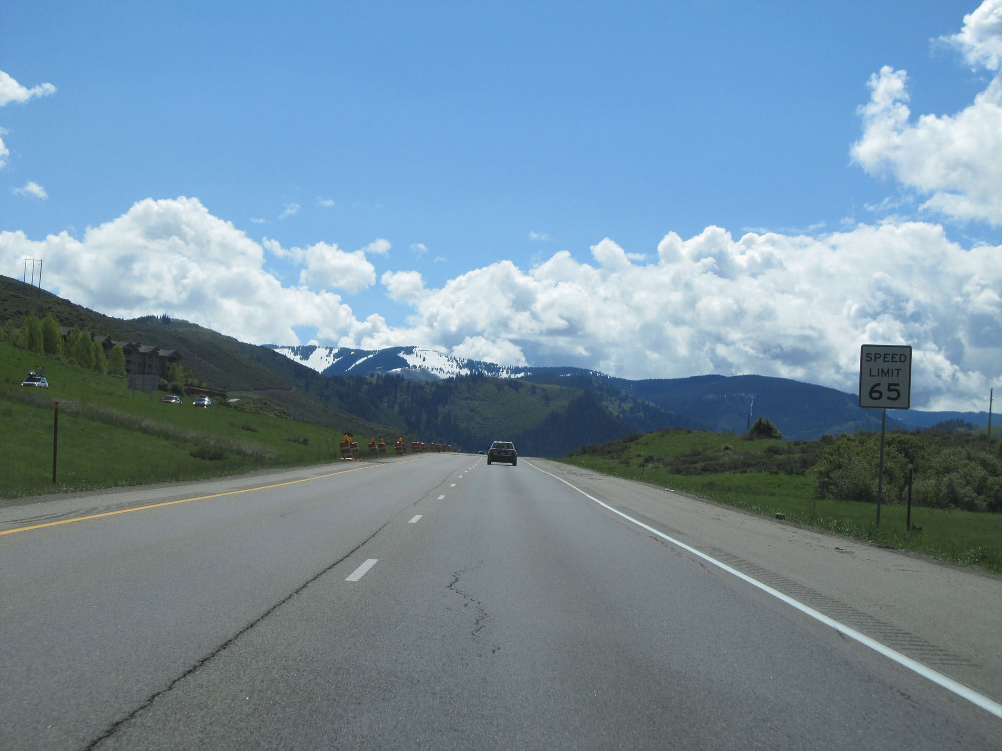 |
East of Exit 167, the speed limit decreases to 65 mph once again. (Photo taken 5/28/16). |
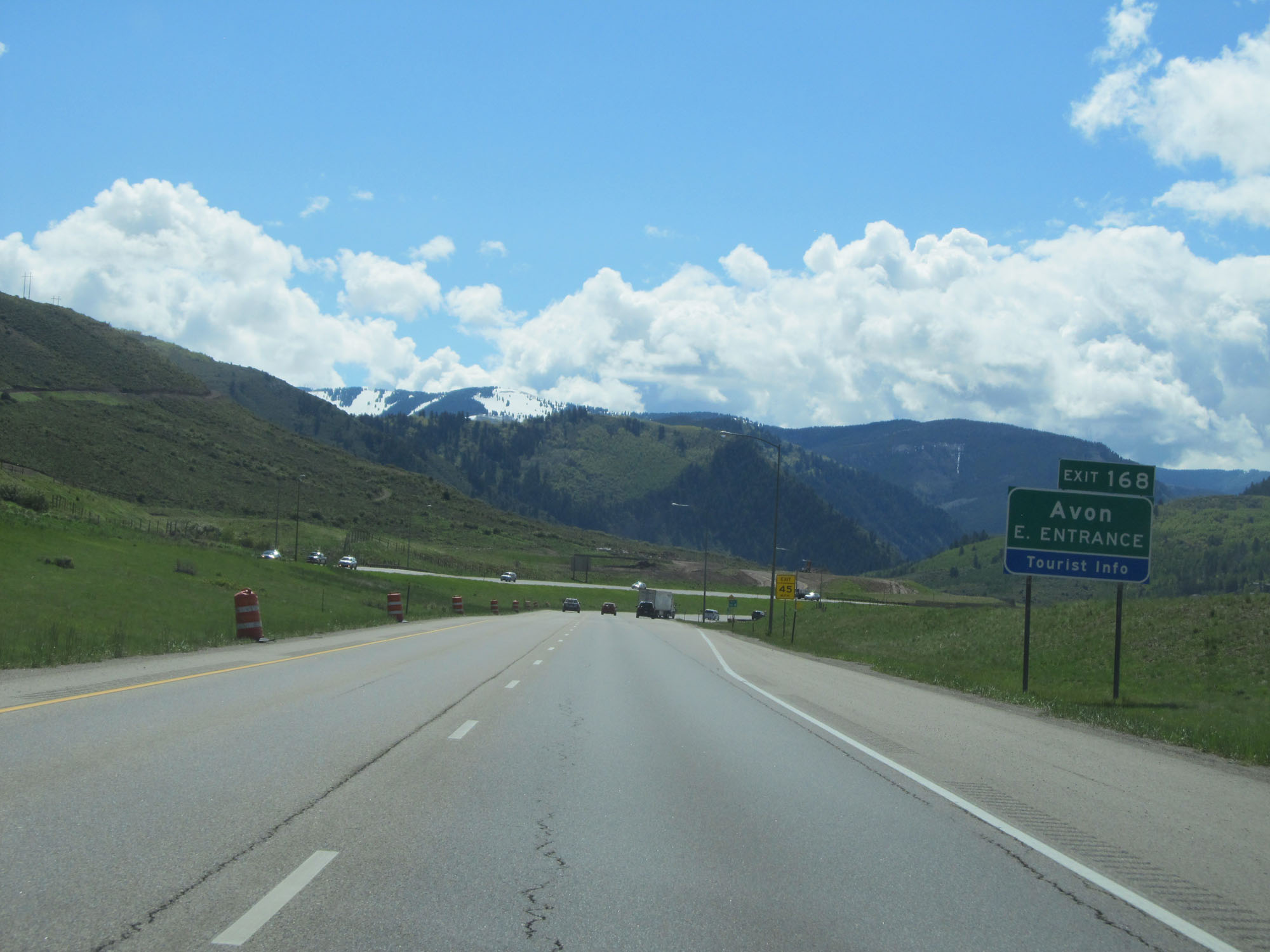 |
Interstate 70 East at Exit 168: Avon East Entrance (Photo taken 5/28/16). |
 |
Interstate 70 East approaching Exit 171 - 1 mile. (Photo taken 5/28/16). |
 |
Approaching Exit 171, the speed limit decreases to 60 mph. (Photo taken 5/28/16). |
 |
Take Exit 171 for National Forest Information. (Photo taken 5/28/16). |
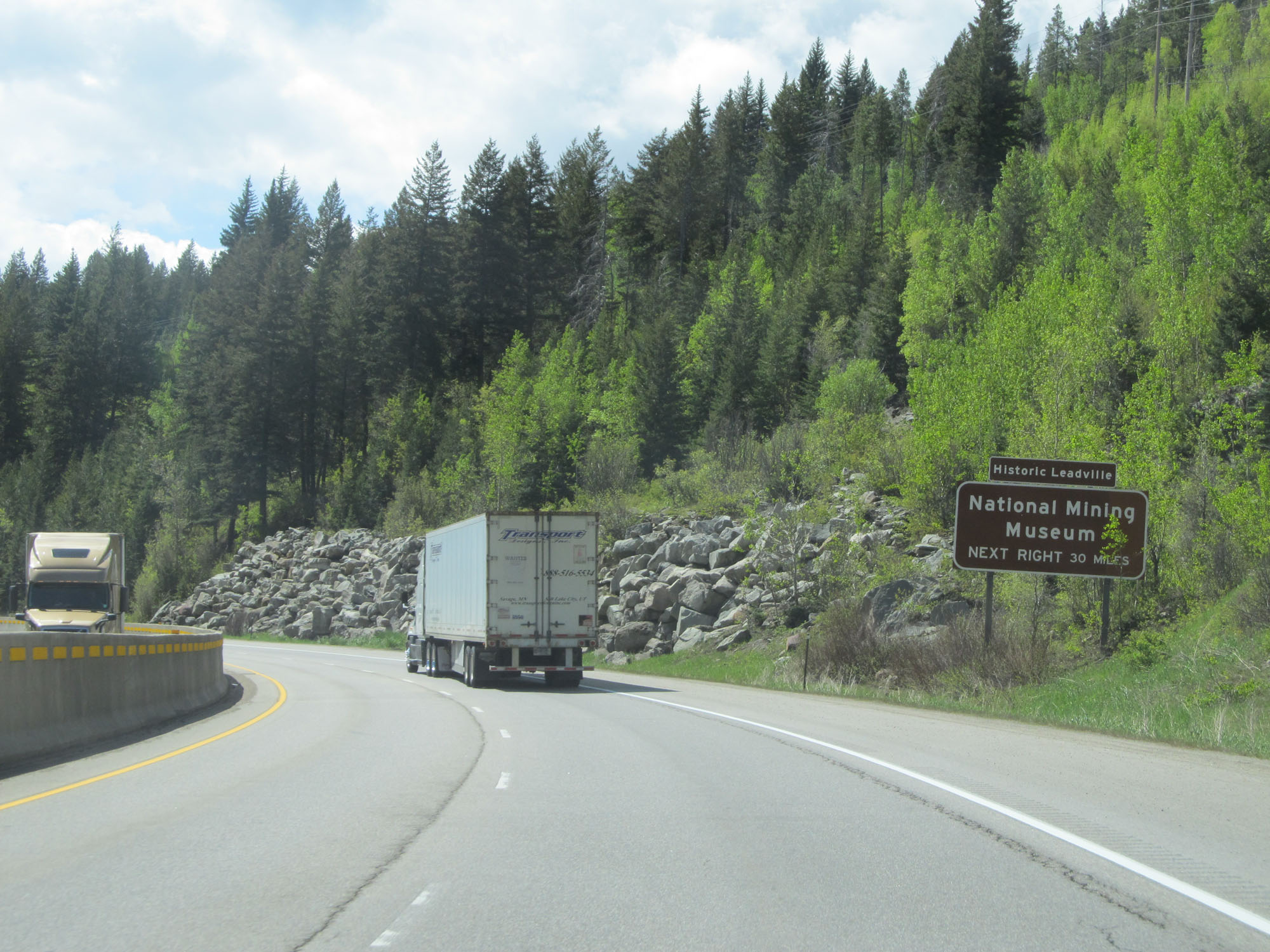 |
Take Exit 171 to Historic Leadville and the National Mining Museum. (Photo taken 5/28/16). |
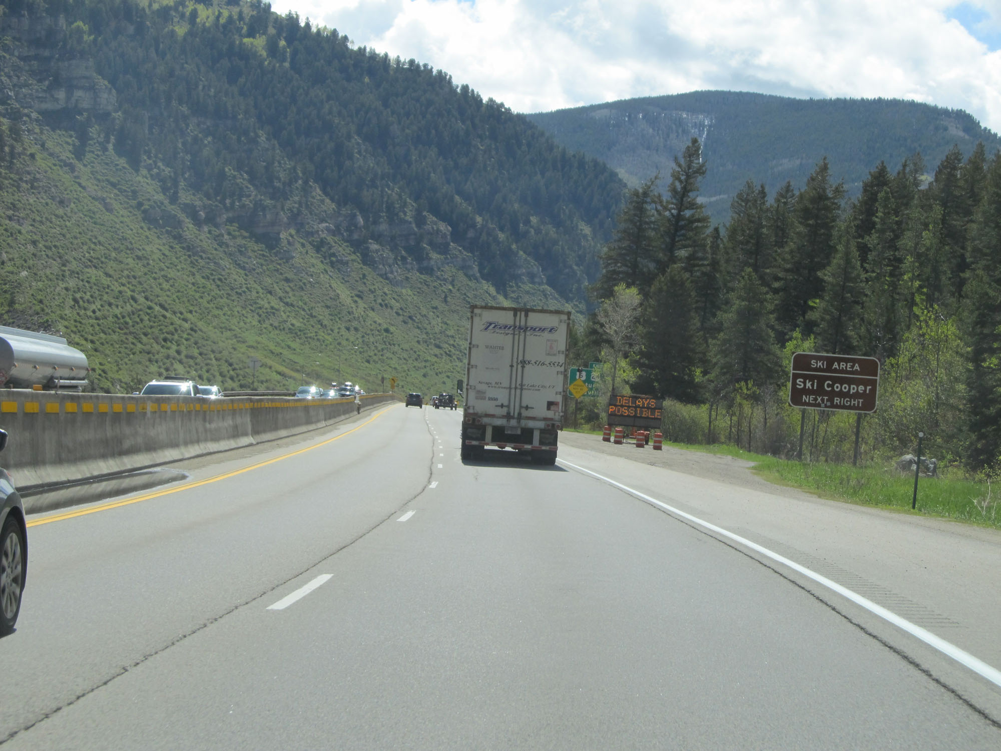 |
Take Exit 171 to Ski Cooper Ski Area as well. (Photo taken 5/28/16). |
 |
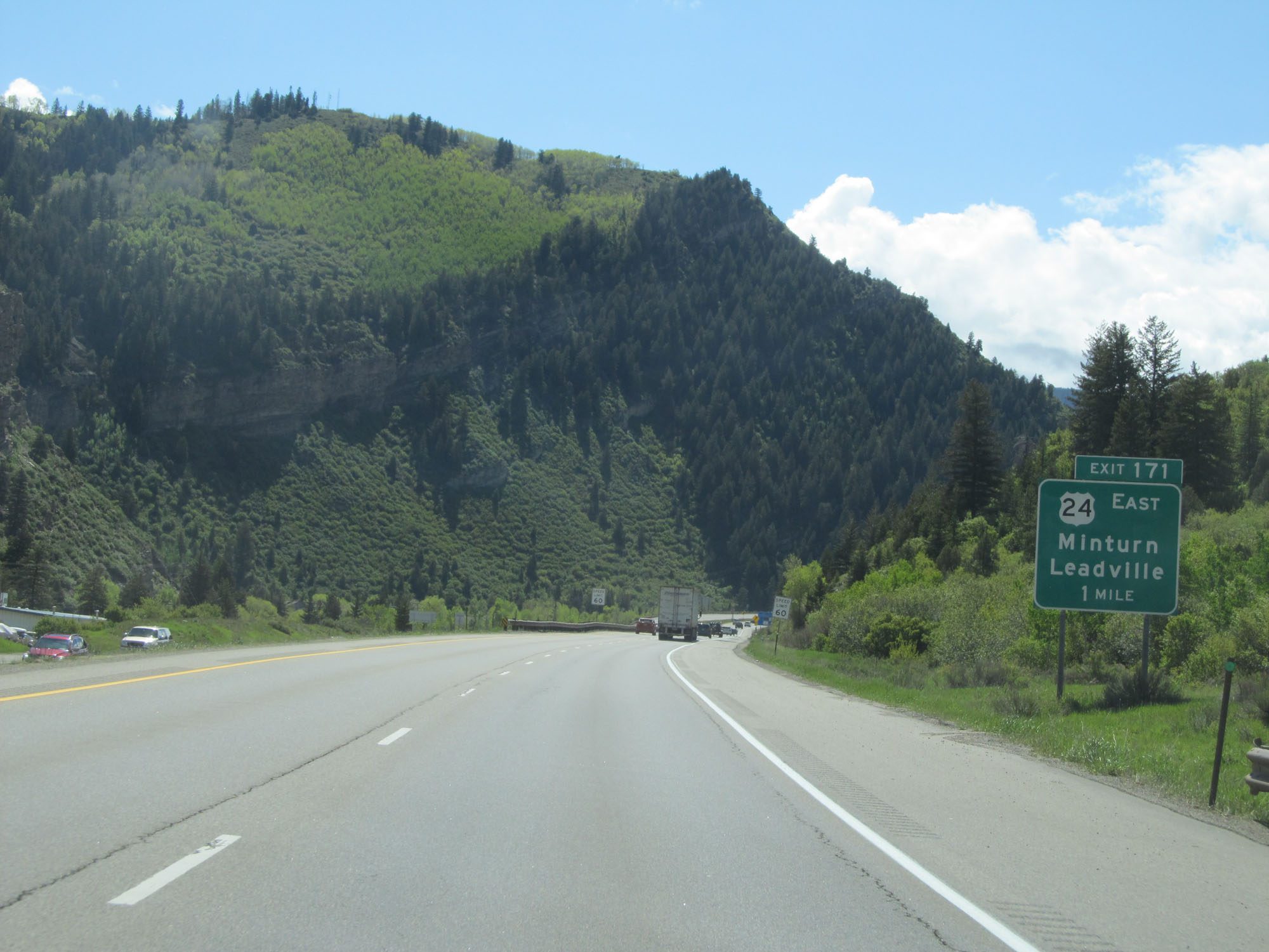
Interstate 70 East at Exit 171: US 6 / US 24 - Minturn / Leadville (Photo taken 5/28/16). |
 |
Another state-named Interstate 70 East reassurance shield. (Photo taken 5/28/16). |
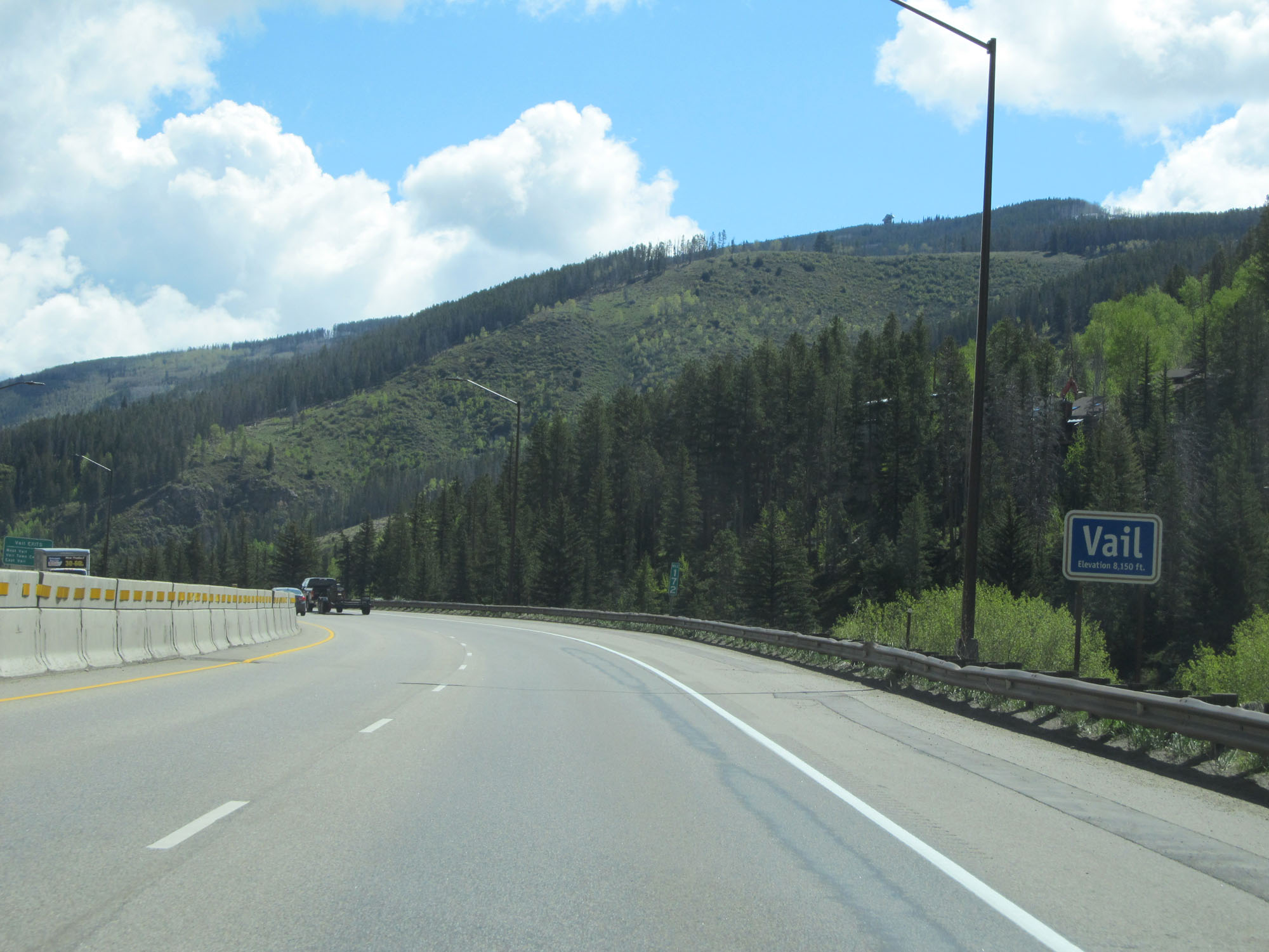 |
Interstate 70 East as it enters the Vail town limits at an elevation of 8,150 feet above sea level. (Photo taken 5/28/16). |
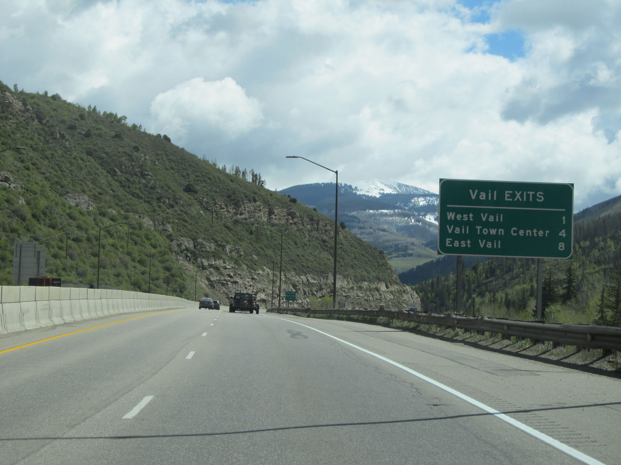 |
This sign lists the distances to the three upcoming exits to Vail. (Photo taken 5/28/16). |
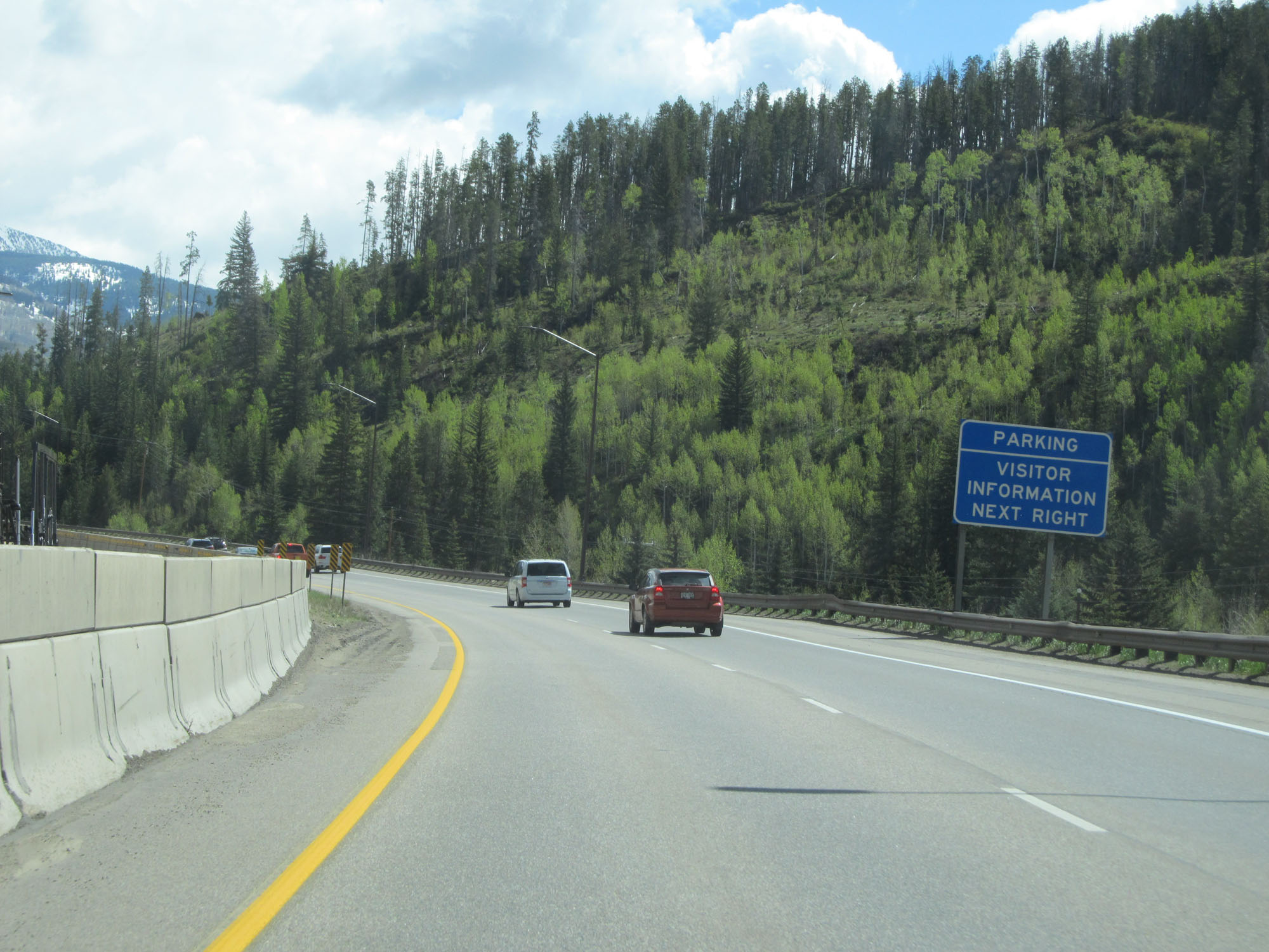 |
Take Exit 173 to a Parking Area and Visitor Information Center. (Photo taken 5/28/16). |
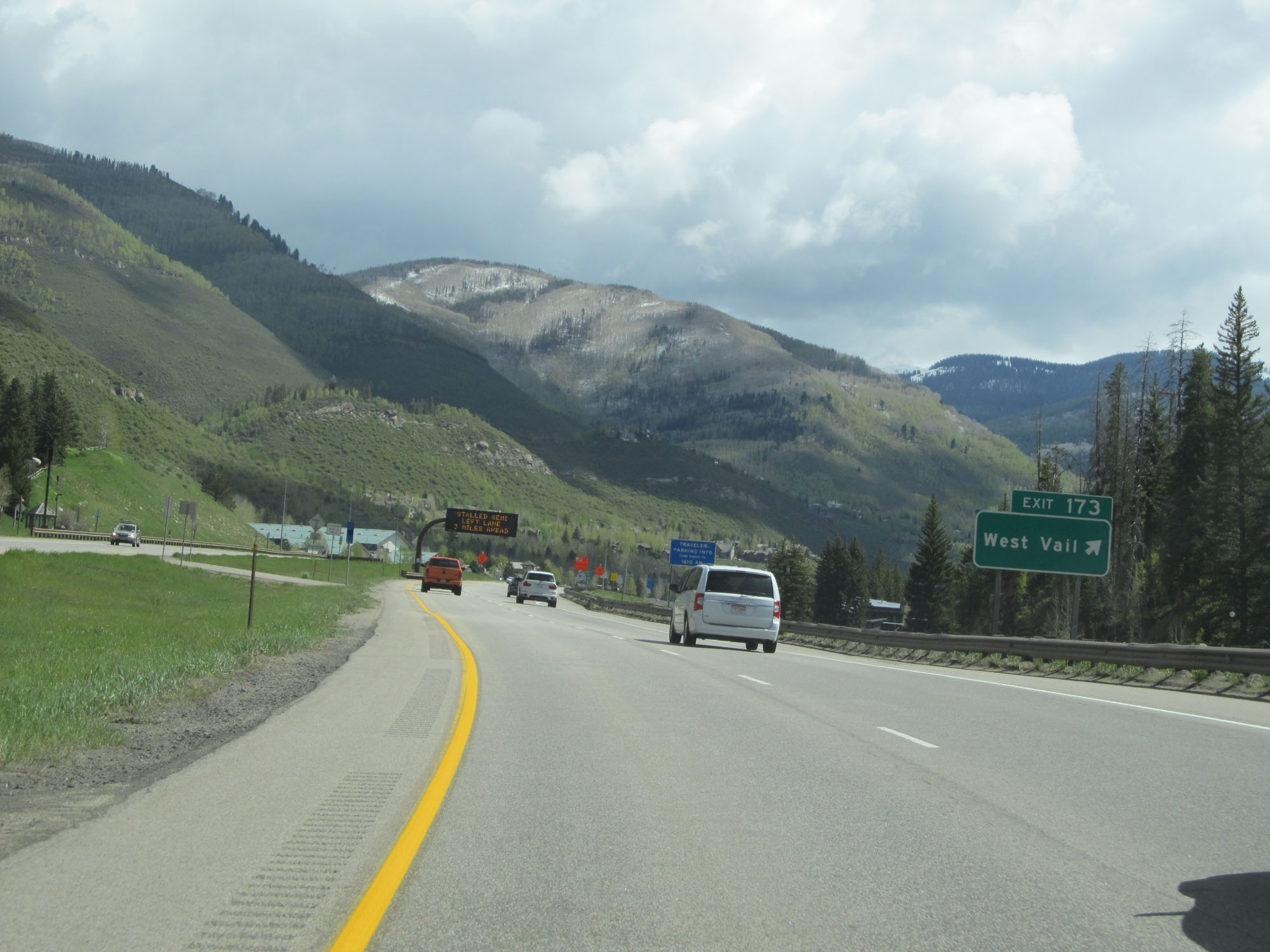 |
Interstate 70 East at Exit 173: West Vail (Photo taken 5/28/16). |
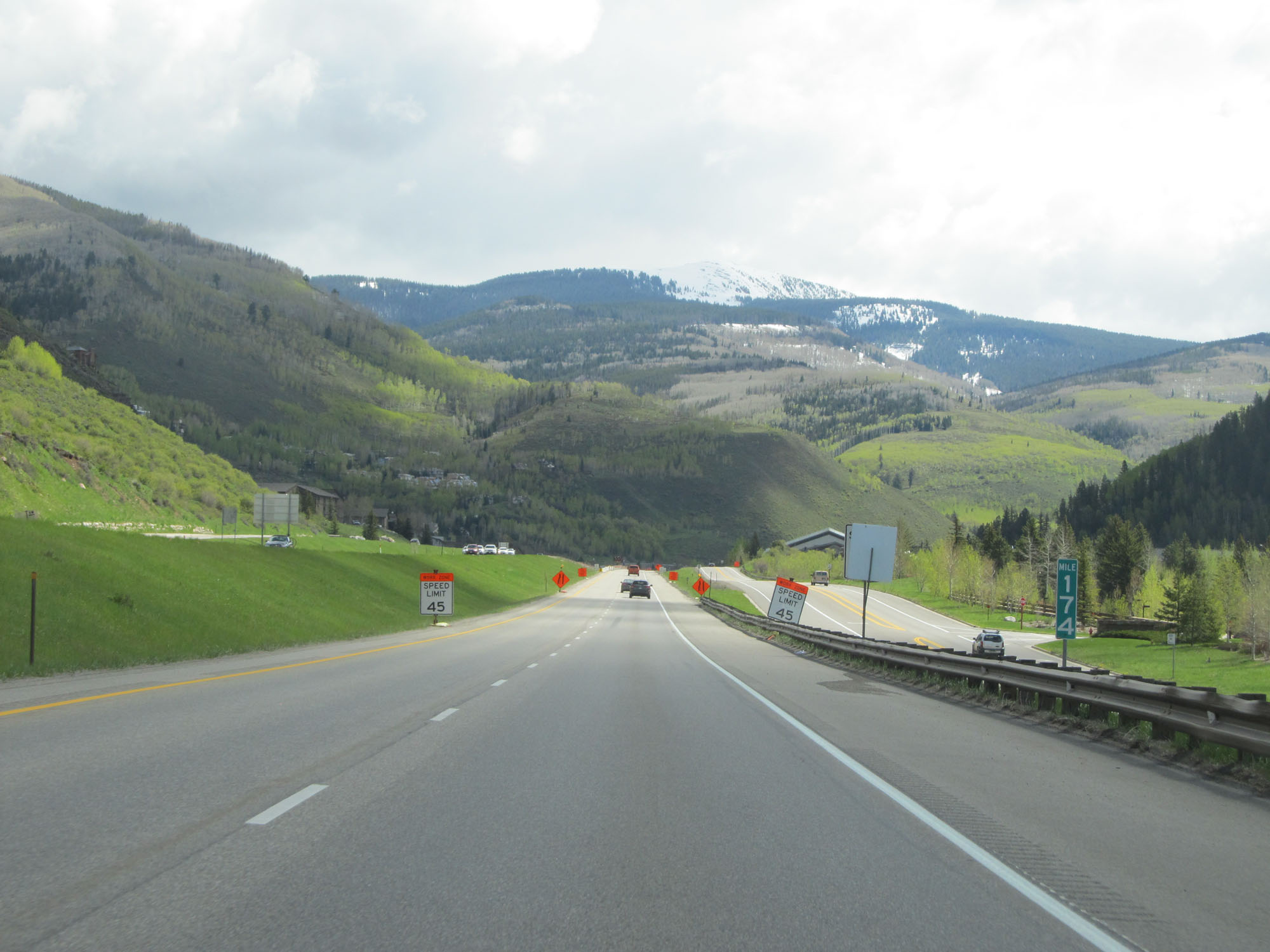 |
Interstate 70 East at mile marker 174. (Photo taken 5/28/16). |
 |
Take Exit 176 to Vail Ski Area. (Photo taken 5/28/16). |
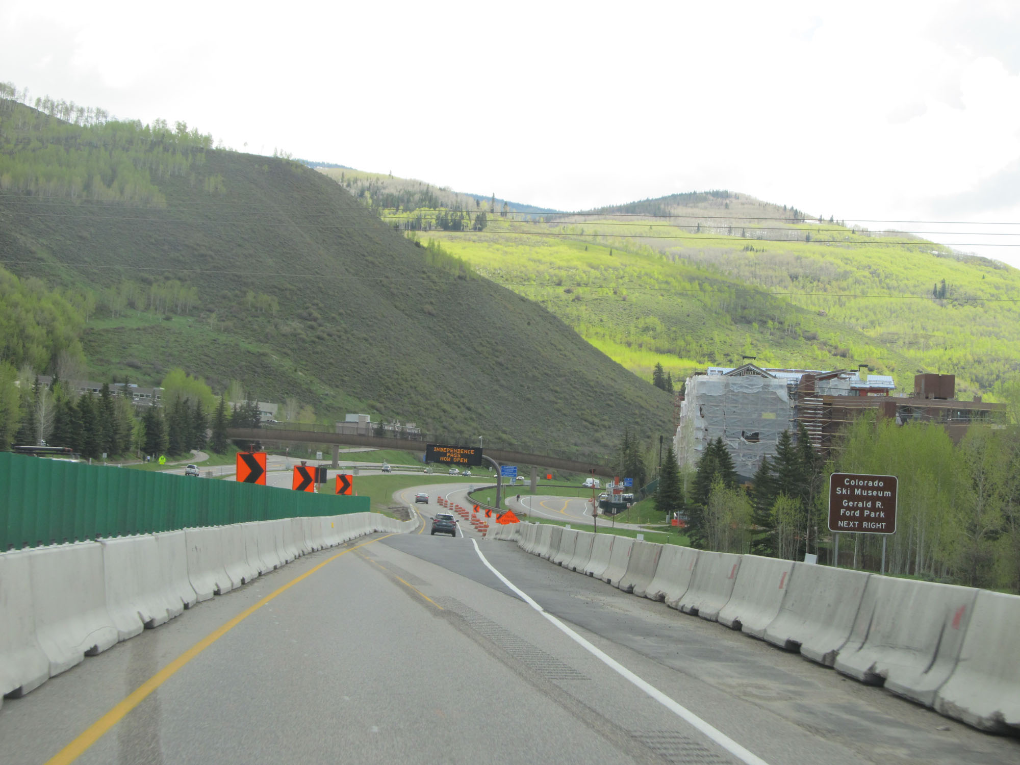 |
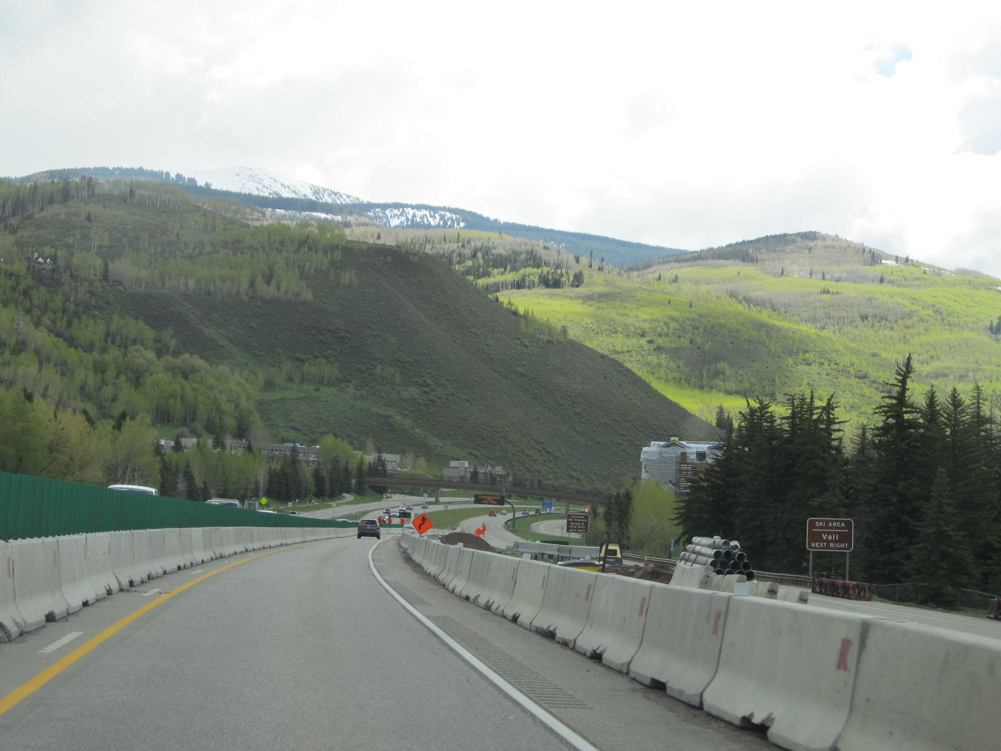
Take Exit 176 to the Colorado Ski Museum and Gerald R. Ford Park as well. (Photo taken 5/28/16). |
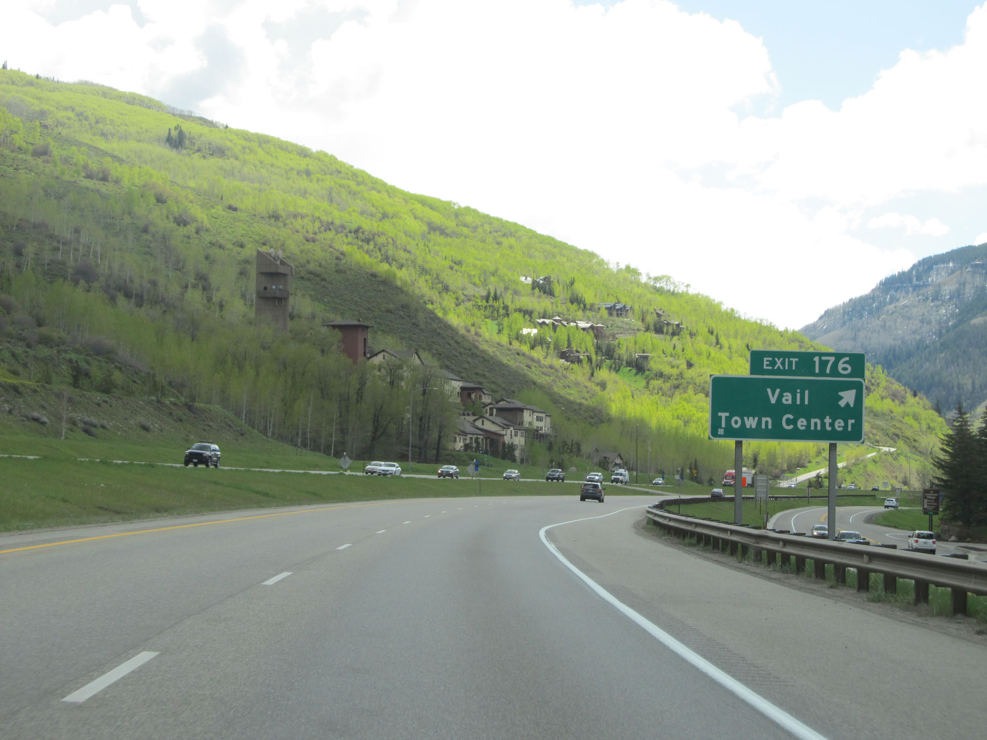 |
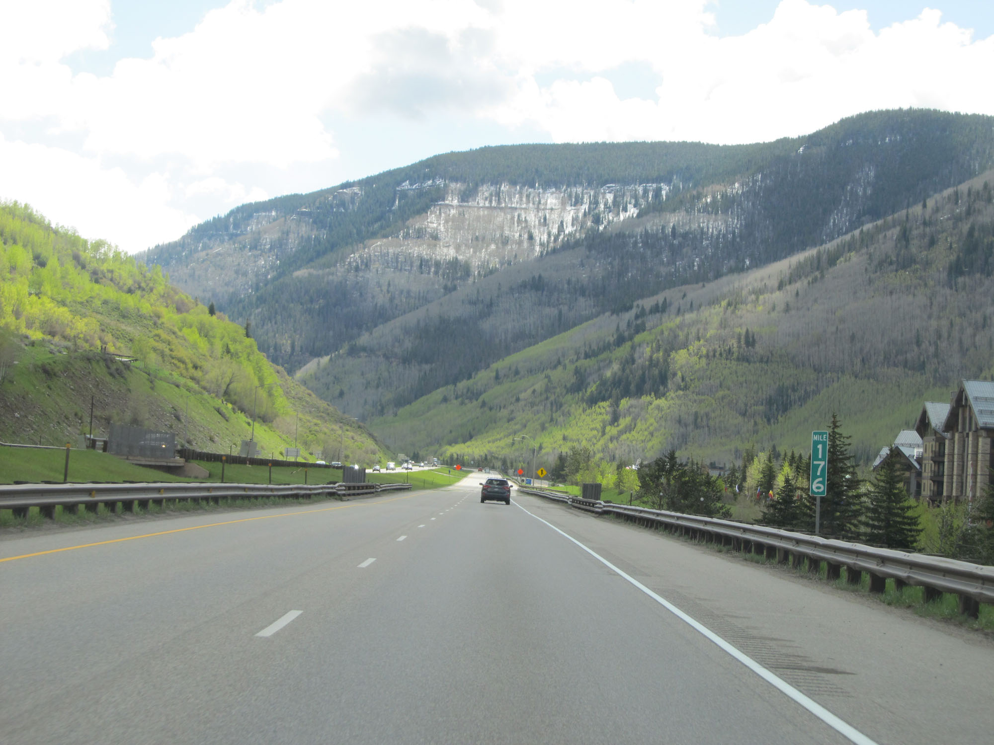
Interstate 70 East at Exit 176: Vail Town Center (Photo taken 5/28/16). |
Section 4: Vail (Exit 176) to Eisenhower Tunnel (Exit 216)
 |
Interstate 70 East at mile marker 176. (Photo taken 5/28/16). |
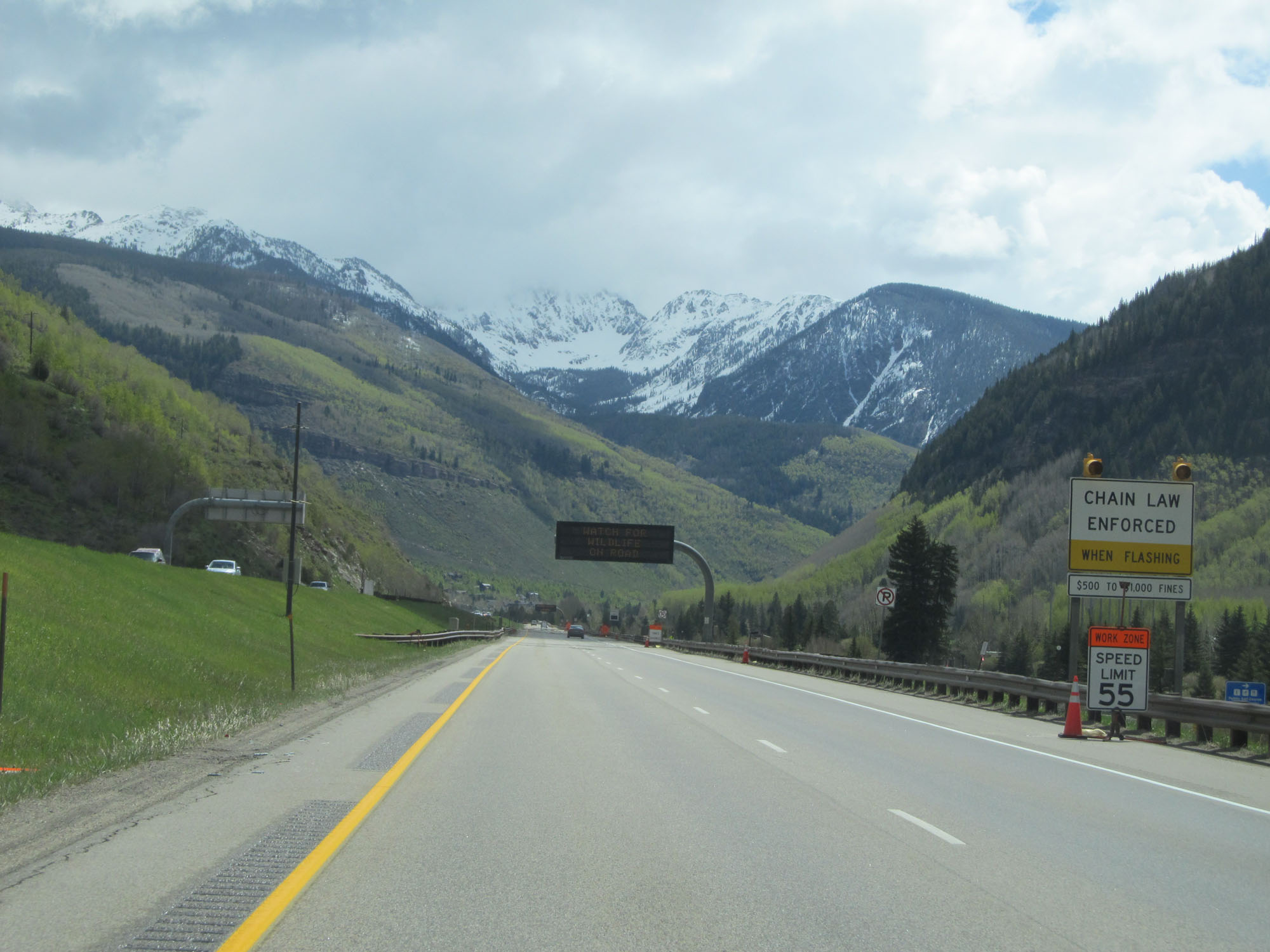 |
When the lights on this sign are flashing, trucks are required to use chains to proceed over Vail Pass. (Photo taken 5/28/16). |
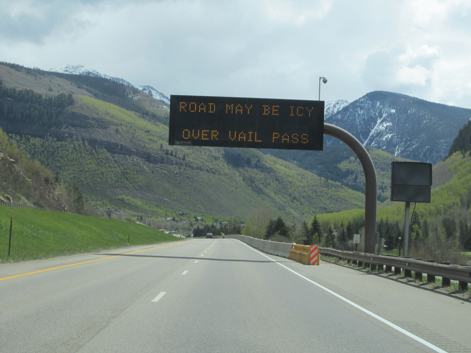 |
This digital traffic alert sign warns that ice could exist on the roadway over Vail Pass, even though this was at the end of May. (Photo taken 5/28/16). |
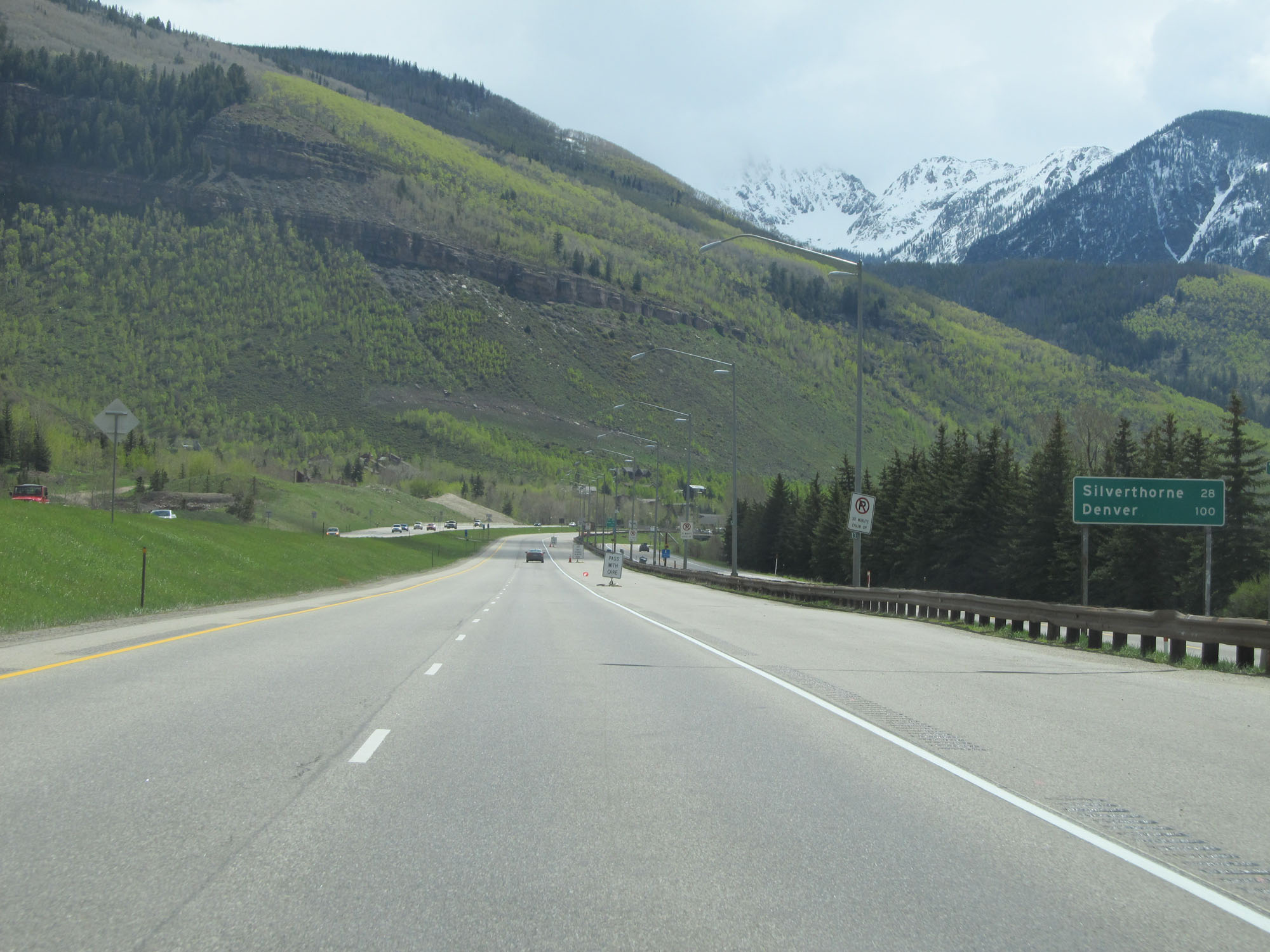 |
Mileage sign on Interstate 70 East. It's 28 miles to Silverthorne and 100 miles to Denver. (Photo taken 5/28/16). |
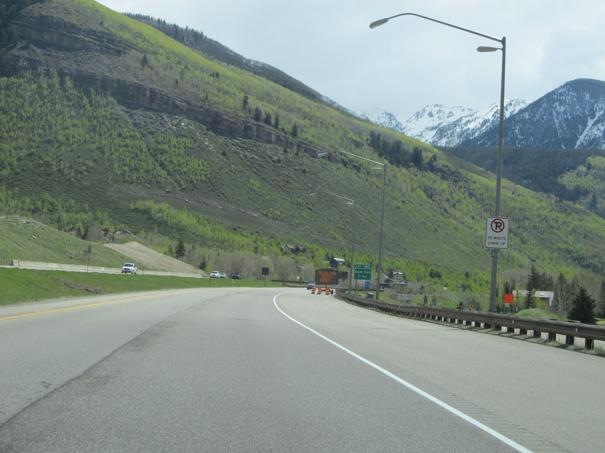 |
The shoulder here is used as a 30-minute chain-up area for trucks if chains are required to proceed over Vail Pass. (Photo taken 5/28/16). |
 |
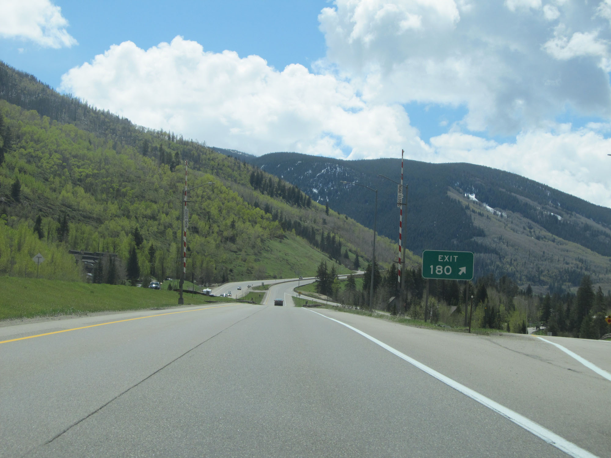
Interstate 70 East approaching Exit 180 - 1 mile. (Photo taken 5/28/16). |
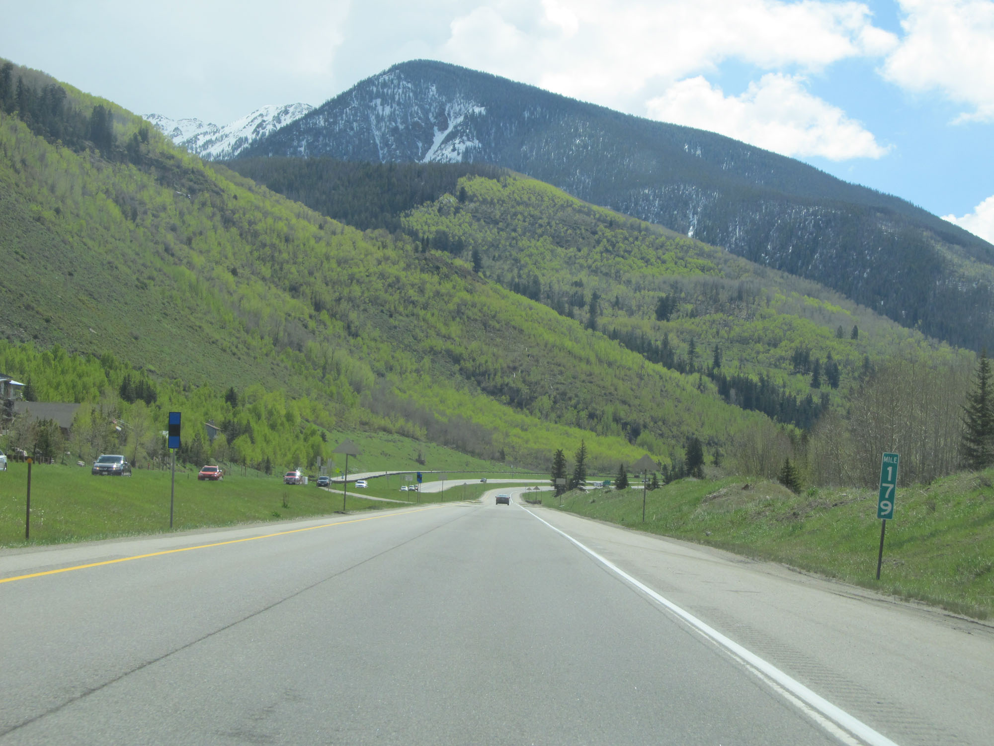 |
Interstate 70 East at mile marker 179. (Photo taken 5/28/16). |
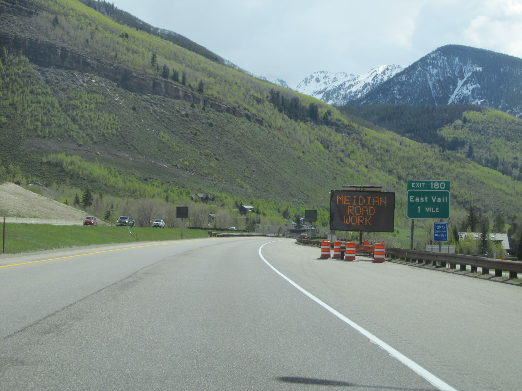
 |
Interstate 70 East at Exit 180: East Vail (Photo taken 5/28/16). |
 |
Interstate 70 East at mile marker 182, as it prepares to begin over Vail Pass. (Photo taken 5/28/16). |
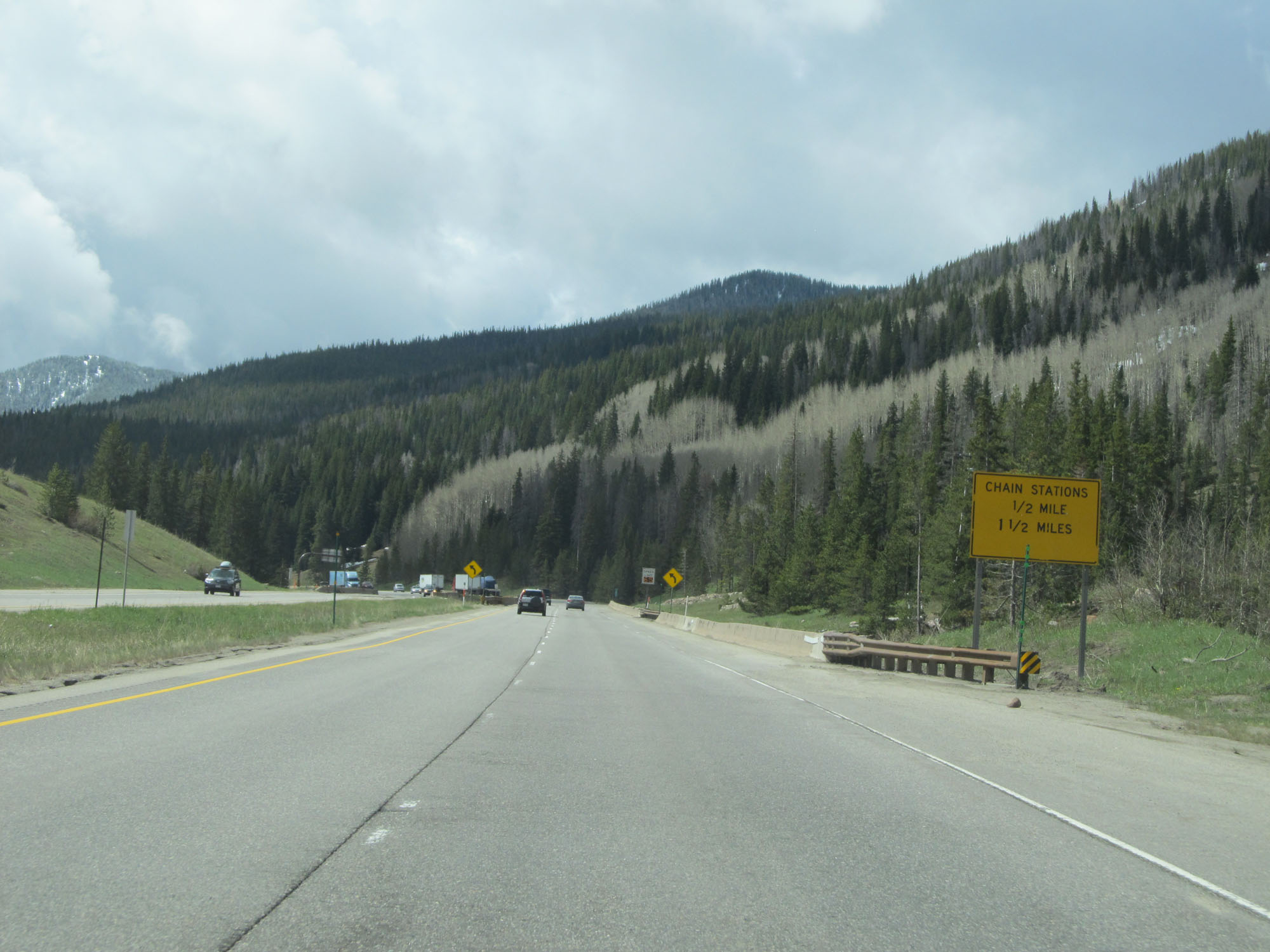 |
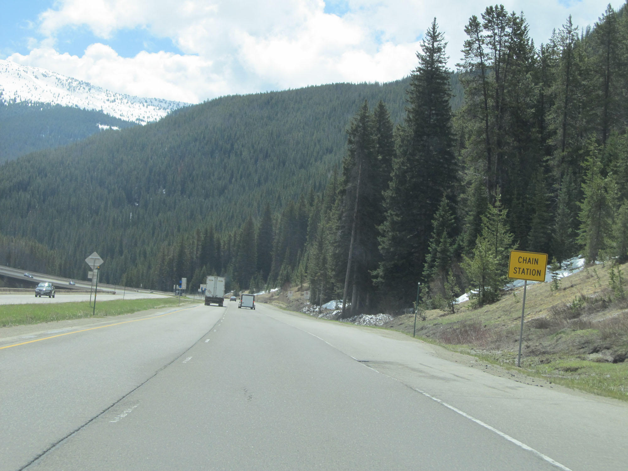
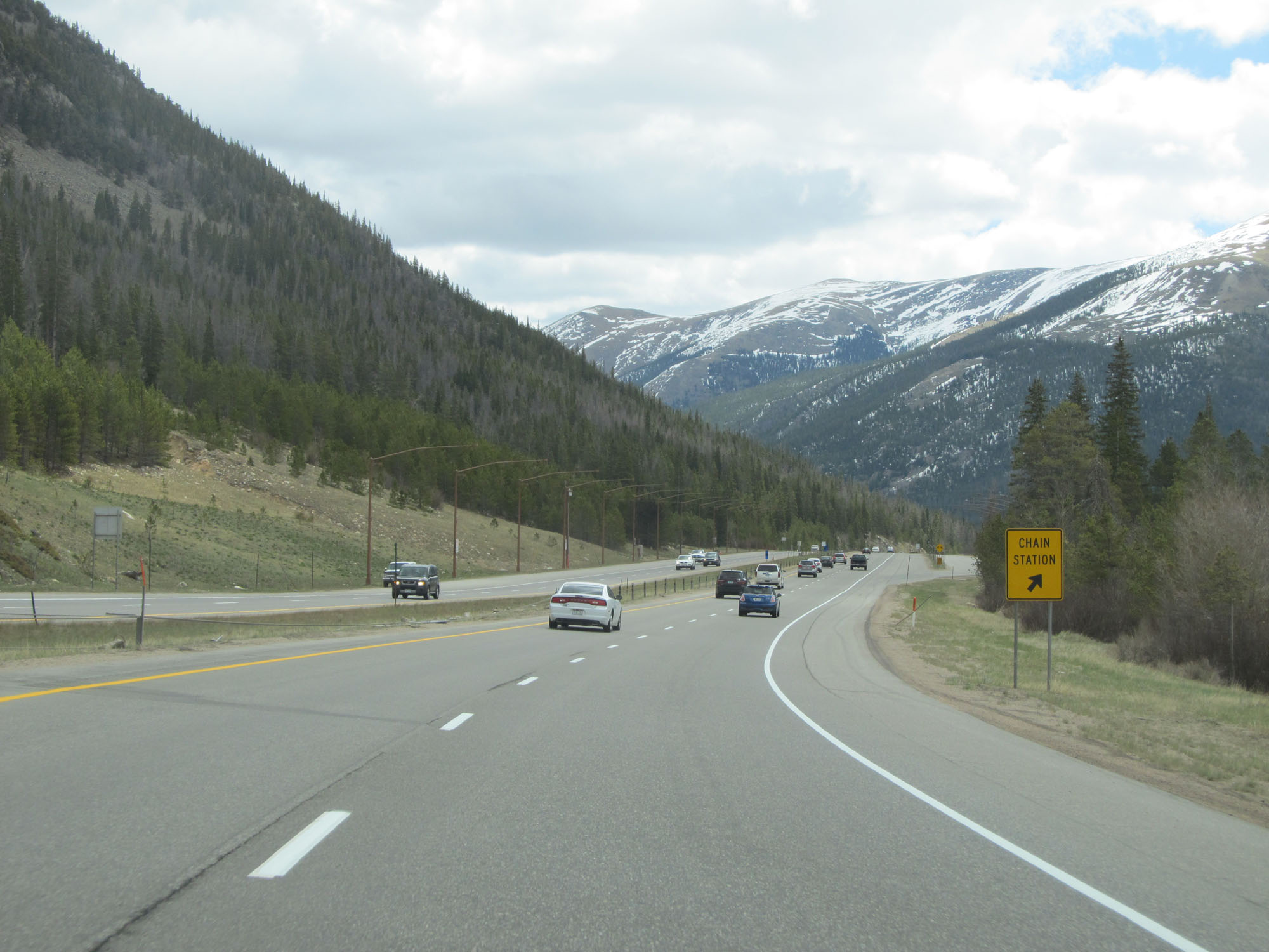
Chain stations (chain-up areas) exist 1/2 mile ahead and 1 1/2 miles ahead. (Photo taken 5/28/16). |
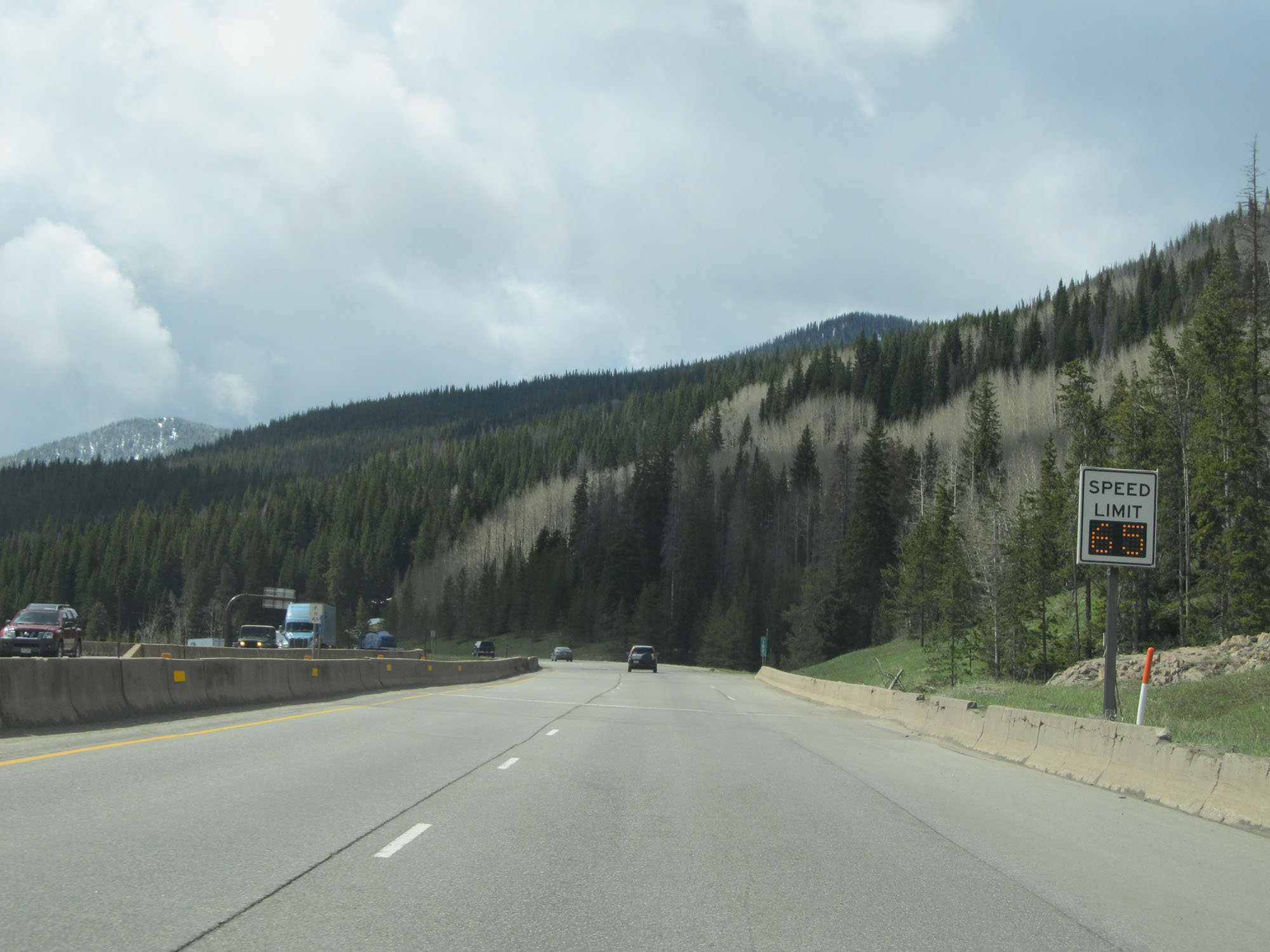 |
Variable speed limits are used on Interstate 70 East over Vail Pass. At the time, the speed limit was 65 mph. (Photo taken 5/28/16). |
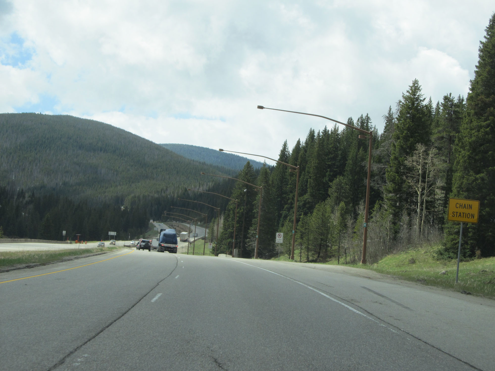 |
Interstate 70 East at the first of two Chain Stations. (Photo taken 5/28/16). |
 |
Interstate 70 East at mile marker 183. (Photo taken 5/28/16). |
 |
Interstate 70 East as it enters White River National Forest. (Photo taken 5/28/16). |
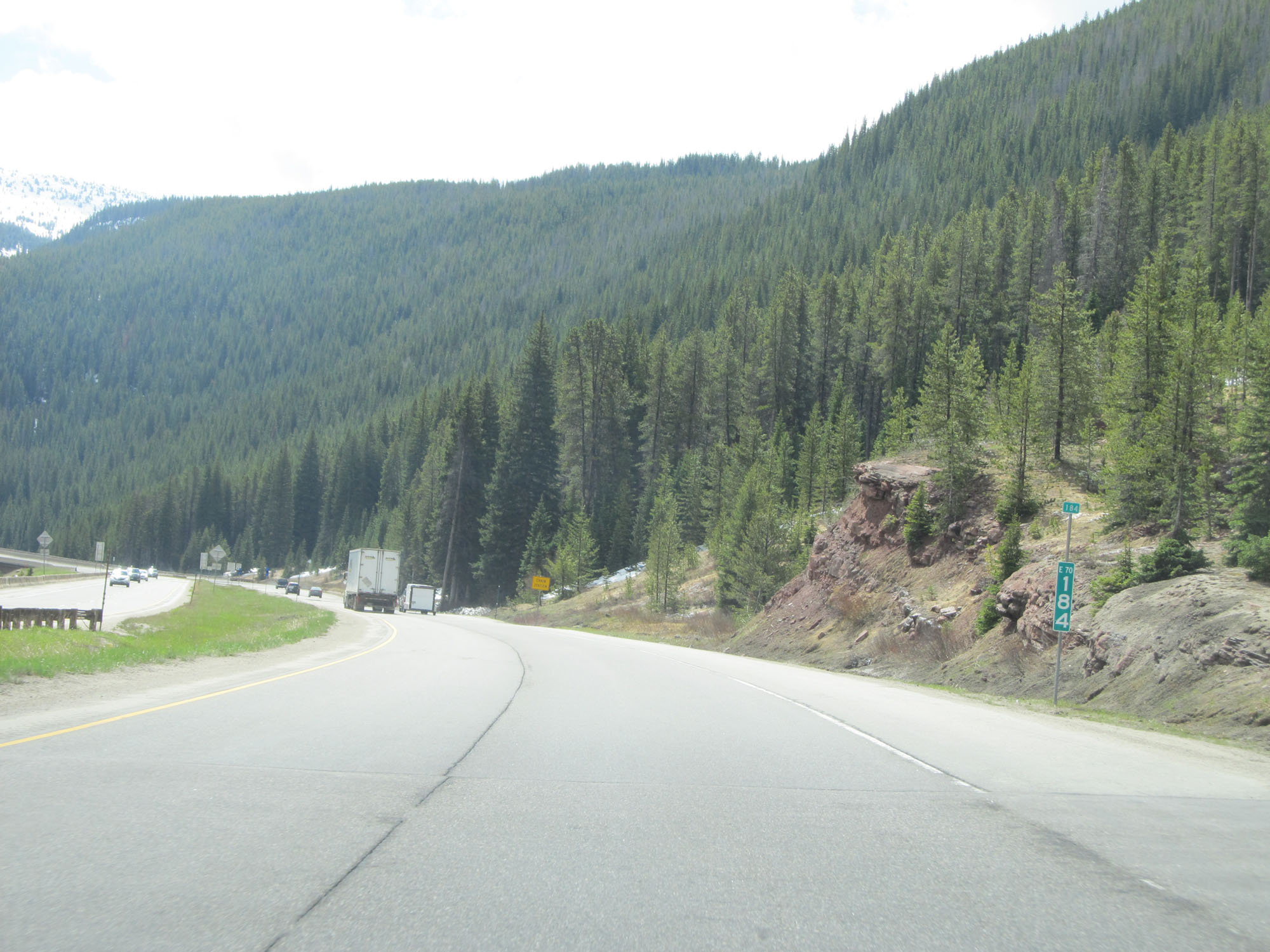 |
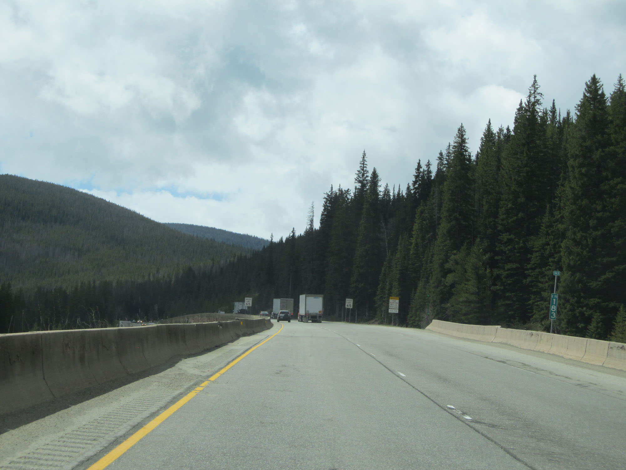
Interstate 70 East at mile marker 184. (Photo taken 5/28/16). |
 |
Interstate 70 East at the second Chain Station beginning up Vail Pass. (Photo taken 5/28/16). |
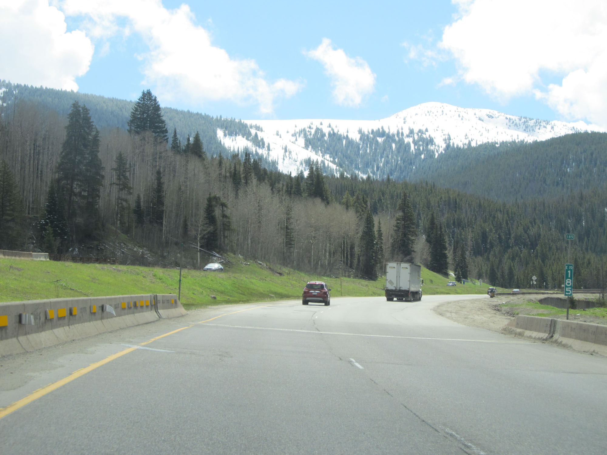 |
Interstate 70 East at mile marker 185. (Photo taken 5/28/16). |
 |
As Interstate 70 East continues to climb up in elevation, this sign states that the summit of Vail Pass is still 4 miles ahead. (Photo taken 5/28/16). |
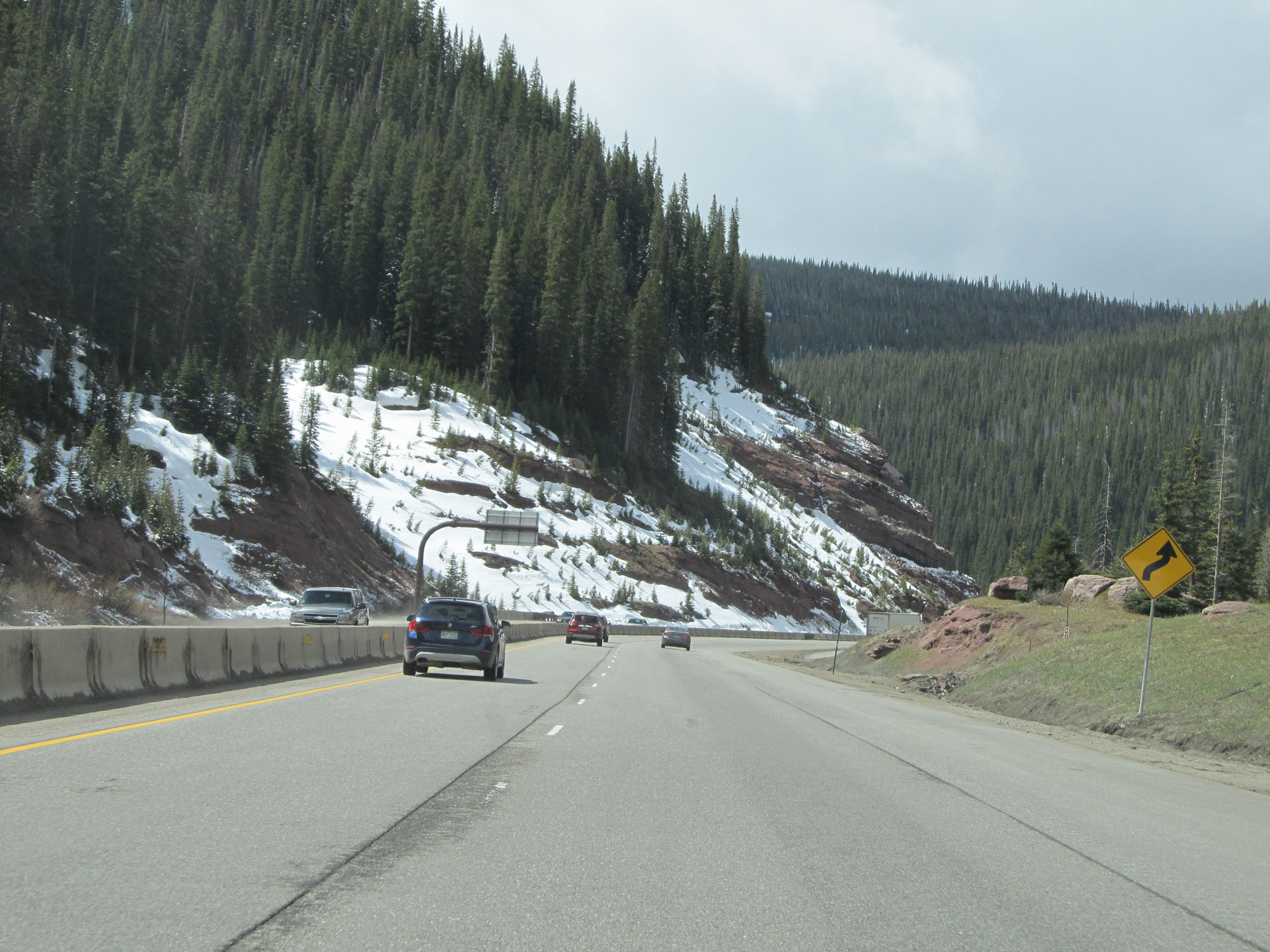 |
Winding curves lie ahead as Interstate 70 East continues up Vail Pass. (Photo taken 5/28/16). |
 |
Interstate 70 East at mile marker 186. (Photo taken 5/28/16). |
 |
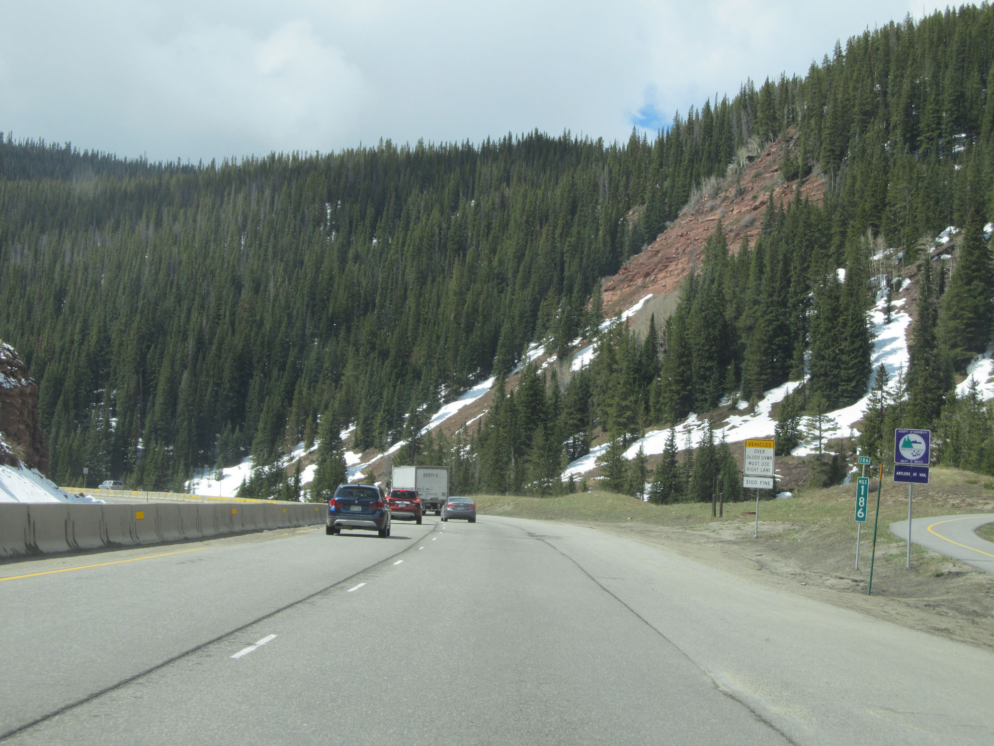
View on Interstate 70 East on Vail Pass. (Photo taken 5/28/16). |
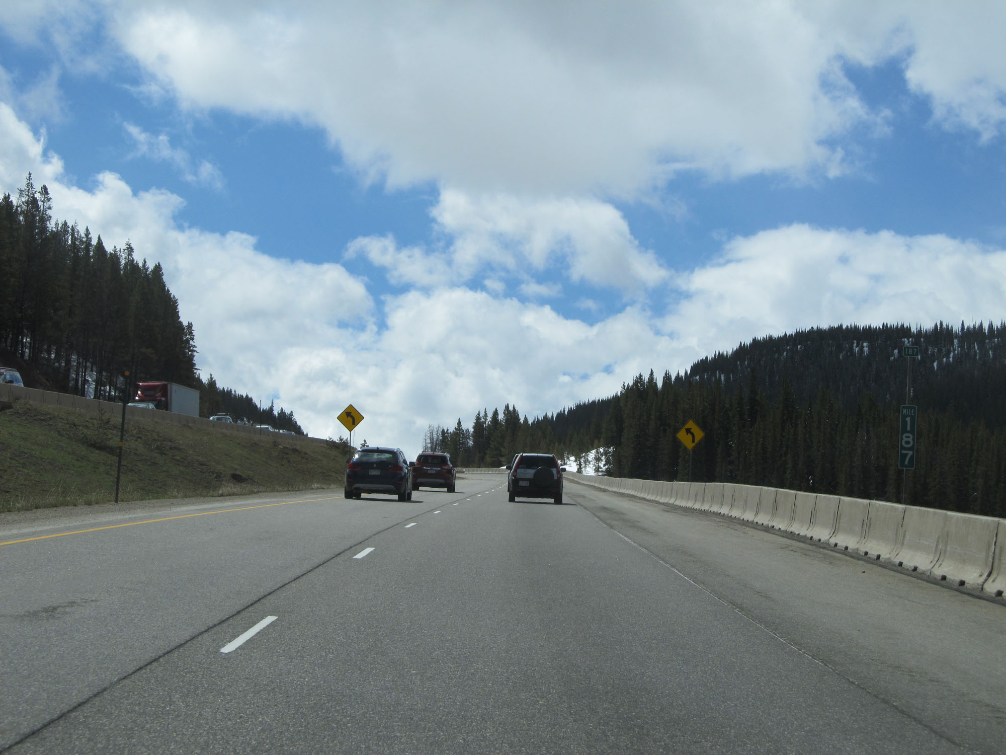 |
Interstate 70 East at mile marker 187. (Photo taken 5/28/16). |
 |
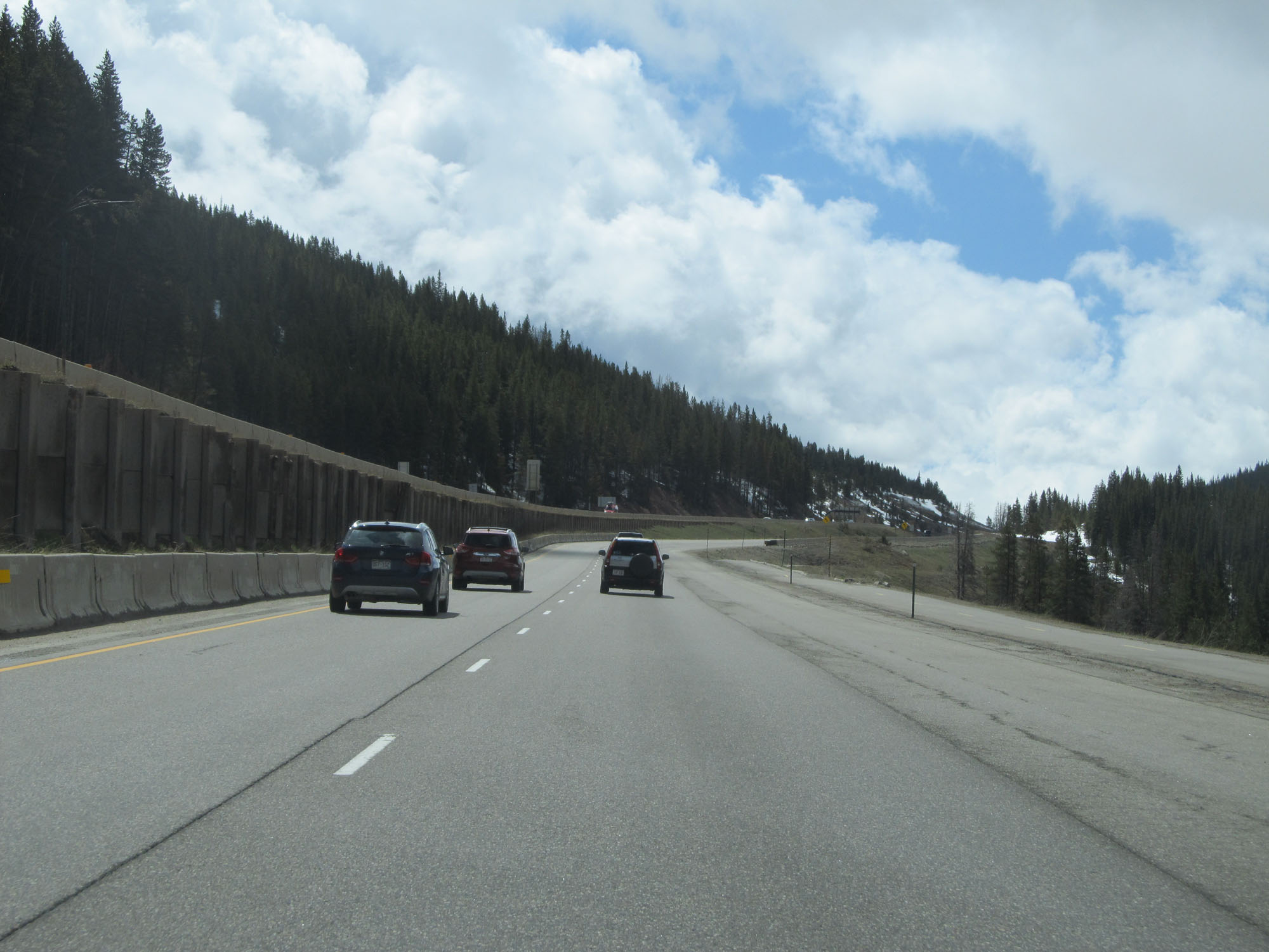
Another view on Interstate 70 East going up Vail Pass. (Photo taken 5/28/16). |
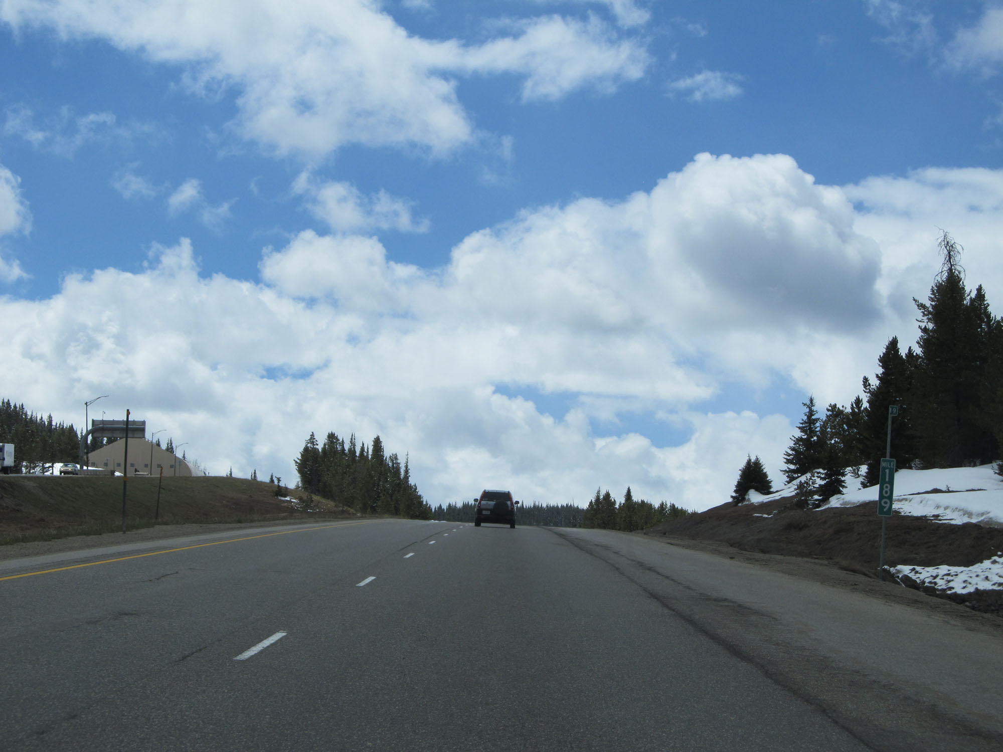 |
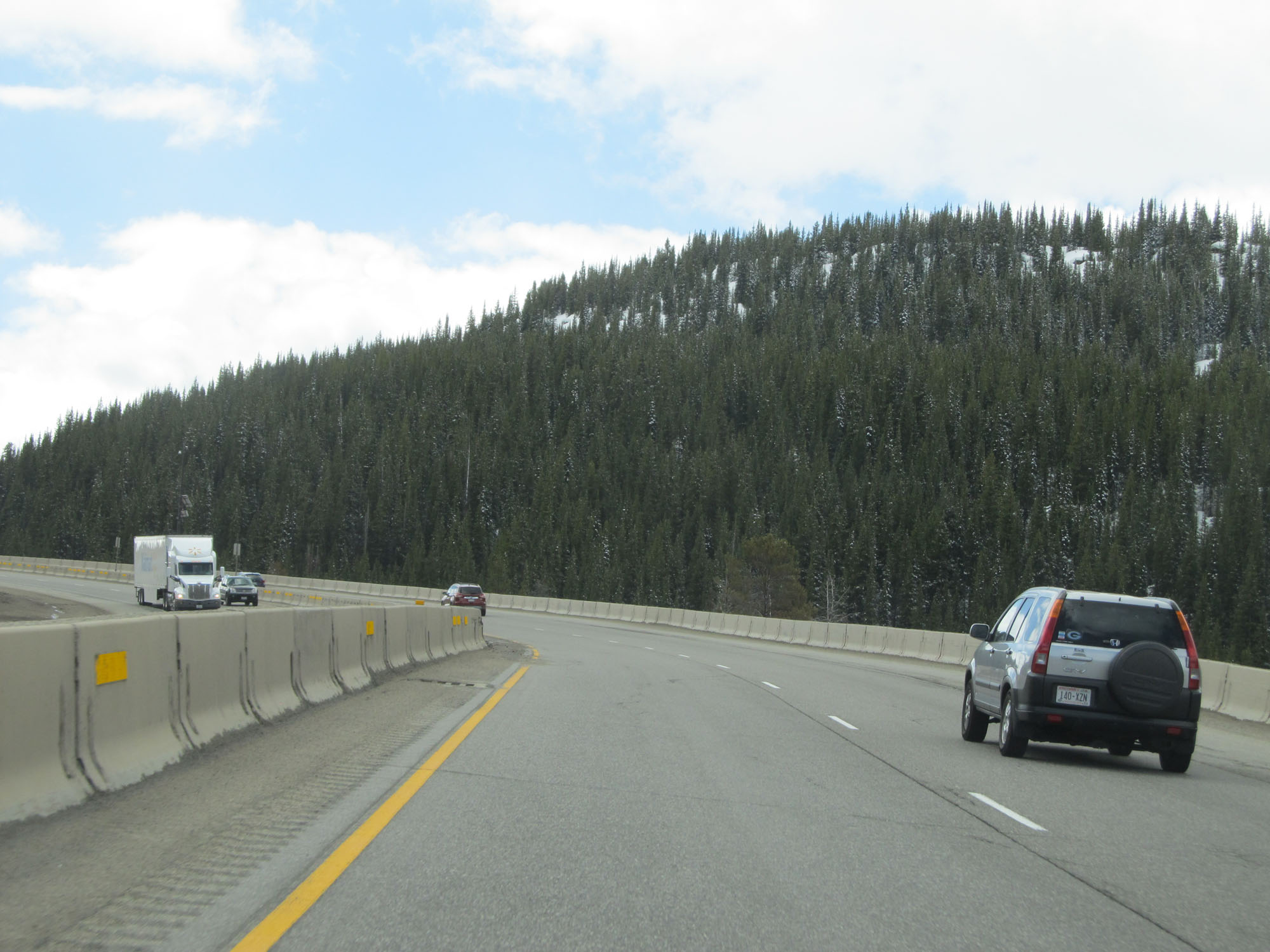
Interstate 70 East at mile marker 189. (Photo taken 5/28/16). |
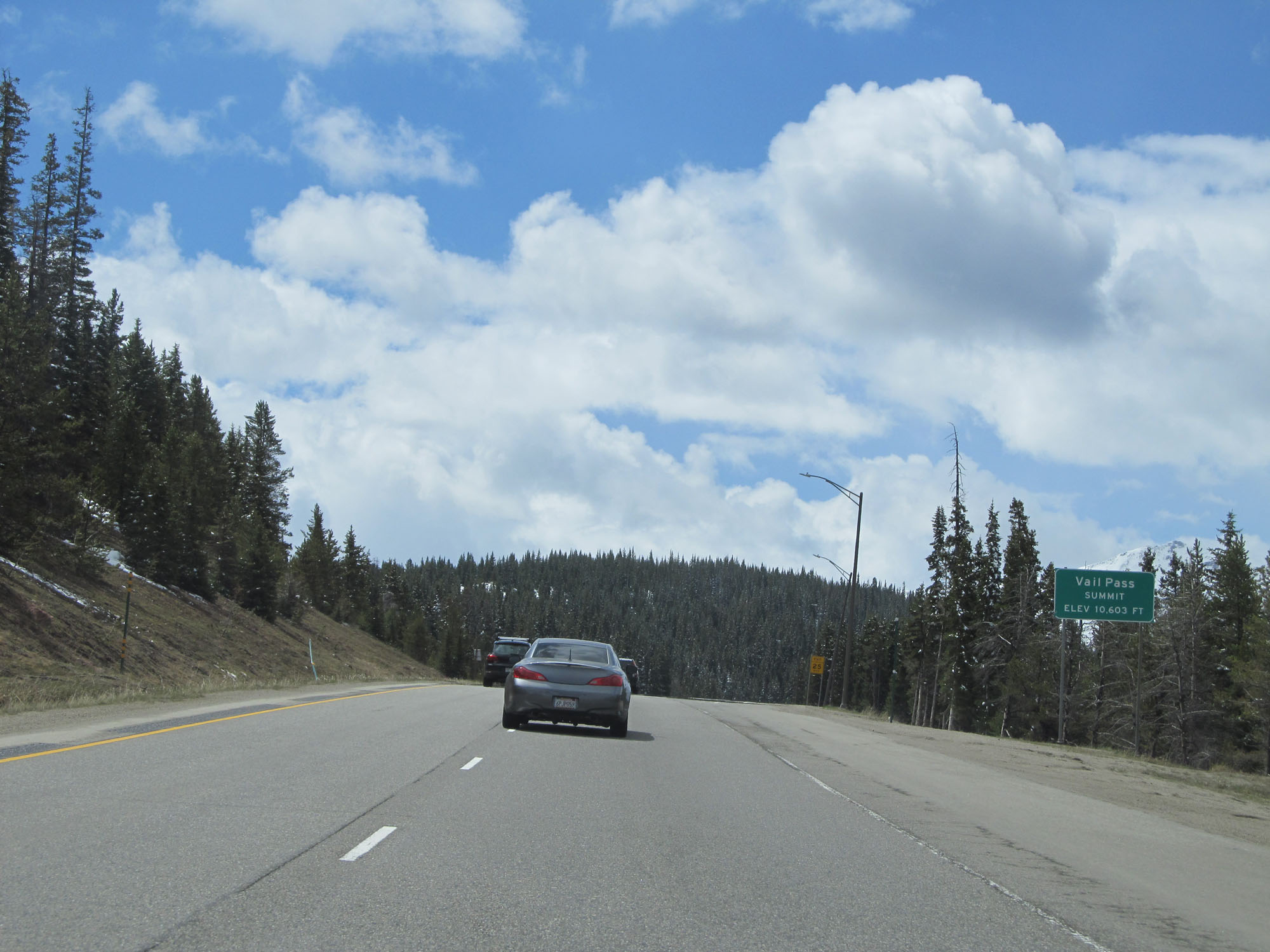 |
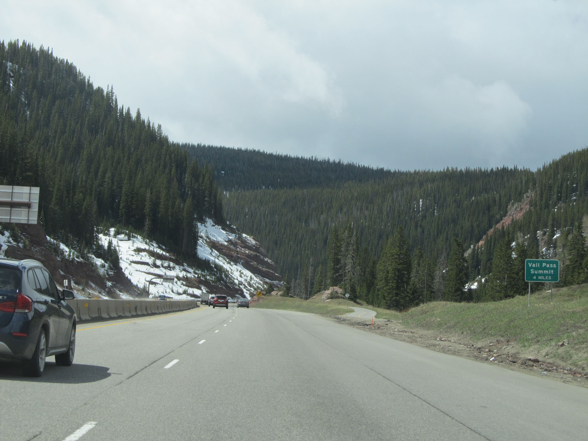
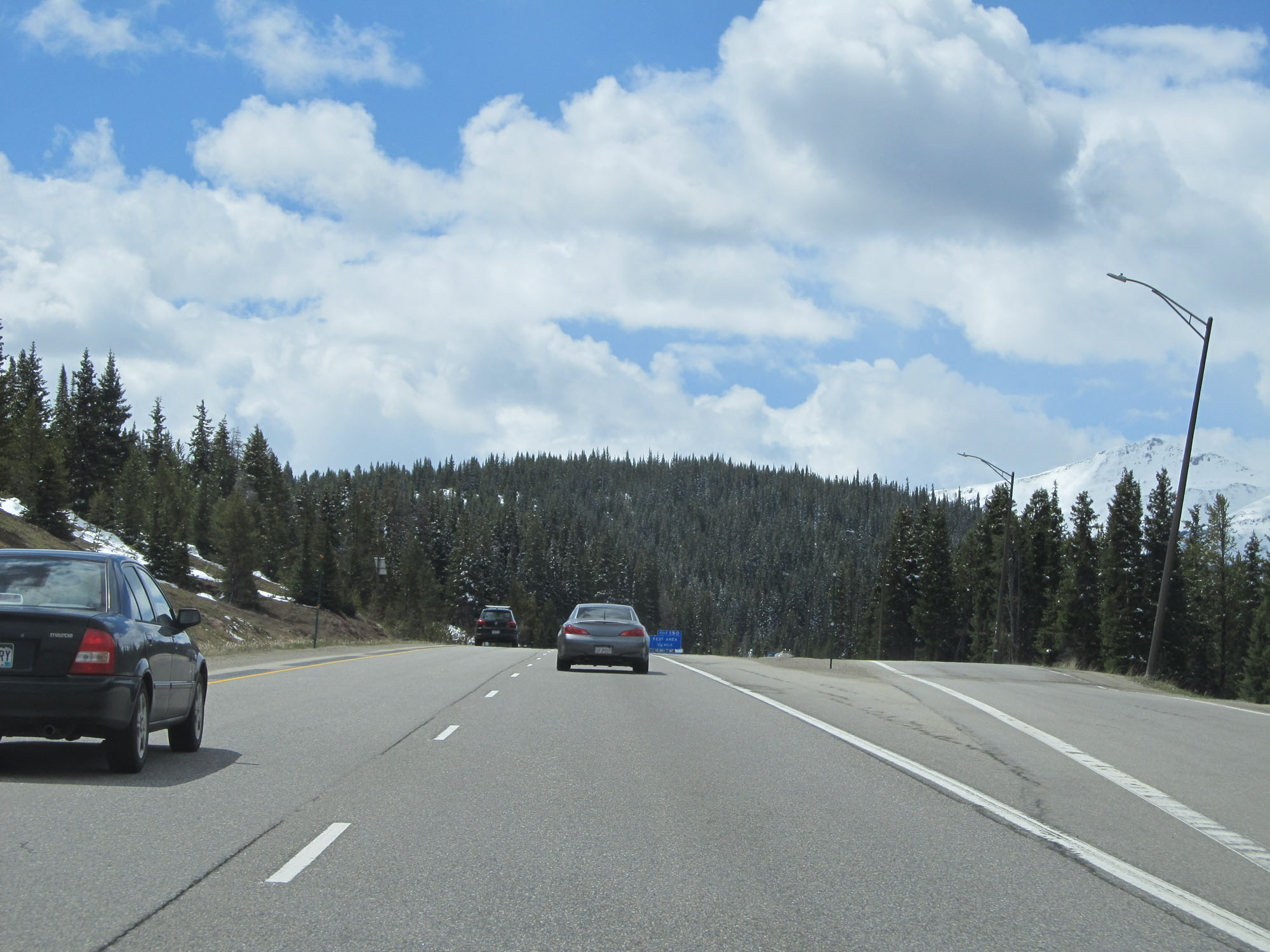
Interstate 70 East at the summit of Vail Pass, which is at an elevation of 10,603 feet. (Photo taken 5/28/16). |
 |
Turnout at the summit of Vail Pass. (Photo taken 5/28/16). |
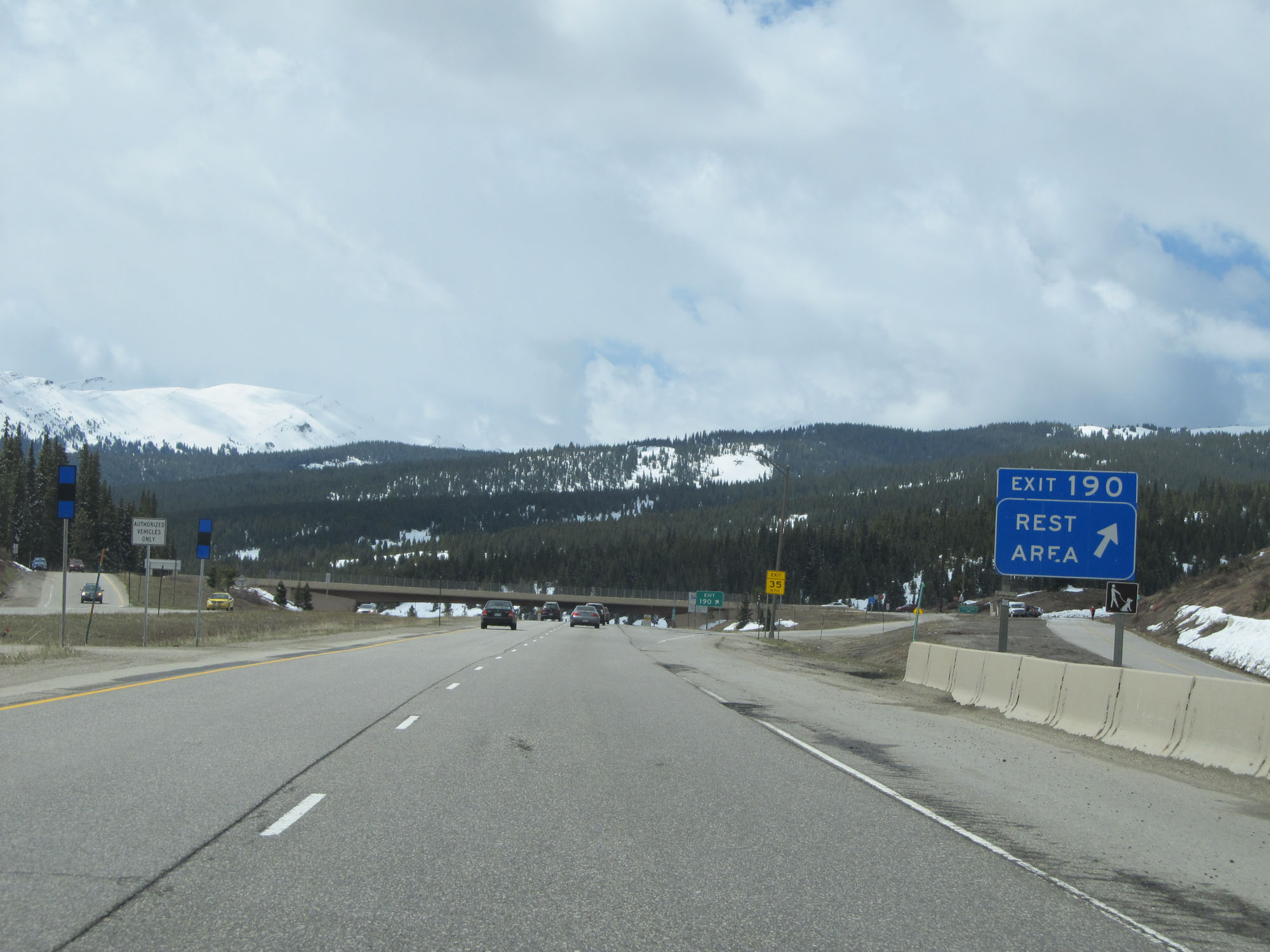 |
Interstate 70 East at Exit 190: Rest Area (Photo taken 5/28/16). |
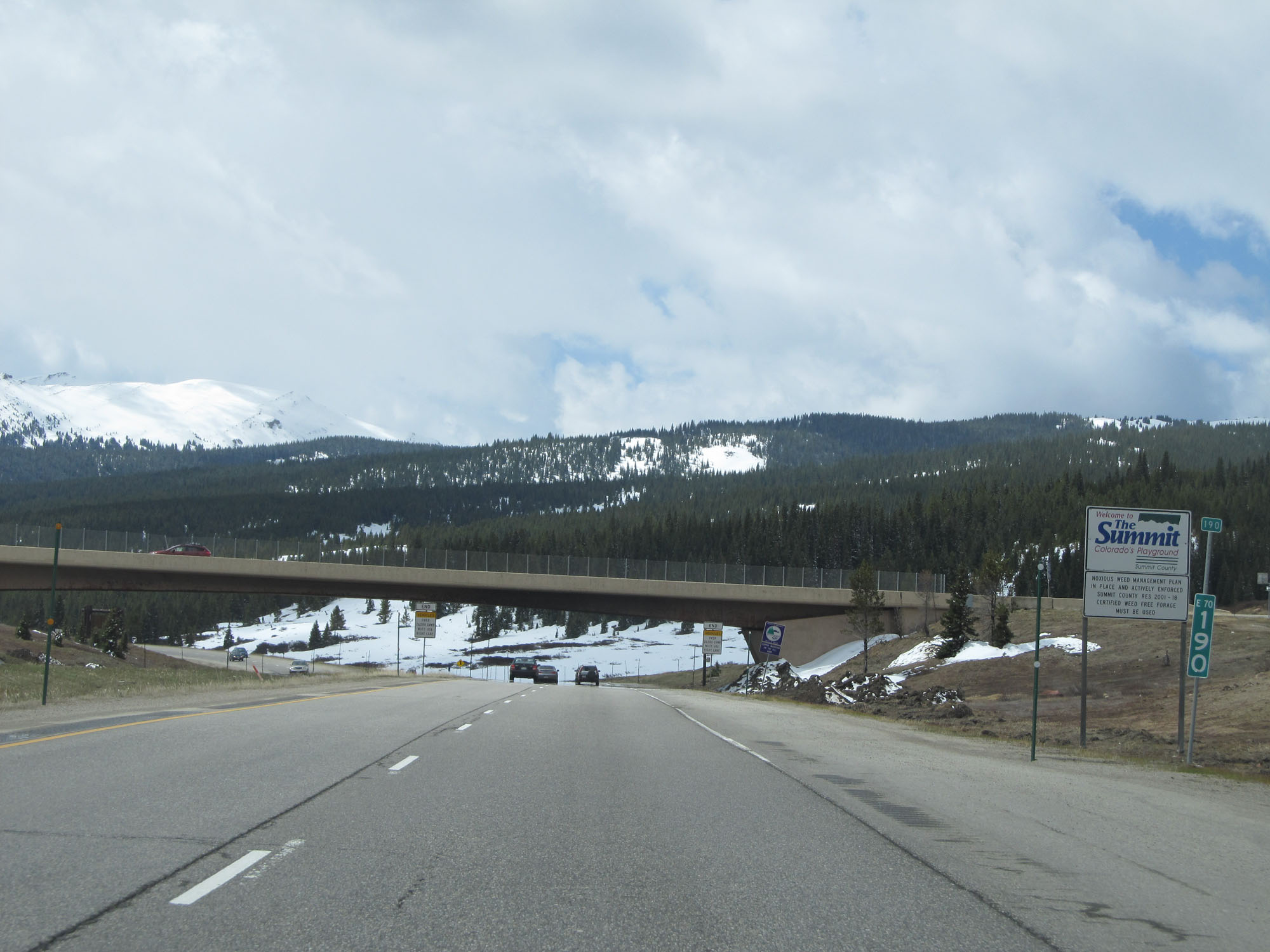 |
Interstate 70 East at mile marker 190, as it begins to descend the east side of Vail Pass Summit. (Photo taken 5/28/16). |
 |
The truck restrictions come to an end just east of mile marker 190. (Photo taken 5/28/16). |
 |
This sign on the median warns of a steep downgrade ahead, as if you didn't already know that was coming. (Photo taken 5/28/16). |
 |
Interstate 70 East reassurance shield. (Photo taken 5/28/16). |
 |
The speed limit going down the east side of Vail Pass Summit is 65 mph. (Photo taken 5/28/16). |
 |
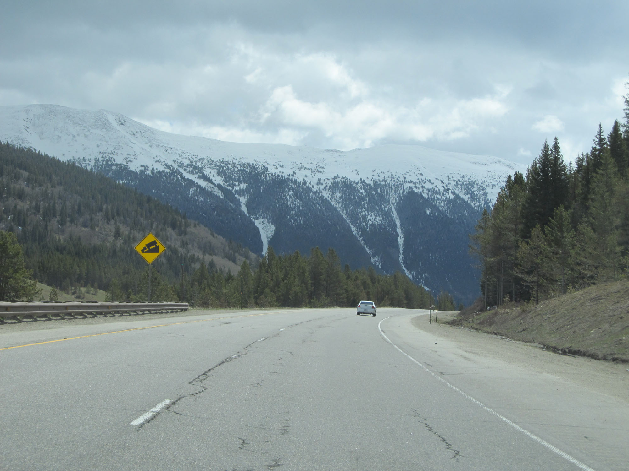
The steep downgrade continues. (Photo taken 5/28/16). |
 |
Interstate 70 East at mile marker 191. (Photo taken 5/28/16). |
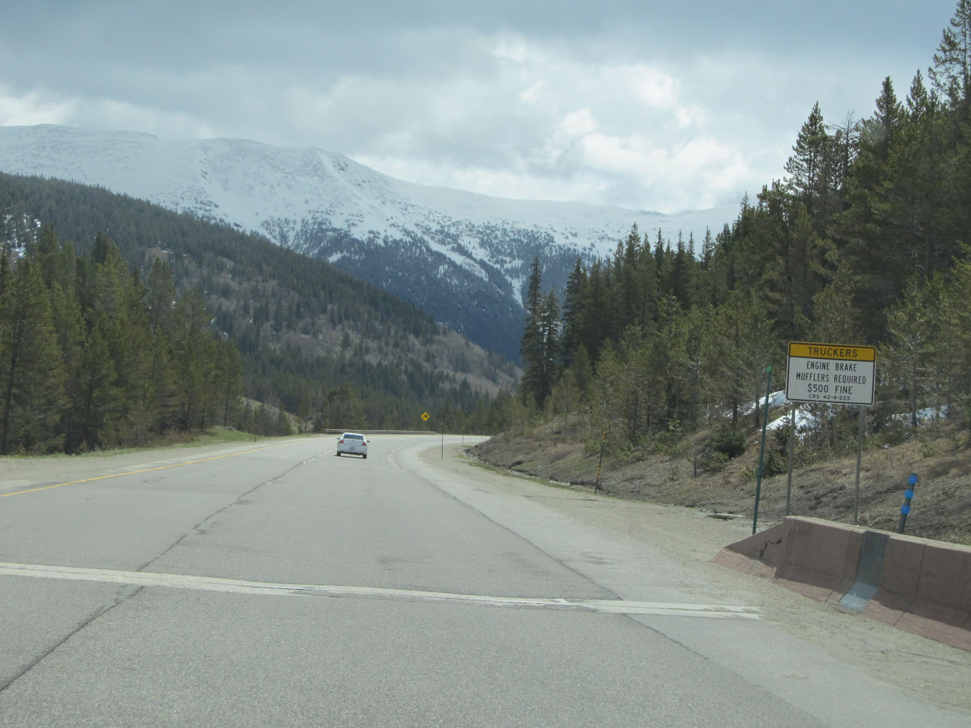 |
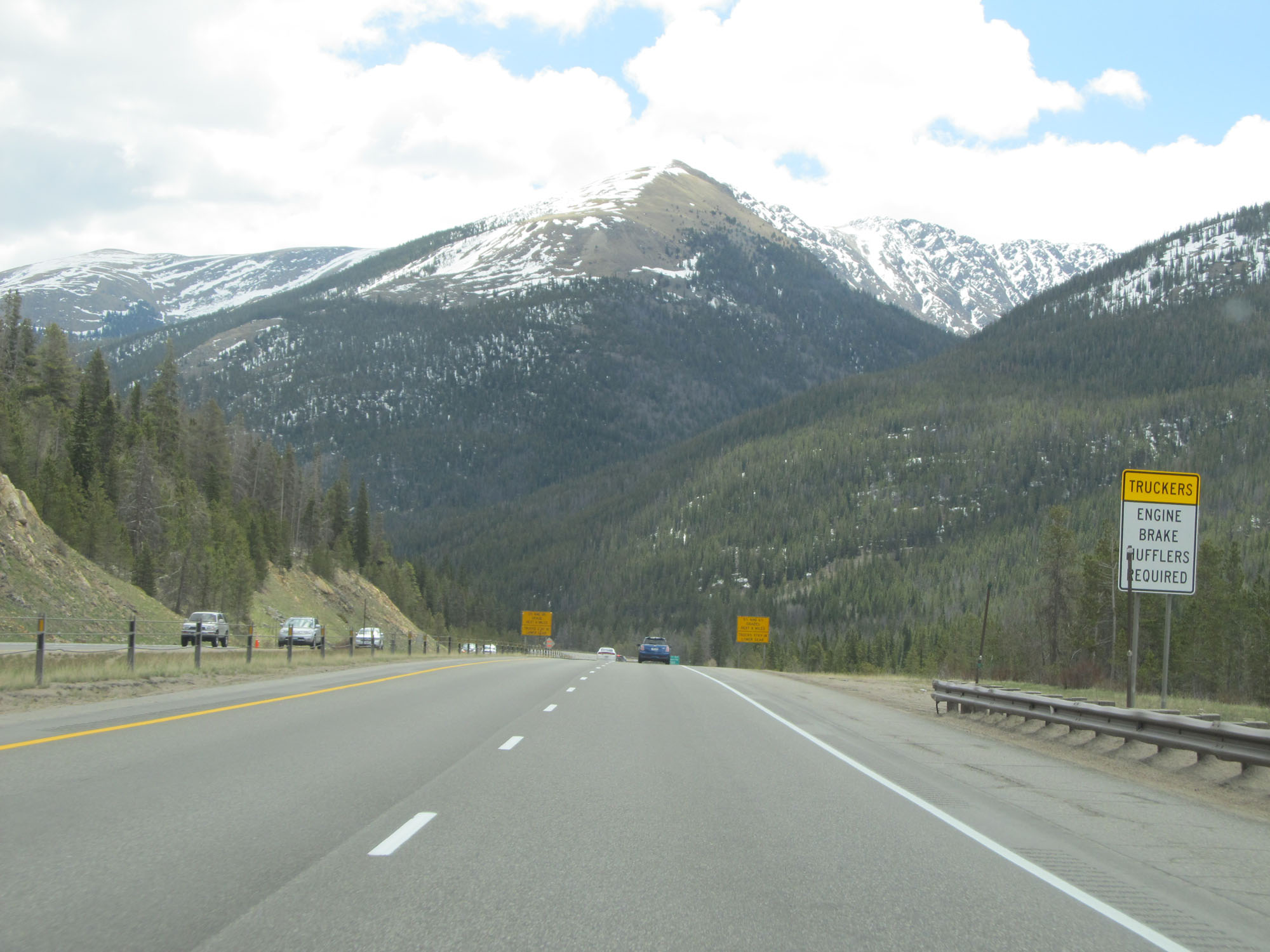
Engine brake mufflers are required for trucks using their jake brakes down the grade. (Photo taken 5/28/16). |
 |
View on Interstate 70 East as it continues down the east side of Vail Pass Summit. (Photo taken 5/28/16). |
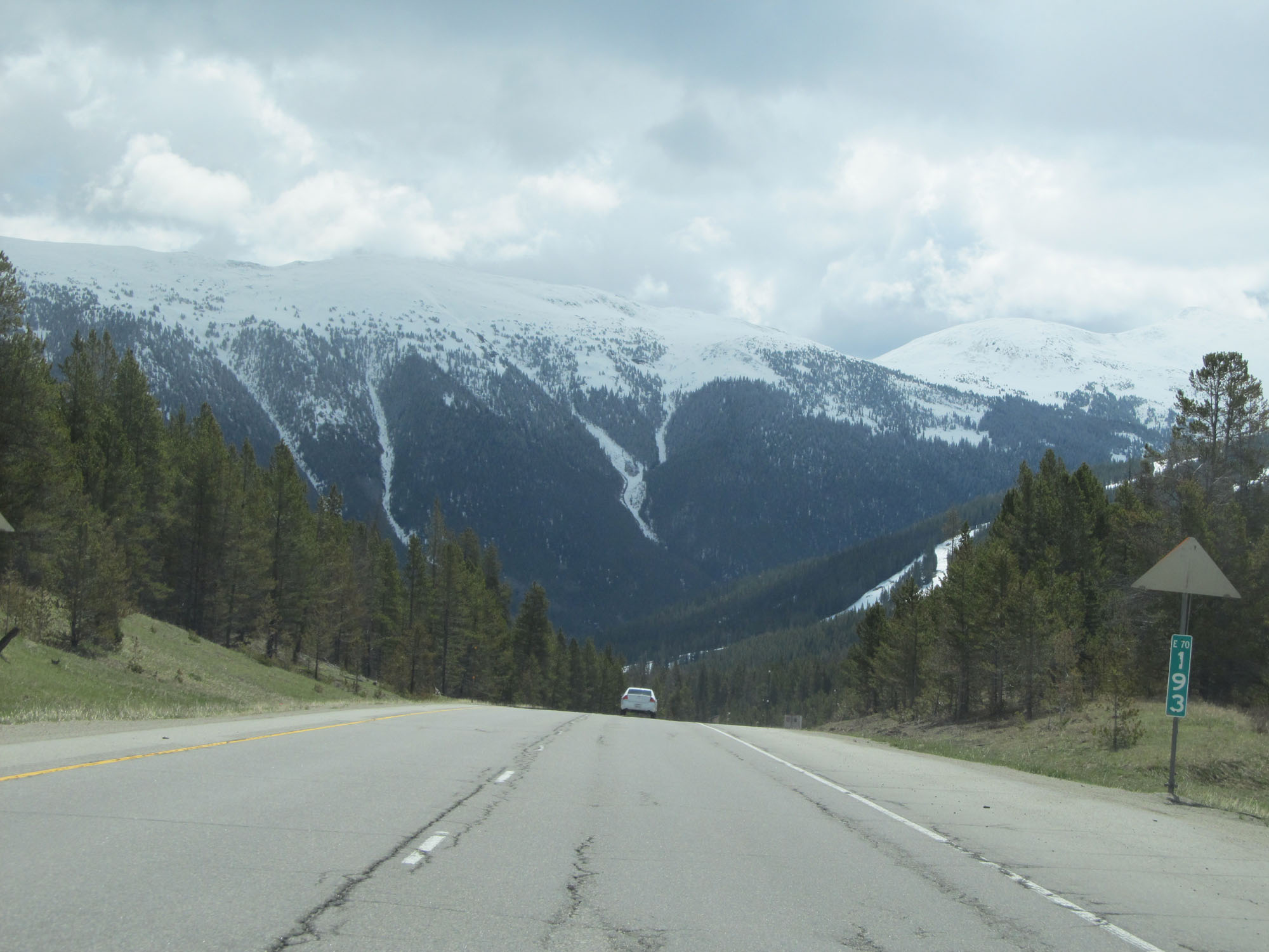 |
Interstate 70 East at mile marker 193. (Photo taken 5/28/16). |
 |
Interstate 70 East at mile marker 193.5. (Photo taken 5/28/16). |
 |
Interstate 70 East approaching Exit 195 - 1 mile. (Photo taken 5/28/16). |
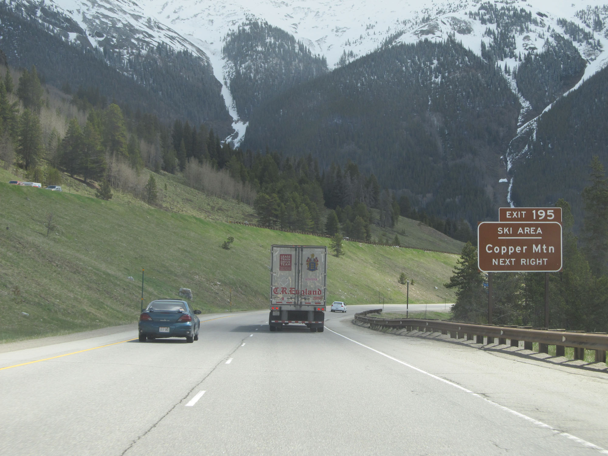 |
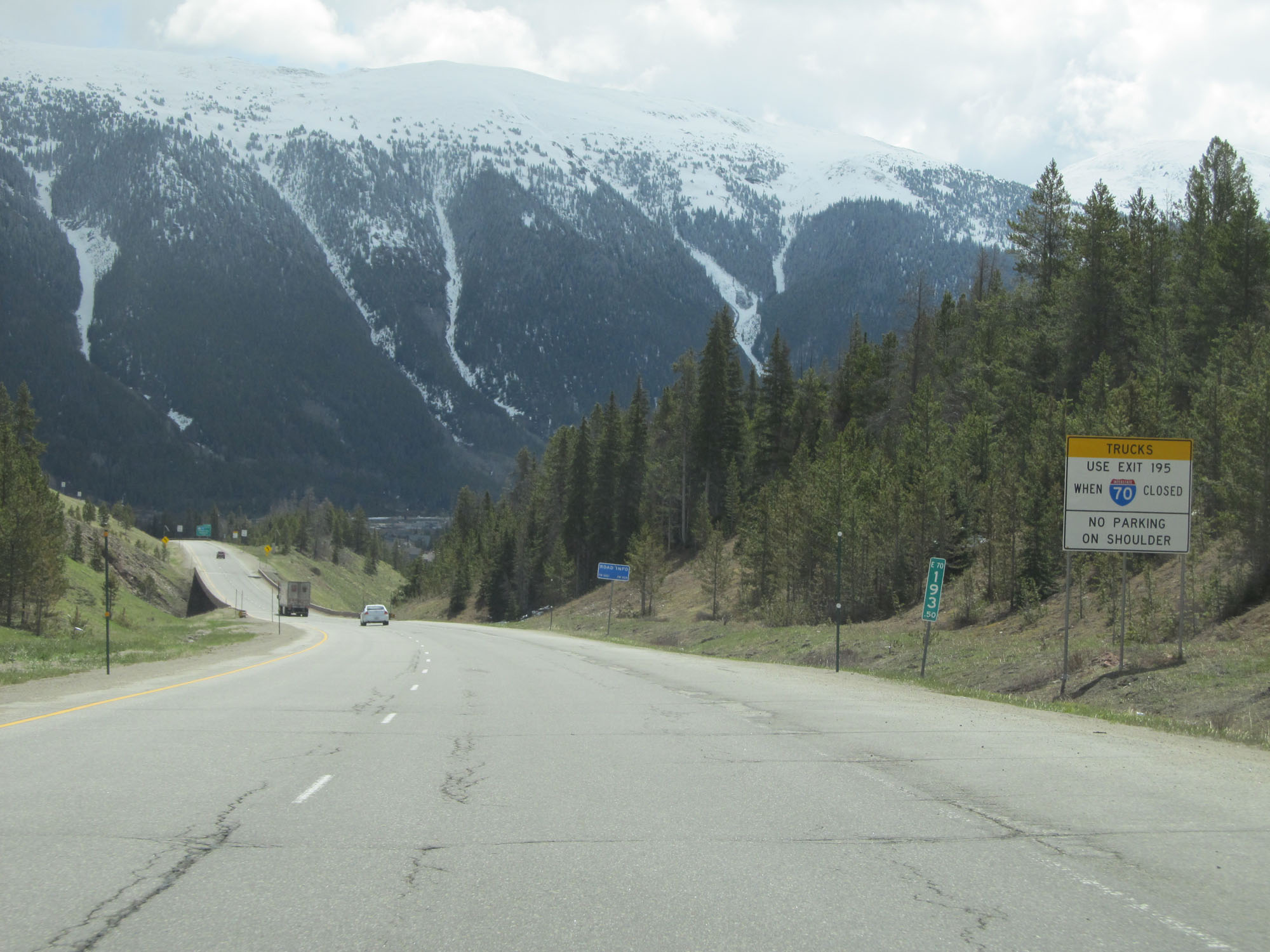
Take Exit 195 to Copper Mountain Ski Area. (Photo taken 5/28/16). |
 |
Interstate 70 East at mile marker 194.5. (Photo taken 5/28/16). |
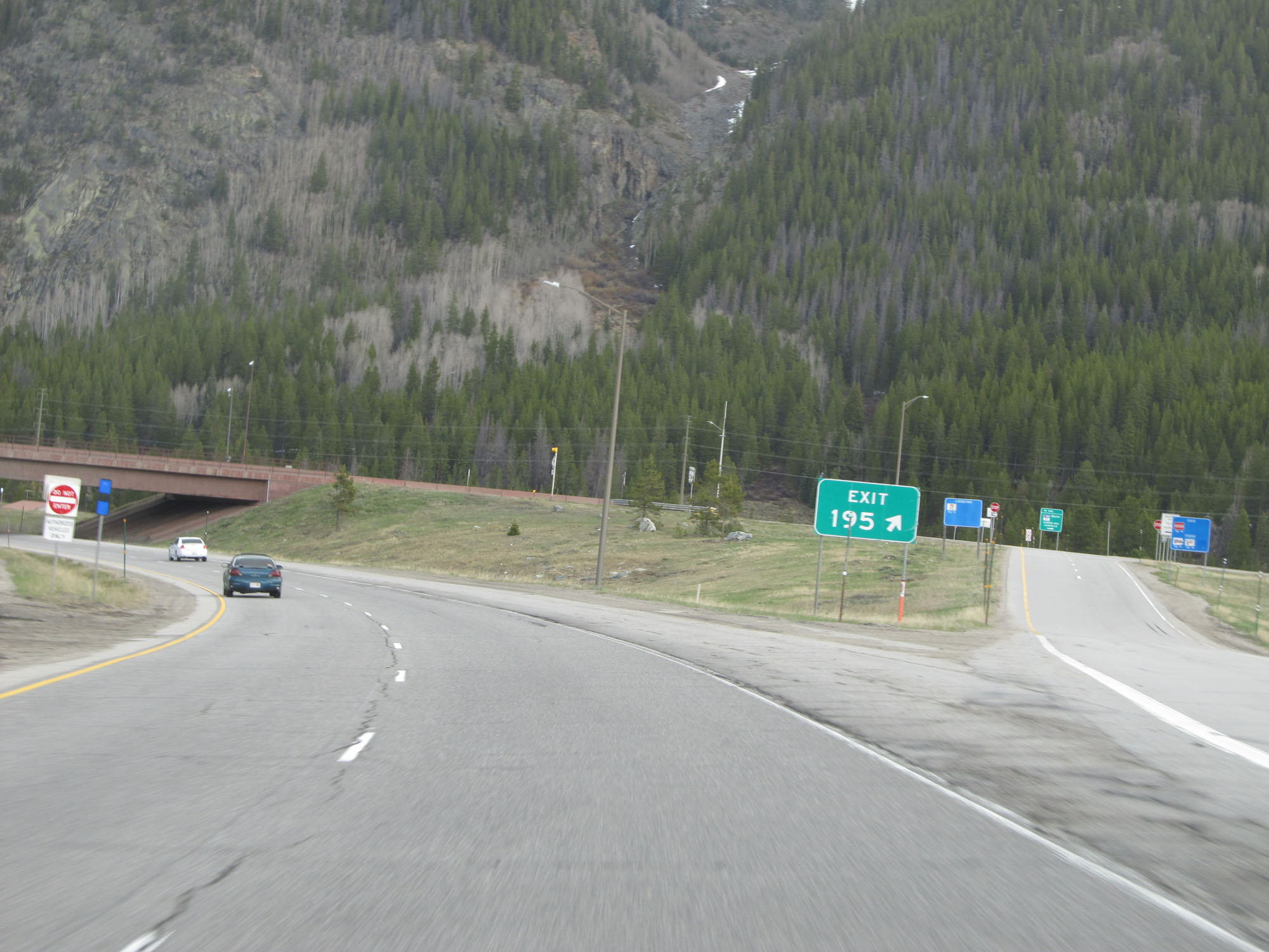 |
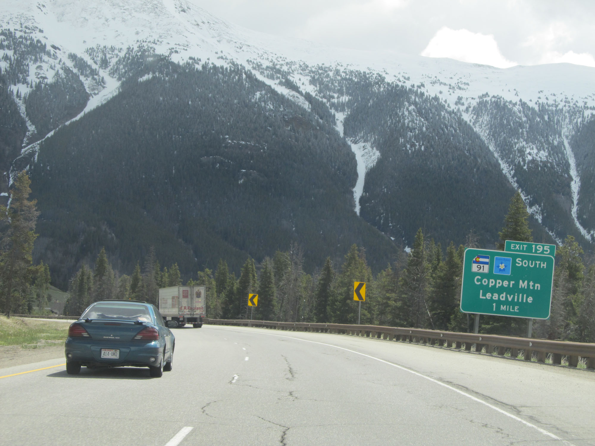
Interstate 70 East at Exit 195: CO 91 South - Copper Mountain / Leadville (Photo taken 5/28/16). |
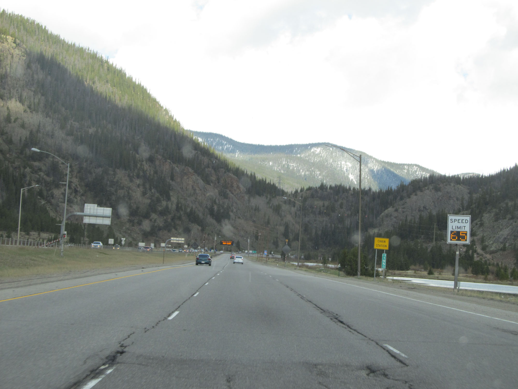 |
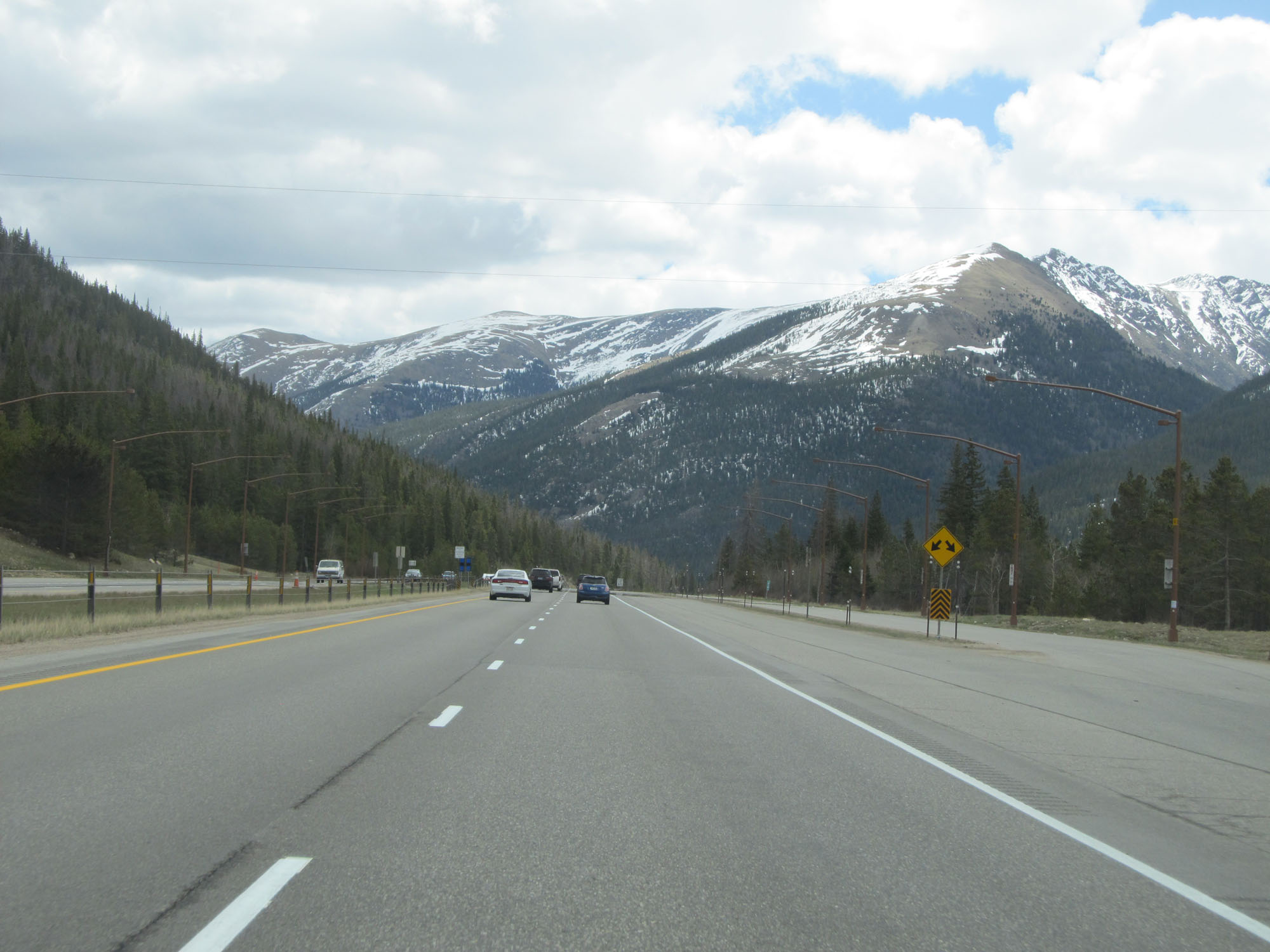
The variable speed limits resume at mile marker 195.5. (Photo taken 5/28/16). |
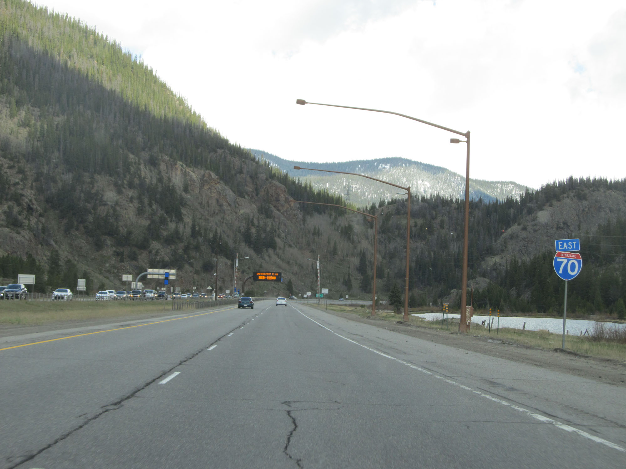 |
Another Interstate 70 East reassurance shield. (Photo taken 5/28/16). |
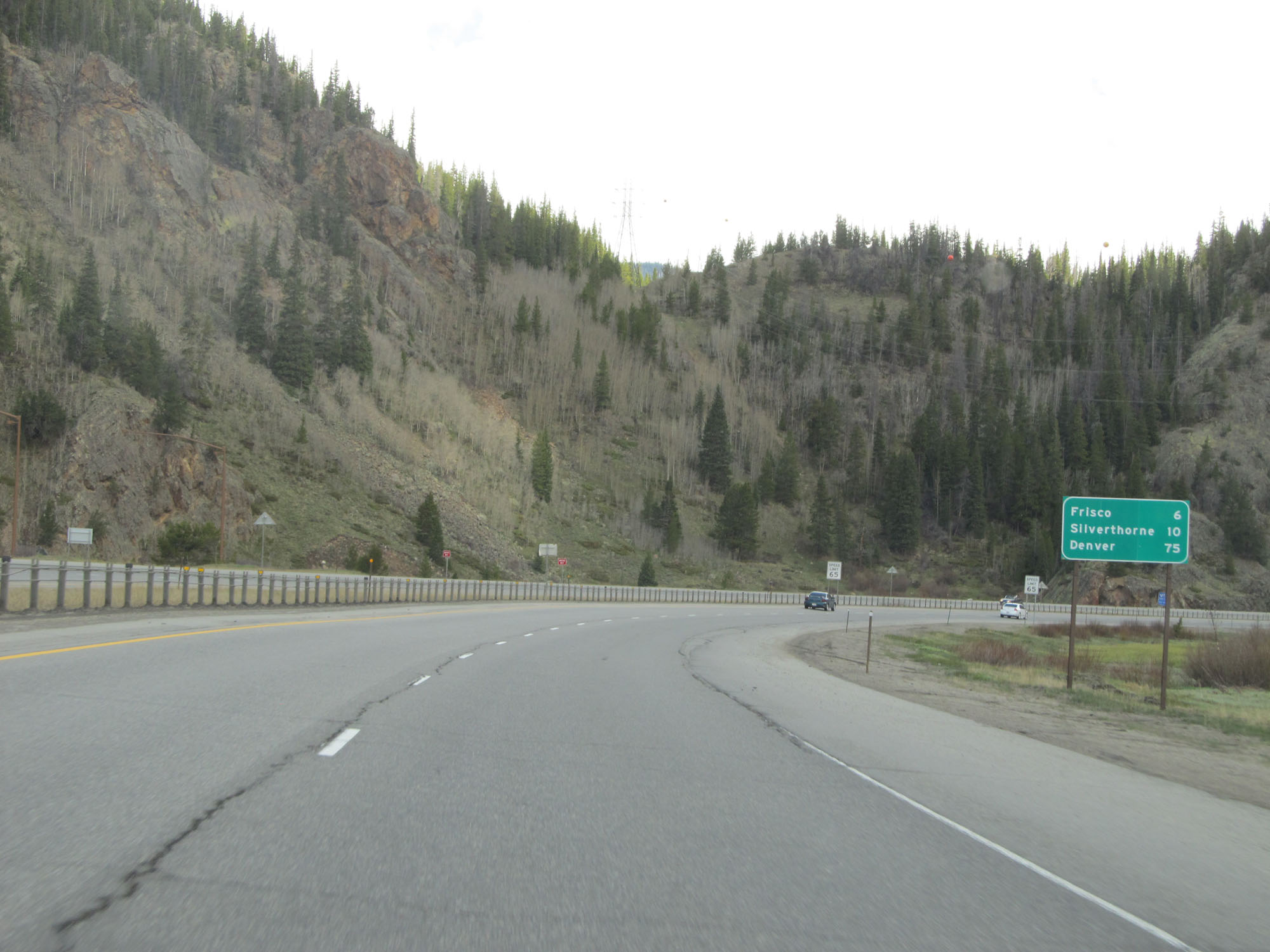 |
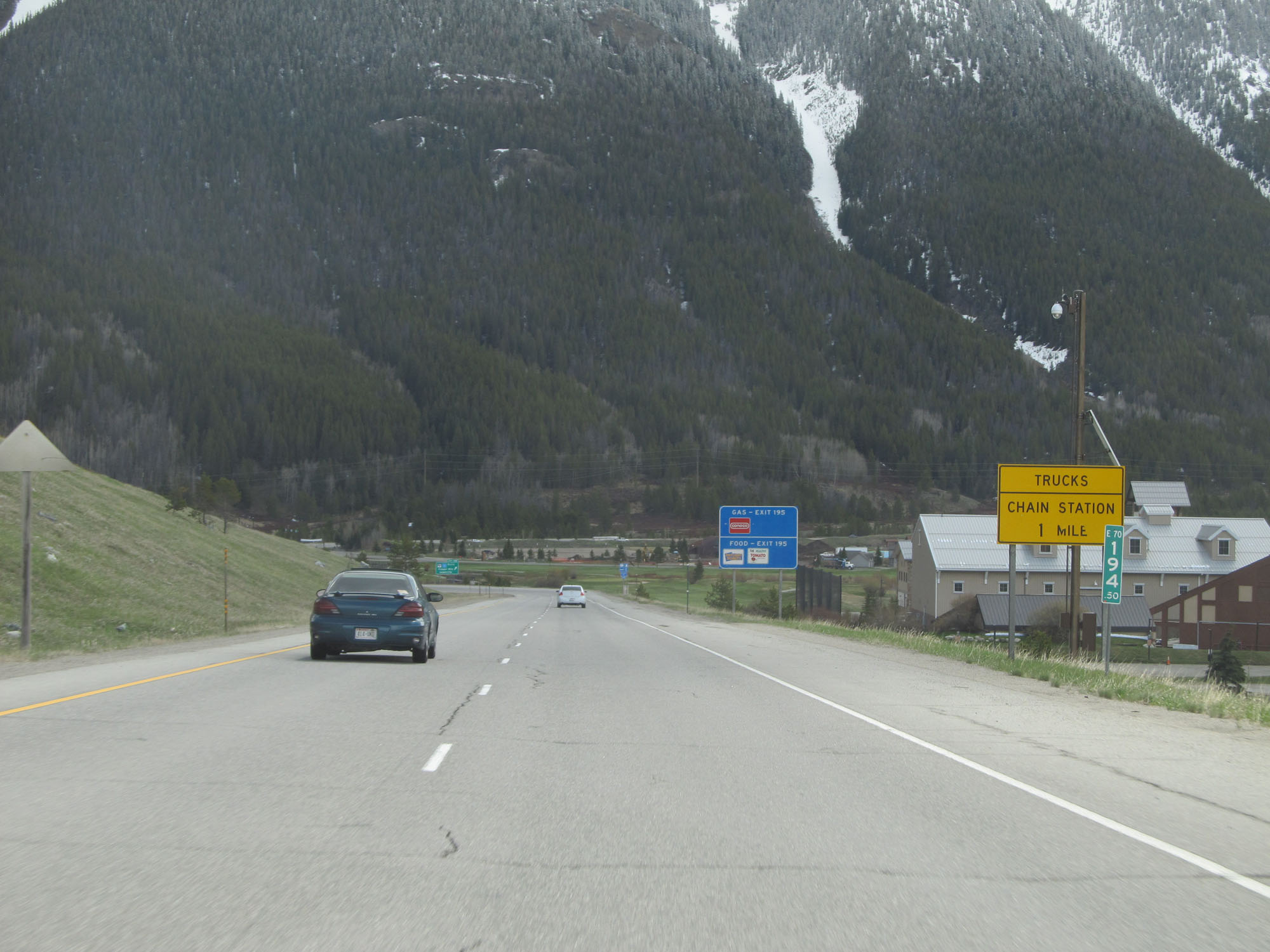
Mileage sign on Interstate 70 East. It's 6 miles to Frisco, 10 miles to Silverthorne, and 75 miles to Denver. (Photo taken 5/28/16). |
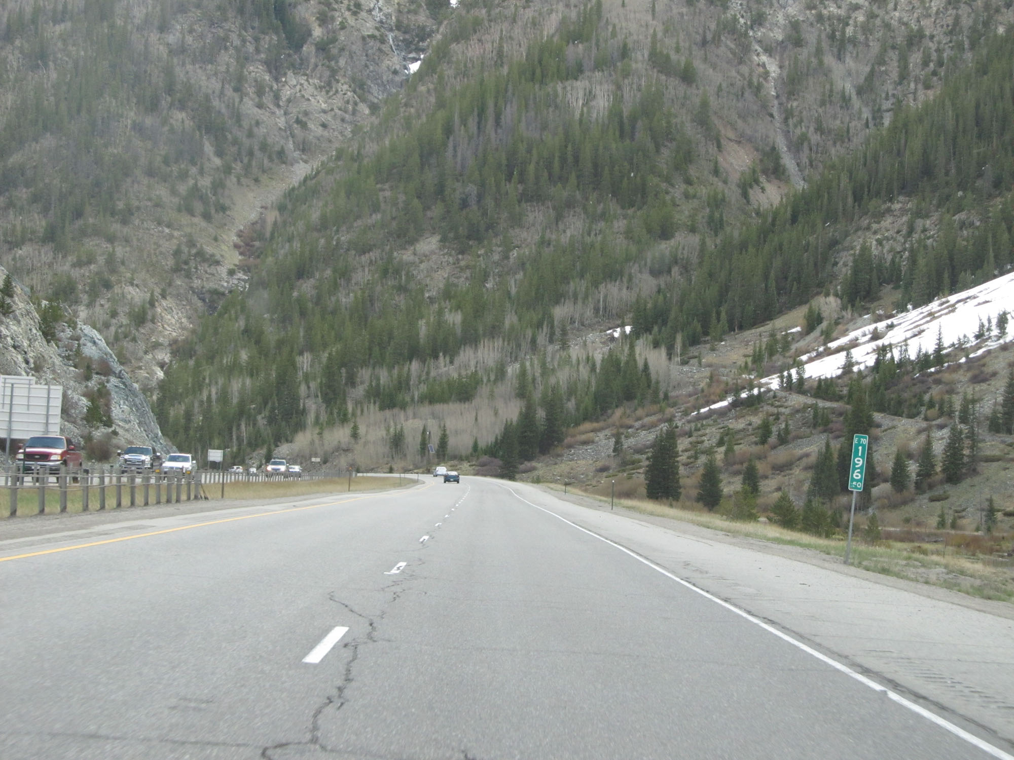 |
Interstate 70 East at mile marker 196.5. (Photo taken 5/28/16). |
 |
Interstate 70 East approaching Exit 198 - 1/2 mile. (Photo taken 5/28/16). |
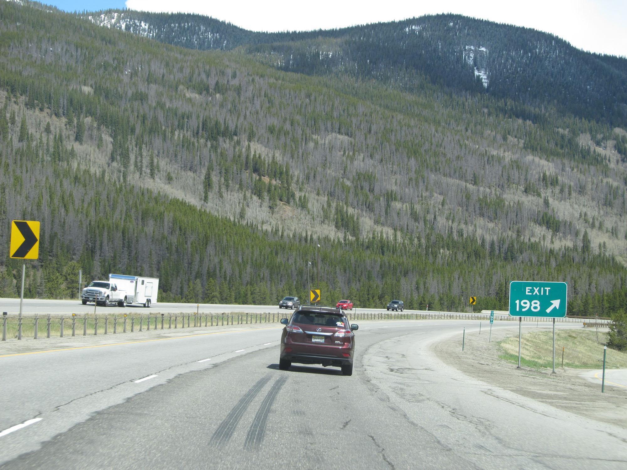 |
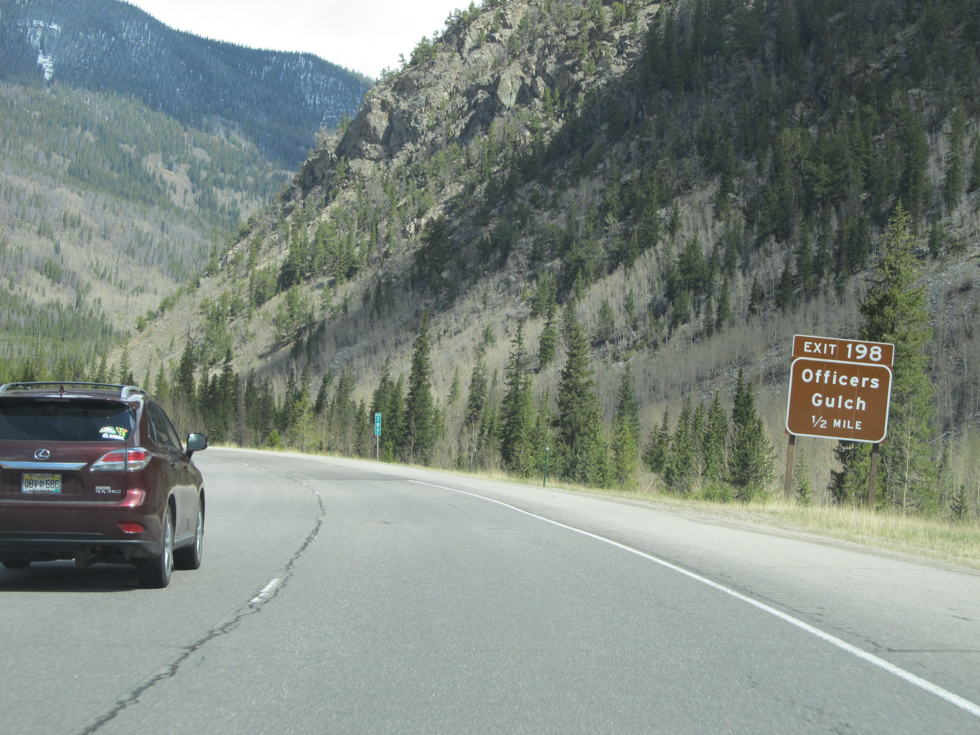
Interstate 70 East at Exit 198: Officers Gulch (Photo taken 5/28/16). |
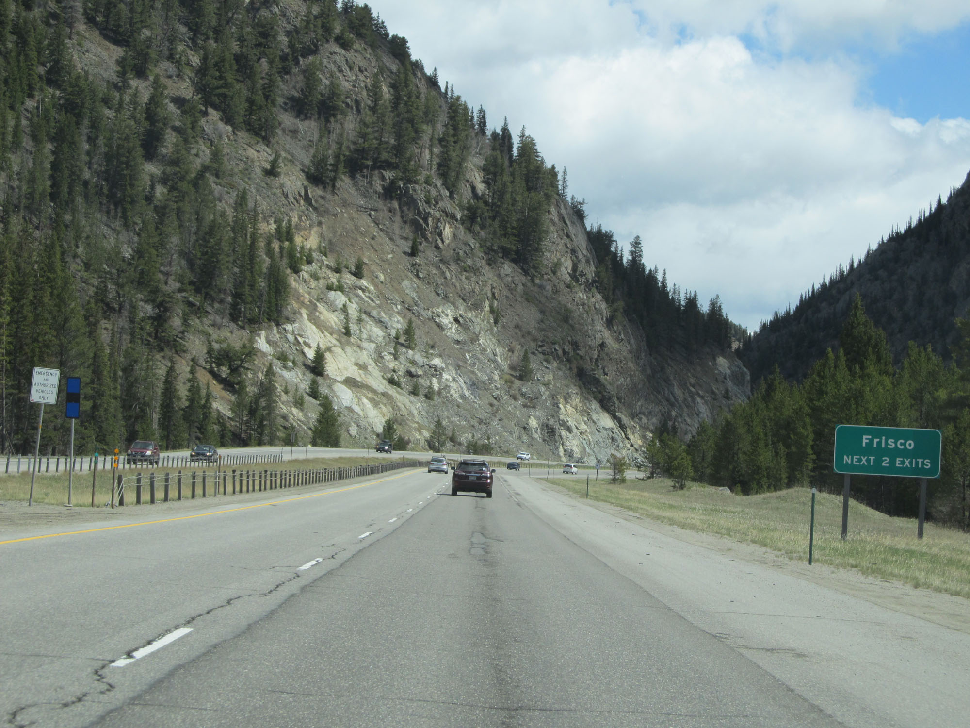 |
Take either of the next 2 exits to Frisco. (Photo taken 5/28/16). |
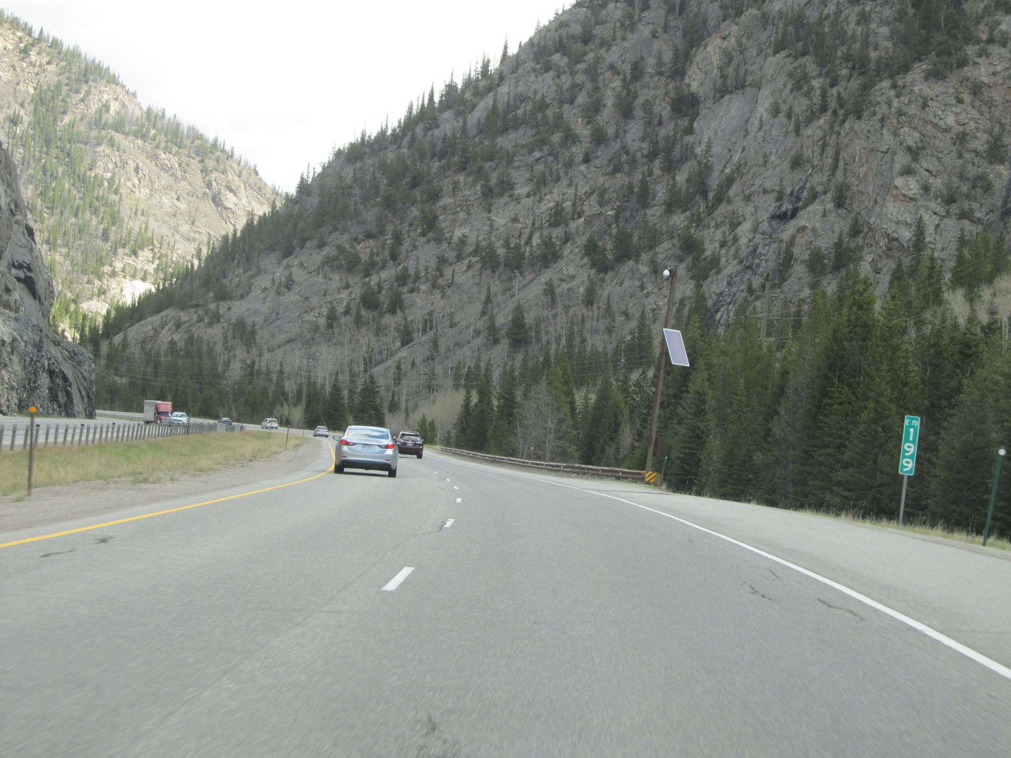 |
Interstate 70 East at mile marker 199. (Photo taken 5/28/16). |
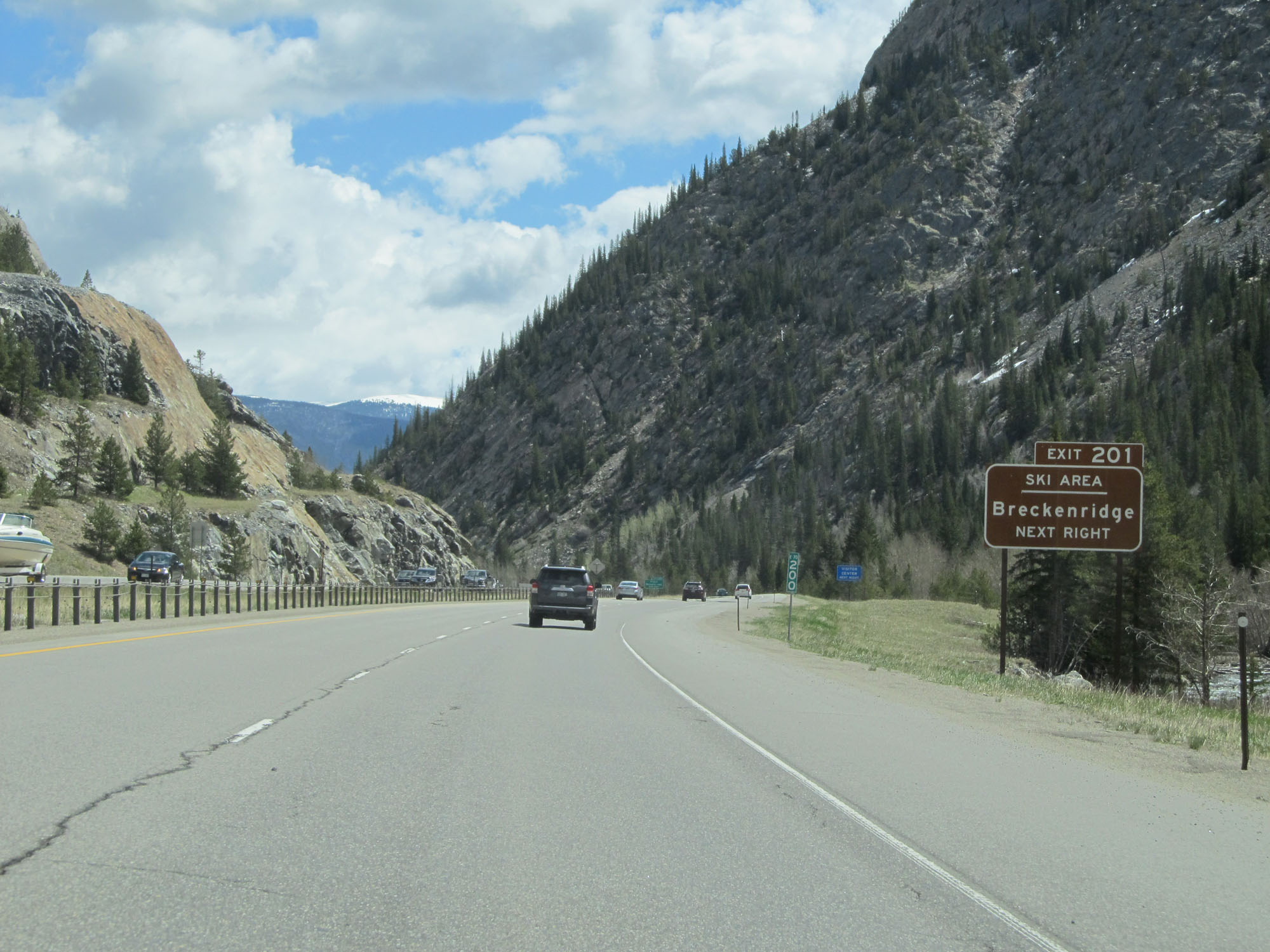 |
Take Exit 201 to Breckenridge Ski Area. (Photo taken 5/28/16). |
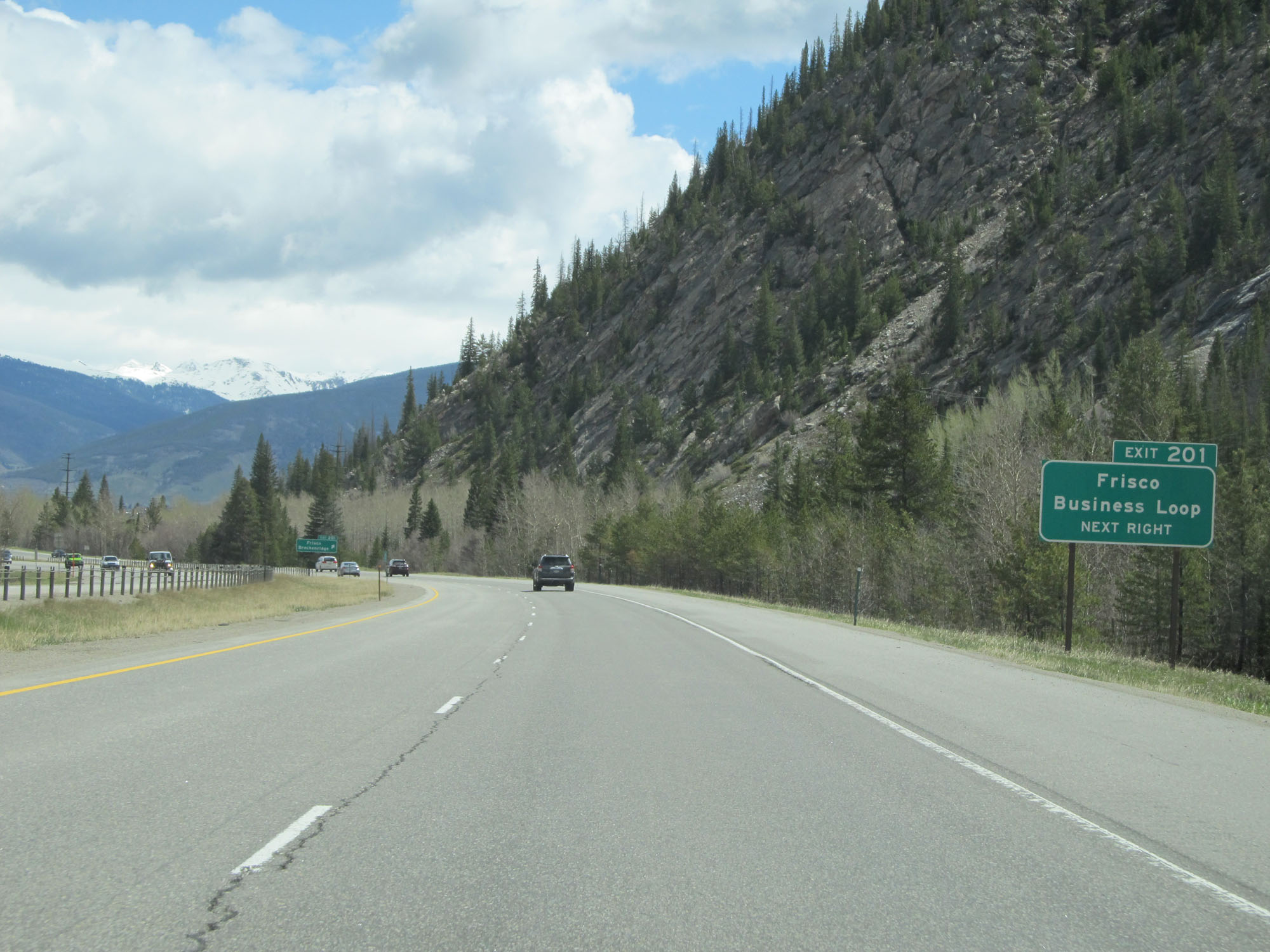 |
Take Exit 201 to Frisco Business Loop. (Photo taken 5/28/16). |
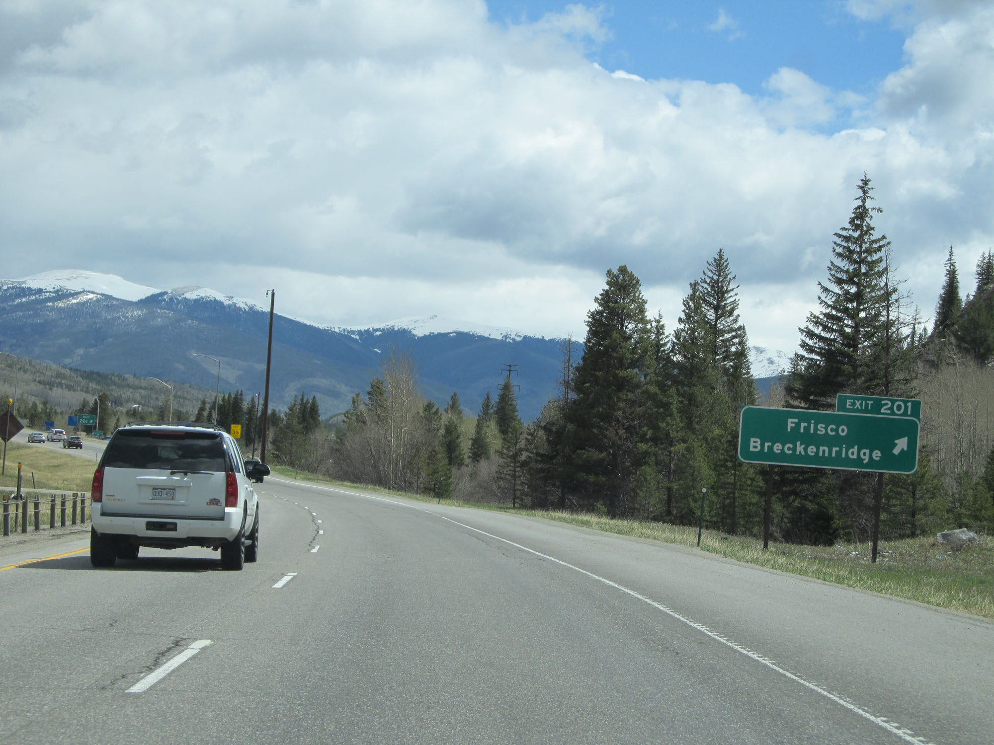 |
Interstate 70 East at Exit 201: Frisco / Breckenridge (Photo taken 5/28/16). |
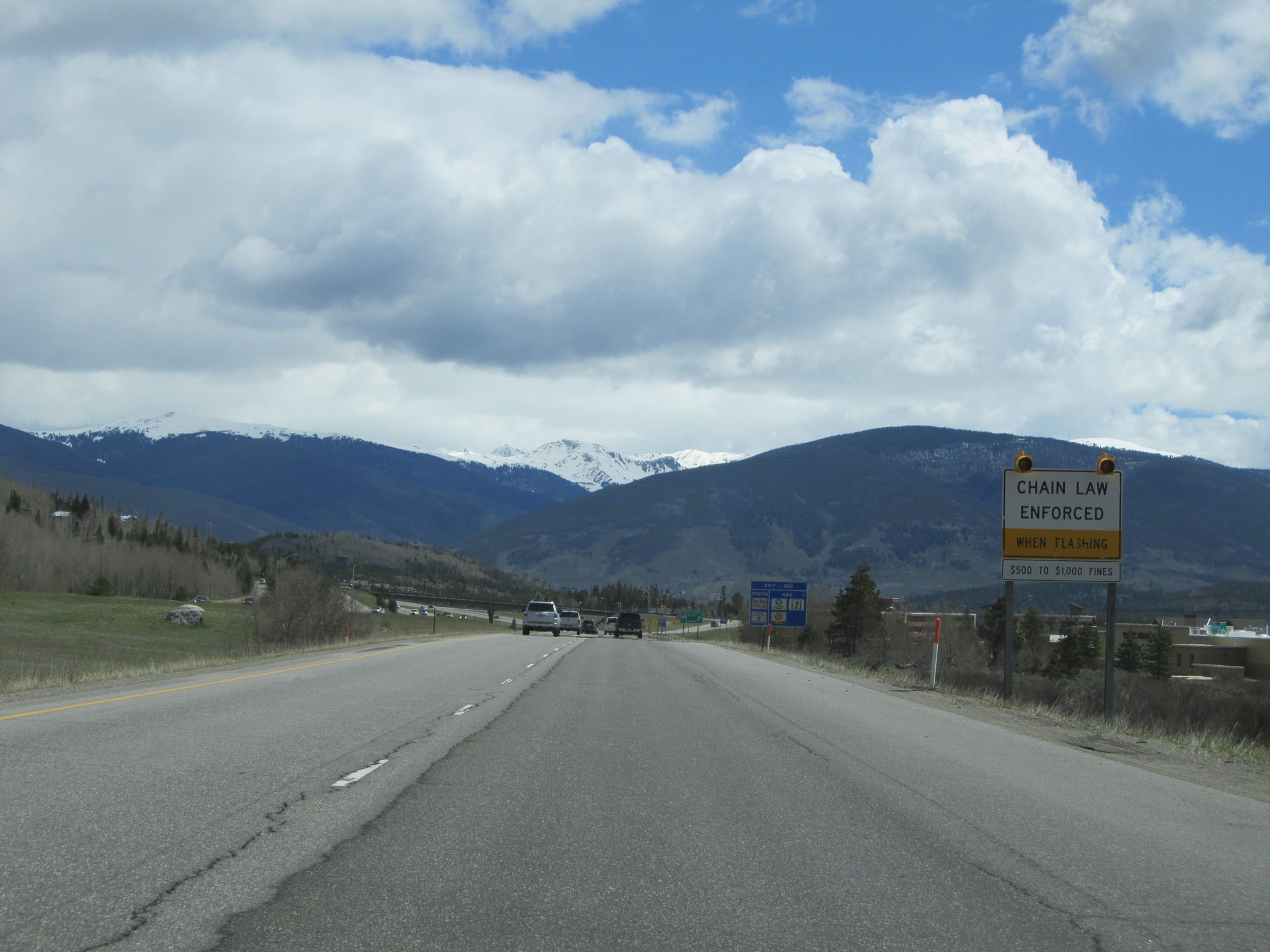 |
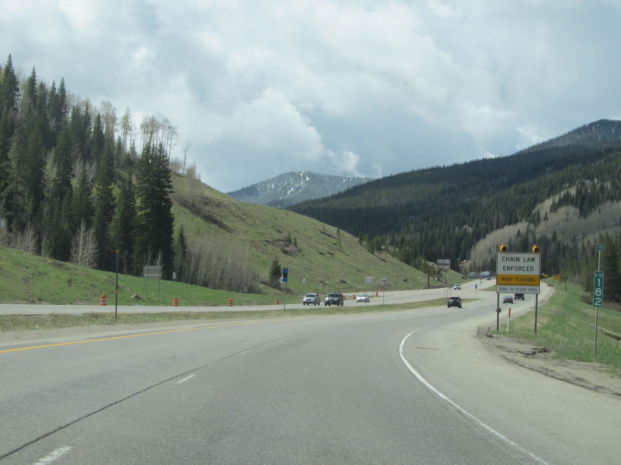
Another chain law sign on Interstate 70 East. When its lights are flashing, chains are required to proceed ahead. (Photo taken 5/28/16). |
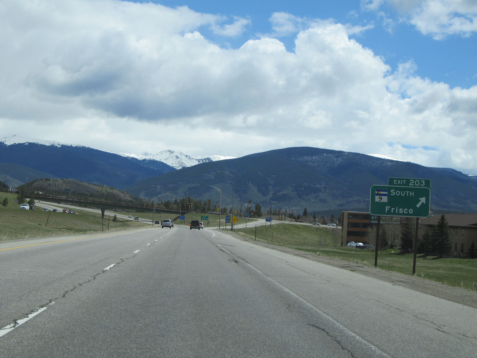 |
Interstate 70 East at Exit 203: CO 9 South - Frisco (Photo taken 5/28/16). |
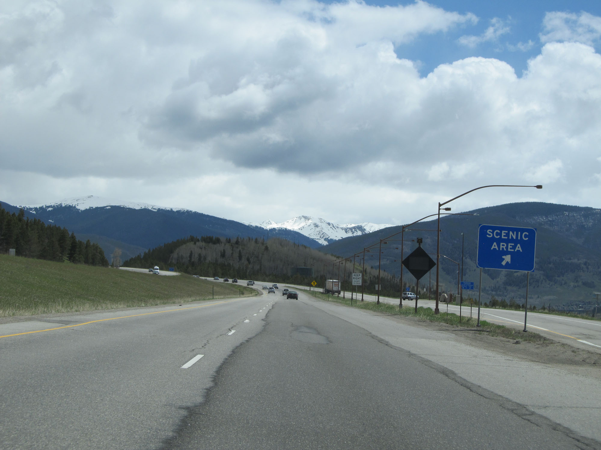 |
Interstate 70 East at the Scenic Area in Summit County. (Photo taken 5/28/16). |
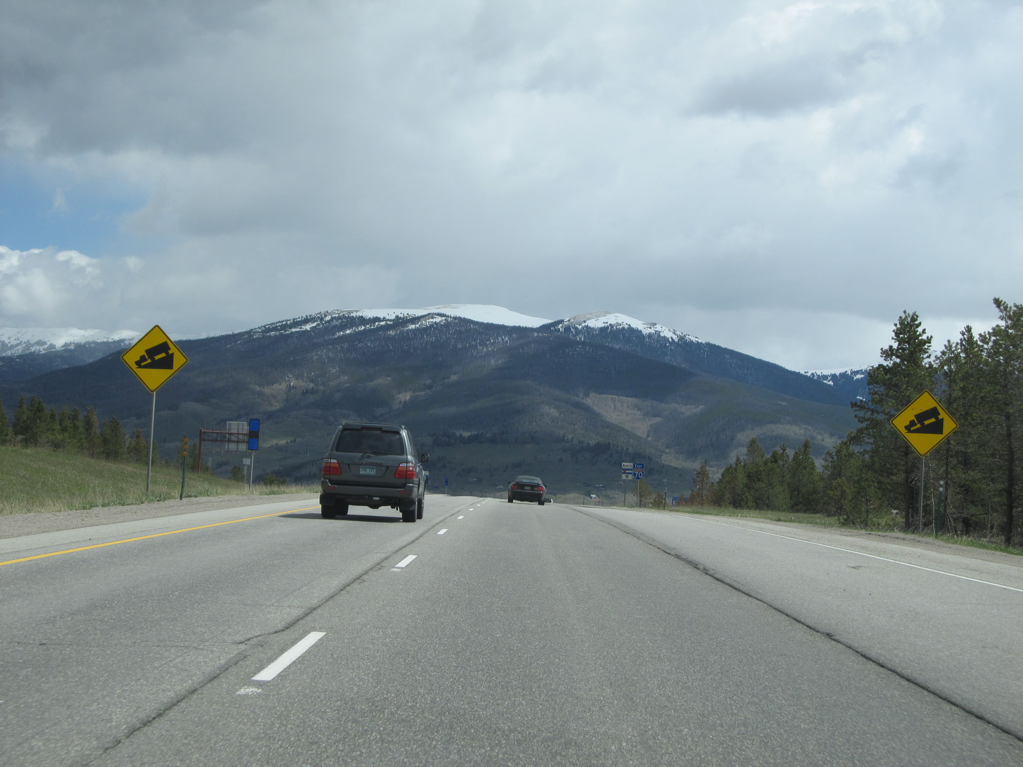 |
Warning signs for another downgrade ahead. Interstate 70 just can't make up its mind whether it wants to go up or down. (Photo taken 5/28/16). |
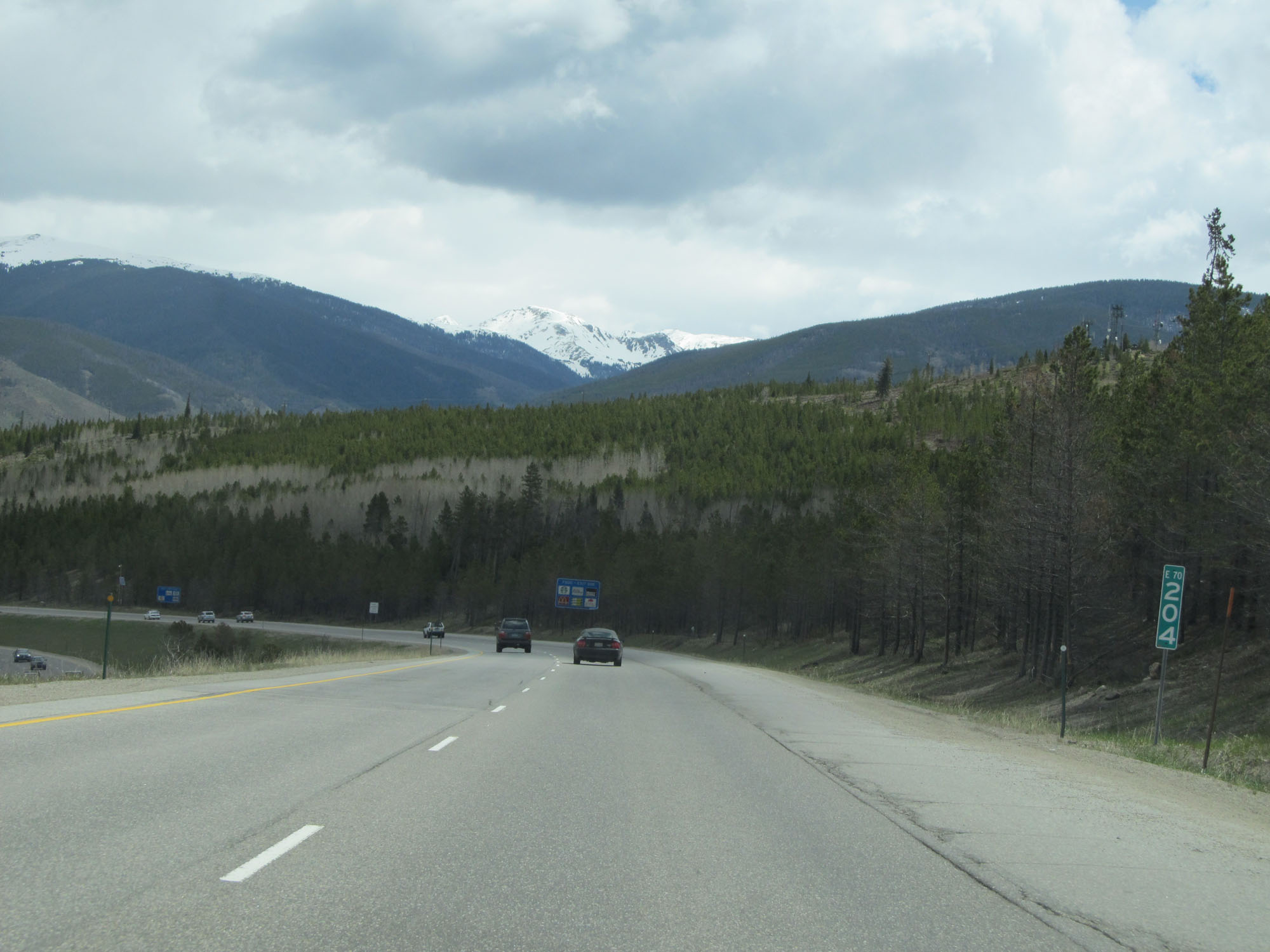 |
Interstate 70 East at mile marker 204. (Photo taken 5/28/16). |
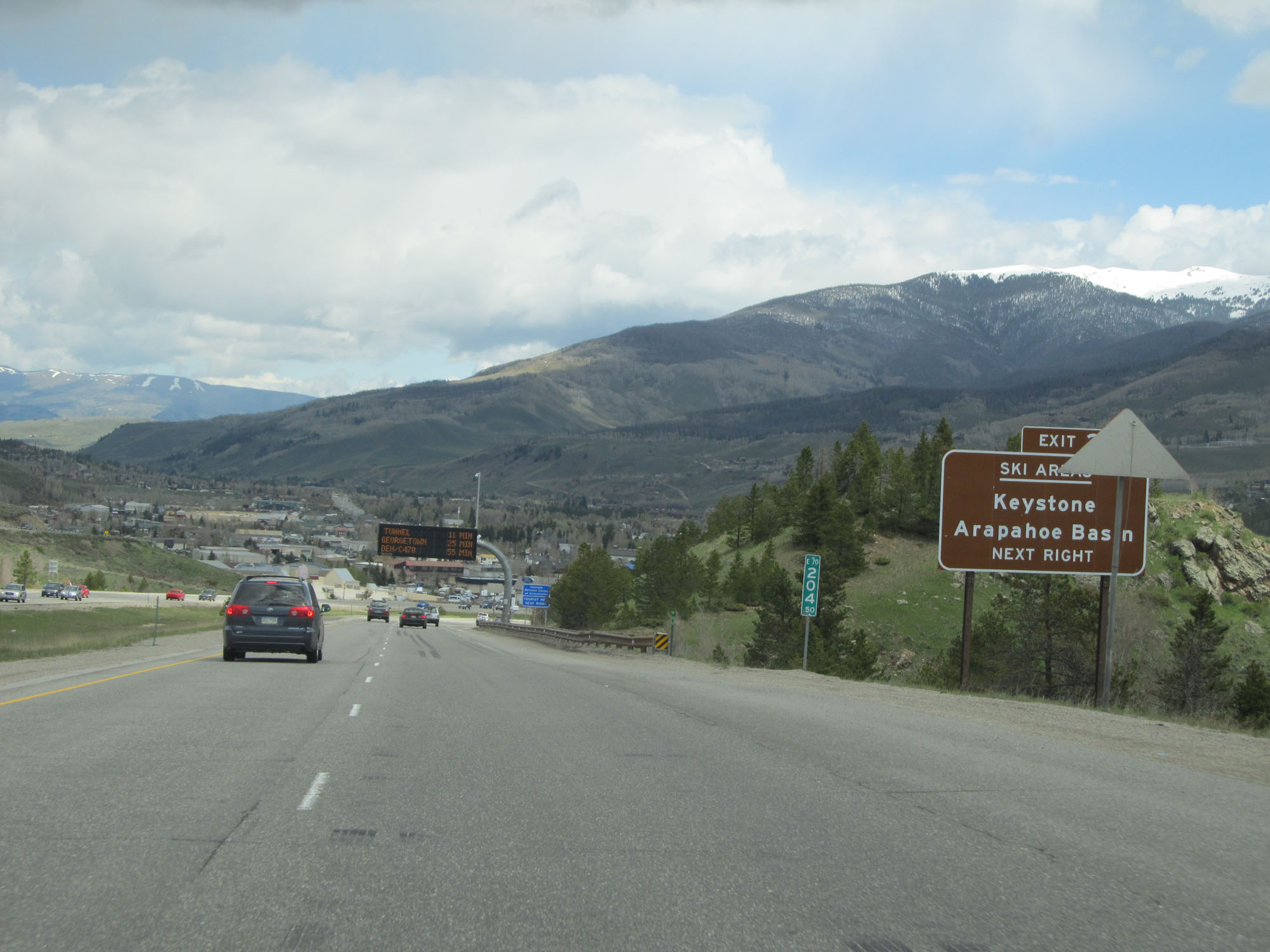 |
Take Exit 205 to Keystone and Arapahoe Basin Ski Areas. (Photo taken 5/28/16). |
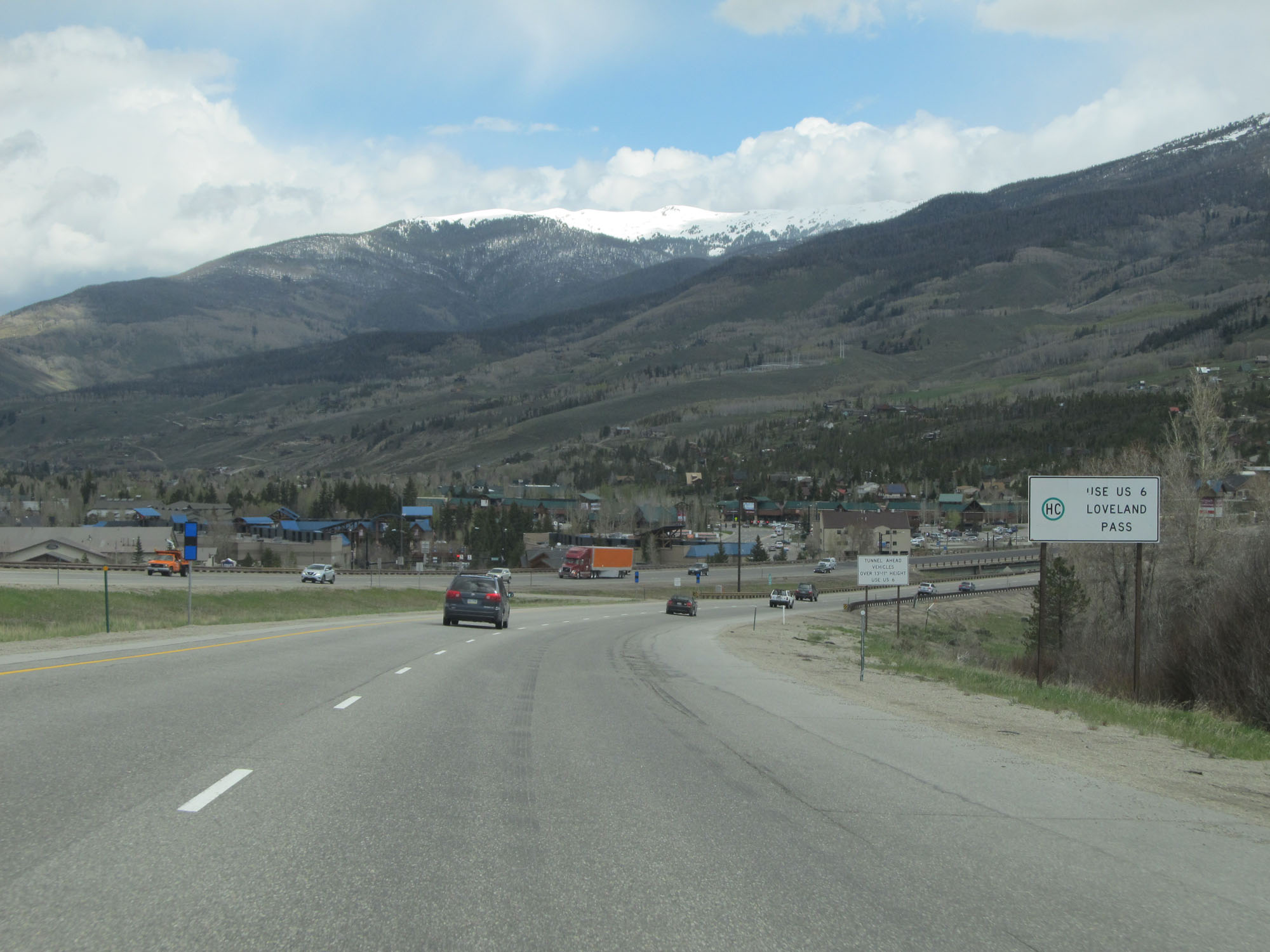 |
Hazardous materials are prohibited through the Eisenhower Tunnel ahead on Interstate 70. Trucks with Hazmat must use US 6 over Loveland Pass instead. (Photo taken 5/28/16). |
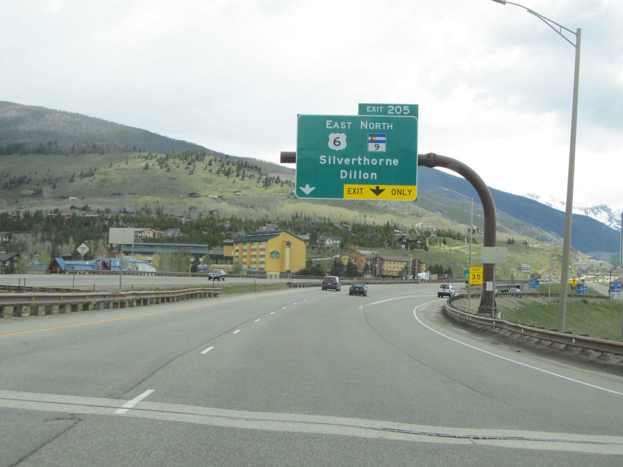 |
Interstate 70 East at Exit 205: US 6 East / CO 9 North - Silverthorne / Dillon (Photo taken 5/28/16). |
 |
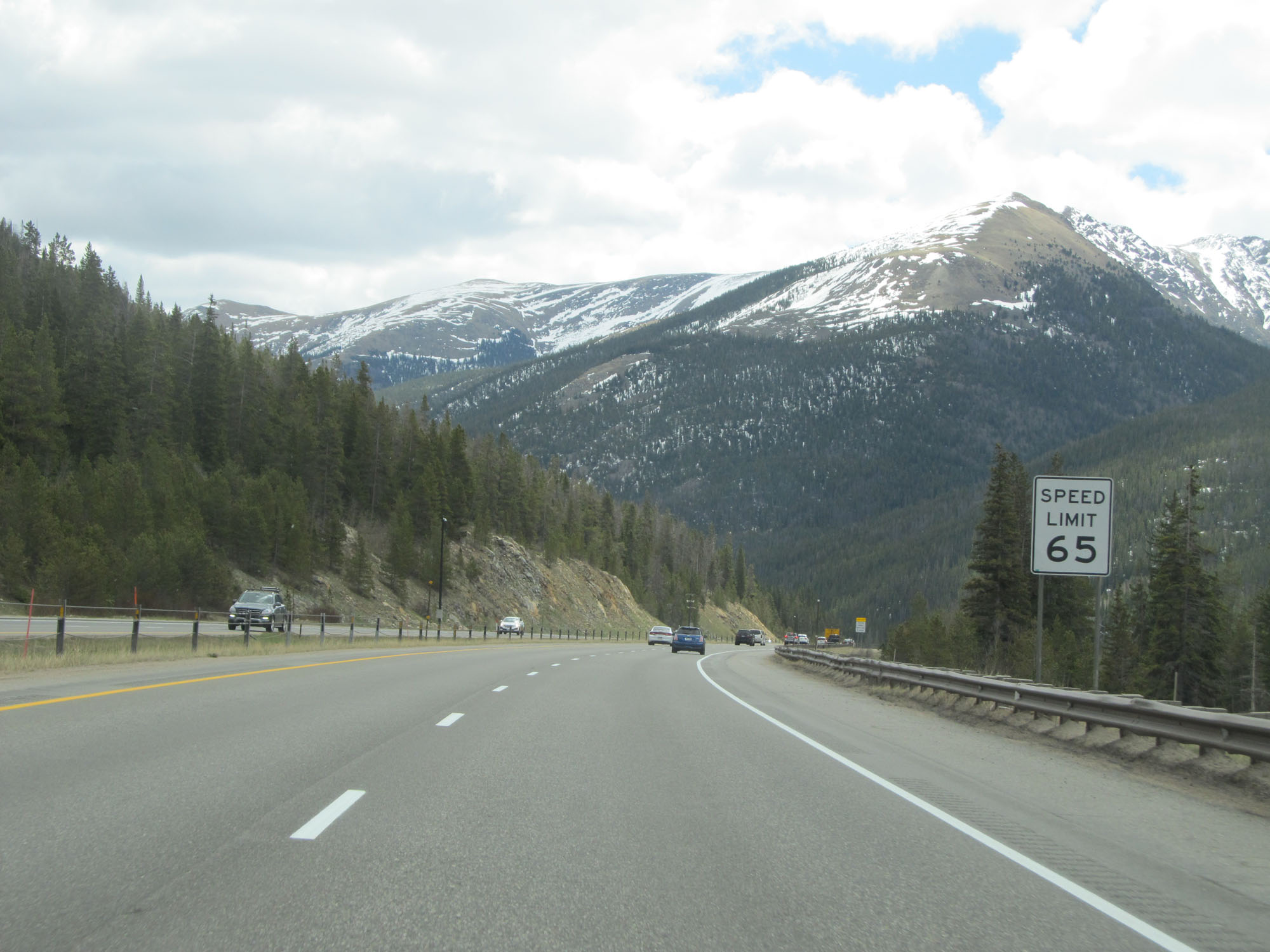
East of Exit 205, the speed limit decreases to 60 mph. (Photo taken 5/28/16). |
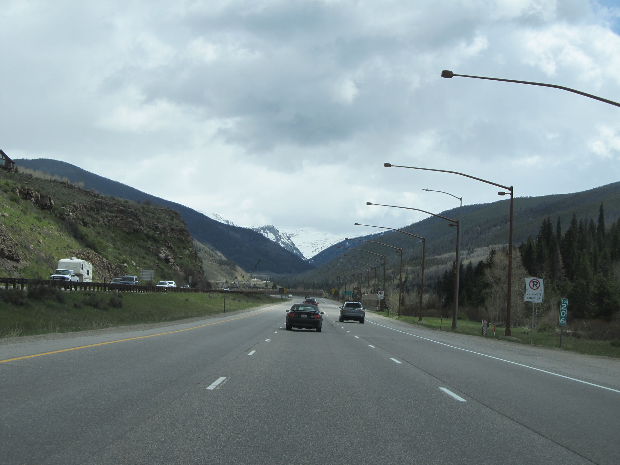 |
Interstate 70 East at mile marker 206. (Photo taken 5/28/16). |
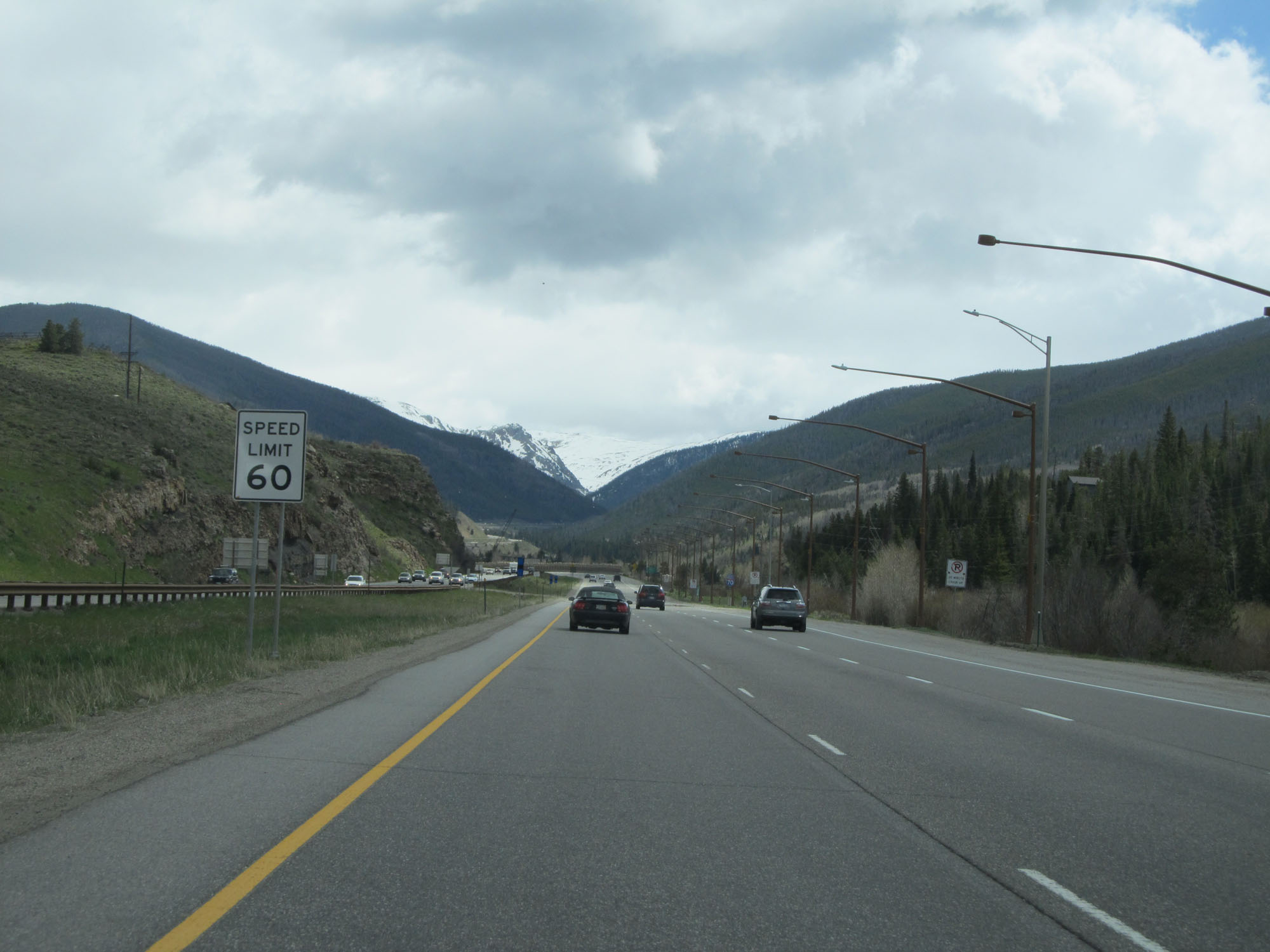
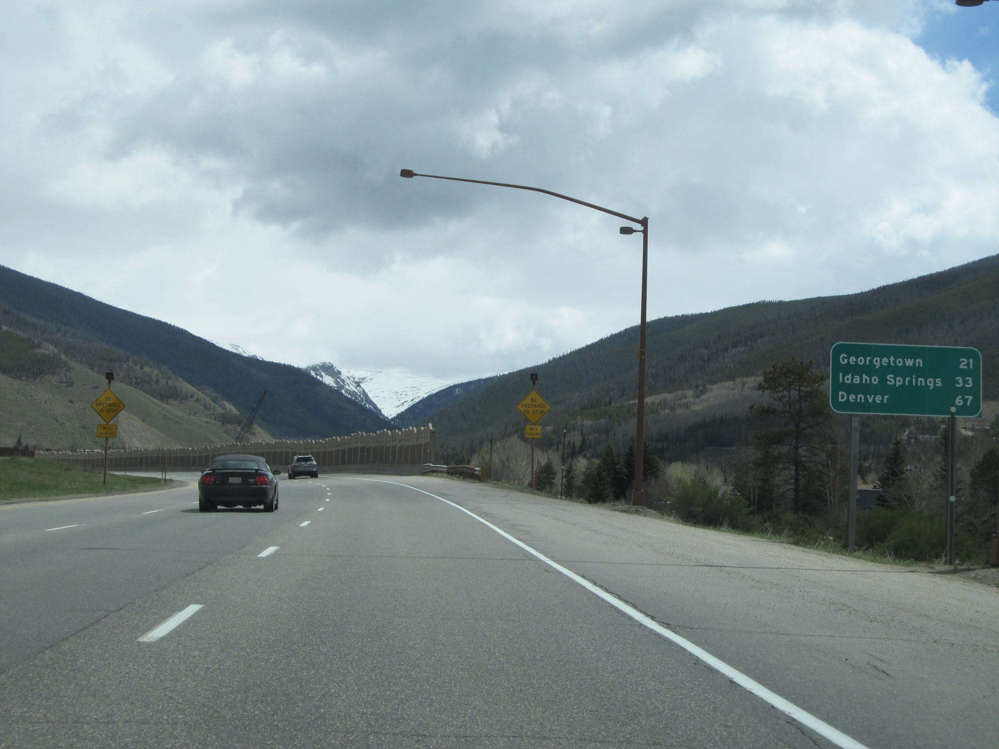 |
Mileage sign on Interstate 70 East. It's 21 miles to Georgetown, 33 miles to Idaho Springs, and 67 miles to Denver. (Photo taken 5/28/16). |
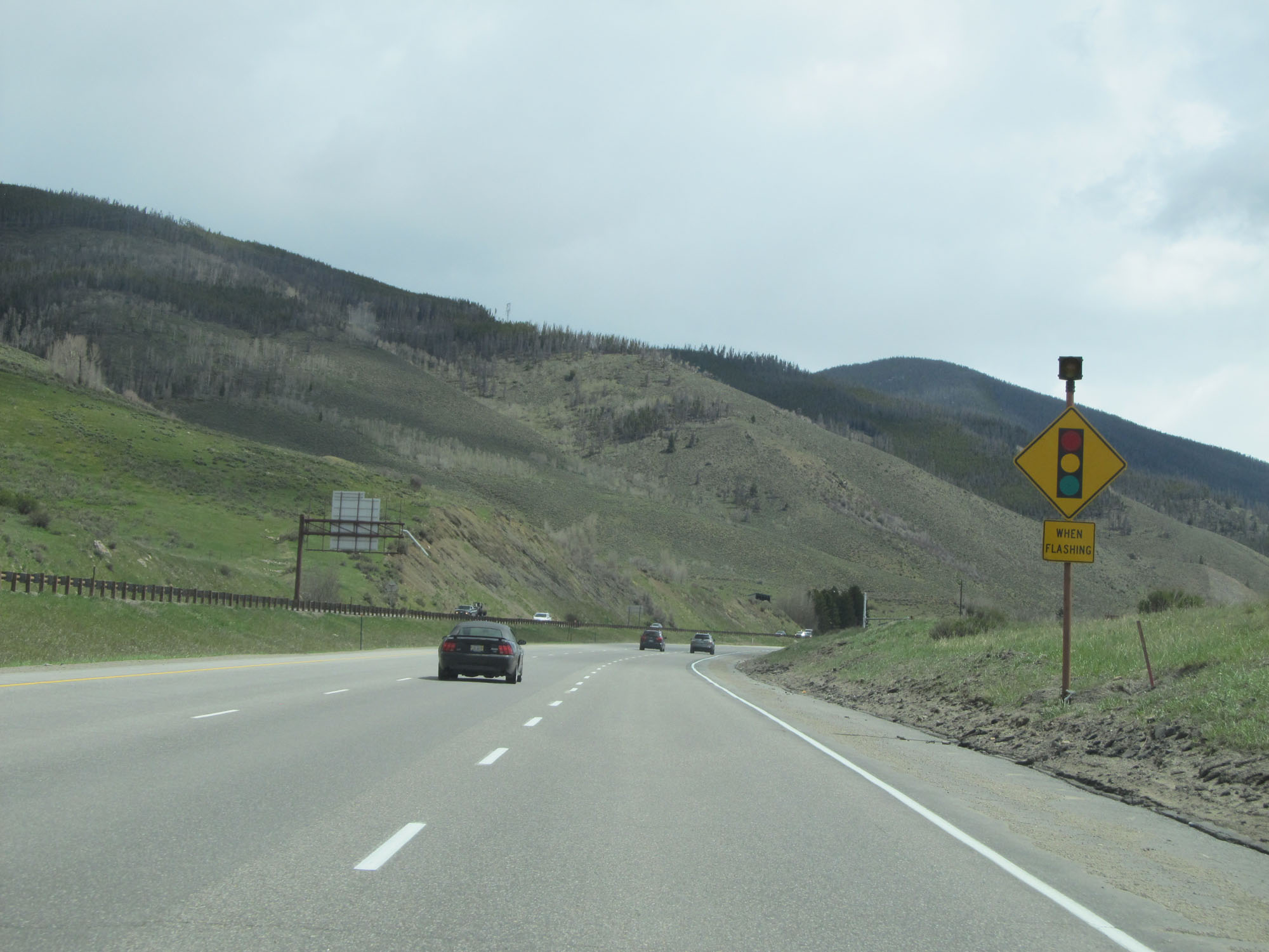 |
When the light on this sign is flashing, it means the traffic signal ahead is in use. (Photo taken 5/28/16). |
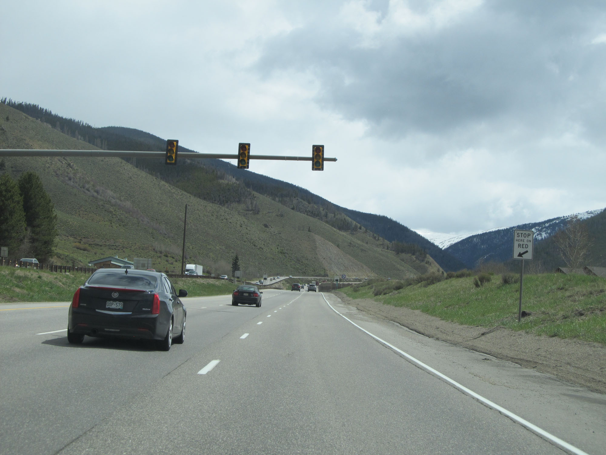 |
Traffic signal on Interstate 70 East leading up to the climb to the Eisenhower Tunnel. If the tunnel were closed for any reason, this signal would be used. (Photo taken 5/28/16). |
 |
View on Interstate 70 East. (Photo taken 5/28/16). |
 |
Another view on Interstate 70 East as it makes its climb up to the highest point on the Interstate Highway System. (Photo taken 5/28/16). |
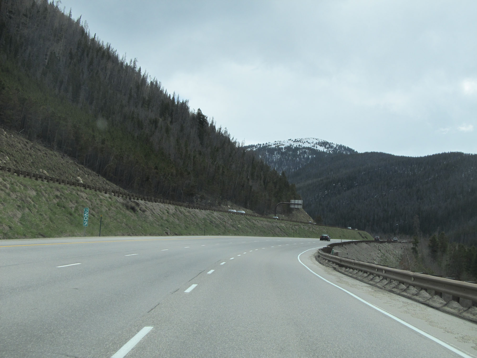 |
Interstate 70 East at mile marker 209. (Photo taken 5/28/16). |
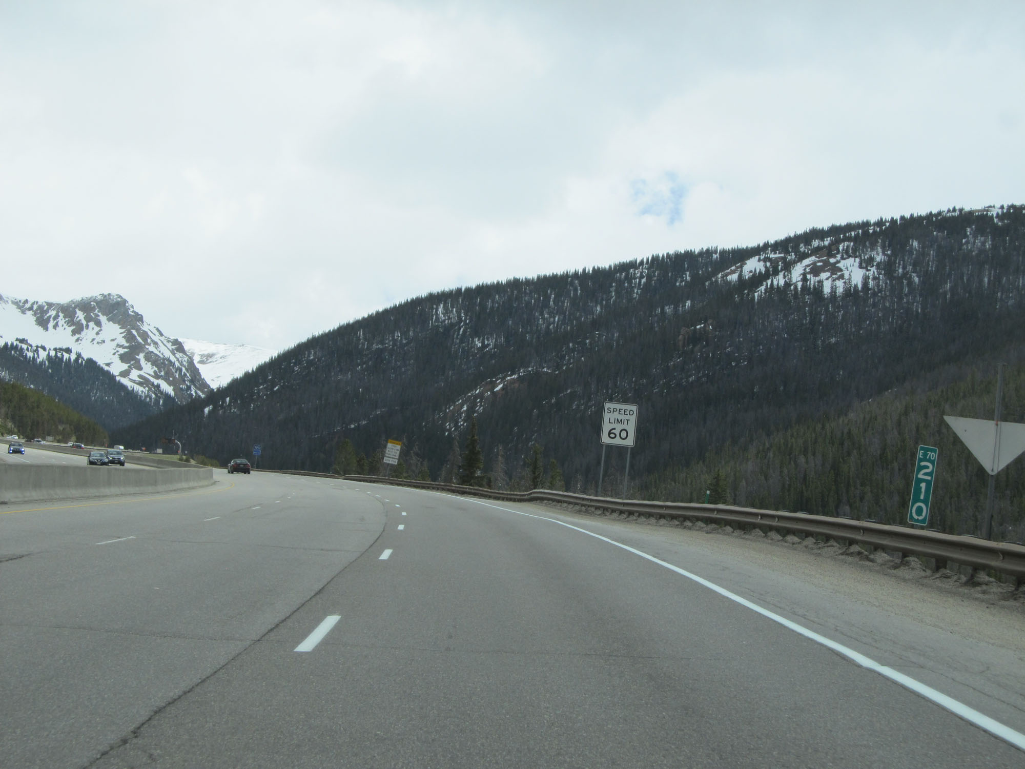 |
Interstate 70 East at mile marker 210. (Photo taken 5/28/16). |
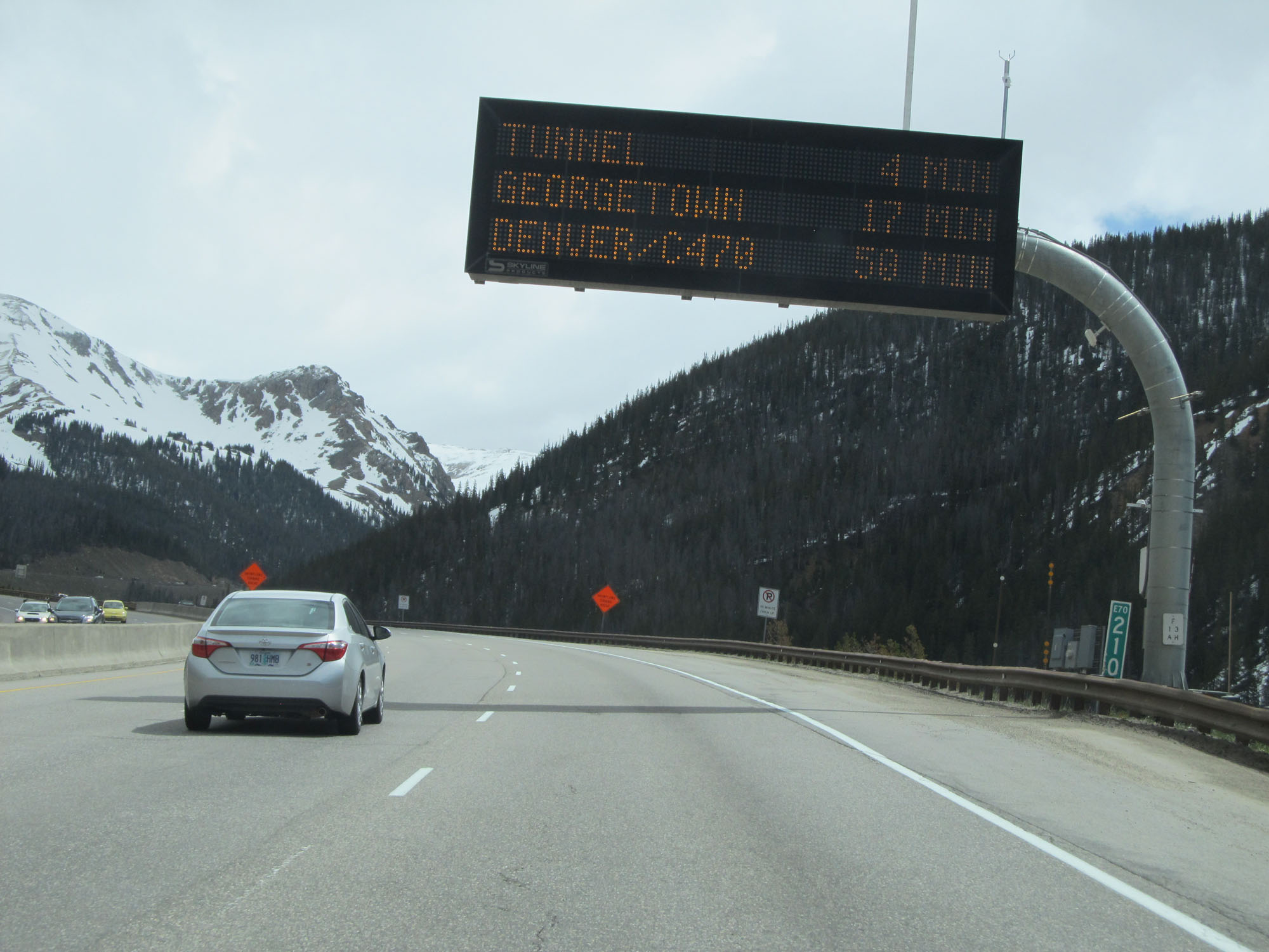 |
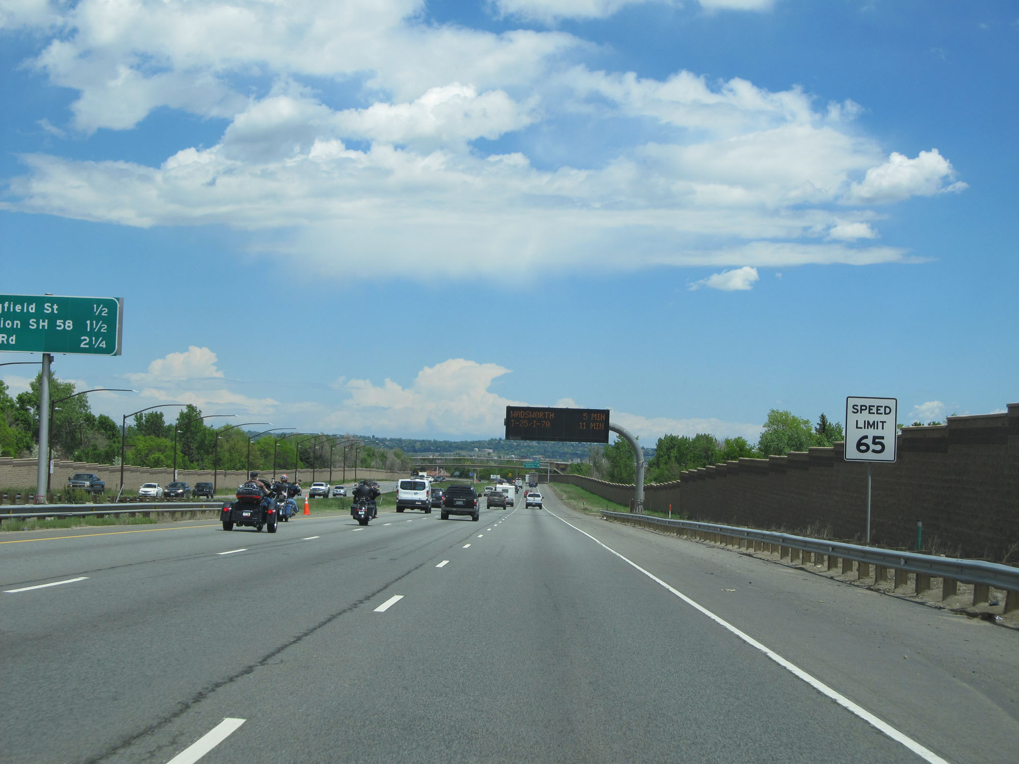
This electronic traffic warning sign listed the travel time to the three destinations shown here. (Photo taken 5/28/16). |
 |
Interstate 70 East at mile marker 211. (Photo taken 5/28/16). |
 |
Another view on Interstate 70 East as it continues to gain altitude up to the highest point on the Interstate Highway System, with the Eisenhower Tunnel waiting at the top. (Photo taken 5/28/16). |
 |
Interstate 70 East at mile marker 213. (Photo taken 5/28/16). |
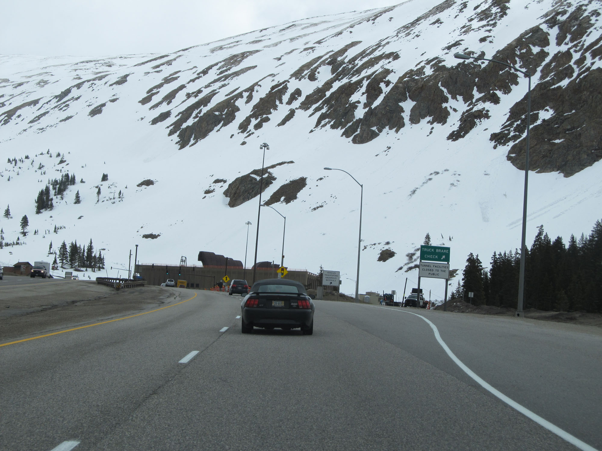 |
Truck Brake Check Area approaching the Eisenhower Tunnel. (Photo taken 5/28/16). |
 |
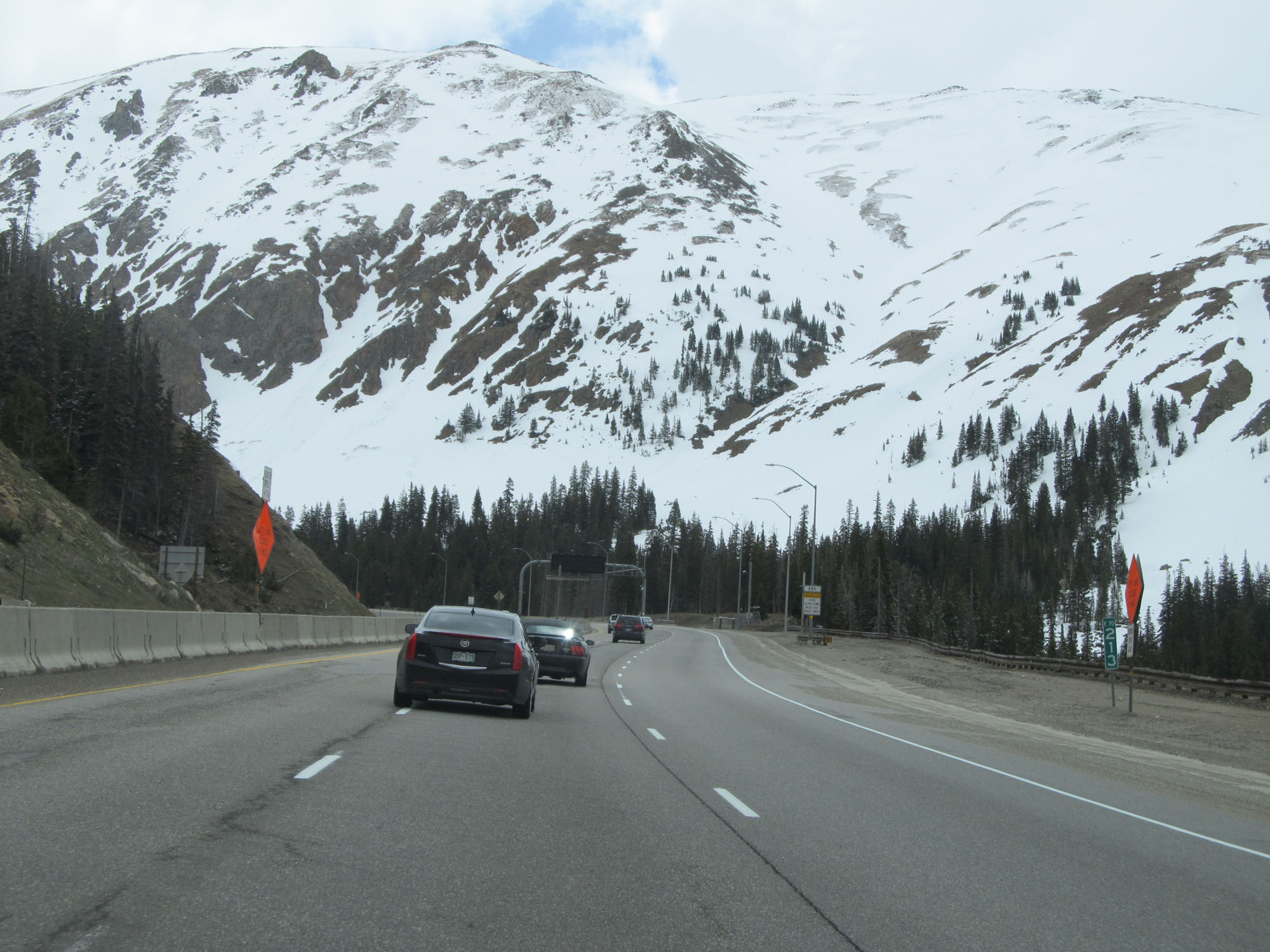
Interstate 70 East as the Eisenhower Tunnel comes into view ahead. At this point, I-70 has reached an elevation of 11,158 feet which makes it the highest point on the Interstate Highway System. (Photo taken 5/28/16). |
 |
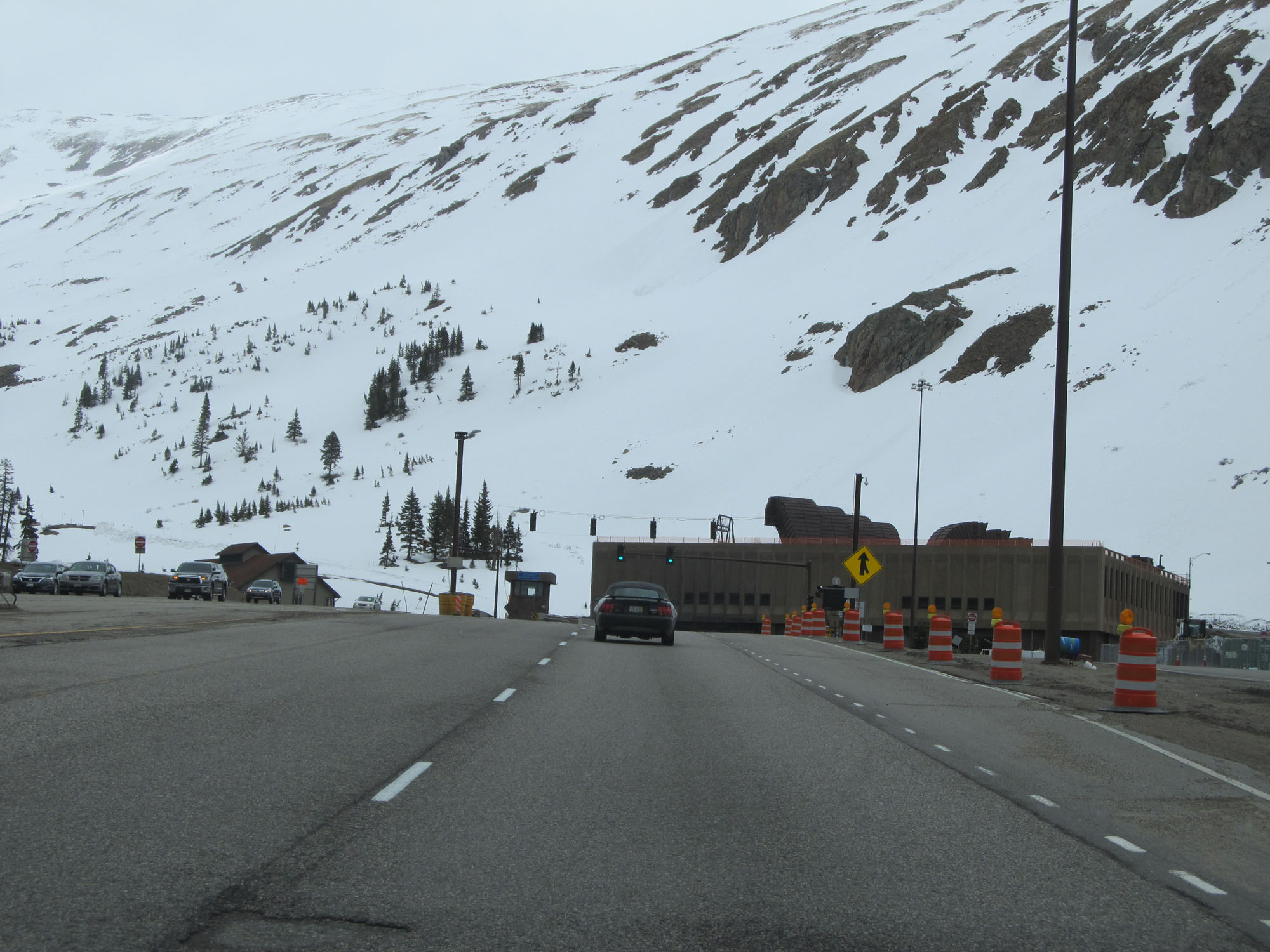
Interstate 70 East nearing the entrance to the Eisenhower Tunnel. At 11,158 feet, it one of the highest tunnels in the world. (Photo taken 5/28/16). |
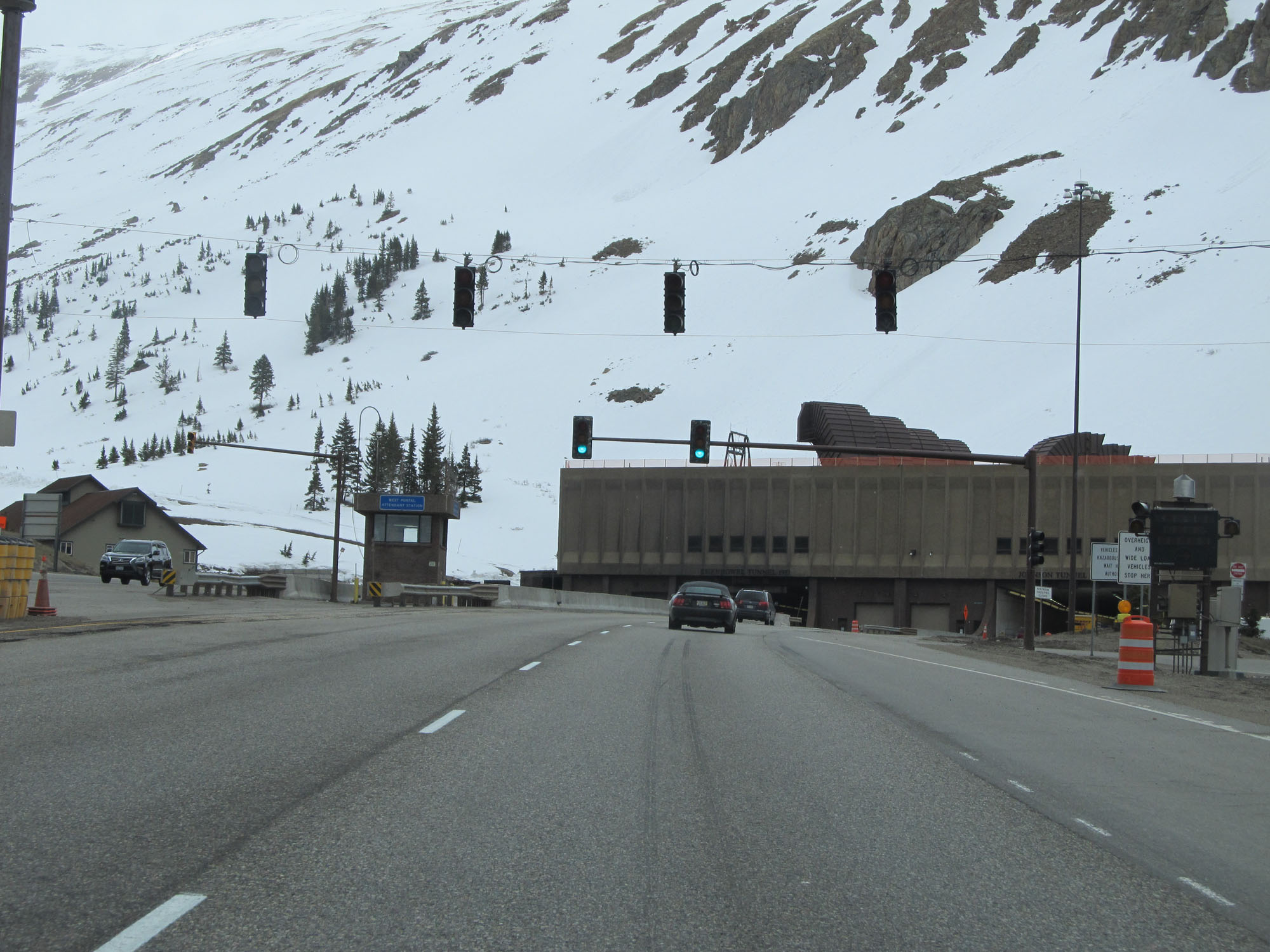
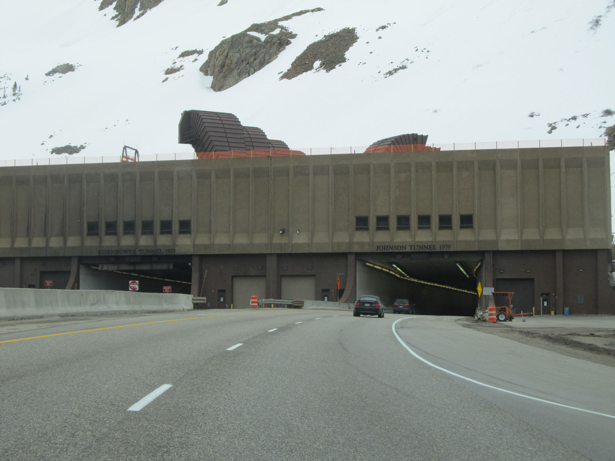 |
Interstate 70 East at the entrance to the Eisenhower Tunnel. The eastbound tunnel is also known as the Johnson Tunnel, as seen here. (Photo taken 5/28/16). |
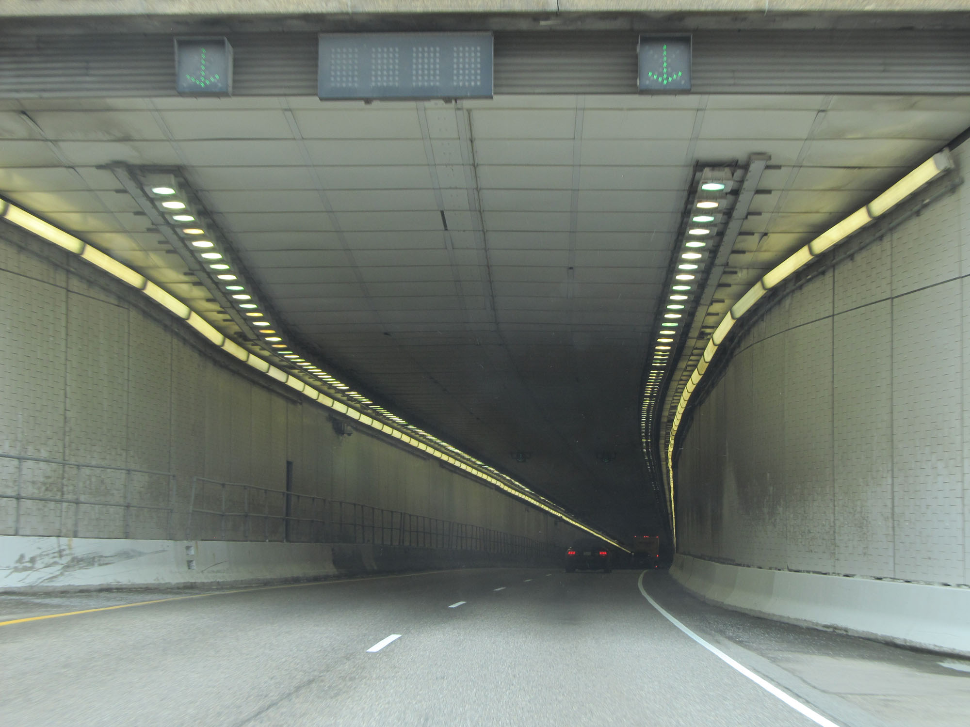 |
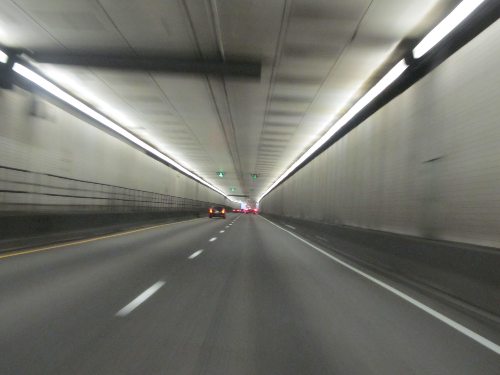
Interstate 70 East entering the Eisenhower (Johnson) Tunnel. (Photo taken 5/28/16). |
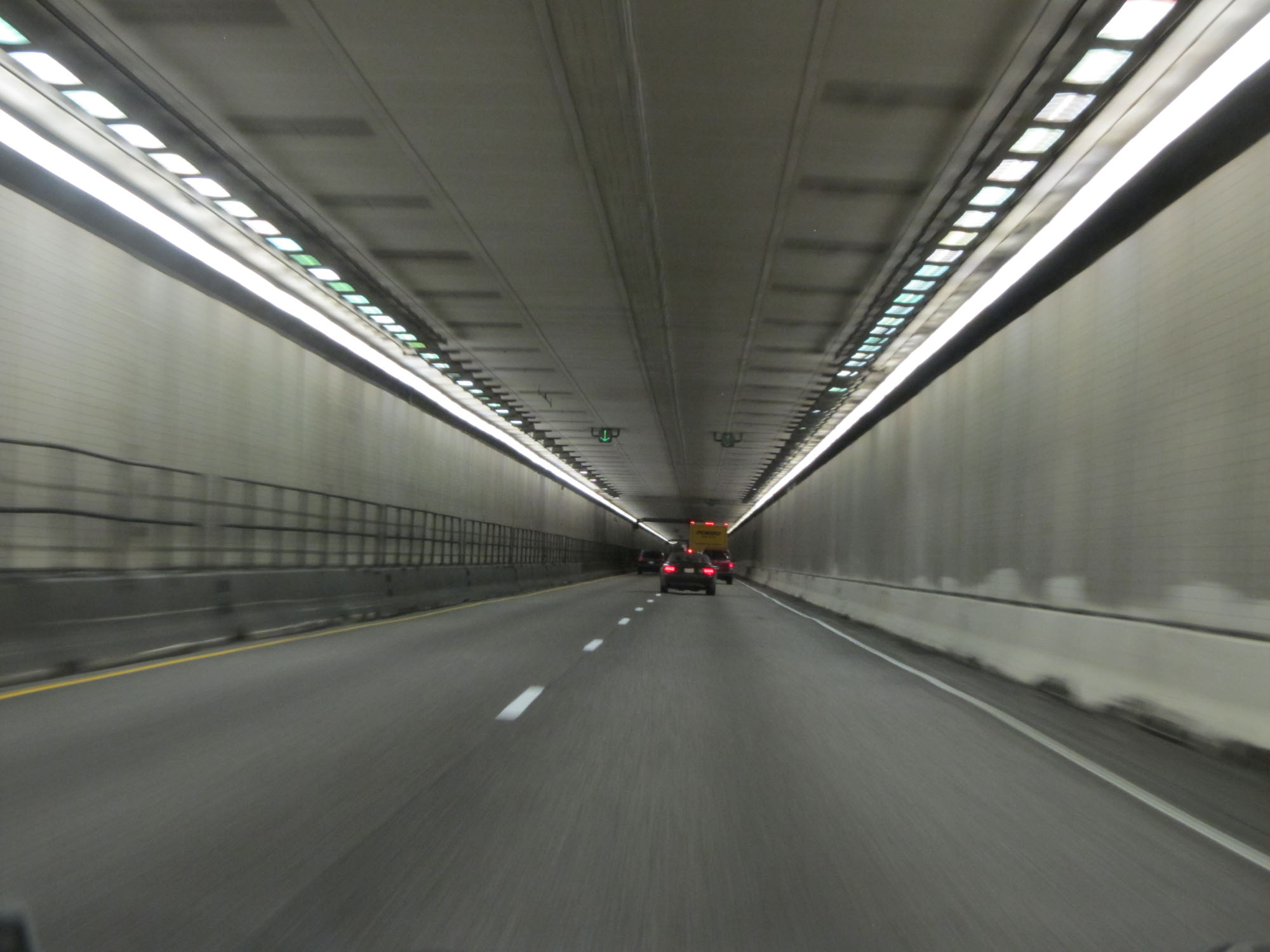 |
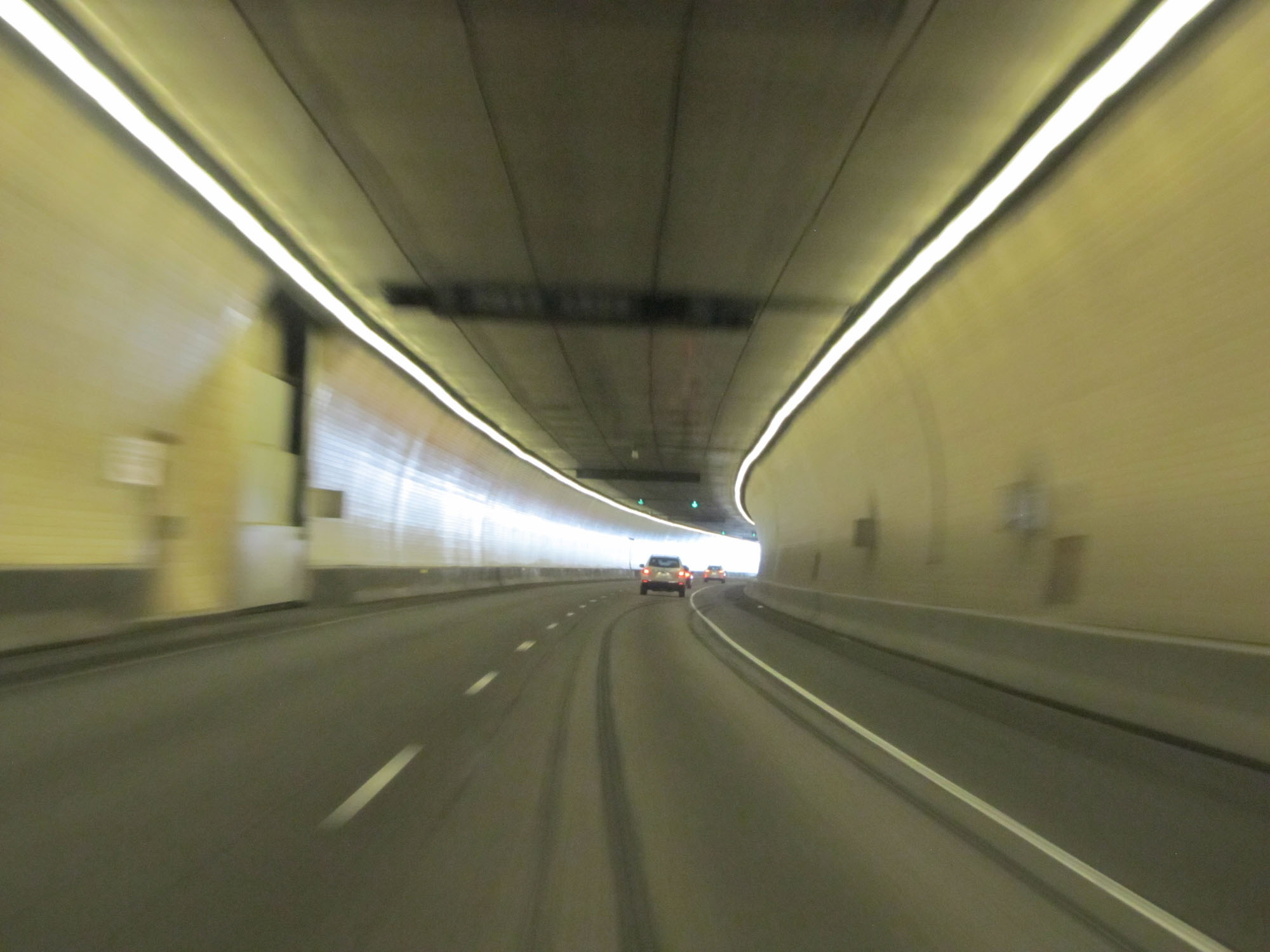
View on Interstate 70 East inside the Eisenhower (Johnson) Tunnel. (Photo taken 5/28/16). |
 |
Another view from inside the tunnel. (Photo taken 5/28/16). |
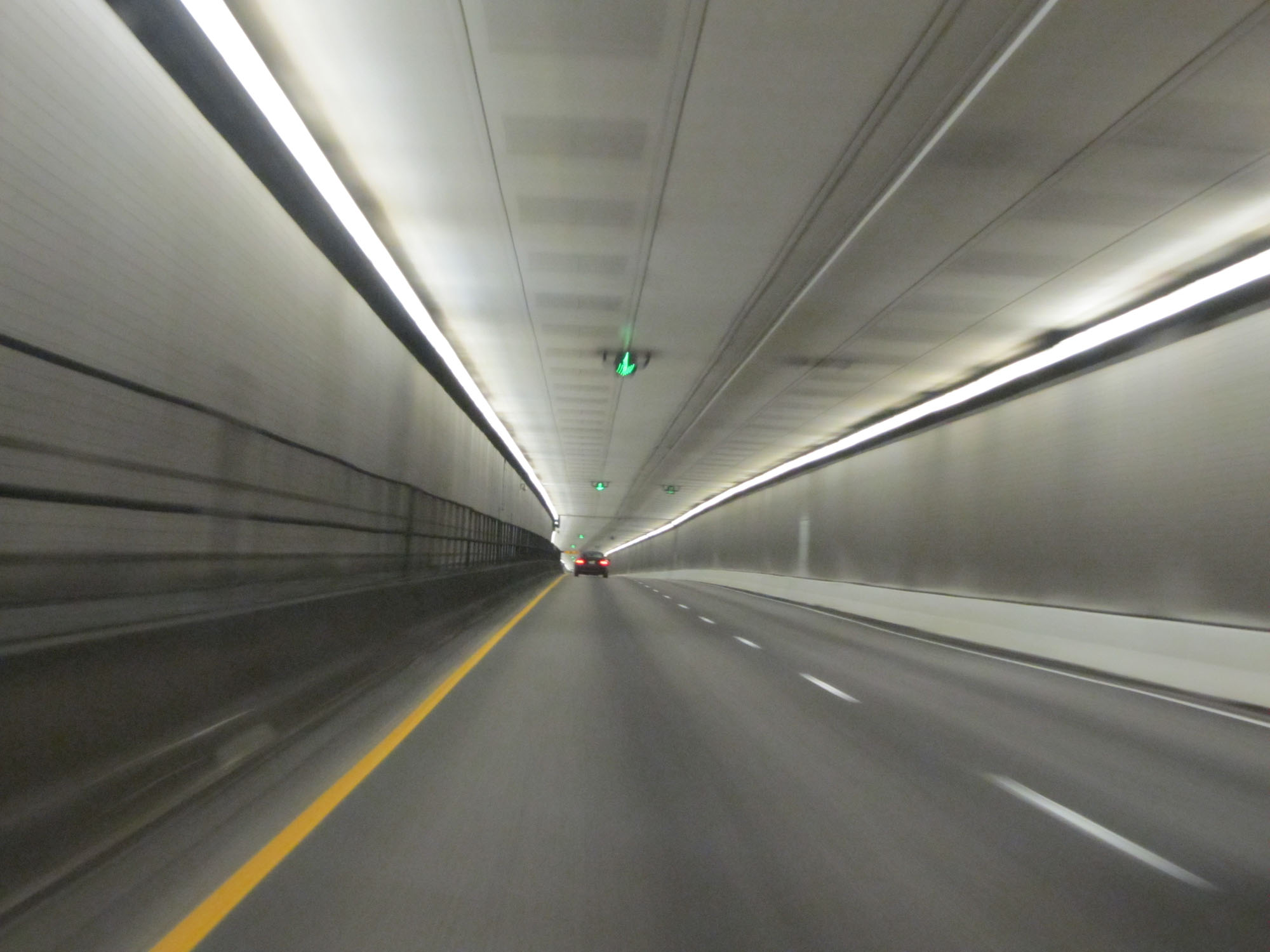
 |
One final view from inside the Eisenhower (Johnson) Tunnel on Interstate 70 East. (Photo taken 5/28/16). |
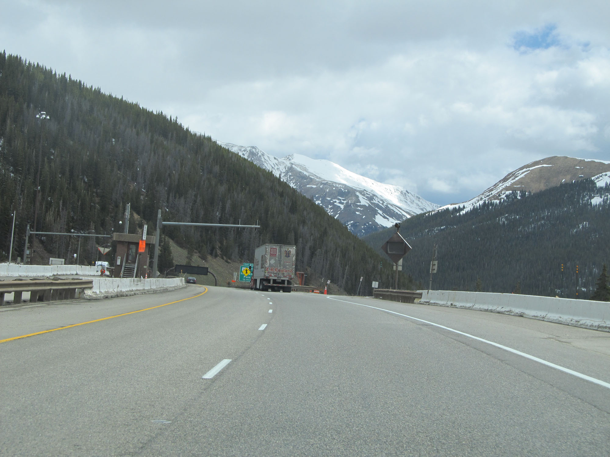 |
View on Interstate 70 East as it exits the Eisenhower (Johnson) Tunnel. (Photo taken 5/28/16). |
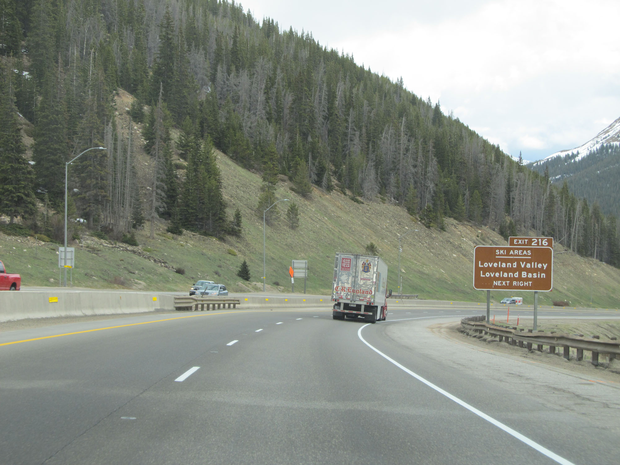 |
Take Exit 216 to Loveland Valley and Loveland Basin Ski Areas. (Photo taken 5/28/16). |
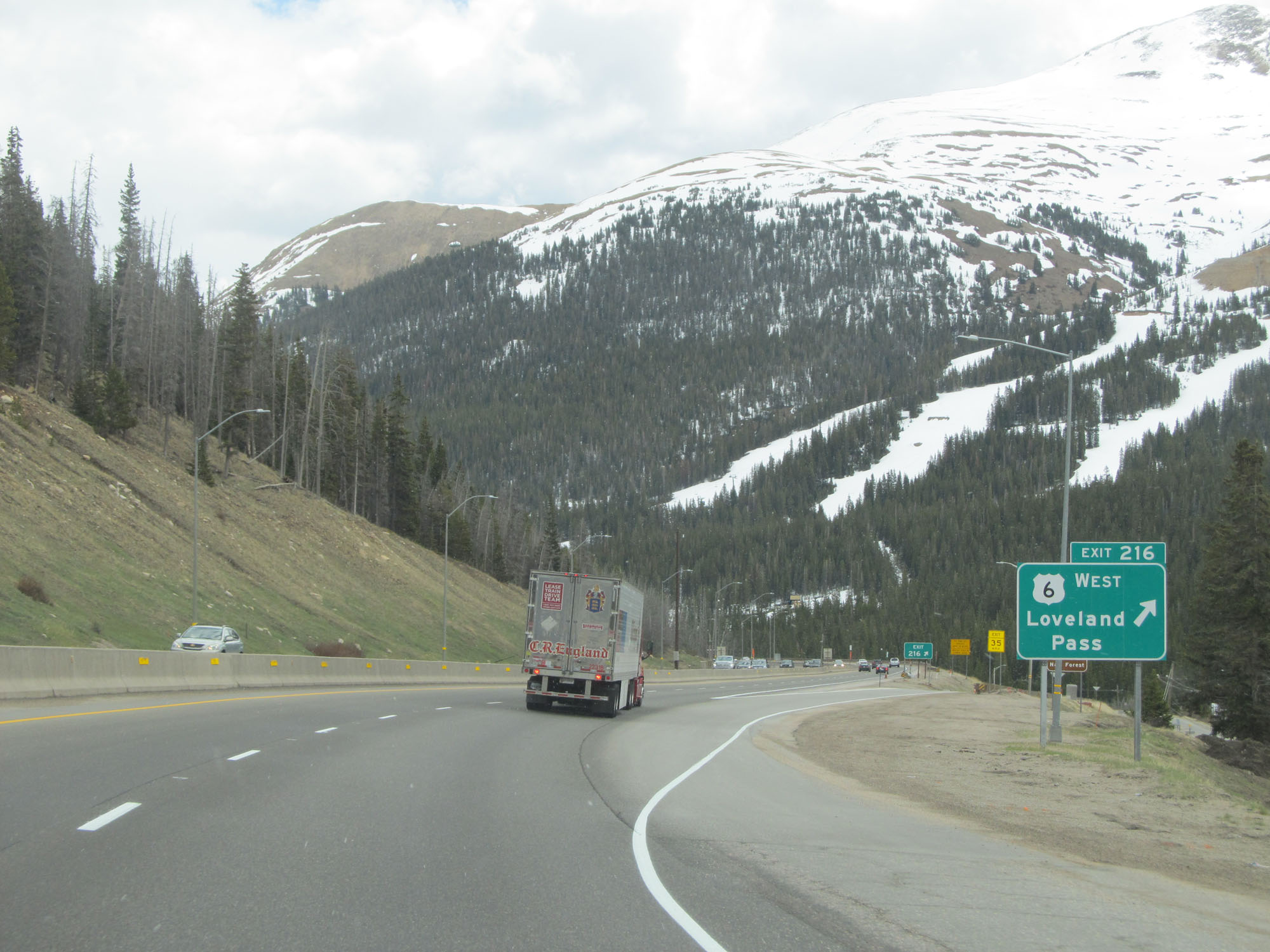 |
Interstate 70 East at Exit 216: US 6 West - Loveland Pass (Photo taken 5/28/16). |
Section 5: Eisenhower Tunnel (Exit 216) to Idaho Springs (Exit 241)
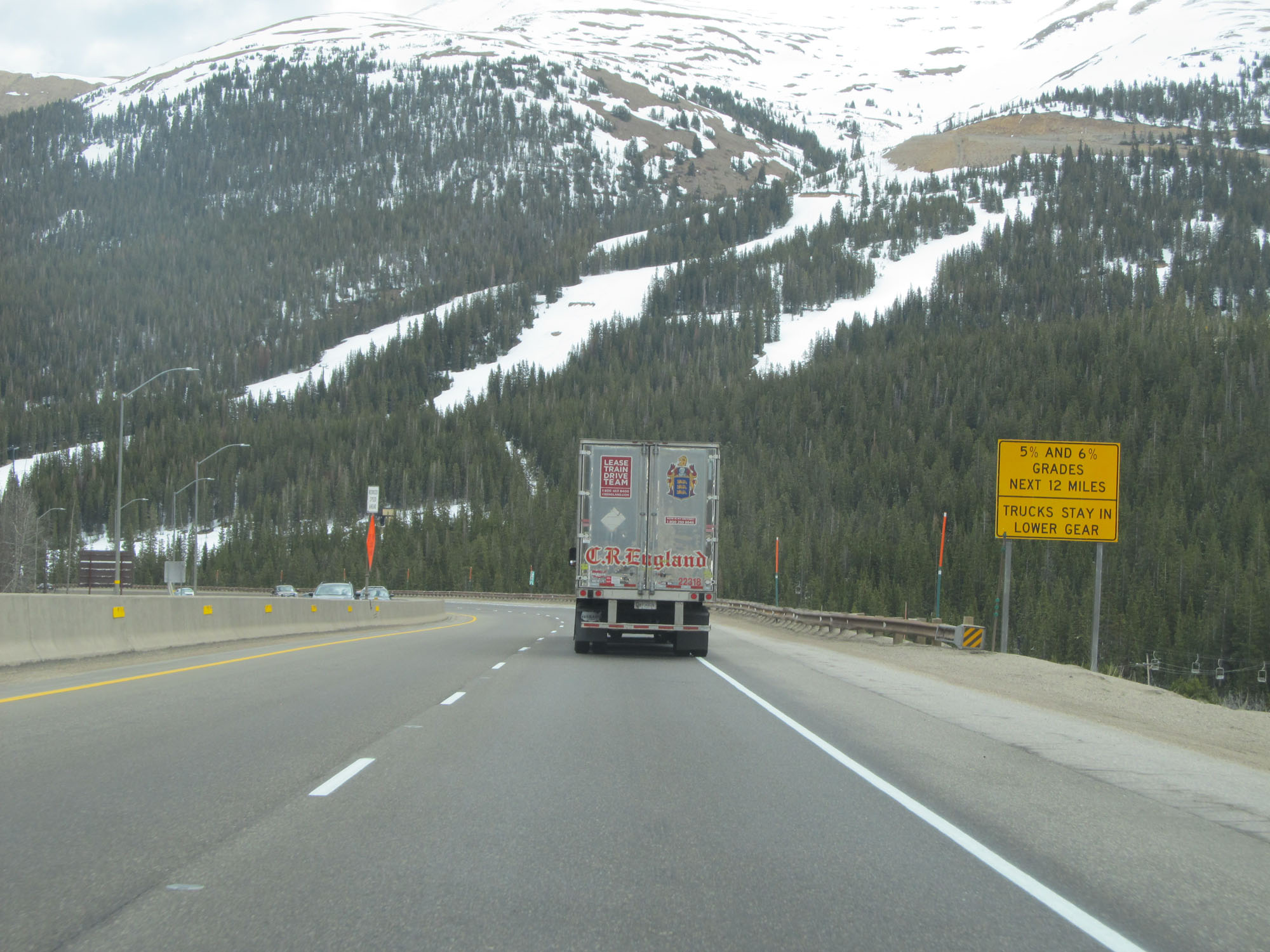 |
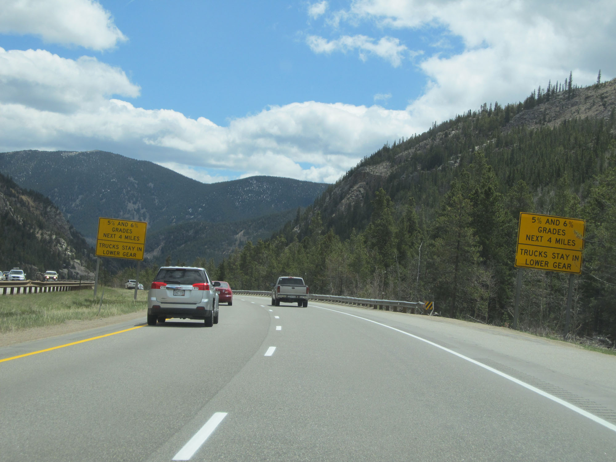
Interstate 70 East goes down 5% and 6% grades for the next 12 miles. Trucks are advised to stay in a lower gear. (Photo taken 5/28/16). |
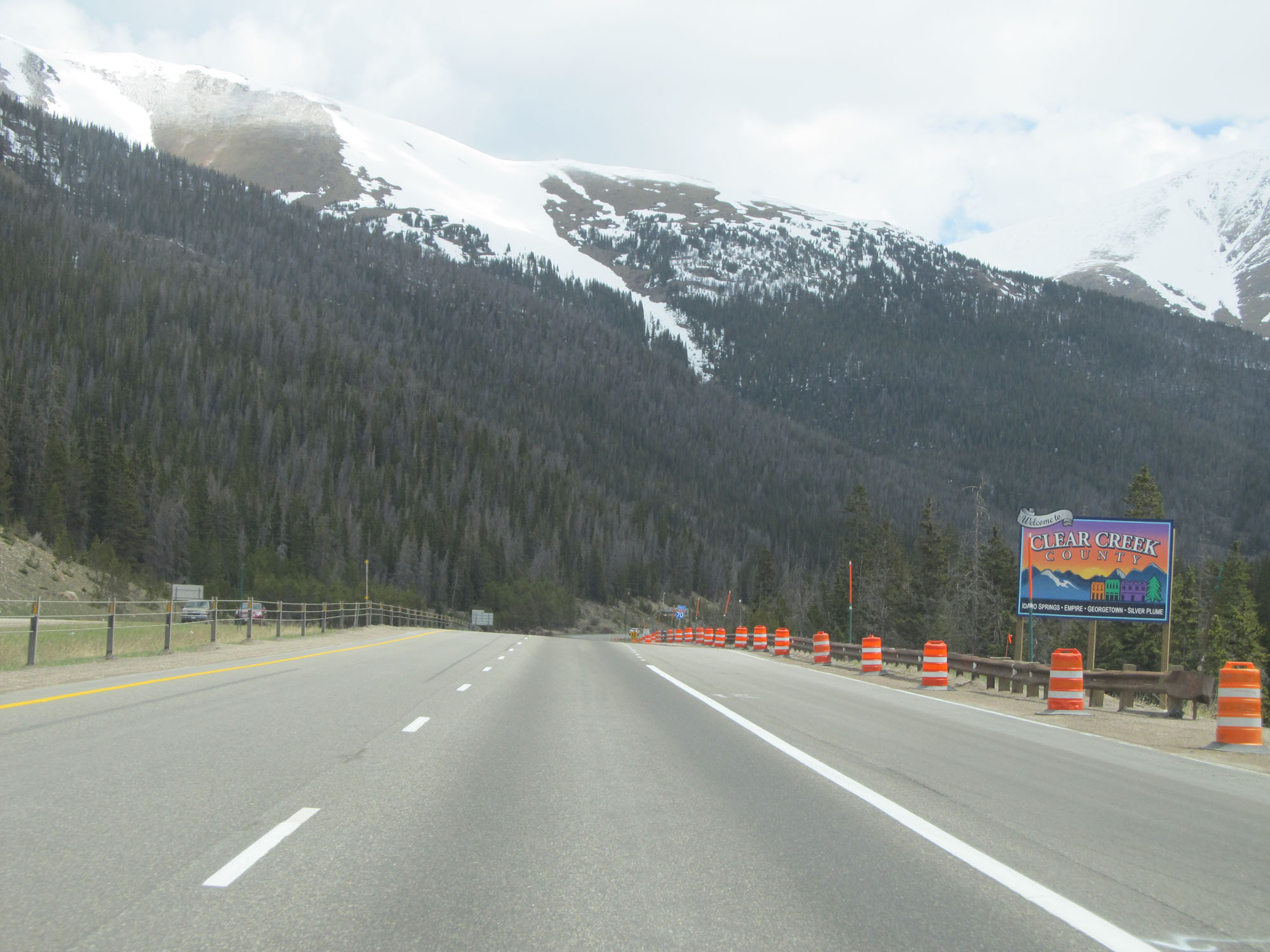 |
Interstate 70 East entering Clear Creek County (the county line was actually inside the Eisenhower Tunnel). (Photo taken 5/28/16). |
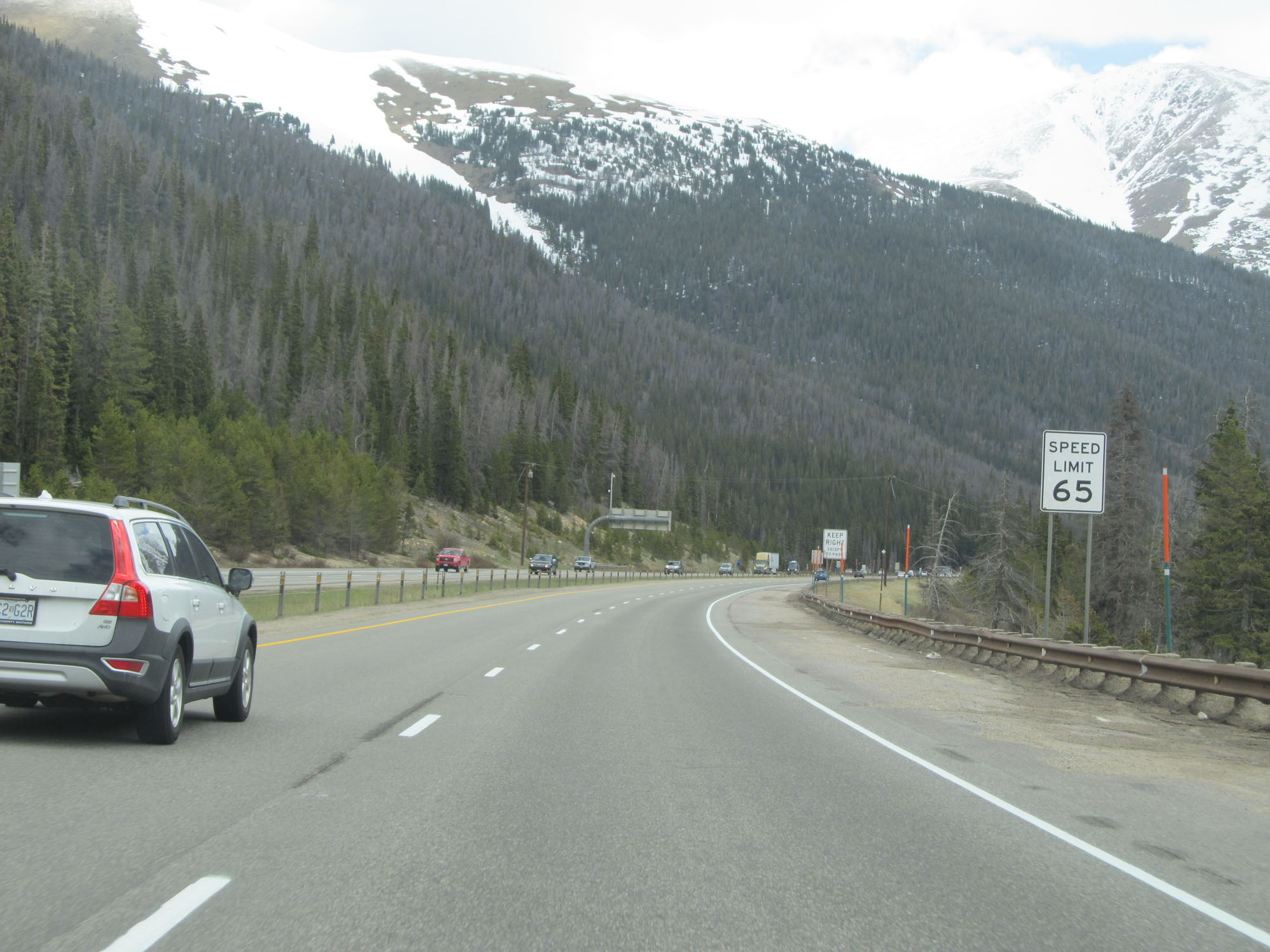 |
The speed limit increases slightly to 65 mph going down the grade. (Photo taken 5/28/16). |
 |
Interstate 70 East at mile marker 217.5. (Photo taken 5/28/16). |
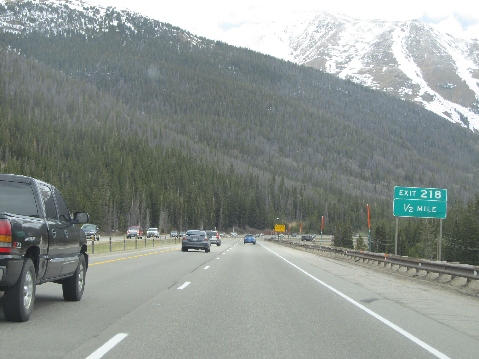 |
Interstate 70 East approaching Exit 218 - 1/2 mile. (Photo taken 5/28/16). |
 |
Interstate 70 East at mile marker 218. (Photo taken 5/28/16). |
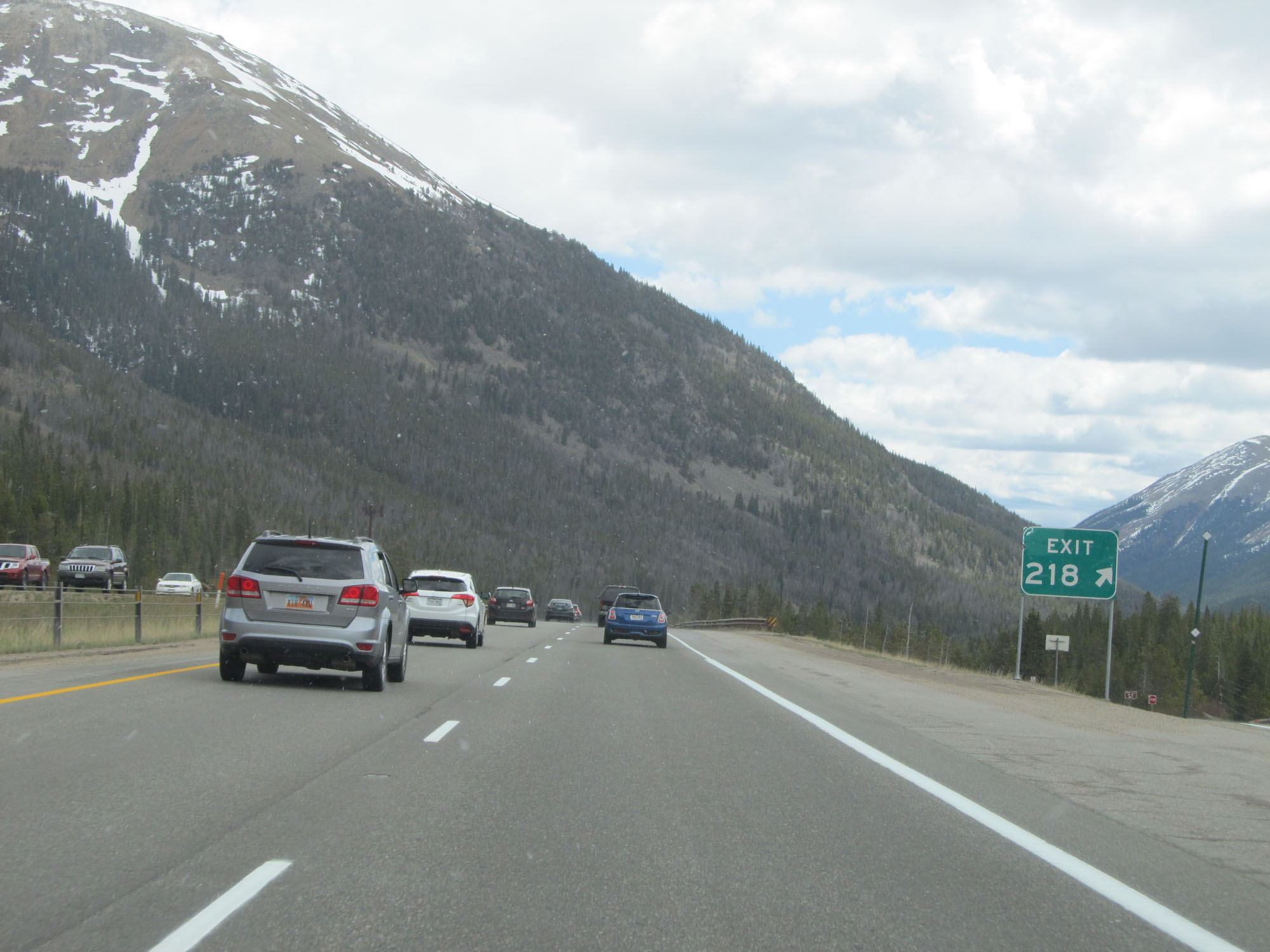 |
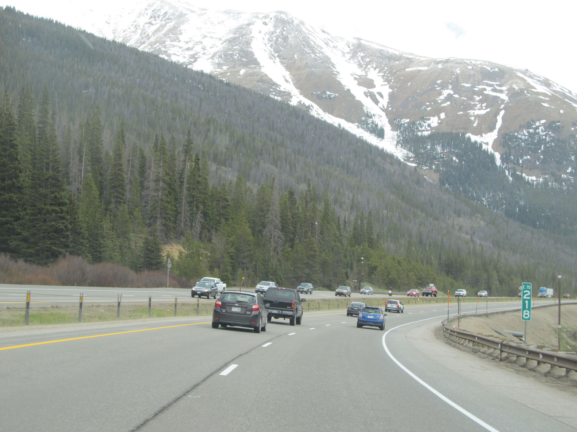
Interstate 70 East at Exit 218: (No Name) (Photo taken 5/28/16). |
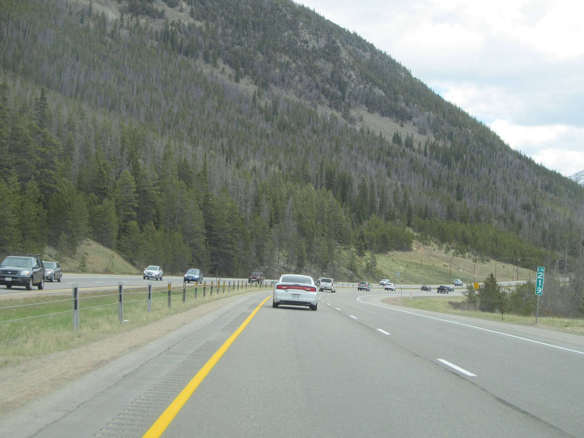 |
Interstate 70 East at mile marker 219. (Photo taken 5/28/16). |
 |
Chain Station on Interstate 70 East in Clear Creek County. (Photo taken 5/28/16). |
 |
A closer view of the Chain Station. (Photo taken 5/28/16). |
 |
The speed limit remains 65 mph. (Photo taken 5/28/16). |
 |
This sign once again warns trucks that engine brake mufflers are required for jake brake use. (Photo taken 5/28/16). |
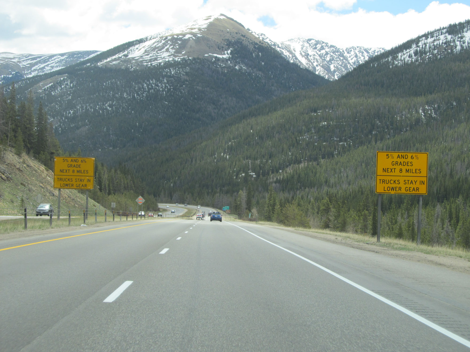 |
The 5% and 6% grades continue for 8 more miles. (Photo taken 5/28/16). |
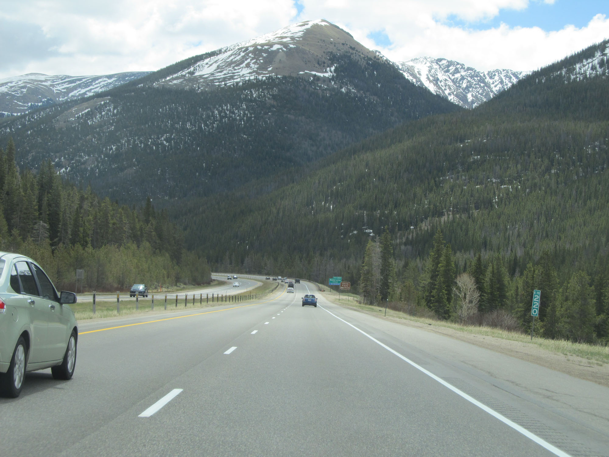 |
Interstate 70 East at mile marker 220. (Photo taken 5/28/16). |
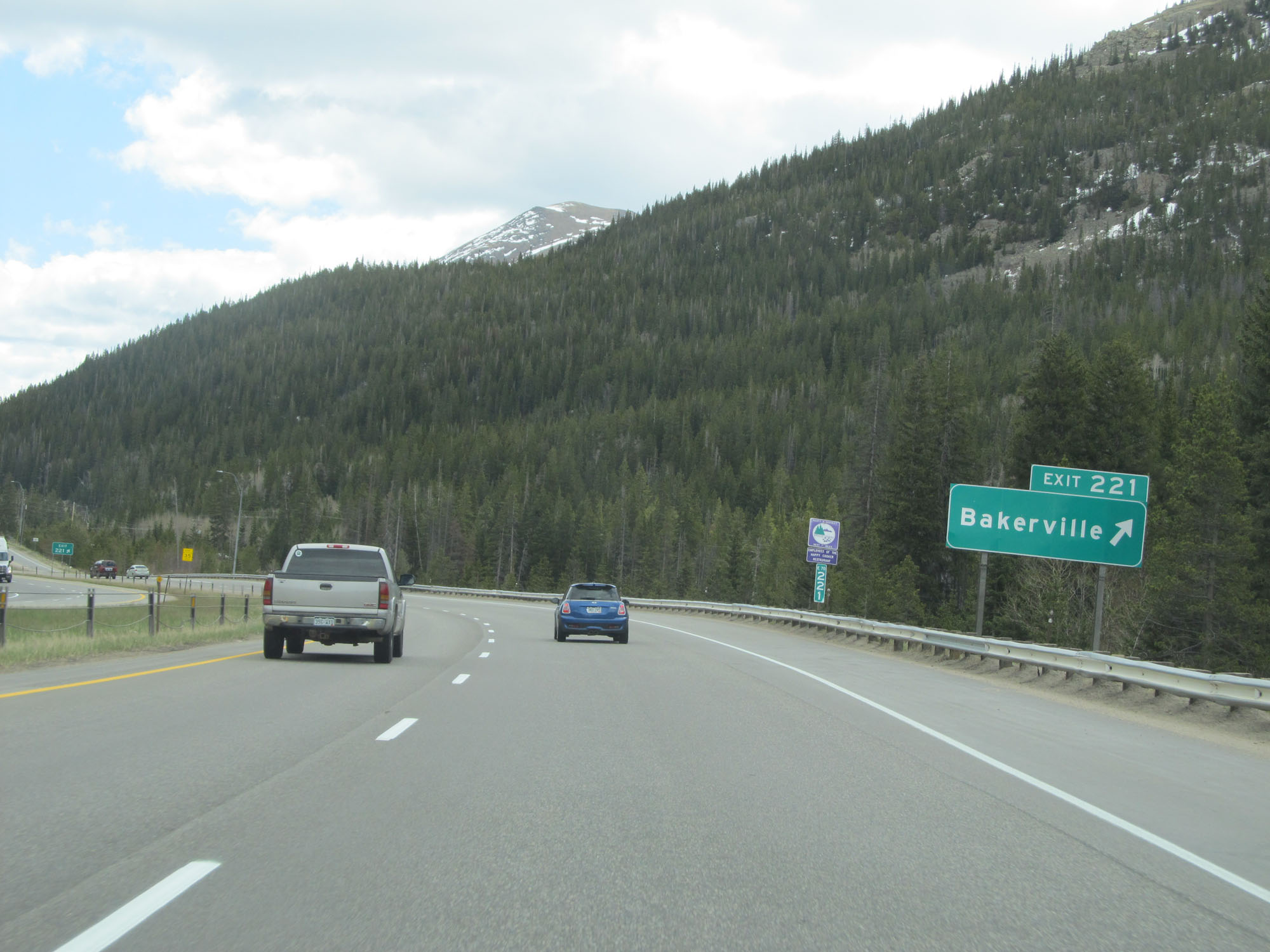 |
Interstate 70 East at Exit 221: Bakerville (Photo taken 5/28/16). |
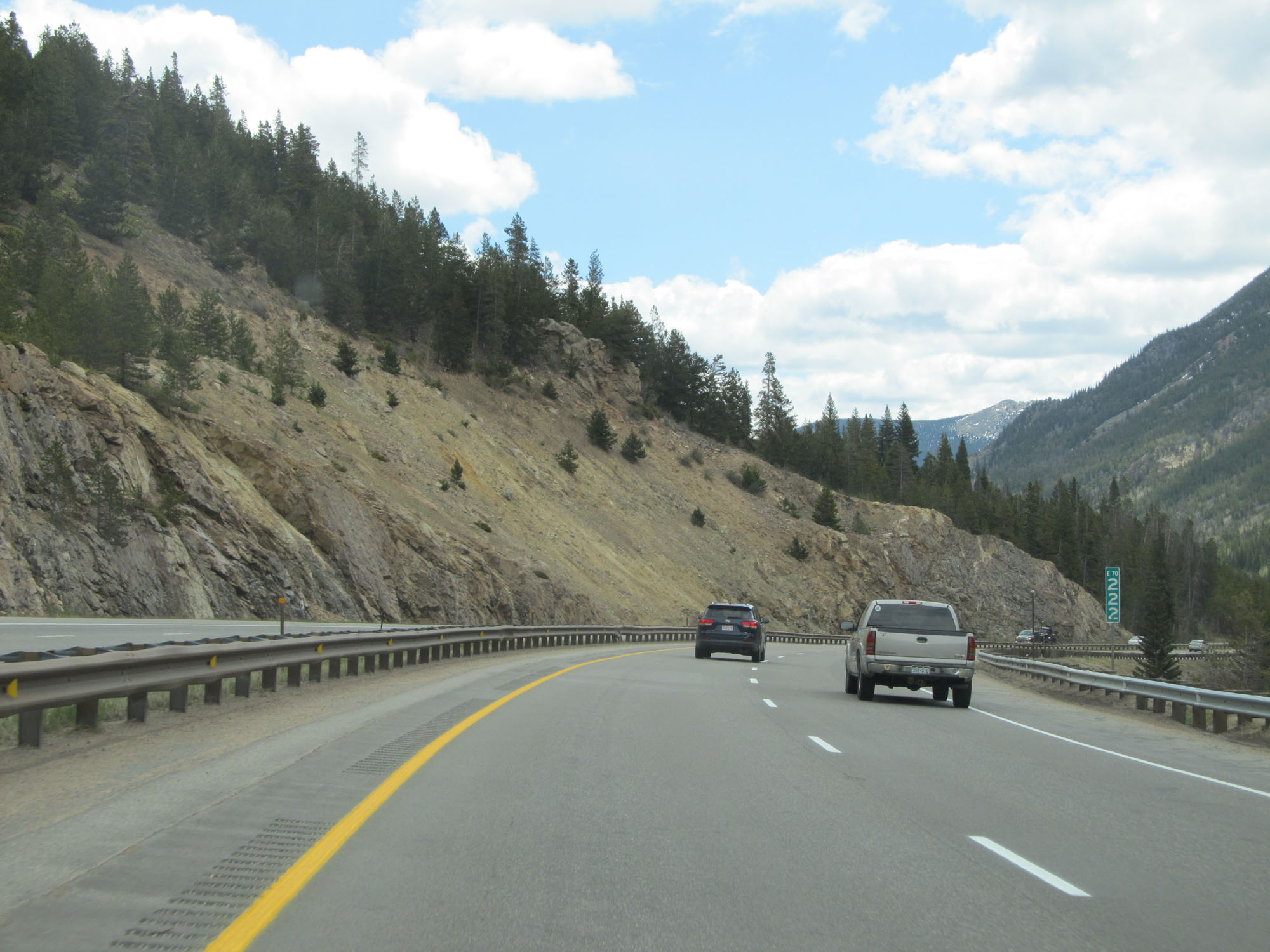 |
Interstate 70 East at mile marker 222. (Photo taken 5/28/16). |
 |
View on Interstate 70 East continuing down the steep grade. (Photo taken 5/28/16). |
 |
The 5% and 6% grades continue for 4 more miles. Stay in lower gear. (Photo taken 5/28/16). |
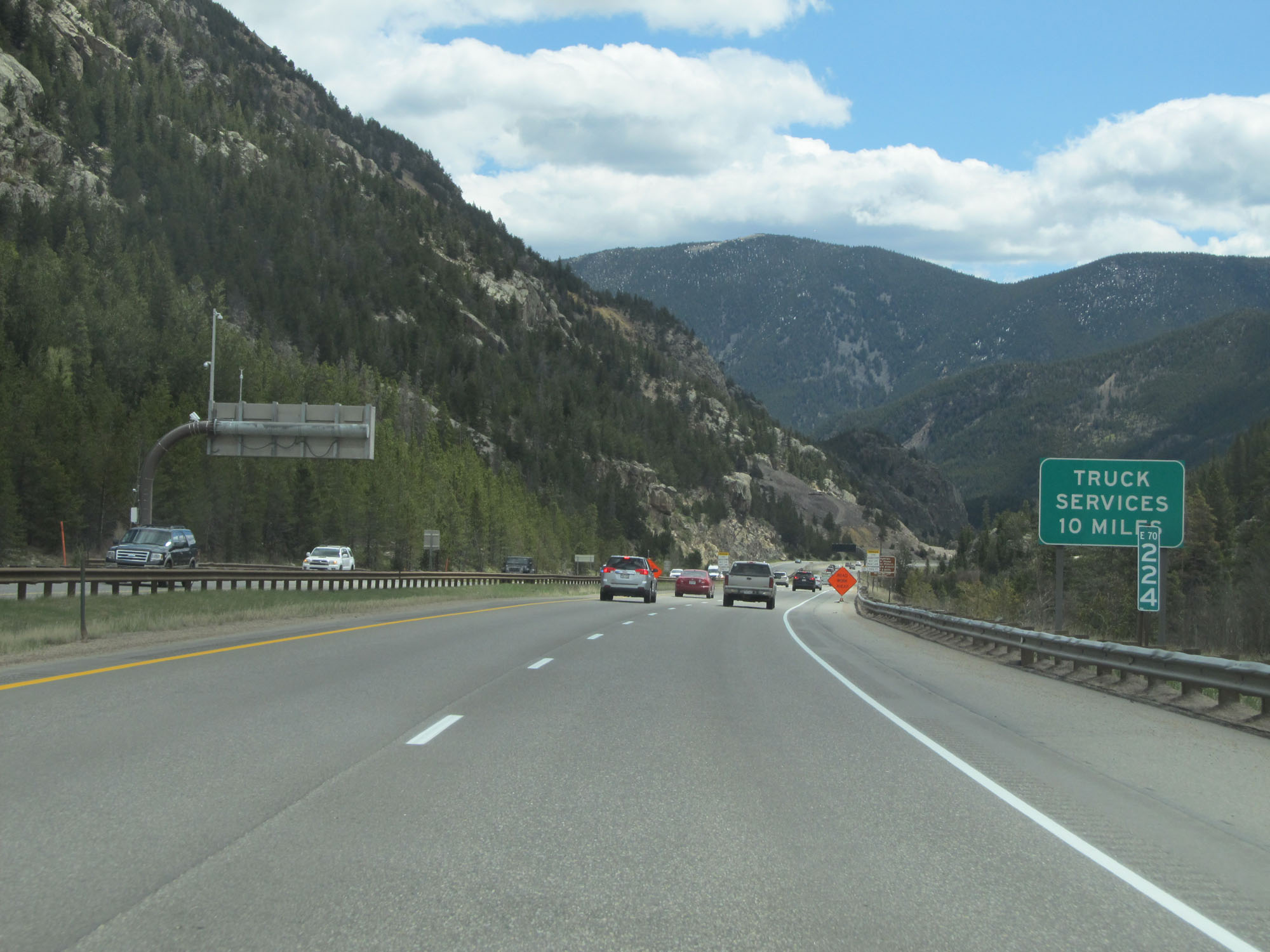 |
Interstate 70 East at mile marker 224. (Photo taken 5/28/16). |
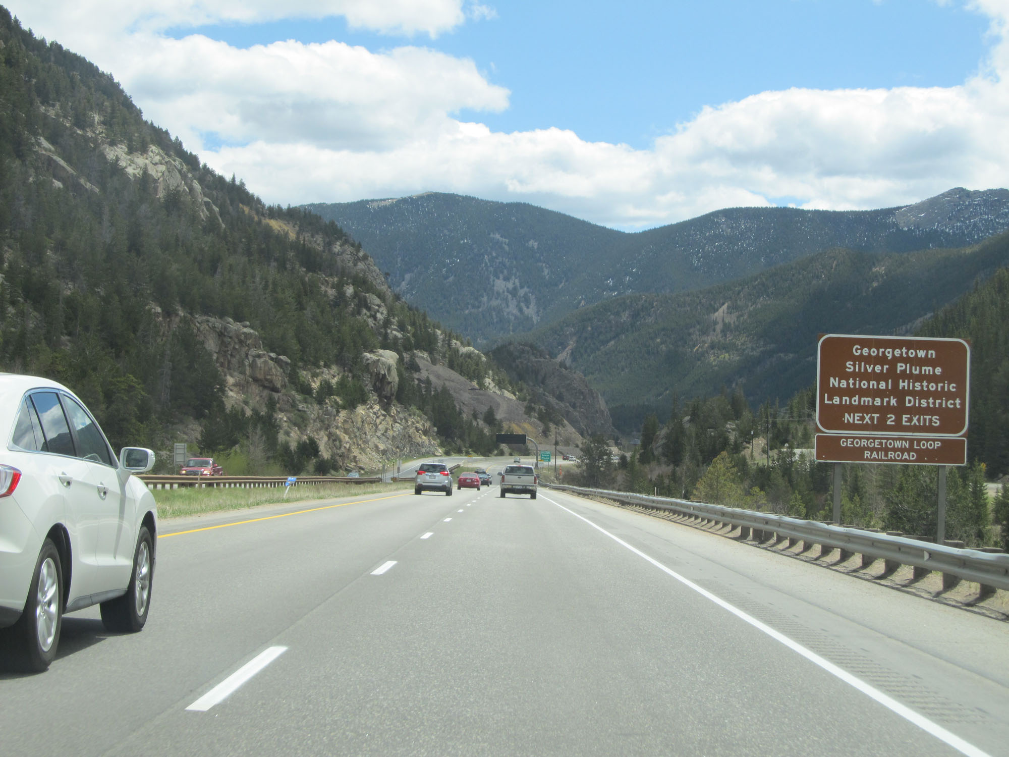 |
Take either of the next 2 exits to Georgetown / Silver Plume National Historic Landmark District. (Photo taken 5/28/16). |
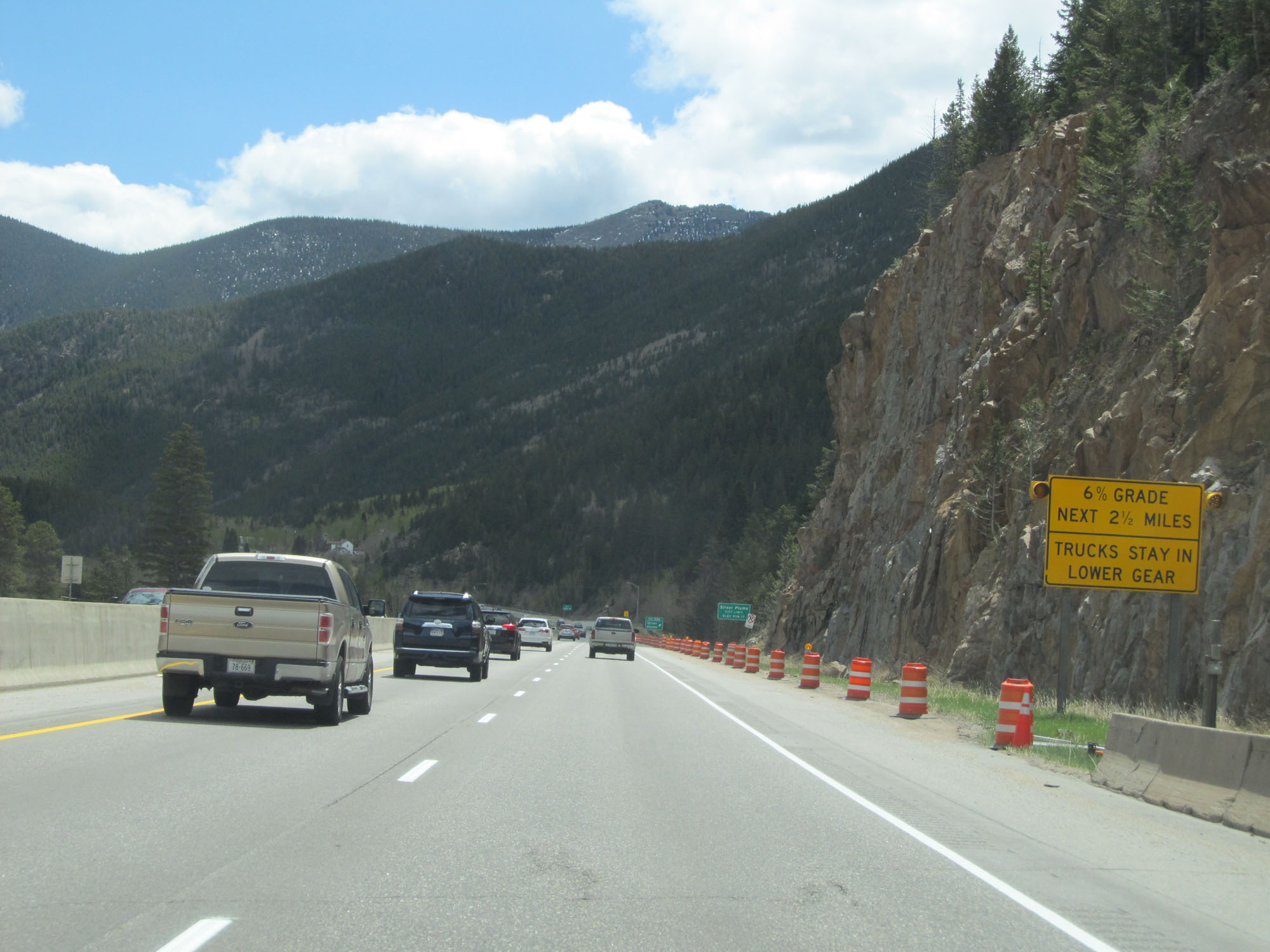 |
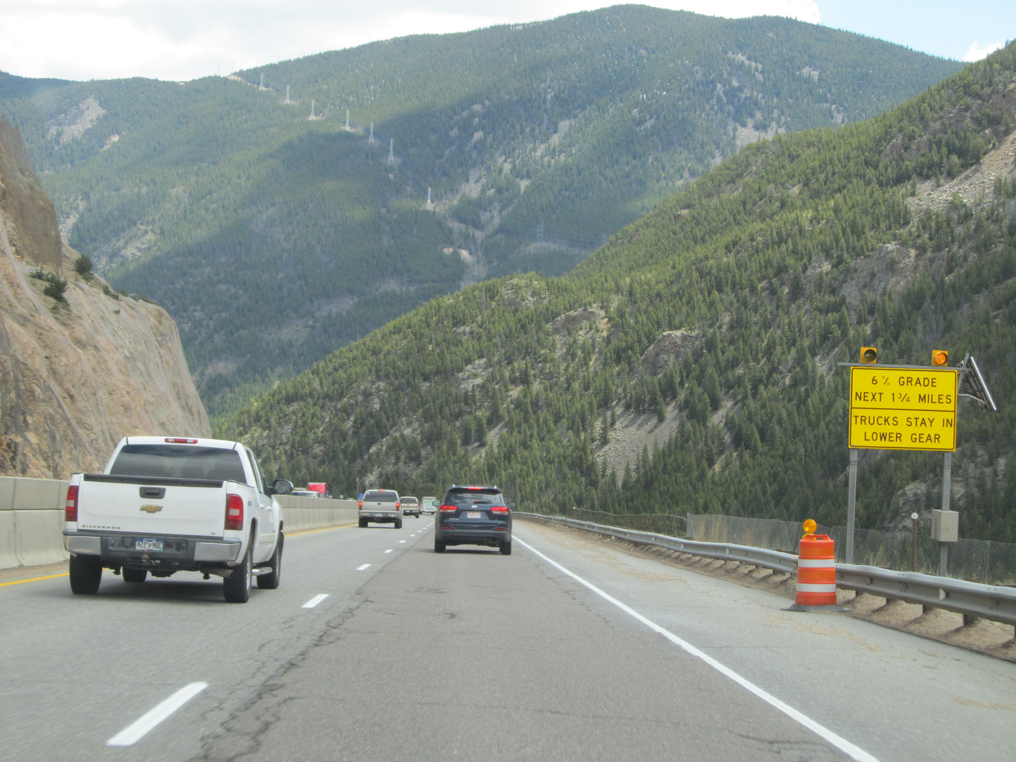
Interstate 70 East traverses a 6% downgrade for the next 2 1/2 miles. Gear down. (Photo taken 5/28/16). |
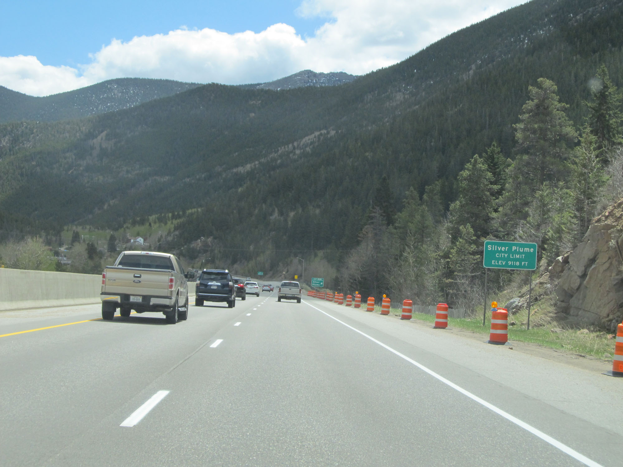 |
Interstate 70 East entering the Silver Plume city limits at an elevation of 9,118 feet. (Photo taken 5/28/16). |
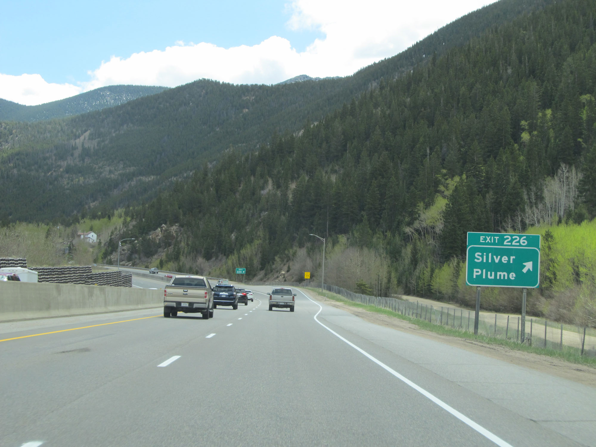 |
Interstate 70 East at Exit 226: Silver Plume (Photo taken 5/28/16). |
 |
The speed limit remains 65 mph for cars, but is 45 mph for trucks going down this long, steep grade. (Photo taken 5/28/16). |
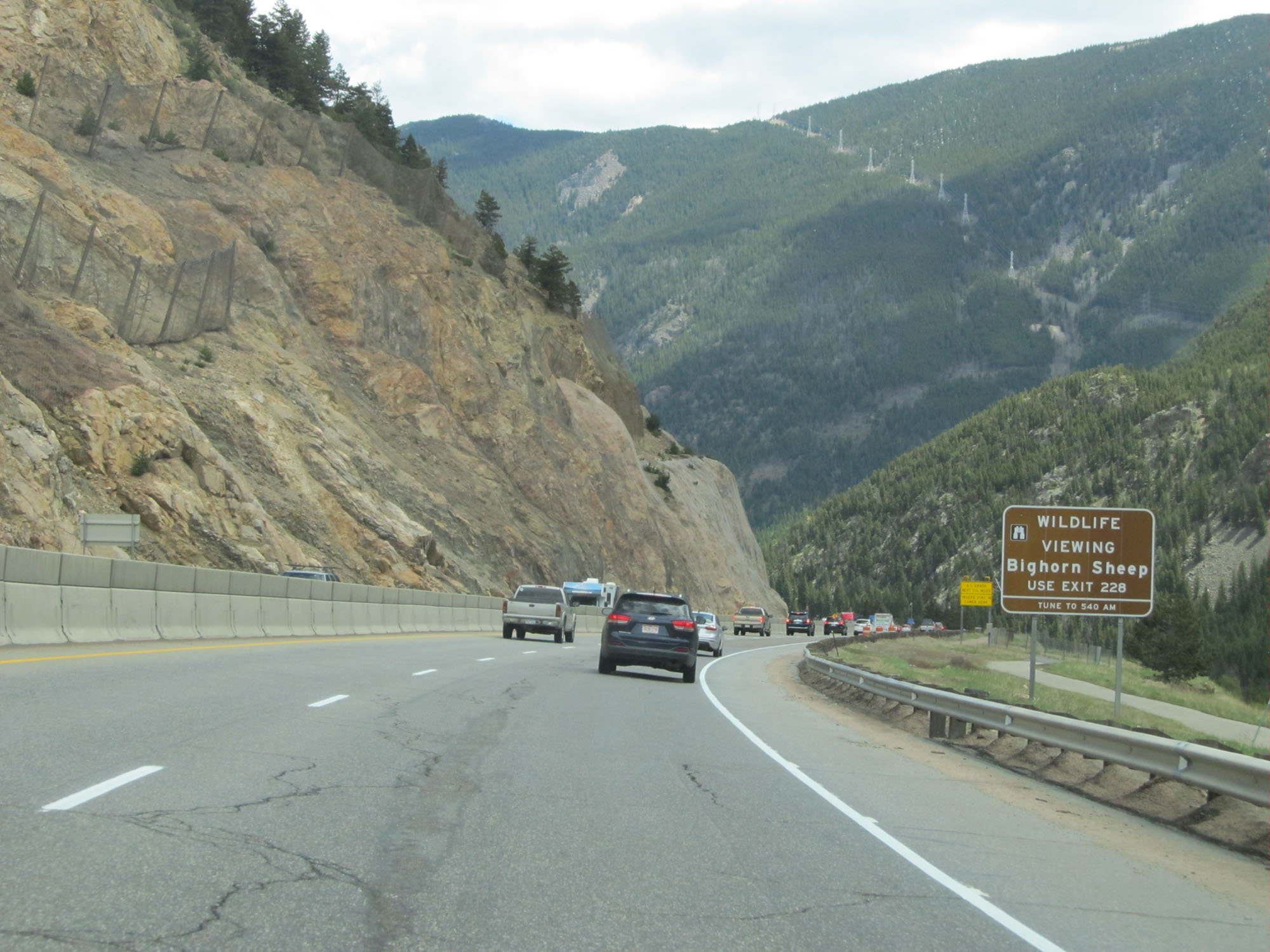 |
Take Exit 228 to Bighorn Sheep Wildlife Viewing. (Photo taken 5/28/16). |
 |
The 6% downgrade continues for another 1 3/4 miles. (Photo taken 5/28/16). |
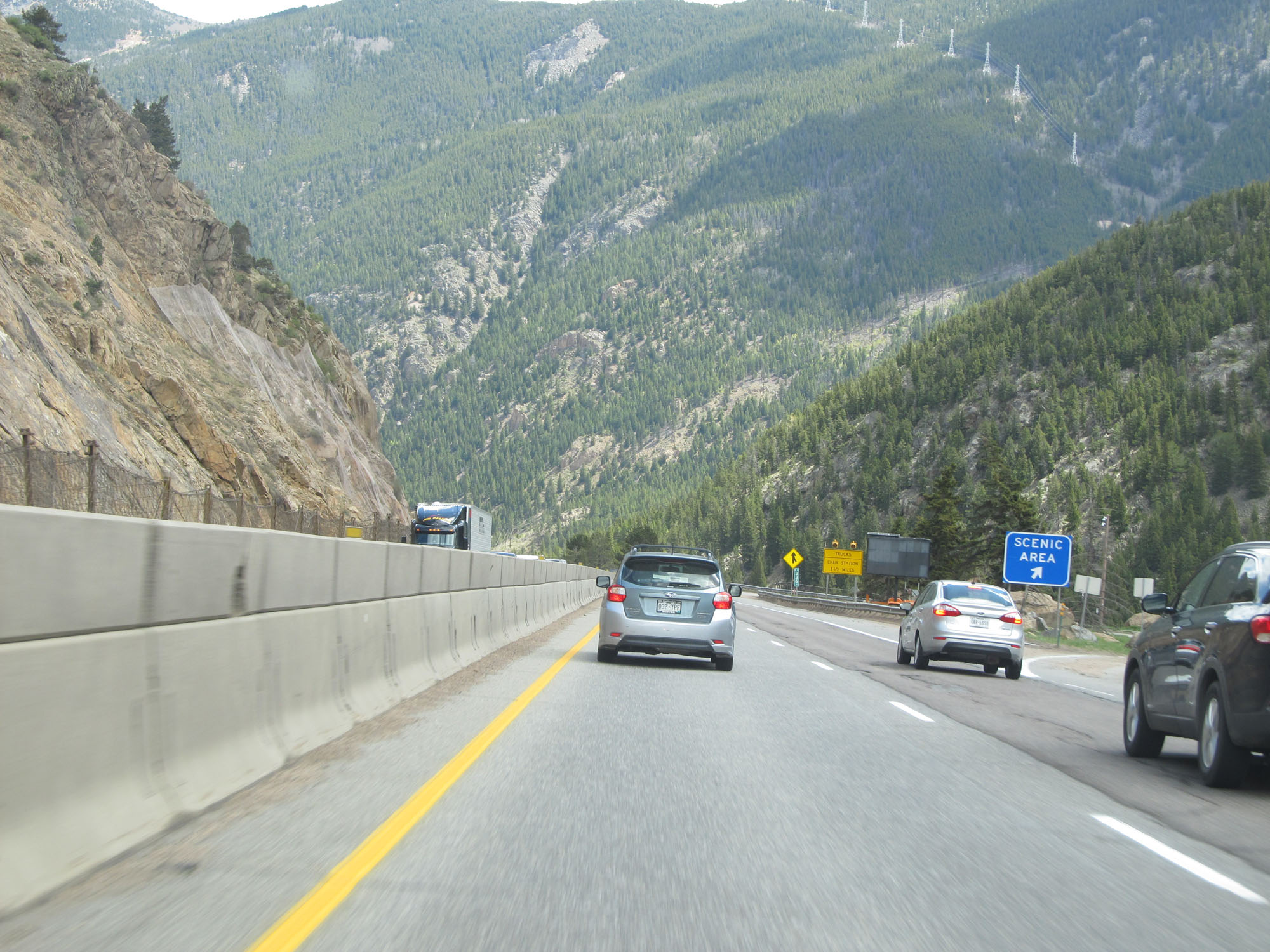 |
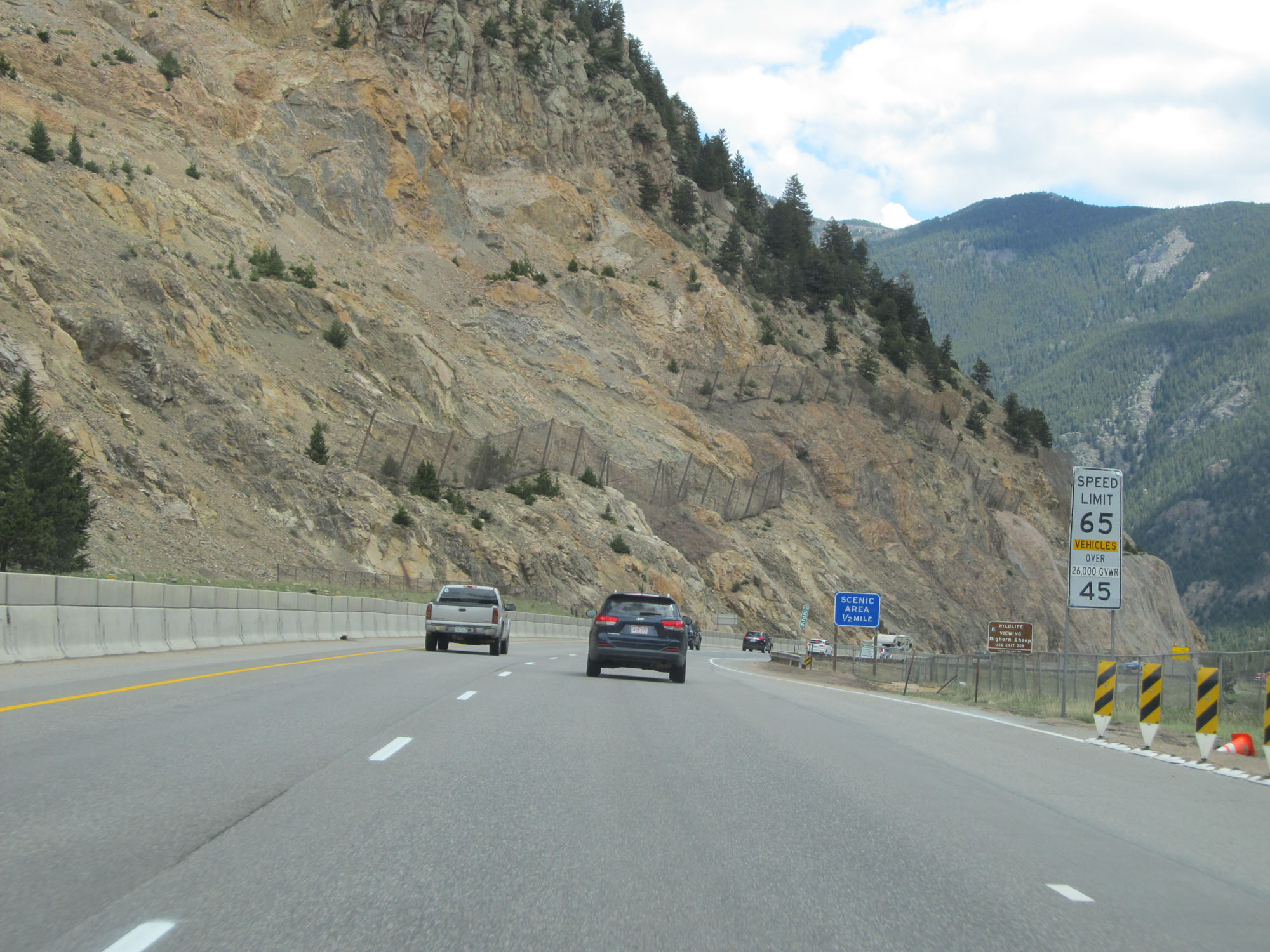
Scenic Area on Interstate 70 East in Clear Creek County. (Photo taken 5/28/16). |
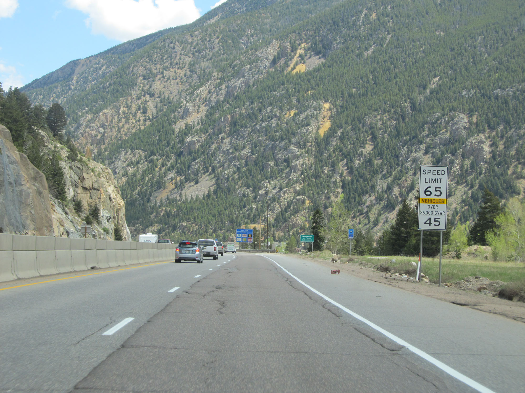 |
The speed limits remain 65 mph for cars and 45 mph for trucks. (Photo taken 5/28/16). |
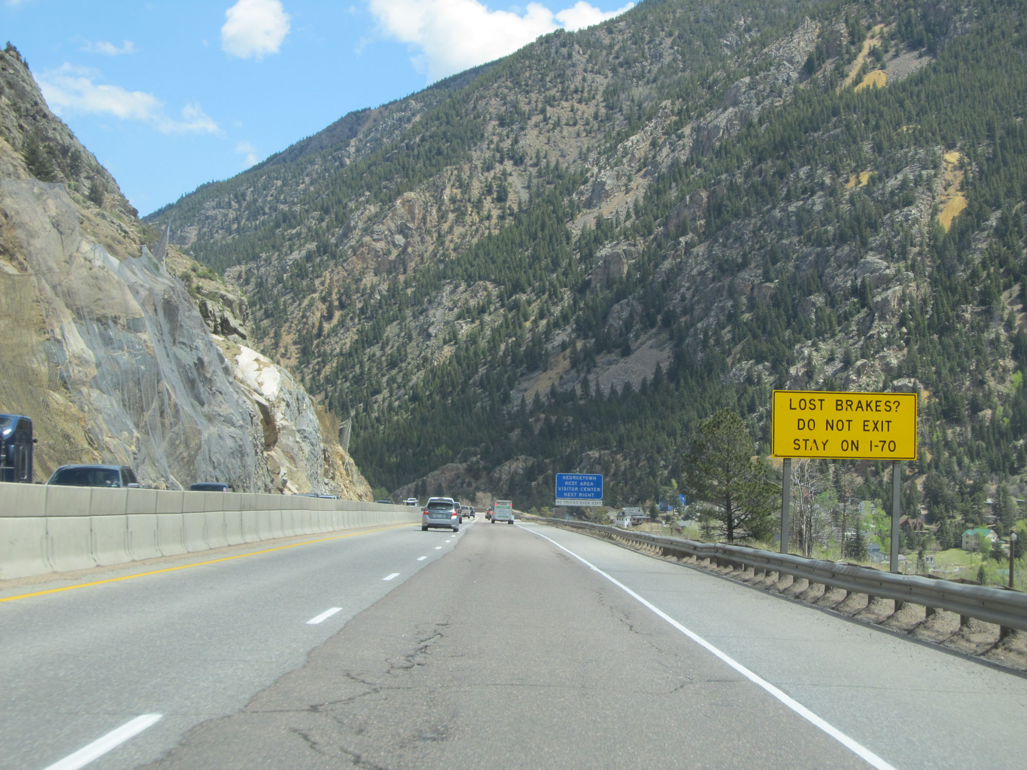 |
This sign warns that trucks who have lost their brakes should stay on Interstate 70 East and should NOT use any exits. (Photo taken 5/28/16). |
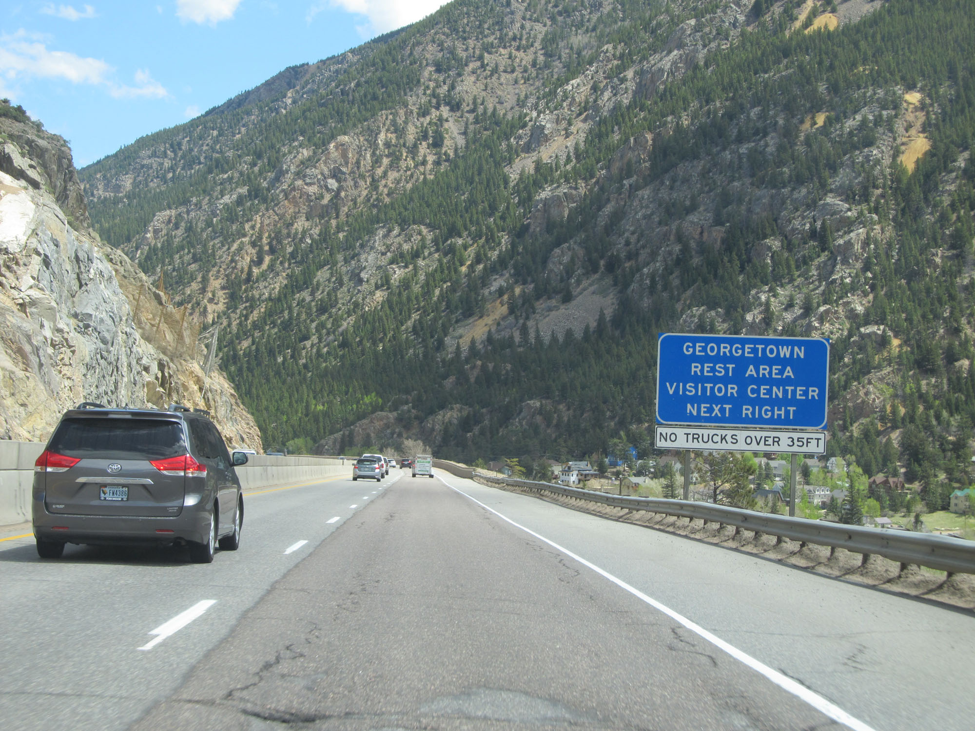 |
Take Exit 228 to the Georgetown Rest Area and Visitor Center. (Photo taken 5/28/16). |
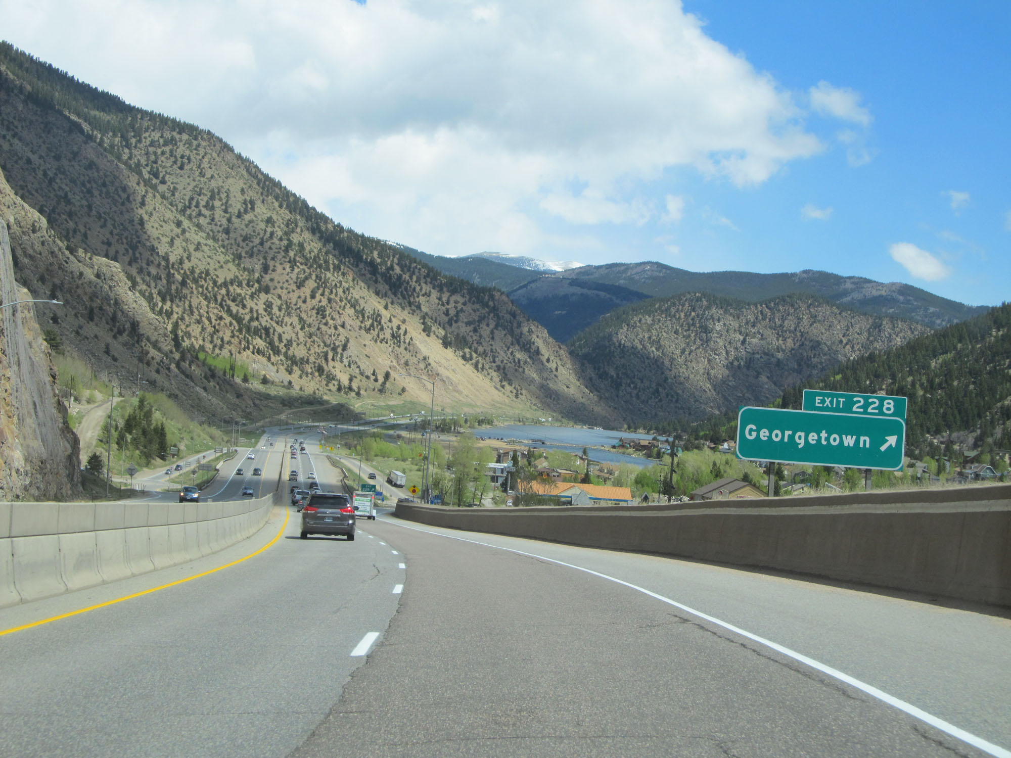 |
Interstate 70 East at Exit 228: Georgetown (Photo taken 5/28/16). |
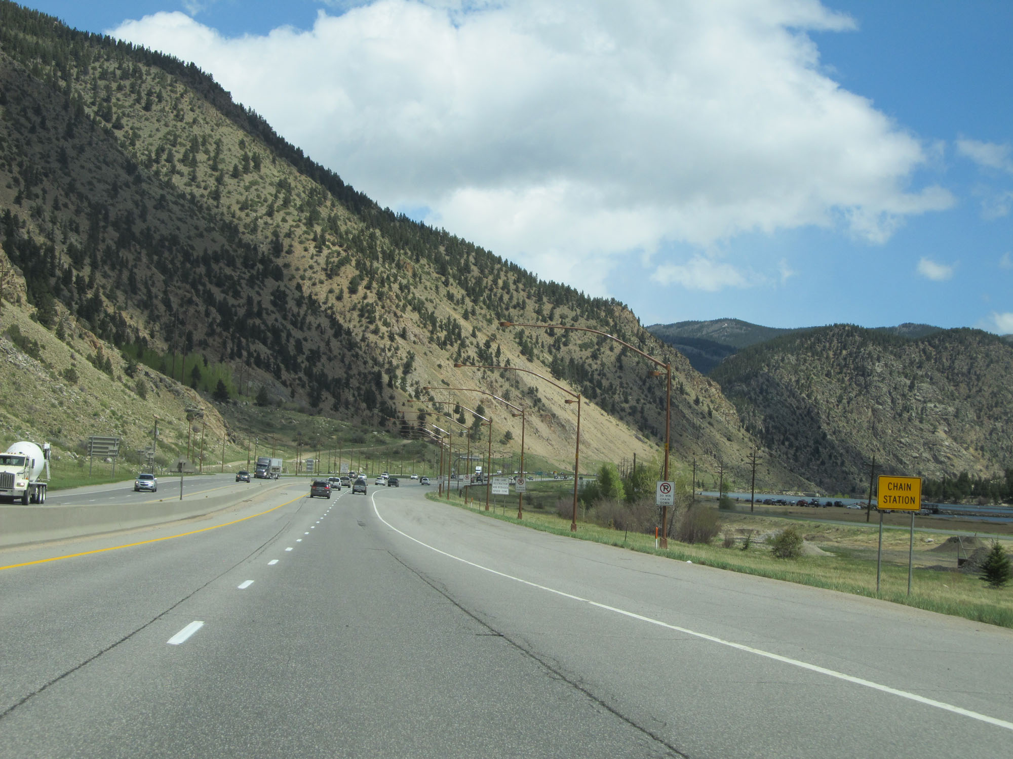 |
Another Chain Station on Interstate 70 East in Clear Creek County. (Photo taken 5/28/16). |
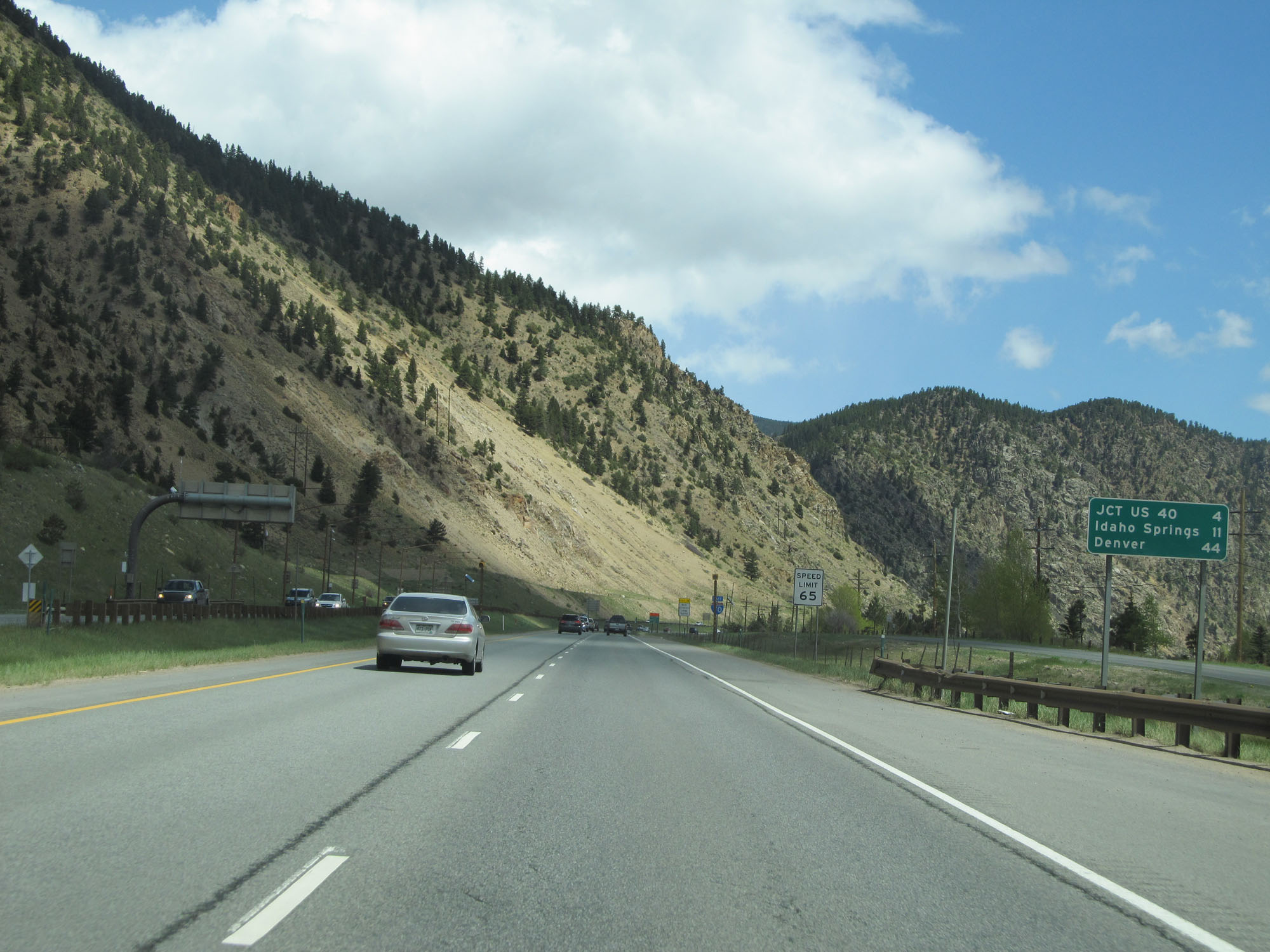 |
Mileage sign on Interstate 70 East. It's 4 miles to the junction of US 40, 11 miles to Idaho Springs, and 44 miles to Denver. (Photo taken 5/28/16). |
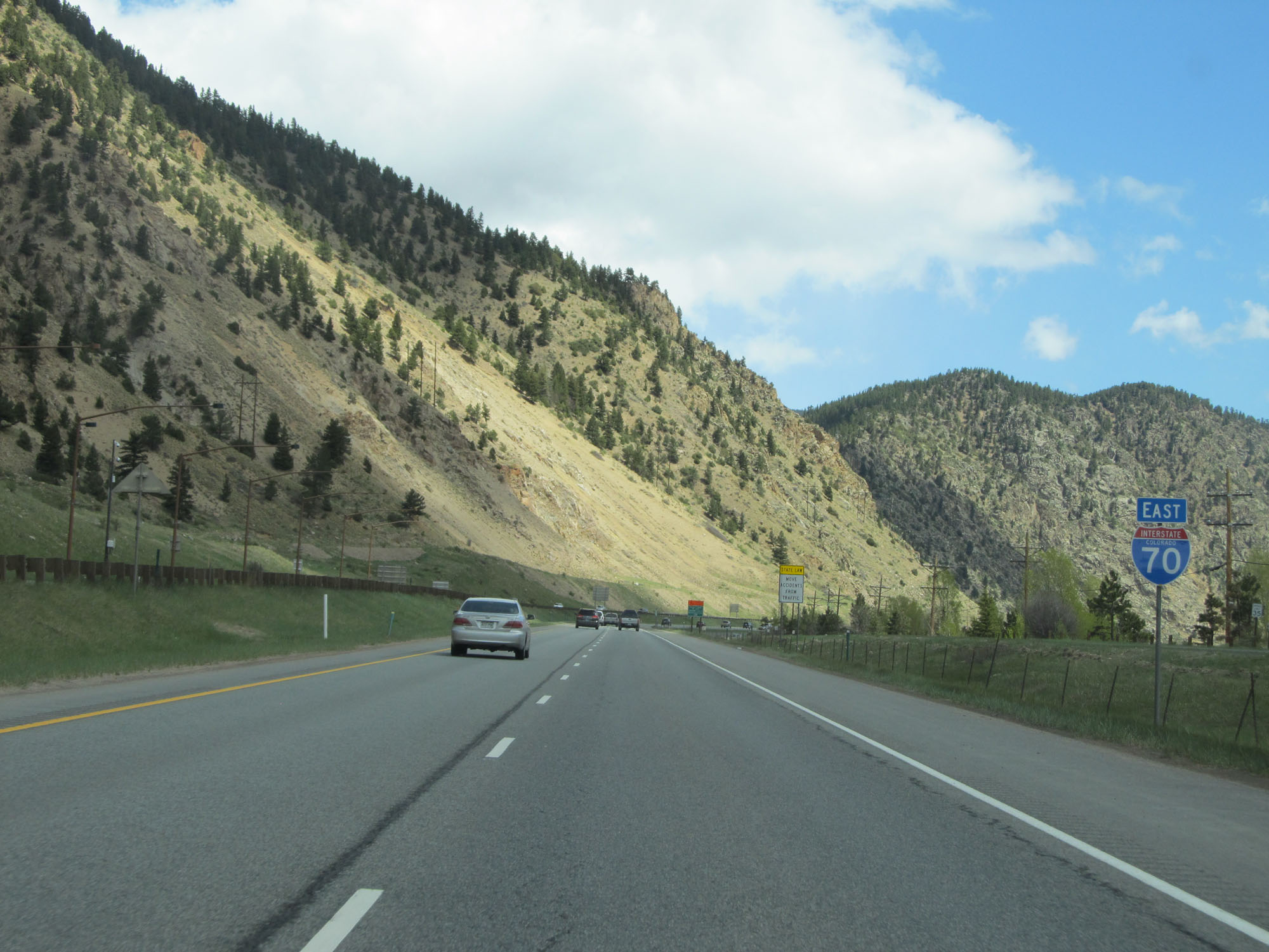 |
State-named Interstate 70 East reassurance shield. (Photo taken 5/28/16). |
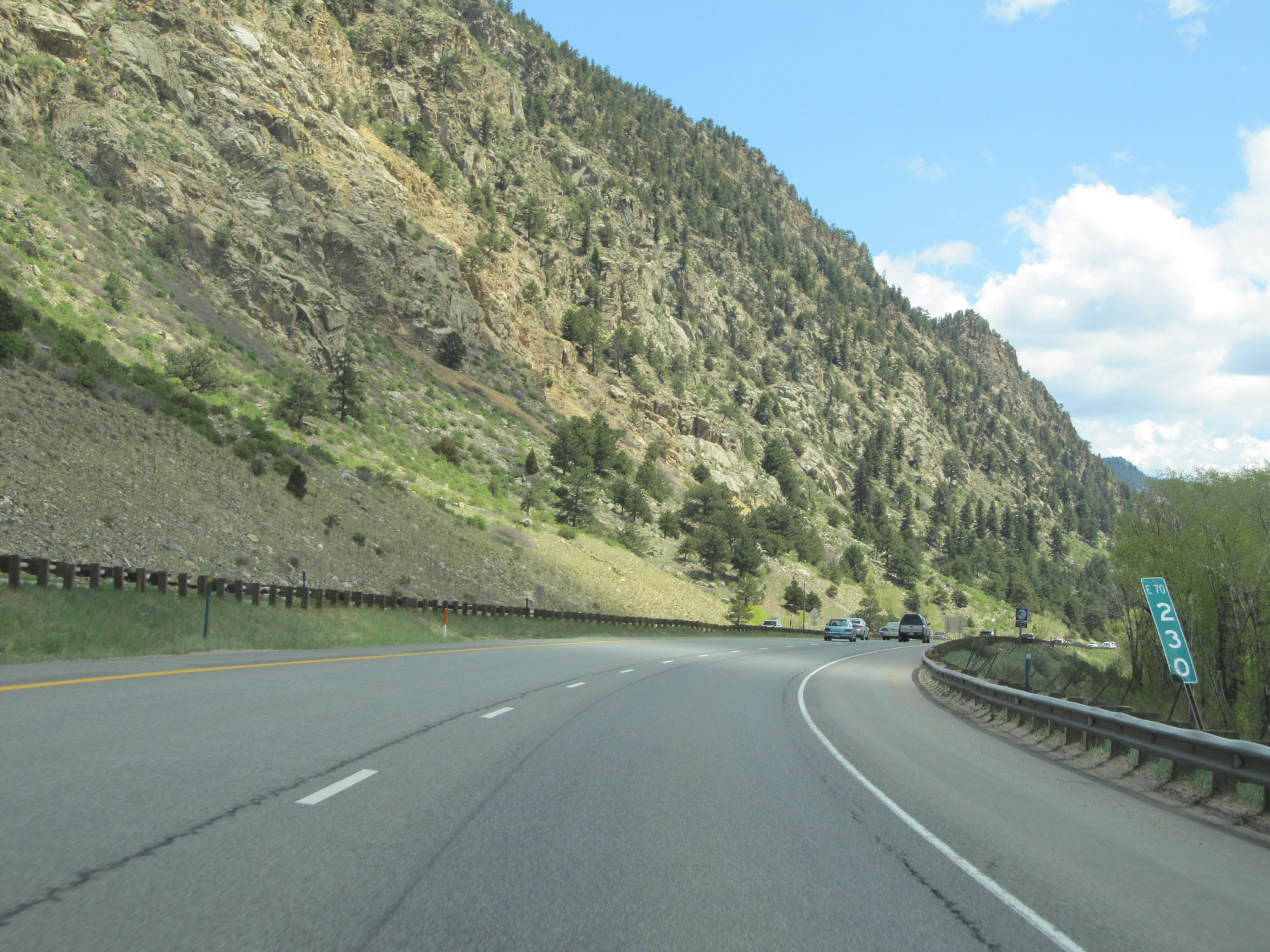 |
Interstate 70 East at mile marker 230. (Photo taken 5/28/16). |
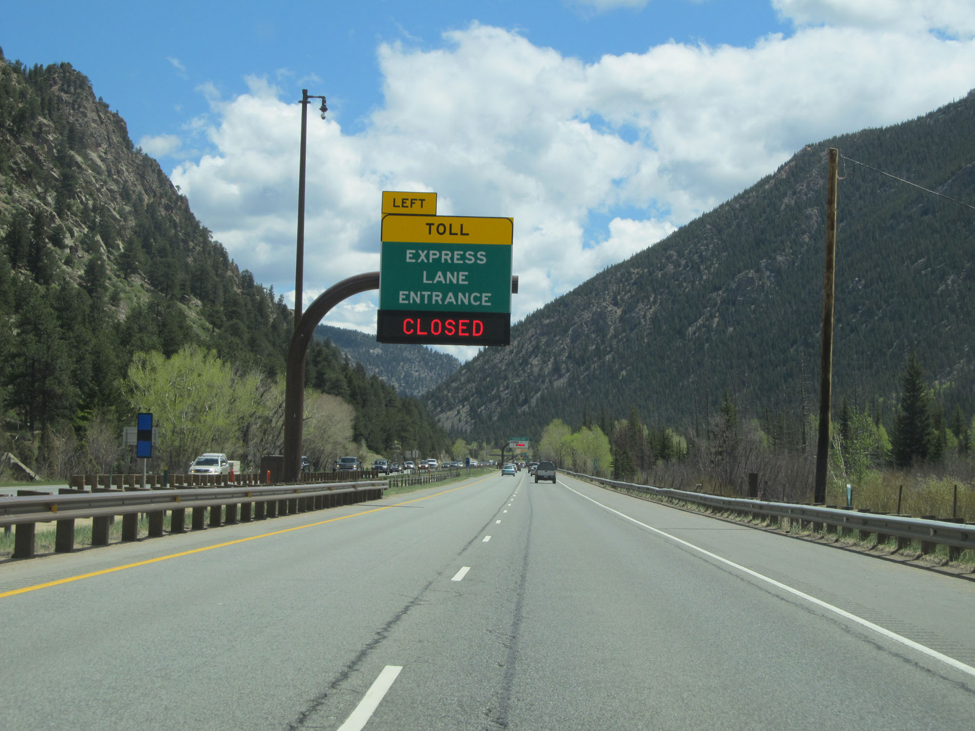 |
An entrance to the express toll lanes on US 6 is ahead, but was closed at the time. (Photo taken 5/28/16). |
 |
Another sign for the express toll lanes on US 6. (Photo taken 5/28/16). |
 |
Interstate 70 East at mile marker 231. (Photo taken 5/28/16). |
 |
Variable speed limit signs make their return here on Interstate 70 East. (Photo taken 5/28/16). |
 |
Take Exit 232 to Winter Park and Ski Granby Ranch Ski Areas. (Photo taken 5/28/16). |
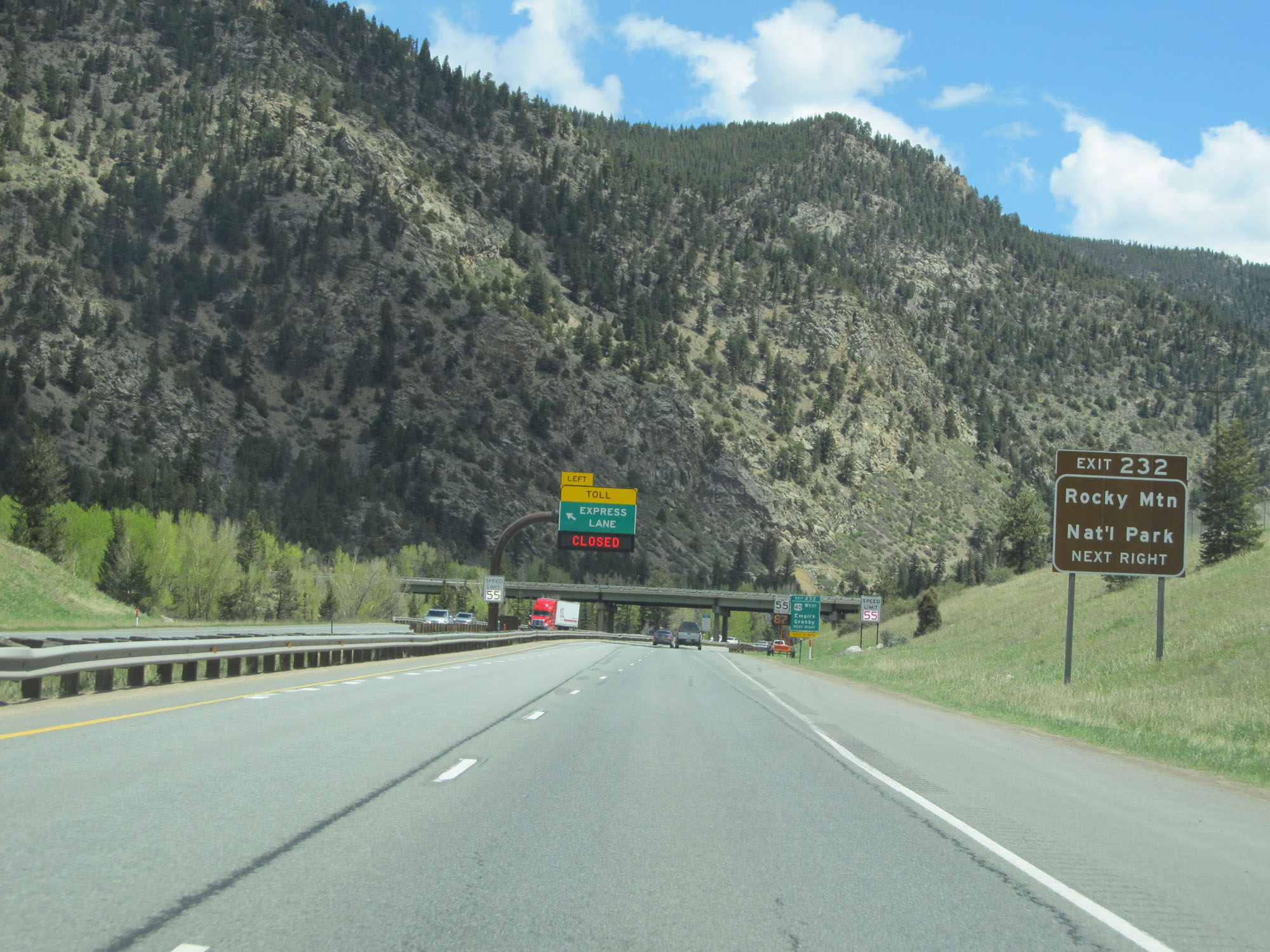 |
Take Exit 232 to Rocky Mountain National Park as well. (Photo taken 5/28/16). |
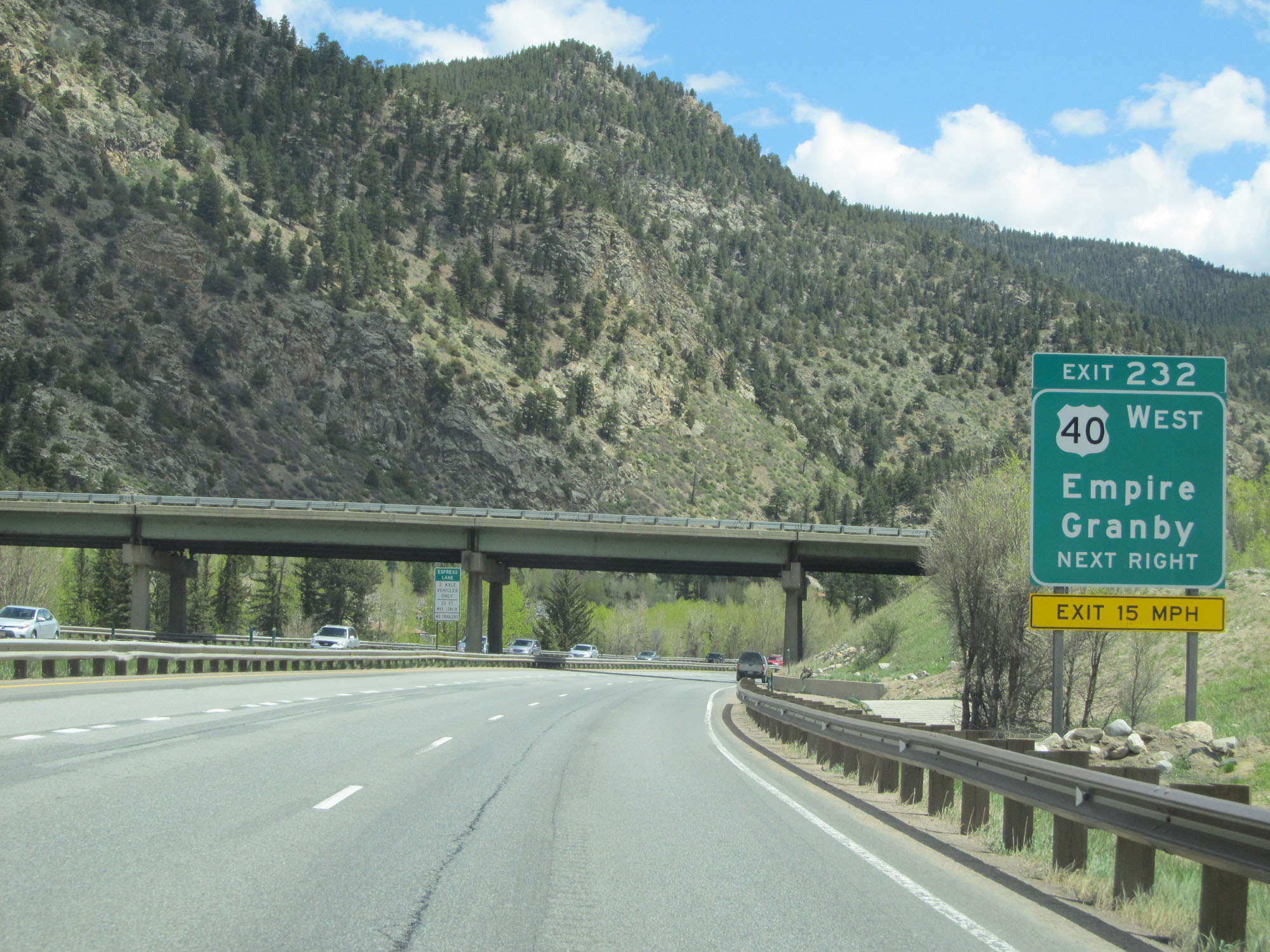 |
Interstate 70 East at Exit 232: US 40 West - Empire / Granby (Photo taken 5/28/16). |
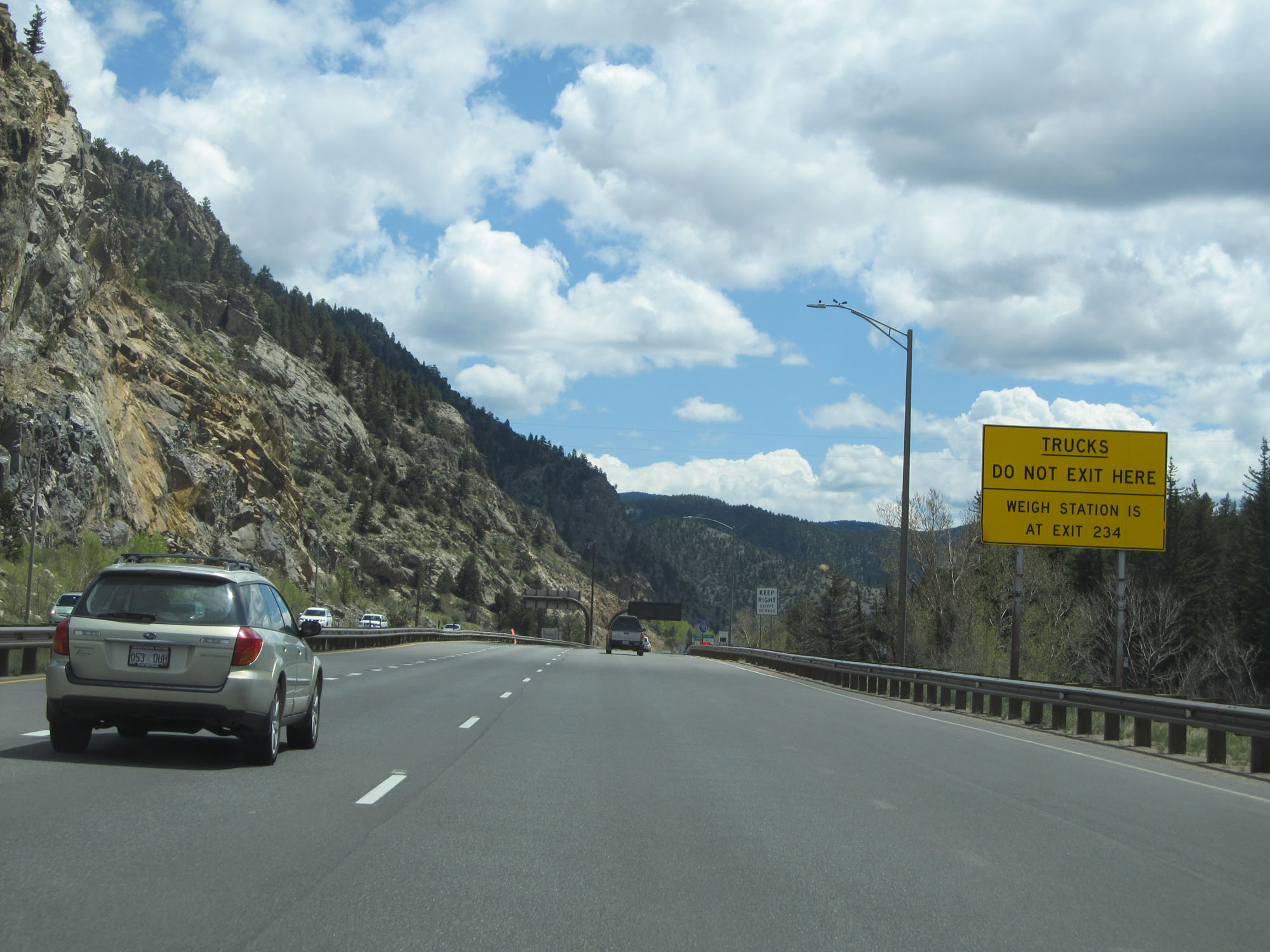 |
This sign warns trucks to not take Exit 233. The Weigh Station is located off Exit 234. (Photo taken 5/28/16). |
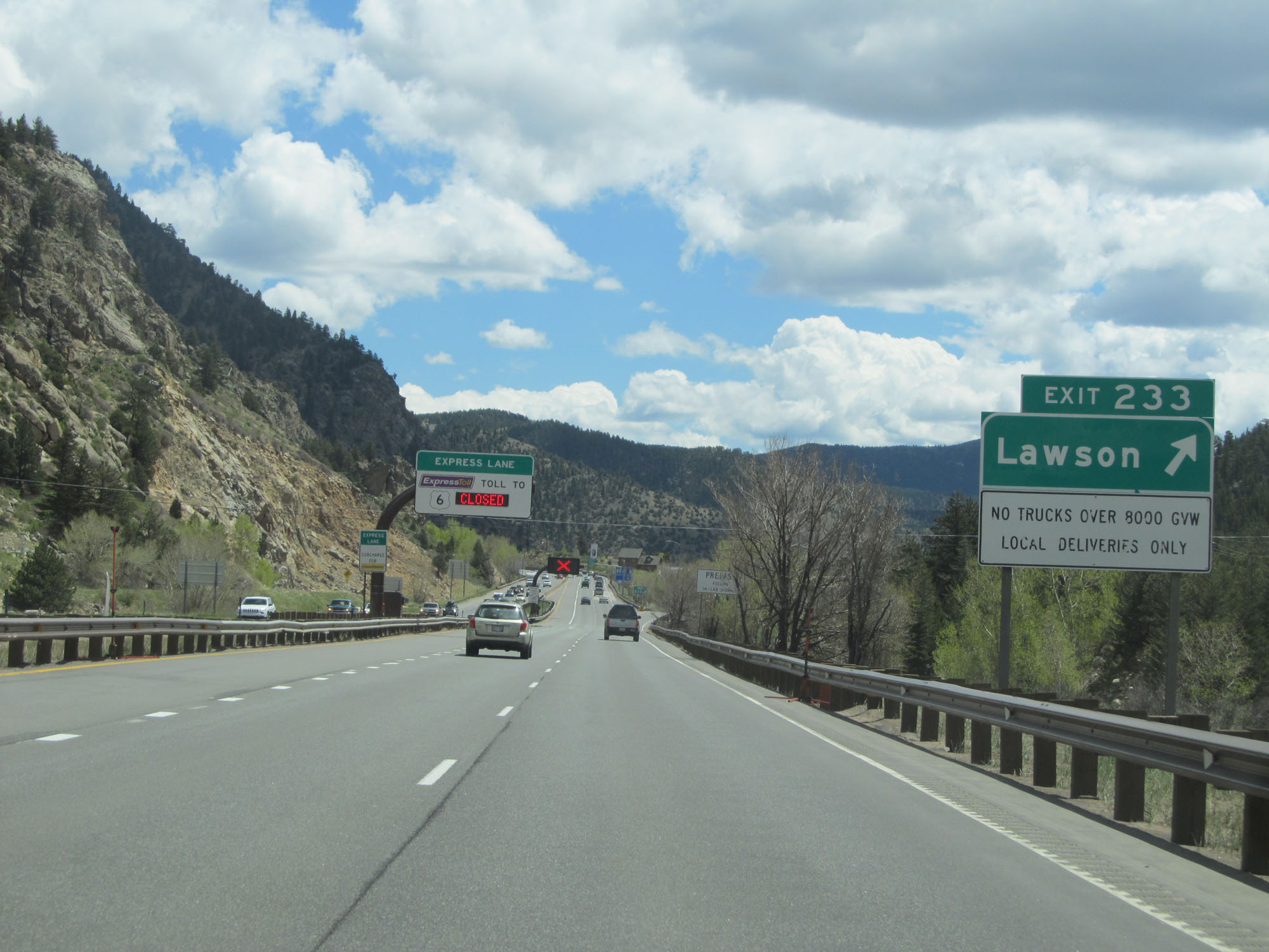 |
Interstate 70 East at Exit 233: Lawson (Photo taken 5/28/16). |
 |
Interstate 70 East approaching Exit 234 - 1/2 mile. (Photo taken 5/28/16). |
 |
The Weigh Station in Clear Creek County is off Exit 234 ahead. (Photo taken 5/28/16). |
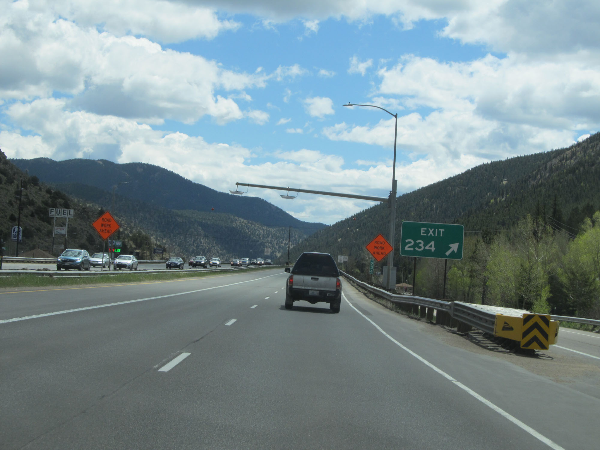 |
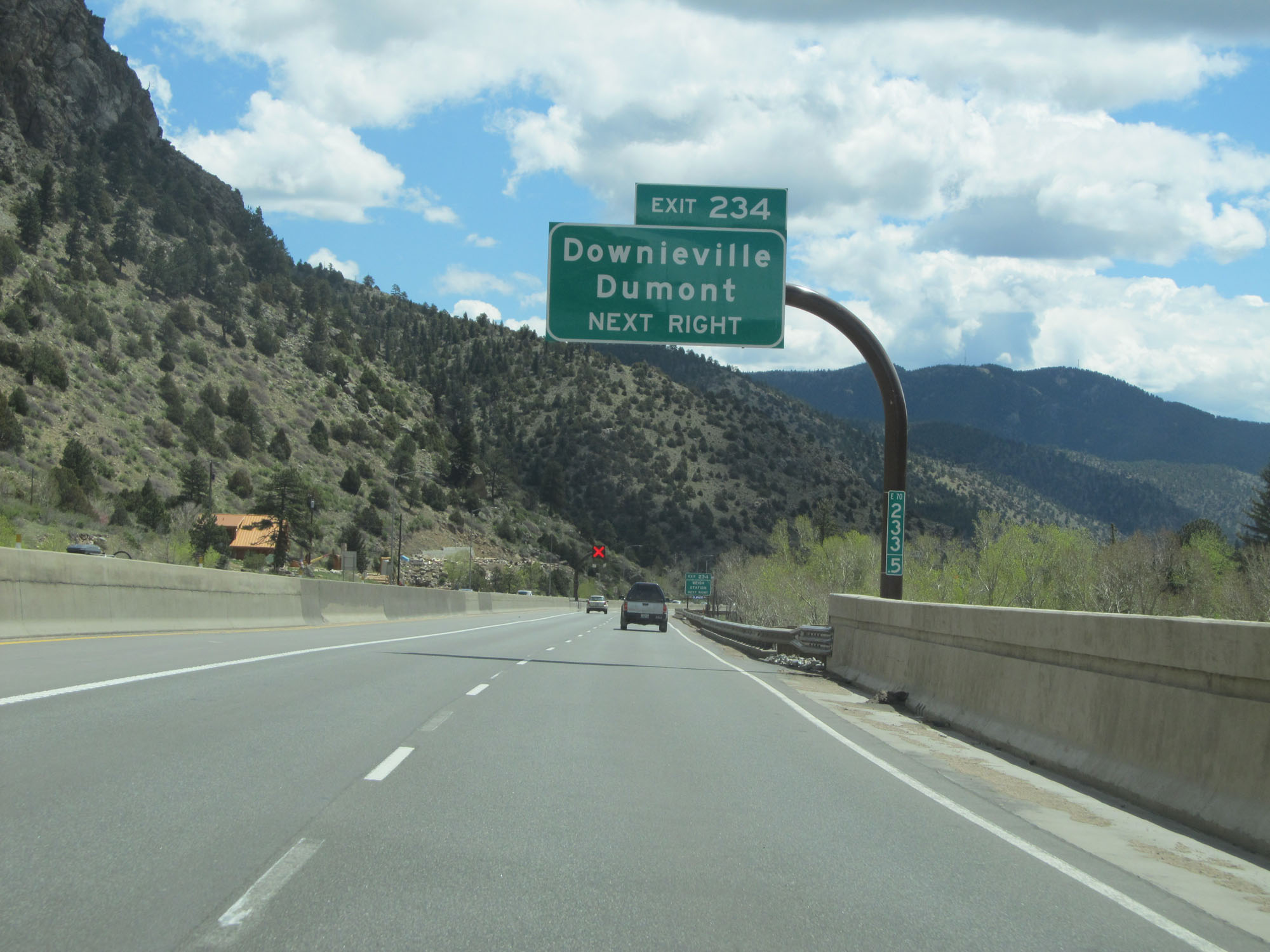
Interstate 70 East at Exit 234: Downieville / Dumont (Photo taken 5/28/16). |
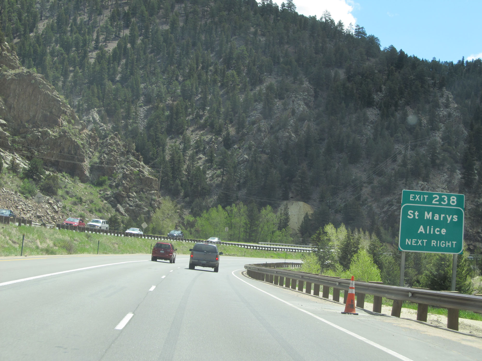 |
Take Exit 238 to St Marys and Alice. (Photo taken 5/28/16). |
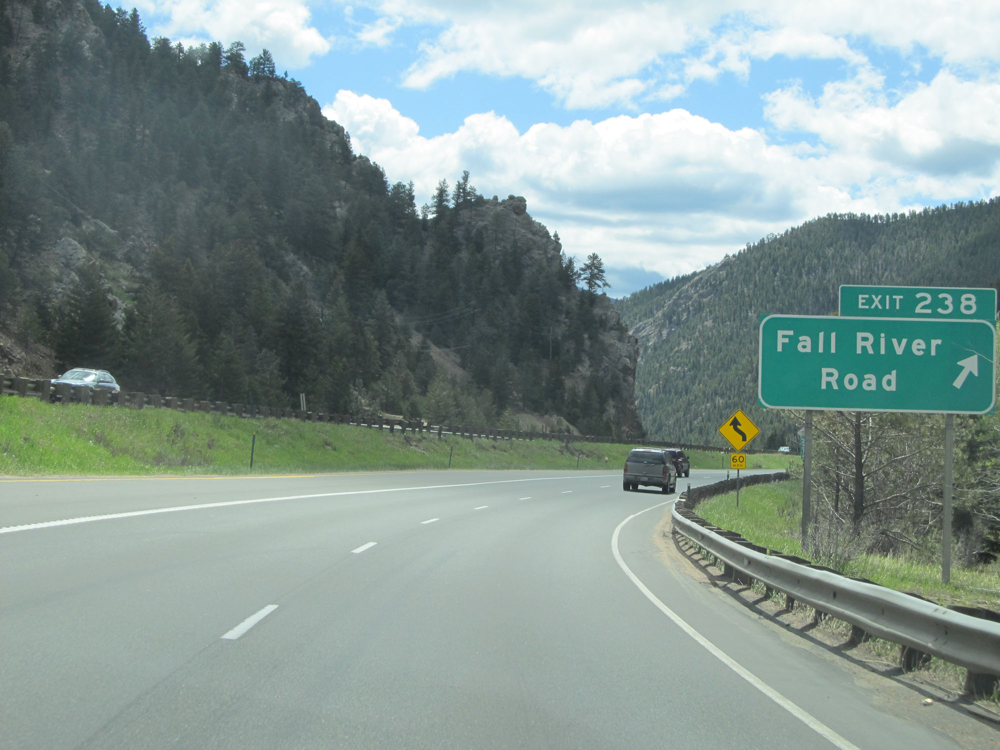 |
Interstate 70 East at Exit 238: Fall River Road (Photo taken 5/28/16). |
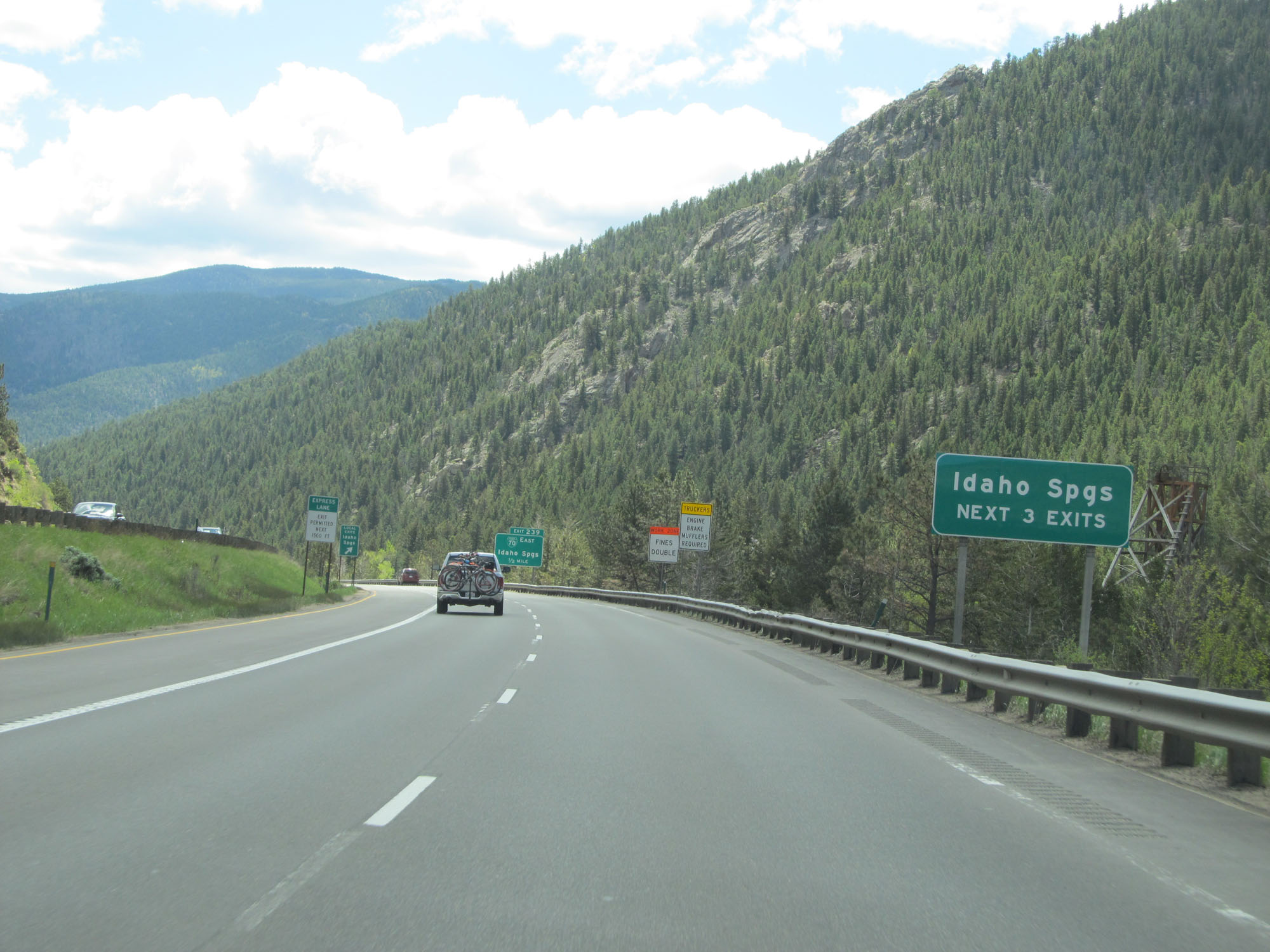 |
Take any of the next 3 exits to Idaho Springs. (Photo taken 5/28/16). |
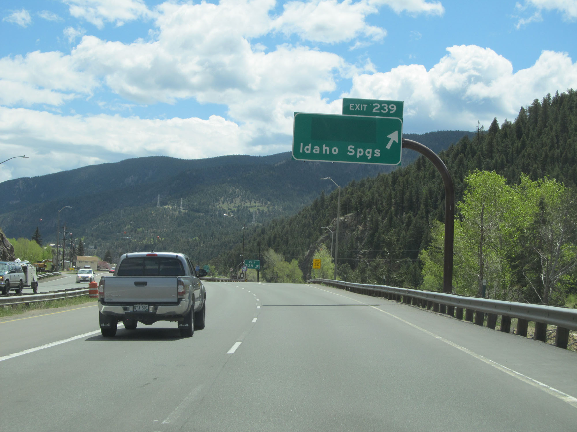 |
Interstate 70 East at Exit 239: Idaho Springs (Photo taken 5/28/16). |
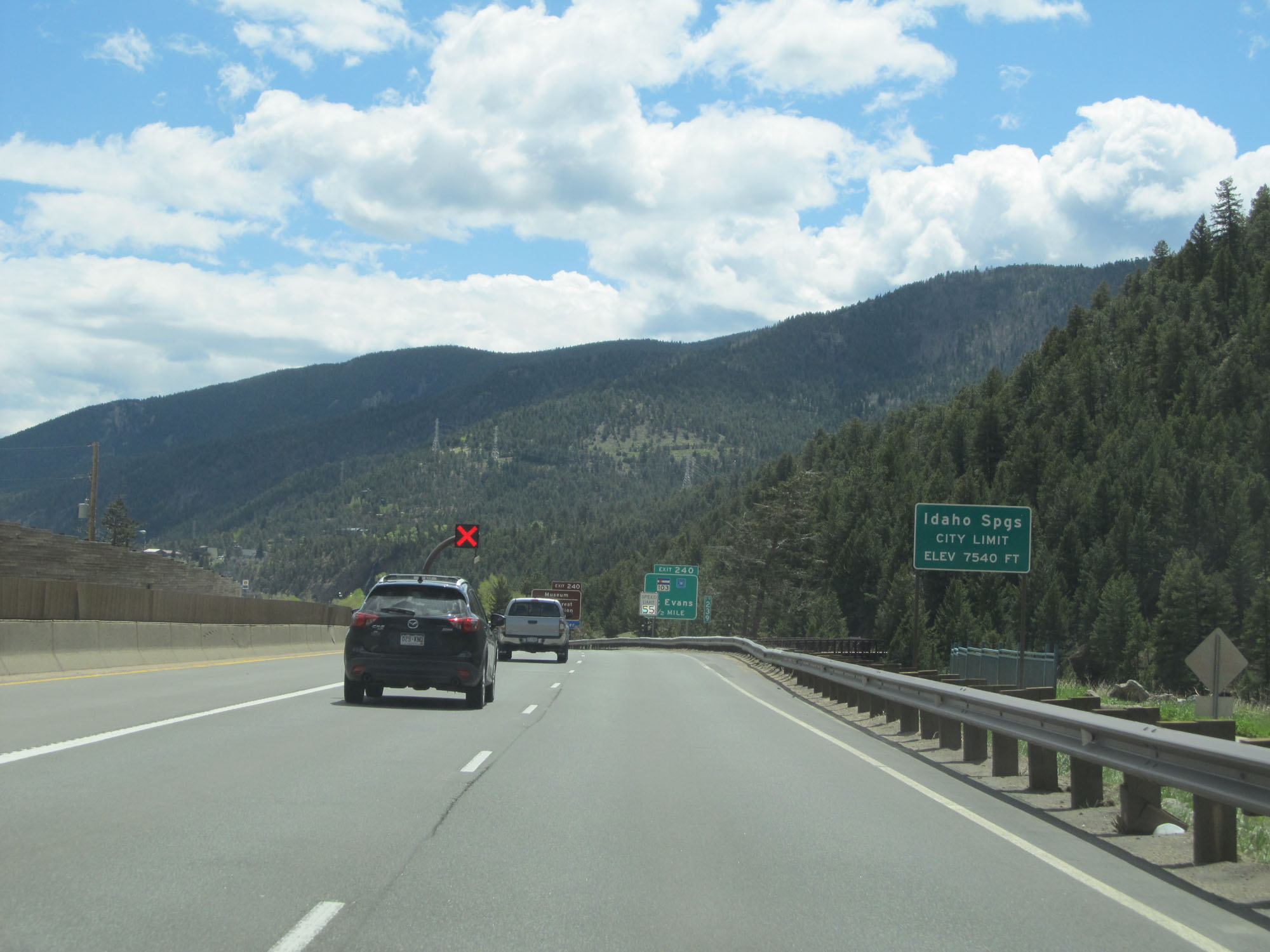 |
Interstate 70 East entering the Idaho Springs city limits at an elevation of 7,540 feet. (Photo taken 5/28/16). |
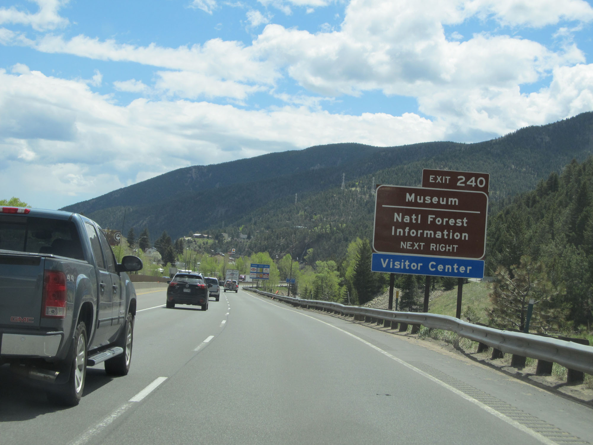 |
Take Exit 240 to National Forest Information and Museum. (Photo taken 5/28/16). |
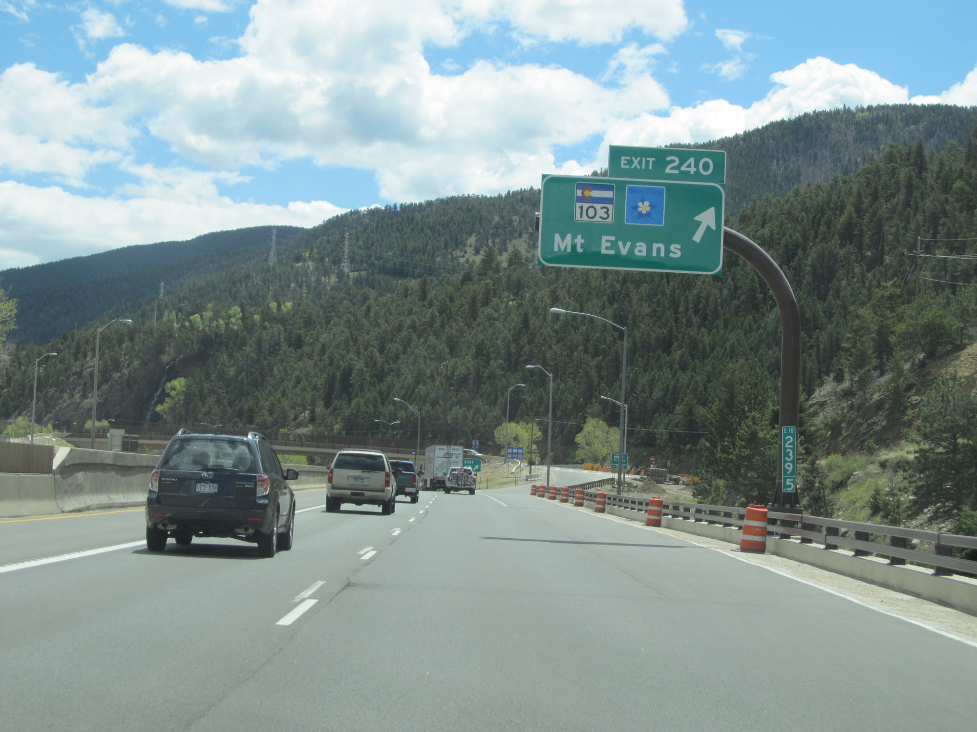 |
Interstate 70 East at Exit 240: CO 103 - Mt Evans (Photo taken 5/28/16). |
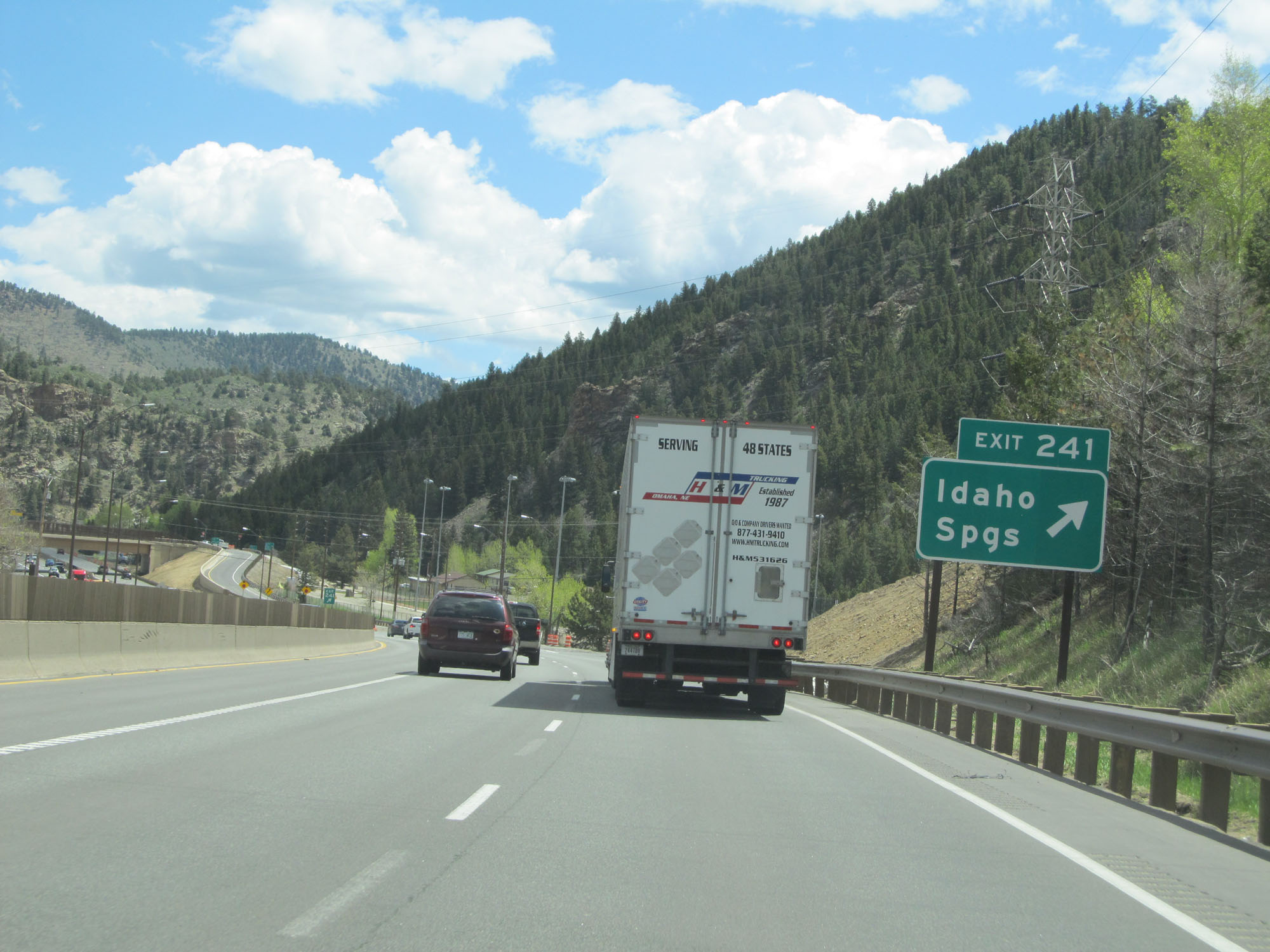 |
Interstate 70 East at Exit 241: Idaho Springs (Photo taken 5/28/16). |
Section 6: Idaho Springs (Exit 241) to Denver (Exit 282)
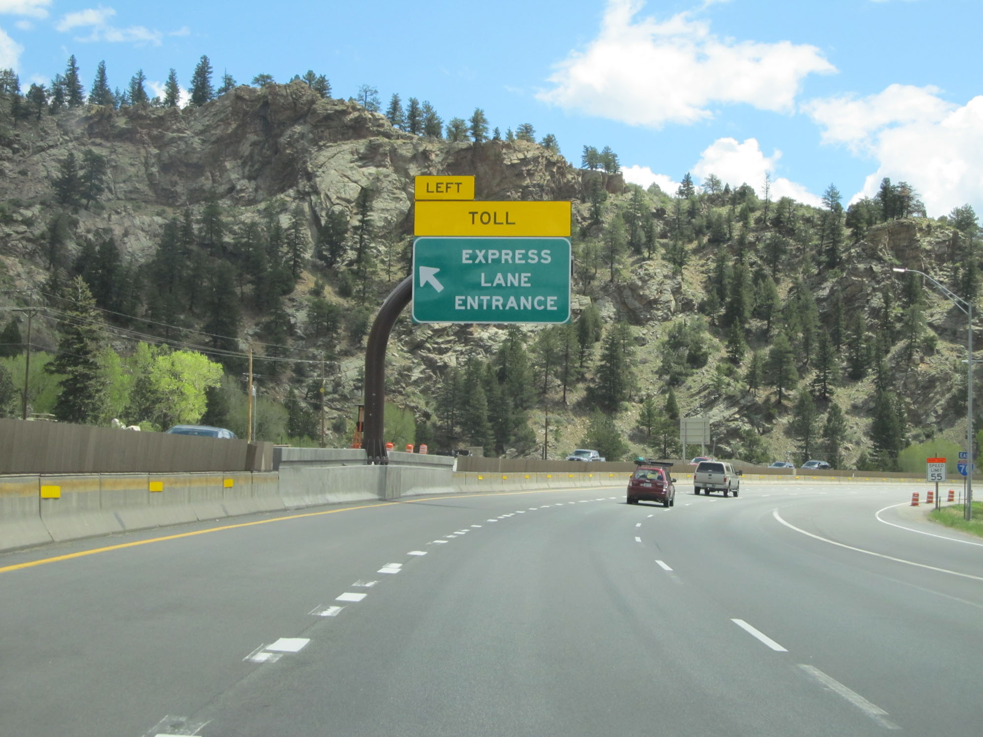 |
Express toll lane entrance on the left on Interstate 70 East. (Photo taken 5/28/16). |
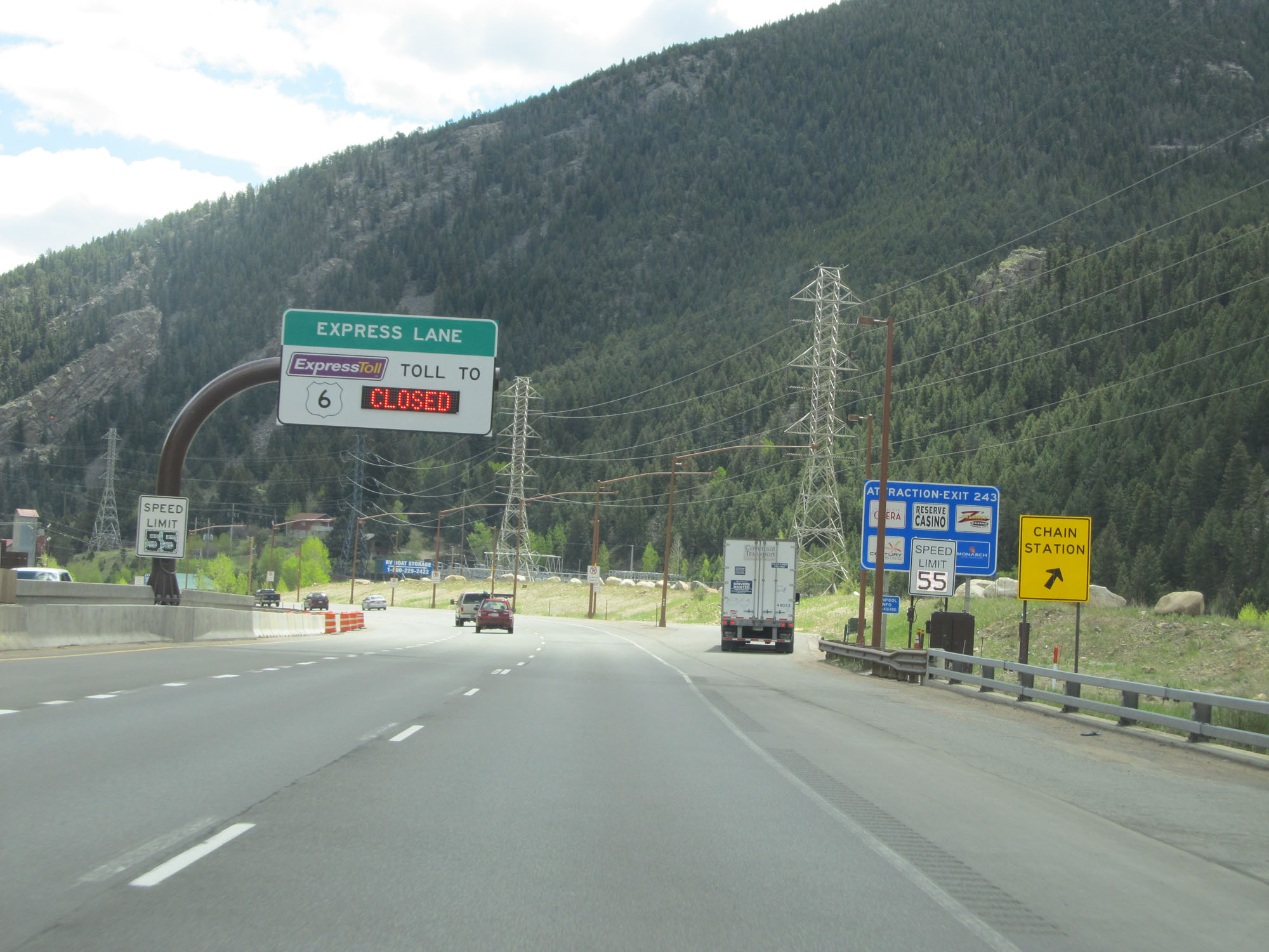 |
Another Chain Station on Interstate 70 East. (Photo taken 5/28/16). |
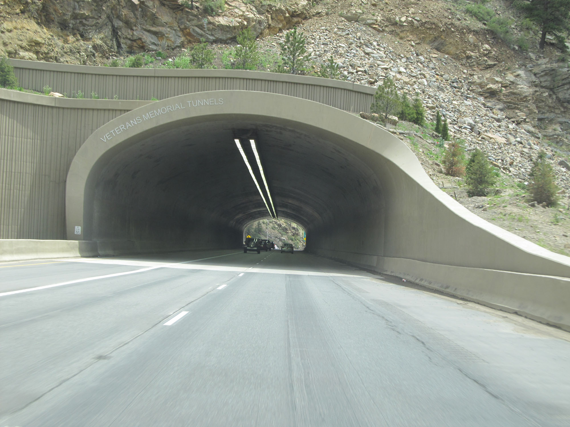 |
Interstate 70 East entering the Veterans Memorial Tunnels. (Photo taken 5/28/16). |
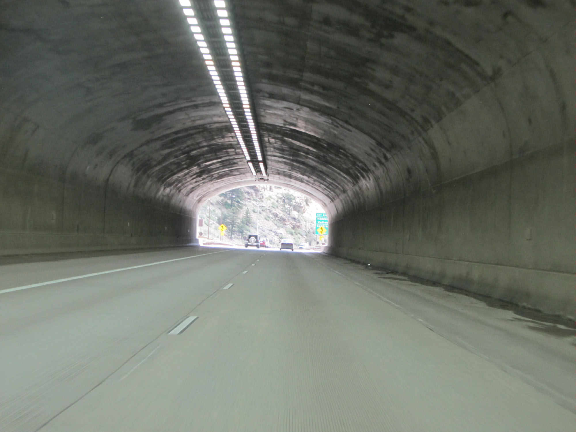 |
View from inside the Veterans Memorial Tunnels. (Photo taken 5/28/16). |
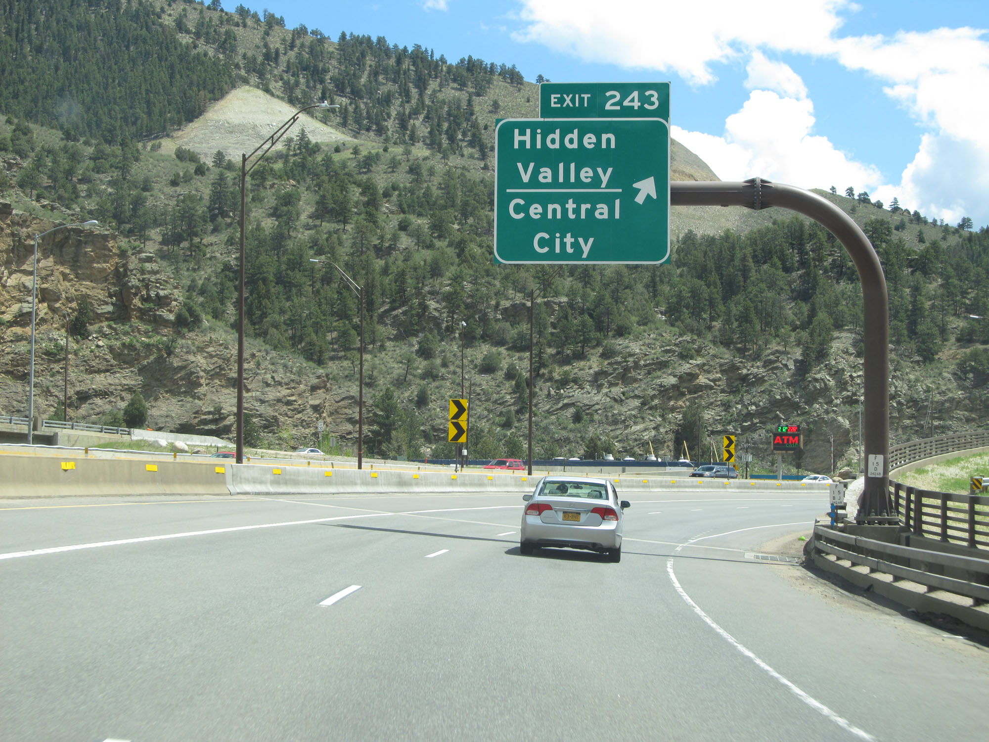 |
Interstate 70 East at Exit 243: Hidden Valley / Central City (Photo taken 5/28/16). |
 |
State-named Interstate 70 East reassurance shield. The speed limit during this stretch is 55 mph. (Photo taken 5/28/16). |
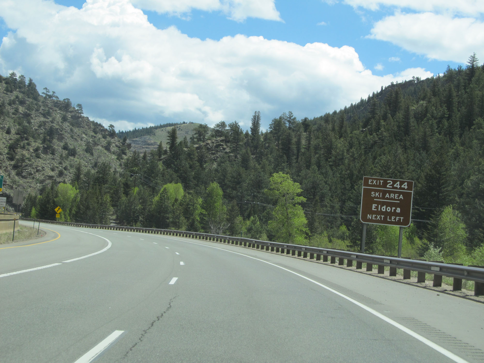 |
Take Exit 244 to Eldora Ski Area. (Photo taken 5/28/16). |
 |
Interstate 70 East approaching Exit 244 - 3/4 mile on the left. (Photo taken 5/28/16). |
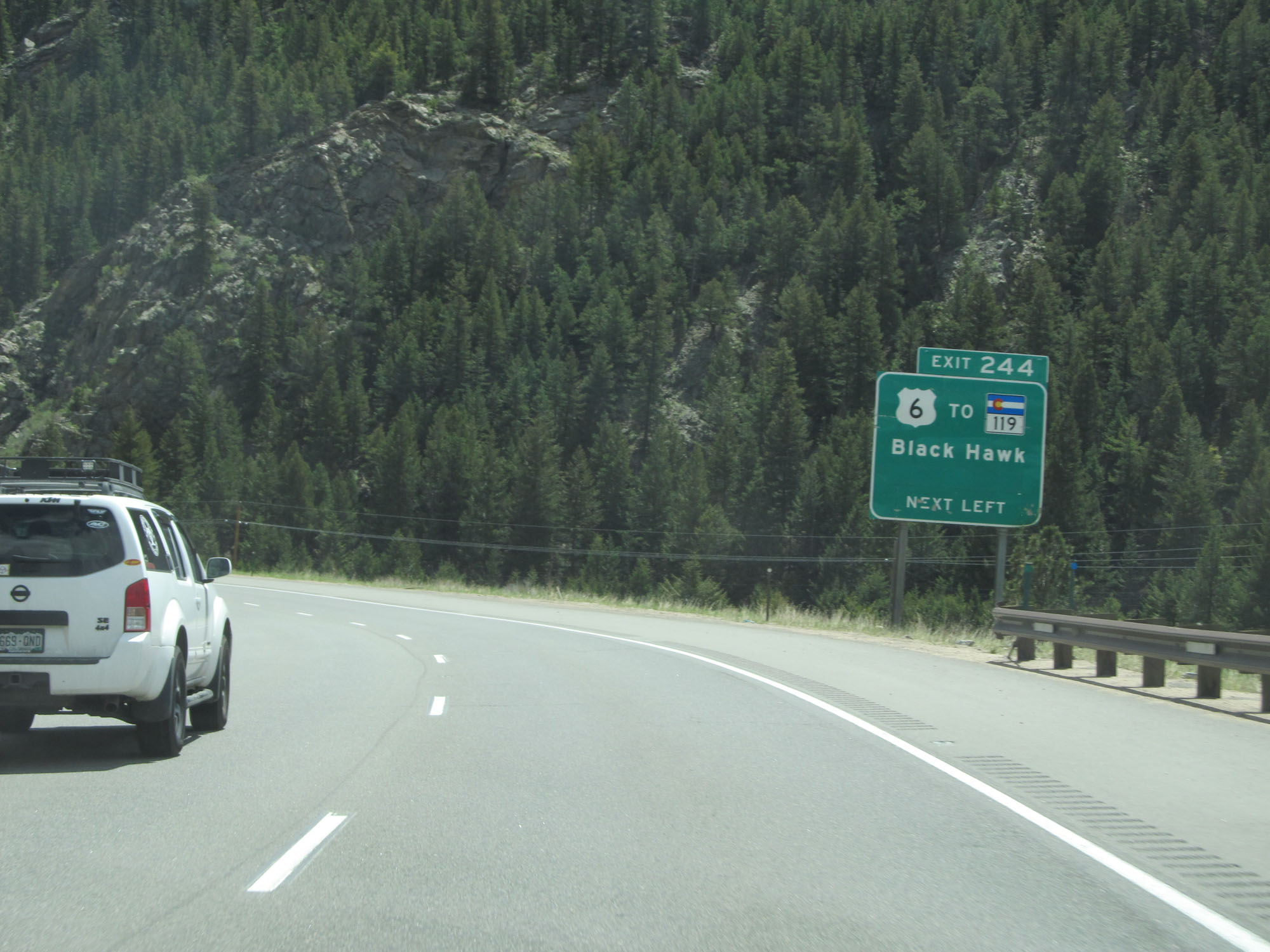 |
Take Exit 244 to CO 119 toward Black Hawk. (Photo taken 5/28/16). |
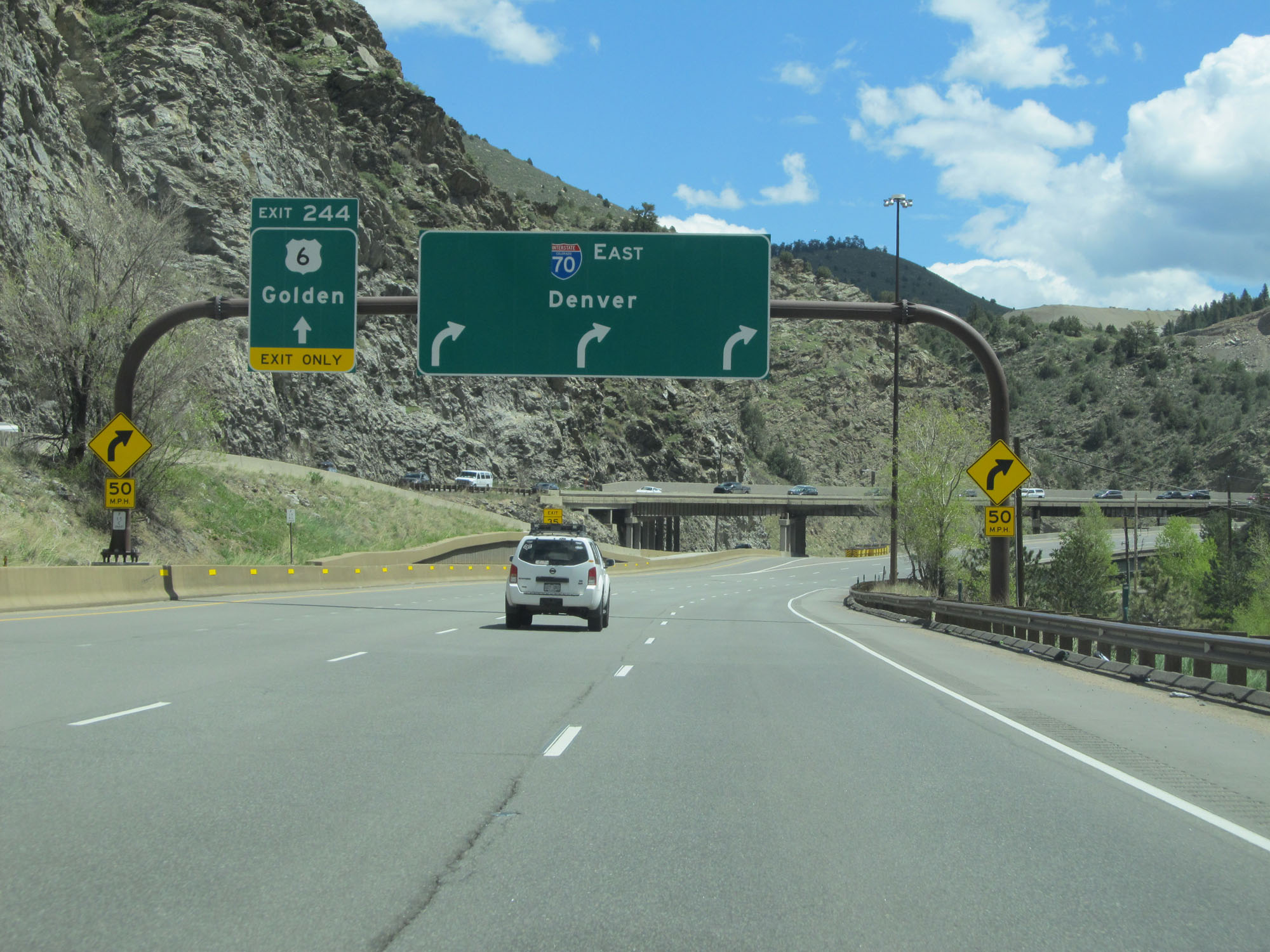 |
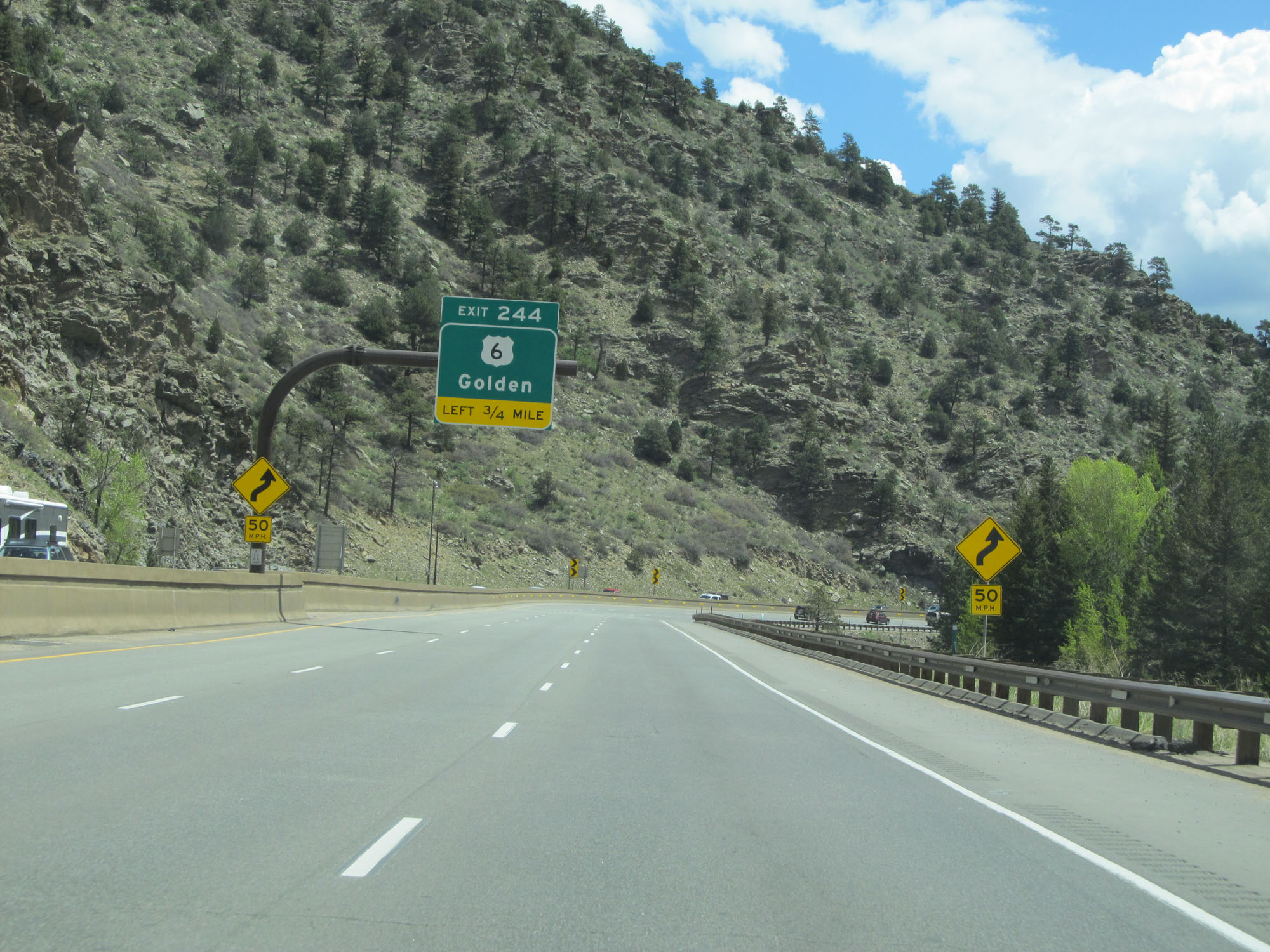
Interstate 70 East at Exit 244: US 6 - Golden (Photo taken 5/28/16). |
 |
East of Exit 244, the speed limit increases once again to 65 mph. (Photo taken 5/28/16). |
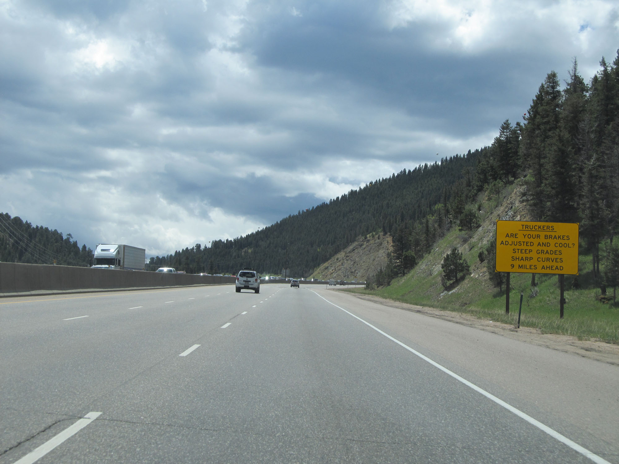 |
This sign warns trucks that steep grades and sharp curves lie 9 miles ahead. (Photo taken 5/28/16). |
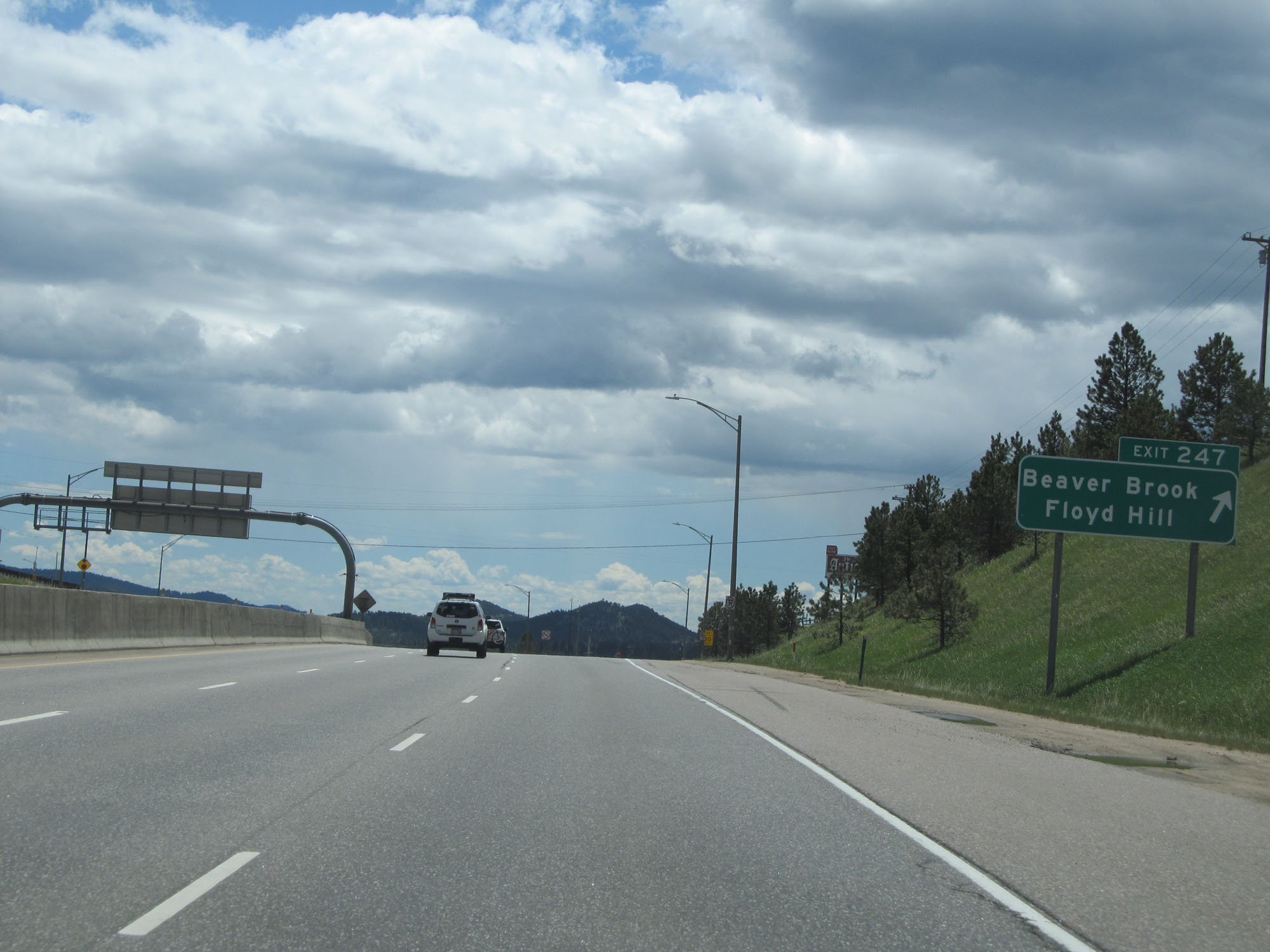 |
Interstate 70 East at Exit 247: Beaver Brook / Floyd Hill (Photo taken 5/28/16). |
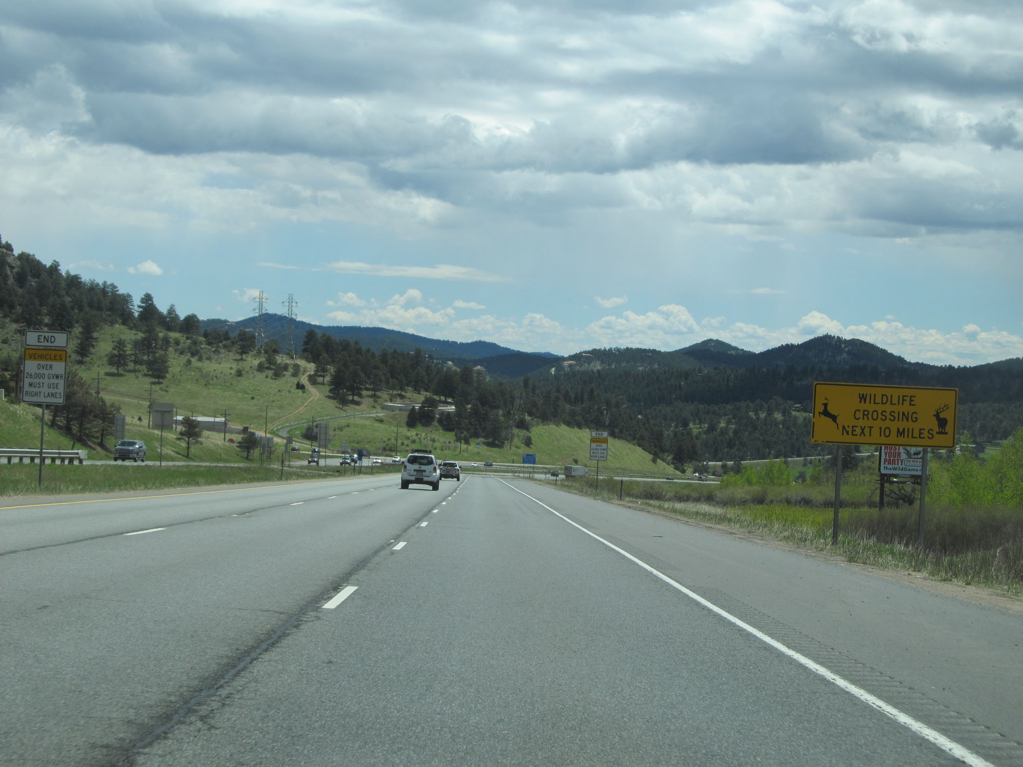 |
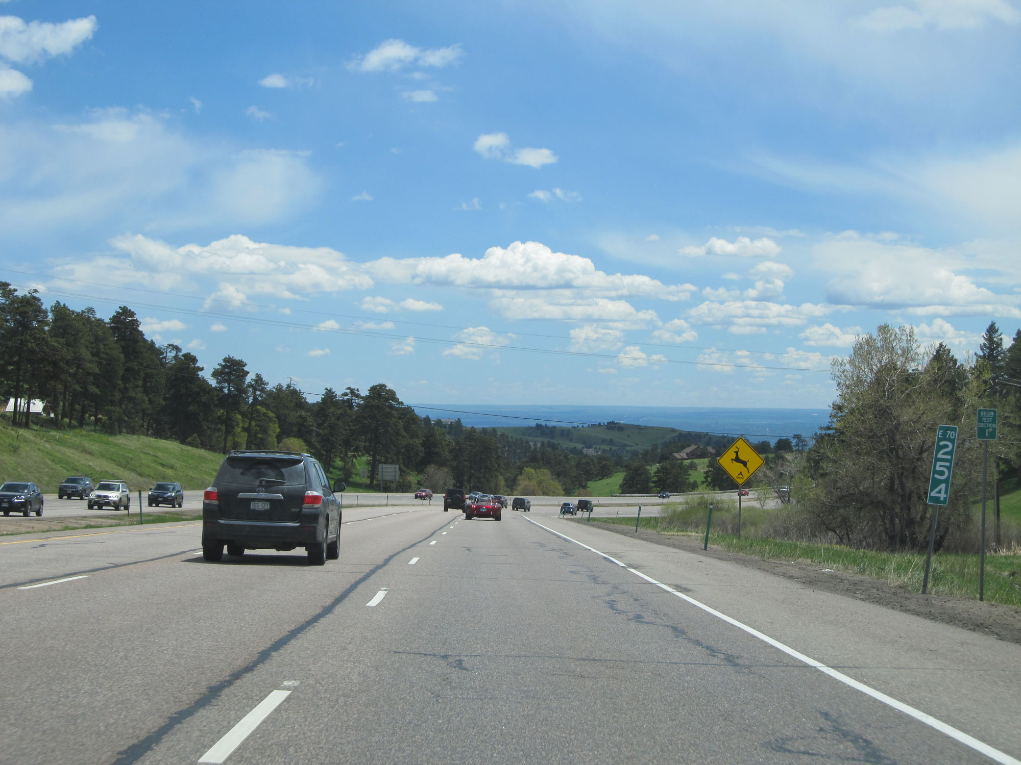
Watch for wildlife entering the roadway for the next 10 miles. (Photo taken 5/28/16). |
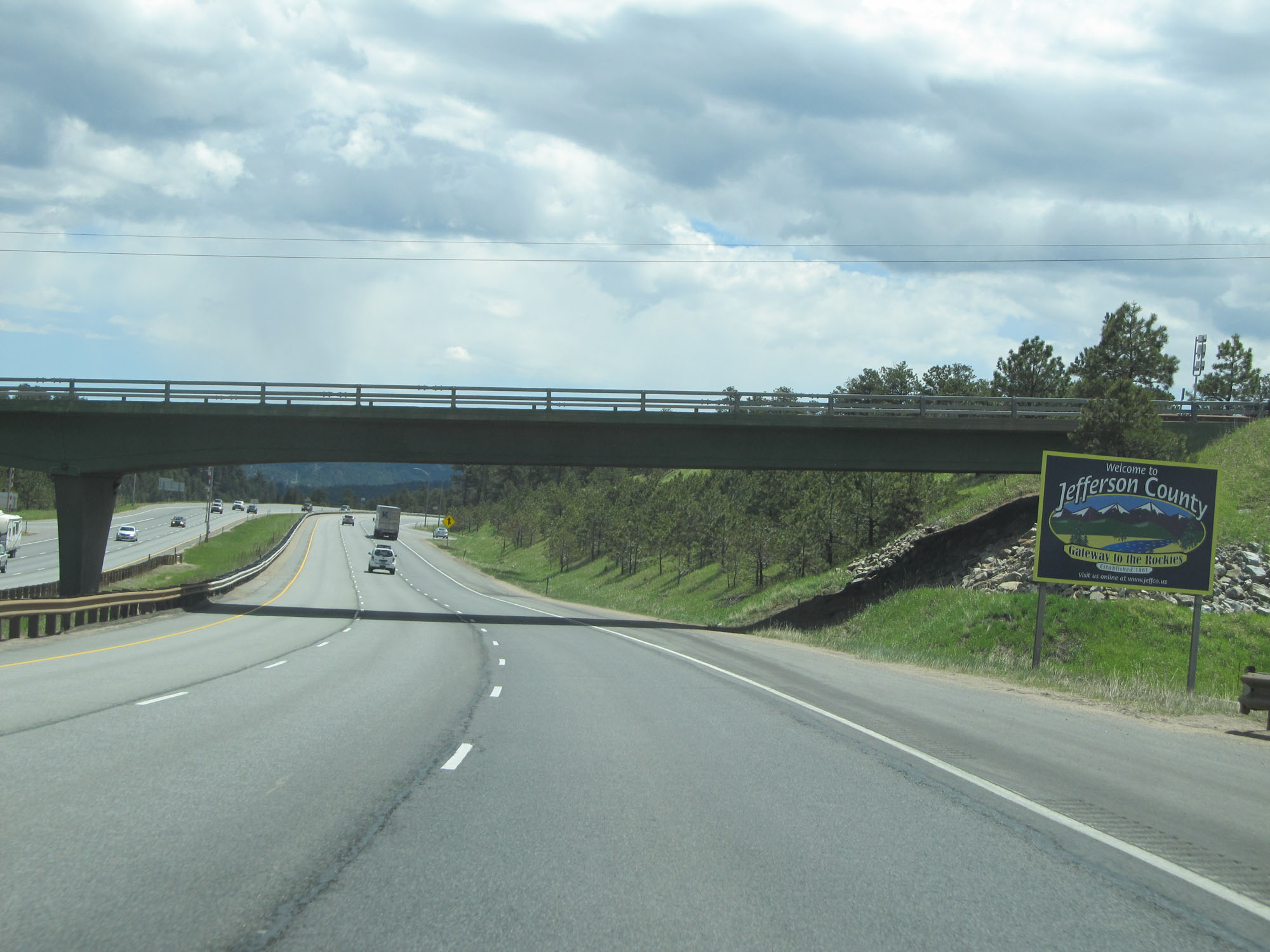 |
Interstate 70 East entering Jefferson County. (Photo taken 5/28/16). |
 |
Interstate 70 East at mile marker 248. (Photo taken 5/28/16). |
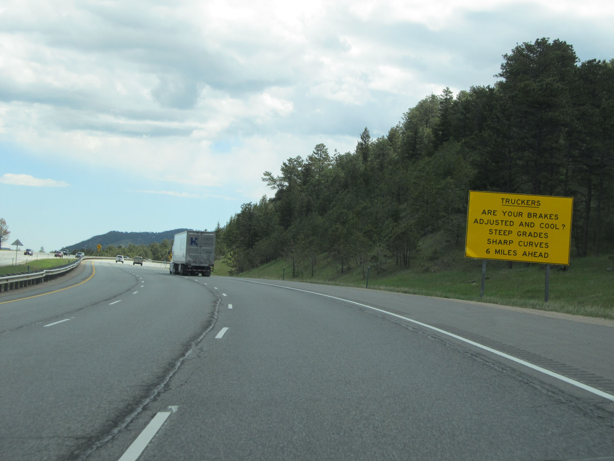 |
The steep grades and sharp curves are now 6 miles ahead. The sign asks truck drivers if their brakes are adjusted and cooled down. (Photo taken 5/28/16). |
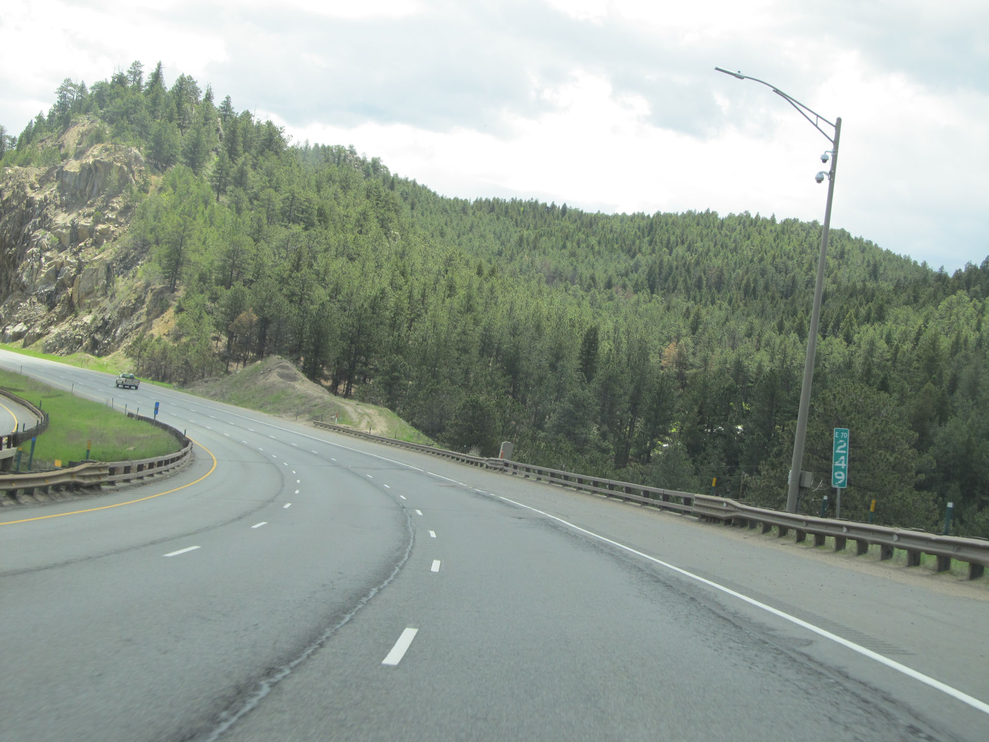 |
Interstate 70 East at mile marker 249. (Photo taken 5/28/16). |
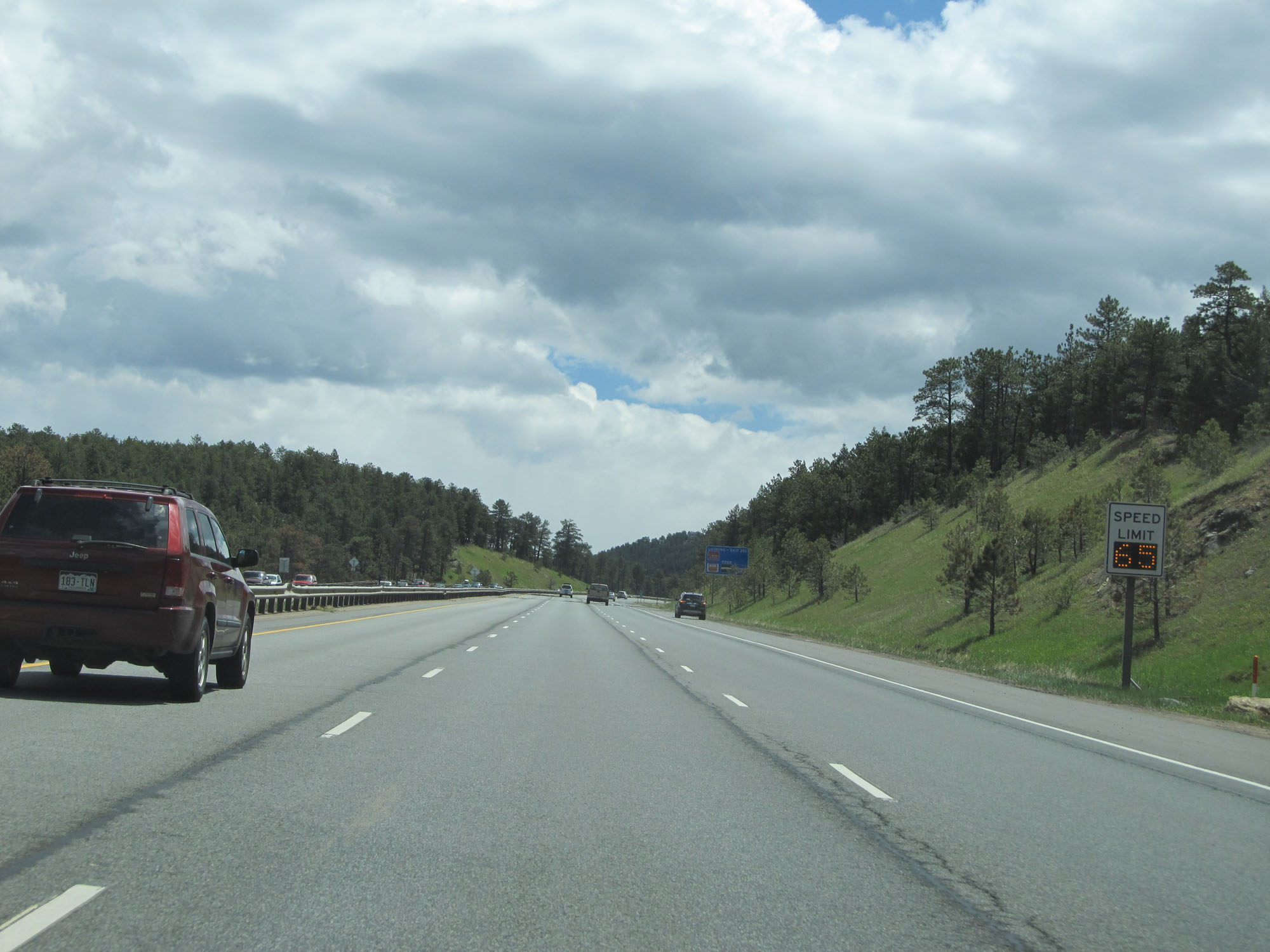 |
Variable speed limits are used once again approaching the long downgrade mentioned on the previous sign. (Photo taken 5/28/16). |
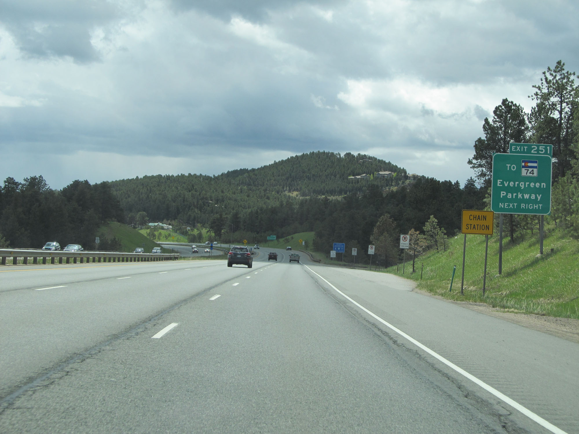 |
Take Exit 251 to CO 74 - Evergreen Parkway. (Photo taken 5/28/16). |
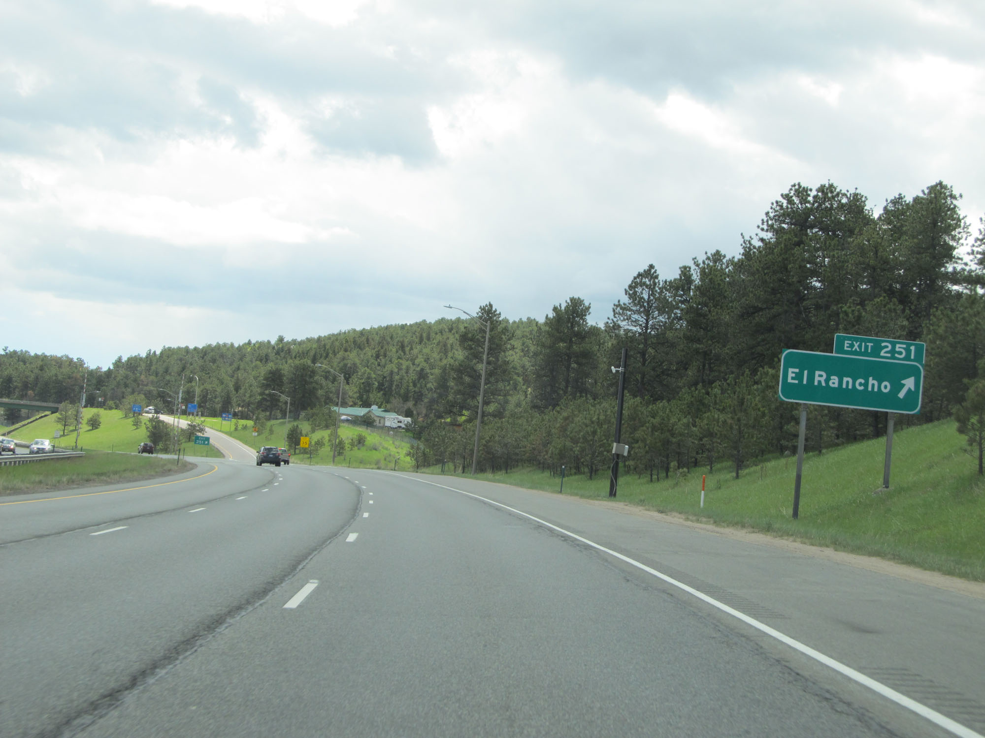 |
Interstate 70 East at Exit 251: El Rancho (Photo taken 5/28/16). |
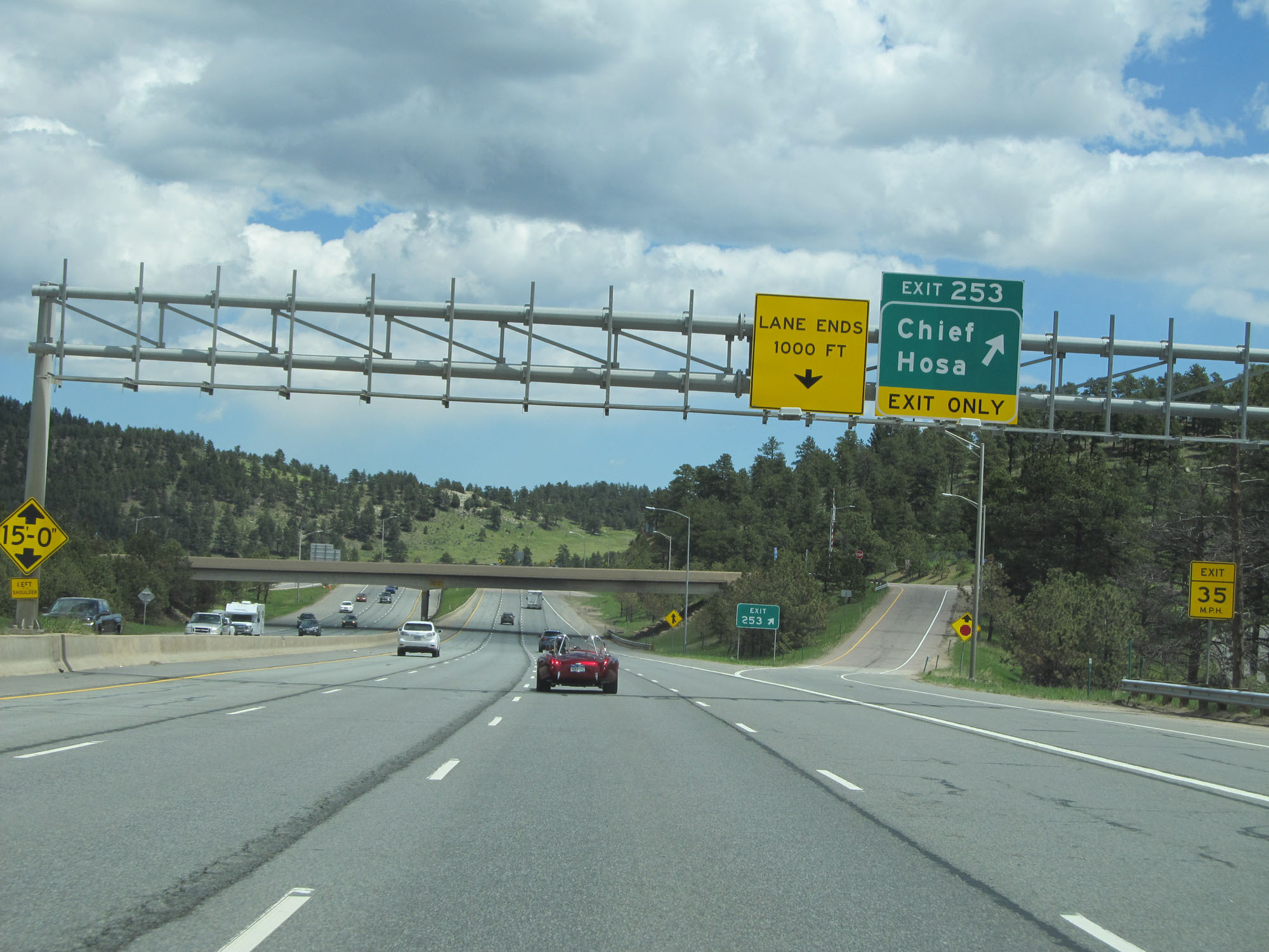 |
Interstate 70 East at Exit 253: Chief Hosa (Photo taken 5/28/16). |
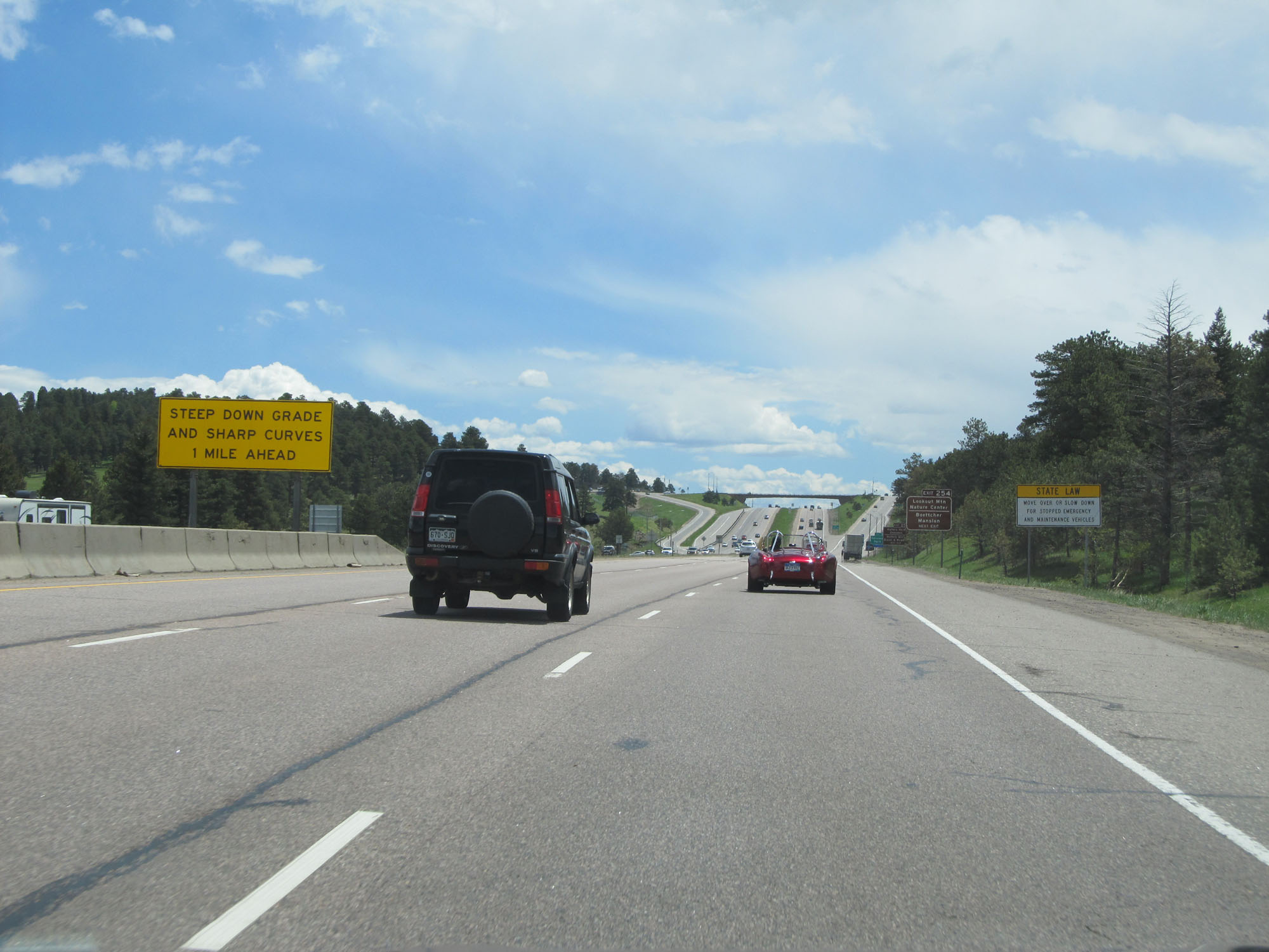 |
The steep downgrade and sharp curves hinted at earlier are now 1 mile ahead. (Photo taken 5/28/16). |
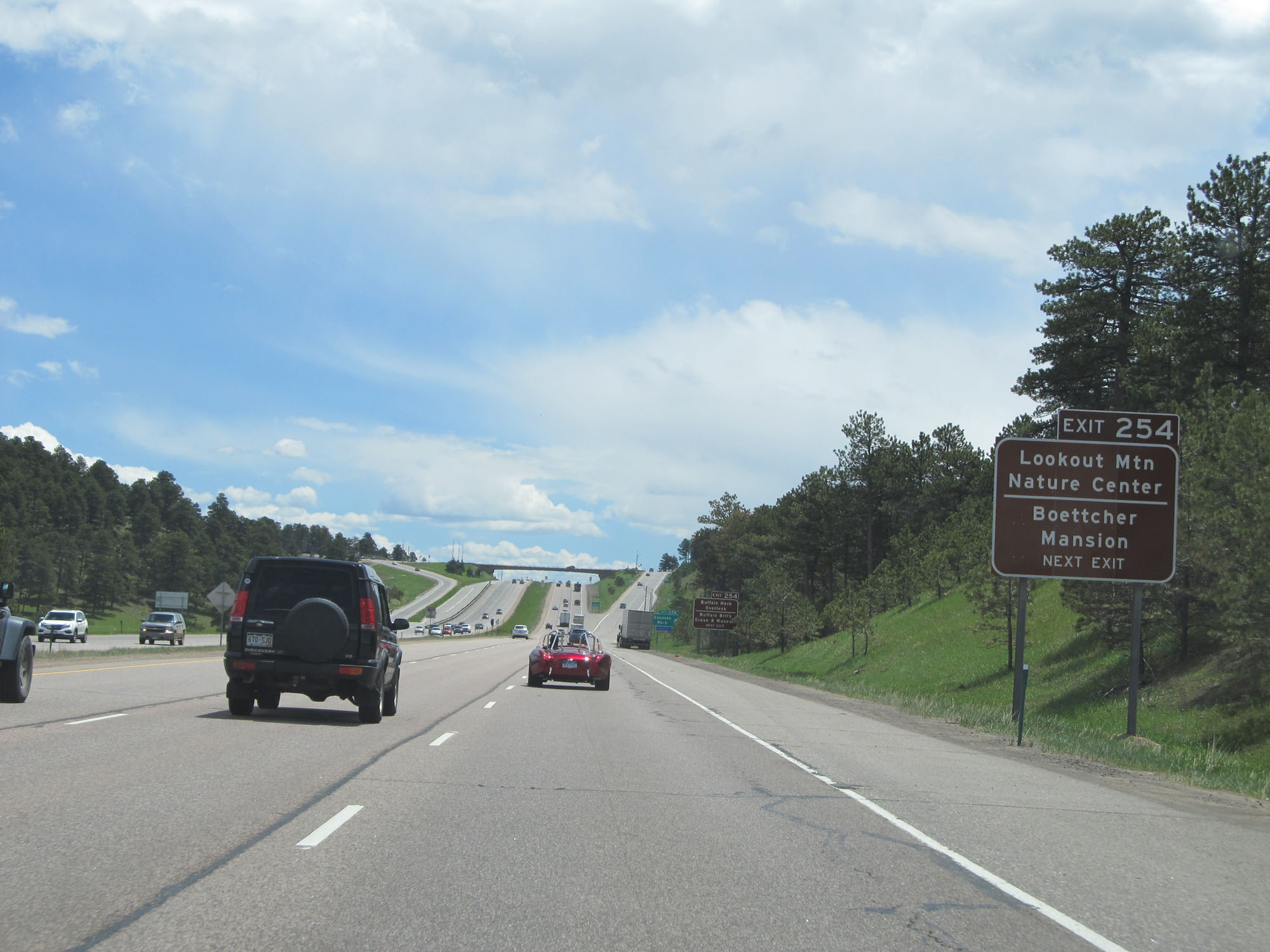 |
Take Exit 254 to Lookout Mountain Nature Center and Boettcher Mansion. (Photo taken 5/28/16). |
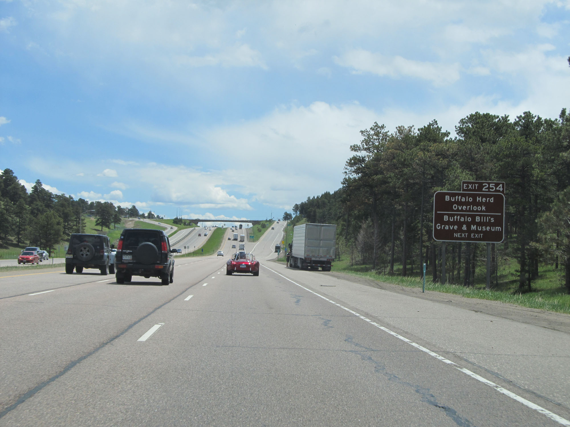 |
Take Exit 254 to the Buffalo Herd Overlook and Buffalo Bill's Grave and Museum. (Photo taken 5/28/16). |
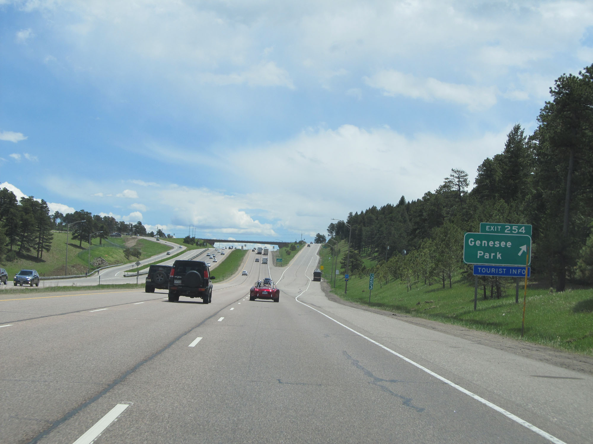 |
Interstate 70 East at Exit 254: Genesee Park (Photo taken 5/28/16). |
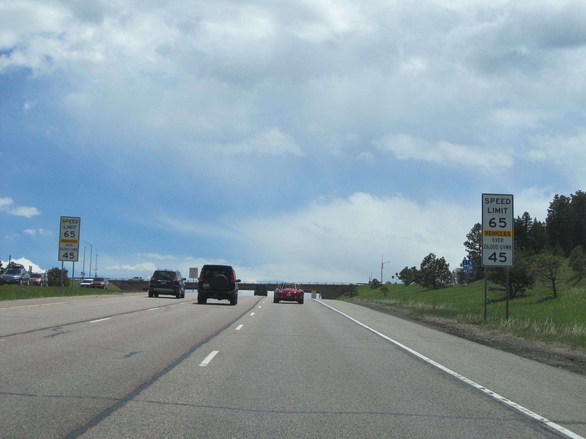 |
Once again, the truck speed limit decreases to 45 mph in preparation for the long steep grade ahead. The speed limit remains 65 mph for cars. (Photo taken 5/28/16). |
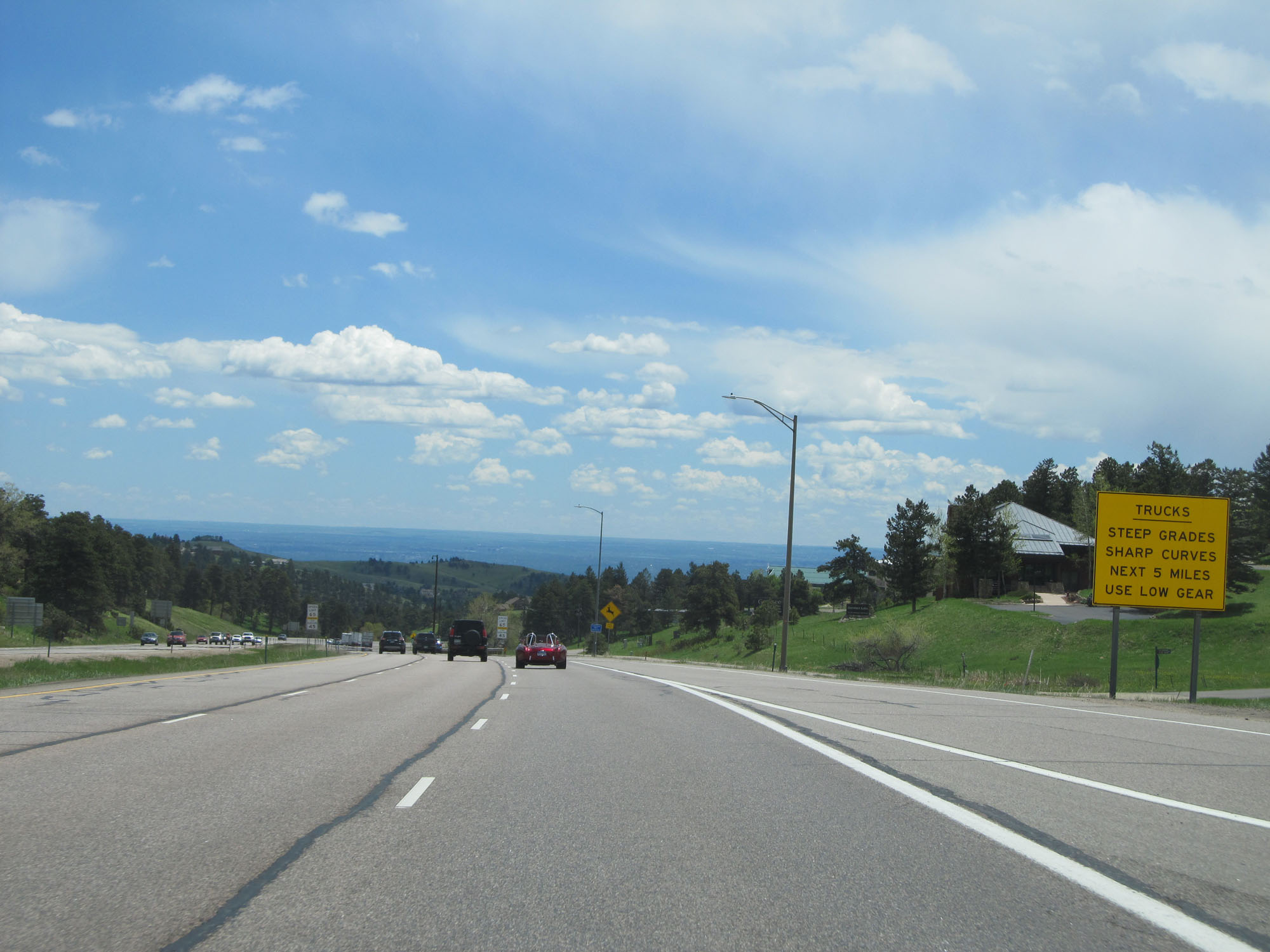 |
The steep grades and sharp curves last for the next 5 miles. Gear down. (Photo taken 5/28/16). |
 |
Interstate 70 East at mile marker 254. (Photo taken 5/28/16). |
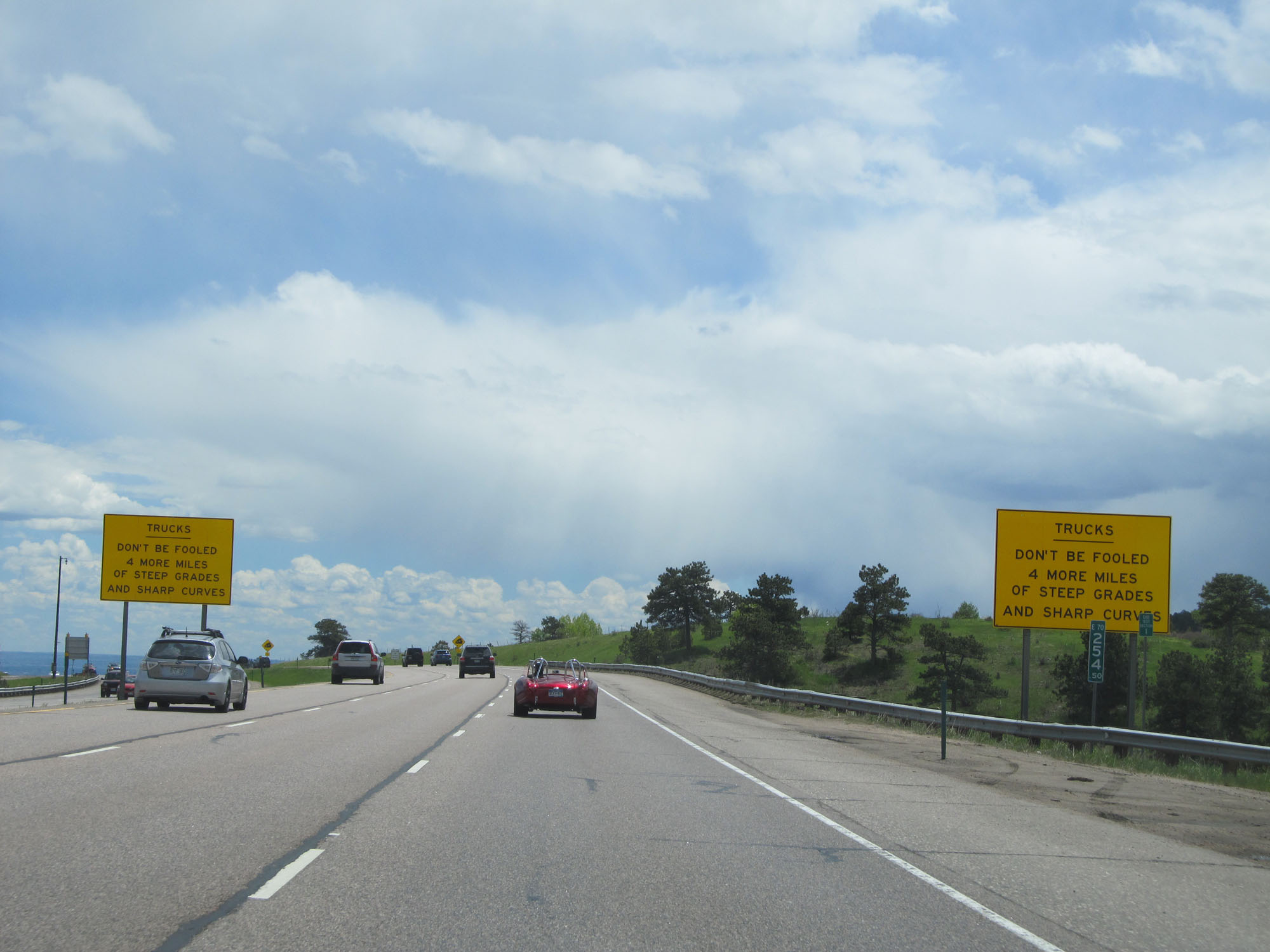 |
Don't be deceived by this brief break in the downgrade action. The steep downgrade and sharp curves continue for 4 more miles ahead. (Photo taken 5/28/16). |
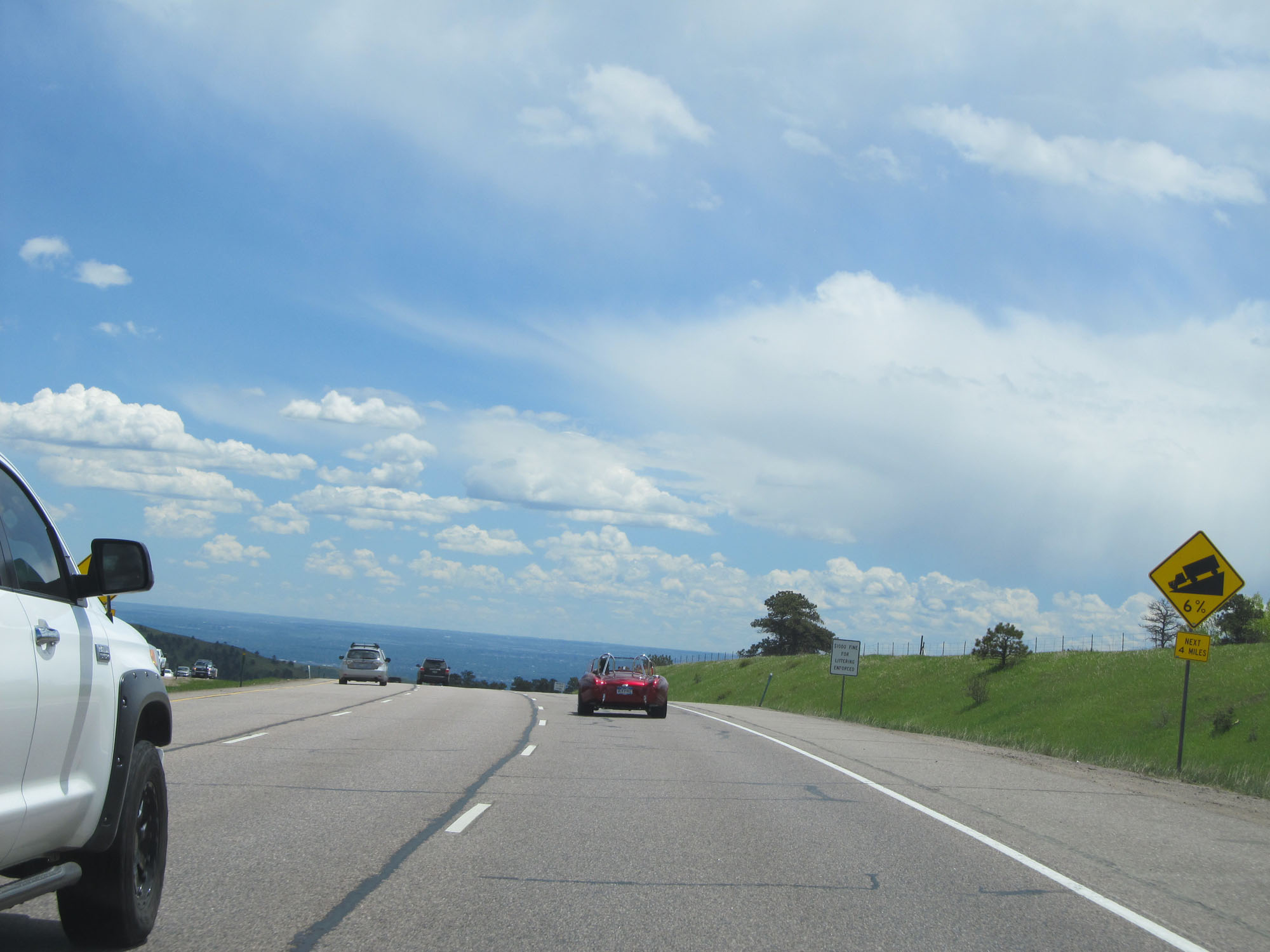 |
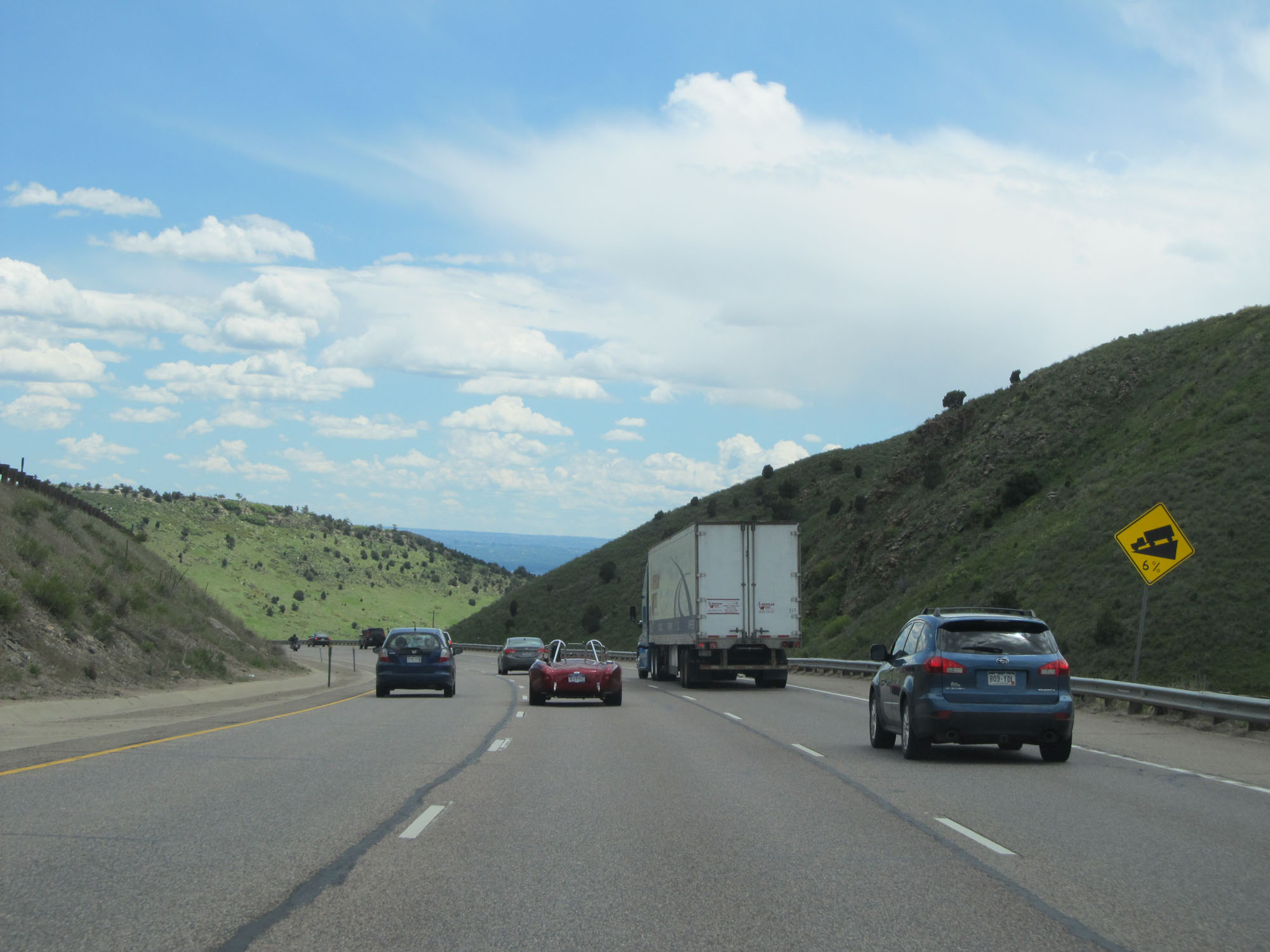
The following downgrade is a 6% grade for the next 4 miles. (Photo taken 5/28/16). |
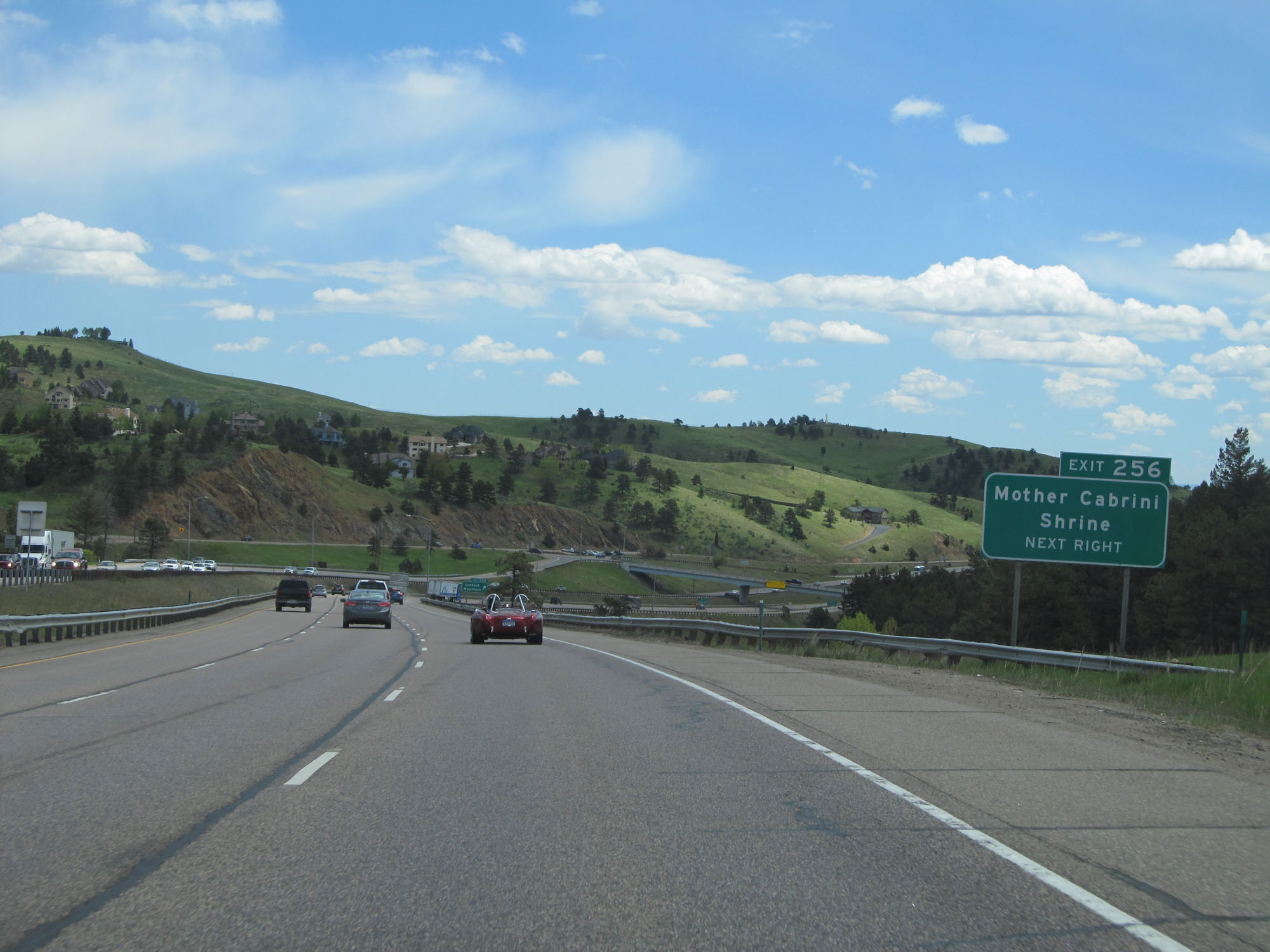 |
Take Exit 256 to Mother Cabrini Shrine. (Photo taken 5/28/16). |
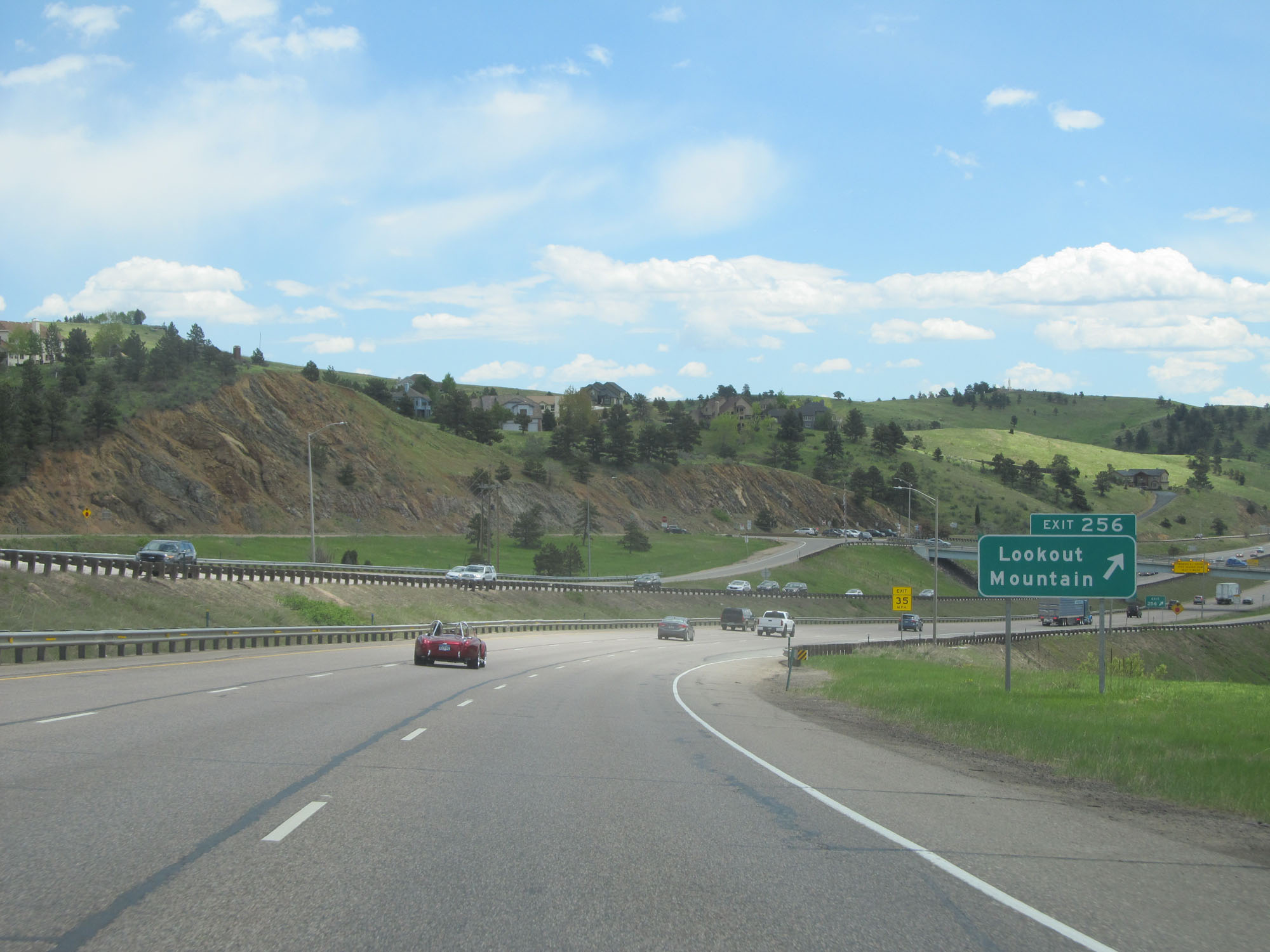 |
Interstate 70 East at Exit 256: Lookout Mountain (Photo taken 5/28/16). |
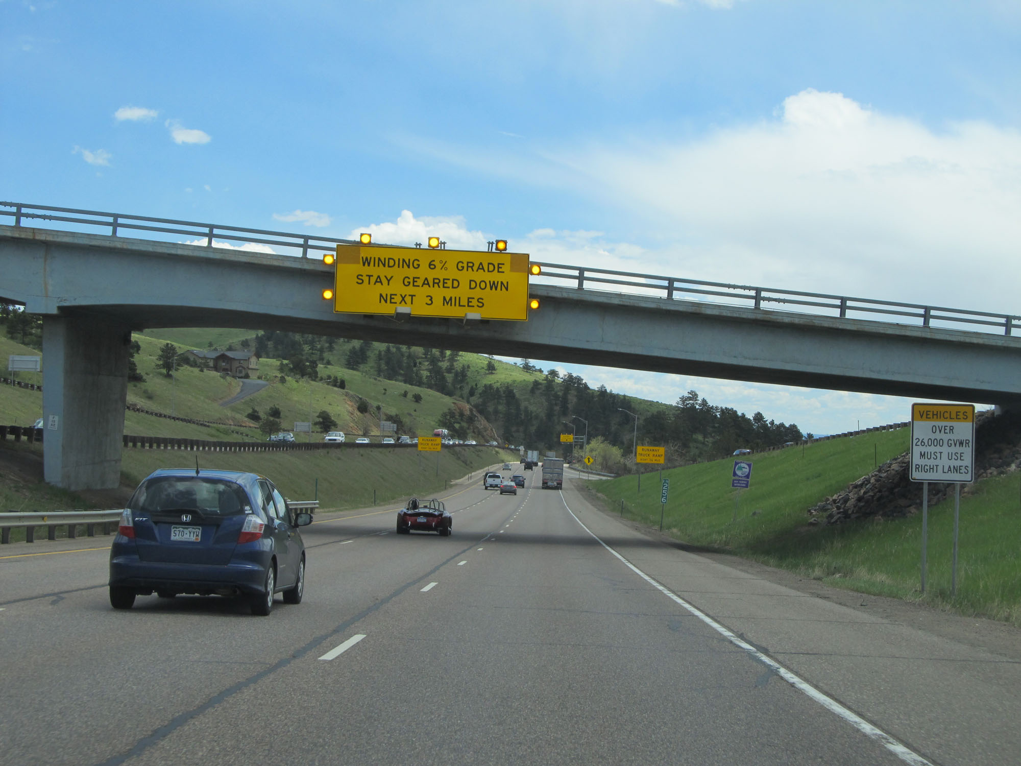 |
The winding 6% grade continues for the next 3 miles. There are no excuses here. You can't say they didn't warn you enough times. (Photo taken 5/28/16). |
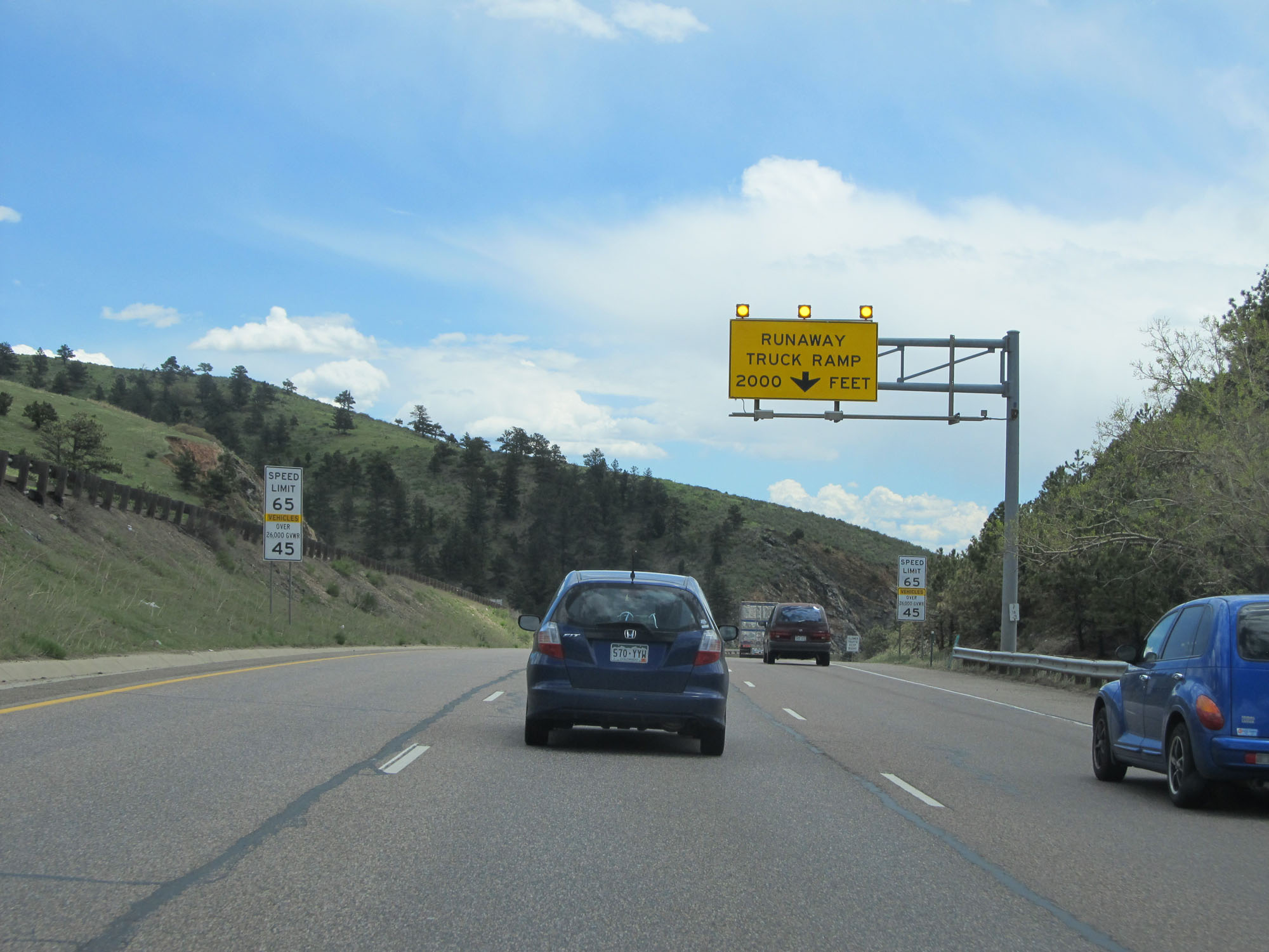 |
A runaway truck ramp exists on the right 2 miles ahead. (Photo taken 5/28/16). |
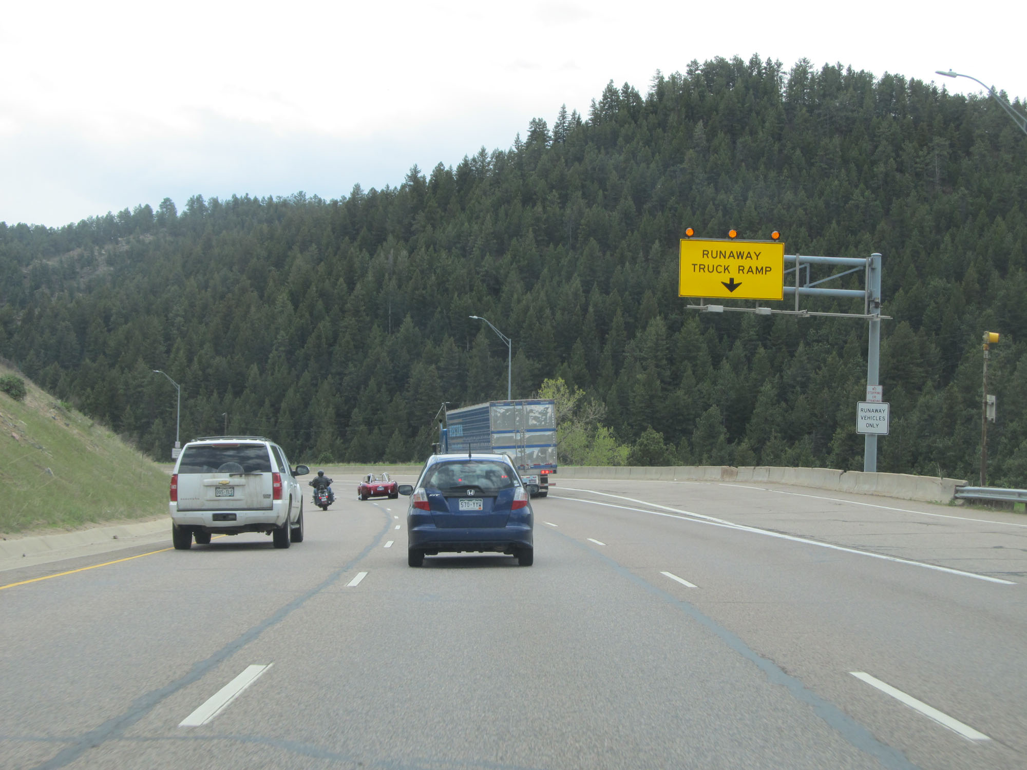 |
Interstate 70 East at the runaway truck ramp going down the 6% grade. (Photo taken 5/28/16). |
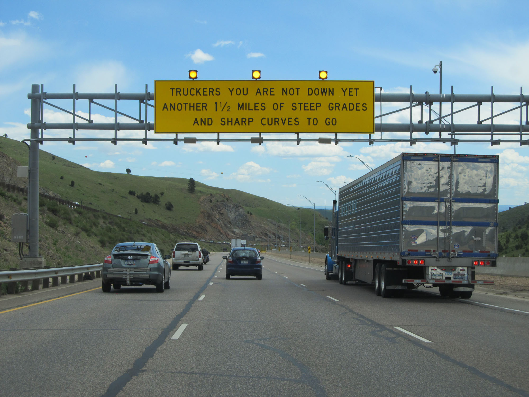 |
This sign warns trucks that they are not at the bottom yet, despite another brief break in the downgrade. The grade continues ahead and lasts for 1 1/2 more miles. (Photo taken 5/28/16). |
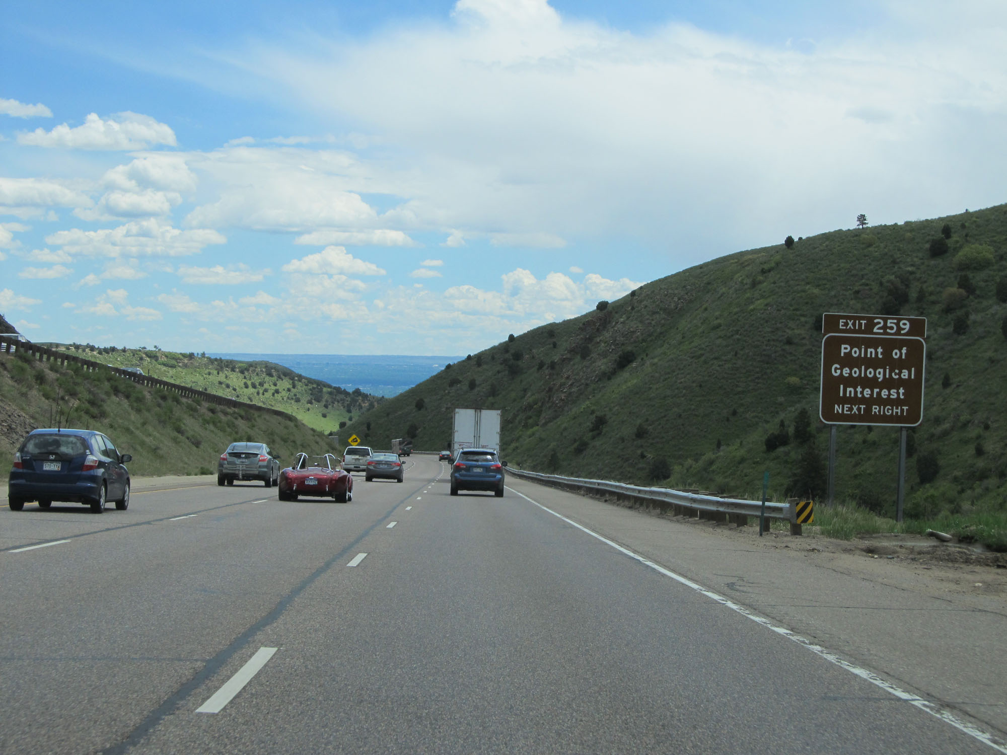 |
Take Exit 259 to a Point of Geological Interest........of some sort. (Photo taken 5/28/16). |
 |
View on Interstate 70 East going down the final leg of the 6% downgrade. (Photo taken 5/28/16). |
 |
Interstate 70 East at mile marker 258. (Photo taken 5/28/16). |
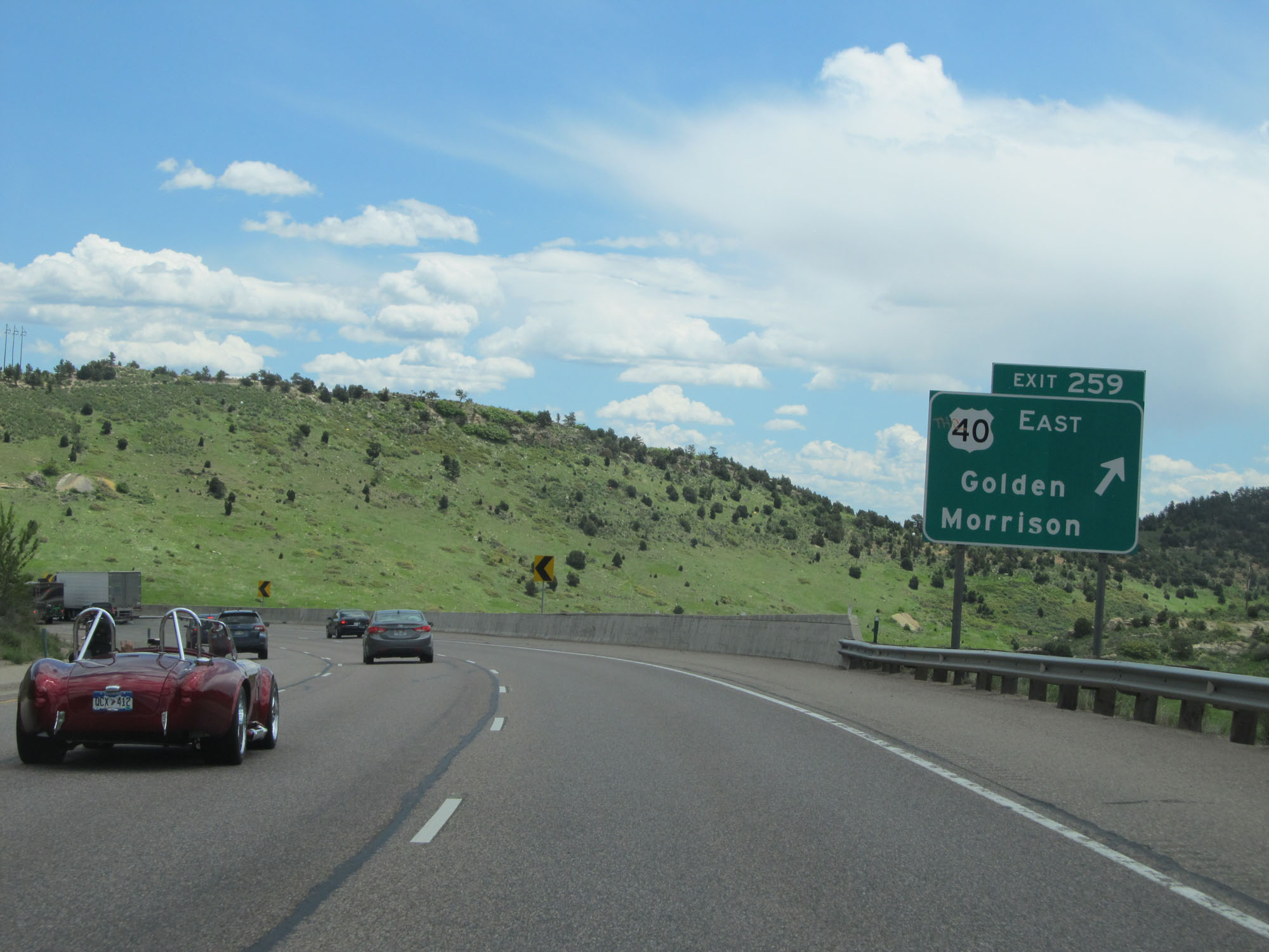 |
Interstate 70 East at Exit 259: US 40 East - Golden / Morrison (Photo taken 5/28/16). |
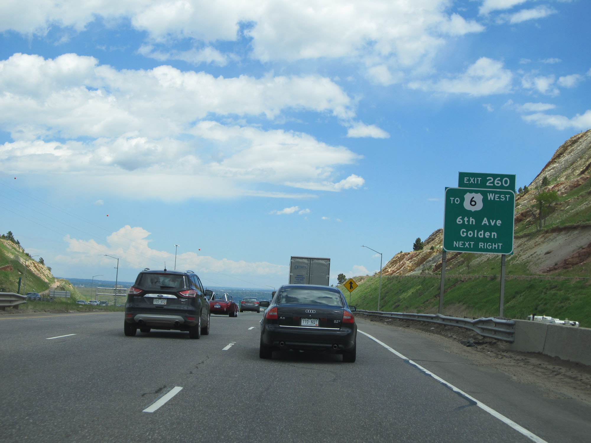 |
Take Exit 260 to US 6 West - 6th Ave / Golden. (Photo taken 5/28/16). |
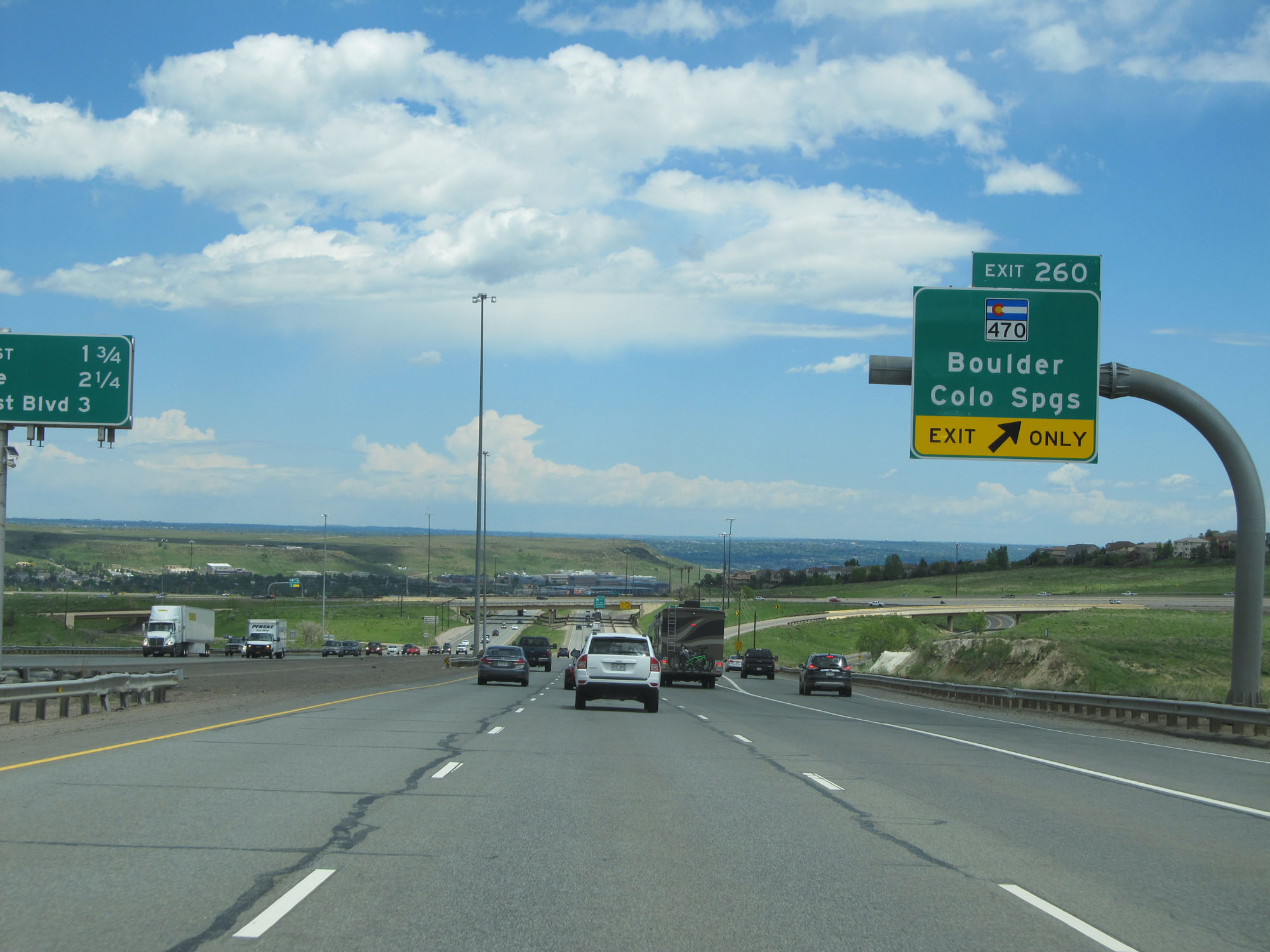 |
Interstate 70 East at Exit 260: CO 470 - Boulder / Colorado Springs (Photo taken 5/28/16). |
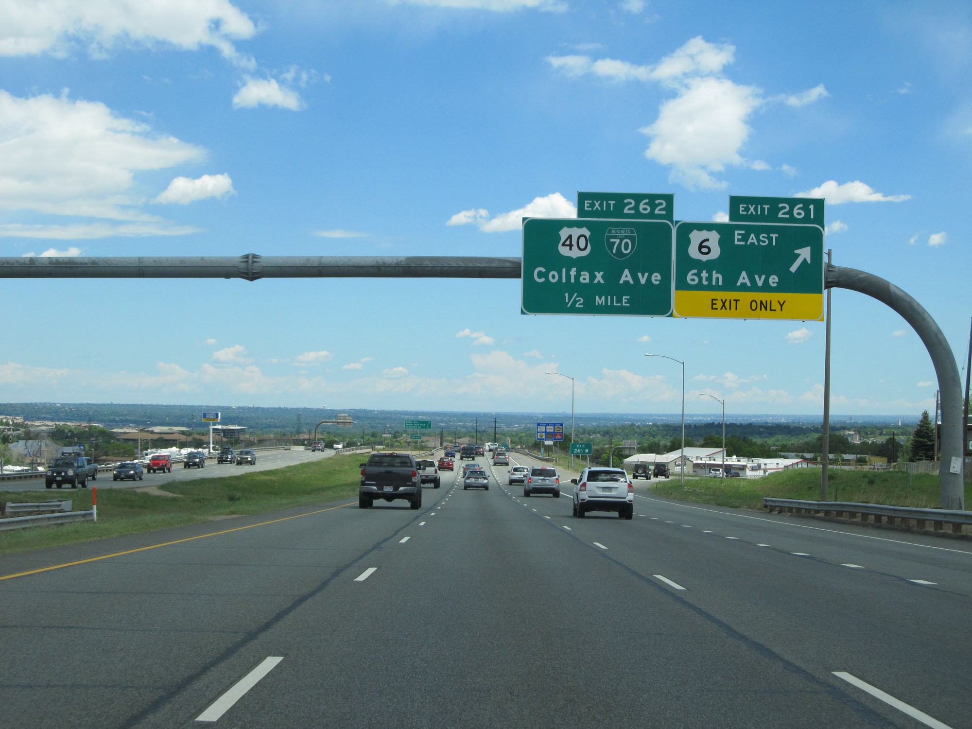 |
Interstate 70 East at Exit 261: US 6 East - 6th Ave (Photo taken 5/28/16). |
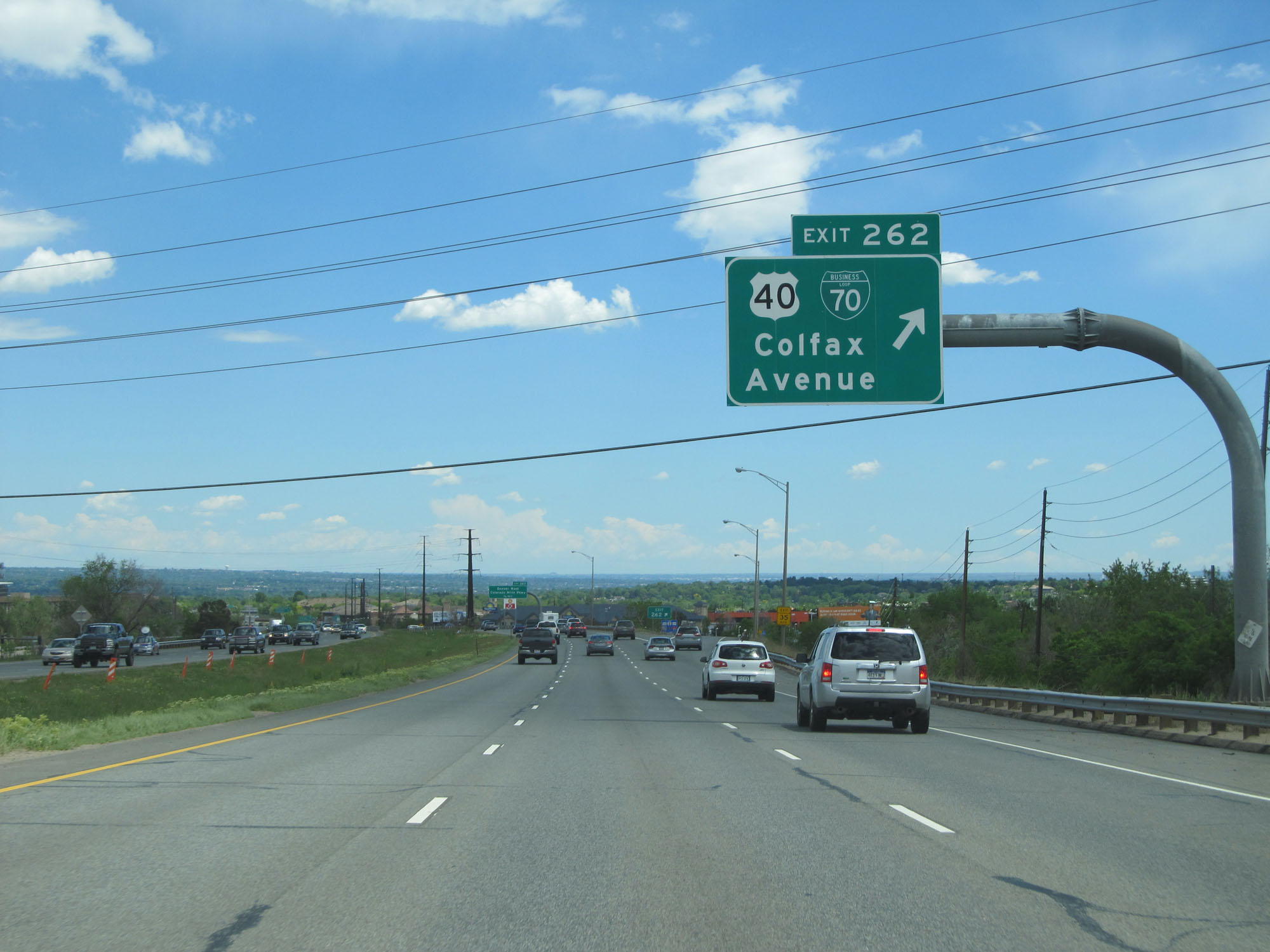 |
Interstate 70 East at Exit 262: US 40 / Interstate 70 Business Loop - Colfax Avenue (Photo taken 5/28/16). |
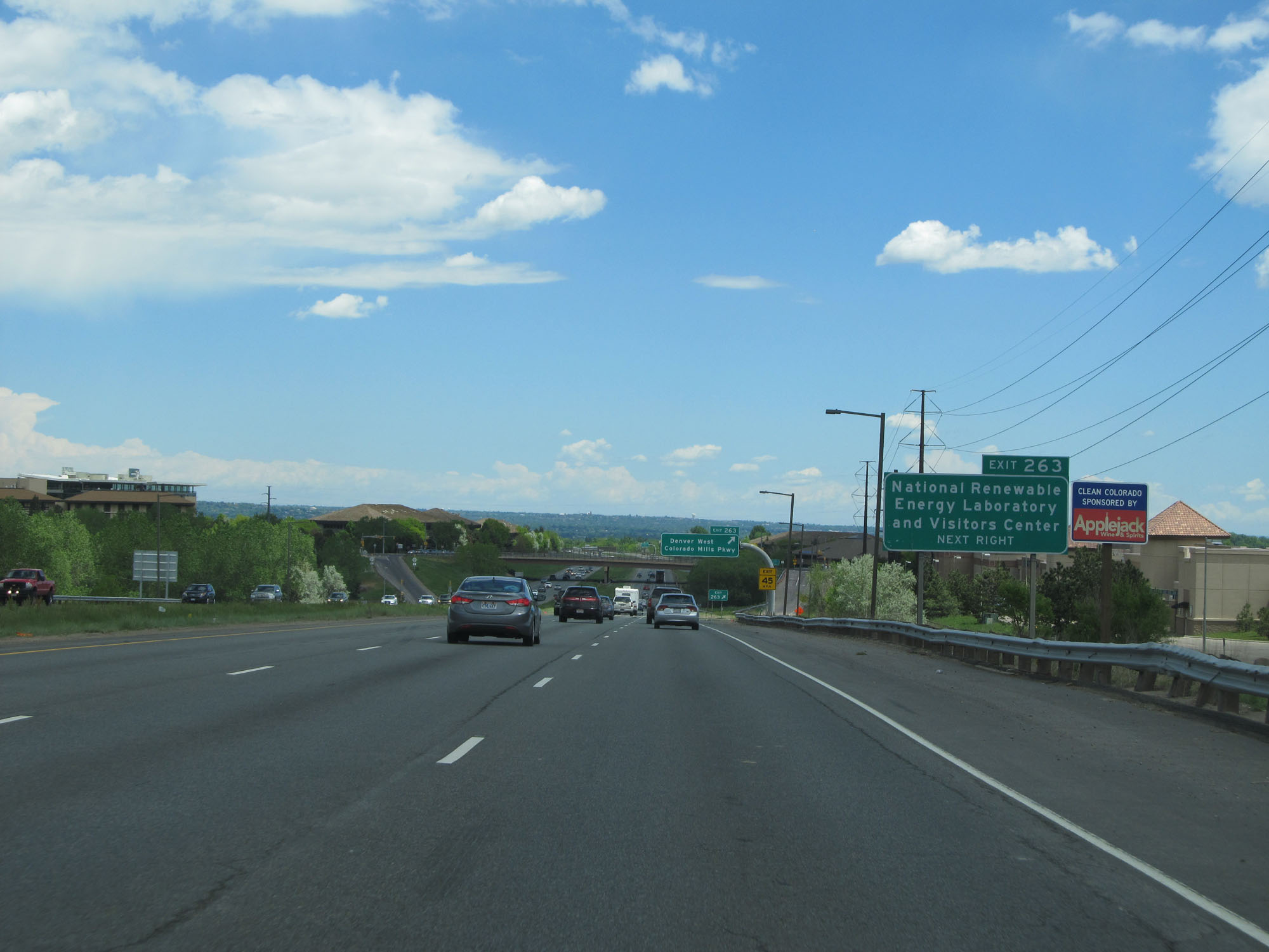 |
Take Exit 263 to National Renewable Energy Laboratory and Visitors Center. (Photo taken 5/28/16). |
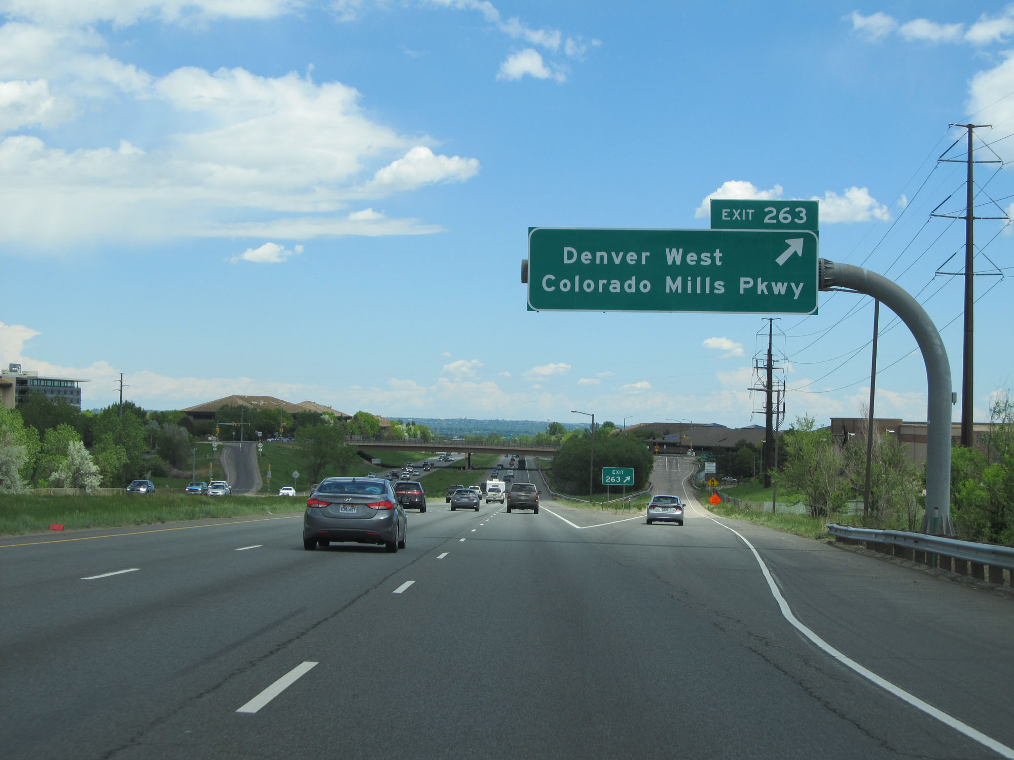 |
Interstate 70 East at Exit 263: Denver West / Colorado Mills Pkwy (Photo taken 5/28/16). |
 |
The speed limit remains 65 mph for all traffic. (Photo taken 5/28/16). |
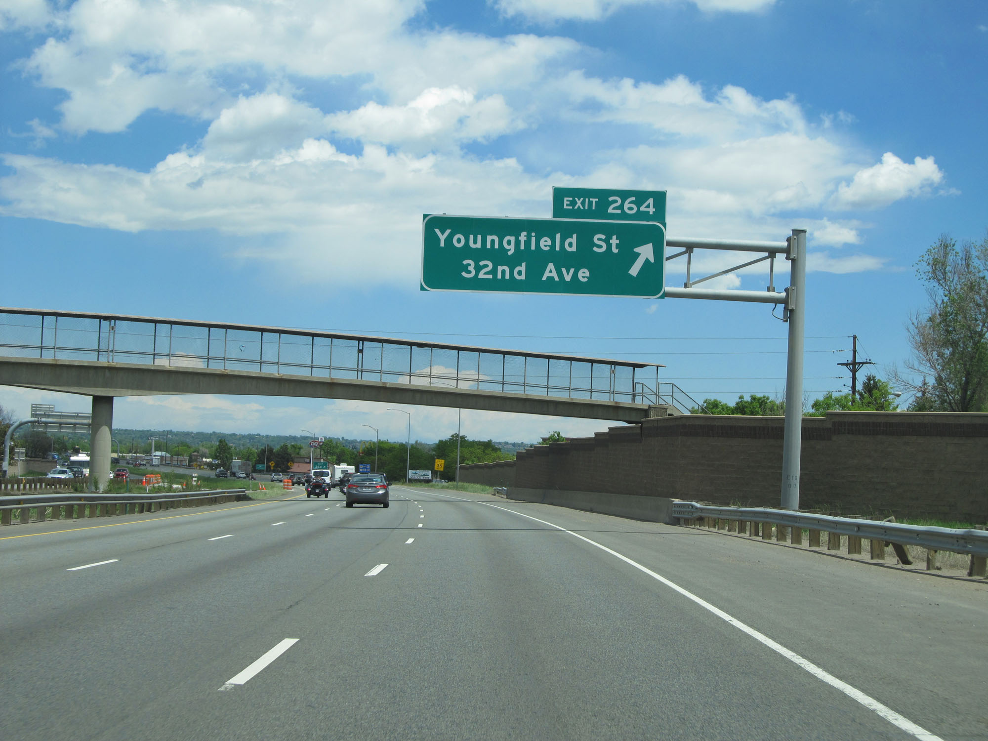 |
Interstate 70 East at Exit 264: Youngfield St / 32nd Ave (Photo taken 5/28/16). |
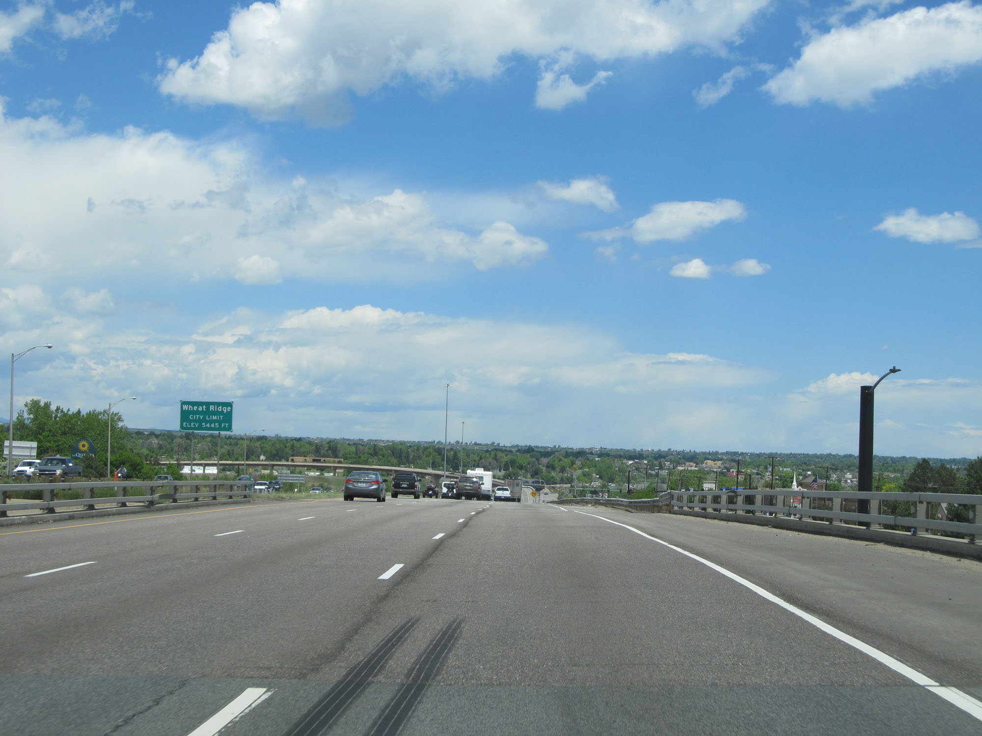 |
Interstate 70 East entering the Wheat Ridge city limits at an elevation of 5,445 feet. (Photo taken 5/28/16). |
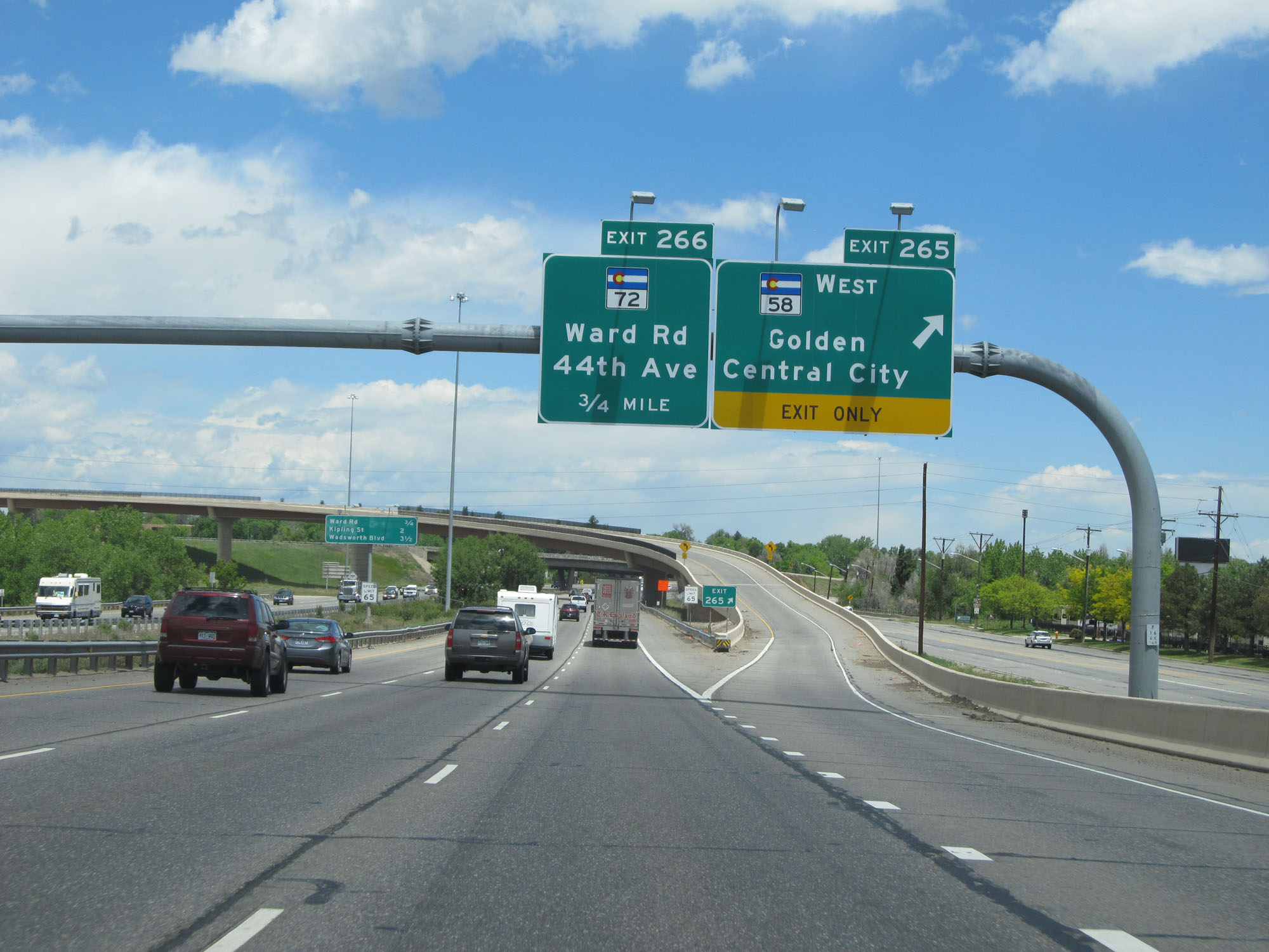 |
Interstate 70 East at Exit 265: CO 58 West - Golden / Central City (Photo taken 5/28/16). |
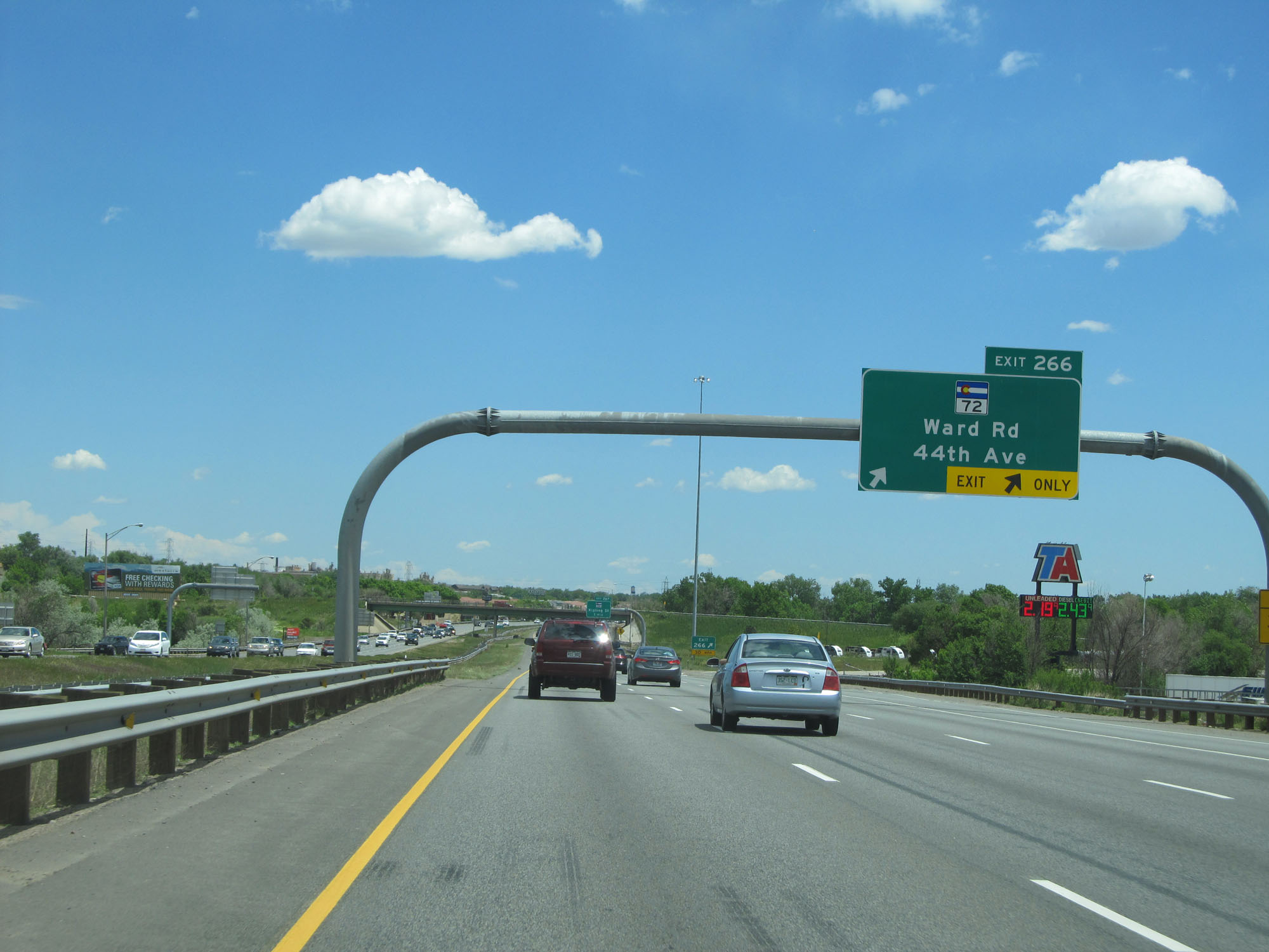 |
Interstate 70 East at Exit 266: CO 72 - Ward Rd / 44th Ave (Photo taken 5/28/16). |
 |
Interstate 70 East reassurance shield. (Photo taken 5/28/16). |
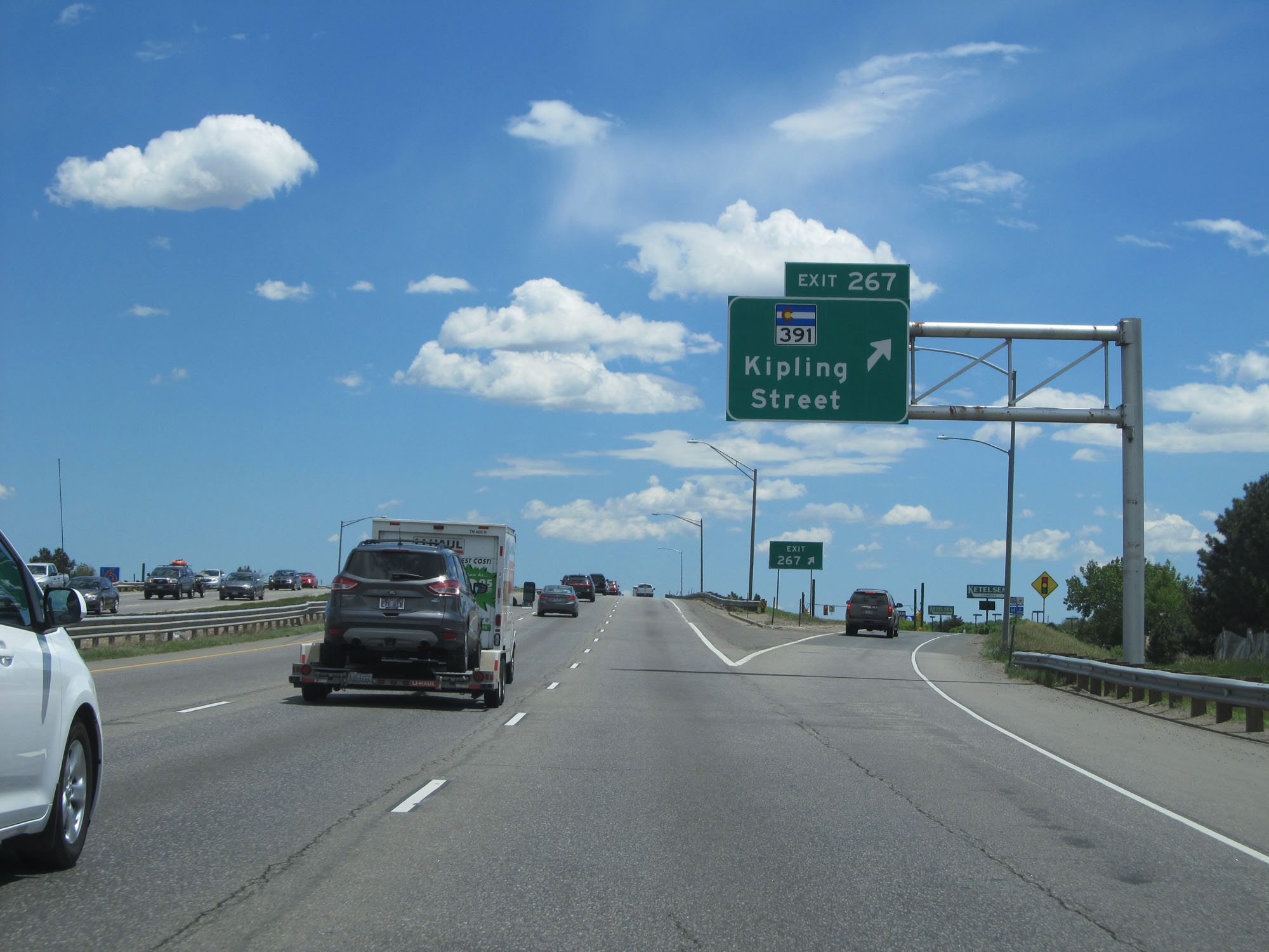 |
Interstate 70 East at Exit 267: CO 391 - Kipling Street (Photo taken 5/28/16). |
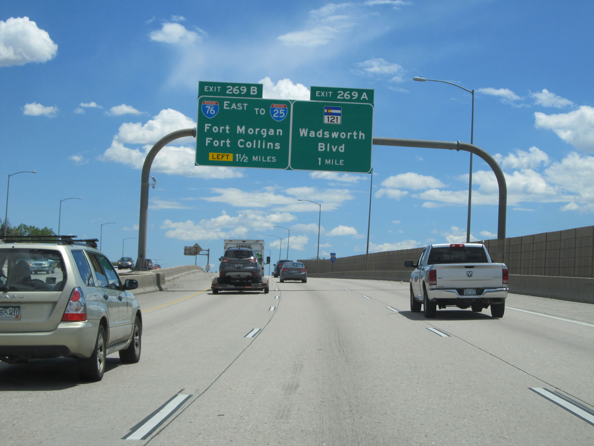 |
Interstate 70 East approaching Exit 269B - 1 1/2 miles on the left. (Photo taken 5/28/16). |
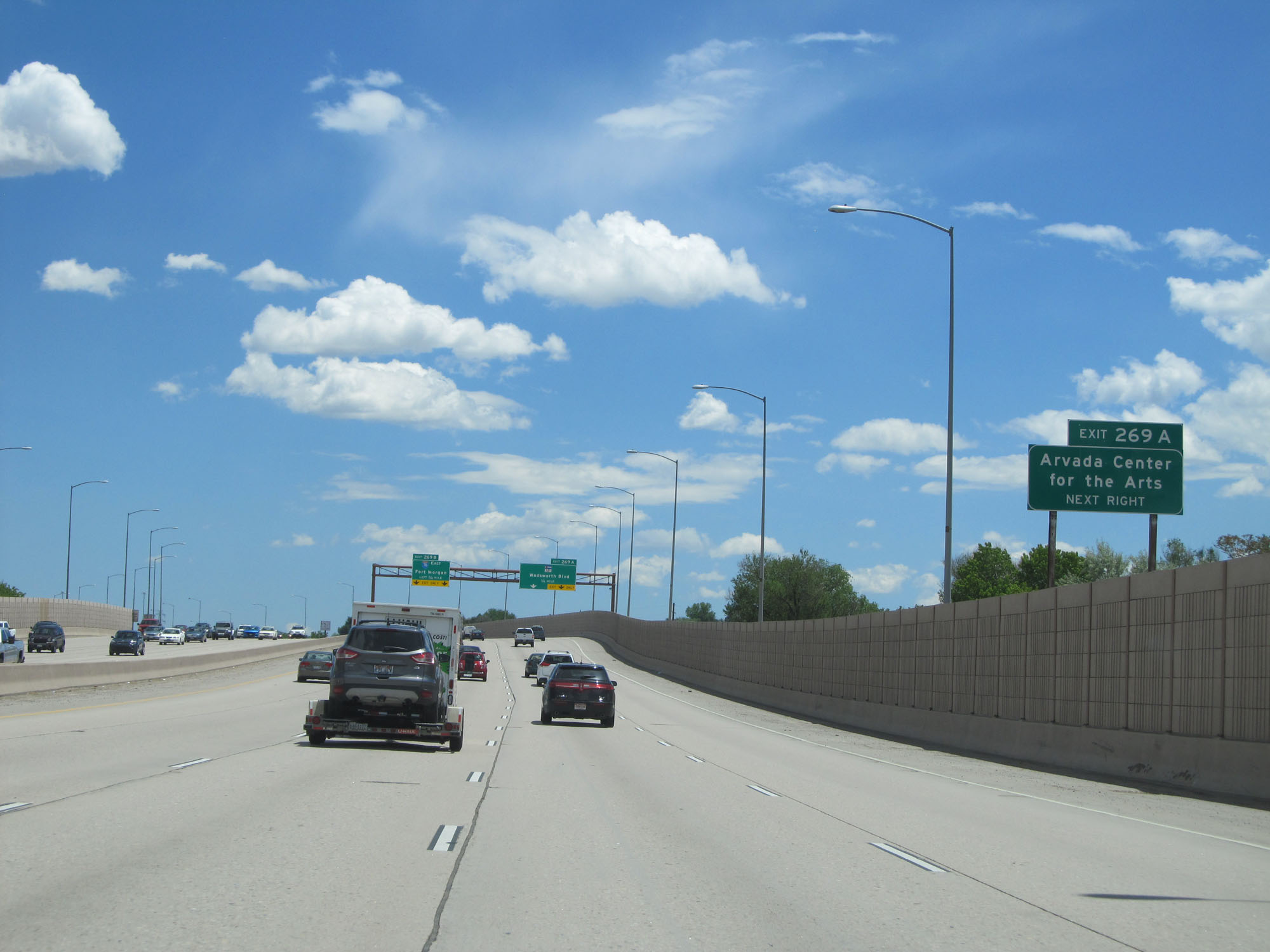 |
Take Exit 269A to Arvada Center for the Arts. (Photo taken 5/28/16). |
 |
Interstate 70 East at Exit 269A: CO 121 - Wadsworth Blvd (Photo taken 5/28/16). |
 |
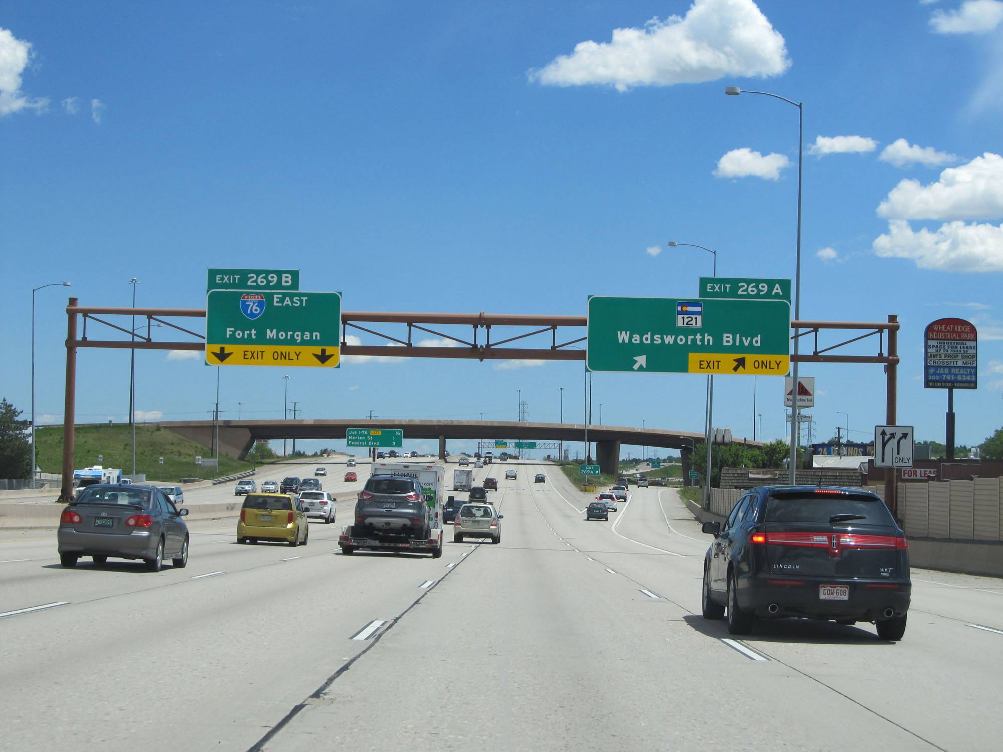
Sign listing the distances to the three upcoming exits on Interstate 70 East. (Photo taken 5/28/16). |
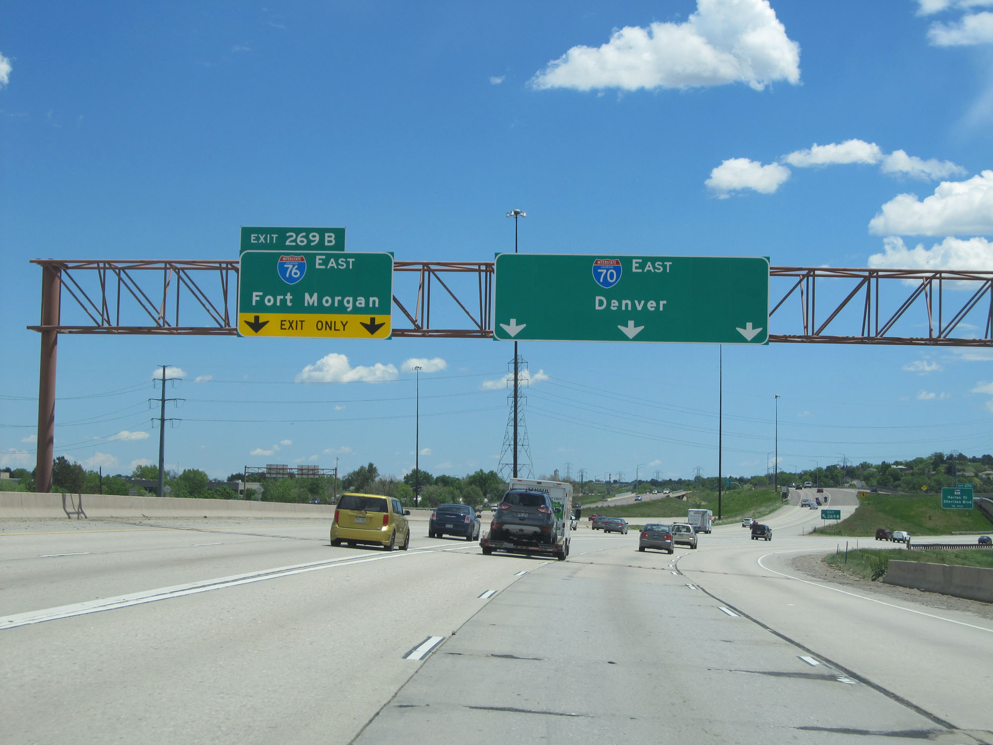 |
Interstate 70 East at Exit 269B: Interstate 76 East - Fort Morgan (Photo taken 5/28/16). |
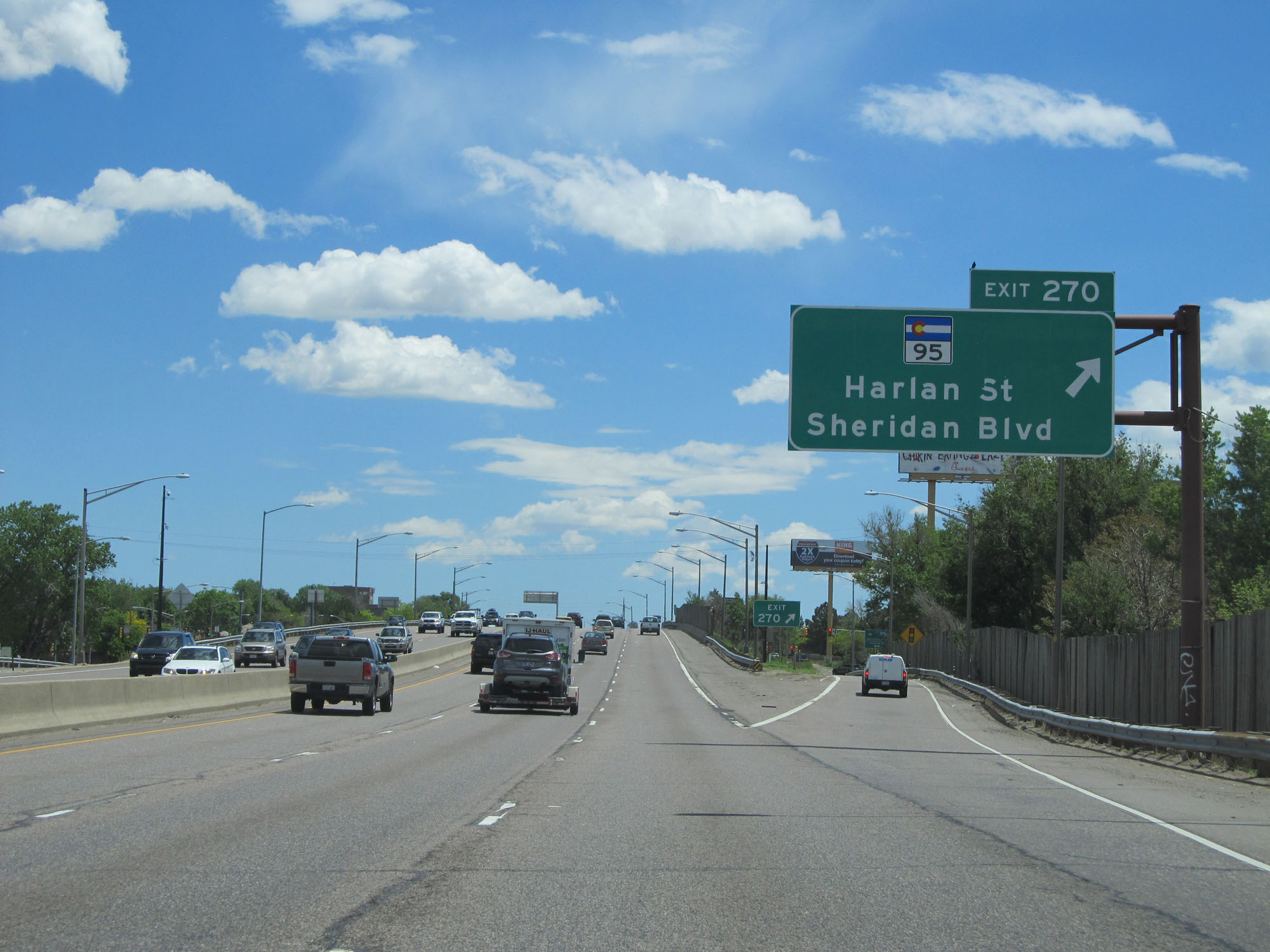 |
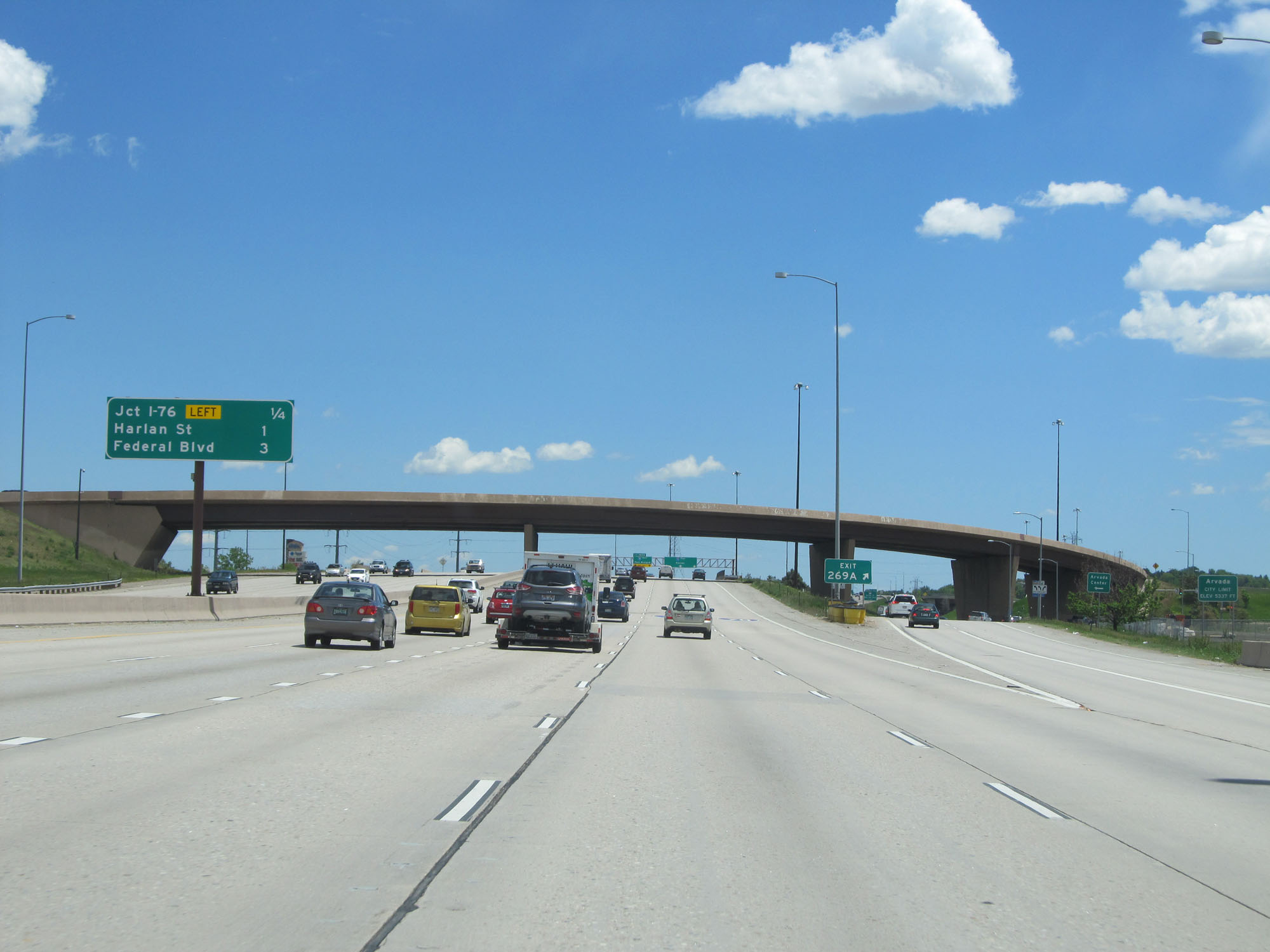
Interstate 70 East at Exit 270: CO 95 - Harlan St / Sheridan Blvd (Photo taken 5/28/16). |
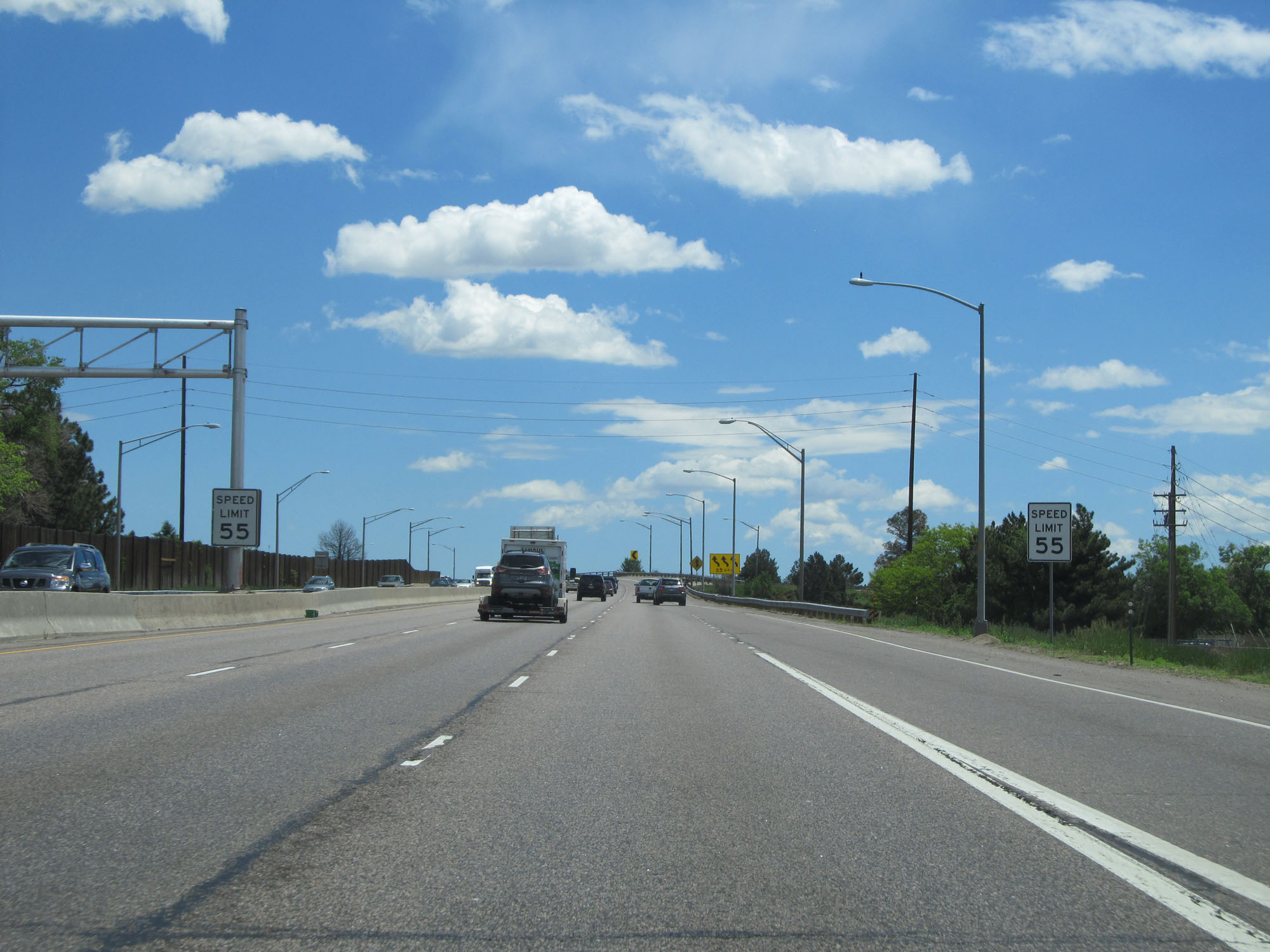 |
The speed limit decreases to 55 mph as Interstate 70 East approaches downtown Denver. (Photo taken 5/28/16). |
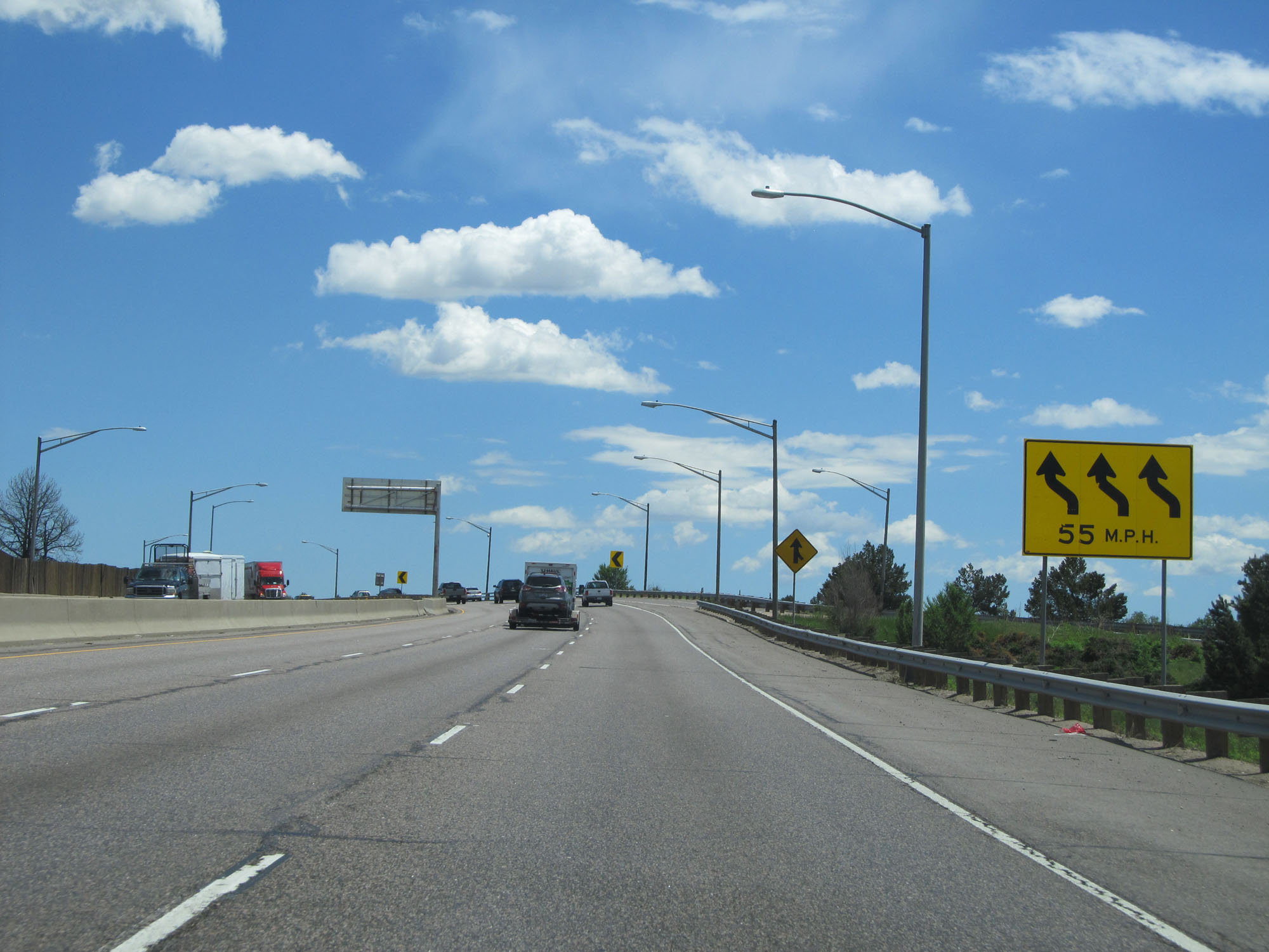 |
A series of 55 mph curves lie ahead. (Photo taken 5/28/16). |
 |
State-named Interstate 70 East reassurance shield. (Photo taken 5/28/16). |
 |
Another mileage sign listing the distances to the three upcoming exits on Interstate 70 East. (Photo taken 5/28/16). |
 |
Take Exit 272 to Regis University. (Photo taken 5/28/16). |
 |
Interstate 70 East at Exit 272: US 287 - Federal Blvd (Photo taken 5/28/16). |
 |
Take Exit 274 to Washington Street. (Photo taken 5/28/16). |
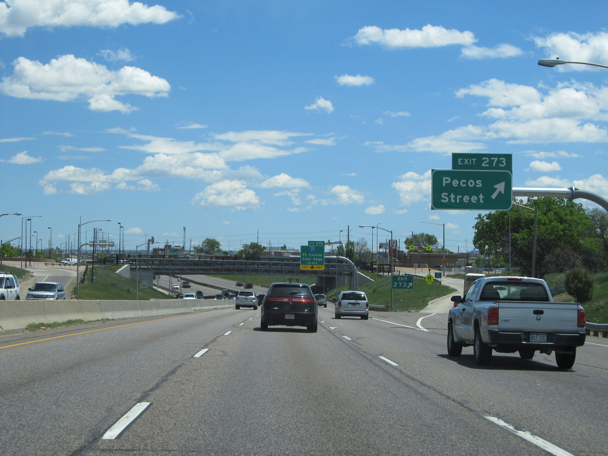 |
Interstate 70 East at Exit 273: Pecos Street (Photo taken 5/28/16). |
 |
Interstate 70 East approaching Exit 274 - 3/4 mile. (Photo taken 5/28/16). |
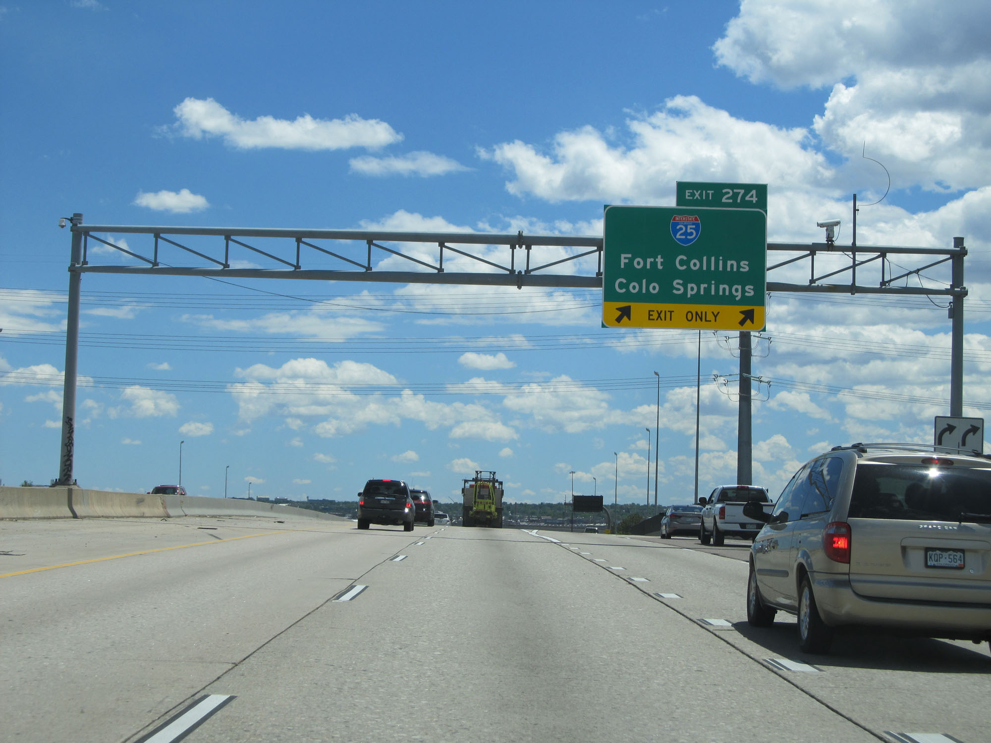 |
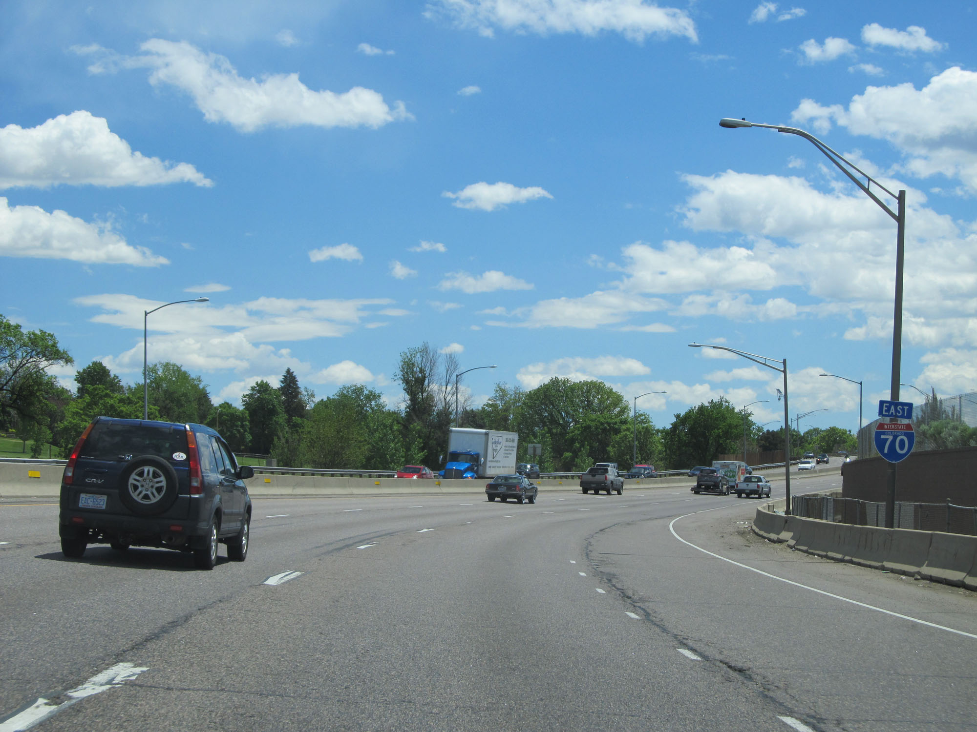
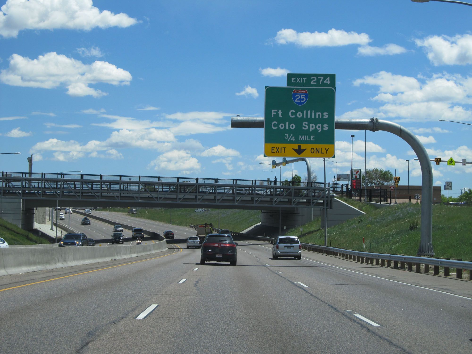
Interstate 70 East at Exit 274: Interstate 25 - Fort Collins / Colorado Springs (Photo taken 5/28/16). |
 |
Mileage sign listing the distances to the three upcoming exits on Interstate 70 East in Denver. (Photo taken 5/28/16). |
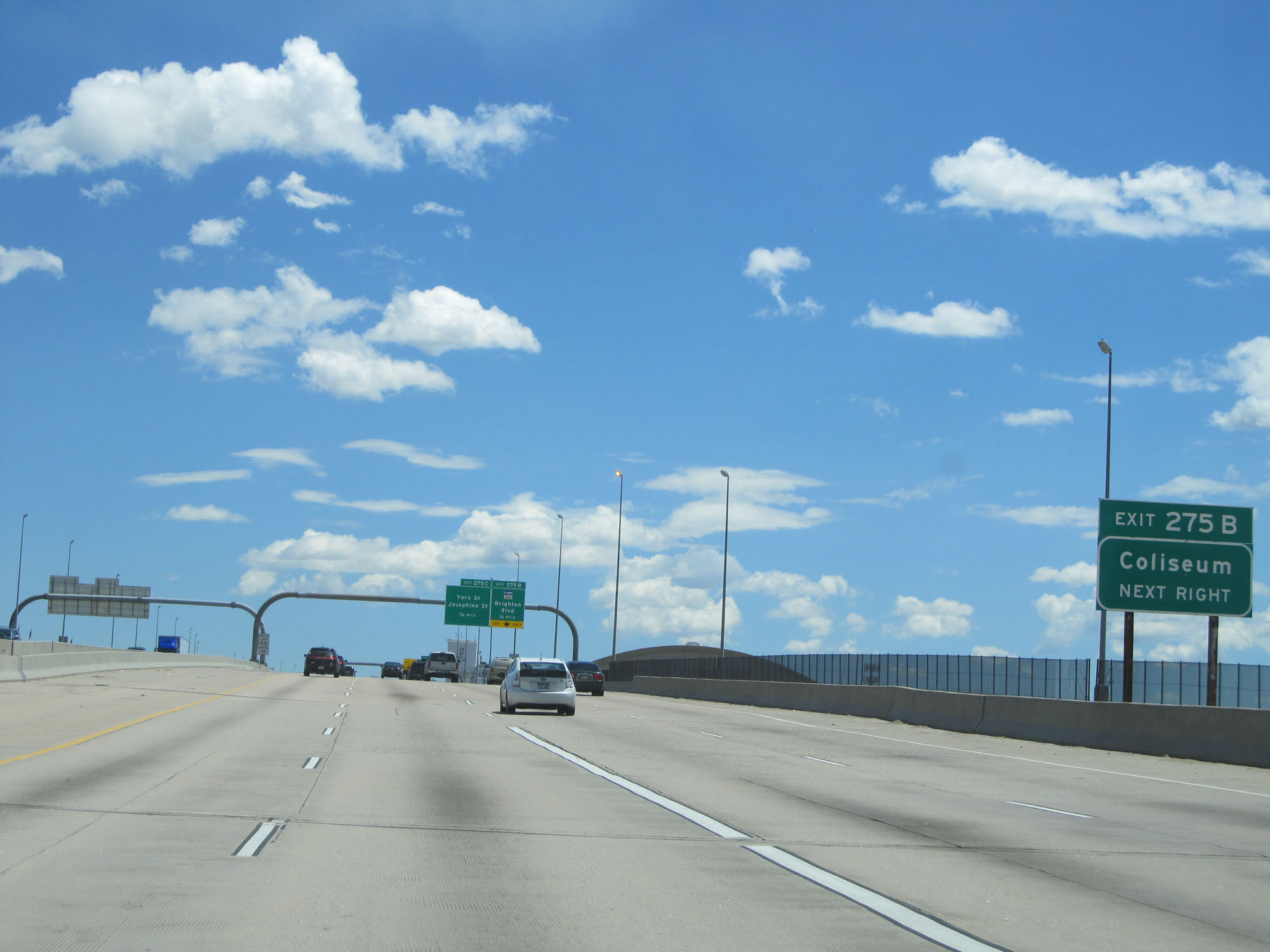 |
Take Exit 275B to the Coliseum. (Photo taken 5/28/16). |
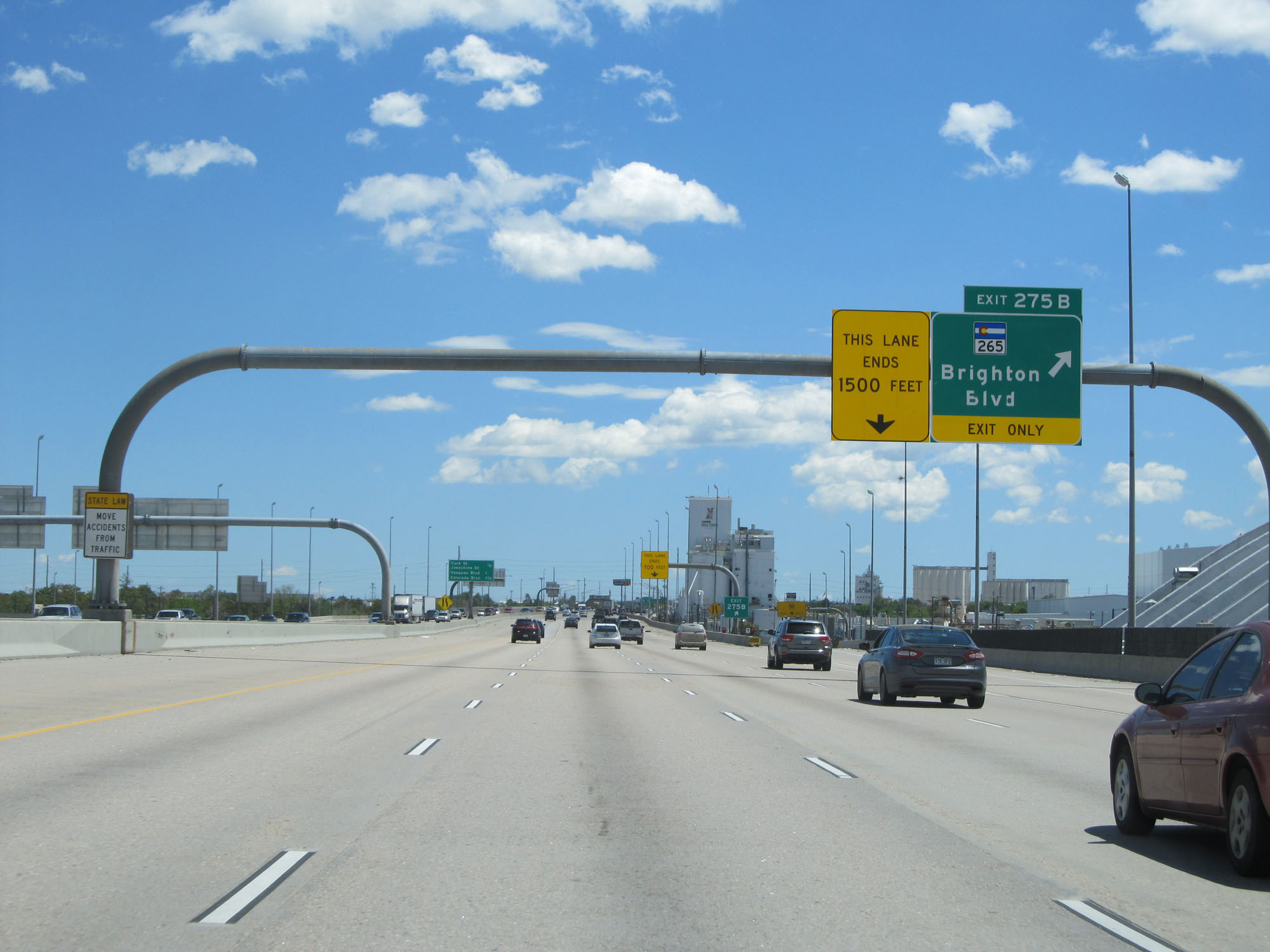 |
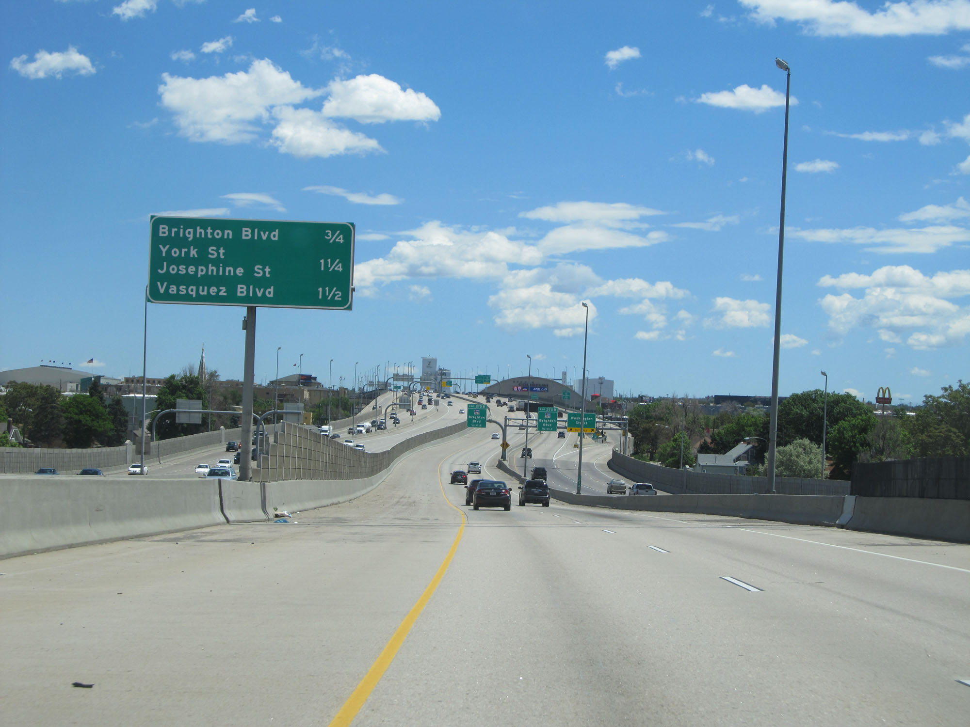
Interstate 70 East at Exit 275B: CO 265 - Brighton Blvd (Photo taken 5/28/16). |
 |
Interstate 70 East at mile marker 275.3. (Photo taken 5/28/16). |
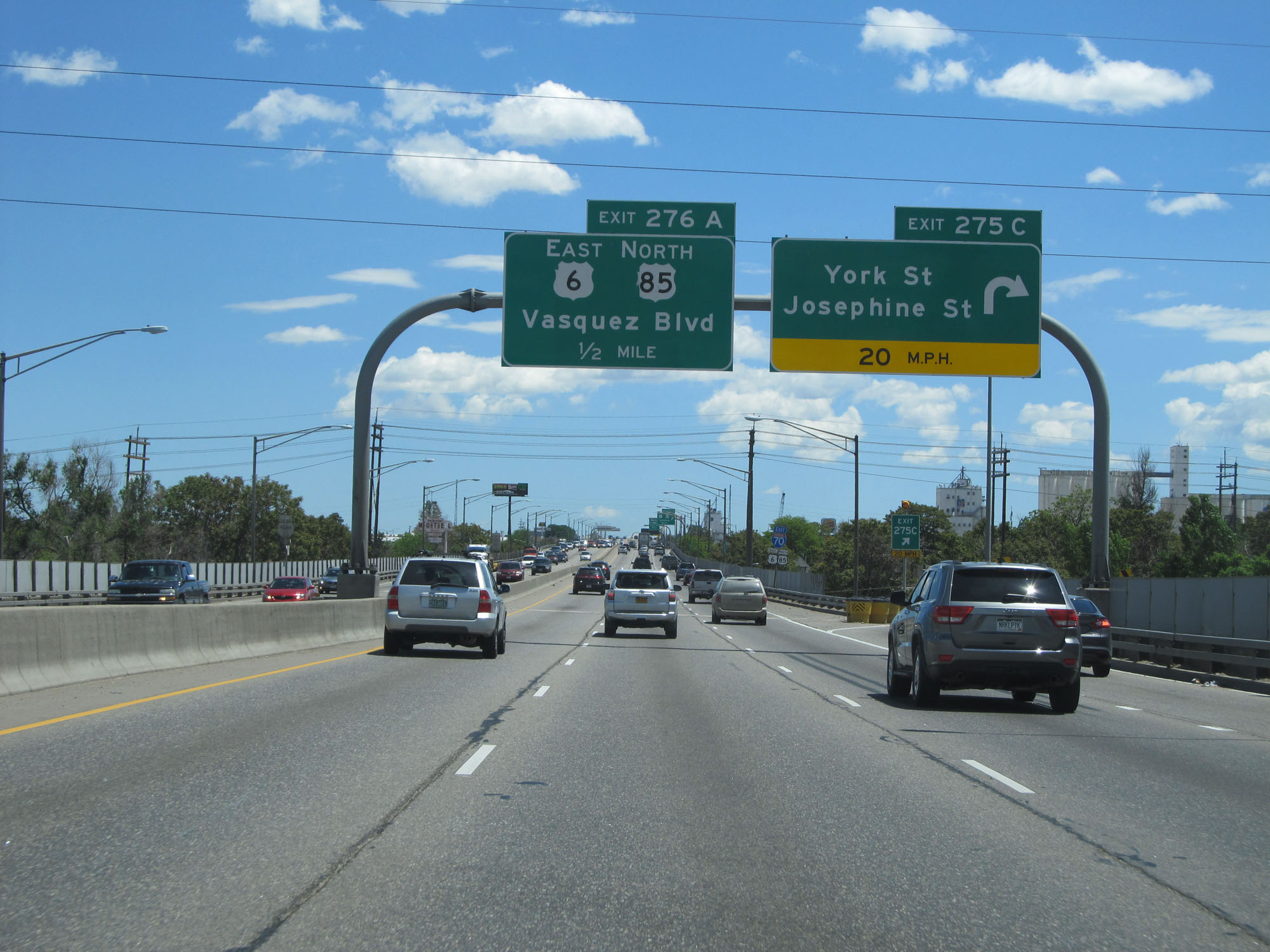 |
Interstate 70 East at Exit 275C: York St / Josephine St (Photo taken 5/28/16). |
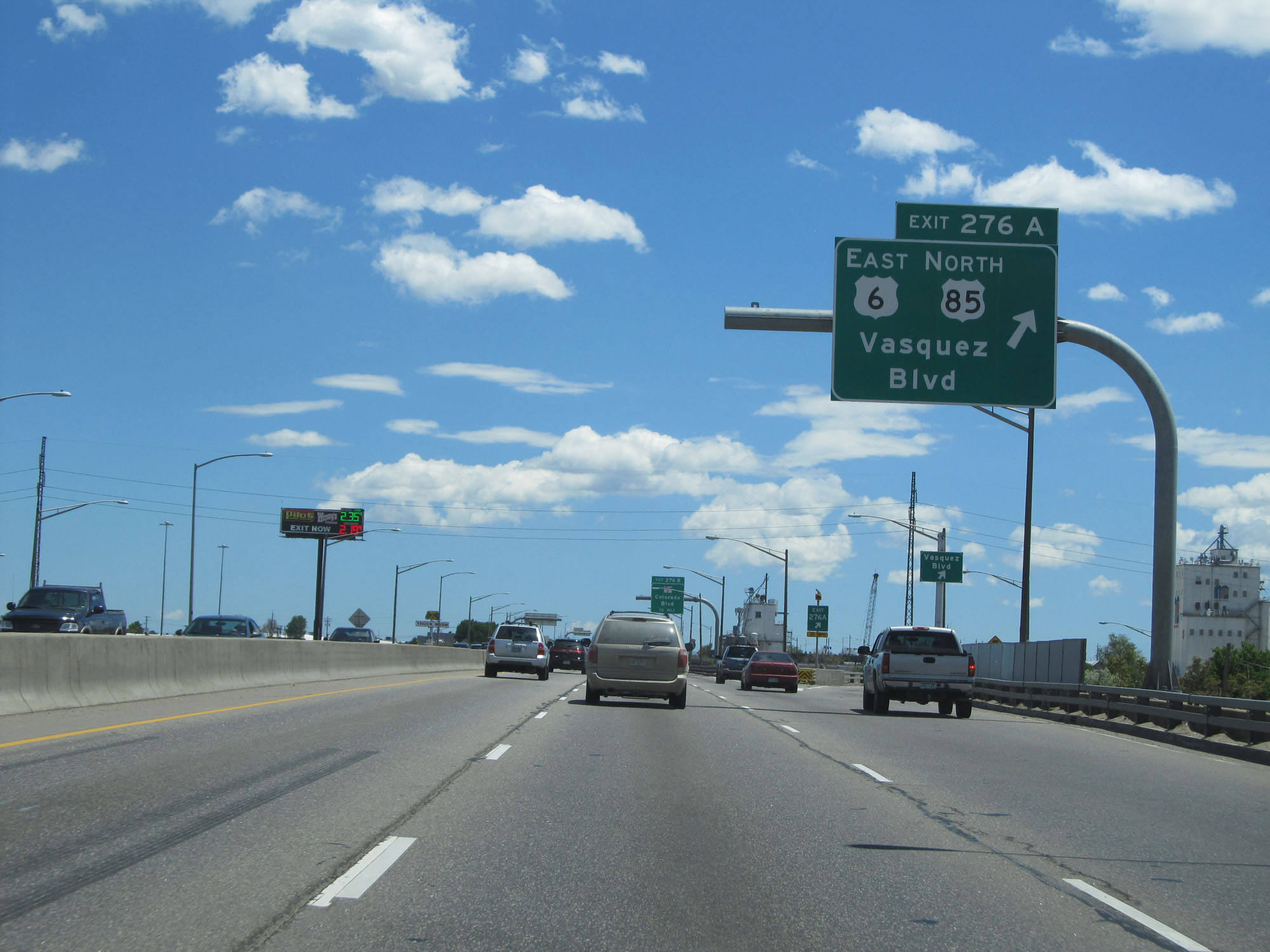 |
Interstate 70 East at Exit 276A: US 6 East / US 85 North - Vasquez Blvd (Photo taken 5/28/16). |
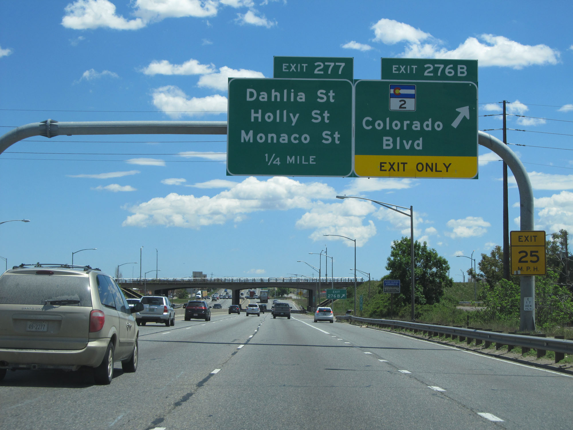 |
Interstate 70 East at Exit 276B: CO 2 - Colorado Blvd (Photo taken 5/28/16). |
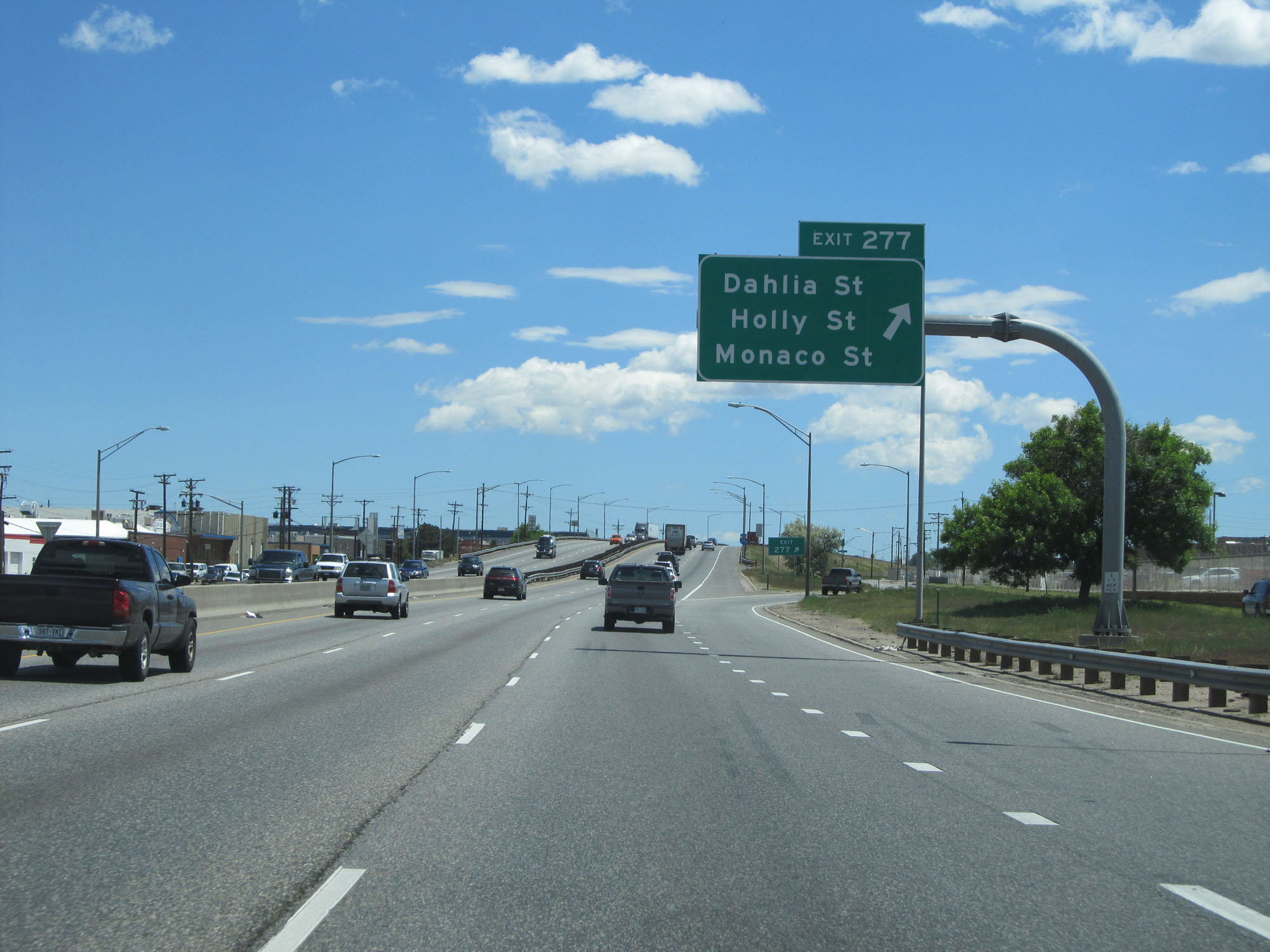 |
Interstate 70 East at Exit 277: Dahlia St / Holly St / Monaco St (Photo taken 5/28/16). |
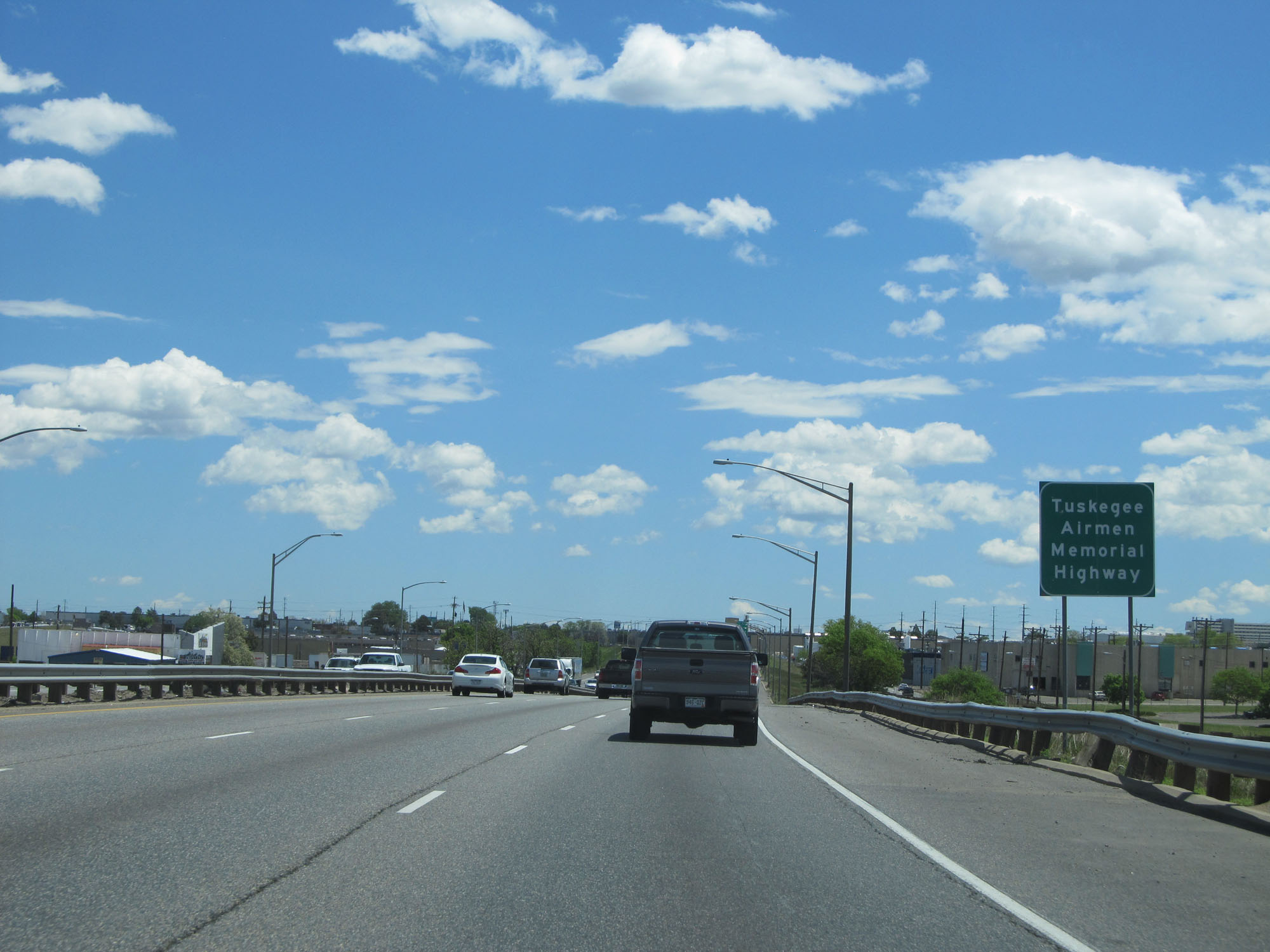 |
Interstate 70 East through downtown Denver is also known as the Tuskegee Airmen Memorial Highway. (Photo taken 5/28/16). |
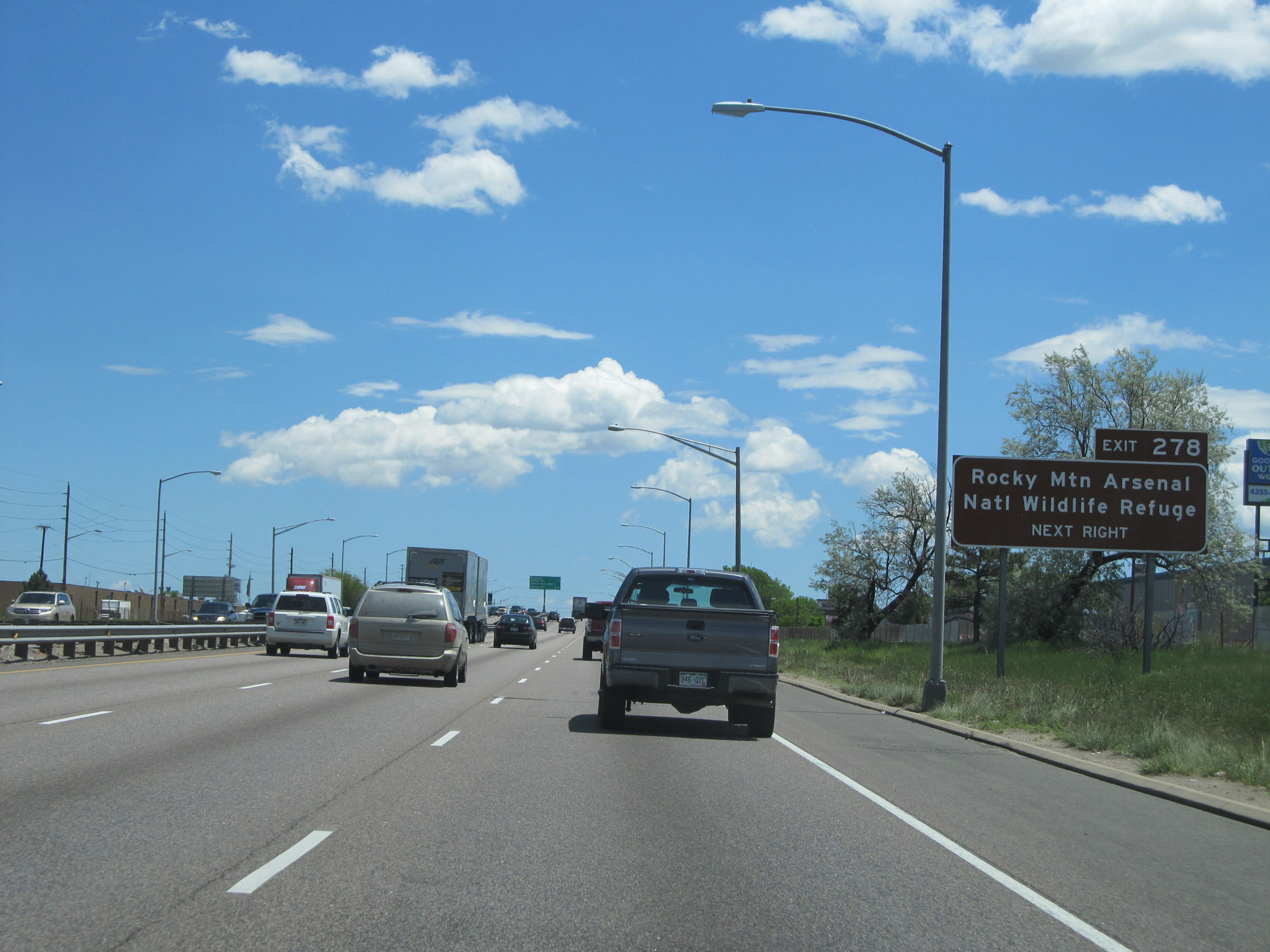 |
Take Exit 278 to Rocky Mountain Arsenal National Wildlife Refuge. (Photo taken 5/28/16). |
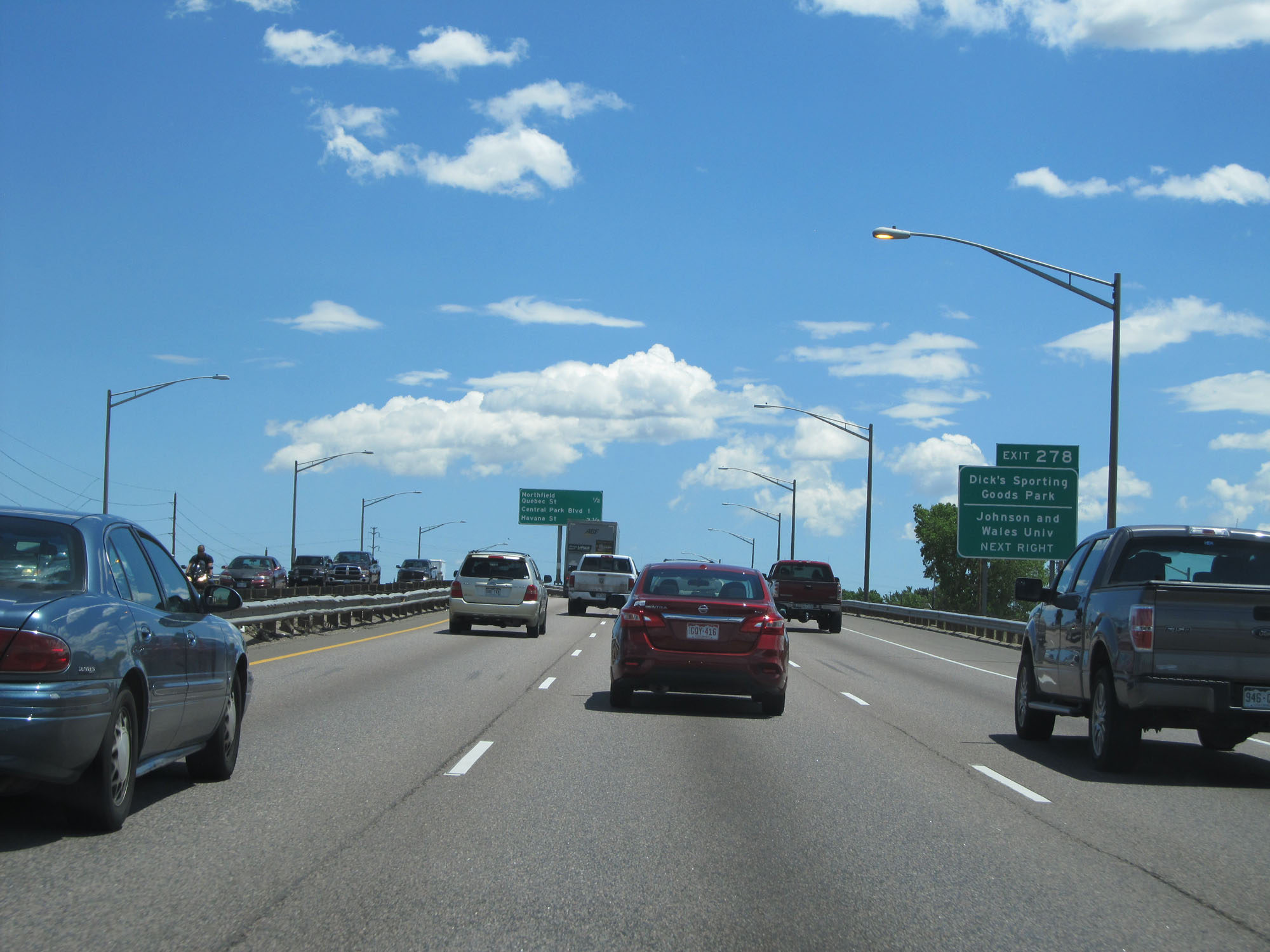 |
Also take Exit 278 to Dick's Sporting Goods Park and Johnson and Wales University. (Photo taken 5/28/16). |
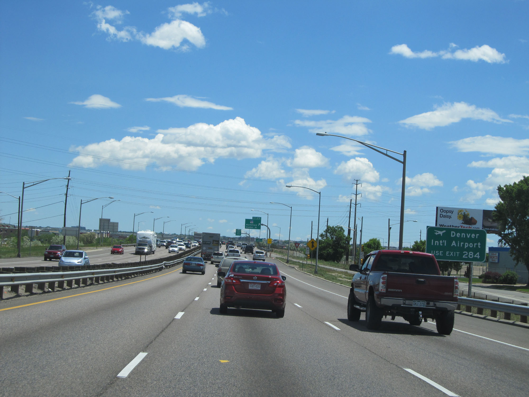 |
Take Exit 284 to Denver International Airport. (Photo taken 5/28/16). |
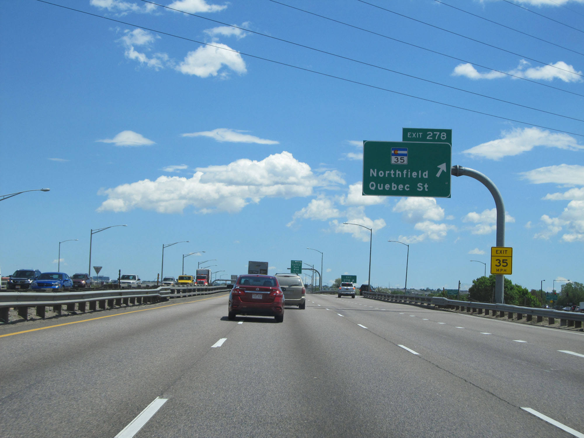 |
Interstate 70 East at Exit 278: CO 35 - Northfield / Quebec St (Photo taken 5/28/16). |
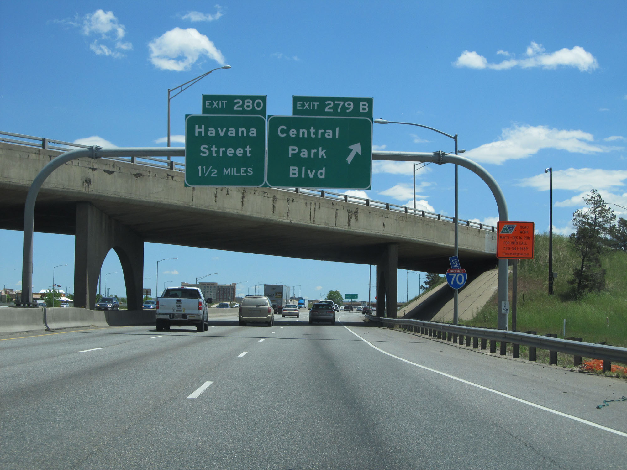 |
Interstate 70 East at Exit 279B: Central Park Blvd (Photo taken 5/28/16). |
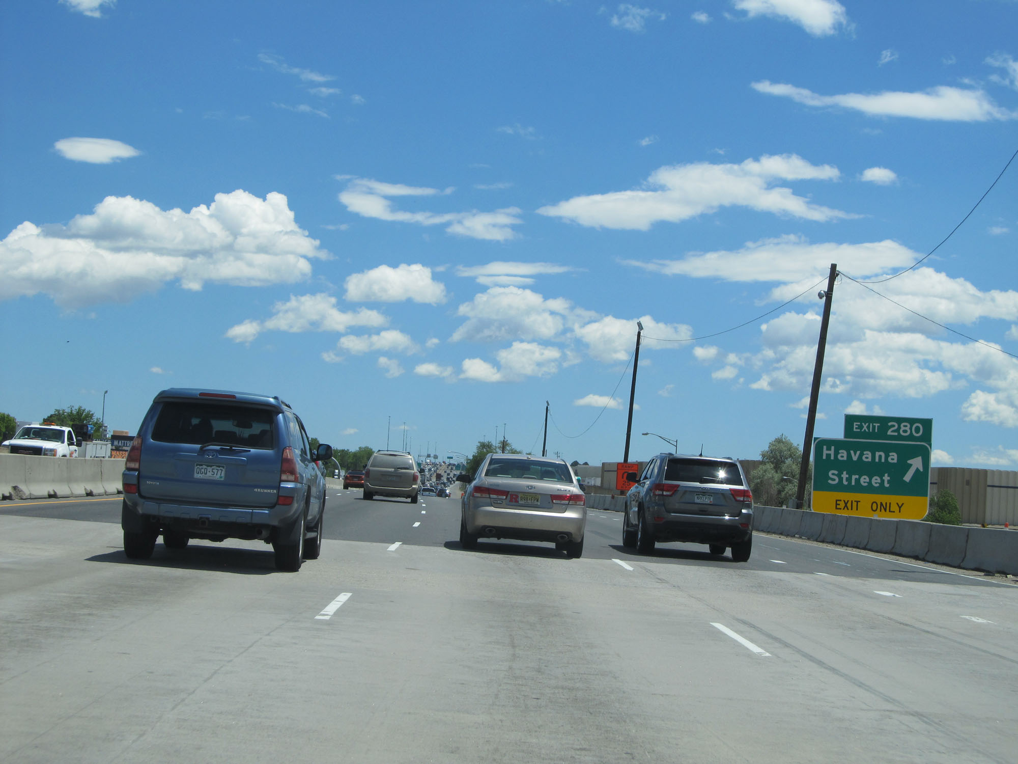 |
Interstate 70 East at Exit 280: Havana Street (Photo taken 5/28/16). |
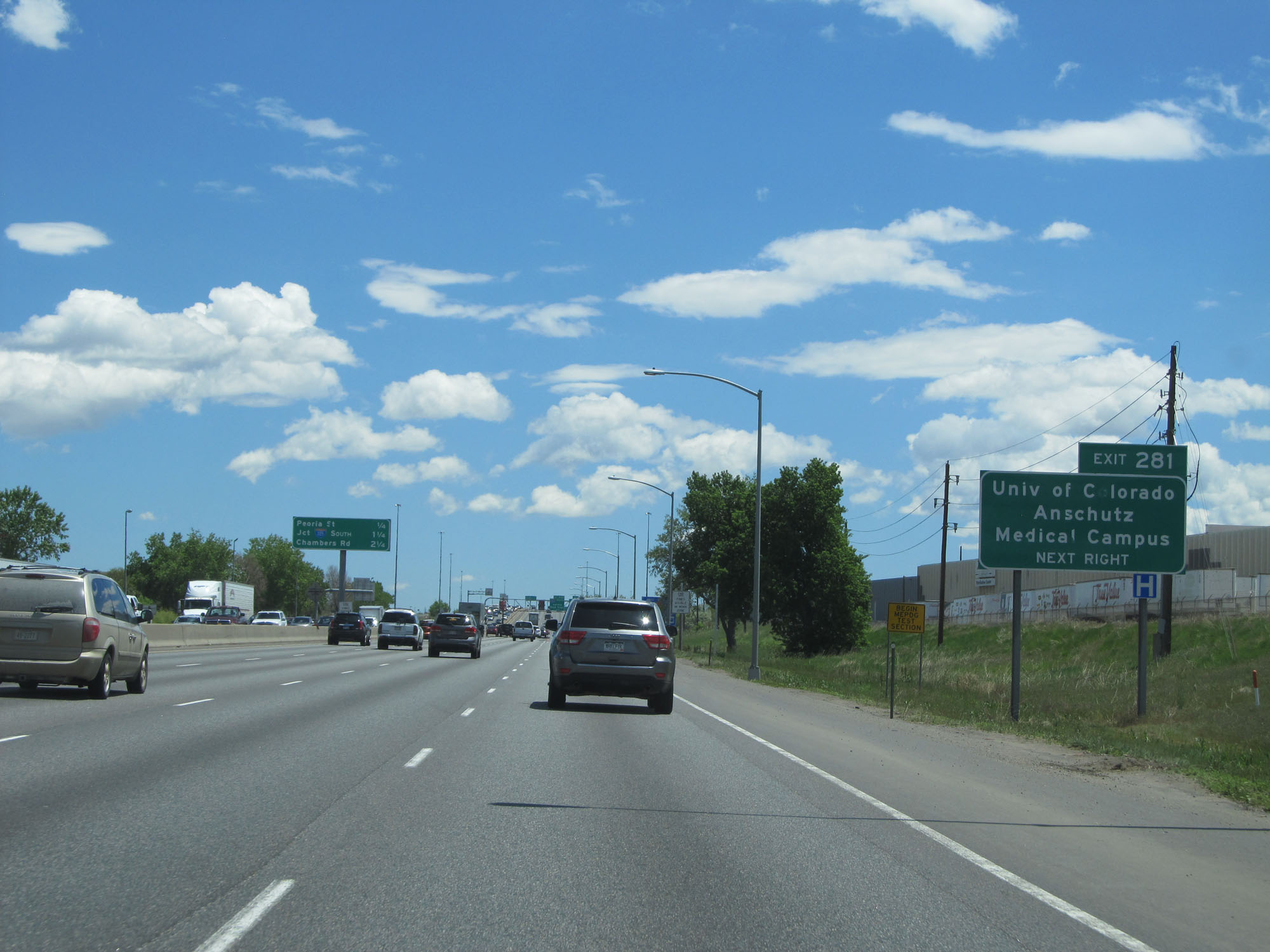 |
Take Exit 281 to University of Colorado / Anschutz Medical Campus. (Photo taken 5/28/16). |
 |
Interstate 70 East at Exit 281: Peoria Street (Photo taken 5/28/16). |
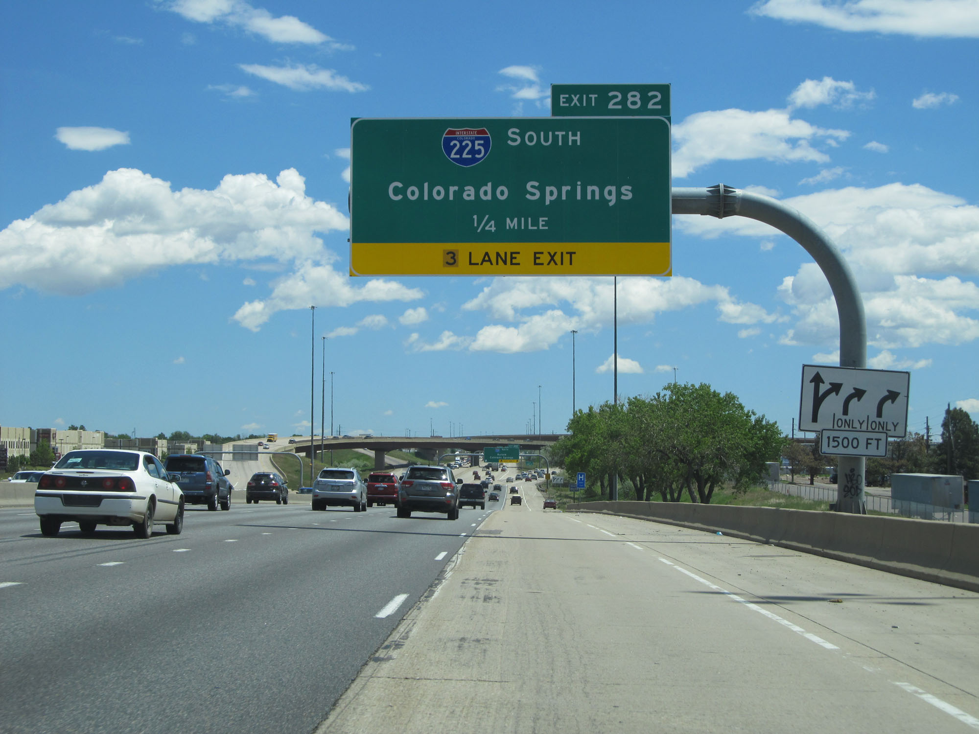 |
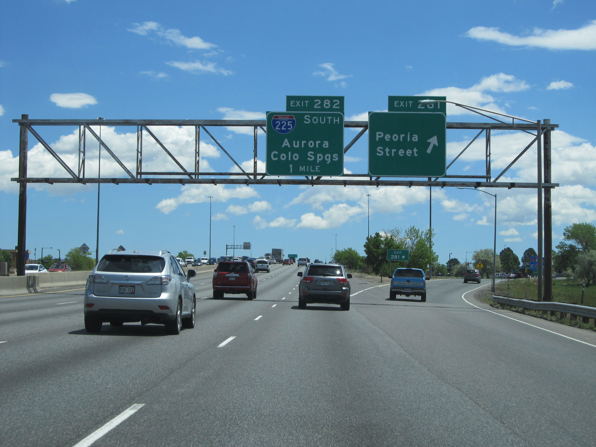
Interstate 70 East approaching Exit 282 - 1/4 mile. (Photo taken 5/28/16). |
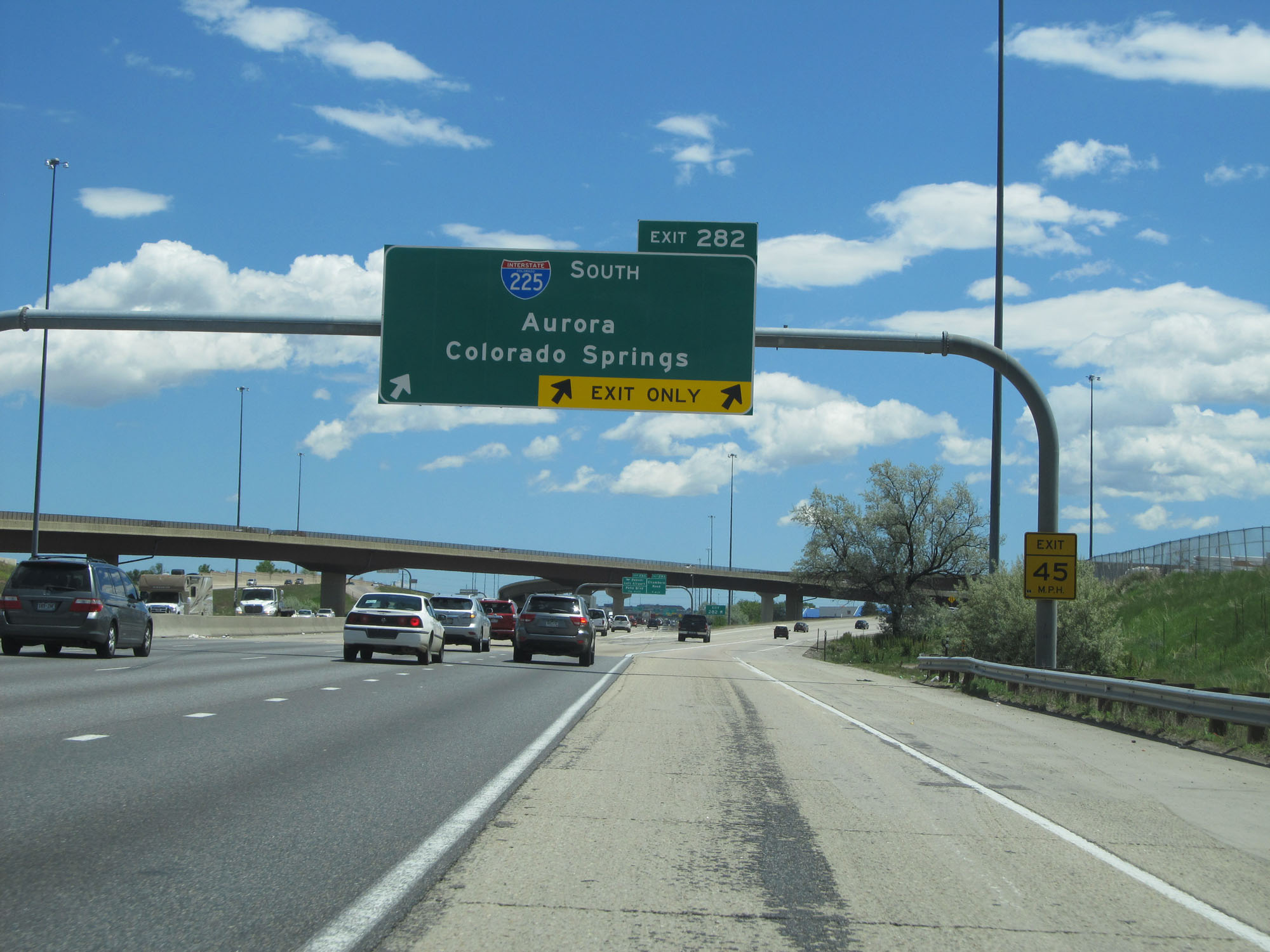 |
Interstate 70 East at Exit 282: Interstate 225 South - Aurora / Colorado Springs (Photo taken 5/28/16). |