Road Information |
||
 |
||
| Total Mileage in State: | 45 miles | |
| Eastern End: | At I-5, near San Fernando | |
| Western End: | At CA 210, near La Verne | |
| Mileage covered in Photos: | 20 miles | |
| Counties covered in Photos: | Los Angeles | |
| Major Junctions in Photos: | I-605, near Irwindale CA 134 West, near Pasadena |
|
| Control Cities in Photos: | Azusa, Irwindale, Pasadena | |
Westbound
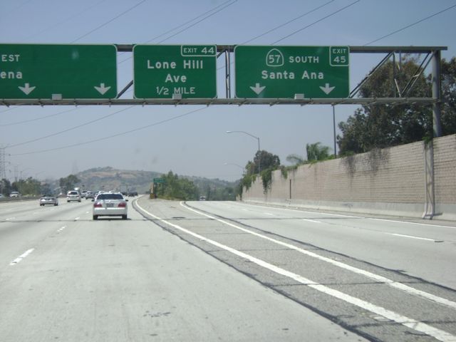 |
Interstate 210 West at Exit 45: CA 57 South - Santa Ana (Photo taken 5/15/10). |
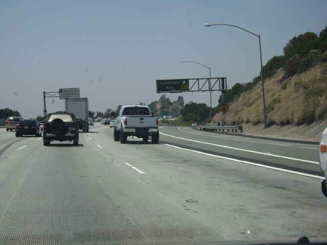 |
Interstate 210 West at Exit 43: Sunflower Ave (Photo taken 5/15/10). |
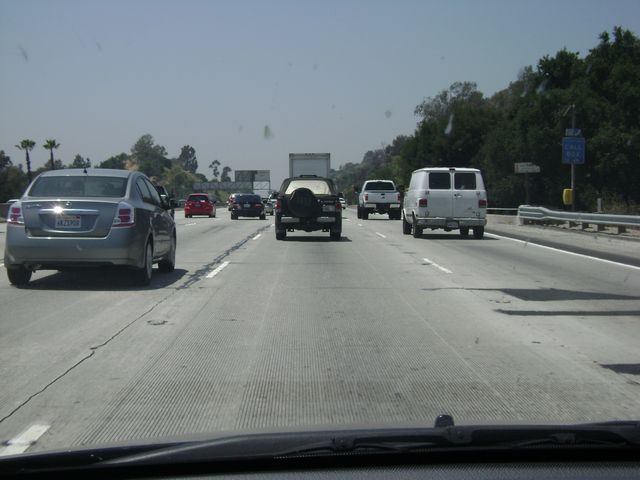 |
Interstate 210 West: Road view from near mile marker 43, as traffic started to get a little heavier. (Photo taken 5/15/10). |
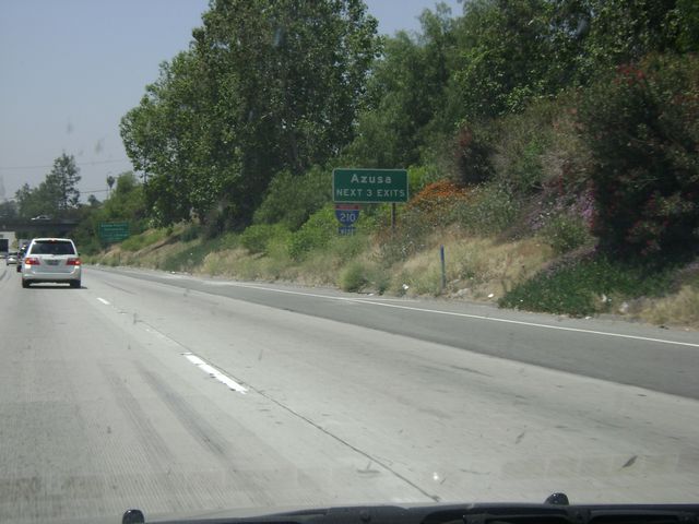 |
Take any of the next 3 exits to get to Azusa. (Photo taken 5/15/10). |
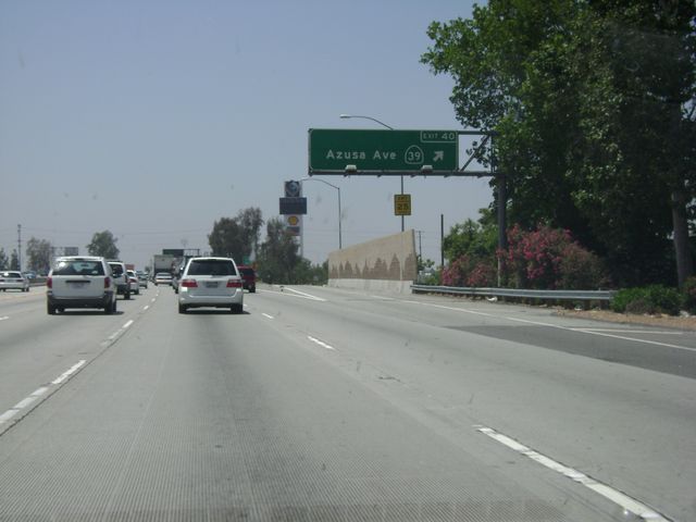 |
Interstate 210 West at Exit 40: CA 39 - Azusa Ave (Photo taken 5/15/10). |
 |
Interstate 210 West at Exit 39: Vernon Ave (Photo taken 5/15/10). |
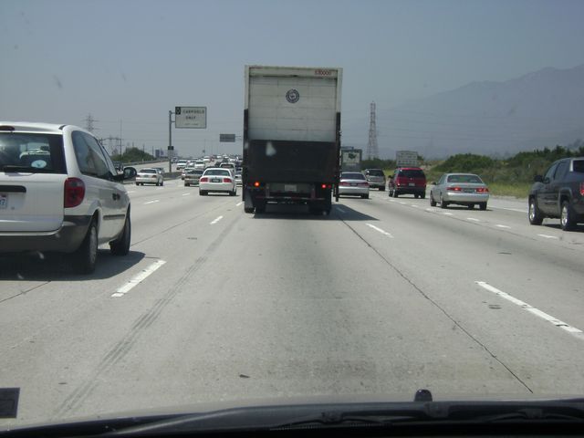 |
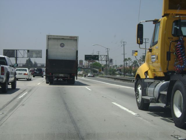
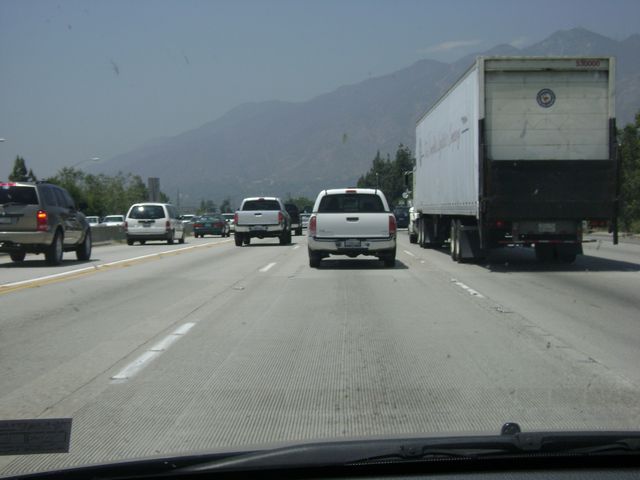
Interstate 210 West: Another road view as traffic thickens, this time from near mile marker 37. (Photo taken 5/15/10). |
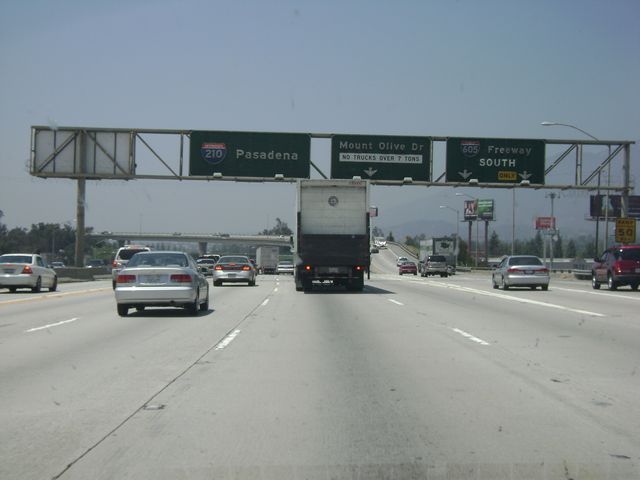 |
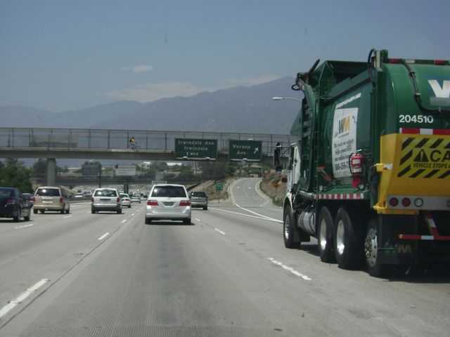
Interstate 210 West at Exit 36A: Interstate 605 South (Photo taken 5/15/10). |
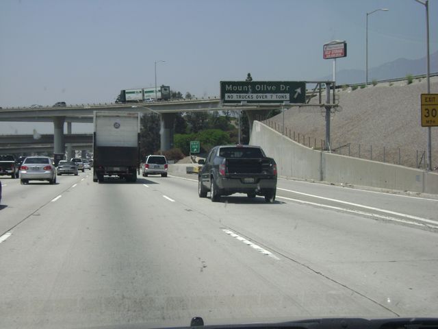 |
Interstate 210 West at Exit 36B: Mount Olive Dr (Photo taken 5/15/10). |
 |
Interstate 210 West at Exit 35A: Mountain Ave (Photo taken 5/15/10). |
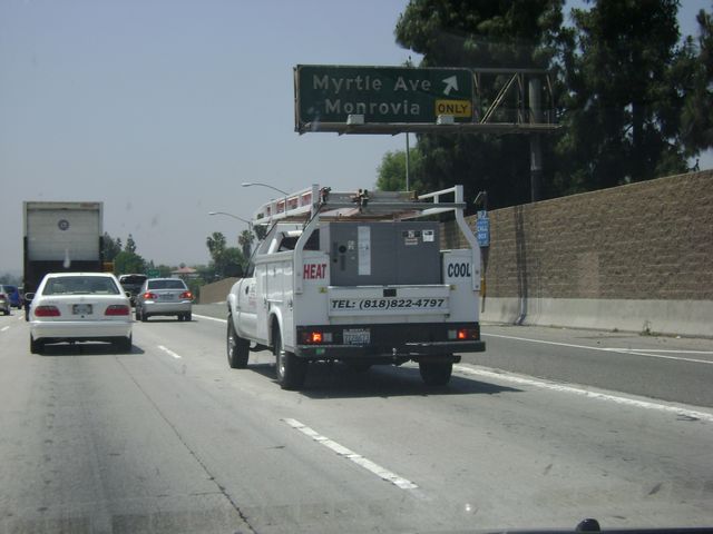 |
Interstate 210 West at Exit 34: Myrtle Ave / Monrovia (Photo taken 5/15/10). |
 |
Interstate 210 West: Road view from near mile marker 31. (Photo taken 5/15/10). |
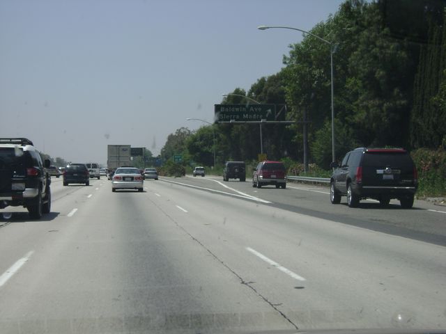 |
Interstate 210 West at Exit 31: Baldwin Ave / Sierra Madre (Photo taken 5/15/10). |
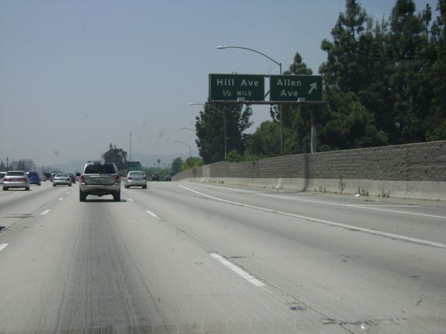 |
Interstate 210 West at Exit 27B: Allen Ave (Photo taken 5/15/10). |
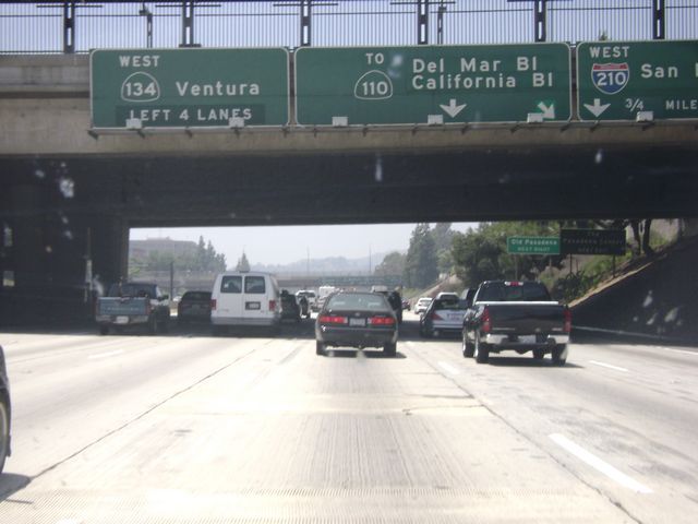 |
Interstate 210 West approaching the junction of CA 134 West, also known as the Ventura Freeway. (Photo taken 5/15/10). |