Road Information |
||
 |
||
| Total Mileage in State: | 243 miles | |
| Eastern End: | At Arizona state line | |
| Western End: | At CA 1, in Santa Monica | |
| Mileage covered in Photos: | 185 miles | |
| Counties covered in Photos: | San Bernardino, Riverside | |
| Major Junctions in Photos: | I-215, in San Bernardino US 95, in Blythe |
|
| Control Cities in Photos: | Ontario, Fontana, Colton, San Bernardino, Loma Linda, Redlands, Banning, Palm Springs, Indio, Coachella, Blythe | |
Eastbound
- Section 1: Ontario (Exit 58) to Banning (Exit 96)
- Section 2: Banning (Exit 96) to Indio (Exit 139)
- Section 3: Indio (Exit 139) to Arizona Border
Section 1: Ontario (Exit 58) to Banning (Exit 96)
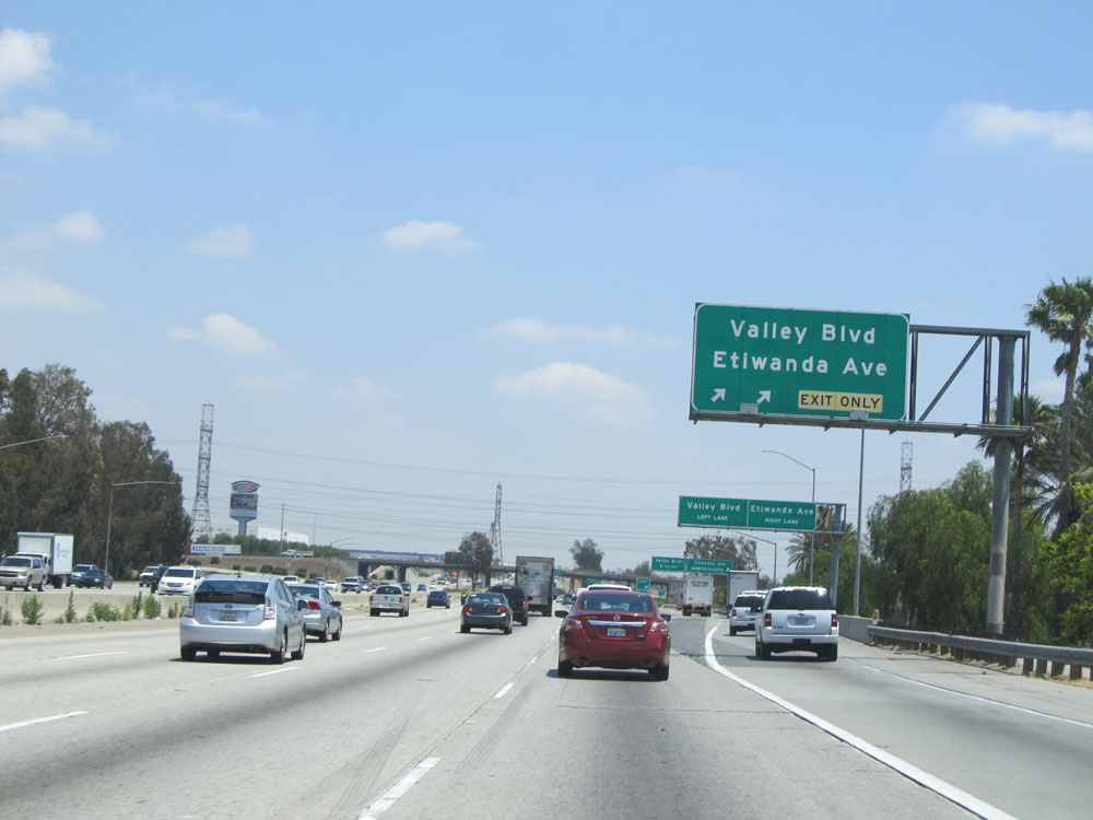 |
Interstate 10 East at Exit 59: Valley Blvd / Etiwanda Ave (Photo taken 5/19/15). |
 |
Interstate 10 East assurance shield. (Photo taken 5/19/15). |
 |
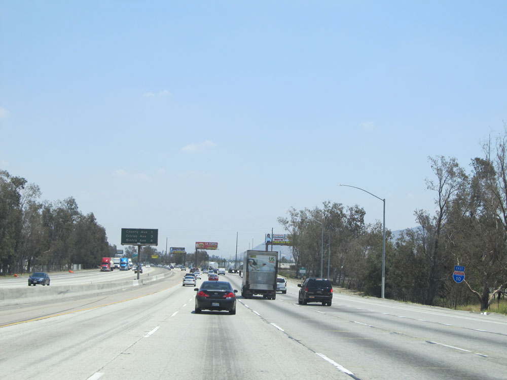
Interstate 10 East at Exit 61: Cherry Ave (Photo taken 5/19/15). |
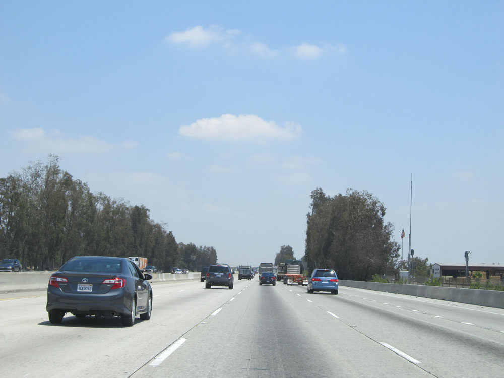 |
View on Interstate 10 East, nearing Fontana. (Photo taken 5/19/15). |
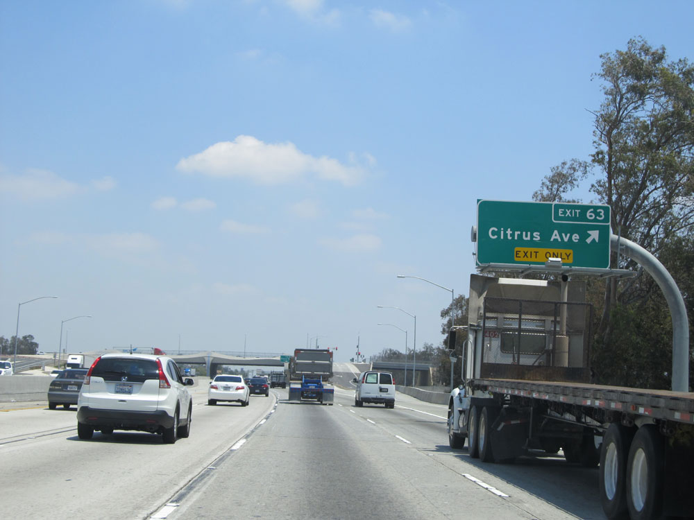 |
Interstate 10 East at Exit 63: Citrus Ave (Photo taken 5/19/15). |
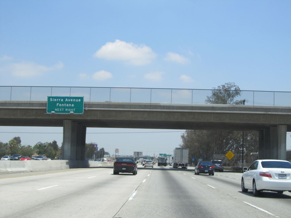 |
Take the next exit (Exit 64) to Sierra Avenue and Fontana. (Photo taken 5/19/15). |
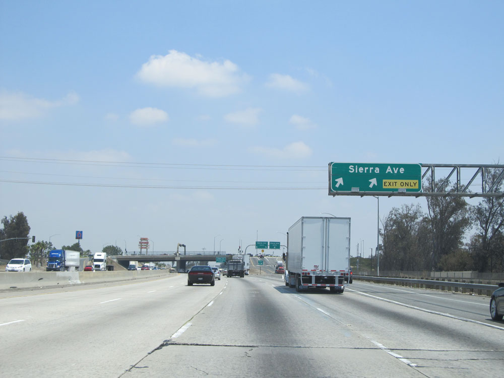 |
Interstate 10 East at Exit 64: Sierra Ave (Photo taken 5/19/15). |
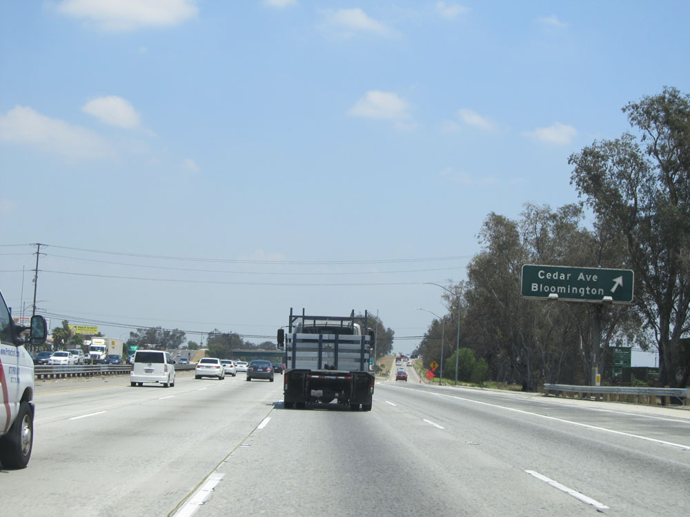 |
Interstate 10 East at Exit 66: Cedar Ave / Bloomington (Photo taken 5/19/15). |
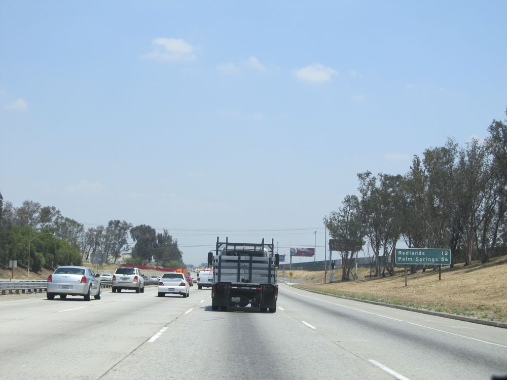 |
Mileage sign on Interstate 10 East. It's 12 miles to Redlands and 56 miles to Palm Springs. (Photo taken 5/19/15). |
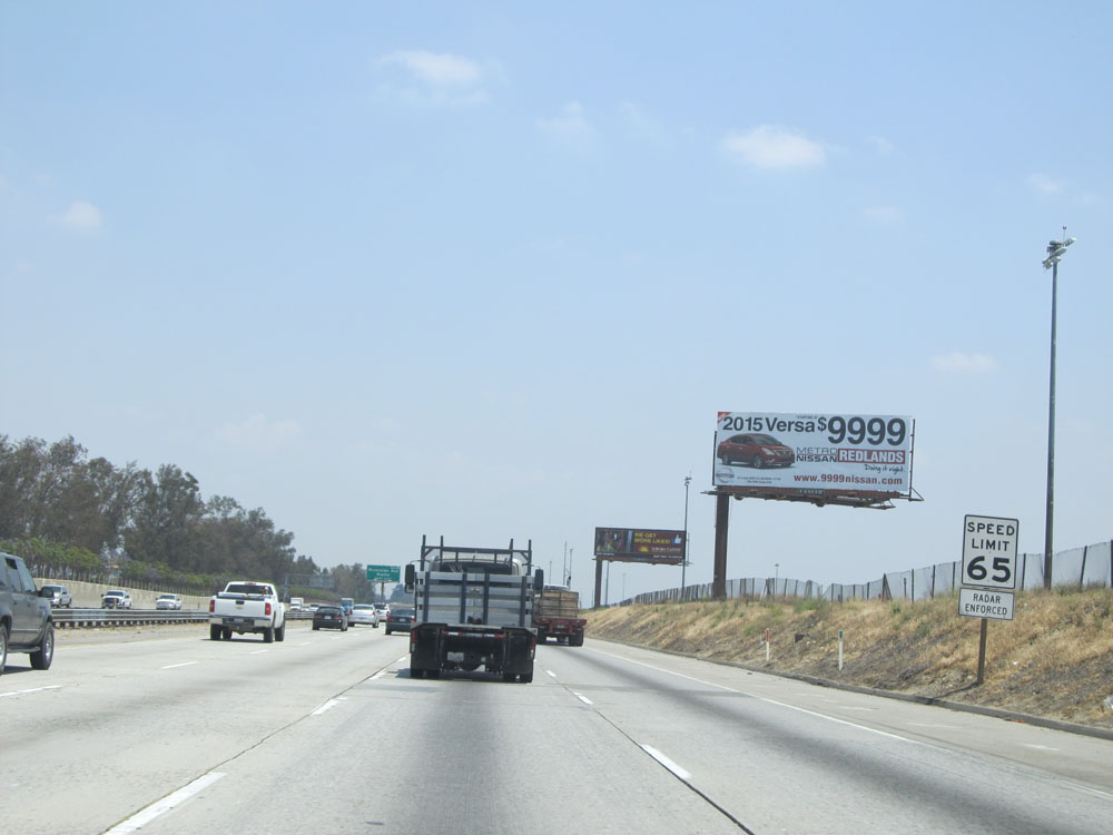 |
Speed limit sign on Interstate 10 East near Fontana. The speed limit on this stretch of I-10 is 65 mph for automobiles. (Photo taken 5/19/15). |
 |
Interstate 10 East entering the Rialto city limits. (Photo taken 5/19/15). |
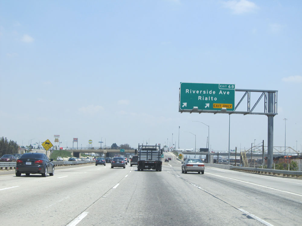 |
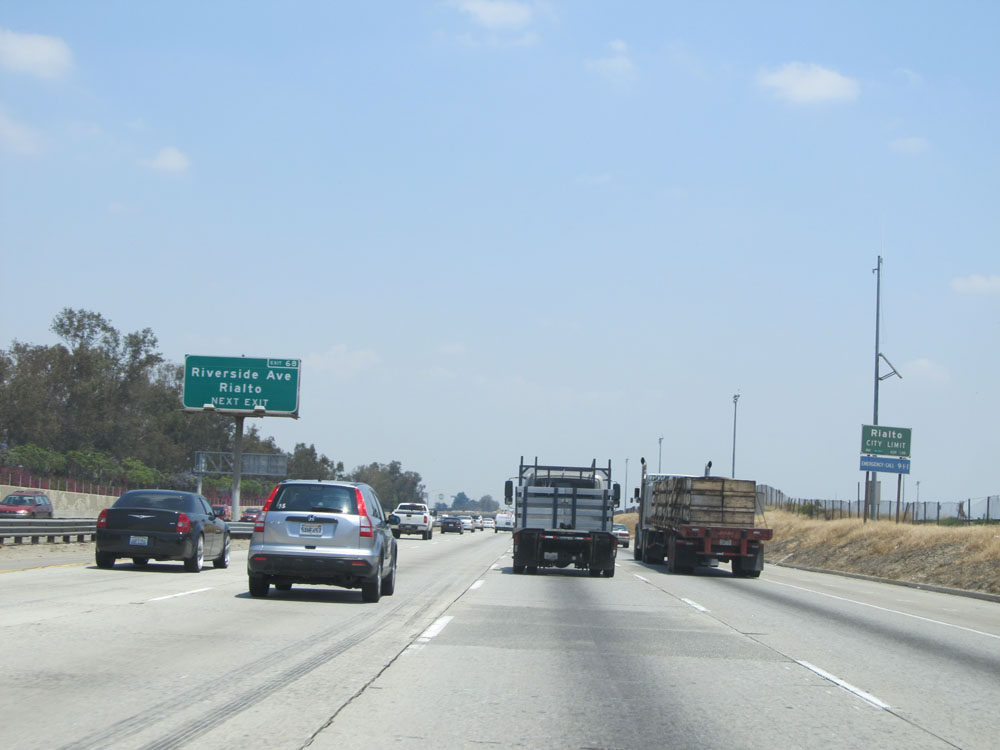
Interstate 10 East at Exit 68: Riverside Ave / Rialto (Photo taken 5/19/15). |
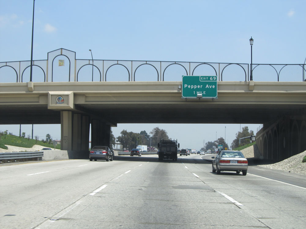 |
Interstate 10 East approaching Exit 69 - 1 mile. (Photo taken 5/19/15). |
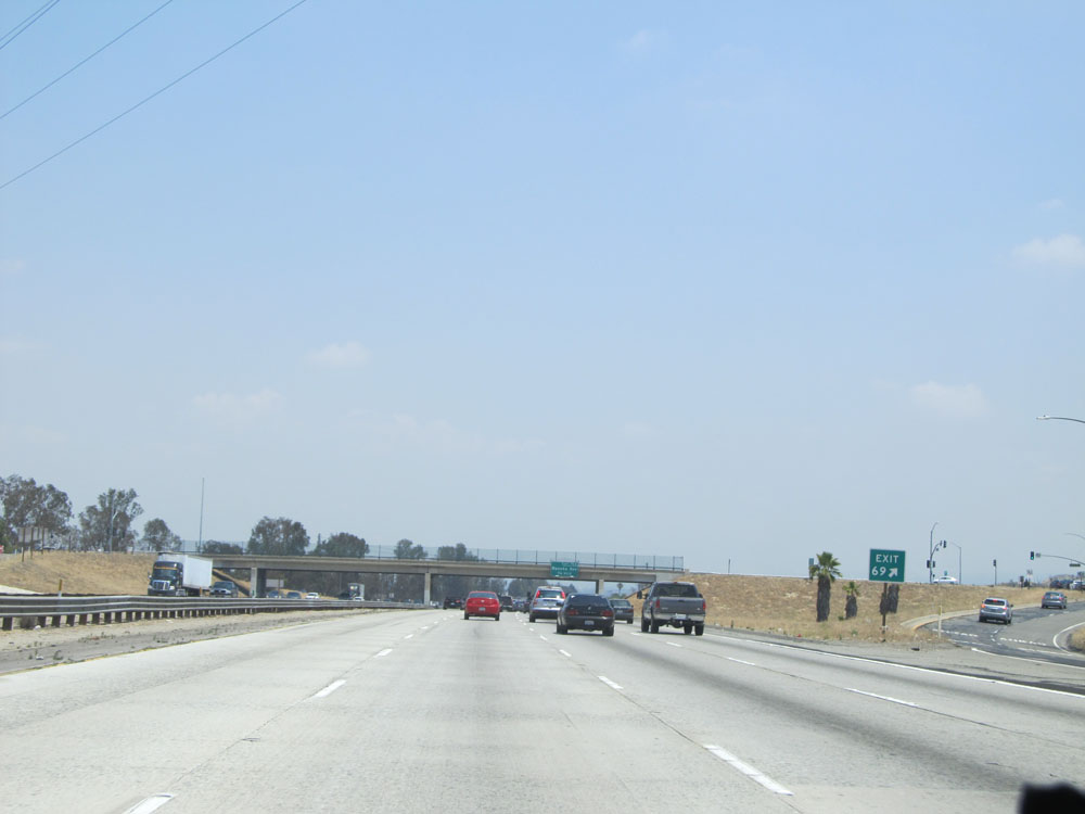 |
Interstate 10 East at Exit 69: Pepper Ave (Photo taken 5/19/15). |
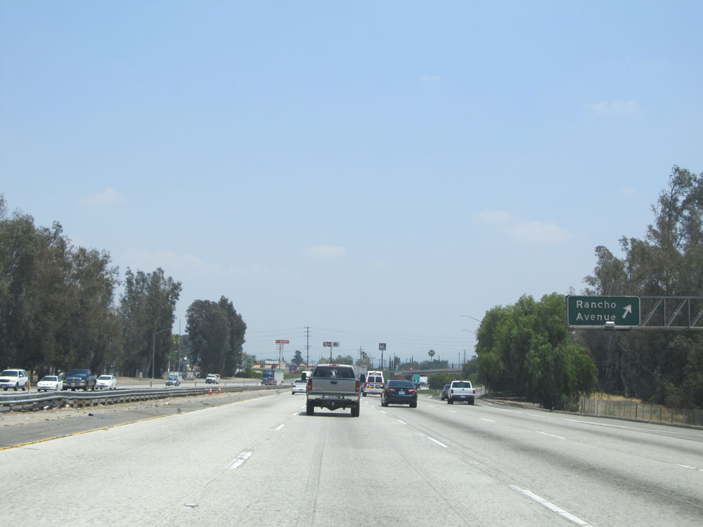 |
Interstate 10 East at Exit 70A: Rancho Avenue (Photo taken 5/19/15). |
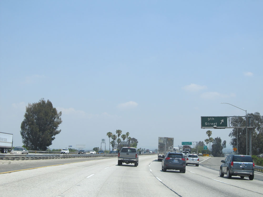 |
Interstate 10 East at Exit 70B: 9th Street (Photo taken 5/19/15). |
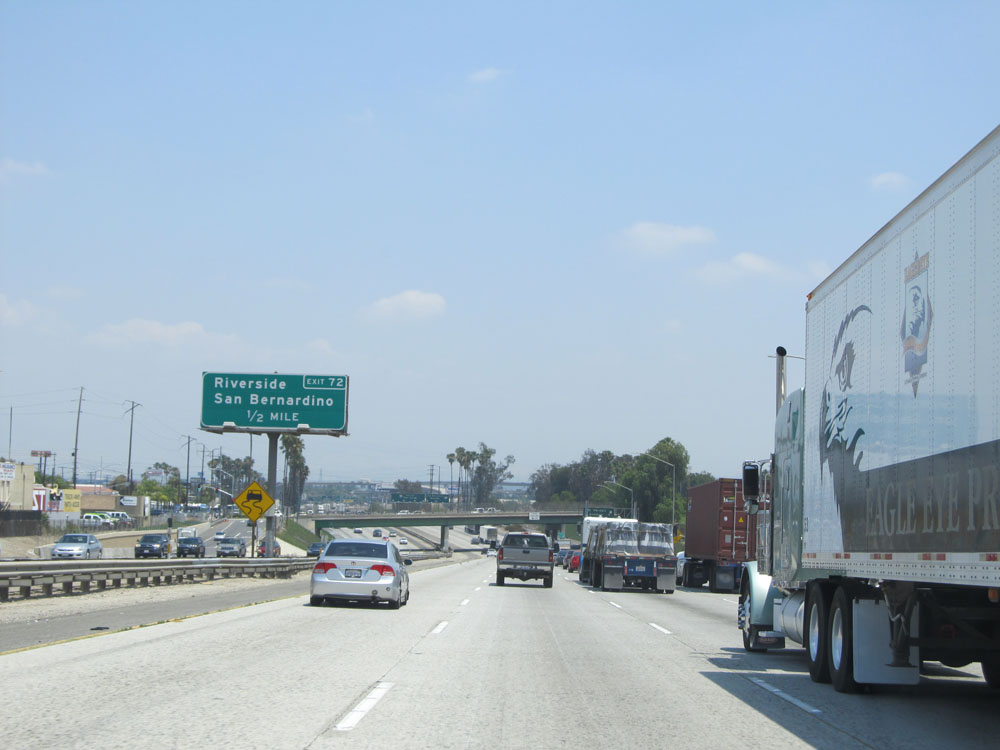 |
Take Exit 72 to Riverside and San Bernardino. (Photo taken 5/19/15). |
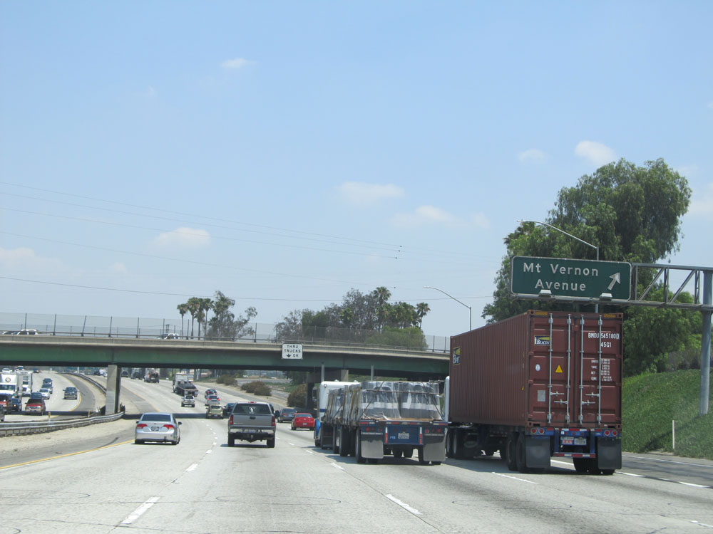 |
Interstate 10 East at Exit 71: Mt Vernon Avenue (Photo taken 5/19/15). |
 |
Interstate 10 East approaching Exit 72 - 1/4 mile. (Photo taken 5/19/15). |
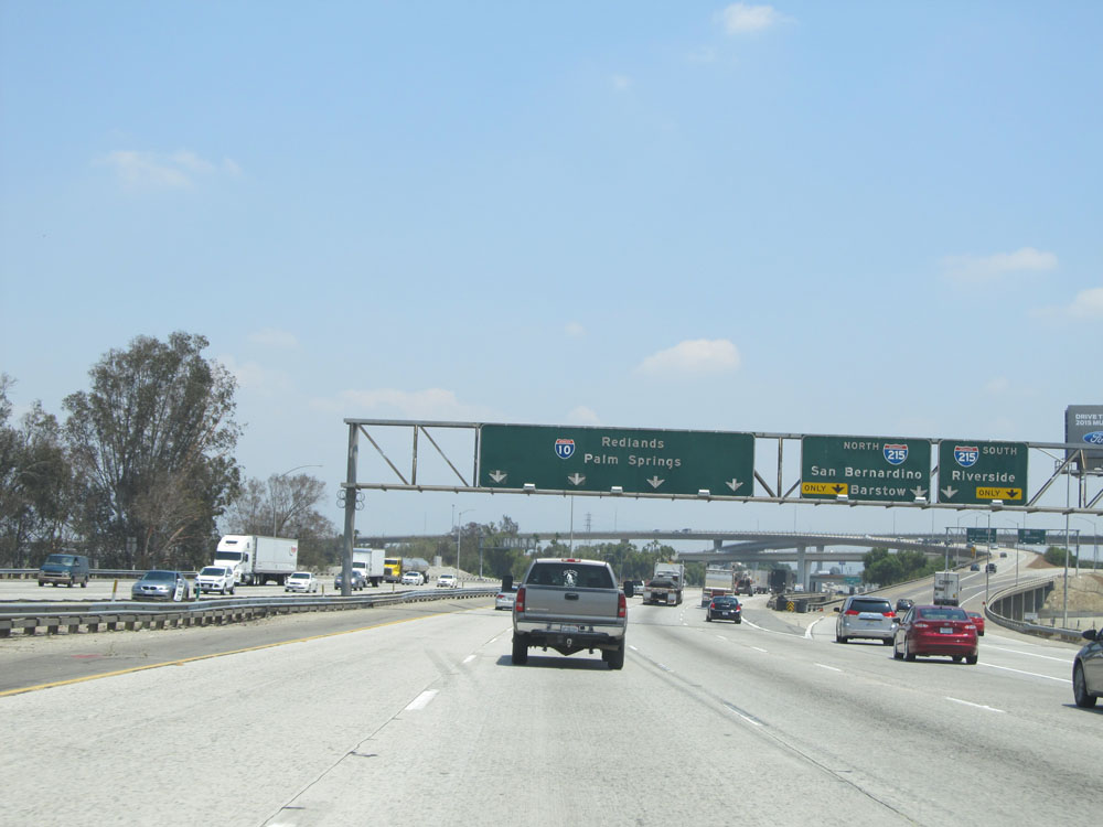 |
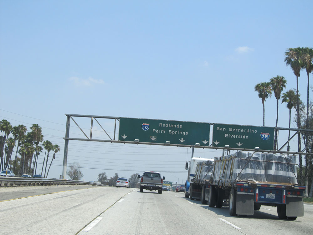
Interstate 10 East at Exit 72: Interstate 215 North - San Bernardino / Barstow; Interstate 215 South - Riverside (Photo taken 5/19/15). |
 |
Interstate 10 East as it passes under the ramps to and from Interstate 215. (Photo taken 5/19/15). |
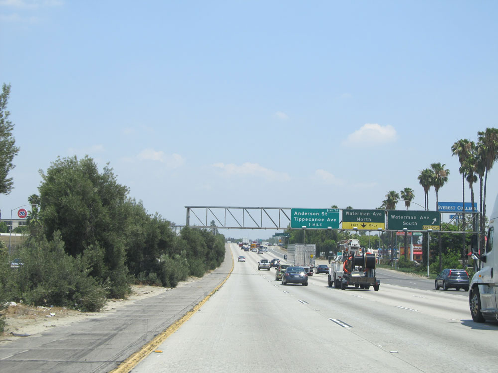 |
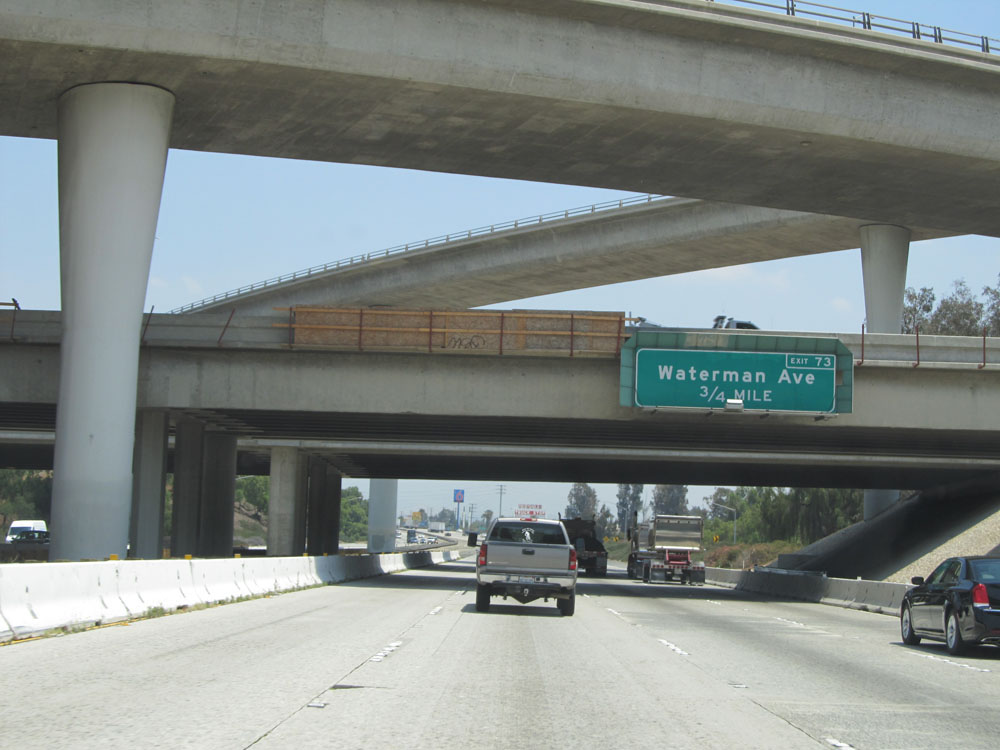
Interstate 10 East at Exit 73A: Waterman Ave South (Photo taken 5/19/15). |
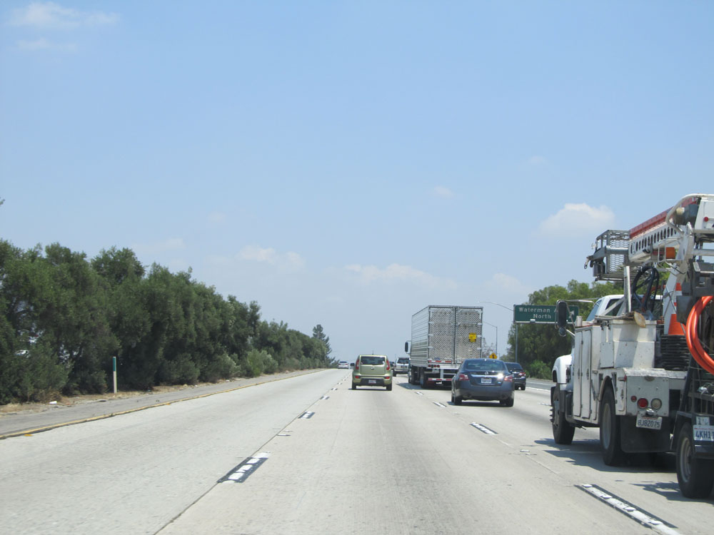 |
Interstate 10 East at Exit 73B: Waterman Ave North (Photo taken 5/19/15). |
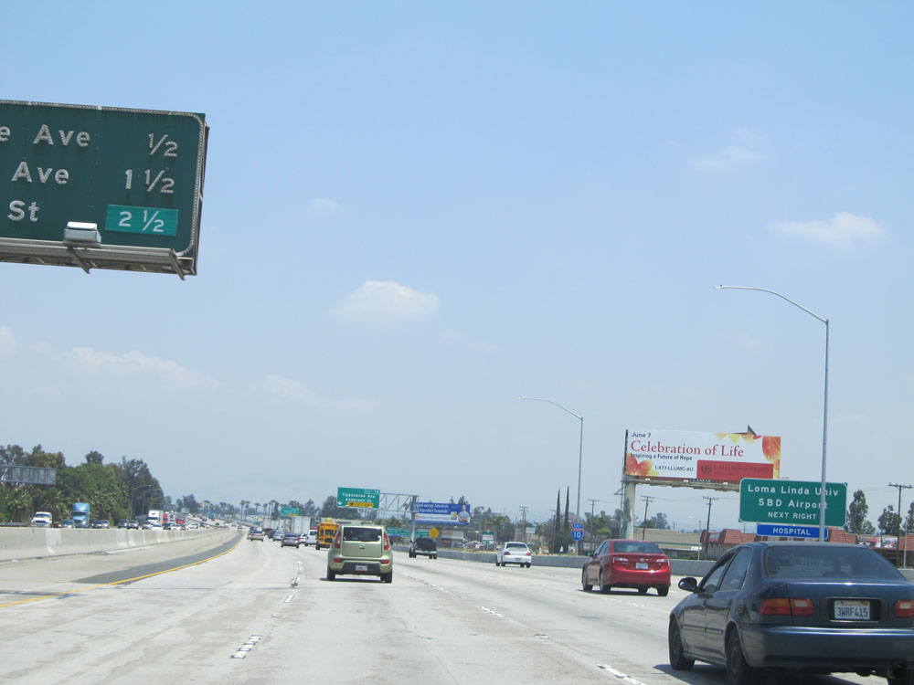 |
Take the next exit (Exit 74) to Loma Linda University and SBD Airport. (Photo taken 5/19/15). |
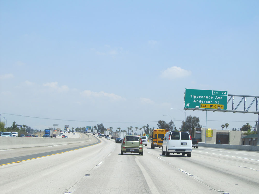 |
Interstate 10 East at Exit 74: Tippecanoe Ave / Anderson St (Photo taken 5/19/15). |
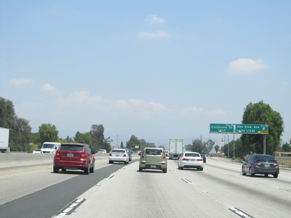 |
Interstate 10 East at Exit 75: Mountain View Ave / Loma Linda (Photo taken 5/19/15). |
 |
Sign listing the distances to the three upcoming exits. California freeways have plenty of these signs to be seen on them. (Photo taken 5/19/15). |
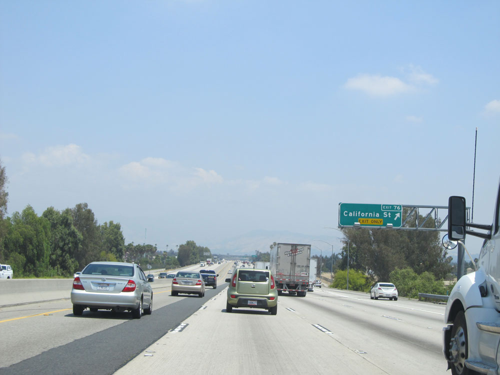 |
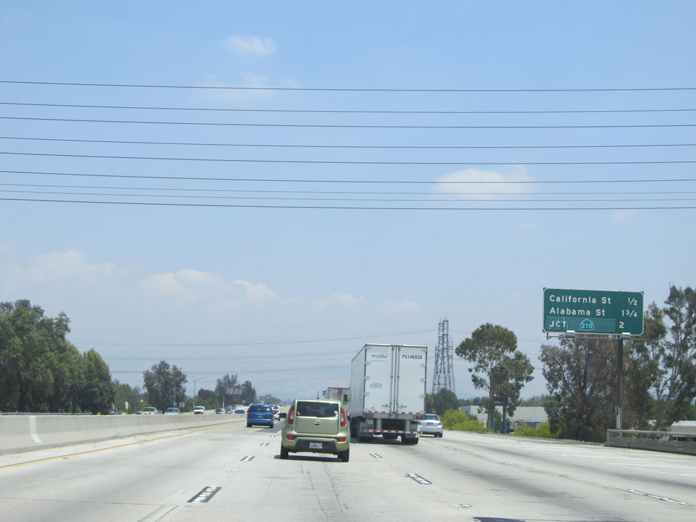
Interstate 10 East at Exit 76: California St (Photo taken 5/19/15). |
 |
Interstate 10 East at Exit 77A: Alabama Street (Photo taken 5/19/15). |
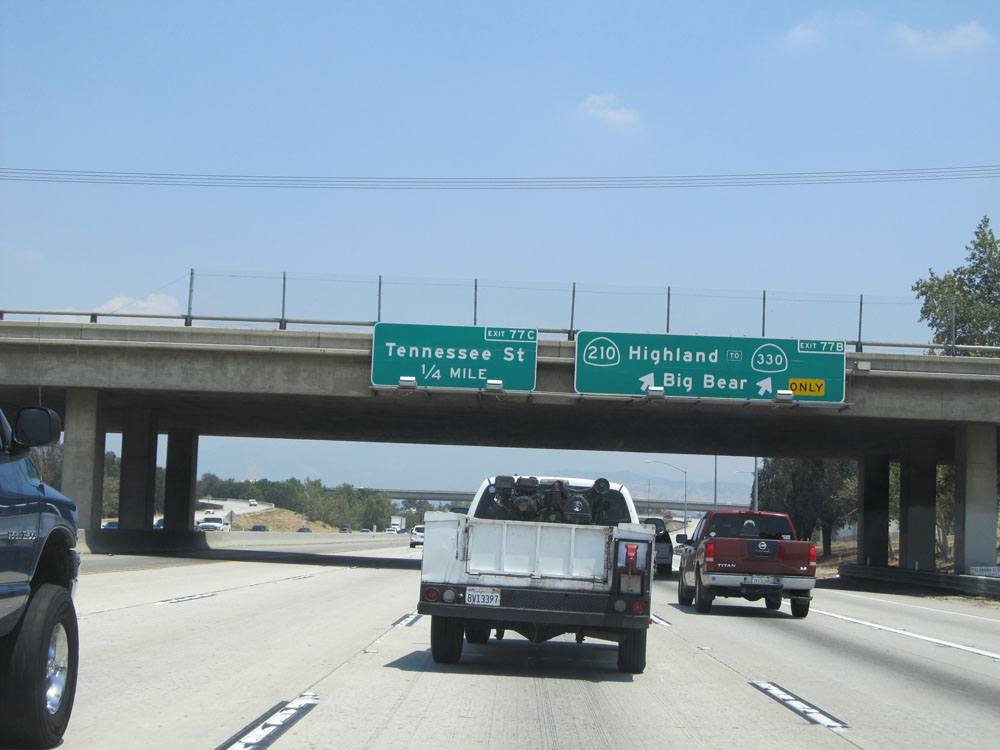 |
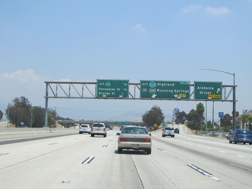
Interstate 10 East at Exit 77B: CA 210 / To CA 330 - Highland / Big Bear (Photo taken 5/19/15). |
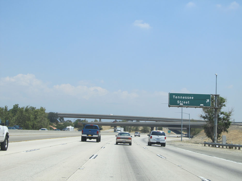 |
Interstate 10 East at Exit 77C: Tennessee Street (Photo taken 5/19/15). |
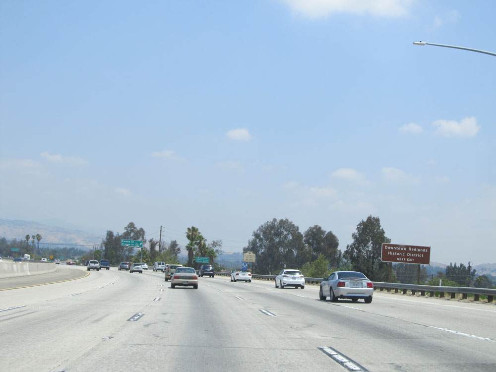 |
Take the next exit (Exit 79) to Downtown Redlands Historic District. (Photo taken 5/19/15). |
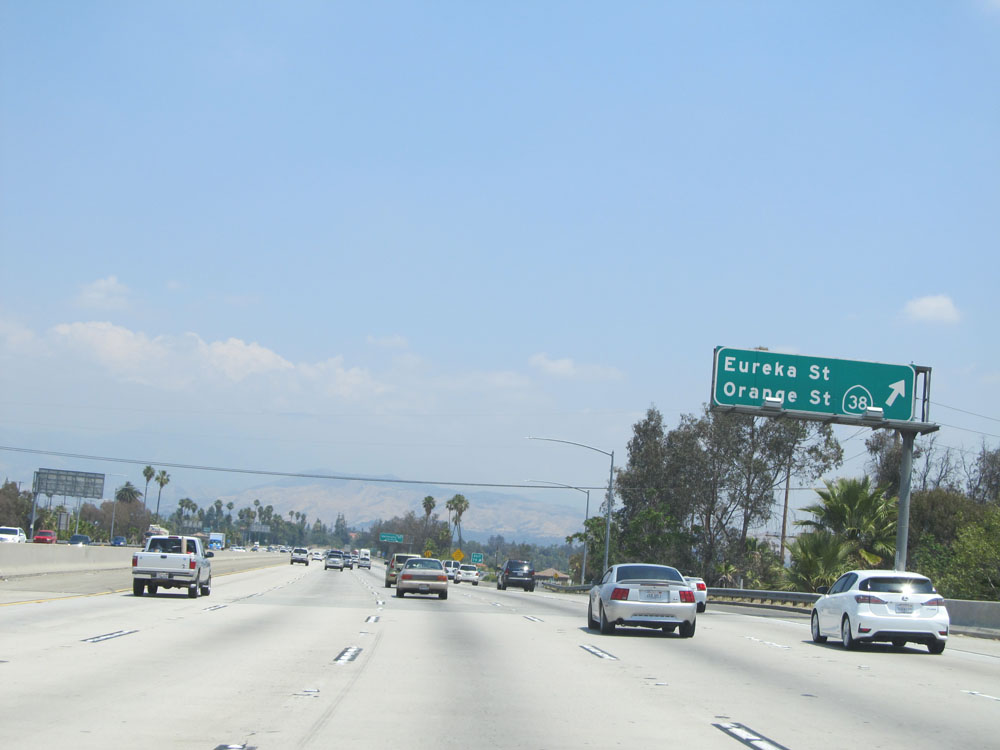 |
Interstate 10 East at Exit 79: CA 38 - Eureka St / Orange St (Photo taken 5/19/15). |
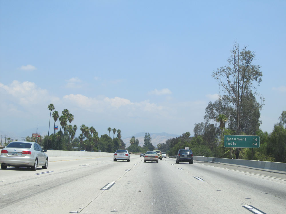 |
Mileage sign on Interstate 10 East. It's 14 miles to Beaumont and 64 miles to Indio. (Photo taken 5/19/15). |
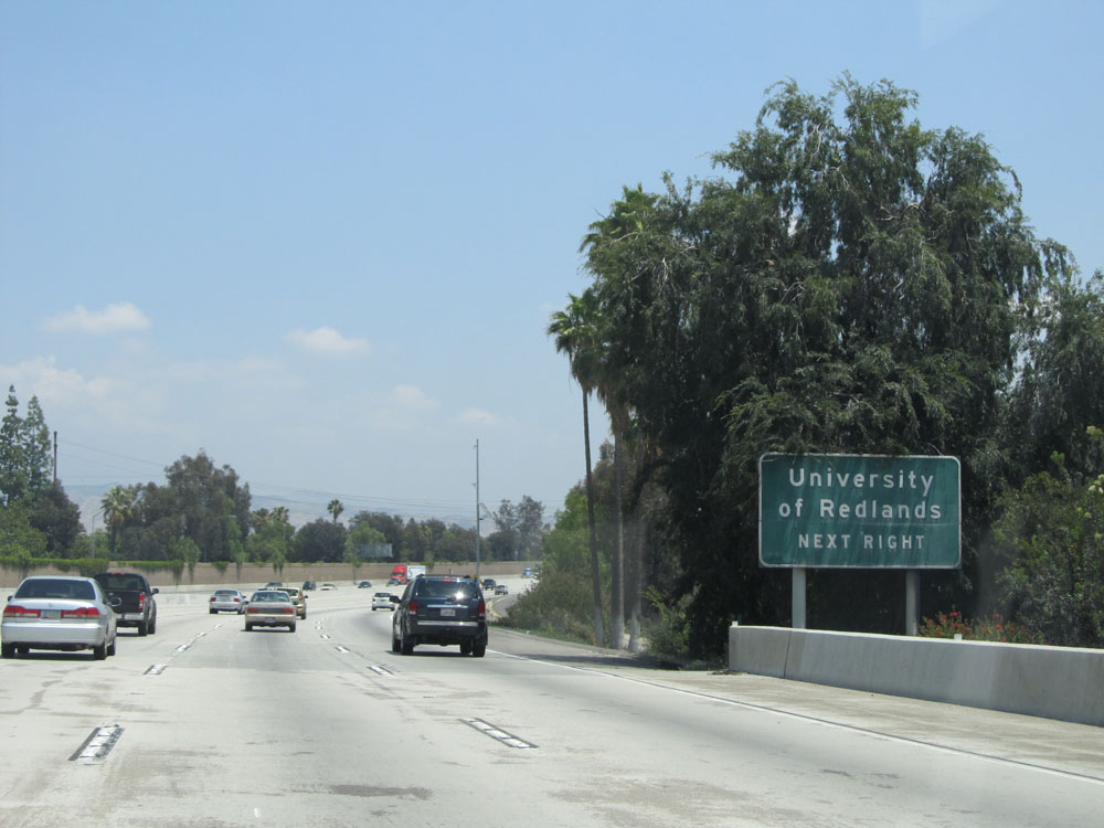 |
Take the next exit (Exit 80) to University of Redlands. (Photo taken 5/19/15). |
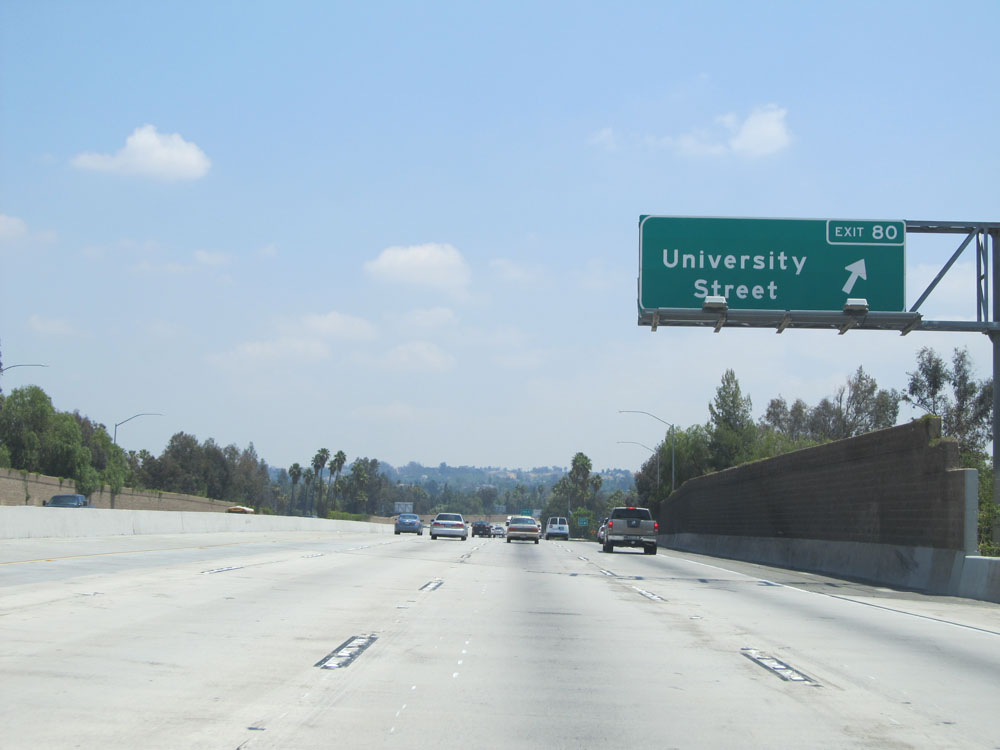 |
Interstate 10 East at Exit 80: University Street (Photo taken 5/19/15). |
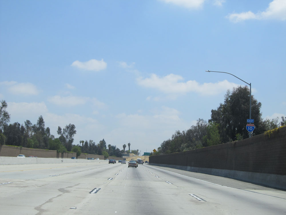 |
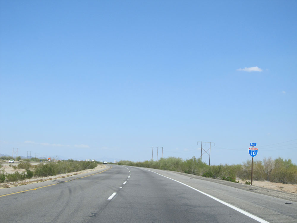
Interstate 10 East shield. (Photo taken 5/19/15). |
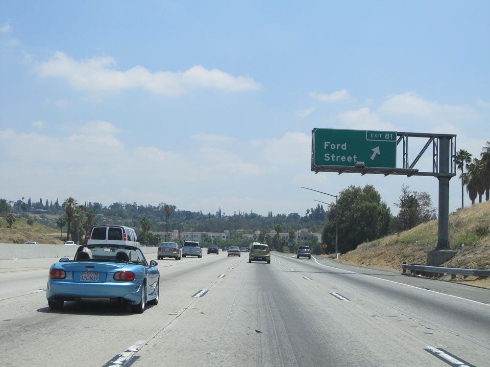 |
Interstate 10 East at Exit 81: Ford Street (Photo taken 5/19/15). |
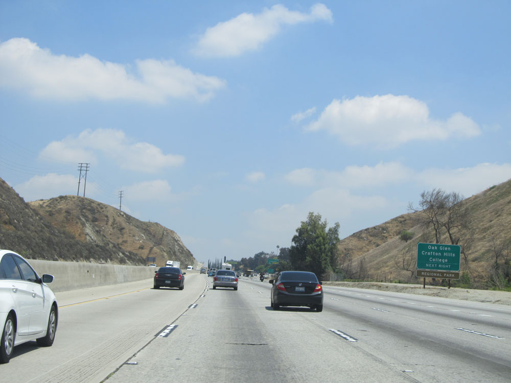 |
Take the next exit (Exit 83) to Oak Glen and Crafton Hills College. (Photo taken 5/19/15). |
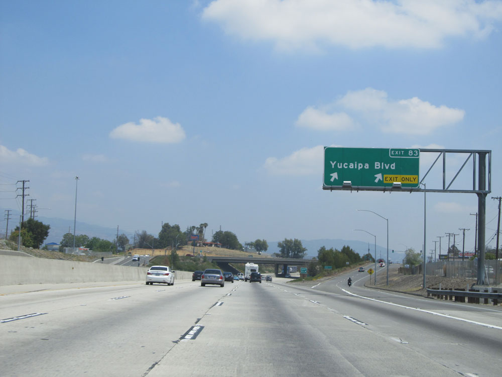 |
Interstate 10 East at Exit 83: Yucaipa Blvd (Photo taken 5/19/15). |
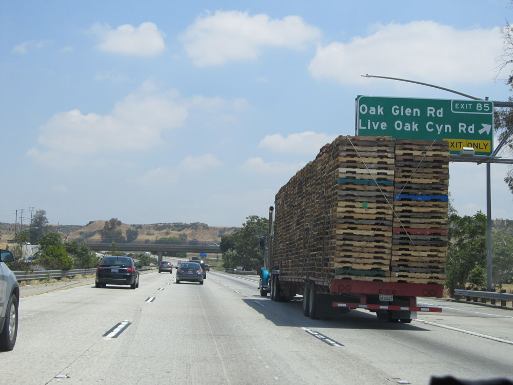 |
Interstate 10 East at Exit 85: Oak Glen Rd / Live Oak Canyon Rd (Photo taken 5/19/15). |
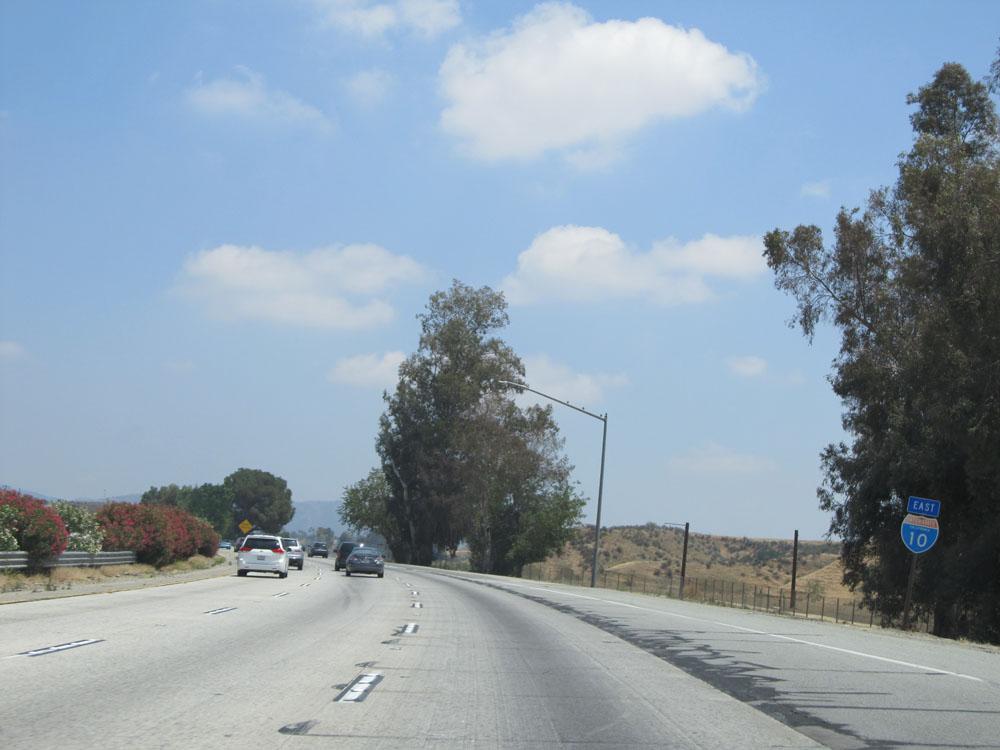 |
An older looking Interstate 10 East assurance shield. (Photo taken 5/19/15). |
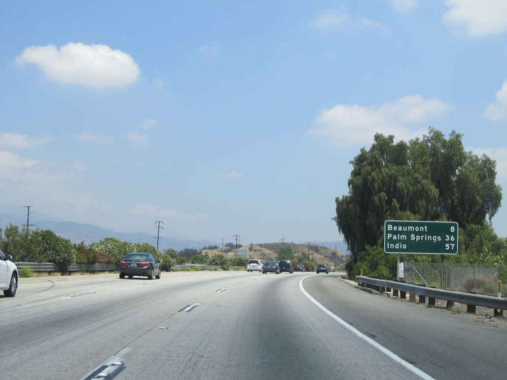 |
Mileage sign on Interstate 10 East. It's 8 miles to Beaumont, 36 miles to Palm Springs, and 57 miles to Indio. (Photo taken 5/19/15). |
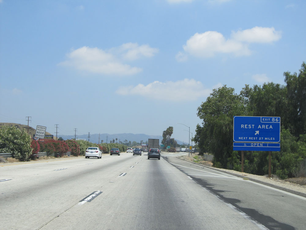 |
Interstate 10 East at Exit 86: Rest Area. The next Rest Area is 27 miles ahead. (Photo taken 5/19/15). |
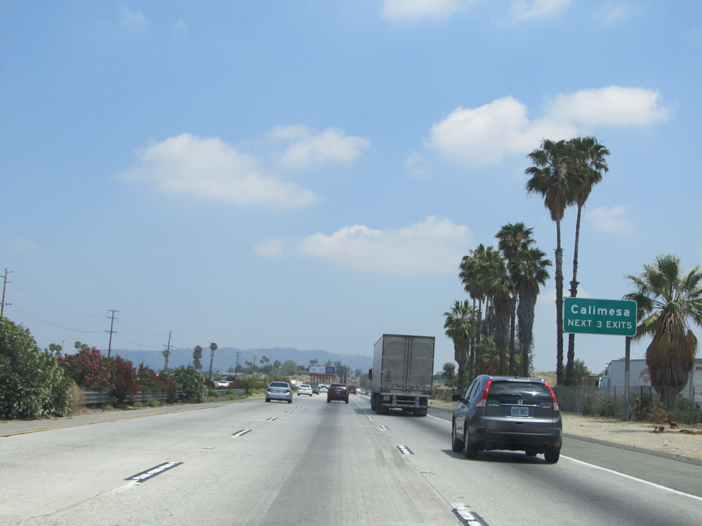 |
Take any of the next 3 exits to Calimesa. (Photo taken 5/19/15). |
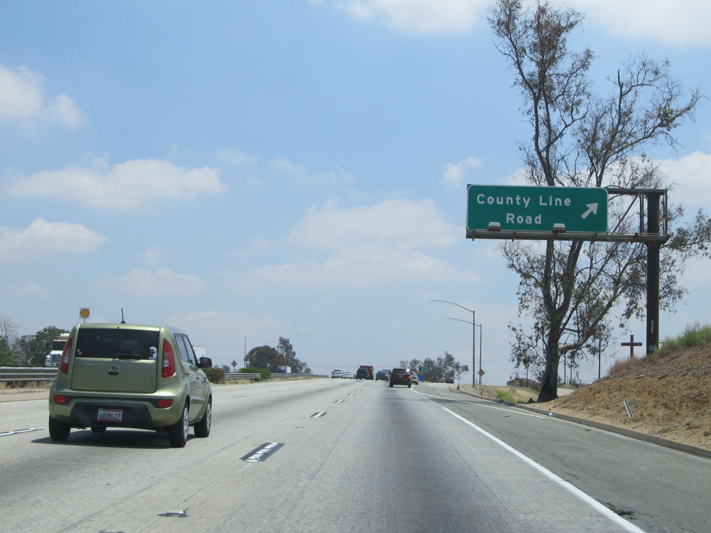 |
Interstate 10 East at Exit 87: County Line Road (Photo taken 5/19/15). |
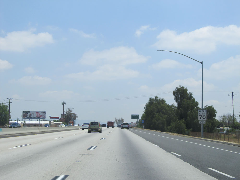 |
Just past Exit 87, the speed limit increases to 70 mph for automobiles. This is the standard speed limit for cars on most rural Interstates in California. (Photo taken 5/19/15). |
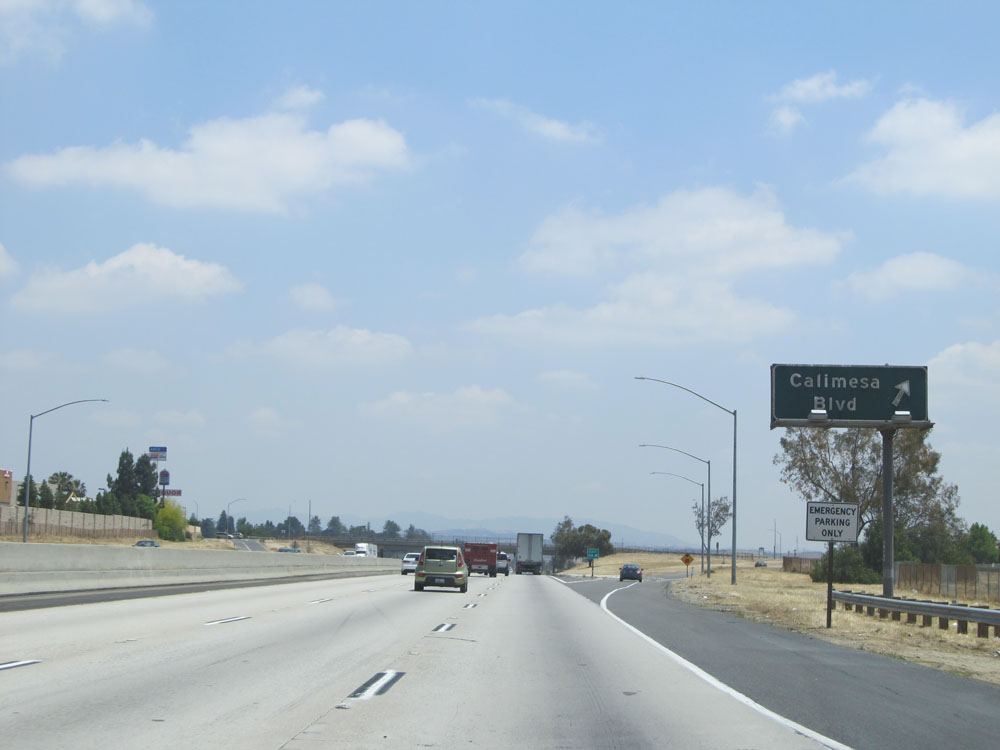 |
Interstate 10 East at Exit 88: Calimesa Blvd (Photo taken 5/19/15). |
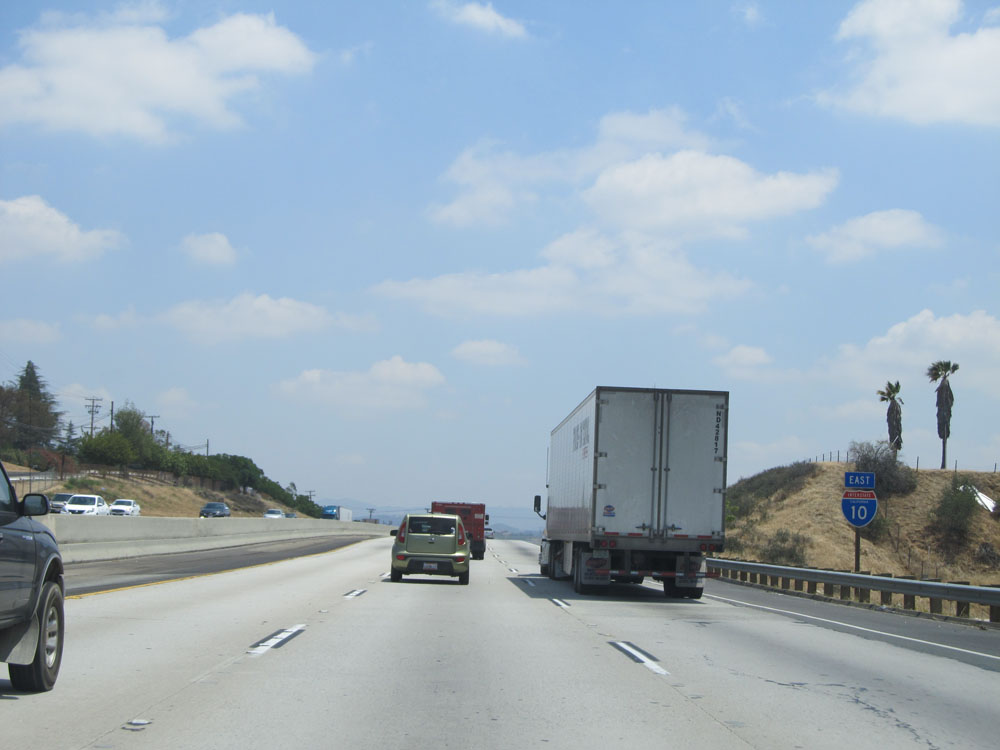 |
Interstate 10 East assurance shield just past Exit 88. (Photo taken 5/19/15). |
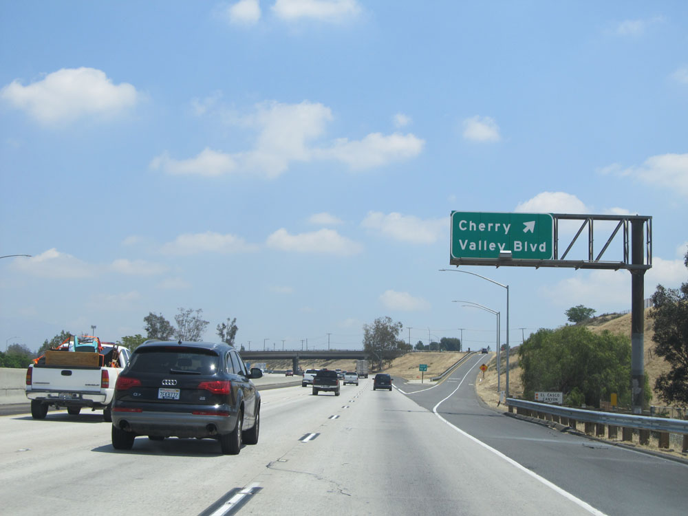 |
Interstate 10 East at Exit 90: Cherry Valley Blvd (Photo taken 5/19/15). |
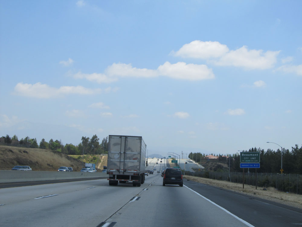 |
Interstate 10 East as it enters the Beaumont city limits. (Photo taken 5/19/15). |
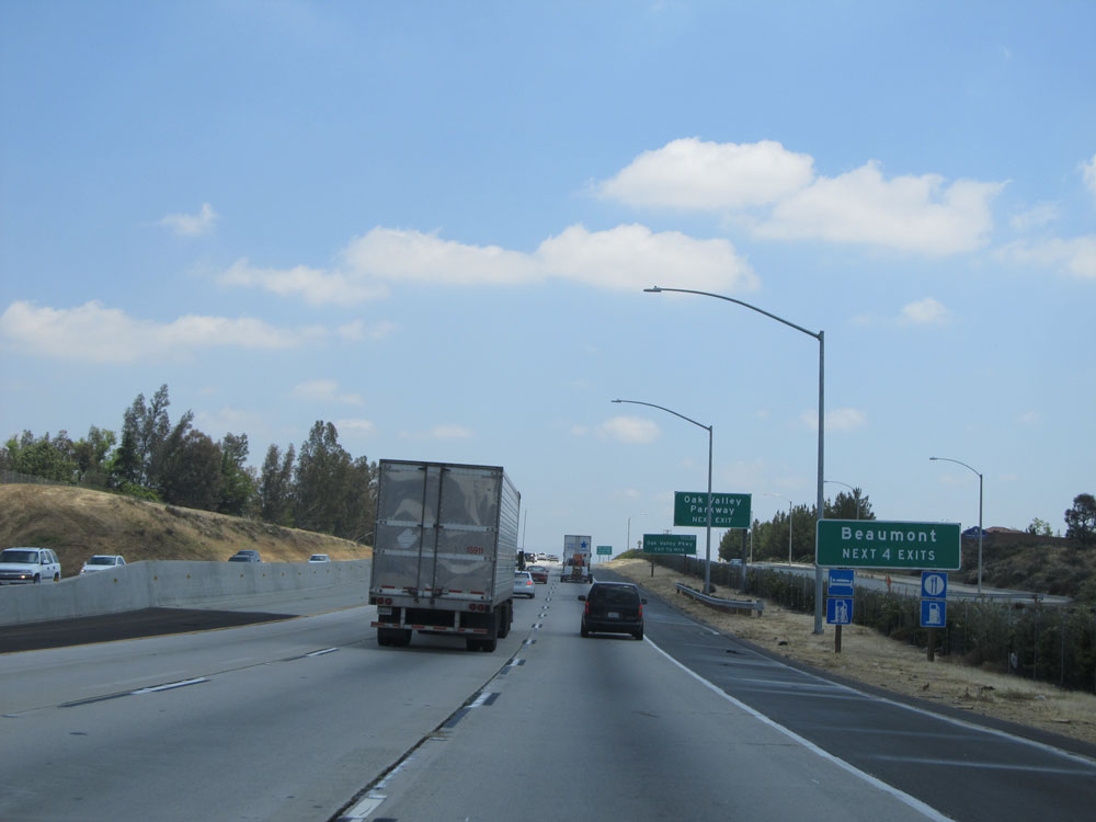 |
Take any of the next 4 exits to Beaumont. (Photo taken 5/19/15). |
 |
Use the next exit (Exit 92) to San Timoteo and Canyon Rd. (Photo taken 5/19/15). |
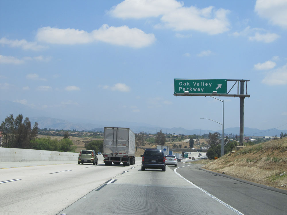 |
Interstate 10 East at Exit 92: Oak Valley Parkway (Photo taken 5/19/15). |
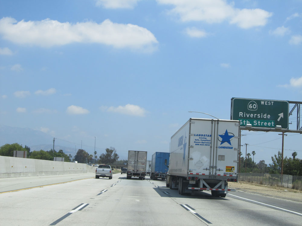 |
Interstate 10 East at Exit 93: CA 60 West - Riverside / 6th Street (Photo taken 5/19/15). |
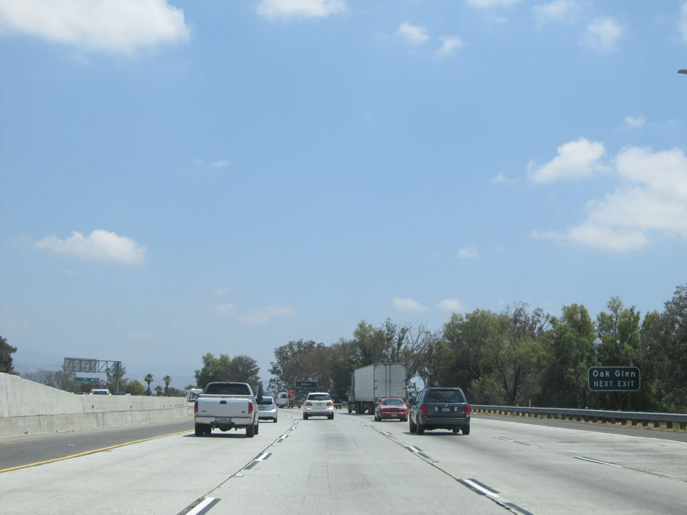 |
Take the next exit (Exit 94) to Oak Glen. (Photo taken 5/19/15). |
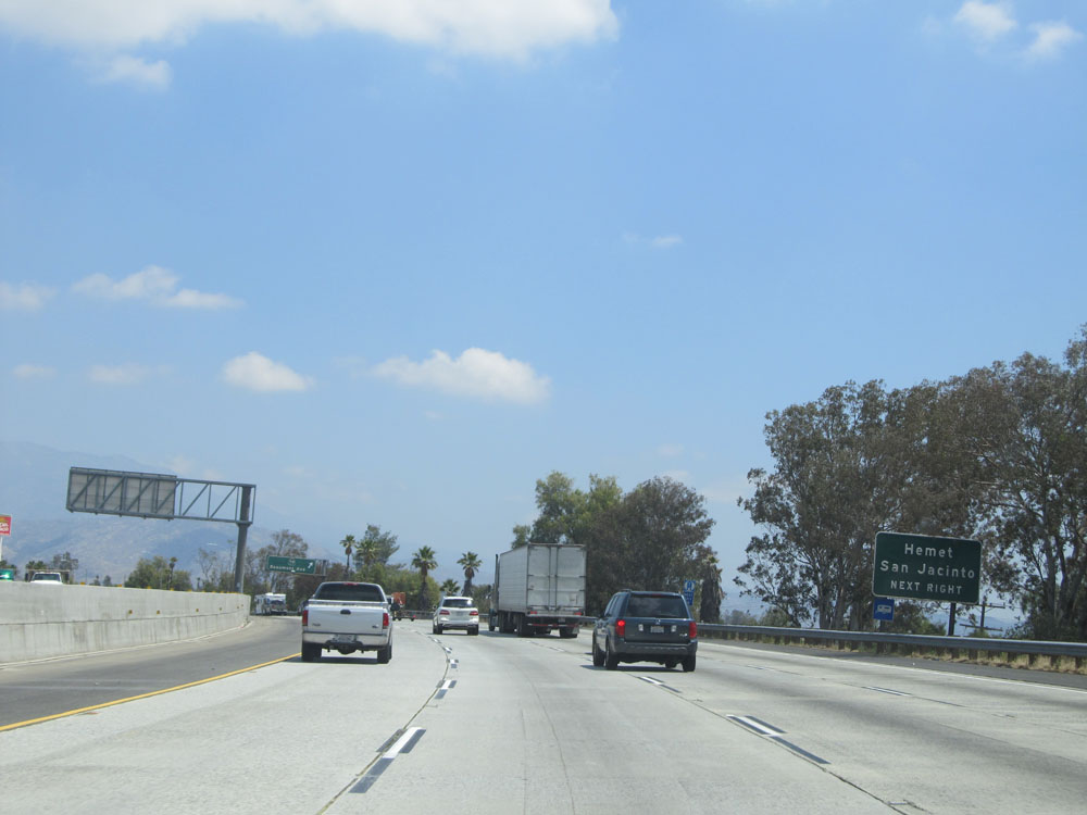 |
Also use Exit 94 to Hemet and San Jacinto. (Photo taken 5/19/15). |
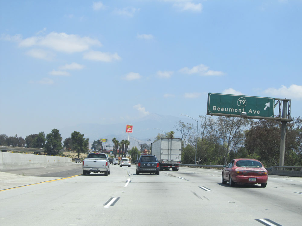 |
Interstate 10 East at Exit 94: CA 79 - Beaumont Ave (Photo taken 5/19/15). |
 |
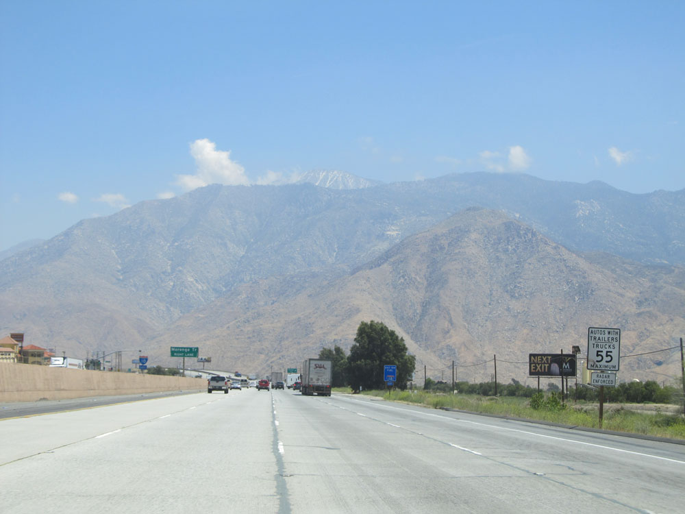
Take any of the next 5 exits to Banning. (Photo taken 5/19/15). |
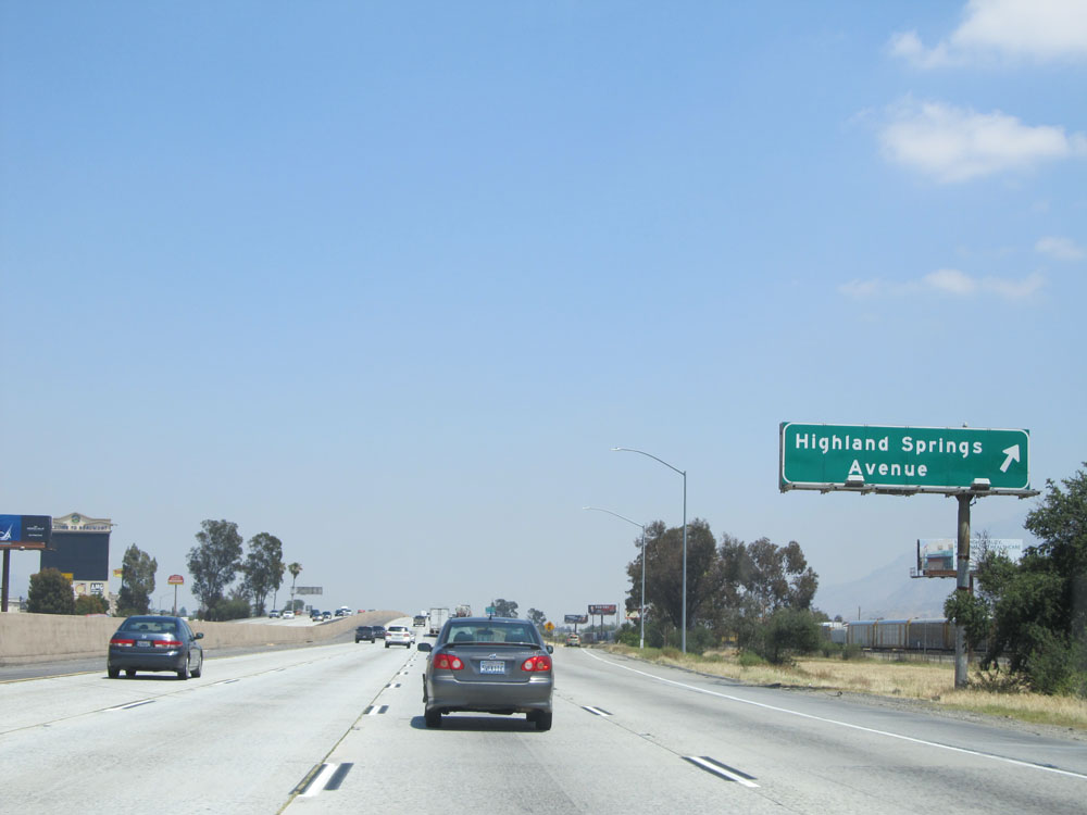 |
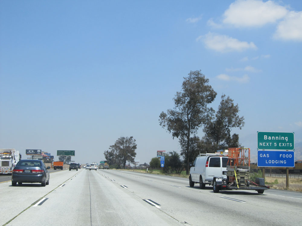
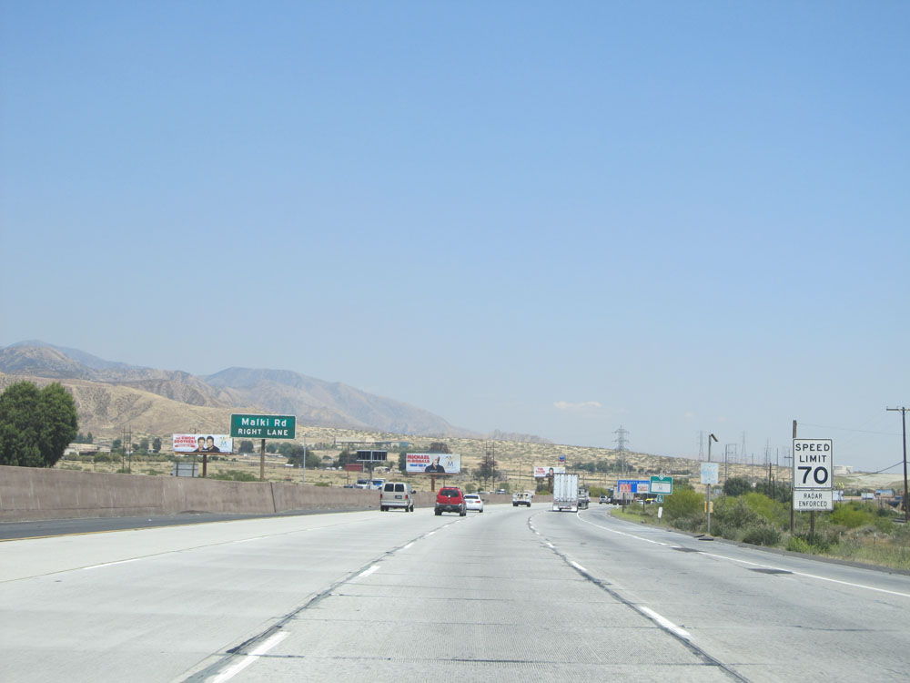
Interstate 10 East at Exit 96: Highland Springs Avenue (Photo taken 5/19/15). |
Section 2: Banning (Exit 96) to Indio (Exit 139)
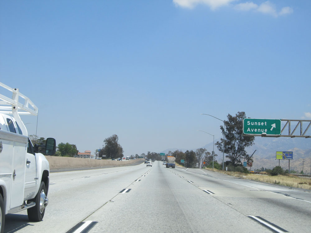 |
Interstate 10 East at Exit 98: Sunset Avenue (Photo taken 5/19/15). |
 |
Interstate 10 East at Exit 99: 22nd Street / Downtown (Photo taken 5/19/15). |
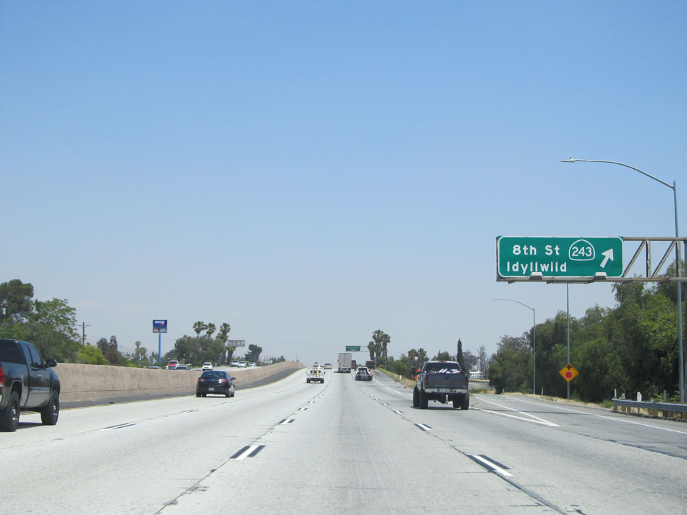 |
Interstate 10 East at Exit 100: CA 243 - 8th St / Idyllwild (Photo taken 5/19/15). |
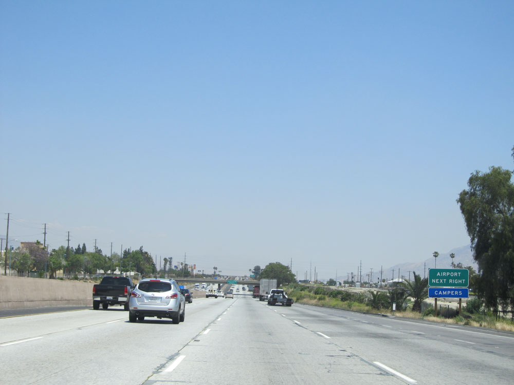 |
Take the next exit (Exit 101) to the Airport. (Photo taken 5/19/15). |
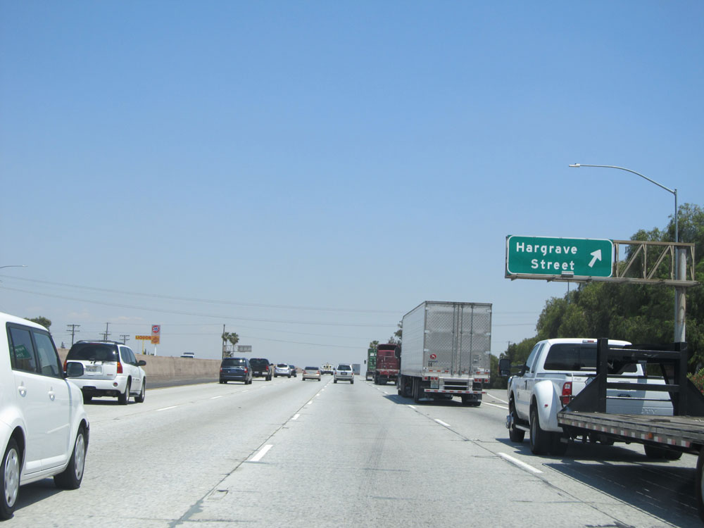 |
Interstate 10 East at Exit 101: Hargrave Street (Photo taken 5/19/15). |
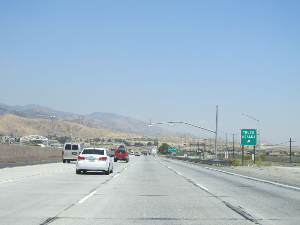 |
Interstate 10 East at the Weigh Station in Banning. (Photo taken 5/19/15). |
 |
Interstate 10 East approaching Exit 103 - 3/4 mile. (Photo taken 5/19/15). |
 |
Speed limit sign on Interstate 10 East. Speed limit - 70 mph for automobiles. Still 55 mph for trucks. (Photo taken 5/19/15). |
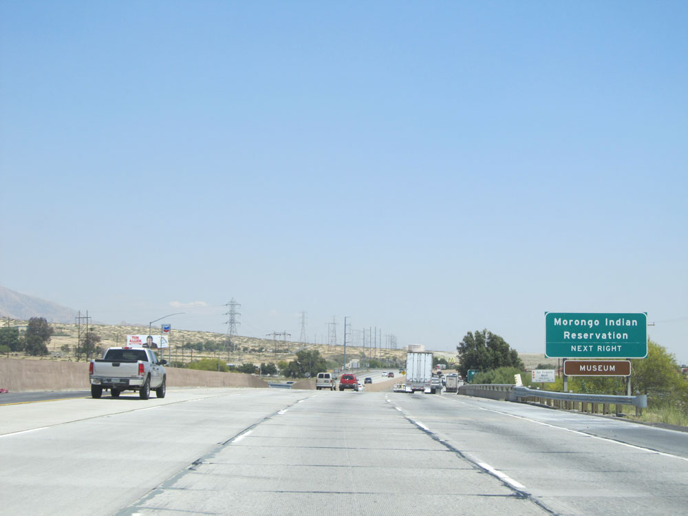 |
Take Exit 103 to Morongo Indian Reservation. (Photo taken 5/19/15). |
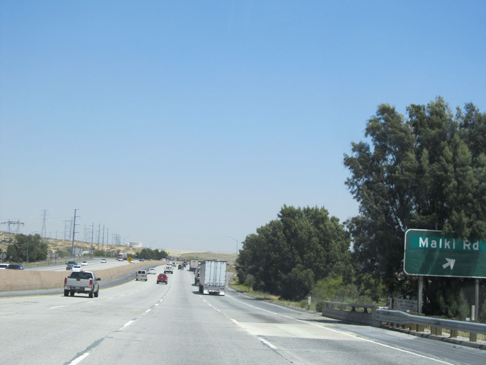 |
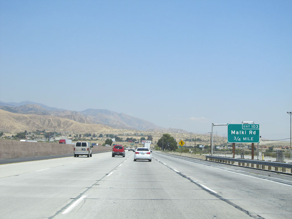
Interstate 10 East at Exit 103: Malki Rd (Photo taken 5/19/15). |
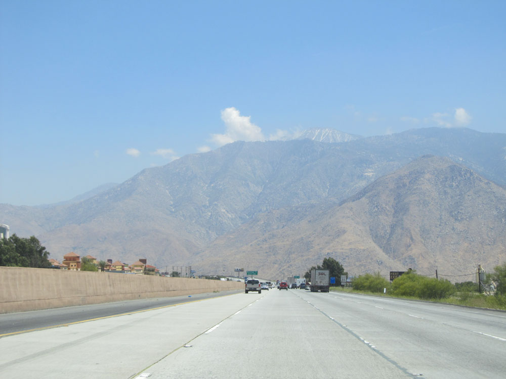 |
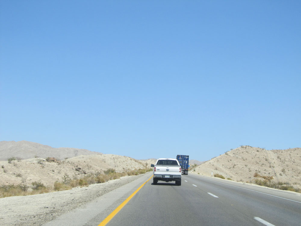
View on Interstate 10 East. (Photo taken 5/19/15). |
 |
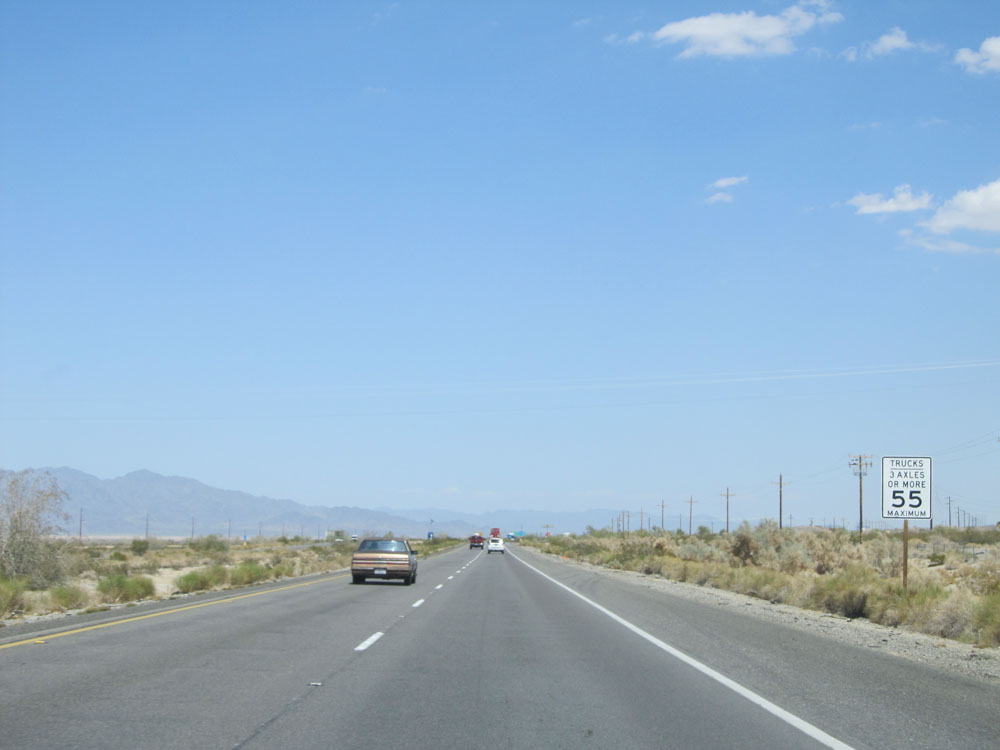
Here is one of the signs indicating California's ridiculous 55 mph truck speed limit statewide. (Photo taken 5/19/15). |
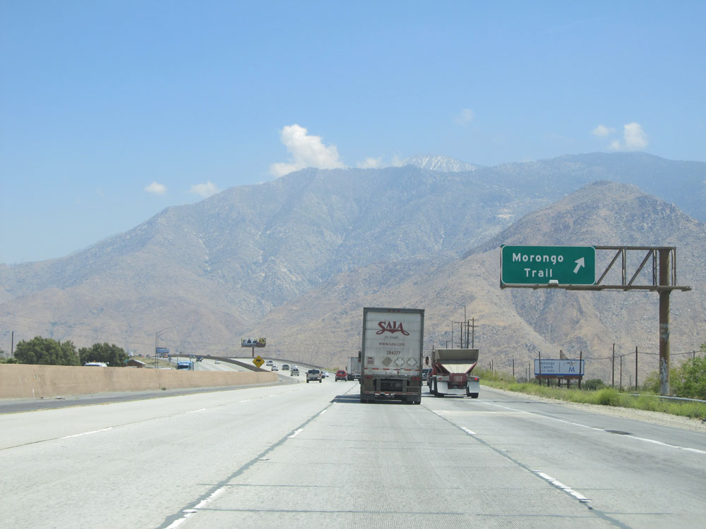 |
Interstate 10 East at Exit 104: Morongo Trail (Photo taken 5/19/15). |
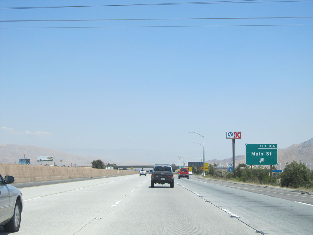 |
Interstate 10 East at Exit 106: Main St (Photo taken 5/19/15). |
 |
View on Interstate 10 East. (Photo taken 5/19/15). |
 |
Interstate 10 East assurance shield as you near Palm Springs. (Photo taken 5/19/15). |
 |
Another view on Interstate 10 East. (Photo taken 5/19/15). |
 |
And another view on Interstate 10 East. (Photo taken 5/19/15). |
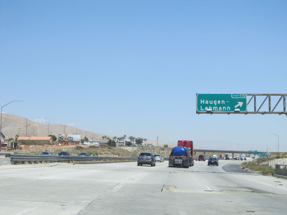 |
Interstate 10 East at Exit 110: Haugen-Lehmann (Photo taken 5/19/15). |
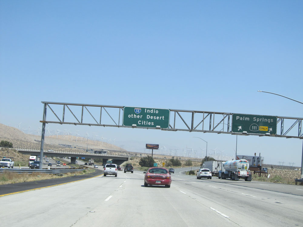 |
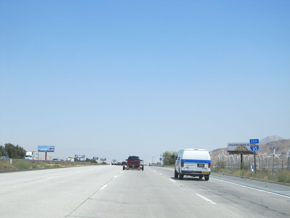
Interstate 10 East at Exit 111: CA 111 - Palm Springs (Photo taken 5/19/15). |
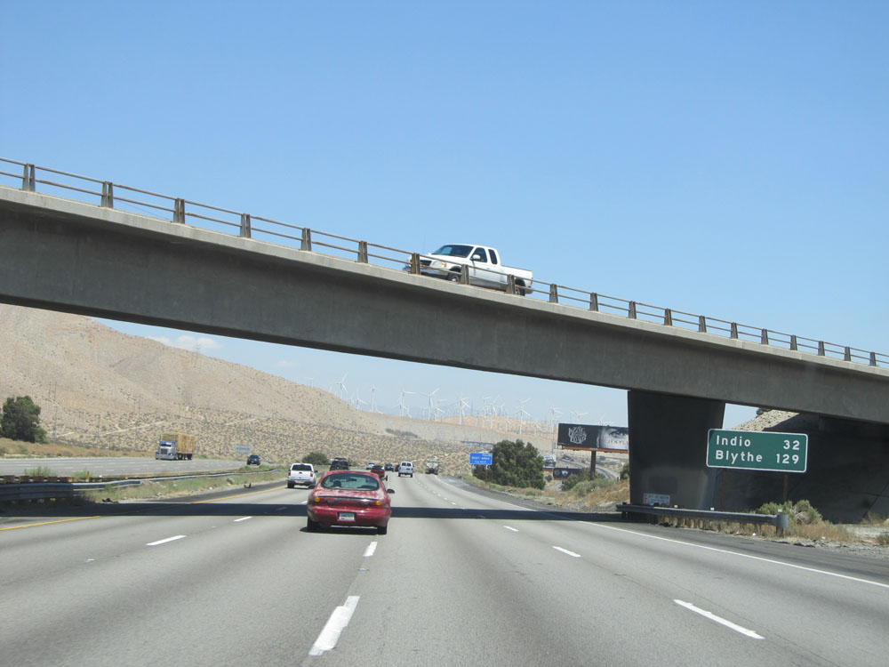 |
Mileage sign on Interstate 10 East, just past Exit 111. It's 32 miles to Indio and 129 miles to Blythe. (Photo taken 5/19/15). |
 |
Interstate 10 East approaching Exit 114 - 1 mile. (Photo taken 5/19/15). |
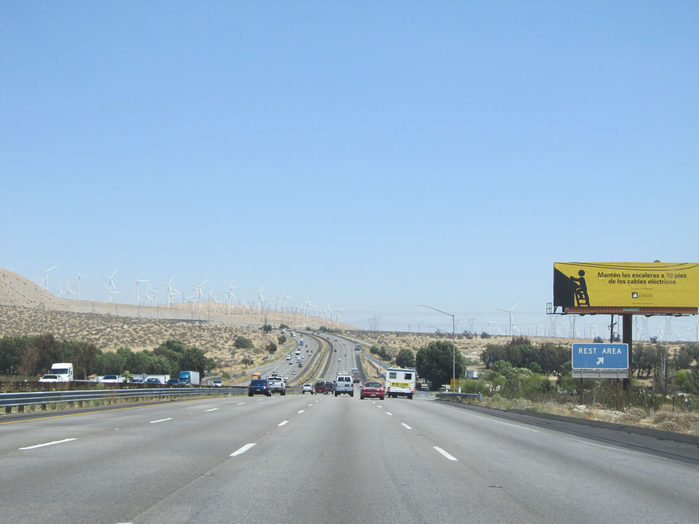 |
Interstate 10 East at Exit 113: Rest Area (Photo taken 5/19/15). |
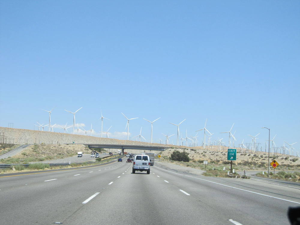 |
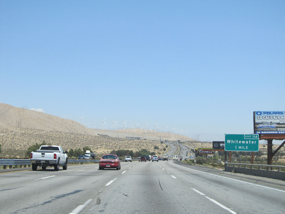
Interstate 10 East at Exit 114: Whitewater (Photo taken 5/19/15). |
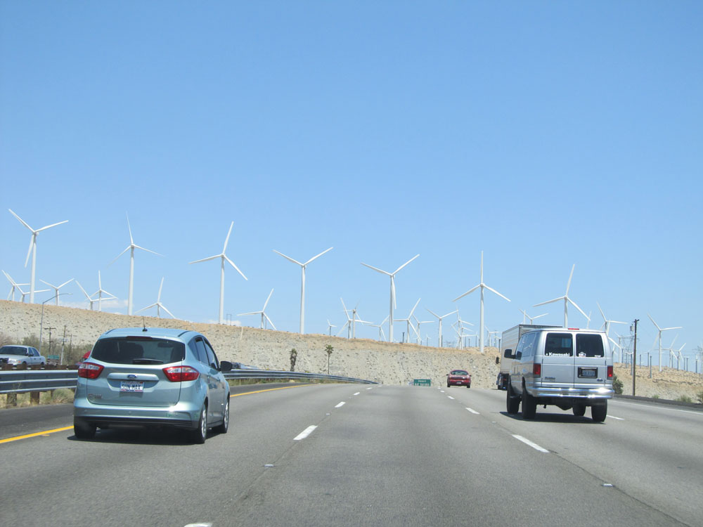 |
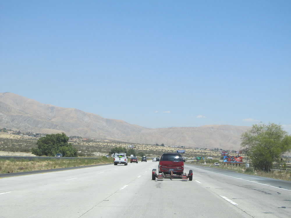
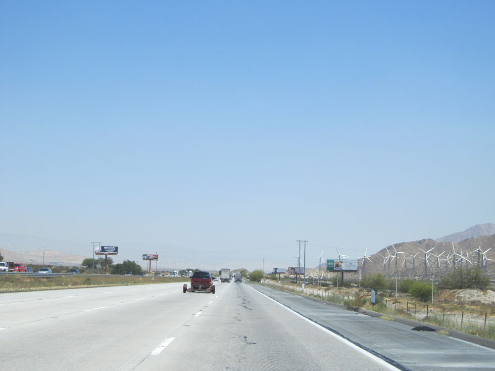
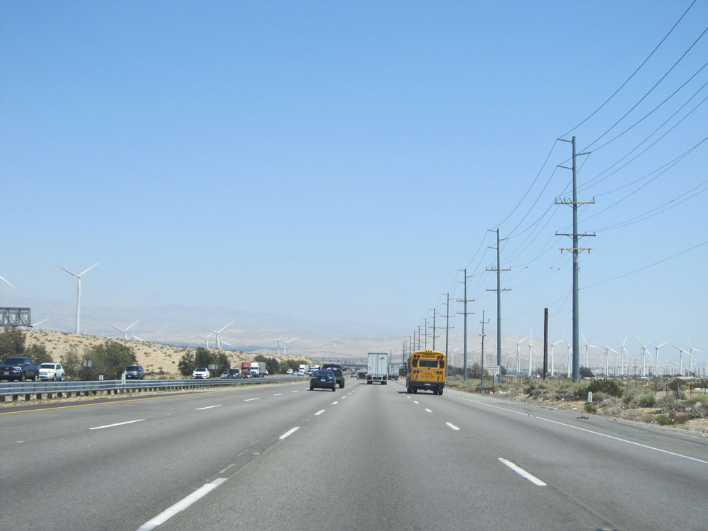
View on Interstate 10 East nearing Palm Springs. That's quite an impressive display of wind turbines! (Photo taken 5/19/15). |
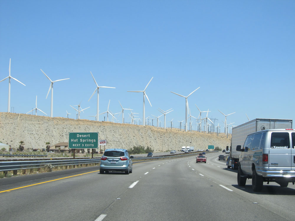 |
Take any of the next 3 exits to Desert Hot Springs. (Photo taken 5/19/15). |
 |
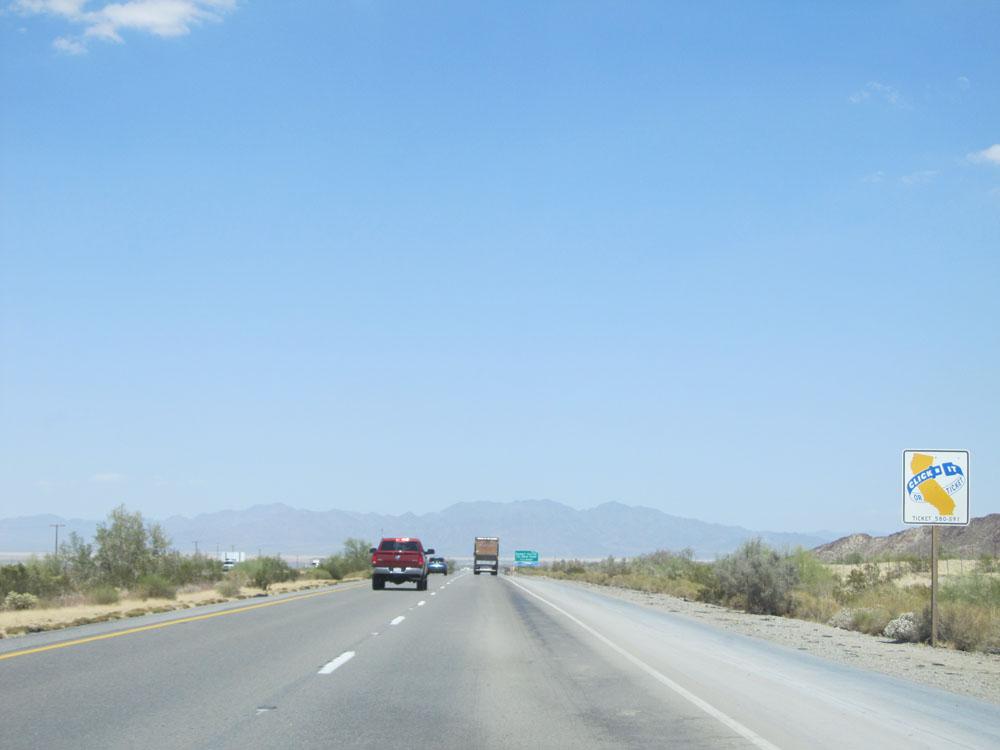
View on Interstate 10 East, of hundreds of wind turbines. (Photo taken 5/19/15). |
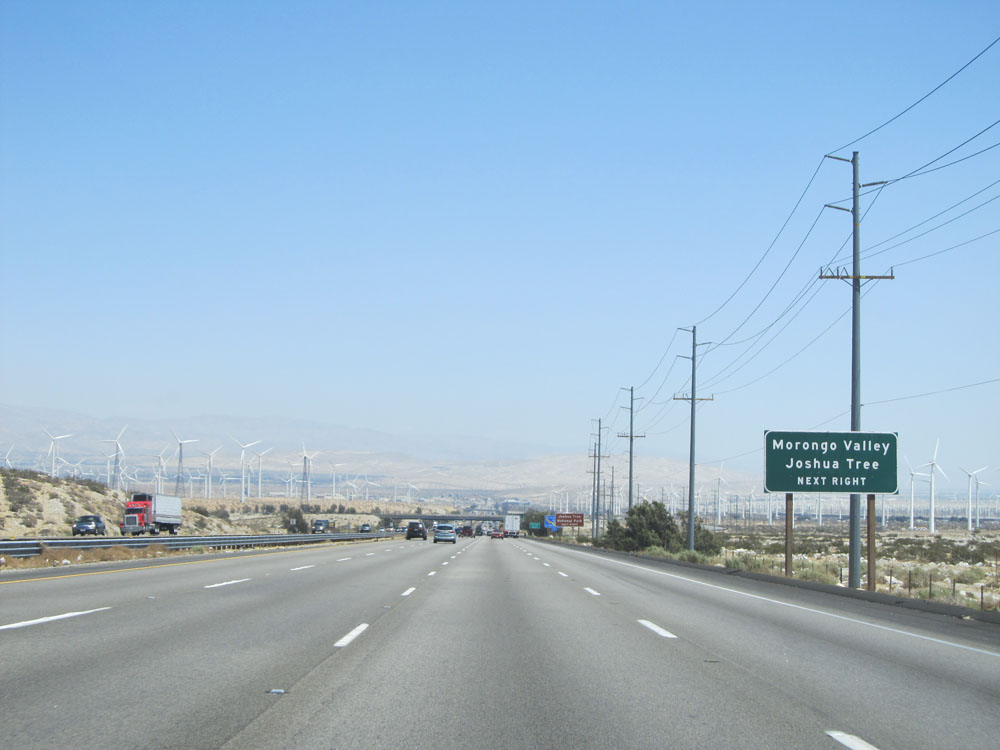 |
Take the next exit (Exit 117) to Morongo Valley and Joshua Tree. (Photo taken 5/19/15). |
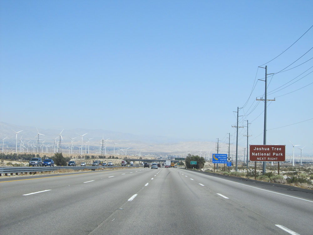 |
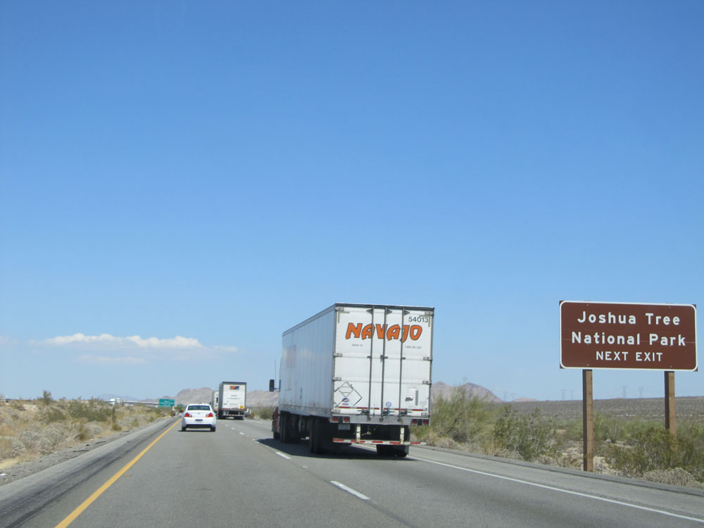
Also take Exit 117 to Joshua Tree National Park. (Photo taken 5/19/15). |
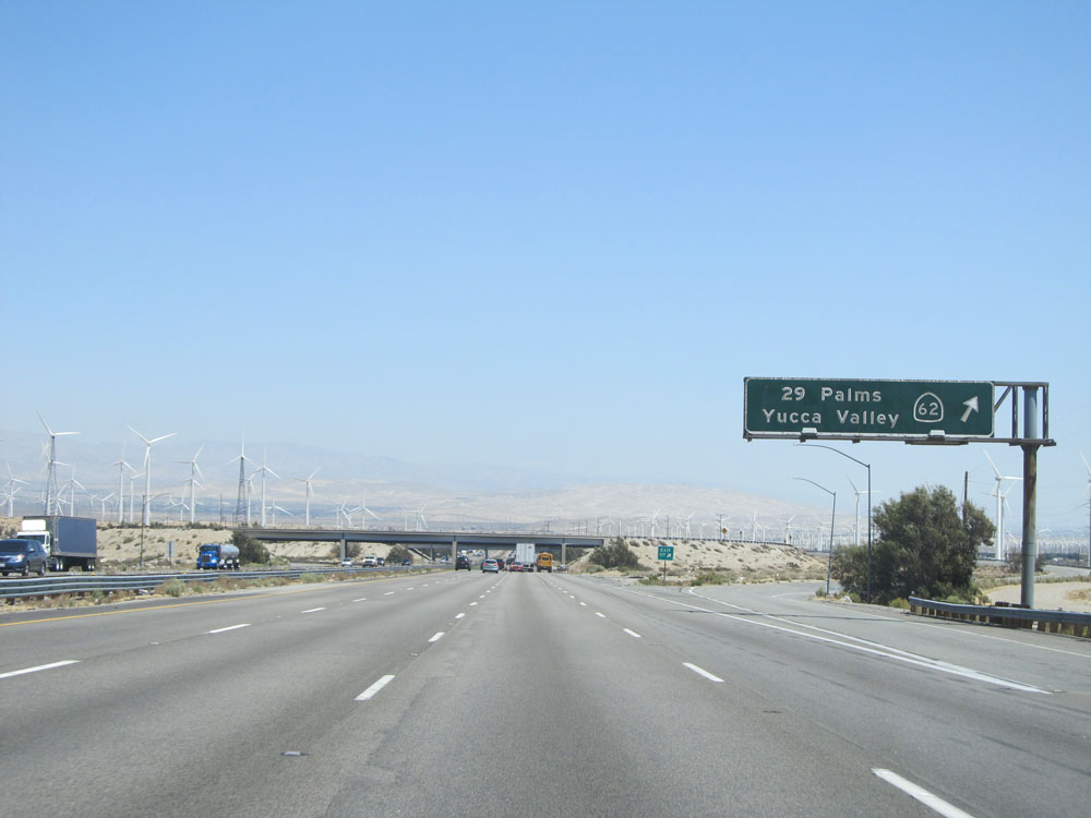 |
Interstate 10 East at Exit 117: CA 62 - 29 Palms / Yucca Valley (Photo taken 5/19/15). |
 |
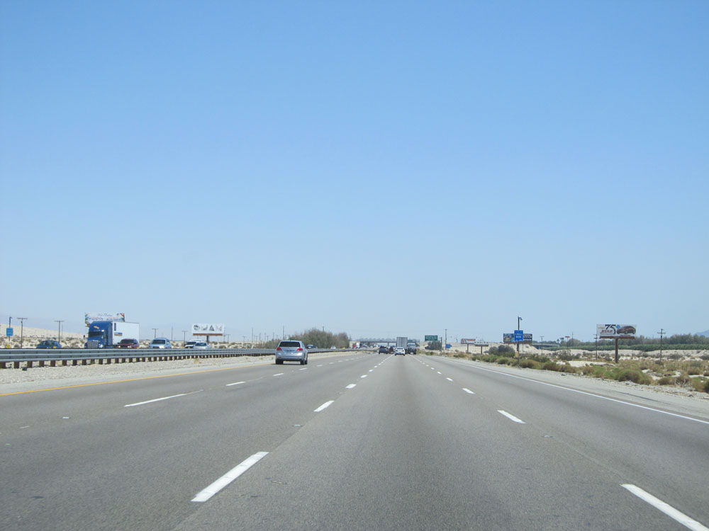
View on Interstate 10 East. (Photo taken 5/19/15). |
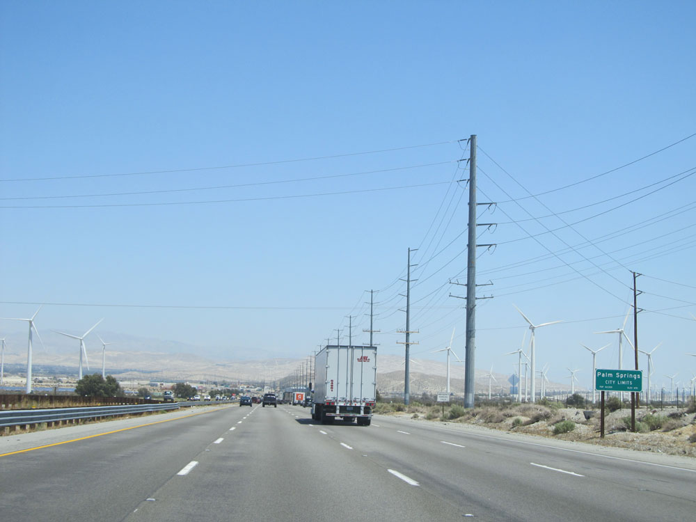 |
Interstate 10 East as it enters the Palm Springs city limits. (Photo taken 5/19/15). |
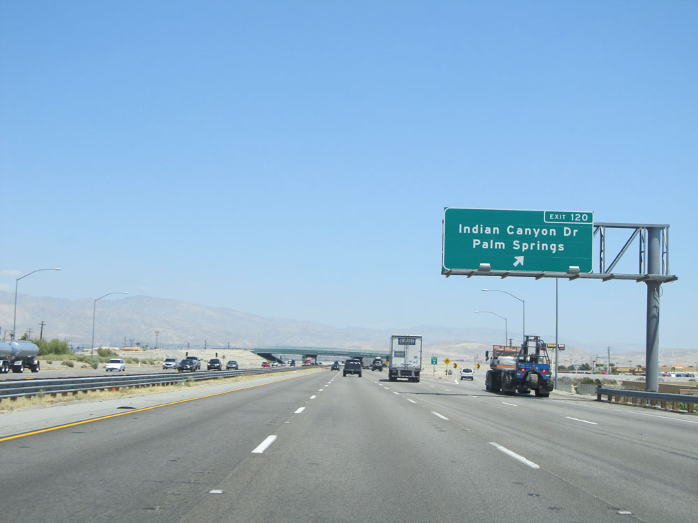 |
Interstate 10 East at Exit 120: Indian Canyon Dr / Palm Springs (Photo taken 5/19/15). |
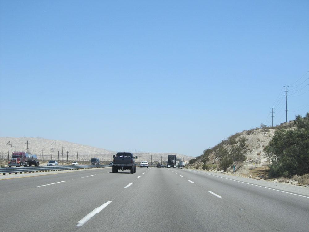 |
View on Interstate 10 East. (Photo taken 5/19/15). |
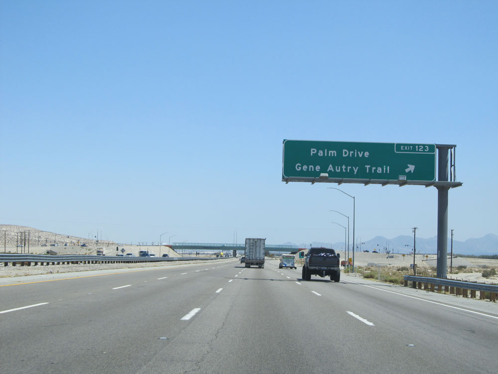 |
Interstate 10 East at Exit 123: Palm Drive / Gene Autry Trail (Photo taken 5/19/15). |
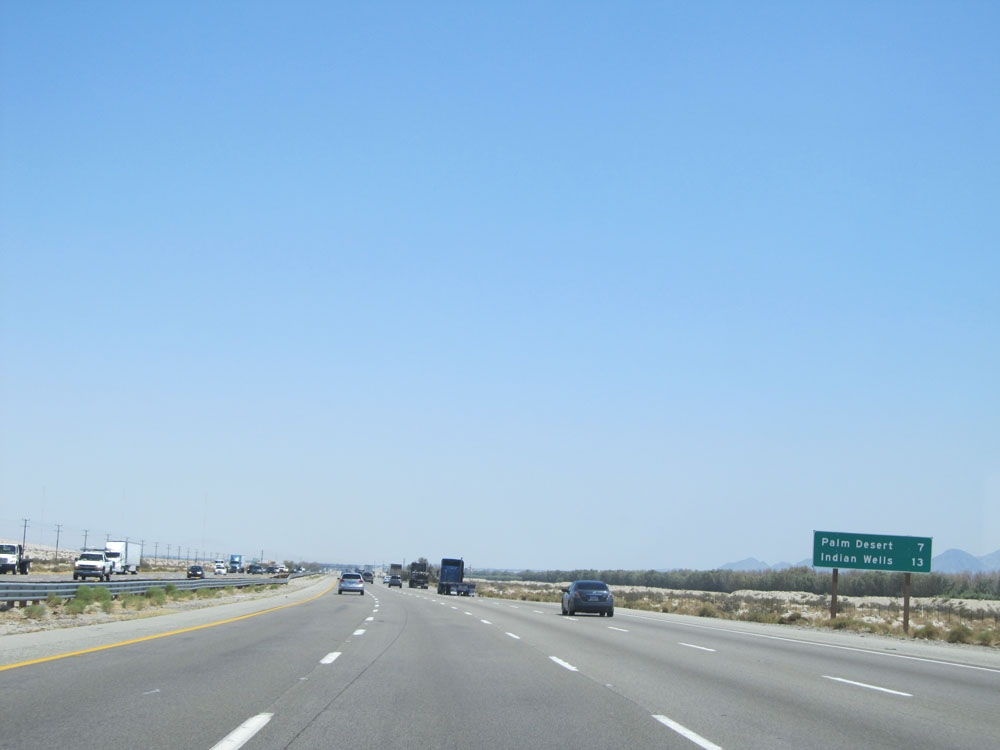 |
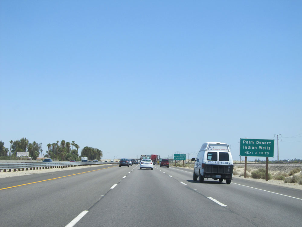
Mileage sign on Interstate 10 East. It's 7 miles to Palm Desert and 13 miles to Indian Wells. (Photo taken 5/19/15). |
 |
View on Interstate 10 East. (Photo taken 5/19/15). |
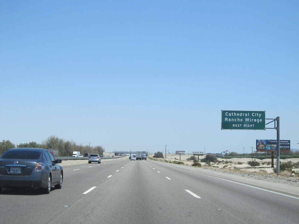 |
Take the next exit (Exit 126) to Cathedral City and Rancho Mirage. (Photo taken 5/19/15). |
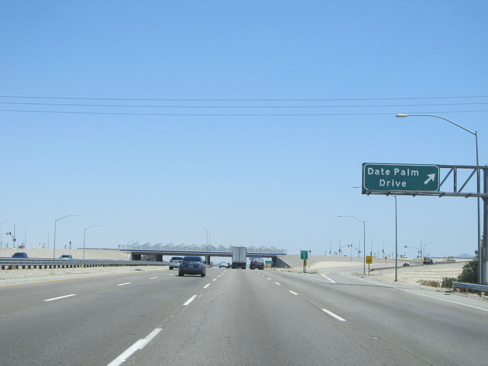 |
Interstate 10 East at Exit 126: Date Palm Drive (Photo taken 5/19/15). |
 |
Mileage sign placed in the center of Interstate 10 East. It's 16 miles to Indio and 113 miles to Blythe. (Photo taken 5/19/15). |
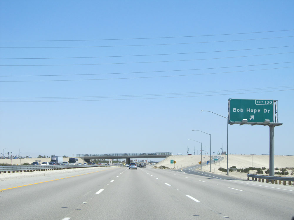 |
Interstate 10 East at Exit 130: Bob Hope Dr (Photo taken 5/19/15). |
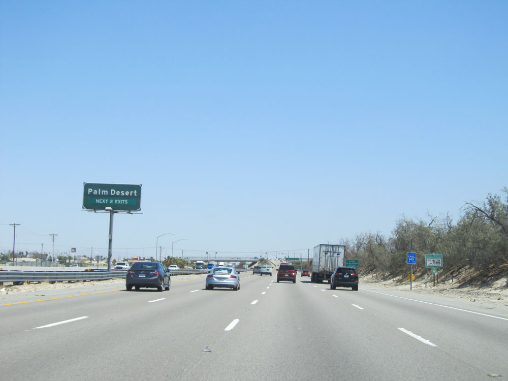 |
Take either of the next 2 exits to Palm Desert. (Photo taken 5/19/15). |
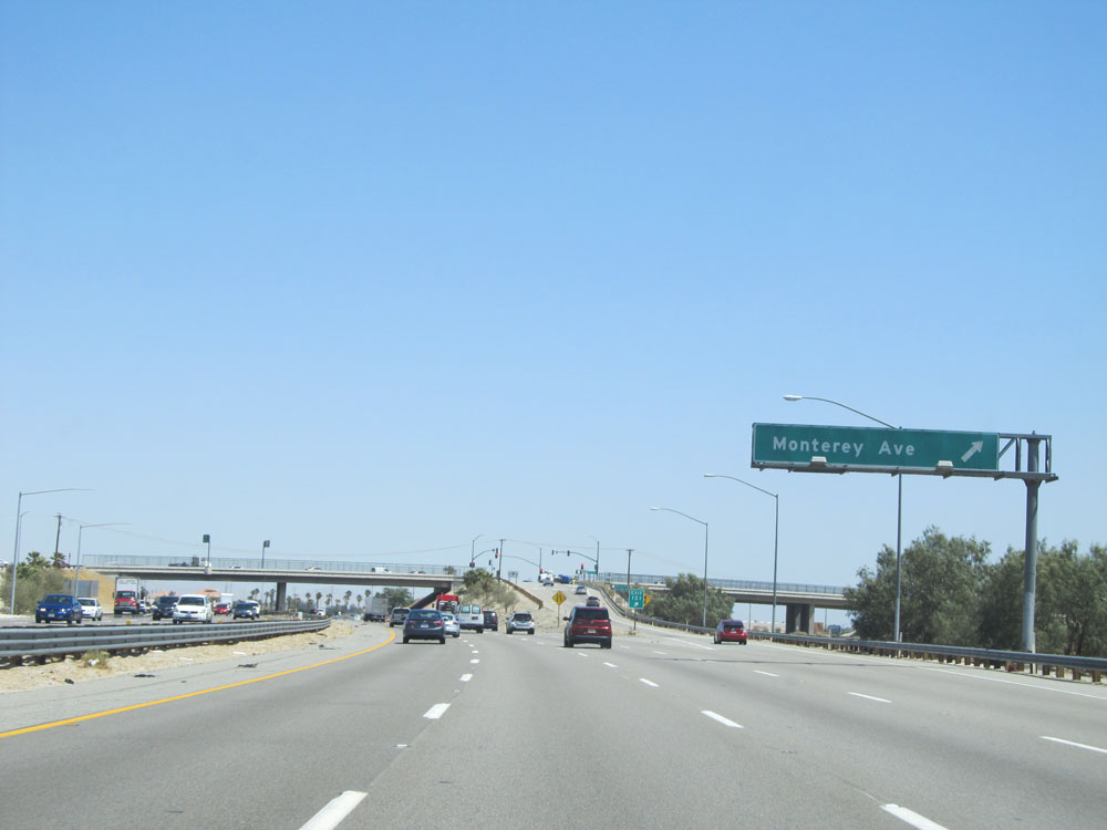 |
Interstate 10 East at Exit 131: Monterey Ave (Photo taken 5/19/15). |
 |
Interstate 10 East assurance shield just past Exit 131. (Photo taken 5/19/15). |
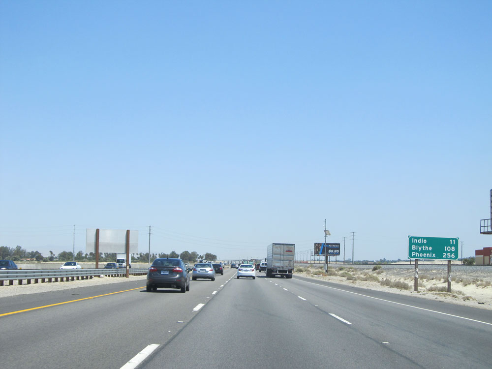 |
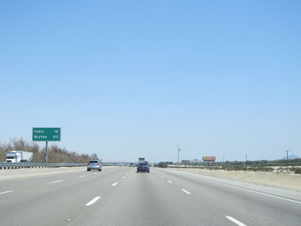
Mileage sign on Interstate 10 East. It's 11 miles to Indio, 108 miles to Blythe, and 256 miles to Phoenix. (Photo taken 5/19/15). |
 |
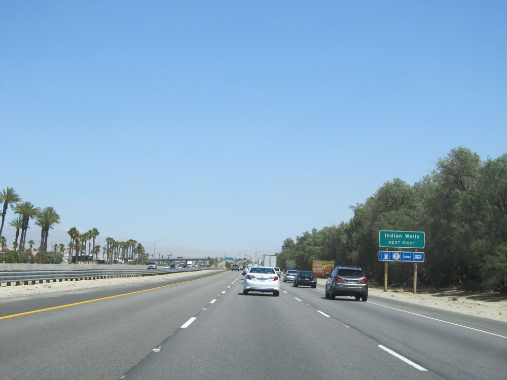
Take either of the next 2 exits to Palm Desert and Indian Wells. (Photo taken 5/19/15). |
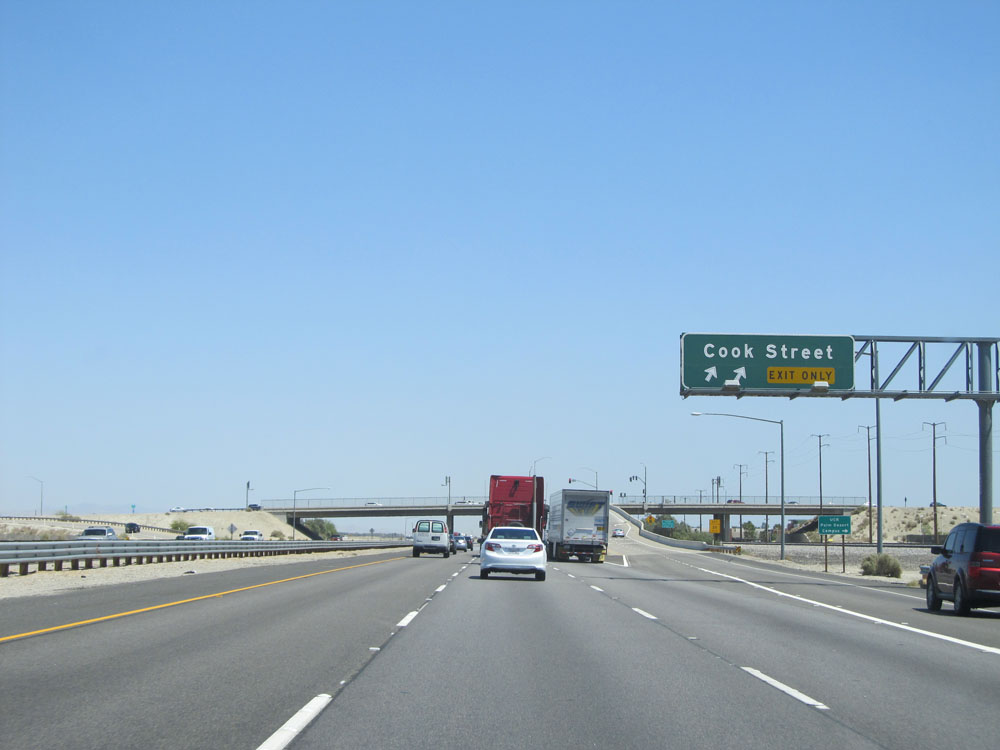 |
Interstate 10 East at Exit 134: Cook Street (Photo taken 5/19/15). |
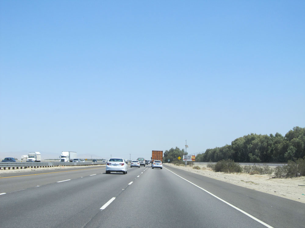 |
Road view on Interstate 10 East. (Photo taken 5/19/15). |
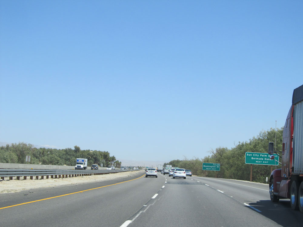 |
Take the next exit (Exit 137) to Sun City, Palm Desert, and Bermuda Dunes. (Photo taken 5/19/15). |
 |
Take either of the next 2 exits to La Quinta as well. (Photo taken 5/19/15). |
 |
Use Exit 137 to Indian Wells. (Photo taken 5/19/15). |
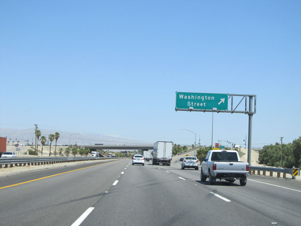 |
Interstate 10 East at Exit 137: Washington Street (Photo taken 5/19/15). |
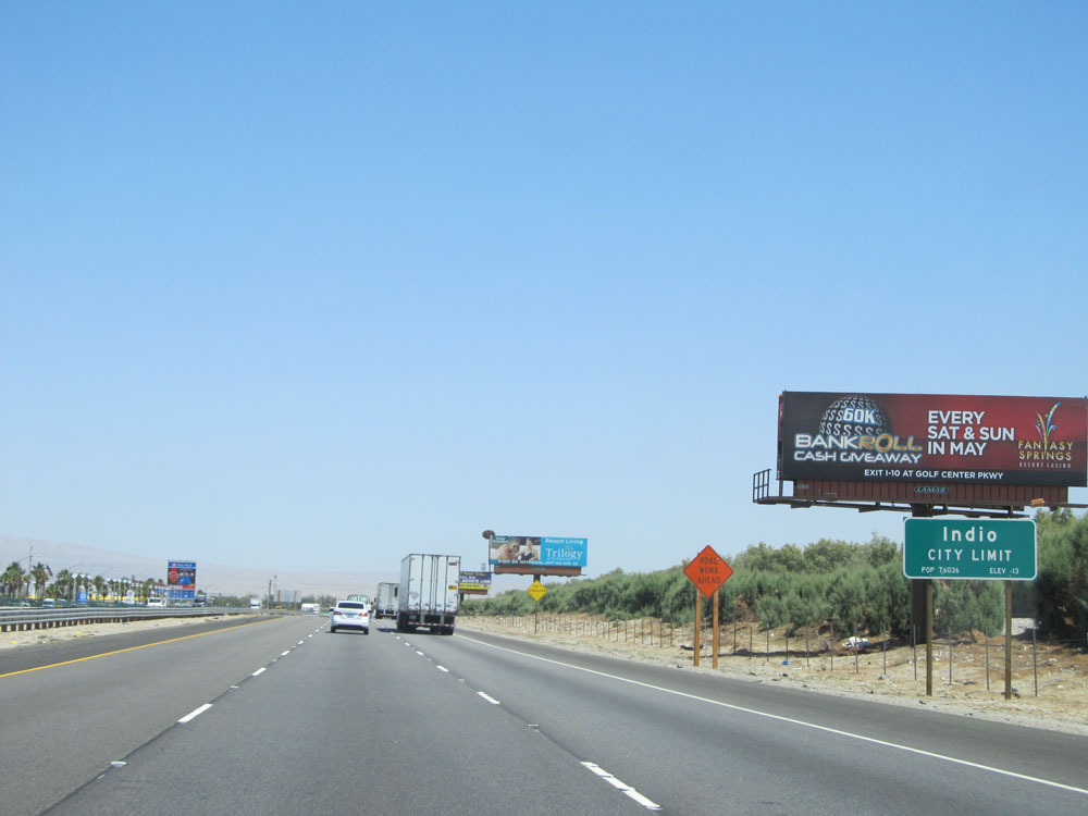 |
Interstate 10 East as it enters the Indio city limits, at an elevation of -13 feet. (Photo taken 5/19/15). |
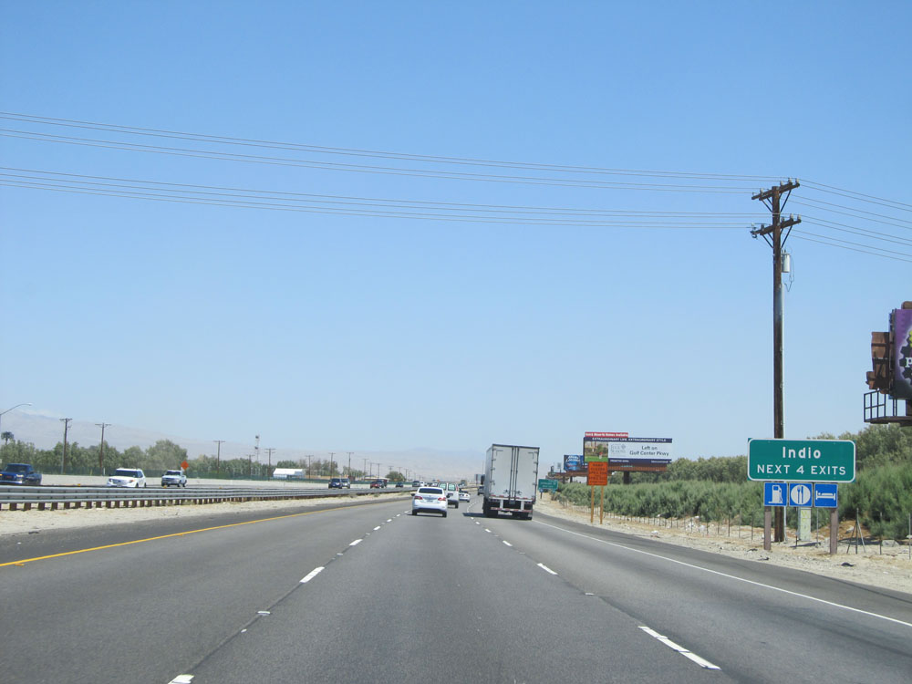 |
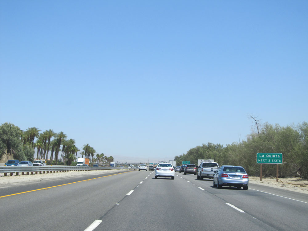
Take either of the next 4 exits to Indio. (Photo taken 5/19/15). |
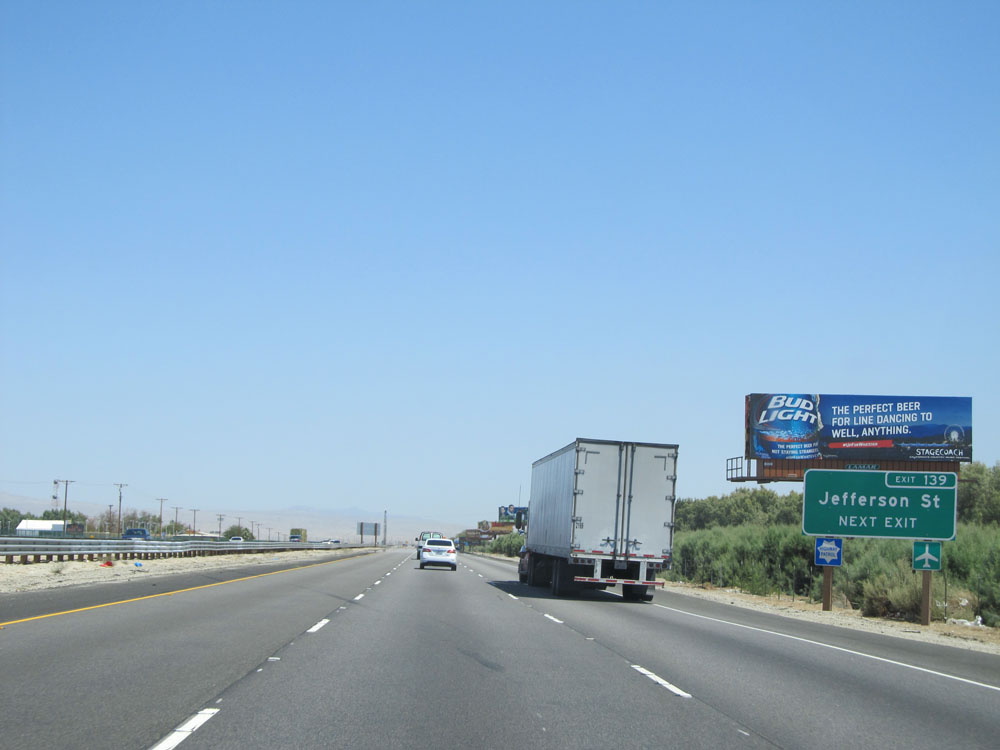 |
Use the next exit (Exit 139) to Jefferson St. (Photo taken 5/19/15). |
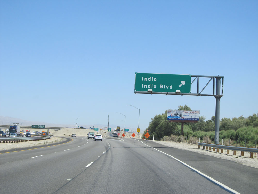 |
Interstate 10 East at Exit 139: Indio / Indio Blvd (Photo taken 5/19/15). |
Section 3: Indio (Exit 139) to Arizona Border
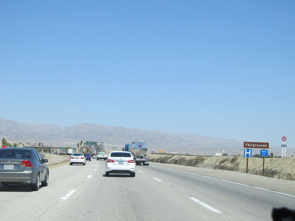 |
Take the next exit (Exit 142) to the Fairgrounds. (Photo taken 5/19/15). |
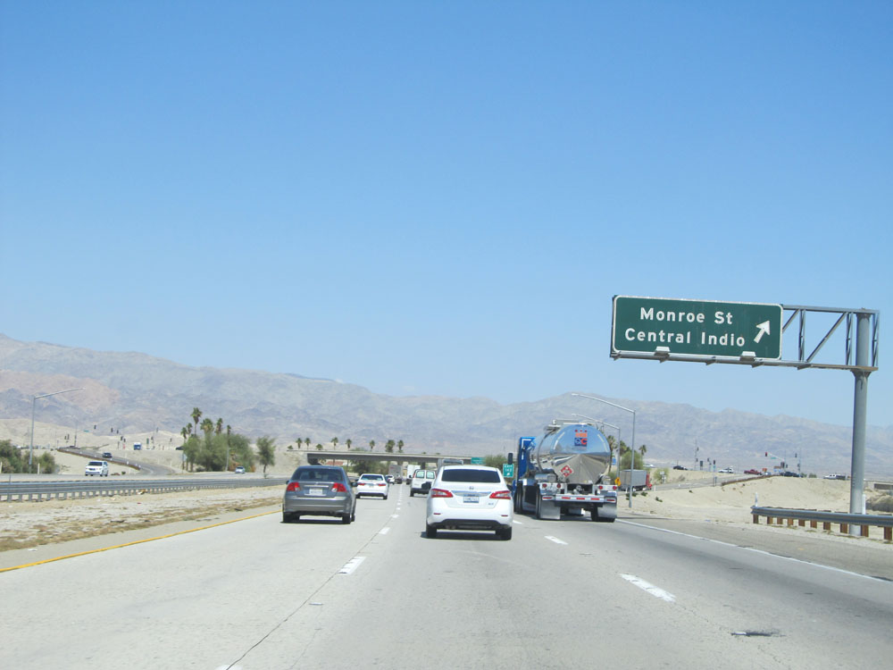 |
Interstate 10 East at Exit 142: Monroe St / Central Indio (Photo taken 5/19/15). |
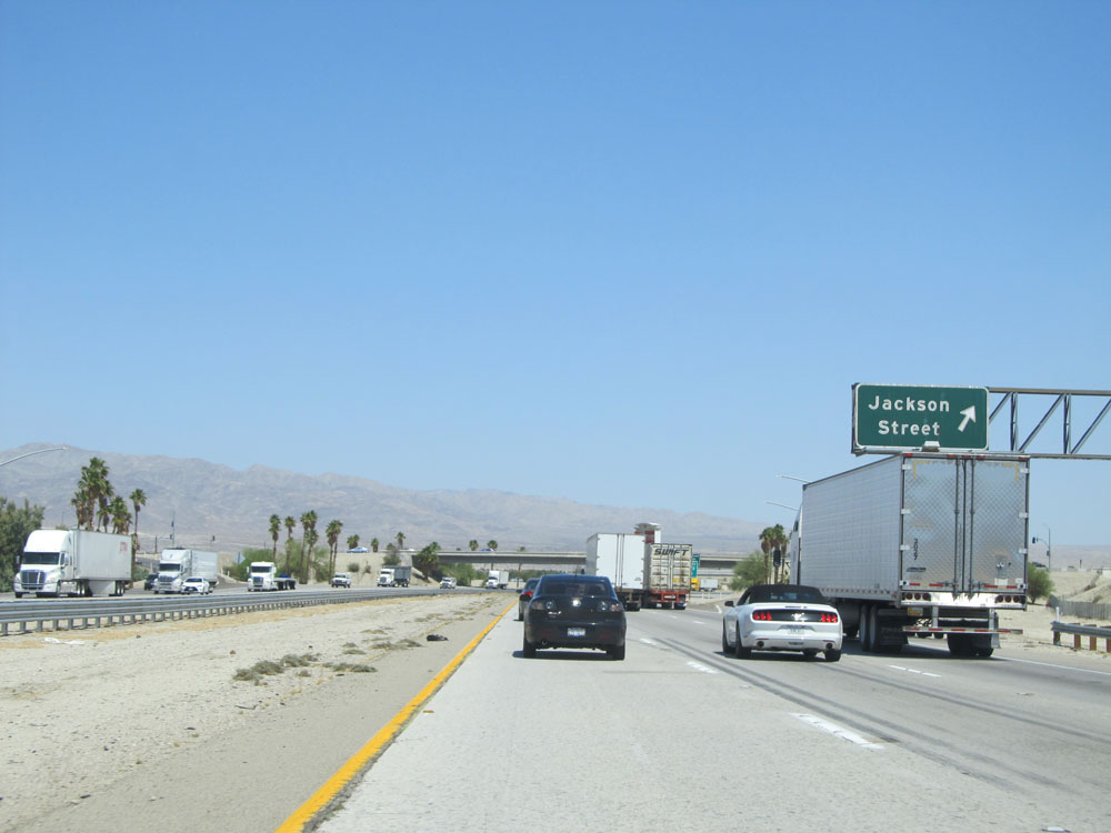 |
Interstate 10 East at Exit 143: Jackson Street (Photo taken 5/19/15). |
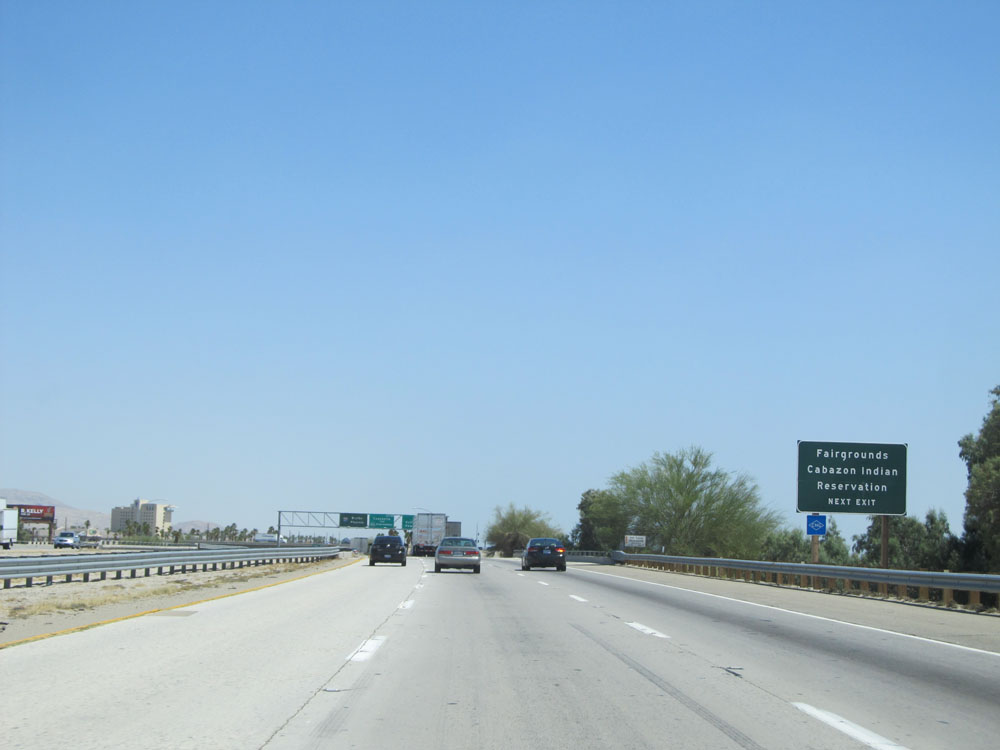 |
Take the next exit (Exit 144) to the Fairgrounds and Cabazon Indian Reservation. (Photo taken 5/19/15). |
 |
Interstate 10 East at Exit 144: Golf Center Pkwy (Photo taken 5/19/15). |
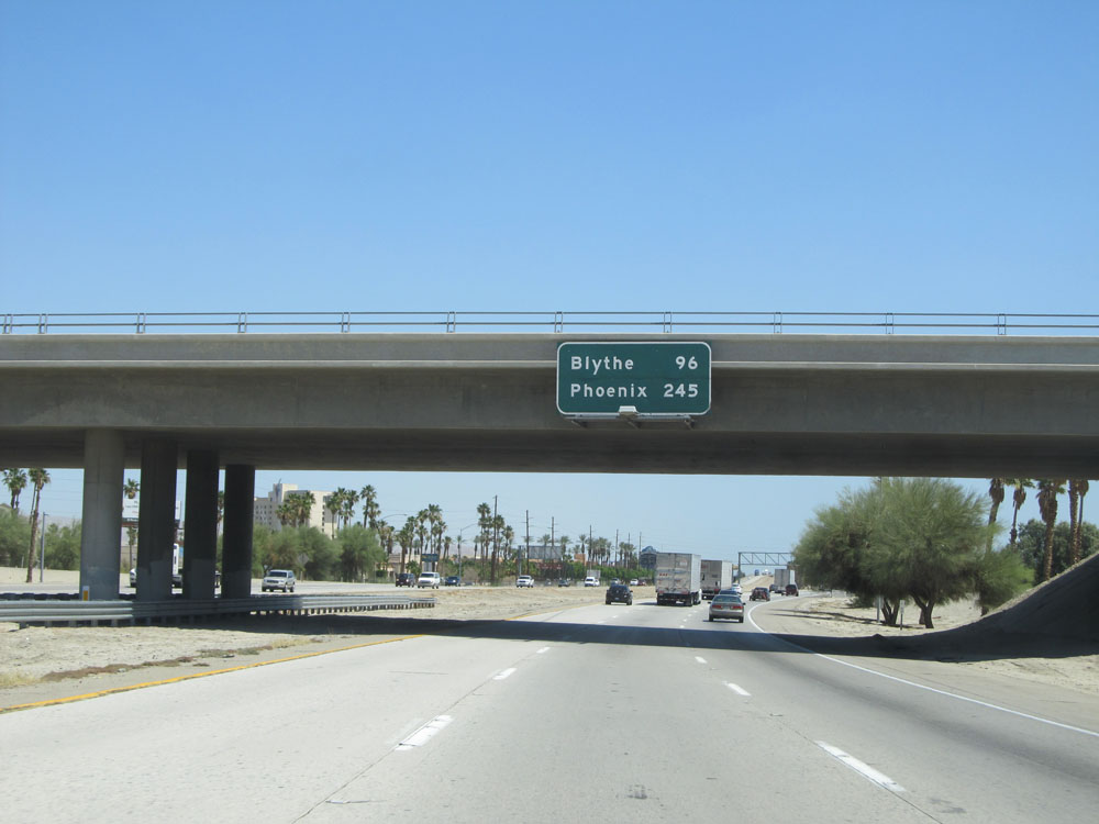 |
Overhead mileage sign on Interstate 10 East in Indio. It's 96 miles to Blythe and 245 miles to Phoenix. (Photo taken 5/19/15). |
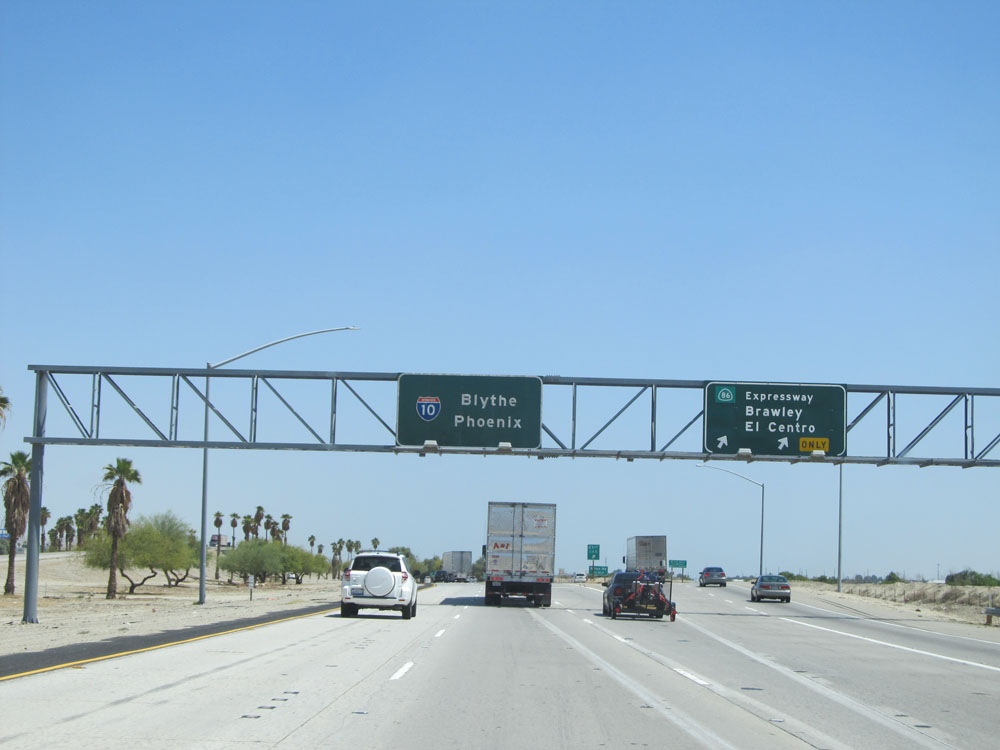 |
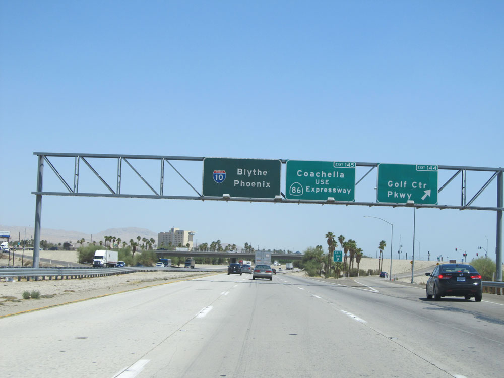
Interstate 10 East at Exit 145: CA 86 - Brawley / El Centro (Photo taken 5/19/15). |
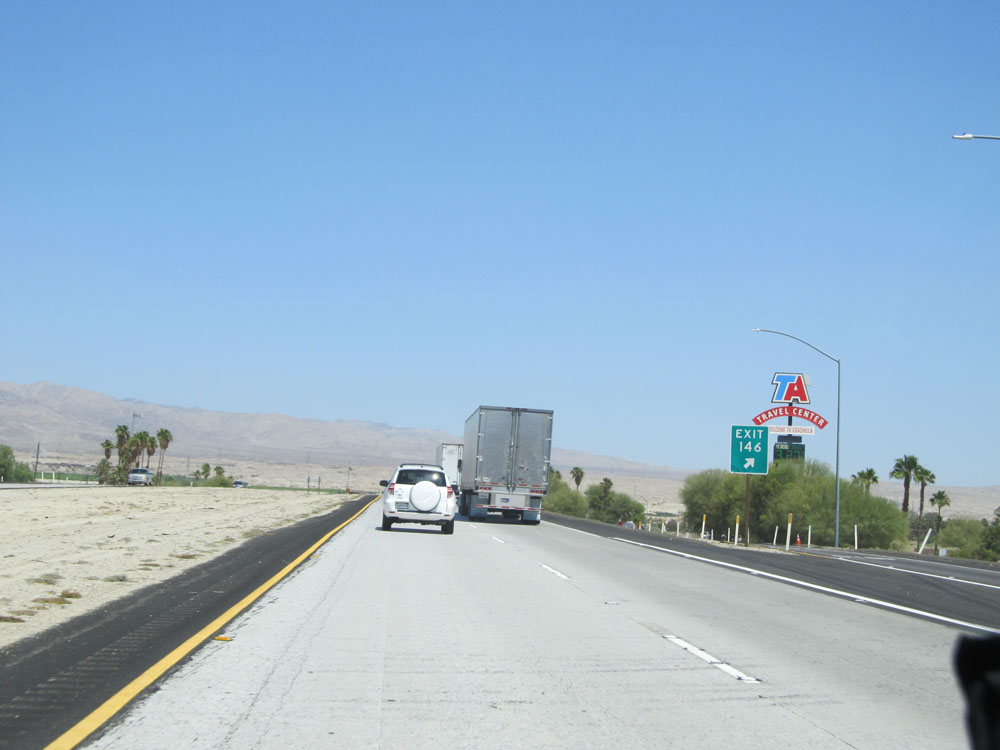 |
Interstate 10 East at Exit 146: Dillon Road / Coachella (Photo taken 5/19/15). |
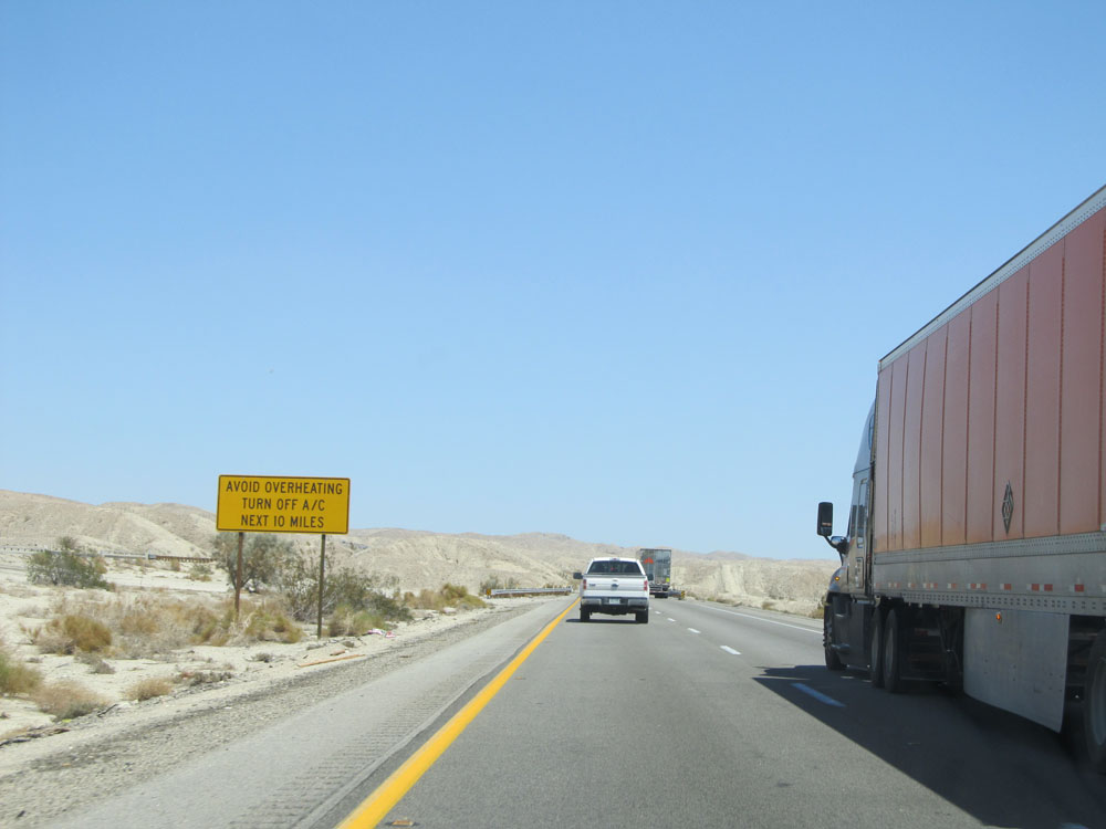 |
Considering we were at an elevation below sea level in Indio, we have to go up, up, up sometime soon. That time is now. Before we go up a 10-mile climb, this sign warns trucks to turn off their air conditioning to prevent overheating for the next 10 miles. I never knew A/C could lead to overheating. (Photo taken 5/19/15). |
 |
Road view on Interstate 10 East, as we begin the steep climb. (Photo taken 5/19/15). |
 |
View on Interstate 10 East. (Photo taken 5/19/15). |
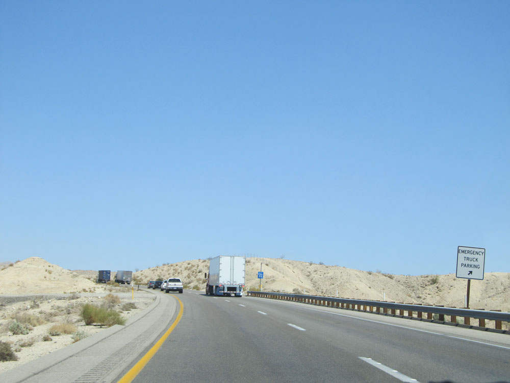 |
Here we see an emergency truck parking area, in the case that their engines overheat while climbing this grade in the desert heat. (Photo taken 5/19/15). |
 |
Road view on Interstate 10 East. (Photo taken 5/19/15). |
 |
Interstate 10 East at a 2nd emergency truck parking area as we continue up the grade. (Photo taken 5/19/15). |
 |
Interstate 10 East assurance shield. (Photo taken 5/19/15). |
 |
View on Interstate 10 East. Still climbing. (Photo taken 5/19/15). |
 |
Road view on Interstate 10 East, nearing the top of the grade. (Photo taken 5/19/15). |
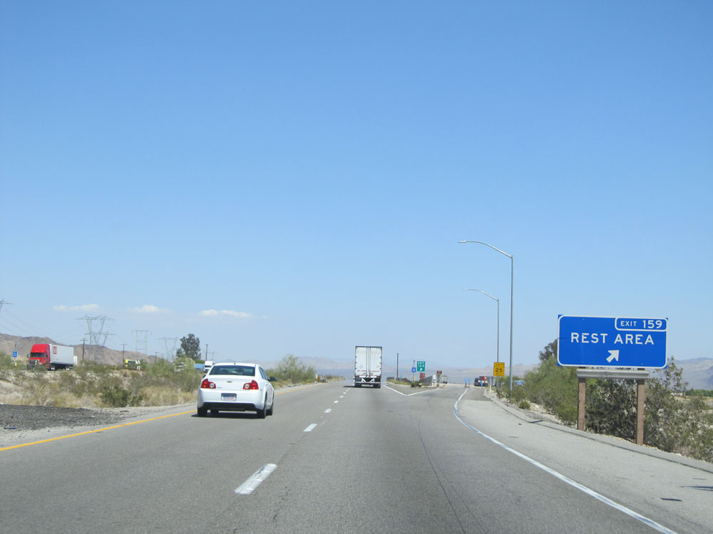 |
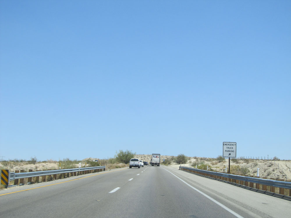
Interstate 10 East at Exit 159: Rest Area (Photo taken 5/19/15). |
 |
Road view on Interstate 10 East. (Photo taken 5/19/15). |
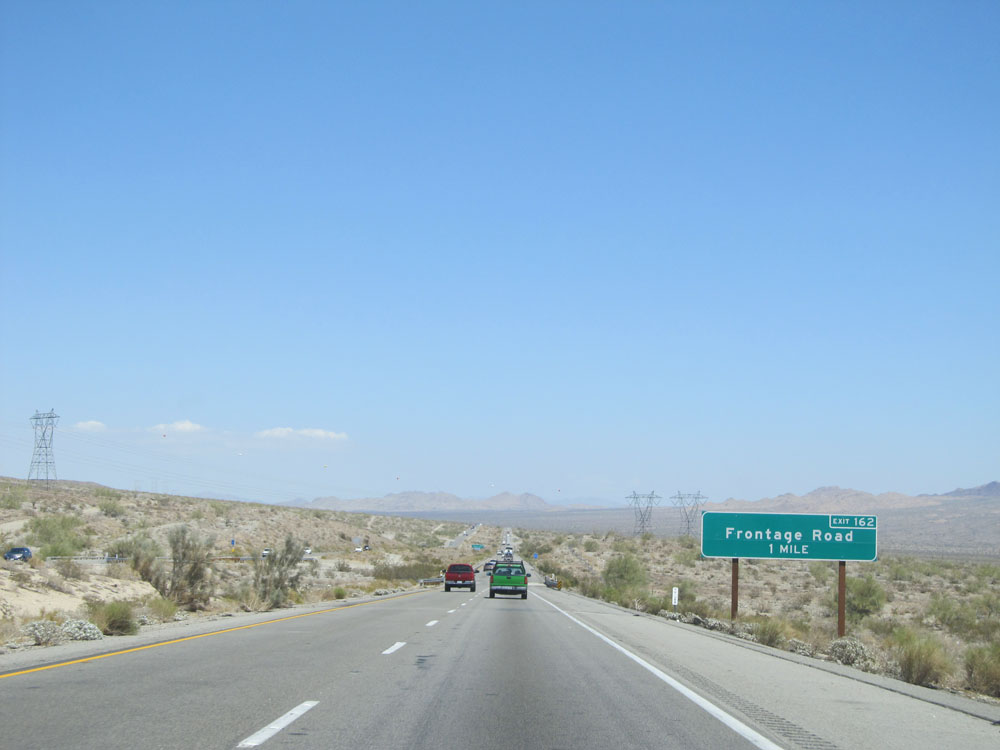 |
Interstate 10 East approaching Exit 162 - 1 mile. (Photo taken 5/19/15). |
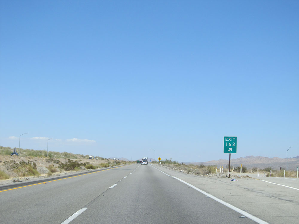 |
Interstate 10 East at Exit 162: Frontage Road (Photo taken 5/19/15). |
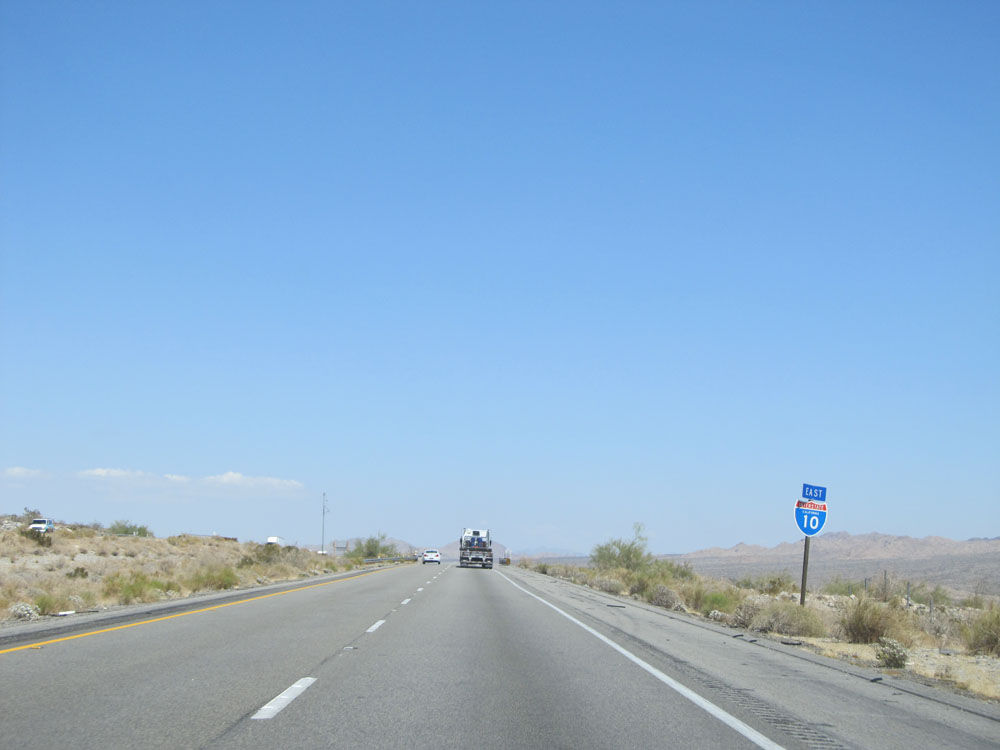 |
Interstate 10 East assurance shield just past Exit 162. (Photo taken 5/19/15). |
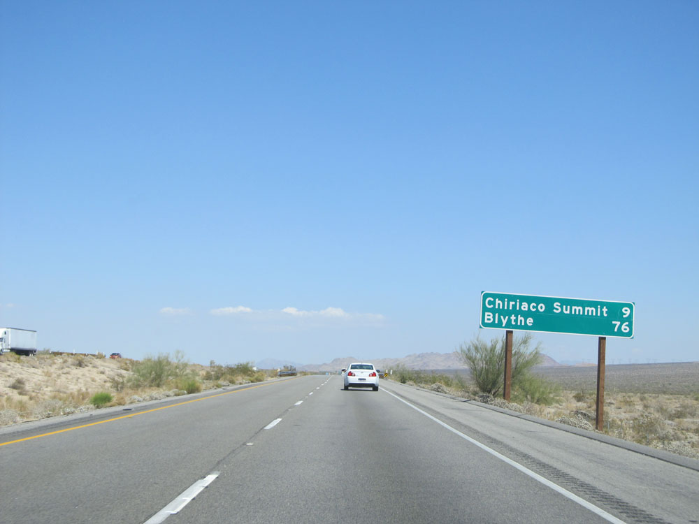 |
Mileage sign just past Exit 162. It's 9 miles to Chiriaco Summit and 76 miles to Blythe. (Photo taken 5/19/15). |
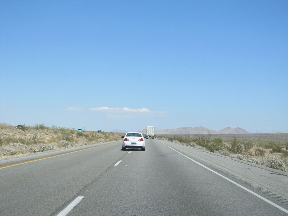 |
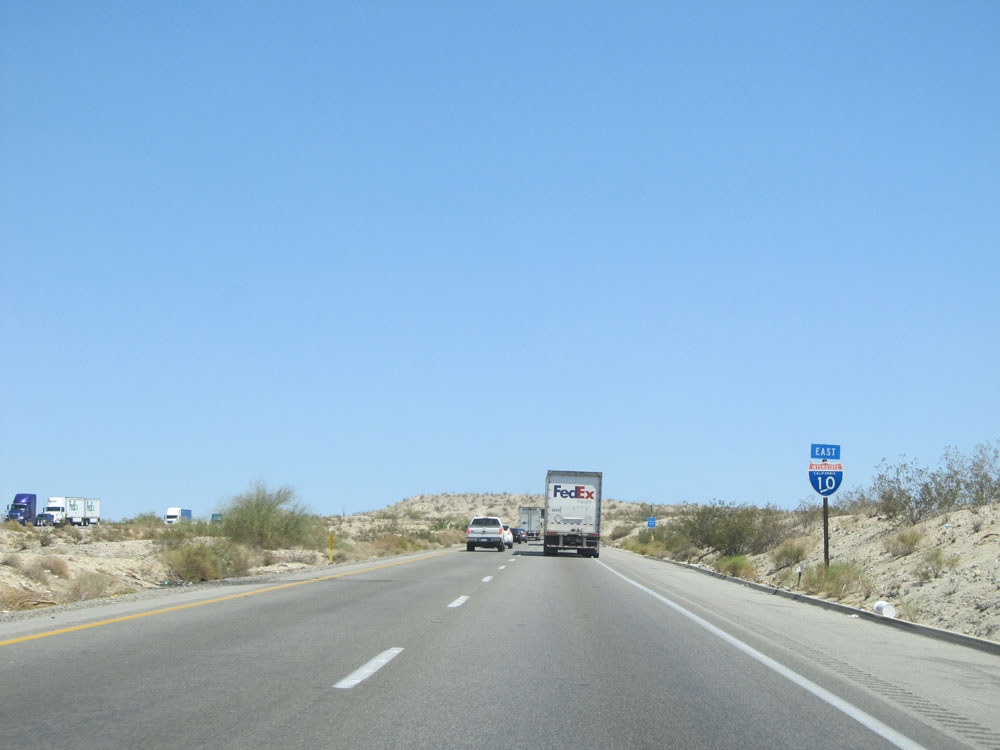
Road view on Interstate 10 East. (Photo taken 5/19/15). |
 |
Take the next exit (Exit 168) to Joshua Tree National Park. (Photo taken 5/19/15). |
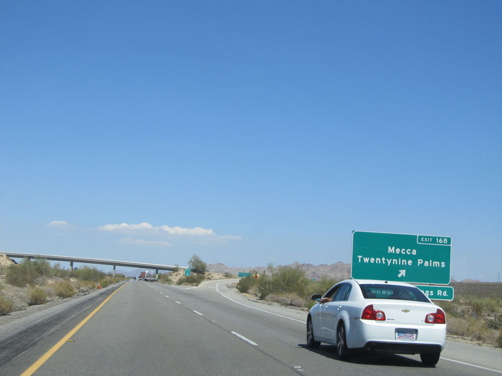 |
Interstate 10 East at Exit 168: Mecca / Twentynine Palms / Cottonwood Springs Rd (Photo taken 5/19/15). |
 |
Road view on Interstate 10 East. (Photo taken 5/19/15). |
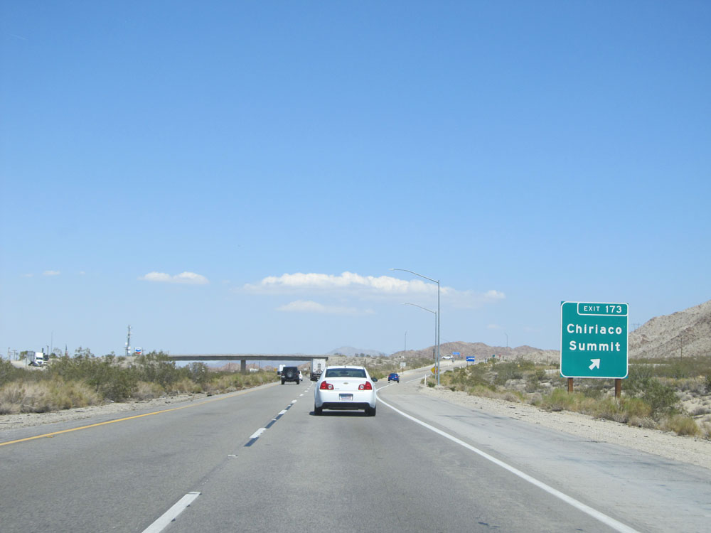 |
Interstate 10 East at Exit 173: Chiraco Summit (Photo taken 5/19/15). |
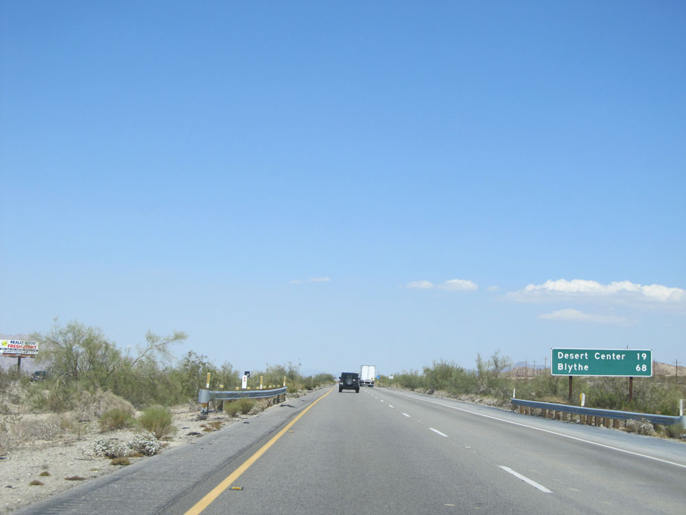 |
Mileage sign just past Exit 173. It's 19 miles to Desert Center and 68 miles to Blythe. (Photo taken 5/19/15). |
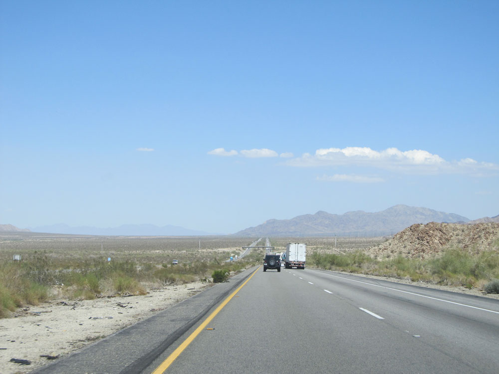 |
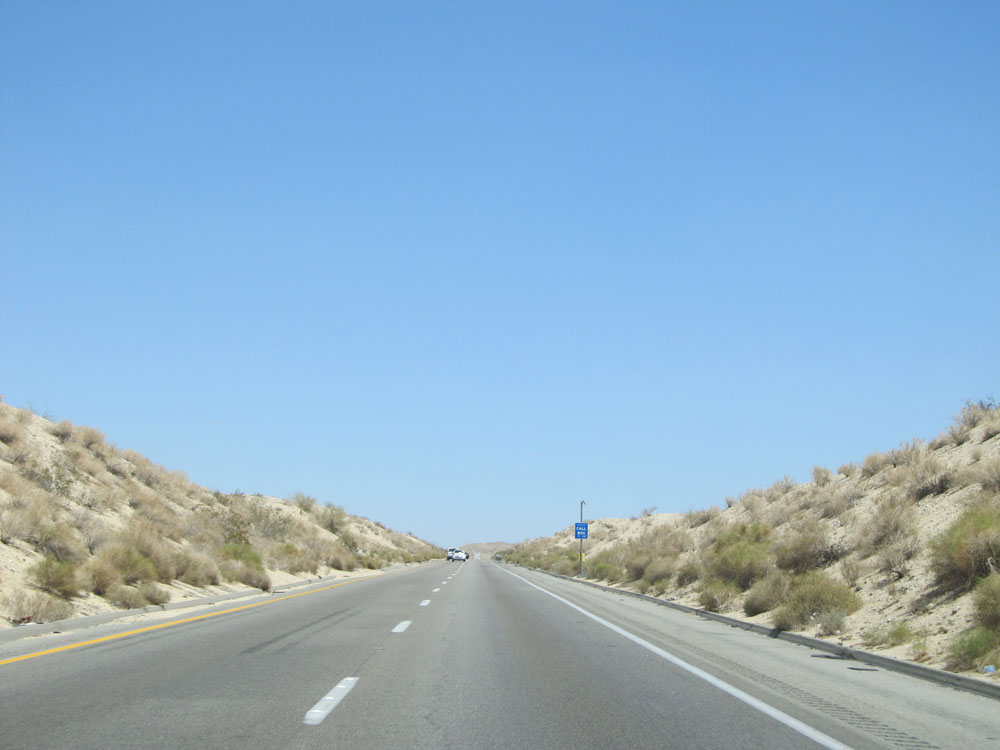
Road view on Interstate 10 East. (Photo taken 5/19/15). |
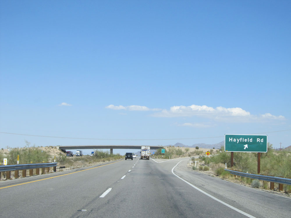 |
Interstate 10 East at Exit 177: Hayfield Rd (Photo taken 5/19/15). |
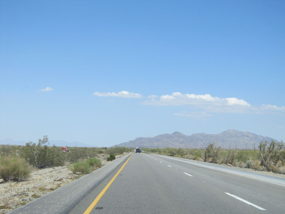 |
View on Interstate 10 East. (Photo taken 5/19/15). |
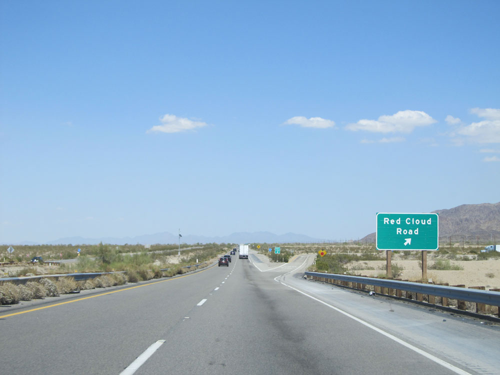 |
Interstate 10 East at Exit 182: Red Cloud Road (Photo taken 5/19/15). |
 |
Interstate 10 East assurance shield located just past Exit 182. (Photo taken 5/19/15). |
 |
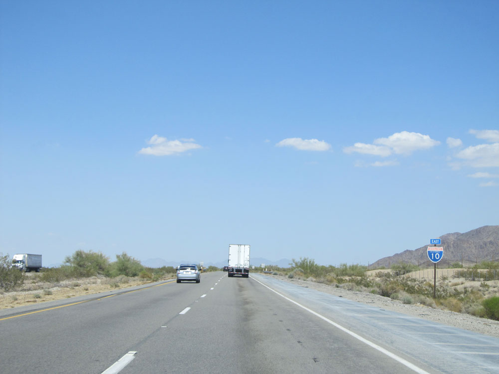
Road view on Interstate 10 East. (Photo taken 5/19/15). |
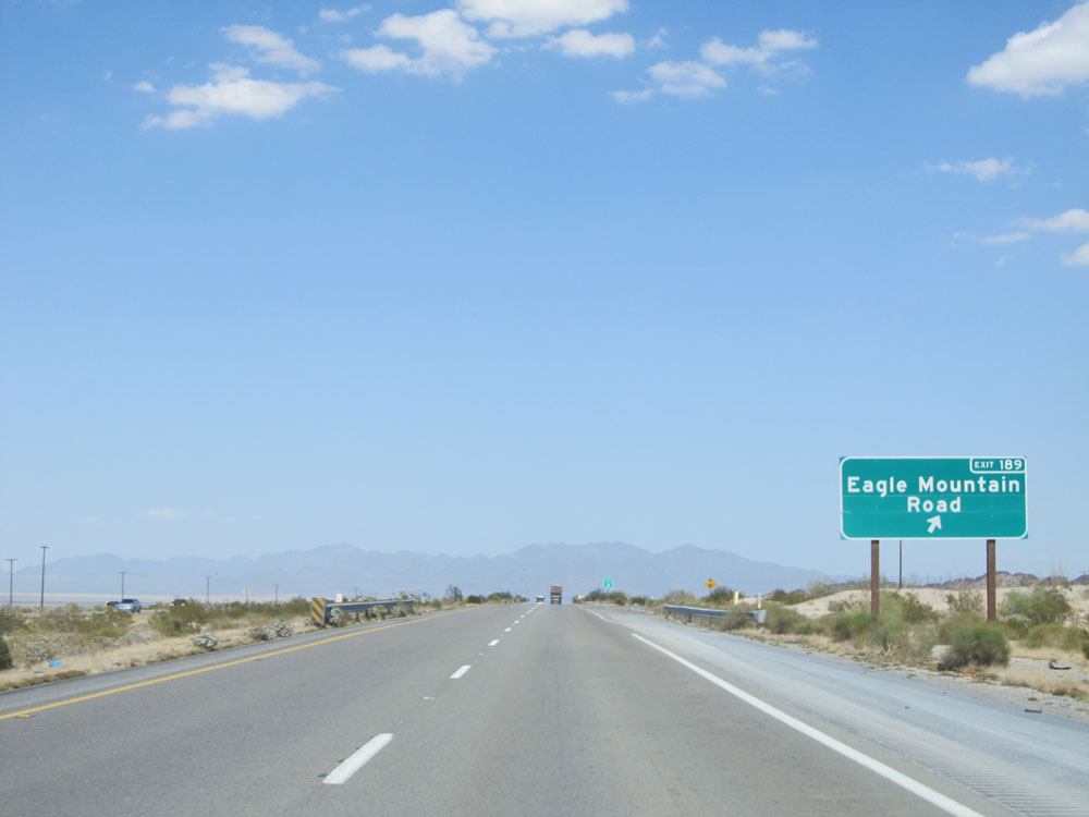 |
Interstate 10 East at Exit 189: Eagle Mountain Road (Photo taken 5/19/15). |
 |
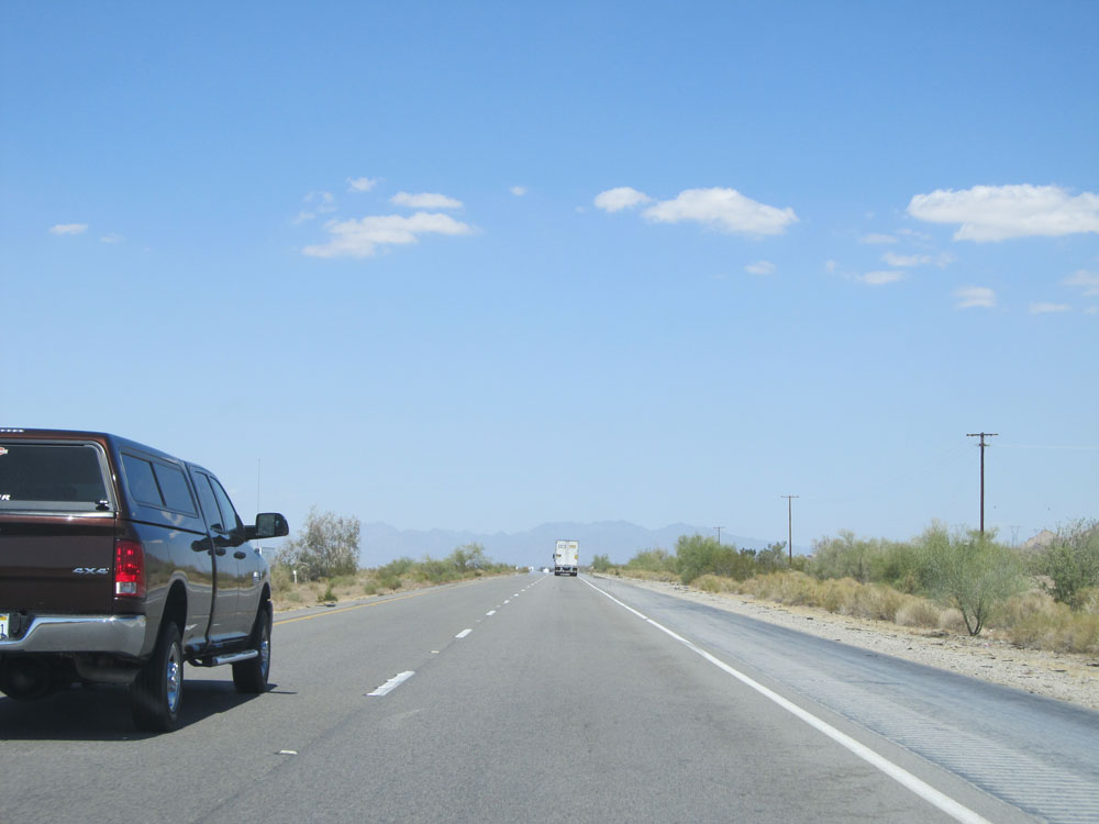
View on Interstate 10 East. (Photo taken 5/19/15). |
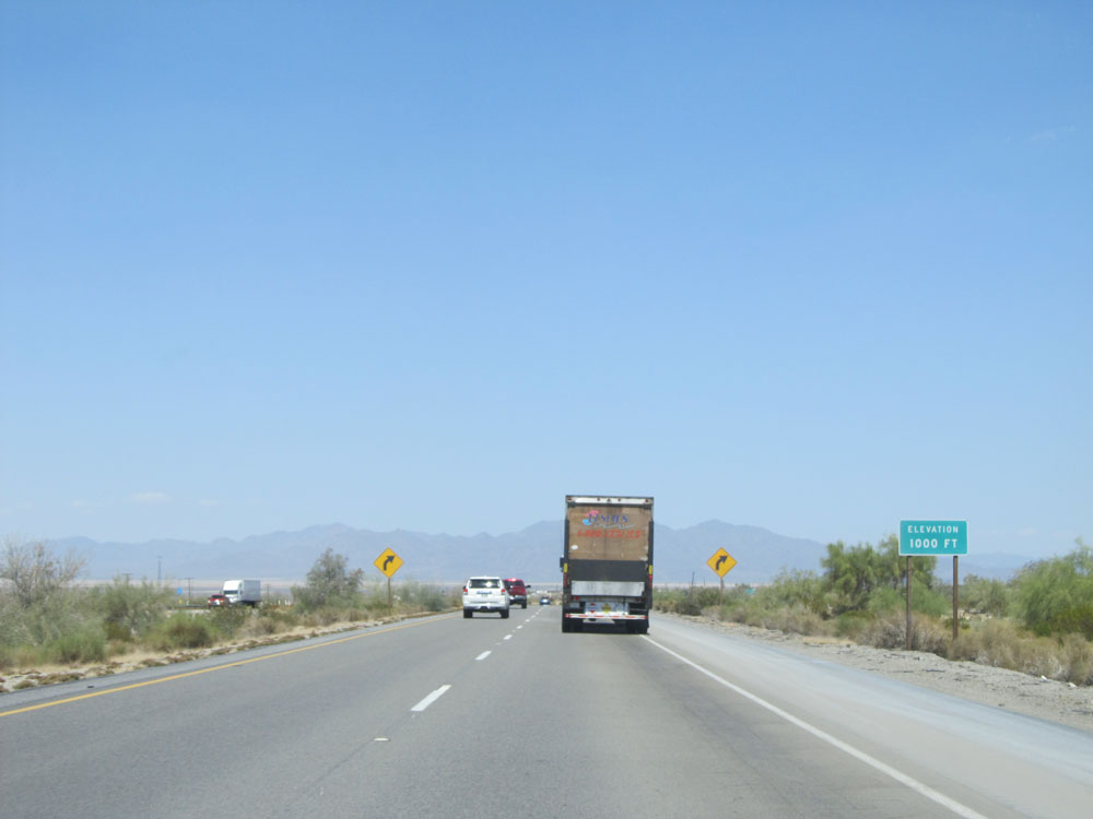 |
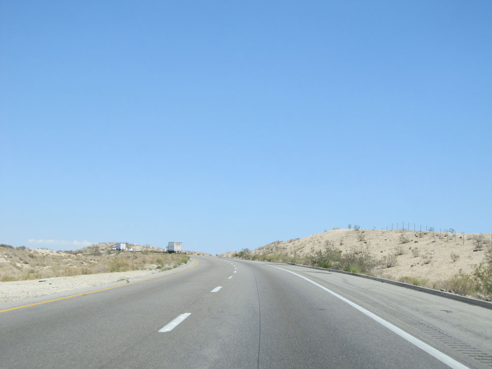
Interstate 10 East as it reaches an elevation of 1,000 feet. Even after that long, steep climb east of Indio, we've only went up a little over 1,000 feet? It's quite remarkable. (Photo taken 5/19/15). |
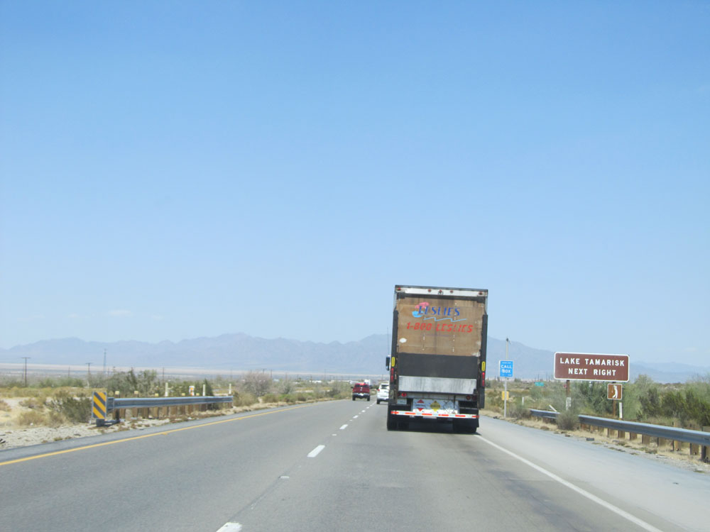 |
Take the next exit (Exit 192) to Lake Tamarisk. (Photo taken 5/19/15). |
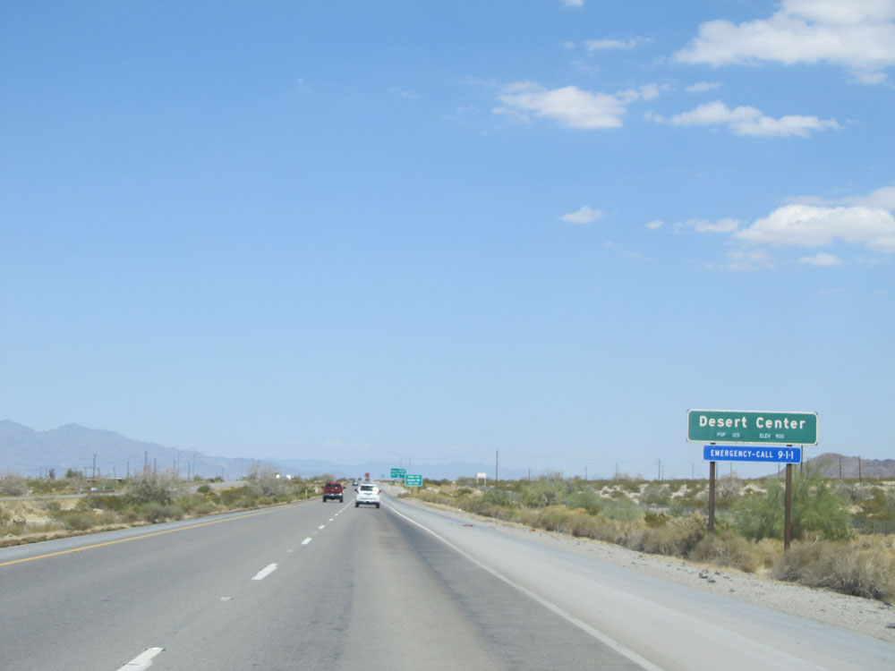 |
Interstate 10 East as it enters the Desert Center city limits. (Photo taken 5/19/15). |
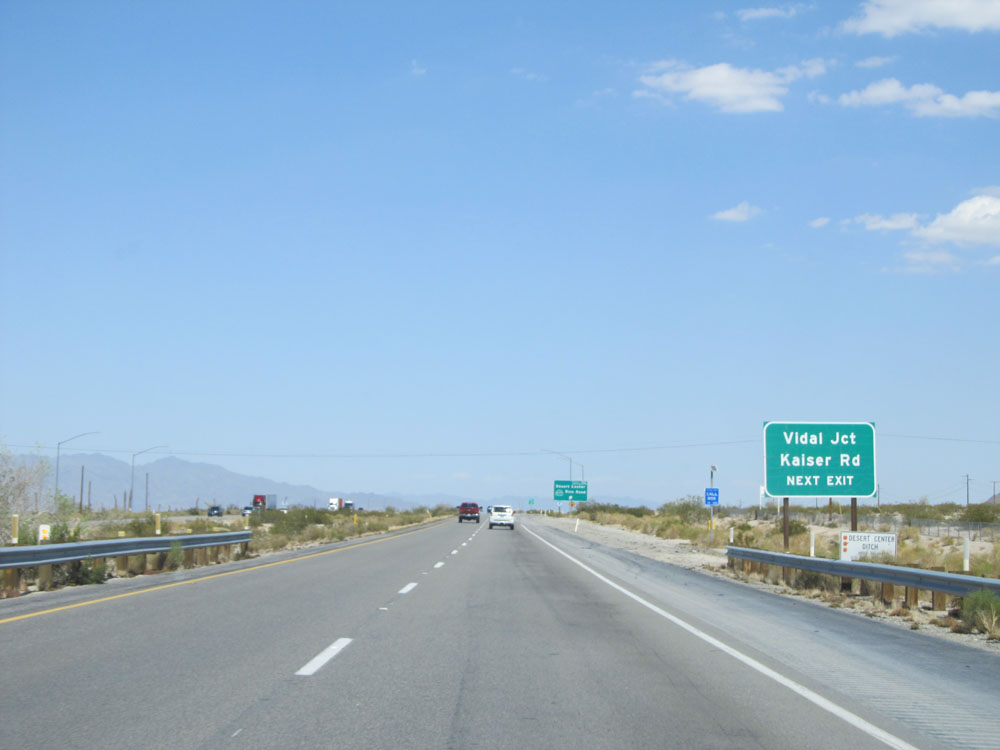 |
Also take Exit 192 to Vidal Junction and Kaiser Rd. (Photo taken 5/19/15). |
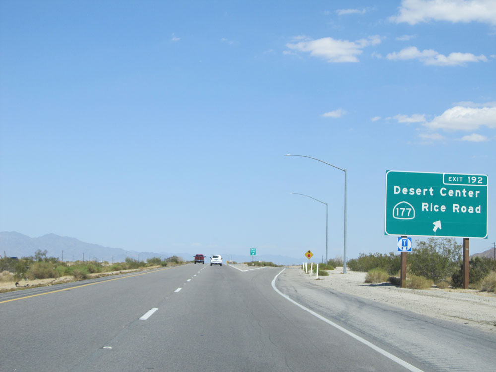 |
Interstate 10 East at Exit 192: CA 177 - Desert Center / Rice Road (Photo taken 5/19/15). |
 |
Interstate 10 East assurance shield. (Photo taken 5/19/15). |
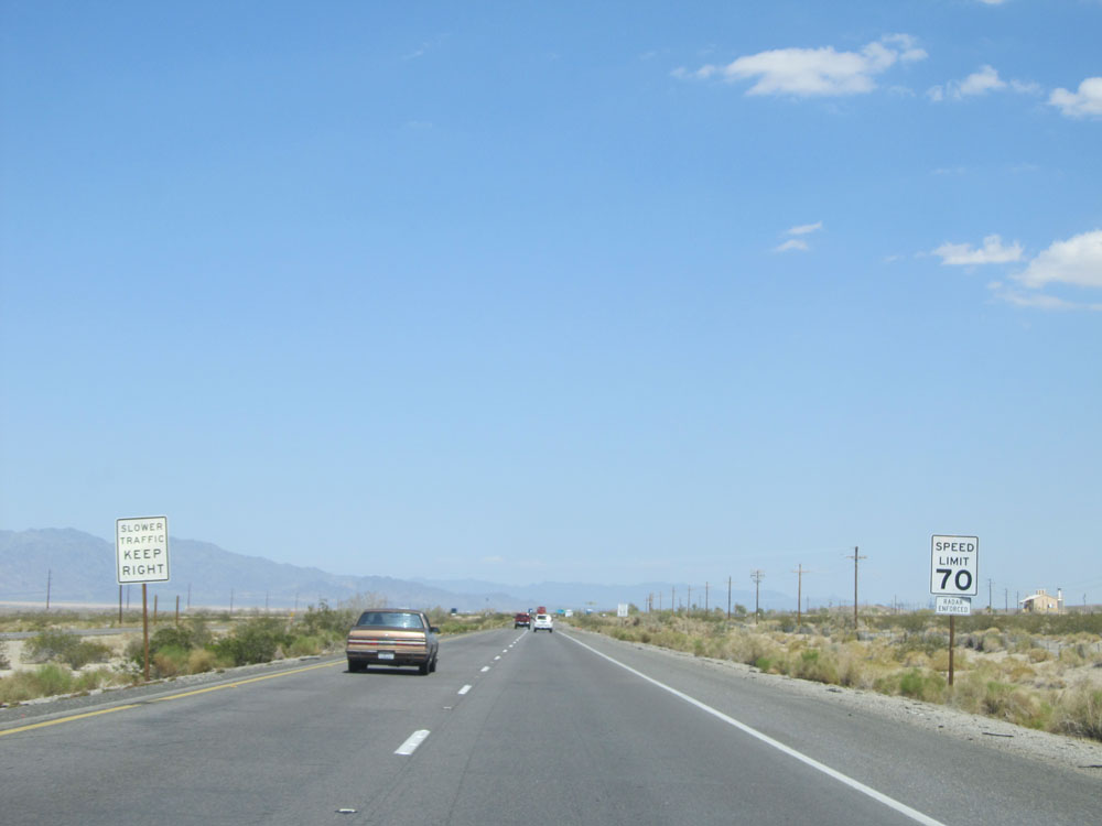 |
Speed limit sign on Interstate 10 East. As a refresher, the speed limit for automobiles (not pulling trailers) on most rural Interstates in California is 70 mph. (Photo taken 5/19/15). |
 |
And the truck speed limit in California is 55 mph statewide. Don't even get me started on this. (Photo taken 5/19/15). |
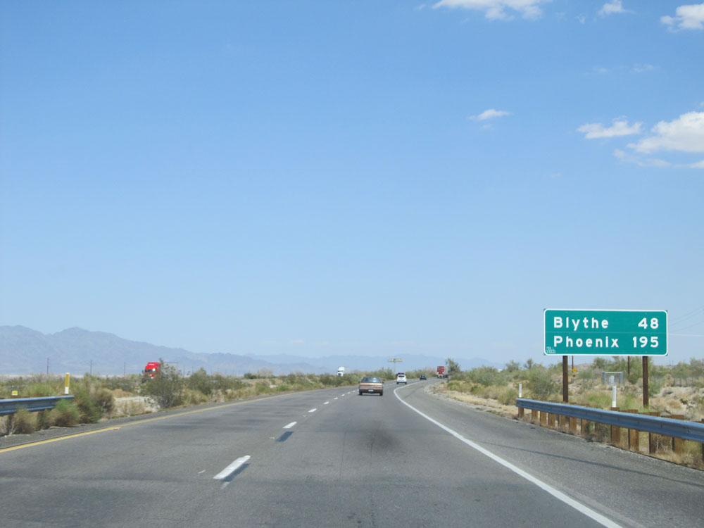 |
Mileage sign on Interstate 10 East. It's 48 miles to Blythe and 195 miles to Phoenix. (Photo taken 5/19/15). |
 |
Road view on Interstate 10 East. (Photo taken 5/19/15). |
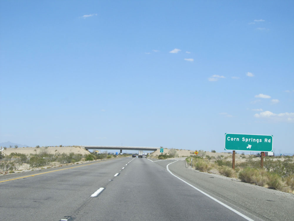 |
Interstate 10 East at Exit 201: Corn Springs Rd (Photo taken 5/19/15). |
 |
View on Interstate 10 East. (Photo taken 5/19/15). |
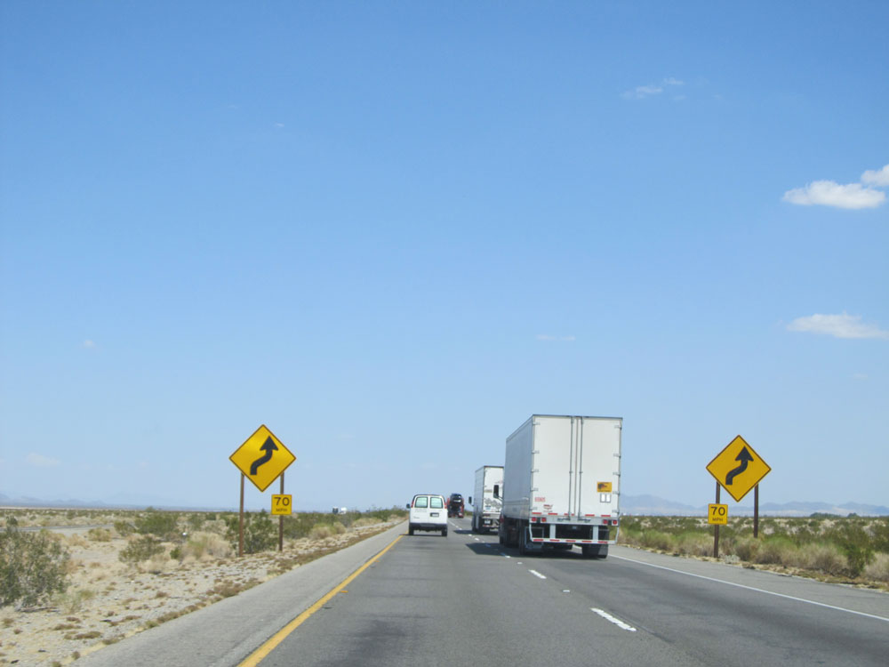 |
Interstate 10 East approaching a series of curves. They're rather mild. (Photo taken 5/19/15). |
 |
Road view on Interstate 10 East. (Photo taken 5/19/15). |
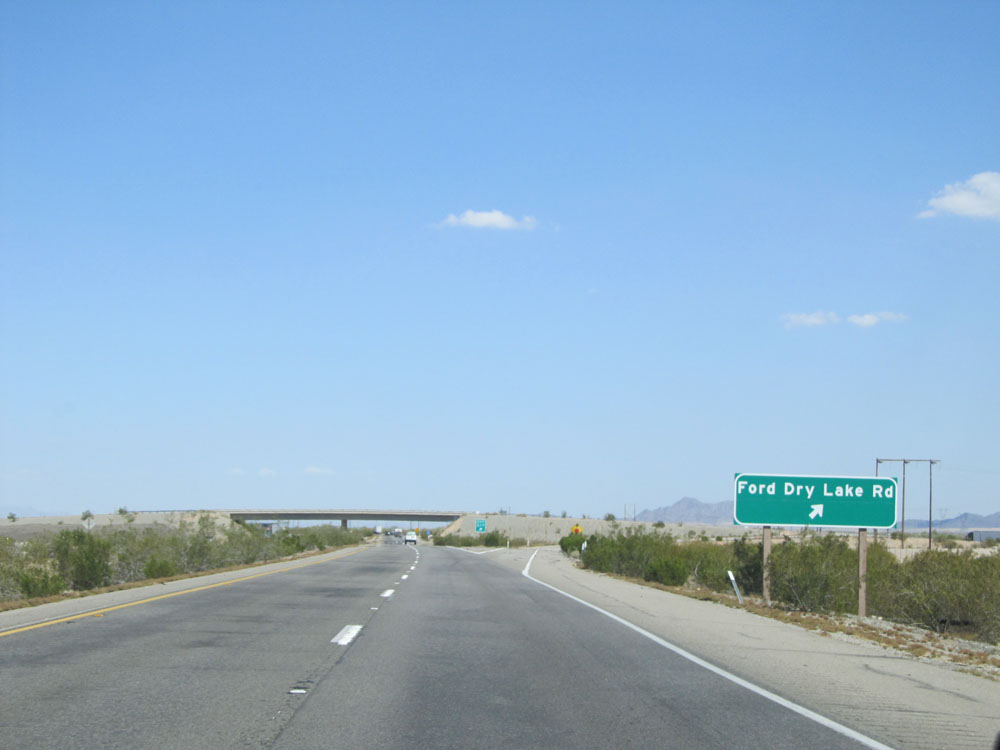 |
Interstate 10 East at Exit 217: Ford Dry Lake Rd (Photo taken 5/19/15). |
 |
Interstate 10 East assurance shield. (Photo taken 5/19/15). |
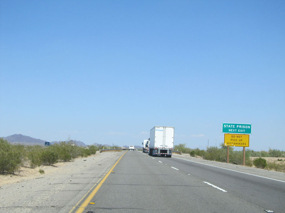 |
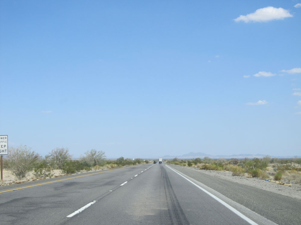
There is a state prison at the next exit (Exit 222). Don't pick up hitchhikers in the area. (Photo taken 5/19/15). |
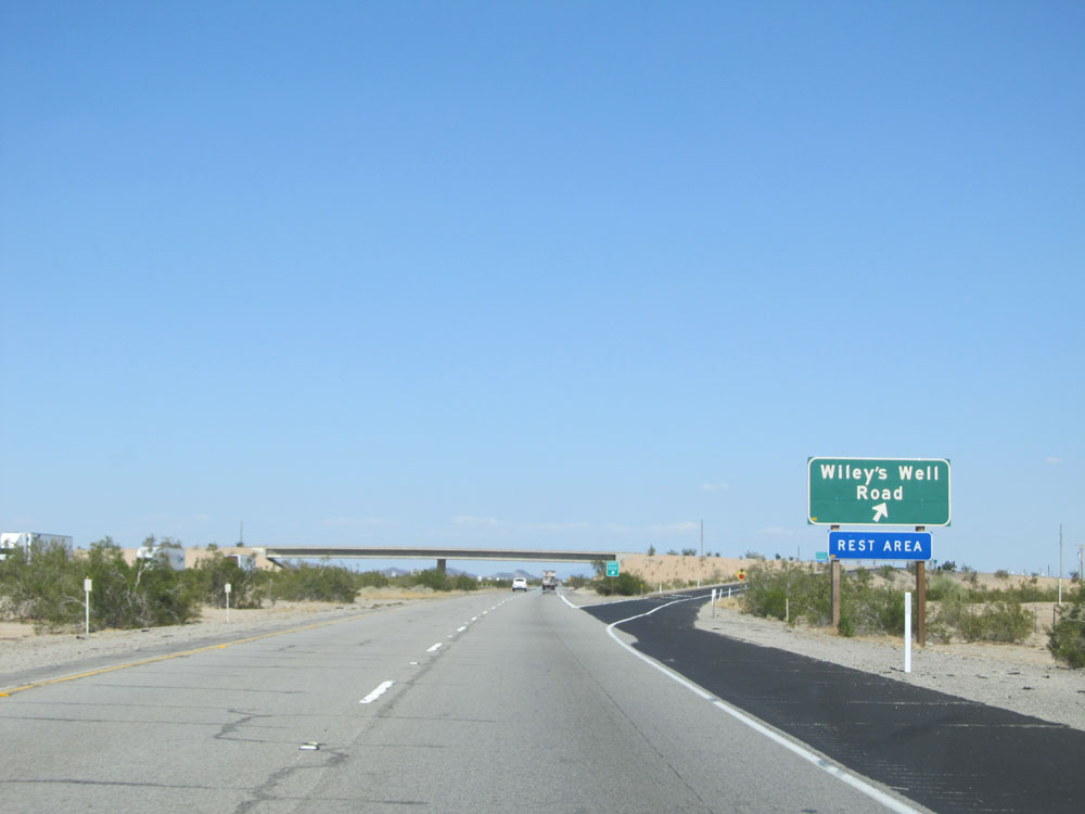 |
Interstate 10 East at Exit 222: Wiley's Well Road / Rest Area (Photo taken 5/19/15). |
 |
Road view on Interstate 10 East. (Photo taken 5/19/15). |
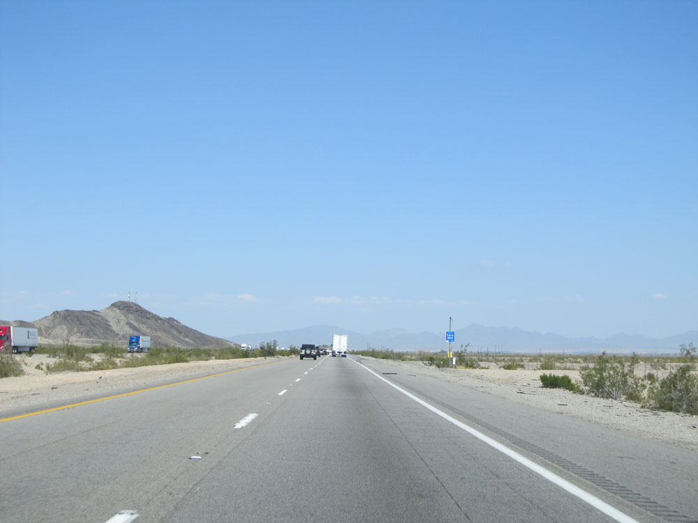 |
Another view on Interstate 10 East. (Photo taken 5/19/15). |
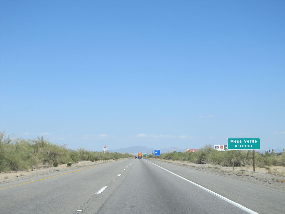 |
Take the next exit (Exit 232) to Mesa Verde. (Photo taken 5/19/15). |
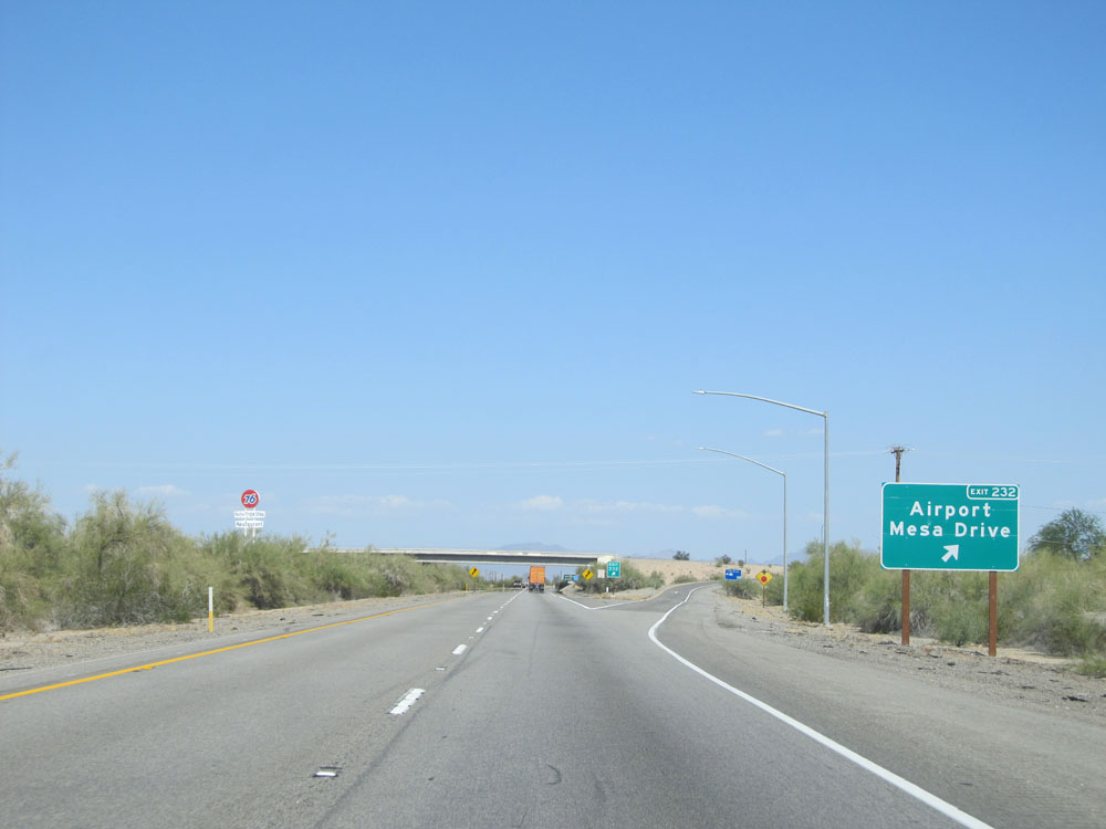 |
Interstate 10 East at Exit 232: Airport / Mesa Drive (Photo taken 5/19/15). |
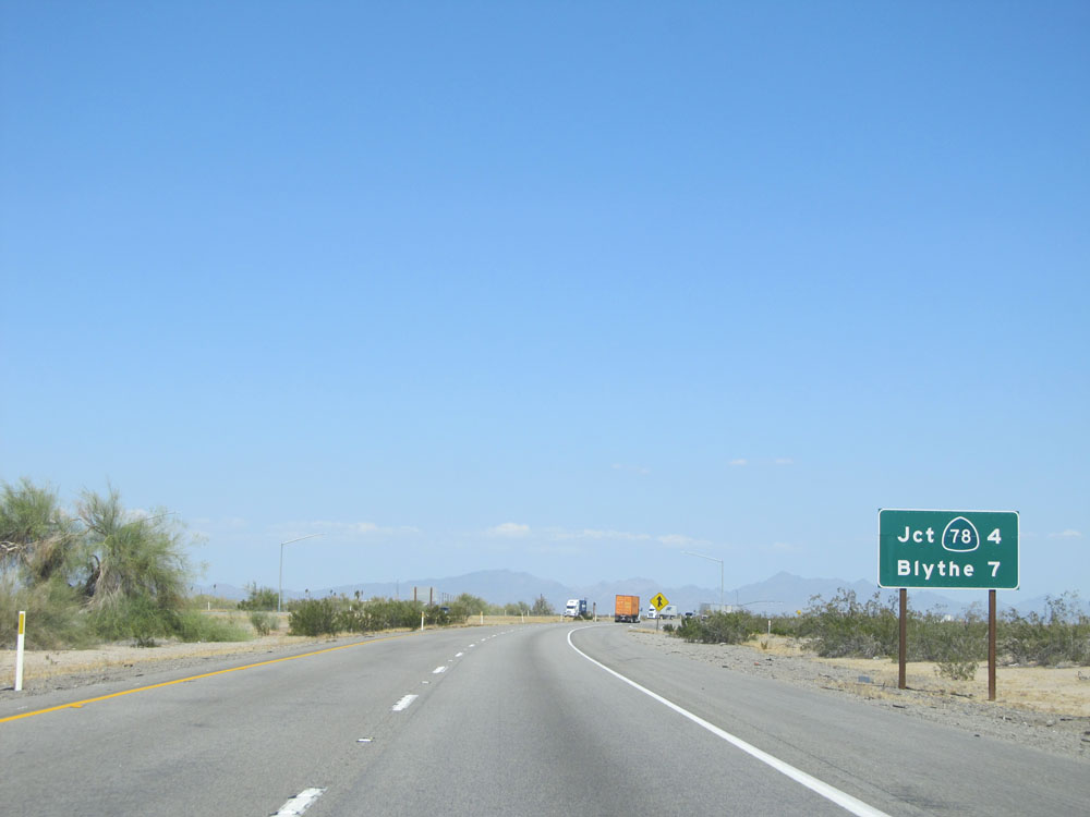 |
Mileage sign on Interstate 10 East. It's 4 miles to the junction of CA 78 and 7 miles to Blythe. (Photo taken 5/19/15). |
 |
Interstate 10 East shield. (Photo taken 5/19/15). |
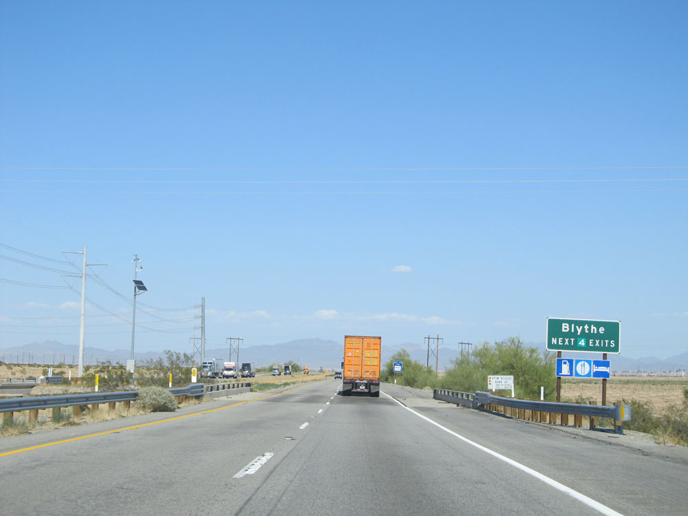 |
Take any of the next 4 exits to Blythe. (Photo taken 5/19/15). |
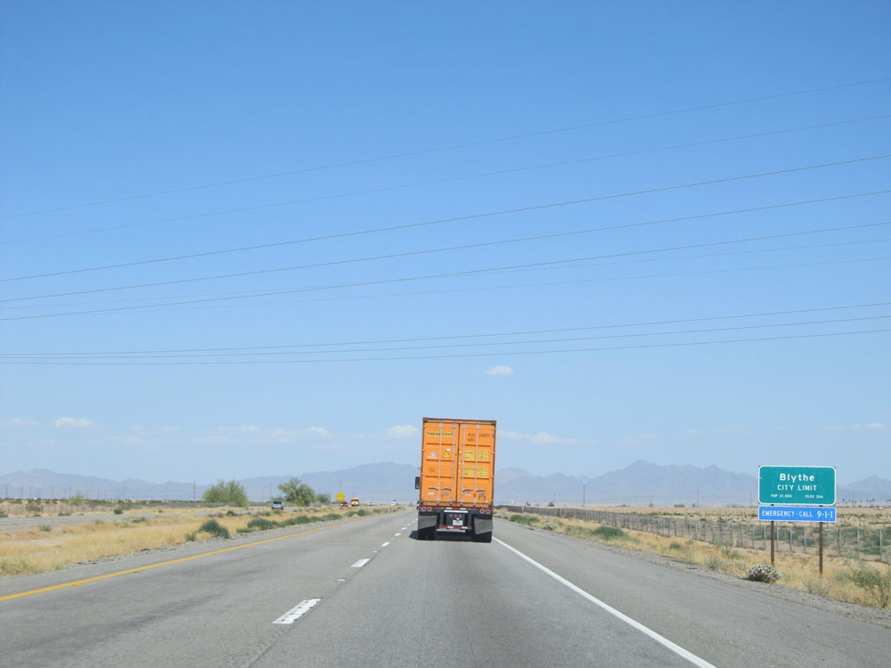 |
Interstate 10 as it enters the Blythe city limits. (Photo taken 5/19/15). |
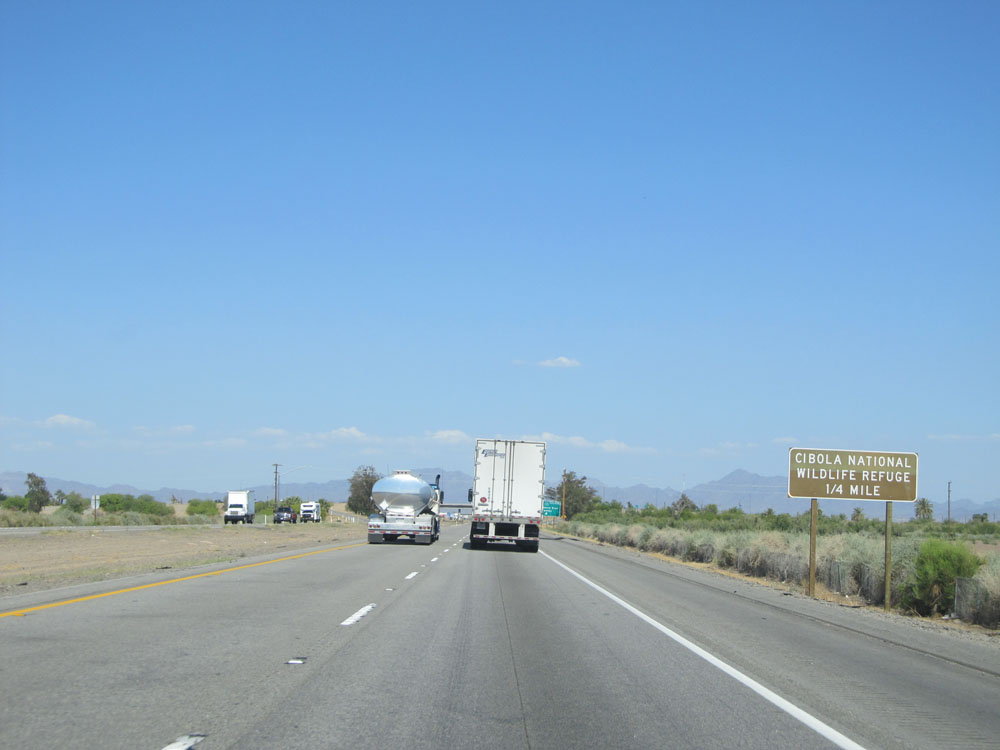 |
Take the next exit (Exit 236) to Cibola National Wildlife Refuge. (Photo taken 5/19/15). |
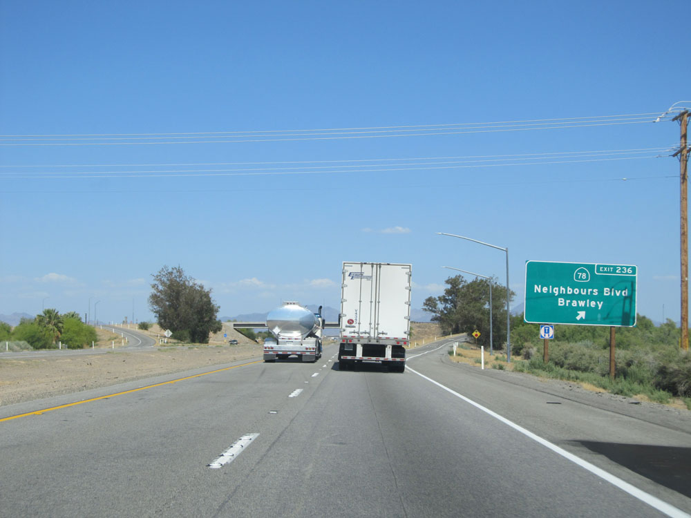 |
Interstate 10 East at Exit 236: CA 78 - Neighbours Blvd / Brawley (Photo taken 5/19/15). |
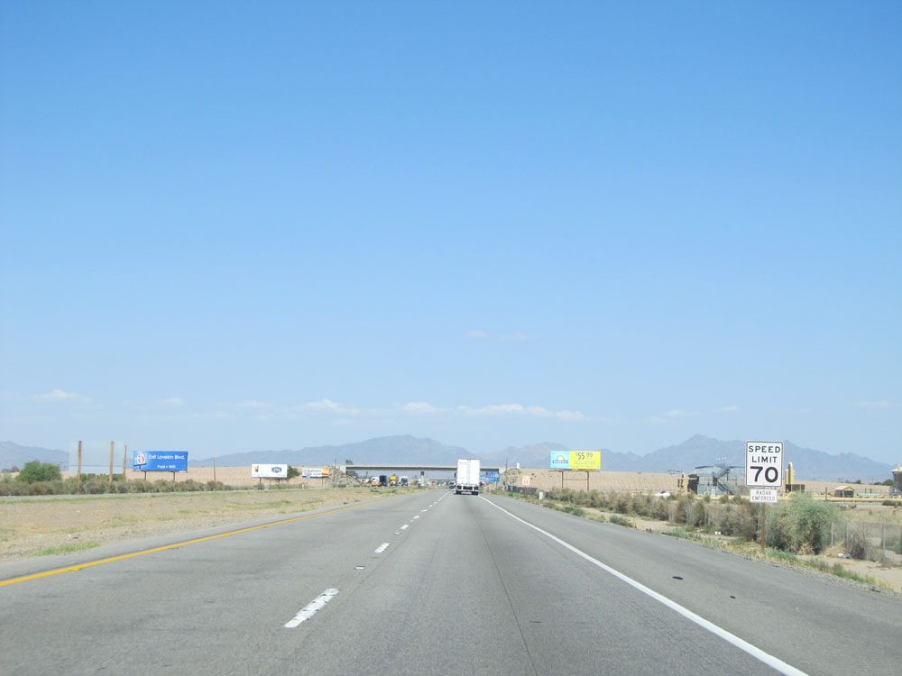 |
The speed limit remains 70 mph for automobiles through Blythe. (Photo taken 5/19/15). |
 |
But it's still 55 mph for trucks............ (Photo taken 5/19/15). |
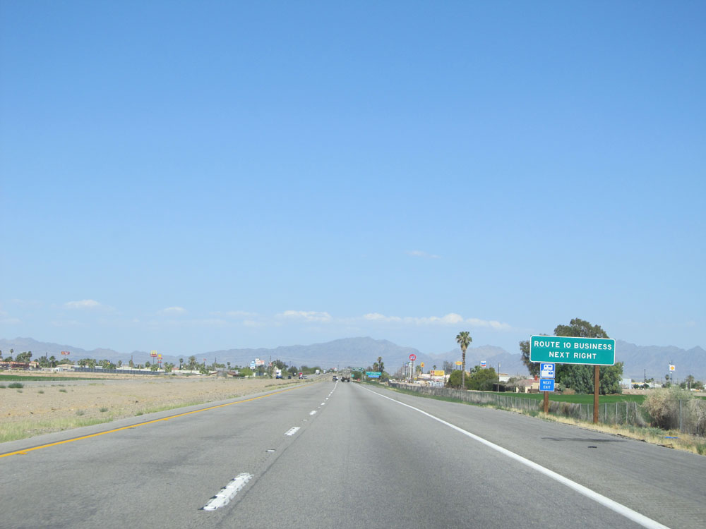 |
Take the next exit (Exit 239) to Interstate 10 Business. (Photo taken 5/19/15). |
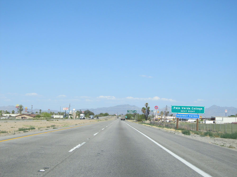 |
Also take Exit 239 to Palo Verde College. (Photo taken 5/19/15). |
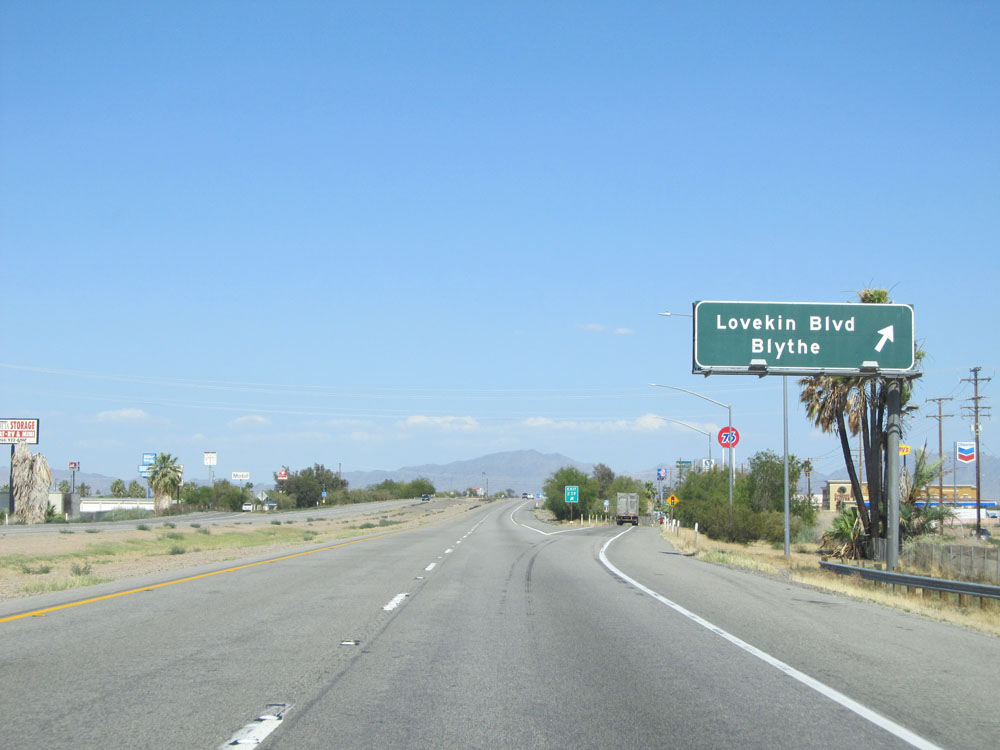 |
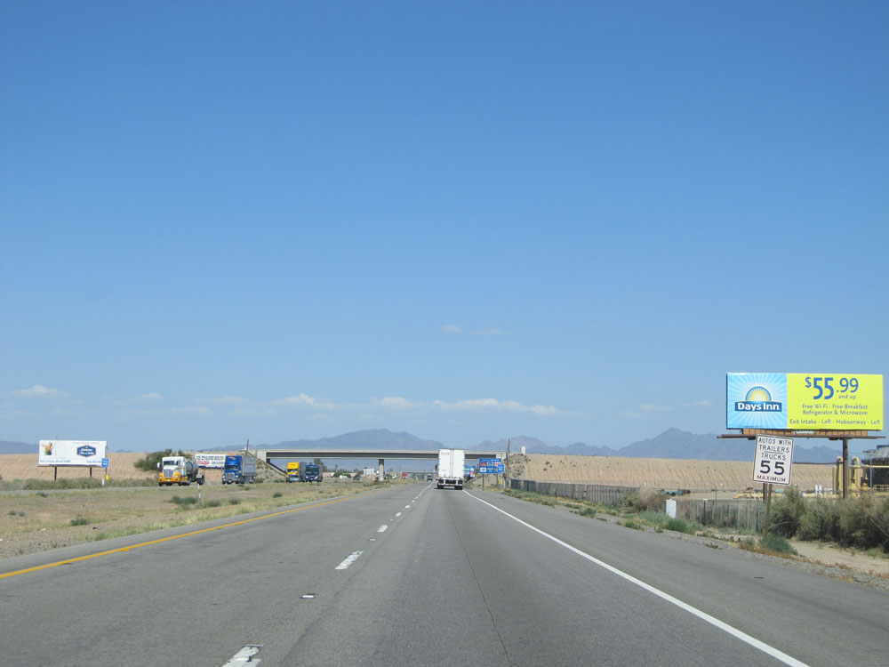
Interstate 10 East at Exit 239: Lovekin Blvd / Blythe (Photo taken 5/19/15). |
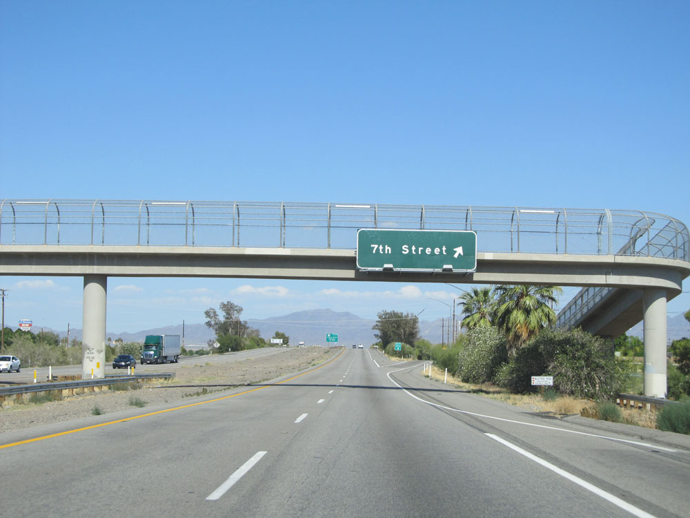 |
Interstate 10 East at Exit 240: 7th Street (Photo taken 5/19/15). |
 |
Interstate 10 East approaching Exit 241 - 3/4 mile. (Photo taken 5/19/15). |
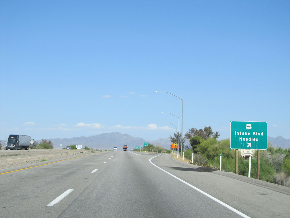 |
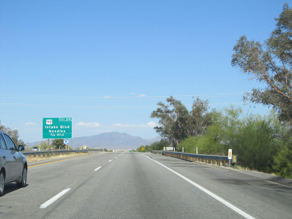
Interstate 10 East at Exit 241: US 95 - Intake Blvd / Needles (Photo taken 5/19/15). |
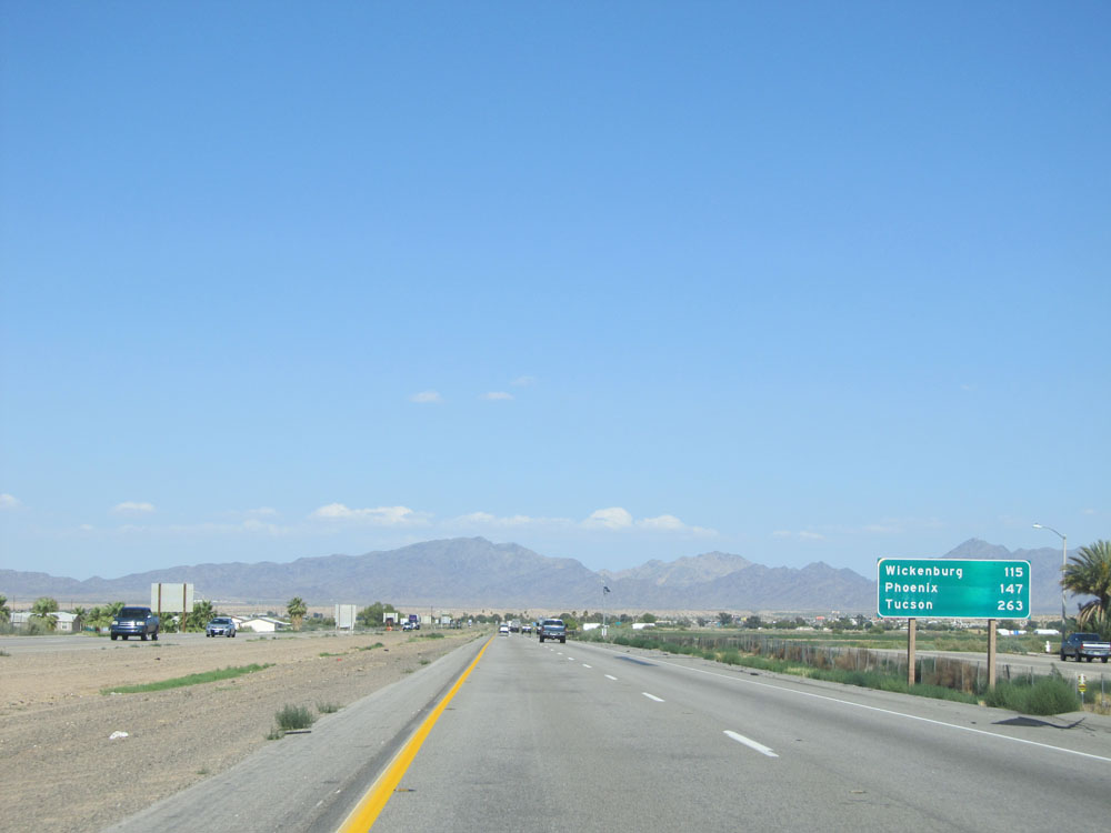 |
Mileage sign on Interstate 10 East in Blythe. It's 115 miles to Wickenburg, 147 miles to Phoenix, and 263 miles to Tucson. (Photo taken 5/19/15). |
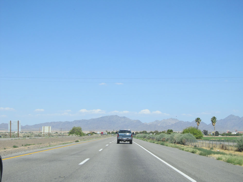 |
Road view on Interstate 10 East. (Photo taken 5/19/15). |
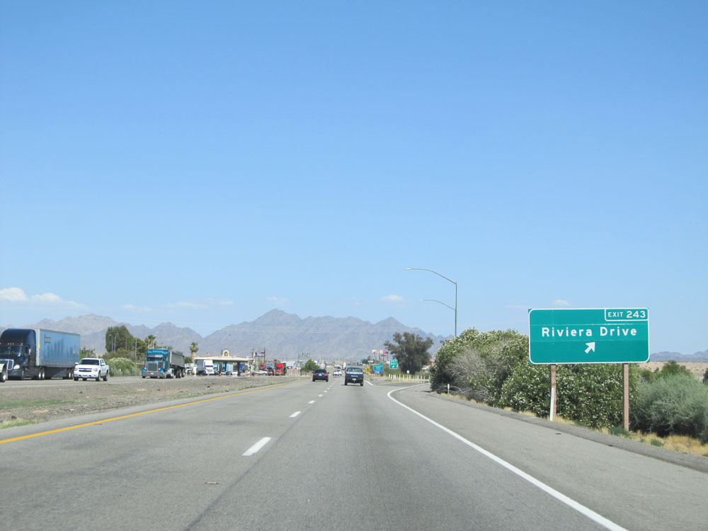 |
Interstate 10 East at Exit 243: Riviera Drive (Photo taken 5/19/15). |
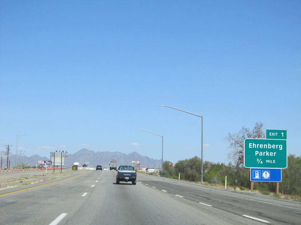 |
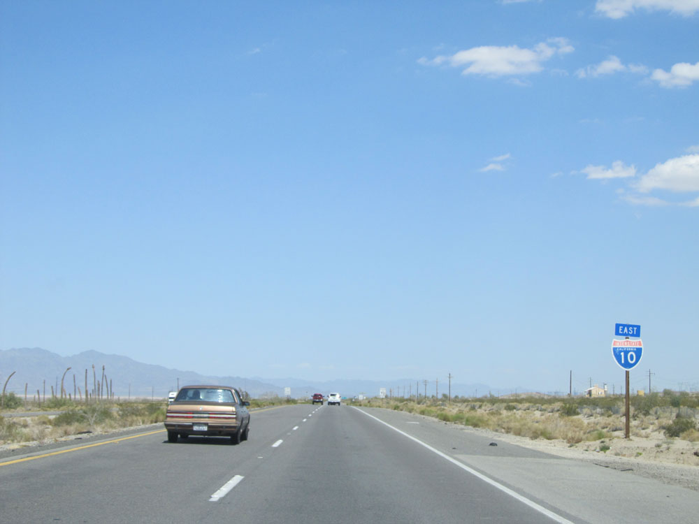
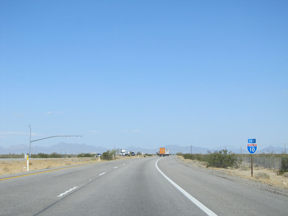
Interstate 10 East as it prepares to cross into Arizona. (Photo taken 5/19/15). |