Road Information |
||
 |
||
| Total Mileage in State: | 796 miles | |
| Northern End: | At Oregon state line | |
| Southern End: | At Mexican border | |
| Mileage covered in Photos: | 280 miles | |
| Counties covered in Photos: | Siskiyou, Shasta, Tehama, Glenn, Colusa, Yolo, Sacramento | |
| Major Junctions in Photos: | US 97, in Weed I-505, in Dunnigan I-80, in Sacramento Unsigned I-305/US 50/I-80 Bus., in Sacramento |
|
| Control Cities in Photos: | Yreka, Weed, Redding, Red Bluff, Sacramento | |
Southbound
- Section 1: Oregon Border to Yreka (Exit 773)
- Section 2: Yreka (Exit 773) to Dunsmuir (Exit 730)
- Section 3: Dunsmuir (Exit 730) to Redding (Exit 682)
- Section 4: Redding (Exit 682) to Red Bluff (Exit 647B)
- Section 5: Red Bluff (Exit 647B) to Arbuckle (Exit 566)
- Section 6: Arbuckle (Exit 566) to Sacramento (Exit 516)
Section 1: Oregon Border to Yreka (Exit 773)
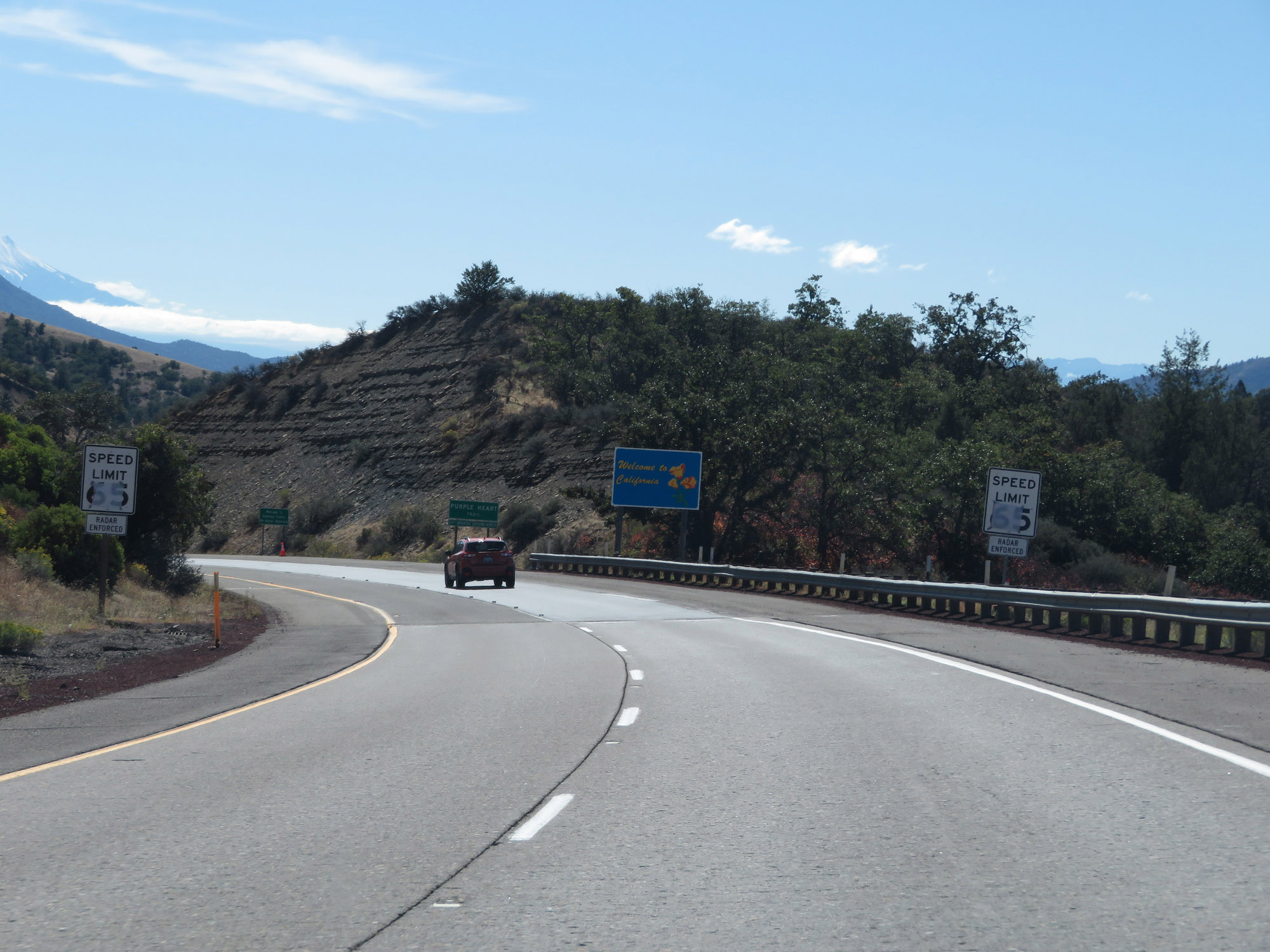 |
The speed limit on Interstate 5 South in California starts out at 65 mph for cars, as I-5 continues to descend the steep downgrade from Siskiyou Summit. (Photo taken 9/23/19). |
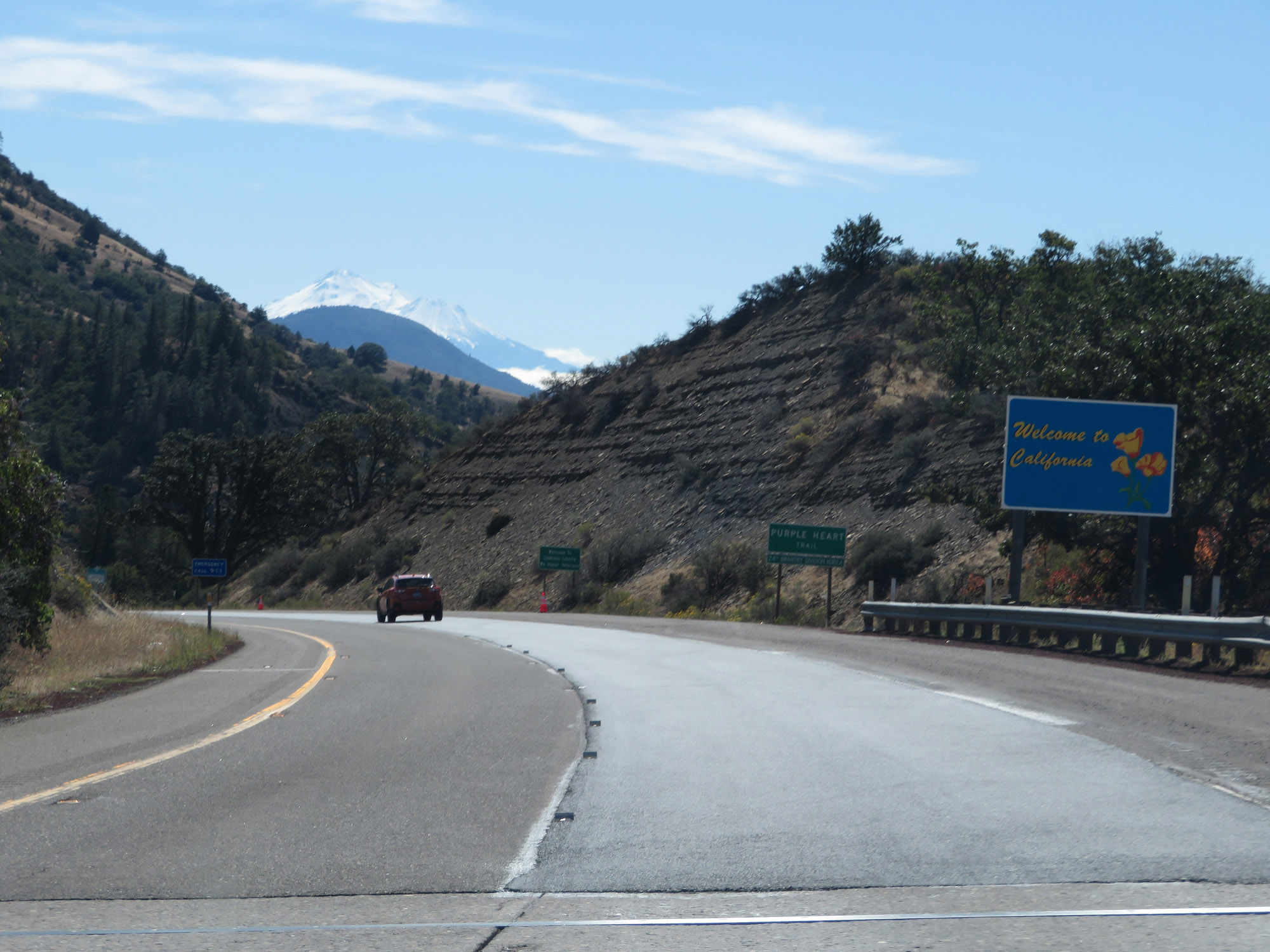 |
California welcome sign on Interstate 5 South. (Photo taken 9/23/19). |
 |
View on Interstate 5 South as it continues down the 6% grade from Siskiyou Summit. (Photo taken 9/23/19). |
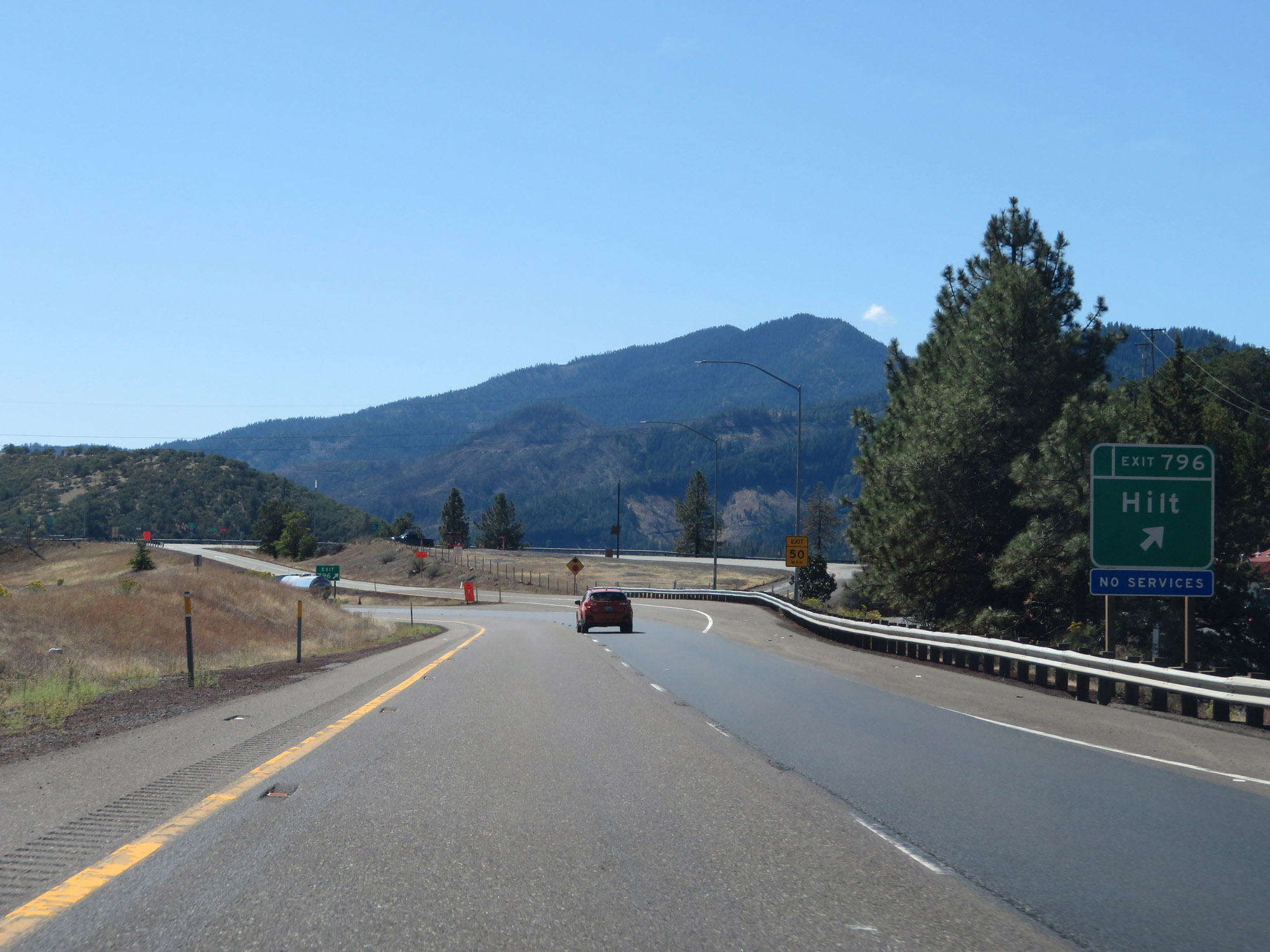 |
Interstate 5 South at Exit 796: Hilt (Photo taken 9/23/19). |
 |
State-named Interstate 5 South reassurance shield. (Photo taken 9/23/19). |
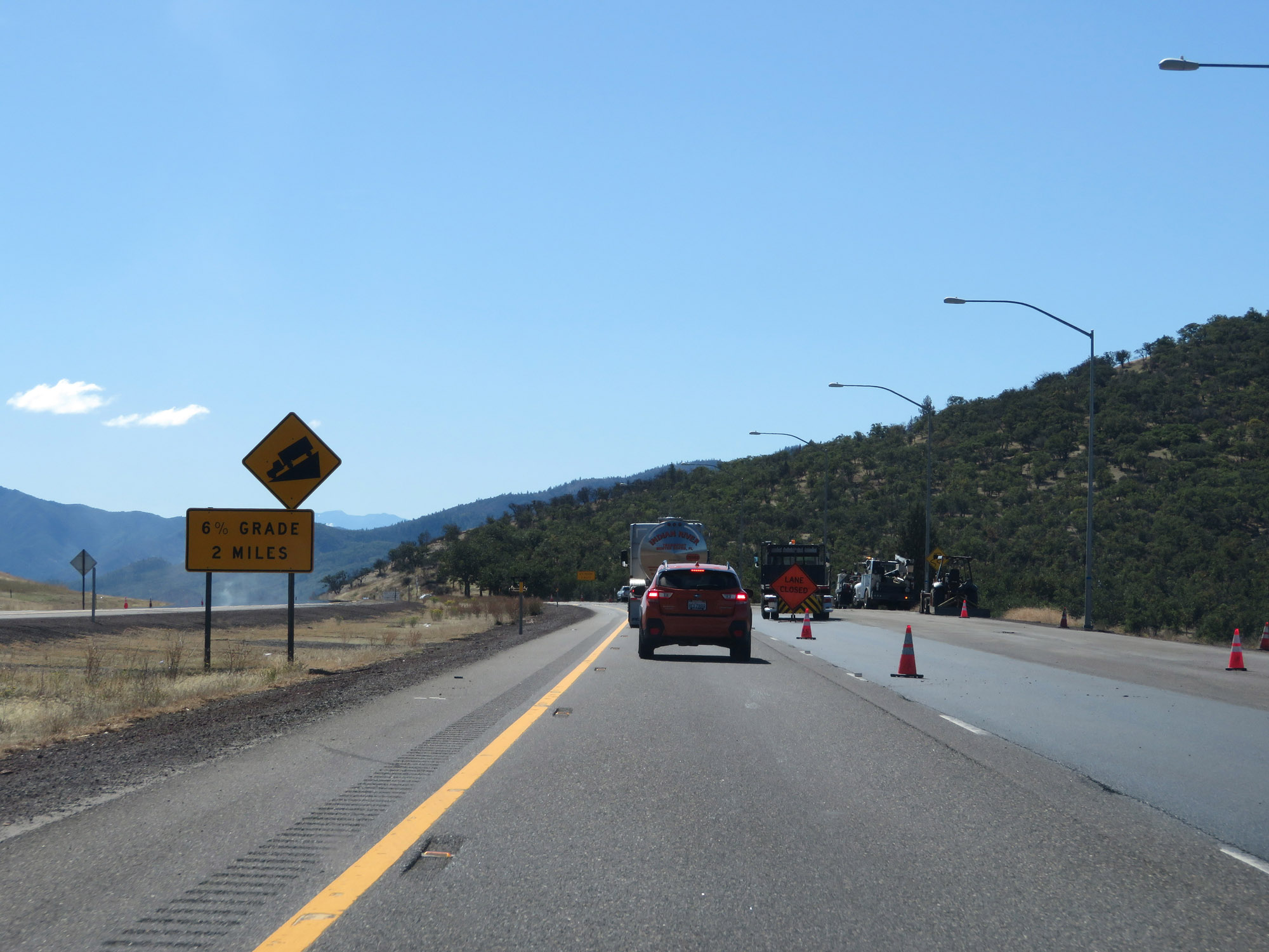 |
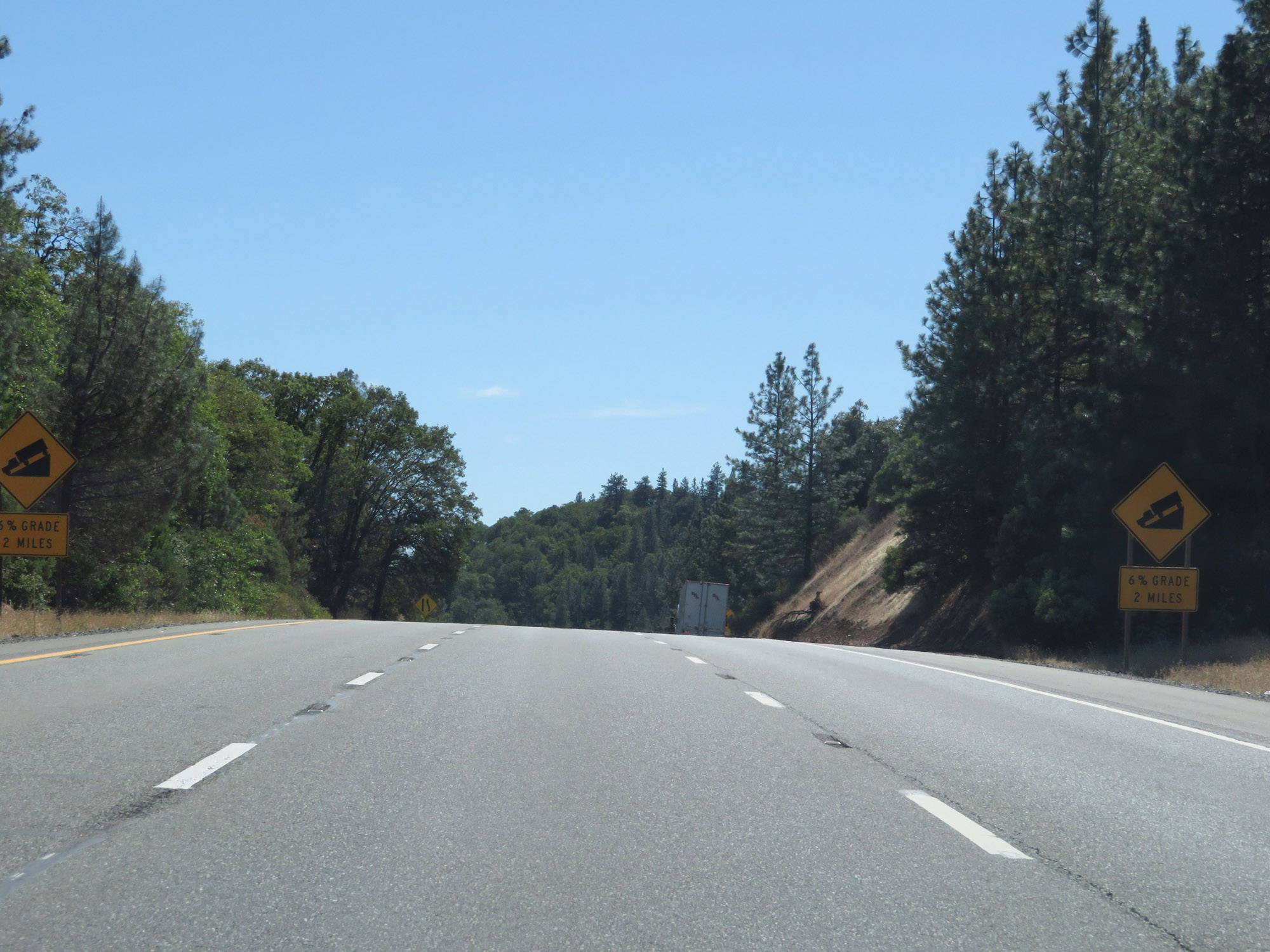
The 6% downgrade continues ahead, and will last 2 more miles. (Photo taken 9/23/19). |
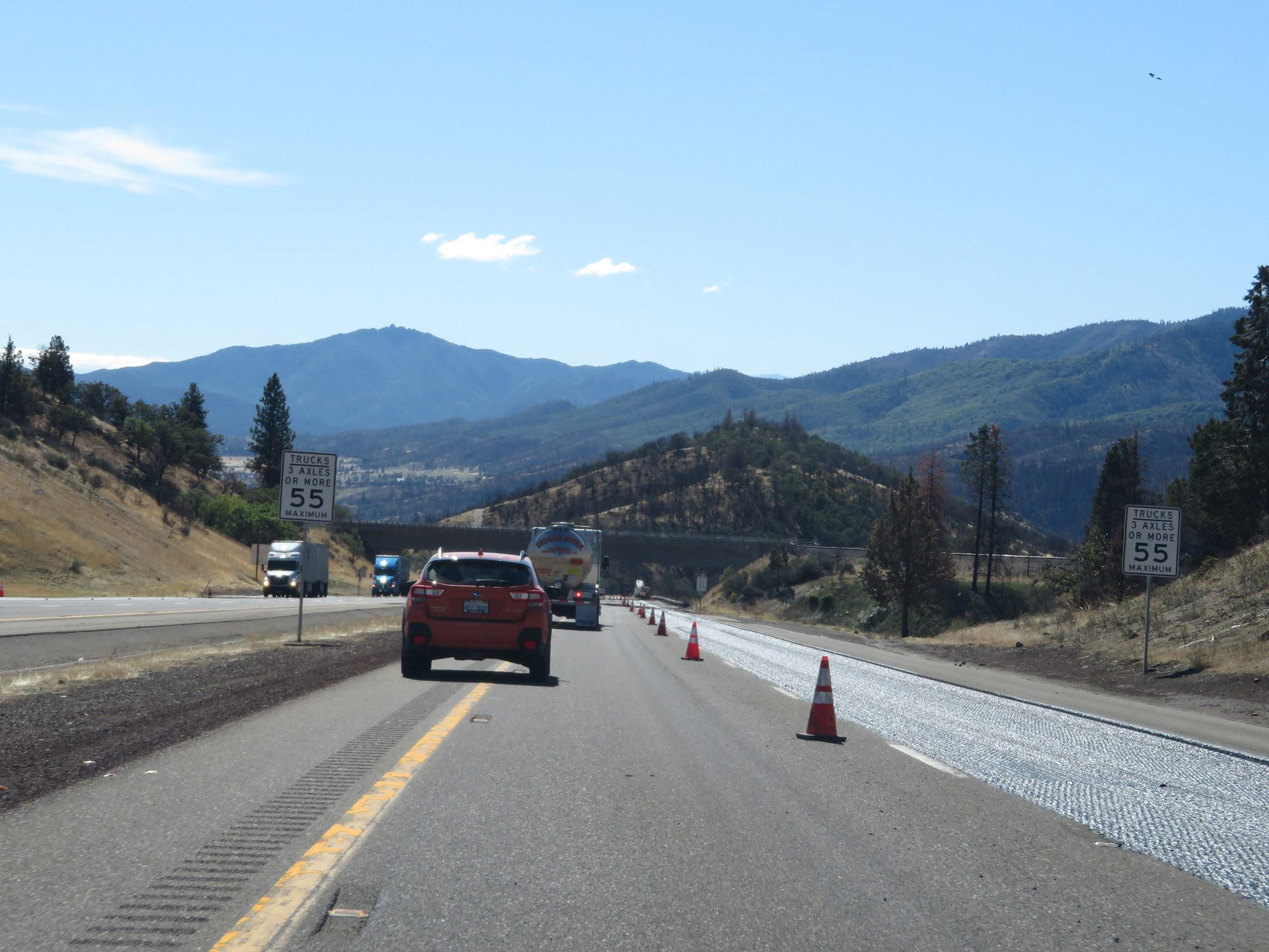 |
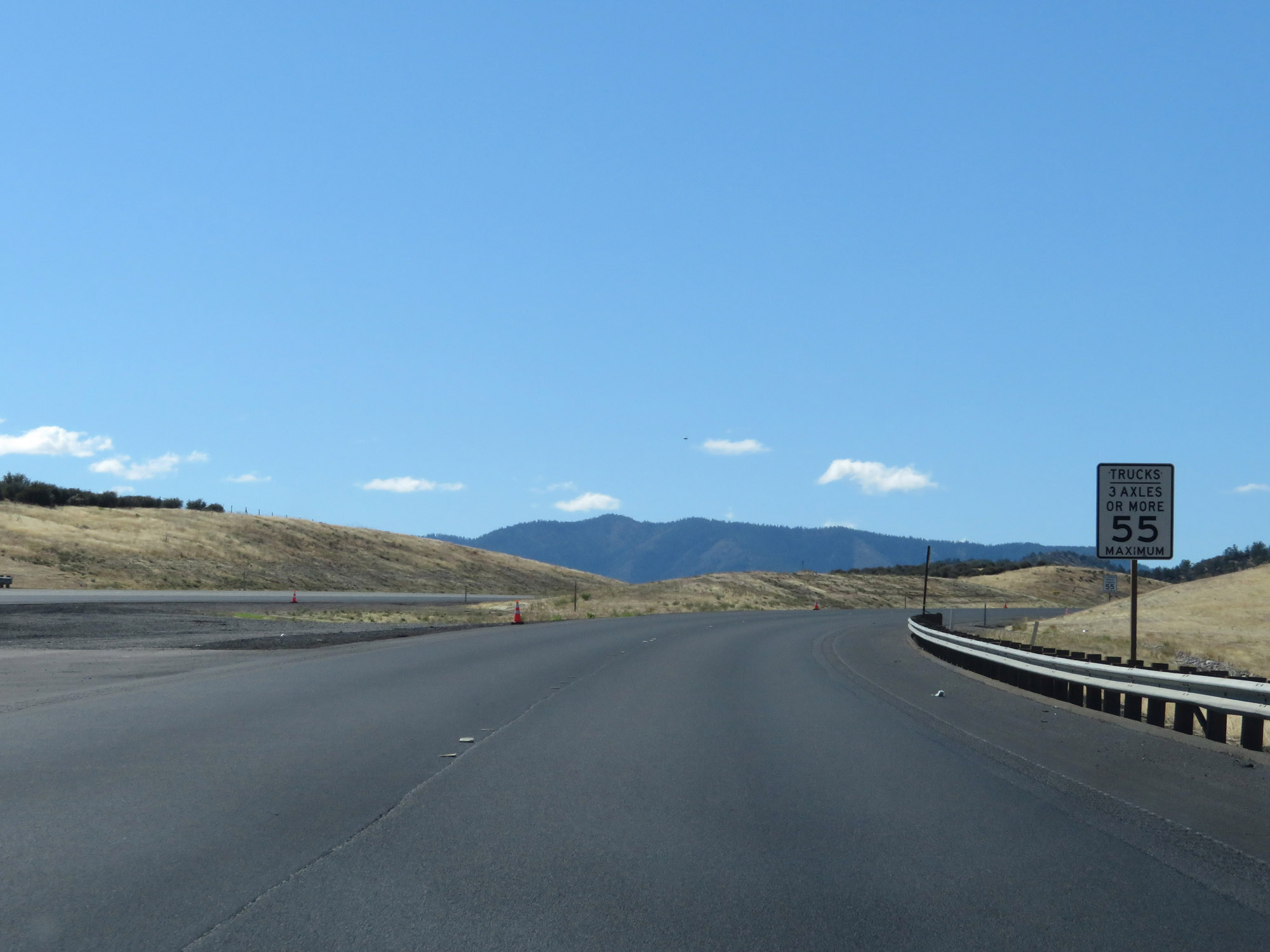
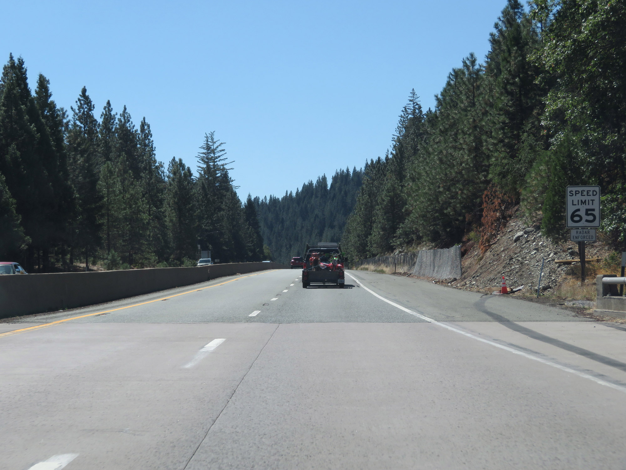
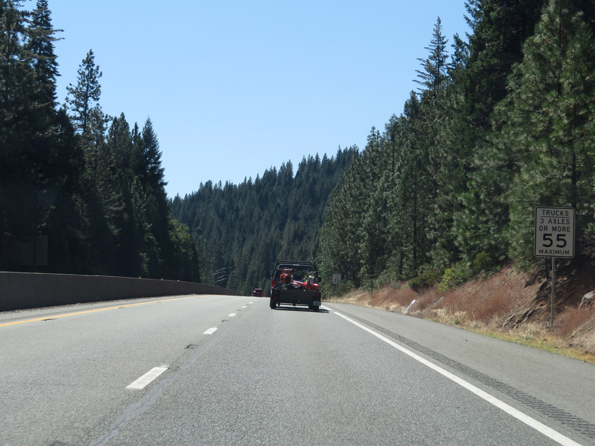
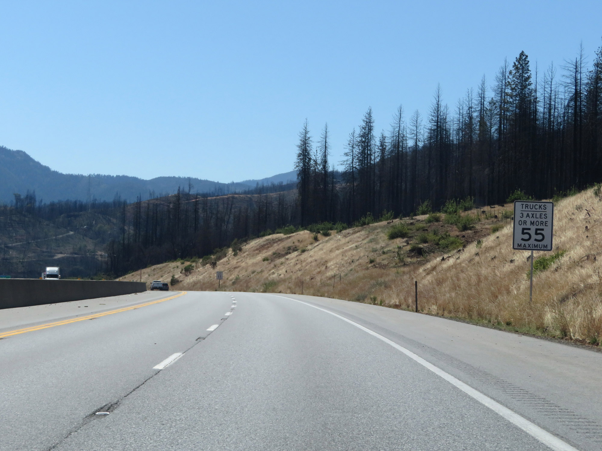
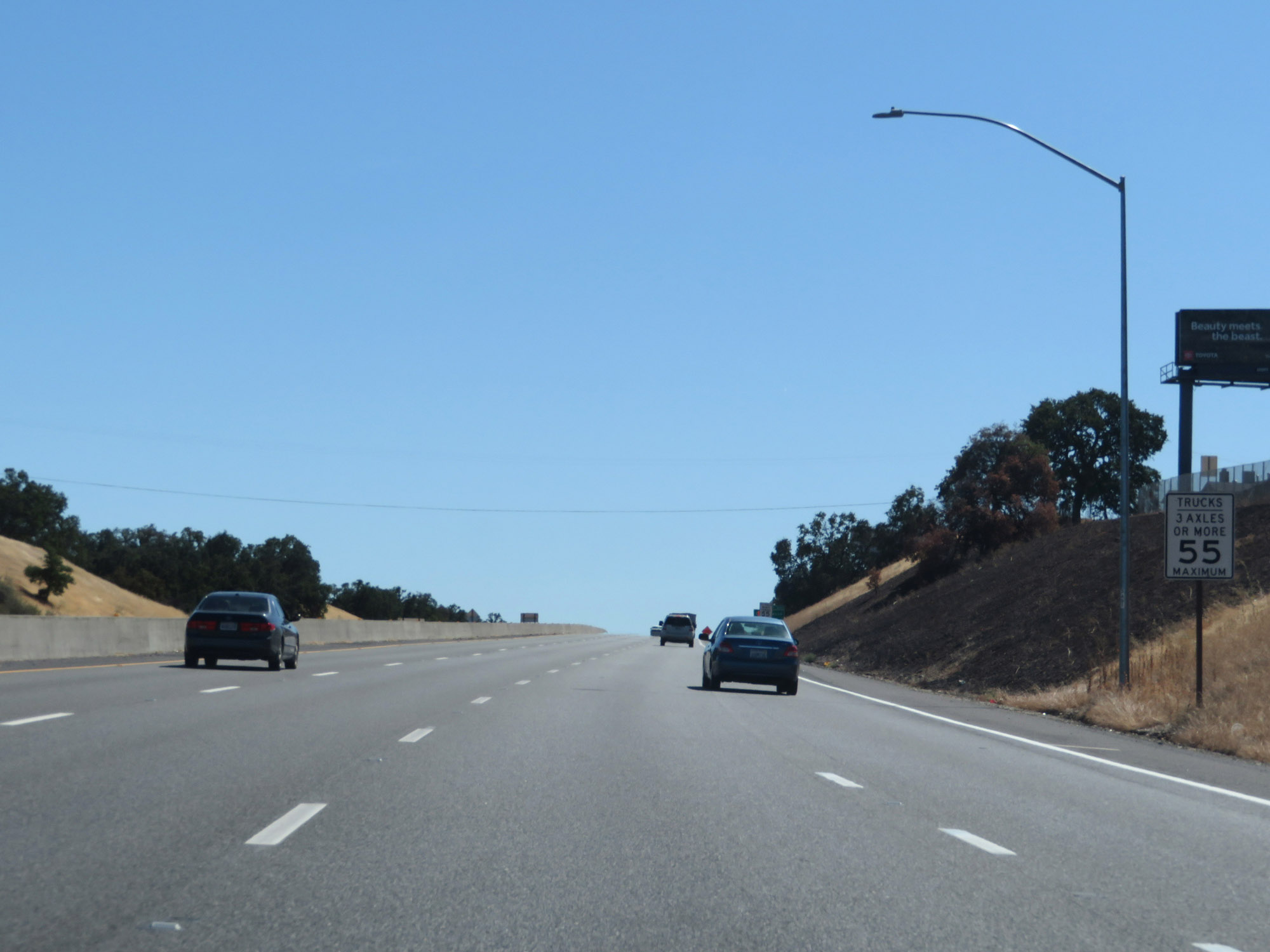
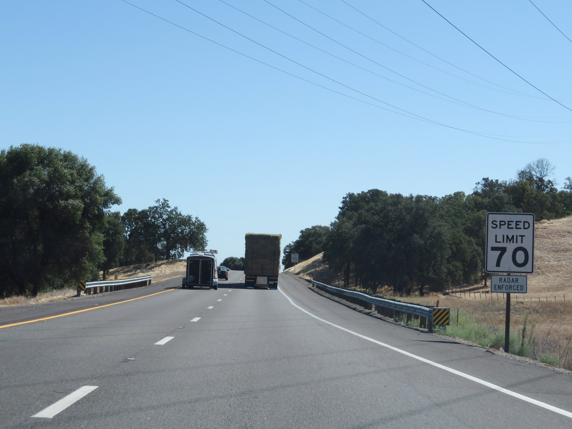
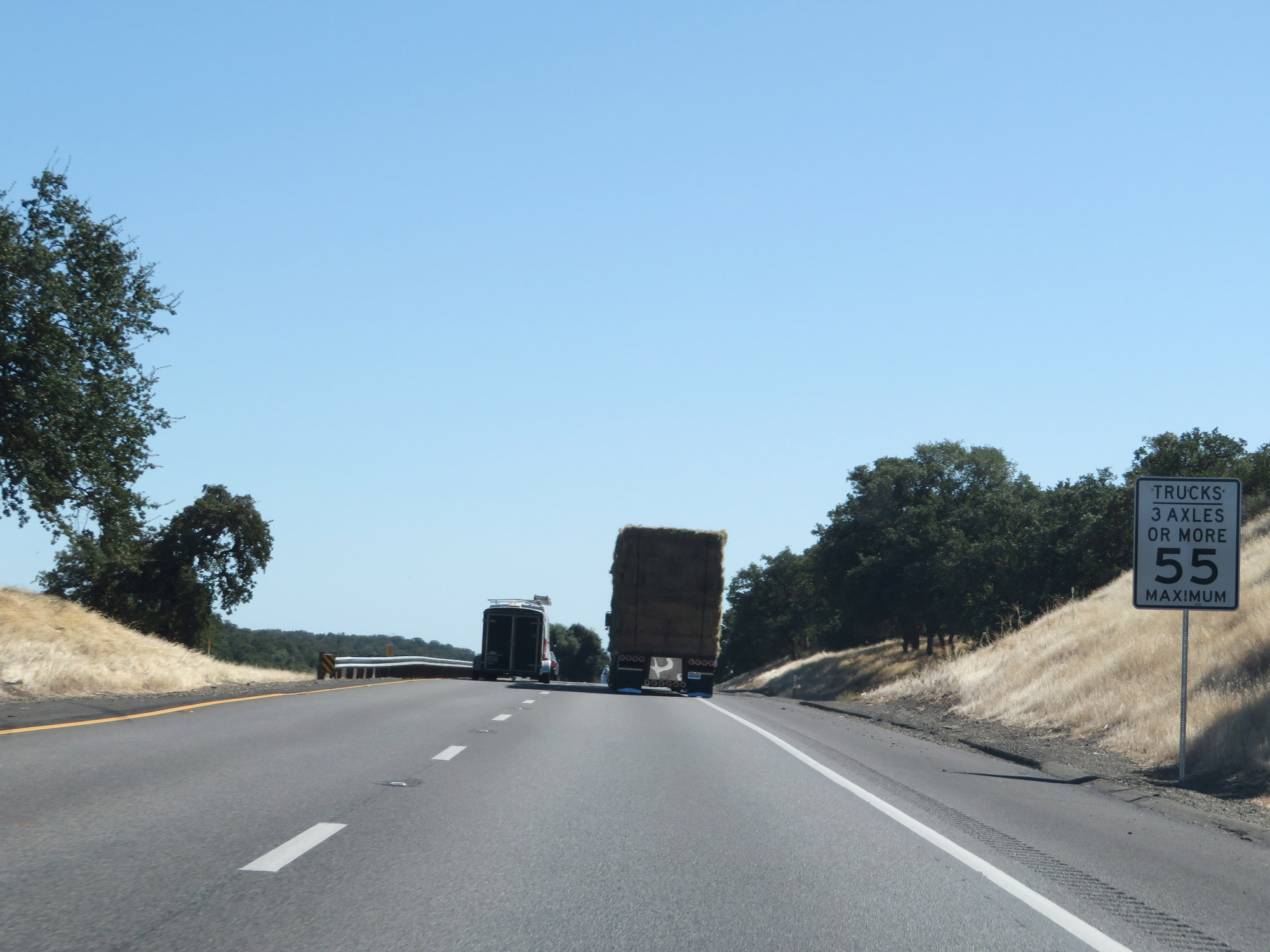
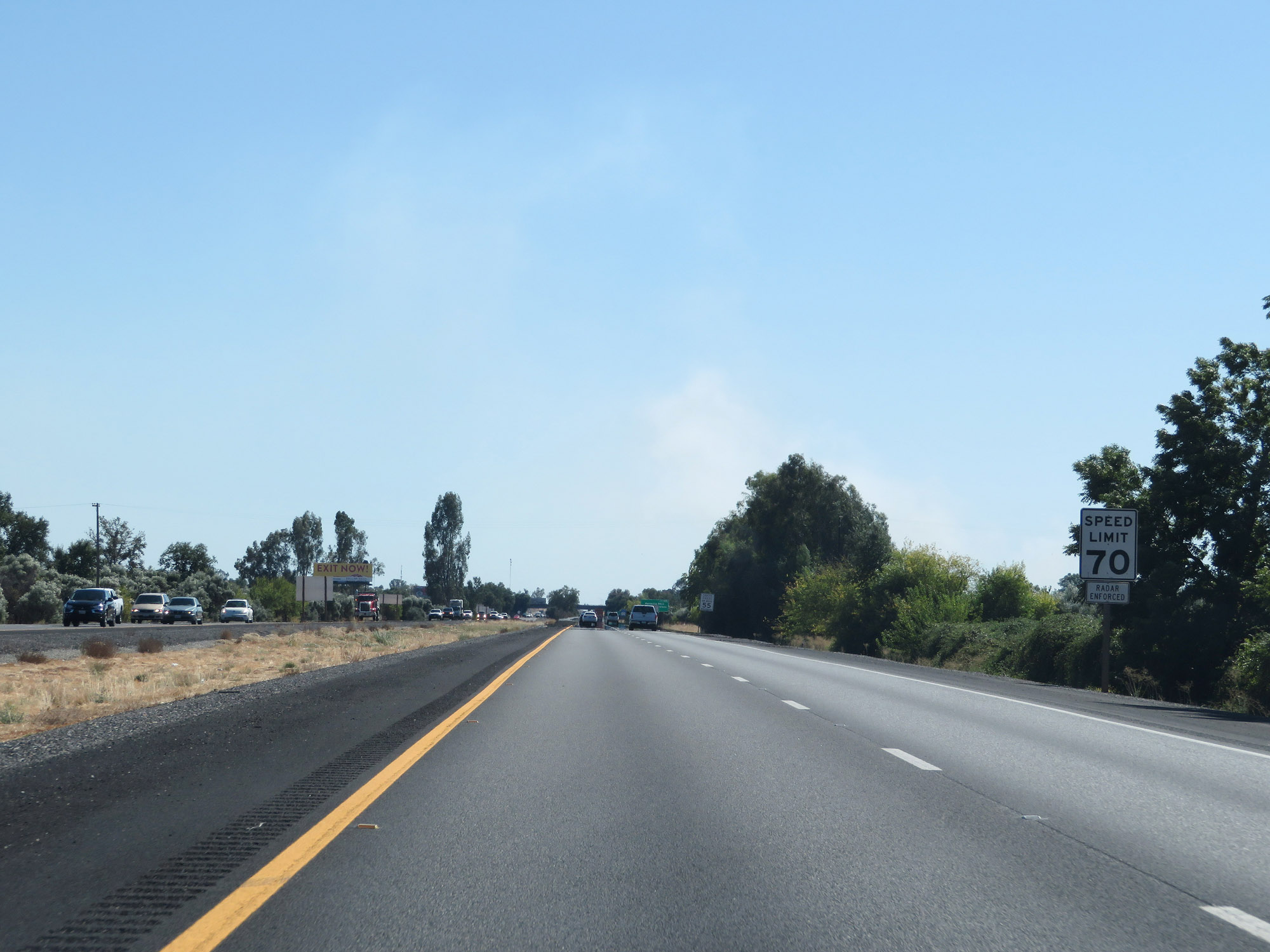
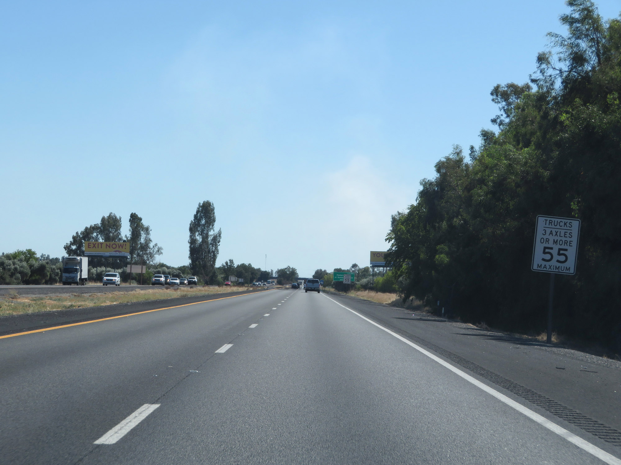
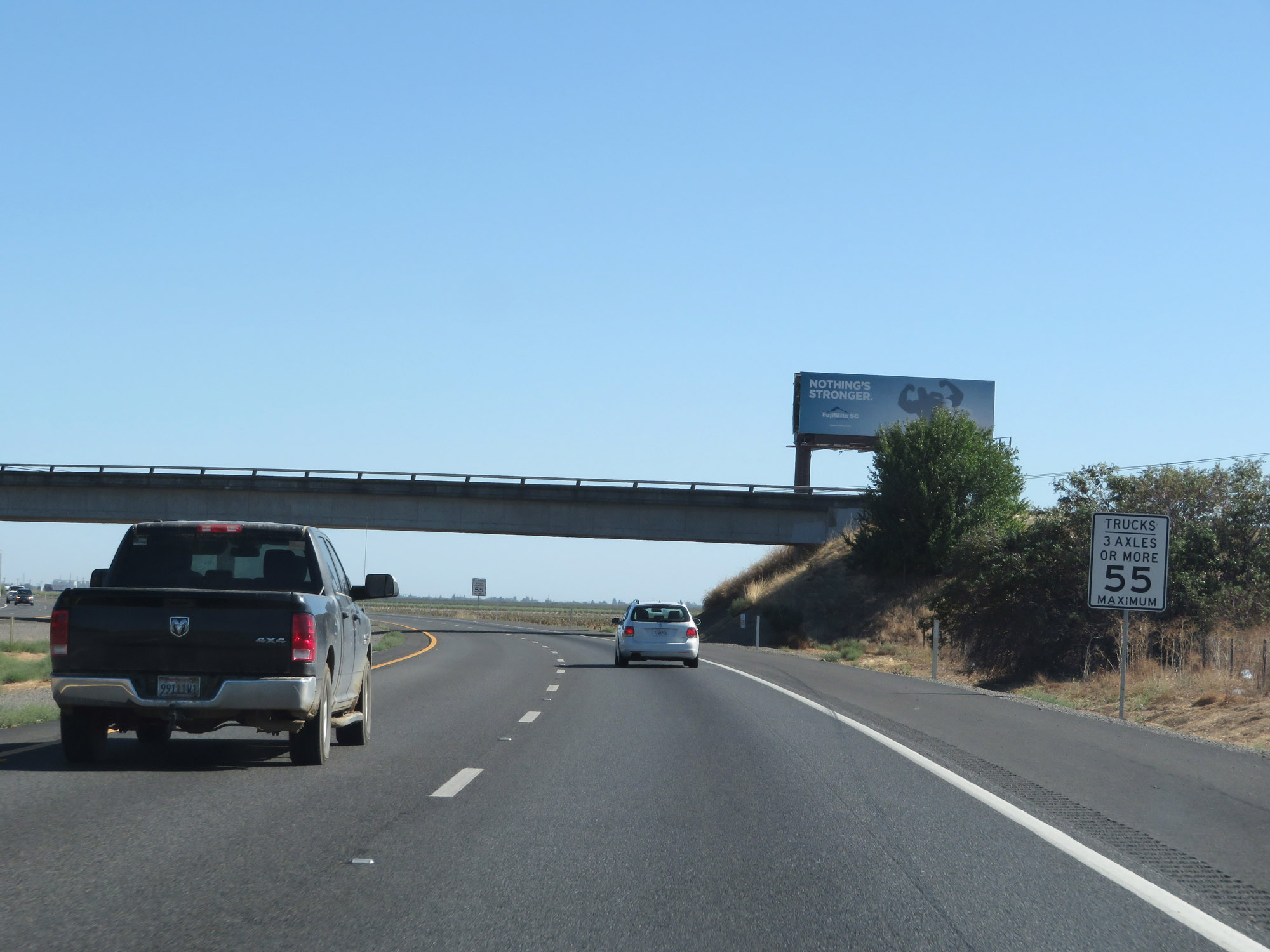
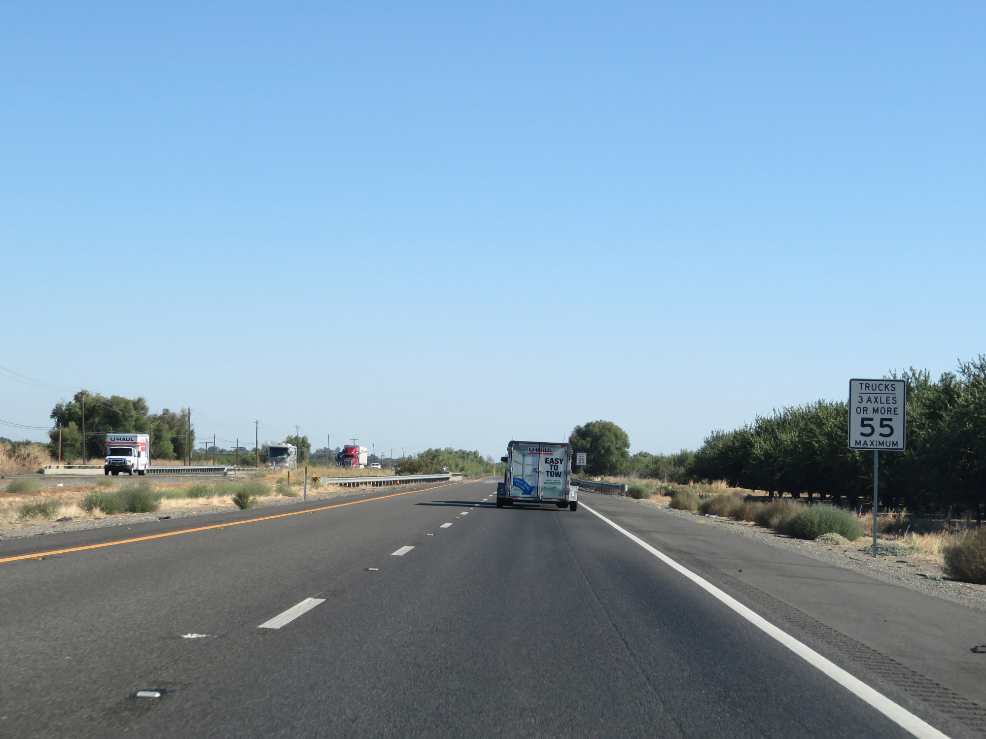
In California, the maximum speed limit for trucks which have 3 or more axles is 55 mph, as these signs read. (Photo taken 9/23/19). |
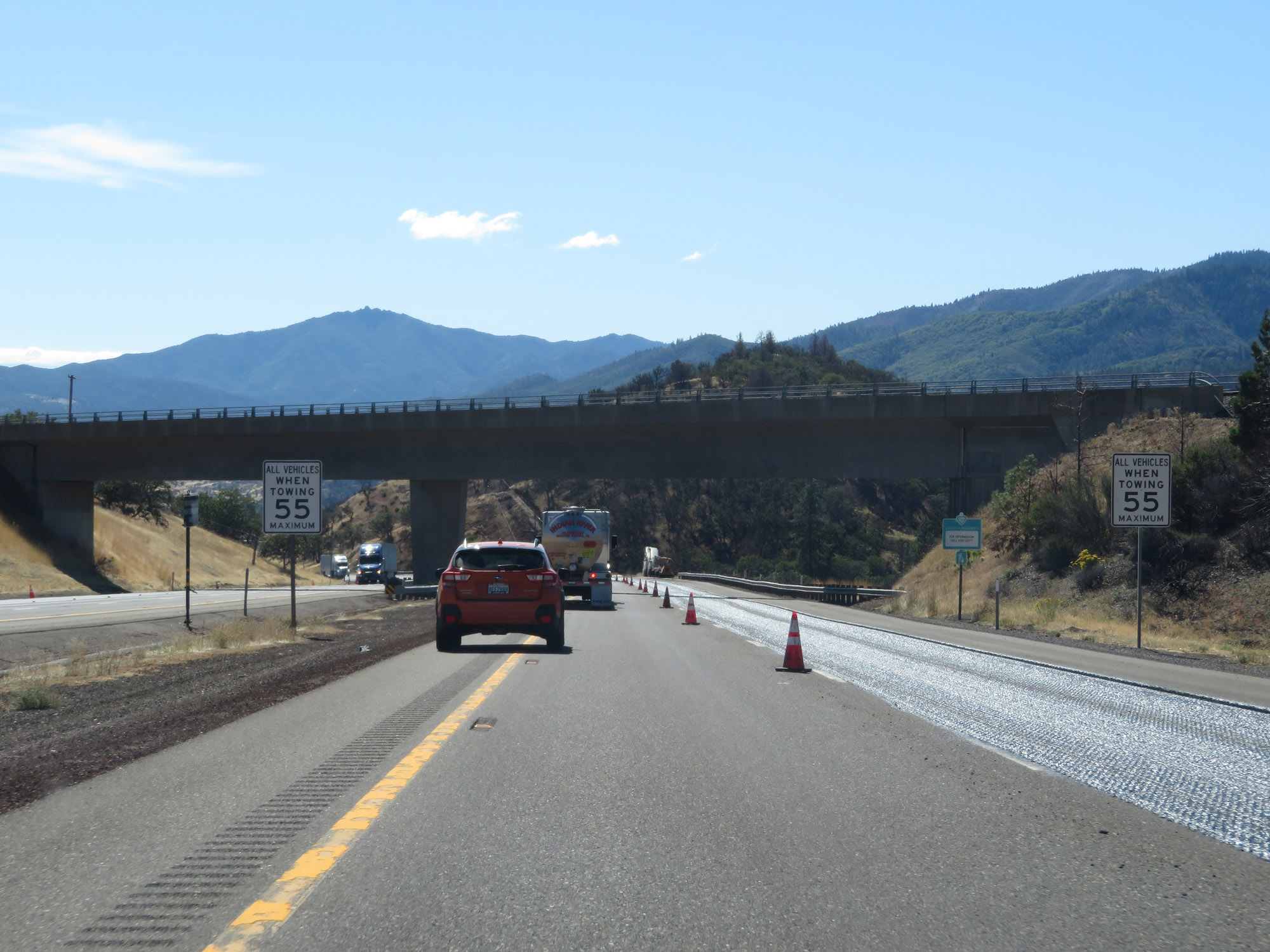 |
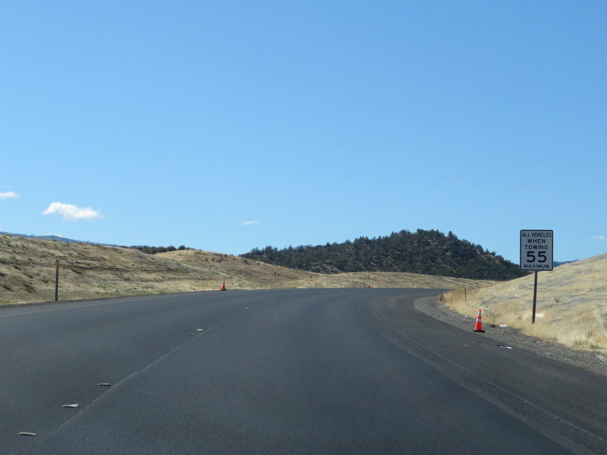
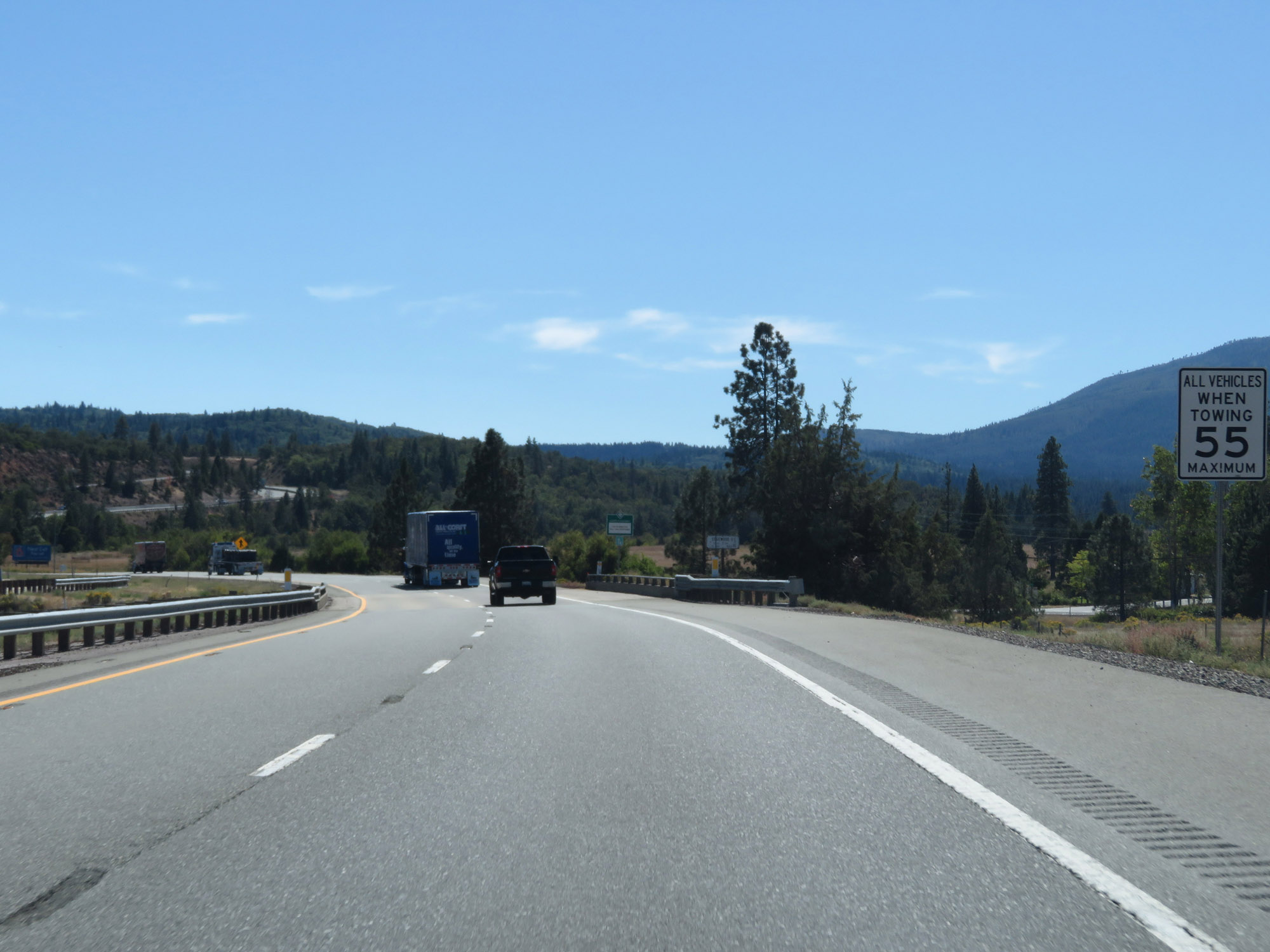
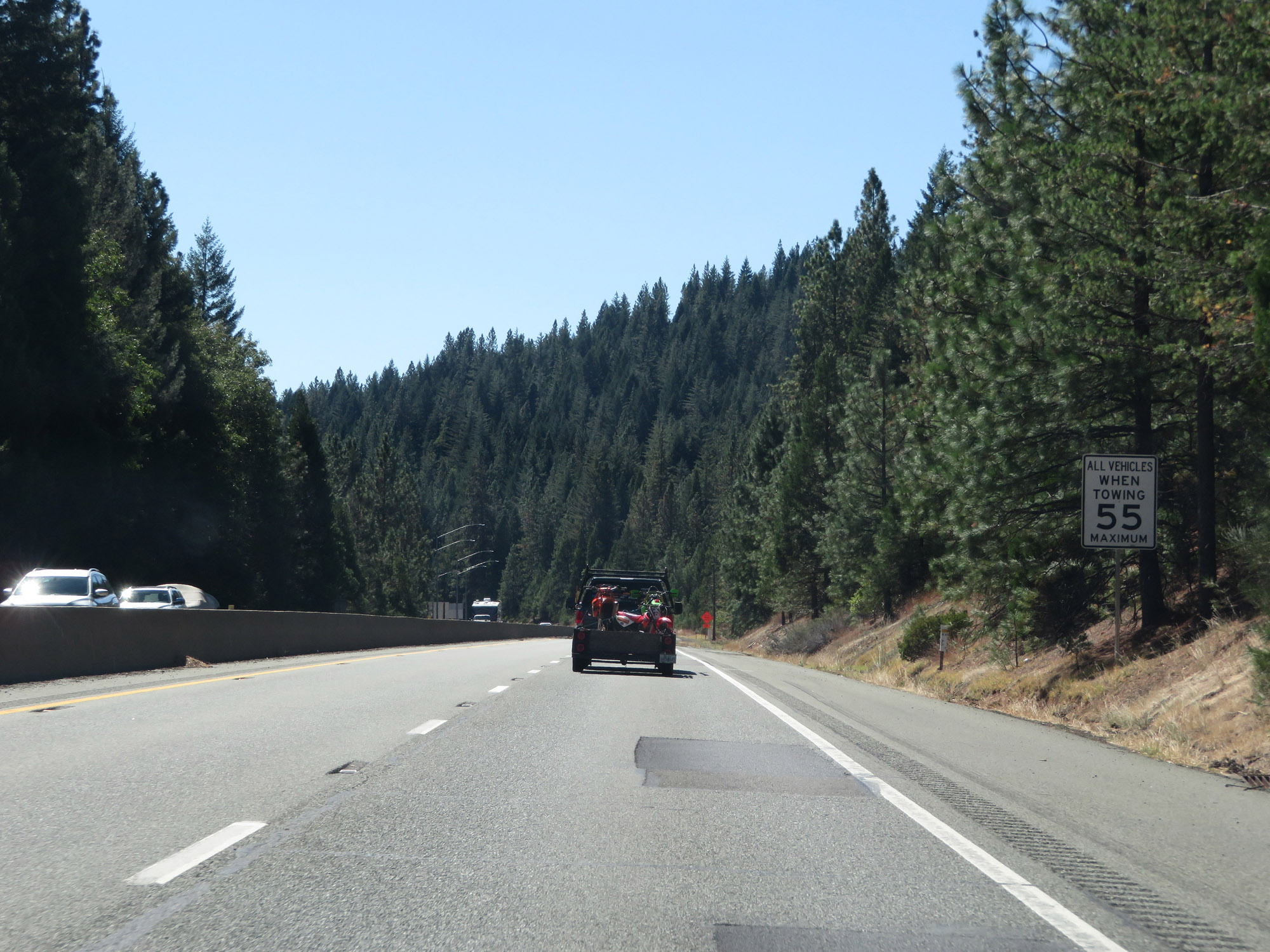
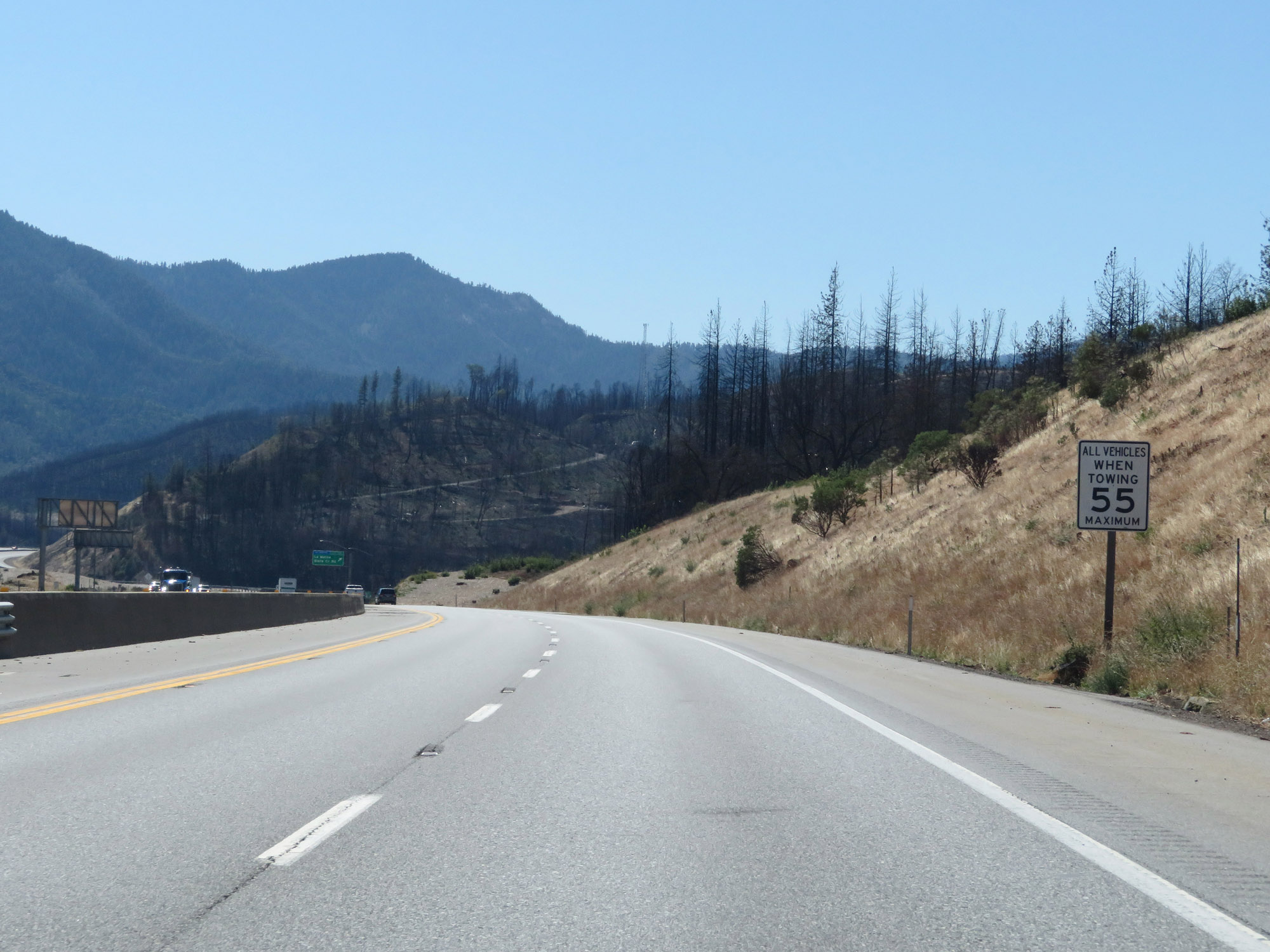
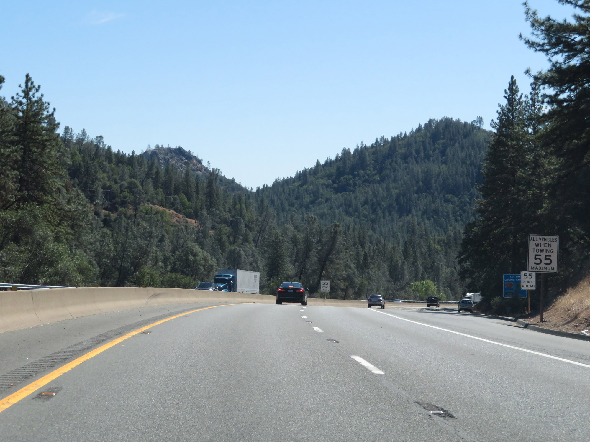
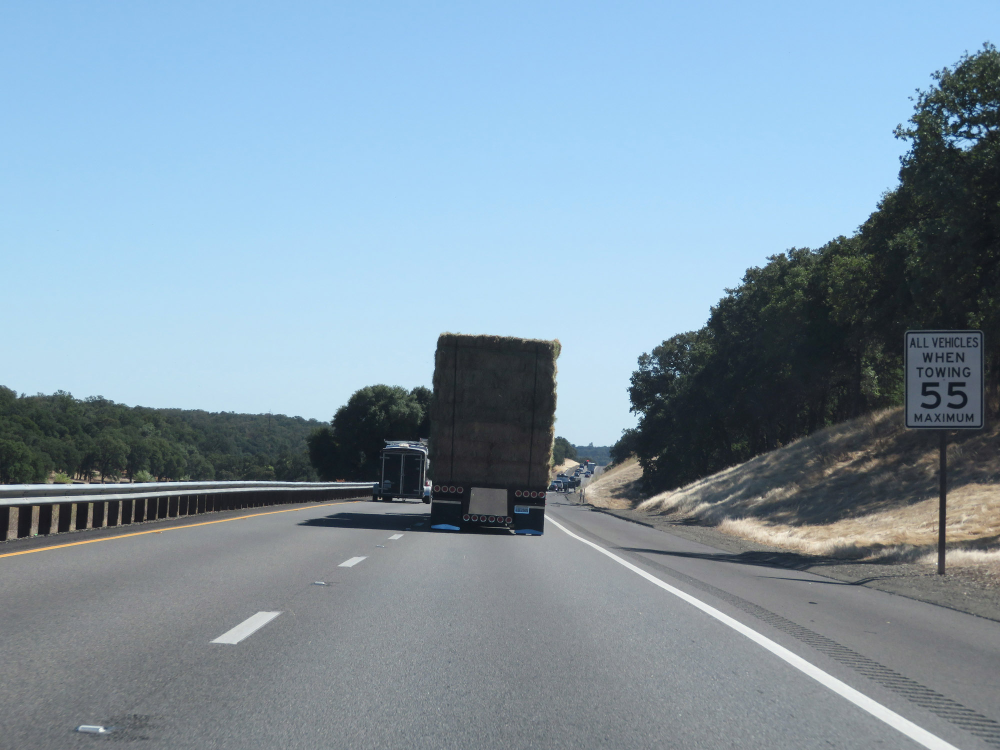
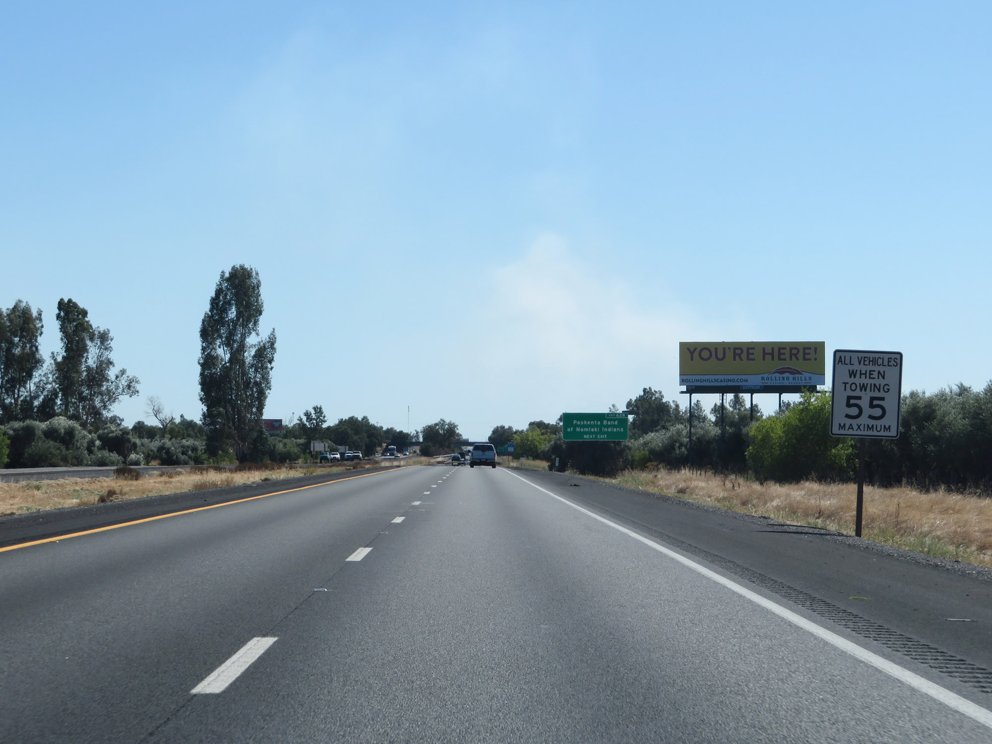
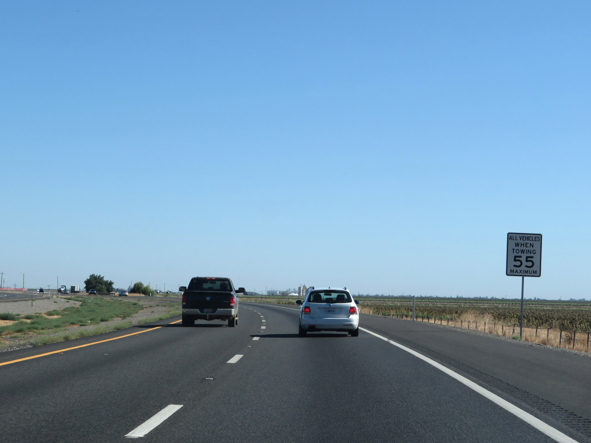
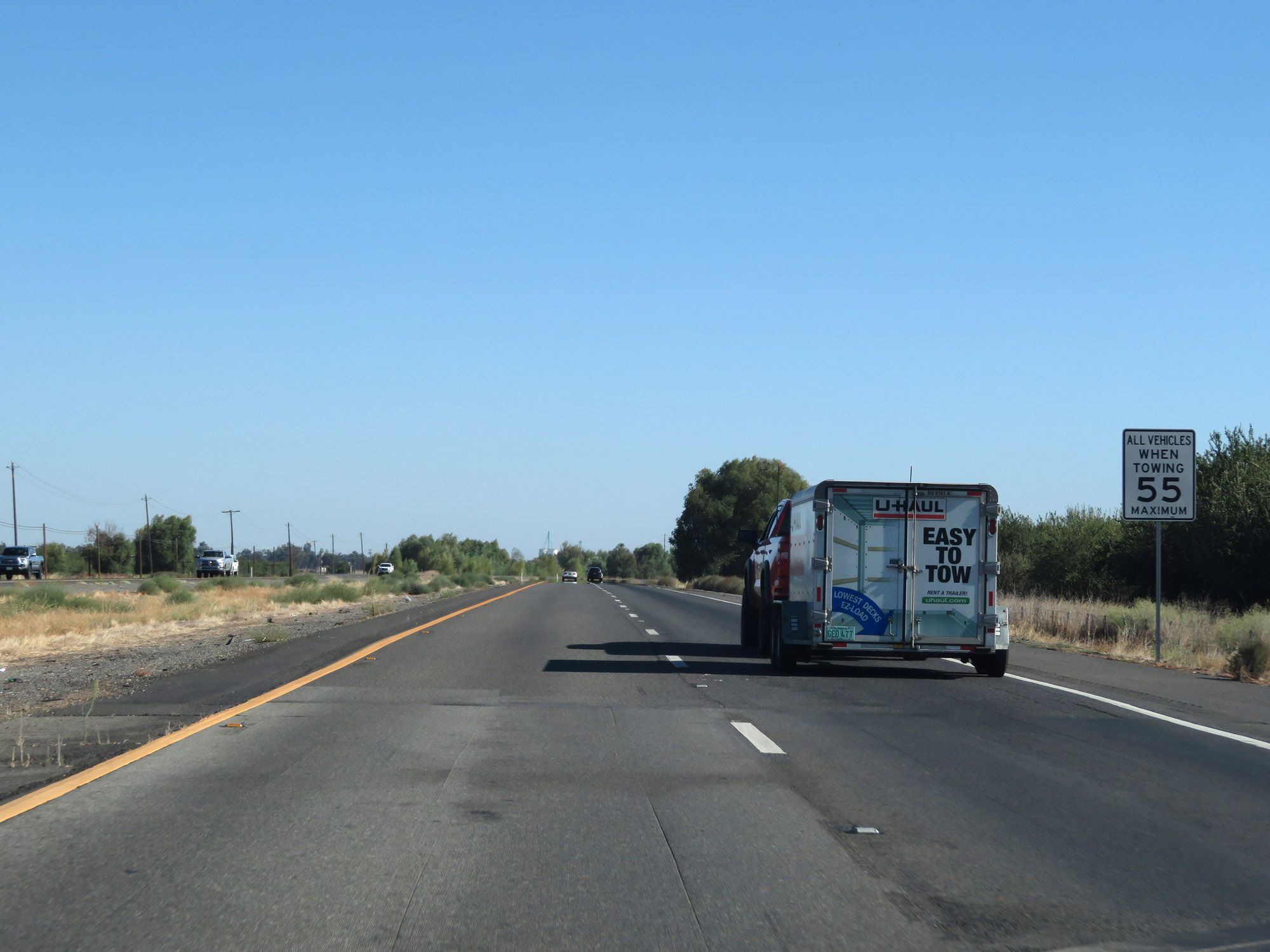
Also restricted to 55 mph, despite how rural the highway is, are any vehicles which are towing trailers. (Photo taken 9/23/19). |
 |
View on Interstate 5 South as it reaches the bottom of the 6% grade just before Exit 793. (Photo taken 9/23/19). |
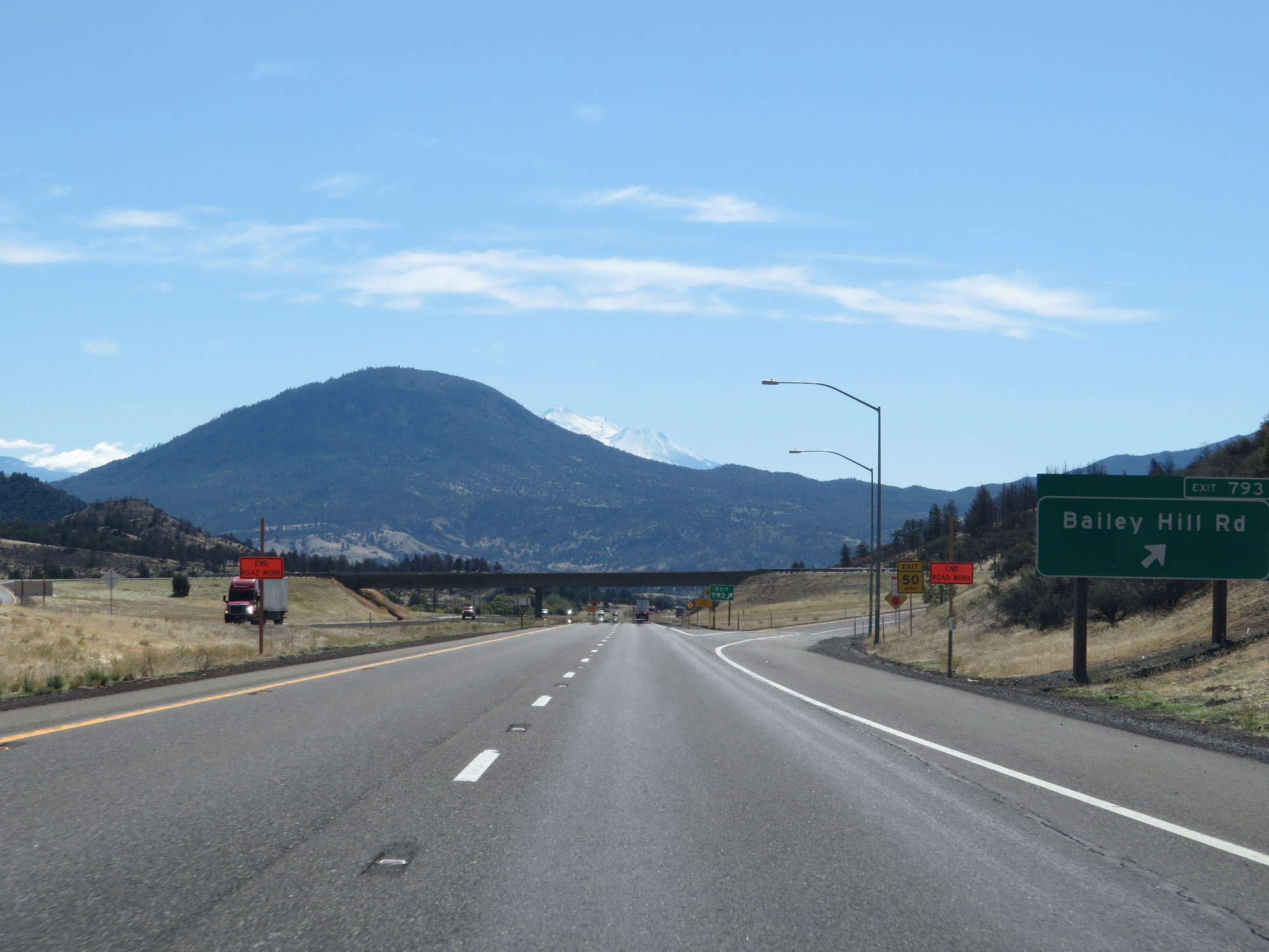 |
Interstate 5 South at Exit 793: Bailey Hill Rd (Photo taken 9/23/19). |
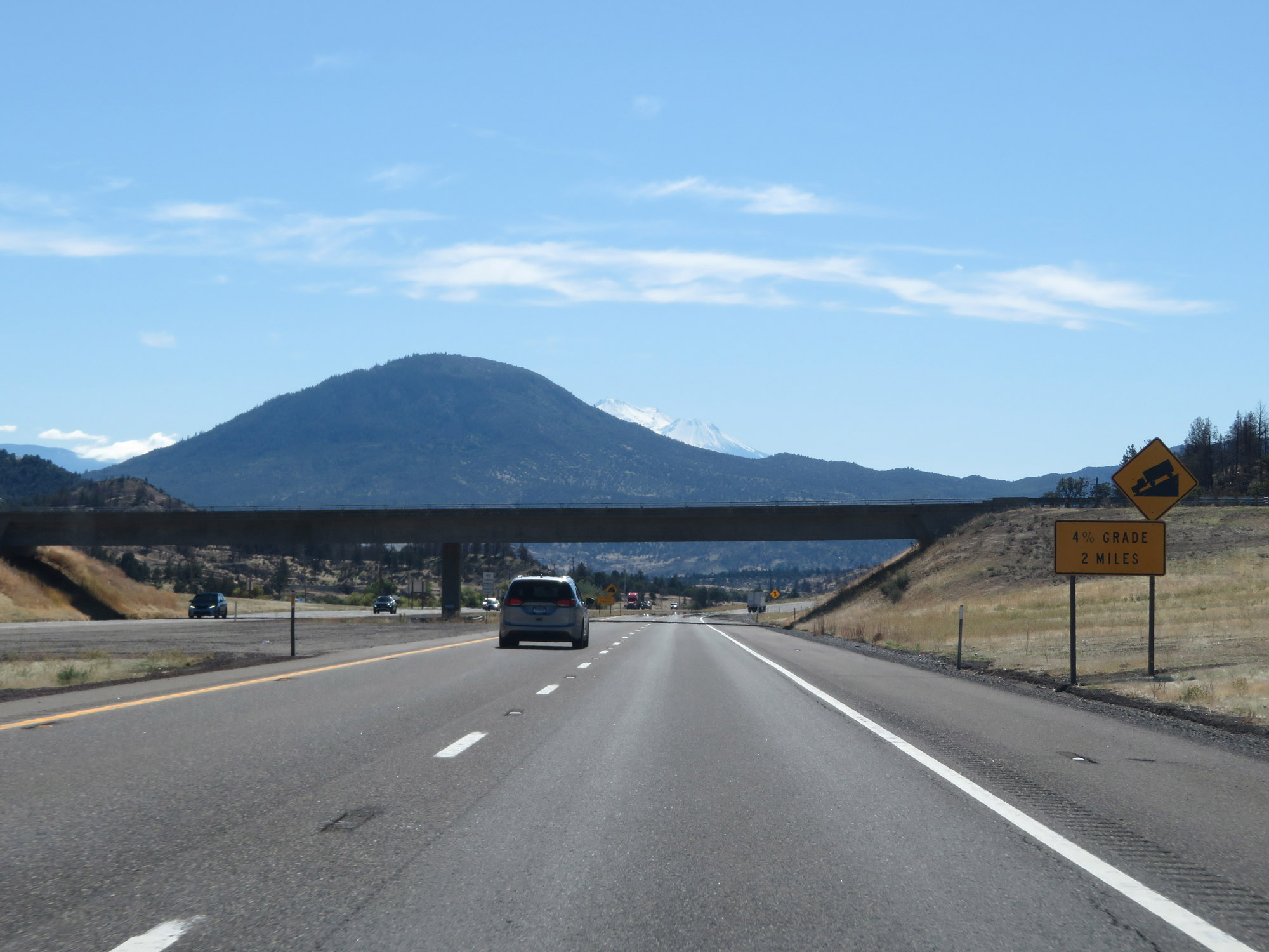 |
As soon as one downgrade ends, another is about to begin just ahead. It's only a 4% grade, but will last for the next 2 miles. (Photo taken 9/23/19). |
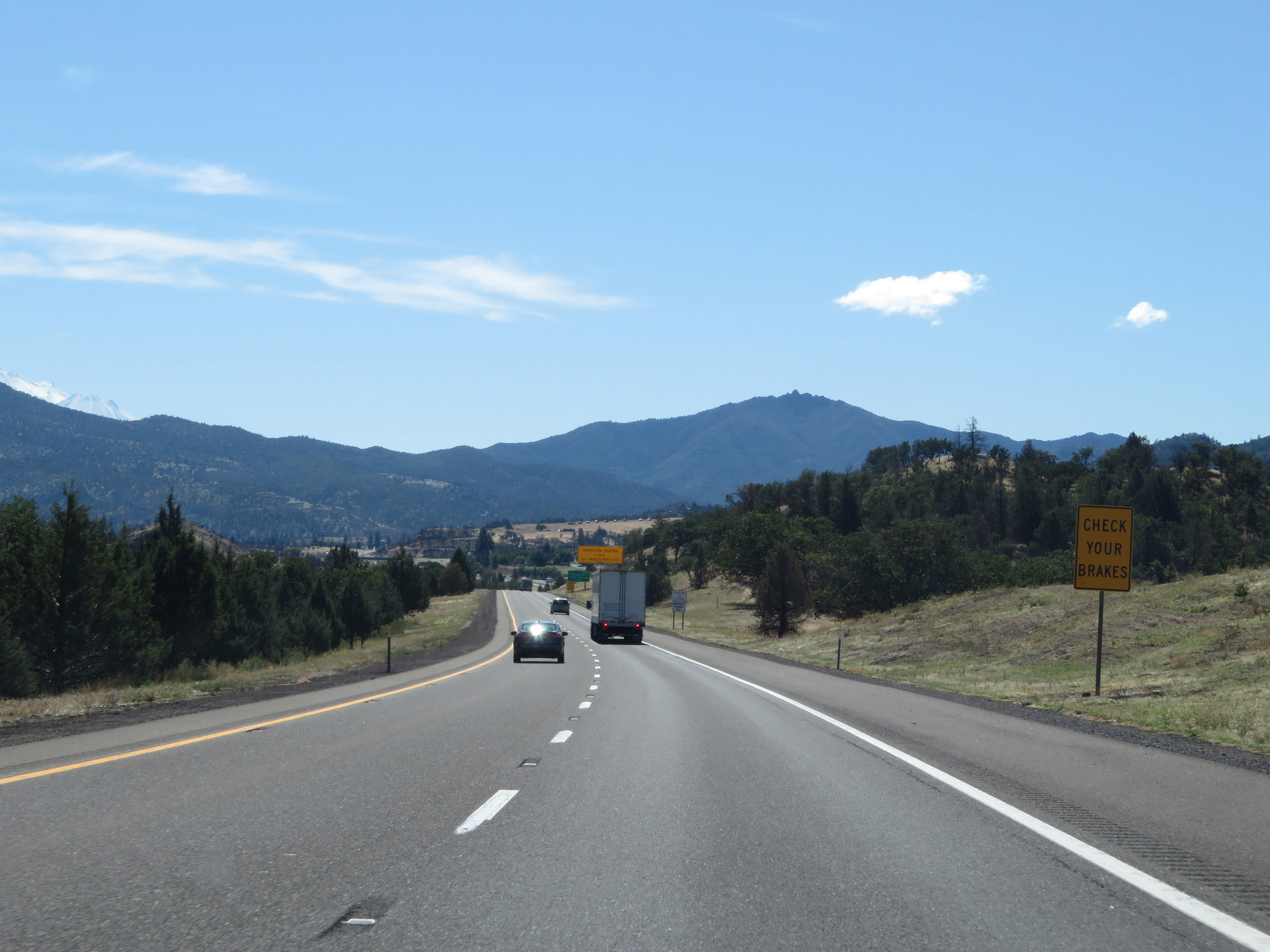 |
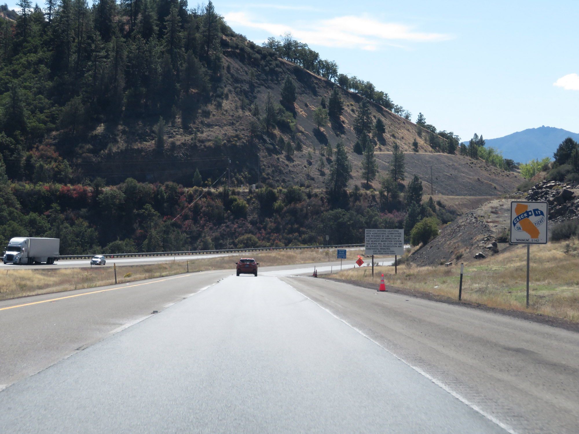
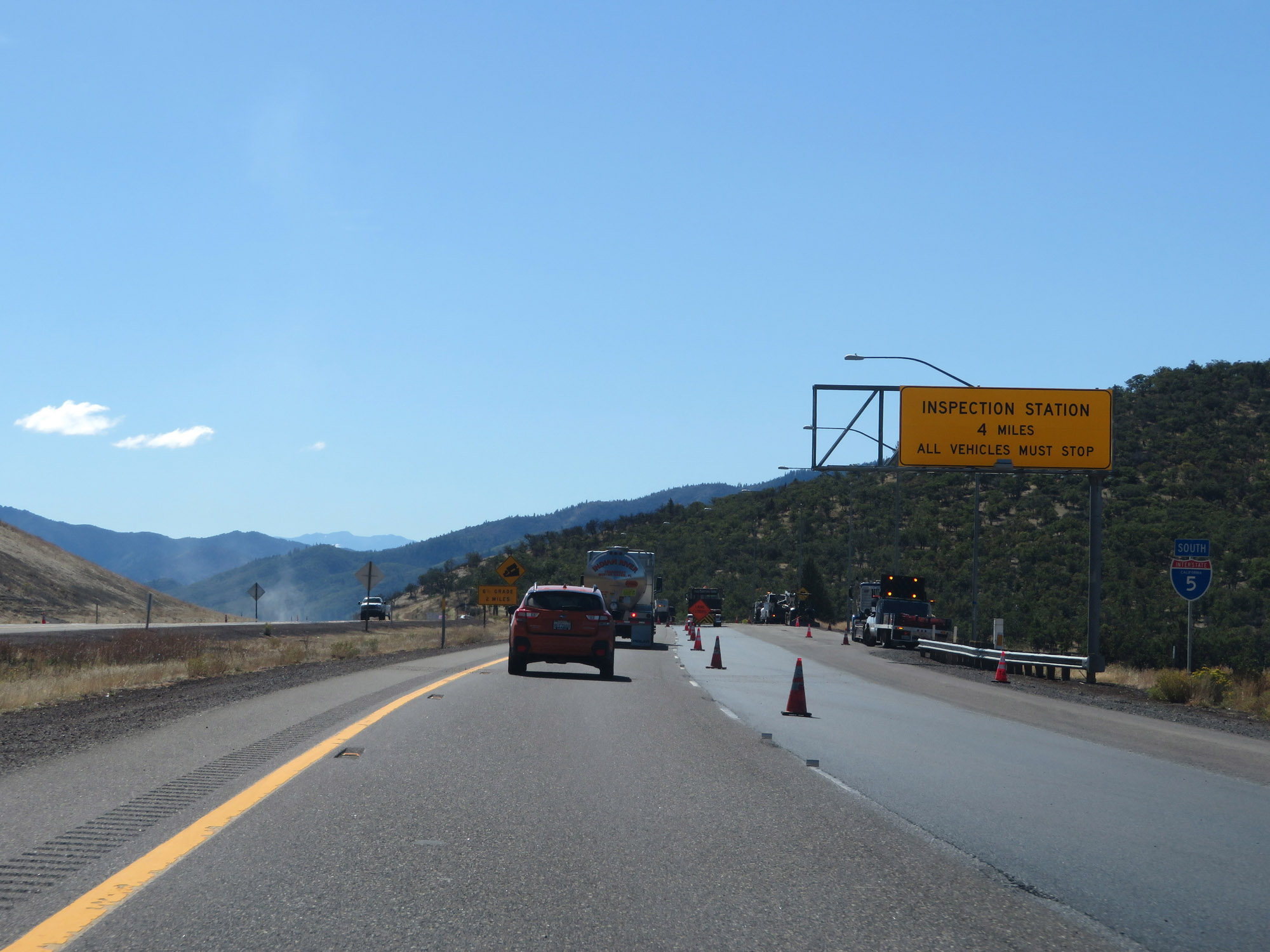
This sign warns all traffic to check their brakes before continuing further down the grade. The reason for this is that the Agricultural Inspection Station for Interstate 5 South is located about 1 mile ahead, at the bottom of the grade. (Photo taken 9/23/19). |
 |
Interstate 5 South approaching Exit 790 - 1 mile. This exit is just on the south side of the Agricultural Inspection Station ahead. (Photo taken 9/23/19). |
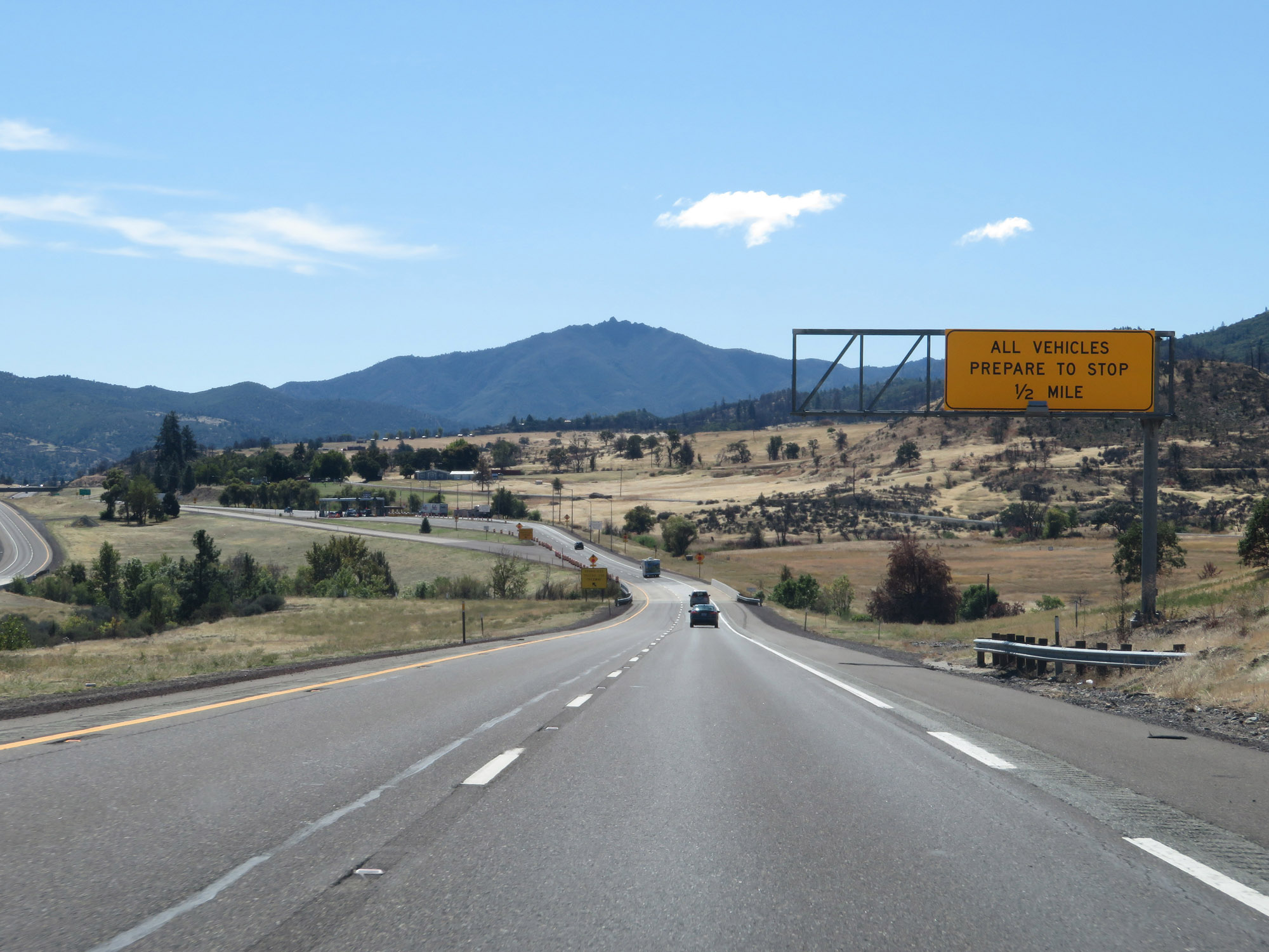 |
Interstate 5 South approaching the Agricultural Inspection Station - 1/2 mile ahead. All traffic must stop at the Inspection Station. (Photo taken 9/23/19). |
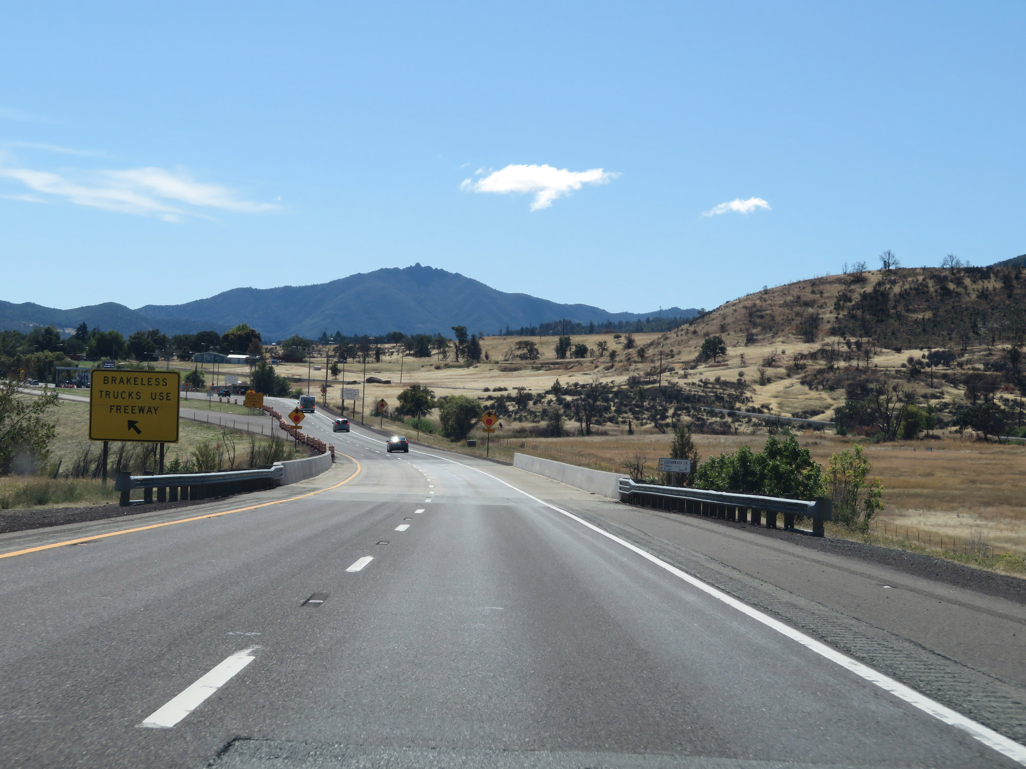 |
In the event that a truck loses its brakes due to "smoking" them on the downgrade, they should keep left here and take the ramp on the left ahead, so as to not pass through the Agricultural Inspection Station. (Photo taken 9/23/19). |
 |
A view of the ramp to the left which is only to be used by trucks who have lost their brakes coming down the steep grades we just traversed. (Photo taken 9/23/19). |
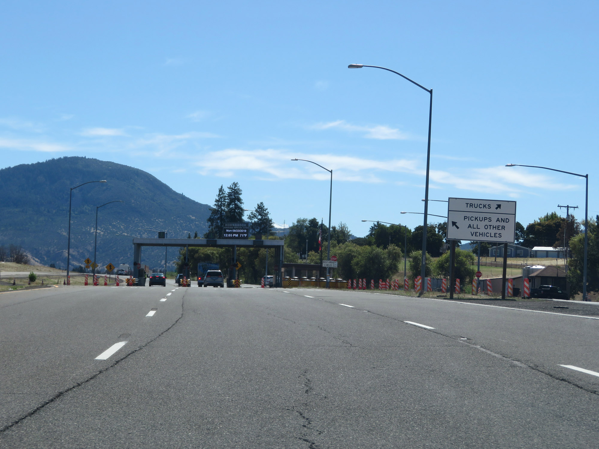 |
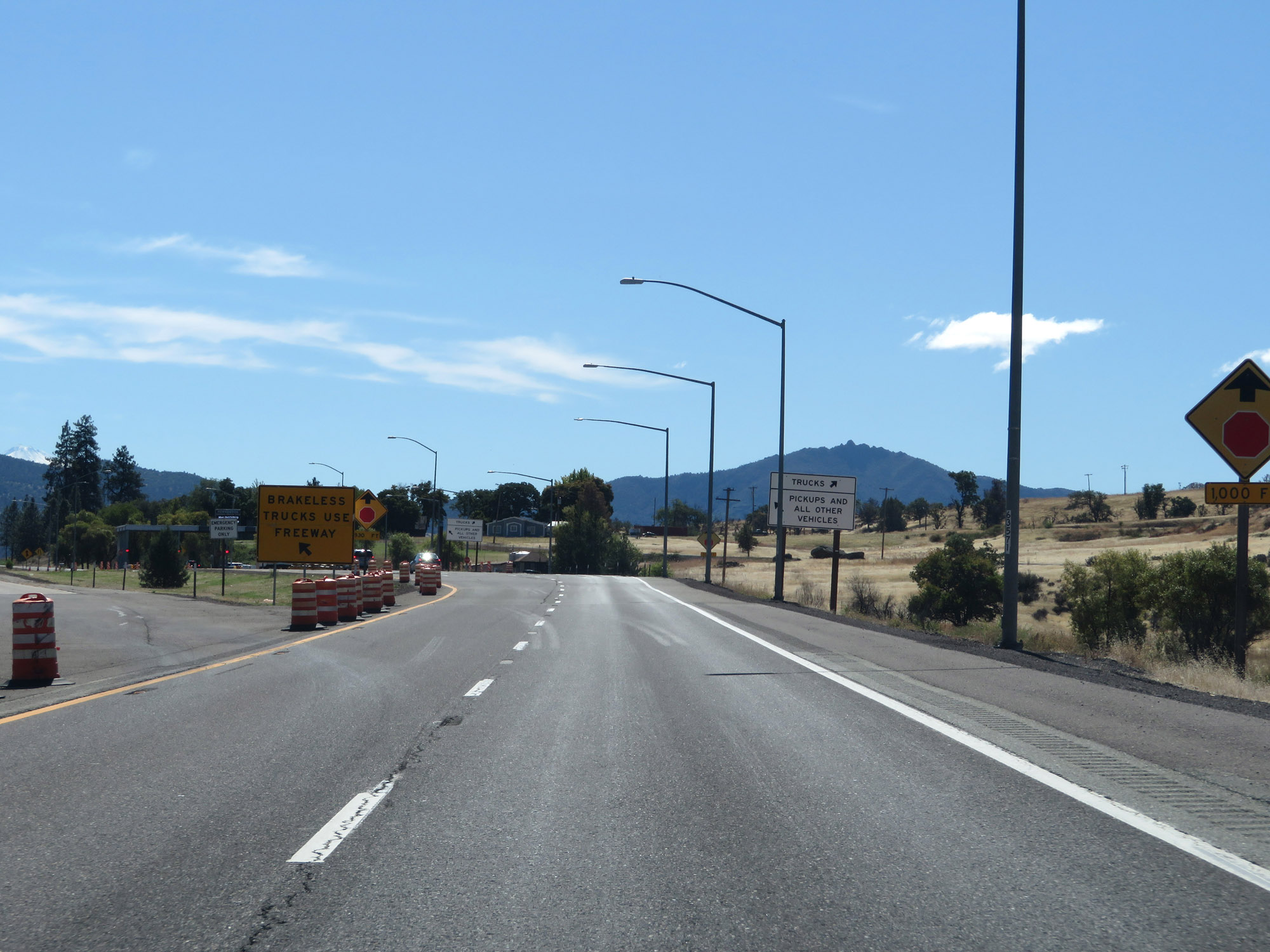
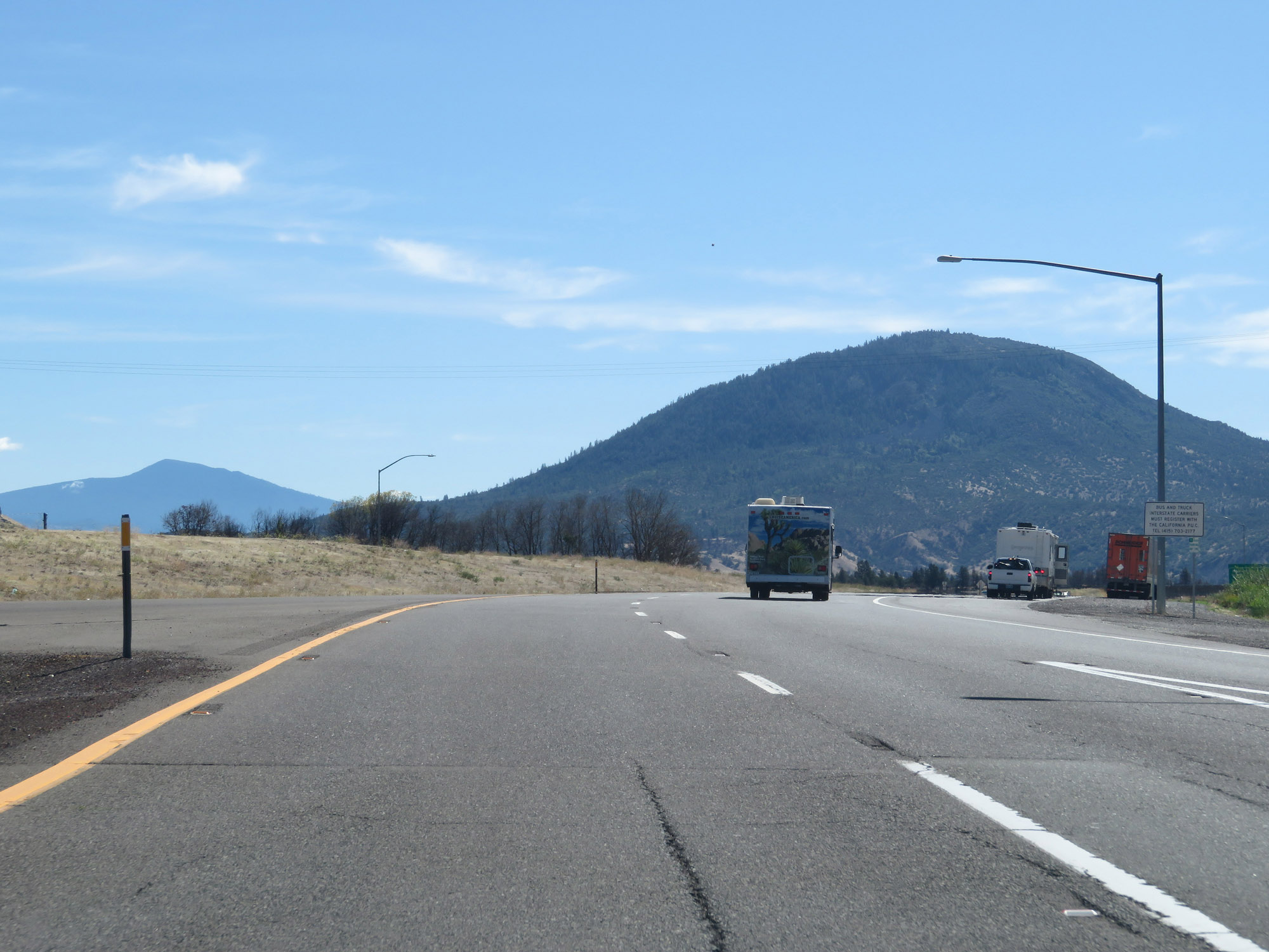
Approaching the Hornbrook Agricultural Inspection Station, this sign directs trucks to keep right and all other traffic to stay left. (Photo taken 9/23/19). |
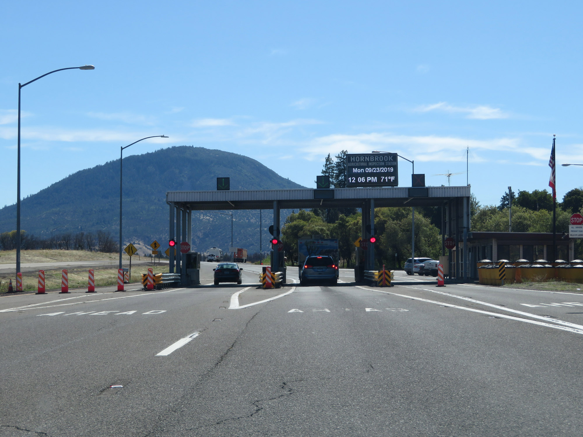 |
Interstate 5 South at the Hornbrook Agricultural Inspection Station. (Photo taken 9/23/19). |
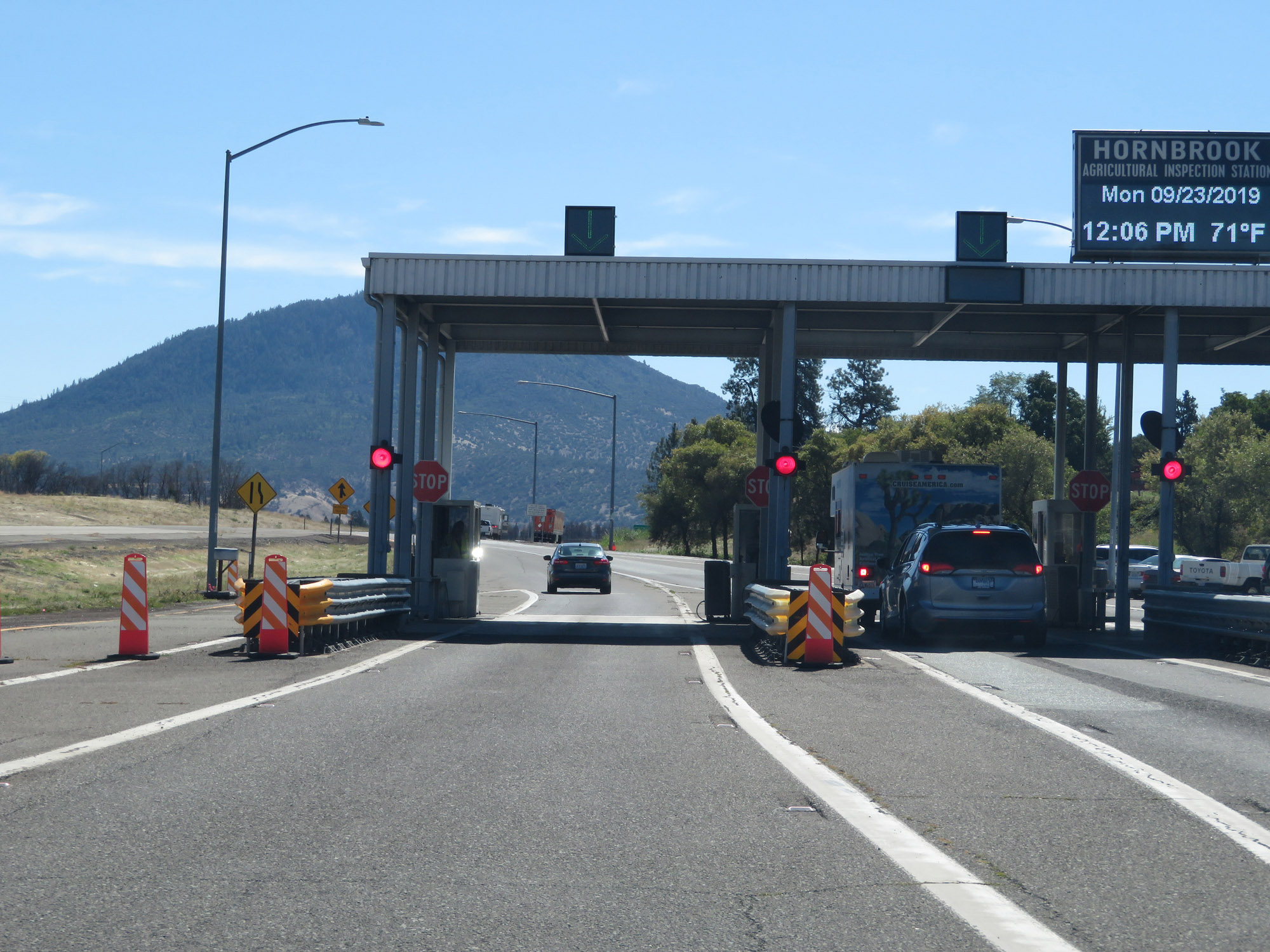 |
A closer view of the Hornbrook Agricultural Inspection Station on Interstate 5 South. Here, you will usually be asked some things along the lines of where you're traveling from and if you have any fresh fruits or plants in your vehicle. (Photo taken 9/23/19). |
 |
Interstate 5 South leaving the Hornbrook Agricultural Inspection Station. (Photo taken 9/23/19). |
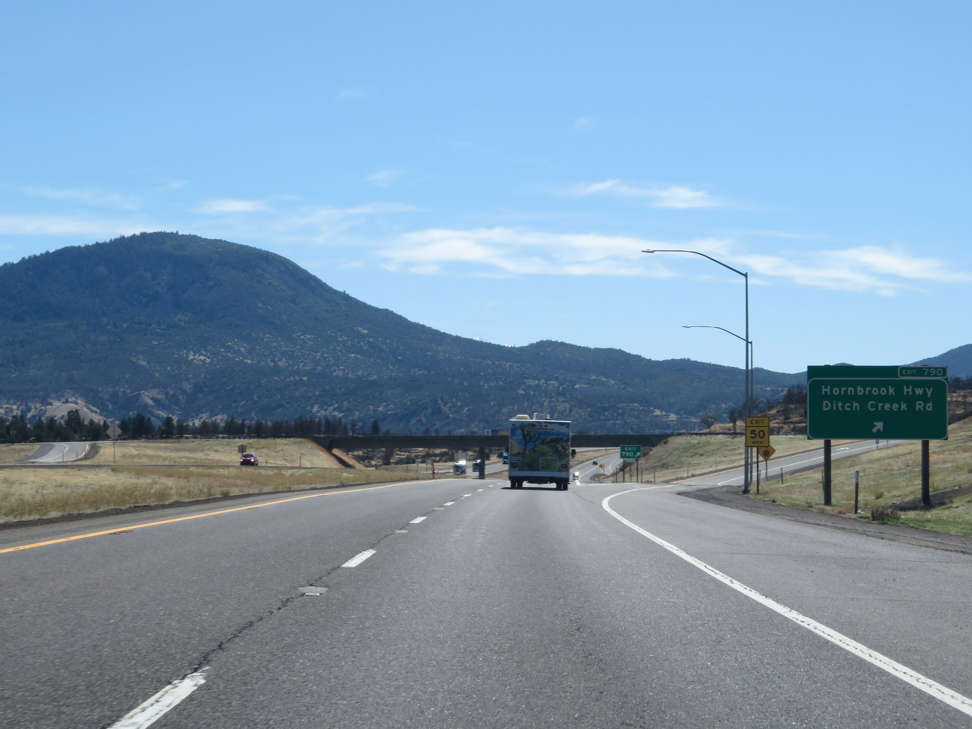 |
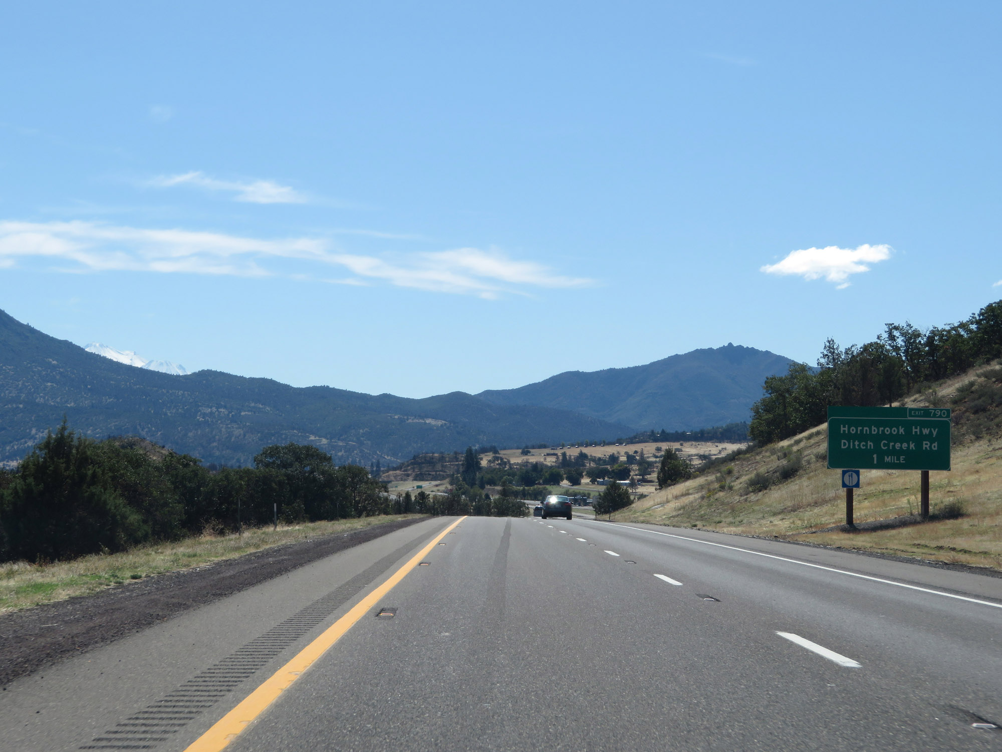
Interstate 5 South at Exit 790: Hornbrook Hwy / Ditch Creek Rd (Photo taken 9/23/19). |
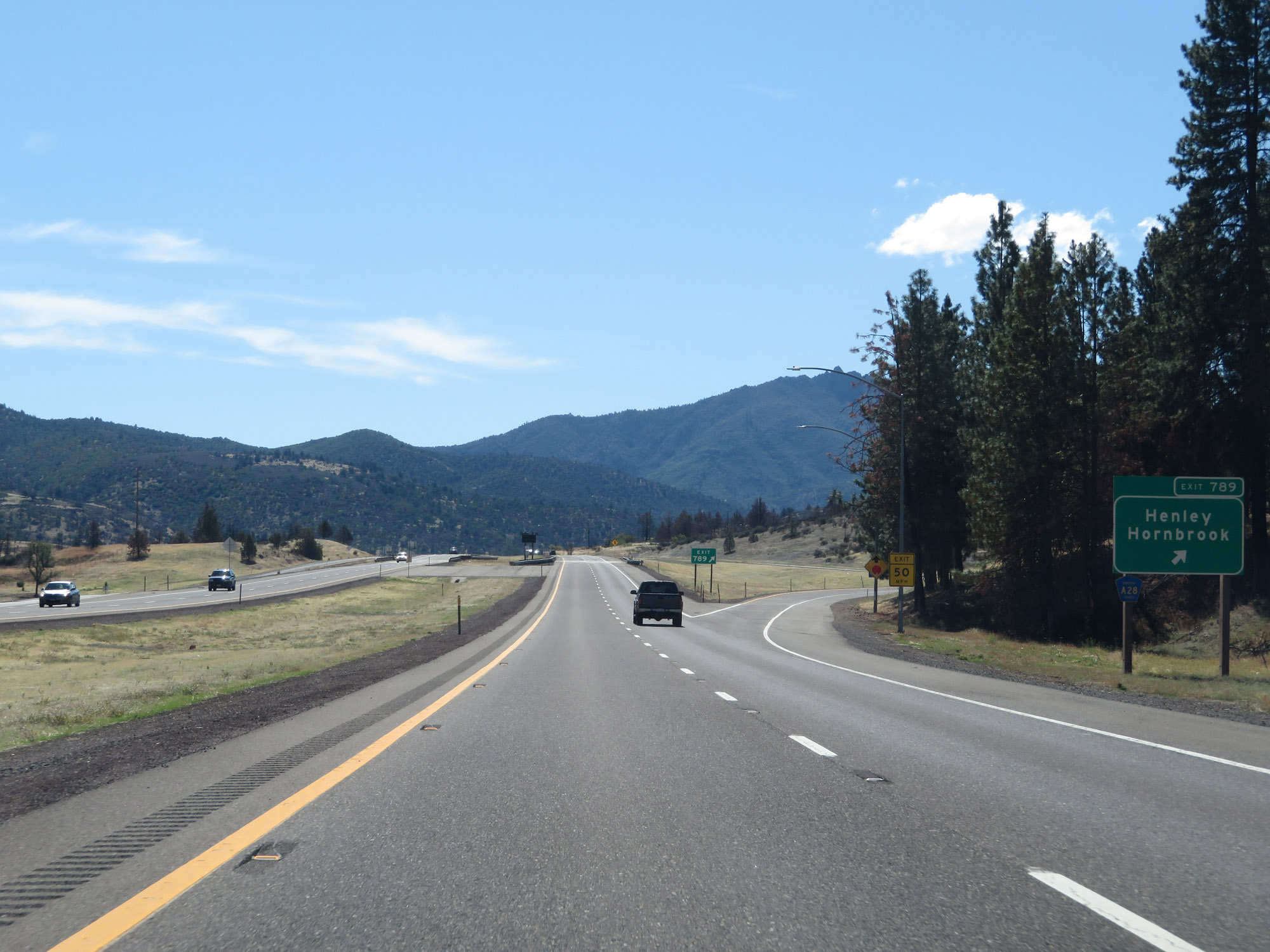 |
Interstate 5 South at Exit 789: Henley / Hornbrook (Photo taken 9/23/19). |
 |
Another state-named Interstate 5 South reassurance shield. (Photo taken 9/23/19). |
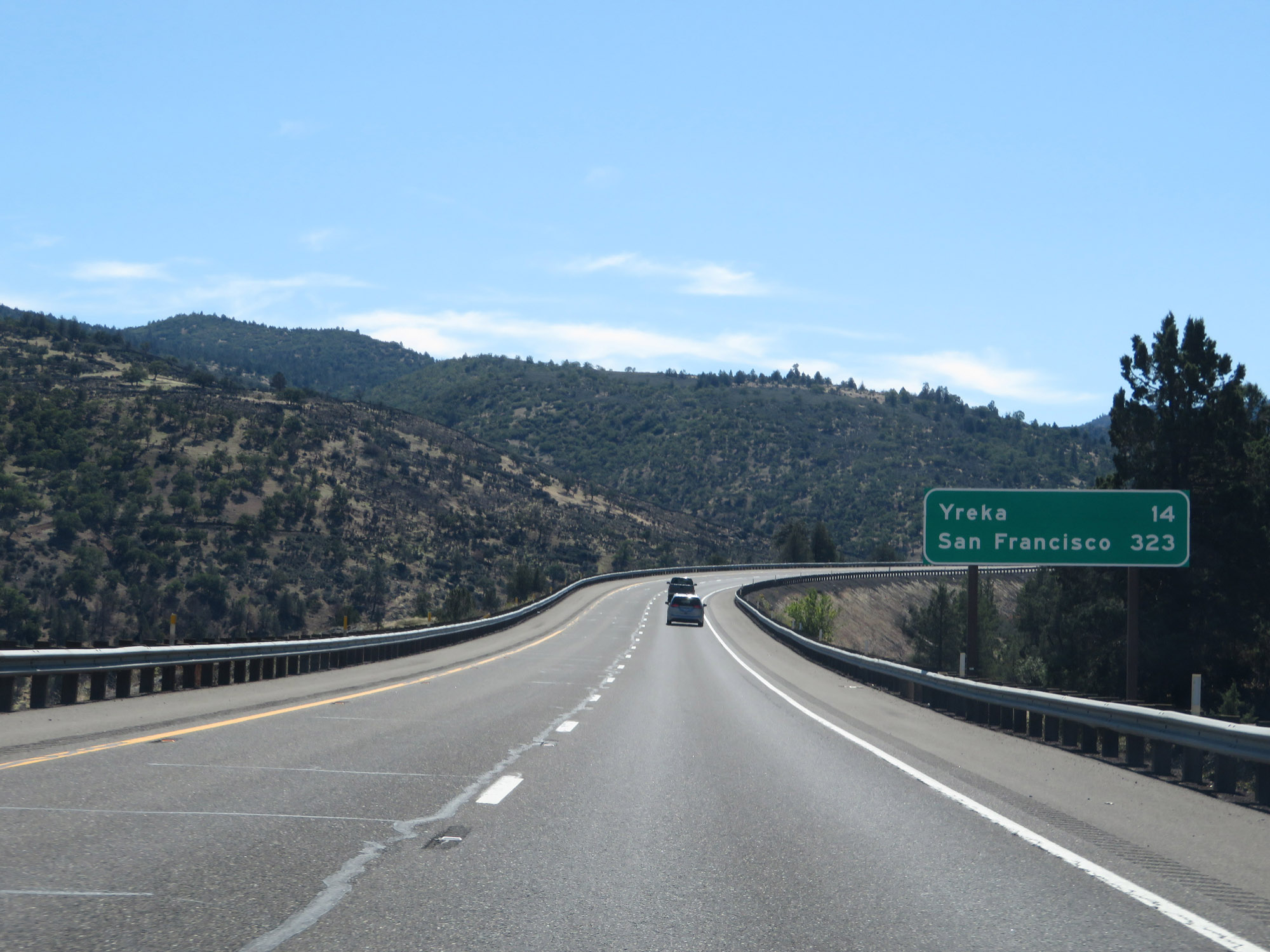 |
Mileage sign on Interstate 5 South. It's 14 miles to Yreka and 323 miles to San Francisco. (Photo taken 9/23/19). |
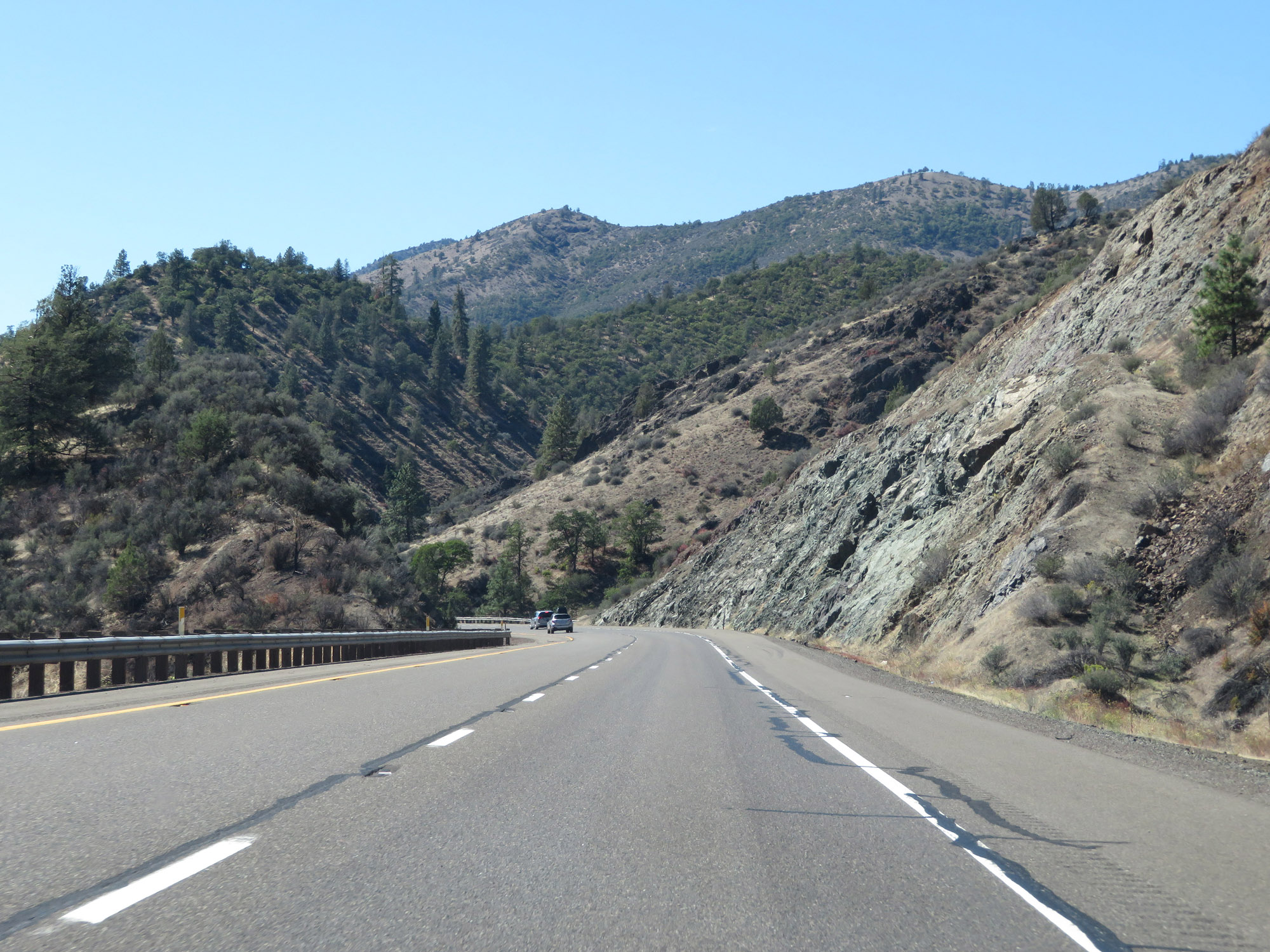 |
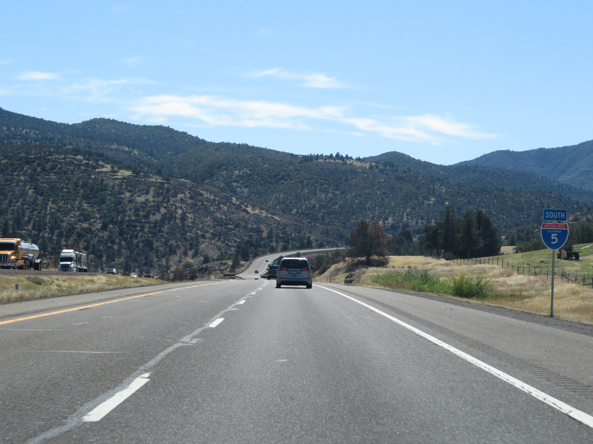
View on Interstate 5 South as it goes down yet another steep grade. (Photo taken 9/23/19). |
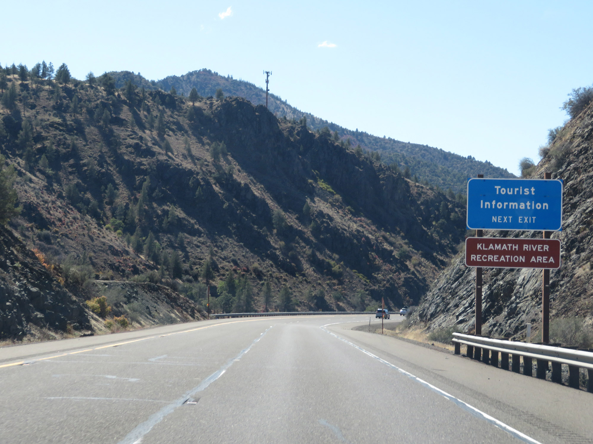 |
Take Exit 786 for Tourist Information and to Klamath River Recreation Area. (Photo taken 9/23/19). |
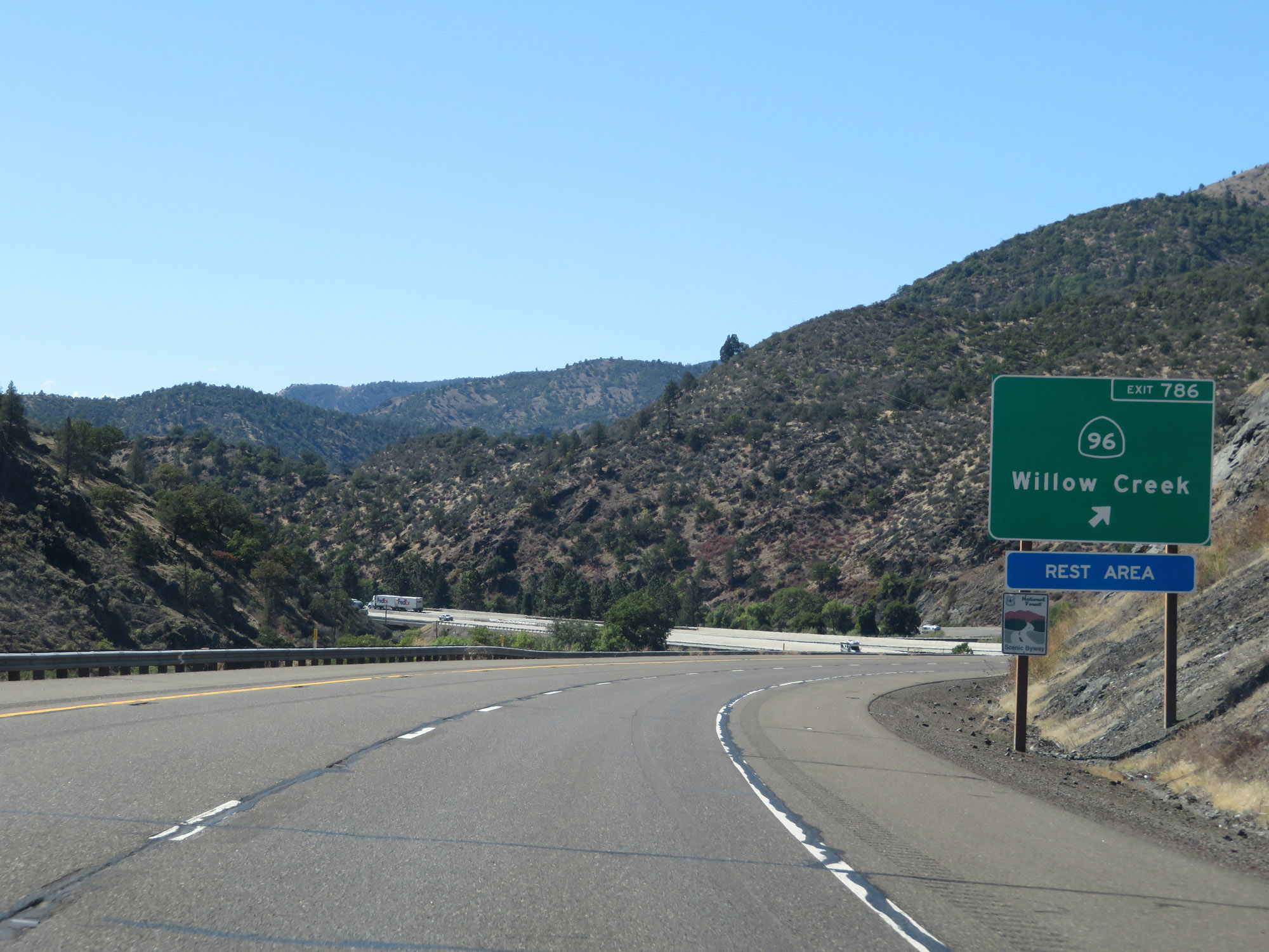 |
Interstate 5 South at Exit 786: CA 96 - Willow Creek / Rest Area (Photo taken 9/23/19). |
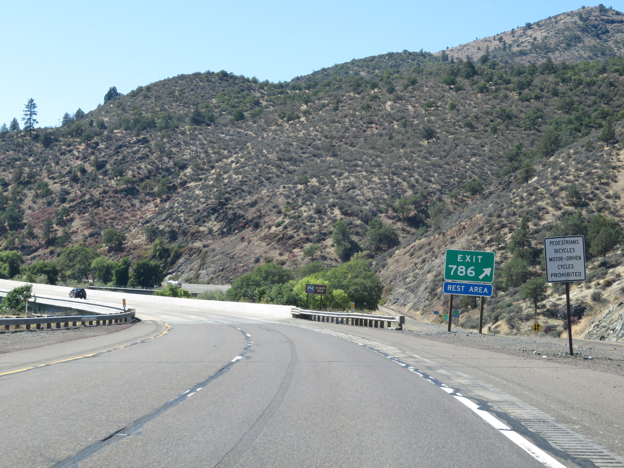 |
Gore point signage for Exit 786. (Photo taken 9/23/19). |
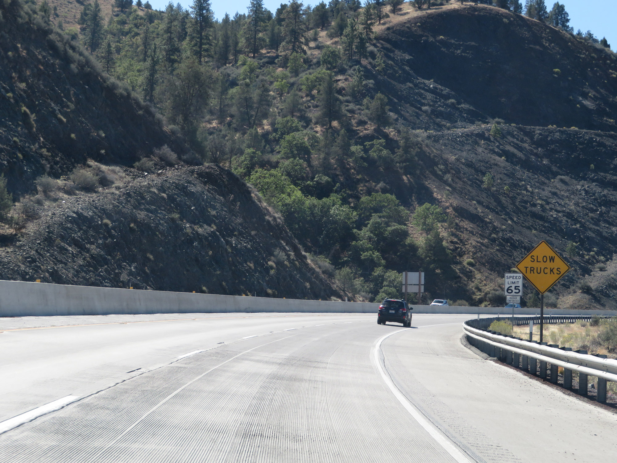 |
This sign warns motorists to watch for slow moving trucks as Interstate 5 South starts to climb what is called Anderson Grade. (Photo taken 9/23/19). |
 |
Mileage sign on Interstate 5 South as it climbs Anderson Grade. It's 11 miles to Yreka and 109 miles to Redding. (Photo taken 9/23/19). |
 |
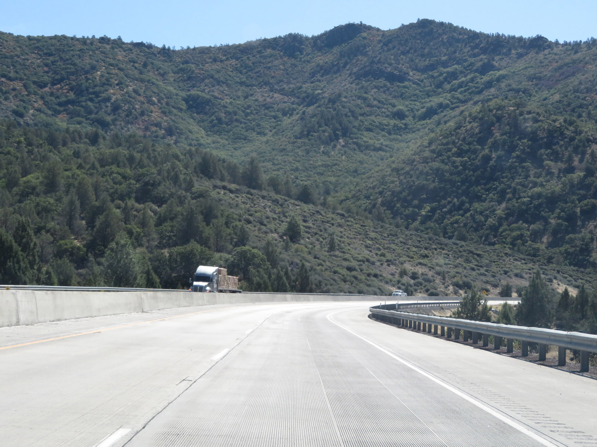
View on Interstate 5 South as it continues to climb Anderson Grade in Siskiyou County. (Photo taken 9/23/19). |
 |
Continuing up Anderson Grade. Surprisingly, no truck climbing lane is present. (Photo taken 9/23/19). |
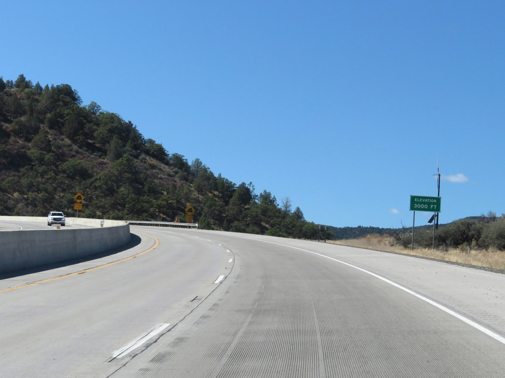 |
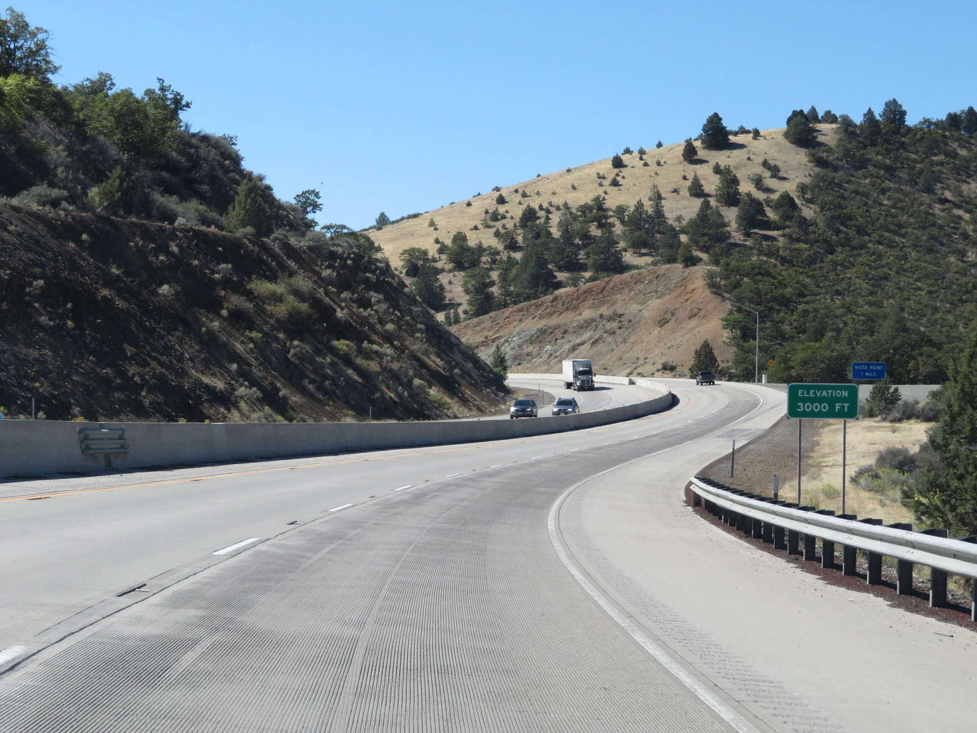
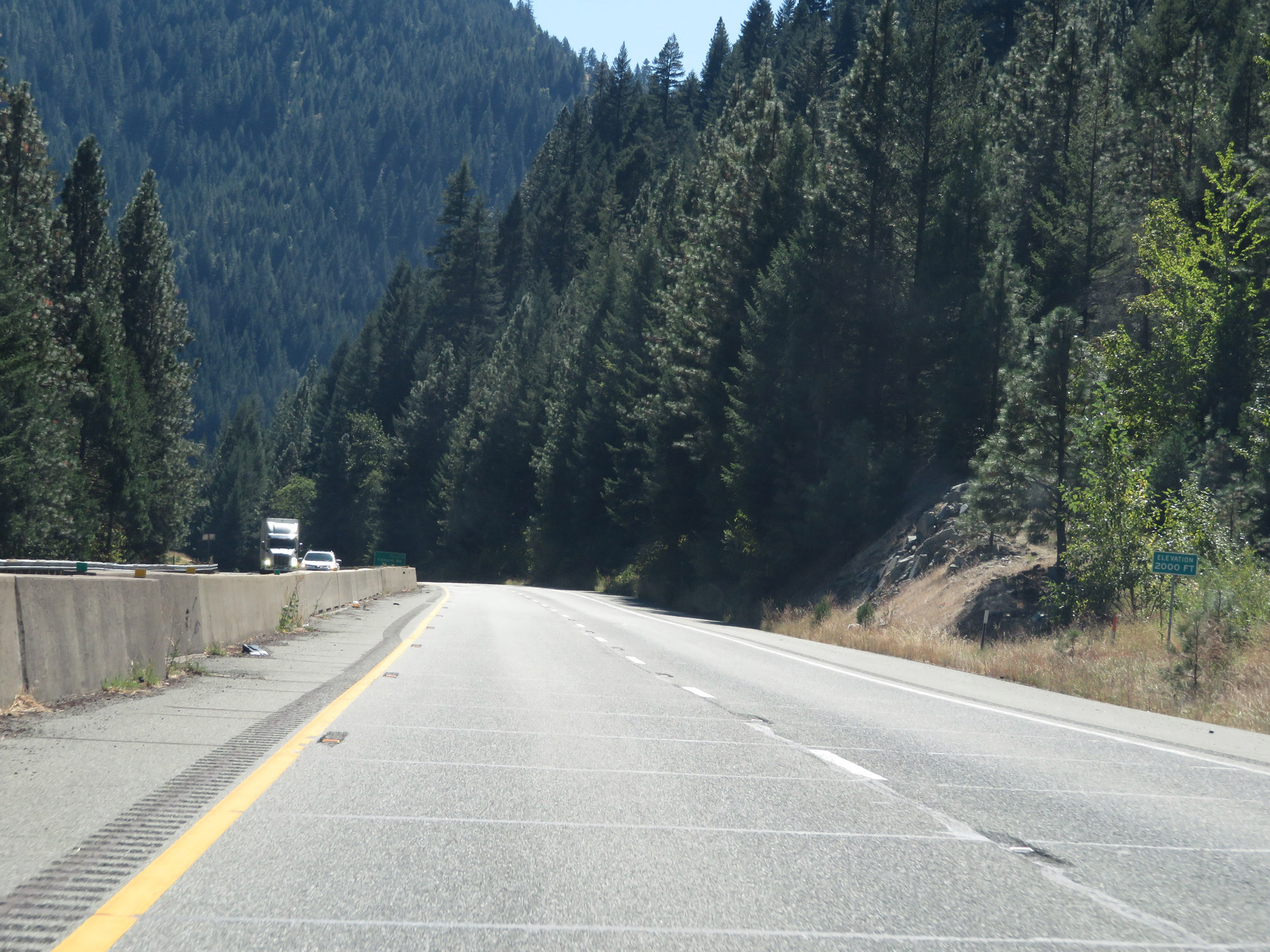
Interstate 5 South as it reaches an elevation of 3,000 feet nearing the top of Anderson Grade. (Photo taken 9/23/19). |
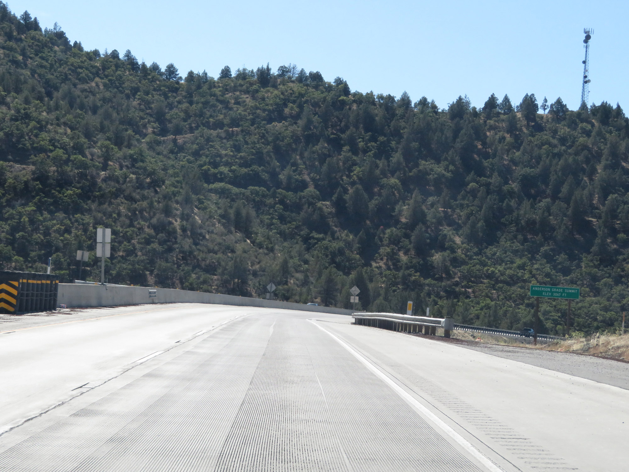 |
Interstate 5 South at the summit of Anderson Grade, which is at an elevation of 3,067 feet. (Photo taken 9/23/19). |
 |
Starting down the other side of Anderson Grade Summit, it quickly decreases to 3,000 feet in altitude once again. (Photo taken 9/23/19). |
 |
View on Interstate 5 South as it continues down Anderson Grade Summit. (Photo taken 9/23/19). |
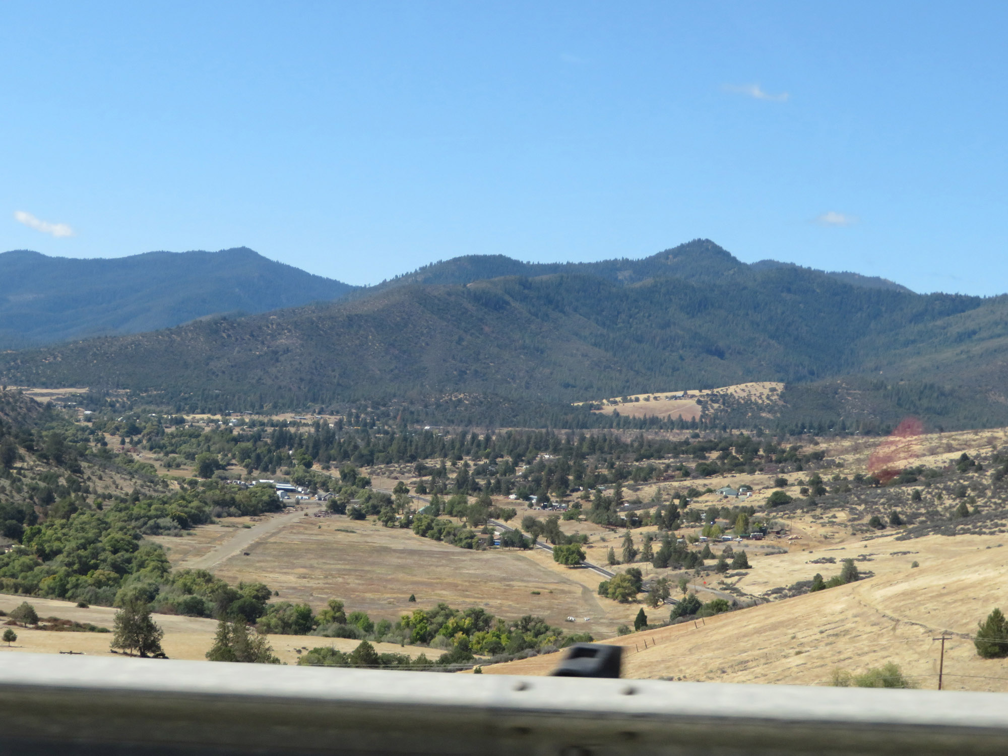 |
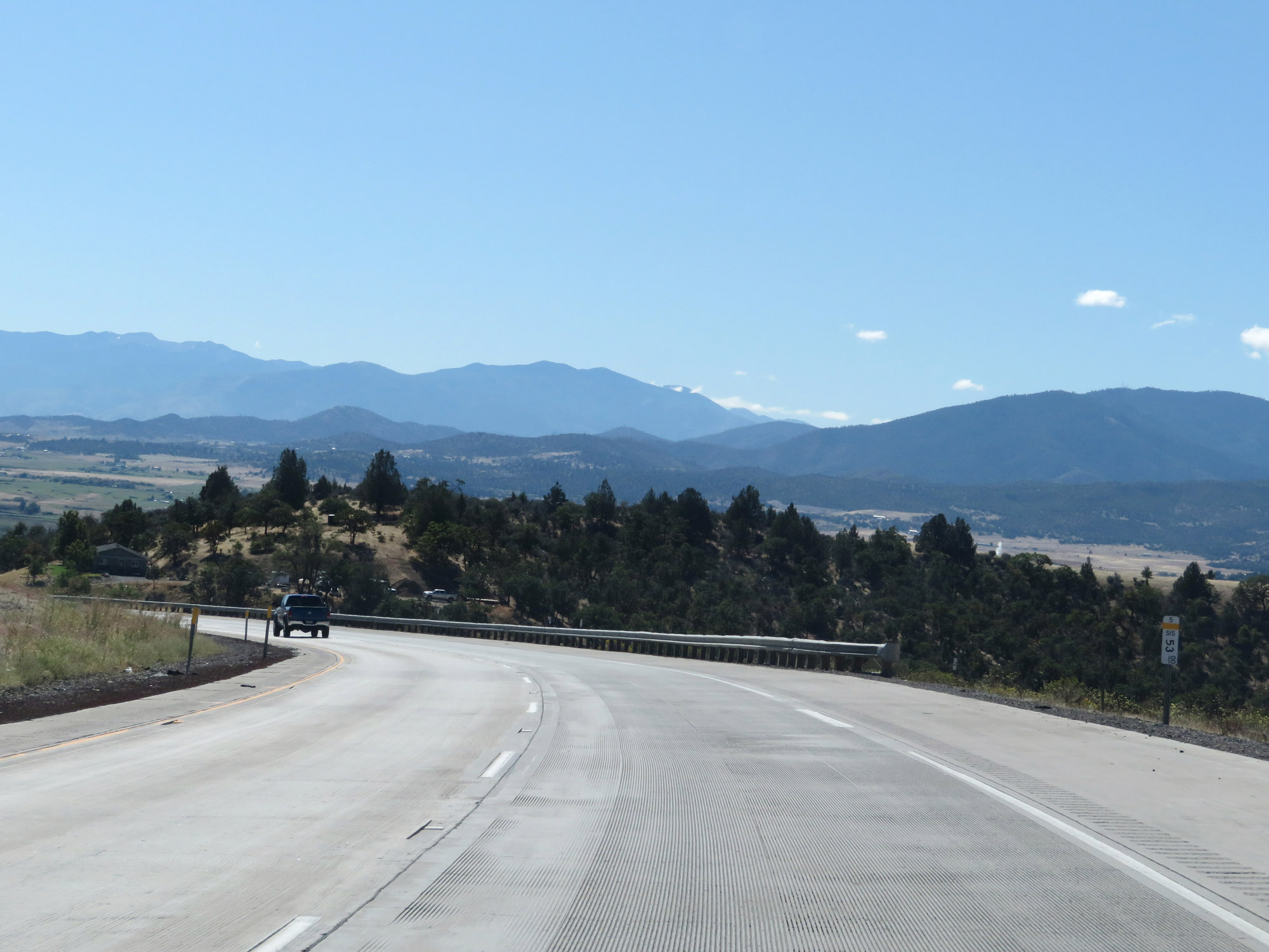
Looking to the west from Interstate 5 South, you can see this nice view. (Photo taken 9/23/19). |
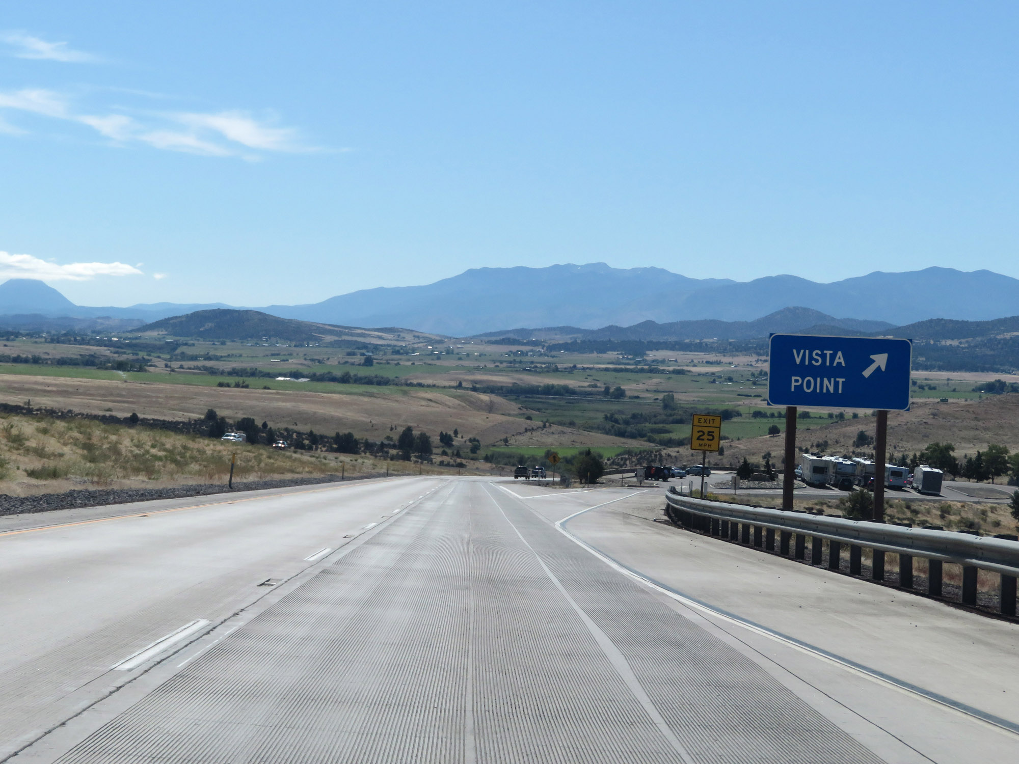 |
Vista Point on Interstate 5 South in Siskiyou County. (Photo taken 9/23/19). |
 |
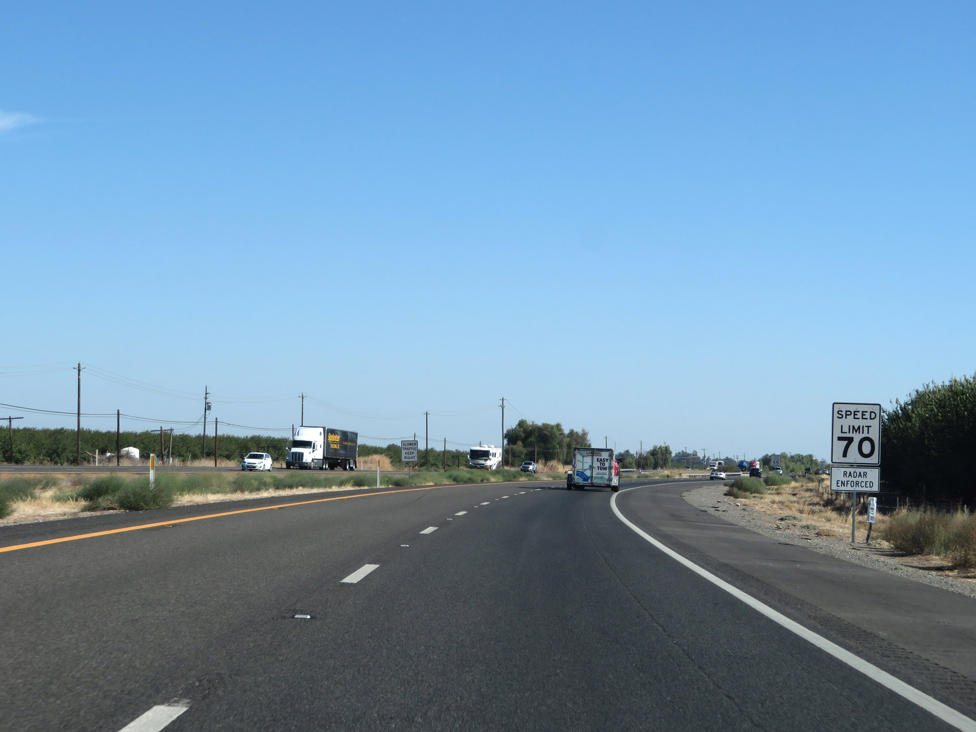
The speed limit remains 65 mph for automobiles on Interstate 5 South. (Photo taken 9/23/19). |
 |
The speed limit for trucks remains 55 mph as always. (Photo taken 9/23/19). |
 |
All vehicles towing trailers are restricted to 55 mph, also as usual. (Photo taken 9/23/19). |
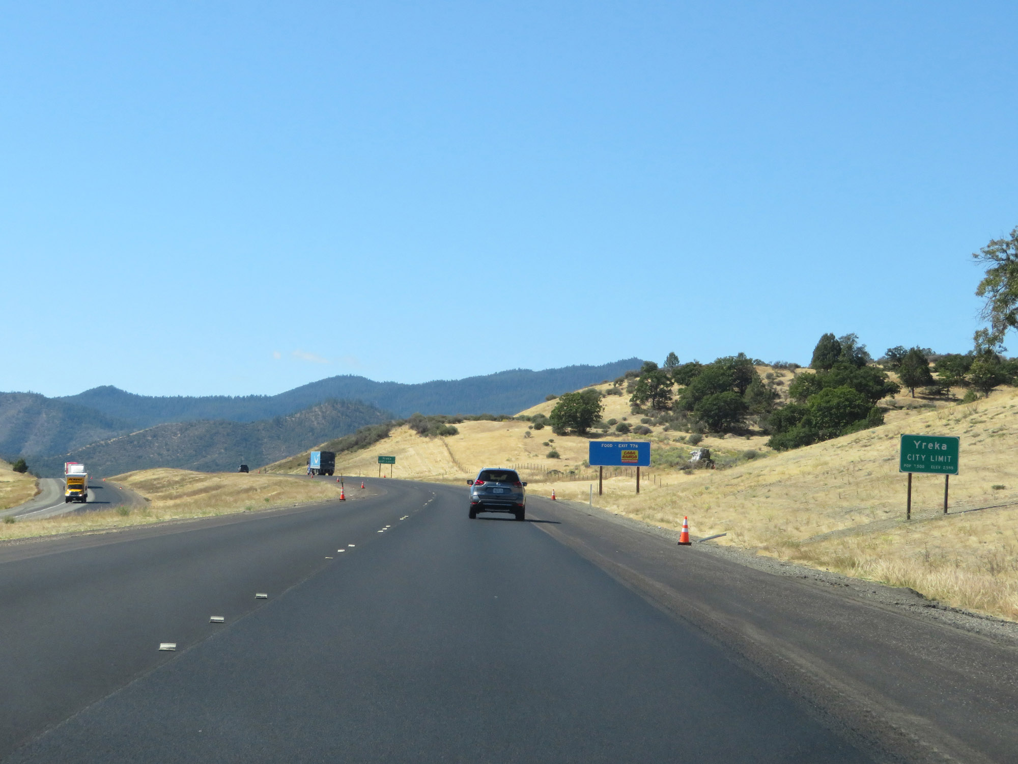 |
Entering the Yreka city limits on Interstate 5 South. (Photo taken 9/23/19). |
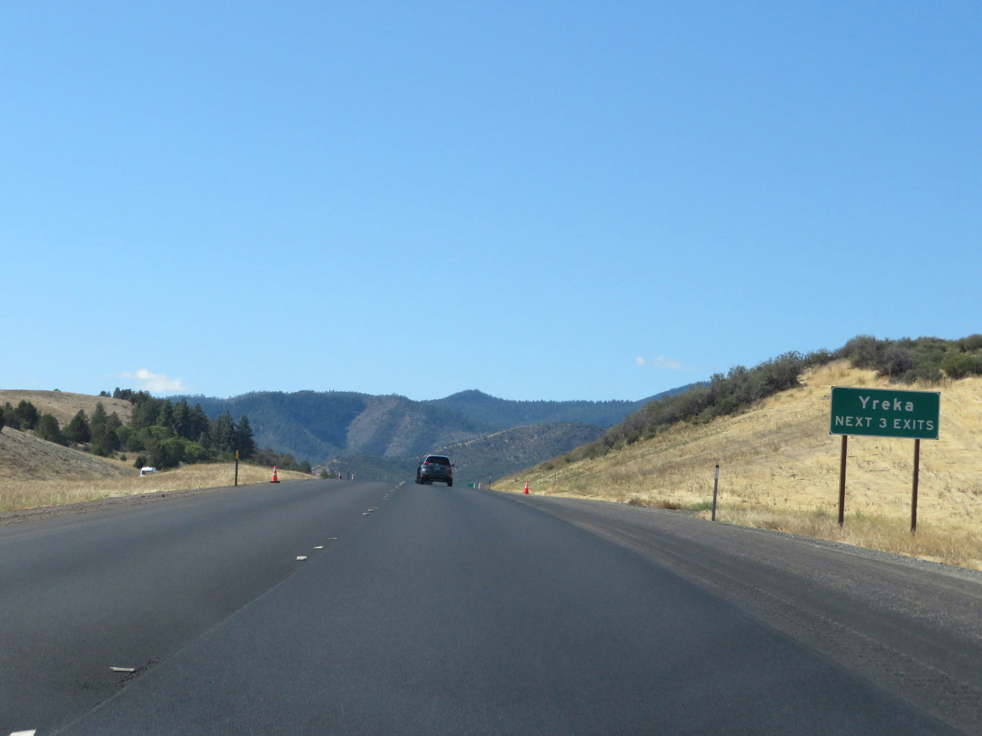 |
Take any of the next 3 exits to Yreka. (Photo taken 9/23/19). |
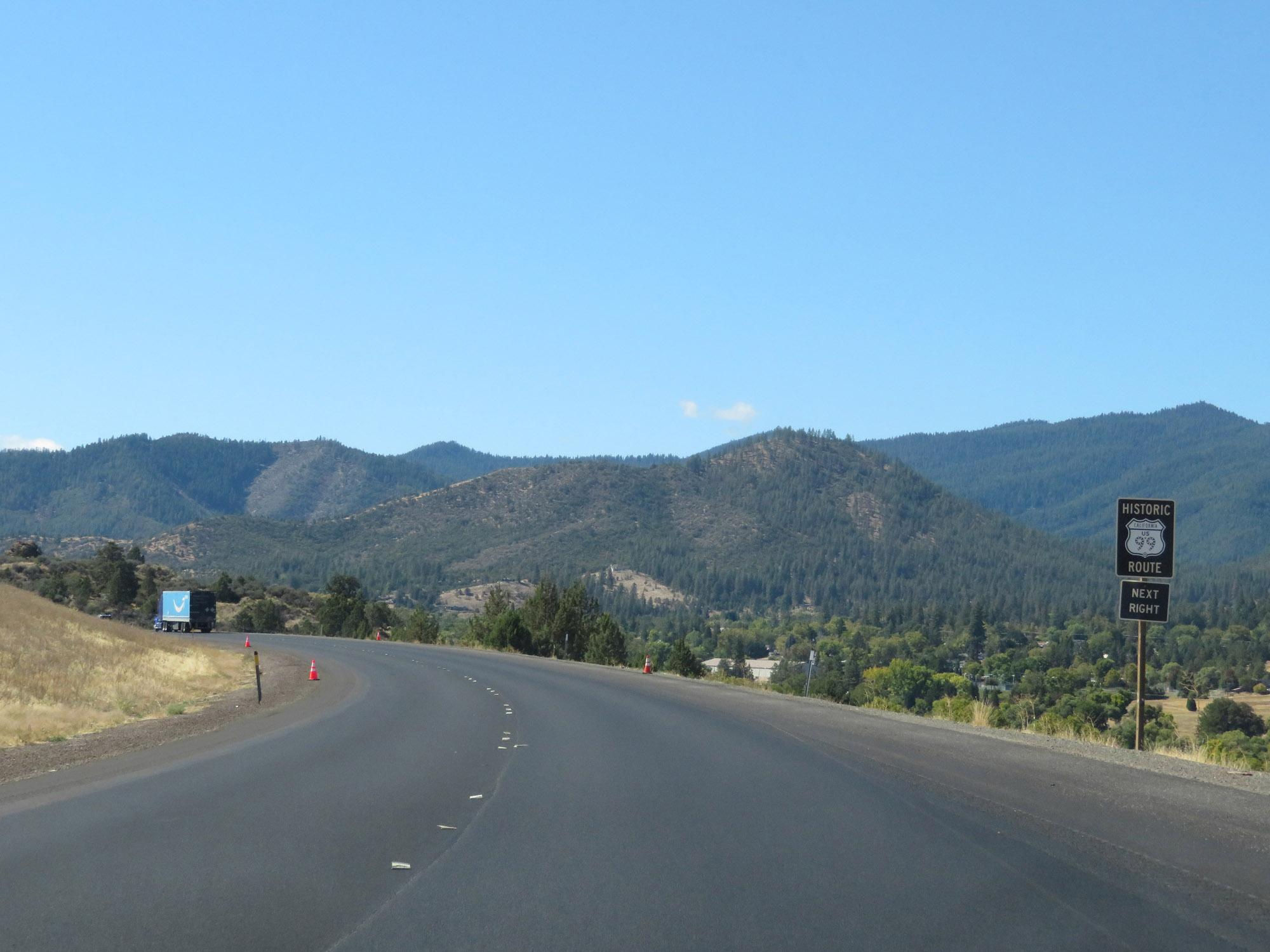 |
Take Exit 776 to Historic US 99. (Photo taken 9/23/19). |
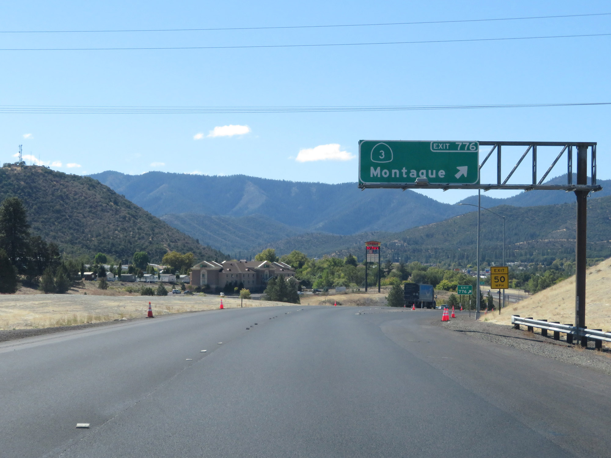 |
Interstate 5 South at Exit 776: CA 3 - Montague (Photo taken 9/23/19). |
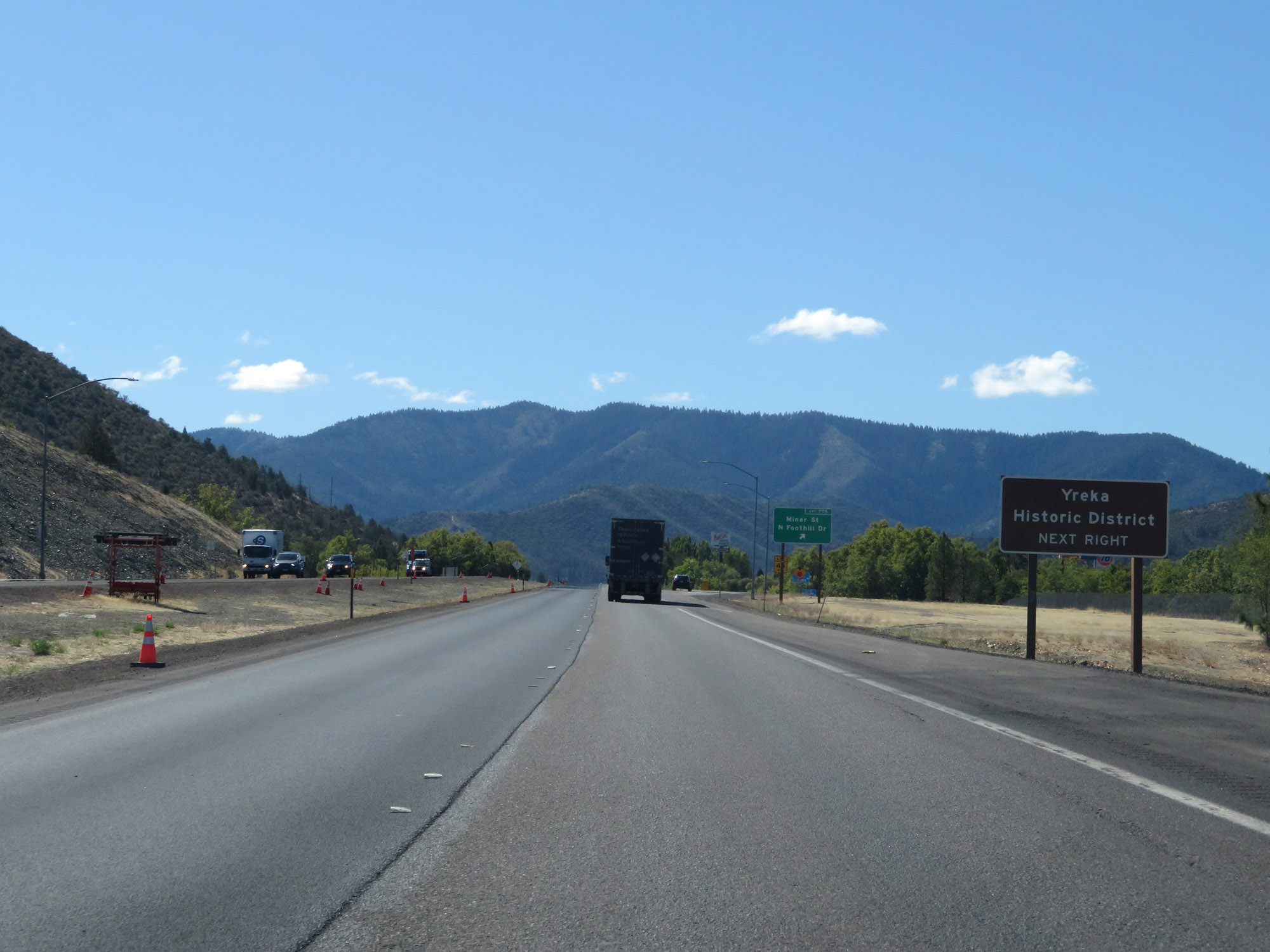 |
Take Exit 775 to Yreka Historic District. (Photo taken 9/23/19). |
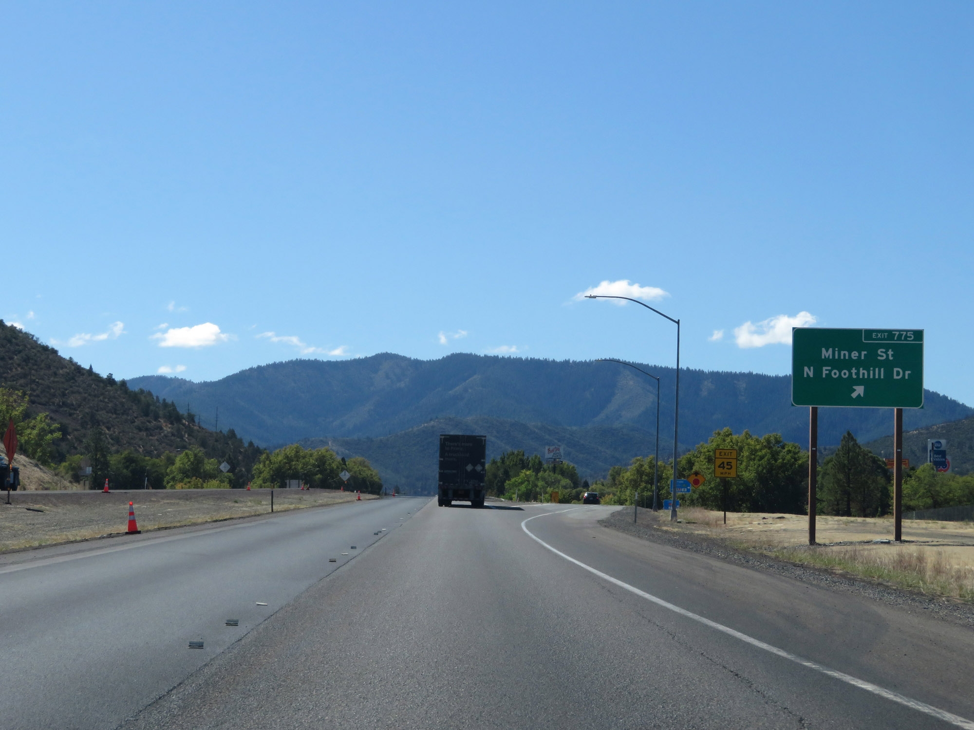 |
Interstate 5 South at Exit 775: Miner St / N Foothill Dr (Photo taken 9/23/19). |
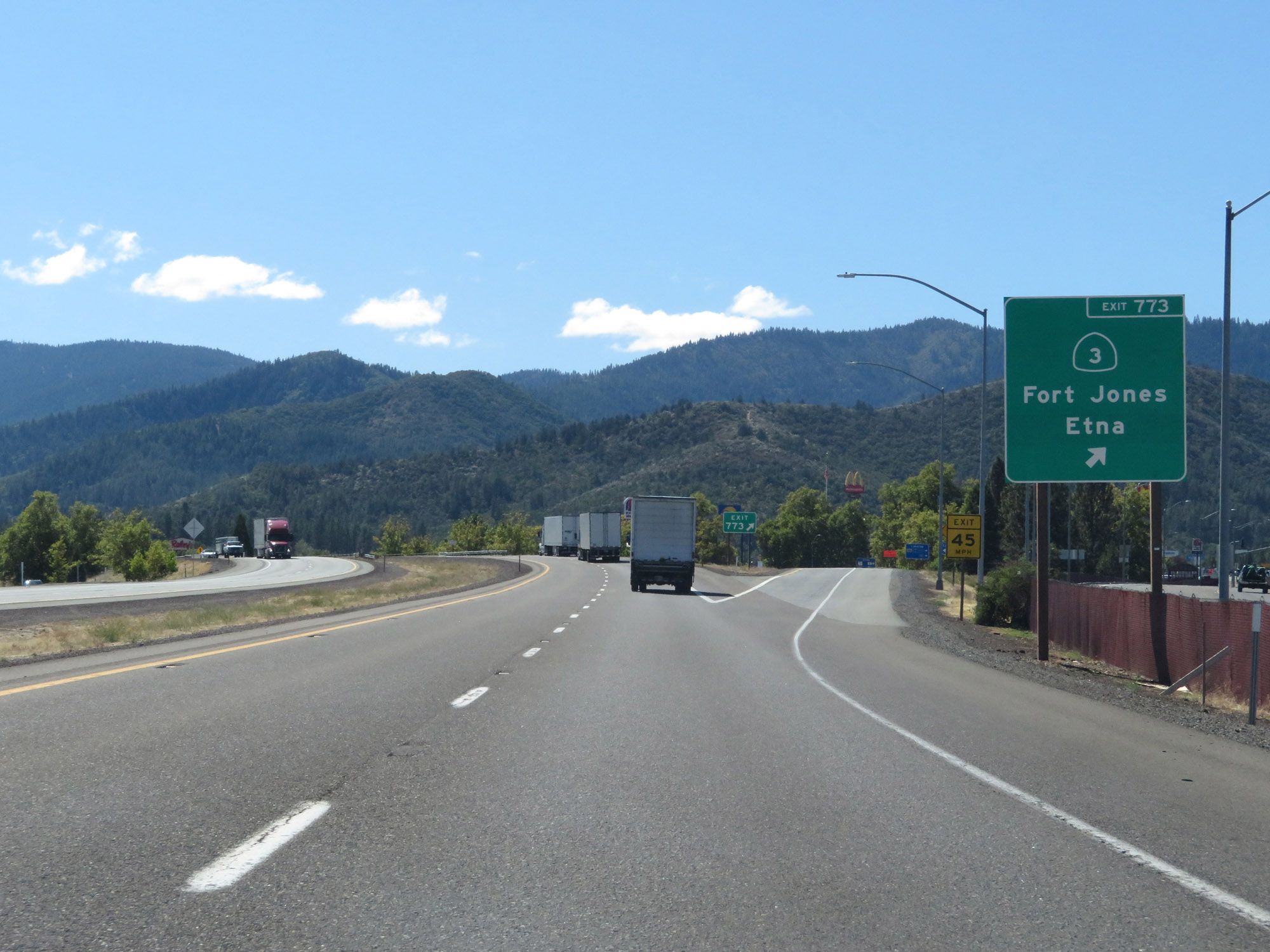 |
Interstate 5 South at Exit 773: CA 3 - Fort Jones / Etna (Photo taken 9/23/19). |
Section 2: Yreka (Exit 773) to Dunsmuir (Exit 730)
 |
State-named Interstate 5 South reassurance shield. (Photo taken 9/23/19). |
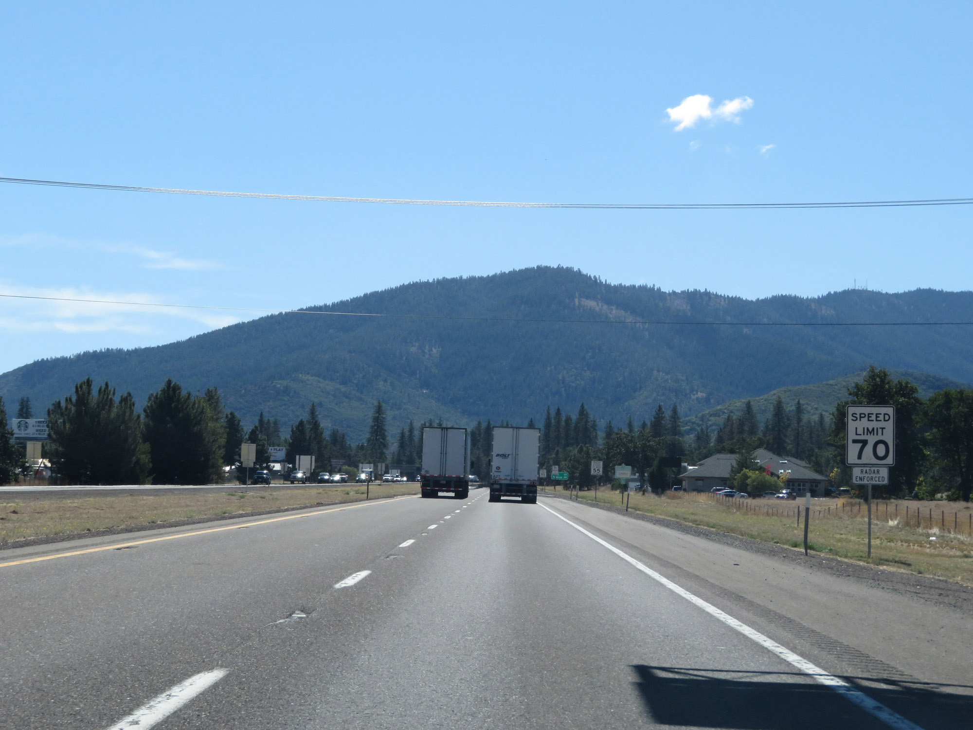 |
Leaving Yreka, the speed limit for cars increases to 70 mph. This is the standard speed limit on most rural Interstate highways for automobiles in California. (Photo taken 9/23/19). |
 |
The speed limit remains 55 mph for trucks of 3 or more axles. (Photo taken 9/23/19). |
 |
All vehicles towing trailers are restricted to 55 mph. (Photo taken 9/23/19). |
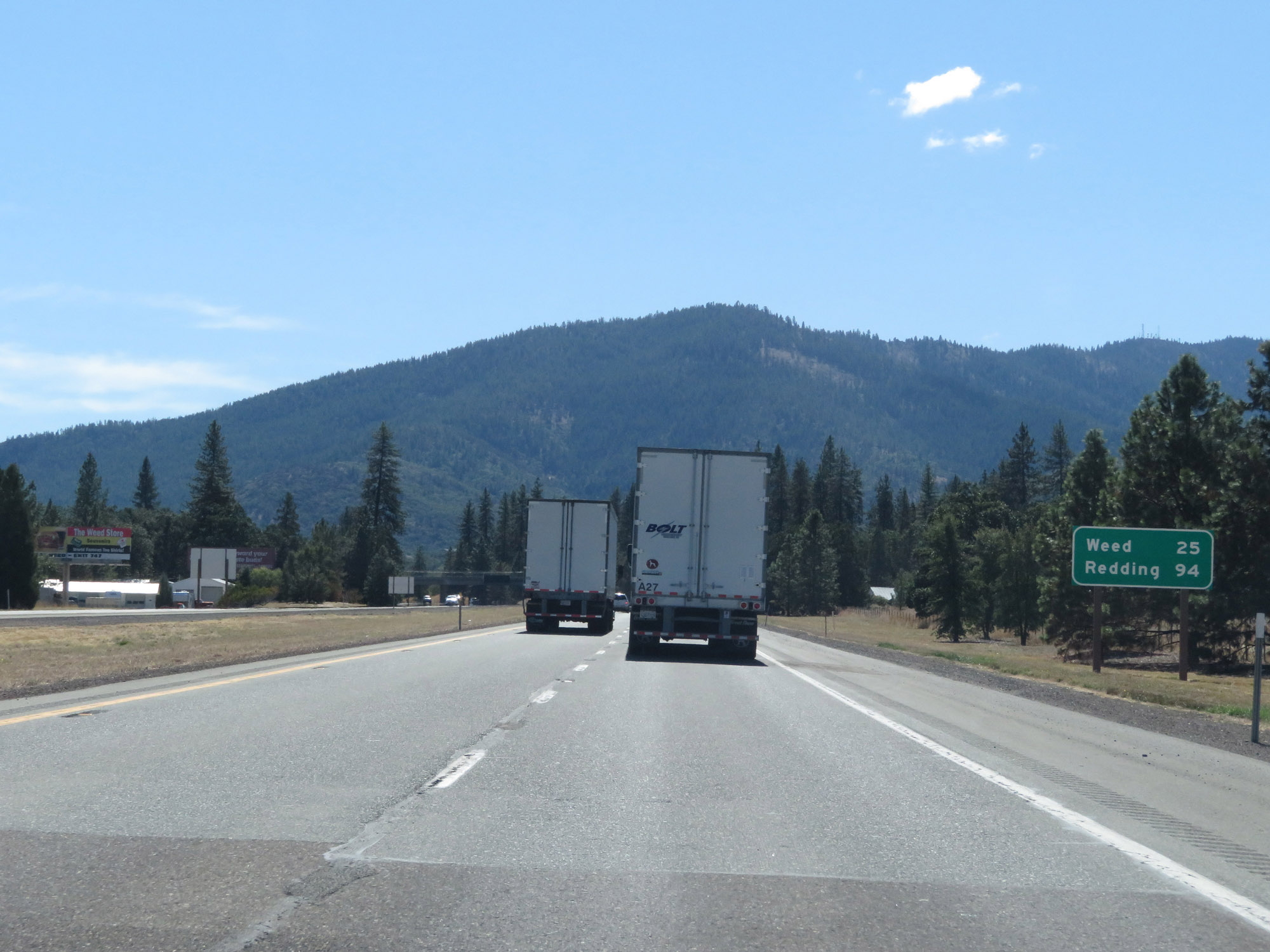 |
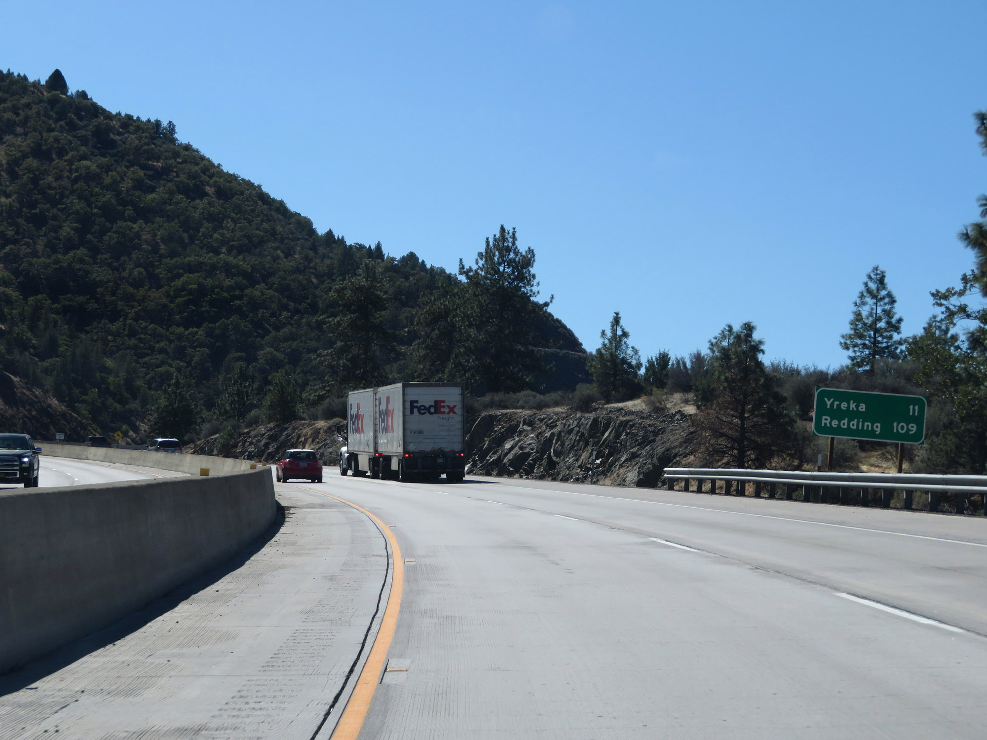
Mileage sign on Interstate 5 South. It's 25 miles to Weed and 94 miles to Redding. (Photo taken 9/23/19). |
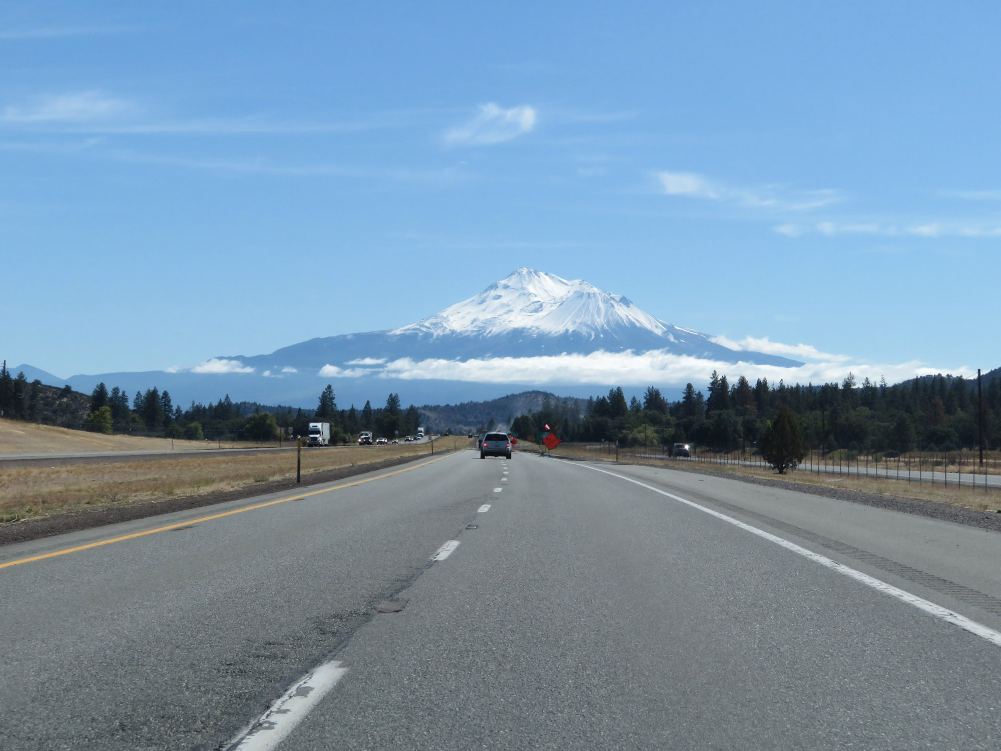 |
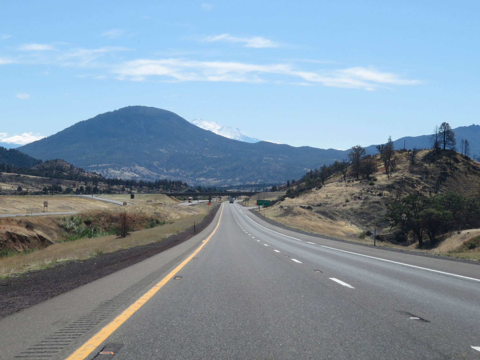
Interstate 5 South as Mt. Shasta comes into view. (Photo taken 9/23/19). |
 |
Interstate 5 South at Exit 770: Easy St / Shamrock Rd (Photo taken 9/23/19). |
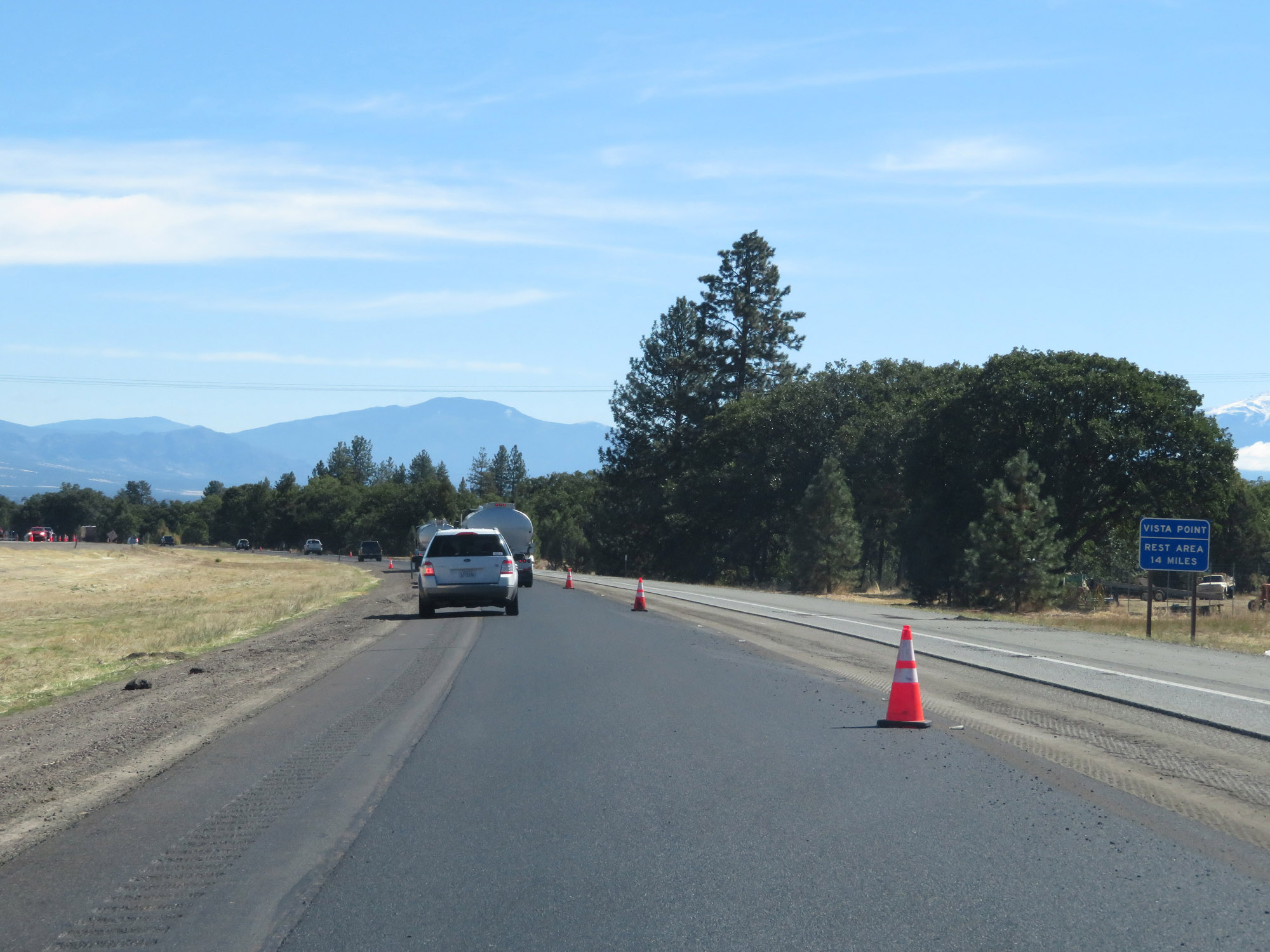 |
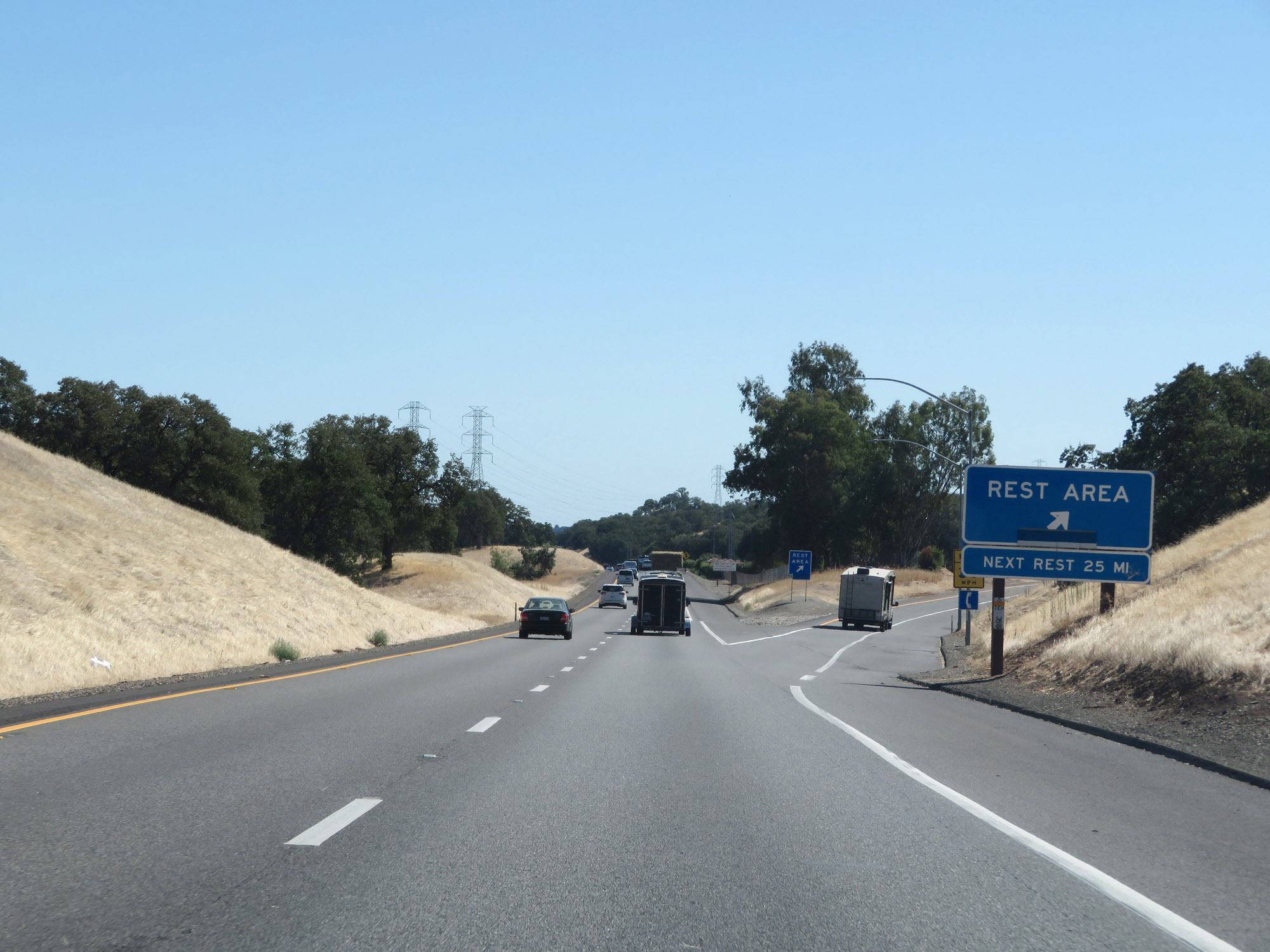
The next Rest Area on Interstate 5 South is 14 miles ahead. (Photo taken 9/23/19). |
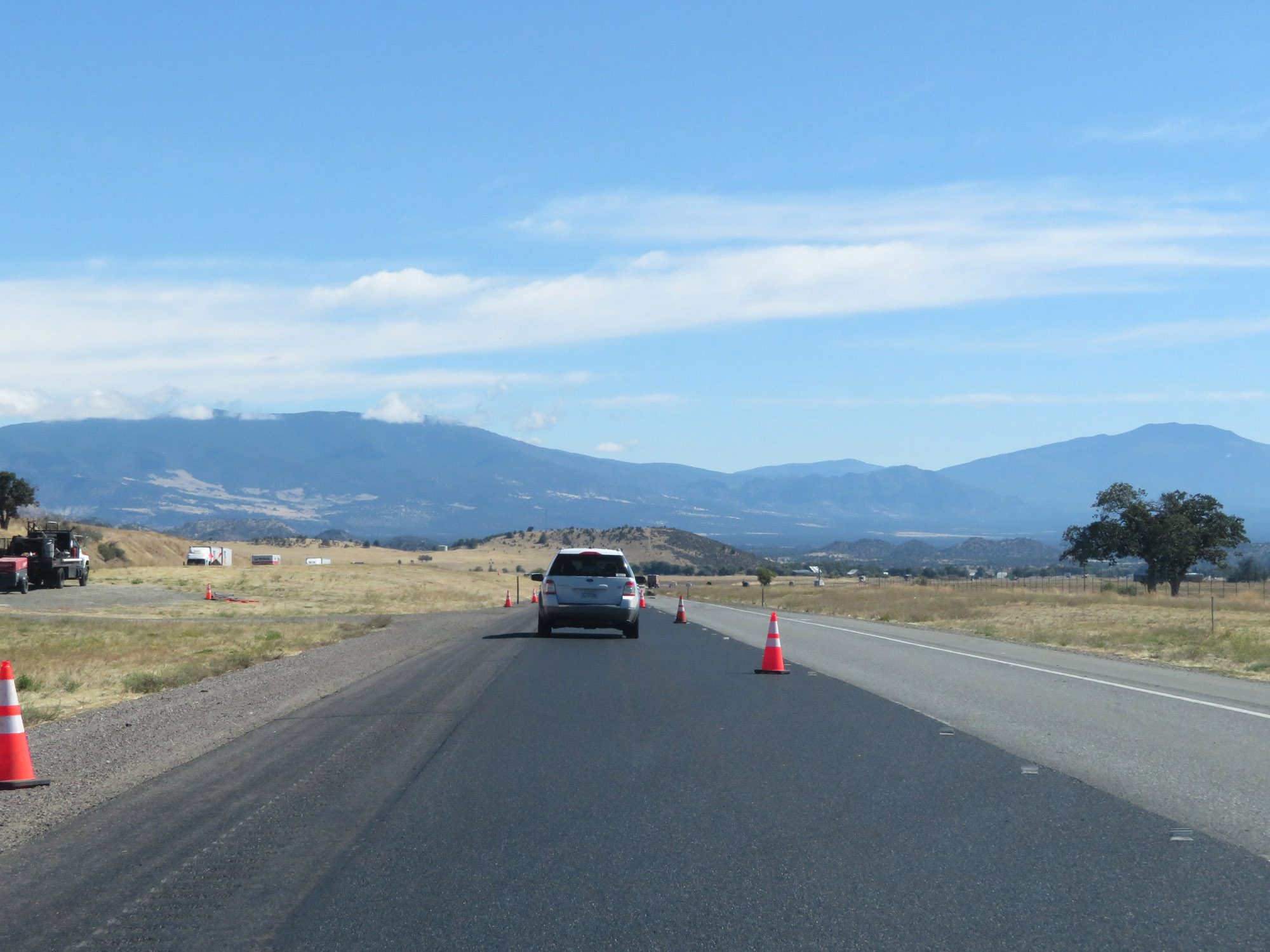 |
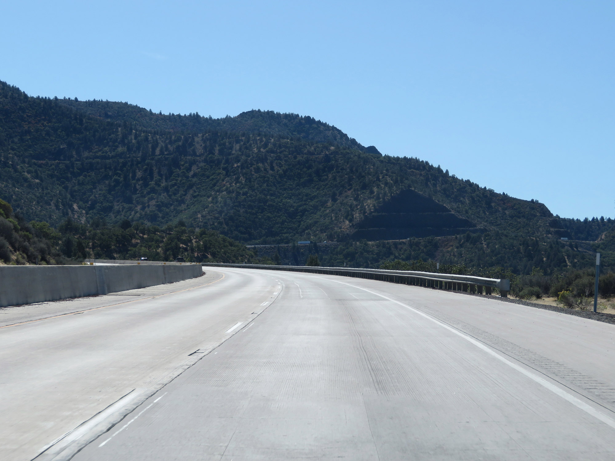
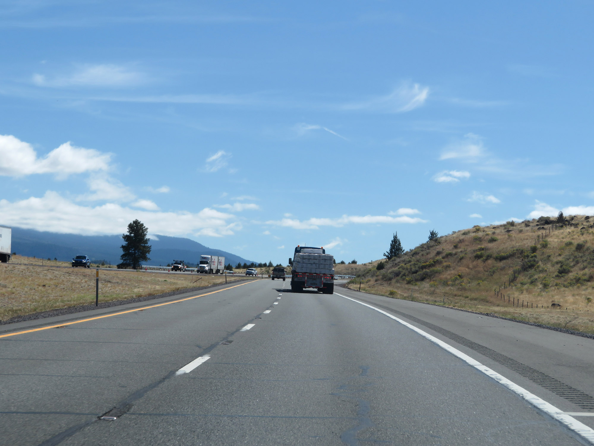
View on Interstate 5 South. (Photo taken 9/23/19). |
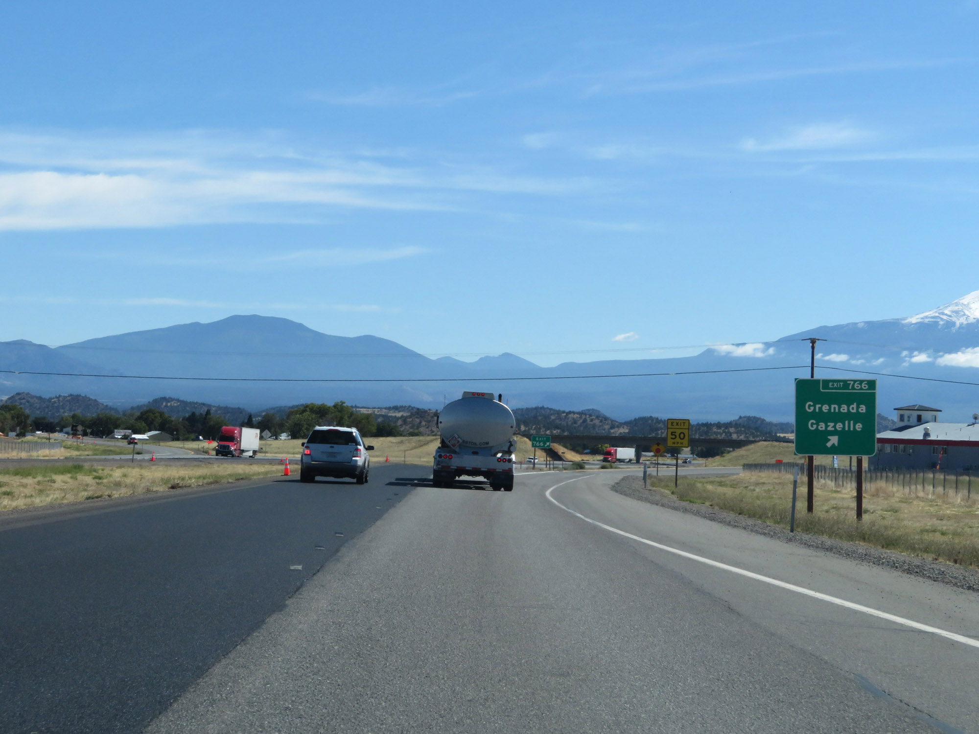 |
Interstate 5 South at Exit 766: Grenada / Gazelle (Photo taken 9/23/19). |
 |
Another view on Interstate 5 South, still in Siskiyou County. (Photo taken 9/23/19). |
 |
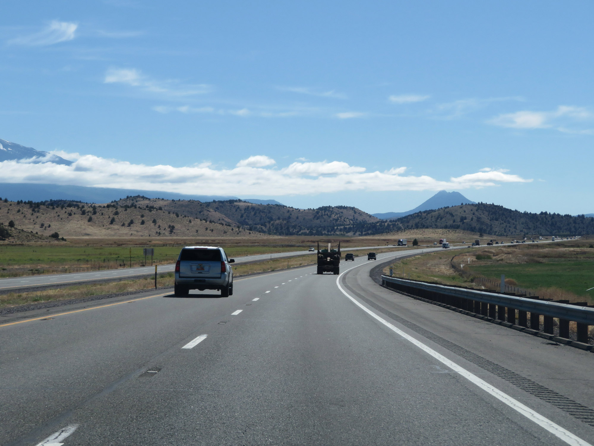
View on Interstate 5 South. (Photo taken 9/23/19). |
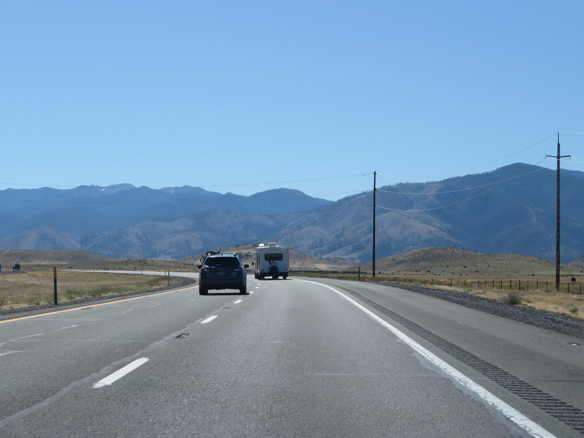 |
And another view on Interstate 5 South in Siskiyou County, between Yreka and Weed. (Photo taken 9/23/19). |
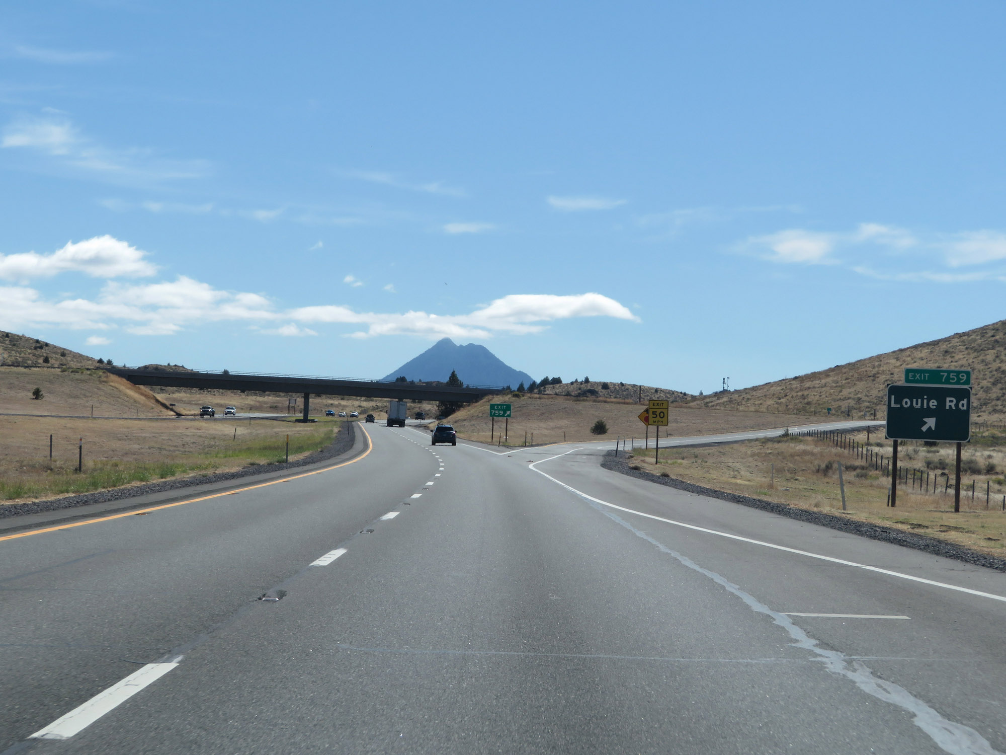 |
Interstate 5 South at Exit 759: Louie Rd (Photo taken 9/23/19). |
 |
State-named Interstate 5 South reassurance shield. (Photo taken 9/23/19). |
 |
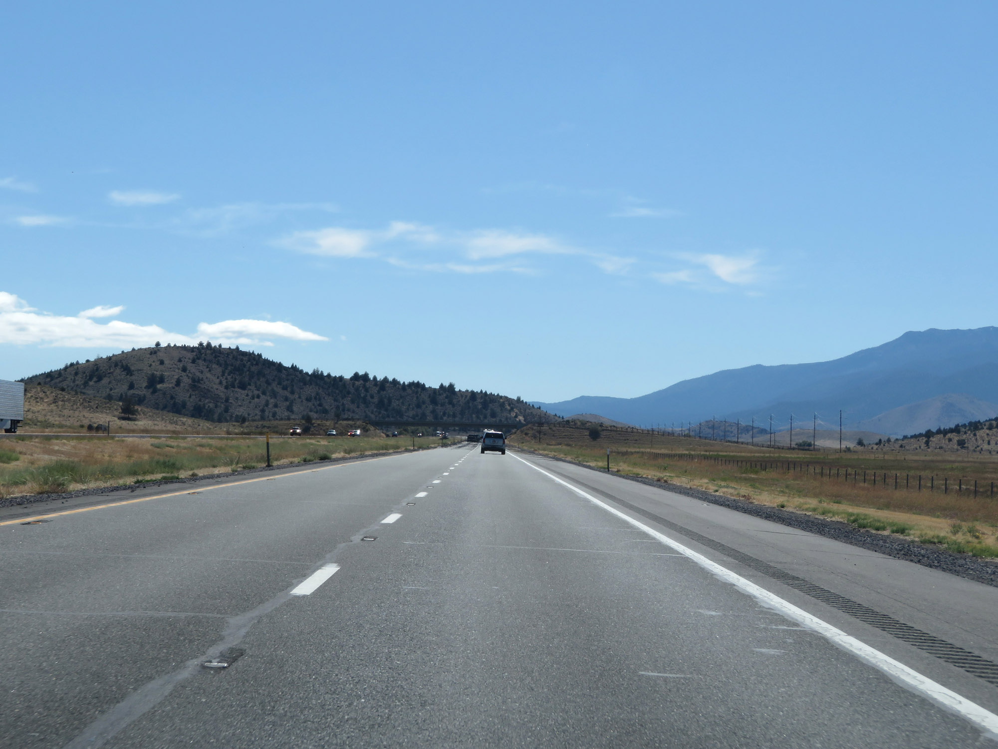
View on Interstate 5 South. (Photo taken 9/23/19). |
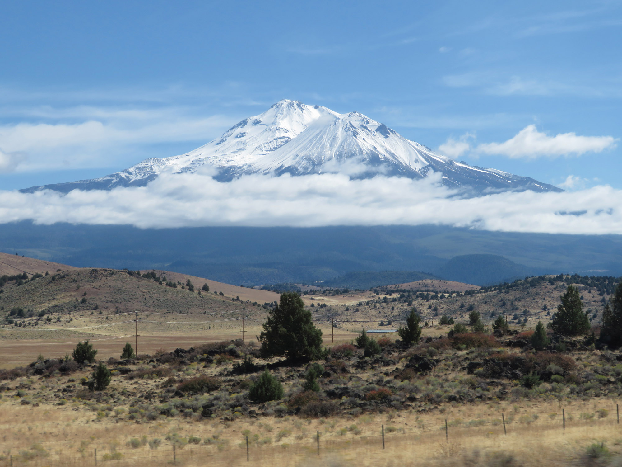 |
Looking to the east from Interstate 5 South, you will see this nice view of Mt. Shasta. (Photo taken 9/23/19). |
 |
View on Interstate 5 South as it nears Weed. (Photo taken 9/23/19). |
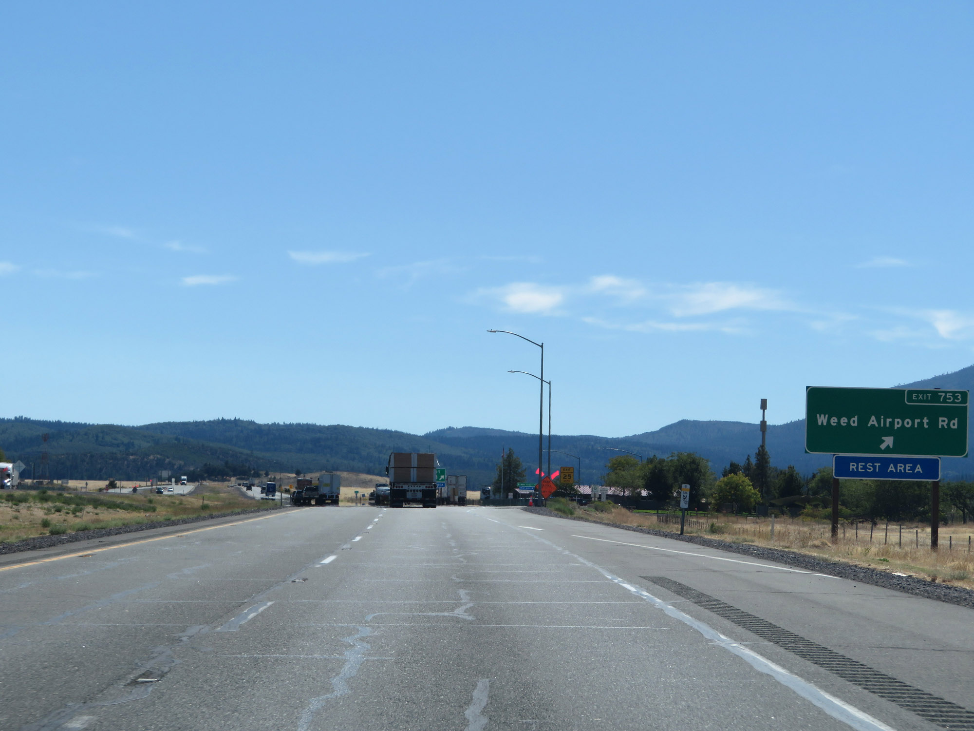 |
Interstate 5 South at Exit 753: Weed Airport Rd / Rest Area (Photo taken 9/23/19). |
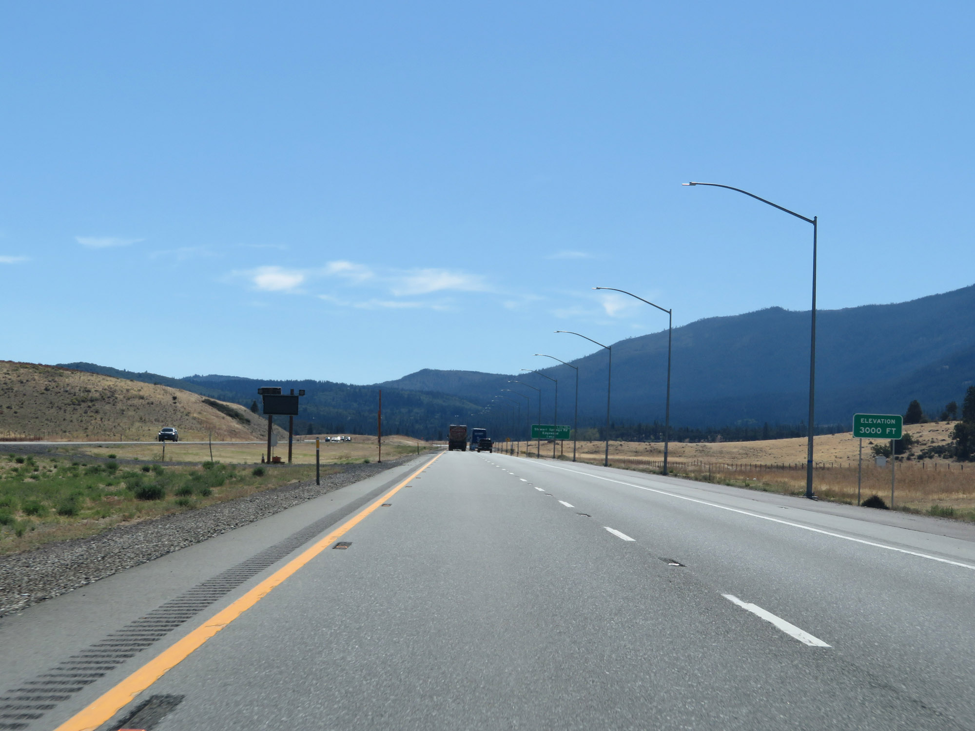 |
From Anderson Grade to this point, the elevation has hovered around 3,000 feet. (Photo taken 9/23/19). |
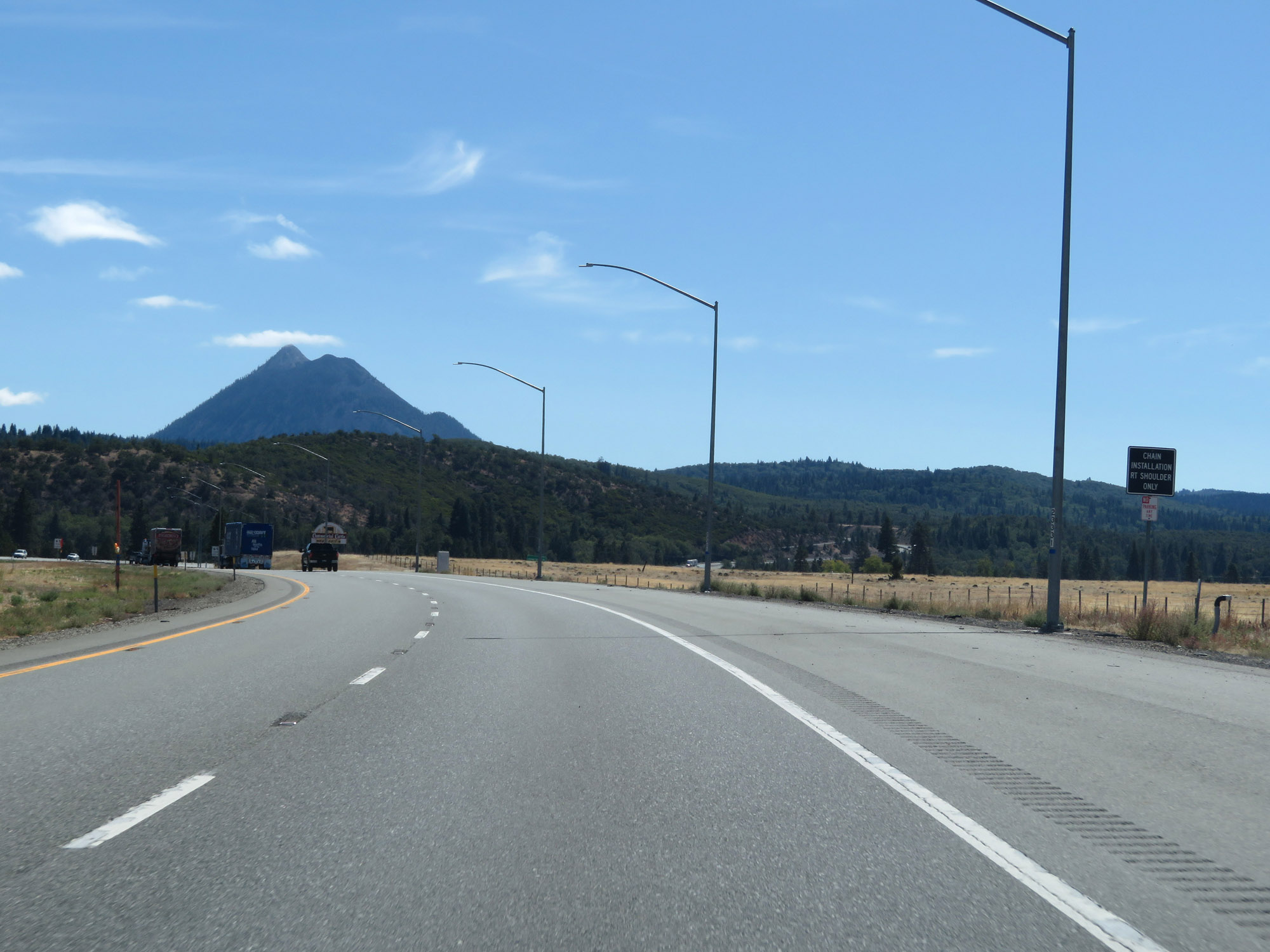 |
The shoulder here can be used for chain installation, as this sign reads. (Photo taken 9/23/19). |
 |
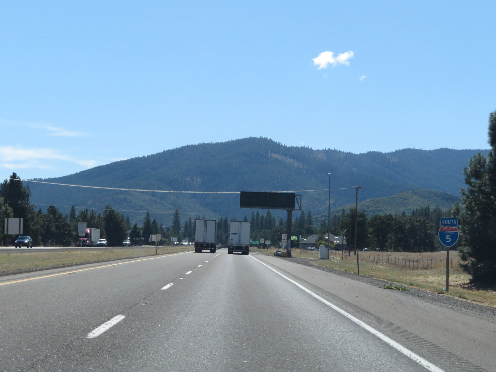
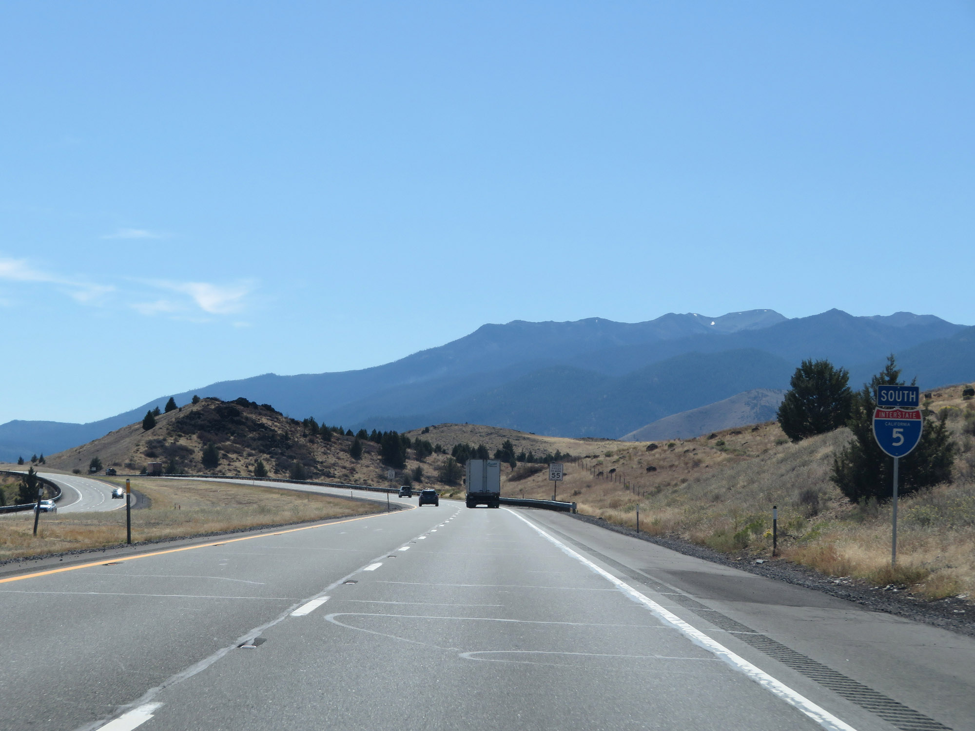
Entering Weed, the speed limit for cars decreases to 65 mph once again. It will remain that way for quite some time, since Interstate 5 South will traverse some very mountainous terrain to the south of here. (Photo taken 9/23/19). |
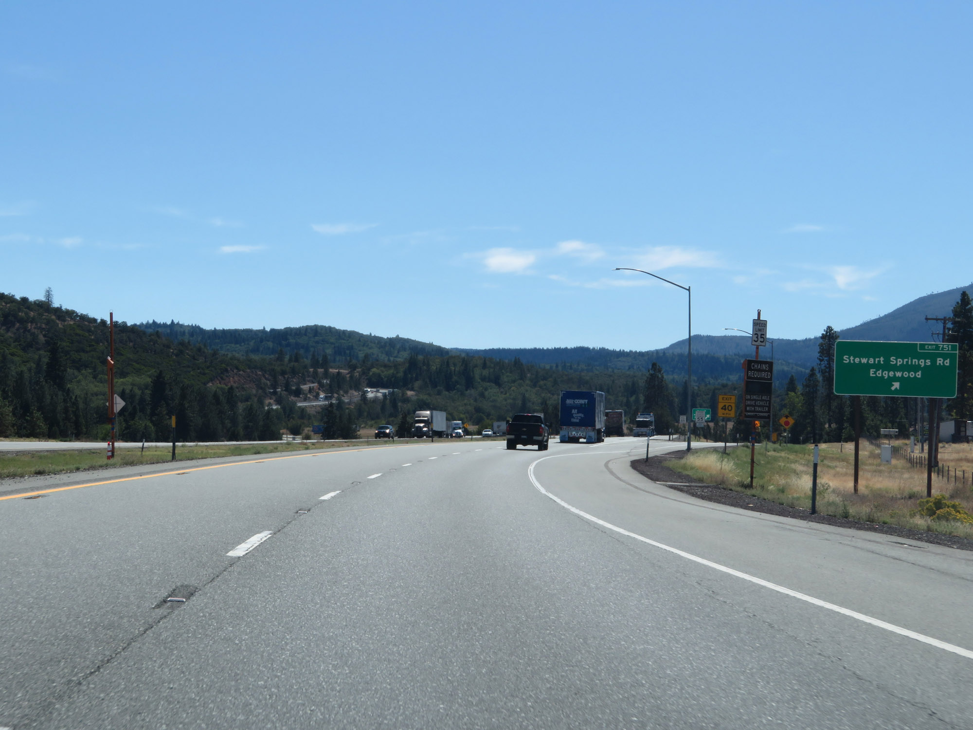 |
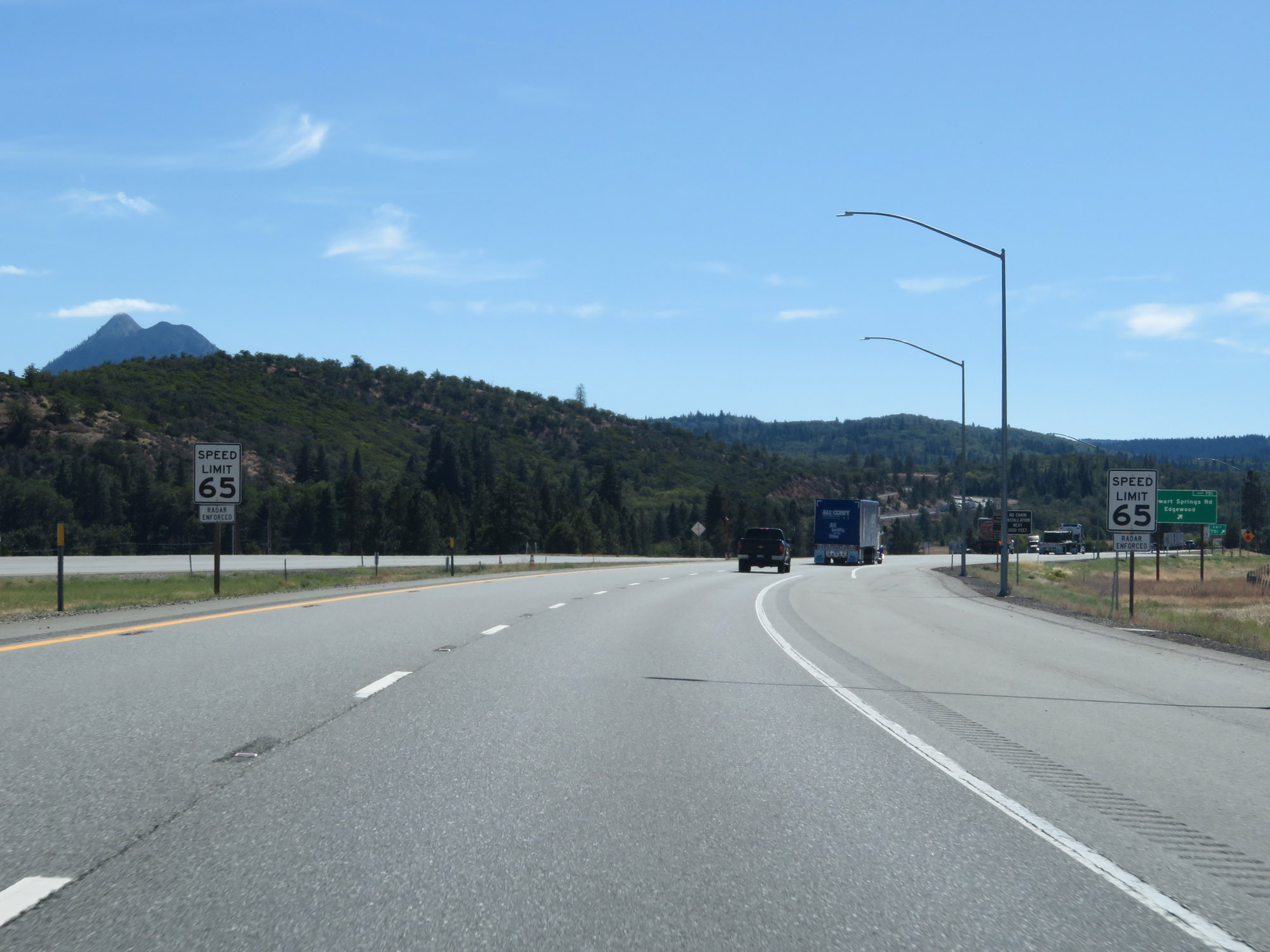
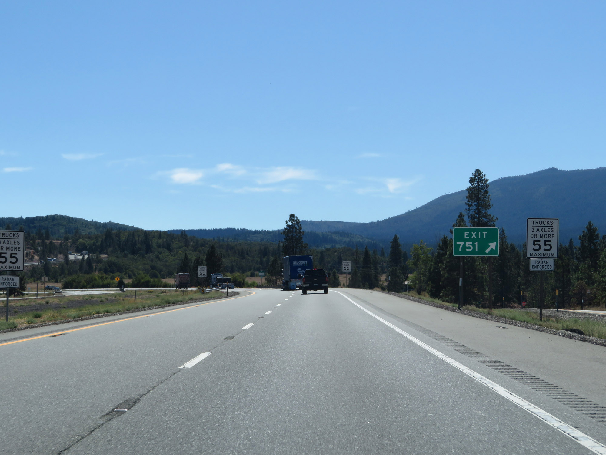
Interstate 5 South at Exit 751: Stewart Springs Rd / Edgewood (Photo taken 9/23/19). |
 |
As usual, the speed limit for trucks remains 55 mph. (Photo taken 9/23/19). |
 |
Vehicles towing trailers are restricted to 55 mph. (Photo taken 9/23/19). |
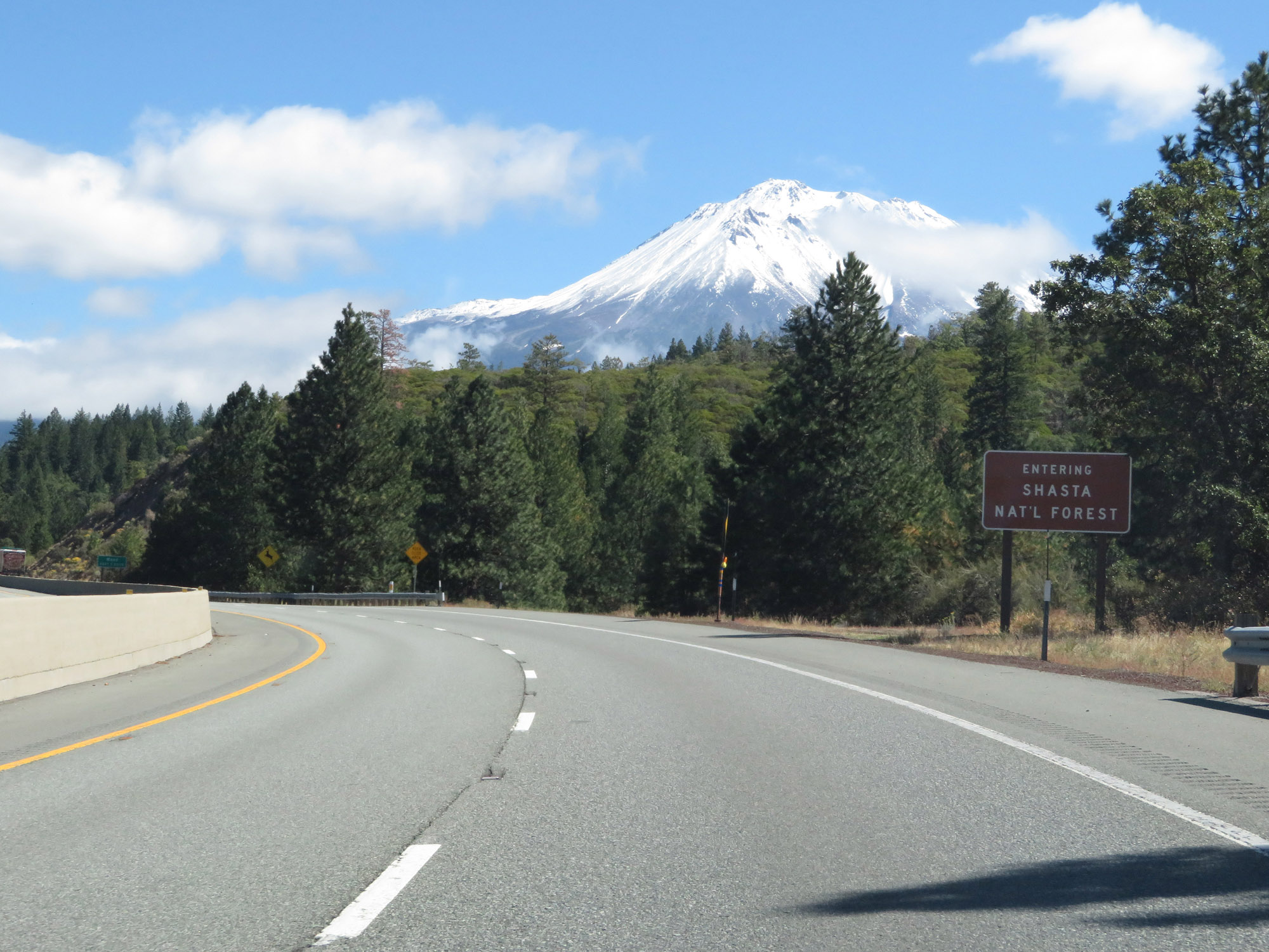 |
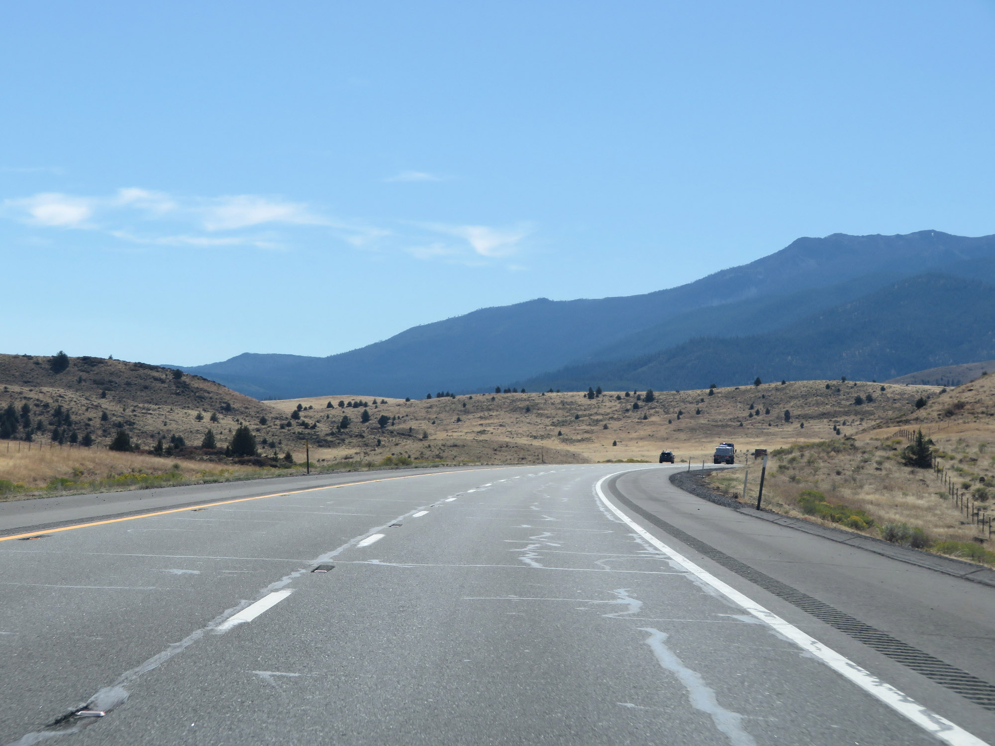
Interstate 5 South as it enters Shasta National Forest. (Photo taken 9/23/19). |
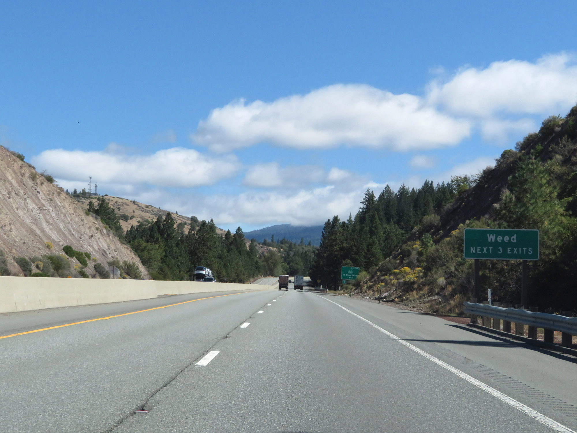 |
Take any of the next 3 exits to Weed. (Photo taken 9/23/19). |
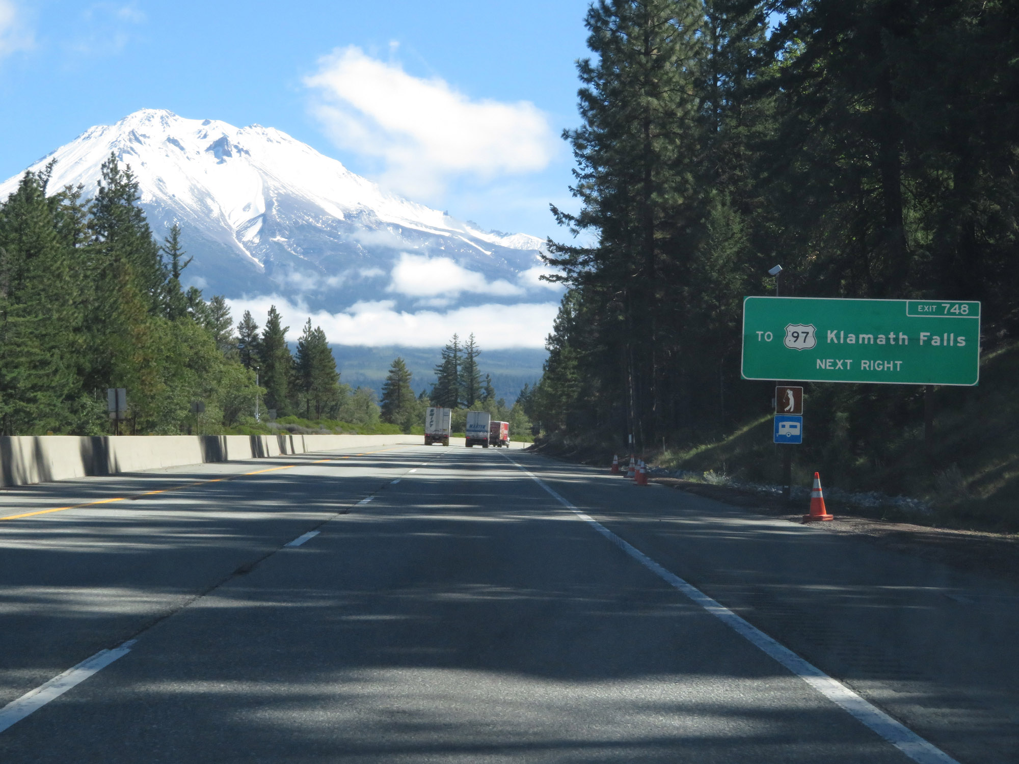 |
Take Exit 748 to US 97 toward Klamath Falls. (Photo taken 9/23/19). |
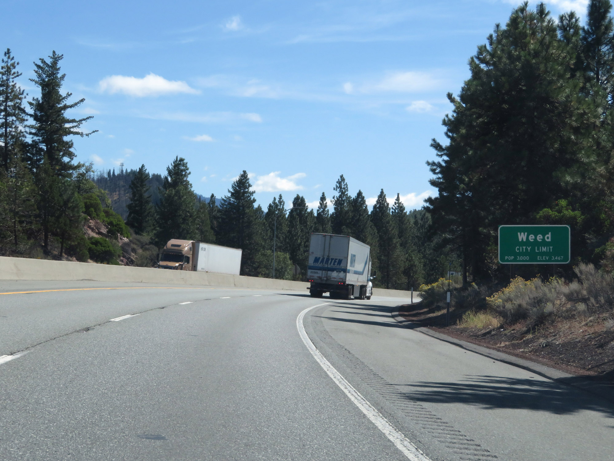 |
Interstate 5 South as it enters the Weed city limits. (Photo taken 9/23/19). |
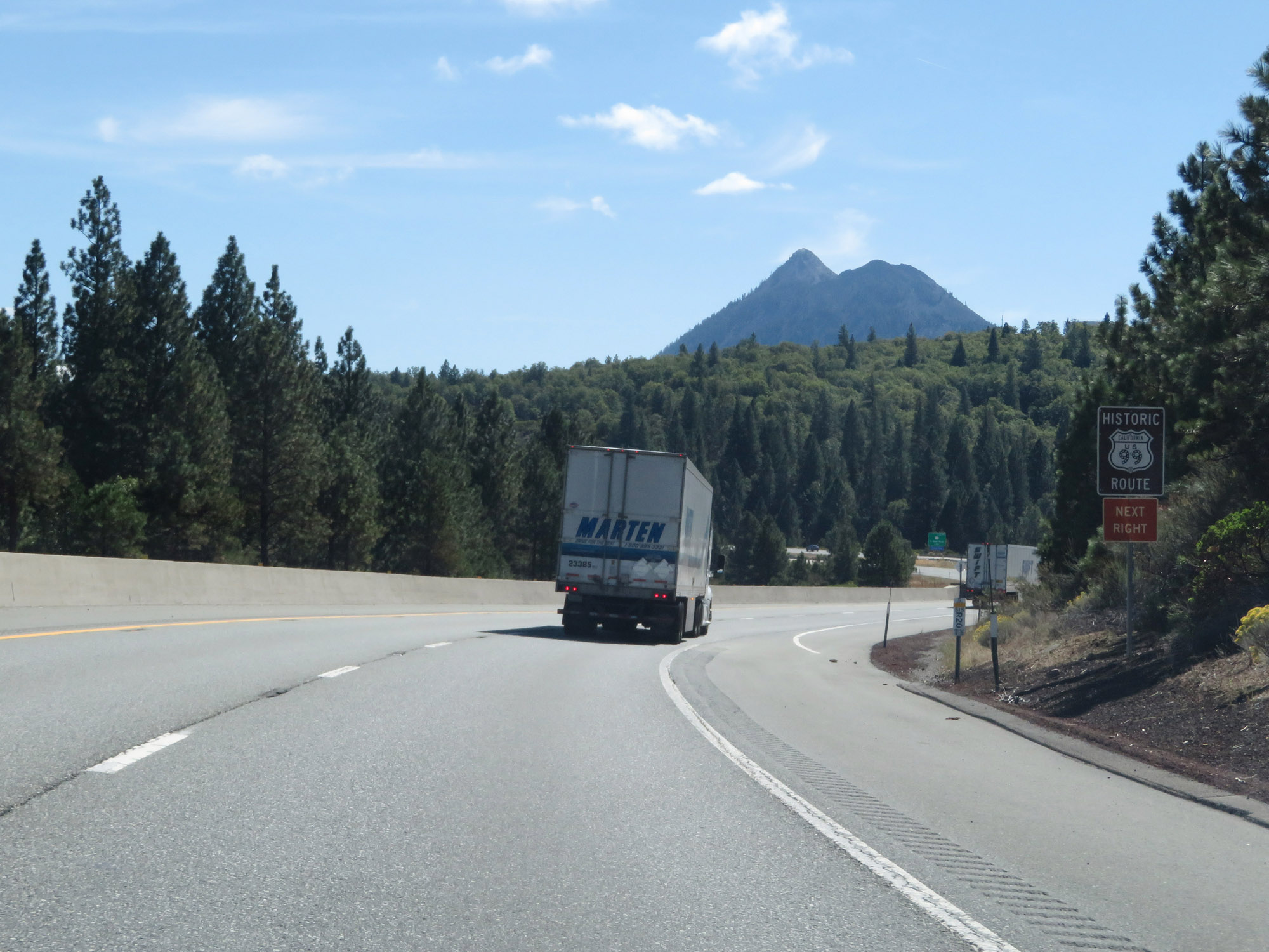 |
Take Exit 748 to Historic US 99. (Photo taken 9/23/19). |
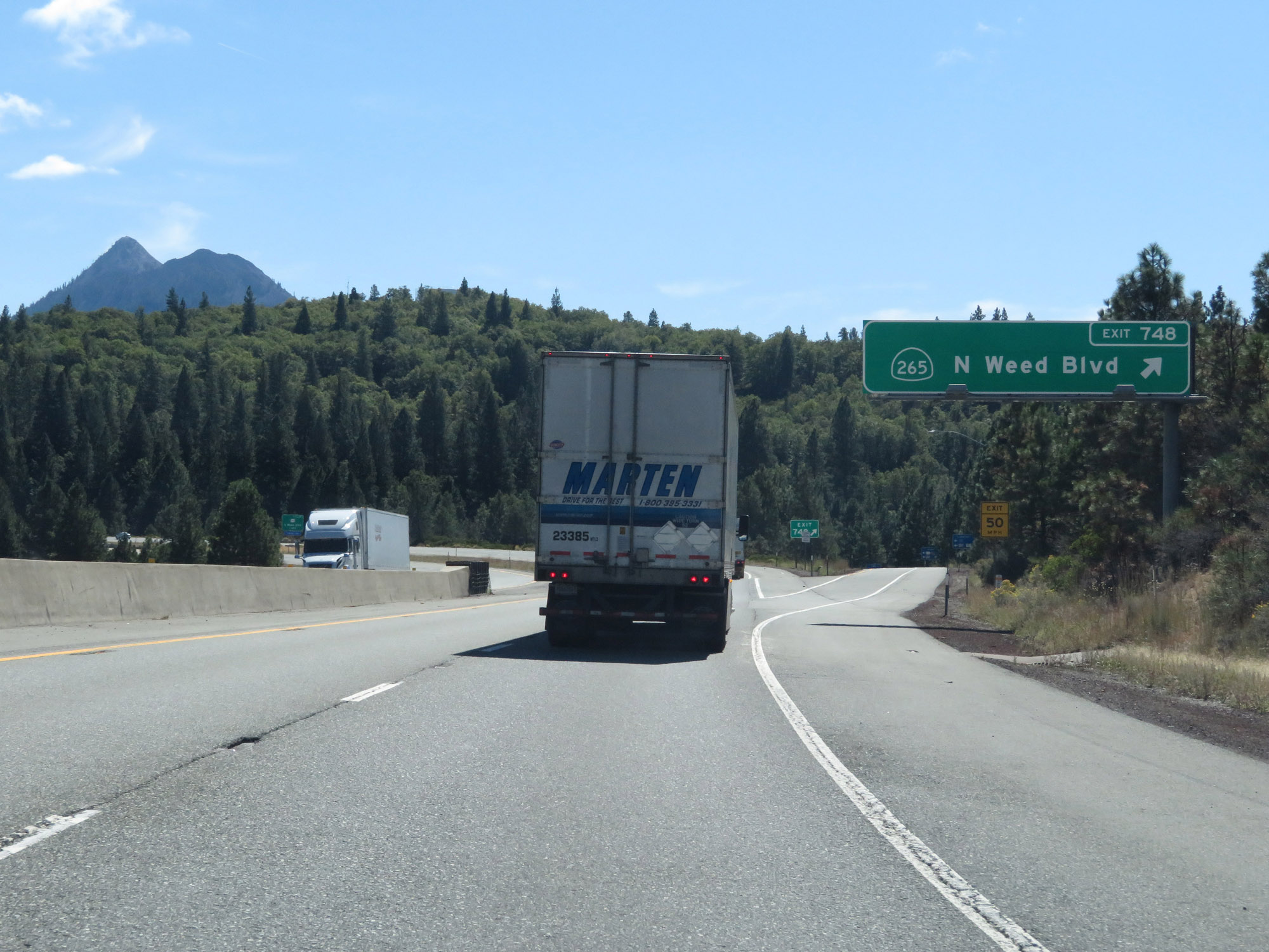 |
Interstate 5 South at Exit 748: CA 265 - N Weed Blvd (Photo taken 9/23/19). |
 |
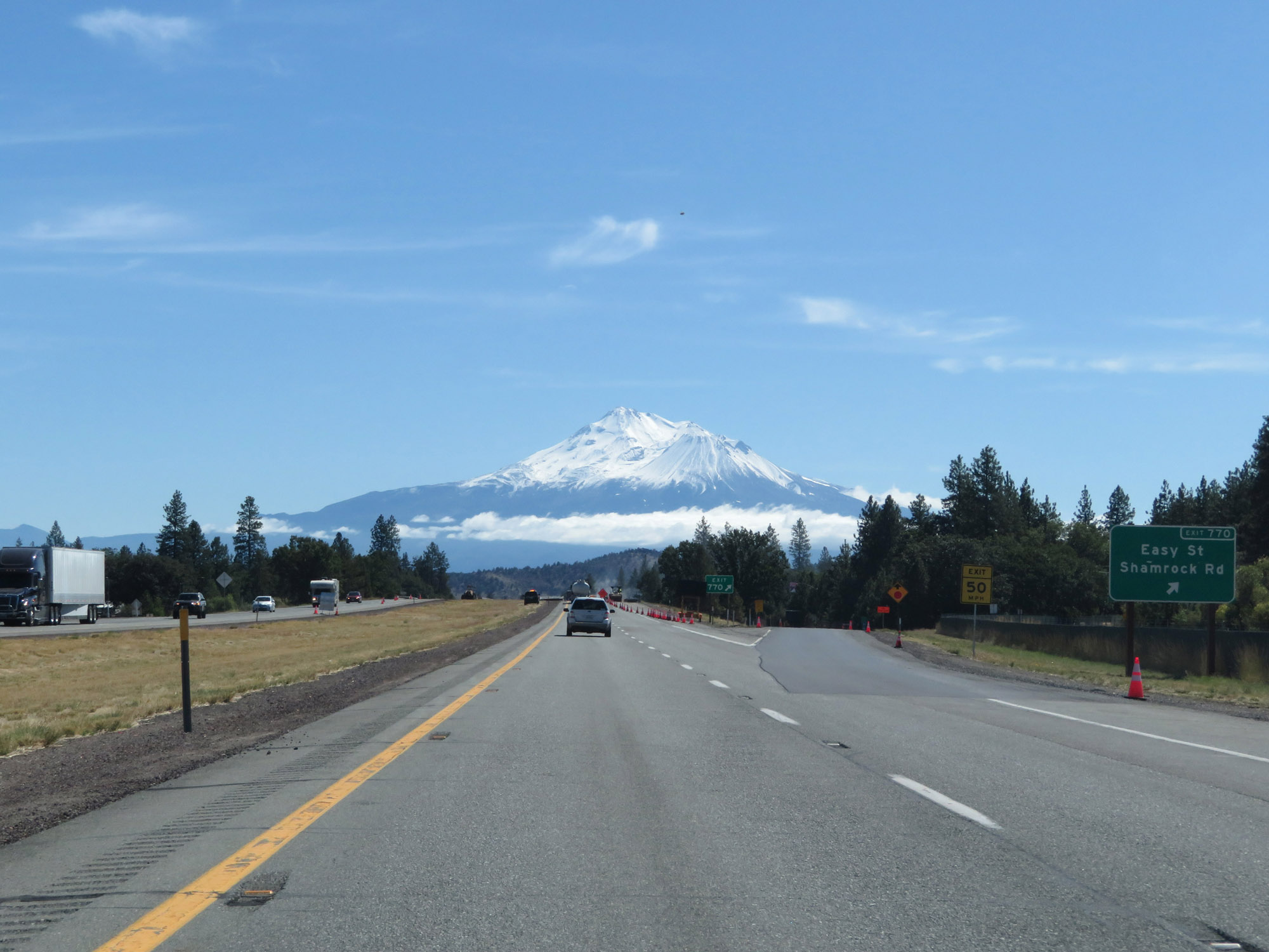
A nice head-on view of Mt. Shasta on Interstate 5 South in Weed. (Photo taken 9/23/19). |
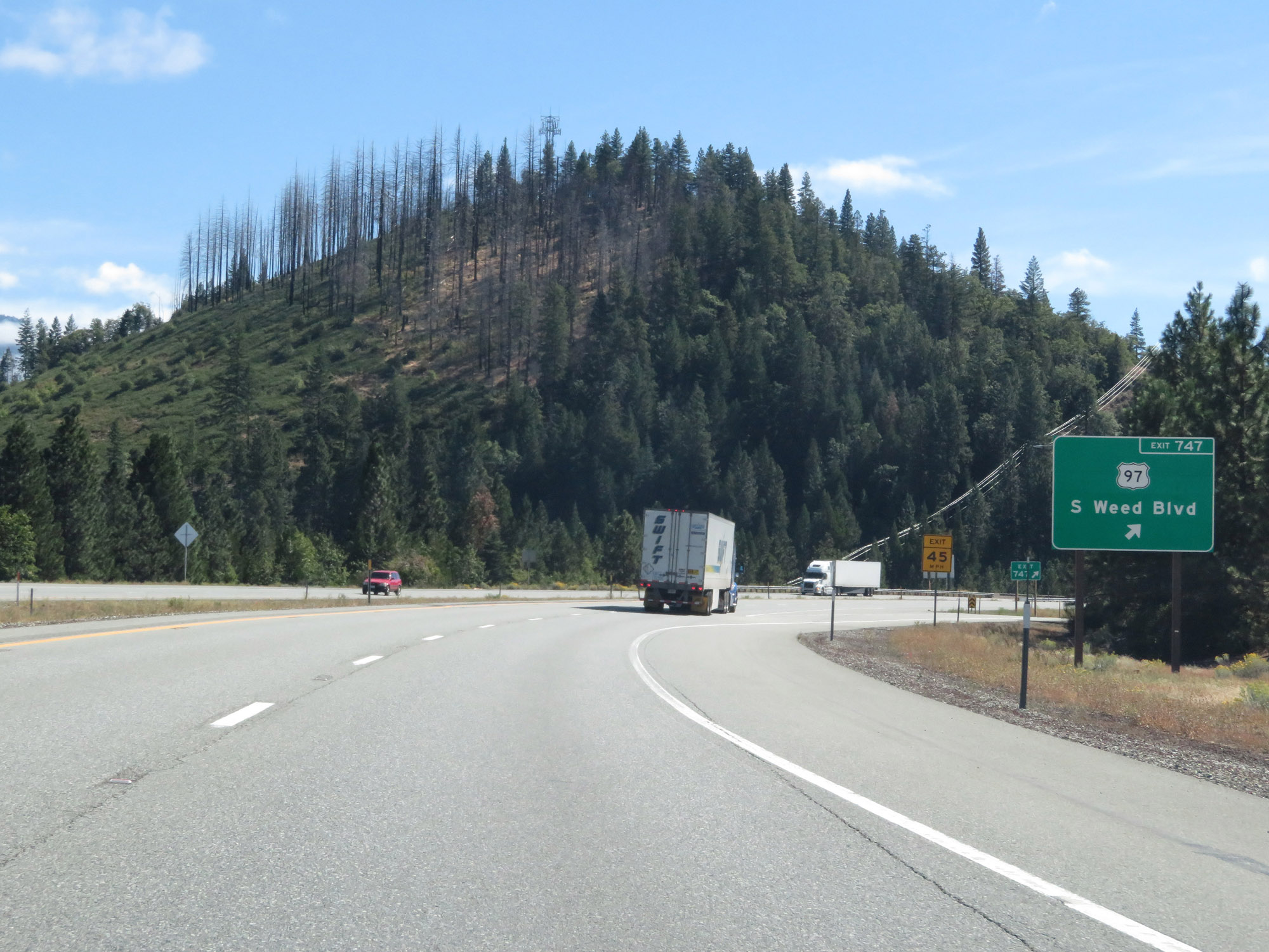 |
Interstate 5 South at Exit 747: US 97 - S Weed Blvd (Photo taken 9/23/19). |
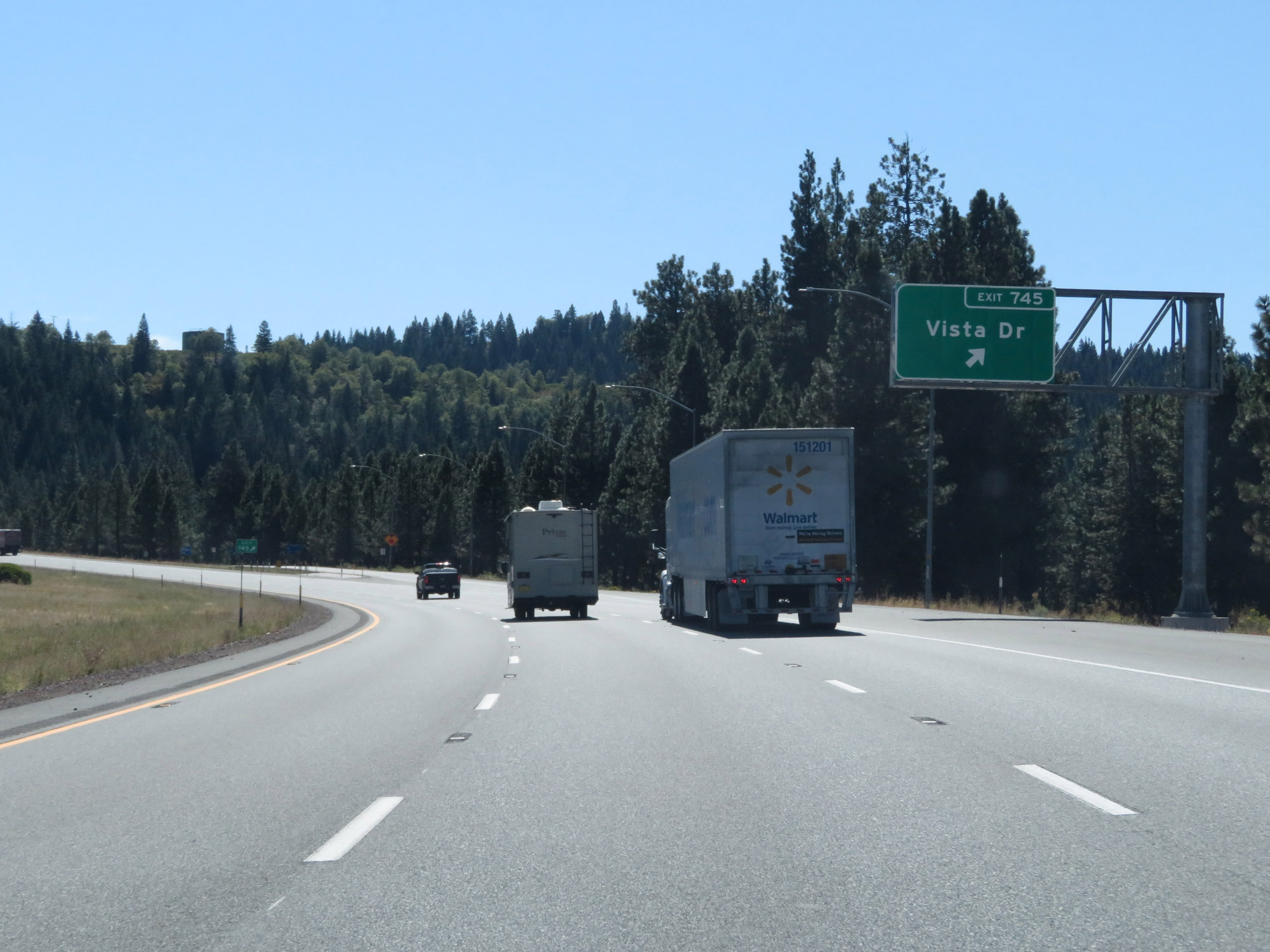 |
Interstate 5 South at Exit 745: Vista Dr (Photo taken 9/23/19). |
 |
View on Interstate 5 South, leaving the Weed area. (Photo taken 9/23/19). |
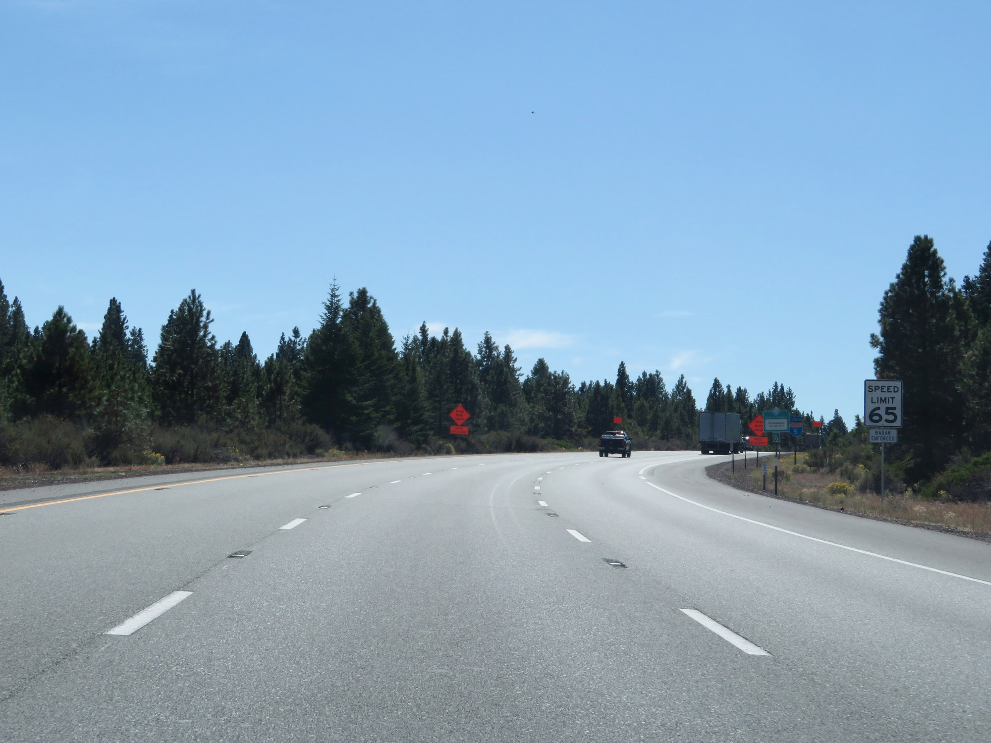 |
The speed limit remains 65 mph for cars. (Photo taken 9/23/19). |
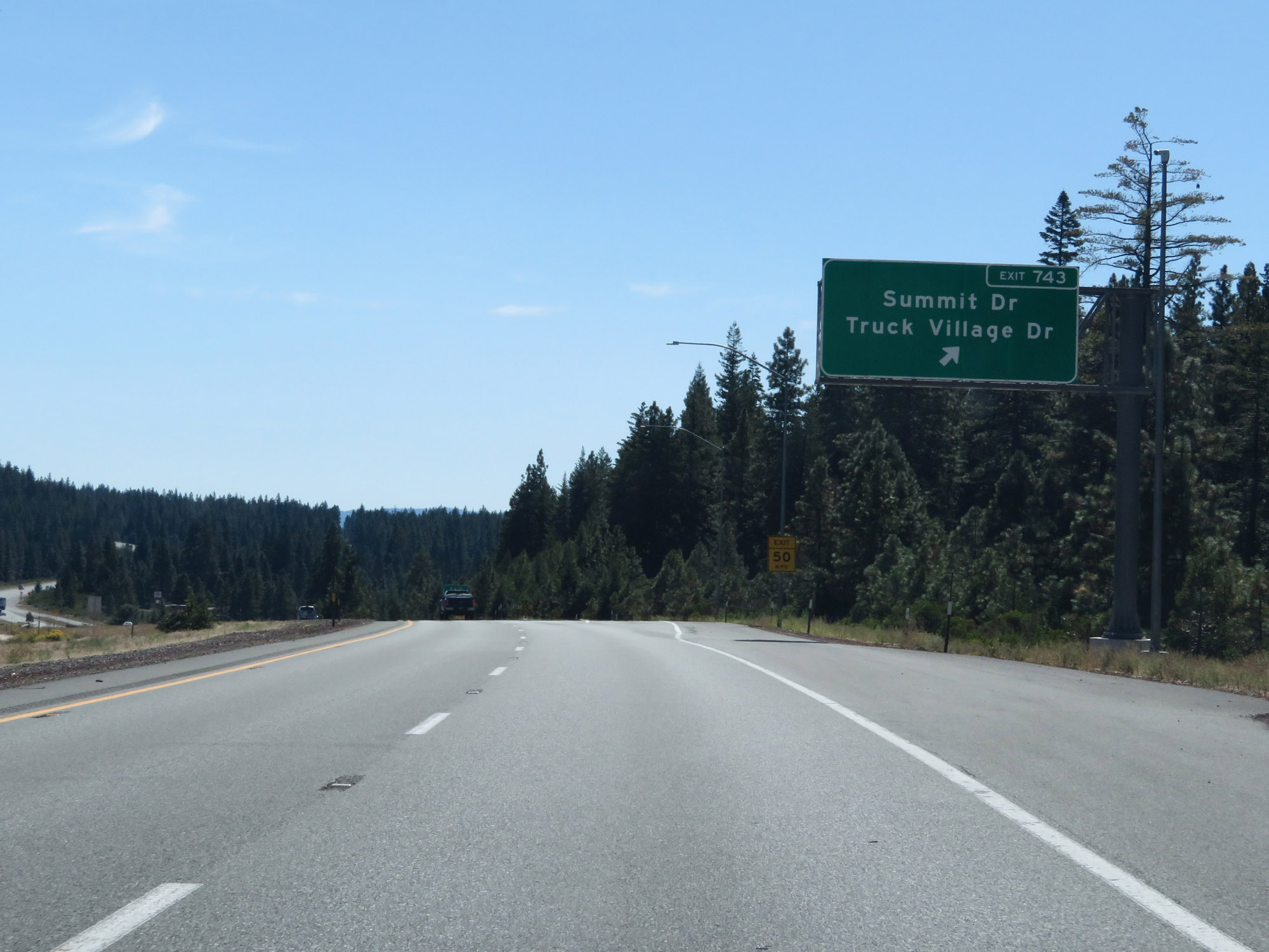 |
Interstate 5 South at Exit 743: Summit Dr / Truck Village Dr (Photo taken 9/23/19). |
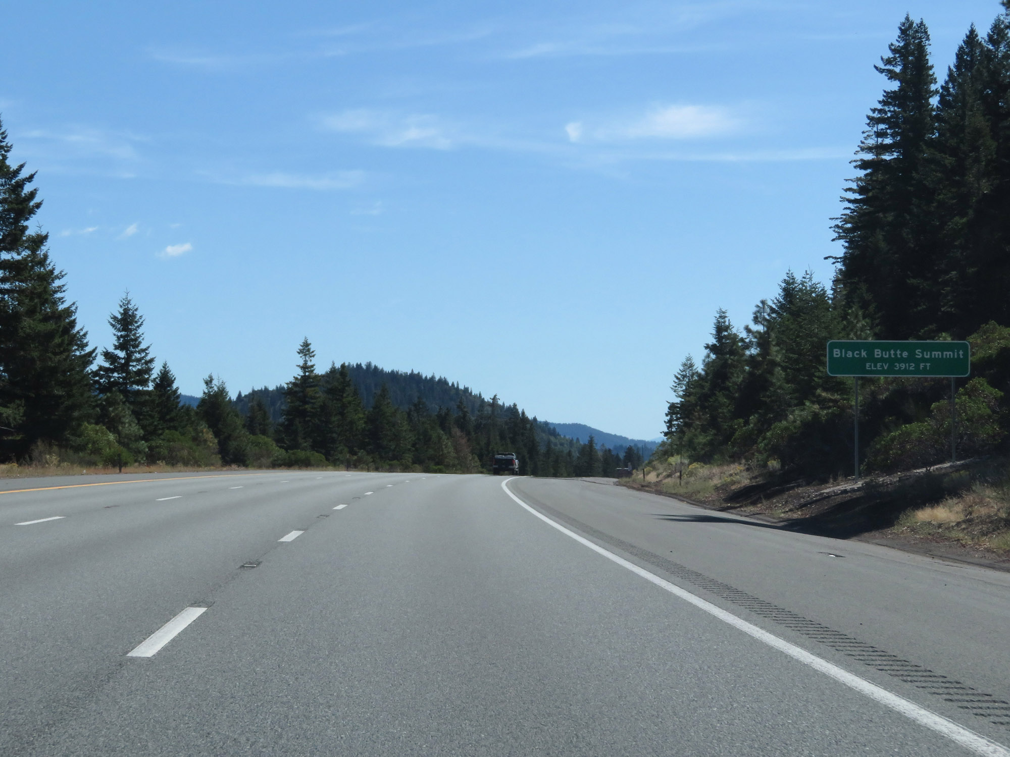 |
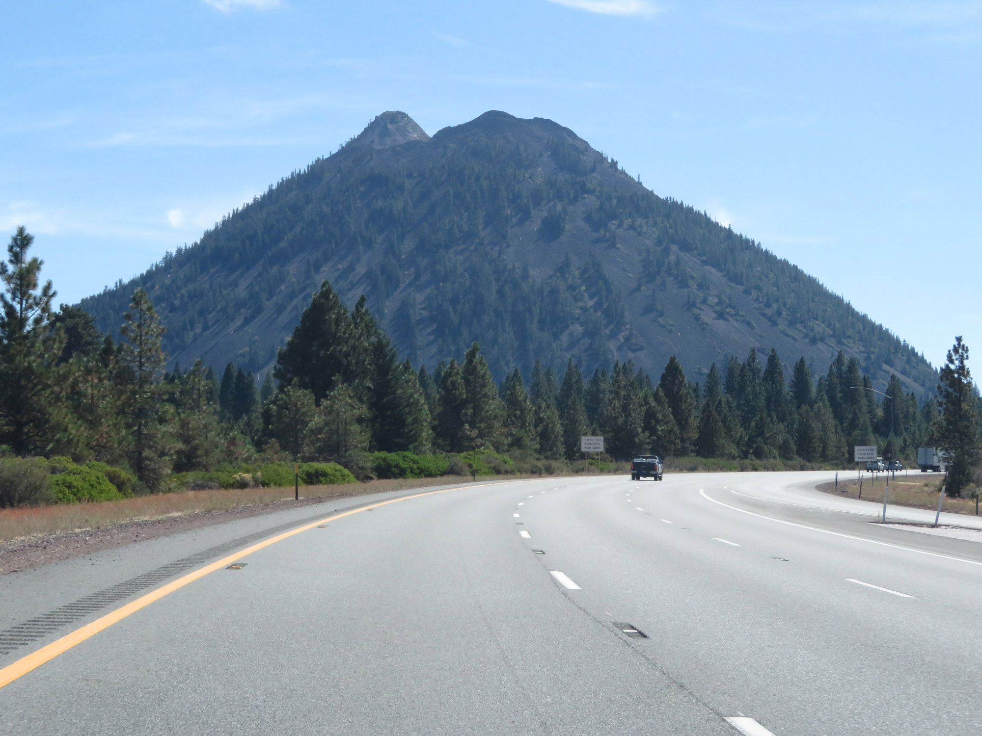
Interstate 5 South as it reaches the Summit of Black Butte Pass, which is at an elevation of 3,912 feet. (Photo taken 9/23/19). |
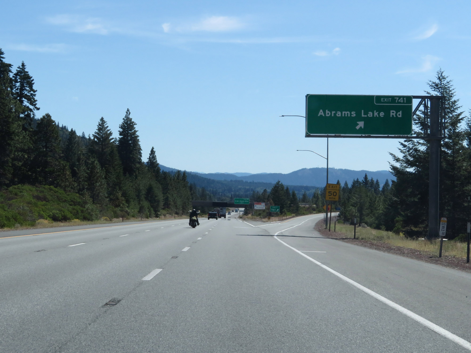 |
Interstate 5 South at Exit 741: Abrams Lake Rd (Photo taken 9/23/19). |
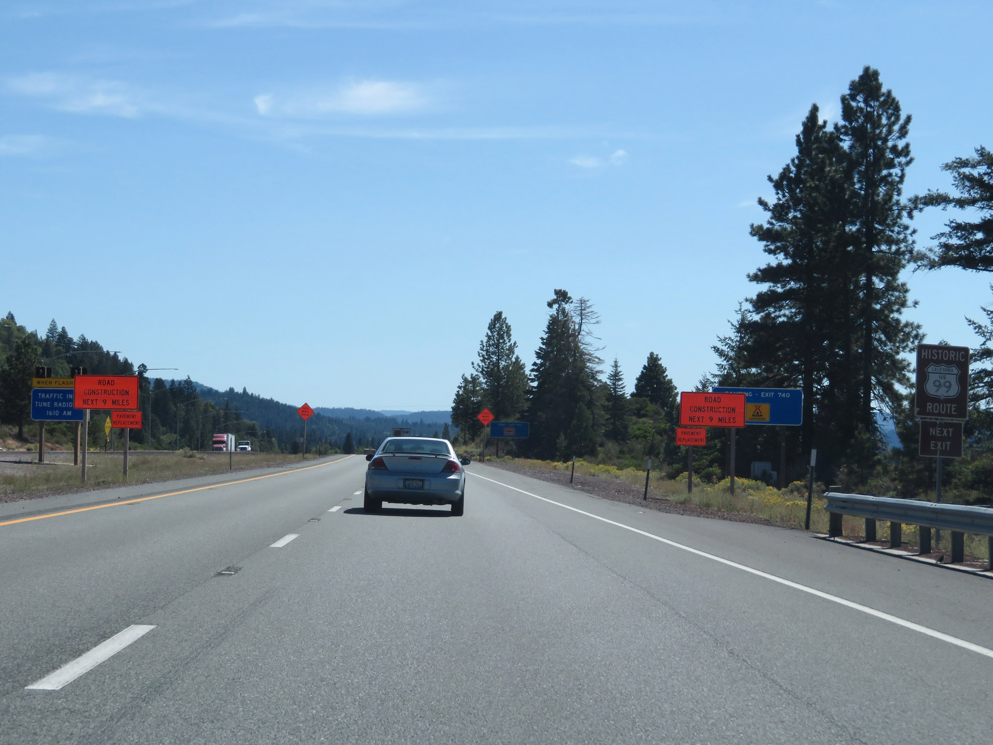 |
Take Exit 740 to Historic US 99. (Photo taken 9/23/19). |
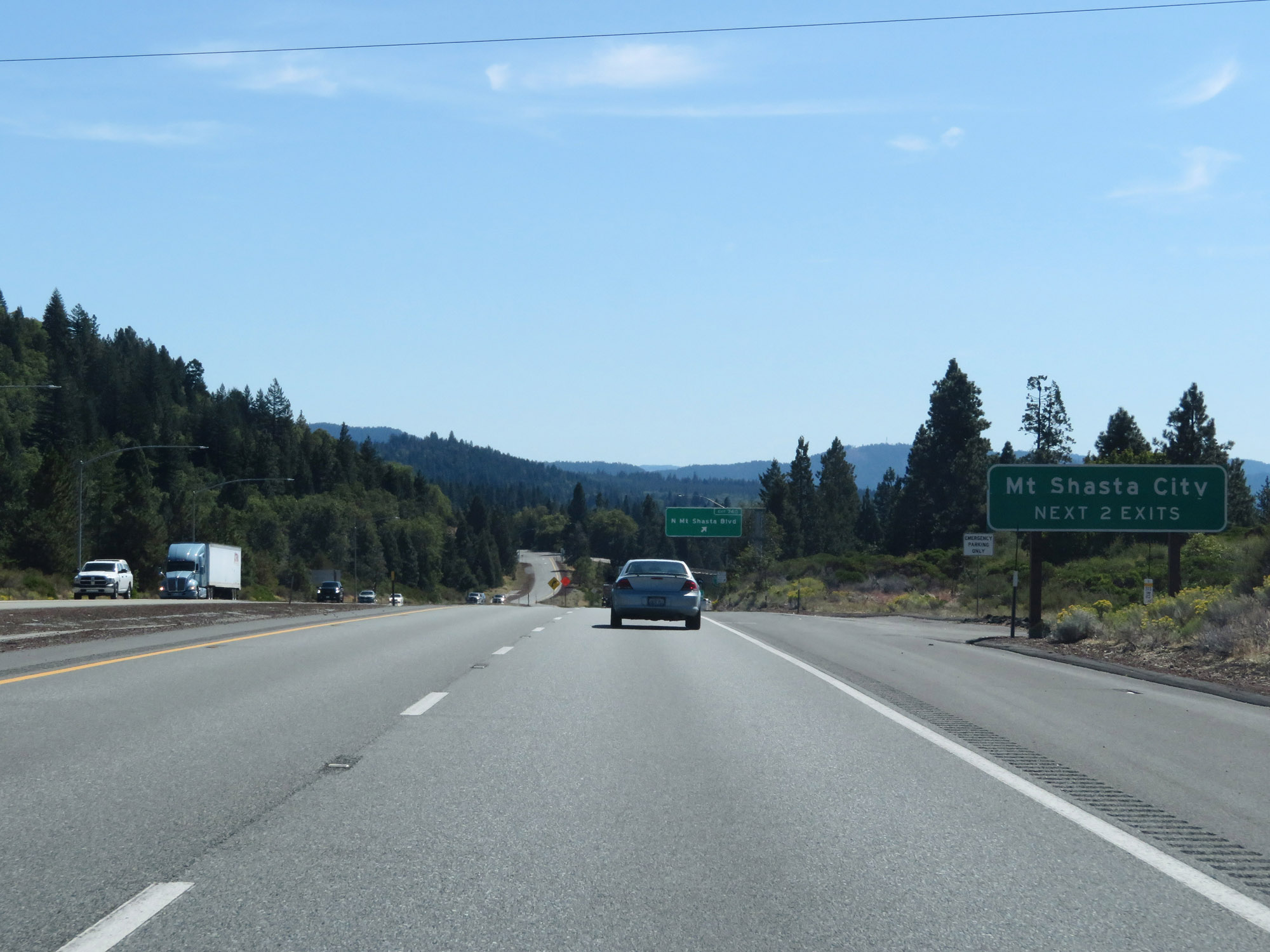 |
Take either of the next 2 exits to the city of Mount Shasta. (Photo taken 9/23/19). |
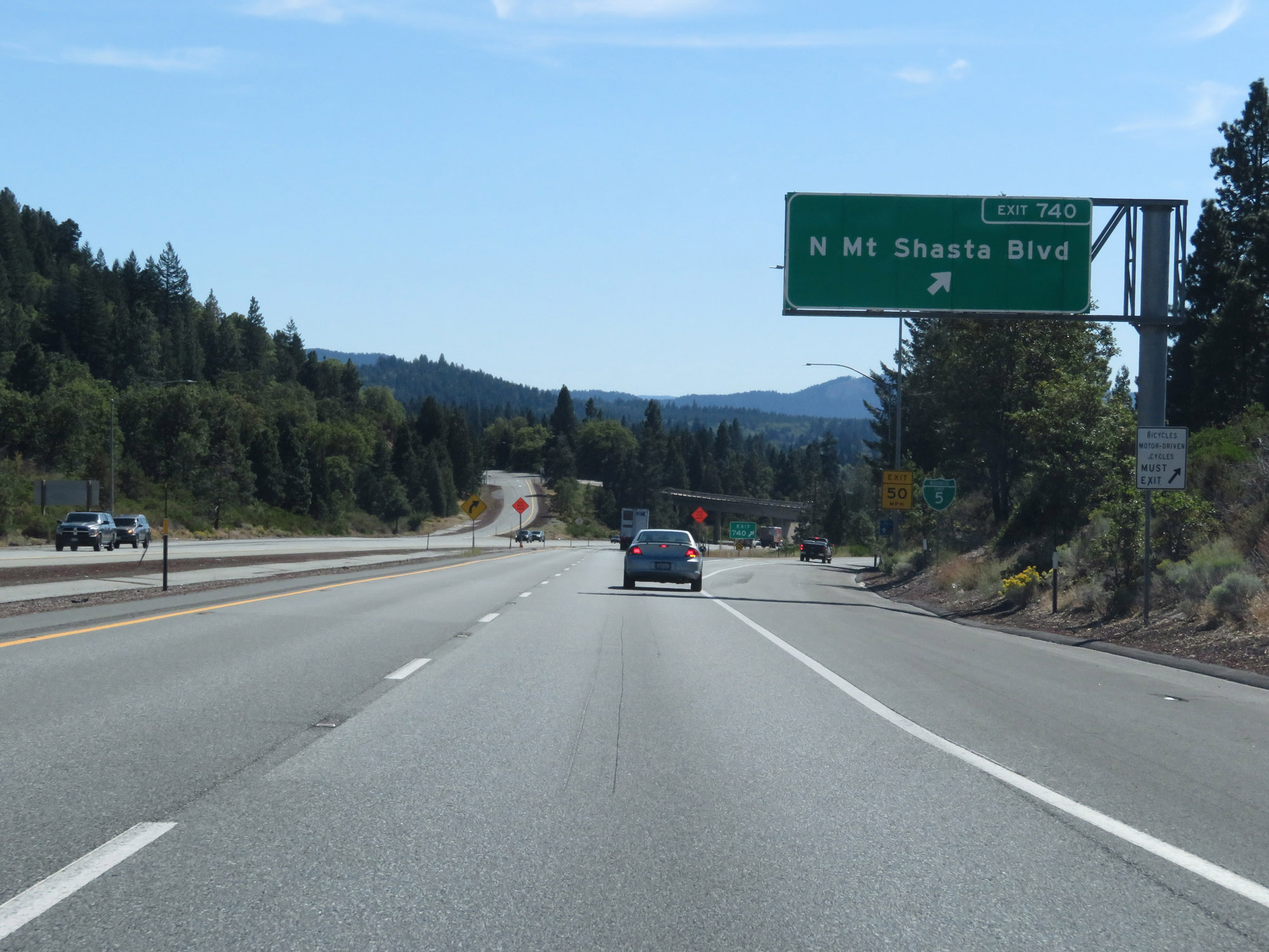 |
Interstate 5 South at Exit 740: N Mt Shasta Blvd (Photo taken 9/23/19). |
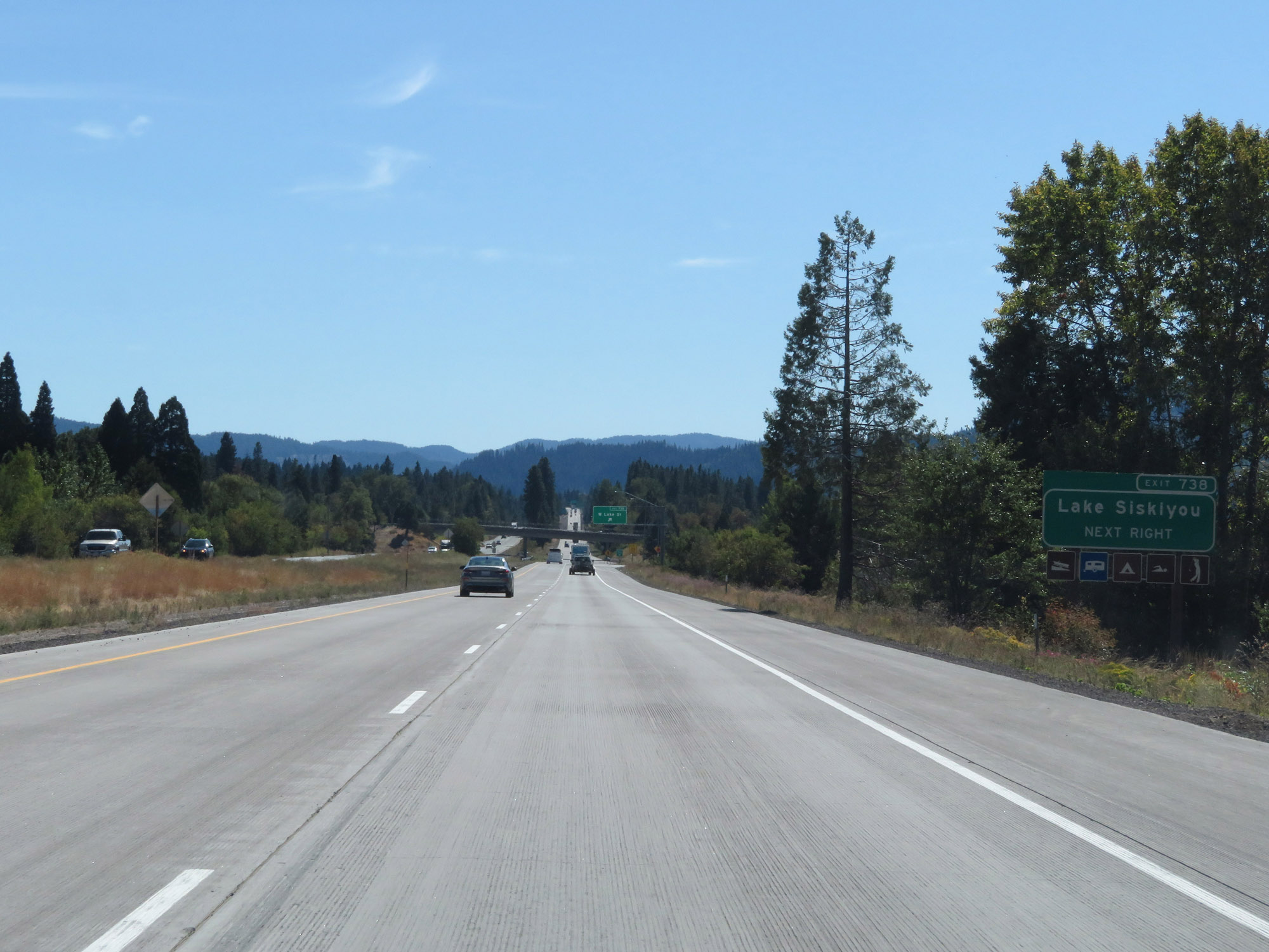 |
Take Exit 738 to Lake Siskiyou. (Photo taken 9/23/19). |
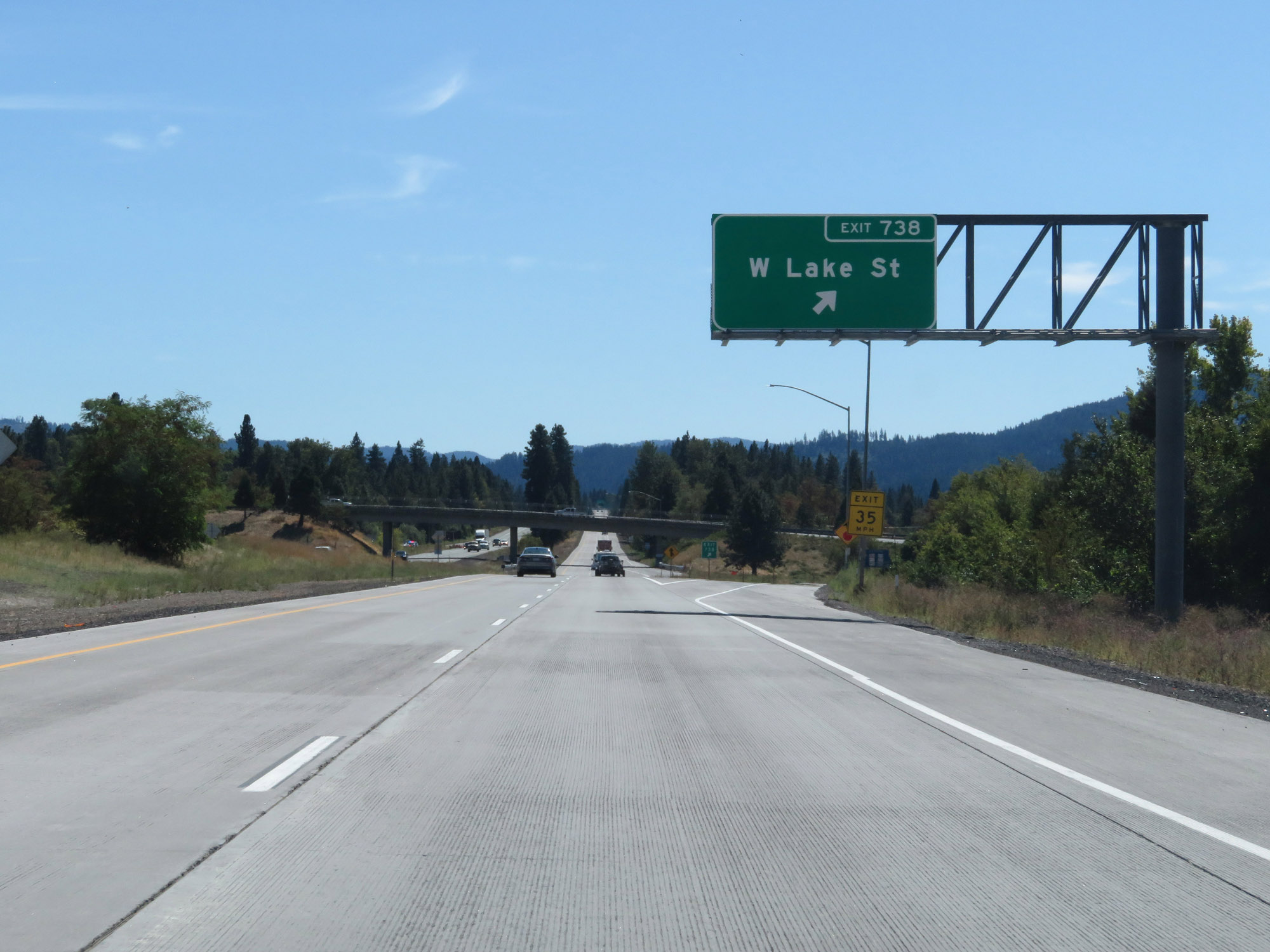 |
Interstate 5 South at Exit 738: W Lake St (Photo taken 9/23/19). |
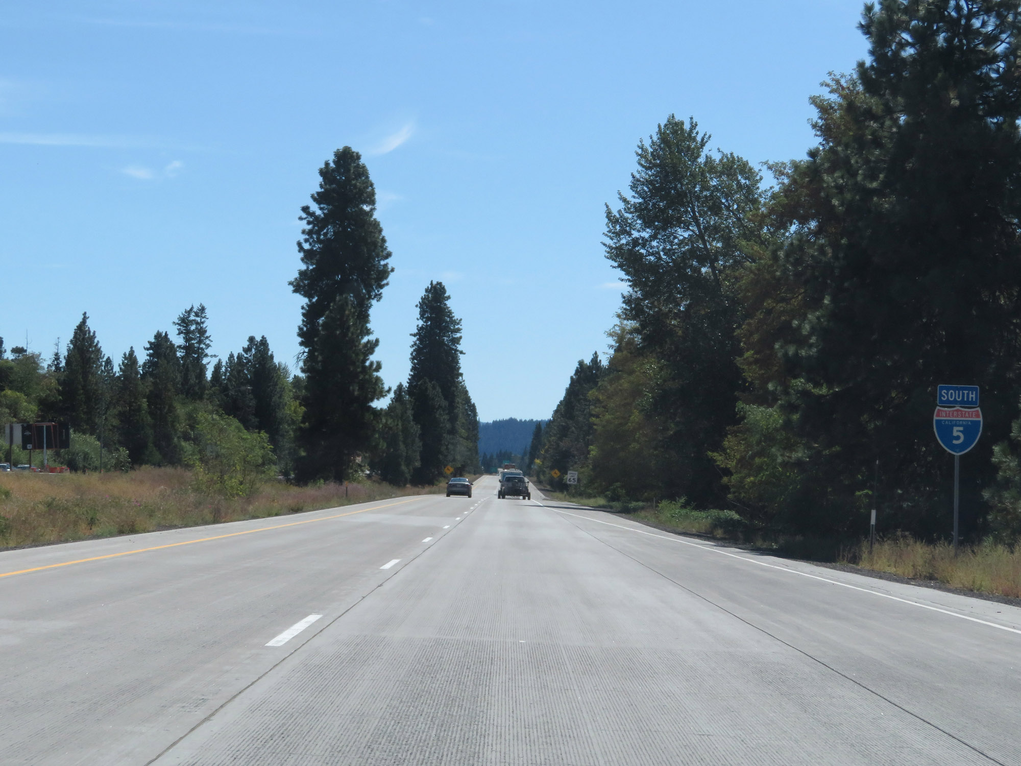 |
State-named Interstate 5 South reassurance shield. (Photo taken 9/23/19). |
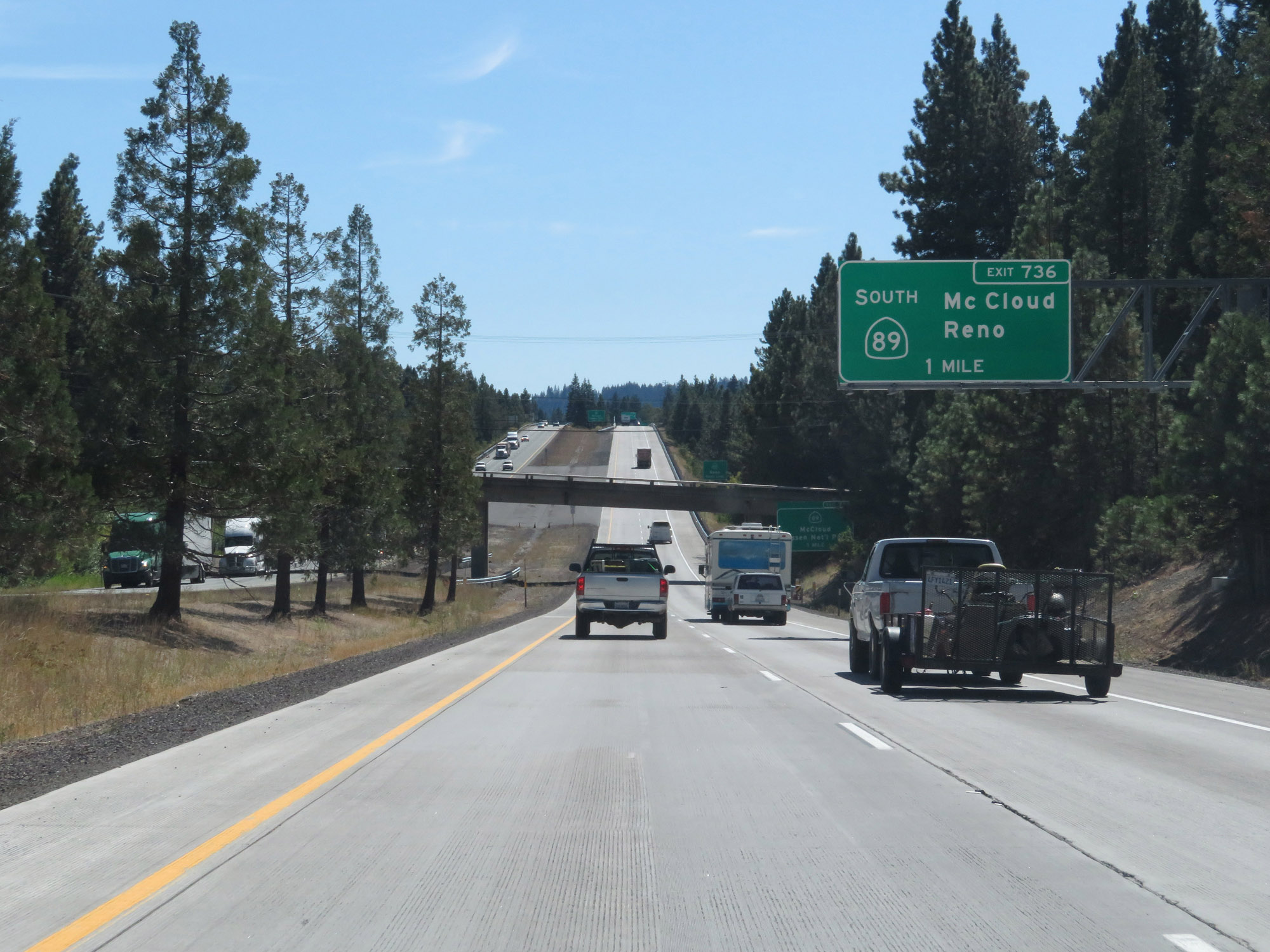 |
Interstate 5 South approaching Exit 736 - 1 mile. (Photo taken 9/23/19). |
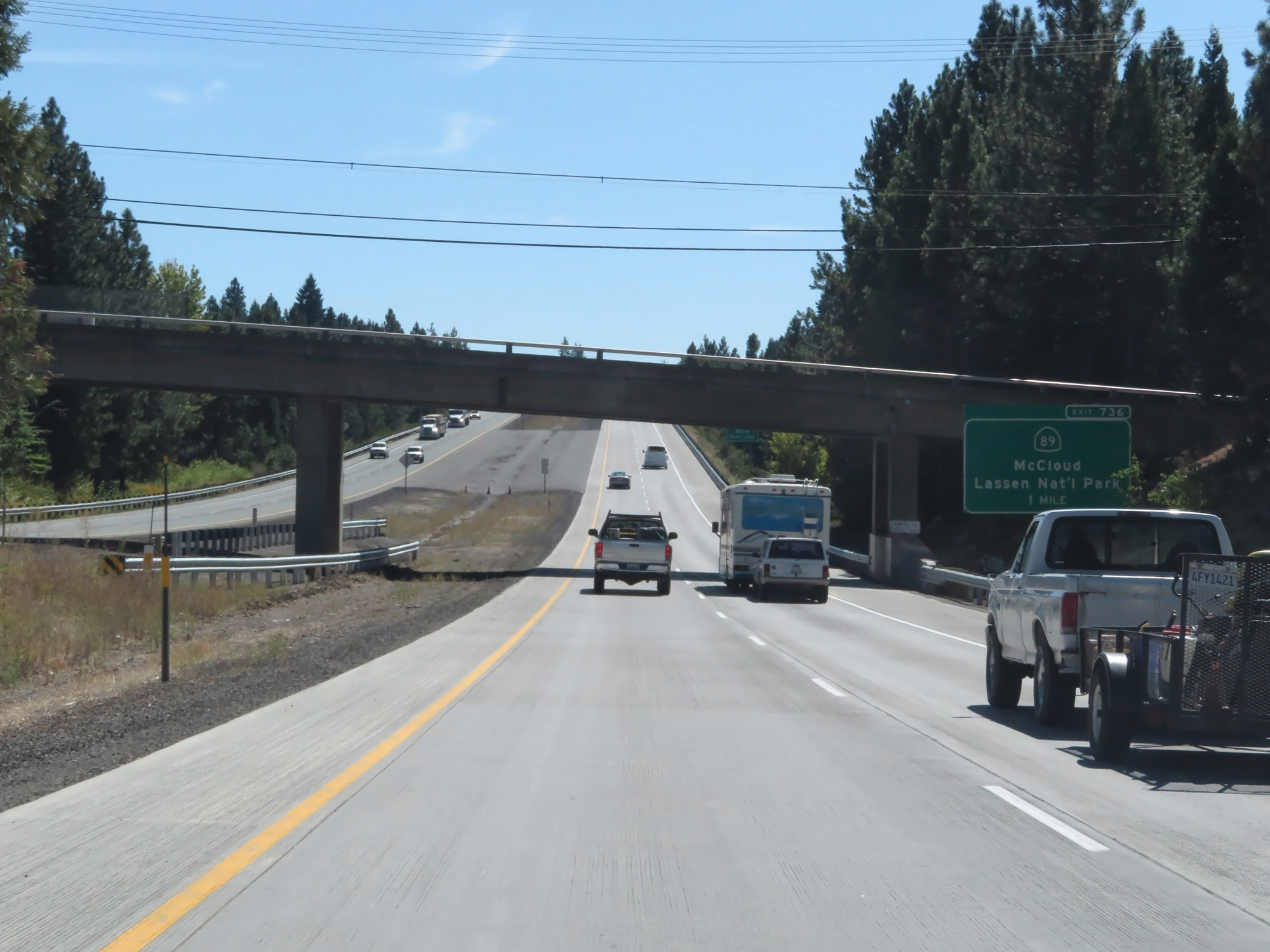 |
Take Exit 736 to McCloud and Lassen National Park. (Photo taken 9/23/19). |
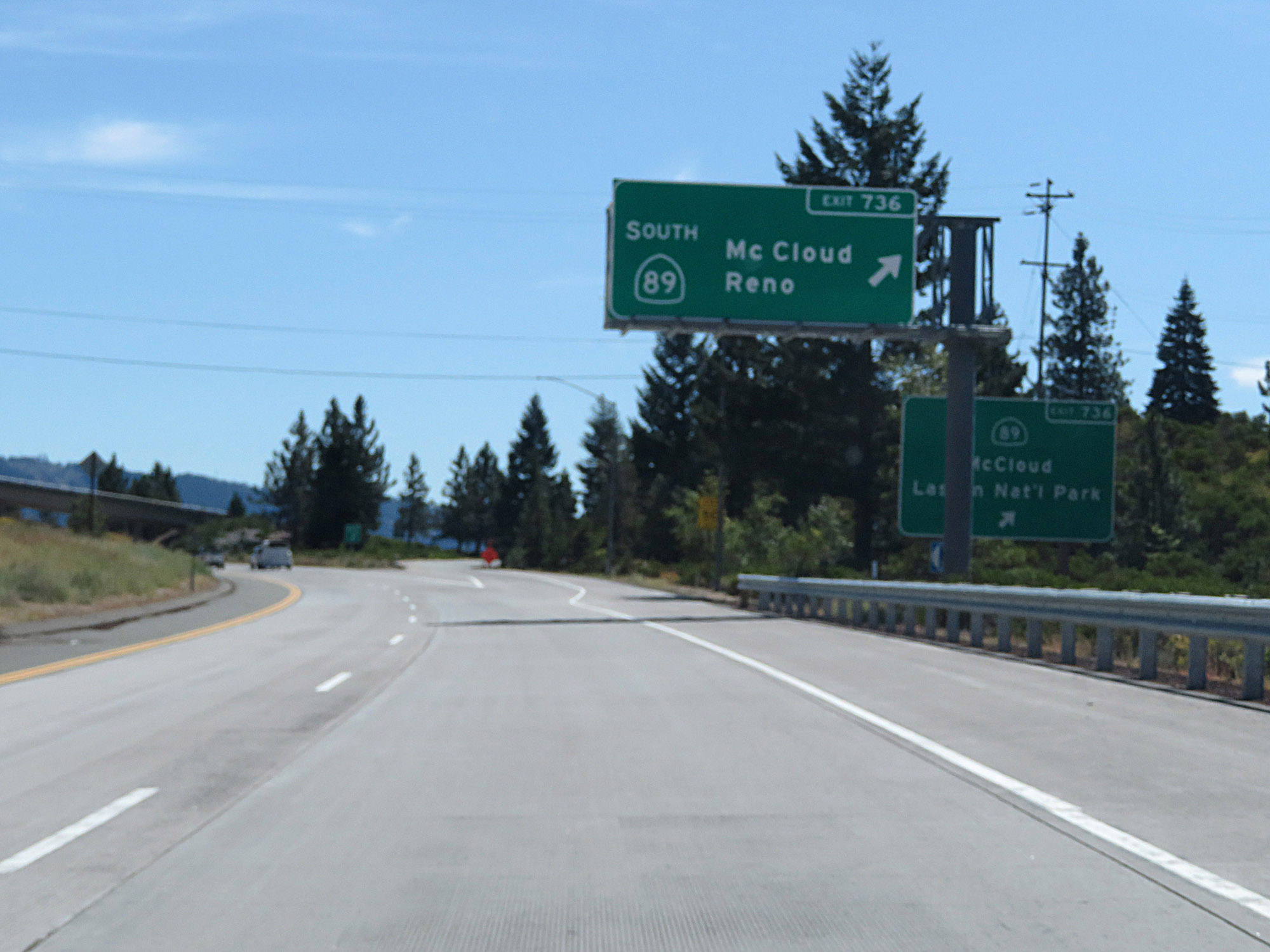 |
Interstate 5 South at Exit 736: CA 89 South - McCloud / Reno. This is what you call a road photography fail. (Photo taken 9/23/19). |
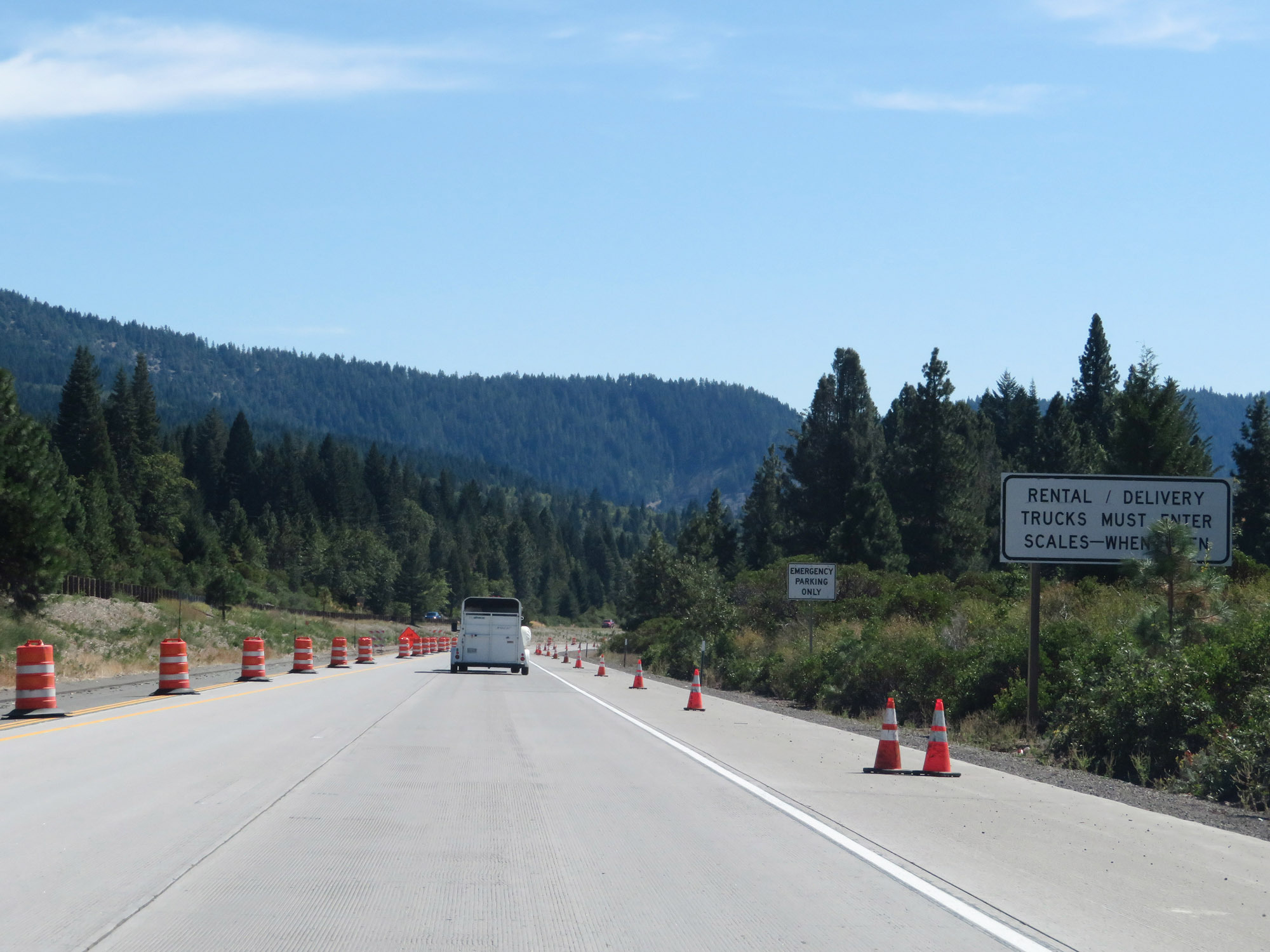 |
All rental trucks and delivery trucks must enter the Weigh Station ahead when it is open. (Photo taken 9/23/19). |
 |
Weigh Station on Interstate 5 South in Siskiyou County. (Photo taken 9/23/19). |
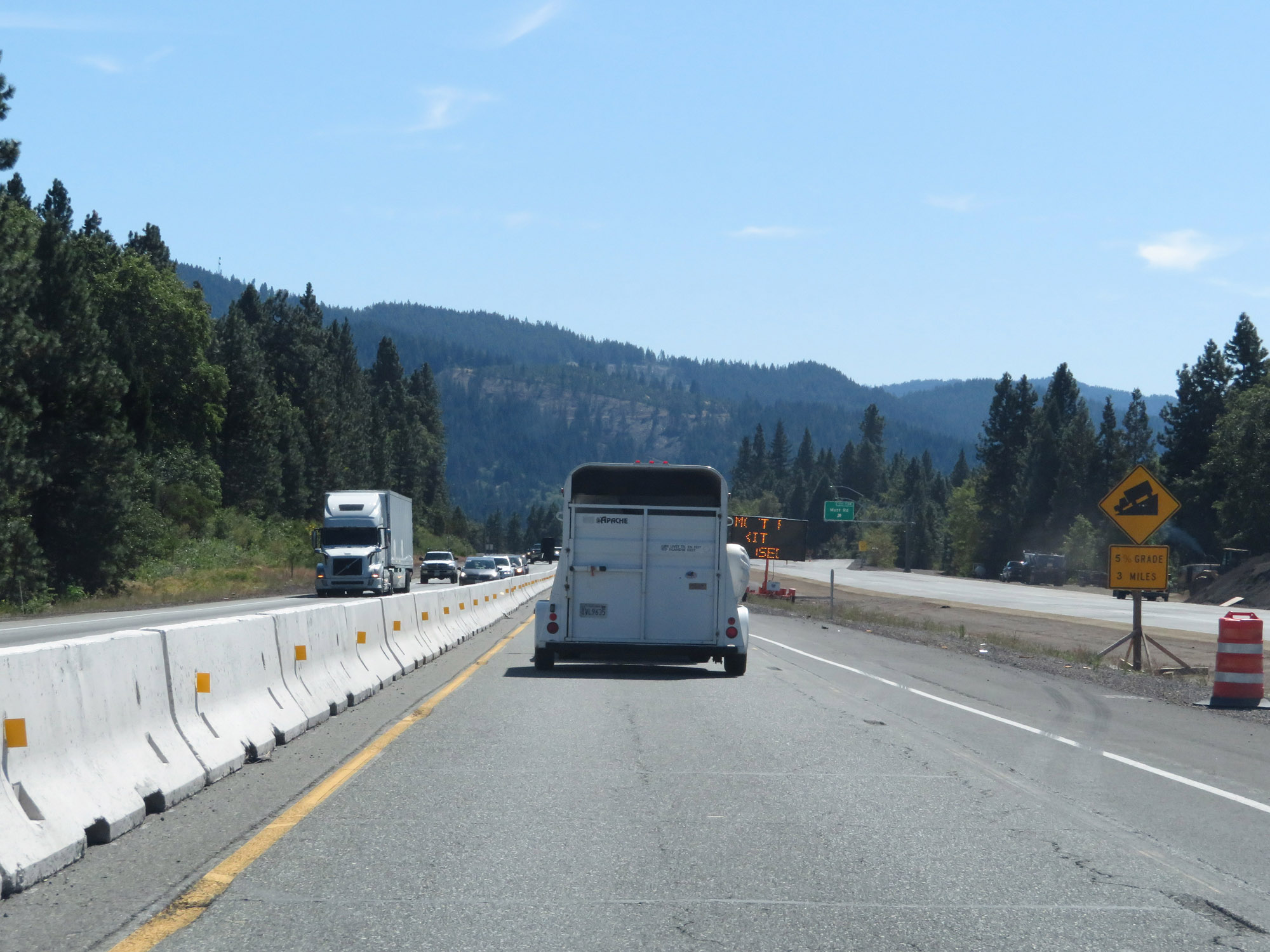 |
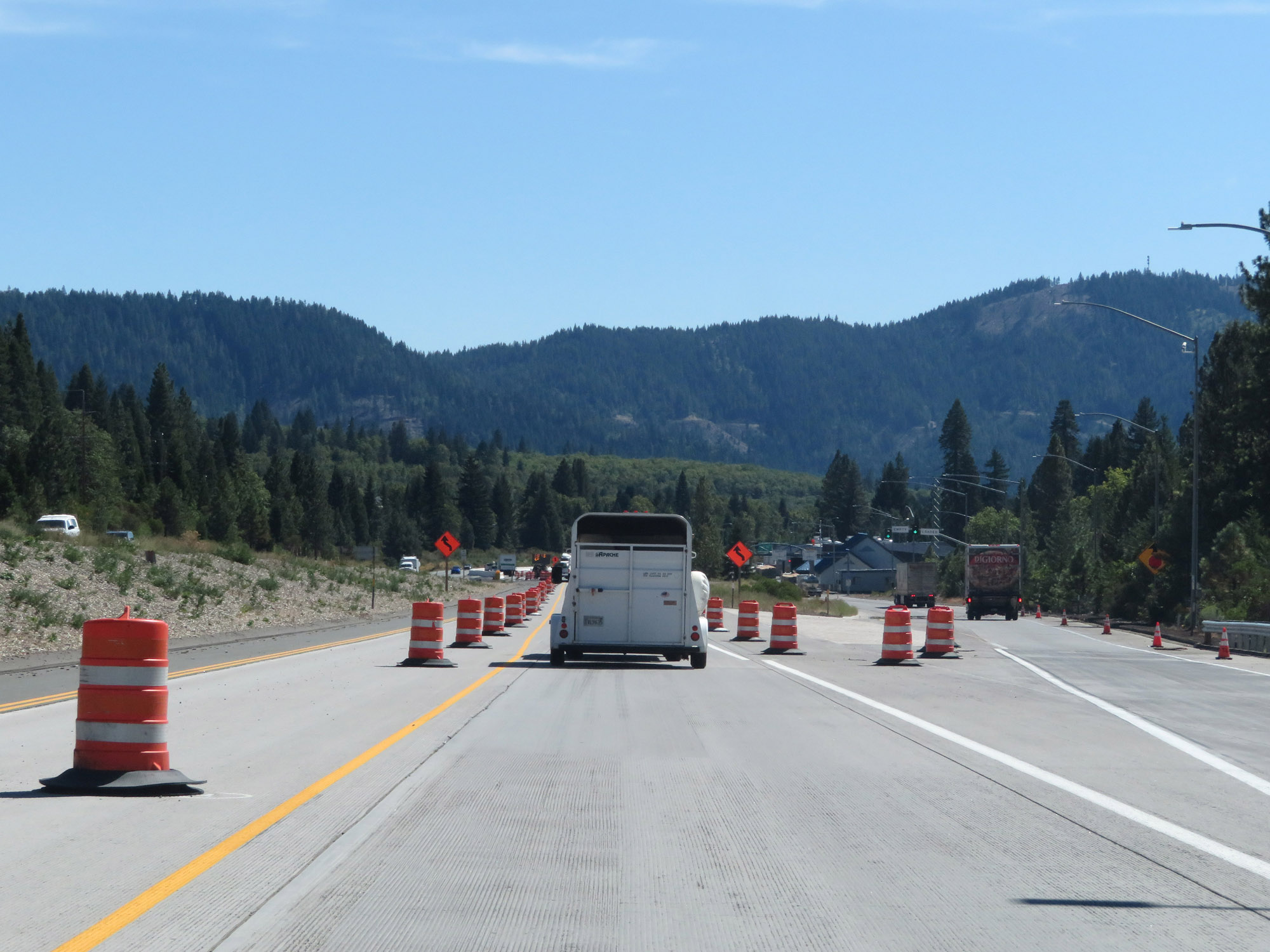
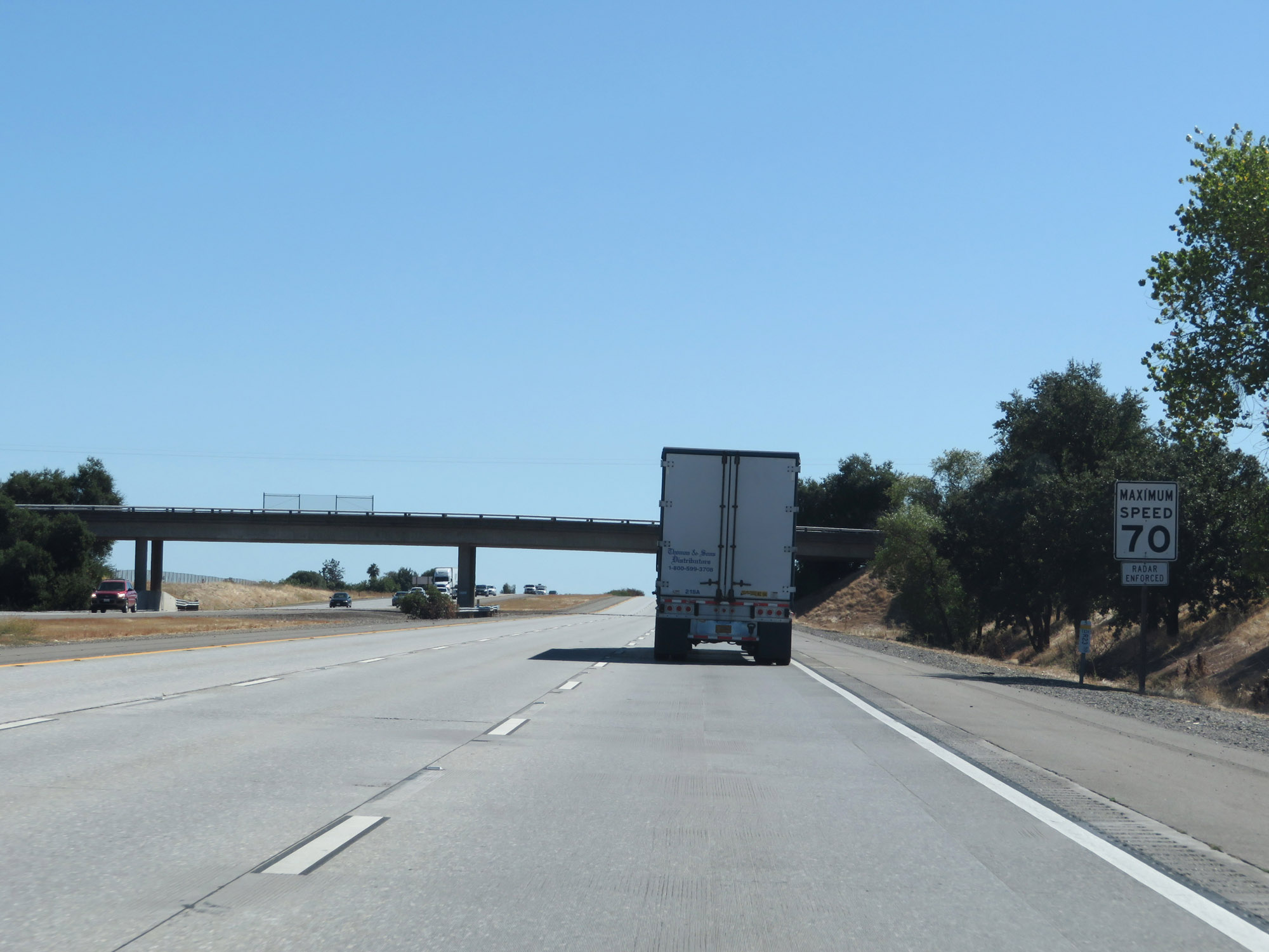
Ahead, Interstate 5 South will traverse another steep downgrade. This one will be a 5% grade which will last for the next 3 miles. (Photo taken 9/23/19). |
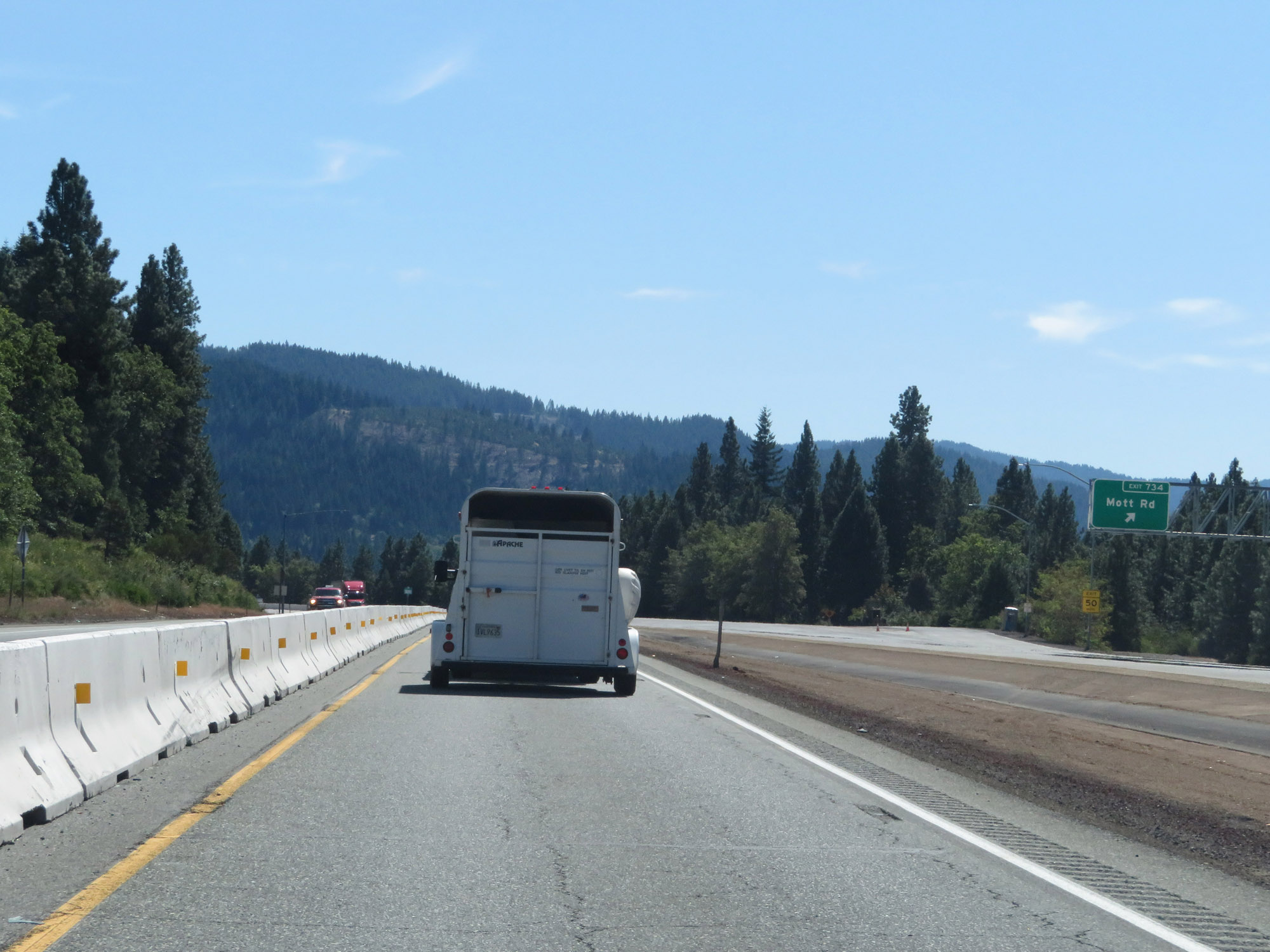 |
Interstate 5 South at Exit 734: Mott Rd (Photo taken 9/23/19). |
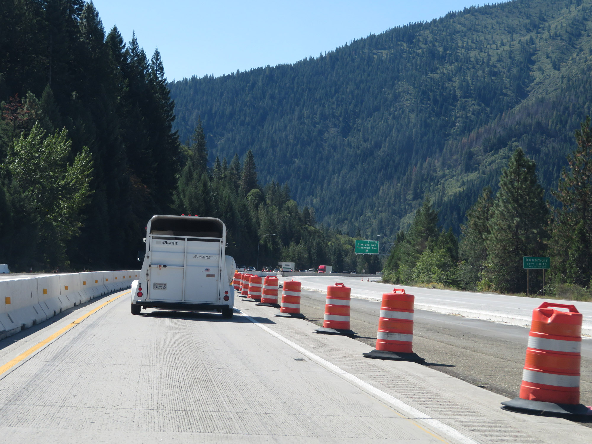 |
Interstate 5 South as it enters the Dunsmuir city limits. (Photo taken 9/23/19). |
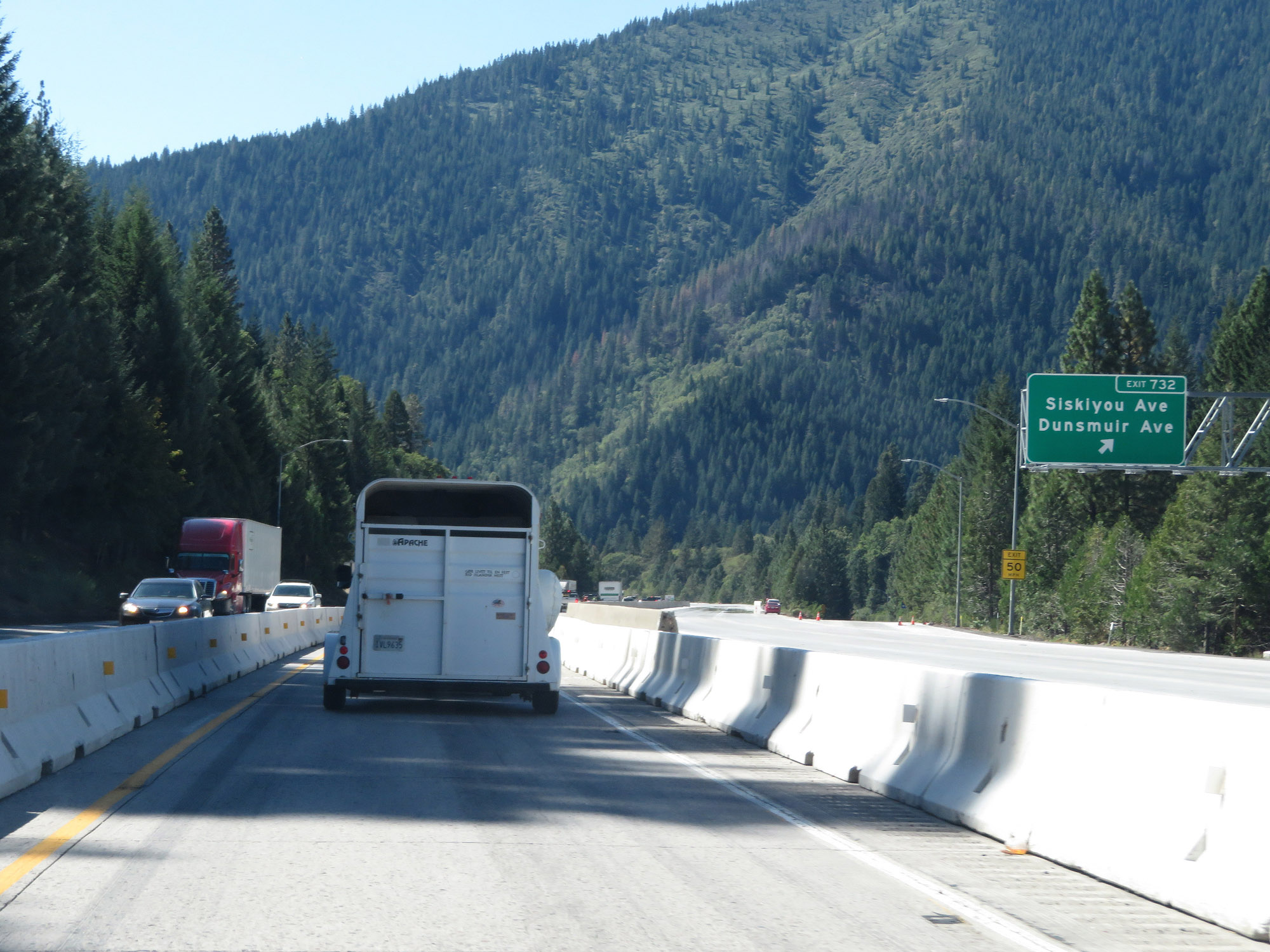 |
Interstate 5 South at Exit 732: Siskiyou Ave / Dunsmuir Ave (Photo taken 9/23/19). |
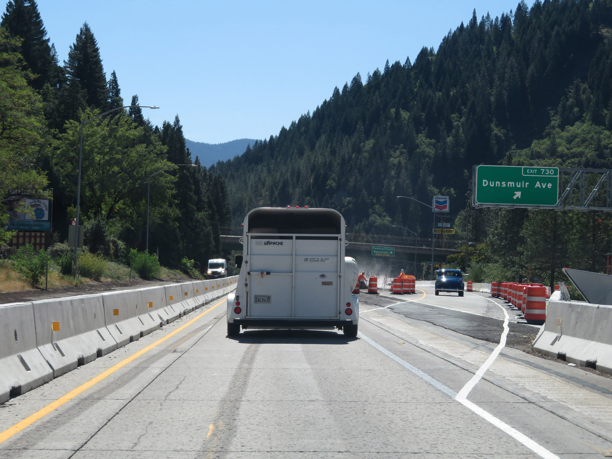 |
Interstate 5 South at Exit 730: Dunsmuir Ave (Photo taken 9/23/19). |
Section 3: Dunsmuir (Exit 730) to Redding (Exit 682)
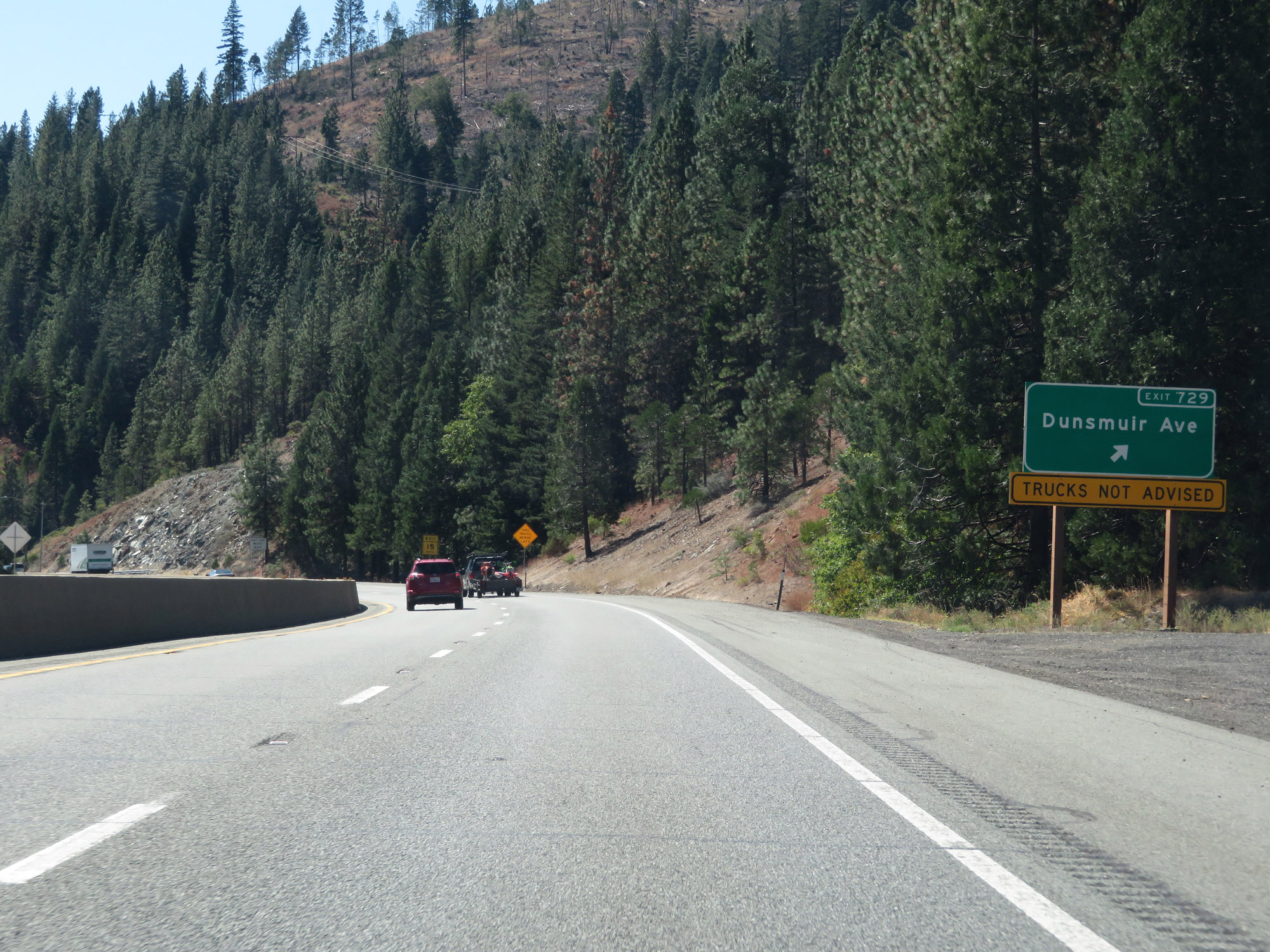 |
Interstate 5 South at Exit 729: Dunsmuir Ave (Photo taken 9/23/19). |
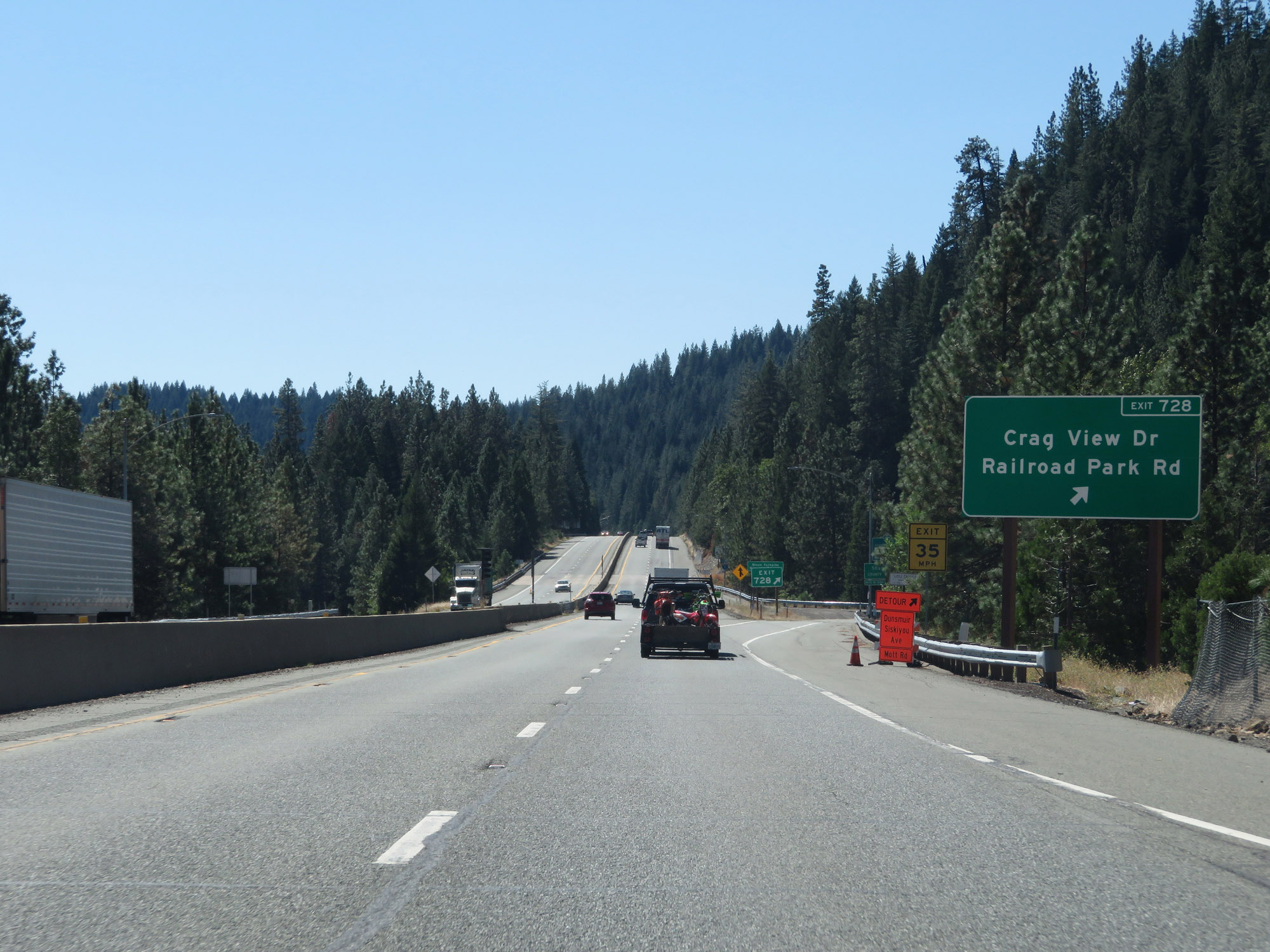 |
Interstate 5 South at Exit 728: Crag View Dr / Railroad Park Rd (Photo taken 9/23/19). |
 |
At Exit 728, Interstate 5 South enters Shasta County. (Photo taken 9/23/19). |
 |
The speed limit remains 65 mph for automobiles, due to the mountainous terrain ahead. (Photo taken 9/23/19). |
 |
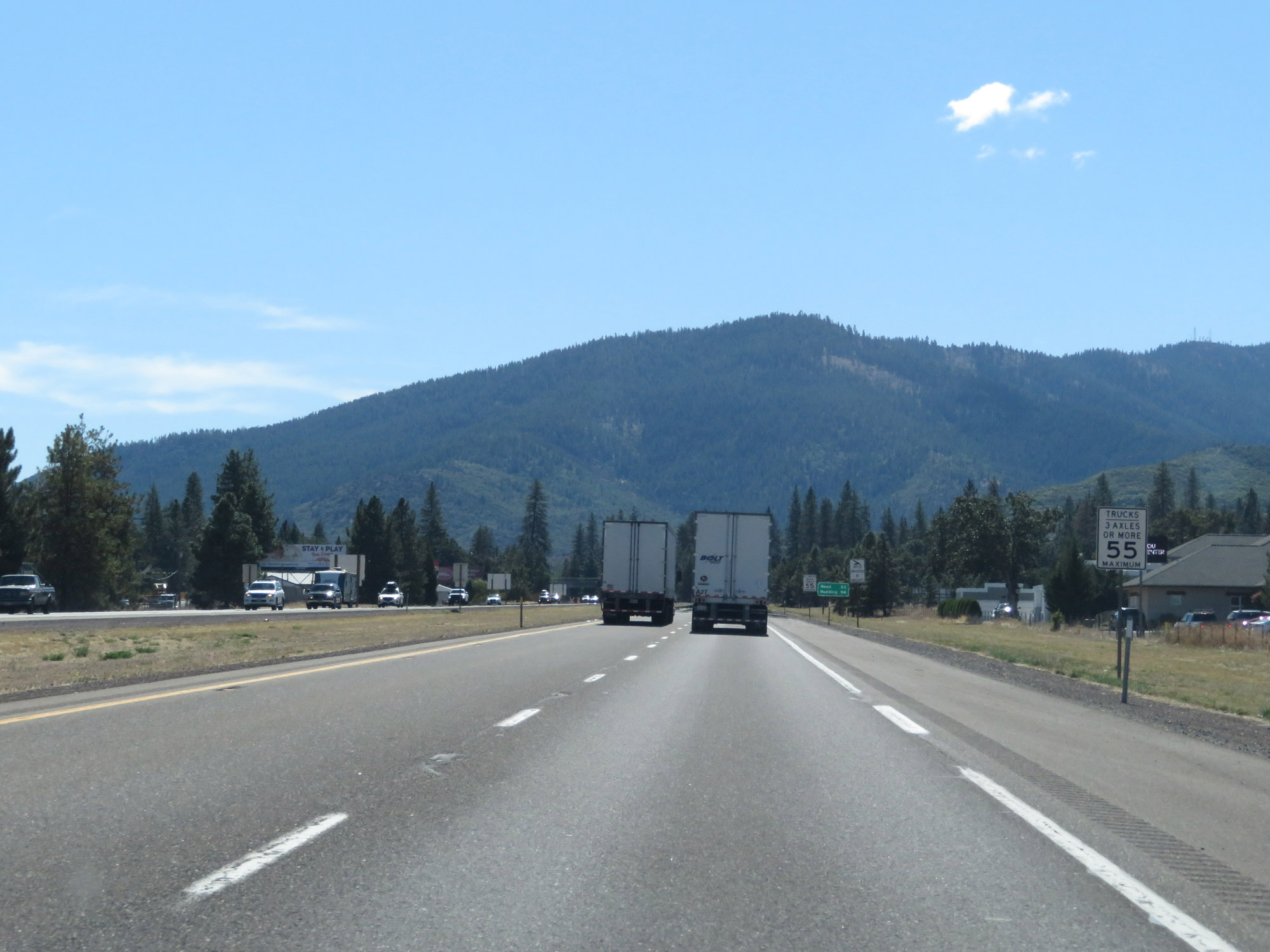
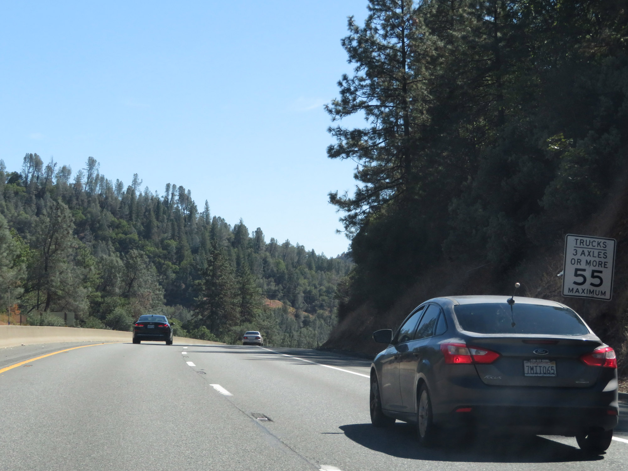
For trucks of 3 or more axles, the speed limit remains 55 mph. (Photo taken 9/23/19). |
 |
All vehicles towing trailers are restricted to 55 mph in California. (Photo taken 9/23/19). |
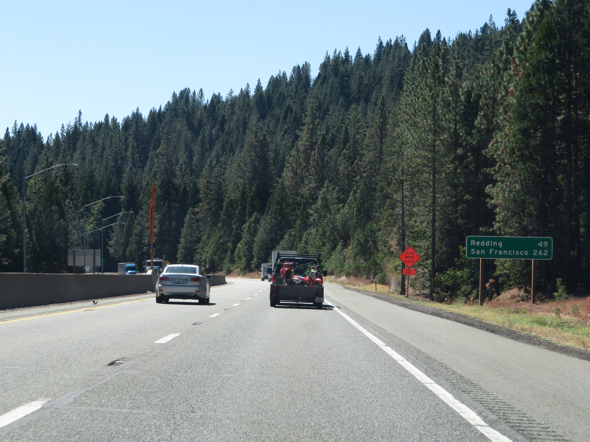 |
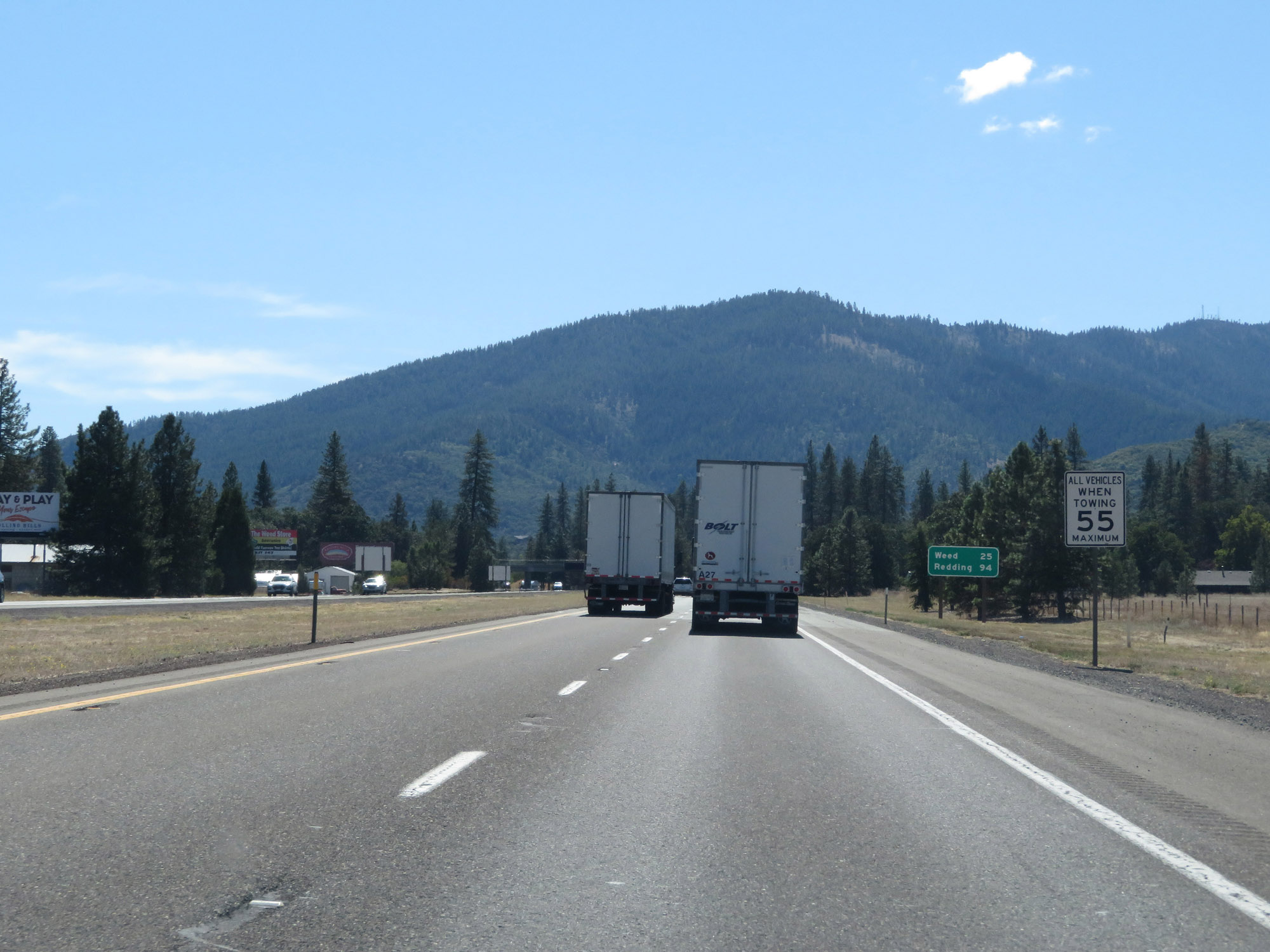
Mileage sign on Interstate 5 South. It's 49 miles to Redding and 262 miles to San Francisco. (Photo taken 9/23/19). |
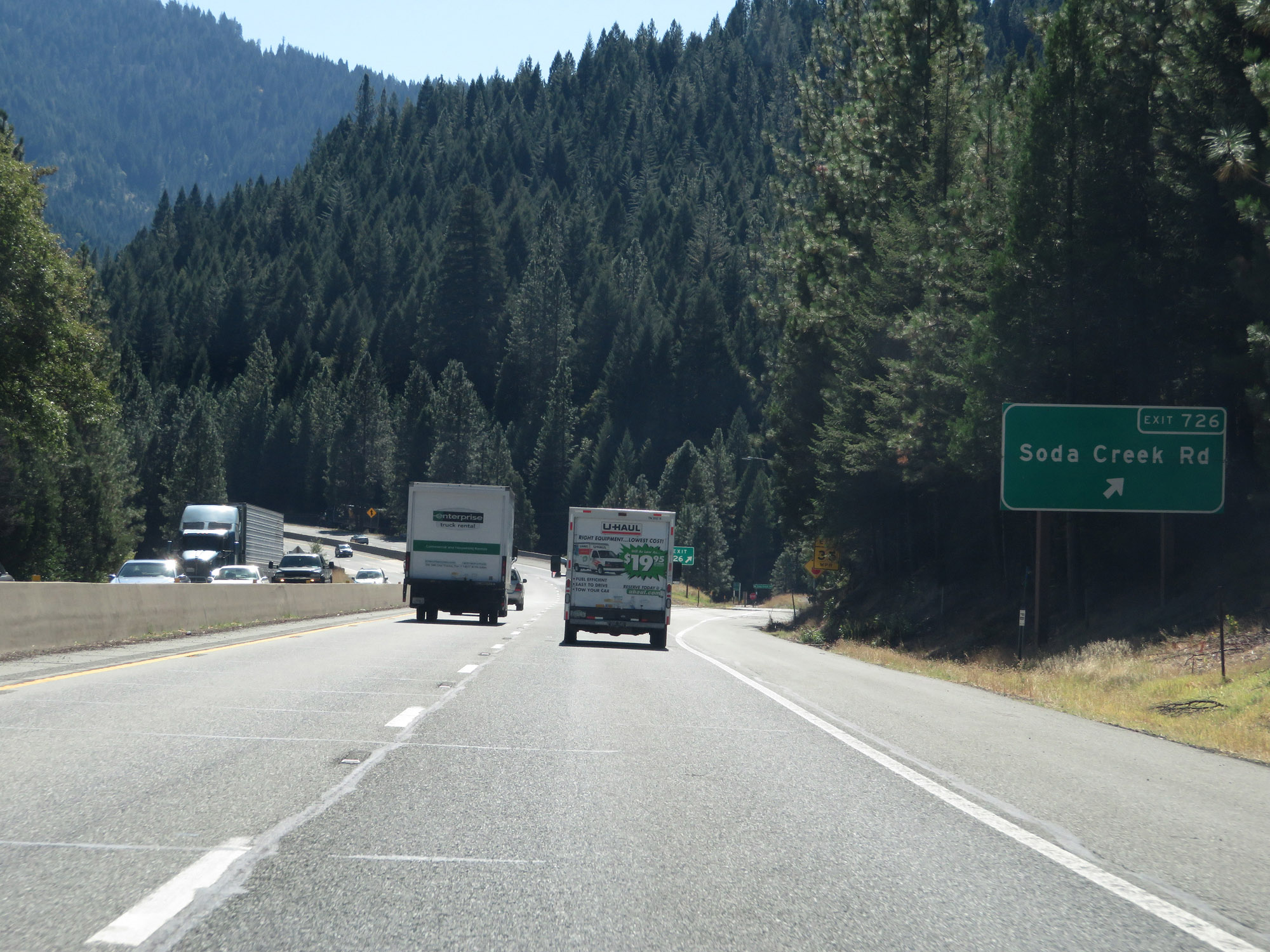 |
Interstate 5 South at Exit 726: Soda Creek Rd (Photo taken 9/23/19). |
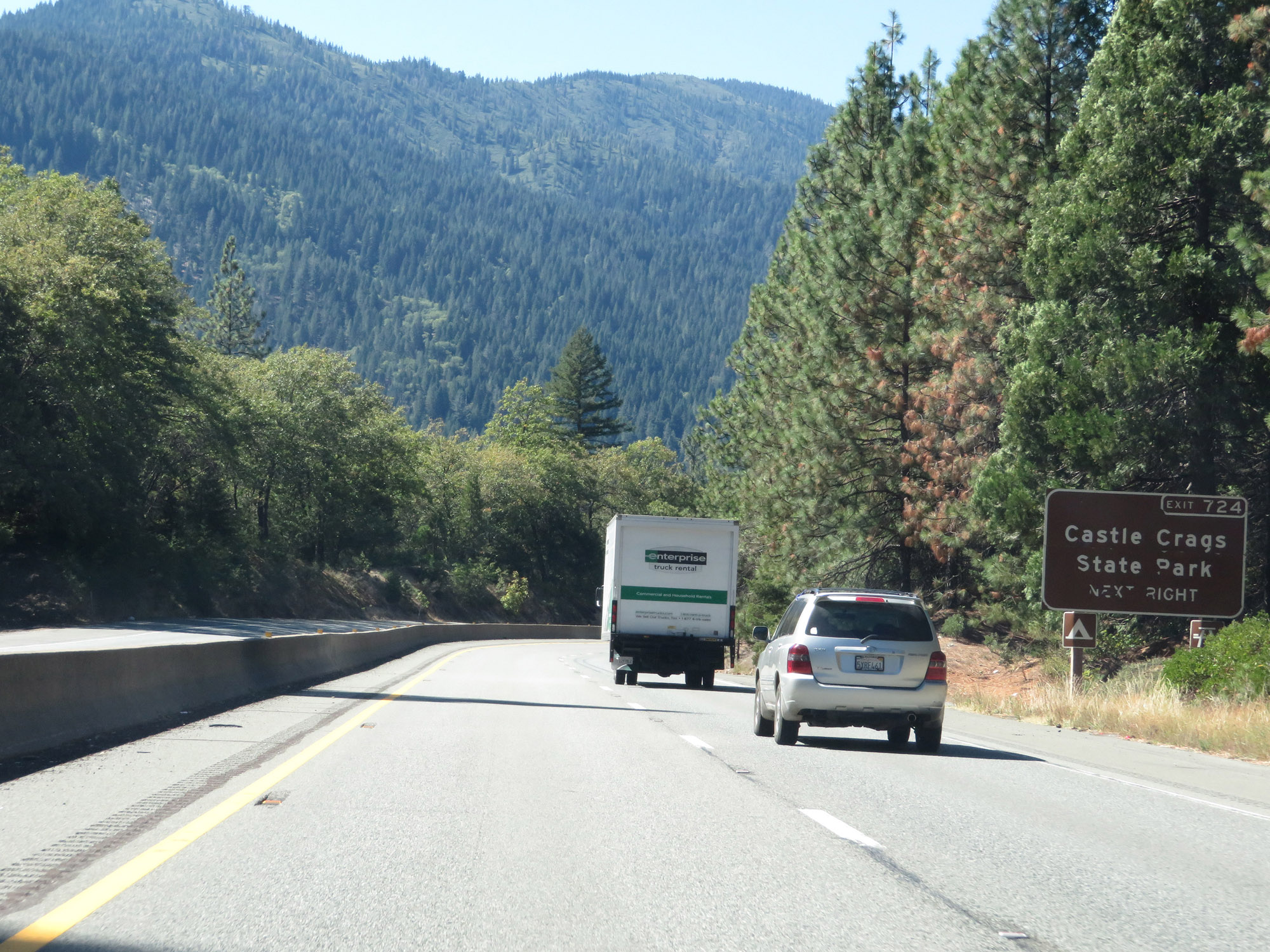 |
Take Exit 724 to Castle Crags State Park. (Photo taken 9/23/19). |
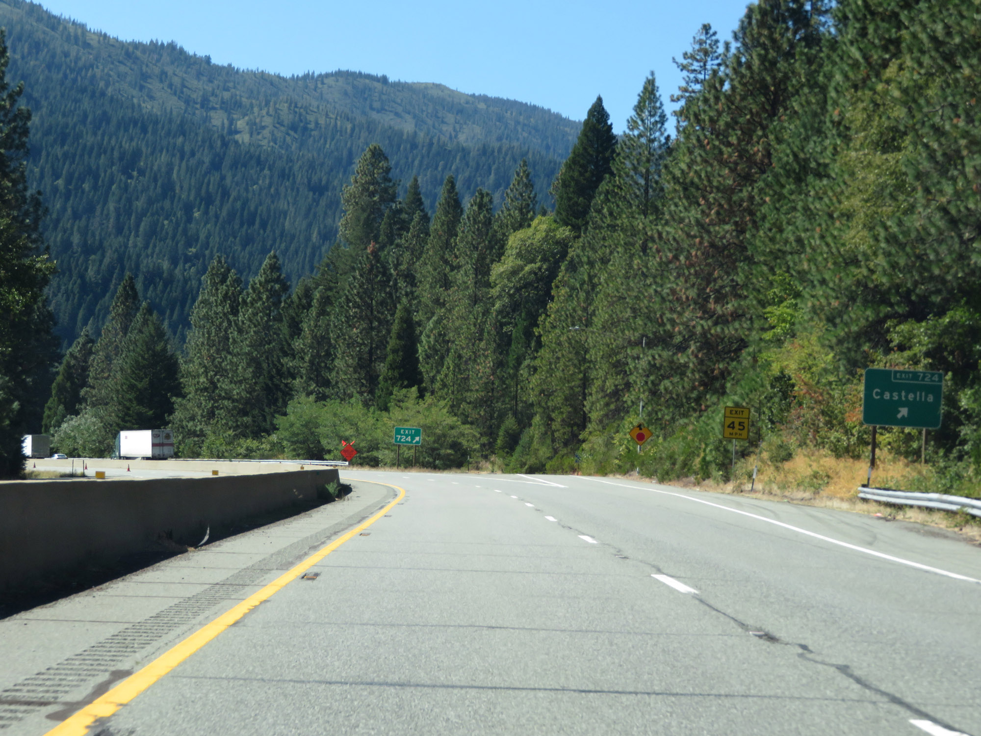 |
Interstate 5 South at Exit 724: Castella (Photo taken 9/23/19). |
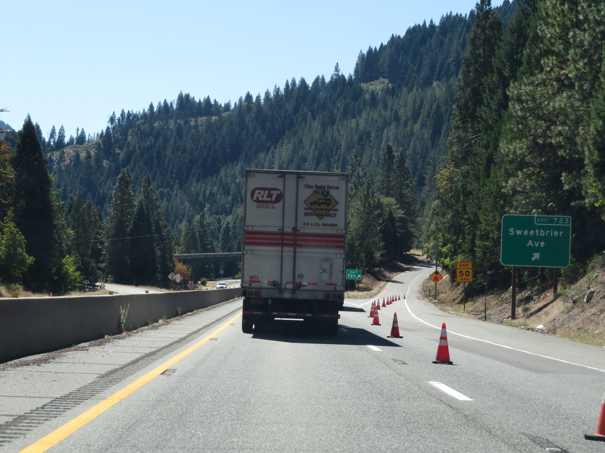 |
Interstate 5 South at Exit 723: Sweetbrier Ave (Photo taken 9/23/19). |
 |
South of Exit 723, Interstate 5 South reaches an elevation of 2,000 feet after staying around 3,000 feet for quite some time. (Photo taken 9/23/19). |
 |
View on Interstate 5 South in Shasta County, as it continues to go down in altitude. (Photo taken 9/23/19). |
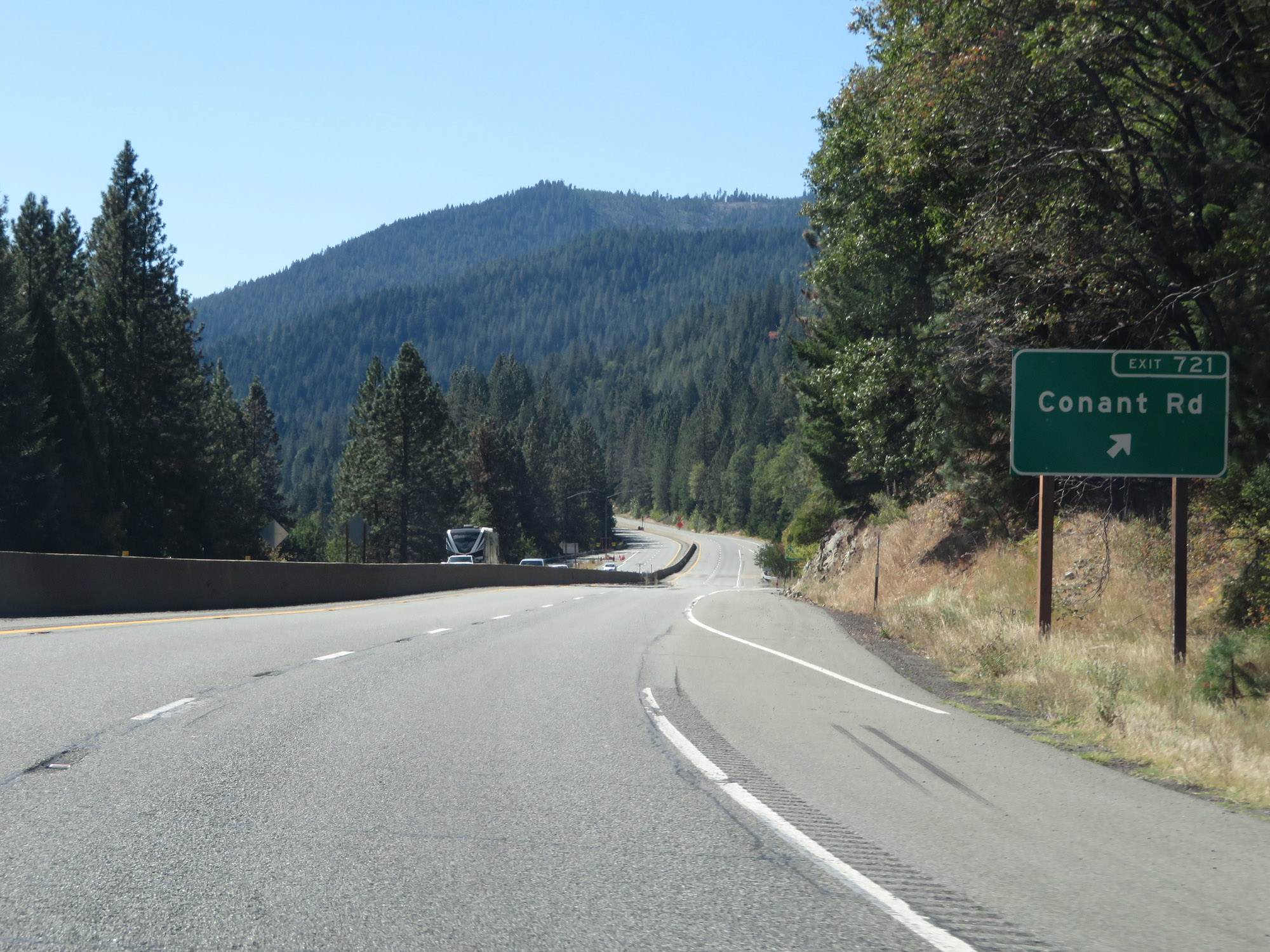 |
Interstate 5 South at Exit 721: Conant Rd (Photo taken 9/23/19). |
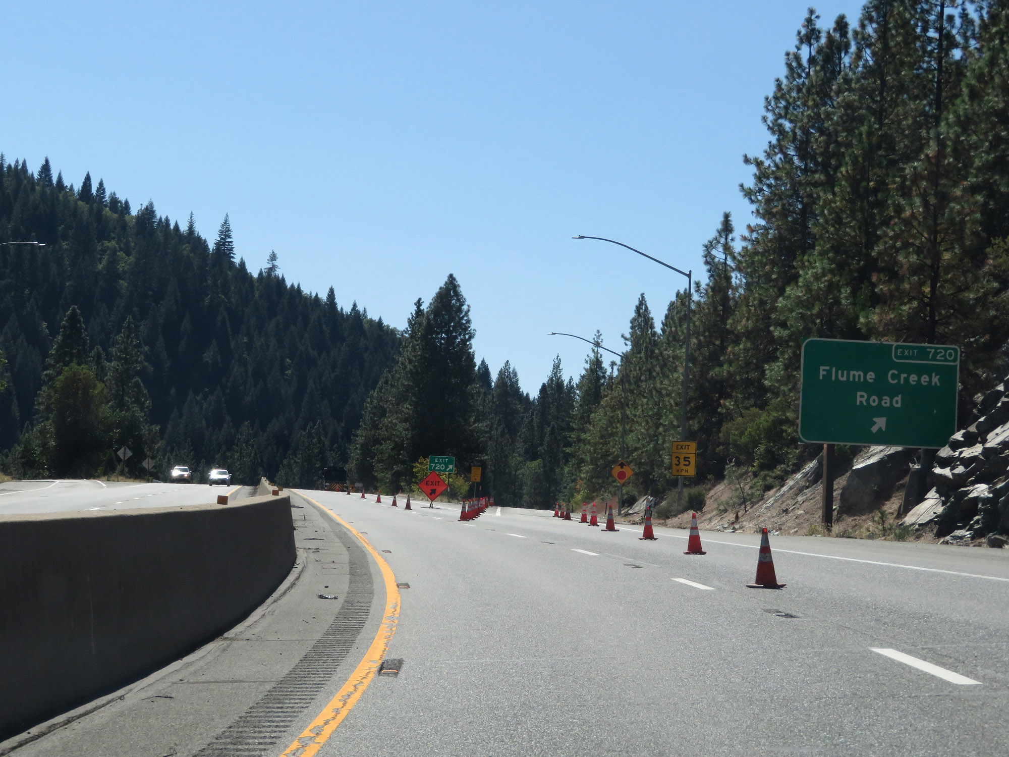 |
Interstate 5 South at Exit 720: Flume Creek Road (Photo taken 9/23/19). |
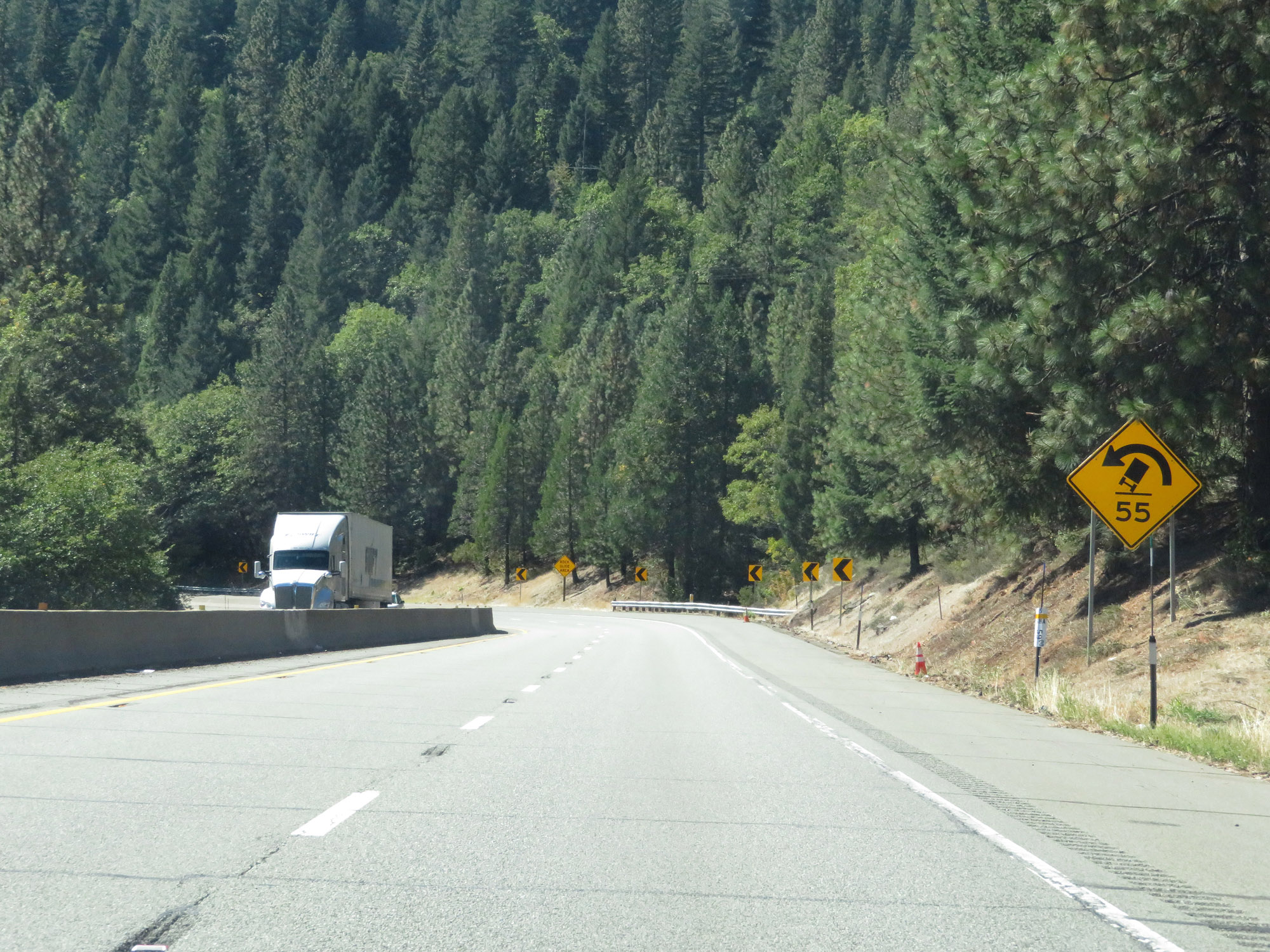 |
As Interstate 5 South continues to descend in elevation, it will traverse multiple 55 mph curves like the one ahead. (Photo taken 9/23/19). |
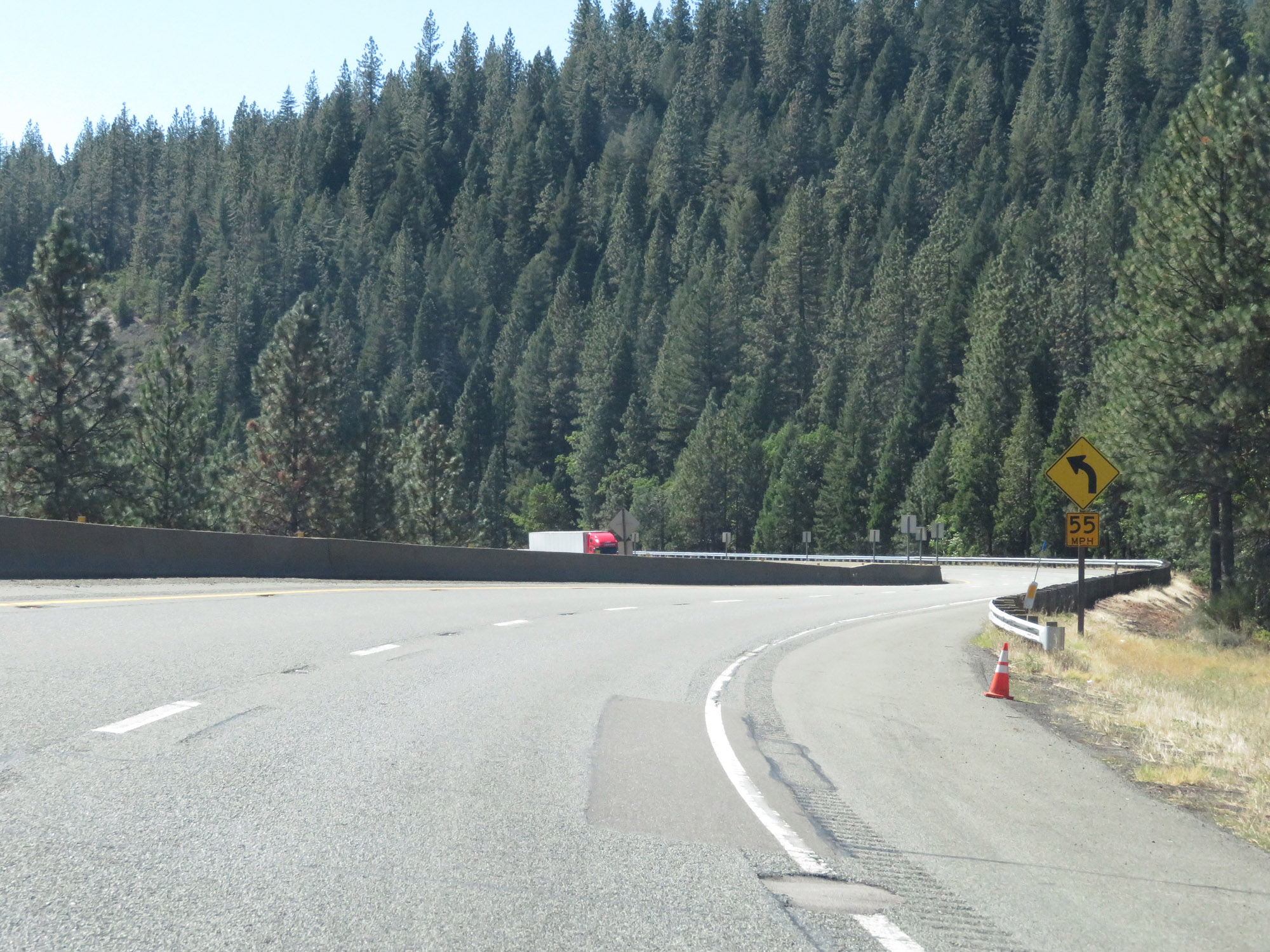 |
View on Interstate 5 South as it traverses more 55 mph curves. (Photo taken 9/23/19). |
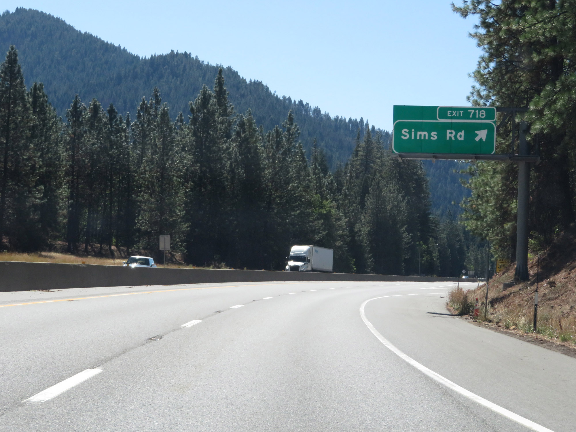 |
Interstate 5 South at Exit 718: Sims Rd (Photo taken 9/23/19). |
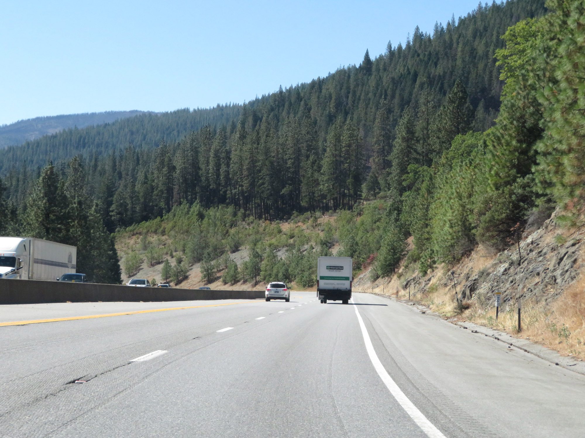 |
Interstate 5 South in Shasta County, as it continues to descend. (Photo taken 9/23/19). |
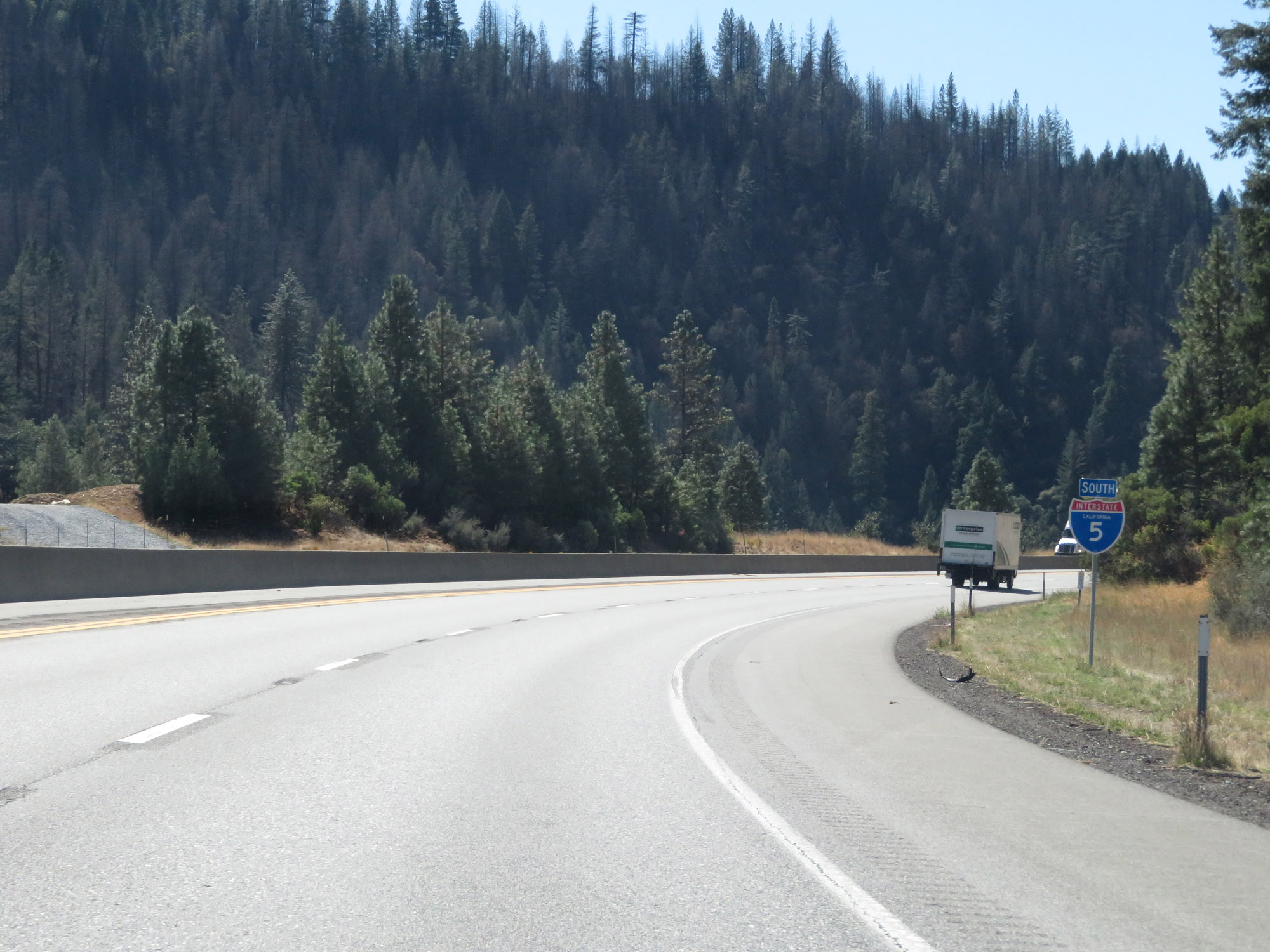 |
State-named Interstate 5 South reassurance shield. (Photo taken 9/23/19). |
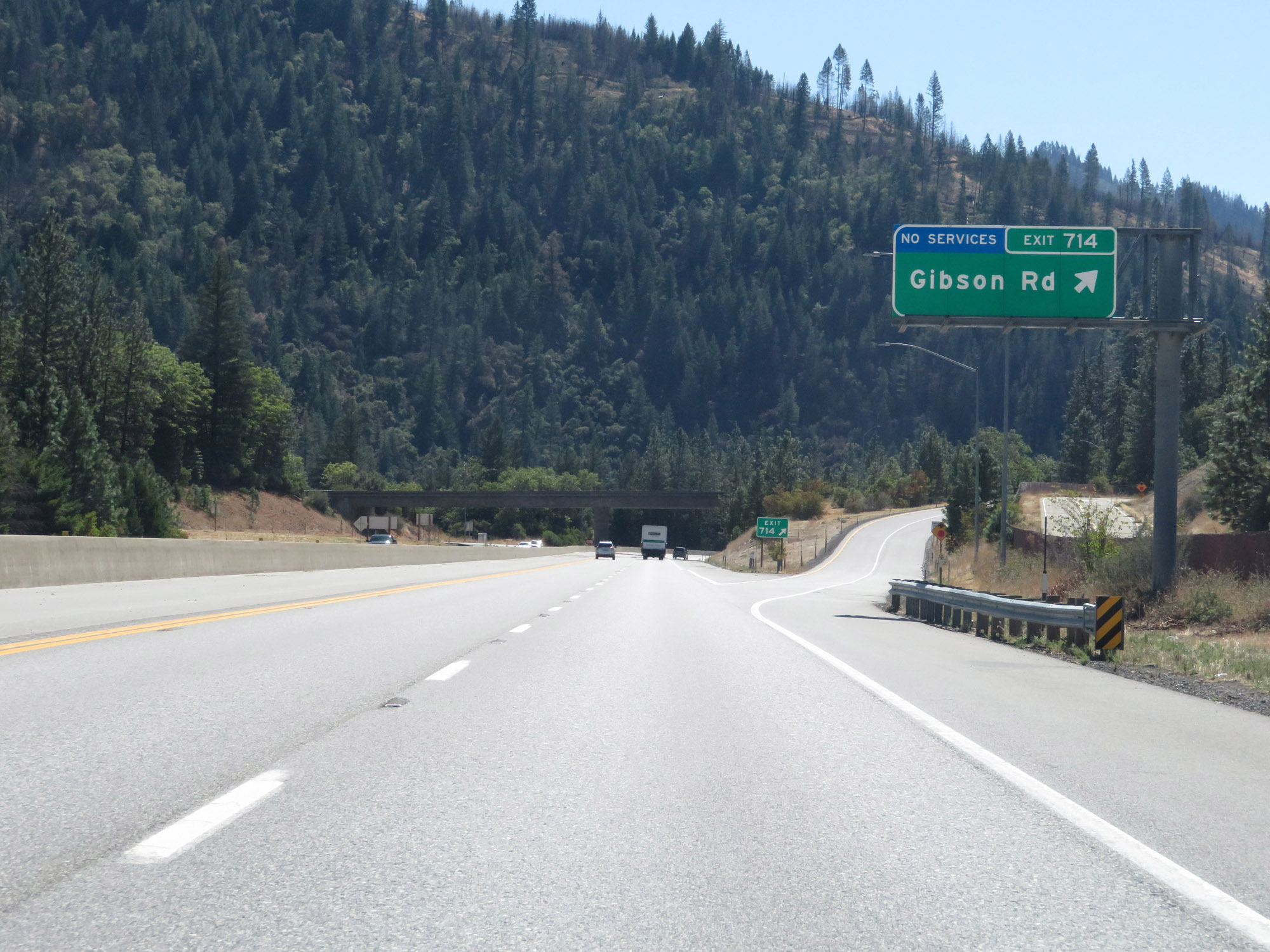 |
Interstate 5 South at Exit 714: Gibson Rd (Photo taken 9/23/19). |
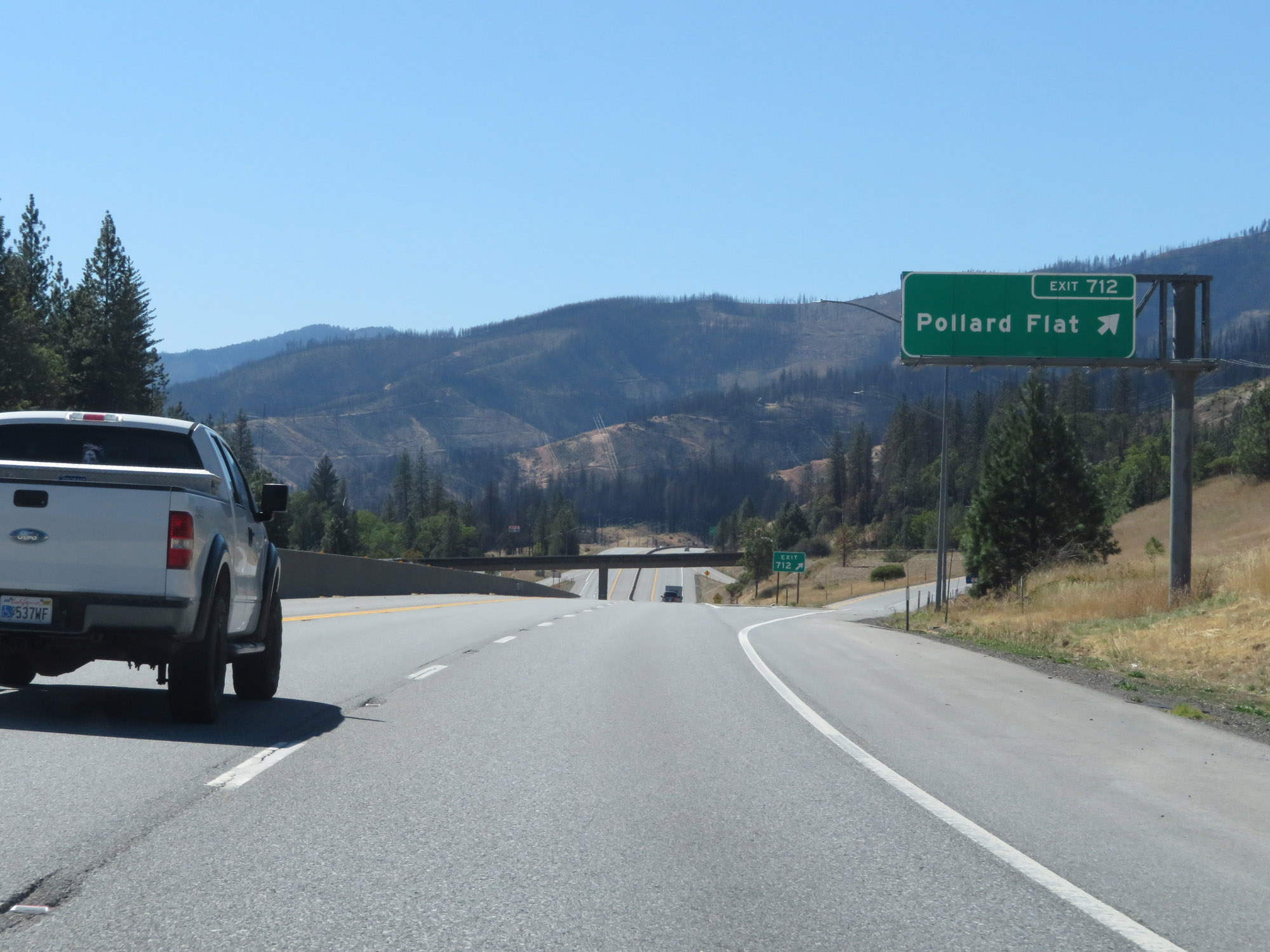 |
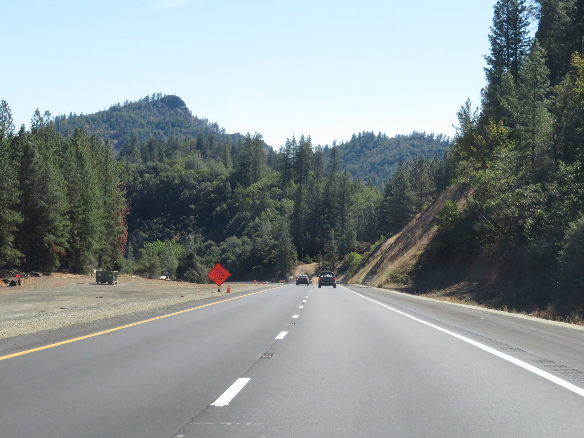
Interstate 5 South at Exit 712: Pollard Flat. This photo gives a distant view of some of the wildfire destruction which took place about a year prior. (Photo taken 9/23/19). |
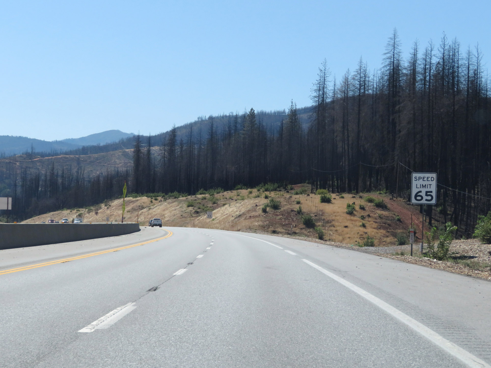 |
The speed limit remains 65 mph for automobiles on Interstate 5 South. Here, we can see close up some of the wildfire damage from a year prior. (Photo taken 9/23/19). |
 |
The speed limit for trucks of 3 or more axles remains 55 mph. (Photo taken 9/23/19). |
 |
All vehicles towing trailers are restricted to 55 mph. (Photo taken 9/23/19). |
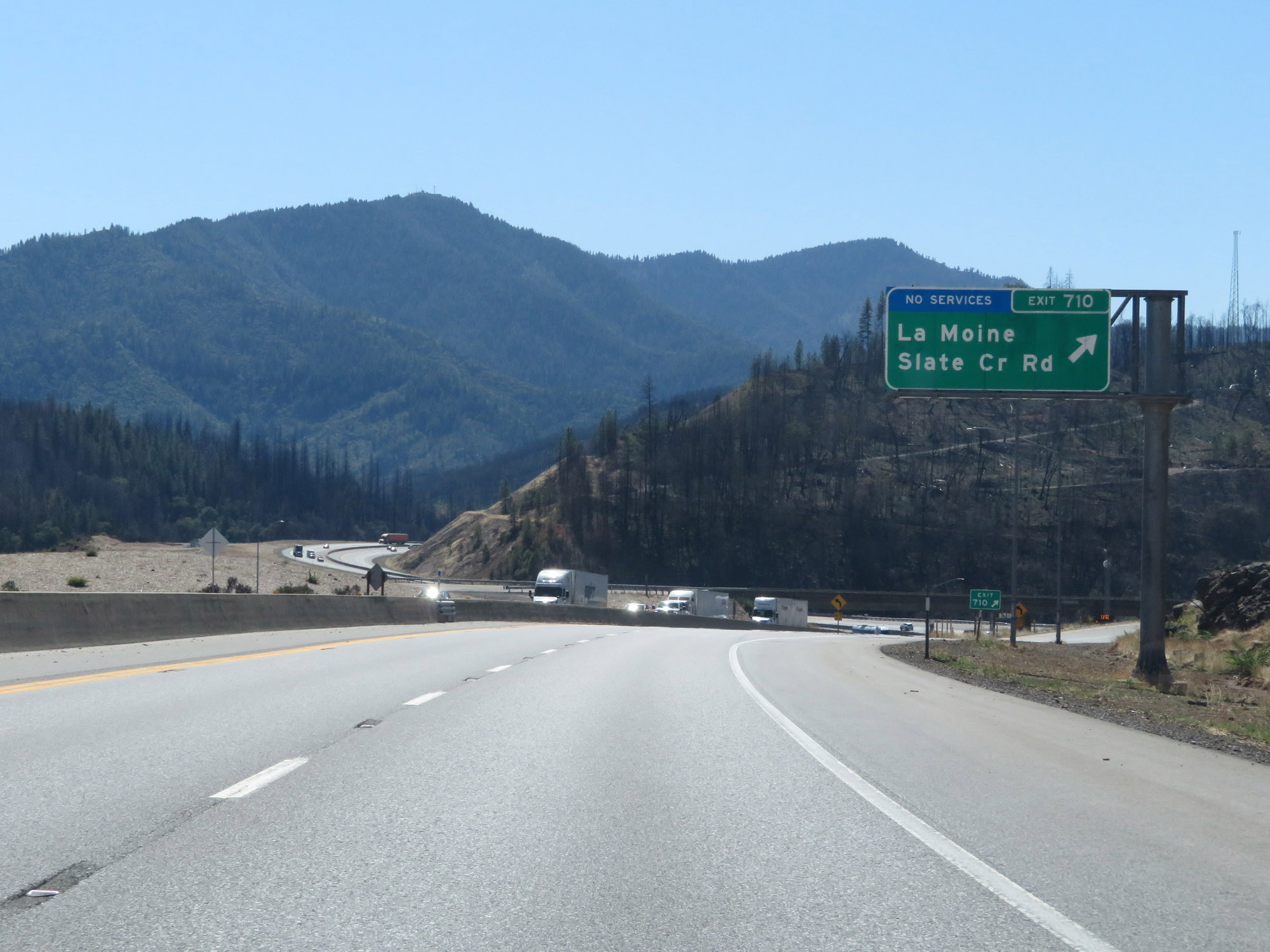 |
Interstate 5 South at Exit 710: La Moine / Slate Creek Rd (Photo taken 9/23/19). |
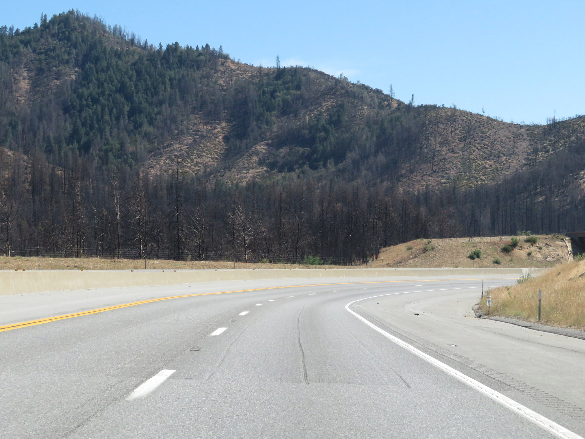 |
Here is another view of the previous year's wildfire damage, which led to Interstate 5 being closed in September of 2018 for quite a few days. (Photo taken 9/23/19). |
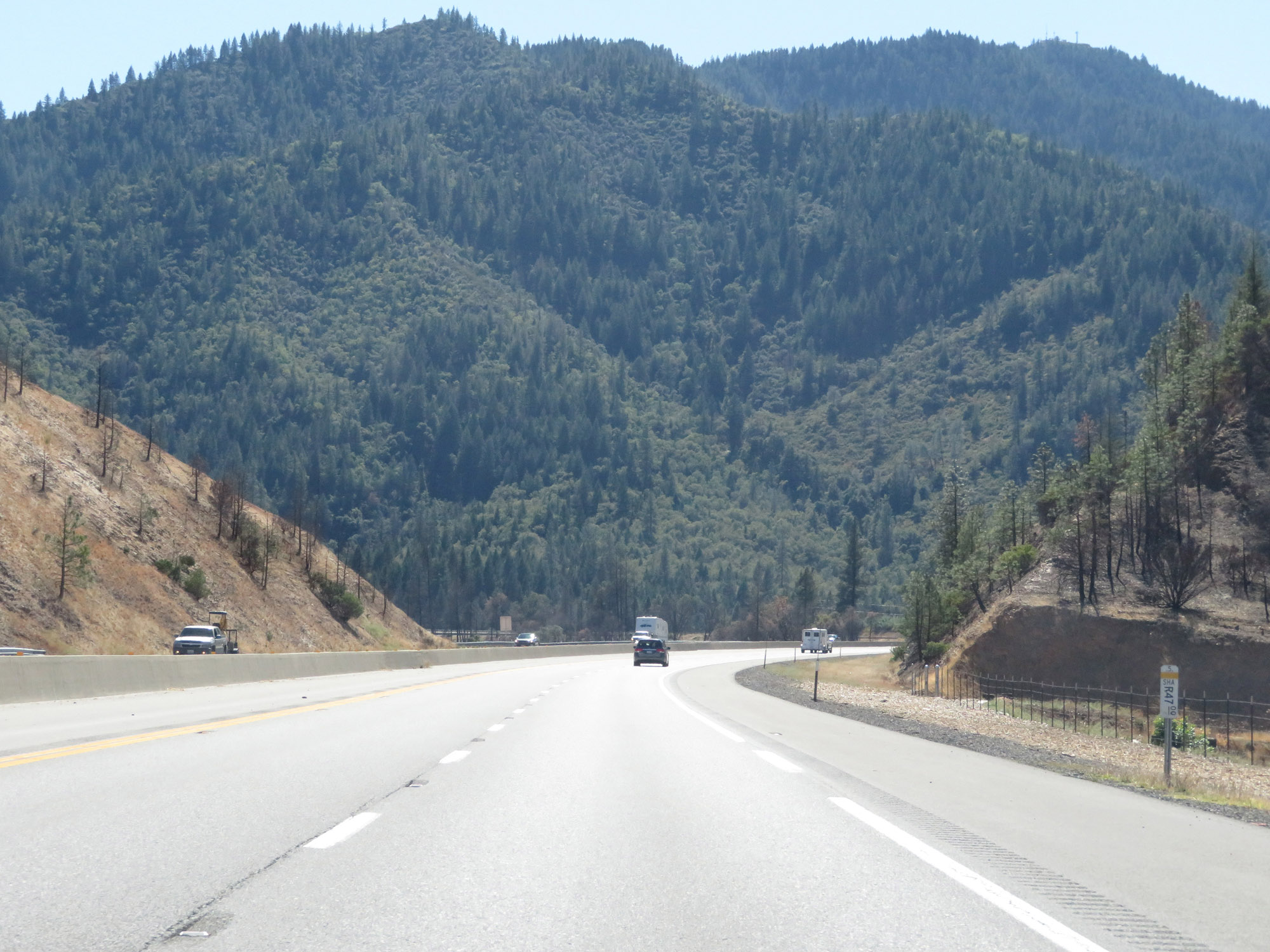 |
View on Interstate 5 South as it continues to descend in elevation. (Photo taken 9/23/19). |
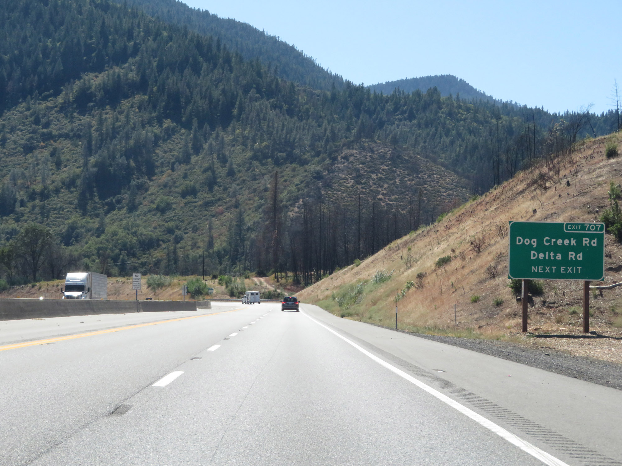 |
Take Exit 707 to Dog Creek Rd and Delta Rd. (Photo taken 9/23/19). |
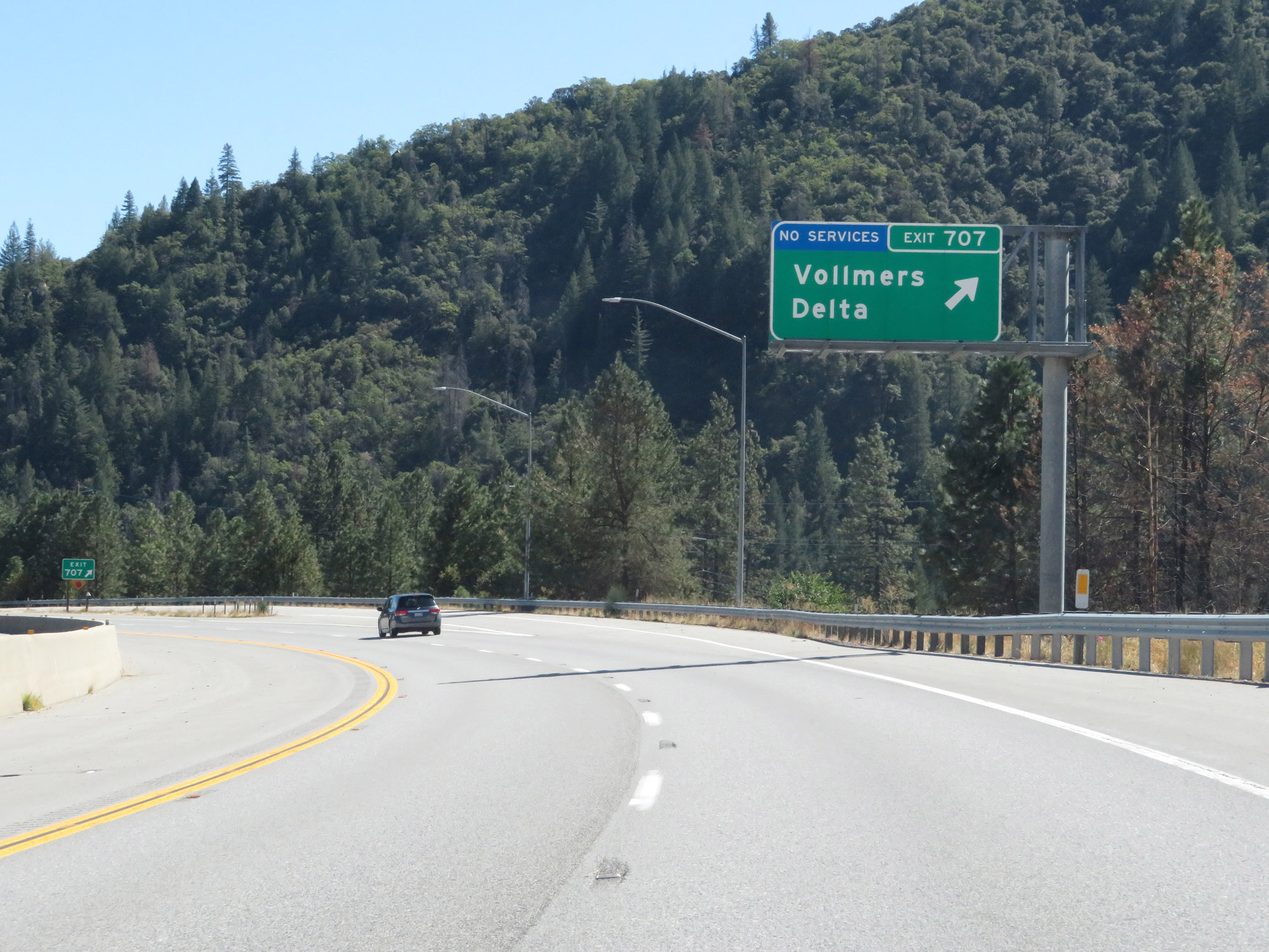 |
Interstate 5 South at Exit 707: Vollmers / Delta (Photo taken 9/23/19). |
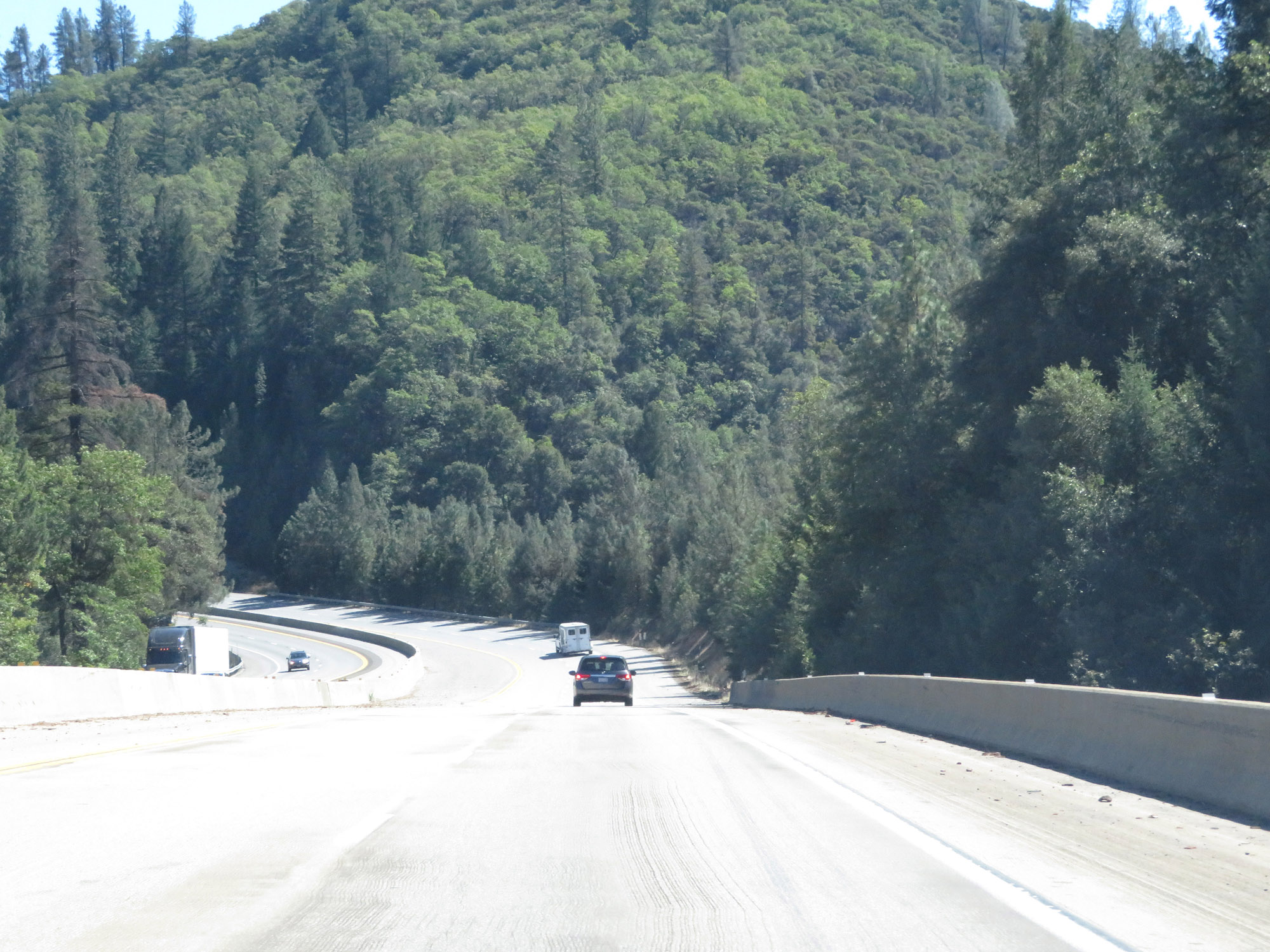 |
Another view on Interstate 5 South. (Photo taken 9/23/19). |
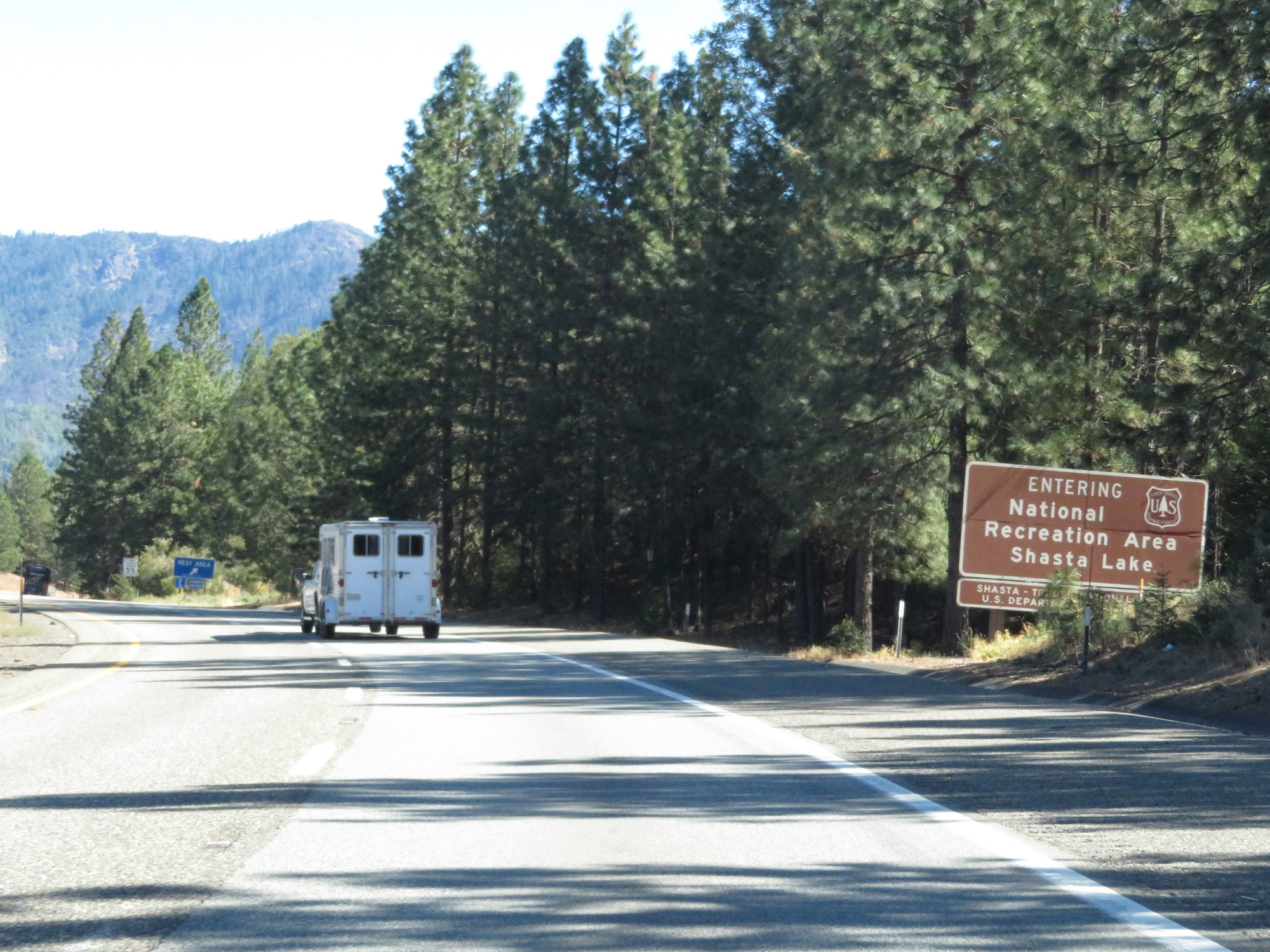 |
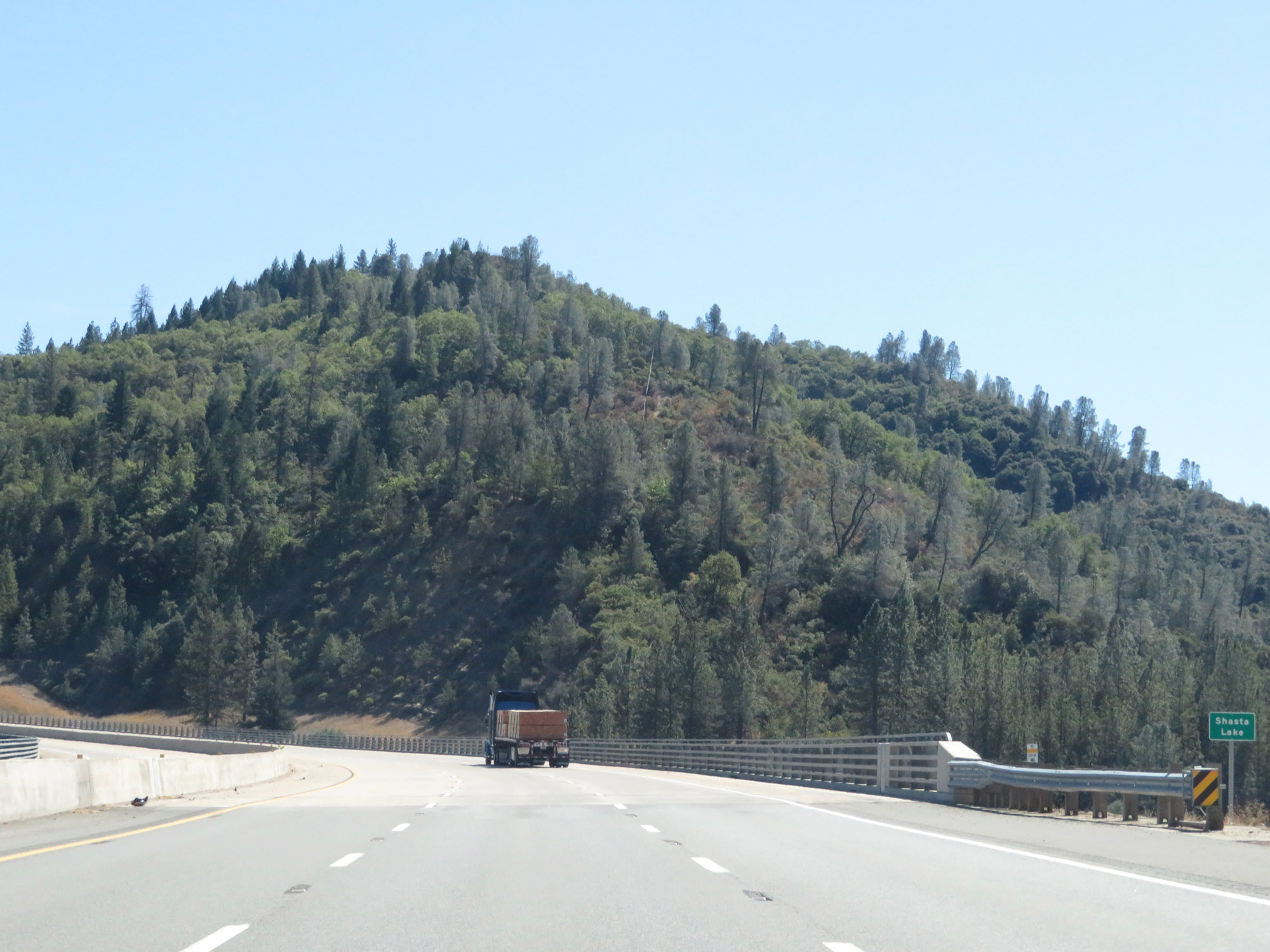
Interstate 5 South as it enters Shasta Lake National Recreation Area. (Photo taken 9/23/19). |
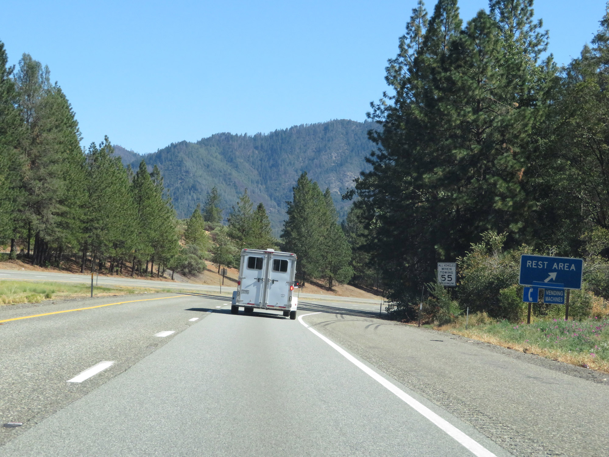 |
Rest Area on Interstate 5 South in Shasta County. (Photo taken 9/23/19). |
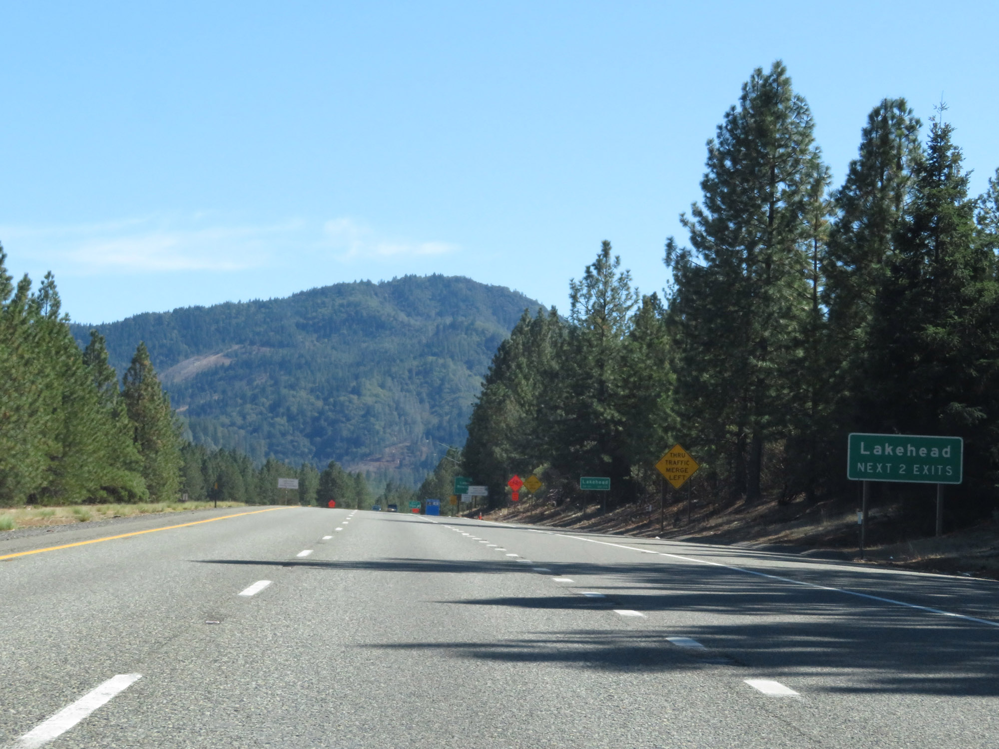 |
Take either of the next 2 exits to Lakehead. (Photo taken 9/23/19). |
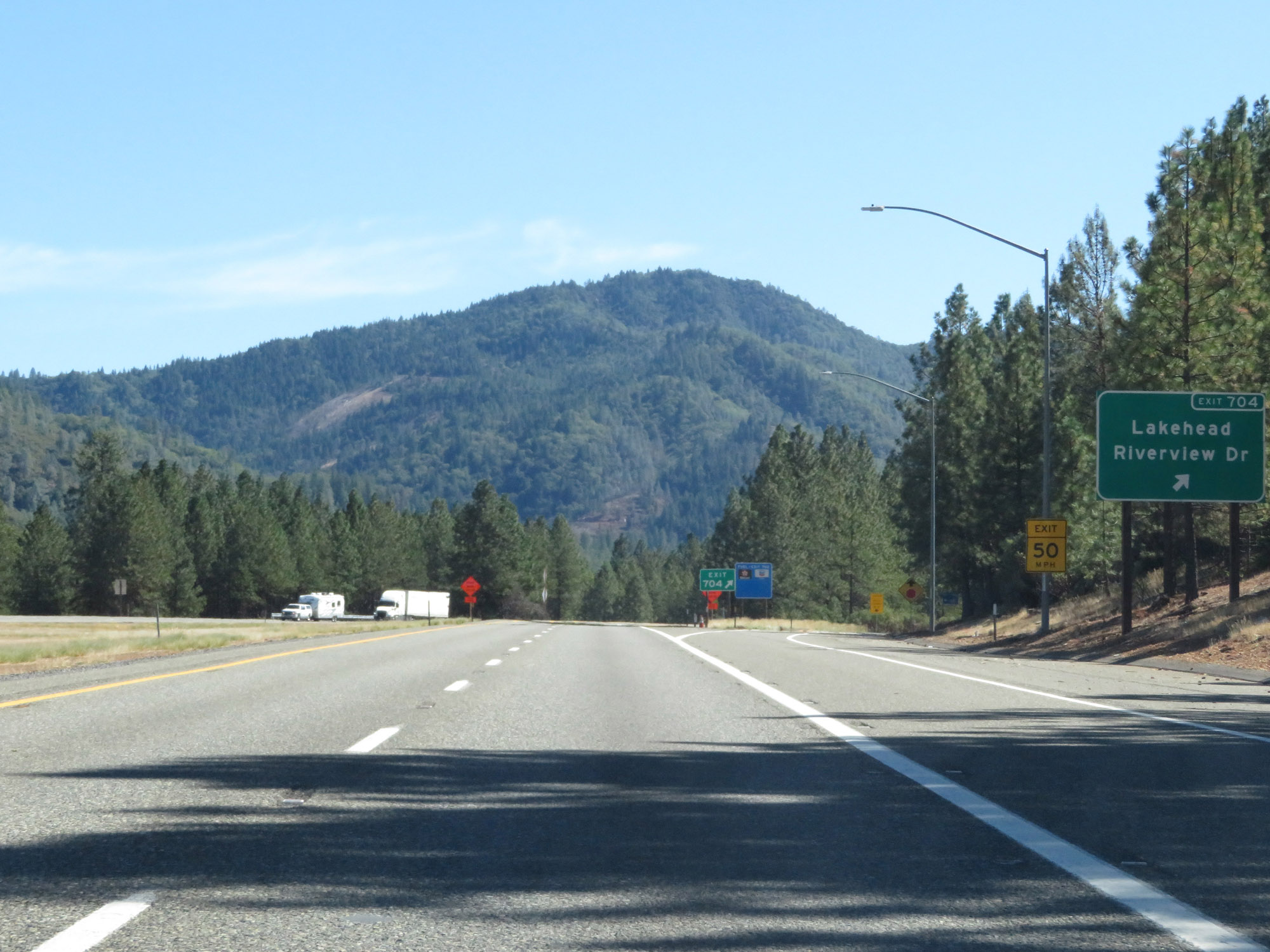 |
Interstate 5 South at Exit 704: Lakehead / Riverview Dr (Photo taken 9/23/19). |
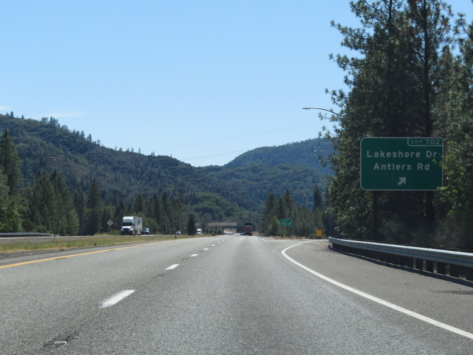 |
Interstate 5 South at Exit 702: Lakeshore Dr / Antlers Rd (Photo taken 9/23/19). |
 |
View on Interstate 5 South as it crosses Shasta Lake for the first time. (Photo taken 9/23/19). |
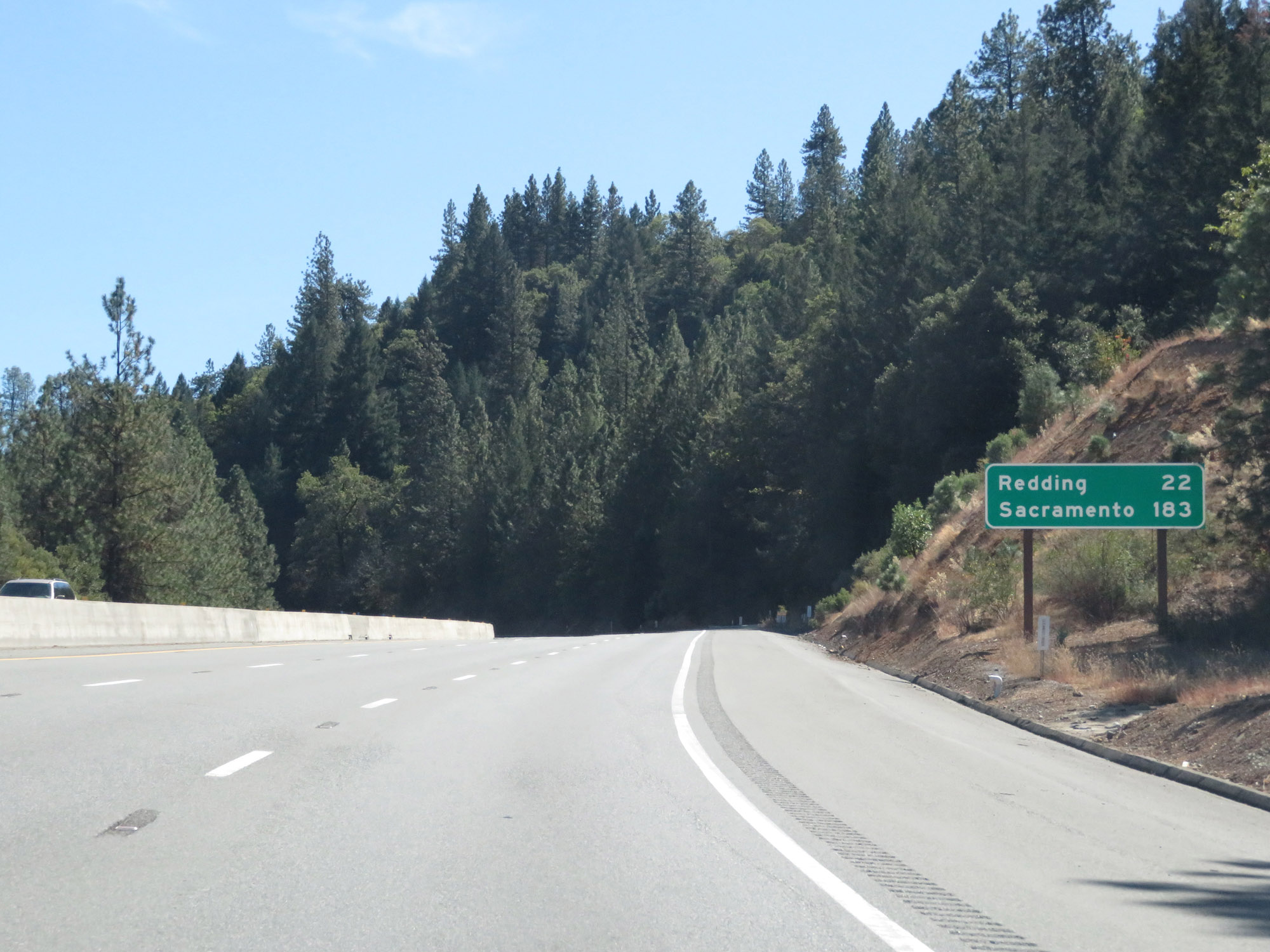 |
Mileage sign on Interstate 5 South. It's 22 miles to Redding and 183 miles to Sacramento. (Photo taken 9/23/19). |
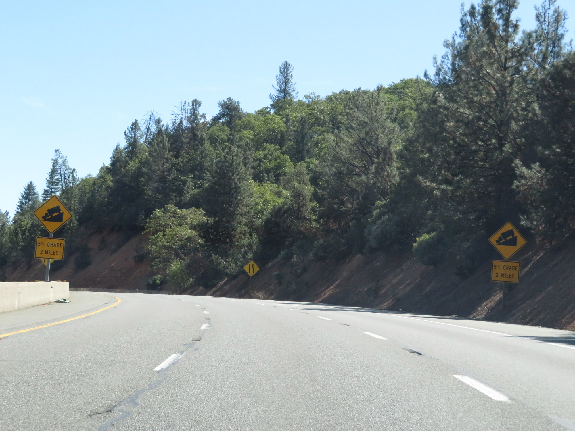 |
Interstate 5 South as it prepares for another 5% downgrade ahead, which will last for 2 miles as I-5 continues to descend out of the mountains down toward Shasta Lake. (Photo taken 9/23/19). |
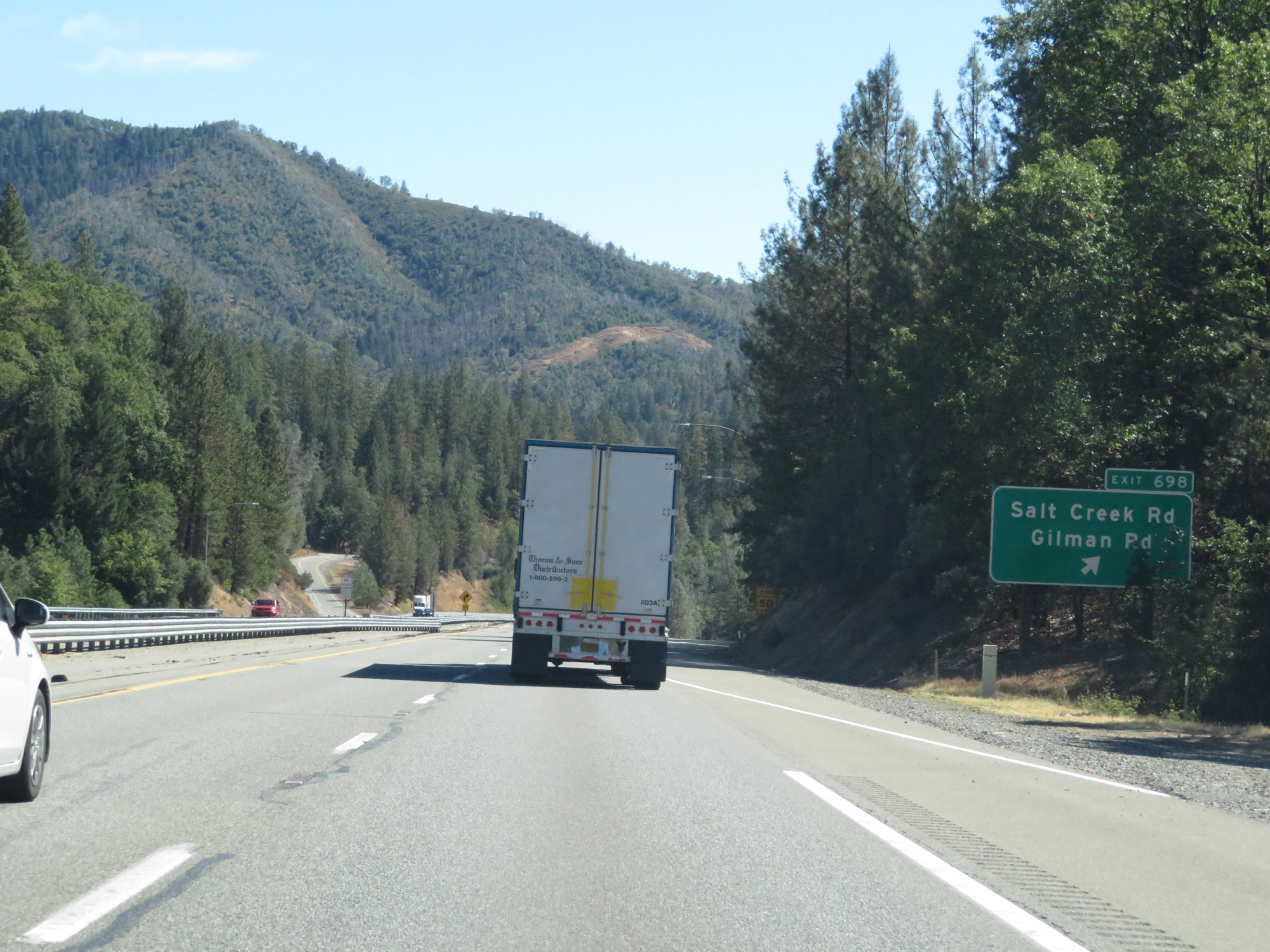 |
Interstate 5 South at Exit 698: Salt Creek Rd / Gilman Rd (Photo taken 9/23/19). |
 |
View on Interstate 5 South in Shasta County, as it continues to lose altitude. (Photo taken 9/23/19). |
 |
View on Interstate 5 South as a truck lane appears and I-5 prepares to climb back up a little bit. (Photo taken 9/23/19). |
 |
Another view on Interstate 5 South. (Photo taken 9/23/19). |
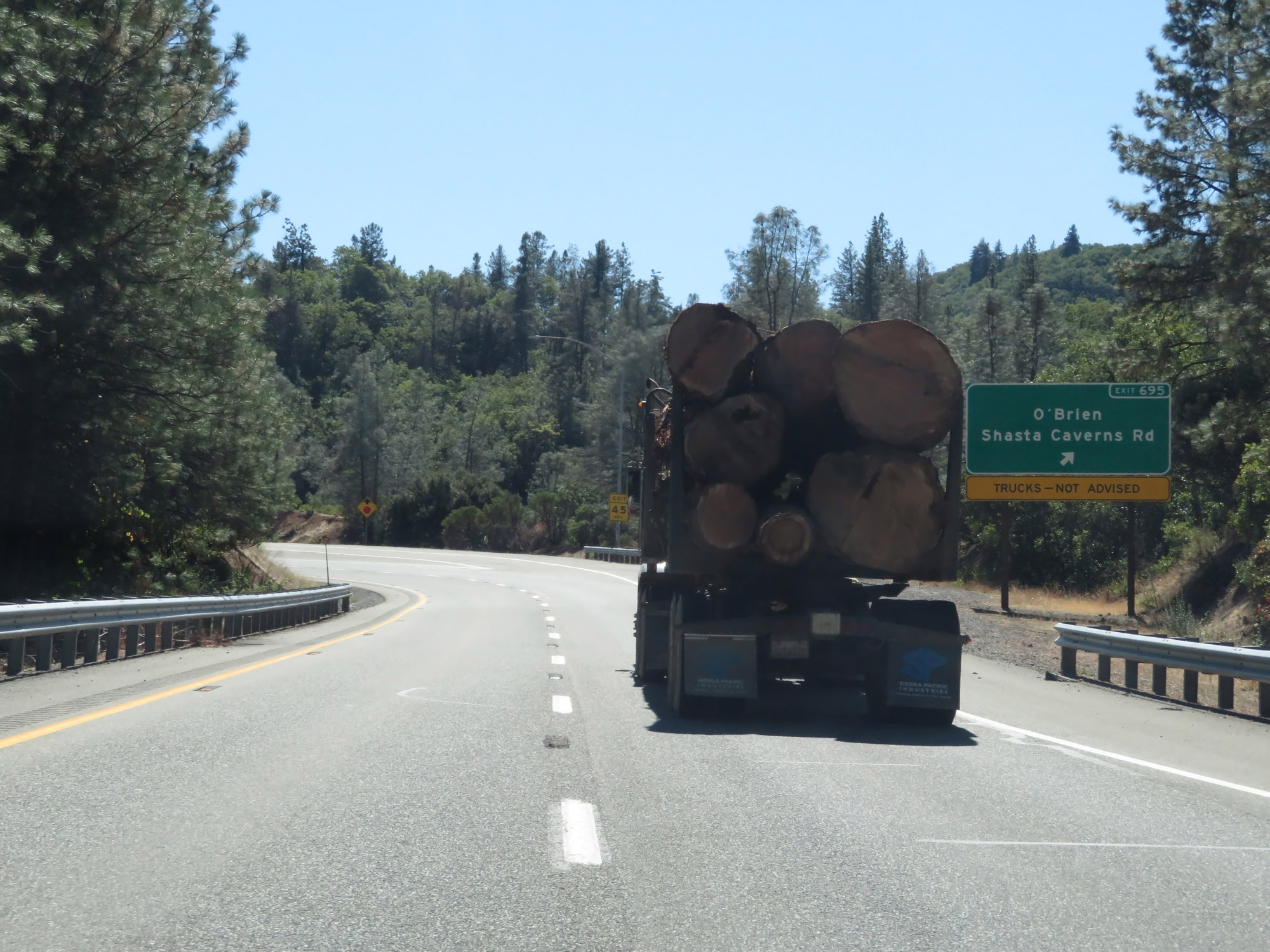 |
Interstate 5 South at Exit 695: O'Brien / Shasta Caverns Rd (Photo taken 9/23/19). |
 |
Another state-named Interstate 5 South reassurance shield. (Photo taken 9/23/19). |
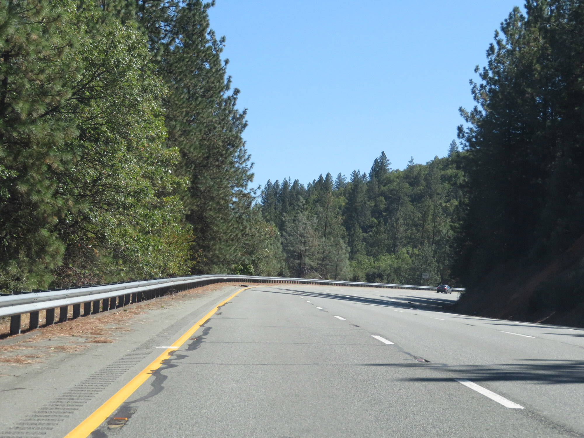 |
View on Interstate 5 South in Shasta County as it gains a little bit of elevation once again. (Photo taken 9/23/19). |
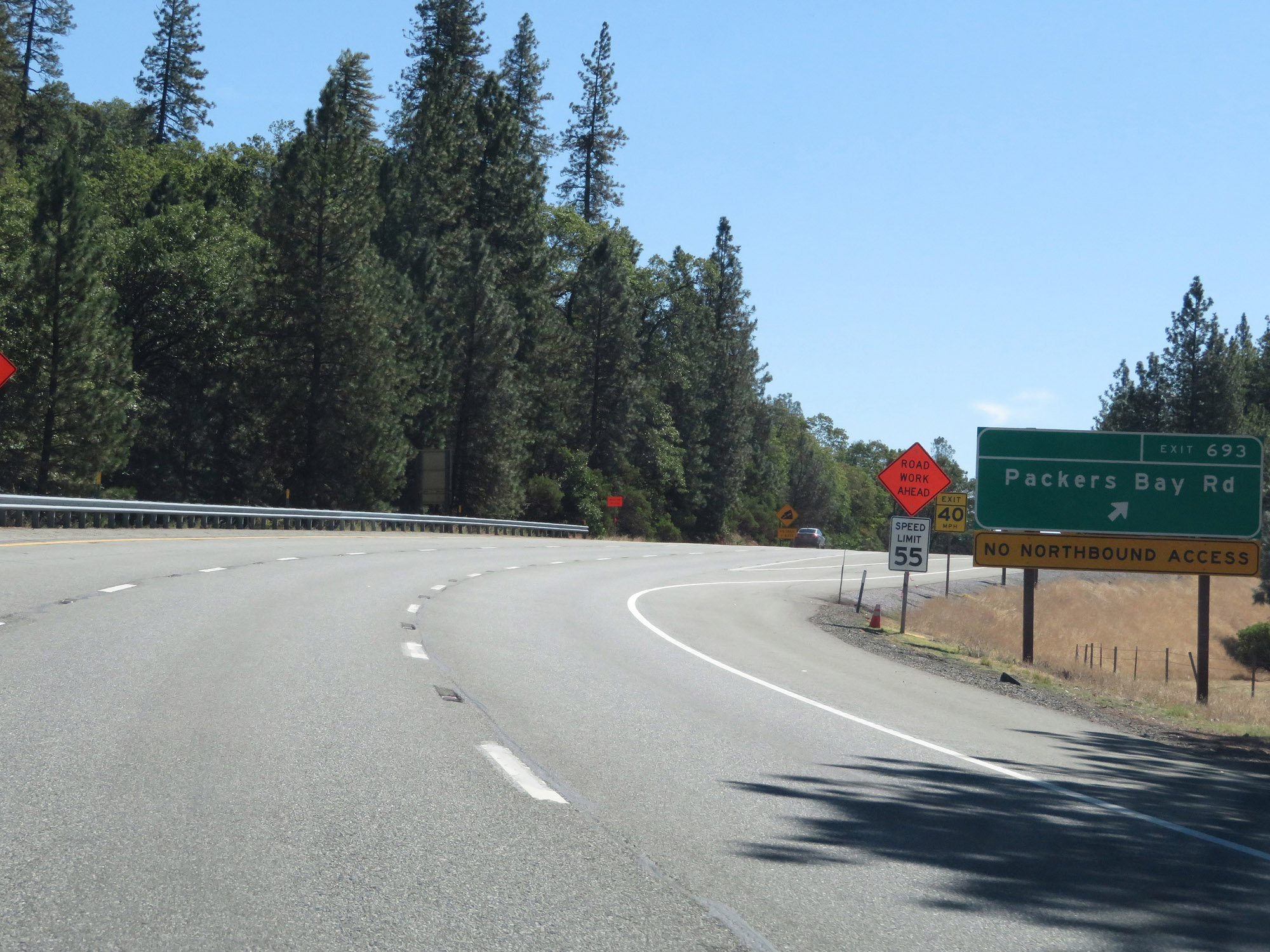 |
Interstate 5 South at Exit 693: Packers Bay Rd (Photo taken 9/23/19). |
 |
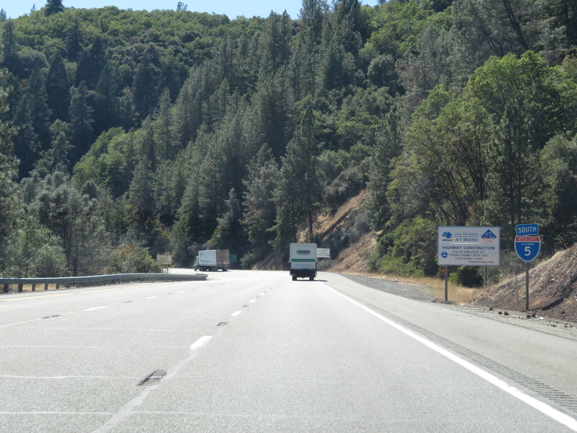
After pulling this uphill for a few miles, Interstate 5 South prepares to traverse yet another steep downgrade ahead. It will be a 6% grade which lasts for 2 miles as I-5 descends down toward Shasta Lake. (Photo taken 9/23/19). |
 |
View on Interstate 5 South as it goes down the 6% grade. (Photo taken 9/23/19). |
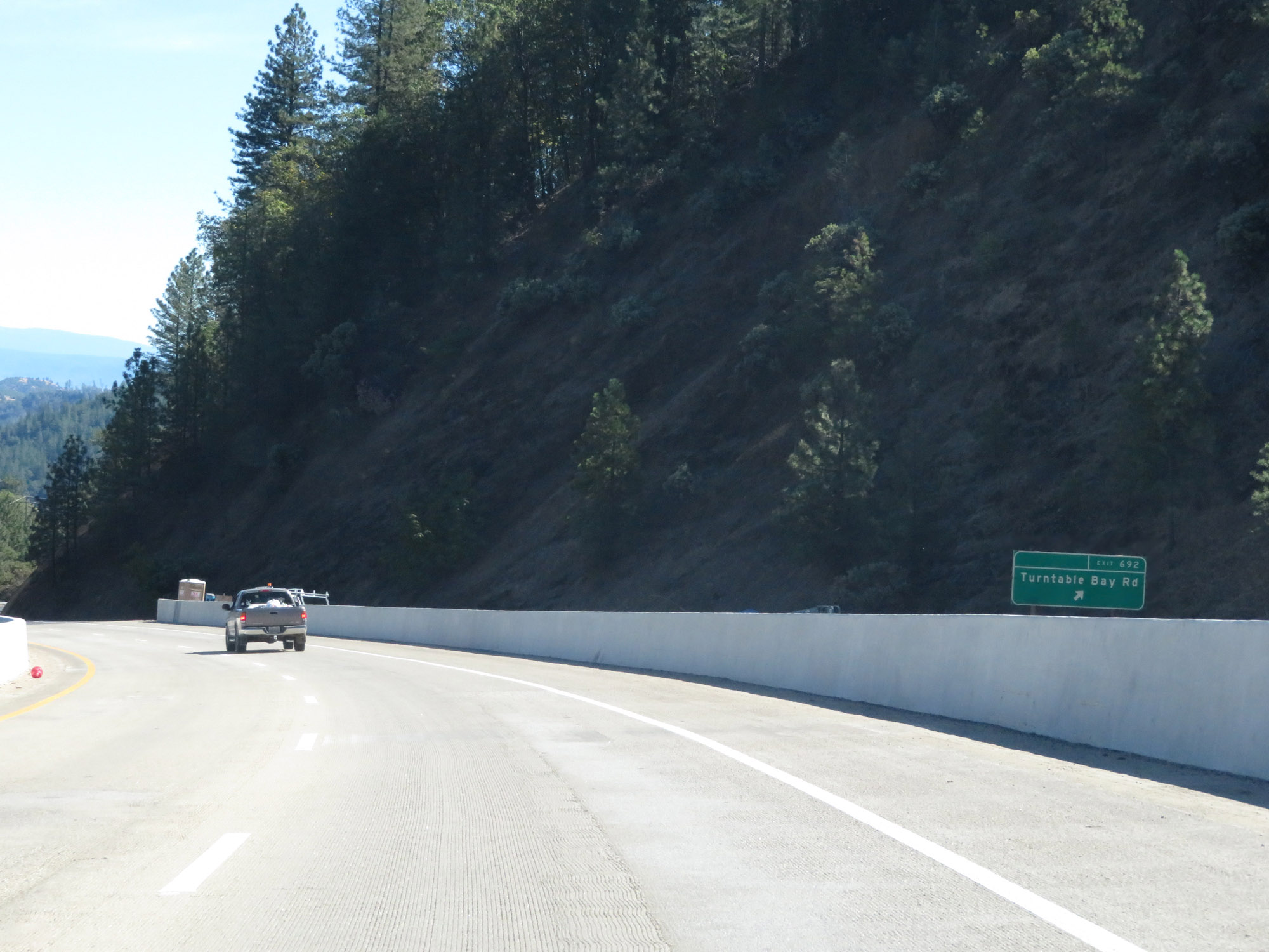 |
Interstate 5 South at Exit 692: Turntable Bay Rd (Photo taken 9/23/19). |
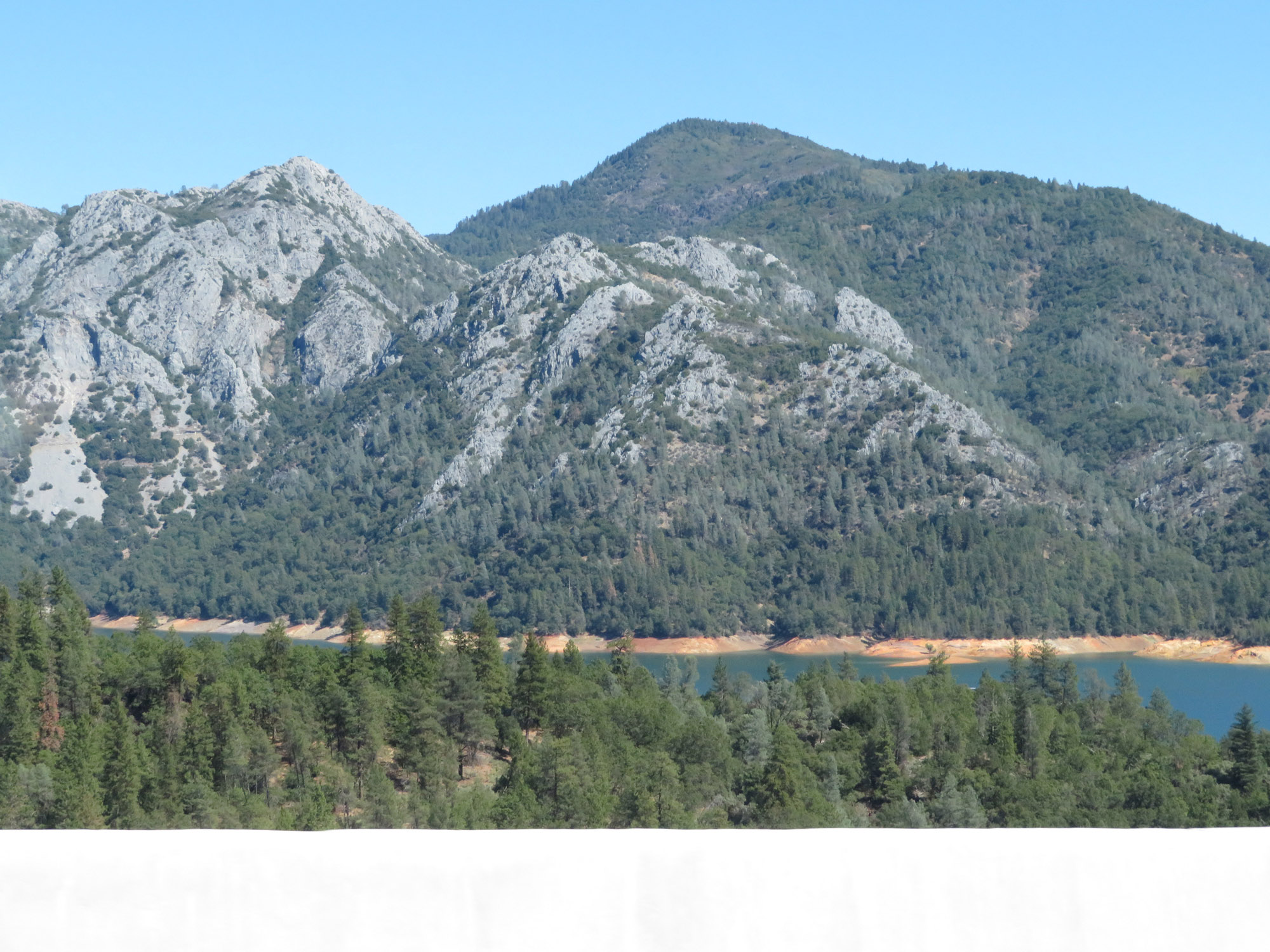 |
Looking to the east from Interstate 5 South, we get this view of Shasta Lake. (Photo taken 9/23/19). |
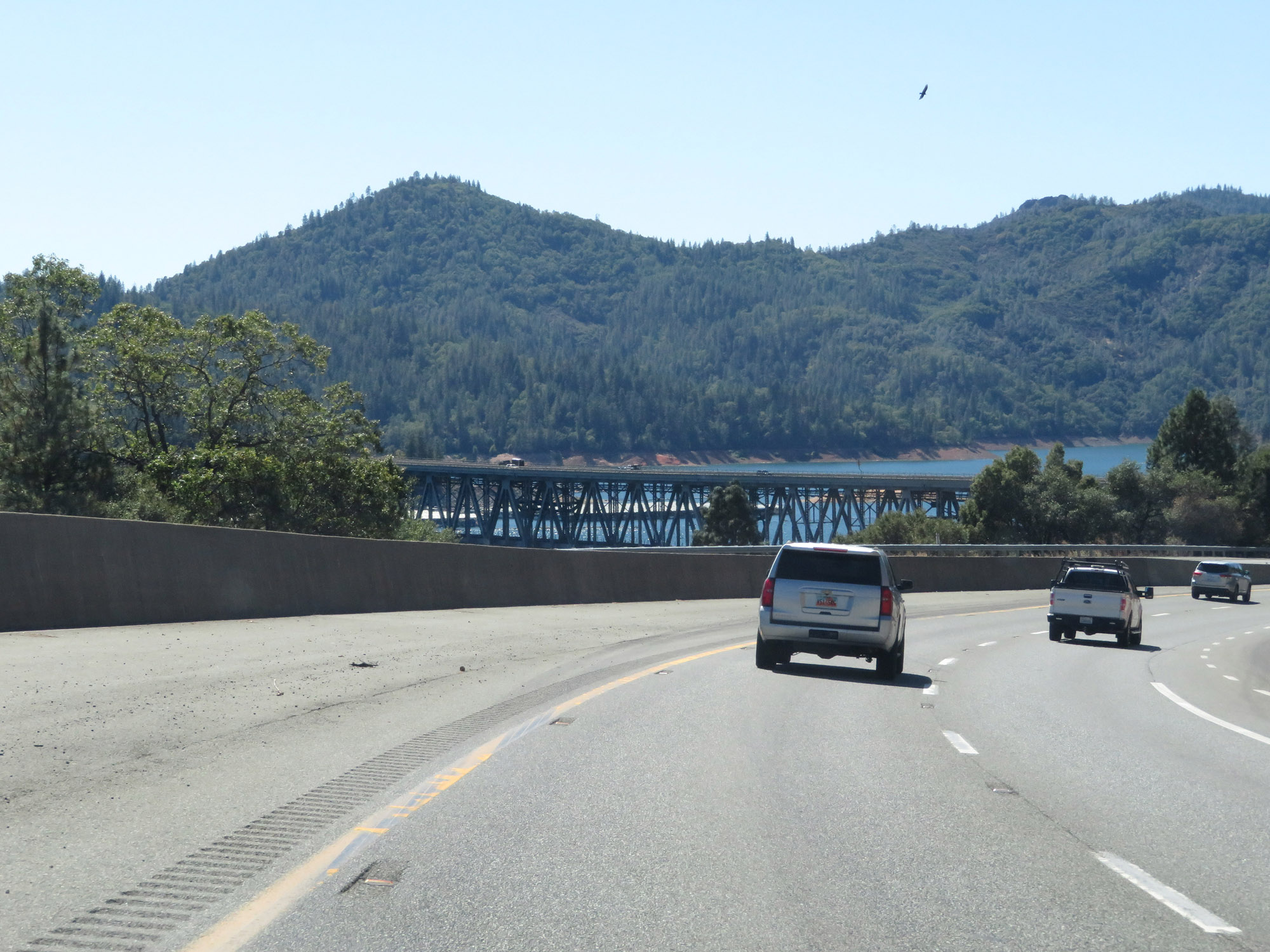 |
Interstate 5 South as the Pit River Bridge comes into view and I-5 continues to descend to Shasta Lake. The Pit River Bridge will carry Interstate 5 across Shasta Lake ahead. (Photo taken 9/23/19). |
 |
View on Interstate 5 South as it faces to the west in preparation to cross the Pit River Bridge over Shasta Lake. (Photo taken 9/23/19). |
 |
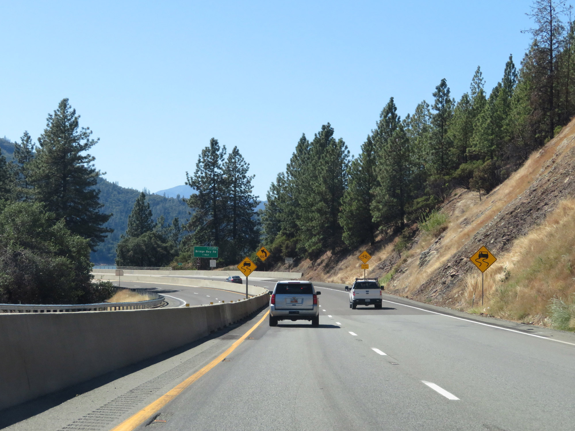
Advance signage for Exit 690, which will be on the other side of the Pit River Bridge over Shasta Lake. (Photo taken 9/23/19). |
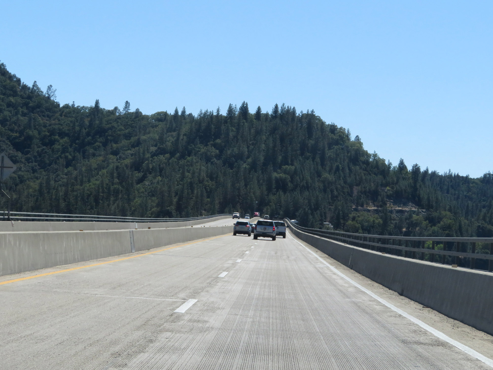 |
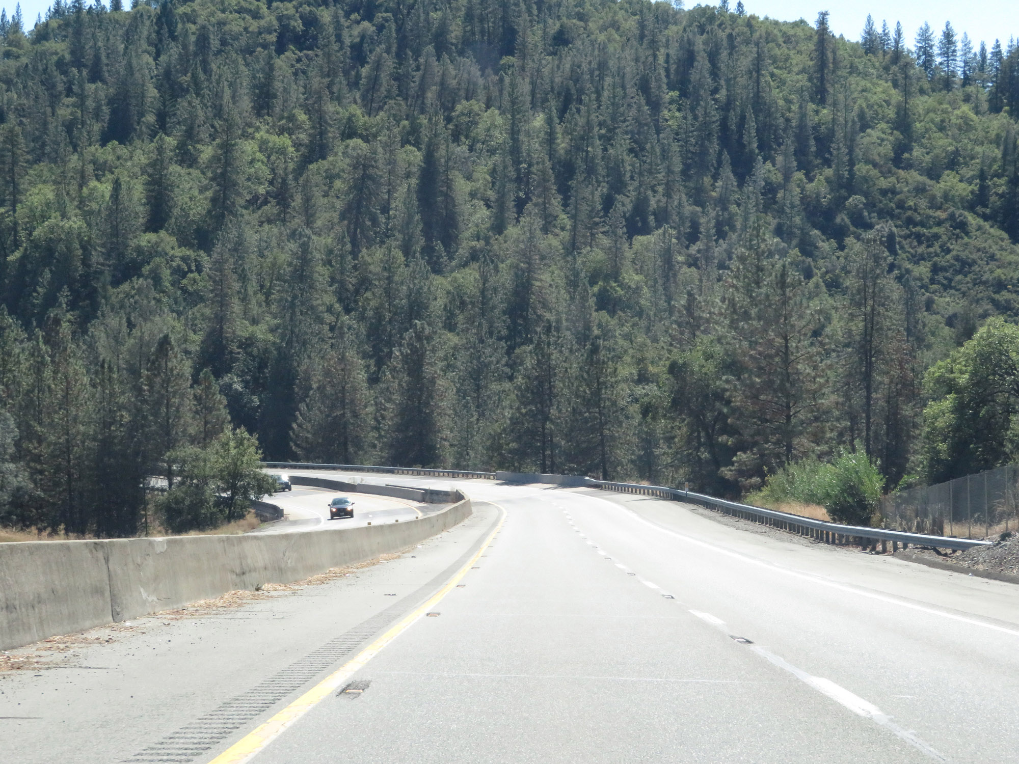
Interstate 5 South as it crosses Shasta Lake on the Pit River Bridge. (Photo taken 9/23/19). |
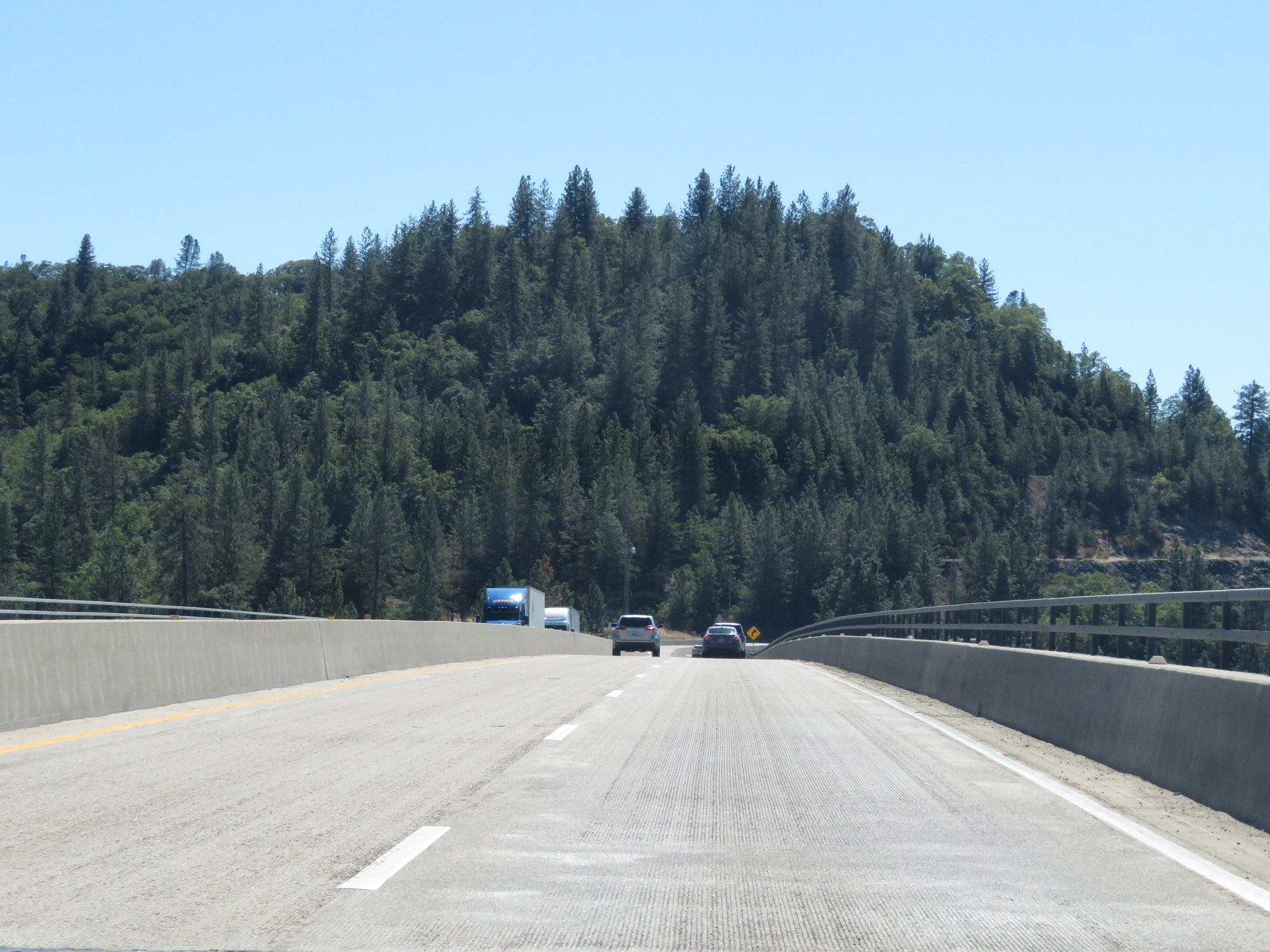 |
View on Interstate 5 South on the Pit River Bridge over Shasta Lake. (Photo taken 9/23/19). |
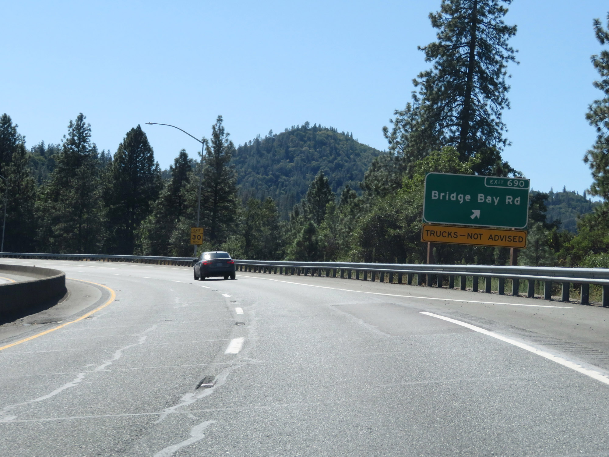 |
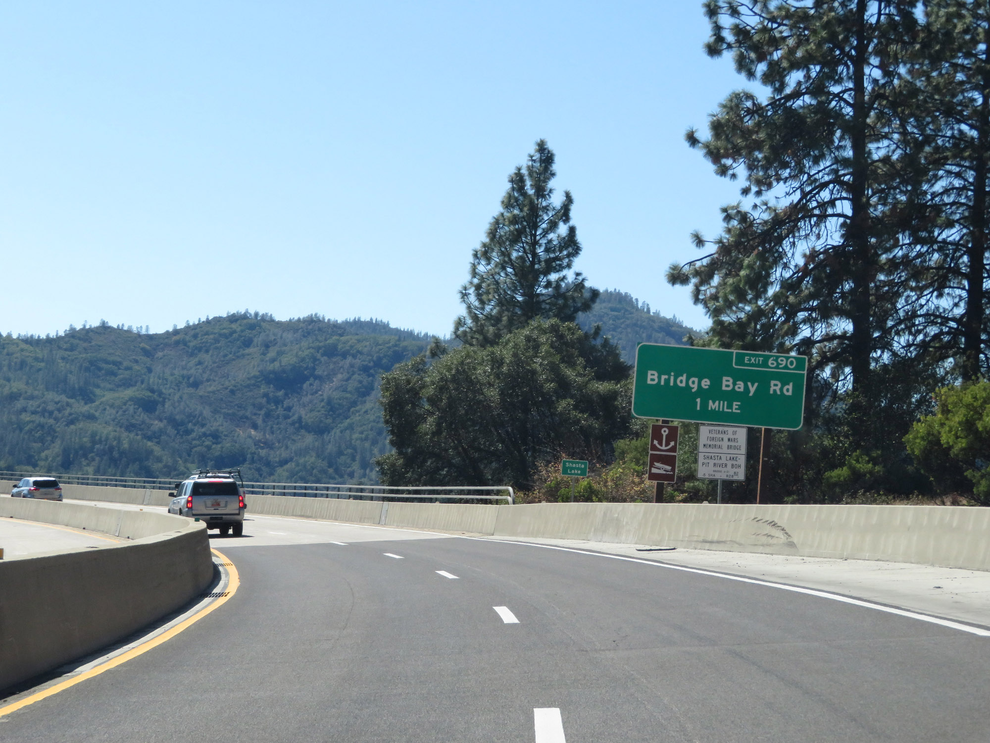
Interstate 5 South at Exit 690: Bridge Bay Rd (Photo taken 9/23/19). |
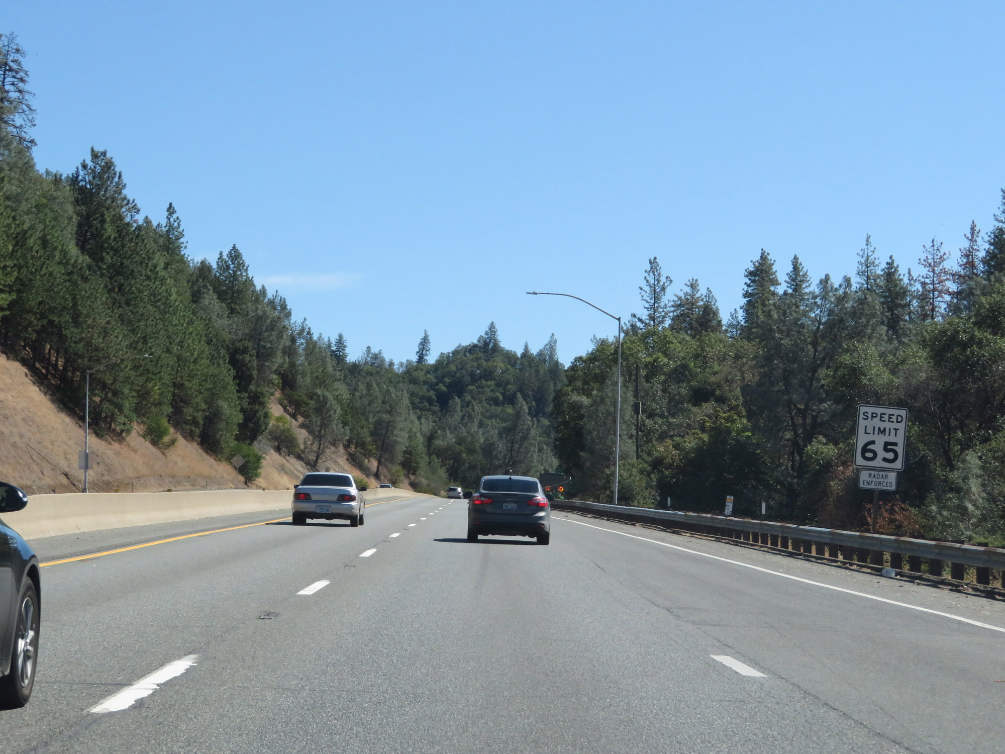 |
The speed limit remains 65 mph for automobiles on Interstate 5 South. (Photo taken 9/23/19). |
 |
The speed limit remains 55 mph for trucks of 3 or more axles. (Photo taken 9/23/19). |
 |
As usual, all vehicles towing trailers are restricted to 55 mph. (Photo taken 9/23/19). |
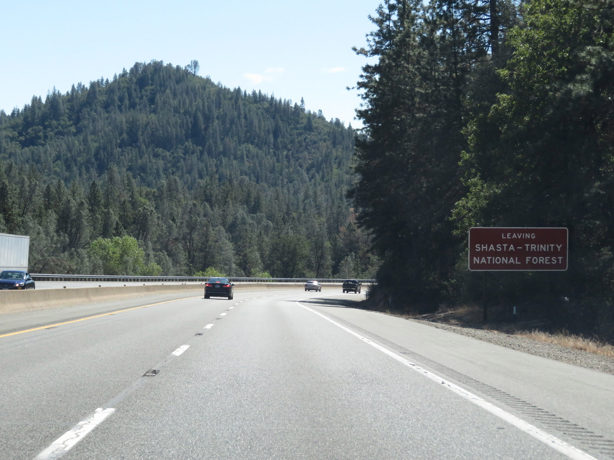 |
Interstate 5 South as it leaves Shasta-Trinity National Forest. (Photo taken 9/23/19). |
 |
View on Interstate 5 South. (Photo taken 9/23/19). |
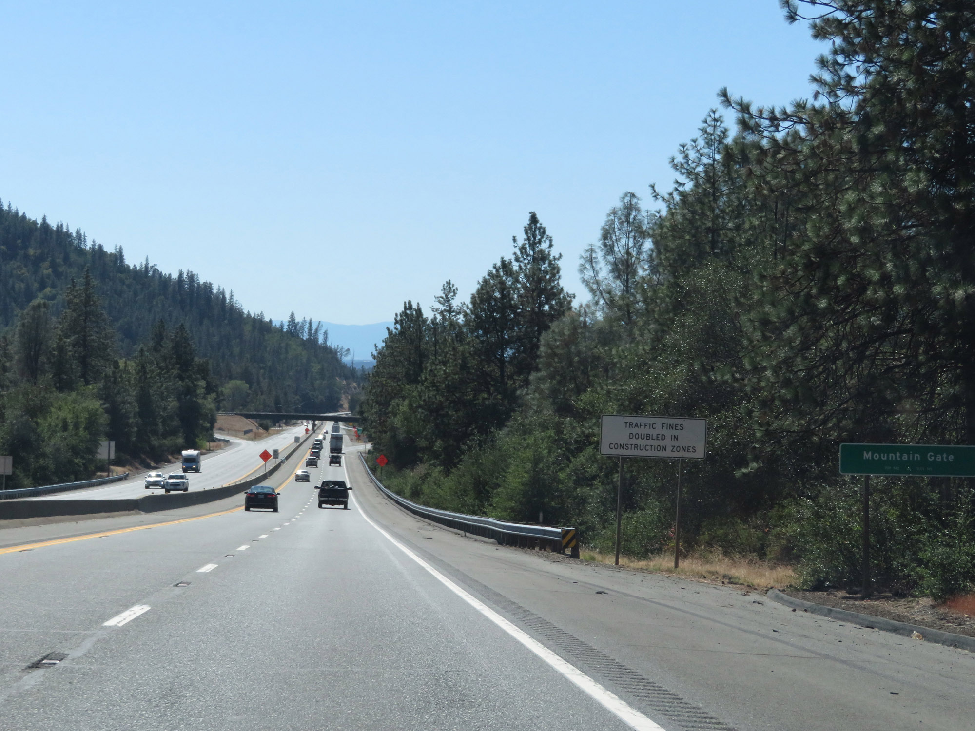 |
Interstate 5 South as it enters the the Mountain Gate city limits. (Photo taken 9/23/19). |
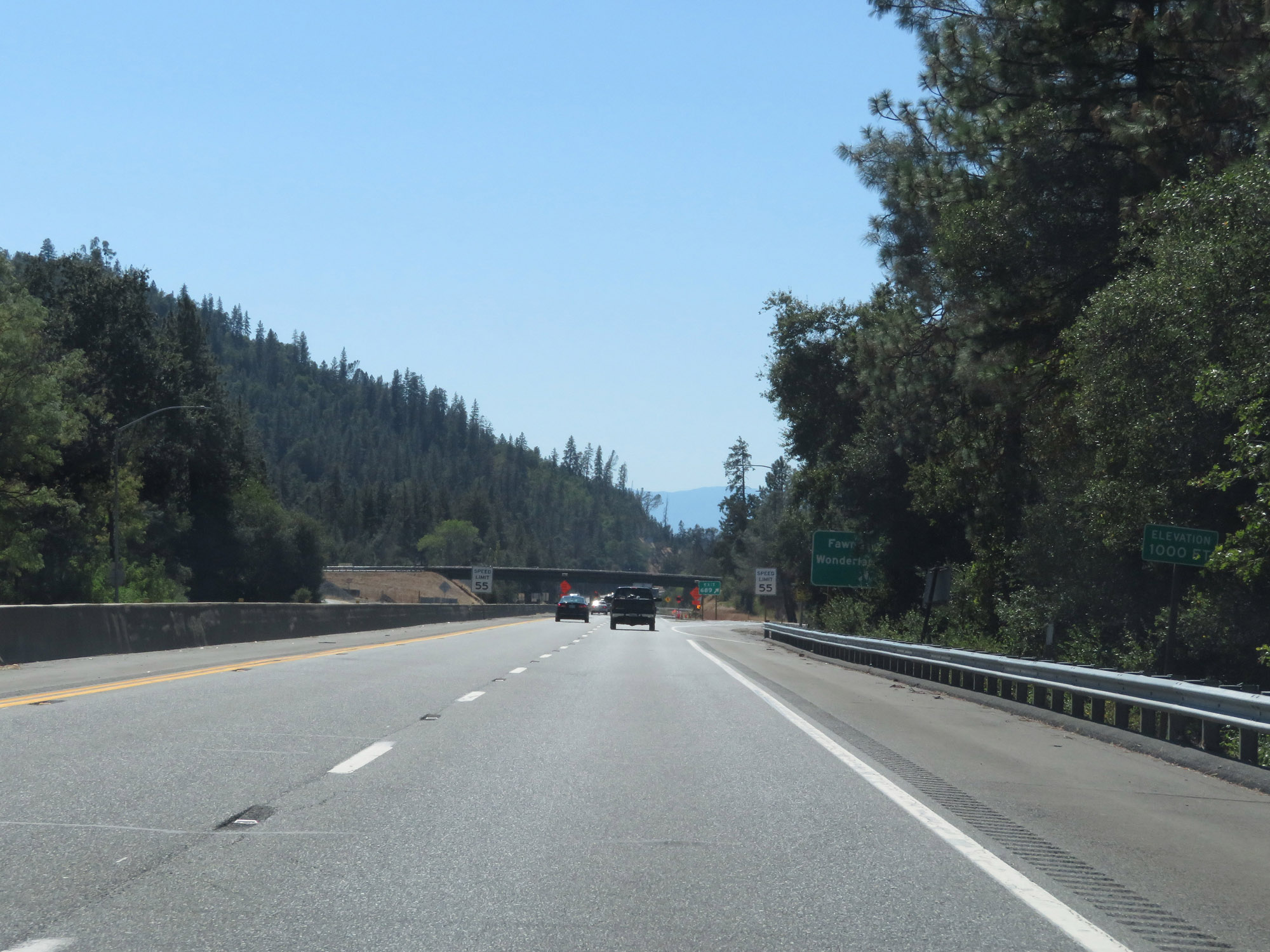 |
In Mountain Gate, we reach an elevation of 1,000 feet. Doesn't it seem like Interstate 5 descended much more than that? (Photo taken 9/23/19). |
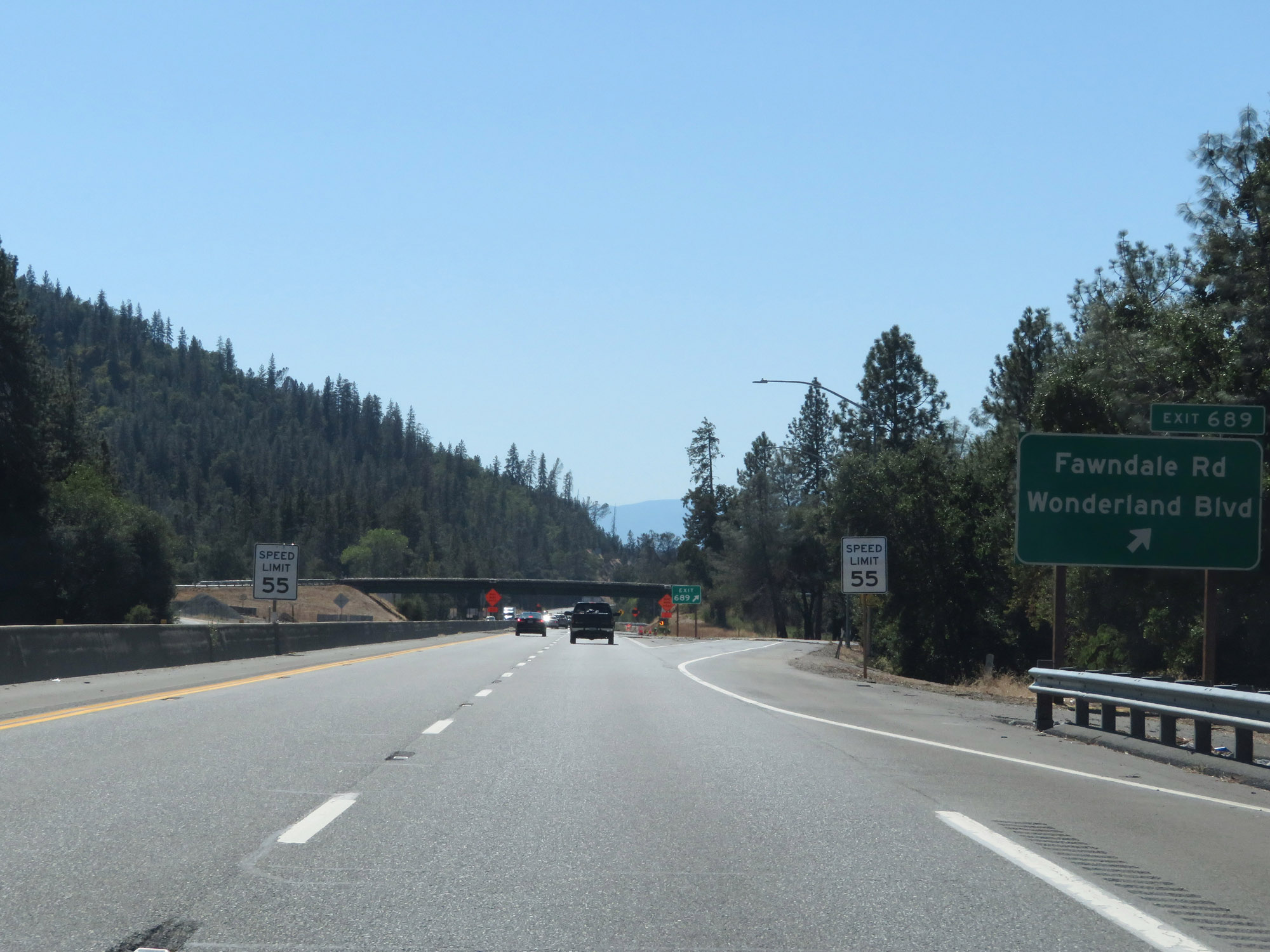 |
Interstate 5 South at Exit 689: Fawndale Rd / Wonderland Blvd (Photo taken 9/23/19). |
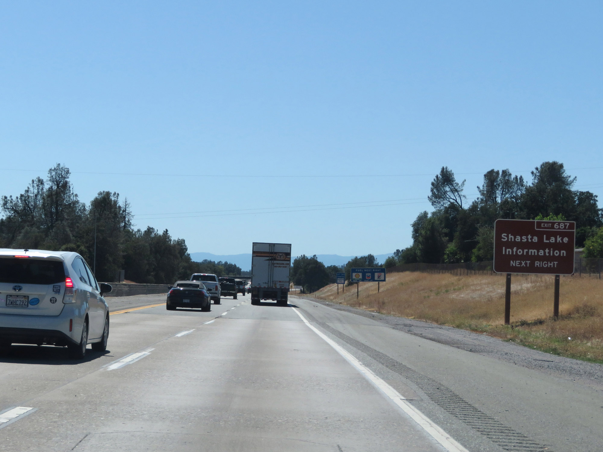 |
Take Exit 687 to a Shasta Lake Information Center. (Photo taken 9/23/19). |
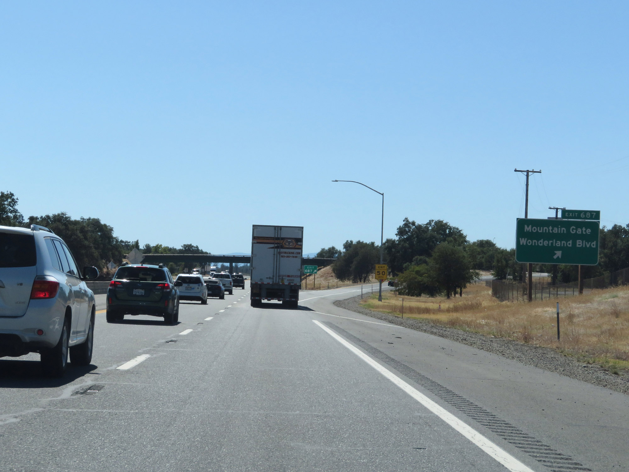 |
Interstate 5 South at Exit 687: Mountain Gate / Wonderland Blvd (Photo taken 9/23/19). |
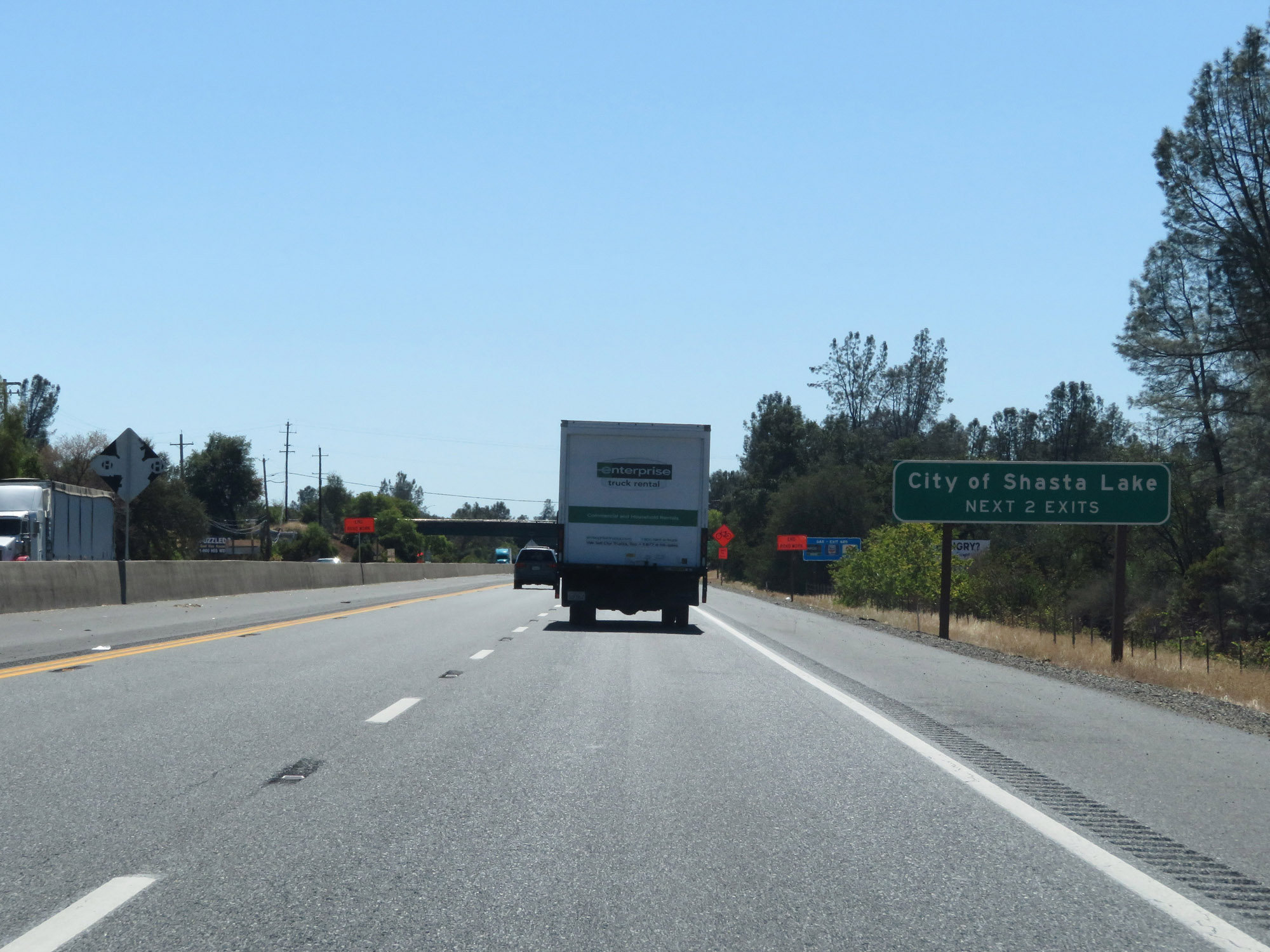 |
Take either of the next 2 exits to the City of Shasta Lake. (Photo taken 9/23/19). |
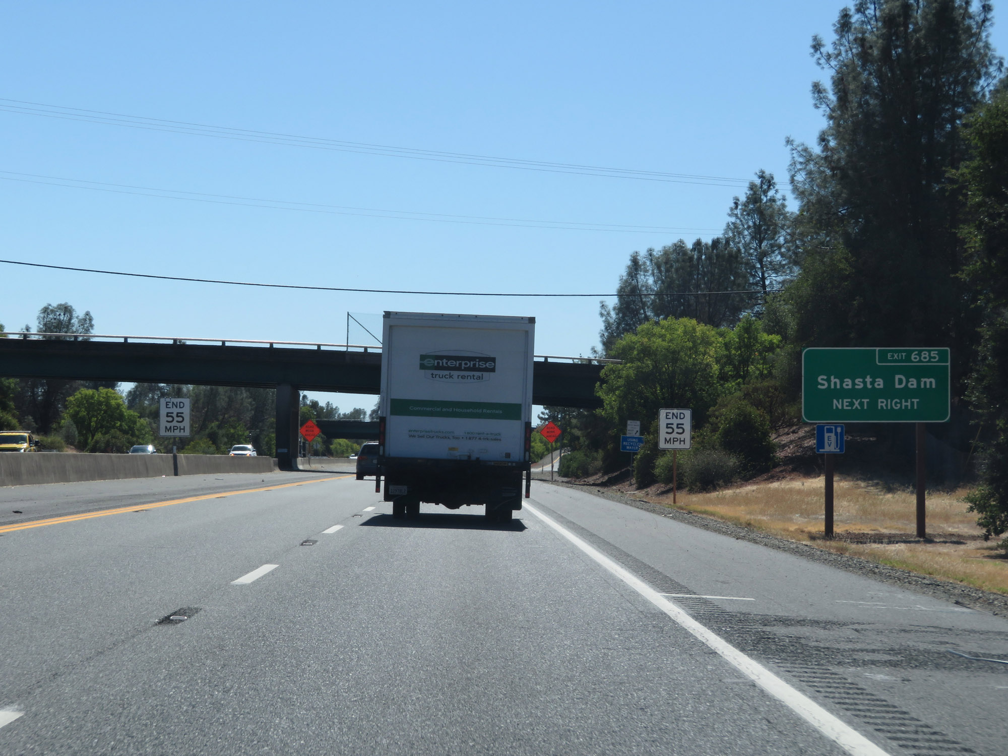 |
Take Exit 685 to Shasta Dam. (Photo taken 9/23/19). |
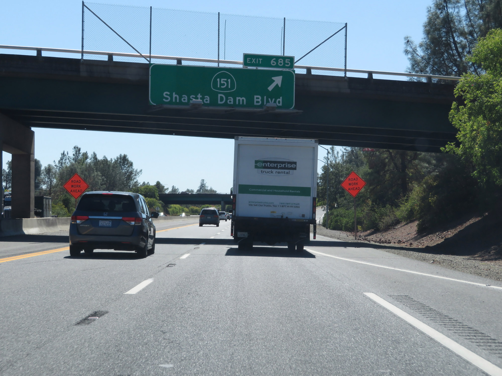 |
Interstate 5 South at Exit 685: CA 151 - Shasta Dam Blvd (Photo taken 9/23/19). |
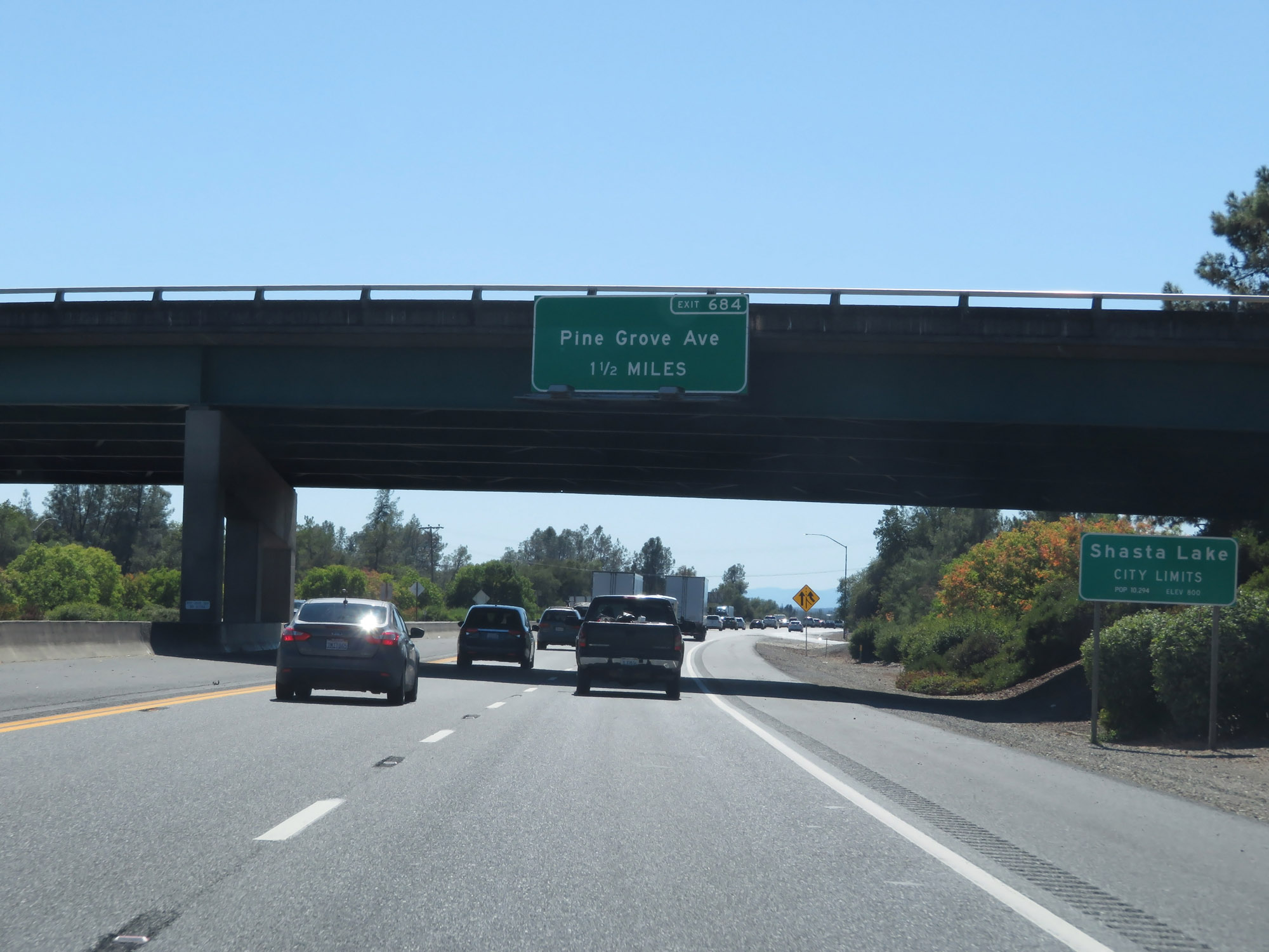 |
Interstate 5 South as it enters the Shasta Lake city limits. (Photo taken 9/23/19). |
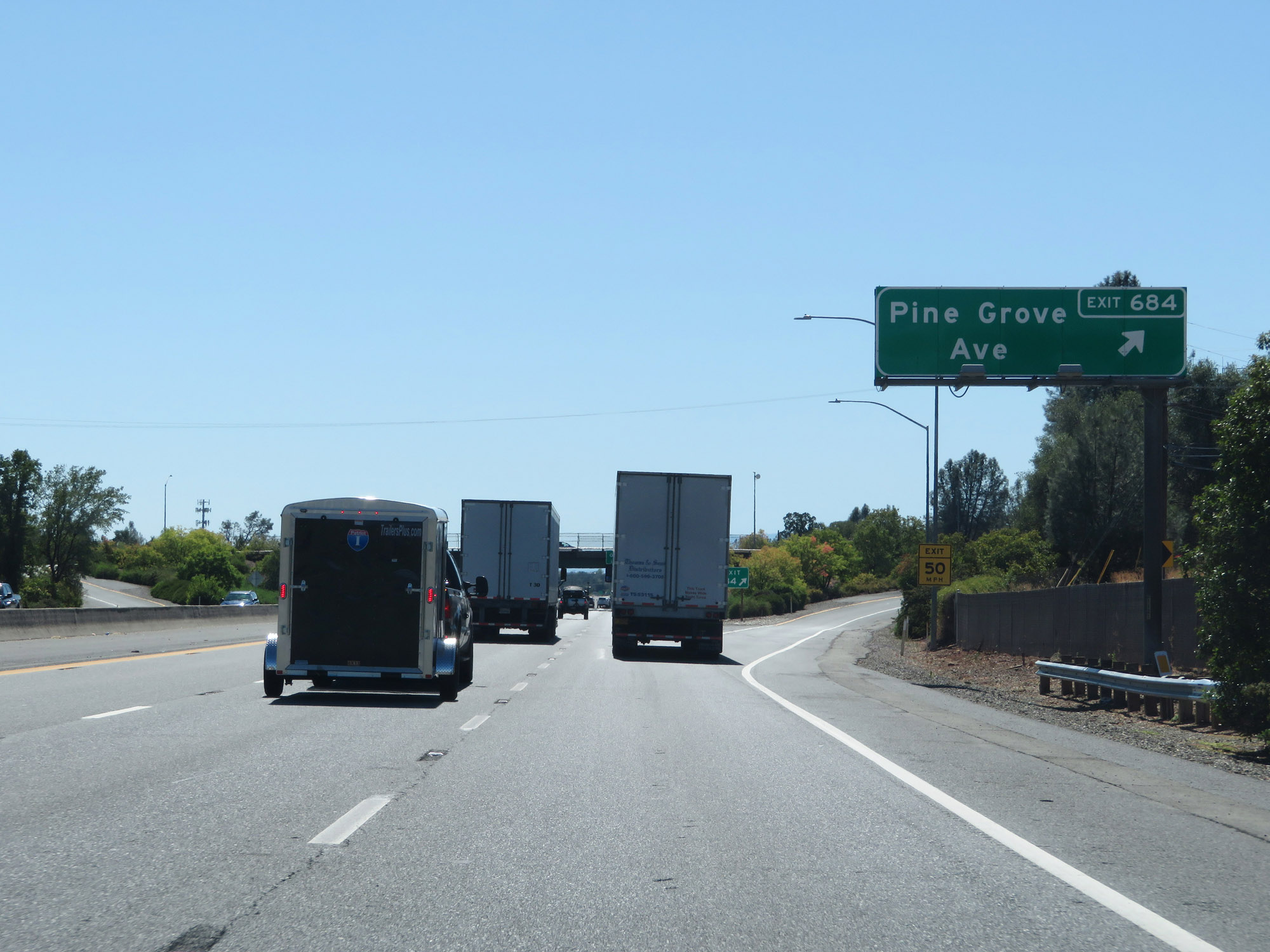 |
Interstate 5 South at Exit 684: Pine Grove Ave (Photo taken 9/23/19). |
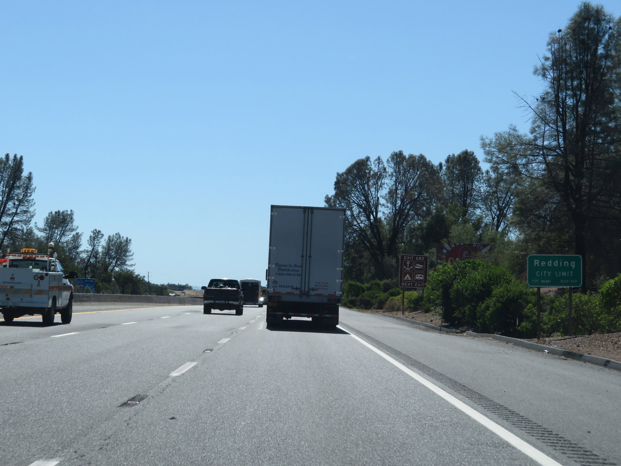 |
Interstate 5 South as it enters the Redding city limits. (Photo taken 9/23/19). |
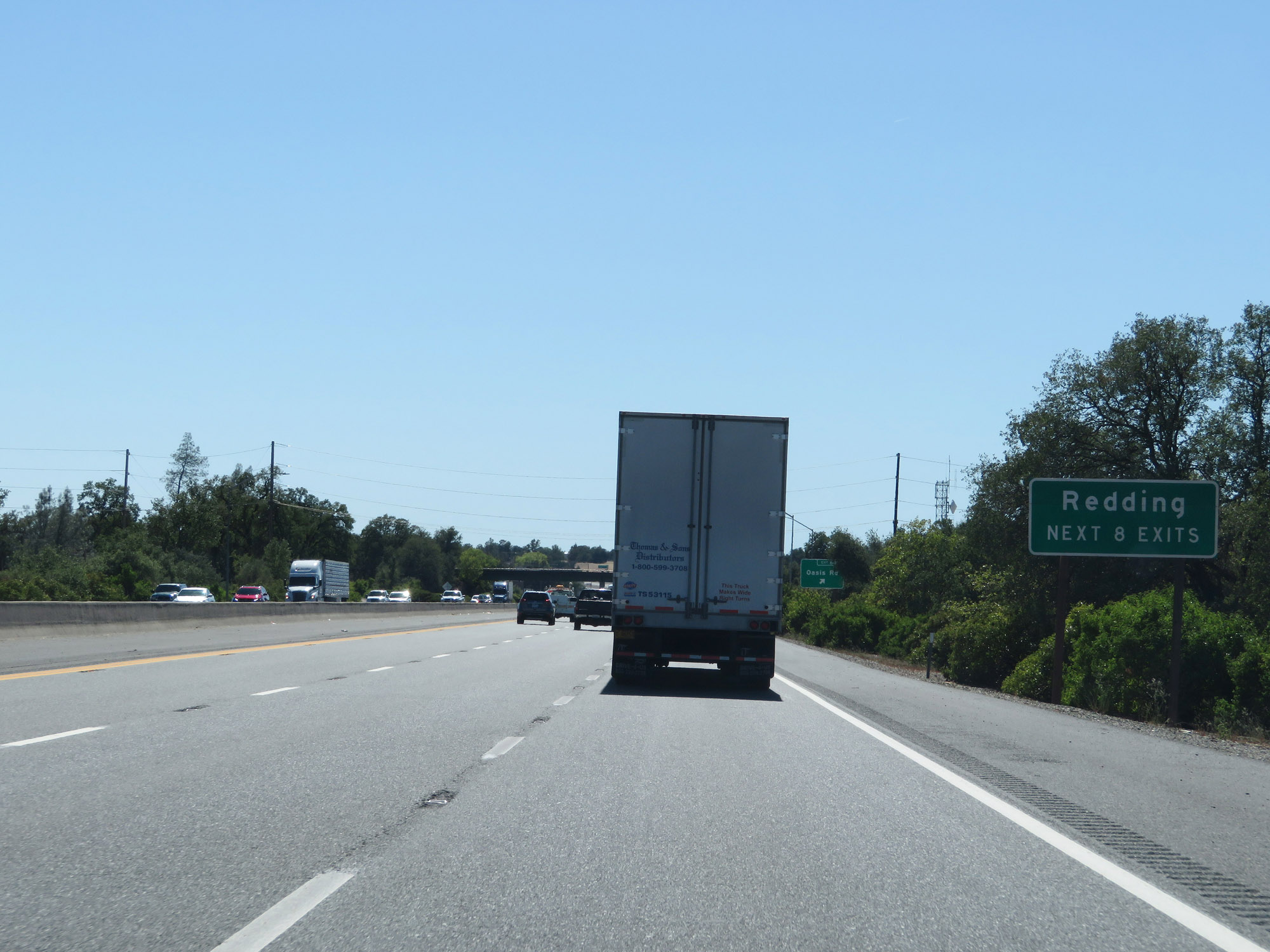 |
Take any of the next 8 exits to Redding. (Photo taken 9/23/19). |
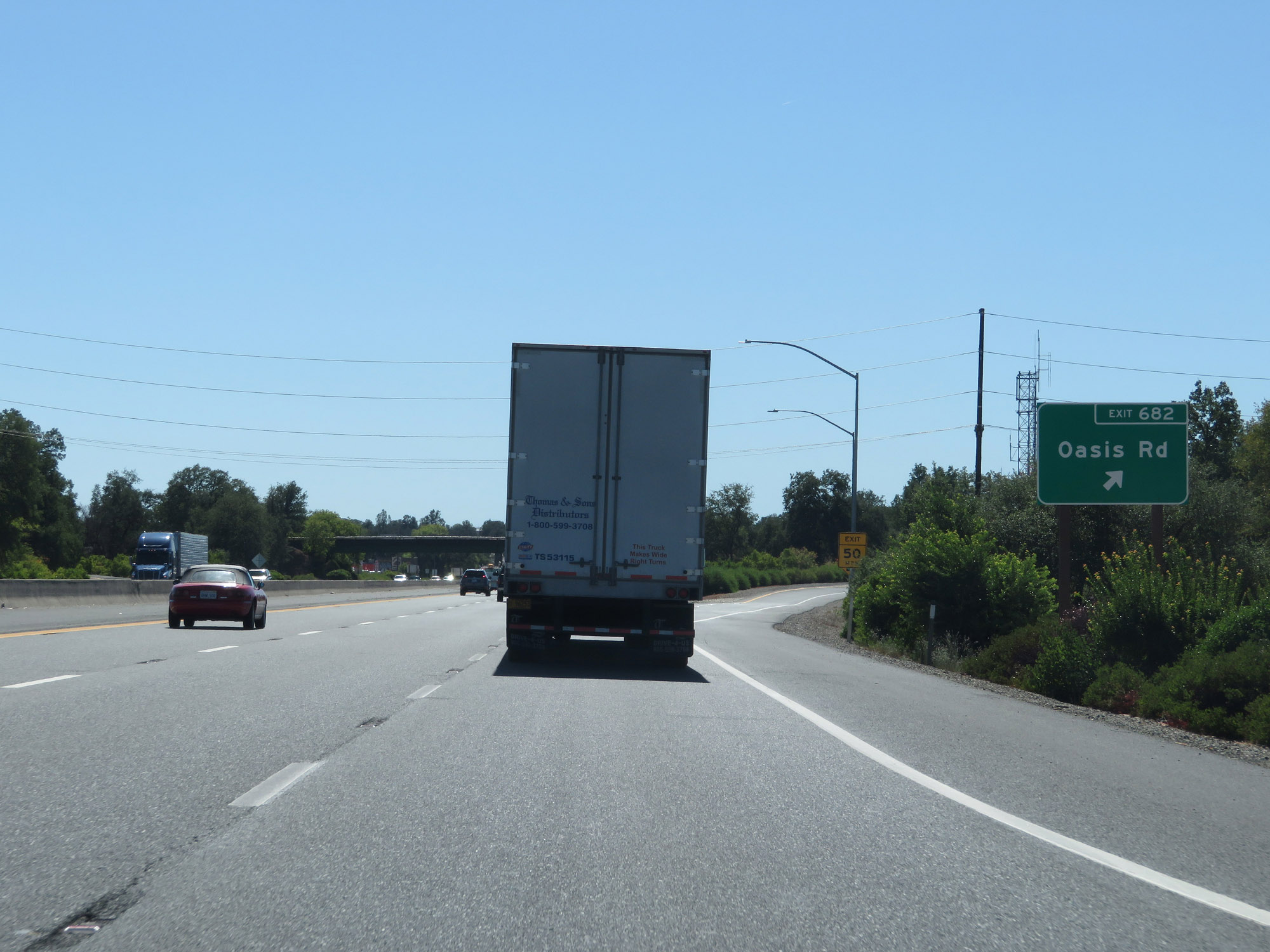 |
Interstate 5 South at Exit 682: Oasis Rd (Photo taken 9/23/19). |
Section 4: Redding (Exit 682) to Red Bluff (Exit 647B)
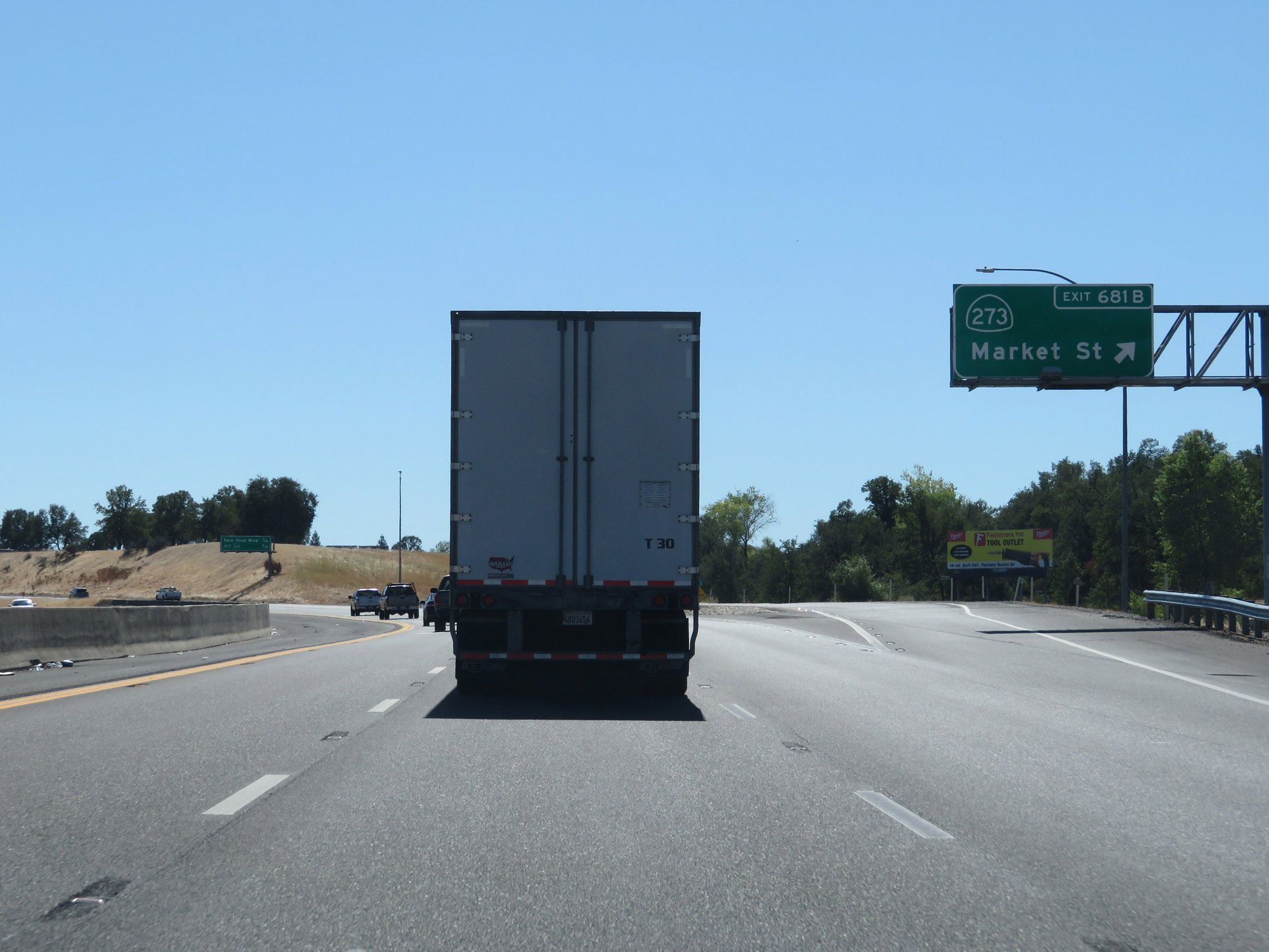 |
Interstate 5 South at Exit 681B: CA 273 - Market St (Photo taken 9/23/19). |
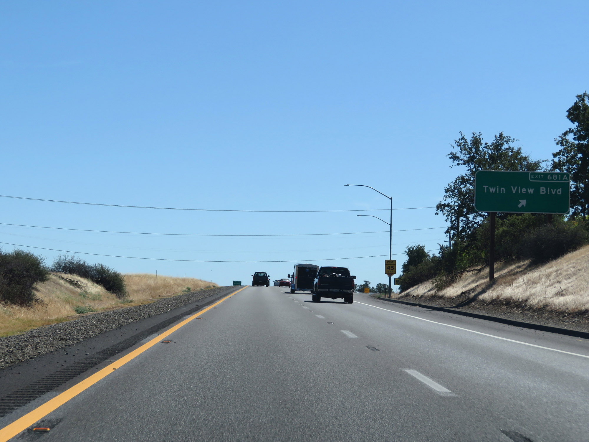 |
Interstate 5 South at Exit 681A: Twin View Blvd (Photo taken 9/23/19). |
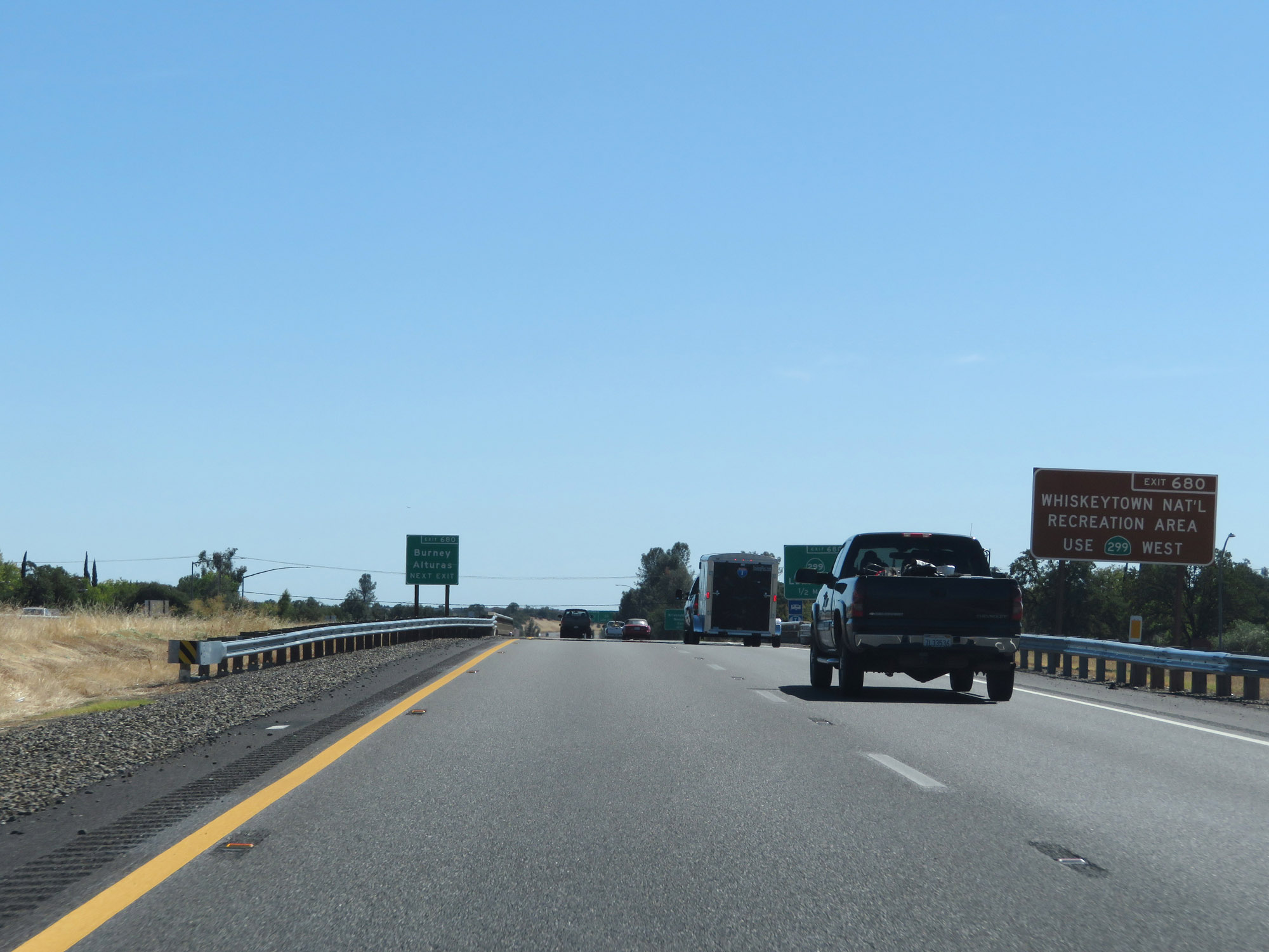 |
Take Exit 680 to Whiskeytown National Recreation Area via CA 299 West. (Photo taken 9/23/19). |
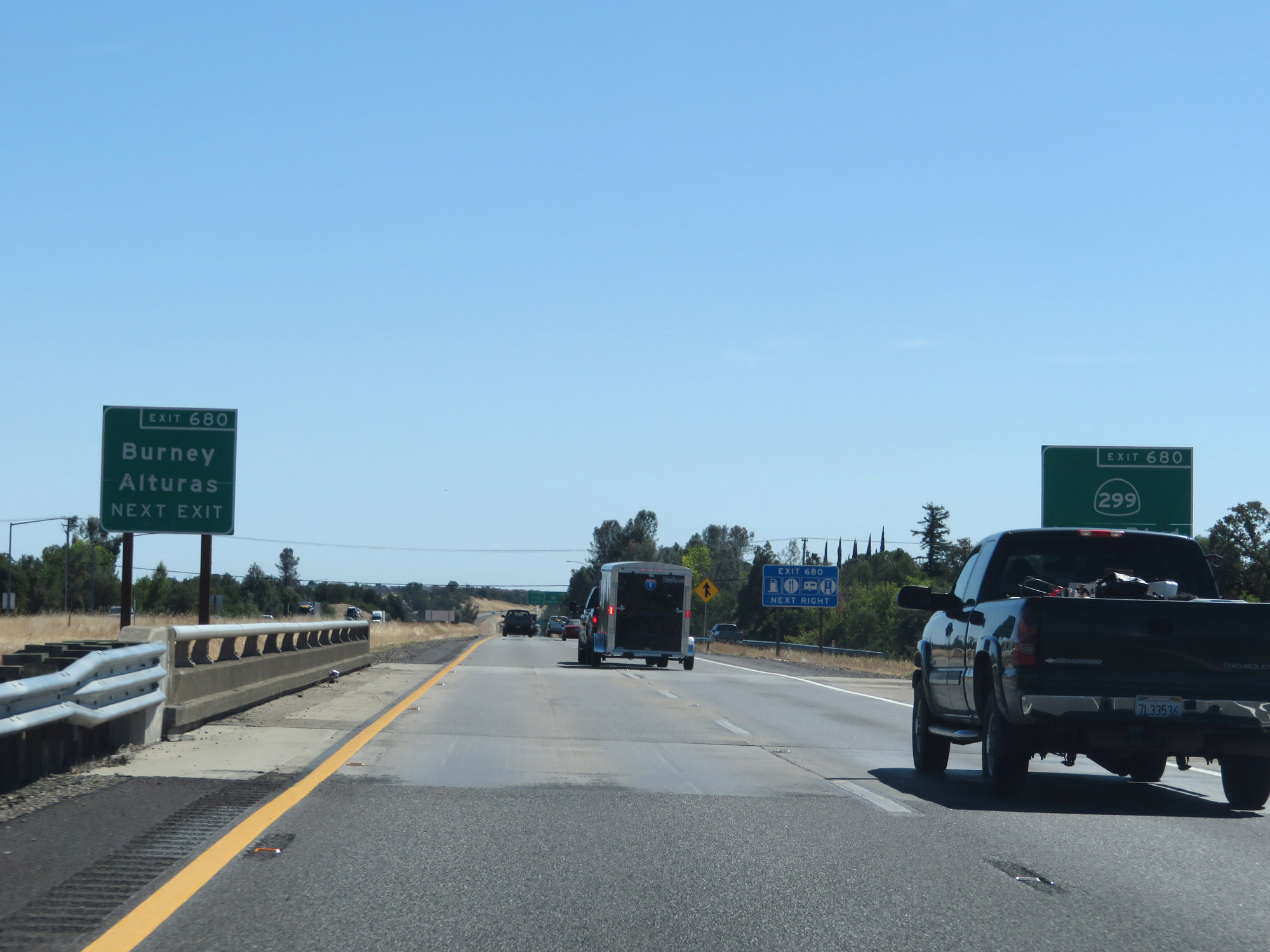 |
Also take Exit 680 to Burney and Alturas. (Photo taken 9/23/19). |
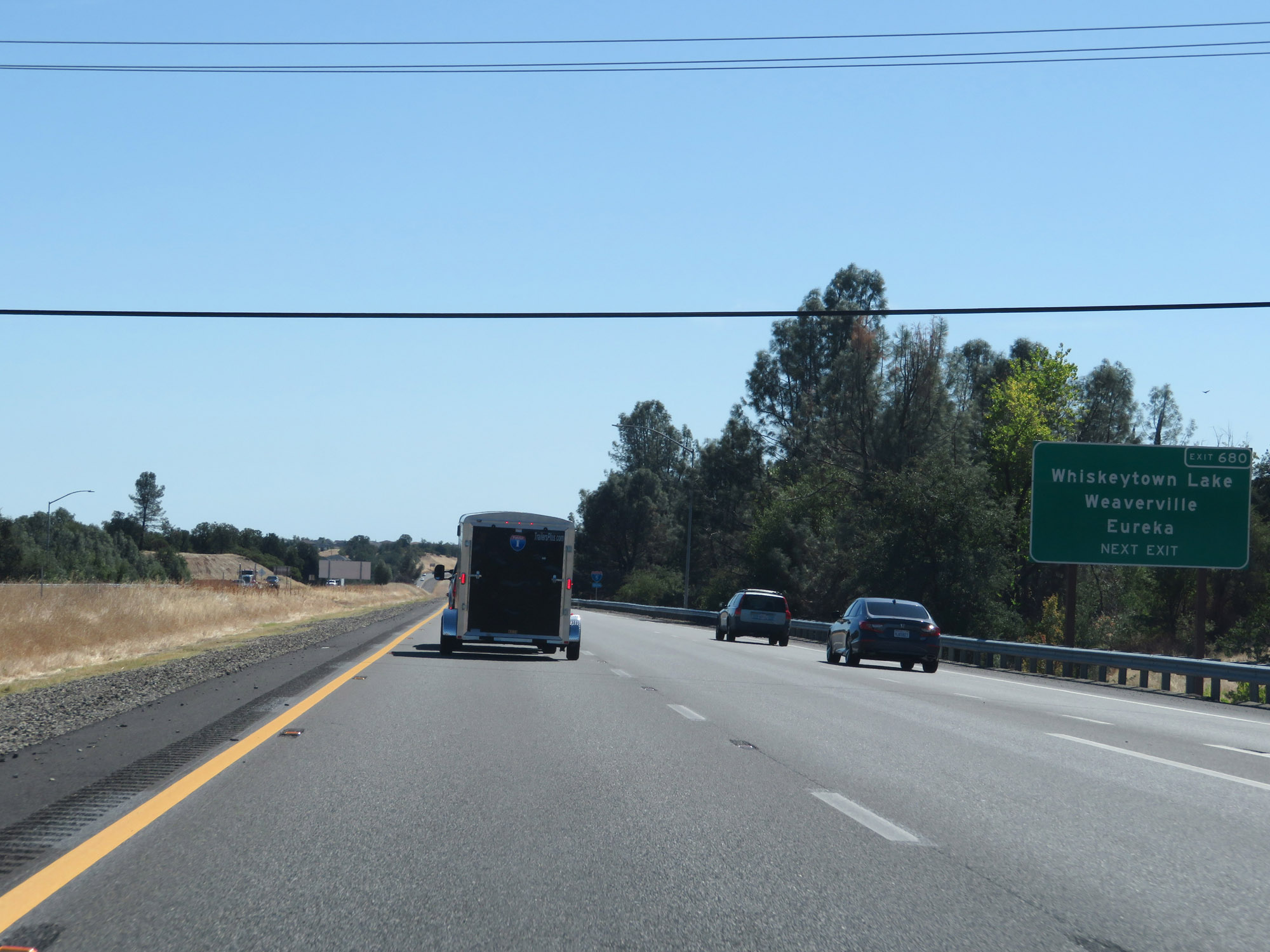 |
Take Exit 680 to Whiskeytown Lake, Weaverville, and Eureka as well. (Photo taken 9/23/19). |
 |
Interstate 5 South at Exit 680: CA 299 - Lake Blvd (Photo taken 9/23/19). |
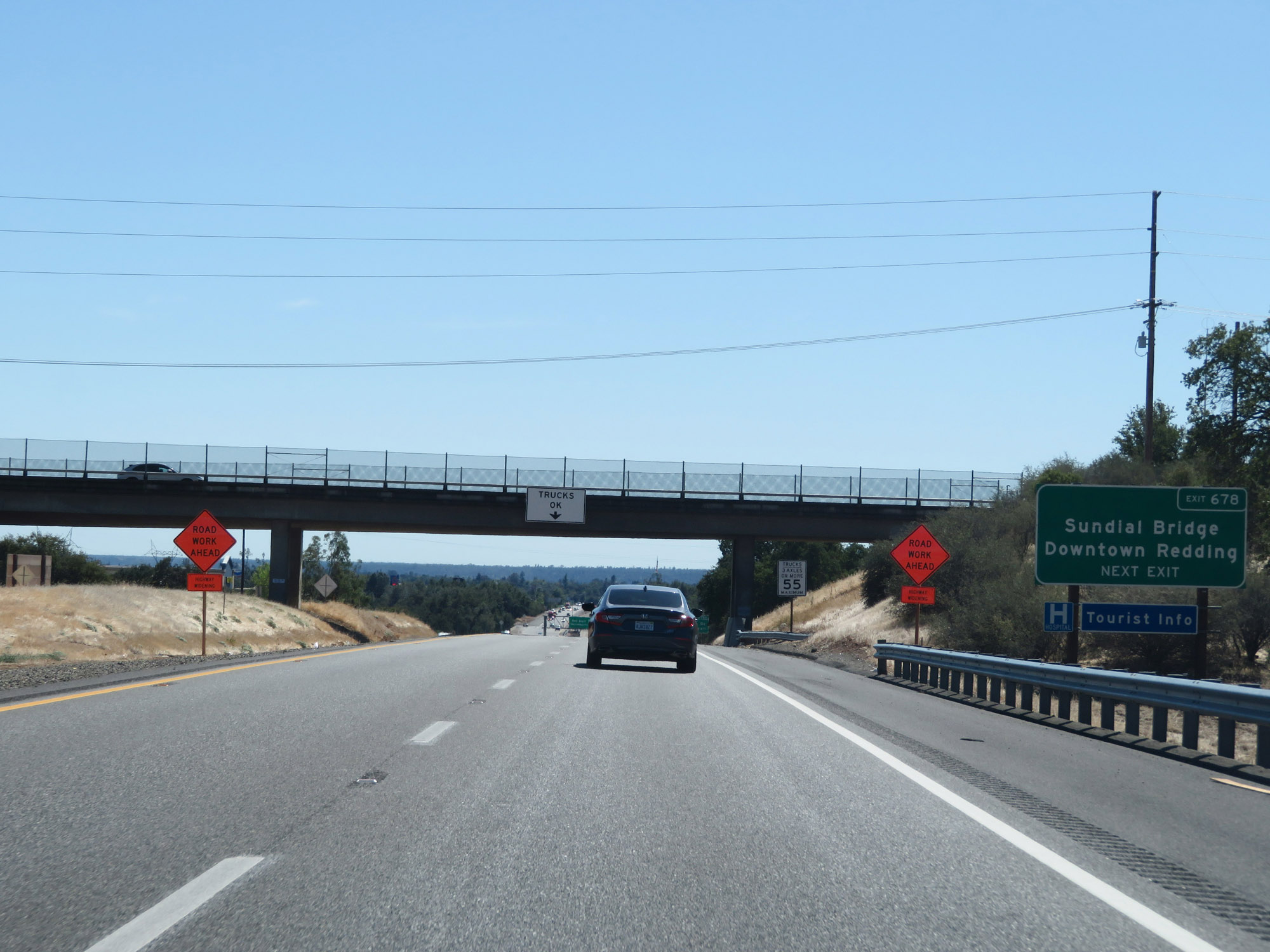 |
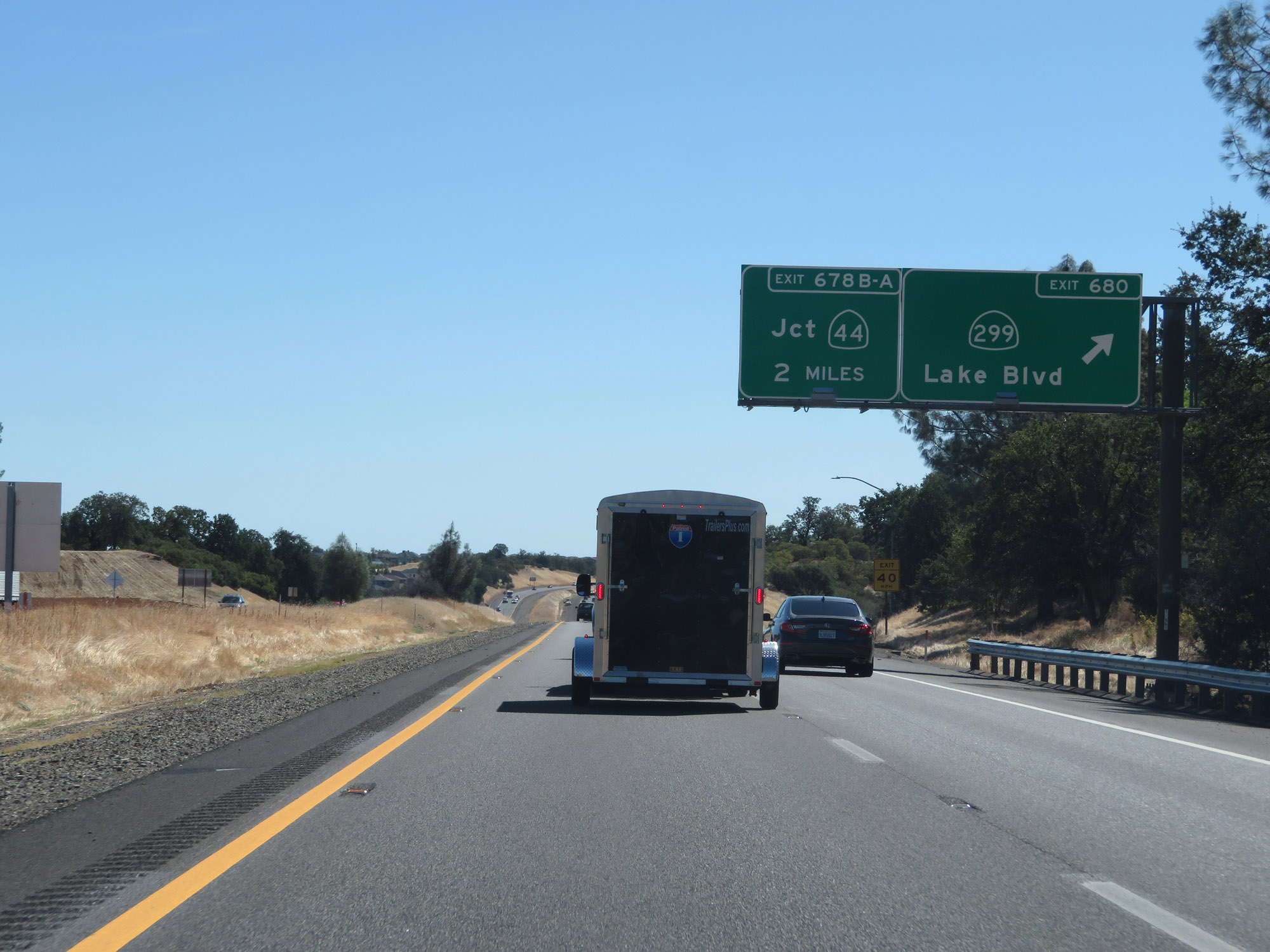
Take Exit 678B to Sundial Bridge and Downtown Redding. (Photo taken 9/23/19). |
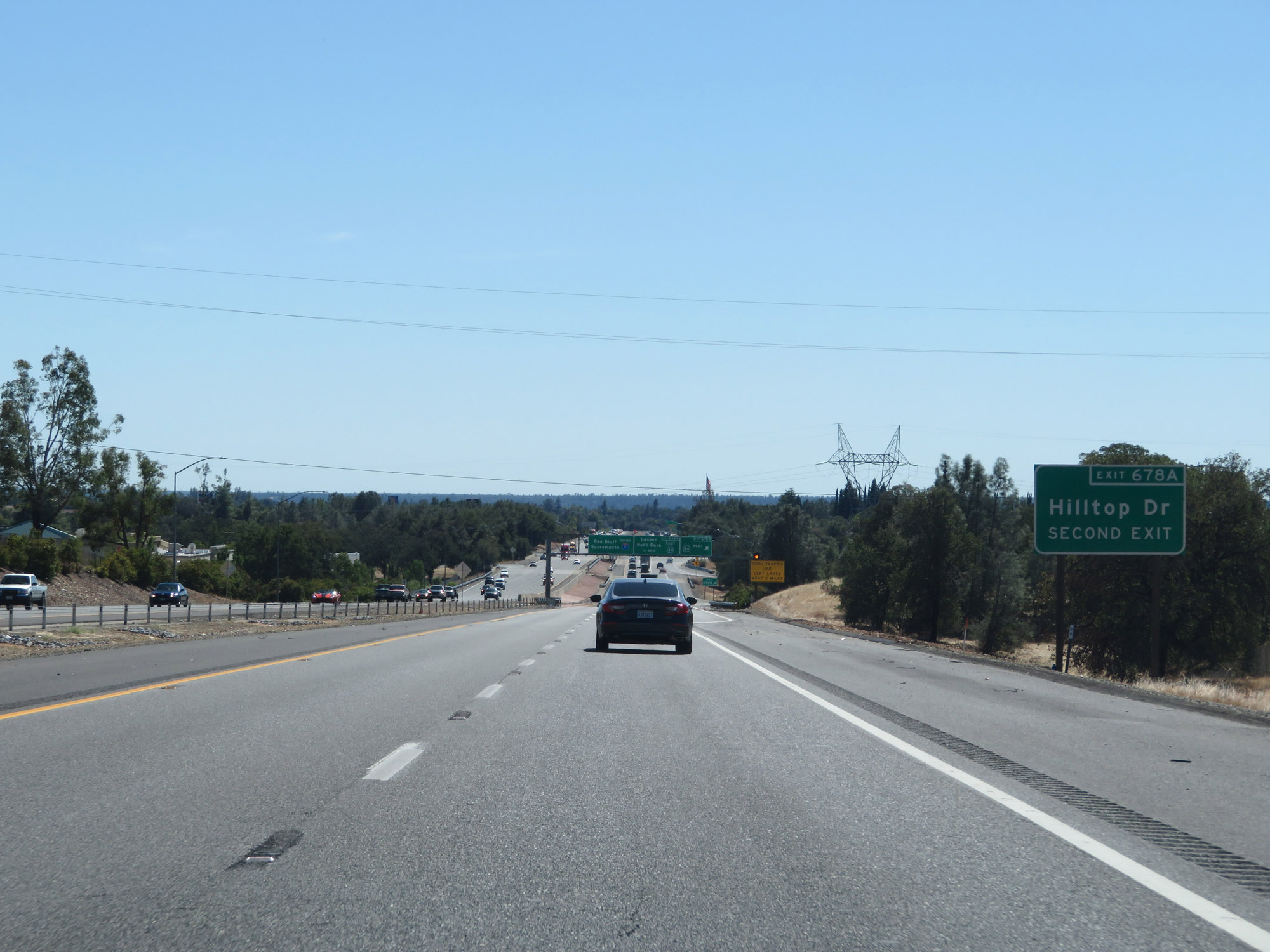 |
Take Exit 678A to Hilltop Dr. (Photo taken 9/23/19). |
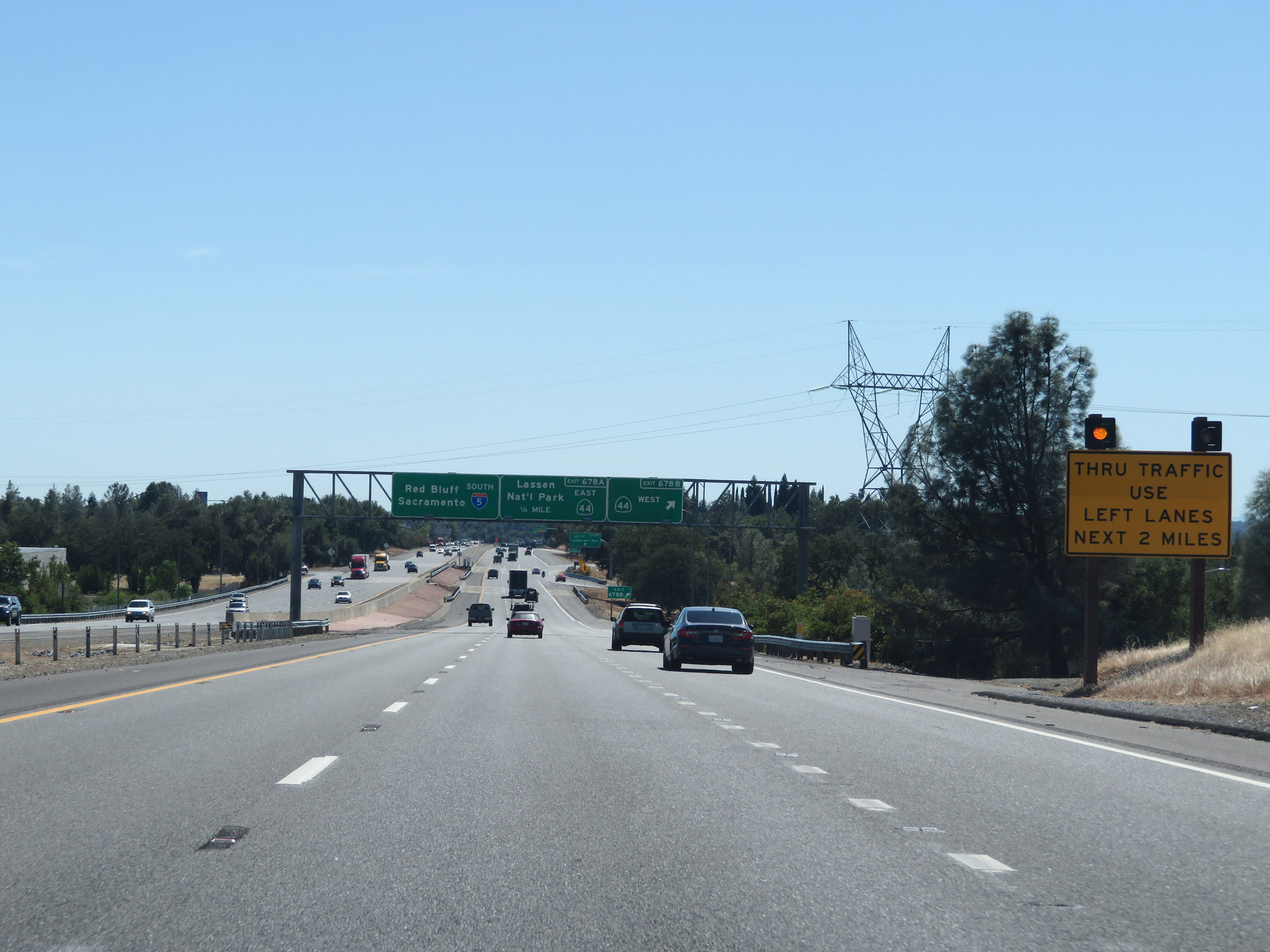 |
This sign advises thru traffic to use the two left lanes for the next 2 miles. (Photo taken 9/23/19). |
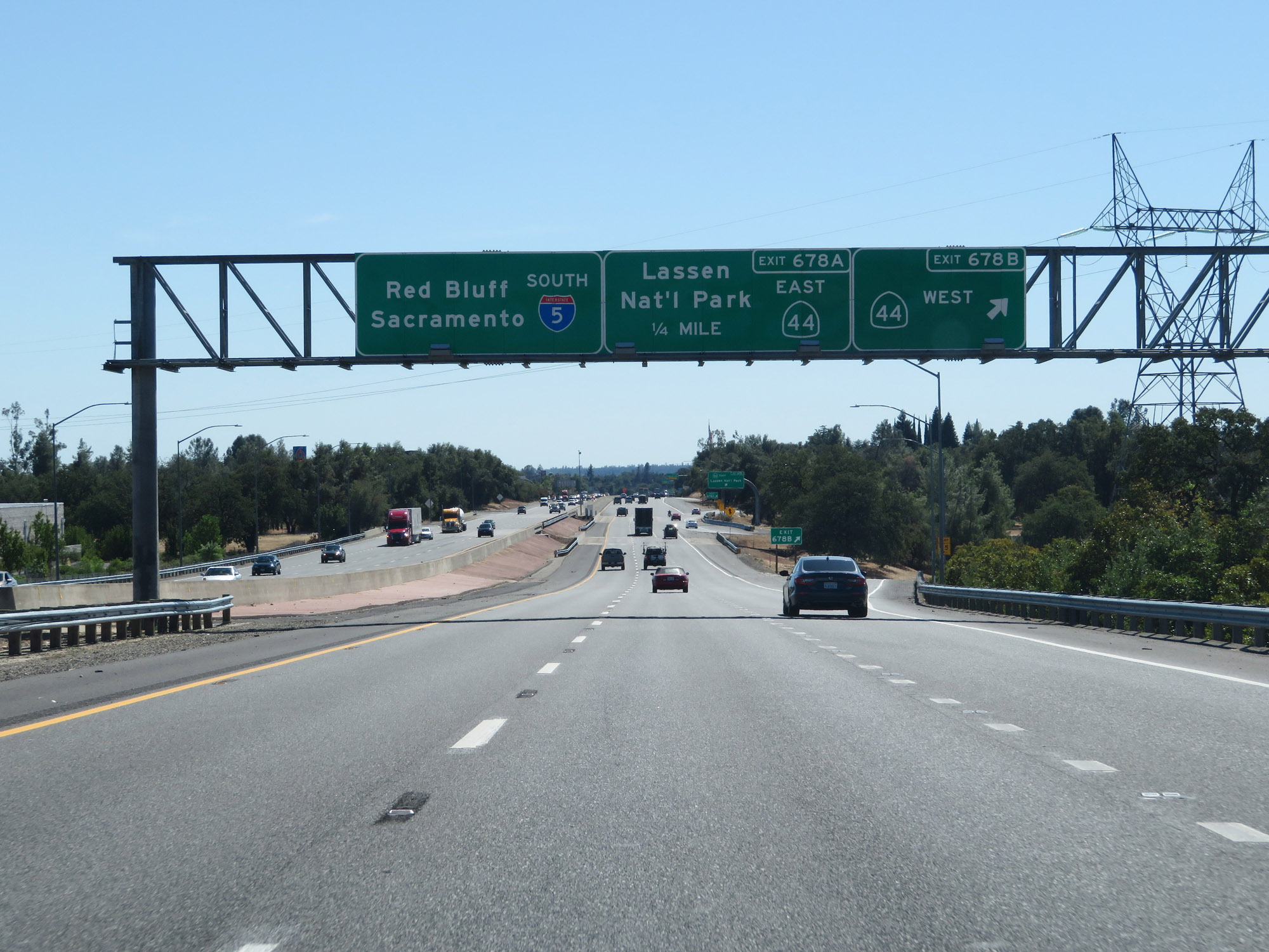 |
Interstate 5 South at Exit 678B: CA 44 West (Photo taken 9/23/19). |
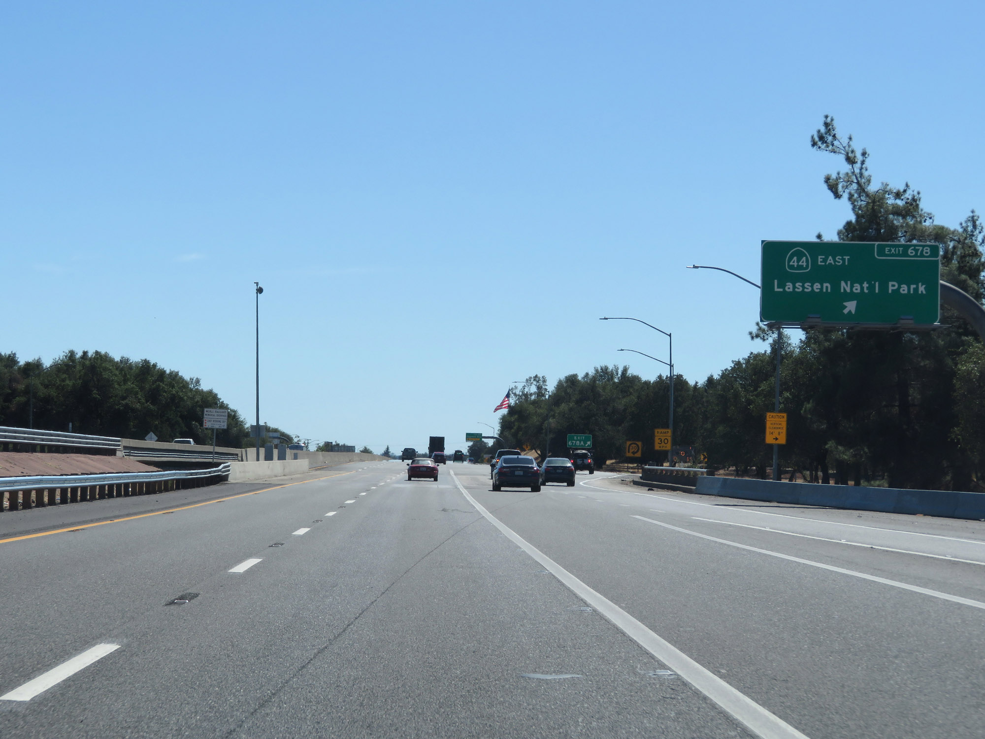 |
Interstate 5 South at Exit 678A: CA 44 East - Lassen National Park (Photo taken 9/23/19). |
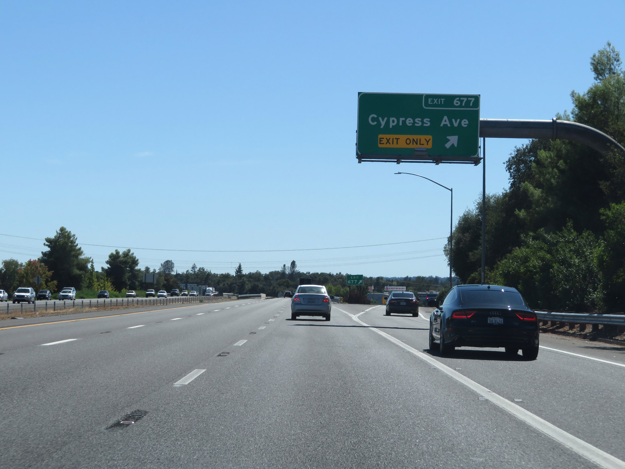 |
Interstate 5 South at Exit 677: Cypress Ave (Photo taken 9/23/19). |
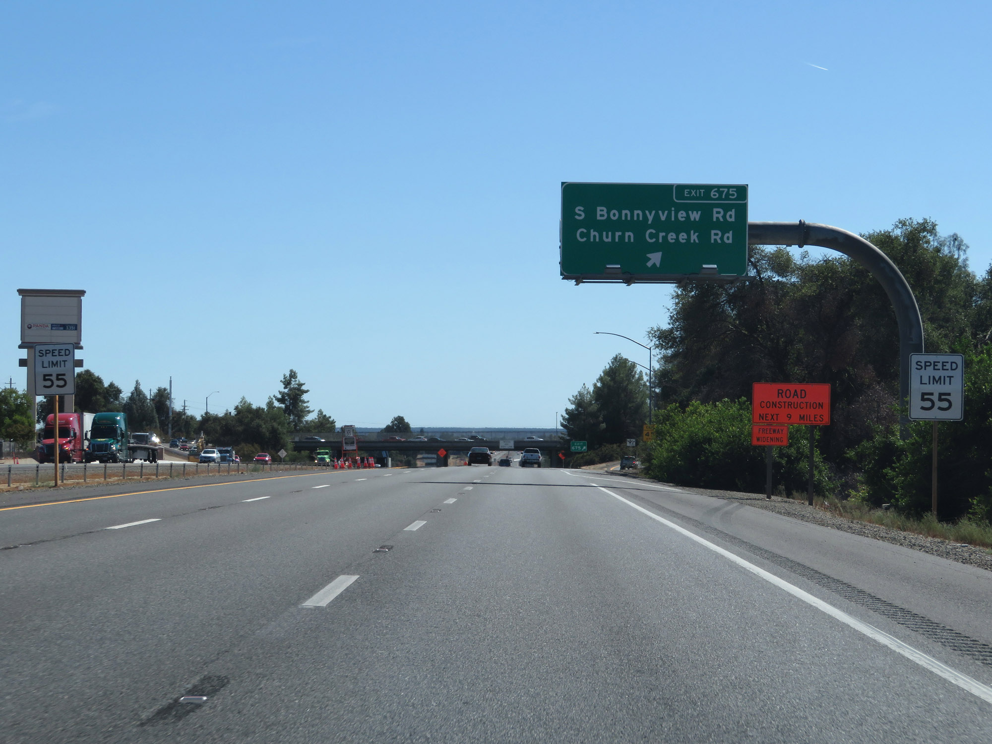 |
Interstate 5 South at Exit 675: S Bonnyview Rd / Churn Creek Rd (Photo taken 9/23/19). |
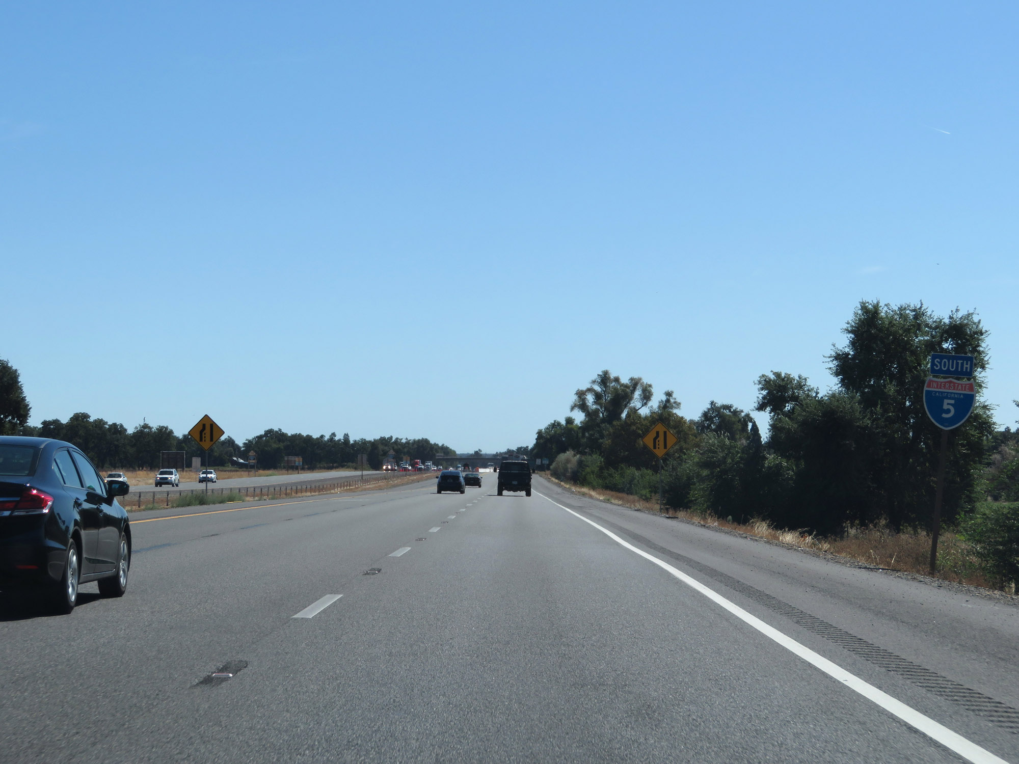 |
State-named Interstate 5 South reassurance shield in Redding. (Photo taken 9/23/19). |
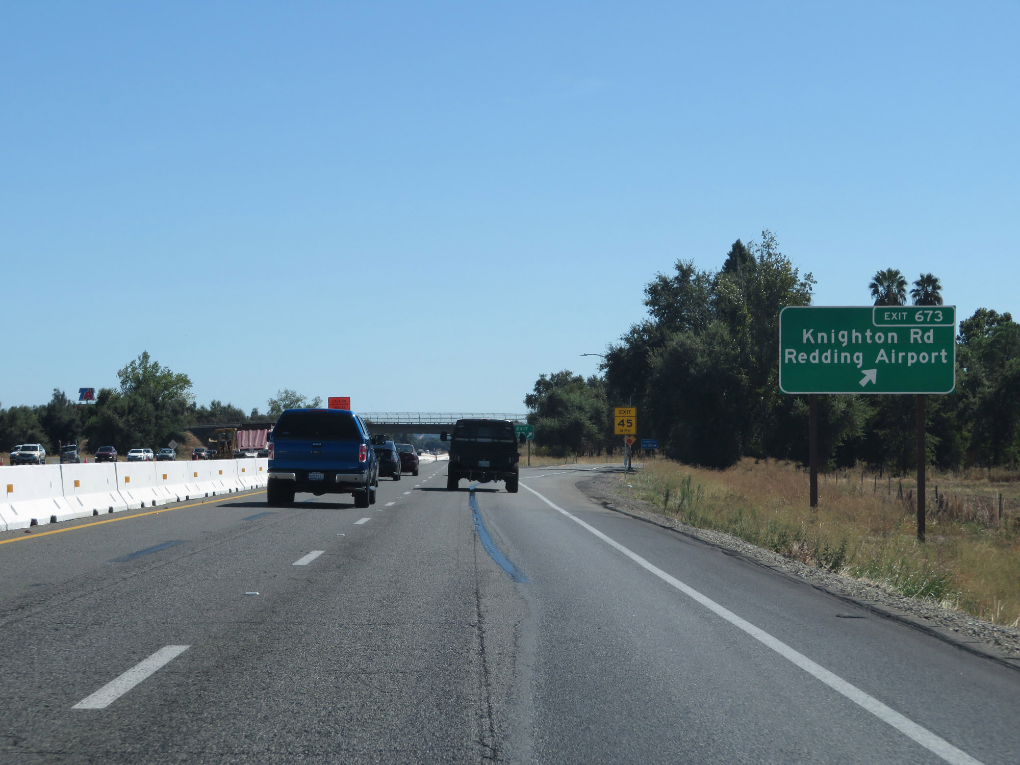 |
Interstate 5 South at Exit 673: Knighton Rd / Redding Airport (Photo taken 9/23/19). |
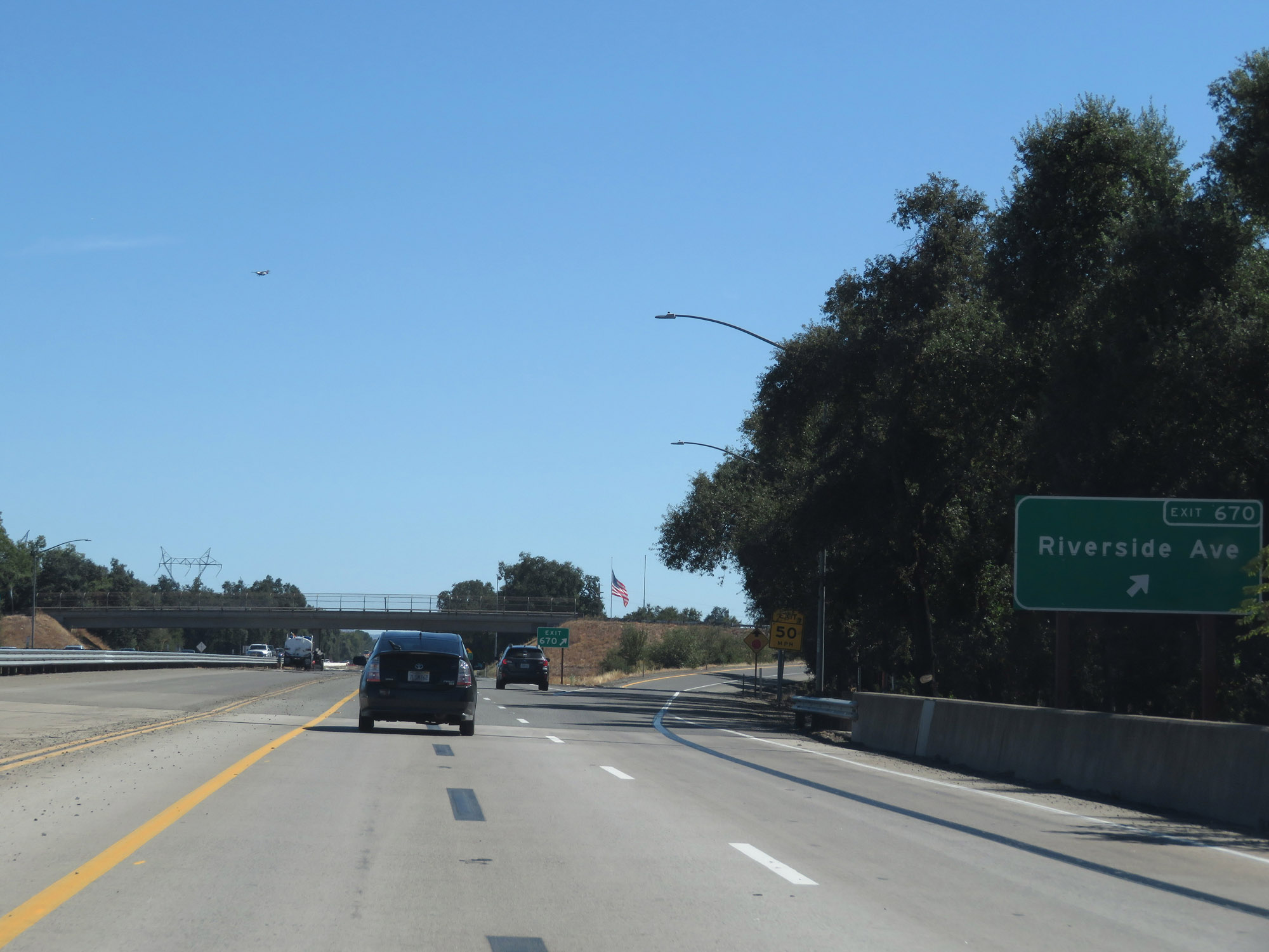 |
Interstate 5 South at Exit 670: Riverside Ave (Photo taken 9/23/19). |
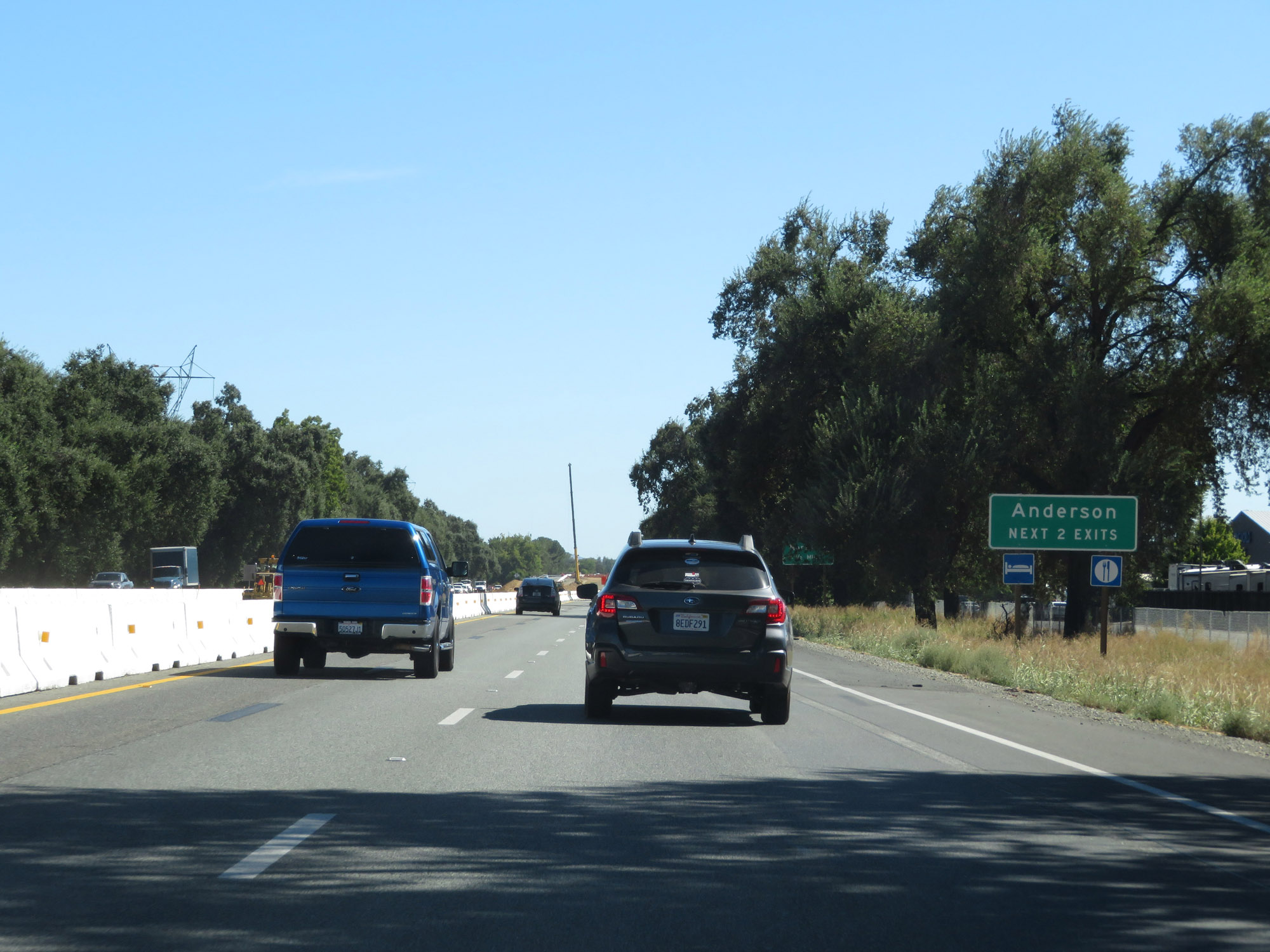 |
Take either of the next 2 exits to Anderson. (Photo taken 9/23/19). |
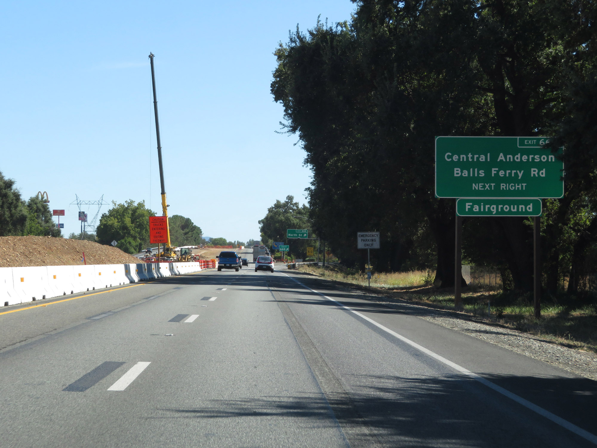 |
Take Exit 668 to Central Anderson, Balls Ferry Rd, and the Fairgrounds. (Photo taken 9/23/19). |
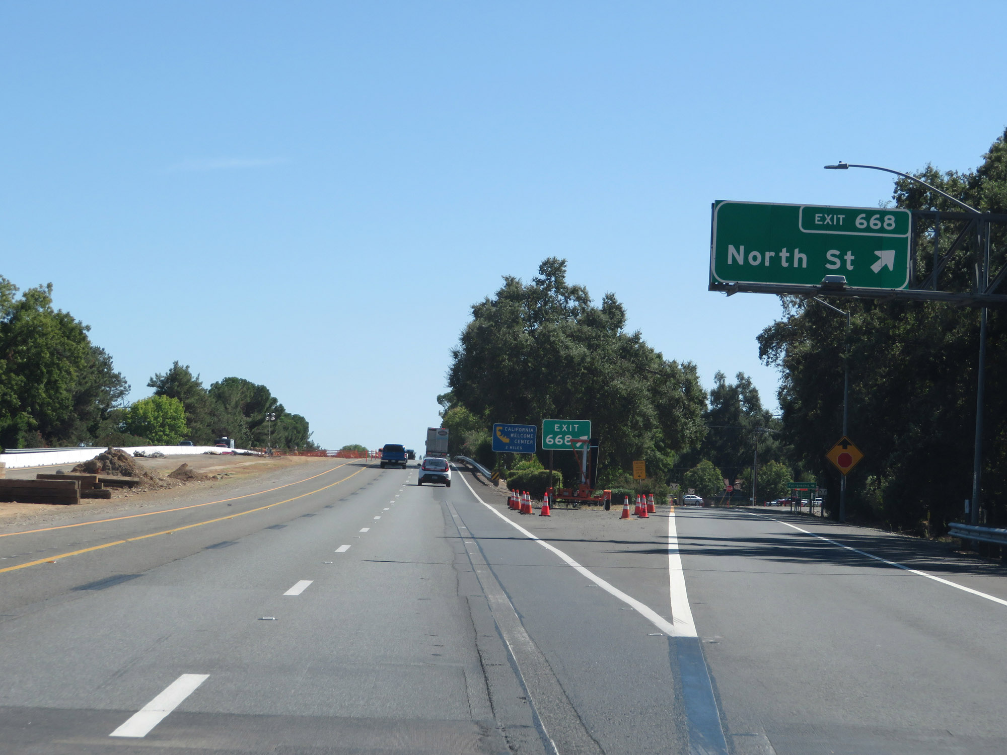 |
Interstate 5 South at Exit 668: North St (Photo taken 9/23/19). |
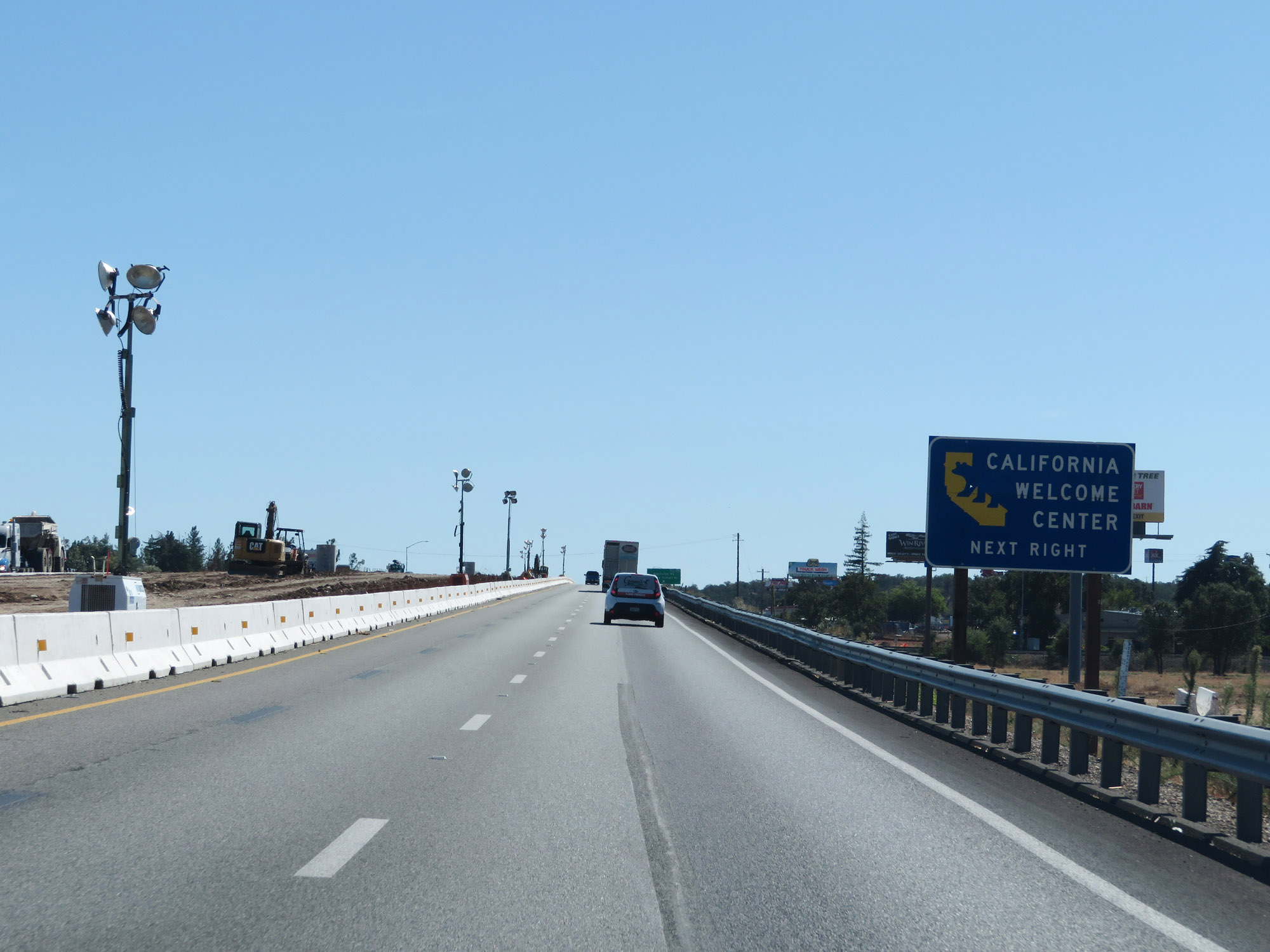 |
Take Exit 667 to a California Welcome Center. (Photo taken 9/23/19). |
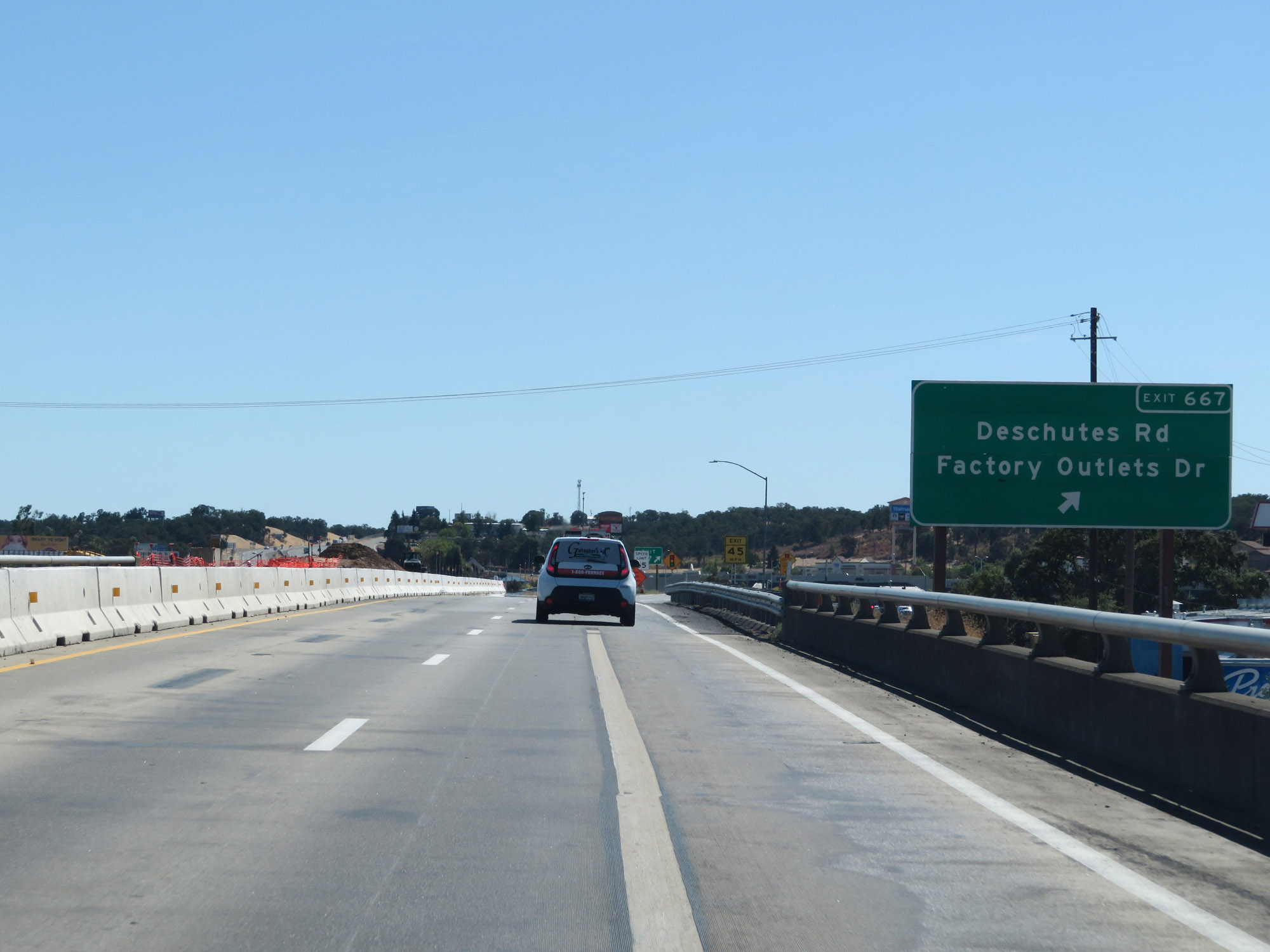 |
Interstate 5 South at Exit 667: Deschutes Rd / Factory Outlets Dr (Photo taken 9/23/19). |
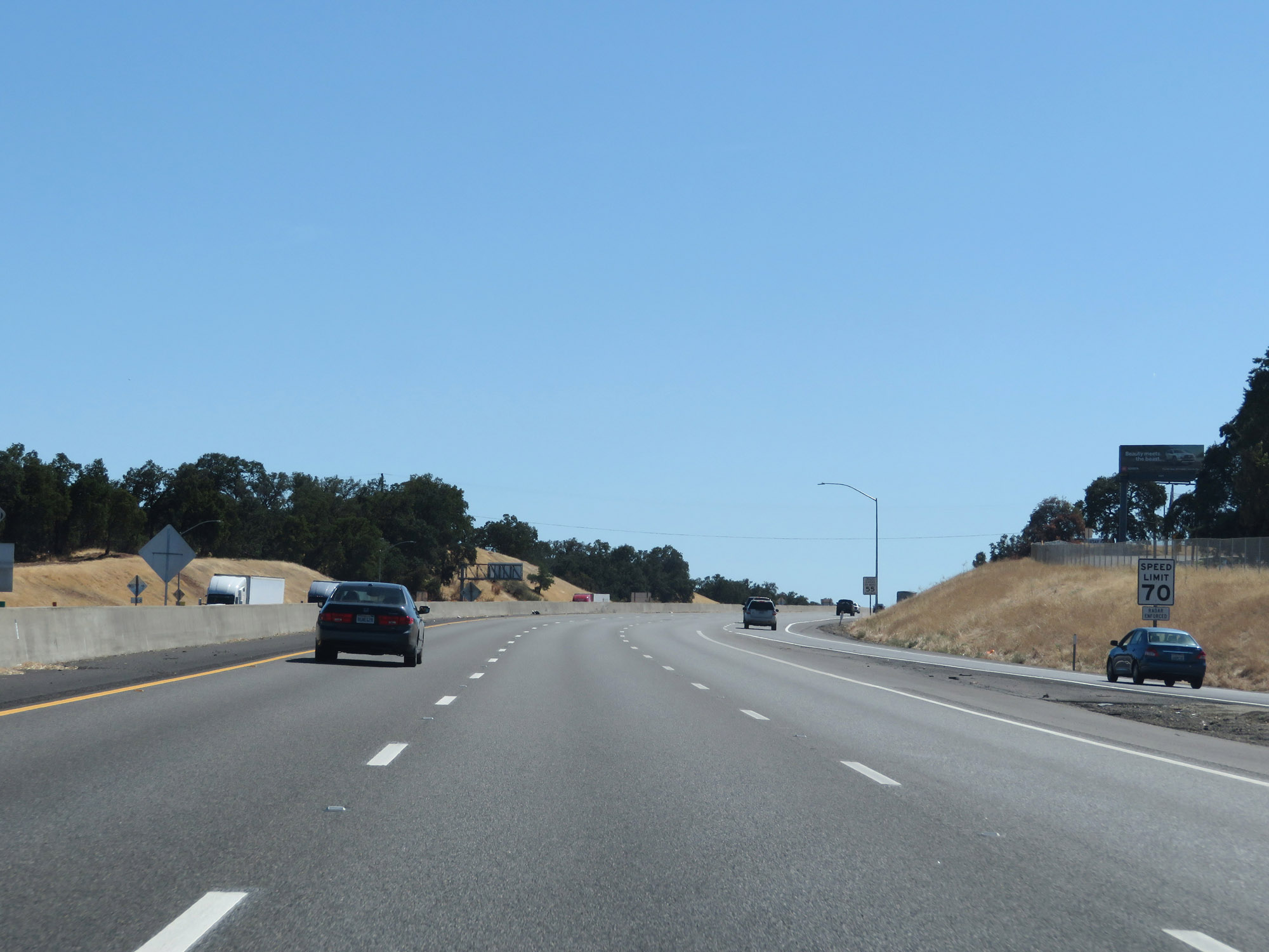 |
South of Exit 667, and leaving the Redding area, the speed limit for automobiles finally increases to 70 mph once again. (Photo taken 9/23/19). |
 |
The speed limit remains 55 mph for trucks of 3 axles or more. (Photo taken 9/23/19). |
 |
As usual, the truck speed limit sign is accompanied by this one stating that all vehicles are restricted to 55 mph when towing. (Photo taken 9/23/19). |
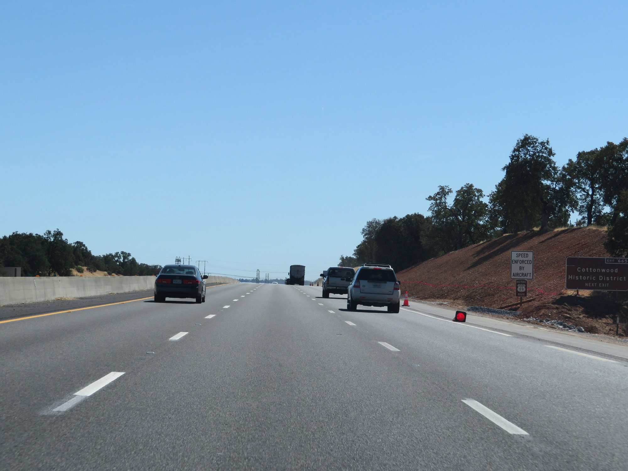 |
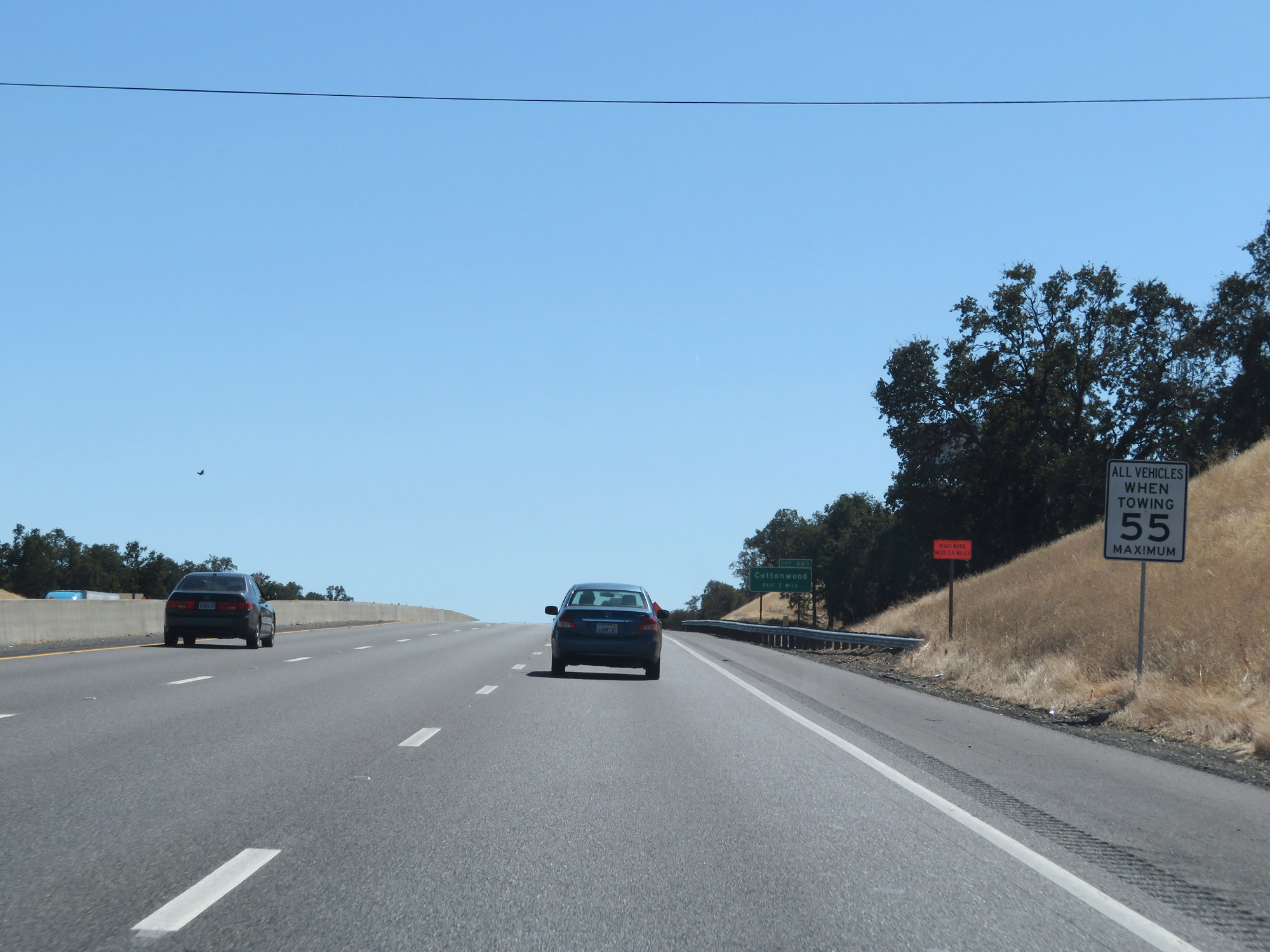
Take Exit 665 to Cottonwood Historic District. (Photo taken 9/23/19). |
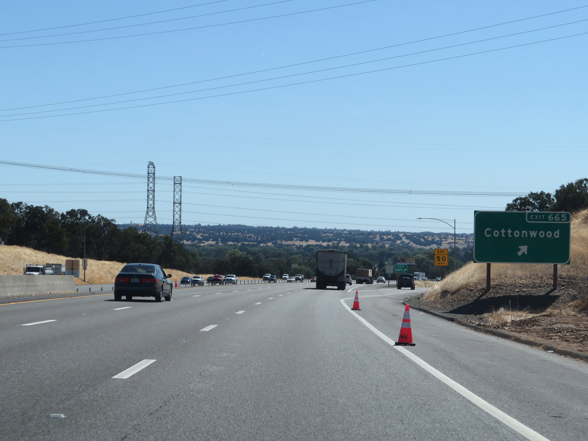 |
Interstate 5 South at Exit 665: Cottonwood (Photo taken 9/23/19). |
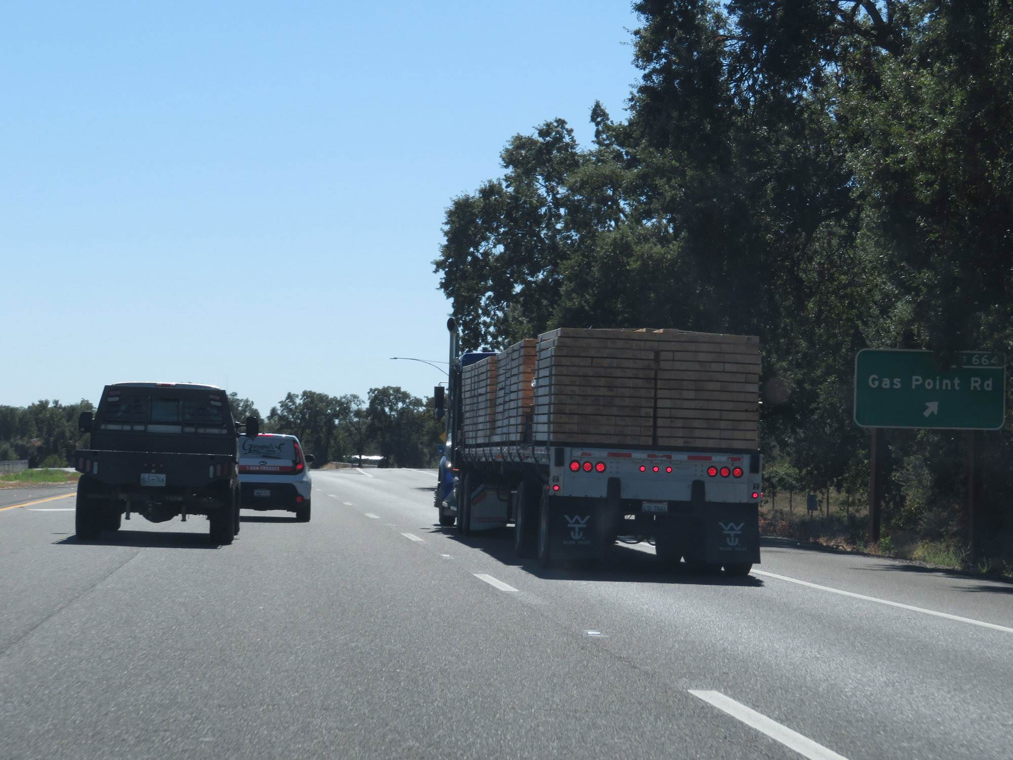 |
Interstate 5 South at Exit 664: Gas Point Rd (Photo taken 9/23/19). |
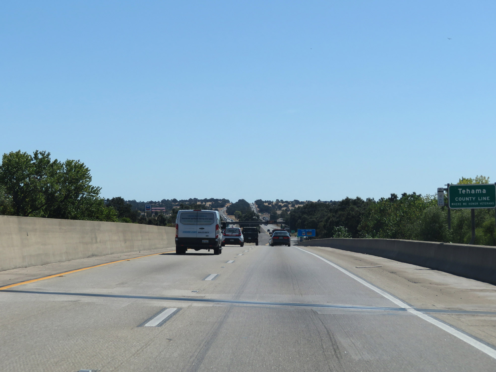 |
Entering Tehama County on Interstate 5 South. (Photo taken 9/23/19). |
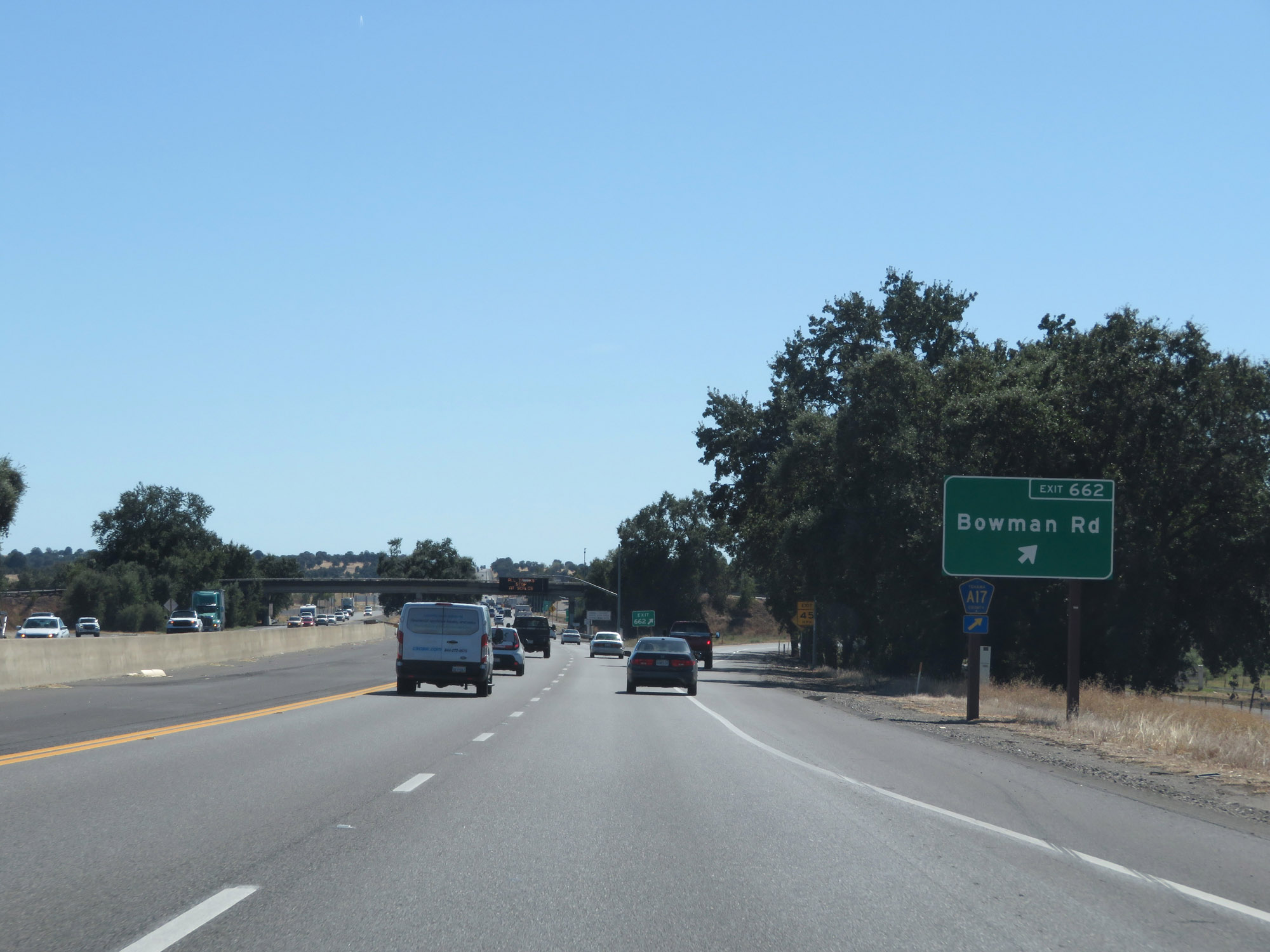 |
Interstate 5 South at Exit 662: CR A17 - Bowman Rd (Photo taken 9/23/19). |
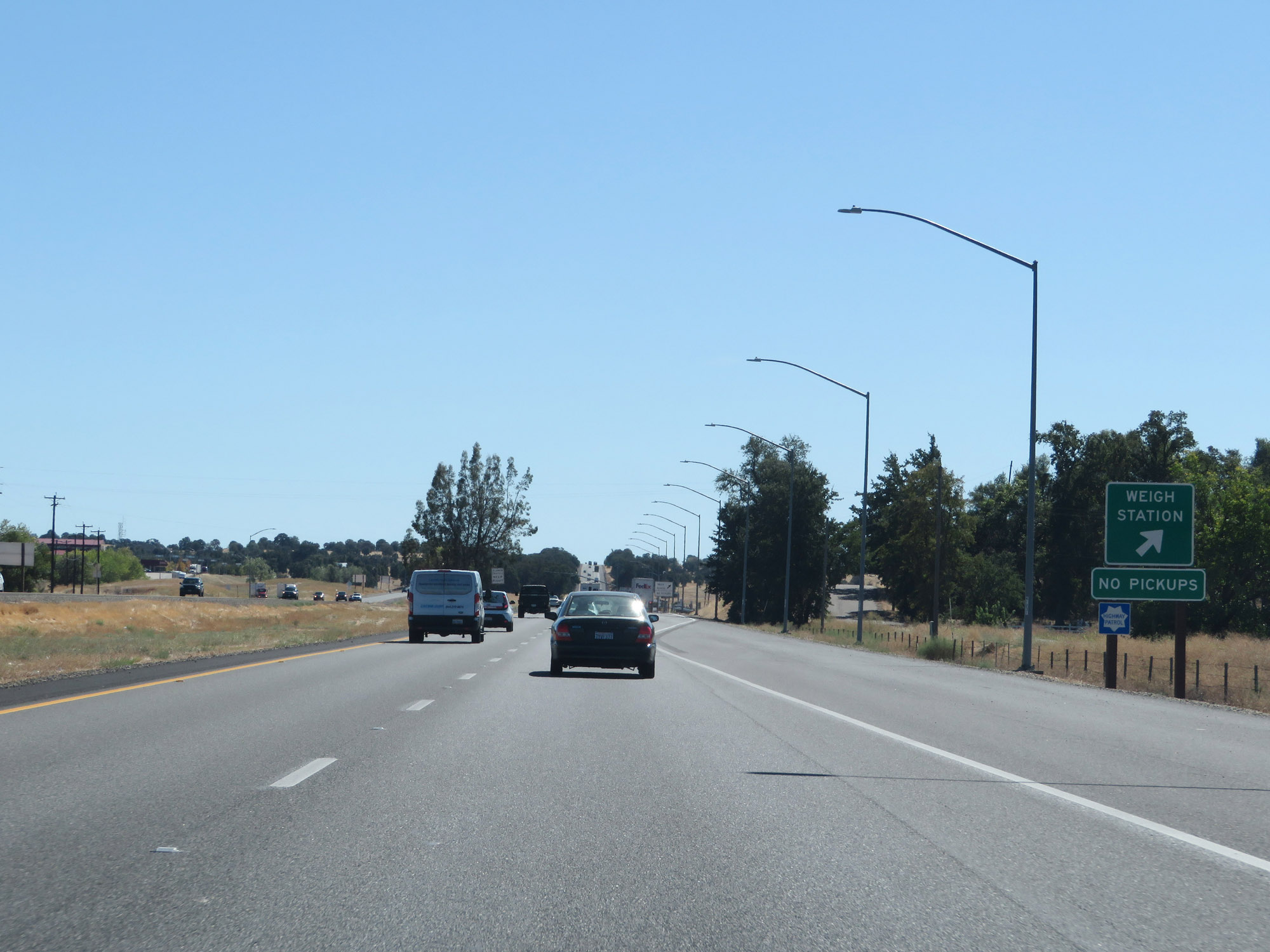 |
Weigh Station on Interstate 5 South in Tehama County. (Photo taken 9/23/19). |
 |
Mileage sign on Interstate 5 South. It's 11 miles to Red Bluff, 143 miles to Sacramento, and 195 miles to San Francisco. (Photo taken 9/23/19). |
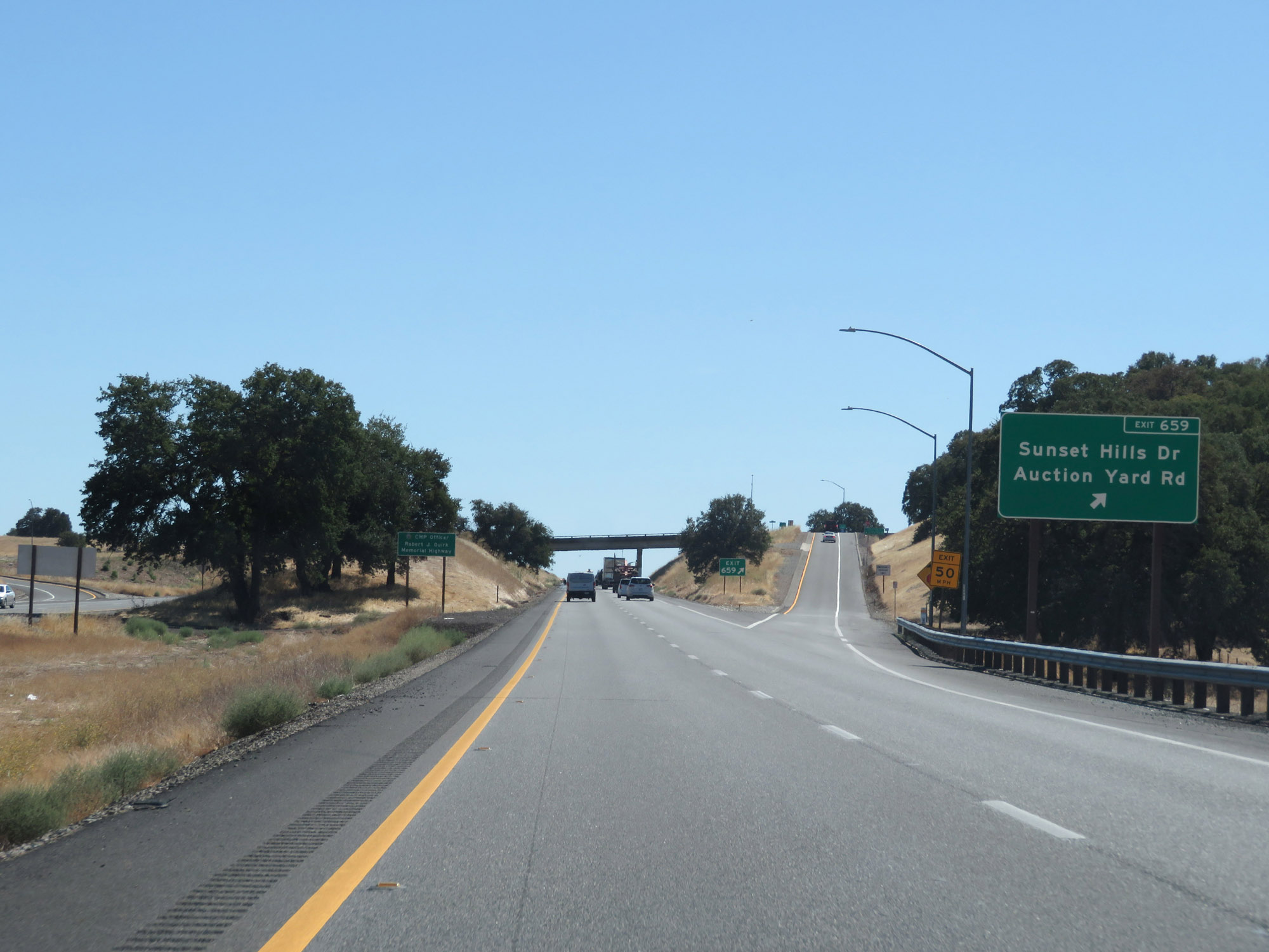 |
Interstate 5 South at Exit 659: Sunset Hills Dr / Auction Yard Rd (Photo taken 9/23/19). |
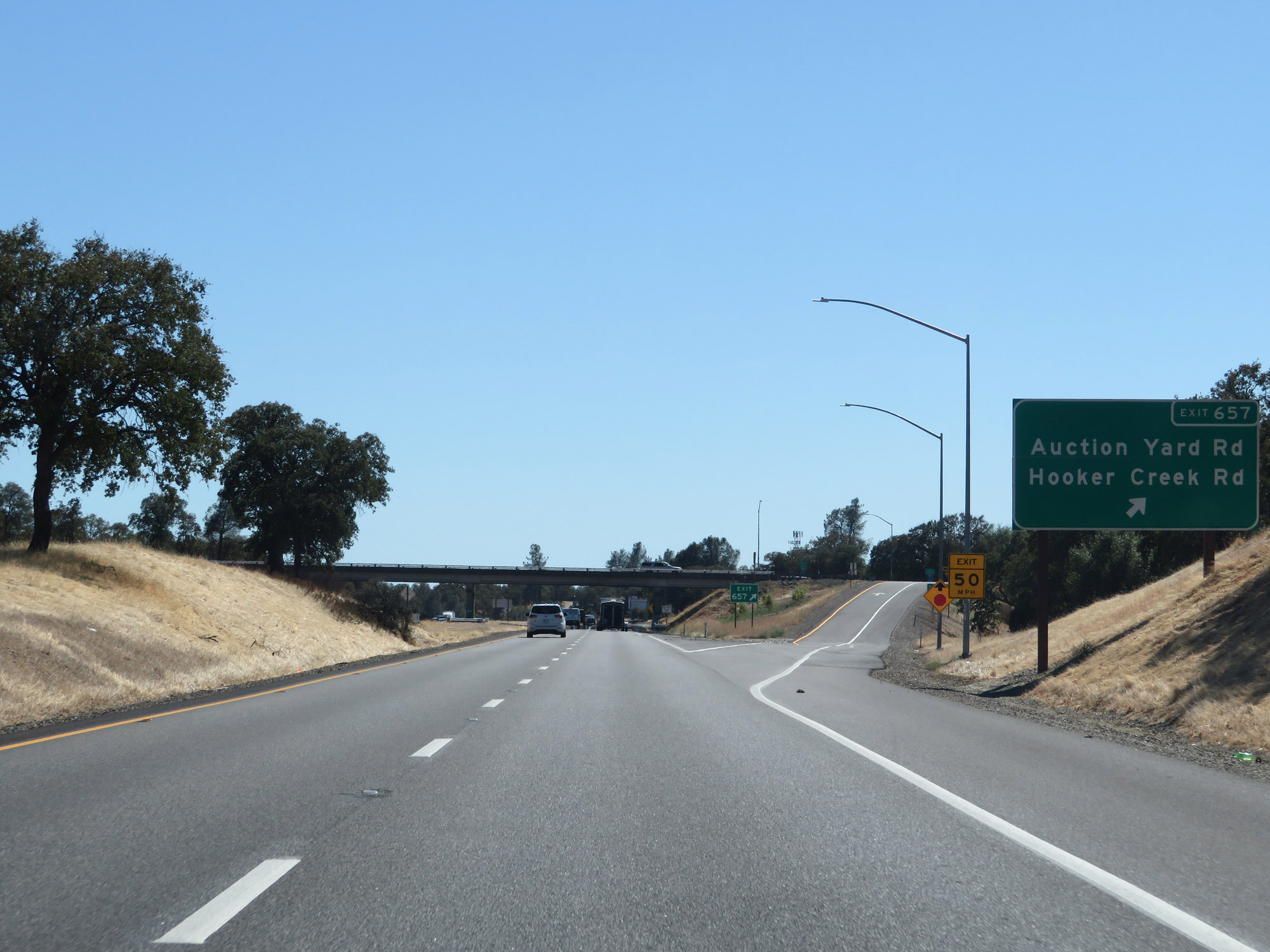 |
Interstate 5 South at Exit 657: Auction Yard Rd / Hooker Creek Rd (Photo taken 9/23/19). |
 |
Rest Area on Interstate 5 South in Tehama County. (Photo taken 9/23/19). |
 |
The speed limit remains 70 mph for automobiles. (Photo taken 9/23/19). |
 |
The speed limit for trucks of 3 or more axles remains 55 mph. (Photo taken 9/23/19). |
 |
All vehicles towing trailers are restricted to 55 mph in California. (Photo taken 9/23/19). |
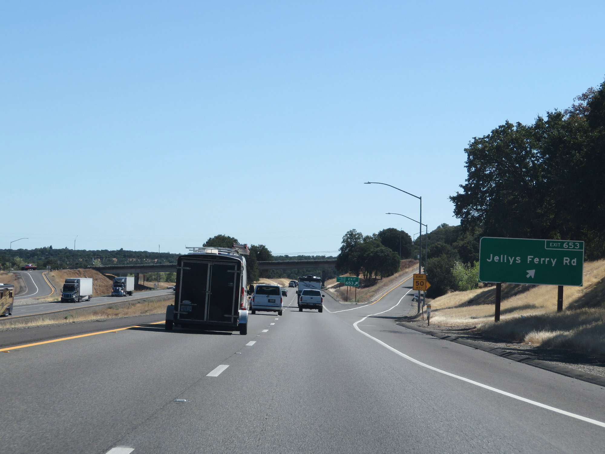 |
Interstate 5 South at Exit 653: Jellys Ferry Rd (Photo taken 9/23/19). |
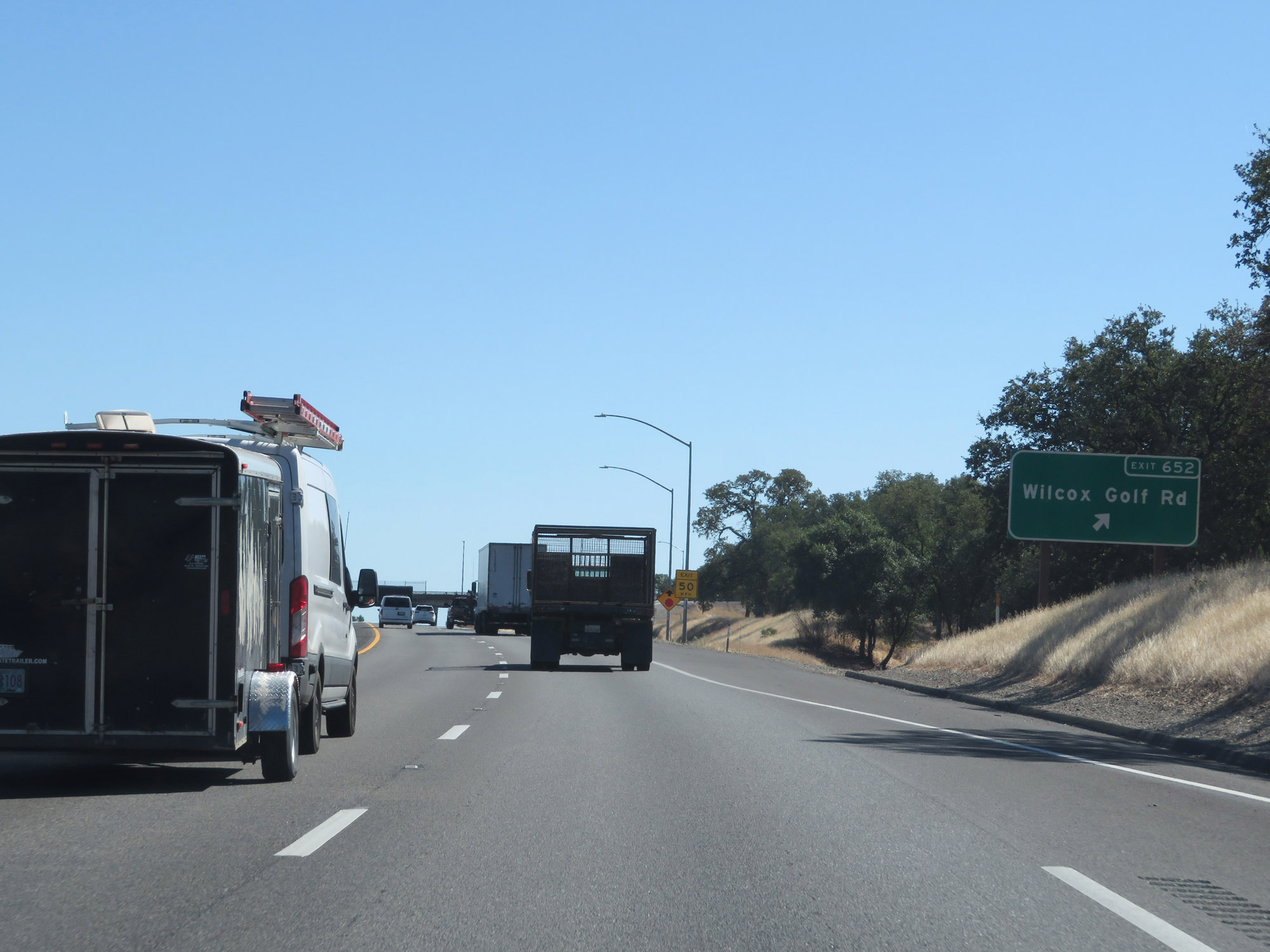 |
Interstate 5 South at Exit 652: Wilcox Golf Rd (Photo taken 9/23/19). |
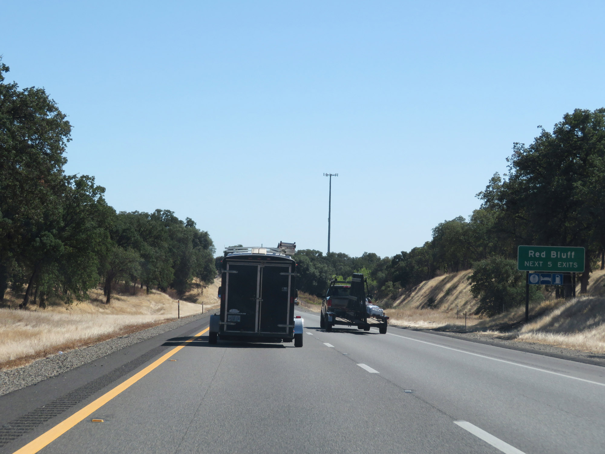 |
Take any of the next 5 exits to Red Bluff. (Photo taken 9/23/19). |
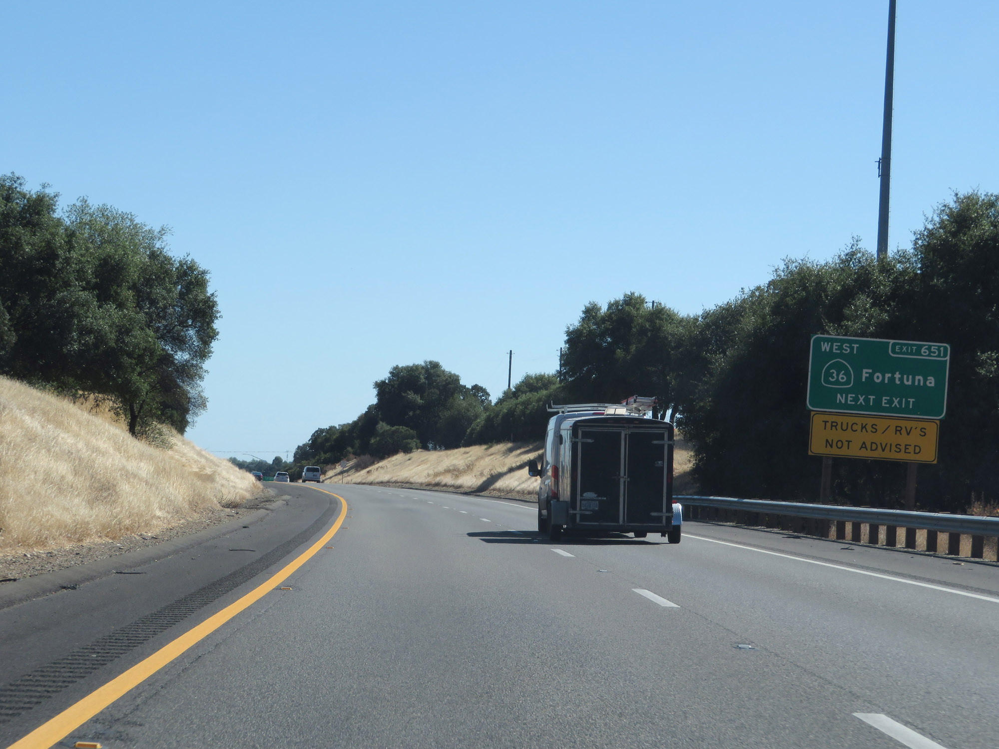 |
Take Exit 651 to CA 36 West toward Fortuna. (Photo taken 9/23/19). |
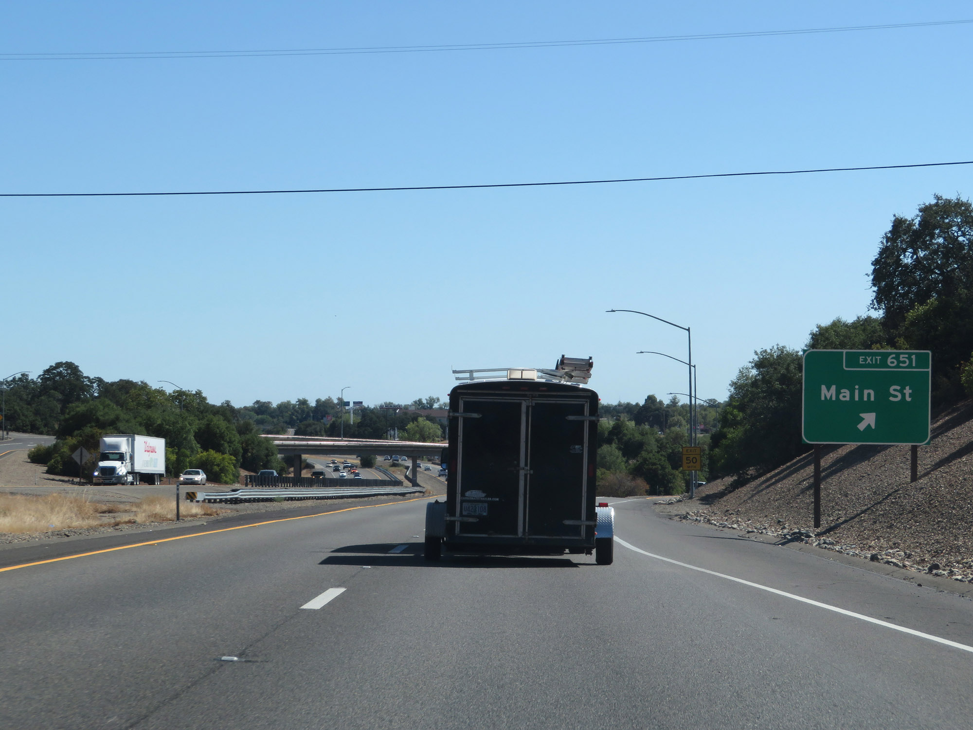 |
Interstate 5 South at Exit 651: Main St (Photo taken 9/23/19). |
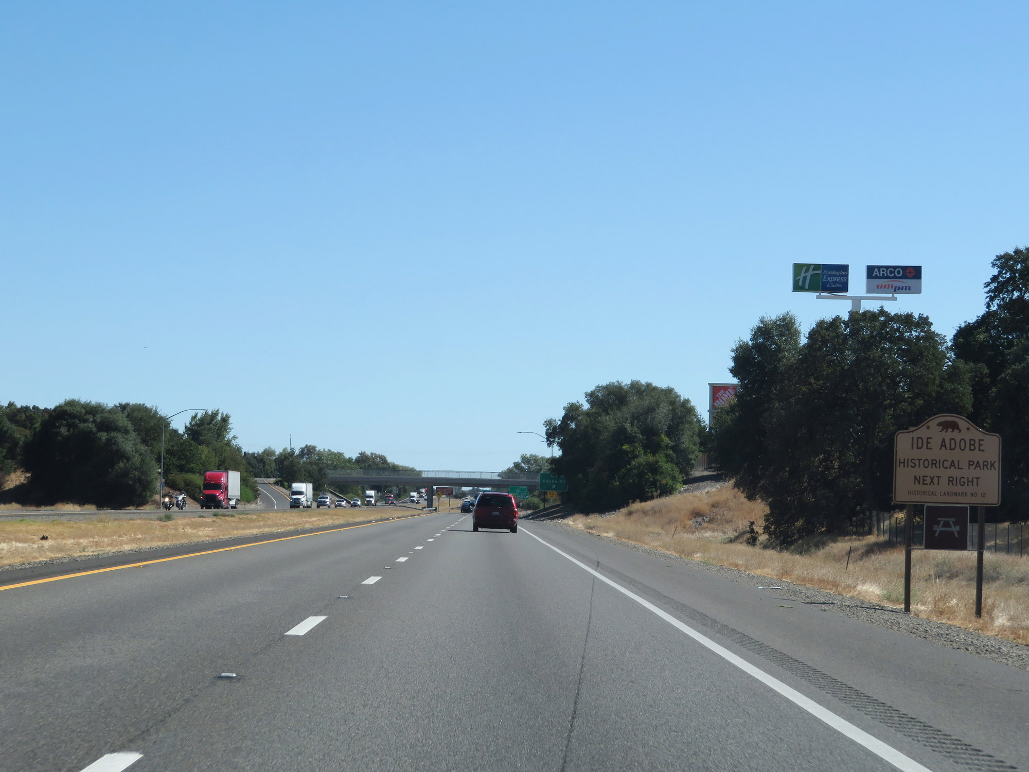 |
Take Exit 650 to Ide Adobe Historical Park. (Photo taken 9/23/19). |
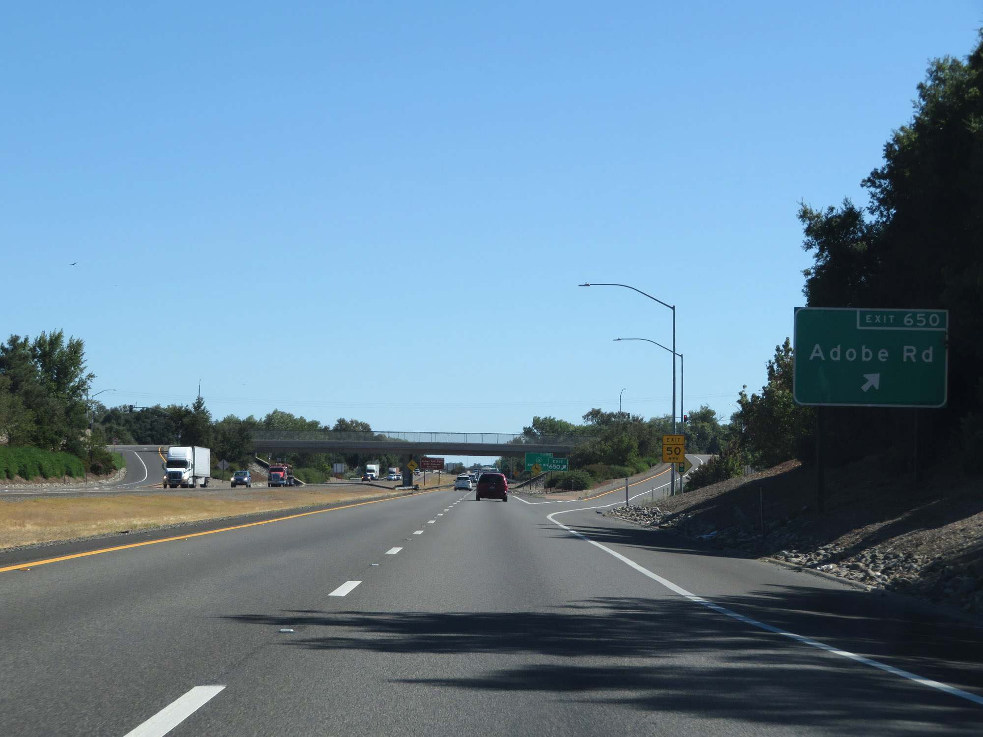 |
Interstate 5 South at Exit 650: Adobe Rd (Photo taken 9/23/19). |
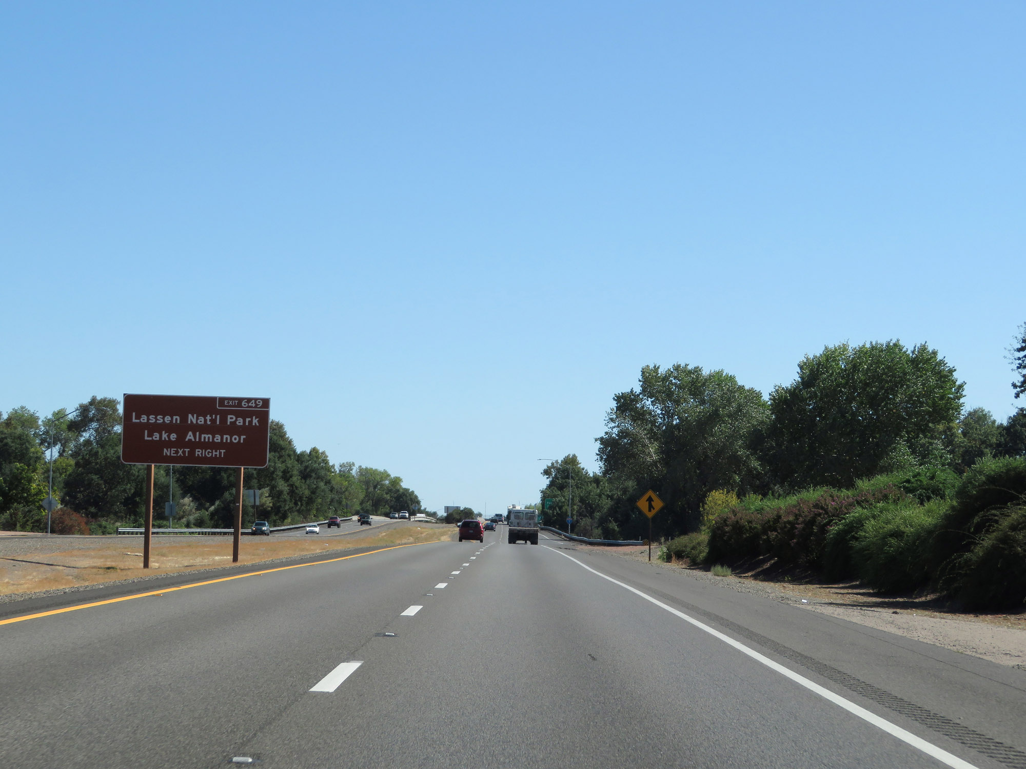 |
Take Exit 649 to Lassen National Park and Lake Almanor. (Photo taken 9/23/19). |
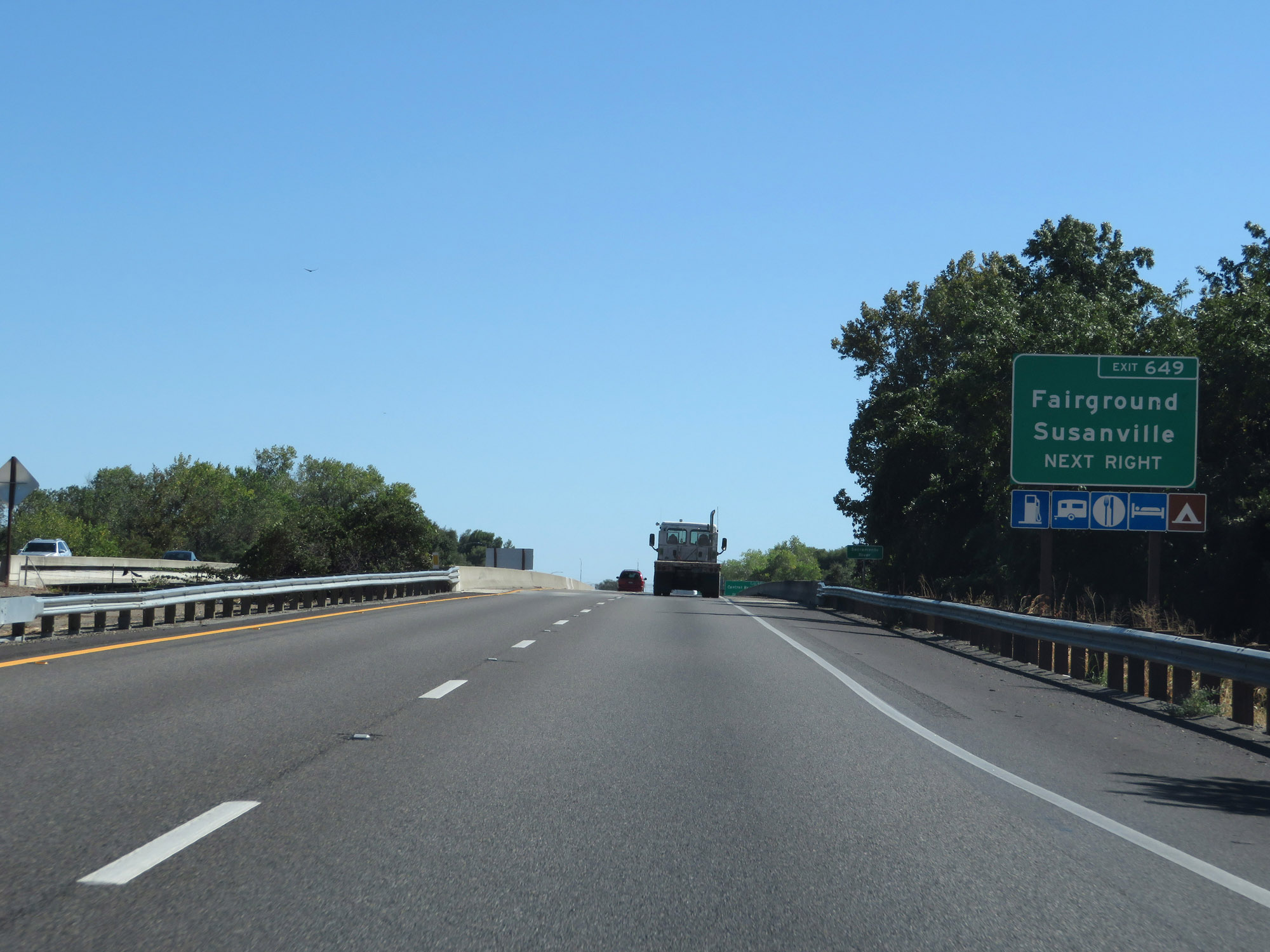 |
Also take Exit 649 to the Fairgrounds and Susanville. (Photo taken 9/23/19). |
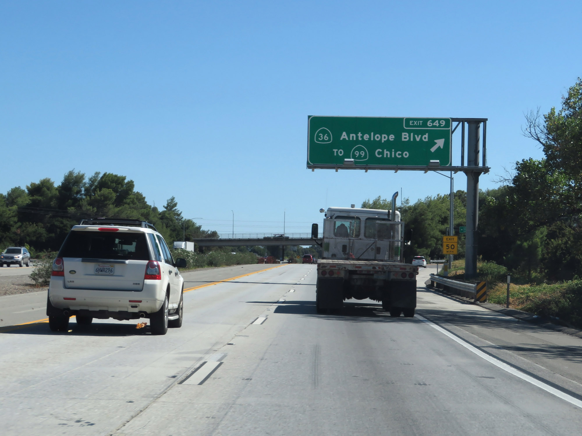 |
Interstate 5 South at Exit 649: CA 36 / To CA 99 - Antelope Blvd / Chico (Photo taken 9/23/19). |
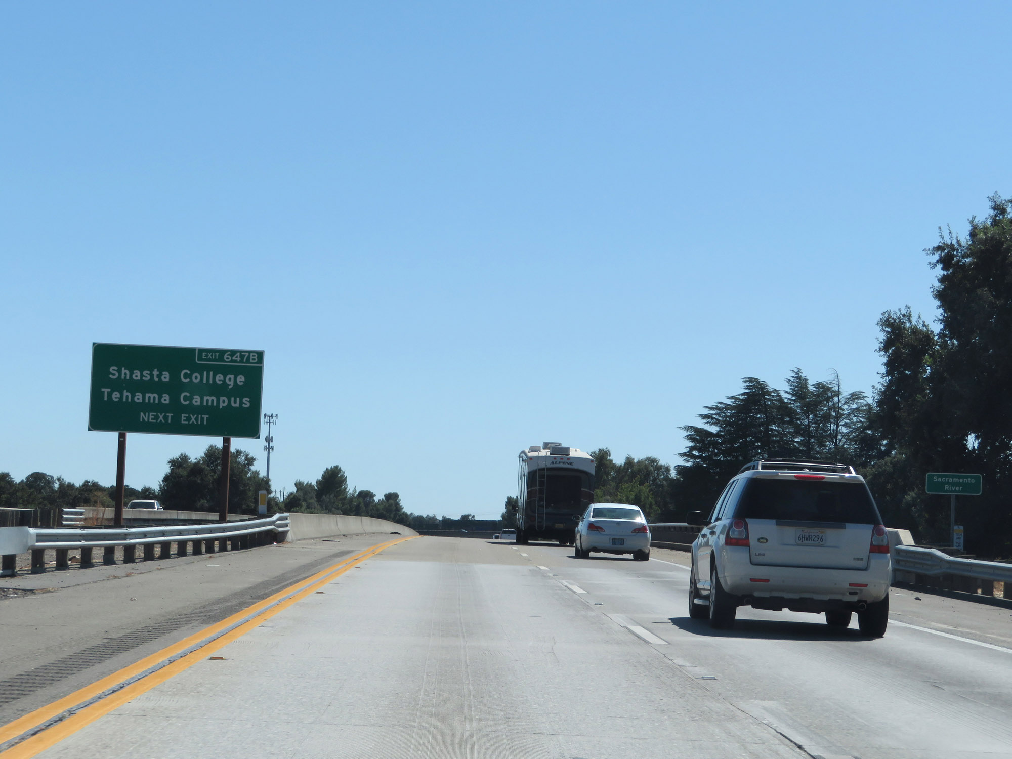 |
Take Exit 647B to Shasta College Tehama Campus. (Photo taken 9/23/19). |
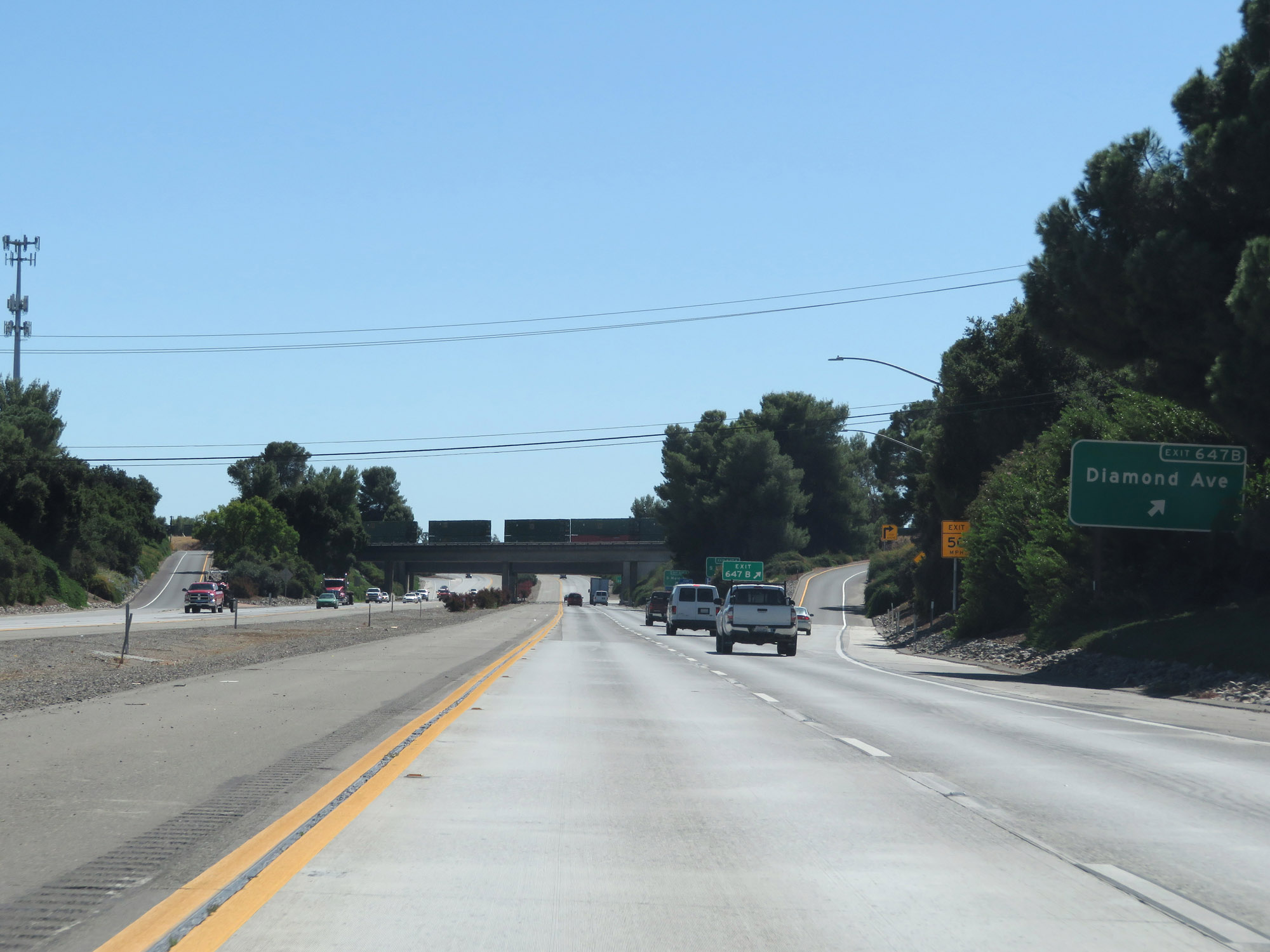 |
Interstate 5 South at Exit 647B: Diamond Ave (Photo taken 9/23/19). |
Section 5: Red Bluff (Exit 647B) to Arbuckle (Exit 566)
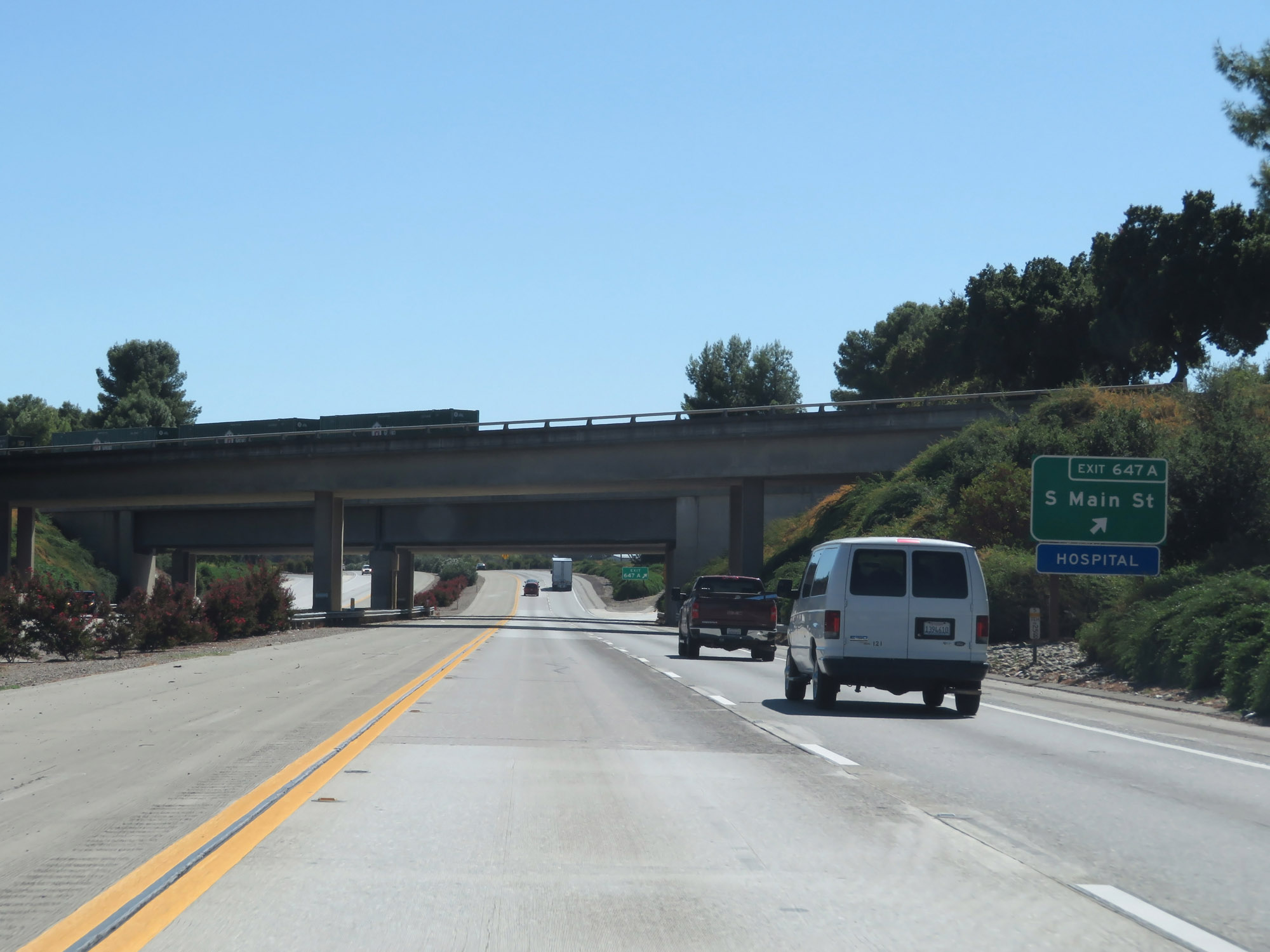 |
Interstate 5 South at Exit 647A: S Main St (Photo taken 9/23/19). |
 |
Another state-named Interstate 5 South reassurance shield. (Photo taken 9/23/19). |
 |
California-style speed limit sign stating that the maximum speed for automobiles on Interstate 5 South is 70 mph at this point. (Photo taken 9/23/19). |
 |
View on Interstate 5 South in Tehama County. (Photo taken 9/23/19). |
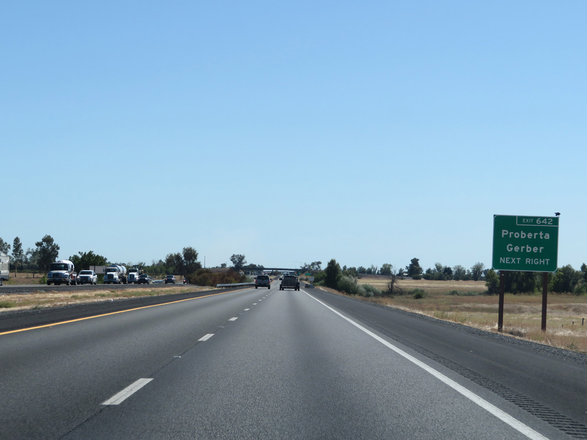 |
Take Exit 642 to Proberta and Gerber. (Photo taken 9/23/19). |
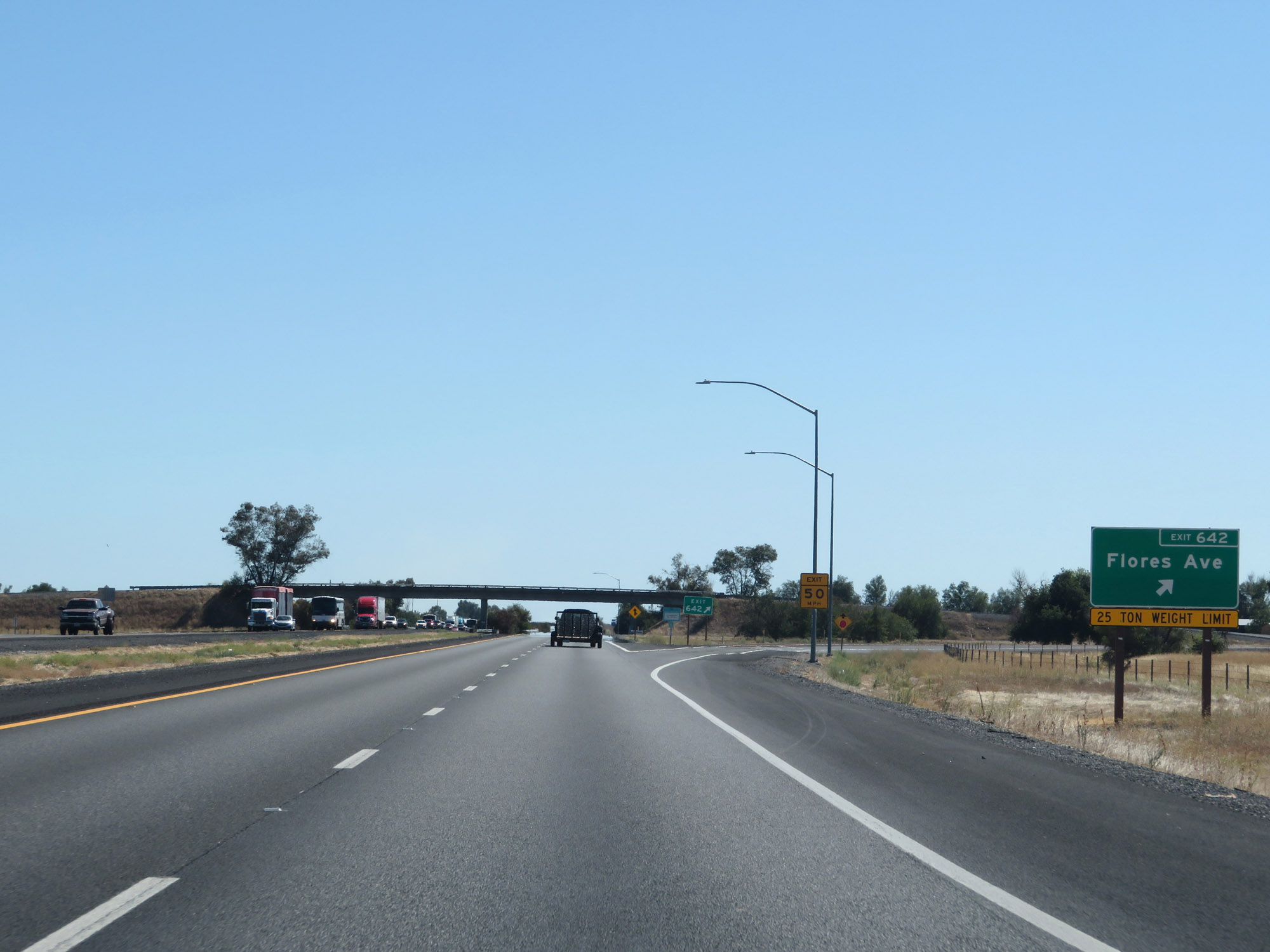 |
Interstate 5 South at Exit 642: Flores Ave (Photo taken 9/23/19). |
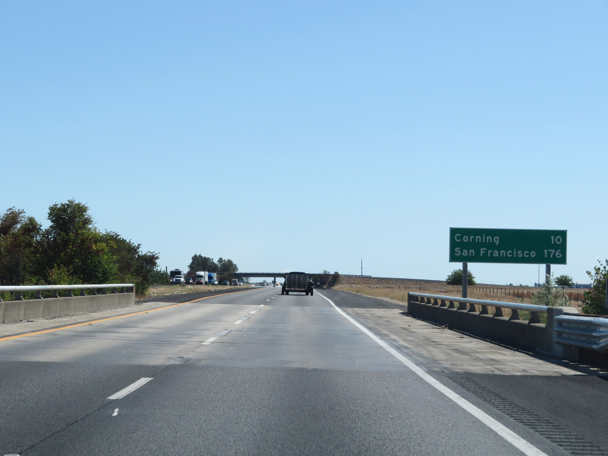 |
Mileage sign on Interstate 5 South. It's 10 miles to Corning and 176 miles to San Francisco. (Photo taken 9/23/19). |
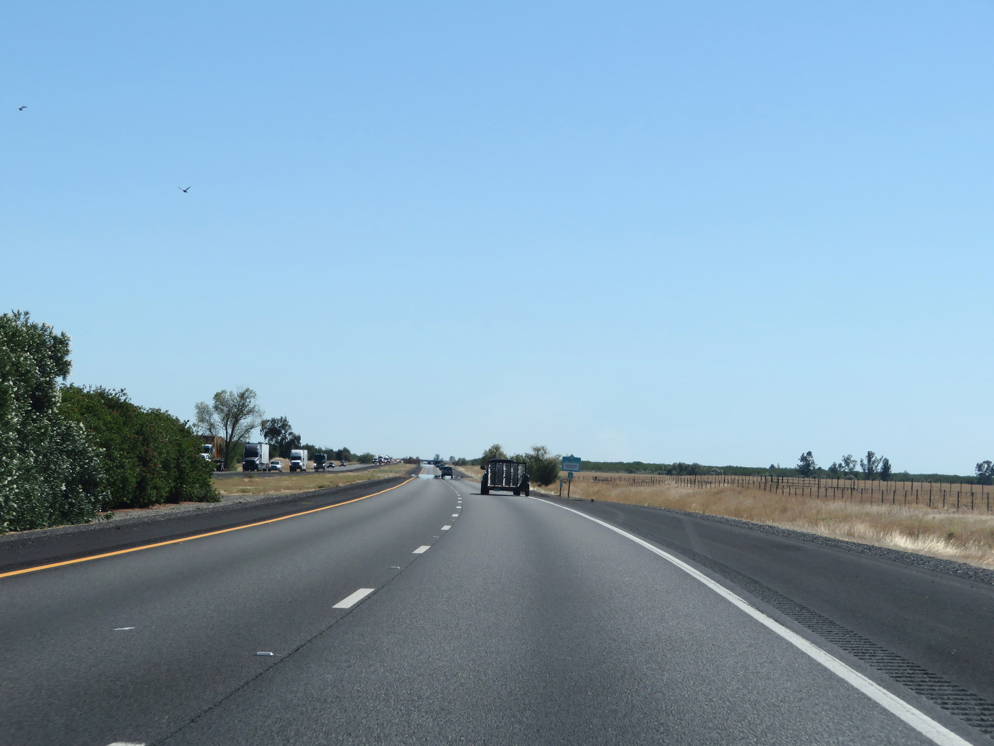 |
View on Interstate 5 South in Tehama County. (Photo taken 9/23/19). |
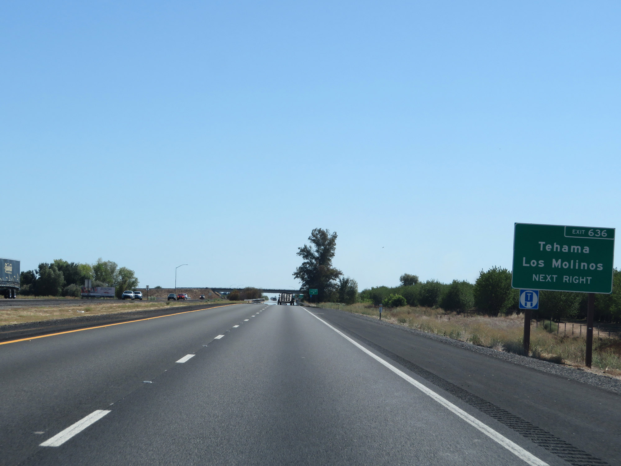 |
Take Exit 636 to Tehama and Los Molinos. (Photo taken 9/23/19). |
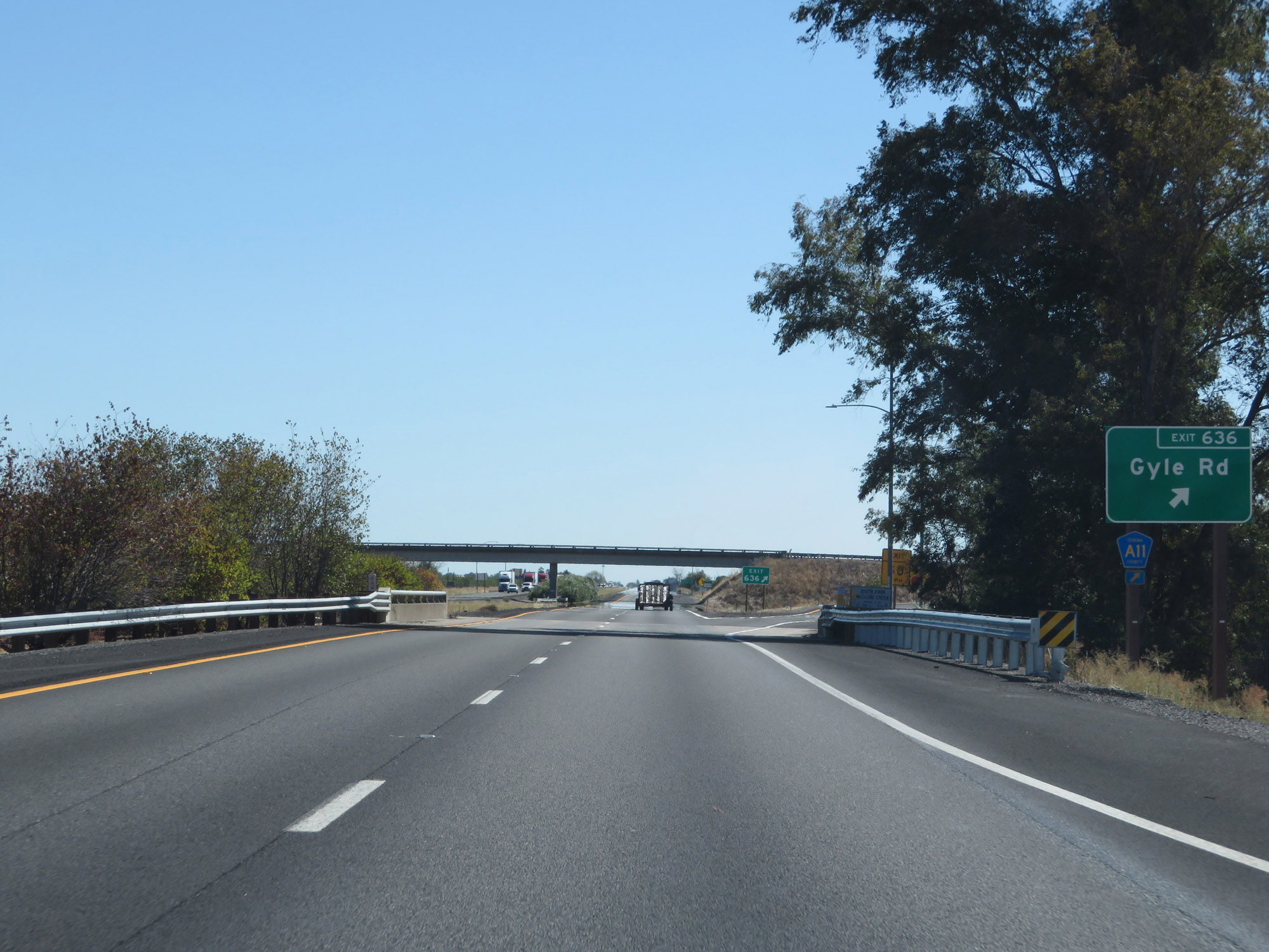 |
Interstate 5 South at Exit 636: CR A11 - Gyle Rd (Photo taken 9/23/19). |
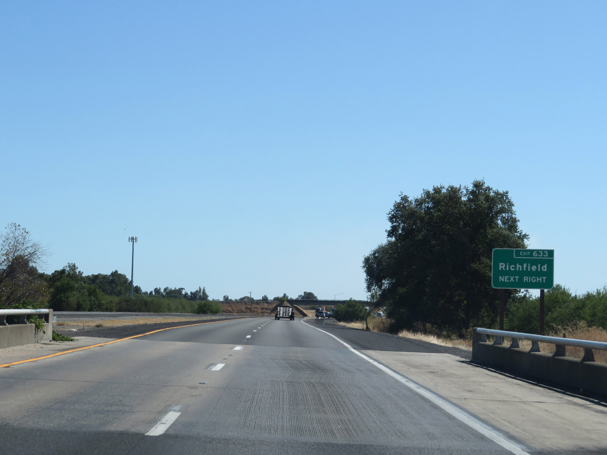 |
Take Exit 633 to Richfield. (Photo taken 9/23/19). |
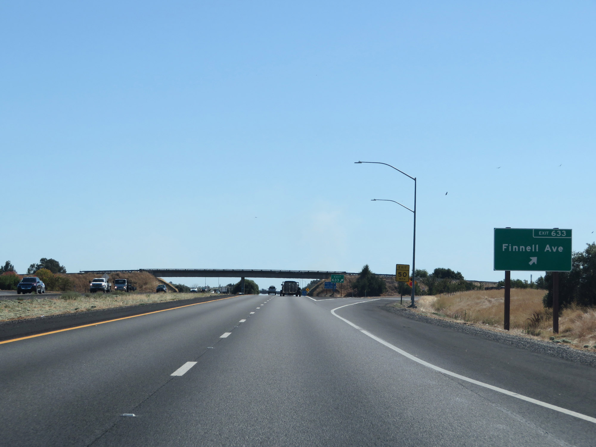 |
Interstate 5 South at Exit 633: Finnell Ave (Photo taken 9/23/19). |
 |
Rest Area on Interstate 5 South in Tehama County. (Photo taken 9/23/19). |
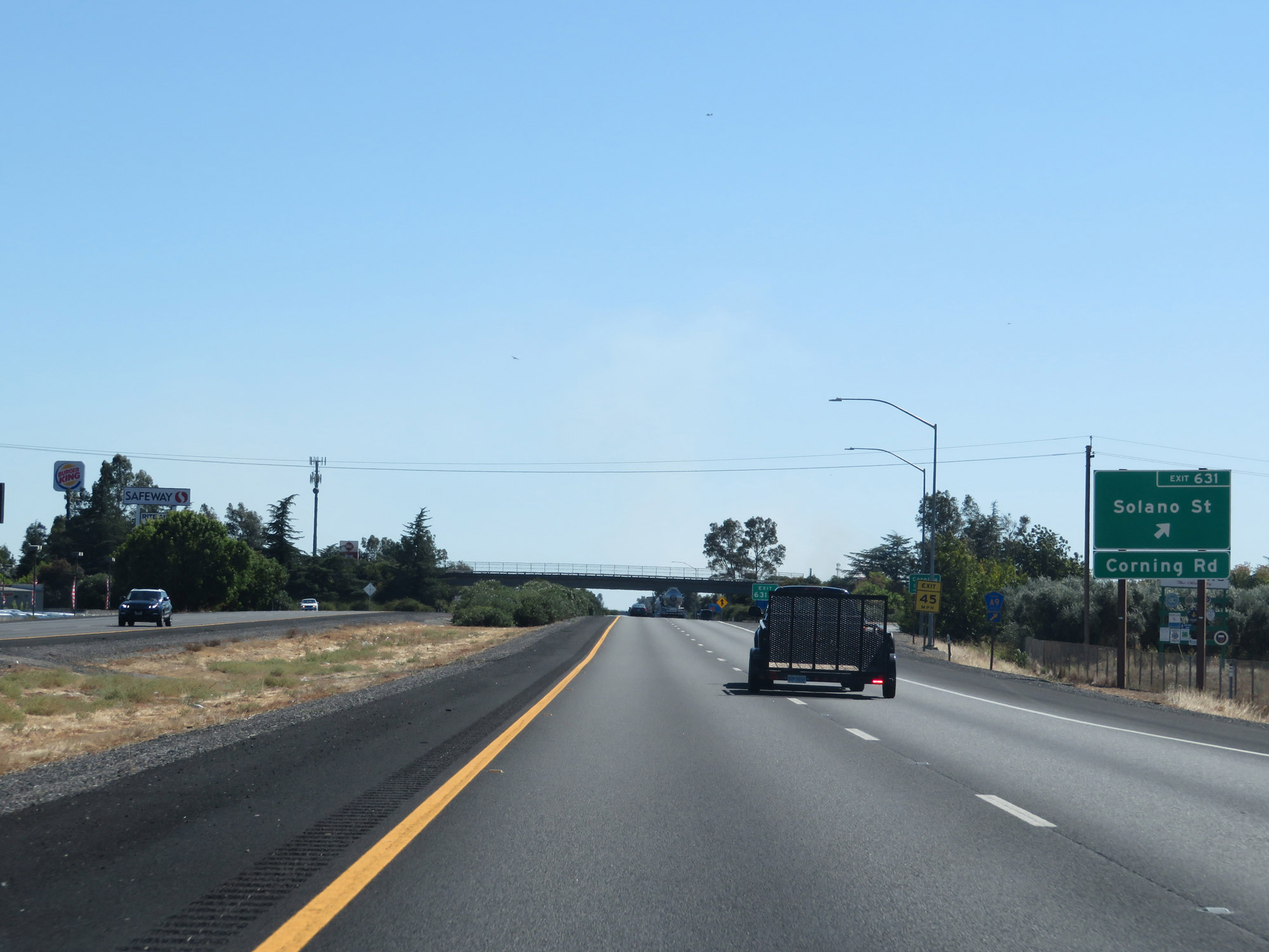 |
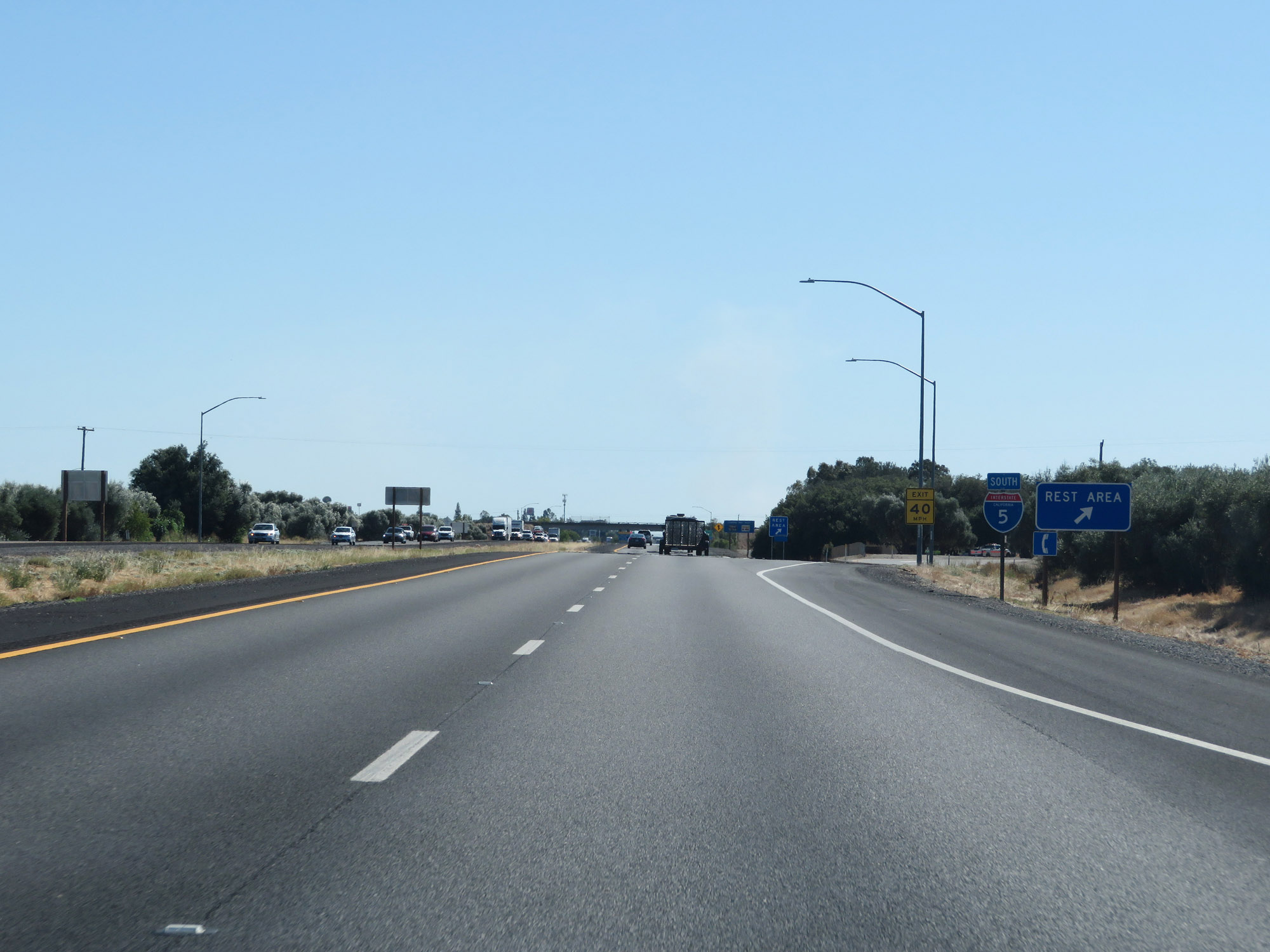
Interstate 5 South at Exit 631: Solano St / Corning Rd (Photo taken 9/23/19). |
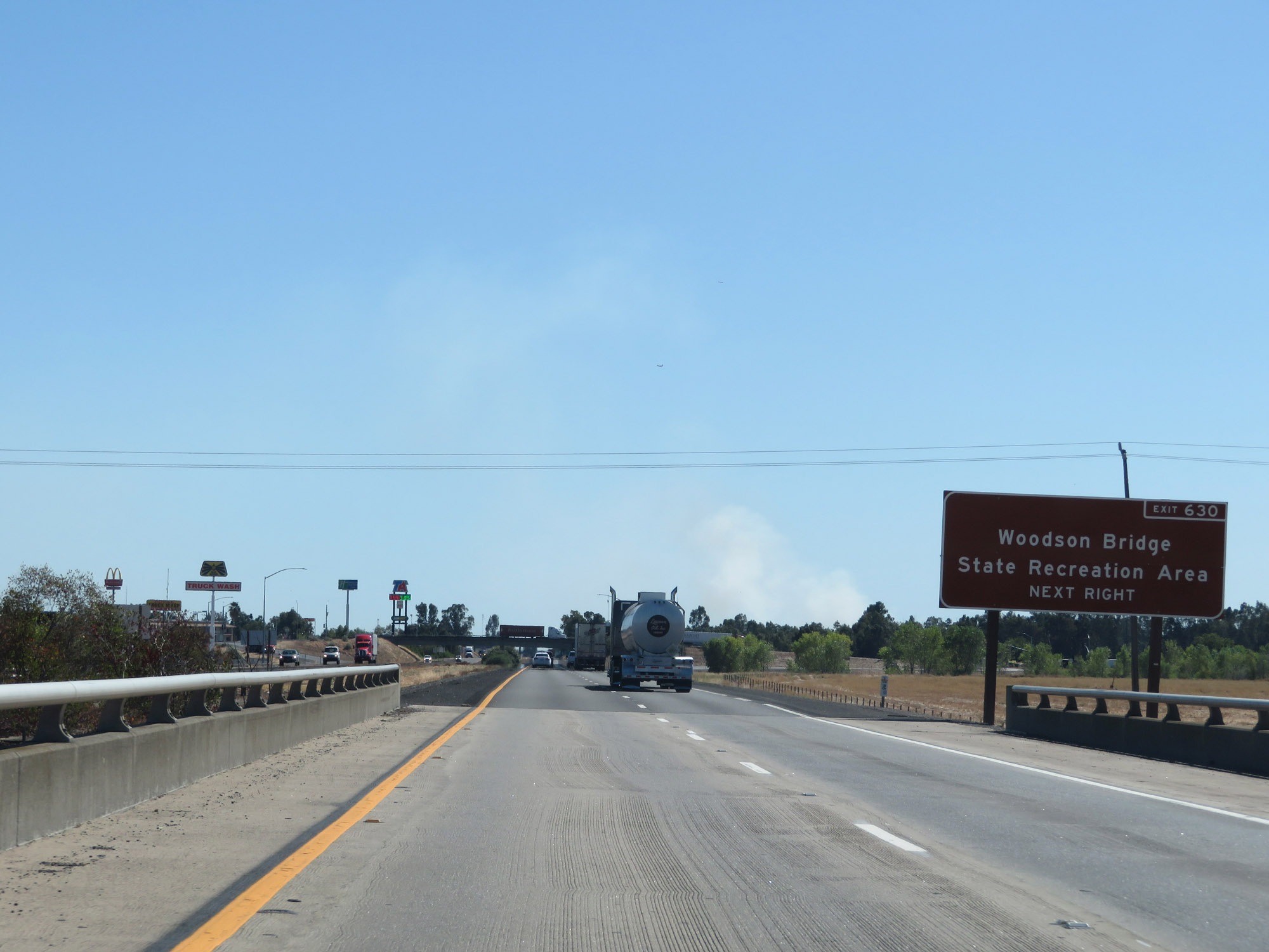 |
Take Exit 630 to Woodson Bridge State Recreation Area. (Photo taken 9/23/19). |
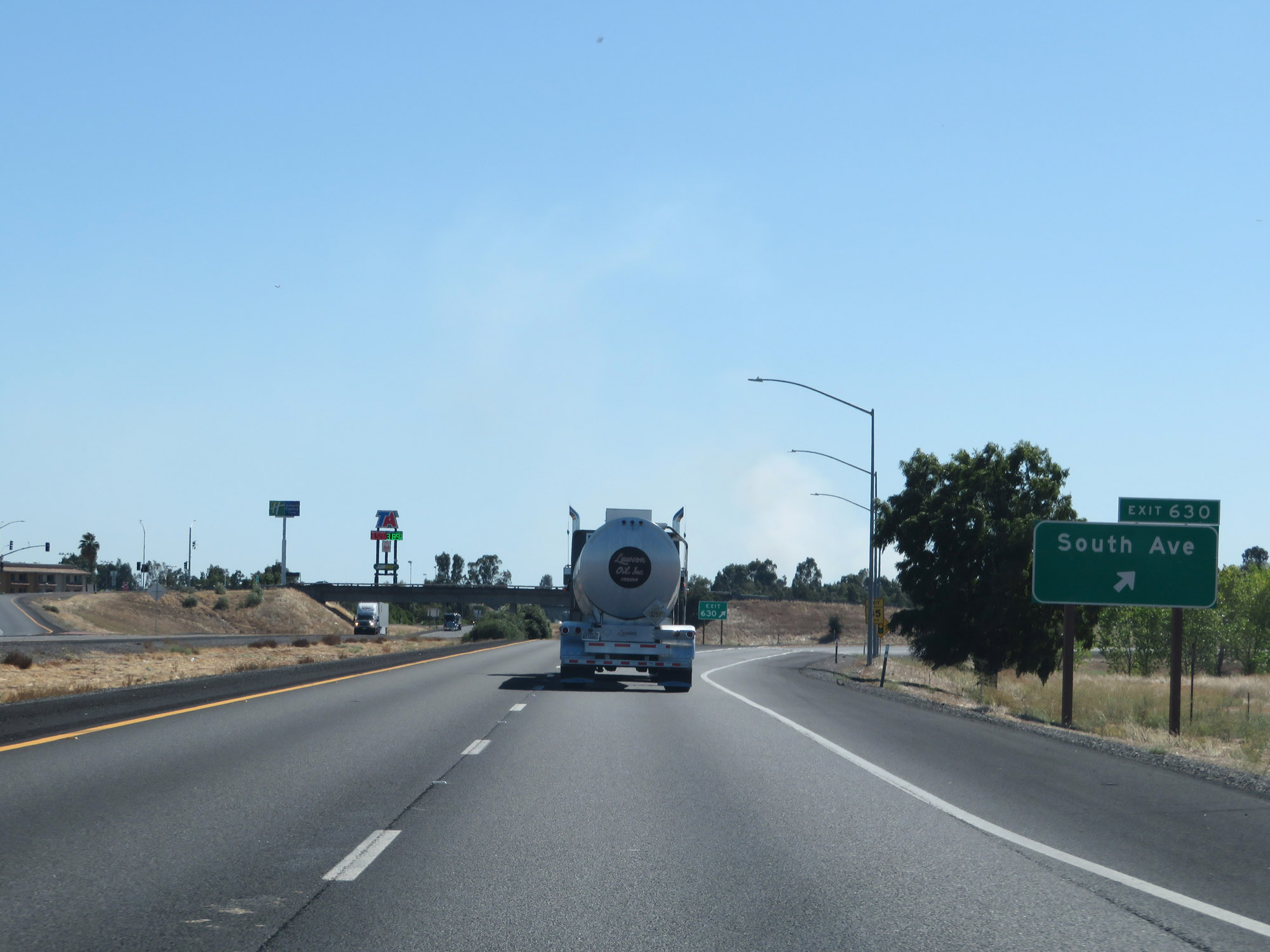 |
Interstate 5 South at Exit 630: South Ave (Photo taken 9/23/19). |
 |
The speed limit remains 70 mph for automobiles. (Photo taken 9/23/19). |
 |
Trucks of 3 or more axles are still restricted to 55 mph maximum speed, as usual. (Photo taken 9/23/19). |
 |
All vehicles towing trailers are restricted to 55 mph maximum in California. (Photo taken 9/23/19). |
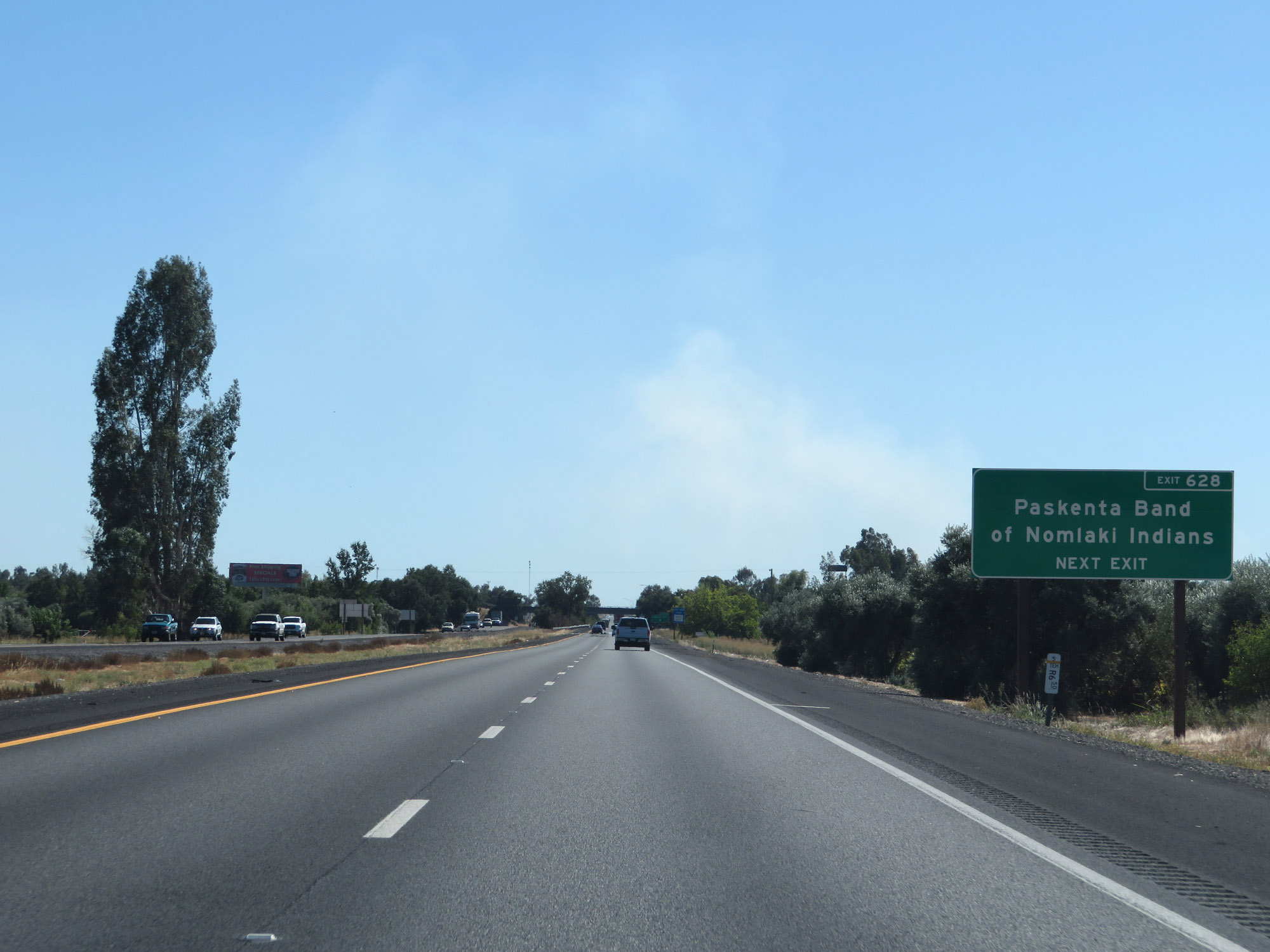 |
Take Exit 628 to Paskenta Band of Nomlaki Indians. (Photo taken 9/23/19). |
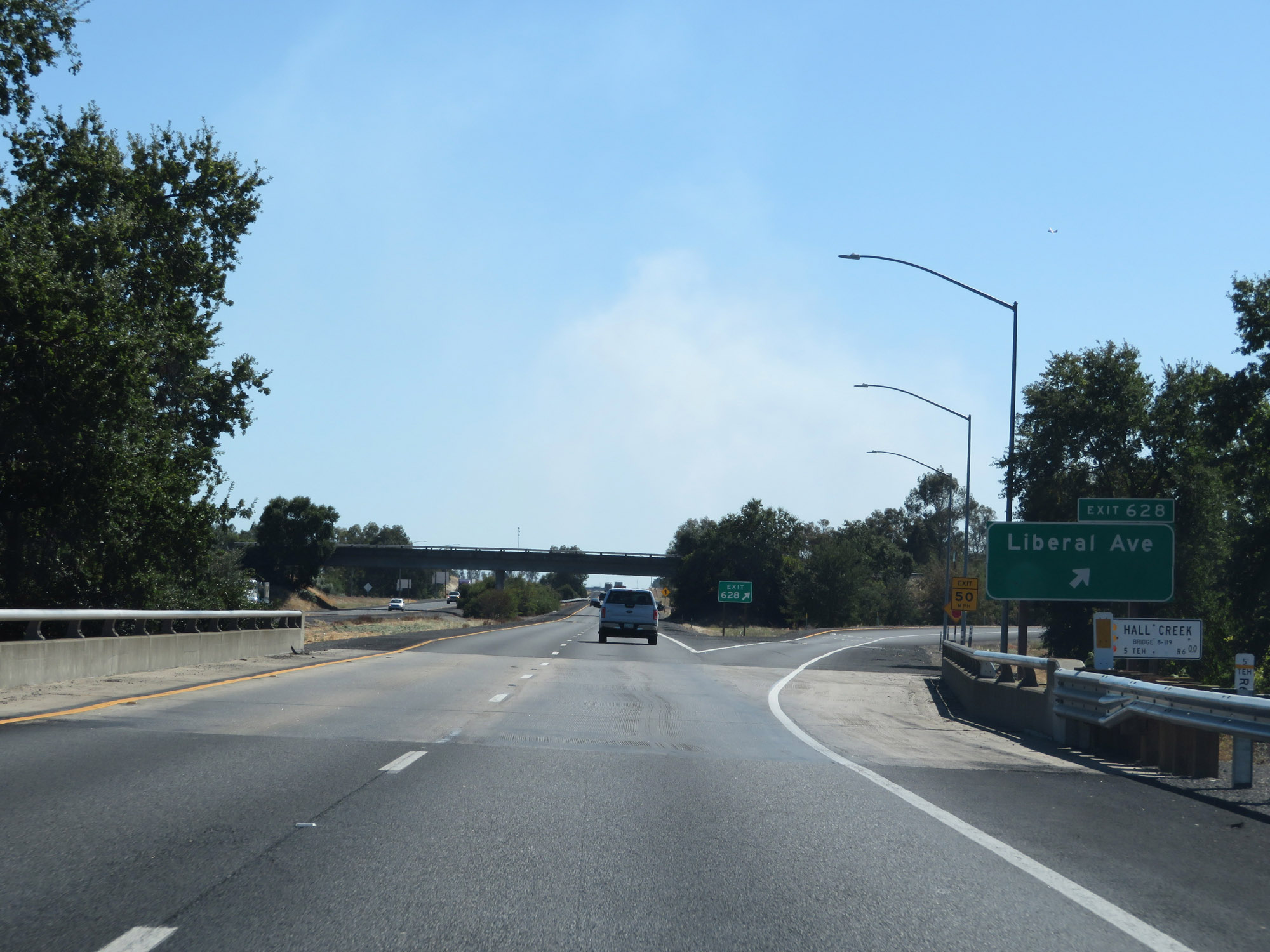 |
Interstate 5 South at Exit 628: Liberal Ave (Photo taken 9/23/19). |
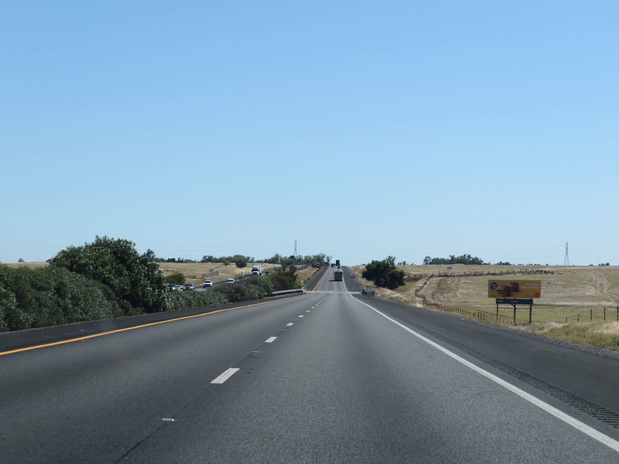 |
View on Interstate 5 South in Tehama County. (Photo taken 9/23/19). |
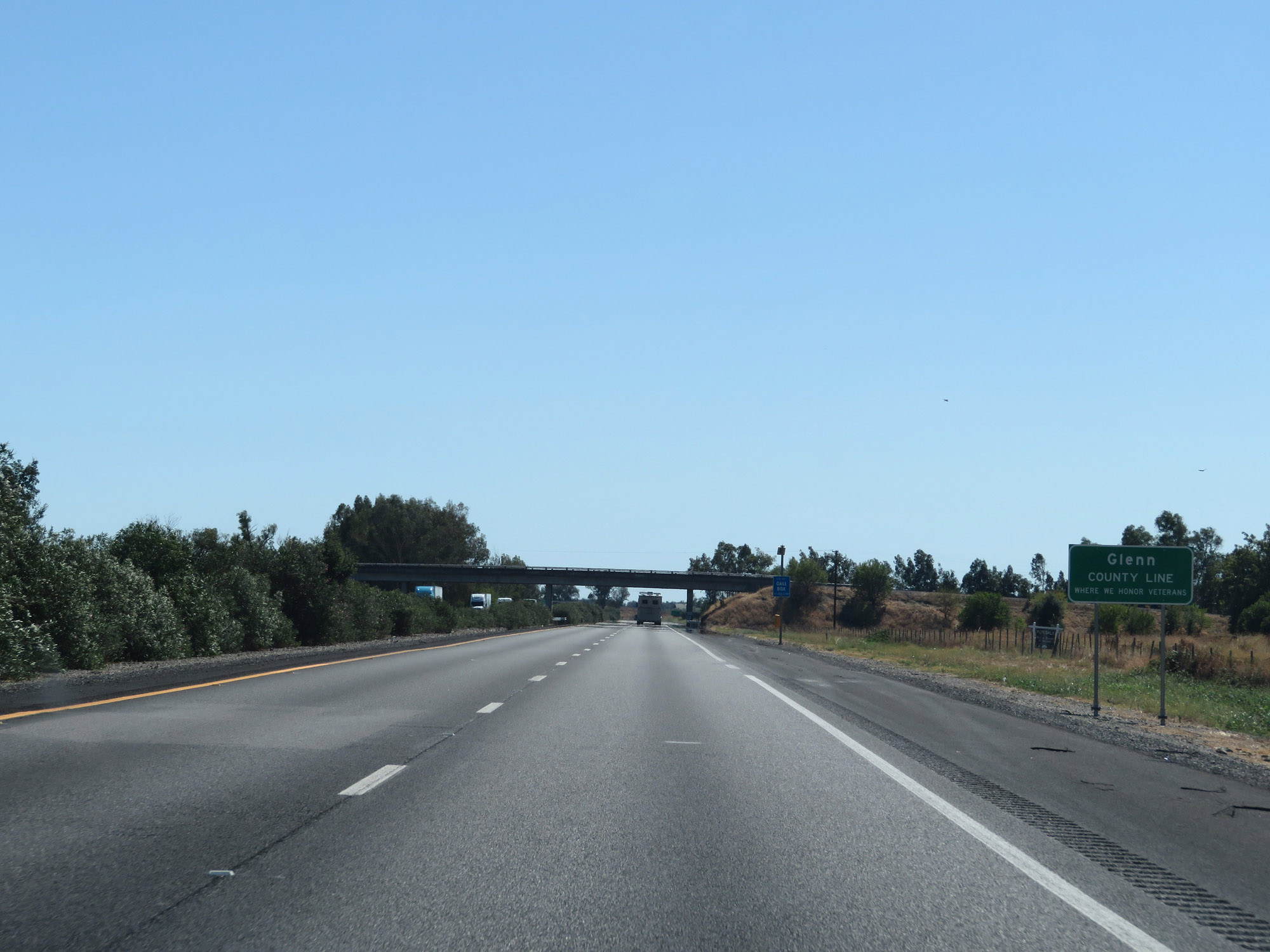 |
Entering Glenn County on Interstate 5 South. (Photo taken 9/23/19). |
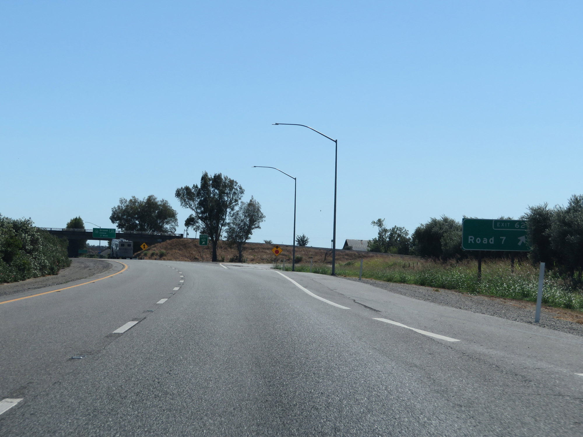 |
Interstate 5 South at Exit 621: Road 7 (Photo taken 9/23/19). |
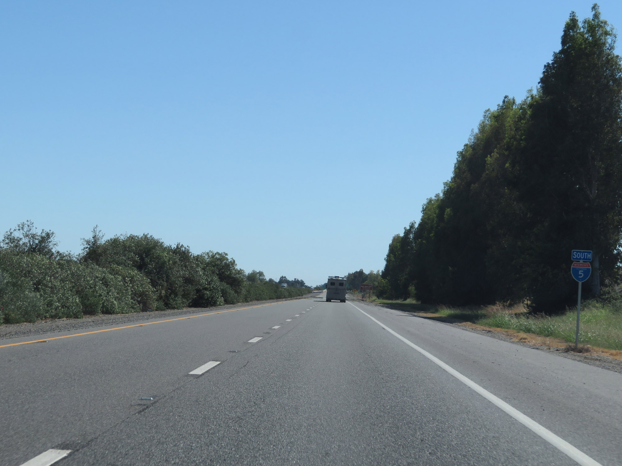 |
State-named Interstate 5 South reassurance shield. (Photo taken 9/23/19). |
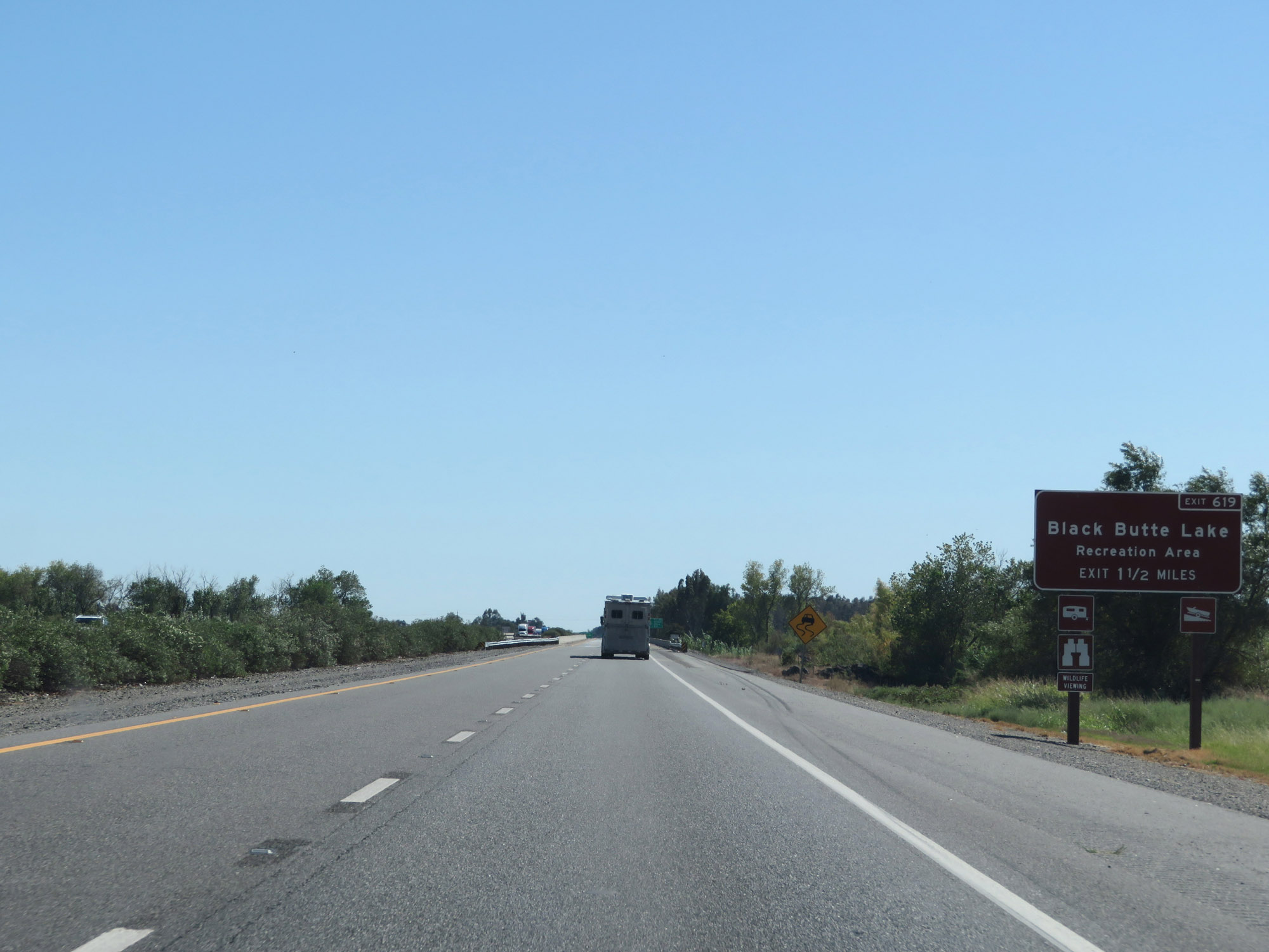 |
Take Exit 619 to Black Buttle Lake Recreation Area. (Photo taken 9/23/19). |
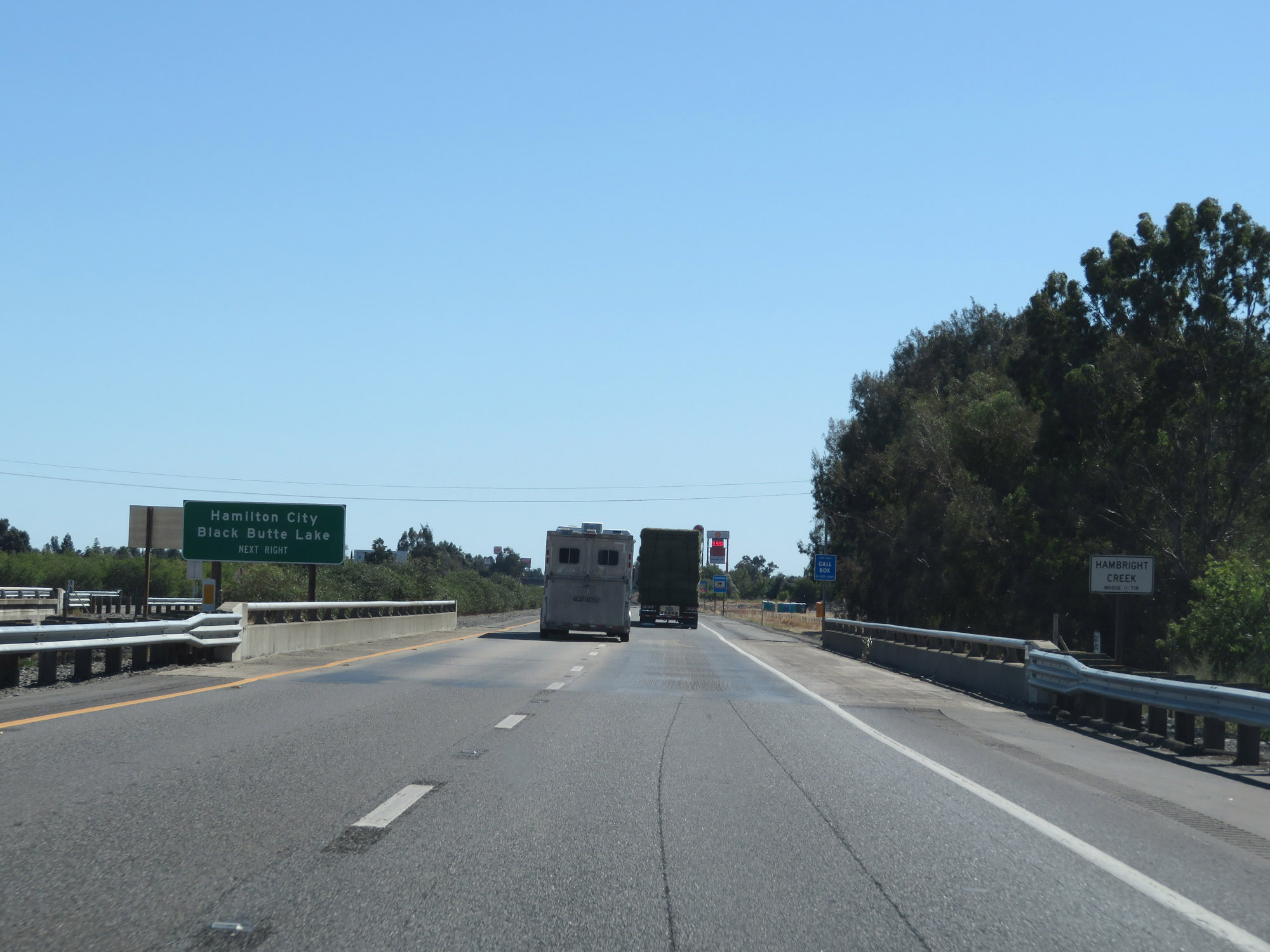 |
Also take Exit 619 to Hamilton City and Black Butte Lake. (Photo taken 9/23/19). |
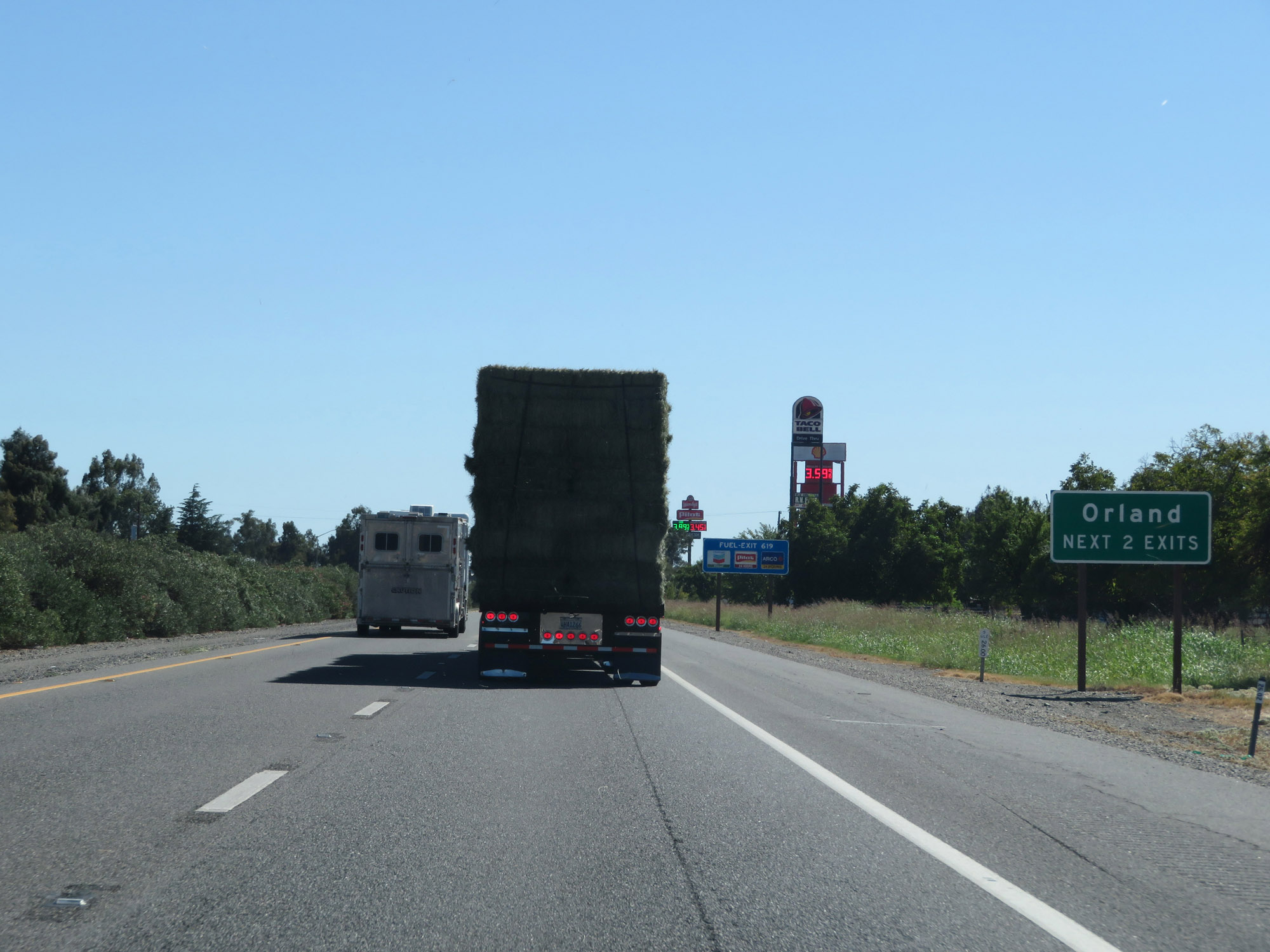 |
Take either of the next 2 exits to Orland. (Photo taken 9/23/19). |
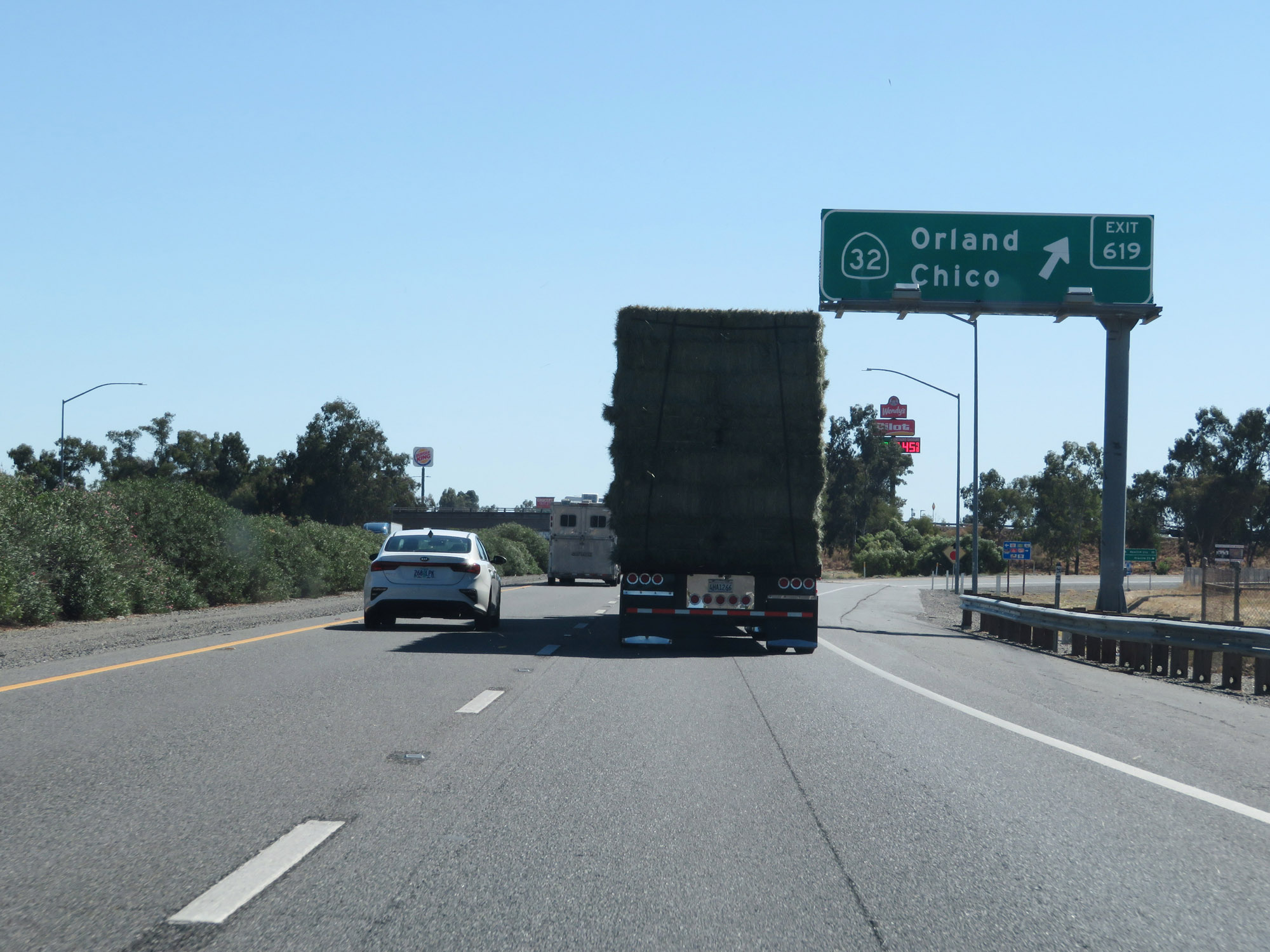 |
Interstate 5 South at Exit 619: CA 32 - Orland / Chico (Photo taken 9/23/19). |
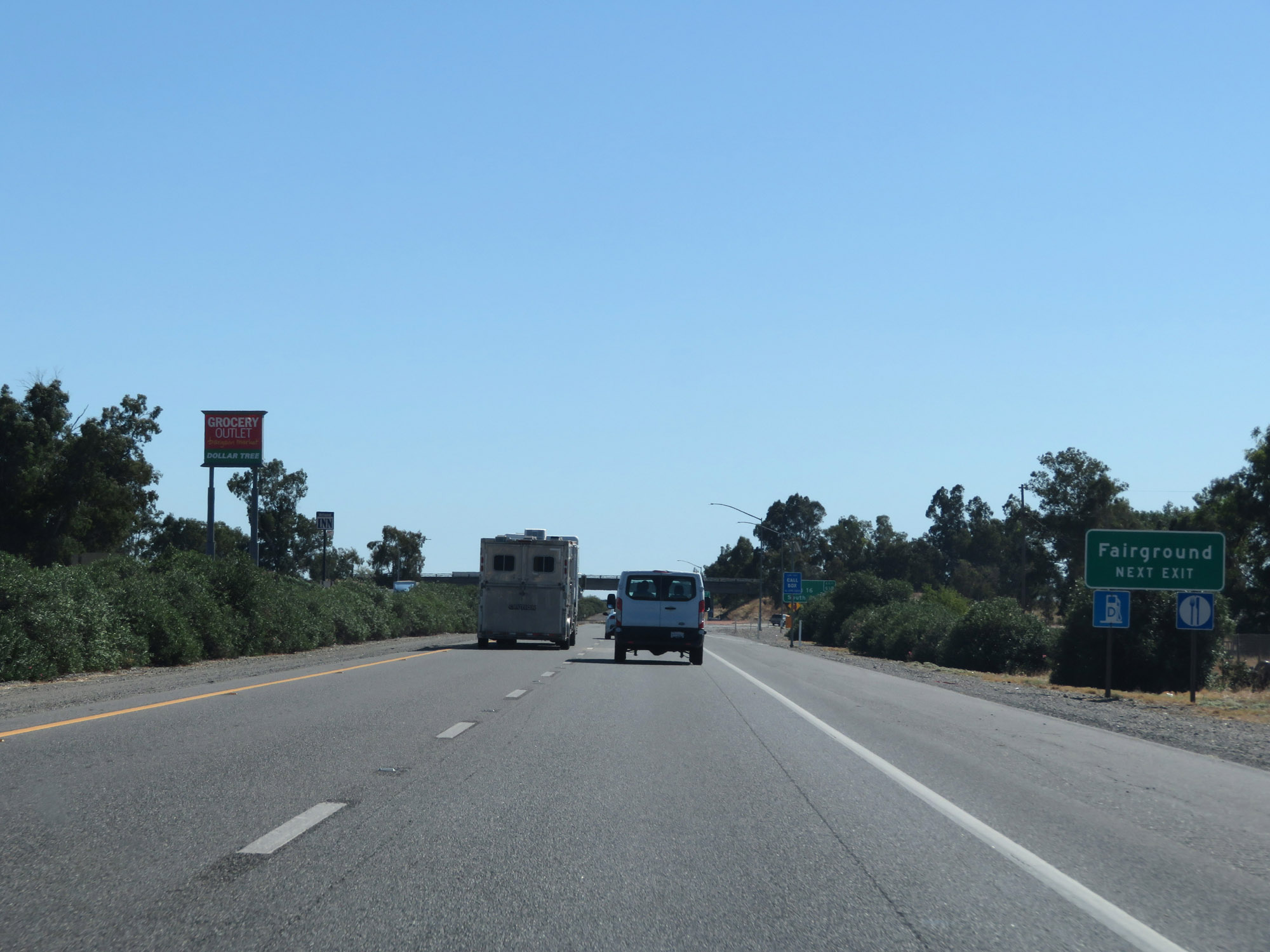 |
Take Exit 618 to the Fairgrounds. (Photo taken 9/23/19). |
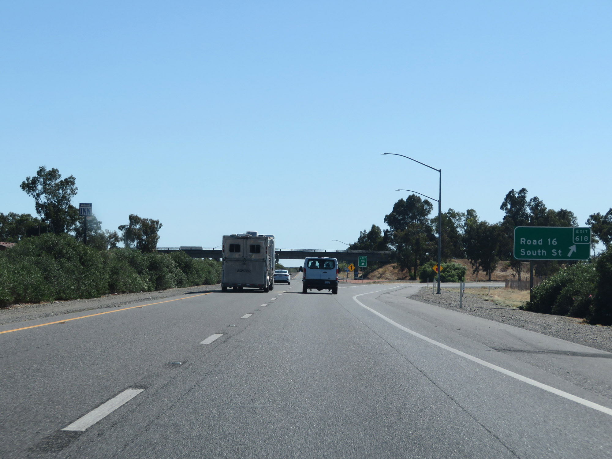 |
Interstate 5 South at Exit 618: Road 16 / South St (Photo taken 9/23/19). |
 |
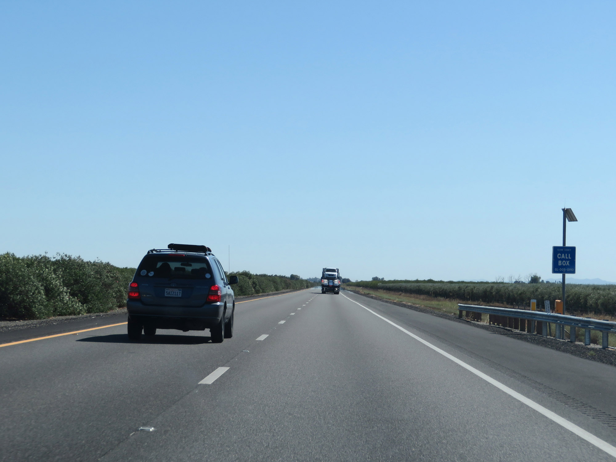
Emergency call boxes are in place along Interstate 5 South in Glenn County. (Photo taken 9/23/19). |
 |
View on Interstate 5 South in Glenn County. (Photo taken 9/23/19). |
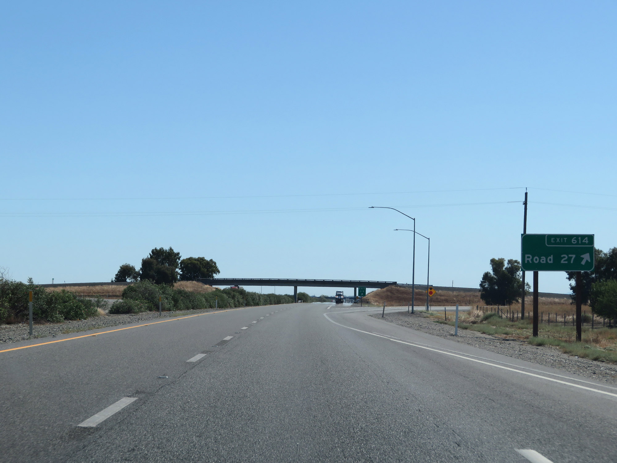 |
Interstate 5 South at Exit 614: Road 27 (Photo taken 9/23/19). |
 |
Another view on Interstate 5 South in Glenn County. (Photo taken 9/23/19). |
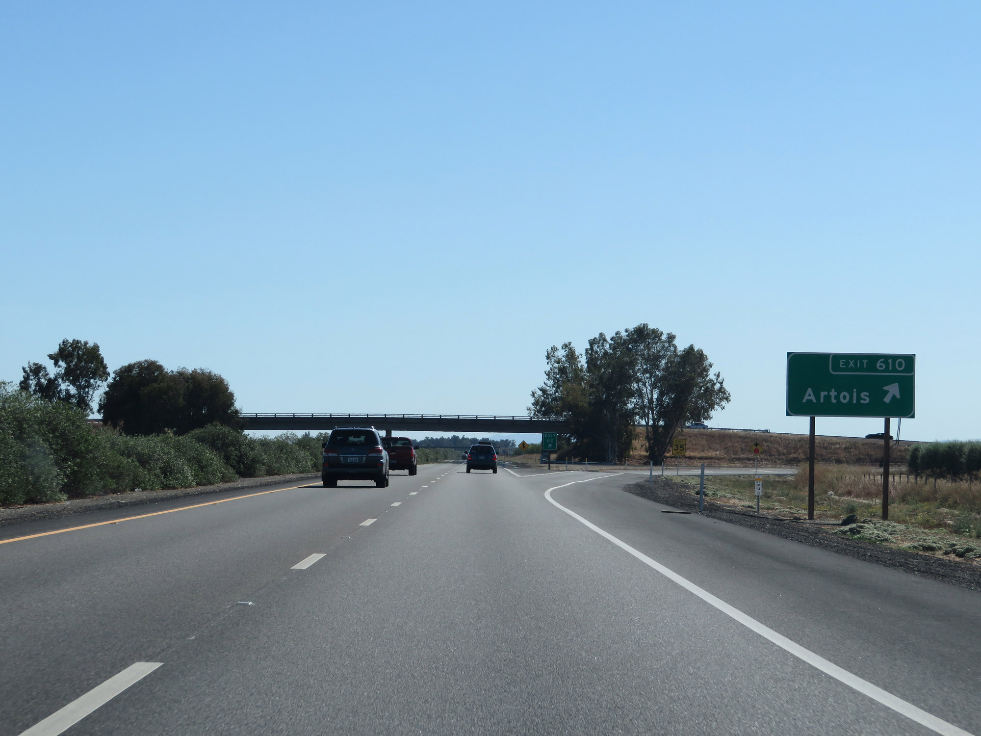 |
Interstate 5 South at Exit 610: Artois (Photo taken 9/23/19). |
 |
Rest Area on Interstate 5 South in Glenn County. (Photo taken 9/23/19). |
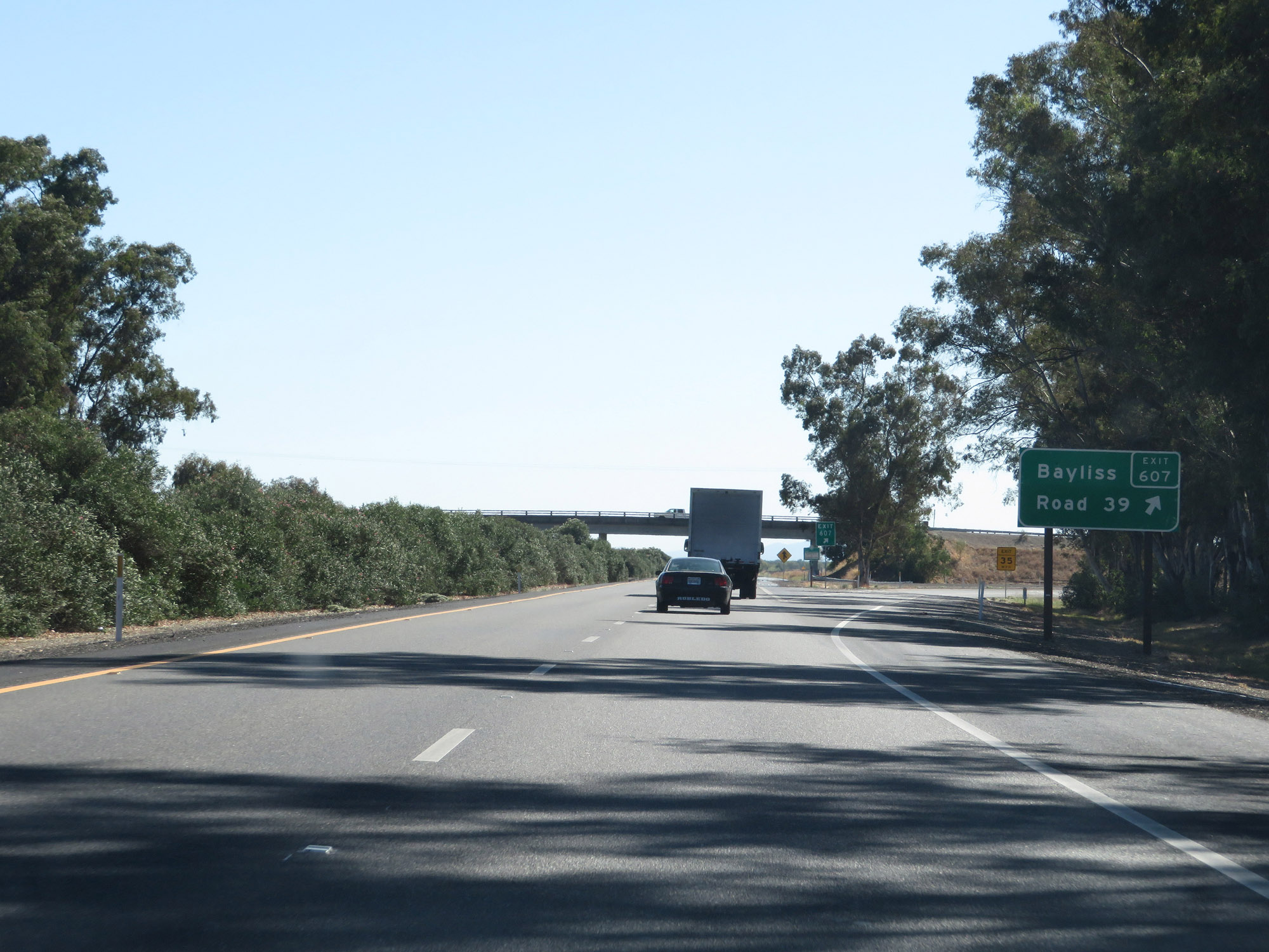 |
Interstate 5 South at Exit 607: Bayliss / Road 39 (Photo taken 9/23/19). |
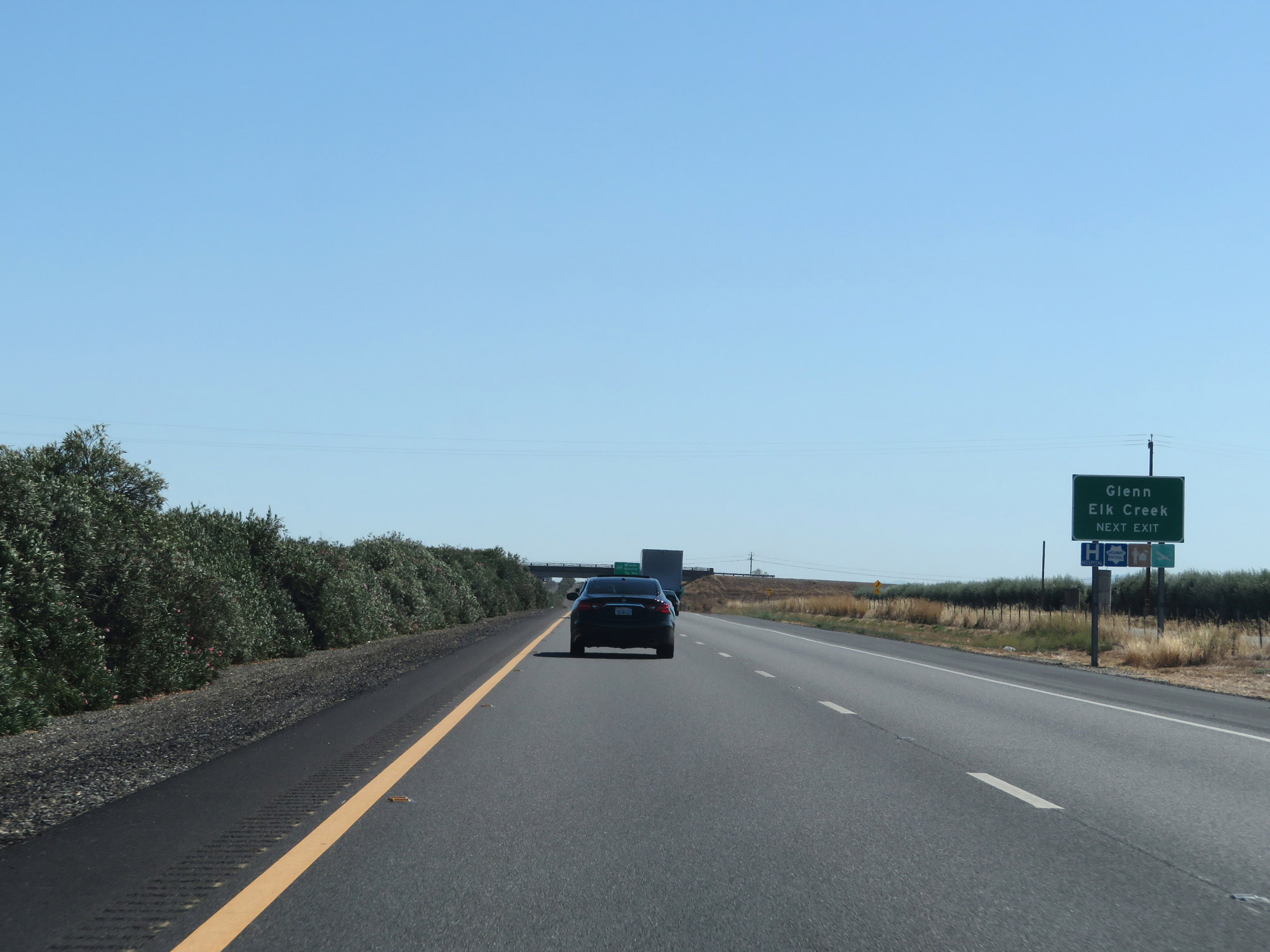 |
Take Exit 603 to Glenn and Elk Creek. (Photo taken 9/23/19). |
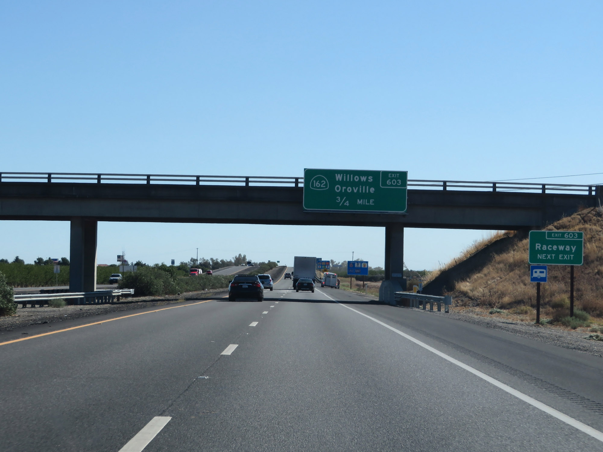 |
Also take Exit 603 to the Raceway. (Photo taken 9/23/19). |
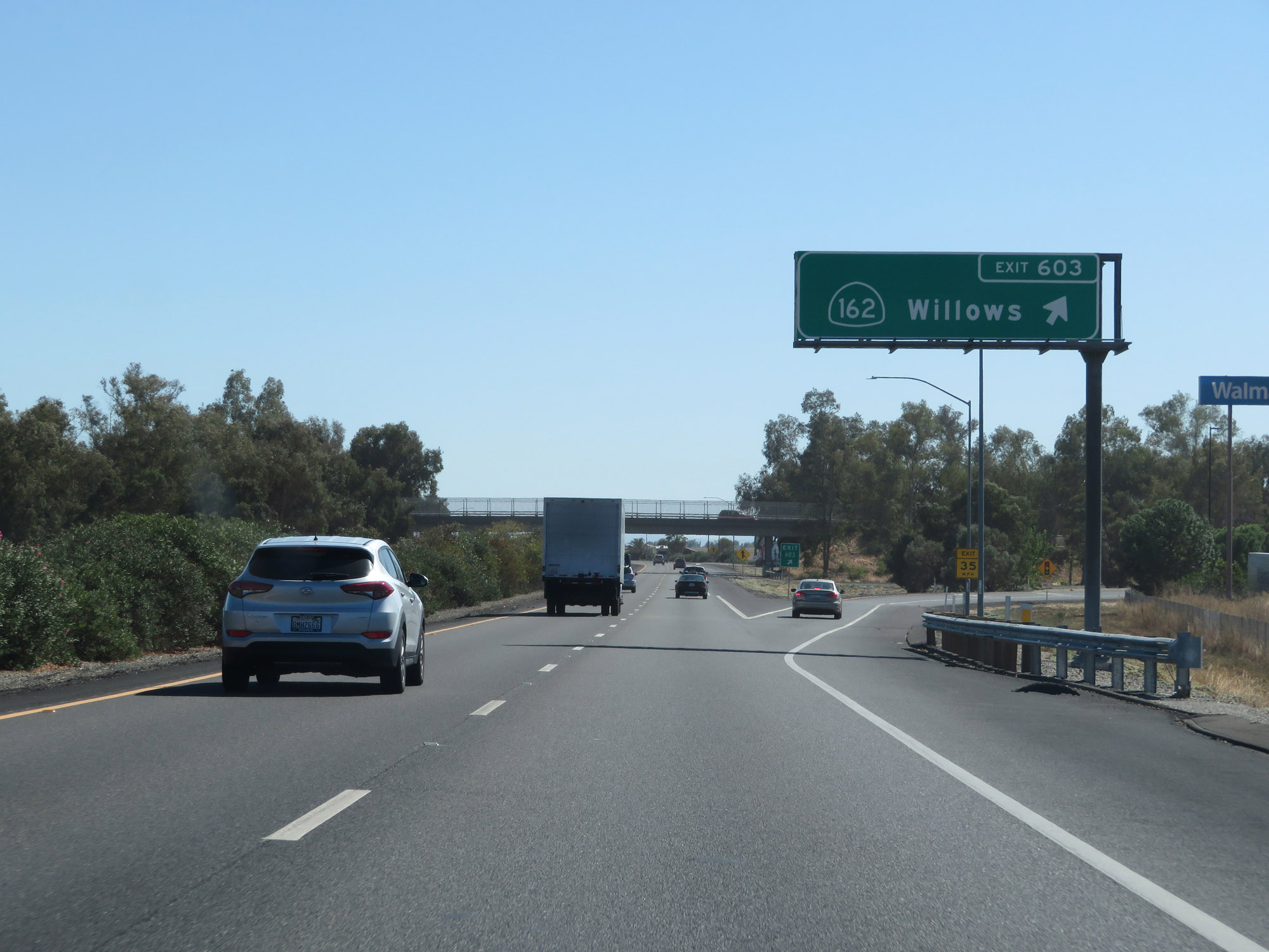 |
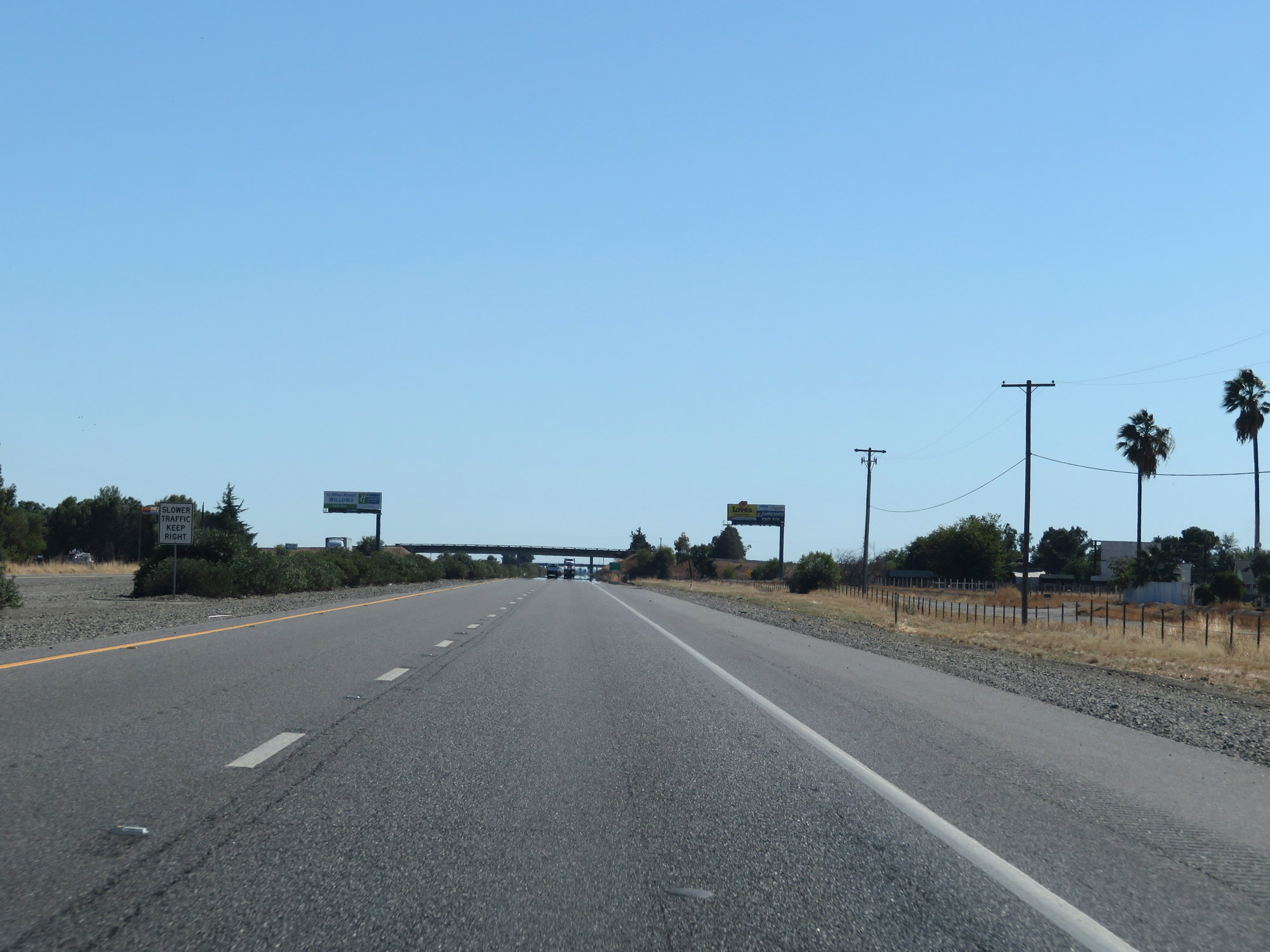
Interstate 5 South at Exit 603: CA 162 - Willows (Photo taken 9/23/19). |
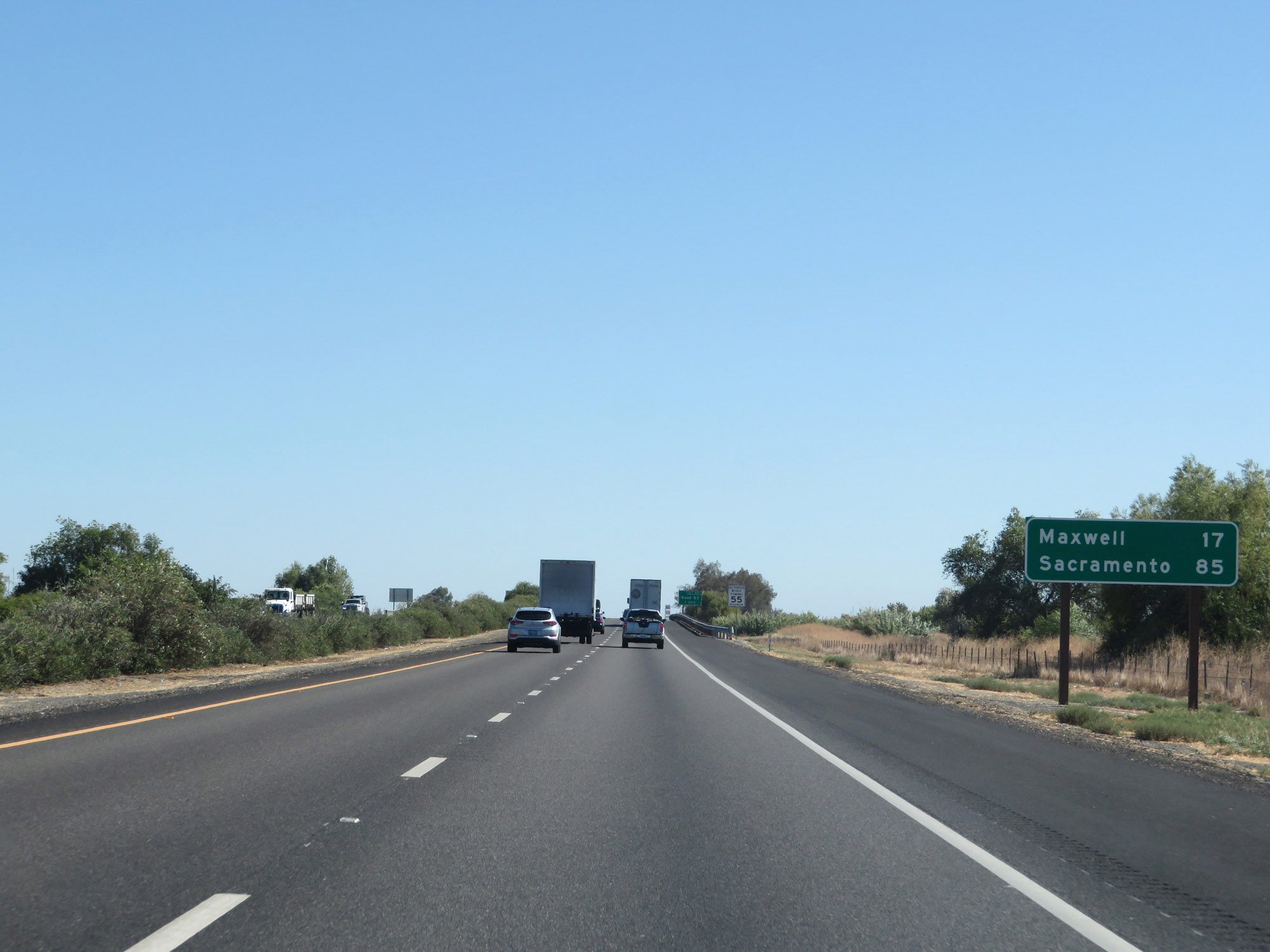 |
Mileage sign on Interstate 5 South. It's 17 miles to Maxwell and 85 miles to Sacramento. (Photo taken 9/23/19). |
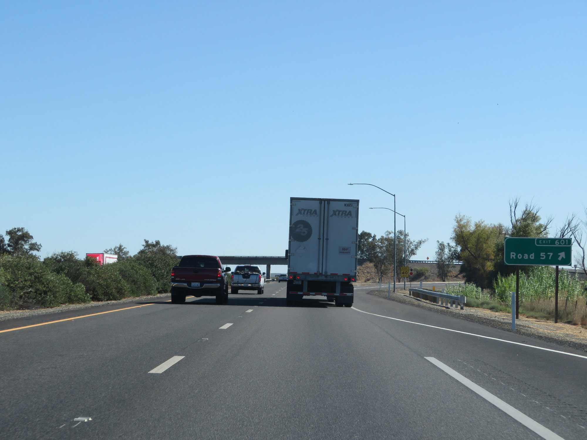 |
Interstate 5 South at Exit 601: Road 57 (Photo taken 9/23/19). |
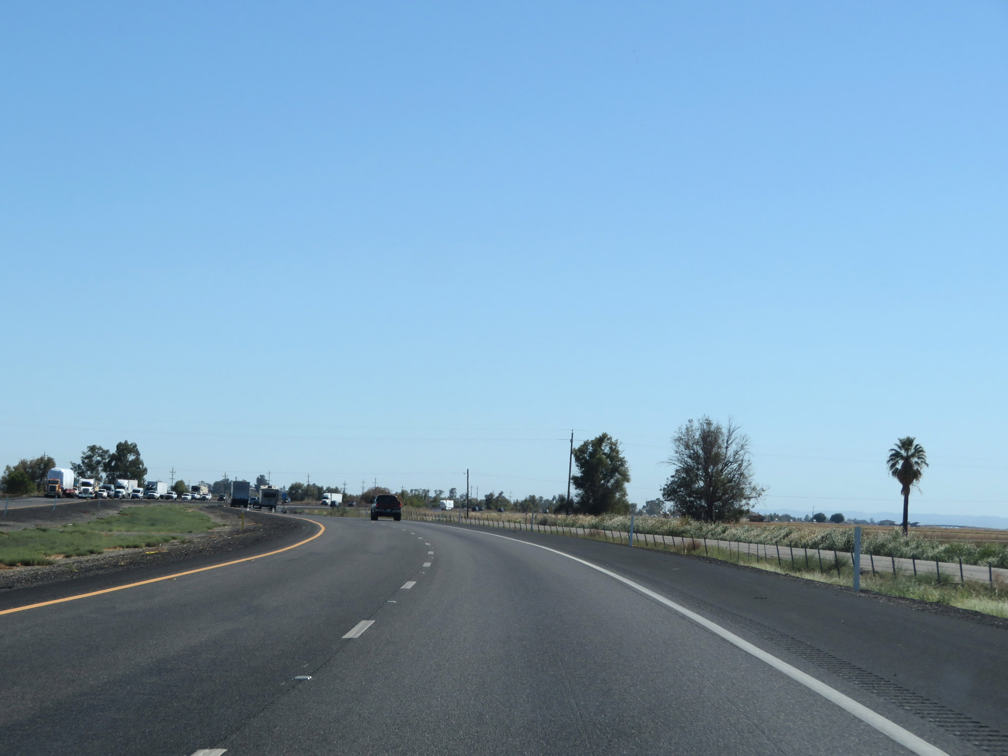 |
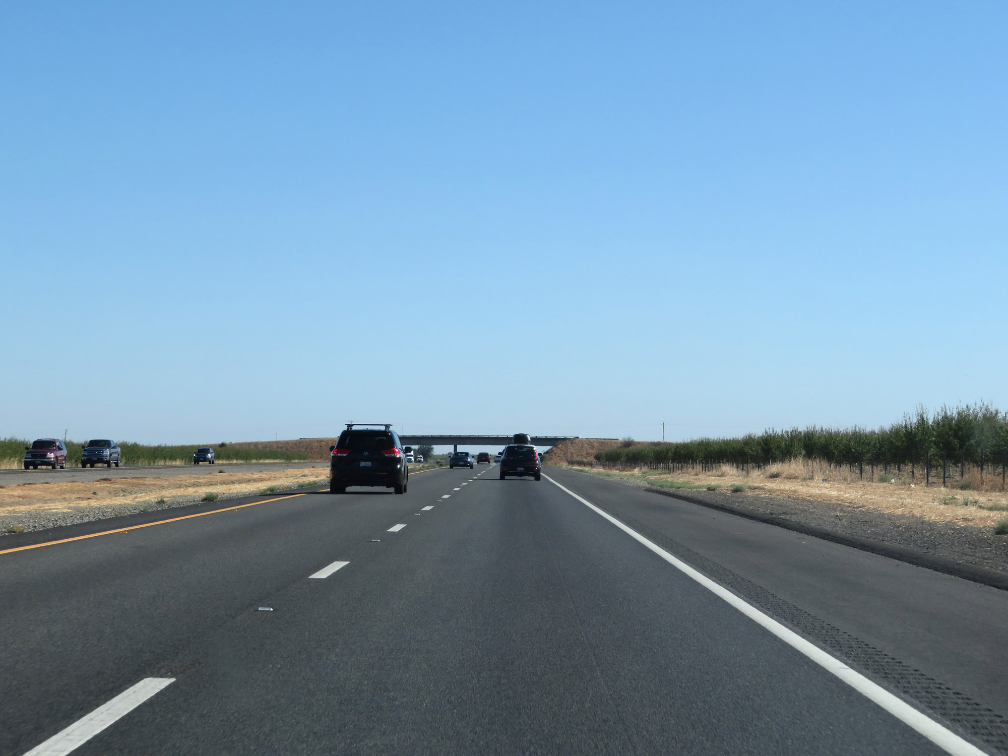
View on Interstate 5 South. (Photo taken 9/23/19). |
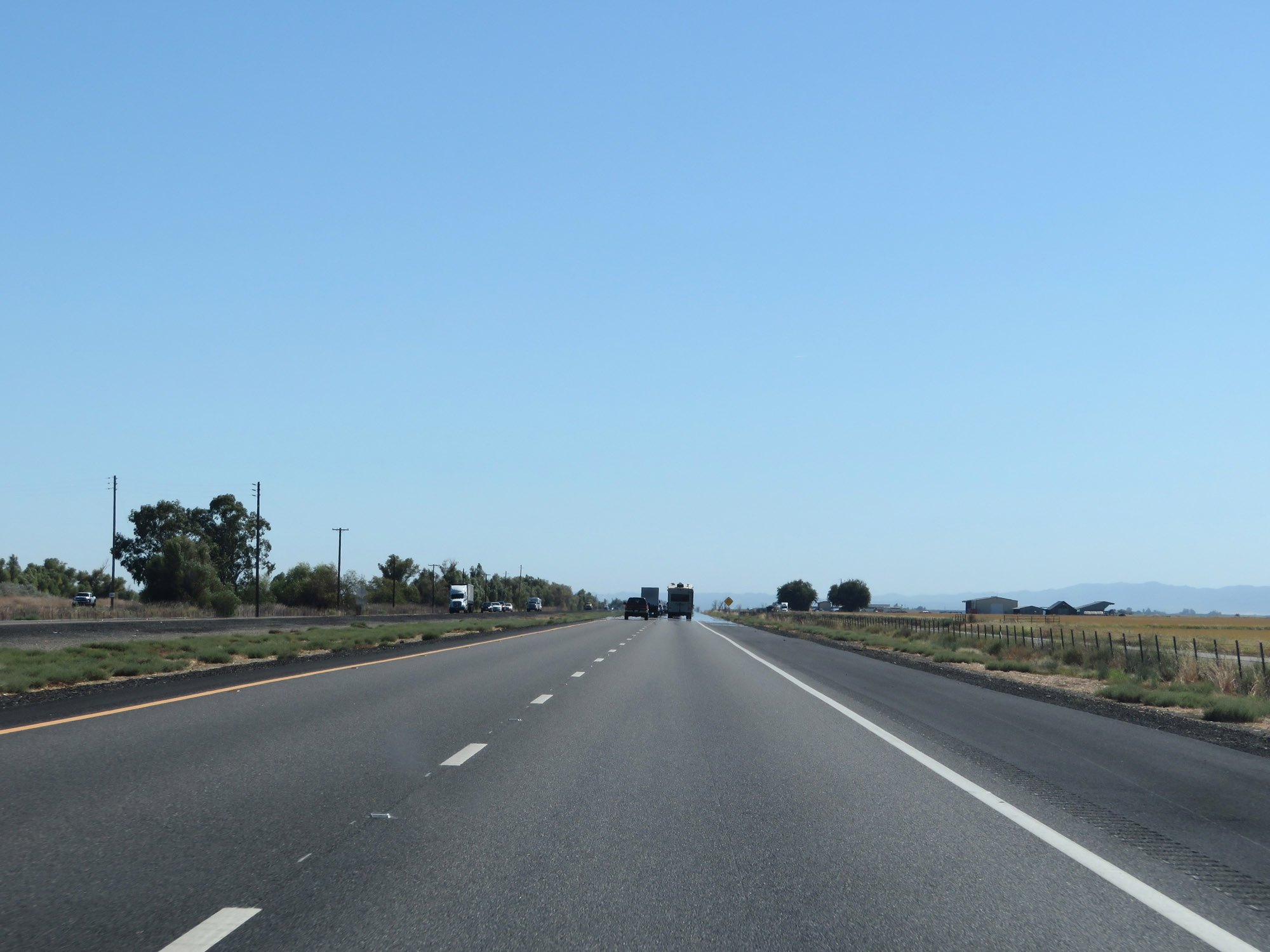 |
Another view on Interstate 5 South in Glenn County. (Photo taken 9/23/19). |
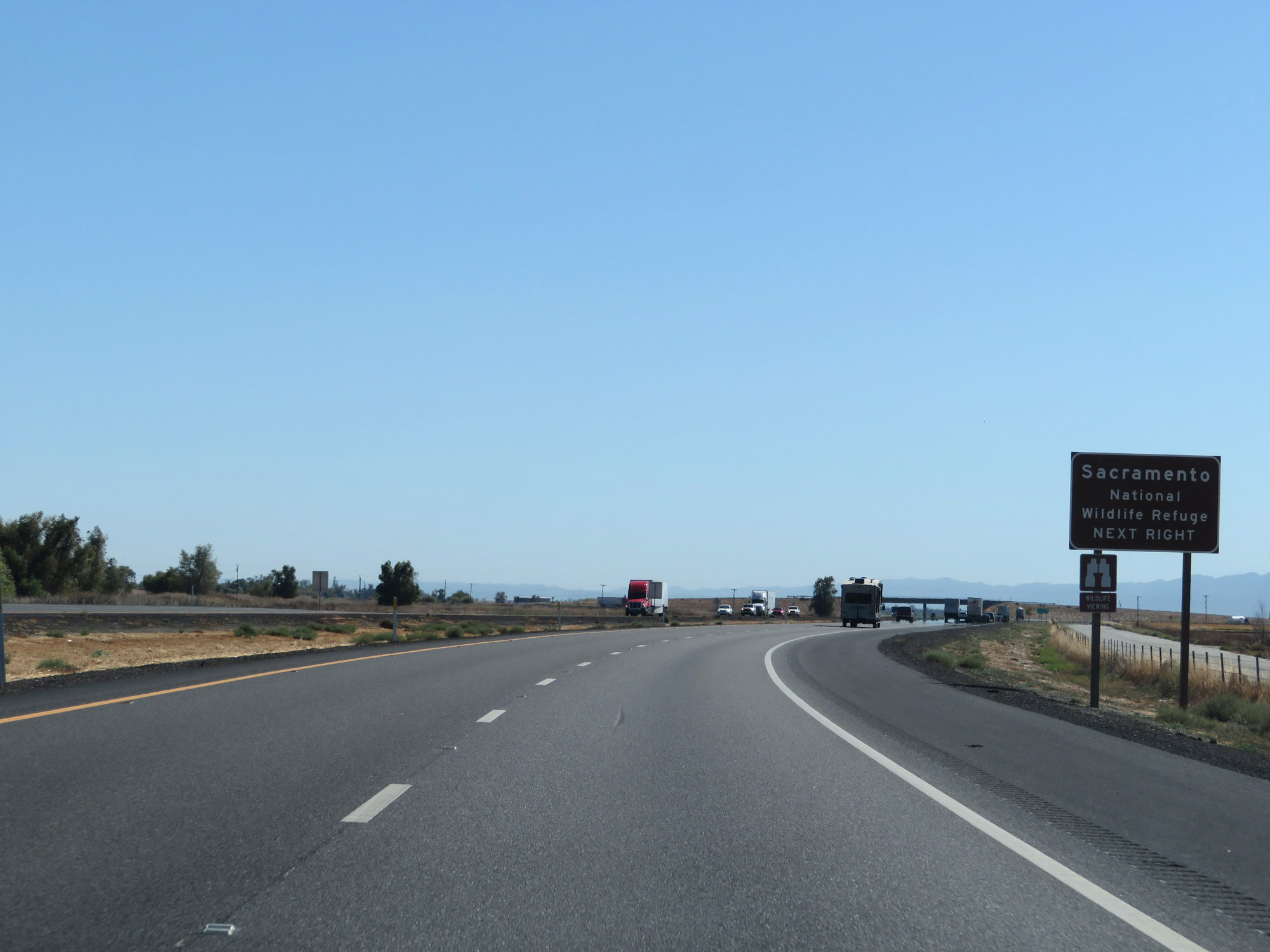 |
Take Exit 595 to Sacramento National Wildlife Refuge. (Photo taken 9/23/19). |
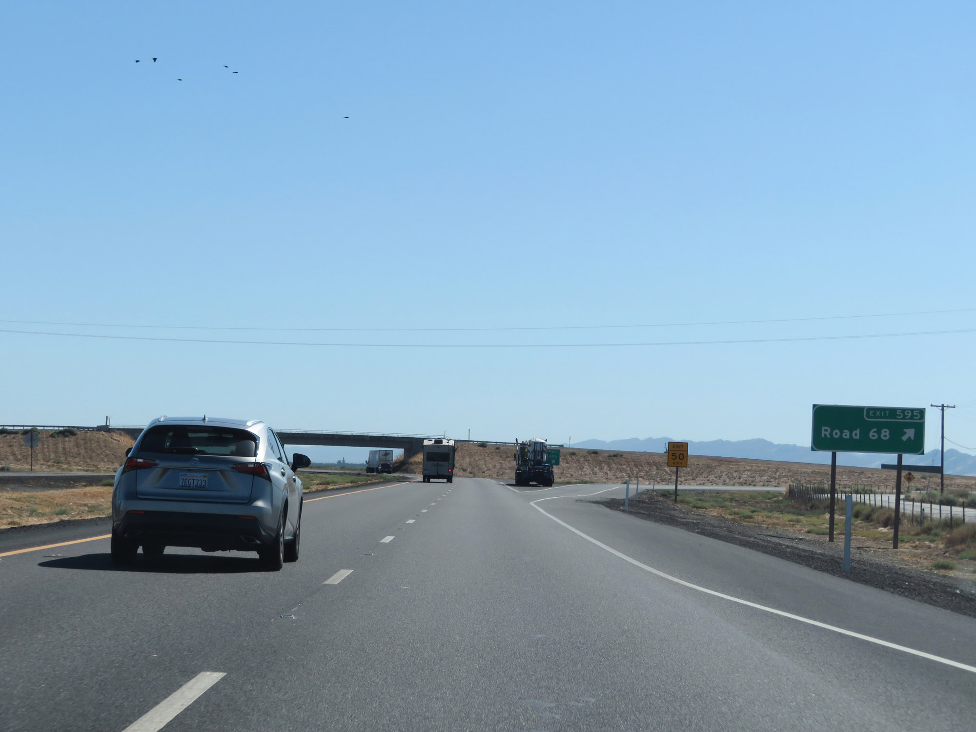 |
Interstate 5 South at Exit 595: Road 68 (Photo taken 9/23/19). |
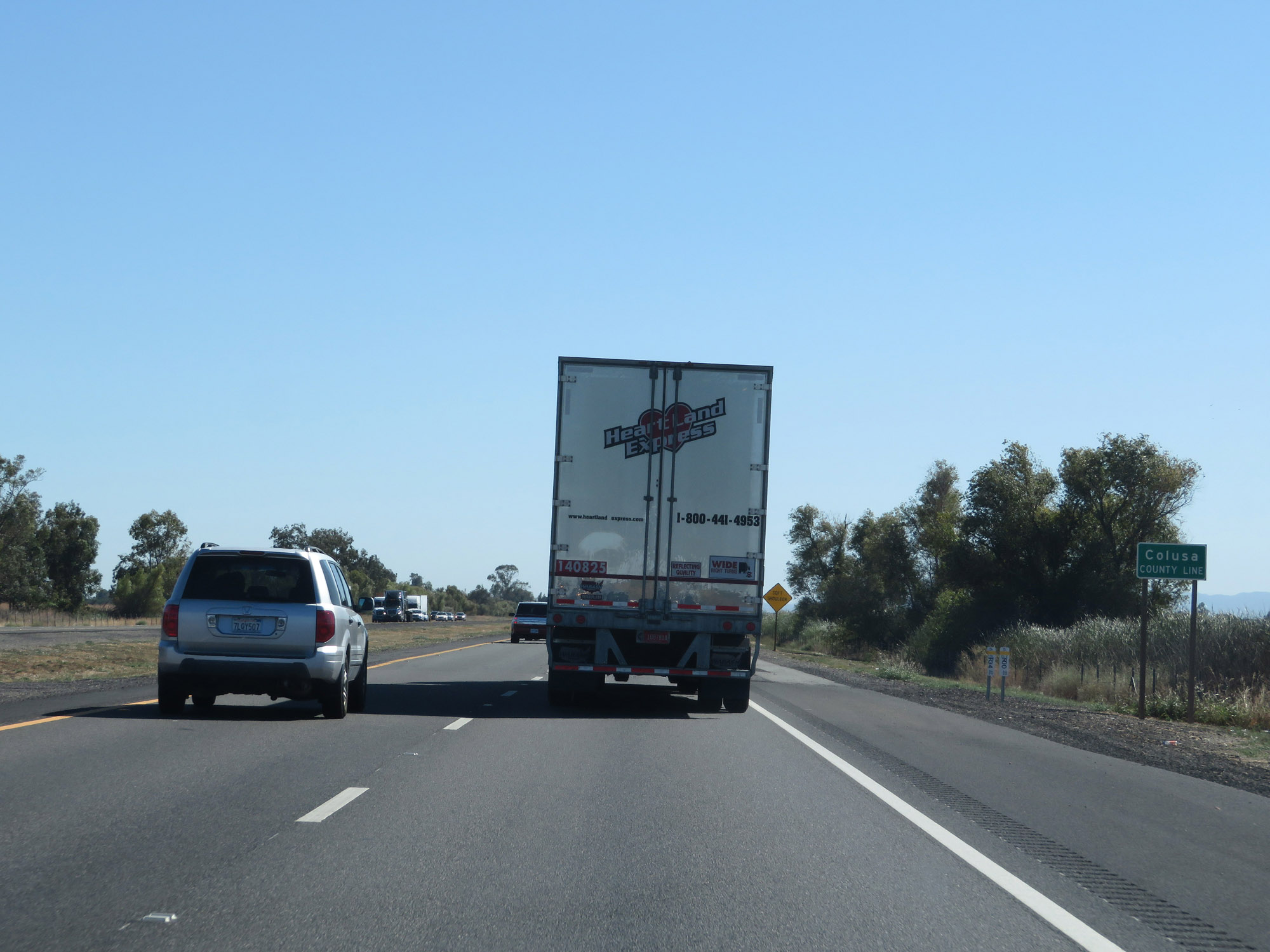 |
Entering Colusa County on Interstate 5 South. (Photo taken 9/23/19). |
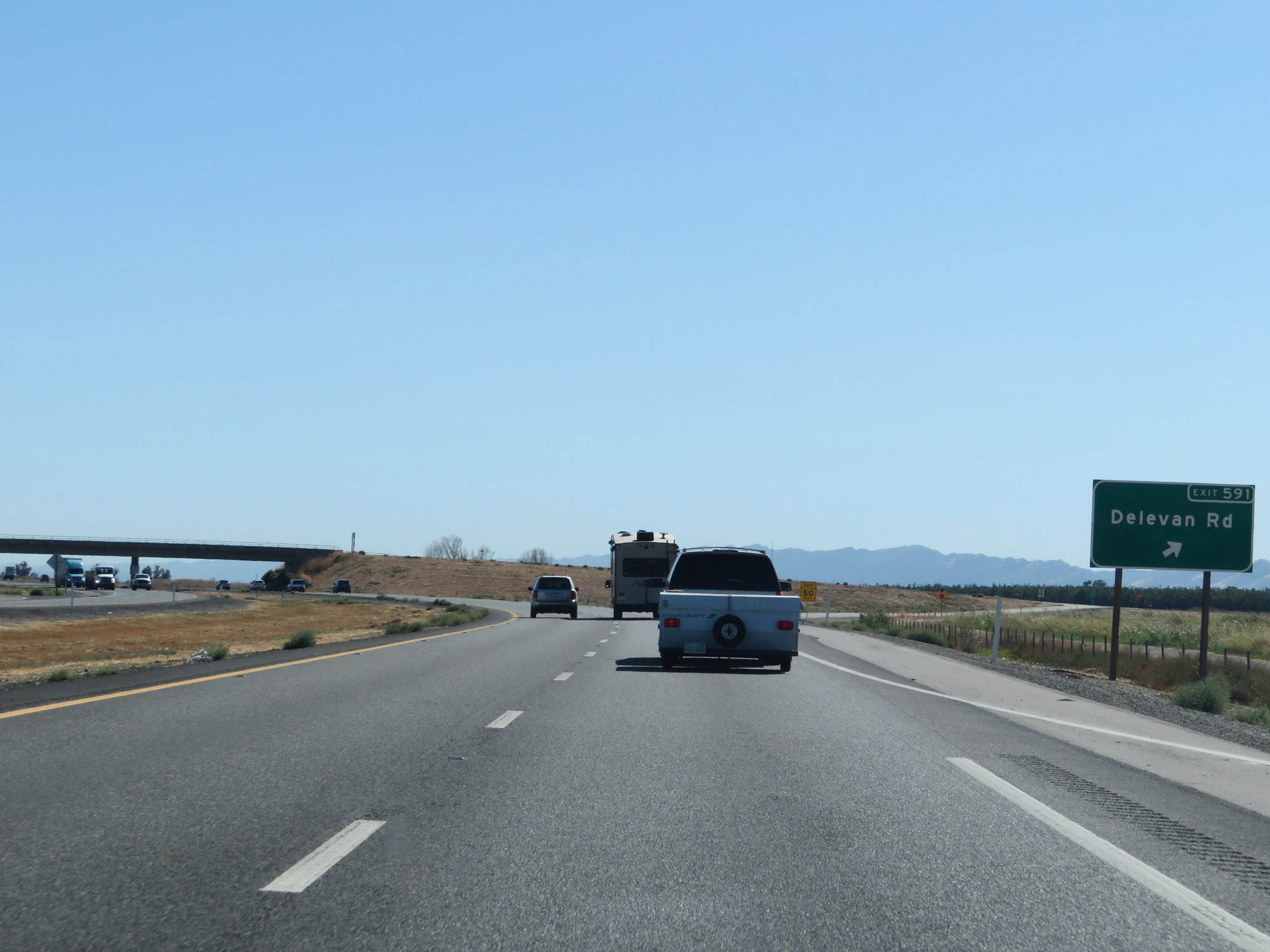 |
Interstate 5 South at Exit 591: Delevan Rd (Photo taken 9/23/19). |
 |
Take either of the next 2 exits to Maxwell. (Photo taken 9/23/19). |
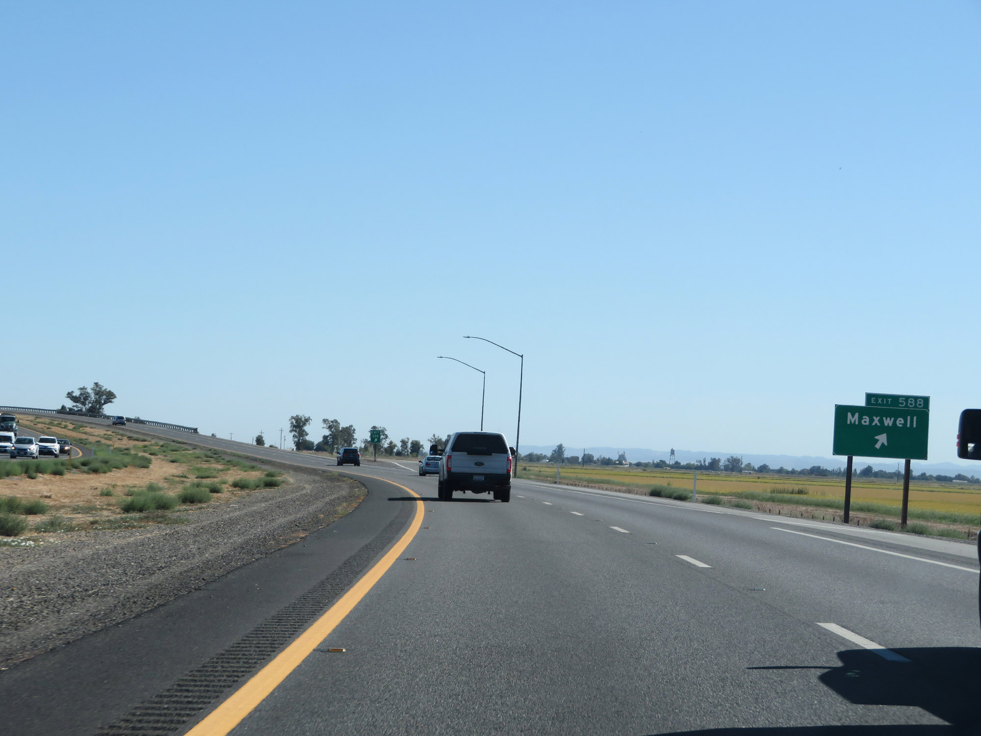 |
Interstate 5 South at Exit 588: Maxwell (Photo taken 9/23/19). |
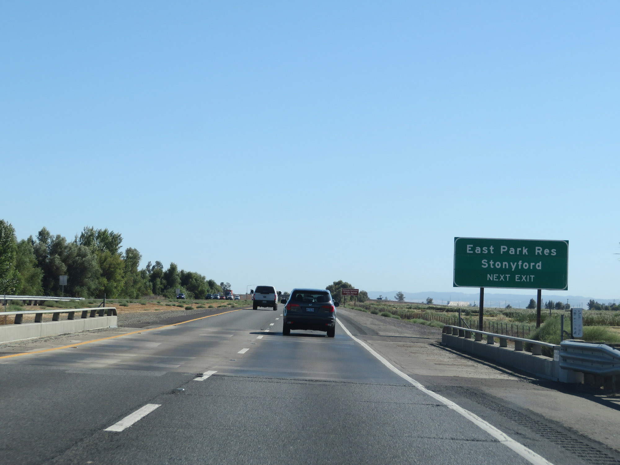 |
Take Exit 586 to East Park Reservoir and Stonyford. (Photo taken 9/23/19). |
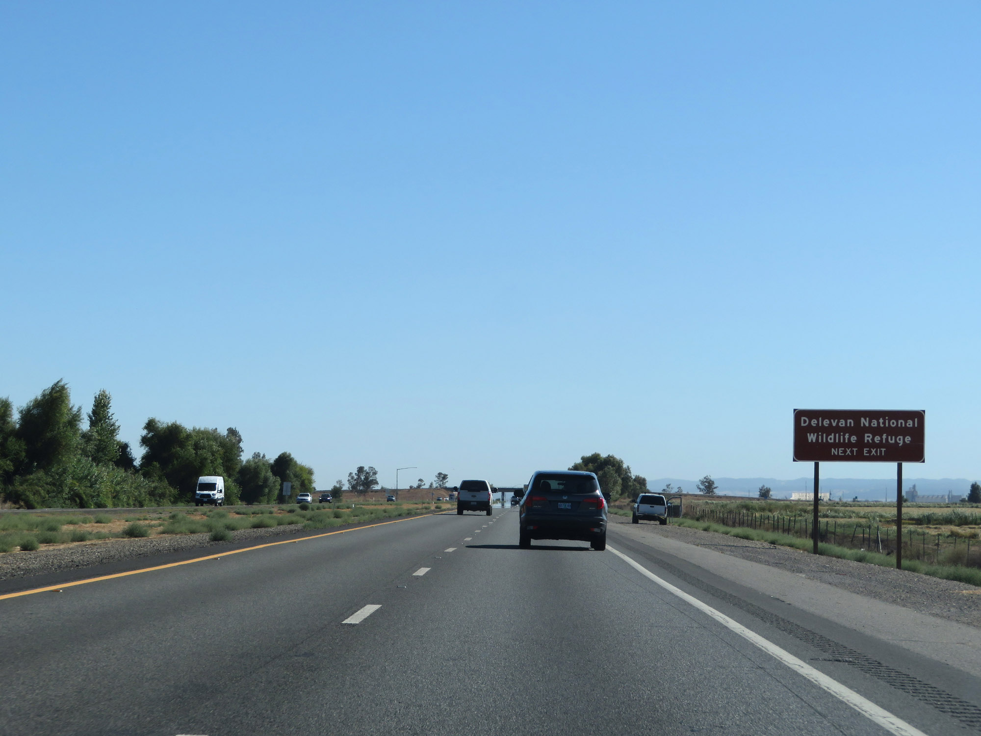 |
Also take Exit 586 to Delevan National Wildlife Refuge. (Photo taken 9/23/19). |
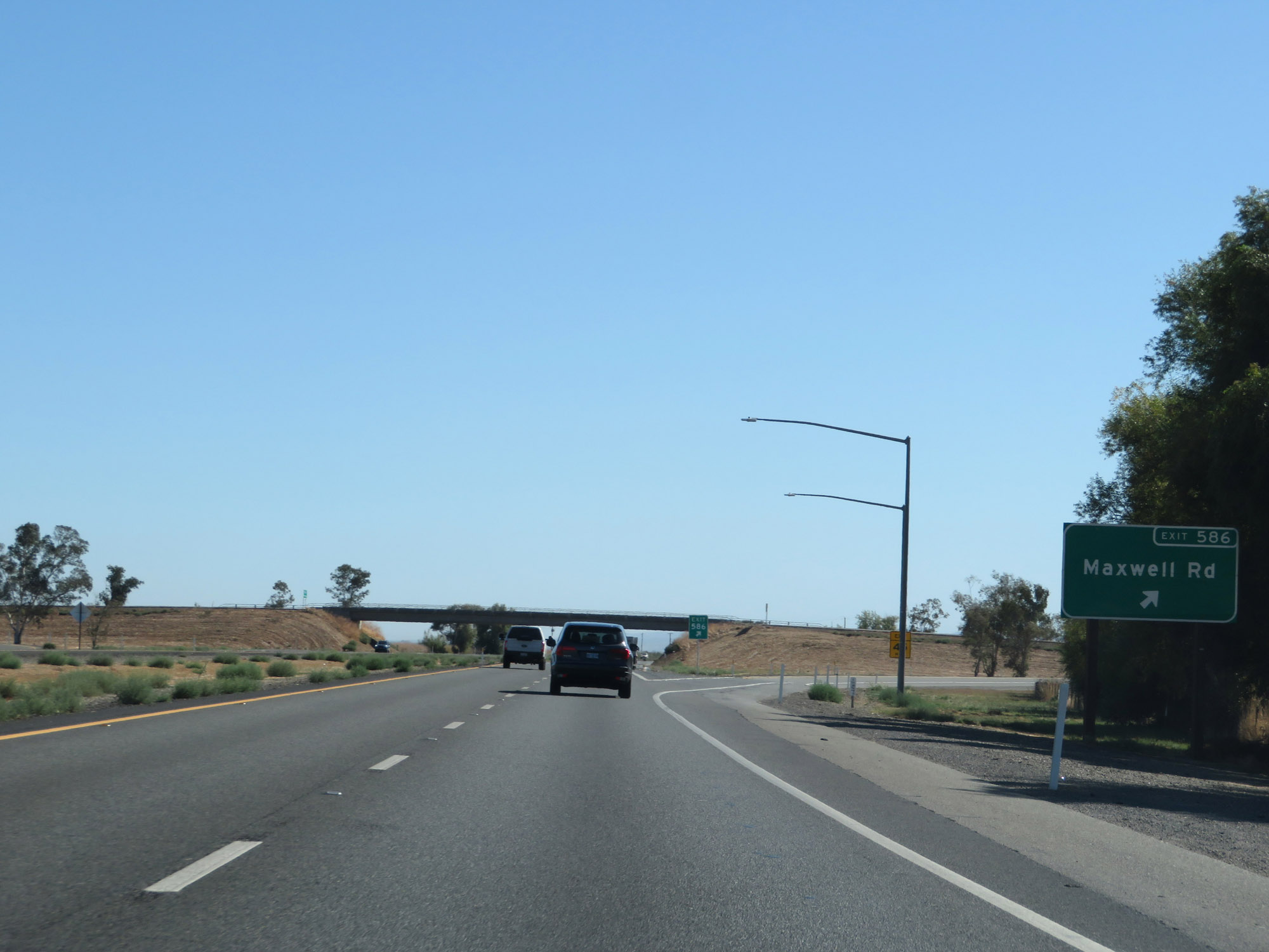 |
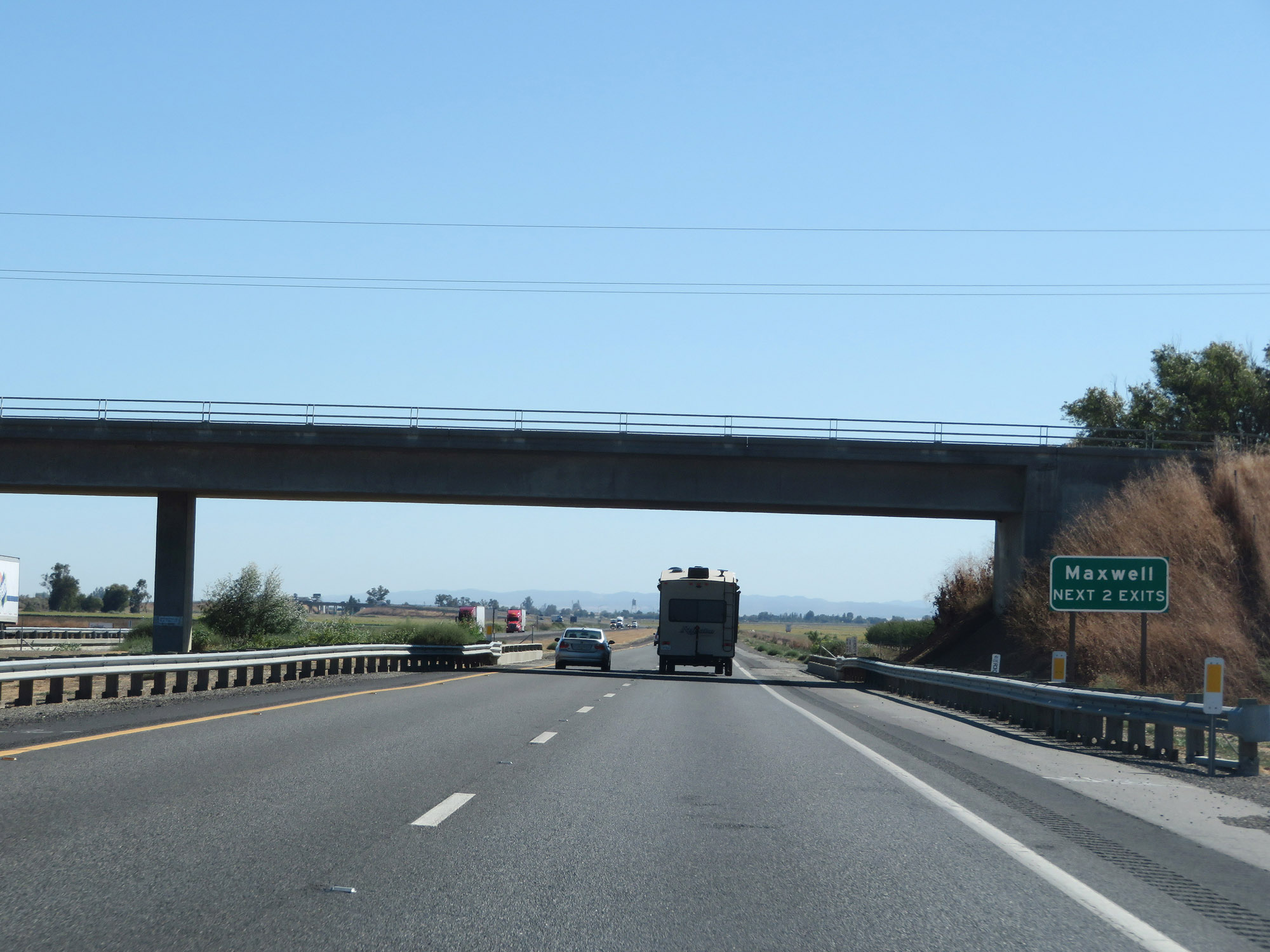
Interstate 5 South at Exit 586: Maxwell Rd (Photo taken 9/23/19). |
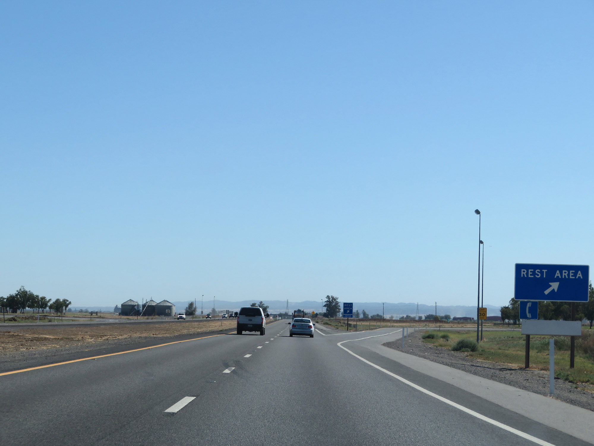 |
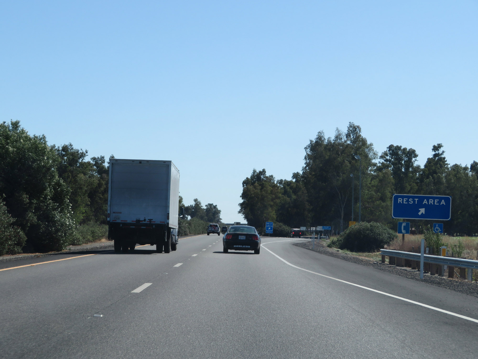
Rest Area on Interstate 5 South in Colusa County. (Photo taken 9/23/19). |
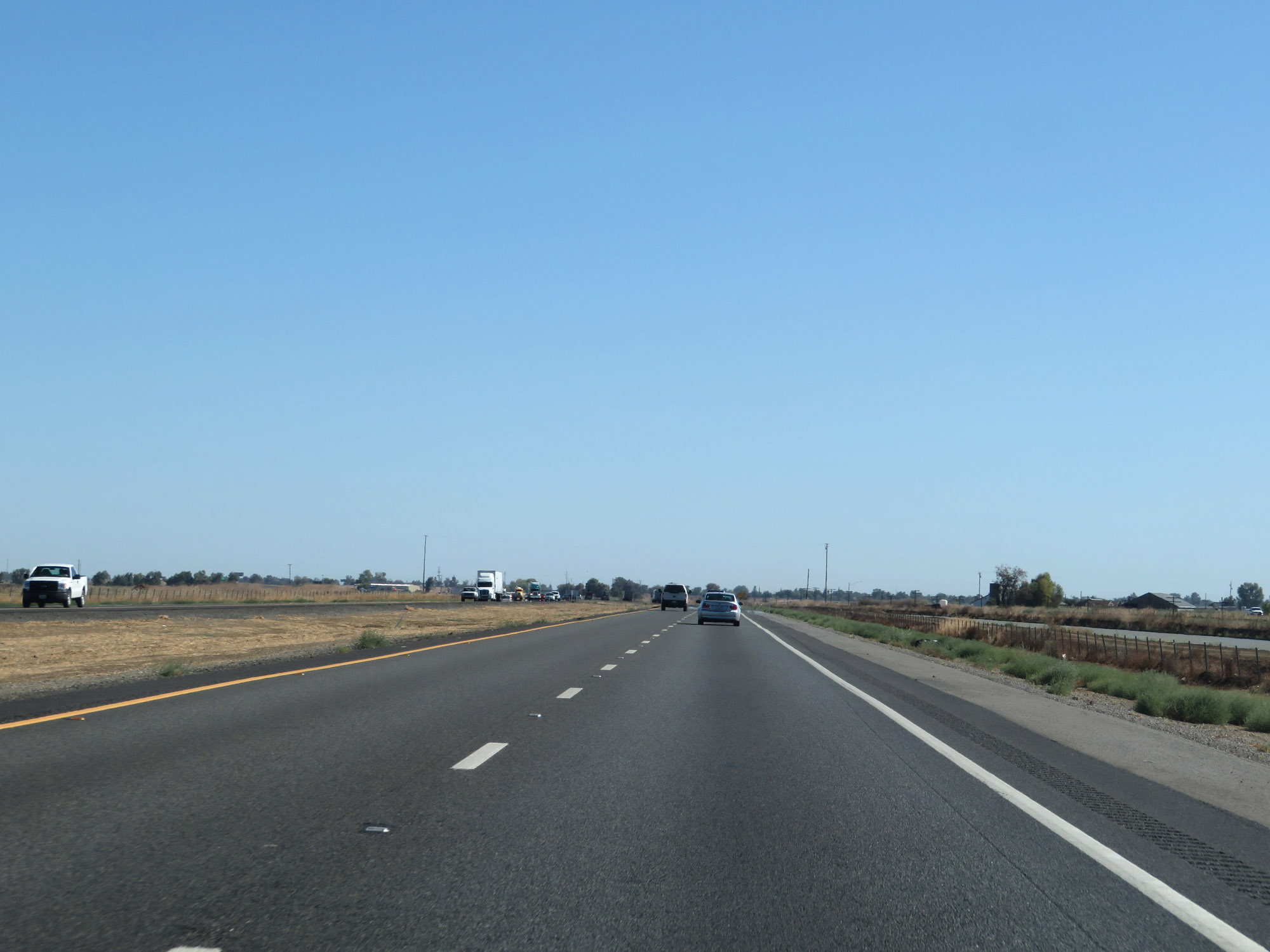 |
View on Interstate 5 South in Colusa County. (Photo taken 9/23/19). |
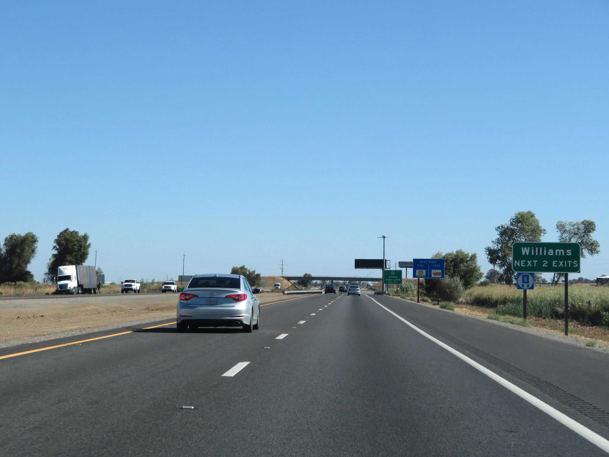 |
Take either of the next 2 exits to Williams. (Photo taken 9/23/19). |
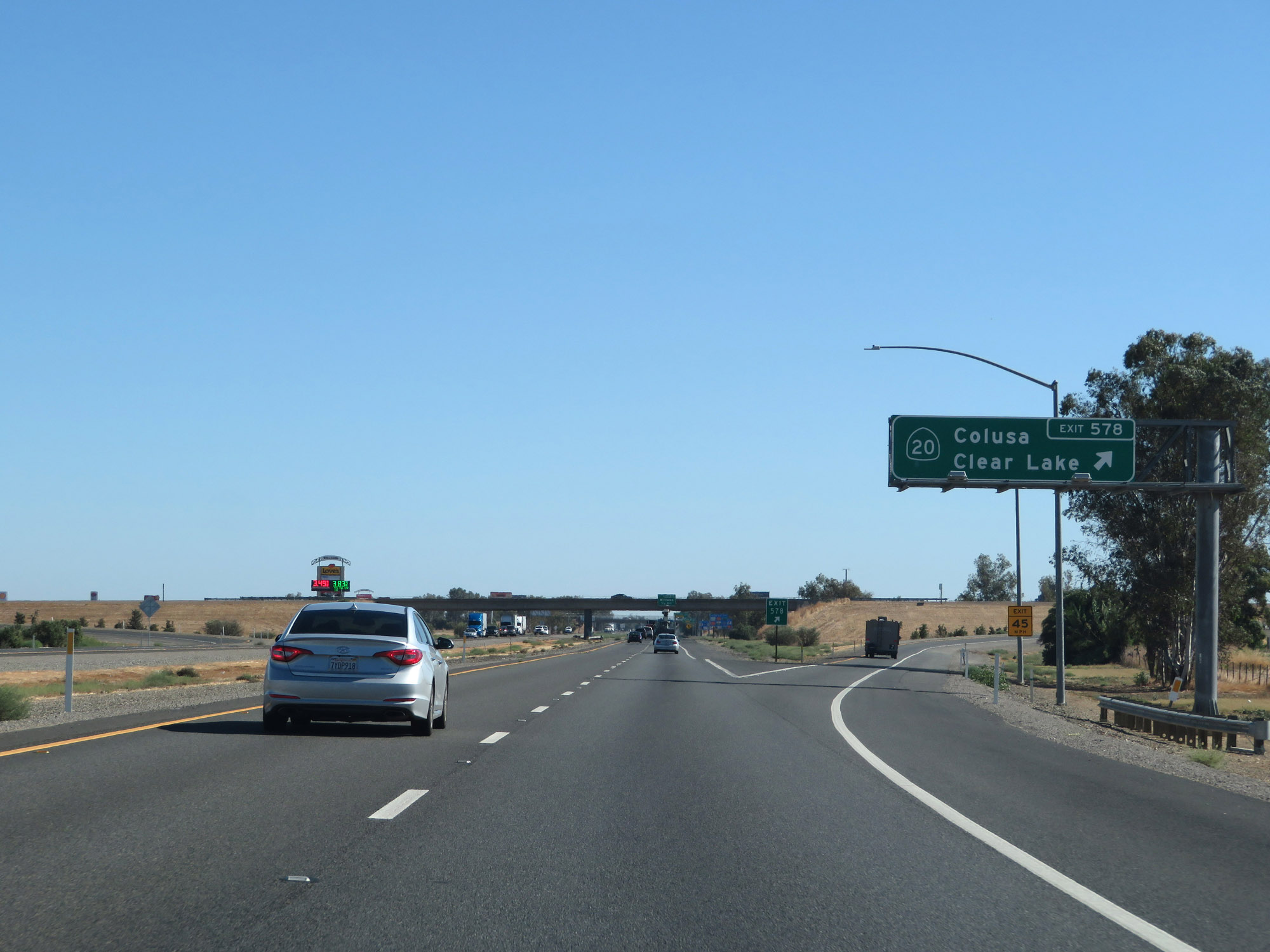 |
Interstate 5 South at Exit 578: CA 20 - Colusa / Clear Lake (Photo taken 9/23/19). |
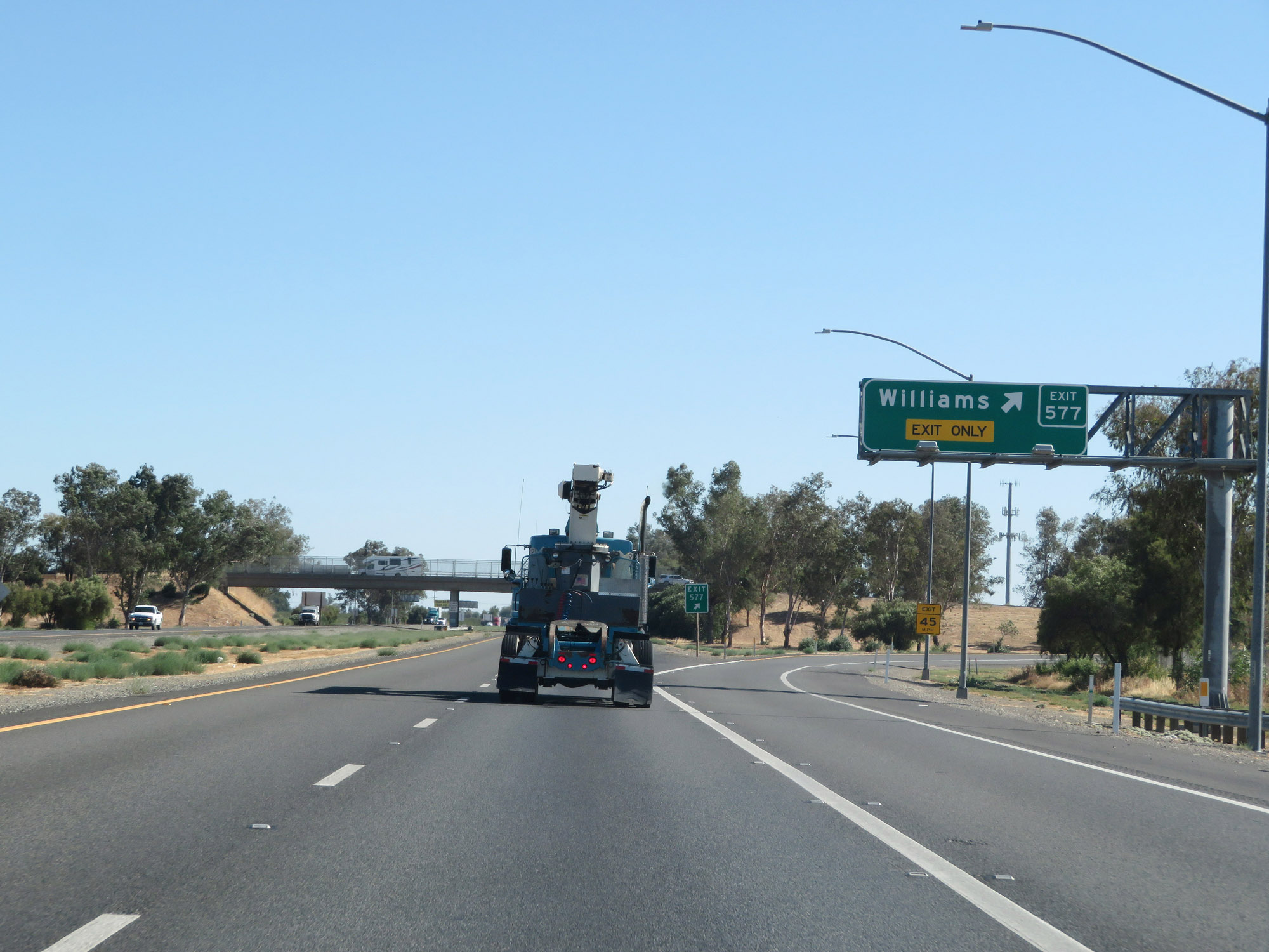 |
Interstate 5 South at Exit 577: Williams (Photo taken 9/23/19). |
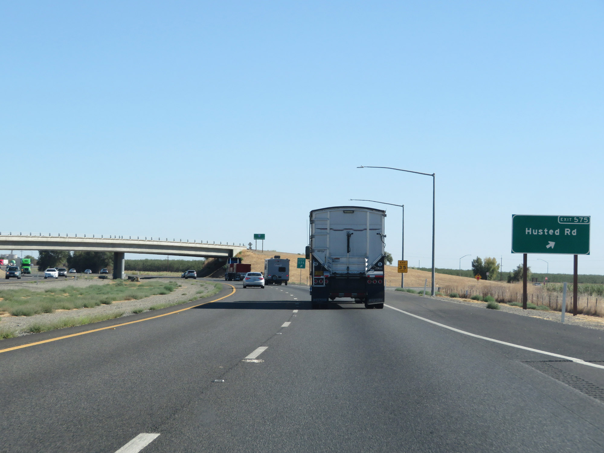 |
Interstate 5 South at Exit 575: Husted Rd (Photo taken 9/23/19). |
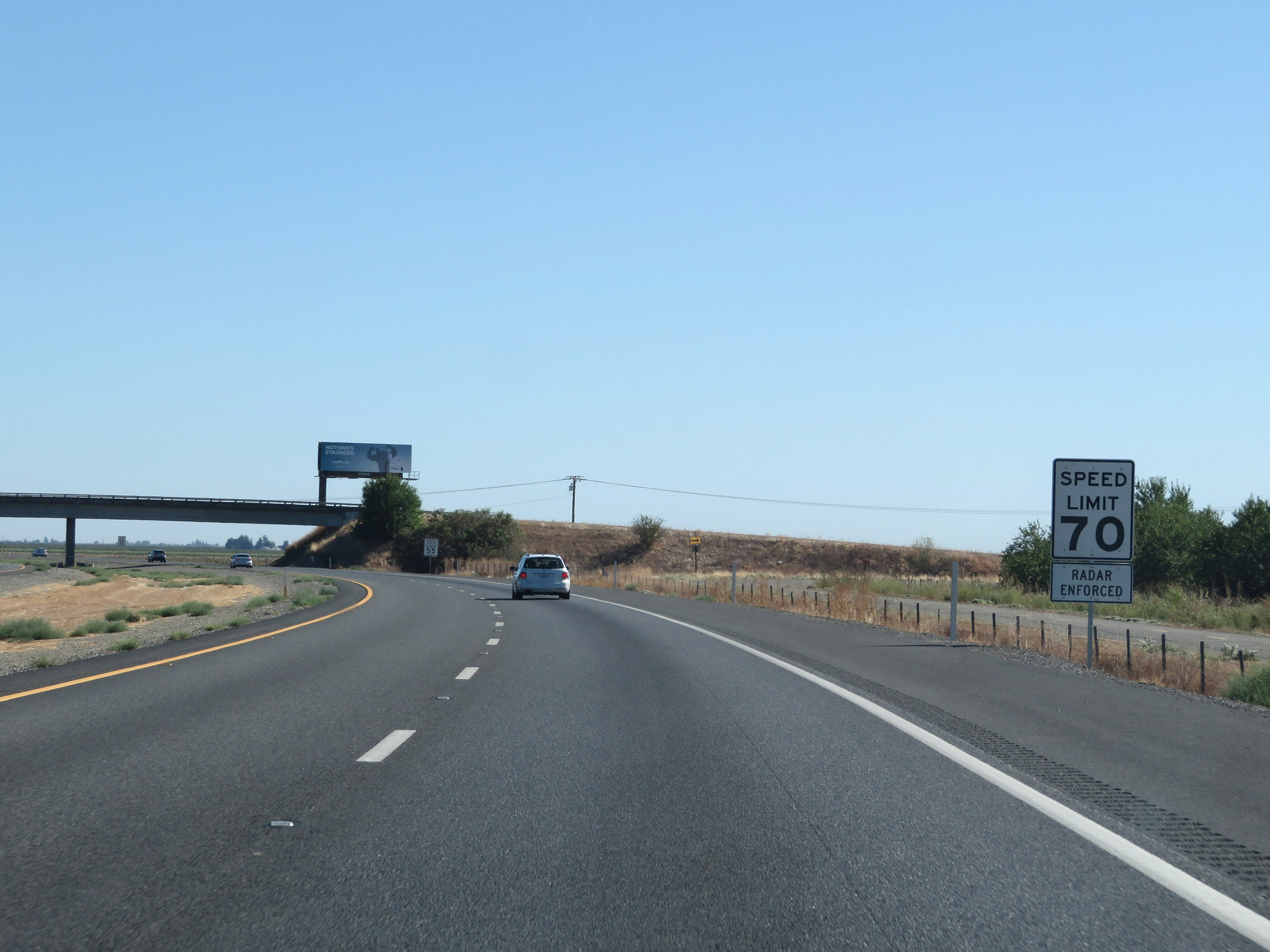 |
The speed limit remains 70 mph for automobiles. (Photo taken 9/23/19). |
 |
The speed limit for trucks of 3 or more axles remains 55 mph. (Photo taken 9/23/19). |
 |
All vehicles towing trailers are restricted to 55 mph maximum speed in California. (Photo taken 9/23/19). |
 |
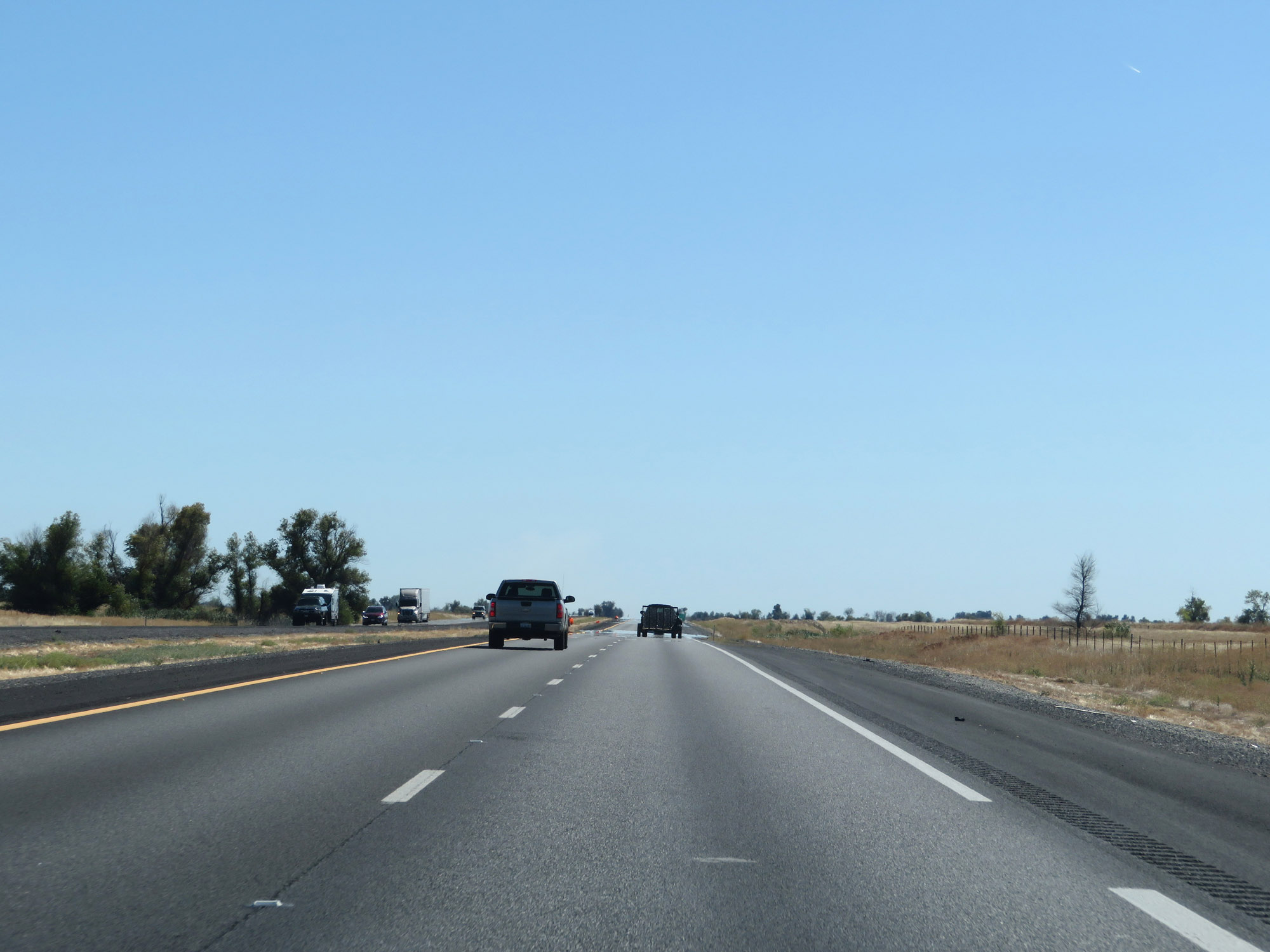
View on Interstate 5 South. (Photo taken 9/23/19). |
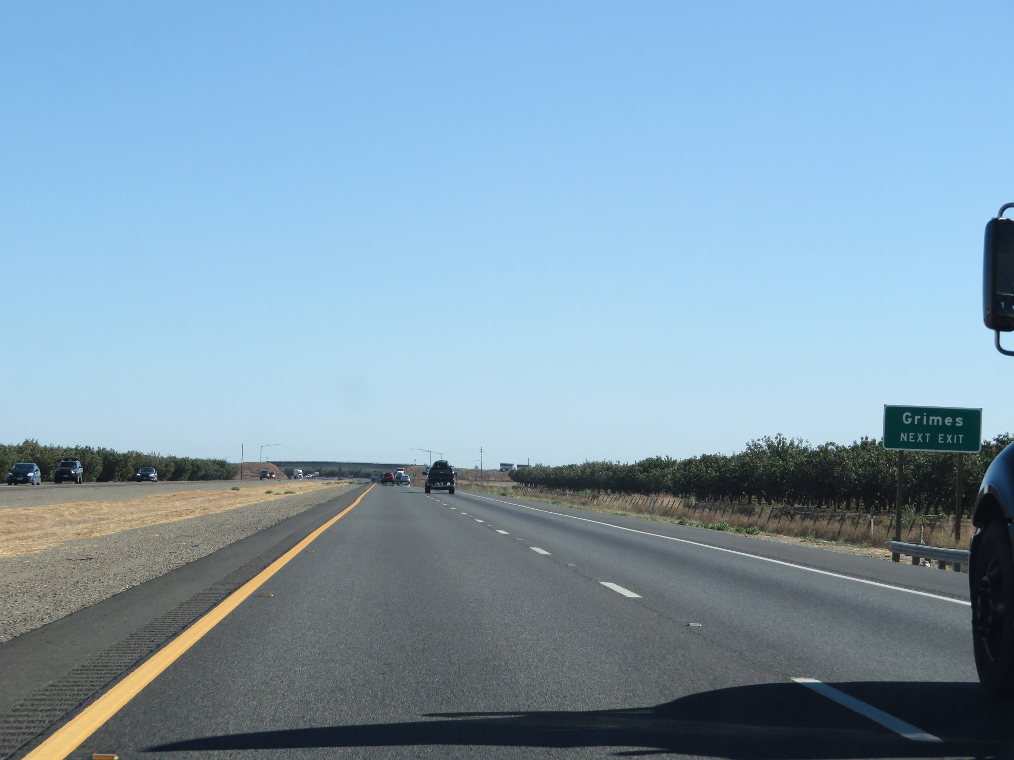 |
Take Exit 569 to Grimes. (Photo taken 9/23/19). |
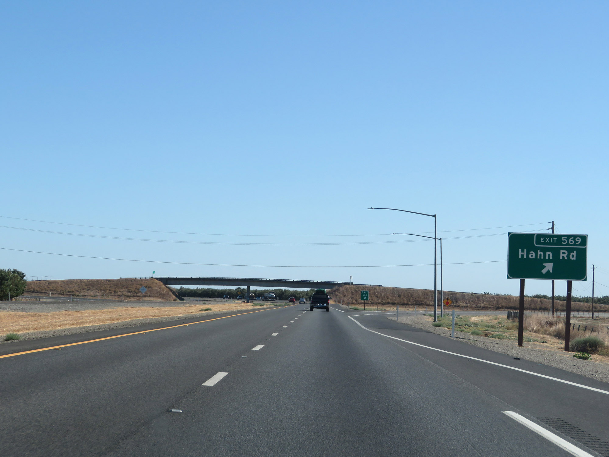 |
Interstate 5 South at Exit 569: Hahn Rd (Photo taken 9/23/19). |
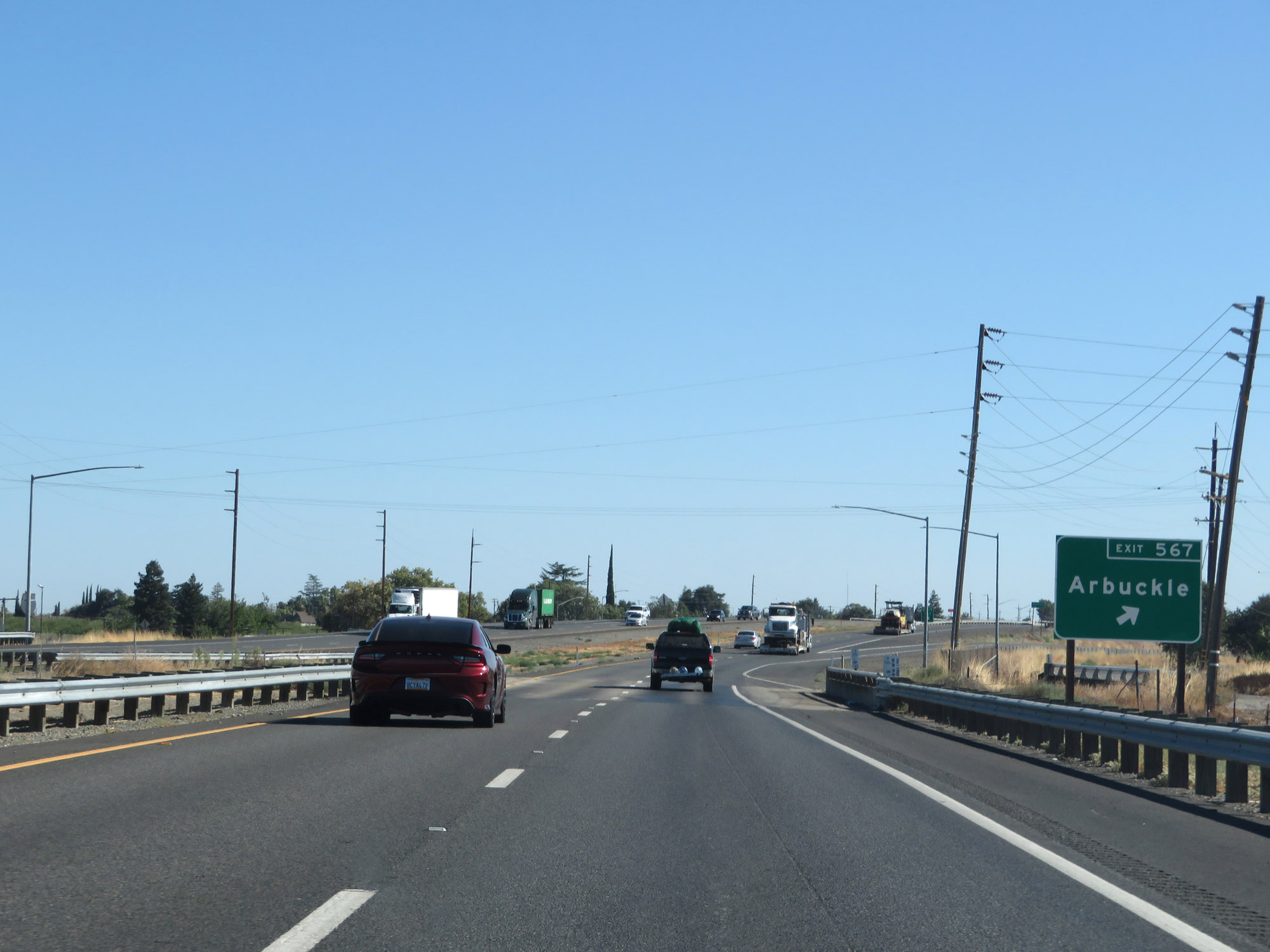 |
Interstate 5 South at Exit 567: Arbuckle (Photo taken 9/23/19). |
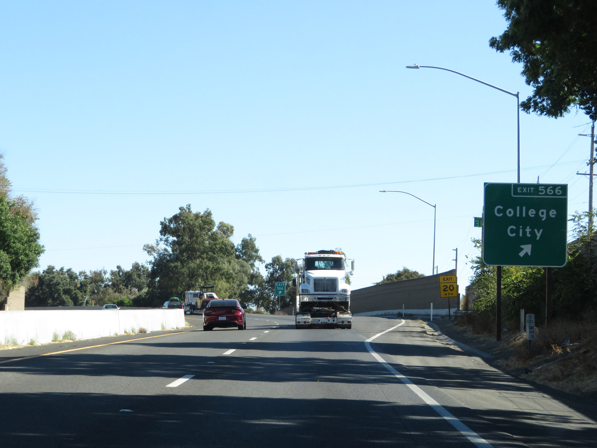 |
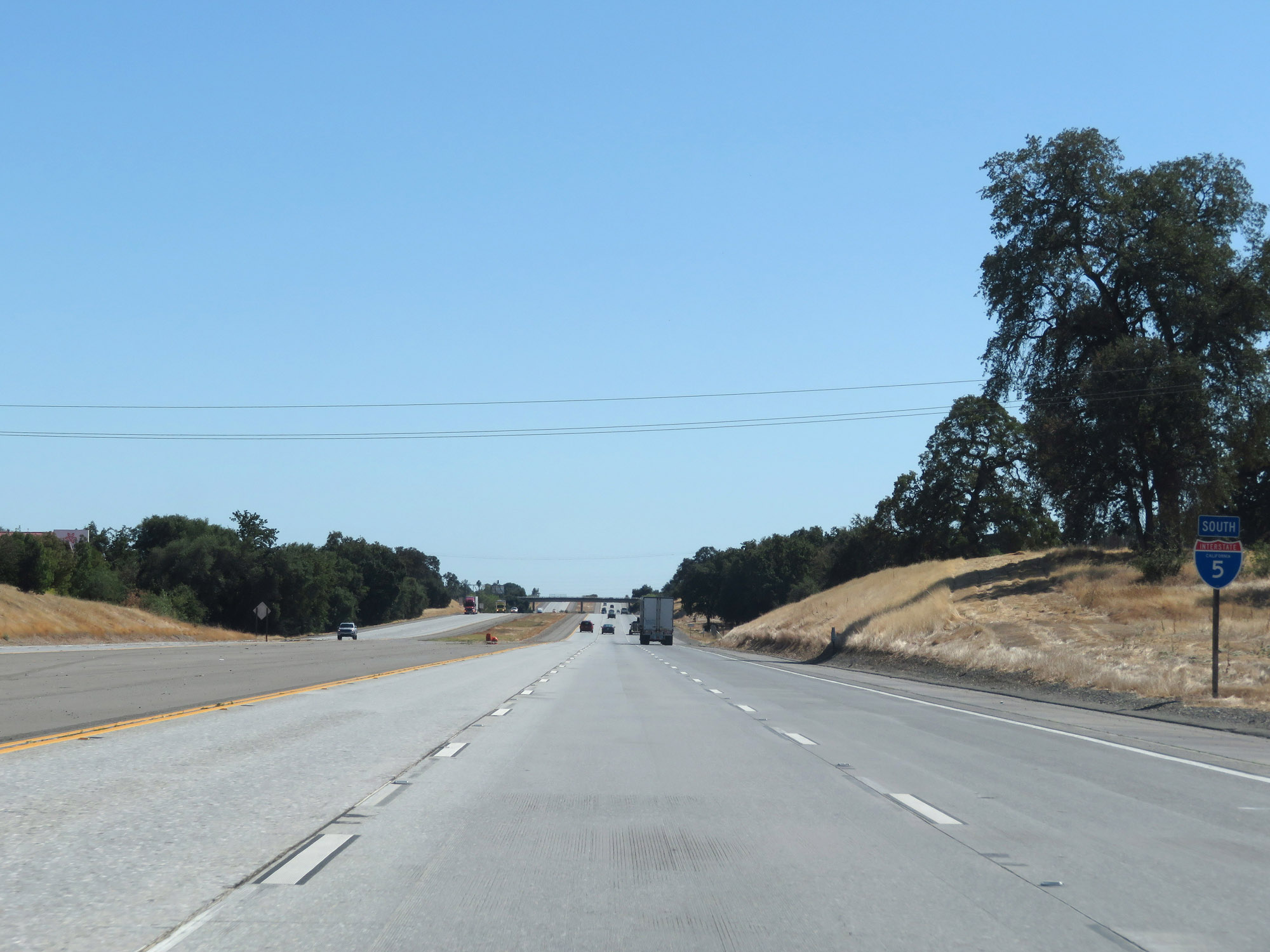
Interstate 5 South at Exit 566: College City (Photo taken 9/23/19). |
Section 6: Arbuckle (Exit 566) to Sacramento (Exit 516)
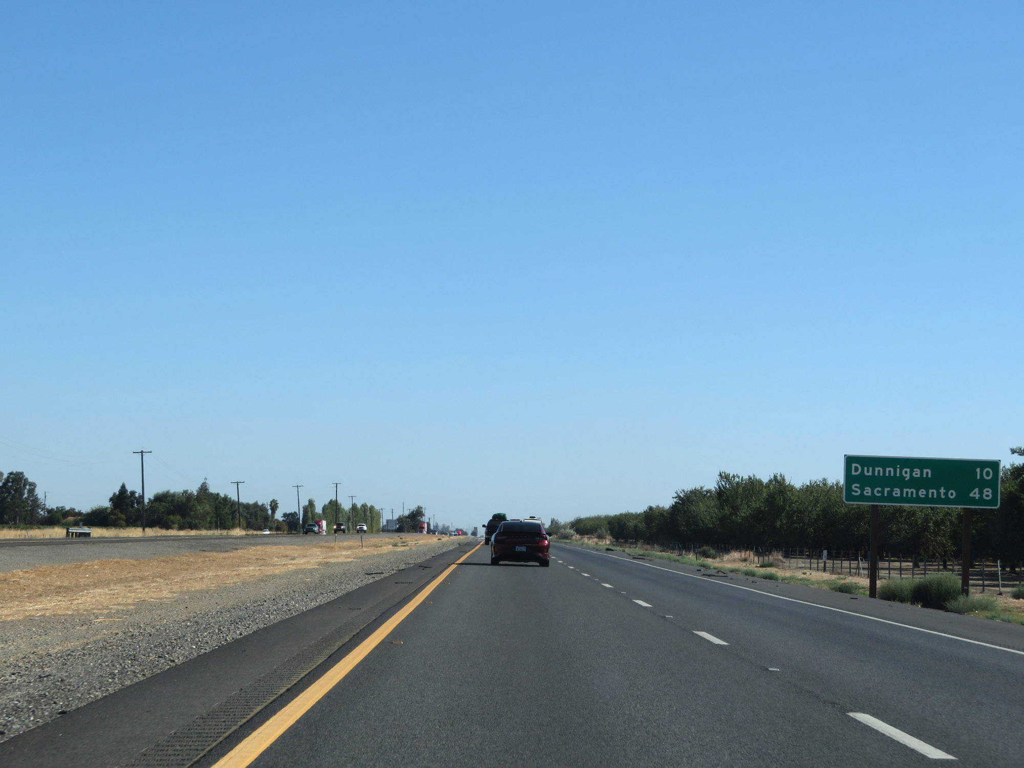 |
Mileage sign on Interstate 5 South. It's 10 miles to Dunnigan and 48 miles to Sacramento. (Photo taken 9/23/19). |
 |
View on Interstate 5 South in Colusa County. (Photo taken 9/23/19). |
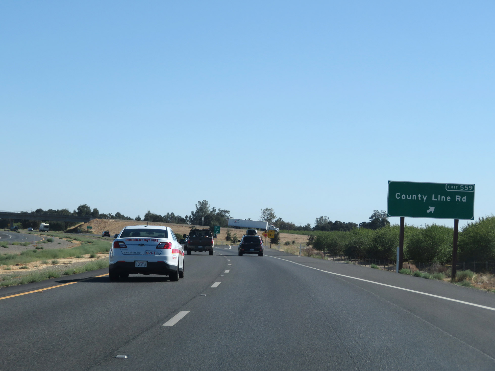 |
Interstate 5 South at Exit 559: County Line Rd (Photo taken 9/23/19). |
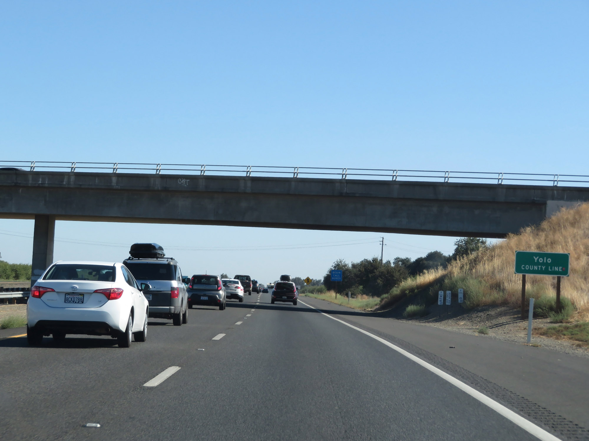 |
Entering Yolo County on Interstate 5 South. (Photo taken 9/23/19). |
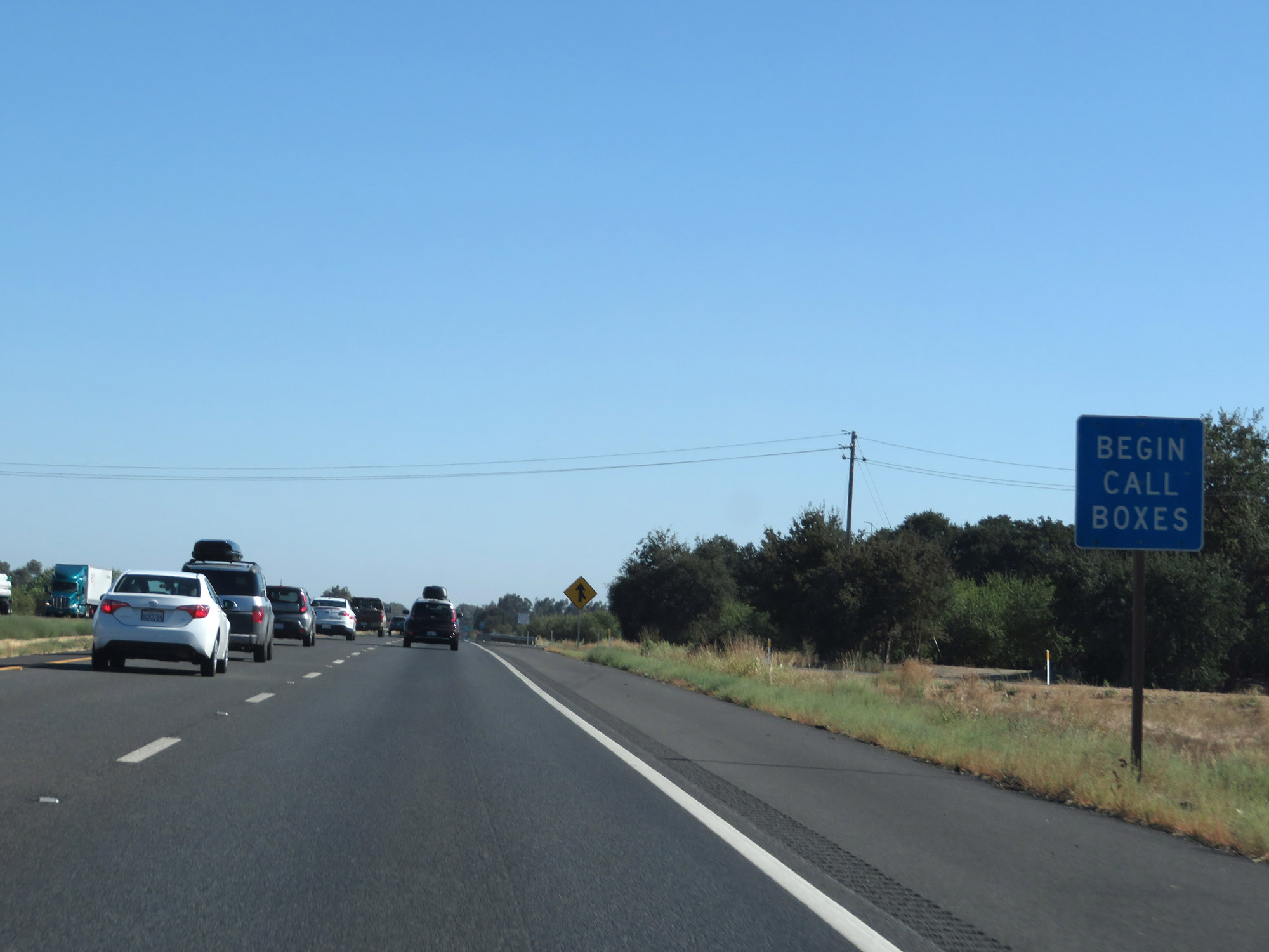 |
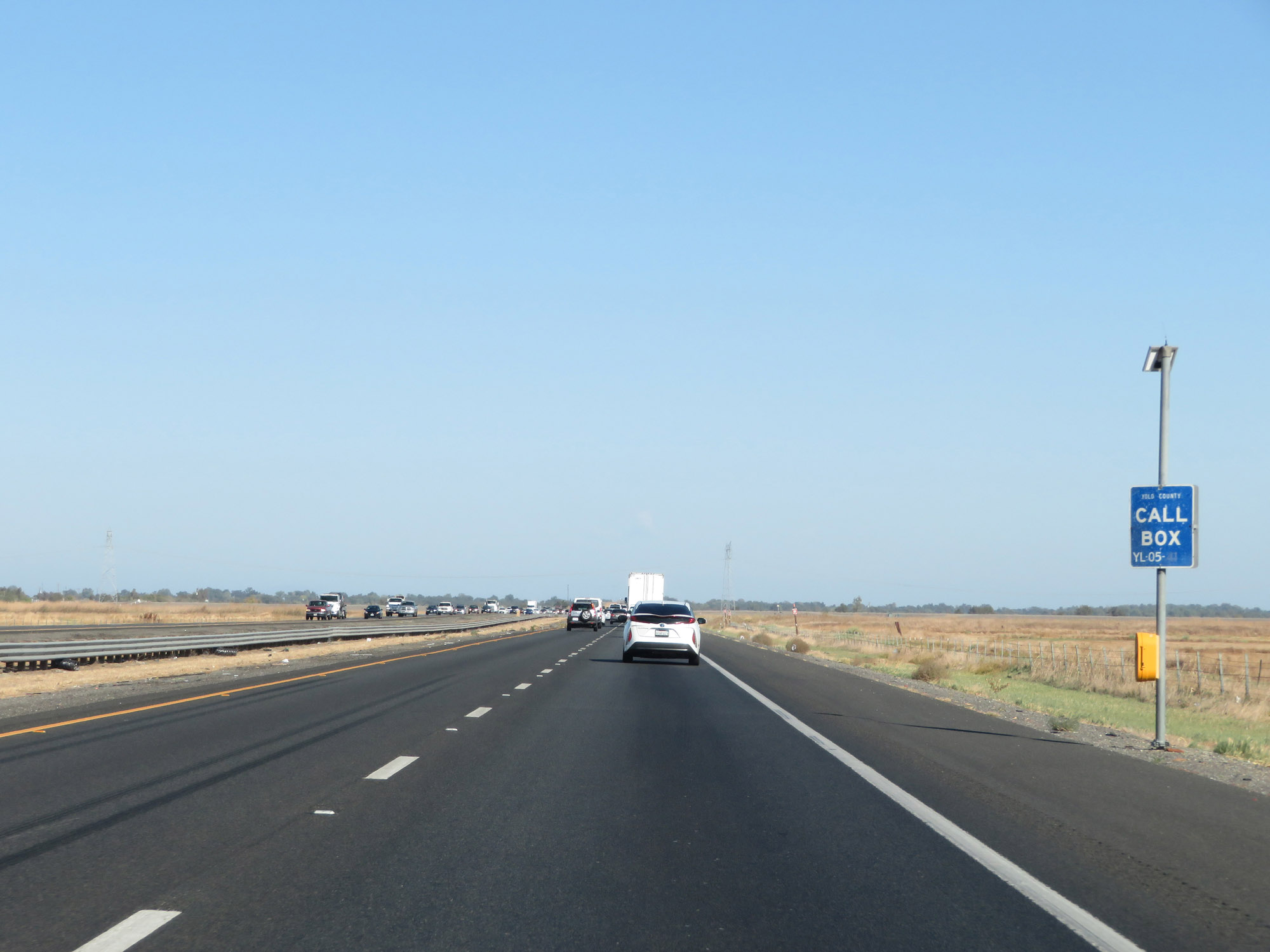
Call boxes appear once again in Yolo County. (Photo taken 9/23/19). |
 |
State-named Interstate 5 South reassurance shield. (Photo taken 9/23/19). |
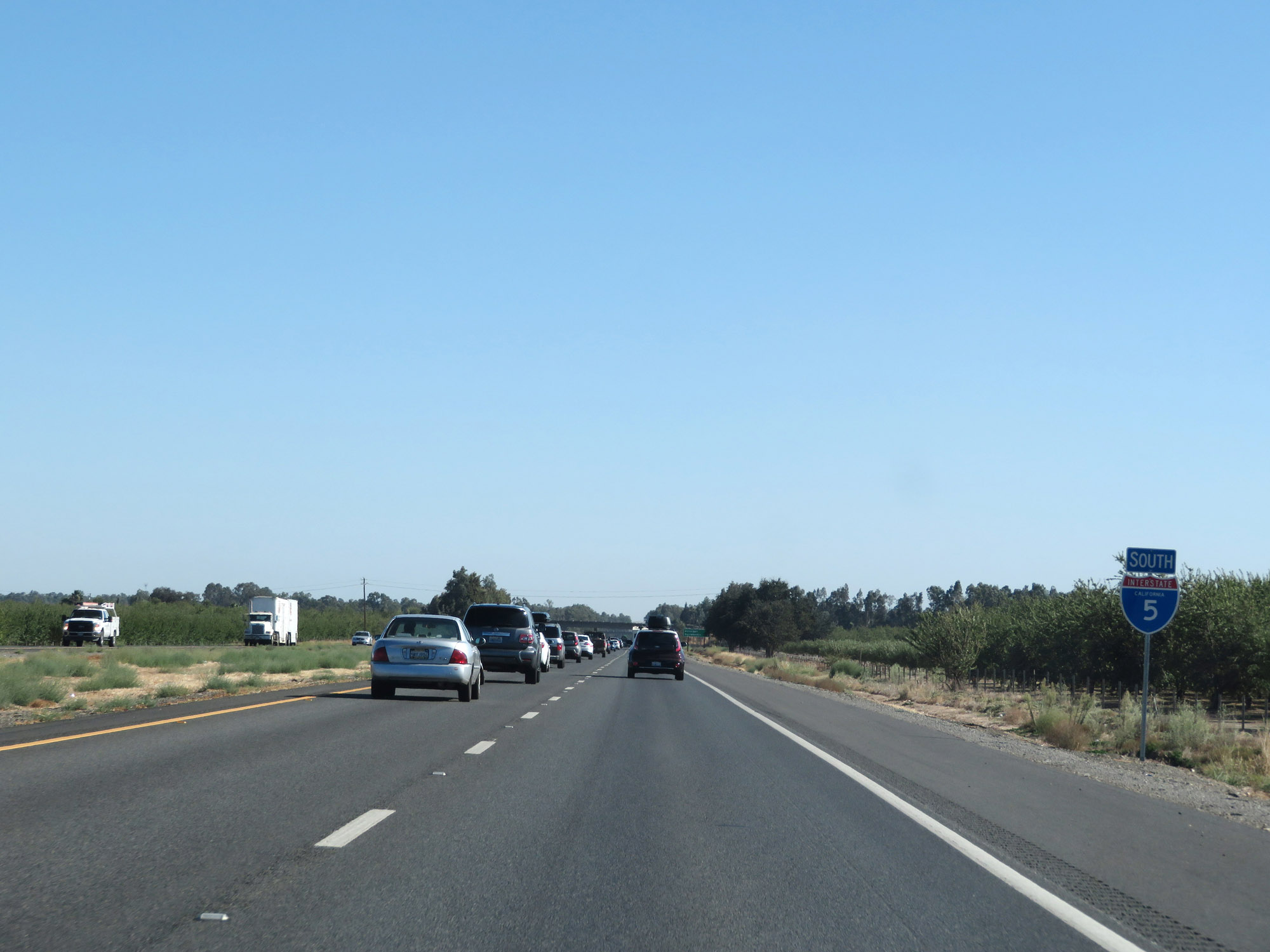
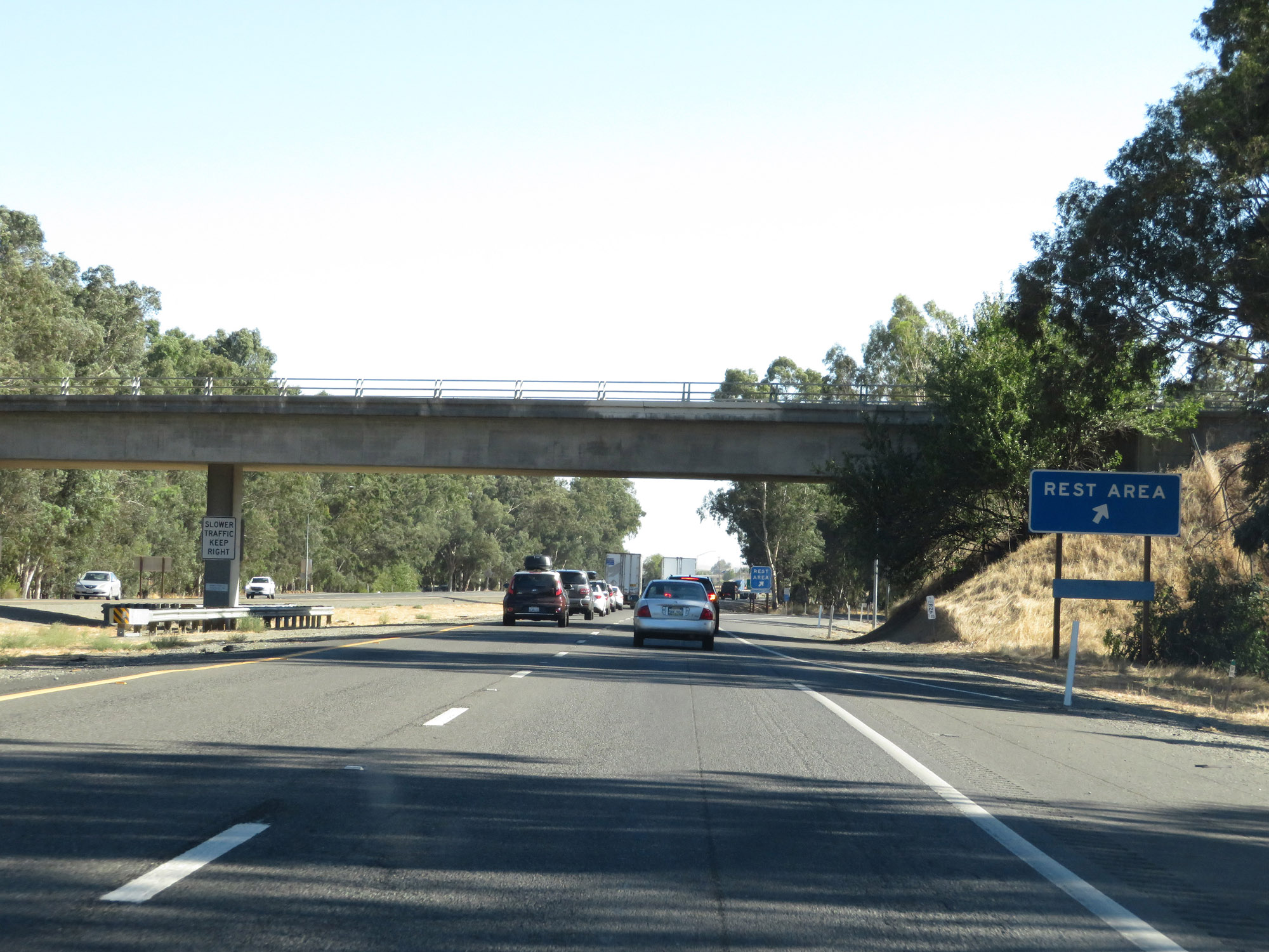 |
Rest Area on Interstate 5 South in Yolo County. (Photo taken 9/23/19). |
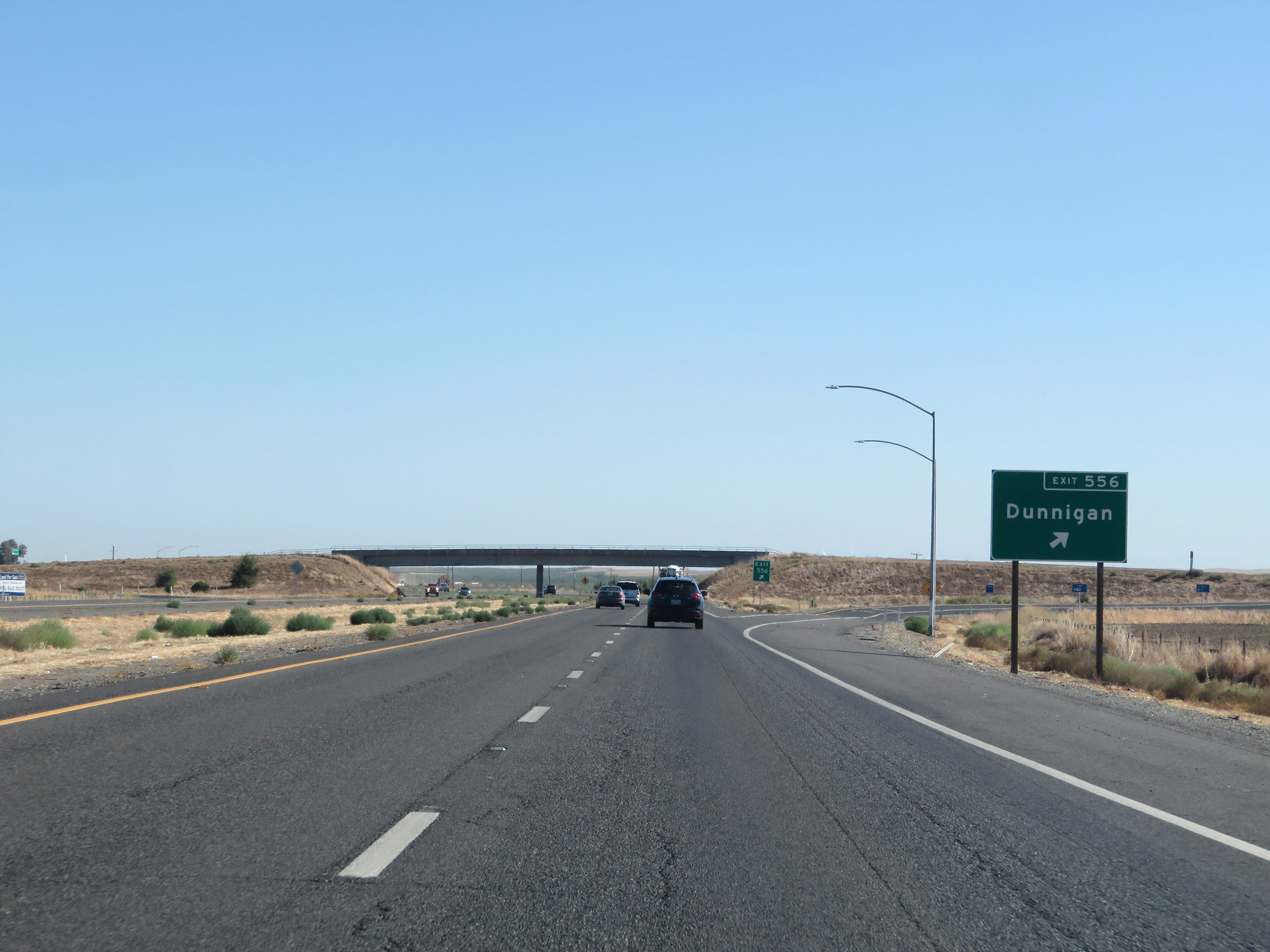 |
Interstate 5 South at Exit 556: Dunnigan (Photo taken 9/23/19). |
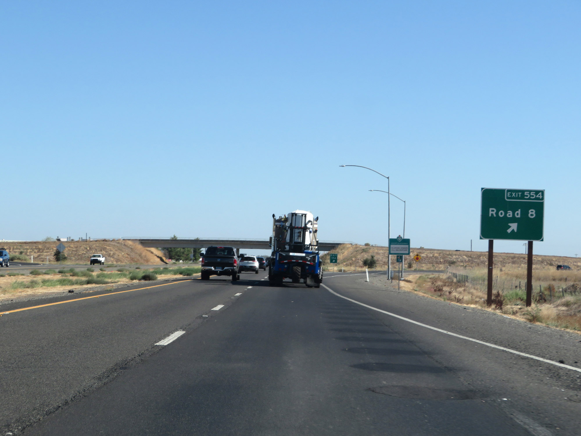 |
Interstate 5 South at Exit 554: Road 8 (Photo taken 9/23/19). |
 |
Interstate 5 South approaching Exit 553 - 1 mile. (Photo taken 9/23/19). |
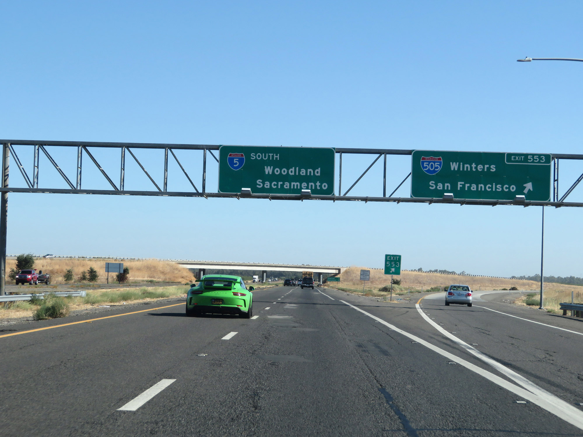 |
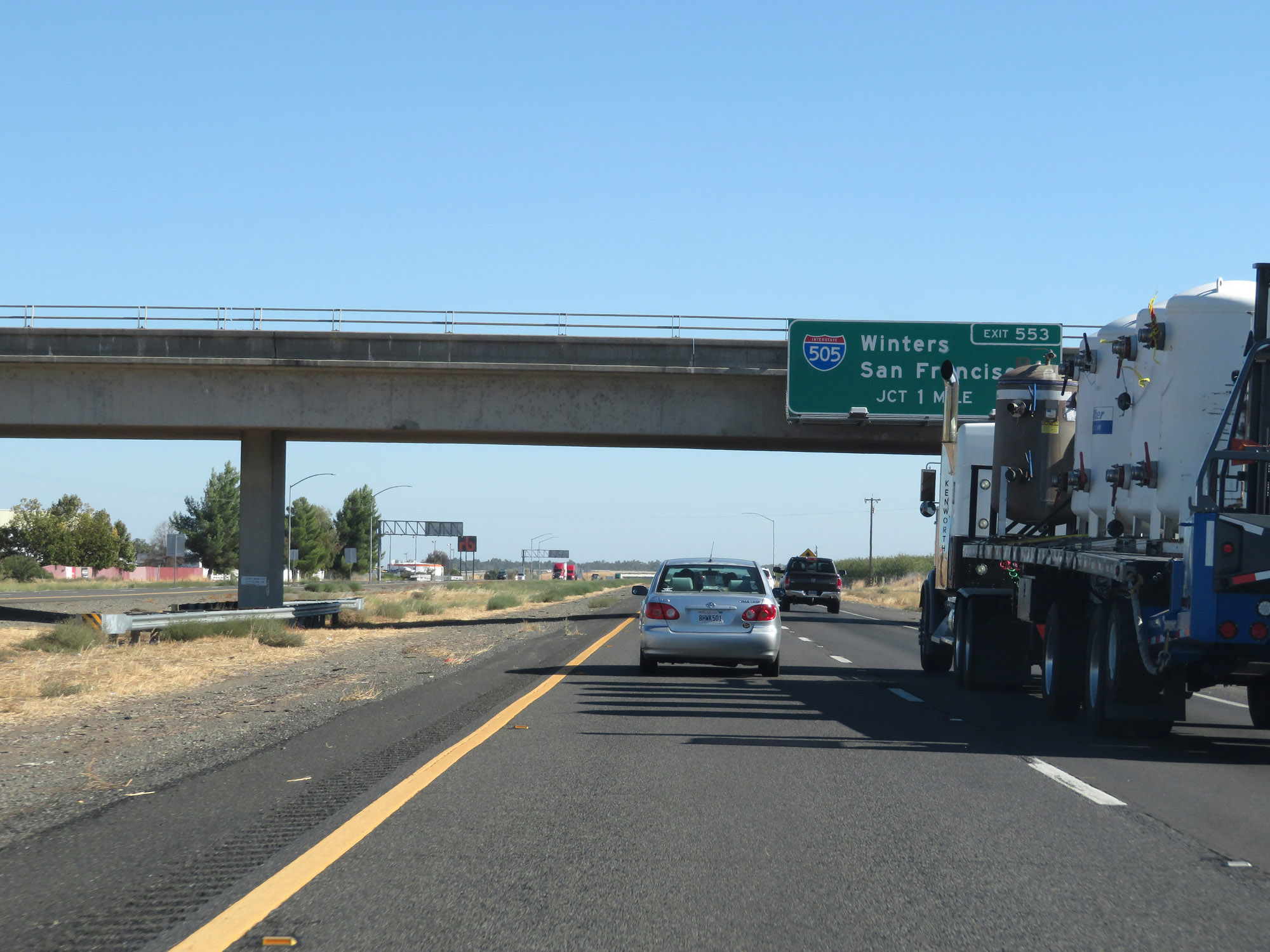
Interstate 5 South at Exit 553: Interstate 505 - Winters / San Francisco (Photo taken 9/23/19). |
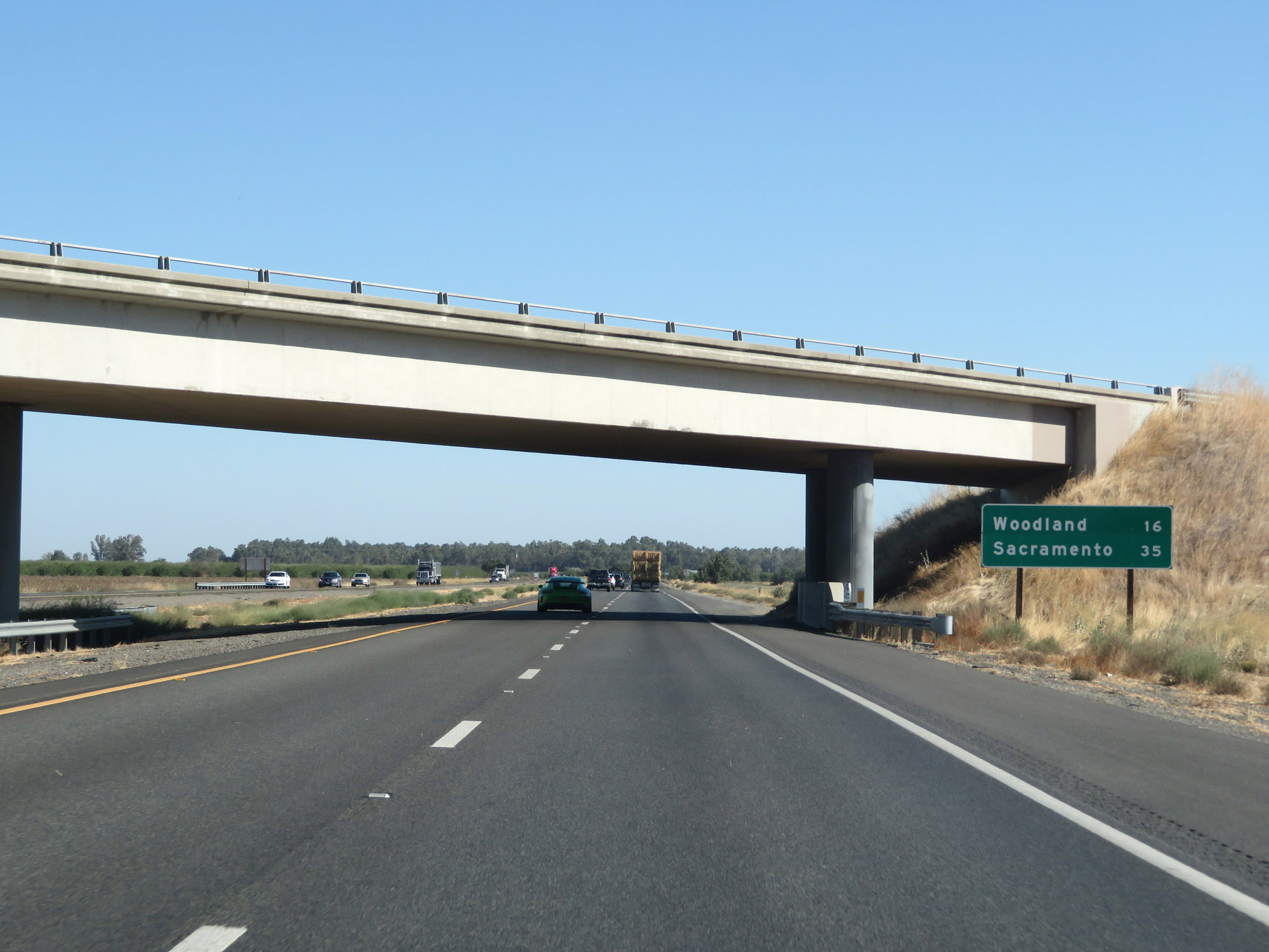 |
Mileage sign on Interstate 5 South. It's 16 miles to Woodland and 35 miles to Sacramento. (Photo taken 9/23/19). |
 |
View on Interstate 5 South in Yolo County. (Photo taken 9/23/19). |
 |
Another view on Interstate 5 South. (Photo taken 9/23/19). |
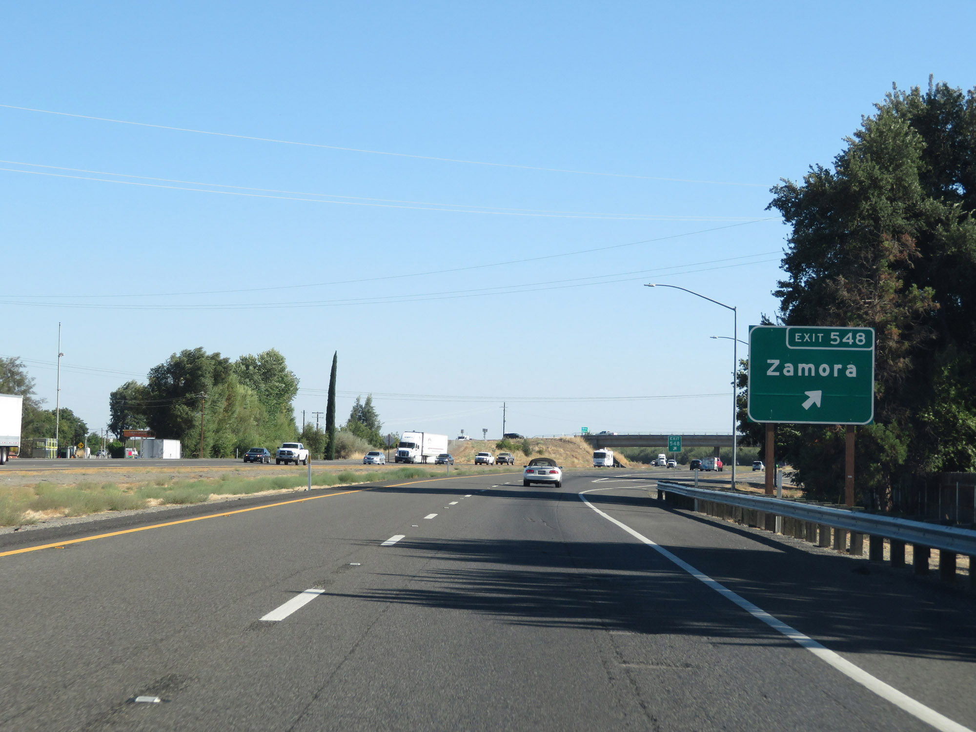 |
Interstate 5 South at Exit 548: Zamora (Photo taken 9/23/19). |
 |
The speed limit remains 70 mph for cars. (Photo taken 9/23/19). |
 |
For trucks of 3 or more axles, the speed limit remains 55 mph. (Photo taken 9/23/19). |
 |
All vehicles towing trailers are restricted to 55 mph in California. (Photo taken 9/23/19). |
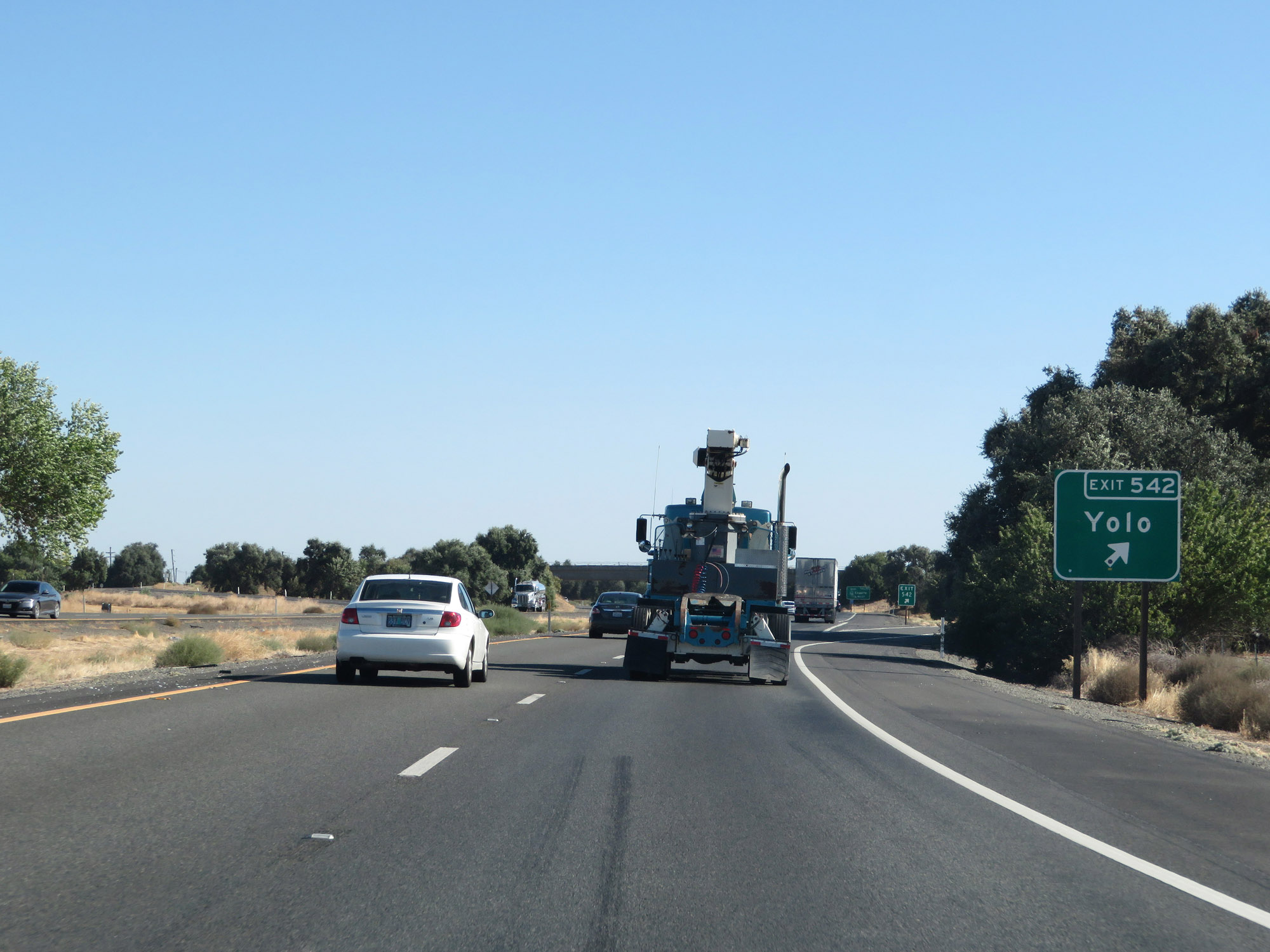 |
Interstate 5 South at Exit 542: Yolo (Photo taken 9/23/19). |
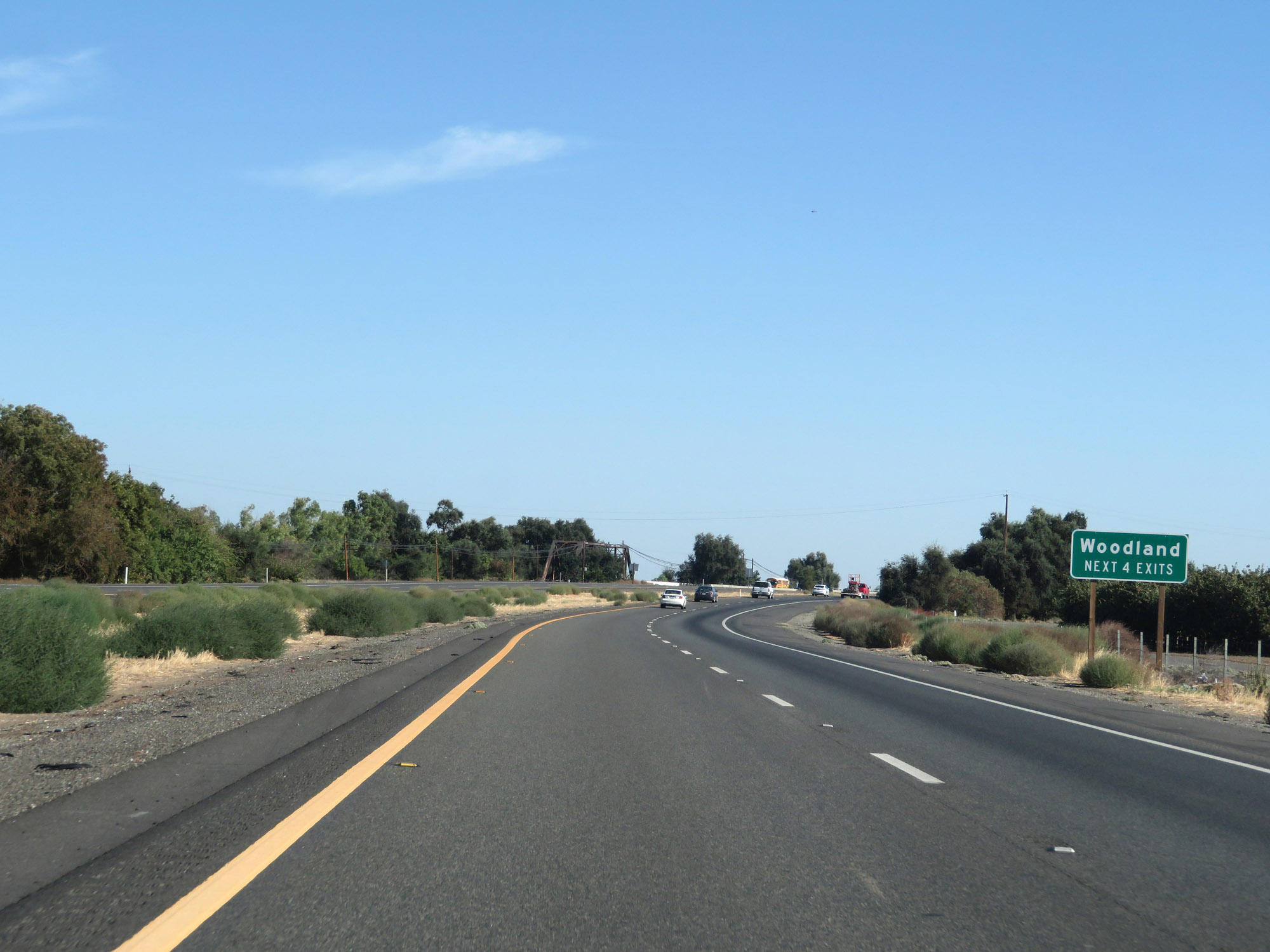 |
Take any of the next 4 exits to Woodland. (Photo taken 9/23/19). |
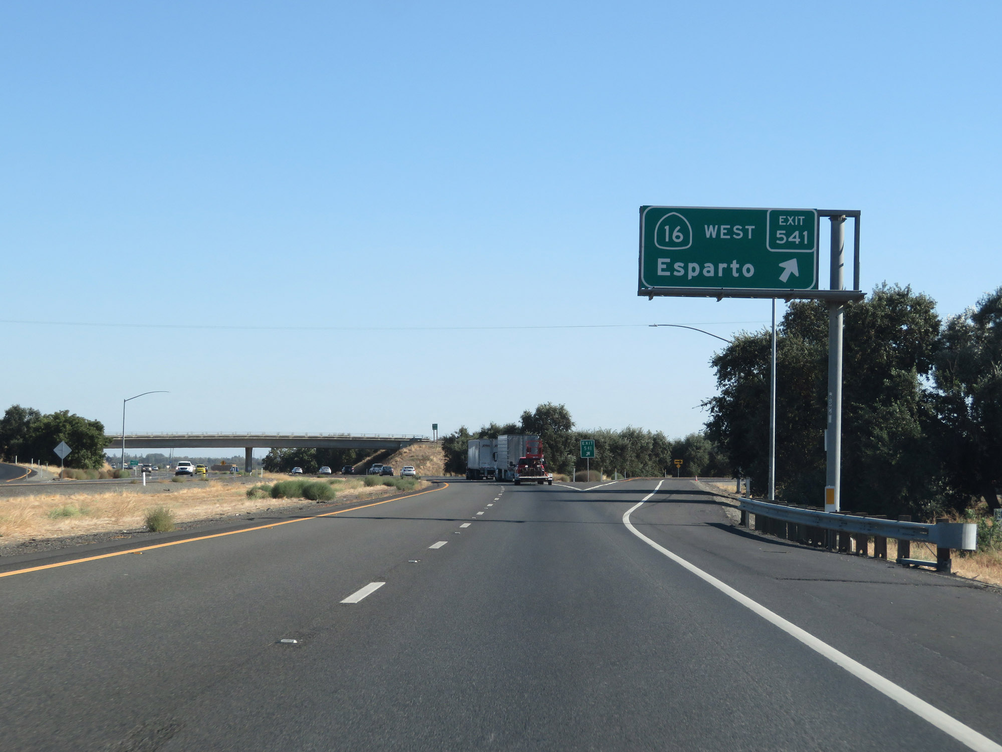 |
Interstate 5 South at Exit 541: CA 16 West - Esparto (Photo taken 9/23/19). |
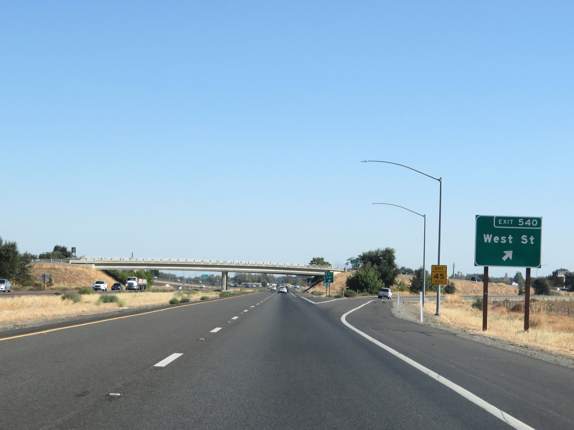 |
Interstate 5 South at Exit 540: West St (Photo taken 9/23/19). |
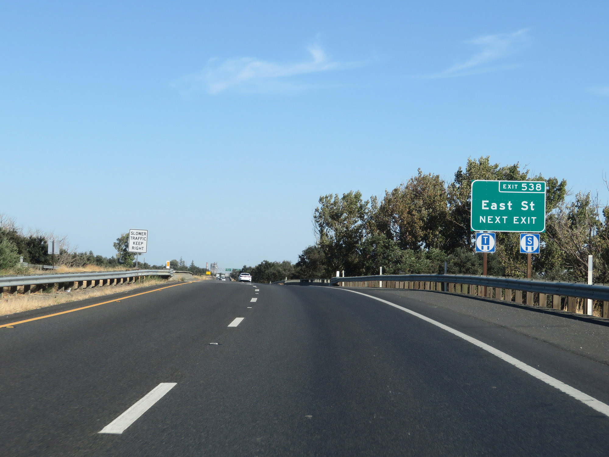 |
Take Exit 538 to East St. (Photo taken 9/23/19). |
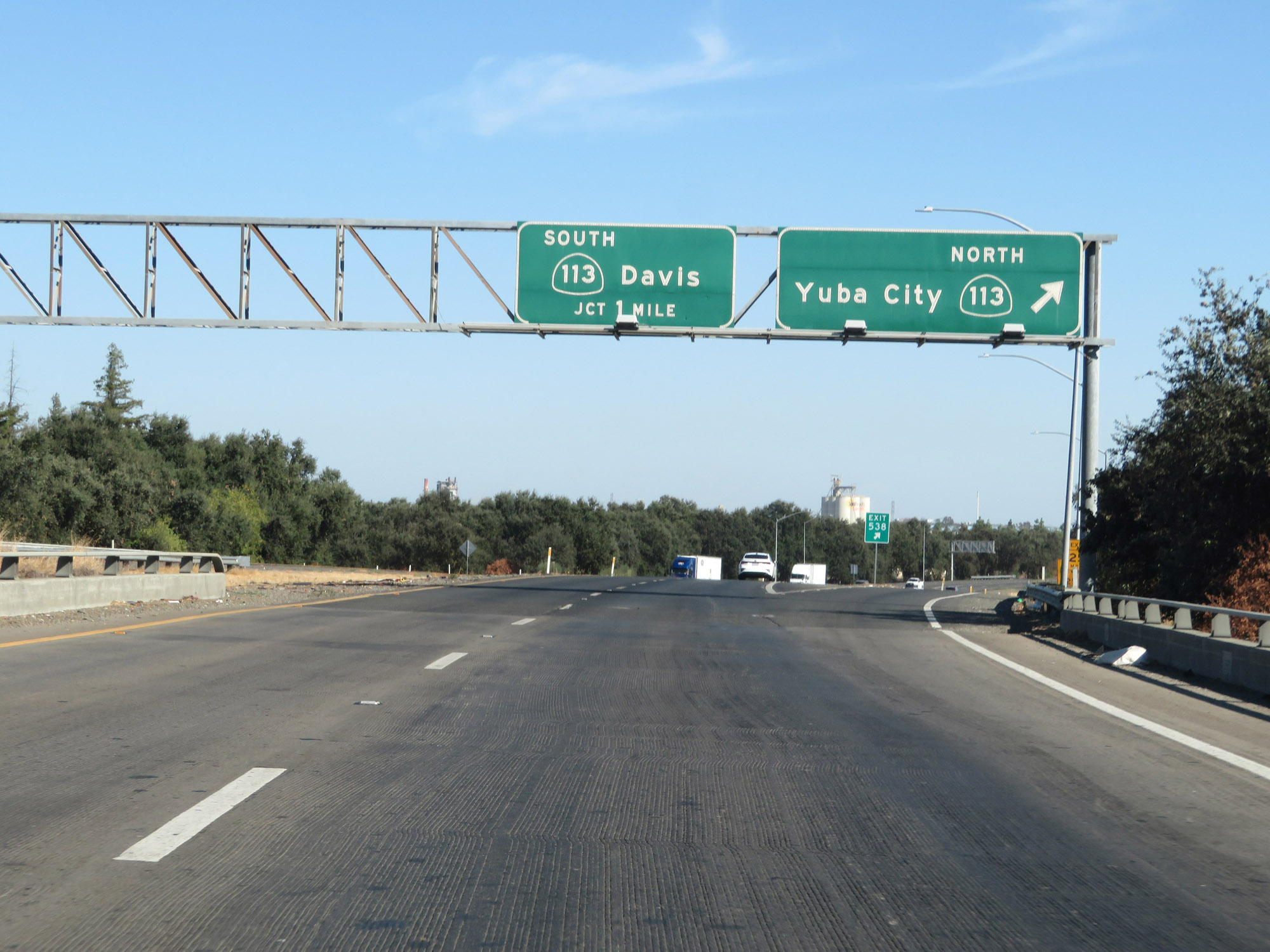 |
Interstate 5 South at Exit 538: CA 113 North - Yuba City (Photo taken 9/23/19). |
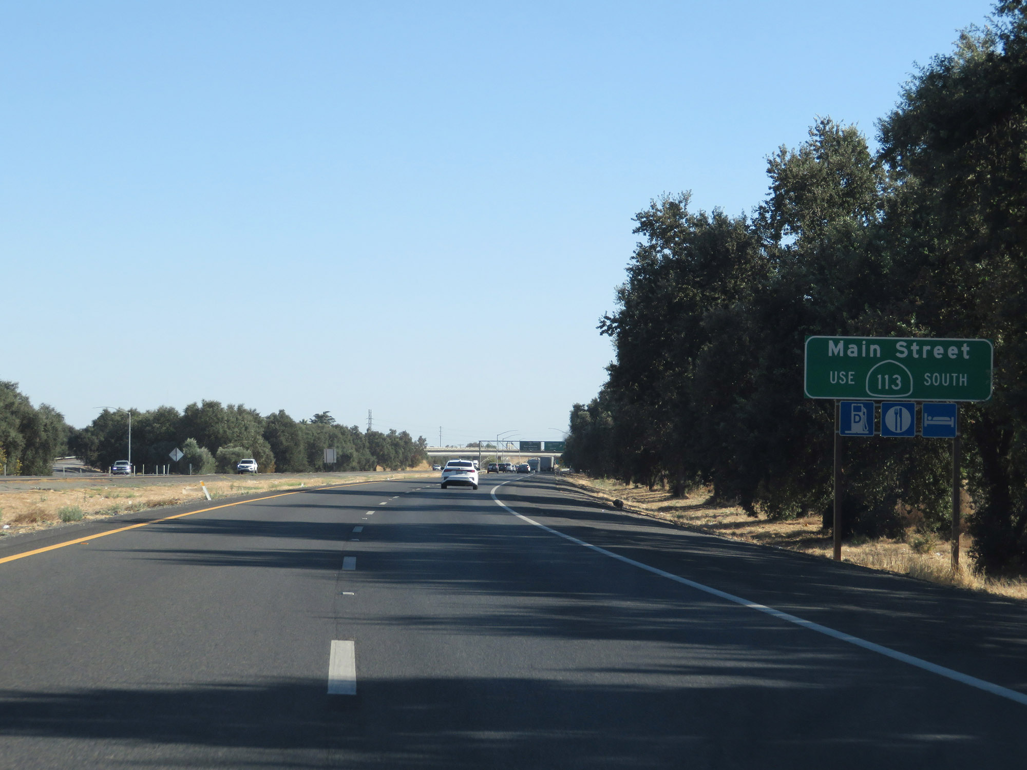 |
Take Exit 537 to Main Street. (Photo taken 9/23/19). |
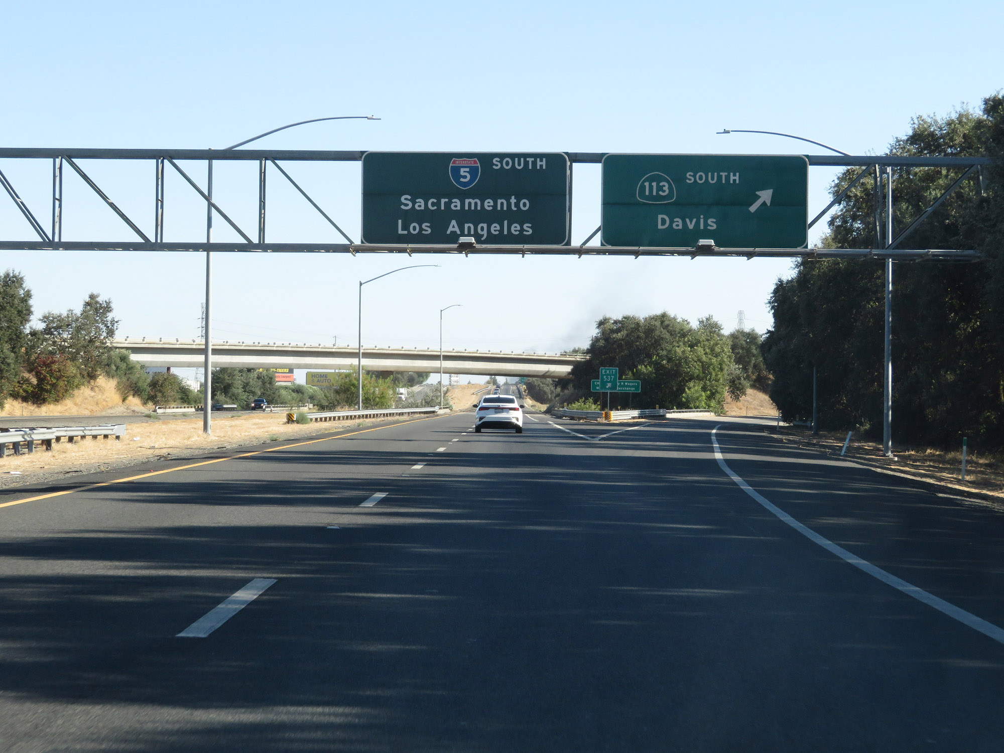 |
Interstate 5 South at Exit 537: CA 113 South - Davis (Photo taken 9/23/19). |
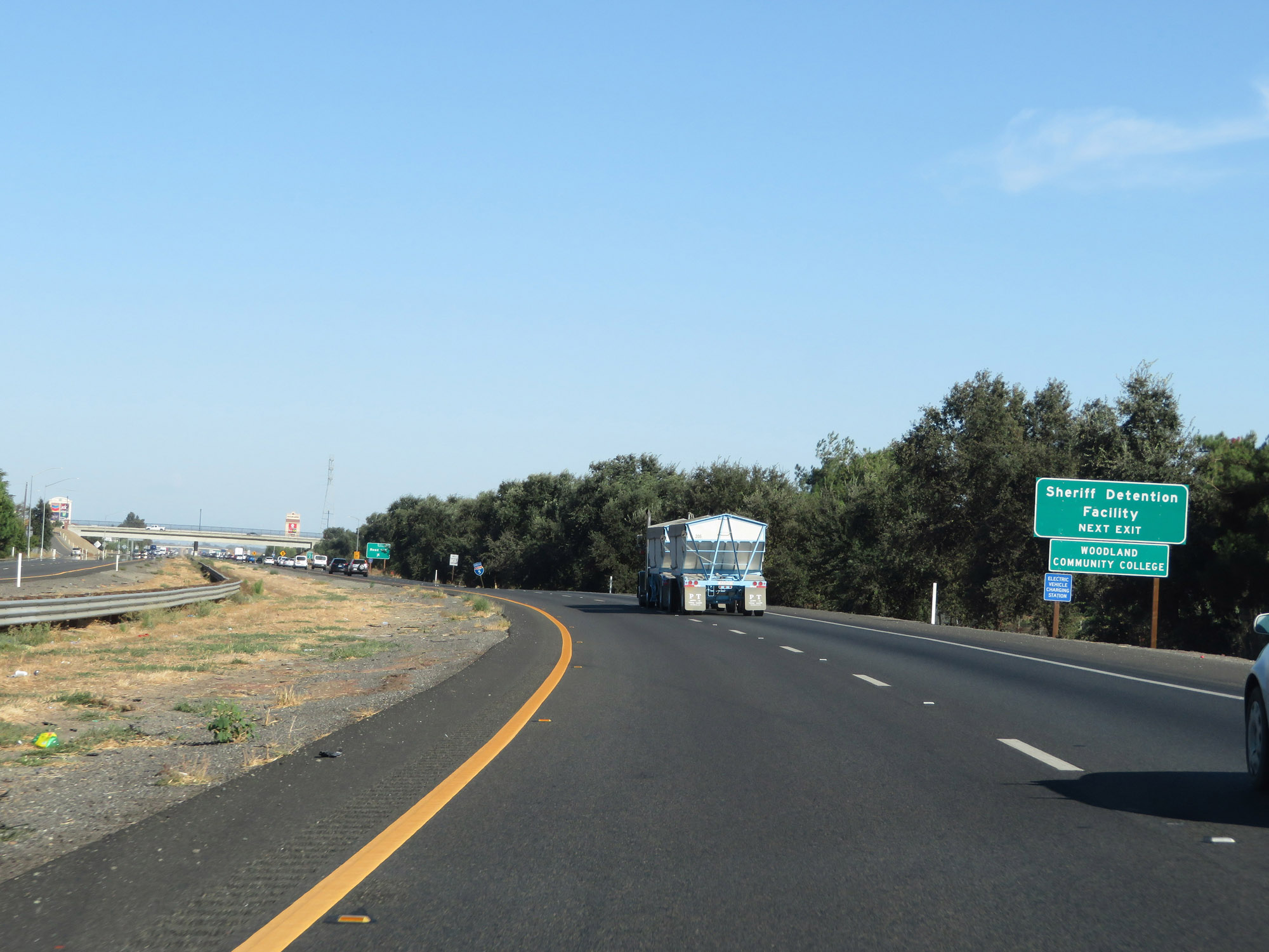 |
Take Exit 536 to the Sheriff Detention Facility and Woodland Community College. (Photo taken 9/23/19). |
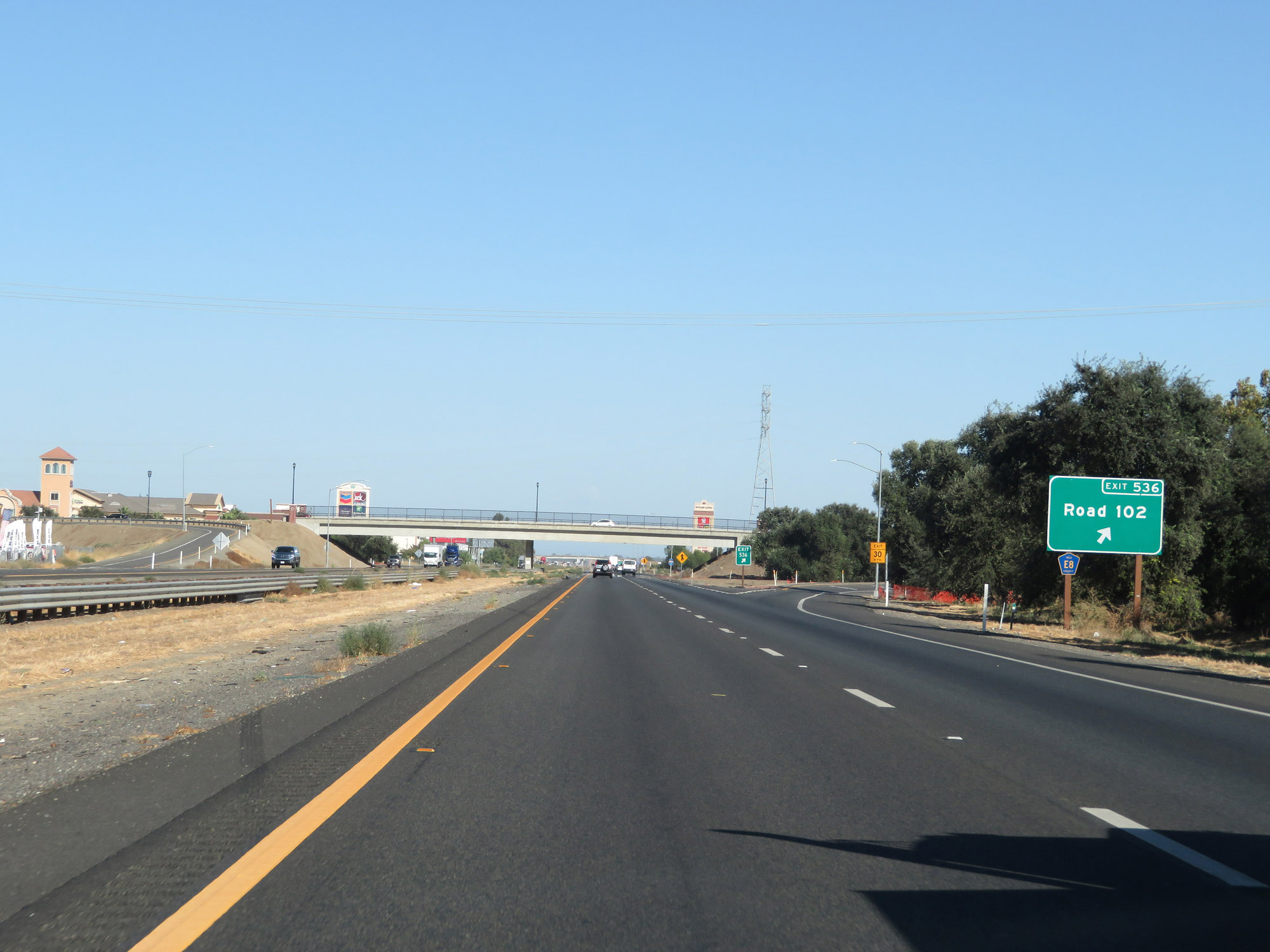 |
Interstate 5 South at Exit 536: CR E8 - Road 102 (Photo taken 9/23/19). |
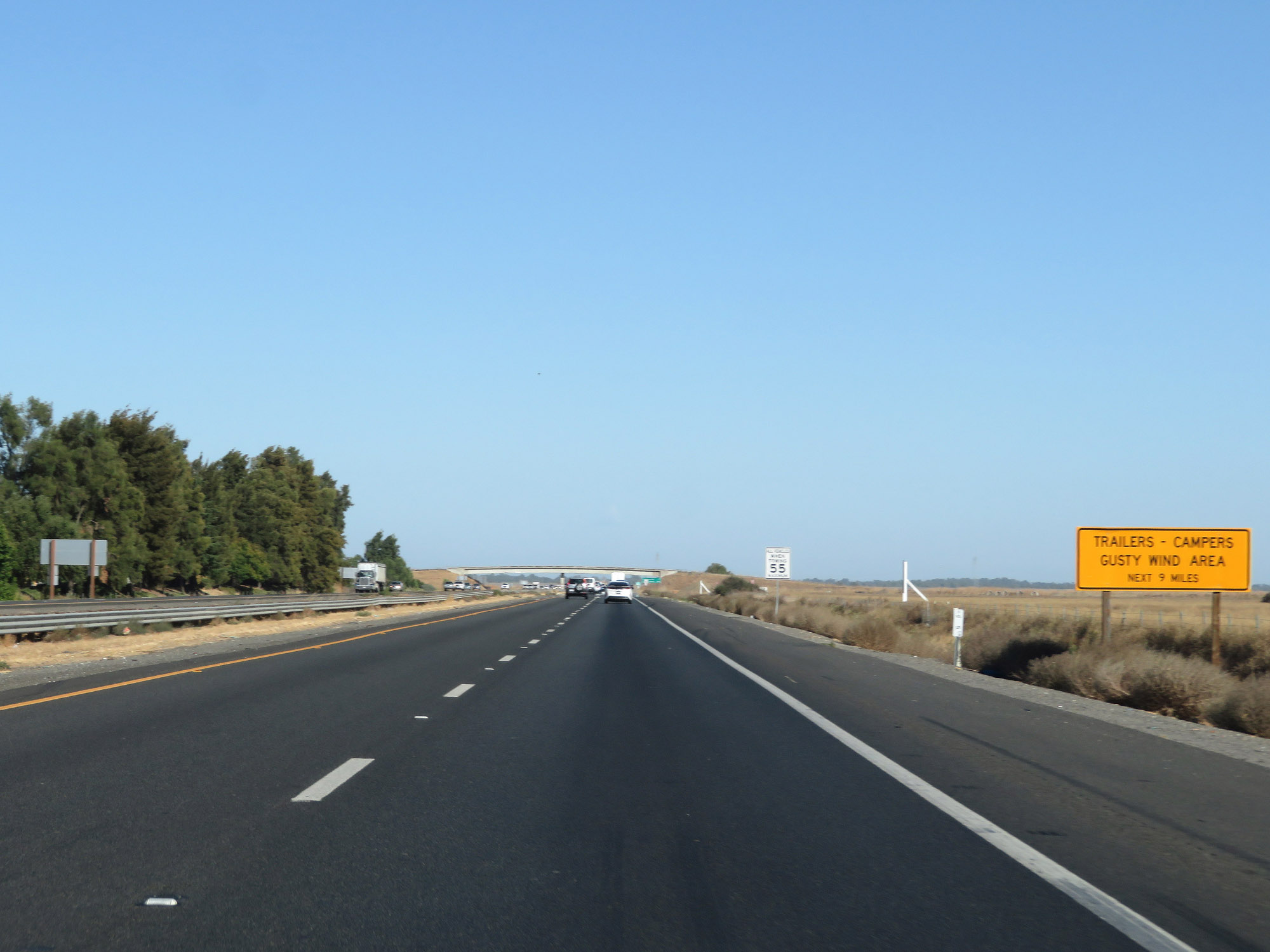 |
This sign warns of possible gusty winds in the area for the next 9 miles. (Photo taken 9/23/19). |
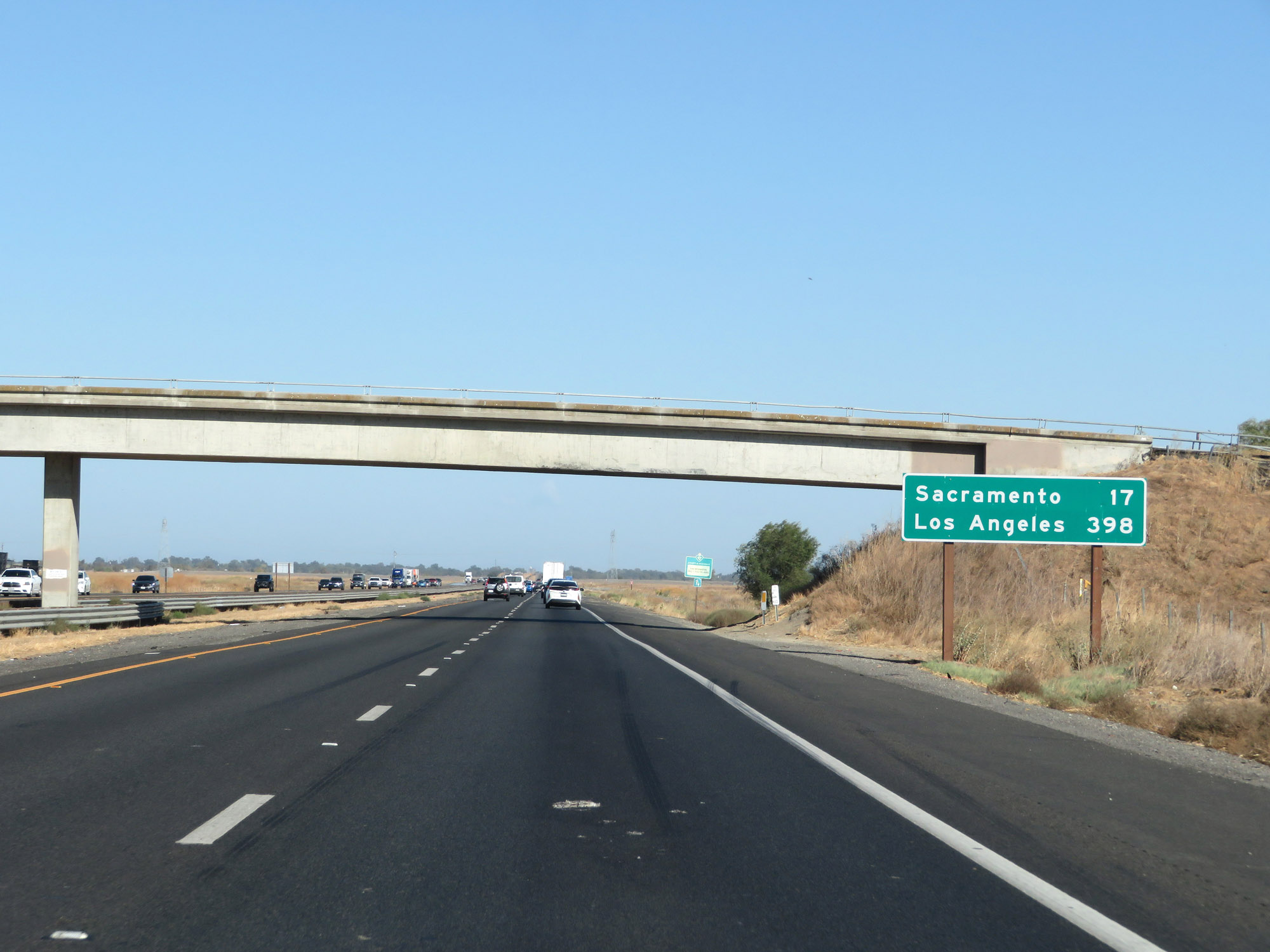 |
Mileage sign on Interstate 5 South. It's 17 miles to Sacramento and 398 miles to Los Angeles. (Photo taken 9/23/19). |
 |
View on Interstate 5 South. (Photo taken 9/23/19). |
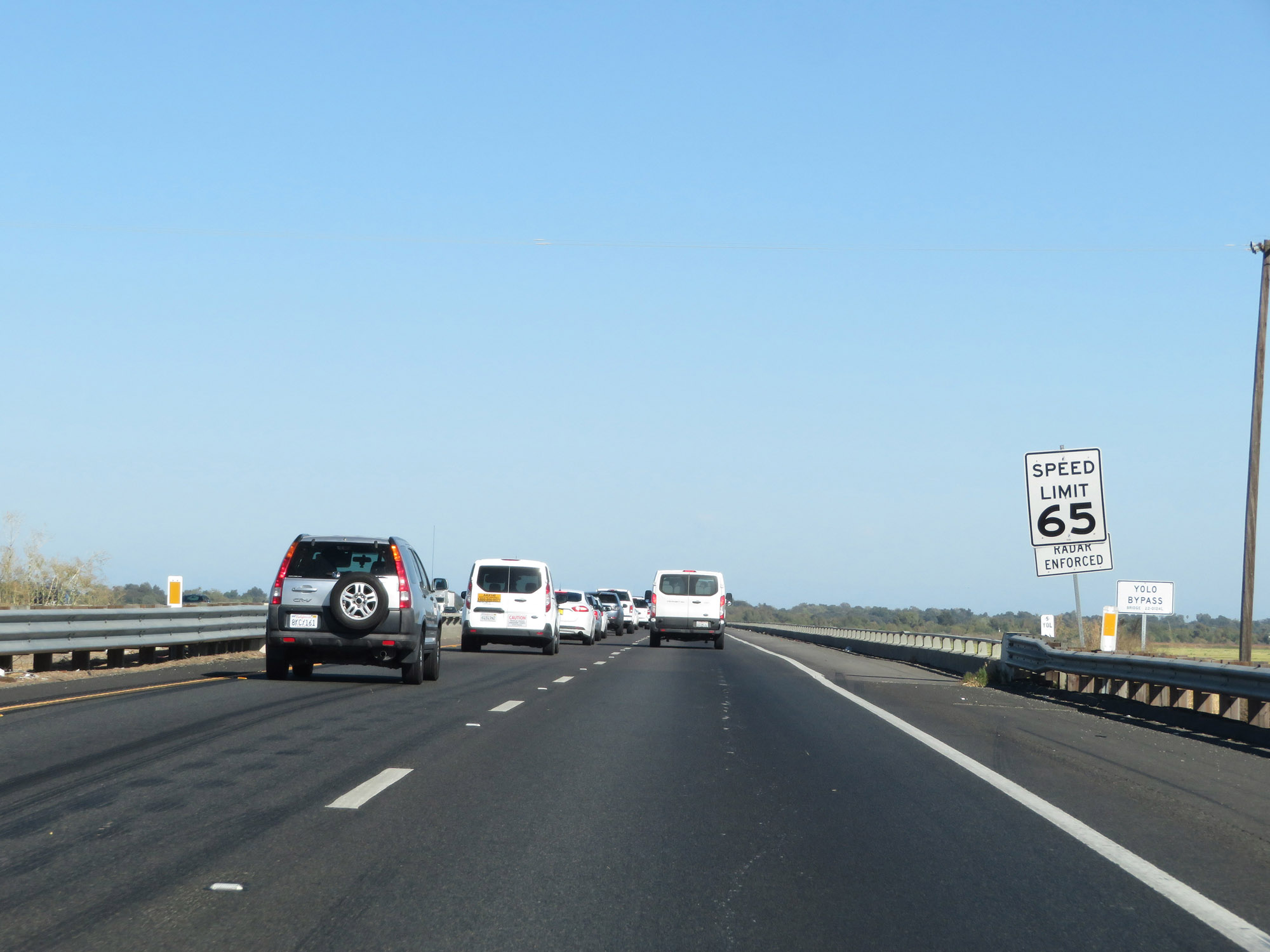 |
Nearing the county line and the Sacramento area, the speed limit for automobiles is reduced to 65 mph. (Photo taken 9/23/19). |
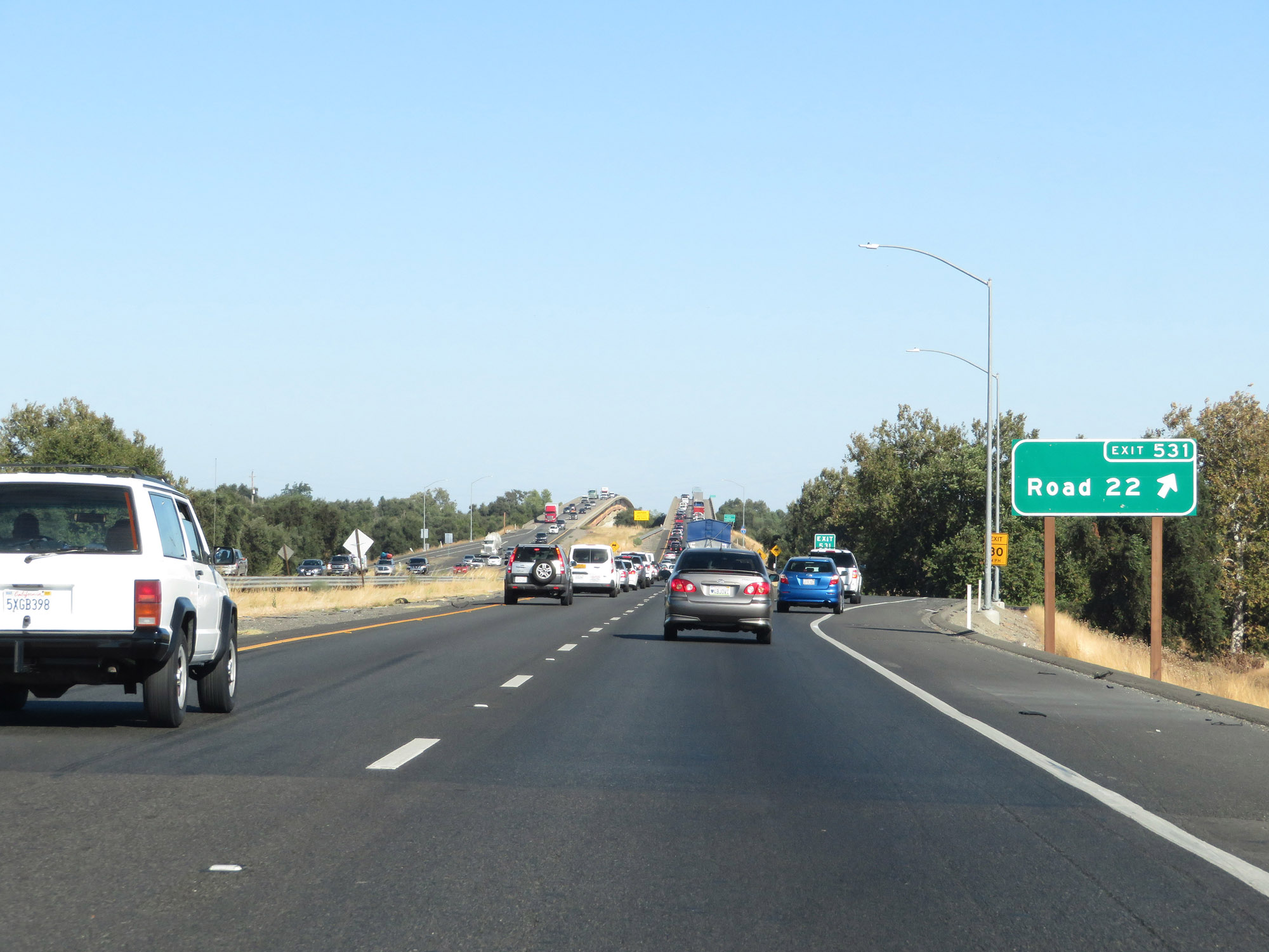 |
Interstate 5 South at Exit 531: Road 22 (Photo taken 9/23/19). |
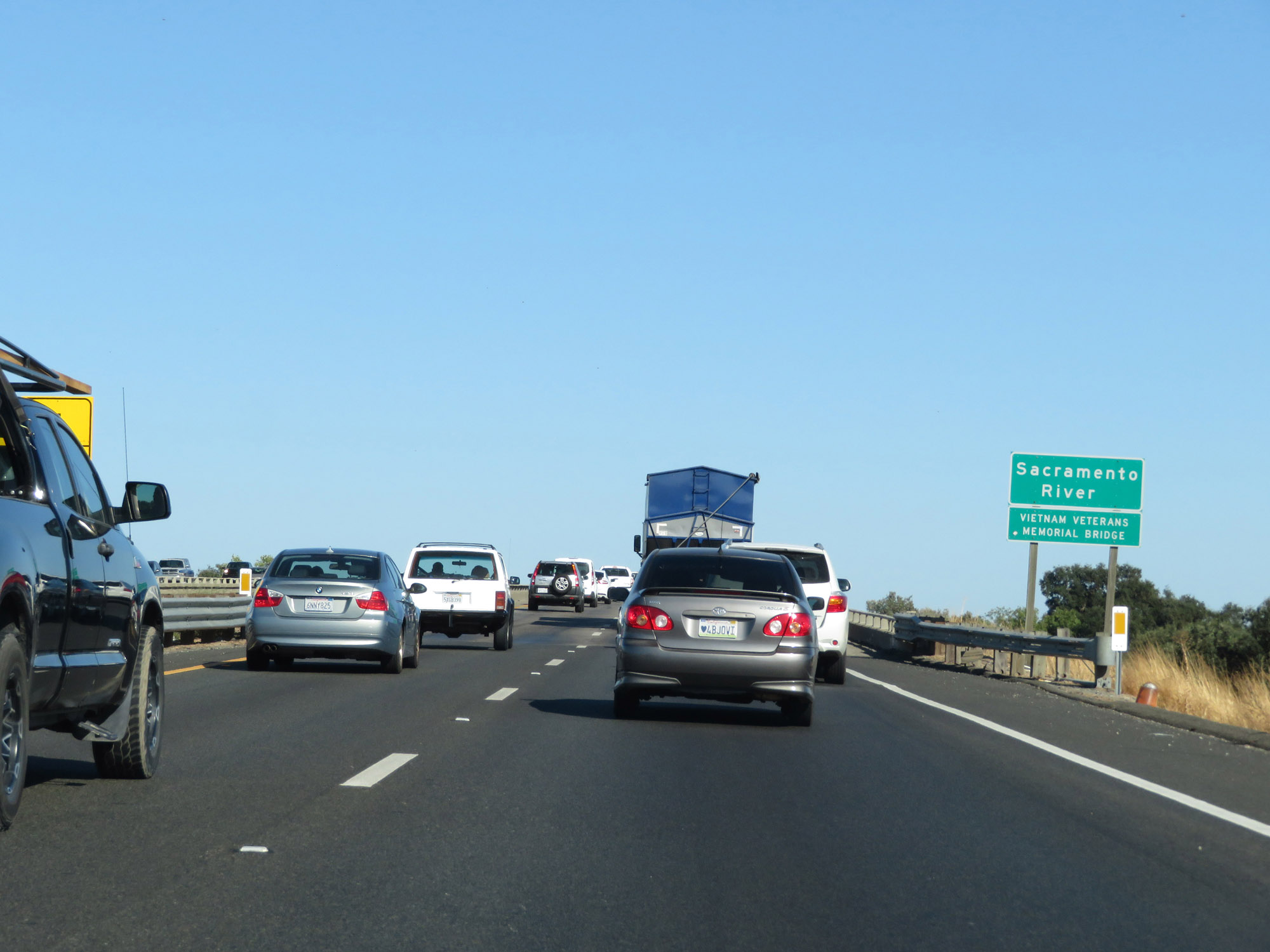 |
Interstate 5 South as it crosses the Sacramento River, which will mark the county line between Yolo and Sacramento Counties. (Photo taken 9/23/19). |
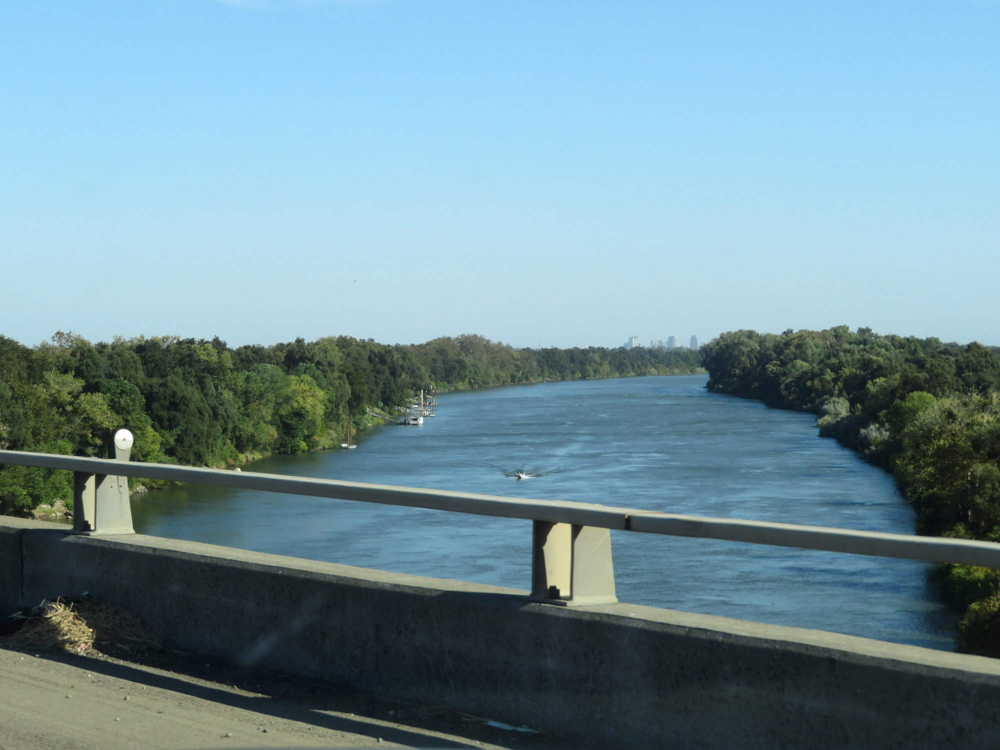 |
View of the Sacramento River from Interstate 5 South, looking to the west just before entering Sacramento County. (Photo taken 9/23/19). |
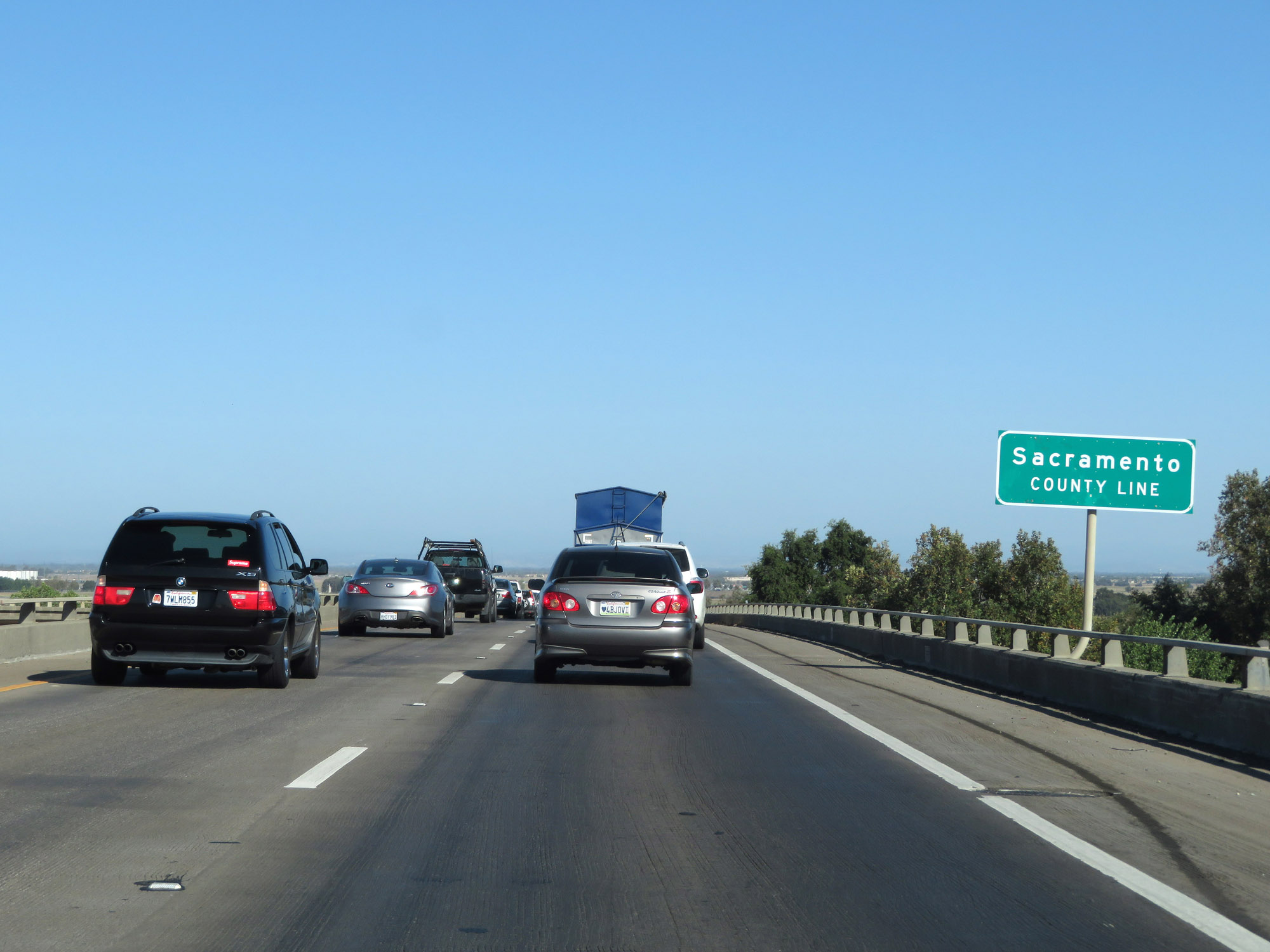 |
Interstate 5 South as it enters Sacramento County. (Photo taken 9/23/19). |
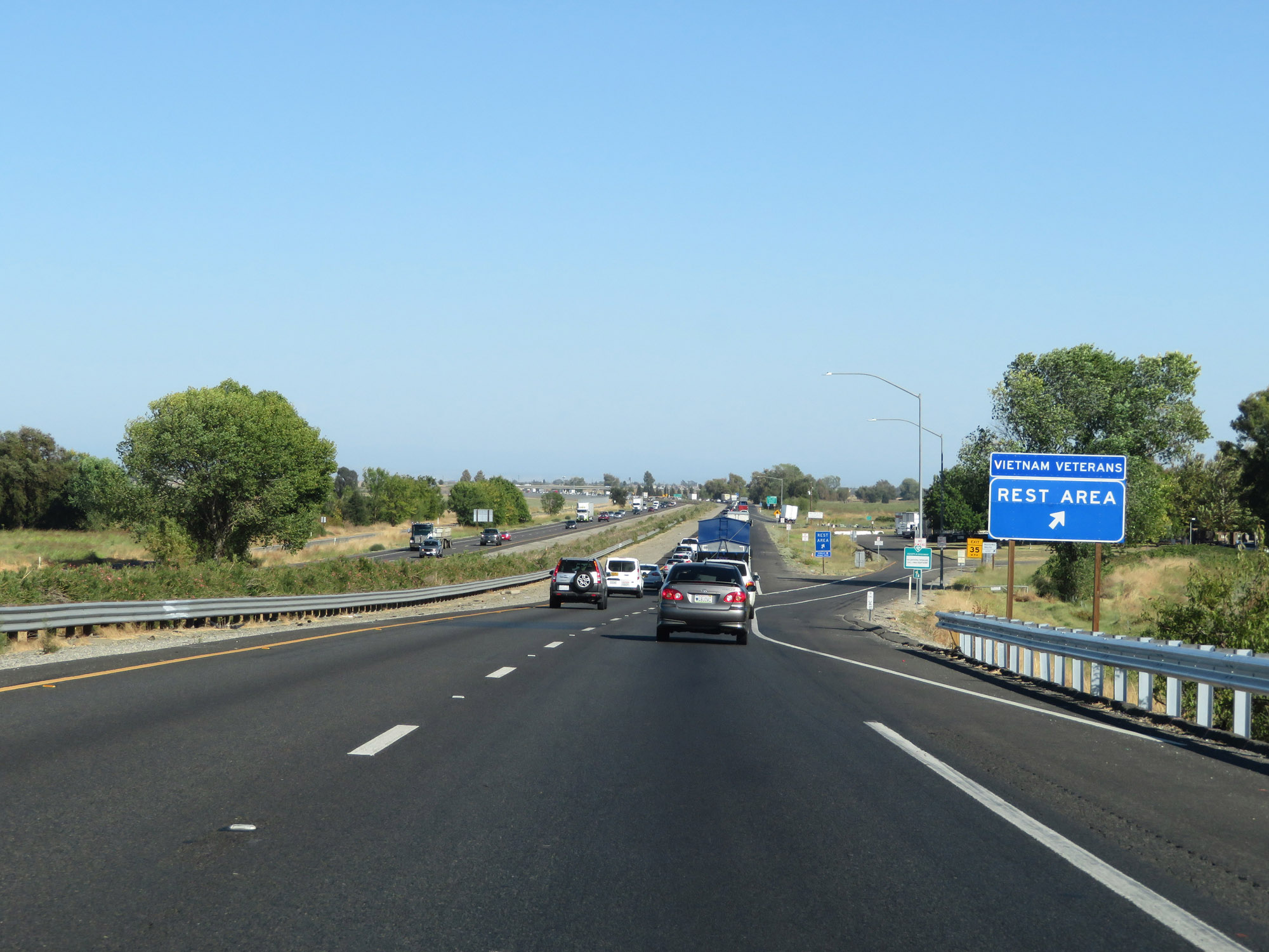 |
Rest Area on Interstate 5 South upon entering Sacramento County. (Photo taken 9/23/19). |
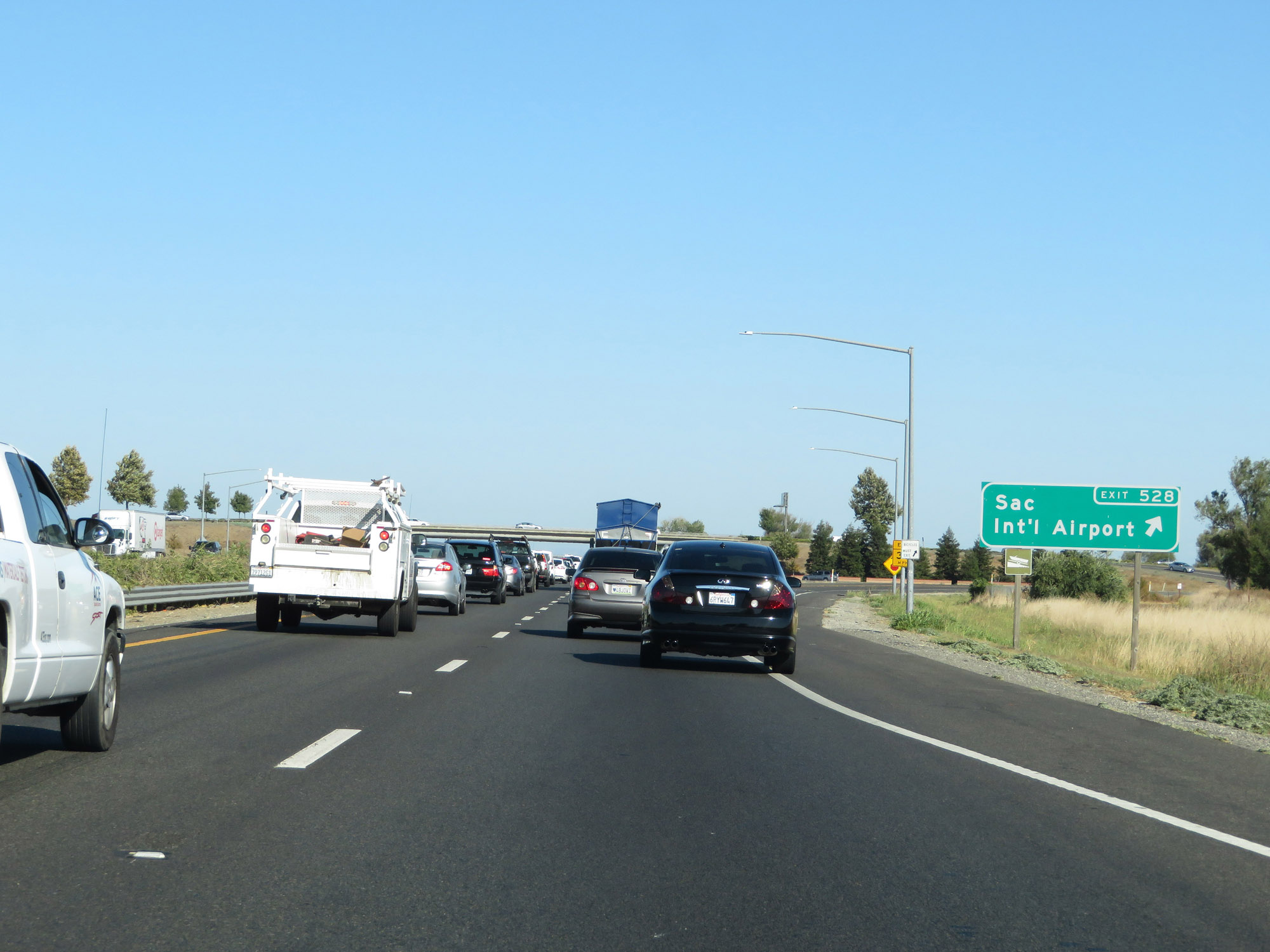 |
Interstate 5 South at Exit 528: Sacramento International Airport (Photo taken 9/23/19). |
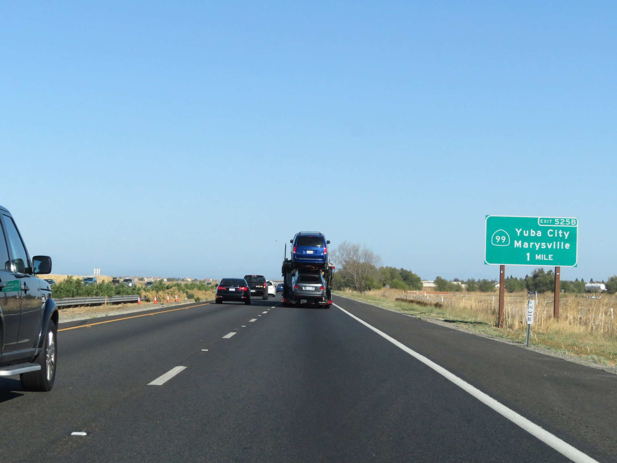 |
Interstate 5 South approaching Exit 525B - 1 mile. (Photo taken 9/23/19). |
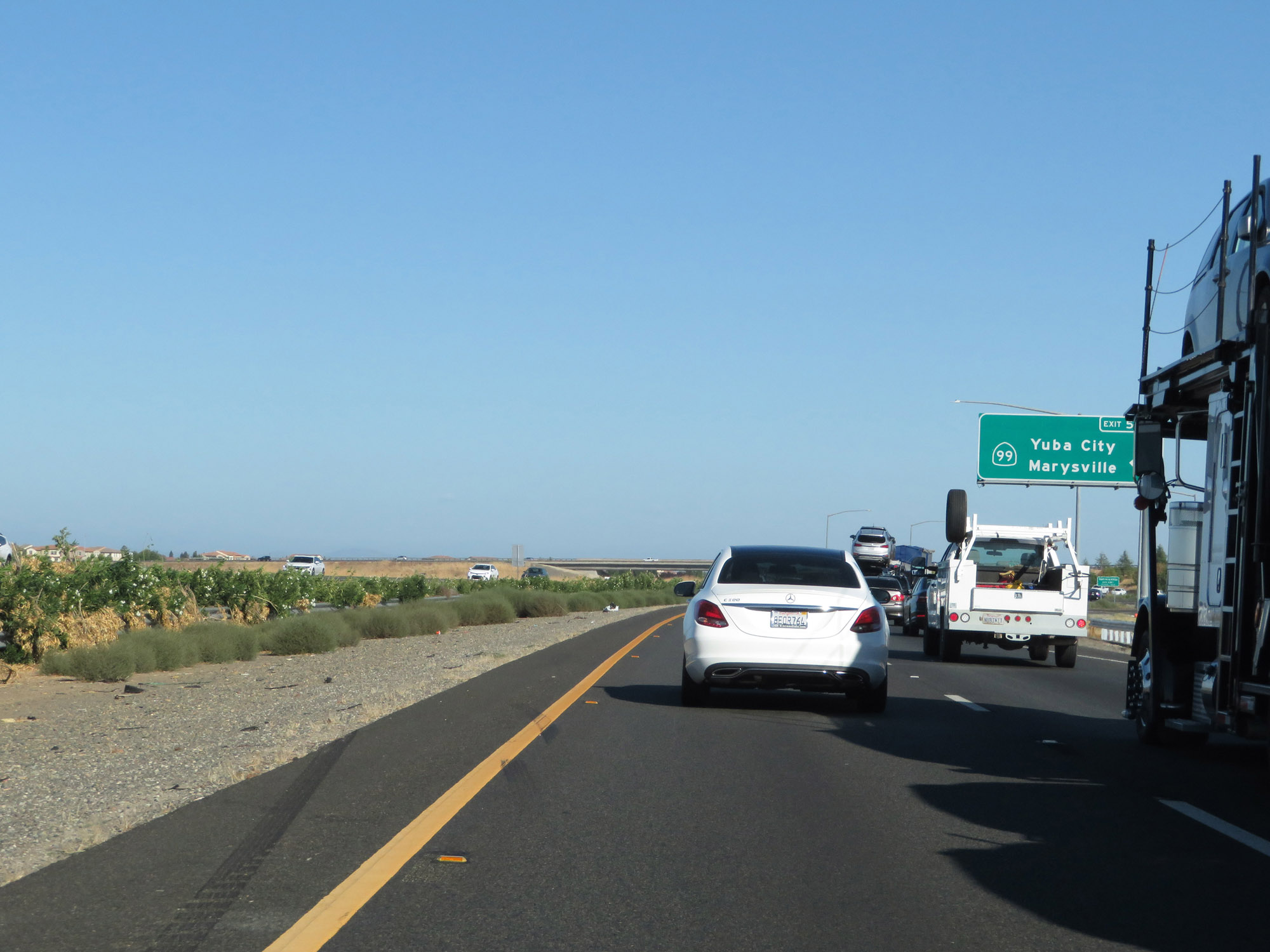 |
Interstate 5 South at Exit 525B: CA 99 - Yuba City / Marysville (Photo taken 9/23/19). |
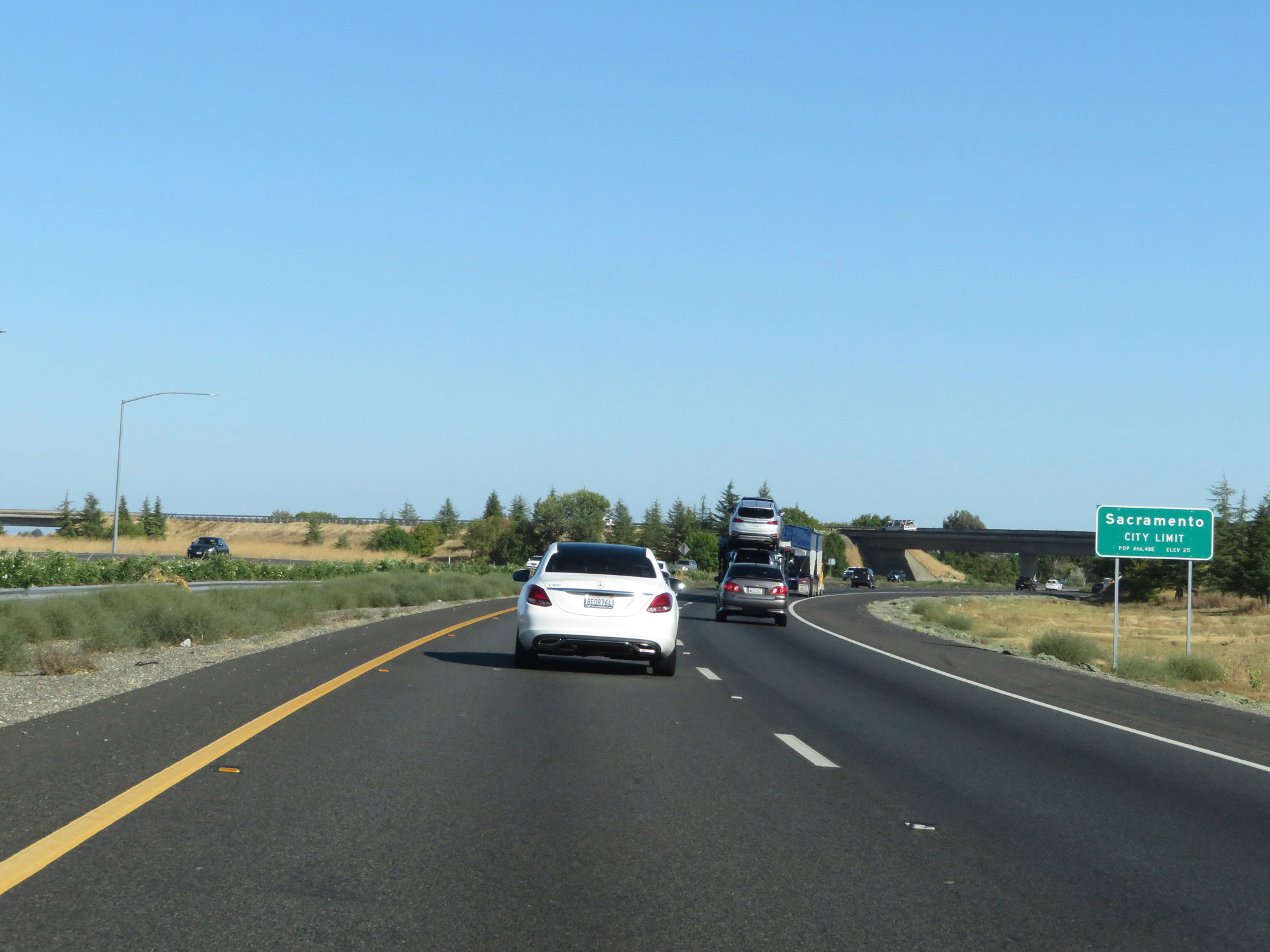 |
Interstate 5 South as it enters the Sacramento city limits. (Photo taken 9/23/19). |
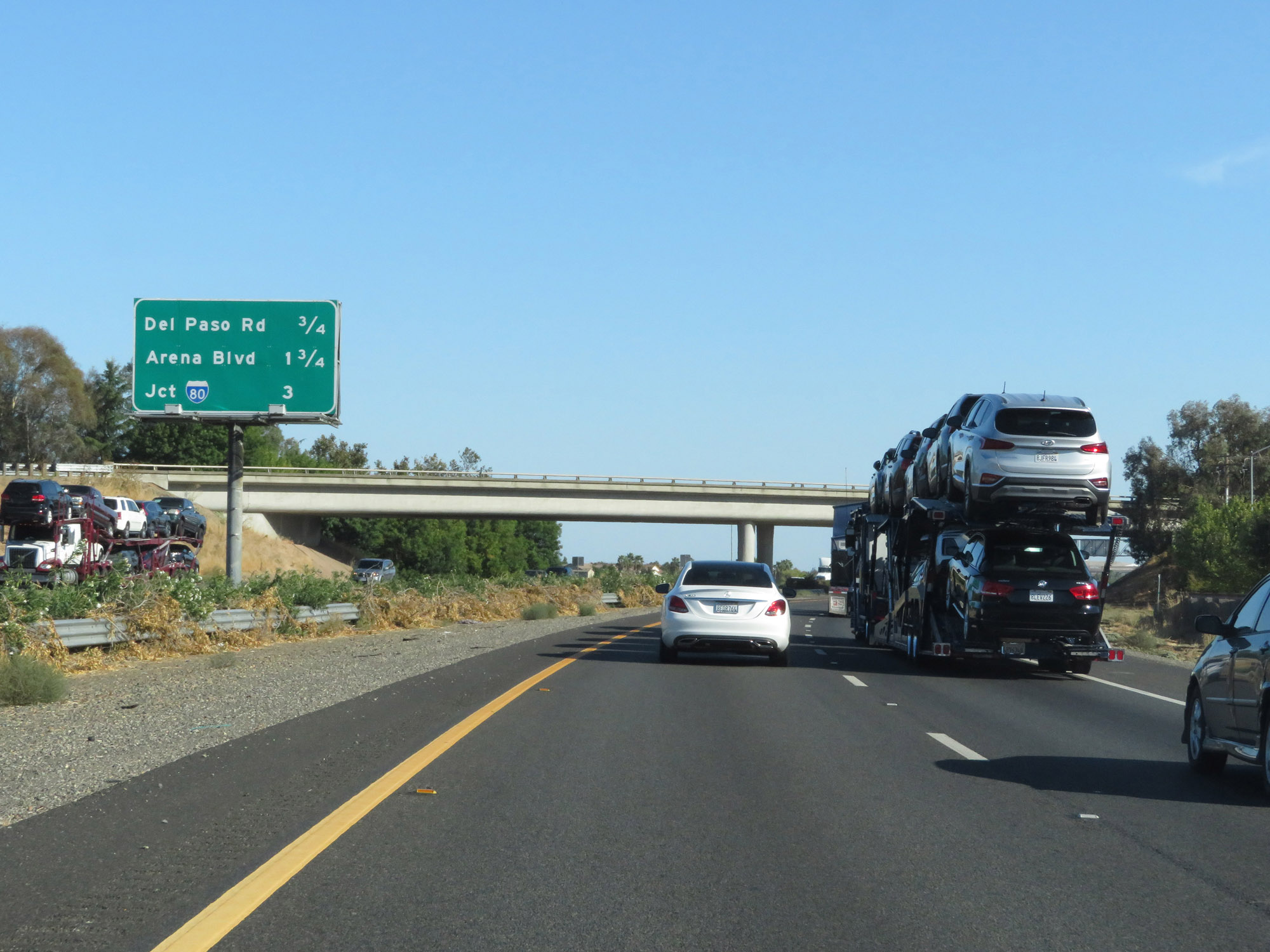 |
Mileage sign listing the distances to the next 3 interchanges on Interstate 5 South. (Photo taken 9/23/19). |
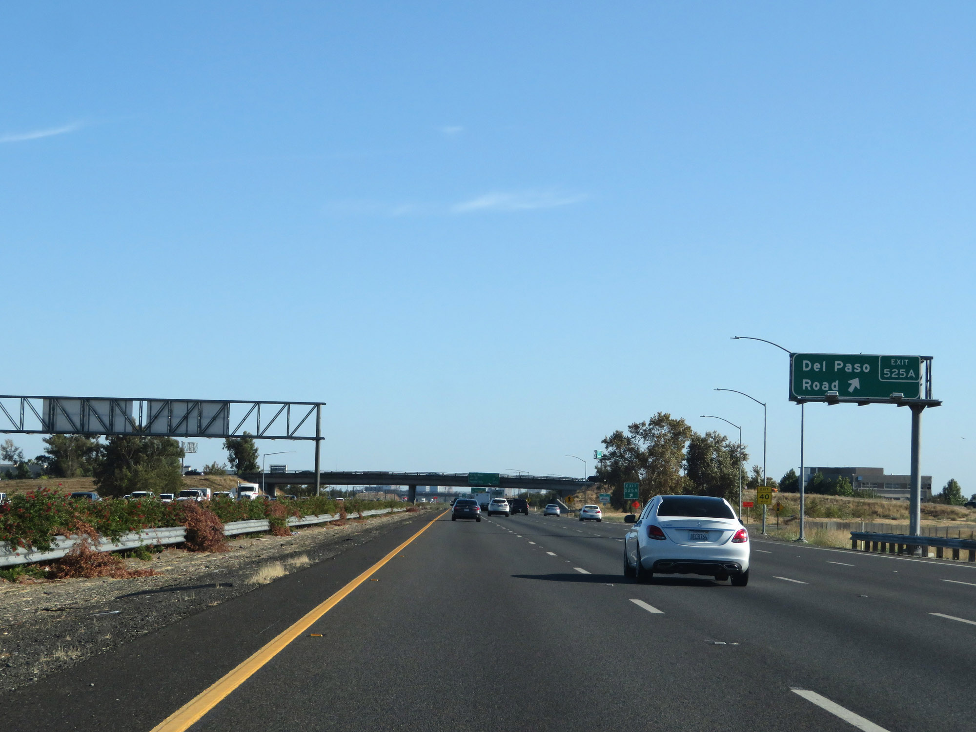 |
Interstate 5 South at Exit 525A: Del Paso Road (Photo taken 9/23/19). |
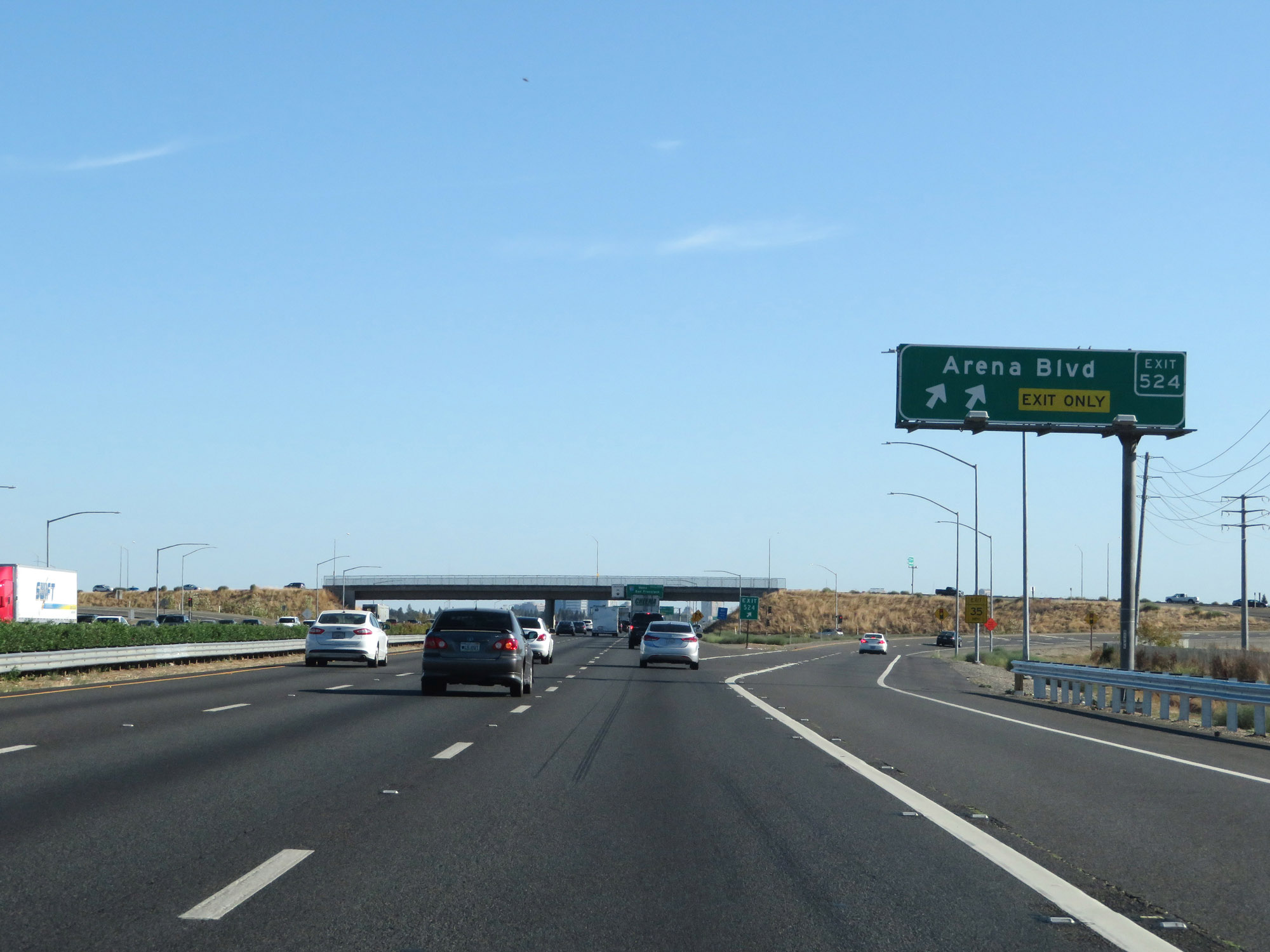 |
Interstate 5 South at Exit 524: Arena Blvd (Photo taken 9/23/19). |
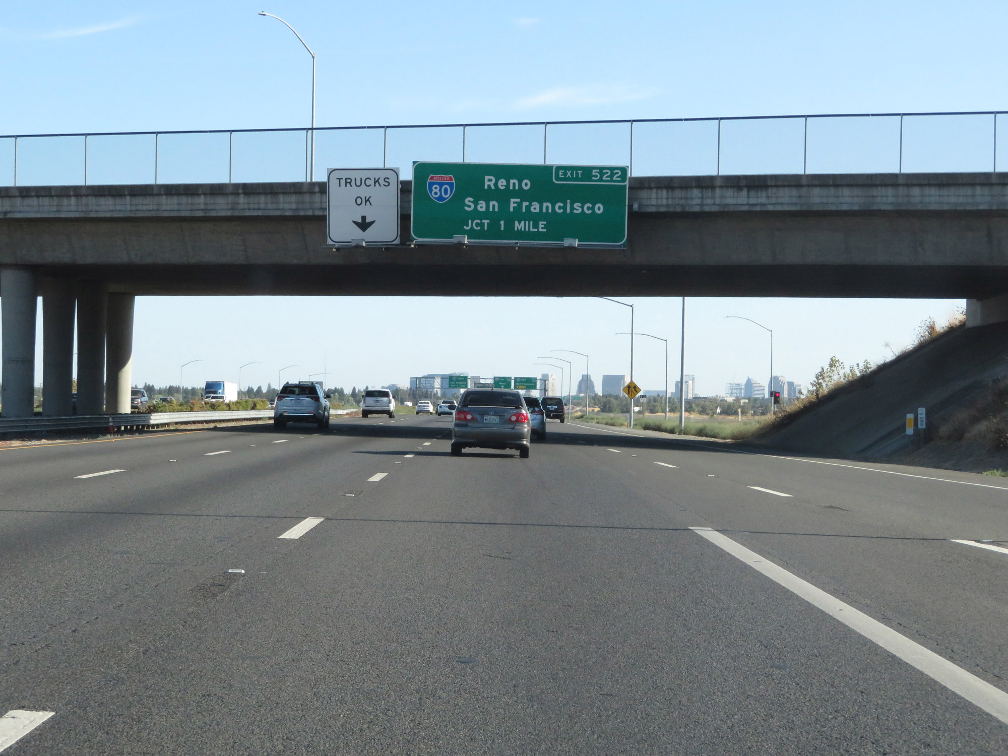 |
Interstate 5 South approaching Exit 522 - 1 mile. (Photo taken 9/23/19). |
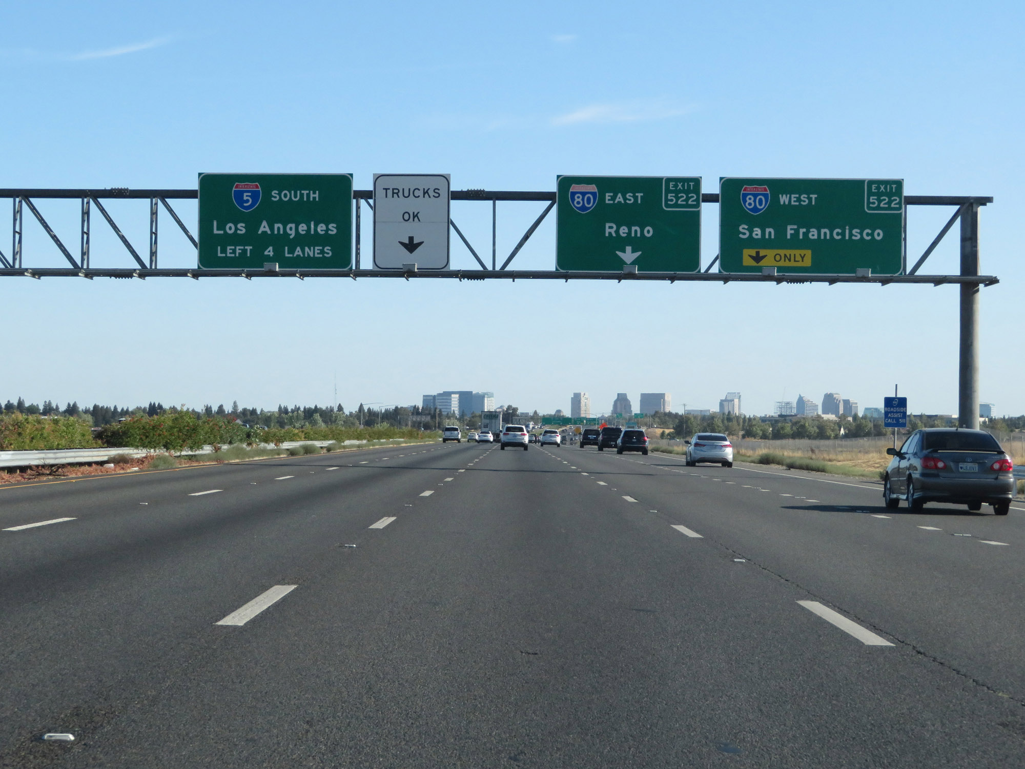 |
Approaching the junction of Interstate 80, this signage shows that Interstate 5 South thru traffic should remain in the left 4 lanes. (Photo taken 9/23/19). |
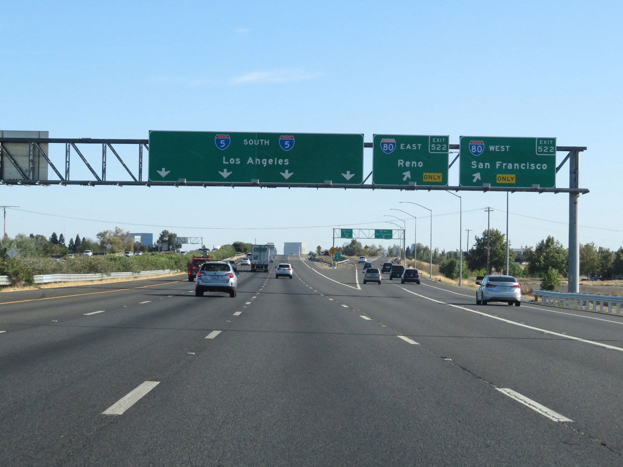 |
Interstate 5 South at Exit 522: Interstate 80 - Reno / San Francisco (Photo taken 9/23/19). |
 |
Approaching downtown Sacramento, this sign shows the distances to the three upcoming exits. (Photo taken 9/23/19). |
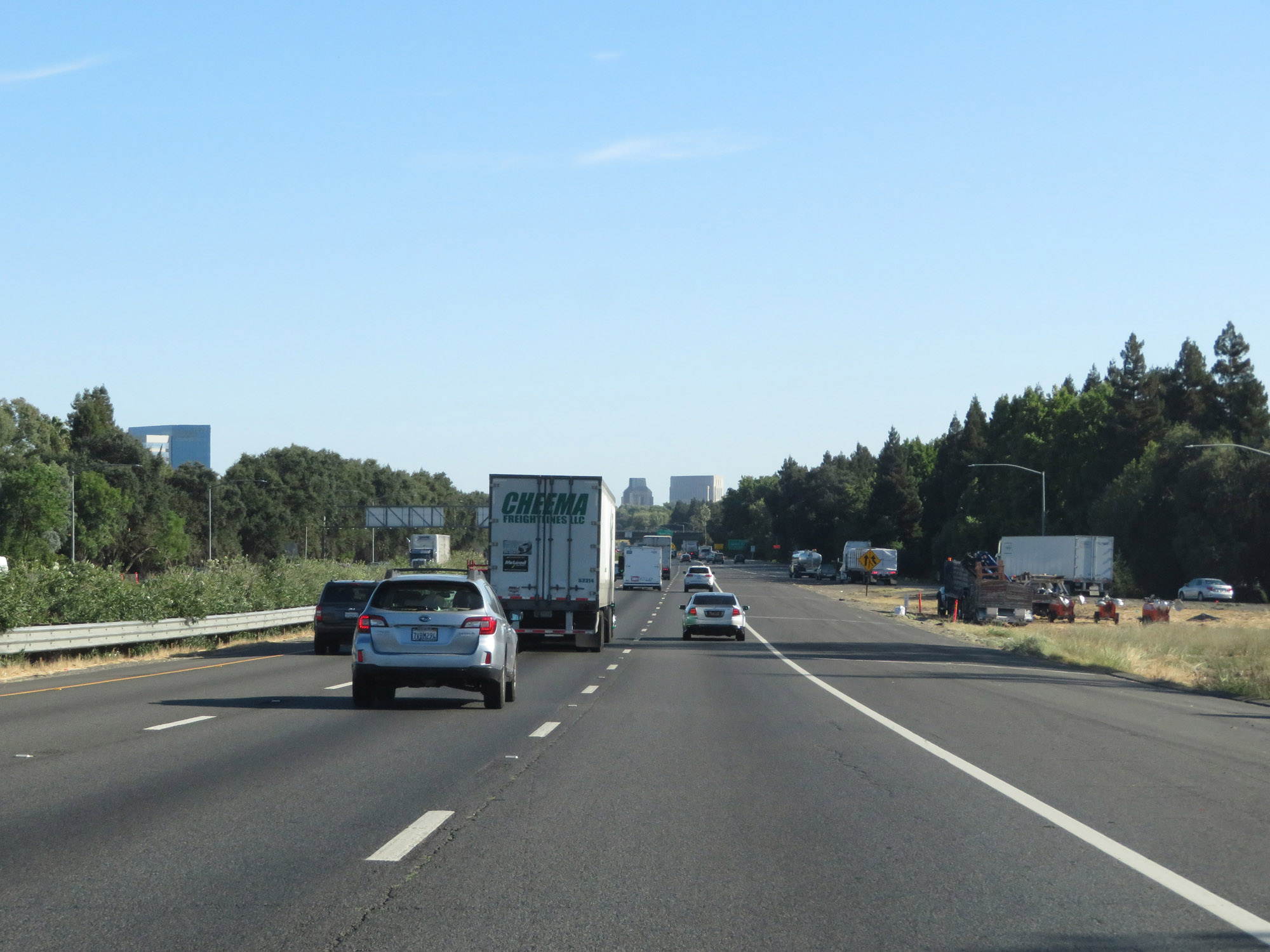 |
View on Interstate 5 South as it approaches downtown Sacramento. (Photo taken 9/23/19). |
 |
The speed limit for cars remains 65 mph. (Photo taken 9/23/19). |
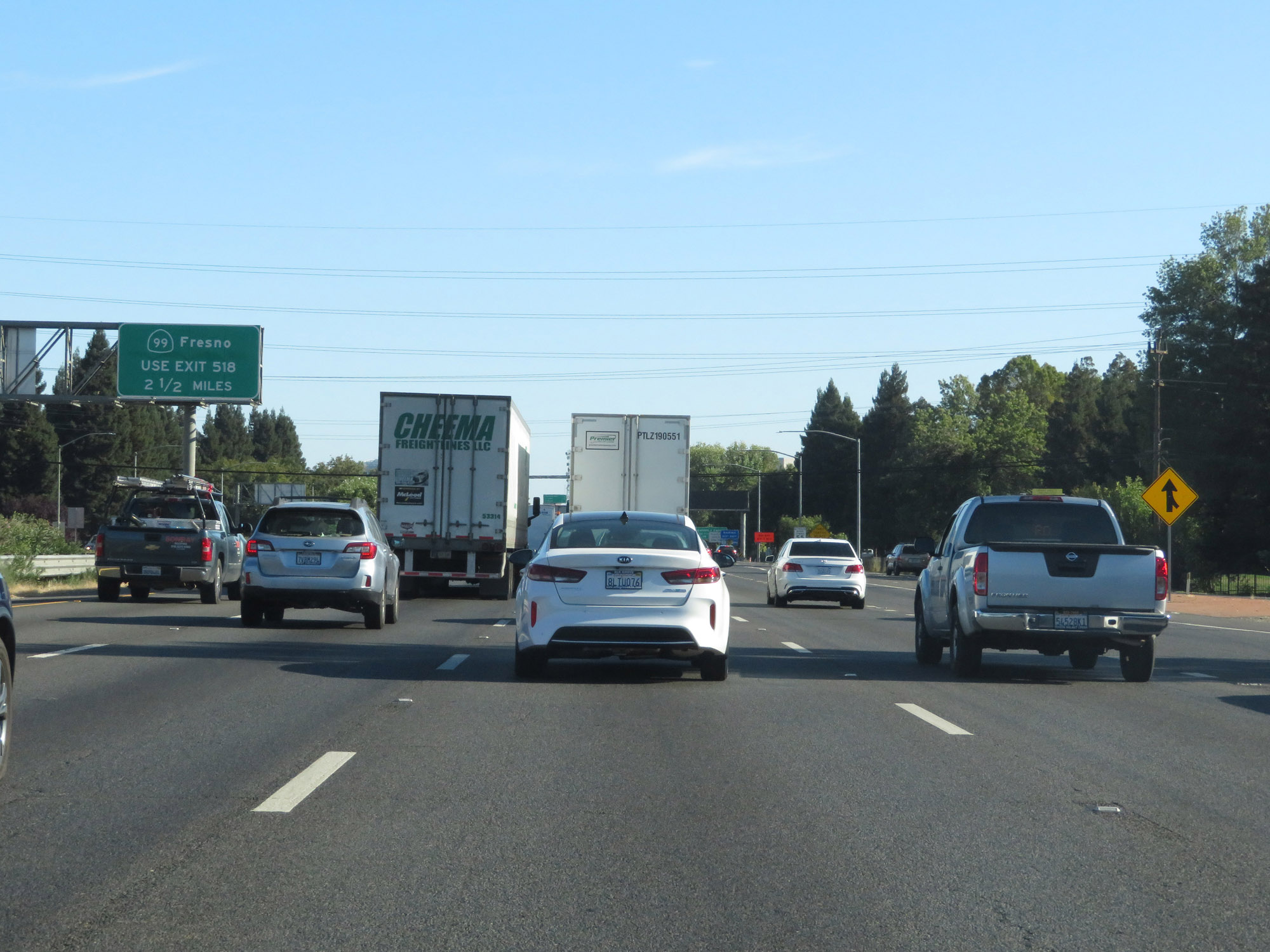 |
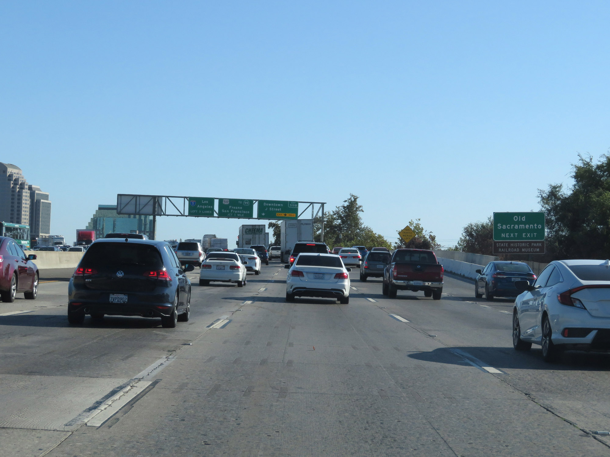
Traffic to CA 99 toward Fresno should use Exit 518. (Photo taken 9/23/19). |
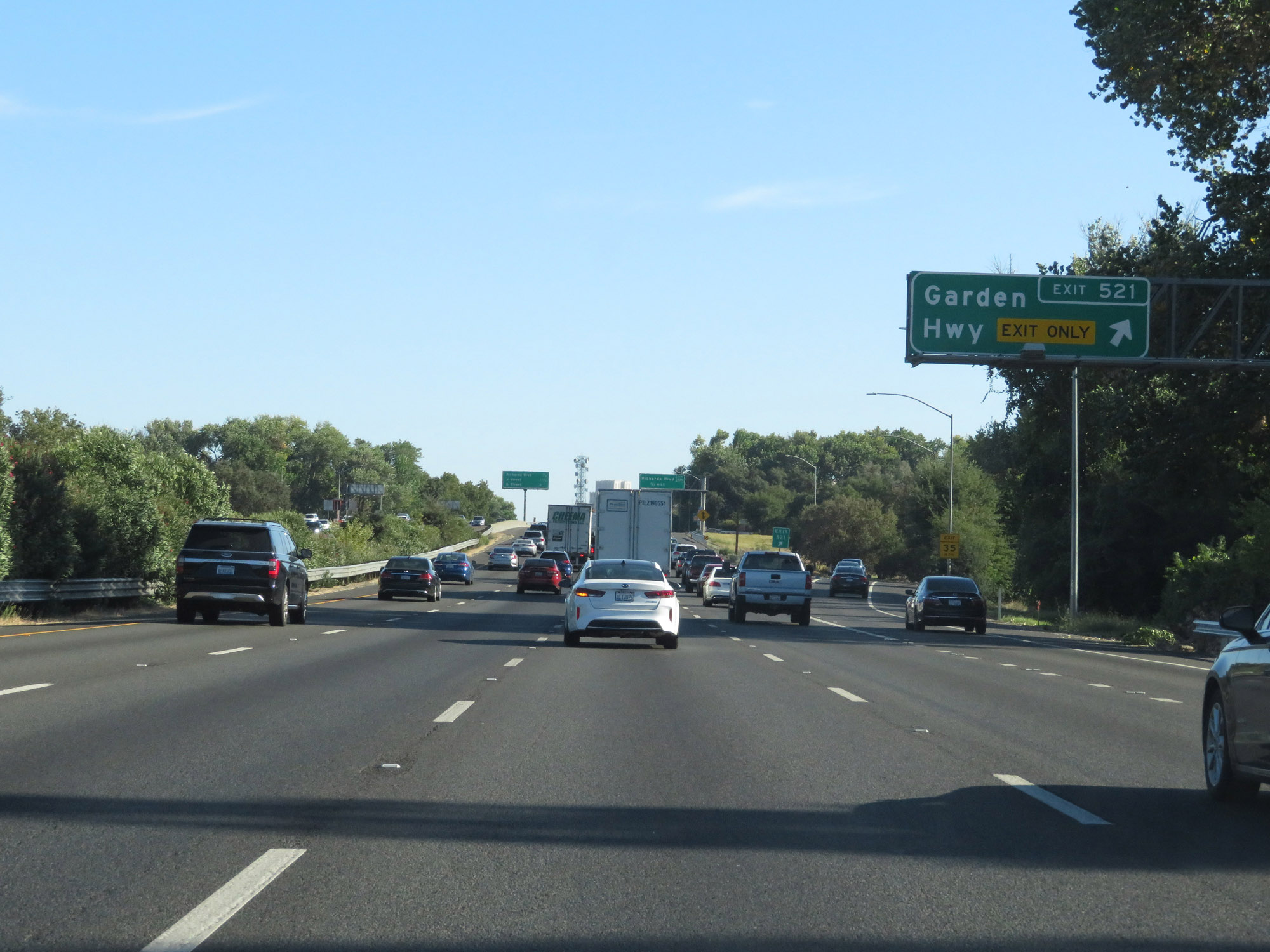 |
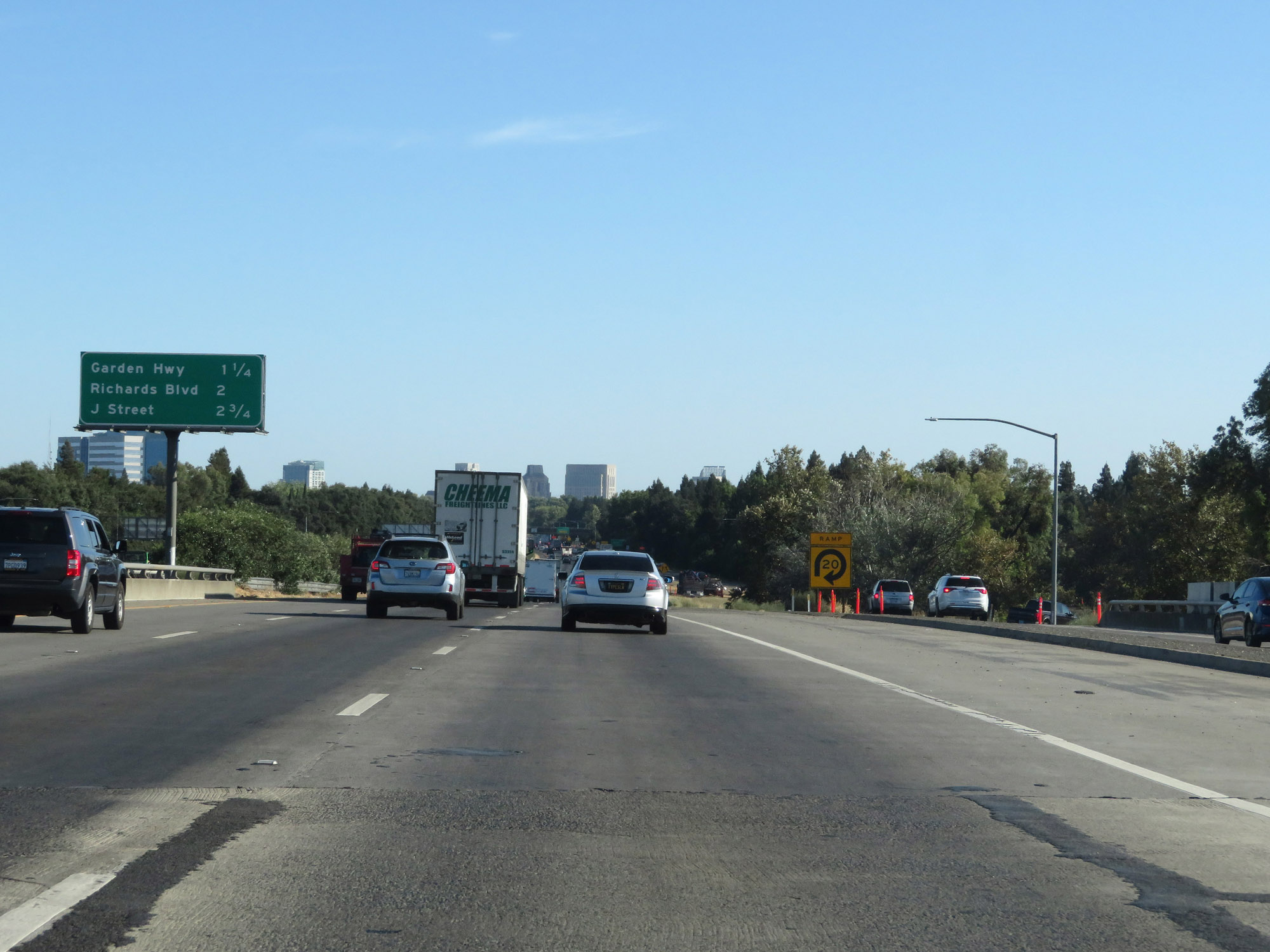
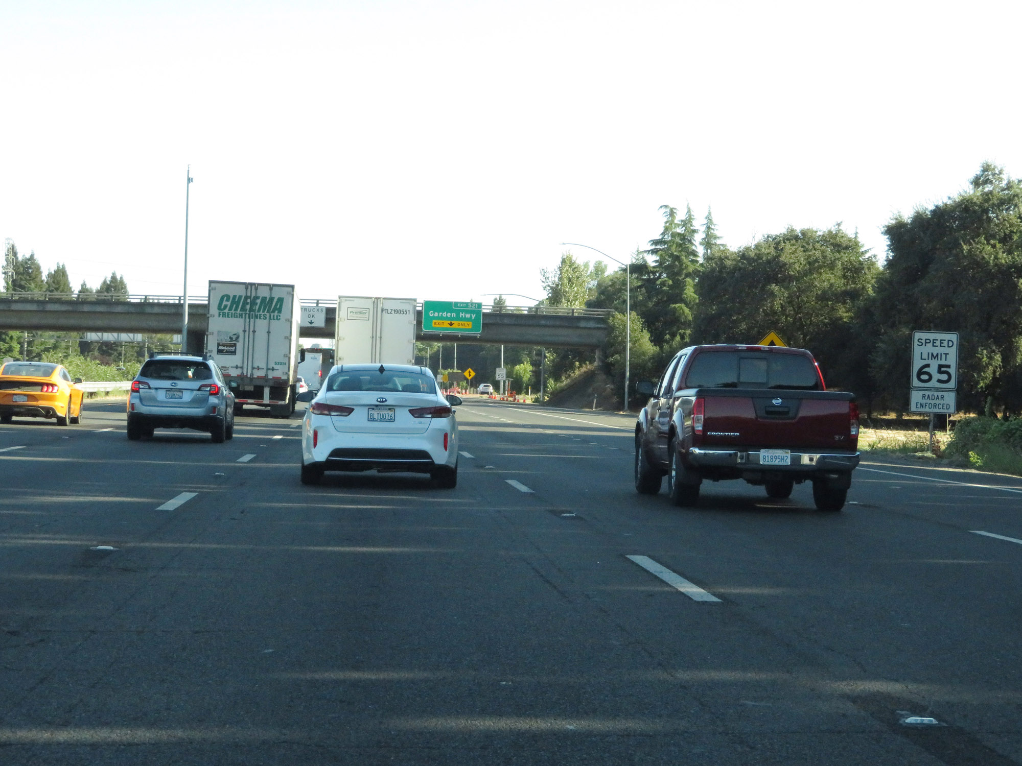
Interstate 5 South at Exit 521: Garden Hwy (Photo taken 9/23/19). |
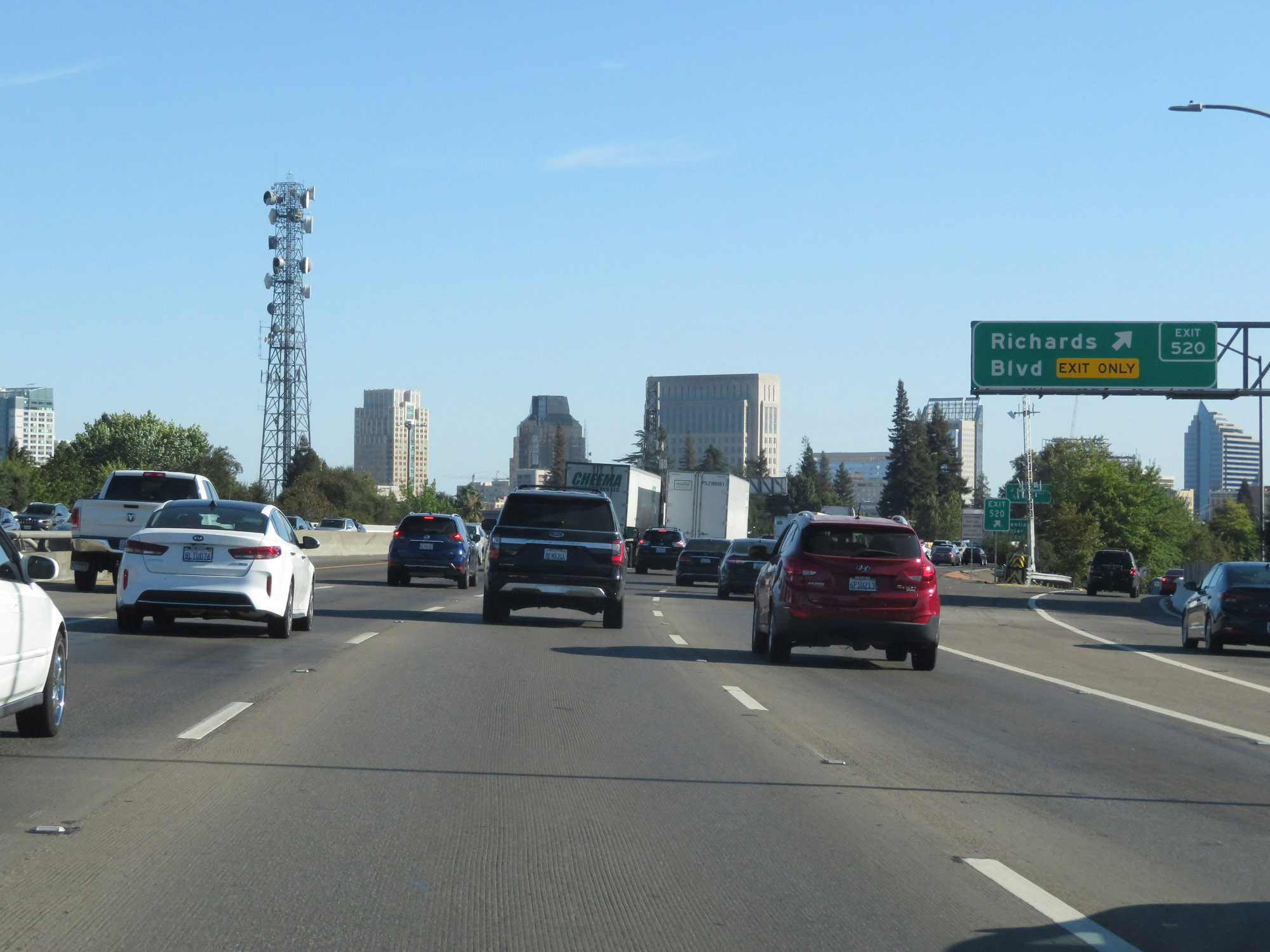 |
Interstate 5 South at Exit 520: Richards Blvd (Photo taken 9/23/19). |
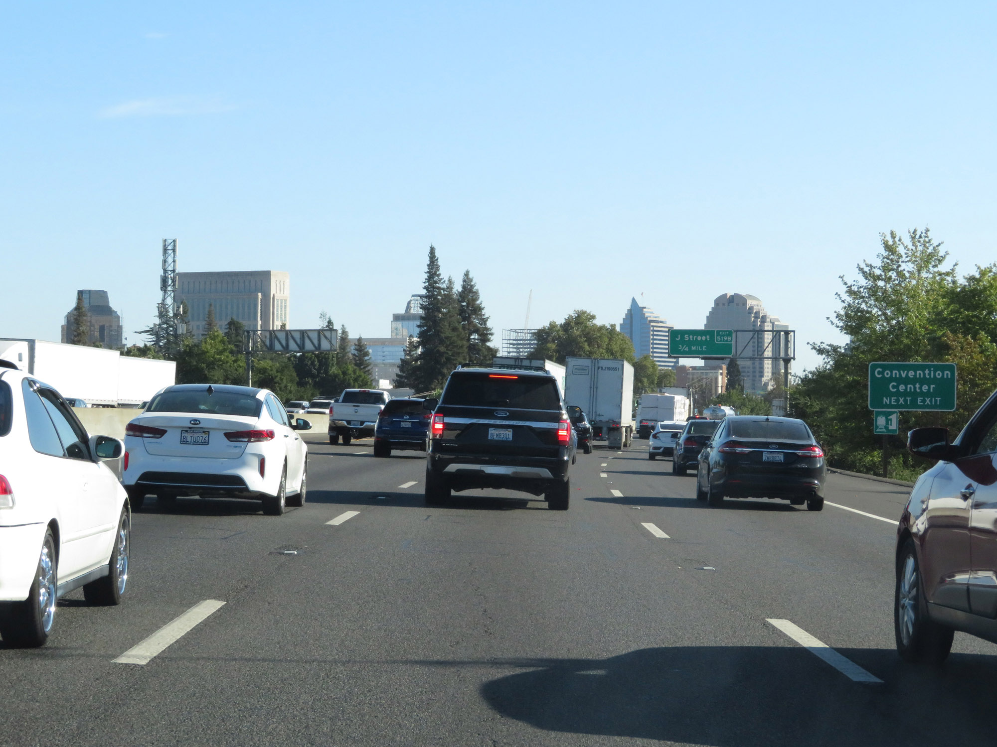 |
Take Exit 519B to the Convention Center. (Photo taken 9/23/19). |
 |
State-named Interstate 5 South reassurance shield in downtown Sacramento. (Photo taken 9/23/19). |
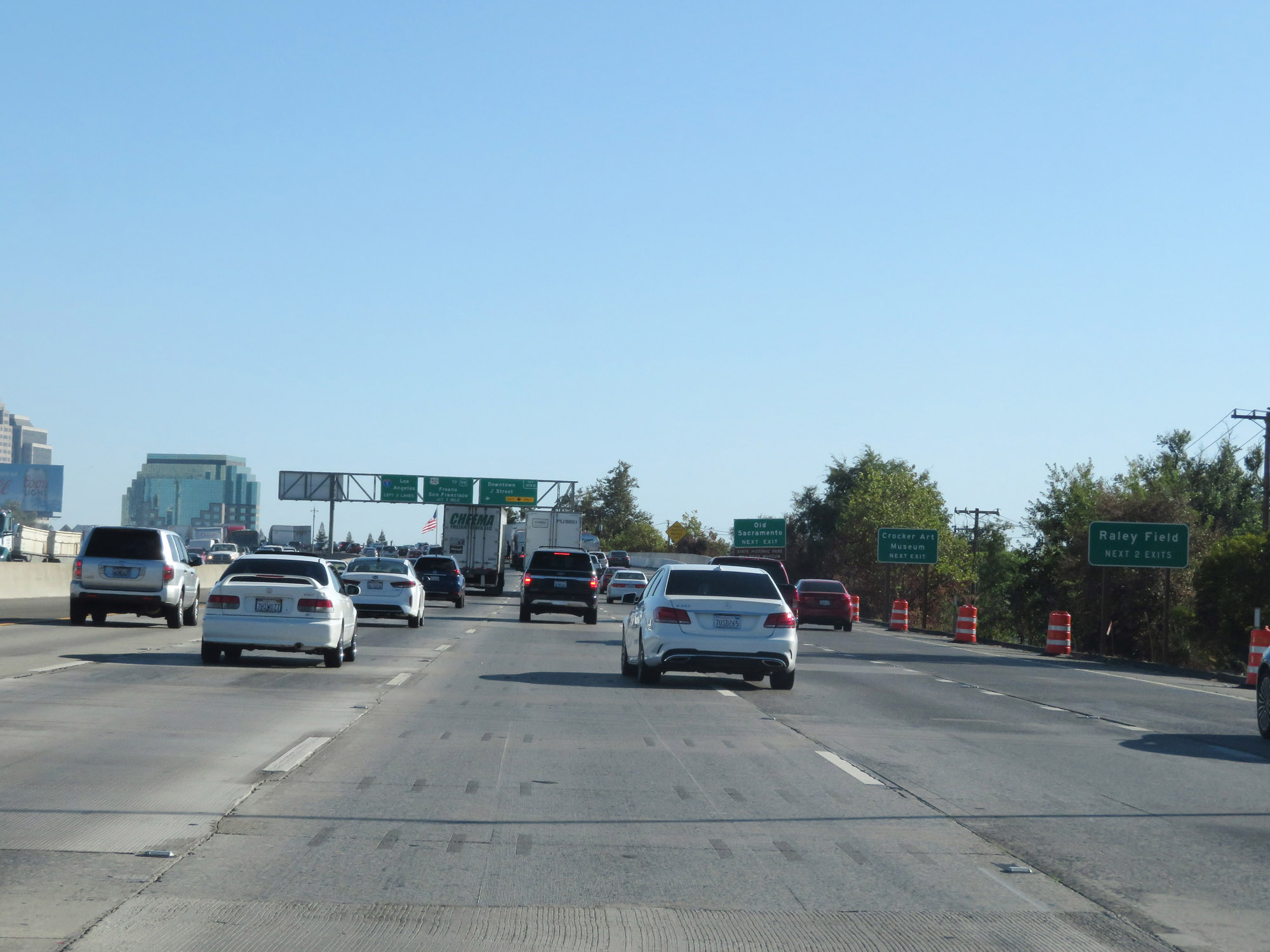 |
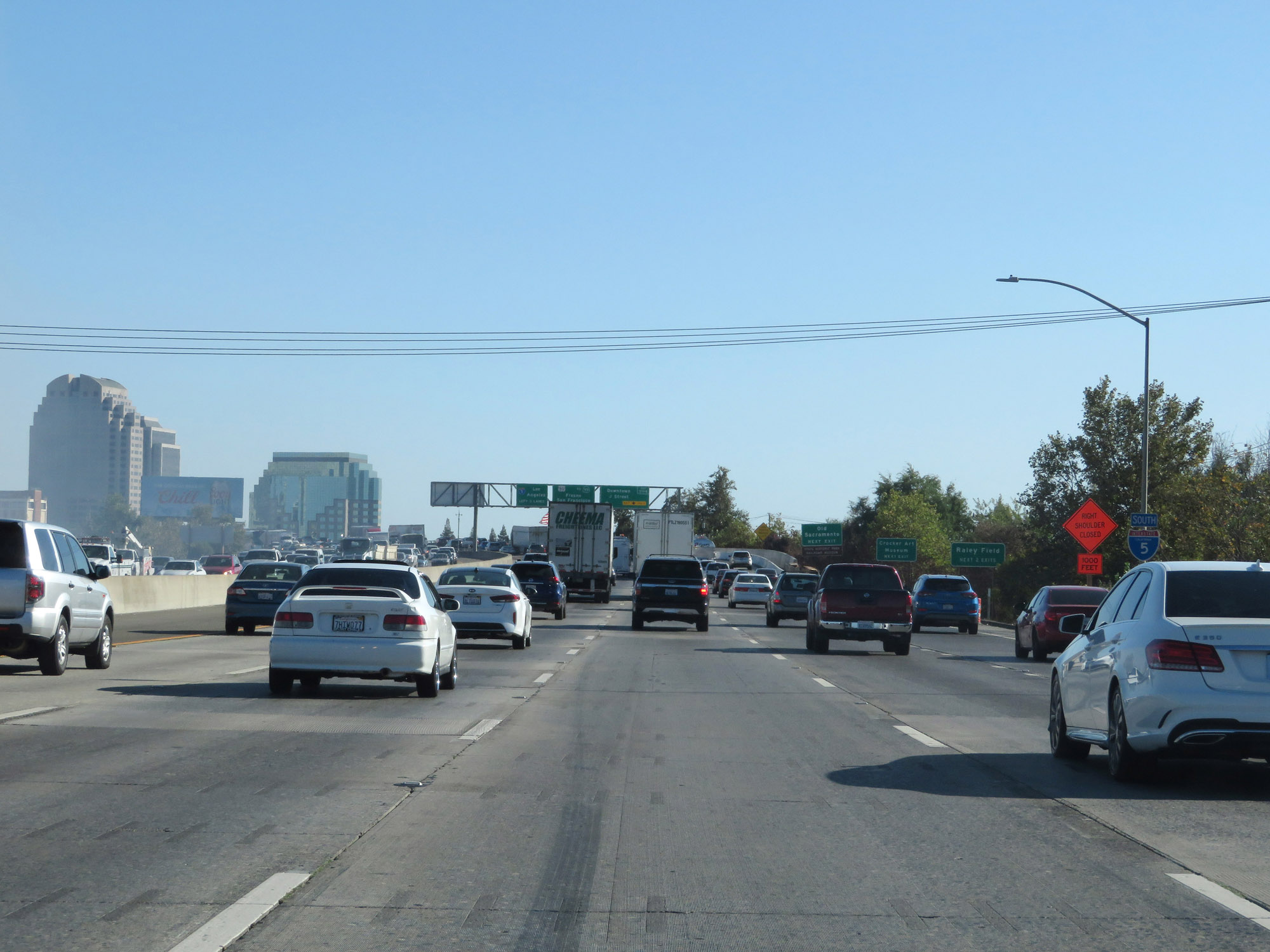
Take either of the next 2 exits to Raley Field. (Photo taken 9/23/19). |
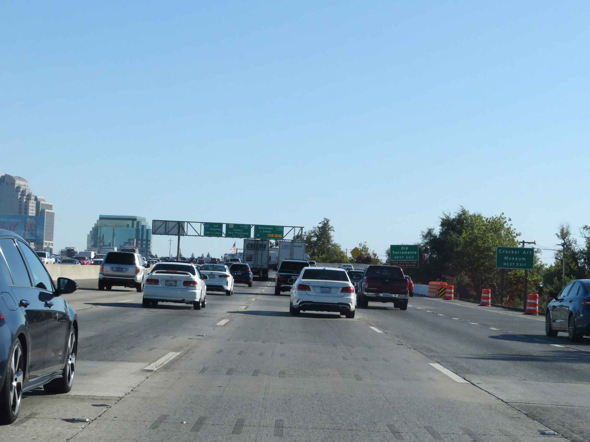 |
Take Exit 519B to Crocker Art Museum. (Photo taken 9/23/19). |
 |
Also take Exit 519B to Old Sacramento, the State Historic Park, and Railroad Museum. (Photo taken 9/23/19). |
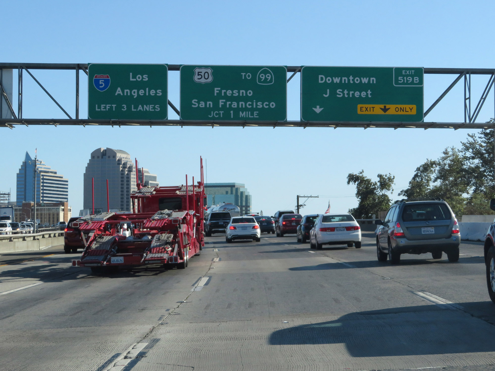 |
Interstate 5 South at Exit 519B: Downtown / J Street (Photo taken 9/23/19). |
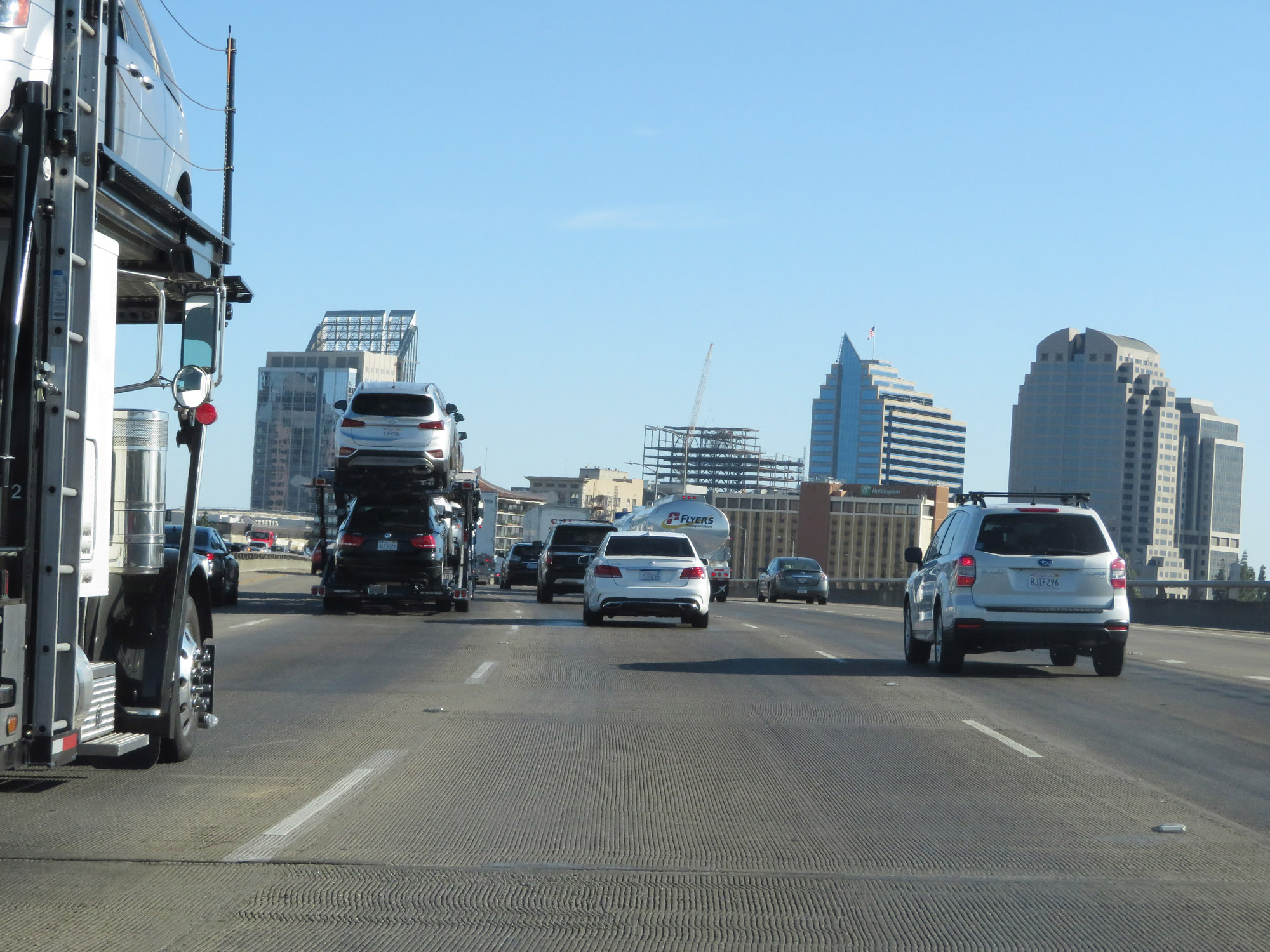 |
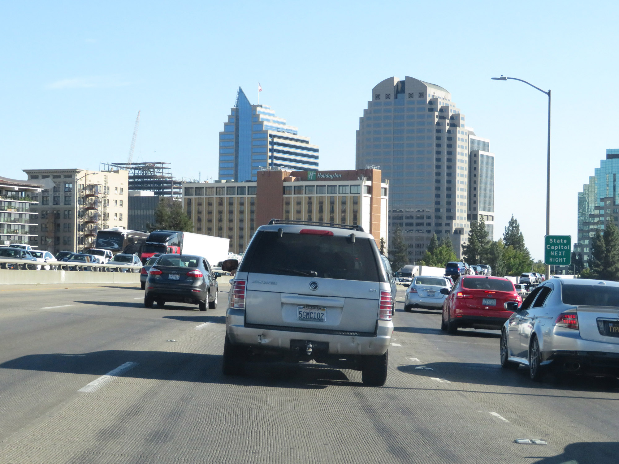
View on Interstate 5 South in downtown Sacramento. (Photo taken 9/23/19). |
 |
Take Exit 519A to the State Capitol. (Photo taken 9/23/19). |
 |
Interstate 5 South at Exit 519A: Q Street (Photo taken 9/23/19). |
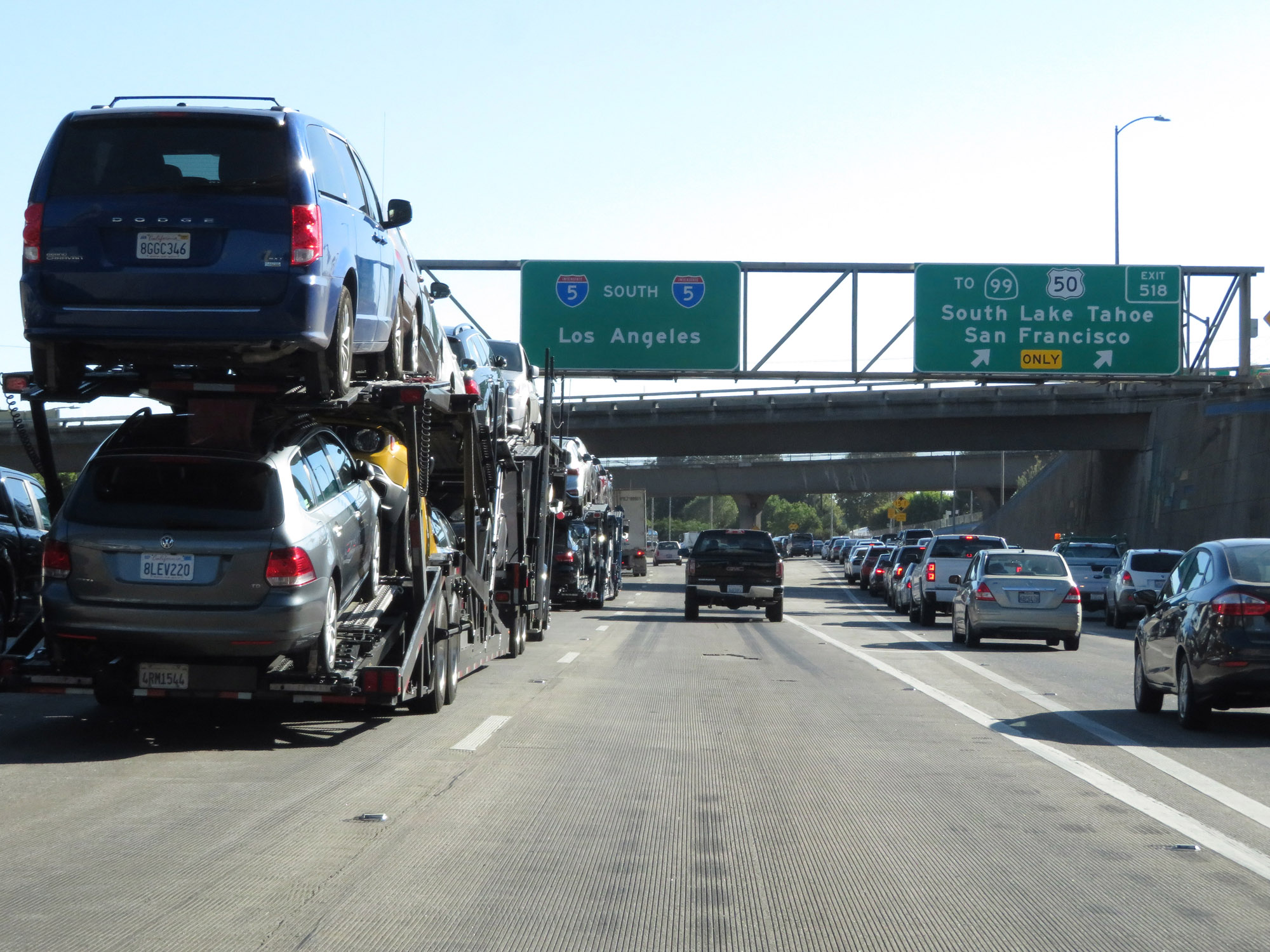 |
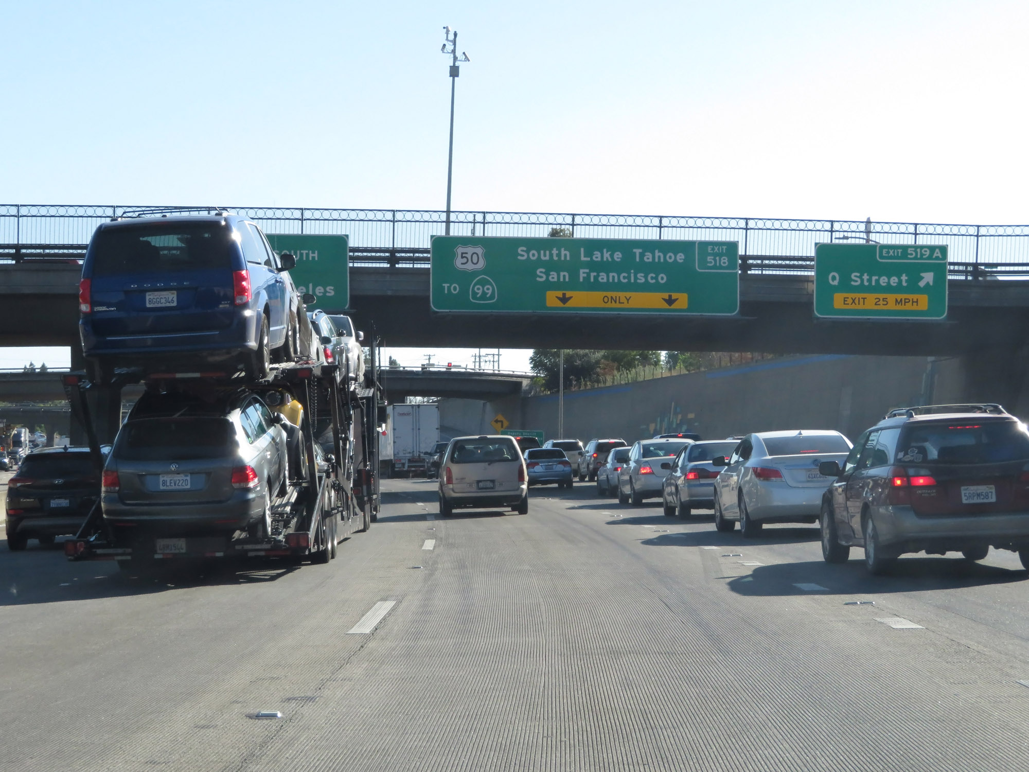
Interstate 5 South at Exit 518: Unsigned Interstate 305 / US 50 / To CA 99 - South Lake Tahoe / San Francisco (Photo taken 9/23/19). |
 |
View of the ramp for Exit 518. (Photo taken 9/23/19). |
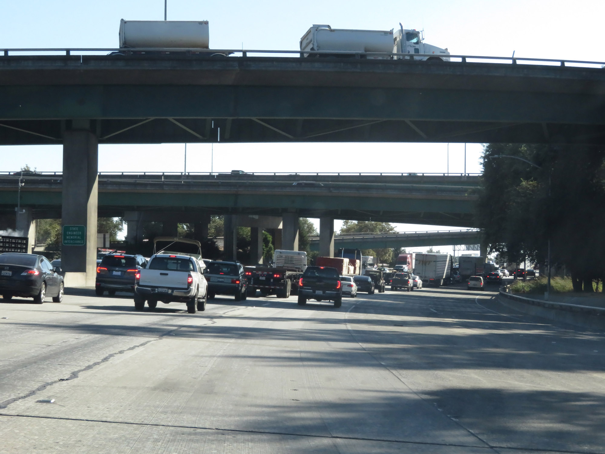 |
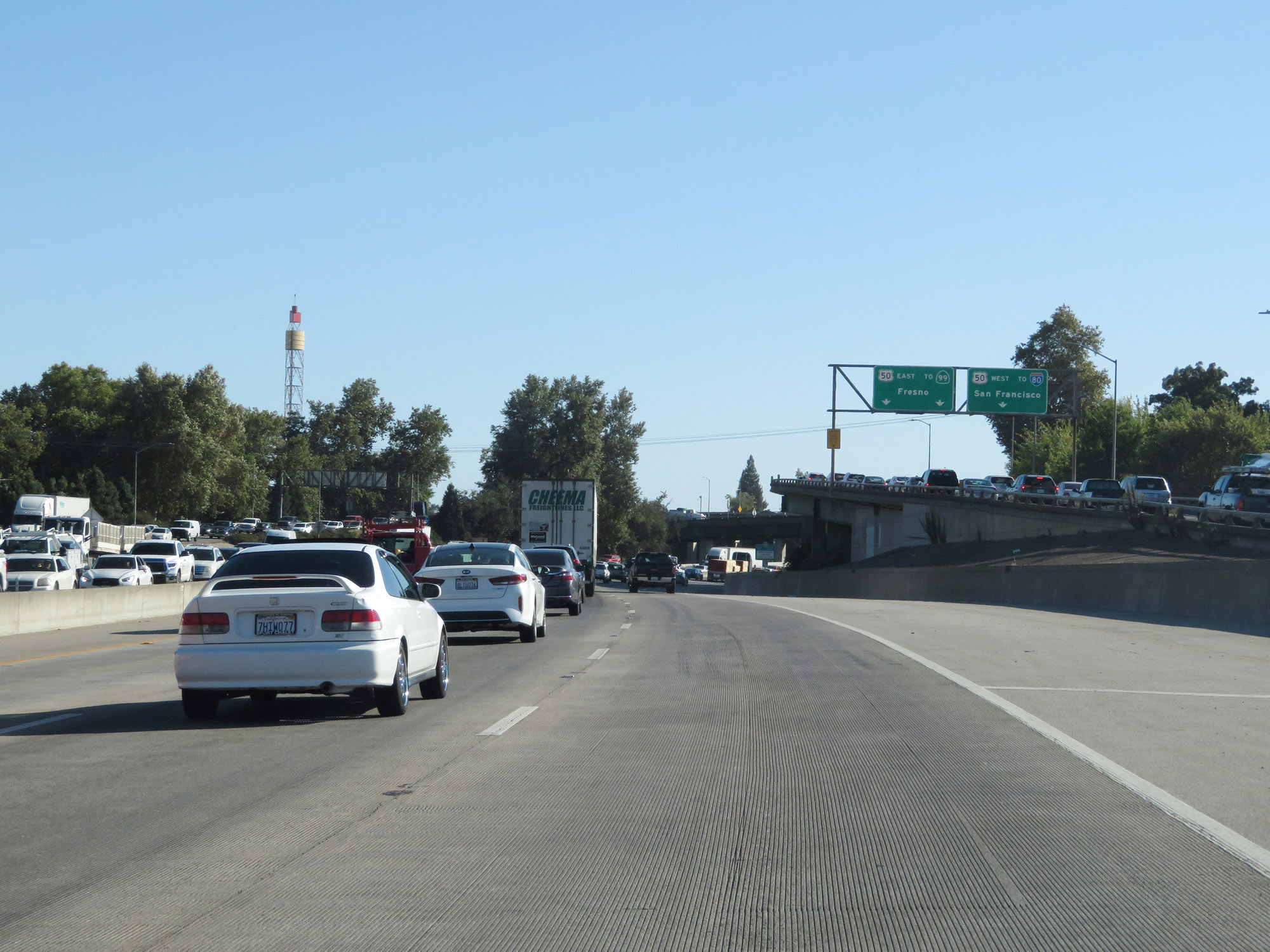
Interstate 5 South as it passes under Unsigned Interstate 305 / US 50 and the ramps to and from it. (Photo taken 9/23/19). |
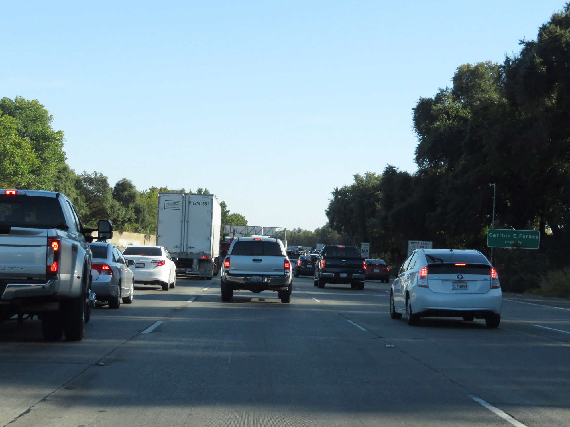 |
Interstate 5 in Sacramento is also known as Carlton E. Forbes Freeway. (Photo taken 9/23/19). |
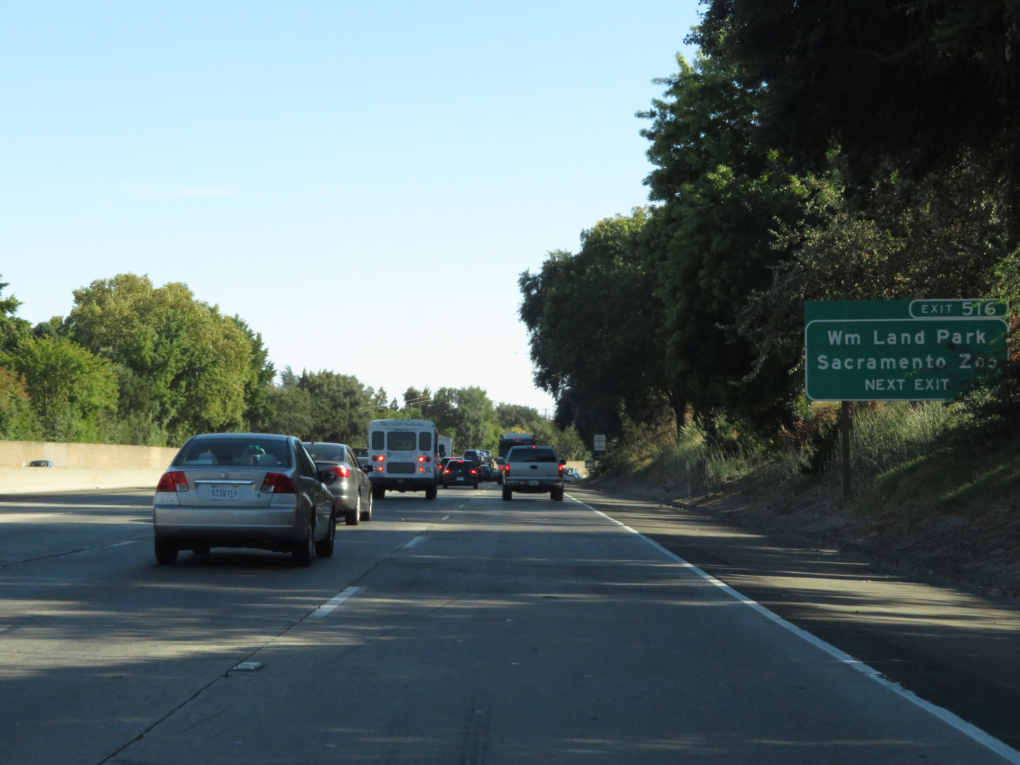 |
Take Exit 516 to William Land Park and the Sacramento Zoo. (Photo taken 9/23/19). |
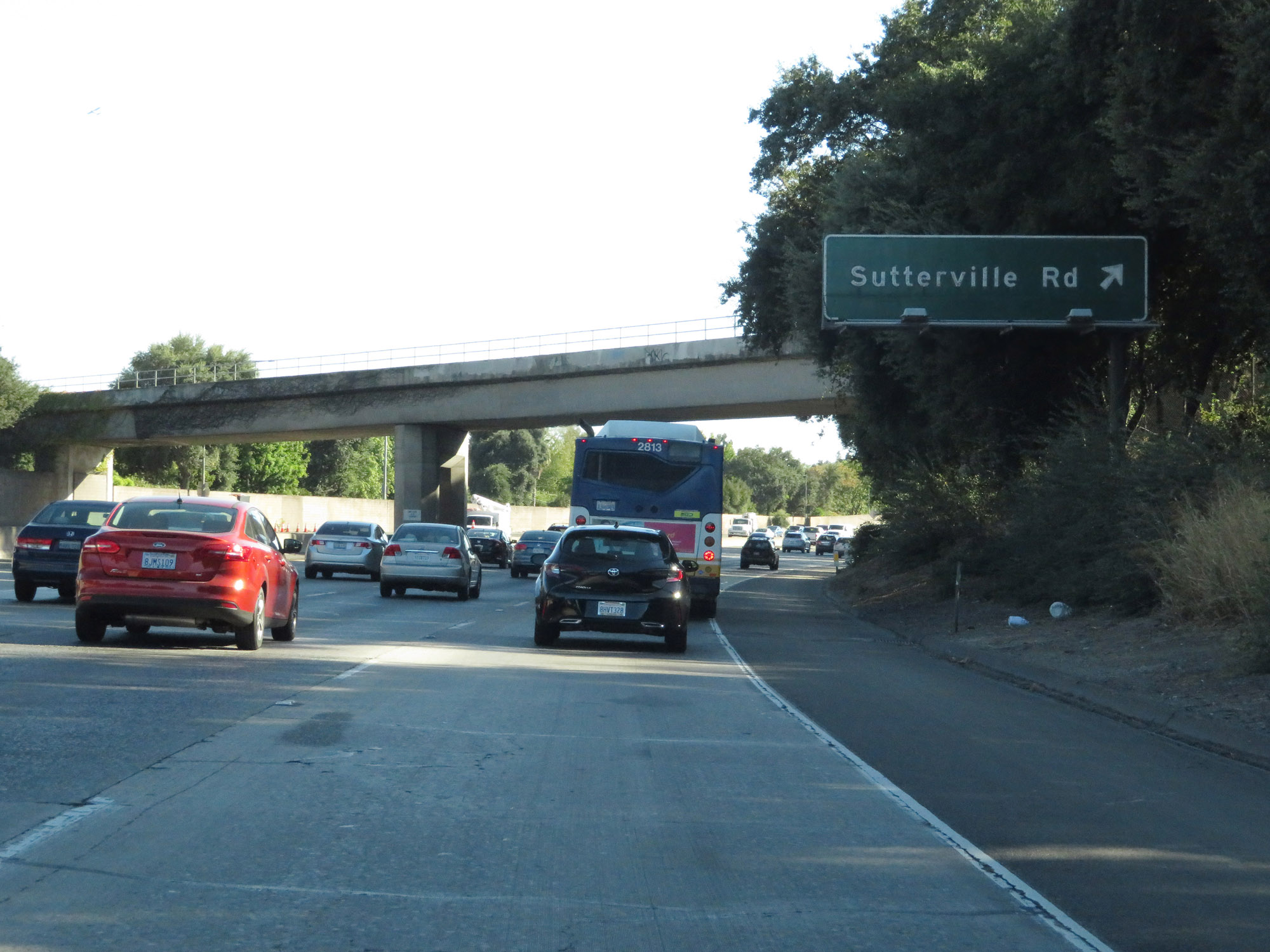 |
Interstate 5 South at Exit 516: Sutterville Rd (Photo taken 9/23/19). |