Road Information |
||
 |
||
| Total Mileage in State: | 15 miles | |
| Northern End: | At I-40, in Van Buren | |
| Southern End: | At US 271/AR 253, in Fort Smith | |
| Mileage covered in Photos: | 15 miles | |
| Counties covered in Photos: | Sebastian, Crawford | |
| Major Junctions in Photos: | US 71, in Fort Smith US 64, in Van Buren I-40, in Van Buren |
|
| Control Cities in Photos: | Fort Smith, Van Buren | |
Northbound
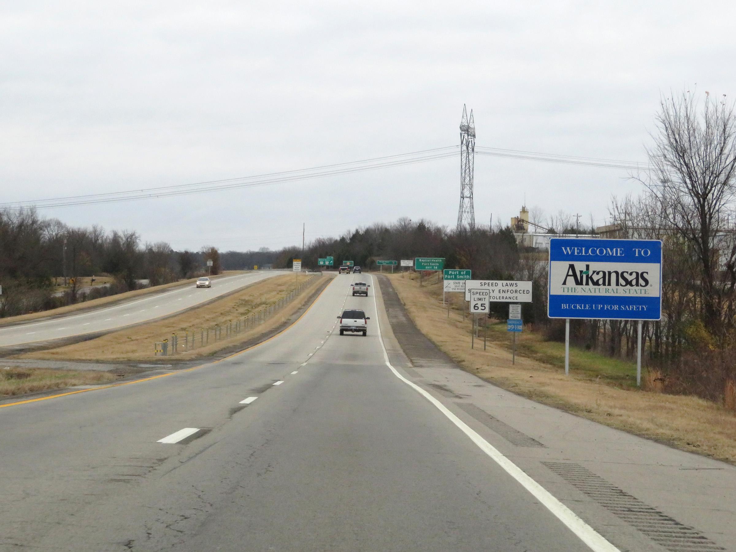 |
Arkansas welcome sign on US 271 North as it crosses the border from Oklahoma. Interstate 540 North will begin just ahead, at Exit 14. (Photo taken 12/12/20). |
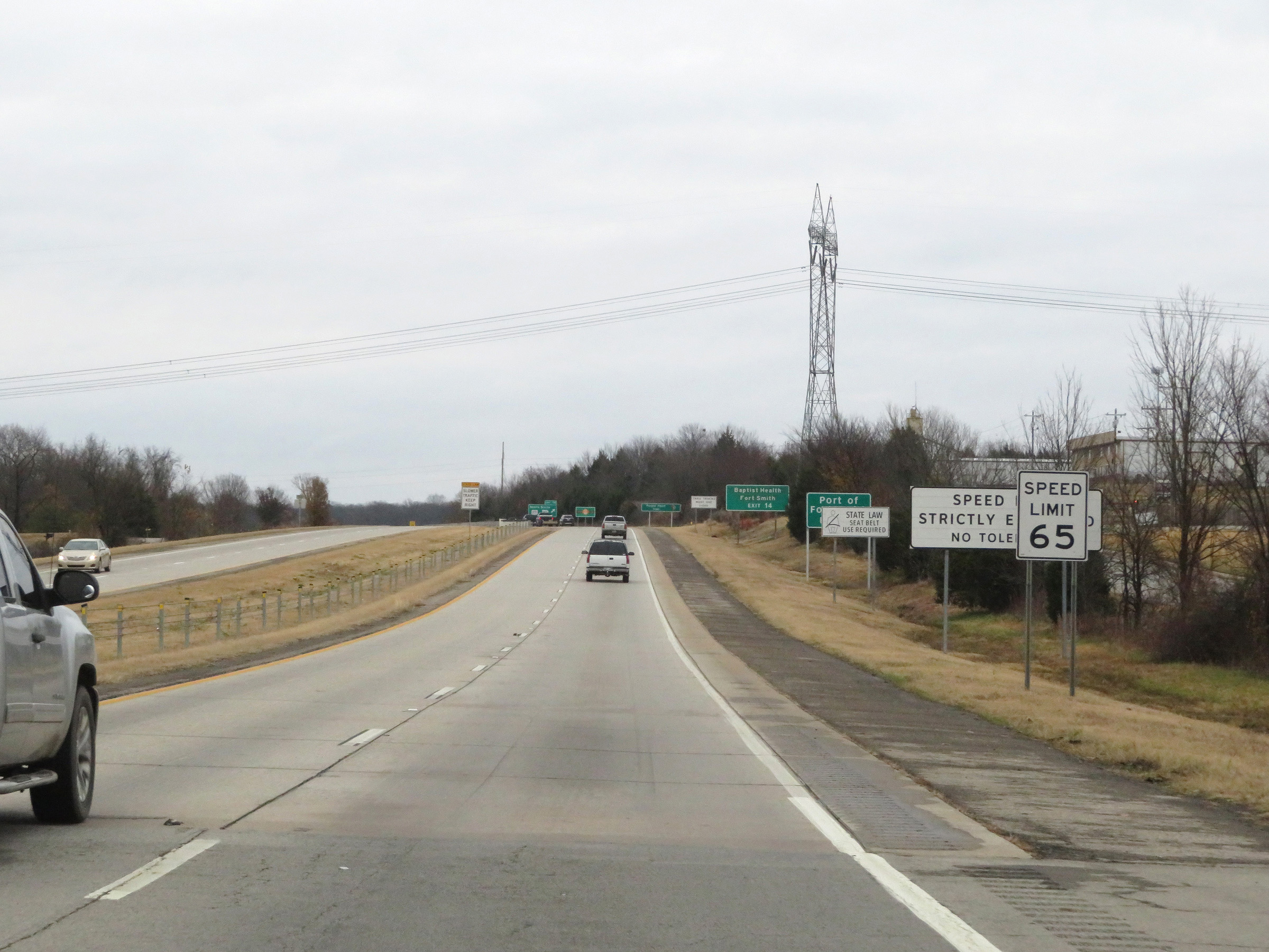 |
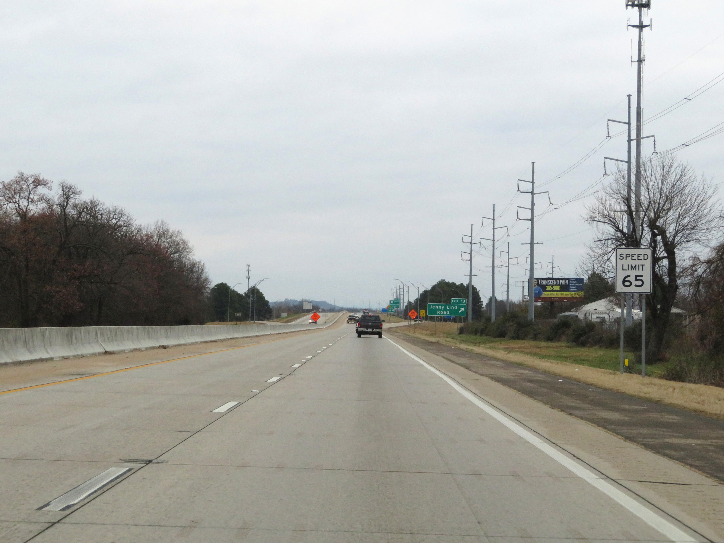
The speed limit starts out at 65 mph on US 271 North, and that speed limit continues onto Interstate 540 North after it begins ahead at Exit 14. (Photo taken 12/12/20). |
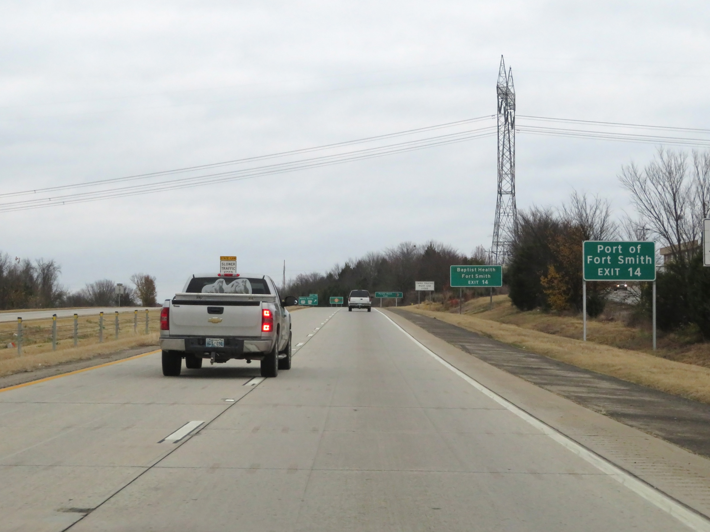 |
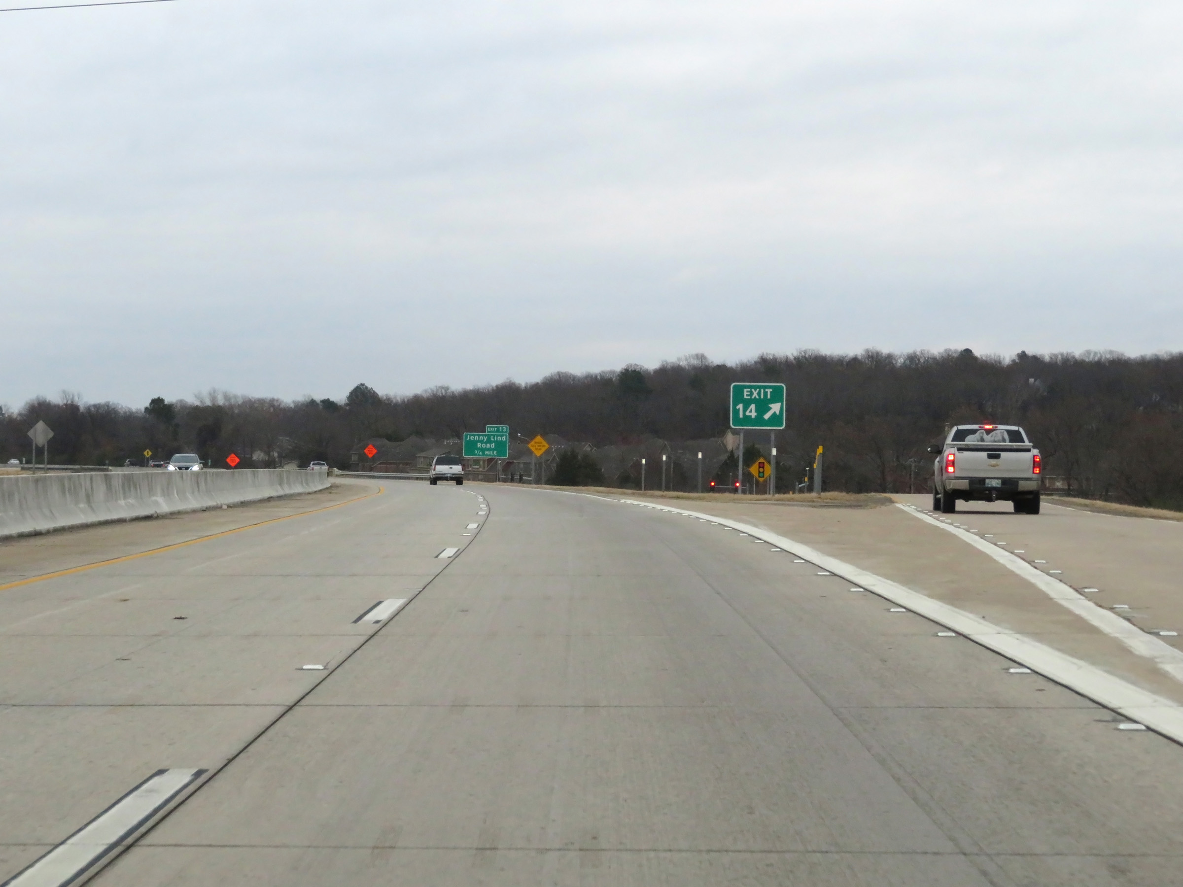
Take Exit 14 to Port of Fort Smith. (Photo taken 12/12/20). |
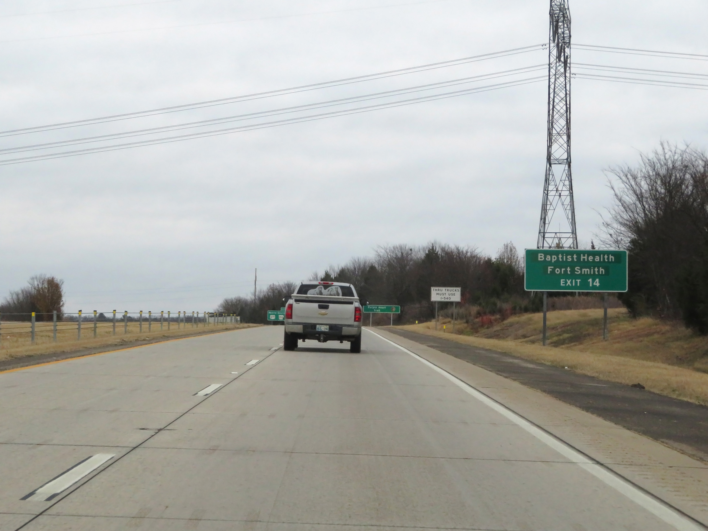 |
Also take Exit 14 to Baptist Health Fort Smith. (Photo taken 12/12/20). |
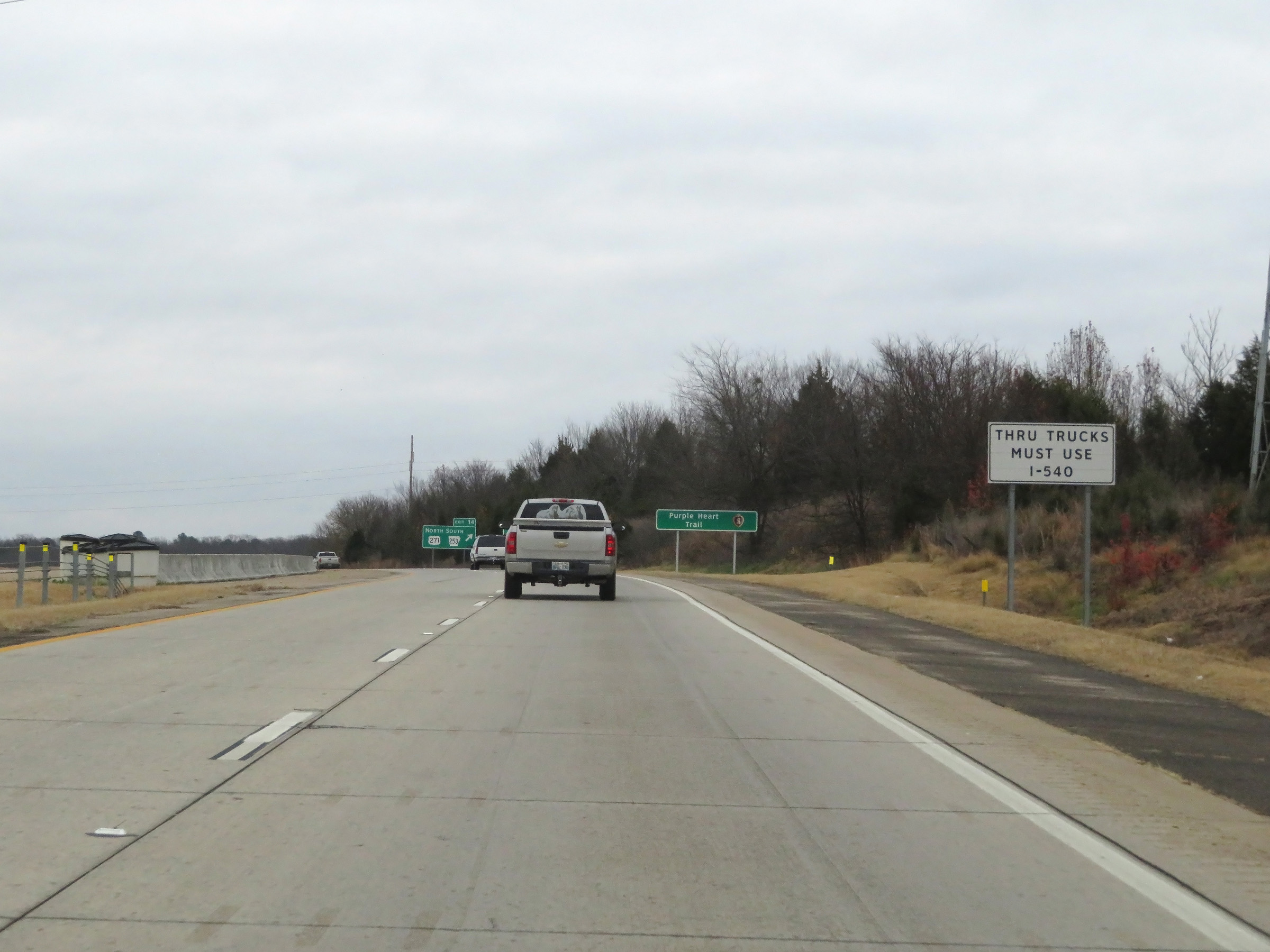 |
As this sign reads, all thru trucks must stay straight ahead and use Interstate 540 North. (Photo taken 12/12/20). |
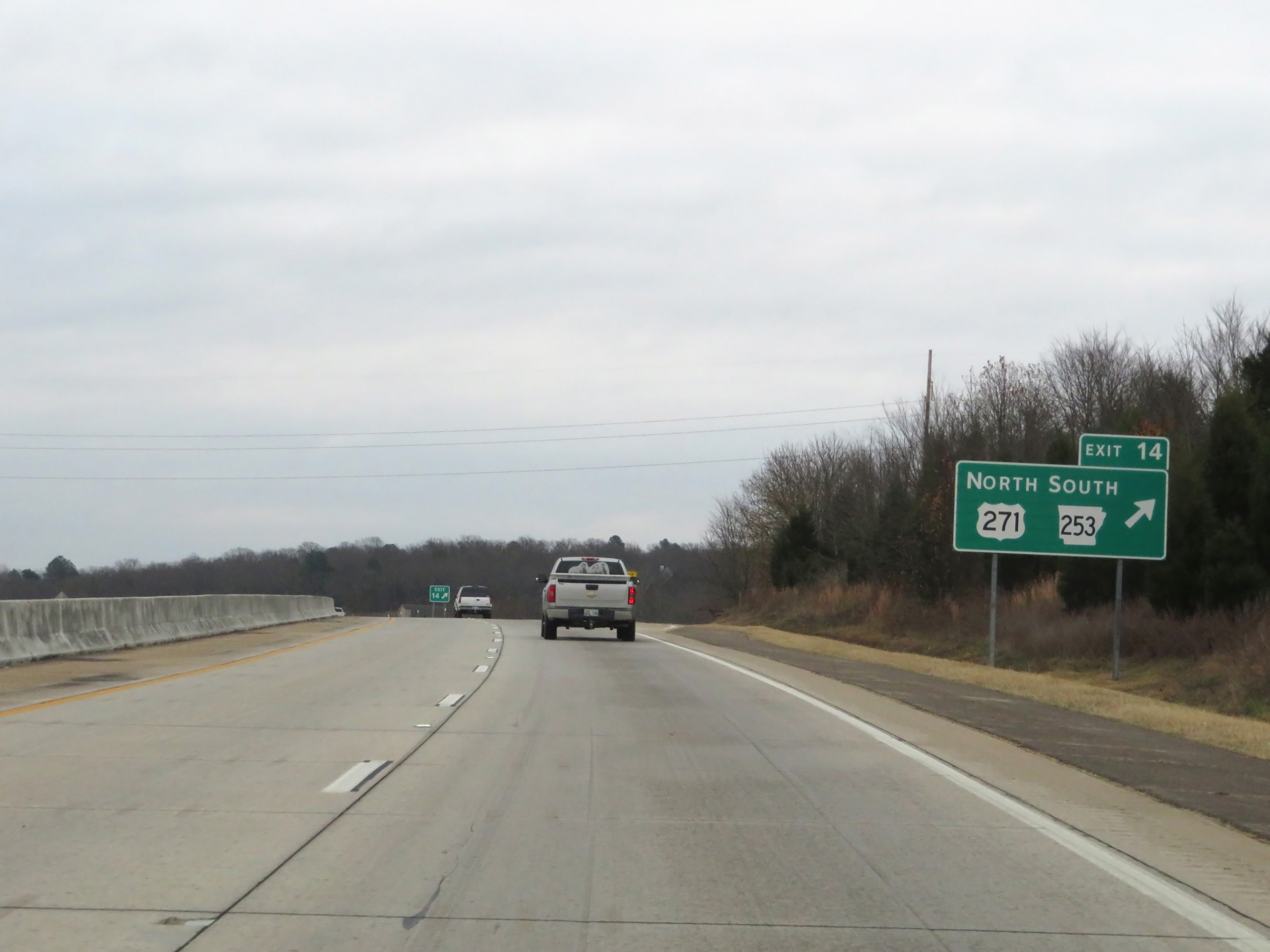 |
Interstate 540 North at Exit 14: US 271 North / AR 253 South (Photo taken 12/12/20). |
 |
View of the ramp for Exit 14 as Interstate 540 North begins. I-540 in Arkansas is another one of those Interstates in which the exit numbers and mile markers increase as you go north, which is the opposite of how most Interstate exits and mileage are numbered. (Photo taken 12/12/20). |
 |
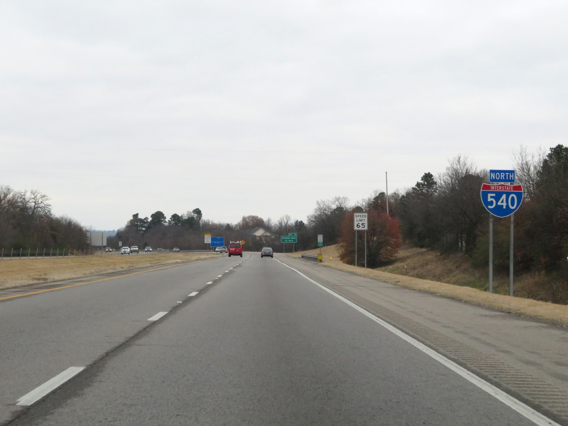
Interstate 540 North reassurance shield. (Photo taken 12/12/20). |
 |
The speed limit remains 65 mph for all traffic on Interstate 540 North. (Photo taken 12/12/20). |
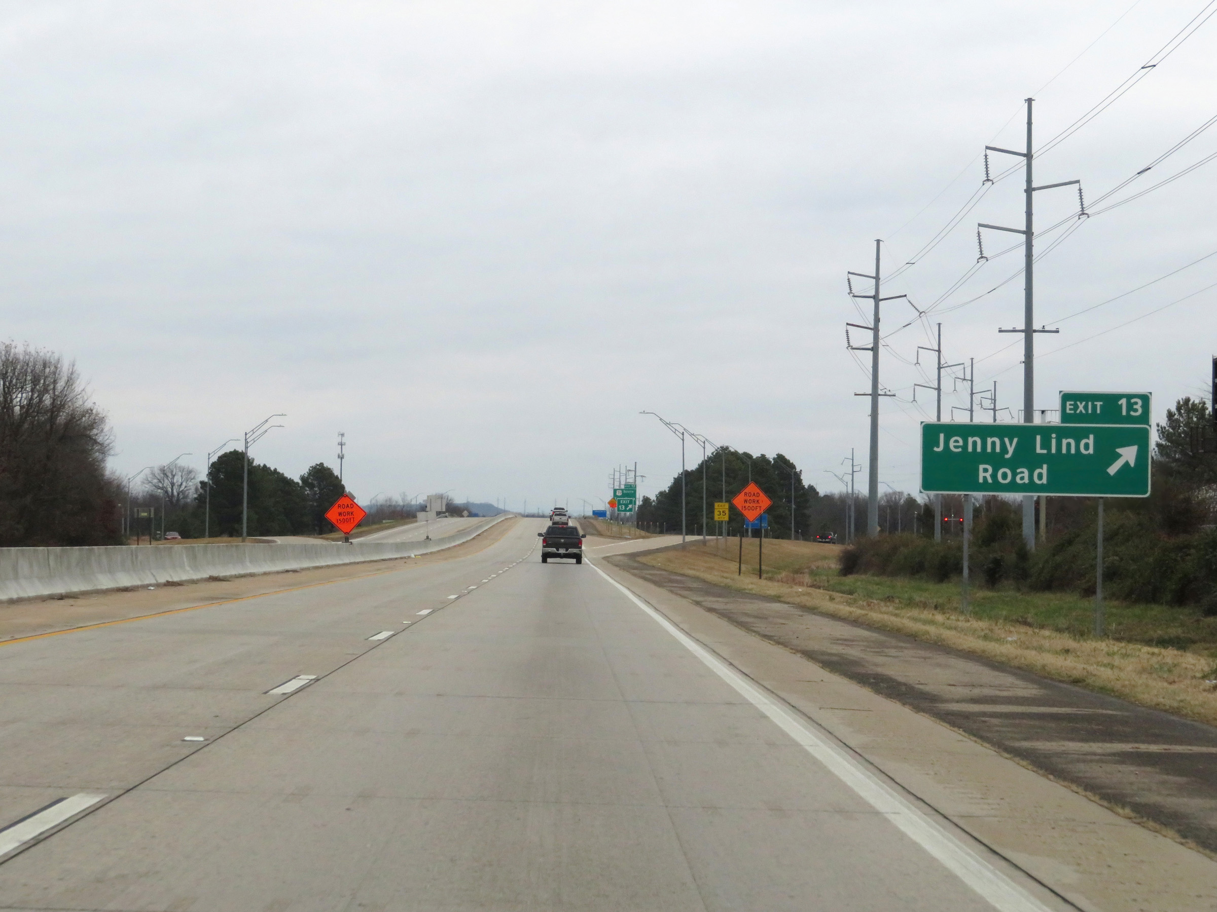 |
Interstate 540 North at Exit 13: Jenny Lind Road (Photo taken 12/12/20). |
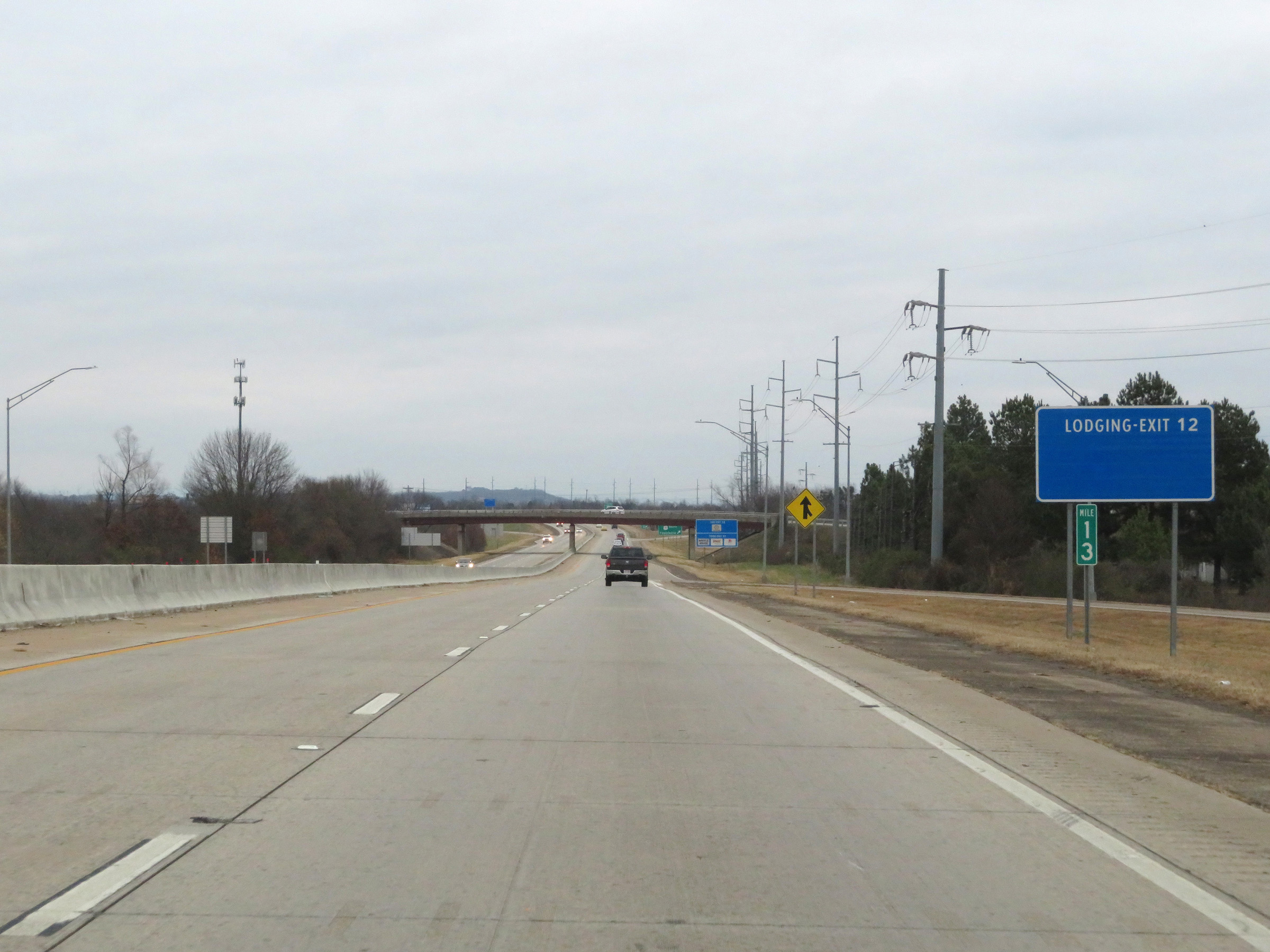 |
View on Interstate 540 North at mile marker 13. (Photo taken 12/12/20). |
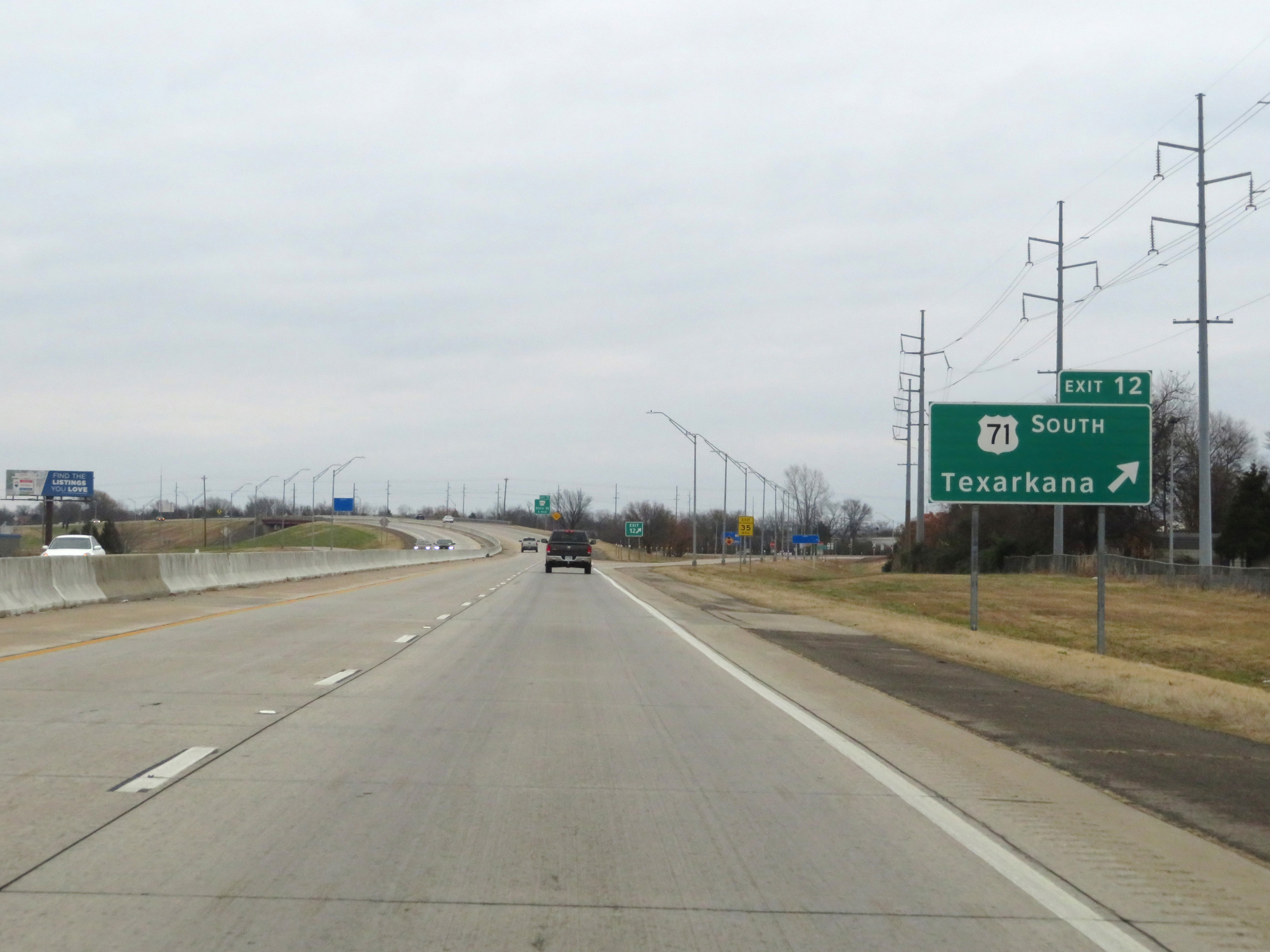 |
Interstate 540 North at Exit 12: US 71 South - Texarkana (Photo taken 12/12/20). |
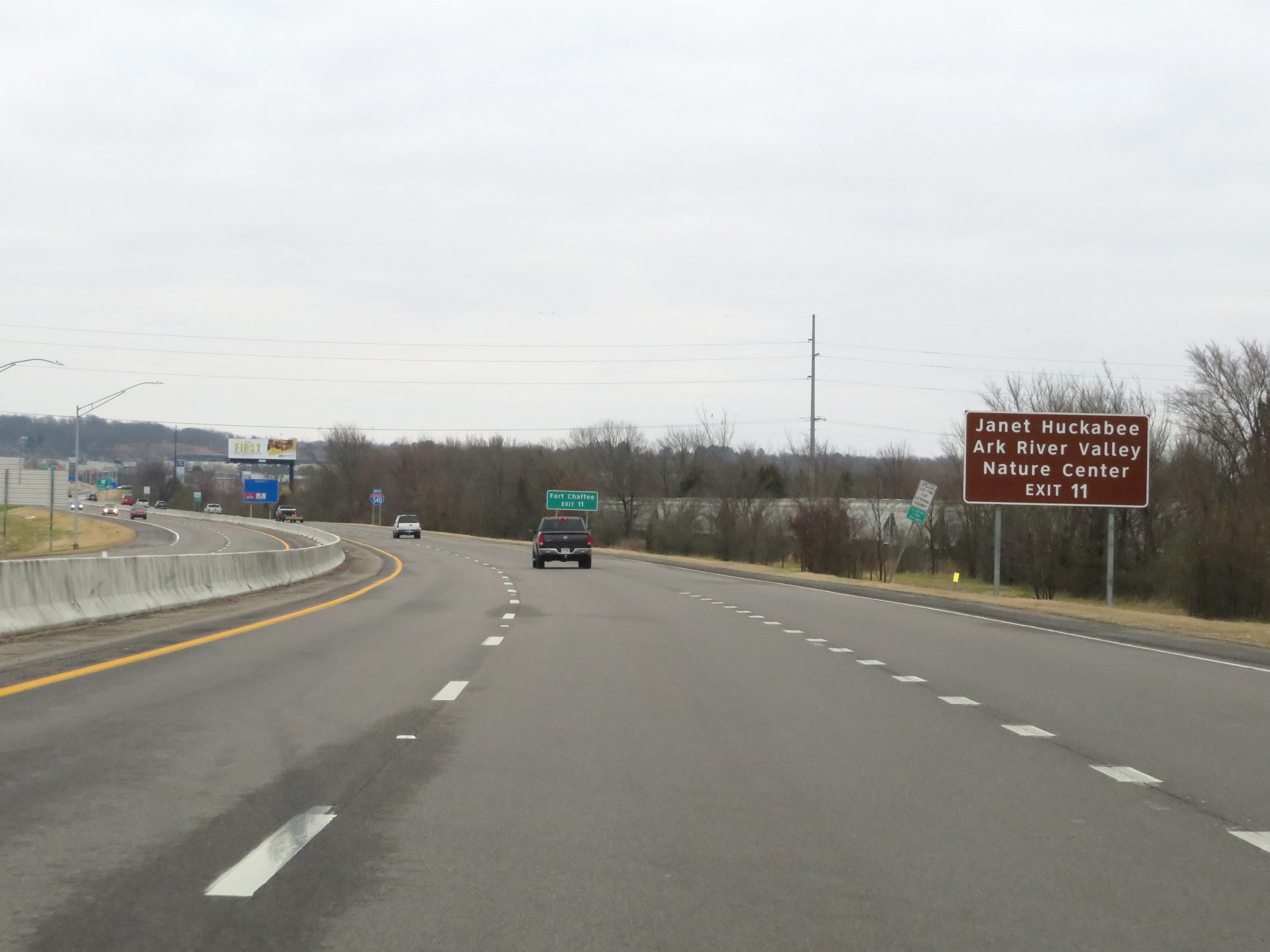 |
Take Exit 11 to Janet Huckabee Arkansas River Valley Nature Center. (Photo taken 12/12/20). |
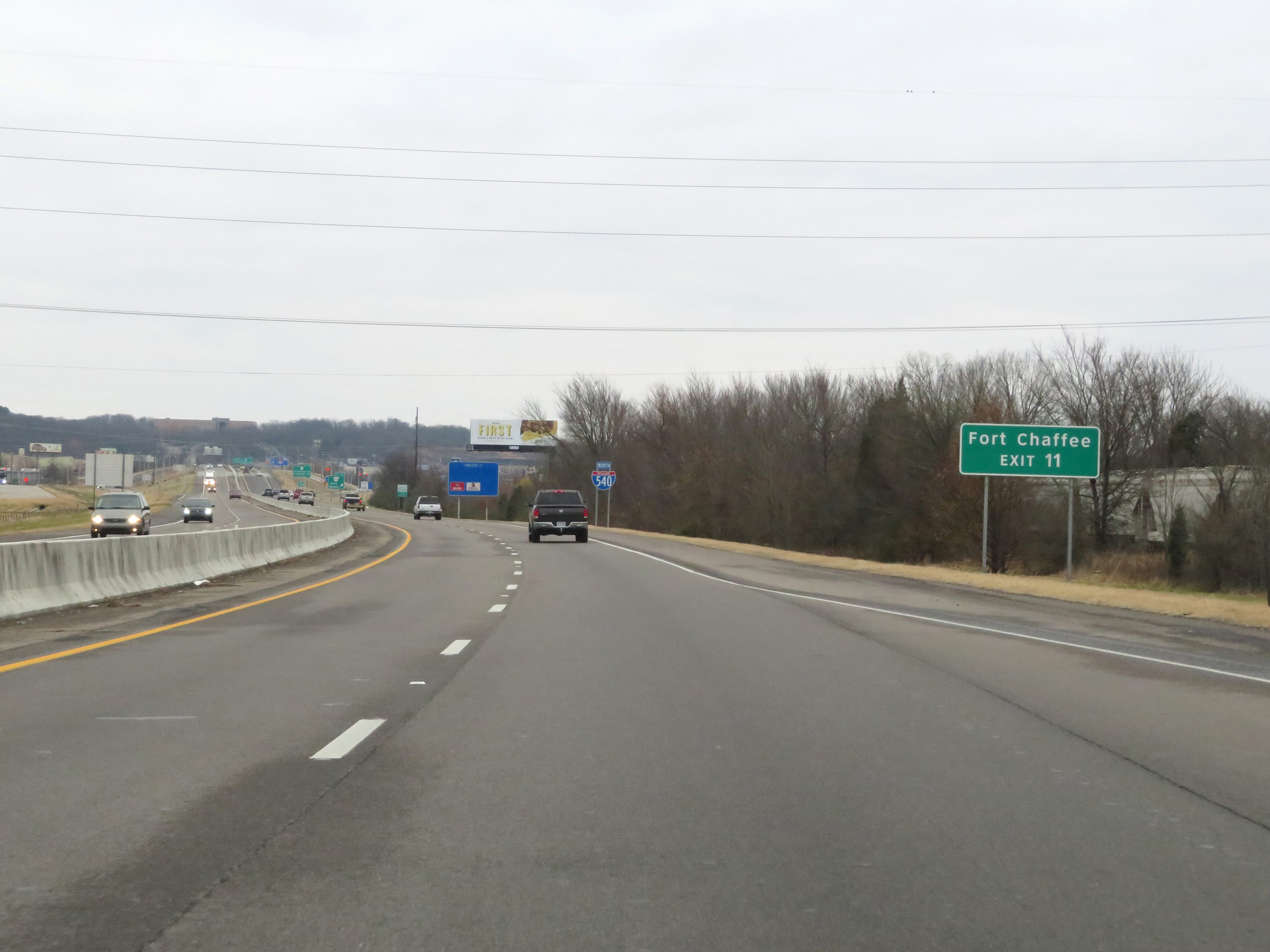 |
Also take Exit 11 to Fort Chaffee. (Photo taken 12/12/20). |
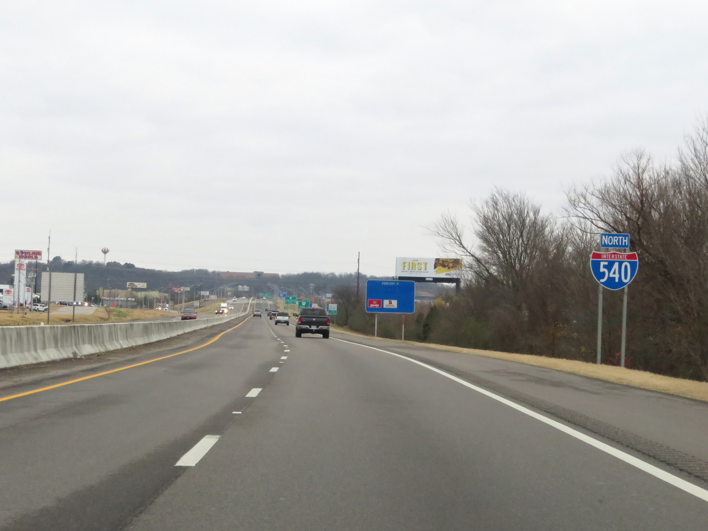 |
Another Interstate 540 North reassurance shield. (Photo taken 12/12/20). |
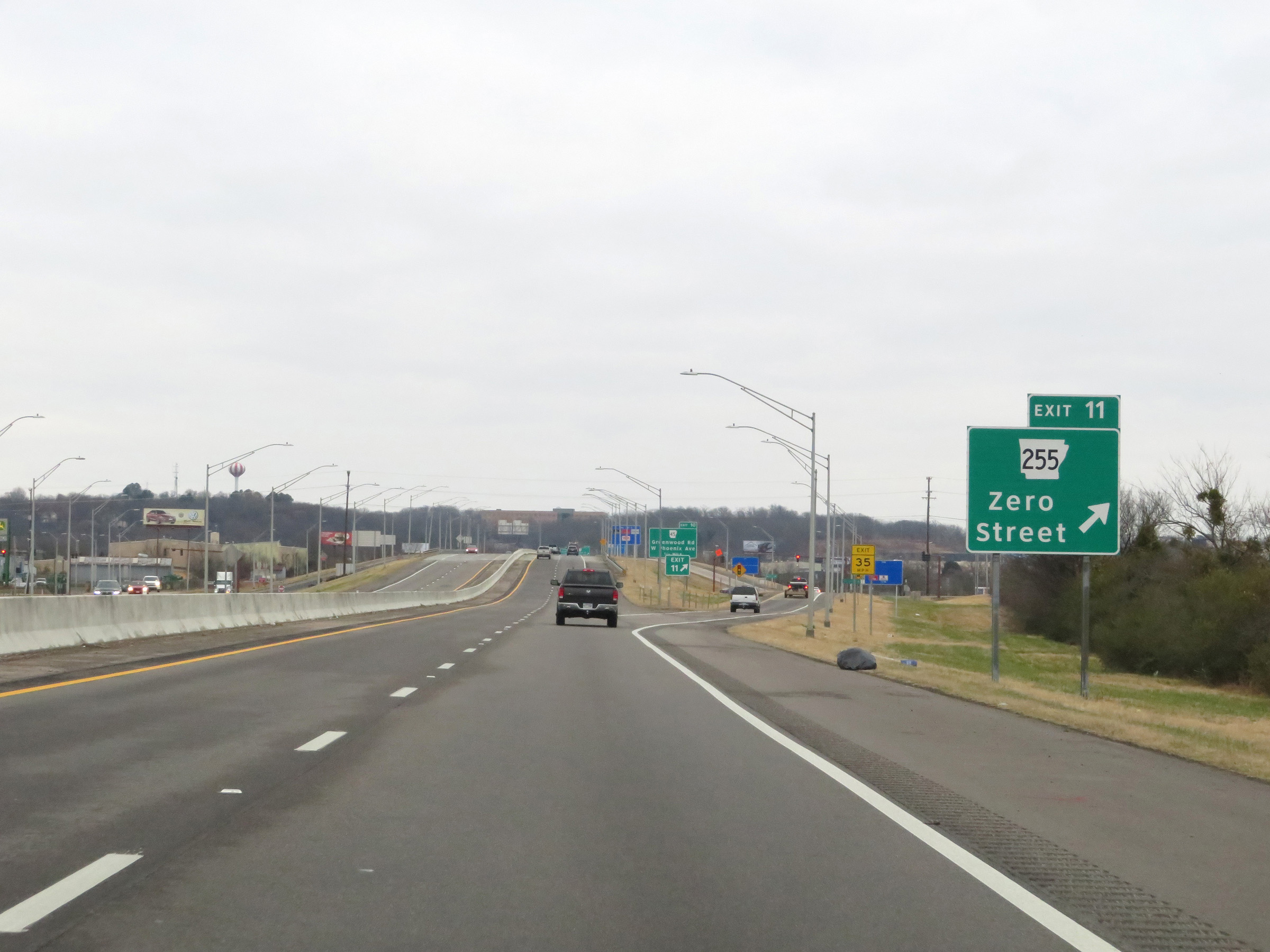 |
Interstate 540 North at Exit 11: AR 255 - Zero Street (Photo taken 12/12/20). |
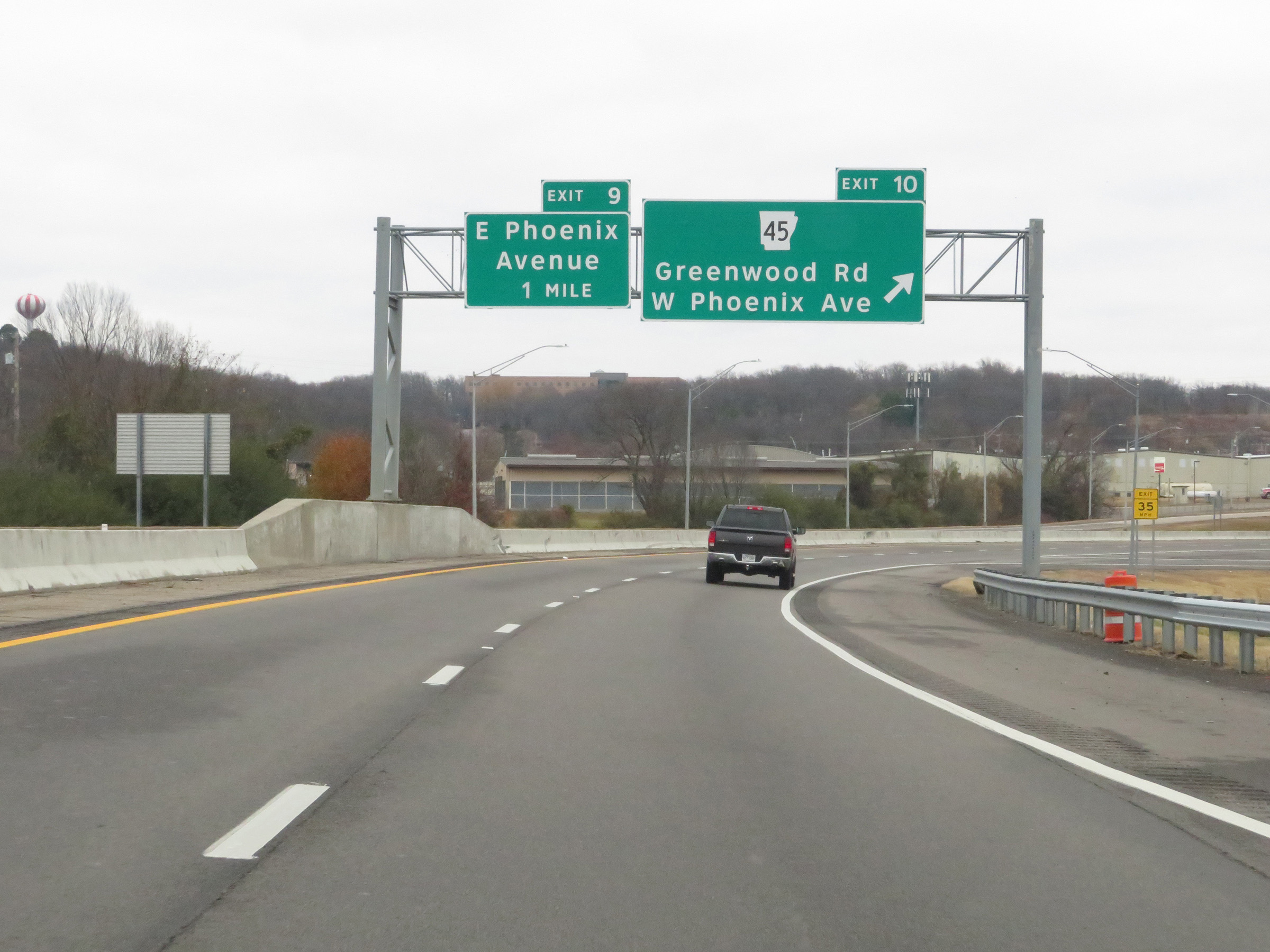 |
Interstate 540 North at Exit 10: AR 45 - Greenwood Rd / West Phoenix Ave (Photo taken 12/12/20). |
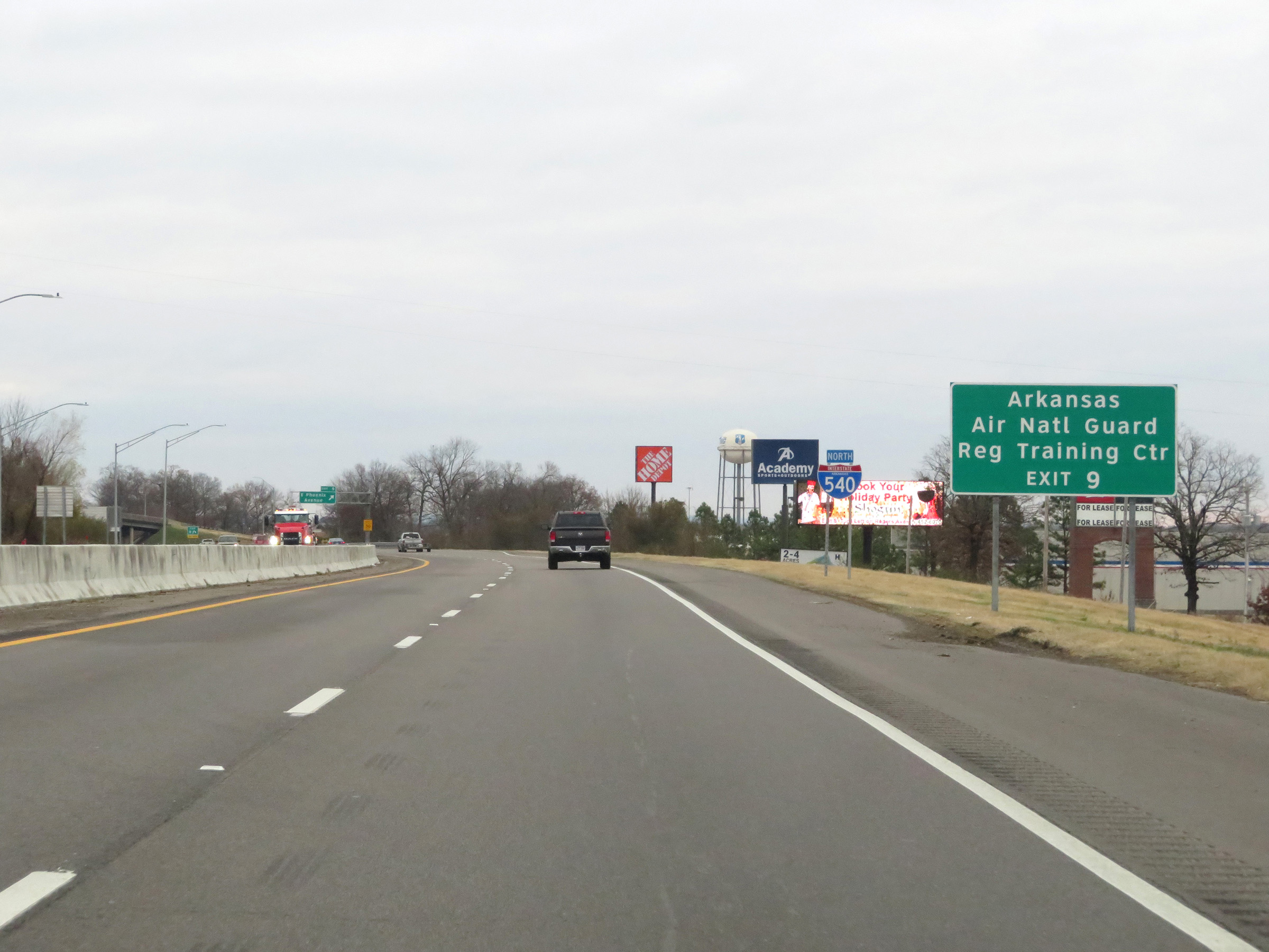 |
Take Exit 9 to the Arkansas Air National Guard Regional Training Center. (Photo taken 12/12/20). |
 |
Interstate 540 North at Exit 9: East Phoenix Avenue (Photo taken 12/12/20). |
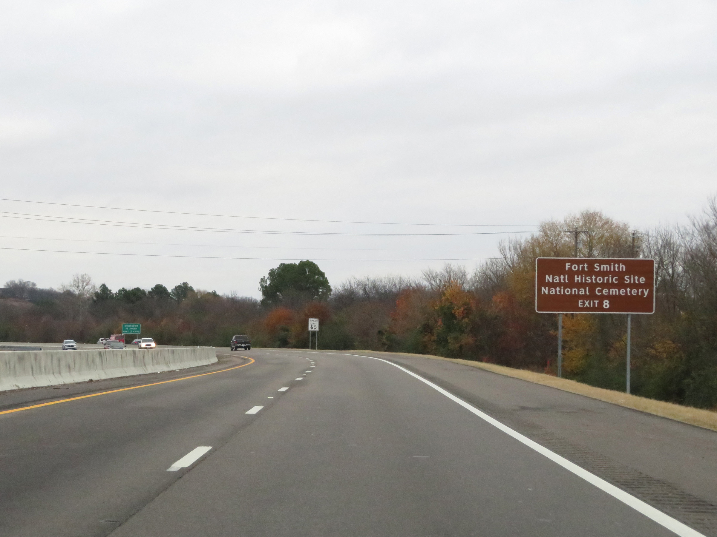 |
Take Exit 8 to Fort Smith National Historic Site and Fort Smith National Cemetery. (Photo taken 12/12/20). |
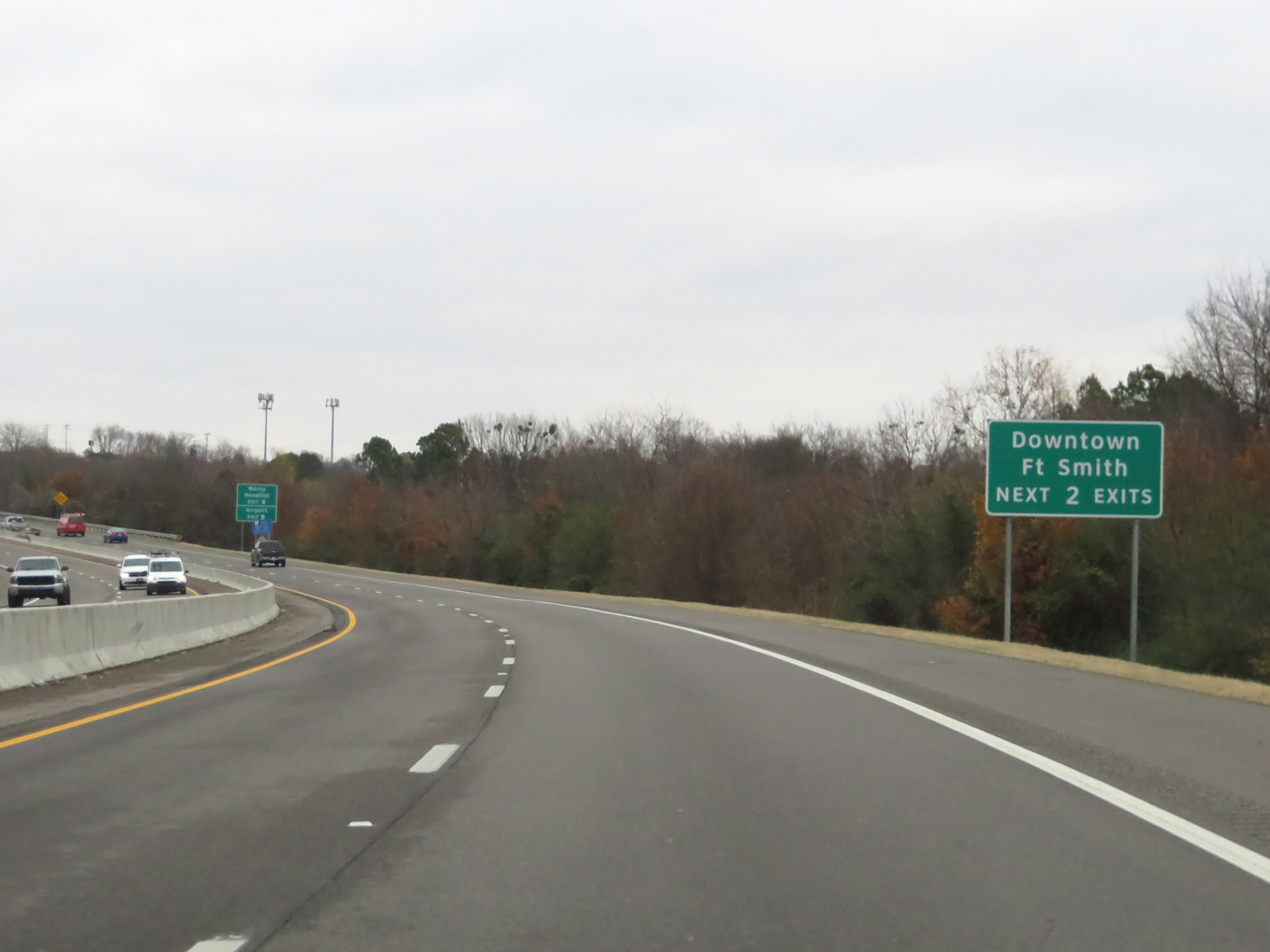 |
Take either of the next 2 exits to Downtown Fort Smith. (Photo taken 12/12/20). |
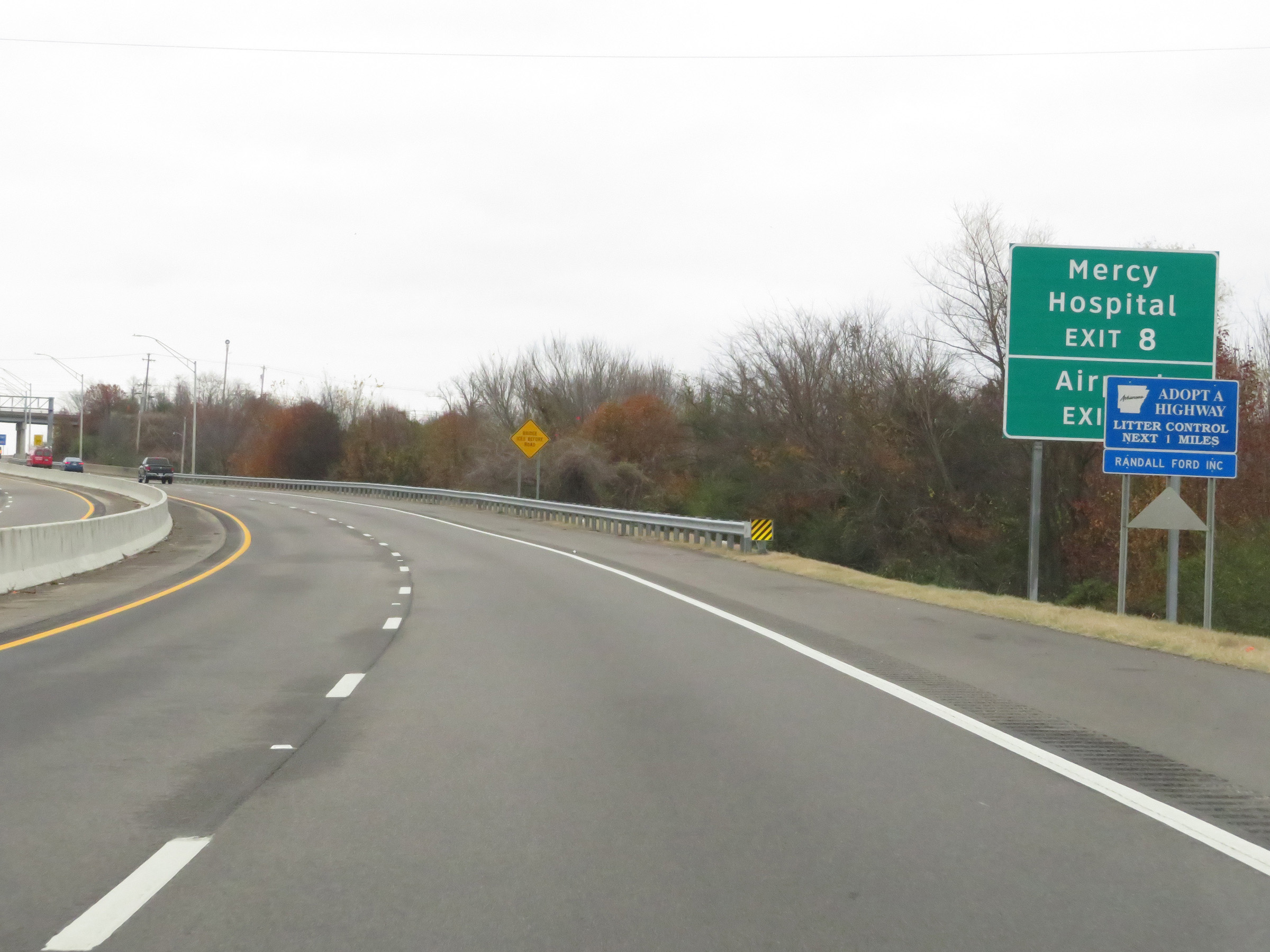 |
Also take Exit 8 to Mercy Hospital and the Airport. (Photo taken 12/12/20). |
 |
Interstate 540 North at Exit 8: AR 22 - Rogers Avenue (Photo taken 12/12/20). |
 |
Interstate 540 North reassurance shield. (Photo taken 12/12/20). |
 |
View on Interstate 540 North at mile marker 7. (Photo taken 12/12/20). |
 |
Take Exit 7 to the University of Arkansas at Fort Smith. (Photo taken 12/12/20). |
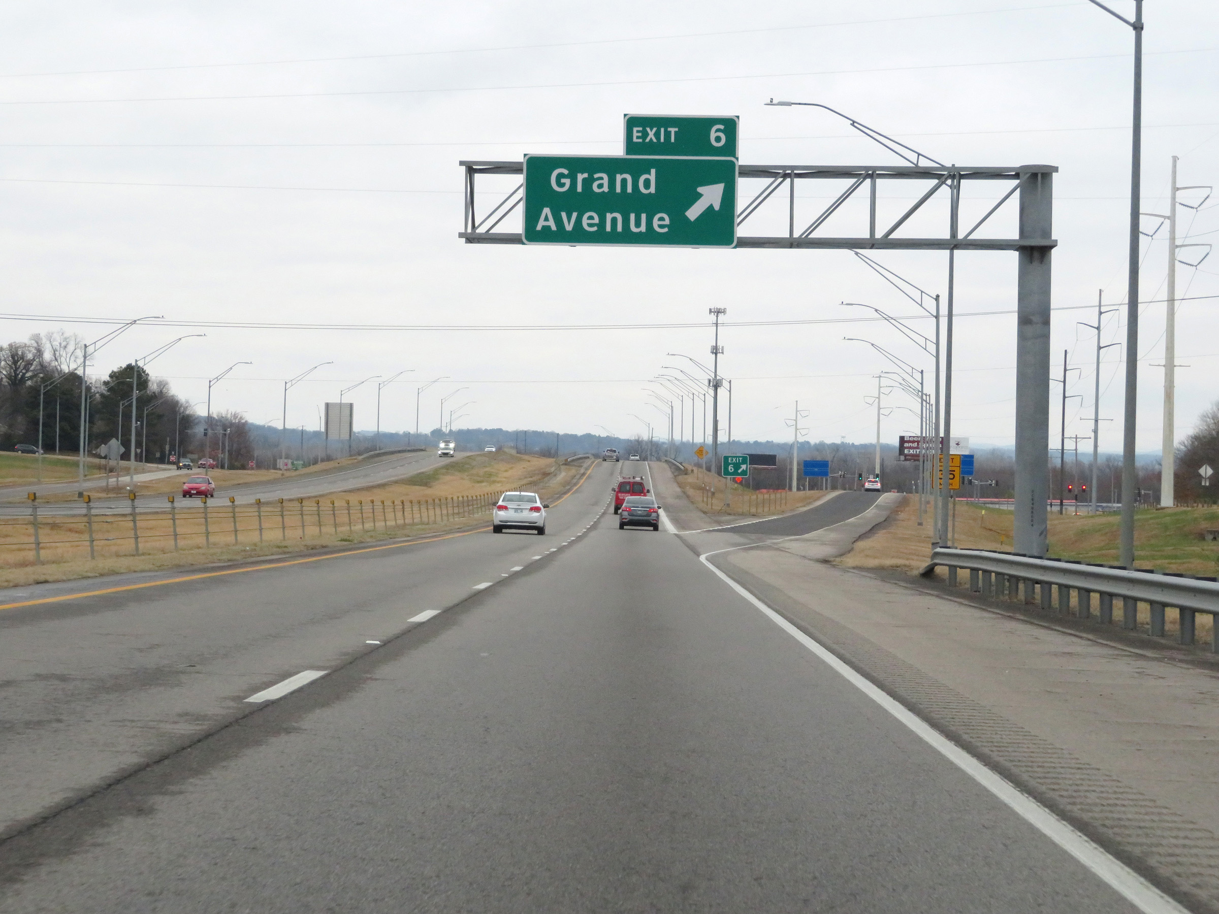 |
Interstate 540 North at Exit 6: Grand Avenue (Photo taken 12/12/20). |
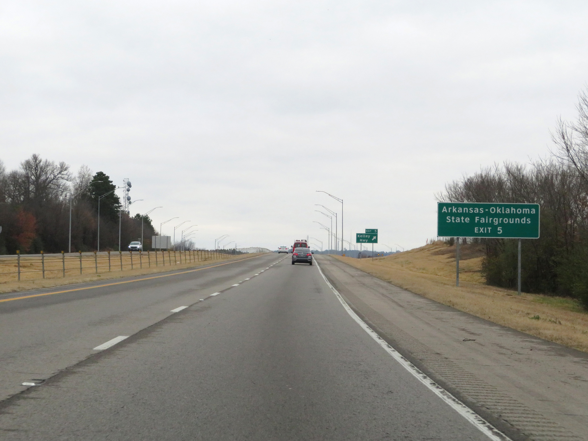 |
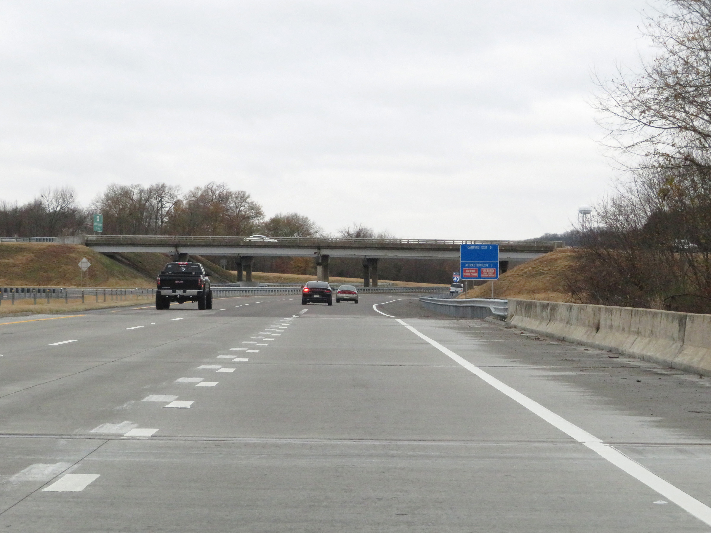
Take Exit 5 to the Arkansas-Oklahoma State Fairgrounds. (Photo taken 12/12/20). |
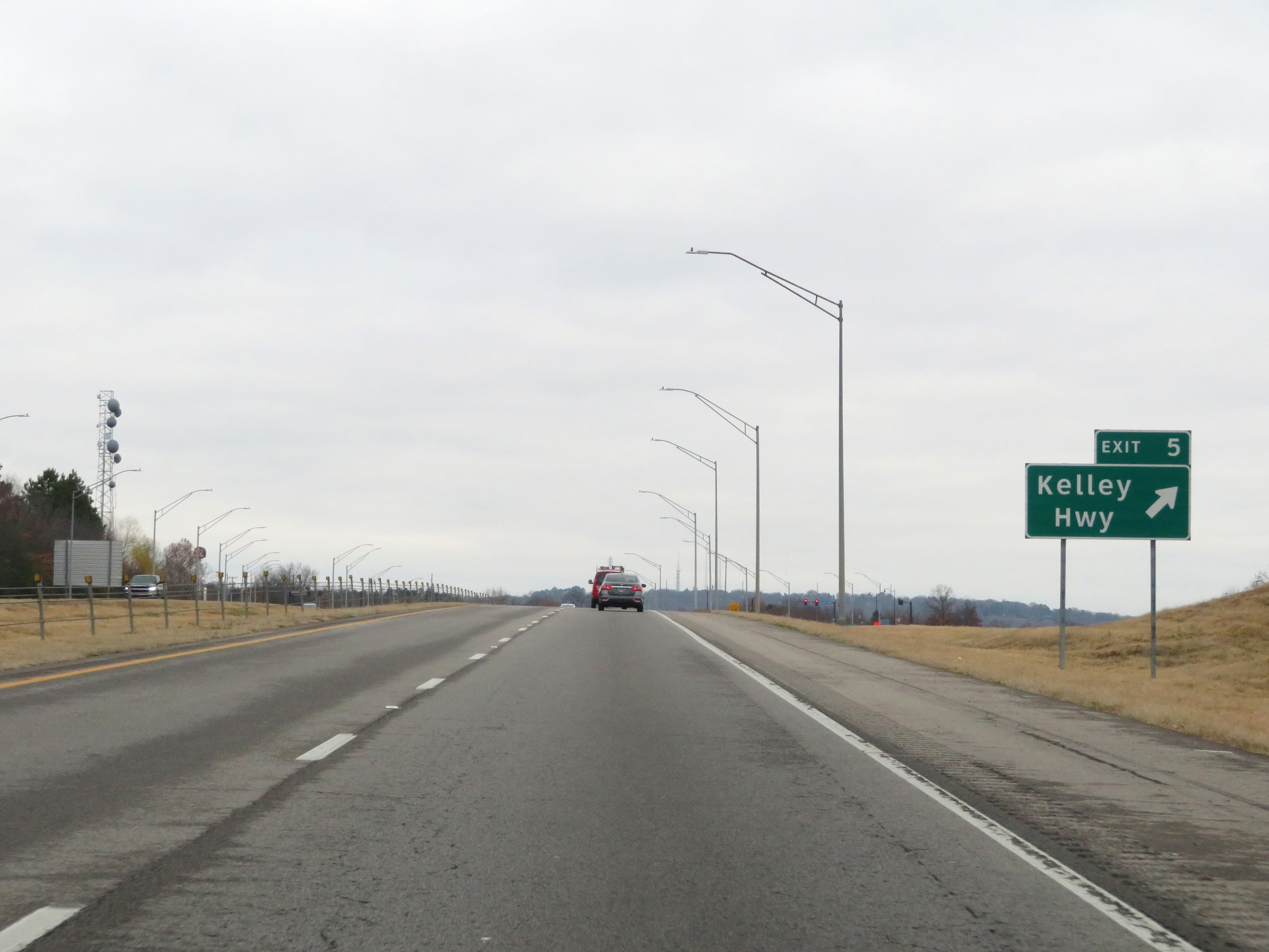 |
Interstate 540 North at Exit 5: Kelley Hwy (Photo taken 12/12/20). |
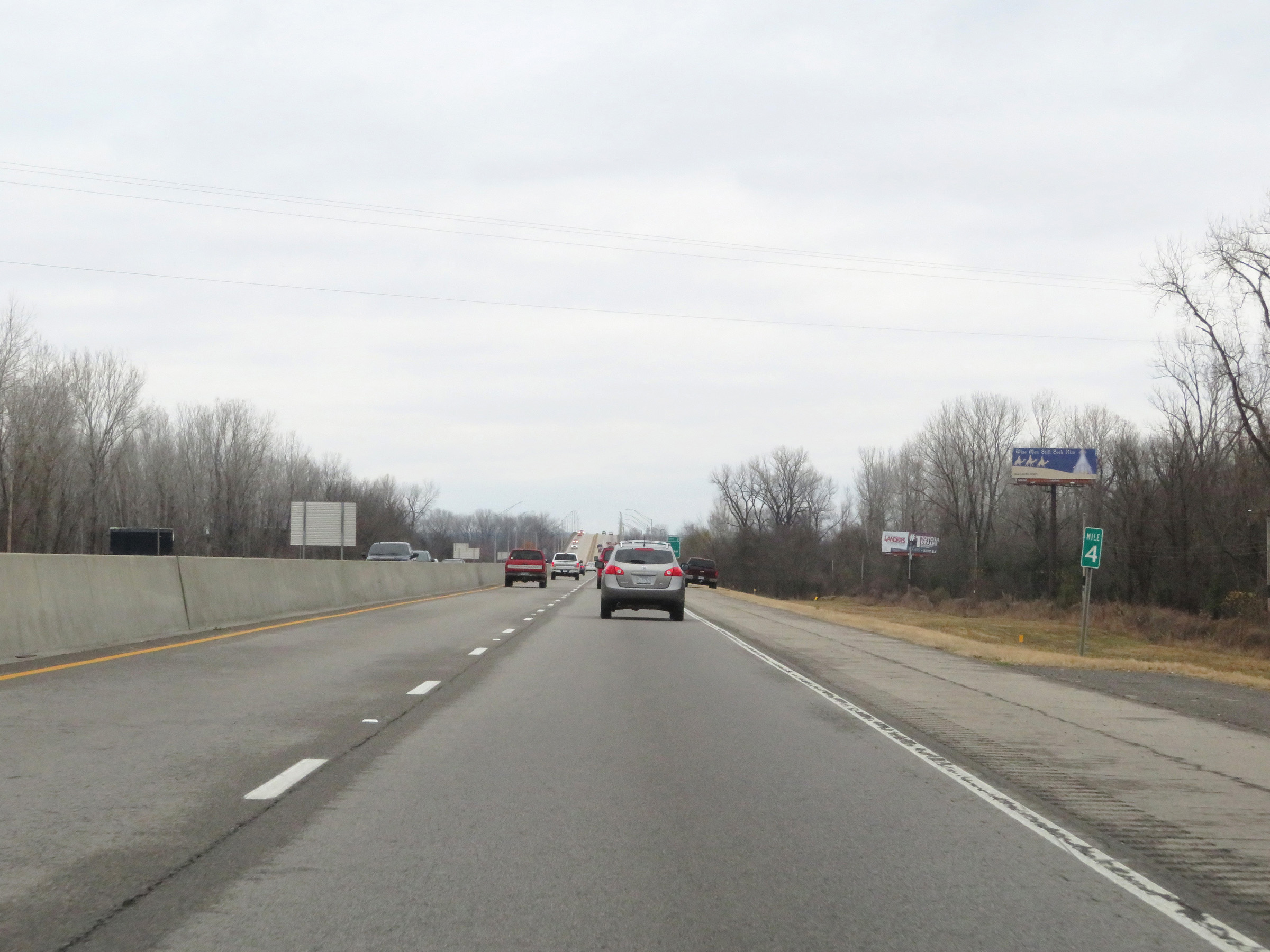 |
Interstate 540 North at mile marker 4. (Photo taken 12/12/20). |
 |
Take Exit 3 to the Port of Van Buren. (Photo taken 12/12/20). |
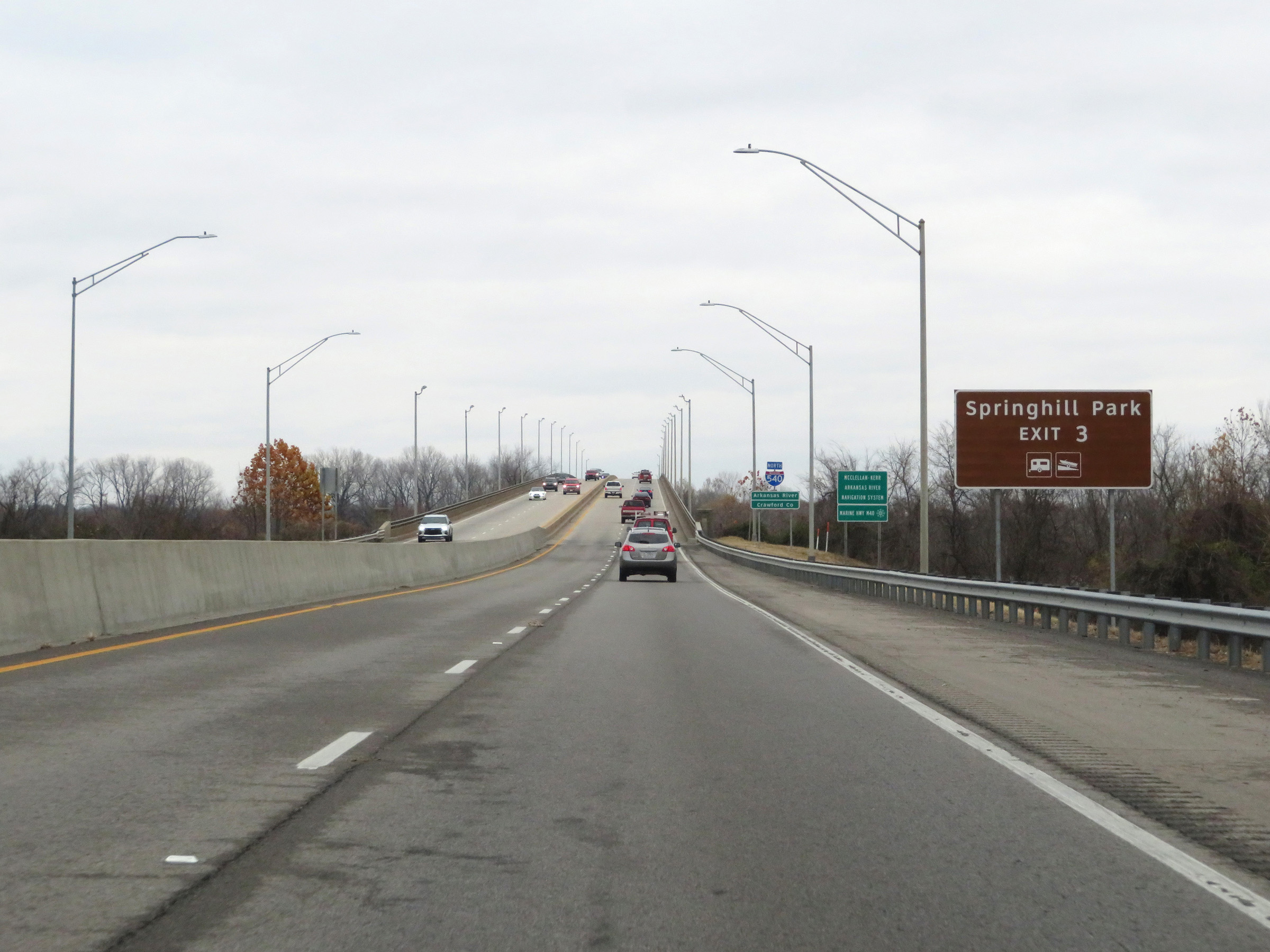 |
Also take Exit 3 to Springhill Park. (Photo taken 12/12/20). |
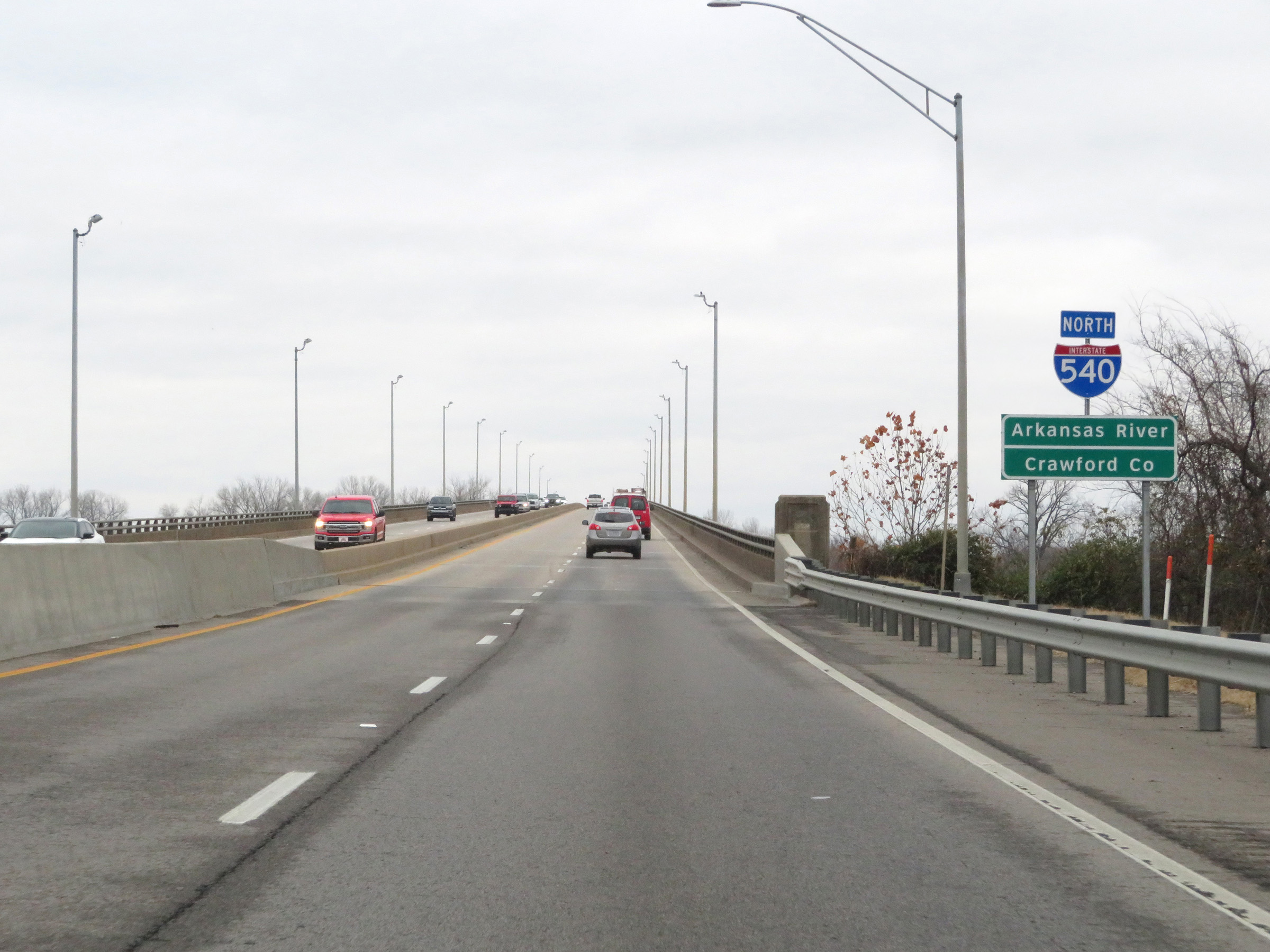 |
Interstate 540 North as it begins to cross the Arkansas River and enter Crawford County. (Photo taken 12/12/20). |
 |
View on Interstate 540 North as it crosses the Arkansas River and enters Crawford County. (Photo taken 12/12/20). |
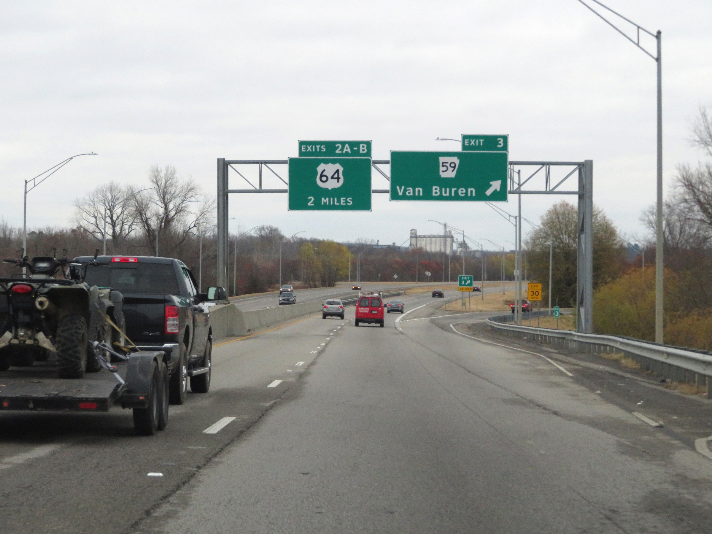 |
Interstate 540 North at Exit 3: AR 59 - Van Buren (Photo taken 12/12/20). |
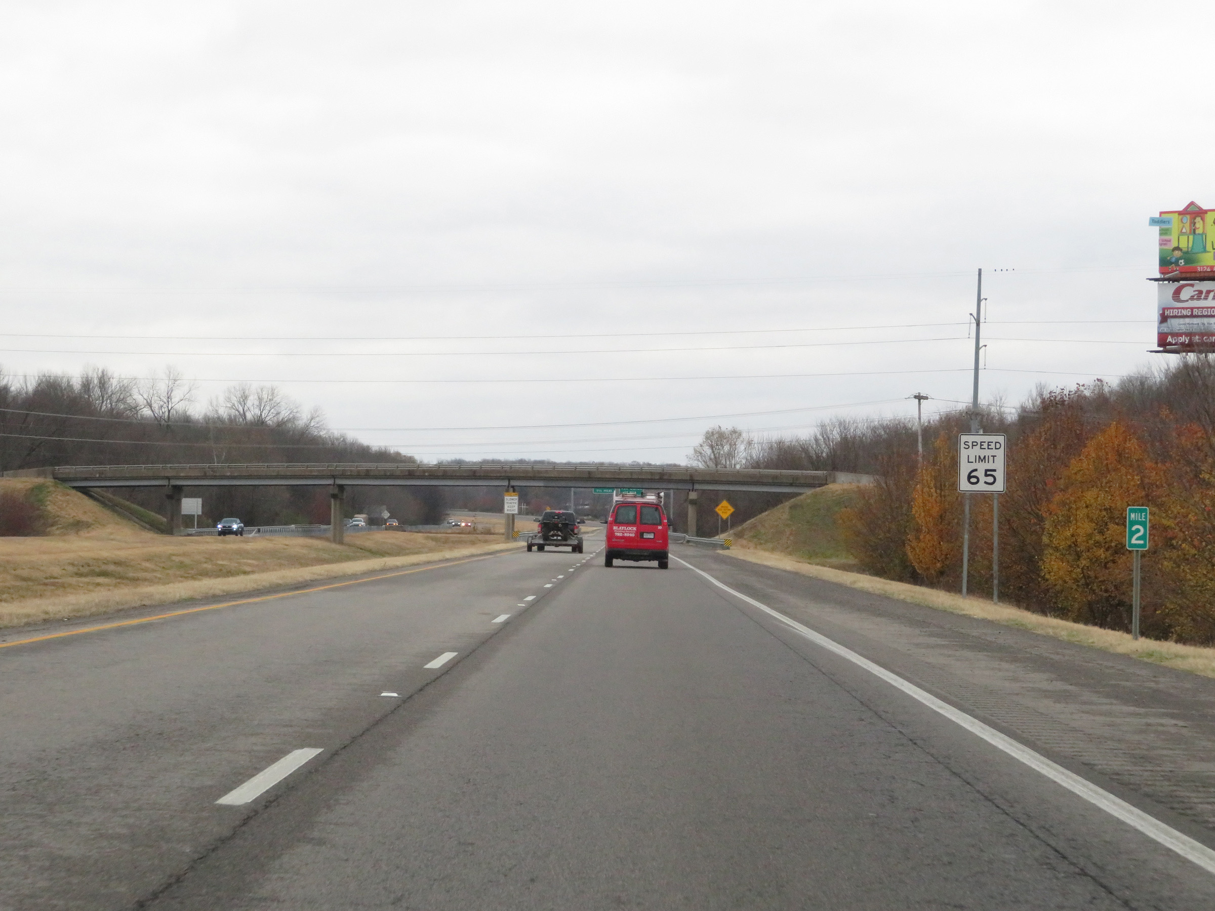 |
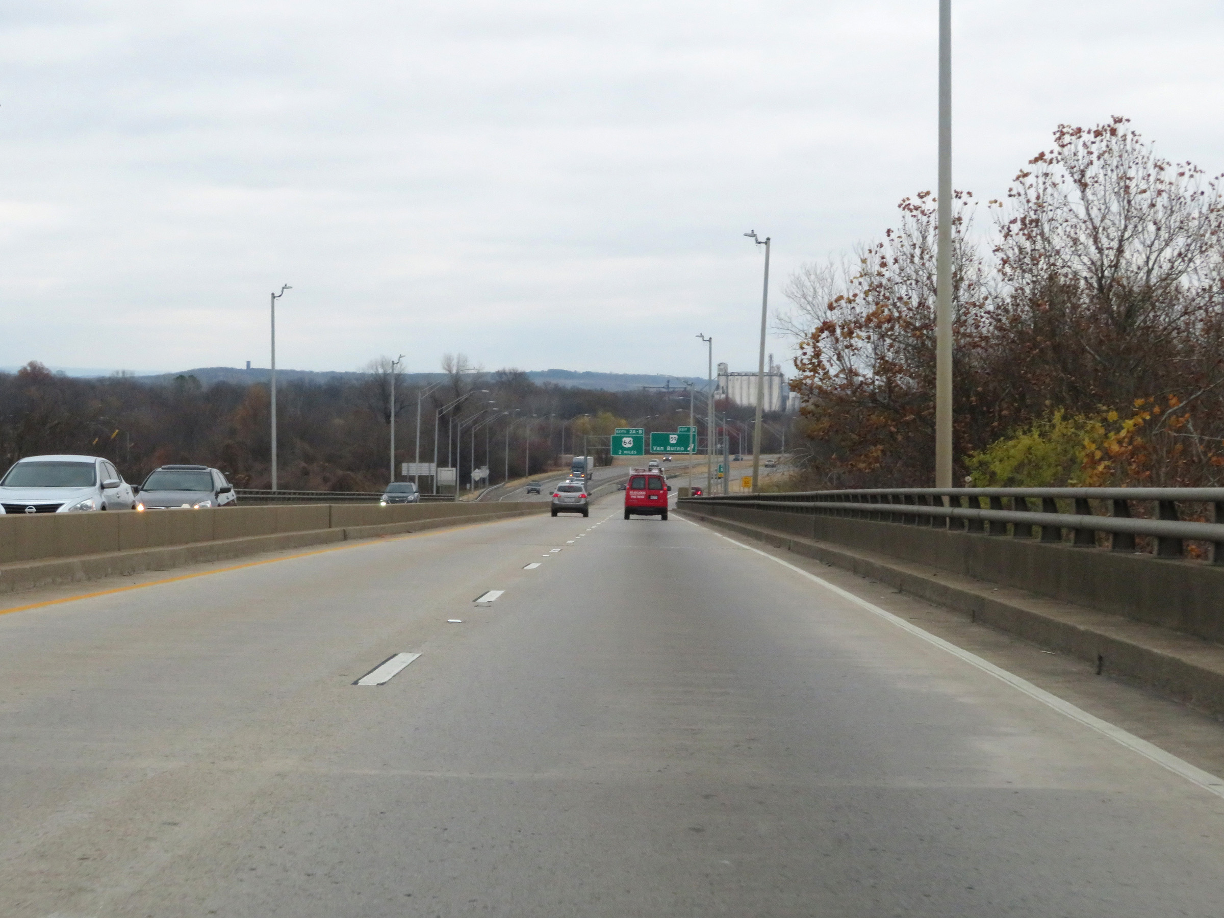
View on Interstate 540 North at mile marker 2. The speed limit remains 65 mph for all traffic. (Photo taken 12/12/20). |
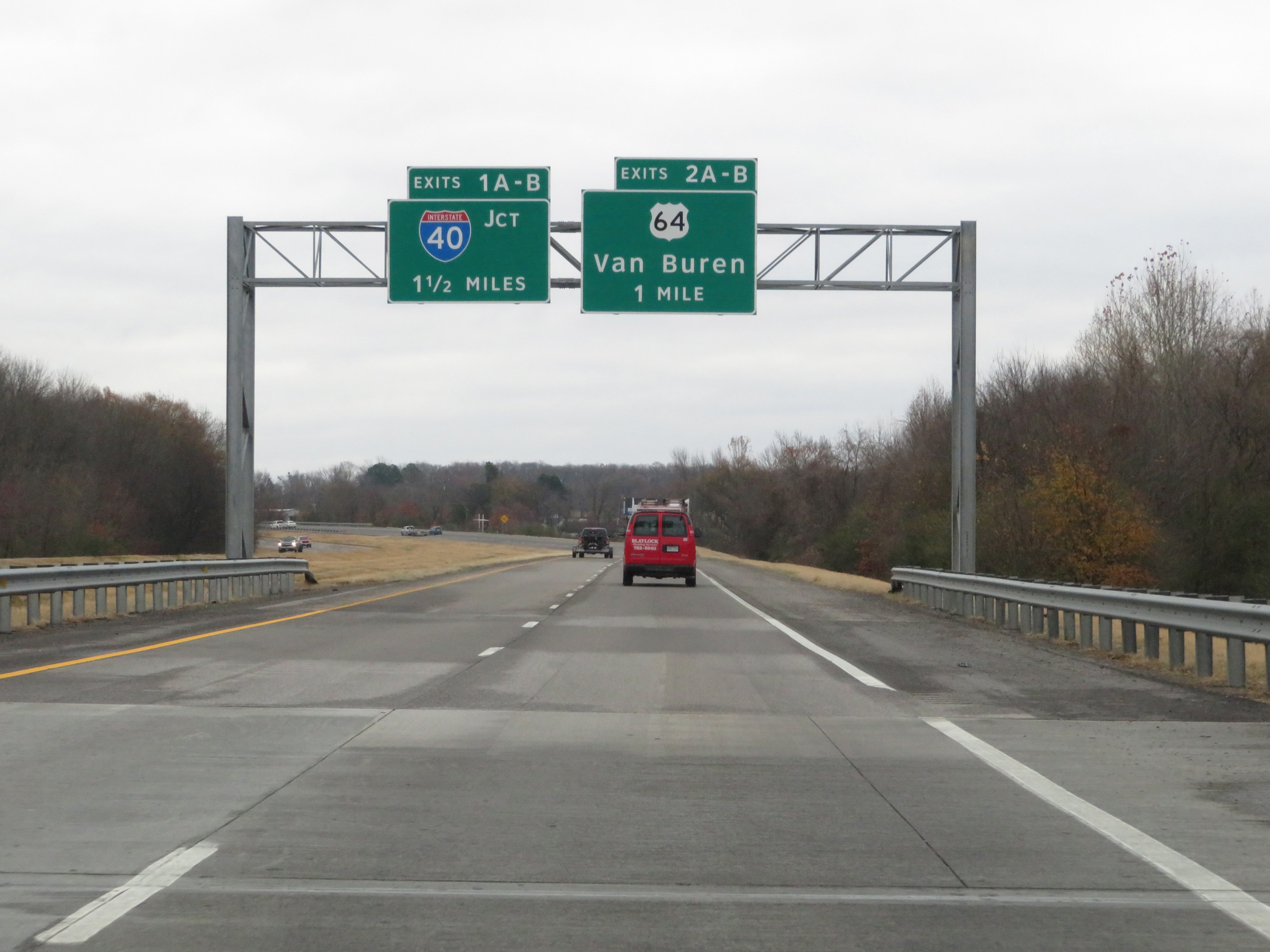 |
Interstate 540 North approaching Exits 1A-B, which will mark the northern terminus of I-540 - 1 1/2 miles. (Photo taken 12/12/20). |
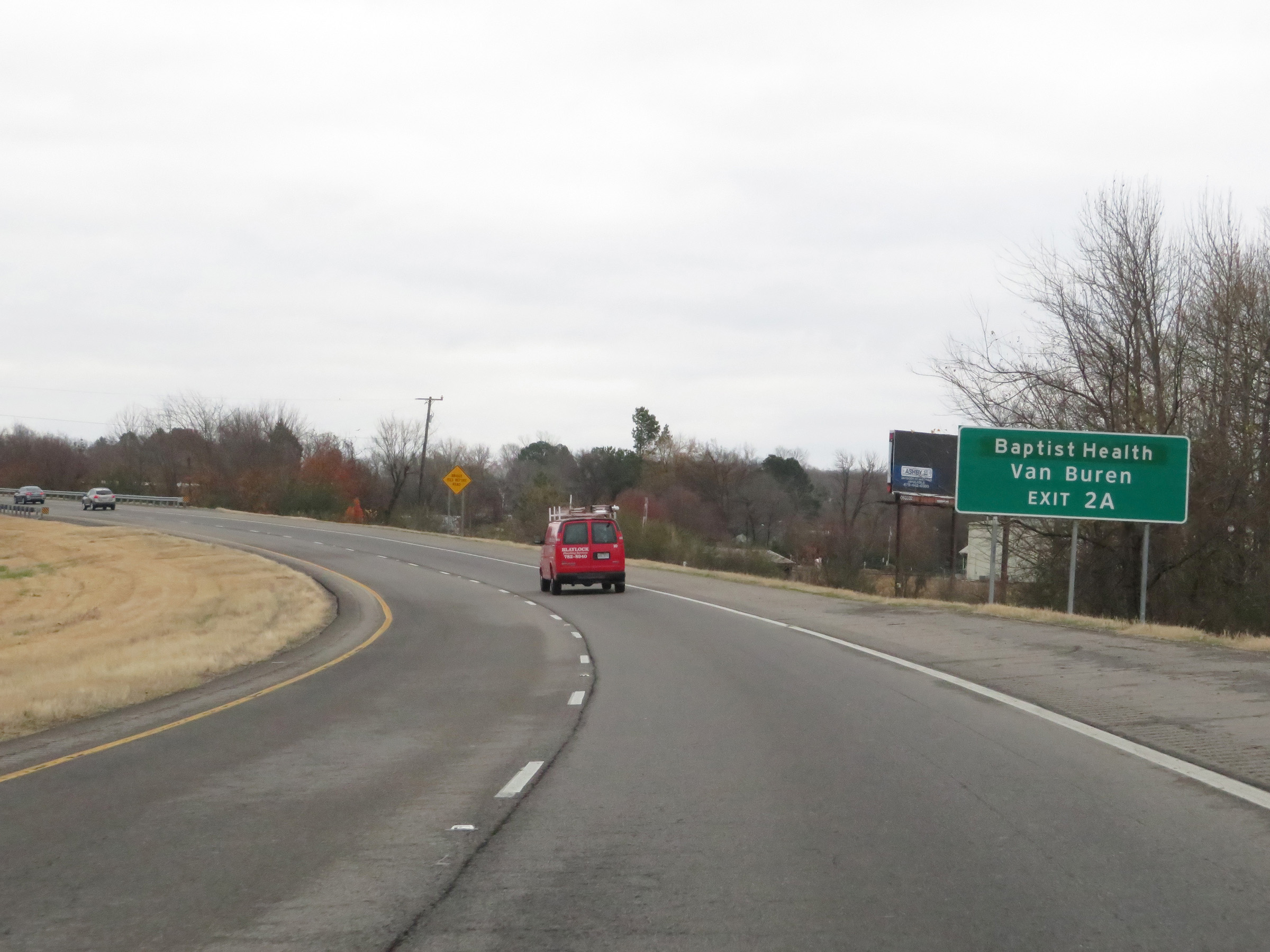 |
Take Exit 2A to Baptist Health Van Buren. (Photo taken 12/12/20). |
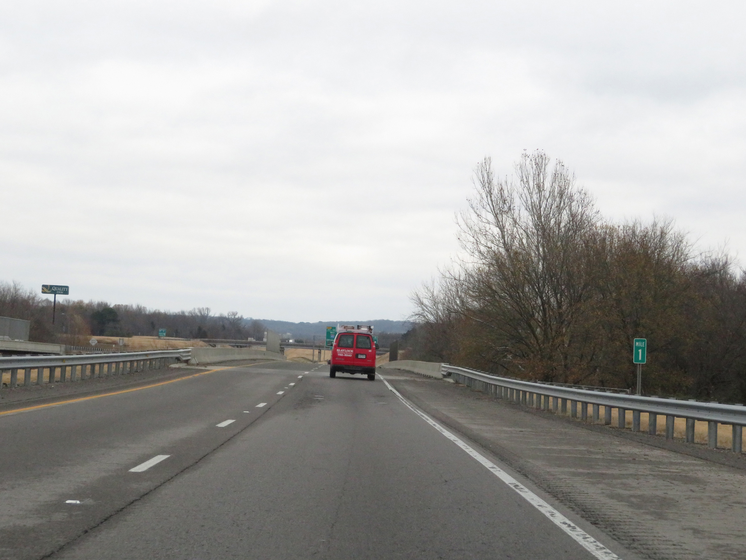 |
View on Interstate 540 North at mile marker 1. (Photo taken 12/12/20). |
 |
Interstate 540 North at Exit 2B: US 64 East (Photo taken 12/12/20). |
 |
Interstate 540 North at Exit 2A: US 64 West - Van Buren (Photo taken 12/12/20). |
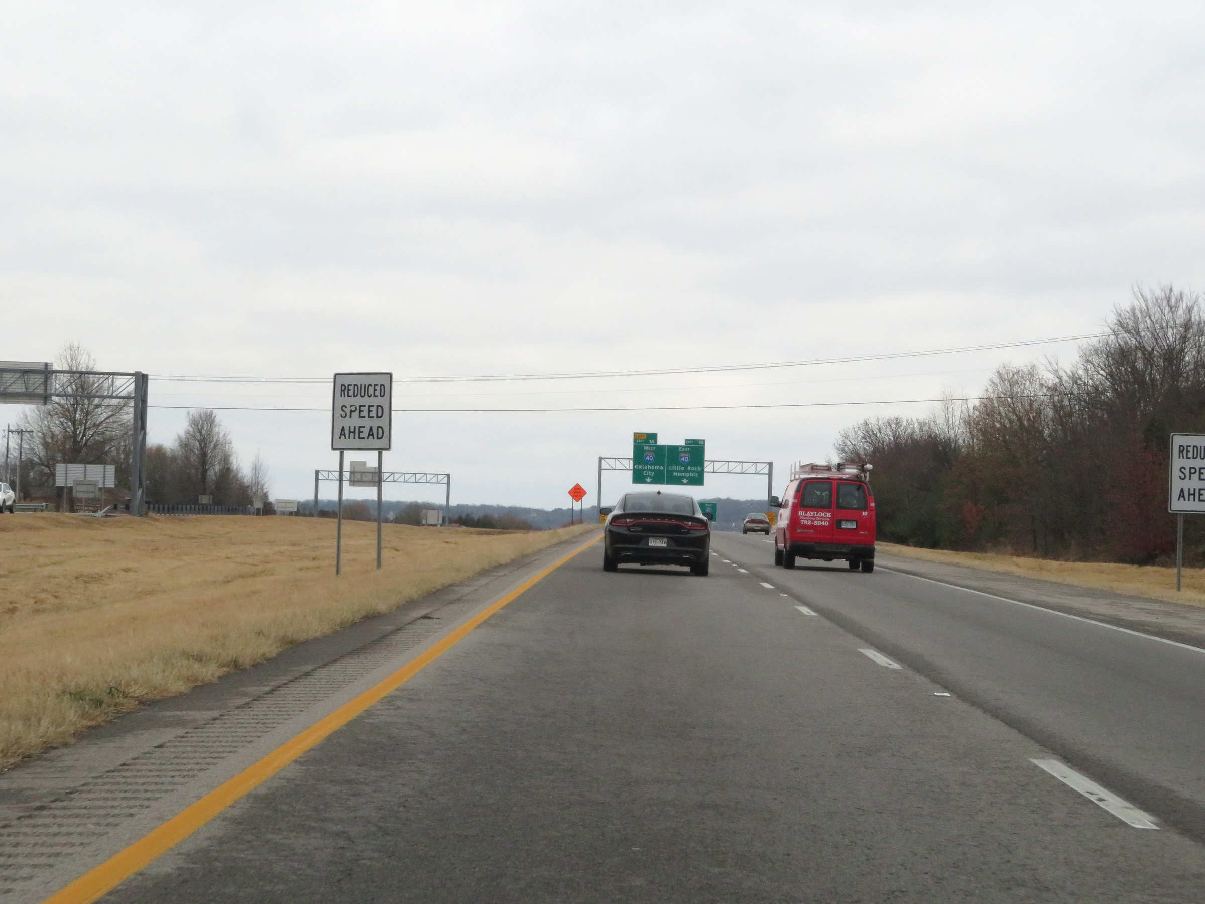 |
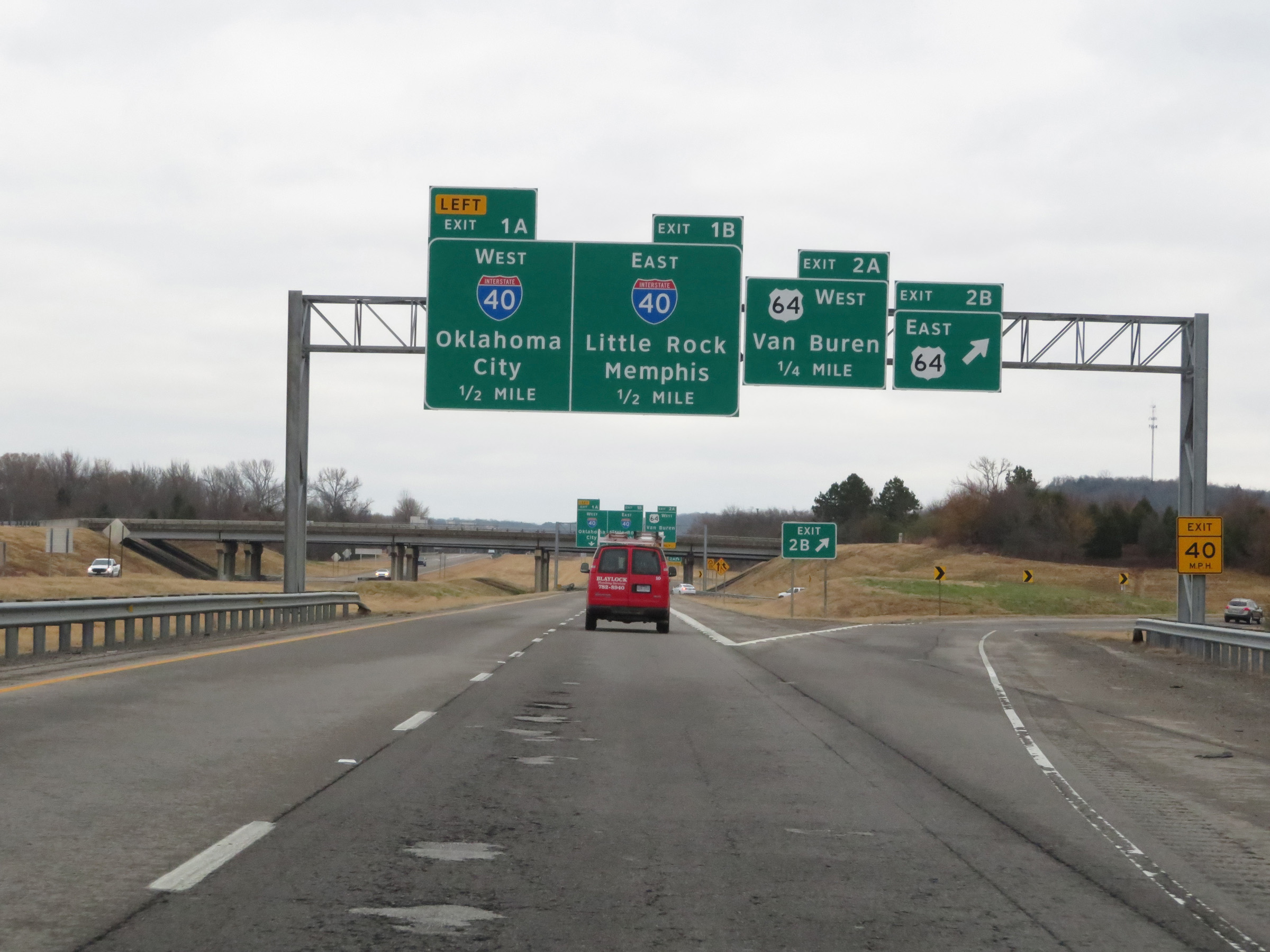
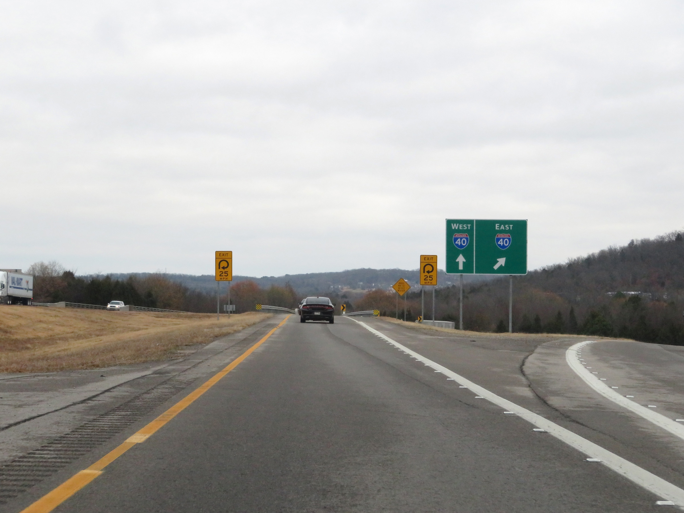
Interstate 540 North approaching its northern terminus at the junction of Interstate 40 via Exits 1A-B. I-40 East traffic should use the right lane and I-40 West traffic must use the left lane. (Photo taken 12/12/20). |
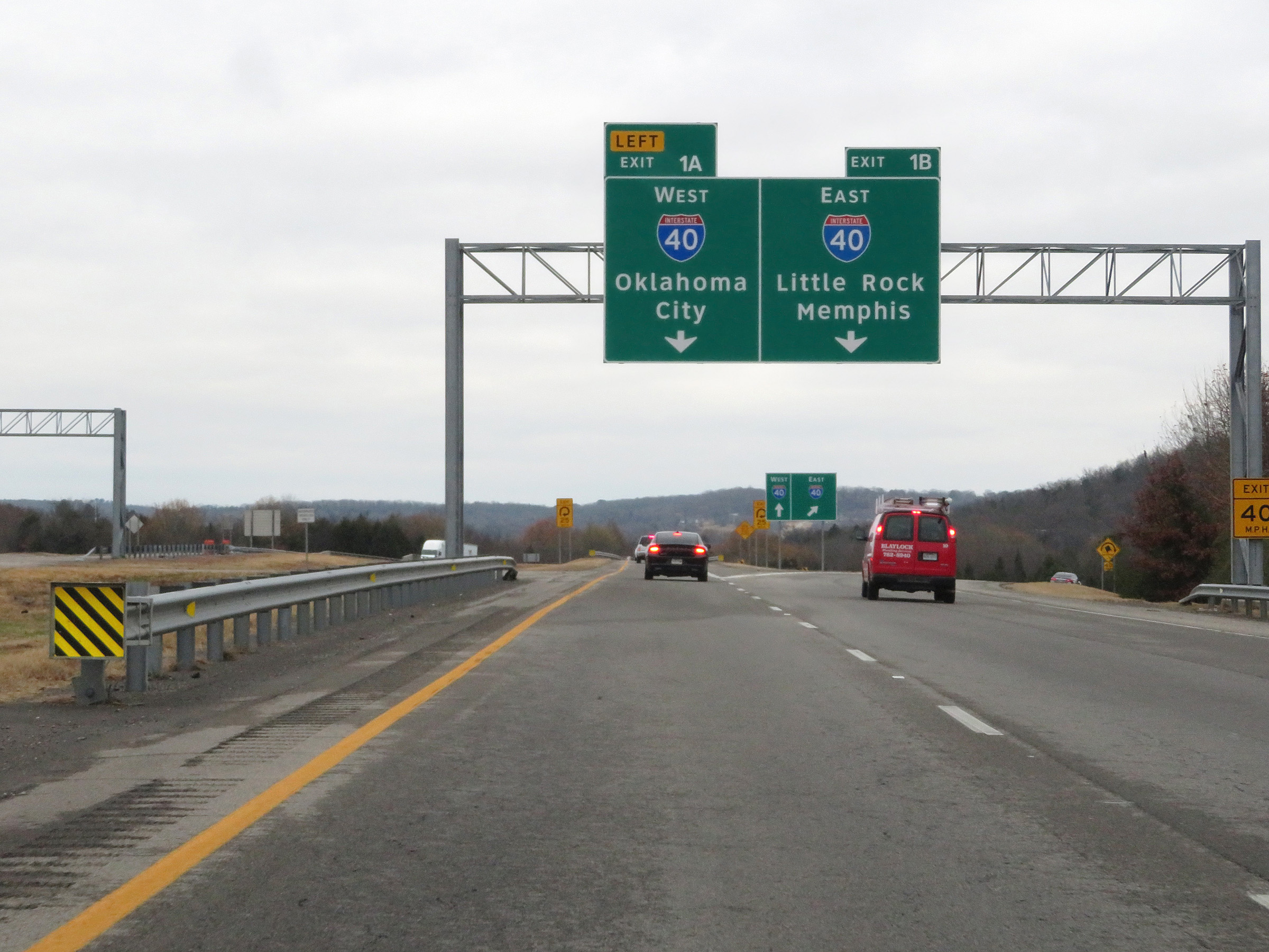 |
Interstate 540 North at Exit 1A: Interstate 40 West - Oklahoma City; Exit 1B: Interstate 40 East - Little Rock / Memphis (Photo taken 12/12/20). |
 |
Interstate 540 North at its northern terminus, as its two northbound lanes split into the ramps to Interstate 40 via Exits 1A-B. (Photo taken 12/12/20). |
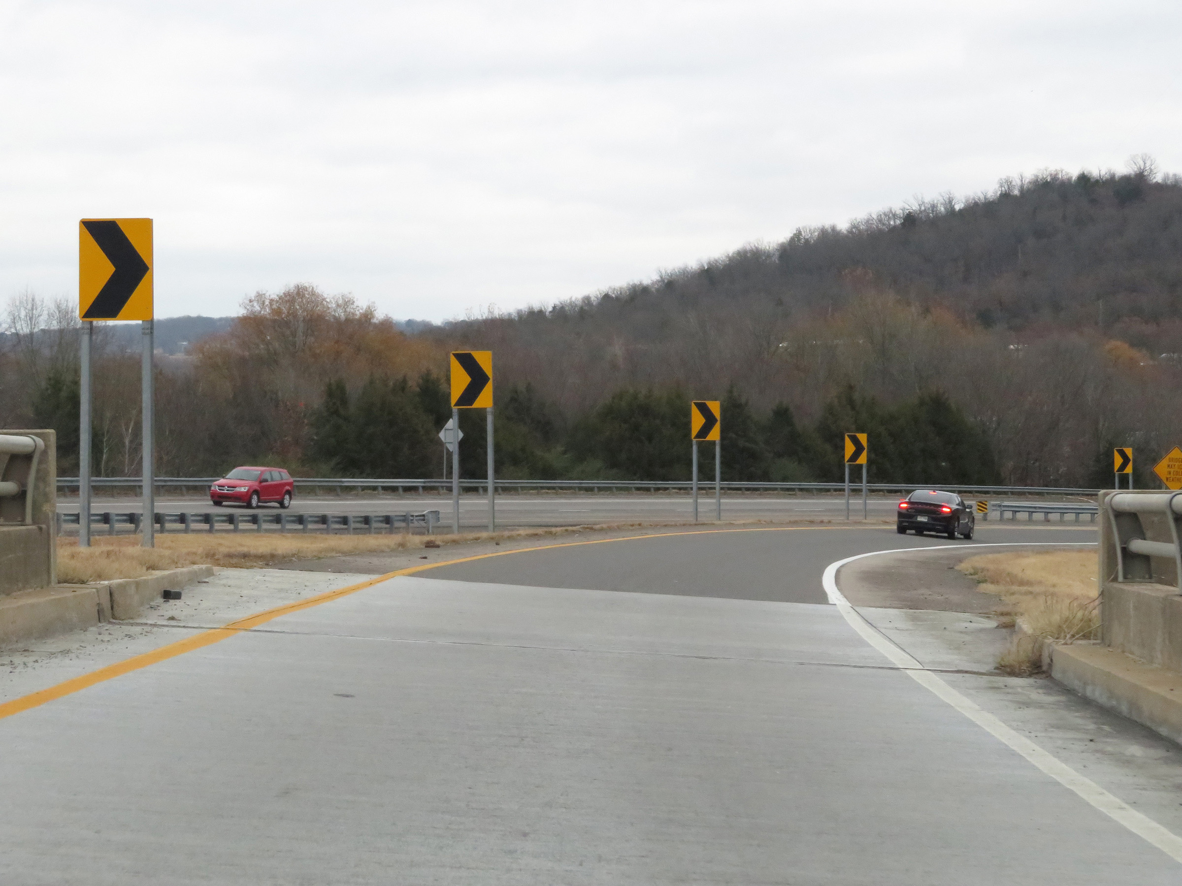 |
View on the ramp for Exit 1A to Interstate 40 West, as it begins its sharp loop. (Photo taken 12/12/20). |
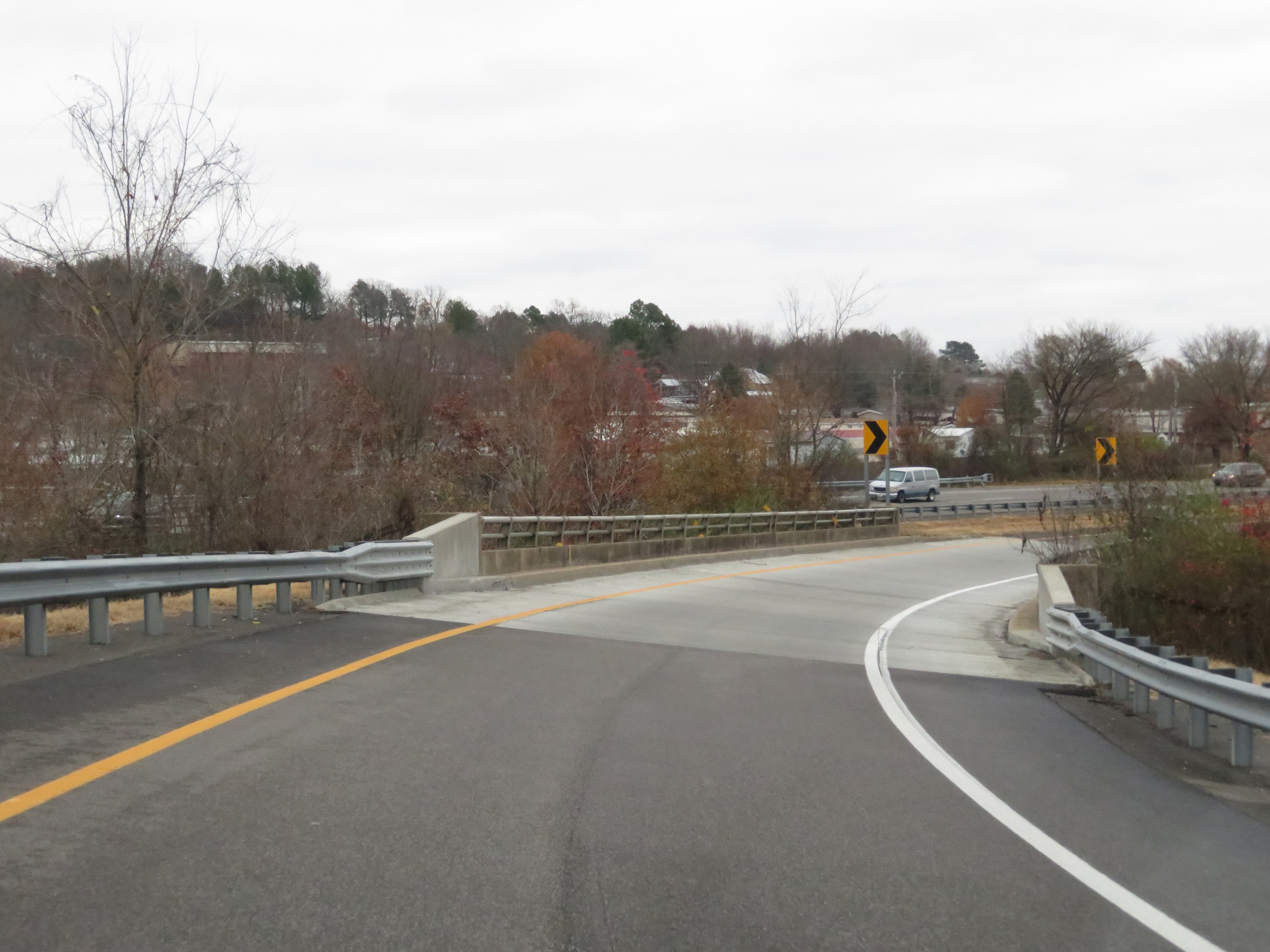 |
The ramp from Interstate 540 North to Interstate 40 West via Exit 1A as it crosses Flat Rock Creek. (Photo taken 12/12/20). |
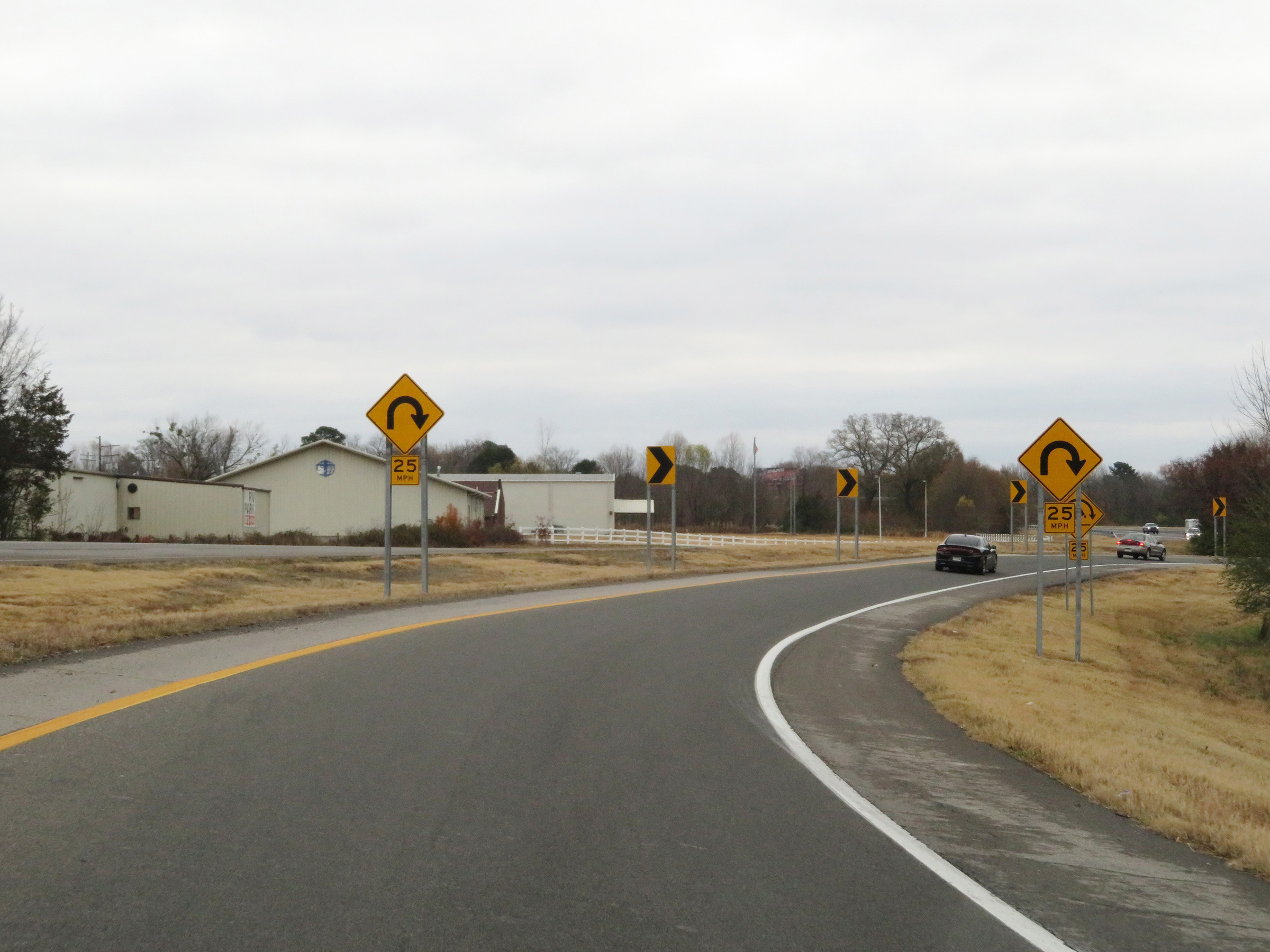 |
The curve in the loop ramp tightens up once again ahead. 25 mph is the advised speed. (Photo taken 12/12/20). |
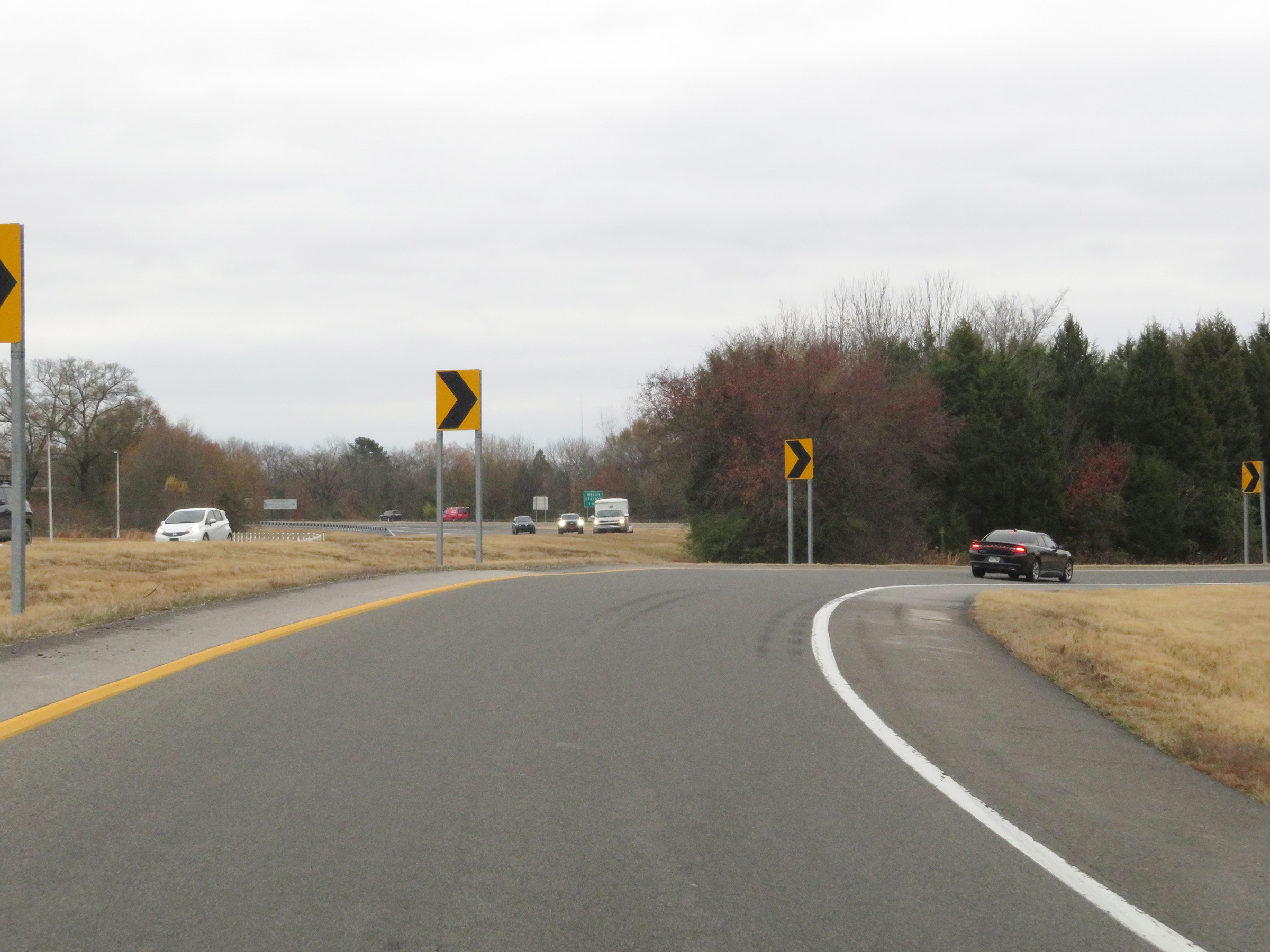 |
Entering the sharp curve mentioned above, we get a quick look at Interstate 40. (Photo taken 12/12/20). |
 |
Here, the loop ramp from Interstate 540 North to Interstate 40 West via Exit 1A merges into the westbound lanes of I-40. (Photo taken 12/12/20). |