Road Information |
||
 |
||
| Total Mileage in State: | 284 miles | |
| Eastern End: | At Tennessee state line | |
| Western End: | At Oklahoma state line | |
| Mileage covered in Photos: | 284 miles | |
| Counties covered in Photos: | Crawford, Franklin, Johnson, Pope, Conway, Faulkner, Pulaski, Lonoke, Prairie, Monroe, St. Francis, Crittenden | |
| Major Junctions in Photos: | I-540, in Van Buren I-49, in Alma I-430, in North Little Rock I-30, in North Little Rock I-440, in North Little Rock I-55, in West Memphis |
|
| Control Cities in Photos: | Van Buren, Clarksville, Russellville, Conway, North Little Rock, Little Rock, Forrest City, West Memphis | |
Eastbound
- Section 1: Oklahoma Border to Clarksville (Exit 55)
- Section 2: Clarksville (Exit 55) to Conway (Exit 124)
- Section 3: Conway (Exit 124) to North Little Rock (Exit 157)
- Section 4: North Little Rock (Exit 157) to Forrest City (Exit 239)
- Section 5: Forrest City (Exit 239) to Tennessee Border
Section 1: Oklahoma Border to Clarksville (Exit 55)
 |
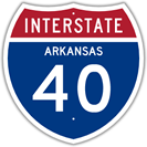
Arkansas welcome sign on Interstate 40 East as it enters the Natural State from Oklahoma. (Photo taken 12/12/20). |
 |
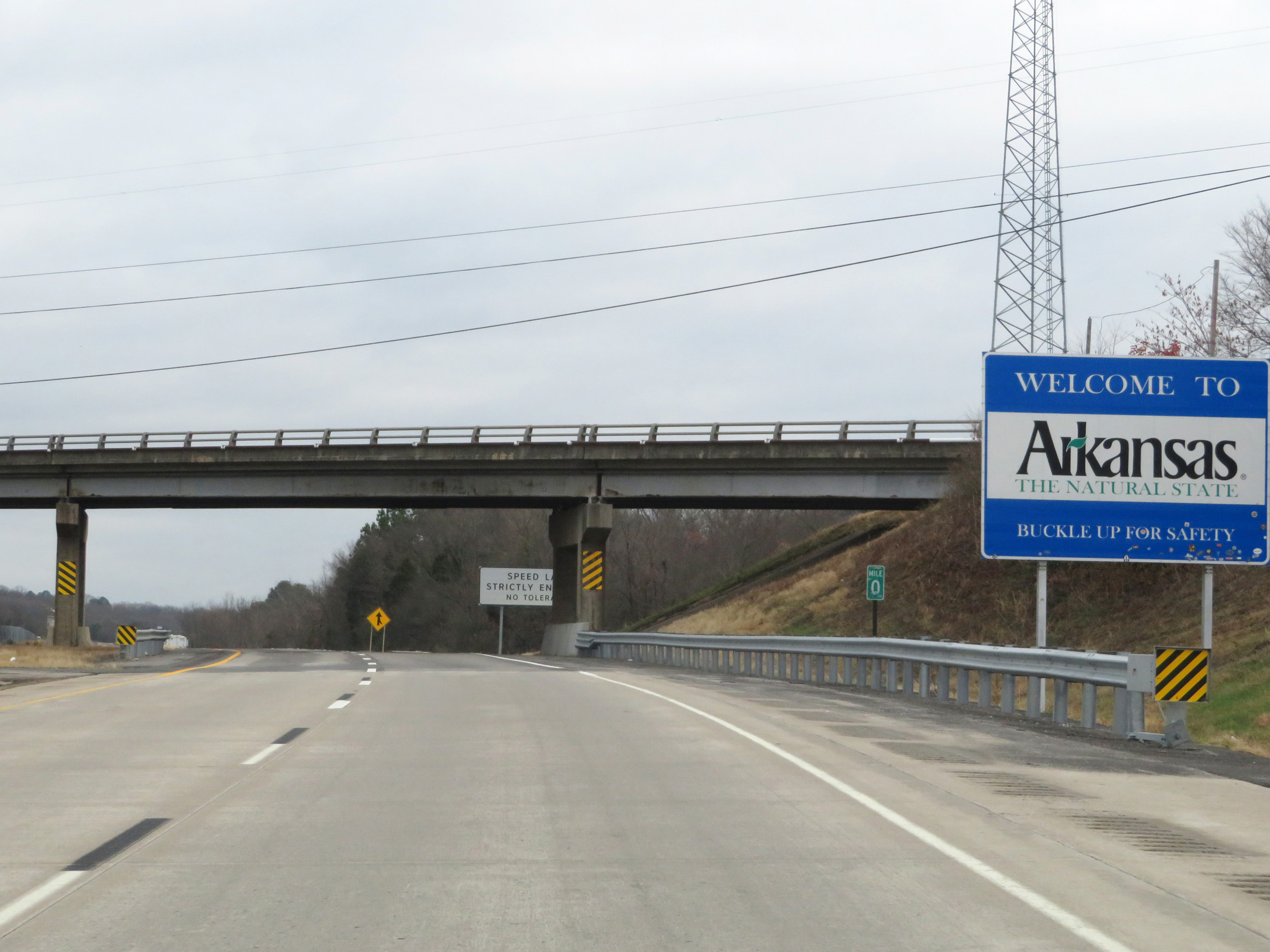
Interstate 40 East reassurance shield upon entering Arkansas. (Photo taken 12/12/20). |
 |
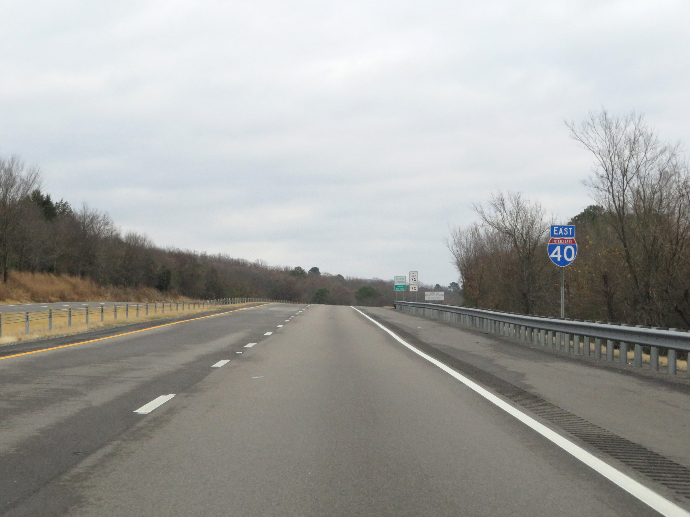
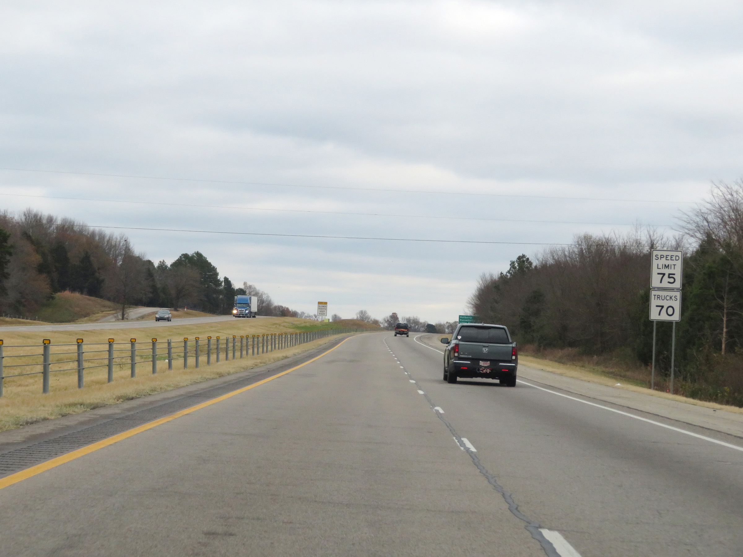
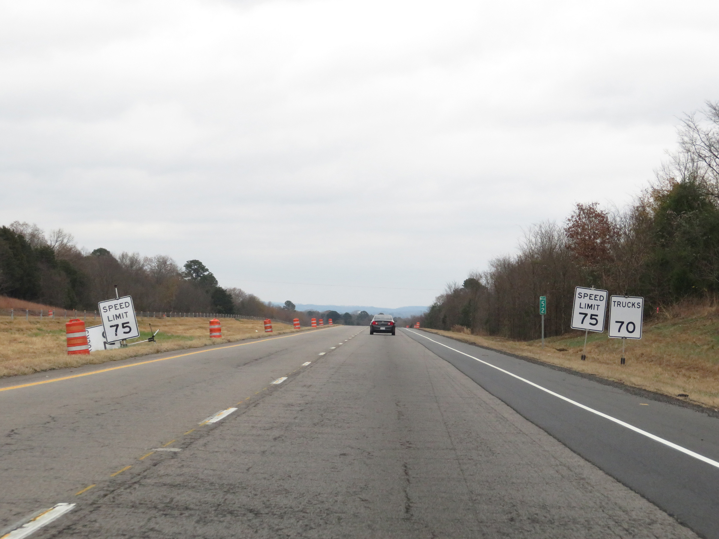
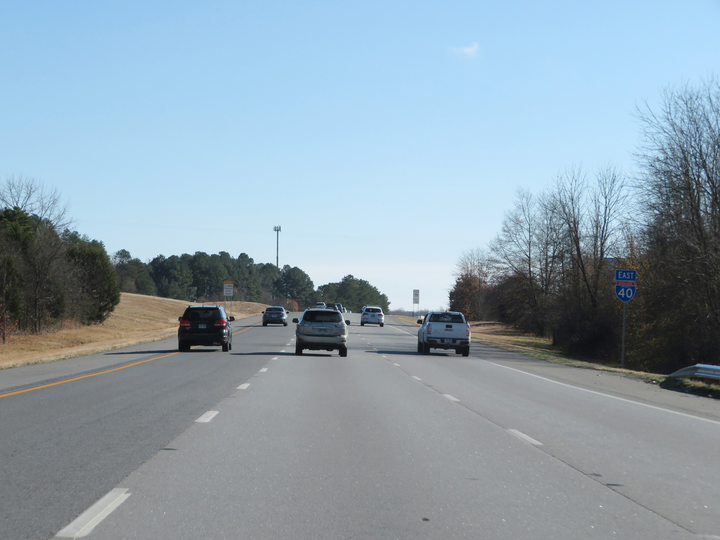
The speed limits on Interstate 40 East in Arkansas start out at 75 mph for automobiles and 70 mph for trucks. These are the standard speed limits on most rural Interstate highways in Arkansas. (Photo taken 12/12/20). |
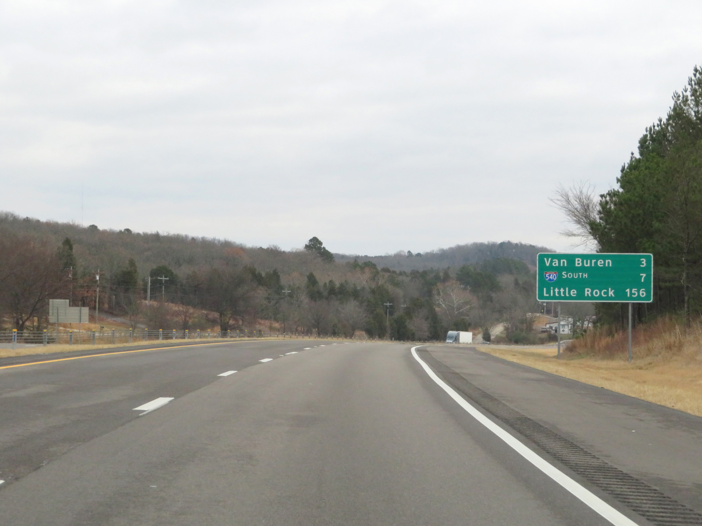 |
Mileage sign on Interstate 40 East. It's 3 miles to Van Buren, 7 miles to the junction of Interstate 540 South, and 156 miles to Little Rock. (Photo taken 12/12/20). |
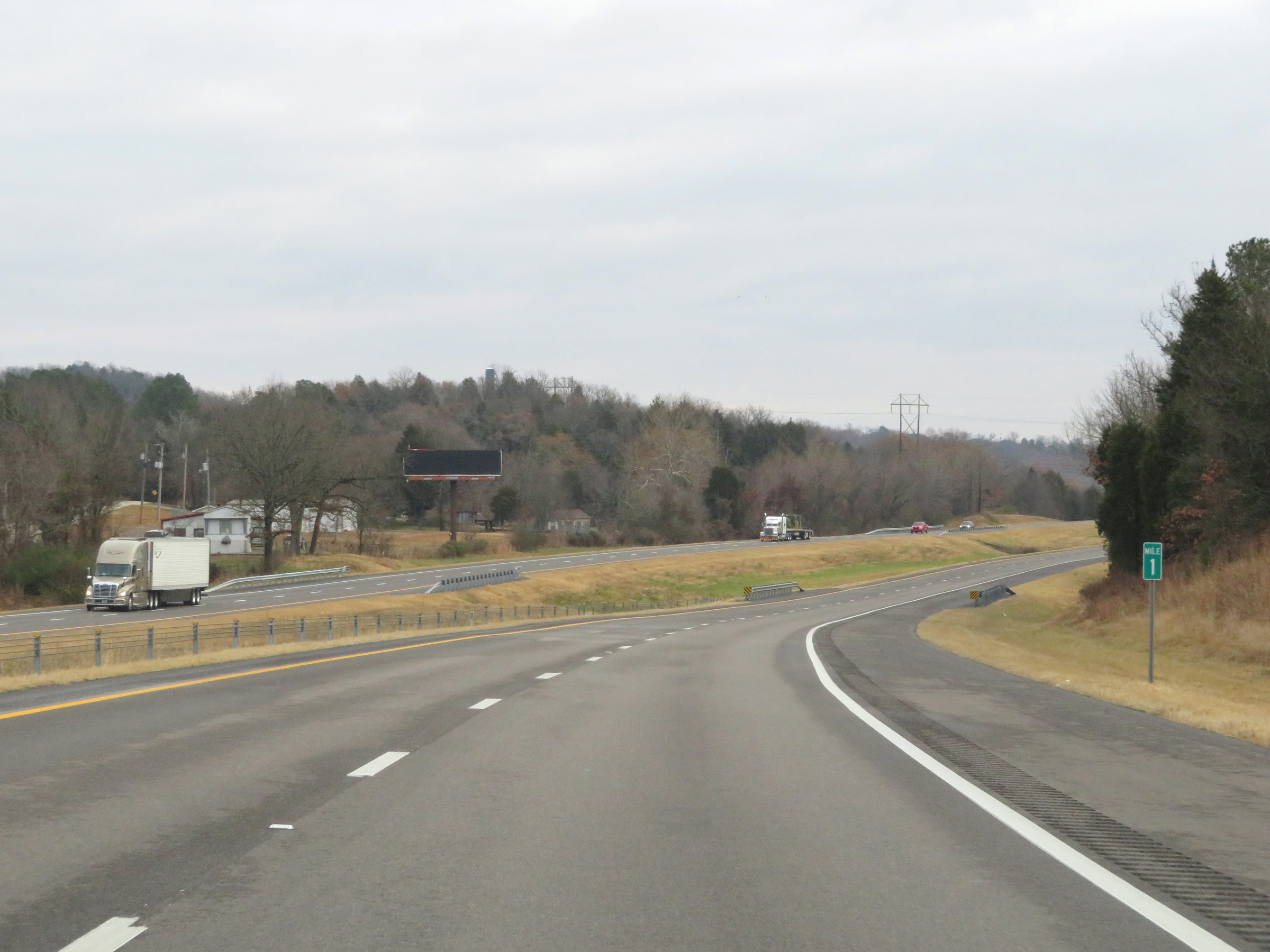 |
View on Interstate 40 East at mile marker 1. (Photo taken 12/12/20). |
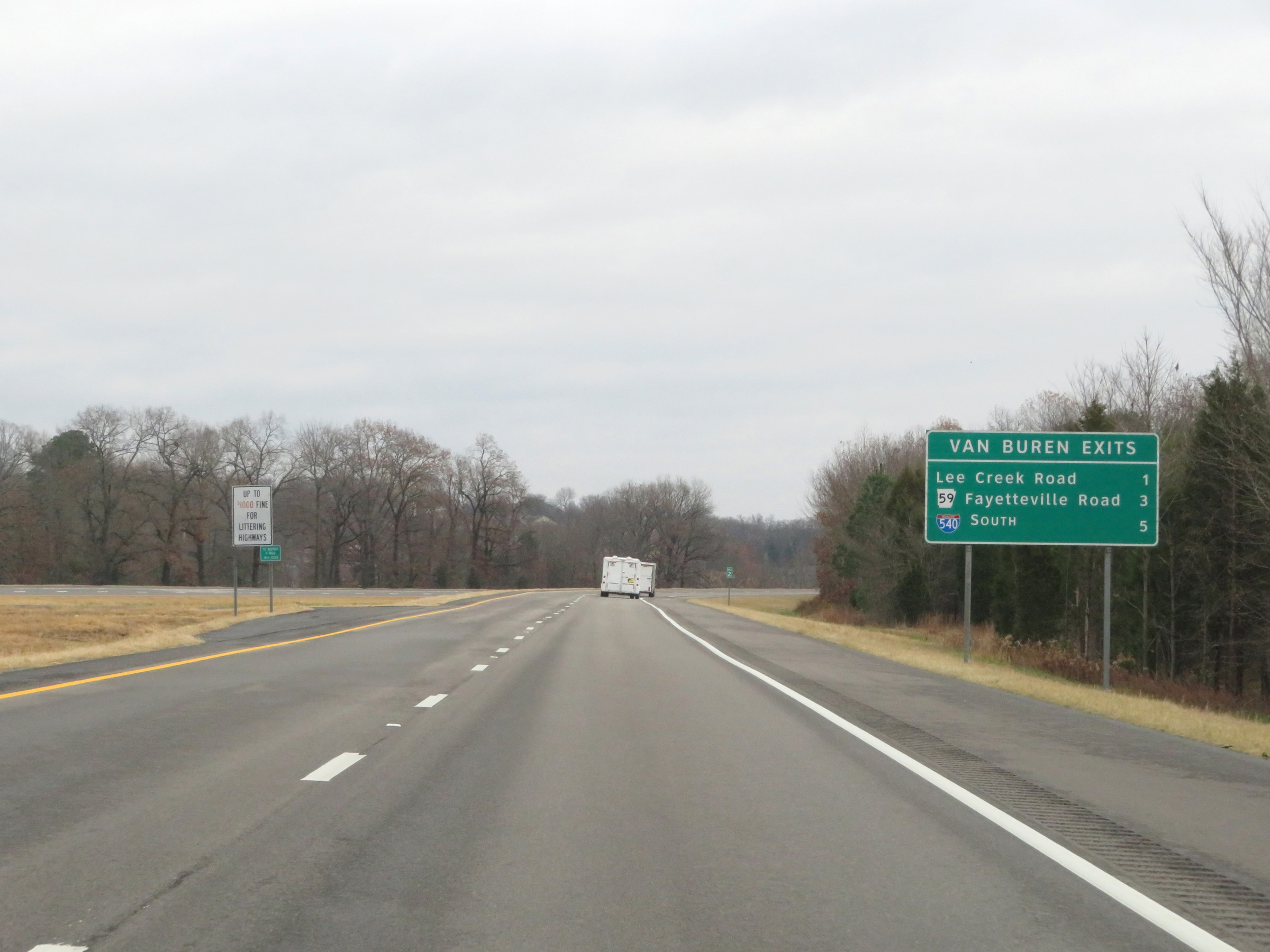 |
Sign listing the distances to the three upcoming exits on Interstate 40 East, all of which can be used to get to Van Buren. (Photo taken 12/12/20). |
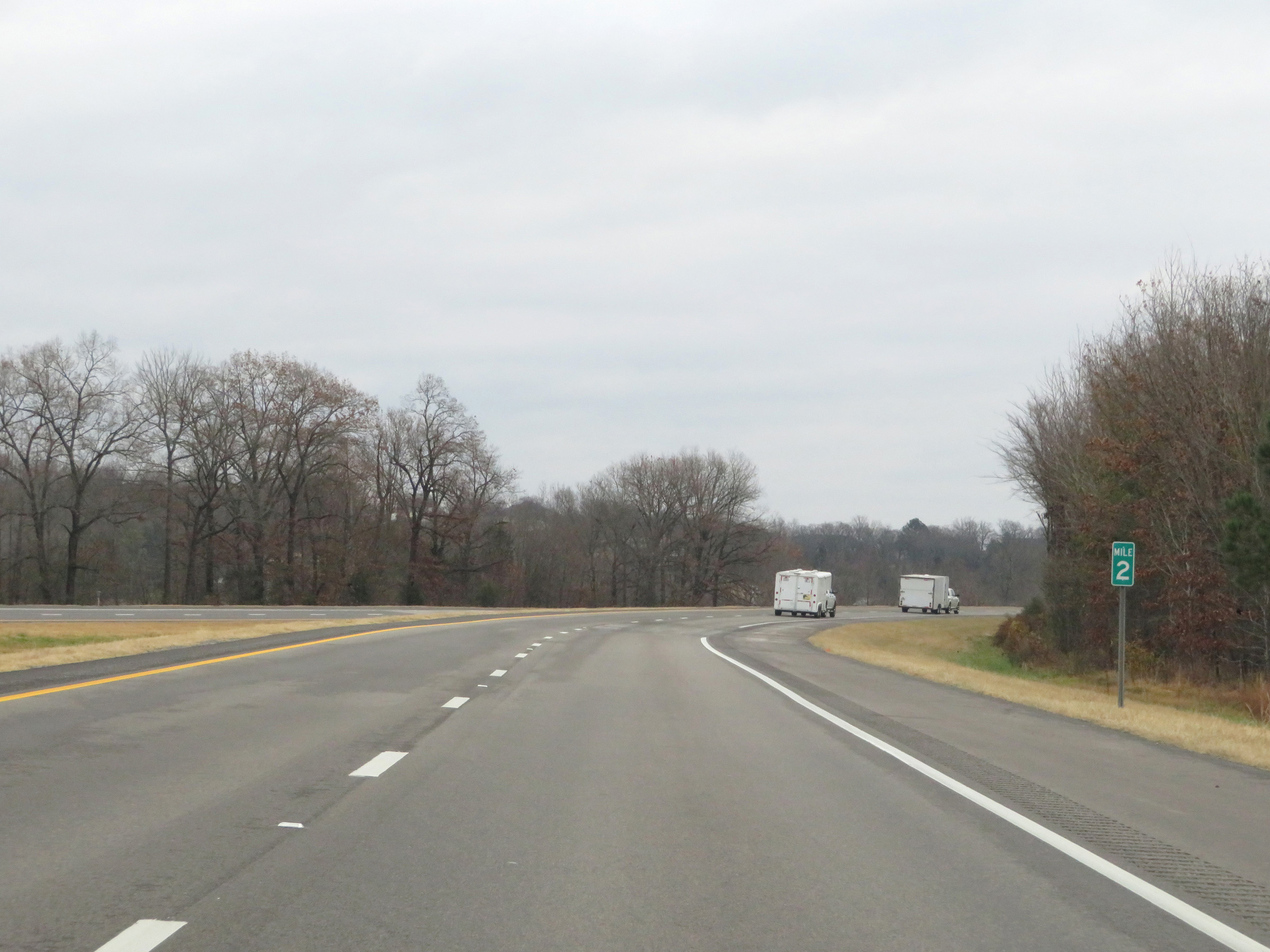 |
Interstate 40 East at mile marker 2. (Photo taken 12/12/20). |
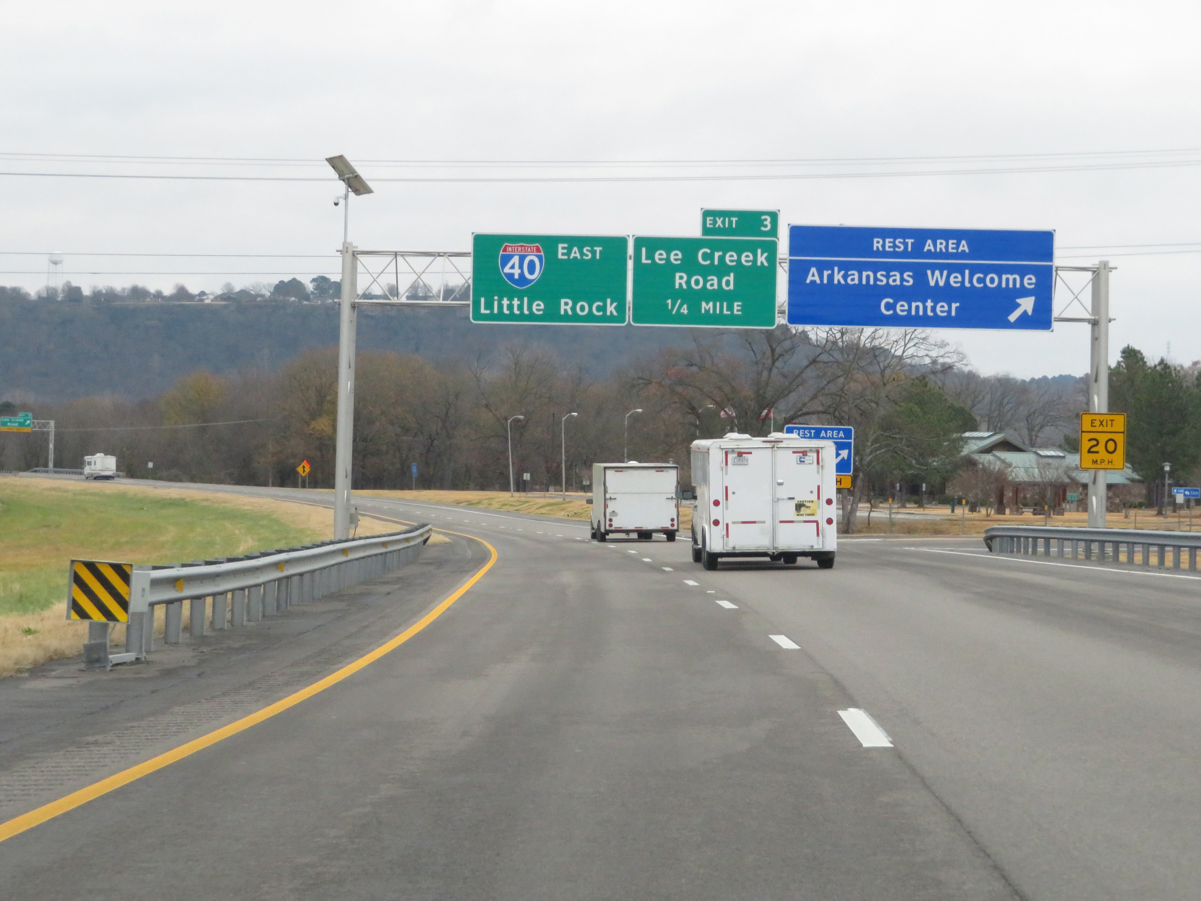 |
Rest Area / Arkansas Welcome Center on Interstate 40 East in Van Buren, Crawford County. (Photo taken 12/12/20). |
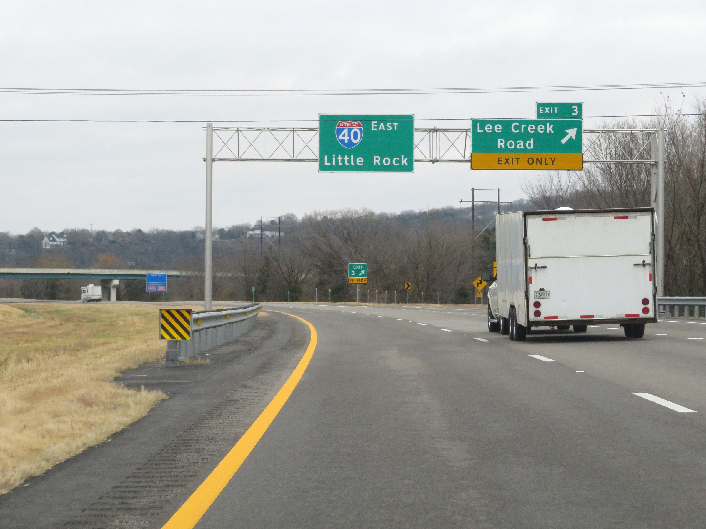 |
Interstate 40 East at Exit 3: Lee Creek Road (Photo taken 12/12/20). |
 |
View on Interstate 40 East at mile marker 4. (Photo taken 12/12/20). |
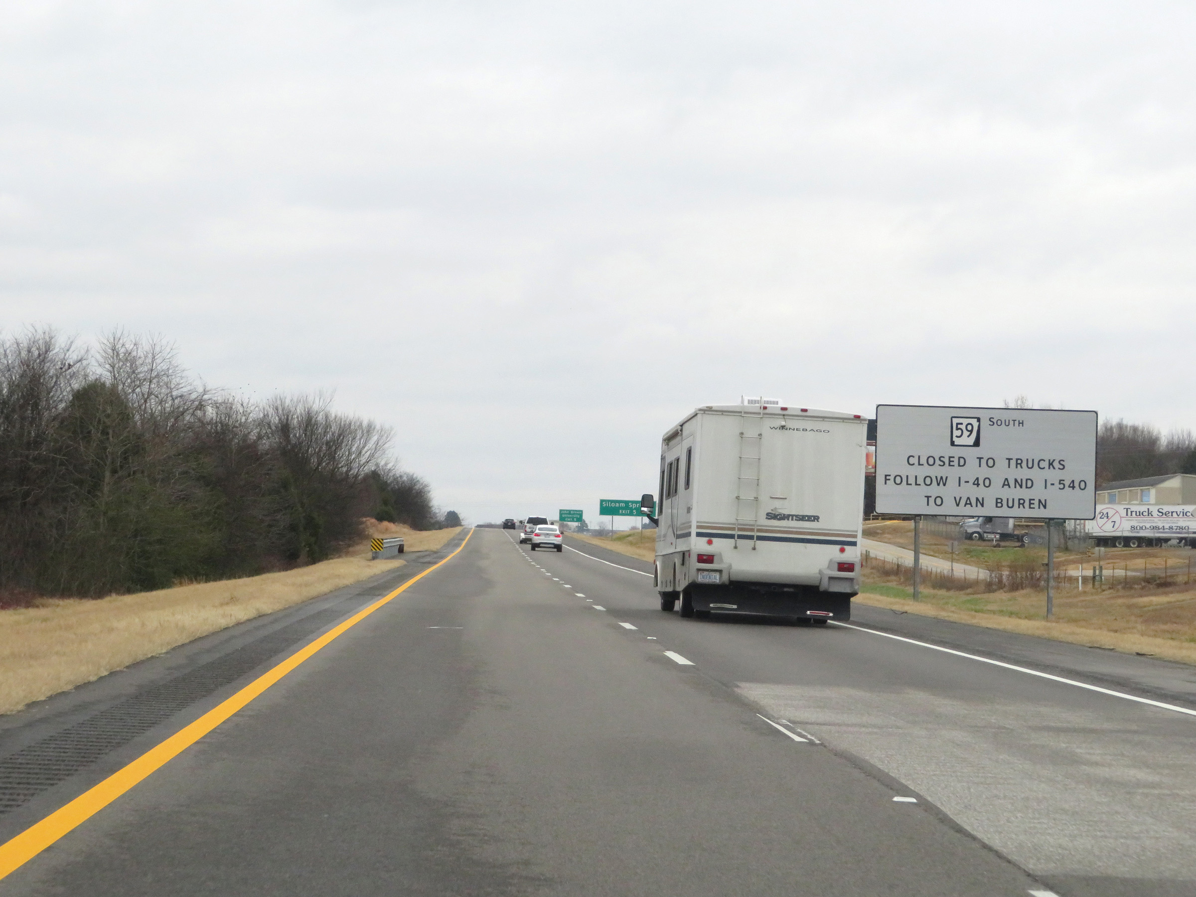 |
As this sign warns, trucks are prohibited on AR 59 South. The alternate route is to take Interstate 40 East to Interstate 540 South via Exit 7. (Photo taken 12/12/20). |
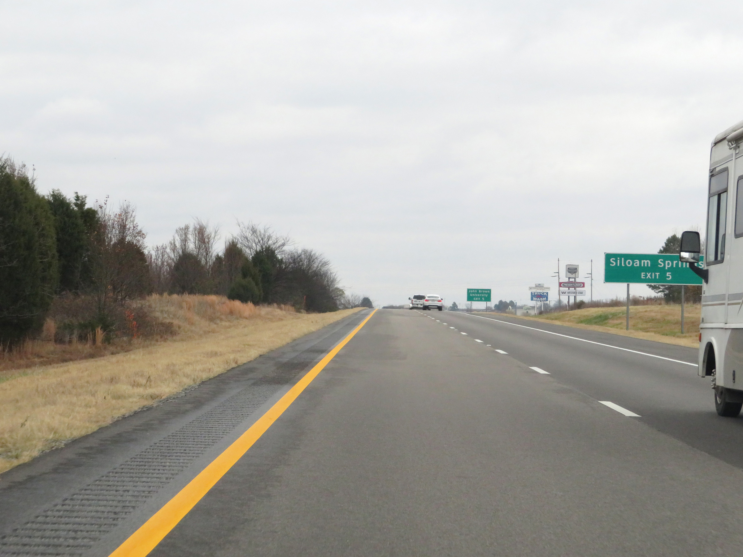 |
Take Exit 5 to Siloam Springs. (Photo taken 12/12/20). |
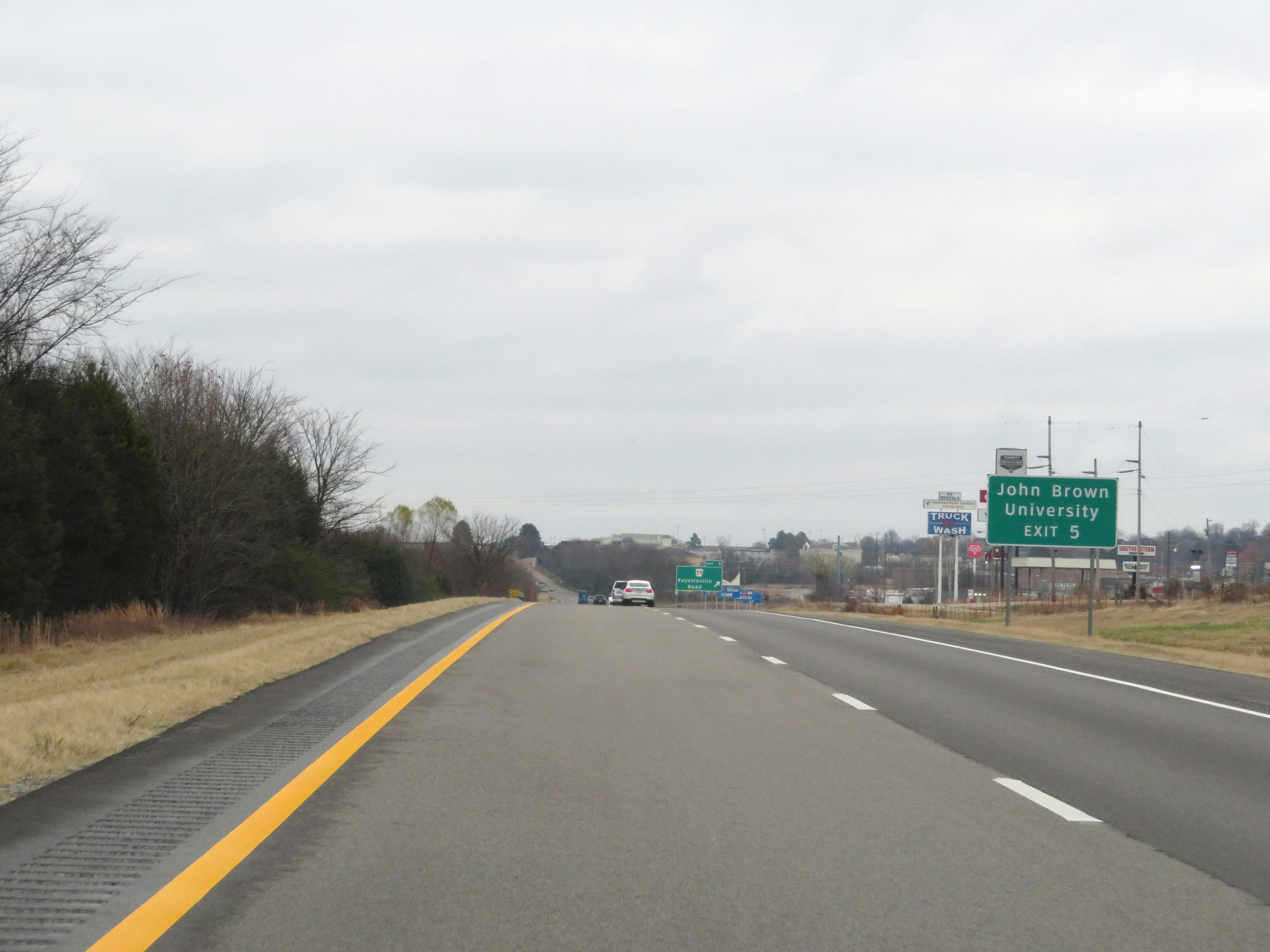 |
Also take Exit 5 to John Brown University. (Photo taken 12/12/20). |
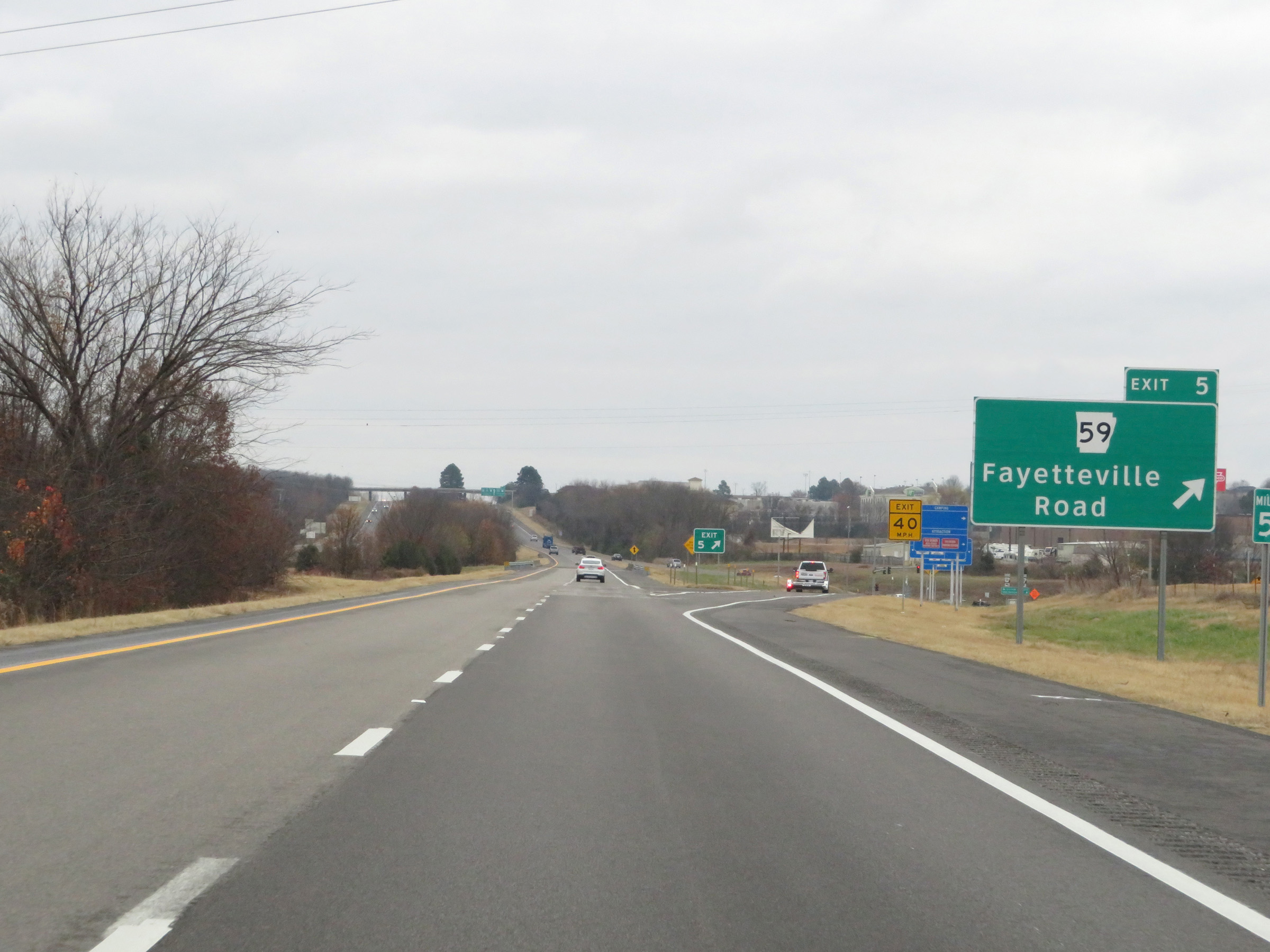 |
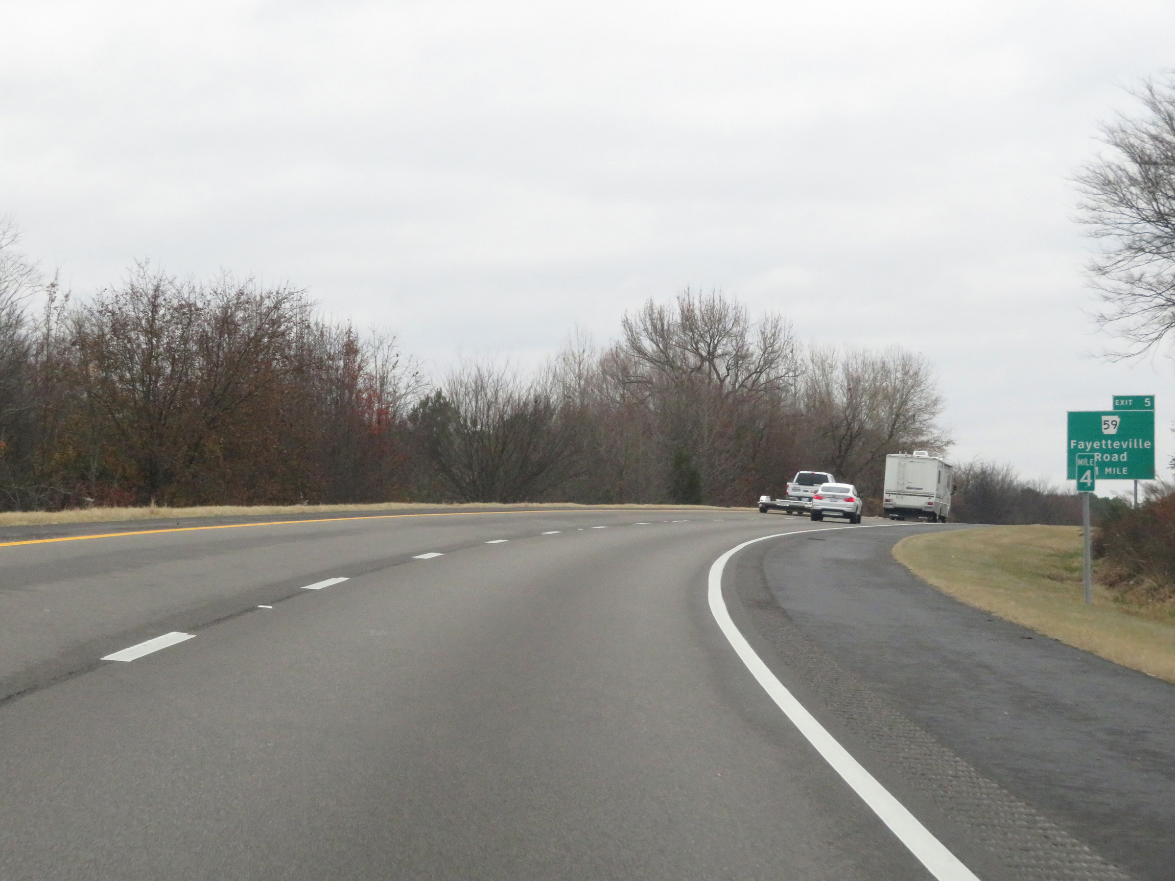
Interstate 40 East at Exit 5: AR 59 - Fayetteville Road (Photo taken 12/12/20). |
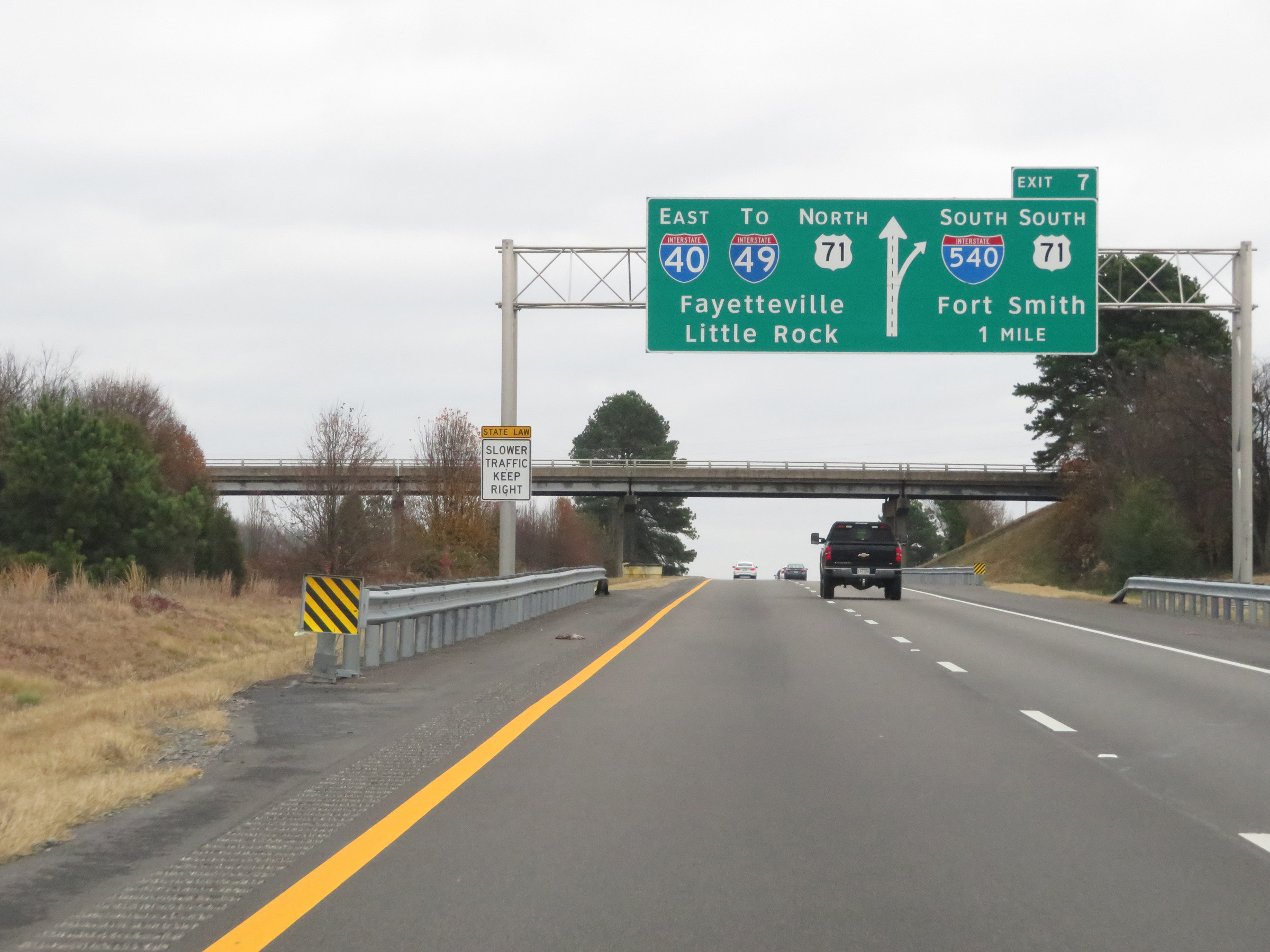 |
Interstate 40 East approaching Exit 7 - 1 mile. (Photo taken 12/12/20). |
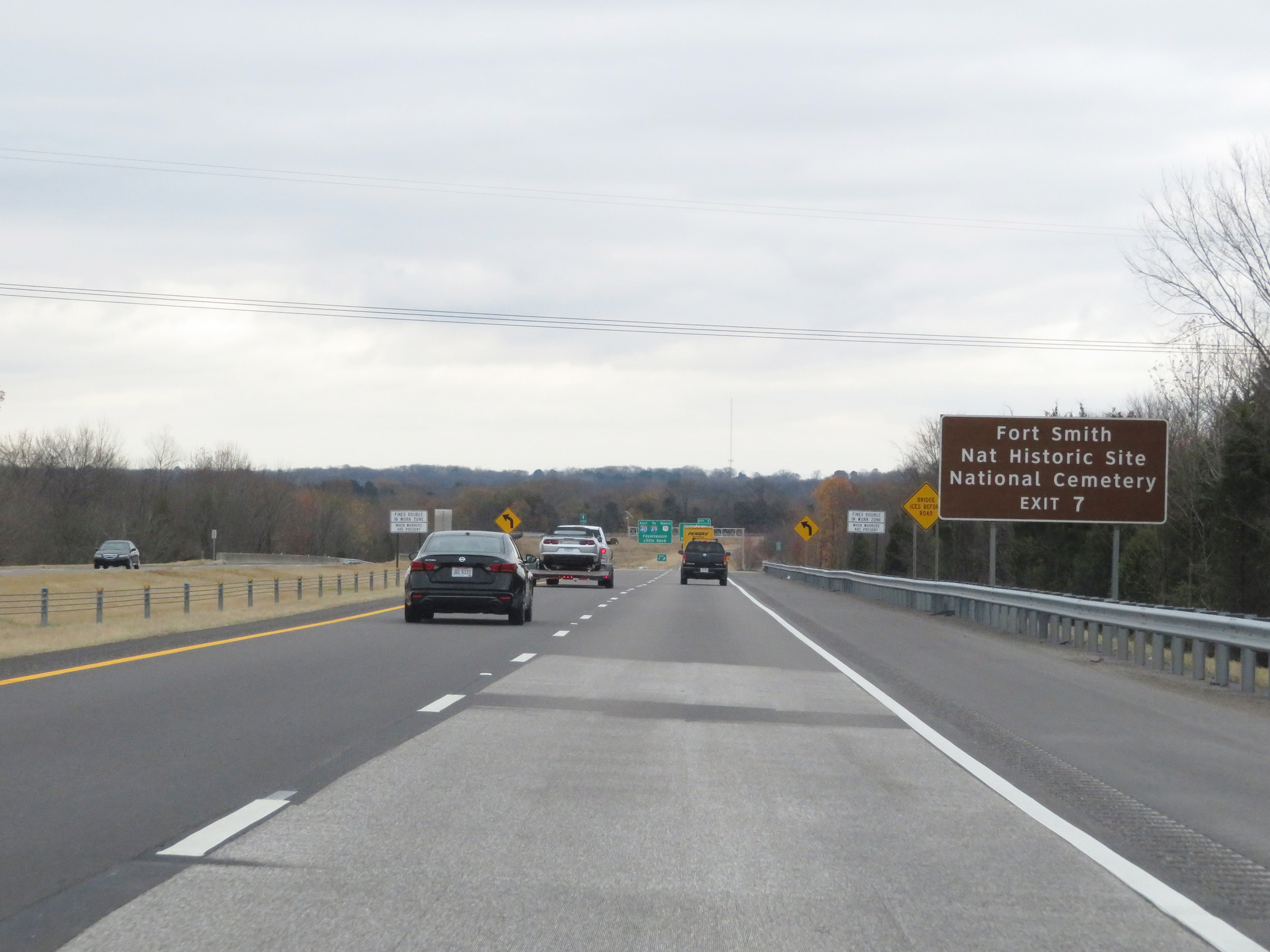 |
Take Exit 7 (Interstate 540 South) to Fort Smith National Historic Site and Fort Smith National Cemetery. (Photo taken 12/12/20). |
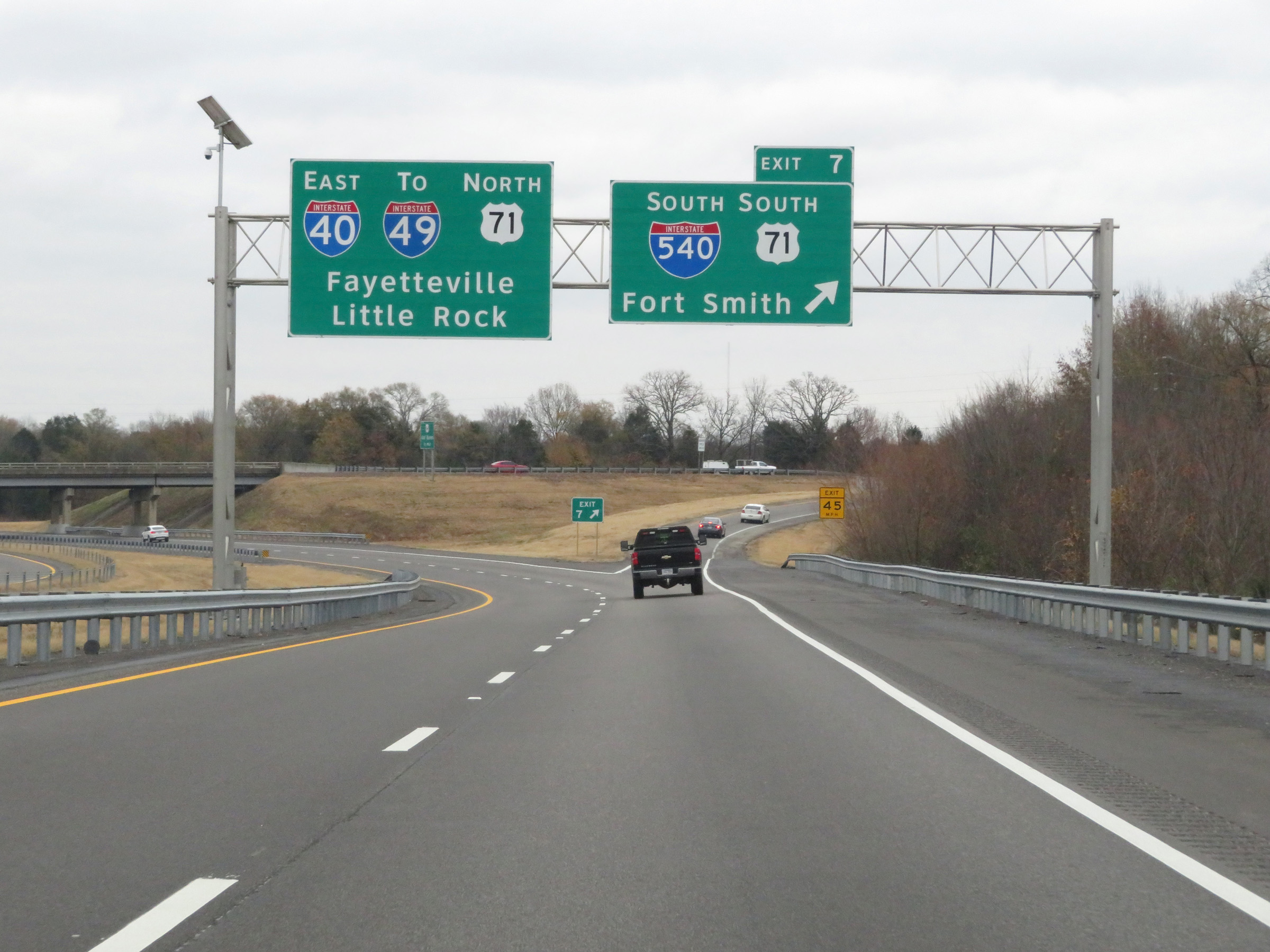 |
Interstate 40 East at Exit 7: Interstate 540 South / US 71 South - Fort Smith (Photo taken 12/12/20). |
 |
Interstate 40 East as it passes under the ramps to and from Interstate 540. (Photo taken 12/12/20). |
 |
Weigh Station on Interstate 40 East in Crawford County. (Photo taken 12/12/20). |
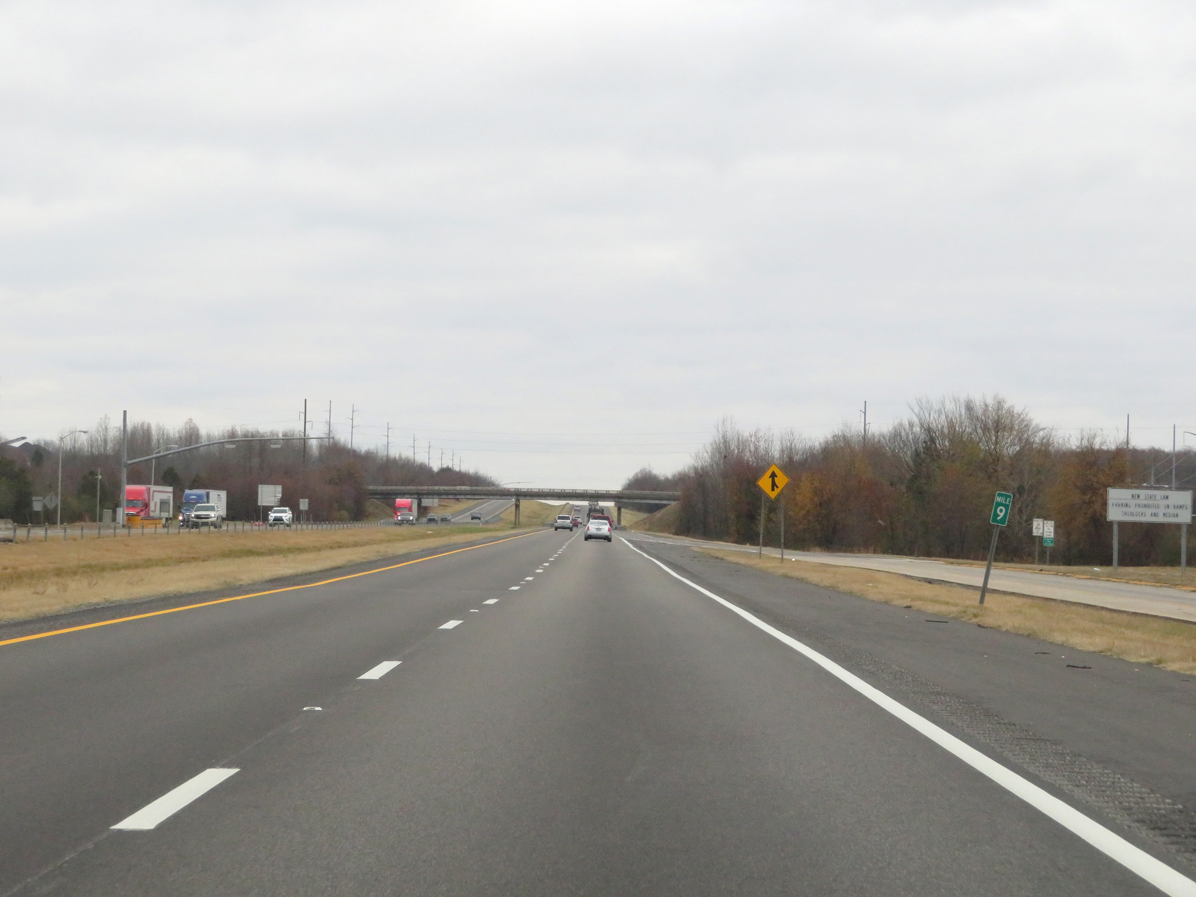 |
View on Interstate 40 East at mile marker 9. (Photo taken 12/12/20). |
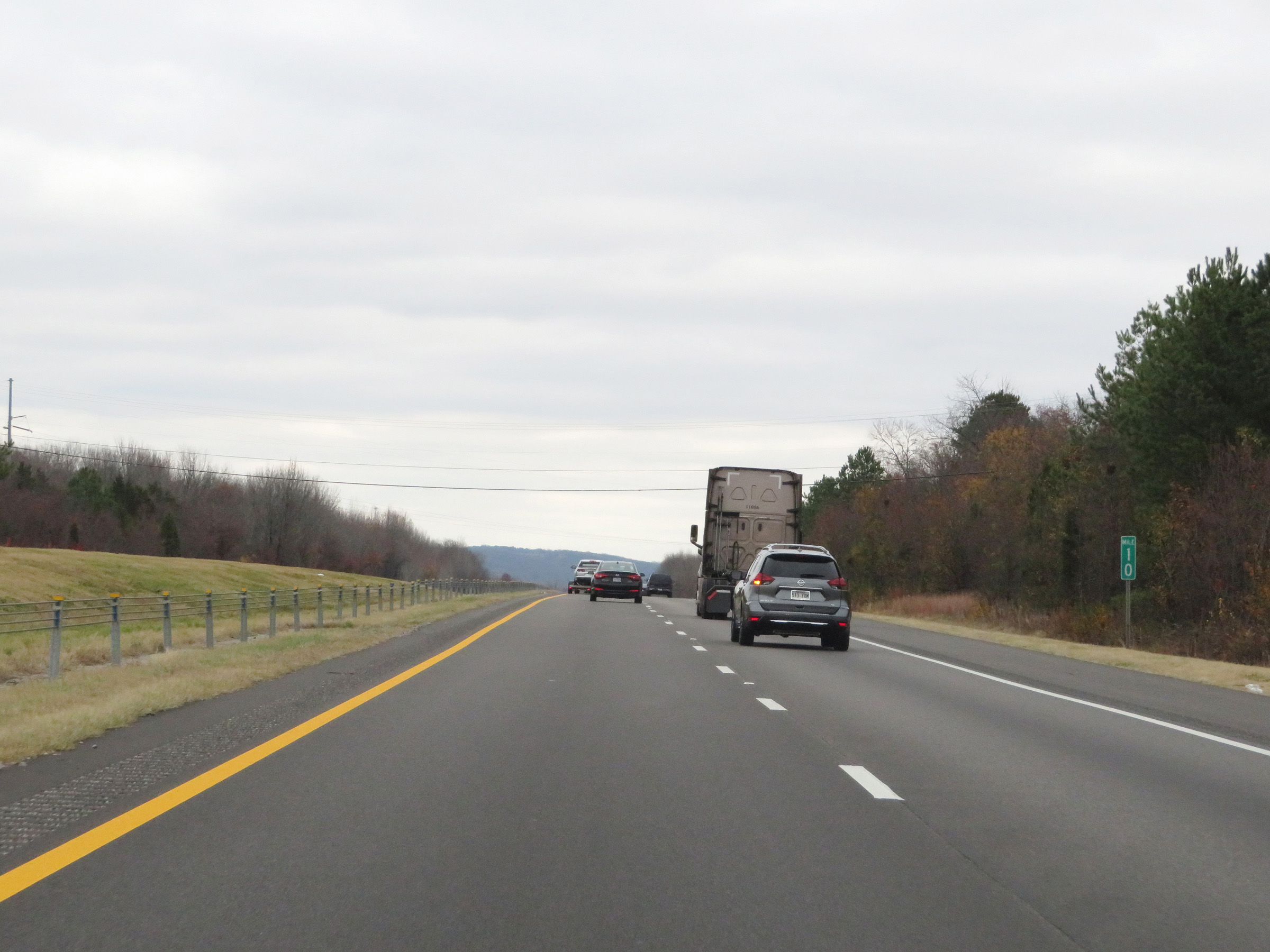 |
Mile marker 10 on Interstate 40 East in Crawford County. (Photo taken 12/12/20). |
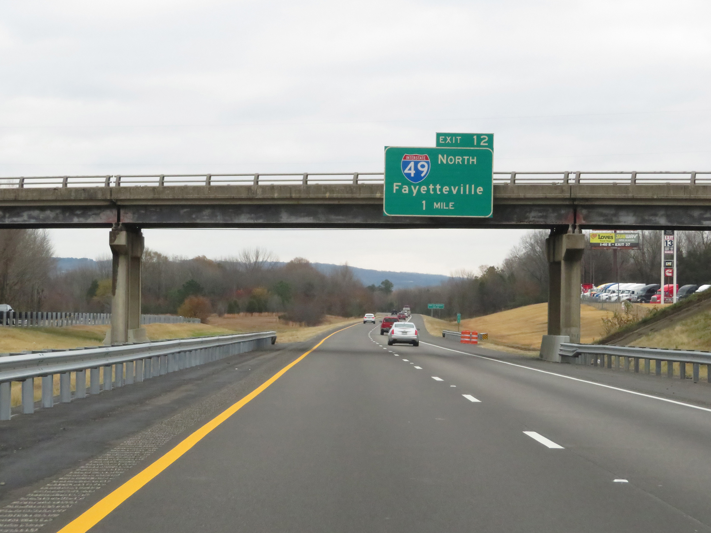 |
Interstate 40 East approaching Exit 12 - 1 mile. (Photo taken 12/12/20). |
 |
Take Exit 12 (Interstate 49 North) to the University of Arkansas. (Photo taken 12/12/20). |
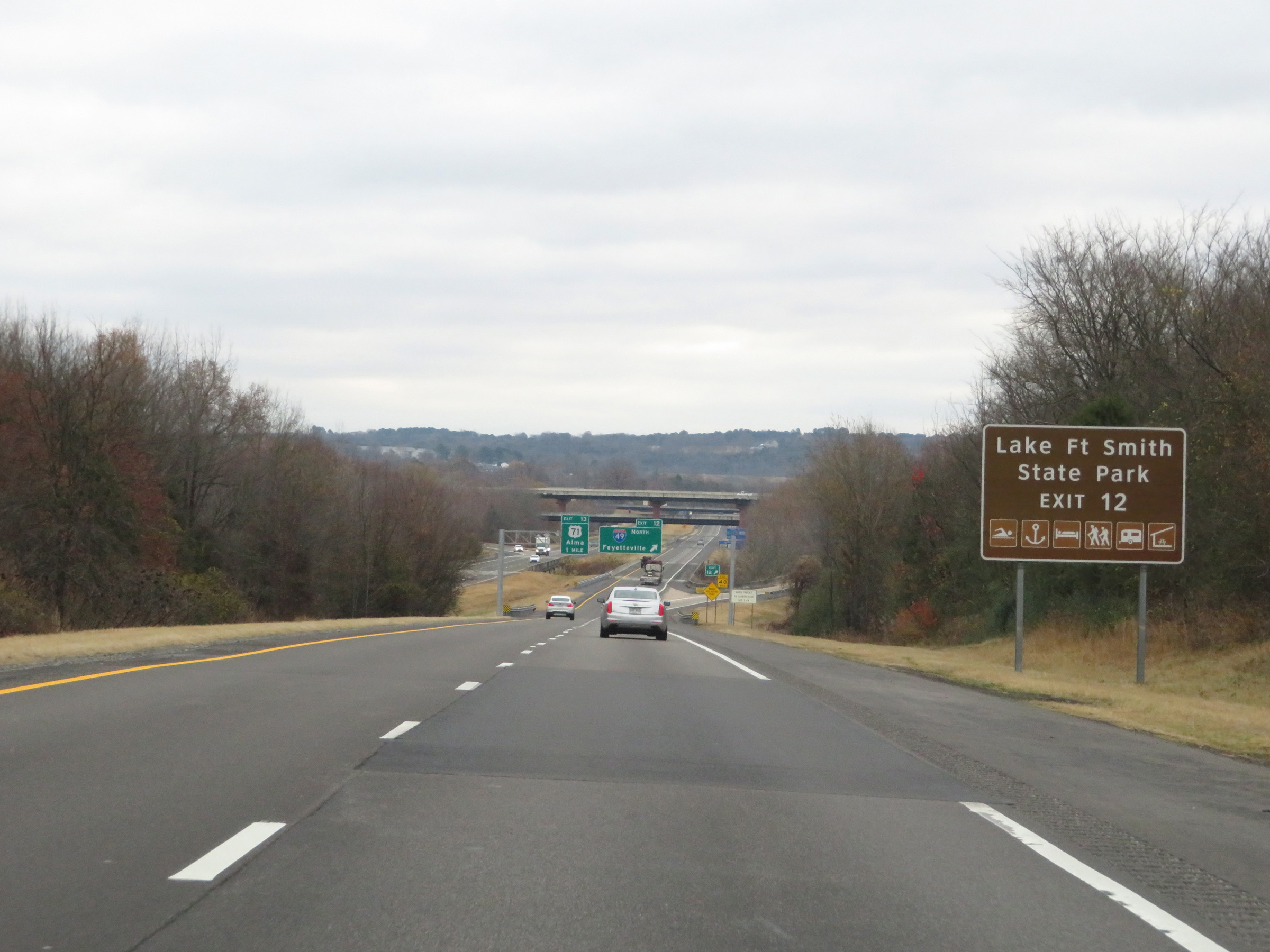 |
Also take Exit 12 (Interstate 49 North) to Lake Fort Smith State Park. (Photo taken 12/12/20). |
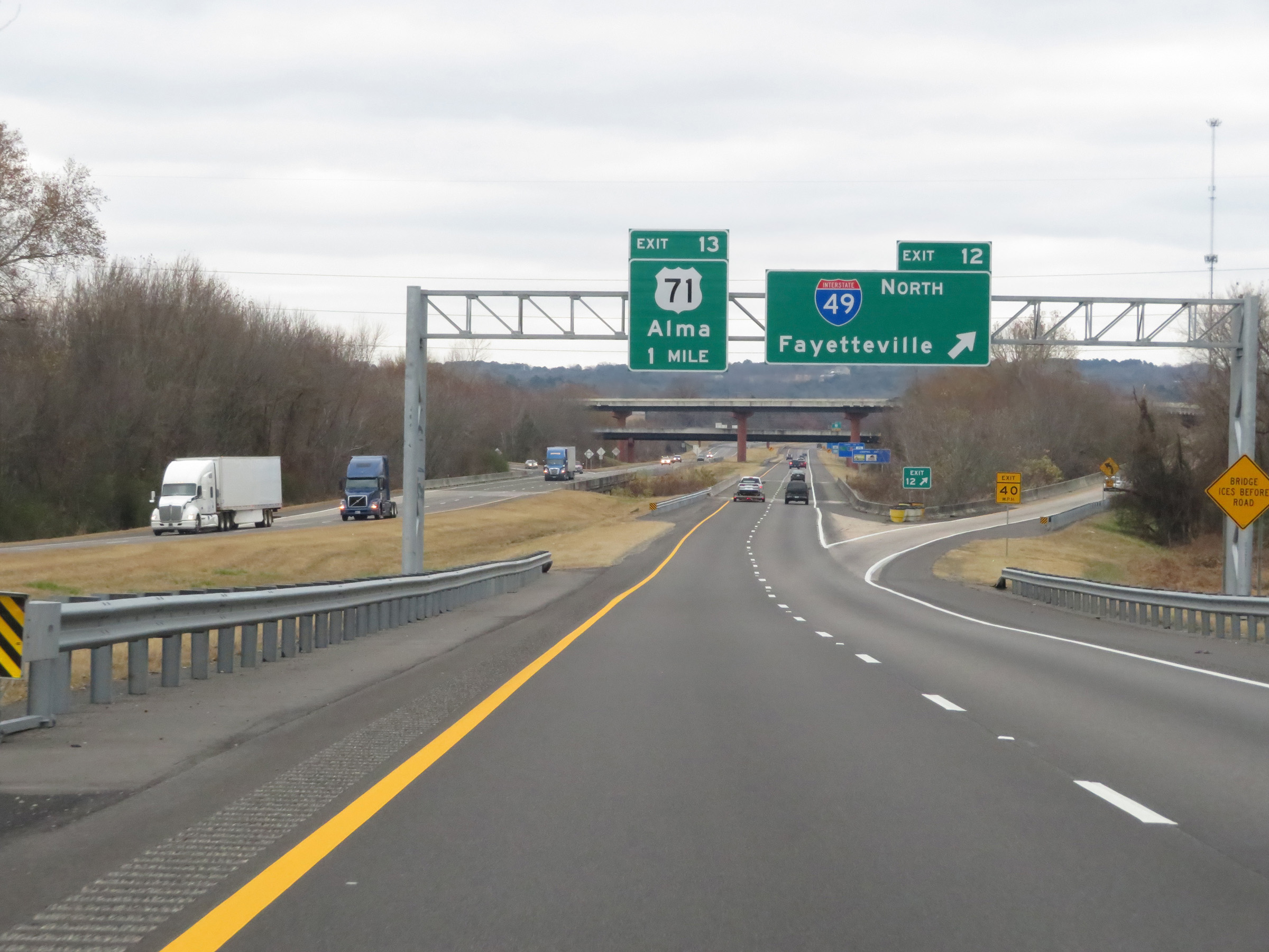 |
Interstate 40 East at Exit 12: Interstate 49 North - Fayetteville (Photo taken 12/12/20). |
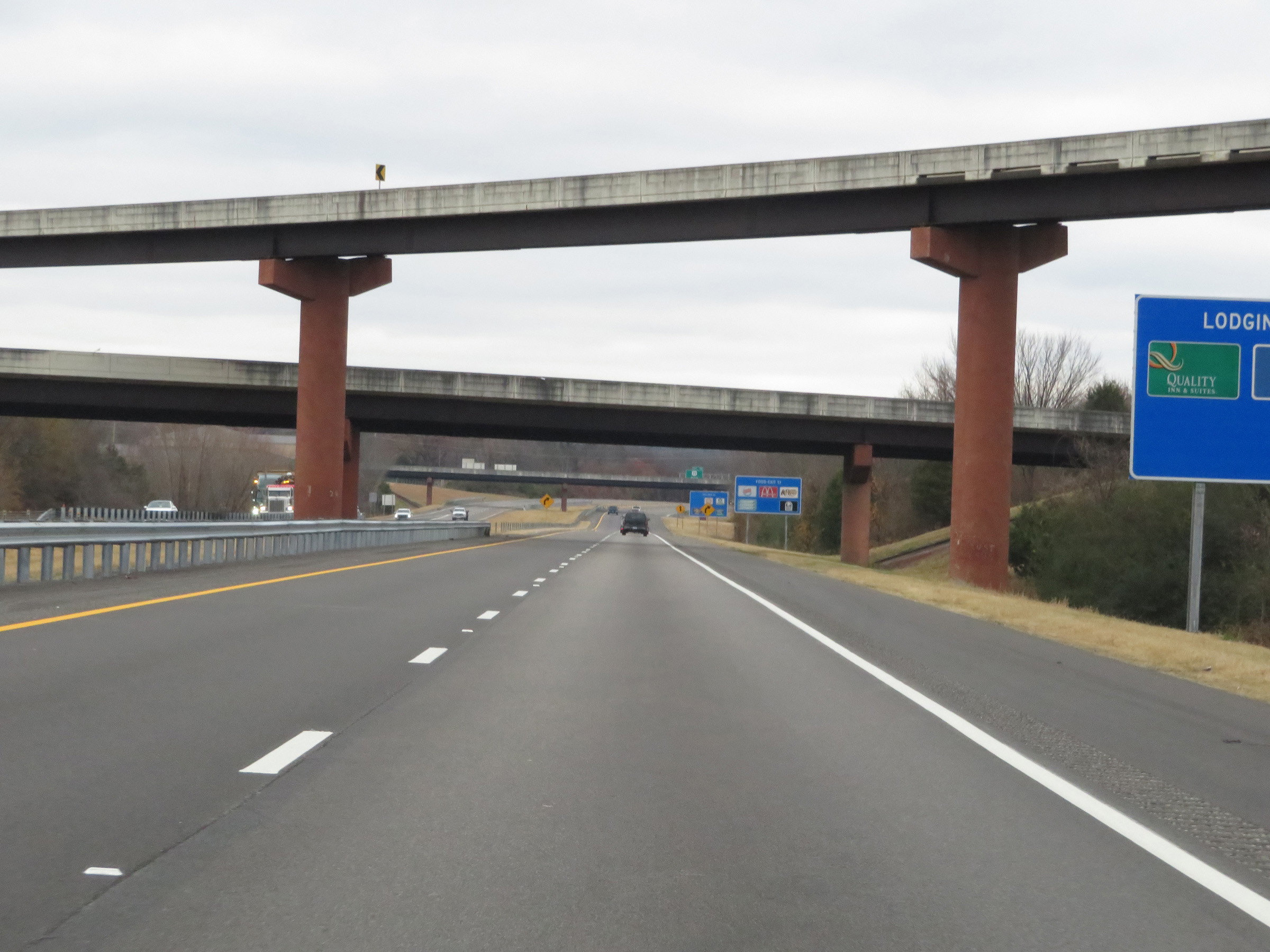 |
View on Interstate 40 East as it passes under the ramps to and from the northern segment of Interstate 49. (Photo taken 12/12/20). |
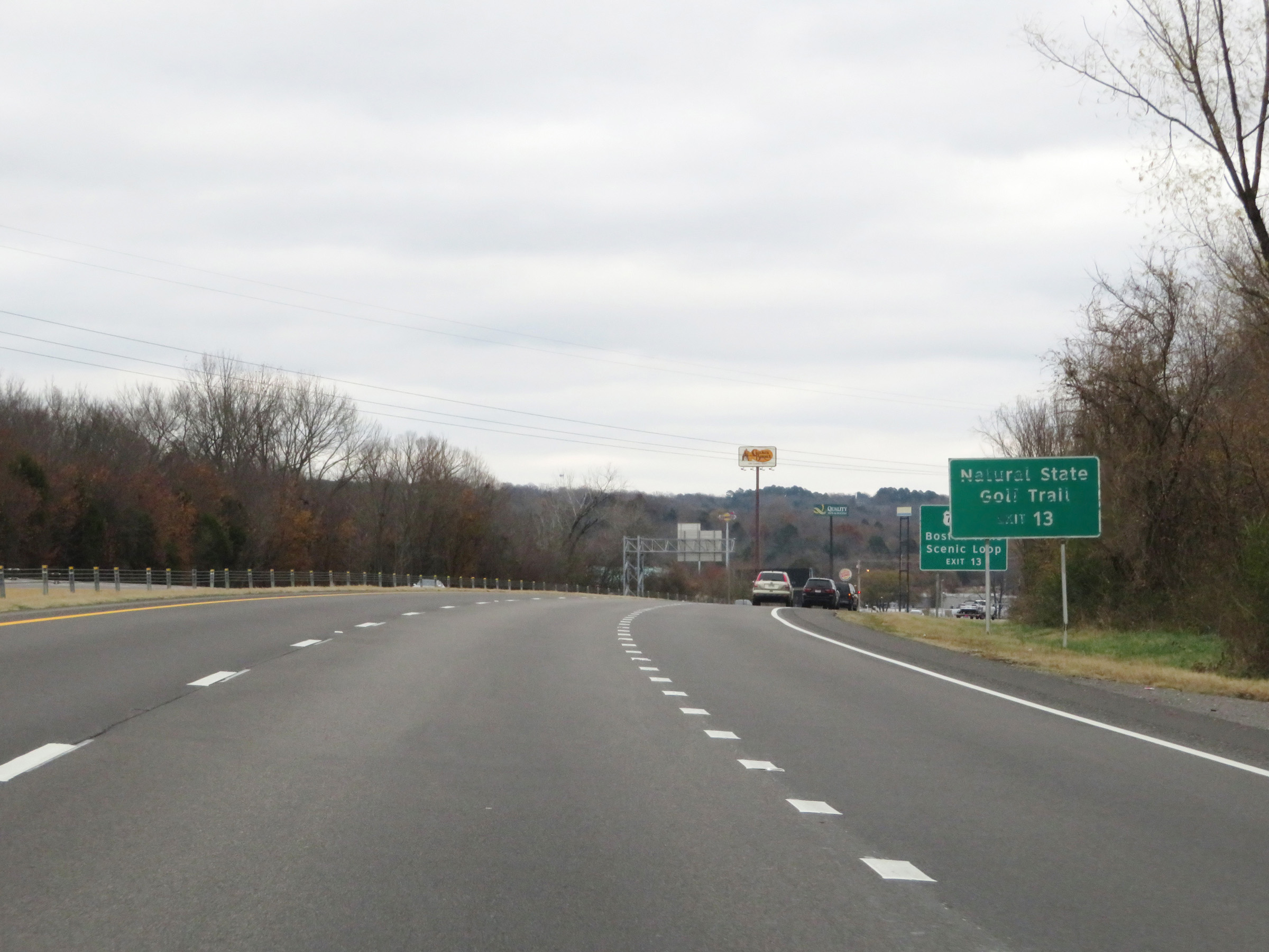 |
Take Exit 13 to Natural State Golf Trail. (Photo taken 12/12/20). |
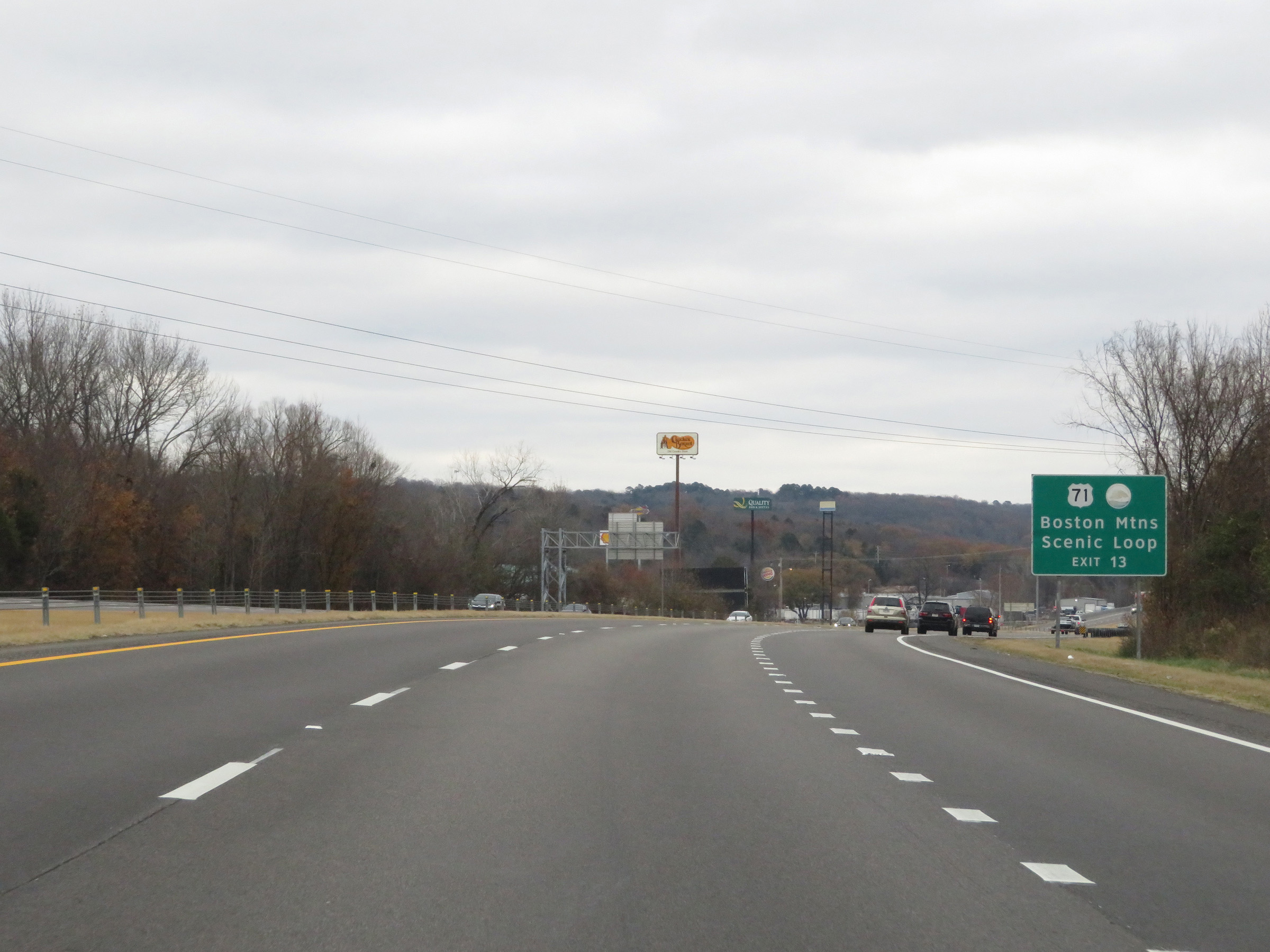 |
Also take Exit 13 to the Boston Mountains Scenic Loop. (Photo taken 12/12/20). |
 |
Interstate 40 East at Exit 13: US 71 - Alma (Photo taken 12/12/20). |
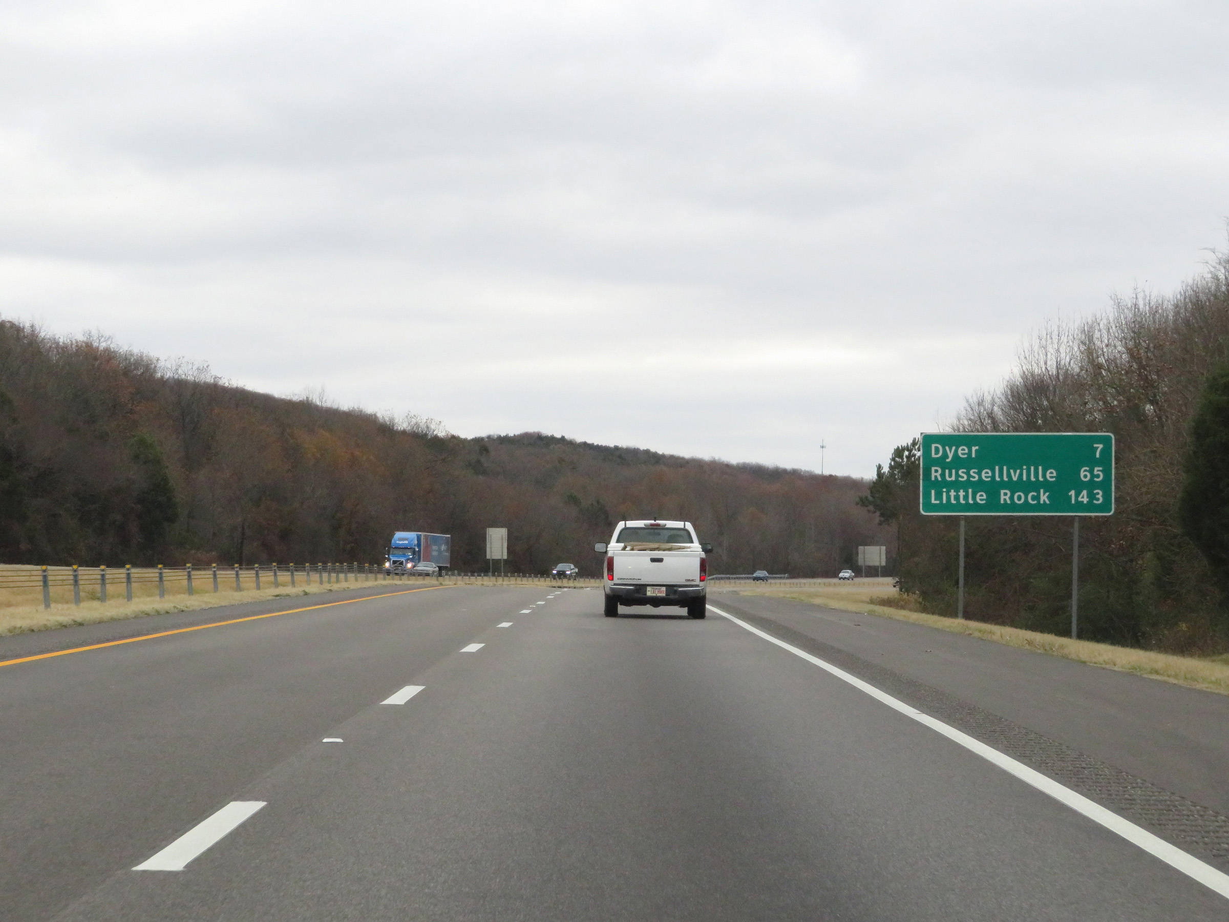 |
Mileage sign on Interstate 40 East. It's 7 miles to Dyer, 65 miles to Russellville, and 143 miles to Little Rock. (Photo taken 12/12/20). |
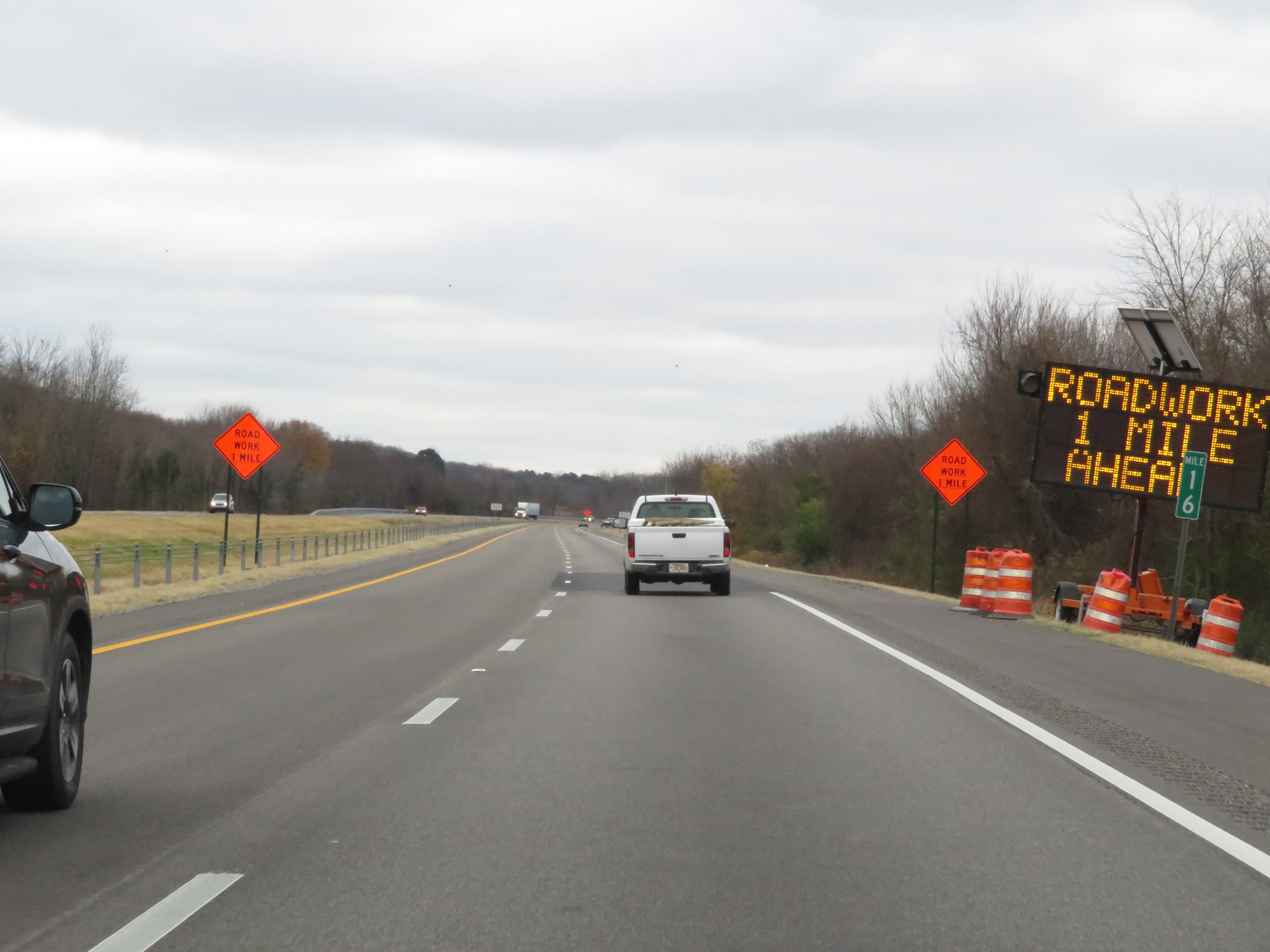 |
Interstate 40 East at mile marker 16. (Photo taken 12/12/20). |
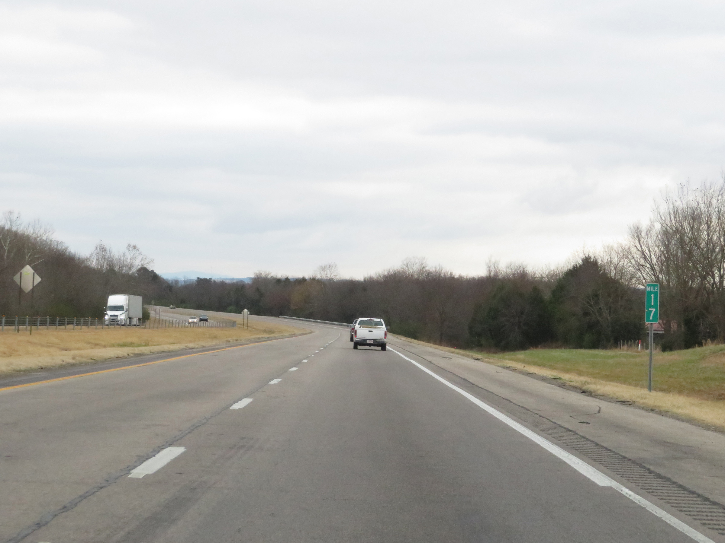 |
View on Interstate 40 East at mile marker 17. (Photo taken 12/12/20). |
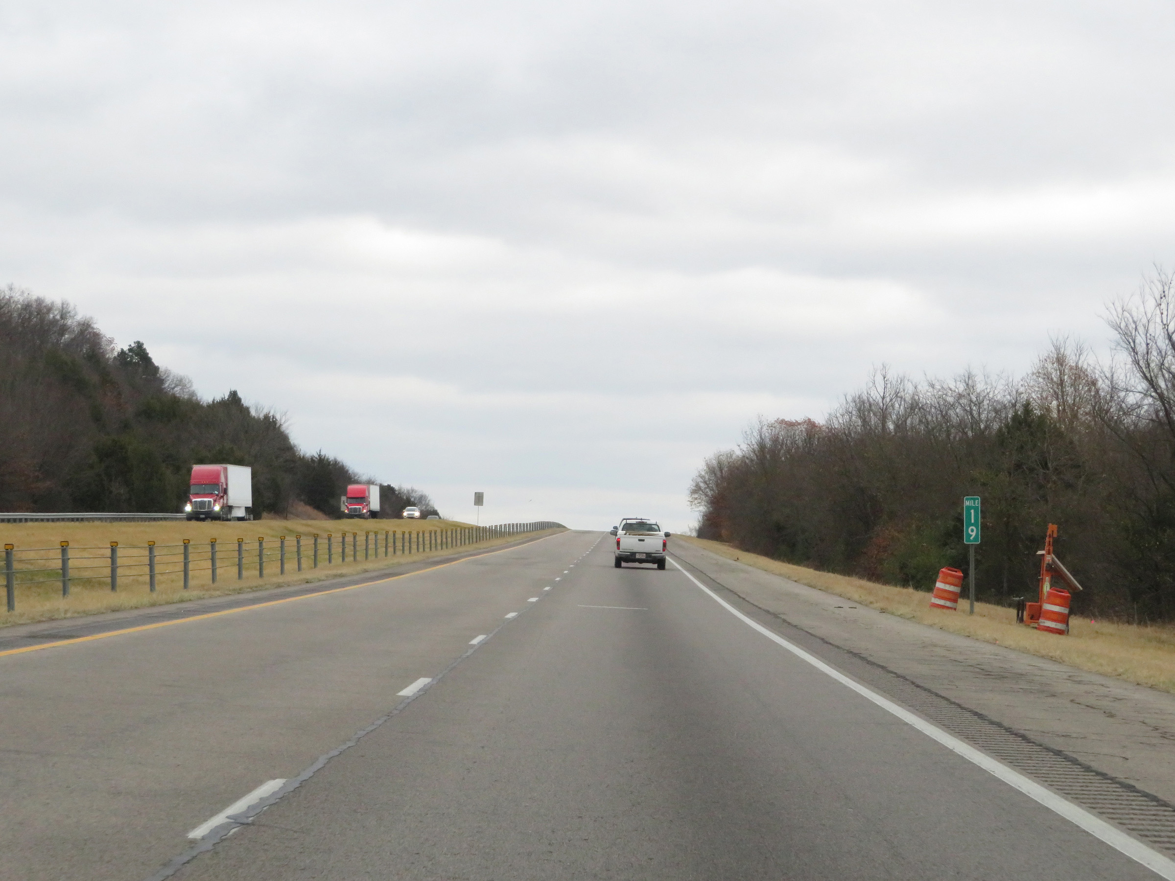 |
Mile marker 19 on Interstate 40 East in Crawford County. (Photo taken 12/12/20). |
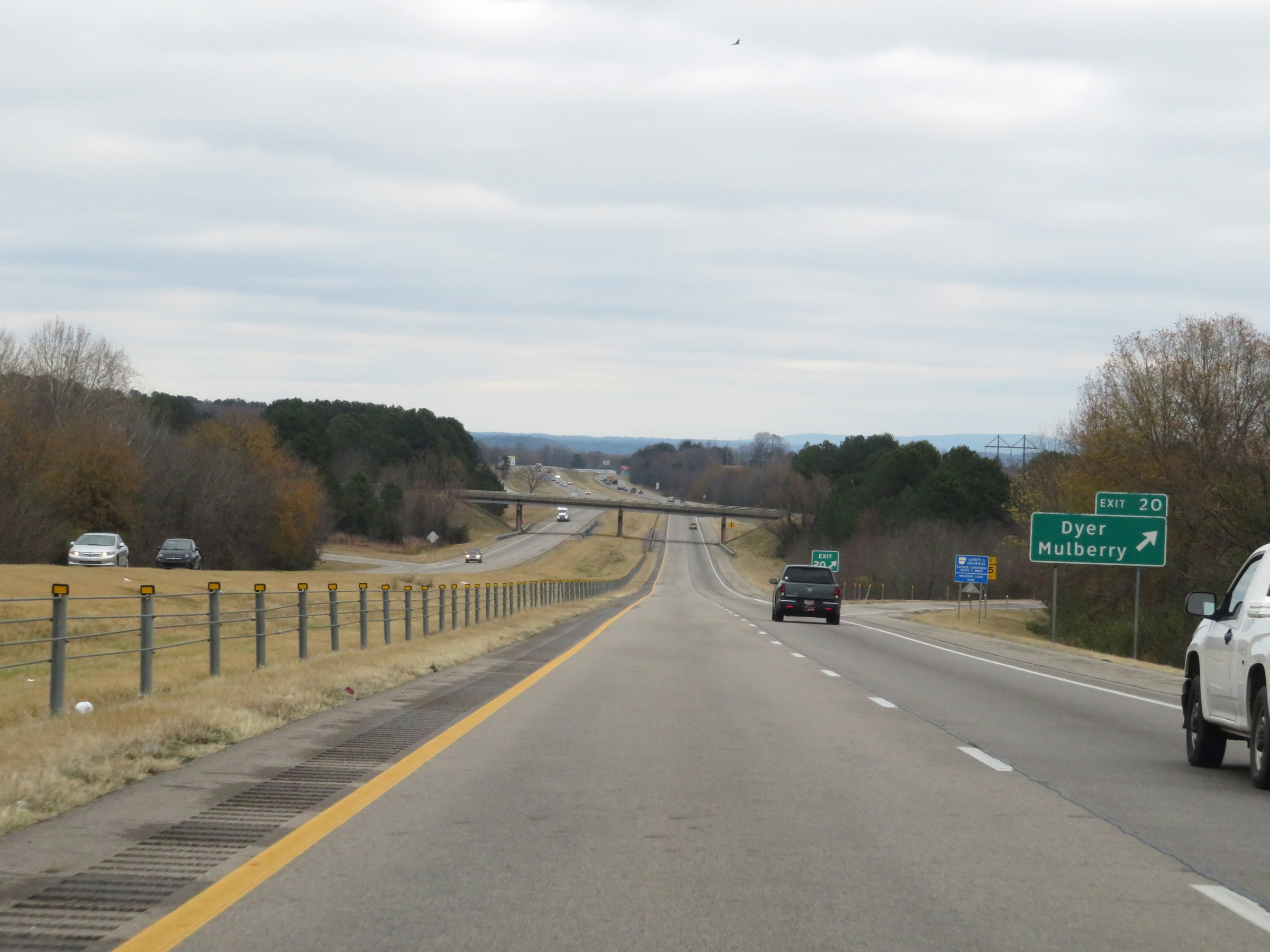 |
Interstate 40 East at Exit 20: Dyer / Mulberry (Photo taken 12/12/20). |
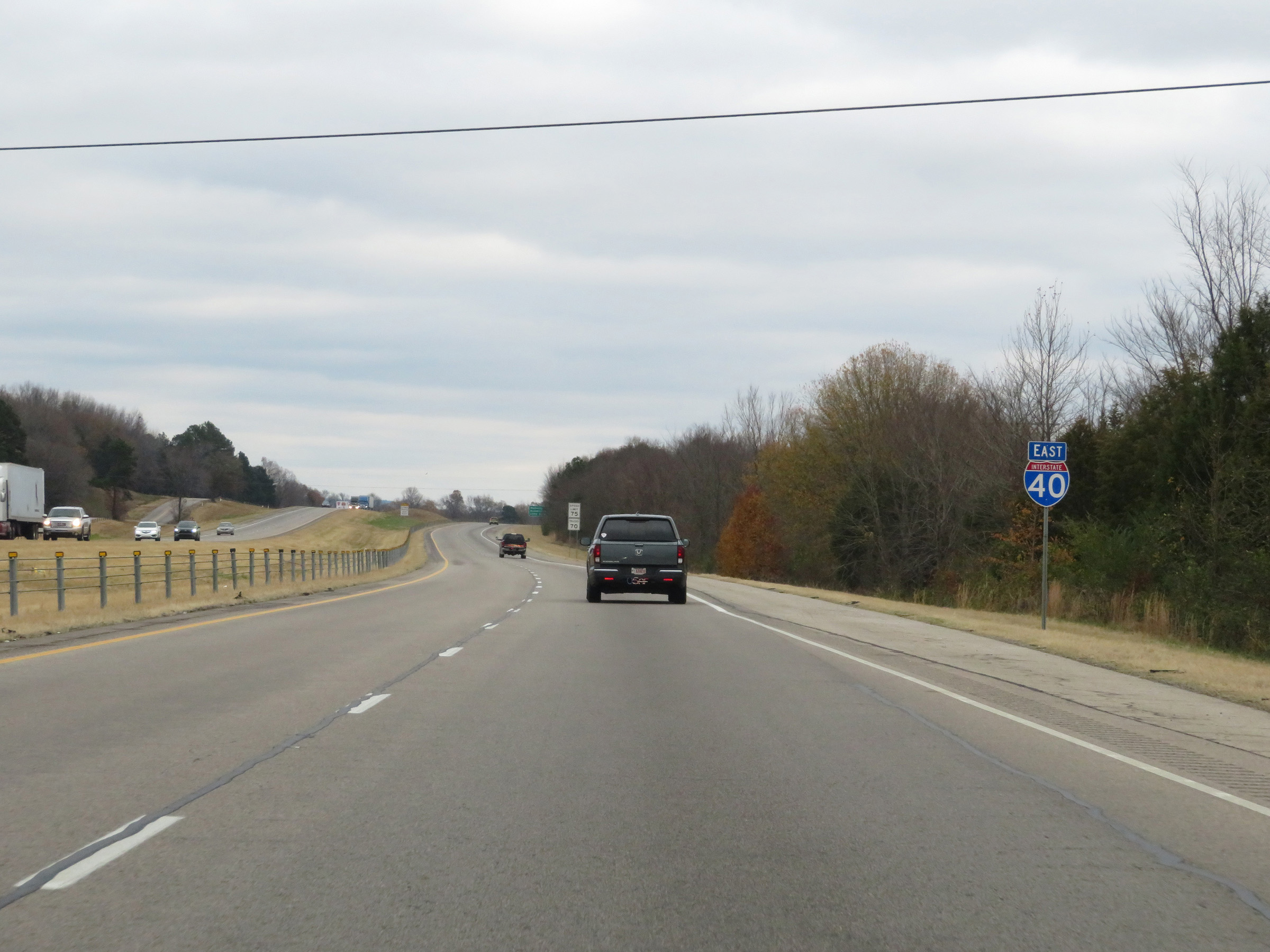 |
Another Interstate 40 East reassurance shield. (Photo taken 12/12/20). |
 |
The speed limits remain 75 mph for automobiles and 70 mph for trucks. (Photo taken 12/12/20). |
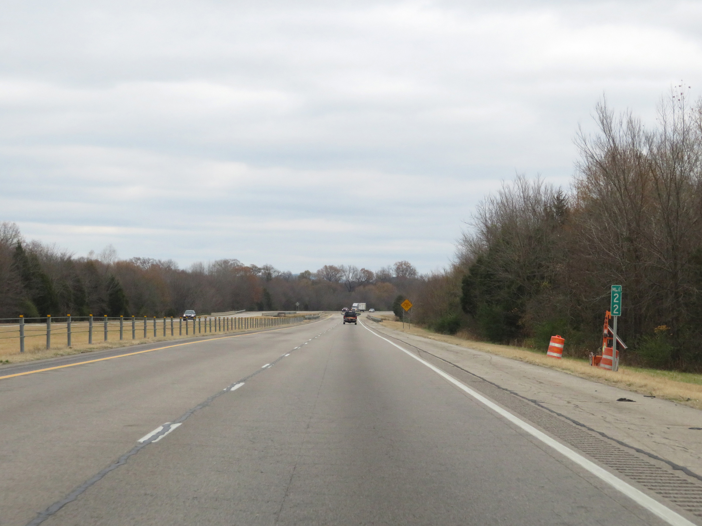 |
View on Interstate 40 East at mile marker 22. (Photo taken 12/12/20). |
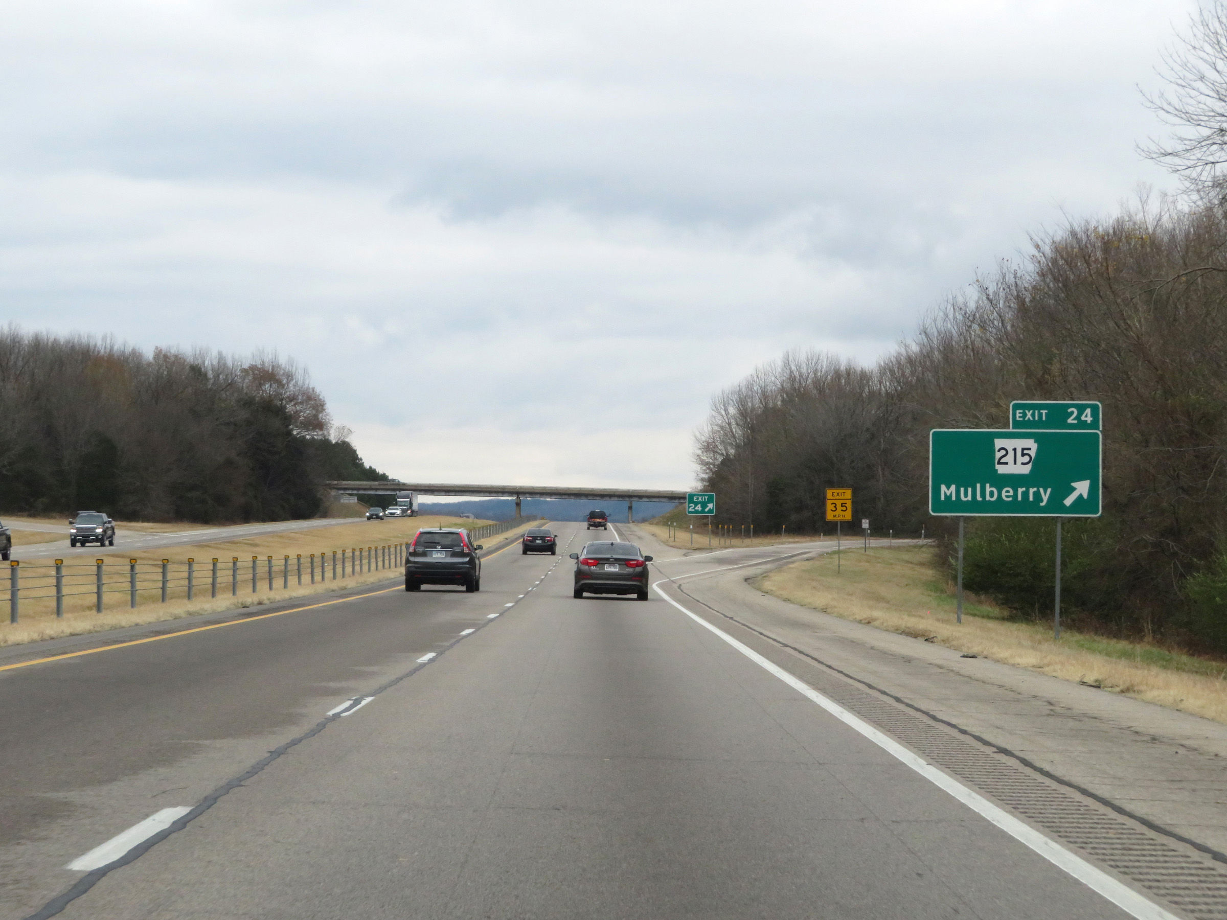 |
Interstate 40 East at Exit 24: AR 215 - Mulberry (Photo taken 12/12/20). |
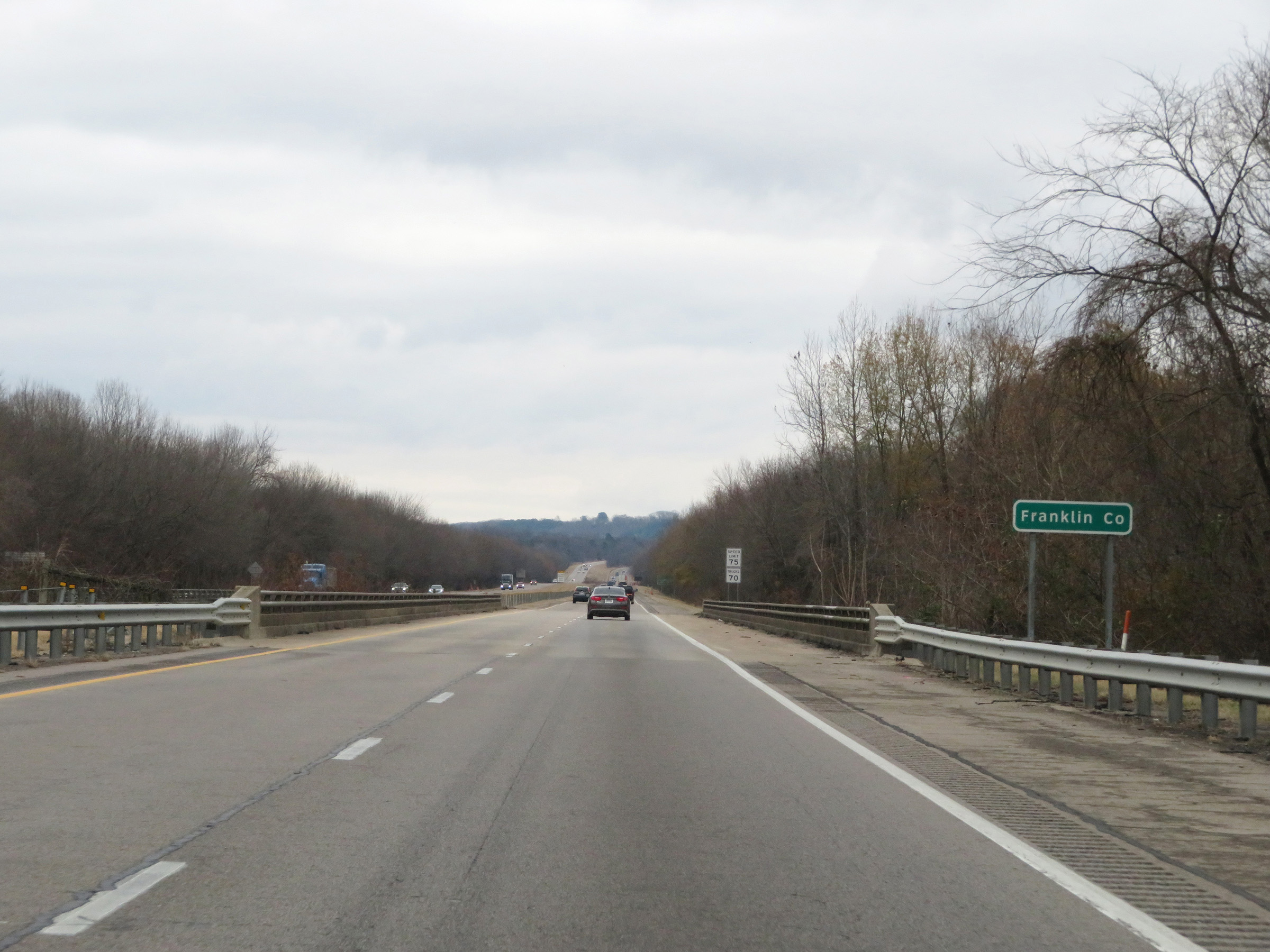 |
Interstate 40 East as it enters Franklin County. (Photo taken 12/12/20). |
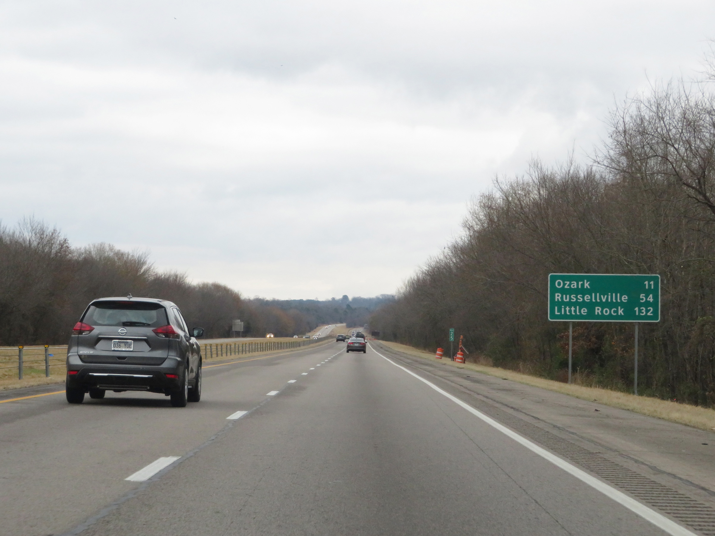 |
Mileage sign at mile marker 25. It's 11 miles to Ozark, 54 miles to Russellville, and 132 miles to Little Rock. (Photo taken 12/12/20). |
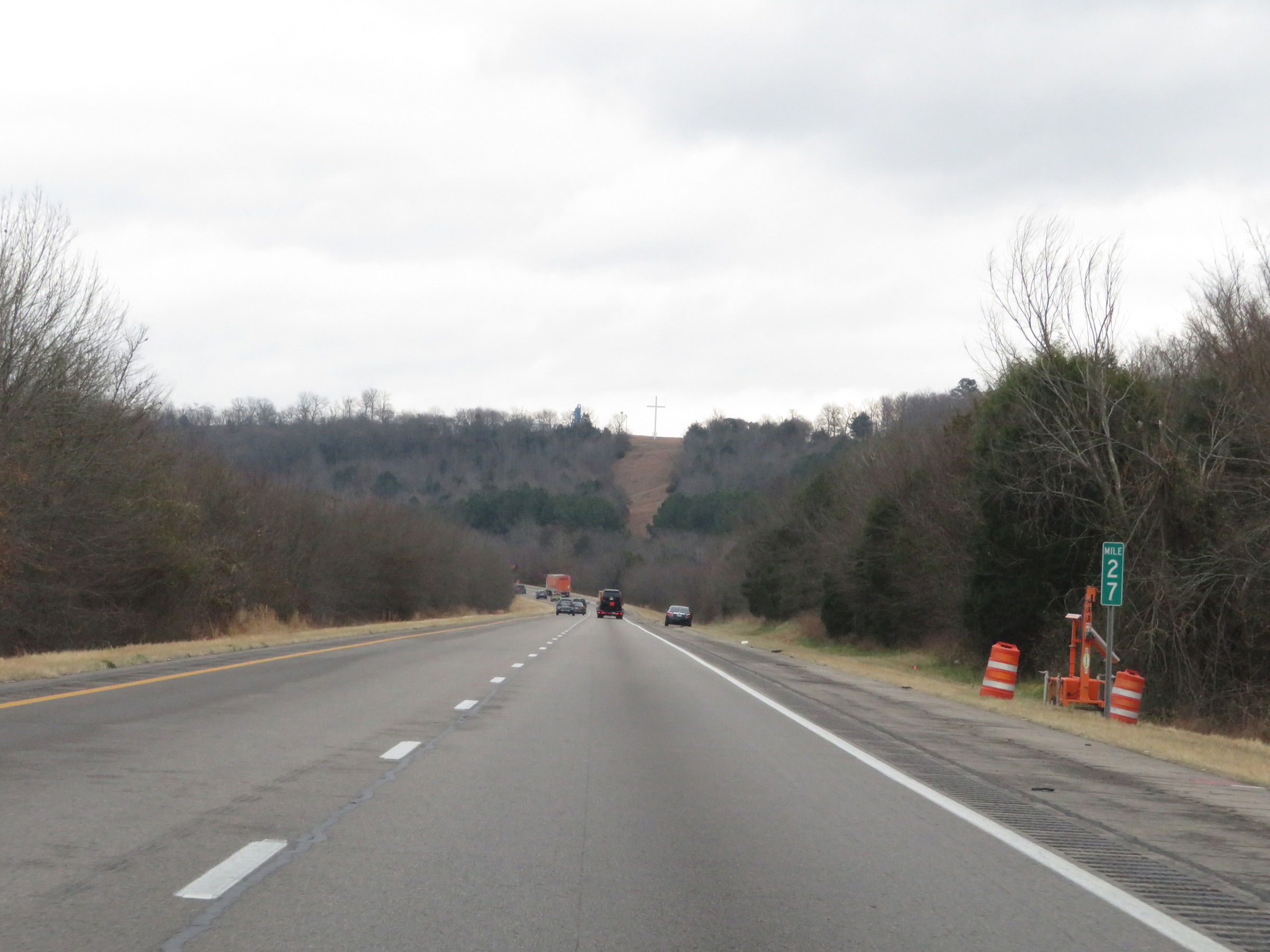 |
View on Interstate 40 East at mile marker 27. (Photo taken 12/12/20). |
 |
Interstate 40 East at mile marker 28. (Photo taken 12/12/20). |
 |
Mile marker 30 on Interstate 40 East in Franklin County. (Photo taken 12/12/20). |
 |
View on Interstate 40 East at mile marker 31. (Photo taken 12/12/20). |
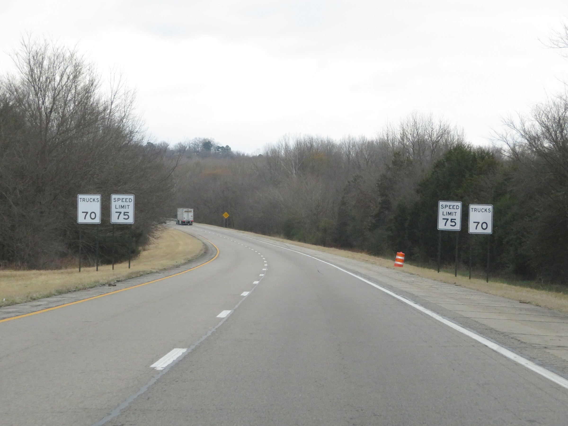 |
Side-by-side speed limit signs on Interstate 40 East, just past mile marker 31. The speed limits remain 75 mph for automobiles and 70 mph for trucks. (Photo taken 12/12/20). |
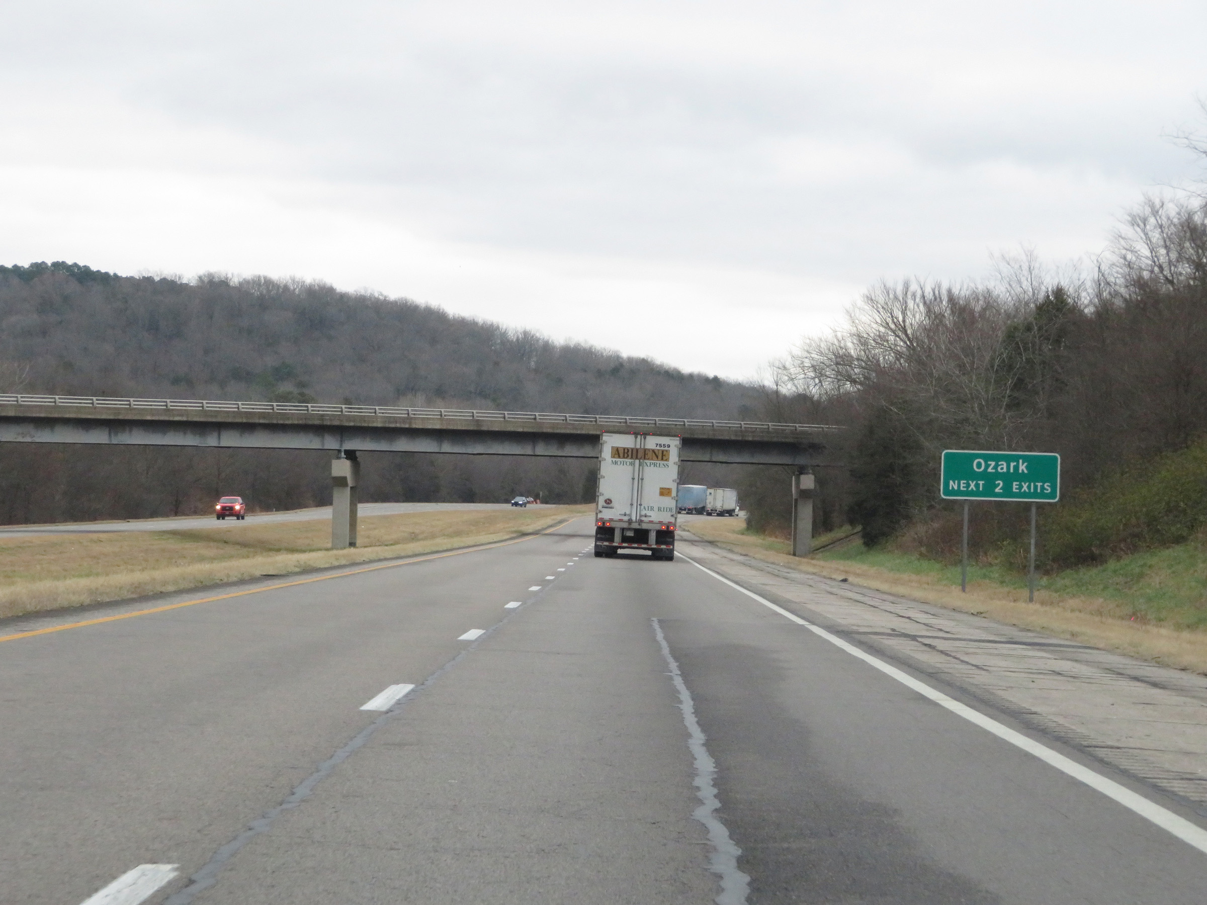 |
Take either of the next 2 exits to Ozark. (Photo taken 12/12/20). |
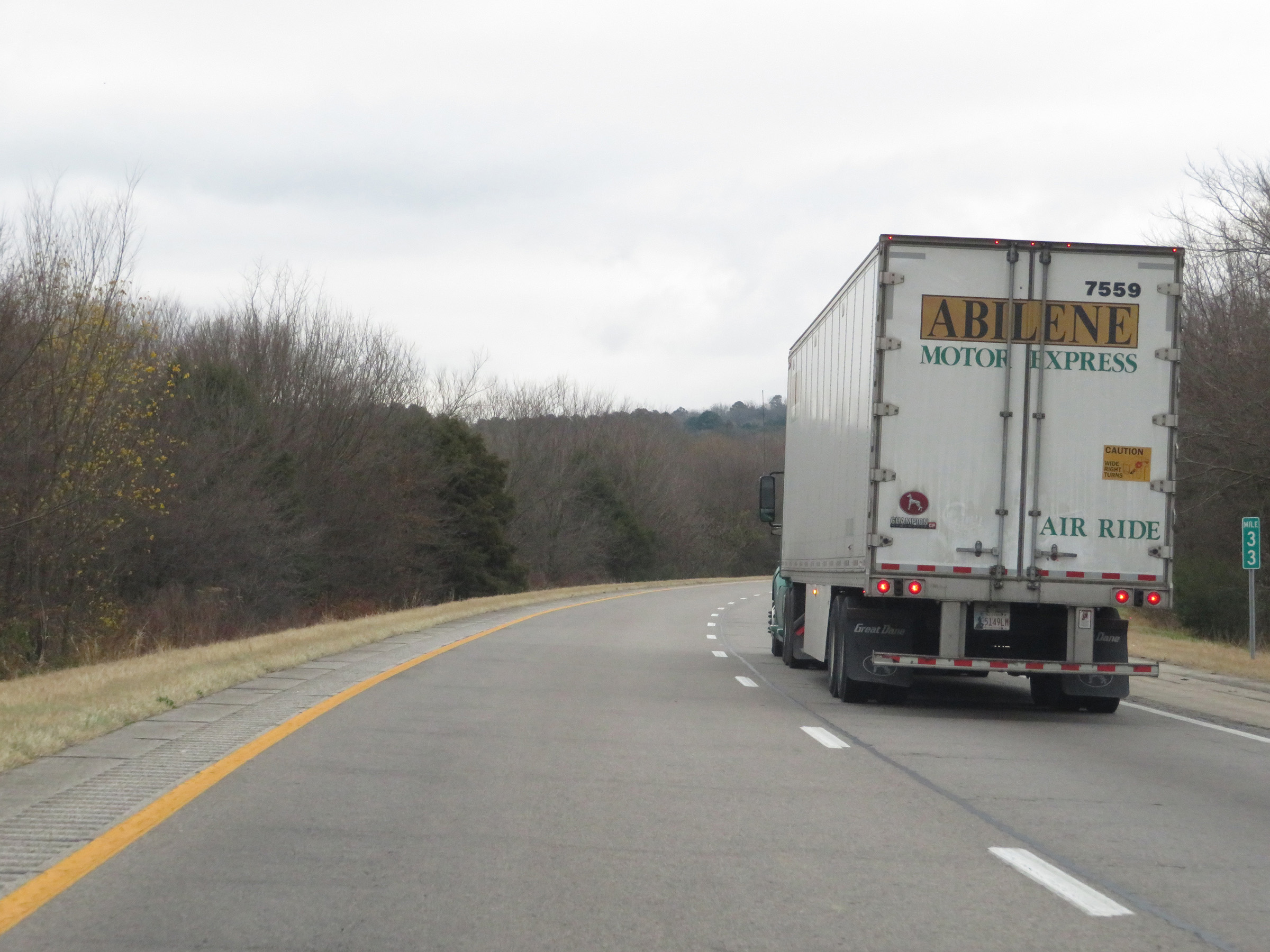 |
Interstate 40 East at mile marker 33. (Photo taken 12/12/20). |
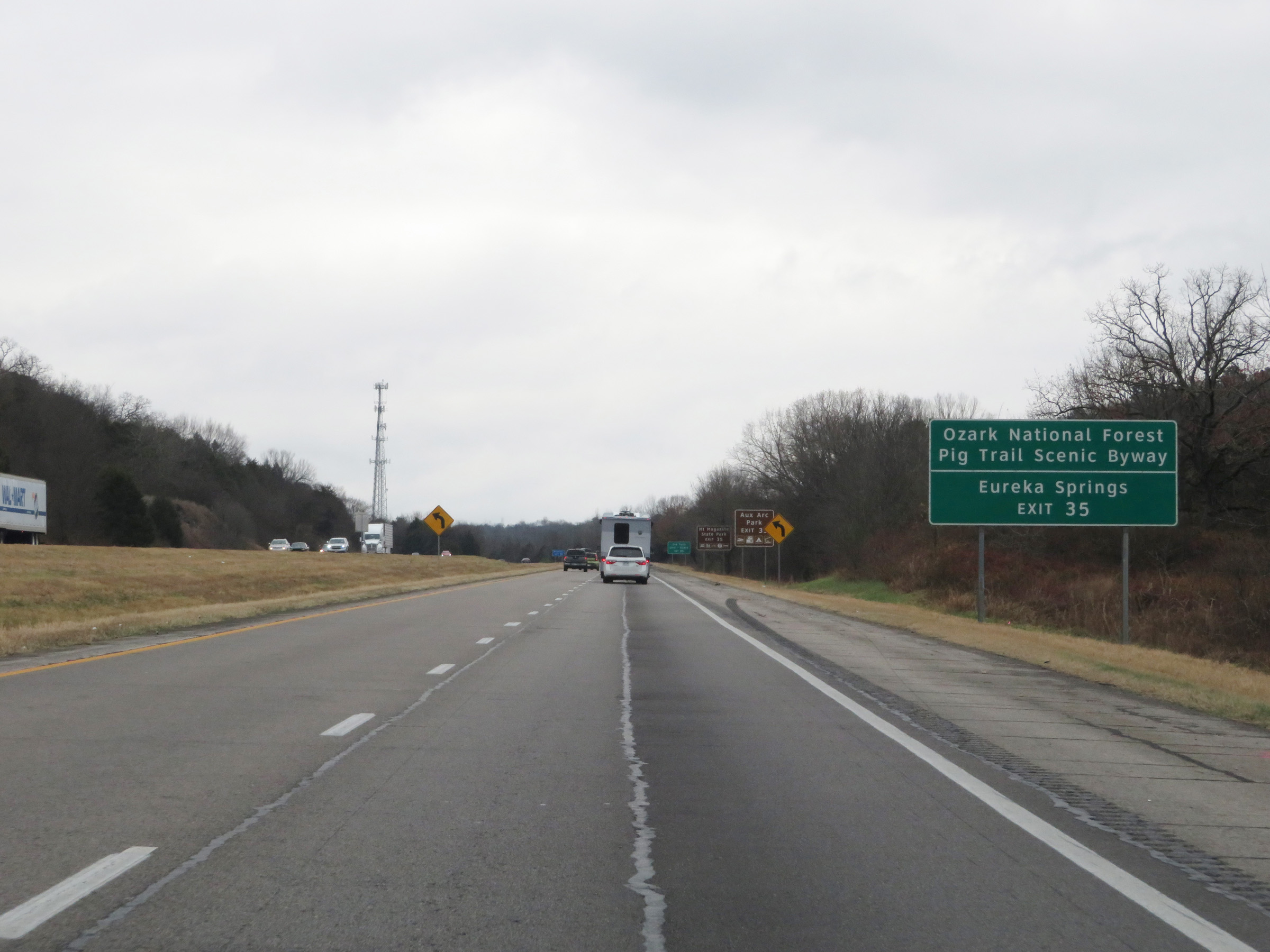 |
Take Exit 35 to Ozark National Forest and Pig Trail Scenic Byway, as well as Eureka Springs. (Photo taken 12/12/20). |
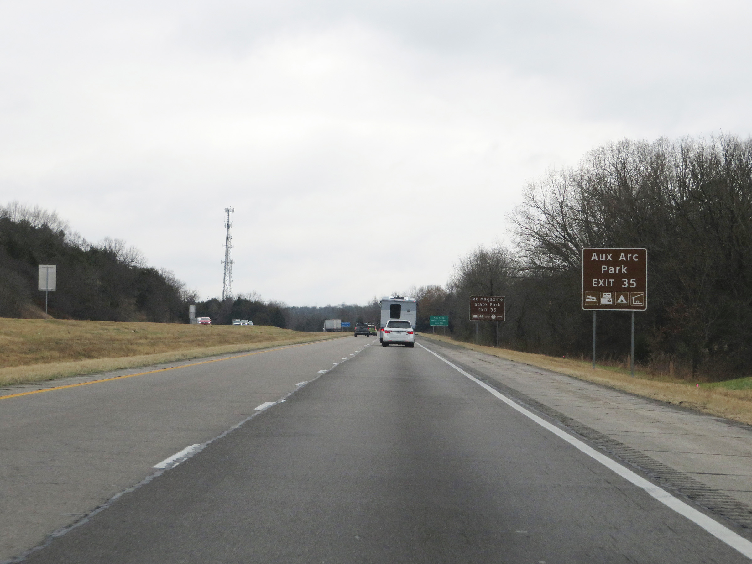 |
Also take Exit 35 to Aux Arc Park. (Photo taken 12/12/20). |
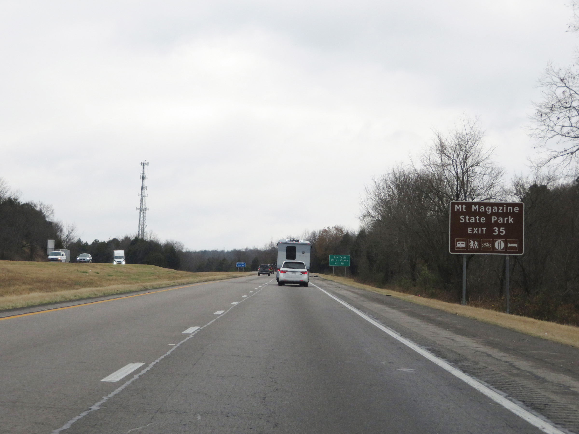 |
Take Exit 35 to Mount Magazine State Park as well. (Photo taken 12/12/20). |
 |
Arkansas Tech University's Ozark Campus can also be accessed via Exit 35. (Photo taken 12/12/20). |
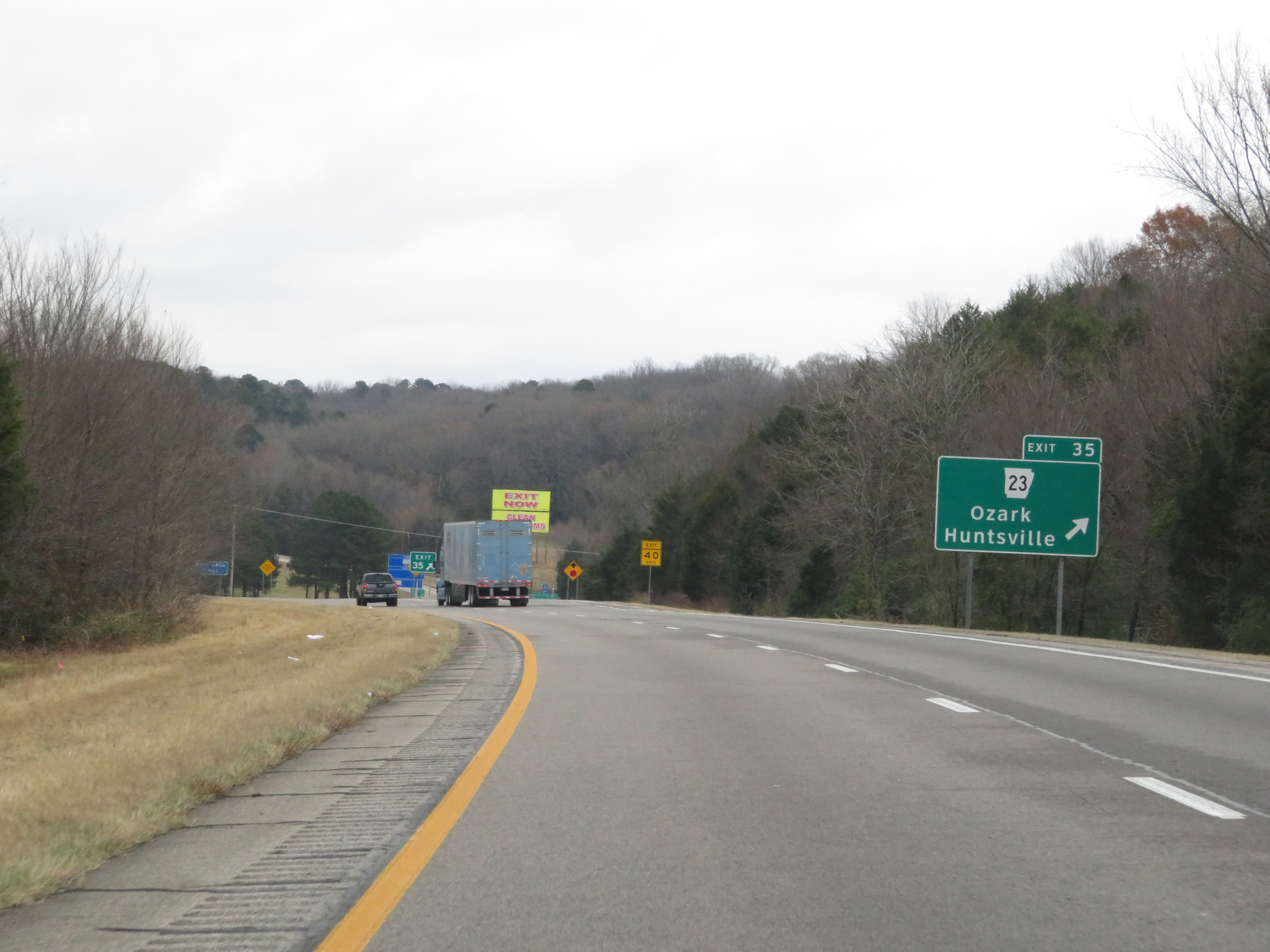 |
Interstate 40 East at Exit 35: AR 23 - Ozark / Huntsville (Photo taken 12/12/20). |
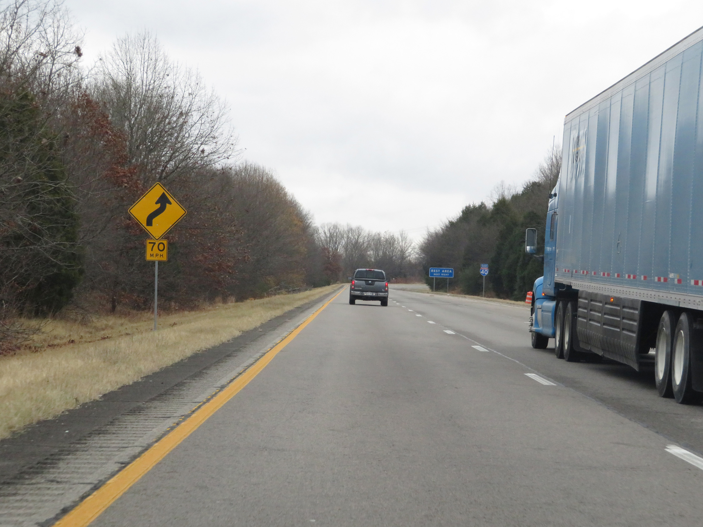 |
Interstate 40 East as it prepares to traverse a series of curves to the east of Exit 35.(Photo taken 12/12/20). |
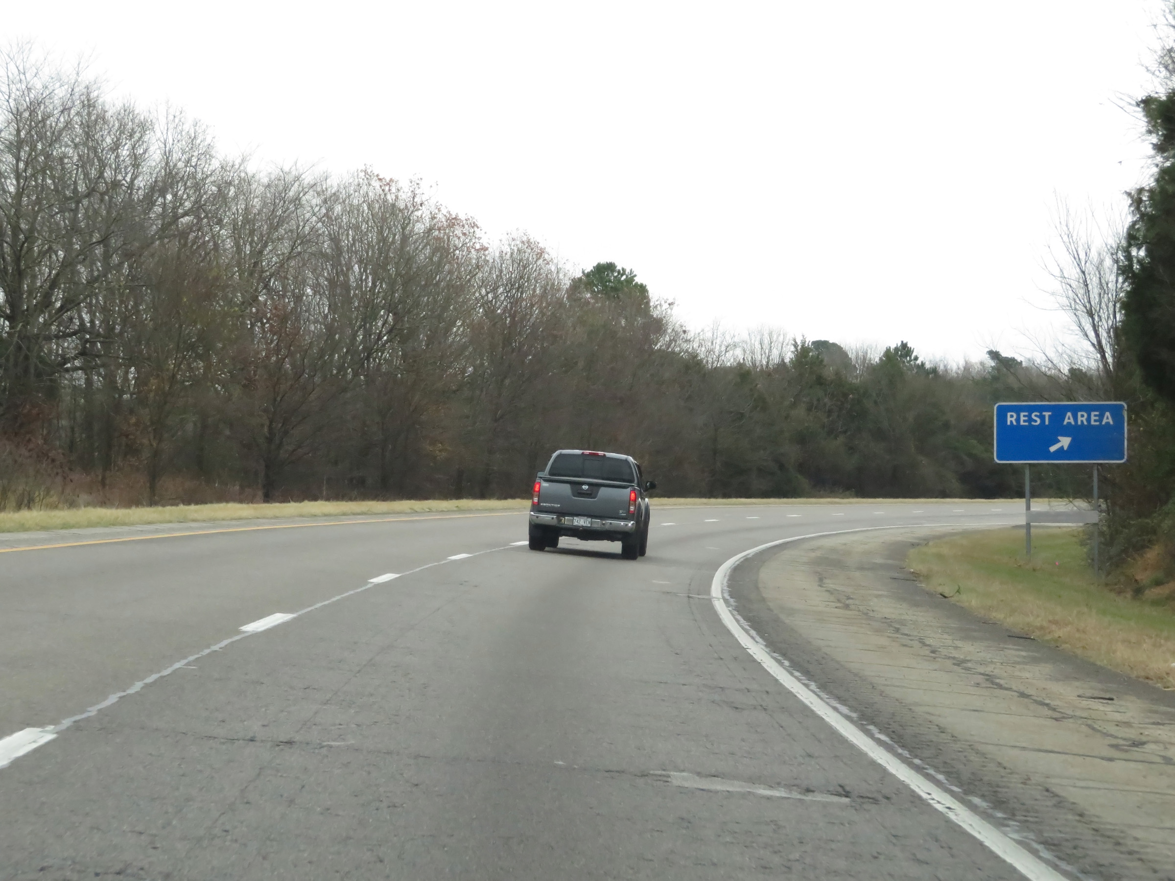 |
Rest Area on Interstate 40 East in Franklin County. (Photo taken 12/12/20). |
 |
Interstate 40 East at Exit 37: AR 219 - Ozark (Photo taken 12/12/20). |
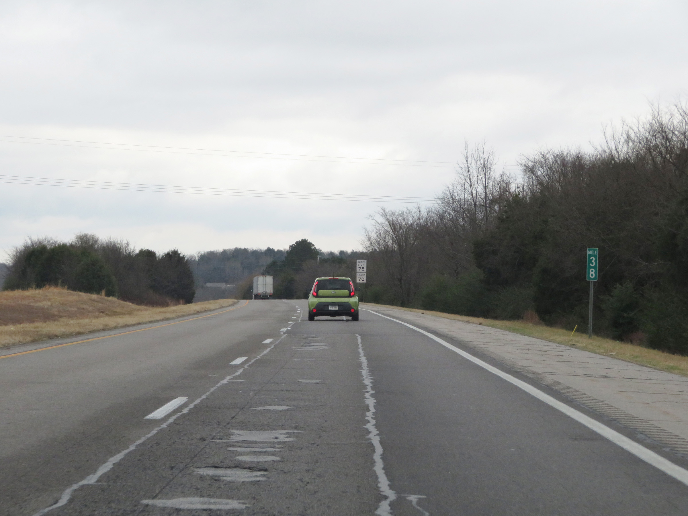 |
Interstate 40 East at mile marker 38. (Photo taken 12/12/20). |
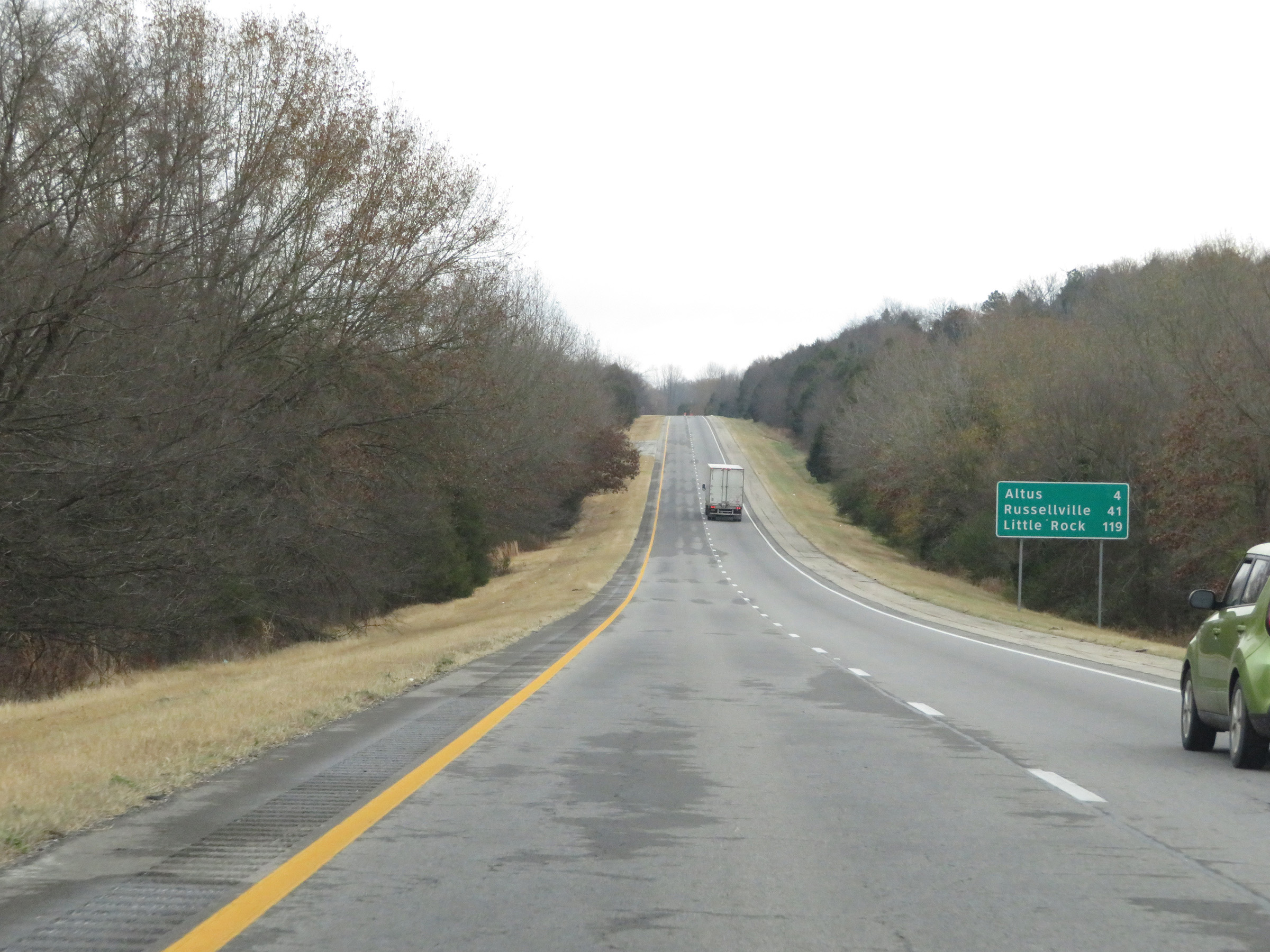 |
Mileage sign on Interstate 40 East. It's 4 miles to Altus, 41 miles to Russellville, and 119 miles to Little Rock. (Photo taken 12/12/20). |
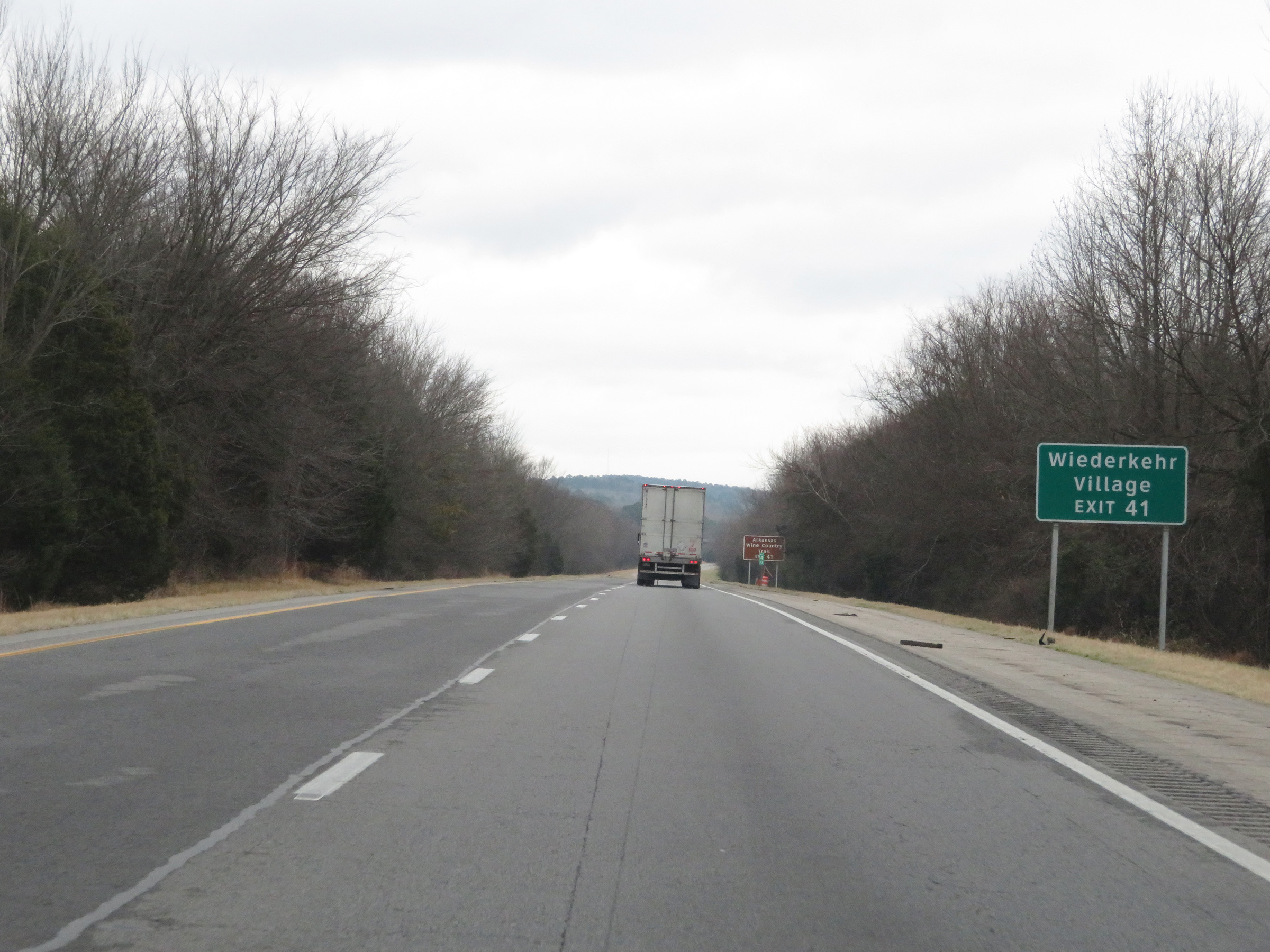 |
Take Exit 41 to Wiederkehr Village. (Photo taken 12/12/20). |
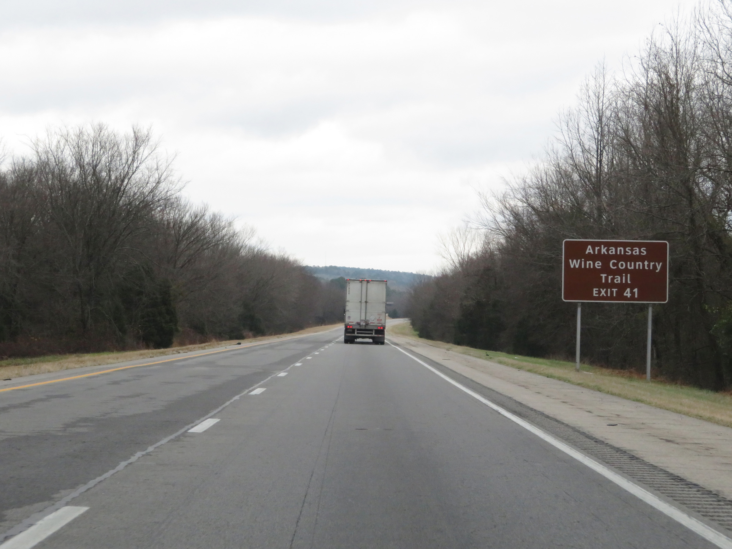 |
Also take Exit 41 to Arkansas Wine Country Trail. (Photo taken 12/12/20). |
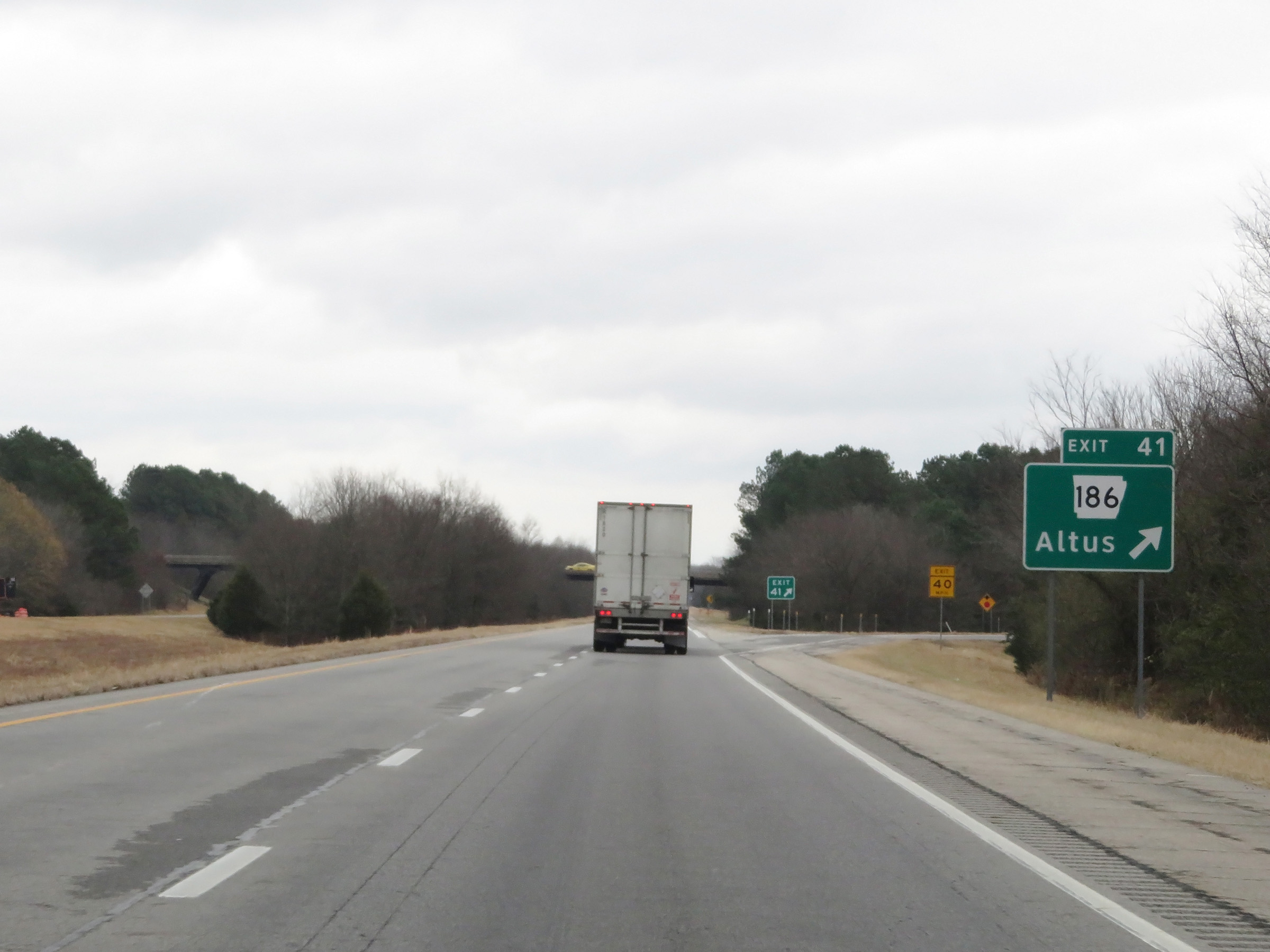 |
Interstate 40 East at Exit 41: AR 186 - Altus (Photo taken 12/12/20). |
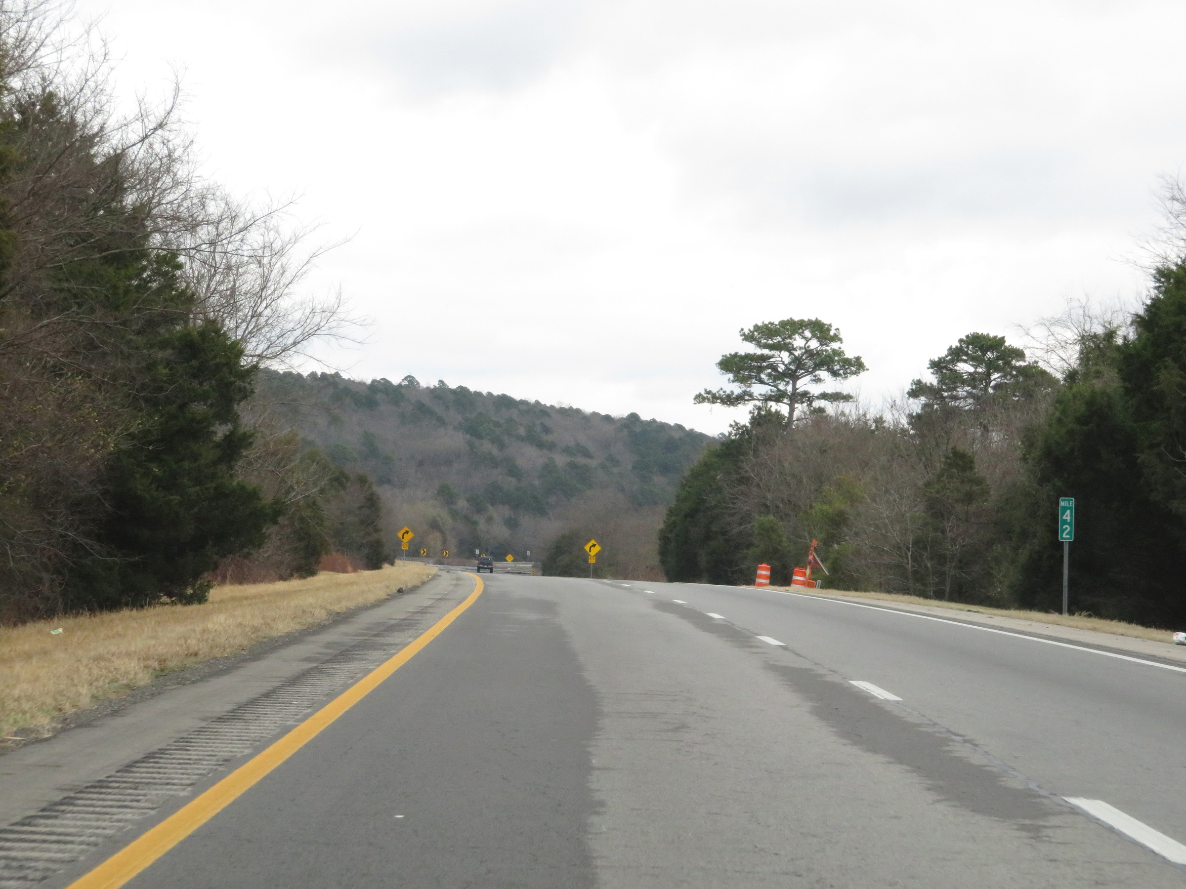 |
View on Interstate 40 East at mile marker 42. (Photo taken 12/12/20). |
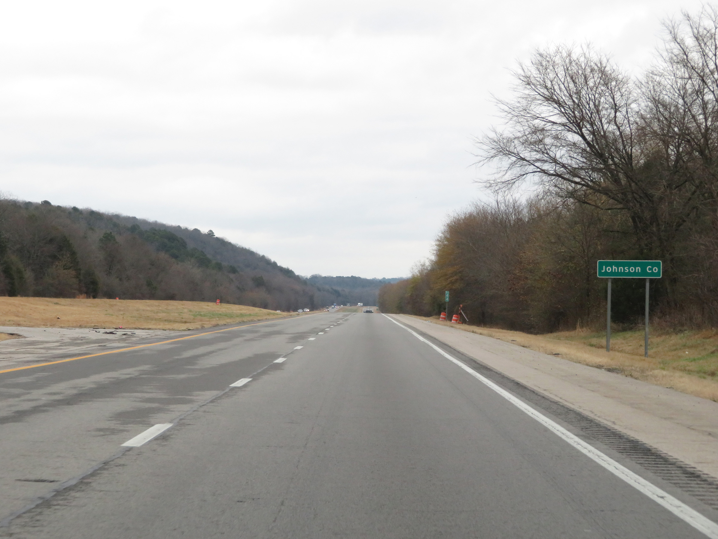 |
Interstate 40 East as it enters Johnson County at mile marker 44. (Photo taken 12/12/20). |
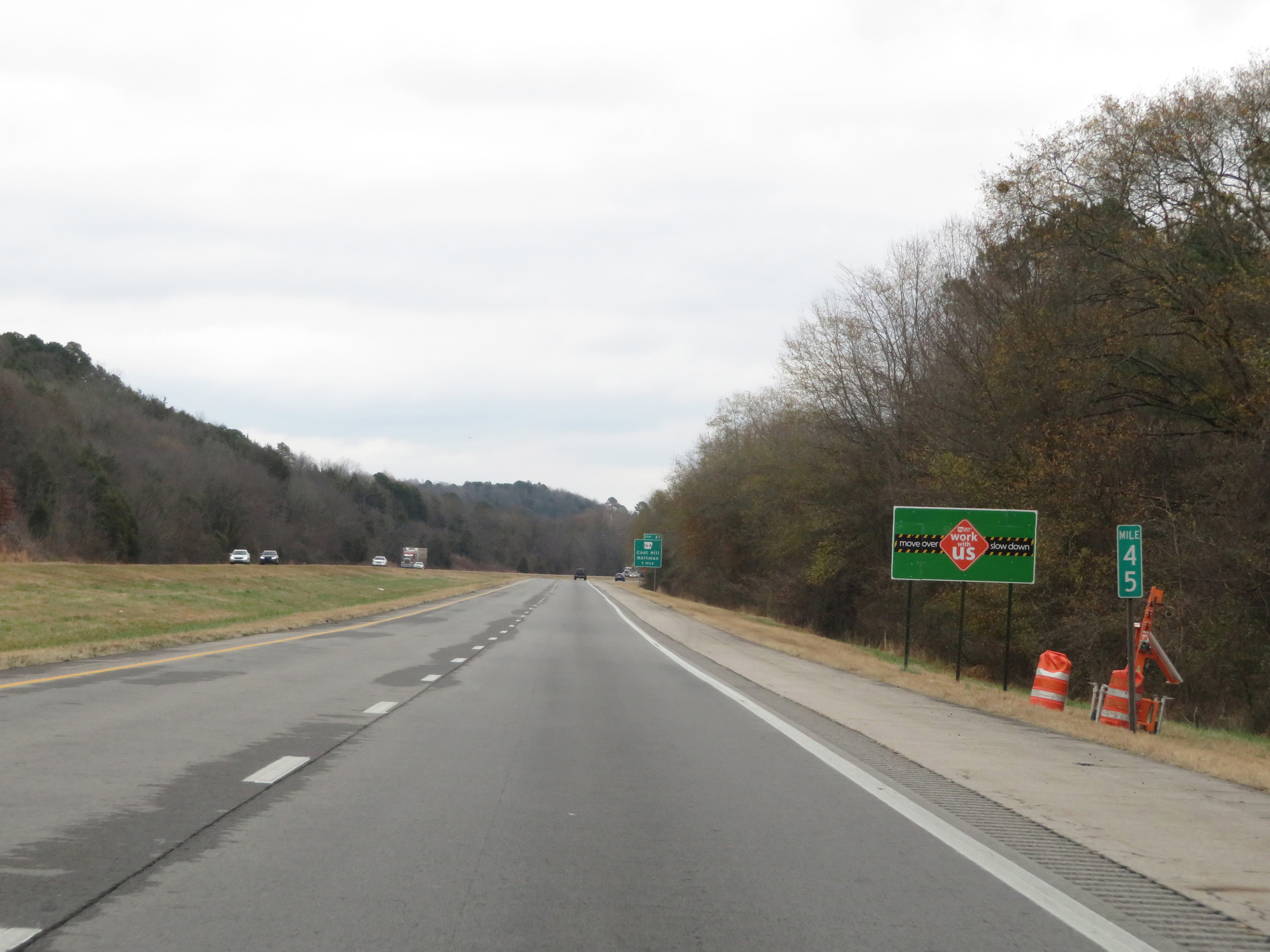 |
Interstate 40 East at mile marker 45. (Photo taken 12/12/20). |
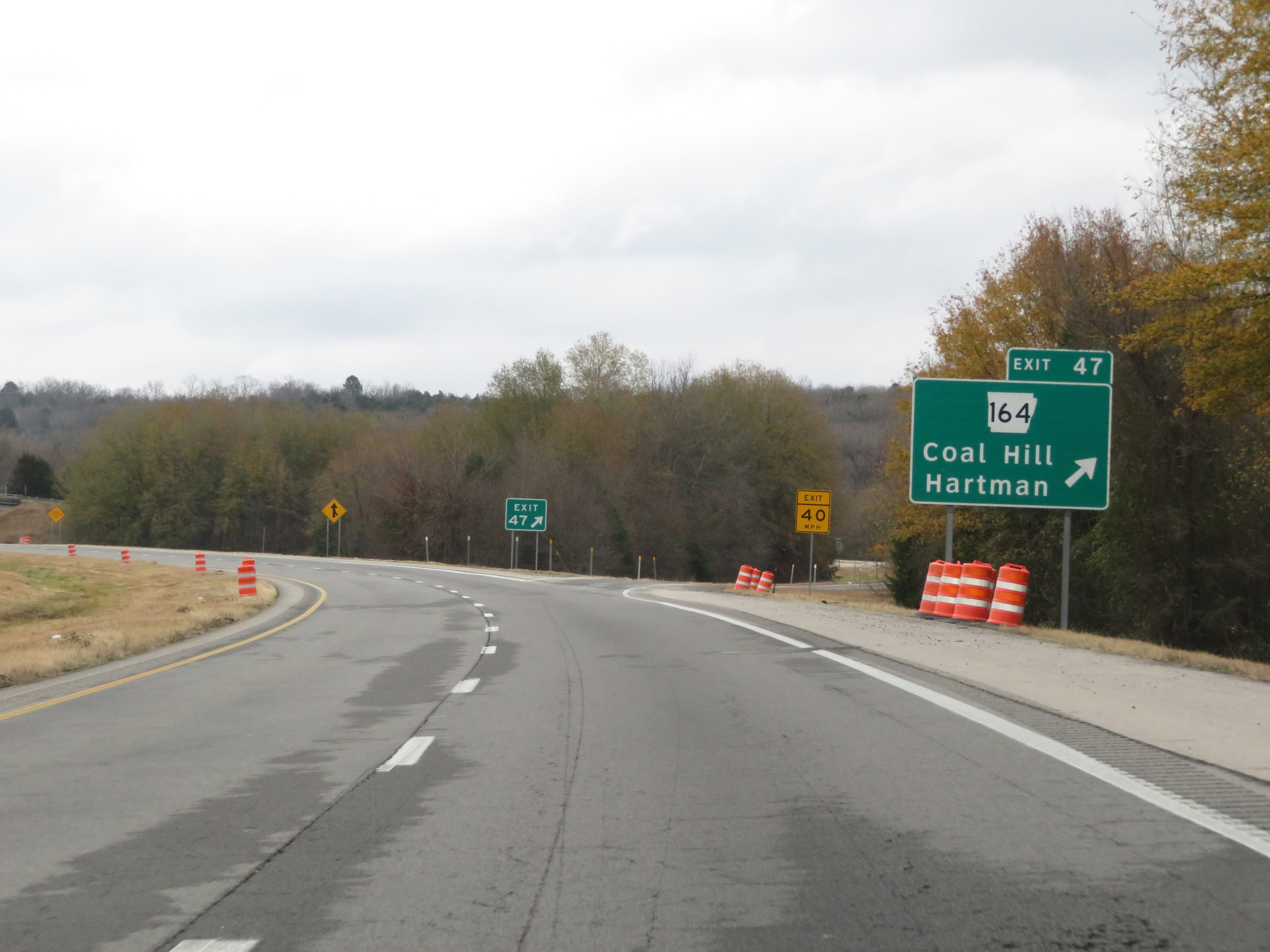 |
Interstate 40 East at Exit 47: AR 164 - Coal Hill / Hartman (Photo taken 12/12/20). |
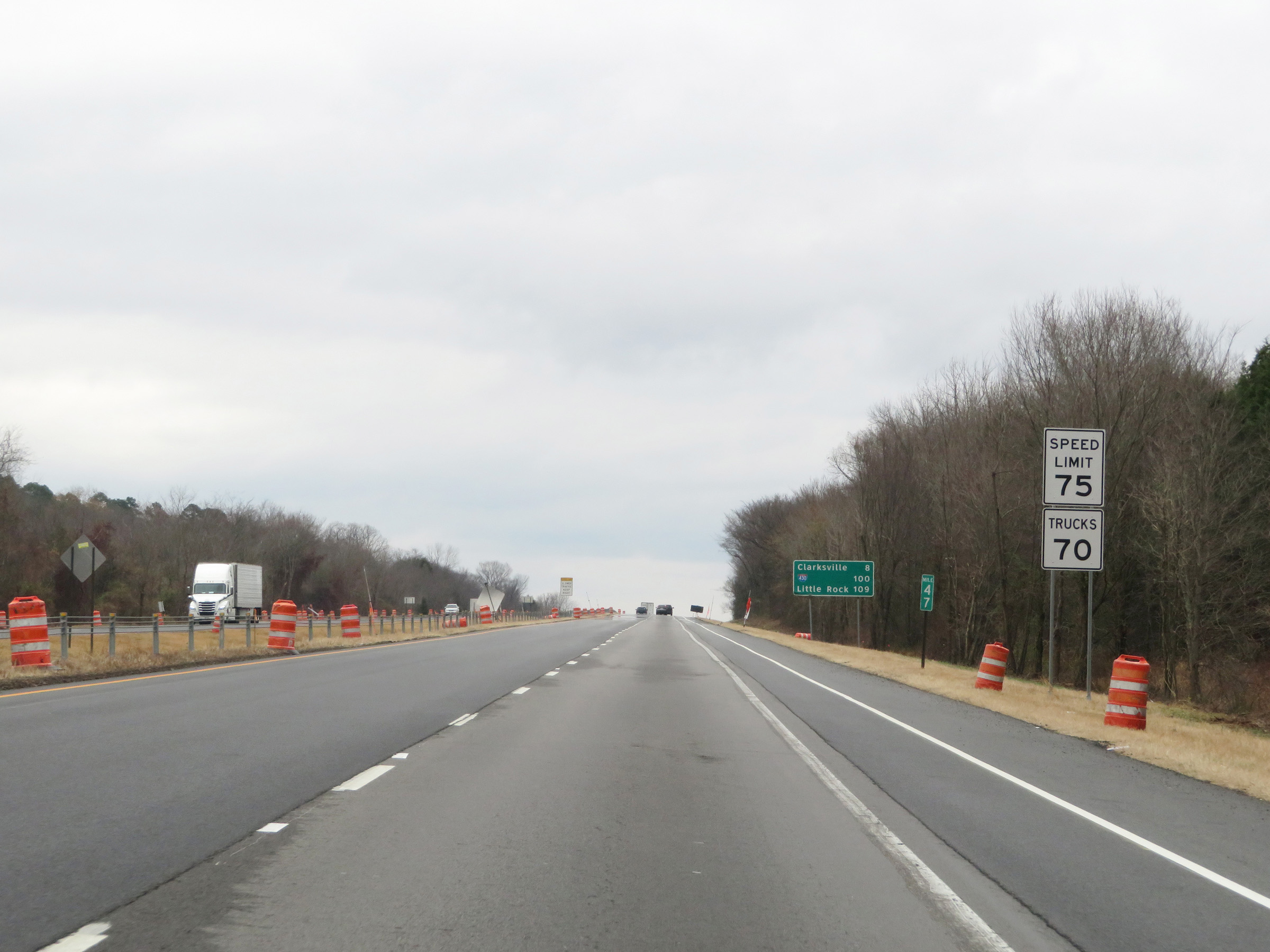 |
Speed limit signs at mile marker 47. The speed limits remain 75 mph for automobiles and 70 mph for trucks. (Photo taken 12/12/20). |
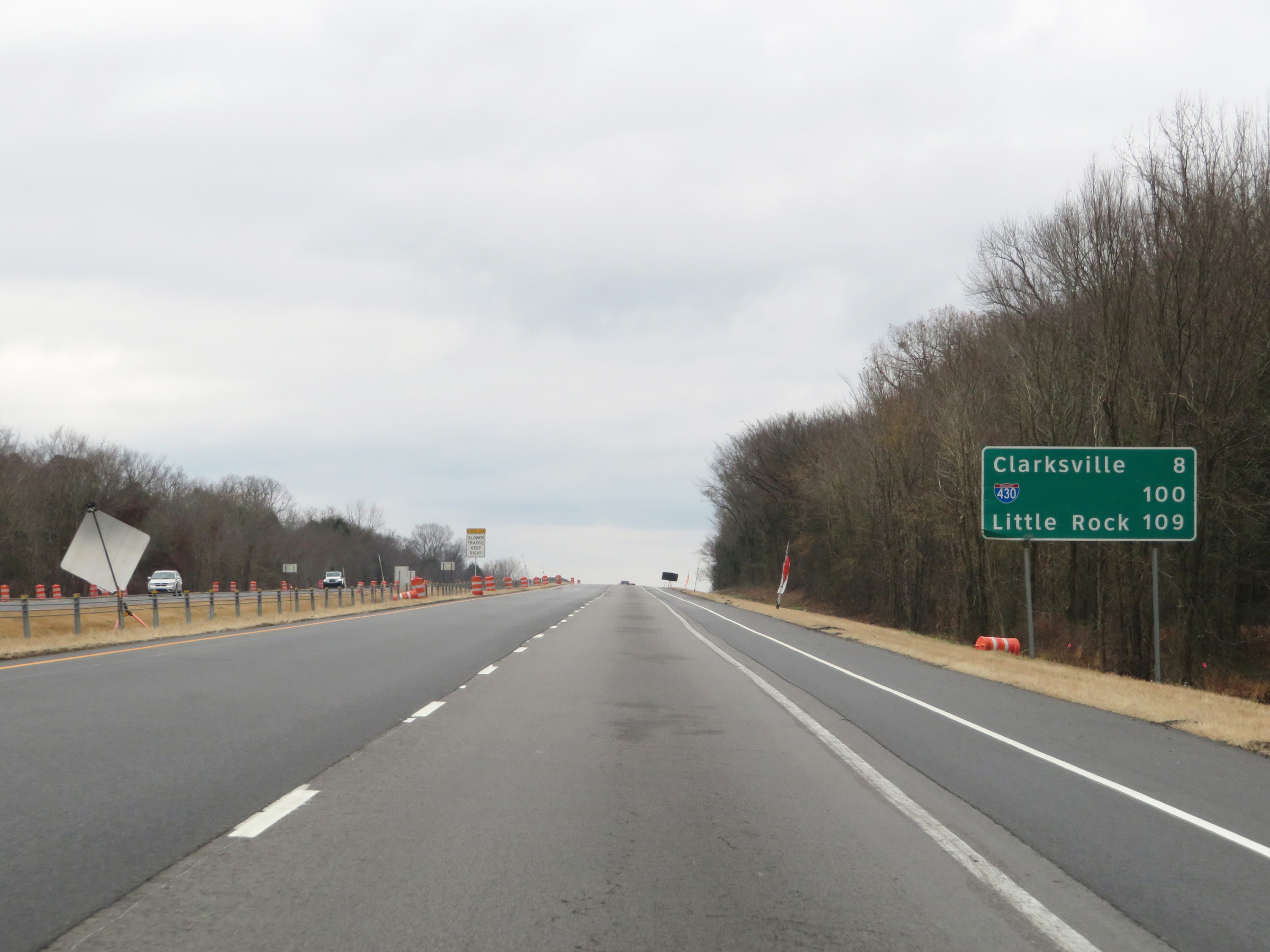 |
Mileage sign at mile marker 47. It's 8 miles to Clarksville, 100 miles to the junction of Interstate 430, and 109 miles to Little Rock. (Photo taken 12/12/20). |
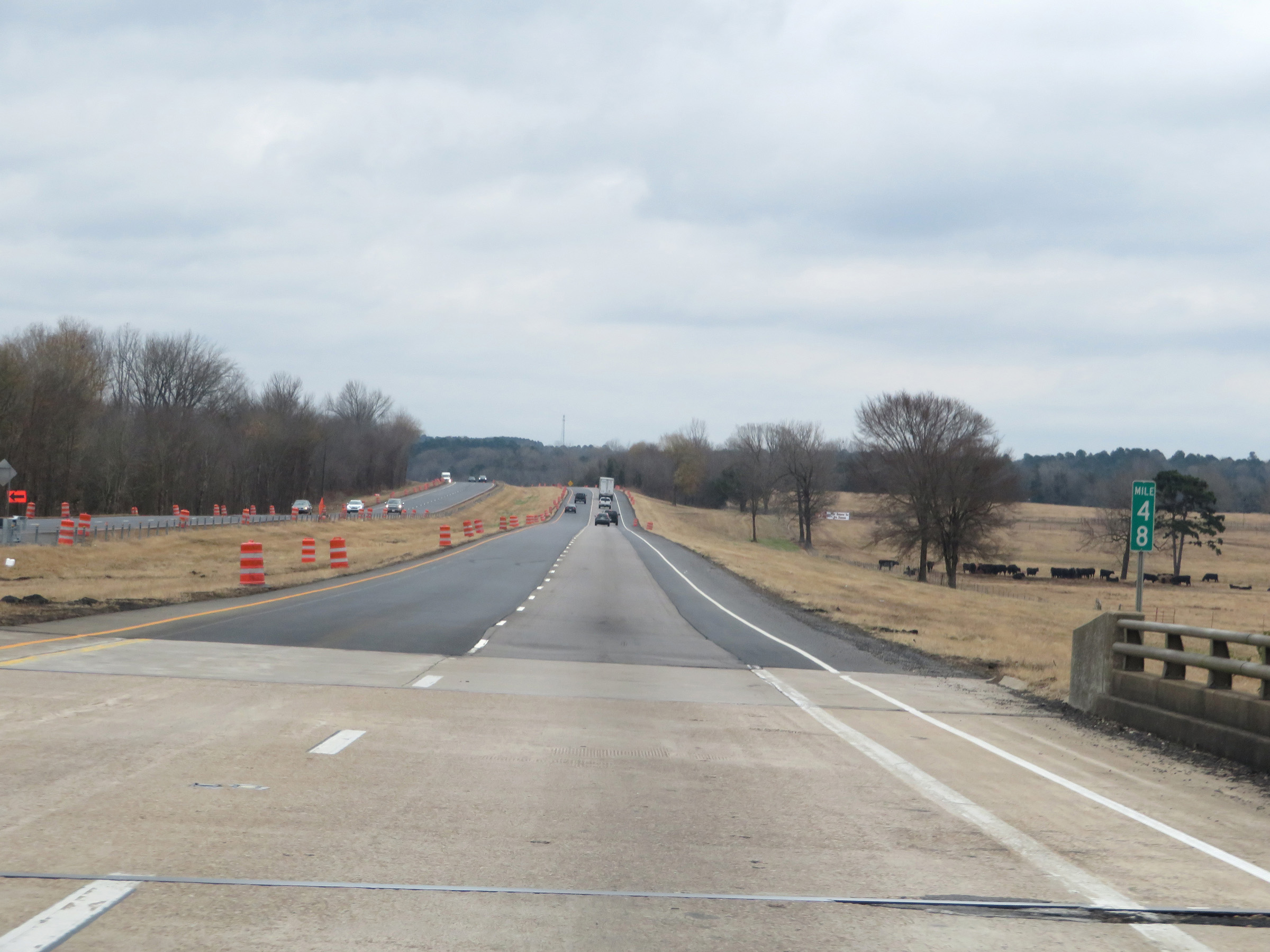 |
View on Interstate 40 East at mile marker 48. (Photo taken 12/12/20). |
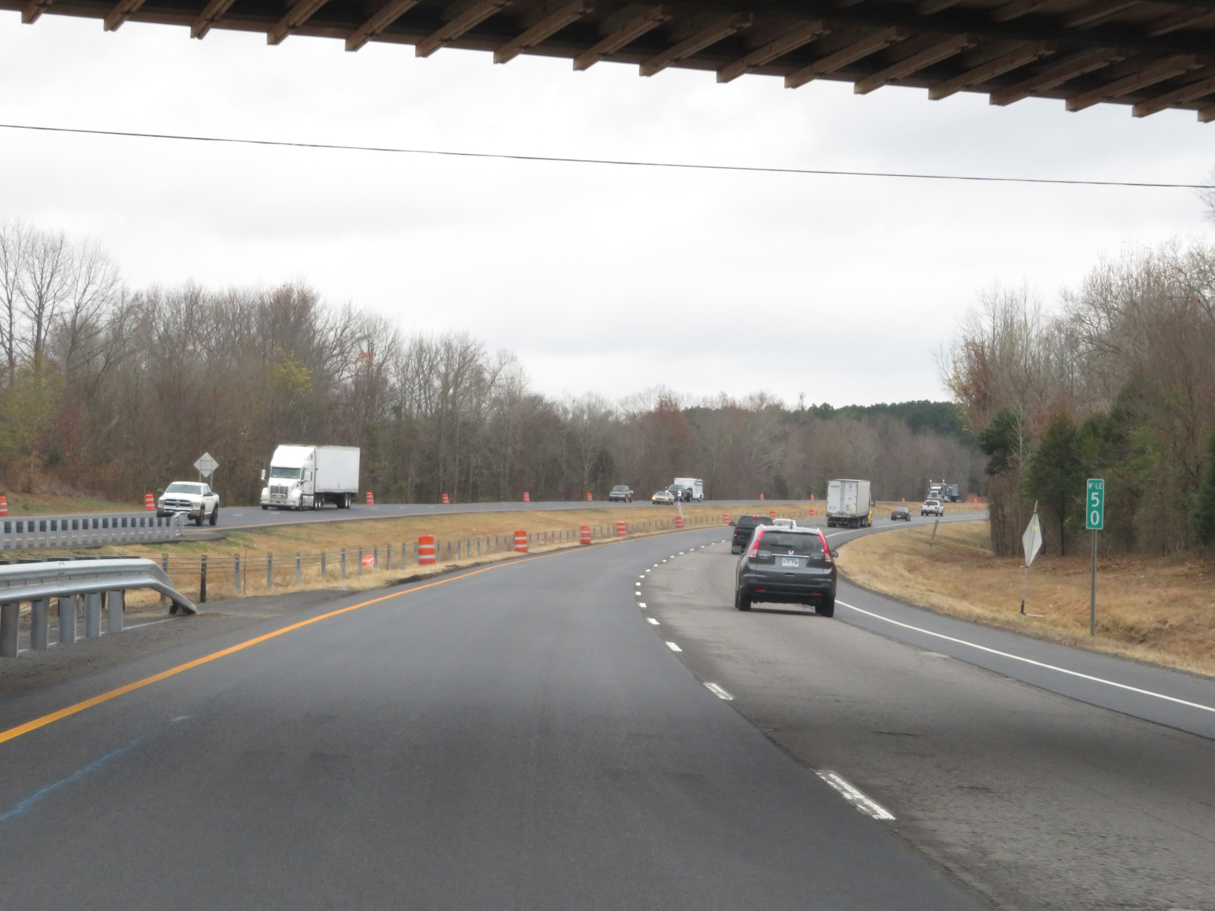 |
Interstate 40 East at mile marker 50. (Photo taken 12/12/20). |
 |
Mile marker 52 on Interstate 40 East in Johnson County. (Photo taken 12/12/20). |
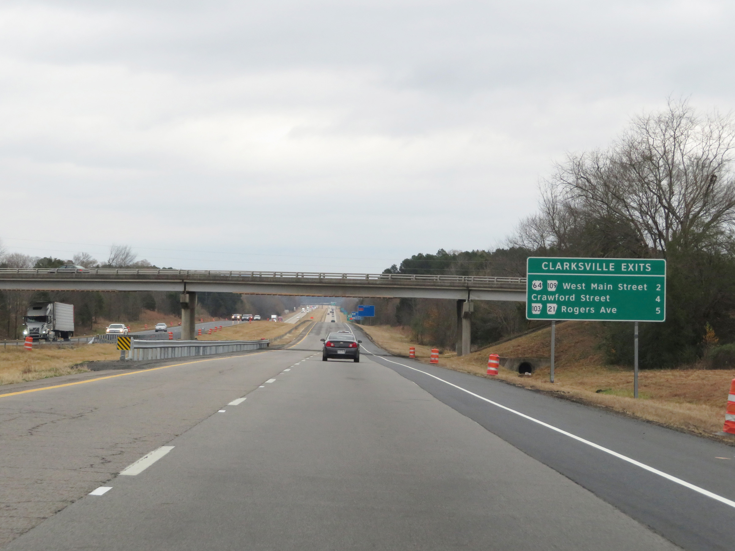 |
Sign listing the distances to the three upcoming exits on Interstate 40 East, all of which will take you to Clarksville. (Photo taken 12/12/20). |
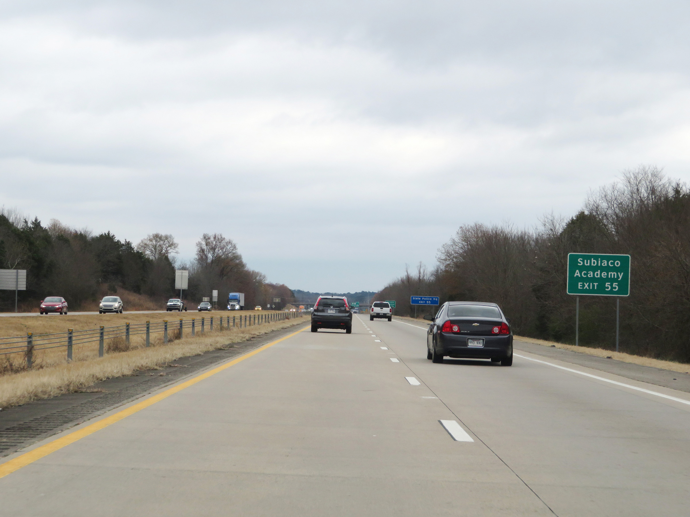 |
Take Exit 55 to Subiaco Academy. (Photo taken 12/12/20). |
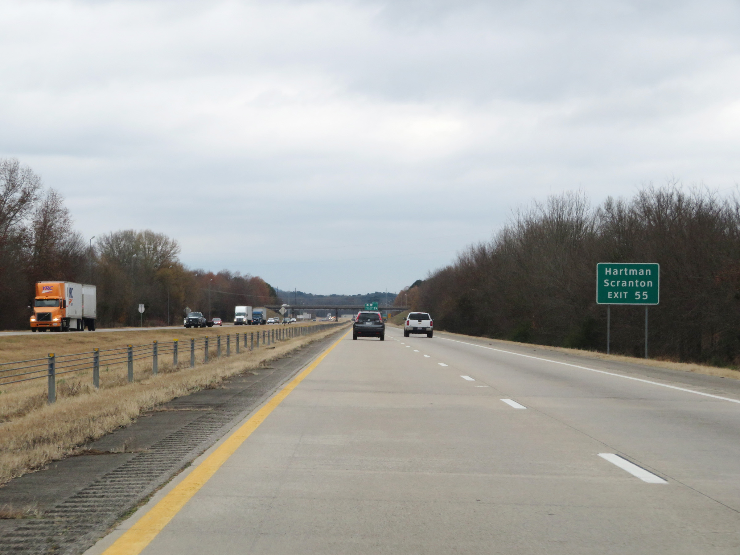 |
Also take Exit 55 to Hartman and Scranton. (Photo taken 12/12/20). |
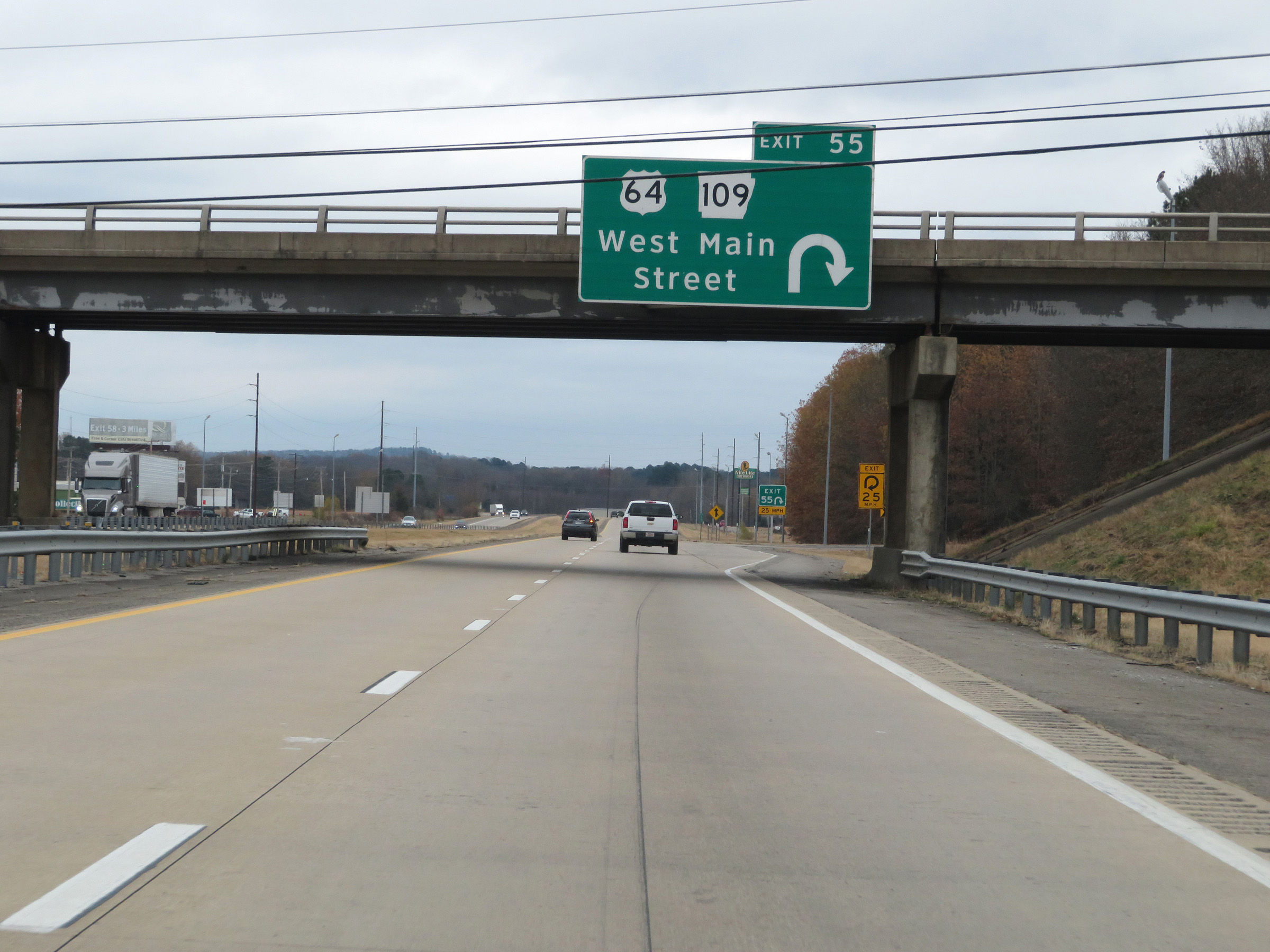 |
Interstate 40 East at Exit 55: US 64 / AR 109 - West Main Street (Photo taken 12/12/20). |
Section 2: Clarksville (Exit 55) to Conway (Exit 124)
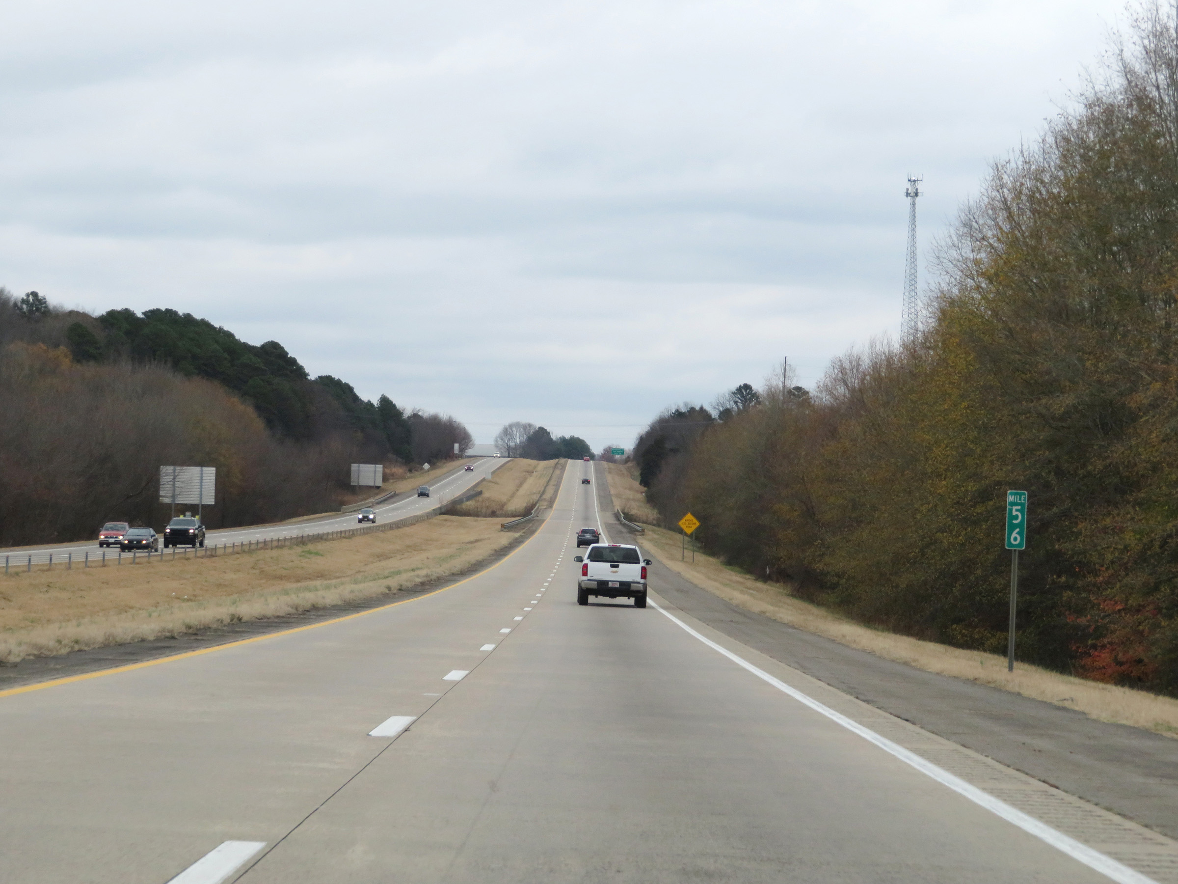 |
Interstate 40 East at mile marker 56. (Photo taken 12/12/20). |
 |
Take Exit 57 to the University of the Ozarks. (Photo taken 12/12/20). |
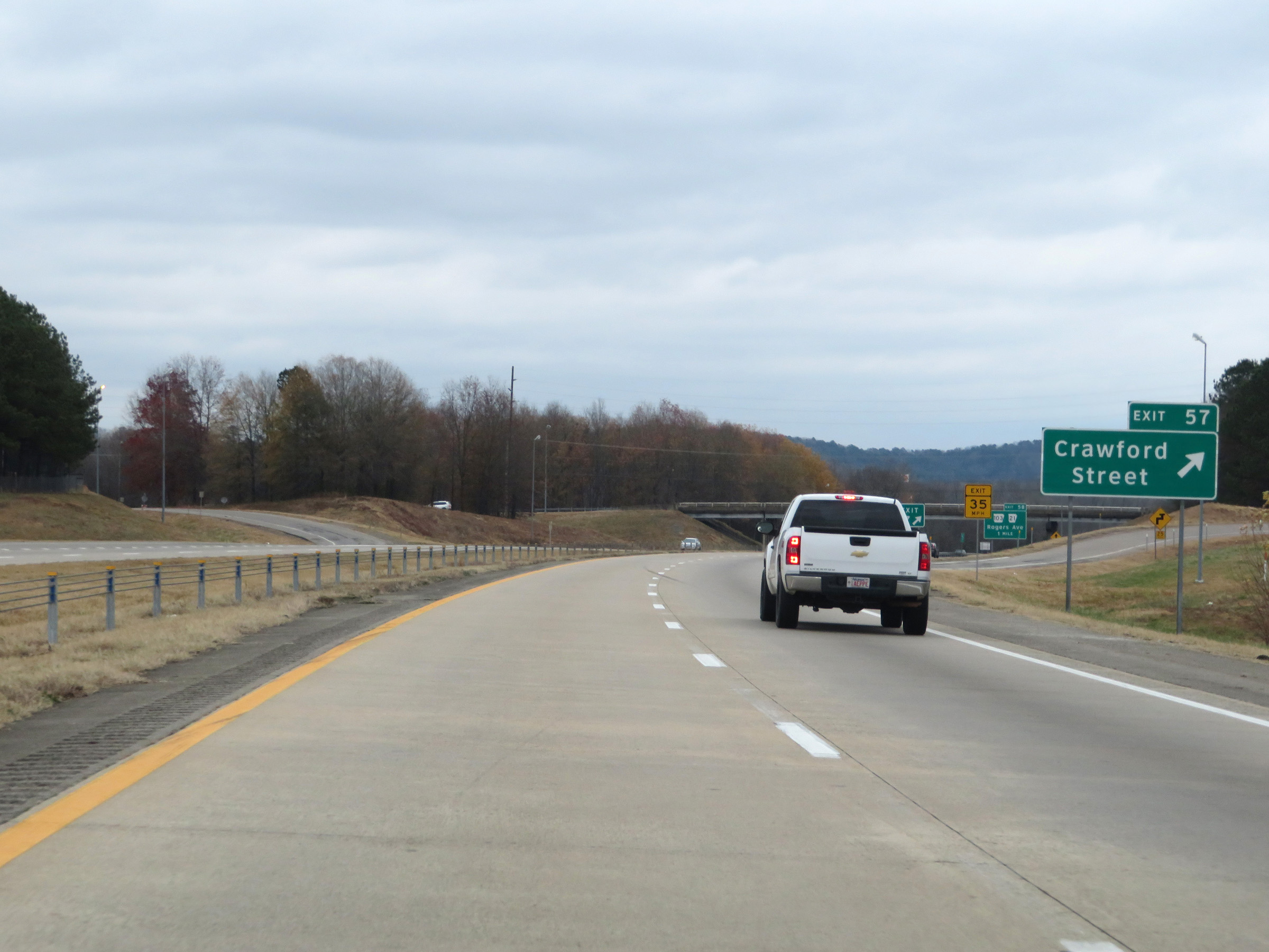 |
Interstate 40 East at Exit 57: Crawford Street (Photo taken 12/12/20). |
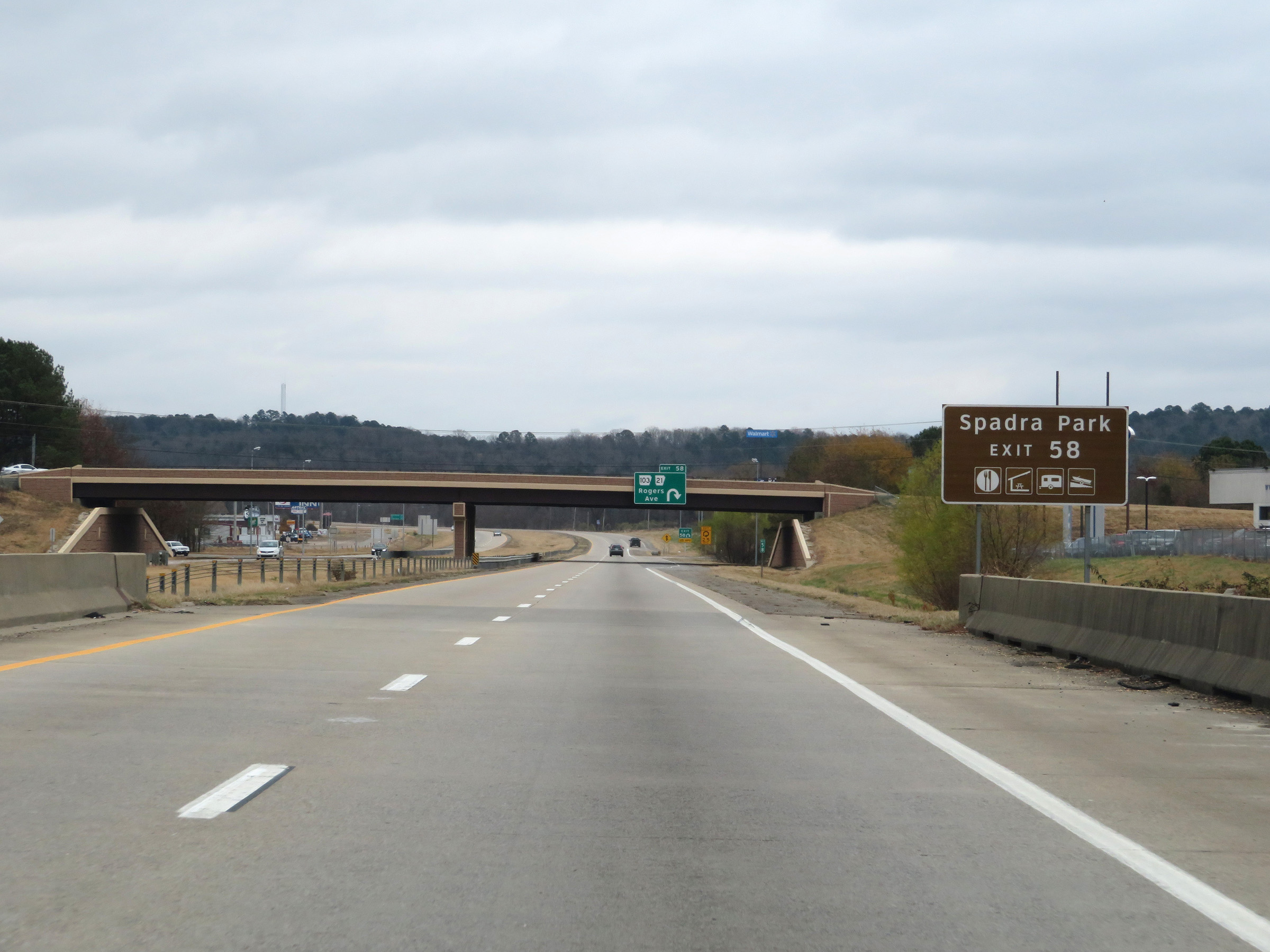 |
Take Exit 58 to Spadra Park. (Photo taken 12/12/20). |
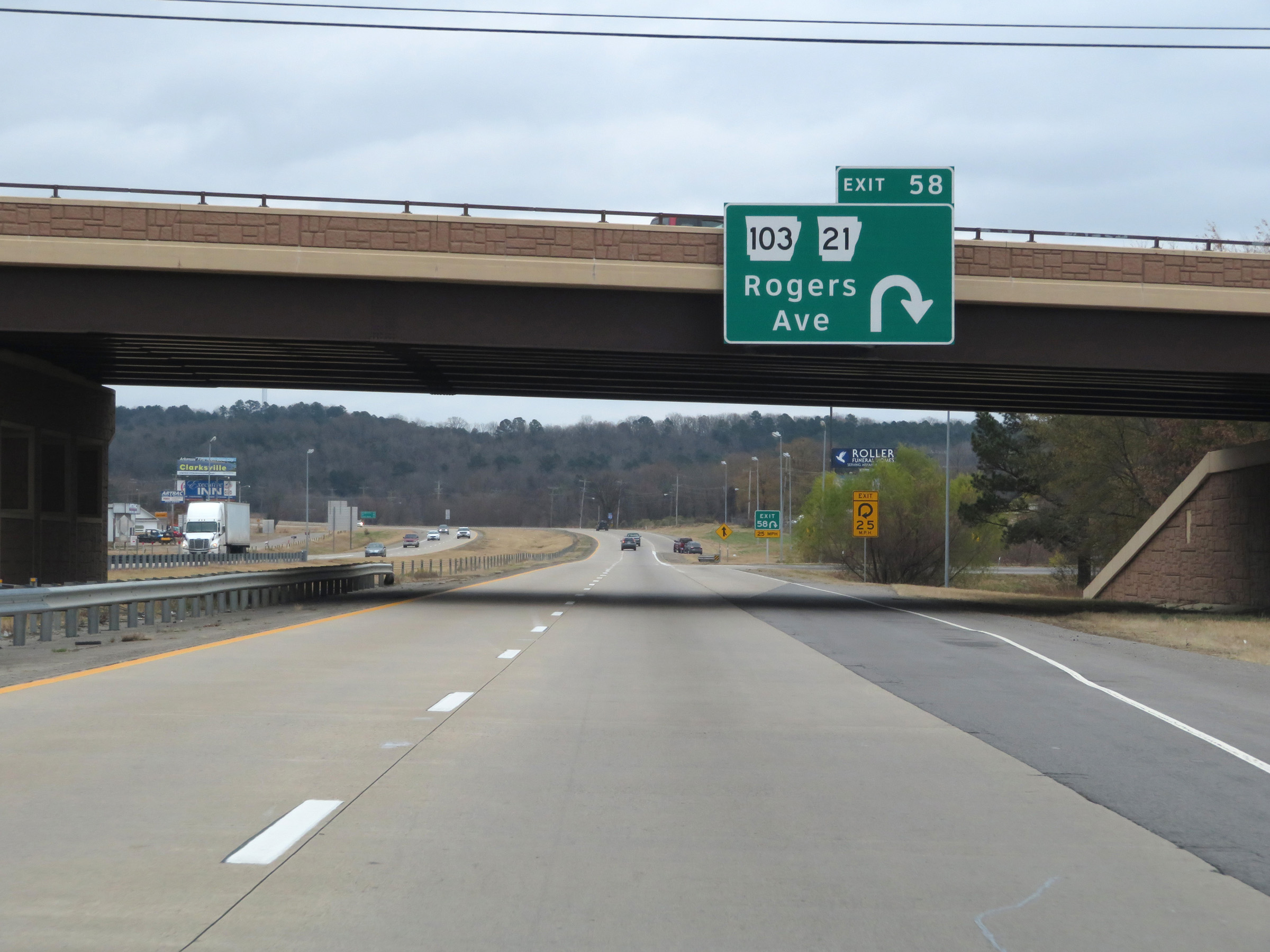 |
Interstate 40 East at Exit 58: AR 103 / AR 21 - Rogers Ave (Photo taken 12/12/20). |
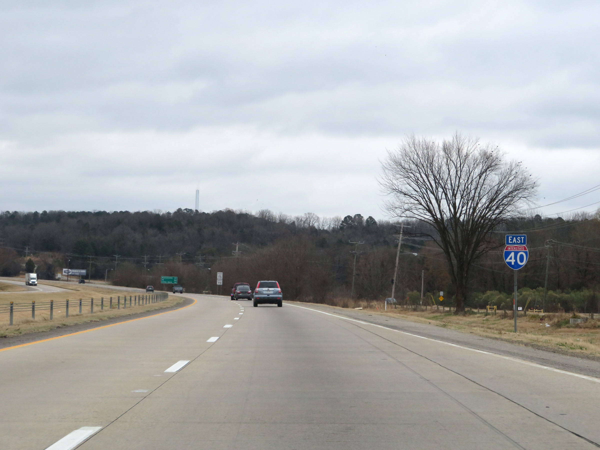 |
Another Interstate 40 East reassurance shield. (Photo taken 12/12/20). |
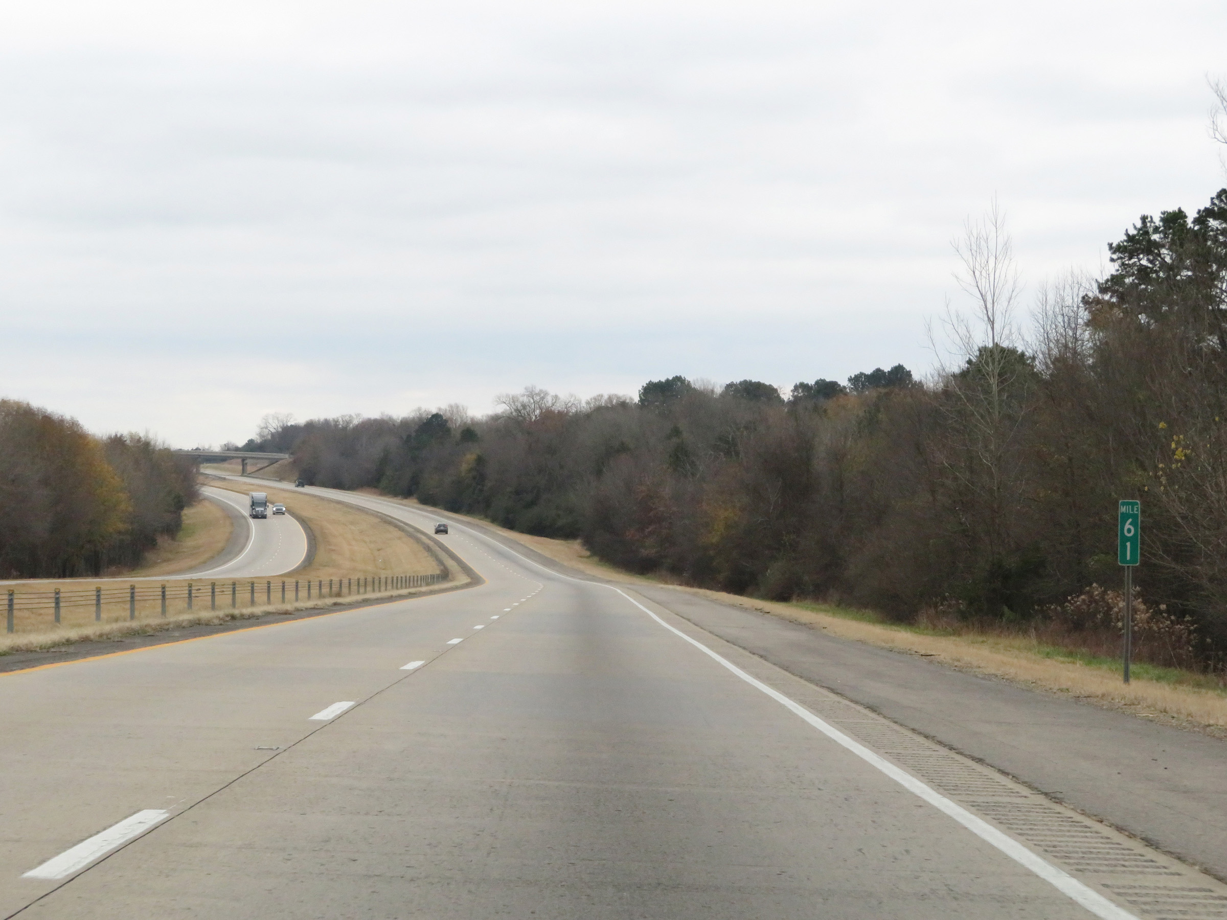 |
View on Interstate 40 East at mile marker 61. (Photo taken 12/12/20). |
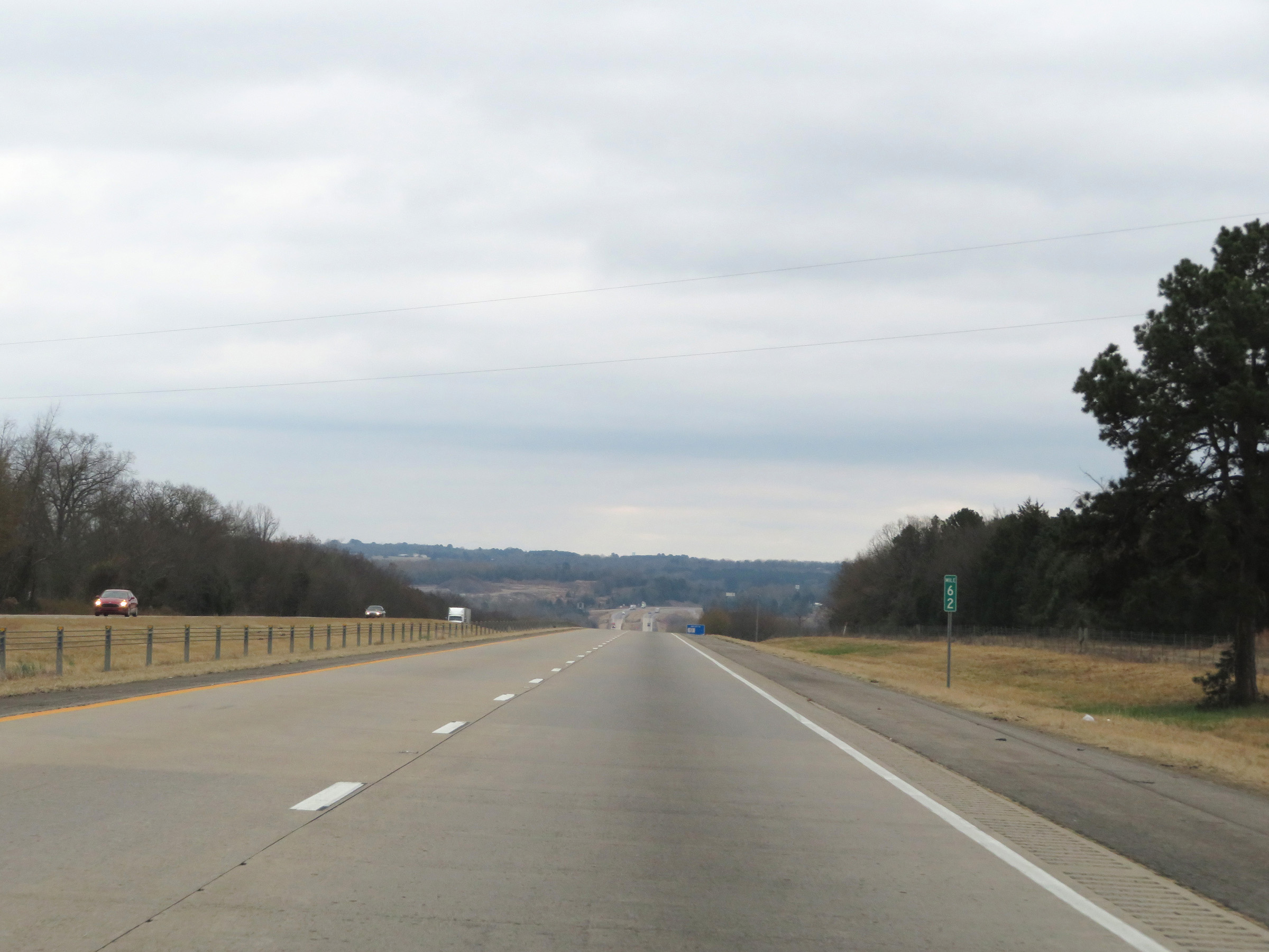 |
Mile marker 62 on Interstate 40 East in Johnson County. (Photo taken 12/12/20). |
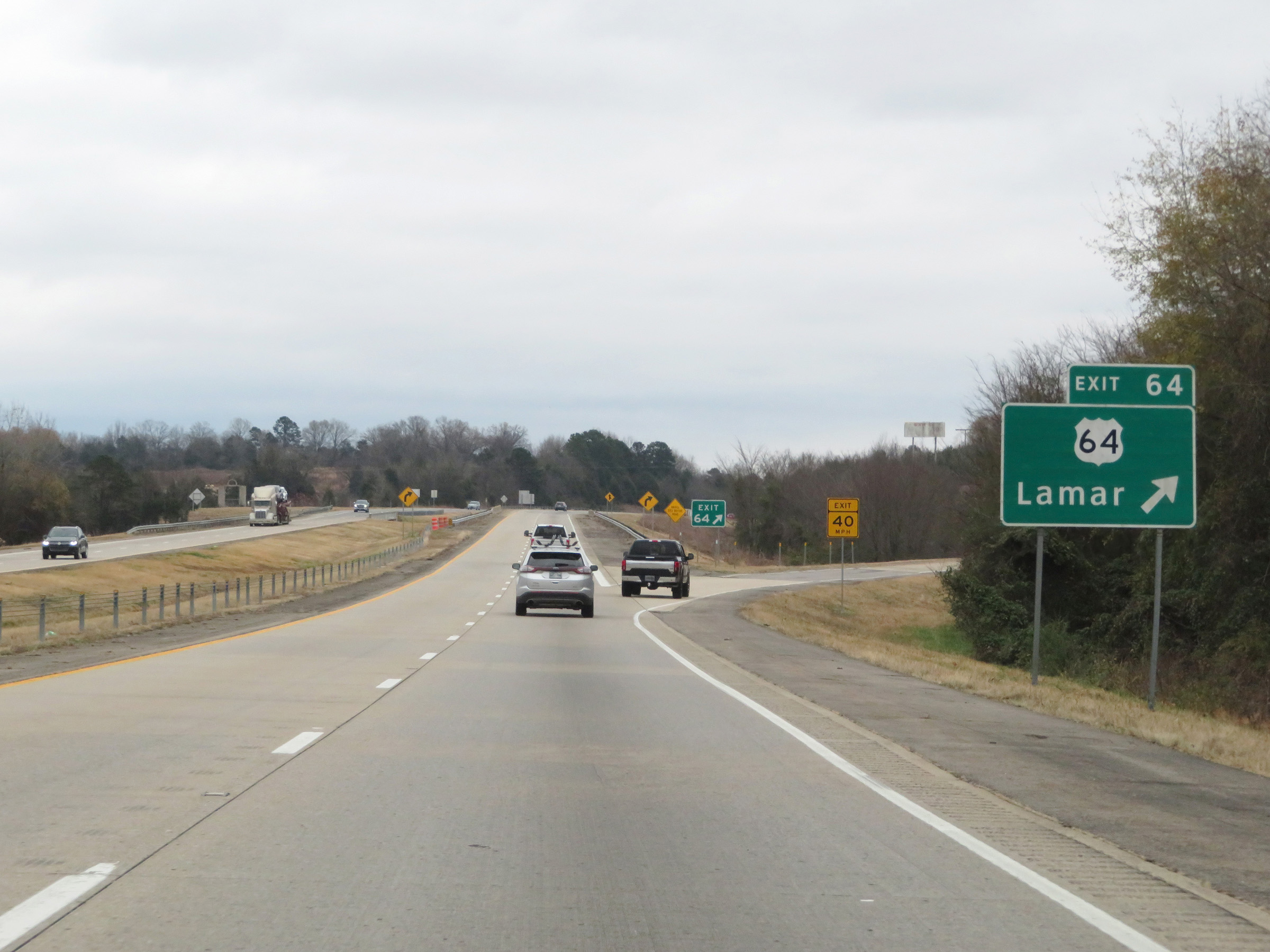 |
Interstate 40 East at Exit 64: US 64 - Lamar (Photo taken 12/12/20). |
 |
View on Interstate 40 East at mile marker 66. (Photo taken 12/12/20). |
 |
Interstate 40 East at Exit 67: AR 315 - Knoxville (Photo taken 12/12/20). |
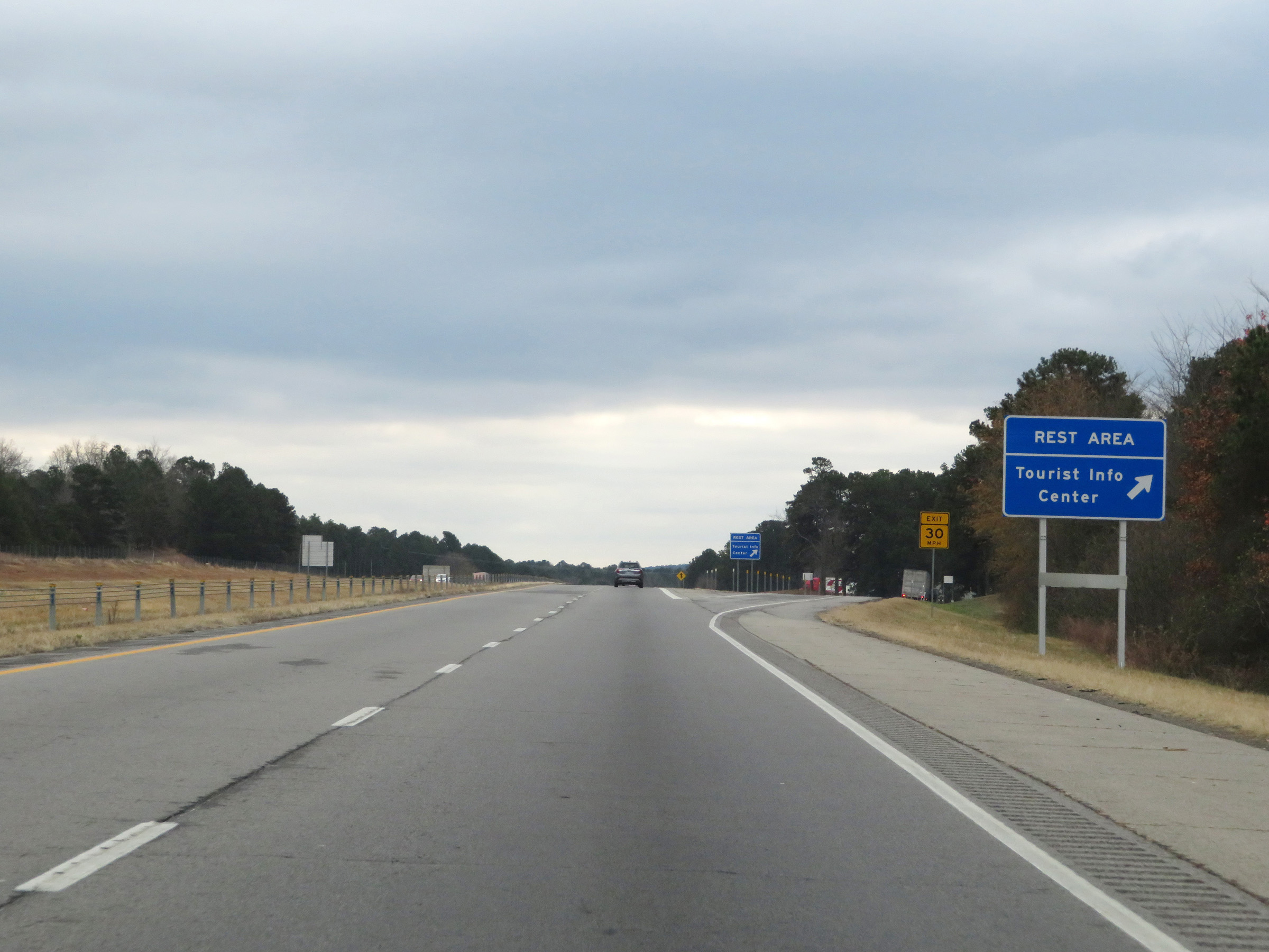 |
Rest Area / Tourist Info Center on Interstate 40 East in Johnson County. (Photo taken 12/12/20). |
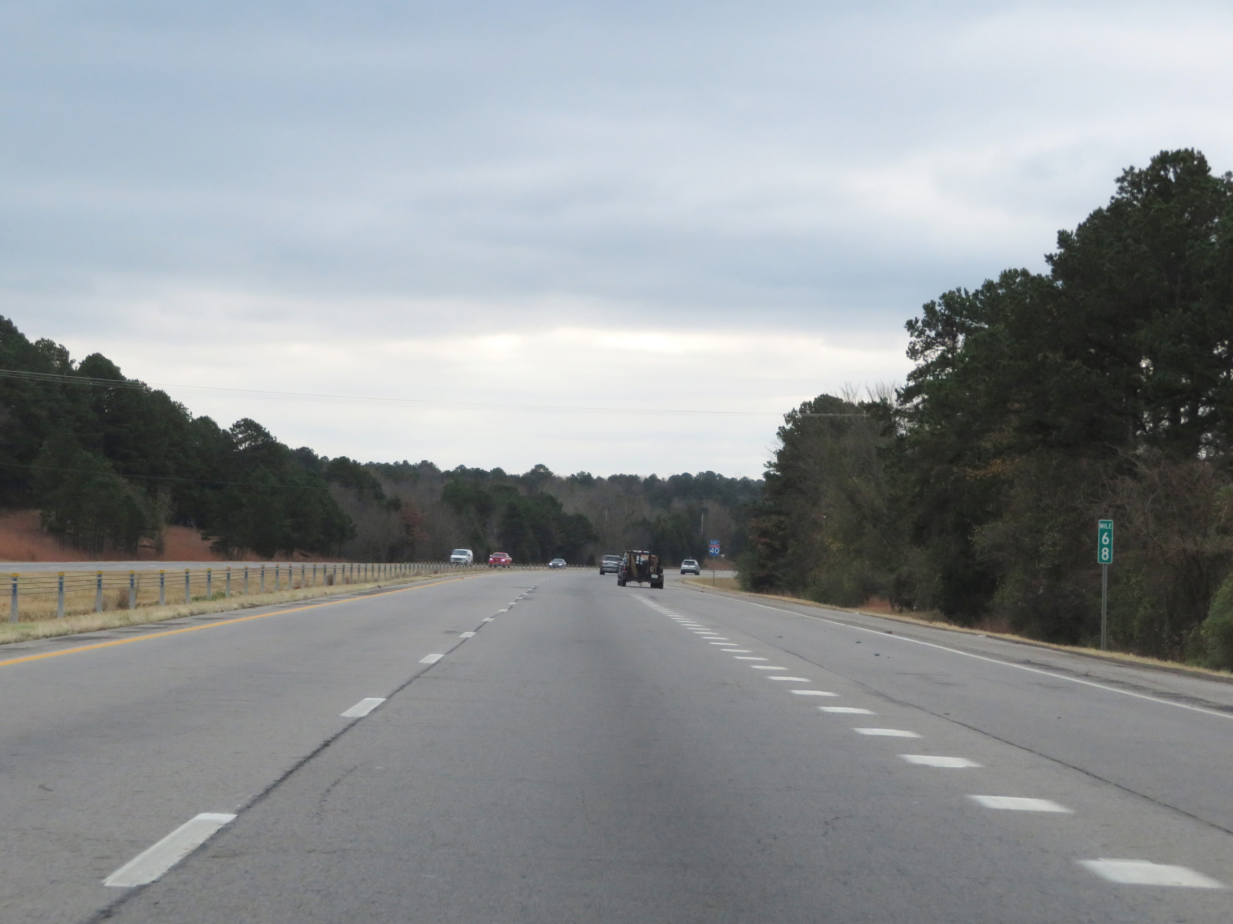 |
Interstate 40 East at mile marker 68. (Photo taken 12/12/20). |
 |
View on Interstate 40 East at mile marker 71. (Photo taken 12/12/20). |
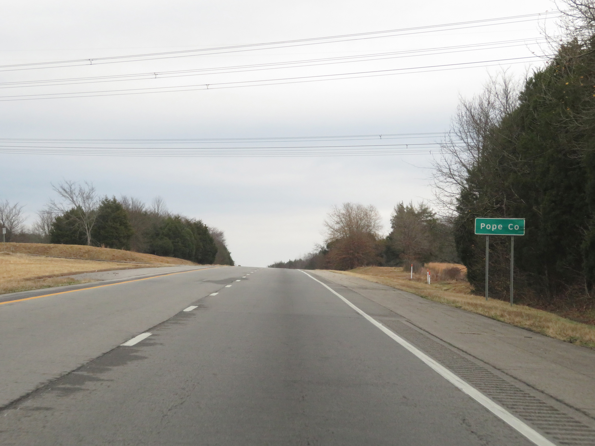 |
Interstate 40 East as it enters Pope County. (Photo taken 12/12/20). |
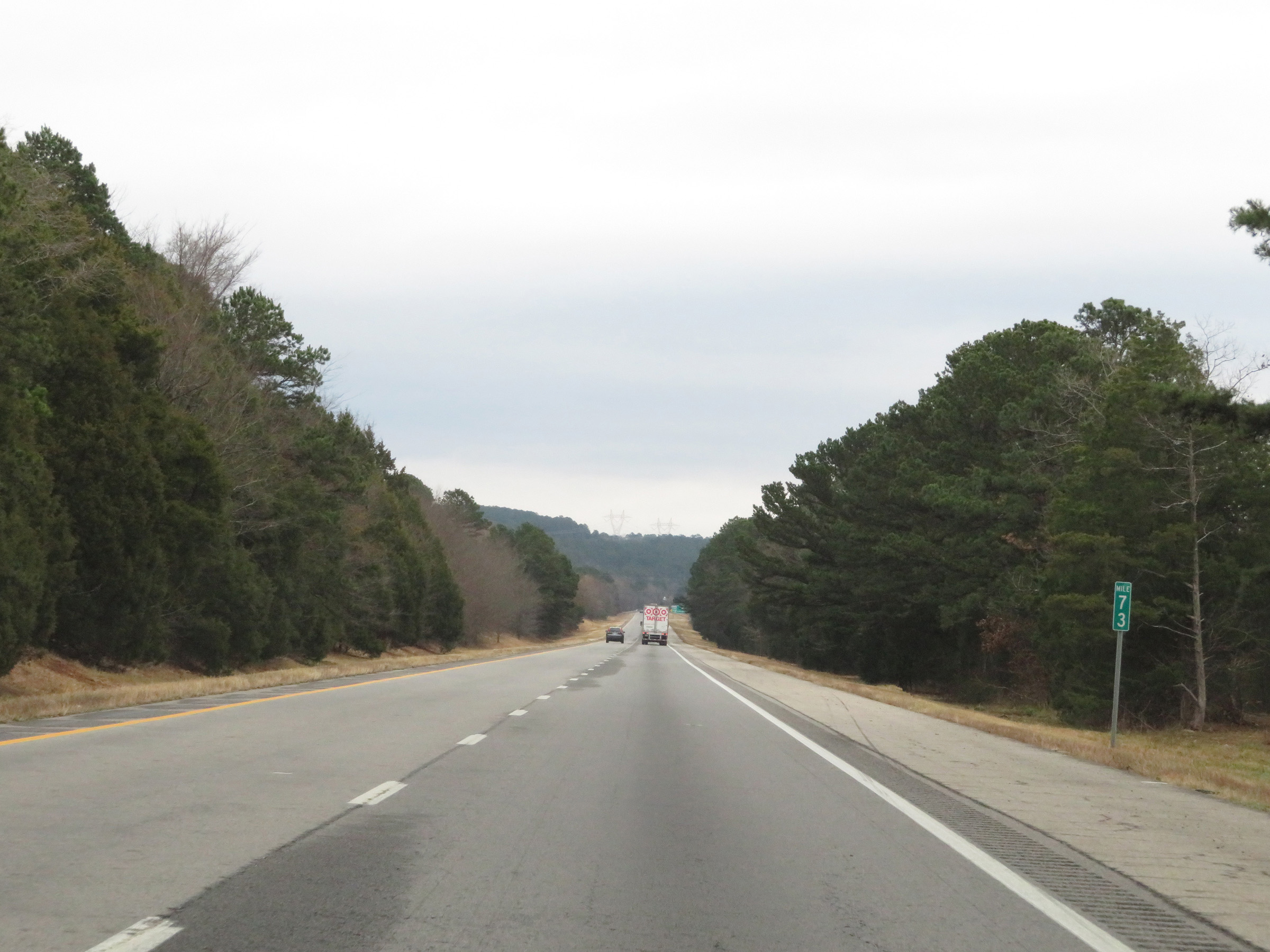 |
Interstate 40 East at mile marker 73. (Photo taken 12/12/20). |
 |
Interstate 40 East at Exit 74: AR 333 - London (Photo taken 12/12/20). |
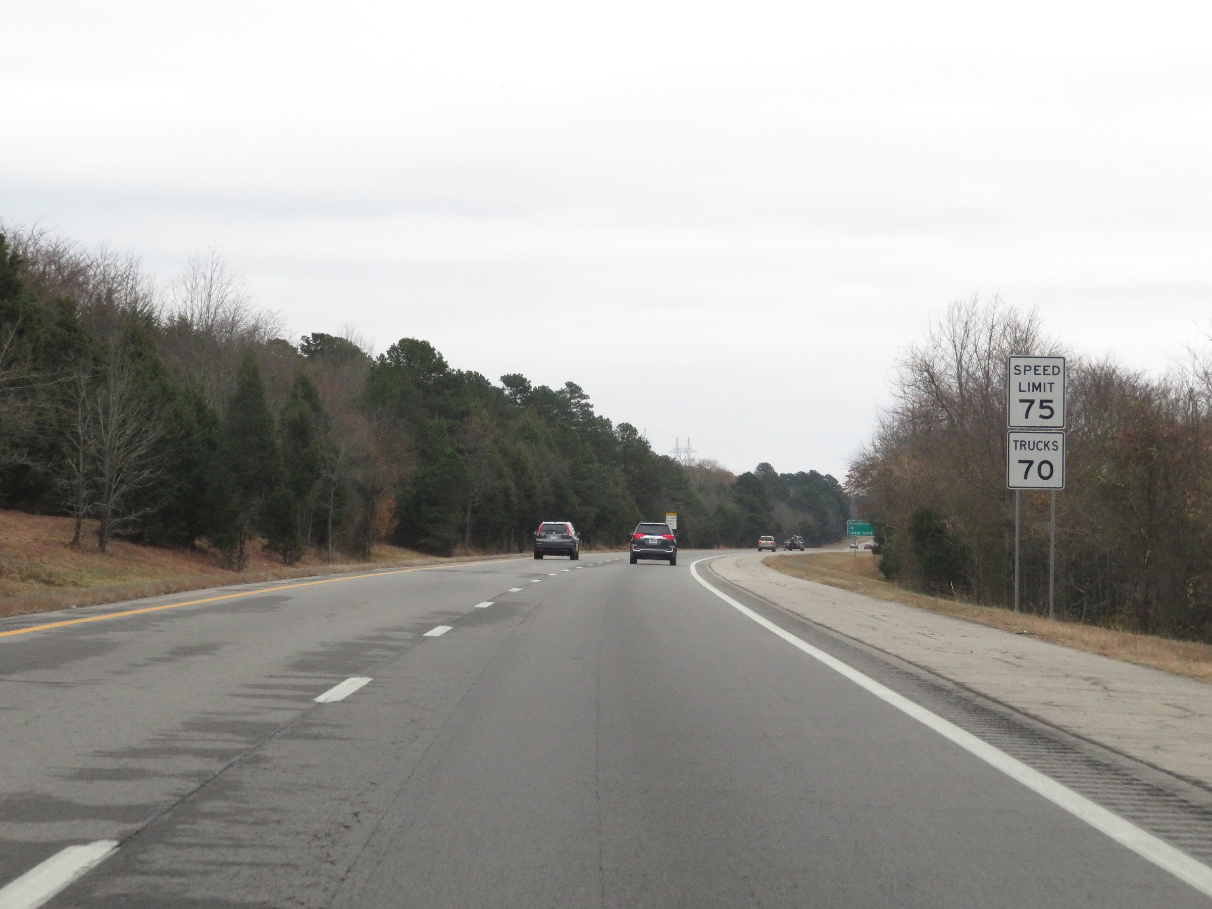 |
The speed limits remain 75 mph for automobiles and 70 mph for trucks. (Photo taken 12/12/20). |
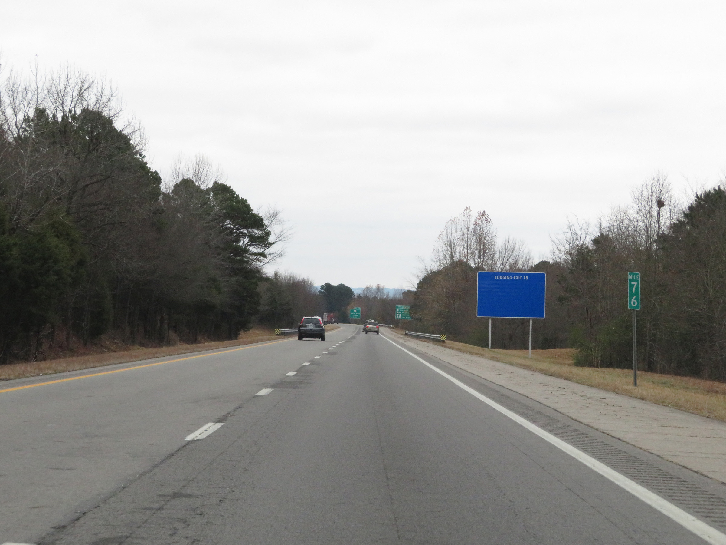 |
View on Interstate 40 East at mile marker 76. (Photo taken 12/12/20). |
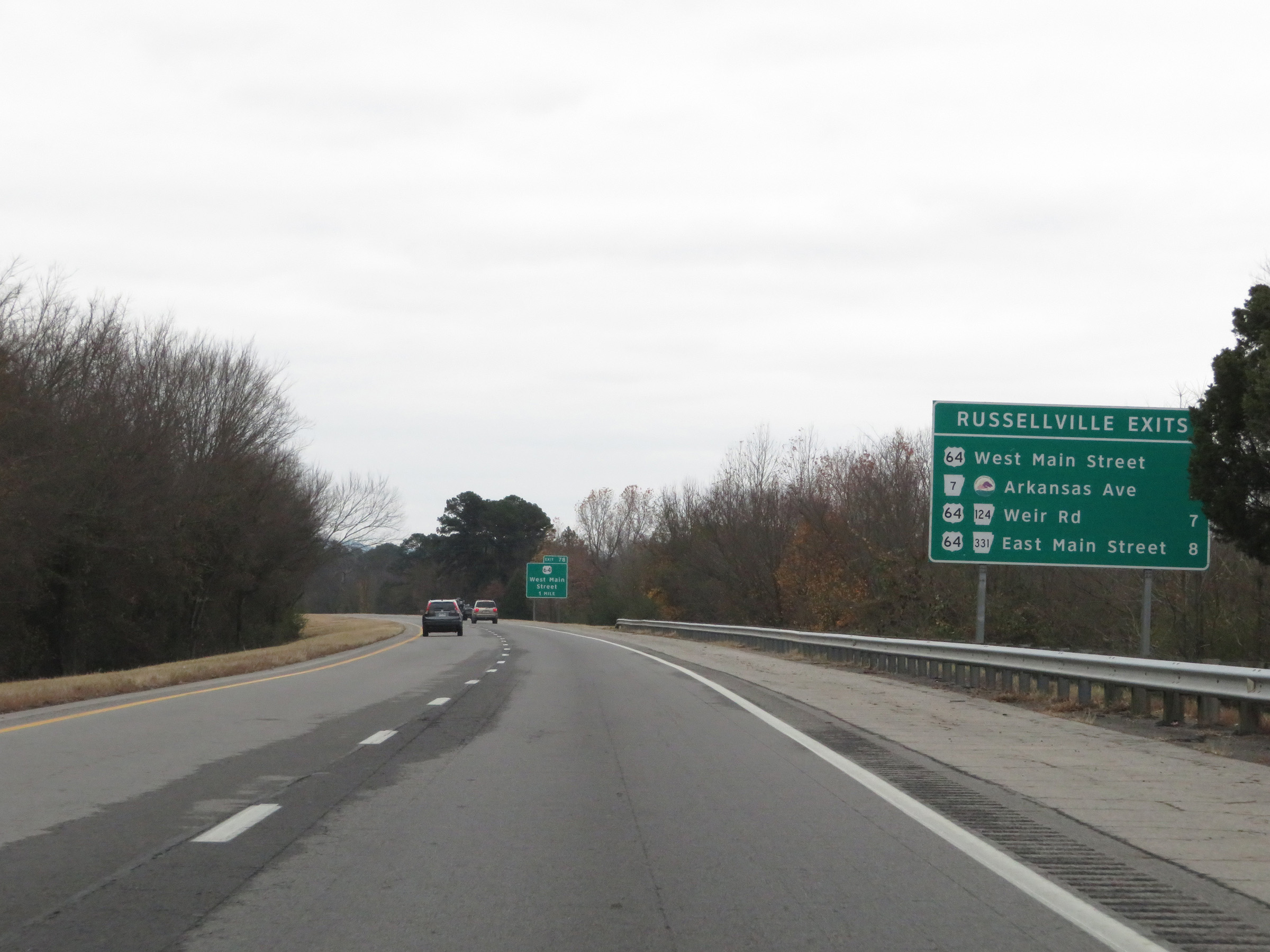 |
Sign listing the distances to the four upcoming exits to Russellville. (Photo taken 12/12/20). |
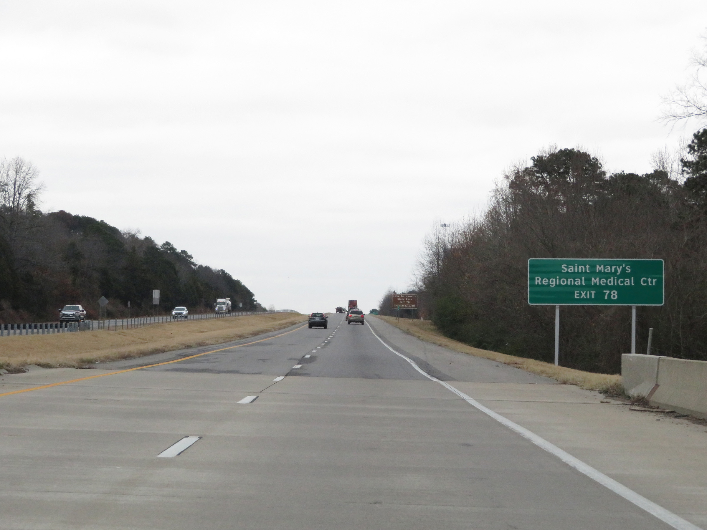 |
Take Exit 78 to Saint Mary's Regional Medical Center. (Photo taken 12/12/20). |
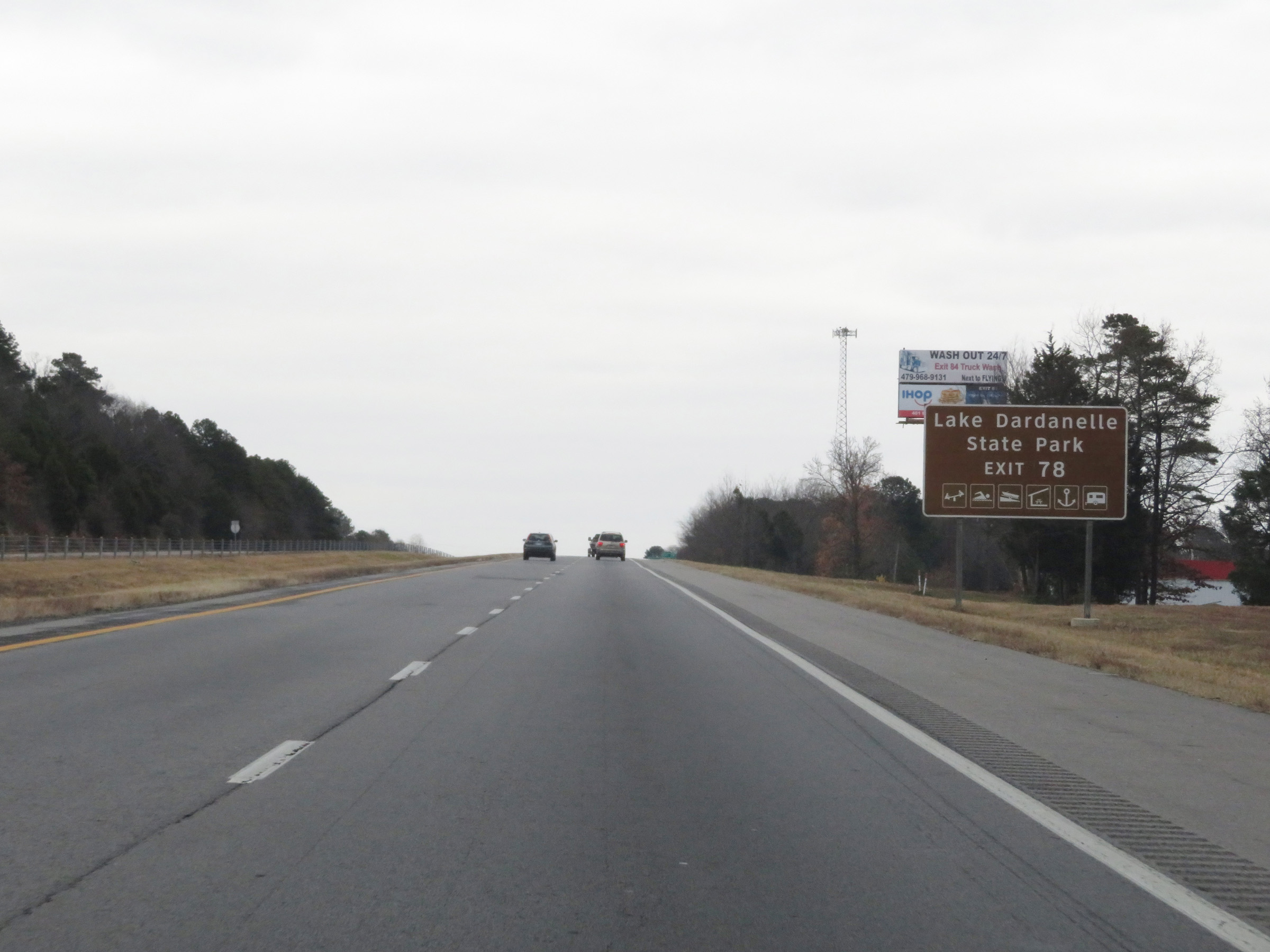 |
Also take Exit 78 to Lake Dardanelle State Park. (Photo taken 12/12/20). |
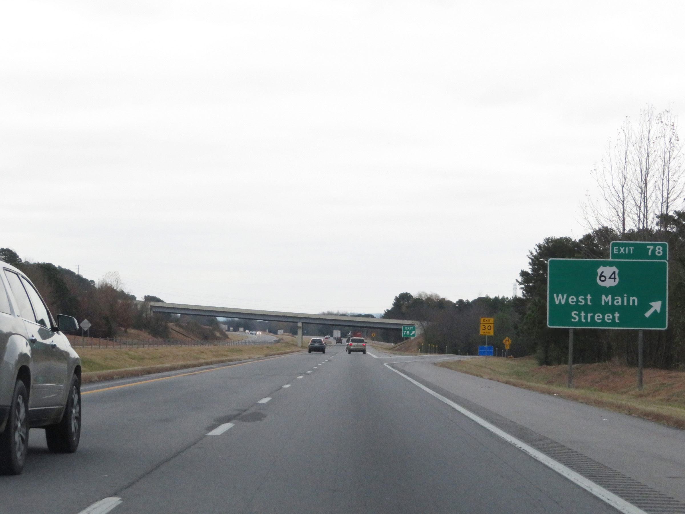 |
Interstate 40 East at Exit 78: US 64 - West Main Street (Photo taken 12/12/20). |
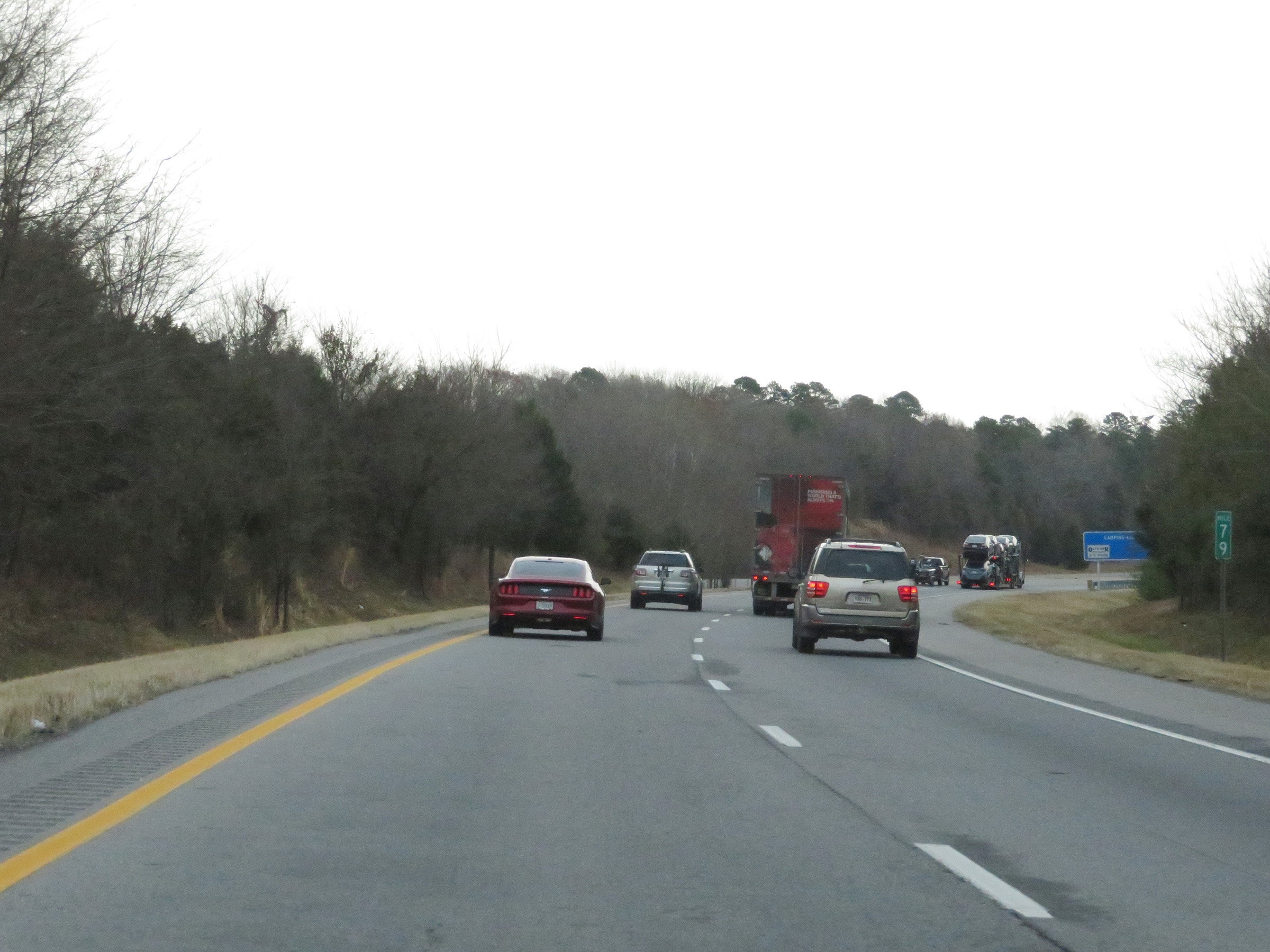 |
Interstate 40 East at mile marker 79. (Photo taken 12/12/20). |
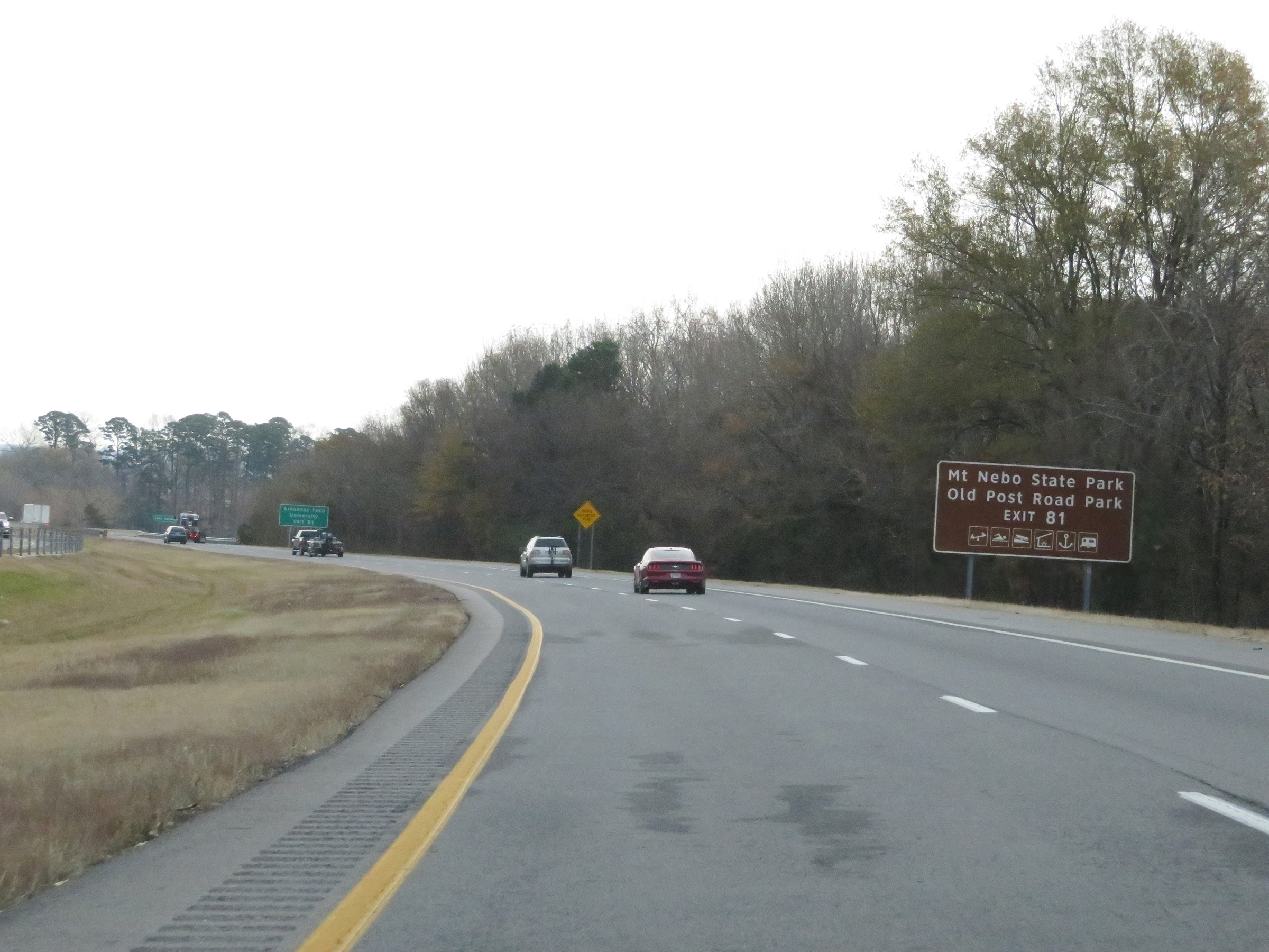 |
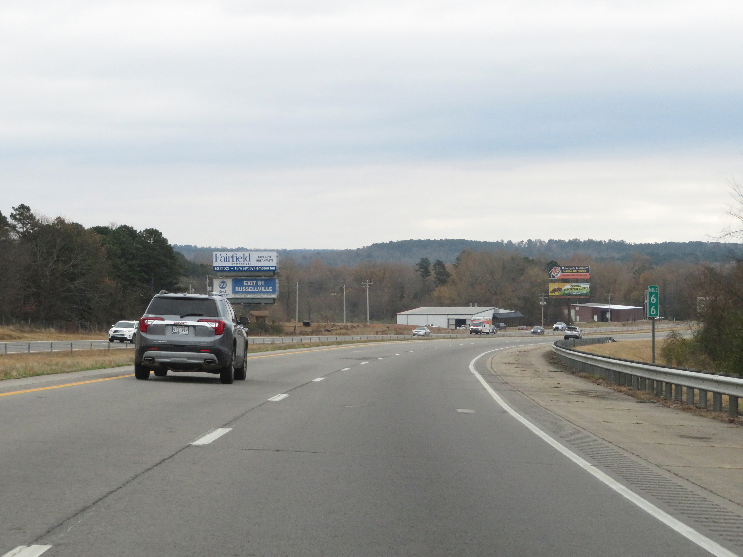
Take Exit 81 to Mt. Nebo State Park and Old Post Road Park. (Photo taken 12/12/20). |
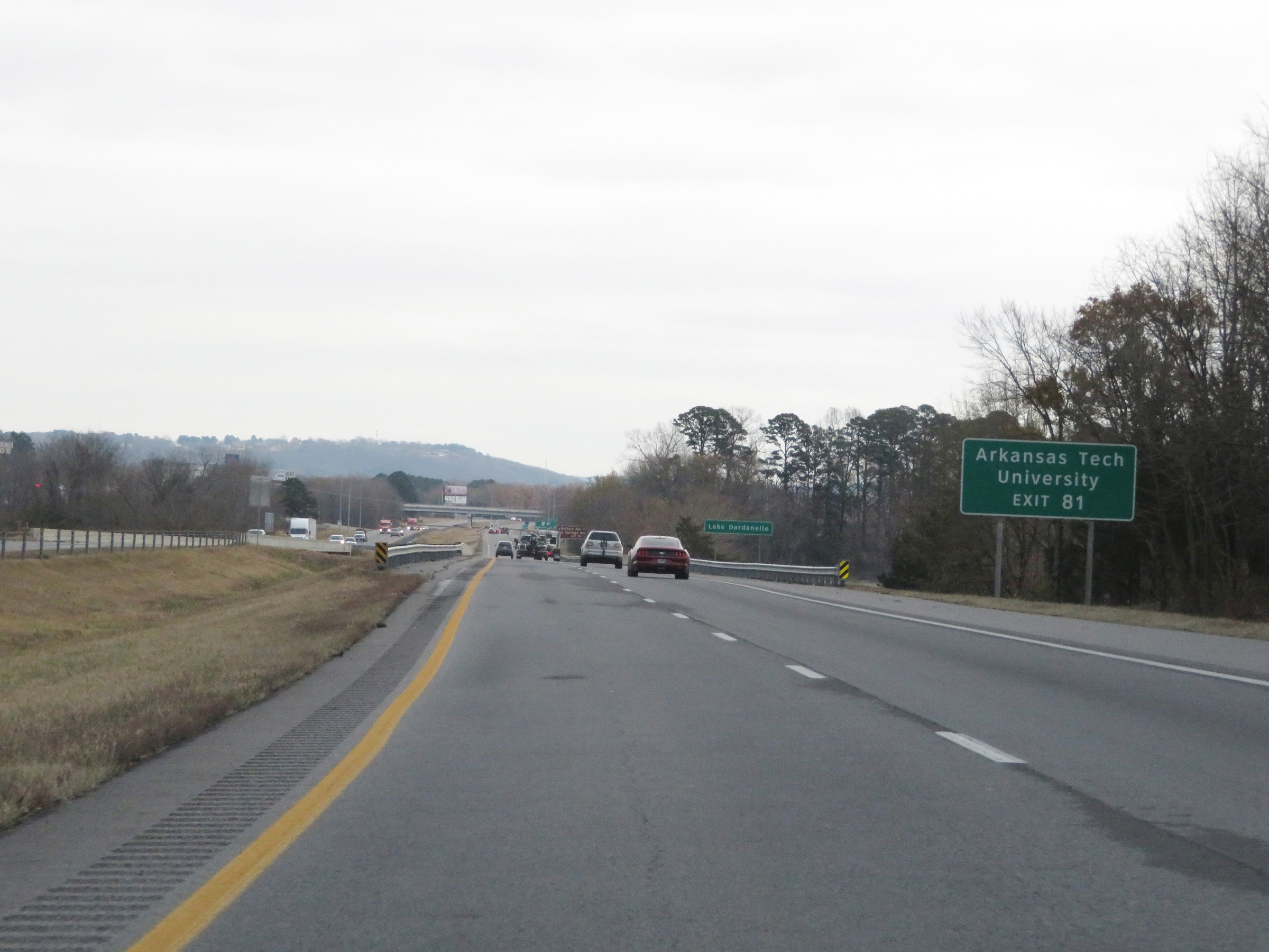 |
Also take Exit 81 to Arkansas Tech University. (Photo taken 12/12/20). |
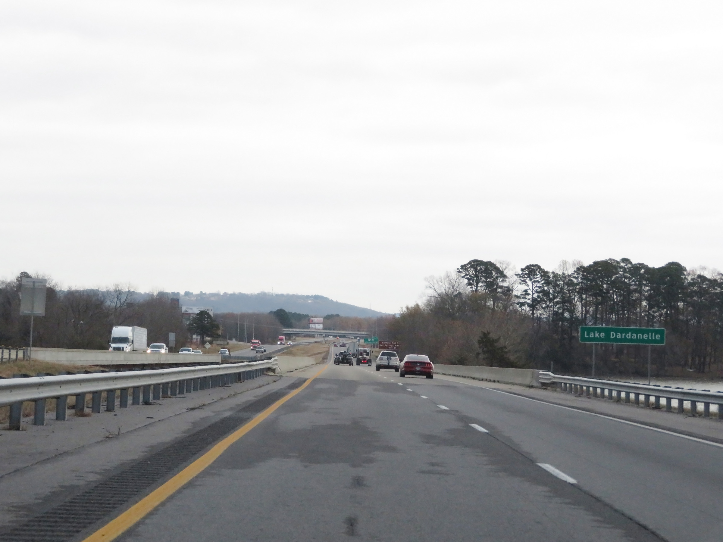 |
View on Interstate 40 East as it crosses Lake Dardanelle. (Photo taken 12/12/20). |
 |
Take Exit 81 to Buffalo National River and Hot Springs National Park. (Photo taken 12/12/20). |
 |
Interstate 40 East at Exit 81: AR 7 - Arkansas Ave (Photo taken 12/12/20). |
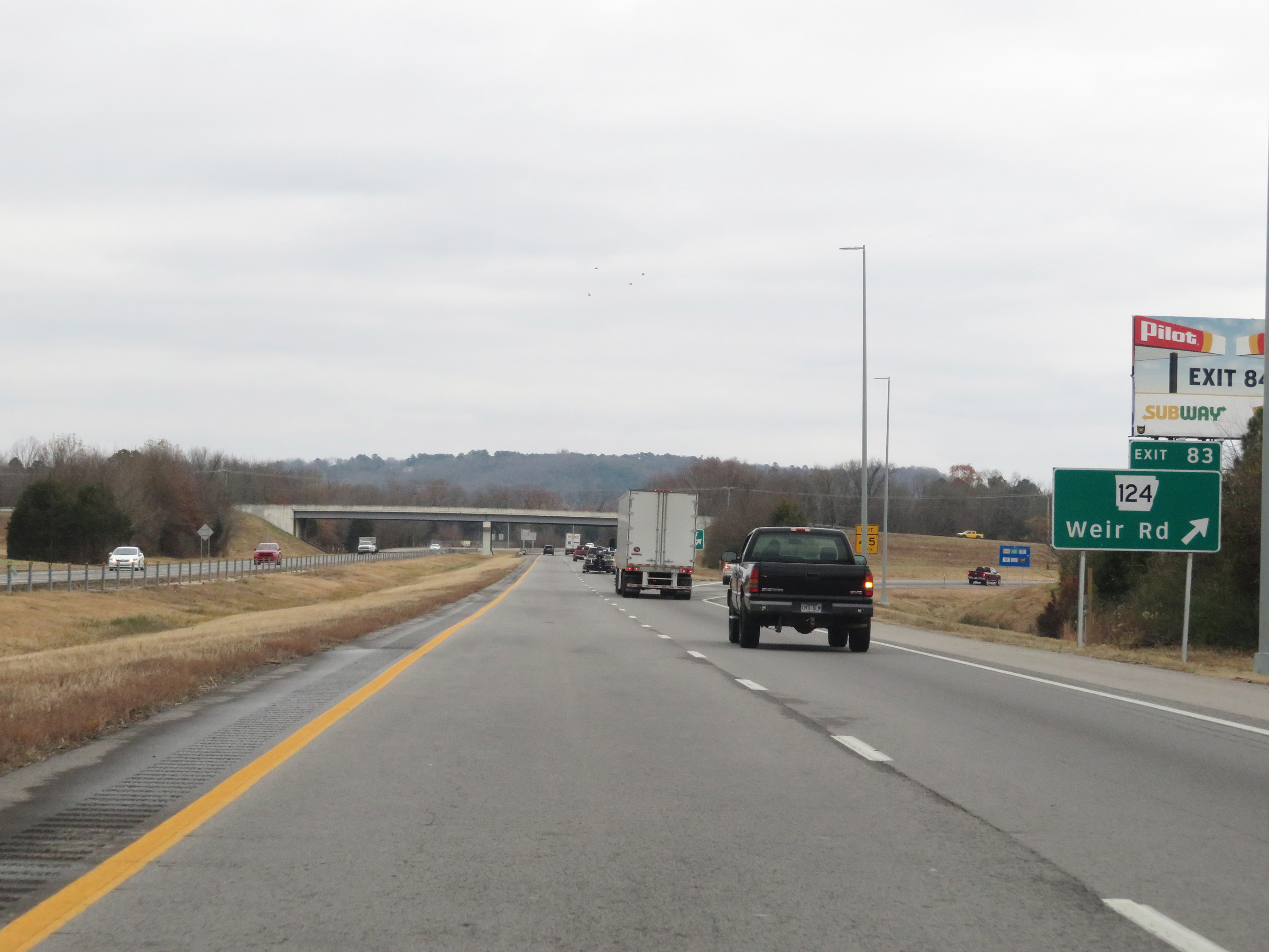 |
Interstate 40 East at Exit 83: AR 124 - Weir Rd (Photo taken 12/12/20). |
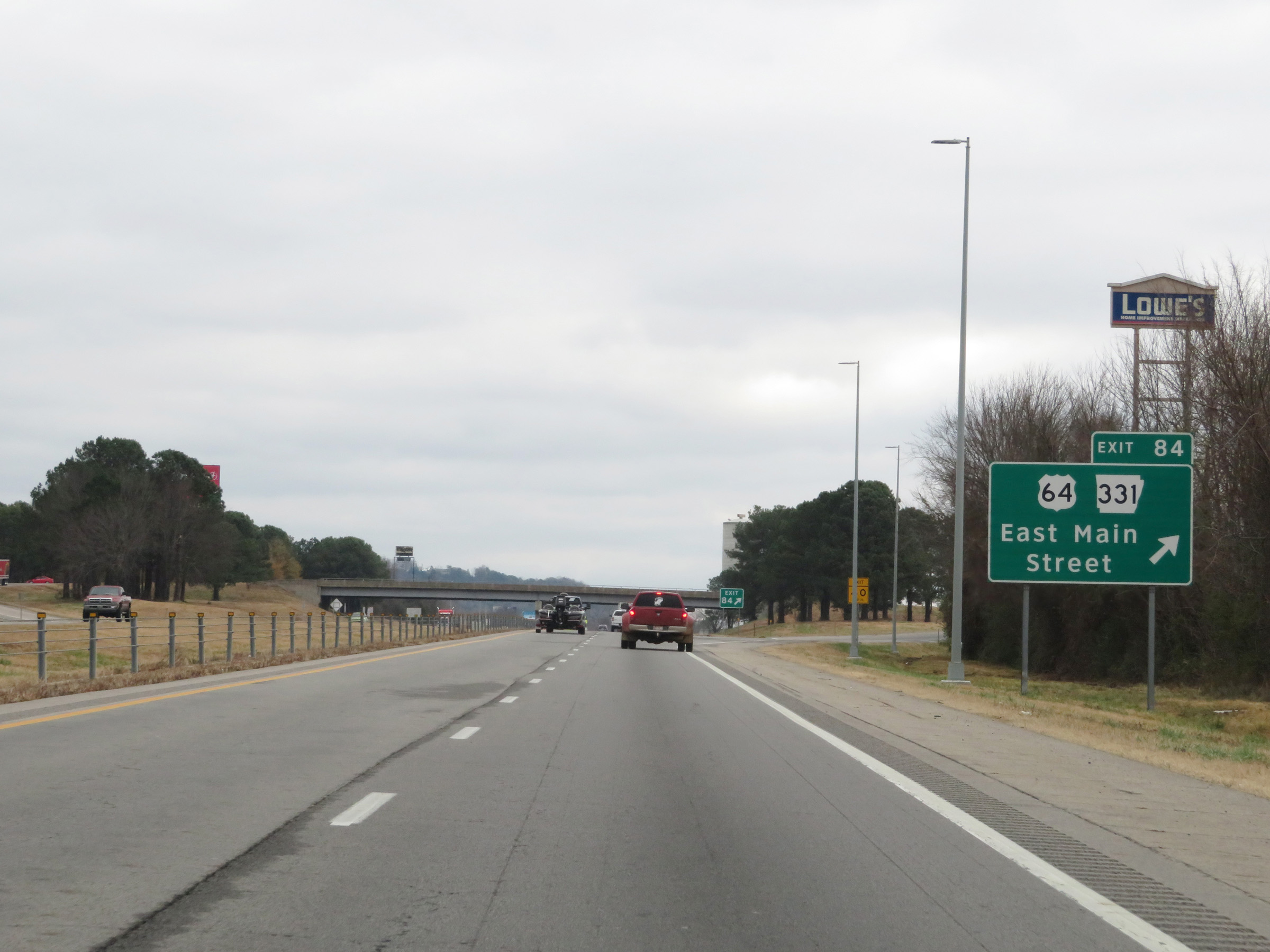 |
Interstate 40 East at Exit 84: US 64 / AR 331 - East Main Street (Photo taken 12/12/20). |
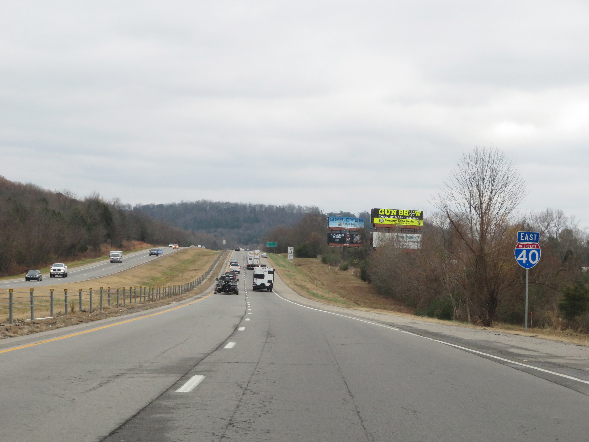 |
Interstate 40 East reassurance shield leaving Russellville. (Photo taken 12/12/20). |
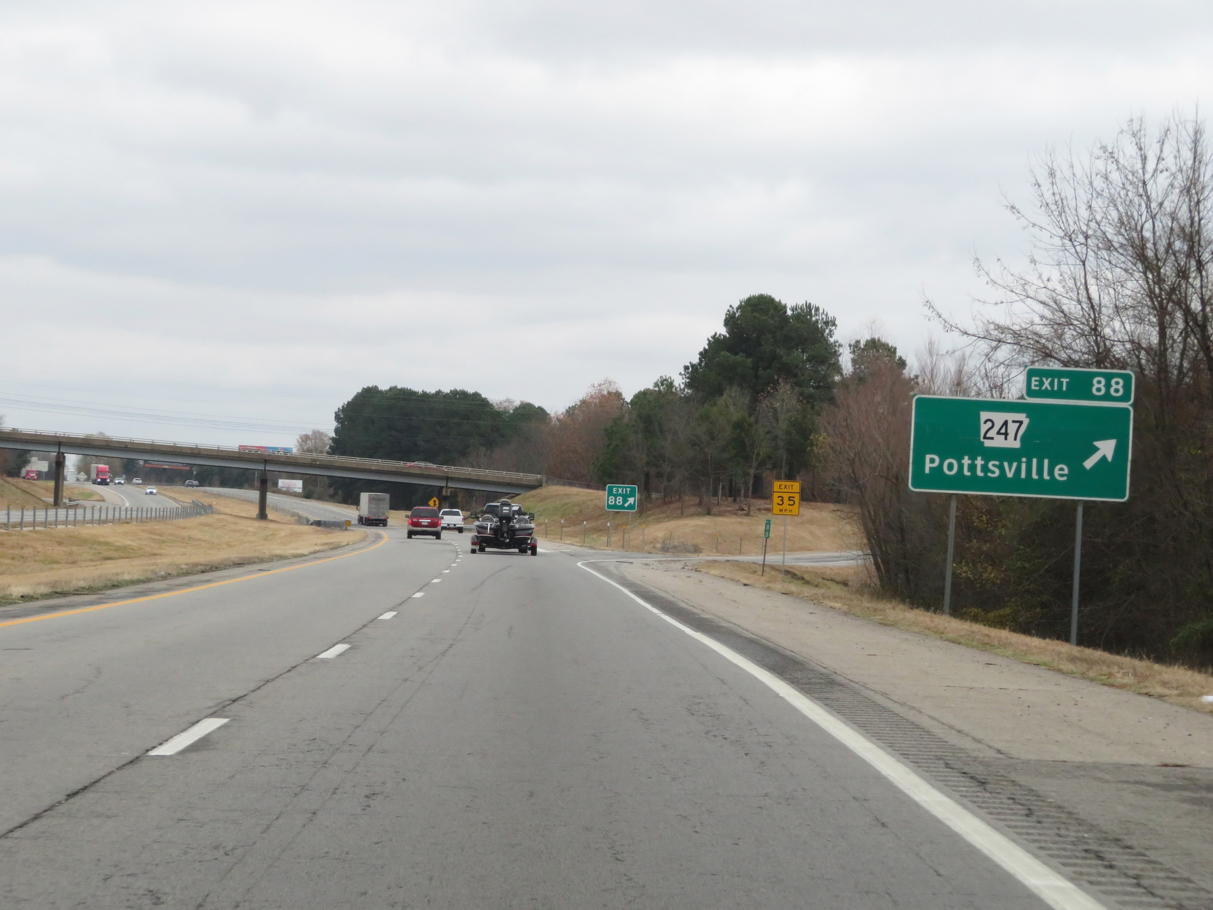 |
Interstate 40 East at Exit 88: AR 247 - Pottsville (Photo taken 12/12/20). |
 |
Mileage sign on Interstate 40 East. It's 6 miles to Atkins, 59 miles to the junction of Interstate 430, and 68 miles to Little Rock. (Photo taken 12/12/20). |
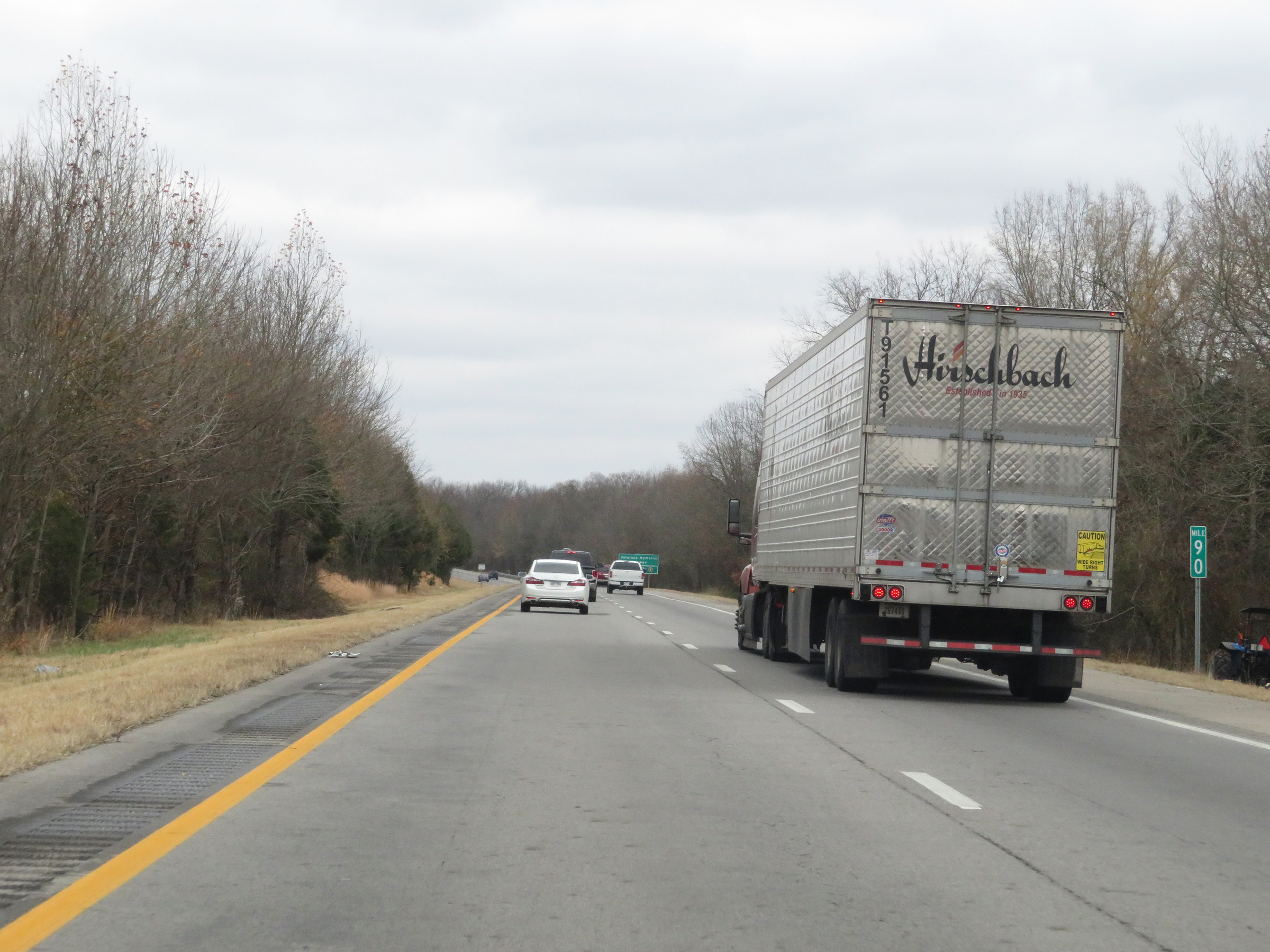 |
View on Interstate 40 East at mile marker 90. (Photo taken 12/12/20). |
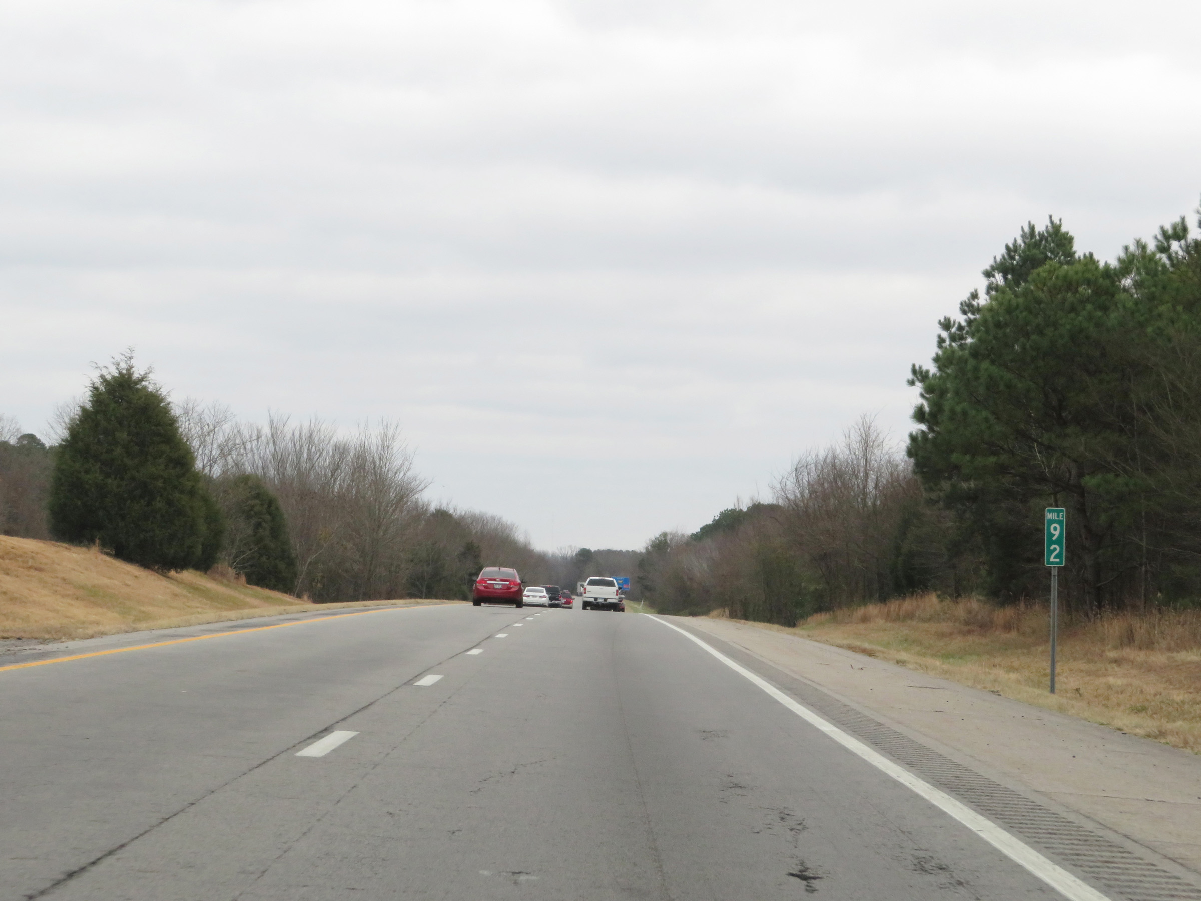 |
Mile marker 92 on Interstate 40 East in Pope County. (Photo taken 12/12/20). |
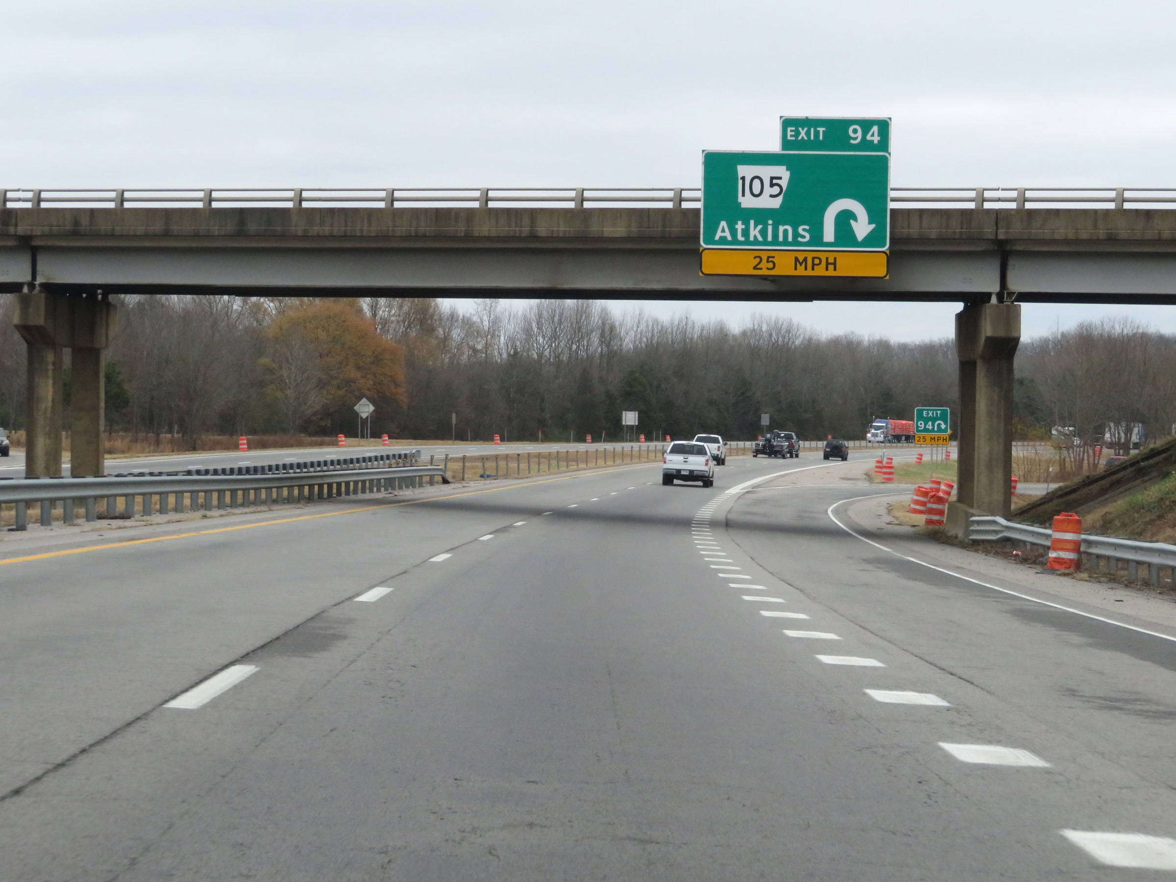 |
Interstate 40 East at Exit 94: AR 105 - Atkins (Photo taken 12/12/20). |
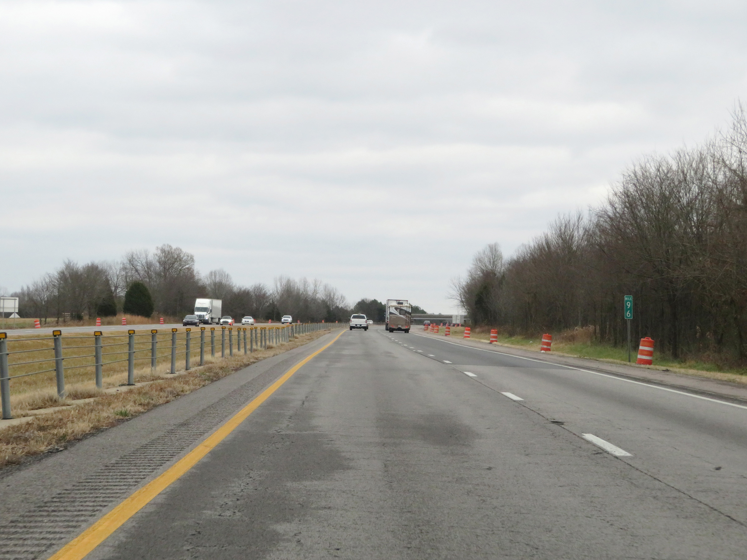 |
View on Interstate 40 East at mile marker 96. (Photo taken 12/12/20). |
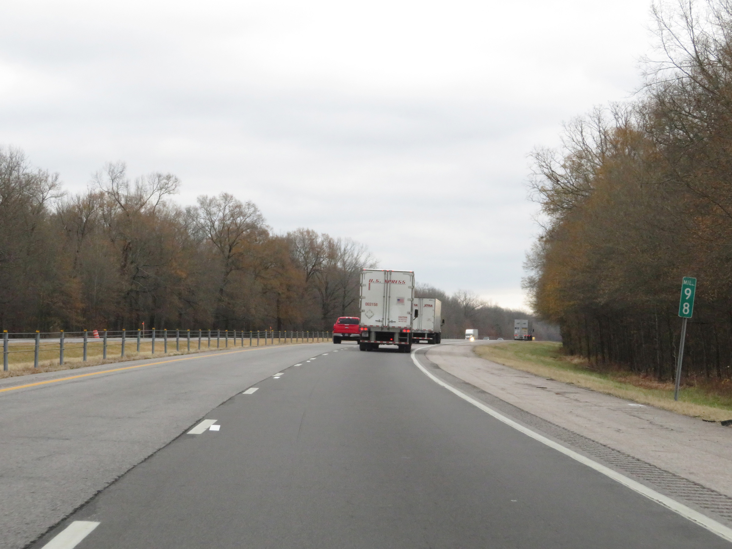 |
Interstate 40 East at mile marker 98. (Photo taken 12/12/20). |
 |
Interstate 40 East as it enters Conway County. (Photo taken 12/12/20). |
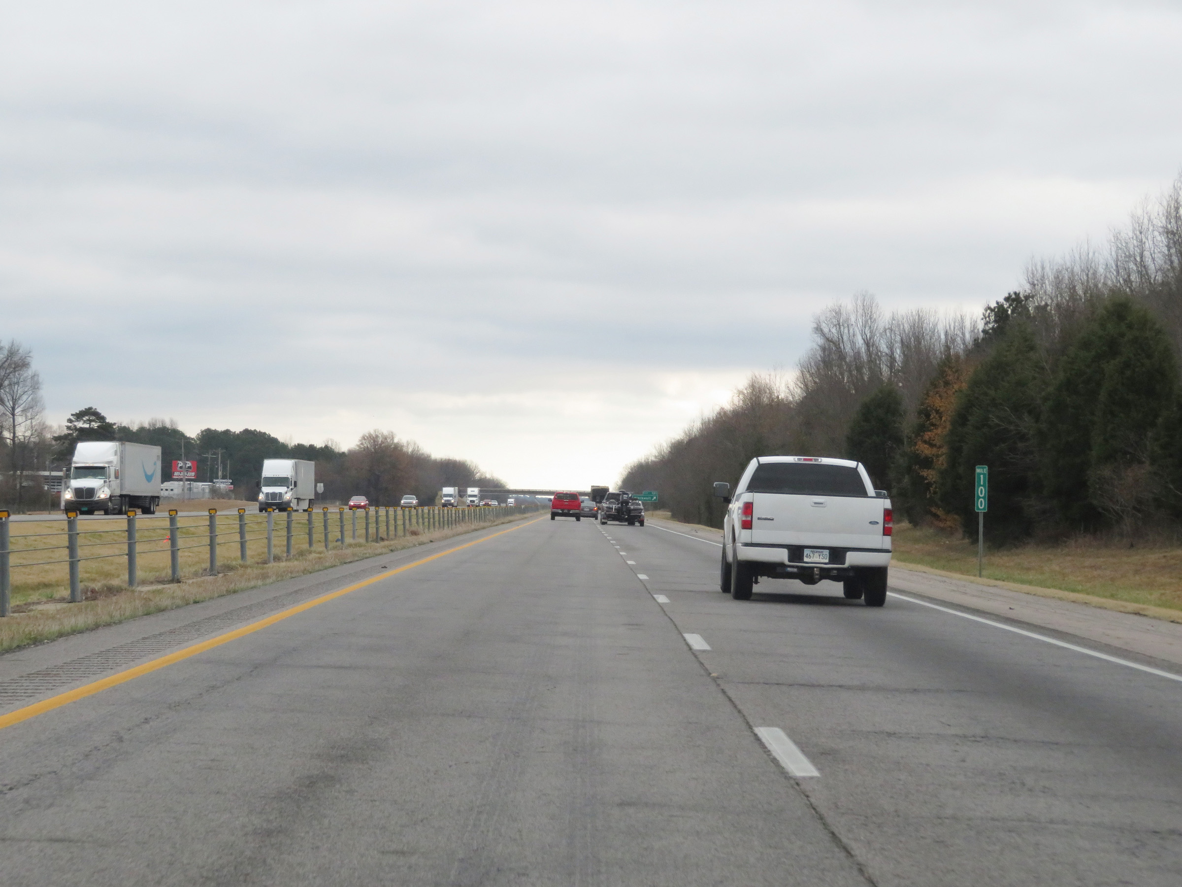 |
View on Interstate 40 East at mile marker 100. (Photo taken 12/12/20). |
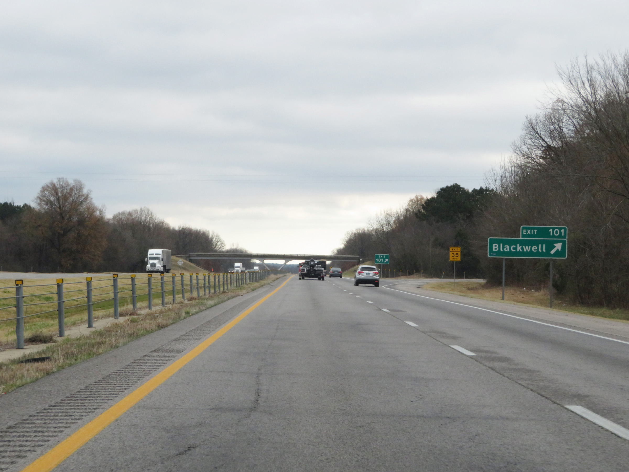 |
Interstate 40 East at Exit 101: Blackwell (Photo taken 12/12/20). |
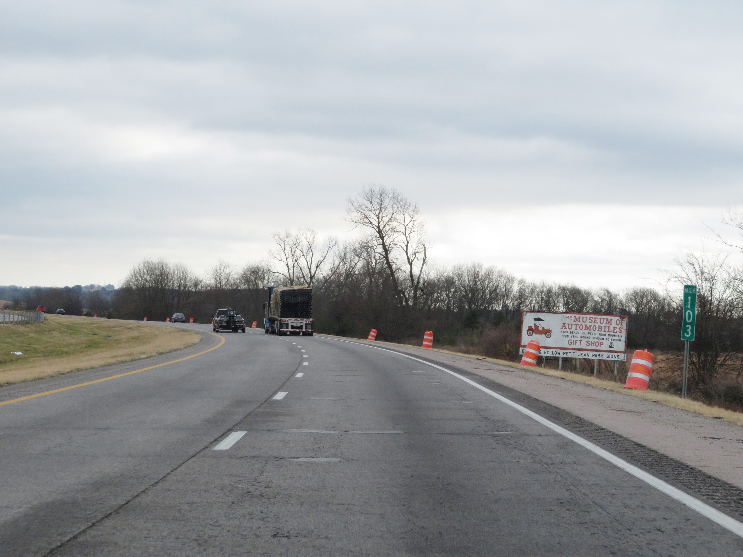 |
Interstate 40 East at mile marker 103. (Photo taken 12/12/20). |
 |
View on Interstate 40 East at mile marker 104. (Photo taken 12/12/20). |
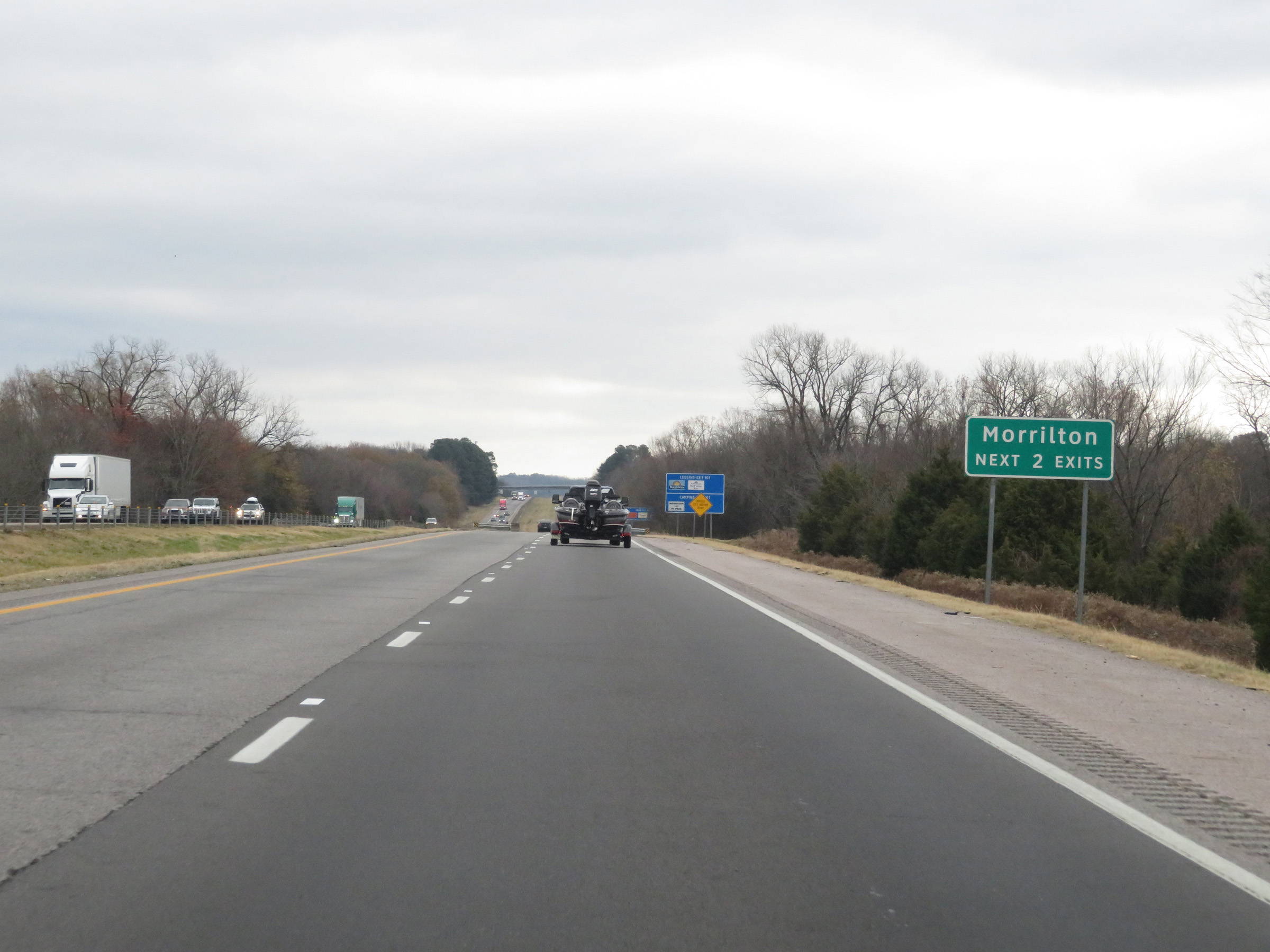 |
Take either of the next 2 exits to Morrilton. (Photo taken 12/12/20). |
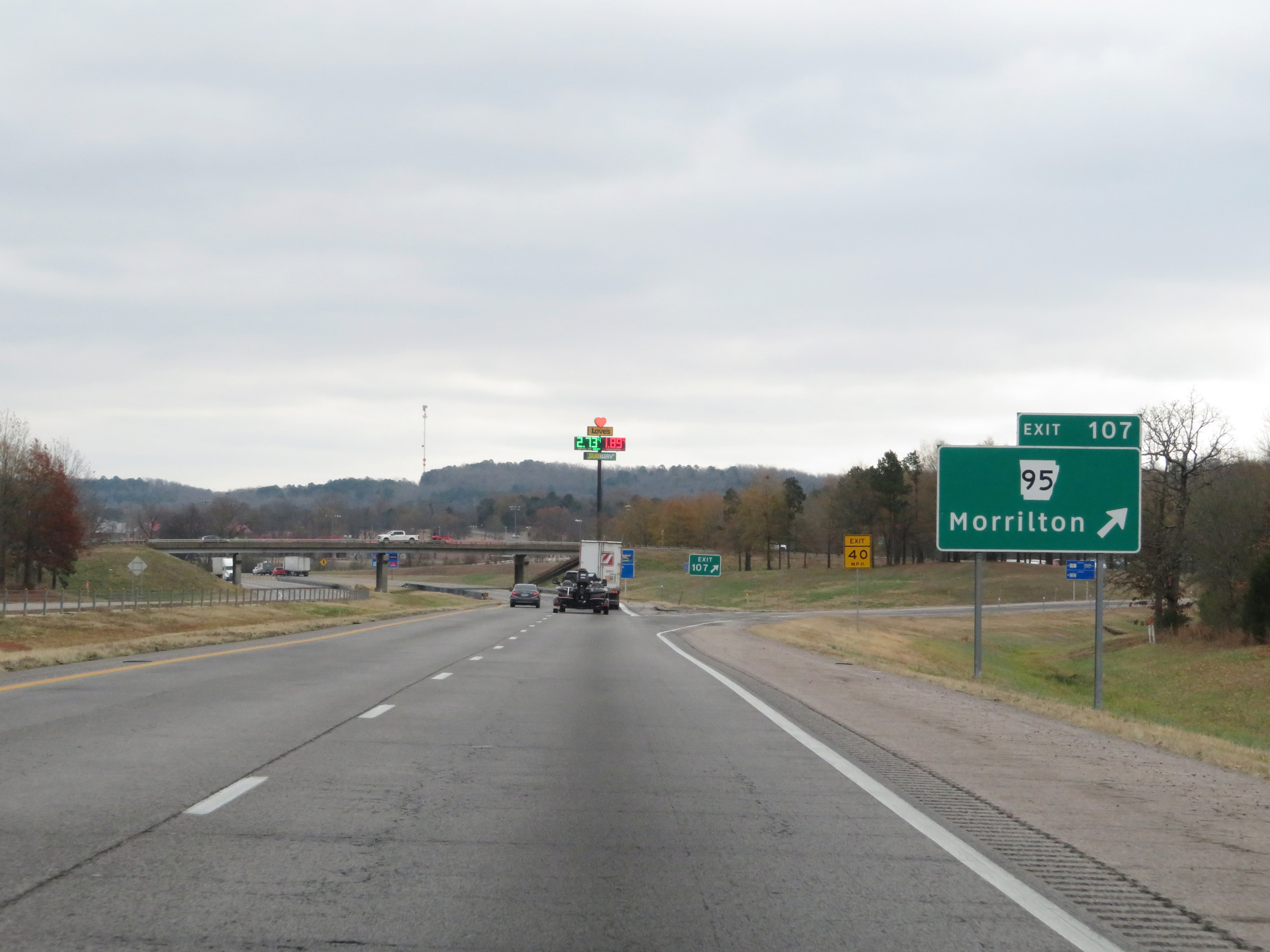 |
Interstate 40 East at Exit 107: AR 95 - Morrilton (Photo taken 12/12/20). |
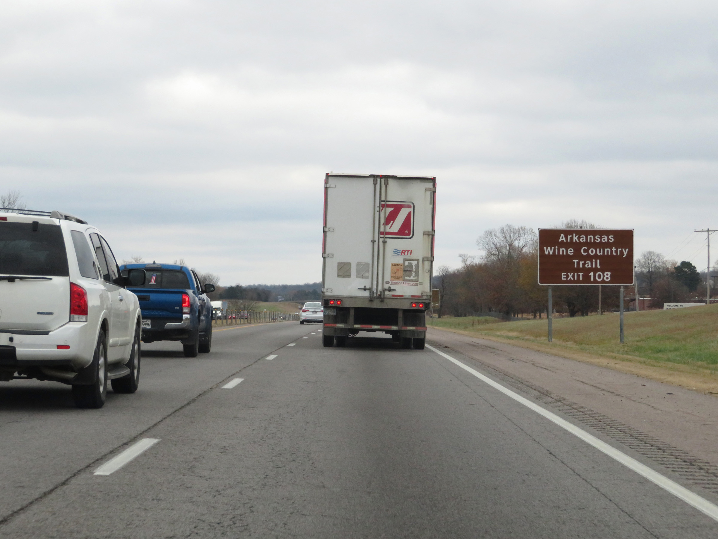 |
Take Exit 108 to Arkansas Wine Country Trail. (Photo taken 12/12/20). |
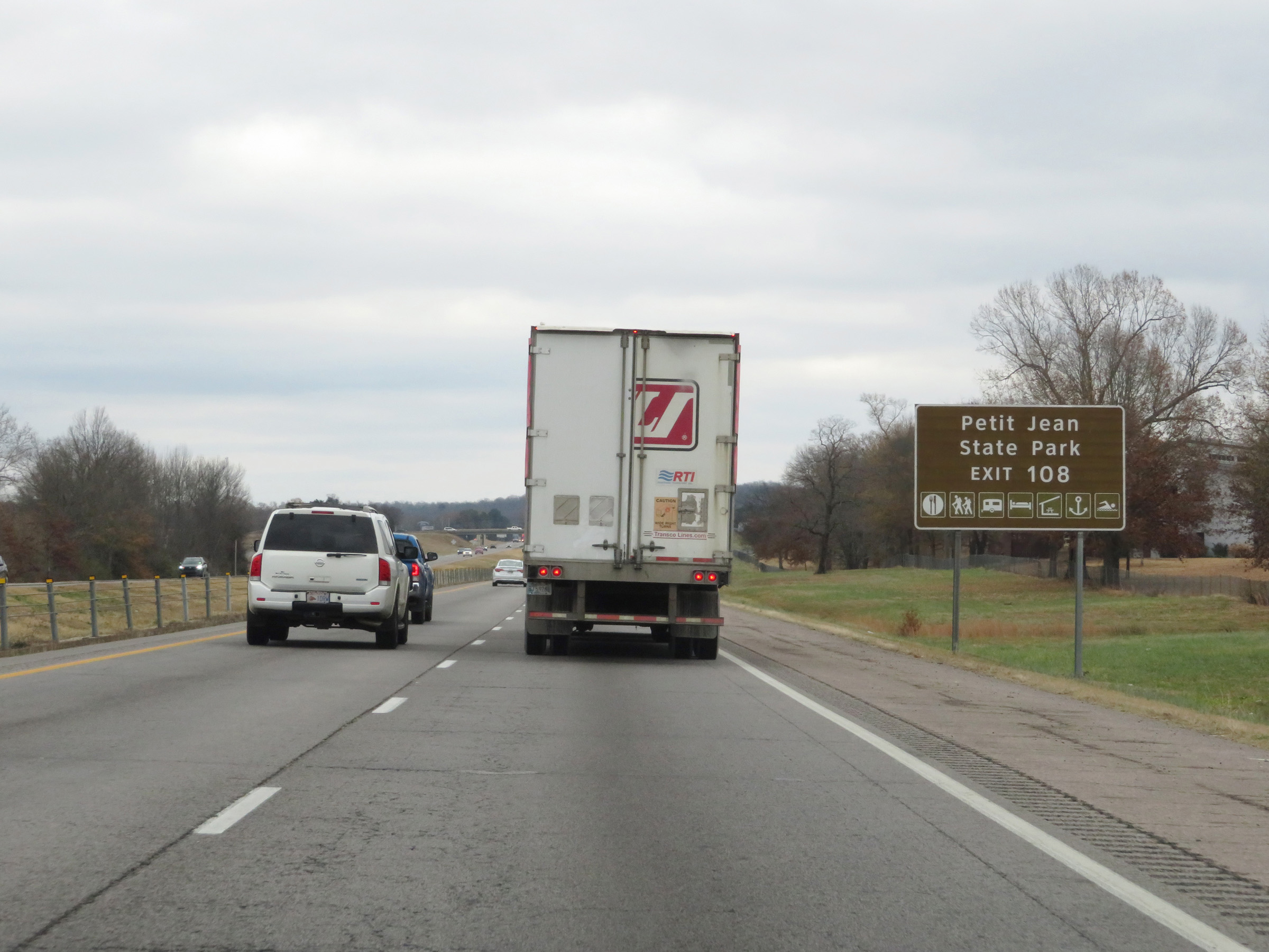 |
Also take Exit 108 to Petit Jean State Park. (Photo taken 12/12/20). |
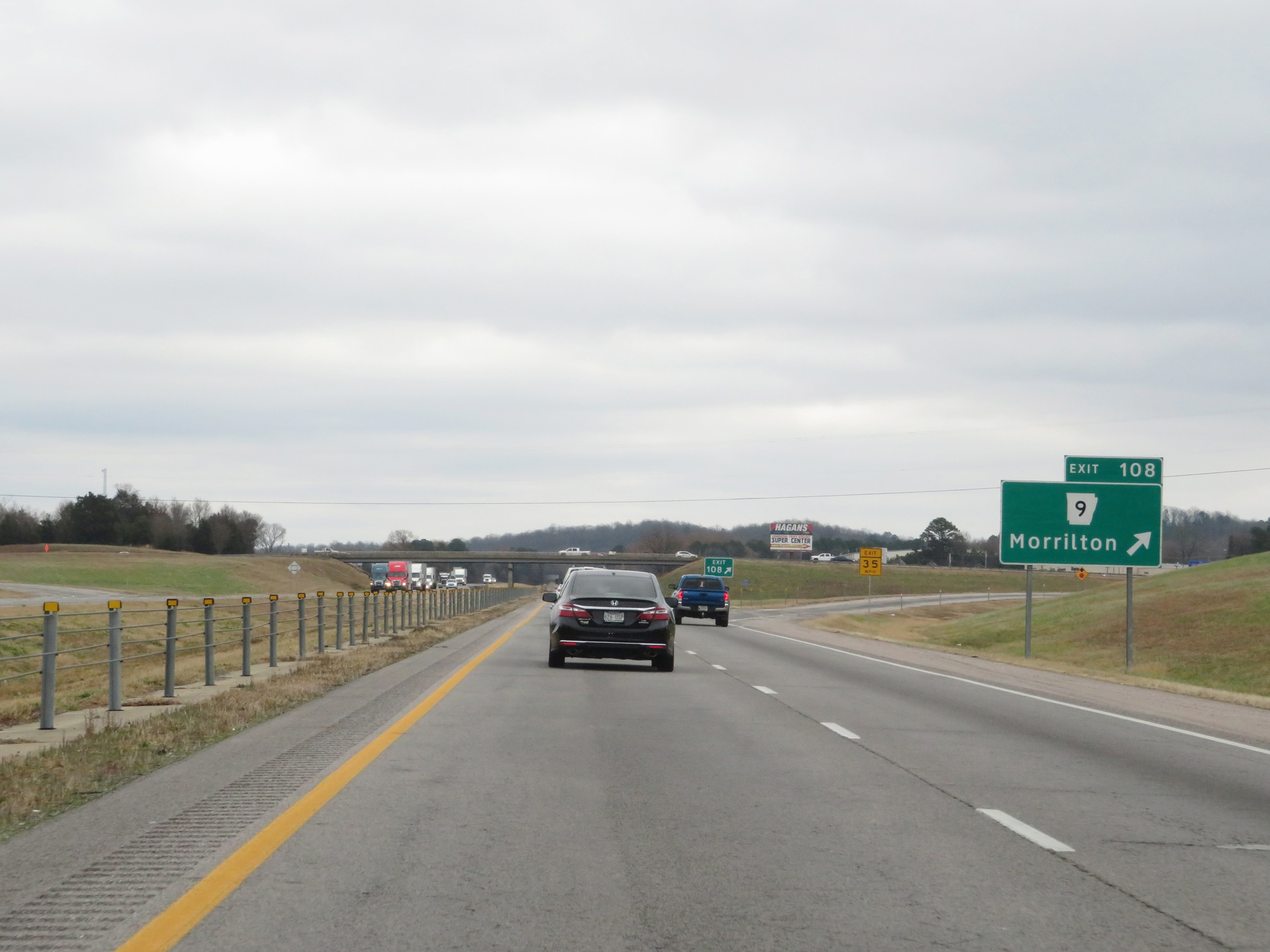 |
Interstate 40 East at Exit 108: AR 9 - Morrilton (Photo taken 12/12/20). |
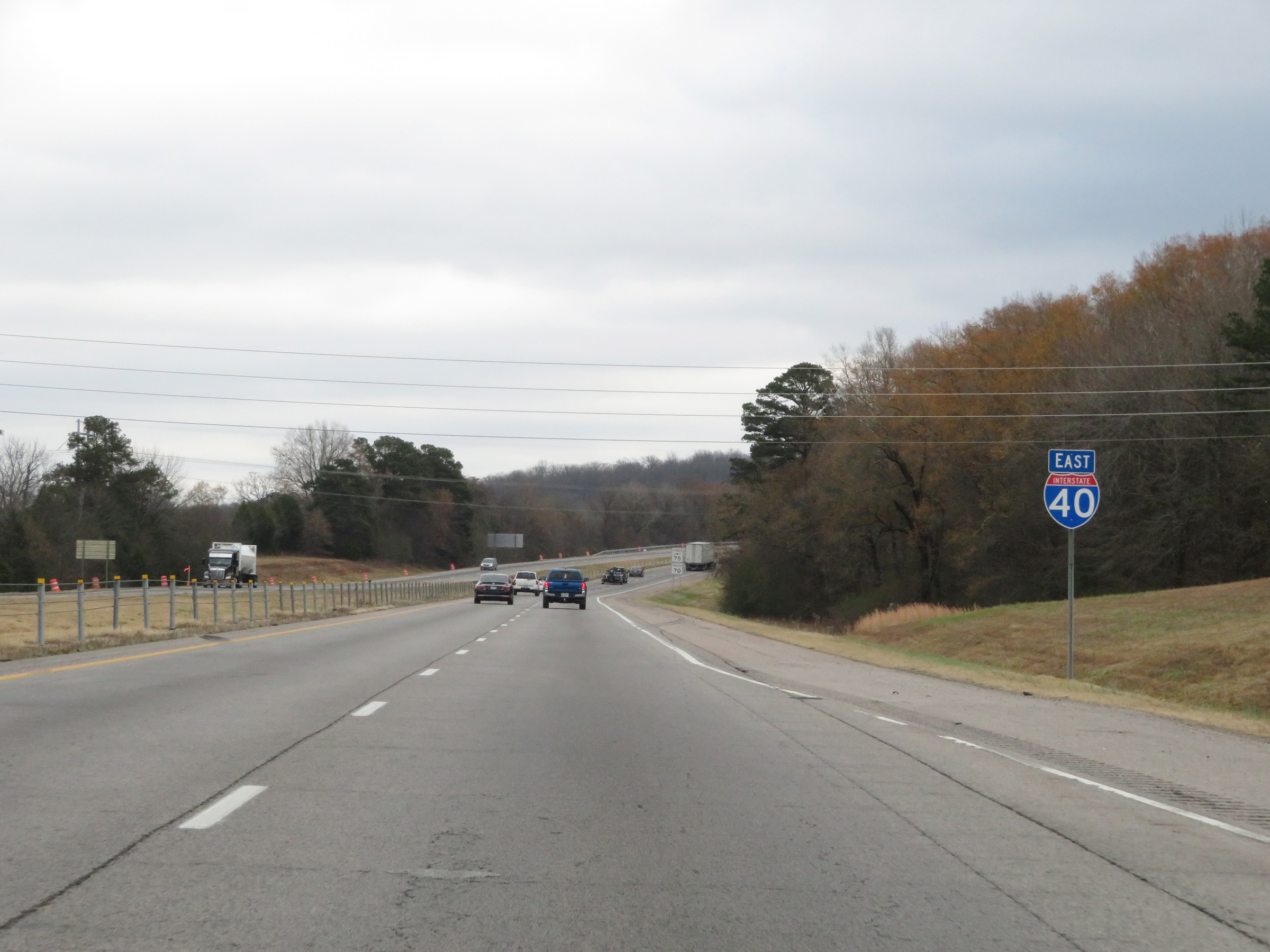 |
Another Interstate 40 East reassurance shield. (Photo taken 12/12/20). |
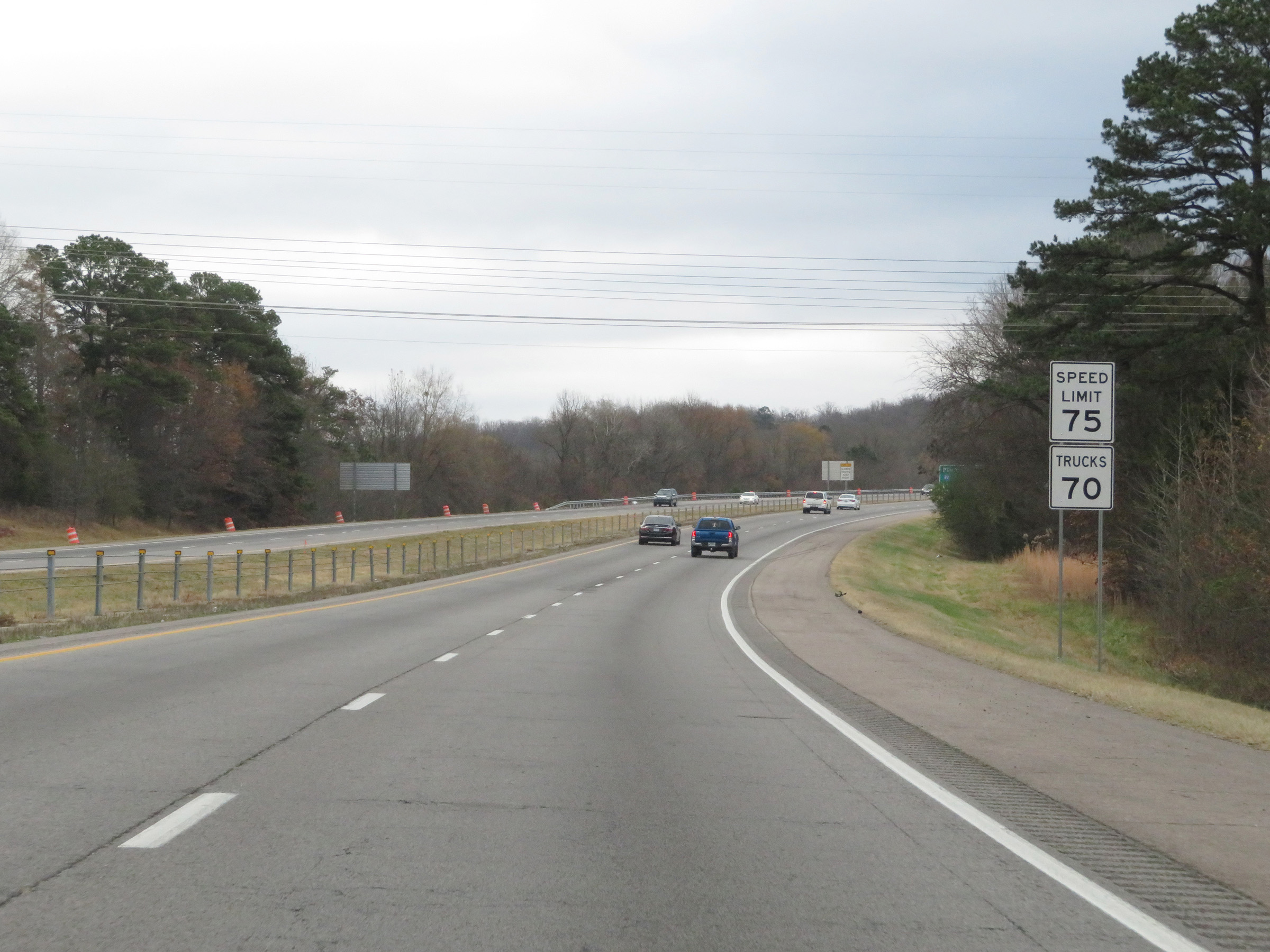 |
The speed limits remain the rural standard 75 mph for automobiles and 70 mph for trucks. (Photo taken 12/12/20). |
 |
View on Interstate 40 East at mile marker 109. (Photo taken 12/12/20). |
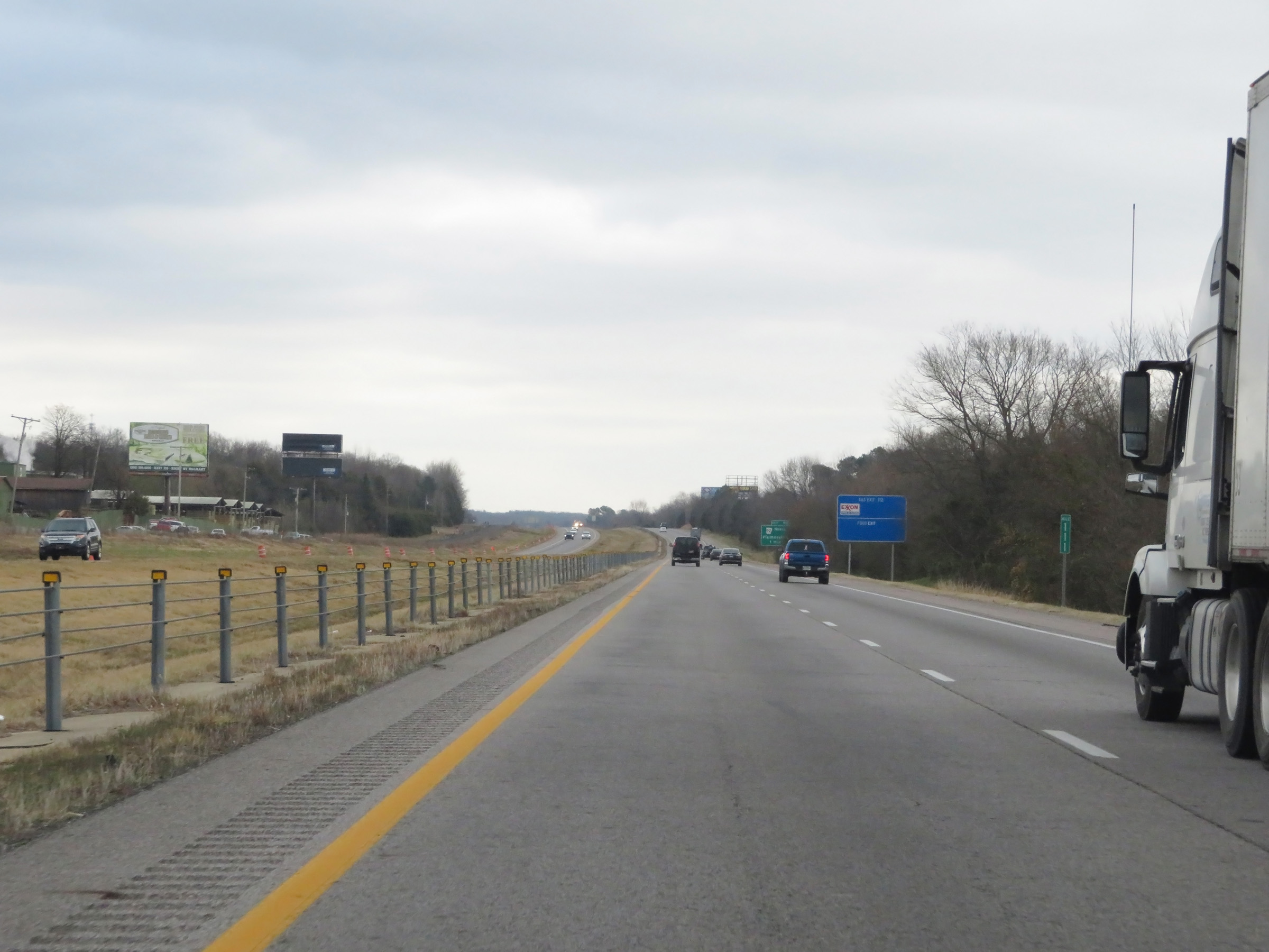 |
Mile marker 111 on Interstate 40 East in Conway County. (Photo taken 12/12/20). |
 |
Interstate 40 East at Exit 112: AR 92 North - Plumerville (Photo taken 12/12/20). |
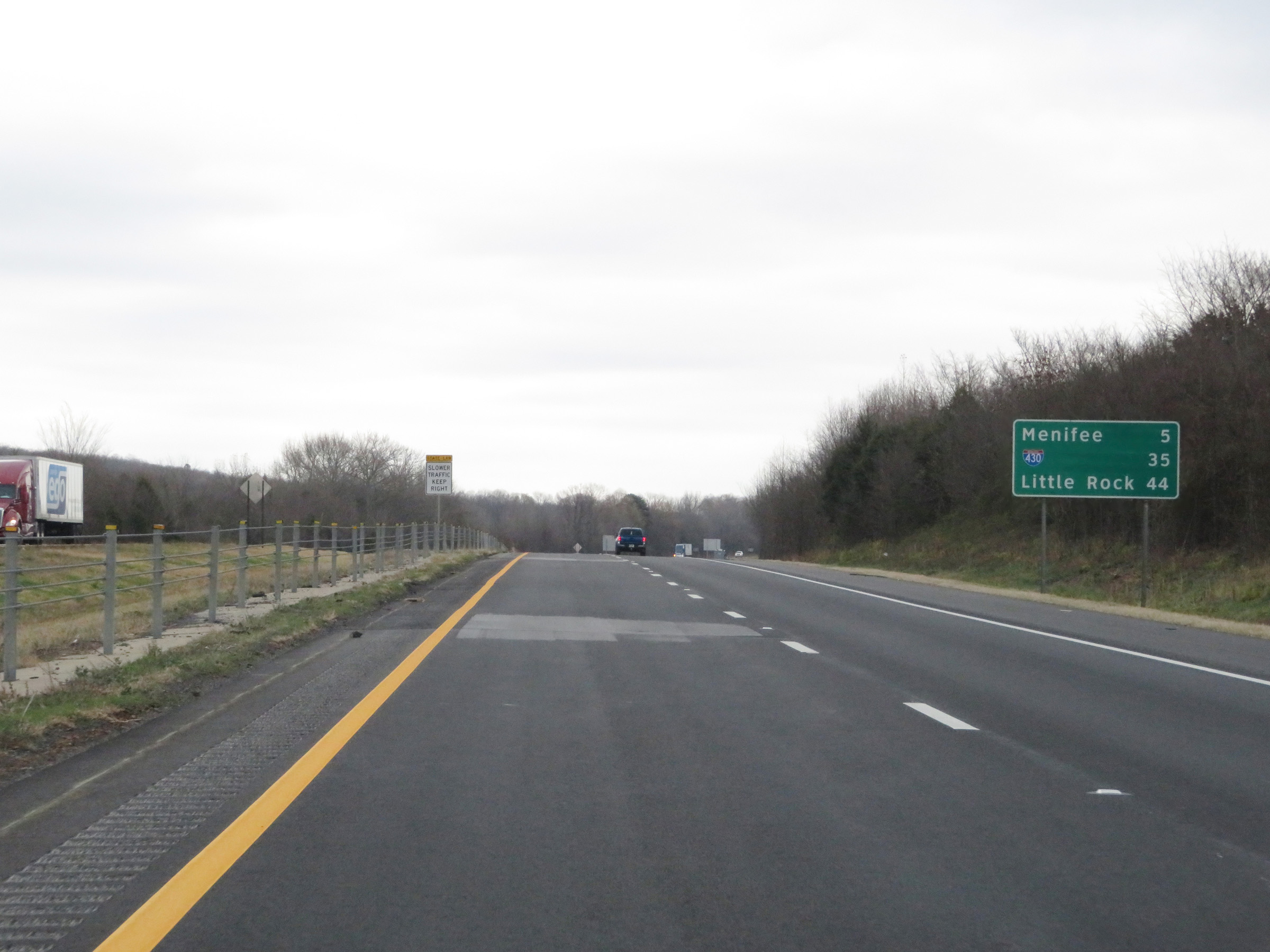 |
Another mileage sign on Interstate 40 East. I'ts 5 miles to Menifee, 35 miles to the junction of Interstate 430, and 44 miles to Little Rock. (Photo taken 12/12/20). |
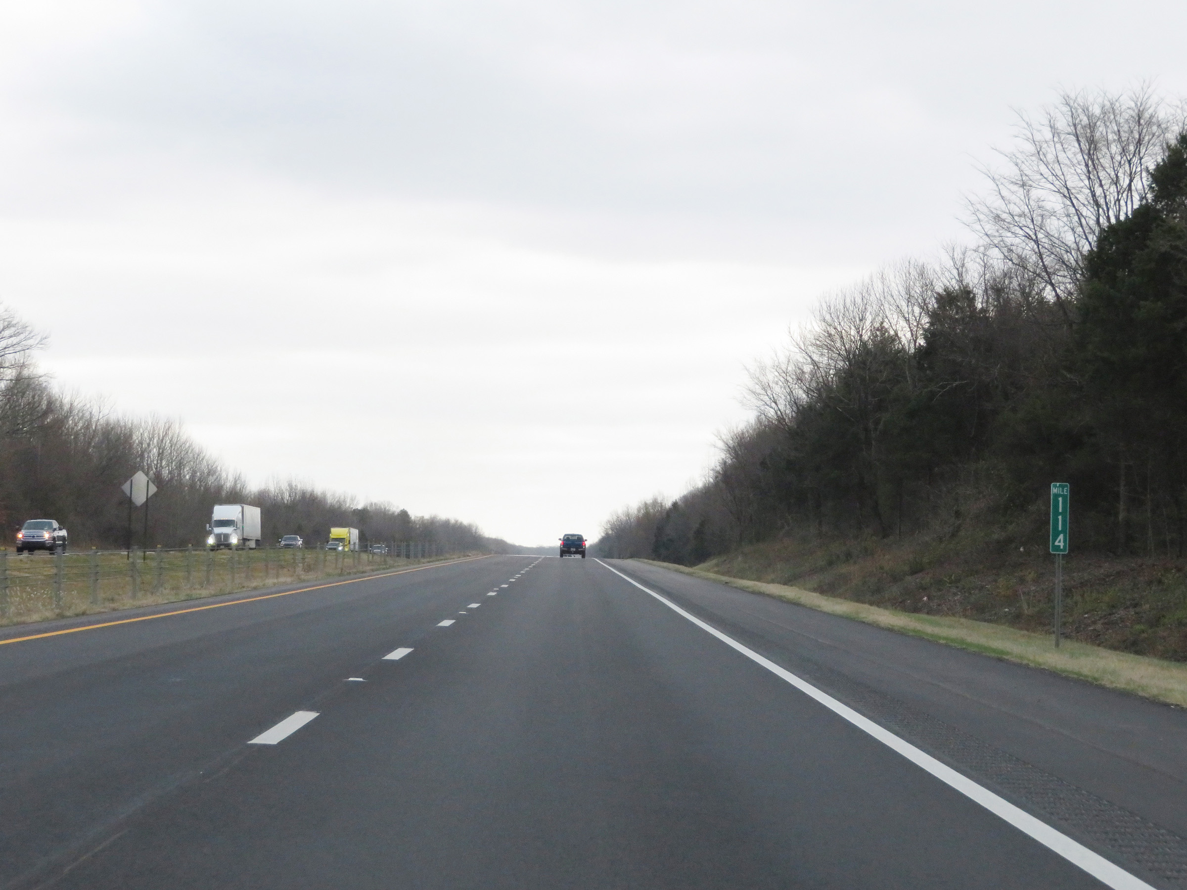 |
View on Interstate 40 East at mile marker 114. (Photo taken 12/12/20). |
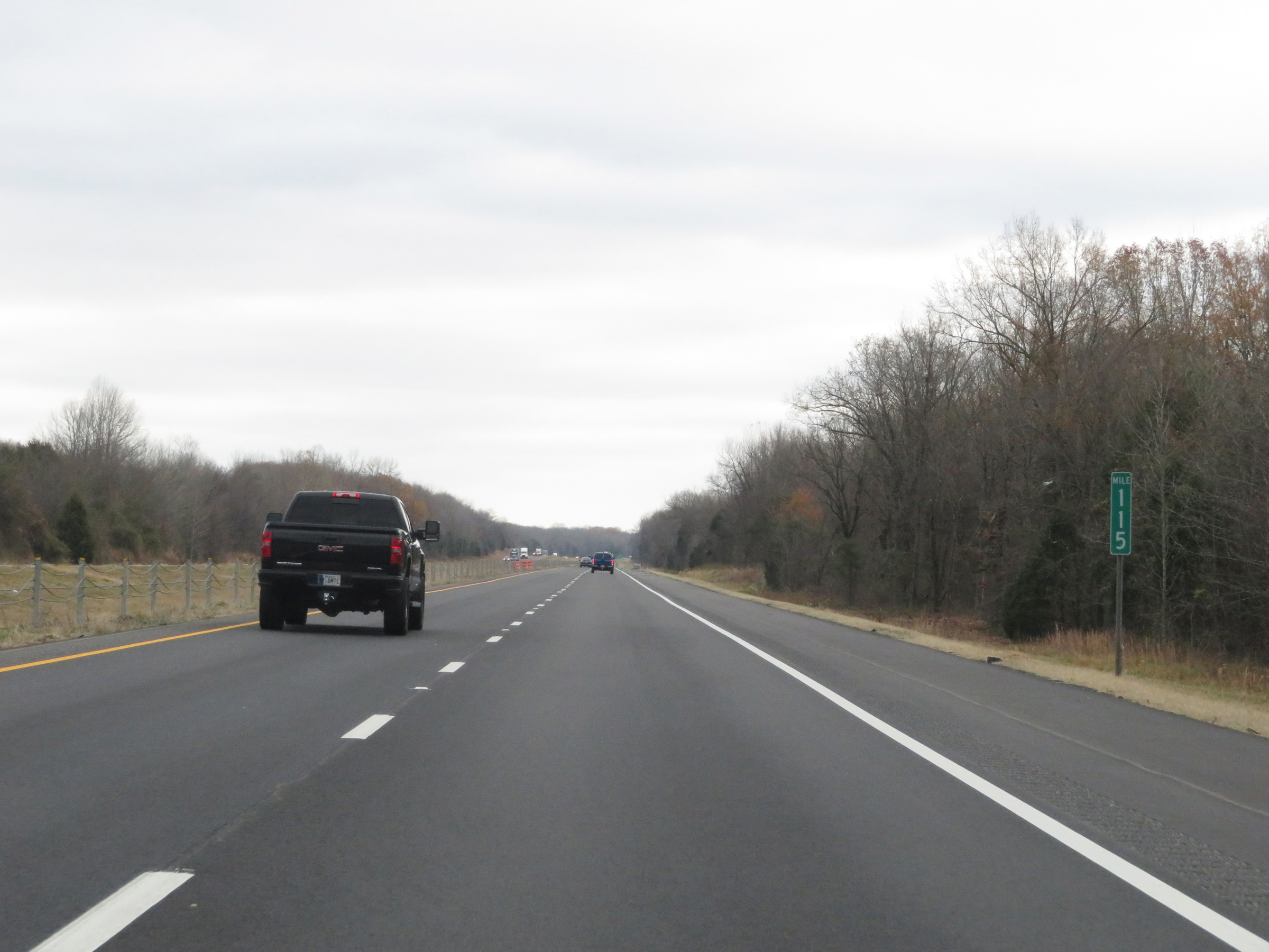 |
Interstate 40 East at mile marker 115. (Photo taken 12/12/20). |
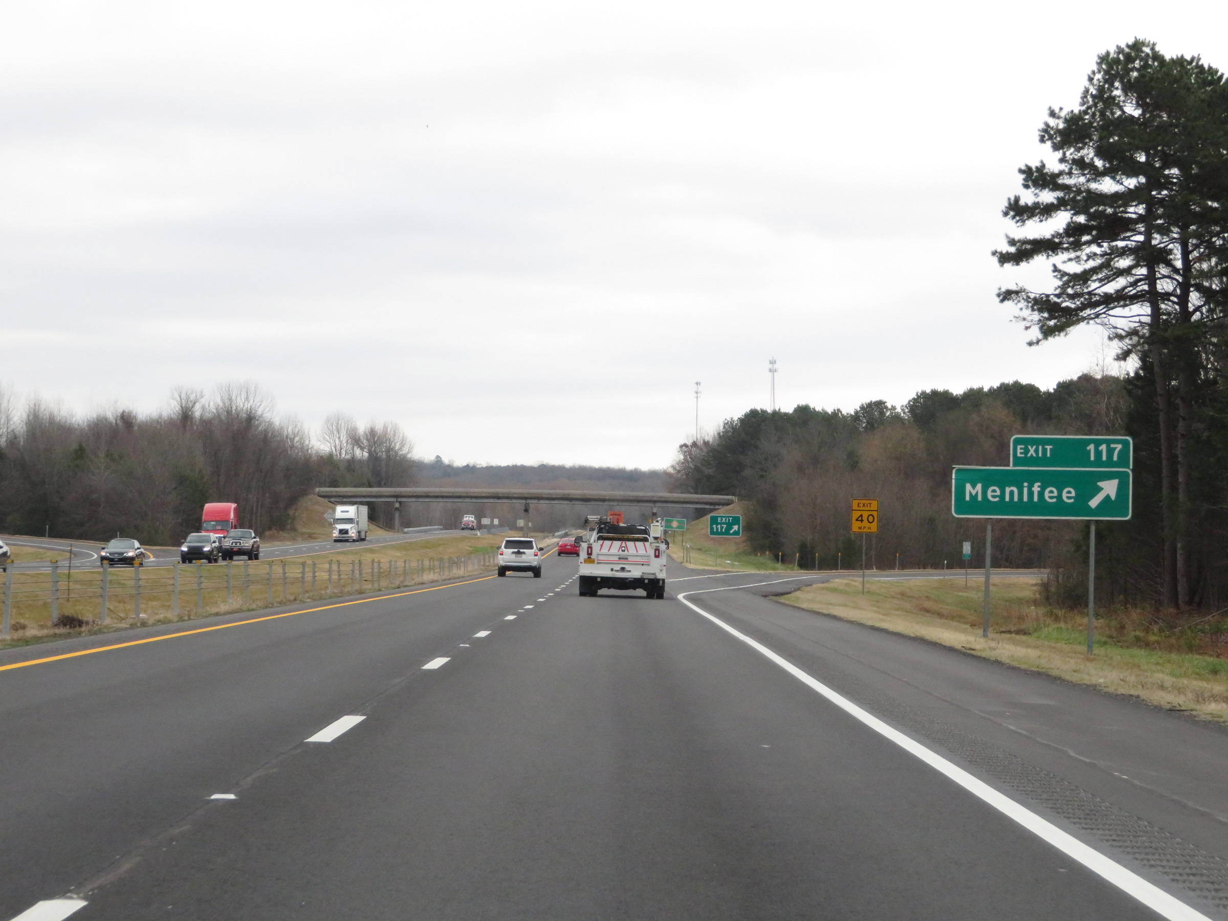 |
Interstate 40 East at Exit 117: Menifee (Photo taken 12/12/20). |
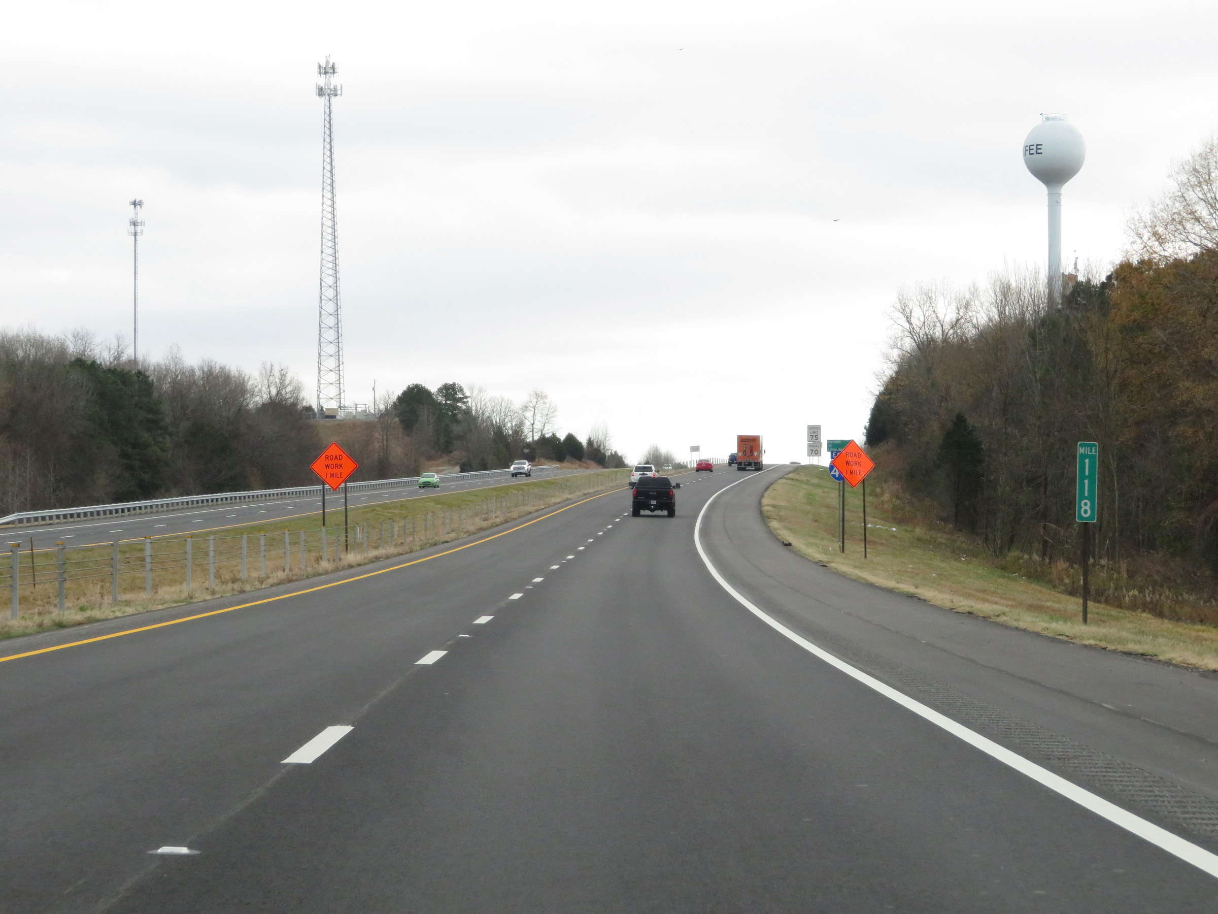 |
View on Interstate 40 East at mile marker 118. (Photo taken 12/12/20). |
 |
Interstate 40 East at mile marker 120. (Photo taken 12/12/20). |
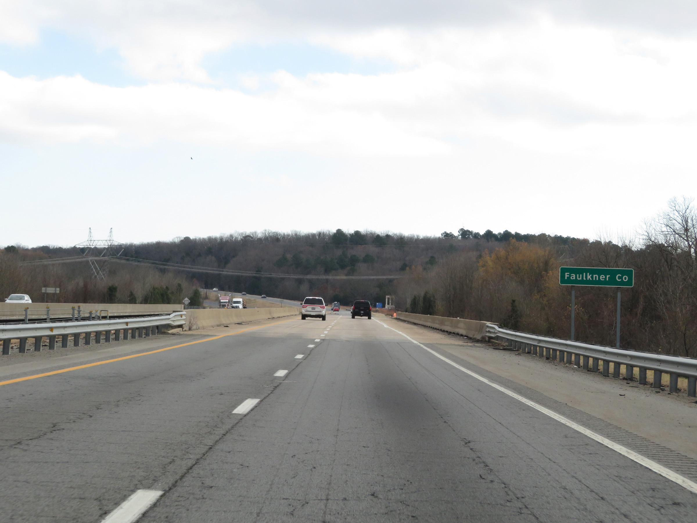 |
Interstate 40 East as it enters Faulkner County. (Photo taken 12/12/20). |
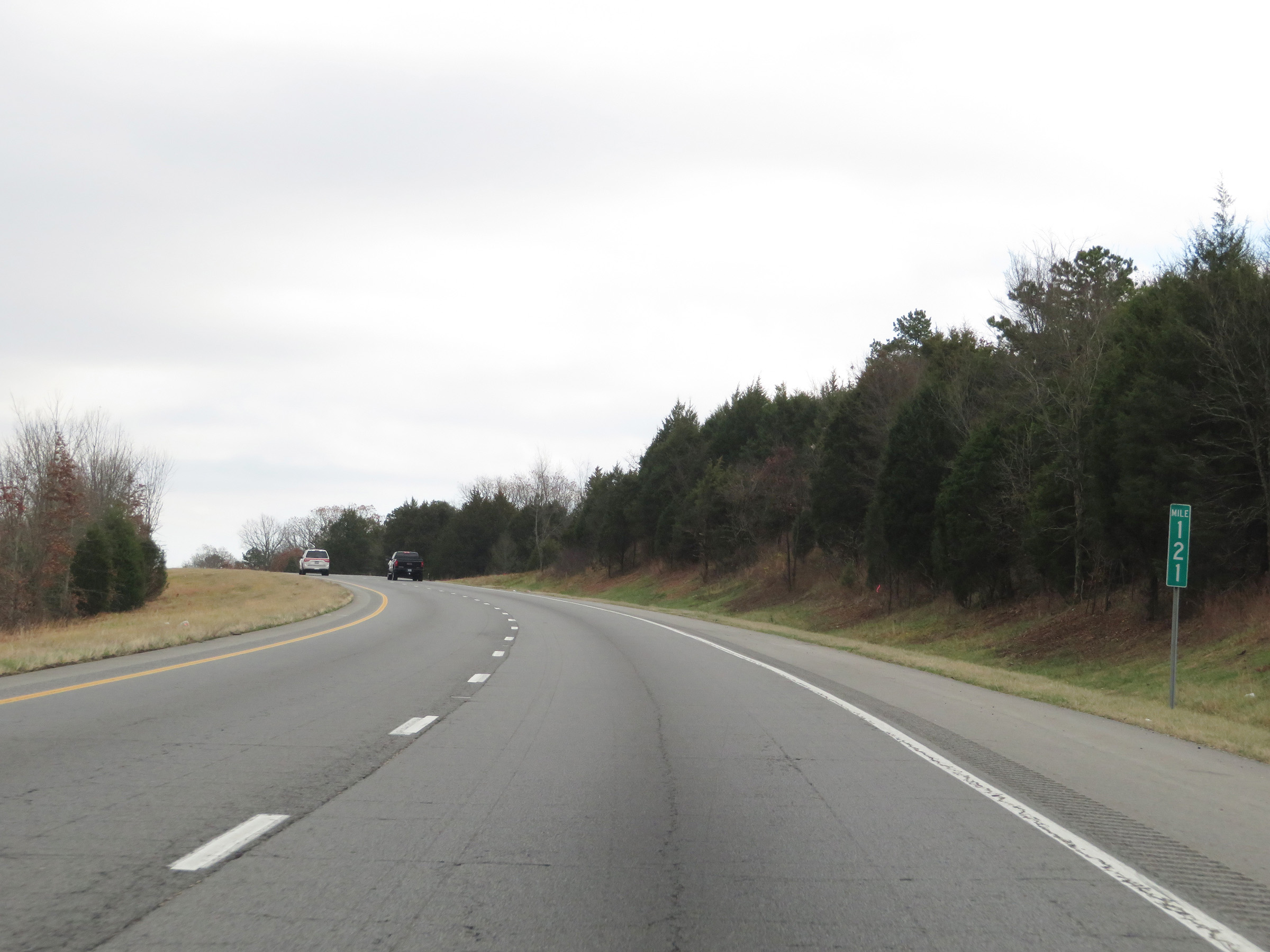 |
View on Interstate 40 East at mile marker 121. (Photo taken 12/12/20). |
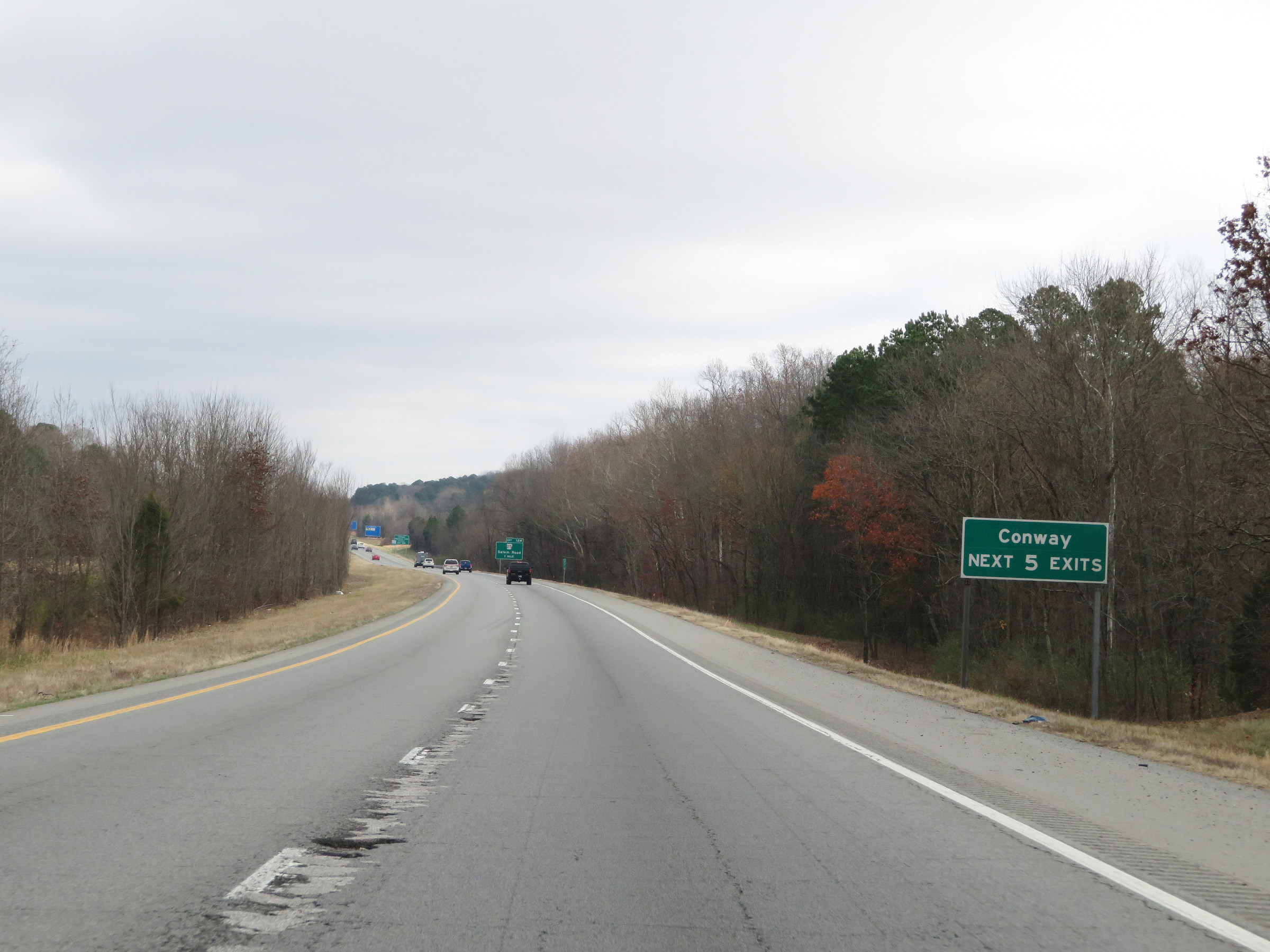 |
Take any of the next 5 exits to Conway. (Photo taken 12/12/20). |
 |
Interstate 40 East at mile marker 122. (Photo taken 12/12/20). |
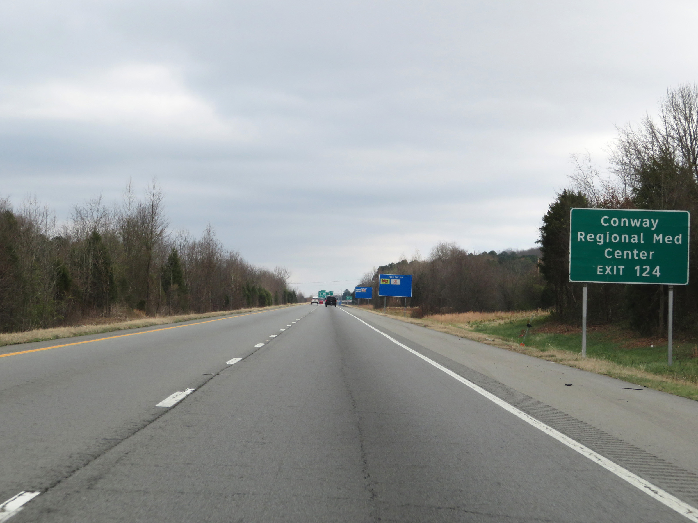 |
Take Exit 124 to Conway Regional Medical Center. (Photo taken 12/12/20). |
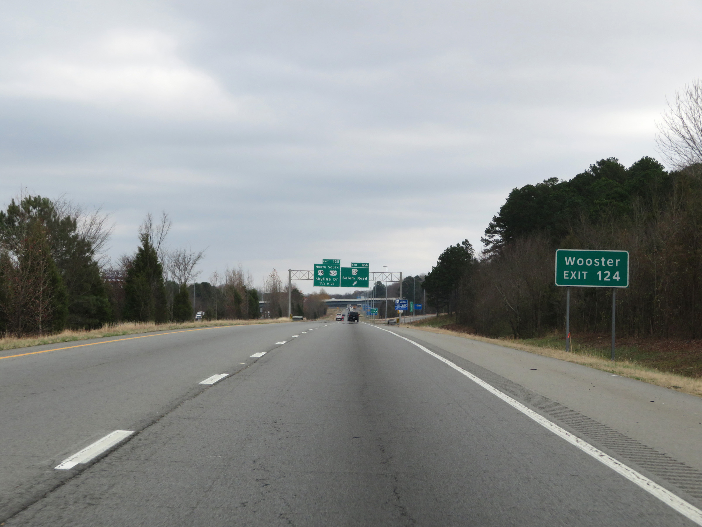 |
Also take Exit 124 to Wooster. (Photo taken 12/12/20). |
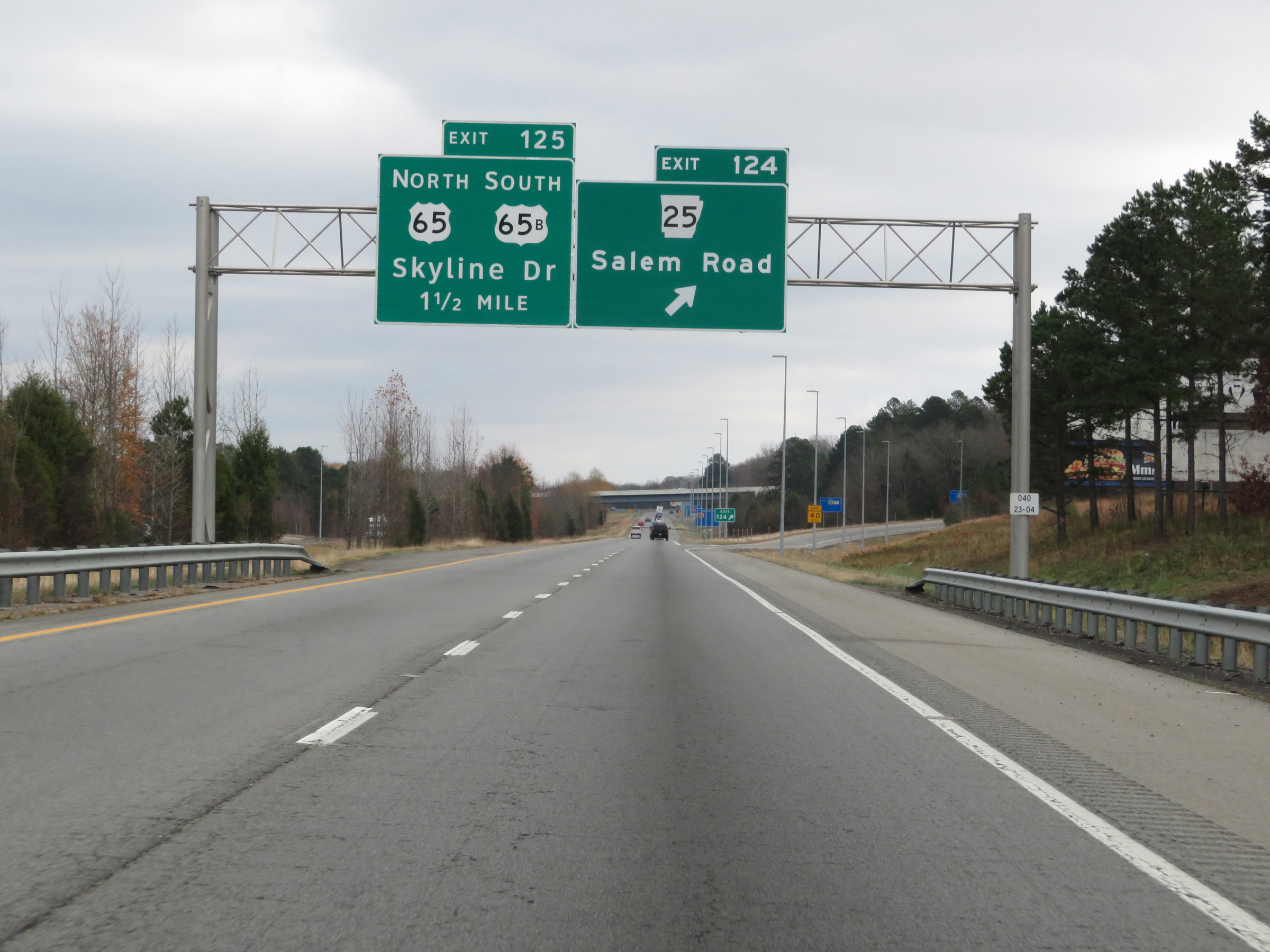 |
Interstate 40 East at Exit 124: AR 25 - Salem Road (Photo taken 12/12/20). |
Section 3: Conway (Exit 124) to North Little Rock (Exit 157)
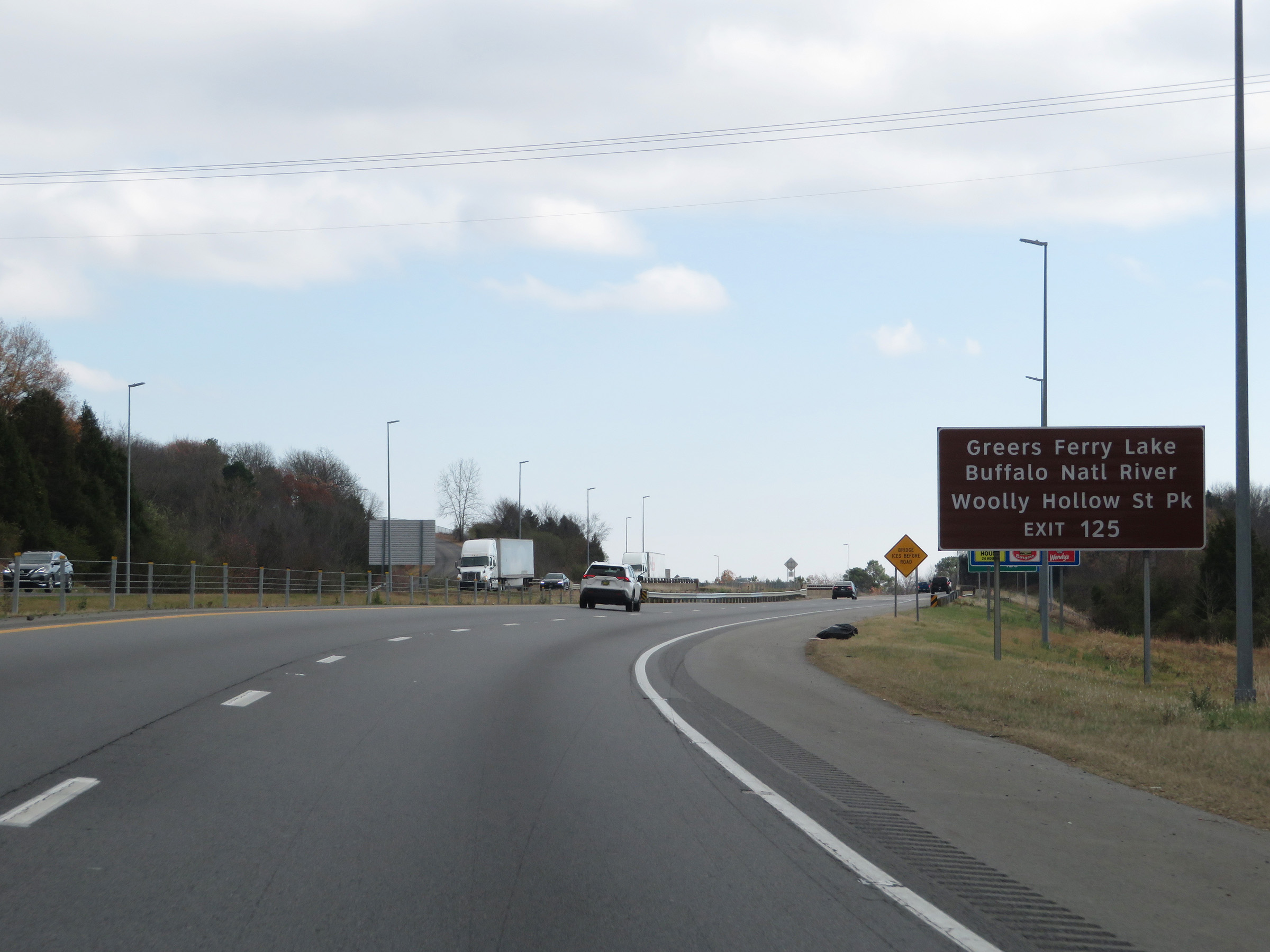 |
Take Exit 125 to Greers Ferry Lake, Buffalo National River, and Woolly Hollow State Park. (Photo taken 12/12/20). |
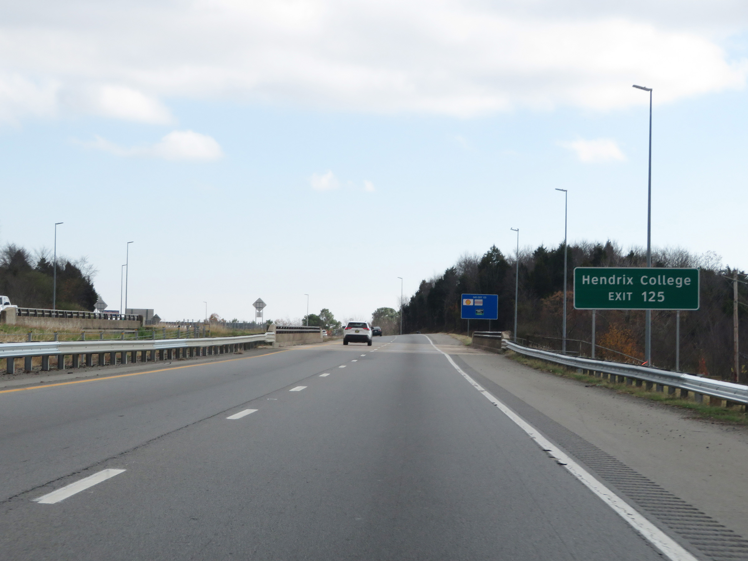 |
Also take Exit 125 to Hendrix College. (Photo taken 12/12/20). |
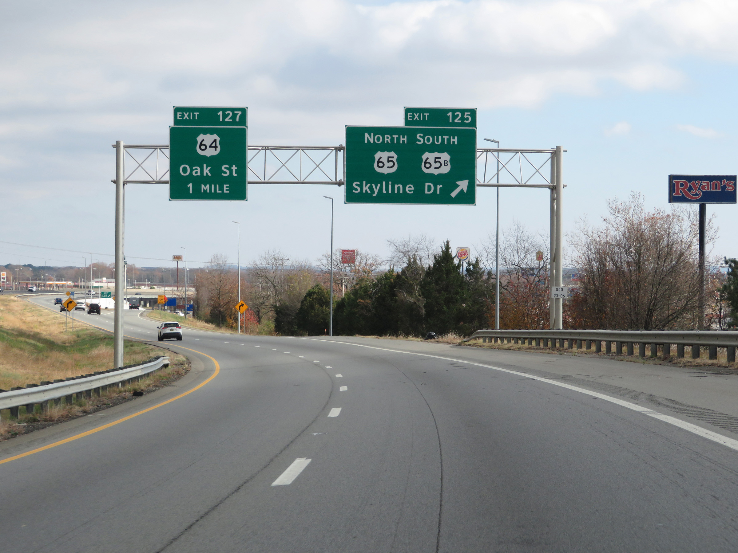 |
Interstate 40 East at Exit 125: US 65 North / US 65B South - Skyline Dr (Photo taken 12/12/20). |
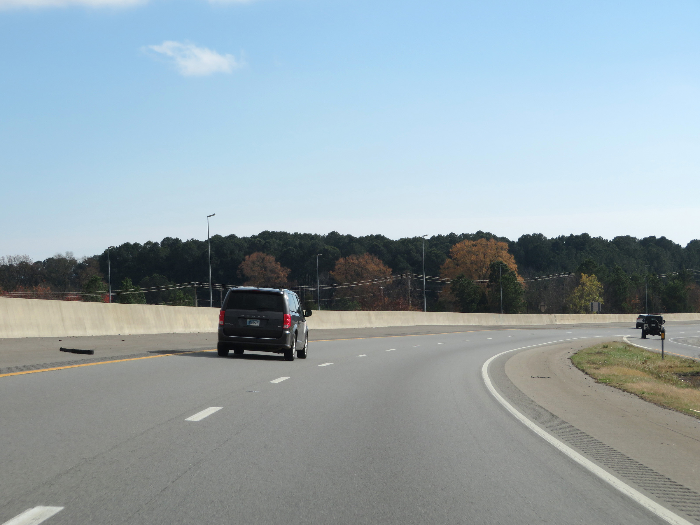 |
View on Interstate 40 East as it curves to the south in Conway. From this point, it will travel south and then southeast to North Little Rock. (Photo taken 12/12/20). |
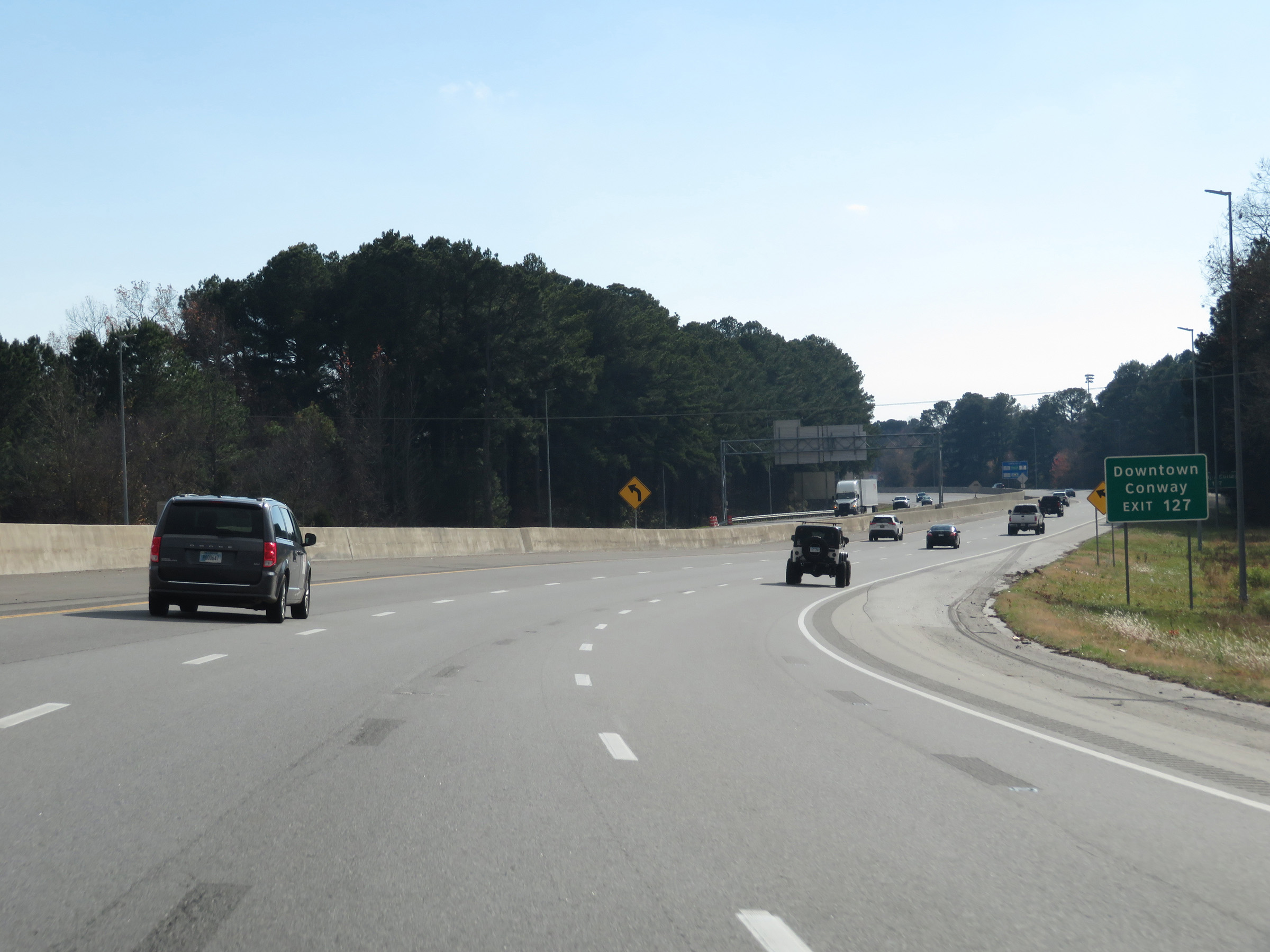 |
Take Exit 127 to Downtown Conway. (Photo taken 12/12/20). |
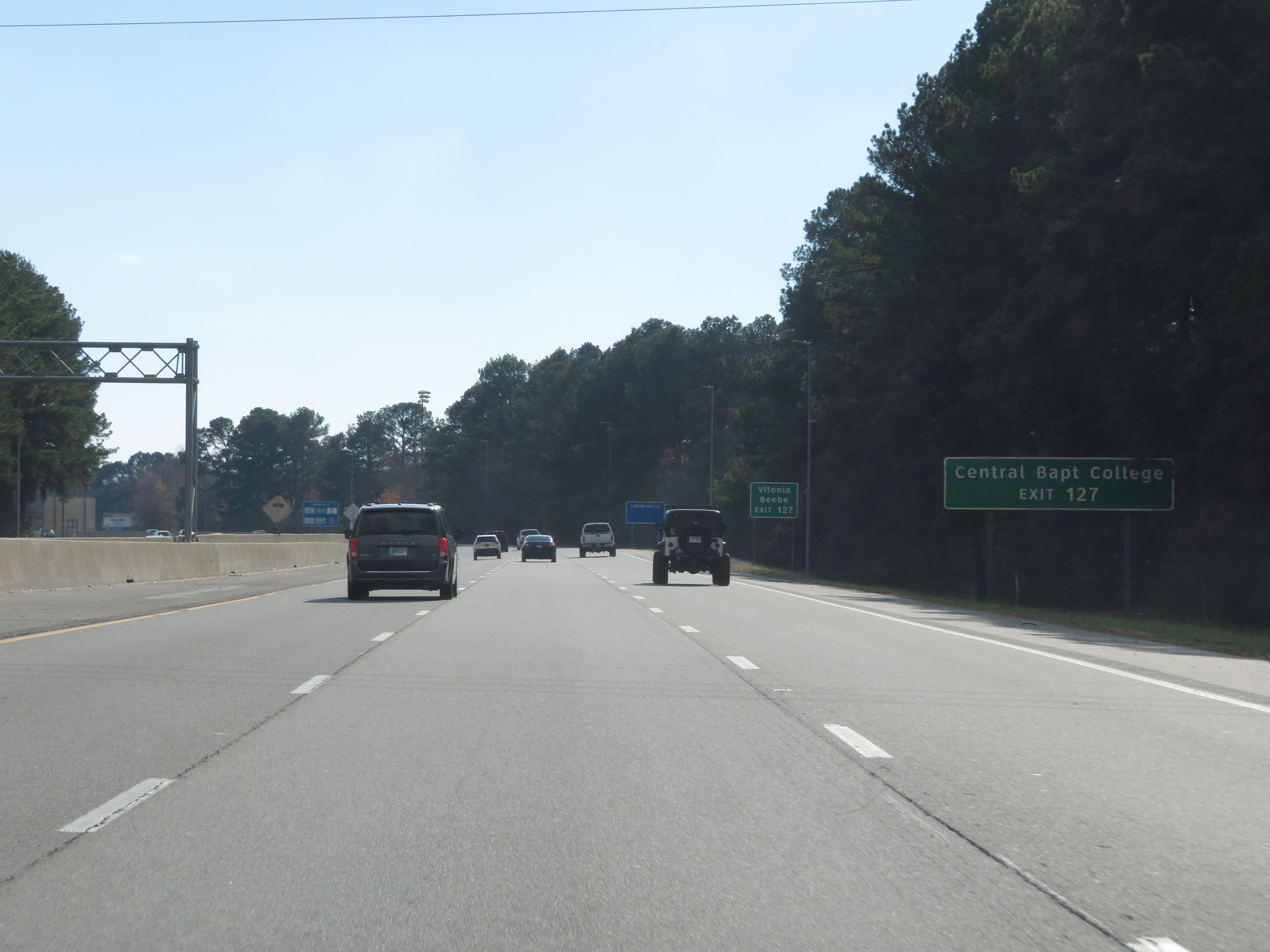 |
Also take Exit 127 to Central Baptist College. (Photo taken 12/12/20). |
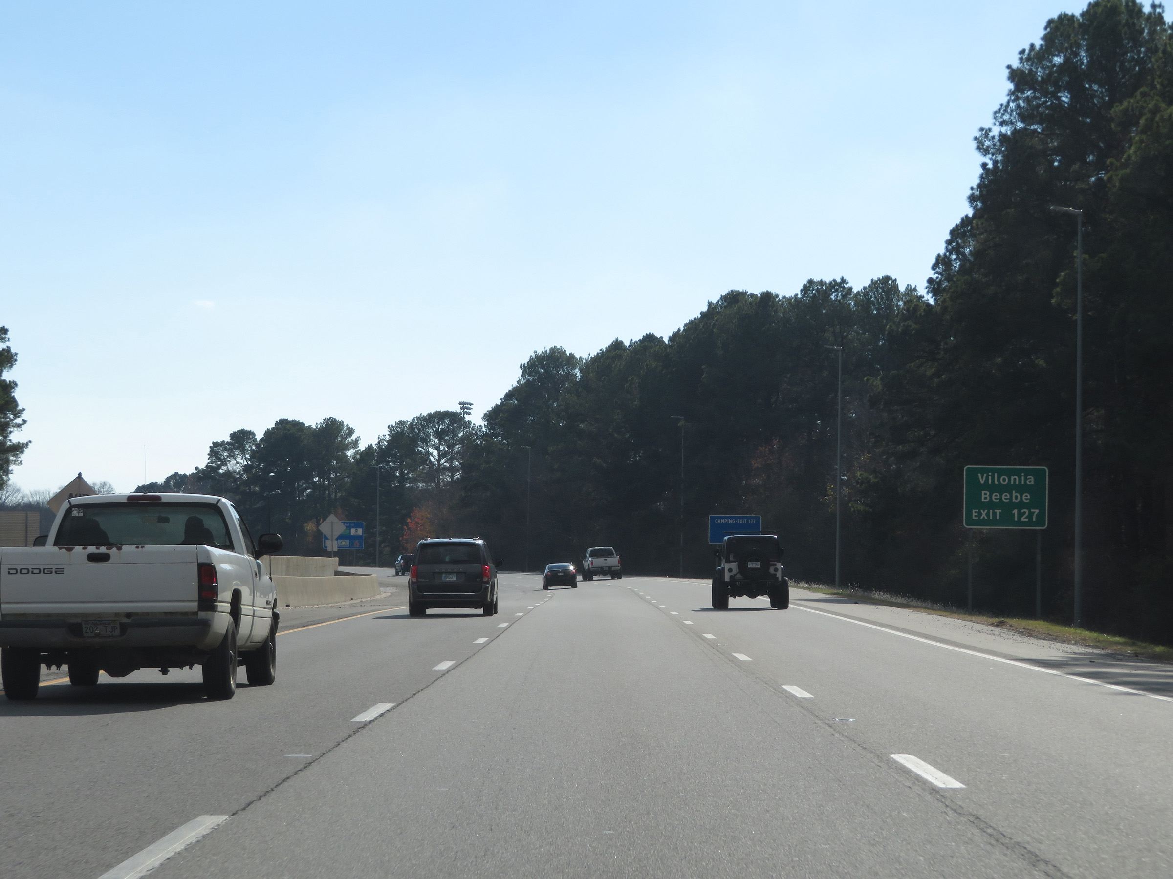 |
Take Exit 127 to Vilonia and Beebe as well. (Photo taken 12/12/20). |
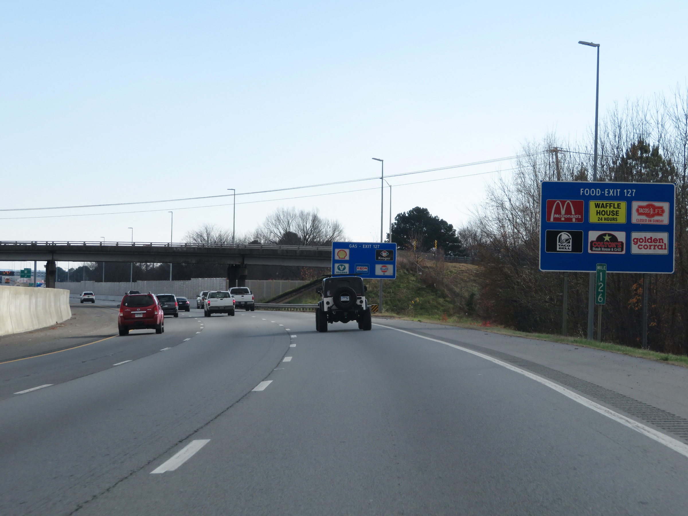 |
View on Interstate 40 East at mile marker 126. (Photo taken 12/12/20). |
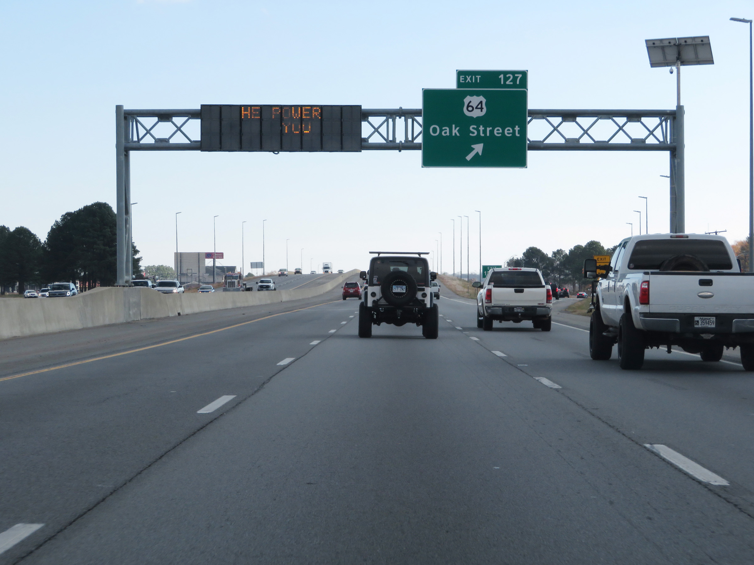 |
Interstate 40 East at Exit 127: US 64 - Oak Street (Photo taken 12/12/20). |
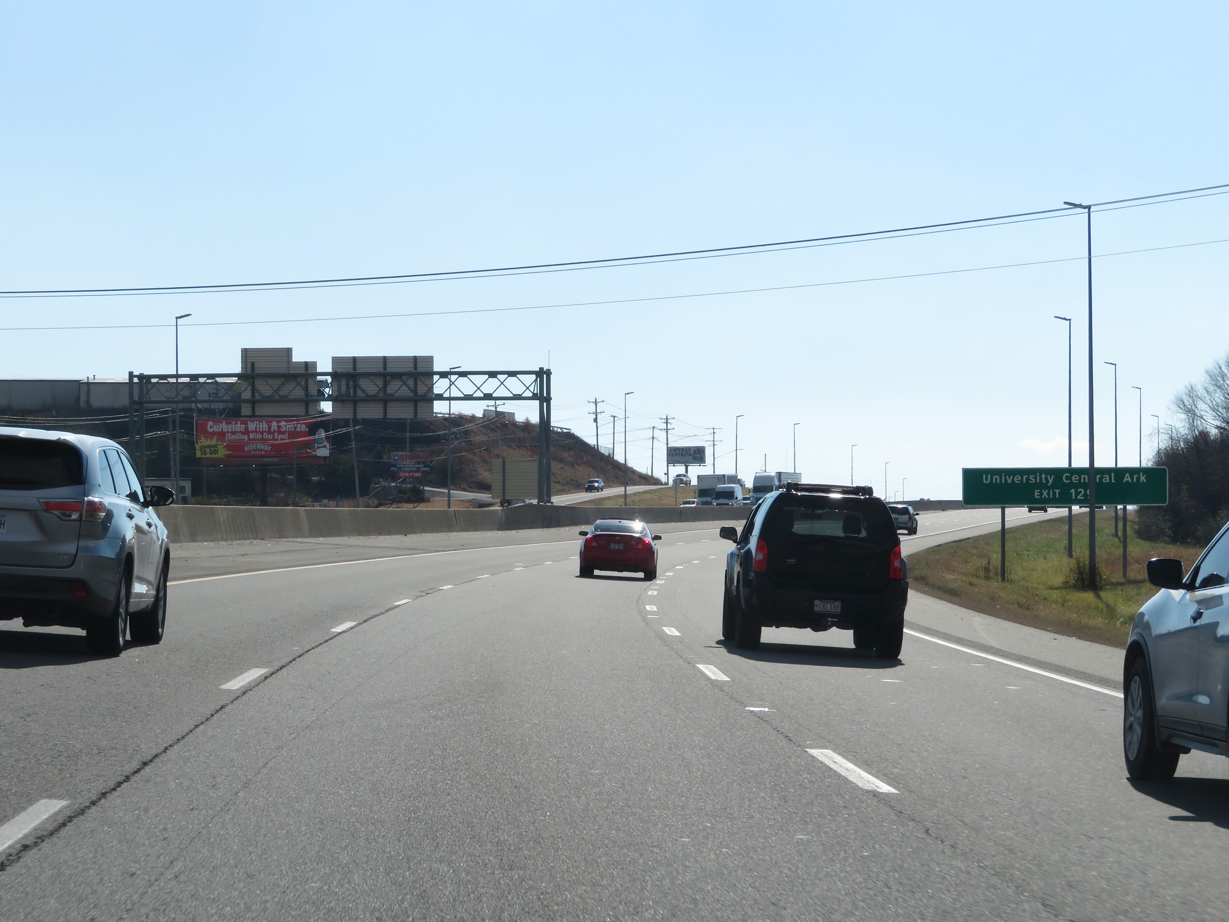 |
Take Exit 129 to the University of Central Arkansas. (Photo taken 12/12/20). |
 |
Also take Exit 129 to Baptist Health Medical Center at Conway. (Photo taken 12/12/20). |
 |
Take Exit 129 to Toad Suck Park as well. (Photo taken 12/12/20). |
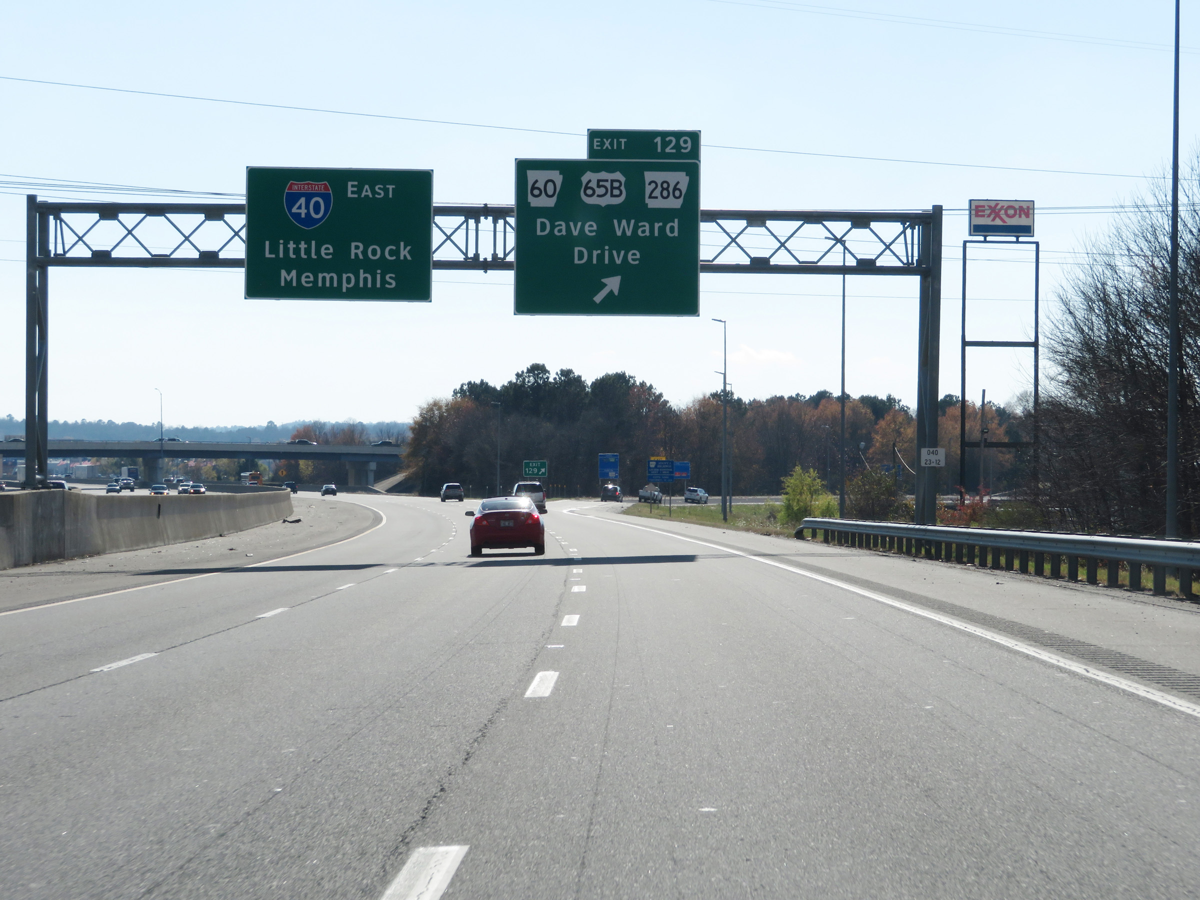 |
Interstate 40 East at Exit 129: AR 60 / US 65B / AR 286 - Dave Ward Drive (Photo taken 12/12/20). |
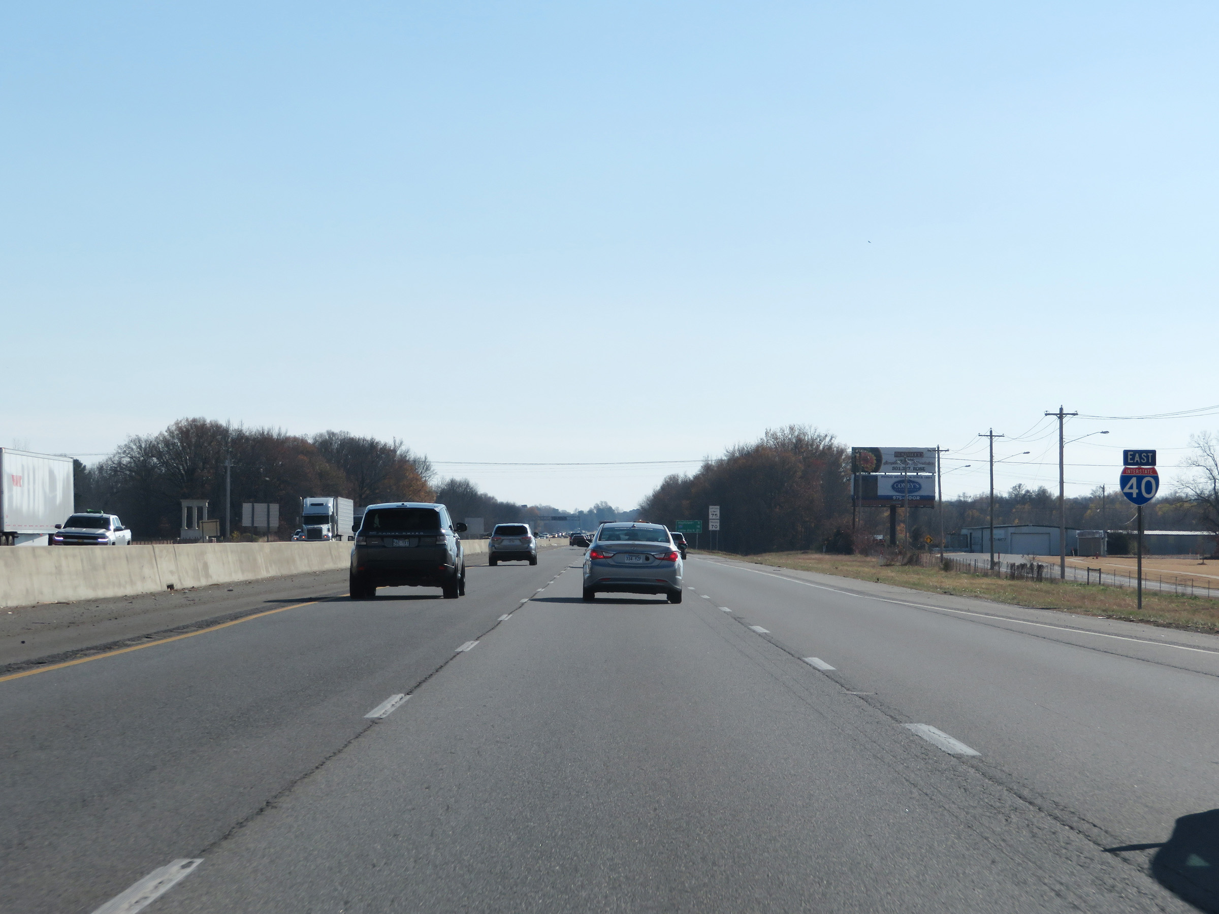 |
Interstate 40 East reassurance shield. (Photo taken 12/12/20). |
 |
The speed limits remain 75 mph for automobiles and 70 mph for trucks through the Conway area. (Photo taken 12/12/20). |
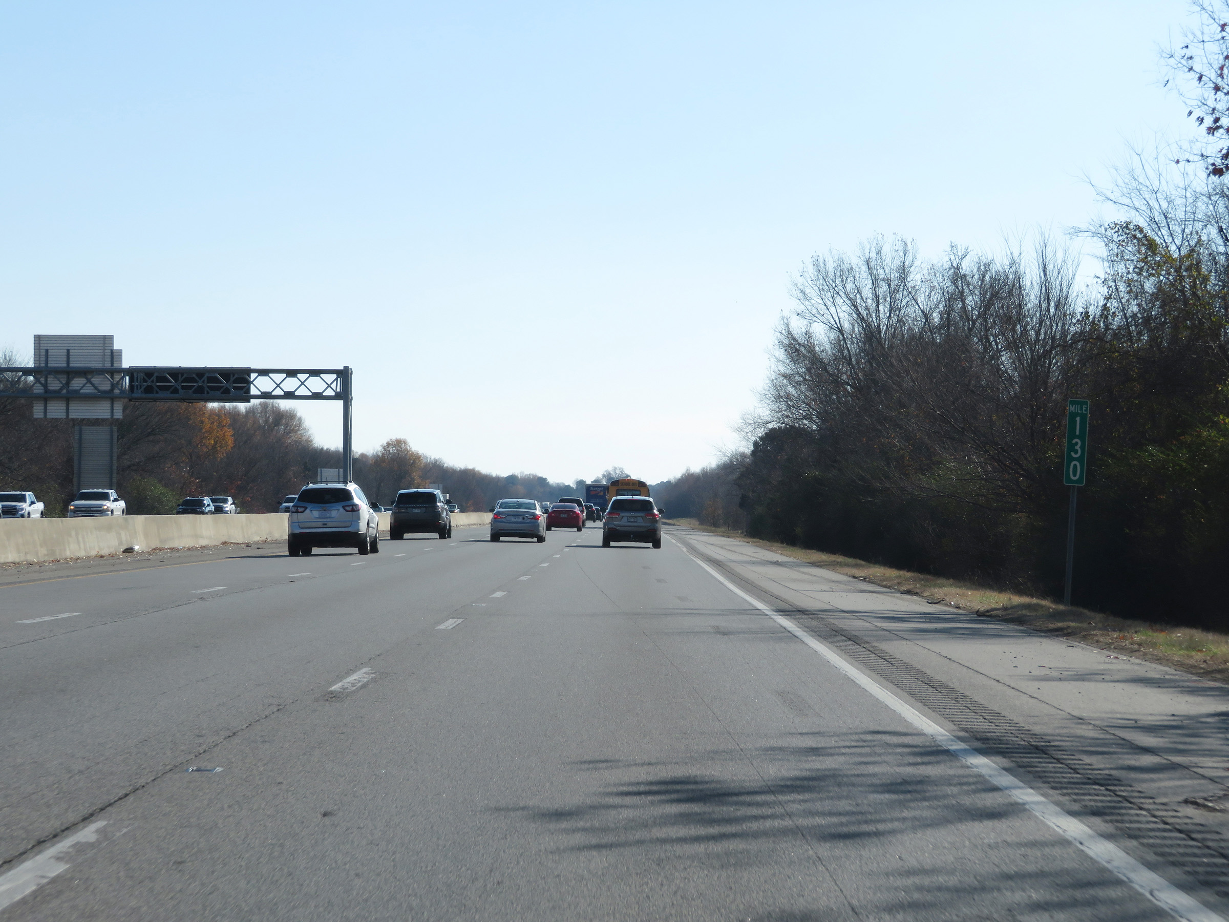 |
View on Interstate 40 East at mile marker 130. (Photo taken 12/12/20). |
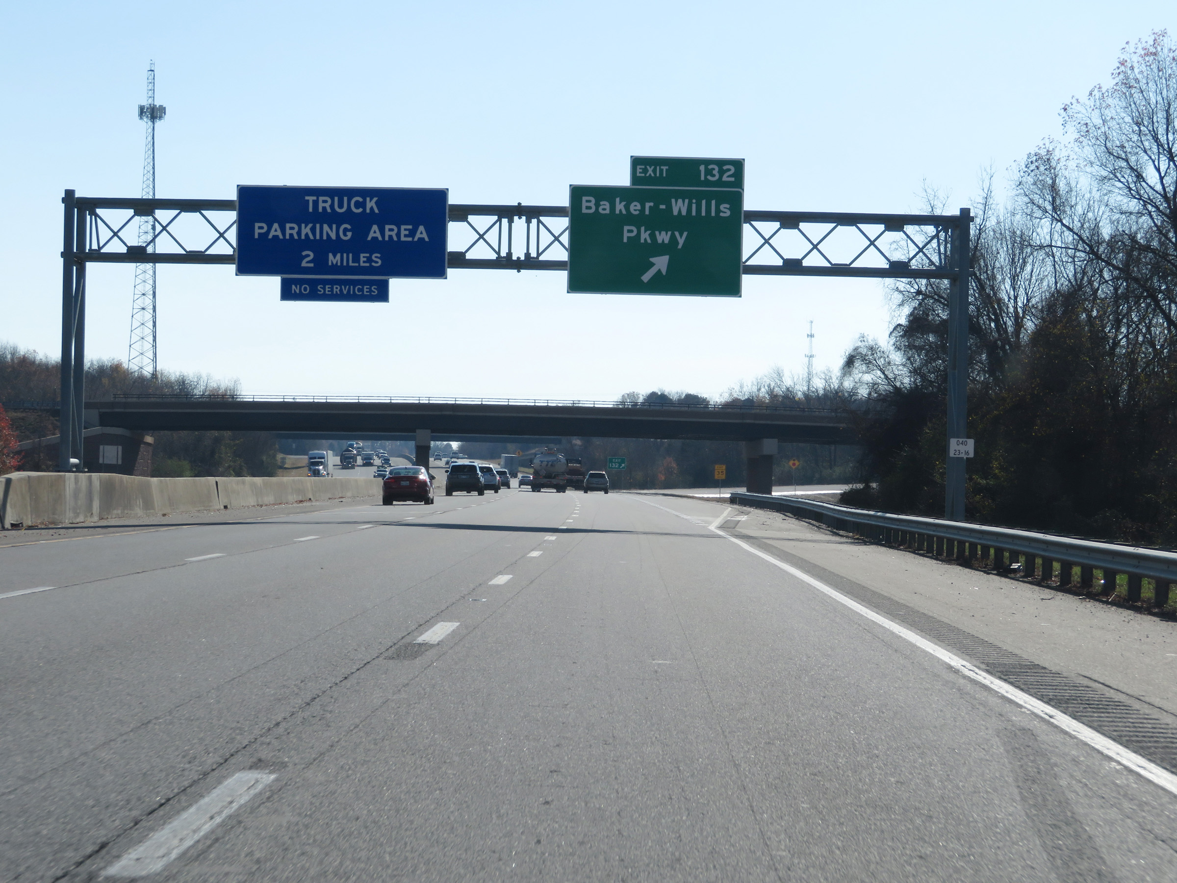 |
Interstate 40 East at Exit 132: Baker-Wills Pkwy (Photo taken 12/12/20). |
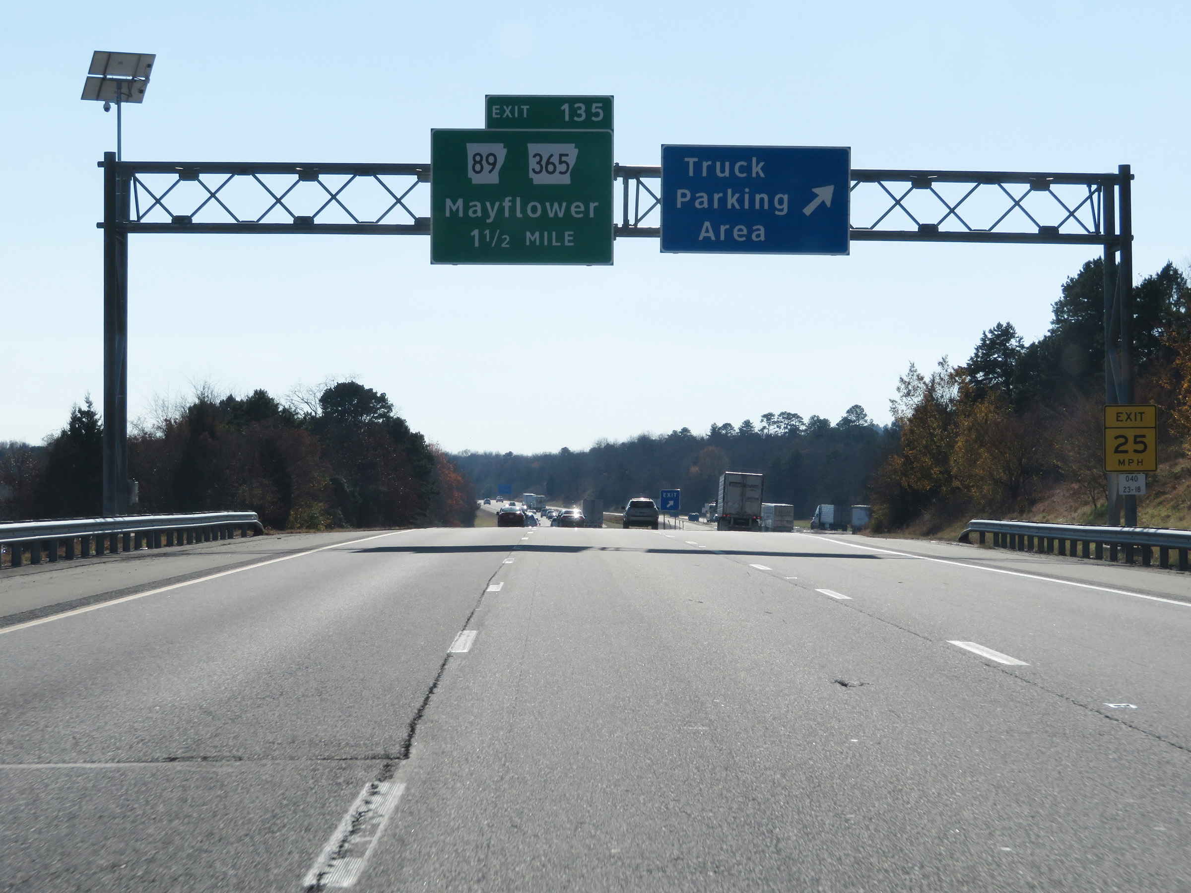 |
Truck Parking Area on Interstate 40 East in Faulkner County. (Photo taken 12/12/20). |
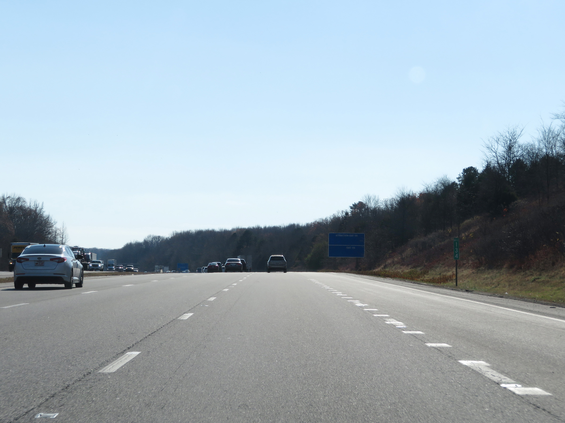 |
View on Interstate 40 East at mile marker 134. (Photo taken 12/12/20). |
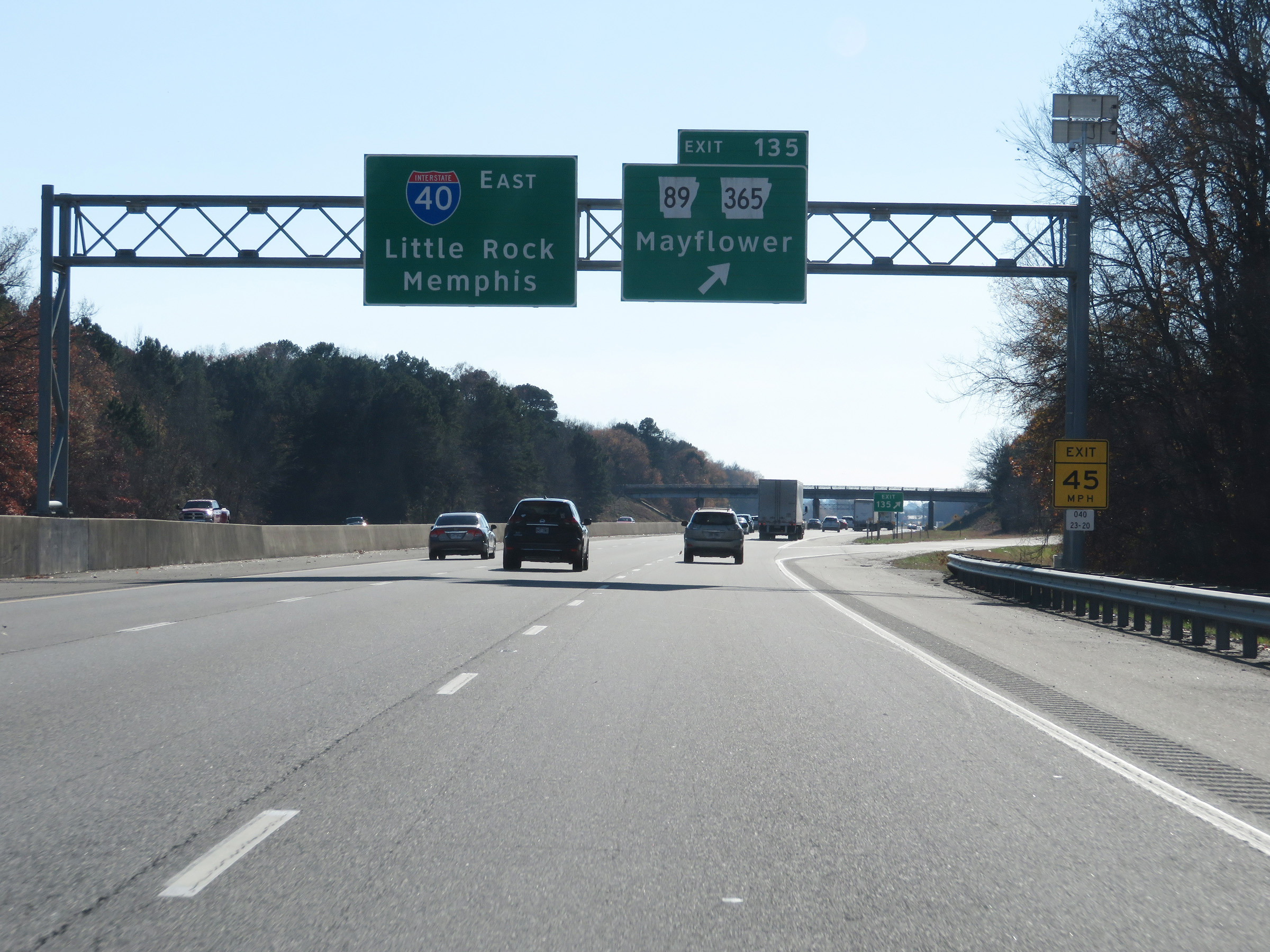 |
Interstate 40 East at Exit 135: AR 89 / AR 365 - Mayflower (Photo taken 12/12/20). |
 |
Interstate 40 East at mile marker 138. (Photo taken 12/12/20). |
 |
Interstate 40 East as it enters Pulaski County. (Photo taken 12/12/20). |
 |
View on Interstate 40 East at mile marker 140. (Photo taken 12/12/20). |
 |
Interstate 40 East at mile marker 141. (Photo taken 12/12/20). |
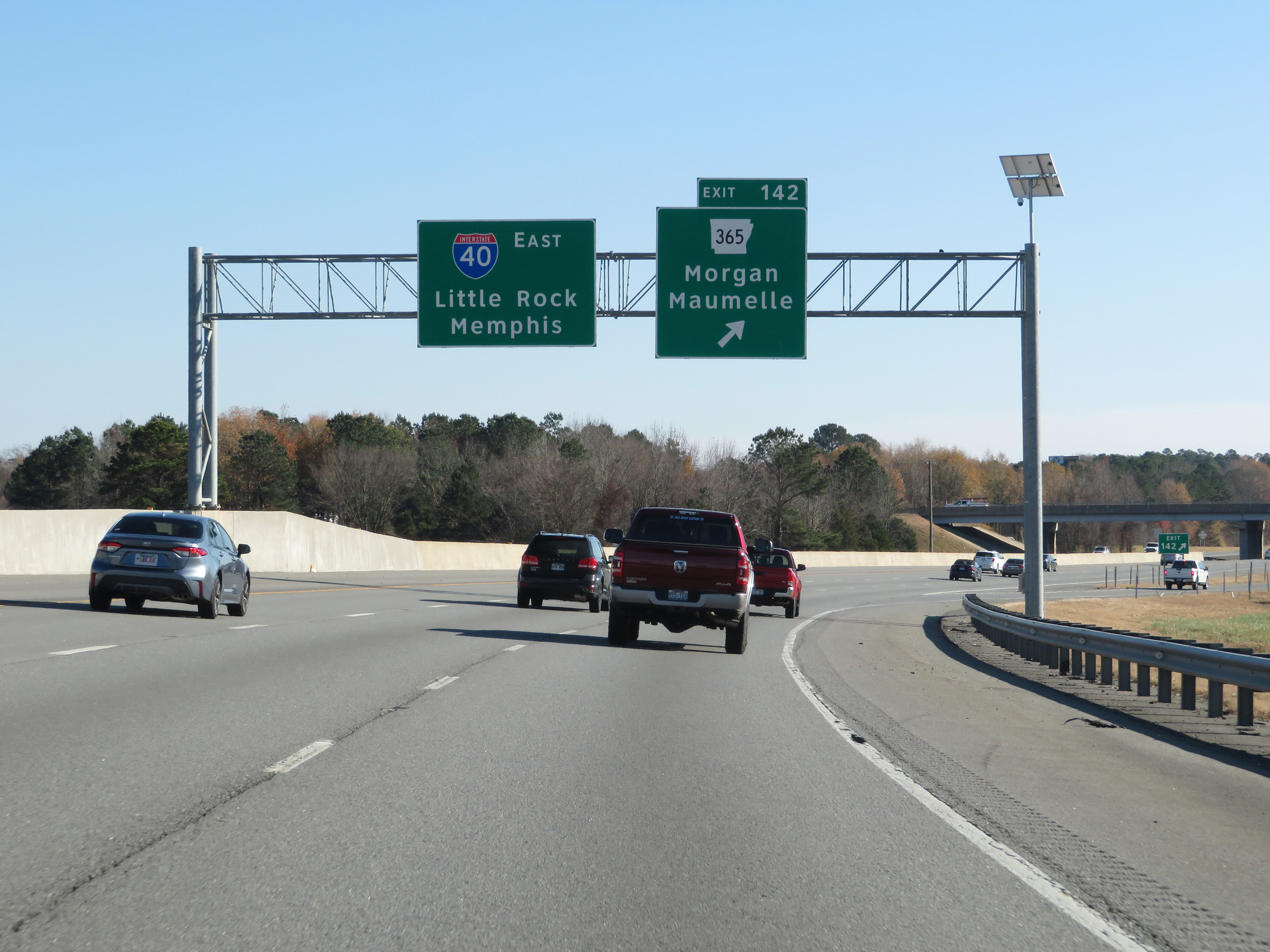 |
Interstate 40 East at Exit 142: AR 365 - Morgan / Maumelle (Photo taken 12/12/20). |
 |
State-named Interstate 40 East reassurance shield. (Photo taken 12/12/20). |
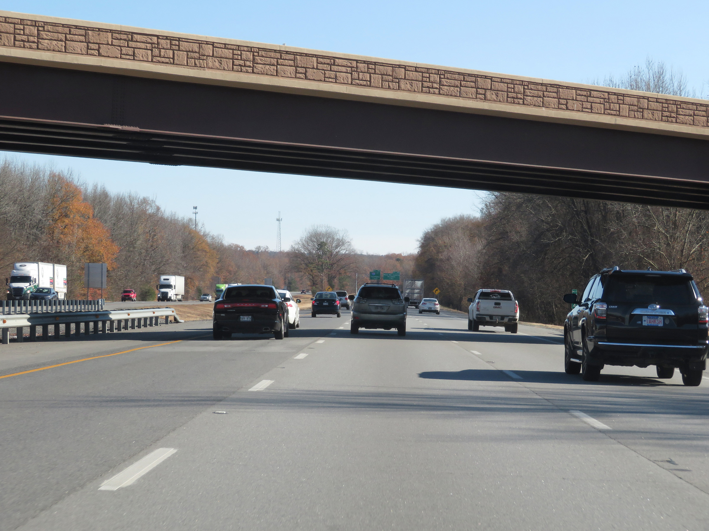 |
View on Interstate 40 East at mile marker 144. (Photo taken 12/12/20). |
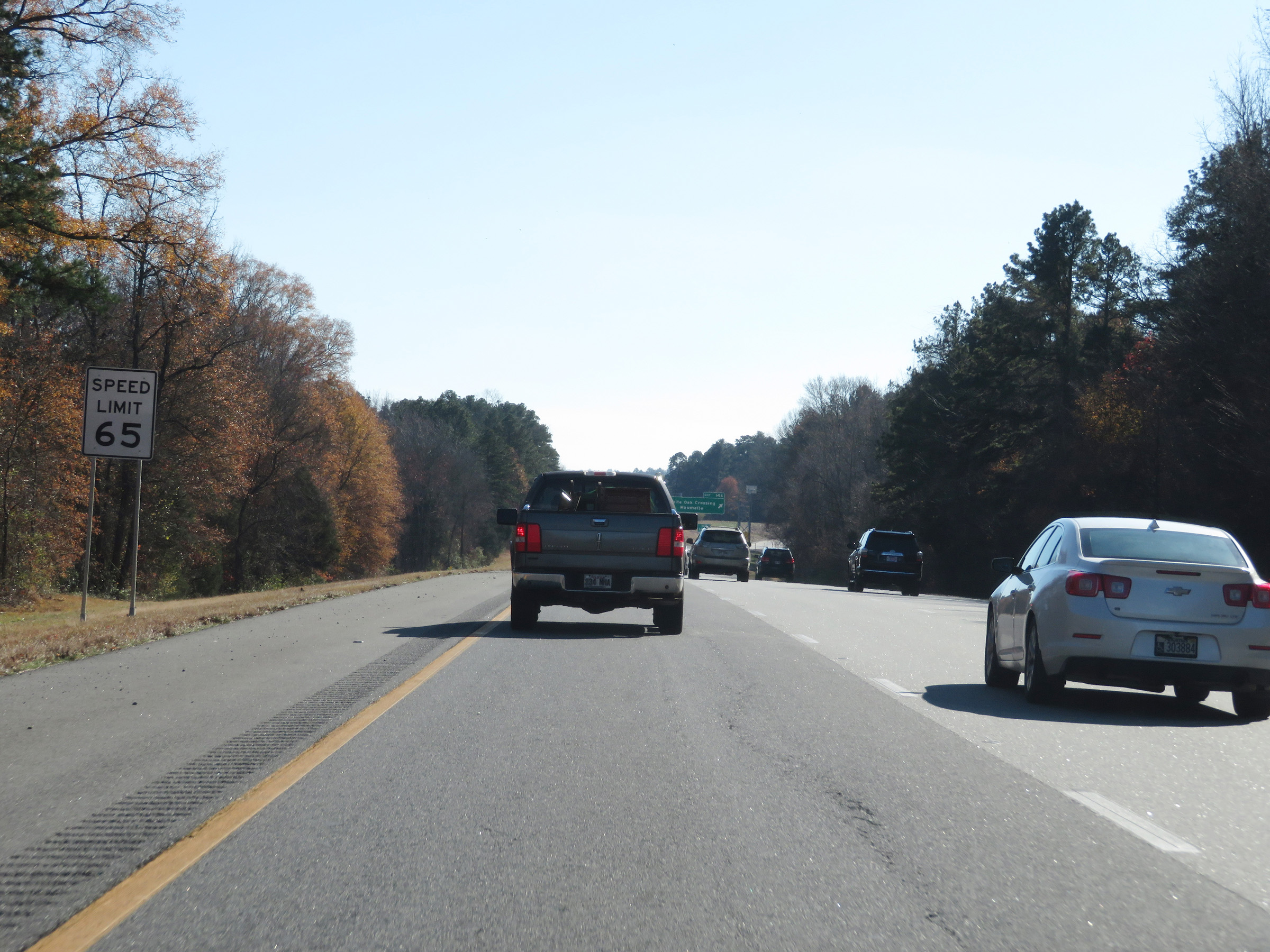 |
Approaching Exit 146, the speed limit decreases to 65 mph for all traffic. (Photo taken 12/12/20). |
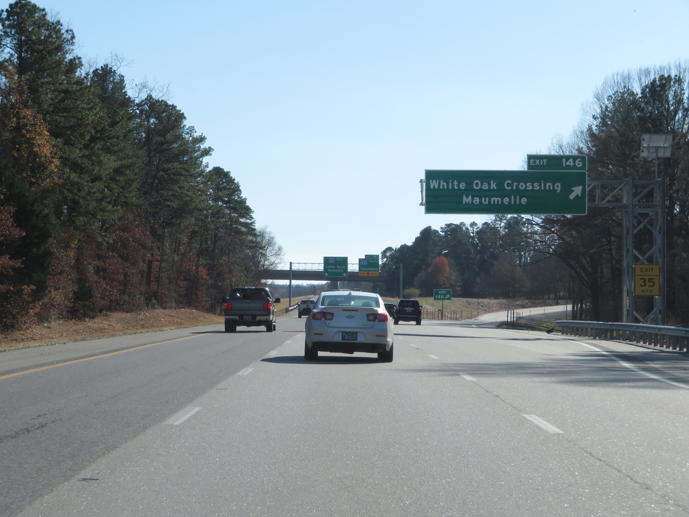 |
Interstate 40 East at Exit 146: White Oak Crossing / Maumelle (Photo taken 12/12/20). |
 |
Interstate 40 East approaching Exit 147. The two rightmost lanes will become exit only lanes to Interstate 430 South. (Photo taken 12/12/20). |
 |
Interstate 40 East at Exit 147: Interstate 430 South - Texarkana (Photo taken 12/12/20). |
 |
View on Interstate 40 East as it passes under the ramps to and from Interstate 430. (Photo taken 12/12/20). |
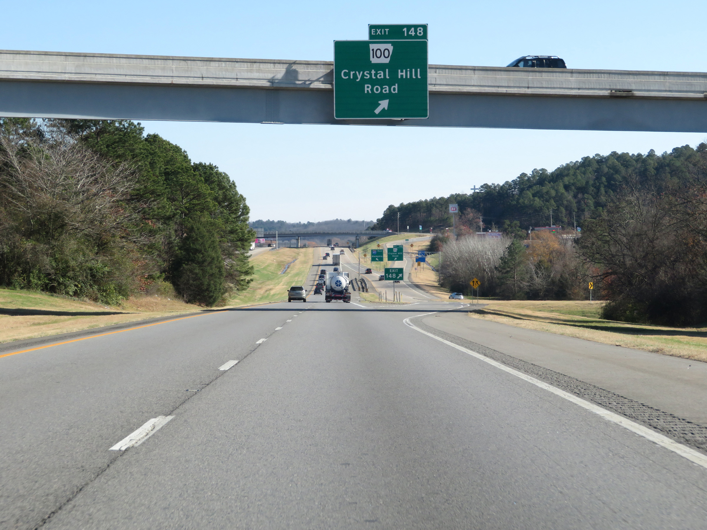 |
Interstate 40 East at Exit 148: AR 100 - Crystal Hill Road (Photo taken 12/12/20). |
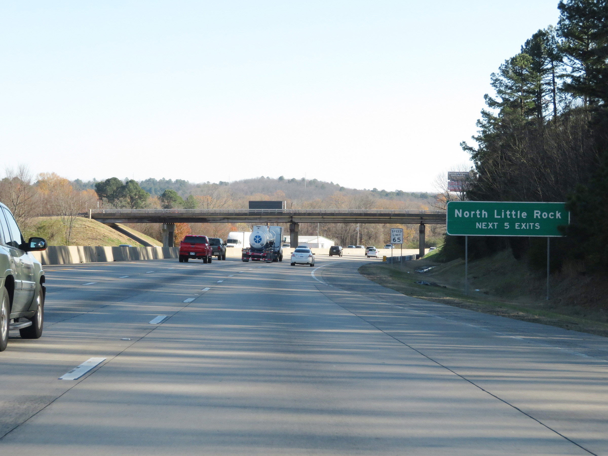 |
Take any of the next 5 exits to North Little Rock. (Photo taken 12/12/20). |
 |
The speed limit remains 65 mph for all traffic. (Photo taken 12/12/20). |
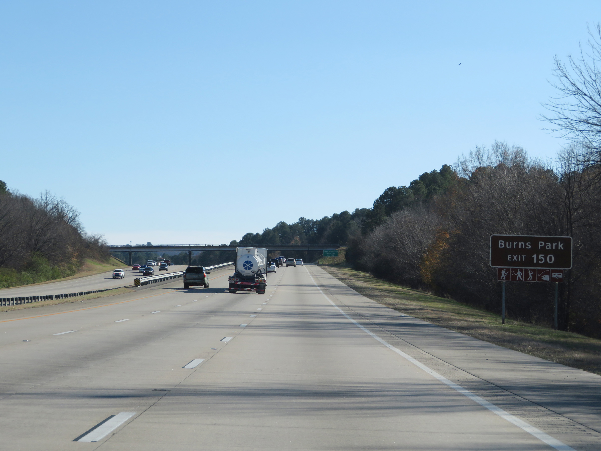 |
Take Exit 150 to Burns Park. (Photo taken 12/12/20). |
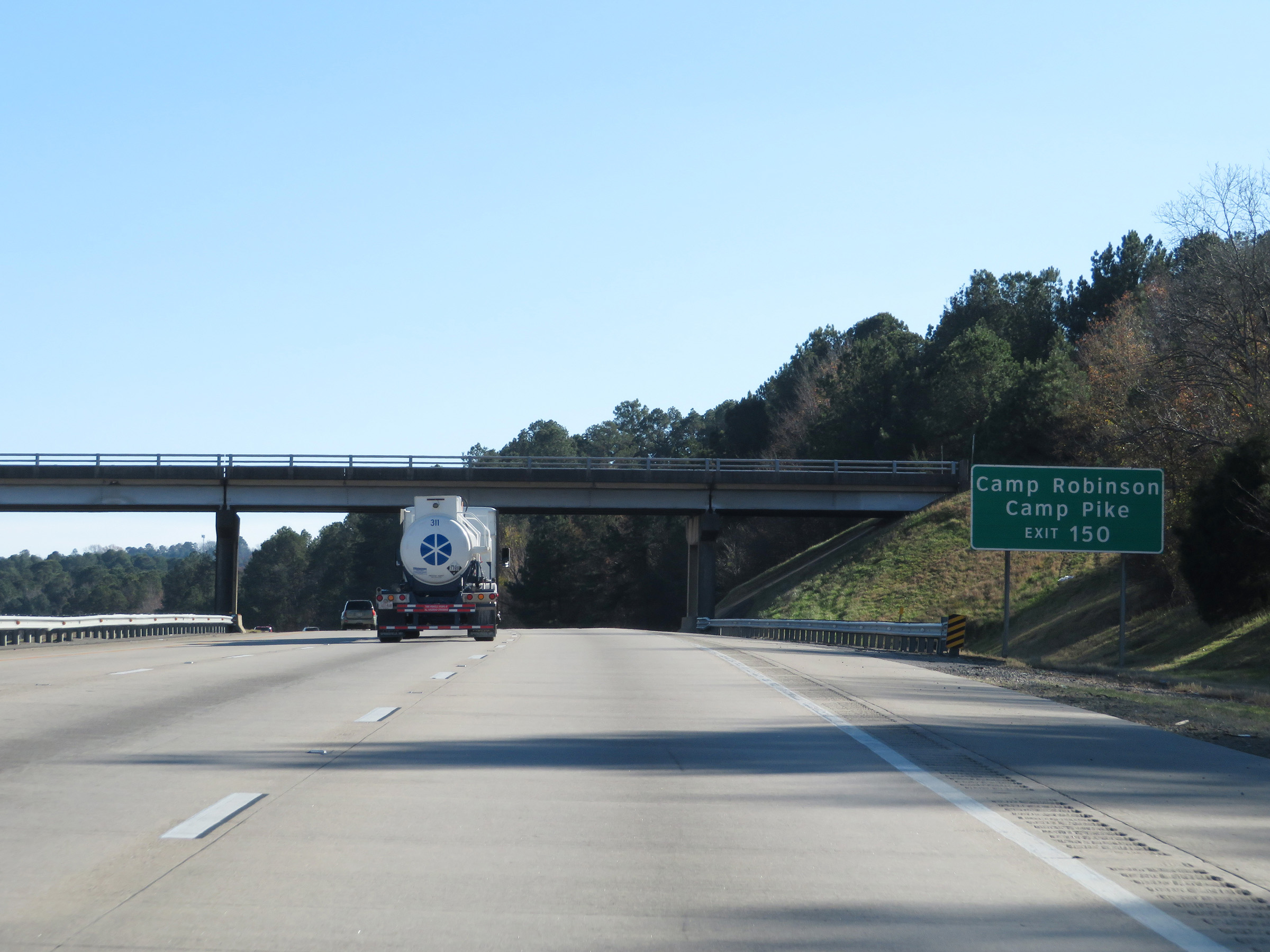 |
Also take Exit 150 to Camp Robinson and Camp Pike. (Photo taken 12/12/20). |
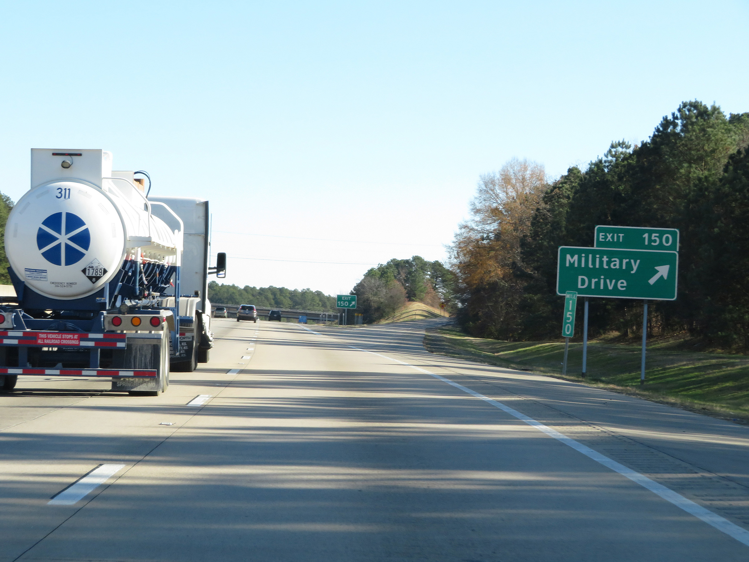 |
Interstate 40 East at Exit 150: Military Drive (Photo taken 12/12/20). |
 |
View on Interstate 40 East at mile marker 151. (Photo taken 12/12/20). |
 |
Approaching Exit 152, the speed limit decreases to 60 mph for all traffic. (Photo taken 12/12/20). |
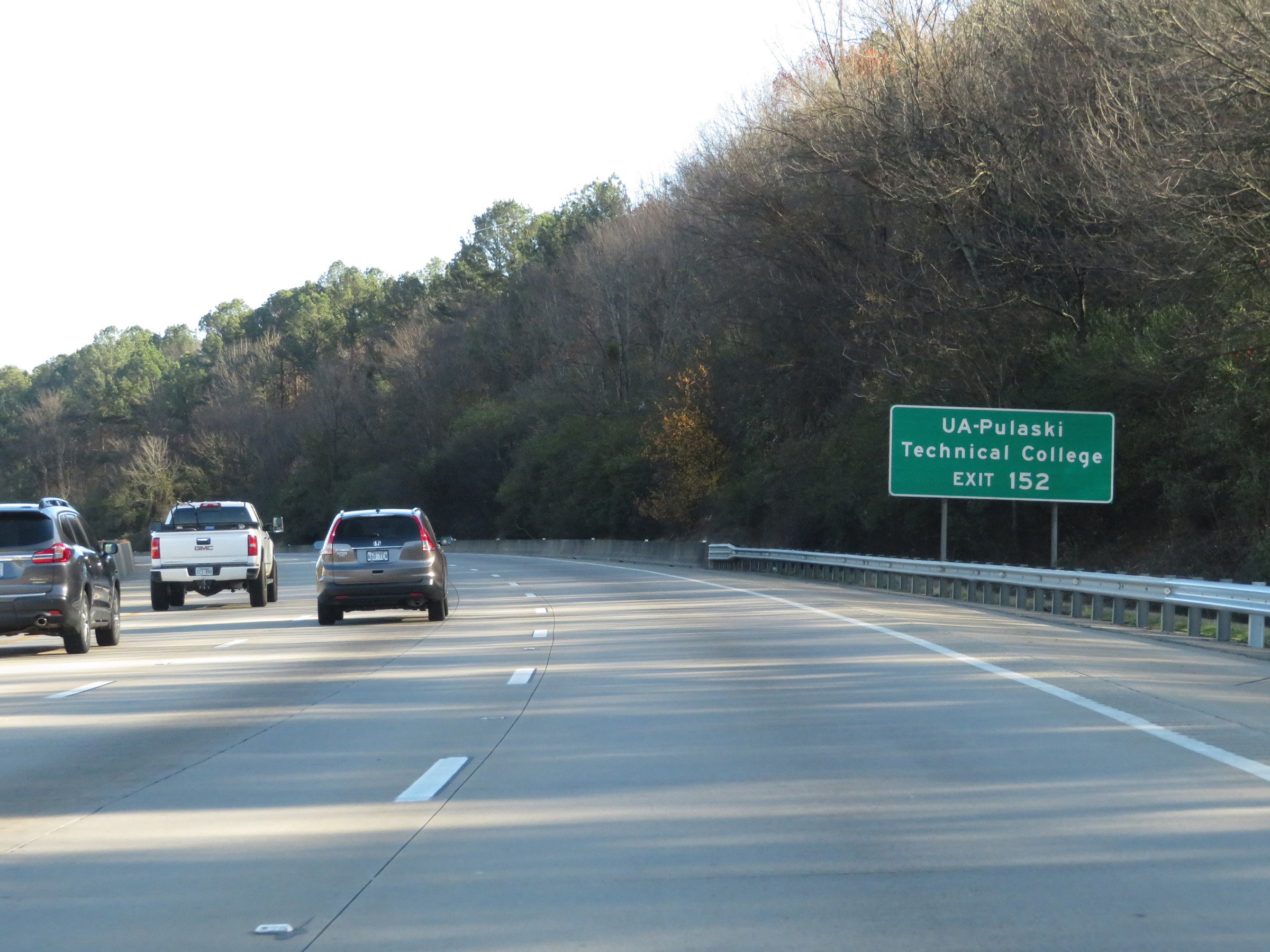 |
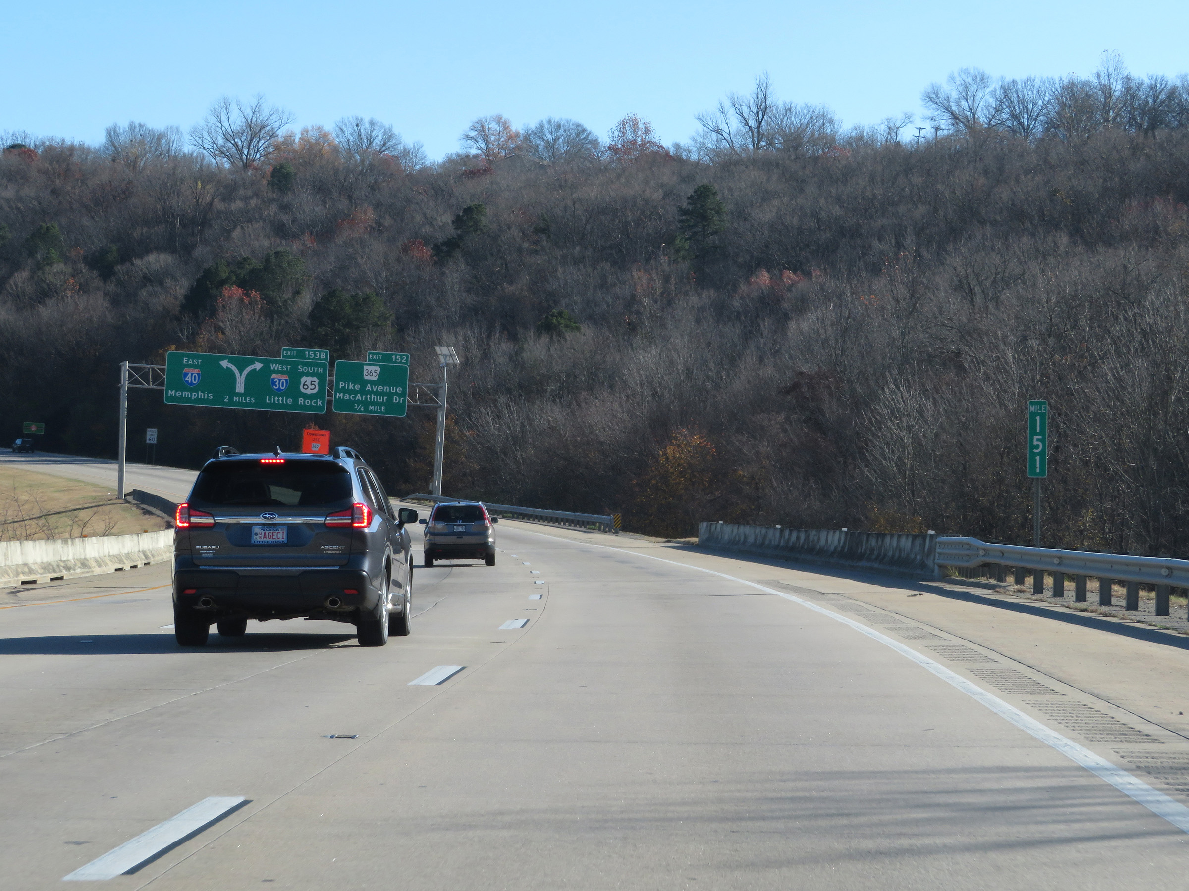
Take Exit 152 to UA-Pulaski Technical College. (Photo taken 12/12/20). |
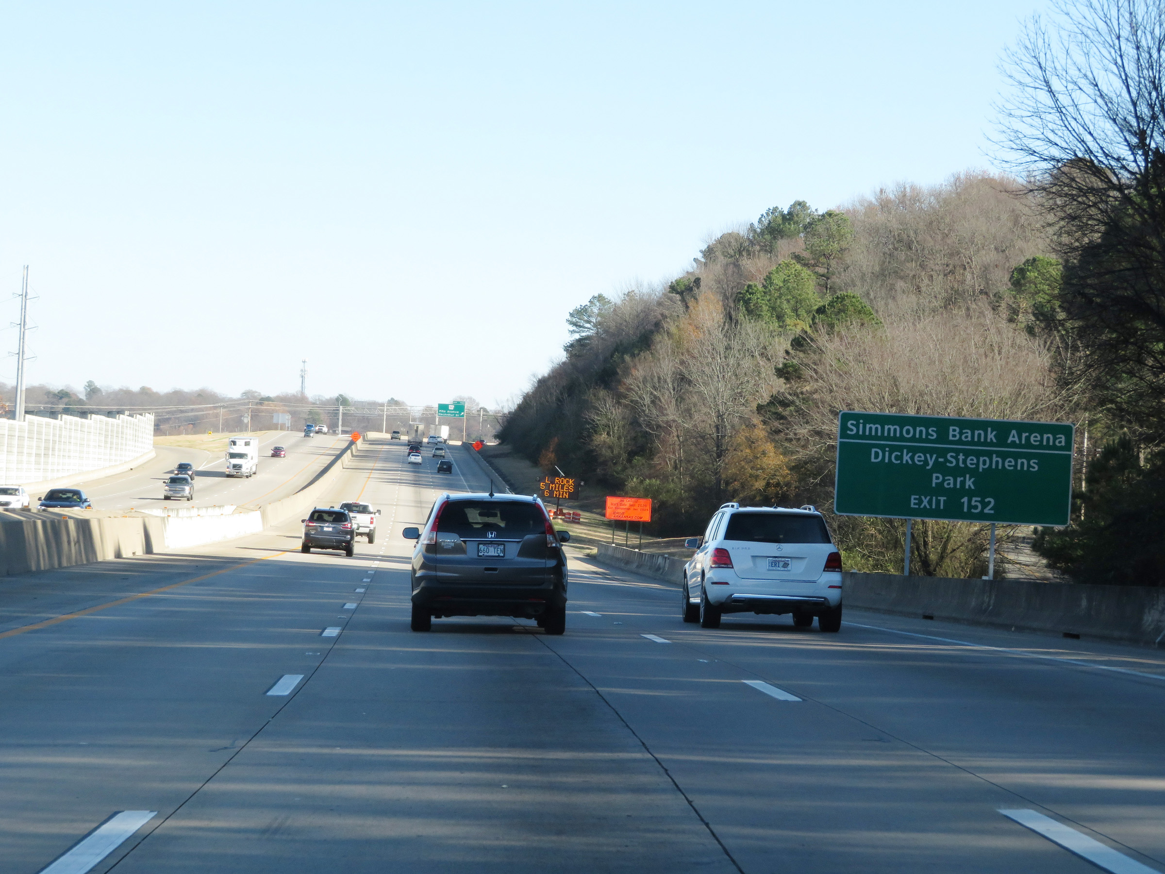 |
Also take Exit 152 to Simmons Bank Arena and Dickey-Stephens Park. (Photo taken 12/12/20). |
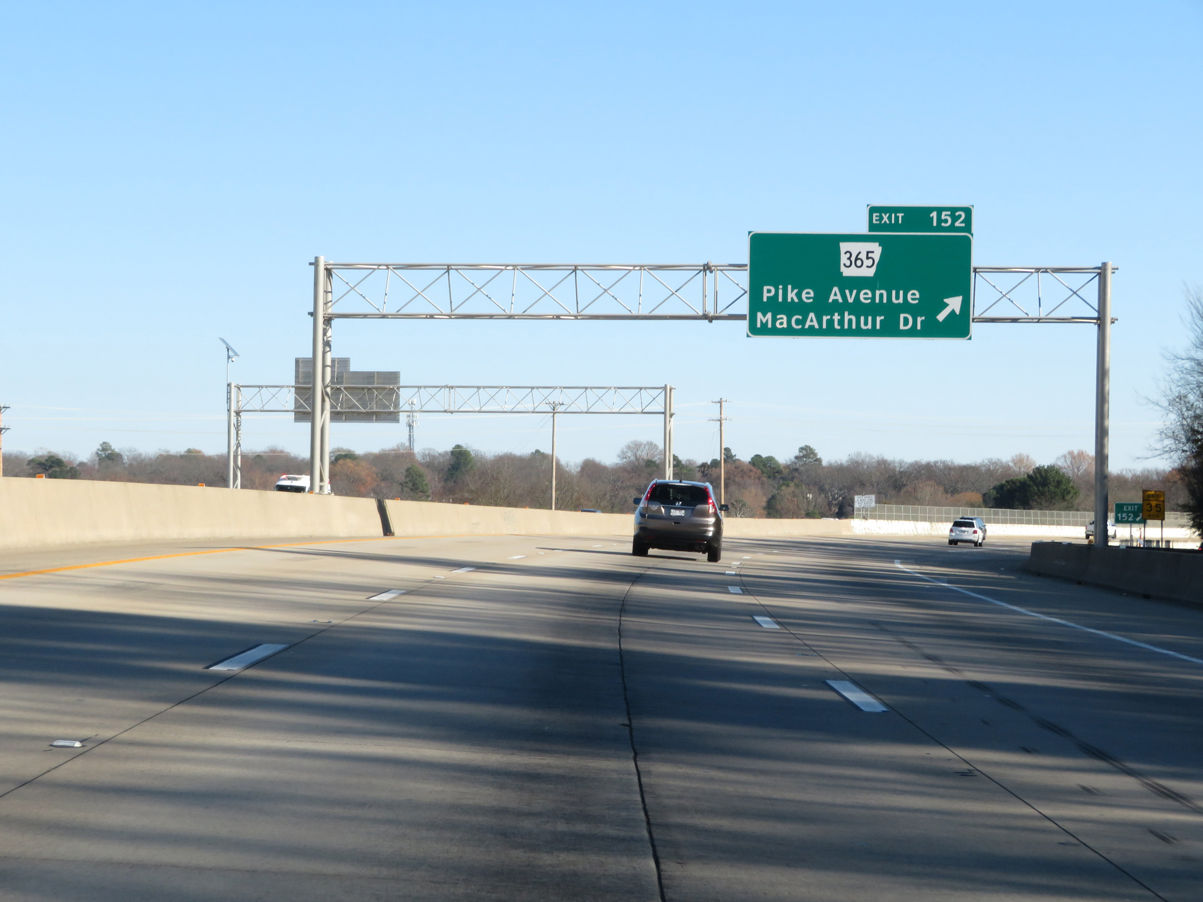 |
Interstate 40 East at Exit 152: AR 365 - Pike Avenue / MacArthur Dr (Photo taken 12/12/20). |
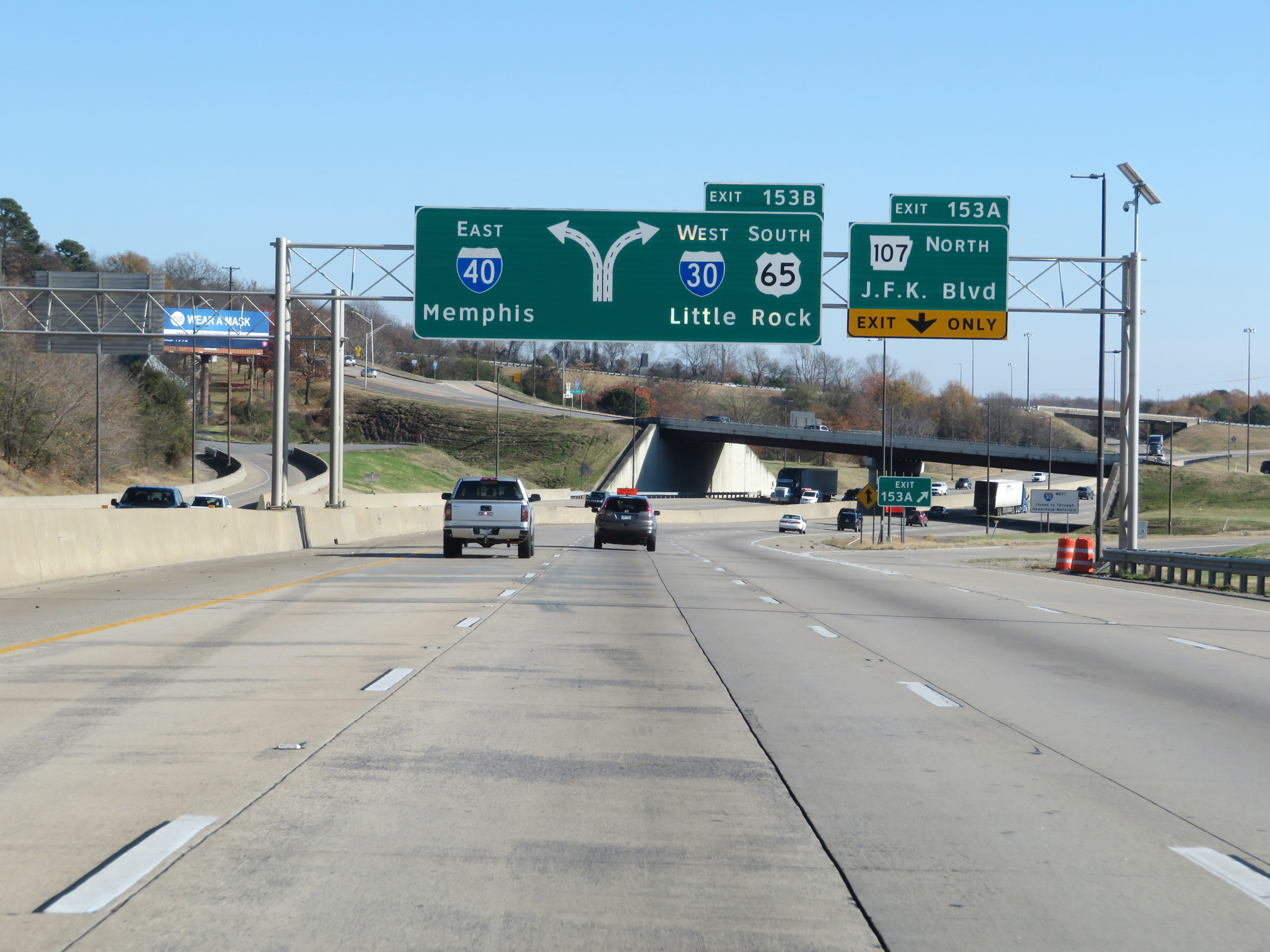 |
Interstate 40 East at Exit 153A: AR 107 North - J.F.K. Blvd (Photo taken 12/12/20). |
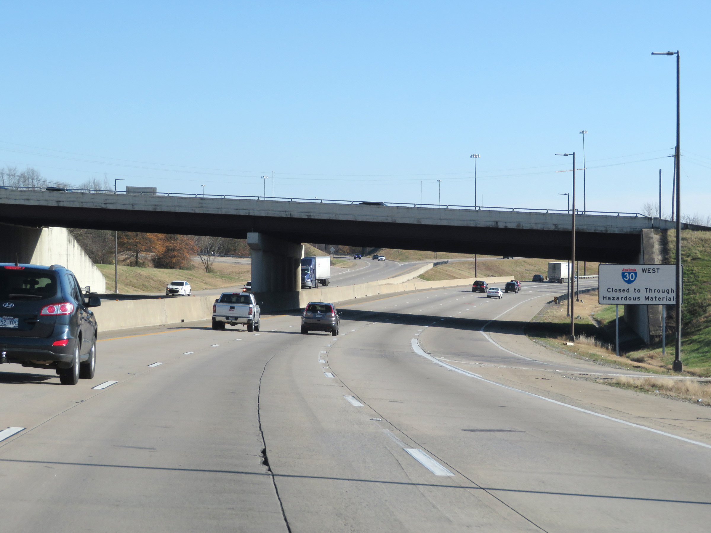 |
Trucks hauling hazardous materials of a class or in an amount requiring placards are prohibited from using Interstate 30 West through downtown Little Rock. They should use Interstate 440 West as an alternate route. (Photo taken 12/12/20). |
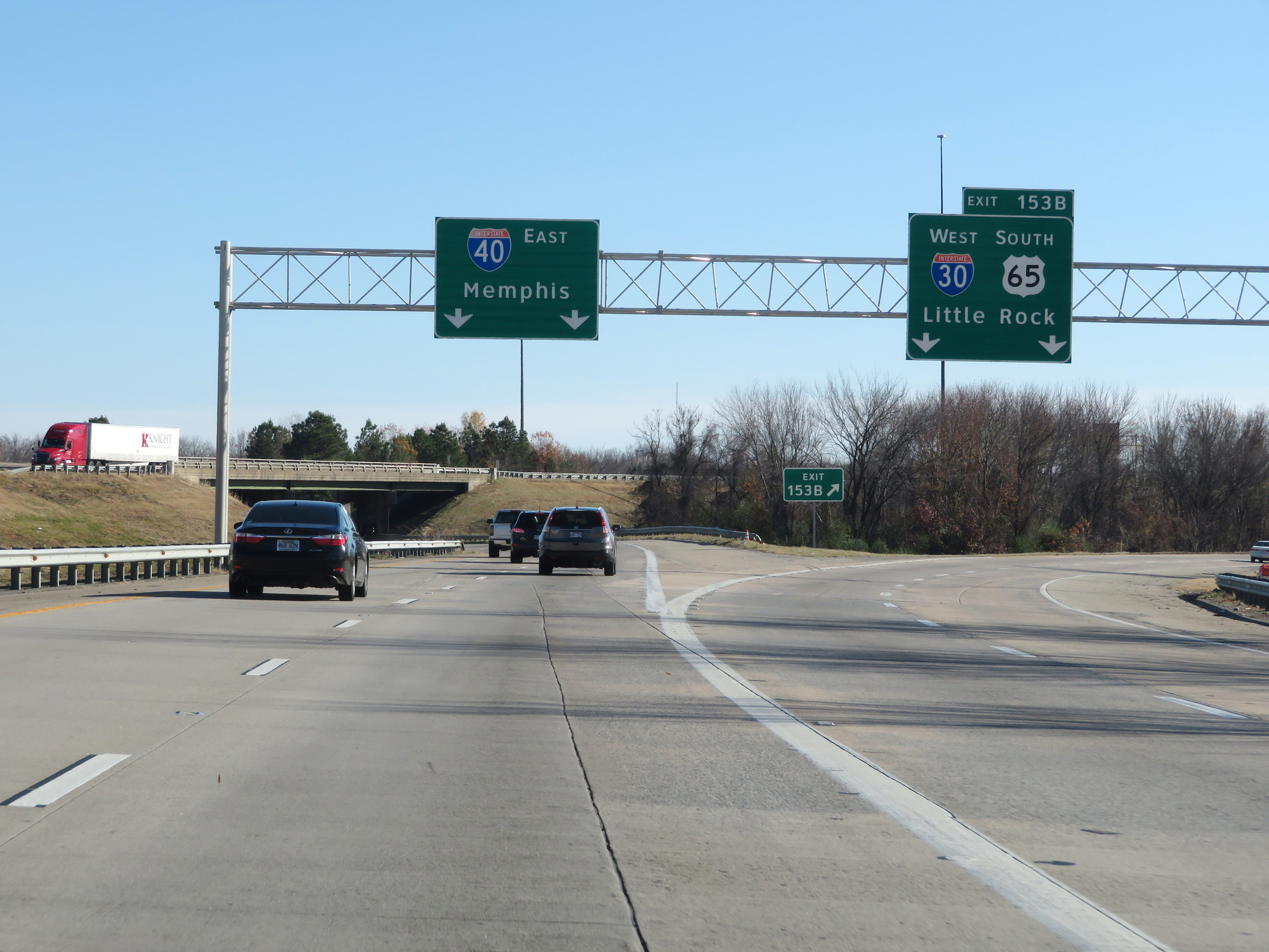 |
Interstate 40 East at Exit 153B: Interstate 30 West / US 65 South - Little Rock (Photo taken 12/12/20). |
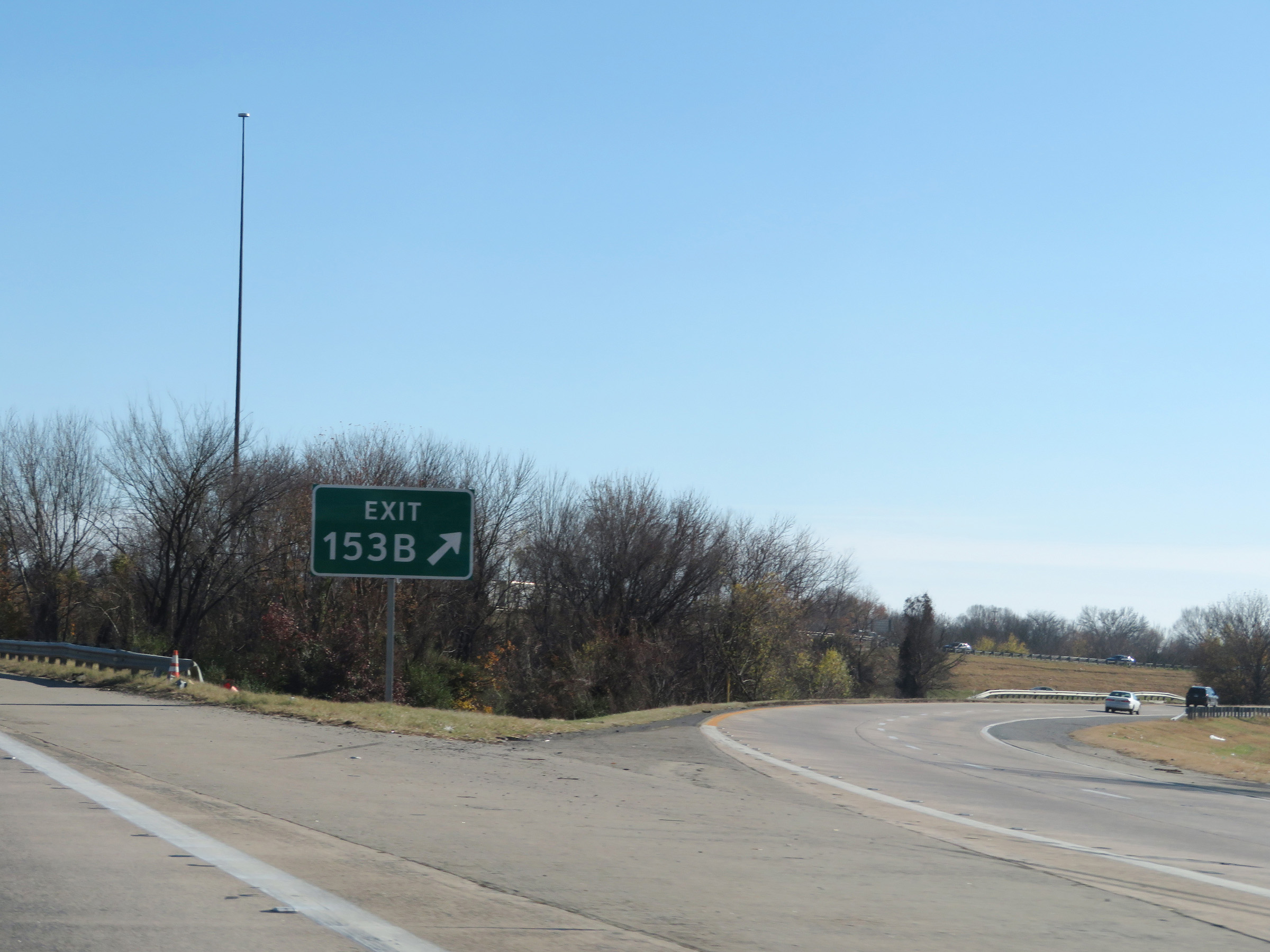 |
A closer view of the ramp to Interstate 30 West via Exit 153B. (Photo taken 12/12/20). |
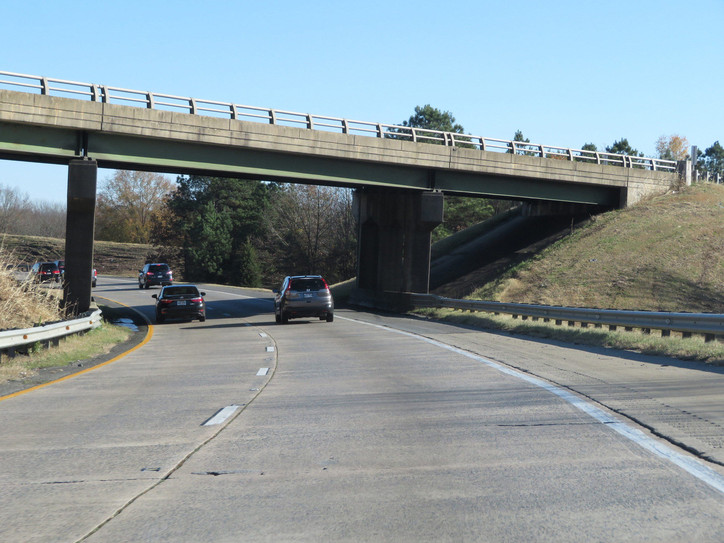 |
View on Interstate 40 East as it passes under the ramps to and from Interstate 30. (Photo taken 12/12/20). |
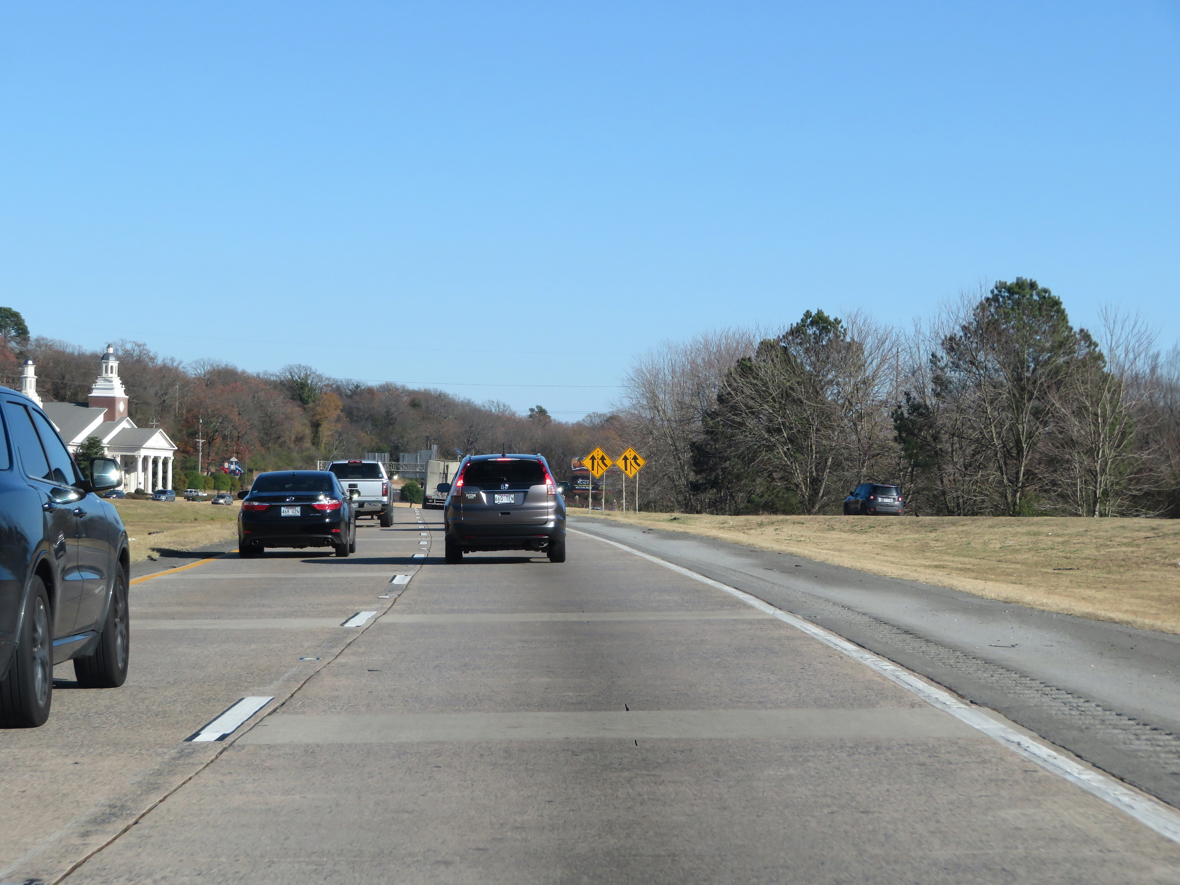 |
View on Interstate 40 East as traffic from Interstate 30 East prepares to merge into it ahead on the right. (Photo taken 12/12/20). |
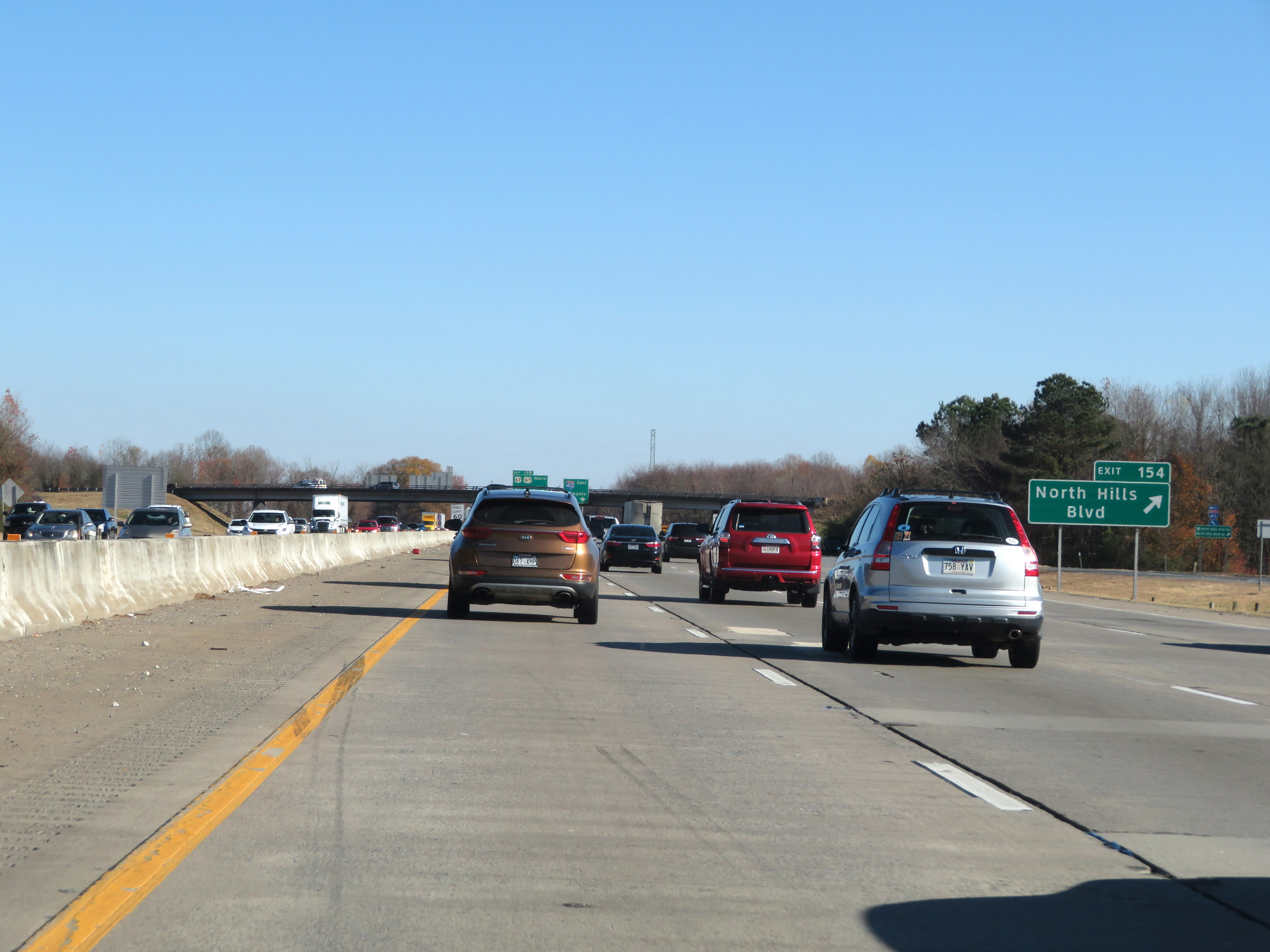 |
Interstate 40 East at Exit 154: North Hills Blvd (Photo taken 12/12/20). |
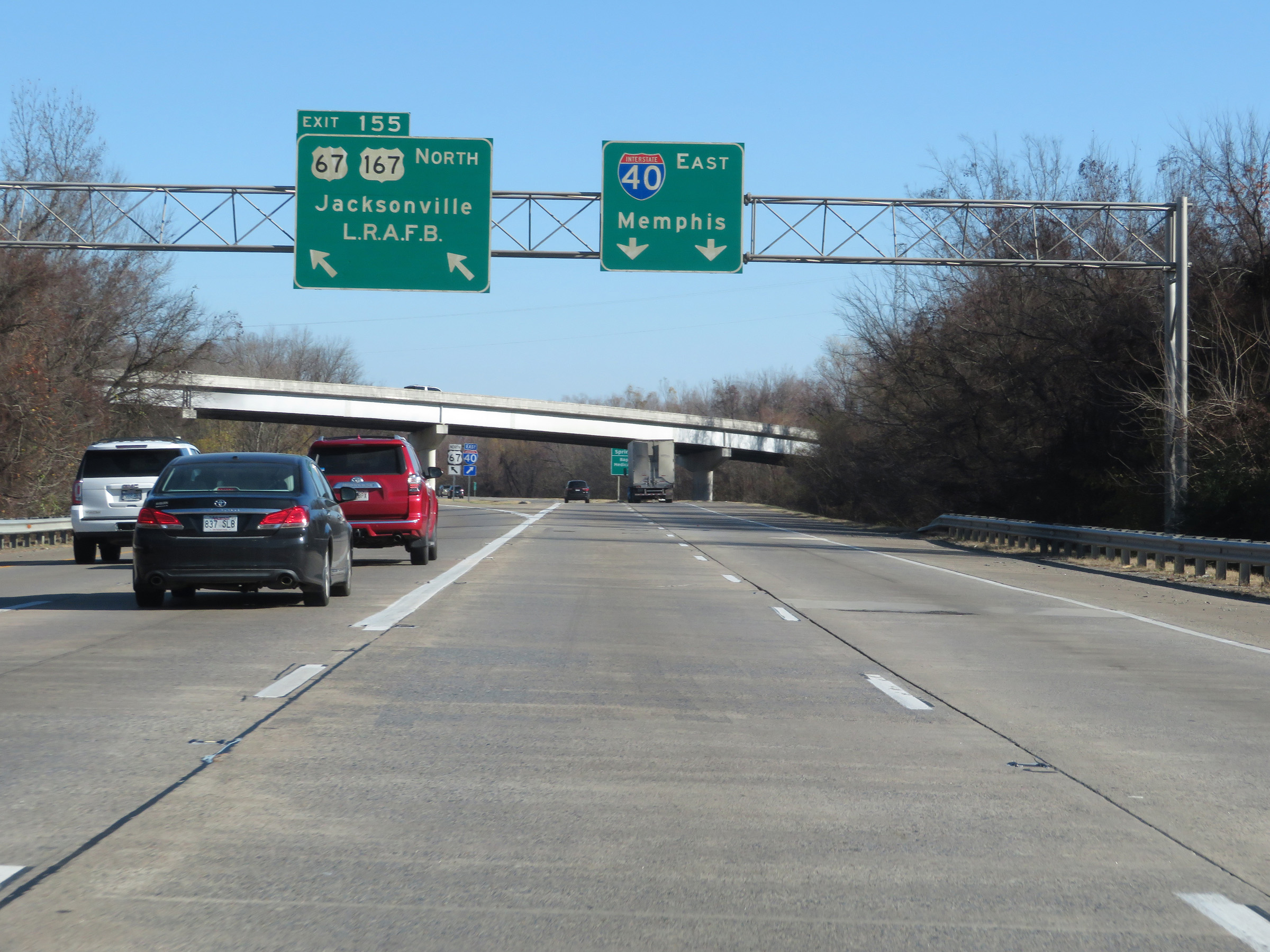 |
Interstate 40 East at Exit 155: Future Interstate 57 North / US 67 North / US 167 North - Jacksonville / Little Rock Air Force Base (Photo taken 12/12/20). |
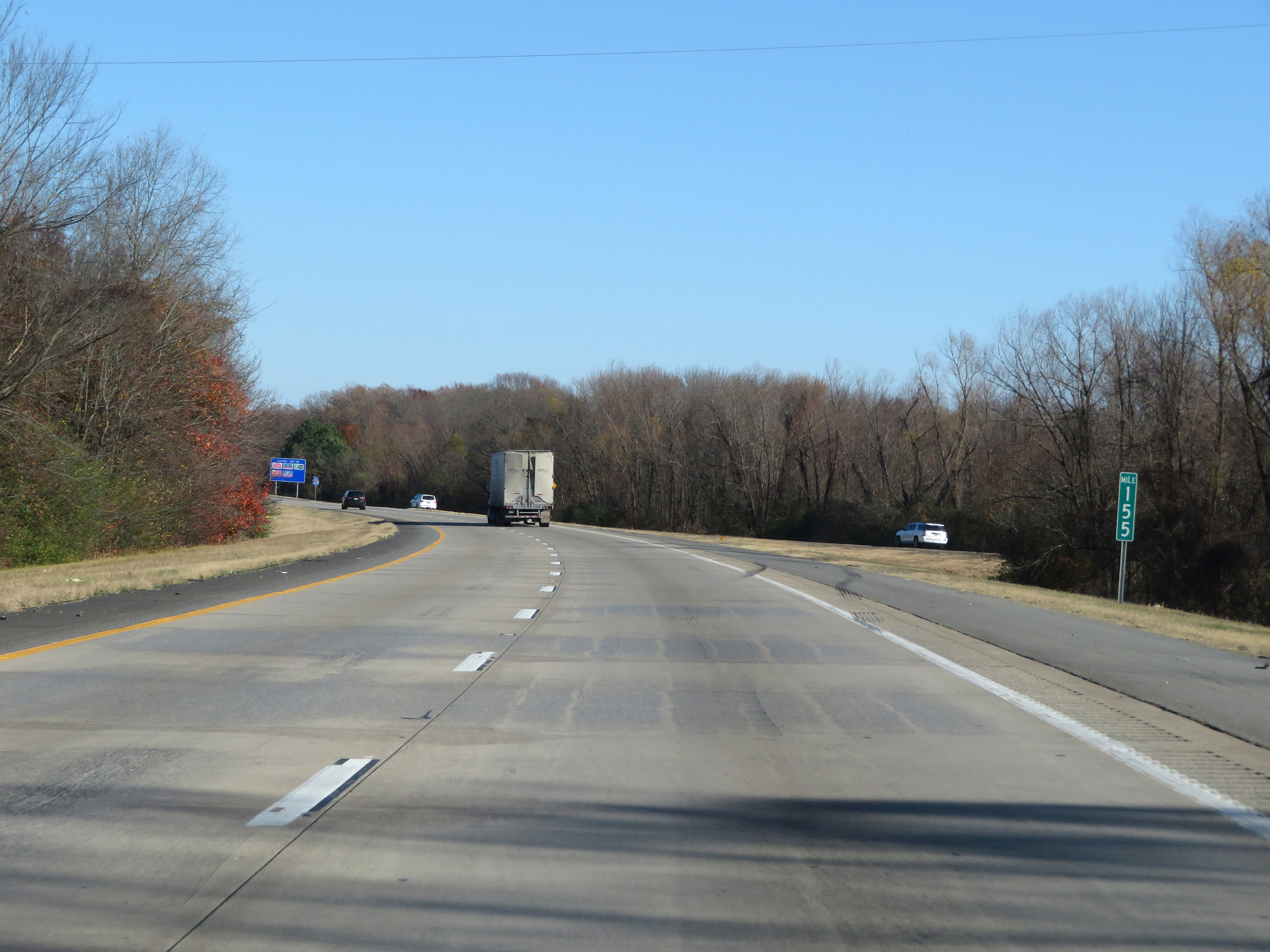 |
View on Interstate 40 East at mile marker 155. (Photo taken 12/12/20). |
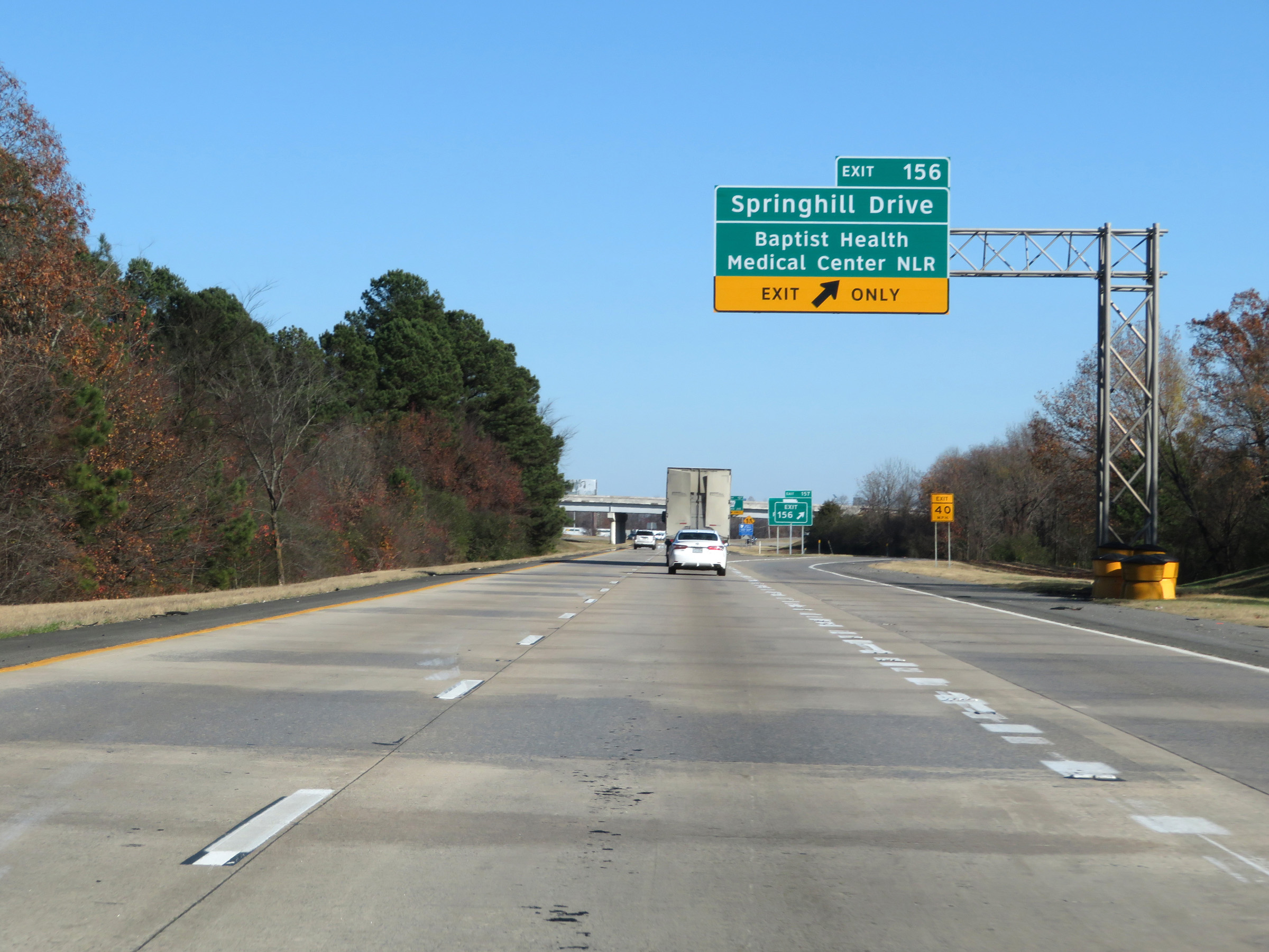 |
Interstate 40 East at Exit 156: Springhill Drive / Baptist Health Medical Center North Little Rock (Photo taken 12/12/20). |
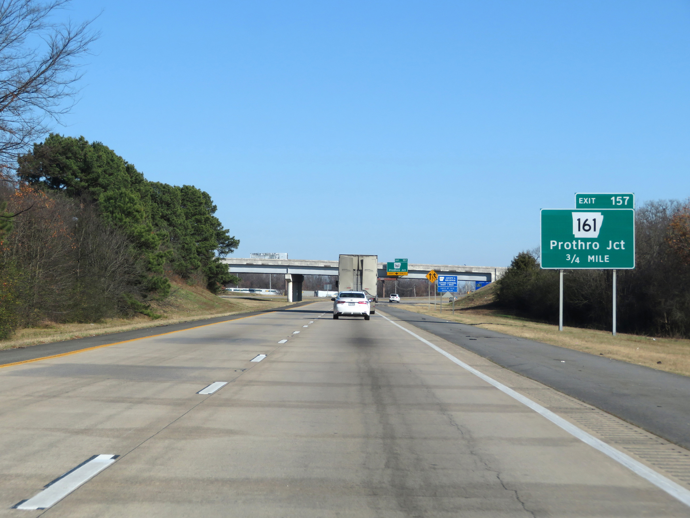 |
Interstate 40 East approaching Exit 157 - 3/4 mile. (Photo taken 12/12/20). |
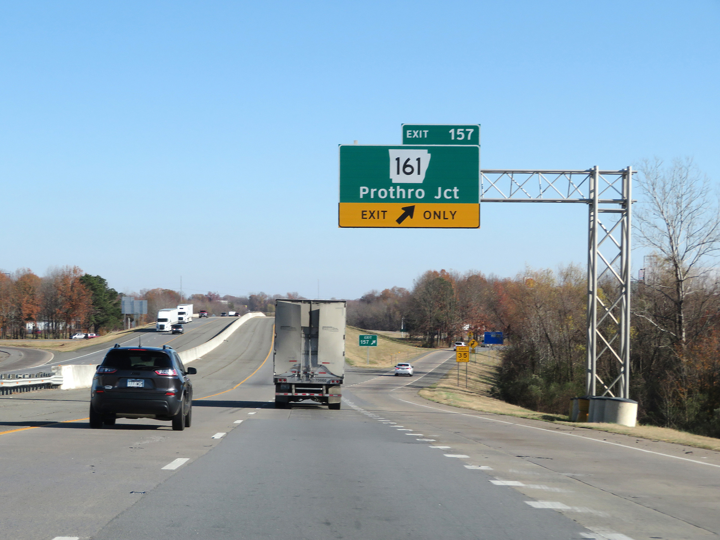 |
Interstate 40 East at Exit 157: AR 161 - Prothro Junction (Photo taken 12/12/20). |
Section 4: North Little Rock (Exit 157) to Forrest City (Exit 239)
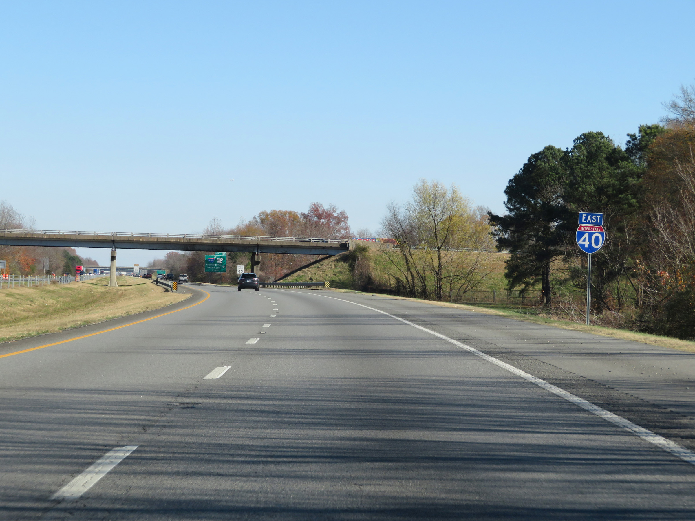 |
Interstate 40 East reassurance shield. (Photo taken 12/12/20). |
 |
East of Exit 157, the speed limit increases slightly to 65 mph for all traffic. (Photo taken 12/12/20). |
 |
Interstate 40 East approaching Exit 159 - 1 mile. (Photo taken 12/12/20). |
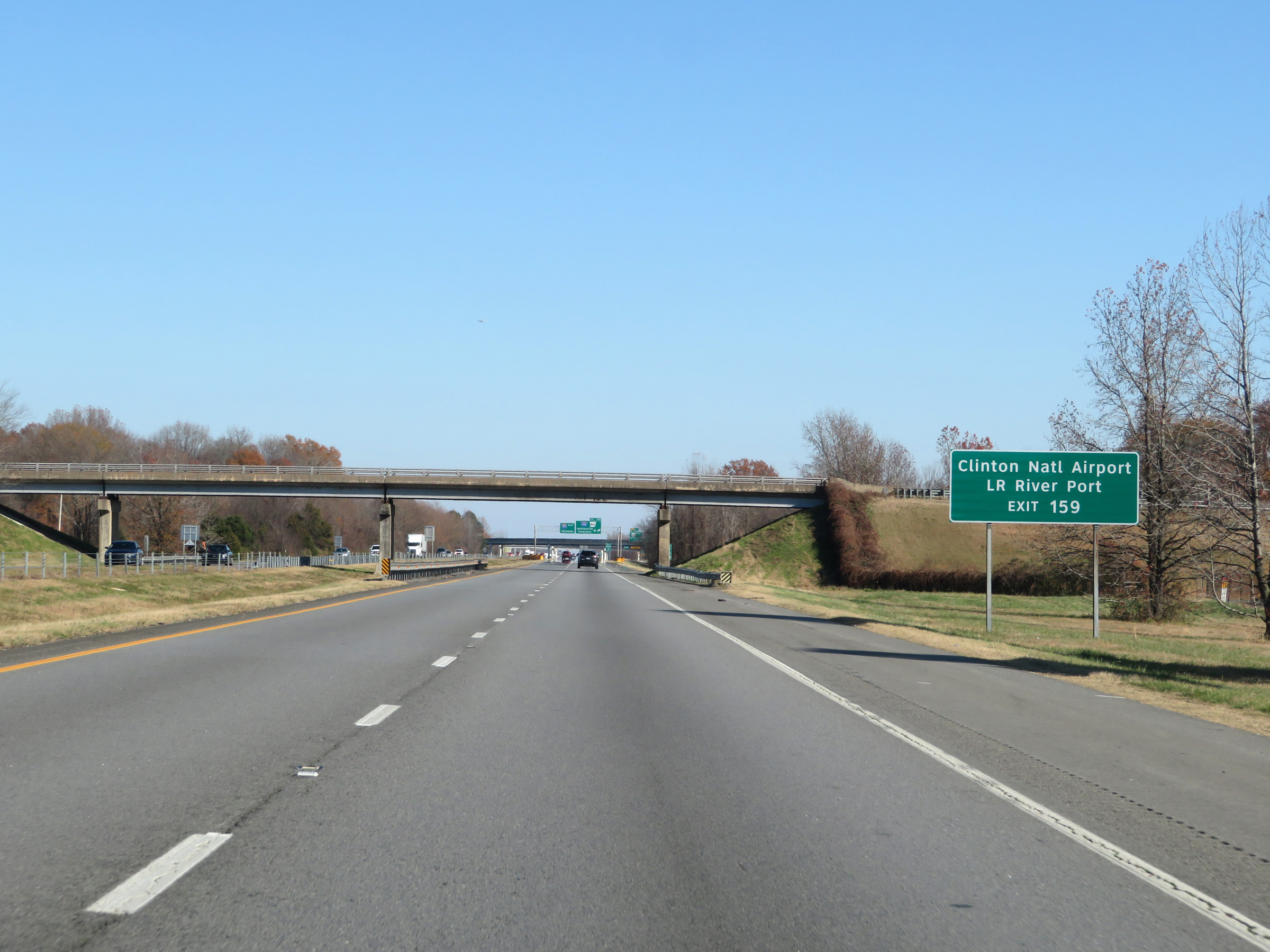 |
Take Exit 159 to Clinton National Airport and Little Rock River Port. (Photo taken 12/12/20). |
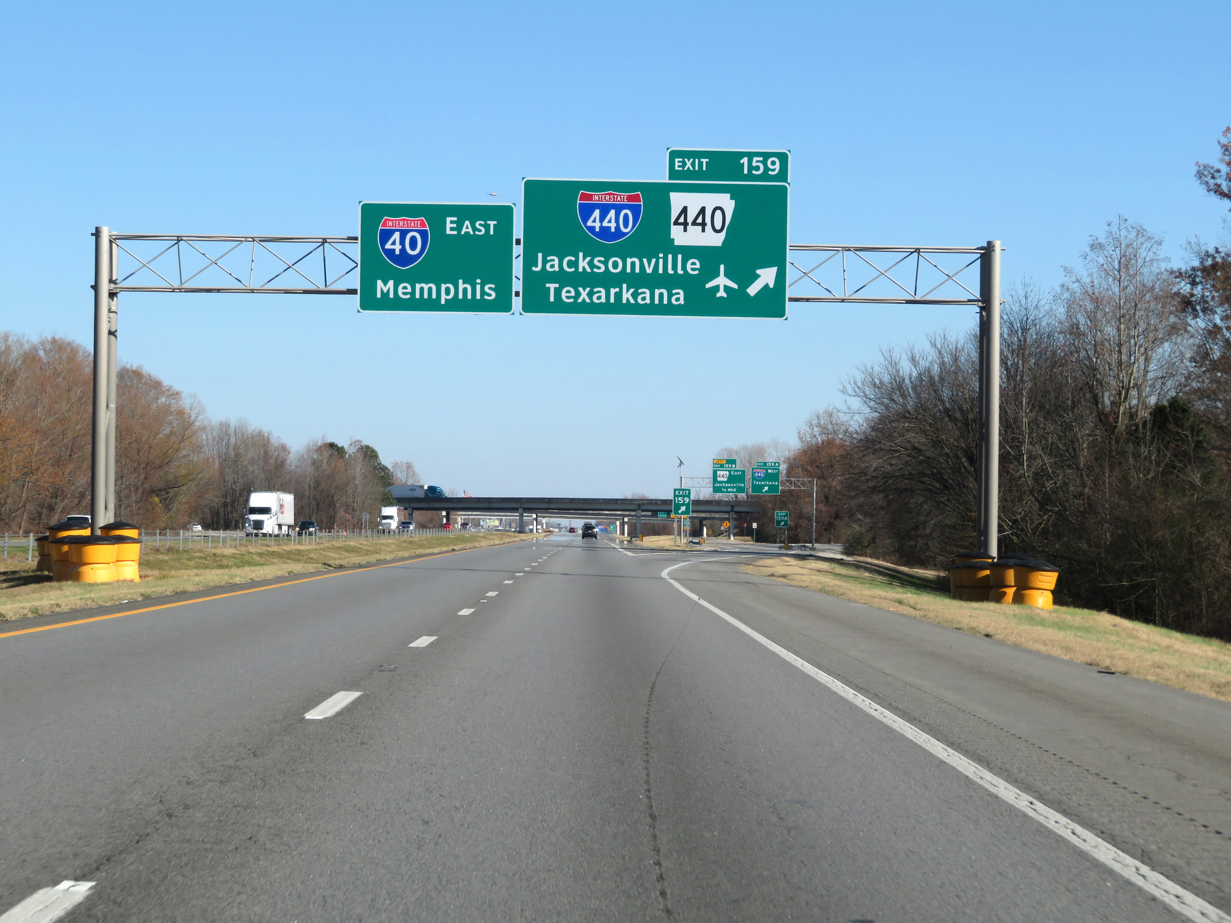 |
Interstate 40 East at Exit 159: Interstate 440 / AR 440 - Jacksonville / Texarkana (Photo taken 12/12/20). |
 |
The ramp to Exit 159 splits into two separate ramps, numbered Exits 159A and 159B. Here we see the ramp to Interstate 440 West via Exit 159A. (Photo taken 12/12/20). |
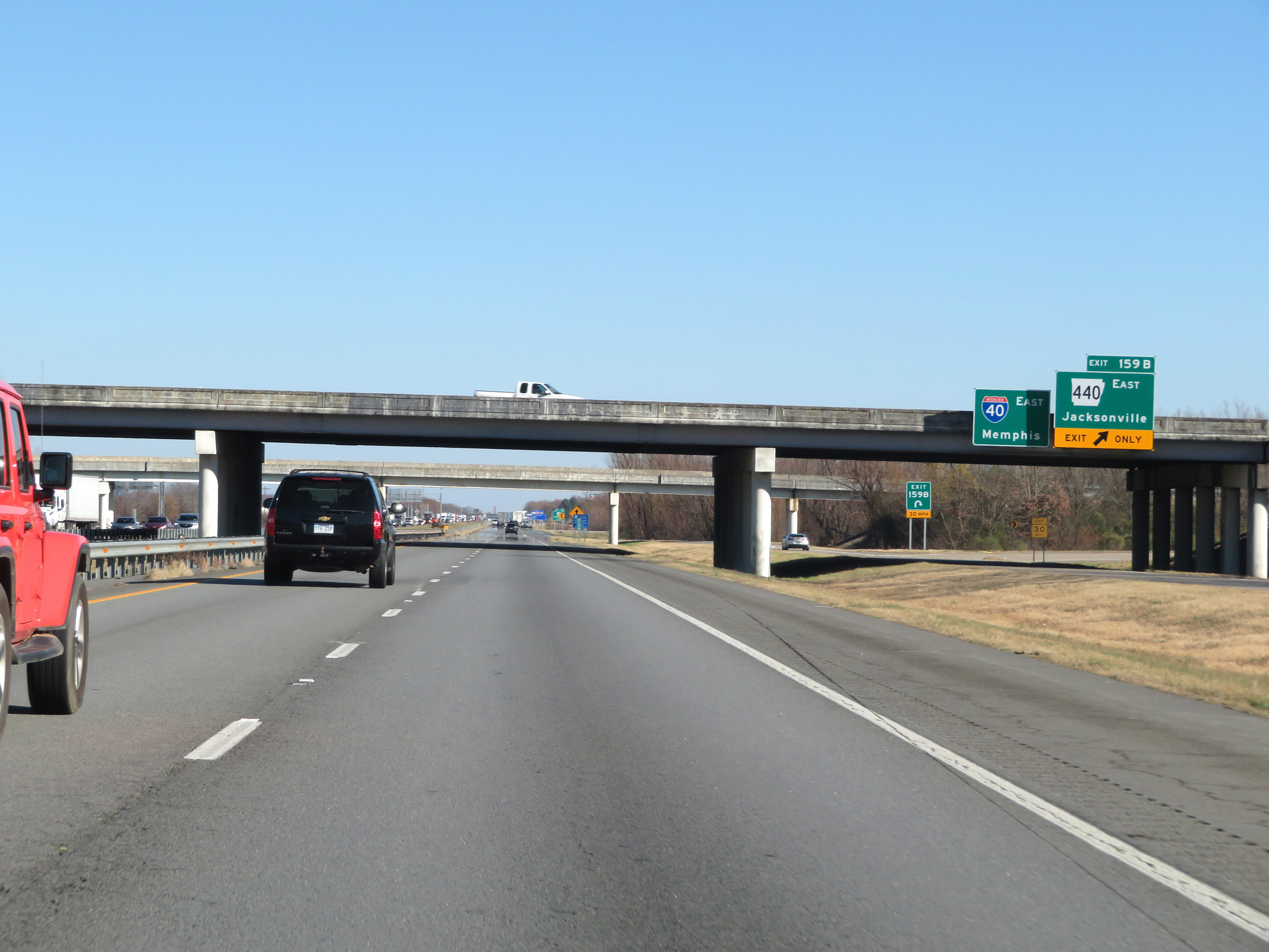 |
View of the ramp to AR 440 East via Exit 159B. (Photo taken 12/12/20). |
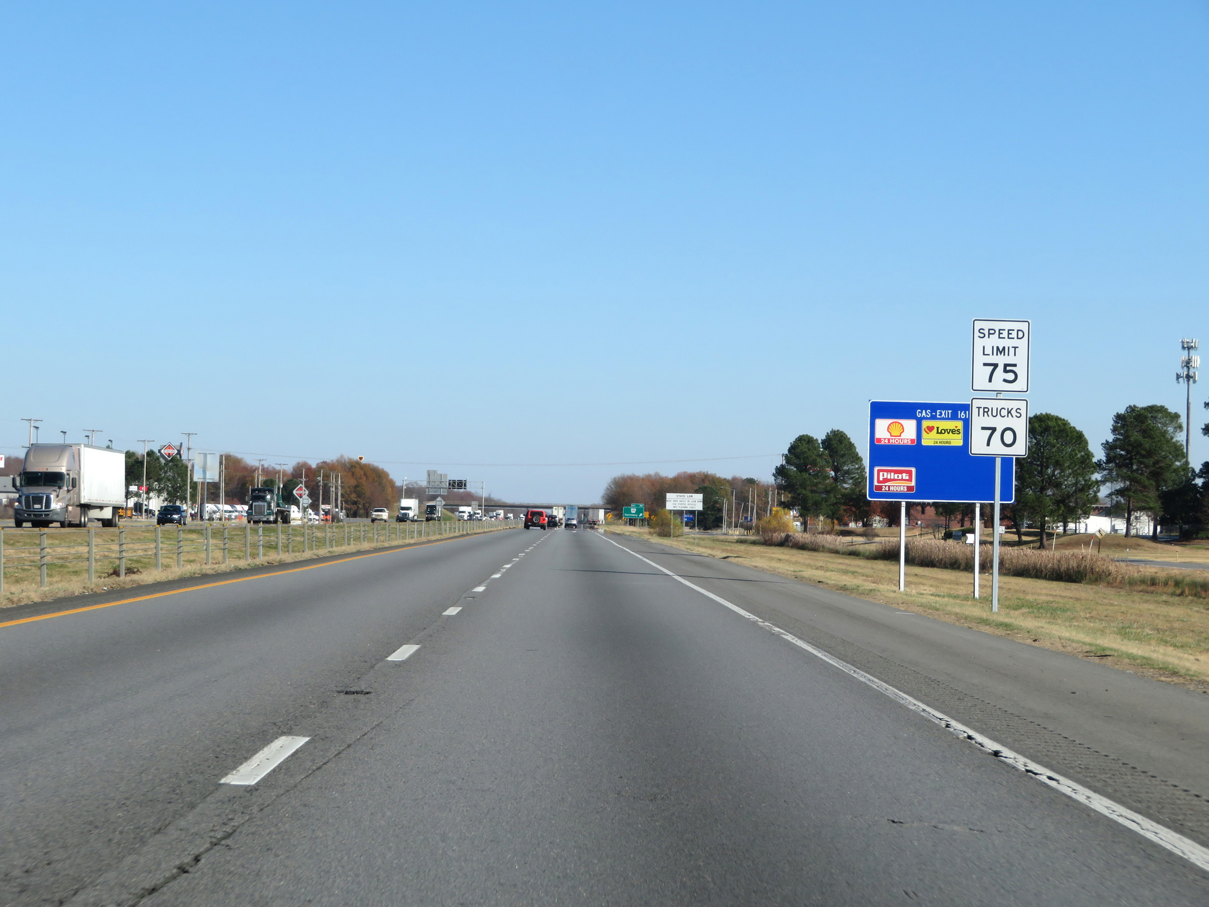 |
Beyond Exits 159A-B, the speed limits increase to the rural standard 75 mph for automobiles and 70 mph for trucks once again. (Photo taken 12/12/20). |
 |
Interstate 40 East at Exit 161: AR 391 - Galloway (Photo taken 12/12/20). |
 |
Mileage sign on Interstate 40 East. It's 12 miles to Lonoke and 122 miles to Memphis. (Photo taken 12/12/20). |
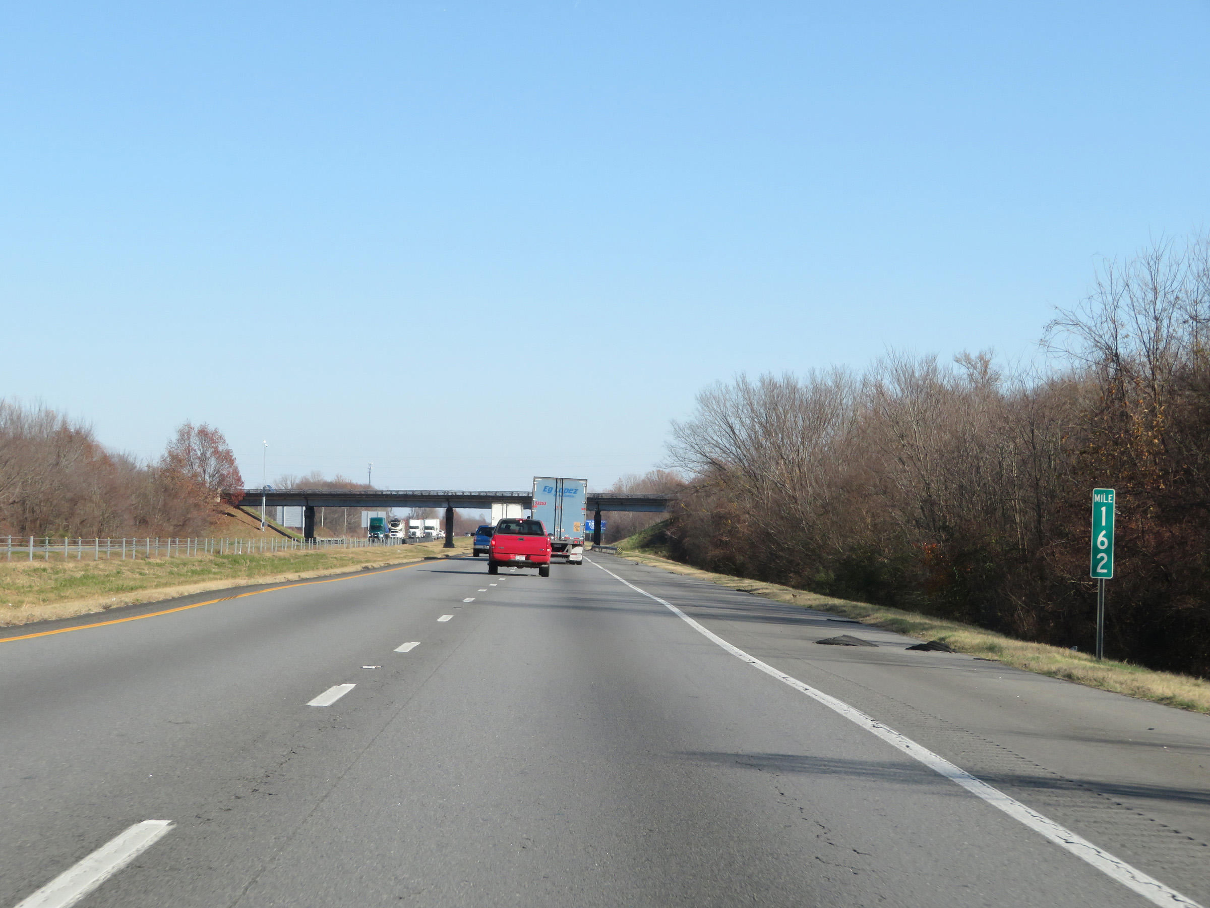 |
Interstate 40 East at mile marker 162. (Photo taken 12/12/20). |
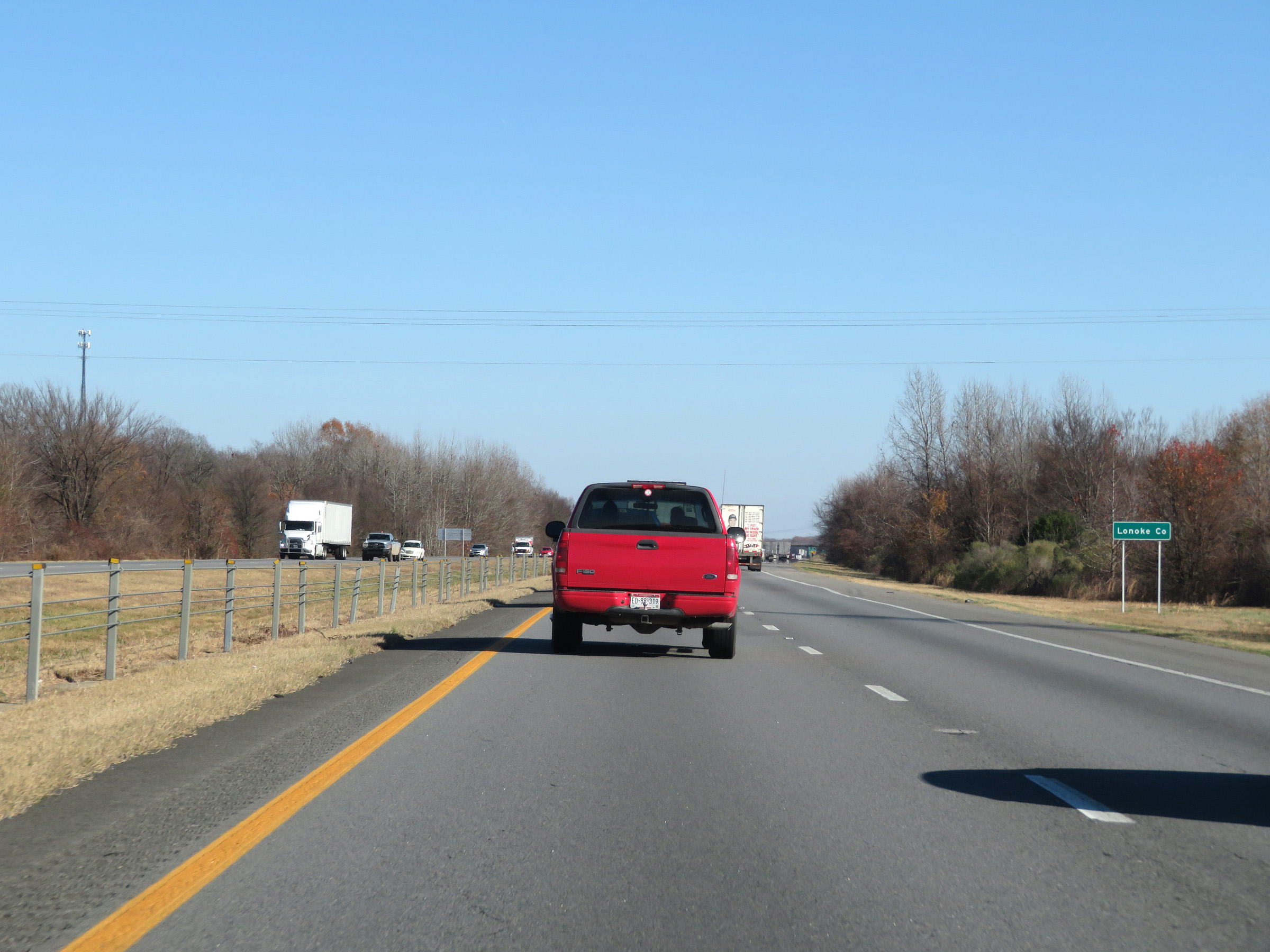 |
Interstate 40 East as it enters Lonoke County. (Photo taken 12/12/20). |
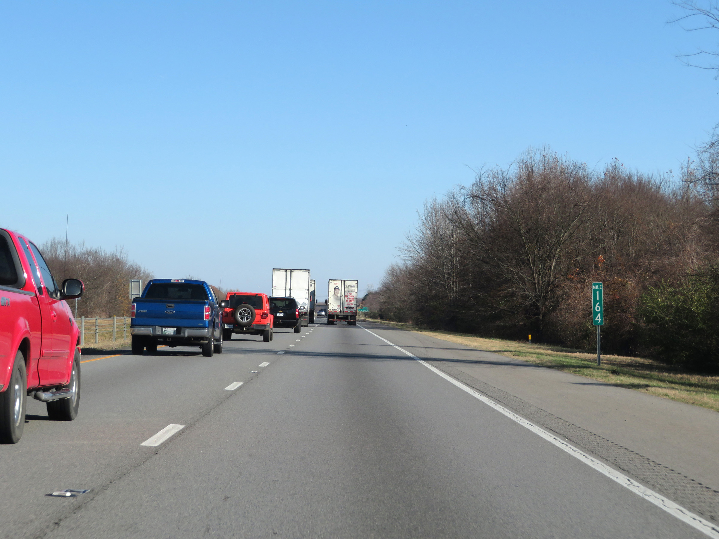 |
View on Interstate 40 East at mile marker 164. (Photo taken 12/12/20). |
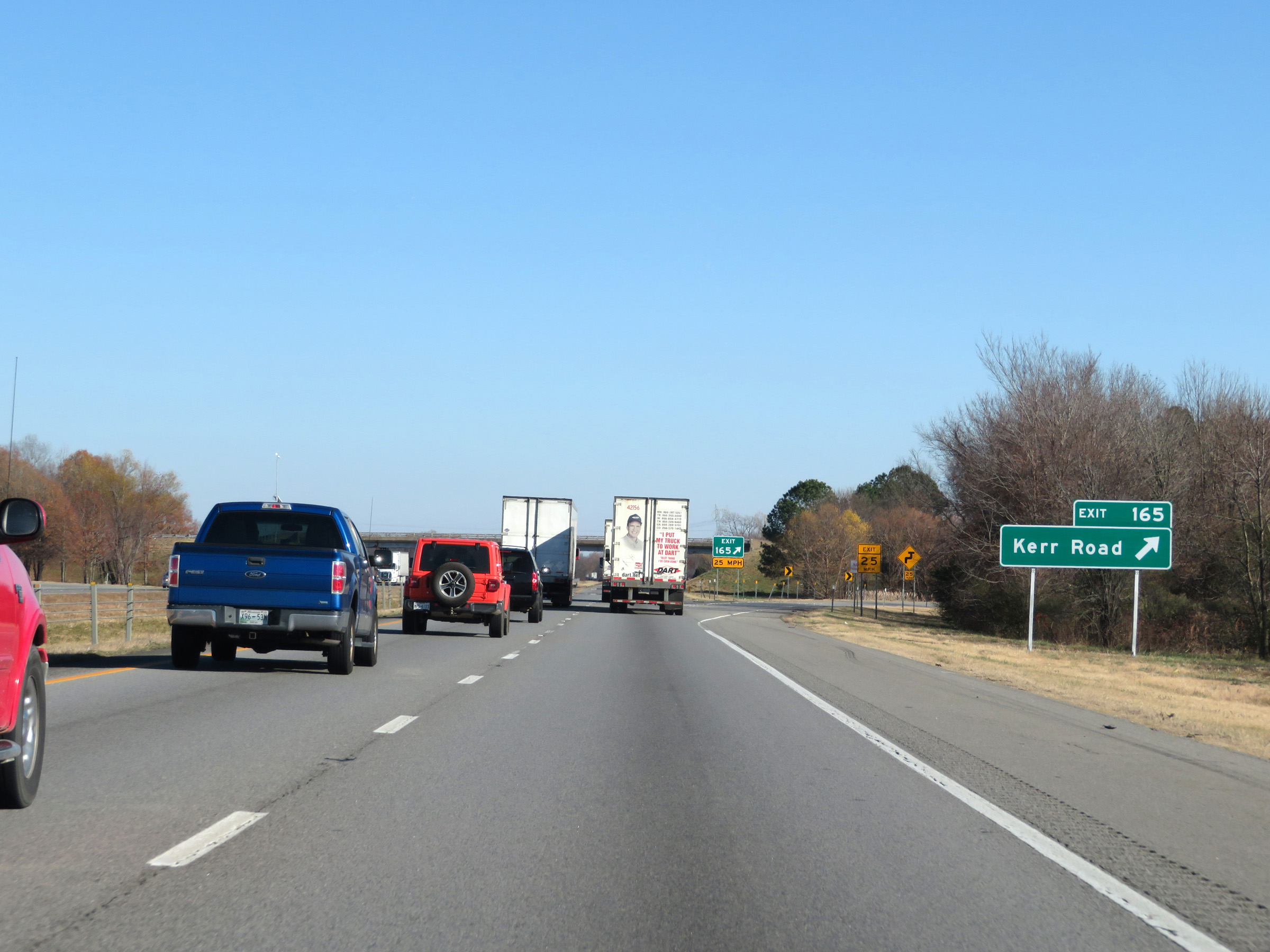 |
Interstate 40 East at Exit 165: Kerr Road (Photo taken 12/12/20). |
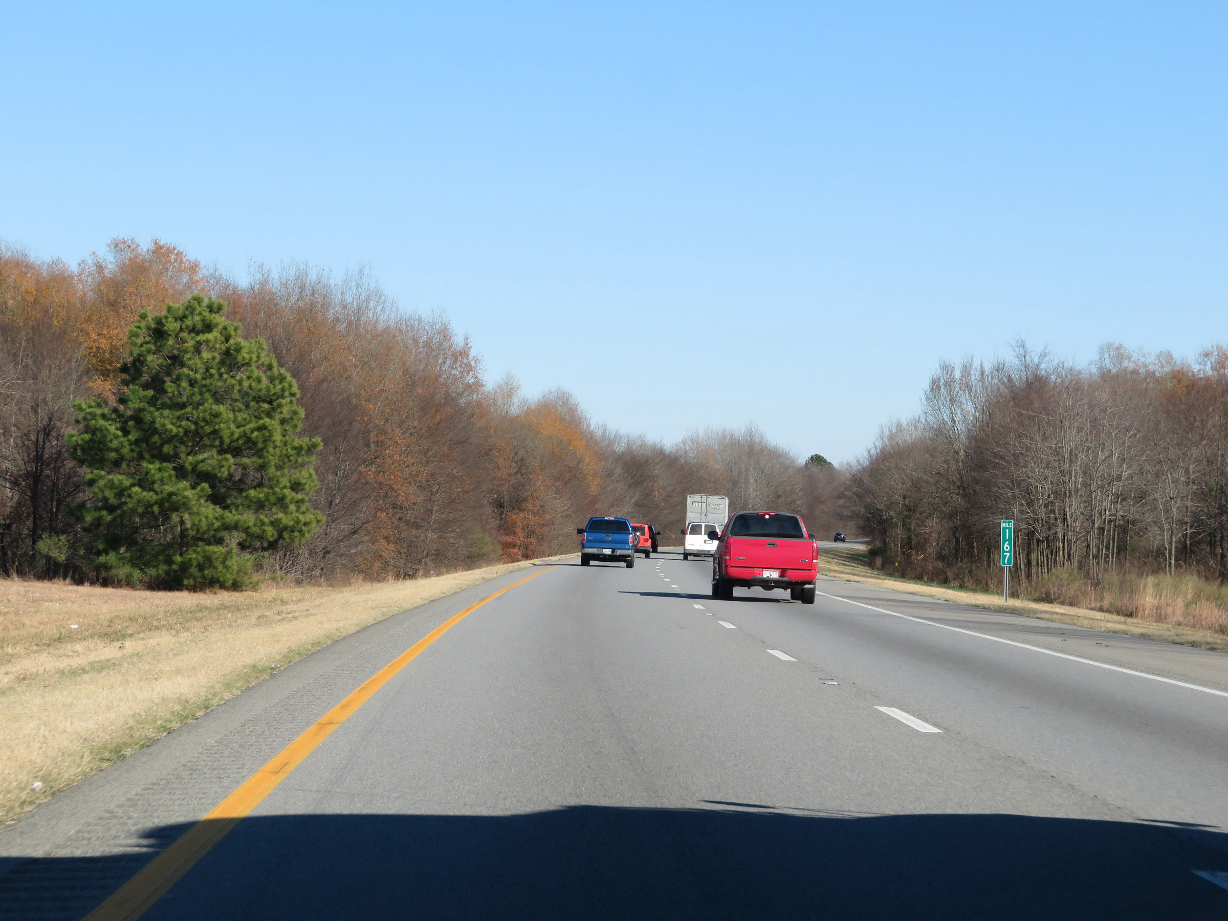 |
Mile marker 167 on Interstate 40 East in Lonoke County. (Photo taken 12/12/20). |
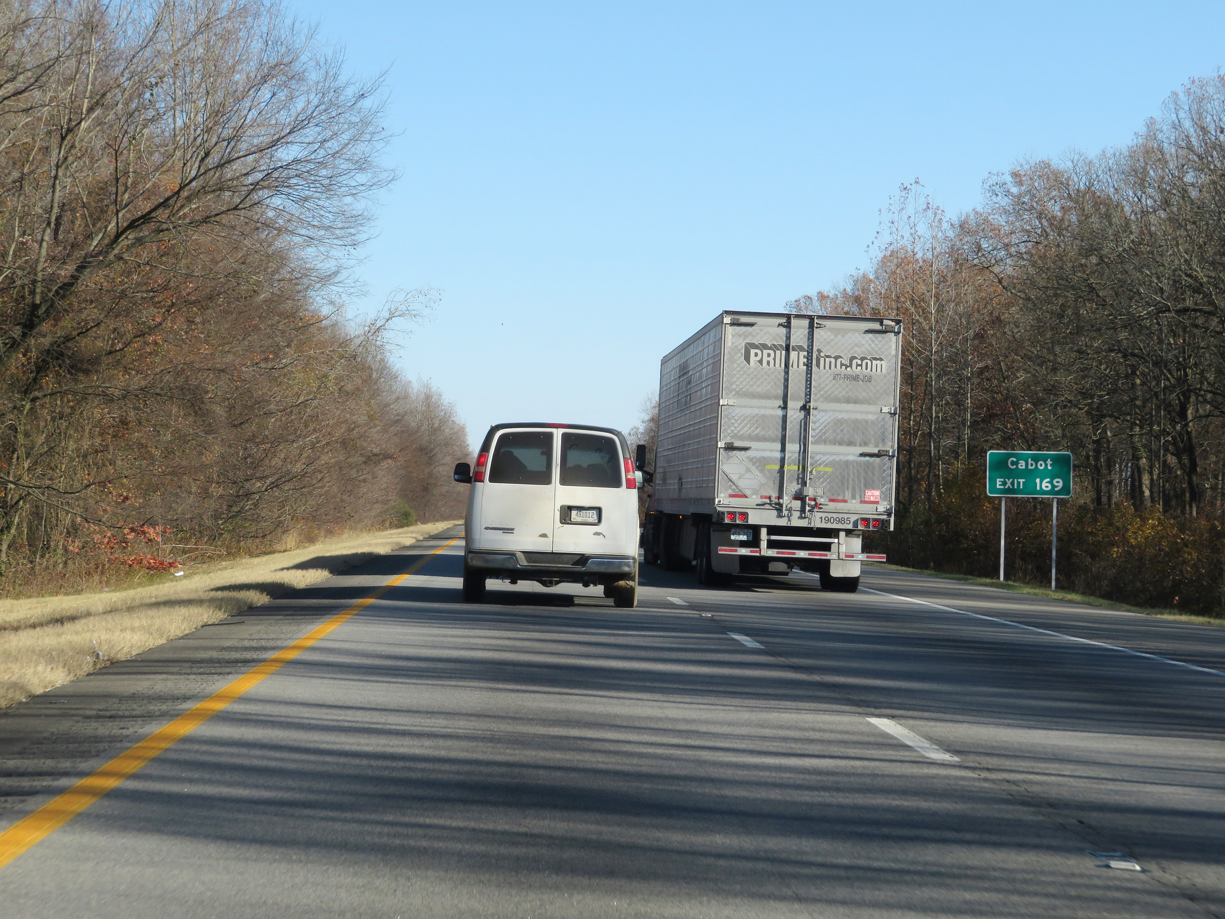 |
Take Exit 169 to Cabot. (Photo taken 12/12/20). |
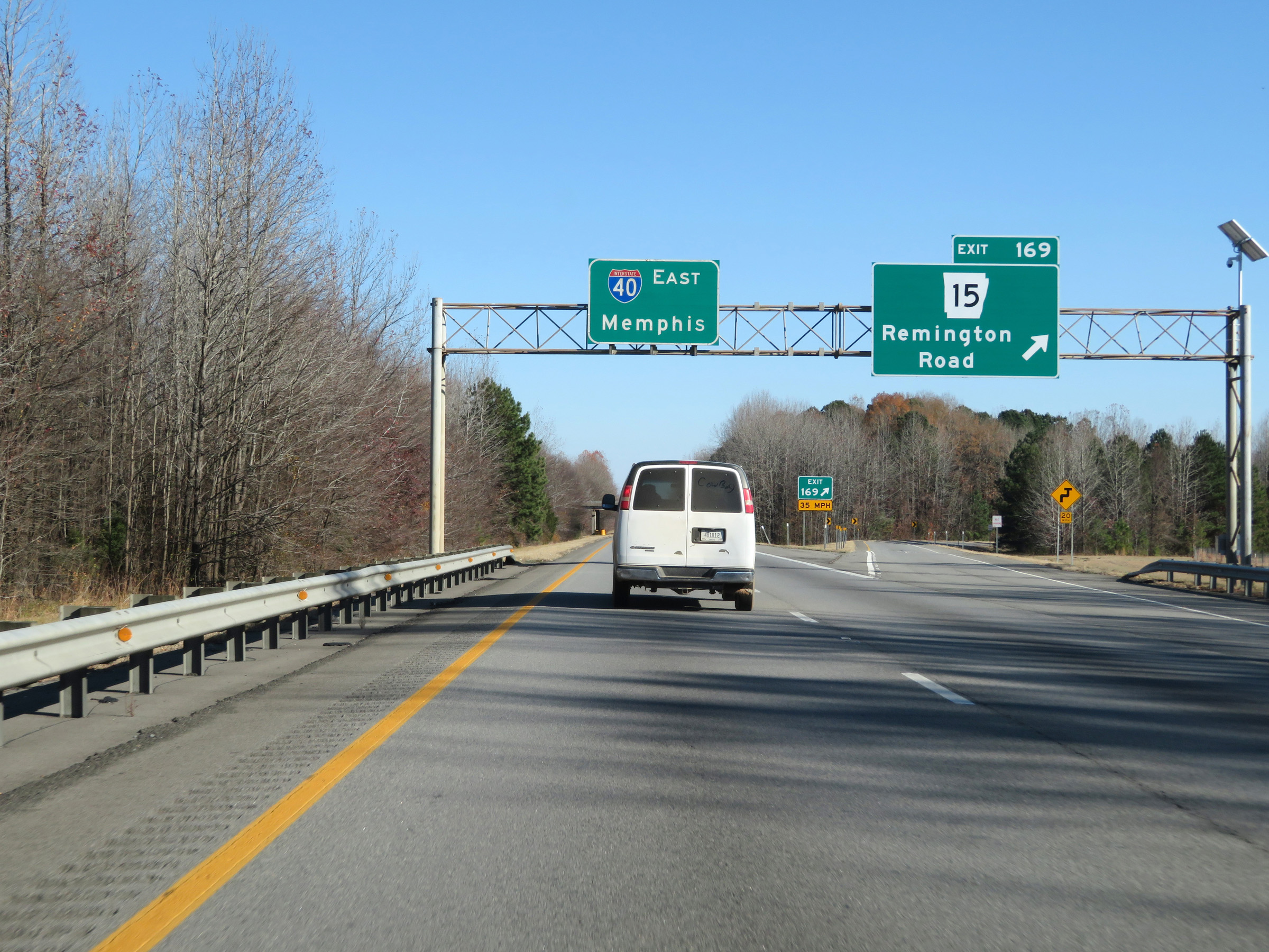 |
Interstate 40 East at Exit 169: AR 15 - Remington Road (Photo taken 12/12/20). |
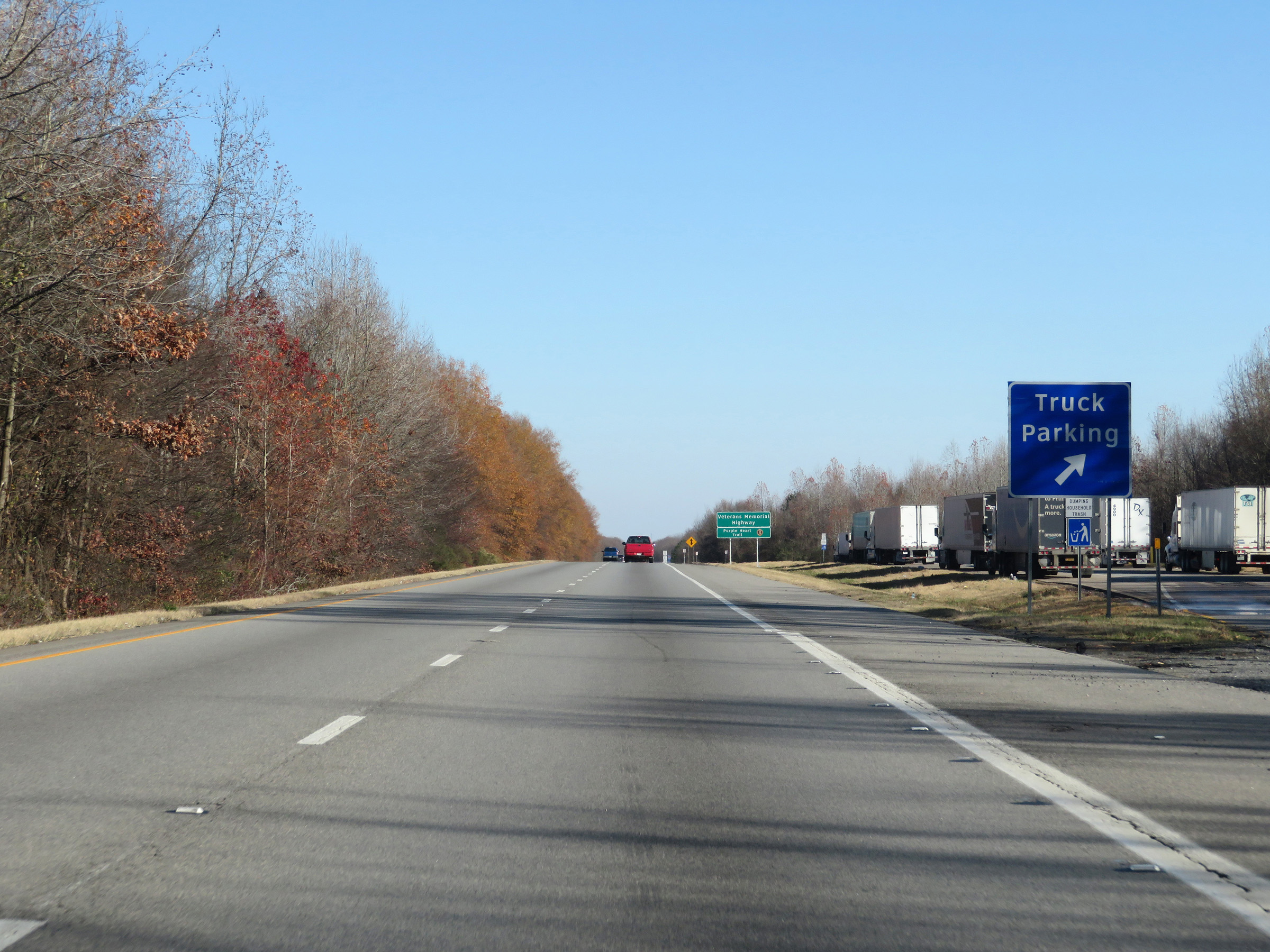 |
Truck Parking Area on Interstate 40 East in Lonoke County. (Photo taken 12/12/20). |
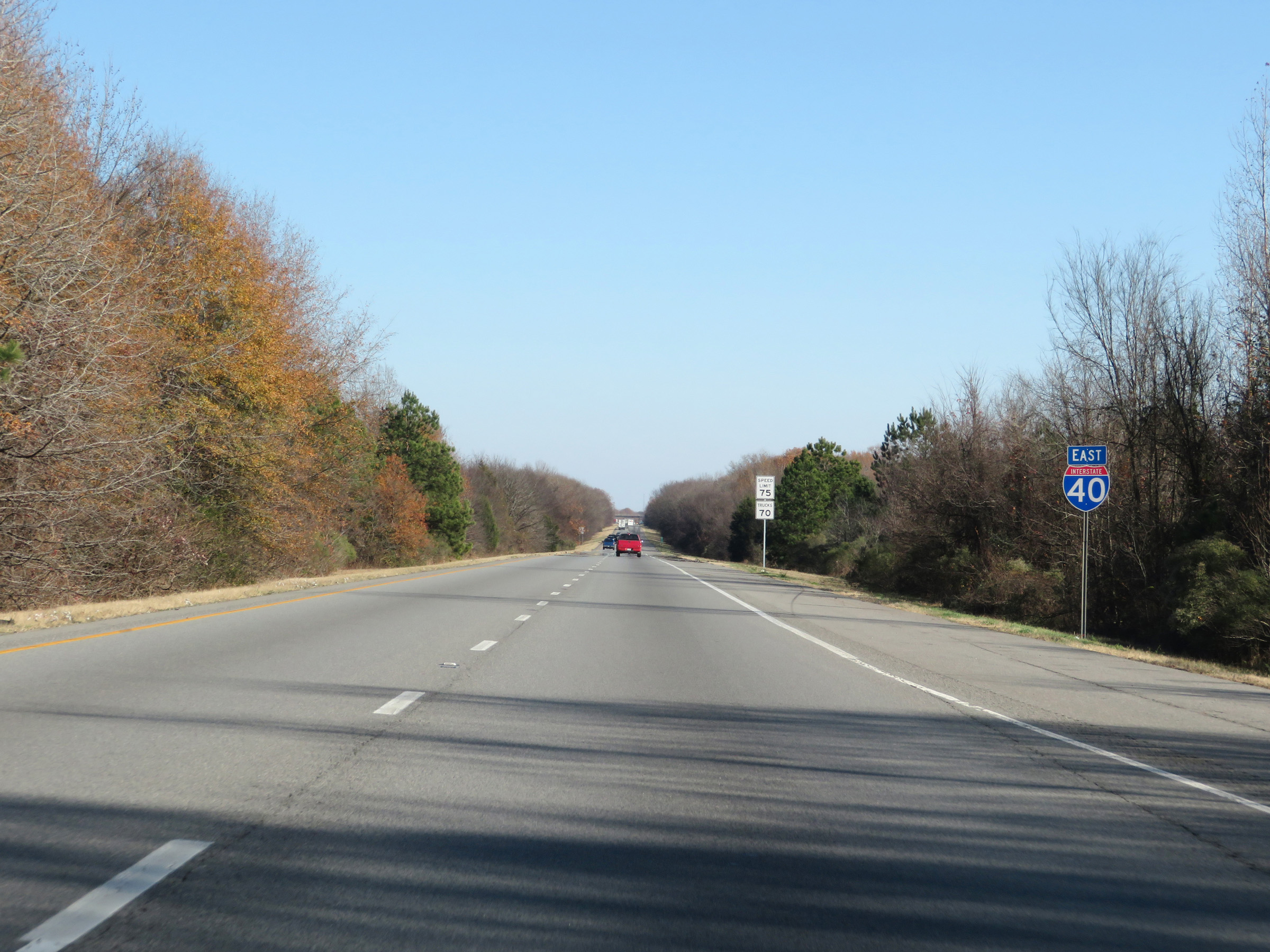 |
Another Interstate 40 East reassurance shield. (Photo taken 12/12/20). |
 |
The speed limits remain 75 mph for automobiles and 70 mph for trucks. These are the standard speed limits on most rural Interstate highways in Arkansas. (Photo taken 12/12/20). |
 |
View on Interstate 40 East at mile marker 171. (Photo taken 12/12/20). |
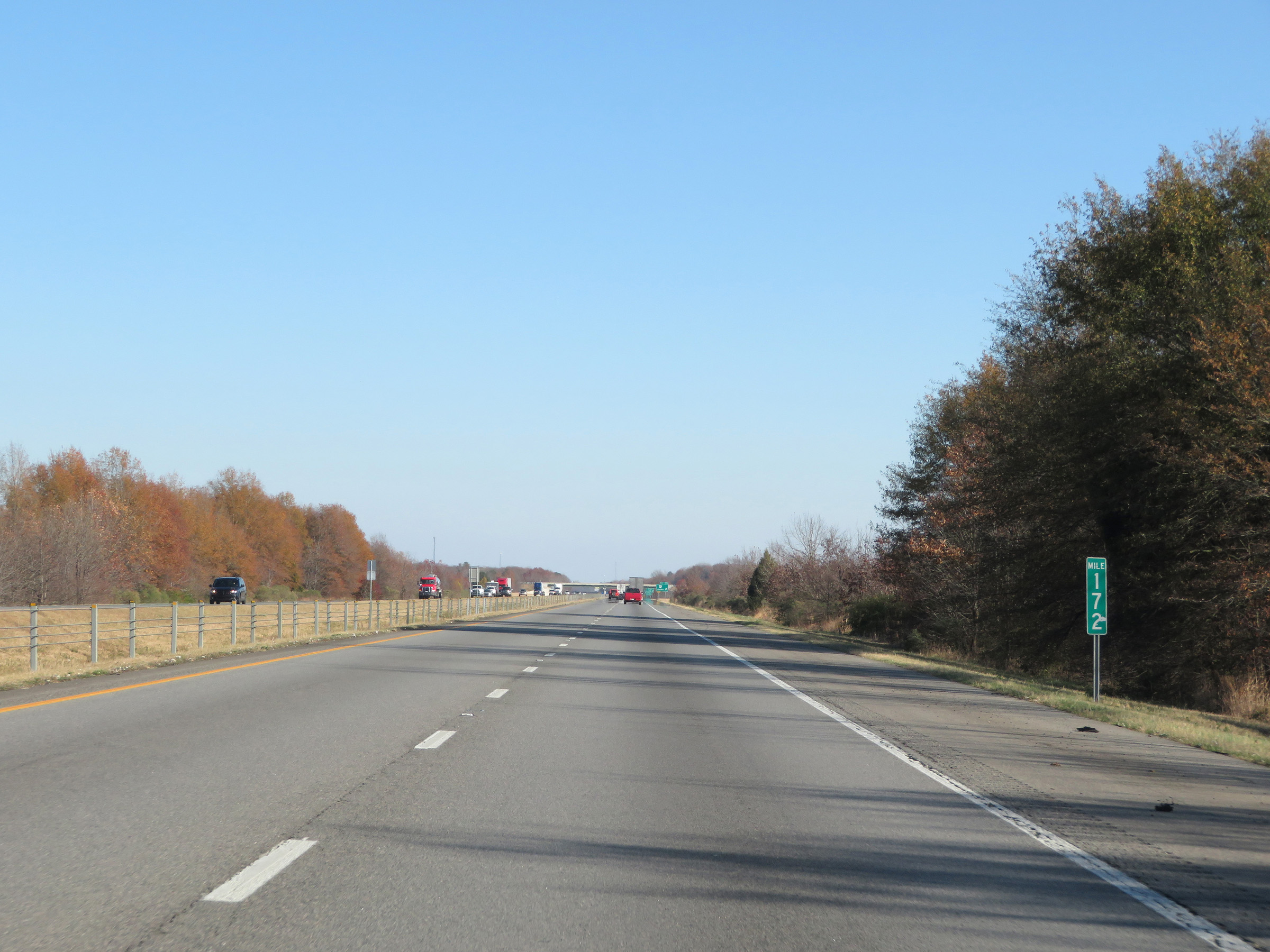 |
Interstate 40 East at mile marker 172. (Photo taken 12/12/20). |
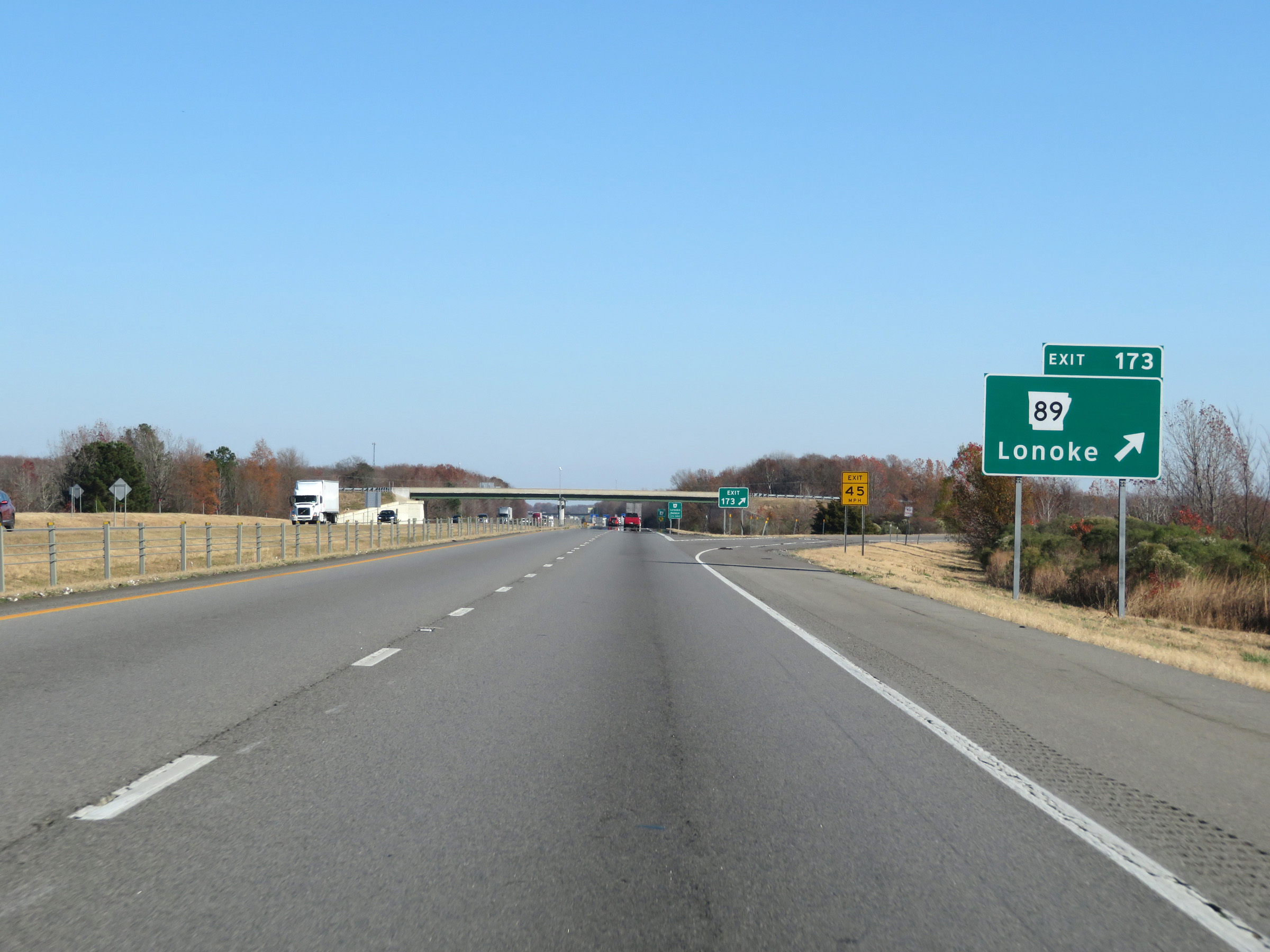 |
Interstate 40 East at Exit 173: AR 89 - Lonoke (Photo taken 12/12/20). |
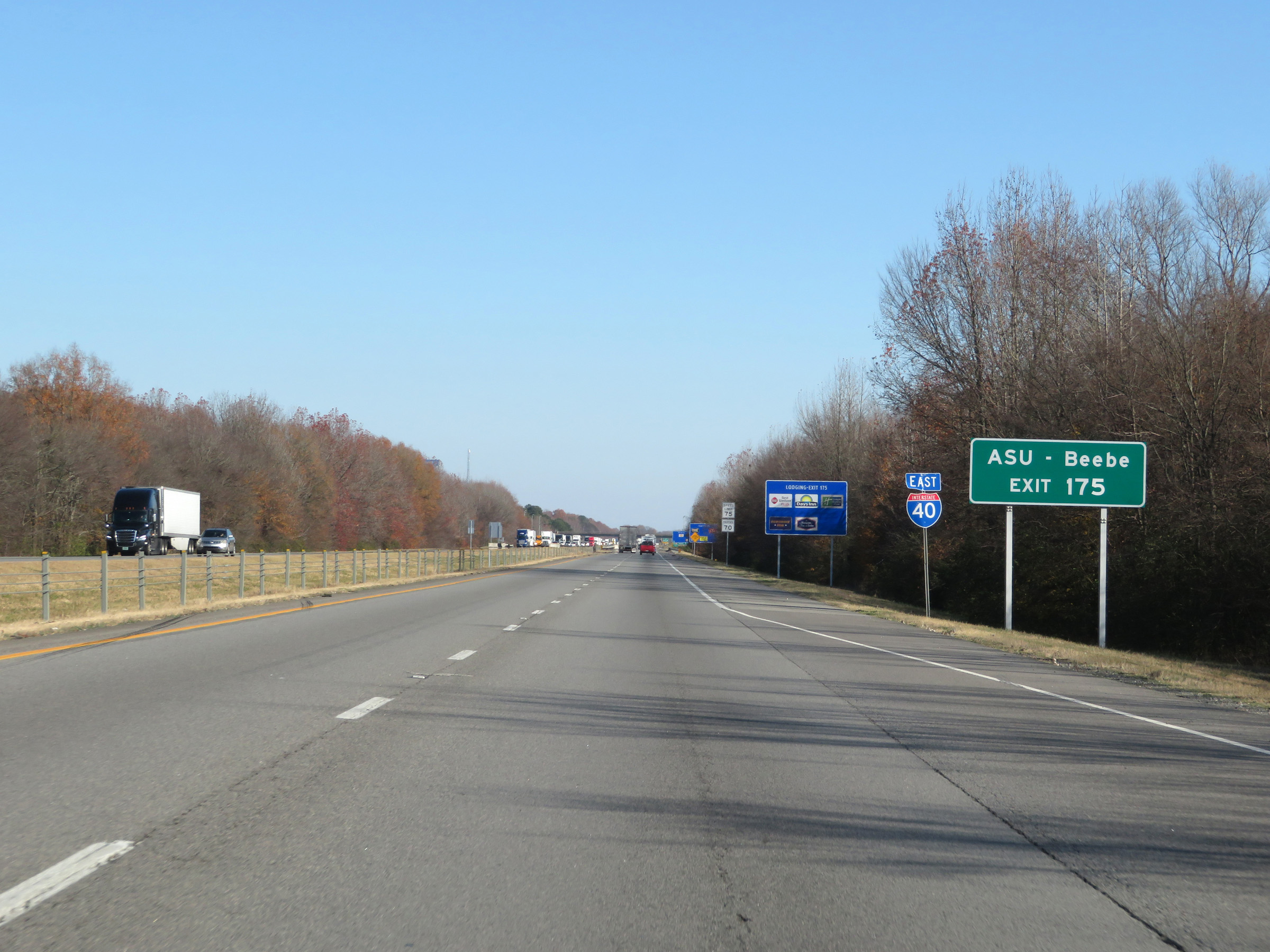 |
Take Exit 175 to ASU - Beebe. (Photo taken 12/12/20). |
 |
Interstate 40 East at Exit 175: AR 31 - Lonoke / Beebe (Photo taken 12/12/20). |
 |
State-named Interstate 40 East reassurance shield. (Photo taken 12/12/20). |
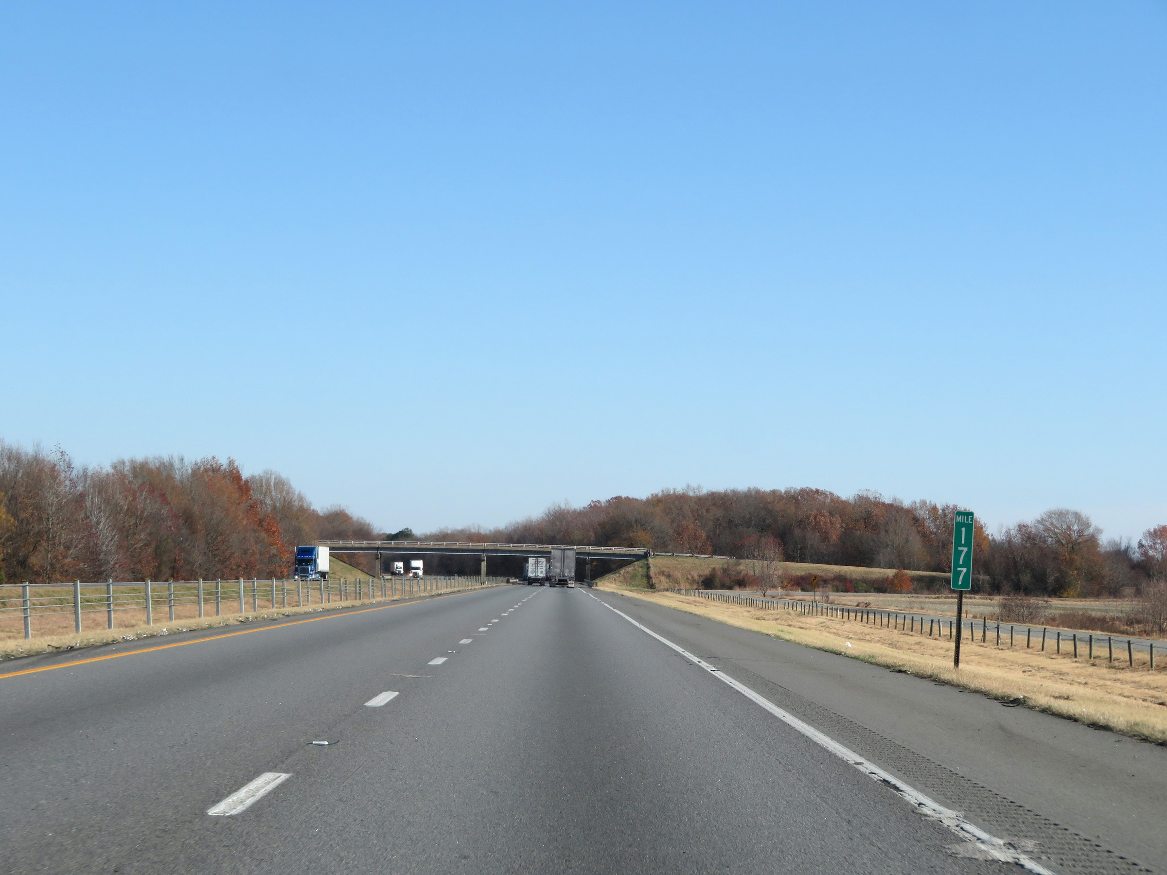 |
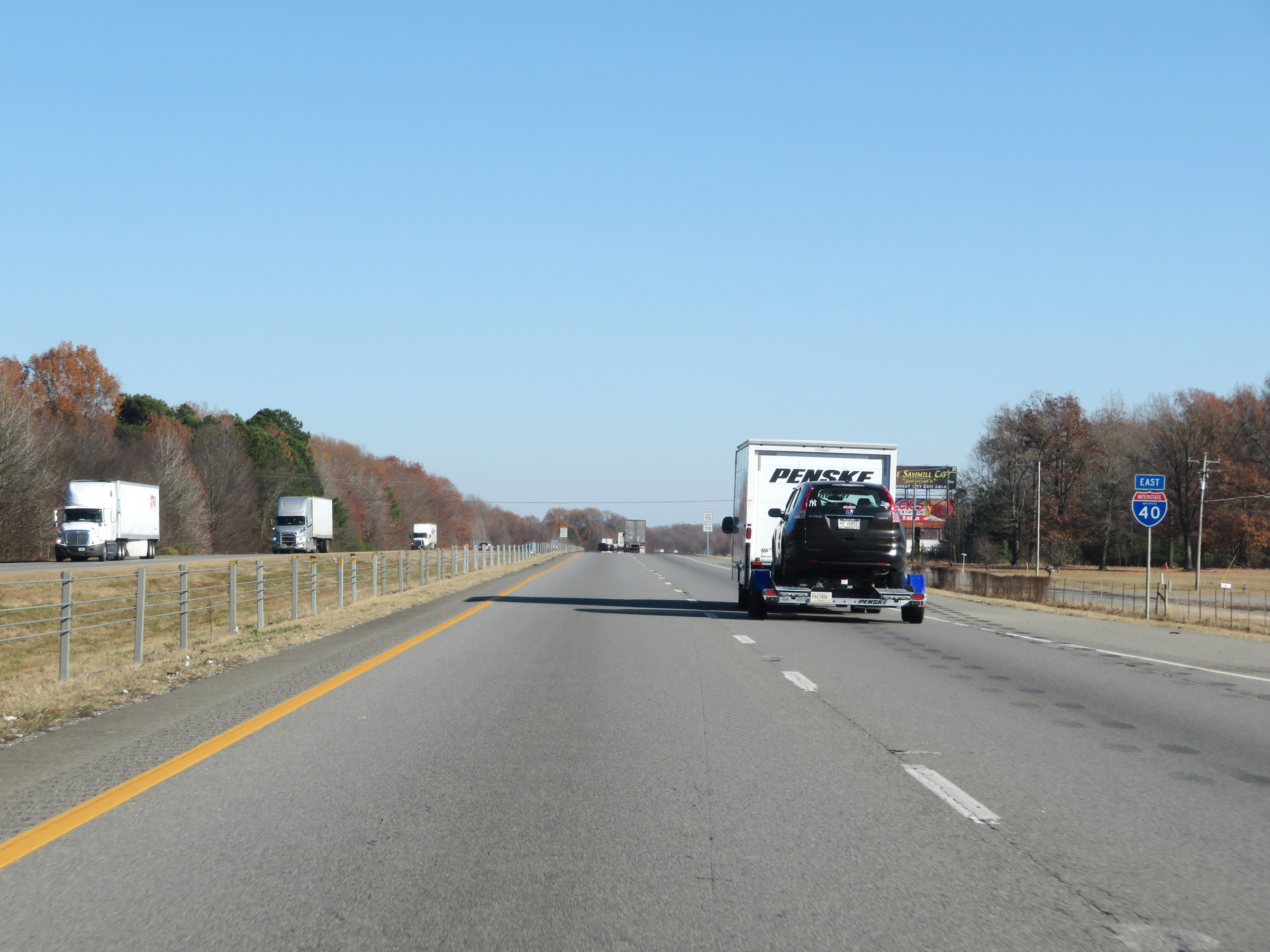
View on Interstate 40 East at mile marker 177. (Photo taken 12/12/20). |
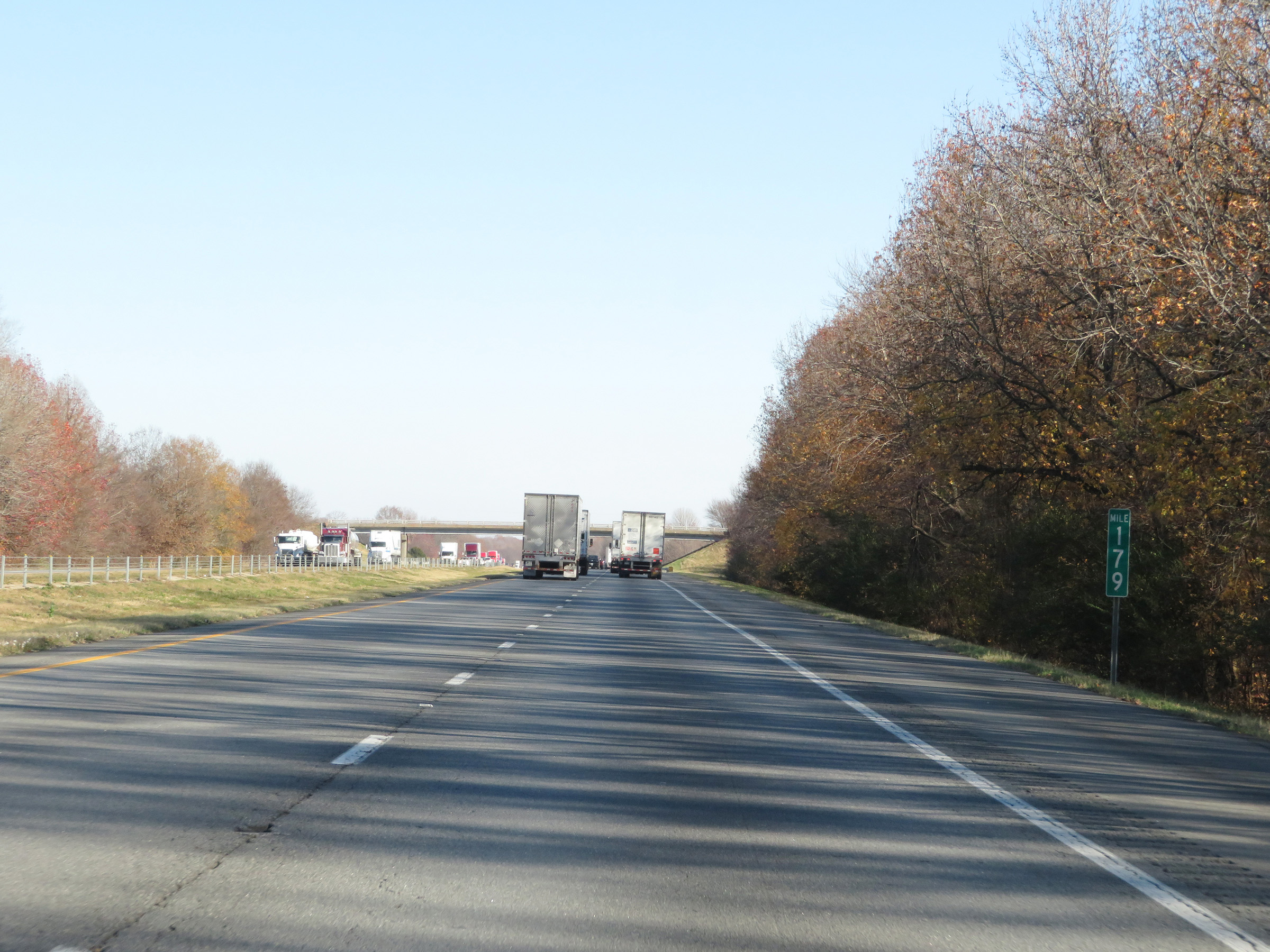 |
Interstate 40 East at mile marker 179. (Photo taken 12/12/20). |
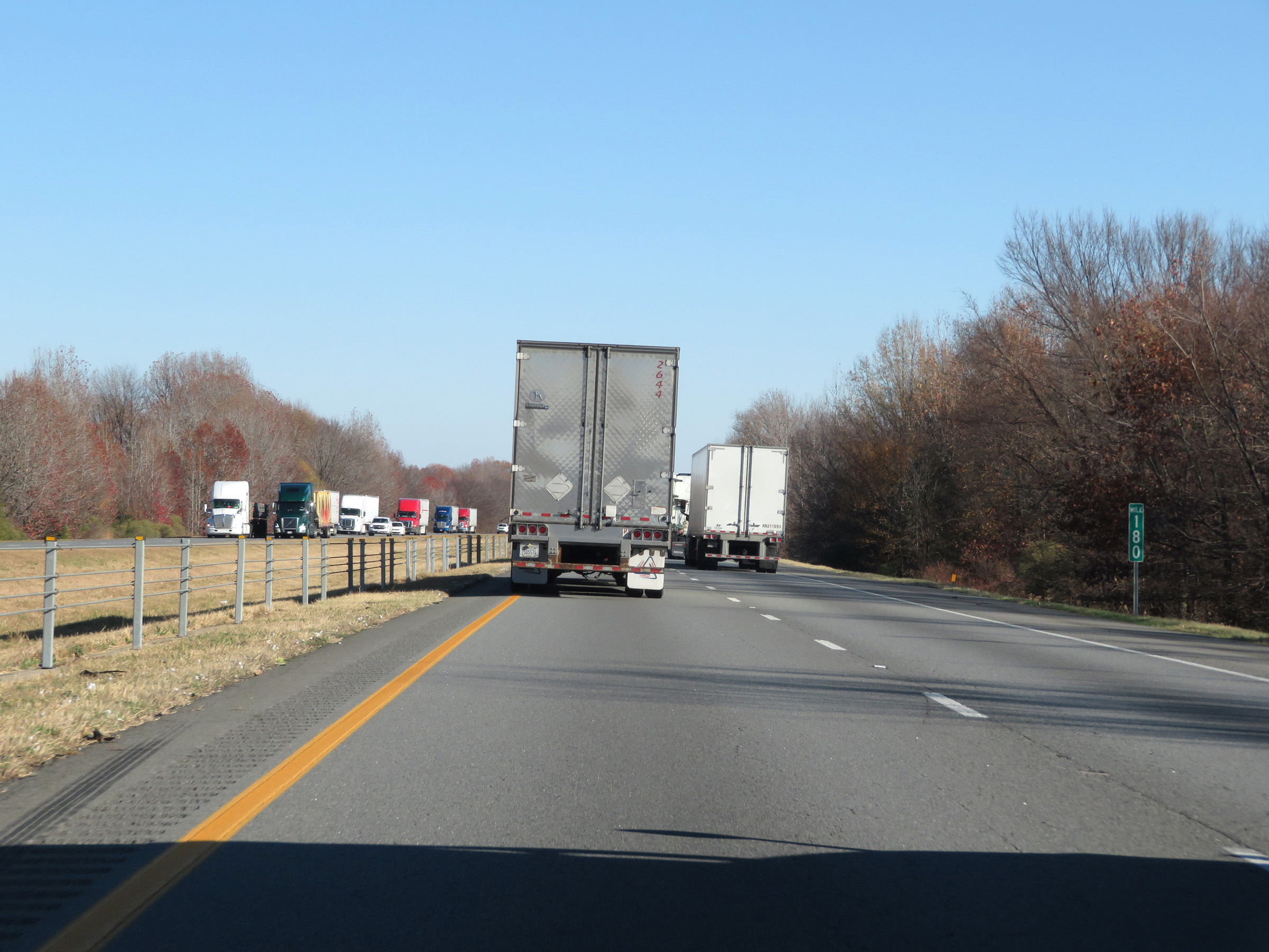 |
Mile marker 180 on Interstate 40 East in Lonoke County. (Photo taken 12/12/20). |
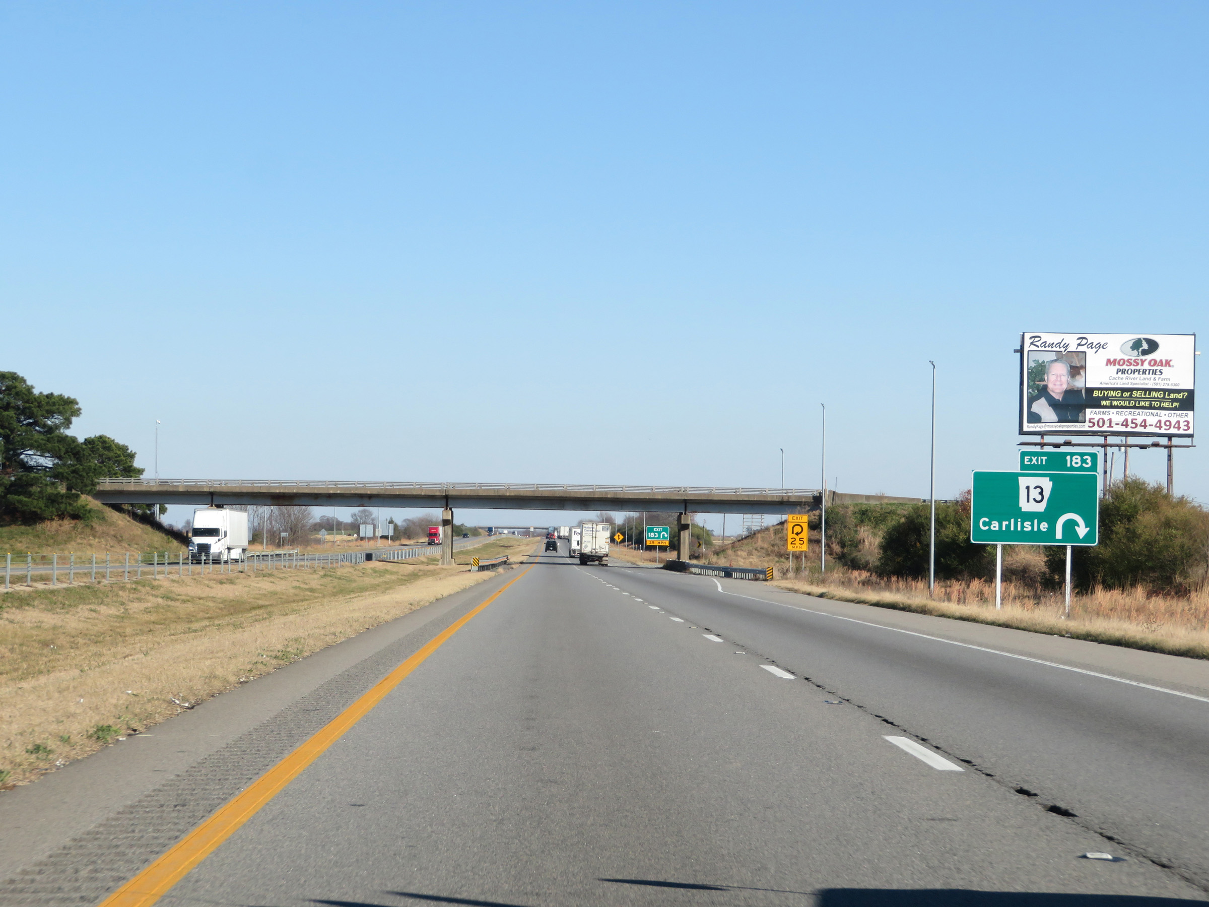 |
Interstate 40 East at Exit 183: AR 13 - Carlisle (Photo taken 12/12/20). |
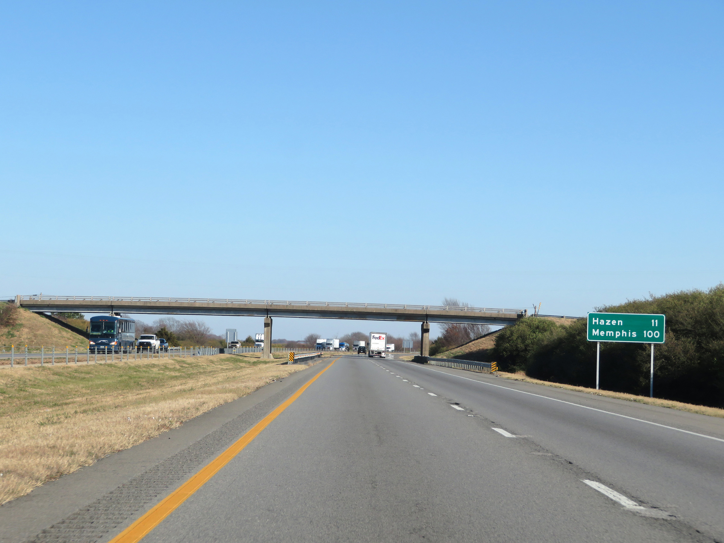 |
Another mileage sign on Interstate 40 East. It's 11 miles to Hazen and 100 miles to Memphis. (Photo taken 12/12/20). |
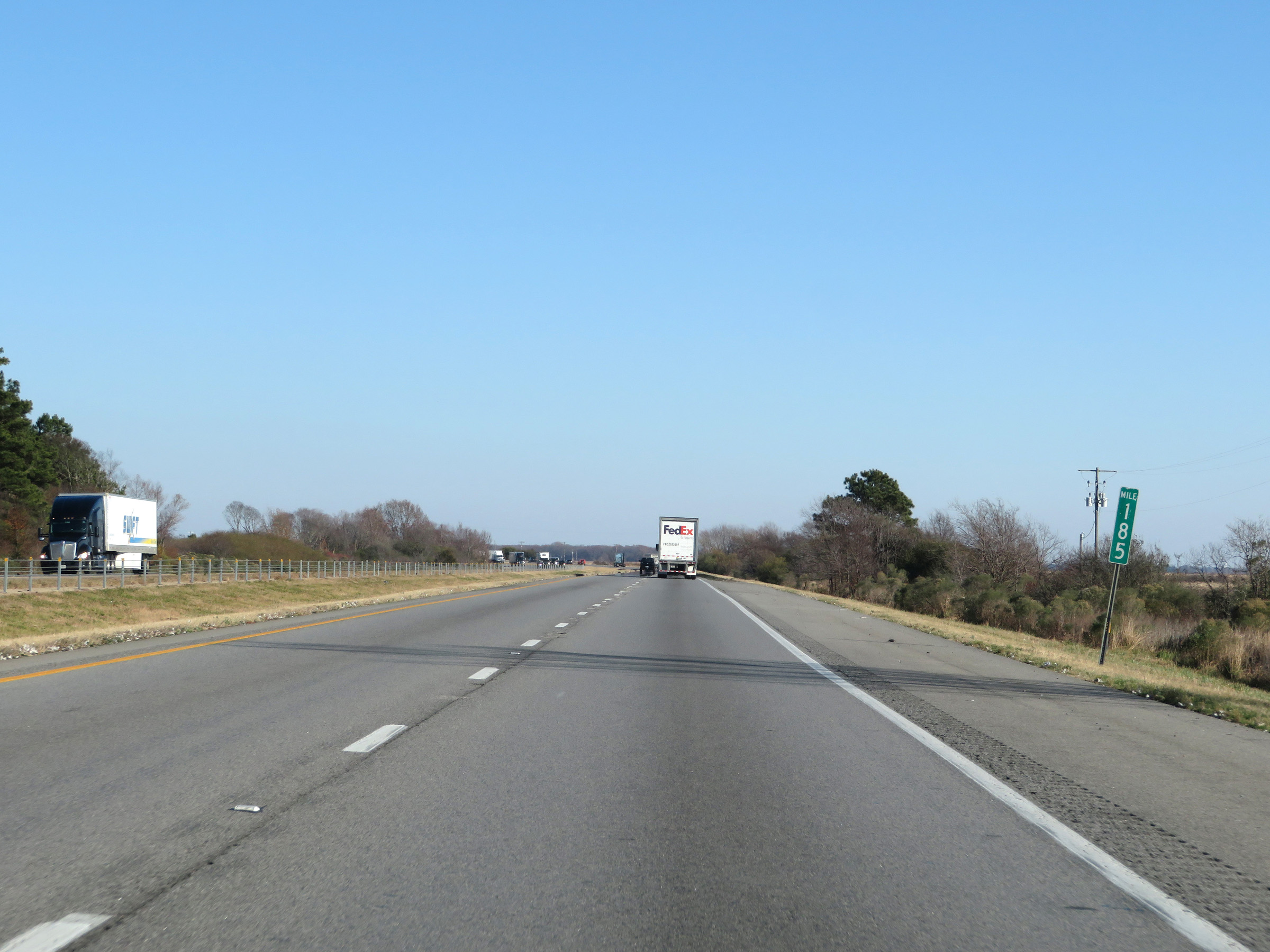 |
View on Interstate 40 East at mile marker 185. (Photo taken 12/12/20). |
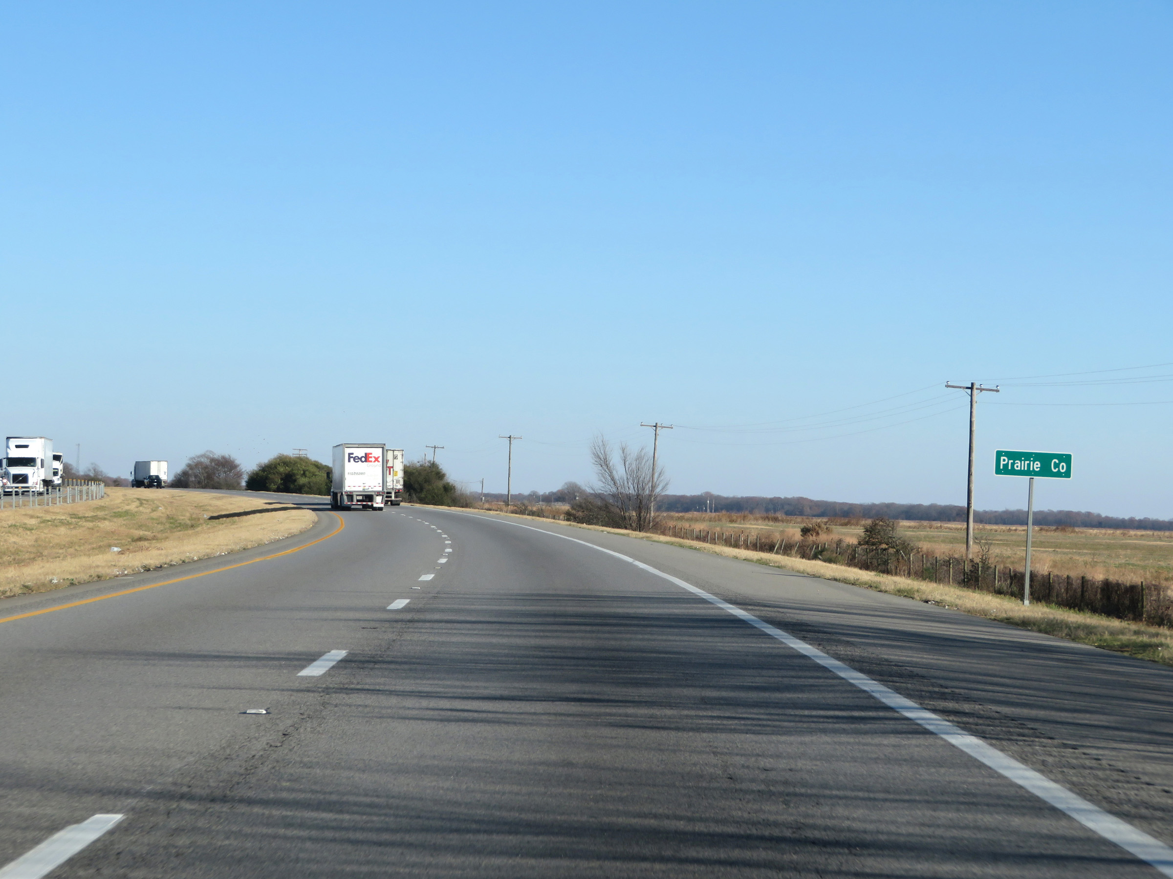 |
Interstate 40 East as it enters Prairie County. (Photo taken 12/12/20). |
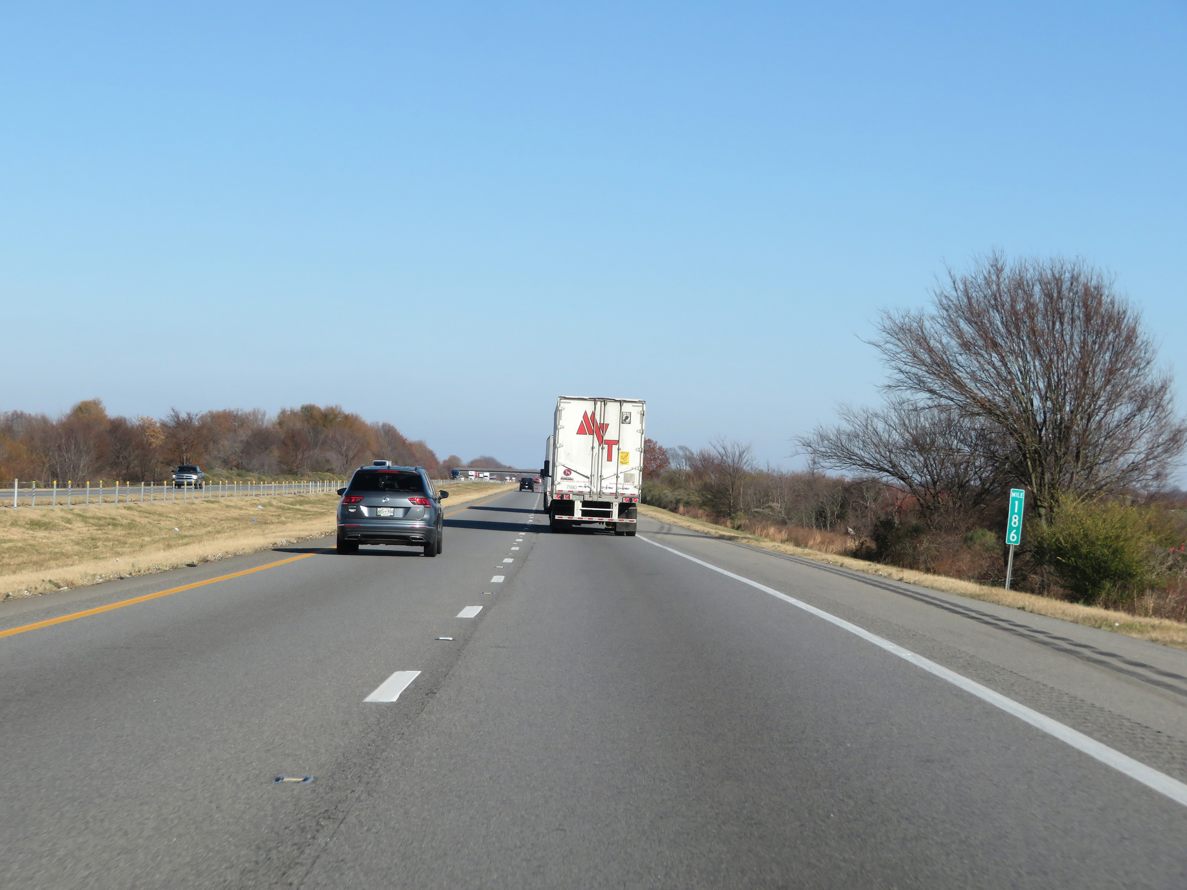 |
Interstate 40 East at mile marker 186. (Photo taken 12/12/20). |
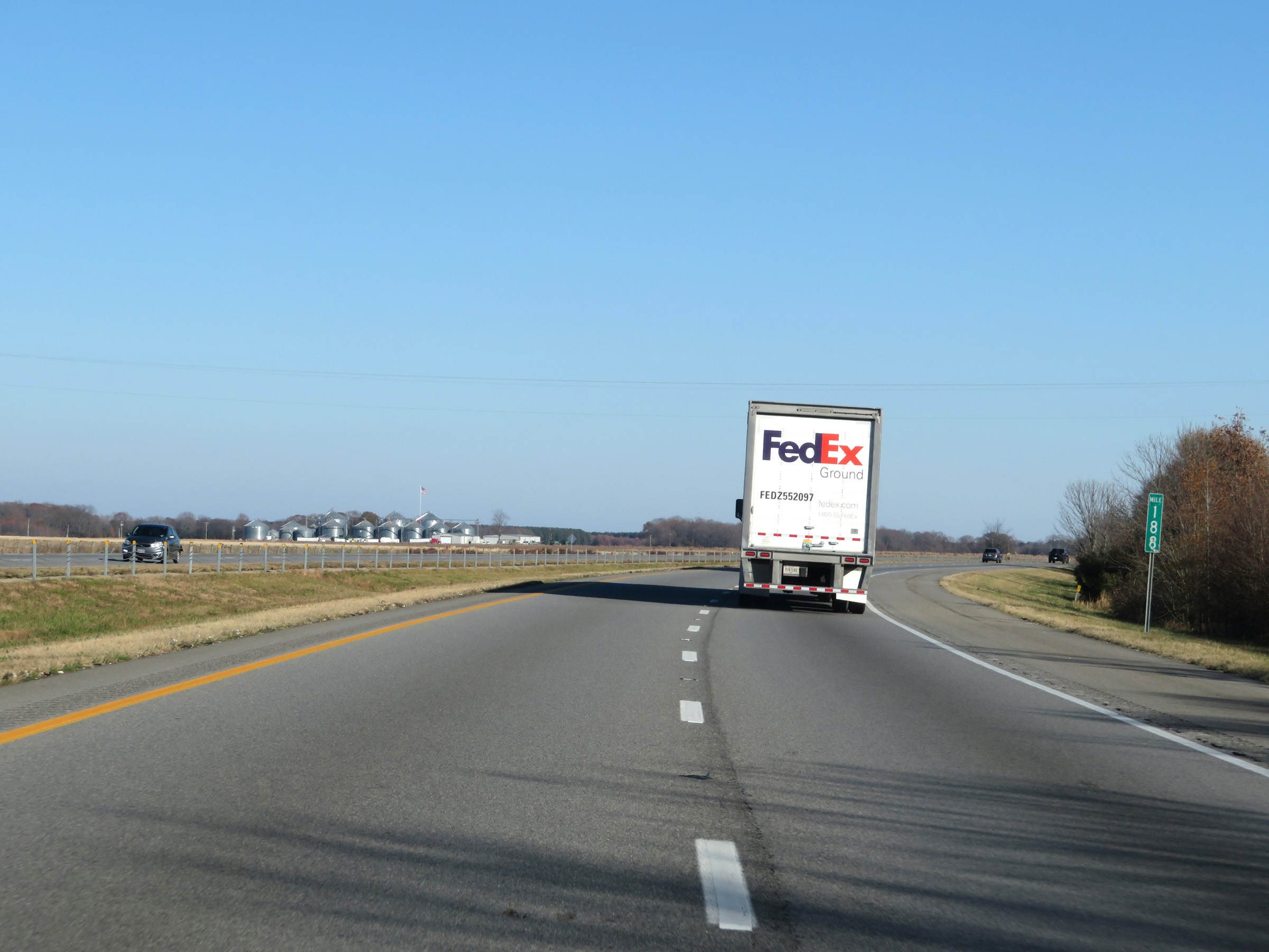 |
View on Interstate 40 East at mile marker 188. (Photo taken 12/12/20). |
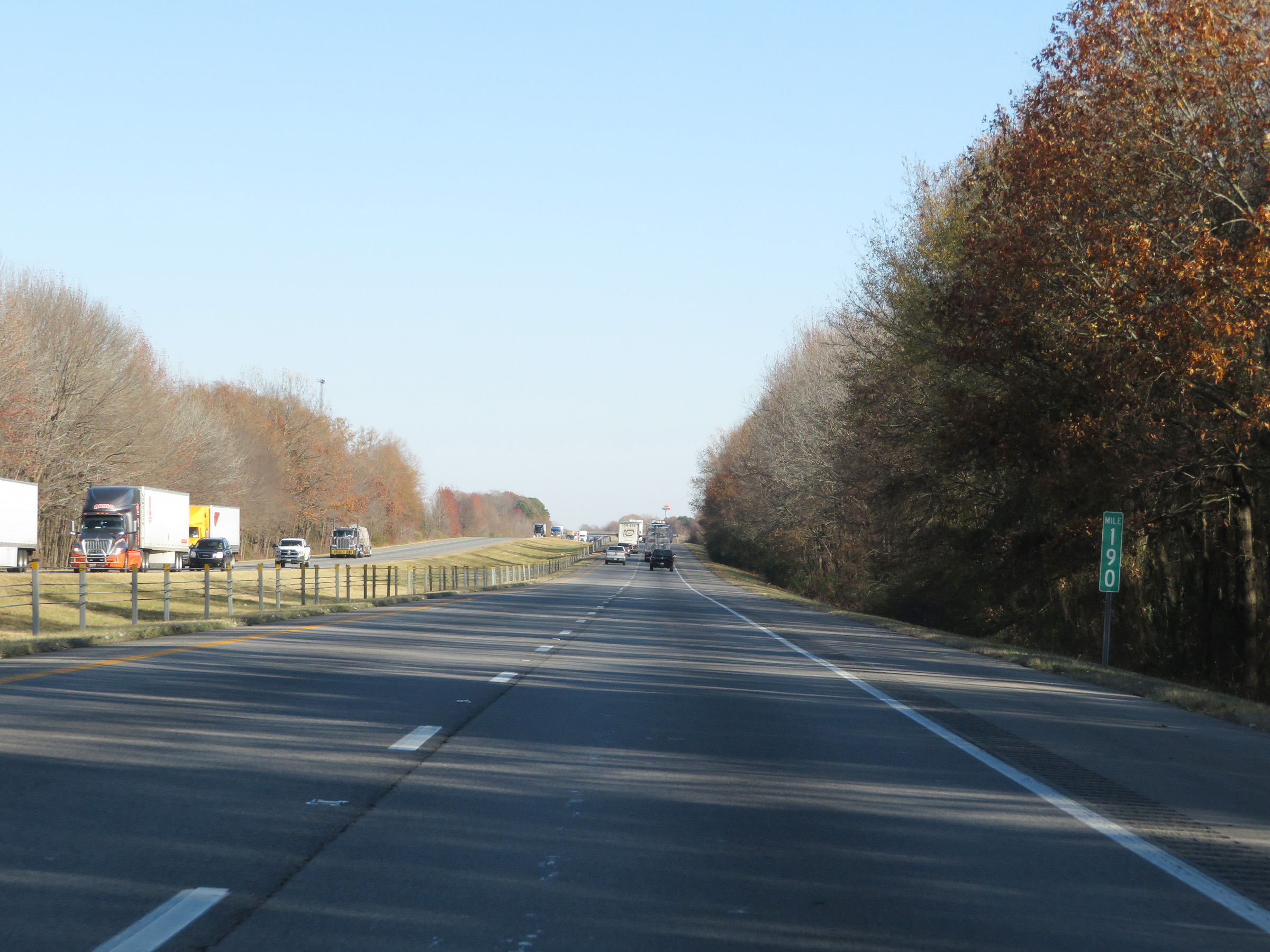 |
Mile marker 190 on Interstate 40 East in Prairie County. (Photo taken 12/12/20). |
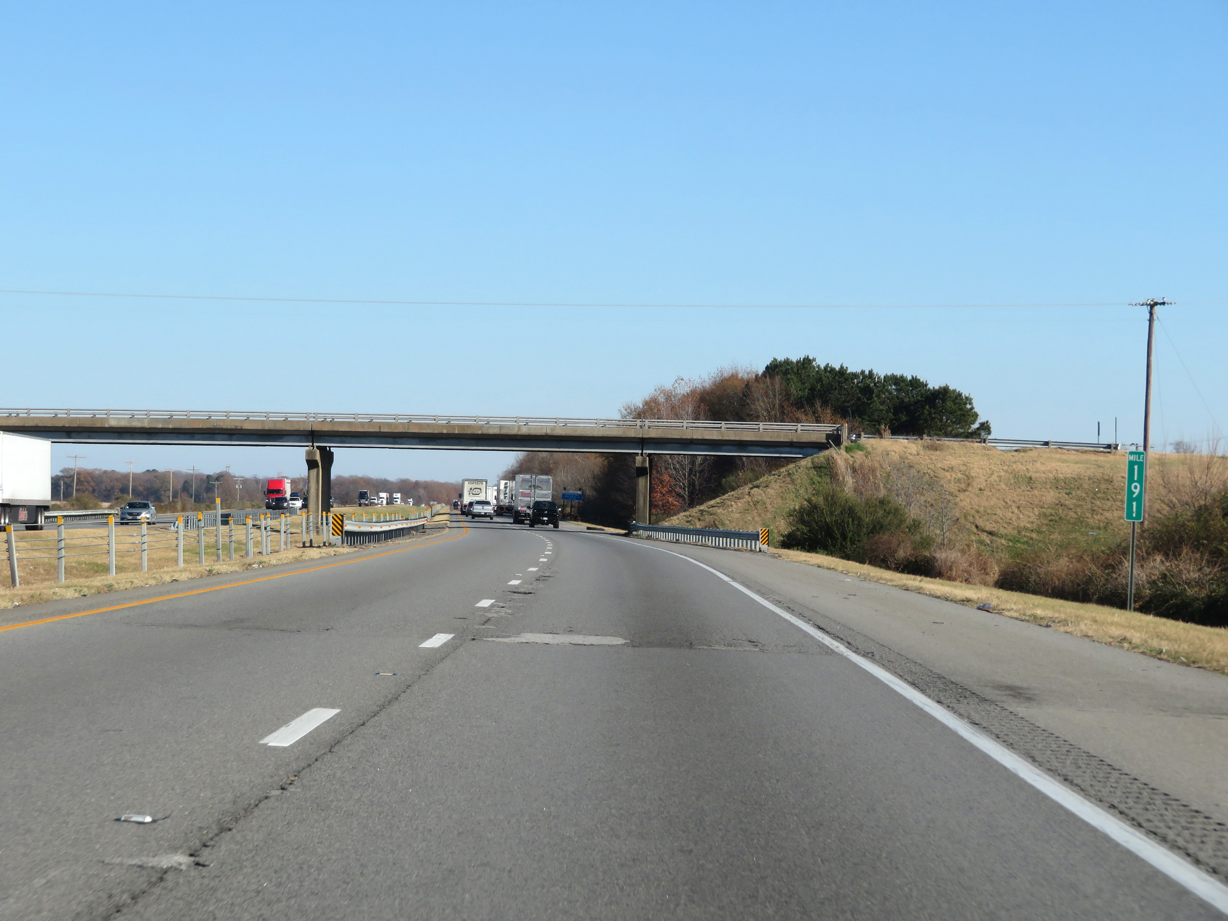 |
Interstate 40 East at mile marker 191. (Photo taken 12/12/20). |
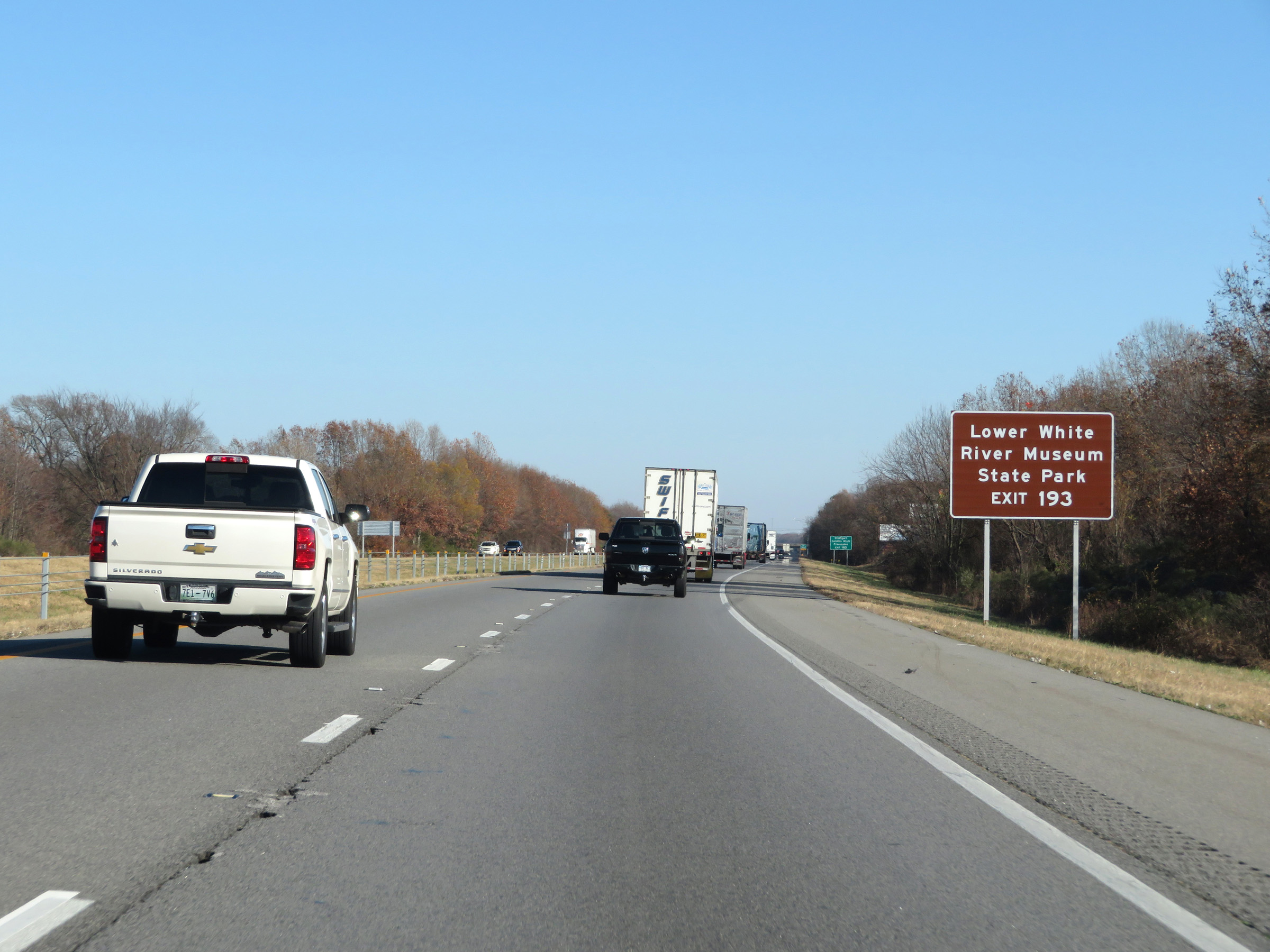 |
Take Exit 193 to Lower White River Museum State Park. (Photo taken 12/12/20). |
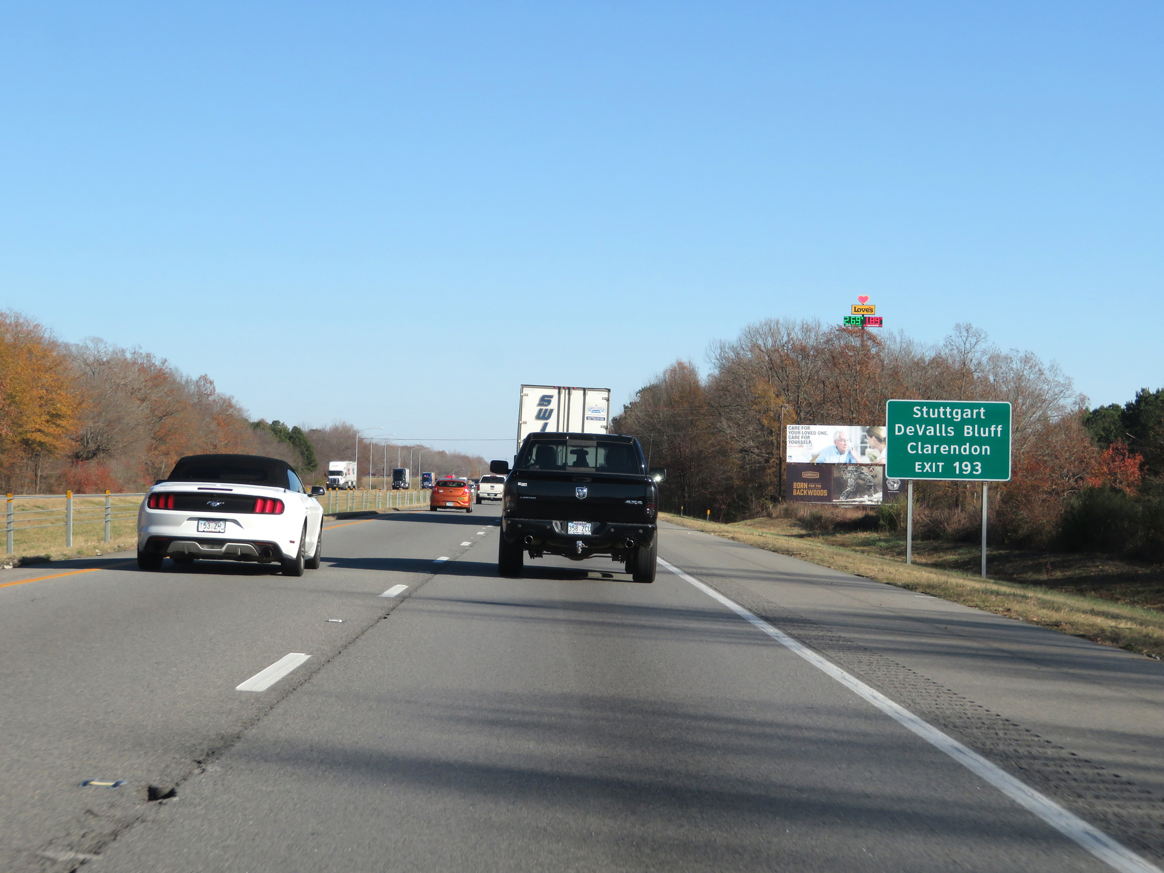 |
Also take Exit 193 to Stuttgart, DeValls Bluff, and Clarendon. (Photo taken 12/12/20). |
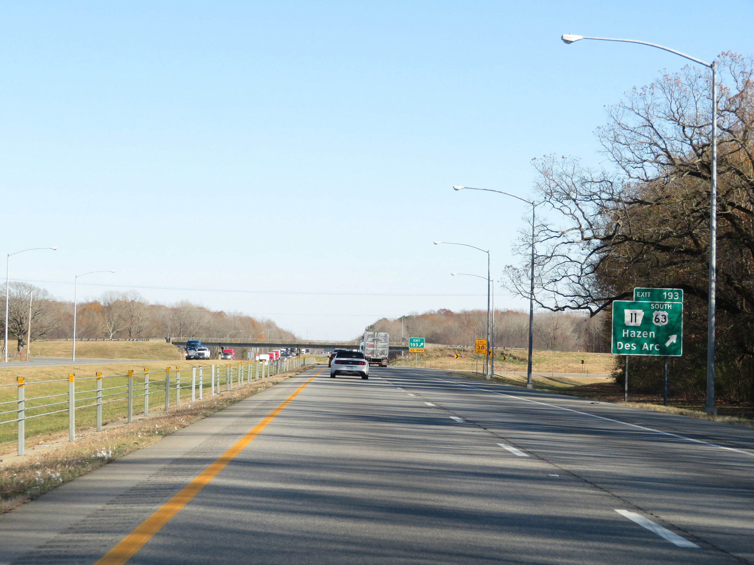 |
Interstate 40 East at Exit 193: US 63 South / AR 11 - Hazen / Des Arc (Photo taken 12/12/20). |
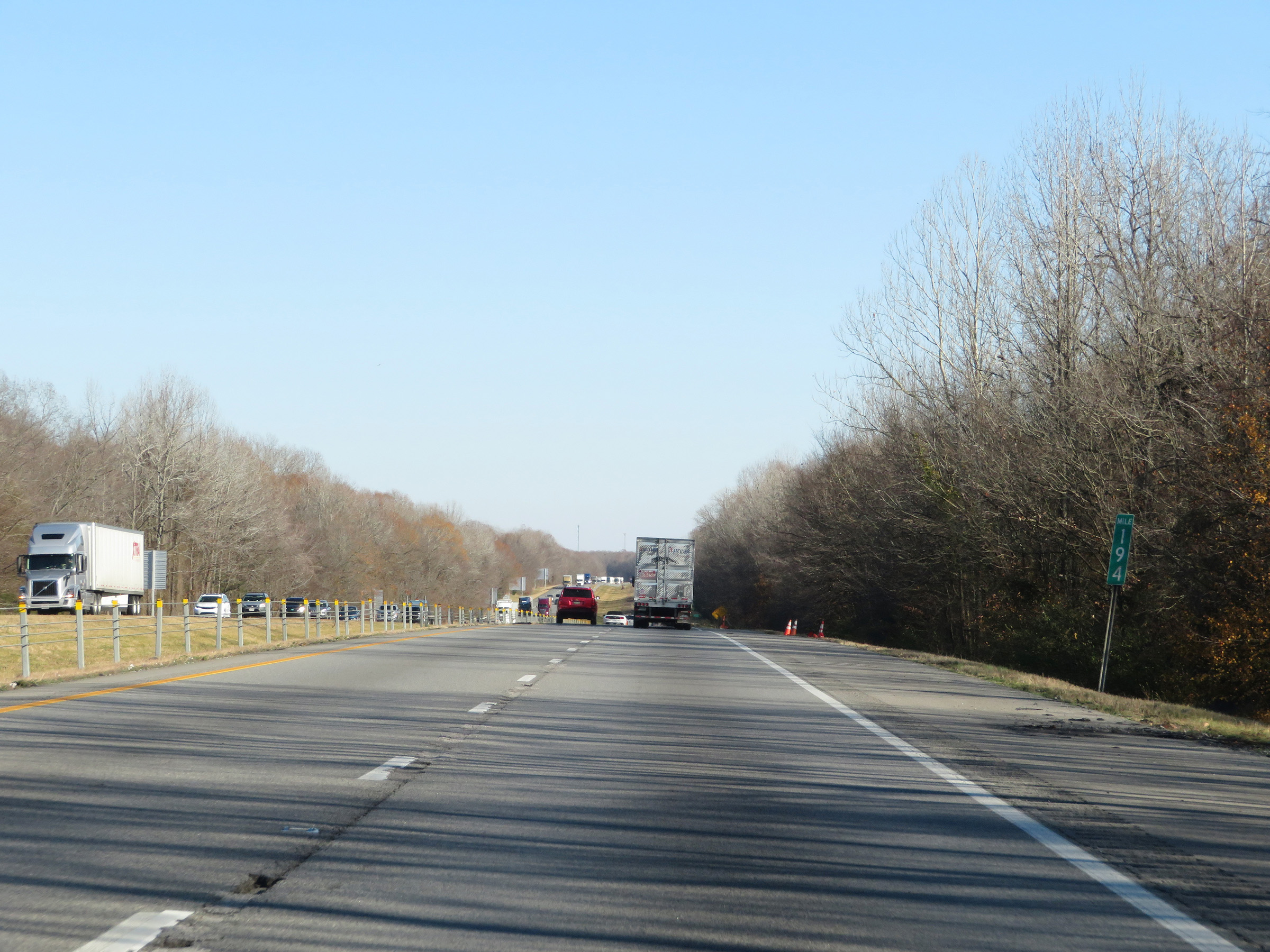 |
View on Interstate 40 East at mile marker 194. (Photo taken 12/12/20). |
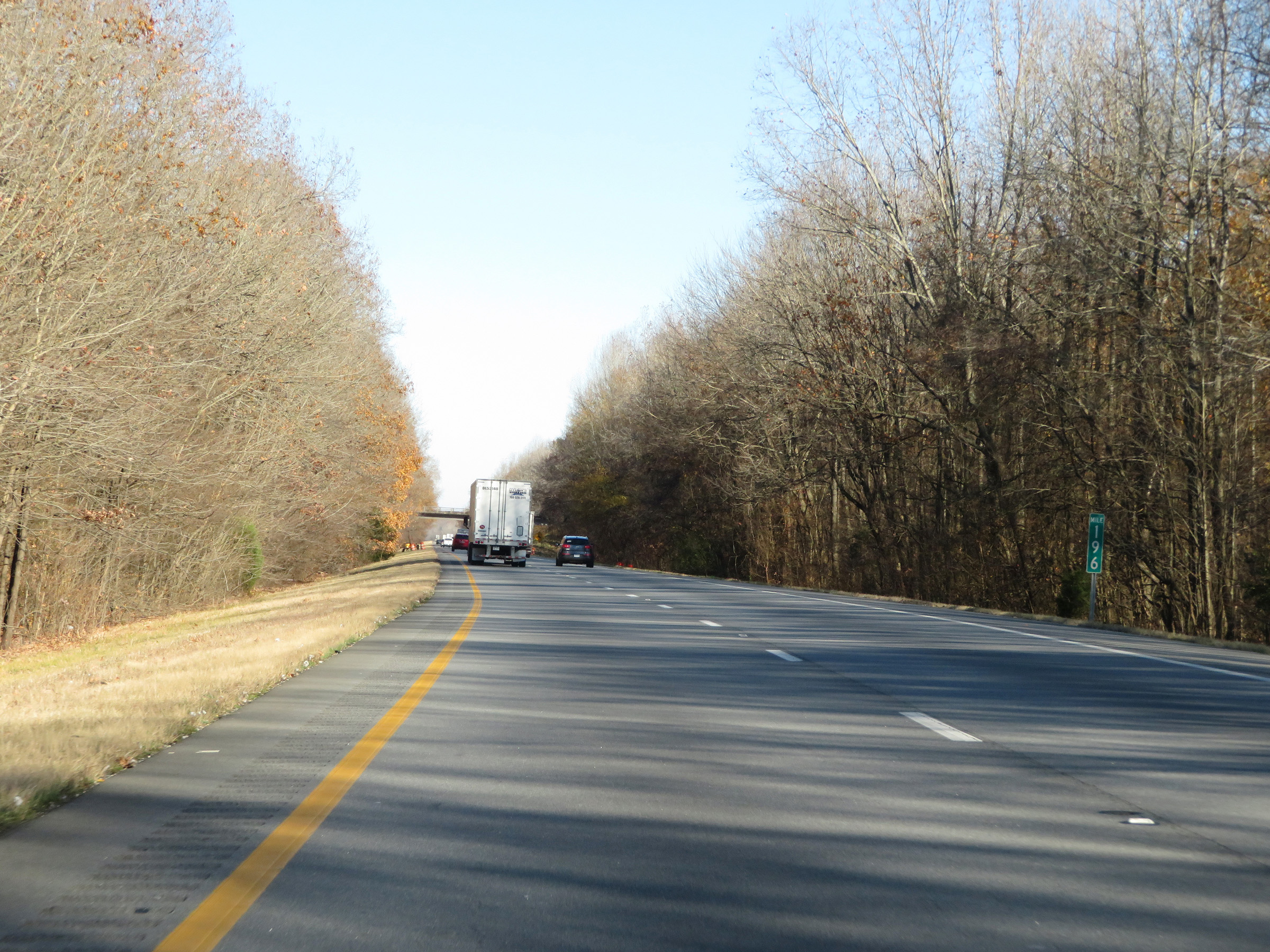 |
Interstate 40 East at mile marker 196. (Photo taken 12/12/20). |
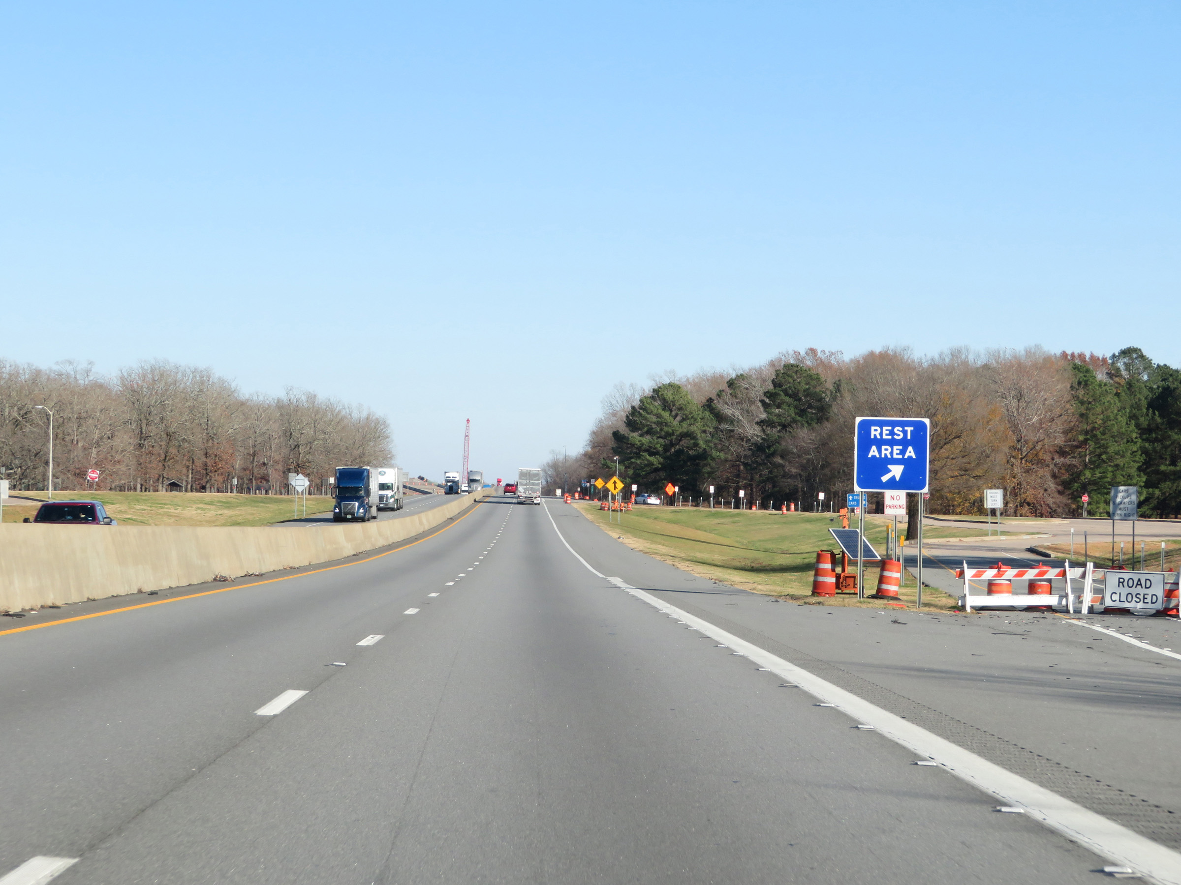 |
Rest Area on Interstate 40 East in Prairie County. (Photo taken 12/12/20). |
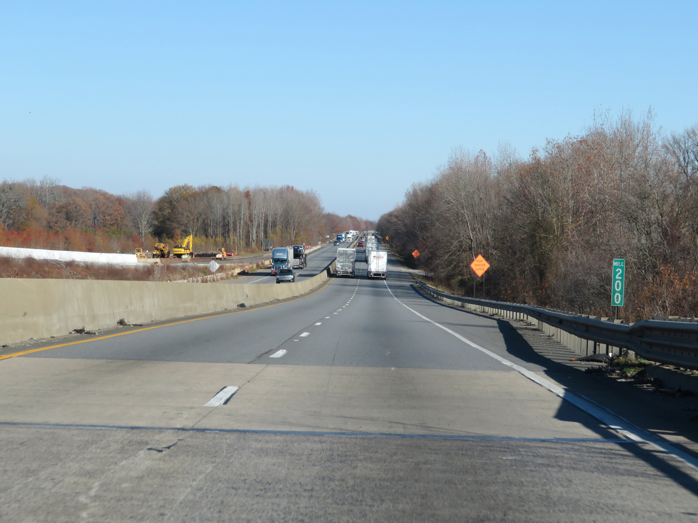 |
View on Interstate 40 East at mile marker 200. (Photo taken 12/12/20). |
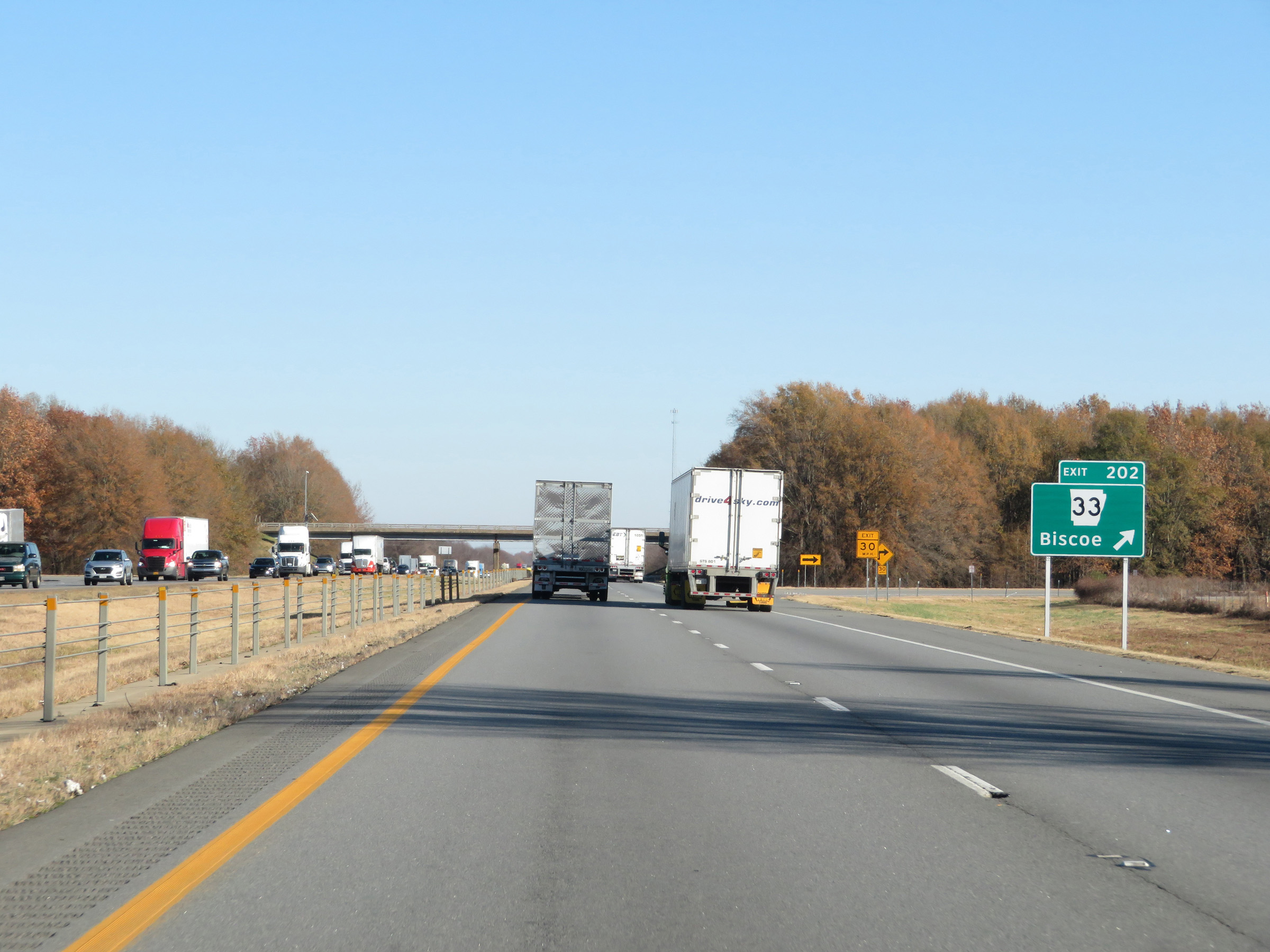 |
Interstate 40 East at Exit 202: AR 33 - Biscoe (Photo taken 12/12/20). |
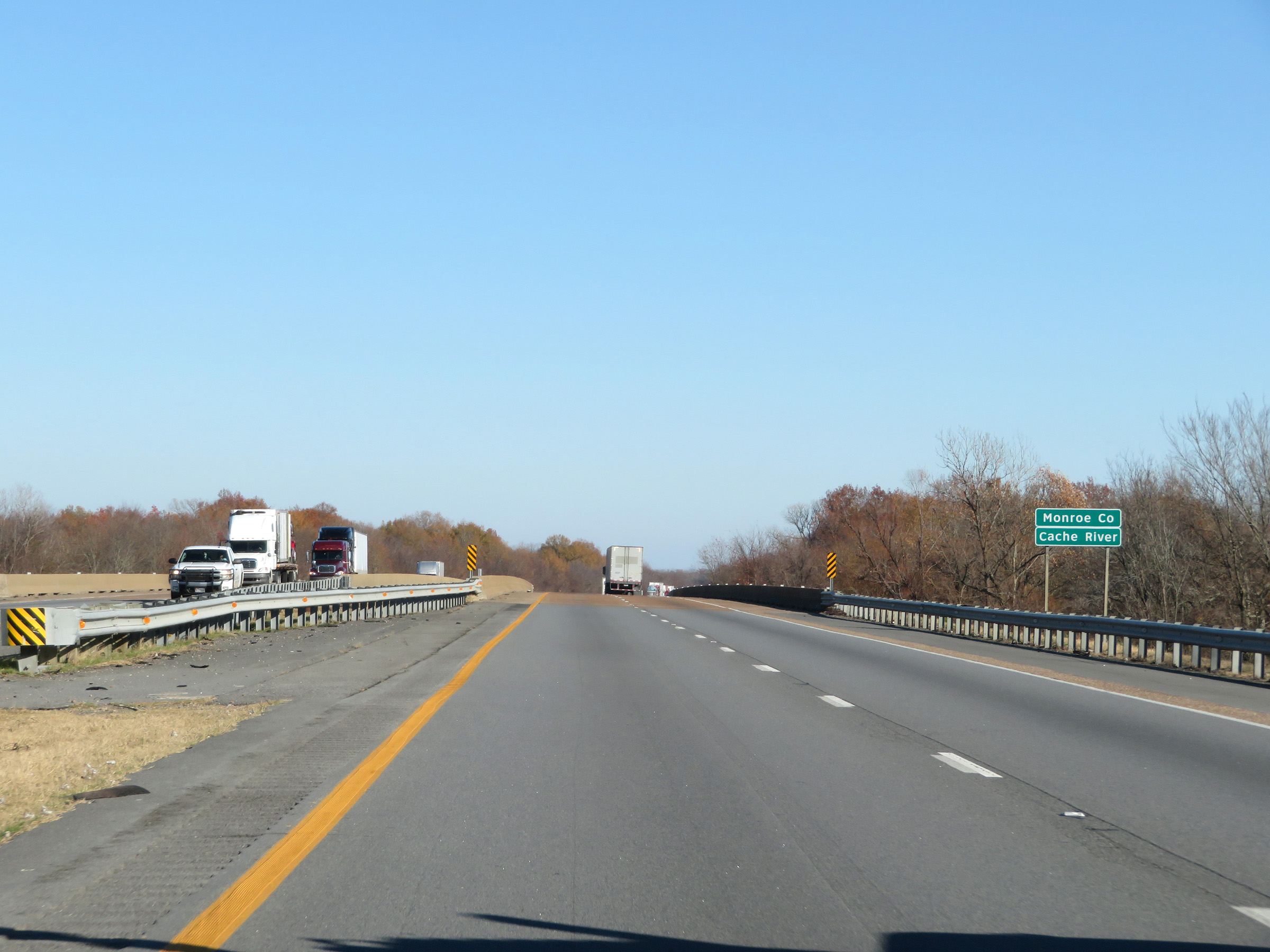 |
Interstate 40 East as it enters Monroe County. (Photo taken 12/12/20). |
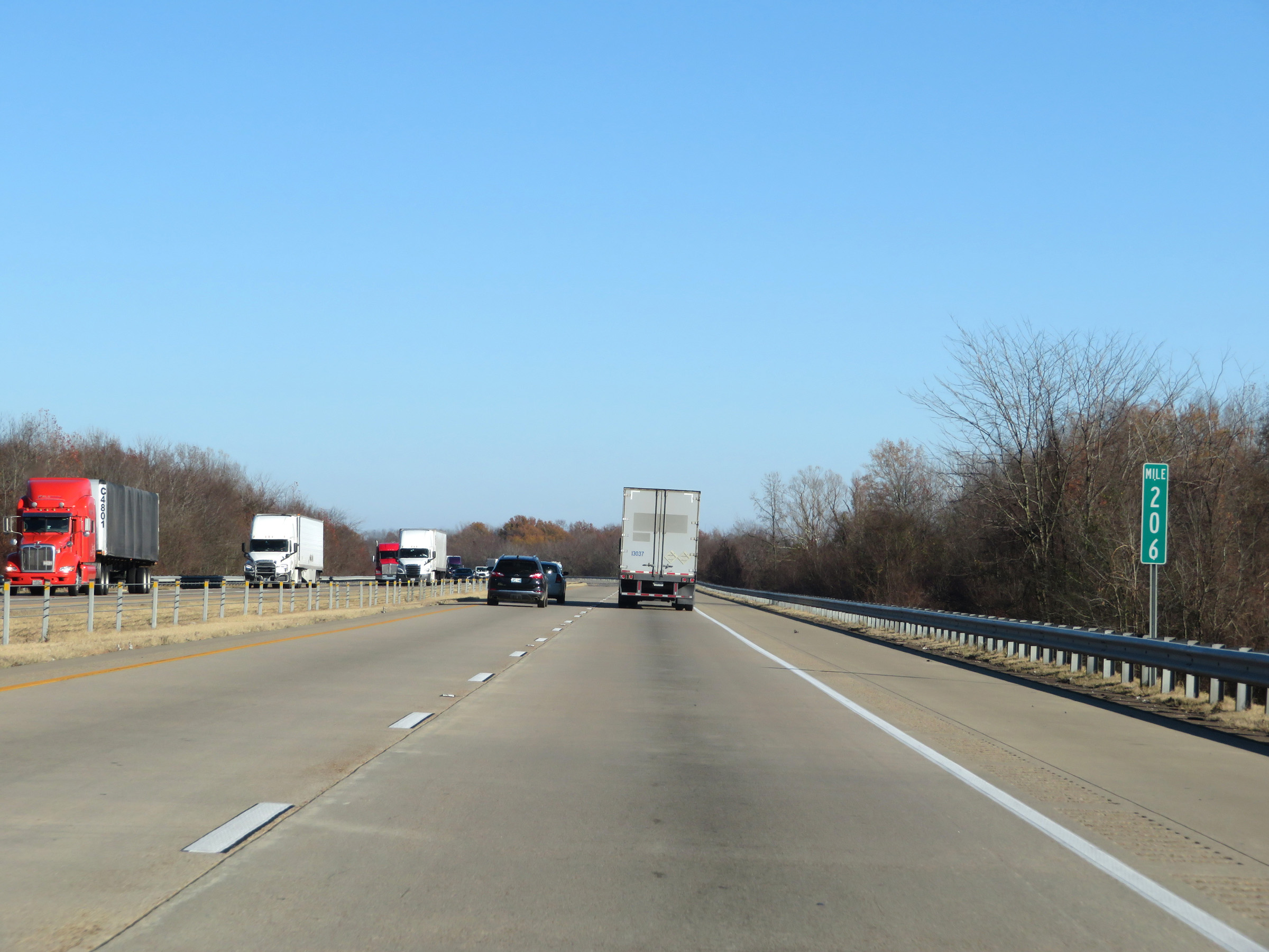 |
Interstate 40 East at mile marker 206. (Photo taken 12/12/20). |
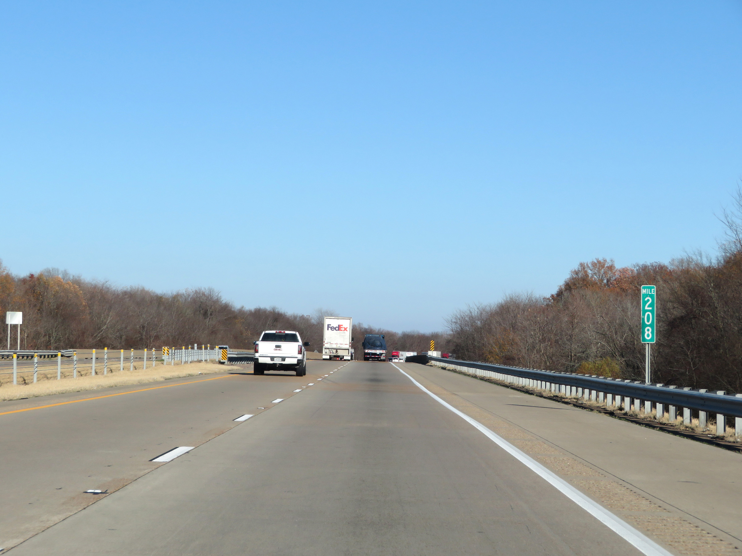 |
View on Interstate 40 East at mile marker 208. (Photo taken 12/12/20). |
 |
Mile marker 210 on Interstate 40 East in Monroe County. (Photo taken 12/12/20). |
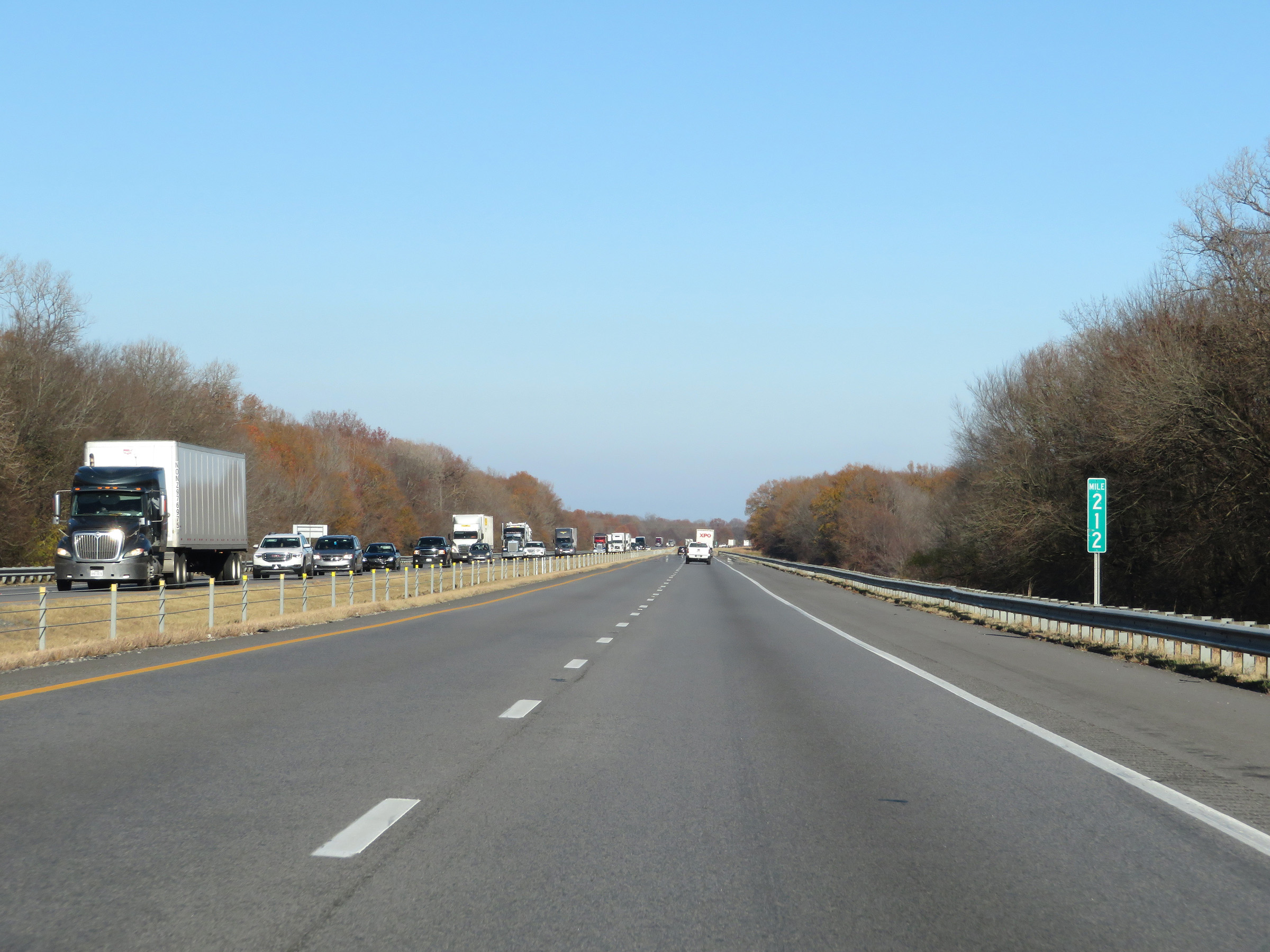 |
View on Interstate 40 East at mile marker 212. (Photo taken 12/12/20). |
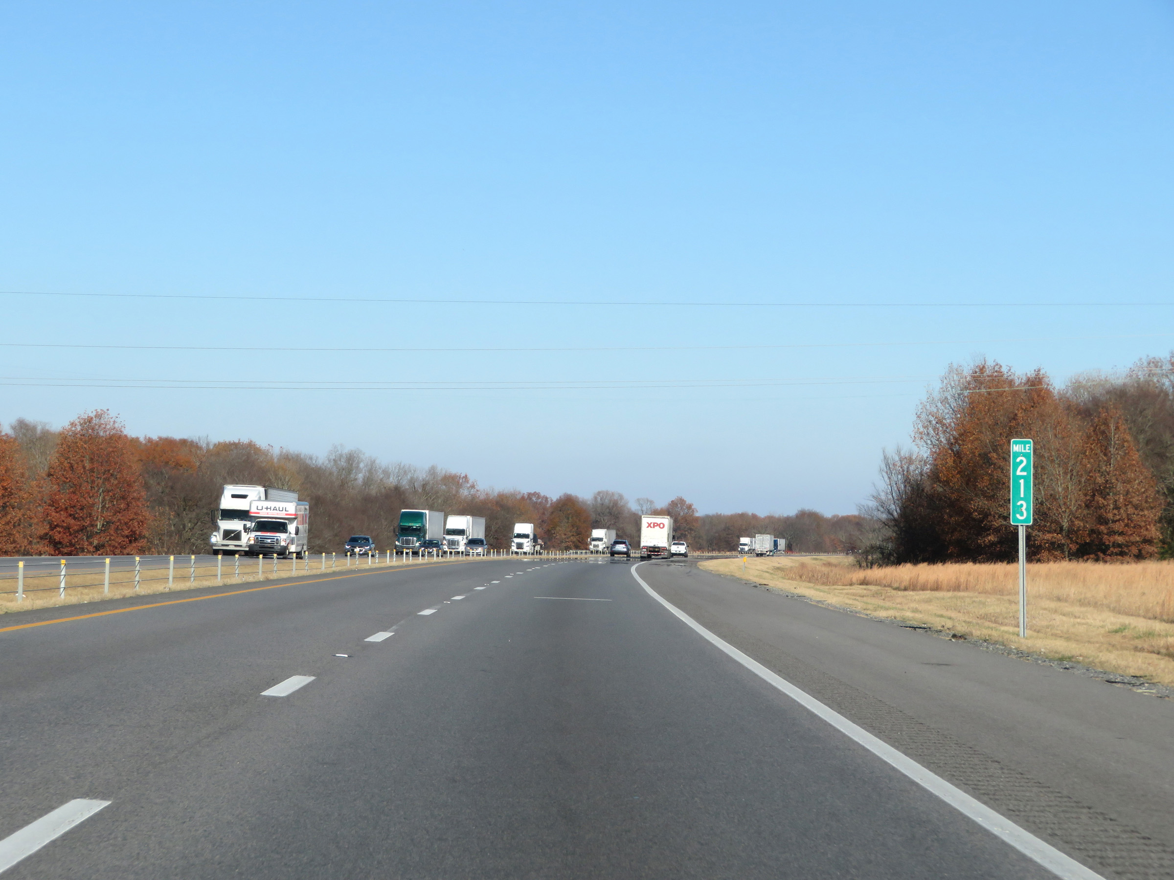 |
Interstate 40 East at mile marker 213. (Photo taken 12/12/20). |
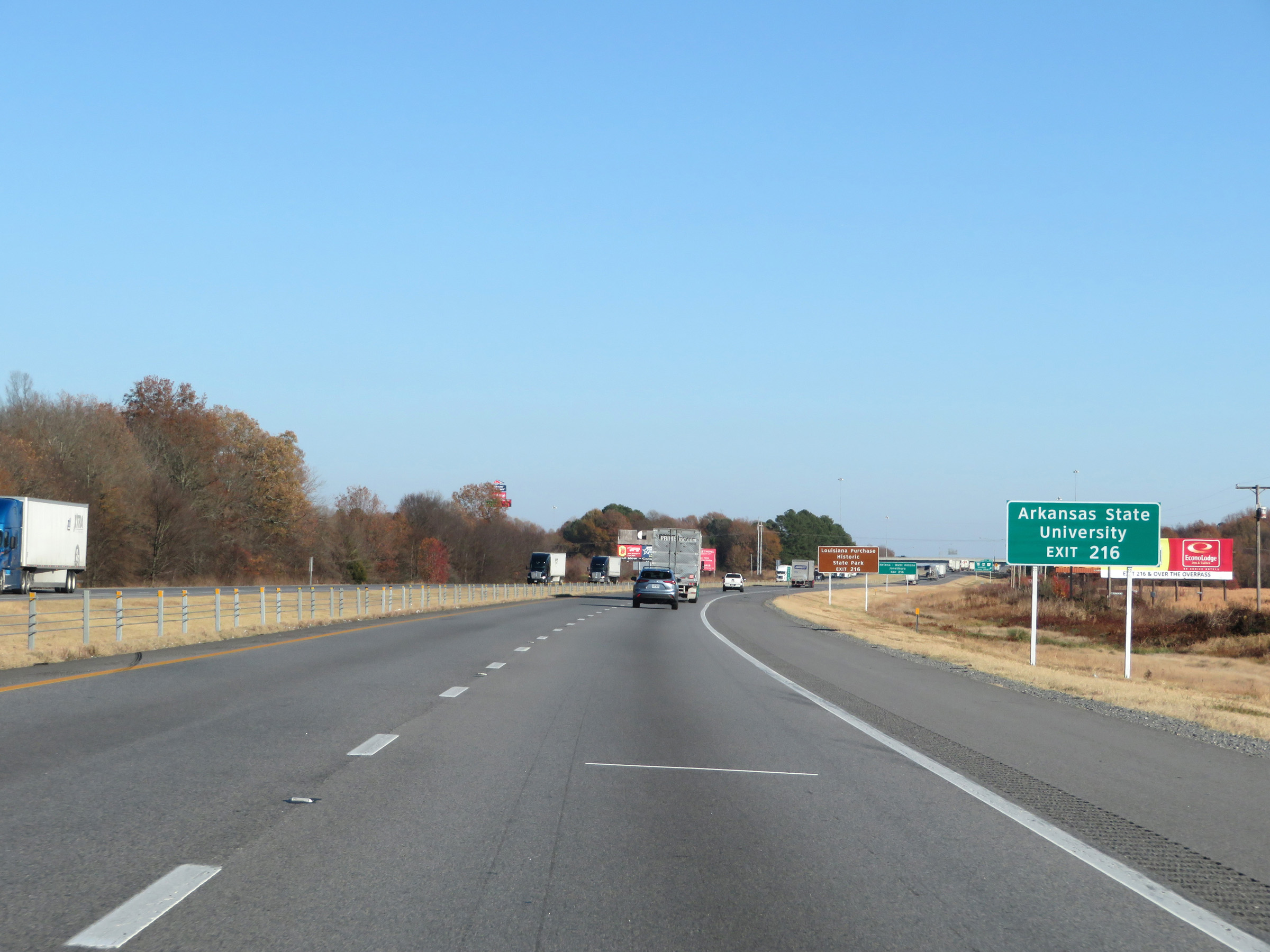 |
Take Exit 216 to Arkansas State University. (Photo taken 12/12/20). |
 |
Also take Exit 216 to Louisiana Purchase Historic State Park. (Photo taken 12/12/20). |
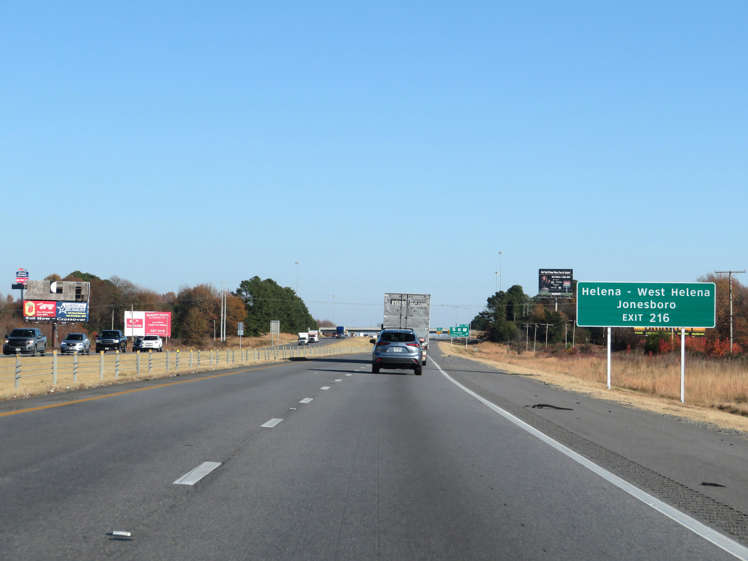 |
Take Exit 216 to Helena, West Helena, and Jonesboro as well. (Photo taken 12/12/20). |
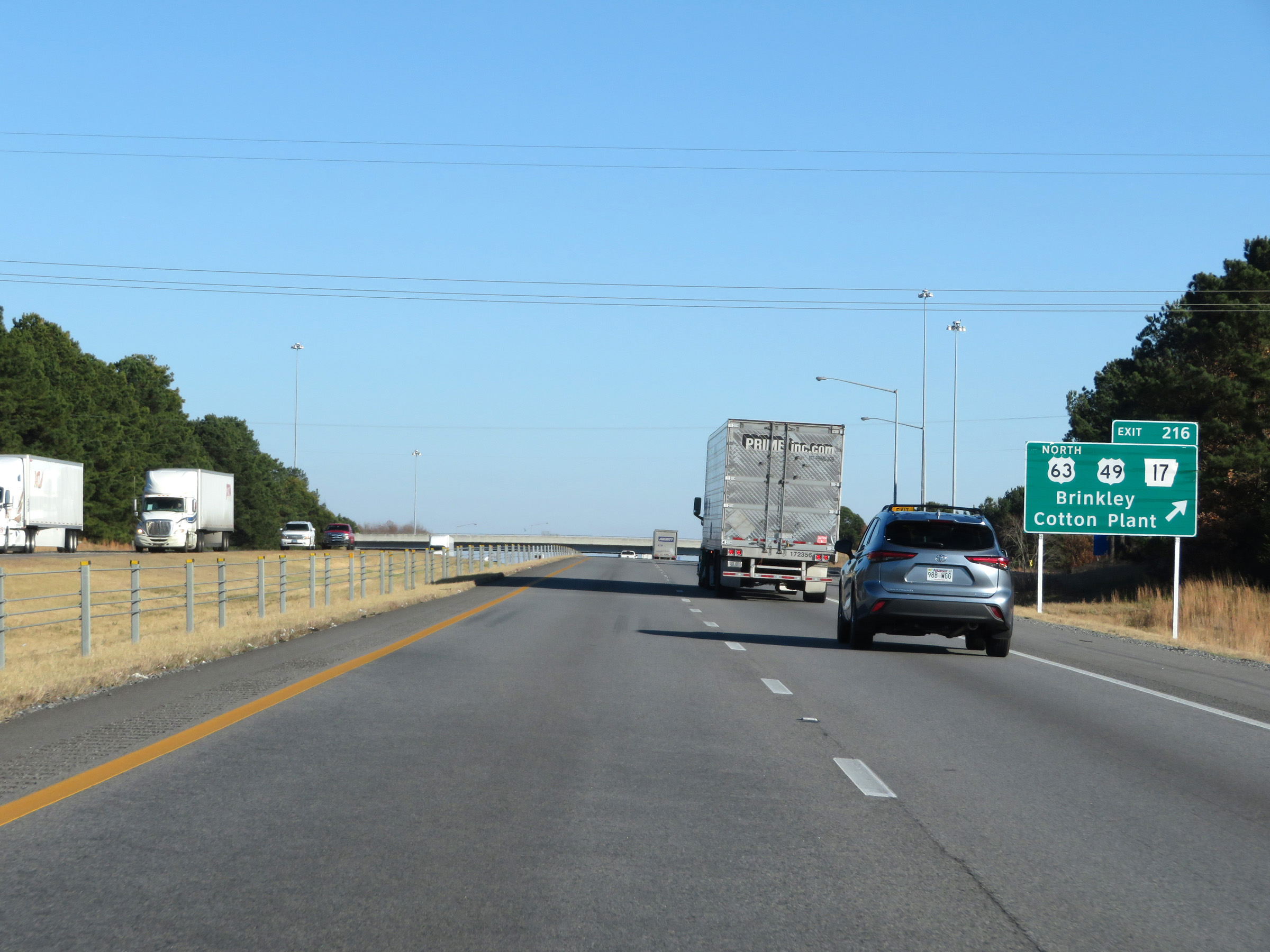 |
Interstate 40 East at Exit 216: US 63 North / US 49 / AR 17 - Brinkley / Cotton Plant (Photo taken 12/12/20). |
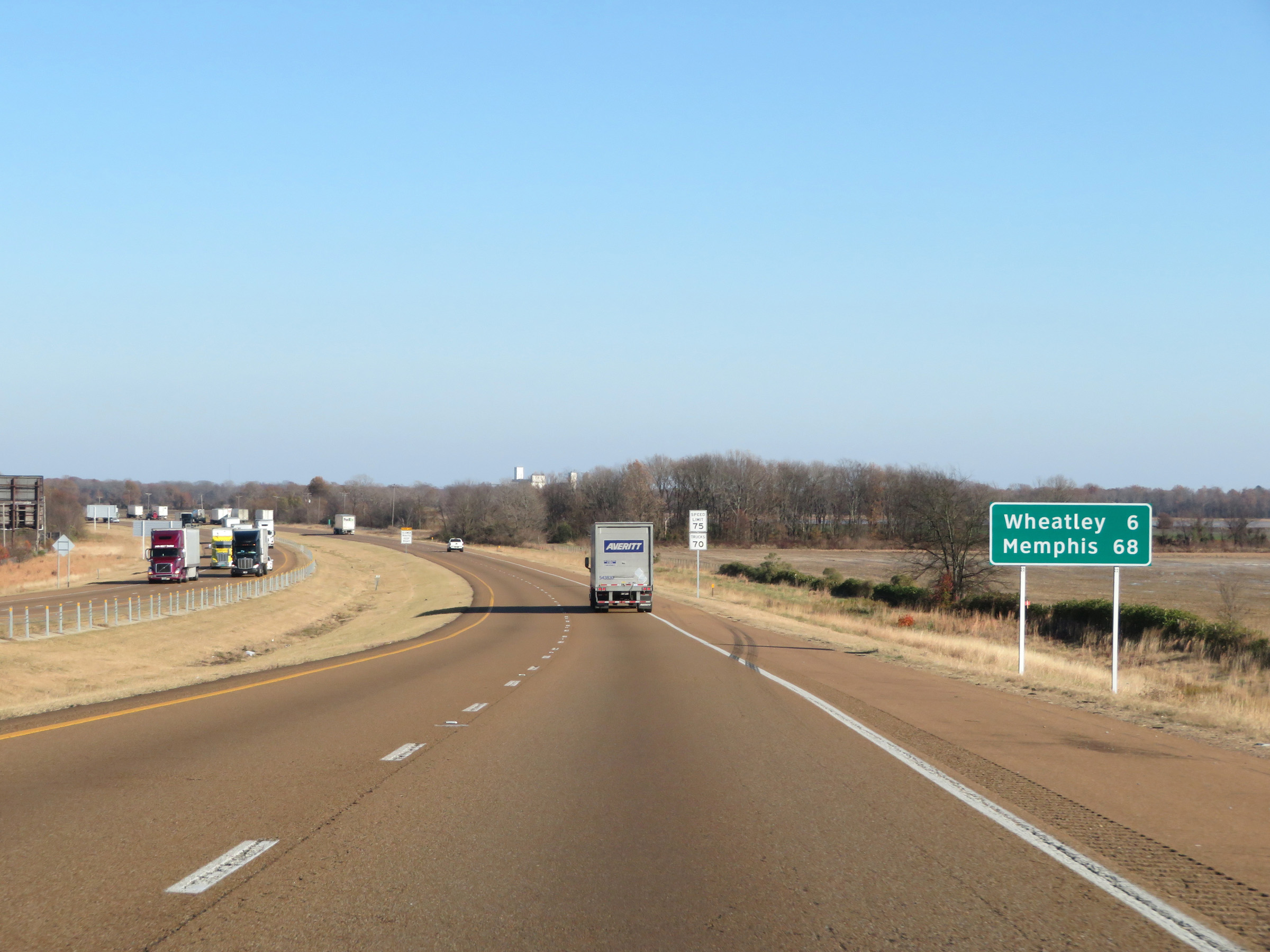 |
Mileage sign on Interstate 40 East. It's 6 miles to Wheatley and 68 miles to Memphis. (Photo taken 12/12/20). |
 |
The speed limits remain 75 mph for automobiles and 70 mph for trucks. (Photo taken 12/12/20). |
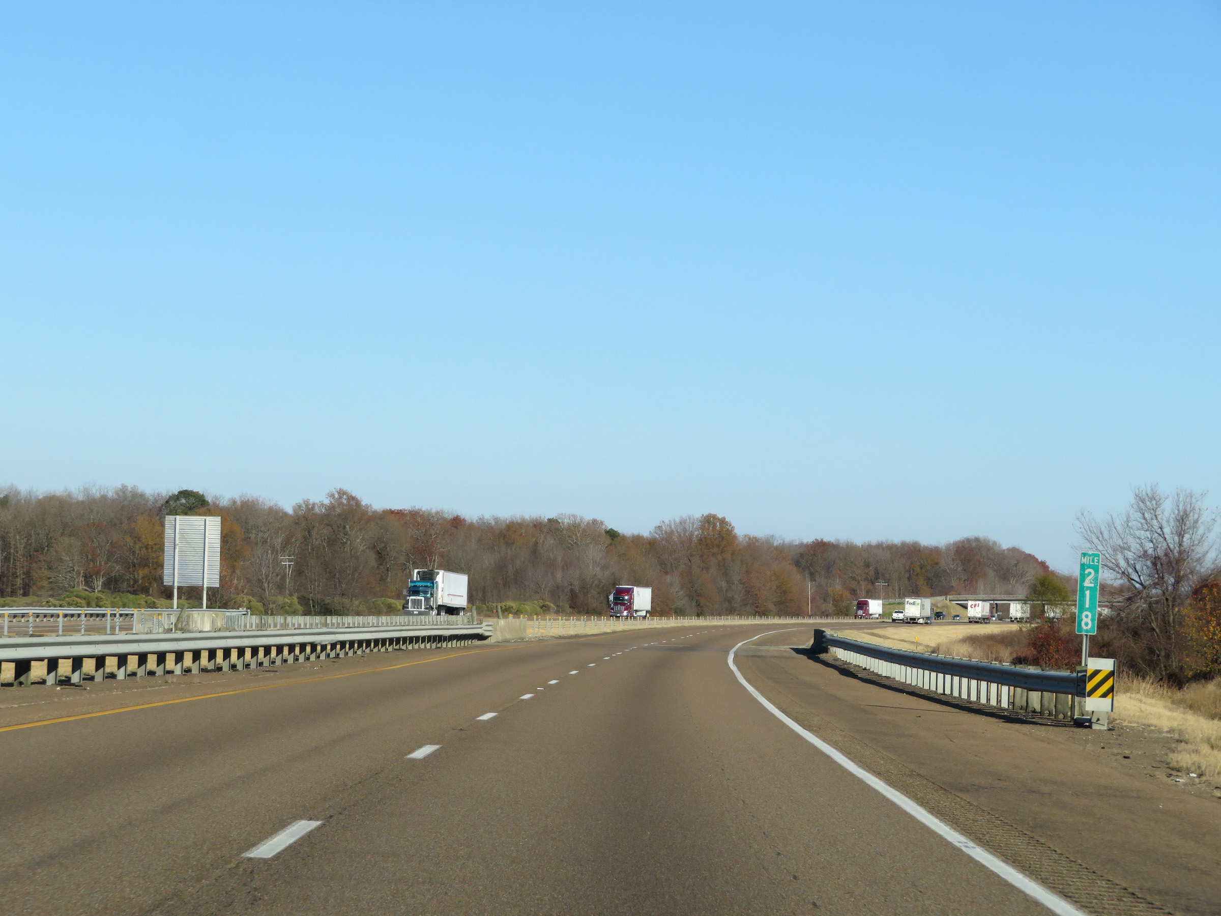 |
Interstate 40 East at mile marker 218. (Photo taken 12/12/20). |
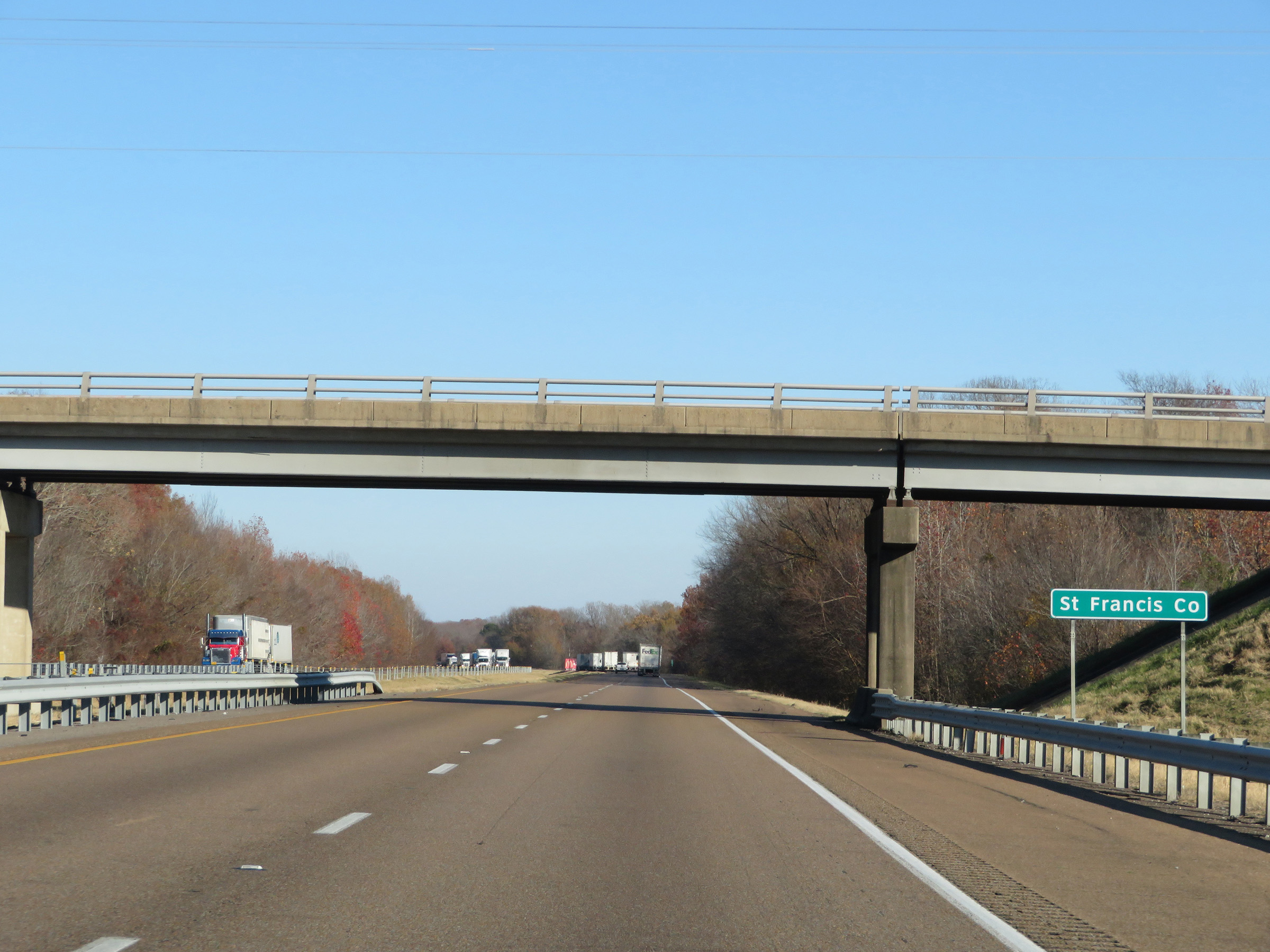 |
Interstate 40 East as it enters St. Francis County. (Photo taken 12/12/20). |
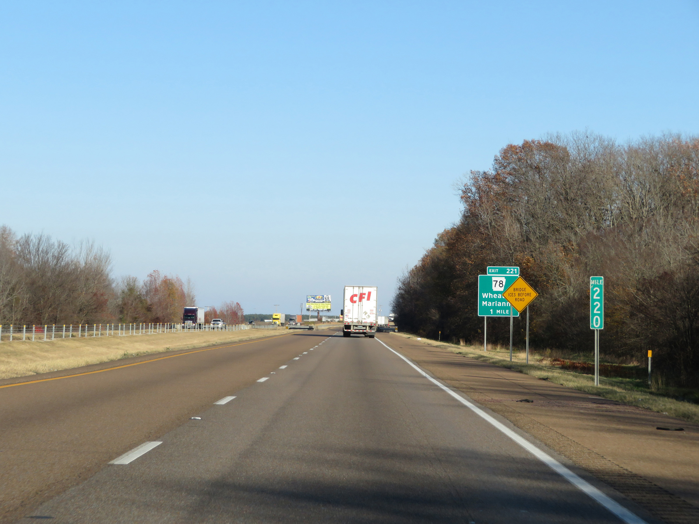 |
View on Interstate 40 East at mile marker 220. (Photo taken 12/12/20). |
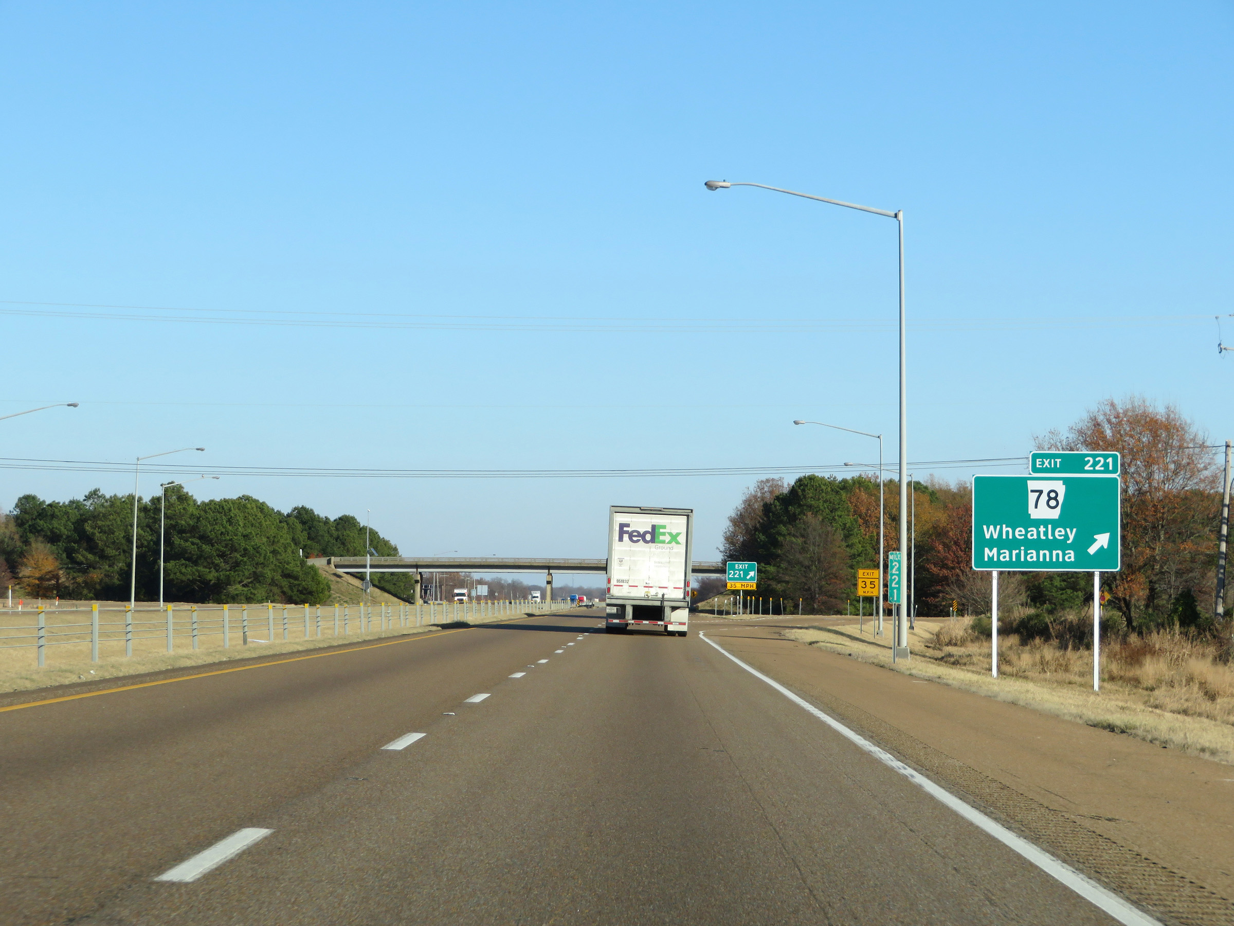 |
Interstate 40 East at Exit 221: AR 78 - Wheatley / Marianna (Photo taken 12/12/20). |
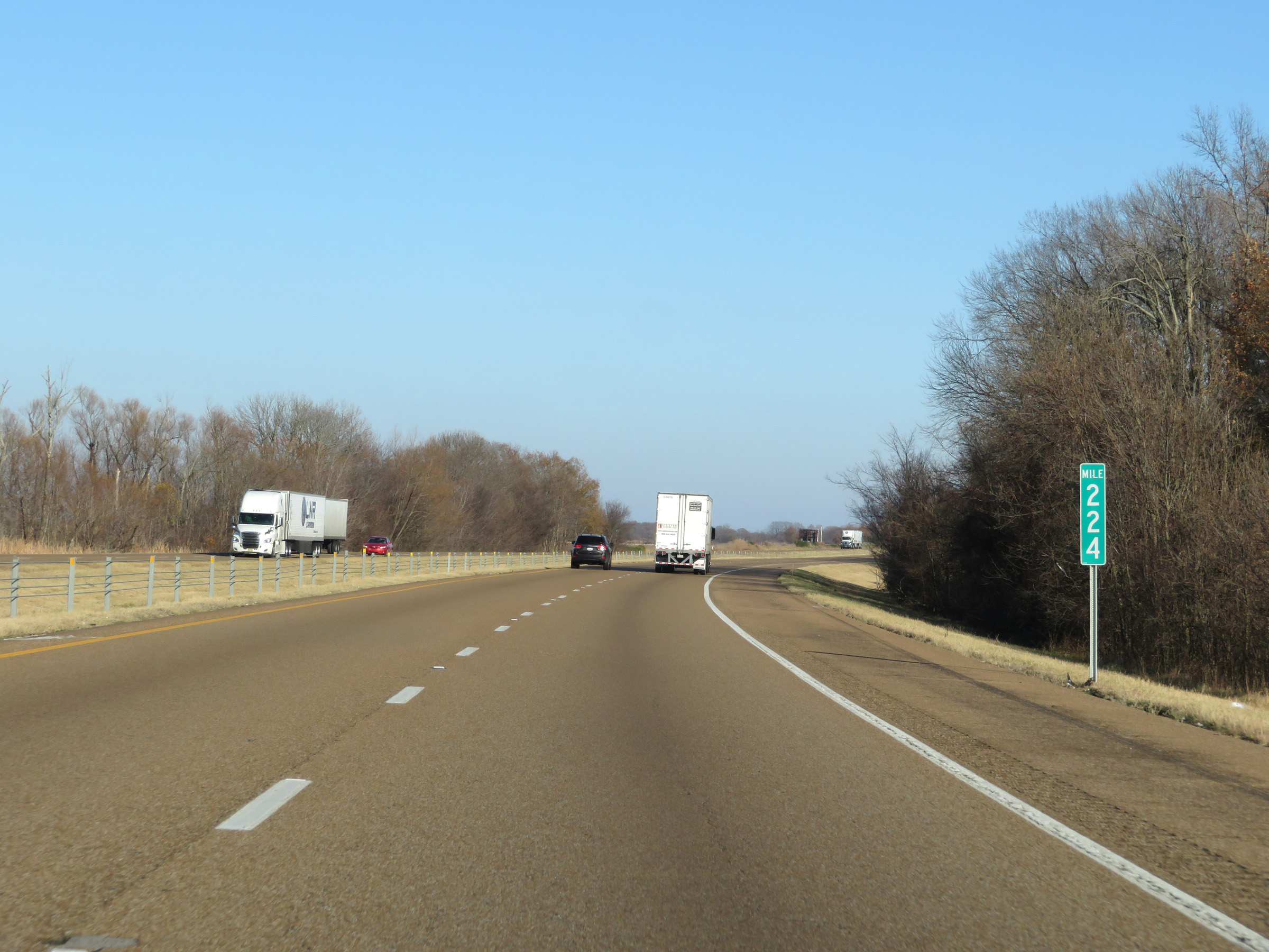 |
Mile marker 224 on Interstate 40 East in St. Francis County. (Photo taken 12/12/20). |
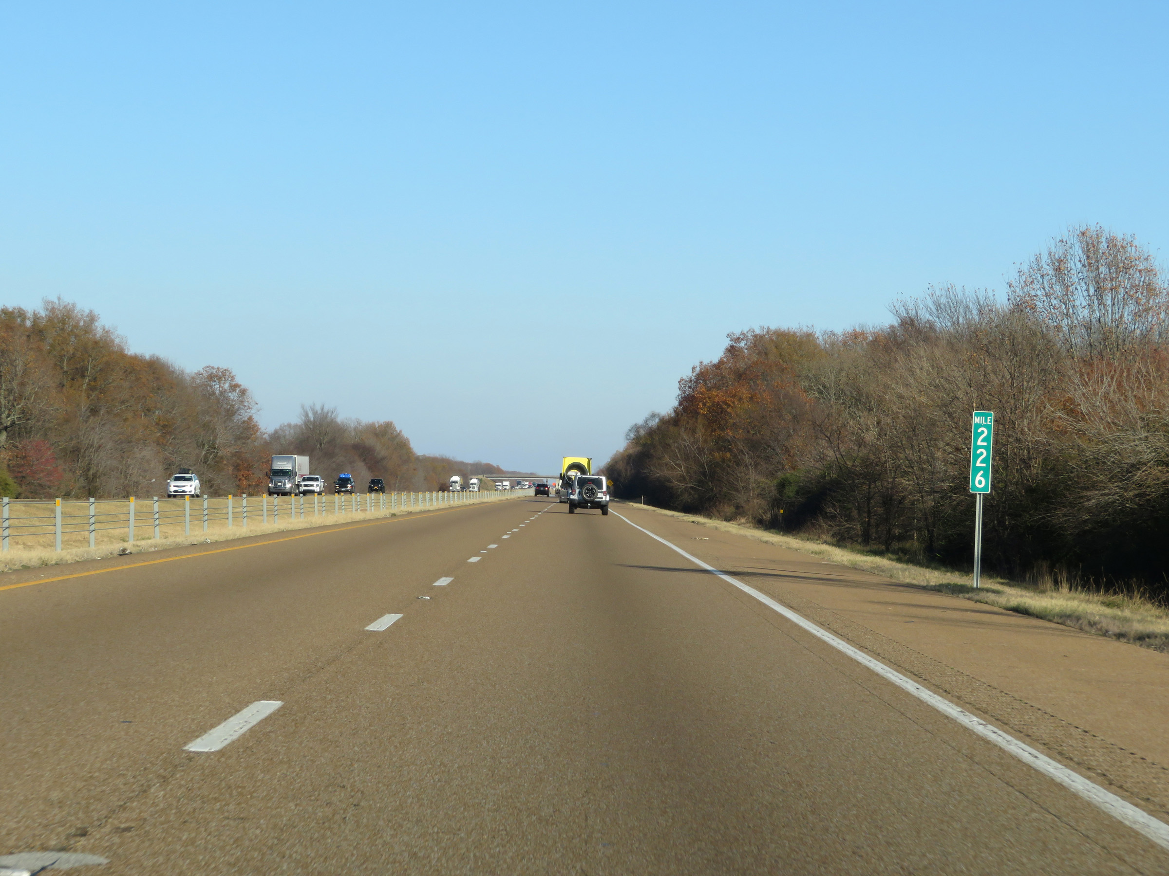 |
View on Interstate 40 East at mile marker 226. (Photo taken 12/12/20). |
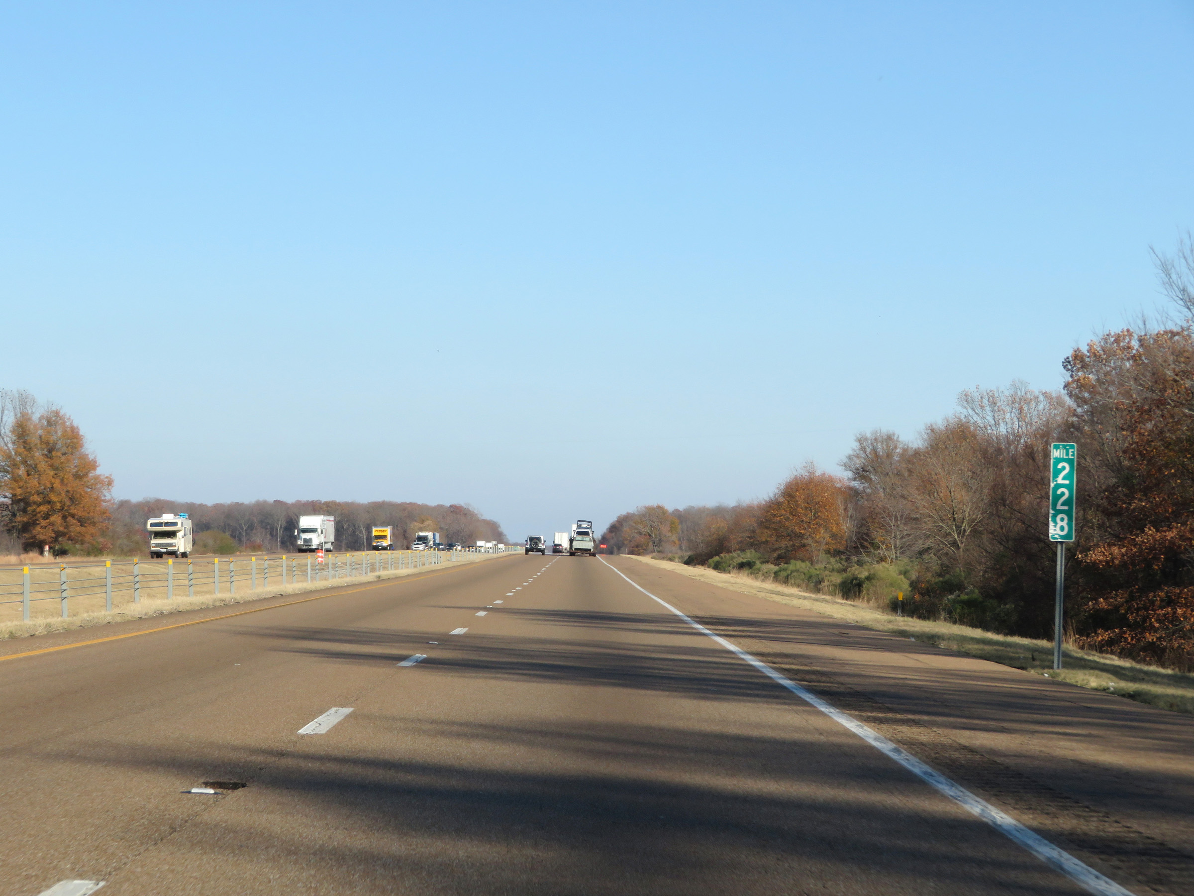 |
Interstate 40 East at mile marker 228. (Photo taken 12/12/20). |
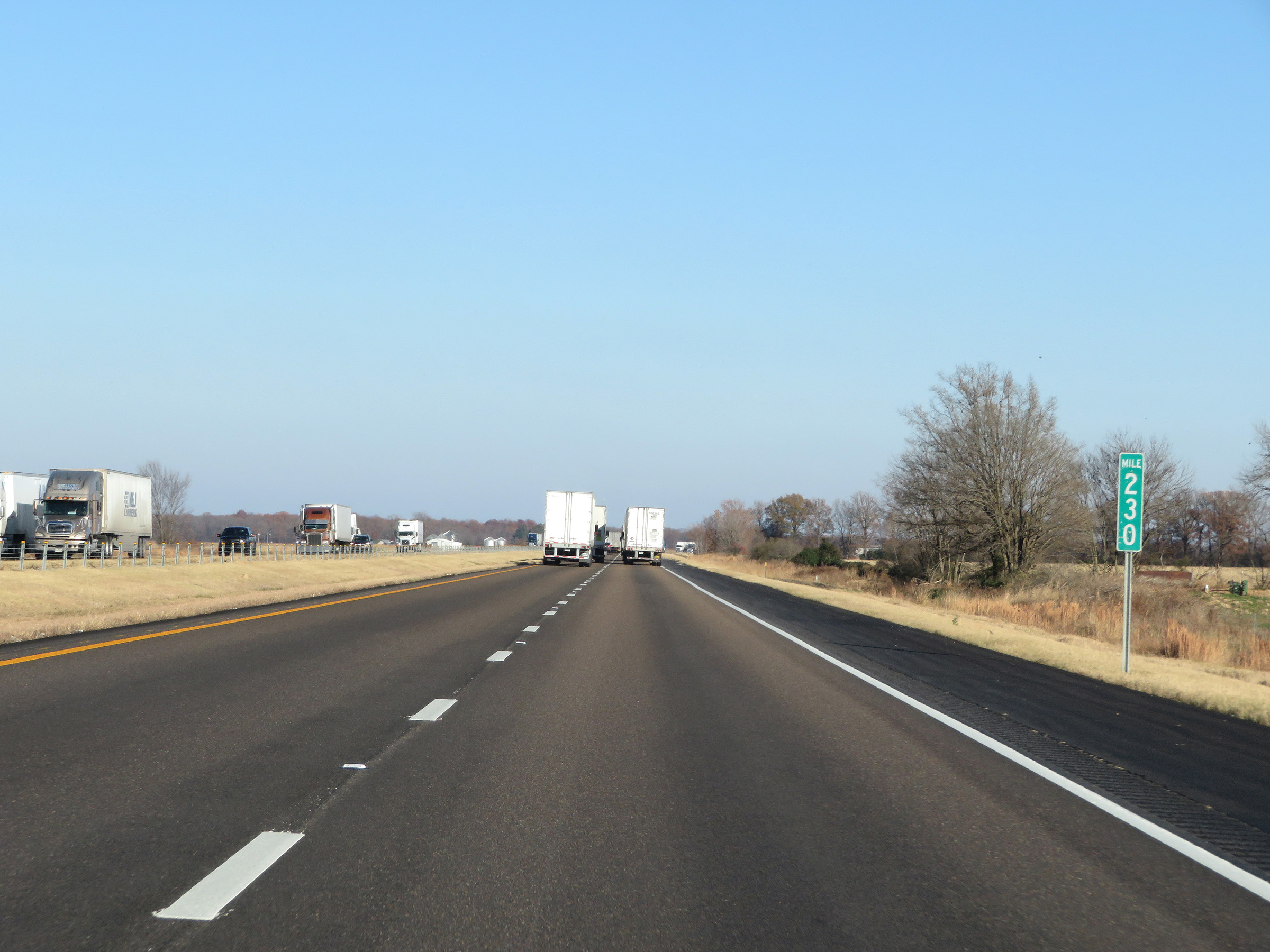 |
View on Interstate 40 East at mile marker 230. (Photo taken 12/12/20). |
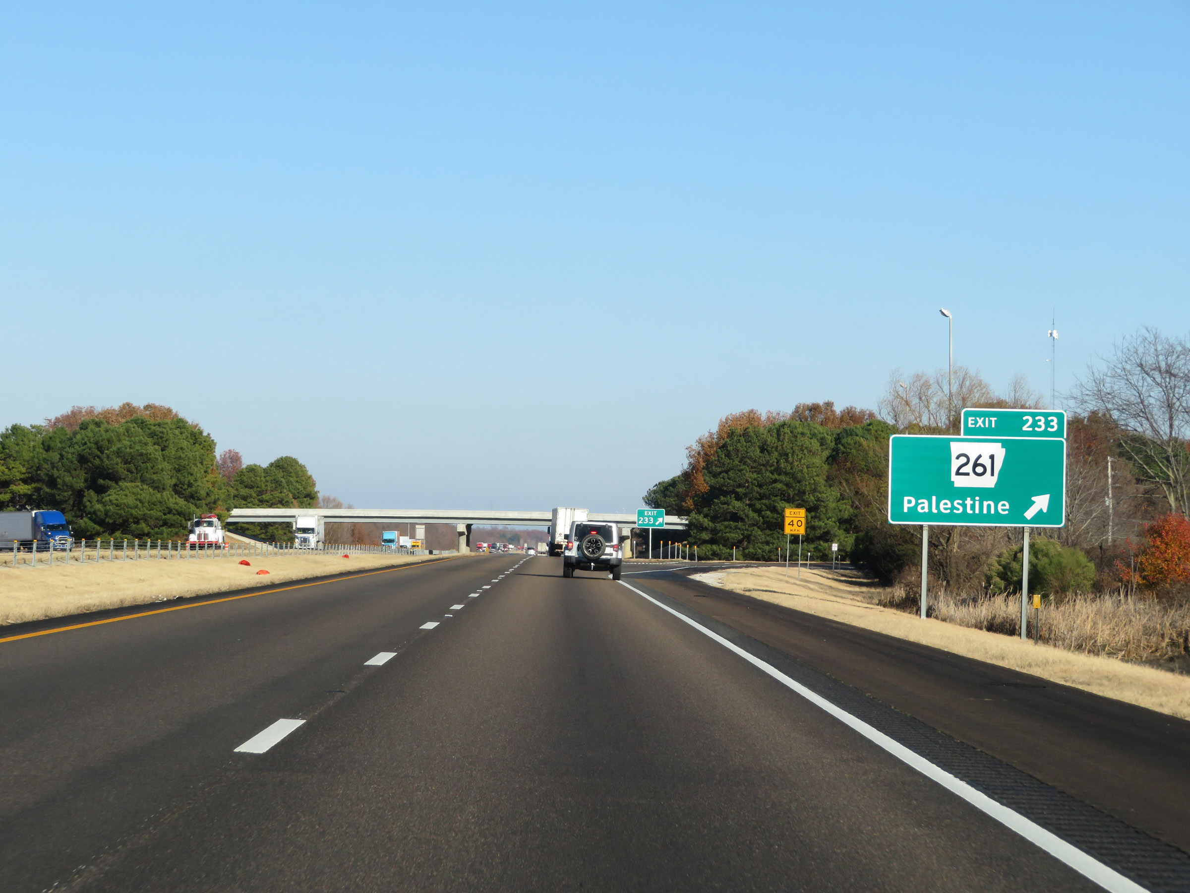 |
Interstate 40 East at Exit 233: AR 261 - Palestine (Photo taken 12/12/20). |
 |
Another state-named Interstate 40 East reassurance shield. (Photo taken 12/12/20). |
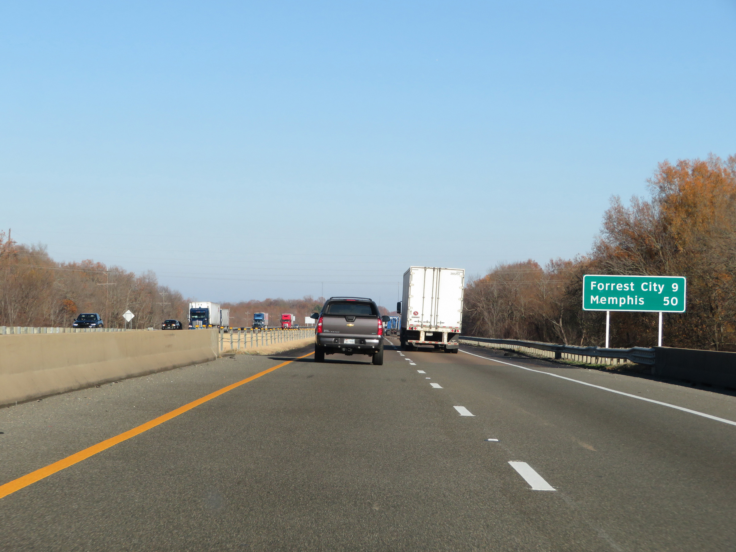 |
Another mileage sign on Interstate 40 East. It's 9 miles to Forrest City and 50 miles to Memphis. (Photo taken 12/12/20). |
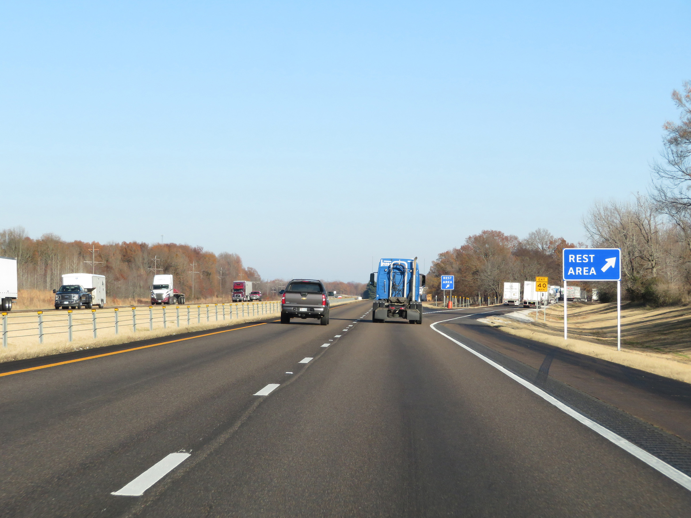 |
Rest Area on Interstate 40 East in St. Francis County. (Photo taken 12/12/20). |
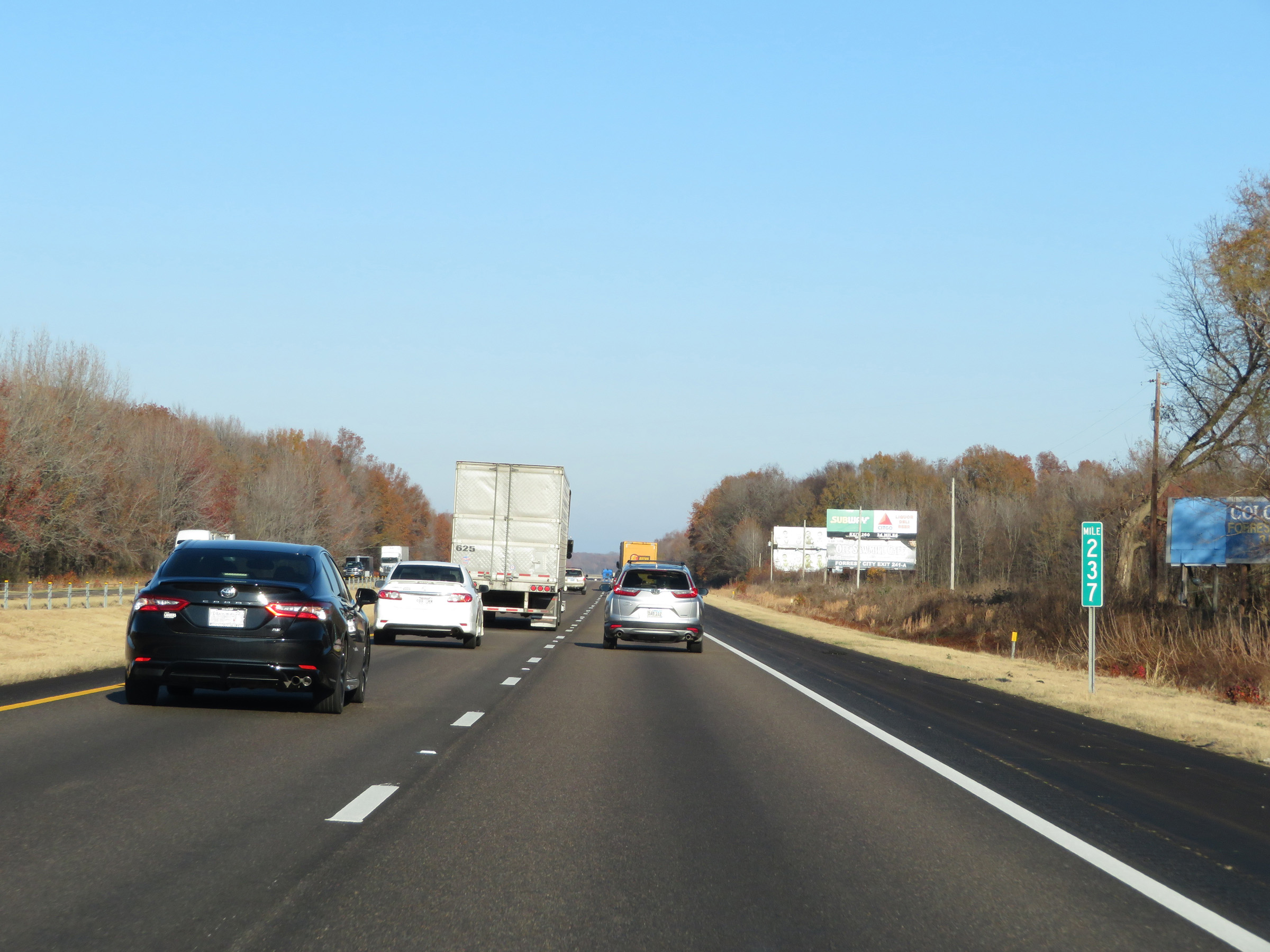 |
Interstate 40 East at mile marker 237. (Photo taken 12/12/20). |
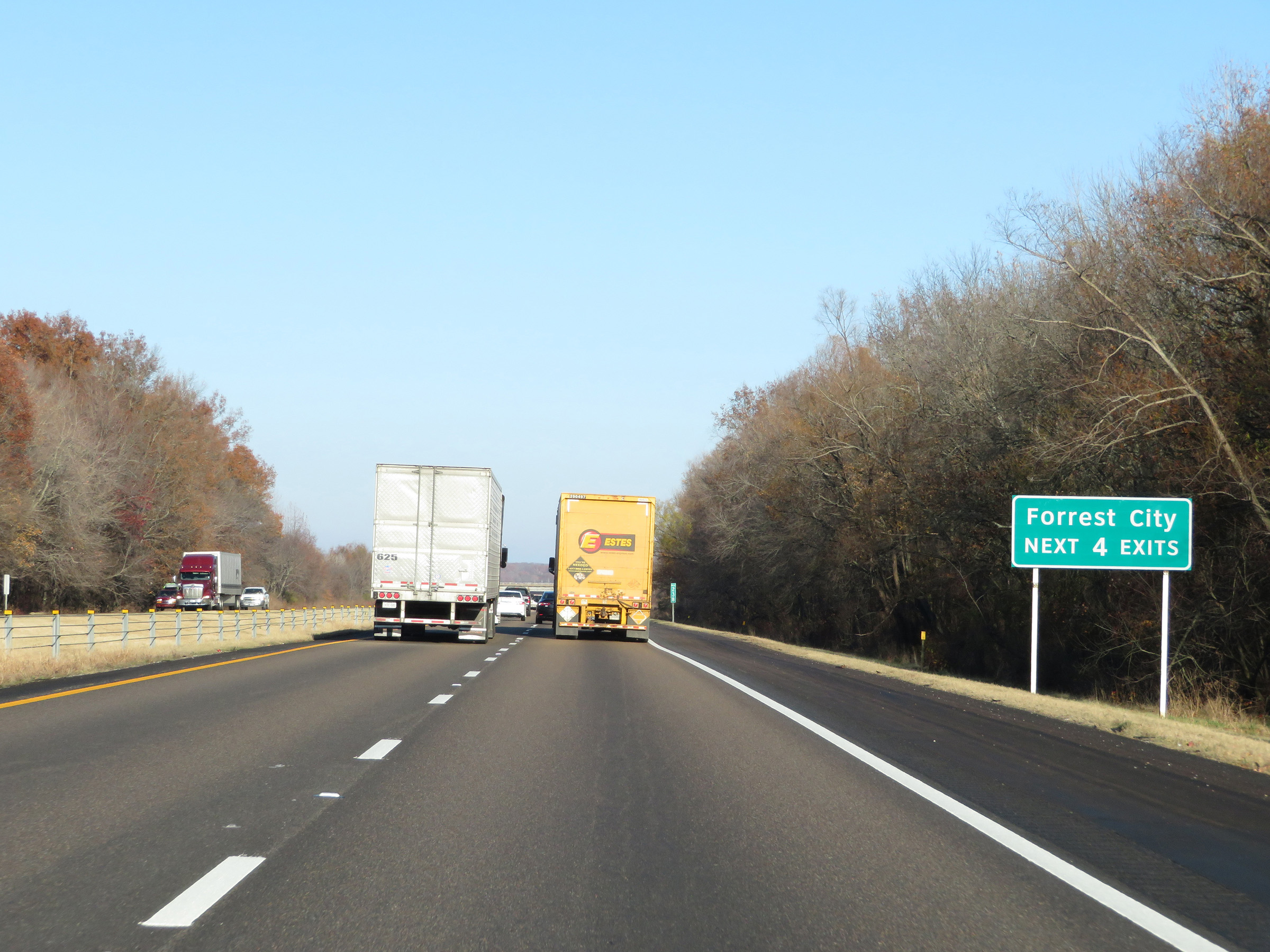 |
Take any of the next 4 exits to Forrest City. (Photo taken 12/12/20). |
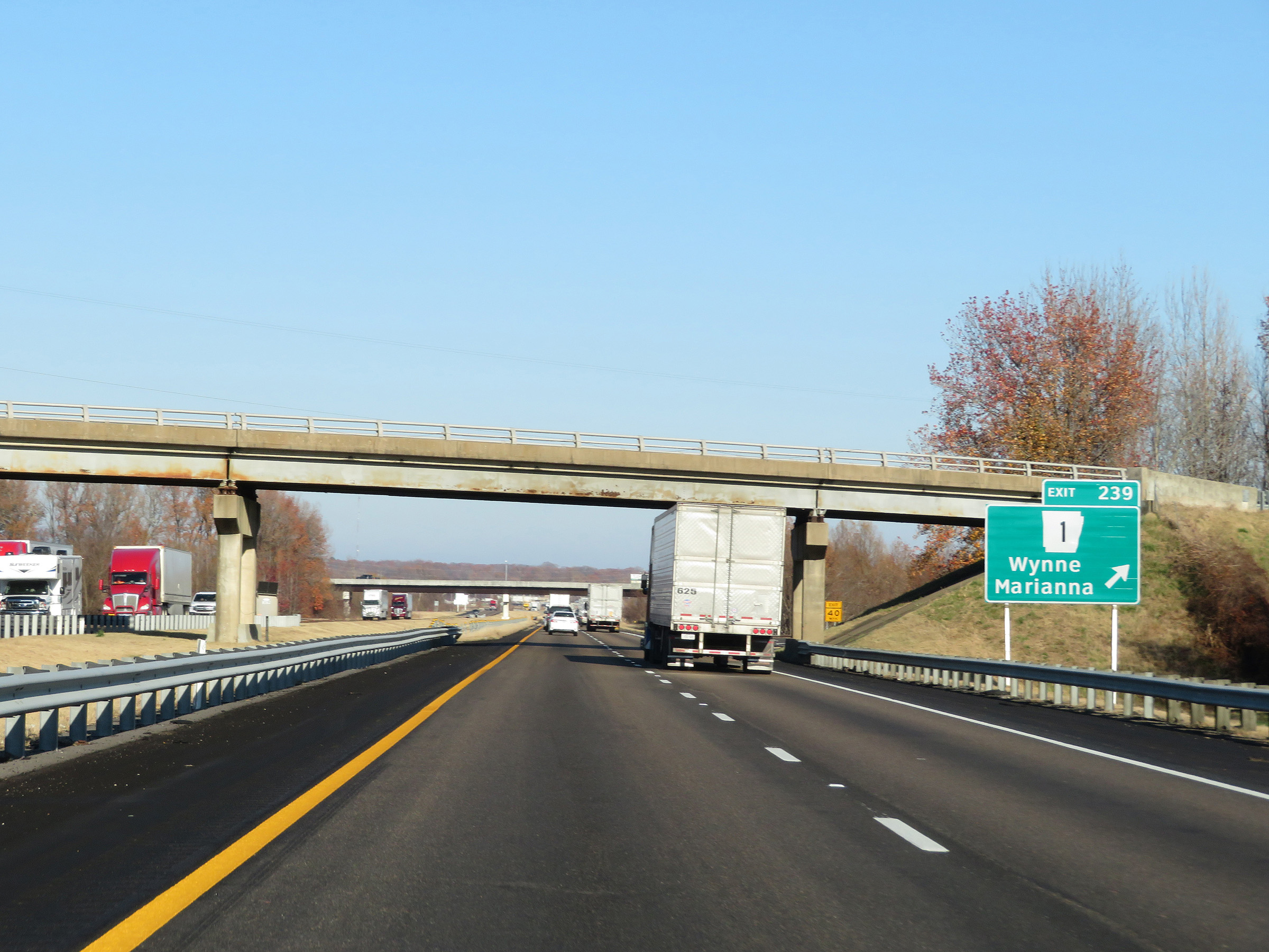 |
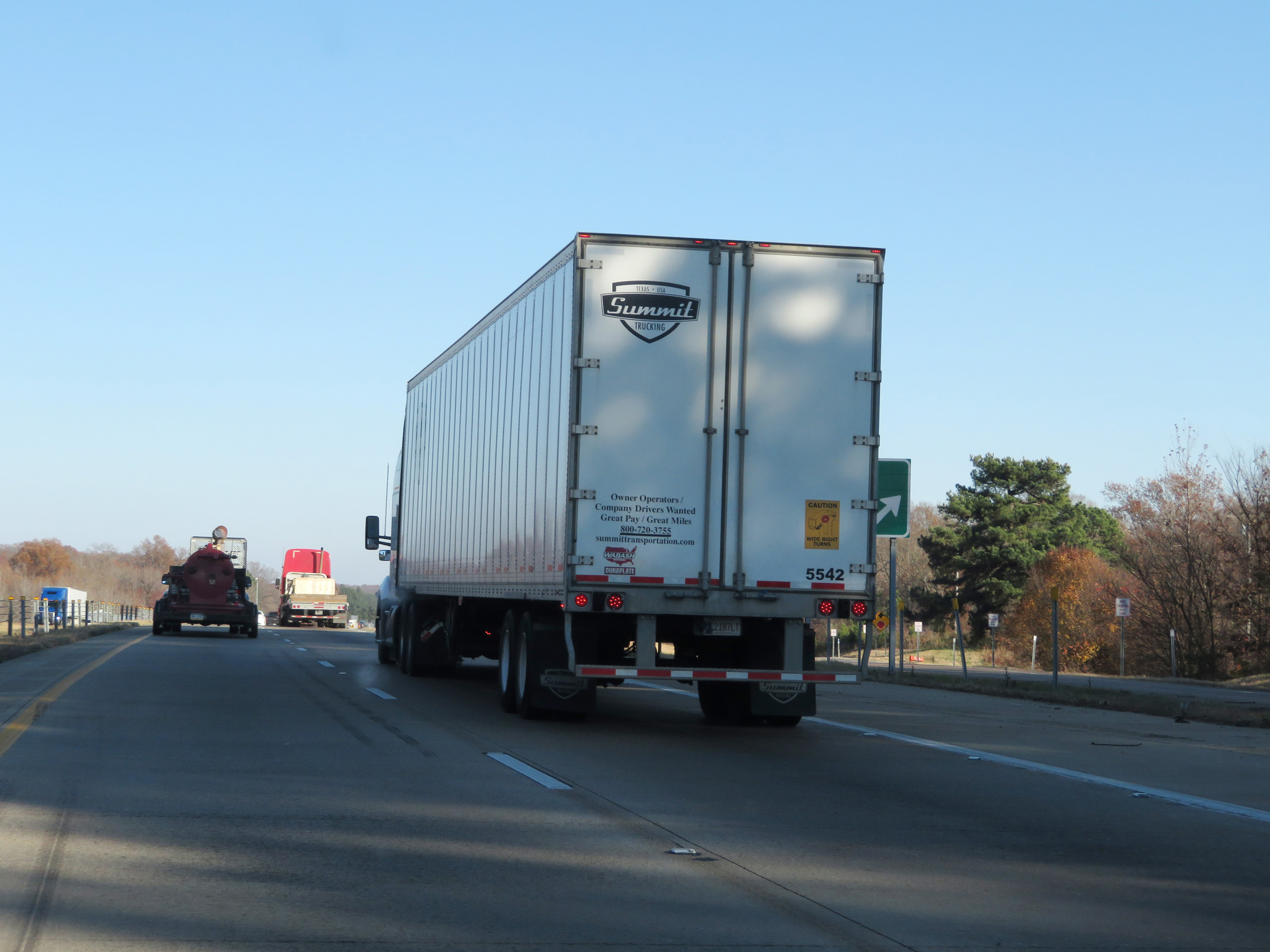
Interstate 40 East at Exit 239: AR 1 - Wynne / Marianna (Photo taken 12/12/20). |
Section 5: Forrest City (Exit 239) to Tennessee Border
 |
Interstate 40 East at Exit 241A: AR 1B South - Forrest City (Photo taken 12/12/20). |
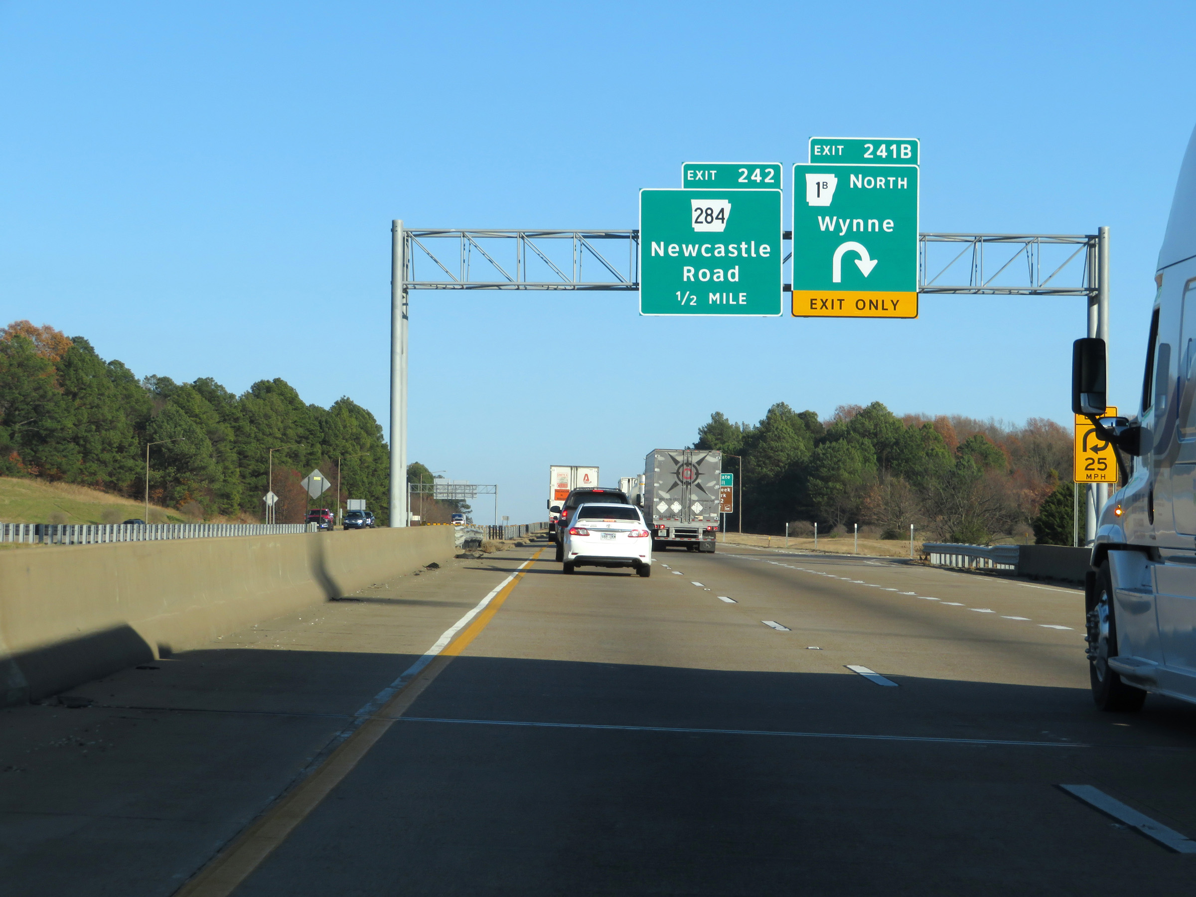 |
Interstate 40 East at Exit 241B: AR 1B North - Wynne (Photo taken 12/12/20). |
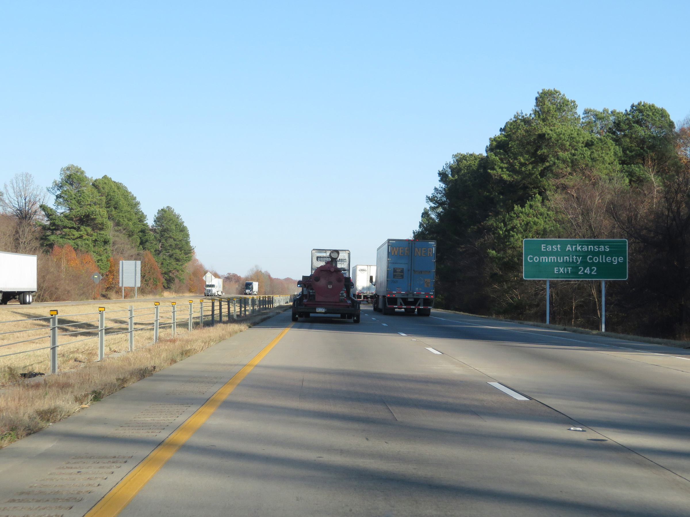 |
Take Exit 242 to East Arkansas Community College. (Photo taken 12/12/20). |
 |
Interstate 40 East at Exit 242: AR 284 - Newcastle Road (Photo taken 12/12/20). |
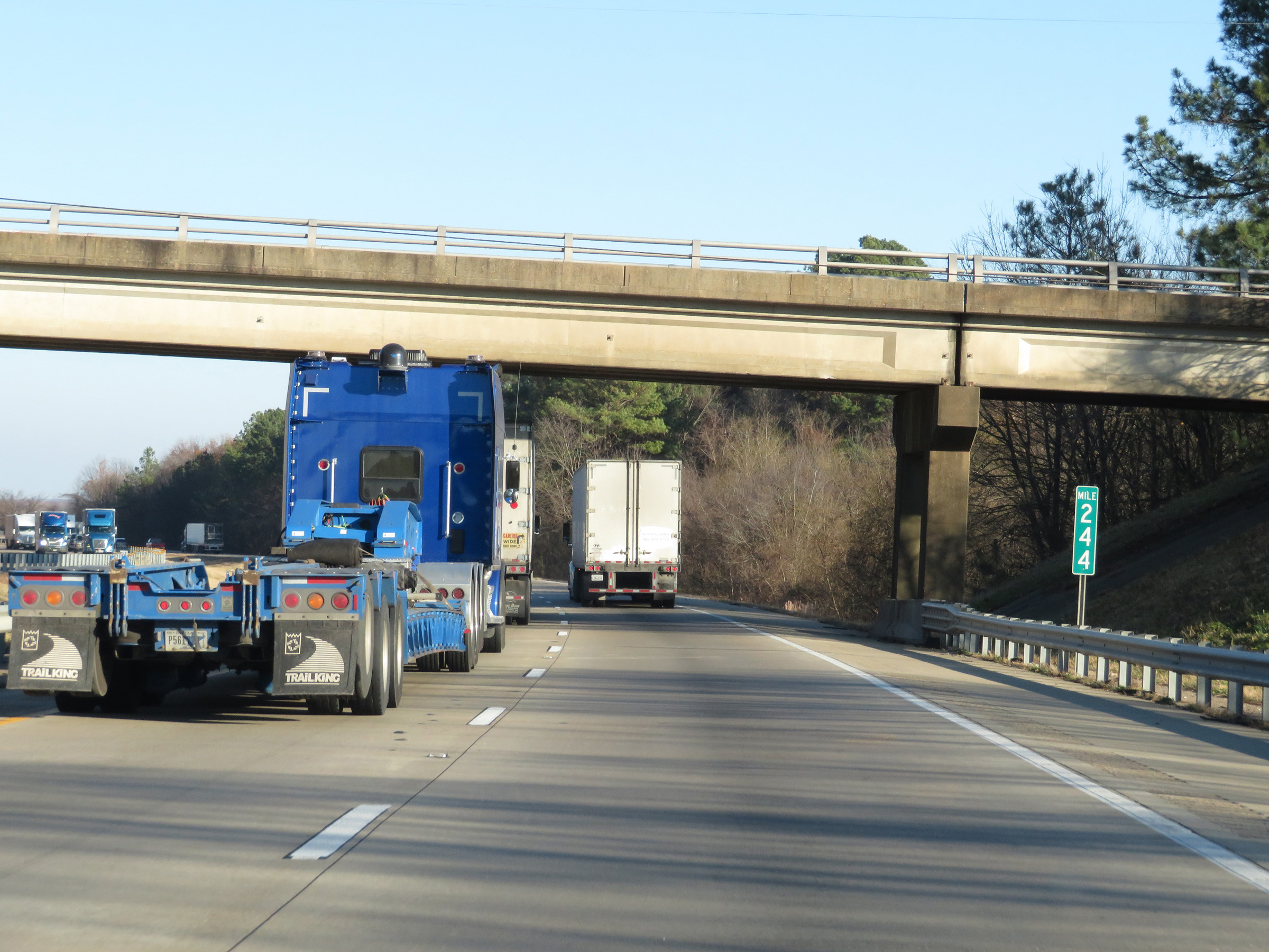 |
Mile marker 244 on Interstate 40 East in St. Francis County. (Photo taken 12/12/20). |
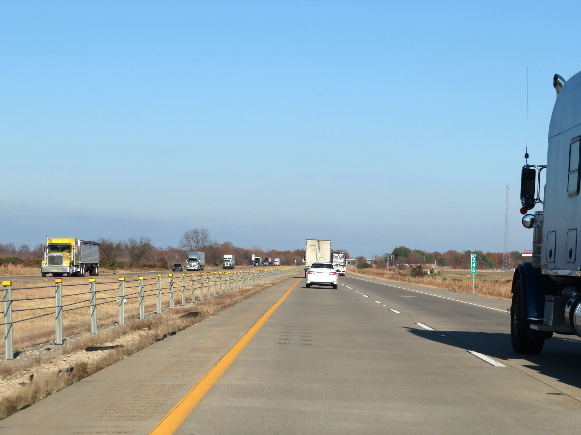 |
View on Interstate 40 East at mile marker 246. (Photo taken 12/12/20). |
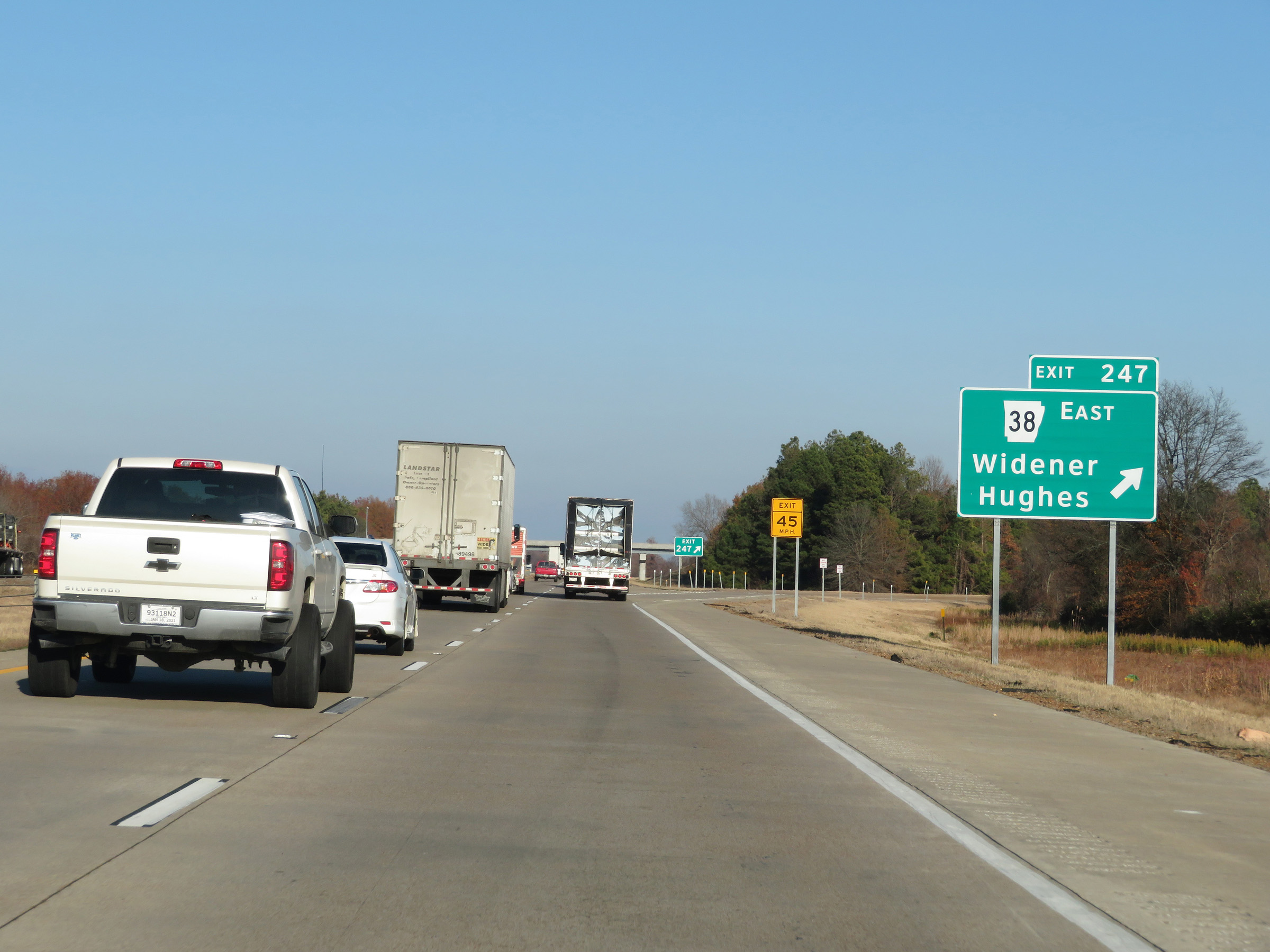 |
Interstate 40 East at Exit 247: AR 38 East - Widener / Hughes (Photo taken 12/12/20). |
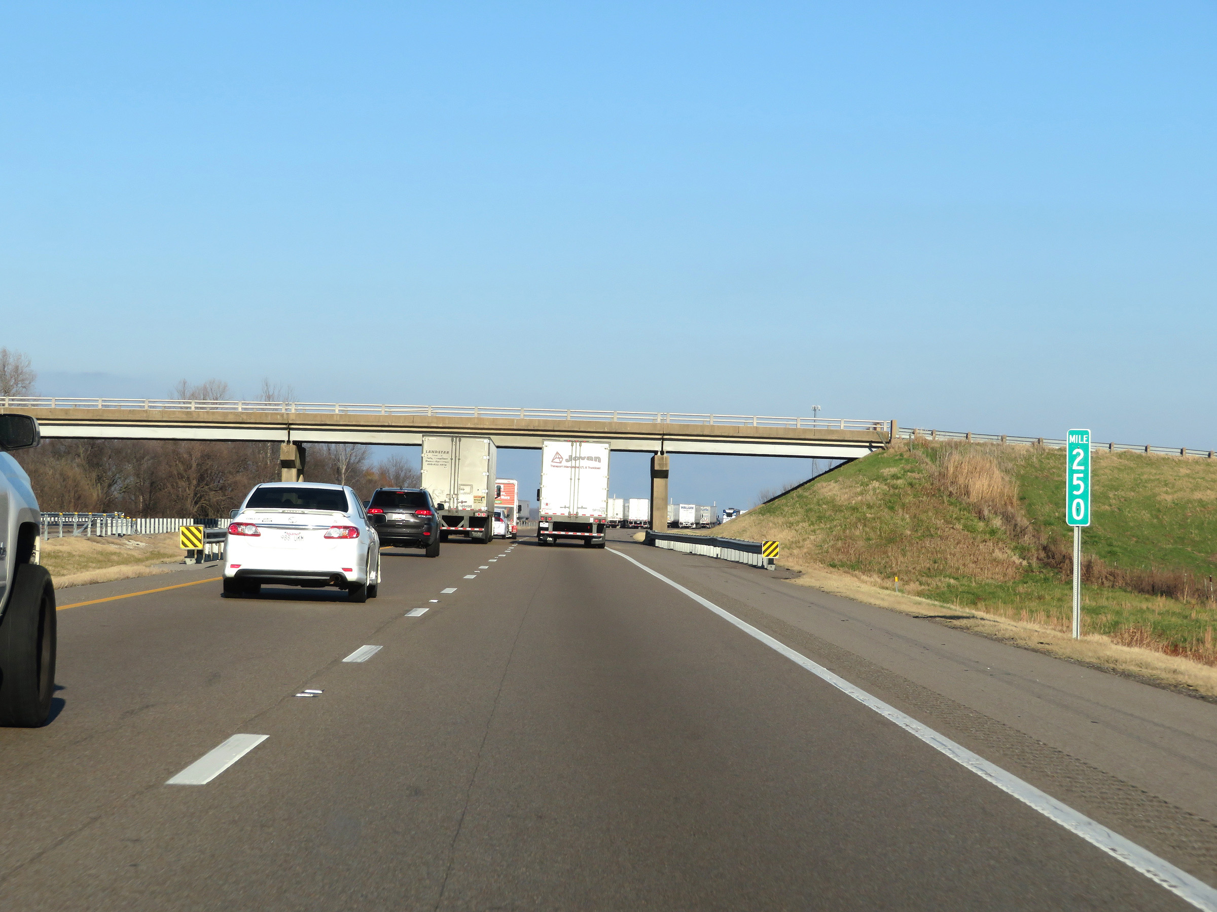 |
Interstate 40 East at mile marker 250. (Photo taken 12/12/20). |
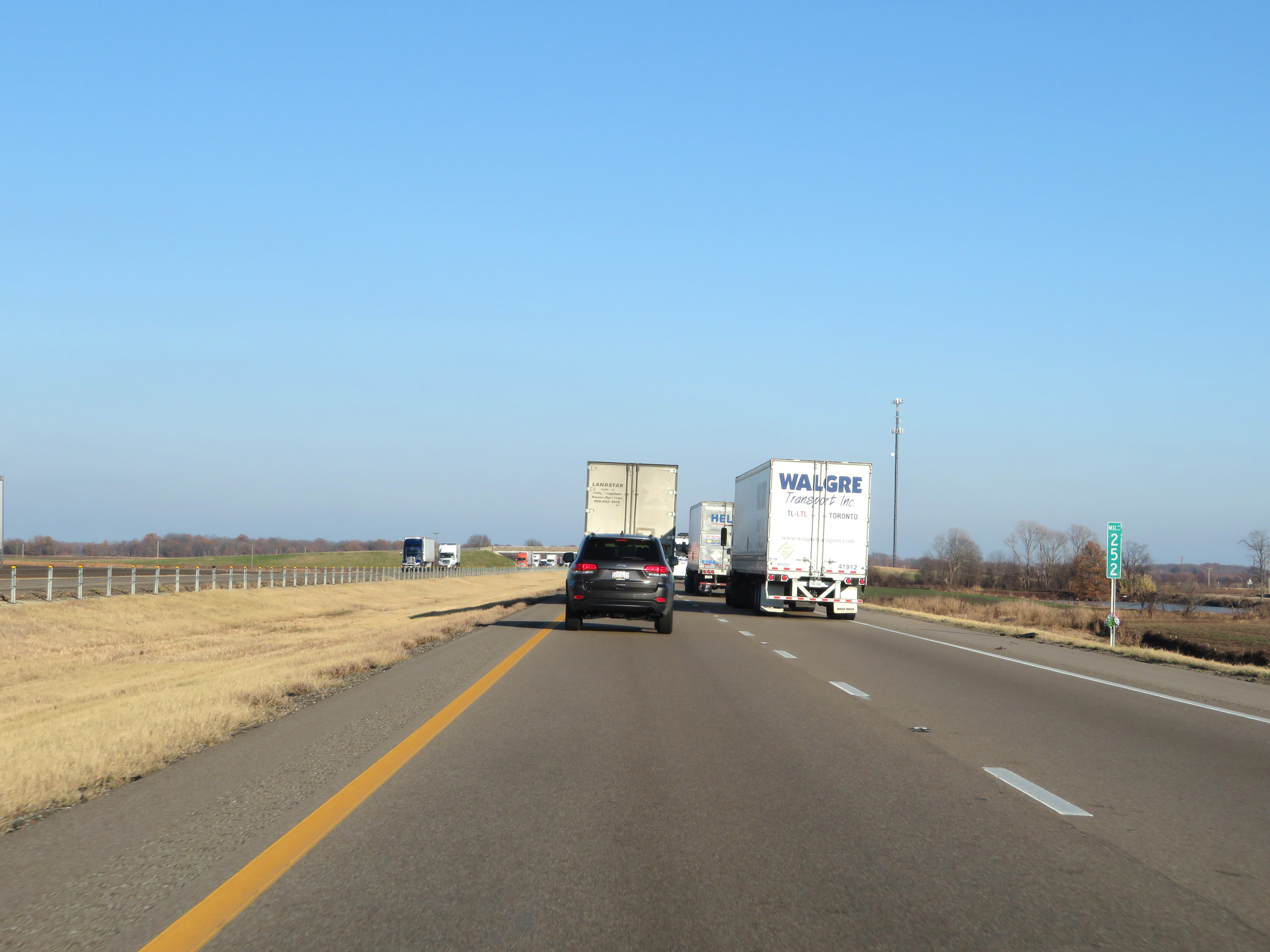 |
View on Interstate 40 East at mile marker 252. (Photo taken 12/12/20). |
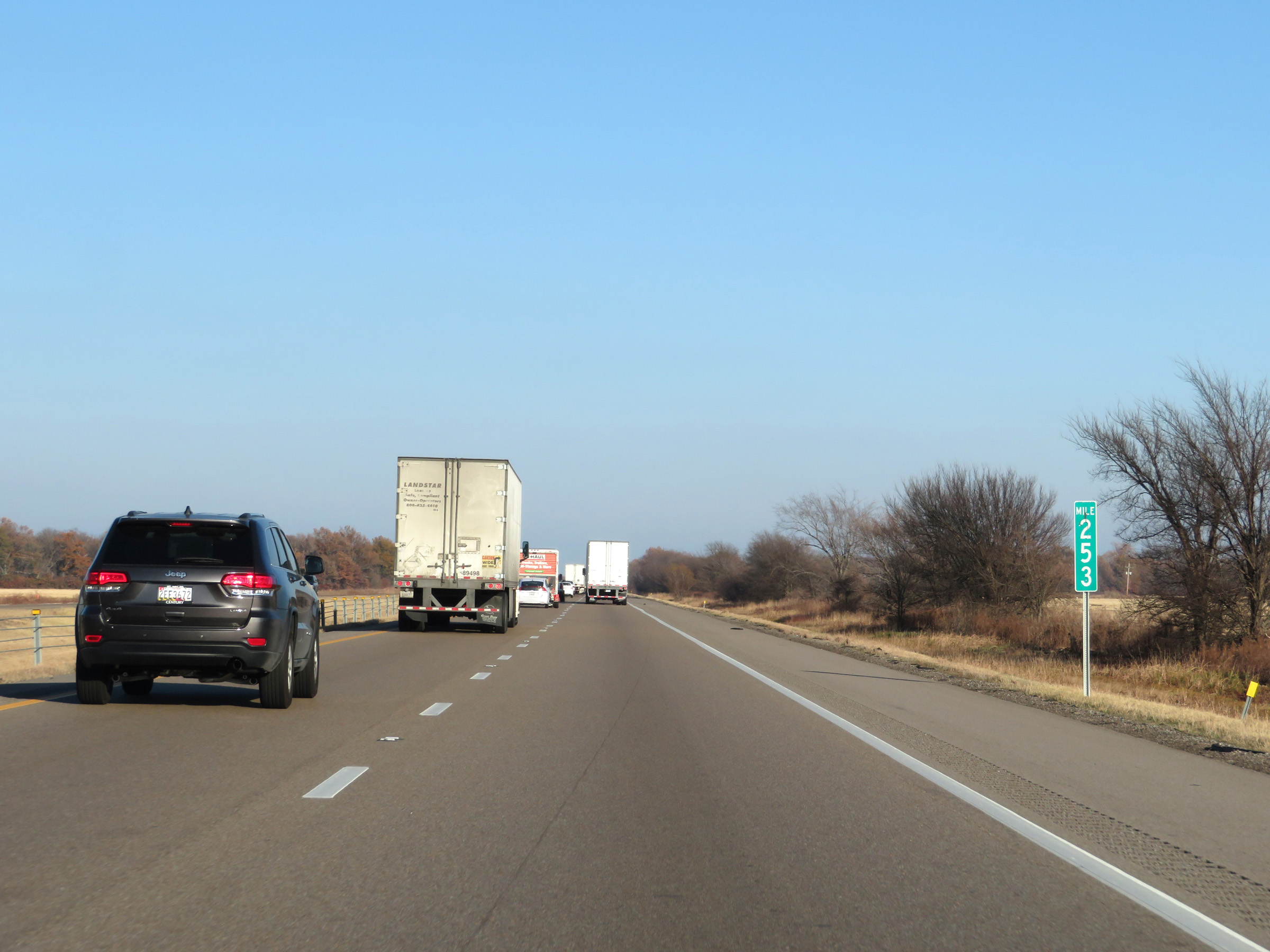 |
Interstate 40 East at mile marker 253. (Photo taken 12/12/20). |
 |
Mile marker 255 on Interstate 40 East in St. Francis County. (Photo taken 12/12/20). |
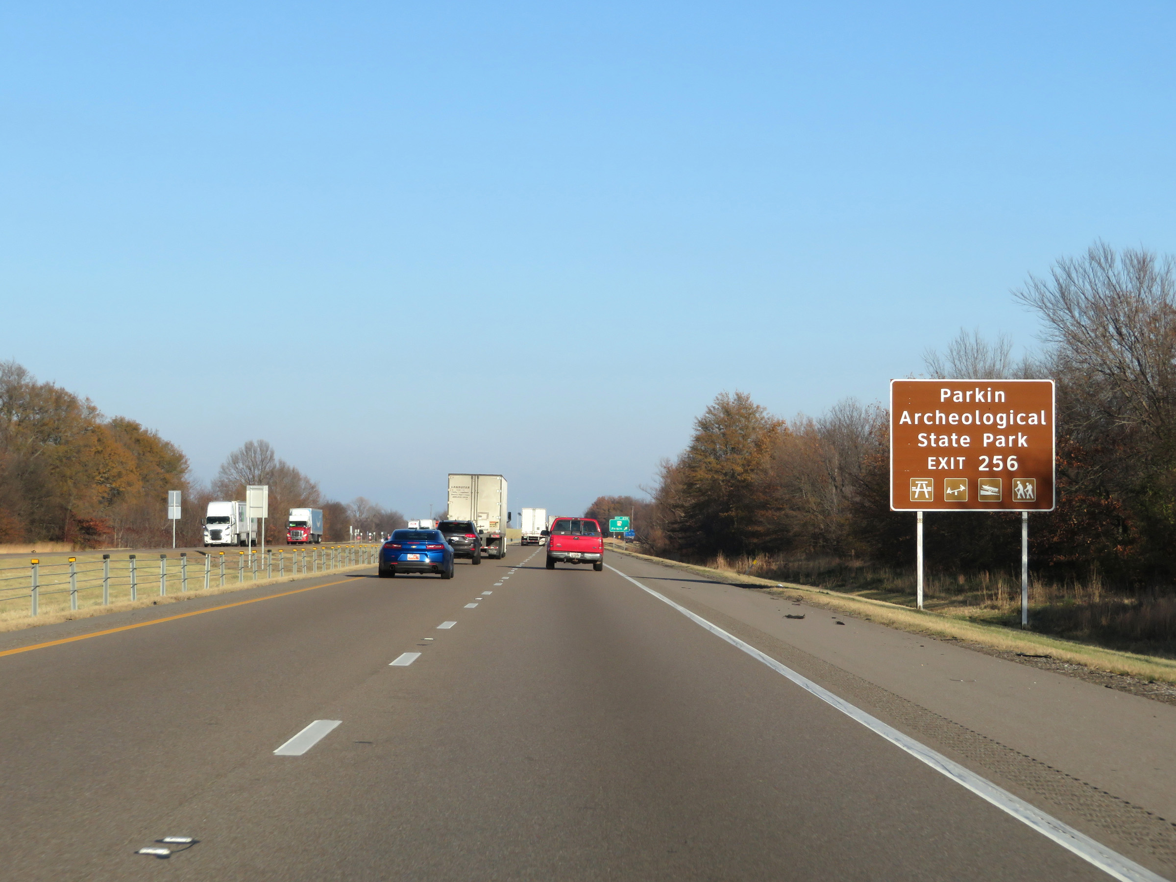 |
Take Exit 256 to Parkin Archeological State Park. (Photo taken 12/12/20). |
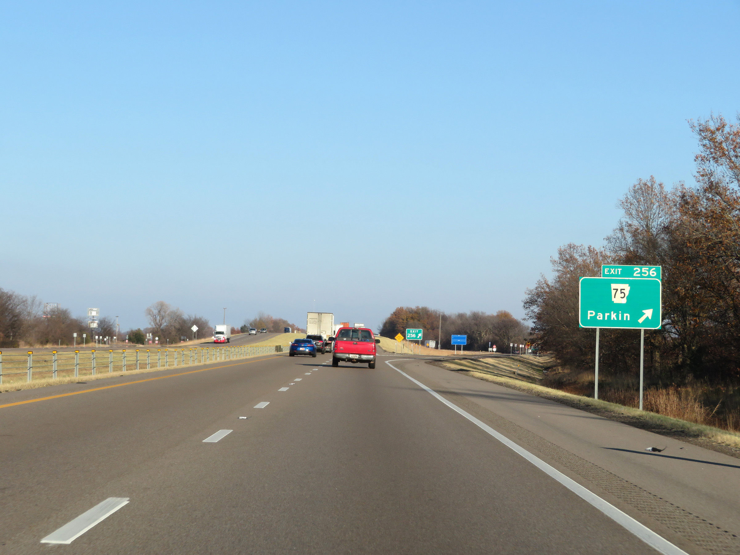 |
Interstate 40 East at Exit 256: AR 75 - Parkin (Photo taken 12/12/20). |
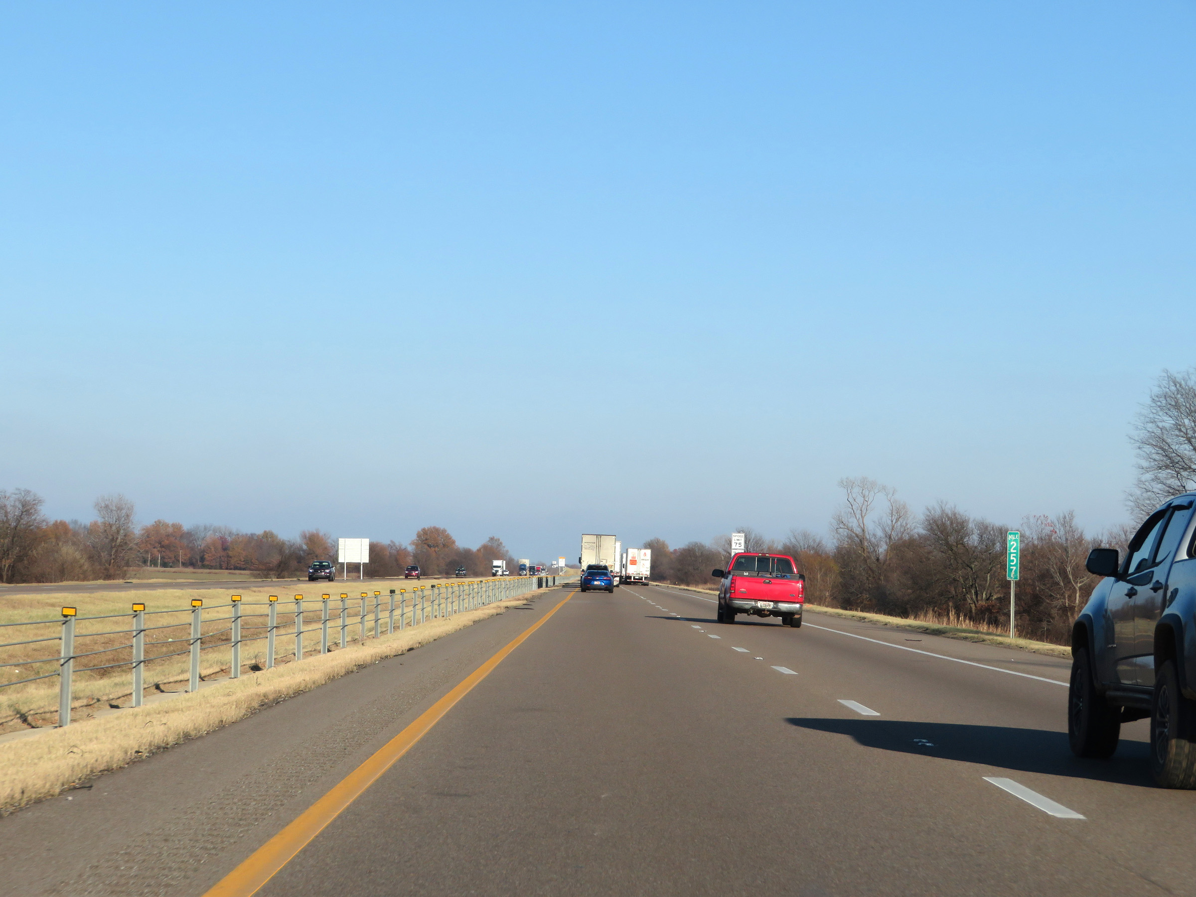 |
View on Interstate 40 East at mile marker 257. (Photo taken 12/12/20). |
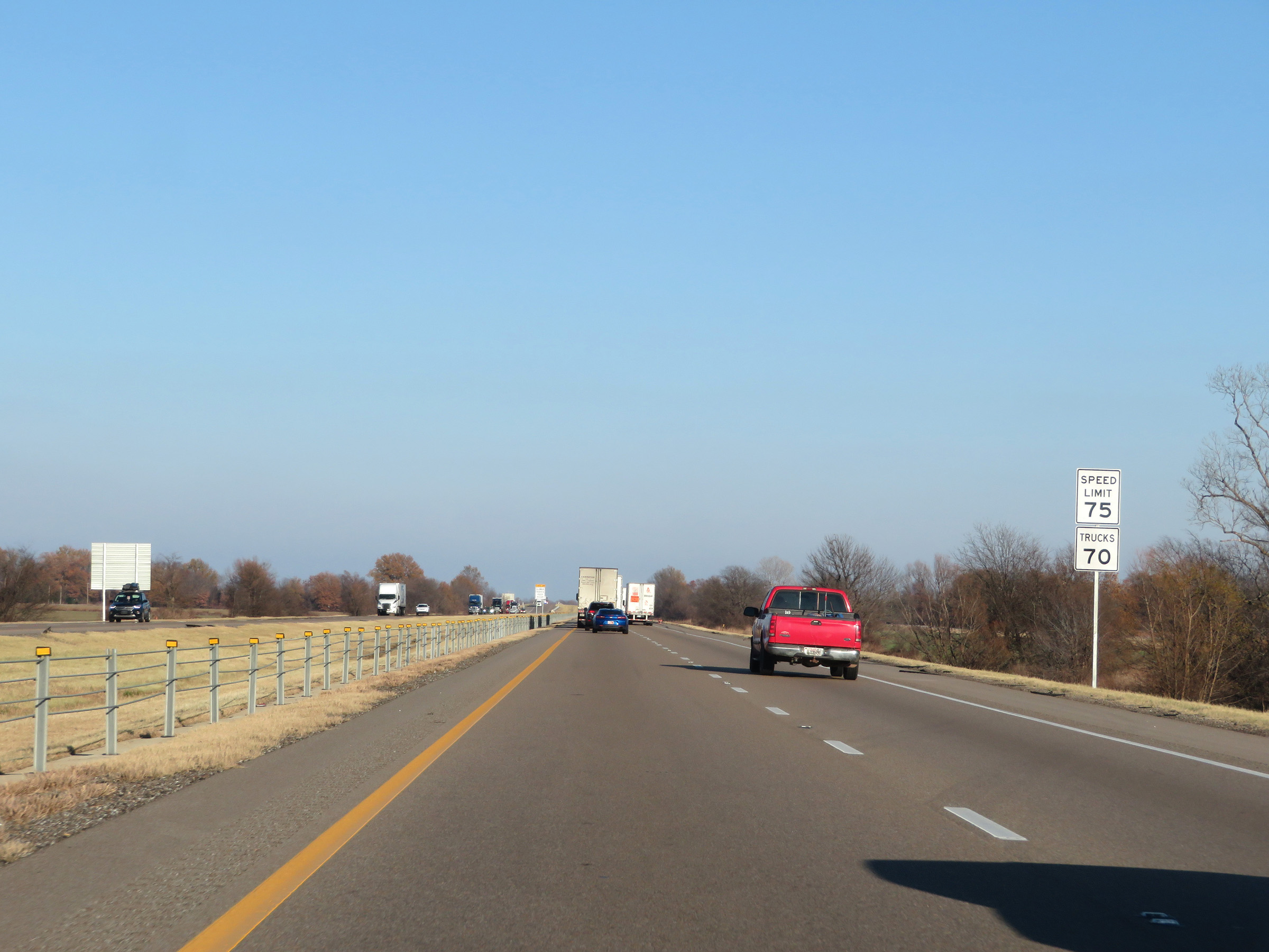 |
The speed limits remain the rural standard 75 mph for automobiles and 70 mph for trucks. (Photo taken 12/12/20). |
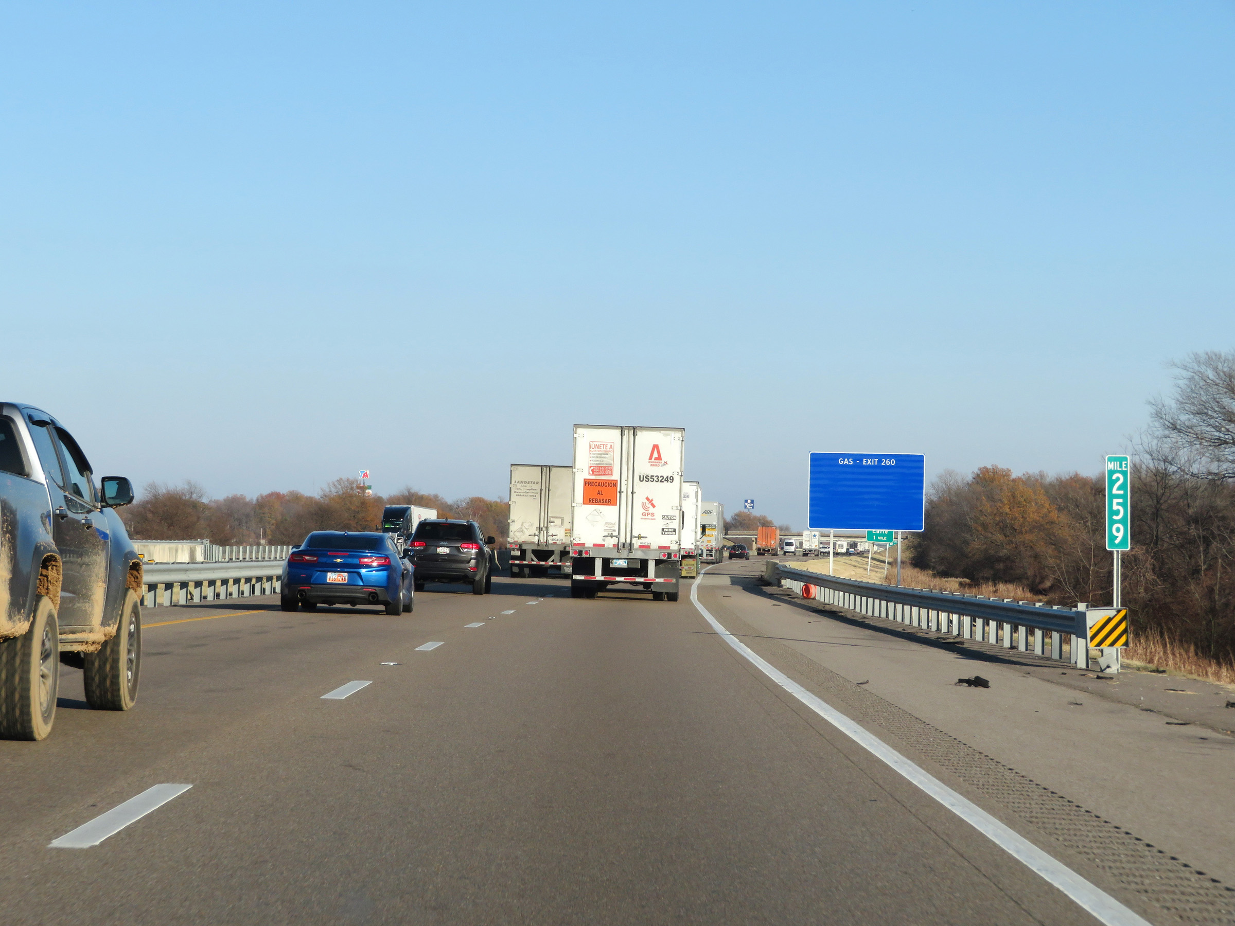 |
Interstate 40 East at mile marker 259. (Photo taken 12/12/20). |
 |
Interstate 40 East at Exit 260: AR 149 - Earle (Photo taken 12/12/20). |
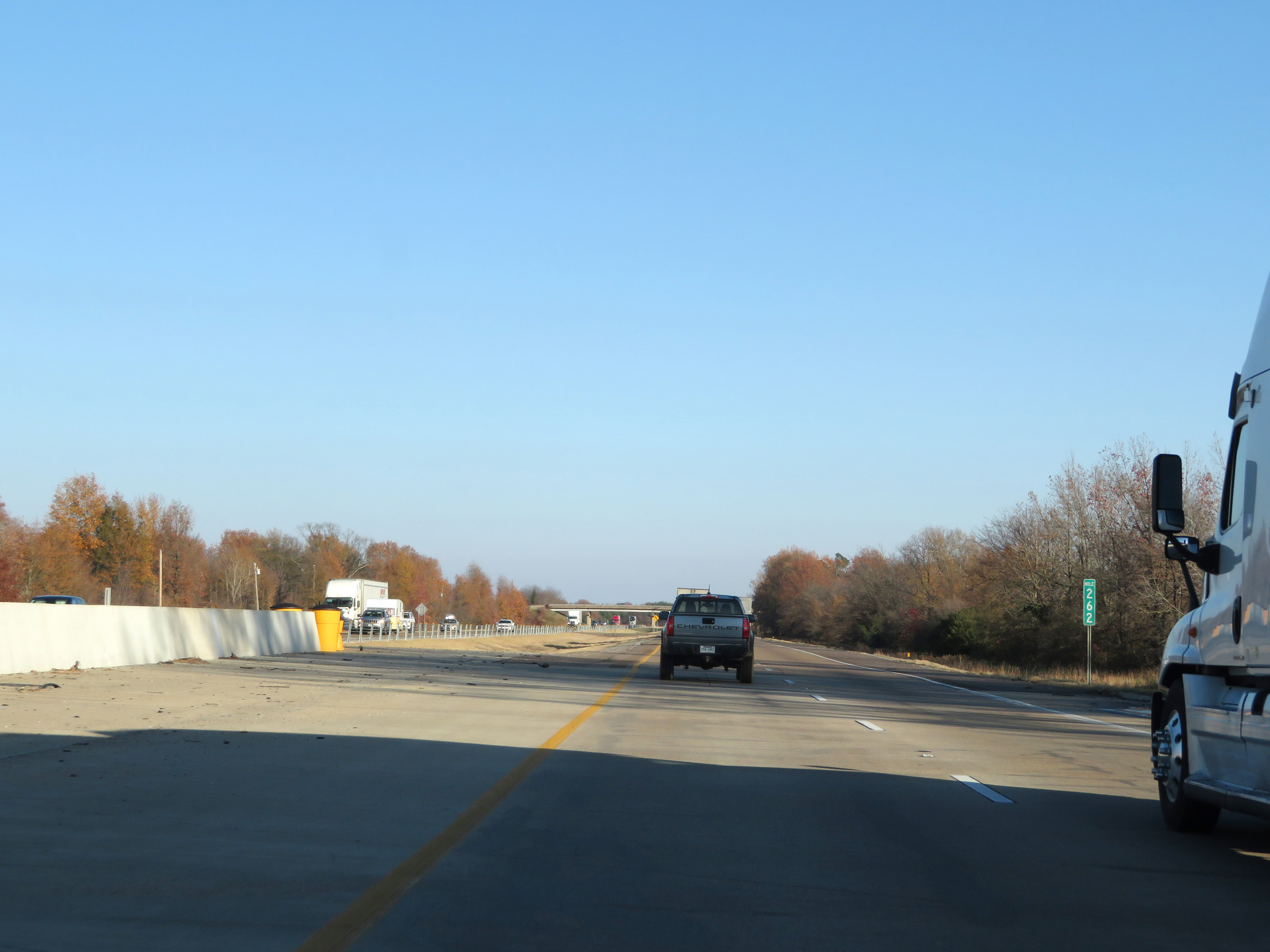 |
View on Interstate 40 East at mile marker 262. (Photo taken 12/12/20). |
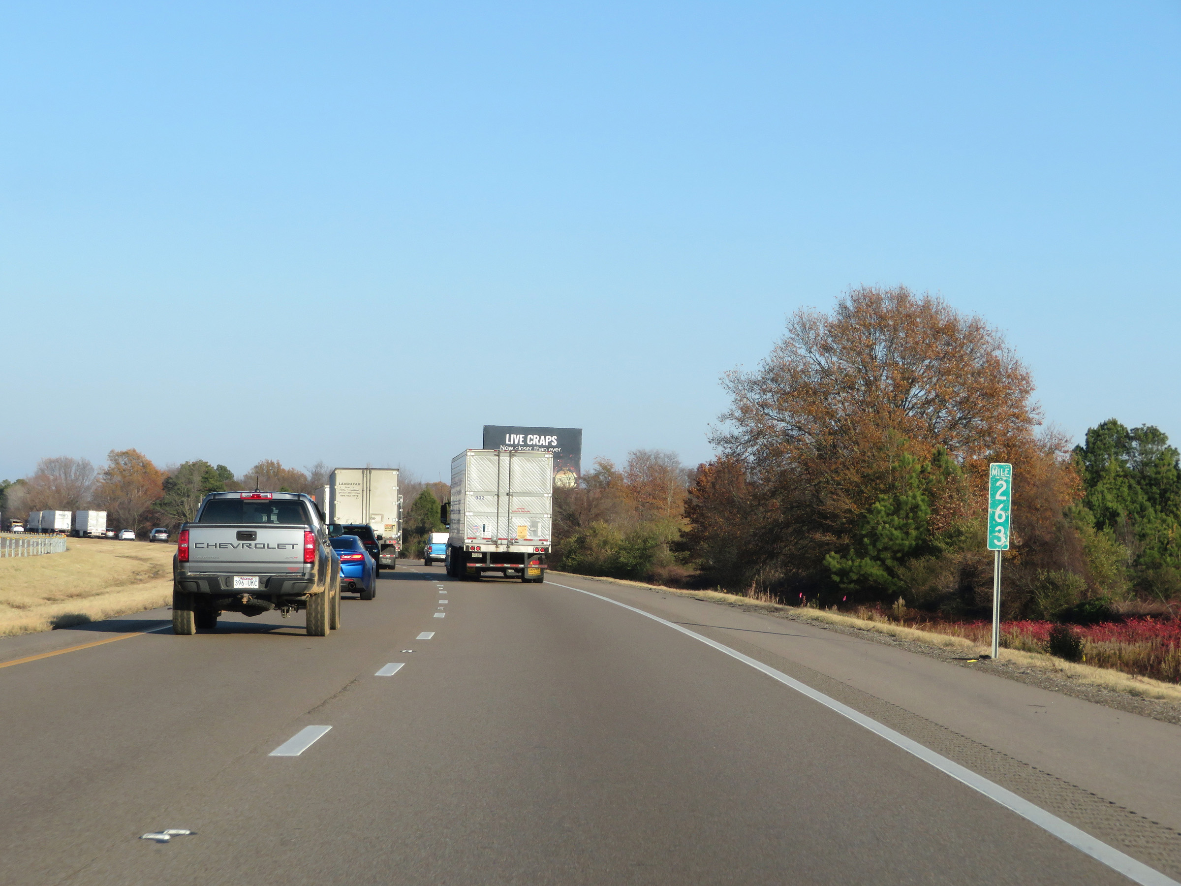 |
Mile marker 263 on Interstate 40 East in St. Francis County. (Photo taken 12/12/20). |
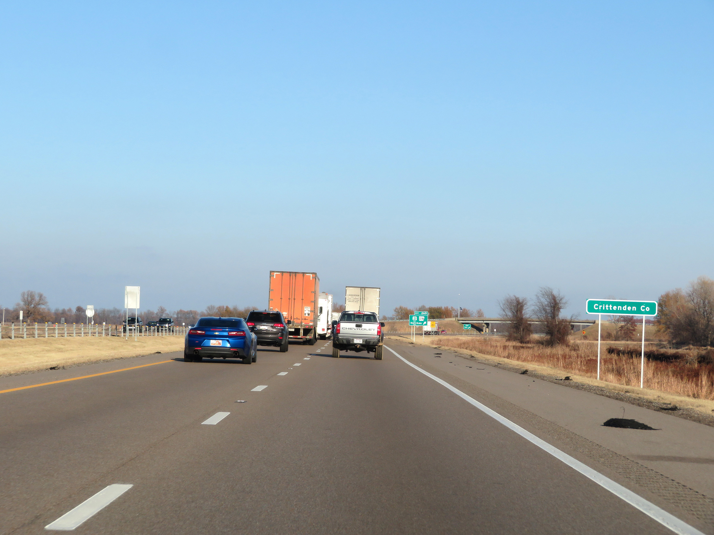 |
Interstate 40 East as it enters Crittenden County. (Photo taken 12/12/20). |
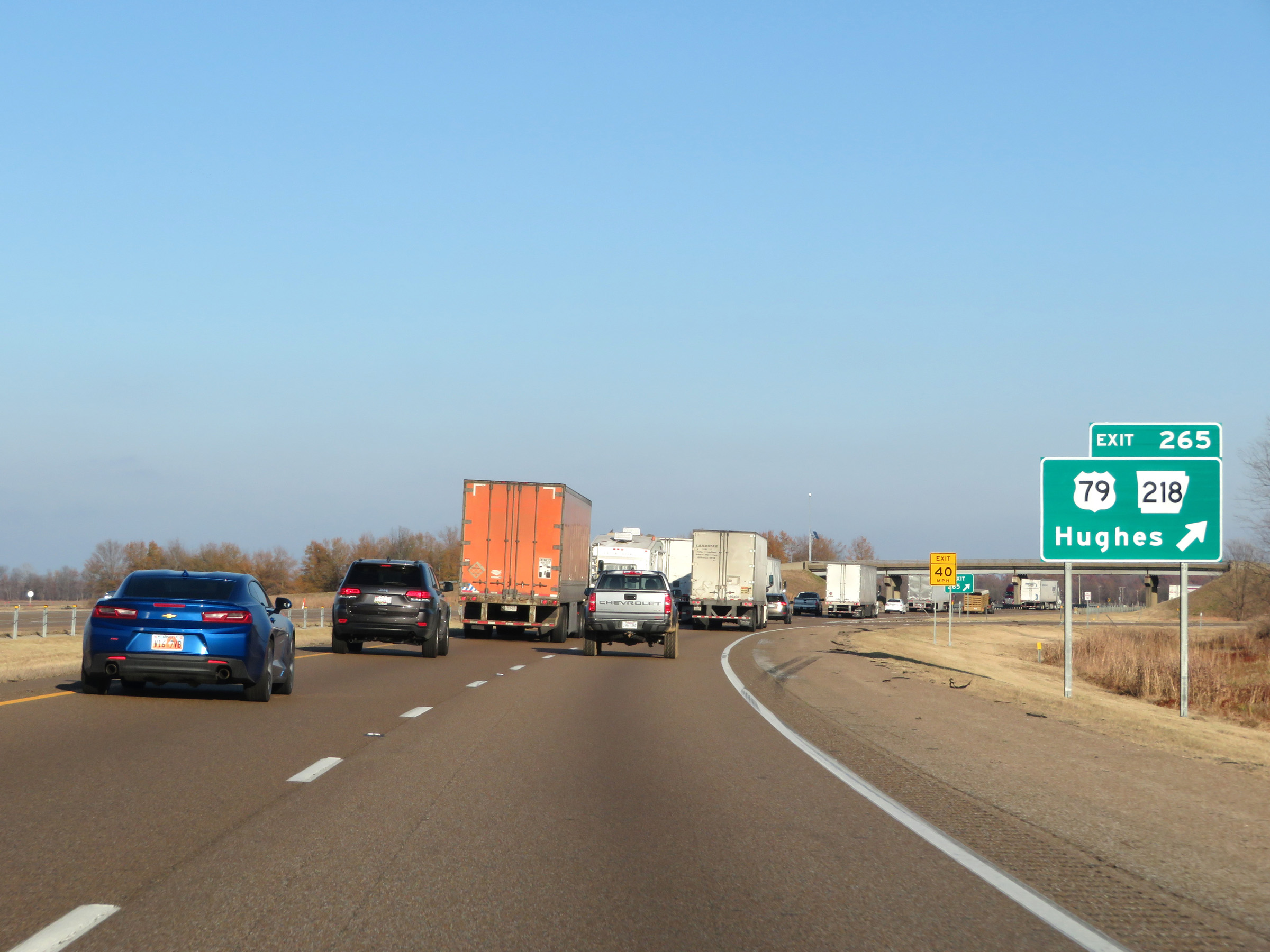 |
Interstate 40 East at Exit 265: US 79 / AR 218 - Hughes (Photo taken 12/12/20). |
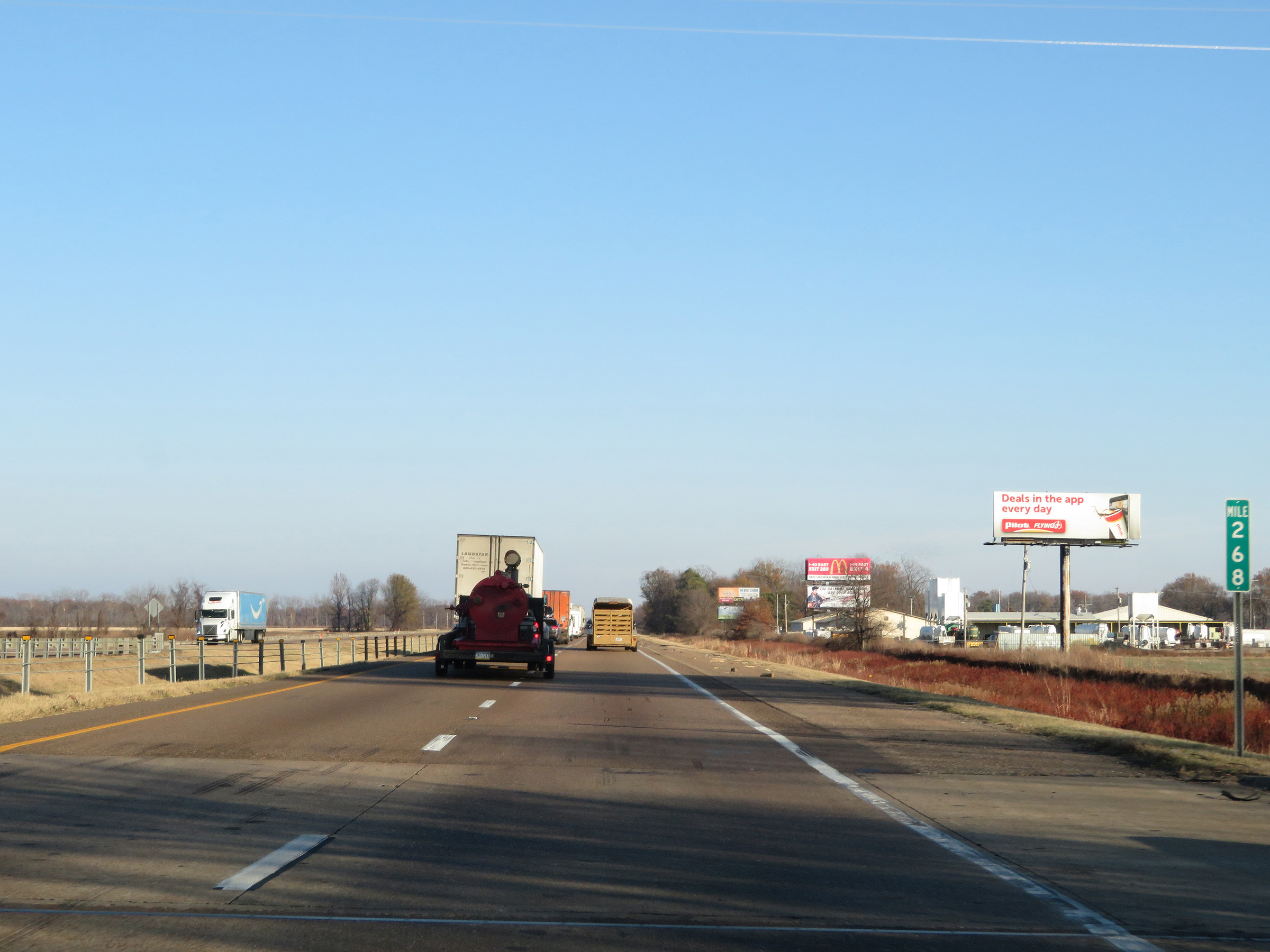 |
View on Interstate 40 East at mile marker 268. (Photo taken 12/12/20). |
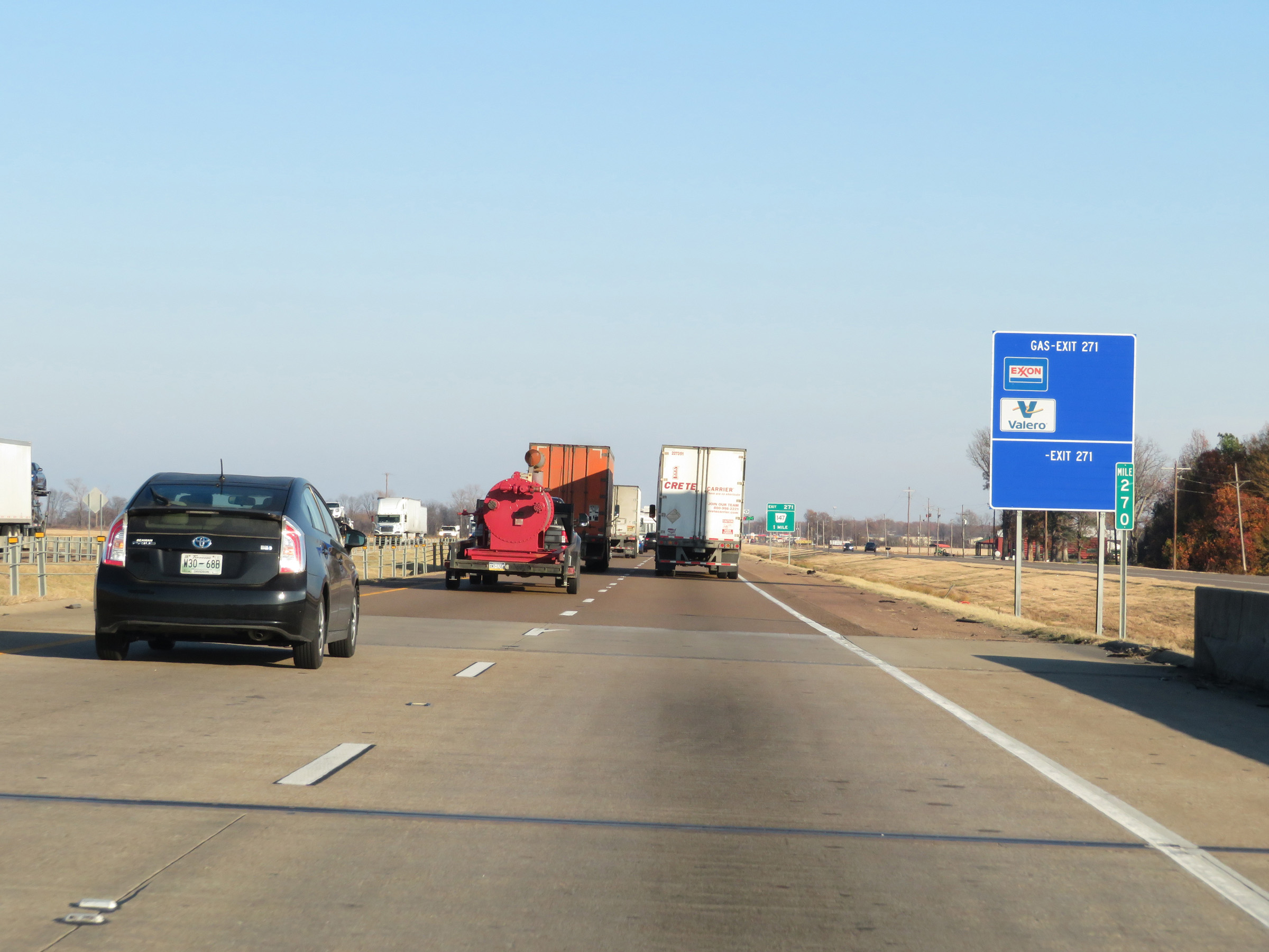 |
Interstate 40 East at mile marker 270. (Photo taken 12/12/20). |
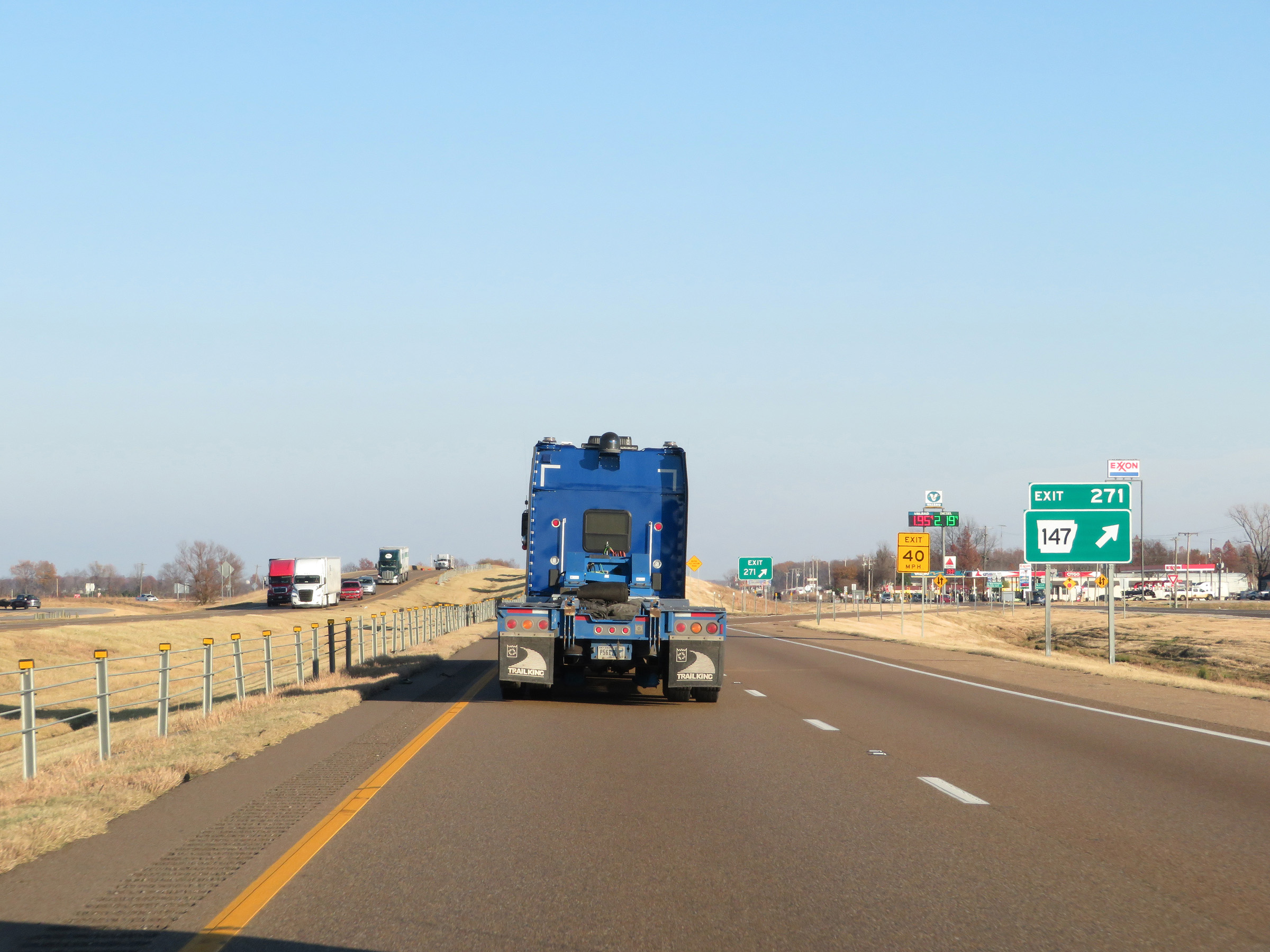 |
Interstate 40 East at Exit 271: AR 147 (Photo taken 12/12/20). |
 |
Interstate 40 East reassurance shield. (Photo taken 12/12/20). |
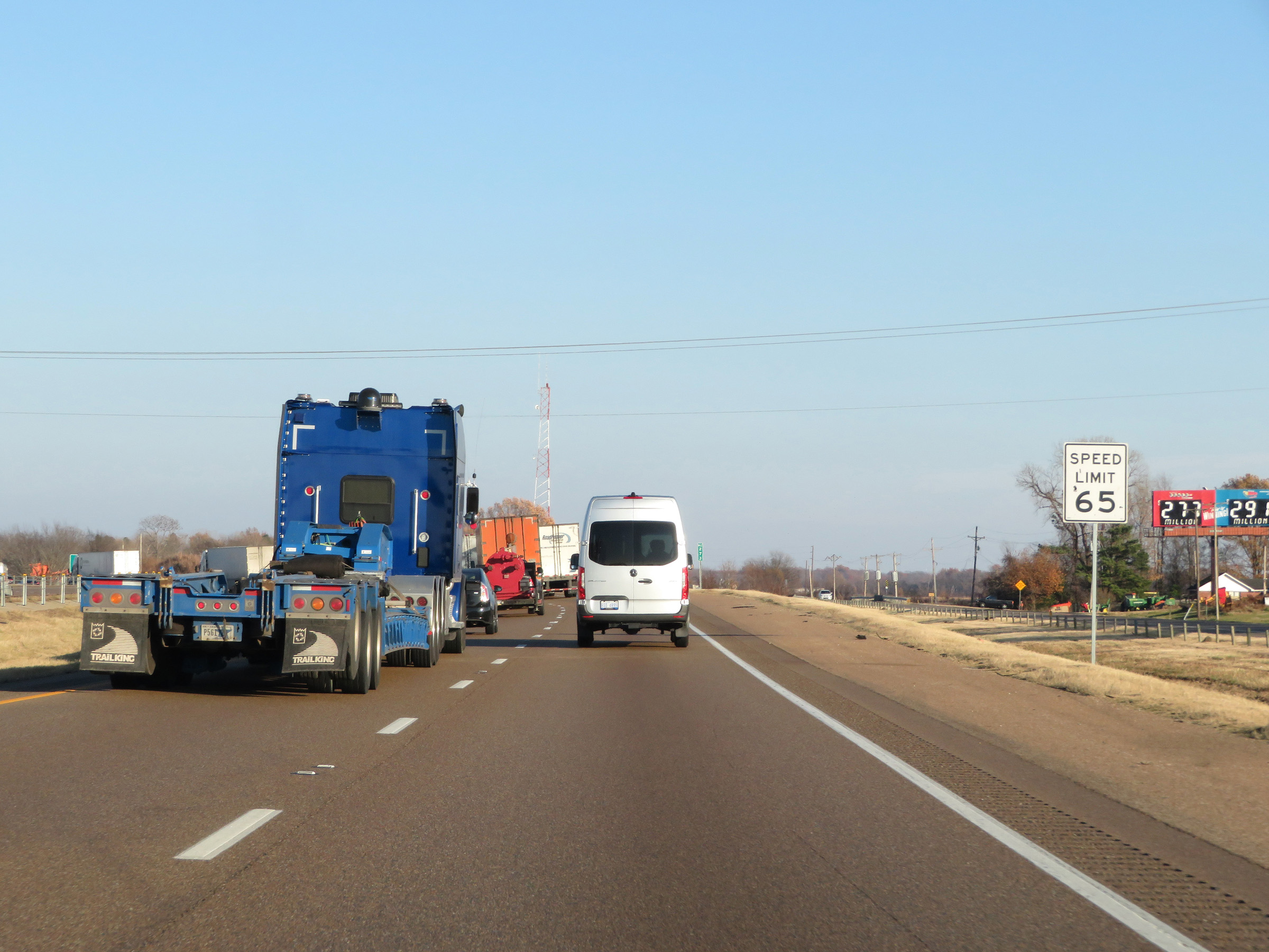 |
Approaching mile marker 273, the speed limit decreases to 65 mph for all traffic as Interstate 40 East nears the West Memphis area. (Photo taken 12/12/20). |
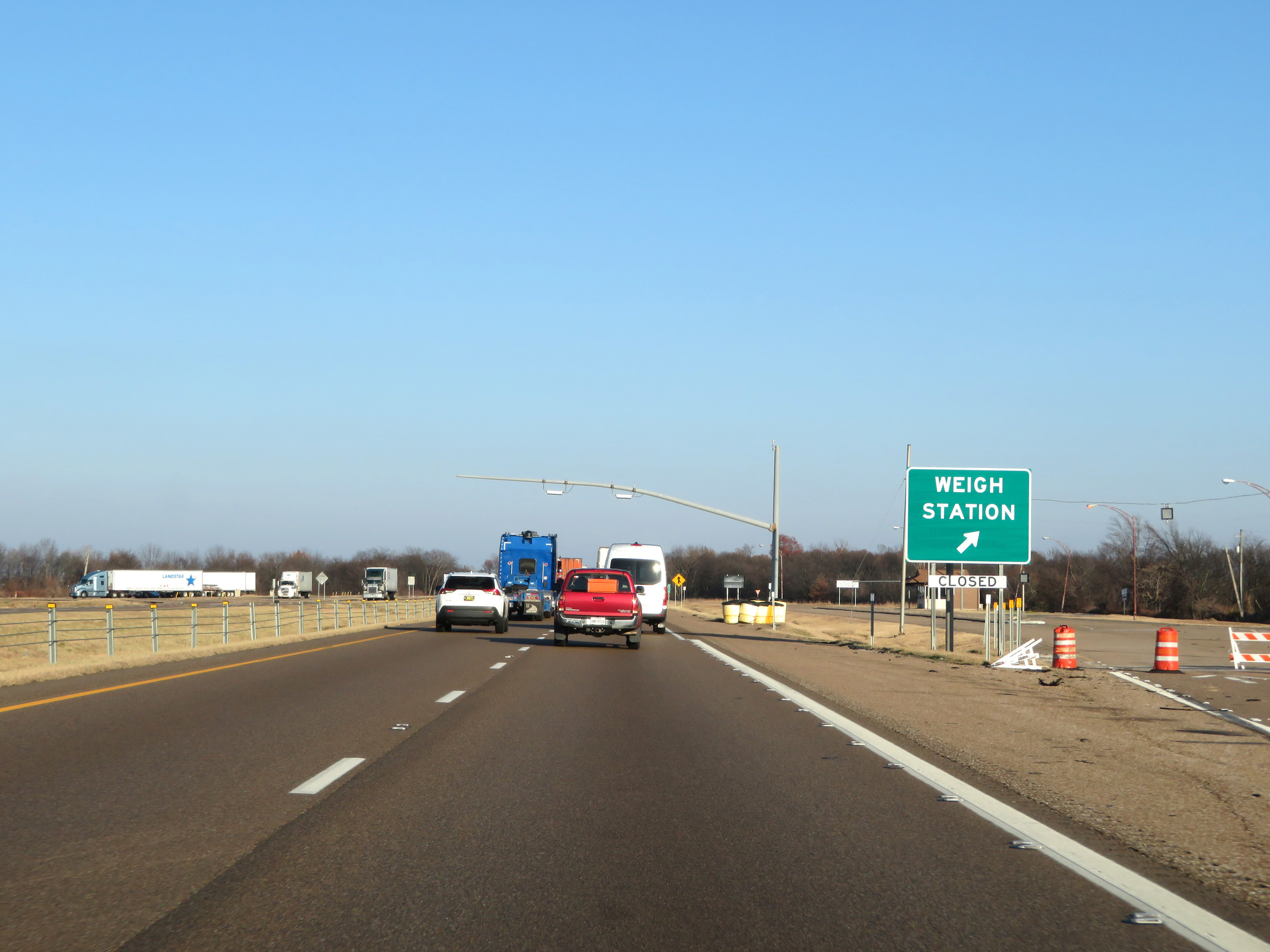 |
Weigh Station on Interstate 40 East in Crittenden County. (Photo taken 12/12/20). |
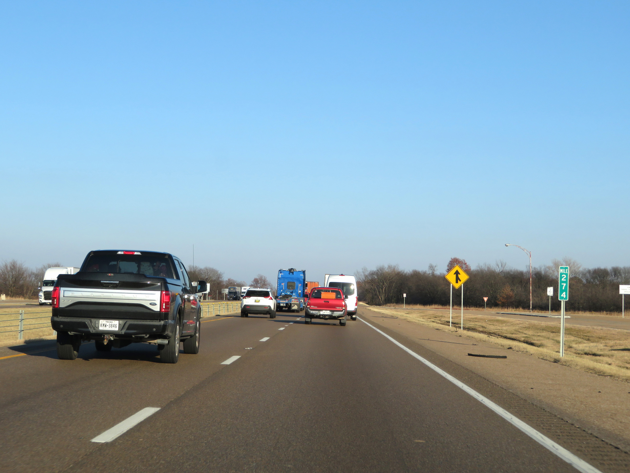 |
Interstate 40 East at mile marker 274. (Photo taken 12/12/20). |
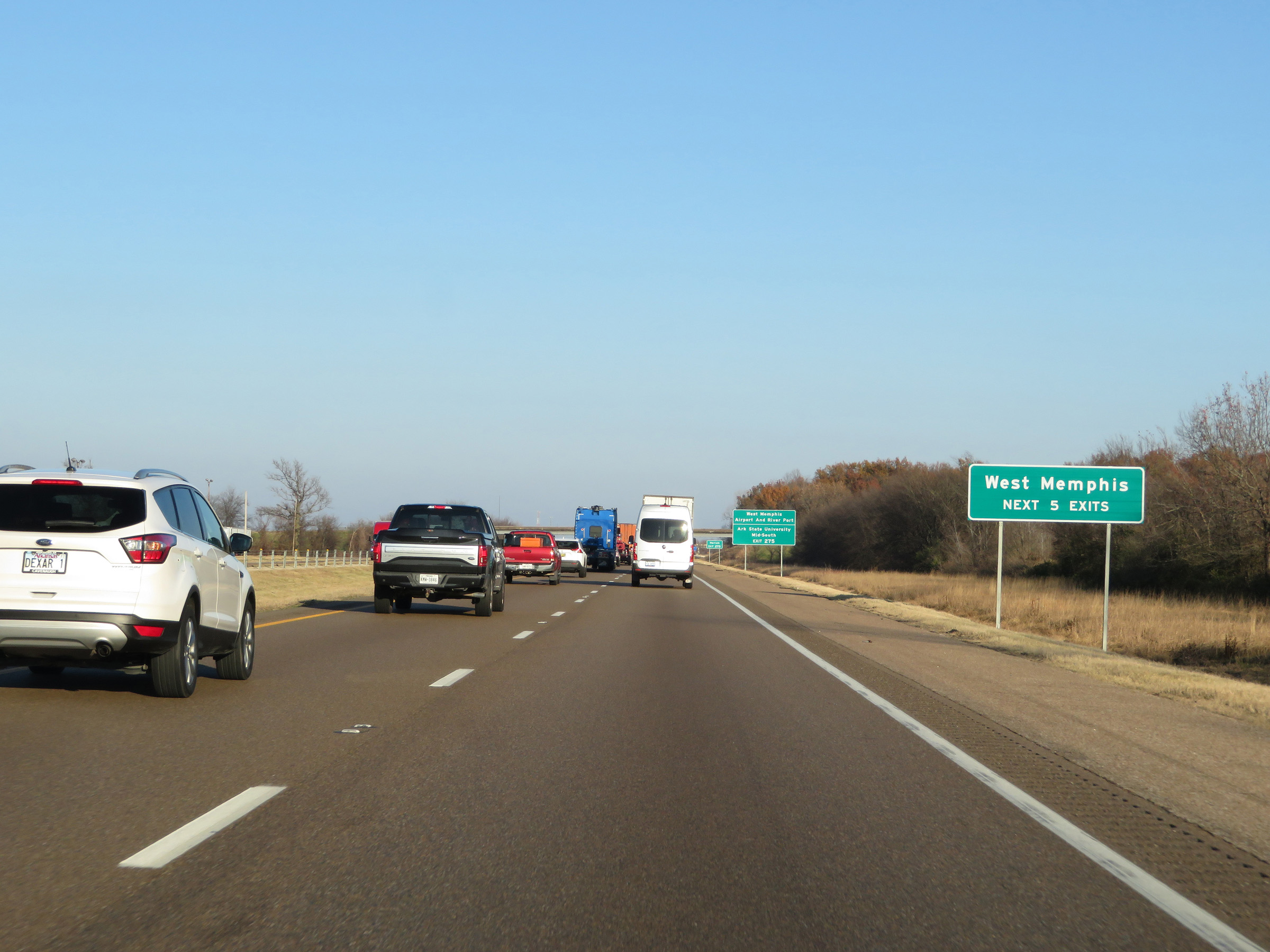 |
Take any of the next 5 exits to West Memphis. (Photo taken 12/12/20). |
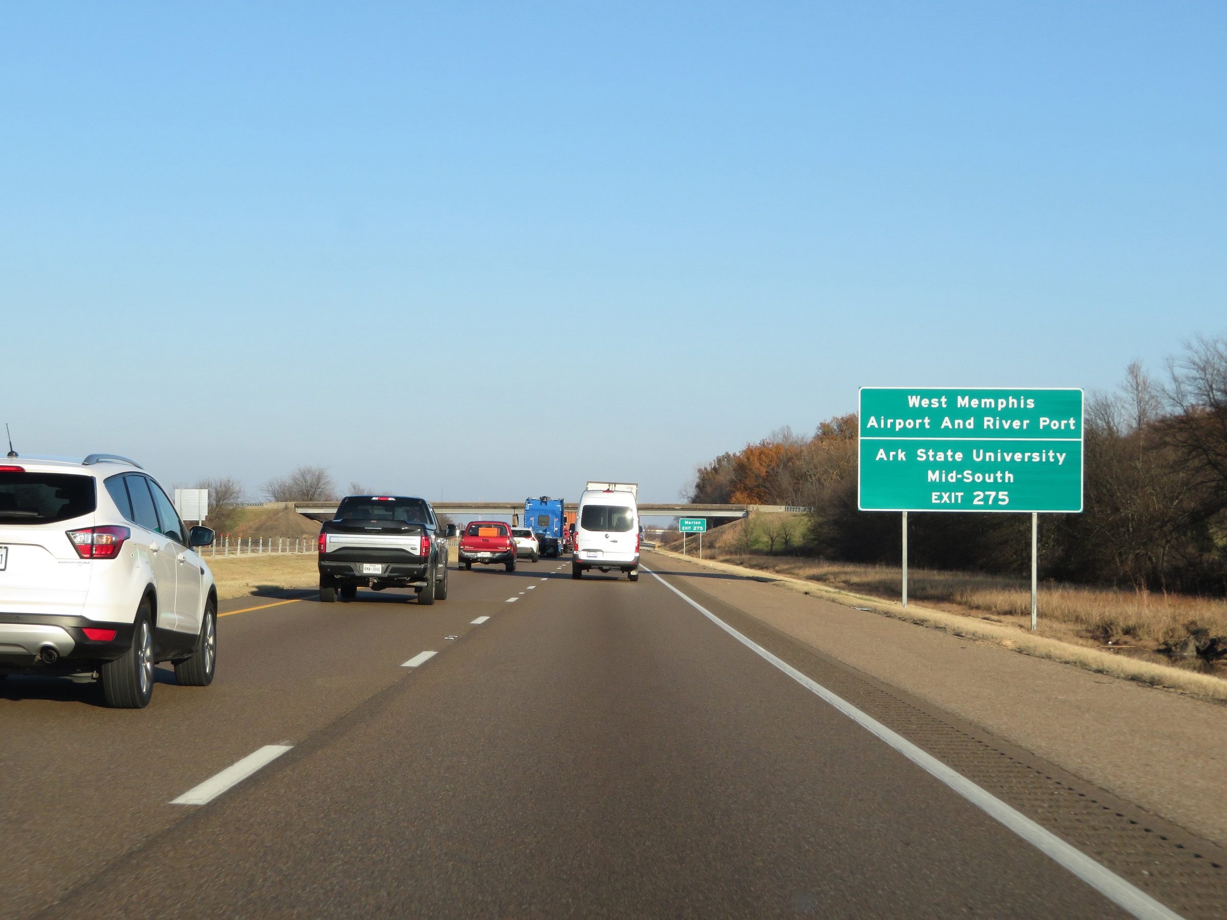 |
Take Exit 275 to West Memphis Airport and River Port, as well as Arkansas State University Mid-South. (Photo taken 12/12/20). |
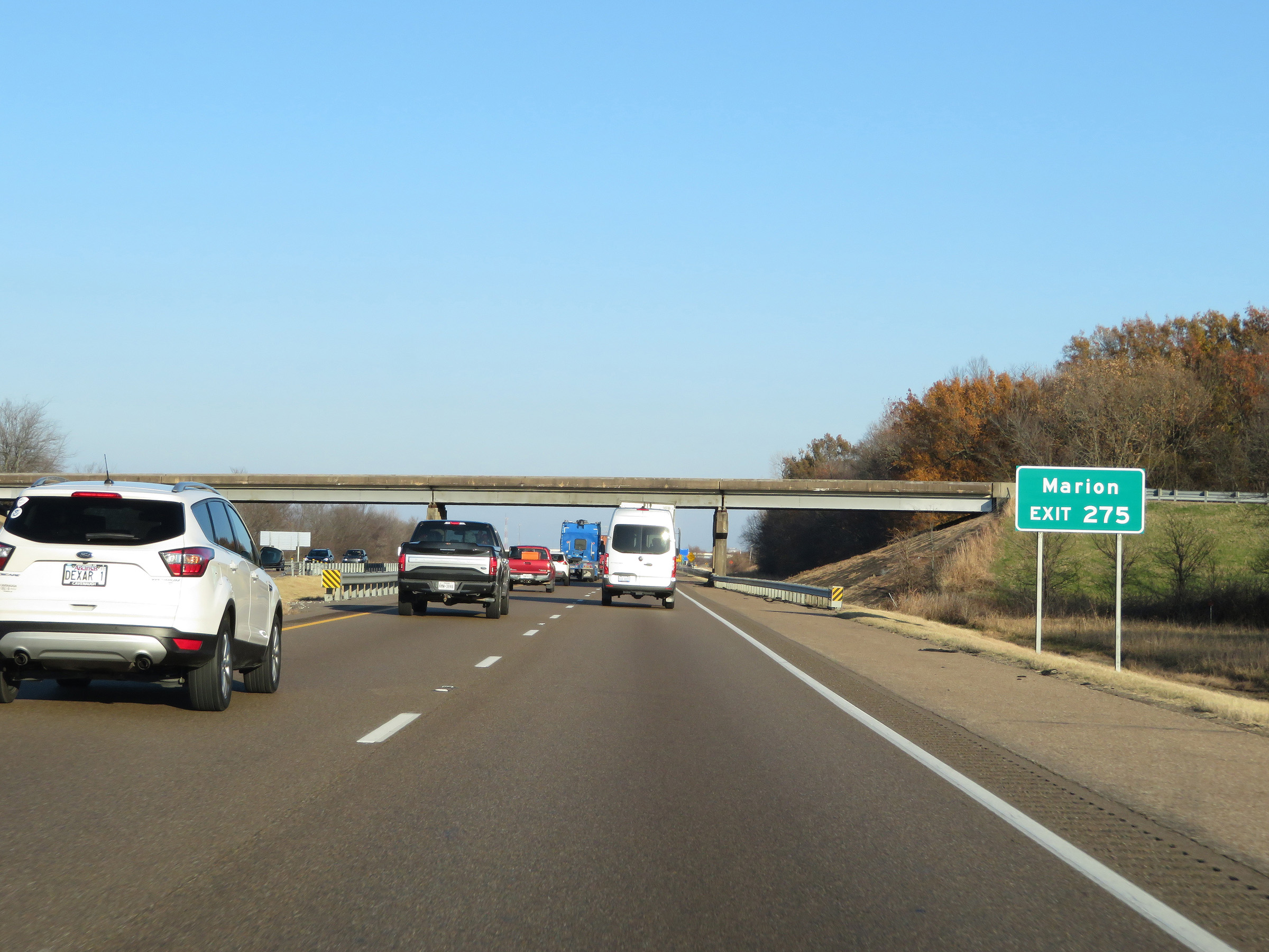 |
Also take Exit 275 to Marion. (Photo taken 12/12/20). |
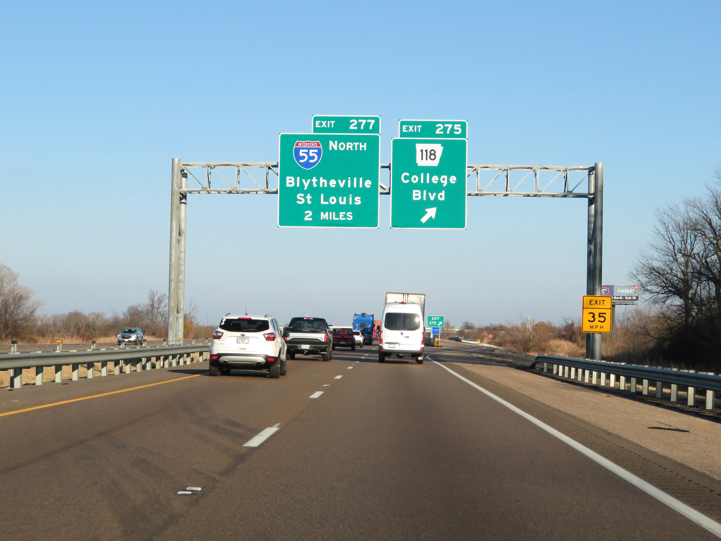 |
Interstate 40 East at Exit 275: AR 118 - College Blvd (Photo taken 12/12/20). |
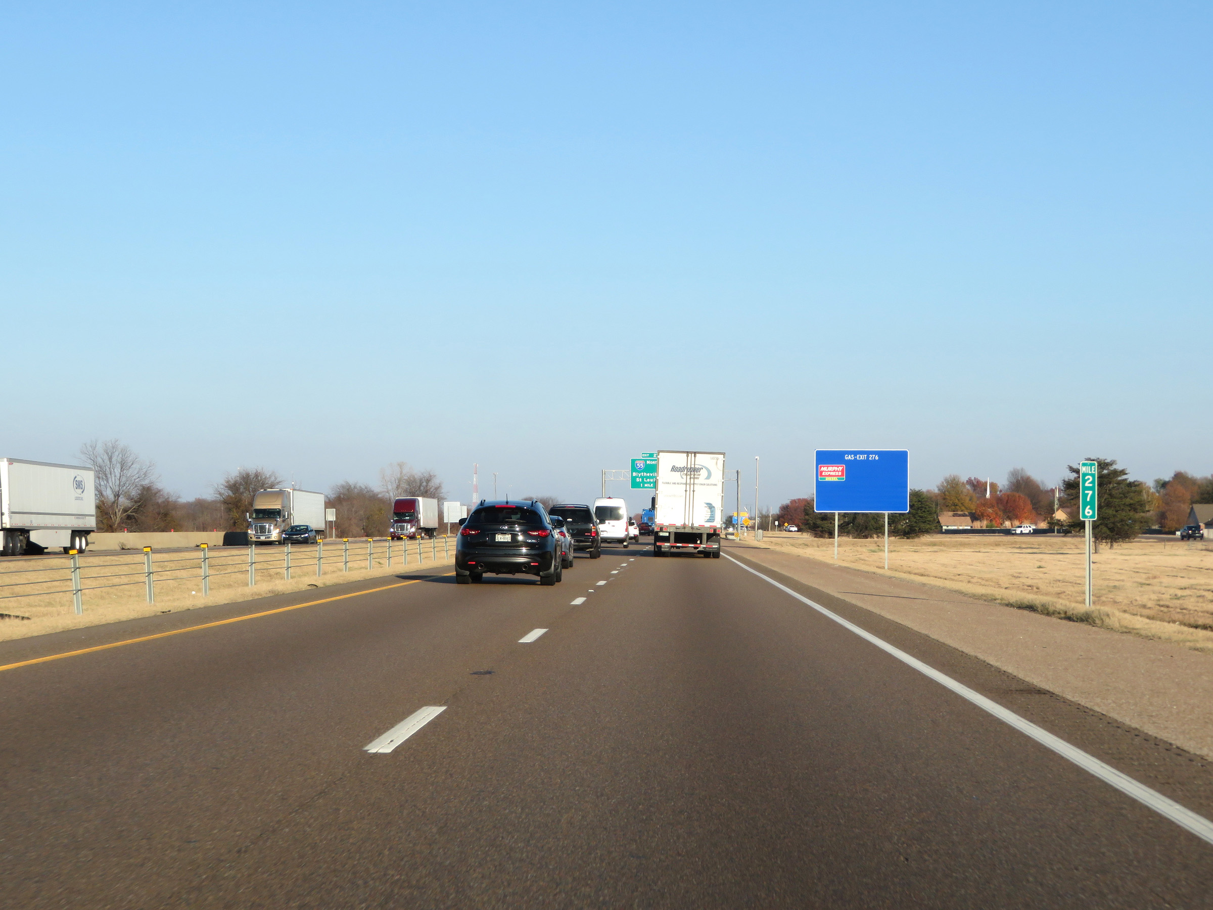 |
View on Interstate 40 East at mile marker 276. (Photo taken 12/12/20). |
 |
Interstate 40 East approaching Exit 277 - 1 mile. (Photo taken 12/12/20). |
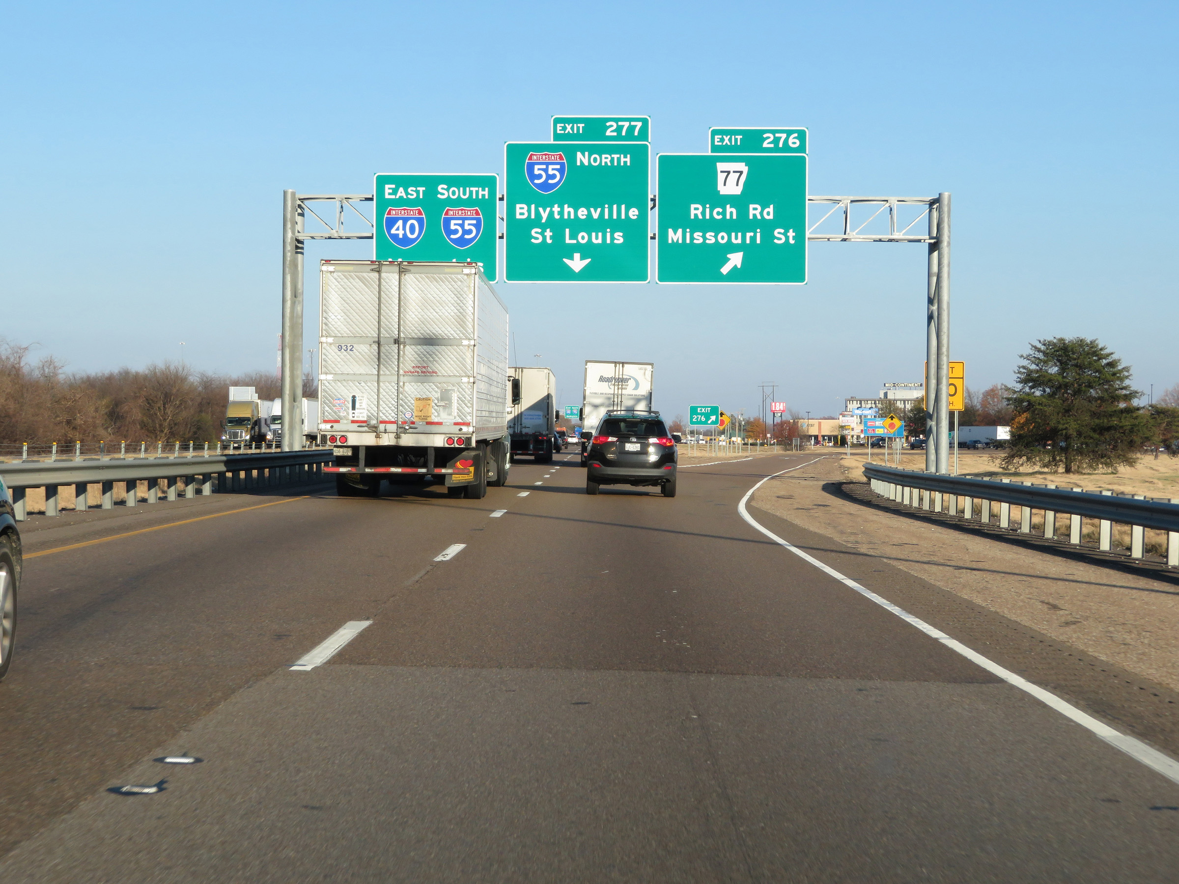 |
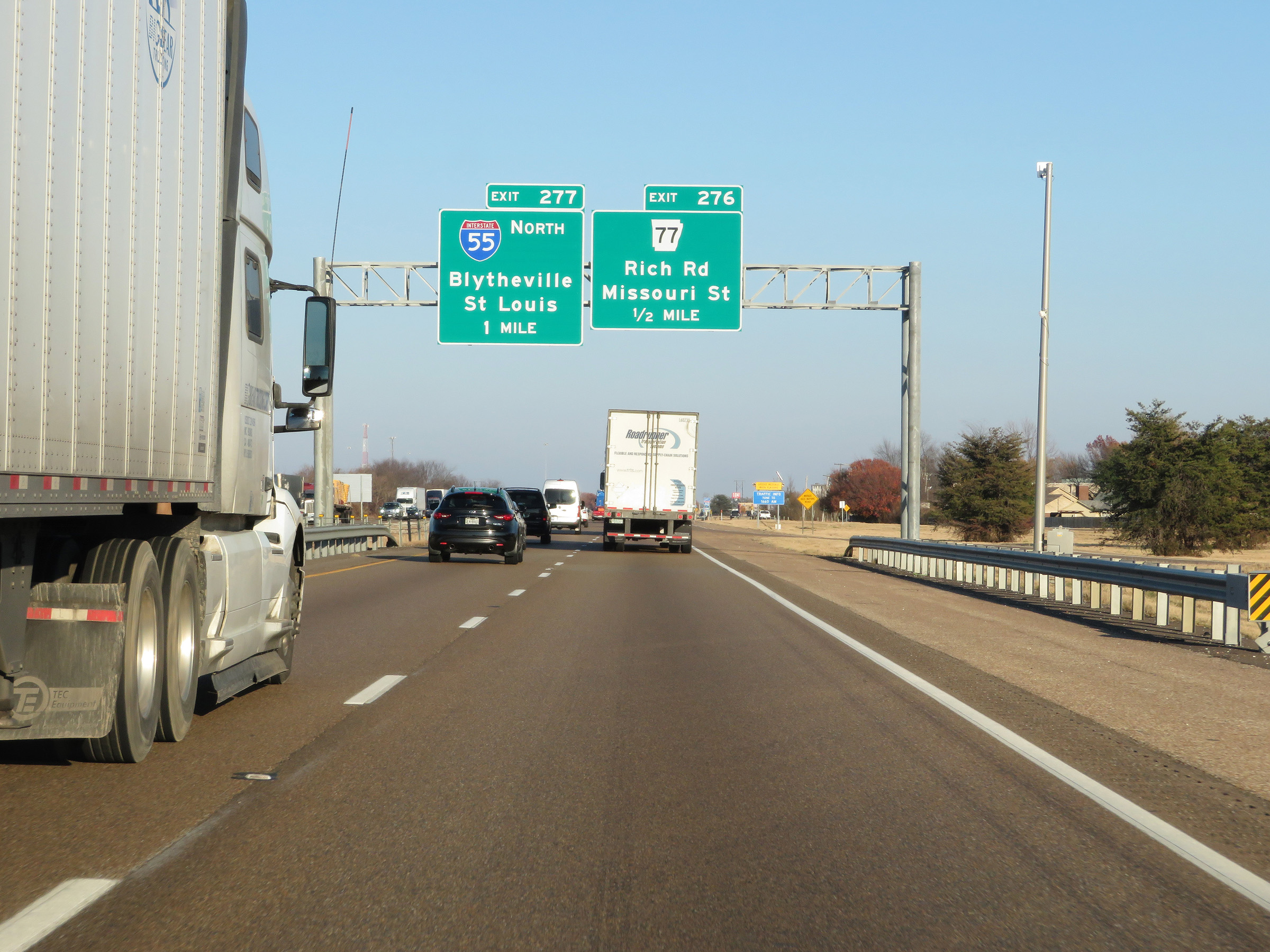
Interstate 40 East at Exit 276: AR 77 - Rich Rd / Missouri St (Photo taken 12/12/20). |
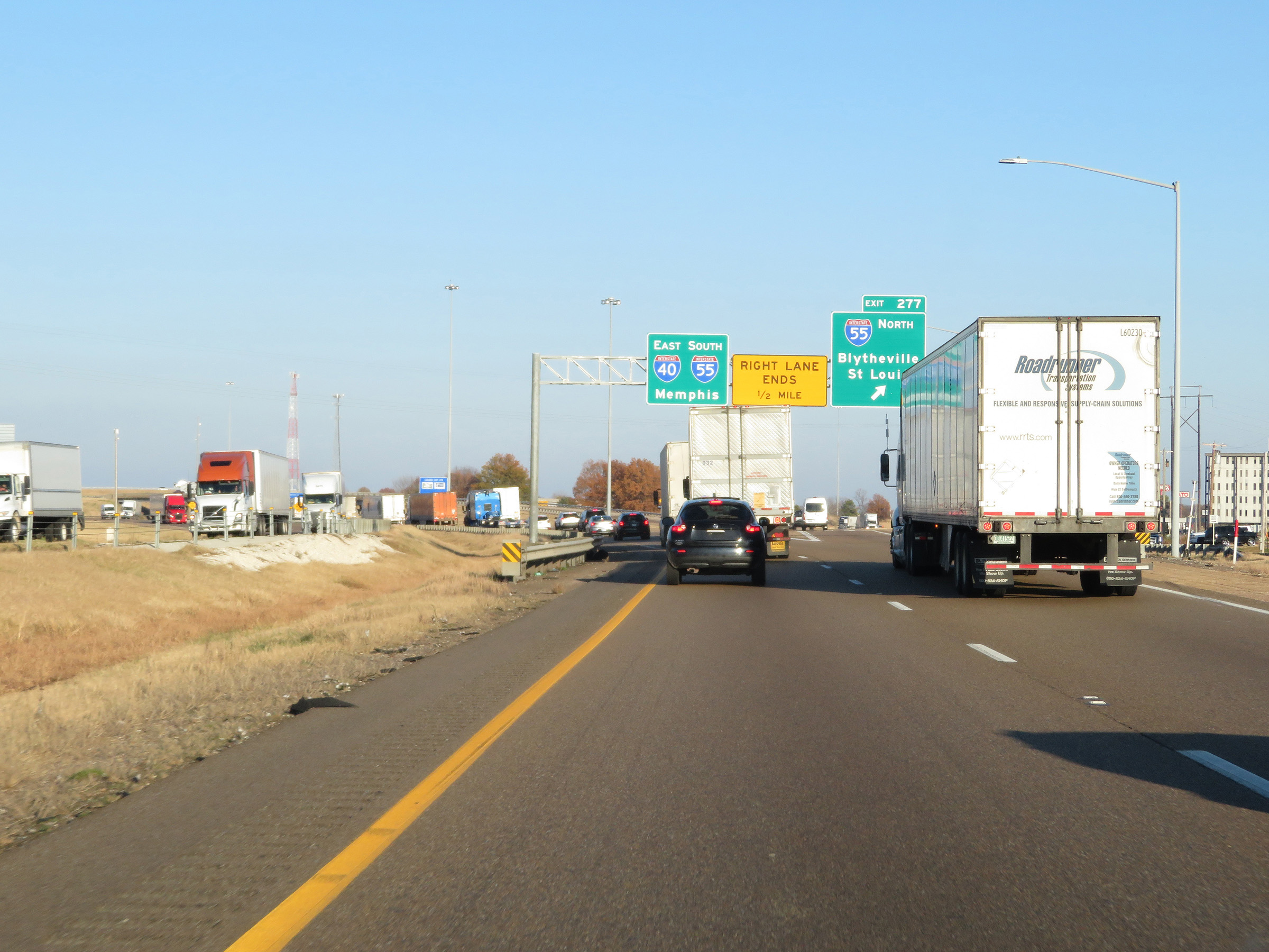 |
Interstate 40 East at Exit 277: Interstate 55 North - Blytheville / St. Louis (Photo taken 12/12/20). |
 |
A closer view of the ramp to Interstate 55 North via Exit 277. (Photo taken 12/12/20). |
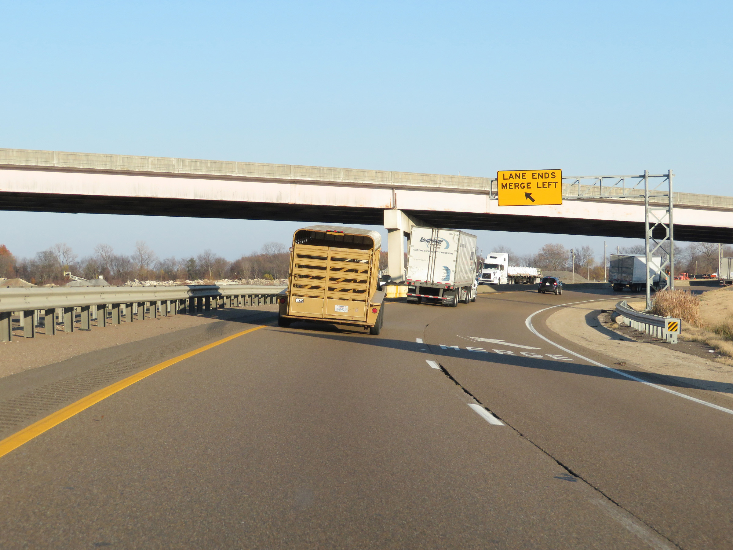 |
Ahead, Interstate 55 South will join Interstate 40 East for a brief concurrency in West Memphis. In preparation for this, I-40 East will be reduced to a single lane briefly just ahead. (Photo taken 12/12/20). |
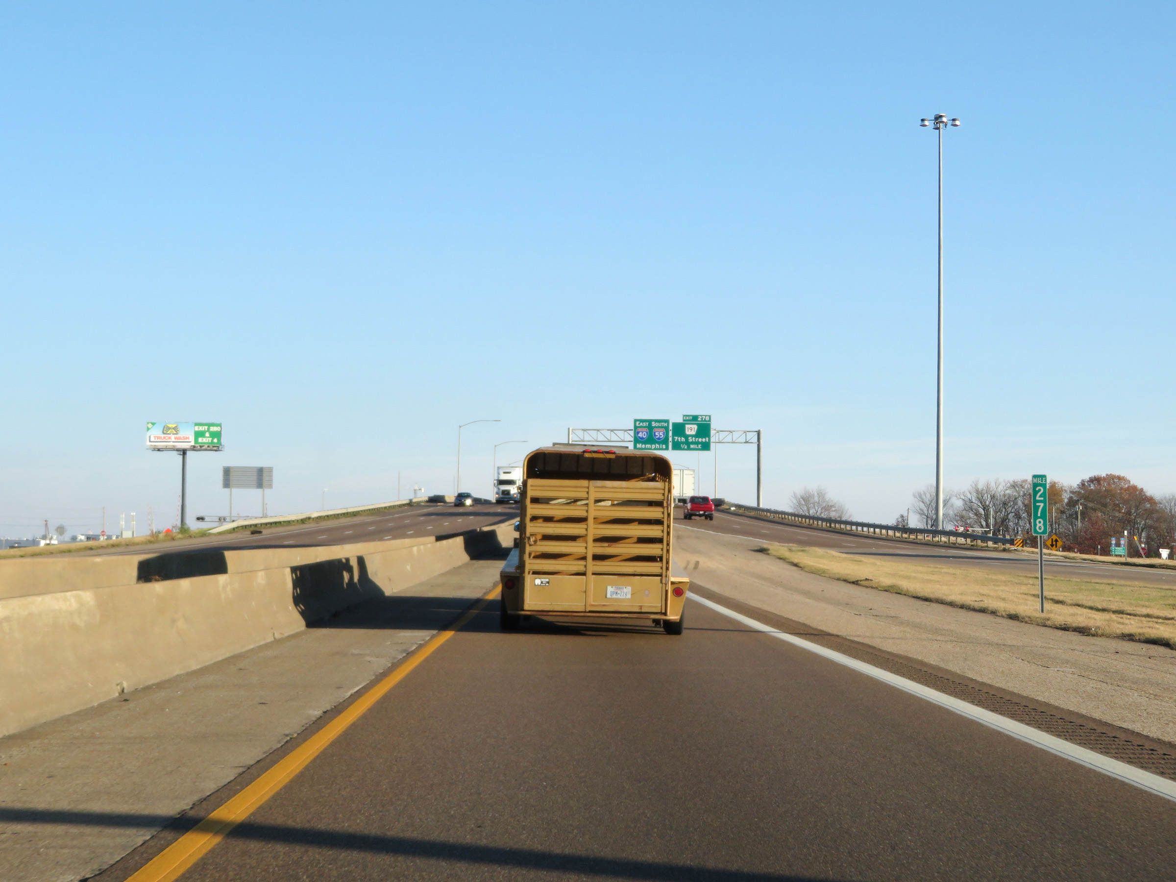 |
At mile marker 278, we see Interstate 55 South traffic to the right as the now single lane of Interstate 40 East prepares to join it ahead, giving the duplex three thru lanes. (Photo taken 12/12/20). |
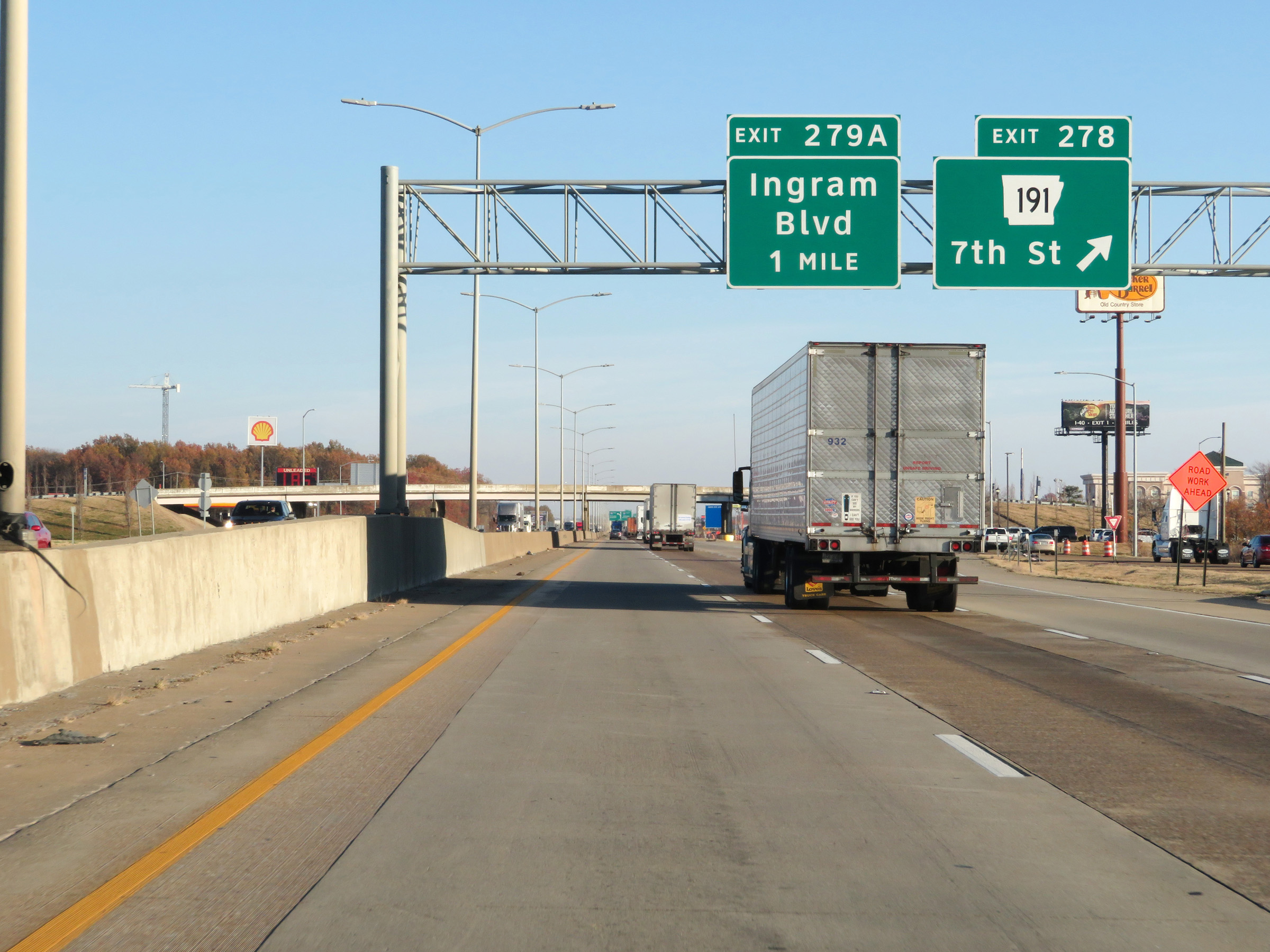 |
Interstate 40 East / Interstate 55 South at Exit 278: AR 191 - 7th St (Photo taken 12/12/20). |
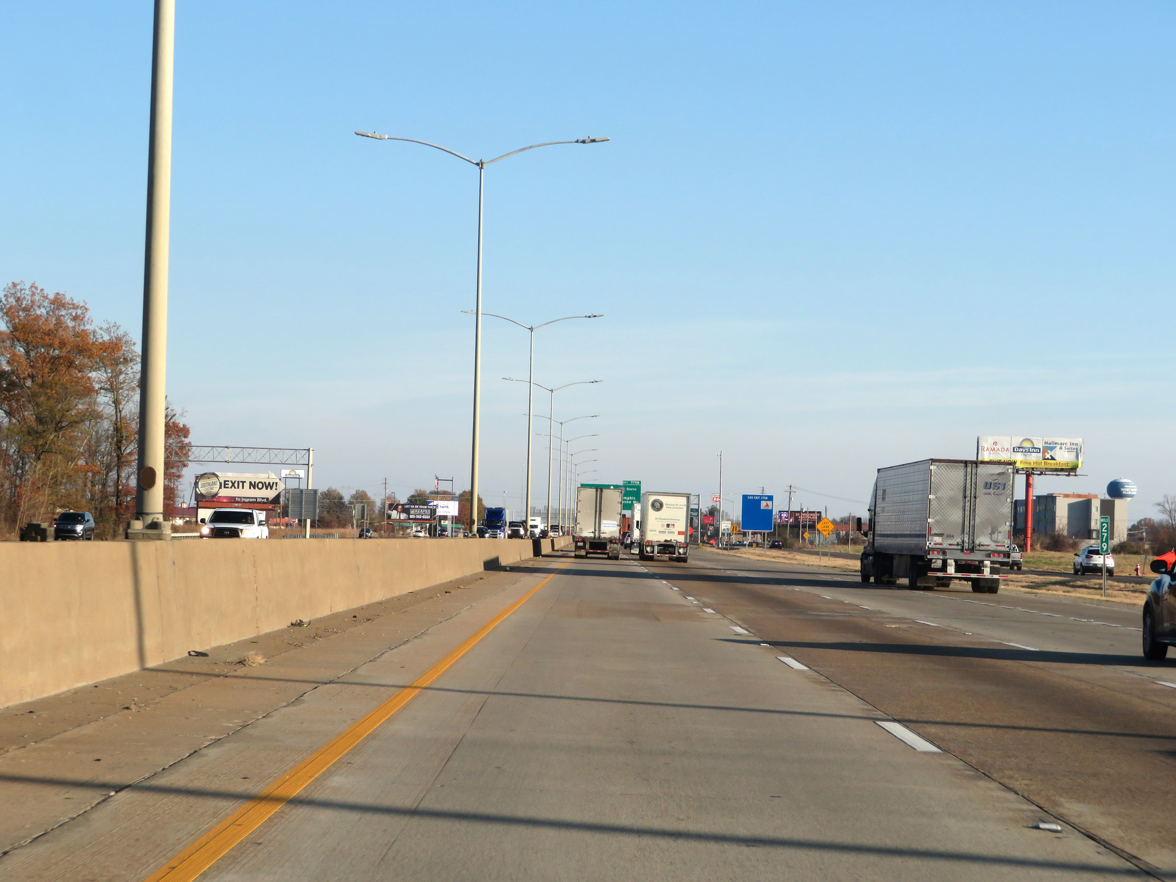 |
View on Interstate 40 East / Interstate 55 South at mile marker 279. During the I-40 / I-55 concurrency in West Memphis, the exit numbers and mile markers are based on the total mileage of I-40. (Photo taken 12/12/20). |
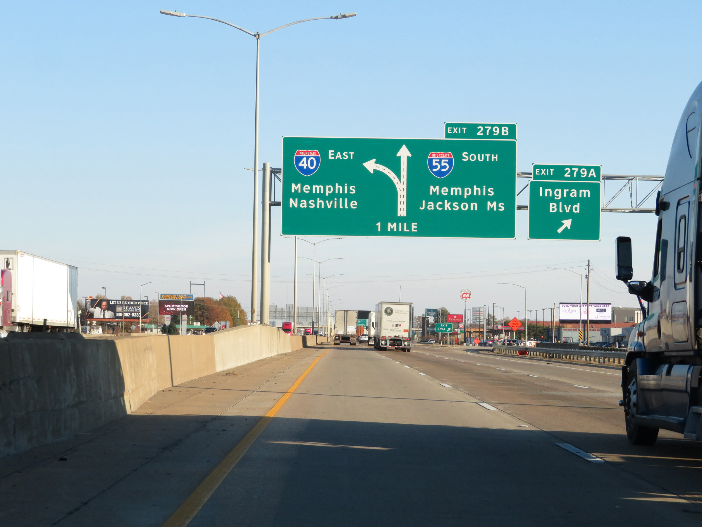 |
Interstate 40 East / Interstate 55 South at Exit 279A: Ingram Blvd (Photo taken 12/12/20). |
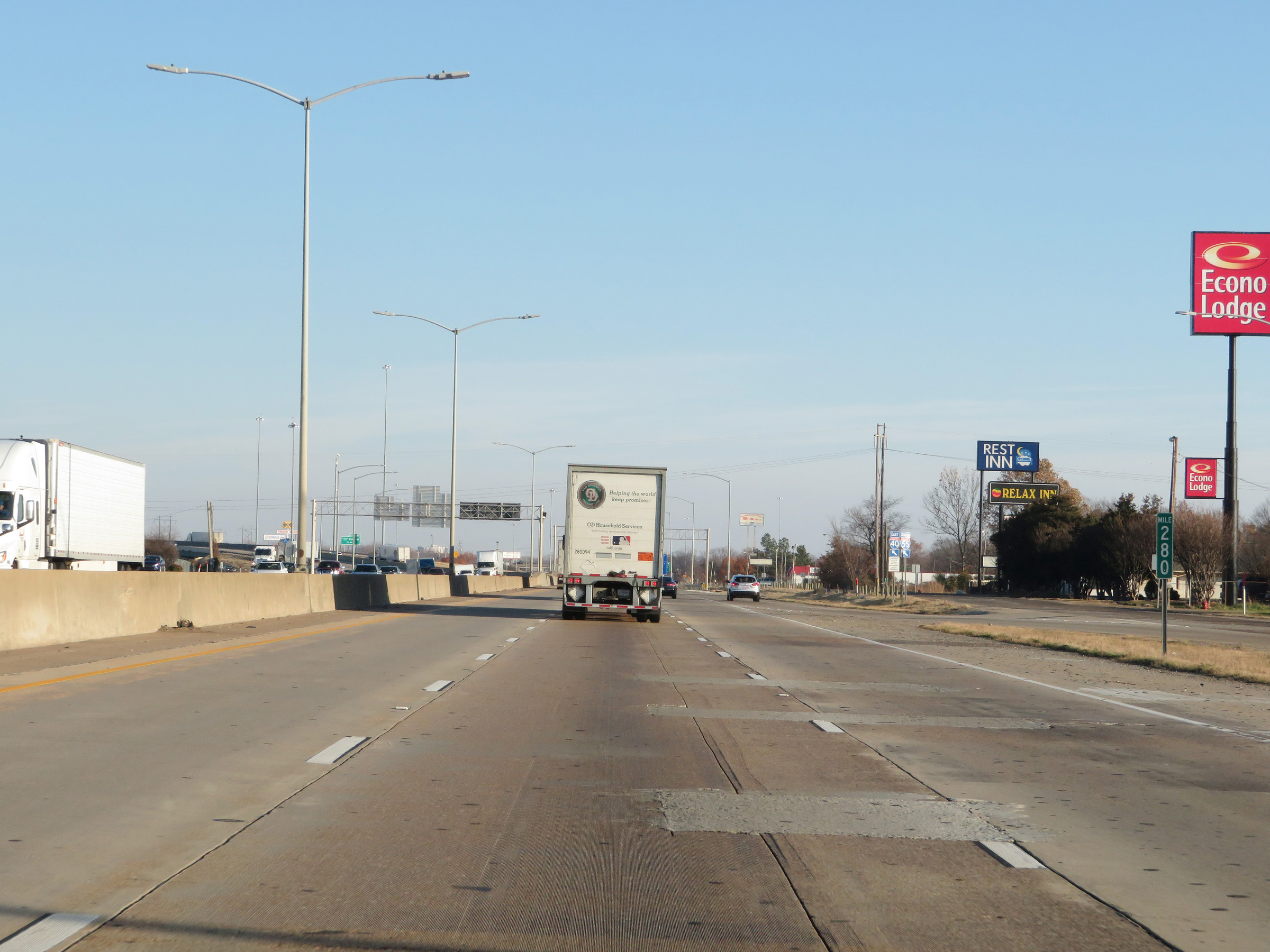 |
Interstate 40 East / Interstate 55 South at mile marker 280. I-40 East thru traffic will need to keep left ahead. (Photo taken 12/12/20). |
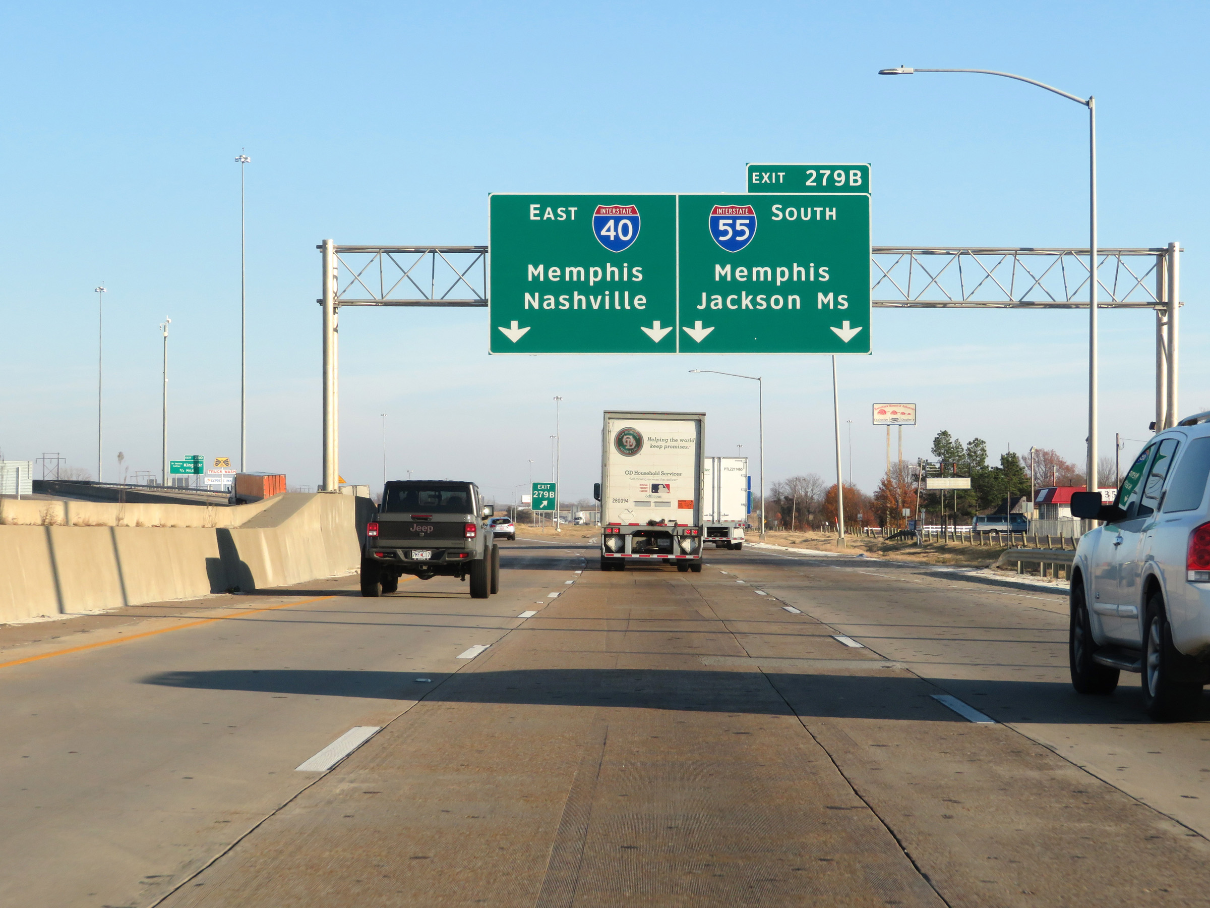 |
Interstate 40 East / Interstate 55 South at Exit 279B: Interstate 55 South - Memphis / Jackson, MS (Photo taken 12/12/20). |
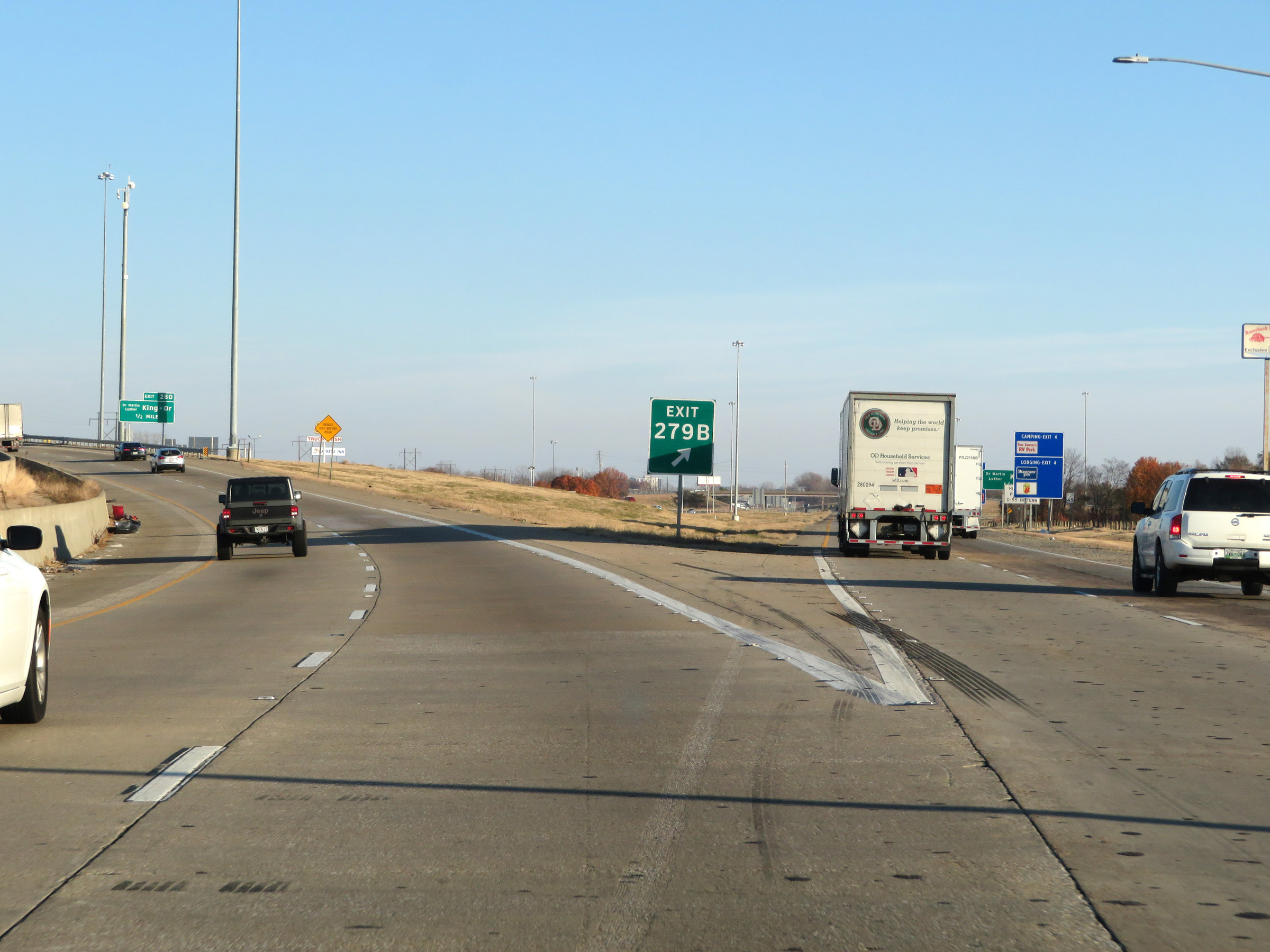 |
A closer view of the split of Interstate 55 South from Interstate 40 East at Exit 279B. (Photo taken 12/12/20). |
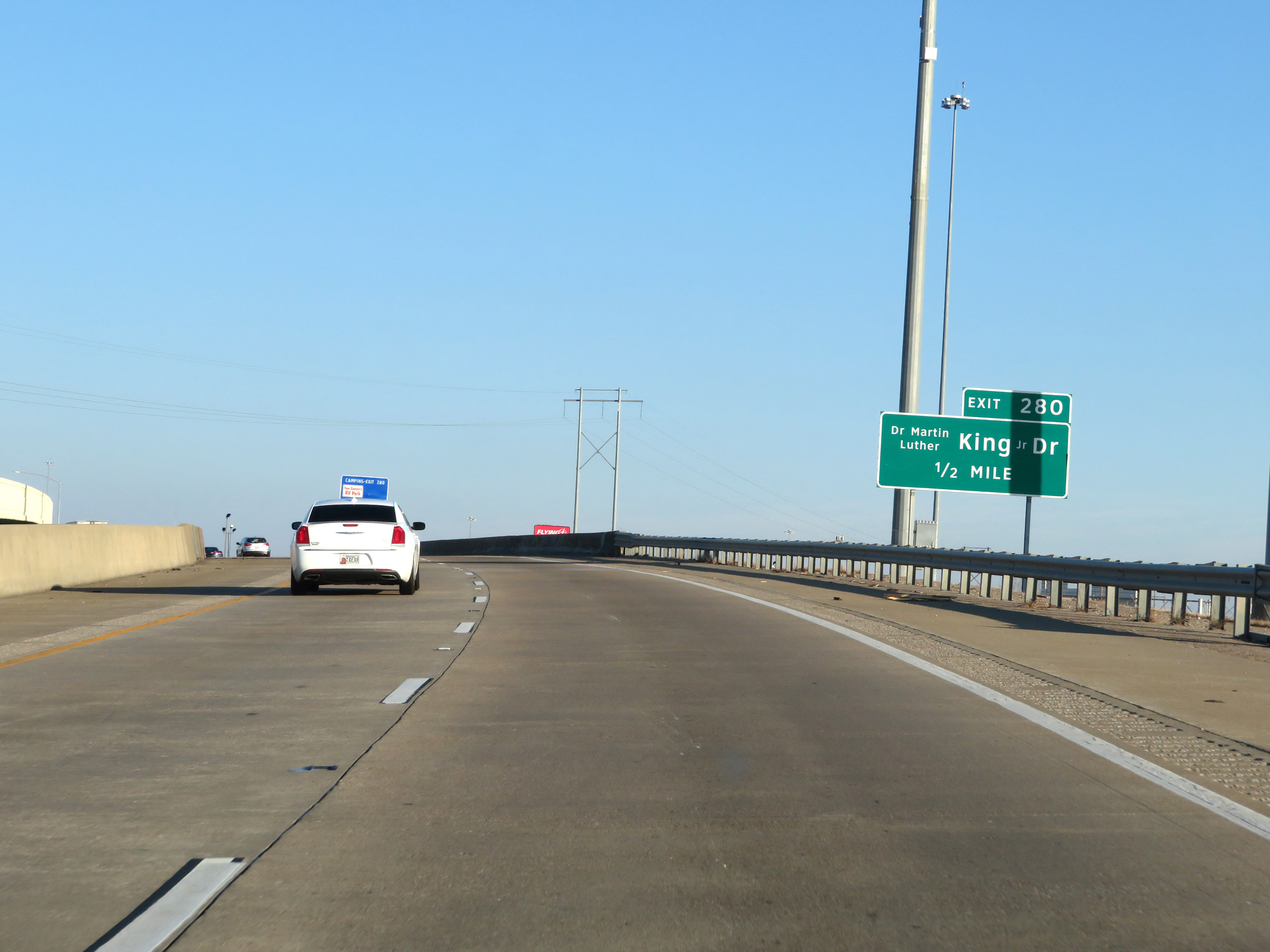 |
Advance signage for Exit 280 on Interstate 40 East. (Photo taken 12/12/20). |
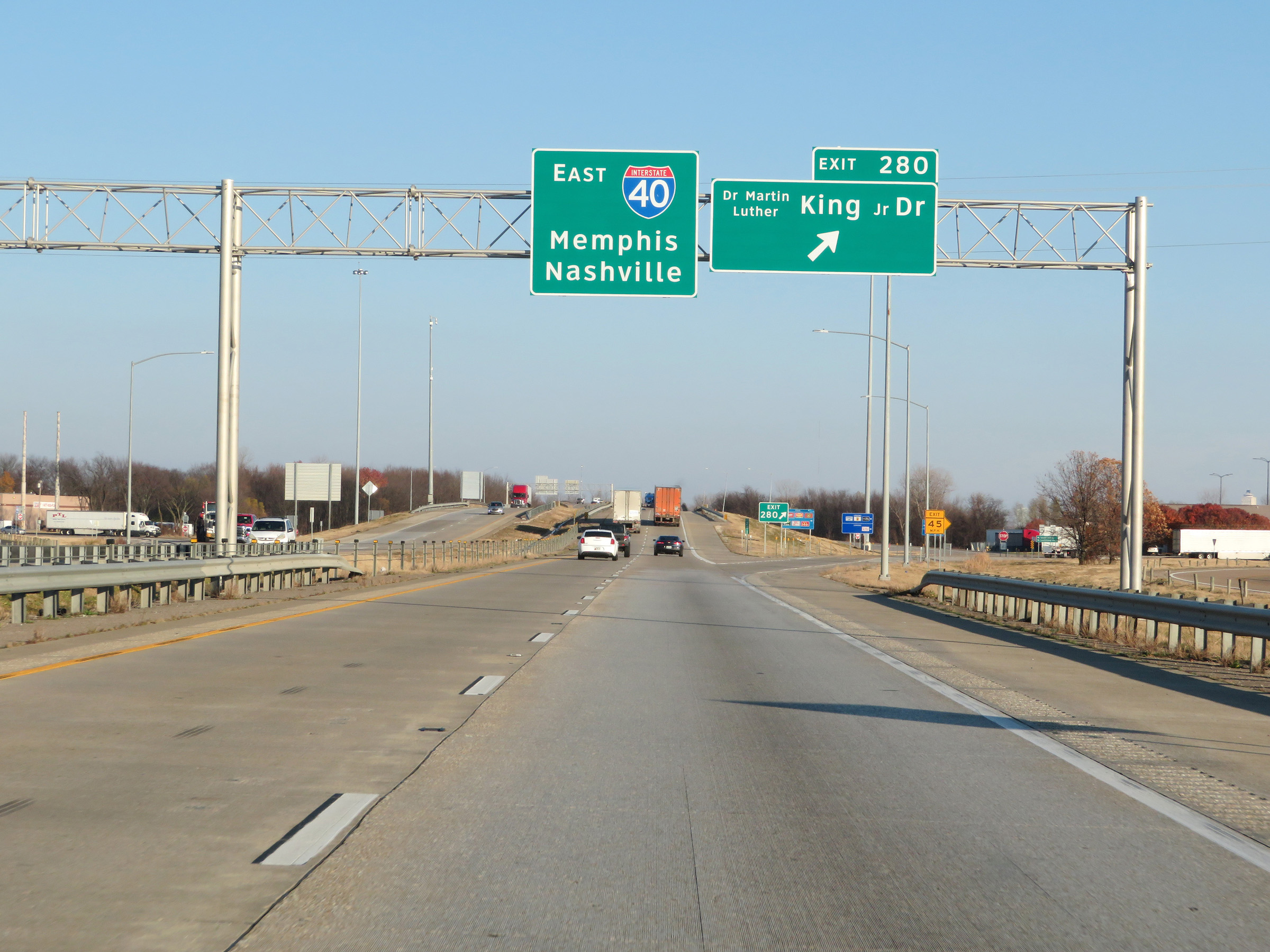 |
Interstate 40 East at Exit 280: Dr. Martin Luther King Jr. Dr (Photo taken 12/12/20). |
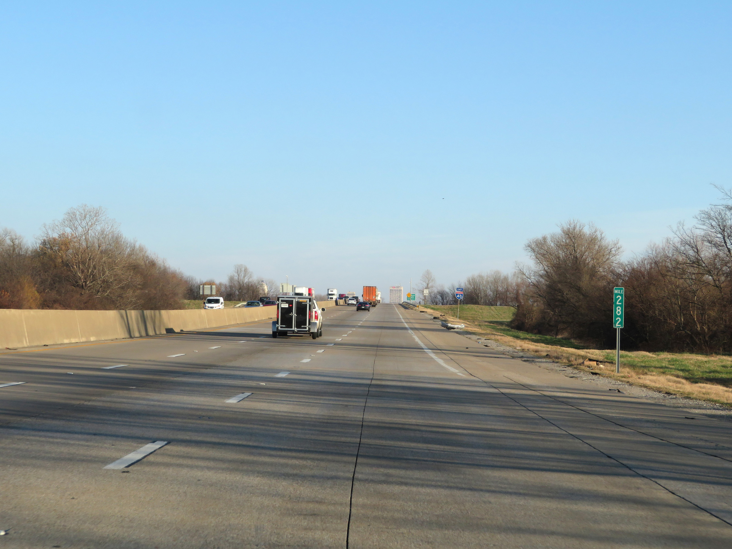 |
View on Interstate 40 East at mile marker 282. (Photo taken 12/12/20). |
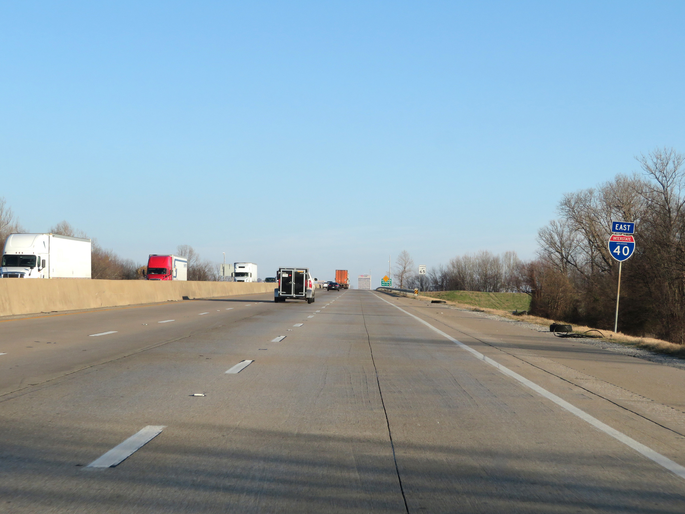 |
One final state-named Interstate 40 East reassurance shield. (Photo taken 12/12/20). |
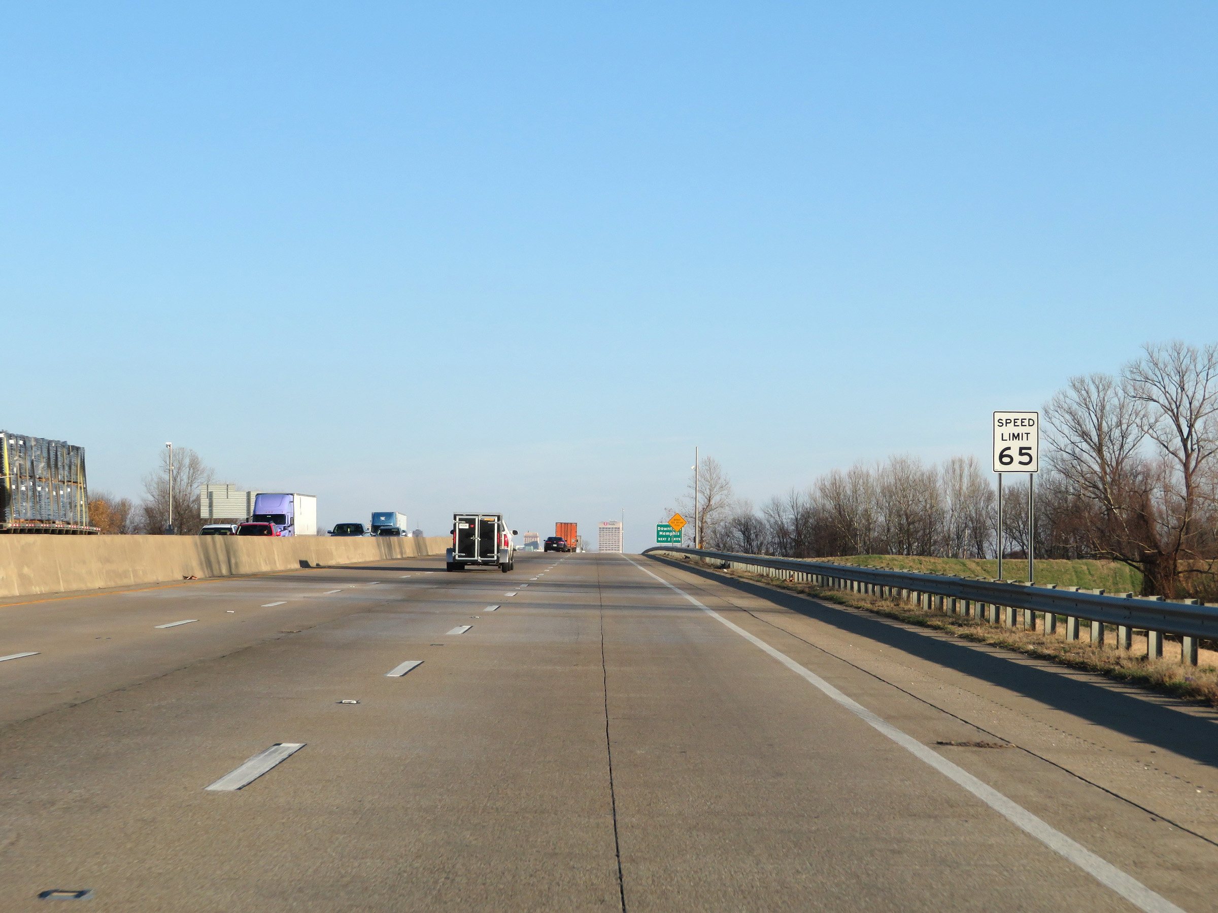 |
The speed limit remains 65 mph for all traffic. (Photo taken 12/12/20). |
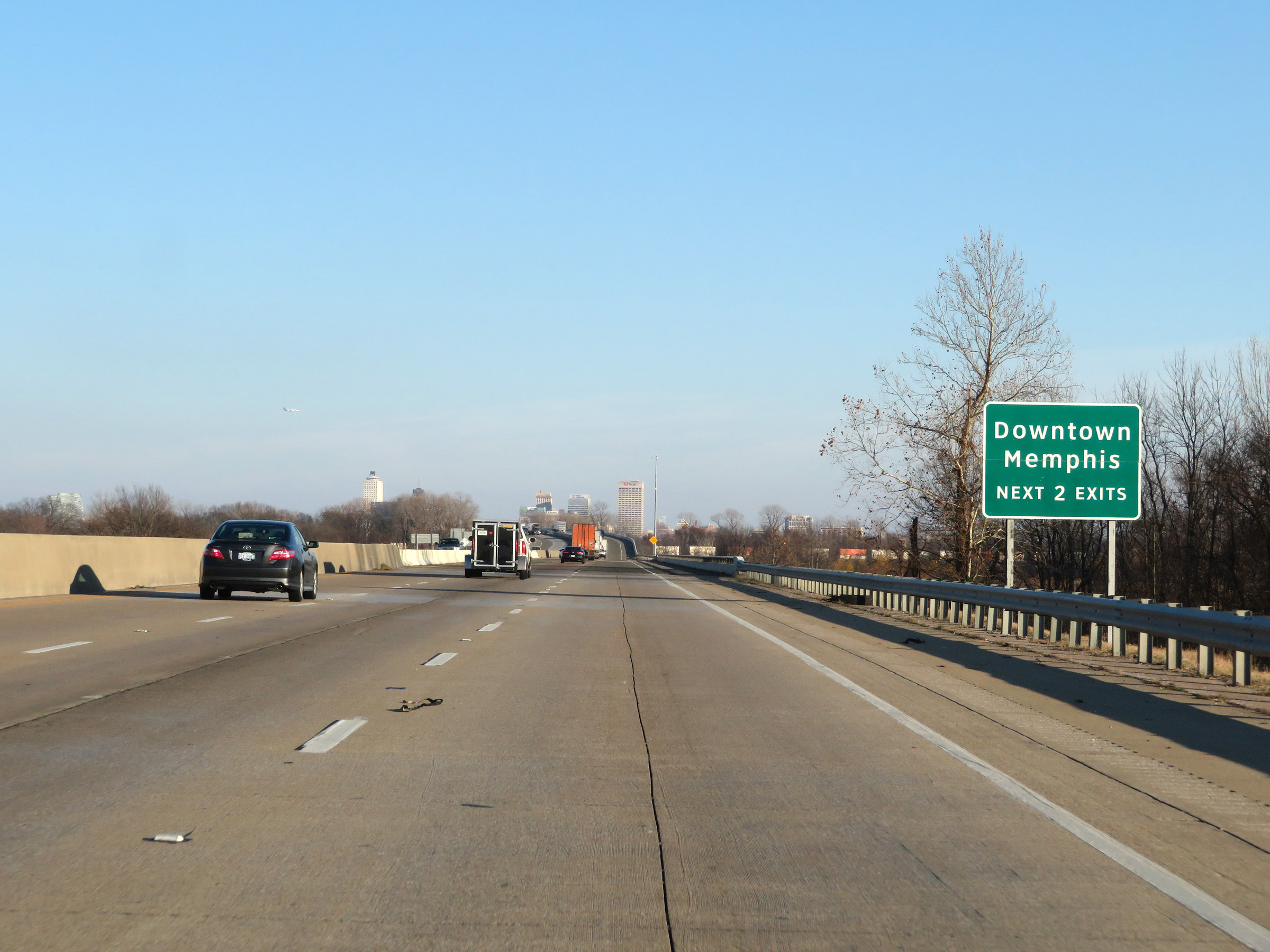 |
Take either of the next 2 exits (both of which occur across the Tennessee border) to Downtown Memphis. (Photo taken 12/12/20). |
 |
View on Interstate 40 East at mile marker 283. (Photo taken 12/12/20). |
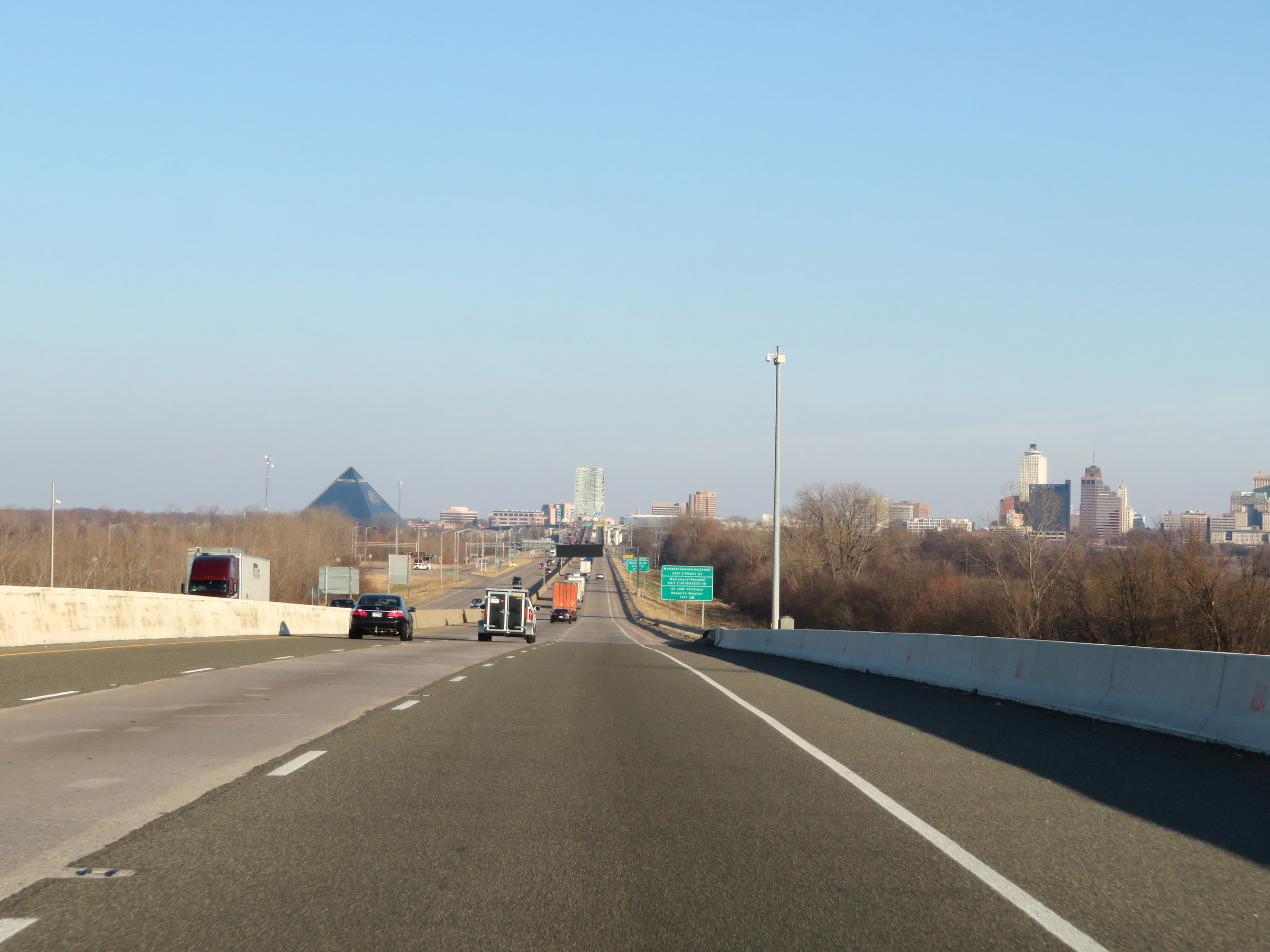 |
Interstate 40 East as downtown Memphis and the Hernando de Soto Bridge across the Mississippi River come into view. (Photo taken 12/12/20). |
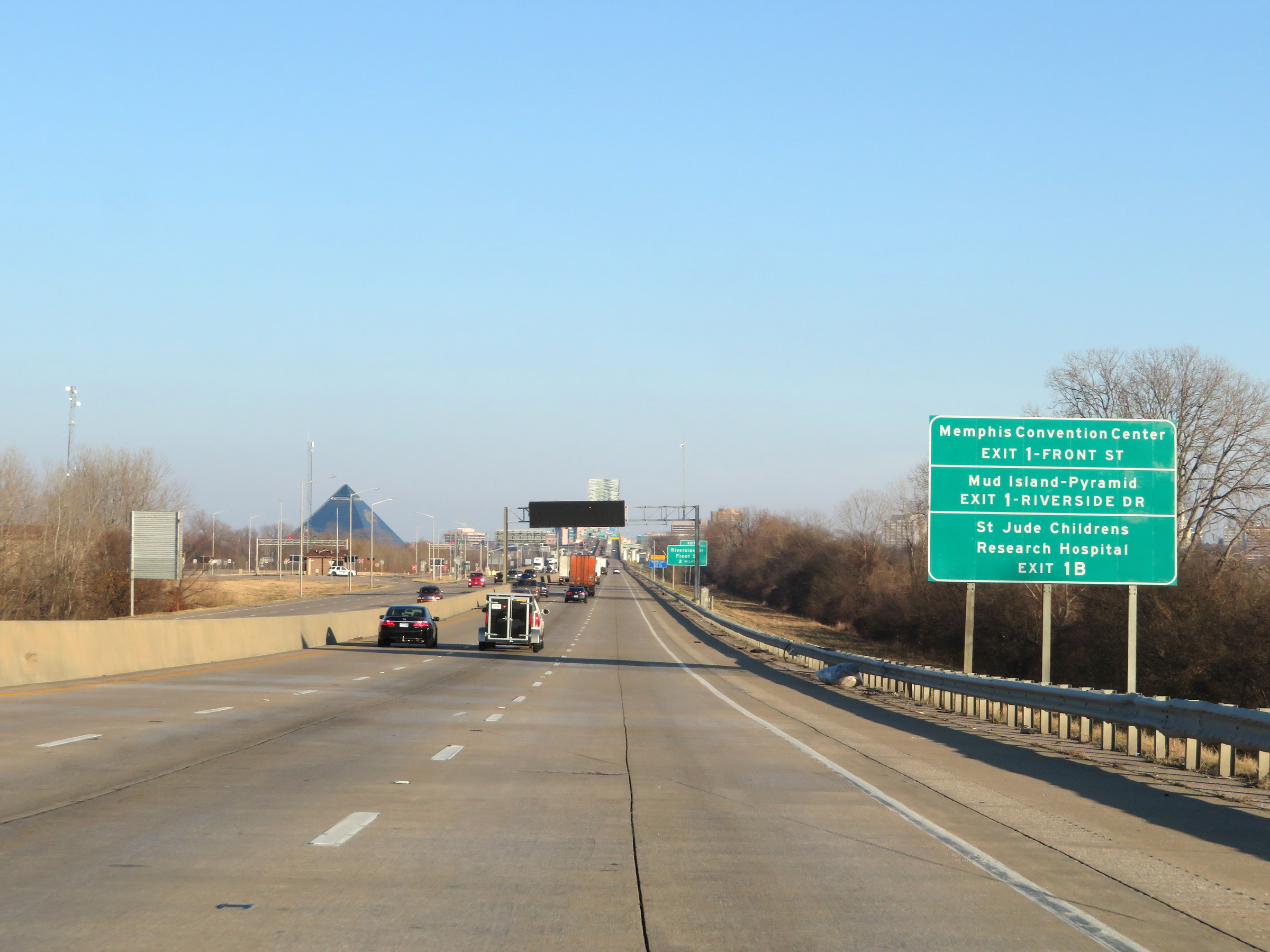 |
Take Exit 1 to Memphis Convention Center and Mud Island-Pyramid. Take Exit 1B to St. Jude Childrens Research Hospital. (Photo taken 12/12/20). |
 |
View on Interstate 40 East at mile marker 284. (Photo taken 12/12/20). |
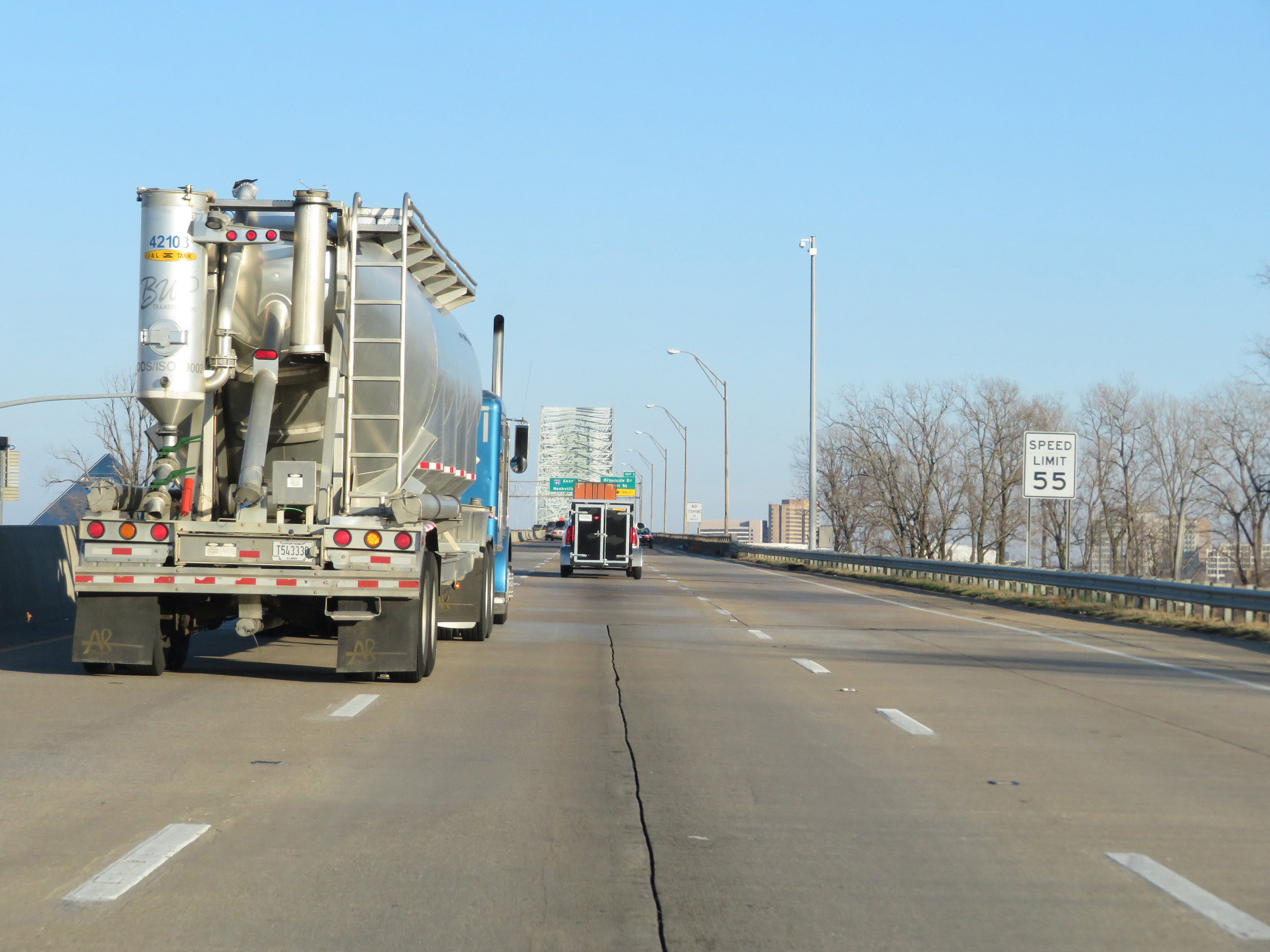 |
As Interstate 40 East starts across the Hernando de Soto Bridge over the Mississippi River, the speed limit decreases to 55 mph for all traffic. (Photo taken 12/12/20). |
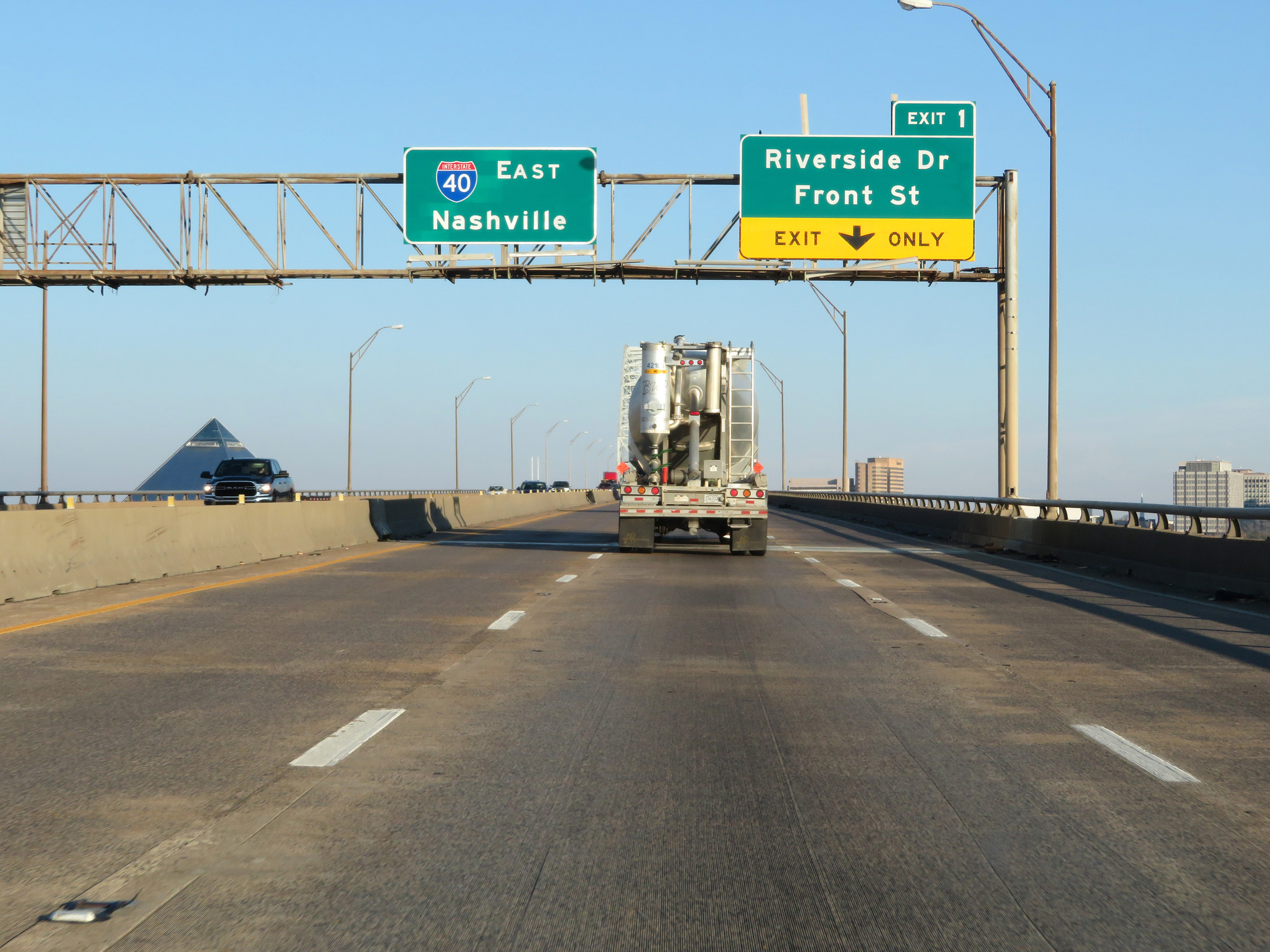 |
Advance signage for Exit 1 on the Hernando de Soto Bridge. The right lane on the bridge will become an exit only lane after crossing the Mississippi River into downtown Memphis. (Photo taken 12/12/20). |
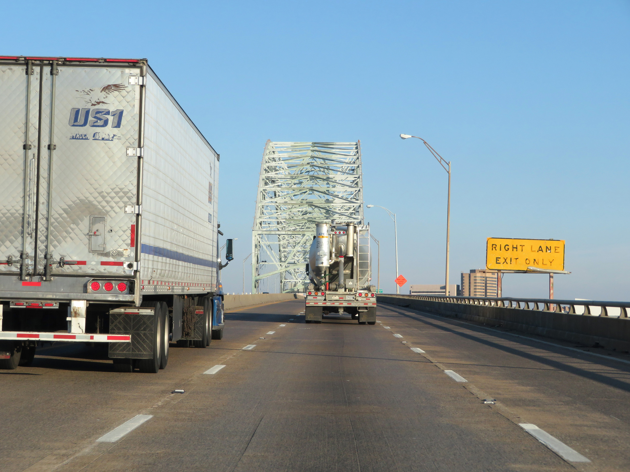 |
View on Interstate 40 East as it crosses the Mississippi River on the Hernando de Soto Bridge. (Photo taken 12/12/20). |
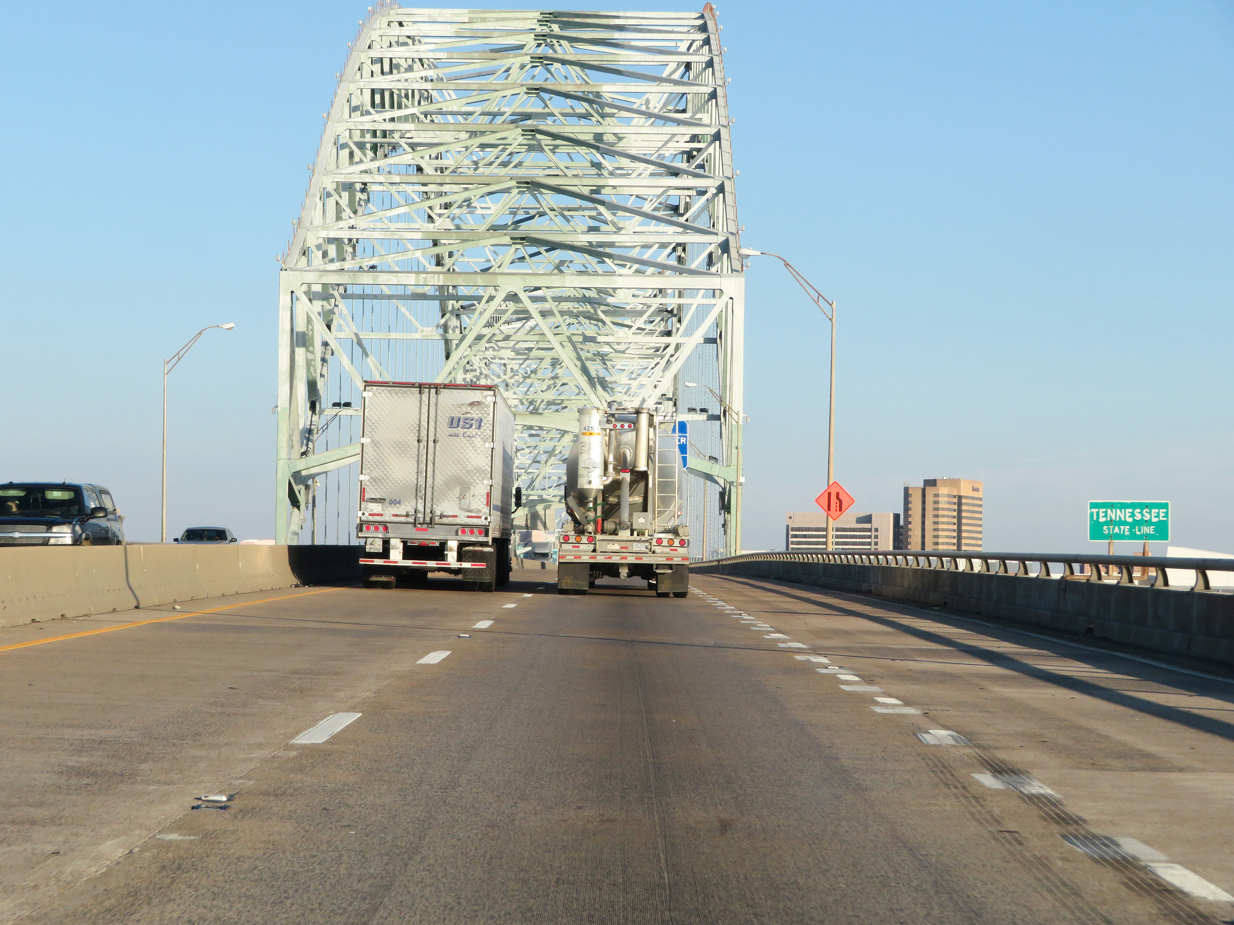 |
Halfway across the bridge, Interstate 40 East enters Tennessee and downtown Memphis. (Photo taken 12/12/20). |
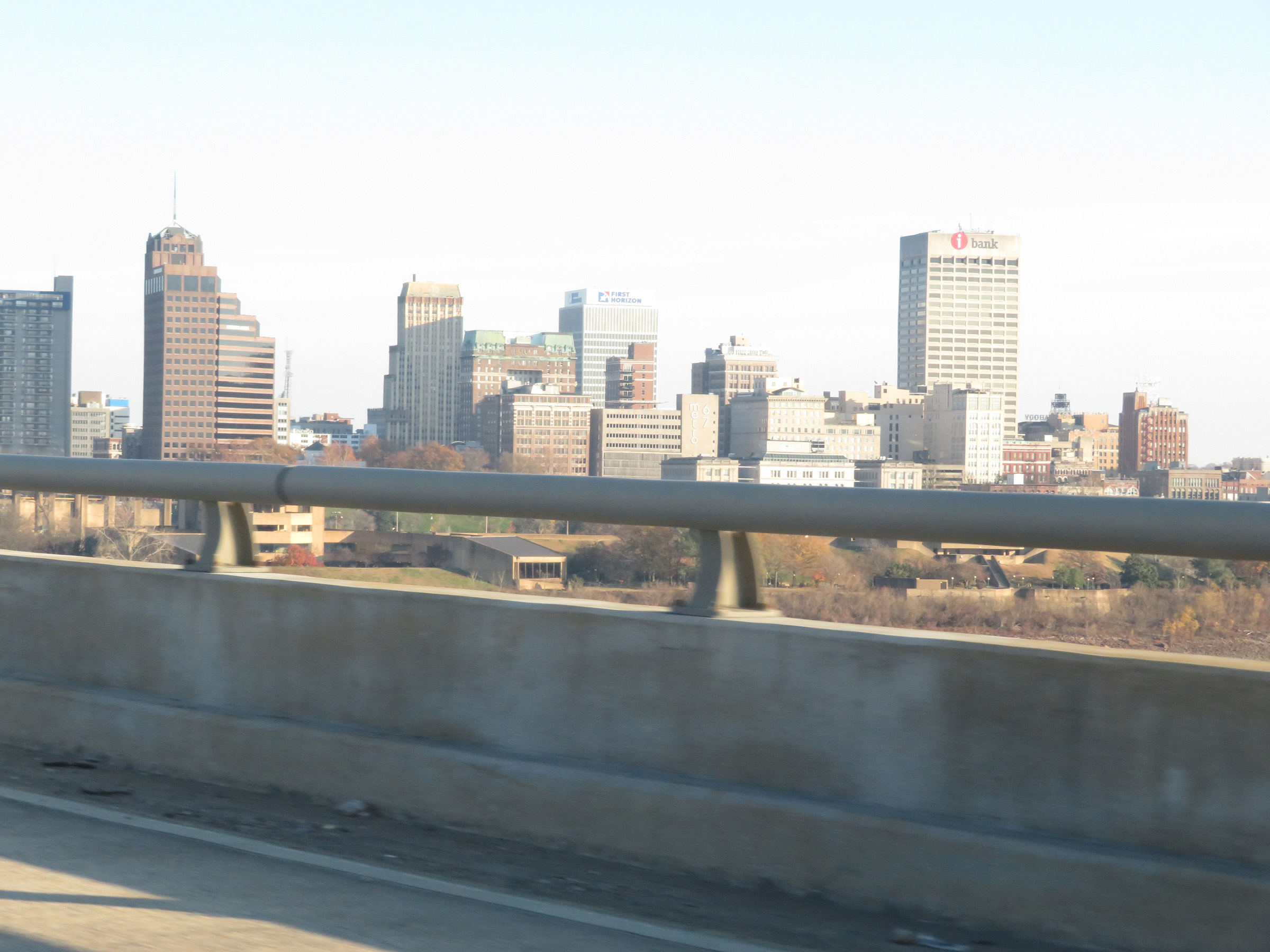 |
View of downtown Memphis from the Hernando de Soto Bridge. (Photo taken 12/12/20). |
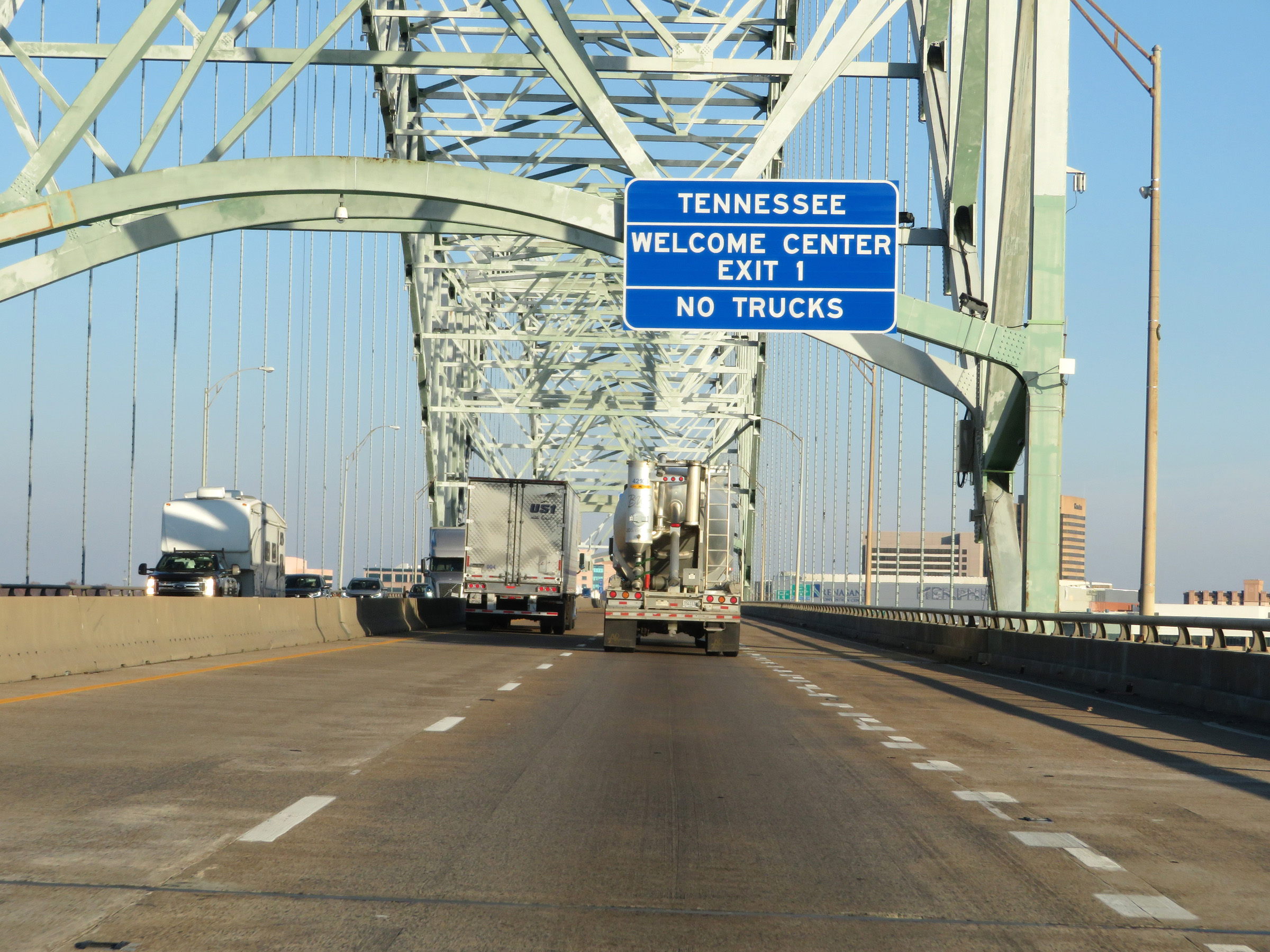 |
The Tennessee Welcome Center exists off Exit 1 in Memphis. Trucks are prohibited in the Welcome Center. (Photo taken 12/12/20). |
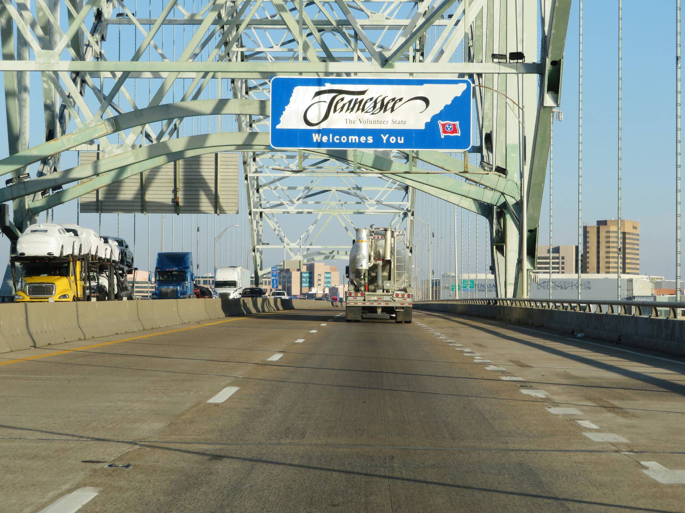 |
Interstate 40 East as it crosses the Hernando de Soto Bridge over the Mississippi River from Arkansas into Tennessee. (Photo taken 12/12/20). |