Road Information |
||
 |
||
| Total Mileage in State: | 101 kilometers | |
| Northern End: | At I-10, in Tucson | |
| Southern End: | Near Mexican border, in Nogales | |
| Mileage covered in Photos: | 101 kilometers | |
| Counties covered in Photos: | Santa Cruz, Pima | |
| Major Junctions in Photos: | AZ 189, in Nogales AZ 86, in Tucson I-10, in Tucson |
|
| Control Cities in Photos: | Nogales, Rio Rico, Green Valley, Sahuarita, Tucson | |
Northbound
- Section 1: Nogales to Green Valley (Exit 56)
- Section 2: Green Valley (Exit 56) to Tucson
Section 1: Nogales to Green Valley (Exit 56)
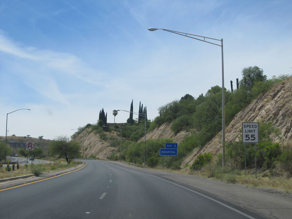 |
As Interstate 19 North begins in Nogales, the speed limit starts out at 55 mph. (Photo taken 5/20/15). |
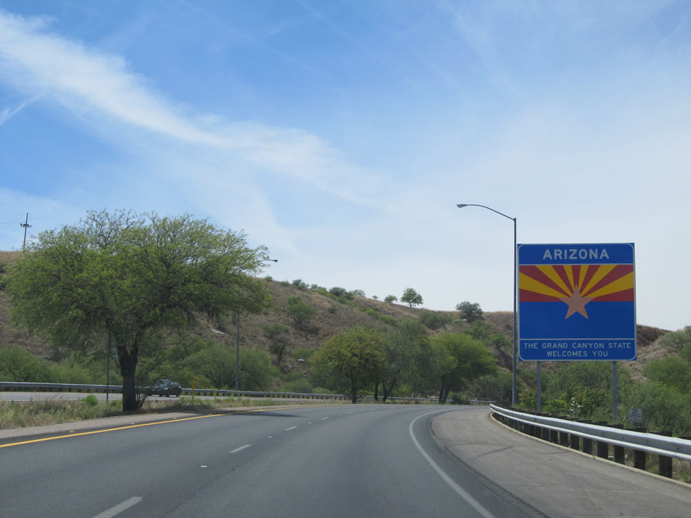 |
Arizona welcome sign on Interstate 19 North in Nogales for those folks who just crossed the border from Mexico. (Photo taken 5/20/15). |
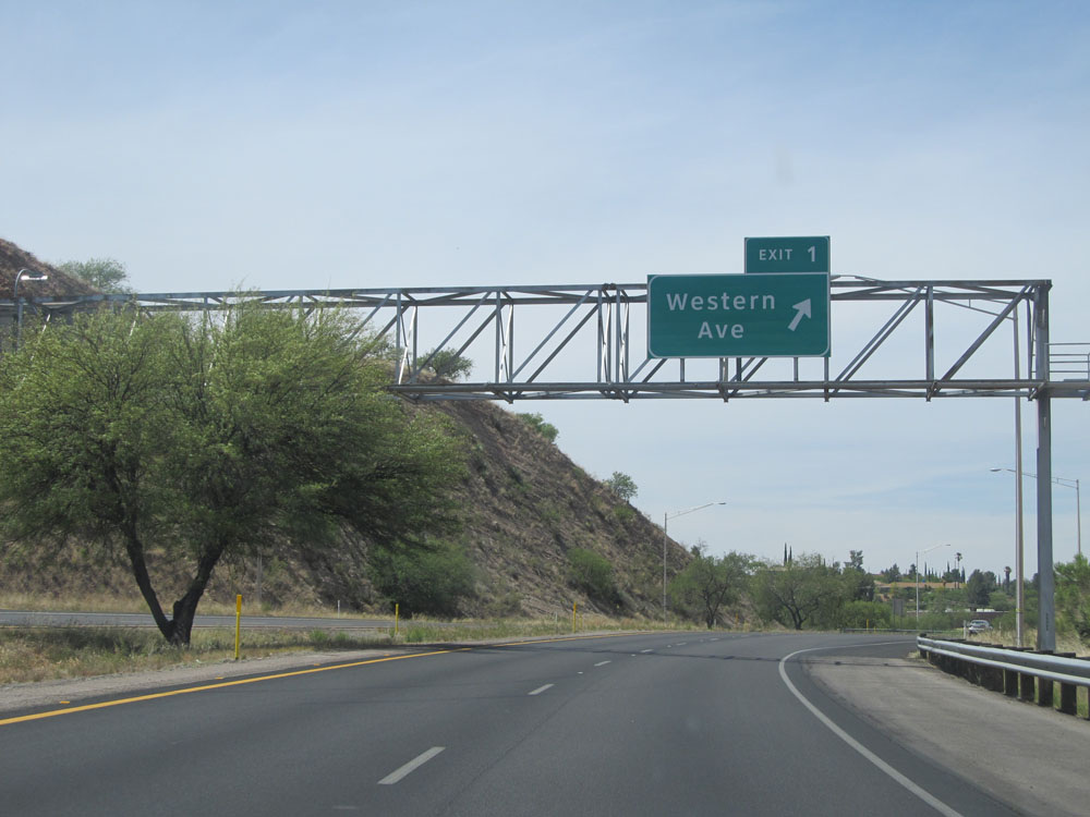 |
Interstate 19 North at Exit 1: Western Ave (Photo taken 5/20/15). |
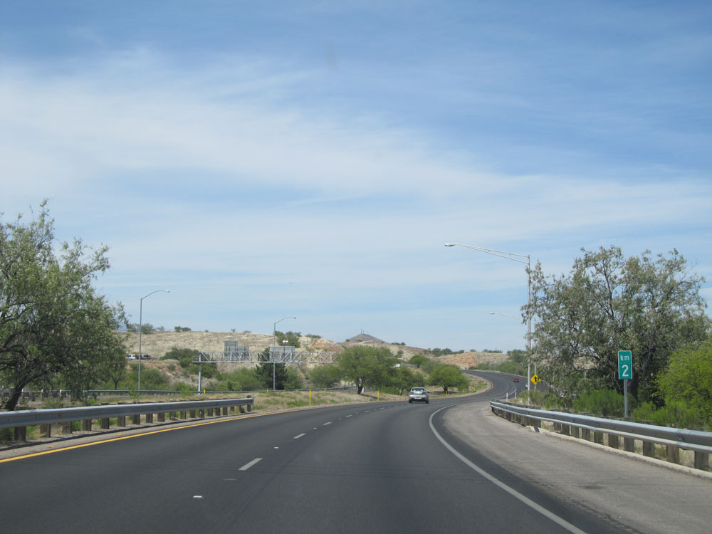 |
Interstate 19 North at kilometer marker 2. I-19 is the only Interstate in the country to be marked by the kilometer rather than by the mile. Its exits are numbered by the kilometer accordingly. (Photo taken 5/20/15). |
 |
Interstate 19 North assurance shield near kilometer marker 3. (Photo taken 5/20/15). |
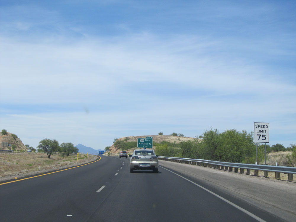 |
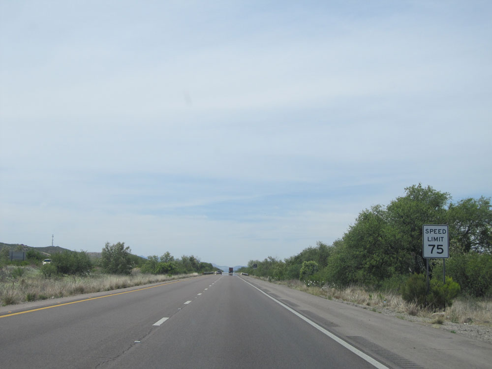
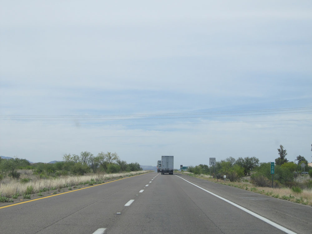
The speed limit increases to 75 mph near kilometer marker 3. Although I-19 is (Photo taken 5/20/15).marked by the kilometer, its speed limits are still based on miles per hour. (Photo taken 5/20/15). |
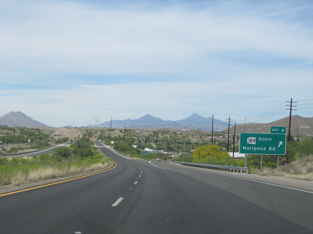 |
Interstate 19 North at Exit 4: AZ 189 South - Mariposa Rd (Photo taken 5/20/15). |
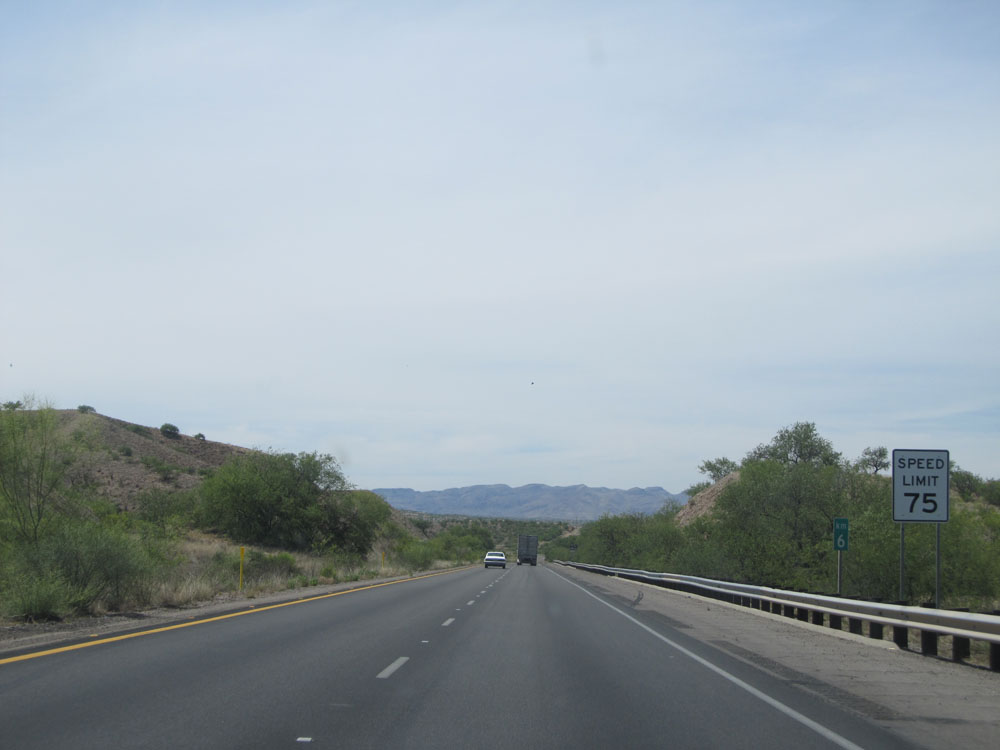 |
Another speed limit sign at kilometer marker 6. Speed Limit - 75 mph, which is the standard on most rural stretches of Interstate in Arizona. (Photo taken 5/20/15). |
 |
Interstate 19 North at kilometer marker 8. The reason for I-19 being marked by the kilometer is because there was a push to switch the Interstate system to all metric in the U.S. years ago, near the time when I-19 was planned and finished. (Photo taken 5/20/15). |
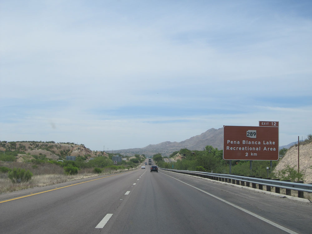 |
Take Exit 12 to Pena Blanca Lake Recreational Area. (Photo taken 5/20/15). |
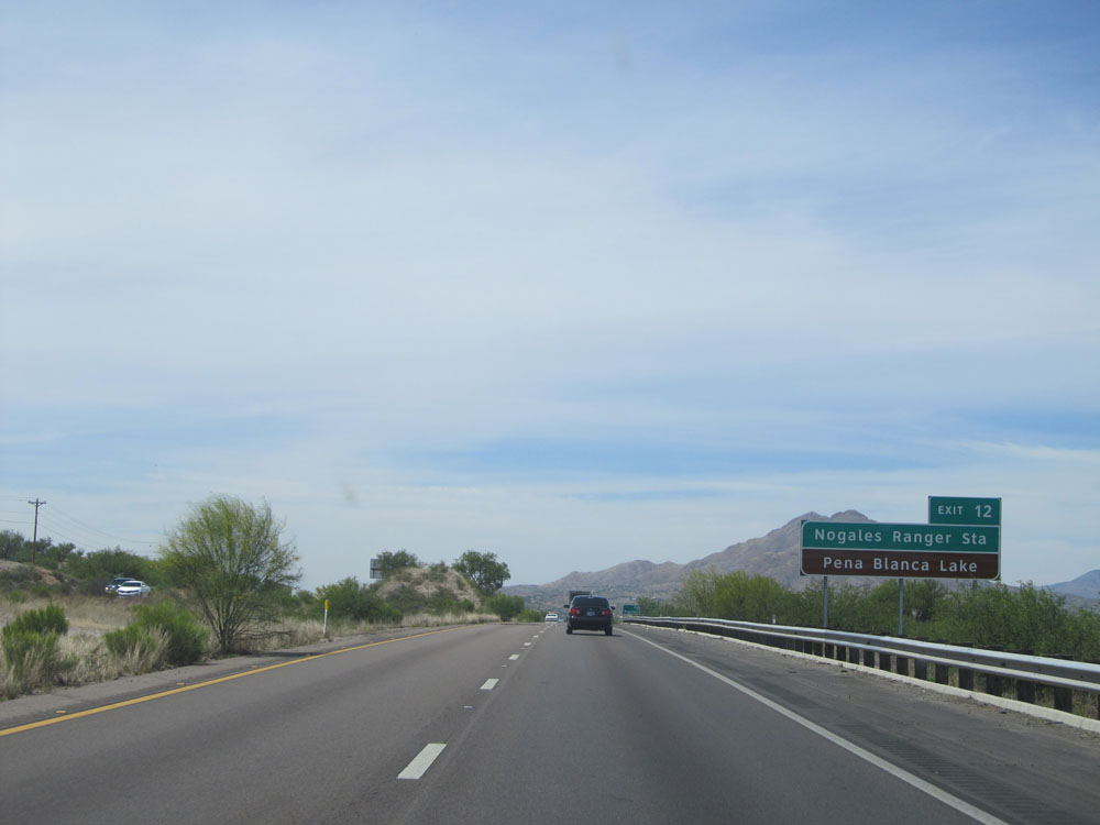 |
Take Exit 12 to Nogales Ranger Station and Pena Blanca Lake. (Photo taken 5/20/15). |
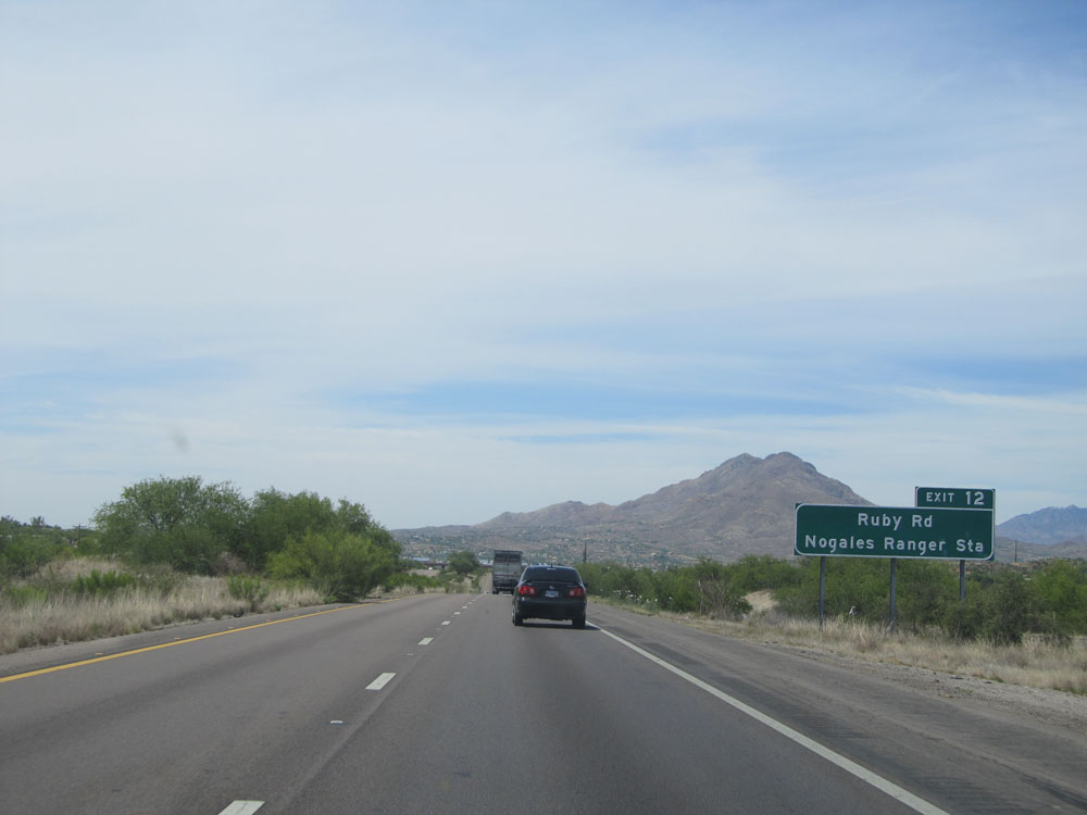 |
Take Exit 12 to Ruby Rd and Nogales Ranger Station. These signs for Exit 12 are getting a little repetitive, aren't they? (Photo taken 5/20/15). |
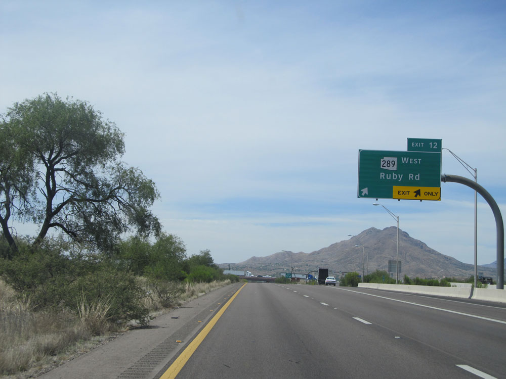 |
Interstate 19 North at Exit 12: AZ 289 West - Ruby Rd (Photo taken 5/20/15). |
 |
Interstate 19 North assurance shield north of Exit 12. (Photo taken 5/20/15). |
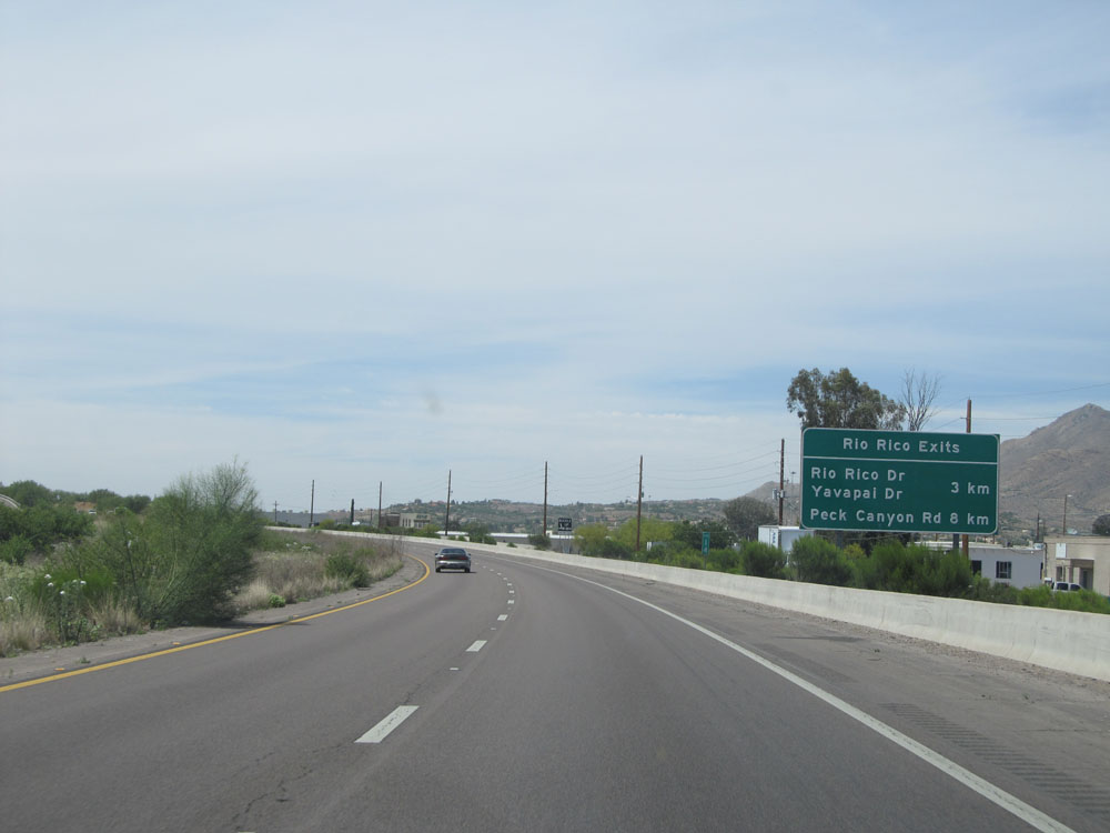 |
Sign listing the distances to the upcoming exits to Rio Rico. (Photo taken 5/20/15). |
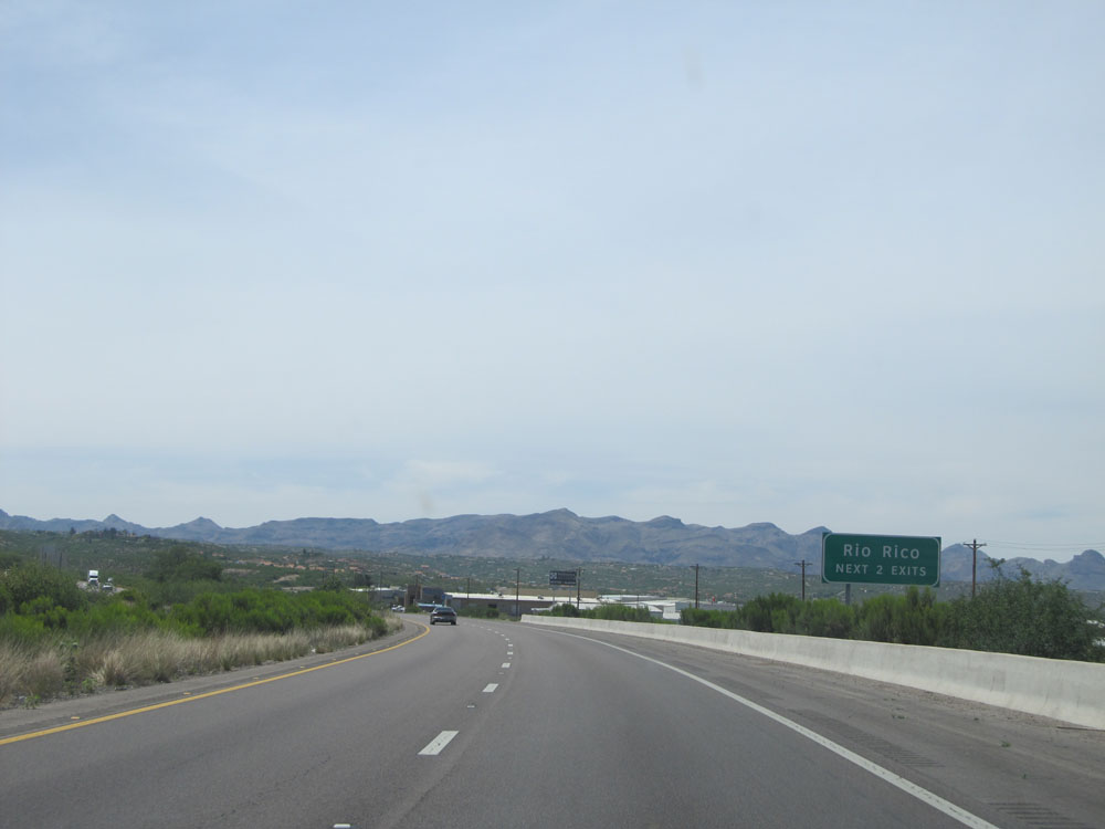 |
Take either of the next 2 exits to Rio Rico. (Photo taken 5/20/15). |
 |
Interstate 19 North: Road view from kilometer marker 15. (Photo taken 5/20/15). |
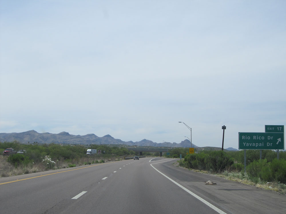 |
Interstate 19 North at Exit 17: Rio Rico Dr / Yavapai Dr (Photo taken 5/20/15). |
 |
Speed Limit assurance sign on Interstate 19 North. Speed Limit - 75 mph. (Photo taken 5/20/15). |
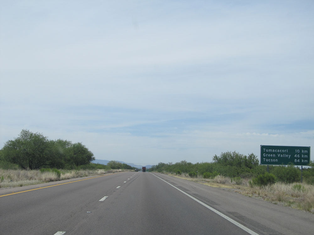 |
Distance sign on Interstate 19 North. It's 10 kilometers to Tumacacori, 46 kilometers to Green Valley, and 84 kilometers to Tucson. (Photo taken 5/20/15). |
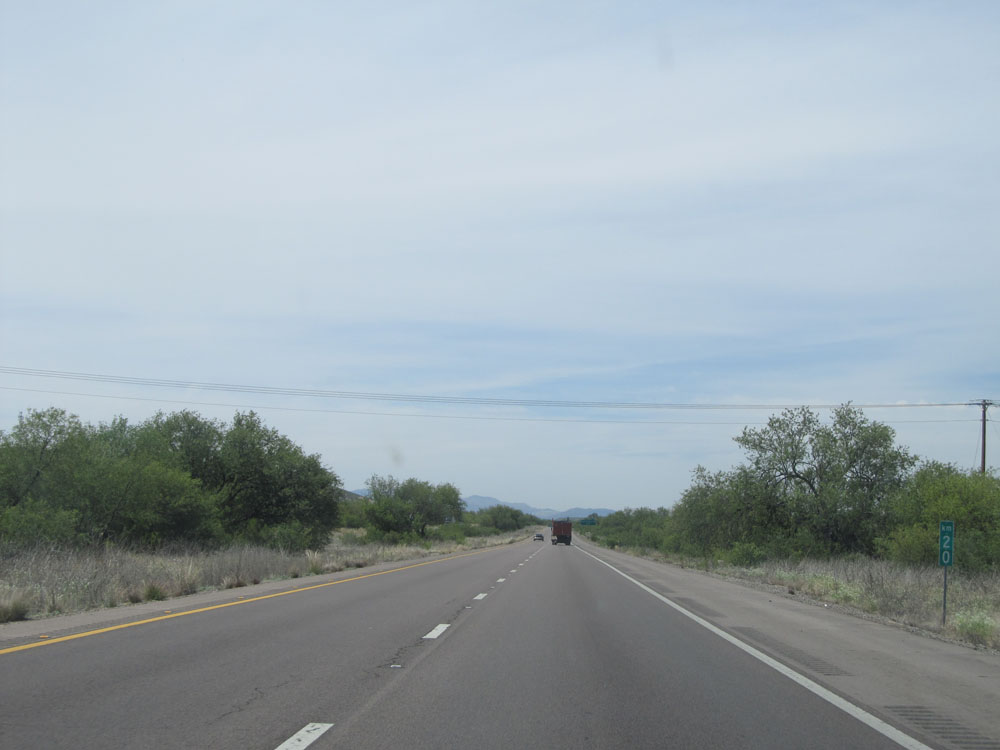 |
Interstate 19 North at kilometer marker 20. (Photo taken 5/20/15). |
 |
Interstate 19 North at Exit 22: Peck Canyon Rd (Photo taken 5/20/15). |
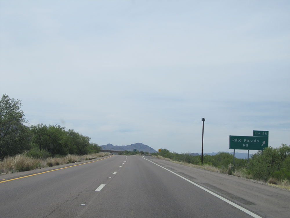 |
Interstate 19 North at Exit 25: Palo Parado Rd (Photo taken 5/20/15). |
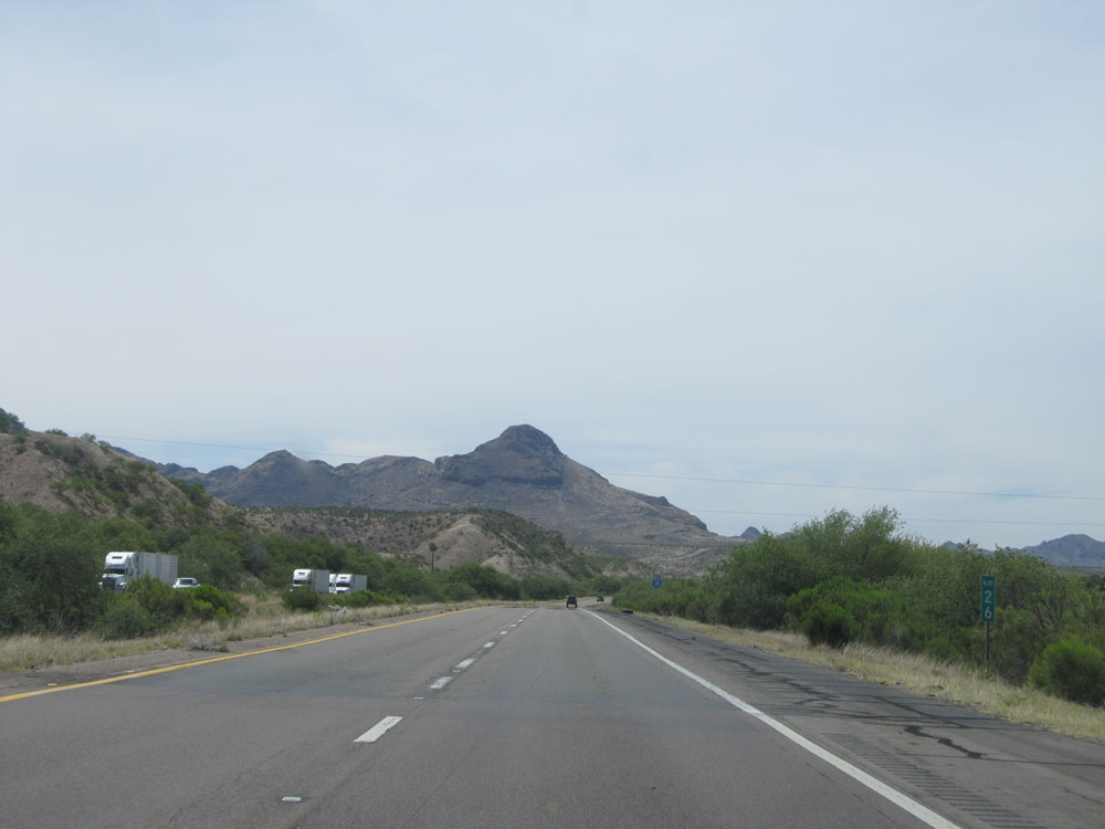 |
Interstate 19 North: Road view from kilometer marker 26. (Photo taken 5/20/15). |
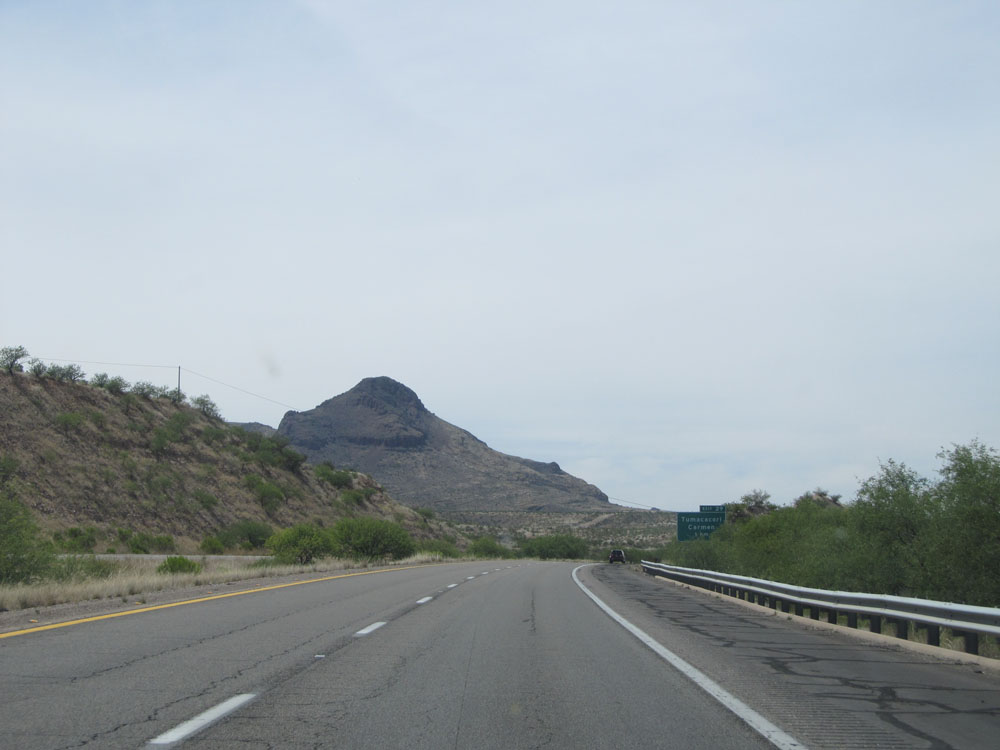 |
View on Interstate 19 North near kilometer marker 28. (Photo taken 5/20/15). |
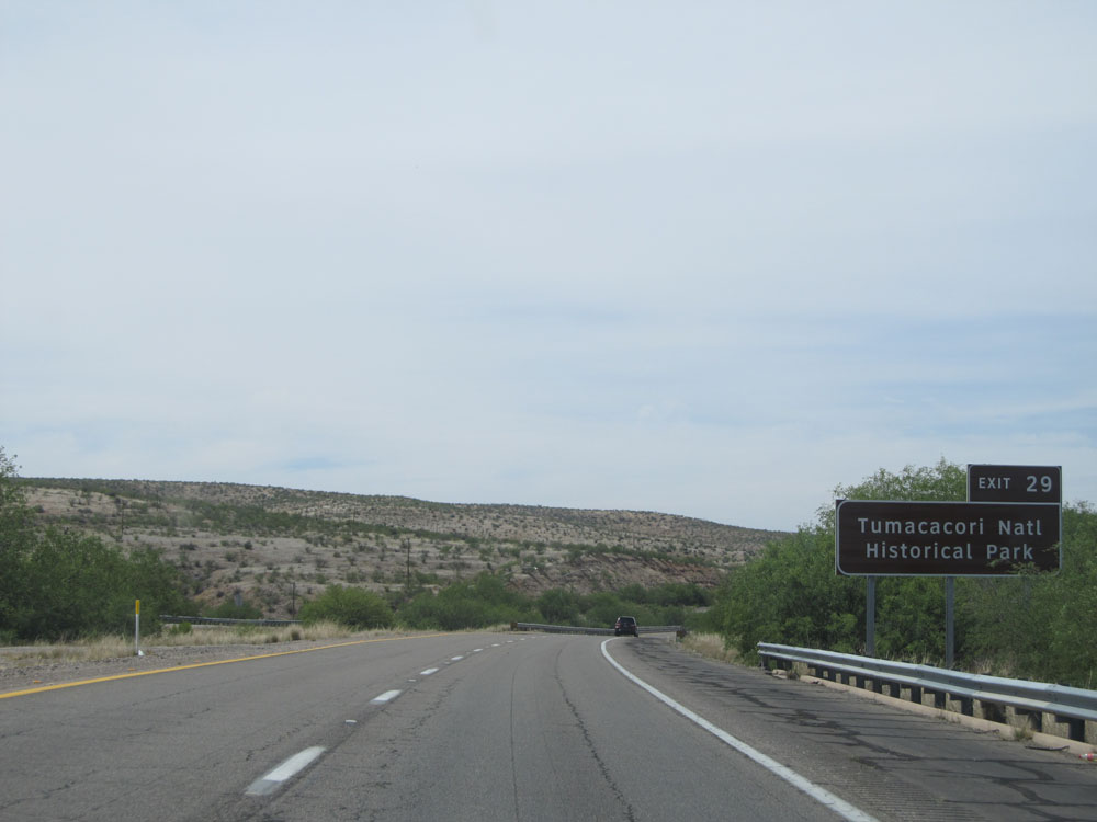 |
Take Exit 29 to Tumacacori National Historical Park. (Photo taken 5/20/15). |
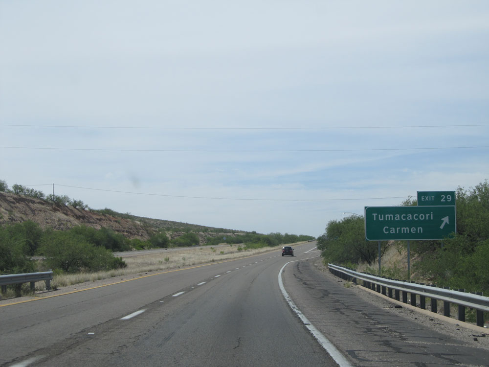 |
Interstate 19 North at Exit 29: Tumacacori / Carmen (Photo taken 5/20/15). |
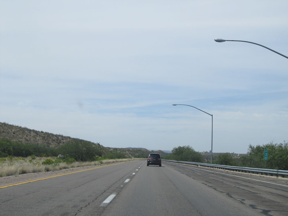 |
Interstate 19 North at kilometer marker 30. (Photo taken 5/20/15). |
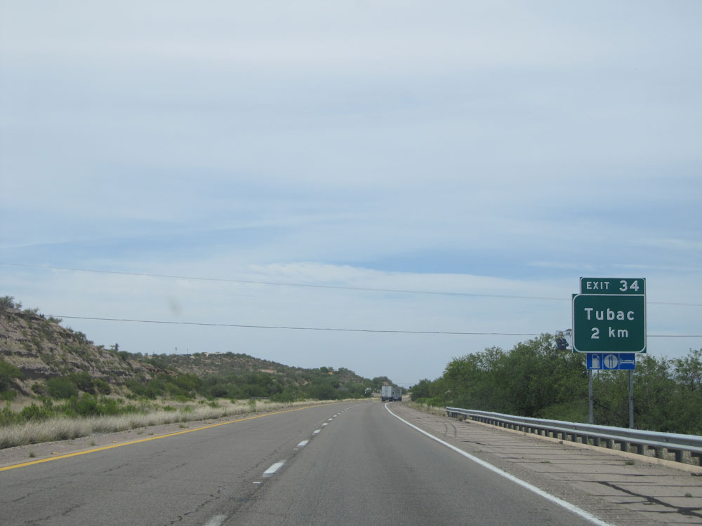 |
Interstate 19 North approaching Exit 34 - 2 kilometers. (Photo taken 5/20/15). |
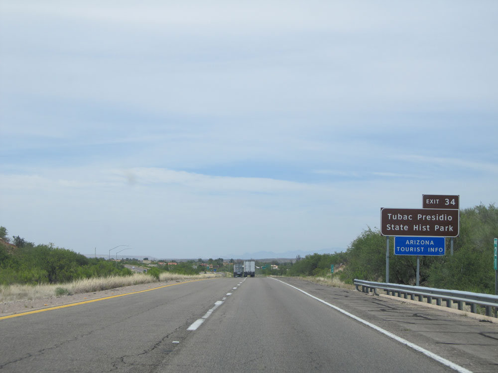 |
Take Exit 34 to Tubac Presidio State Historic Park. (Photo taken 5/20/15). |
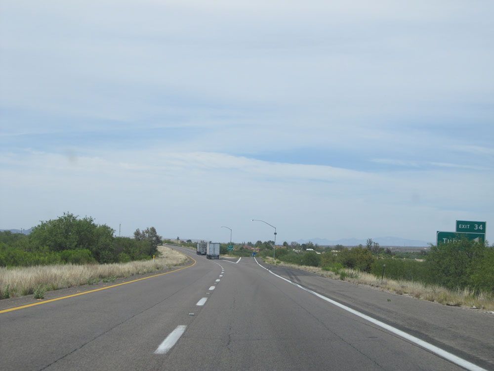 |
Interstate 19 North at Exit 34: Tubac (Photo taken 5/20/15). |
 |
Interstate 19 North at kilometer marker 36. (Photo taken 5/20/15). |
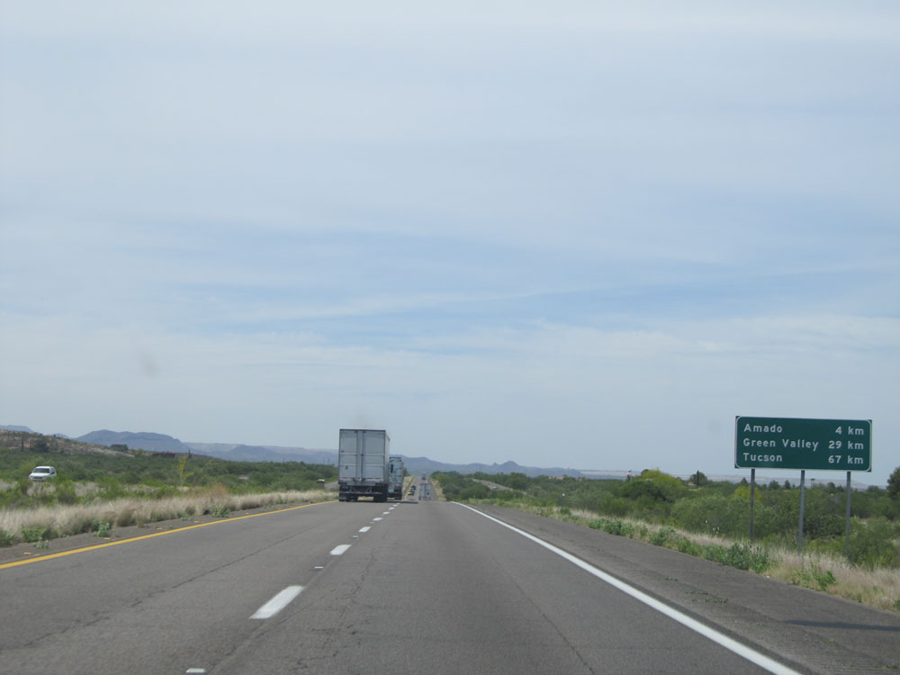 |
Distance sign near kilometer marker 36.5. It's 4 kilometers to Amado, 29 kilometers to Green Valley, and 67 kilometers to Tucson. (Photo taken 5/20/15). |
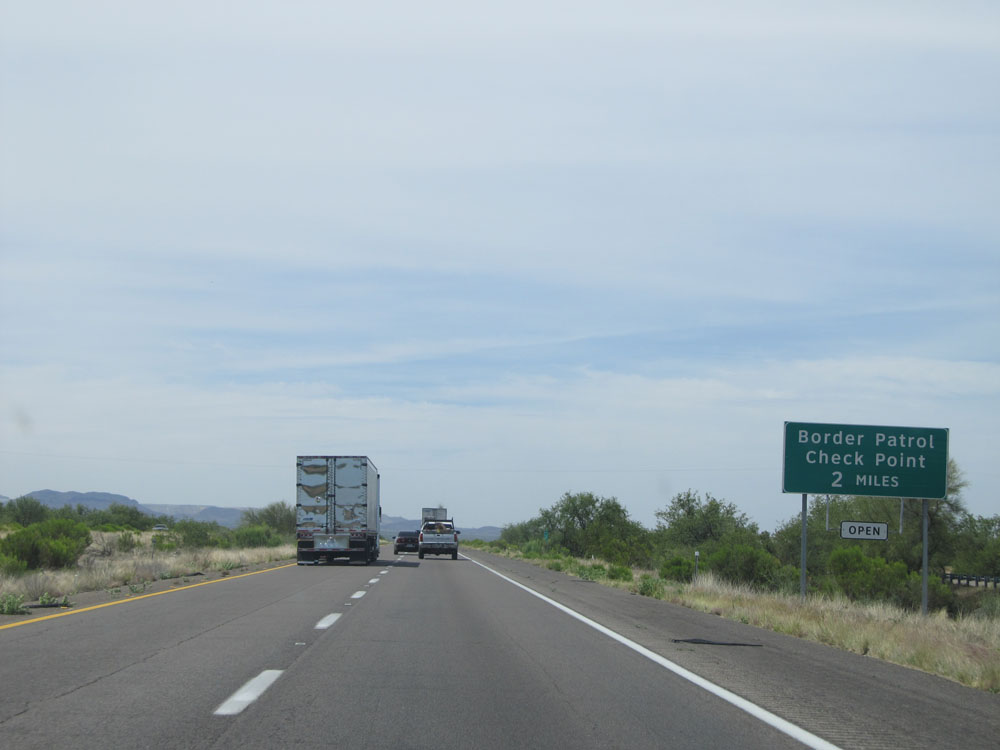 |
Interstate 19 North approaching the Border Patrol Check Point - 2 miles. That's right, they went with miles for this sign. (Photo taken 5/20/15). |
 |
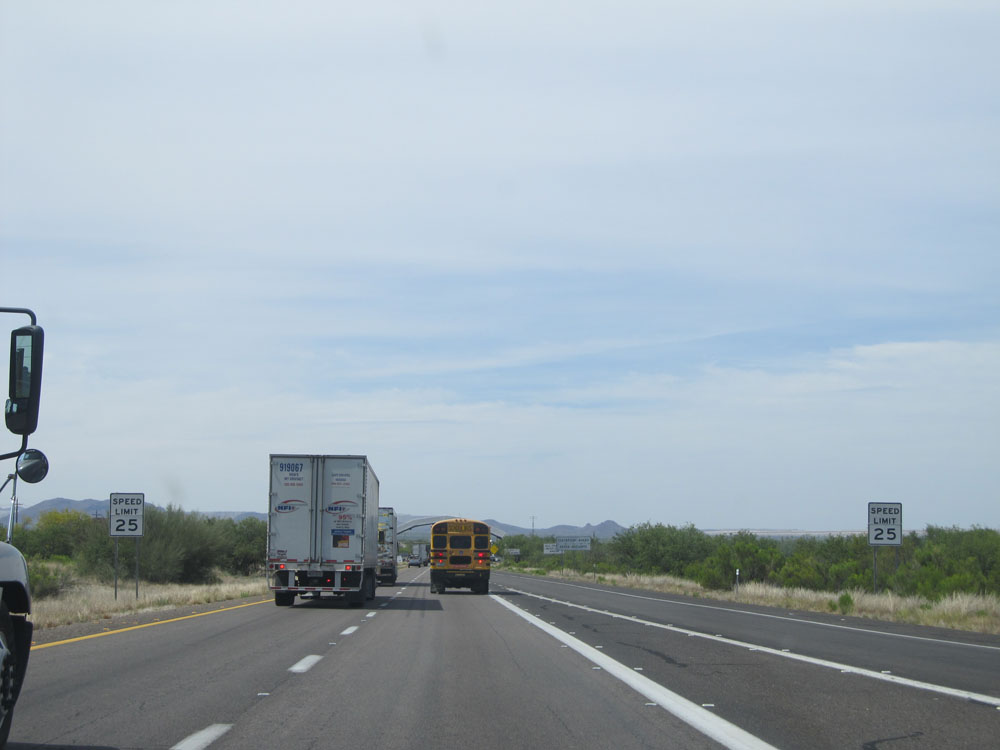
As you begin to approach the Border Patrol Checkpoint, the speed limit decreases to 65 mph. (Photo taken 5/20/15). |
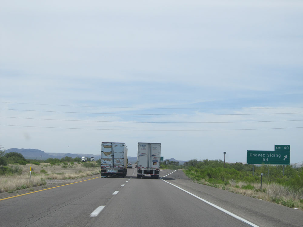 |
Interstate 19 North at Exit 40: Chavez Siding Rd (Photo taken 5/20/15). |
 |
This sign lists the distances to the two upcoming exits to Amado. (Photo taken 5/20/15). |
 |
At kilometer marker 40, the speed limit decreases to 45 mph as we near the Border Patrol Checkpoint. (Photo taken 5/20/15). |
 |
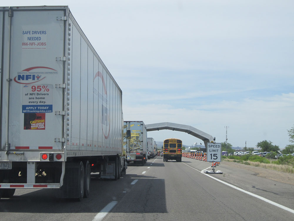
As the Border Patrol Checkpoint comes into view, the speed limit decreases even further to 25 mph. (Photo taken 5/20/15). |
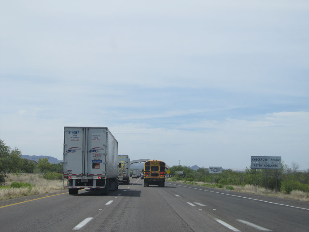 |
Prepare to stop ahead at the checkpoint. (Photo taken 5/20/15). |
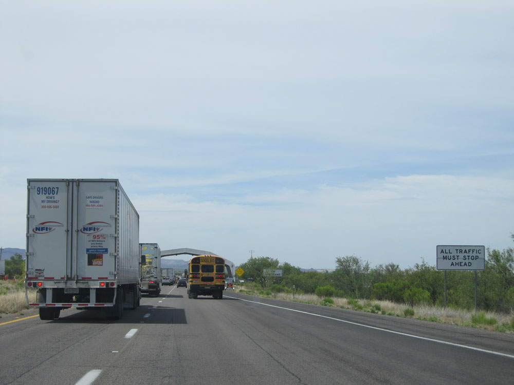 |
All traffic must stop at Border Patrol. (Photo taken 5/20/15). |
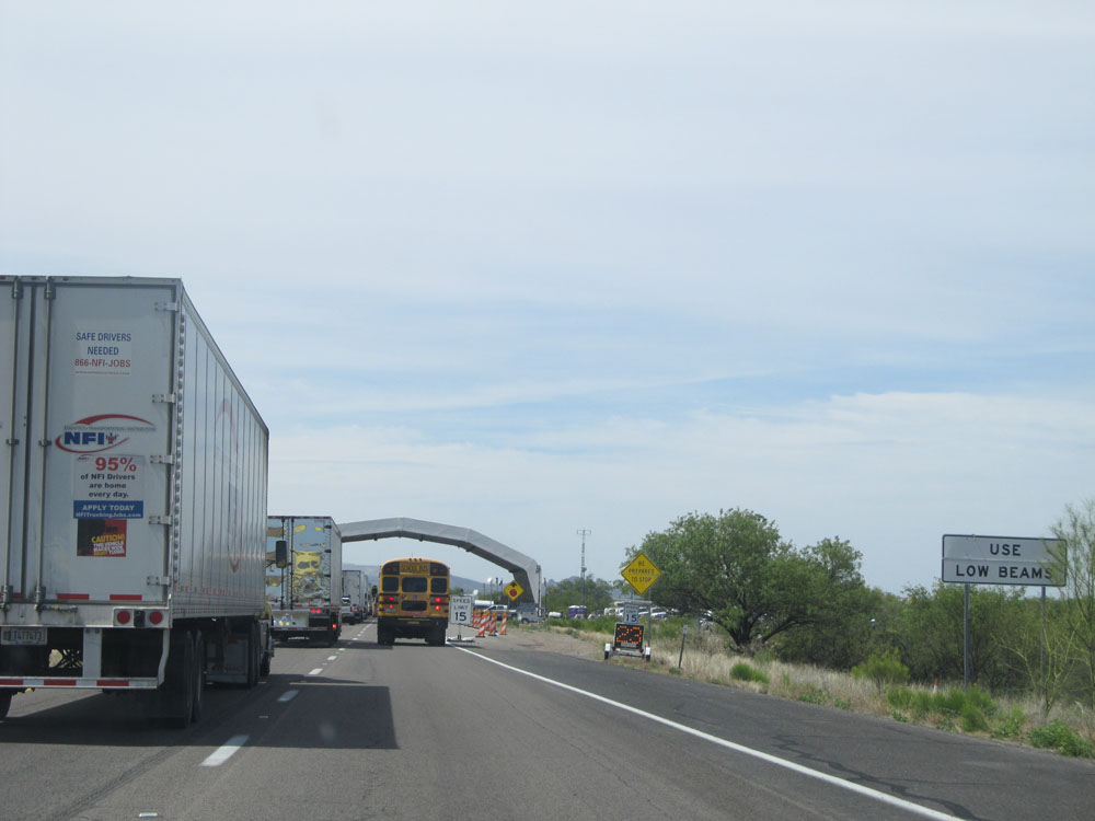 |
As a courtesy to those in front of you and the Border Patrol officers, motorists are advised to use their low beams. (Photo taken 5/20/15). |
 |
Interstate 19 North approaching the Border Patrol Checkpoint. (Photo taken 5/20/15). |
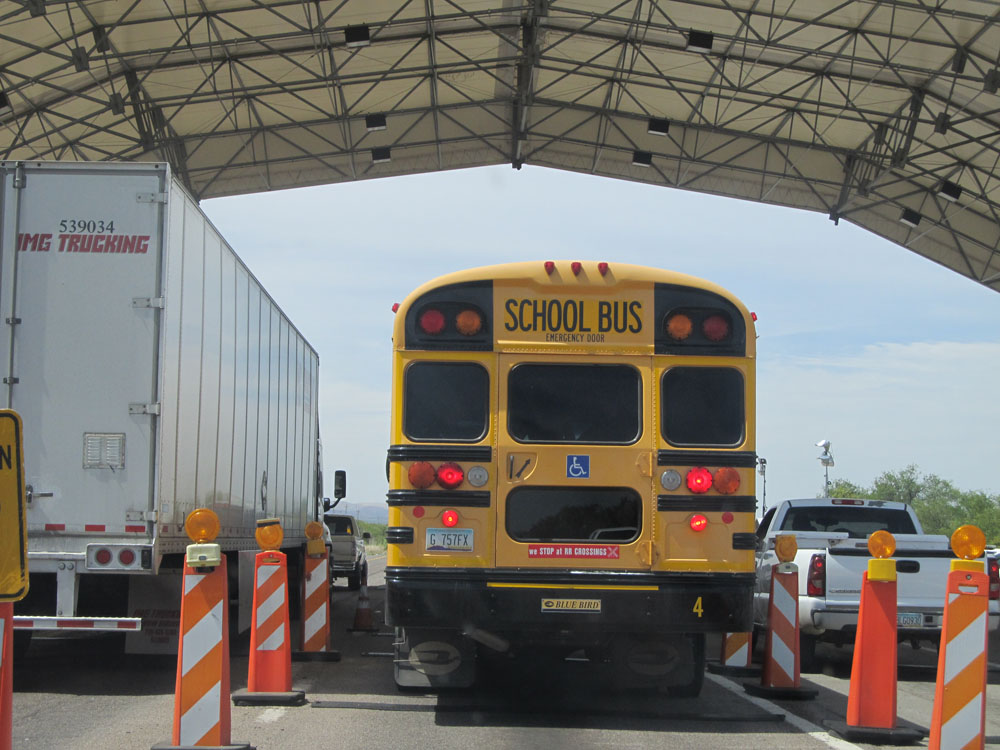 |
Interstate 19 North at the Border Patrol Checkpoint, near kilometer marker 41. (Photo taken 5/20/15). |
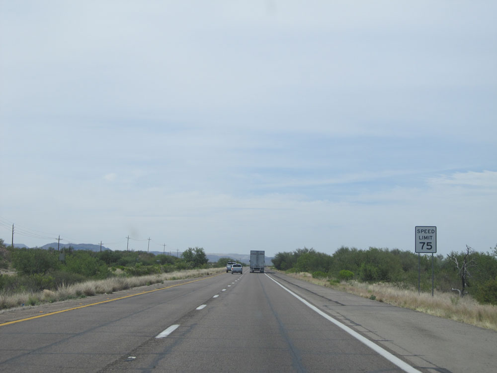 |
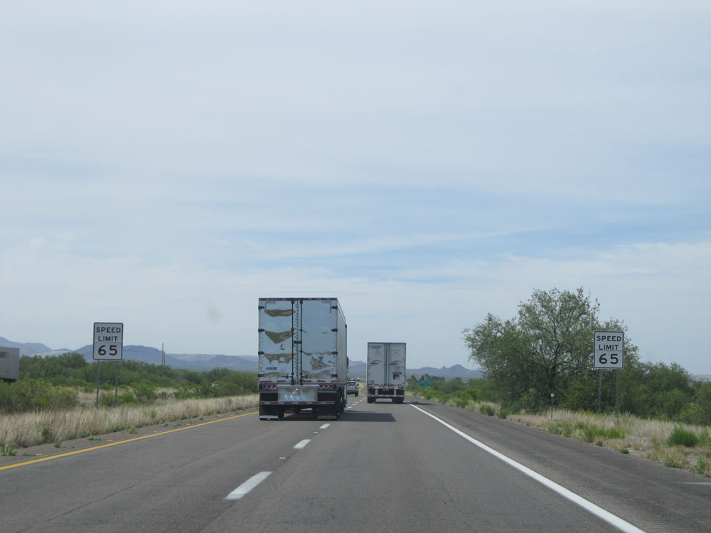
Once through the checkpoint, the standard speed limit of 75 mph resumes. (Photo taken 5/20/15). |
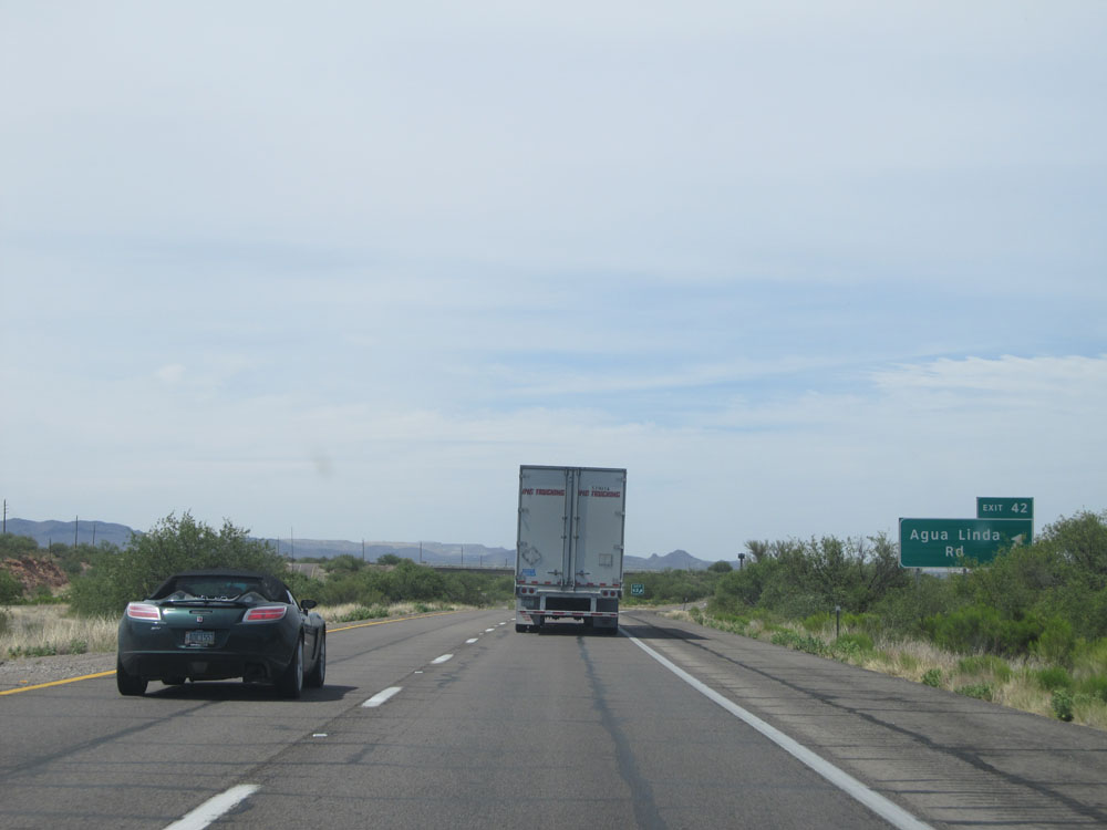 |
Interstate 19 North at Exit 42: Agua Linda Rd (Photo taken 5/20/15). |
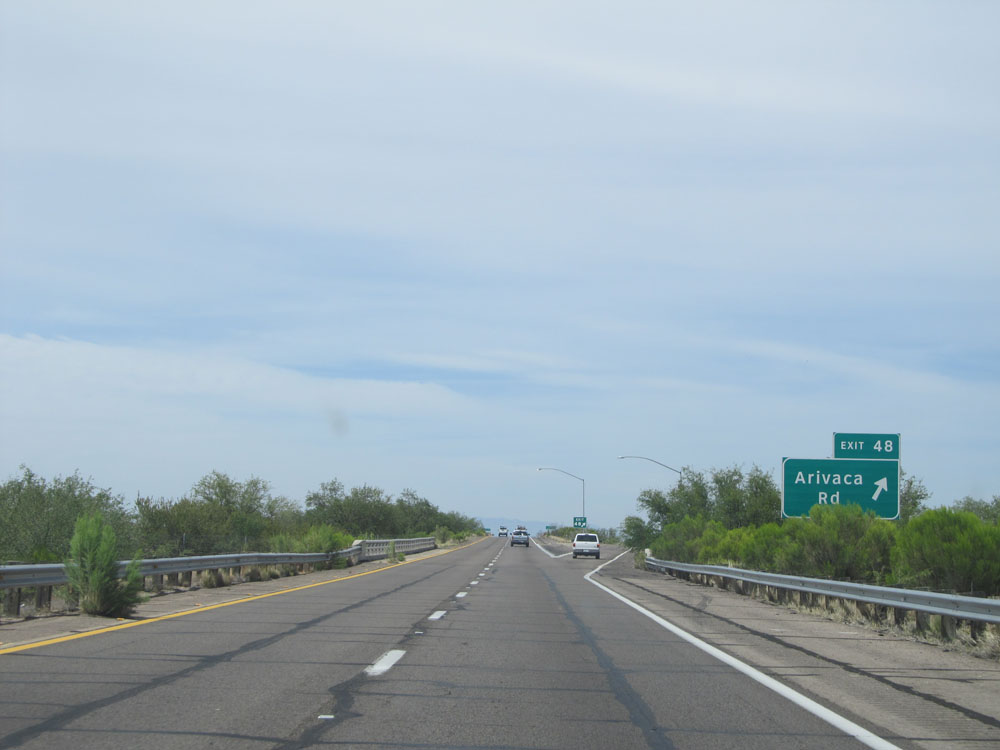 |
Interstate 19 North at Exit 48: Arivaca Rd (Photo taken 5/20/15). |
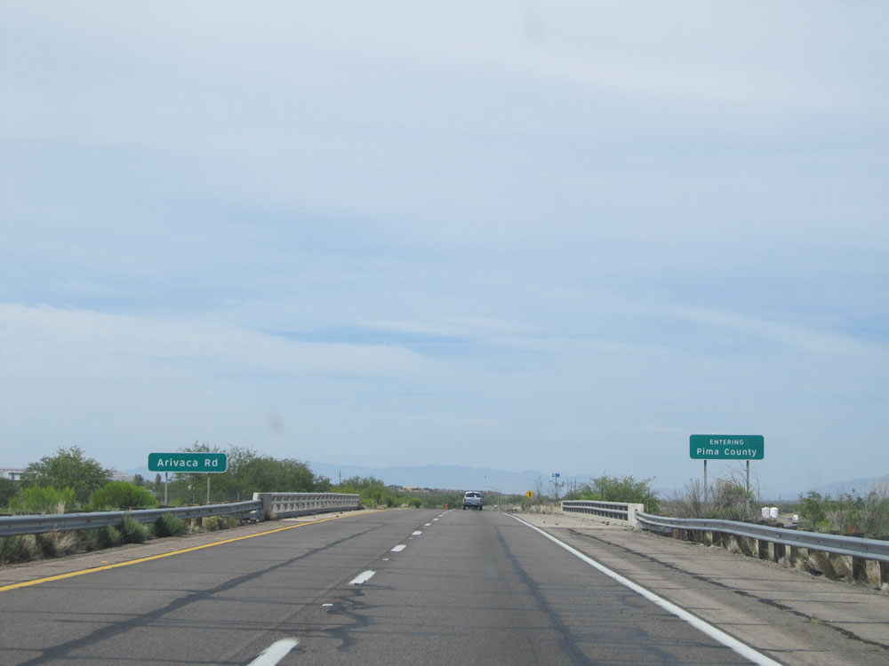 |
Interstate 19 North entering Pima County. (Photo taken 5/20/15). |
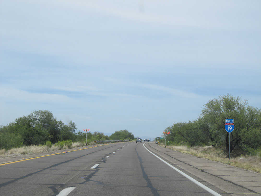 |
Interstate 19 North assurance shield. (Photo taken 5/20/15). |
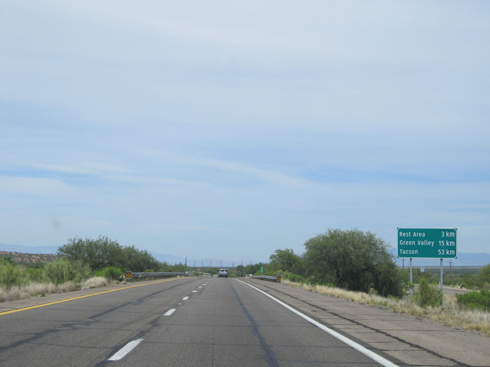 |
Distance sign near kilometer marker 51. It's 3 kilometers to the upcoming Rest Area, 15 kilometers to Green Valley, and 53 kilometers to Tucson. (Photo taken 5/20/15). |
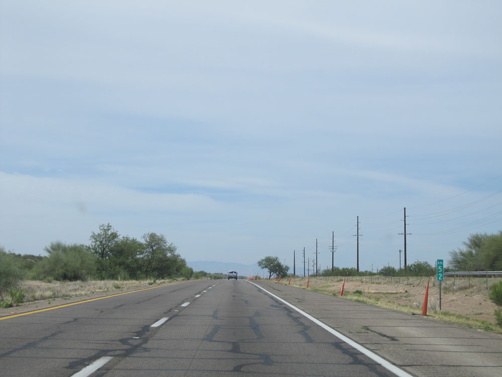 |
Interstate 19 North at kilometer marker 52. (Photo taken 5/20/15). |
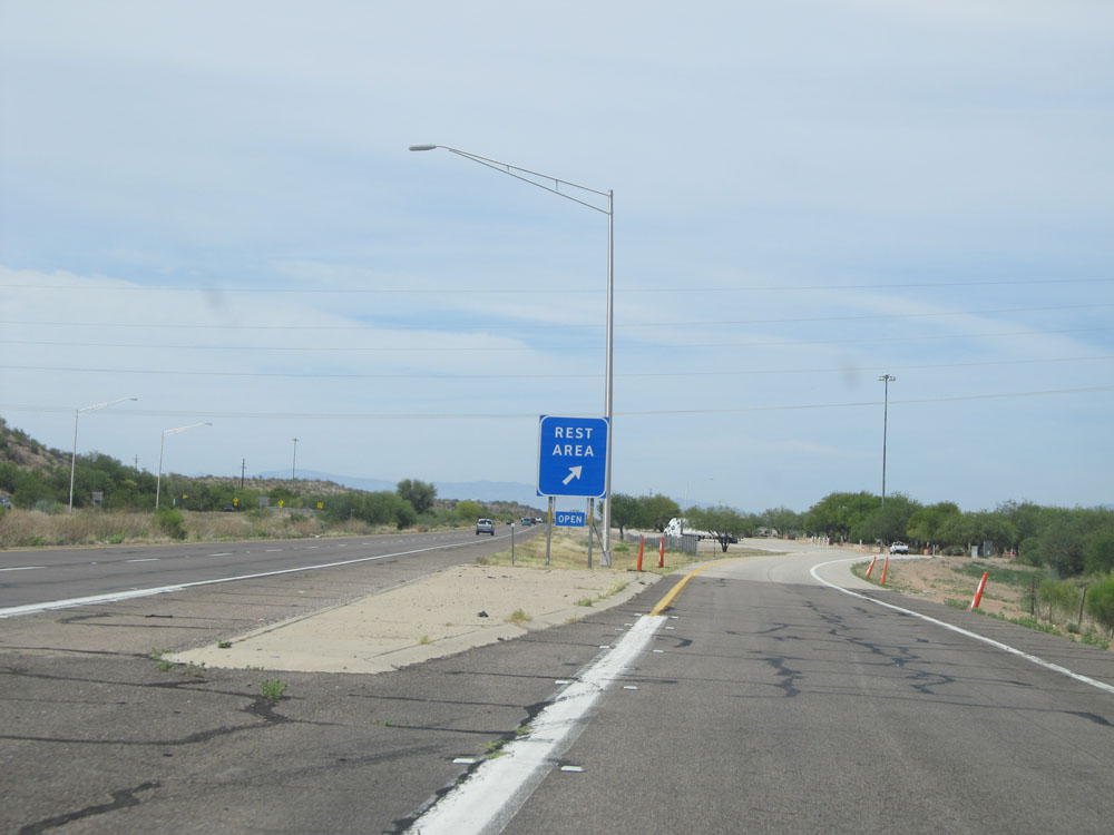 |
Interstate 19 North at the Rest Area located near kilometer marker 53. (Photo taken 5/20/15). |
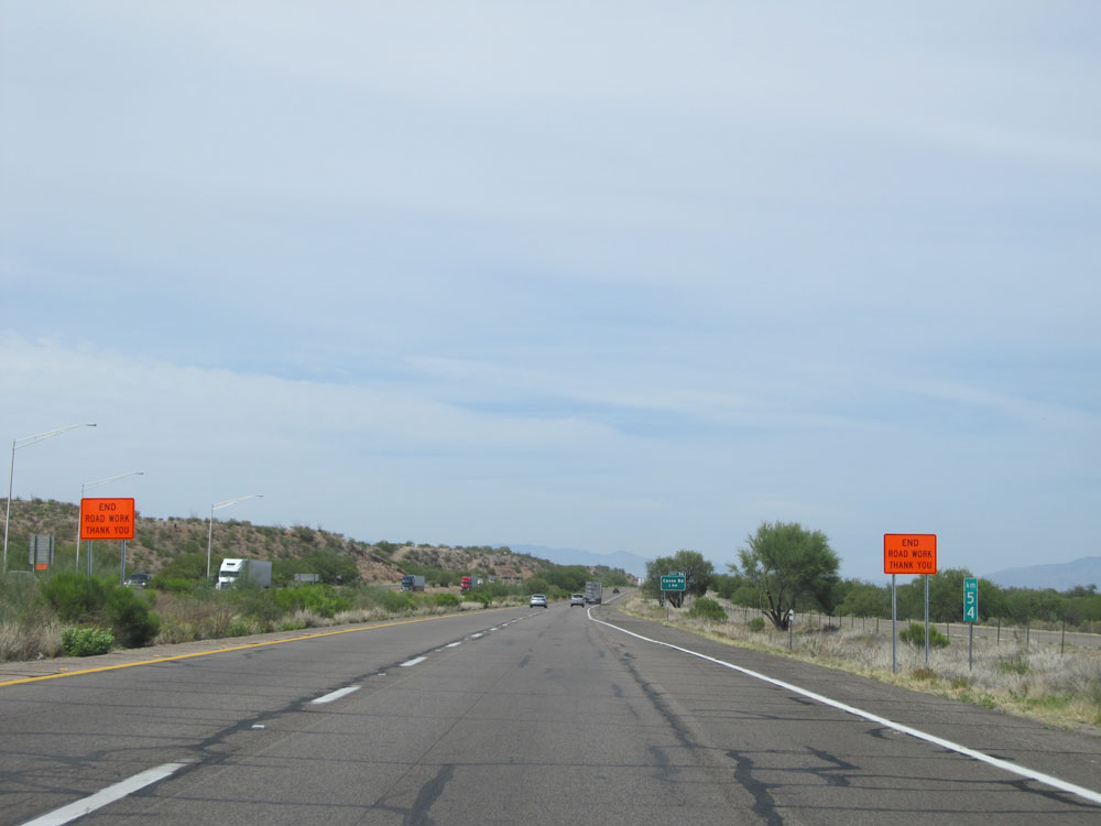 |
Interstate 19 North at kilometer marker 54. (Photo taken 5/20/15). |
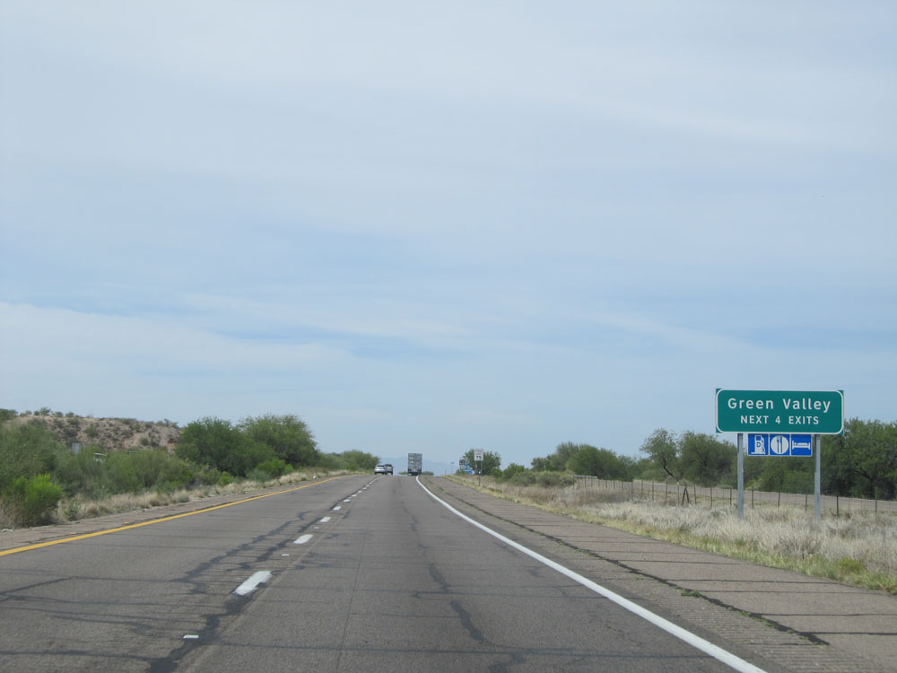 |
Take any of the next 4 exits to Green Valley. (Photo taken 5/20/15). |
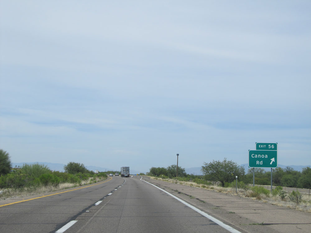 |
Interstate 19 North at Exit 56: Canoa Rd (Photo taken 5/20/15). |
Section 2: Green Valley (Exit 56) to Tucson
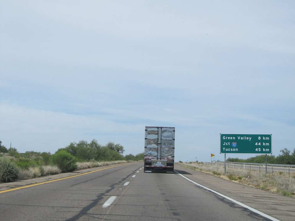 |
Distance sign near kilometer marker 57. It's 8 kilometers to Green Valley, 44 kilometers to the junction of Interstate 10, and 45 kilometers to Tucson. (Photo taken 5/20/15). |
 |
This sign lists the distances to the three remaining exits to Green Valley. (Photo taken 5/20/15). |
 |
At kilometer marker 62, the speed limit decreases to 65 mph as you pass through Green Valley. (Photo taken 5/20/15). |
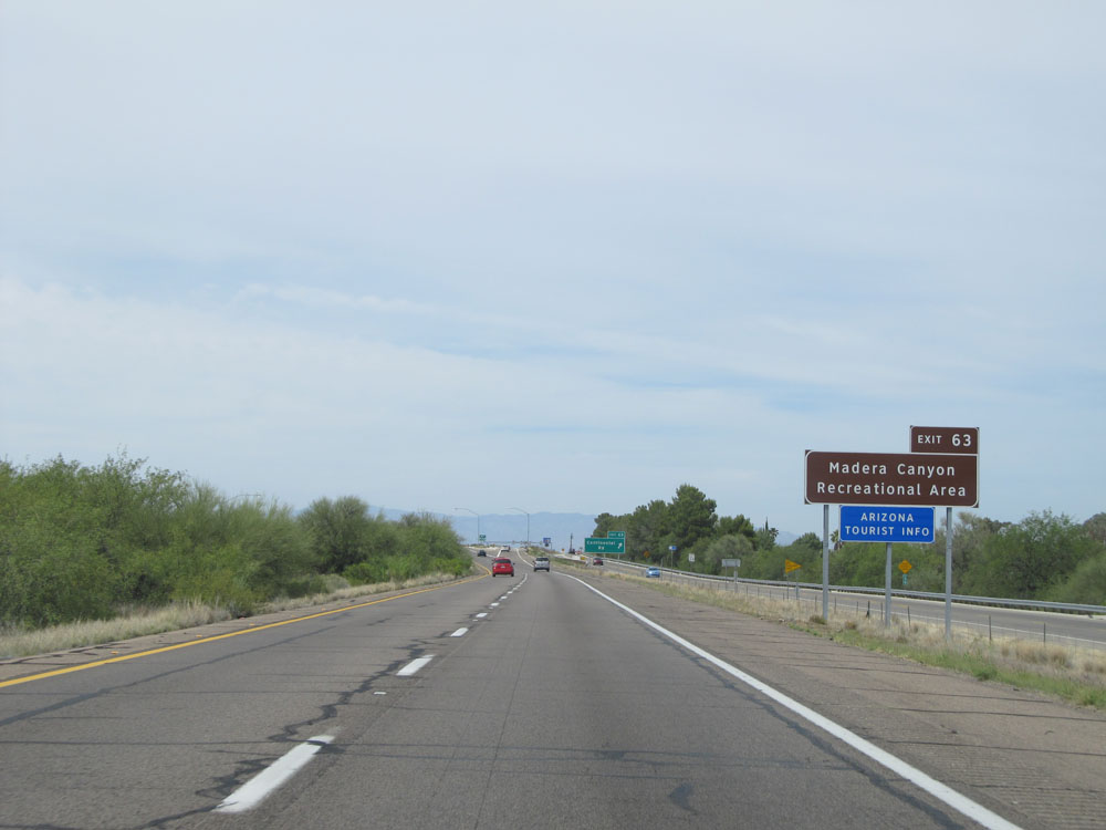 |
Take Exit 63 to Madera Canyon Recreational Area and Arizona Tourist Info. (Photo taken 5/20/15). |
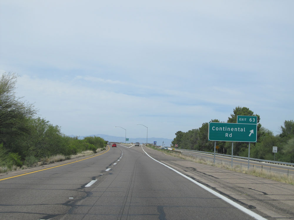 |
Interstate 19 North at Exit 63: Continental Rd (Photo taken 5/20/15). |
 |
Interstate 19 North at Exit 65: Esperanza Blvd (Photo taken 5/20/15). |
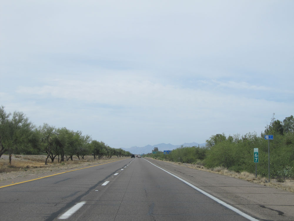 |
Interstate 19 North at kilometer marker 67. (Photo taken 5/20/15). |
 |
Take Exit 69 to Titan Missile National Historic Landmark. (Photo taken 5/20/15). |
 |
Take any of the next 3 exits to Sahuarita. (Photo taken 5/20/15). |
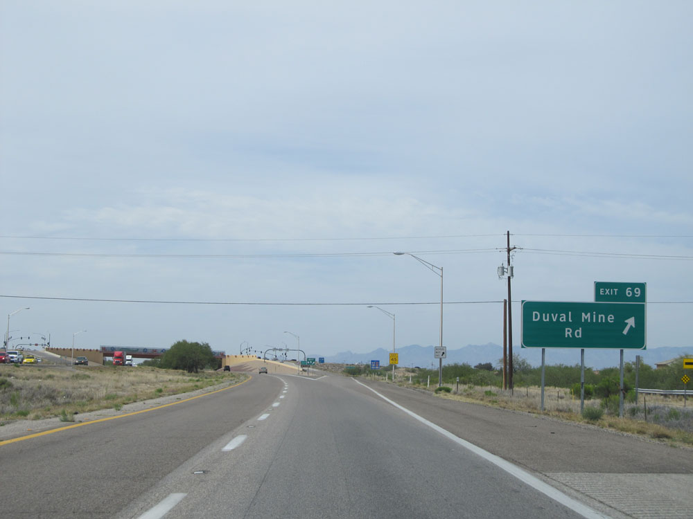 |
Interstate 19 North at Exit 69: Duval Mine Rd (Photo taken 5/20/15). |
 |
Interstate 19 North assurance shield near kilometer marker 70. (Photo taken 5/20/15). |
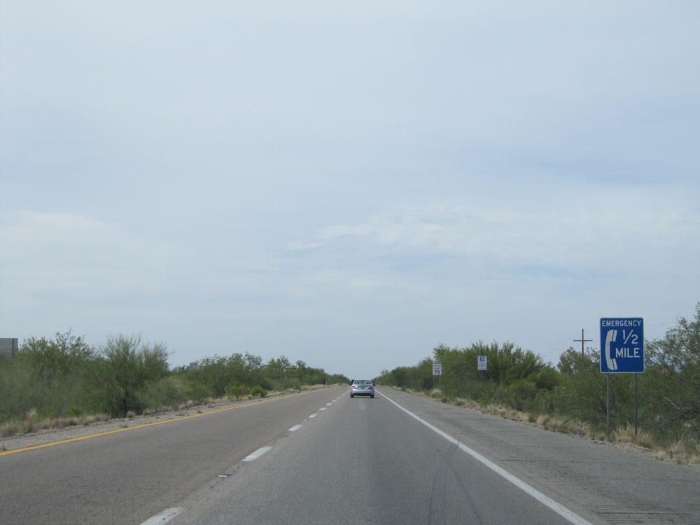 |
An emergency call box exists 1/2 mile ahead on the shoulder. (Photo taken 5/20/15). |
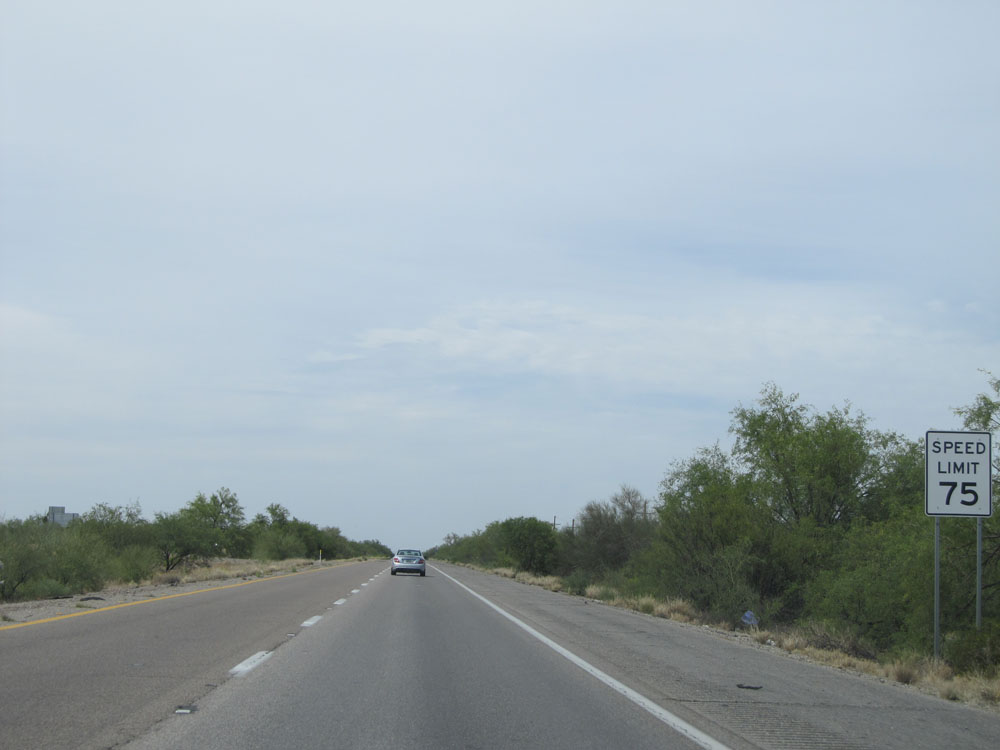 |
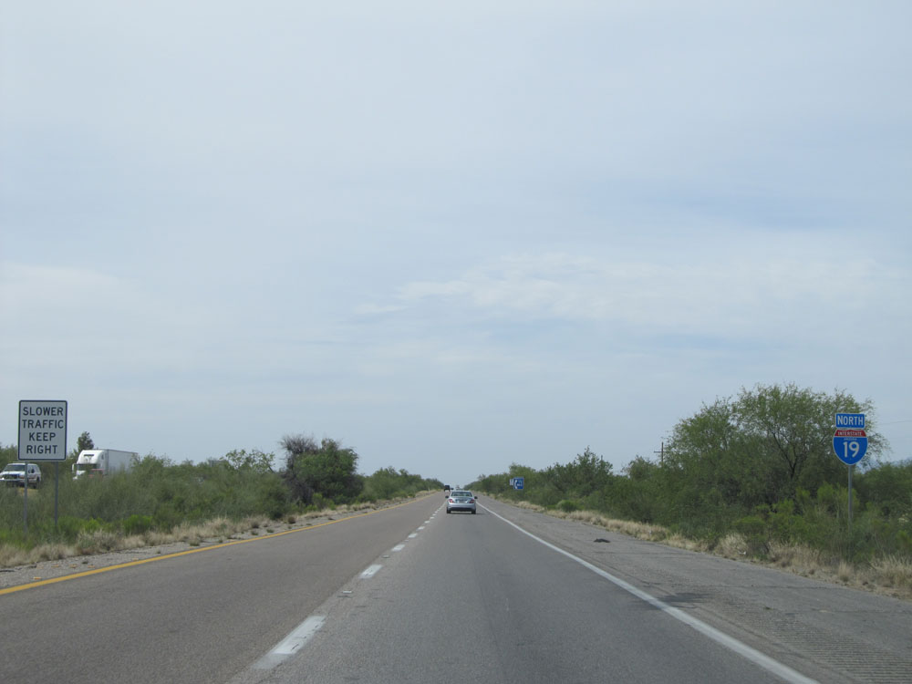
Near kilometer marker 71, the standard speed limit of 75 mph resumes. (Photo taken 5/20/15). |
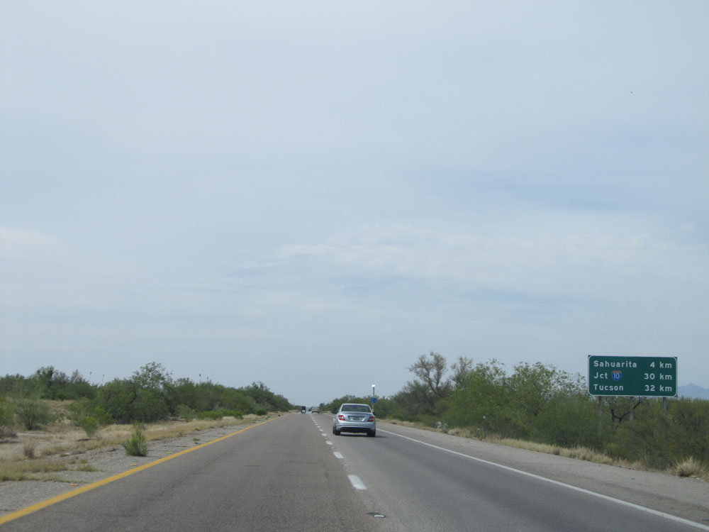 |
Distance sign on Interstate 19 North. It's 4 kilometers to Sahuarita, 30 kilometers to the junction of Interstate 10 (norther terminus of I-19), and 32 kilometers to Tucson. (Photo taken 5/20/15). |
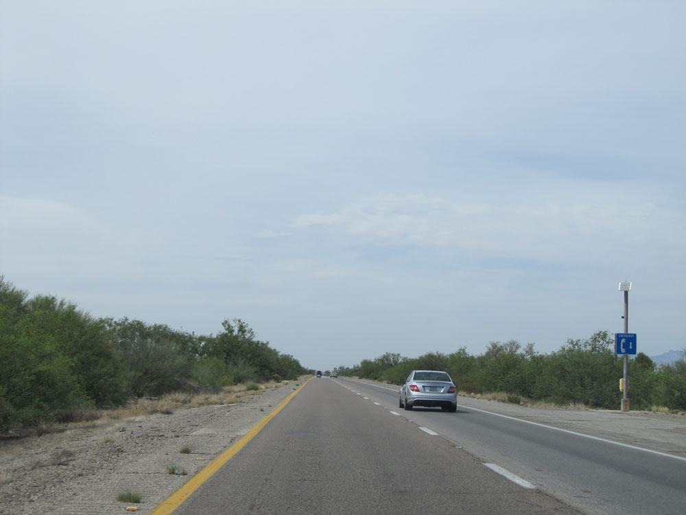 |
A (seemingly random) emergency call box on the shoulder near kilometer marker 71. (Photo taken 5/20/15). |
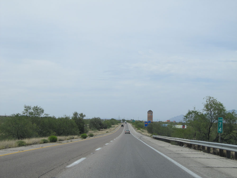 |
Interstate 19 North: Road view from kilometer marker 74. (Photo taken 5/20/15). |
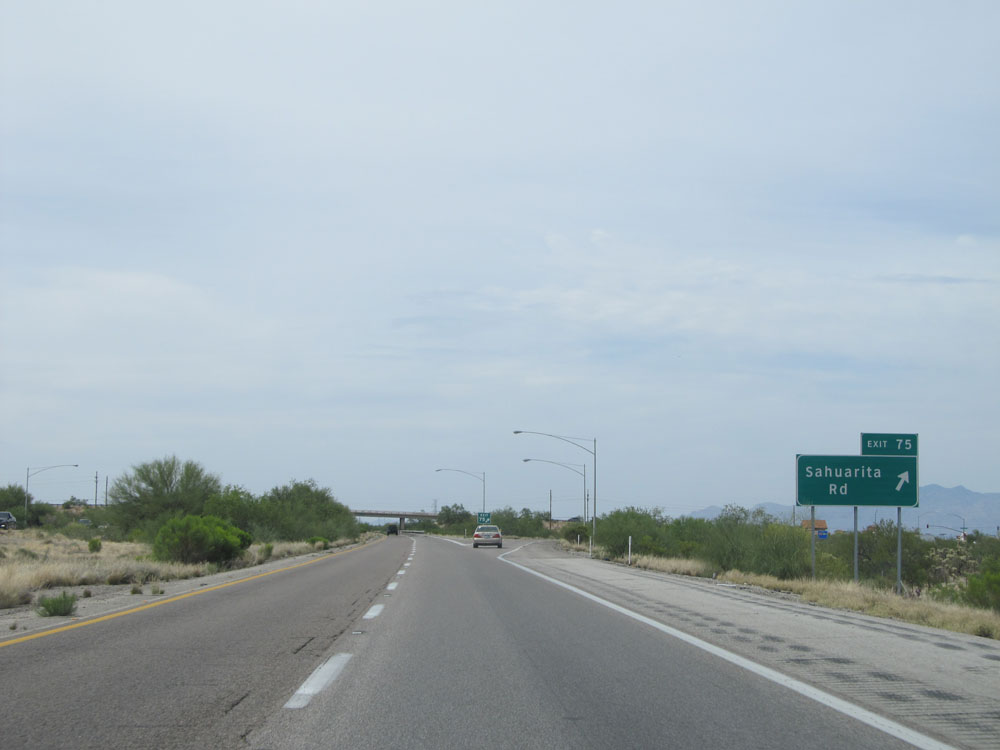 |
Interstate 19 North at Exit 75: Sahuarita Rd (Photo taken 5/20/15). |
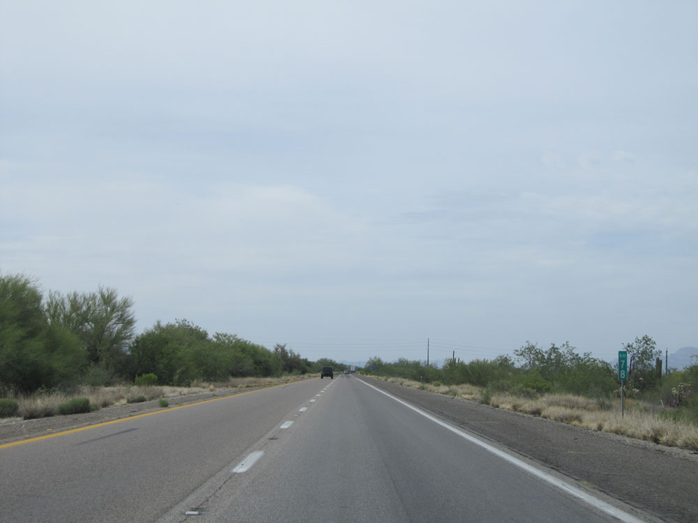 |
Interstate 19 North at kilometer marker 78. (Photo taken 5/20/15). |
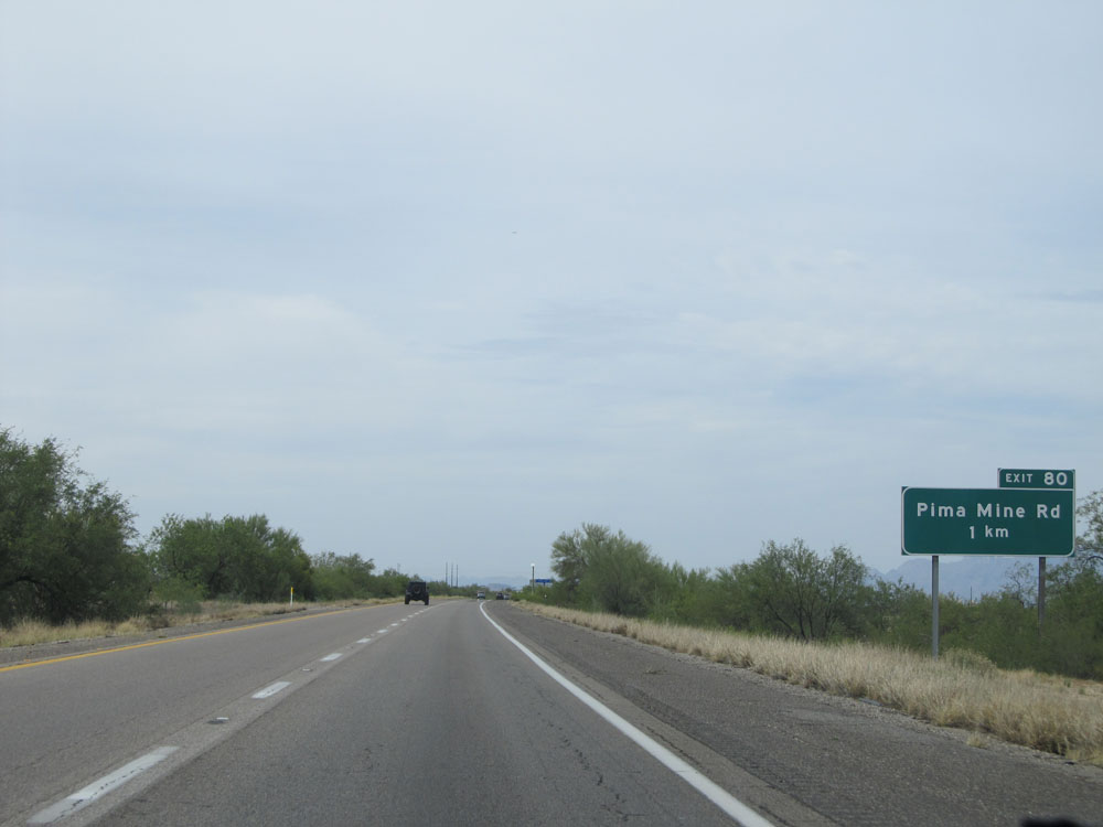 |
Interstate 19 North approaching Exit 80 - 1 kilometer. (Photo taken 5/20/15). |
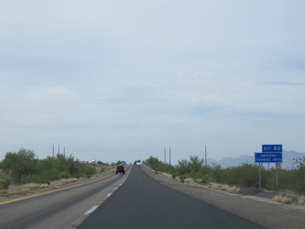 |
Take Exit 80 for Arizona Tourist Info. (Photo taken 5/20/15). |
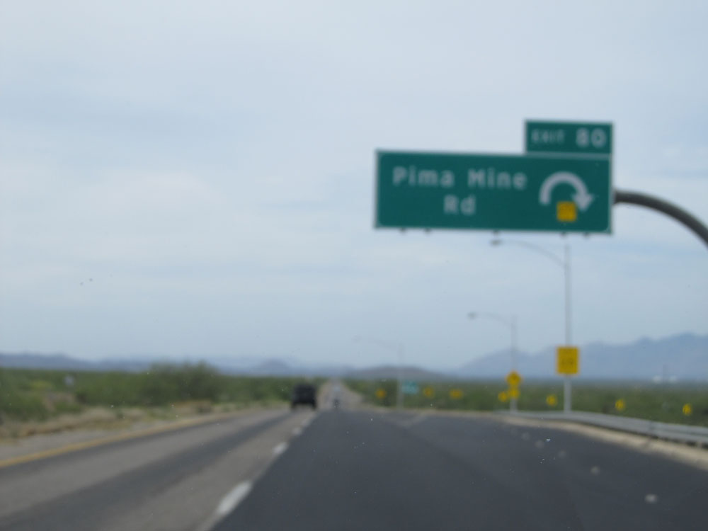 |
Interstate 19 North at Exit 80: Pima Mine Rd. Yeah, let's just forget about how this one turned out and move on, shall we? (Photo taken 5/20/15). |
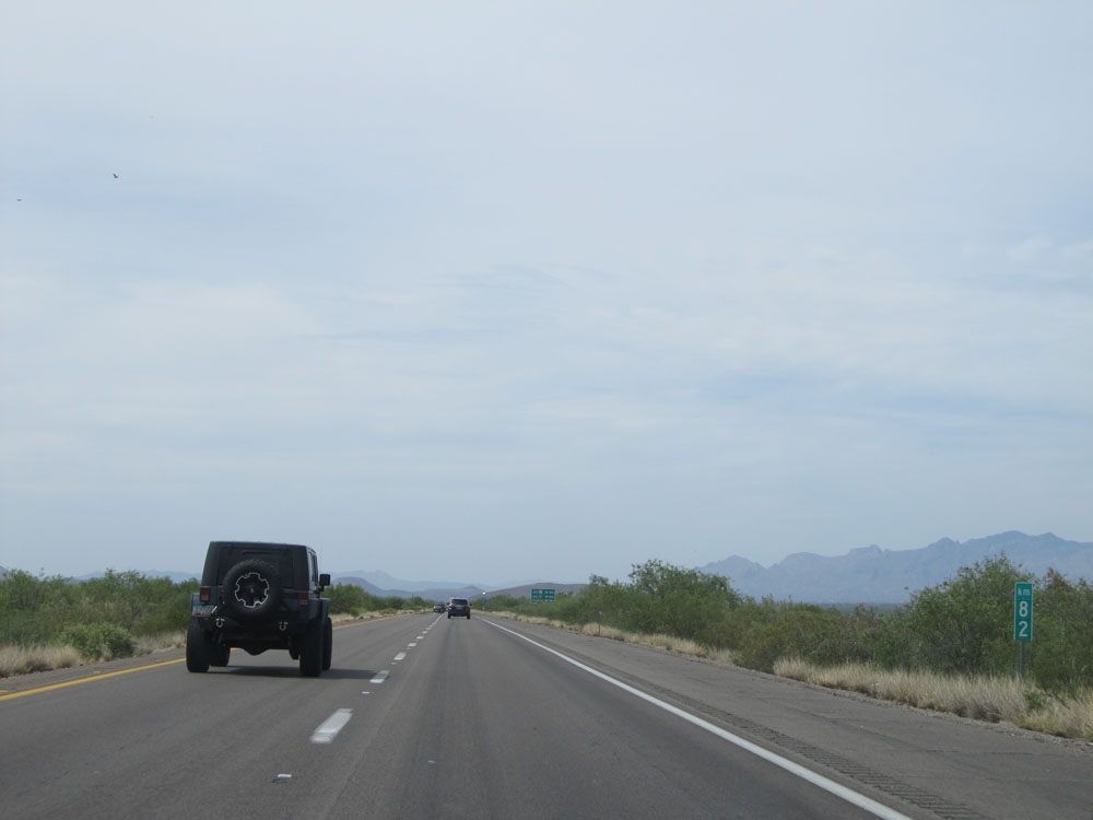 |
Interstate 19 North at kilometer marker 82. (Photo taken 5/20/15). |
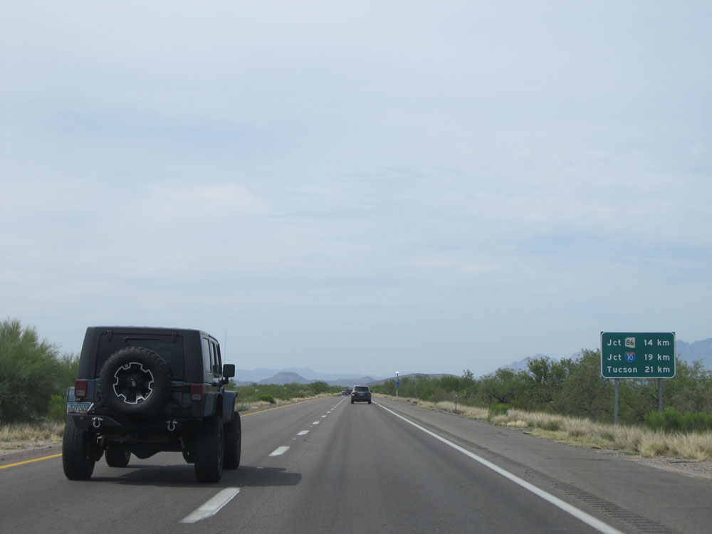 |
Distance sign near kilometer marker 83. It's 14 kilometers to the junction of AZ 86, 19 kilometers to the junction of Interstate 10, and 21 kilometers to Tucson. (Photo taken 5/20/15). |
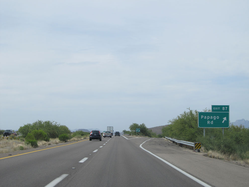 |
Interstate 19 North at Exit 87: Papago Rd (Photo taken 5/20/15). |
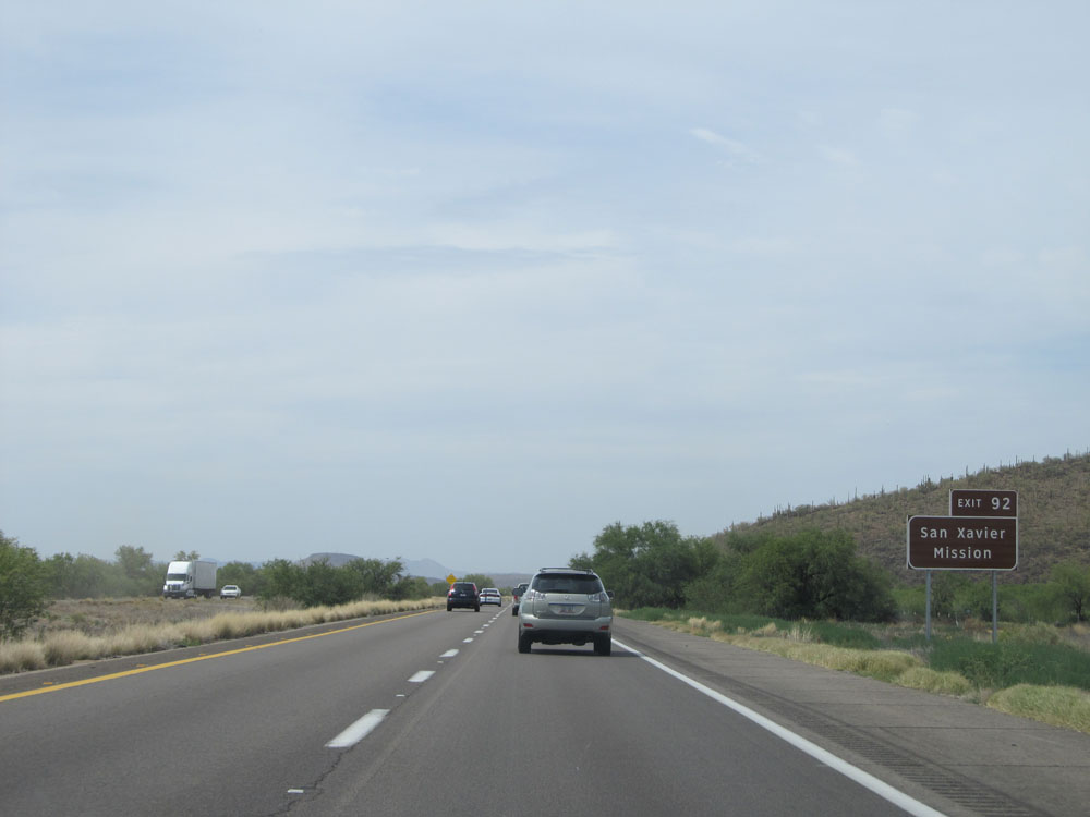 |
Take Exit 92 to San Xavier Mission. (Photo taken 5/20/15). |
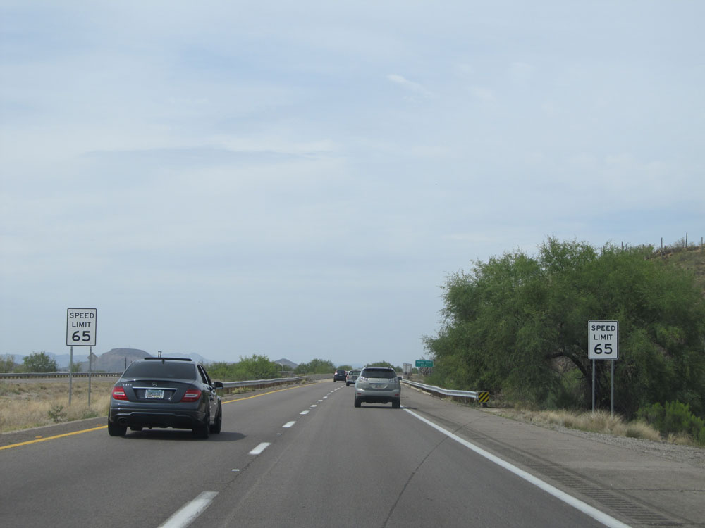 |
The speed limit decreases to 65 mph as we approach the Tucson city limits. (Photo taken 5/20/15). |
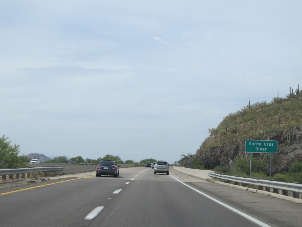 |
Interstate 19 North as it prepares to cross the Santa Cruz River. (Photo taken 5/20/15). |
 |
Interstate 19 North at Exit 92: San Xavier Rd (Photo taken 5/20/15). |
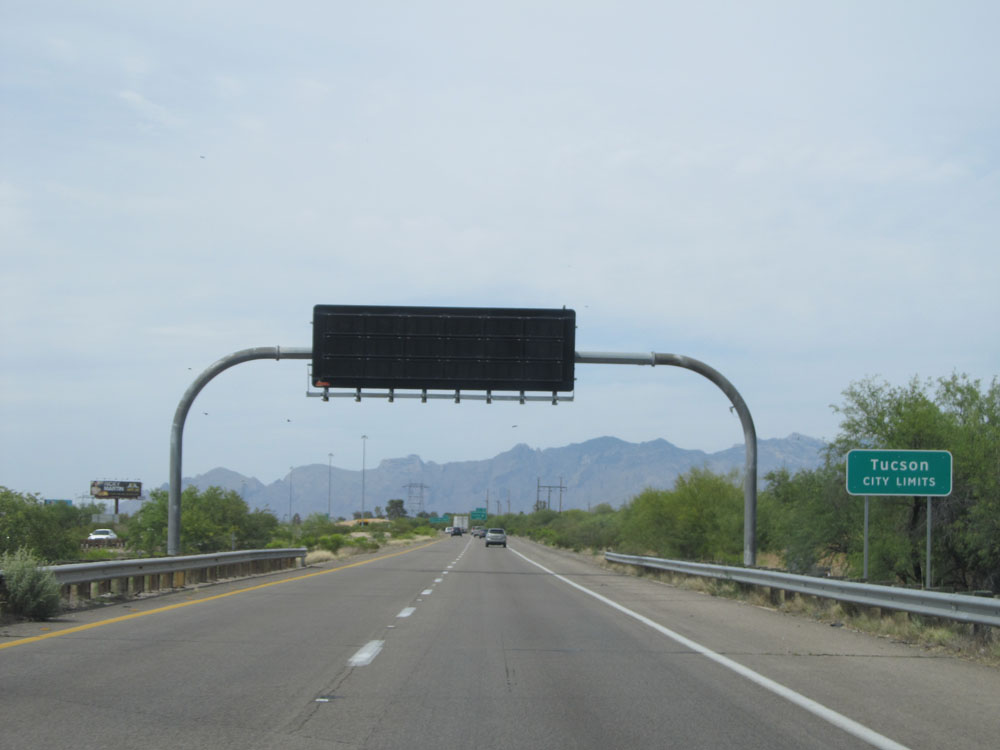 |
Interstate 19 North as it enters the Tucson city limits. (Photo taken 5/20/15). |
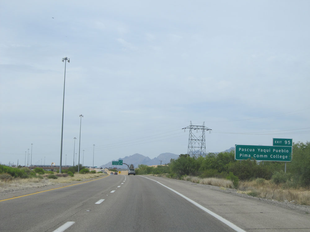 |
Take Exit 95 to Pascua Yaqui Pueblo and Pima Community College. (Photo taken 5/20/15). |
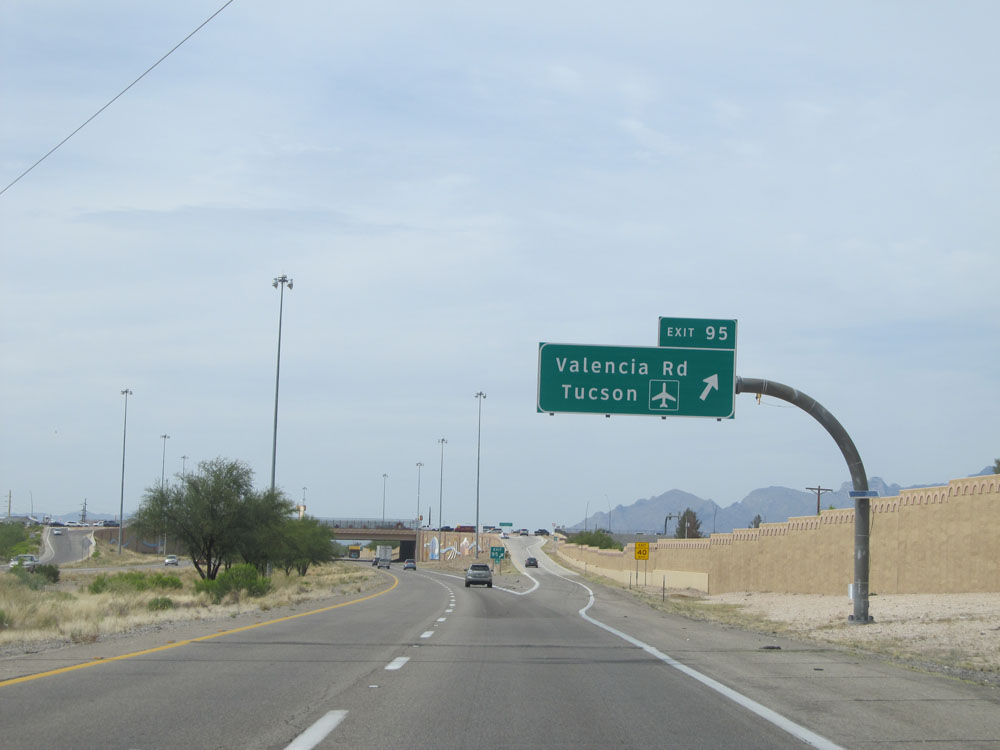 |
Interstate 19 North at Exit 95: Valencia Rd / Tucson International Airport (Photo taken 5/20/15). |
 |
North of Exit 95, the speed limit decreases to 55 mph and remains that way for the rest of Interstate 19's duration. (Photo taken 5/20/15). |
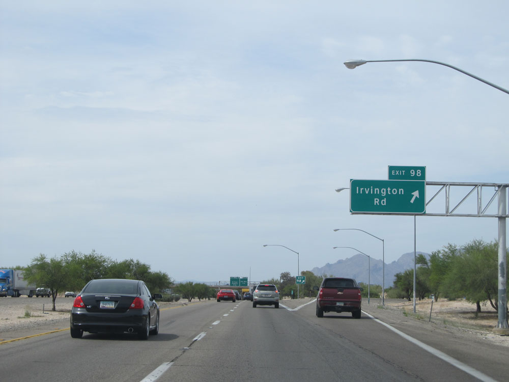 |
Interstate 19 North at Exit 98: Irvington Rd (Photo taken 5/20/15). |
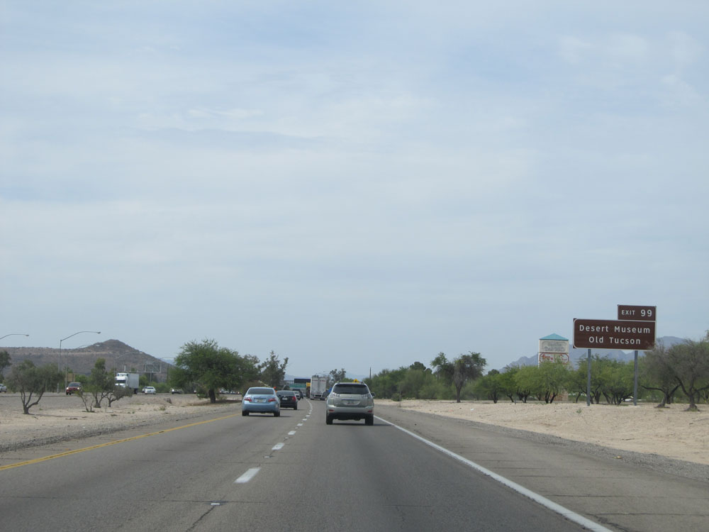 |
Take Exit 99 to Desert Museum and Old Tucson. (Photo taken 5/20/15). |
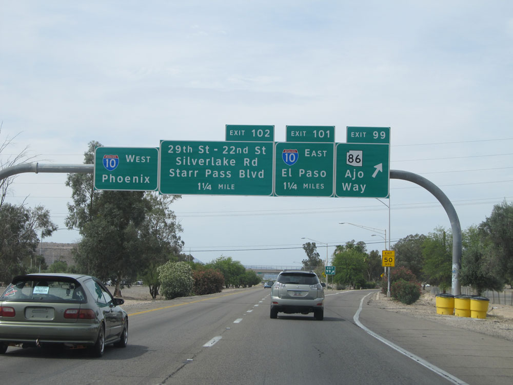 |
Interstate 19 North at Exit 99: AZ 86 - Ajo Way (Photo taken 5/20/15). |
 |
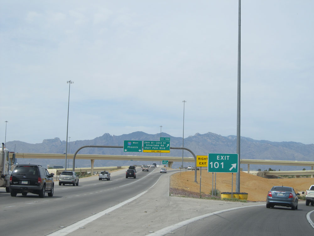
Interstate 19 North approaching Exit 101. (Photo taken 5/20/15). |
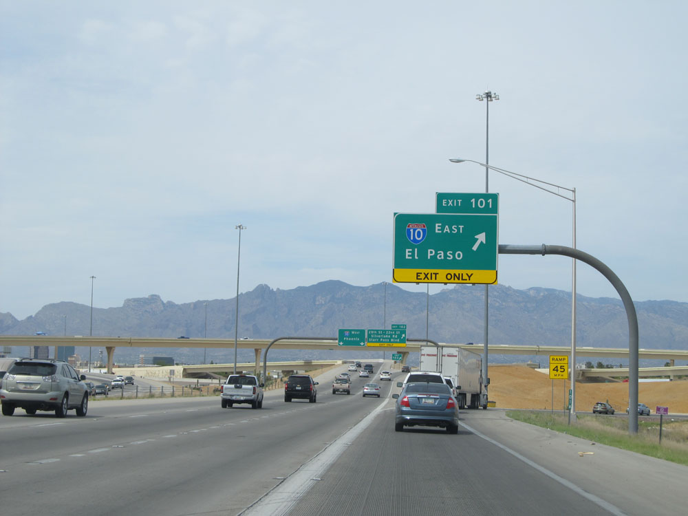 |
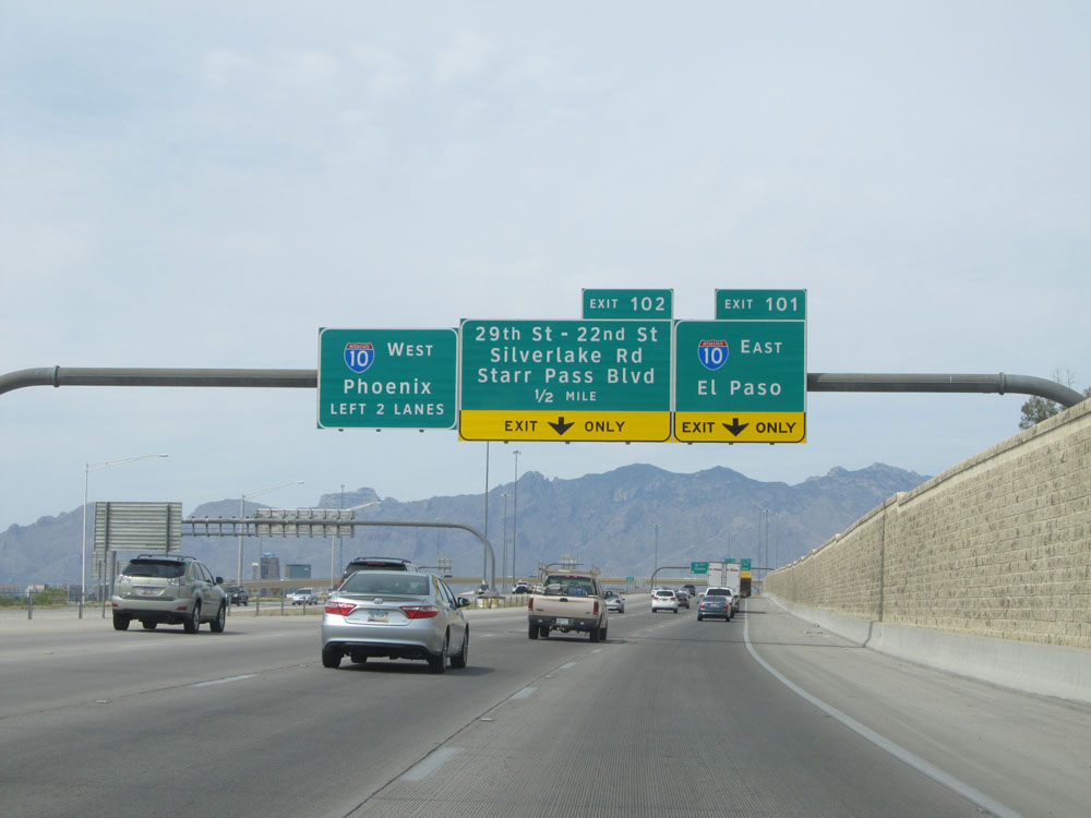
Interstate 19 North at Exit 101: Interstate 10 East - El Paso (Photo taken 5/20/15). |
 |
Interstate 19 North at Exit 102: 29th St / 22nd St / Silverlake Rd / Starr Pass Blvd (Photo taken 5/20/15). |