Road Information |
||
 |
||
| Total Mileage in State: | 366 miles | |
| Northern End: | At Tennessee state line | |
| Southern End: | At I-10, in Mobile | |
| Mileage covered in Photos: | 366 miles | |
| Counties covered in Photos: | Mobile, Baldwin, Escambia, Conecuh, Butler, Lowndes, Montgomery, Elmore, Autauga, Chilton, Shelby, Jefferson, Blount, Cullman, Morgan, Limestone | |
| Major Junctions in Photos: | I-165, in Prichard I-85, in Montgomery I-459, in Hoover I-20/I-59, in Birmingham I-22, near Birmingham I-565, in Decatur |
|
| Control Cities in Photos: | Mobile, Prichard, Greenville, Montgomery, Clanton, Birmingham, Fultondale, Decatur, Huntsville | |
Northbound
- Section 1: Interstate 10 to Conecuh County (Exit 77)
- Section 2: Conecuh County (Exit 77) to Montgomery (Exit 172)
- Section 3: Montgomery (Exit 172) to Pelham (Exit 242)
- Section 4: Pelham (Exit 242) to Birmingham (Exit 263)
- Section 5: Birmingham (Exit 263) to Cullman (Exit 310)
- Section 6: Cullman (Exit 310) to Tennessee Border
Section 1: Interstate 10 to Conecuh County (Exit 77)
 |
Merging onto Interstate 65 North from Interstate 10 East, at I-65's southern beginning in Mobile. (Photo taken 5/26/17). |
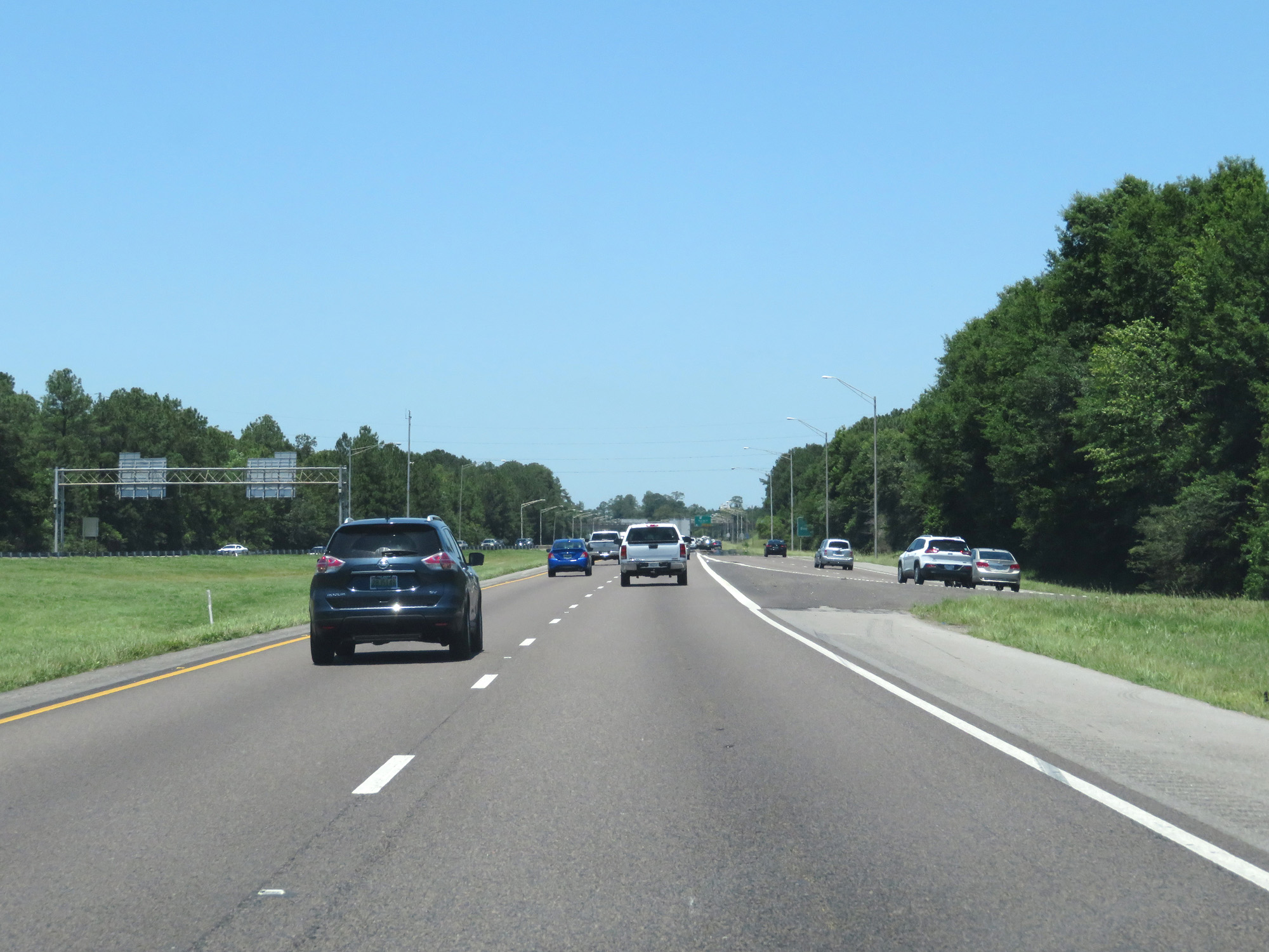 |
Interstate 65 North as traffic from Interstate 10 West merges in on the right. (Photo taken 5/26/17). |
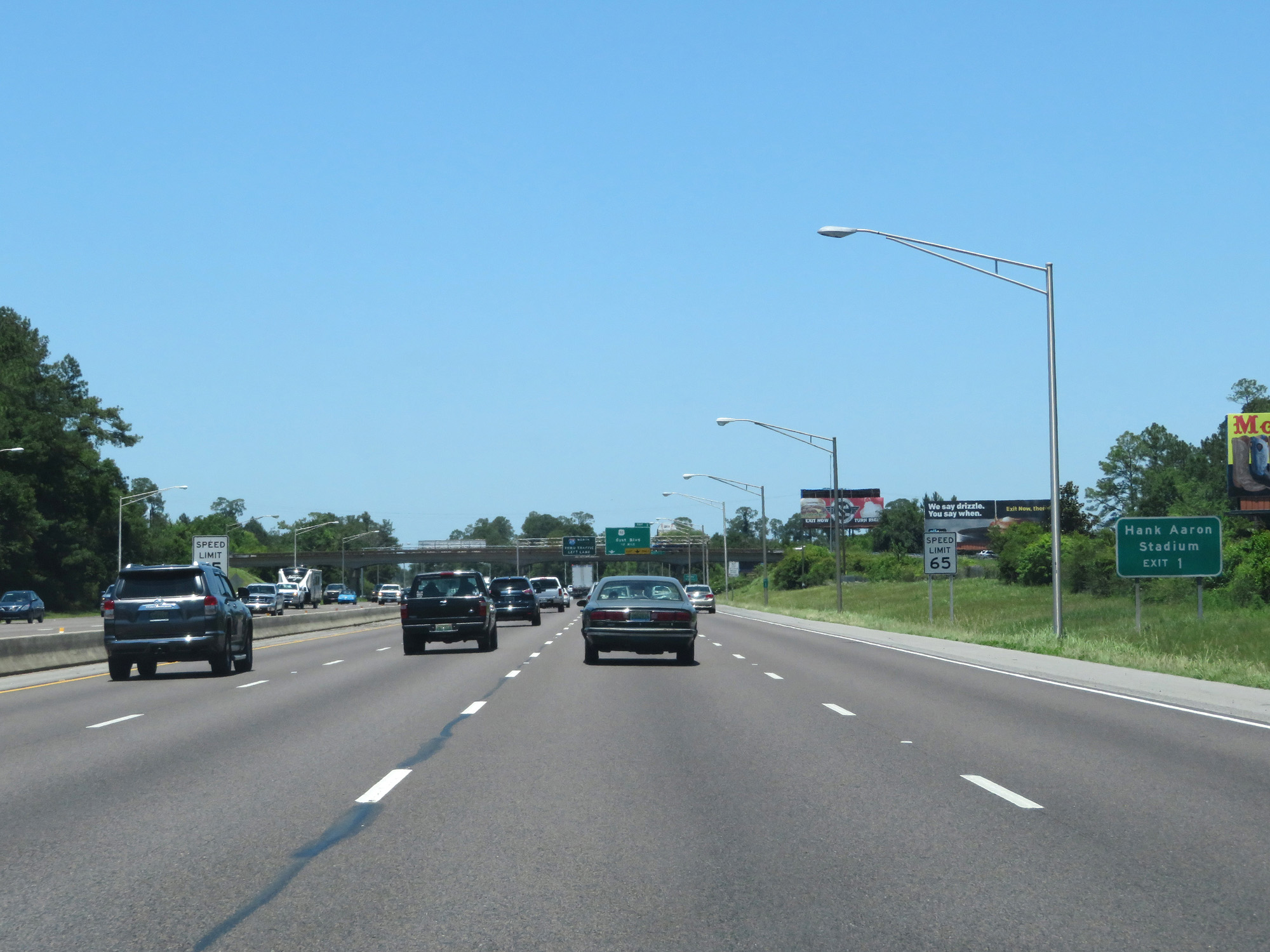 |
Take Exit 1 to Hank Aaron Stadium. The speed limit starts out at 65 mph on Interstate 65 North in Mobile. (Photo taken 5/26/17). |
 |
Interstate 65 North at mile marker 1. (Photo taken 5/26/17). |
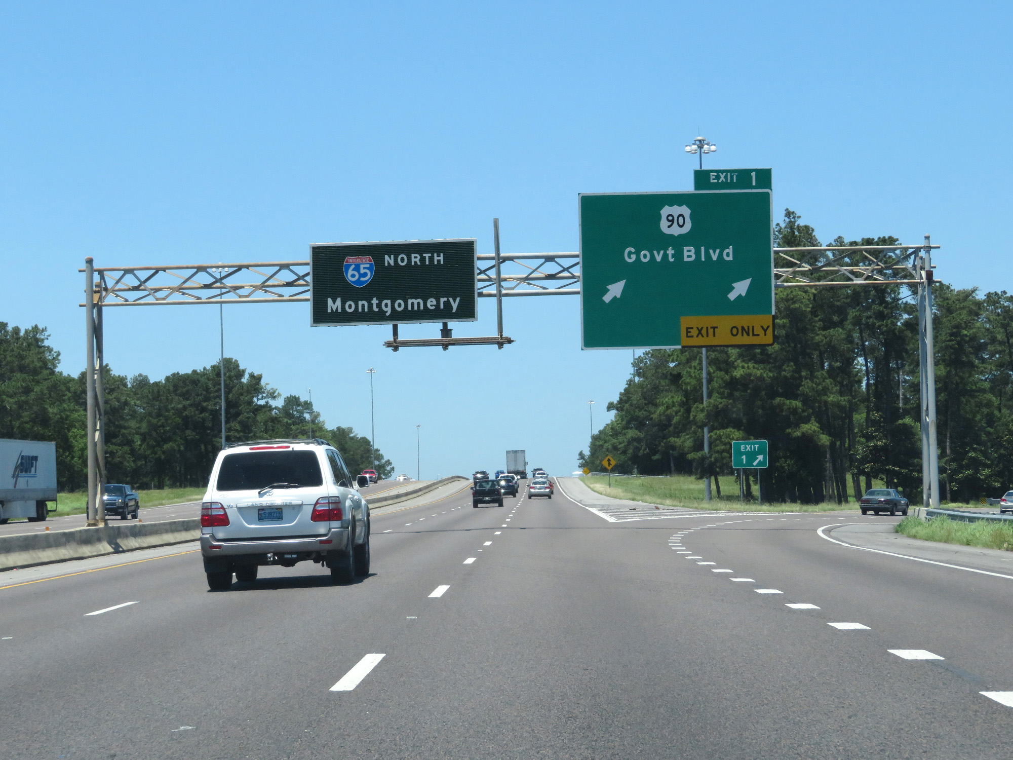 |
Interstate 65 North at Exit 1: US 90 - Government Blvd (Photo taken 5/26/17). |
 |
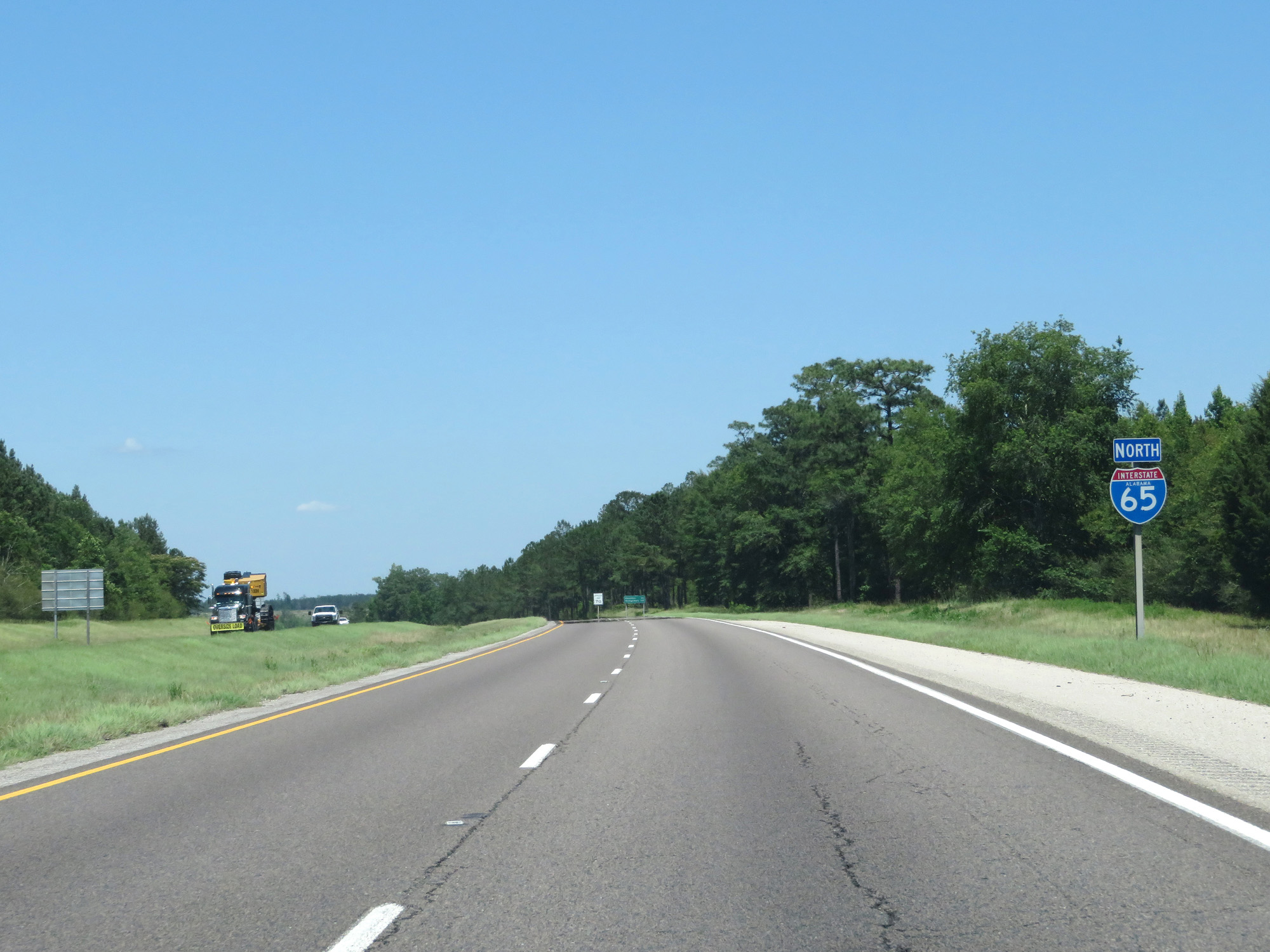
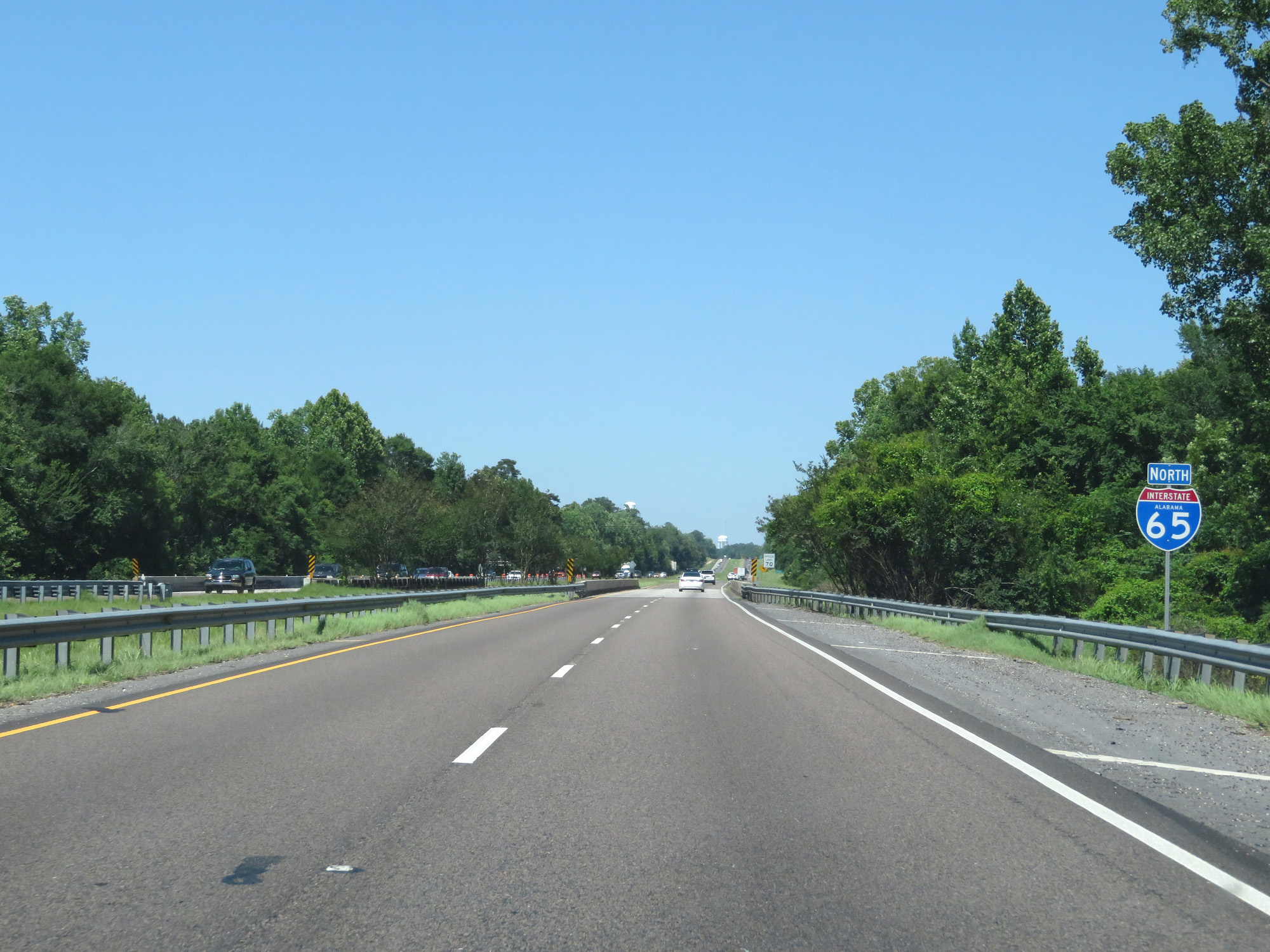
State-named Interstate 65 North reassurance shield. (Photo taken 5/26/17). |
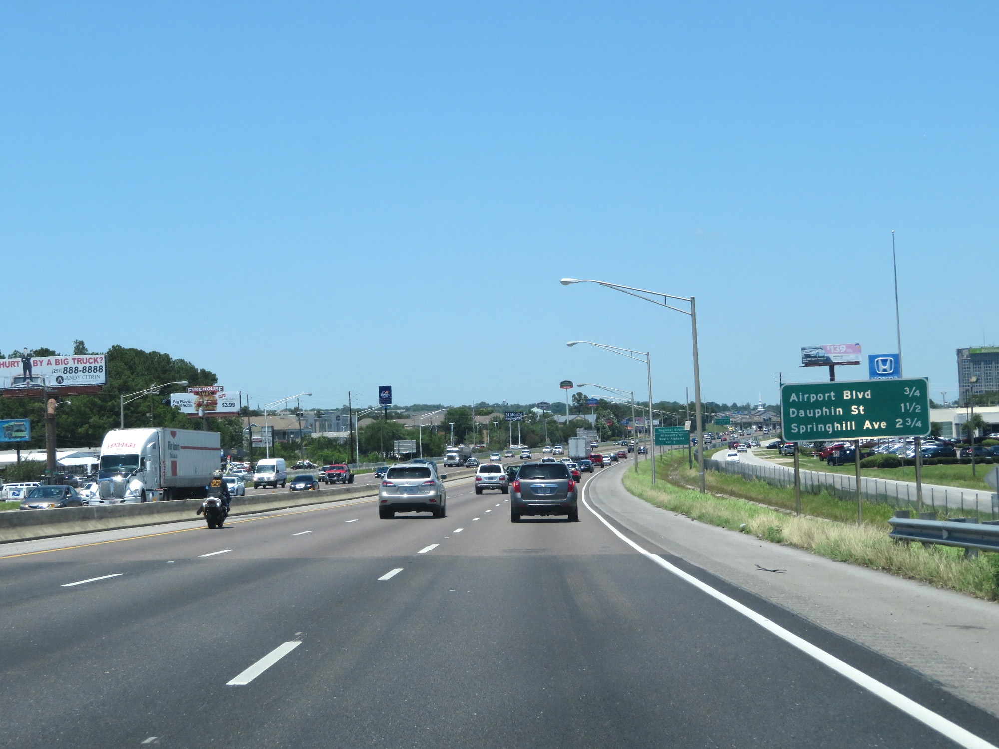 |
This mileage sign lists the distances to the three upcoming exits. (Photo taken 5/26/17). |
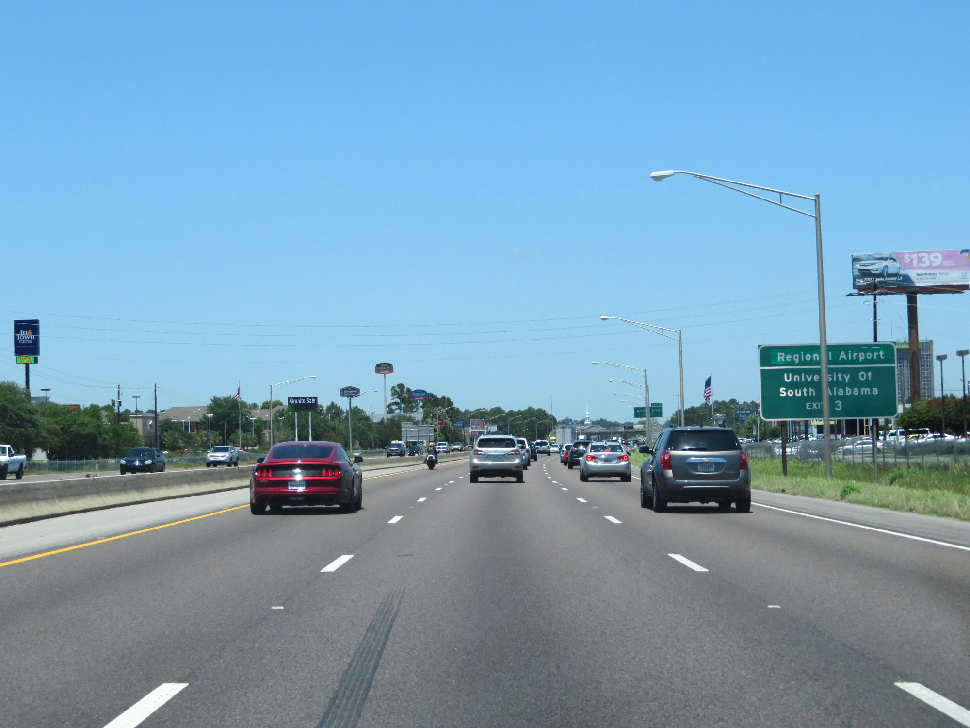 |
Take Exit 3 to the Regional Airport and University of South Alabama. (Photo taken 5/26/17). |
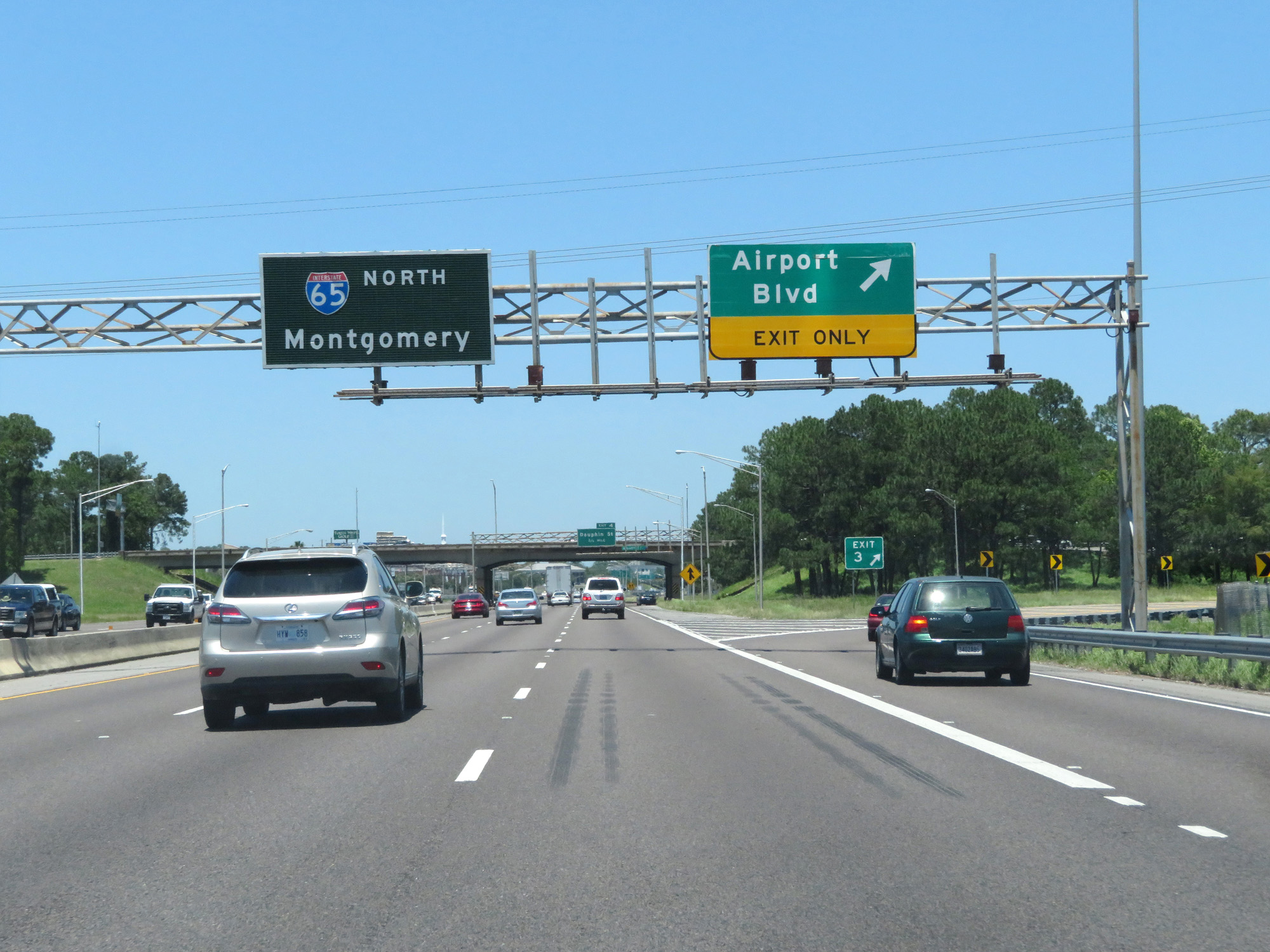 |
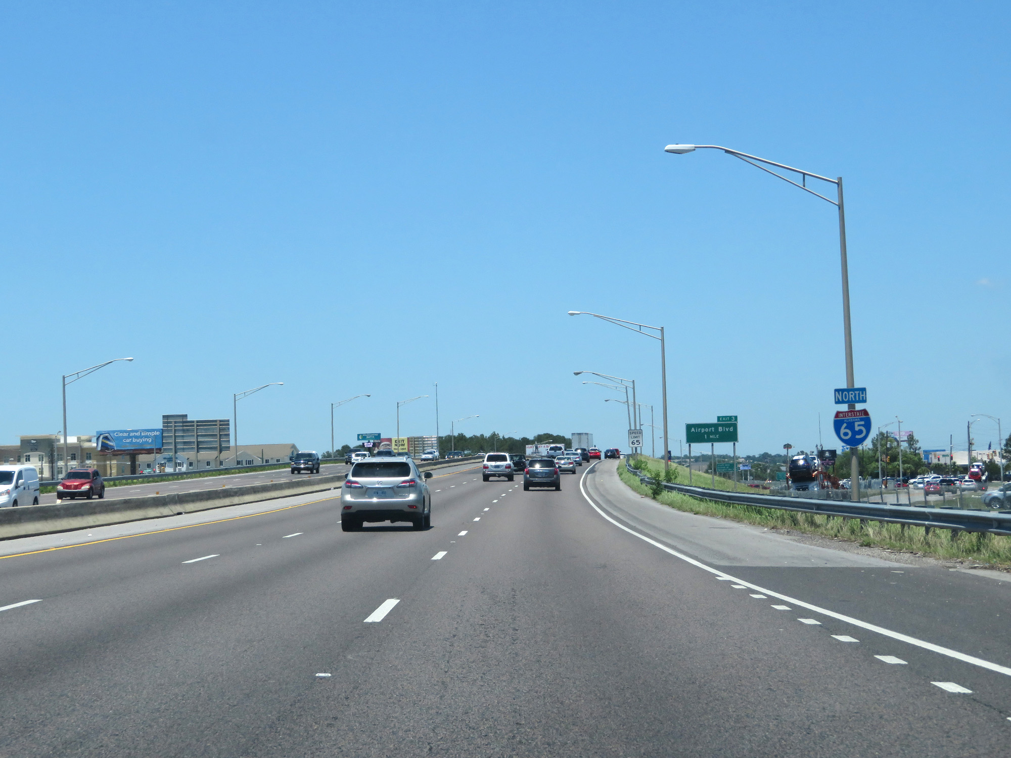
Interstate 65 North at Exit 3: Airport Blvd (Photo taken 5/26/17). |
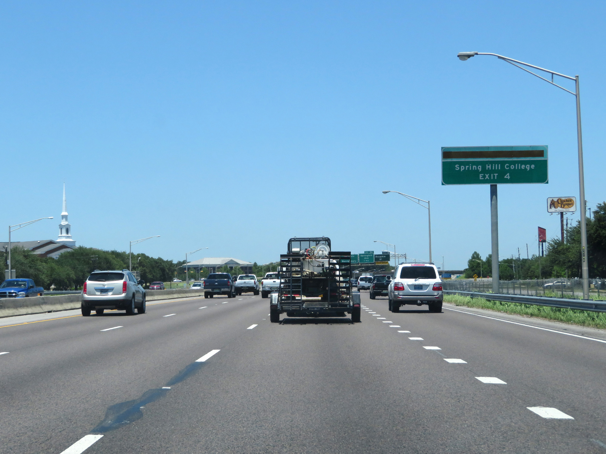 |
Take Exit 4 to Spring Hill College. (Photo taken 5/26/17). |
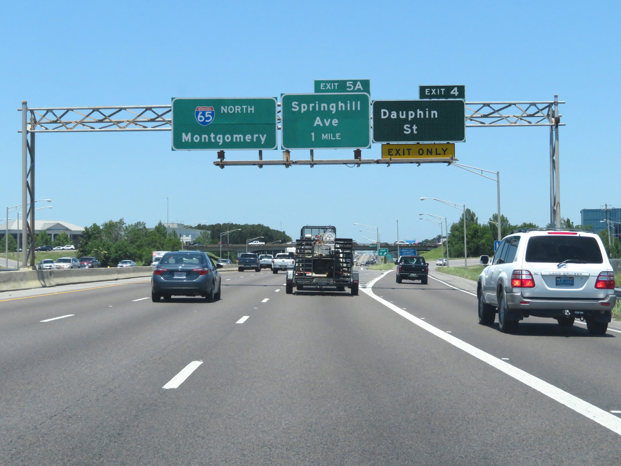 |
Interstate 65 North at Exit 4: Dauphin St (Photo taken 5/26/17). |
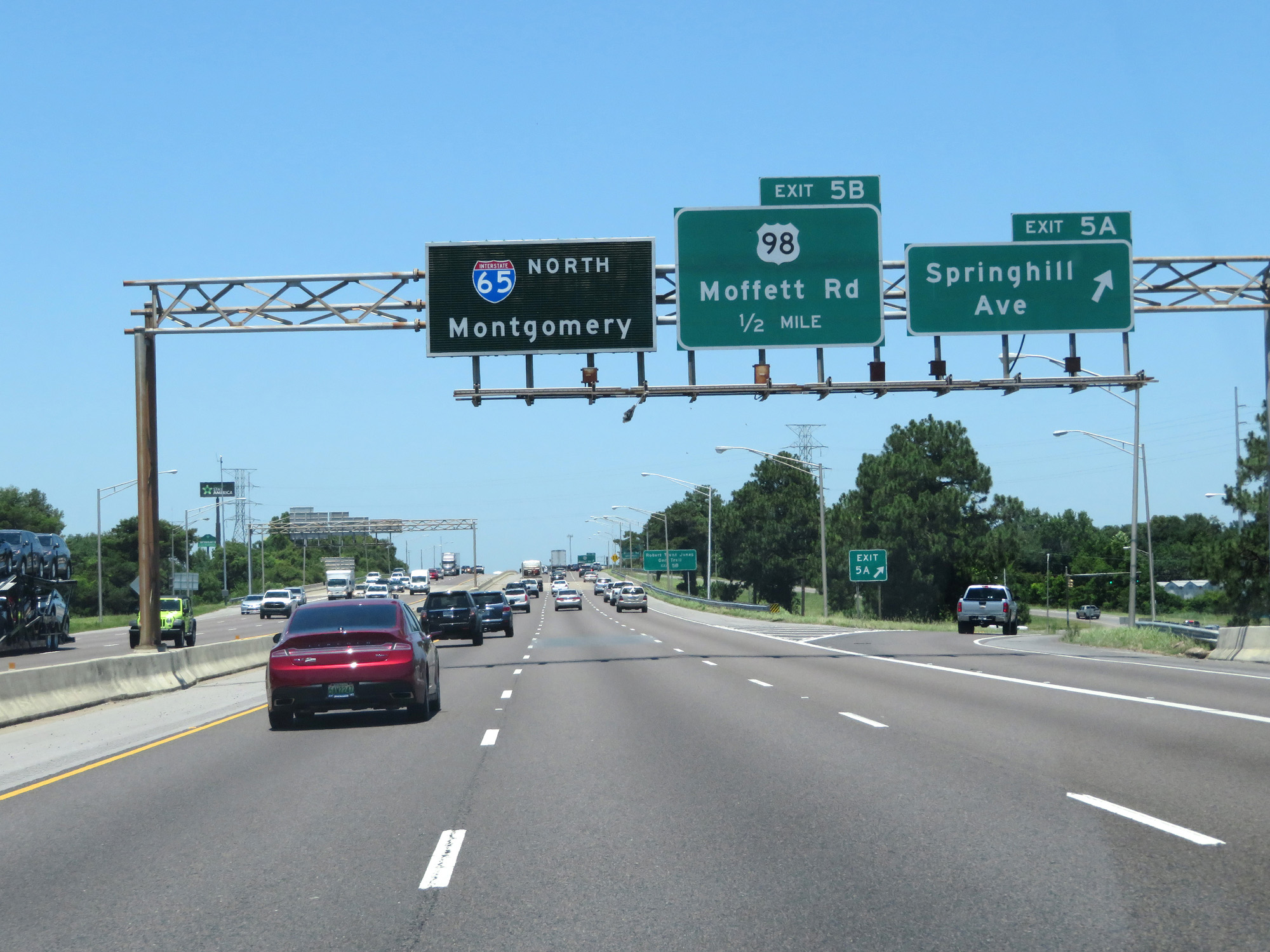 |
Interstate 65 North at Exit 5A: Springhill Ave (Photo taken 5/26/17). |
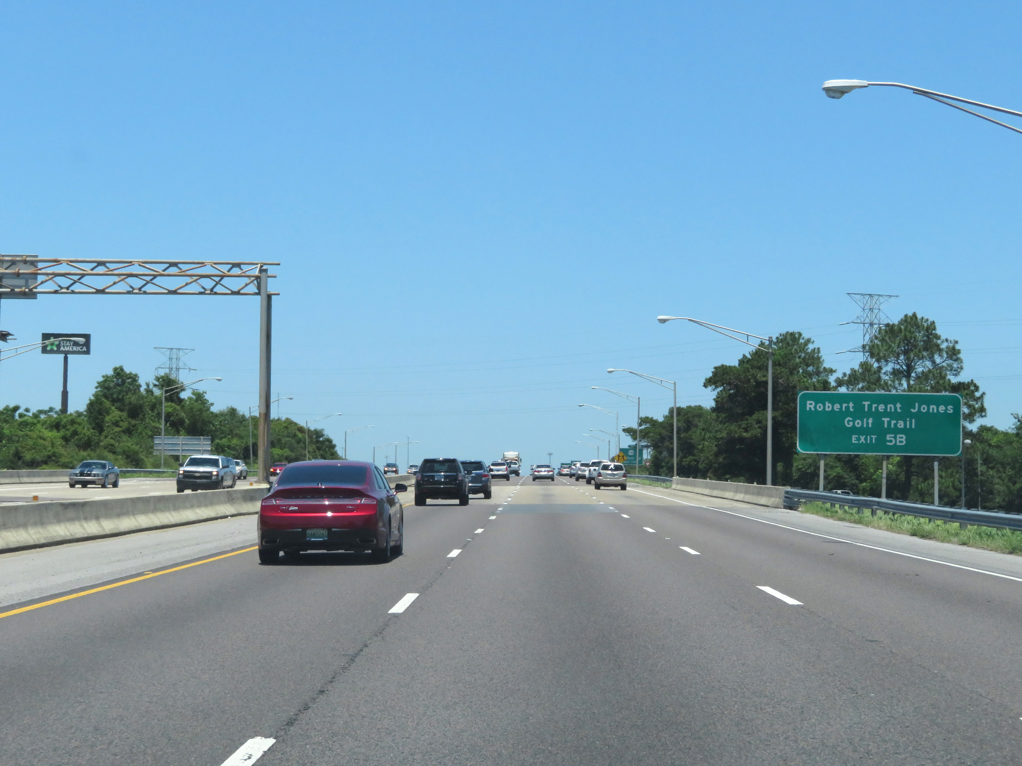 |
Take Exit 5B to Robert Trent Jones Golf Trail. (Photo taken 5/26/17). |
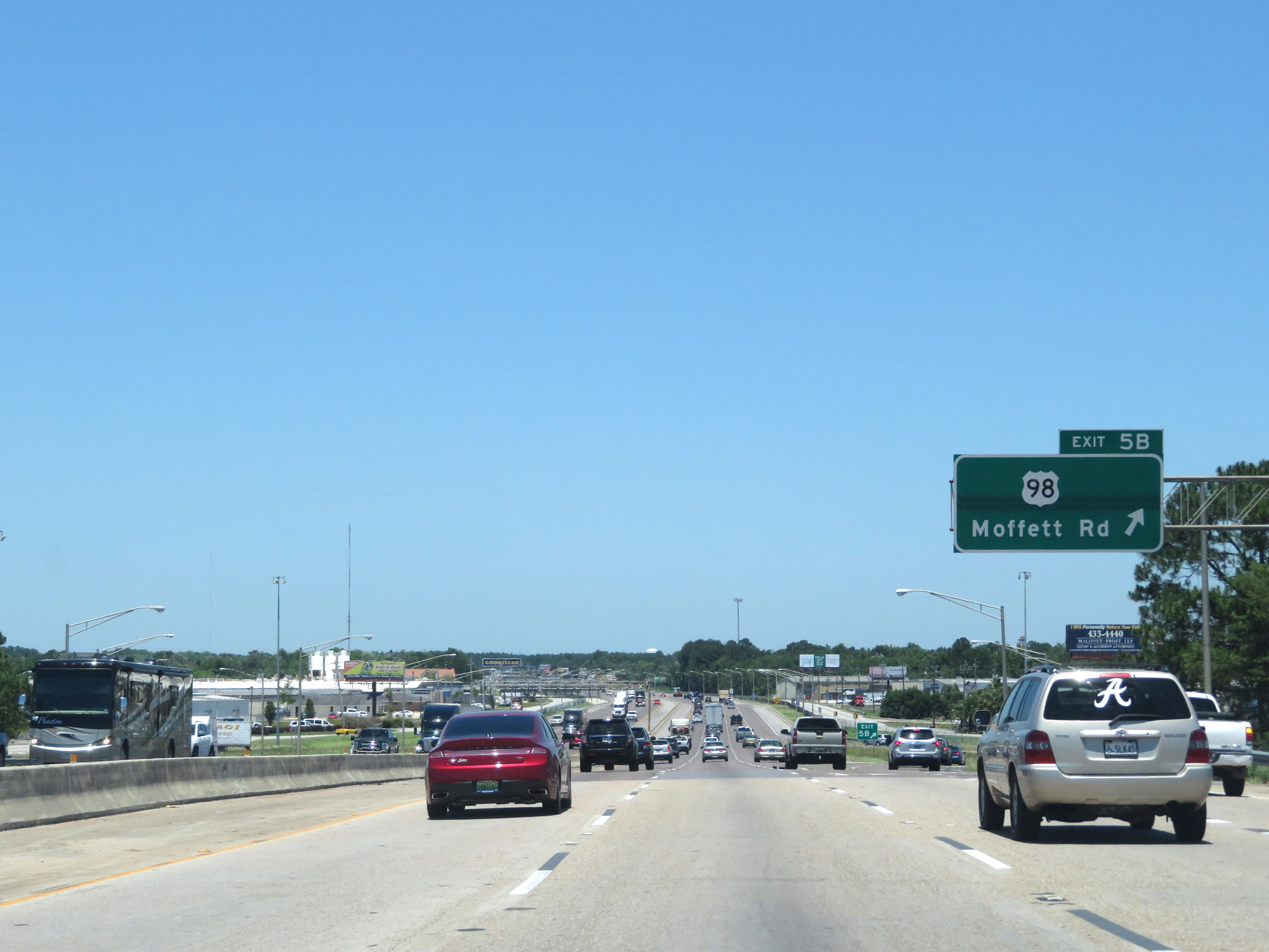 |
Interstate 65 North at Exit 5B: US 98 - Moffett Rd (Photo taken 5/26/17). |
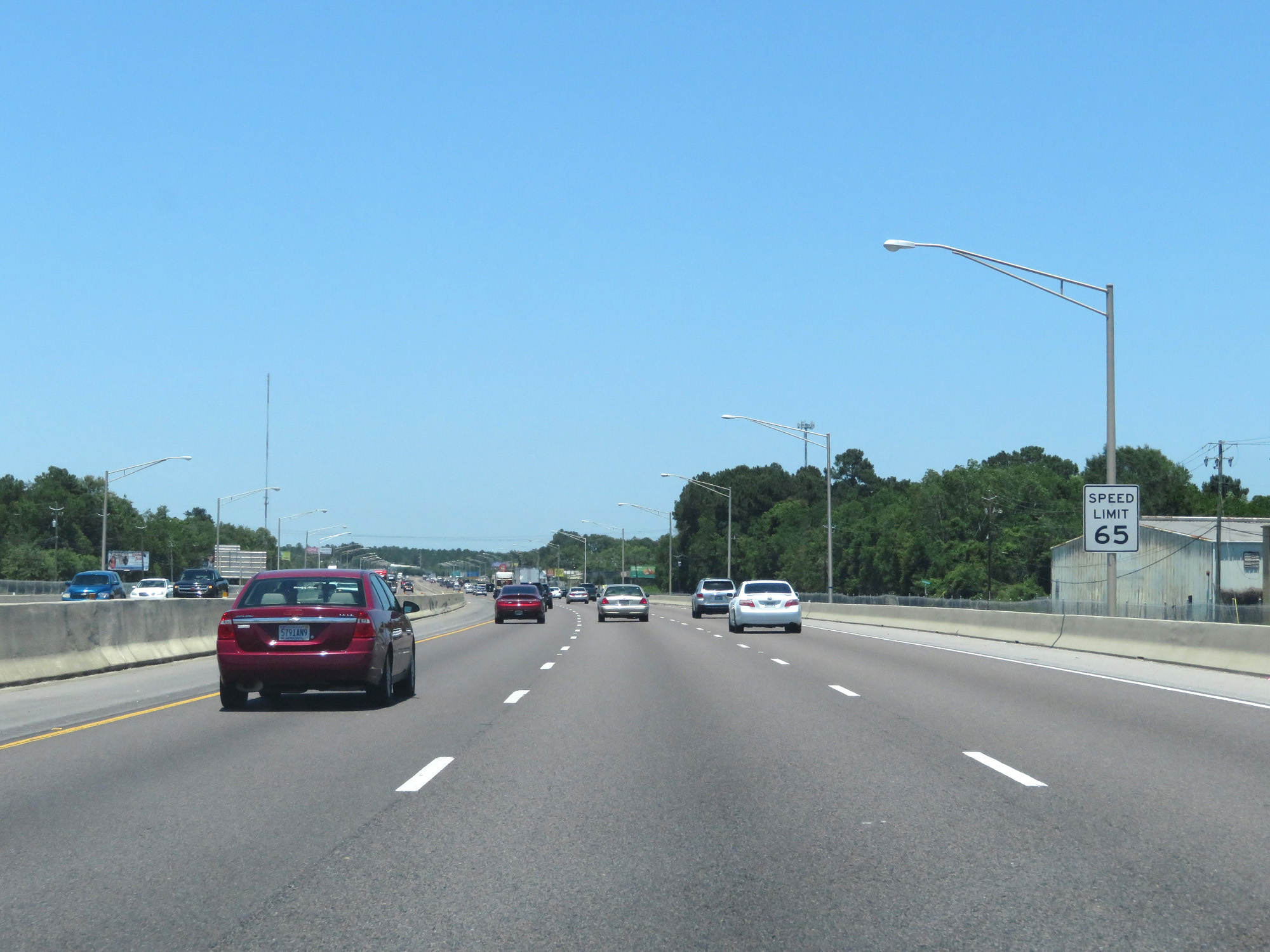 |
The speed limit remains 65 mph. (Photo taken 5/26/17). |
 |
Interstate 65 North approaching Exit 9 - 2 miles. (Photo taken 5/26/17). |
 |
Interstate 65 North at Exit 8: US 45 - Prichard / Citronelle (Photo taken 5/26/17). |
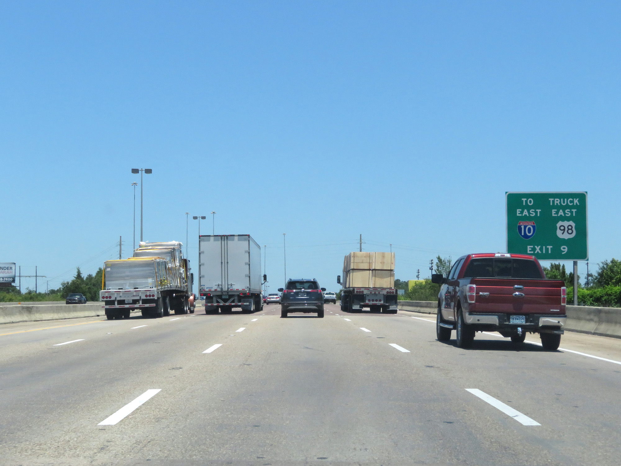 |
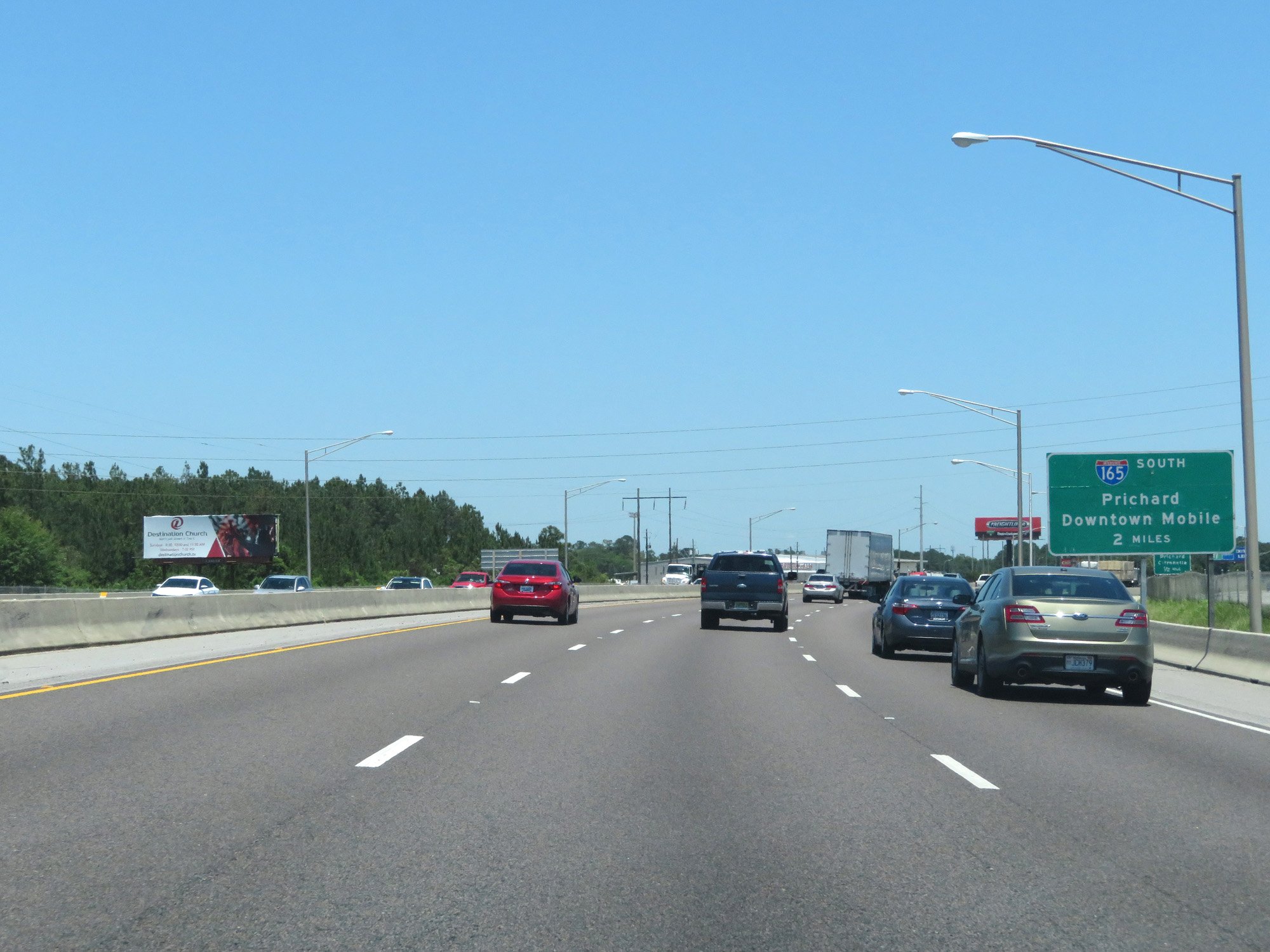
Take Exit 9 (Interstate 165 South) to Interstate 10 East and US 98 East Truck Route. (Photo taken 5/26/17). |
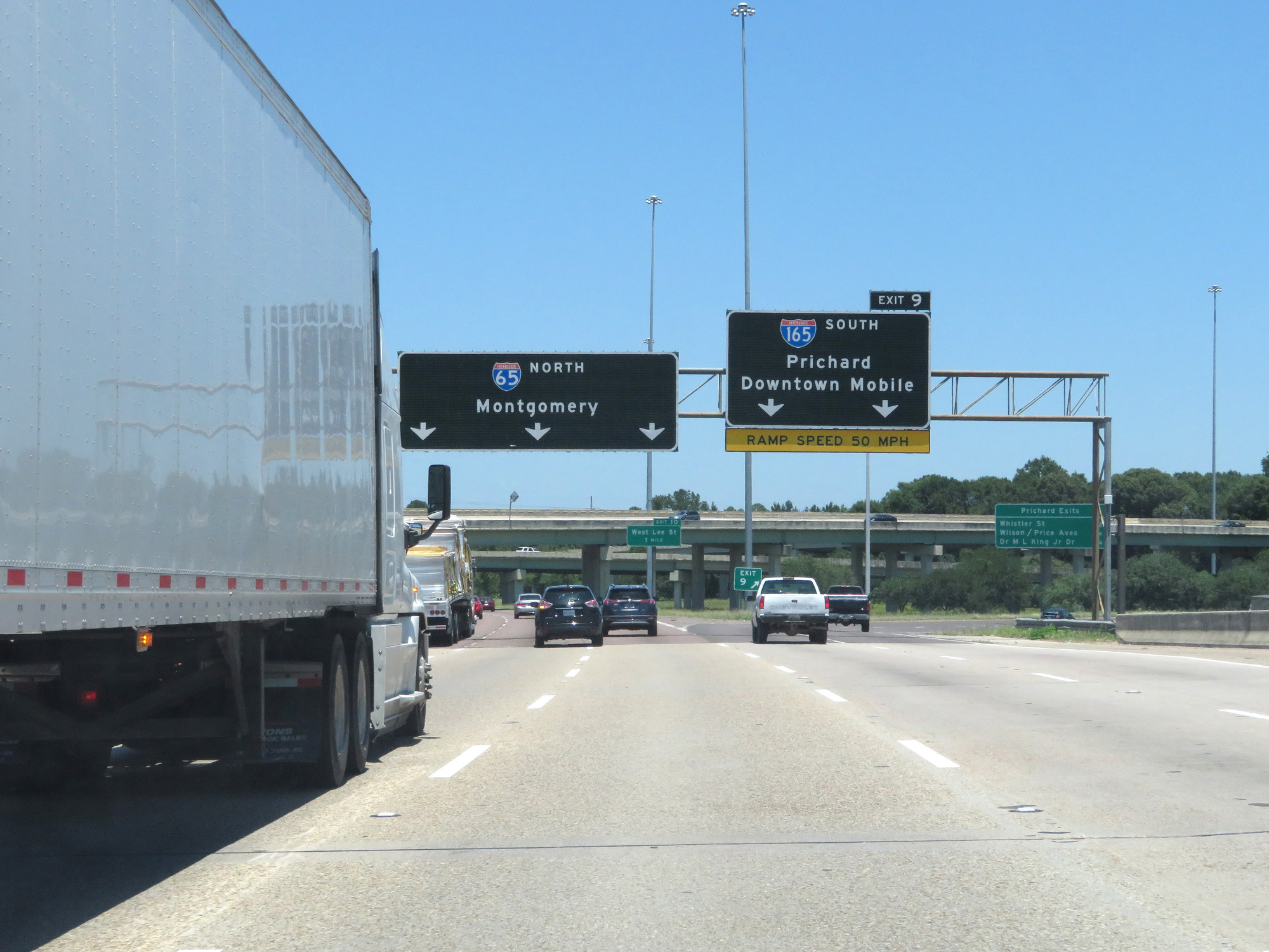 |
Interstate 65 North at Exit 9: Interstate 165 South - Prichard / Downtown Mobile (Photo taken 5/26/17). |
 |
Interstate 65 North as it prepares to pass under the ramps to and from Interstate 165. (Photo taken 5/26/17). |
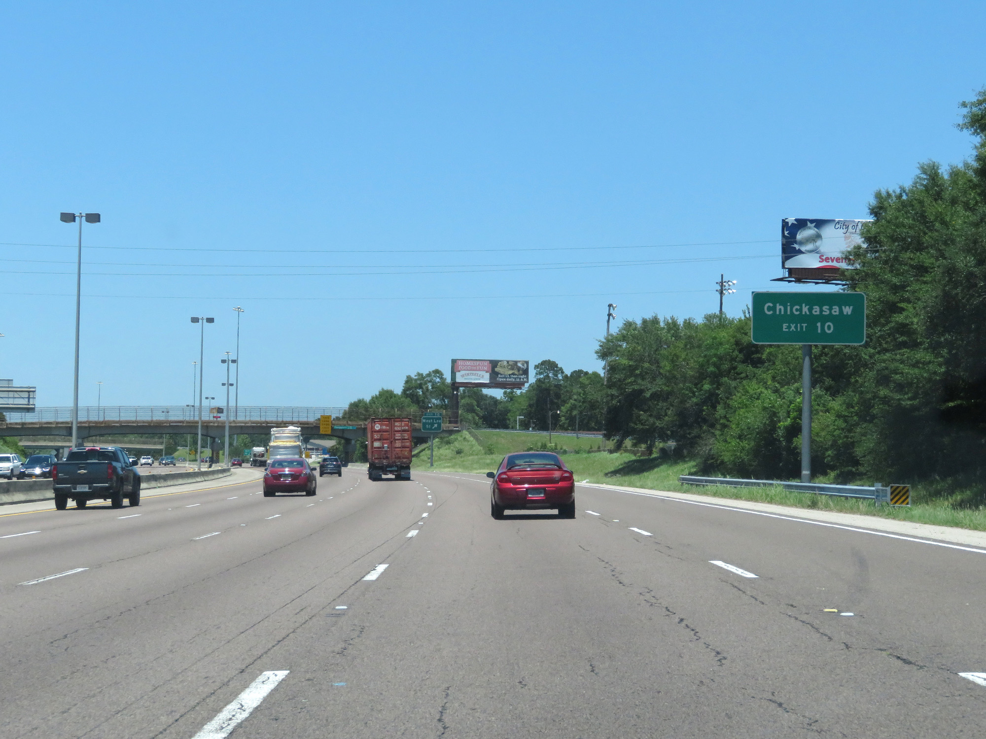 |
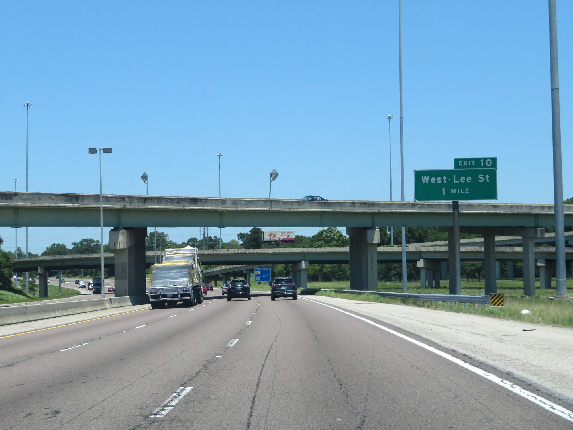
Take Exit 10 to Chickasaw. (Photo taken 5/26/17). |
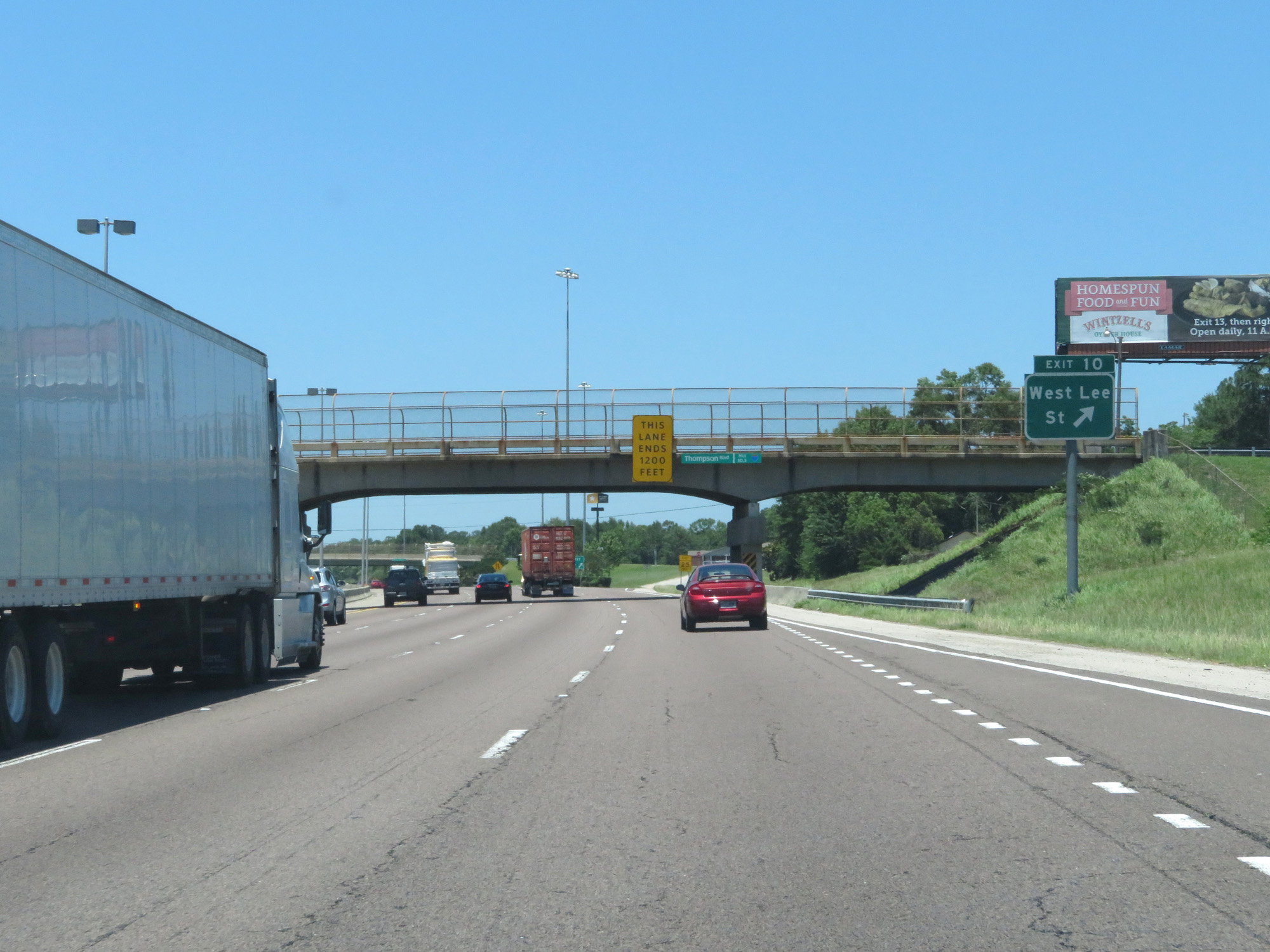 |
Interstate 65 North at Exit 10: West Lee St (Photo taken 5/26/17). |
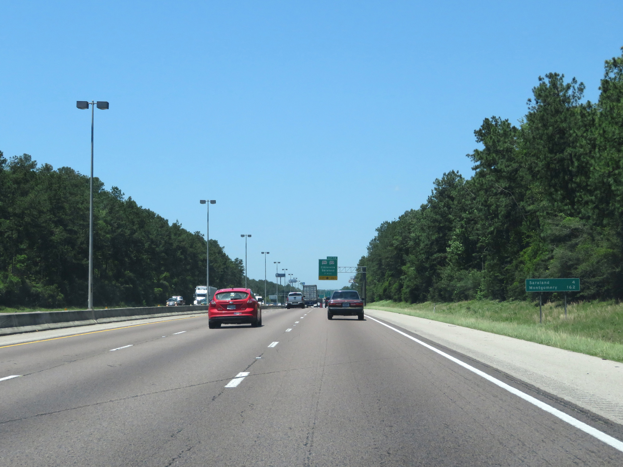 |
Mileage sign on Interstate 65 North. It's 4 miles to Saraland and 162 miles to Montgomery. (Photo taken 5/26/17). |
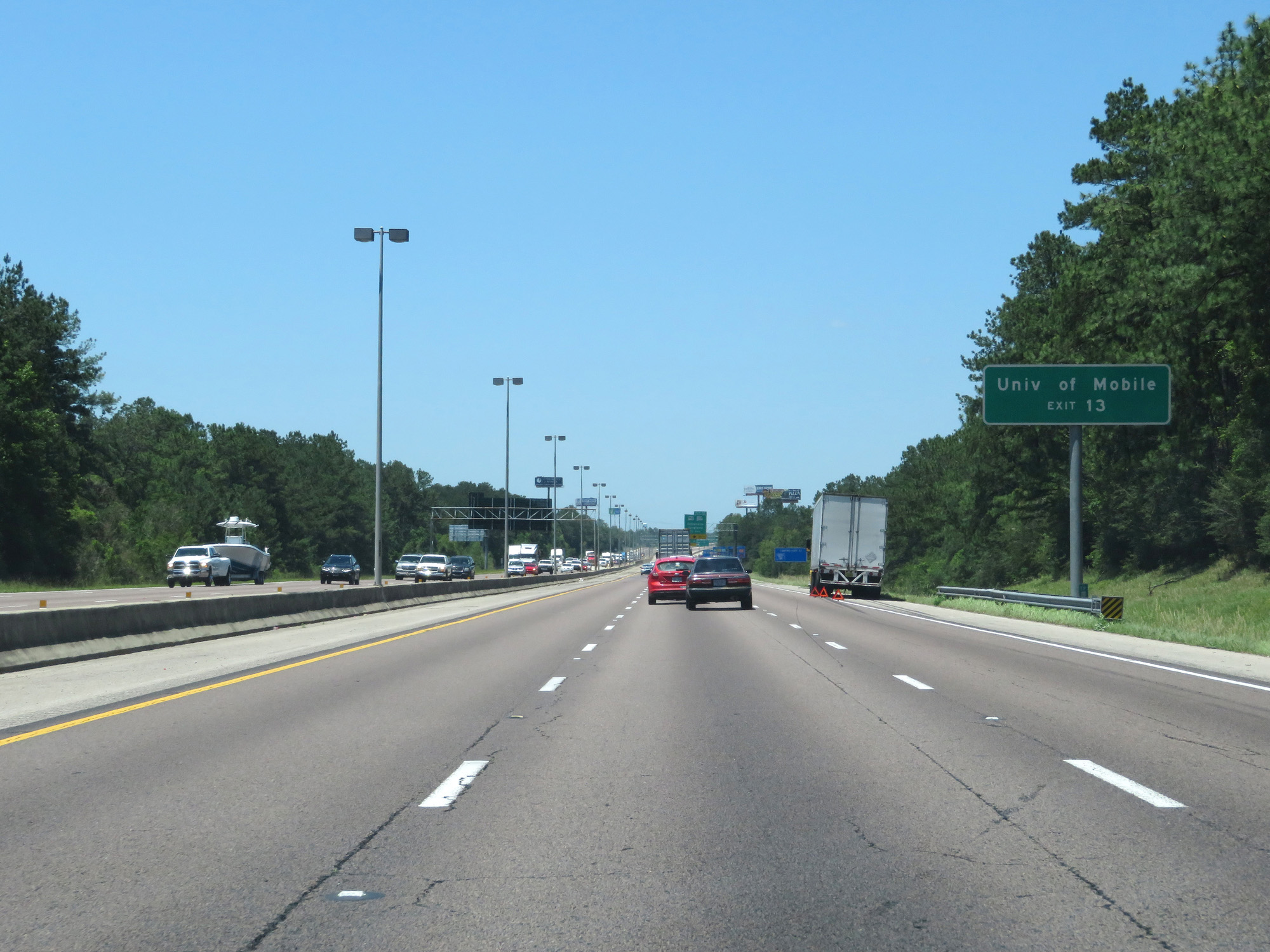 |
Take Exit 13 to University of Mobile. (Photo taken 5/26/17). |
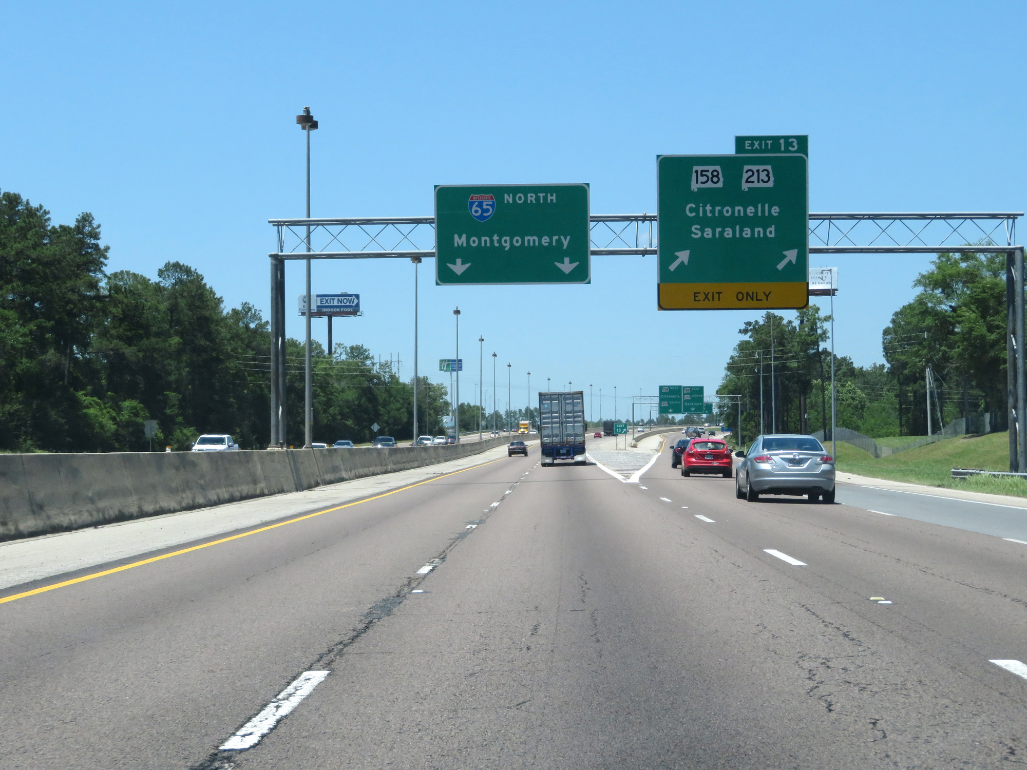 |
Interstate 65 North at Exit 13: AL 158 / AL 213 - Citronelle / Saraland (Photo taken 5/26/17). |
 |
State-named Interstate 65 North reassurance shield. (Photo taken 5/26/17). |
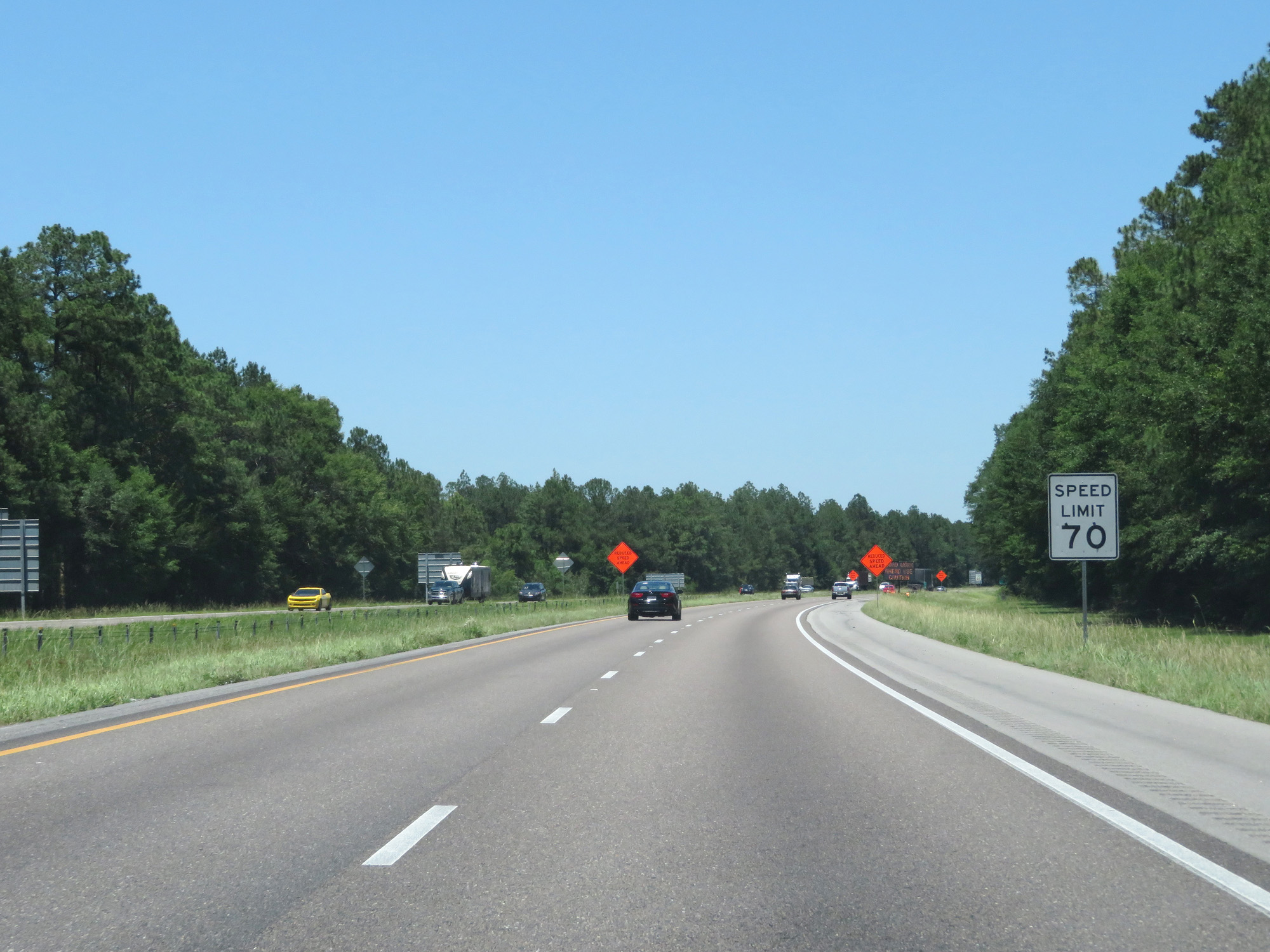 |
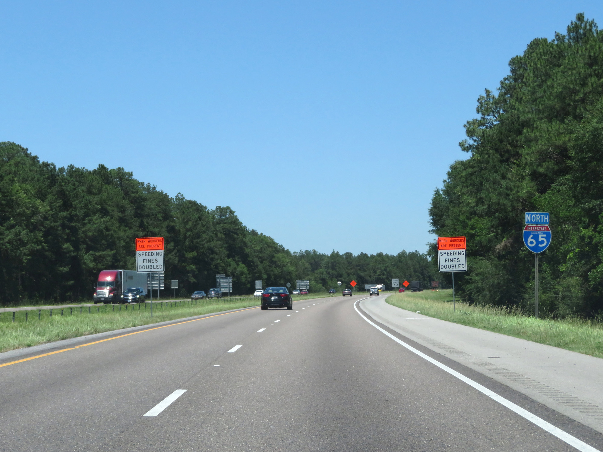
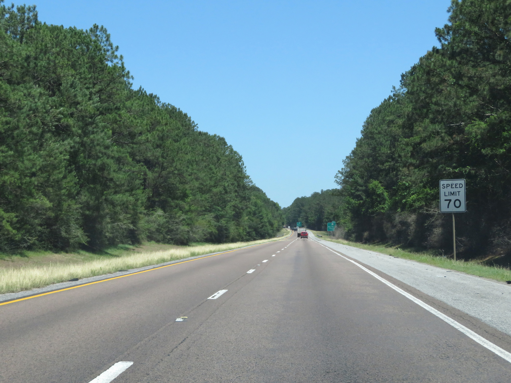
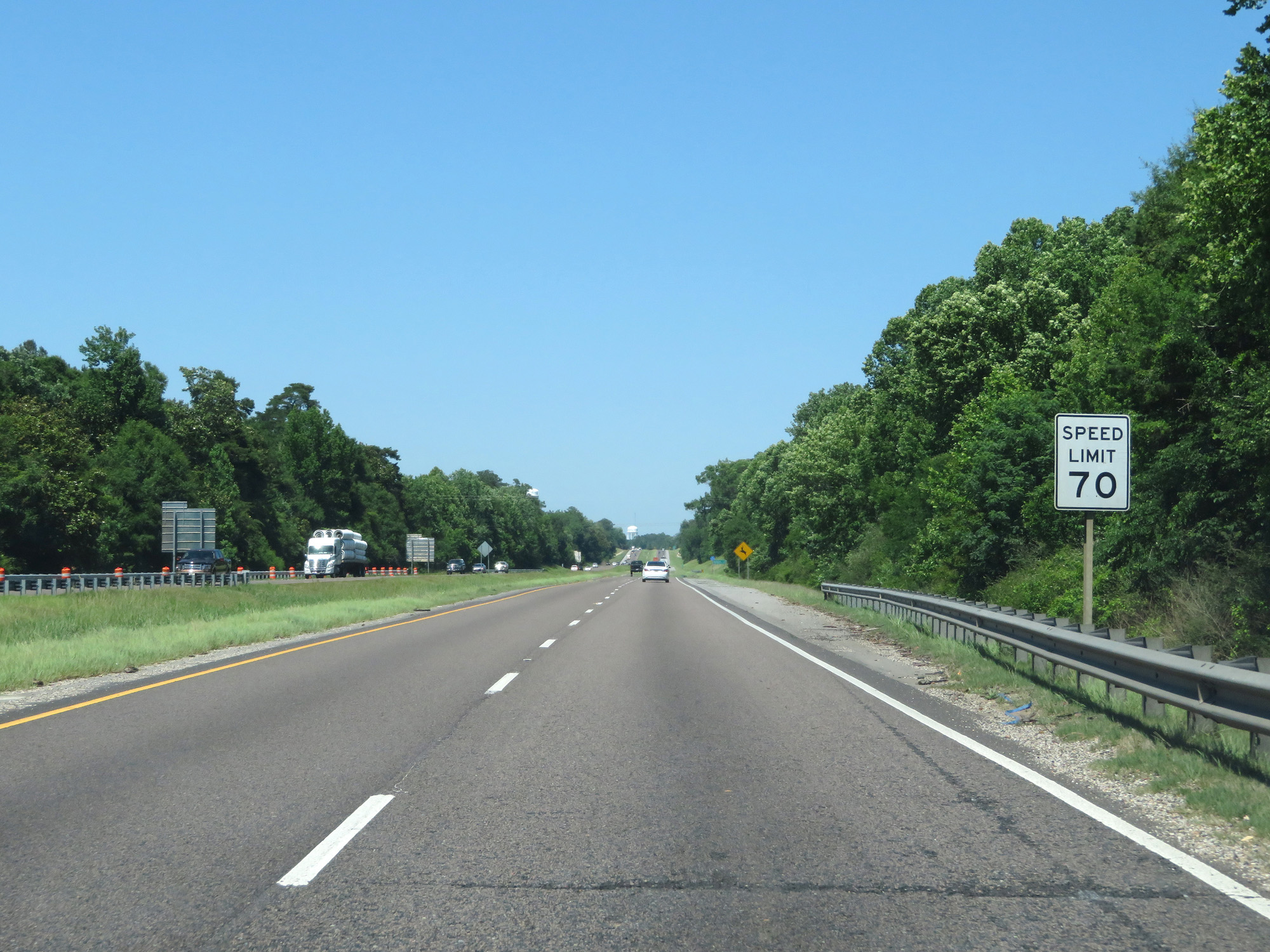
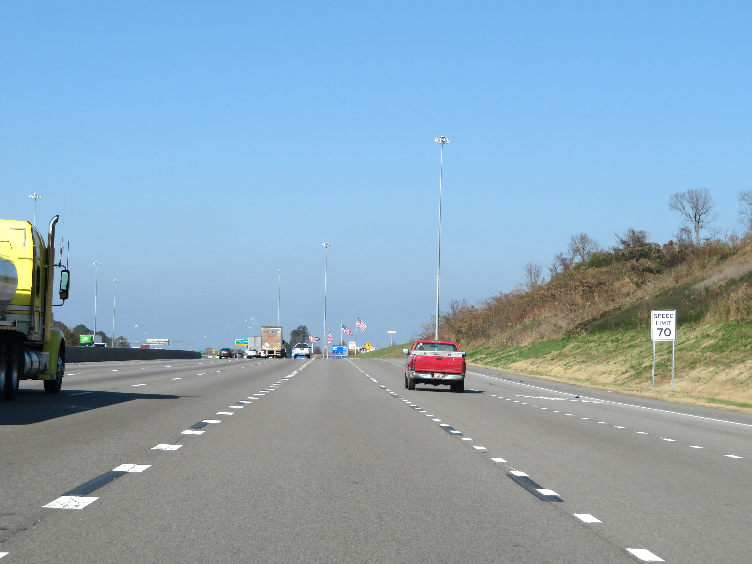
North of Exit 13, the speed limit increases to the Alabama rural Interstate standard of 70 mph. (Photo taken 5/26/17). |
 |
Interstate 65 North at mile marker 14. (Photo taken 5/26/17). |
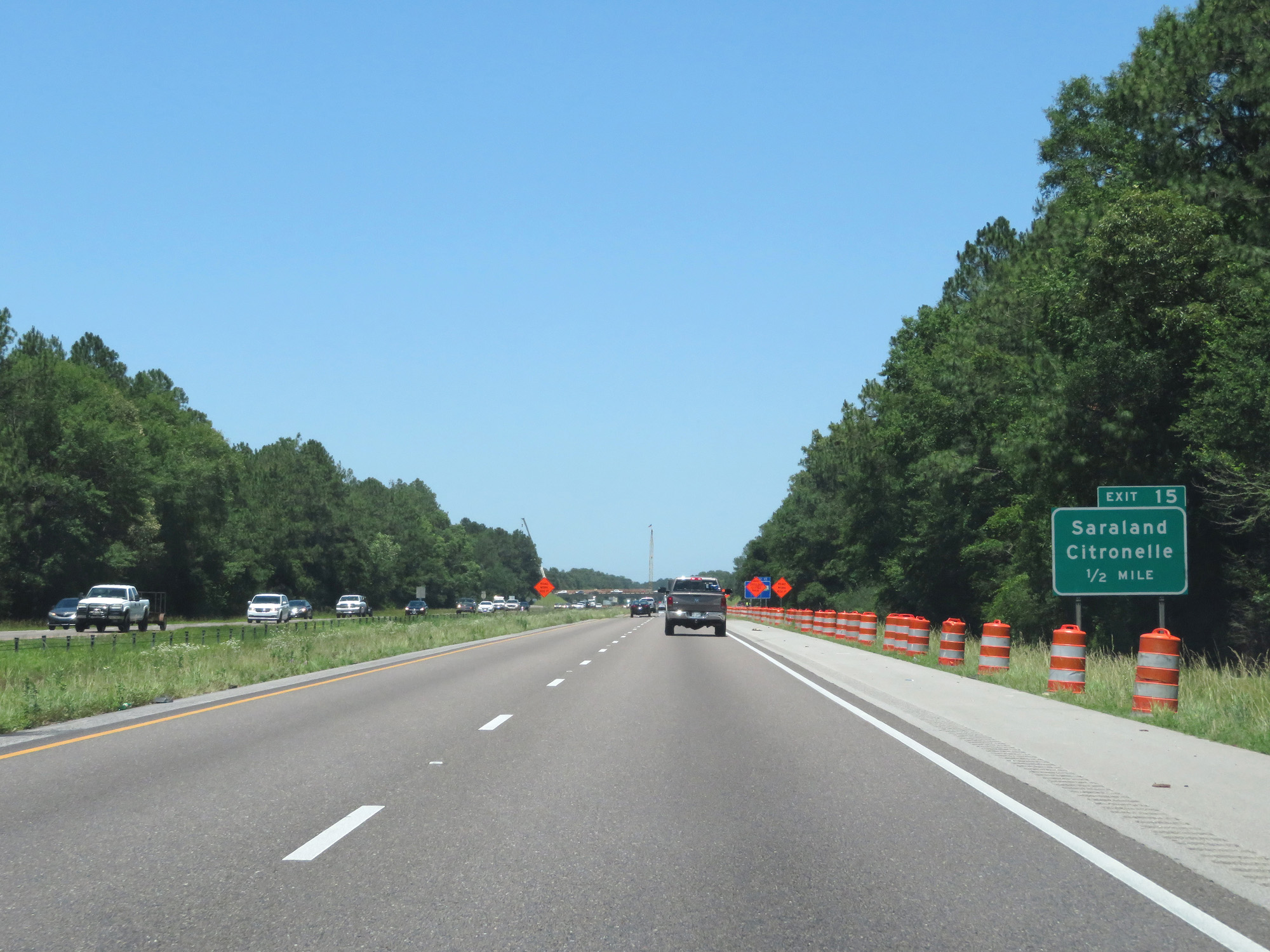 |
Interstate 65 North approaching Exit 15 - 1/2 mile. (Photo taken 5/26/17). |
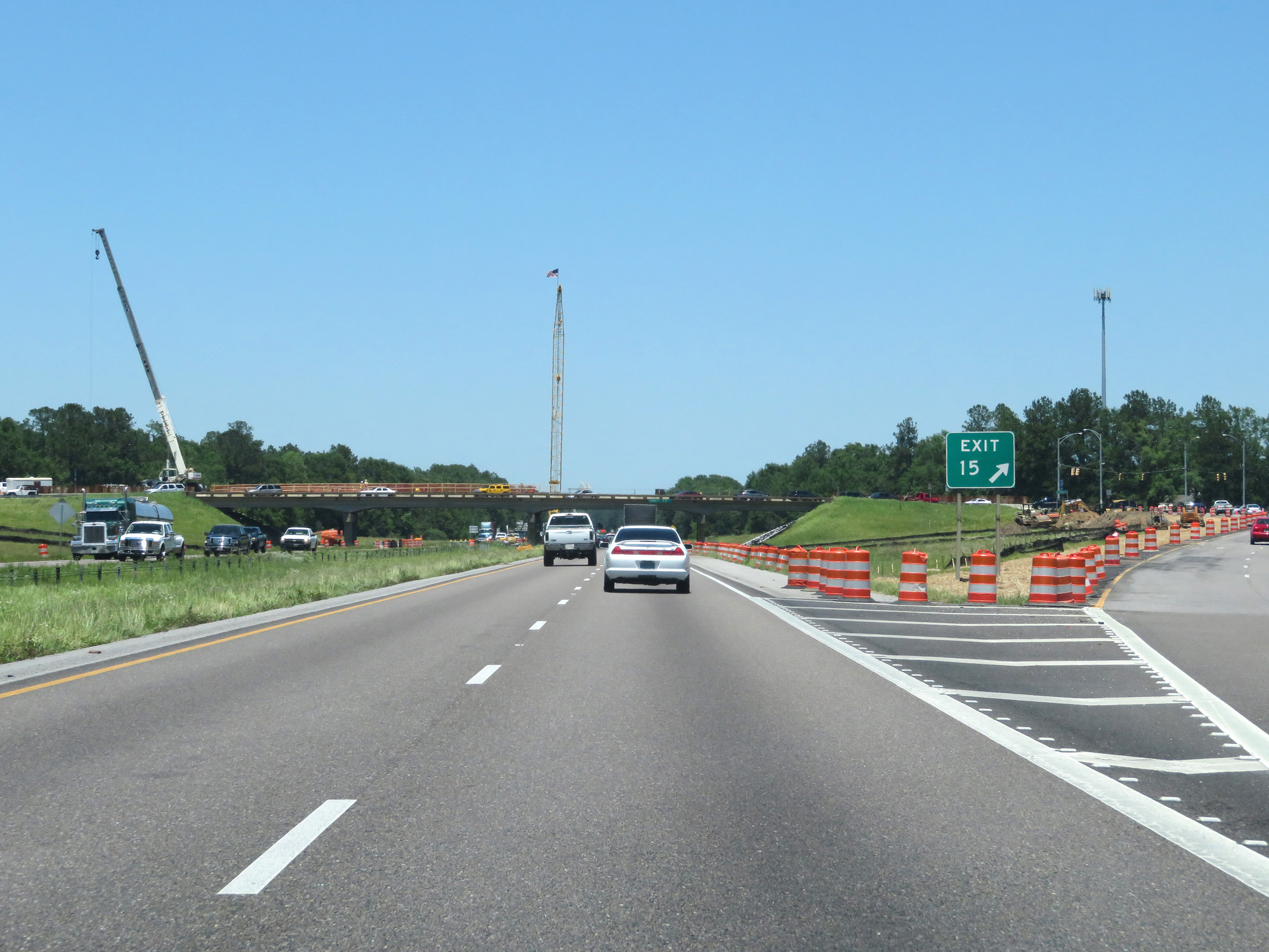 |
Interstate 65 North at Exit 15: Saraland / Citronelle (Photo taken 5/26/17). |
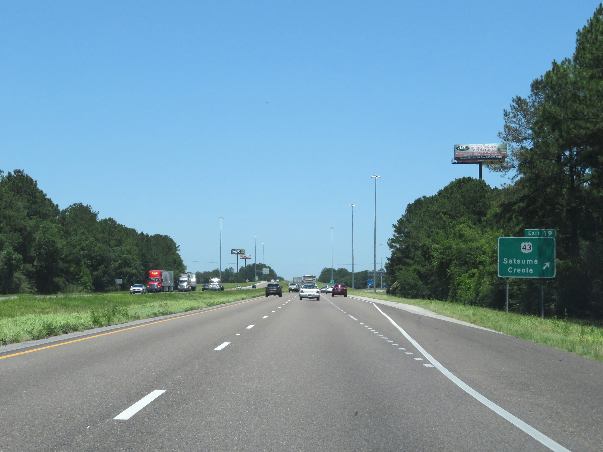 |
Interstate 65 North at Exit 19: US 43 - Satsuma / Creola (Photo taken 5/26/17). |
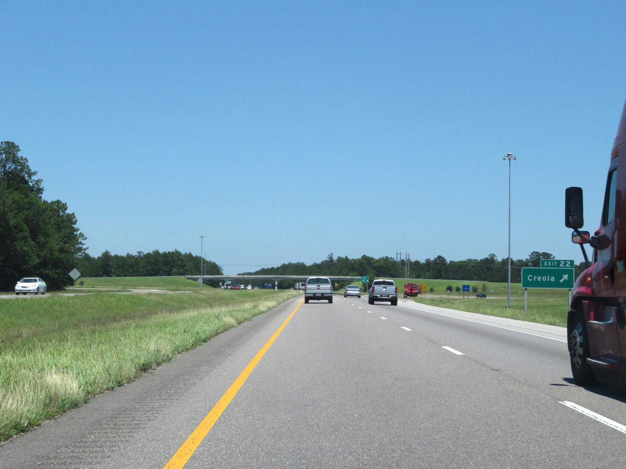 |
Interstate 65 North at Exit 22: Creola (Photo taken 5/26/17). |
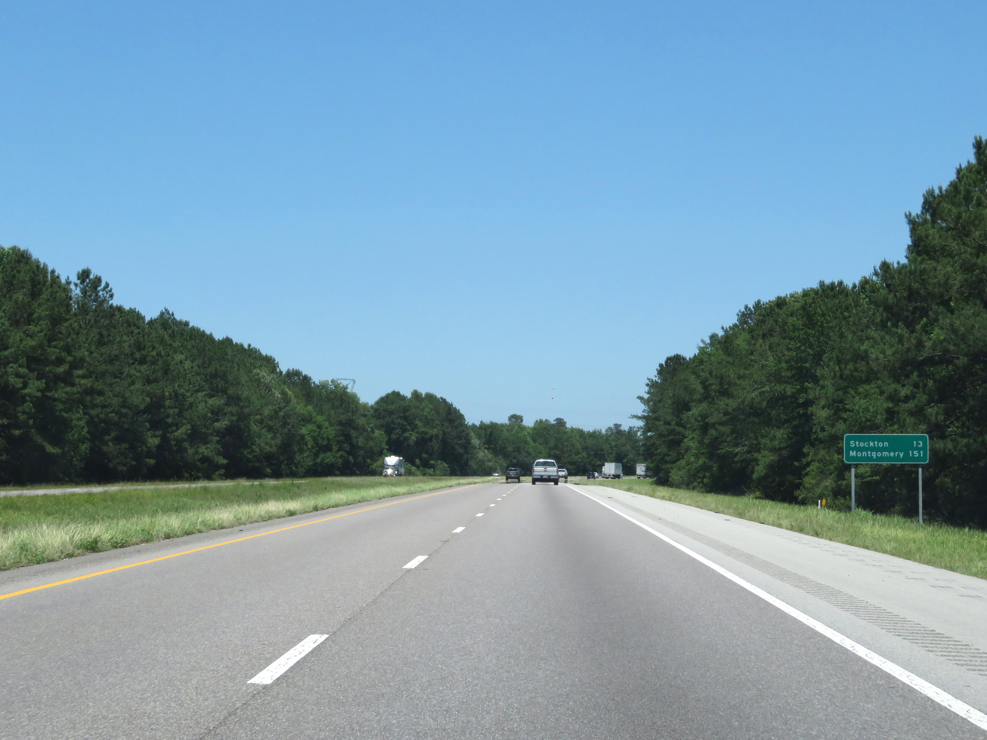 |
Mileage sign on Interstate 65 North. It's 13 miles to Stockton and 151 miles to Montgomery. (Photo taken 5/26/17). |
 |
Interstate 65 North at mile marker 24. (Photo taken 5/26/17). |
 |
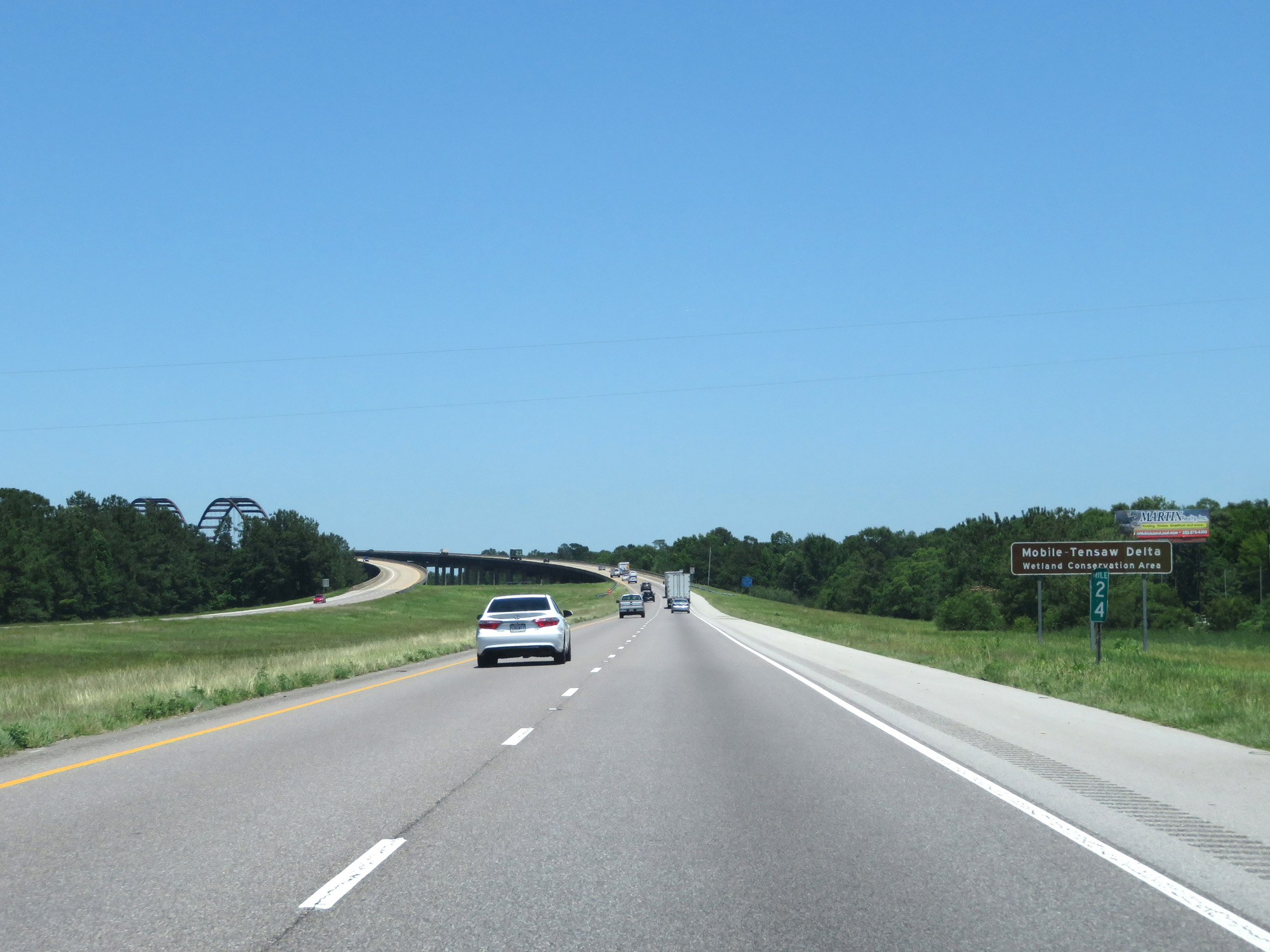
Interstate 65 North appraoching the General W.K. Wilson Jr. Bridge over the Mobile River. (Photo taken 5/26/17). |
 |
Another view of the approach to the bridge. (Photo taken 5/26/17). |
 |
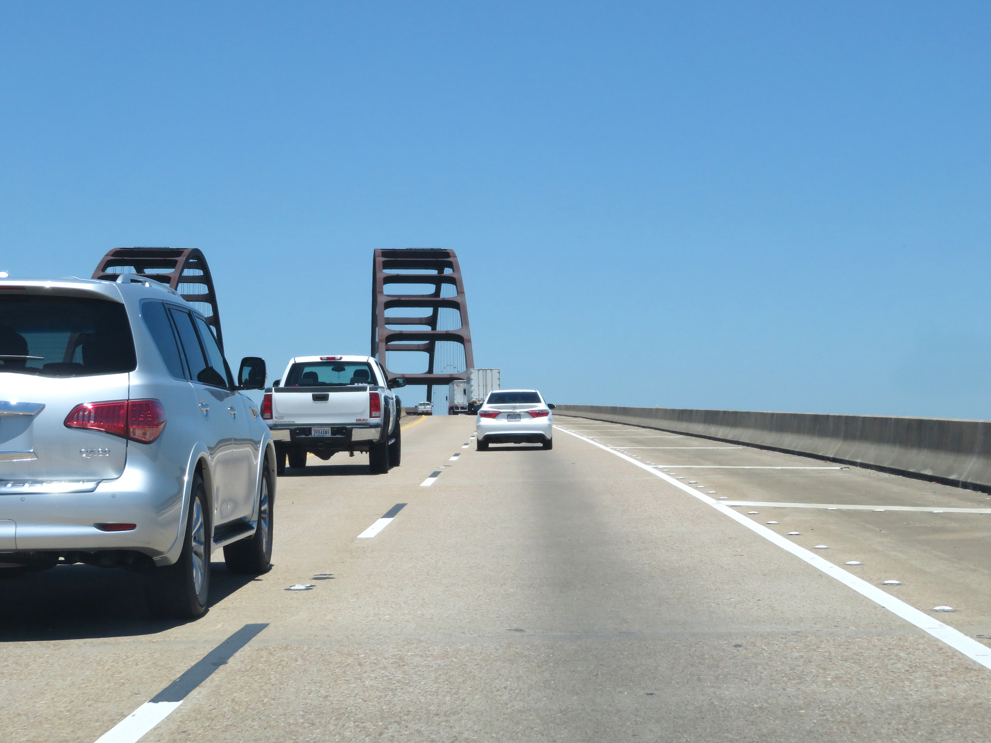
Interstate 65 North at mile marker 25, on the General W.K. Wilson Jr. Bridge over the Mobile River. (Photo taken 5/26/17). |
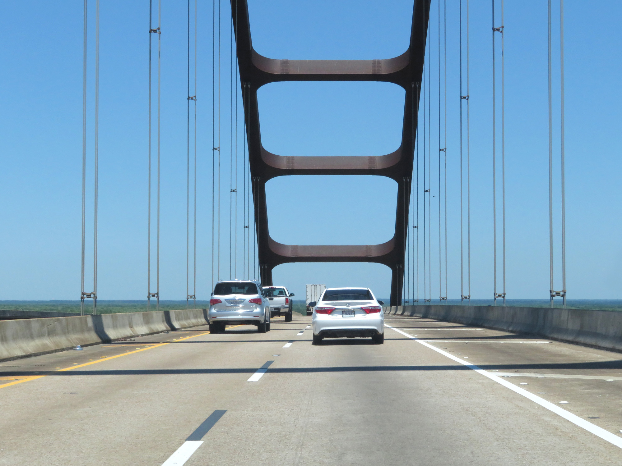 |
View at the peak of the bridge. (Photo taken 5/26/17). |
 |
Interstate 65 North entering Baldwin County. (Photo taken 5/26/17). |
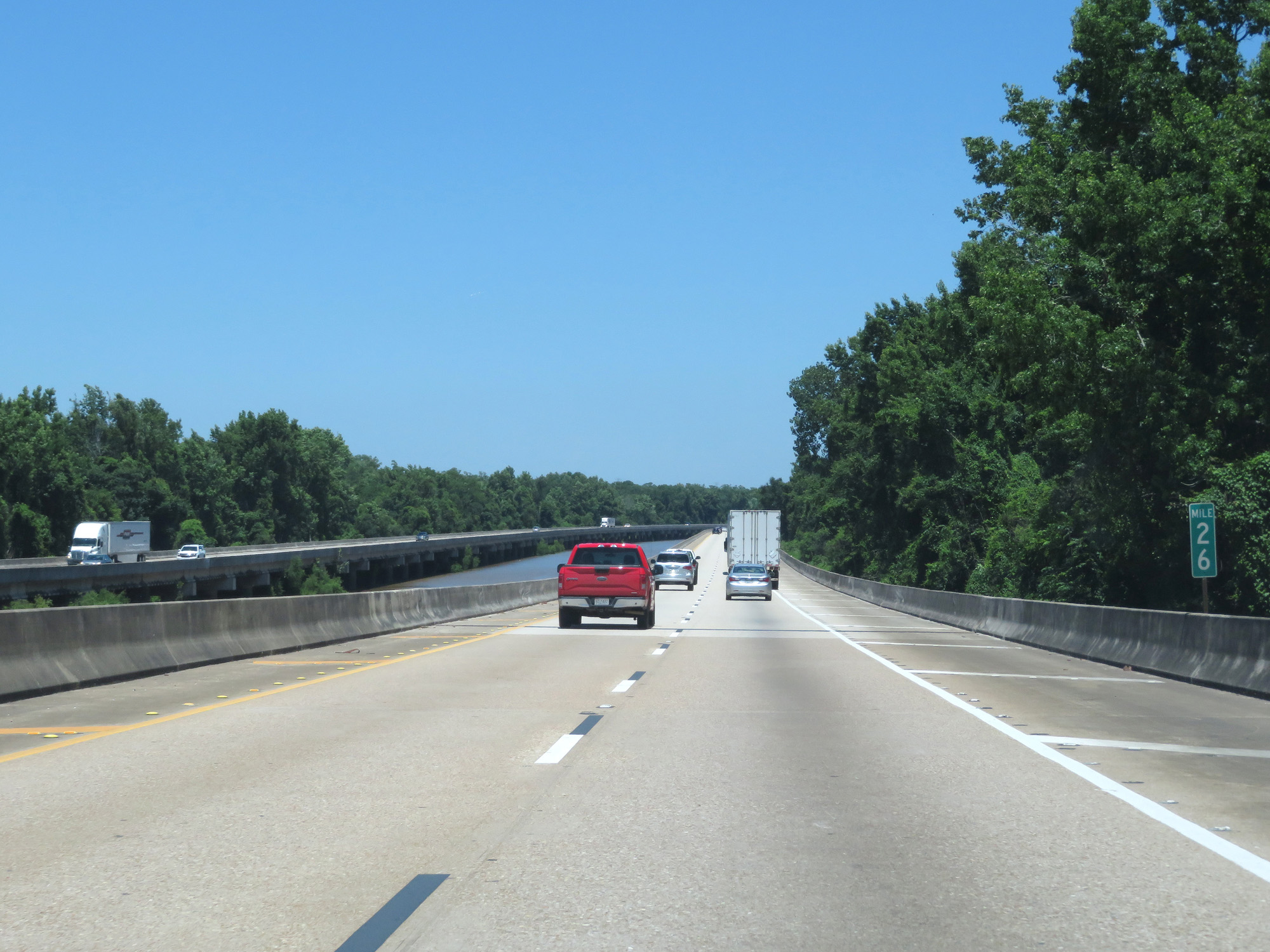 |
Interstate 65 North at mile marker 26. (Photo taken 5/26/17). |
 |
Interstate 65 North at mile marker 27, still on the northern part of the General W.K. Wilson Jr. Bridge. (Photo taken 5/26/17). |
 |
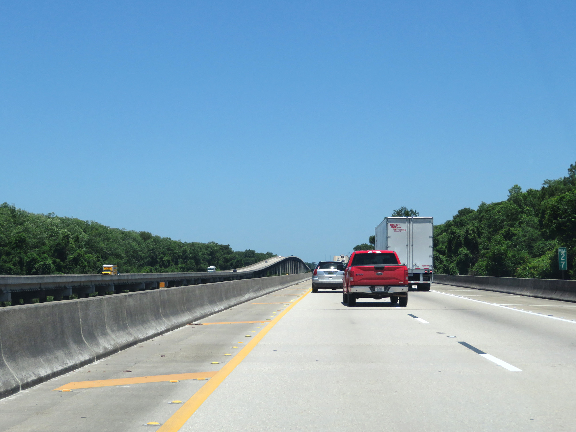
Interstate 65 North at mile marker 28 on the bridge. (Photo taken 5/26/17). |
 |
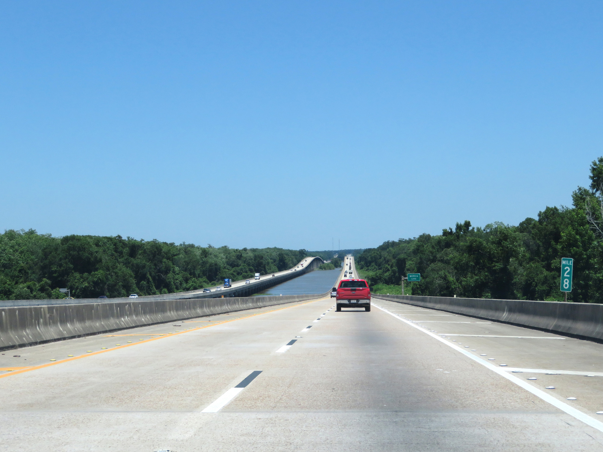
Interstate 65 North as the bridge crosses Mifflin Lake. (Photo taken 5/26/17). |
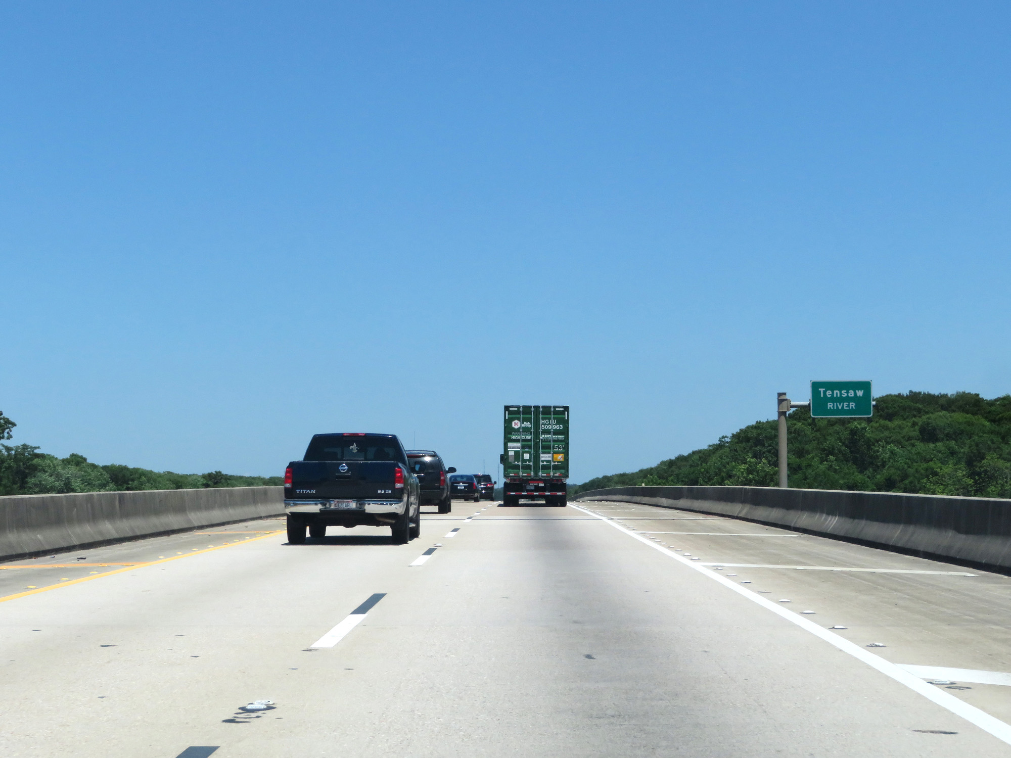 |
Interstate 65 North as the bridge crosses the Tensaw River. (Photo taken 5/26/17). |
 |
View on Interstate 65 North as the General W.K. Wilson Jr. Bridge's northern end comes into view. (Photo taken 5/26/17). |
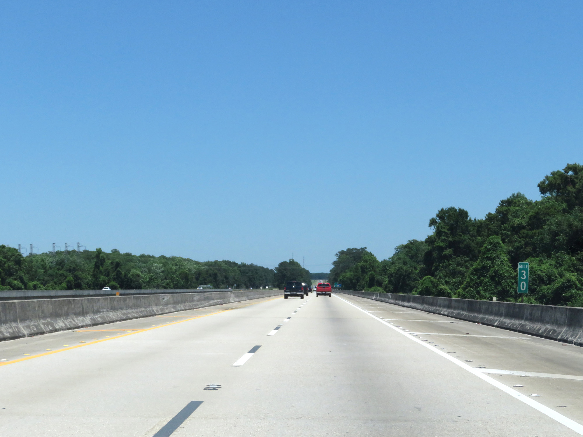 |
Interstate 65 North at mile marker 30. (Photo taken 5/26/17). |
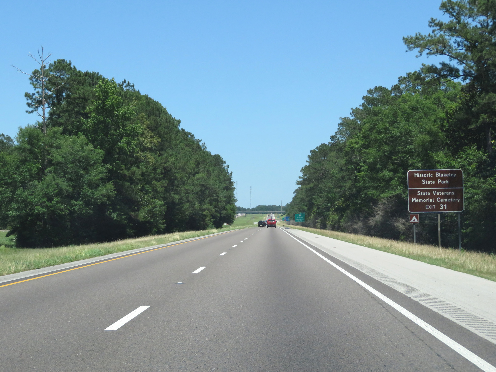 |
Take Exit 31 to Historic Blakeley State Park and the State Veterans Memorial Cemetery. (Photo taken 5/26/17). |
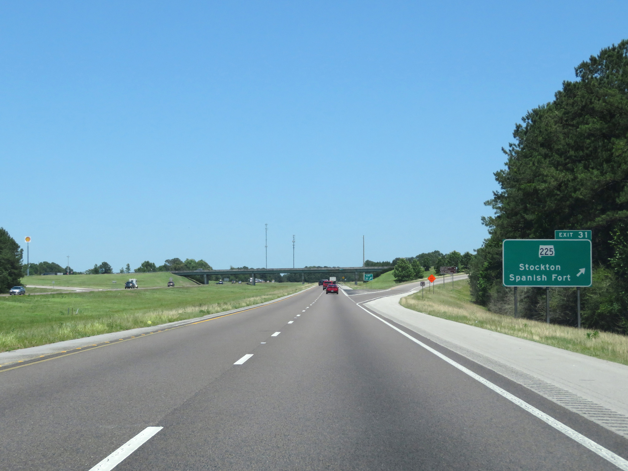 |
Interstate 65 North at Exit 31: AL 225 - Stockton / Spanish Fort (Photo taken 5/26/17). |
 |
Another state-named Interstate 65 North reassurance shield. (Photo taken 5/26/17). |
 |
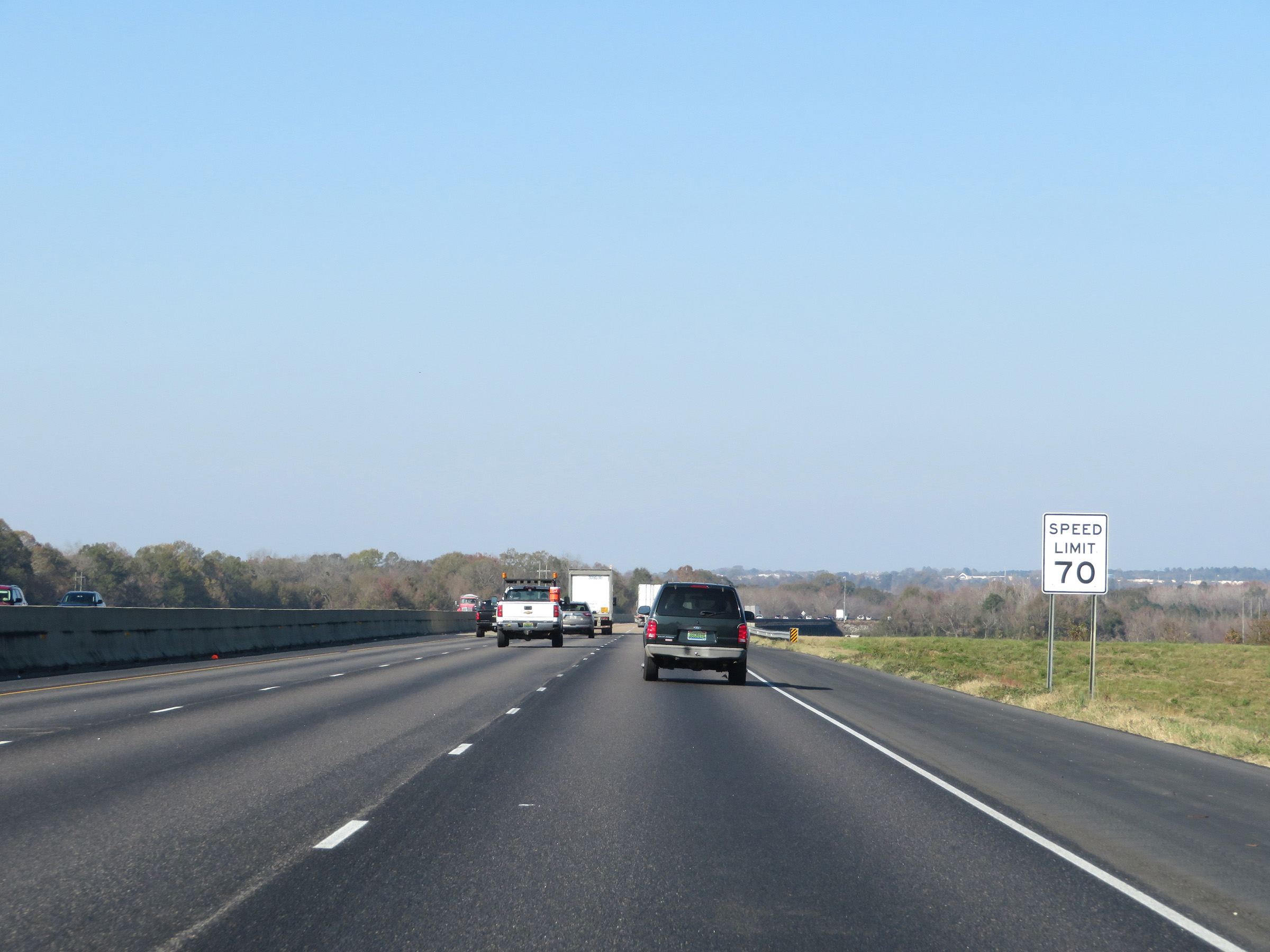
The speed limit remains 70 mph. (Photo taken 5/26/17). |
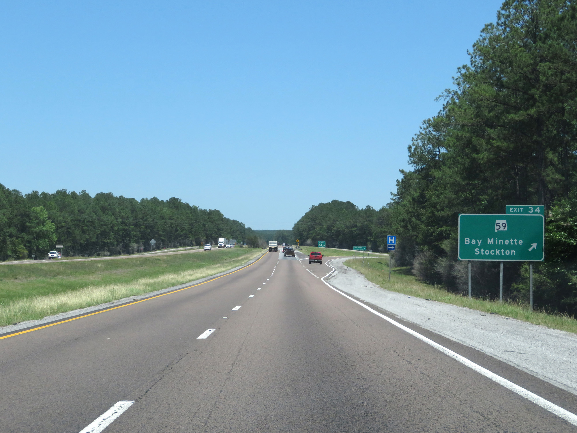 |
Interstate 65 North at Exit 34: AL 59 - Bay Minette / Stockton (Photo taken 5/26/17). |
 |
Interstate 65 North at mile marker 35. (Photo taken 5/26/17). |
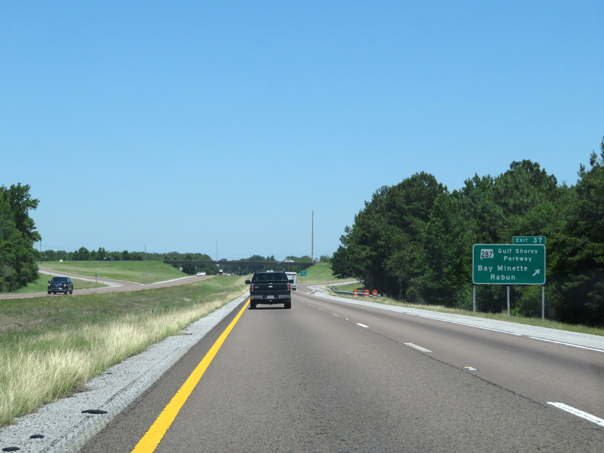 |
Interstate 65 North at Exit 37: AL 287 - Gulf Shores Pkwy / Bay Minette / Rabun (Photo taken 5/26/17). |
 |
Interstate 65 North at mile marker 41. (Photo taken 5/26/17). |
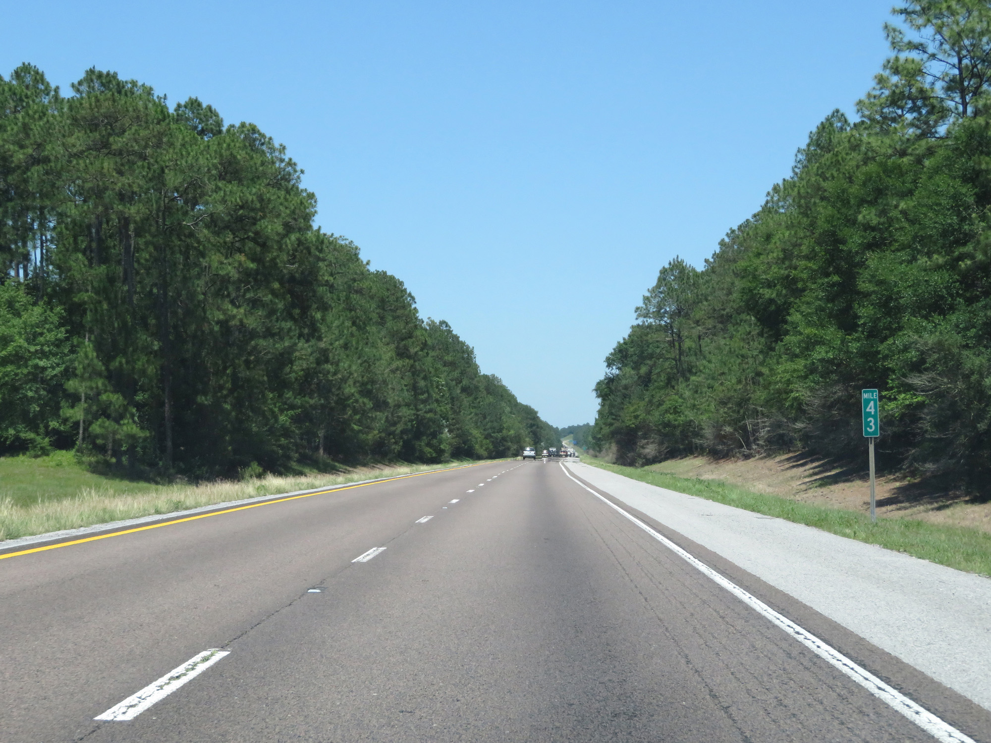 |
Interstate 65 North at mile marker 43. (Photo taken 5/26/17). |
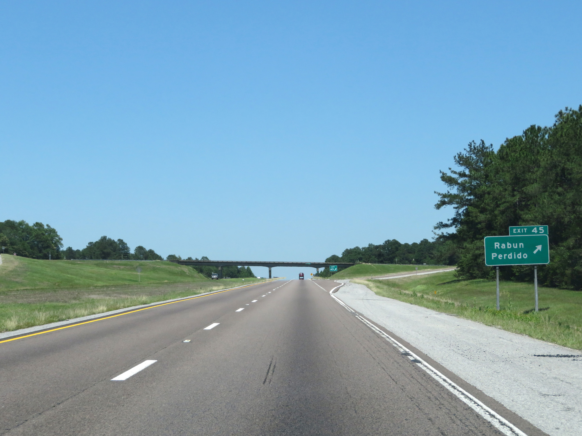 |
Interstate 65 North at Exit 45: Rabun / Perdido (Photo taken 5/26/17). |
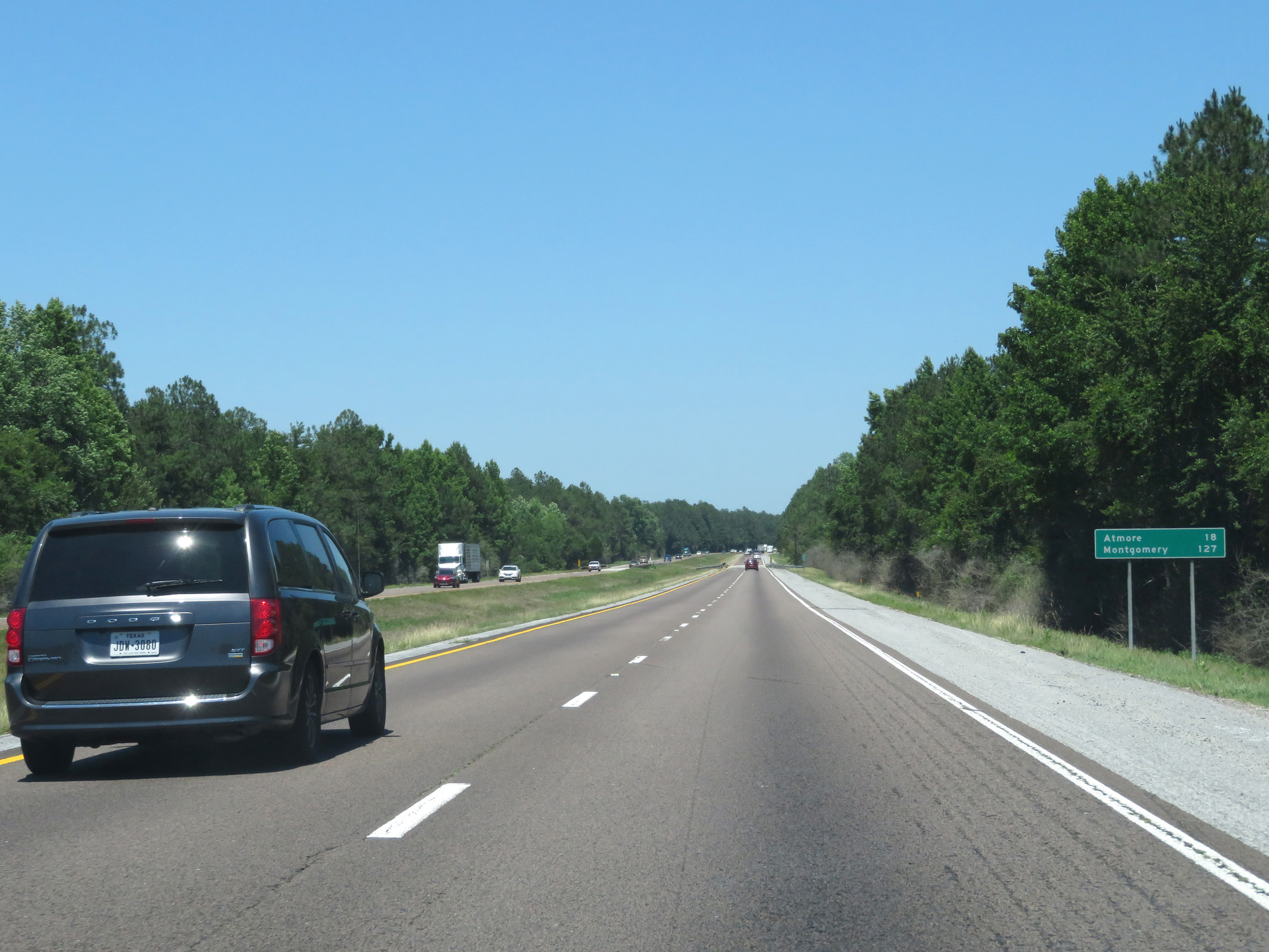 |
Mileage sign on Interstate 65 North. It's 18 miles to Atmore and 127 miles to Montgomery. (Photo taken 5/26/17). |
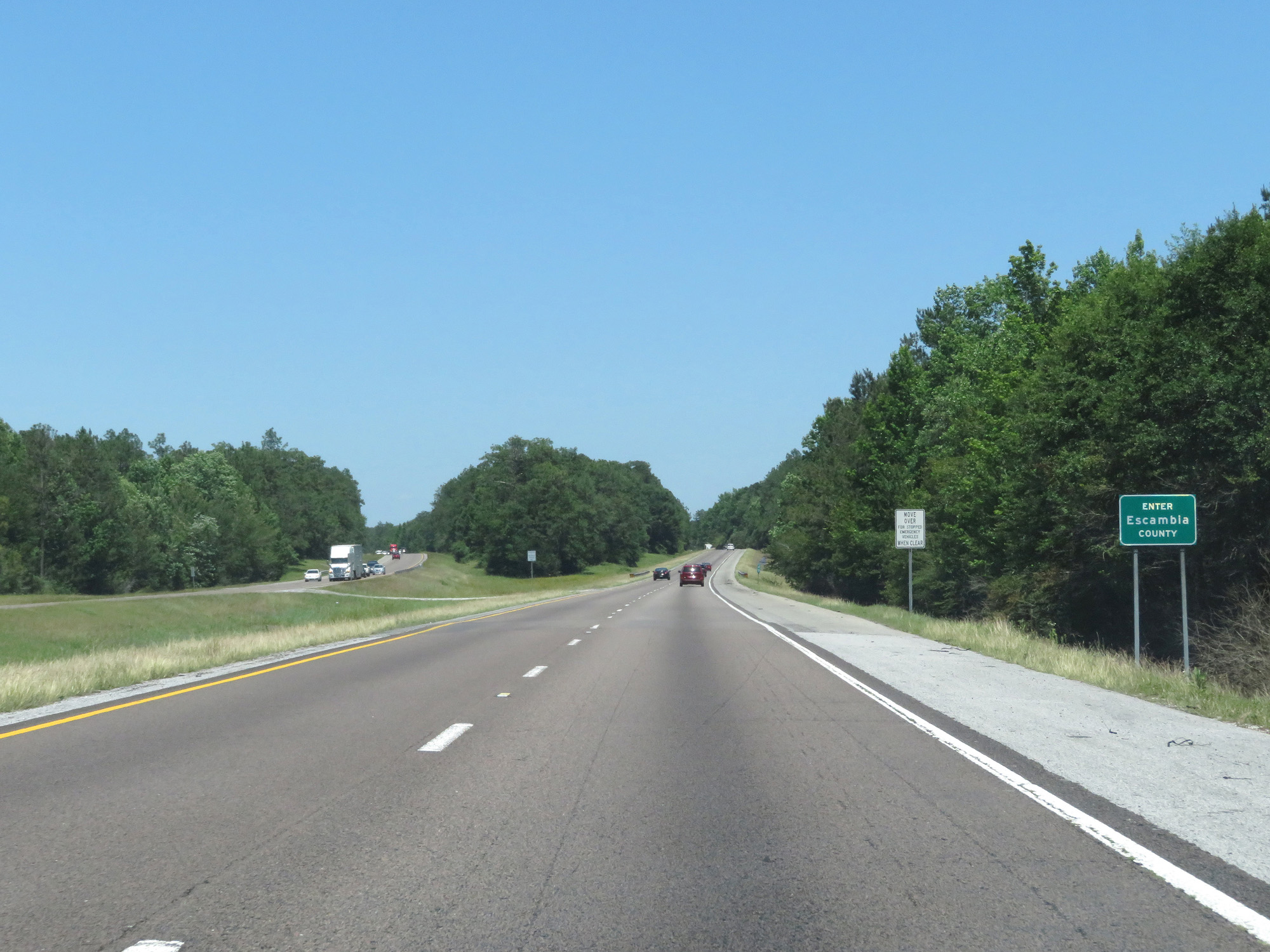 |
Interstate 65 North entering Escambia County. (Photo taken 5/26/17). |
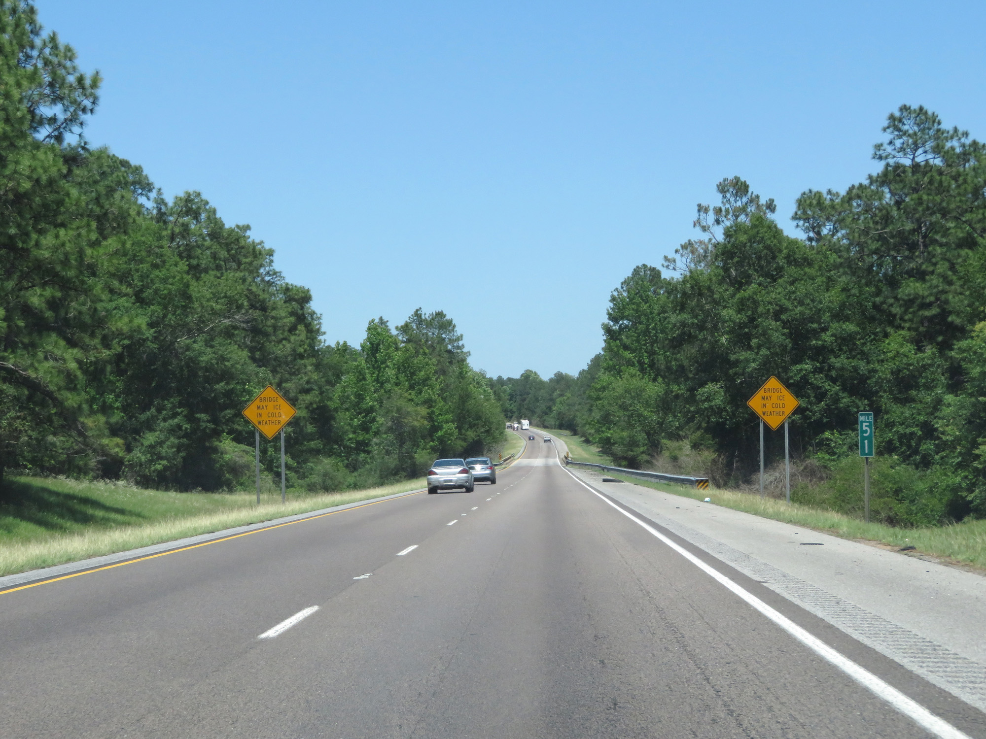 |
Interstate 65 North at mile marker 51. (Photo taken 5/26/17). |
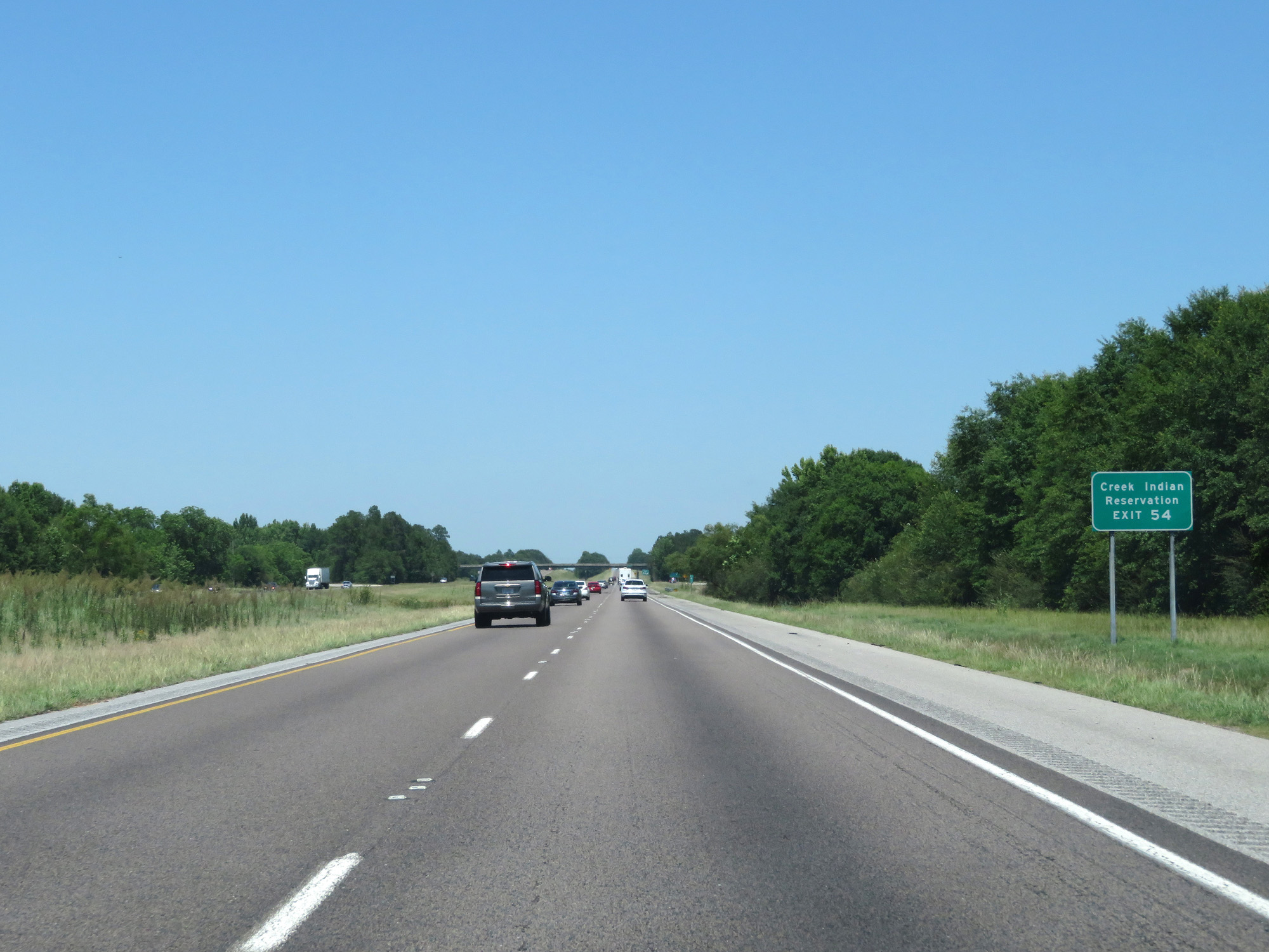 |
Take Exit 54 to Creek Indian Reservation. (Photo taken 5/26/17). |
 |
Interstate 65 North at Exit 54: CR 1 (Photo taken 5/26/17). |
 |
Take Exit 57 to Creek Gaming Center. (Photo taken 5/26/17). |
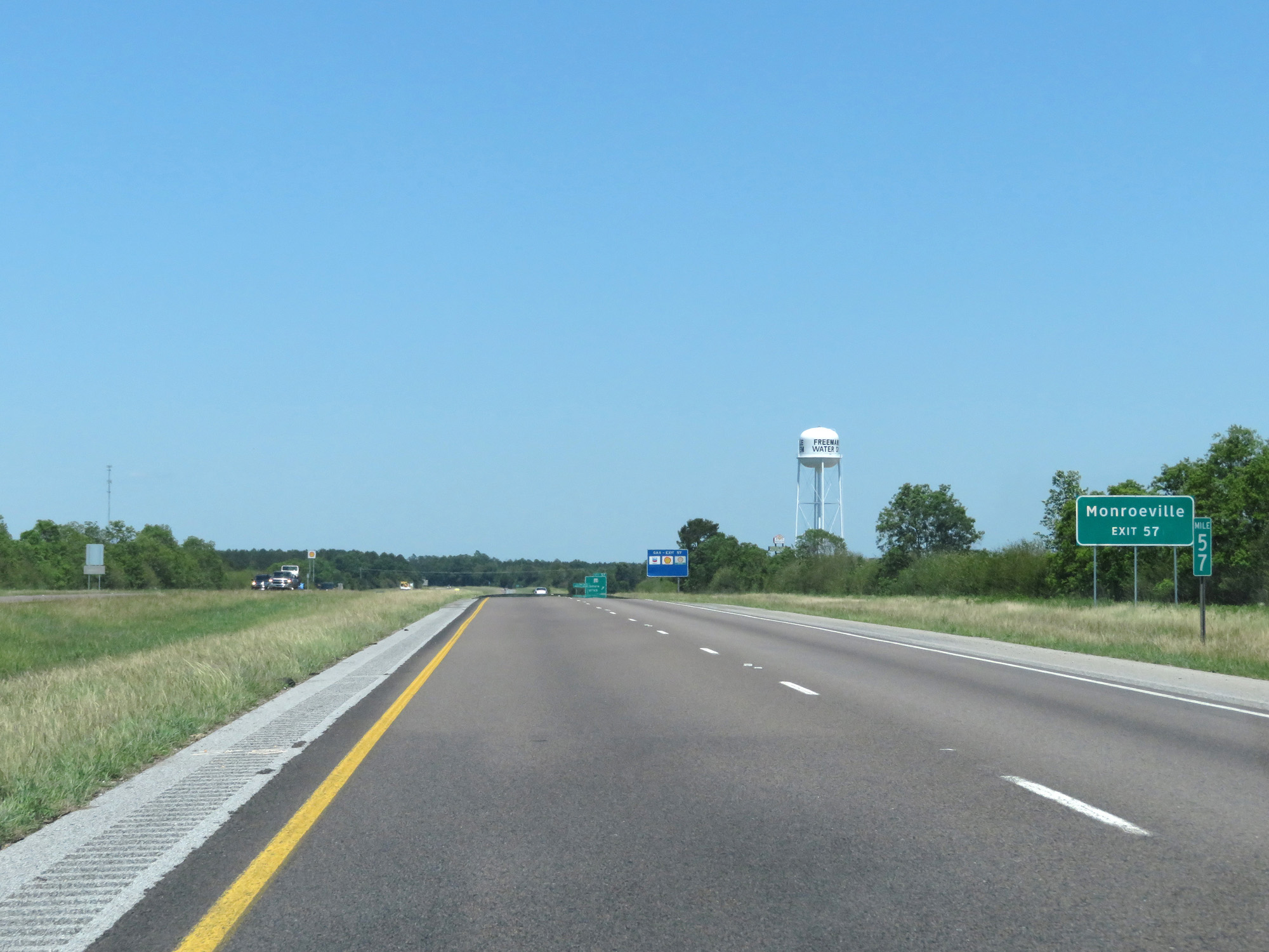 |
Also take Exit 57 to Monroeville. (Photo taken 5/26/17). |
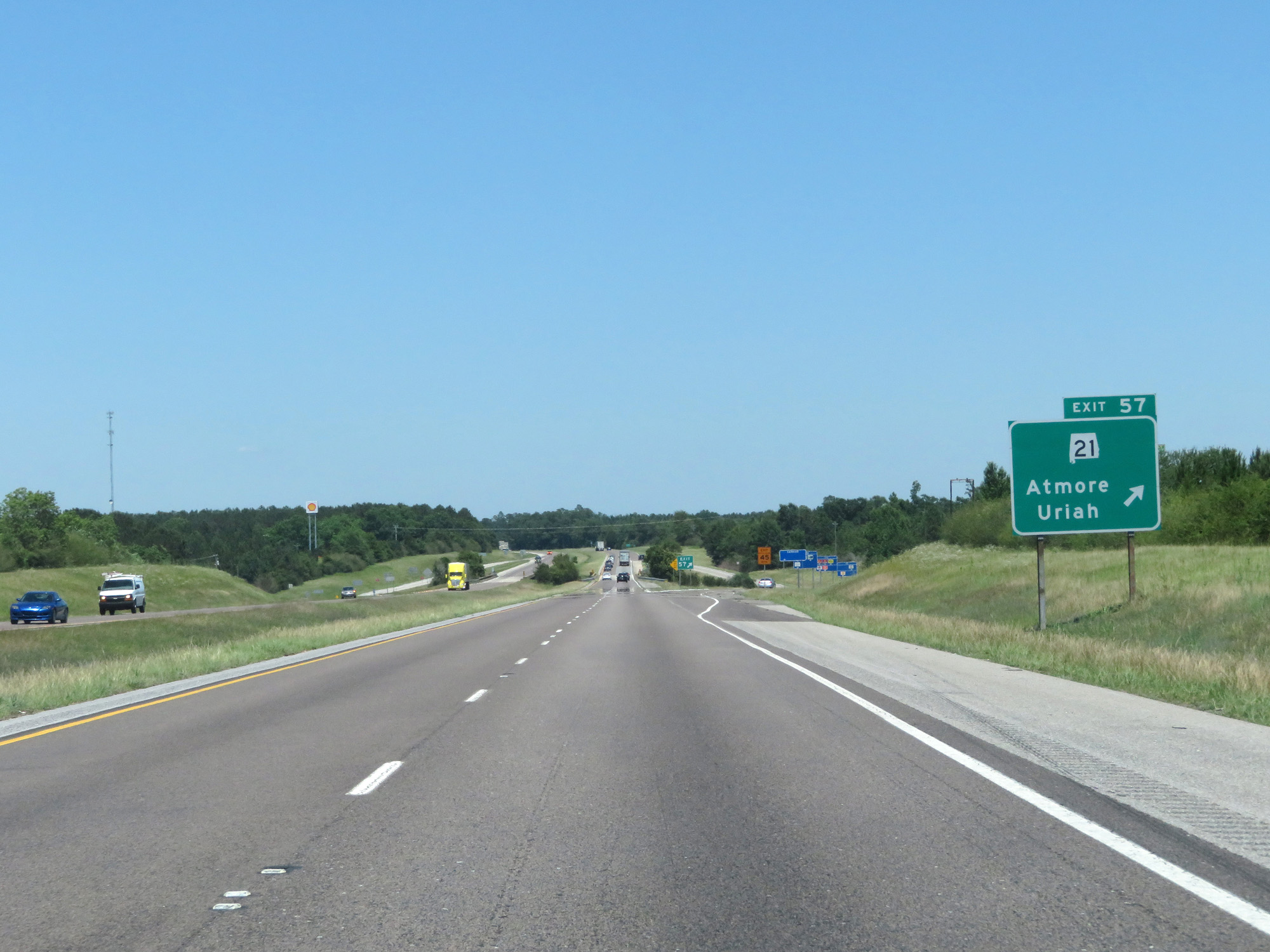 |
Interstate 65 North at Exit 57: AL 21 - Atmore / Uriah (Photo taken 5/26/17). |
 |
State-named Interstate 65 North reassurance shield. (Photo taken 5/26/17). |
 |
Interstate 65 North at mile marker 61. (Photo taken 5/26/17). |
 |
Interstate 65 North at mile marker 64. (Photo taken 5/26/17). |
 |
Interstate 65 North at mile marker 66. (Photo taken 5/26/17). |
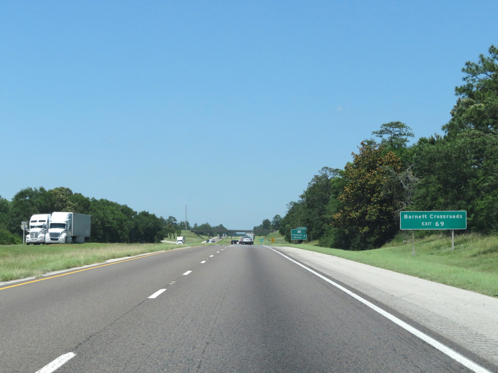 |
Take Exit 69 to Barnett Crossroads. (Photo taken 5/26/17). |
 |
Interstate 65 North at Exit 69: AL 113 - Flomaton / Wallace (Photo taken 5/26/17). |
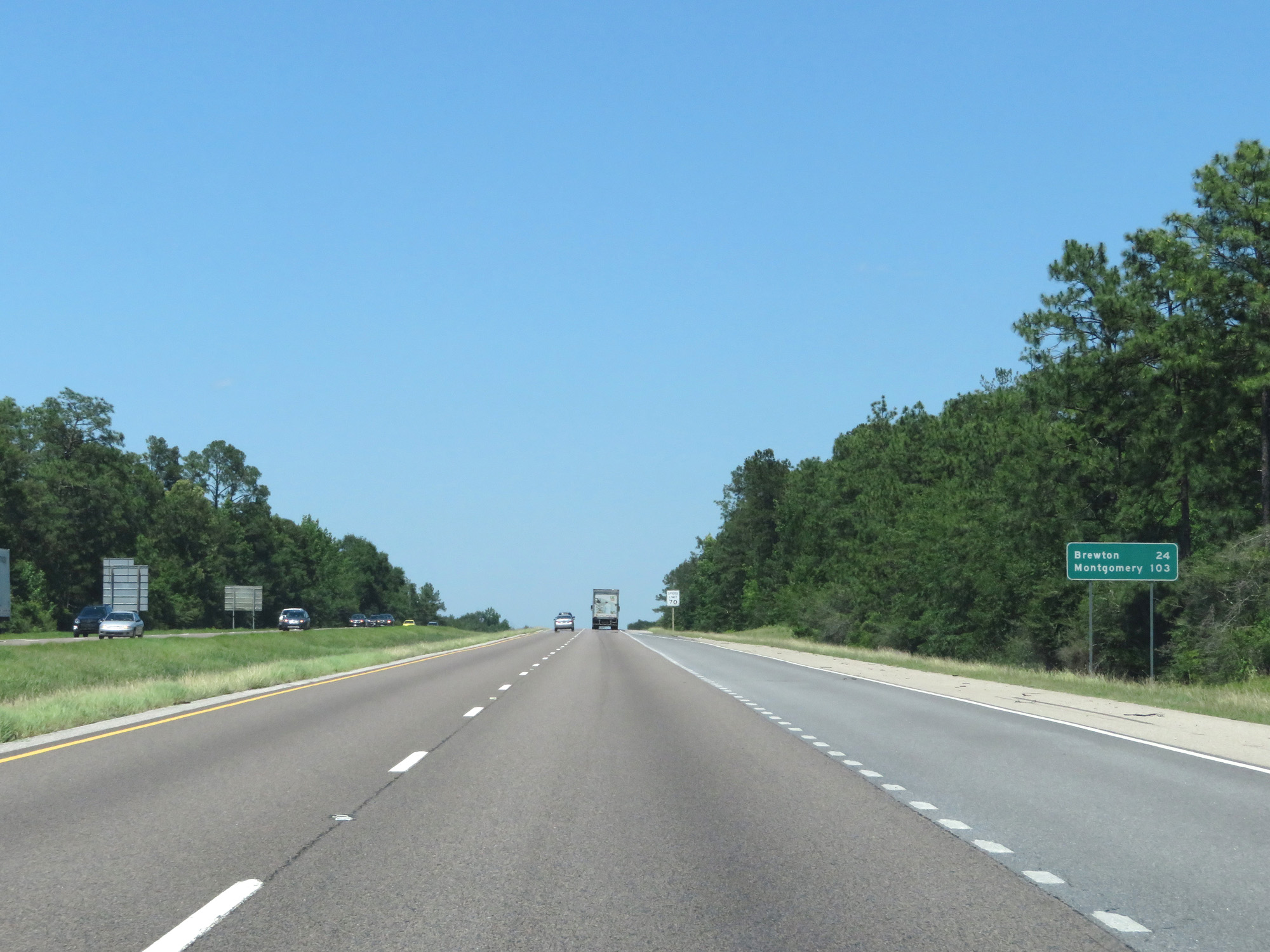 |
Mileage sign on Interstate 65 North. It's 24 miles to Brewton and 103 miles to Montgomery. (Photo taken 5/26/17). |
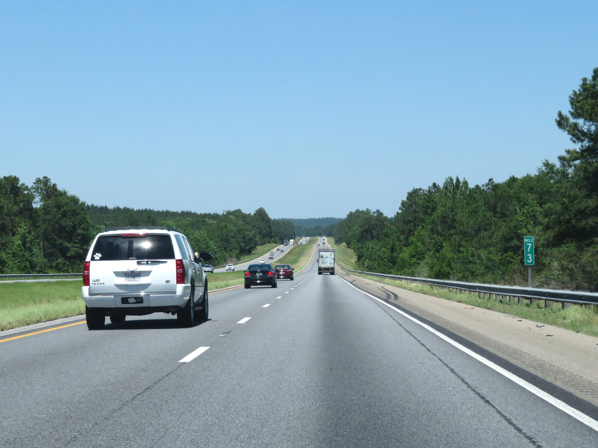 |
Interstate 65 North at mile marker 73. (Photo taken 5/26/17). |
 |
Interstate 65 North entering Conecuh County. (Photo taken 5/26/17). |
 |
Interstate 65 North at Exit 77: AL 41 - Brewton / Repton (Photo taken 5/26/17). |
Section 2: Conecuh County (Exit 77) to Montgomery (Exit 172)
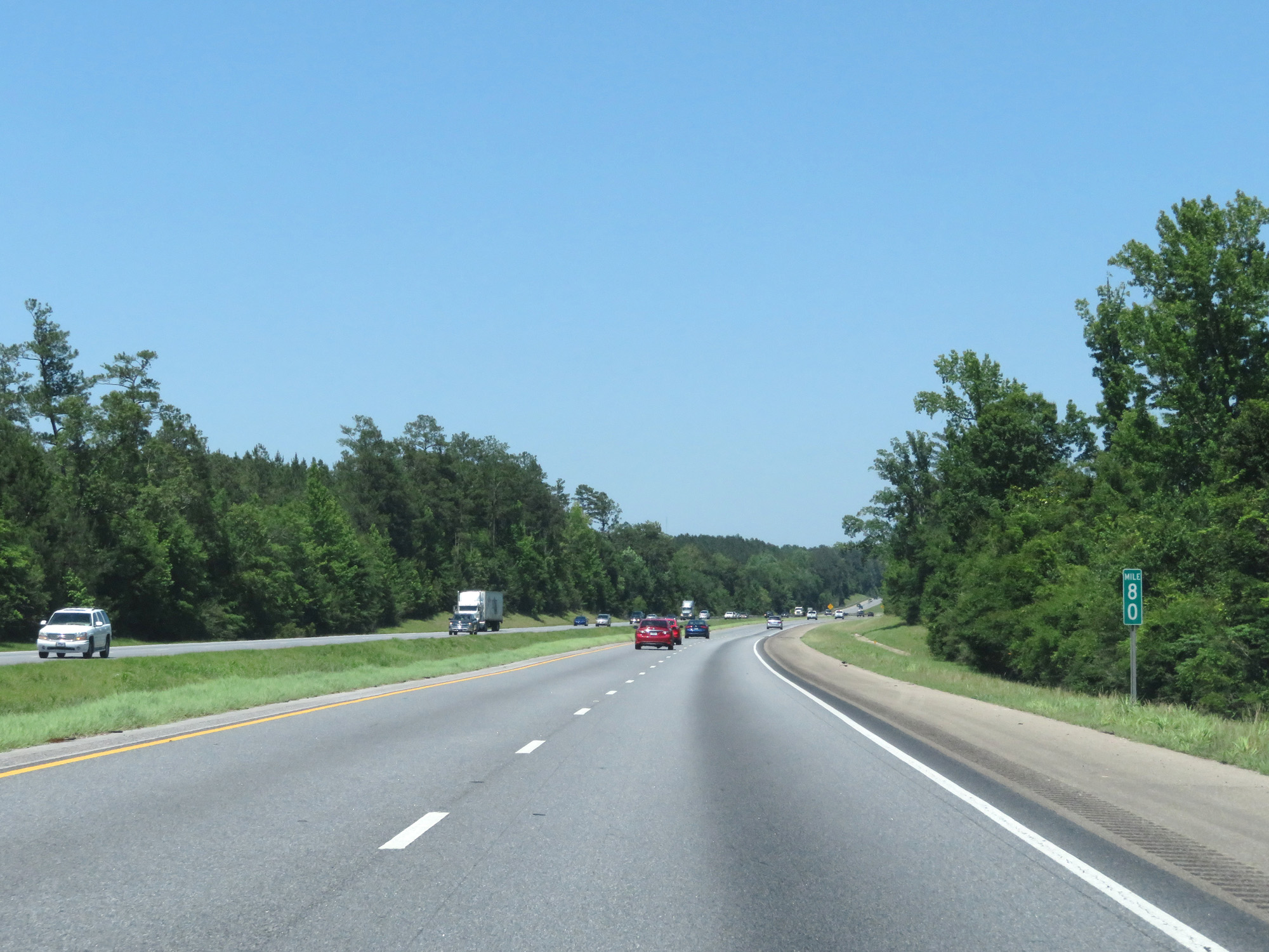 |
Interstate 65 North at mile marker 80. (Photo taken 5/26/17). |
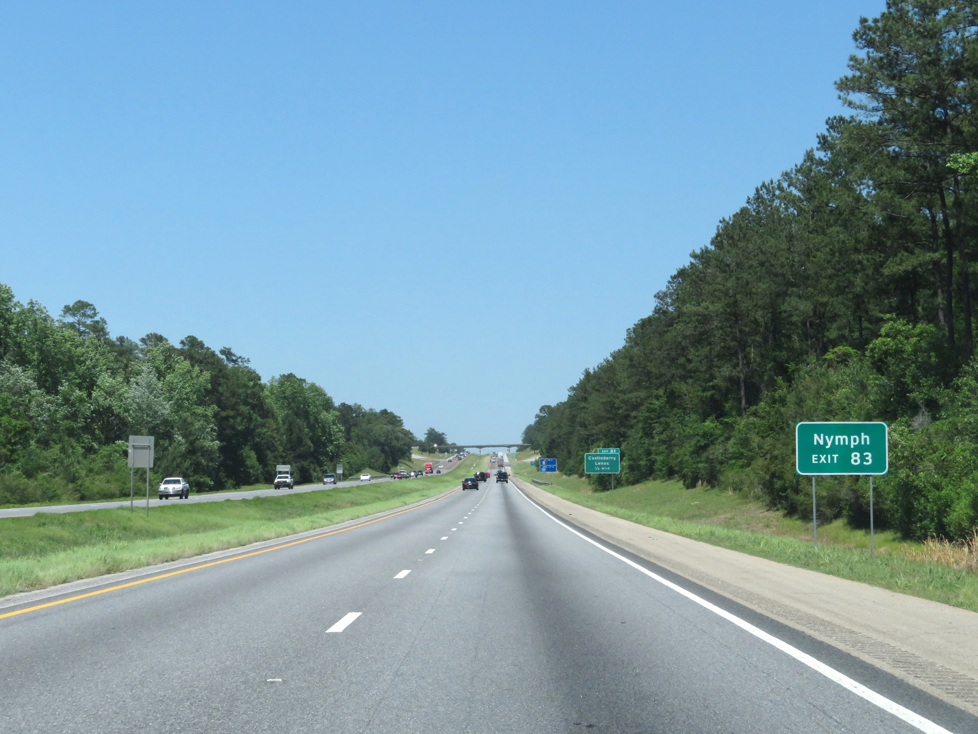 |
Take Exit 83 to Nymph. (Photo taken 5/26/17). |
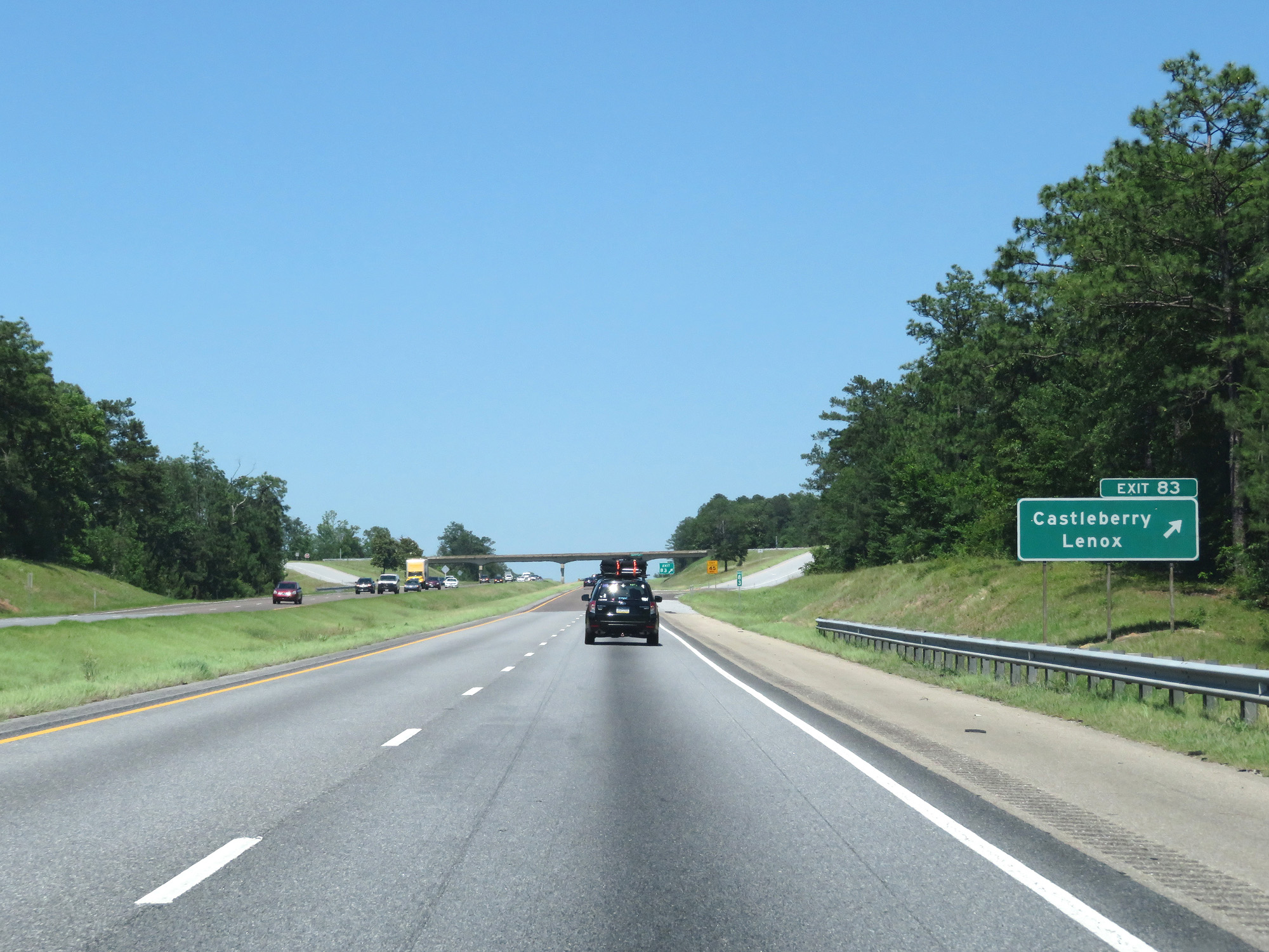 |
Interstate 65 North at Exit 83: Castleberry / Lenox (Photo taken 5/26/17). |
 |
Interstate 65 North at the Rest Area in Conecuh County. (Photo taken 5/26/17). |
 |
Interstate 65 North at mile marker 88. (Photo taken 5/26/17). |
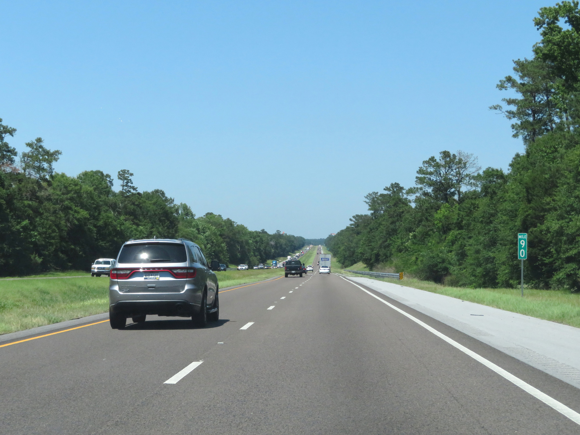 |
Interstate 65 North at mile marker 90. (Photo taken 5/26/17). |
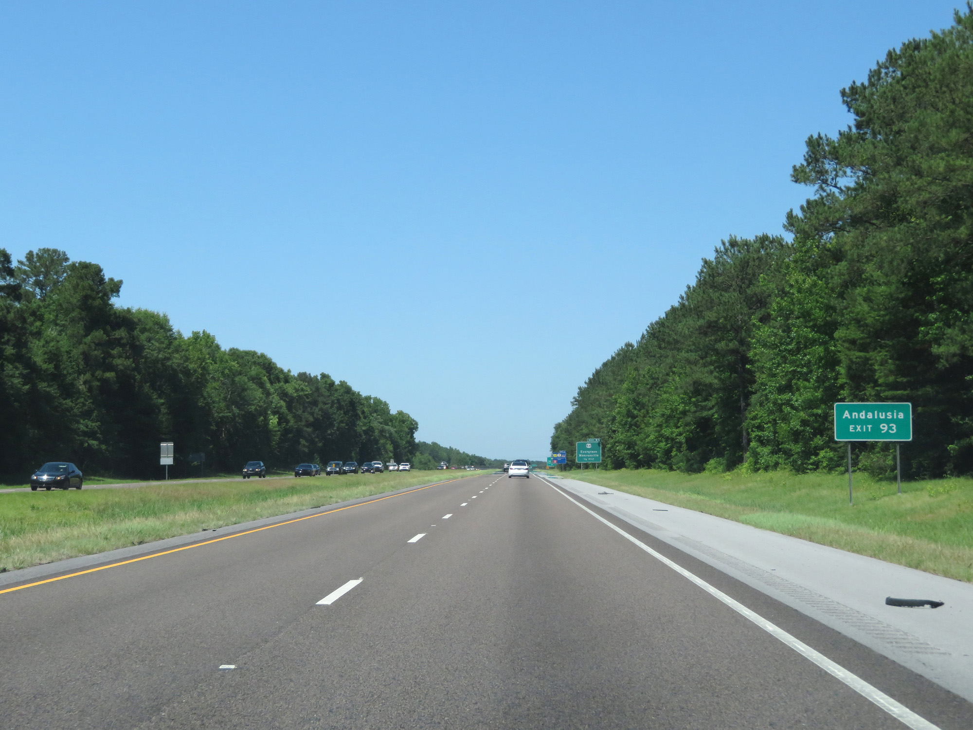 |
Take Exit 93 to Andalusia. (Photo taken 5/26/17). |
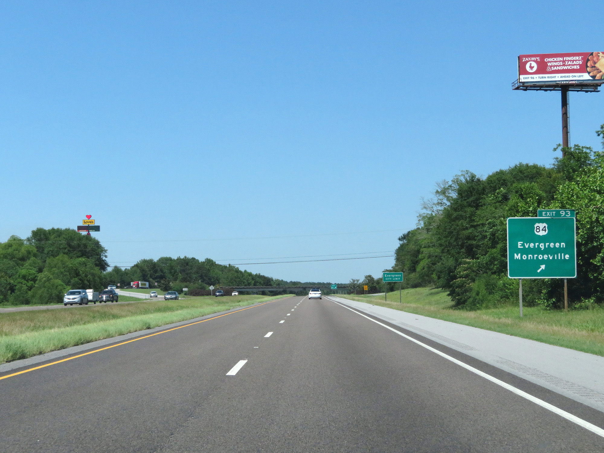 |
Interstate 65 North at Exit 93: US 84 - Evergreen / Monroeville (Photo taken 5/26/17). |
 |
State-named Interstate 65 North reassurance shield. (Photo taken 5/26/17). |
 |
Speed Limit - 70 mph. (Photo taken 5/26/17). |
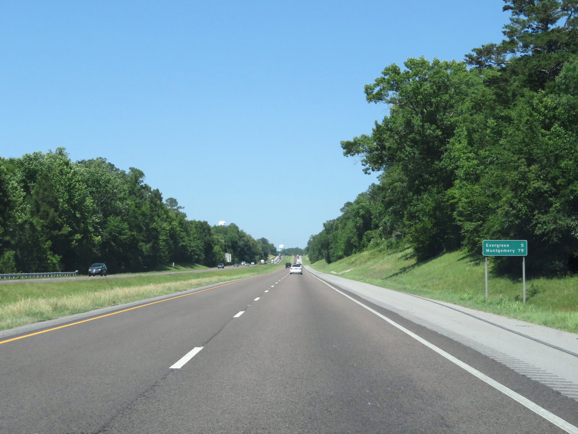 |
Mileage sign on Interstate 65 North. It's 5 miles to Evergreen and 79 miles to Montgomery. (Photo taken 5/26/17). |
 |
Interstate 65 North approaching Exit 96 - 1 mile. (Photo taken 5/26/17). |
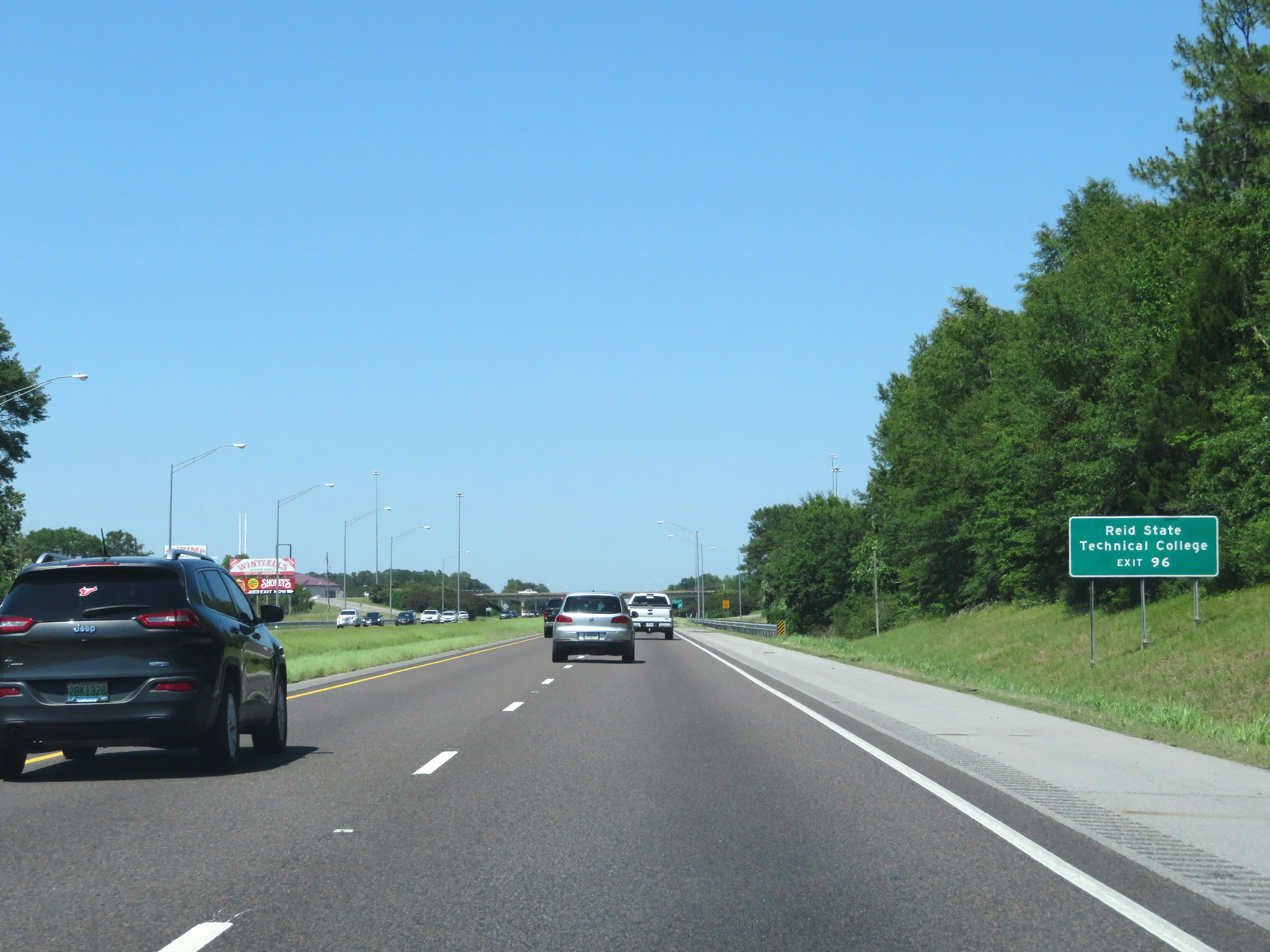 |
Take Exit 96 to Reid State Technical College. (Photo taken 5/26/17). |
 |
Interstate 65 North at Exit 96: AL 83 - Evergreen / Midway (Photo taken 5/26/17). |
 |
Interstate 65 North at mile marker 100. (Photo taken 5/26/17). |
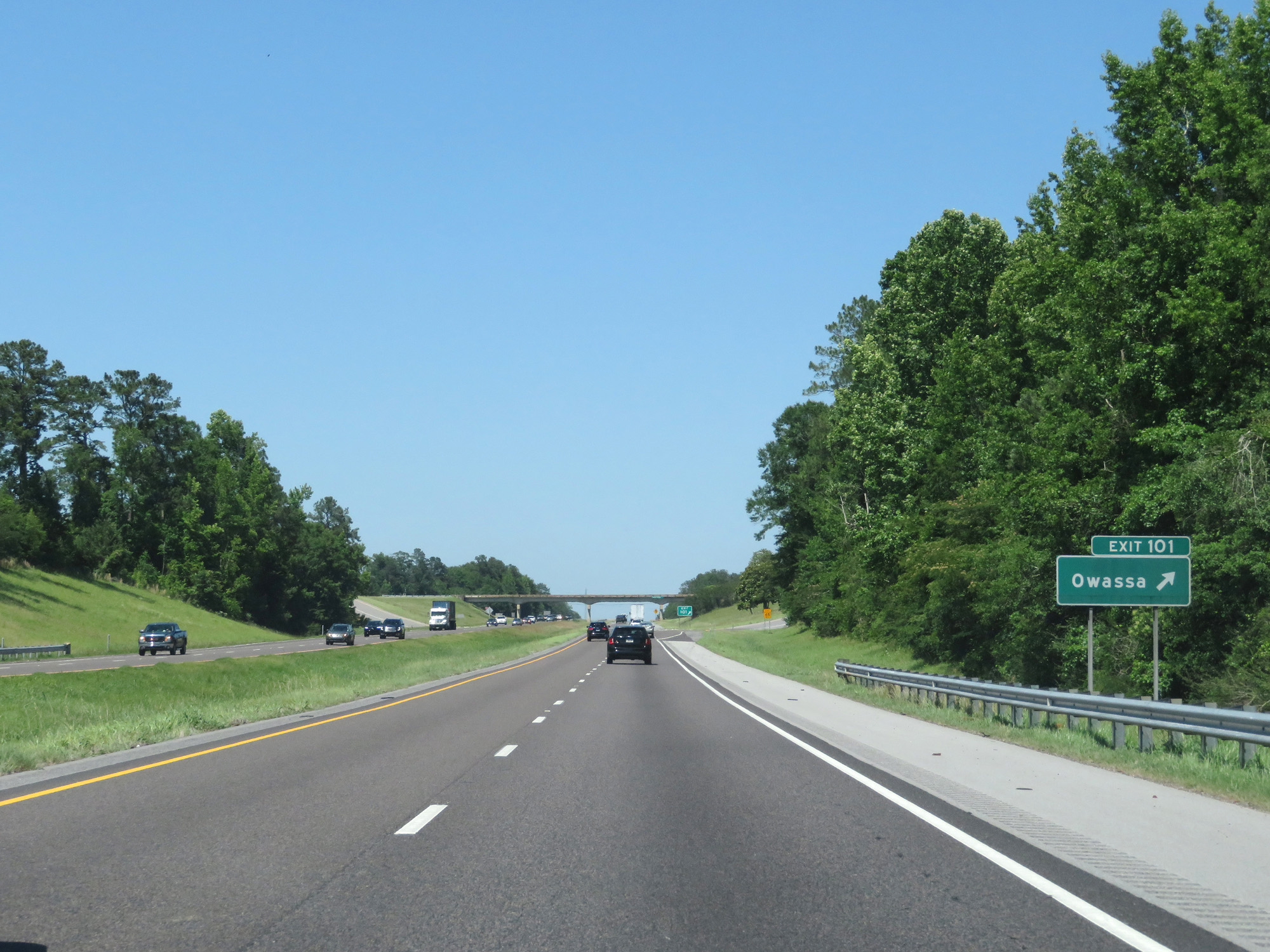 |
Interstate 65 North at Exit 101: Owassa (Photo taken 5/26/17). |
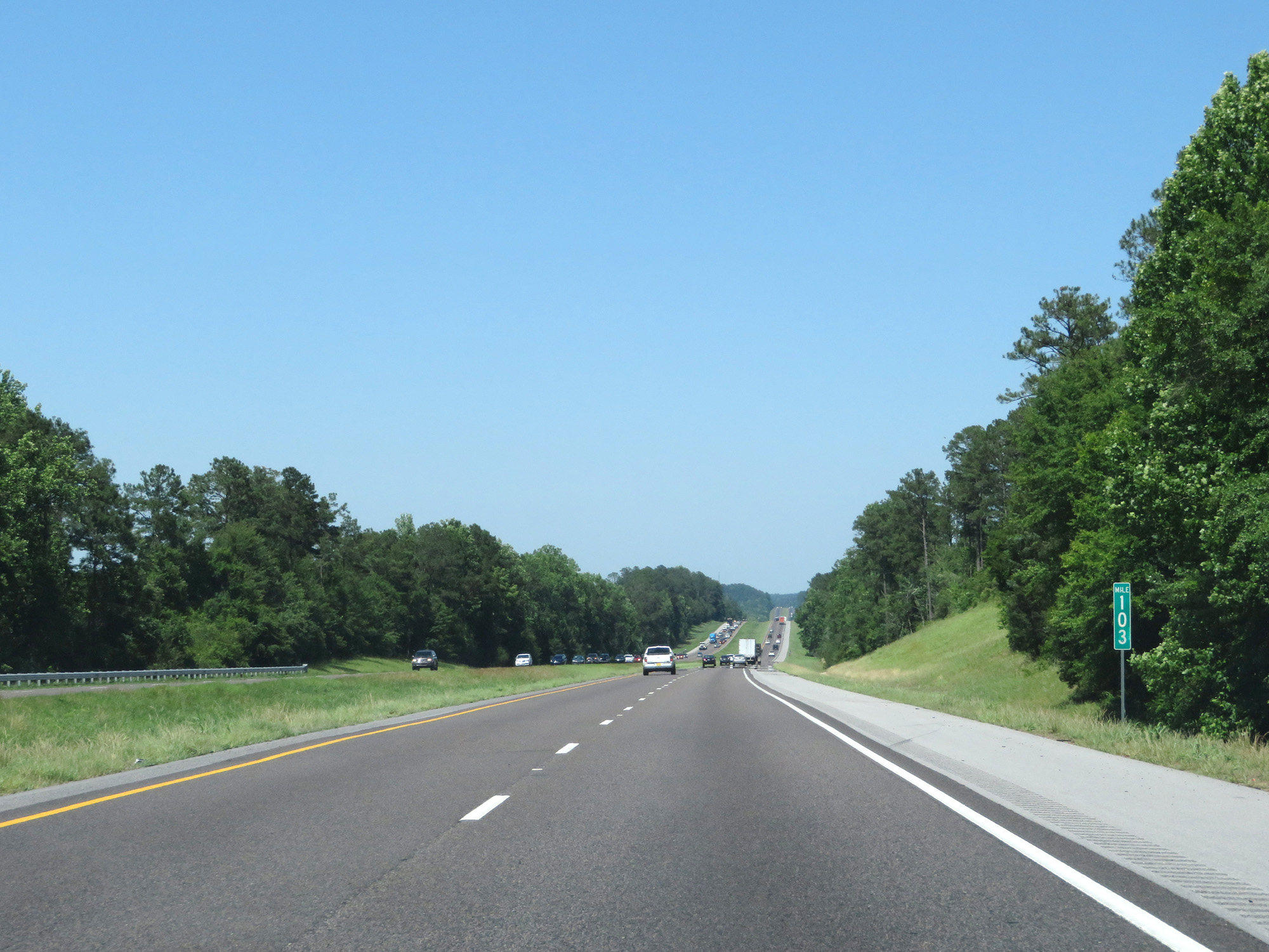 |
Interstate 65 North at mile marker 103. (Photo taken 5/26/17). |
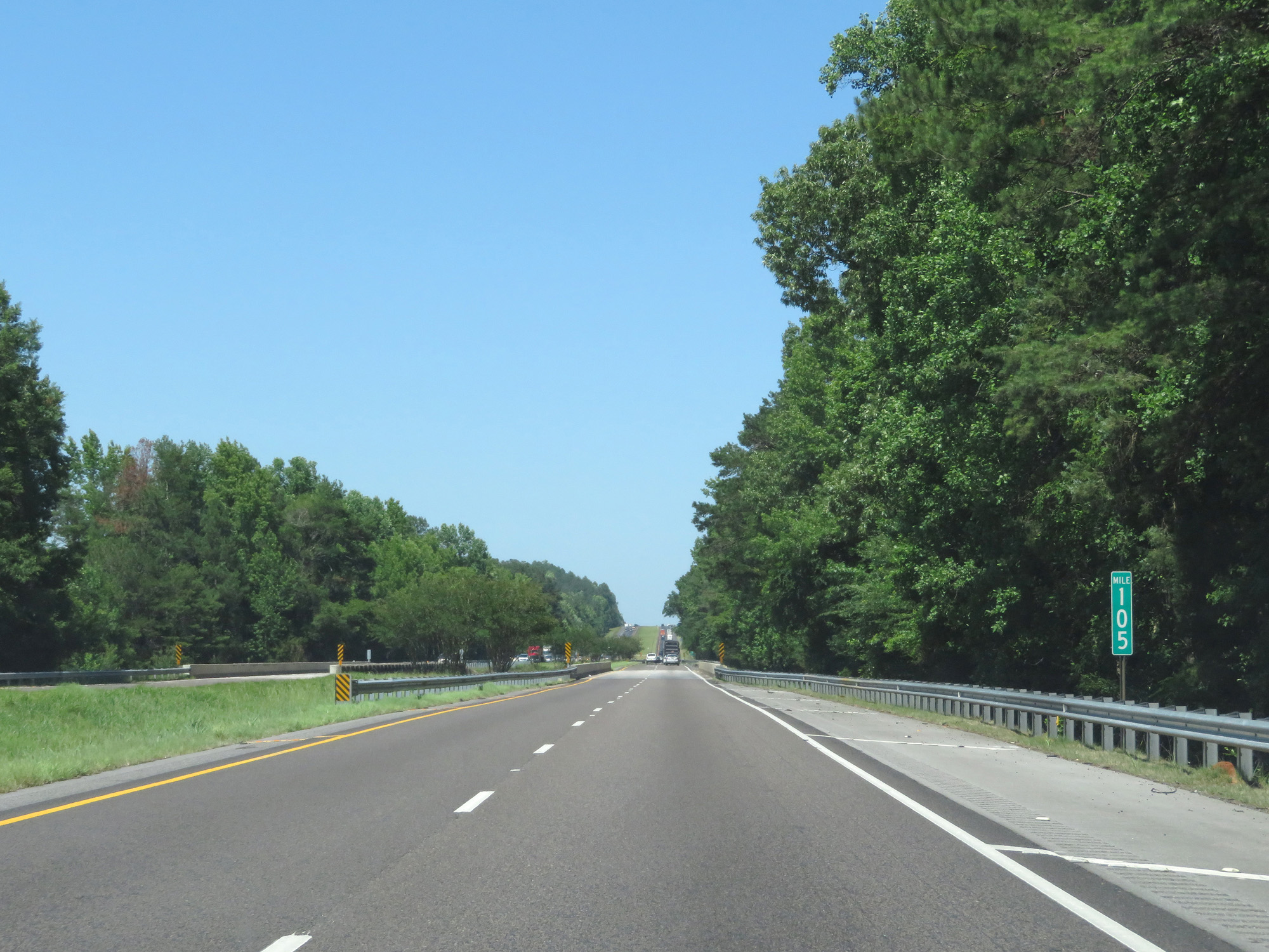 |
Interstate 65 North at mile marker 105. (Photo taken 5/26/17). |
 |
Interstate 65 North entering Butler County. (Photo taken 5/26/17). |
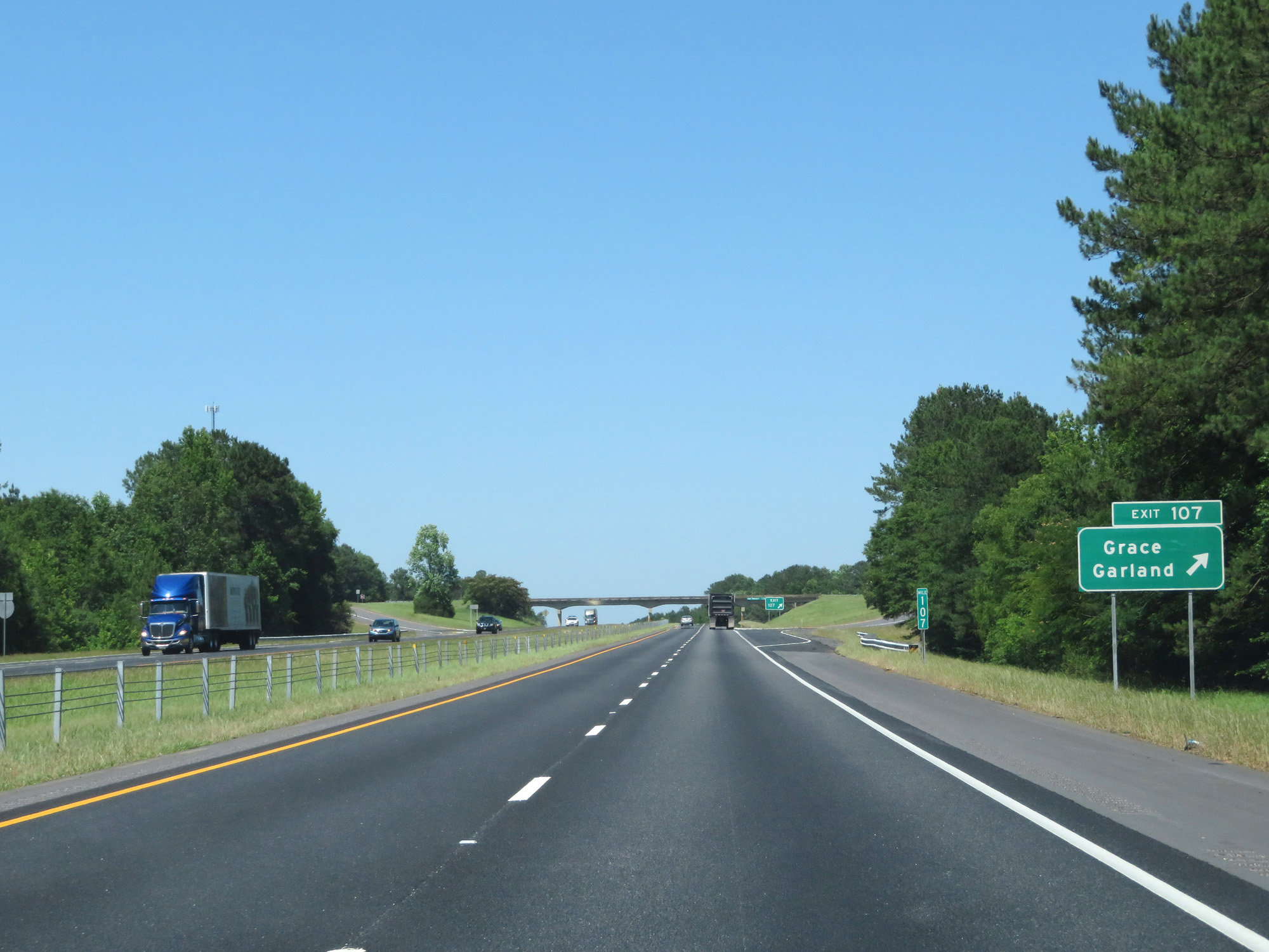 |
Interstate 65 North at Exit 107: Grace / Garland (Photo taken 5/26/17). |
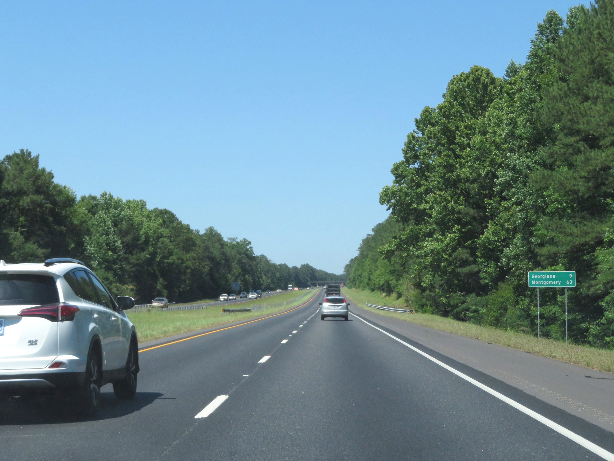 |
Mileage sign on Interstate 65 North. It's 9 miles to Georgiana and 63 miles to Montgomery. (Photo taken 5/26/17). |
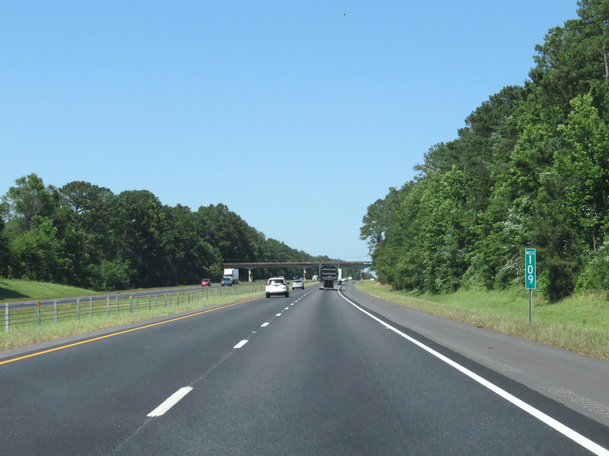 |
Interstate 65 North at mile marker 109. (Photo taken 5/26/17). |
 |
Take Exit 114 to the Hank Williams Museum. (Photo taken 5/26/17). |
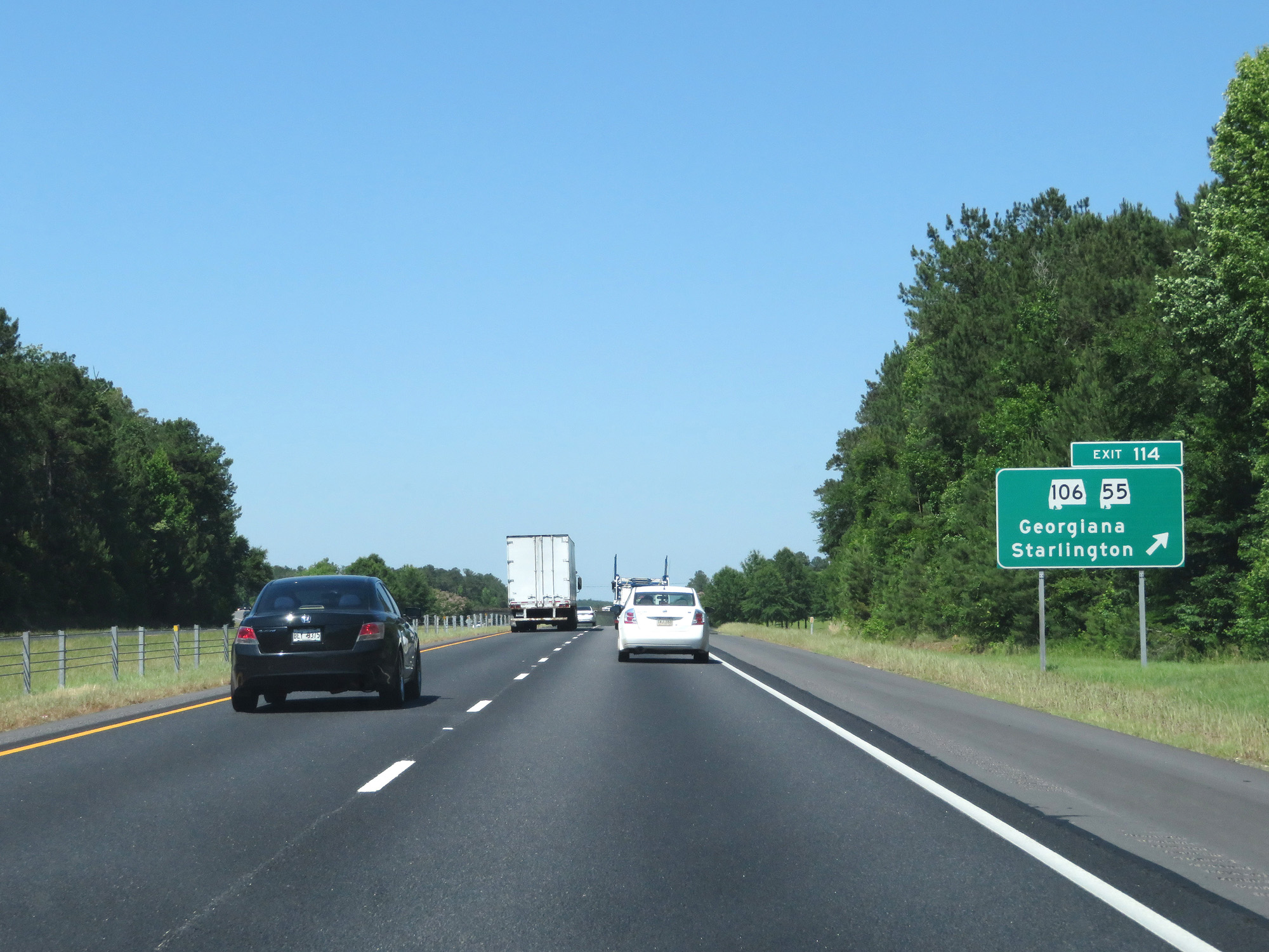 |
Interstate 65 North at Exit 114: AL 106 / AL 55 - Georgiana / Starlington (Photo taken 5/26/17). |
 |
Interstate 65 North at mile marker 118. (Photo taken 5/26/17). |
 |
Interstate 65 North at mile marker 120. (Photo taken 5/26/17). |
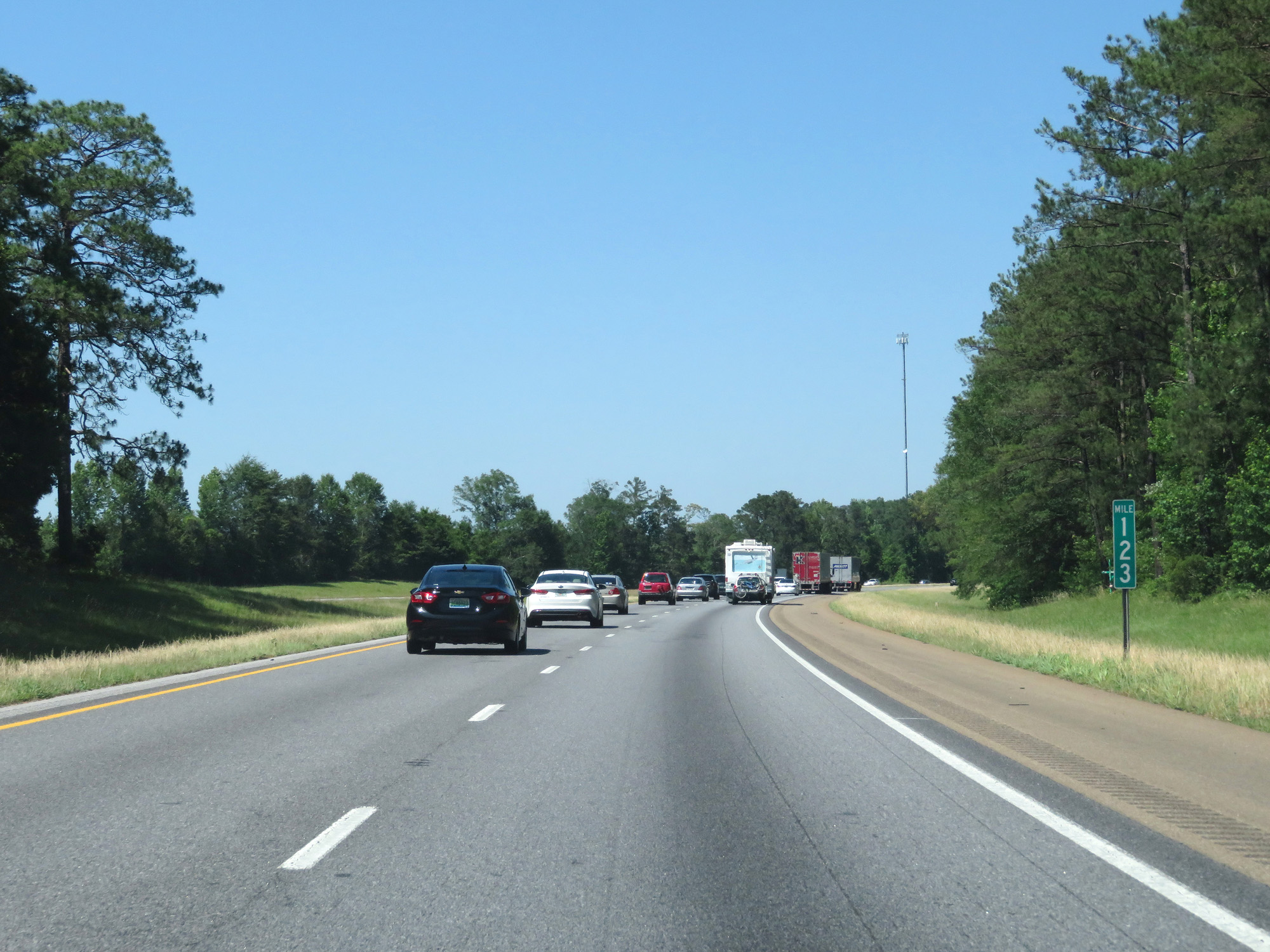 |
Interstate 65 North at mile marker 123. (Photo taken 5/26/17). |
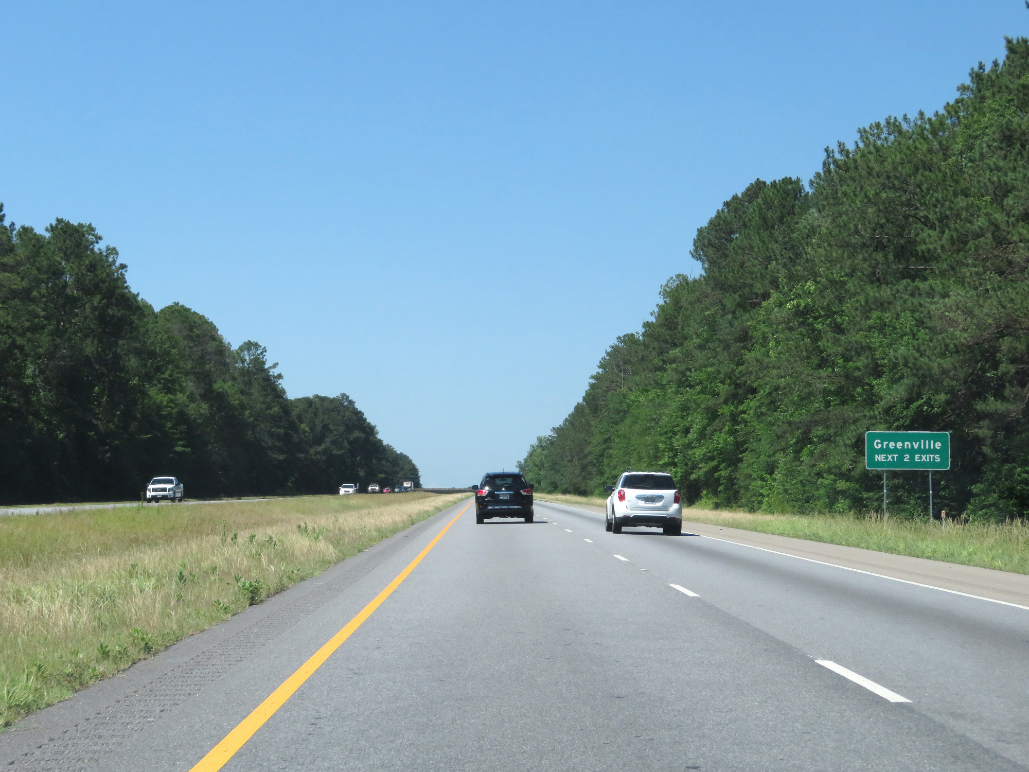 |
Take either of the next 2 exits to Greenville. (Photo taken 5/26/17). |
 |
Interstate 65 North at Exit 128: AL 10 - Greenville / Pine Apple (Photo taken 5/26/17). |
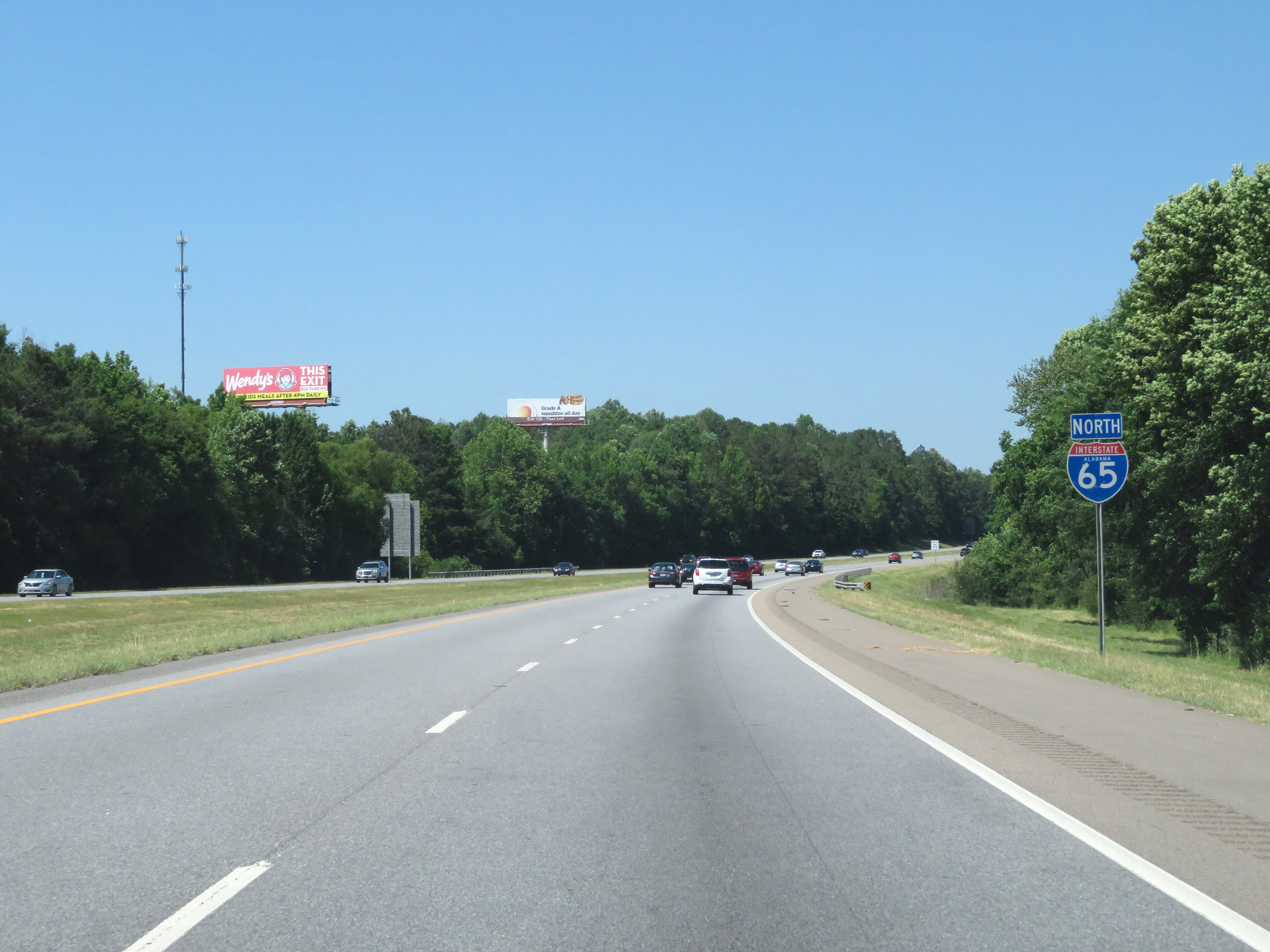 |
State-named Interstate 65 North reassurance shield. (Photo taken 5/26/17). |
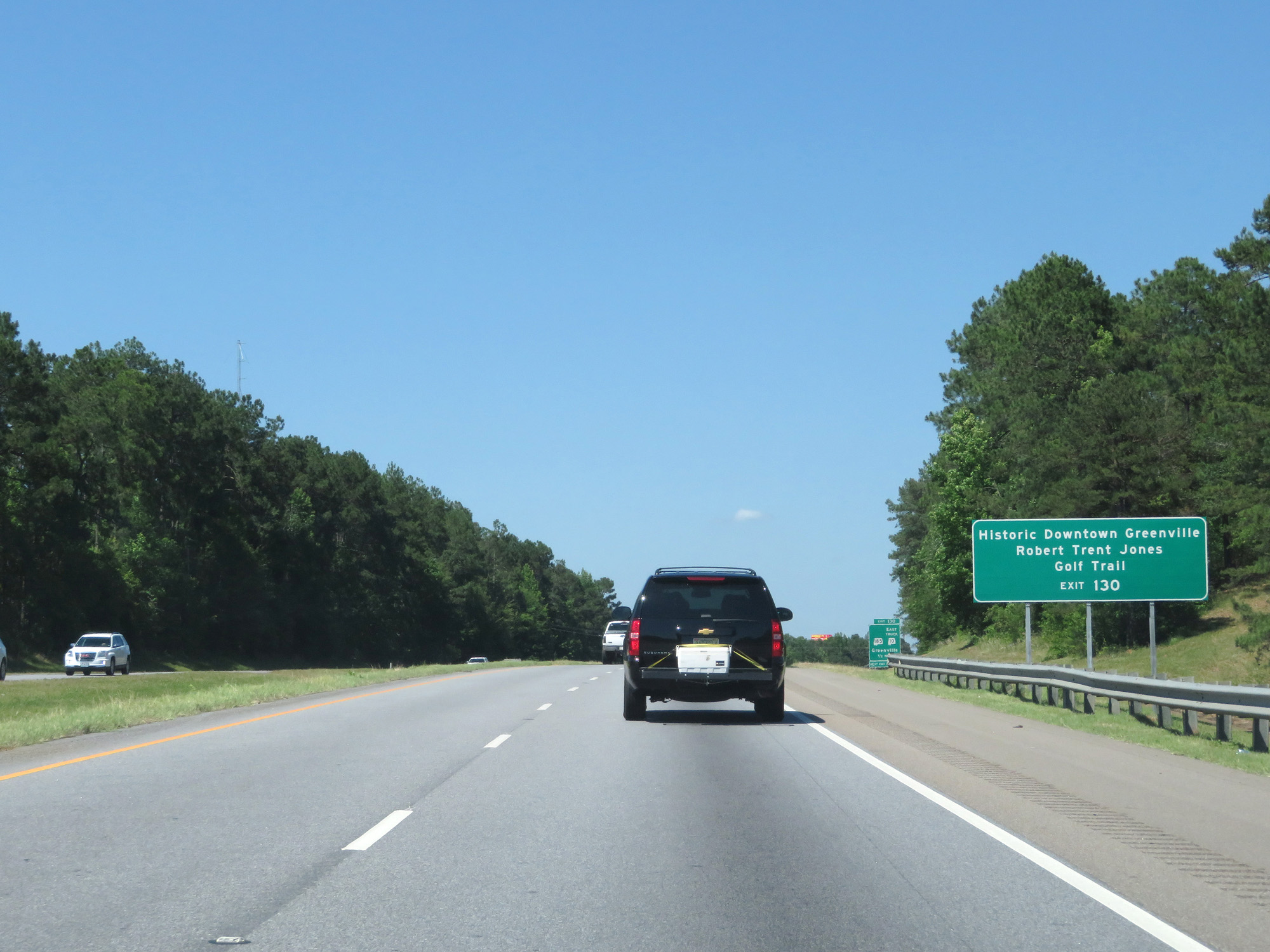 |
Take Exit 130 to Historic Downtown Greenville and Robert Trent Jones Golf Trail. (Photo taken 5/26/17). |
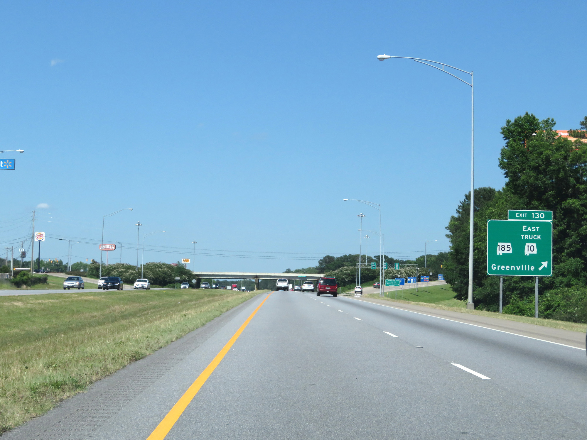 |
Interstate 65 North at Exit 130: AL 185 / AL 10 East Truck Route - Greenville (Photo taken 5/26/17). |
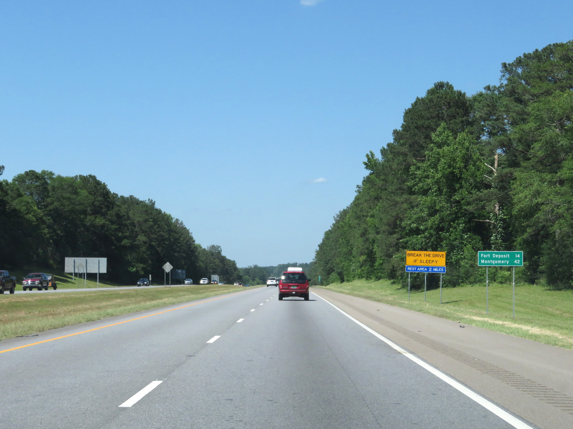 |
Mileage sign on Interstate 65 North. It's 14 miles to Fort Deposit and 42 miles to Montgomery. (Photo taken 5/26/17). |
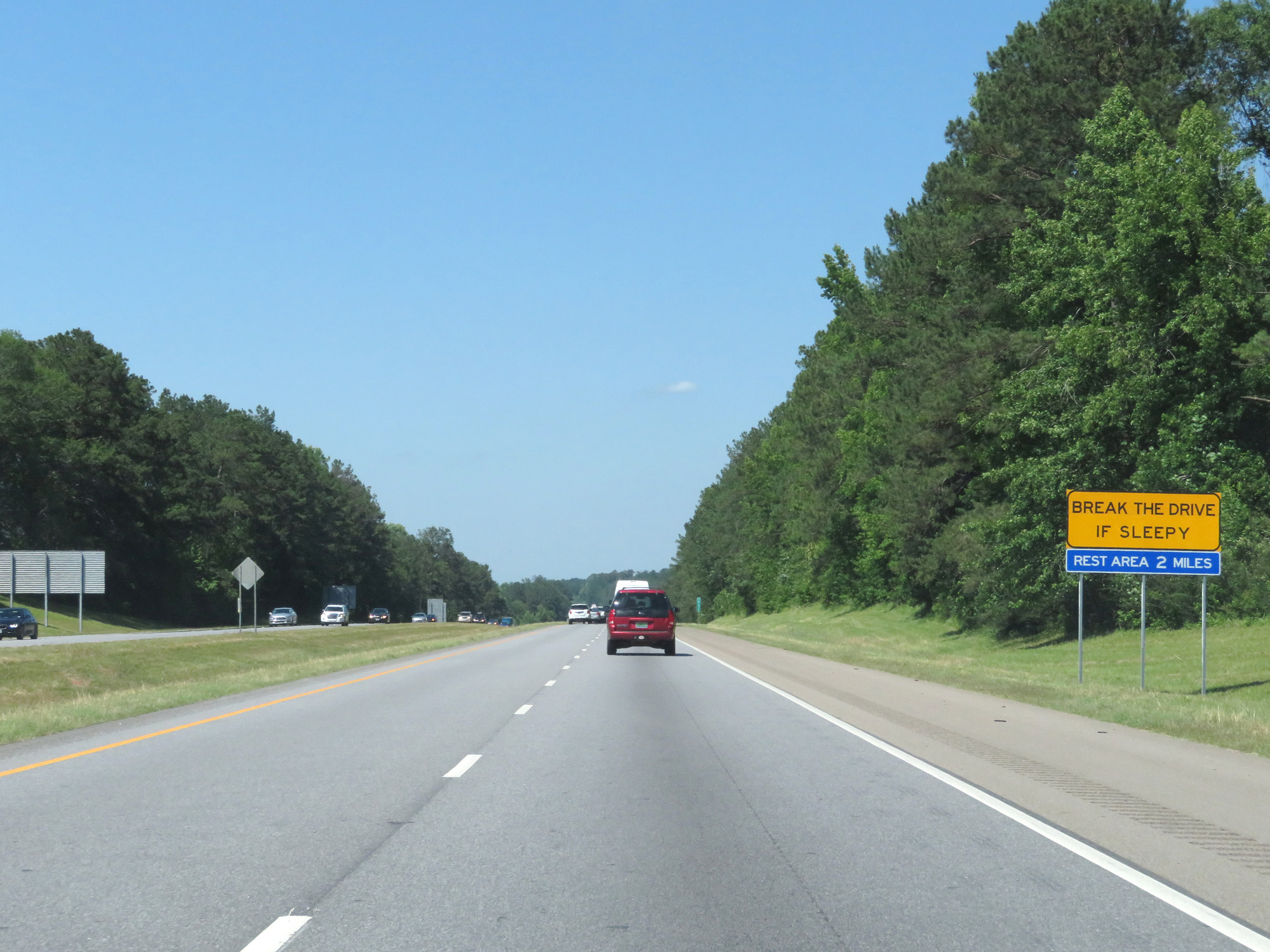 |
This sign urges motorists to take a break at the Rest Area 2 miles ahead if they're feeling fatigued. It's very fitting too, since this stretch of Interstate 65 is certainly rather sleep-inducing. (Photo taken 5/26/17). |
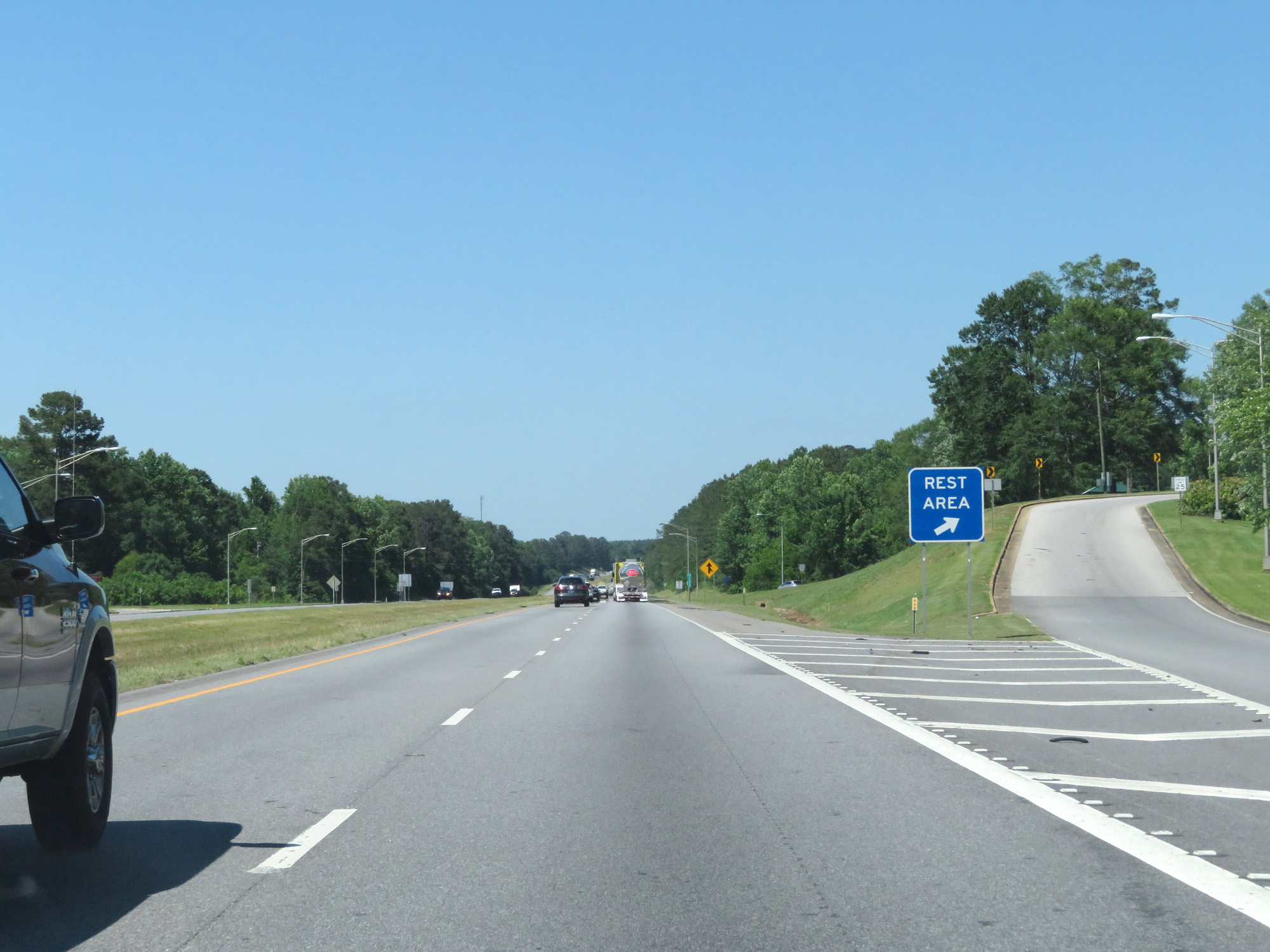 |
Interstate 65 North at the Rest Area in Butler County. (Photo taken 5/26/17). |
 |
Interstate 65 North at mile marker 134. (Photo taken 5/26/17). |
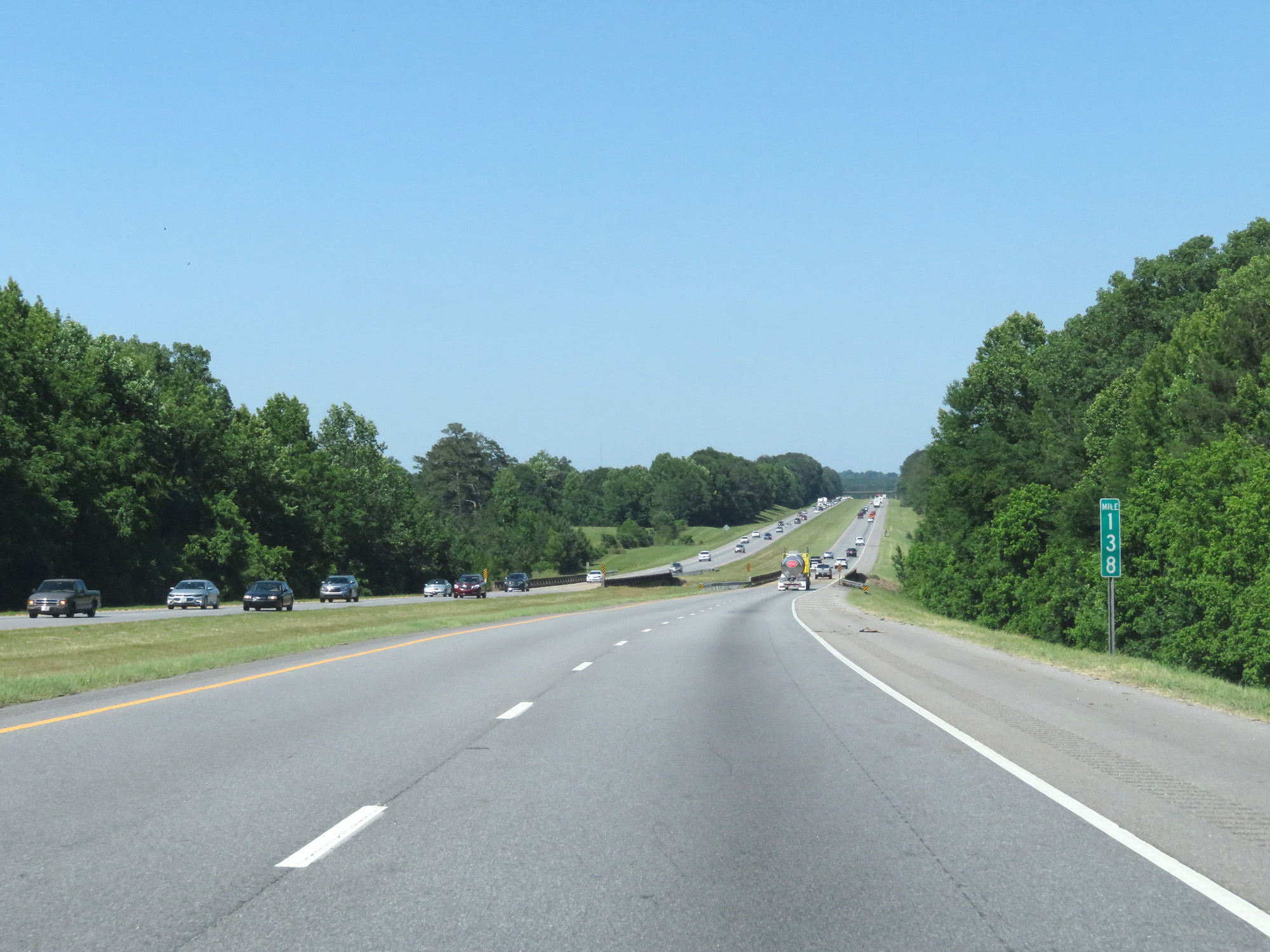 |
Interstate 65 North at mile marker 138. (Photo taken 5/26/17). |
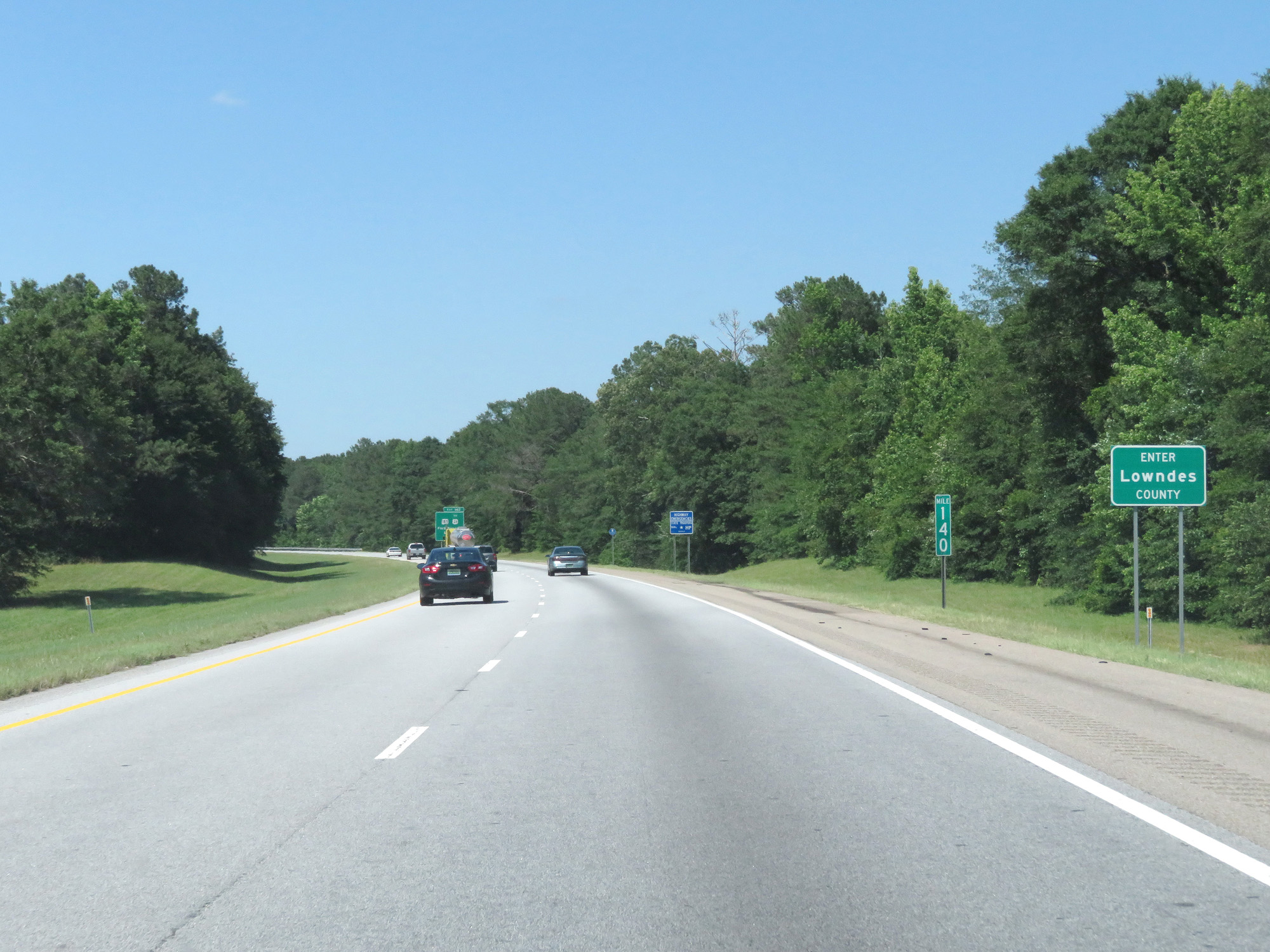 |
Interstate 65 North as it enters Lowndes County at mile marker 140. (Photo taken 5/26/17). |
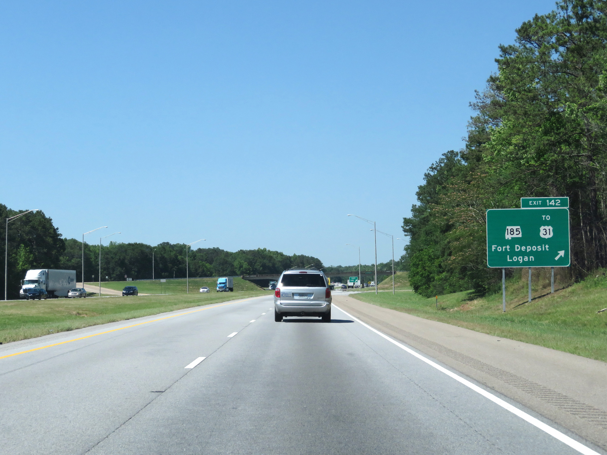 |
Interstate 65 North at Exit 142: AL 185 / To US 31 - Fort Deposit / Logan (Photo taken 5/26/17). |
 |
Interstate 65 North at mile marker 145. (Photo taken 5/26/17). |
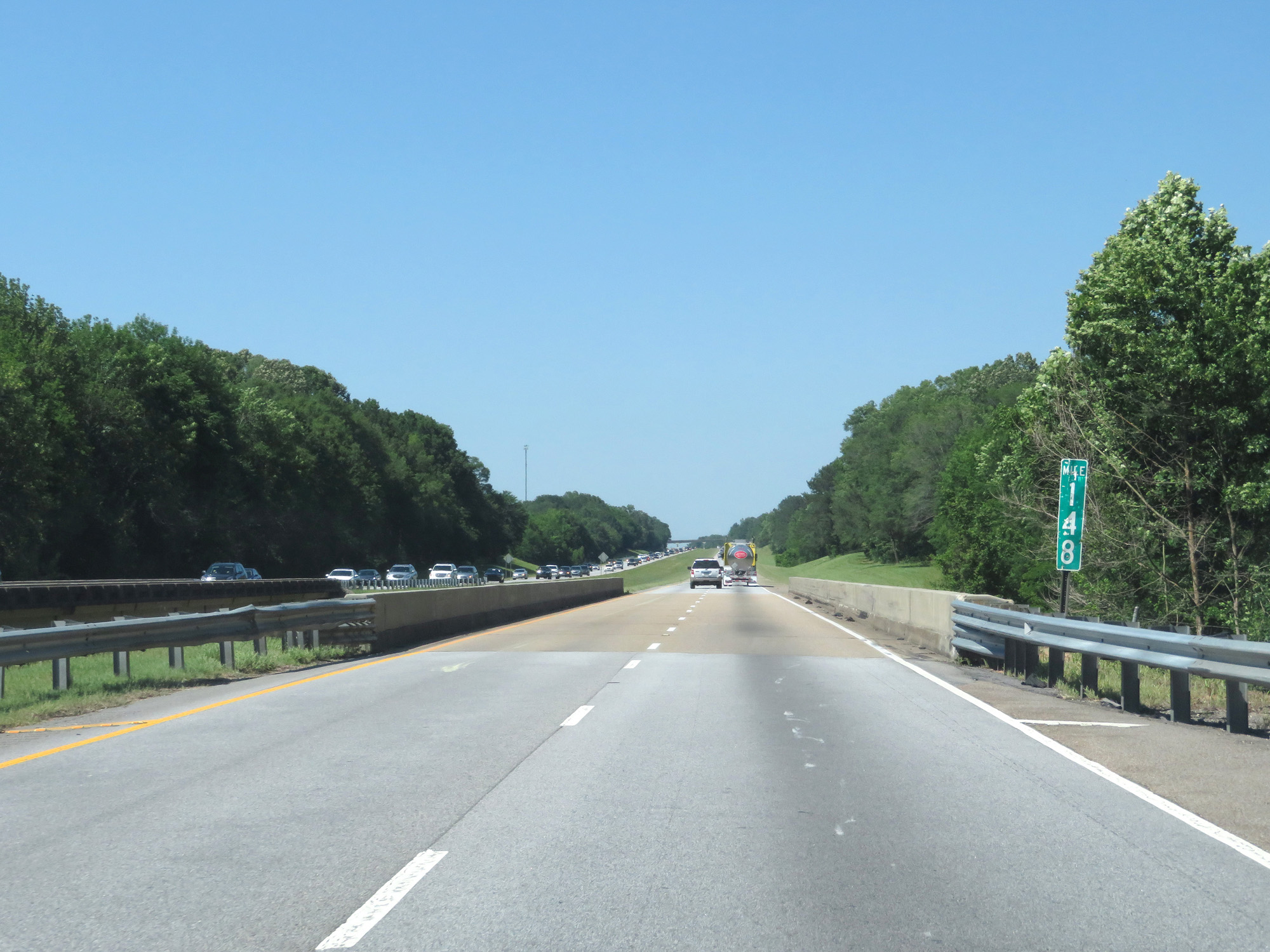 |
Interstate 65 North at mile marker 148. (Photo taken 5/26/17). |
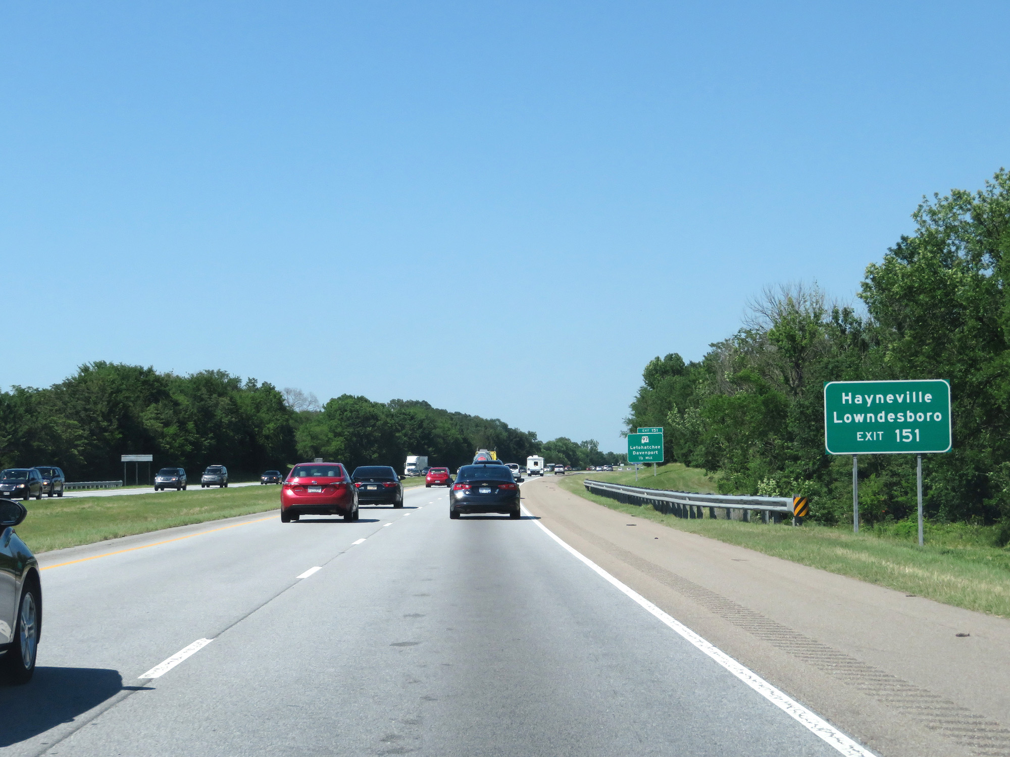 |
Take Exit 151 to Hayneville and Lowndesboro. (Photo taken 5/26/17). |
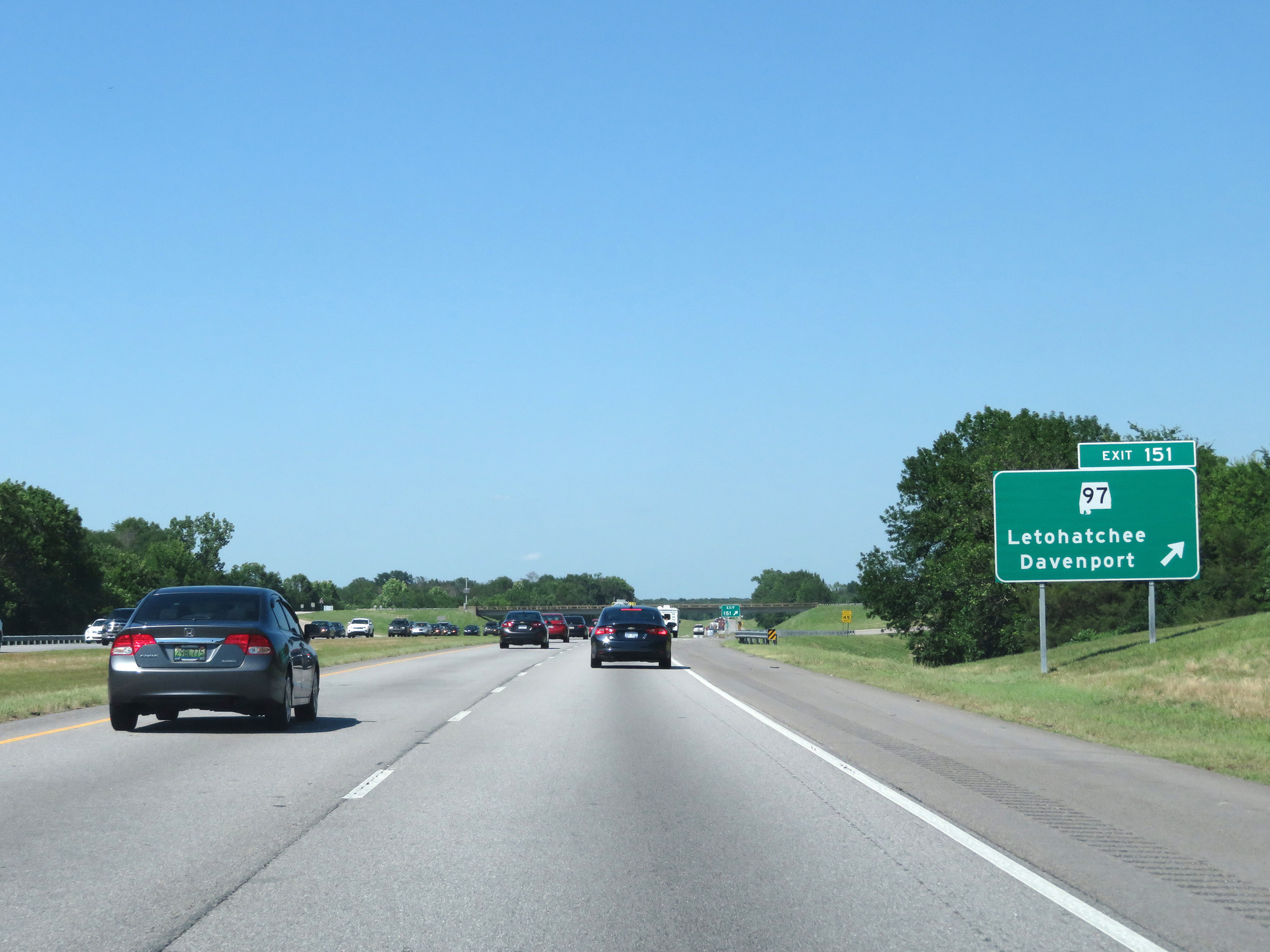 |
Interstate 65 North at Exit 151: AL 97 - Letohatchee / Davenport (Photo taken 5/26/17). |
 |
Mileage sign on Interstate 65 North. It's 7 miles to Tyson and 21 miles to Montgomery. (Photo taken 5/26/17). |
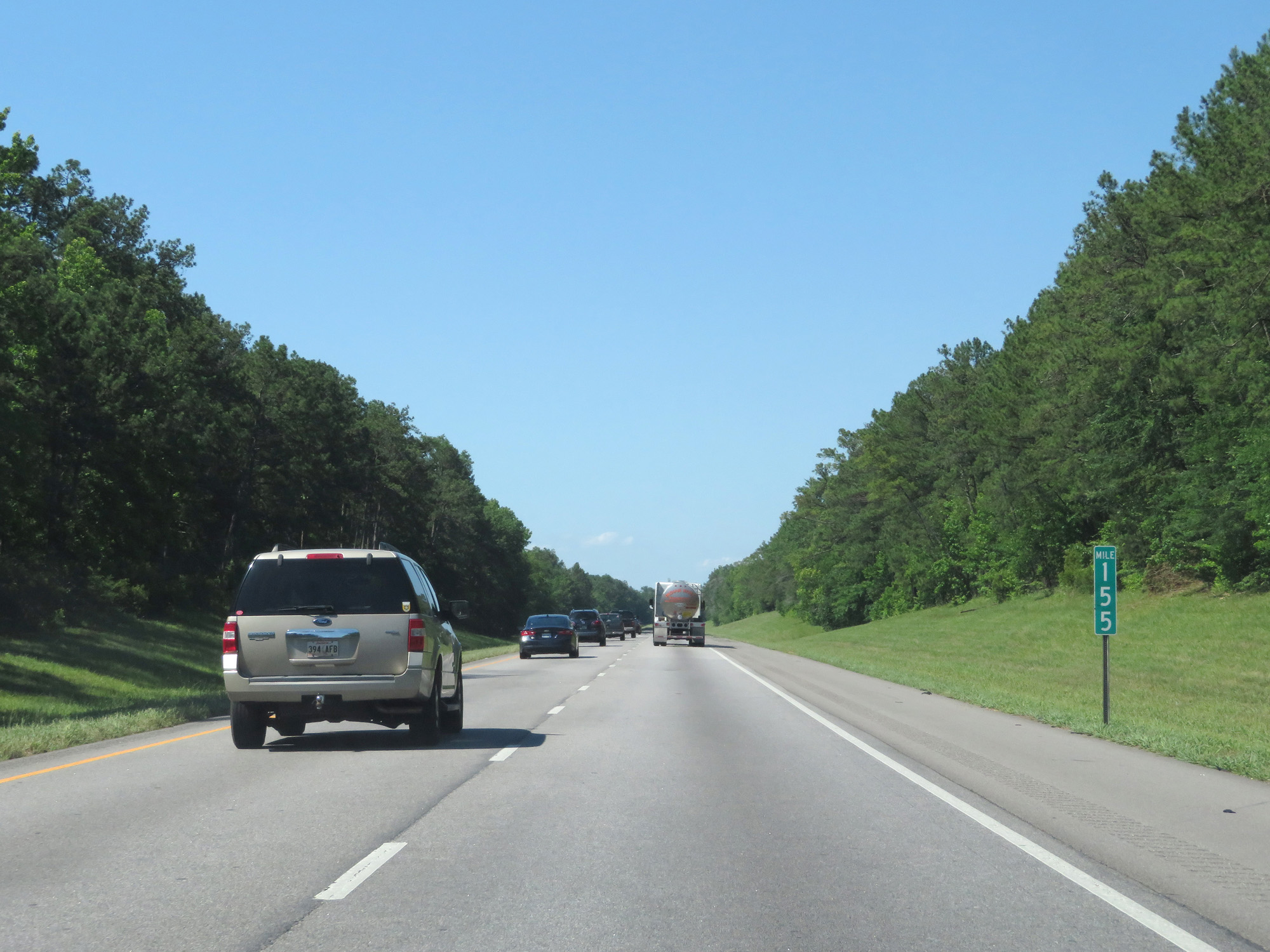 |
Interstate 65 North at mile marker 155. (Photo taken 5/26/17). |
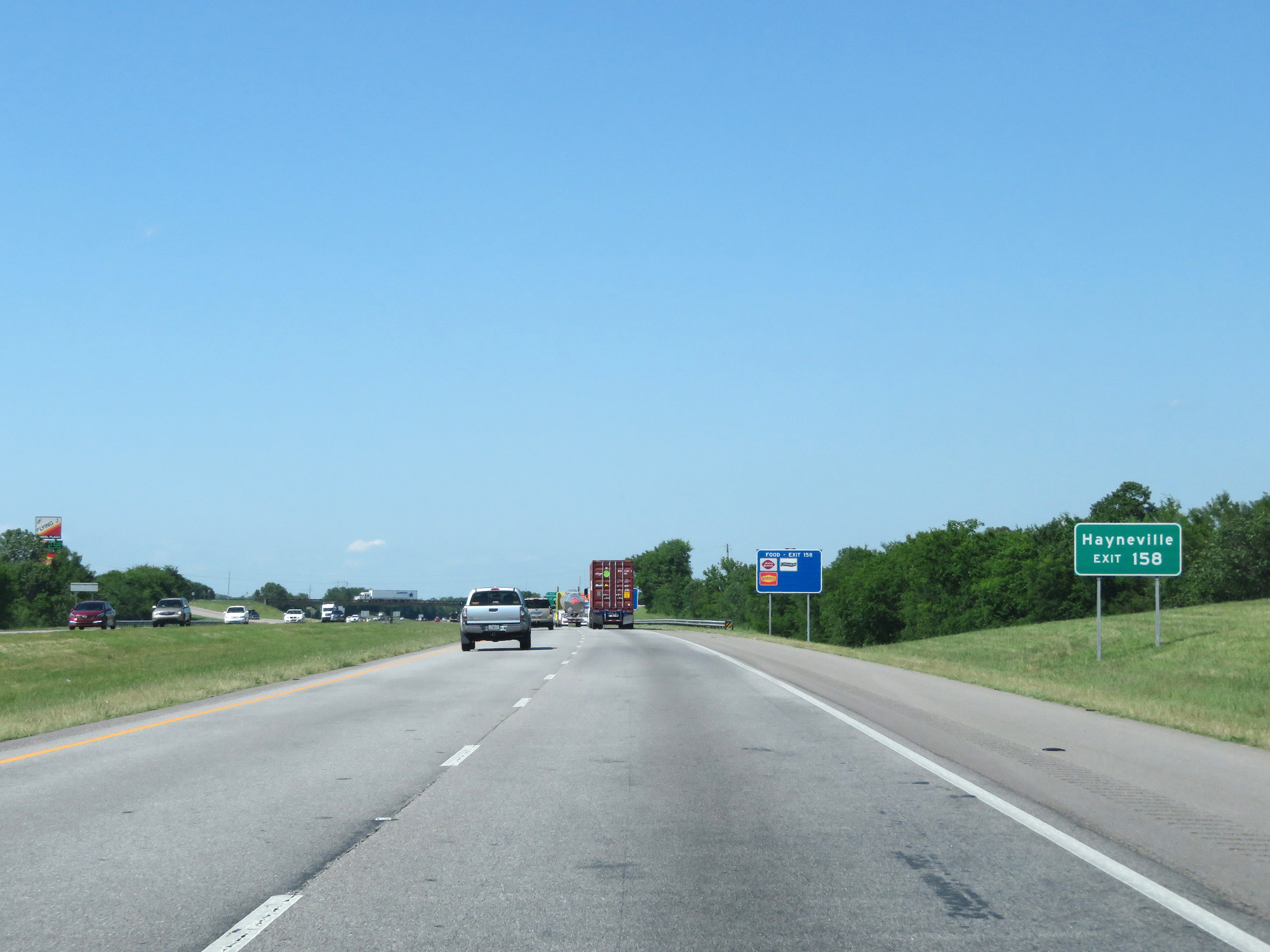 |
Take Exit 158 to Hayneville. (Photo taken 5/26/17). |
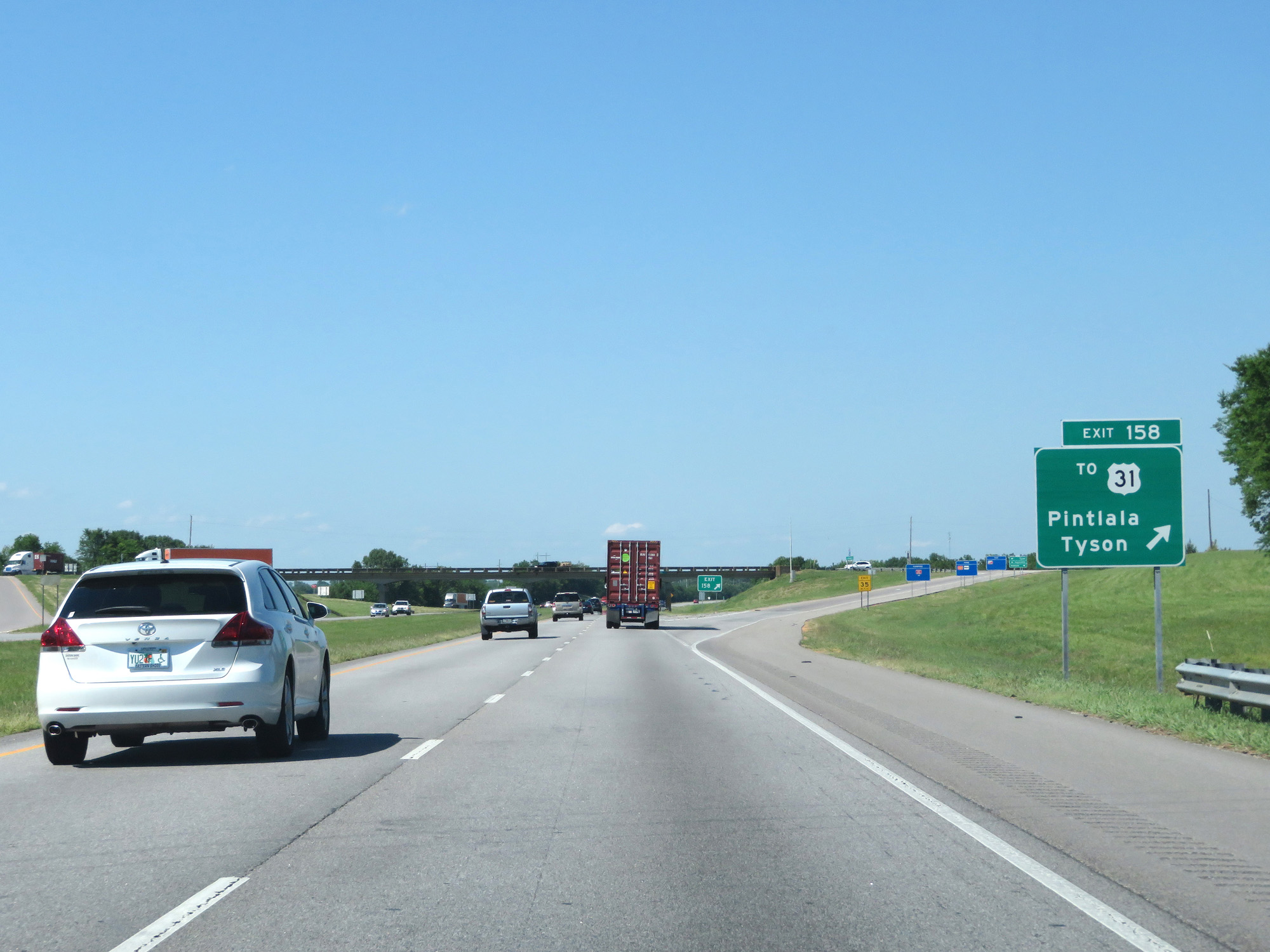 |
Interstate 65 North at Exit 158: To US 31 - Pintlala / Tyson (Photo taken 5/26/17). |
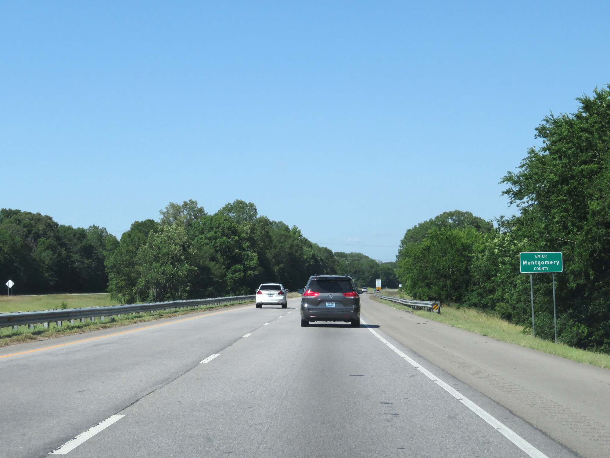 |
Interstate 65 North entering Montgomery County. (Photo taken 5/26/17). |
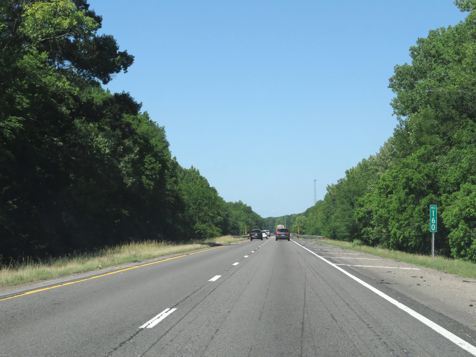 |
Interstate 65 North at mile marker 160. (Photo taken 5/26/17). |
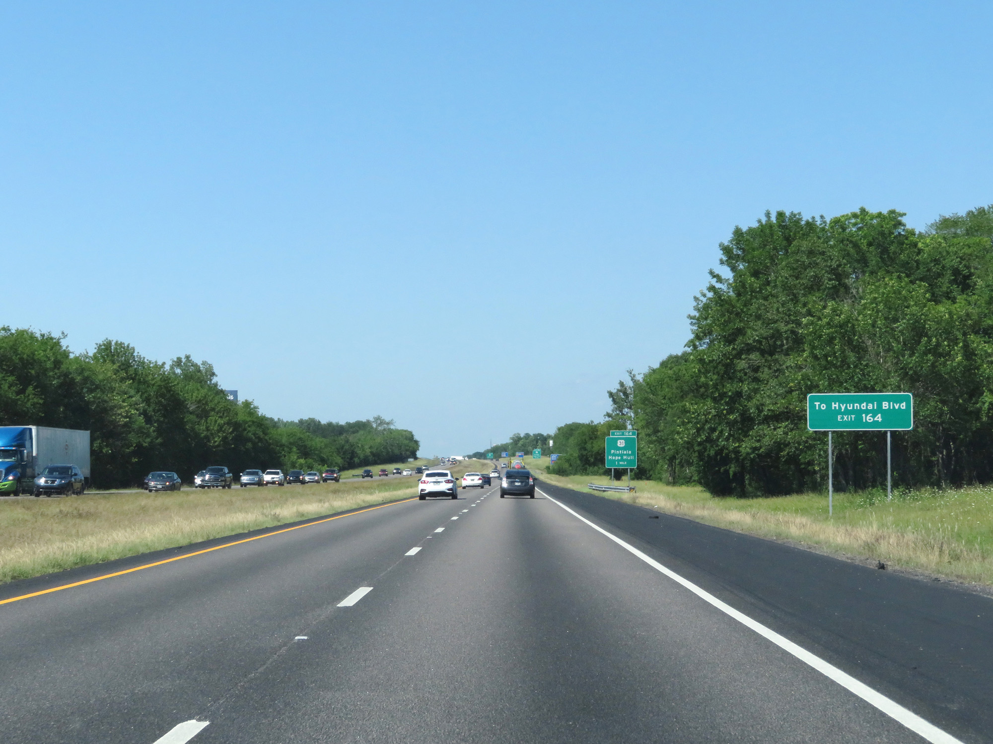 |
Take Exit 164 to Hyundai Blvd. (Photo taken 5/26/17). |
 |
Interstate 65 North at Exit 164: US 31 - Pintlala / Hope Hull (Photo taken 5/26/17). |
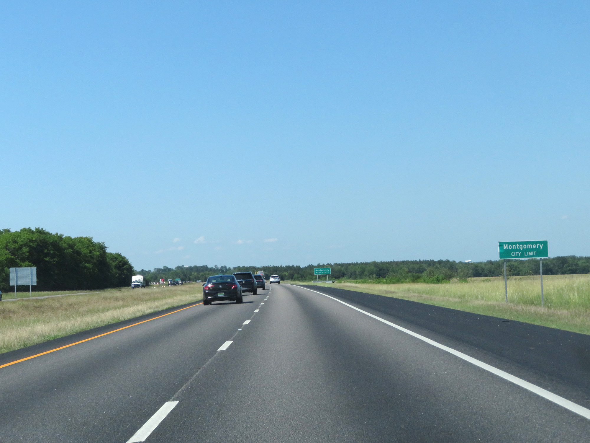 |
Interstate 65 North as it enters the Montgomery city limits. (Photo taken 5/26/17). |
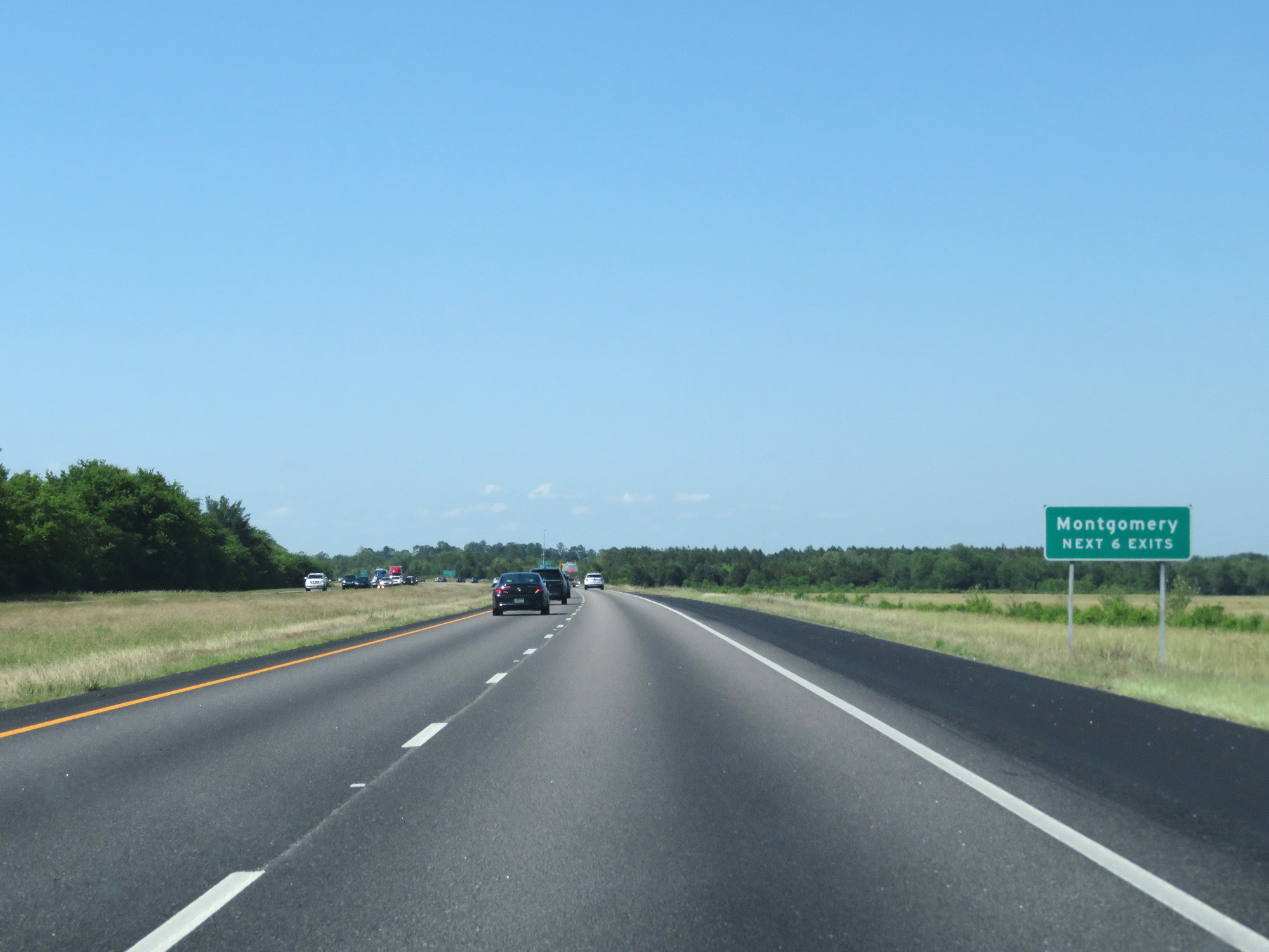 |
Take any of the next 6 exits to Montgomery. (Photo taken 5/26/17). |
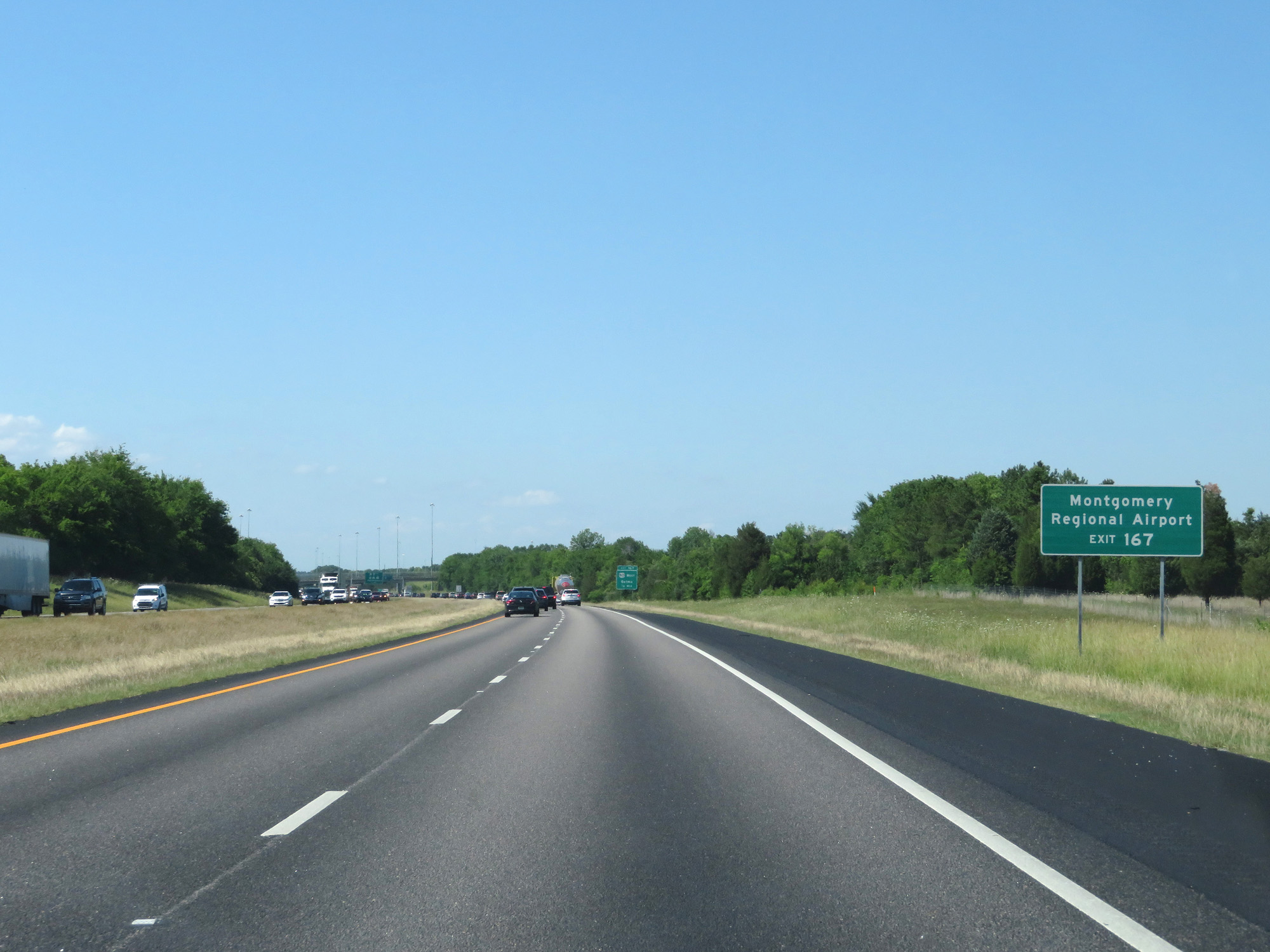 |
Take Exit 167 to Montgomery Regional Airport. (Photo taken 5/26/17). |
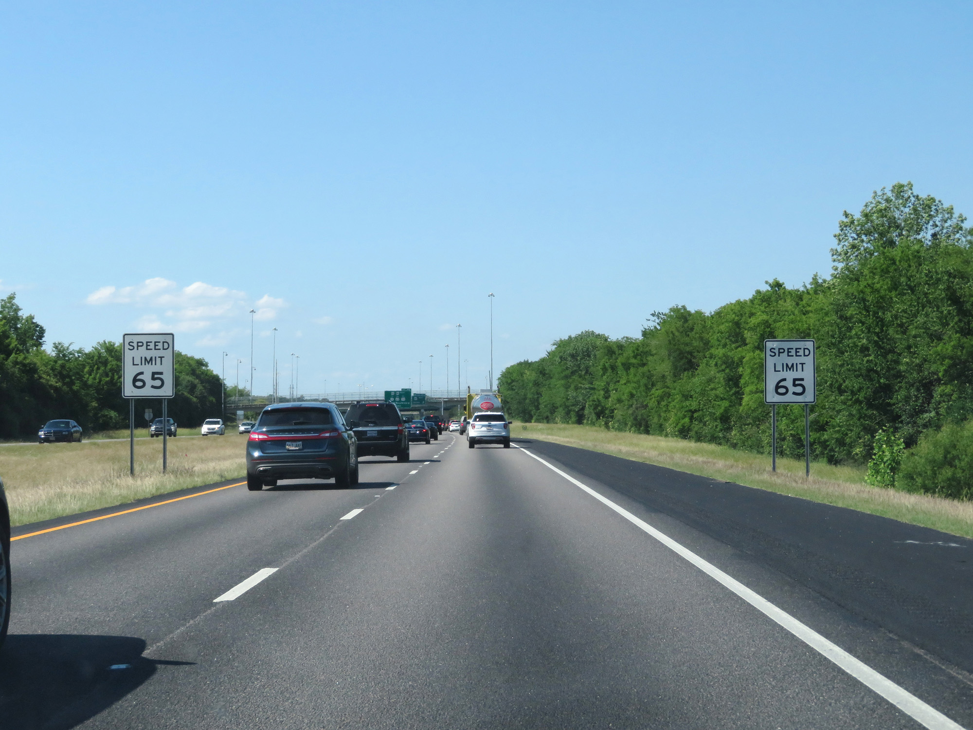 |
Nearing Exit 167, the speed limit decreases to 65 mph. (Photo taken 5/26/17). |
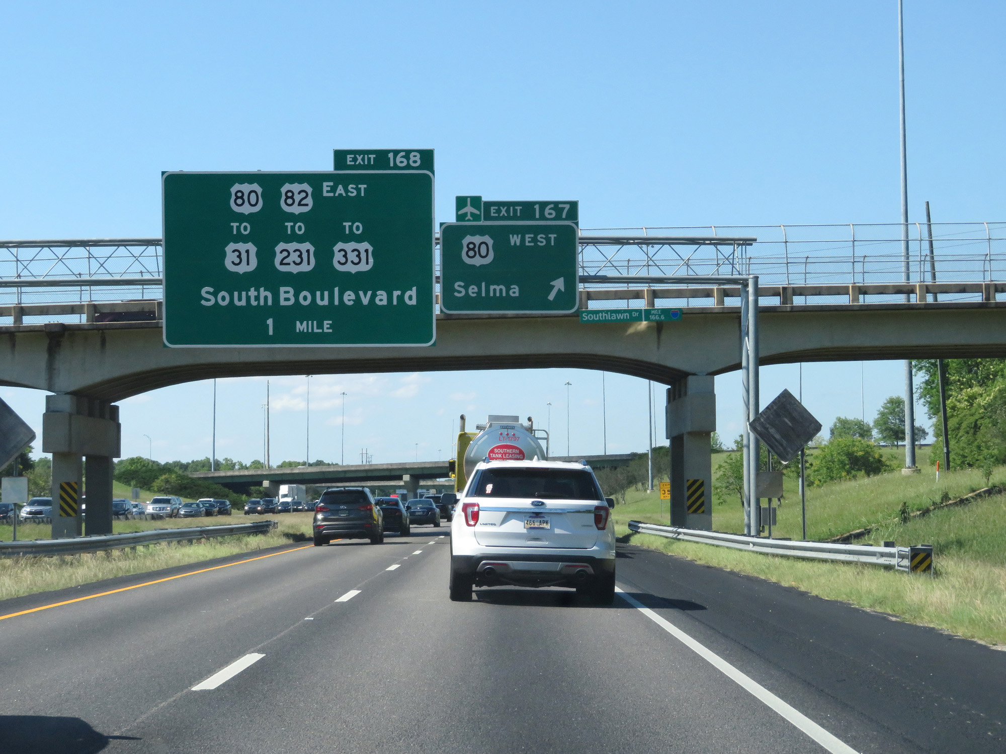 |
Interstate 65 North at Exit 167: US 80 West - Selma (Photo taken 5/26/17). |
 |
Take Exit 172 to Downtown. (Photo taken 5/26/17). |
 |
Approaching Exit 168, the speed limit decreases to 60 mph. (Photo taken 5/26/17). |
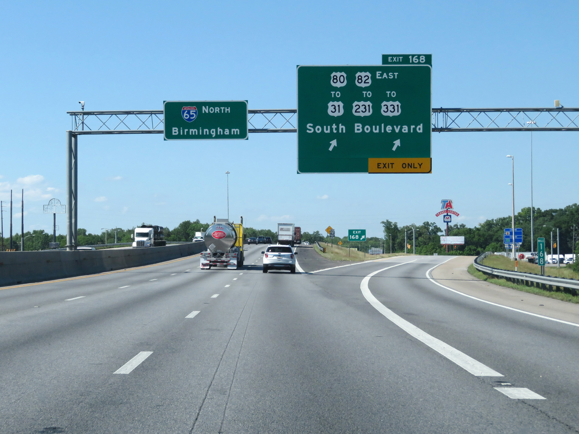 |
Interstate 65 North at Exit 168: US 80 East / US 82 East / To US 31 / To US 231 / To US 331 - South Boulevard (Photo taken 5/26/17). |
 |
Interstate 65 North approaching Exit 171 - 2 miles. (Photo taken 5/26/17). |
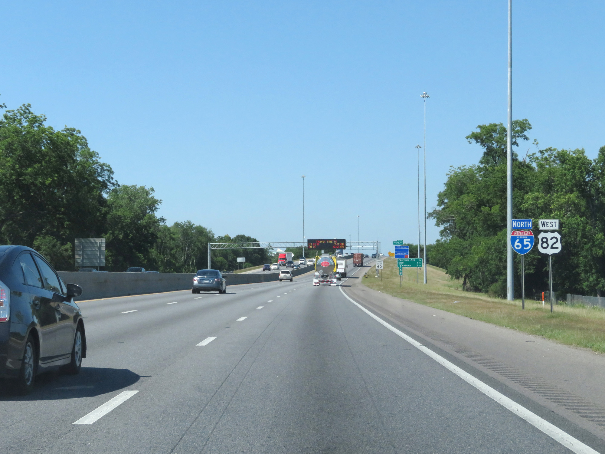 |
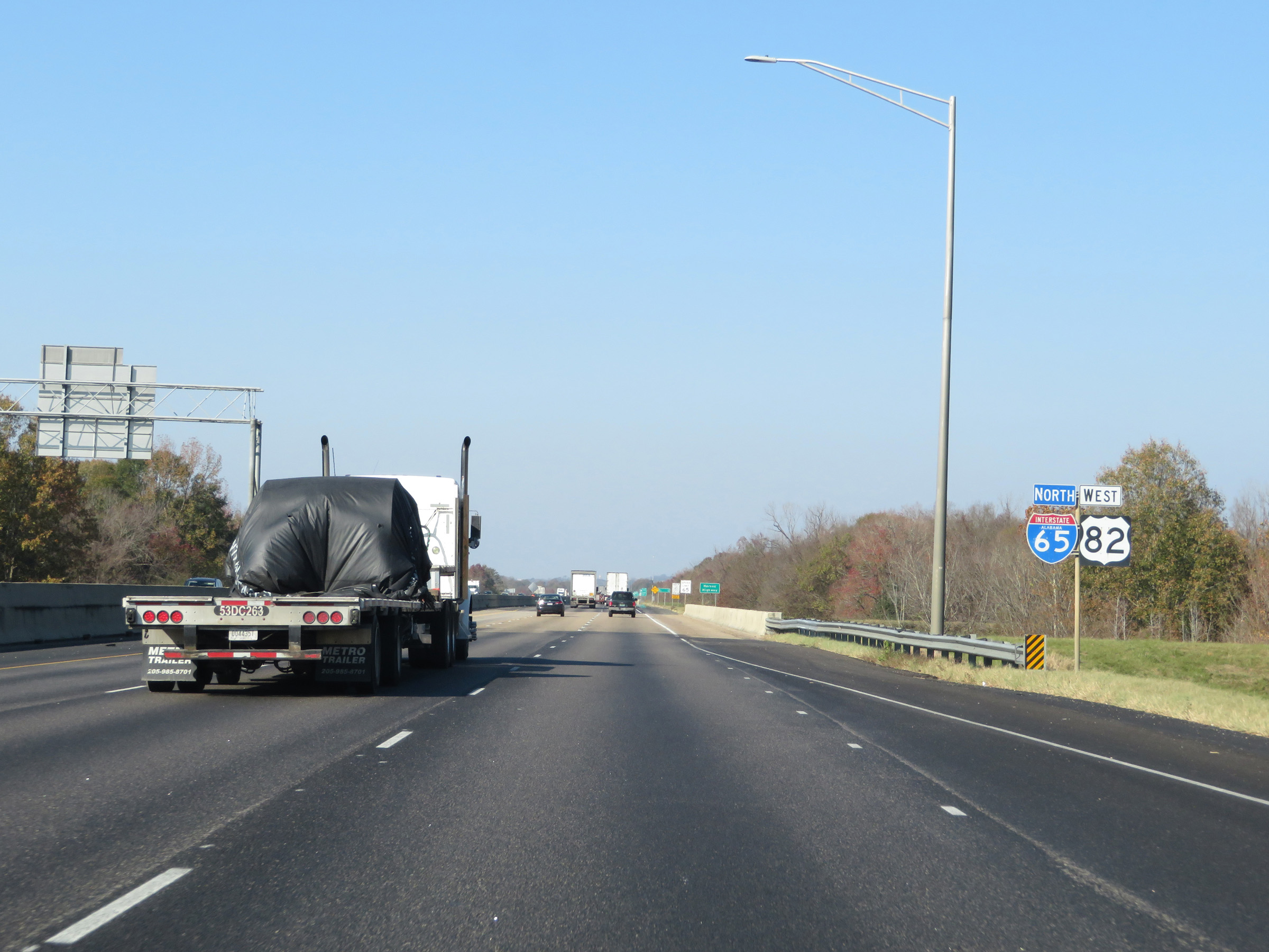
Dual Interstate 65 North / US 82 West reassurance markers. (Photo taken 5/26/17). |
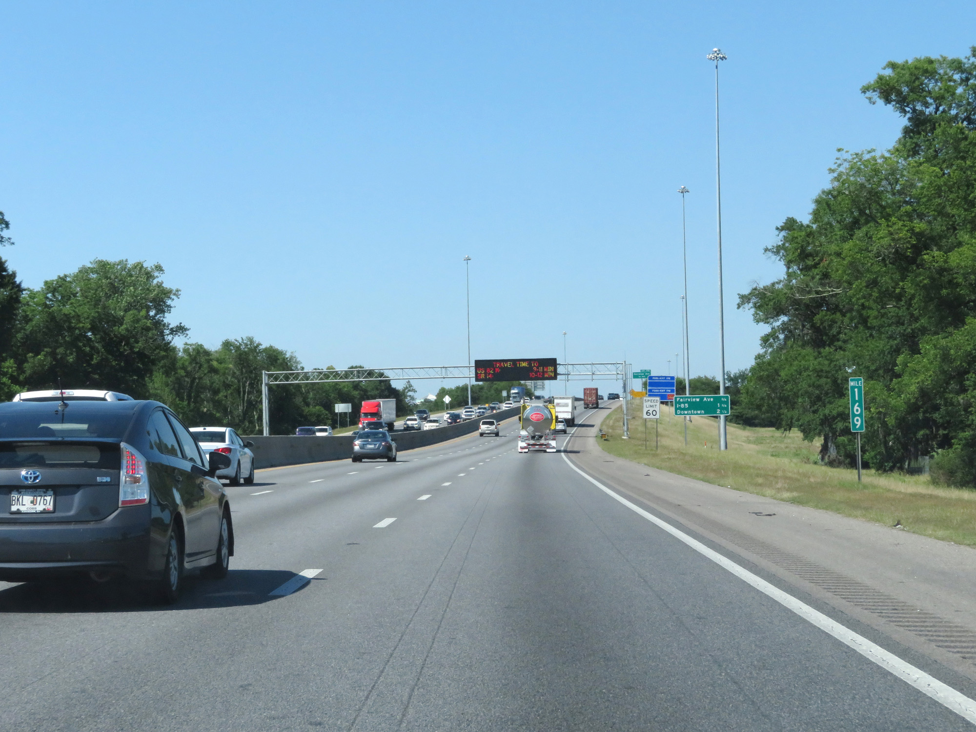 |
Interstate 65 North at mile marker 169. (Photo taken 5/26/17). |
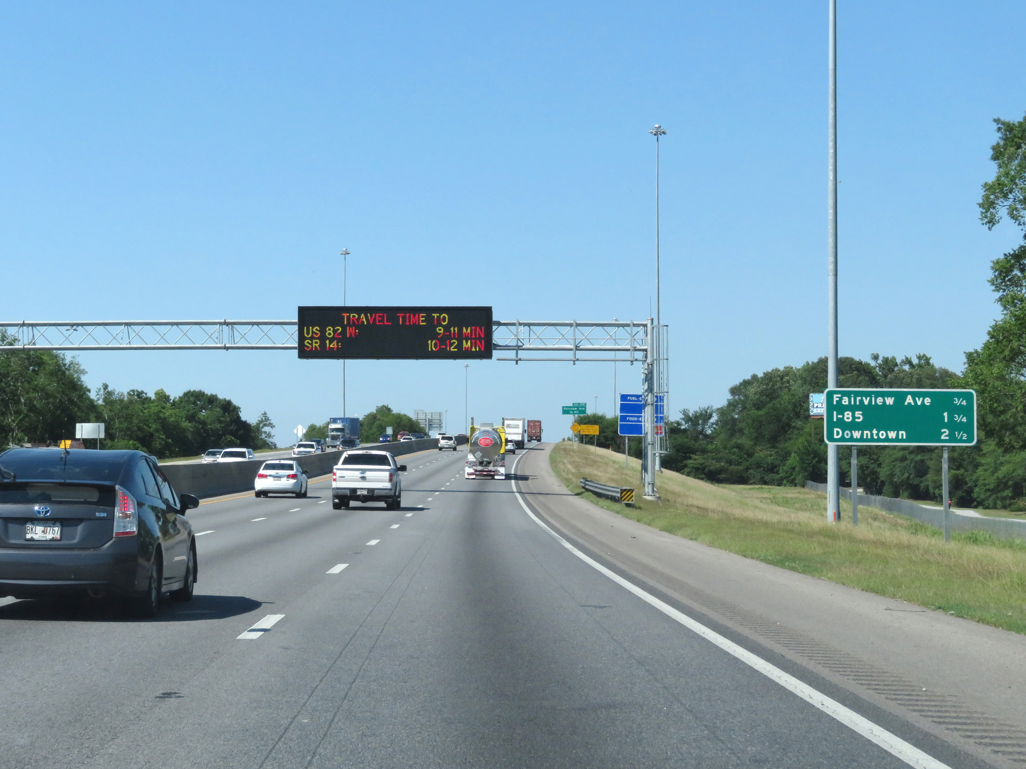 |
Mileage sign listing the distances to the next 3 interchanges. (Photo taken 5/26/17). |
 |
Interstate 65 North at Exit 170: Fairview Ave (Photo taken 5/26/17). |
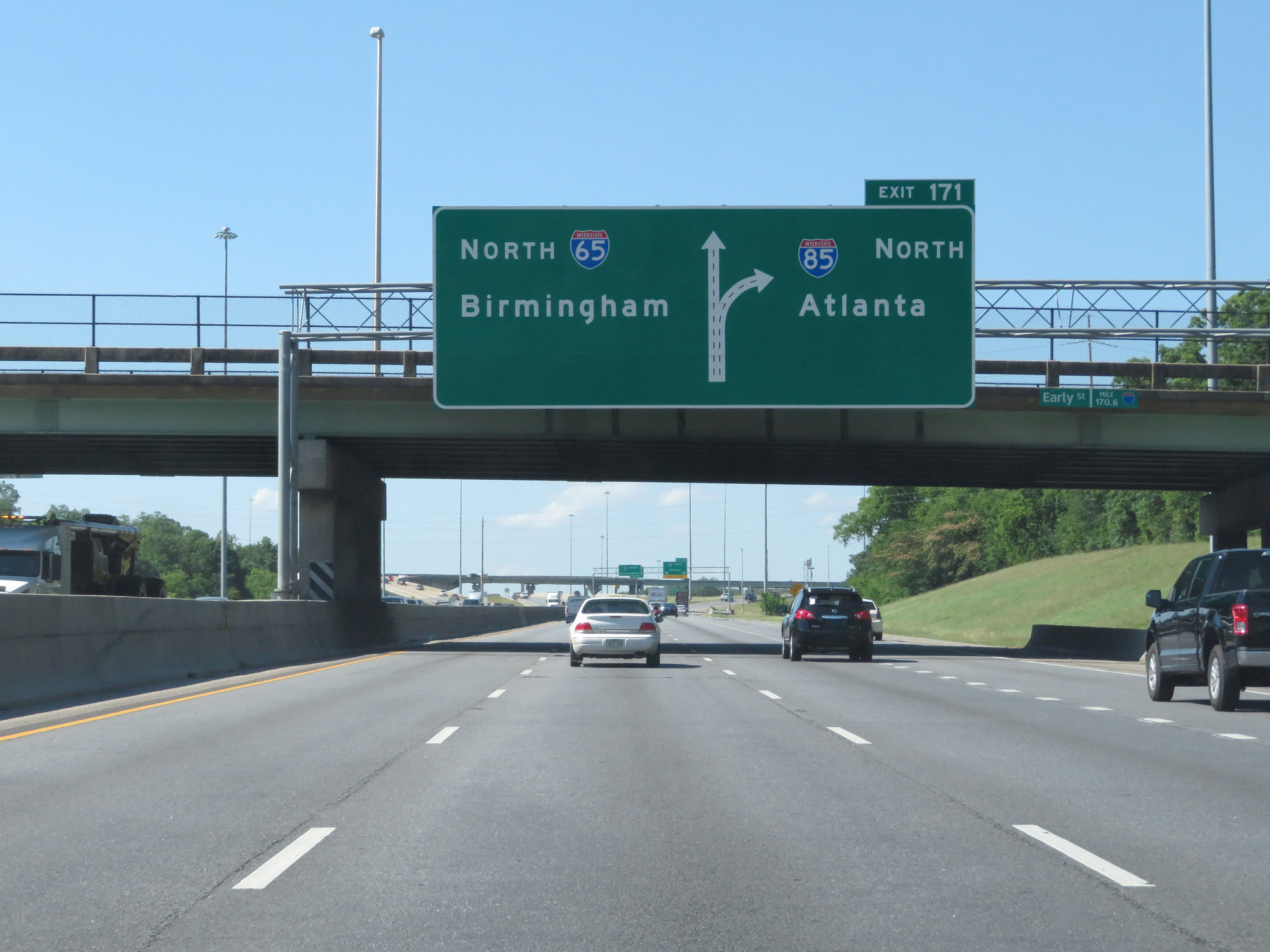 |
About 1/4 mile from Exit 171, this sign shows that Interstate 65 North thru traffic will need to use the two leftmost lanes. (Photo taken 5/26/17). |
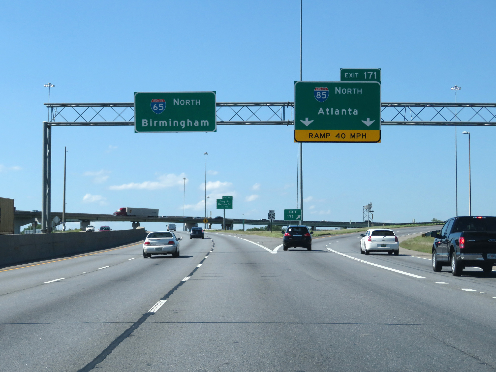 |
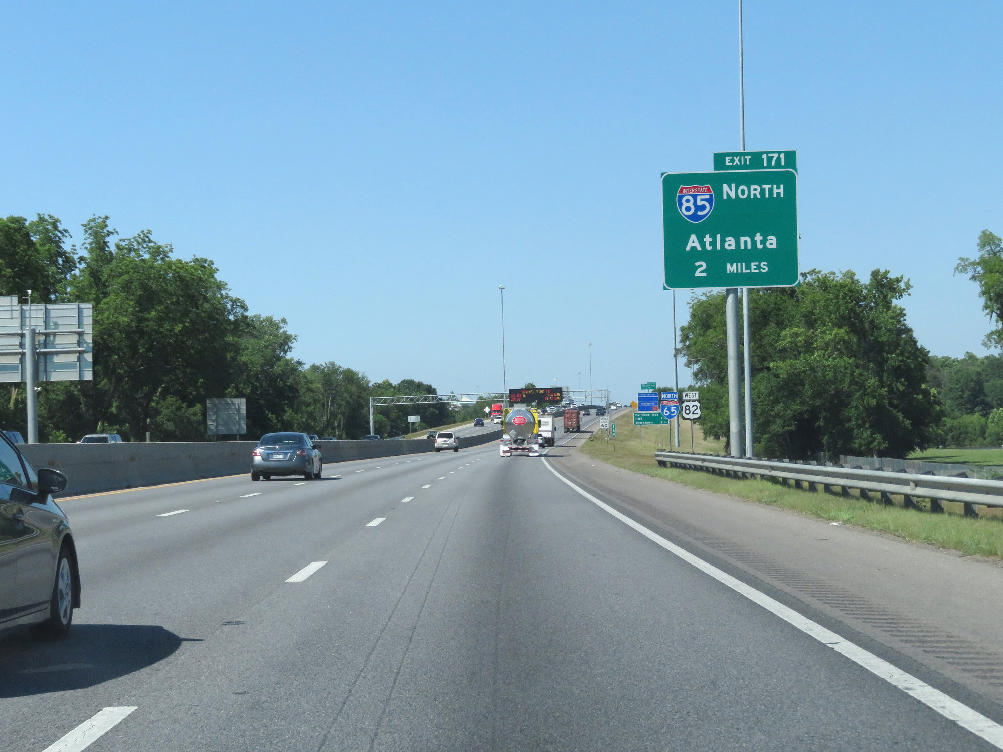
Interstate 65 North at Exit 171: Interstate 85 North - Atlanta (Photo taken 5/26/17). |
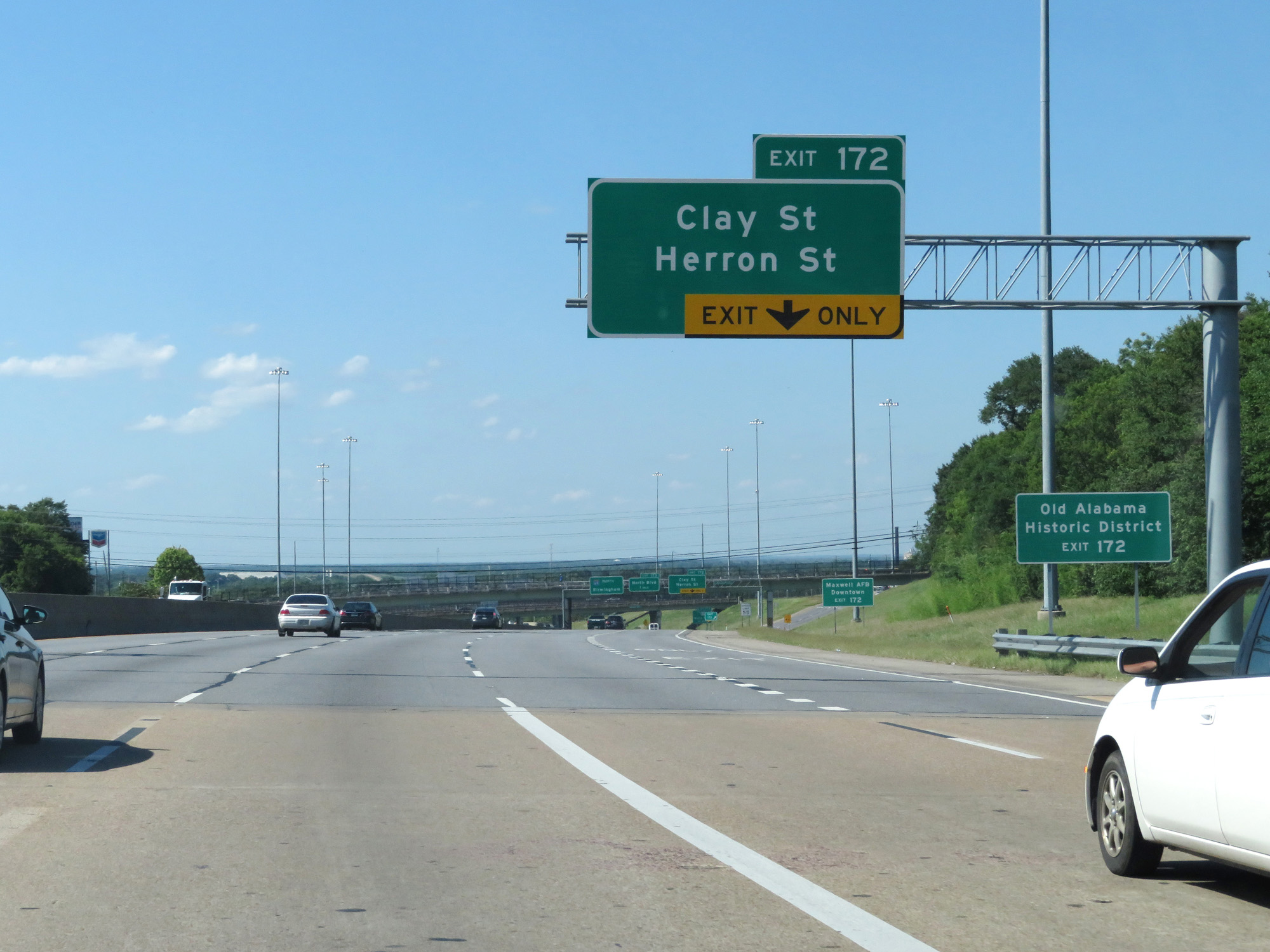 |
Take Exit 172 to Old Alabama Historic District. (Photo taken 5/26/17). |
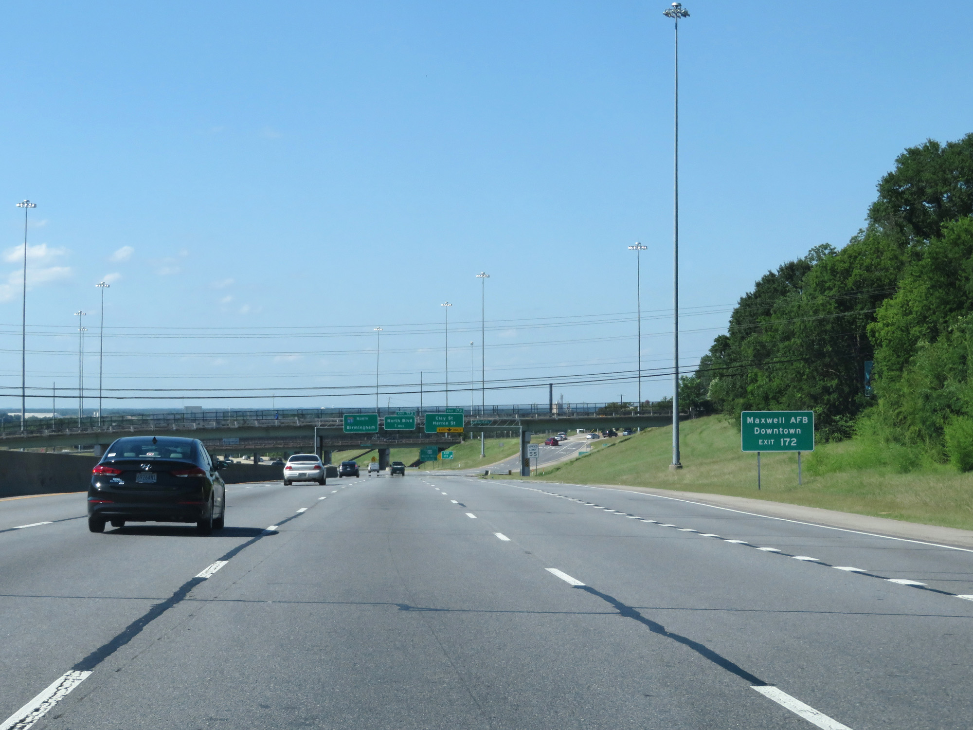 |
Also take Exit 172 to Maxwell AFB and Downtown. (Photo taken 5/26/17). |
 |
Nearing downtown Montgomery, the speed limit decreases to 55 mph. (Photo taken 5/26/17). |
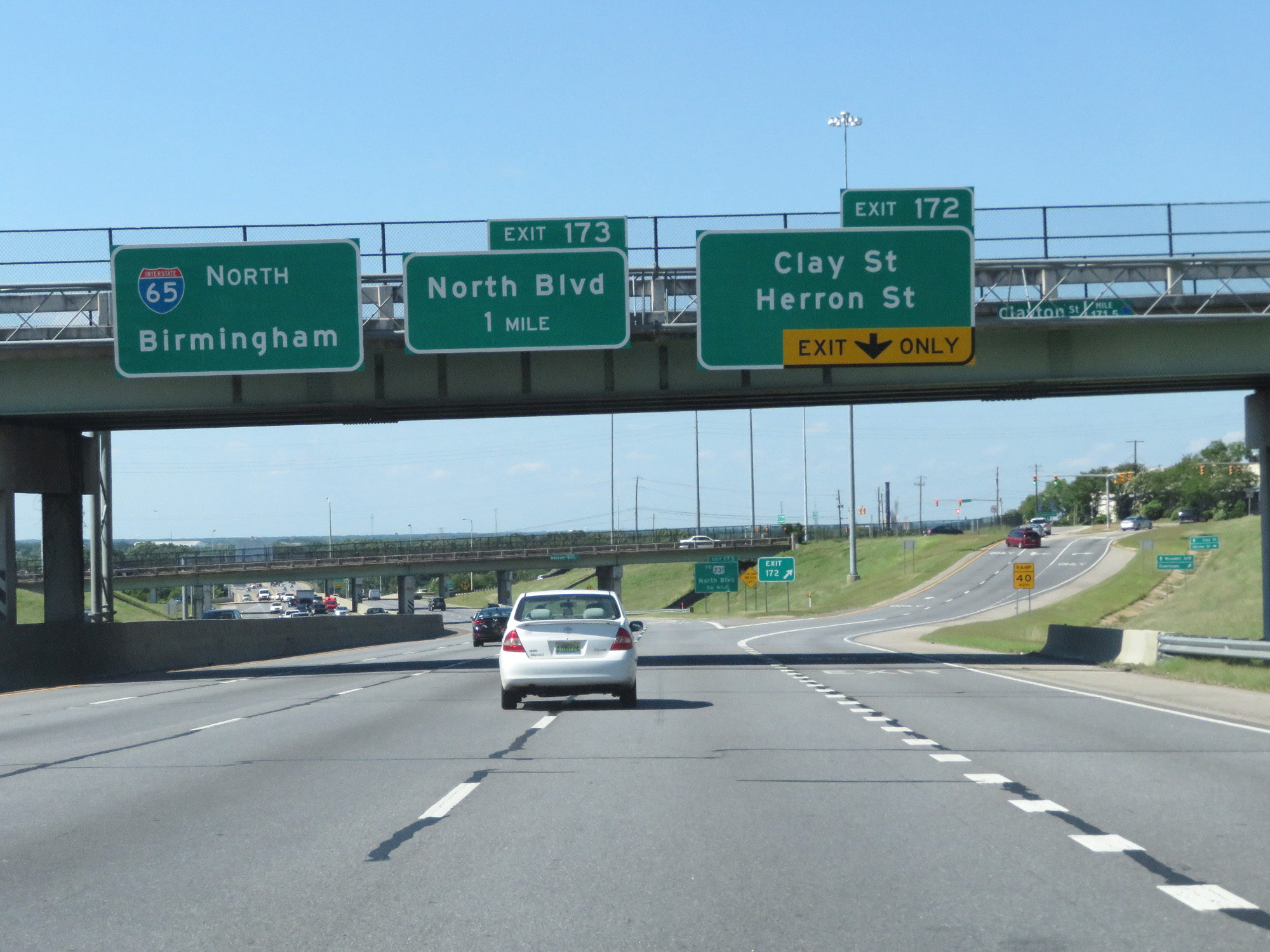 |
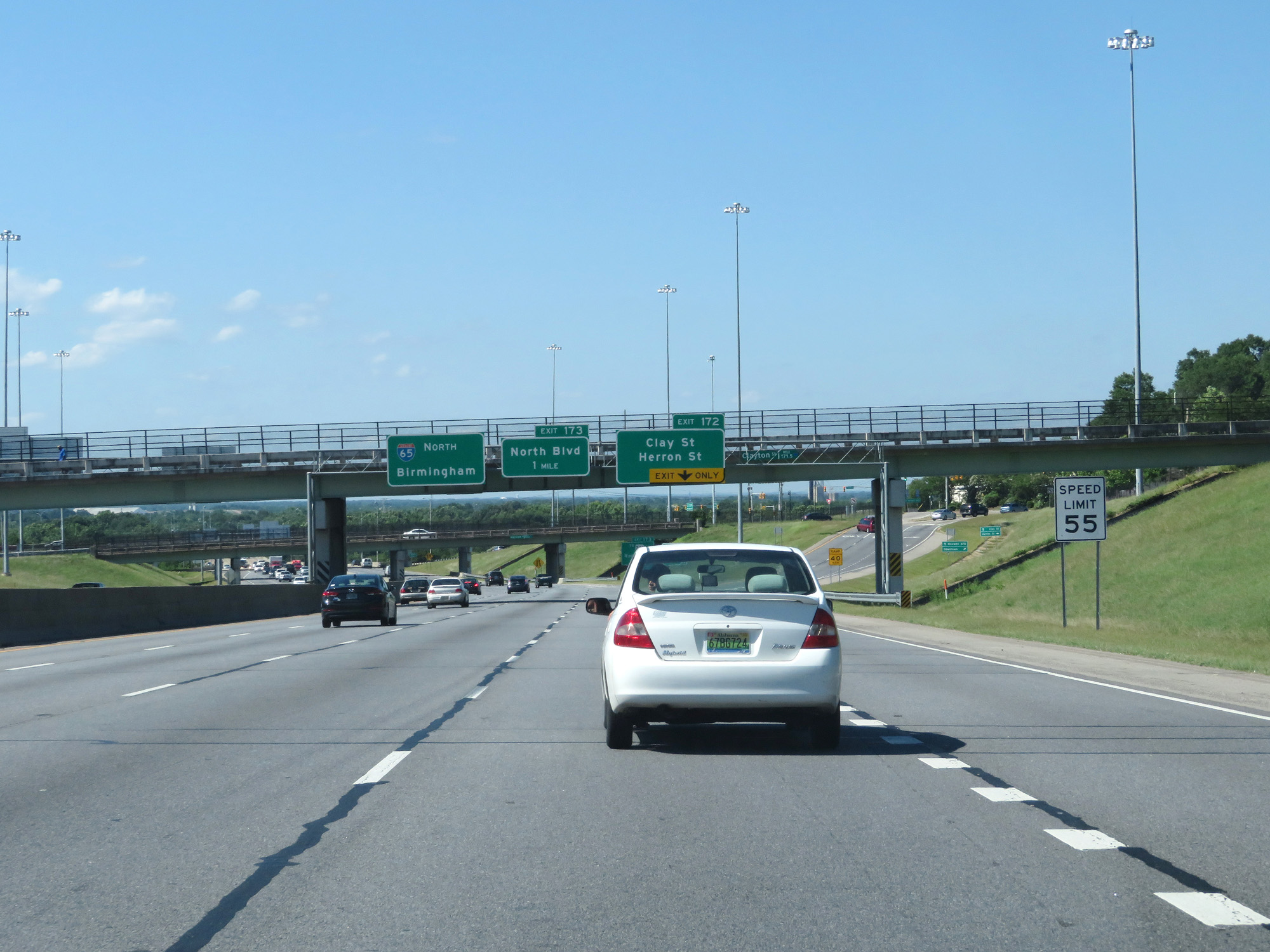
Interstate 65 North at Exit 172: Clay St / Herron St (Photo taken 5/26/17). |
Section 3: Montgomery (Exit 172) to Pelham (Exit 242)
 |
Advance signage for Exit 173. (Photo taken 12/8/20). |
 |
The speed limit remains 60 mph. (Photo taken 12/8/20). |
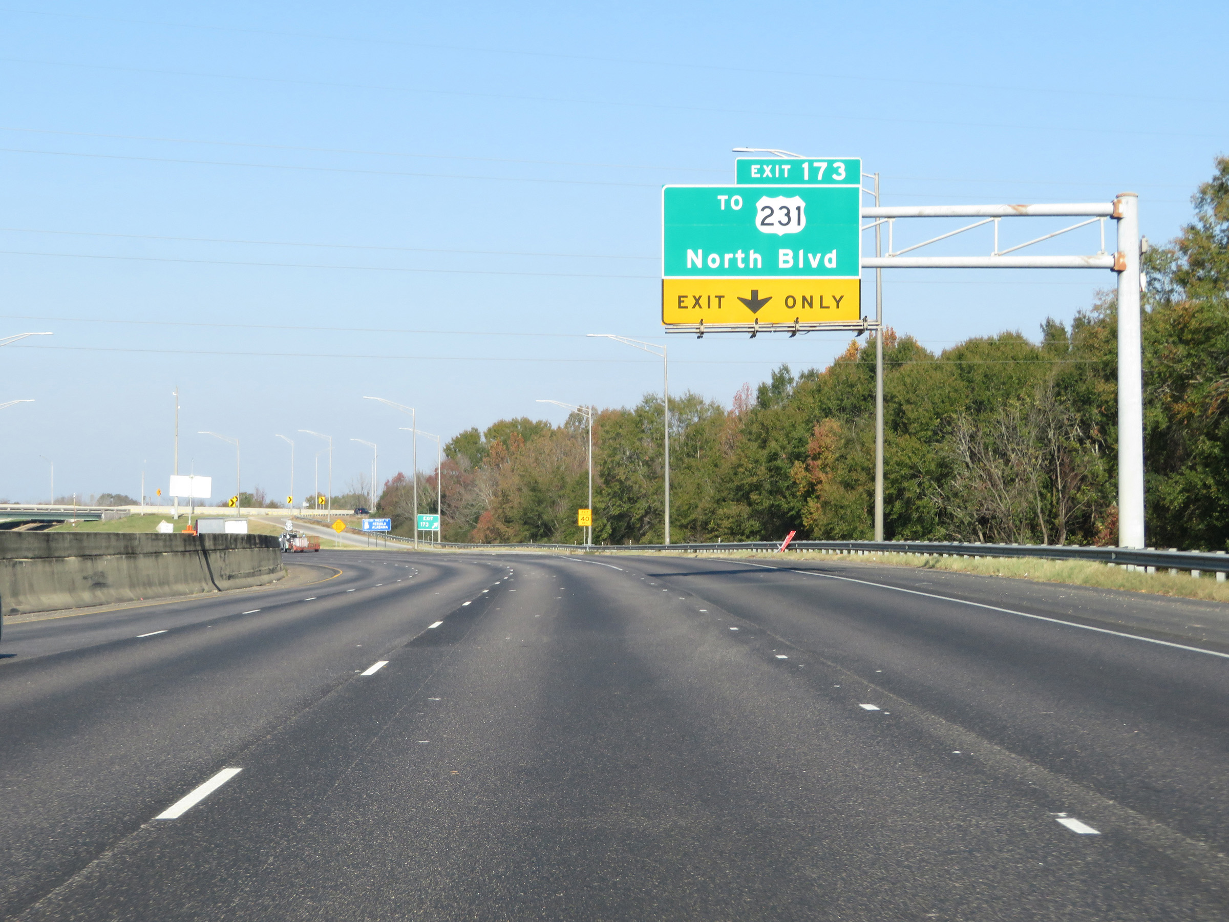 |
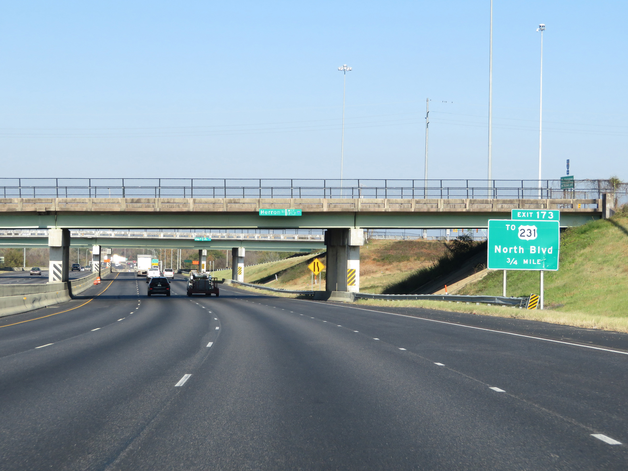
Interstate 65 North at Exit 173: To US 231 - North Blvd (Photo taken 12/8/20). |
 |
State-named Interstate 65 North reassurance shield. (Photo taken 12/8/20). |
 |
North of Exit 173, the speed limit increases to 65 mph. (Photo taken 12/8/20). |
 |
Mileage sign on Interstate 65 North. It's 10 miles to Prattville and 88 miles to Birmingham. (Photo taken 12/8/20). |
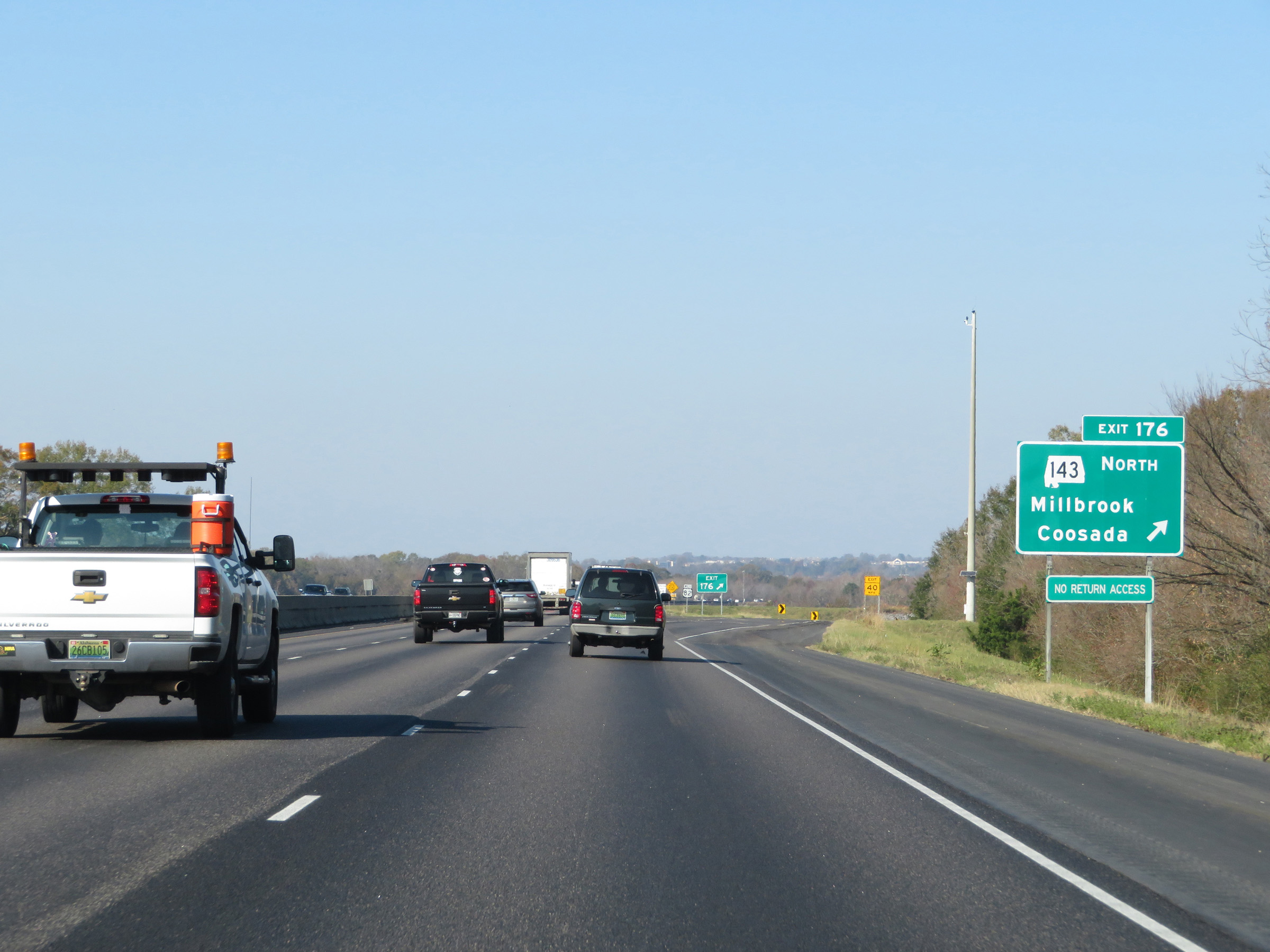 |
Interstate 65 North at Exit 176: AL 143 North - Millbrook / Coosada (Photo taken 12/8/20). |
 |
North of Exit 176, the speed limit increases to 70 mph once again. (Photo taken 12/8/20). |
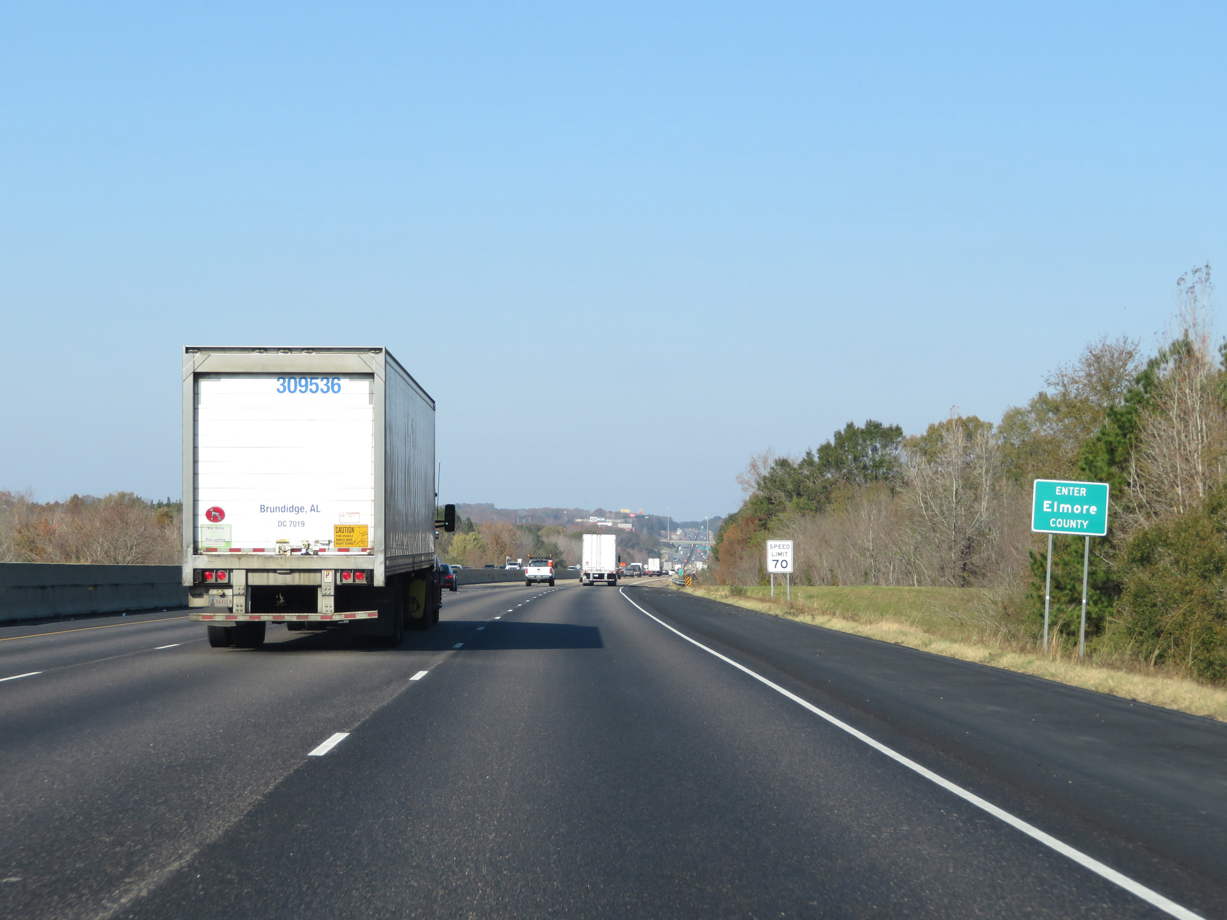 |
Interstate 65 North as it enters Elmore County. (Photo taken 12/8/20). |
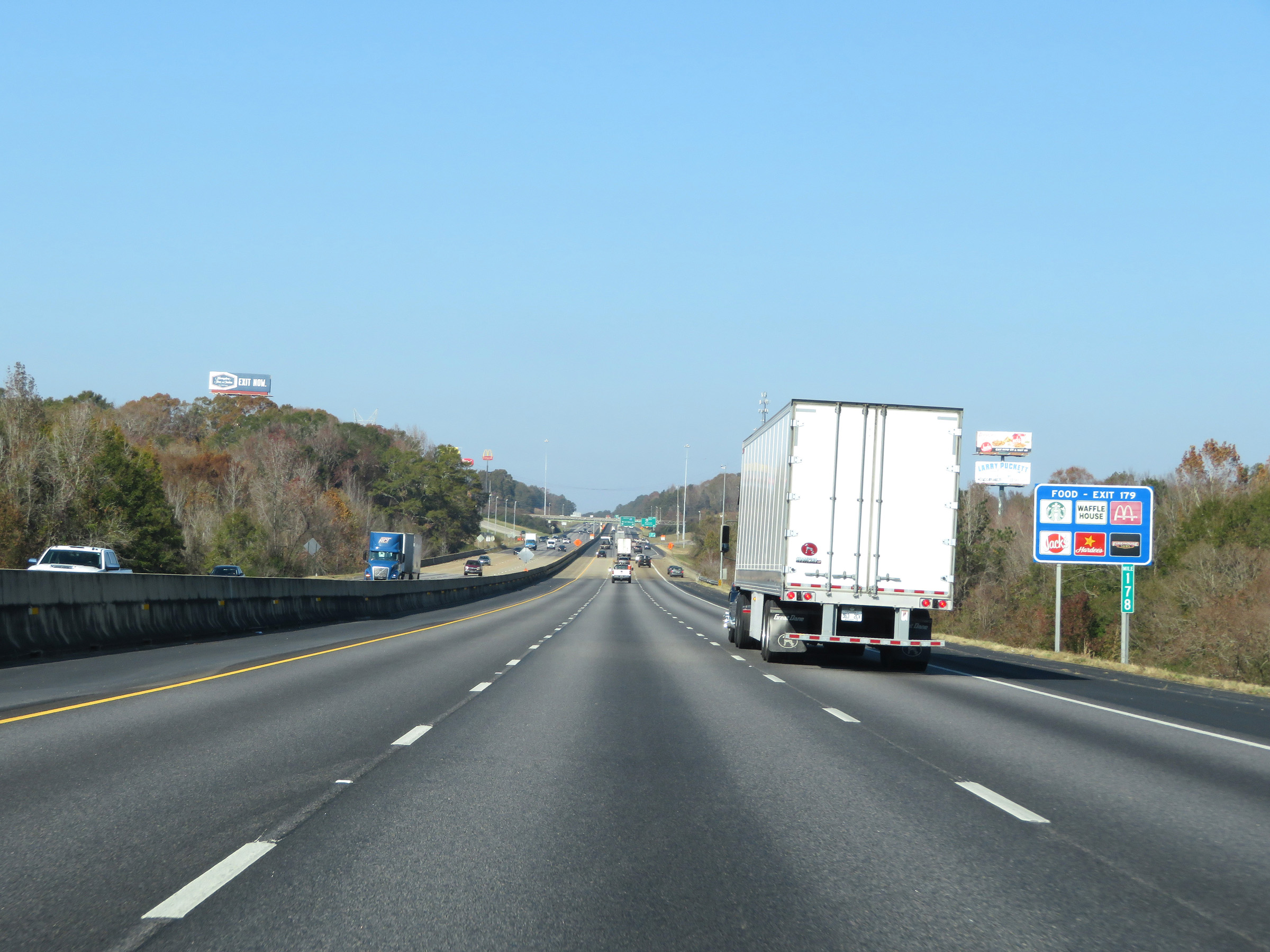 |
View on Interstate 65 North at mile marker 178. (Photo taken 12/8/20). |
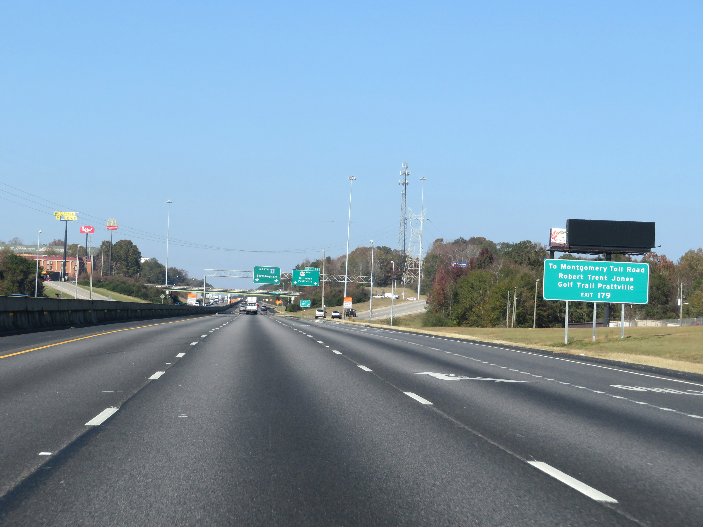 |
Take Exit 179 to the Montgomery Toll Road and Robert Trent Jones Golf Trail Prattville. (Photo taken 12/8/20). |
 |
Interstate 65 North at Exit 179: US 82 West - Millbrook / Prattville (Photo taken 12/8/20). |
 |
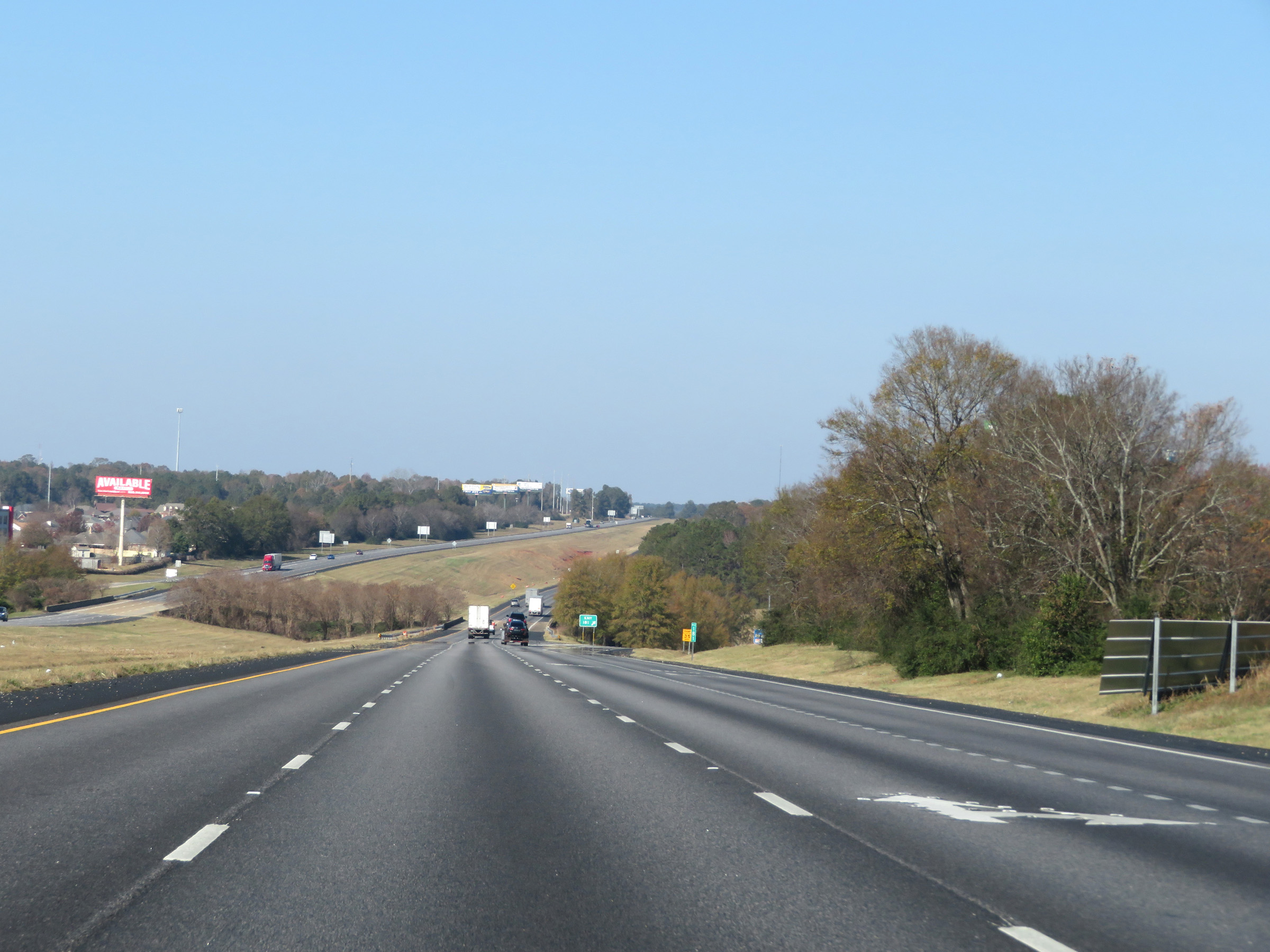
Interstate 65 North approaching Exit 181 - 1 mile. (Photo taken 12/8/20). |
 |
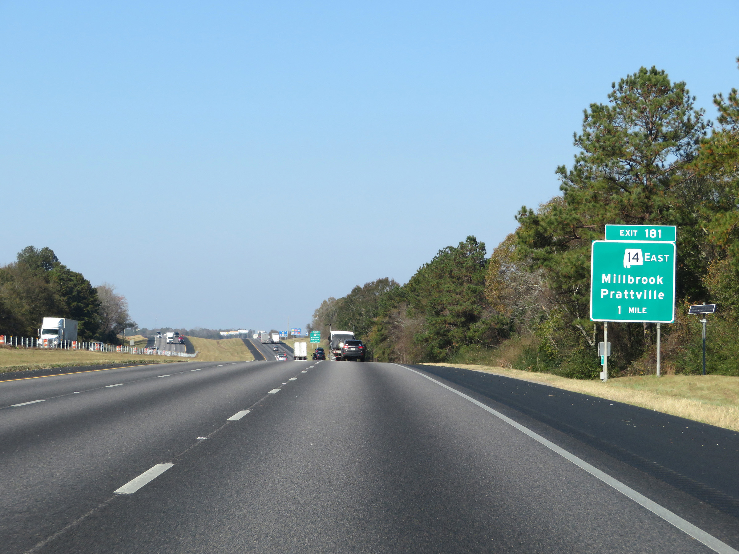
Interstate 65 North at Exit 181: AL 14 East - Millbrook / Prattville (Photo taken 12/8/20). |
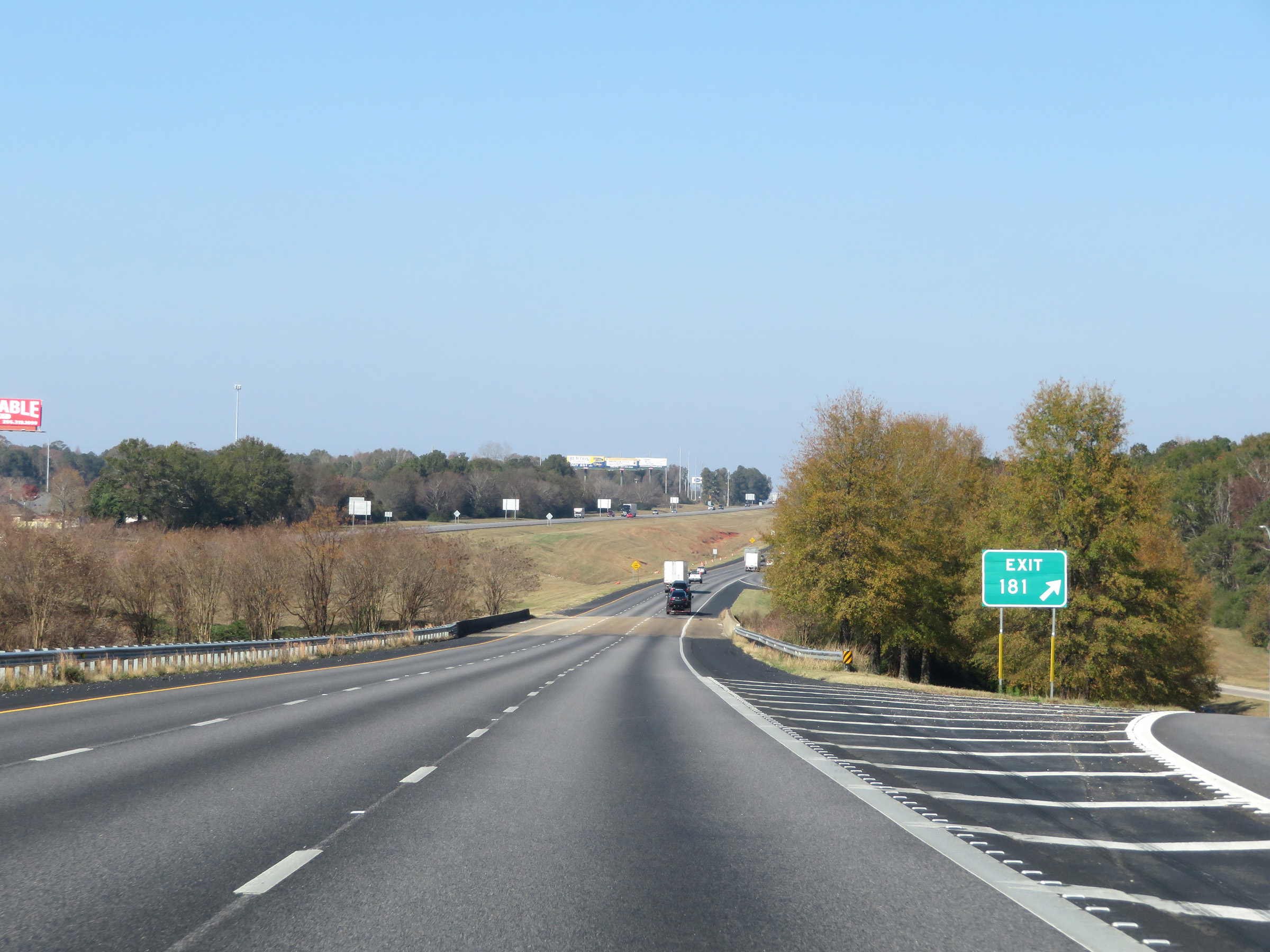 |
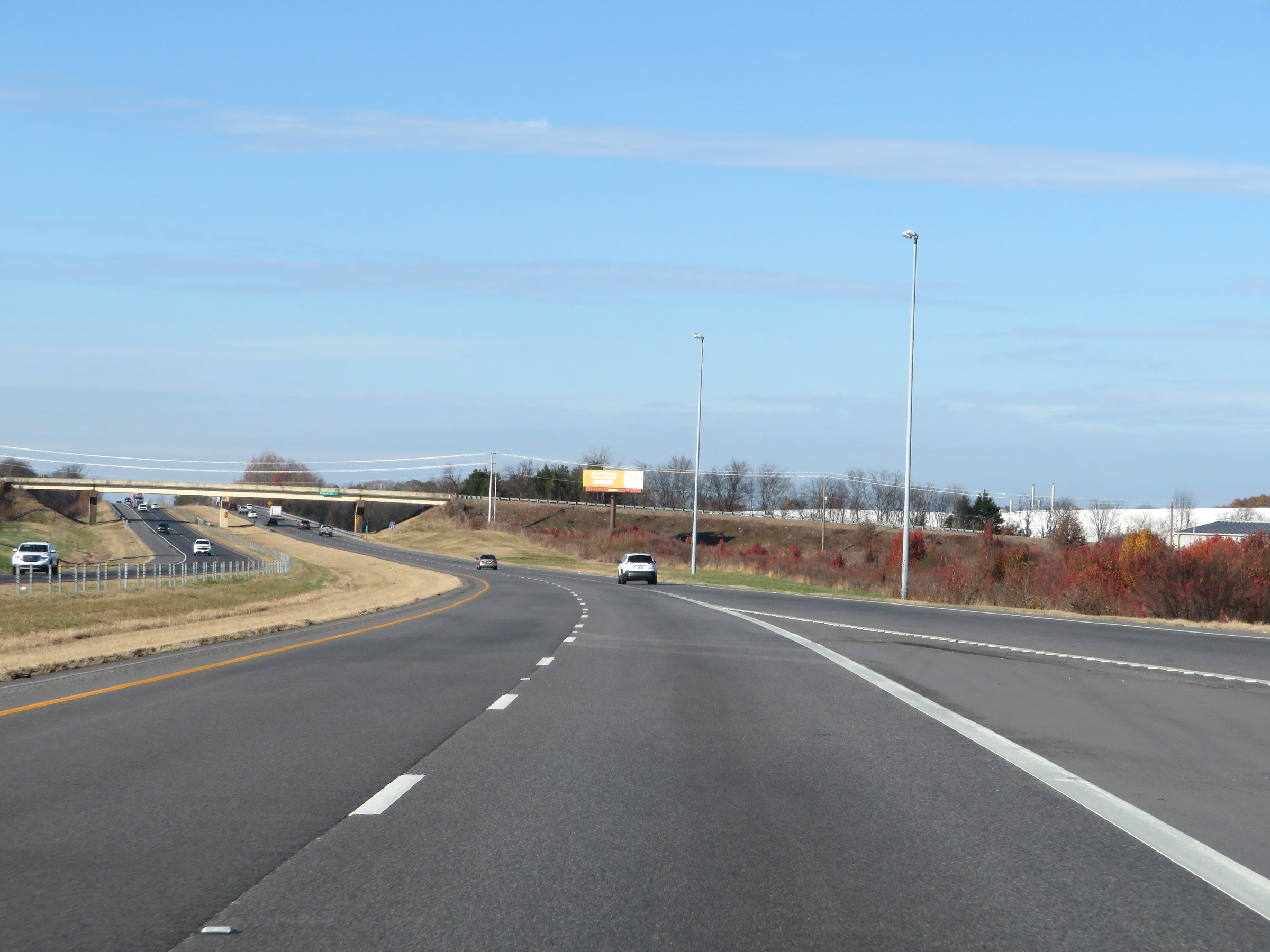
Gore point signage for Exit 181. (Photo taken 12/8/20). |
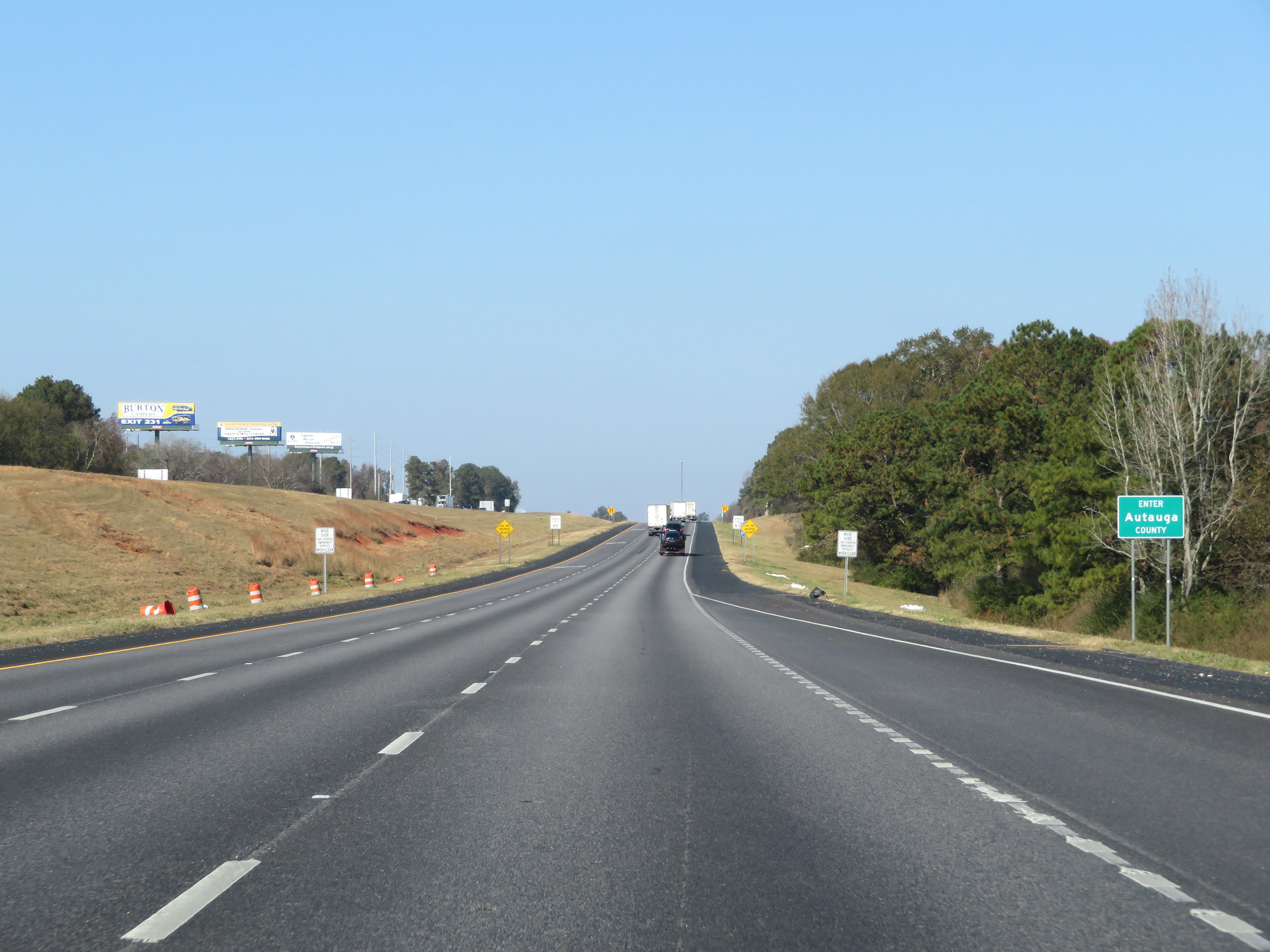 |
Just north of Exit 181, Interstate 65 North enters Autauga County. (Photo taken 12/8/20). |
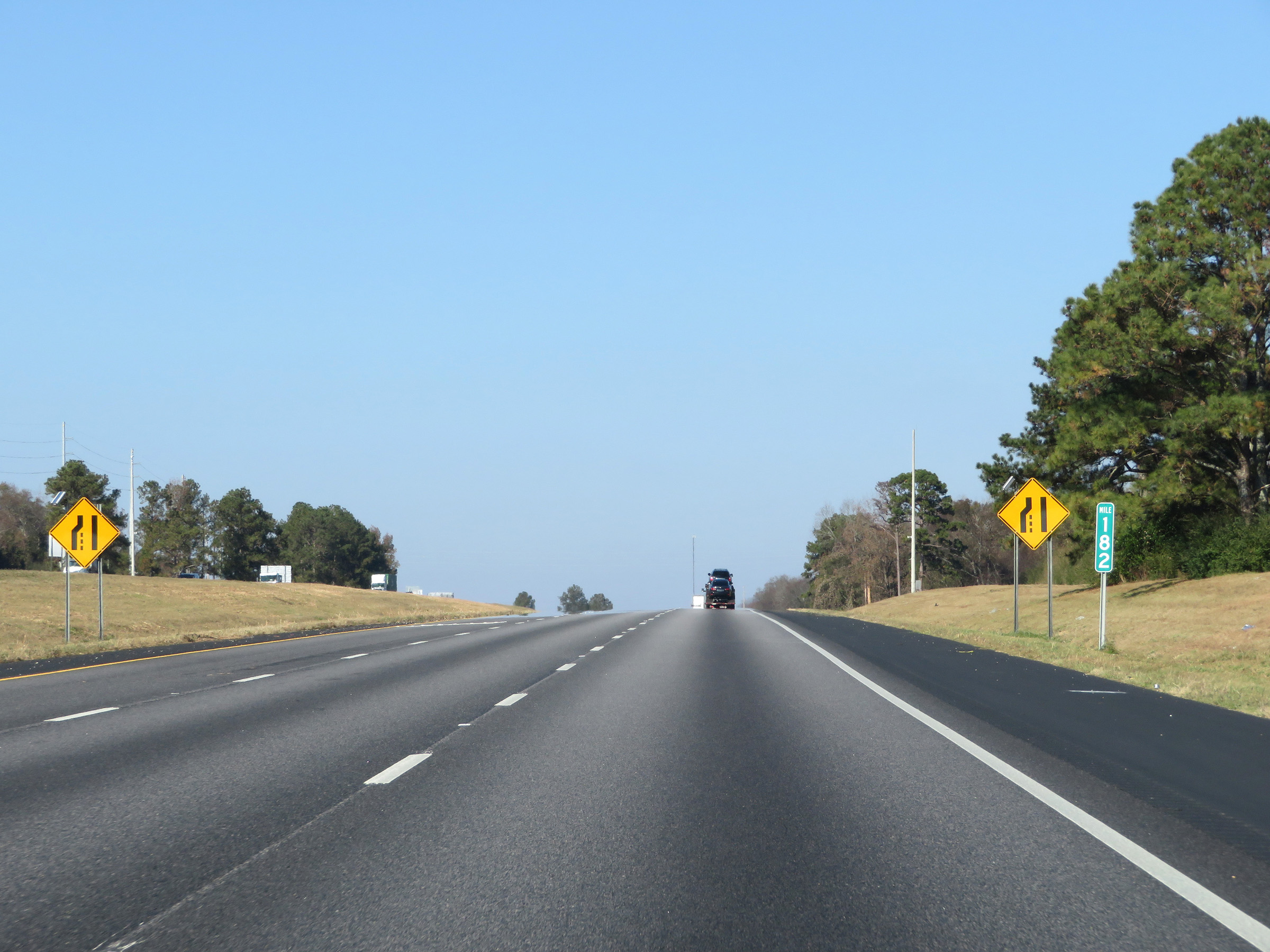 |
At mile marker 182 upon entering Autauga County, the left lane comes to an end and Interstate 65 North is reduced to two lanes. (Photo taken 12/8/20). |
 |
View on Interstate 65 North at mile marker 183. (Photo taken 12/8/20). |
 |
Interstate 65 North at mile marker 185. (Photo taken 12/8/20). |
 |
Take Exit 186 to the Confederate Memorial Park and Museum. (Photo taken 12/8/20). |
 |
Interstate 65 North at Exit 186: US 31 - Pine Level / Prattville (Photo taken 12/8/20). |
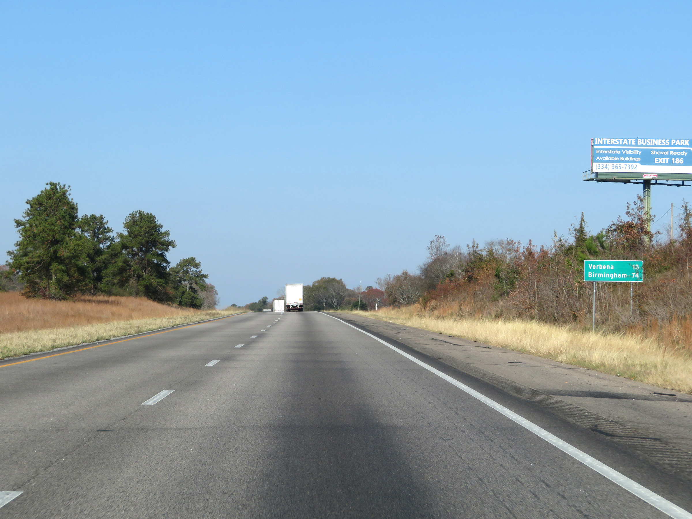 |
Another mileage sign on Interstate 65 North. It's 13 miles to Verbena and 74 miles to Birmingham. (Photo taken 12/8/20). |
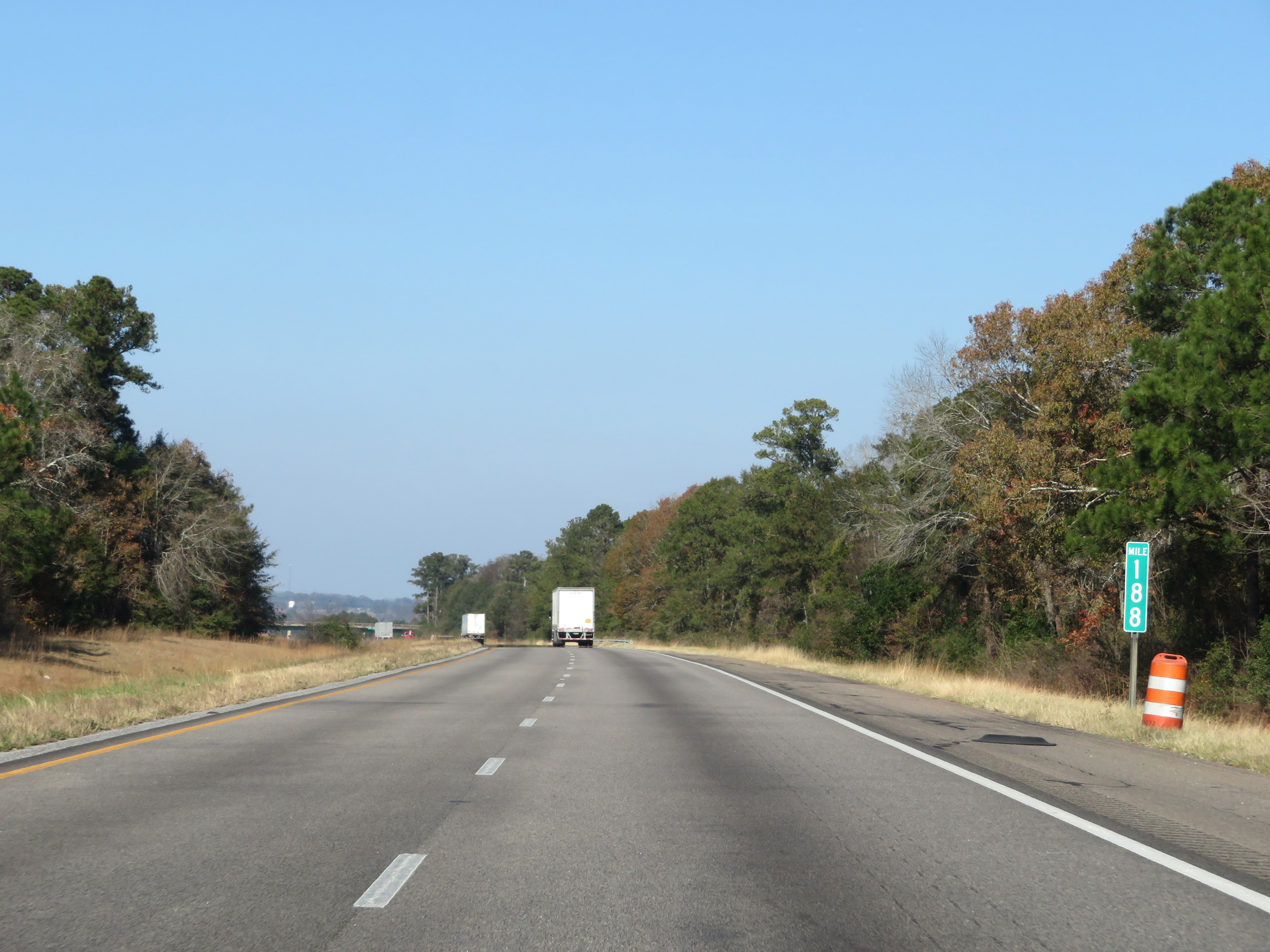 |
Mile marker 188 on Interstate 65 North in Autauga County. (Photo taken 12/8/20). |
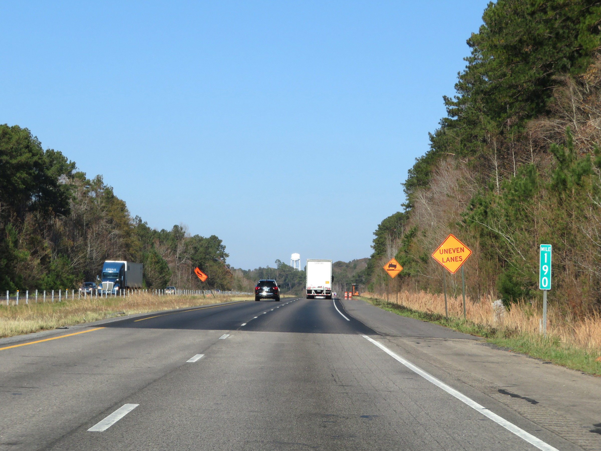 |
Interstate 65 North at mile marker 190. (Photo taken 12/8/20). |
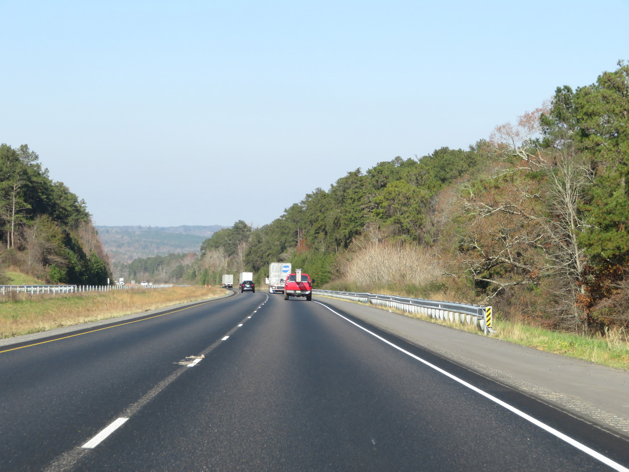 |
View on Interstate 65 North in Autauga County. (Photo taken 12/8/20). |
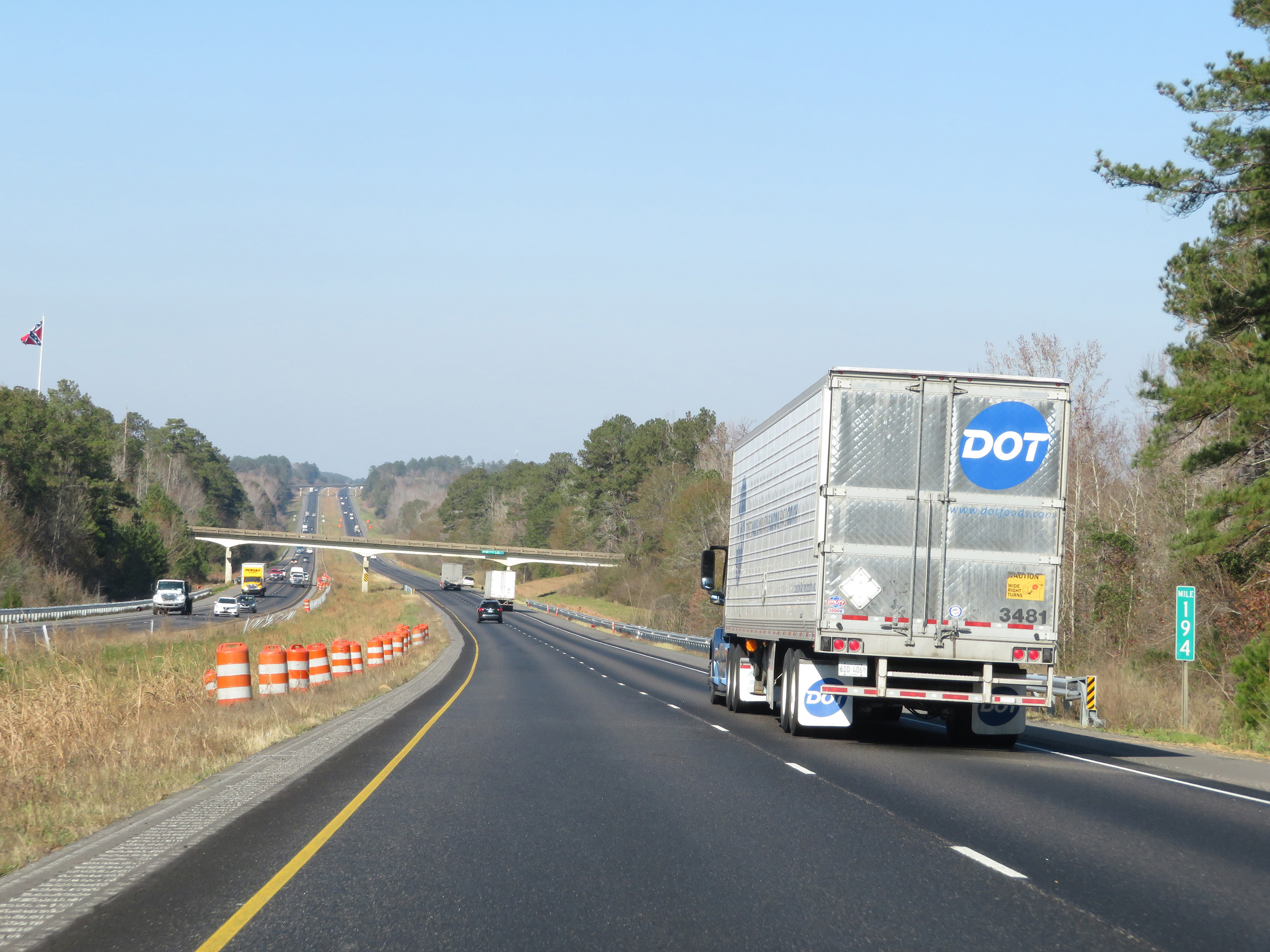 |
Interstate 65 North at mile marker 194. (Photo taken 12/8/20). |
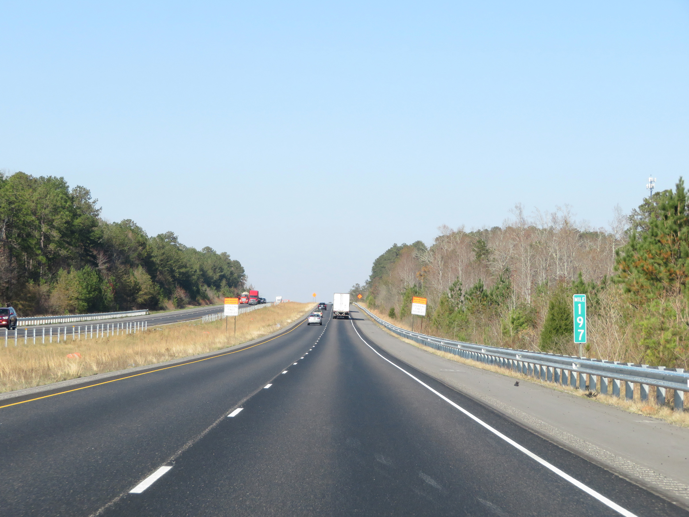 |
View on Interstate 65 North at mile marker 197. (Photo taken 12/8/20). |
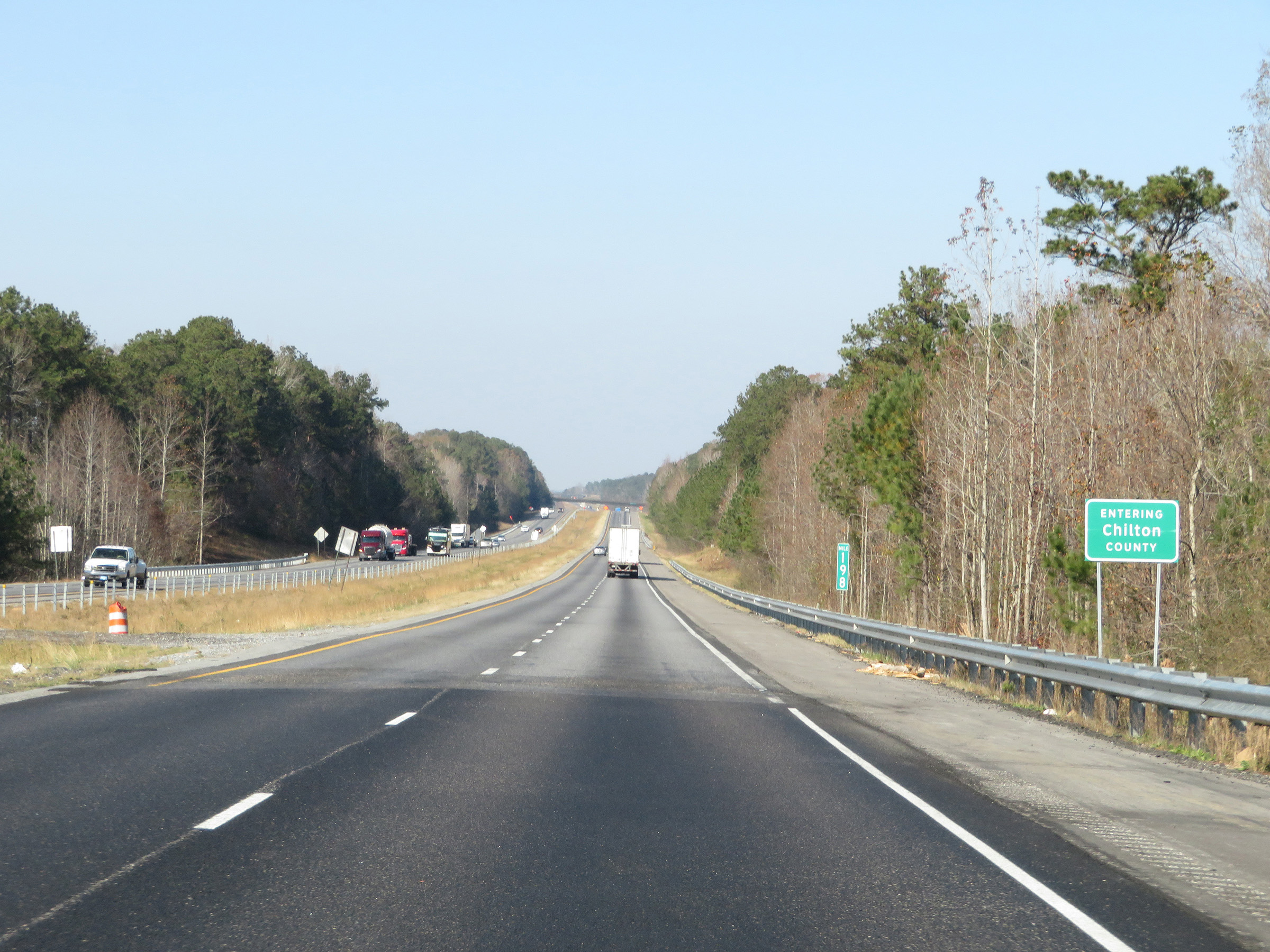 |
At mile marker 198, Interstate 65 North enters Chilton County. (Photo taken 12/8/20). |
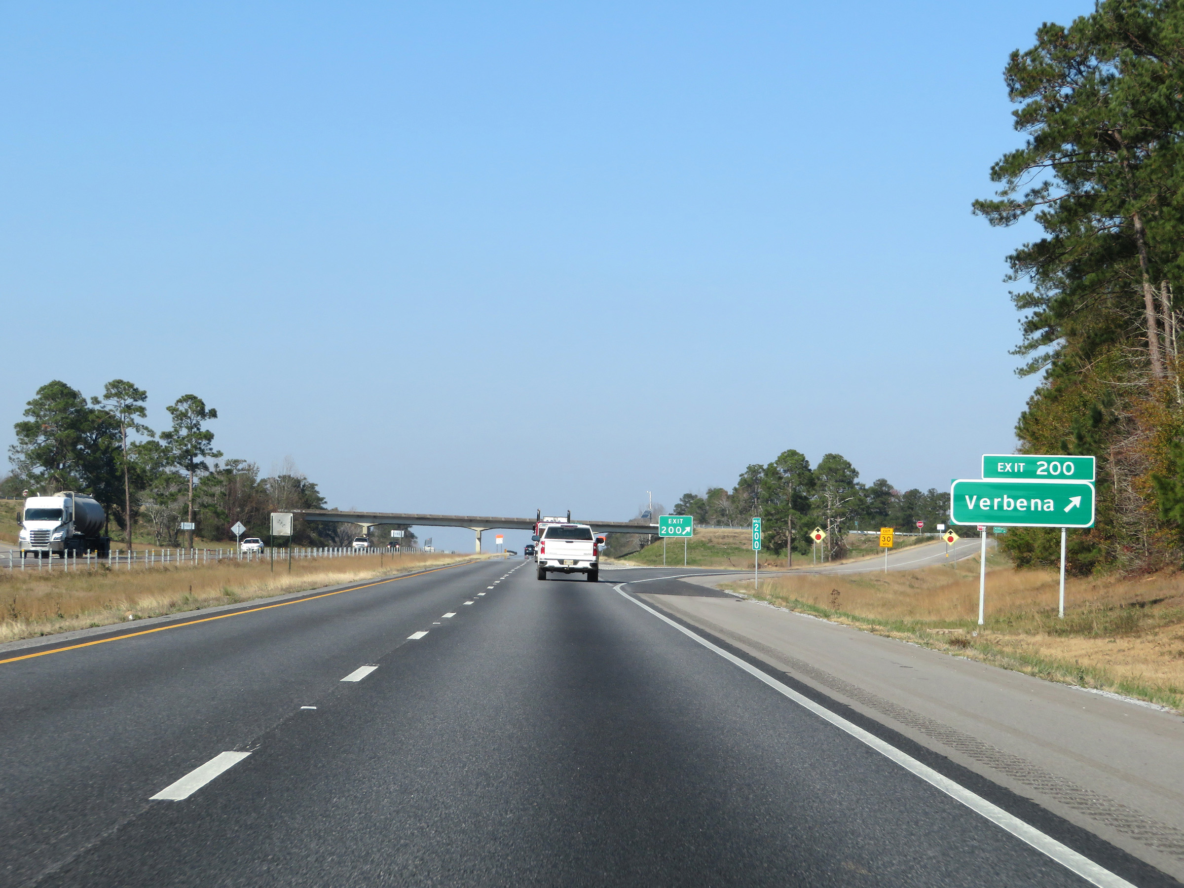 |
Interstate 65 North at Exit 200: Verbena (Photo taken 12/8/20). |
 |
Another state-named Interstate 65 North reassurance shield. (Photo taken 12/8/20). |
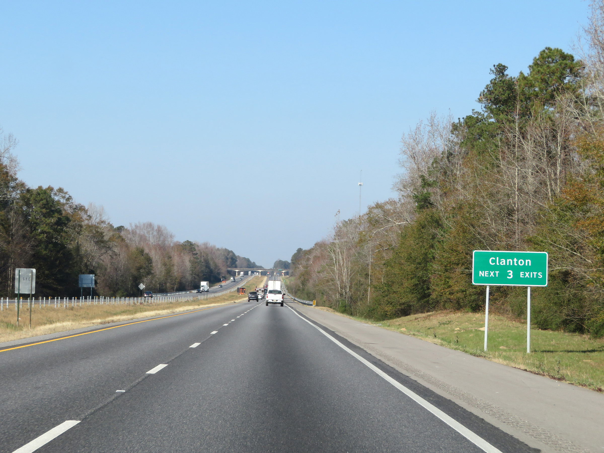 |
Take any of the next 3 exits to Clanton. (Photo taken 12/8/20). |
 |
Interstate 65 North at mile marker 202. (Photo taken 12/8/20). |
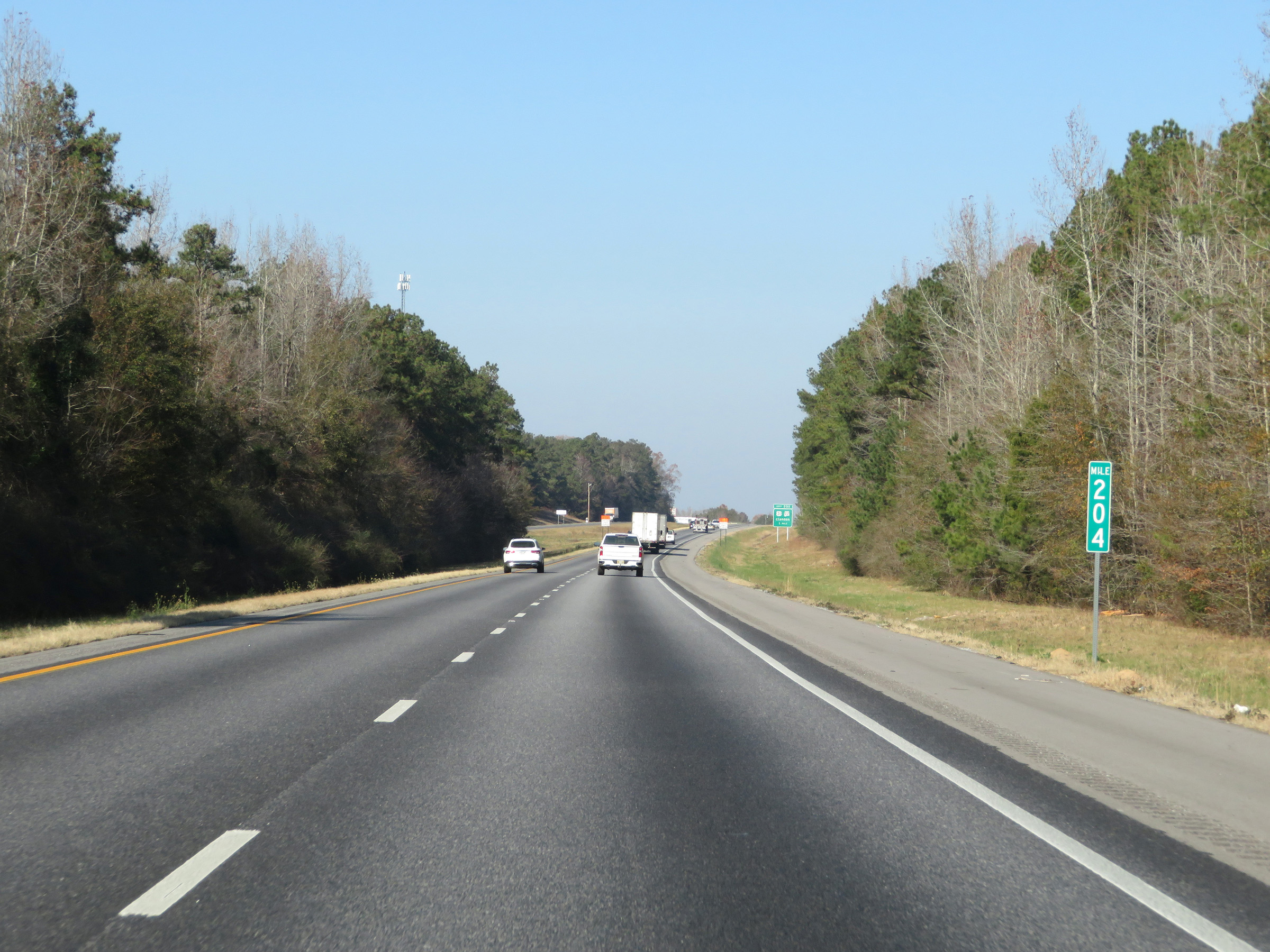 |
View on Interstate 65 North at mile marker 204. (Photo taken 12/8/20). |
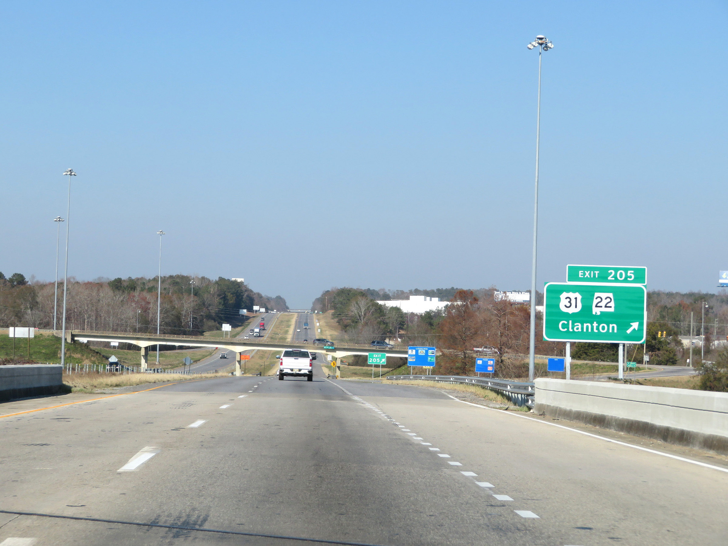 |
Interstate 65 North at Exit 205: US 31 / AL 22 - Clanton (Photo taken 12/8/20). |
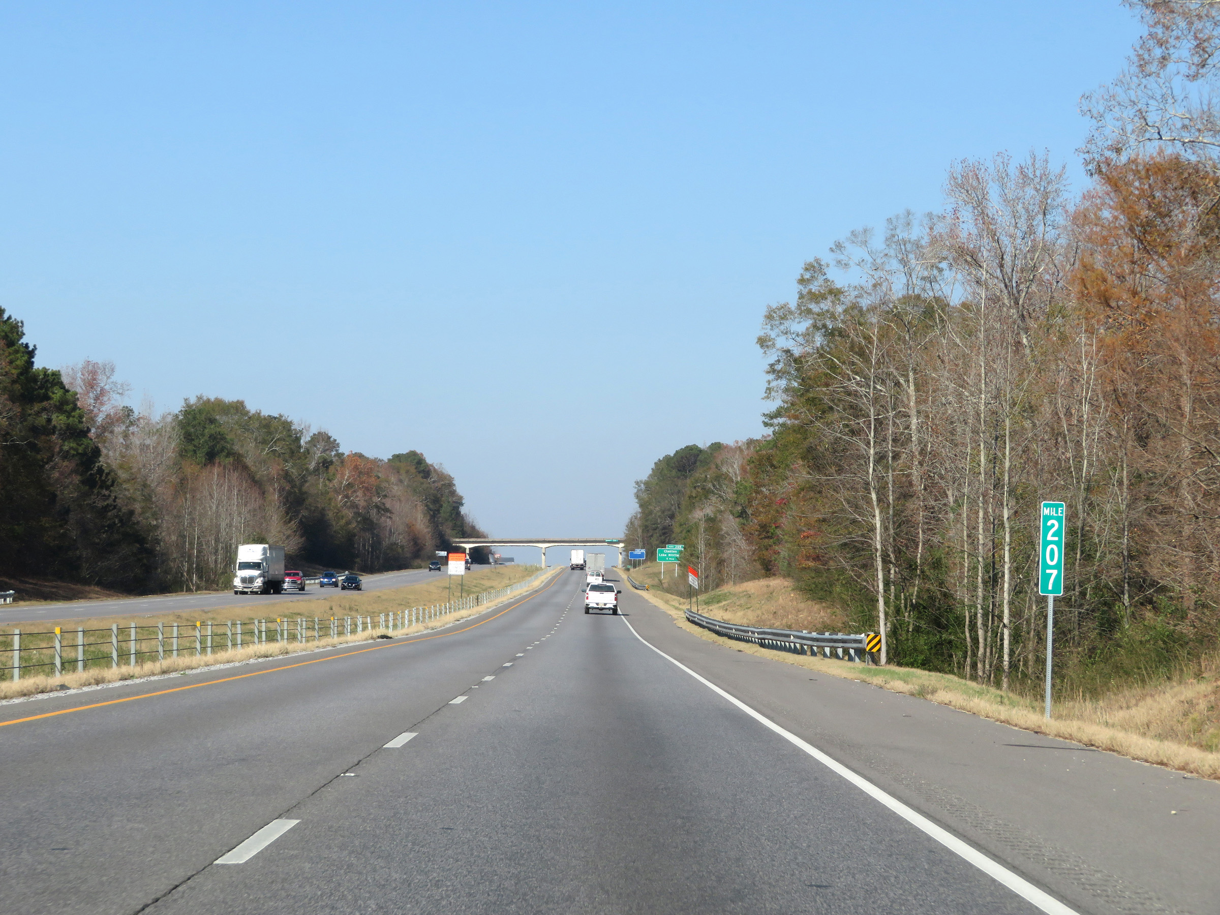 |
Interstate 65 North at mile marker 207. (Photo taken 12/8/20). |
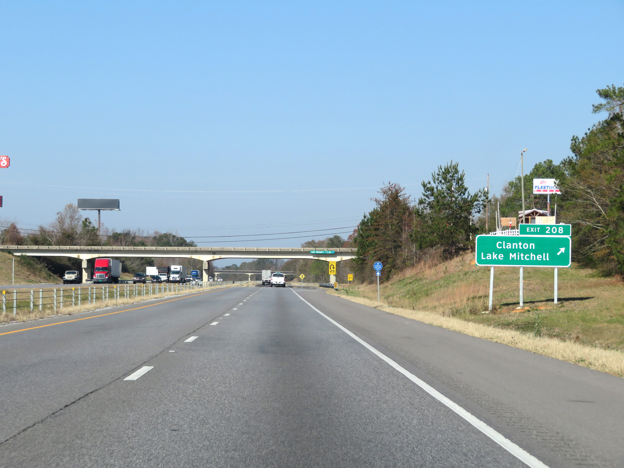 |
Interstate 65 North at Exit 208: Clanton / Lake Mitchell (Photo taken 12/8/20). |
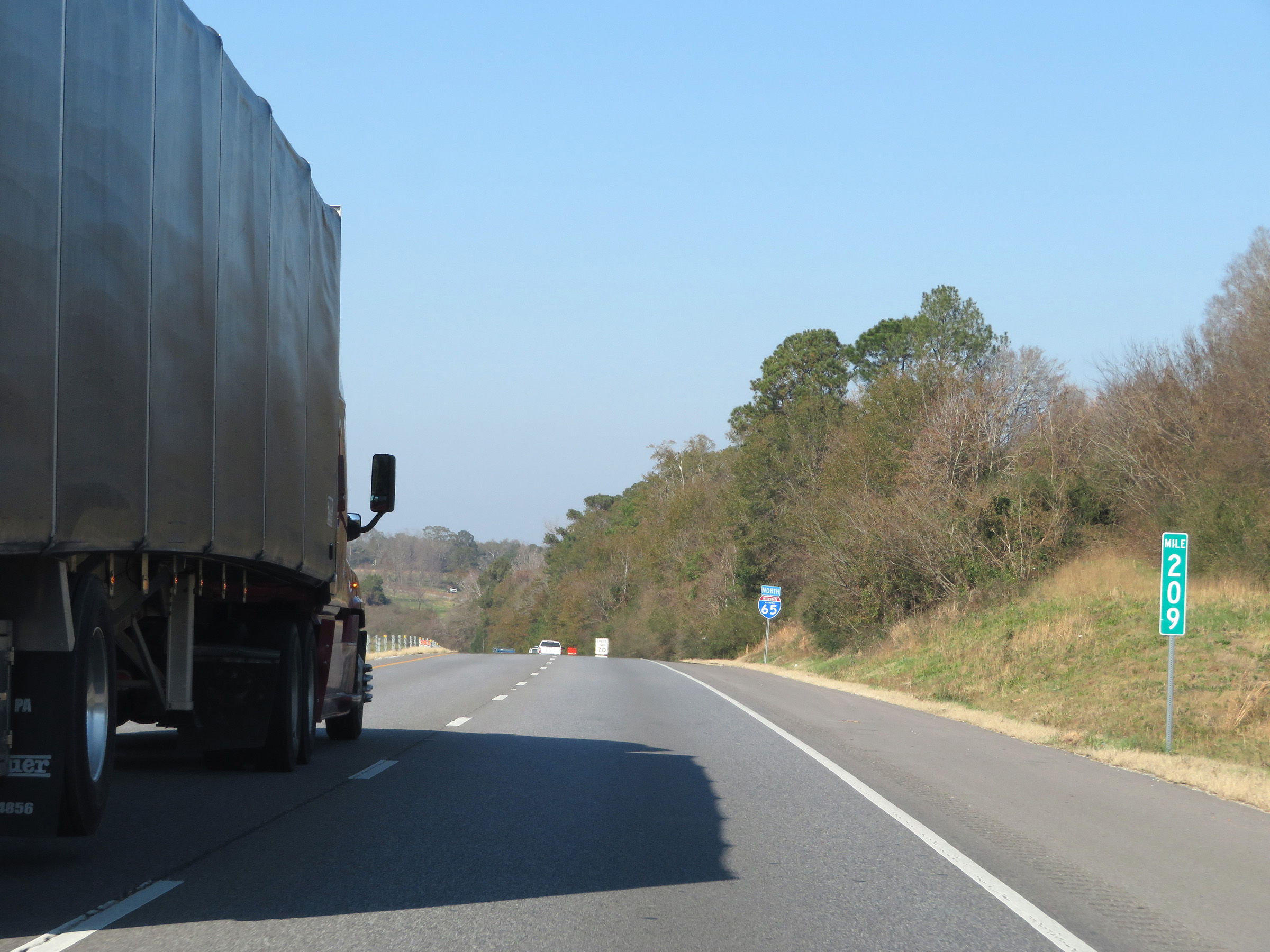 |
Mile marker 209 on Interstate 65 North in Chilton County. (Photo taken 12/8/20). |
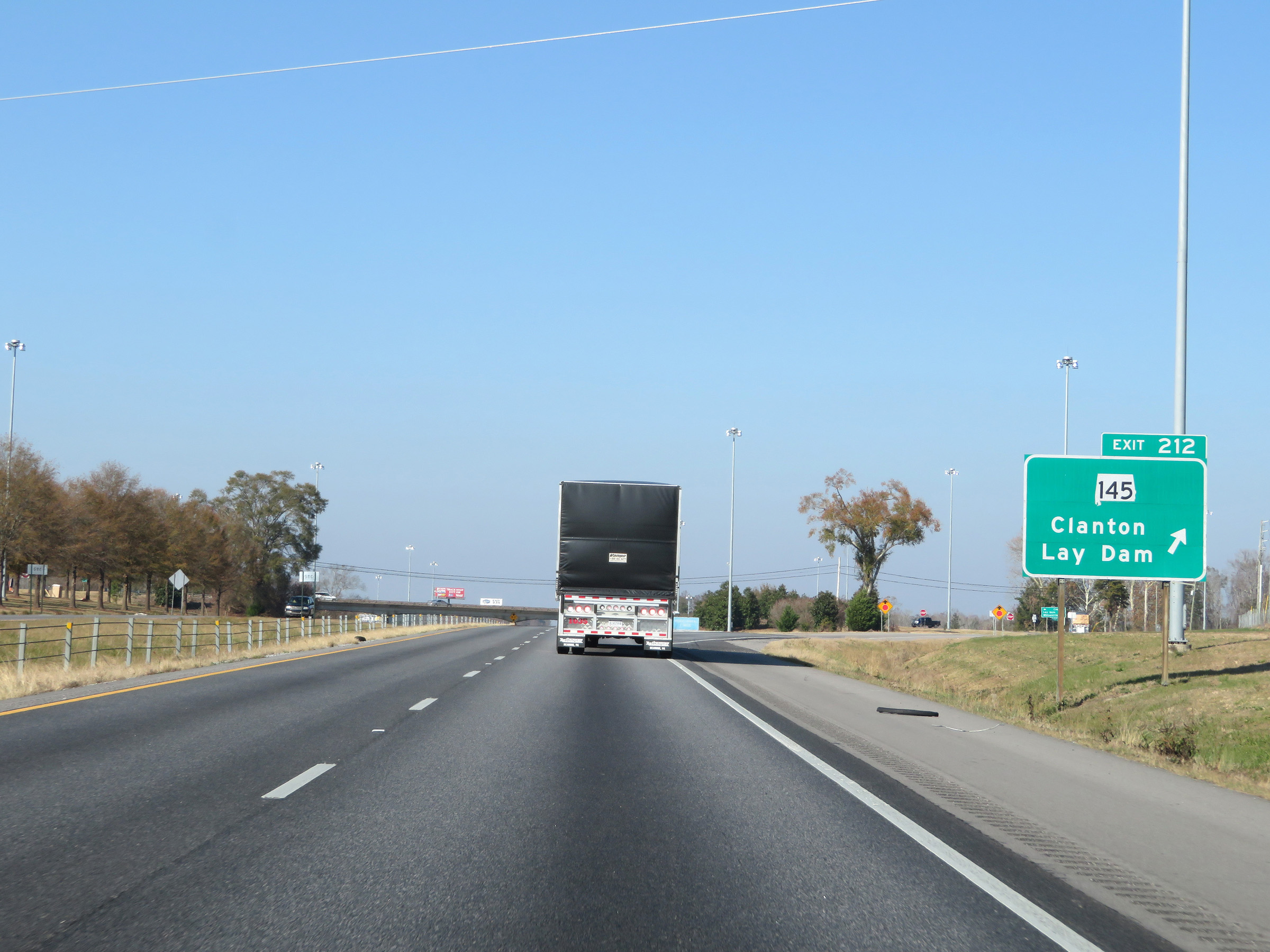 |
Interstate 65 North at Exit 212: AL 145 - Clanton / Lay Dam (Photo taken 12/8/20). |
 |
Rest Area on Interstate 65 North in Chilton County. (Photo taken 12/8/20). |
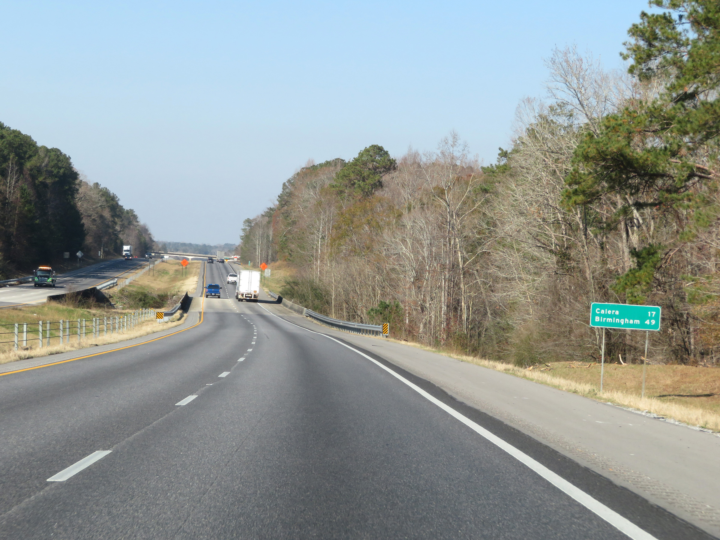 |
Another mileage sign on Interstate 65 North. It's 17 miles to Calera and 49 miles to Birmingham. (Photo taken 12/8/20). |
 |
View on Interstate 65 North at mile marker 216. (Photo taken 12/8/20). |
 |
Interstate 65 North at mile marker 218. (Photo taken 12/8/20). |
 |
Interstate 65 North at Exit 219: Jemison / Thorsby (Photo taken 12/8/20). |
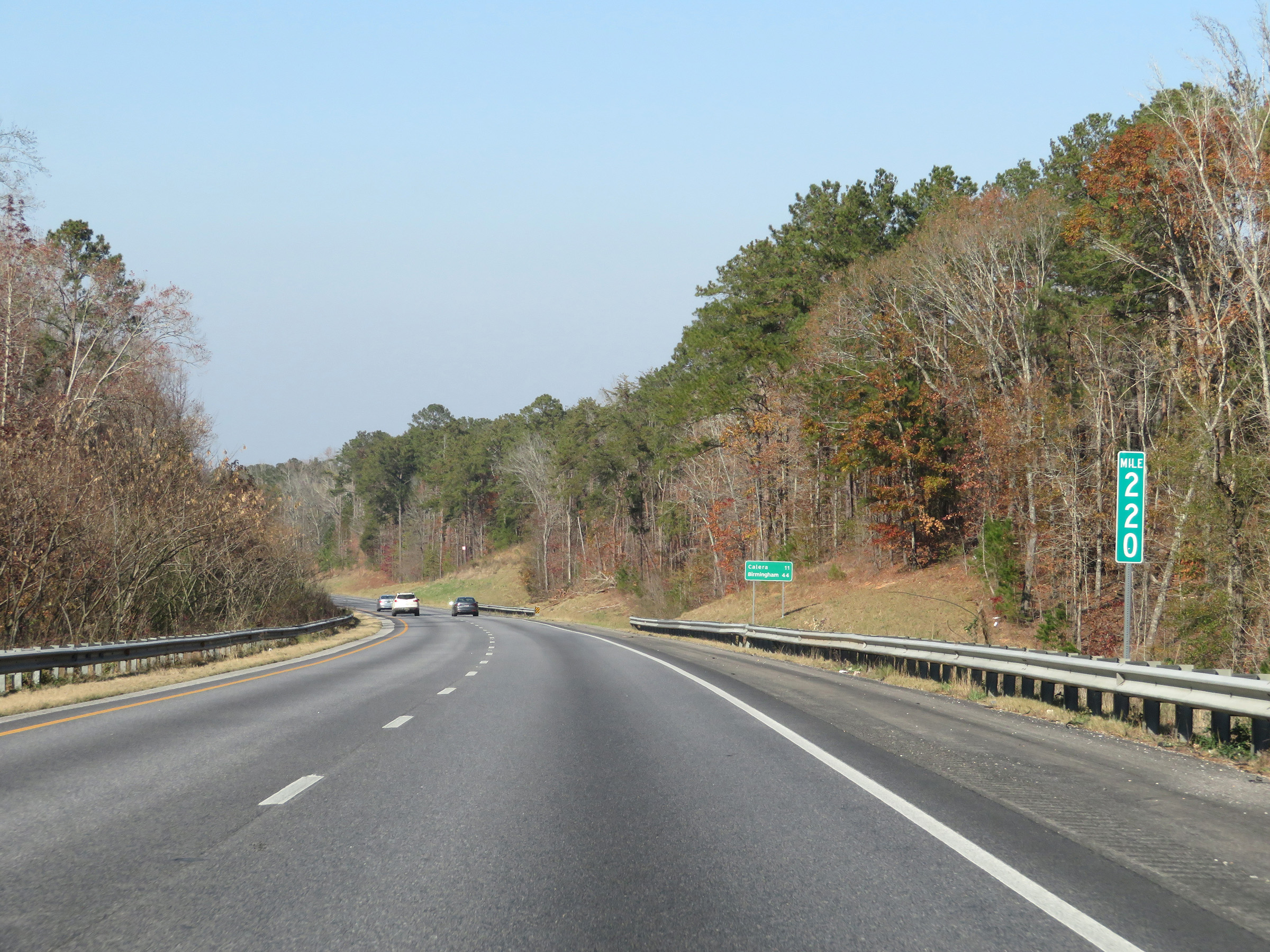 |
View on Interstate 65 North at mile marker 220. (Photo taken 12/8/20). |
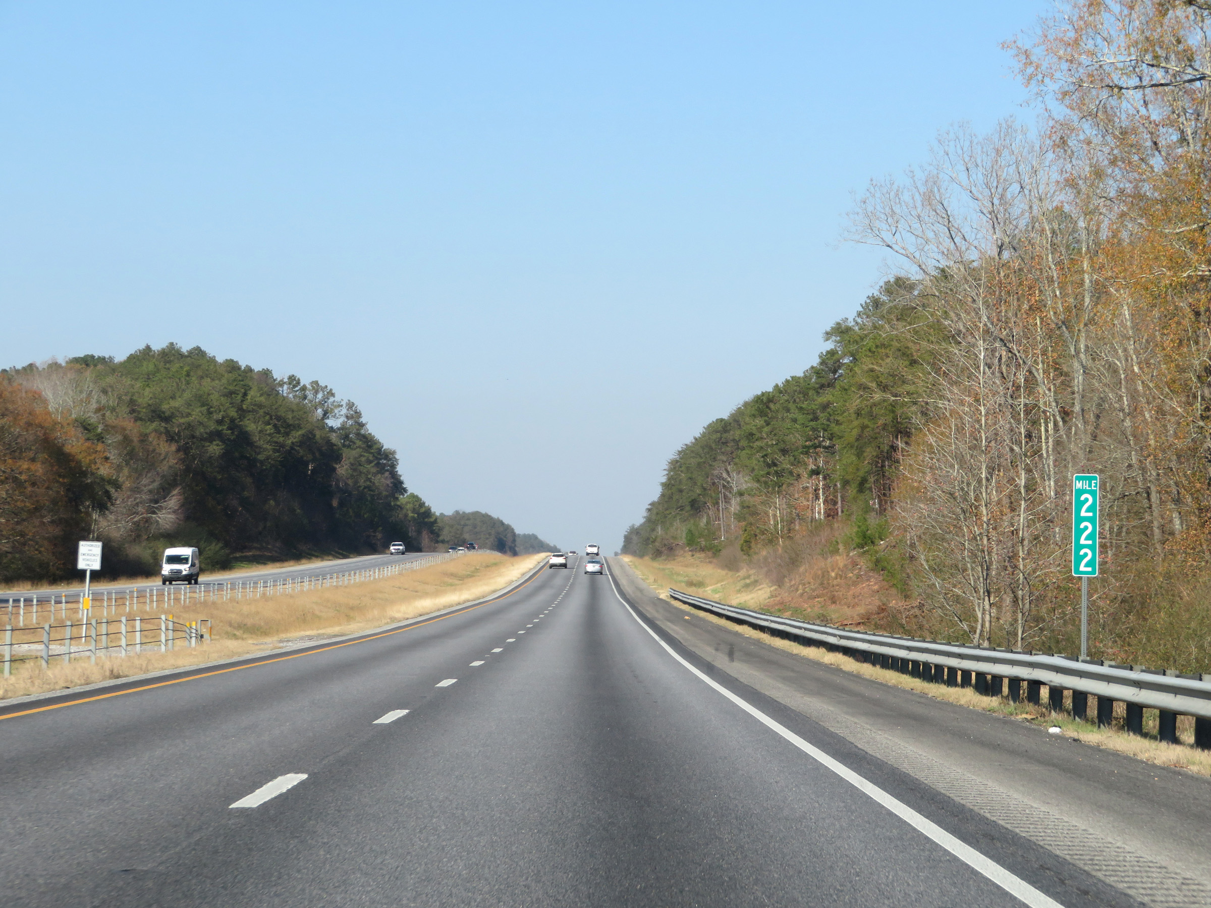 |
Mile marker 222 on Interstate 65 North in Chilton County. (Photo taken 12/8/20). |
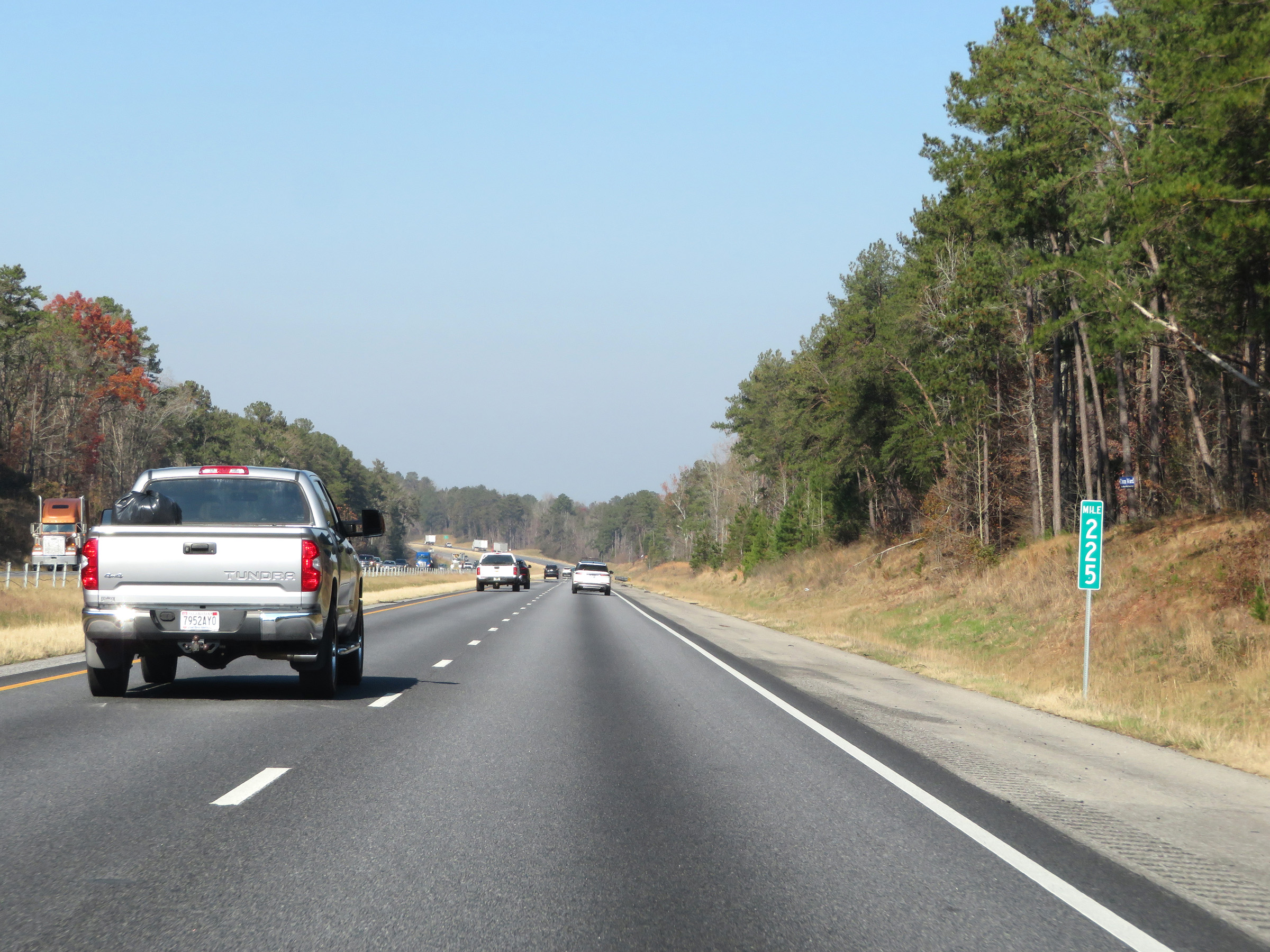 |
Interstate 65 North at mile marker 225. (Photo taken 12/8/20). |
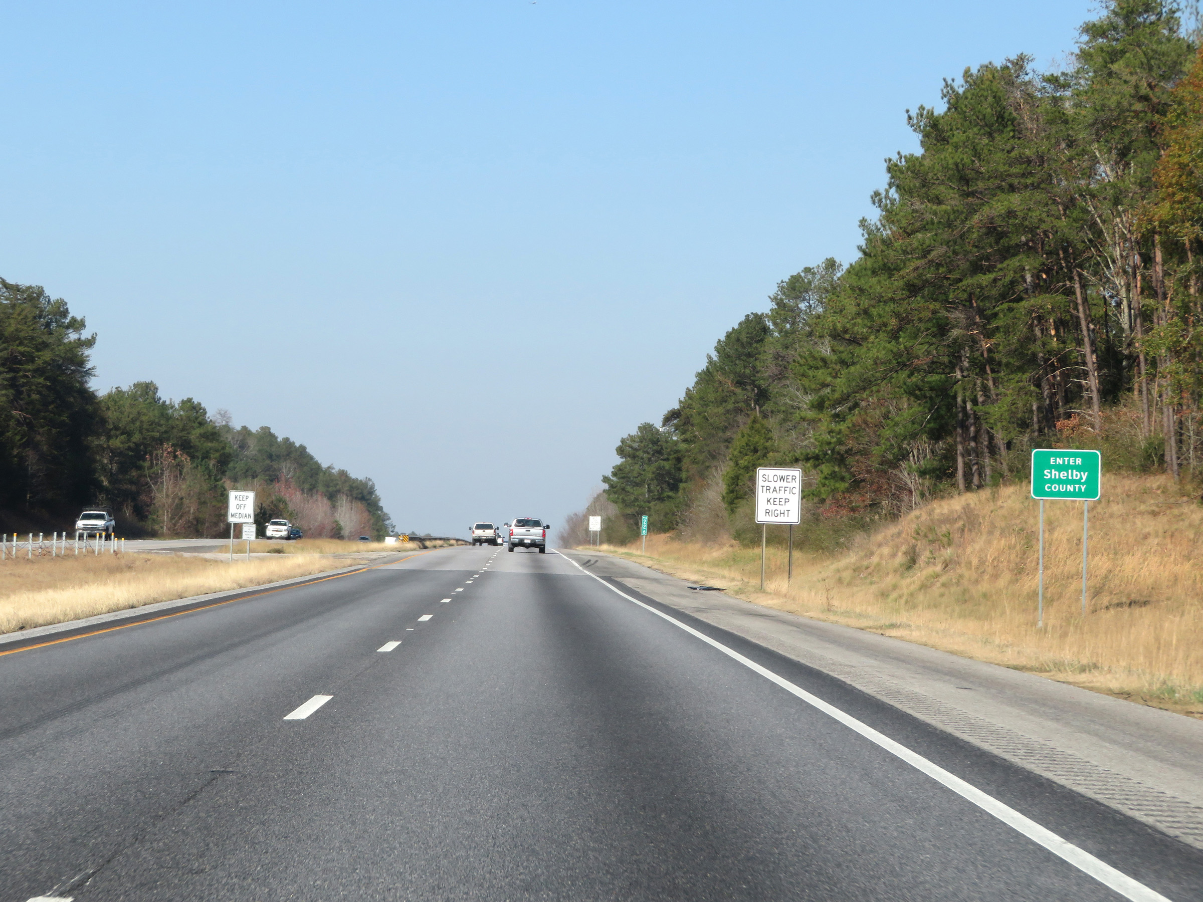 |
Interstate 65 North as it enters Shelby County. (Photo taken 12/8/20). |
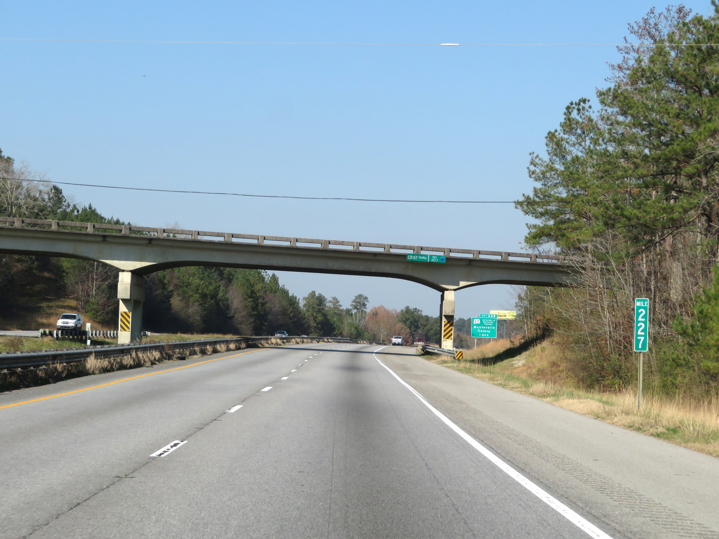 |
View on Interstate 65 North at mile marker 227. (Photo taken 12/8/20). |
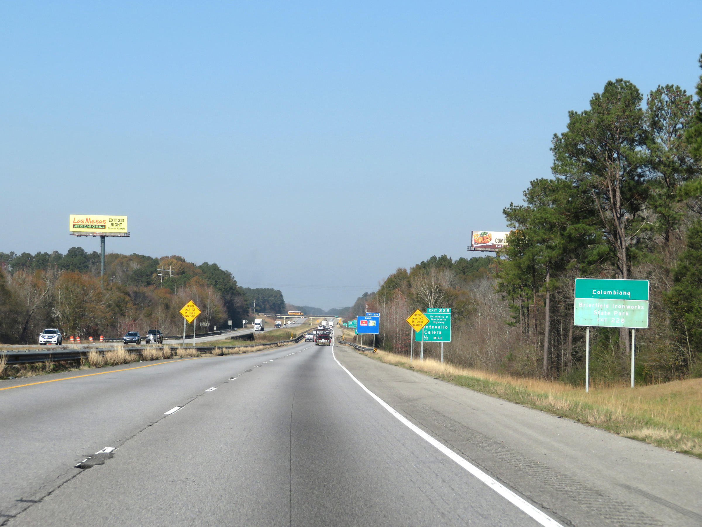 |
Take Exit 228 to Columbiana and Brierfield Ironworks State Park. (Photo taken 12/8/20). |
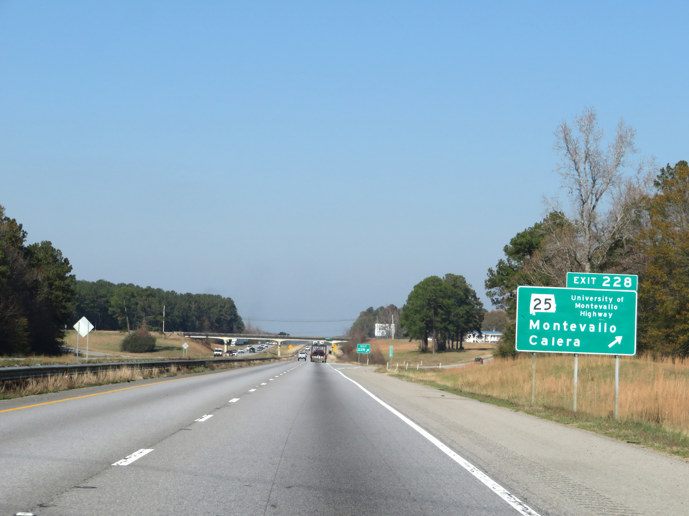 |
Interstate 65 North at Exit 228: AL 25 - Montevallo / Calera (Photo taken 12/8/20). |
 |
State-named Interstate 65 North reassurance shield. (Photo taken 12/8/20). |
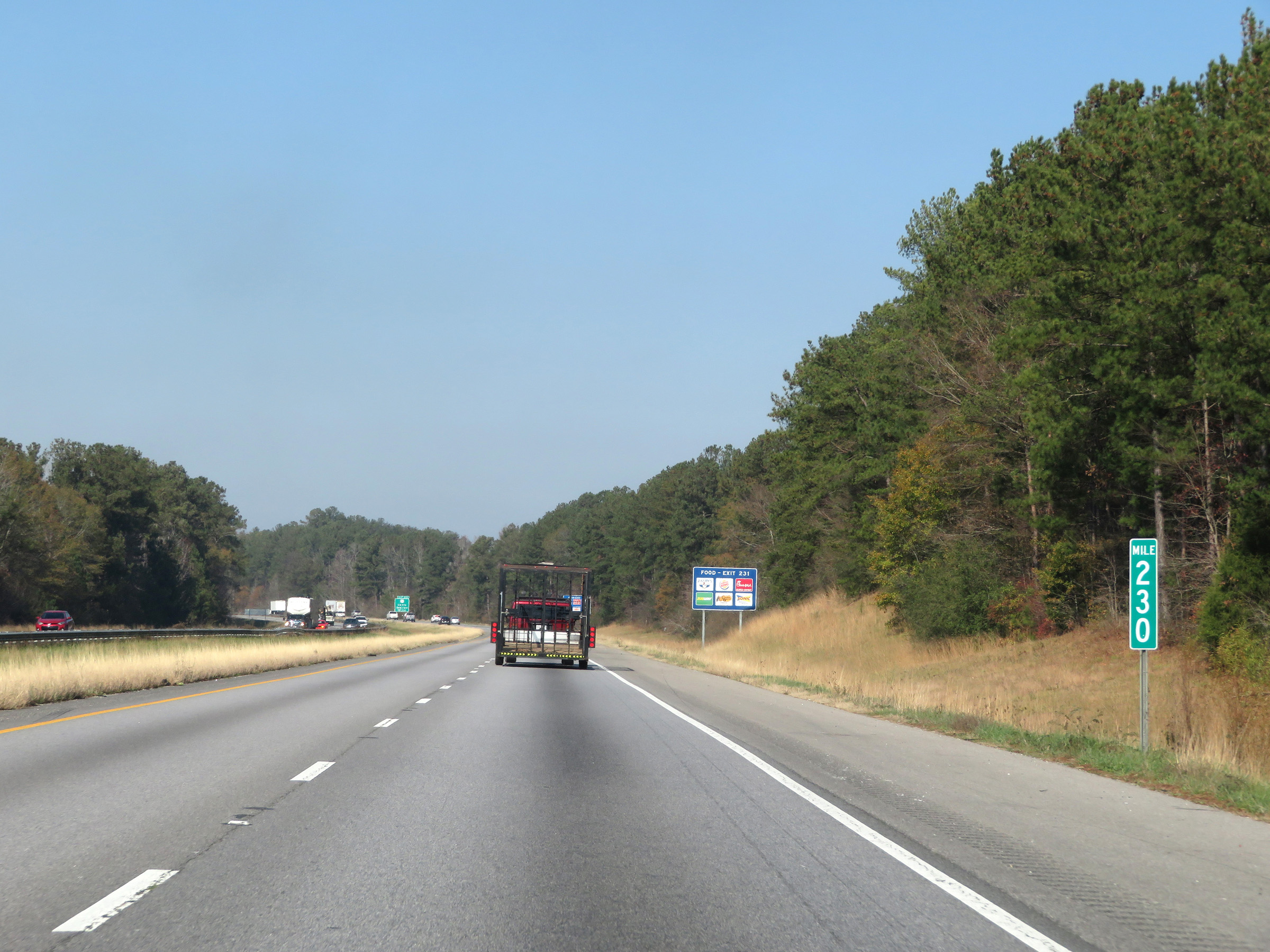 |
Interstate 65 North at mile marker 230. (Photo taken 12/8/20). |
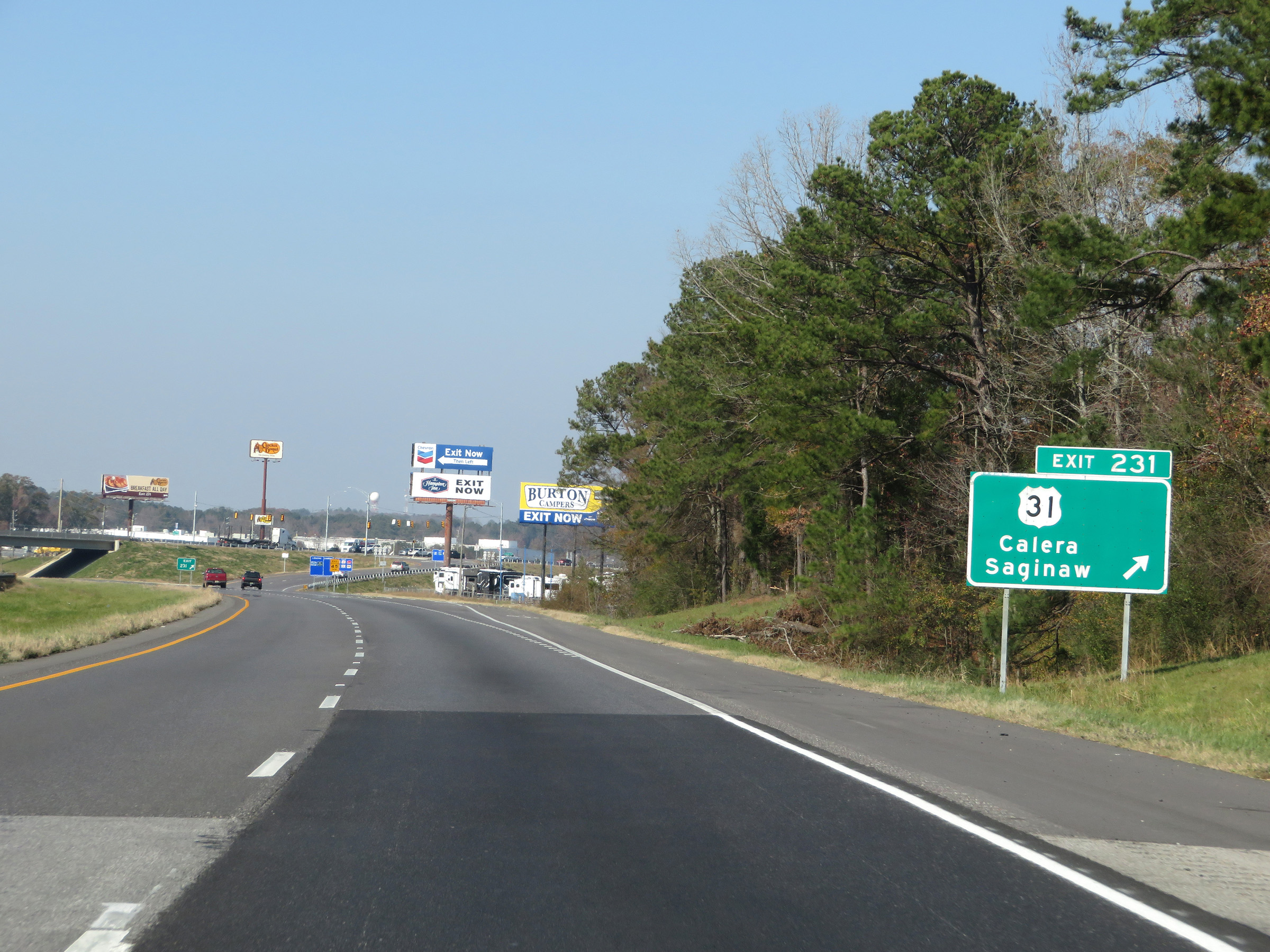 |
Interstate 65 North at Exit 231: US 31 - Calera / Saginaw (Photo taken 12/8/20). |
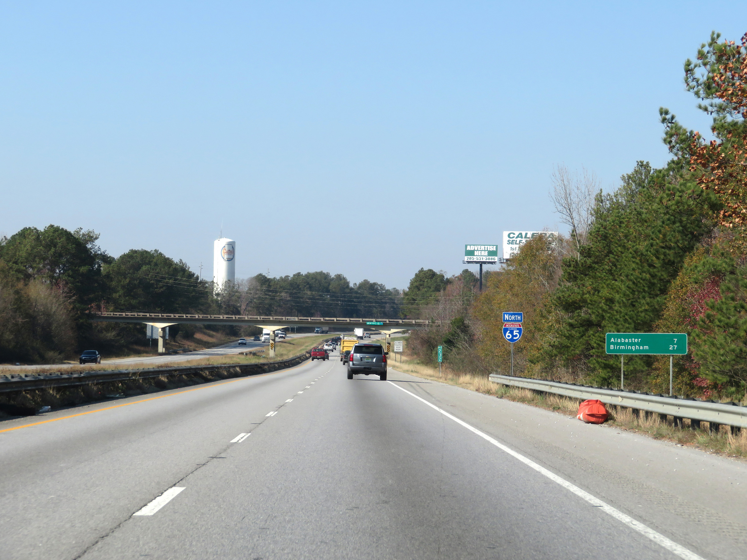 |
Another mileage sign at mile marker 232. It's 7 miles to Alabaster and 27 miles to Birmingham. (Photo taken 12/8/20). |
 |
Interstate 65 North approaching Exit 234 - 1 mile. (Photo taken 12/8/20). |
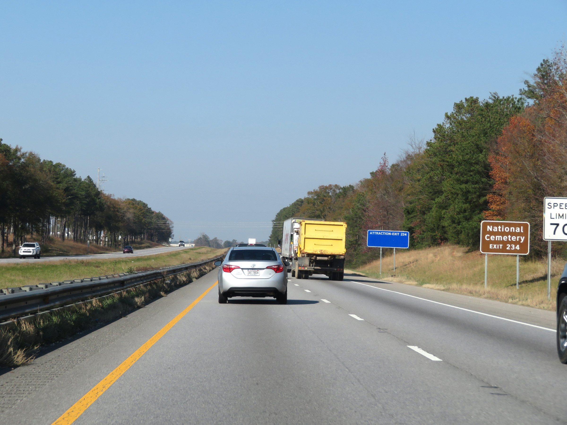 |
Take Exit 234 to the National Cemetery. (Photo taken 12/8/20). |
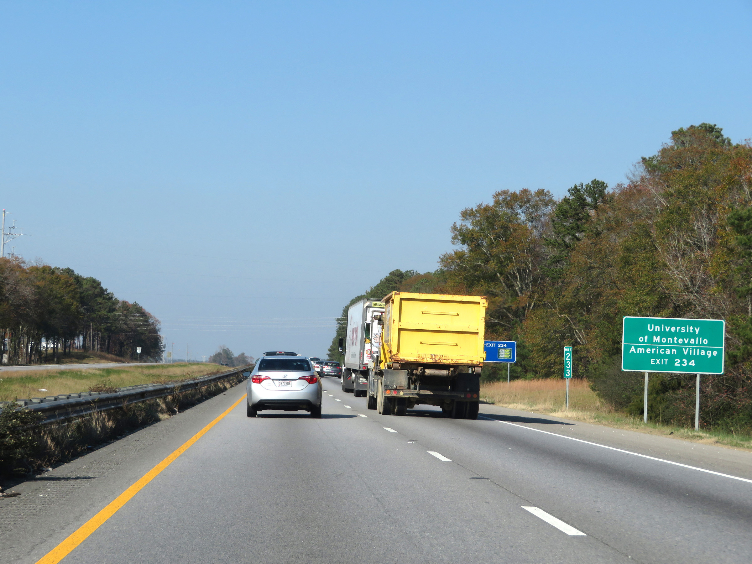 |
Also take Exit 234 to the University of Montevallo and American Village. (Photo taken 12/8/20). |
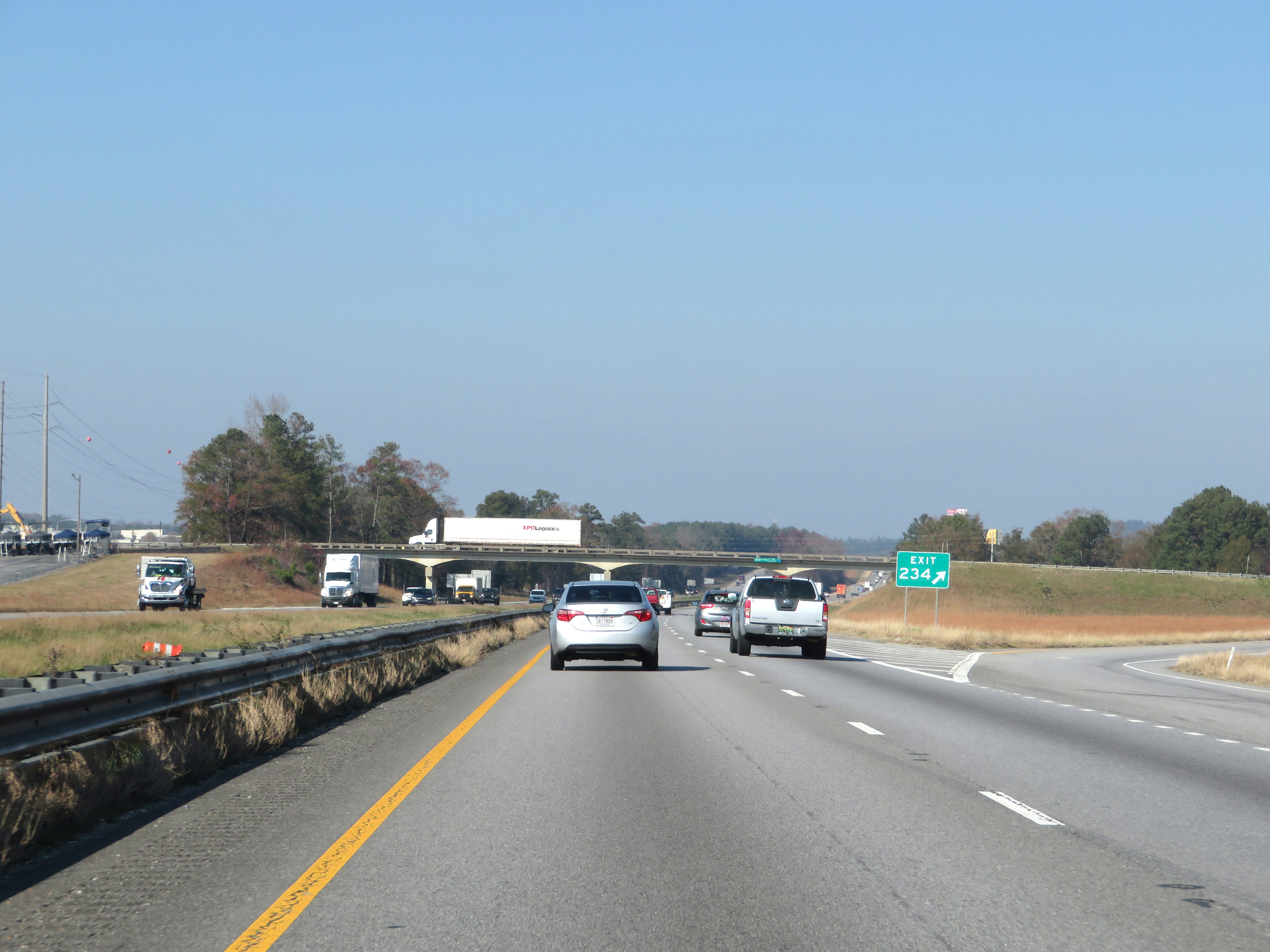 |
Interstate 65 North at Exit 234: Shelby County Airport (Photo taken 12/8/20). |
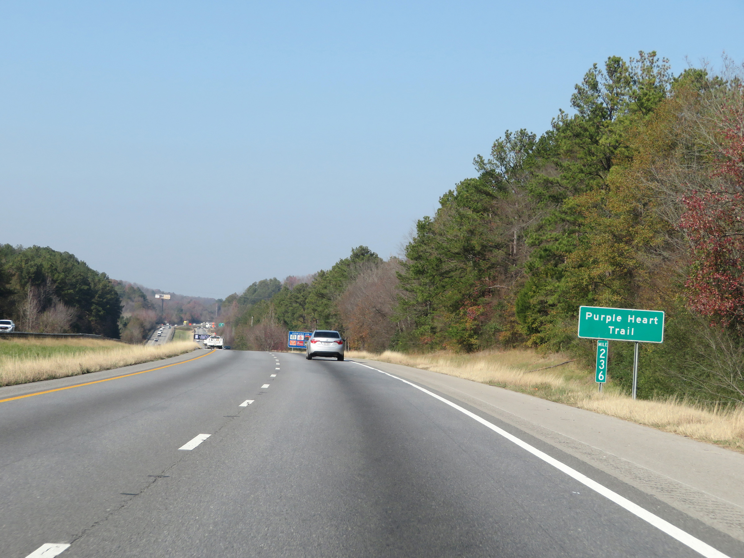 |
View on Interstate 65 North at mile marker 236. (Photo taken 12/8/20). |
 |
Approaching Exit 238, a third lane forms once again on Interstate 65 North. (Photo taken 12/8/20). |
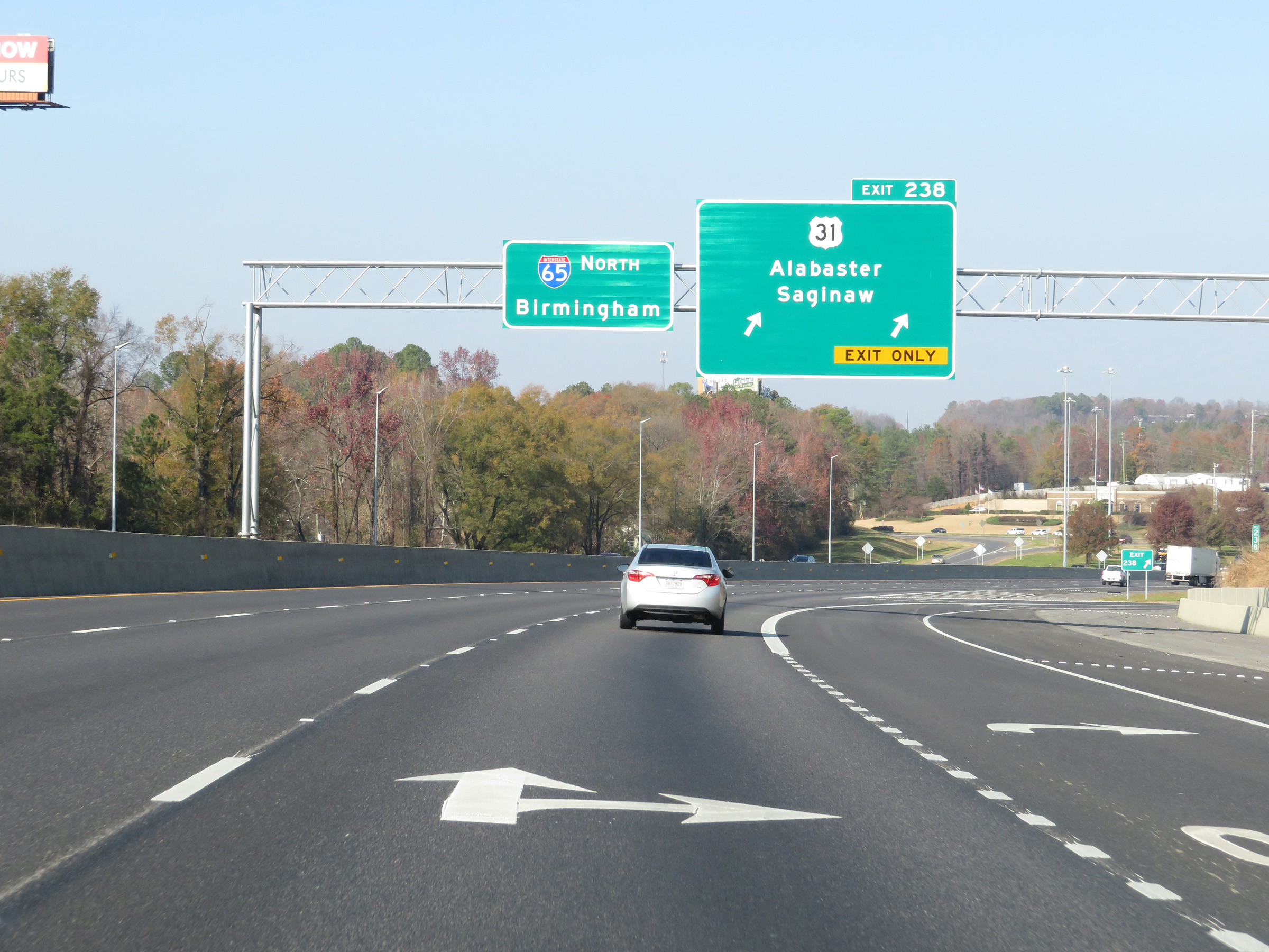 |
Interstate 65 North at Exit 238: US 31 - Alabaster / Saginaw (Photo taken 12/8/20). |
 |
Mileage sign on Interstate 65 North. It's 3 miles to Pelham and 20 miles to Birmingham. (Photo taken 12/8/20). |
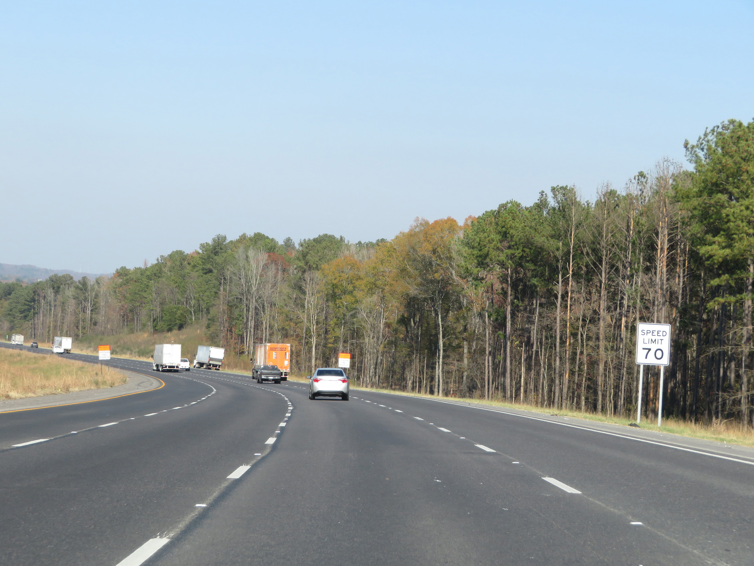 |
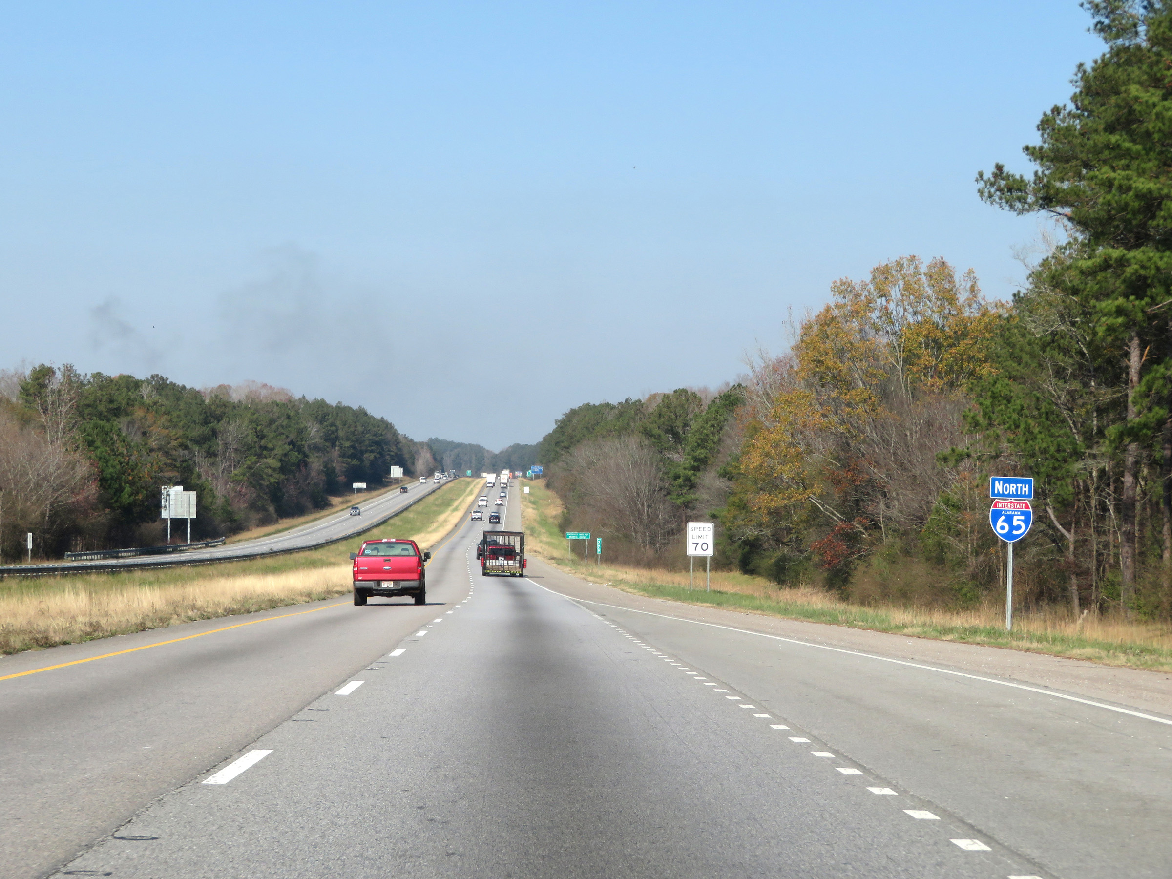
The speed limit remains the rural standard 70 mph. (Photo taken 12/8/20). |
 |
Take either of the next 2 exits to Pelham. (Photo taken 12/8/20). |
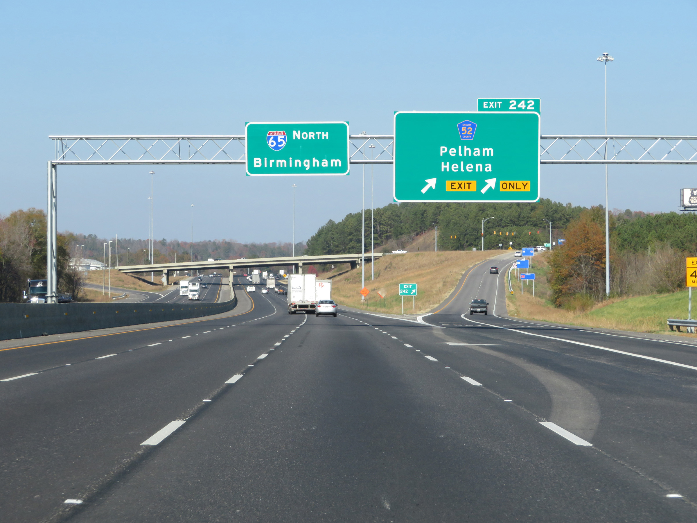 |
Interstate 65 North at Exit 242: CR 52 - Pelham / Helena (Photo taken 12/8/20). |
Section 4: Pelham (Exit 242) to Birmingham (Exit 263)
 |
Another state-named Interstate 65 North reassurance shield. (Photo taken 12/8/20). |
 |
Interstate 65 North at mile marker 243. (Photo taken 12/8/20). |
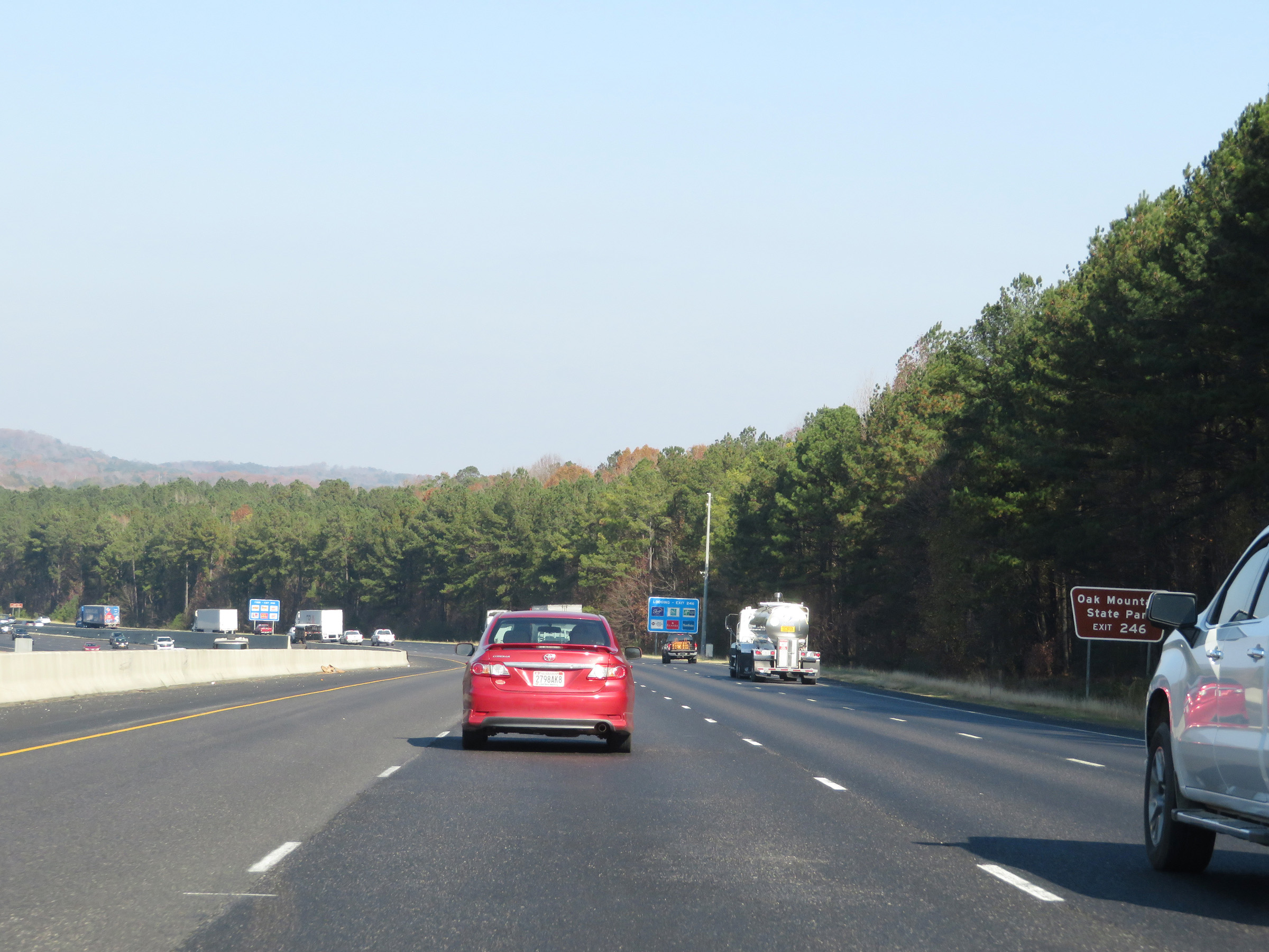 |
Take Exit 246 to Oak Mountain State Park. (Photo taken 12/8/20). |
 |
Interstate 65 North at Exit 246: AL 119 - Cahaba Valley Rd (Photo taken 12/8/20). |
 |
Take any of the next 3 exits to Hoover. (Photo taken 12/8/20). |
 |
Take Exit 247 to Helena and Hoover. (Photo taken 12/8/20). |
 |
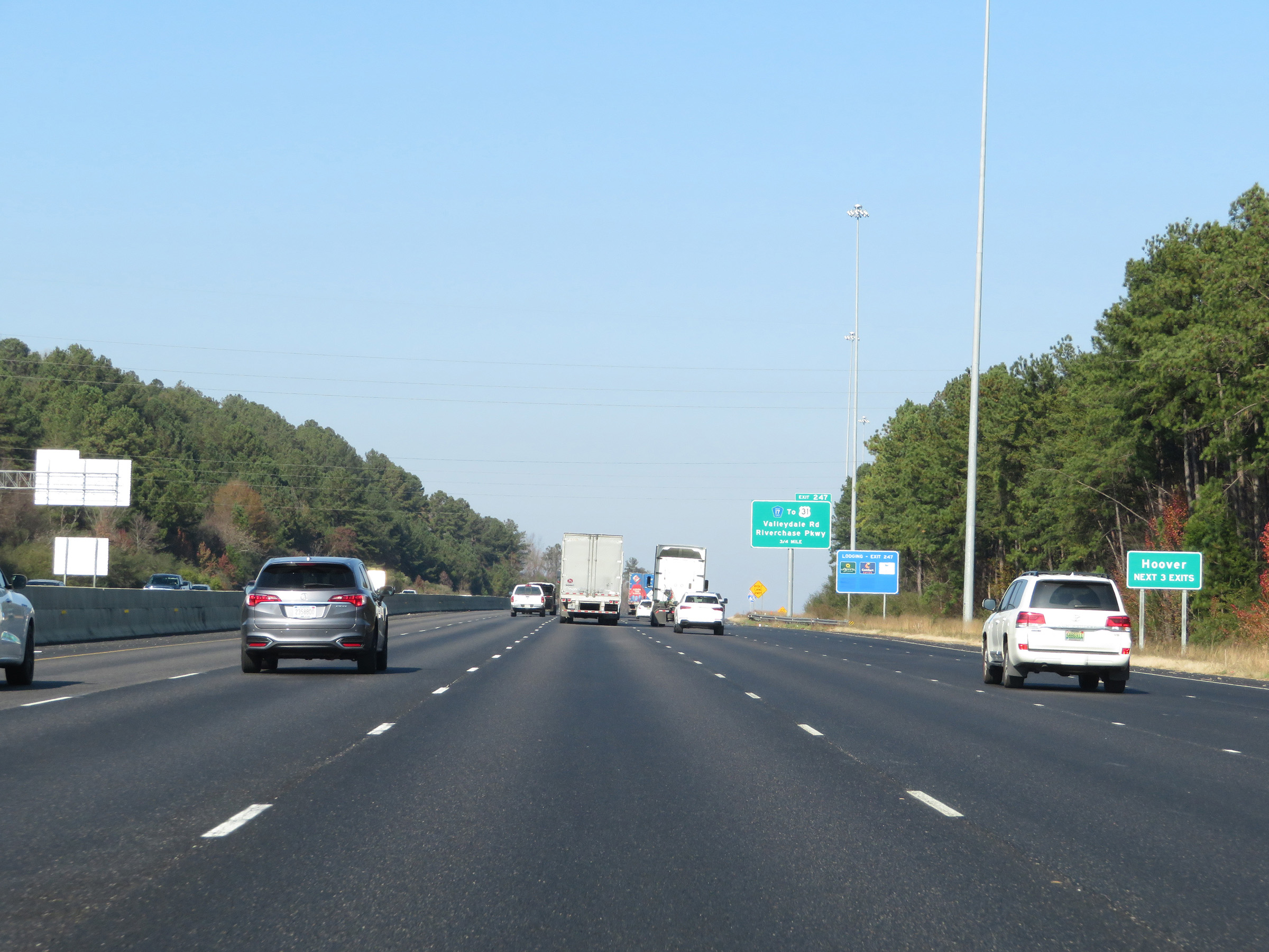
Interstate 65 North at Exit 247: CR 17 / To US 31 - Valleydale Rd / Riverchase Pkwy (Photo taken 12/8/20). |
 |
View on Interstate 65 North at mile marker 248. (Photo taken 12/8/20). |
 |
Interstate 65 North as it enters Jefferson County. (Photo taken 12/8/20). |
 |
Interstate 65 North approaching Exit 250 - 1 mile. (Photo taken 12/8/20). |
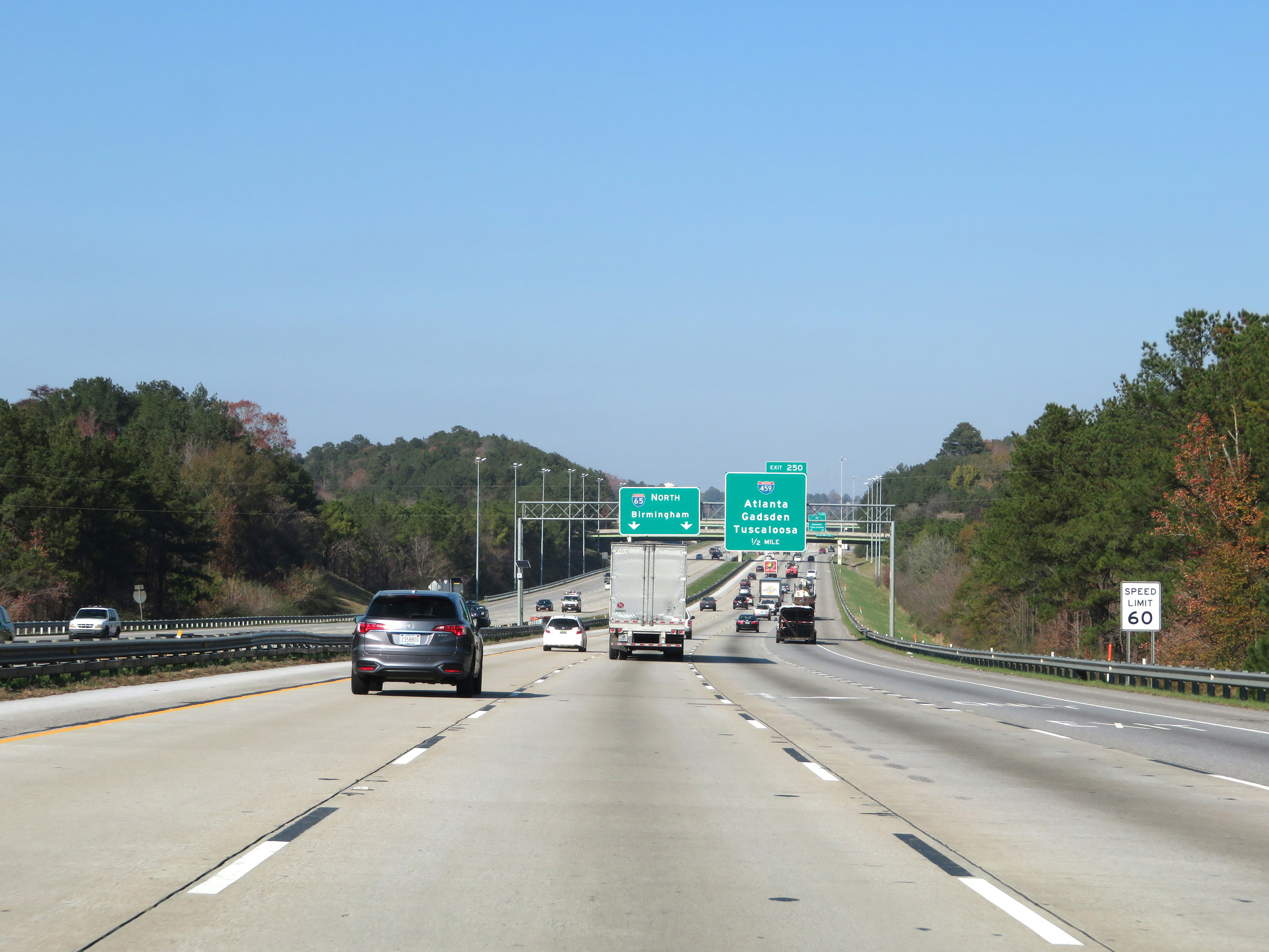 |
1/2 mile from the junction of Interstate 459 via Exit 250, the speed limit decreases to 60 mph. (Photo taken 12/8/20). |
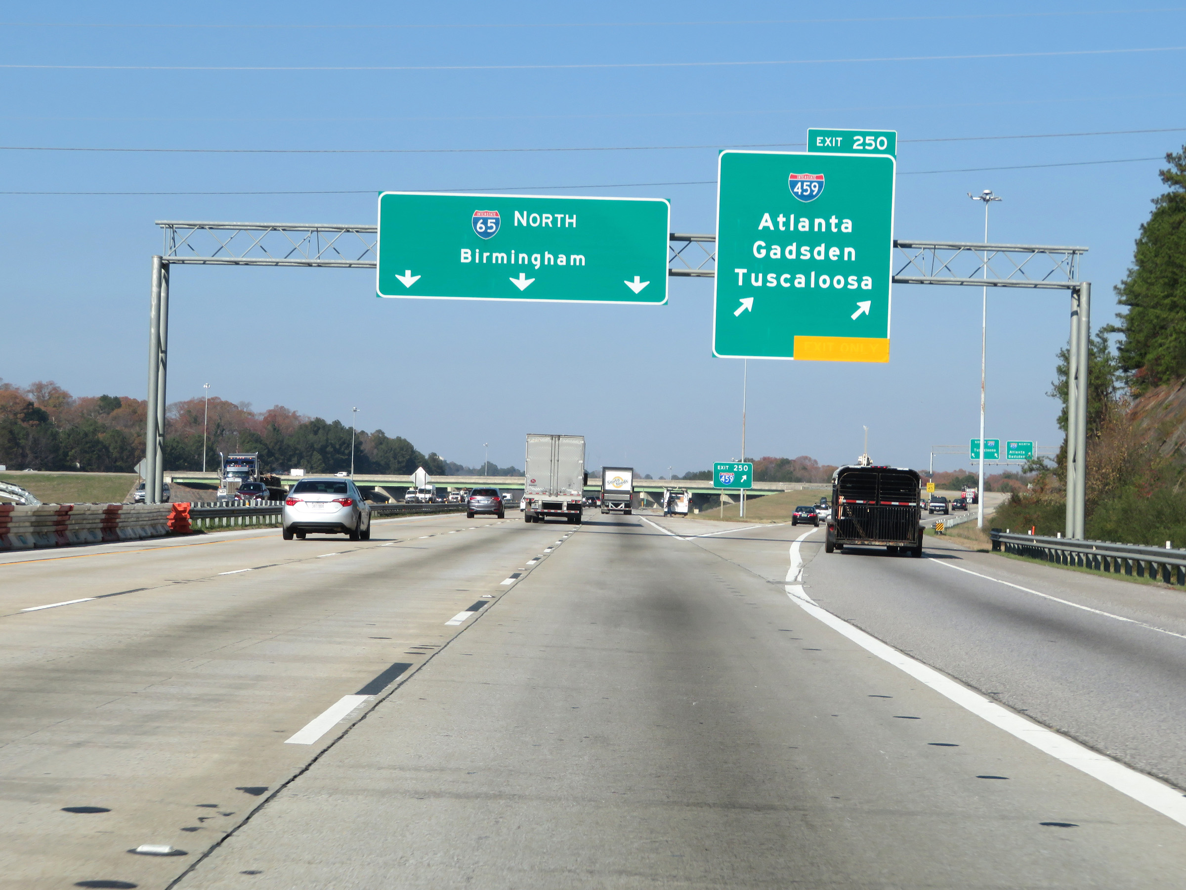 |
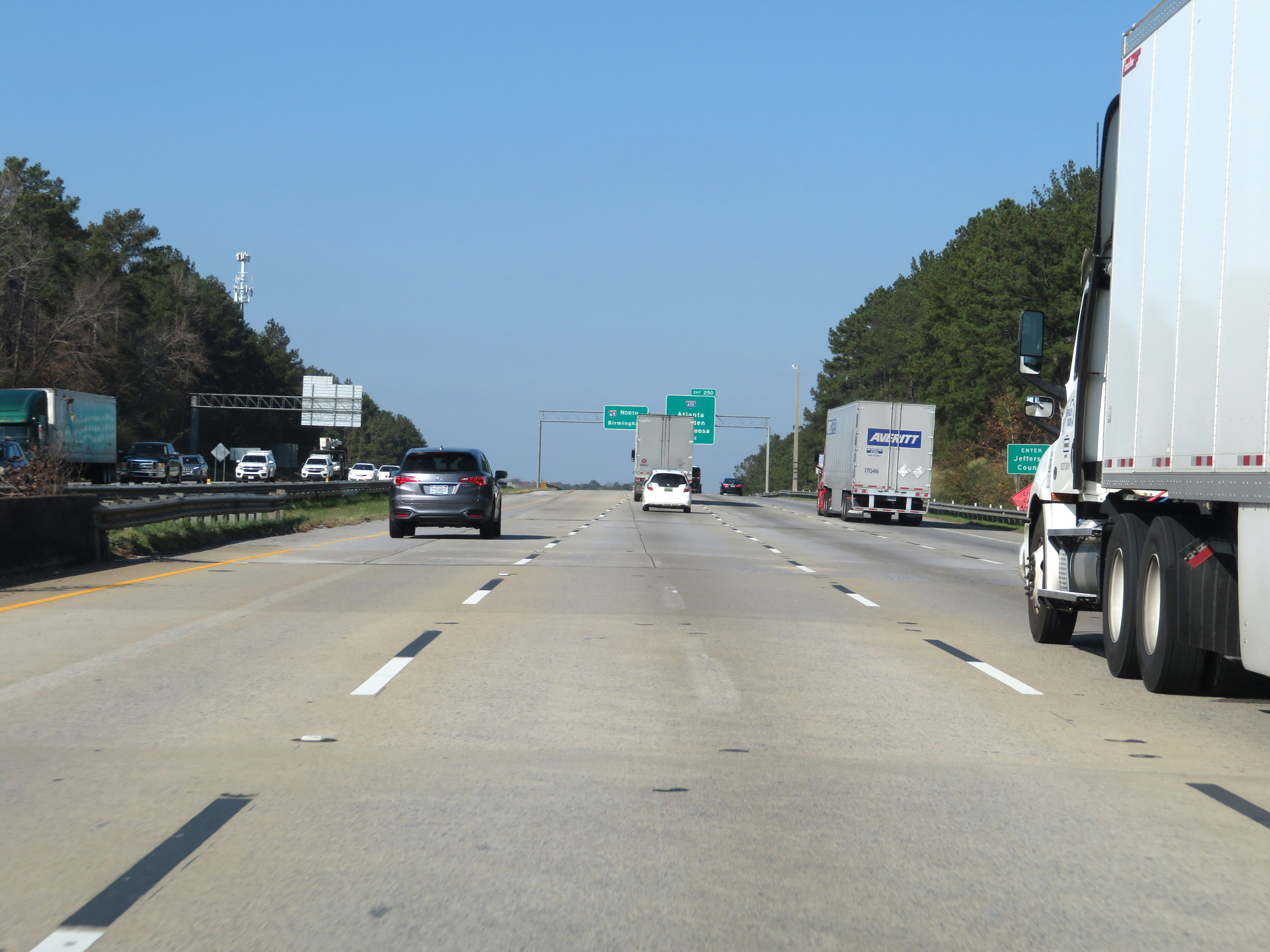
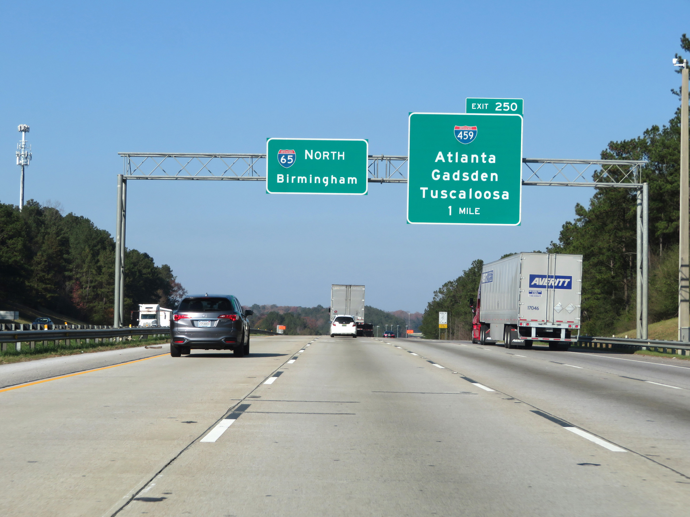
Interstate 65 North at Exit 250: Interstate 459 - Atlanta / Gadsden / Tuscaloosa (Photo taken 12/8/20). |
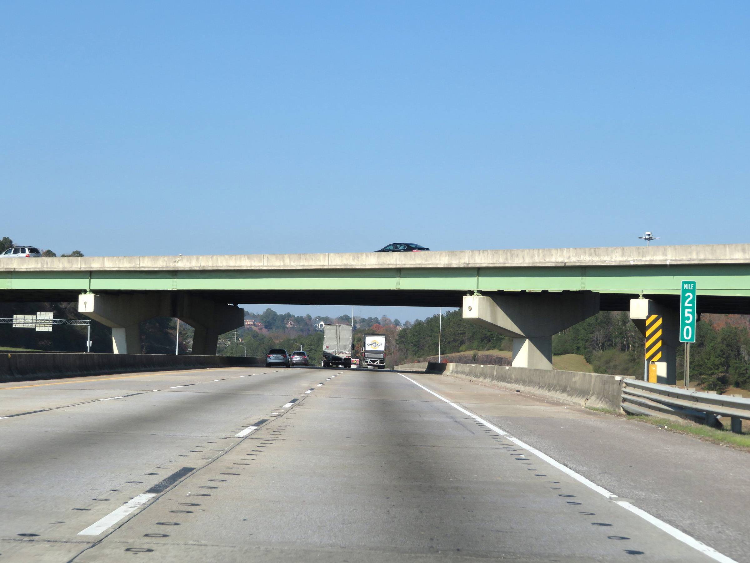 |
Interstate 65 North at mile marker 250, as it passes over Interstate 459 and under two of the ramps to it from I-65. (Photo taken 12/8/20). |
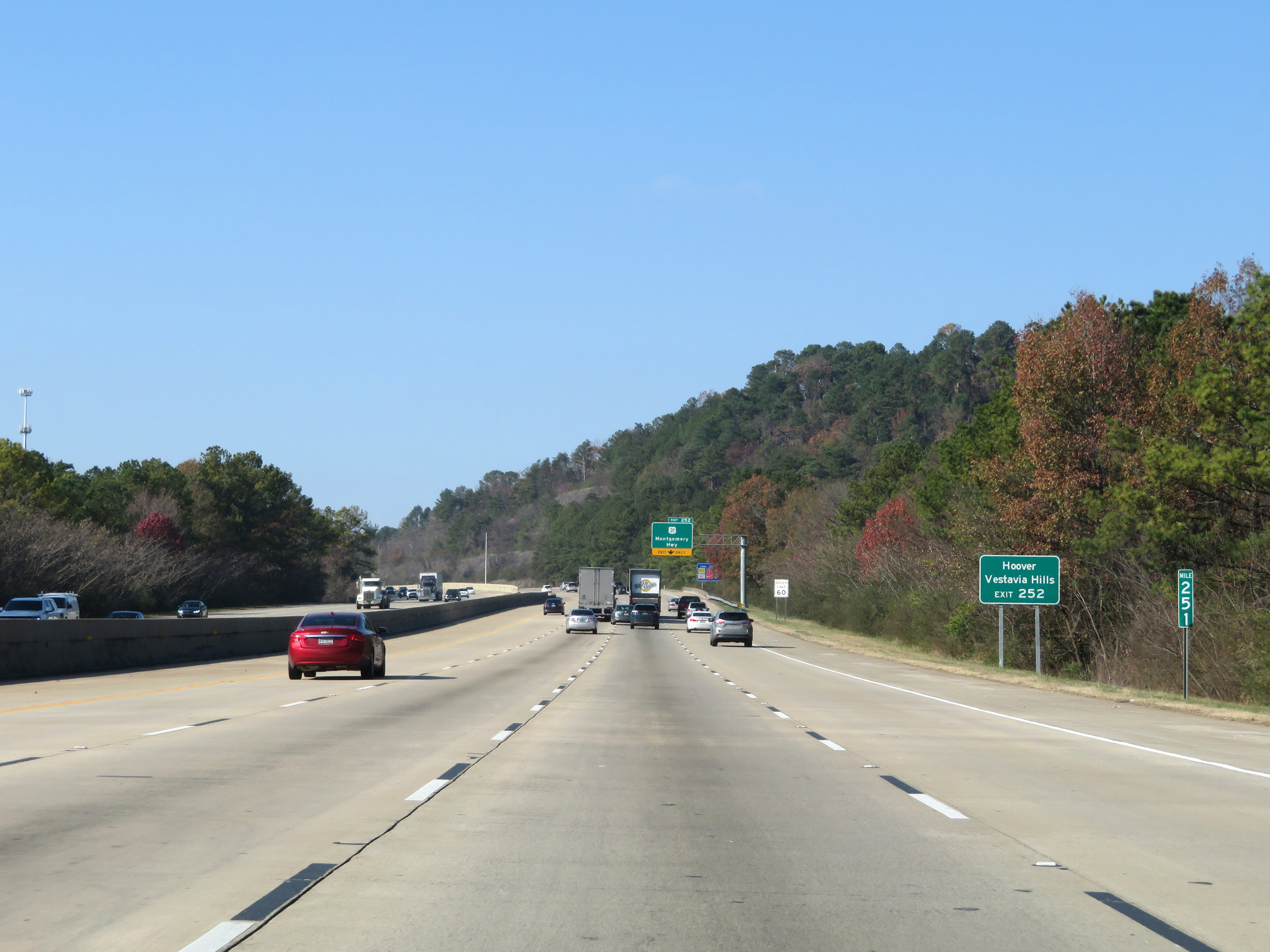 |
Take Exit 252 to Hoover and Vestavia Hills. (Photo taken 12/8/20). |
 |
Interstate 65 North at Exit 252: US 31 - Montgomery Hwy (Photo taken 12/8/20). |
 |
State-named Interstate 65 North reassurance shield as it nears Birmingham. (Photo taken 12/8/20). |
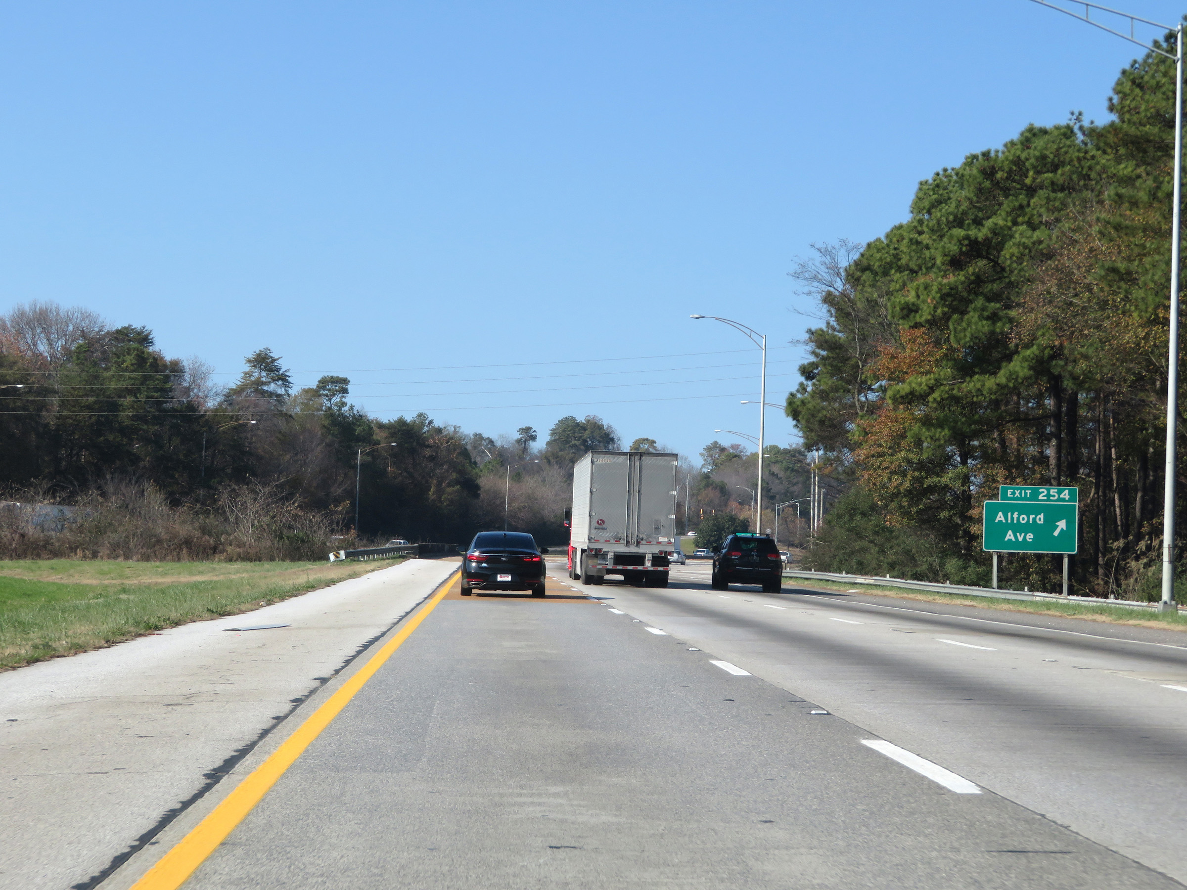 |
Interstate 65 North at Exit 254: Alford Ave (Photo taken 12/8/20). |
 |
Take Exit 255 to Samford University and Robert Trent Jones Golf Trail. (Photo taken 12/8/20). |
 |
Interstate 65 North at Exit 255: Lakeshore Dr (Photo taken 12/8/20). |
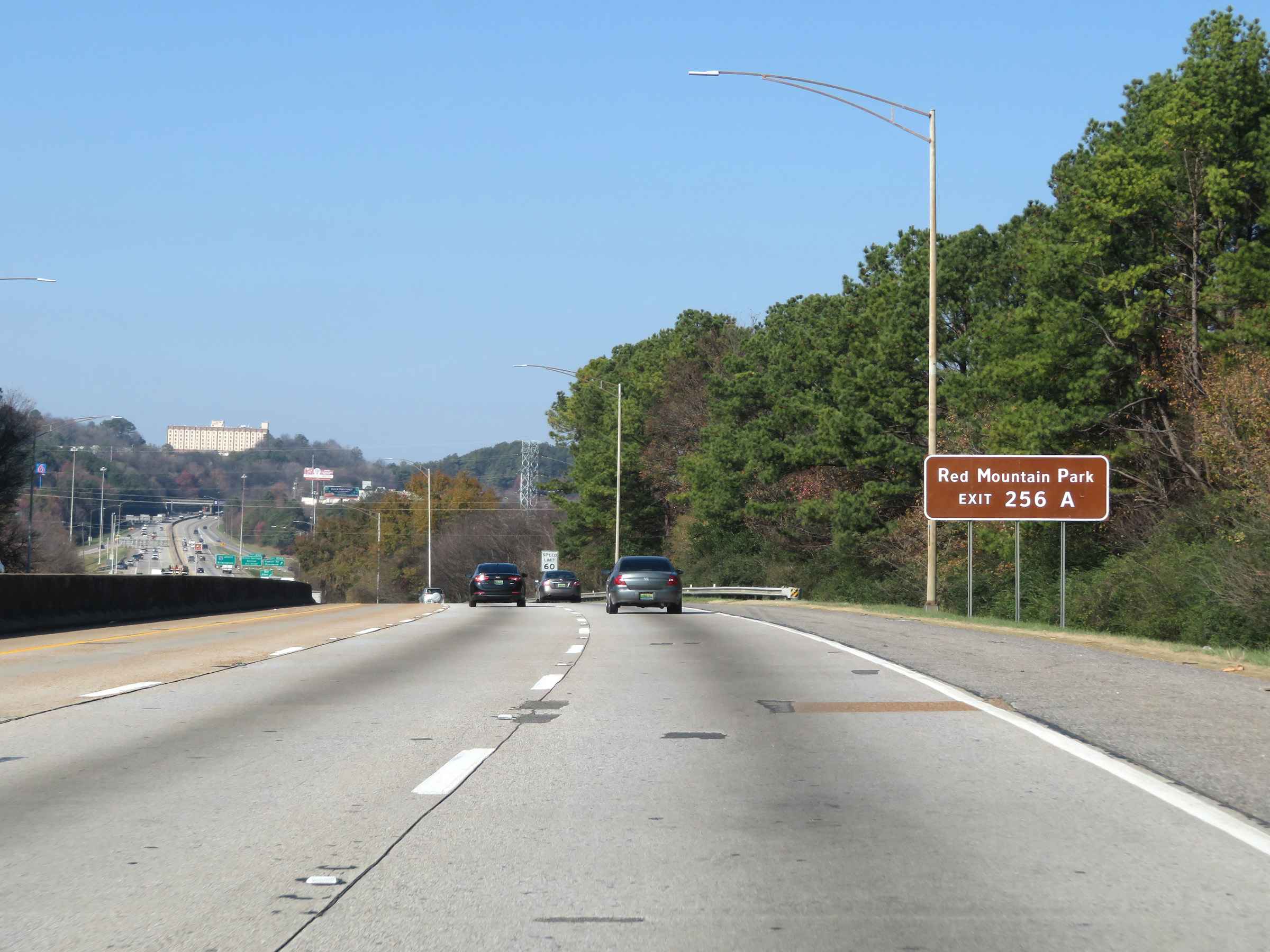 |
Take Exit 256A to Red Mountain Park. (Photo taken 12/8/20). |
 |
The speed limit remains 60 mph on Interstate 65 North. (Photo taken 12/8/20). |
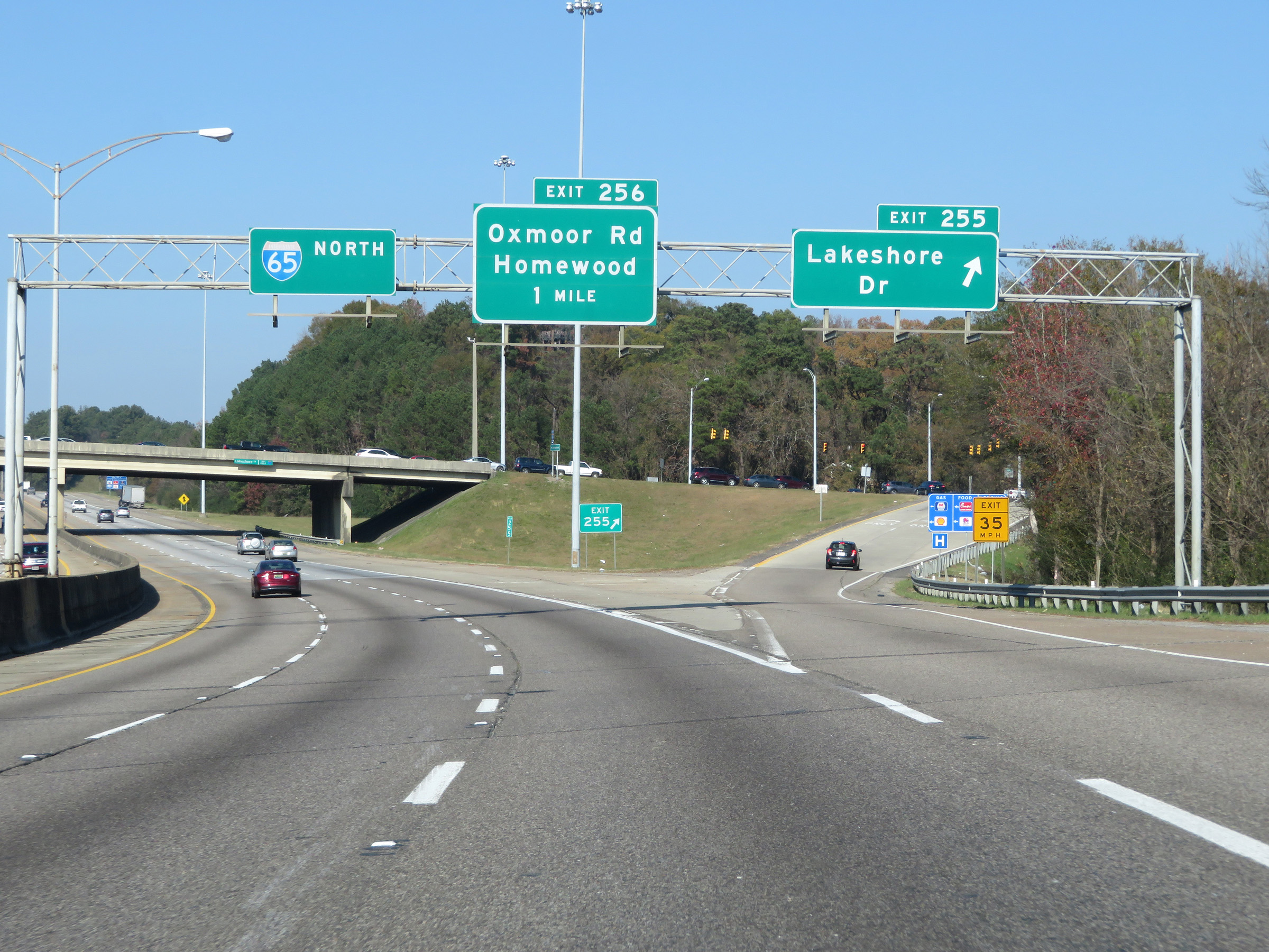
 |
Interstate 65 North at Exit 256A: Oxmoor Rd / Homewood (Photo taken 12/8/20). |
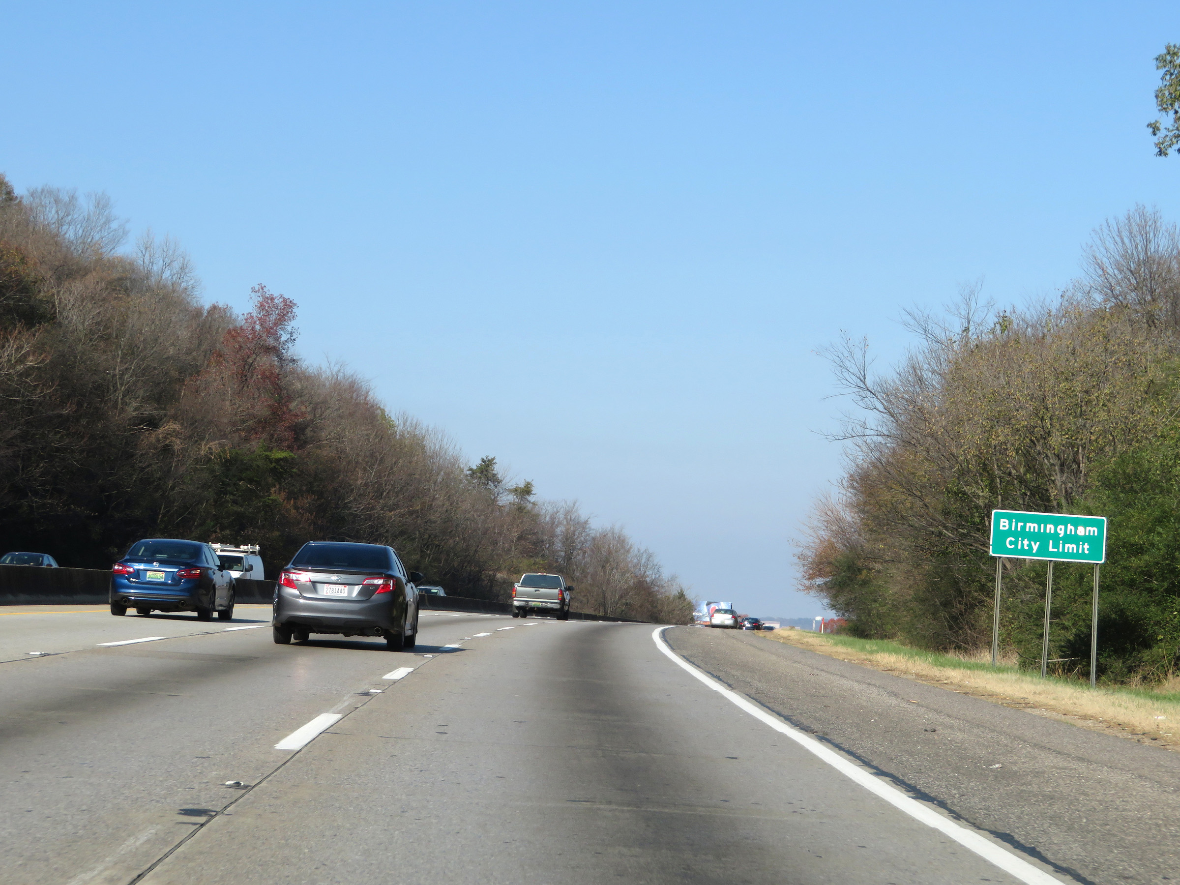 |
Interstate 65 North as it enters the Birmingham city limits. (Photo taken 12/8/20). |
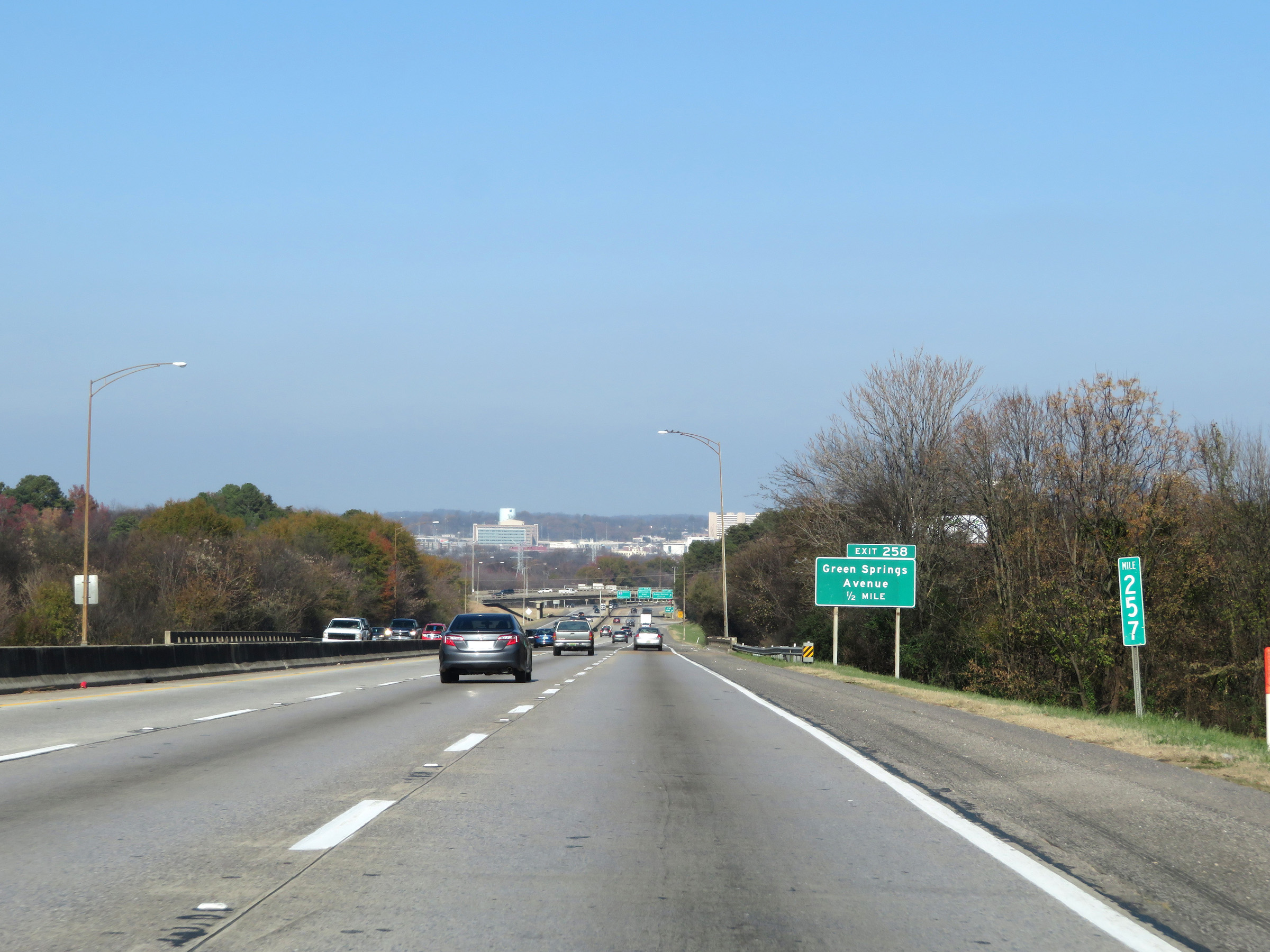 |
View on Interstate 65 North at mile marker 257. (Photo taken 12/8/20). |
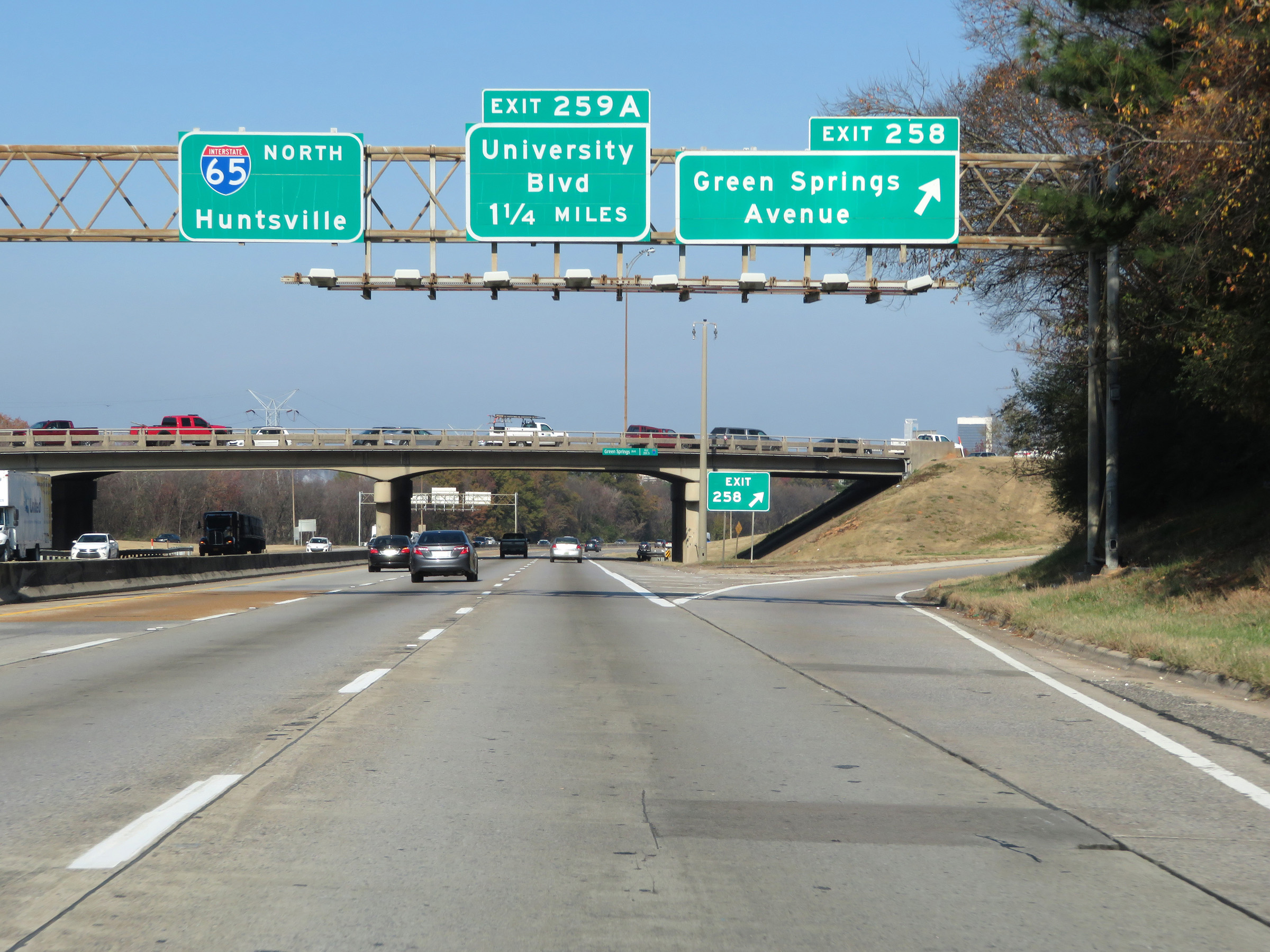 |
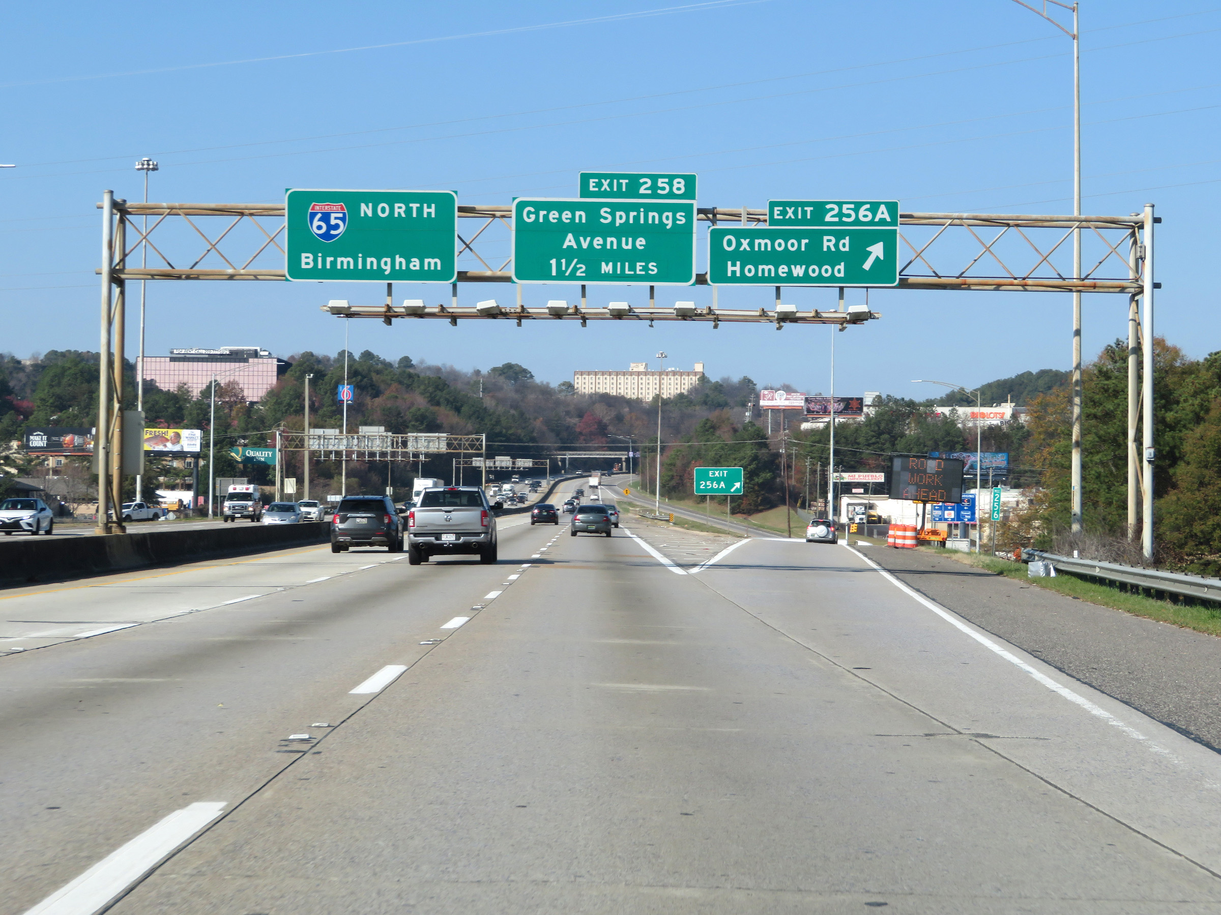
Interstate 65 North at Exit 258: Green Springs Avenue (Photo taken 12/8/20). |
 |
Advance signage for Exit 259 as downtown Birmingham comes into view. (Photo taken 12/8/20). |
 |
Take Exit 259 to the University of Alabama at Birmingham. (Photo taken 12/8/20). |
 |
Interstate 65 North at Exit 259: University Blvd (Photo taken 12/8/20). |
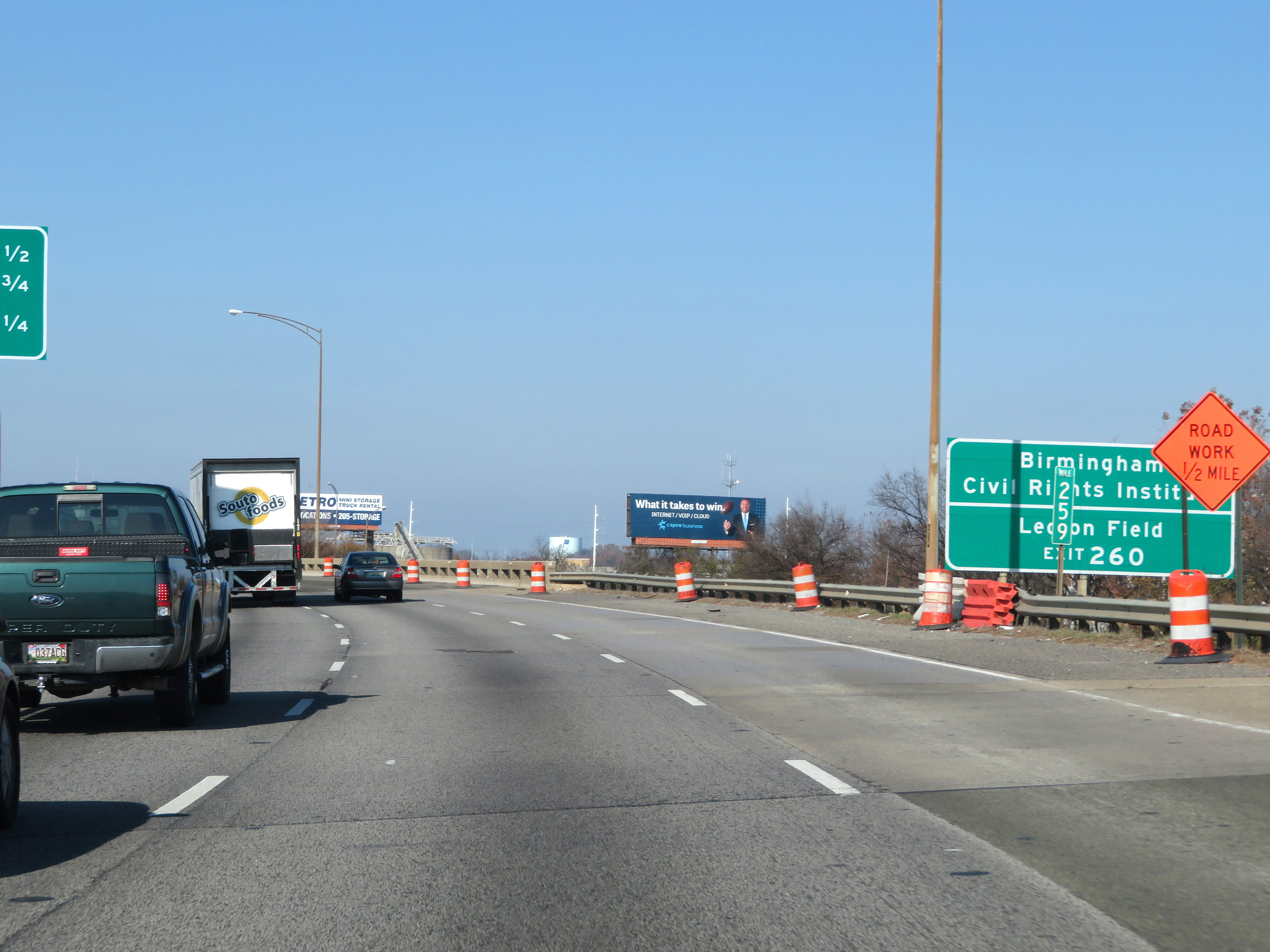 |
Take Exit 260 to the Birmingham Civil Rights Institute and Legion Field. (Photo taken 12/8/20). |
 |
Interstate 65 North at Exit 260B: US 11 - 3rd Ave N (Photo taken 12/8/20). |
 |
Interstate 65 North at Exit 261A: 17th St N / Downtown (Photo taken 12/8/20). |
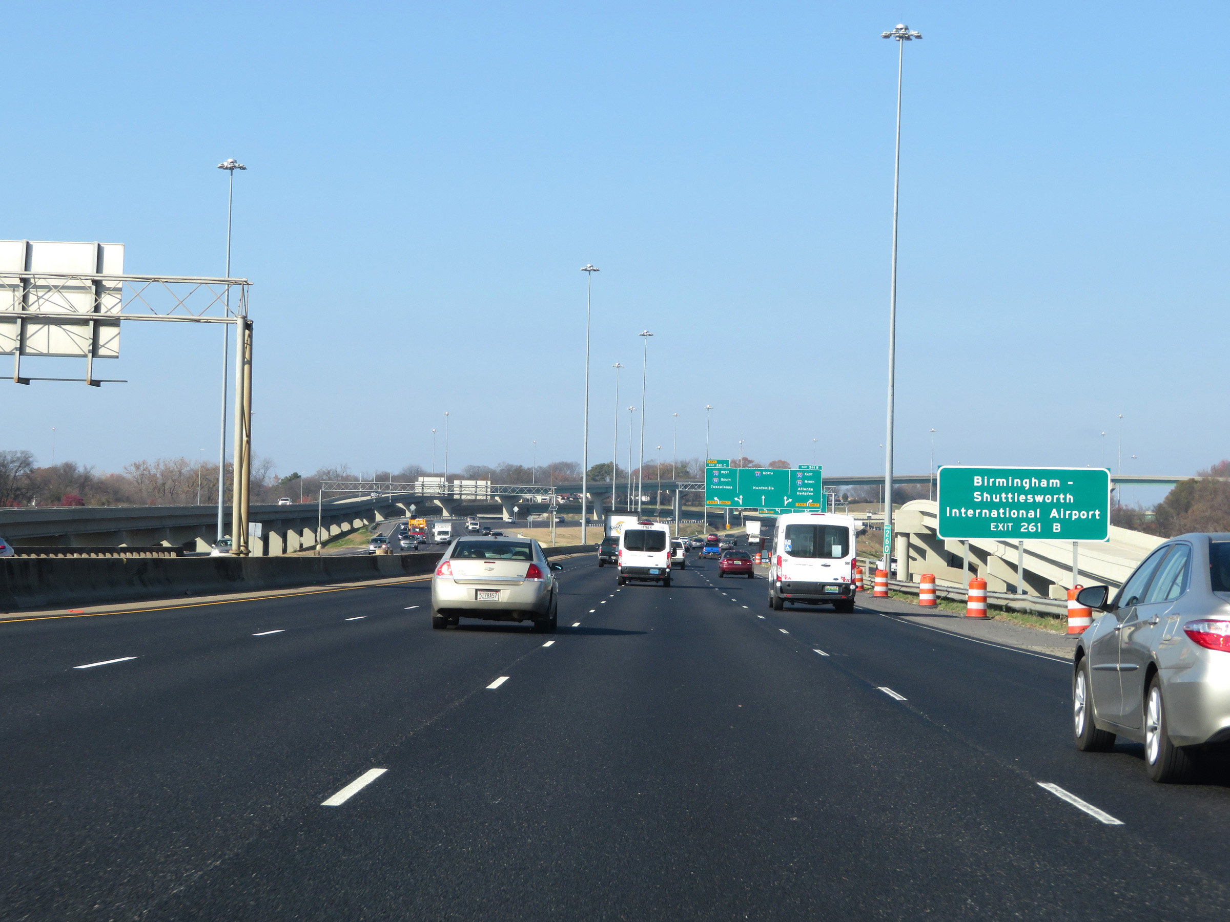 |
Take Exit 261B (Interstate 20 East / Interstate 59 North) to Birmingham-Shuttlesworth International Airport. (Photo taken 12/8/20). |
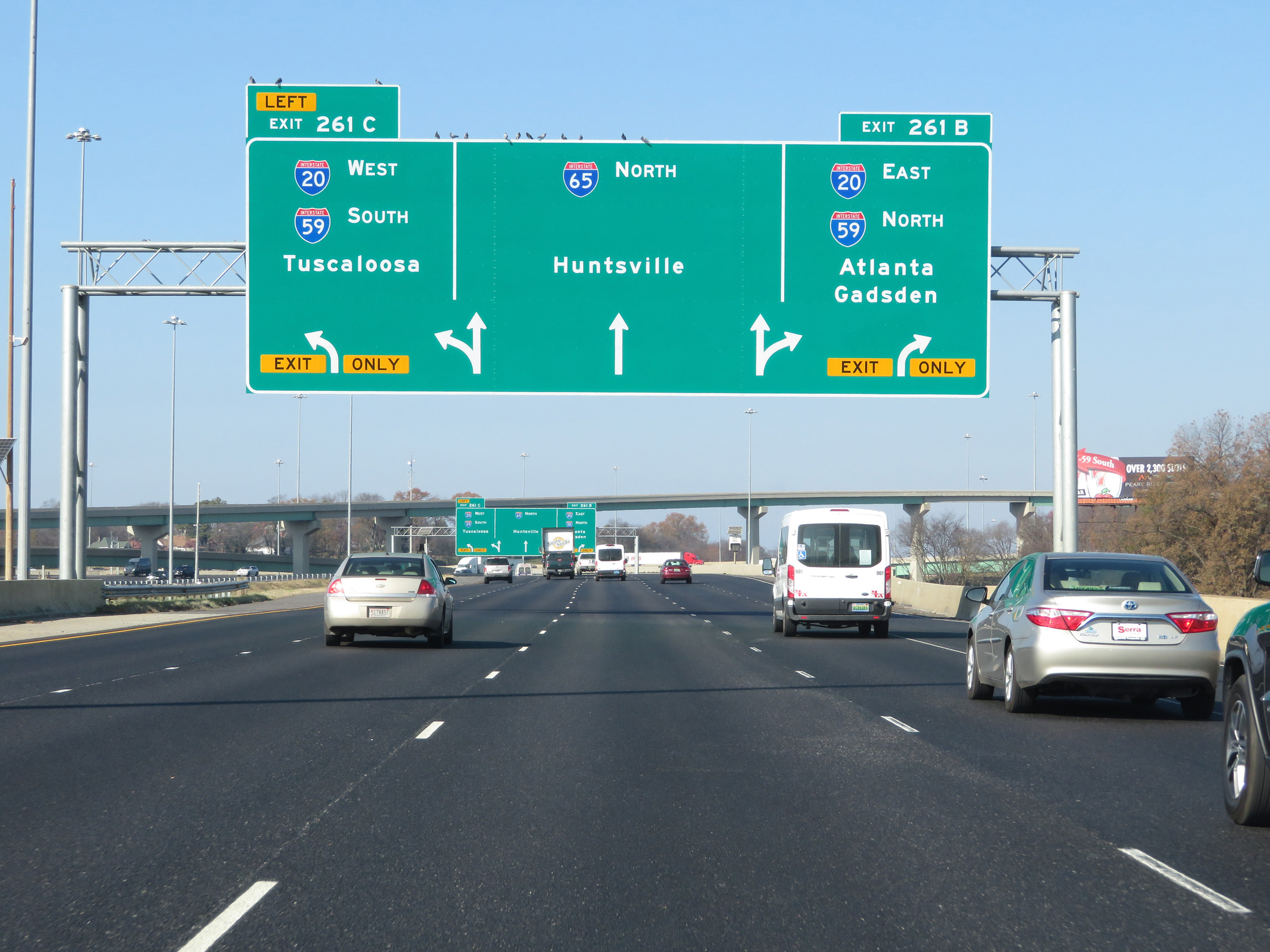 |
Very nice APL (Arrow Per Lane) signage in downtown Birmingham approaching the junction of Interstate 20 / Interstate 59. (Photo taken 12/8/20). |
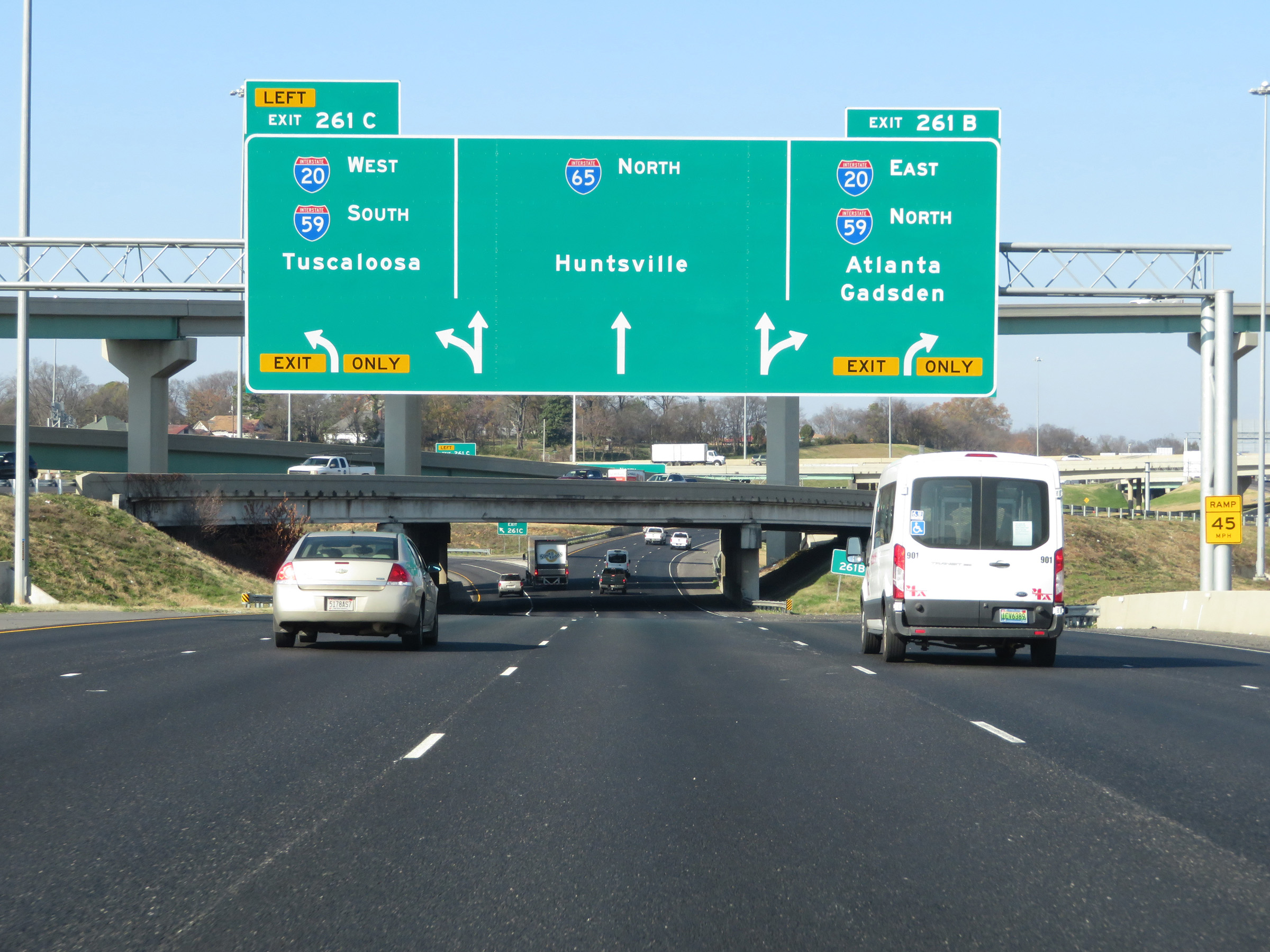 |
Interstate 65 North at Exit 261B: Interstate 20 East / Interstate 59 North - Atlanta / Gadsden; Exit 261C: Interstate 20 West / Interstate 59 South - Tuscaloosa (Photo taken 12/8/20). |
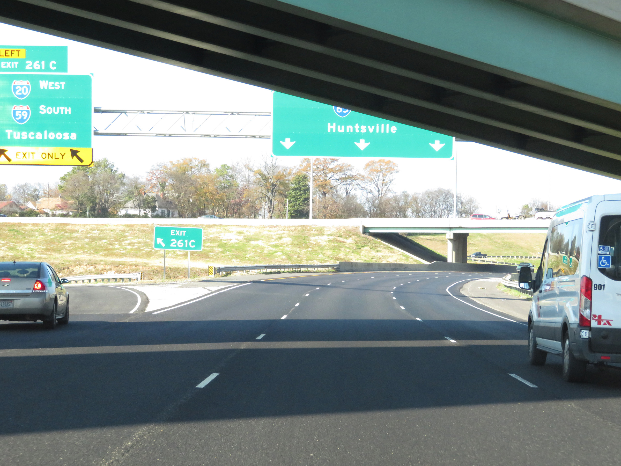 |
A closer view of the ramp to Interstate 20 West / Interstate 59 South via Exit 261C. (Photo taken 12/8/20). |
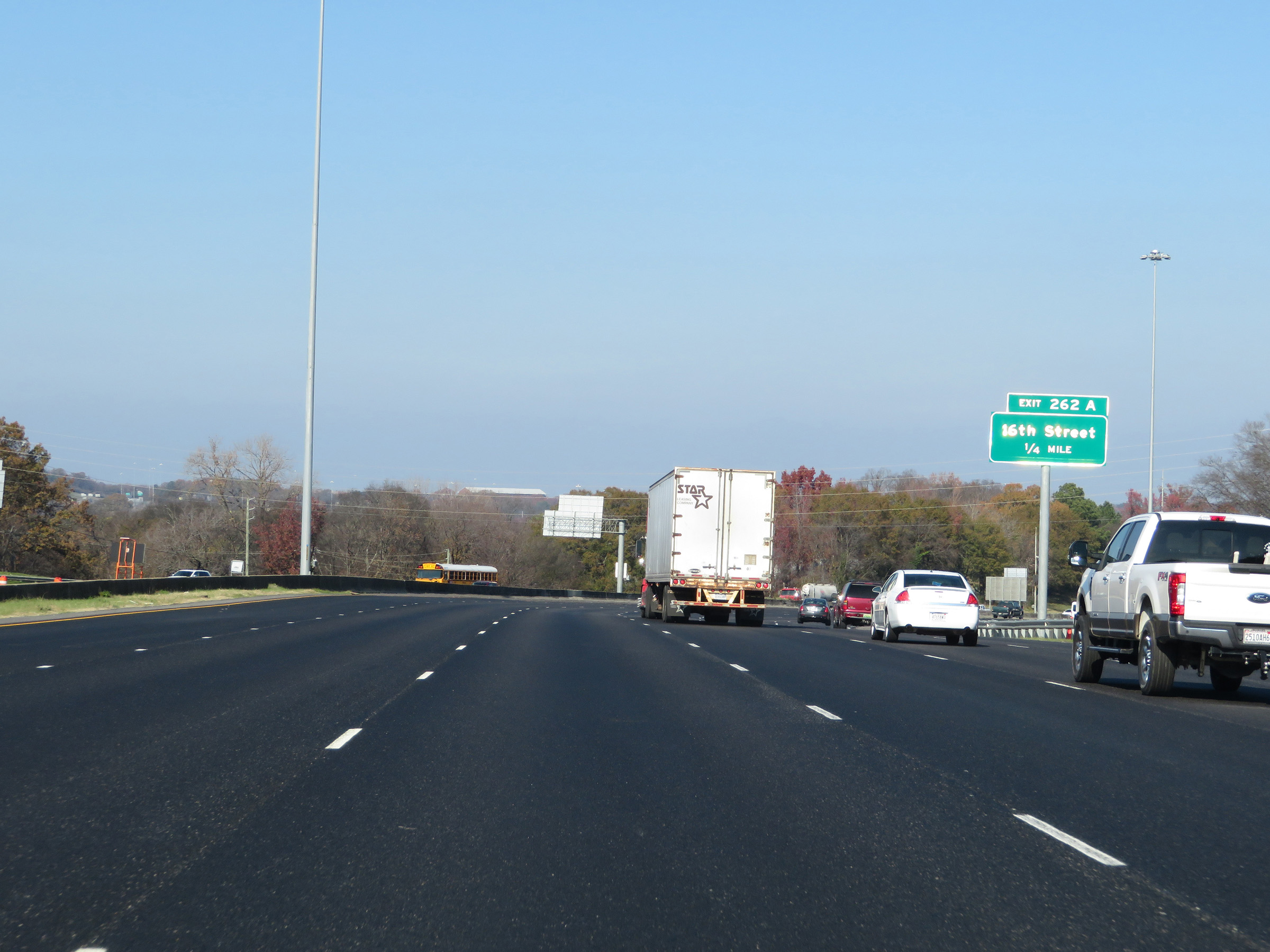 |
Advance signage for Exit 262A. (Photo taken 12/8/20). |
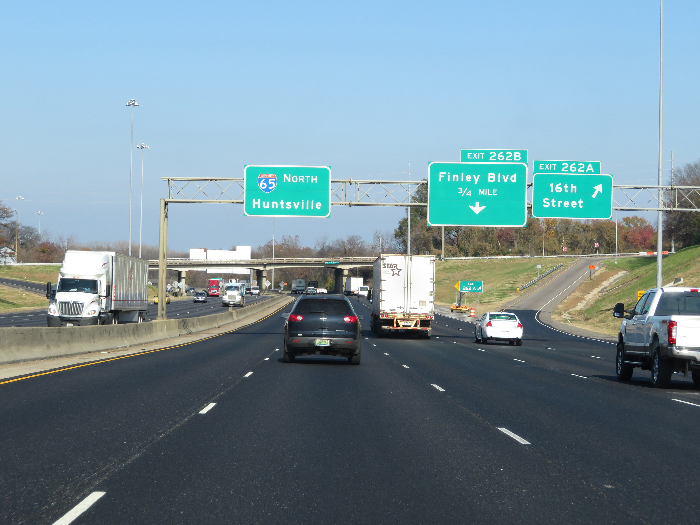 |
Interstate 65 North at Exit 262A: 16th Street (Photo taken 12/8/20). |
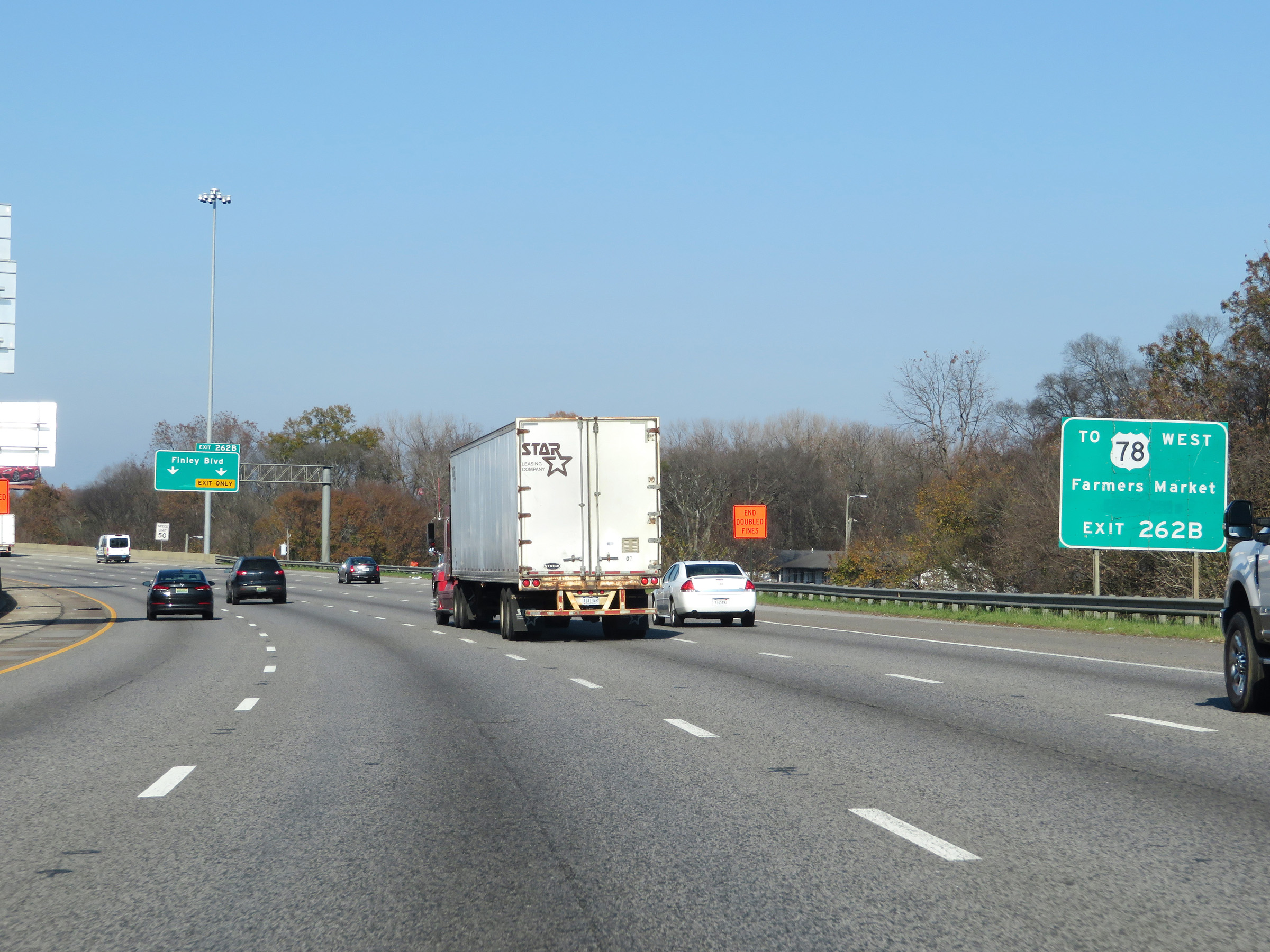 |
Take Exit 262B to US 78 West and the Farmers Market. (Photo taken 12/8/20). |
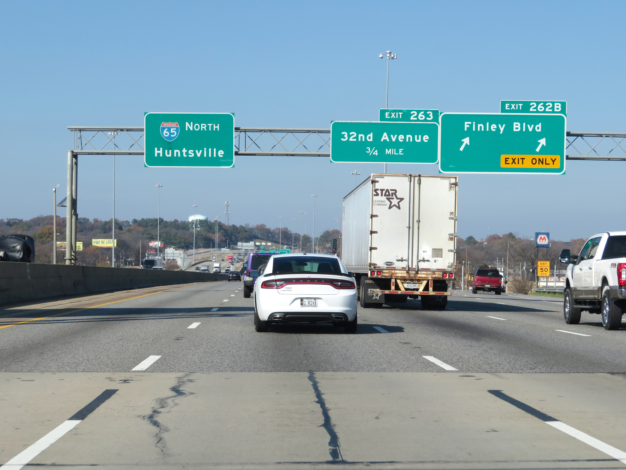 |
Interstate 65 North at Exit 262B: Finley Blvd (Photo taken 12/8/20). |
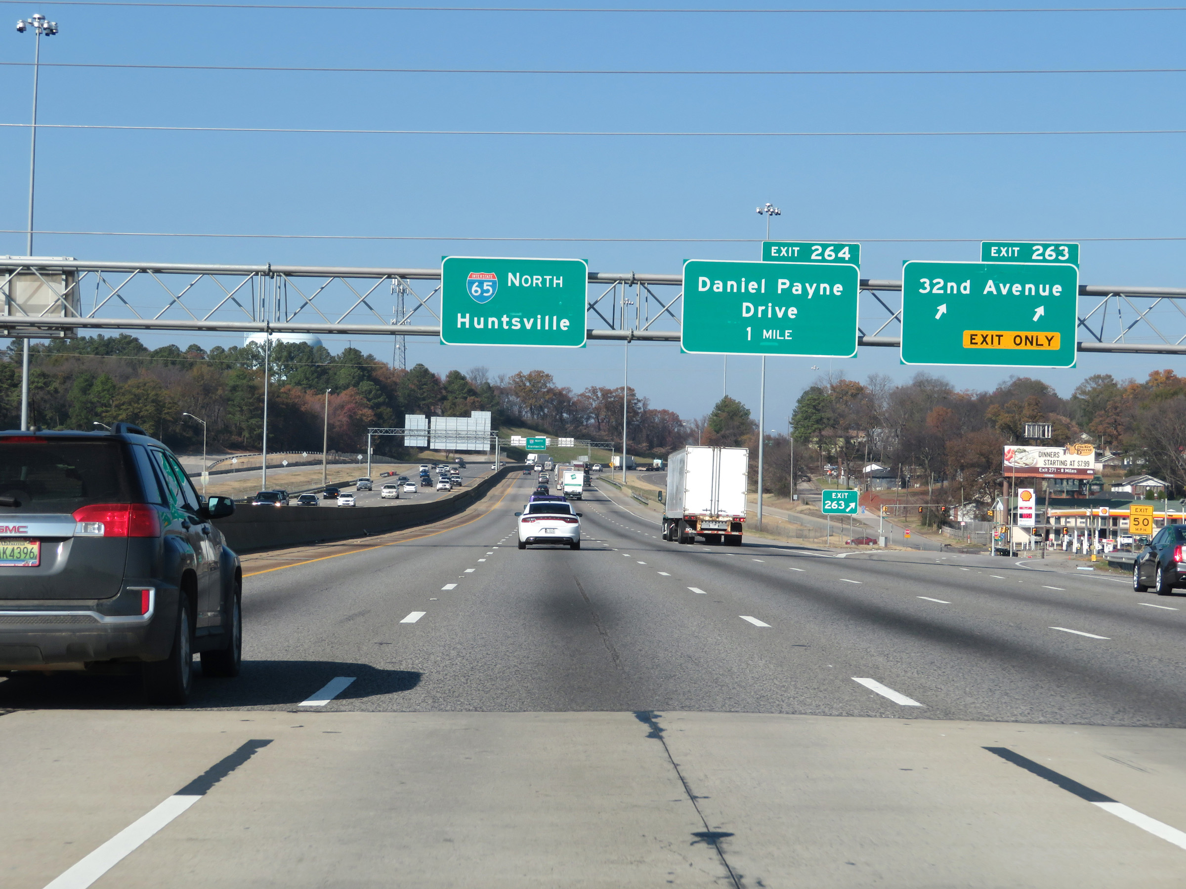 |
Interstate 65 North at Exit 263: 32nd Avenue (Photo taken 12/8/20). |
Section 5: Birmingham (Exit 263) to Cullman (Exit 310)
 |
In addition to the 60 mph maximum speed limit, a 45 mph minimum speed limit is also posted at this point. (Photo taken 12/8/20). |
 |
Interstate 65 North at Exit 264: Daniel Payne Drive (Photo taken 12/8/20). |
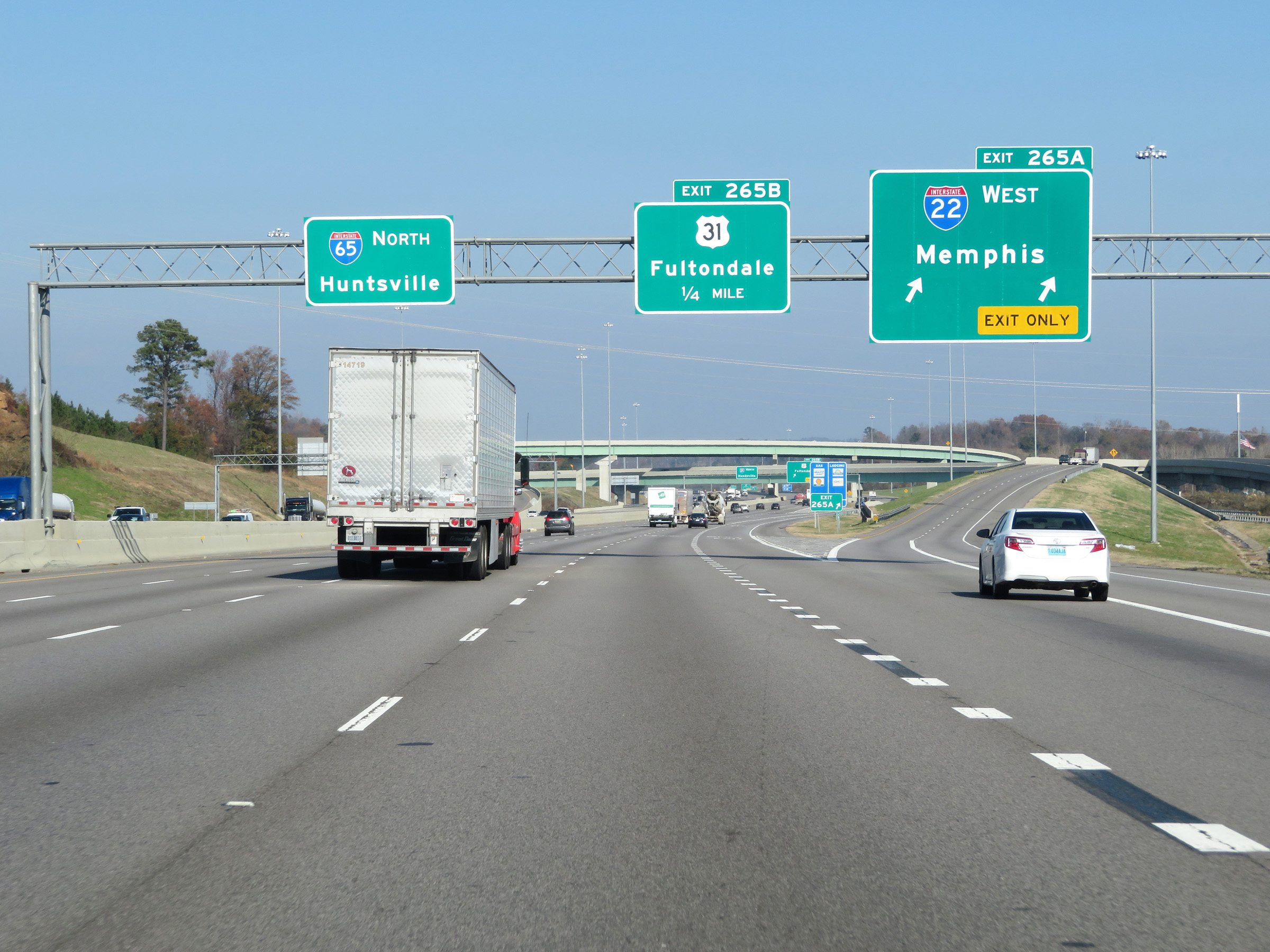 |
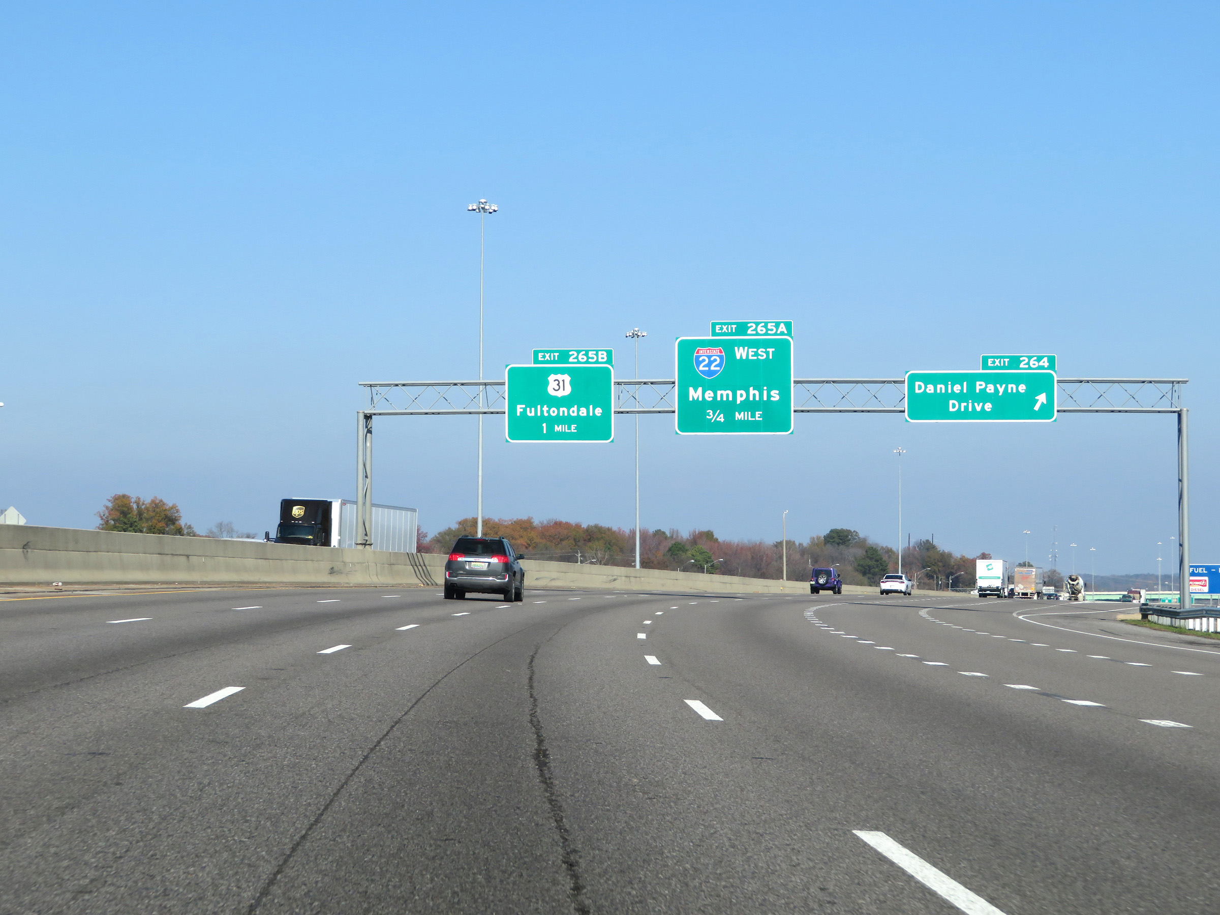
Interstate 65 North at Exit 265A: Interstate 22 West - Memphis (Photo taken 12/8/20). |
 |
A closer view of the ramp to Interstate 22 West via Exit 265A. (Photo taken 12/8/20). |
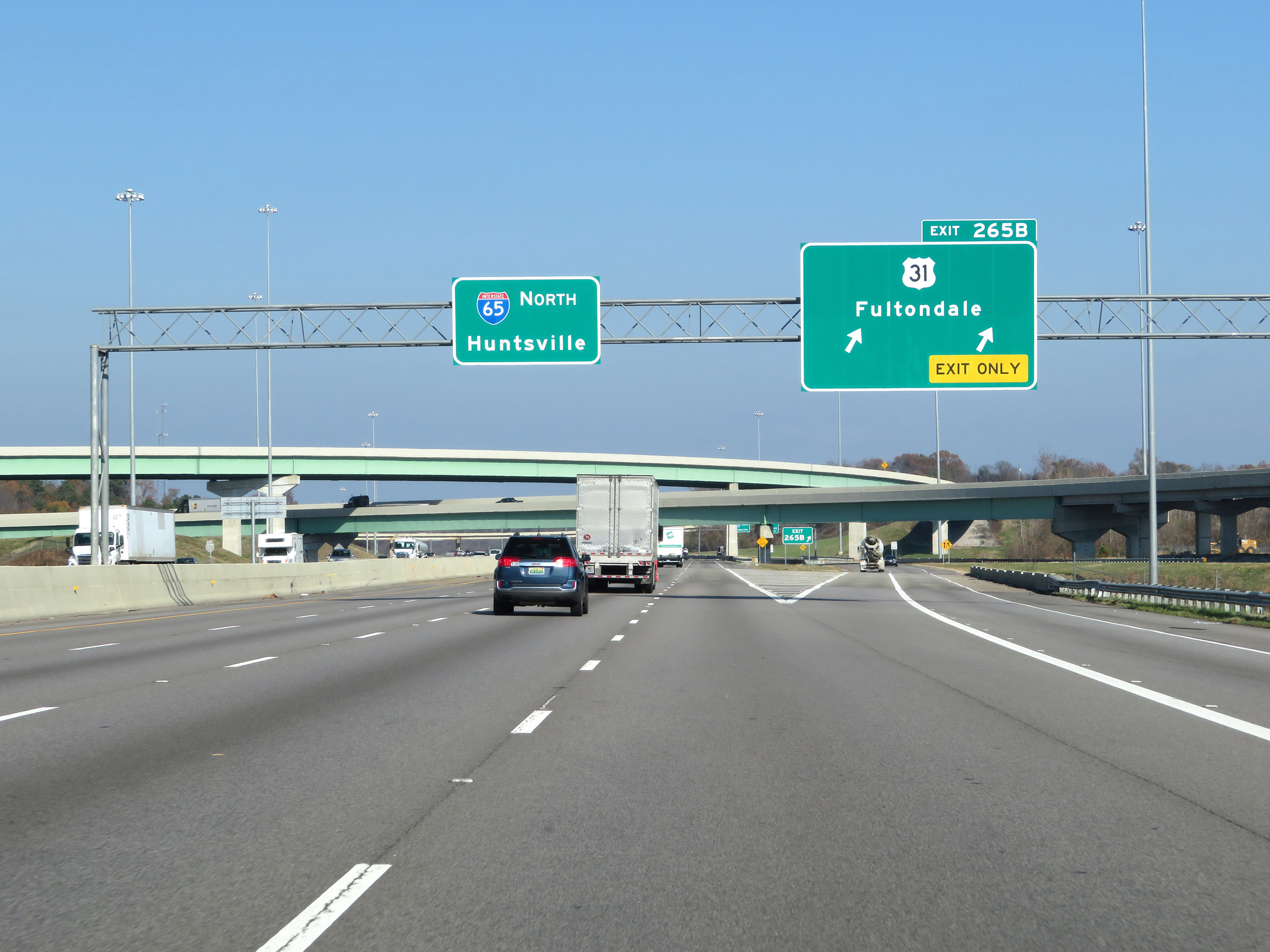 |
Interstate 65 North at Exit 265B: US 31 - Fultondale (Photo taken 12/8/20). |
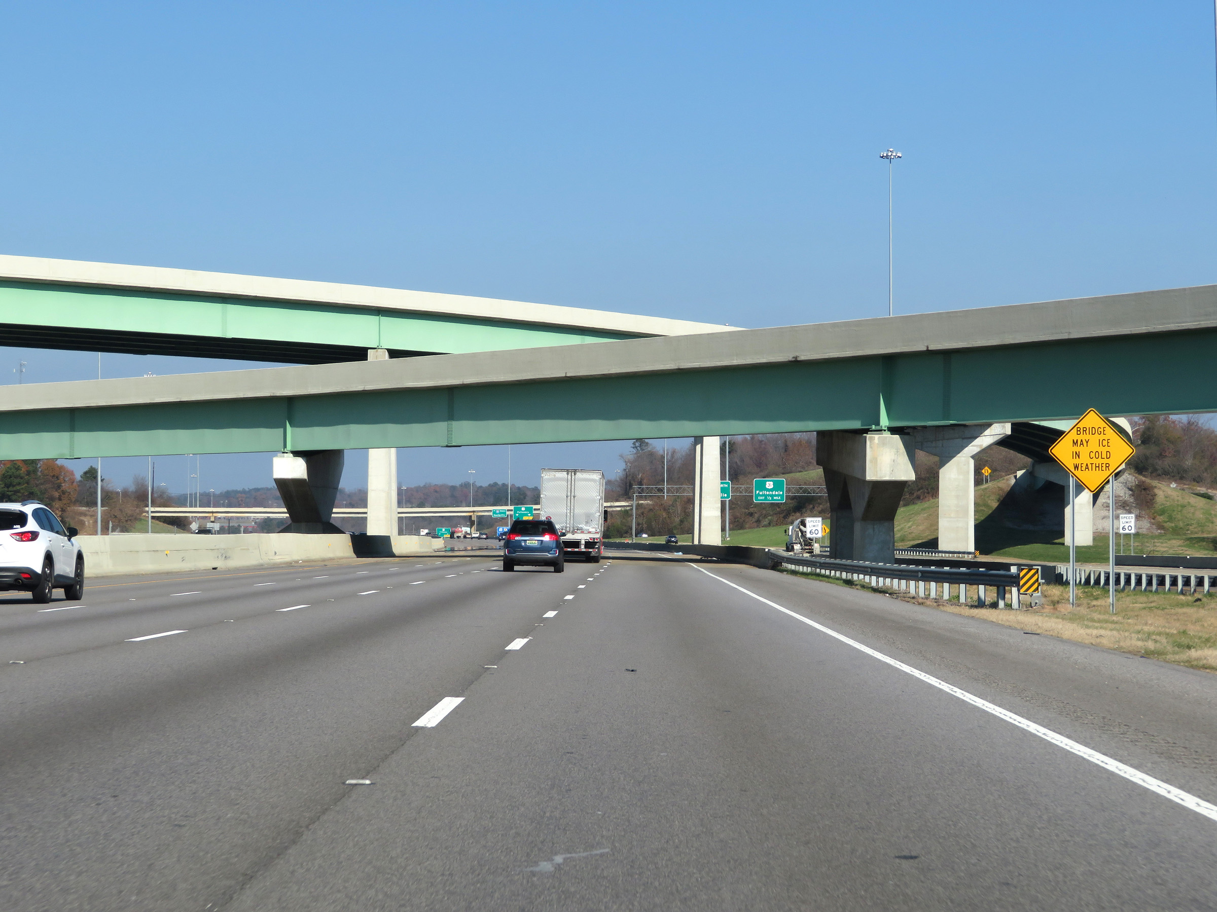 |
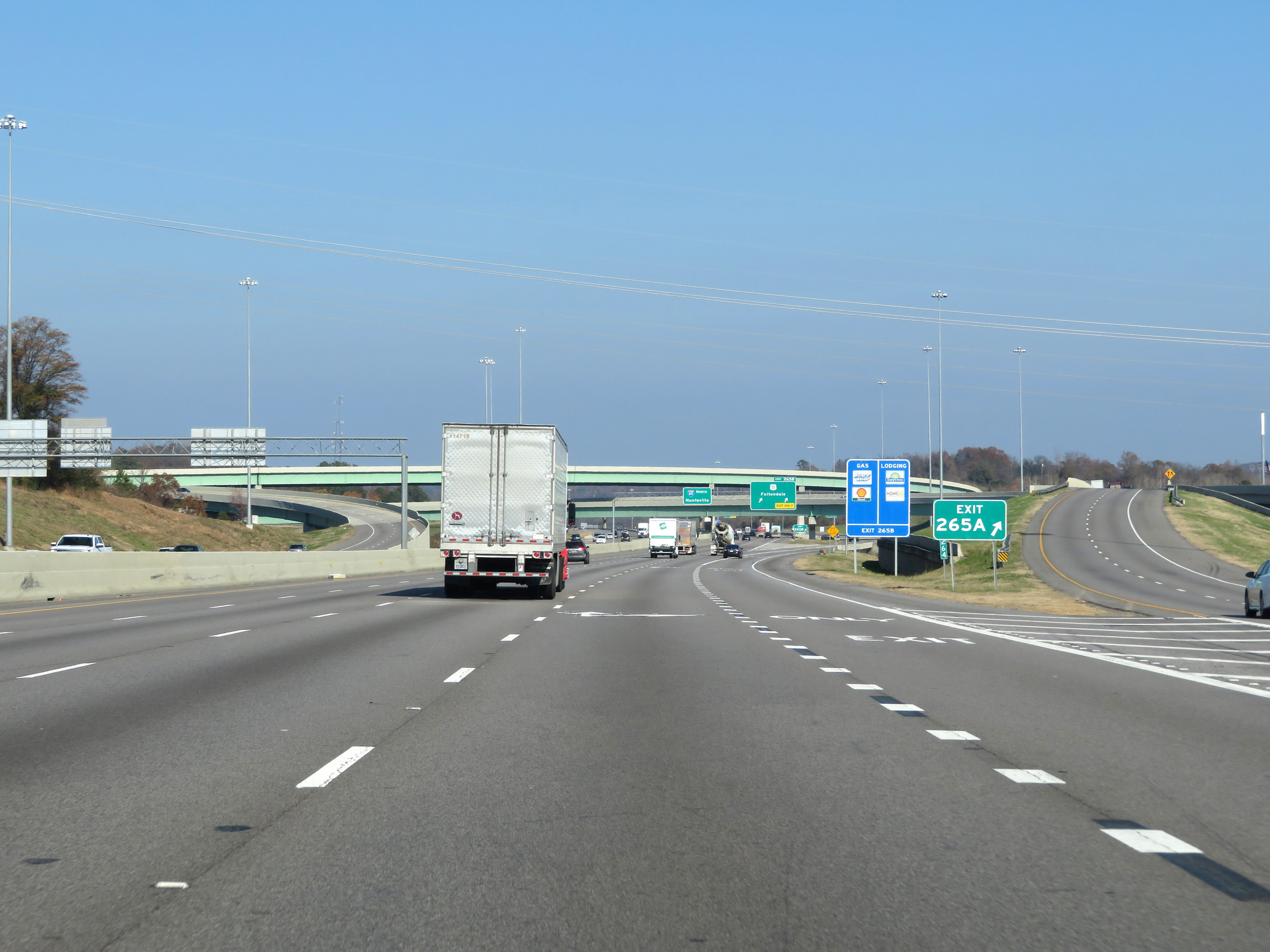
View on Interstate 65 North as it passes under the ramps to and from Interstate 22. (Photo taken 12/8/20). |
 |
North of Exit 265B, the speed limit increases to 70 mph once again. This is the standard speed limit on most rural Interstate highways in Alabama. (Photo taken 12/8/20). |
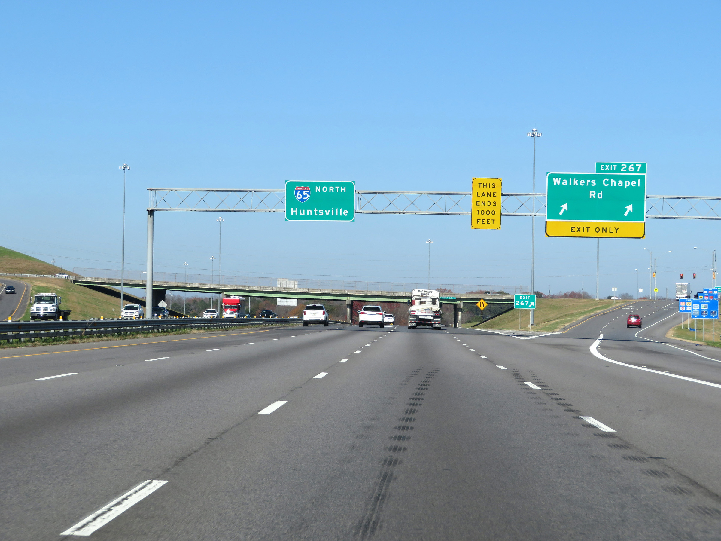 |
Interstate 65 North at Exit 267: Walkers Chapel Rd (Photo taken 12/13/20). |
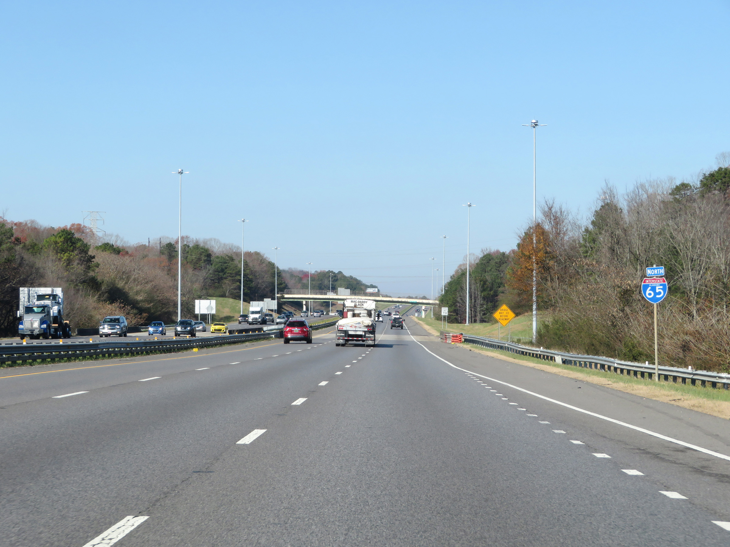 |
State-named Interstate 65 North reassurance shield. (Photo taken 12/13/20). |
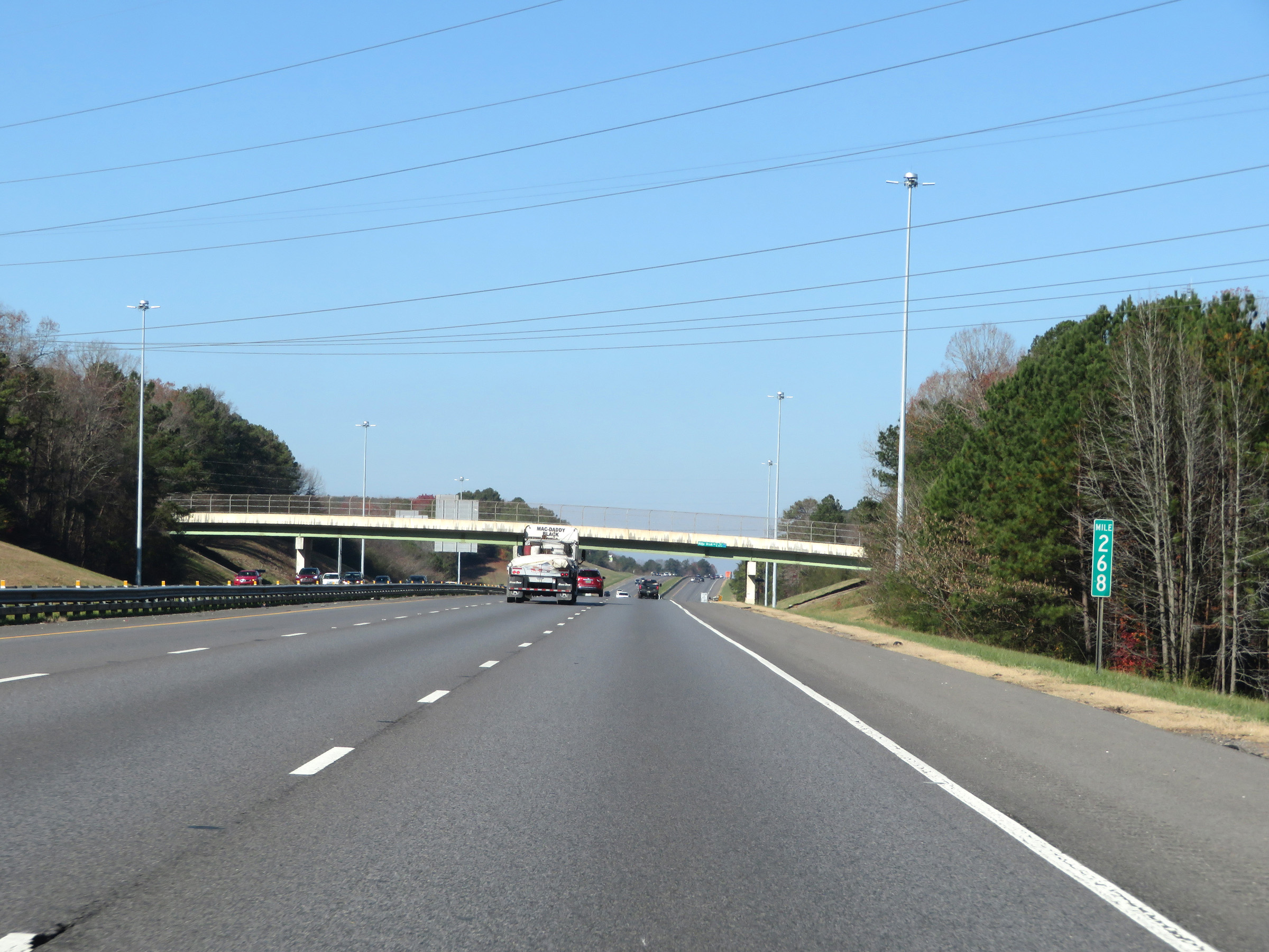 |
View on Interstate 65 North at mile marker 268. (Photo taken 12/13/20). |
 |
Take Exit 271 to Gardendale. (Photo taken 12/13/20). |
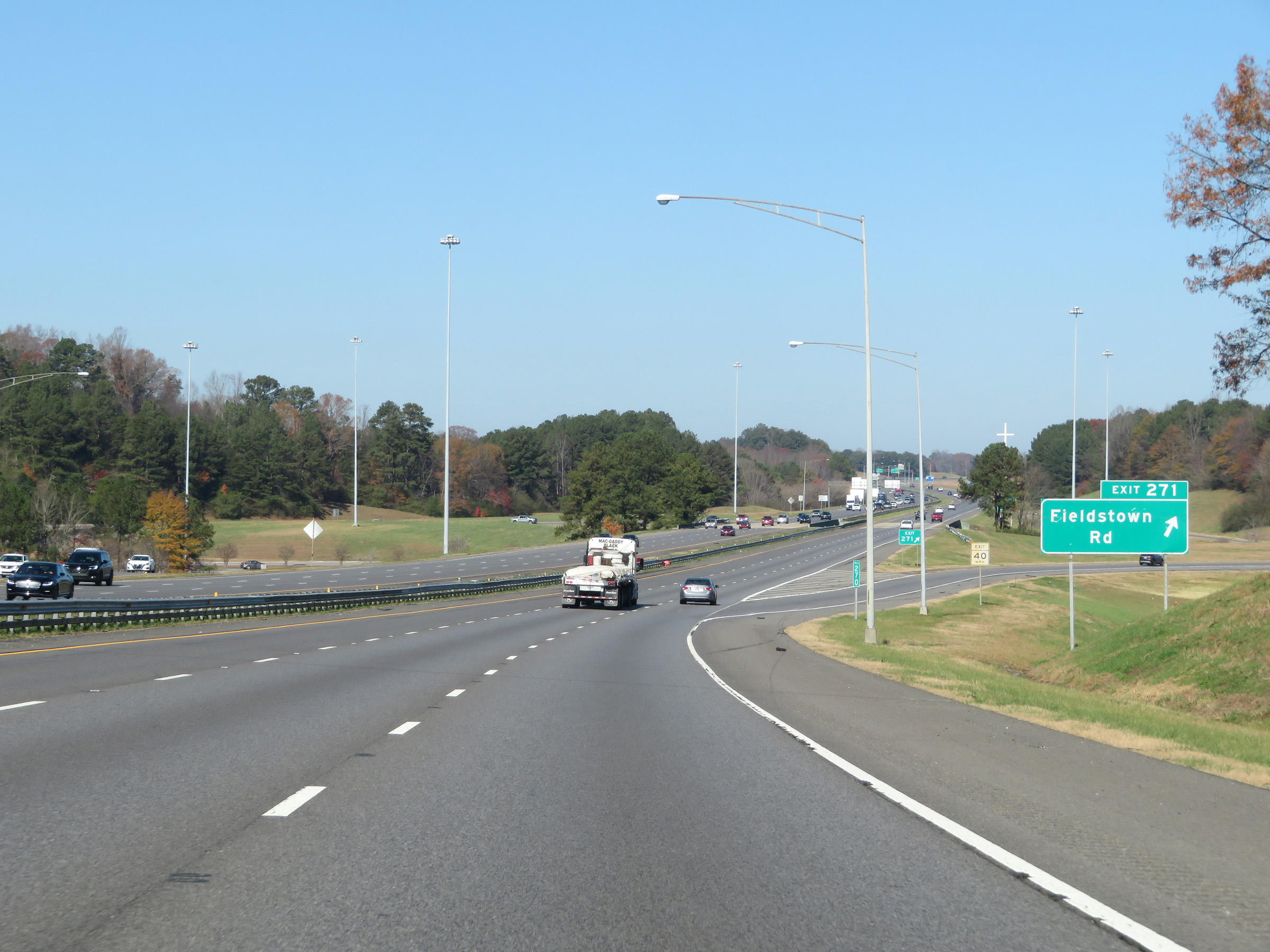 |
Interstate 65 North at Exit 271: Fieldstown Rd (Photo taken 12/13/20). |
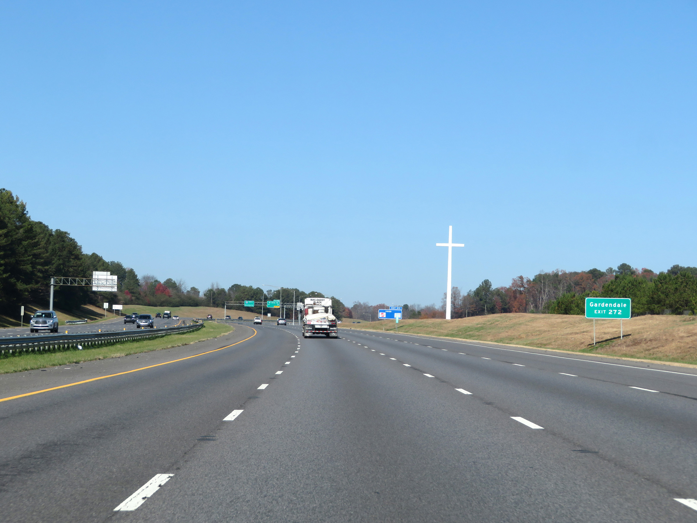 |
Take Exit 272 to Gardendale. (Photo taken 12/13/20). |
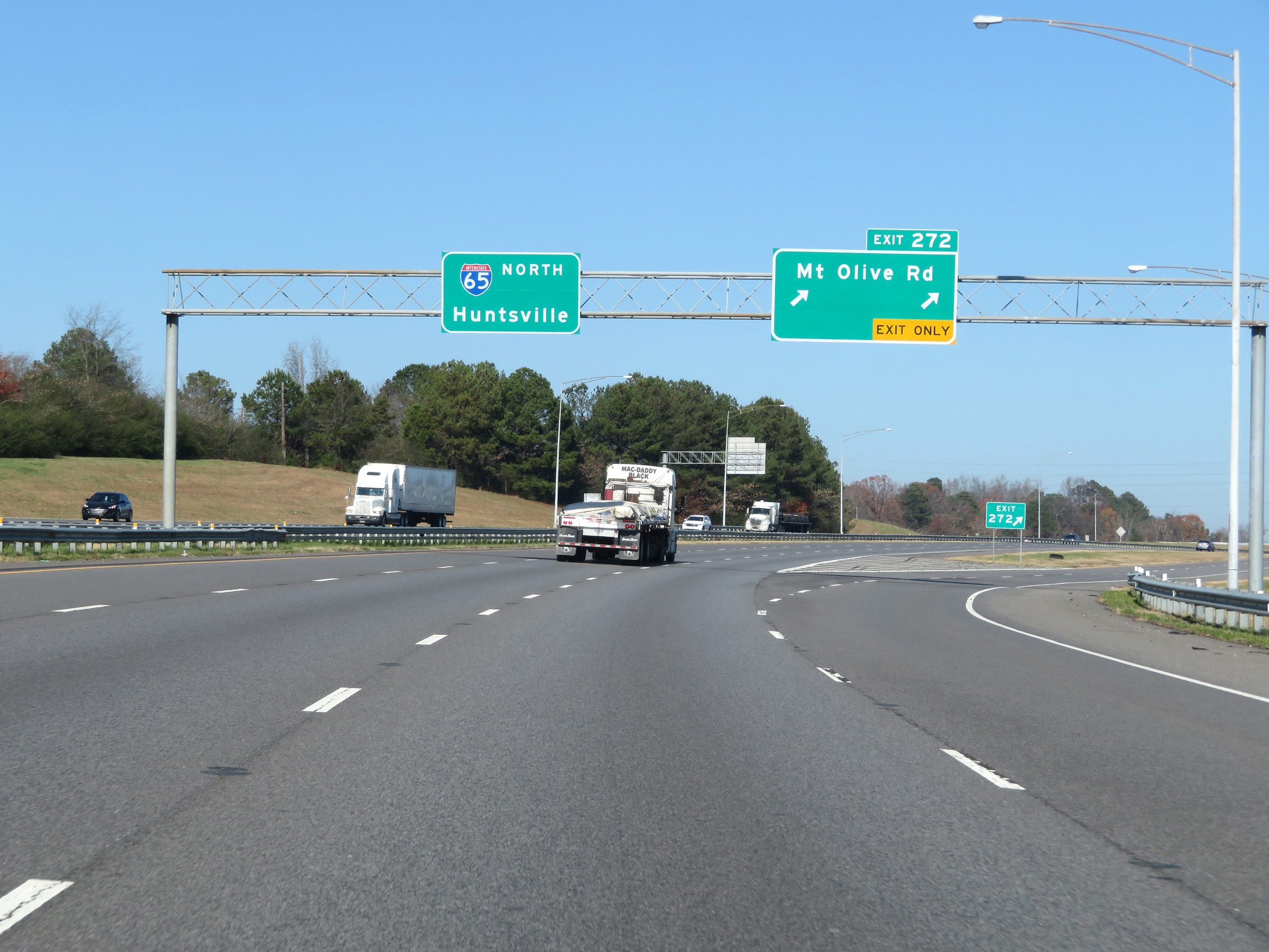 |
Interstate 65 North at Exit 272: Mt. Olive Rd (Photo taken 12/13/20). |
 |
View on Interstate 65 North at mile marker 274. (Photo taken 12/13/20). |
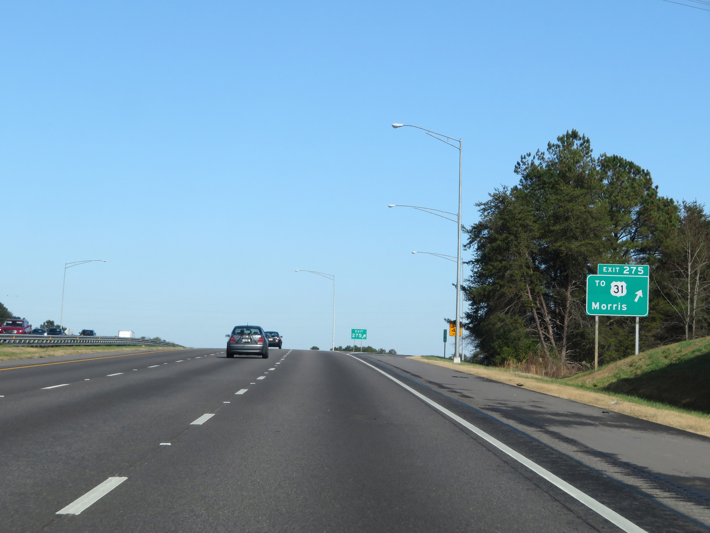 |
Interstate 65 North at Exit 275: To US 31 - Morris (Photo taken 12/13/20). |
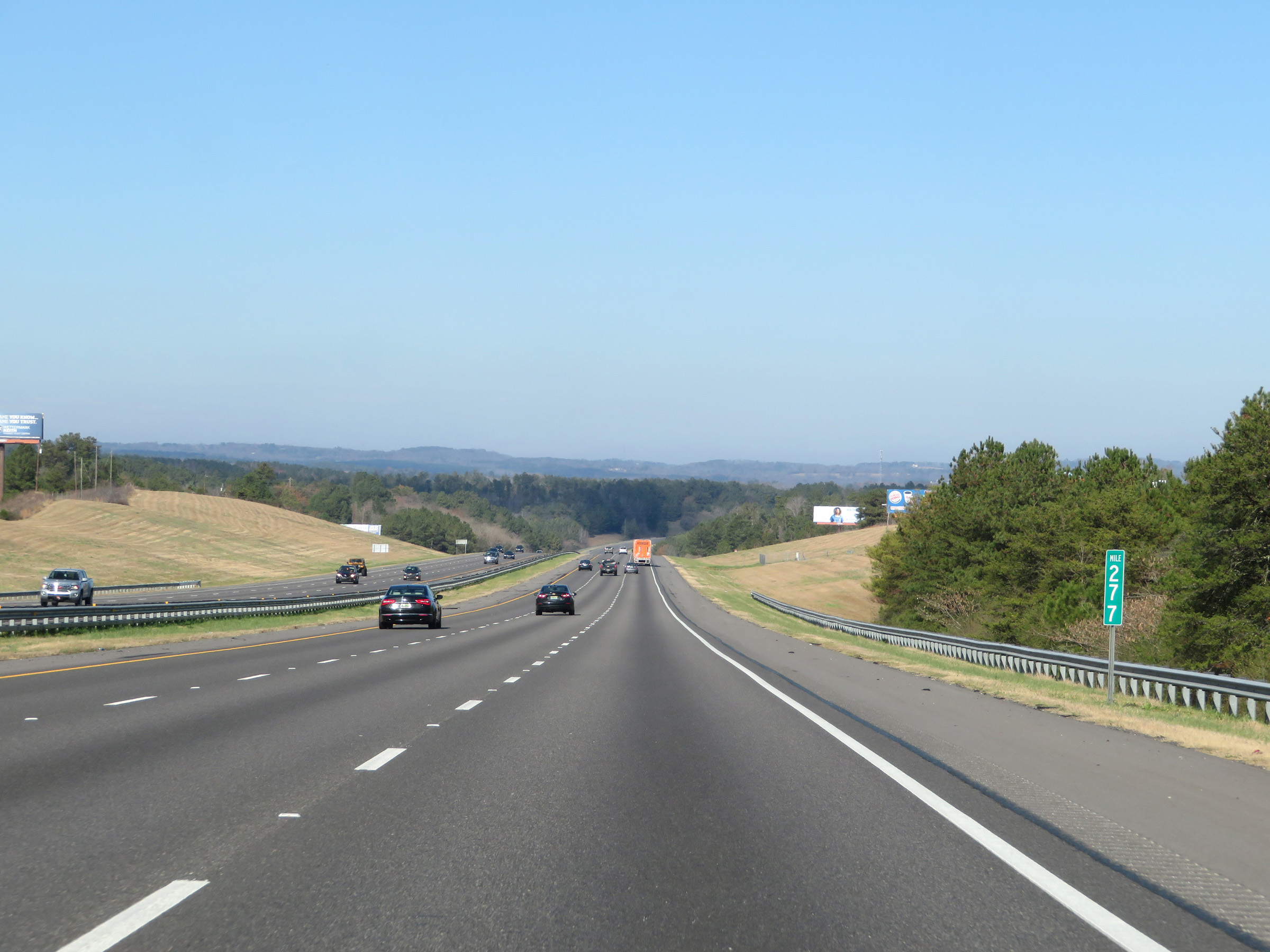 |
Mile marker 277 on Interstate 65 North in Jefferson County. (Photo taken 12/13/20). |
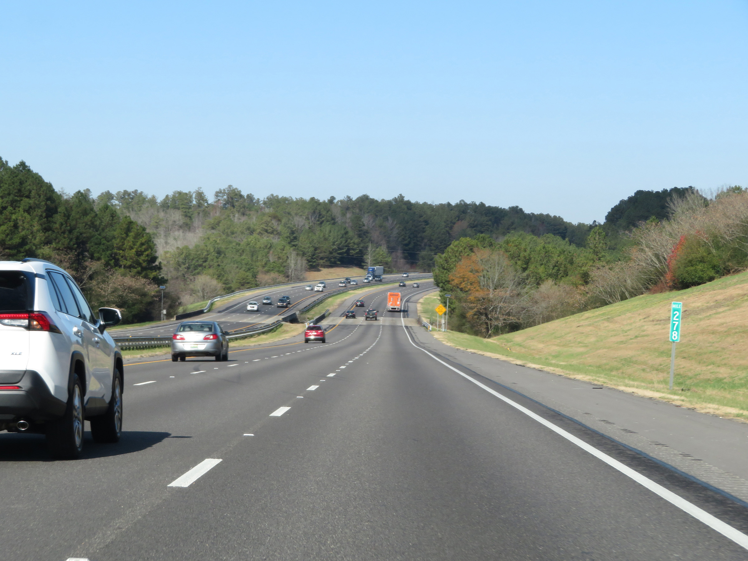 |
View on Interstate 65 North at mile marker 278. (Photo taken 12/13/20). |
 |
Take any of the next 3 exits to Warrior. (Photo taken 12/13/20). |
 |
Take Exit 280 to Kimberly. (Photo taken 12/13/20). |
 |
Interstate 65 North at Exit 280: To US 31 - Warrior (Photo taken 12/13/20). |
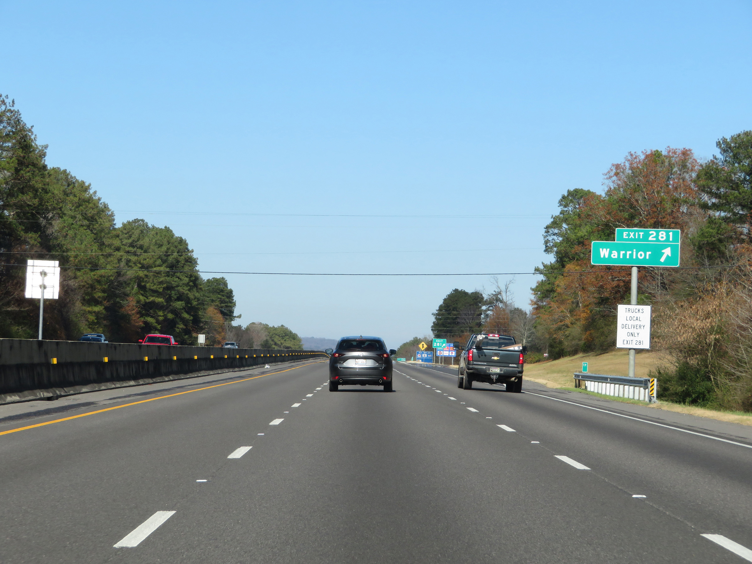 |
Interstate 65 North at Exit 281: Warrior (Photo taken 12/13/20). |
 |
Interstate 65 North at Exit 282: Warrior / Robbins (Photo taken 12/13/20). |
 |
Mile marker 283 on Interstate 65 North in Jefferson County. (Photo taken 12/13/20). |
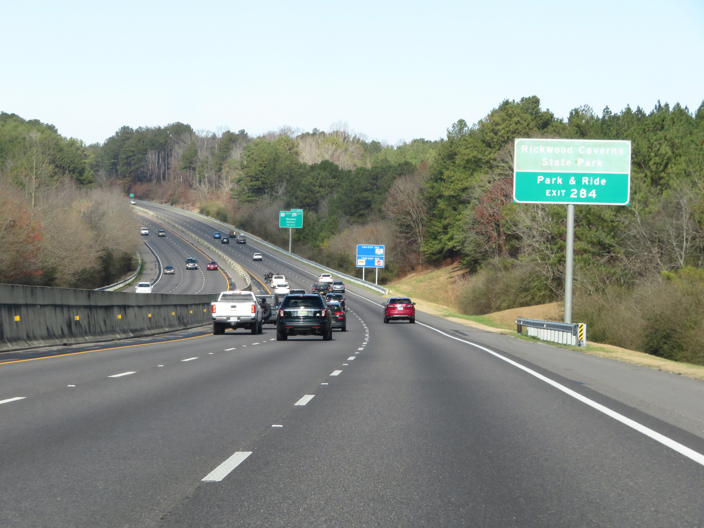 |
Take Exit 284 to Rickwood Caverns State Park and the Park & Ride lot. (Photo taken 12/13/20). |
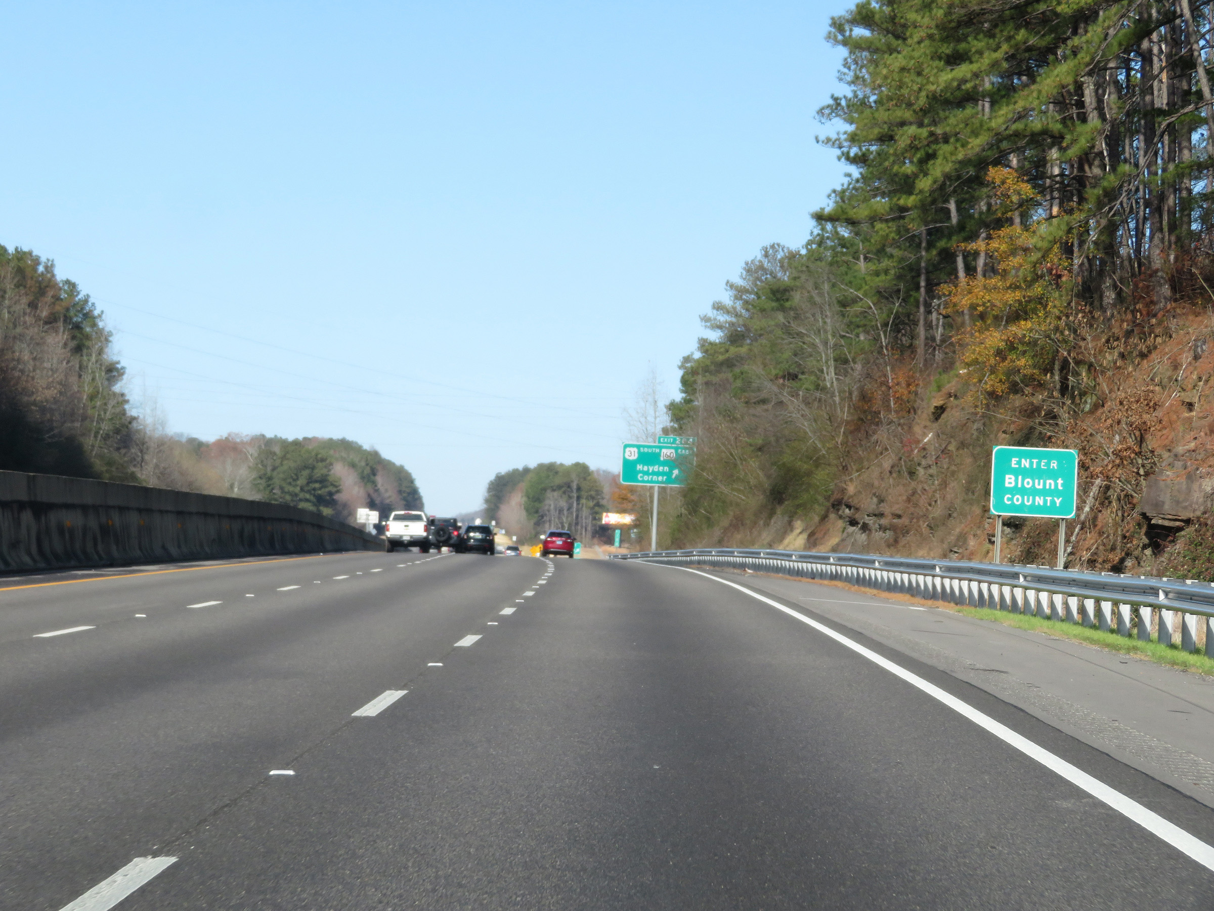 |
Interstate 65 North as it enters Blount County. (Photo taken 12/13/20). |
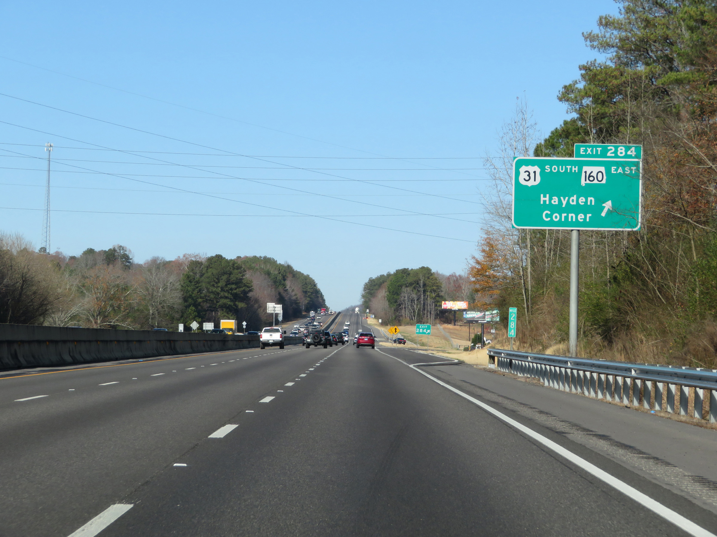 |
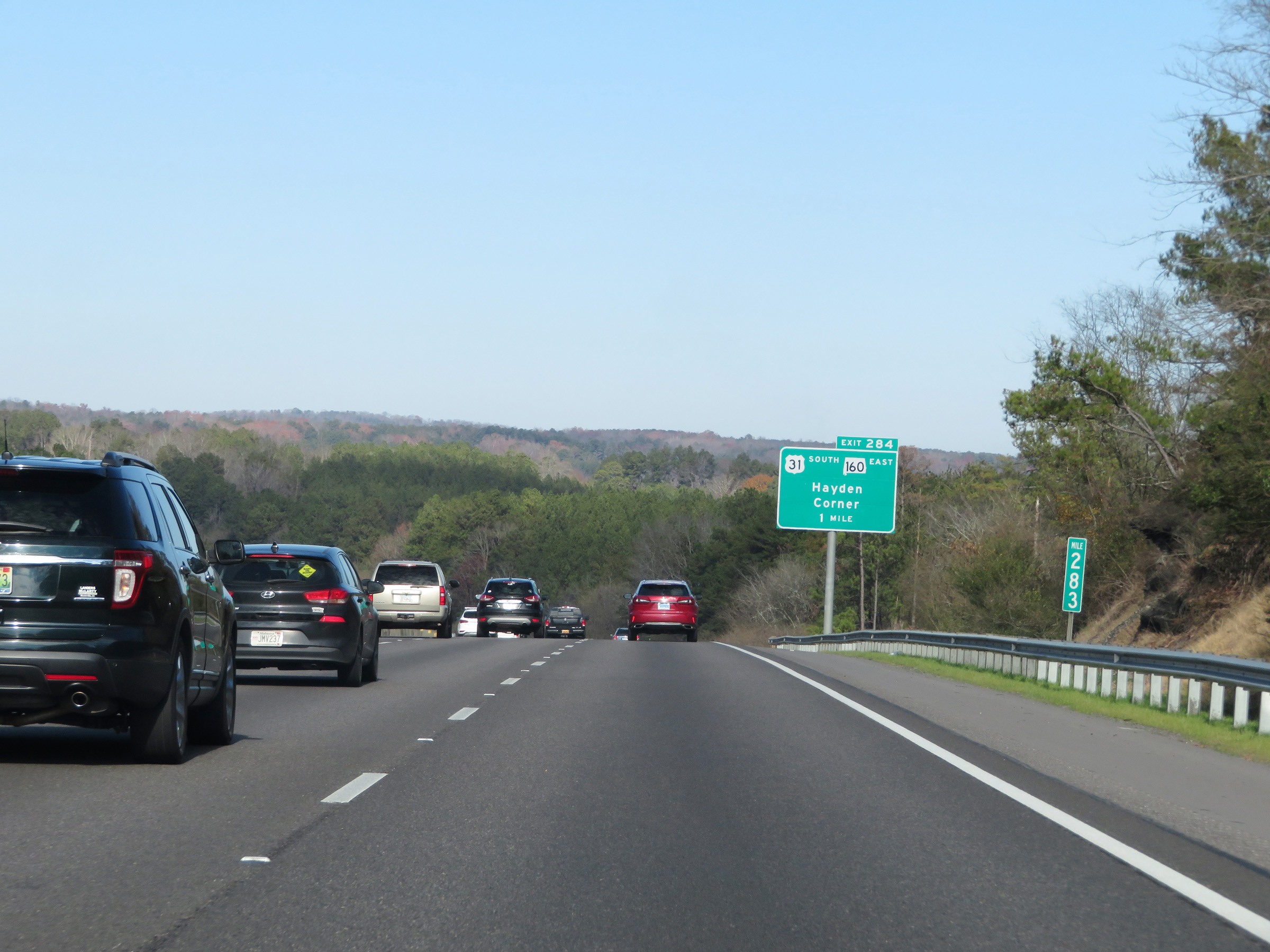
Interstate 65 North at Exit 284: US 31 South / AL 160 East - Hayden / Corner (Photo taken 12/13/20). |
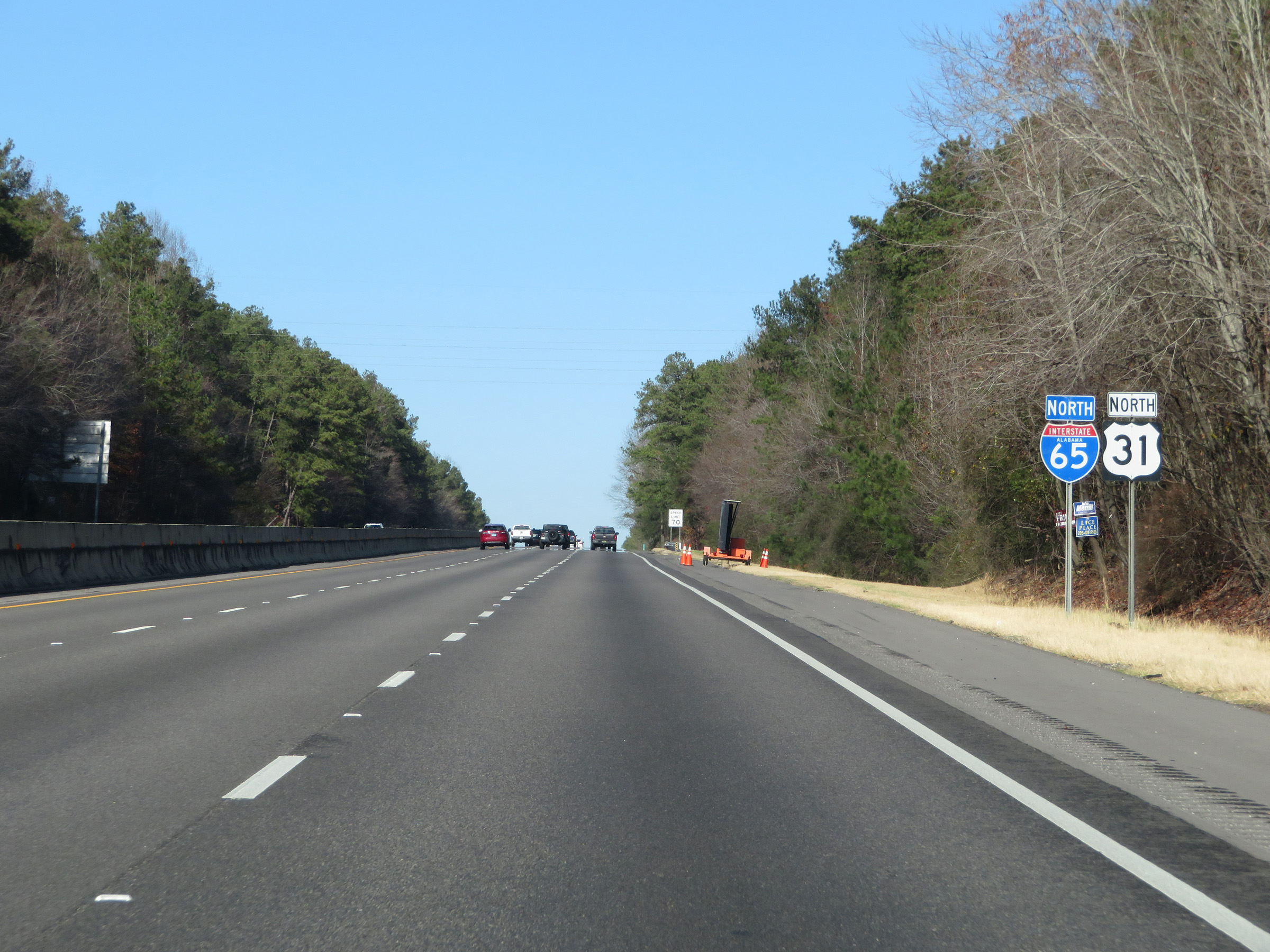 |
Another state-named Interstate 65 North reassurance shield. (Photo taken 12/13/20). |
 |
View on Interstate 65 North at mile marker 286. (Photo taken 12/13/20). |
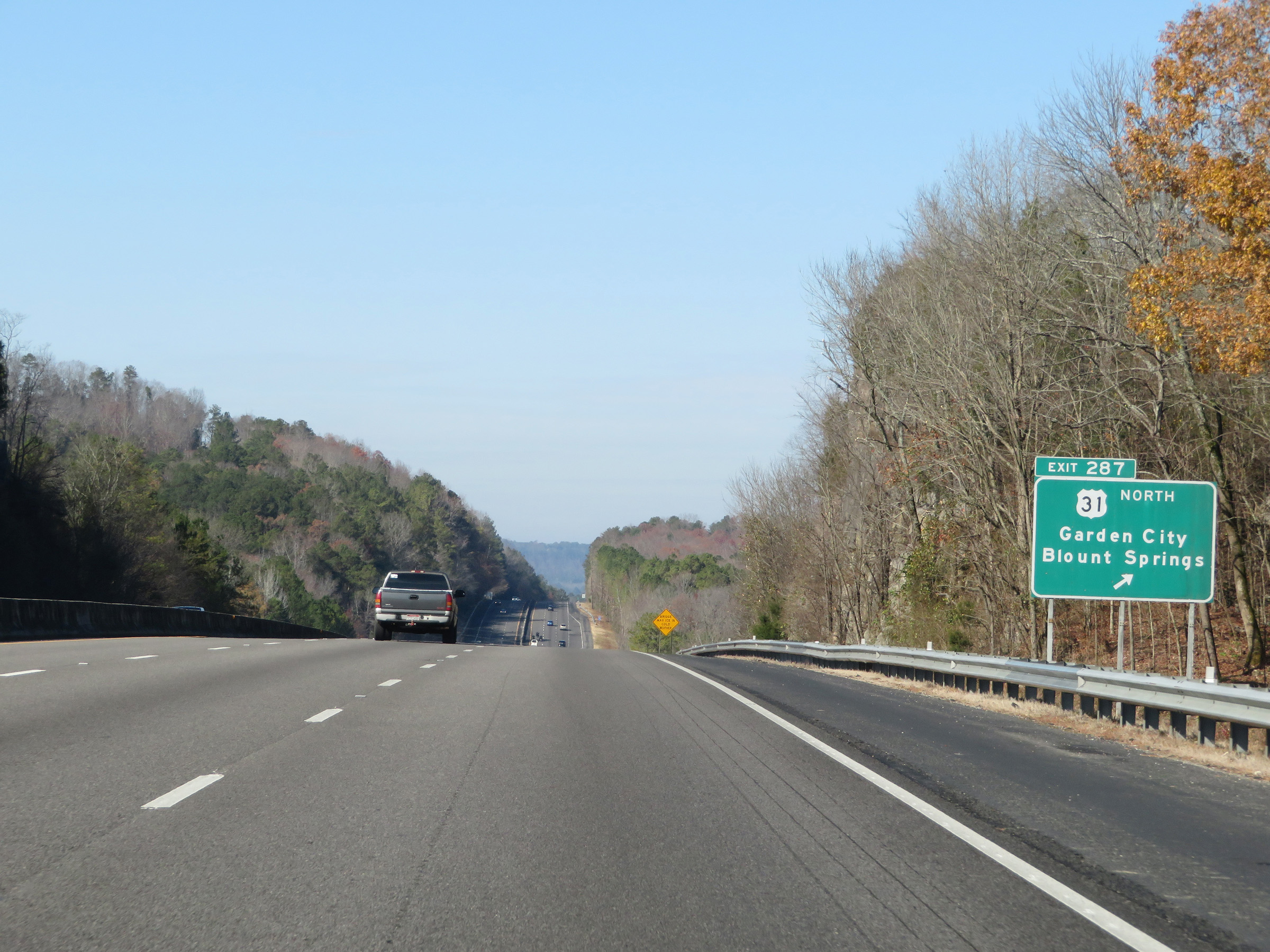 |
Interstate 65 North at Exit 287: US 31 North - Garden City / Blount Springs (Photo taken 12/13/20). |
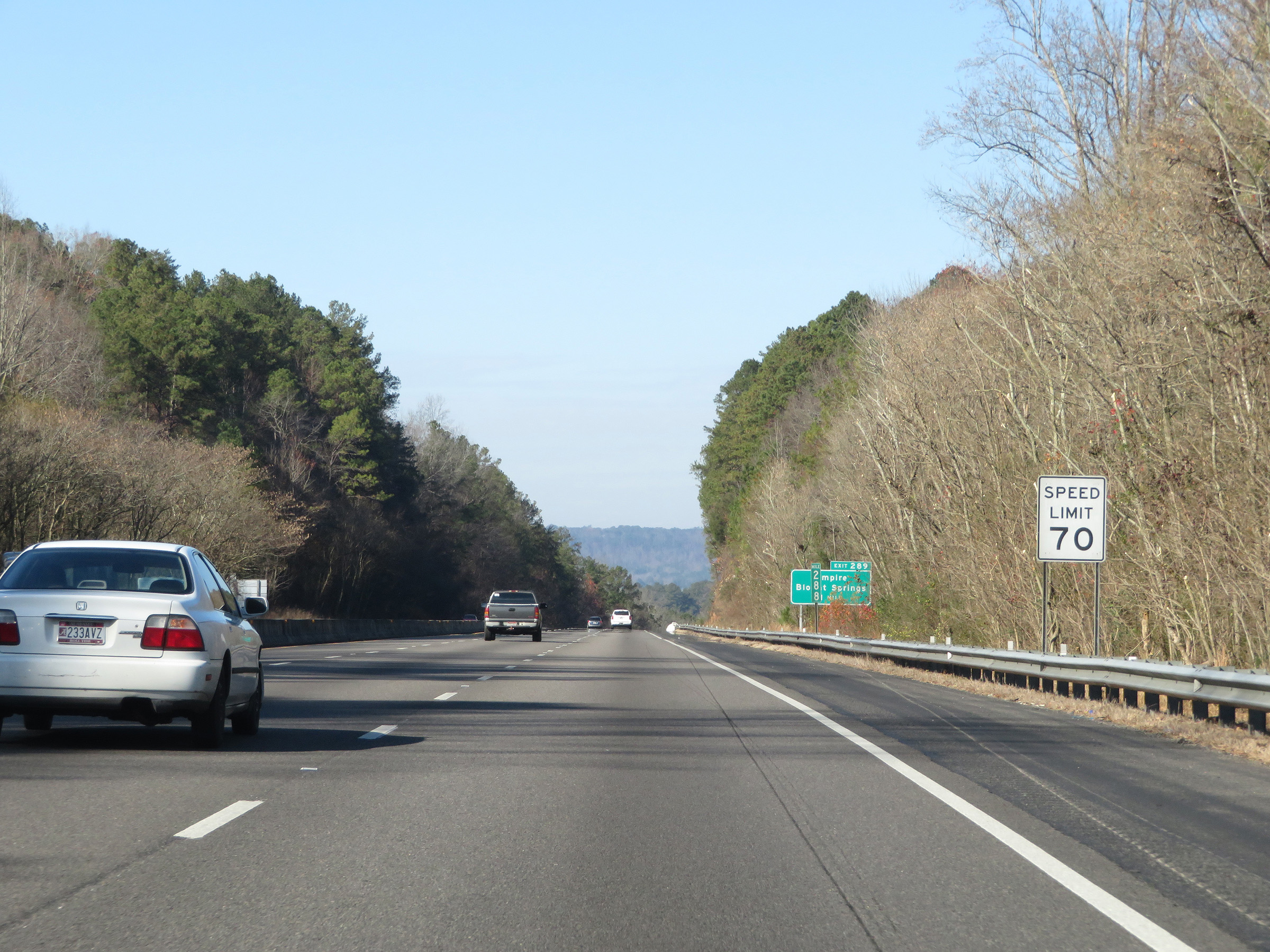 |
The speed limit remains 70 mph. (Photo taken 12/13/20). |
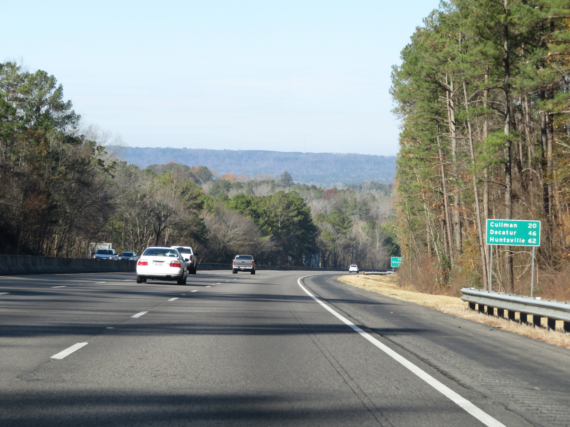 |
Mileage sign on Interstate 65 North. It's 20 miles to Cullman, 46 miles to Decatur, and 62 miles to Huntsville. (Photo taken 12/13/20). |
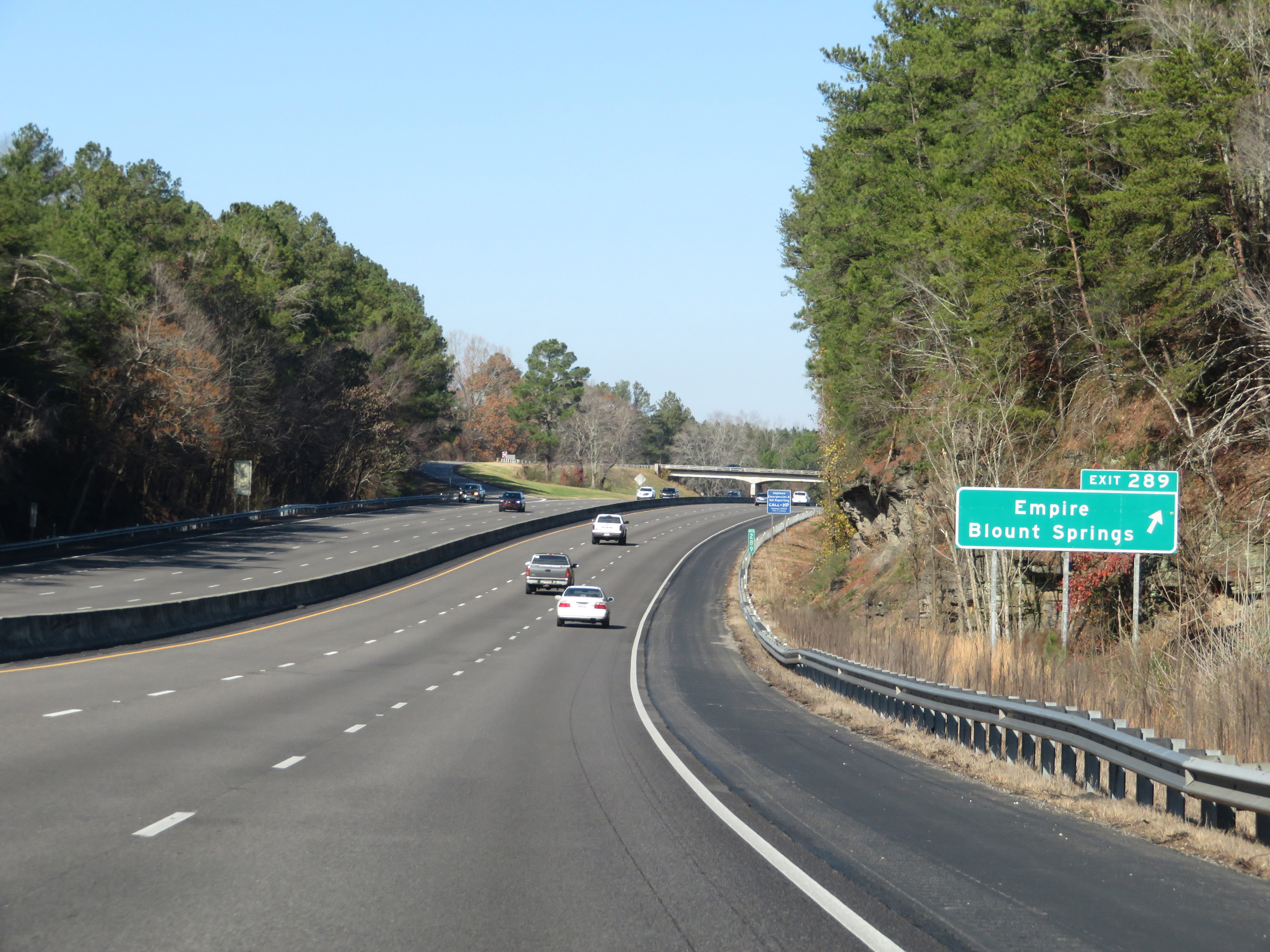 |
Interstate 65 North at Exit 289: Empire / Blount Springs (Photo taken 12/13/20). |
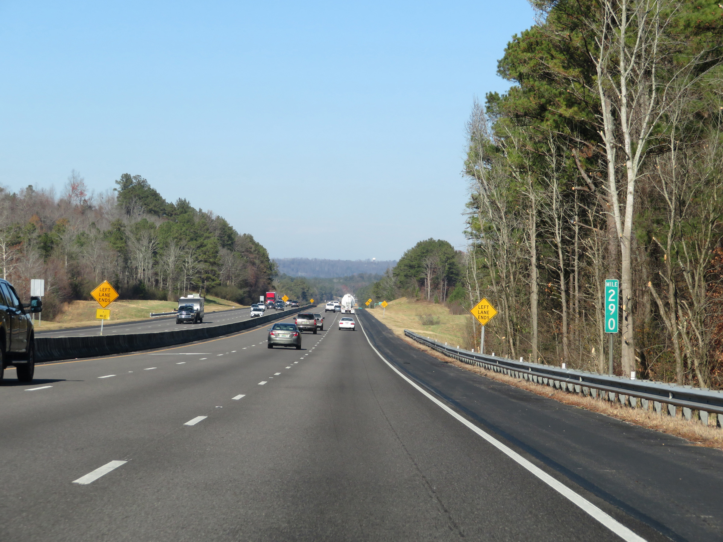 |
View on Interstate 65 North at mile marker 290. (Photo taken 12/13/20). |
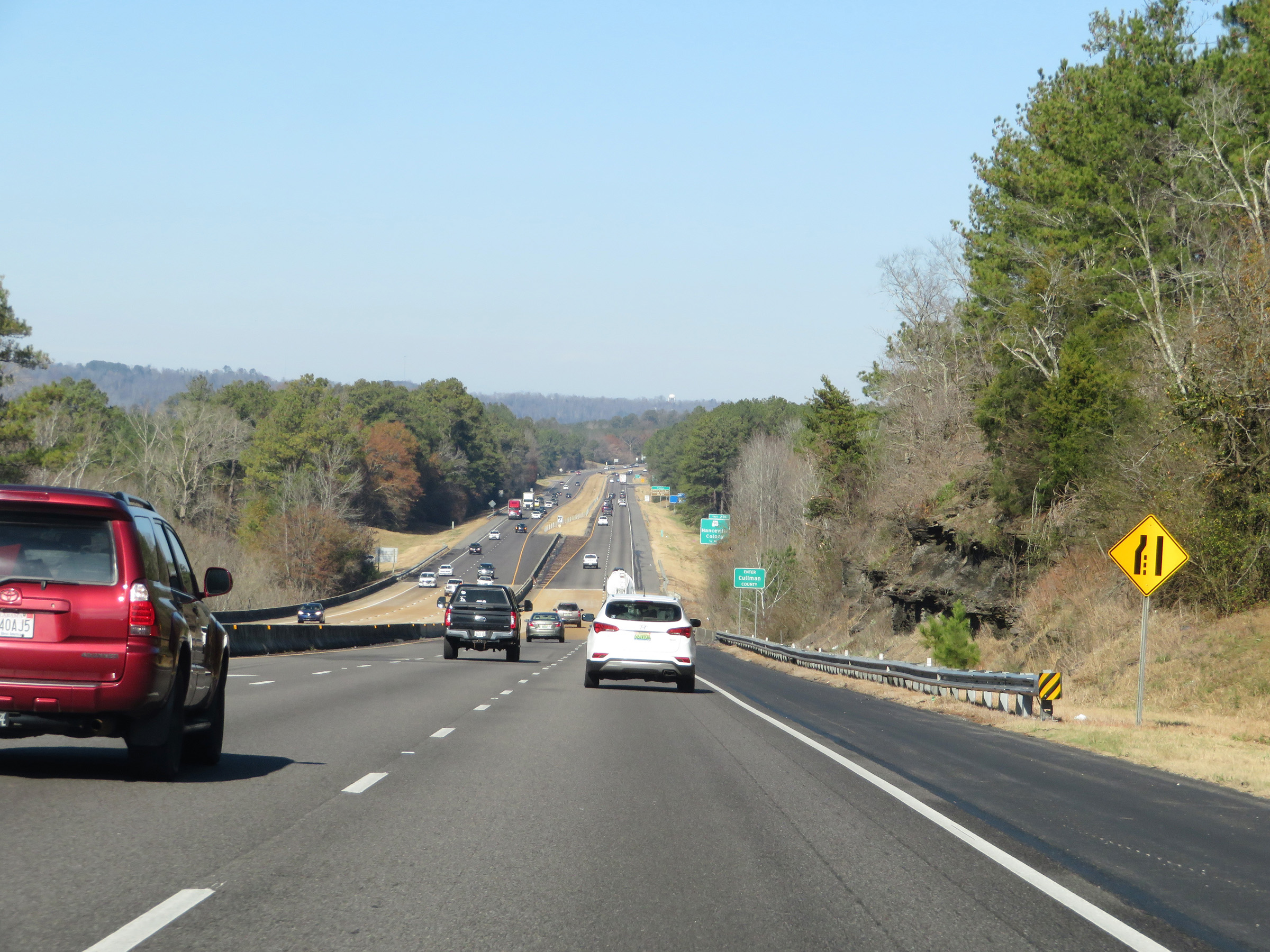 |
Ahead, upon crossing the county line, the left lane will come to an end and Interstate 65 North will once again be reduced to two lanes. (Photo taken 12/13/20). |
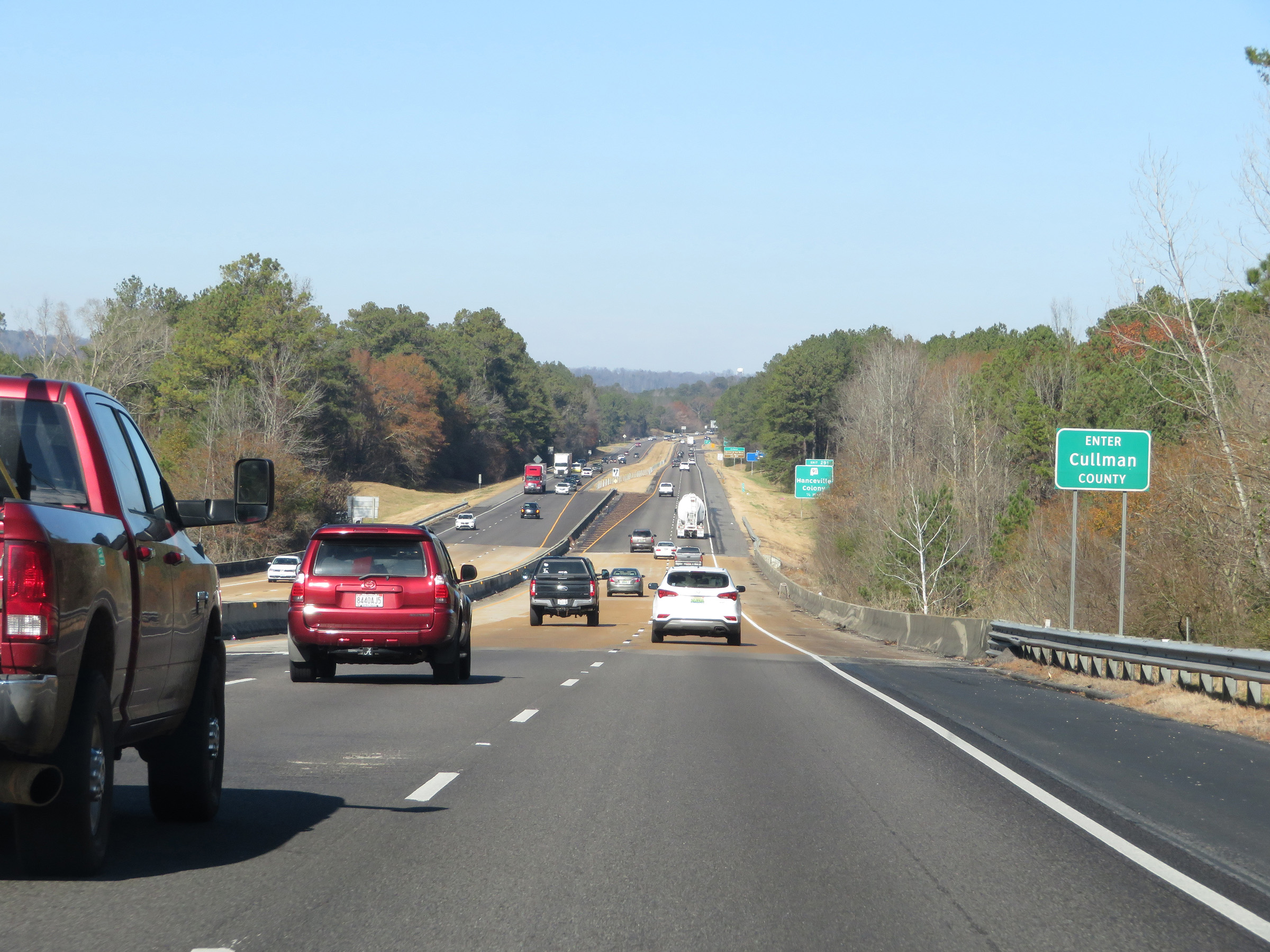 |
Interstate 65 North as it enters Cullman County. (Photo taken 12/13/20). |
 |
Take Exit 291 to Colony and Shrine of the Most Blessed Sacrament. (Photo taken 12/13/20). |
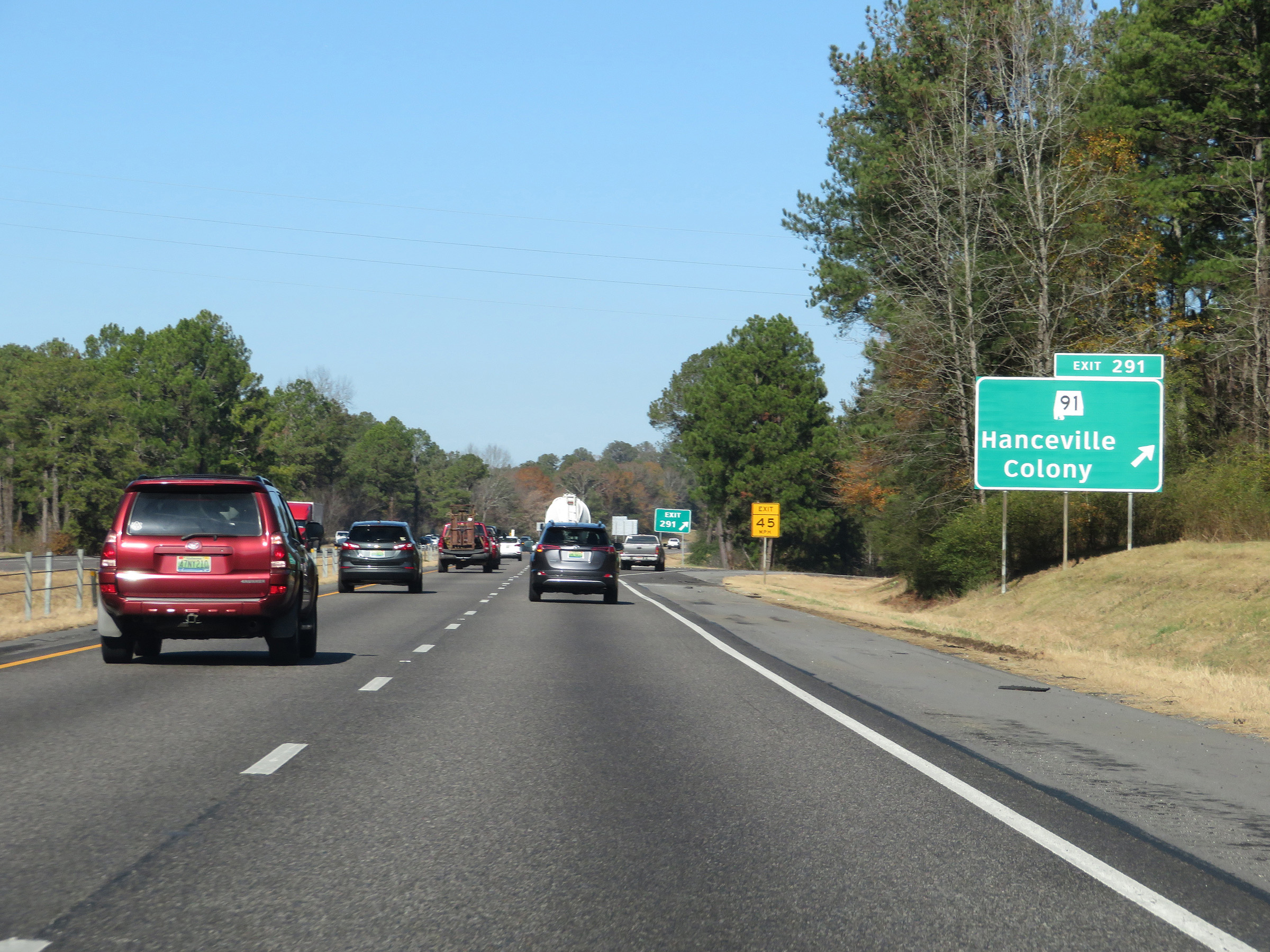 |
Interstate 65 North at Exit 291: AL 91 - Hanceville / Colony (Photo taken 12/13/20). |
 |
Mile marker 293 on Interstate 65 North in Cullman County. (Photo taken 12/13/20). |
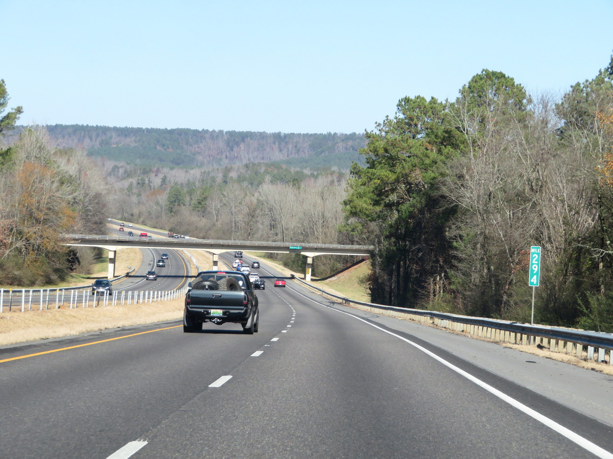 |
View on Interstate 65 North at mile marker 294. (Photo taken 12/13/20). |
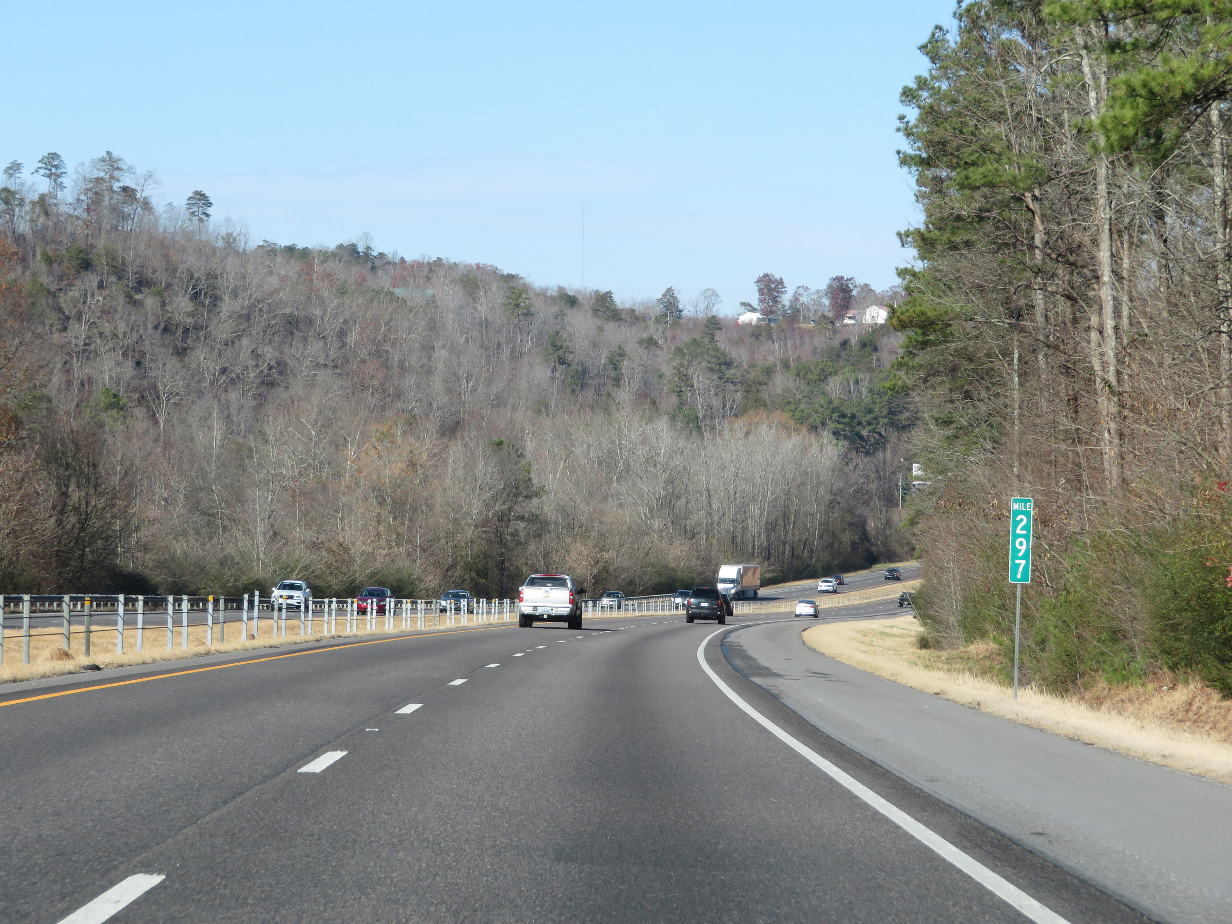 |
Interstate 65 North at mile marker 297. (Photo taken 12/13/20). |
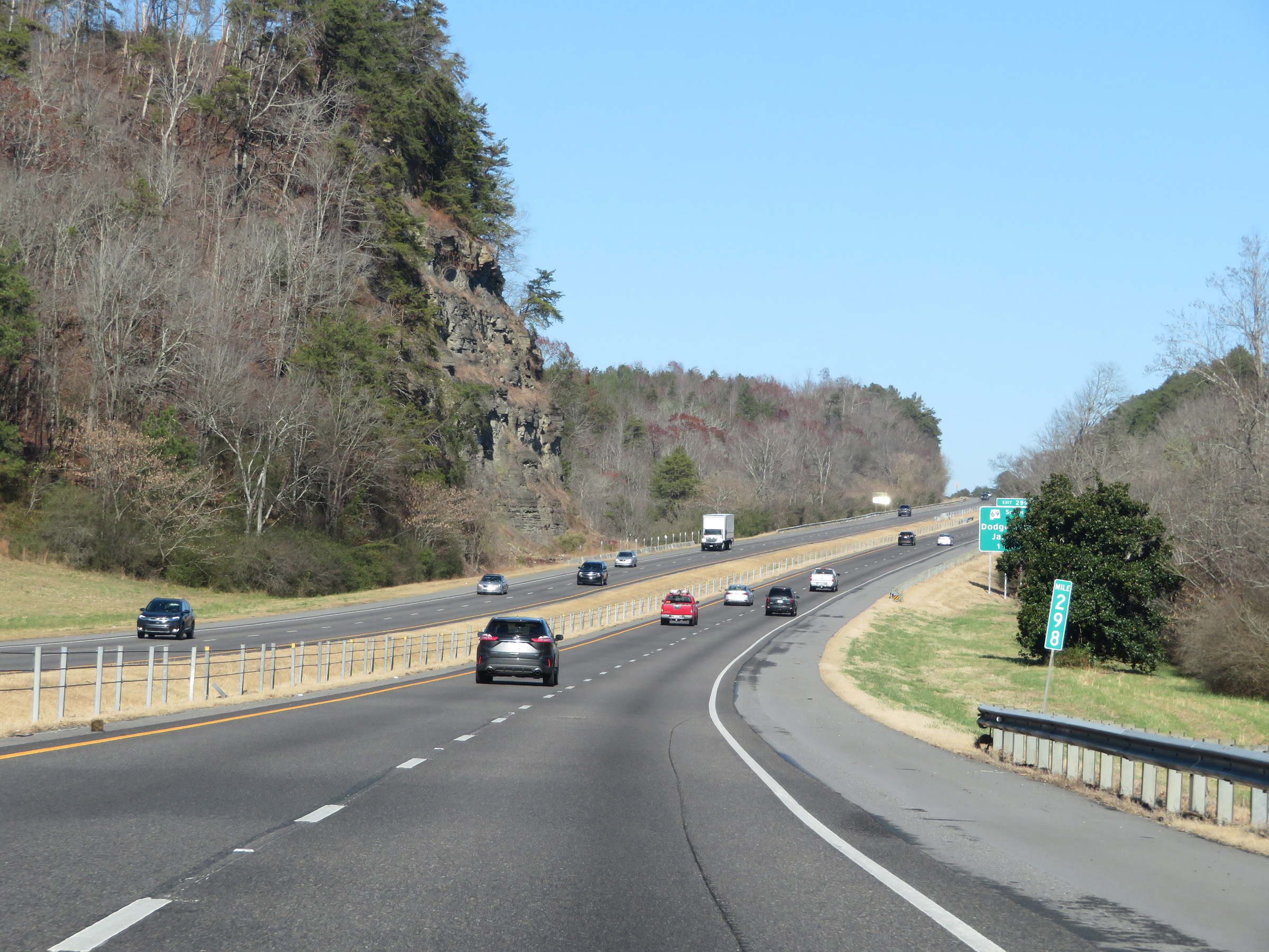 |
View on Interstate 65 North at mile marker 298. (Photo taken 12/13/20). |
 |
Interstate 65 North at Exit 299: AL 69 South - Dodge City / Jasper (Photo taken 12/13/20). |
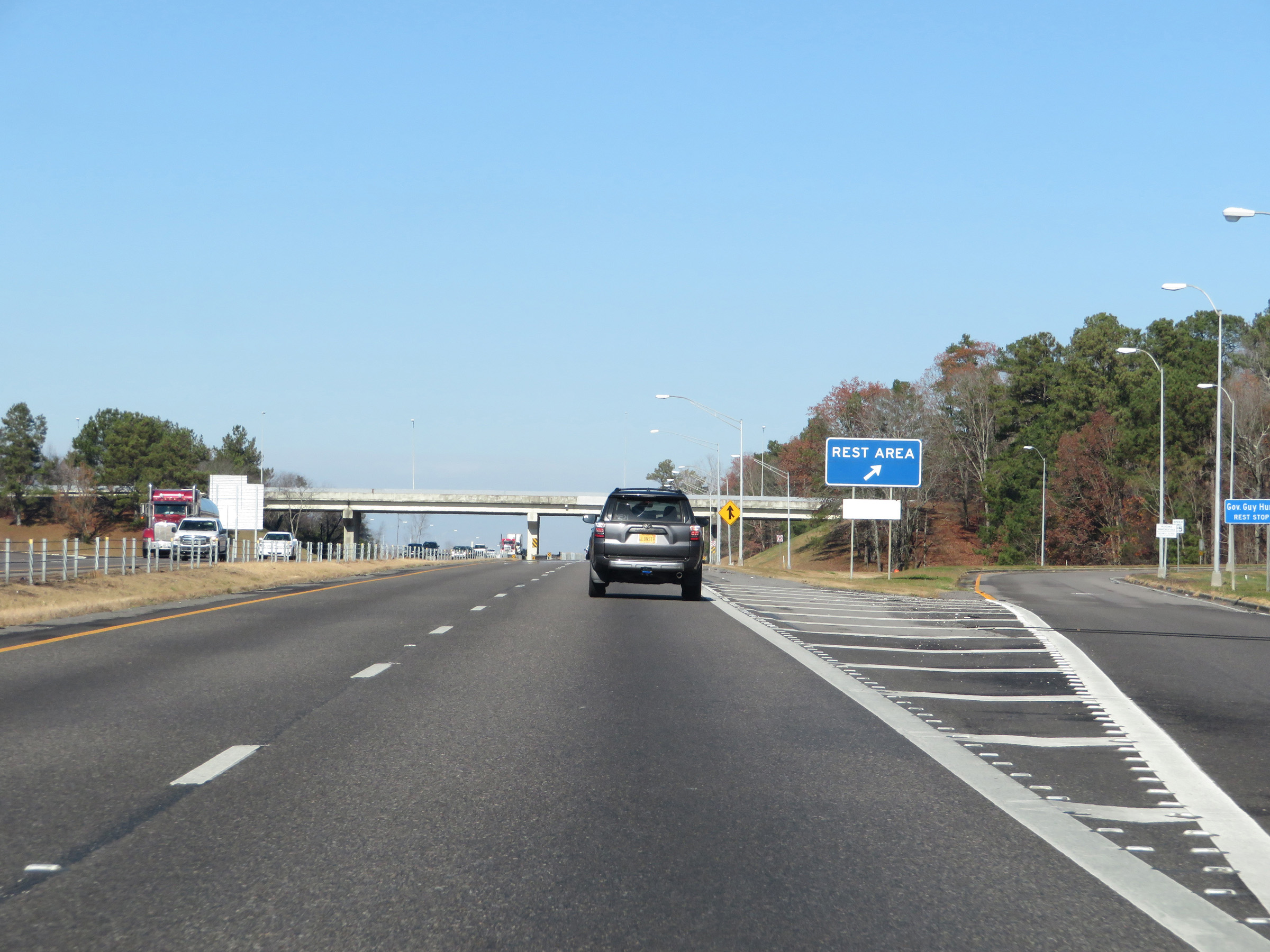 |
Rest Area on Interstate 65 North in Cullman County. (Photo taken 12/13/20). |
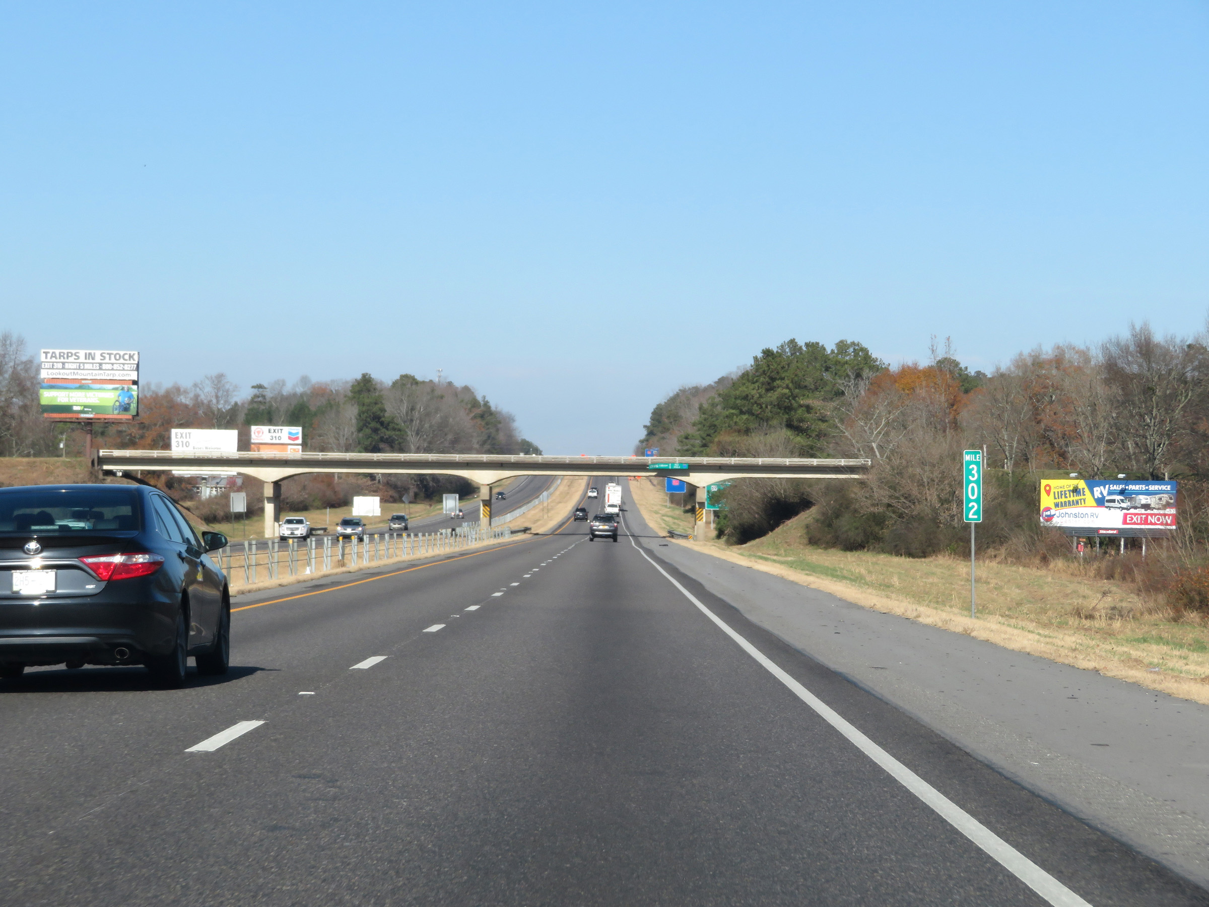 |
View on Interstate 65 North at mile marker 302. (Photo taken 12/13/20). |
 |
Interstate 65 North approaching Exit 304 - 1 mile. (Photo taken 12/13/20). |
 |
Take Exit 304 to Smith Lake. (Photo taken 12/13/20). |
 |
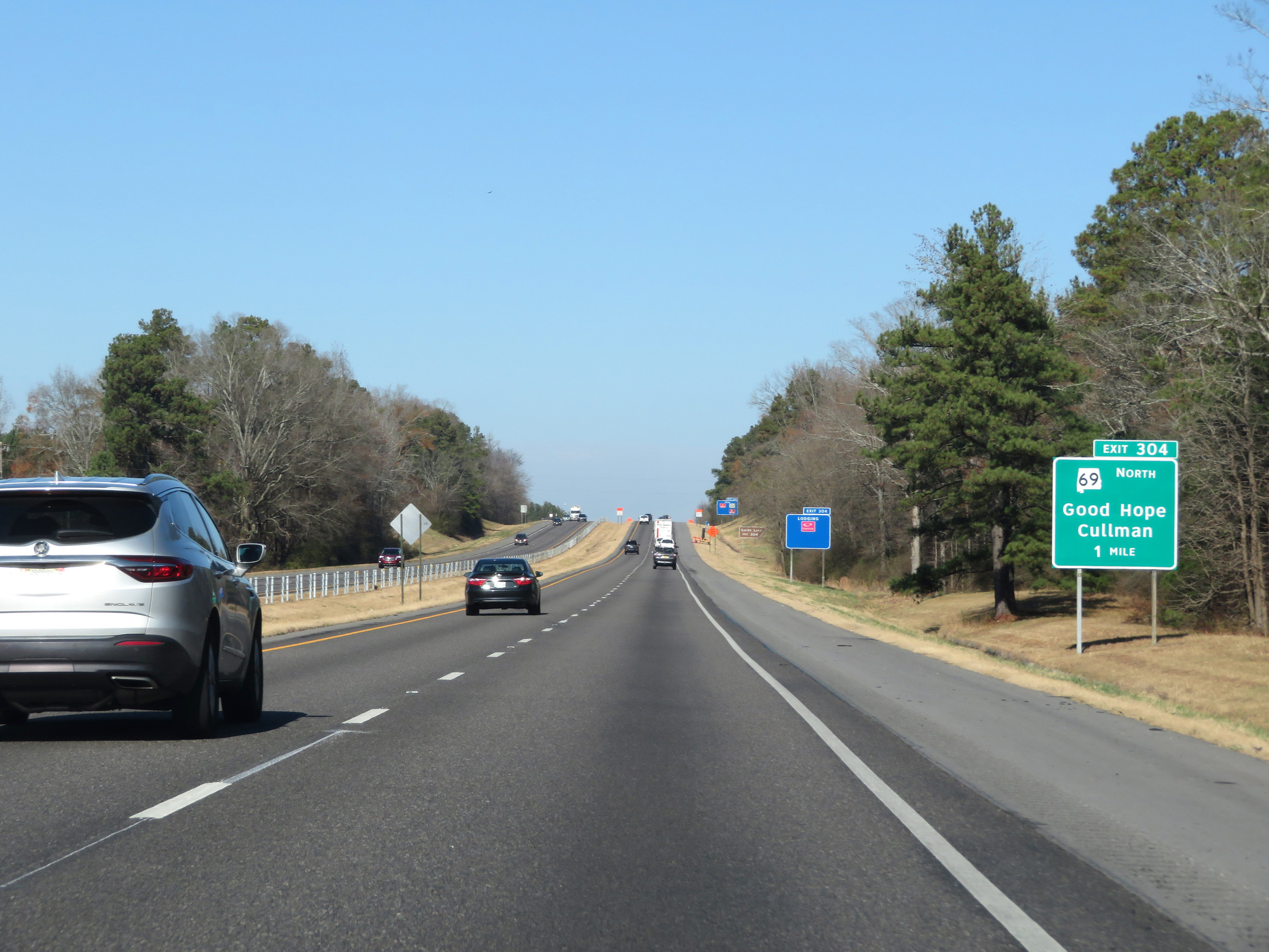
Interstate 65 North at Exit 304: AL 69 North - Good Hope / Cullman (Photo taken 12/13/20). |
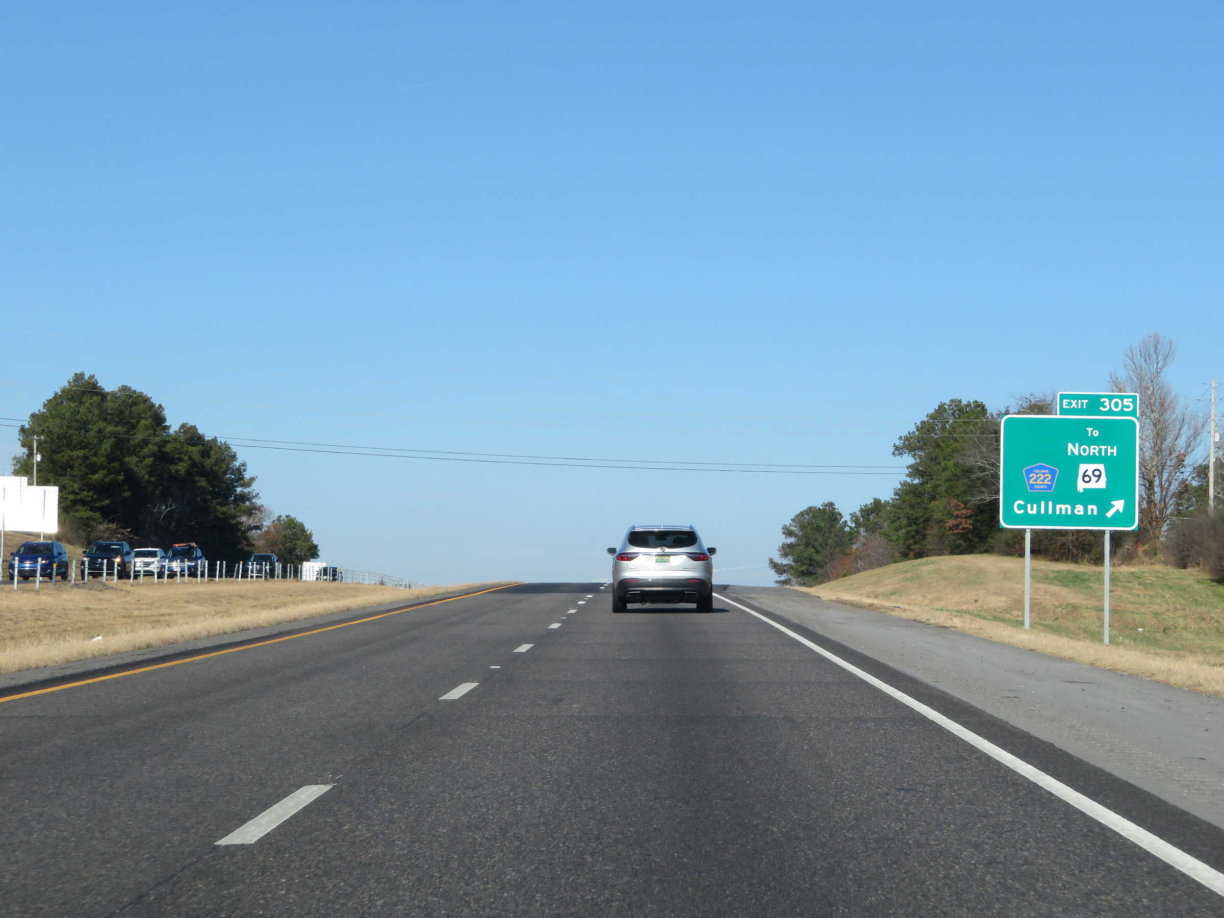 |
Interstate 65 North at Exit 305: CR 222 / To AL 69 North - Cullman (Photo taken 12/13/20). |
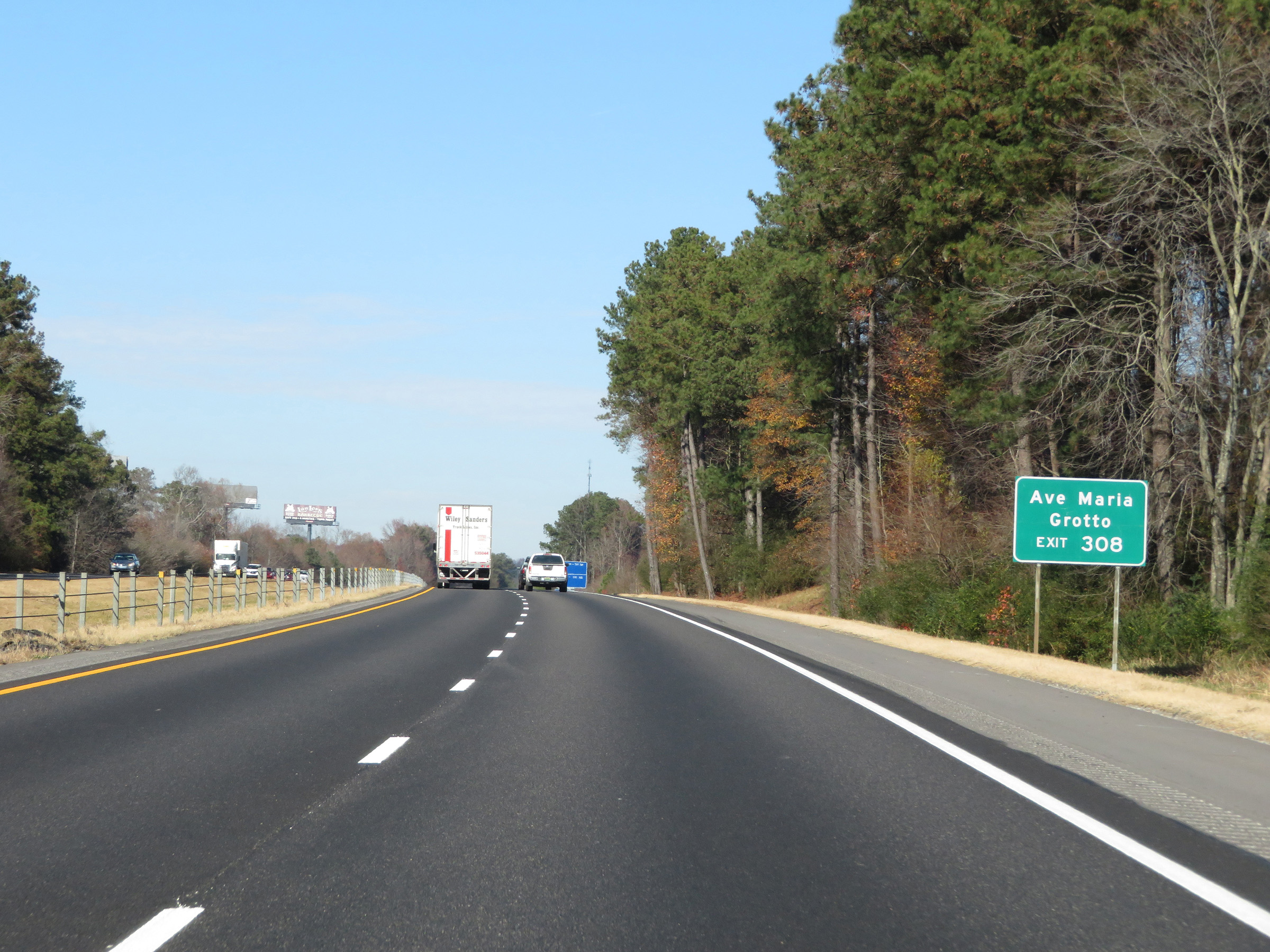 |
Take Exit 308 to Ave Maria Grotto. (Photo taken 12/13/20). |
 |
Interstate 65 North at Exit 308: US 278 - Cullman / Double Springs (Photo taken 12/13/20). |
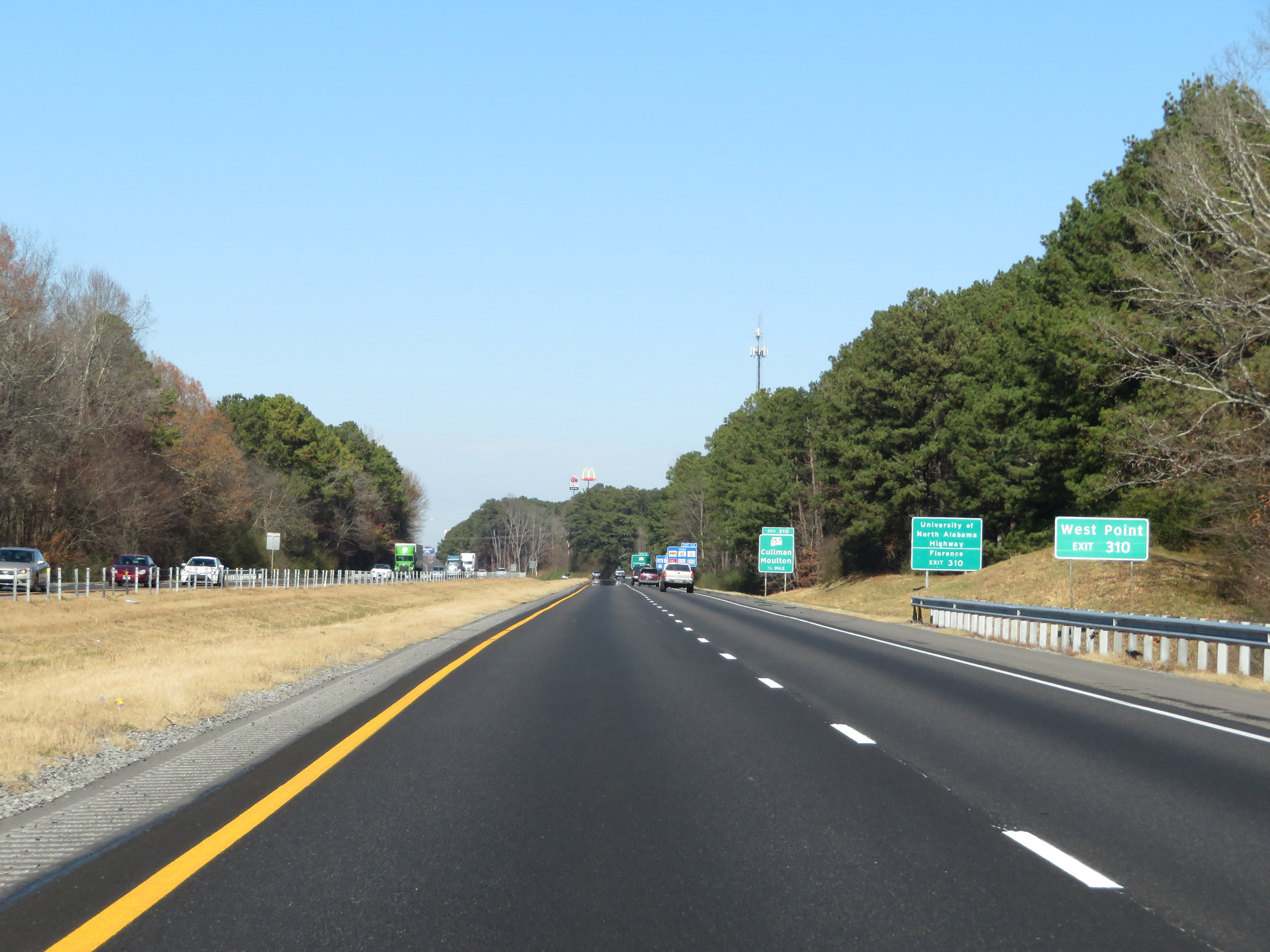 |
Take Exit 310 to West Point. (Photo taken 12/13/20). |
 |
Also take Exit 310 to University of North Alabama Highway and Florence. (Photo taken 12/13/20). |
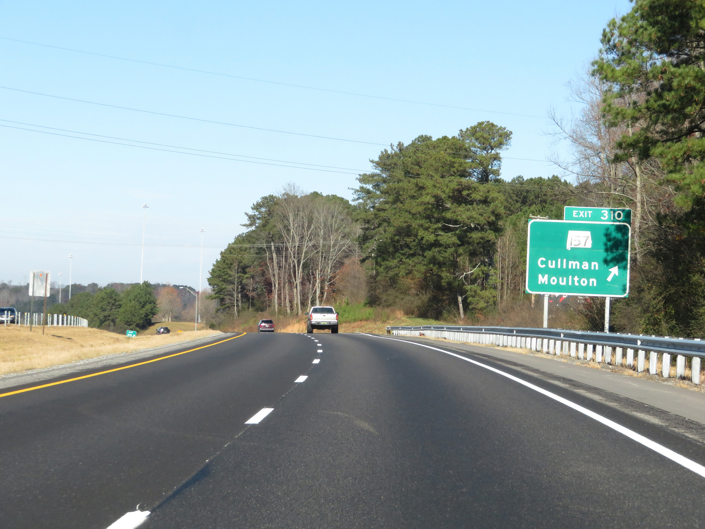 |
Interstate 65 North at Exit 310: AL 157 - Cullman / Moulton (Photo taken 12/13/20). |
Section 6: Cullman (Exit 310) to Tennessee Border
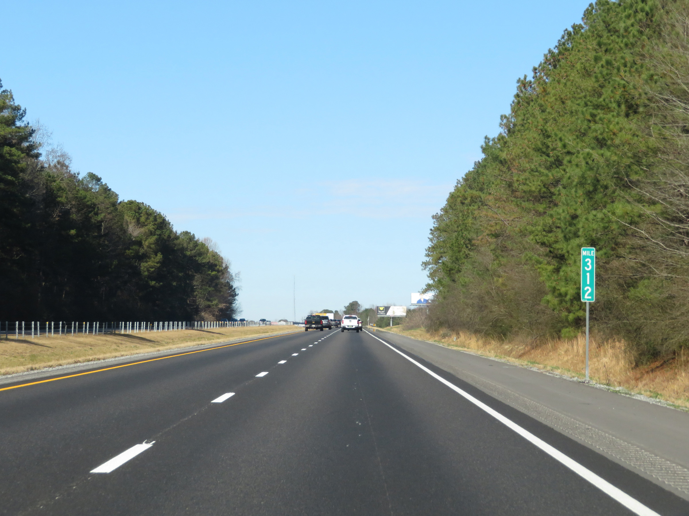 |
View on Interstate 65 North at mile marker 312. (Photo taken 12/13/20). |
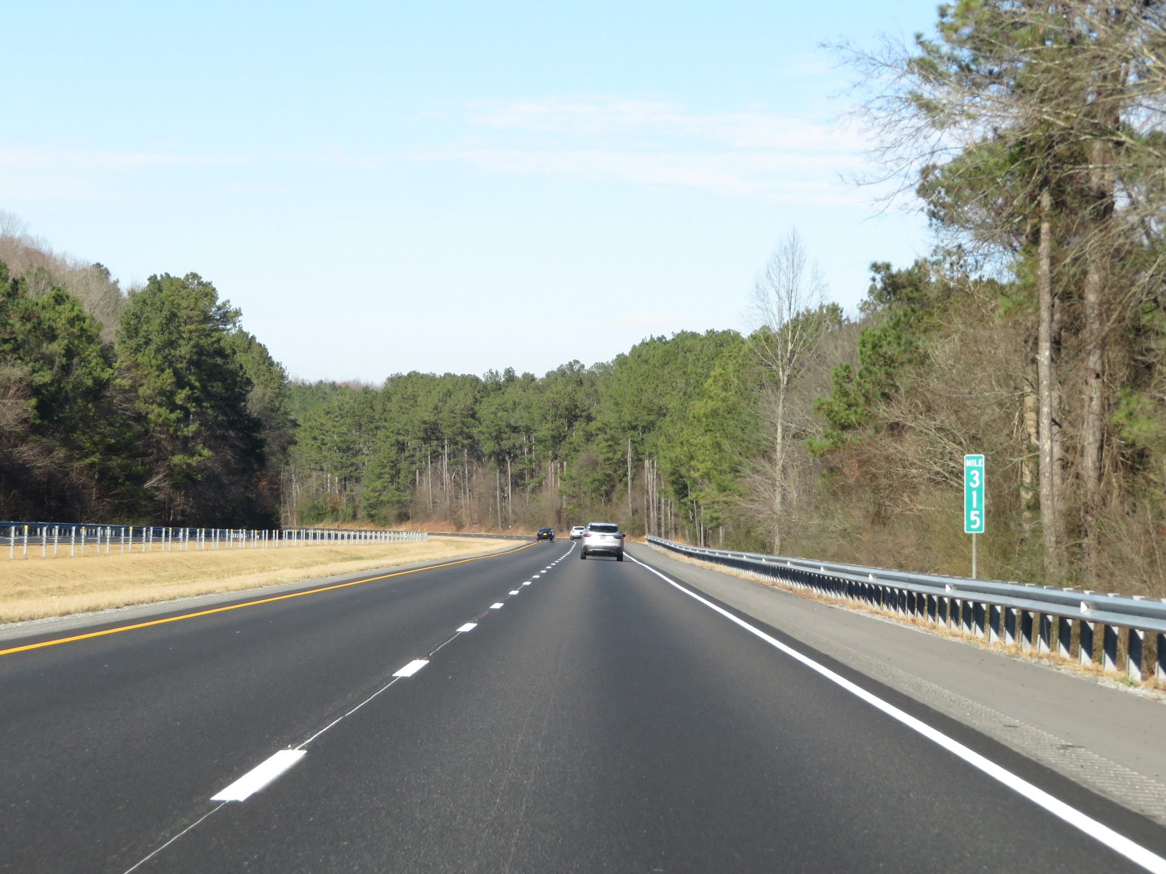 |
Mile marker 315 on Interstate 65 North in Cullman County. (Photo taken 12/13/20). |
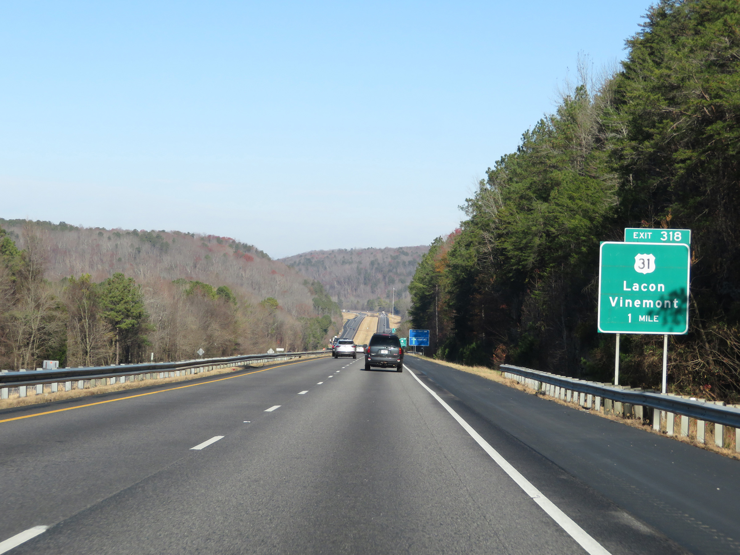 |
Interstate 65 North approaching Exit 318 - 1 mile. (Photo taken 12/13/20). |
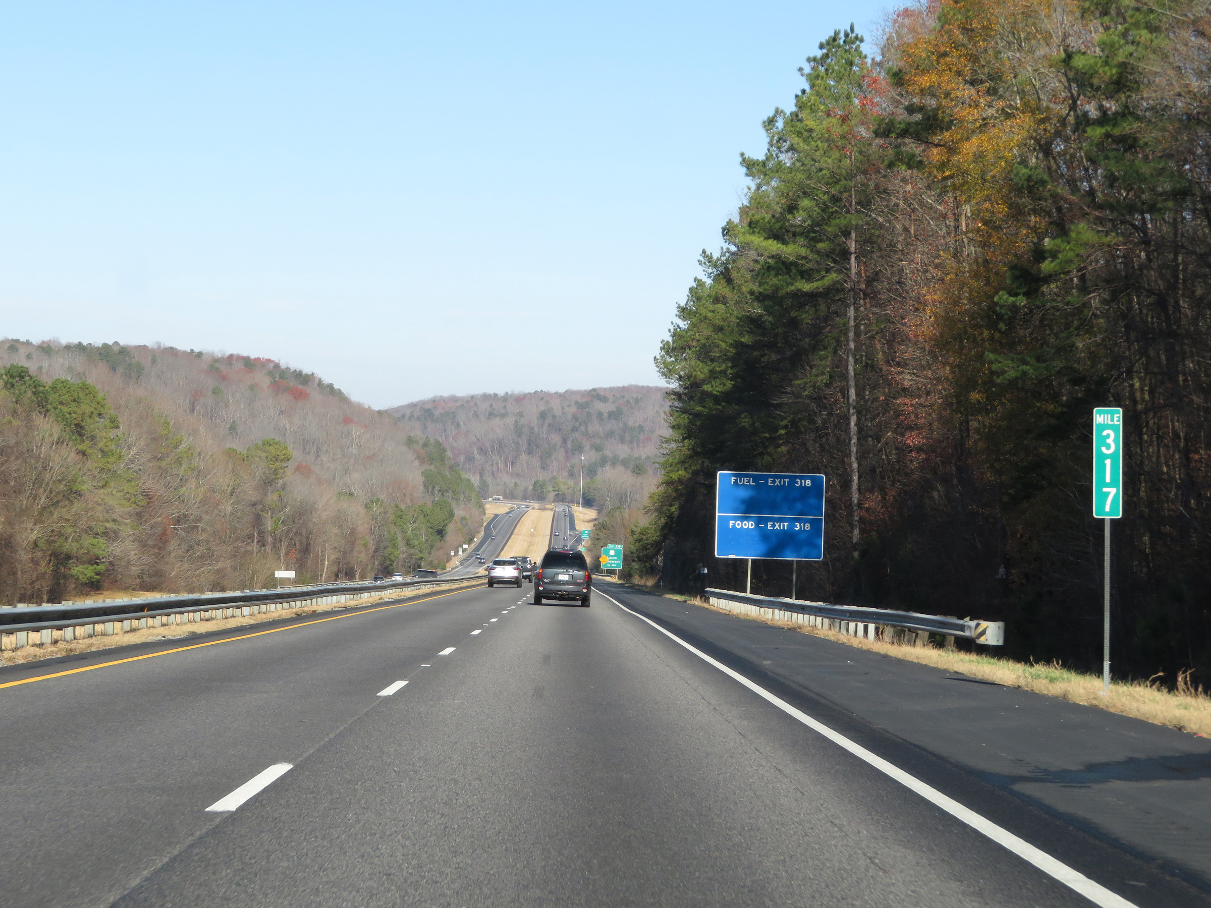 |
View on Interstate 65 North at mile marker 317. (Photo taken 12/13/20). |
 |
Just before Exit 318, Interstate 65 North enters Morgan County. (Photo taken 12/13/20). |
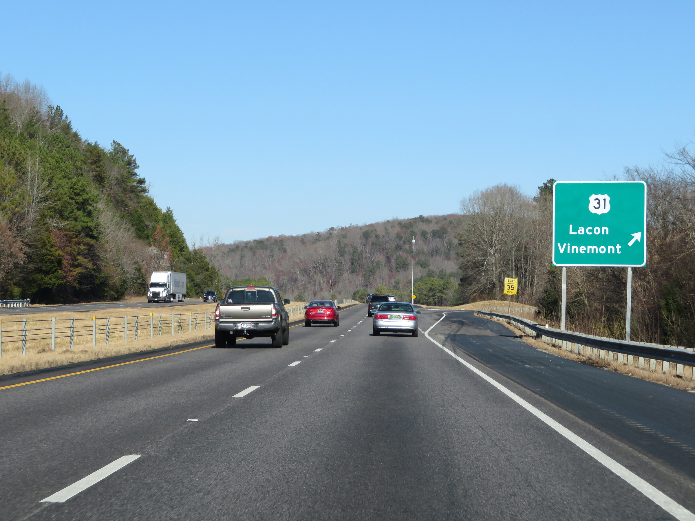 |
Interstate 65 North at Exit 318: US 31 - Lacon / Vinemont (Photo taken 12/13/20). |
 |
Mileage sign at mile marker 319. It's 4 miles to Falkville and 129 miles to Nashville. (Photo taken 12/13/20). |
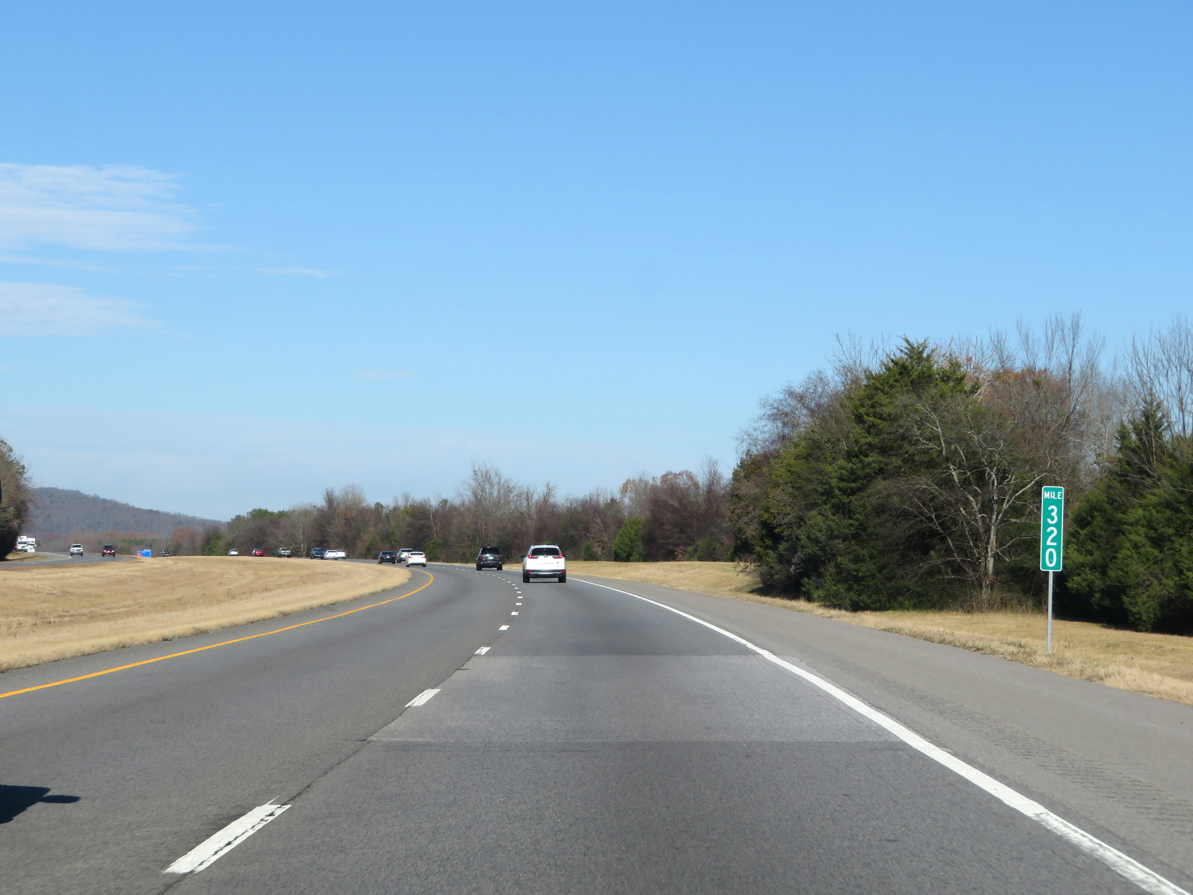 |
View on Interstate 65 North at mile marker 320. (Photo taken 12/13/20). |
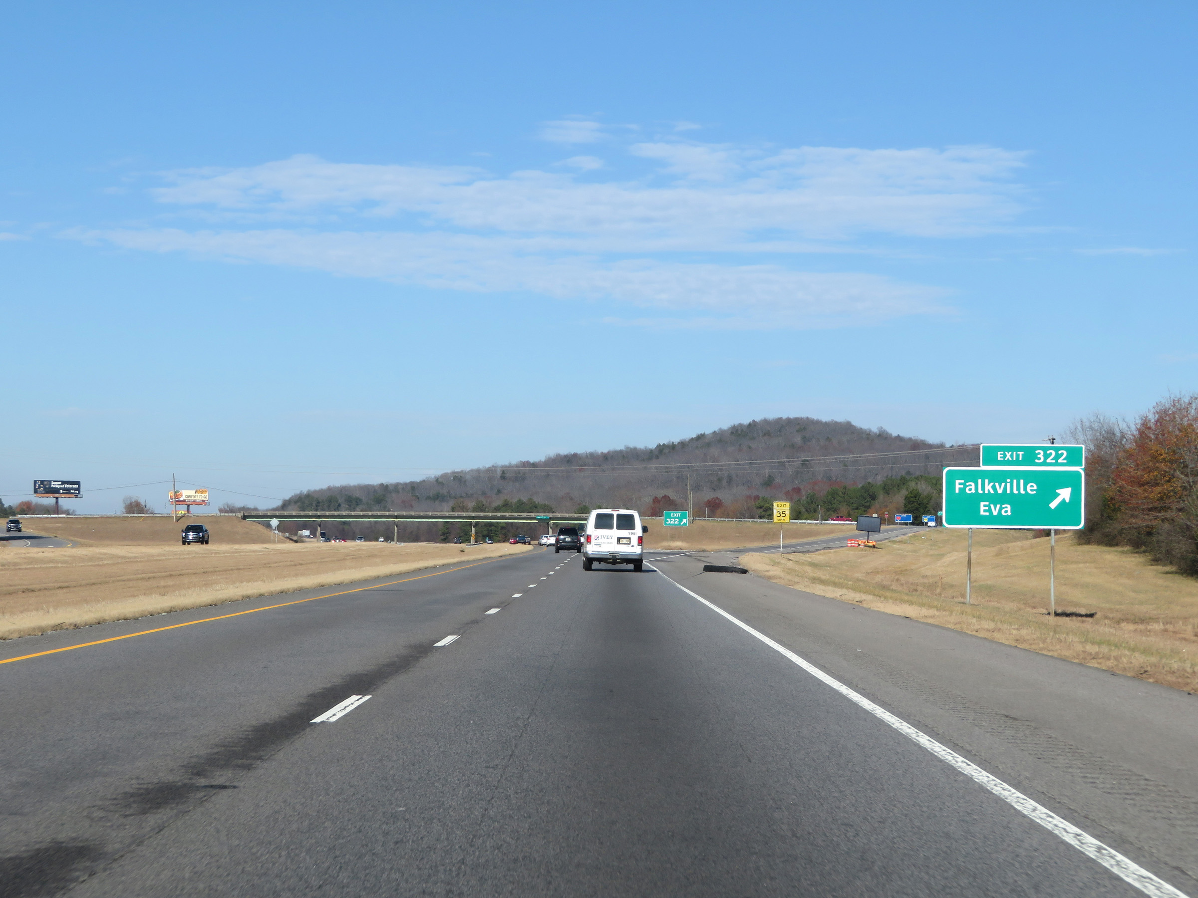 |
Interstate 65 North at Exit 322: Falkville / Eva (Photo taken 12/13/20). |
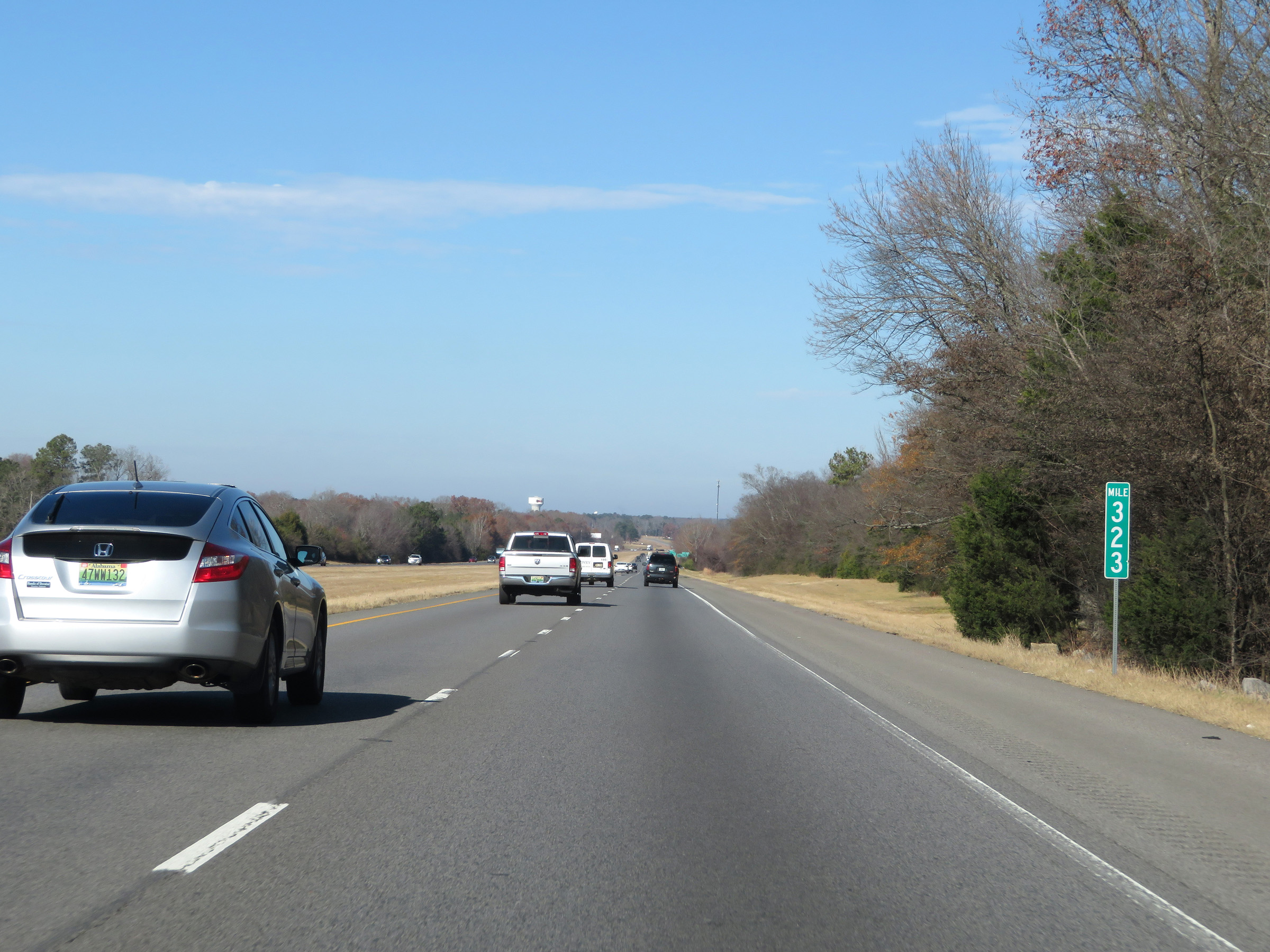 |
Interstate 65 North at mile marker 323. (Photo taken 12/13/20). |
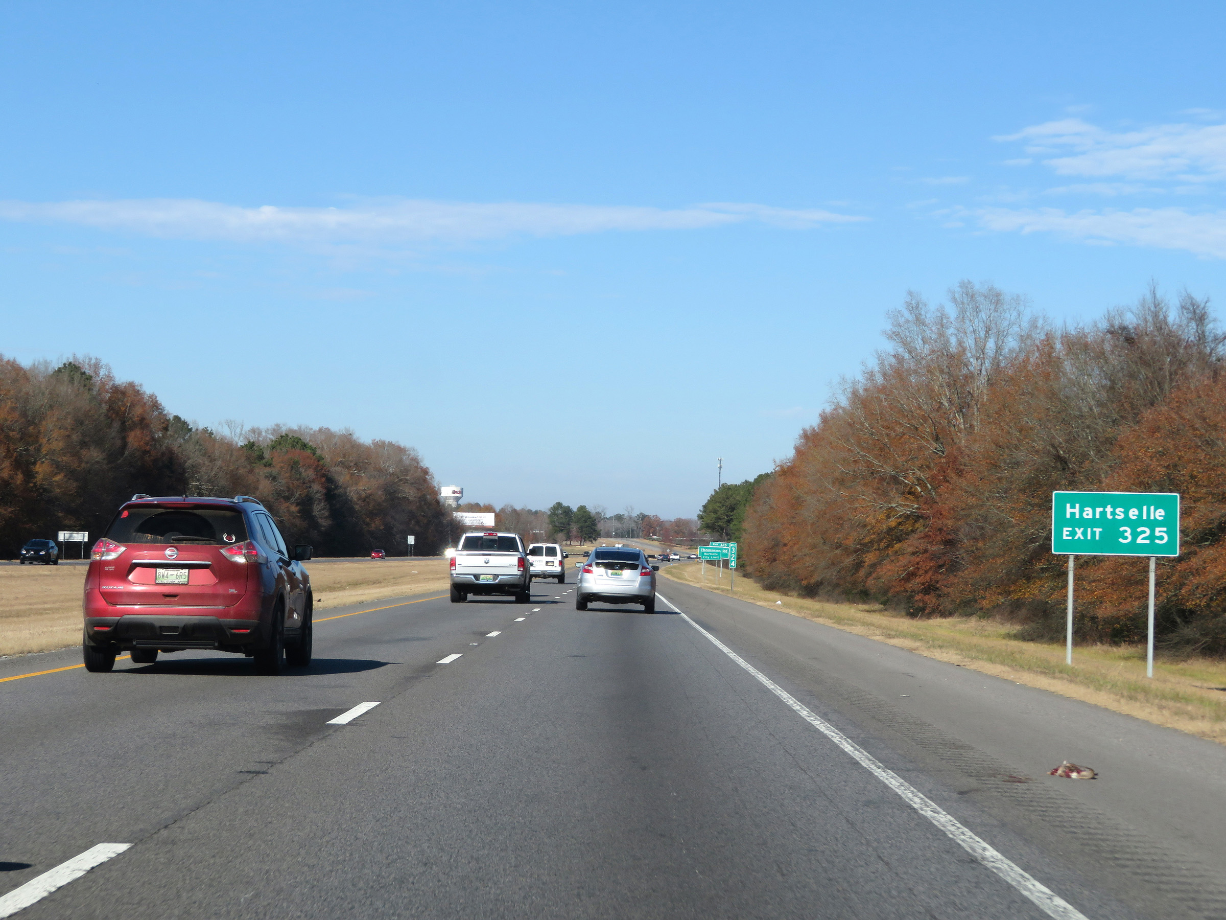 |
Take Exit 325 to Hartselle. (Photo taken 12/13/20). |
 |
Interstate 65 North at Exit 325: Thompson Rd (Photo taken 12/13/20). |
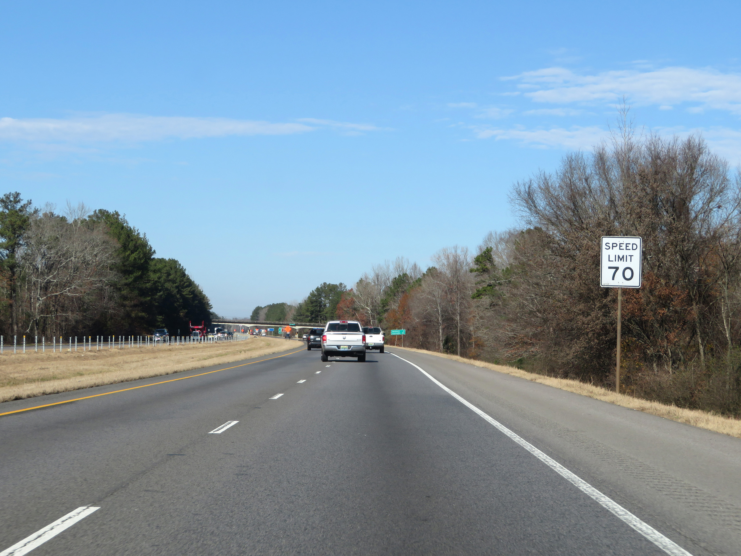 |
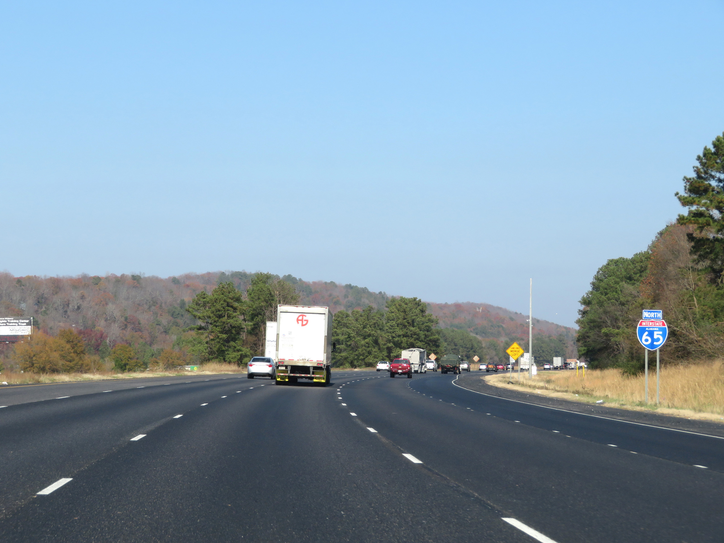
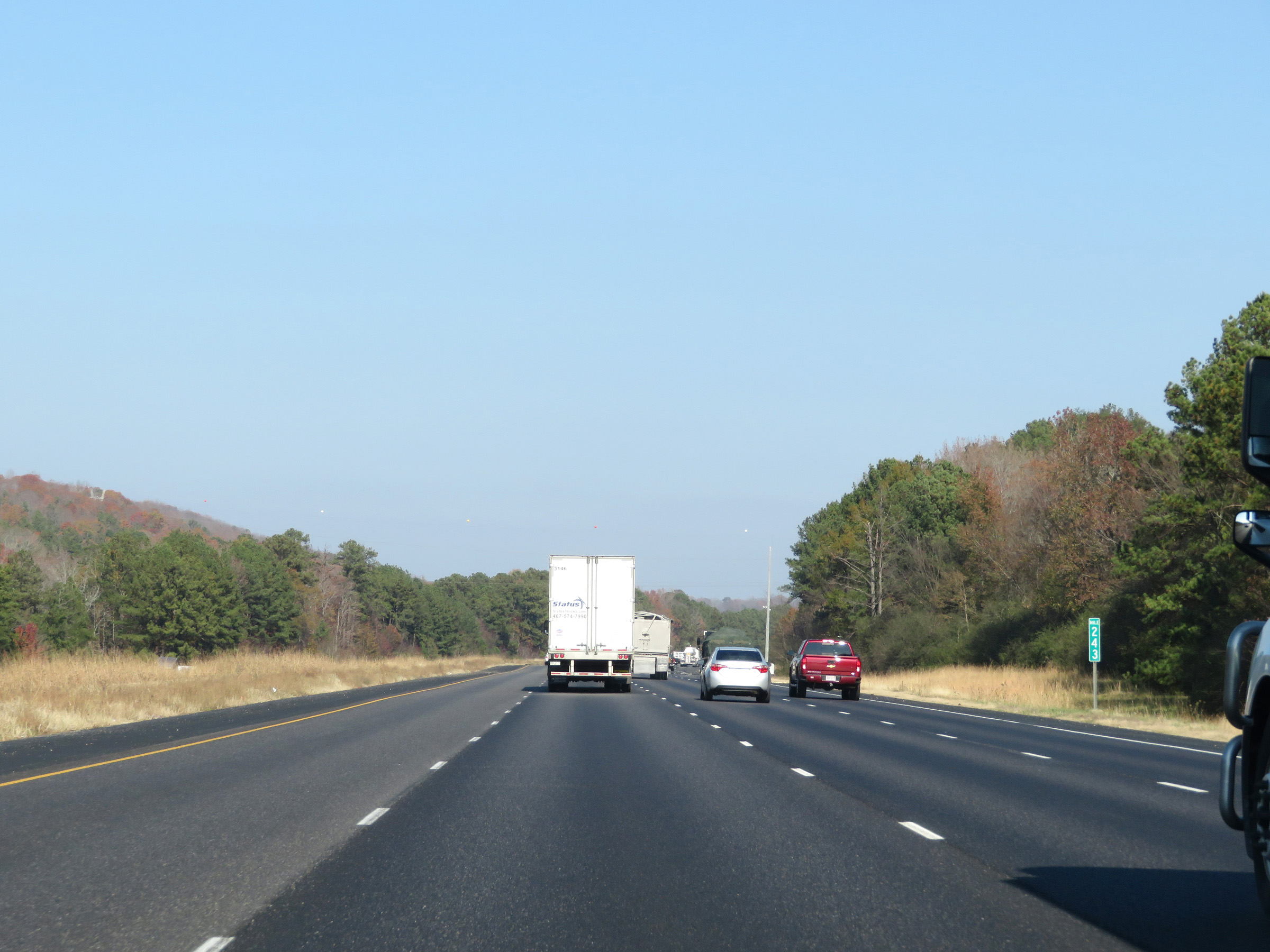
The speed limit remains the rural standard 70 mph on Interstate 65 North. (Photo taken 12/13/20). |
 |
Take Exit 328 to Jesse Owens Parkway. (Photo taken 12/13/20). |
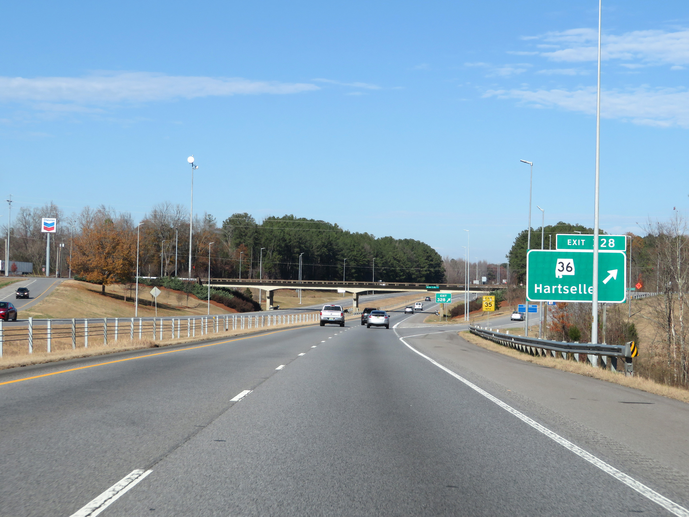 |
Interstate 65 North at Exit 328: AL 36 - Hartselle (Photo taken 12/13/20). |
 |
Another mileage sign on Interstate 65 North. It's 13 miles to Decatur and 120 miles to Nashville. (Photo taken 12/13/20). |
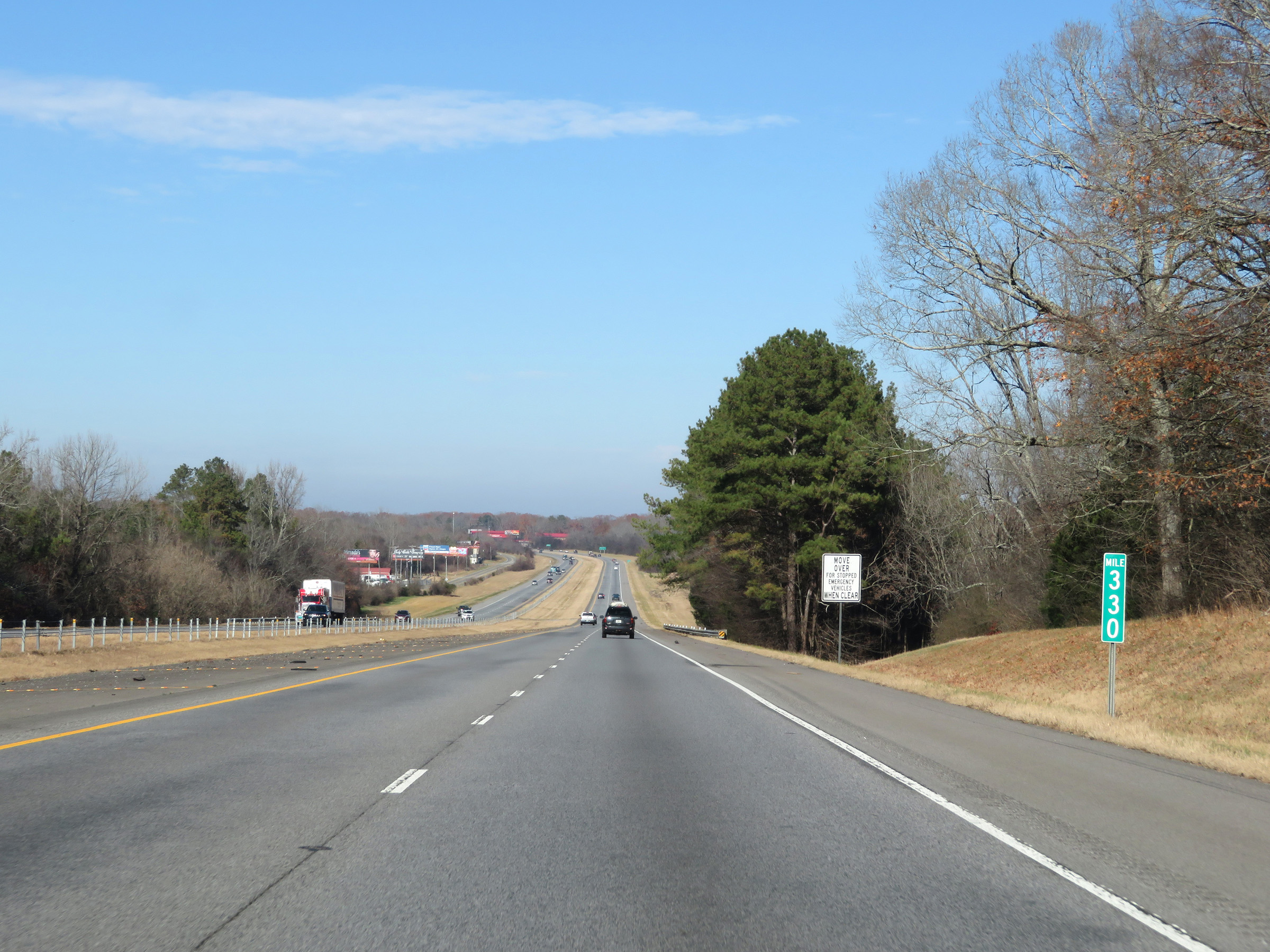 |
View on Interstate 65 North at mile marker 330. (Photo taken 12/13/20). |
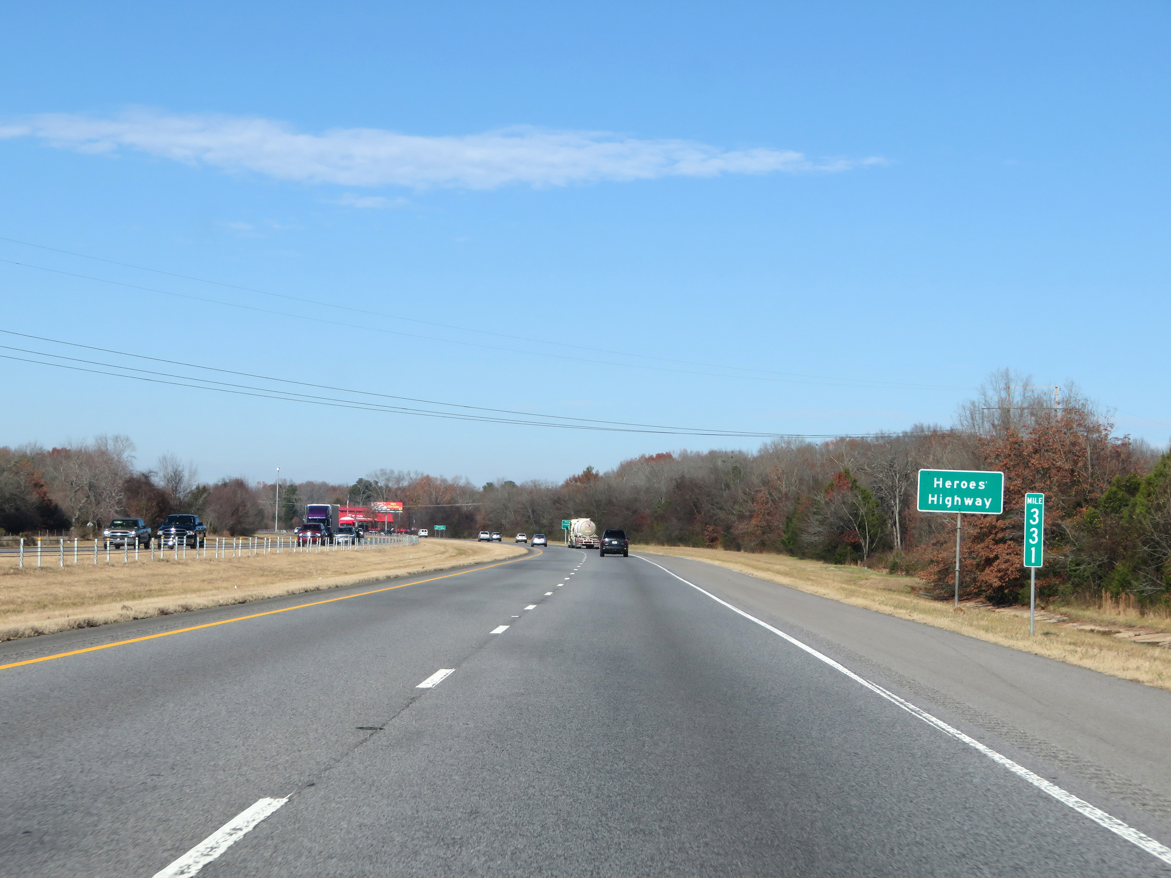 |
Mile marker 331 on Interstate 65 North in Morgan County. (Photo taken 12/13/20). |
 |
Take Exit 334 to Morgan County Celebration Arena. (Photo taken 12/13/20). |
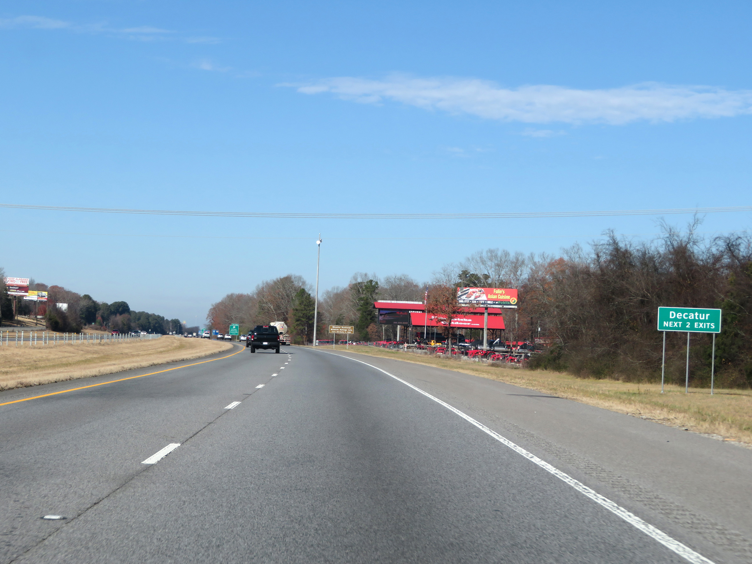 |
Take either of the next 2 exits to Decatur. (Photo taken 12/13/20). |
 |
Tune into 1520 AM for information on Wheeler National Wildlife Refuge. (Photo taken 12/13/20). |
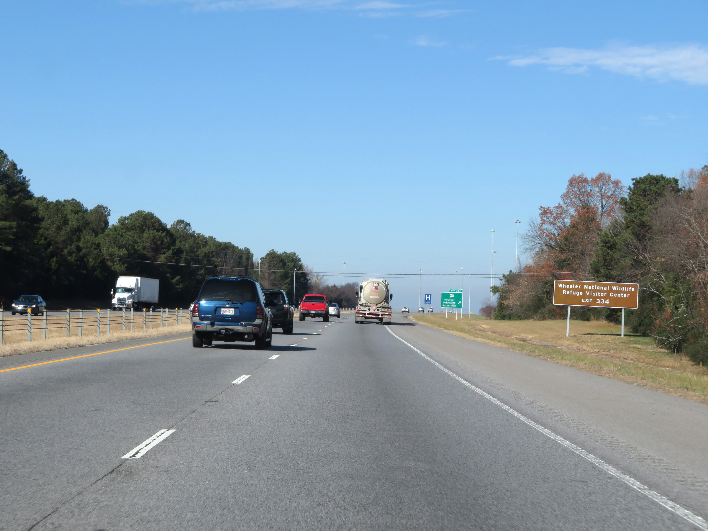 |
Take Exit 334 to Wheeler National Wildlife Refuge Visitor Center. (Photo taken 12/13/20). |
 |
Interstate 65 North at Exit 334: AL 67 - Decatur / Priceville / Somerville (Photo taken 12/13/20). |
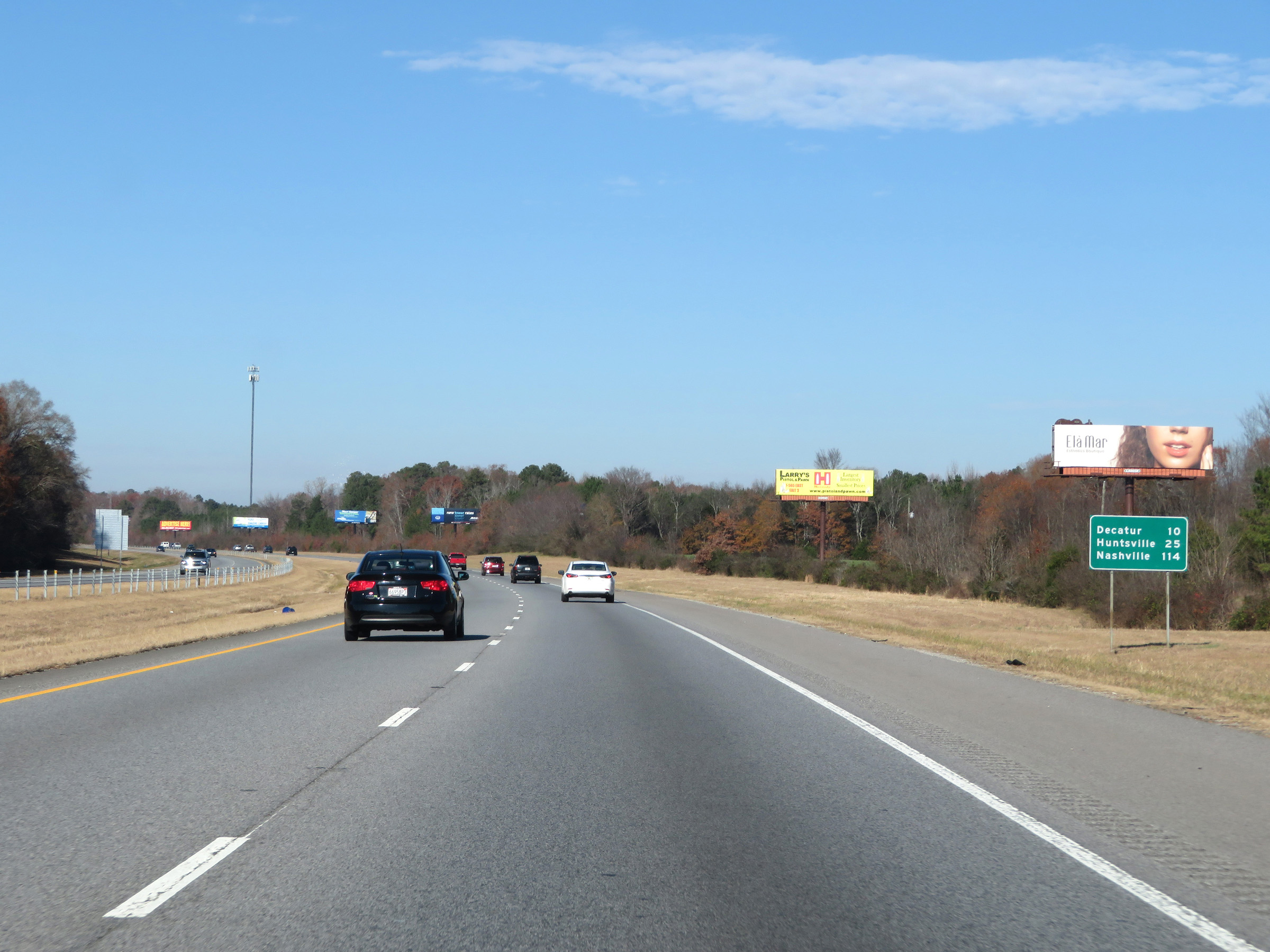 |
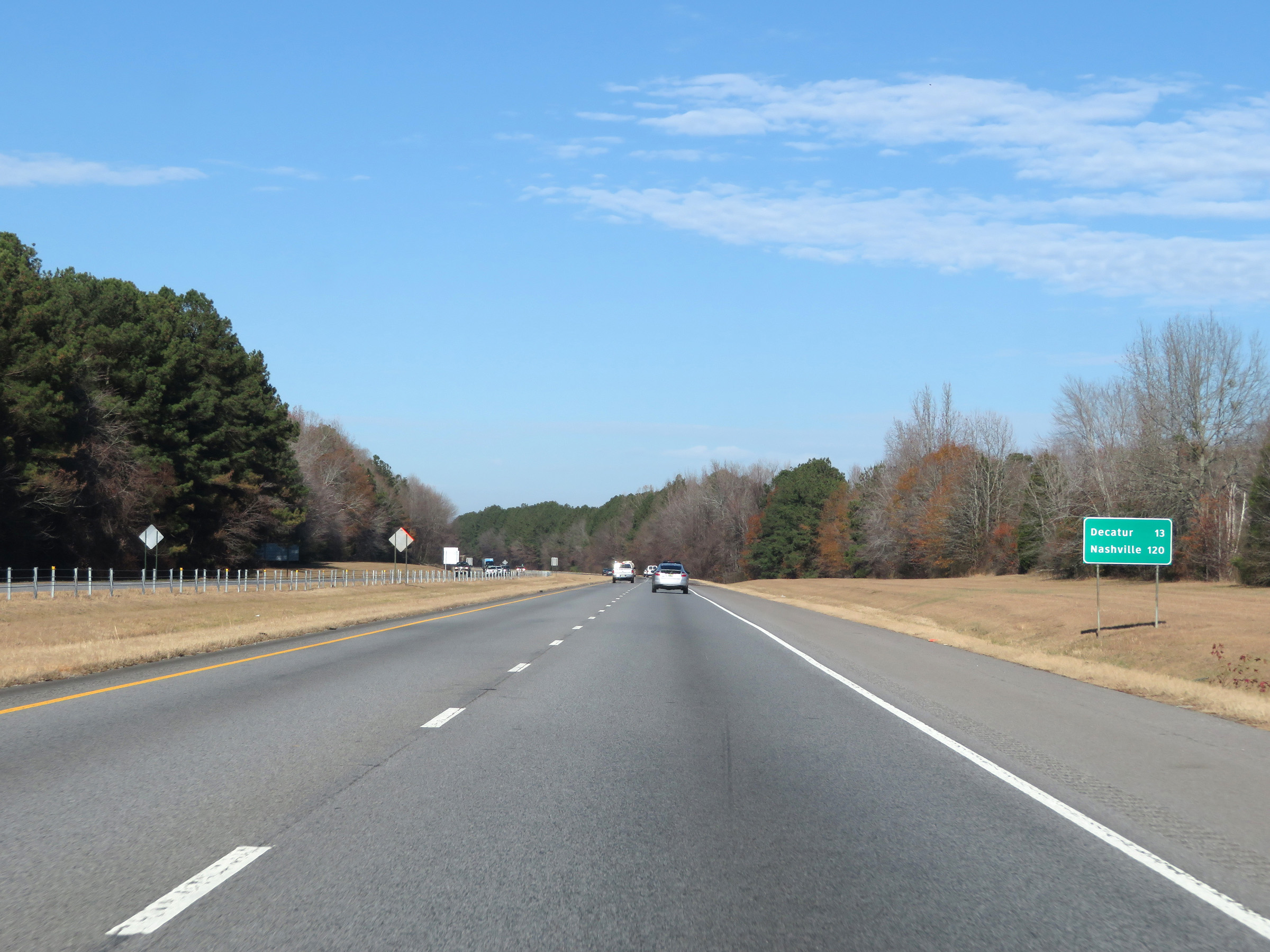
Mileage sign on Interstate 65 North. It's 10 miles to Decatur, 25 miles to Huntsville, and 114 miles to Nashville. (Photo taken 12/13/20). |
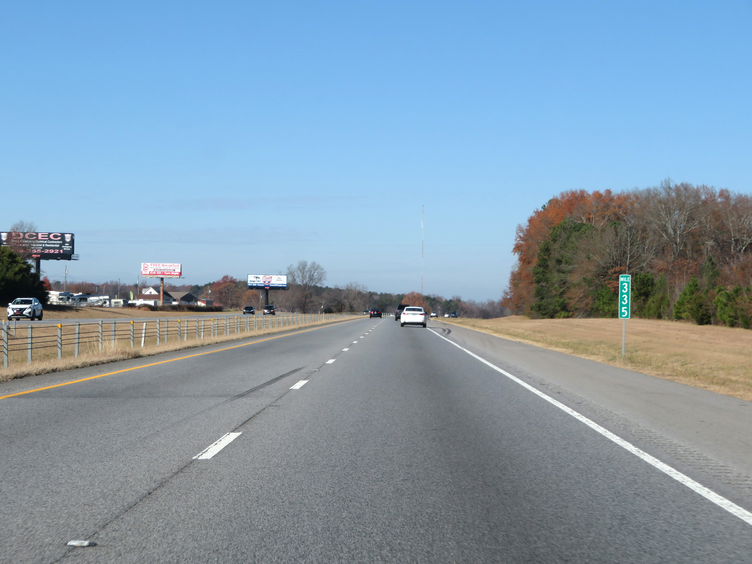 |
View on Interstate 65 North at mile marker 335. (Photo taken 12/13/20). |
 |
Interstate 65 North as it prepares to cross the Tennessee River. (Photo taken 12/13/20). |
 |
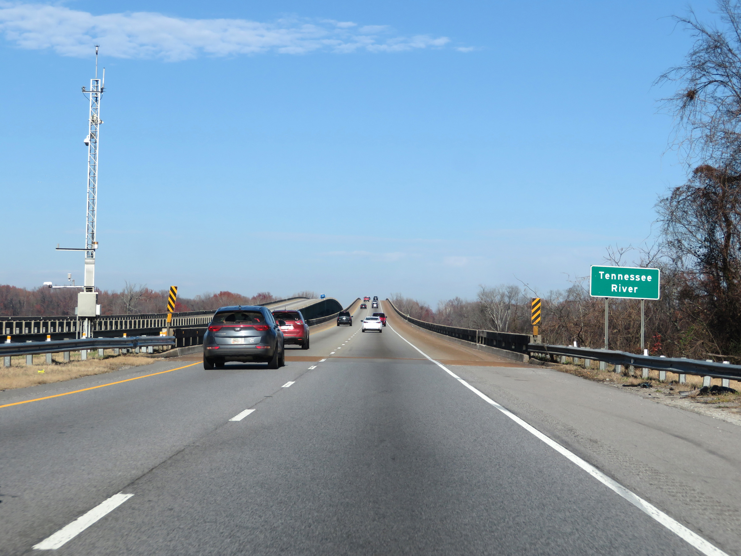
View on Interstate 65 North as it crosses the Tennessee River. Upon reaching the north side of it, I-65 North will enter Limestone County. (Photo taken 12/13/20). |
 |
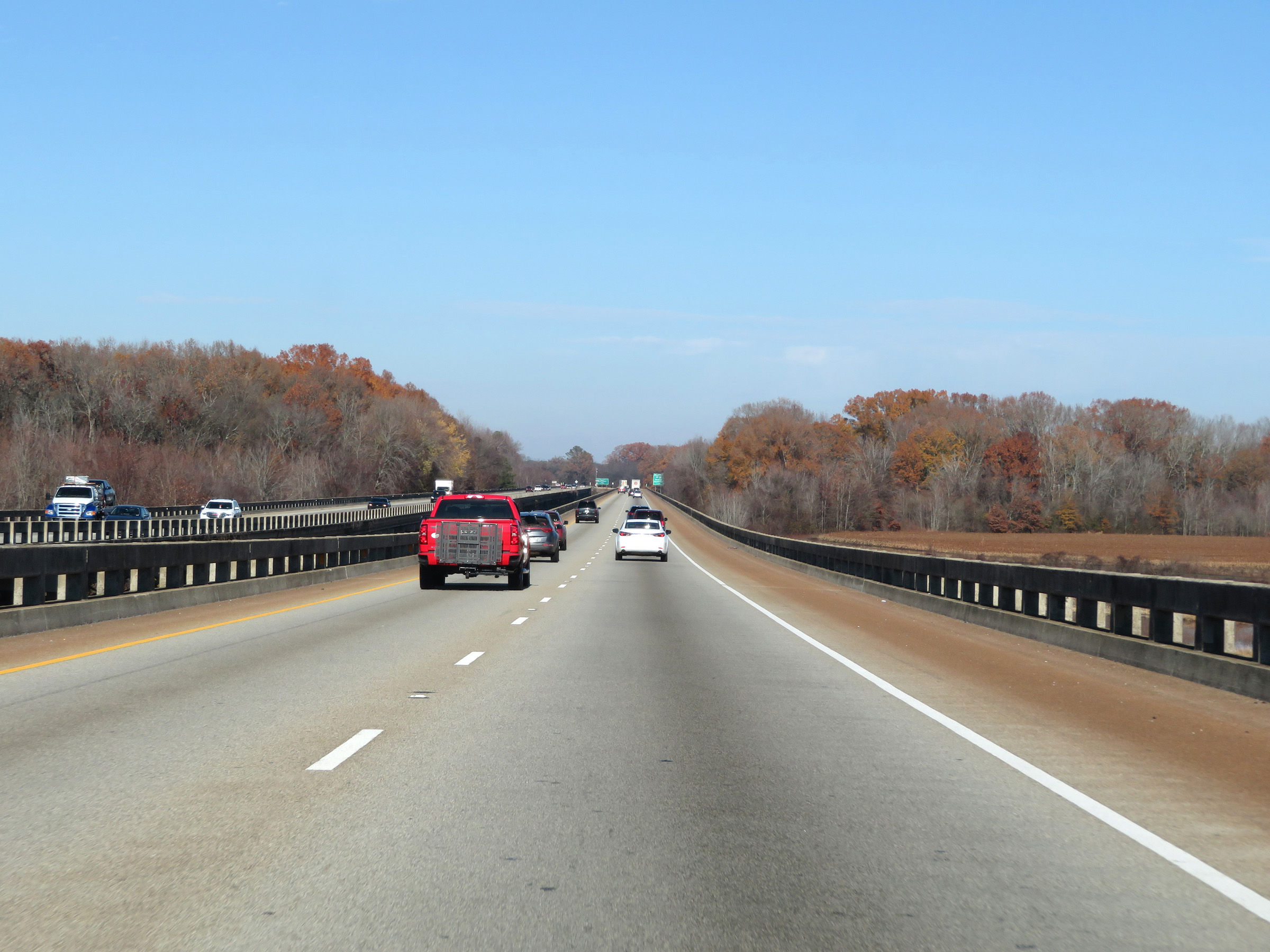
Another view on the bridge over the Tennessee River on Interstate 65 North. (Photo taken 12/13/20). |
 |
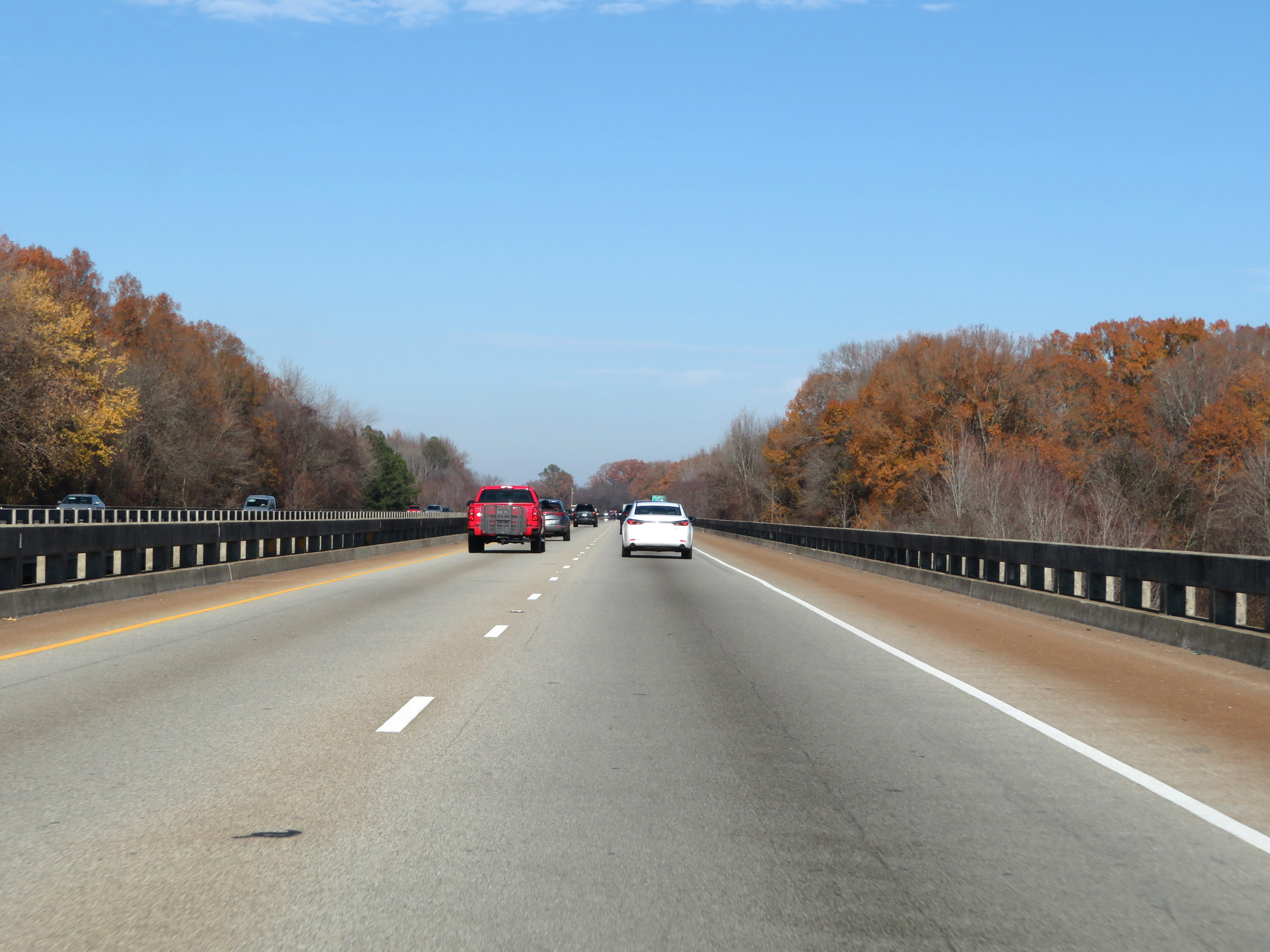
Interstate 65 North approaching Exits 340A-B - 1 mile. (Photo taken 12/13/20). |
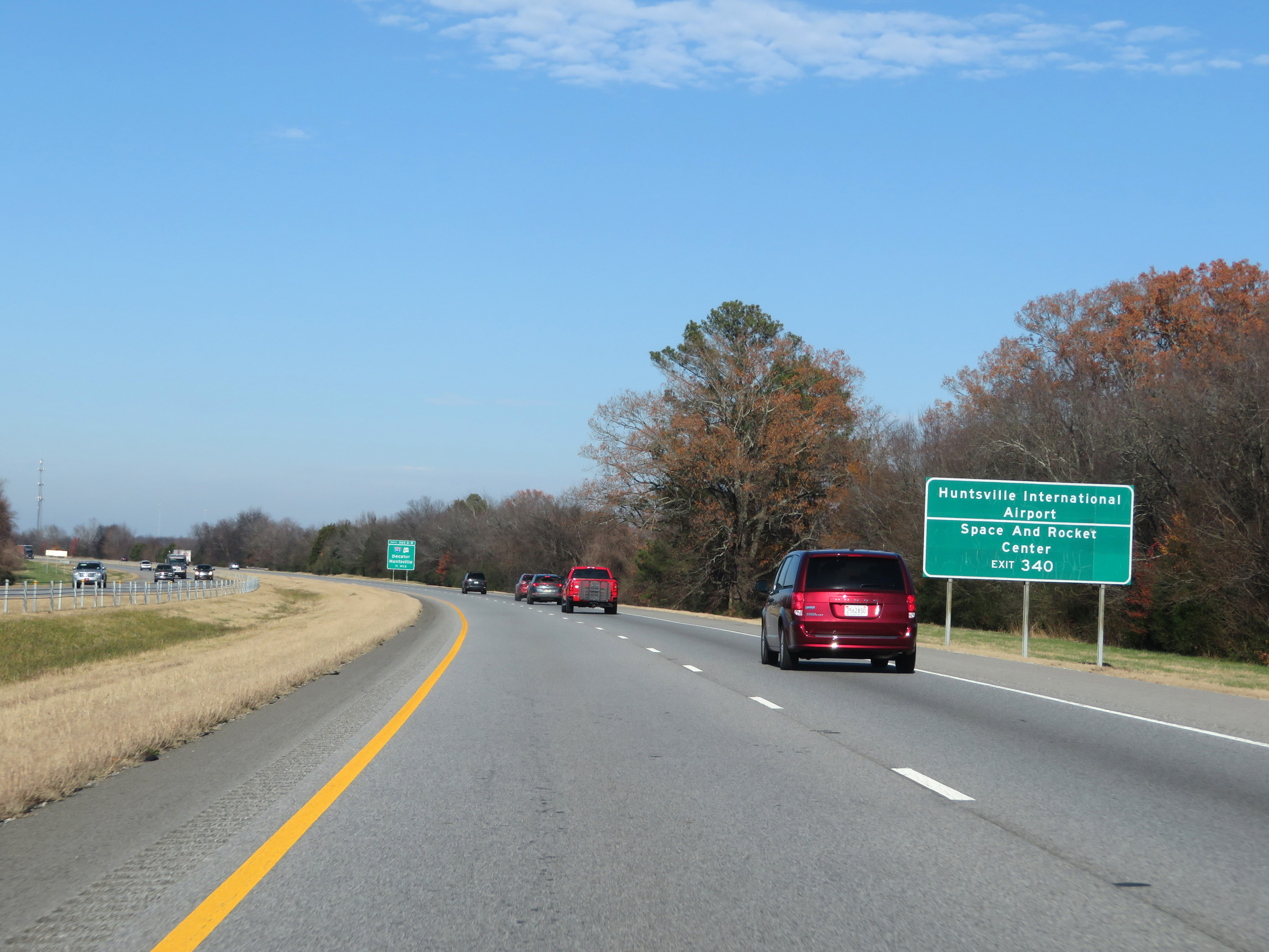 |
Take Exit 340A (Interstate 565 East) to Huntsville International Airport and the Space and Rocket Center. (Photo taken 12/13/20). |
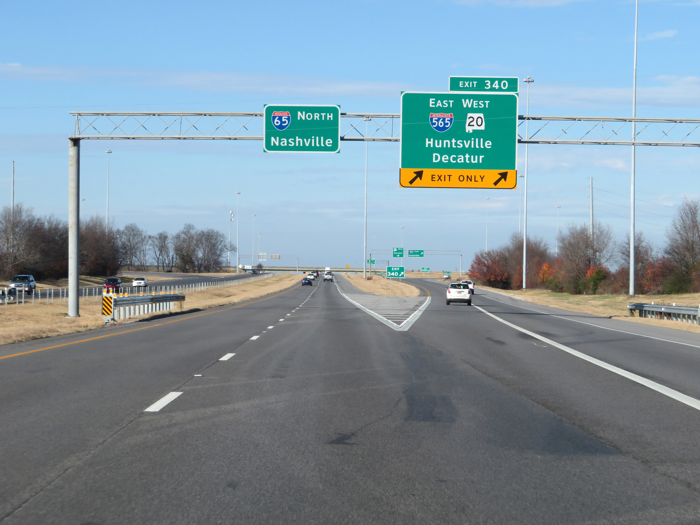 |
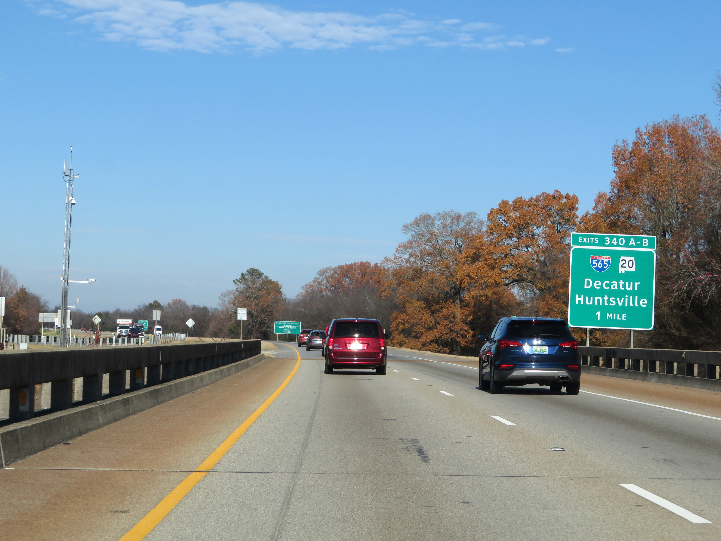
Interstate 65 North at Exits 340A-B: Interstate 565 East / AL 20 West - Huntsville / Decatur (Photo taken 12/13/20). |
 |
View of the ramp to Interstate 565 East via Exit 340A. (Photo taken 12/13/20). |
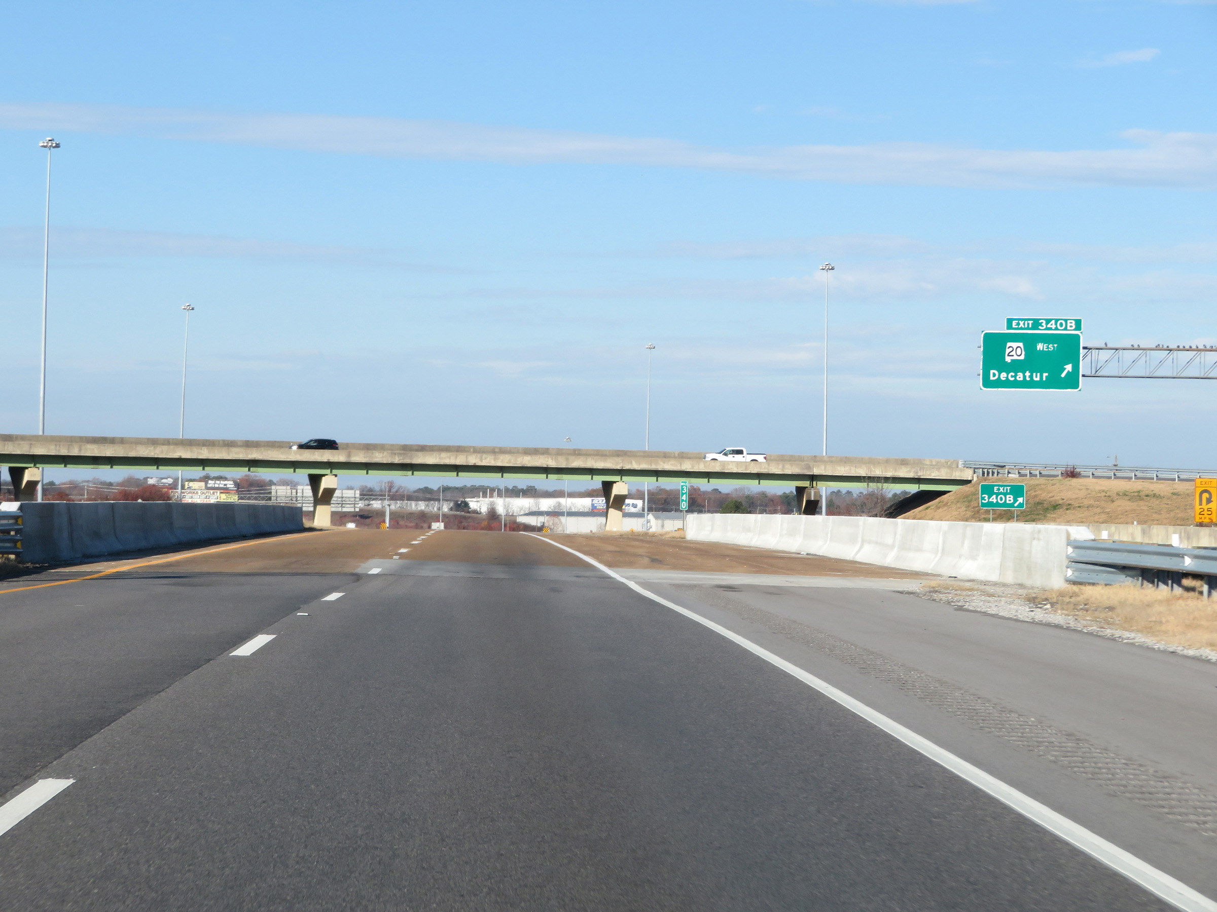 |
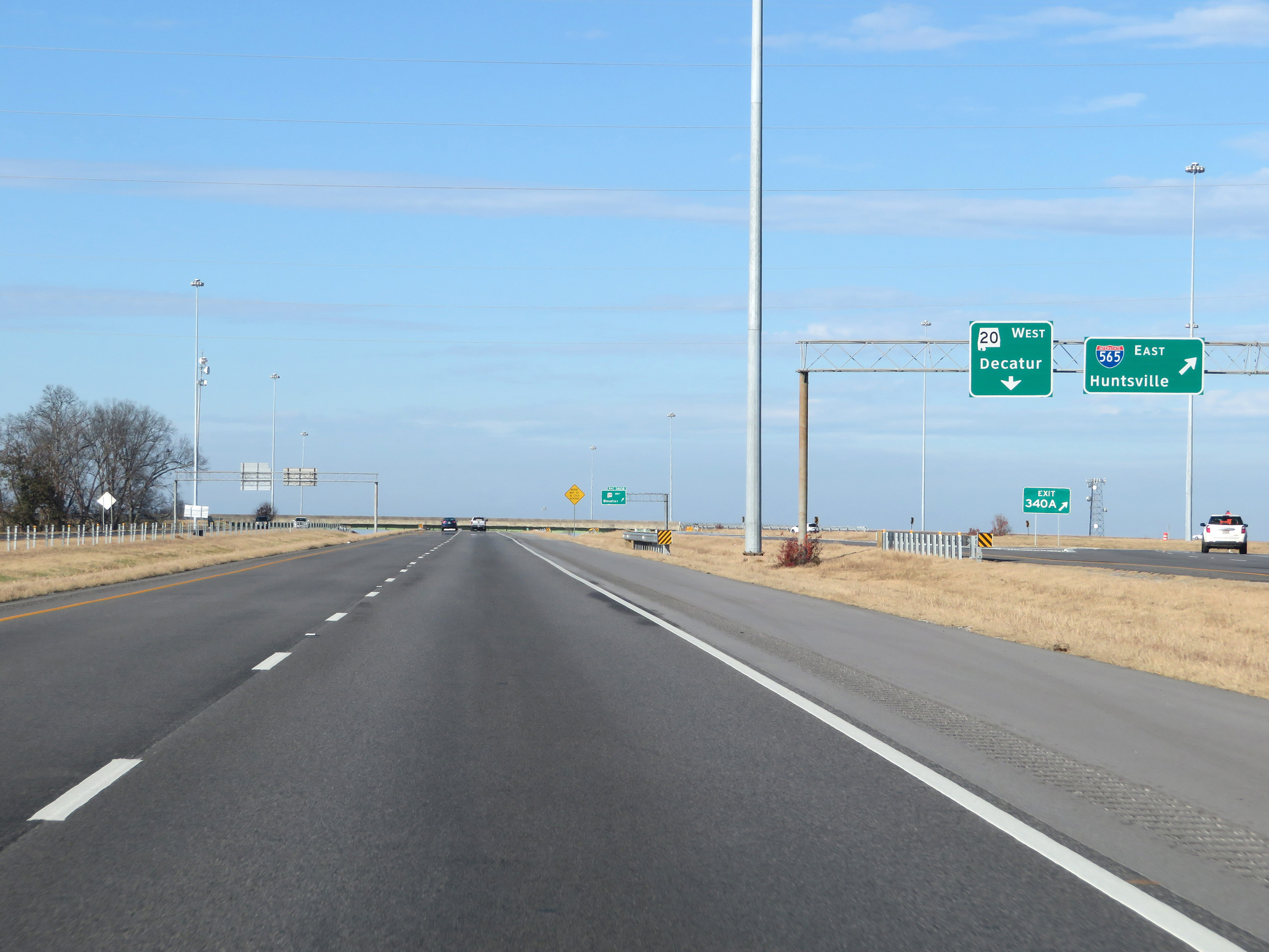
And here is a view of the ramp to AL 20 West via Exit 340B. (Photo taken 12/13/20). |
 |
View on Interstate 65 North as traffic from Interstate 565 and AL 20 merges into it ahead on the right. (Photo taken 12/13/20). |
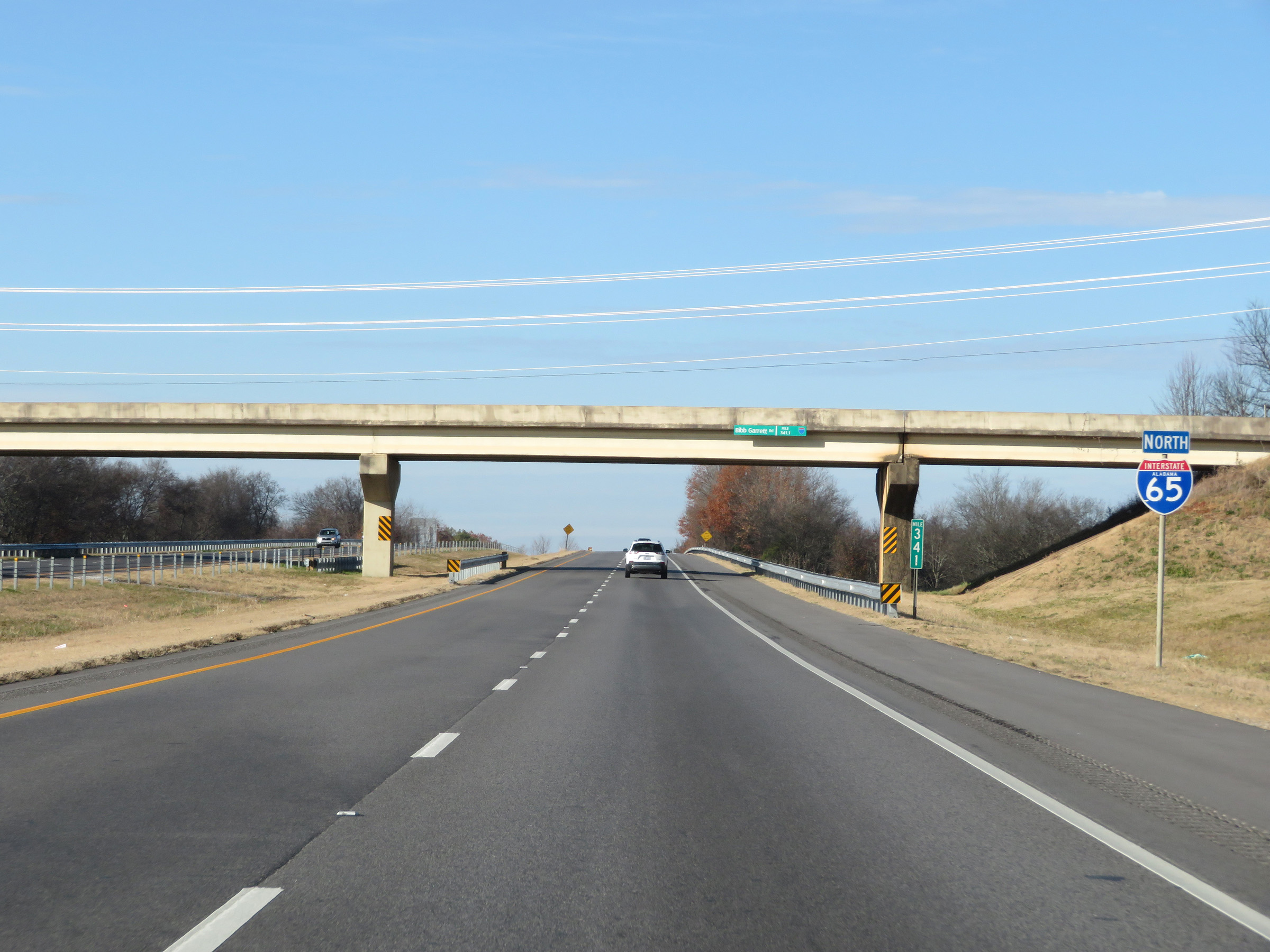 |
Another state-named Interstate 65 North reassurance shield at mile marker 341. (Photo taken 12/13/20). |
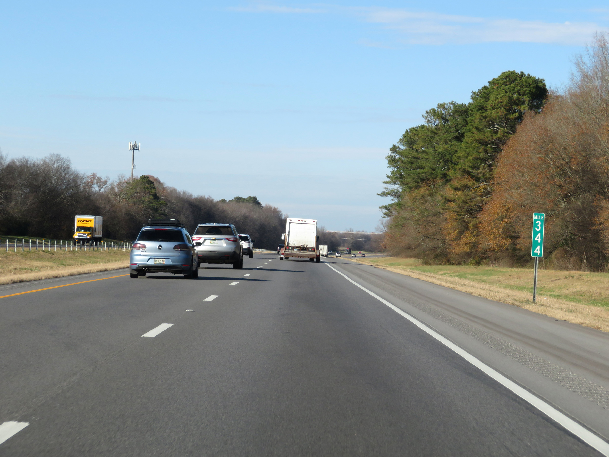 |
Interstate 65 North at mile marker 344. (Photo taken 12/13/20). |
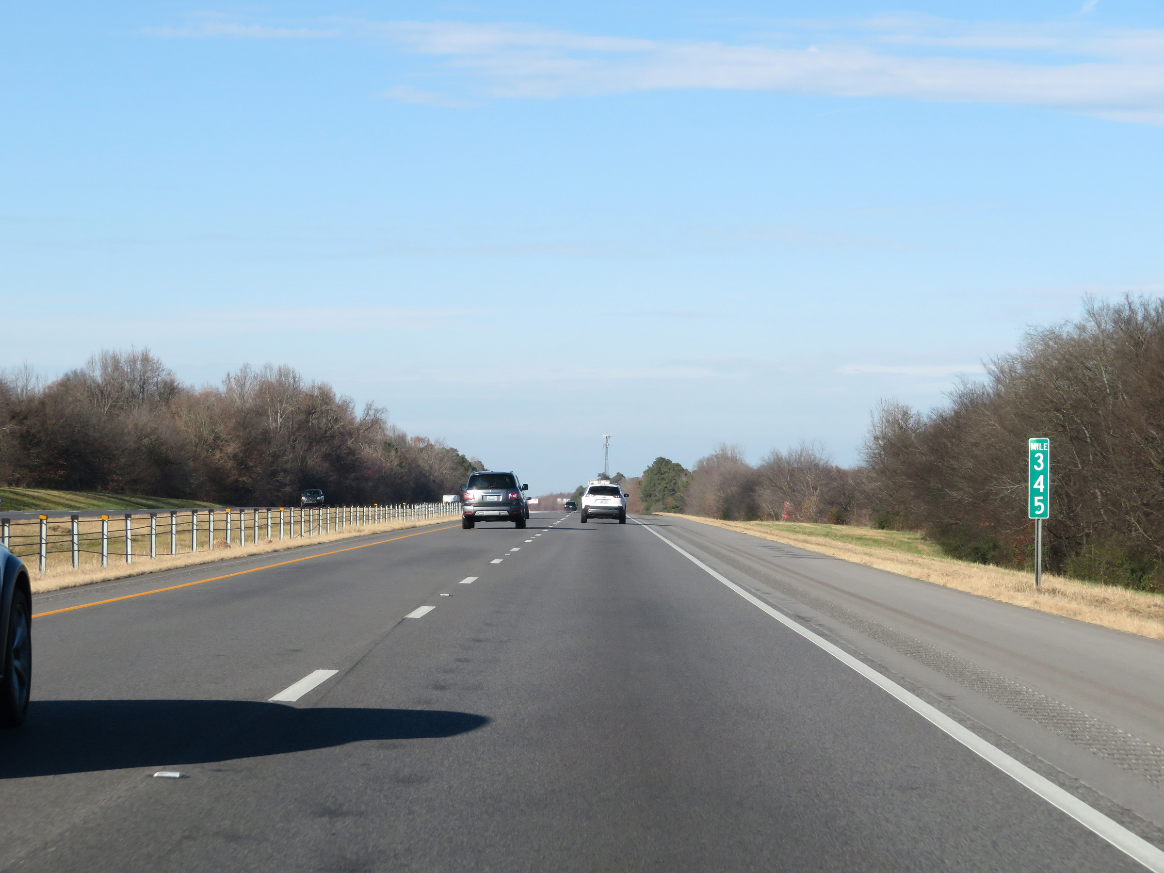 |
View on Interstate 65 North at mile marker 345. (Photo taken 12/13/20). |
 |
Interstate 65 North at Exit 347: Huntsville / Brown's Ferry Rd (Photo taken 12/13/20). |
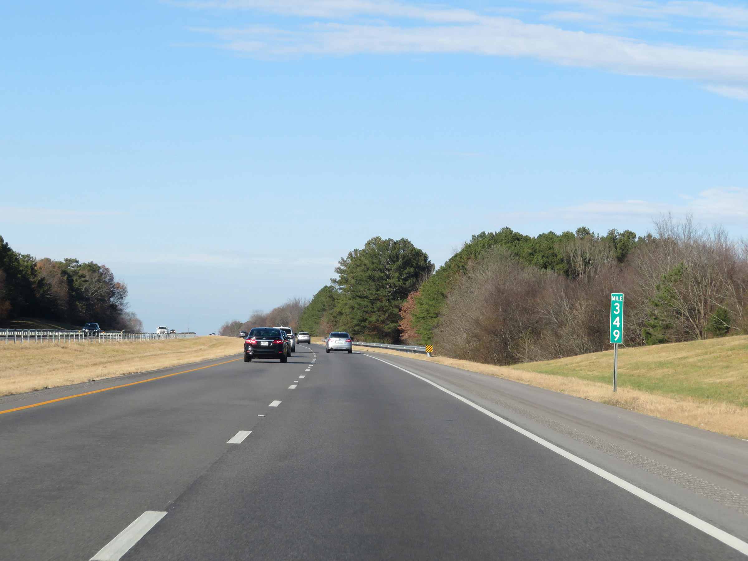 |
Mile marker 349 on Interstate 65 North in Limestone County. (Photo taken 12/13/20). |
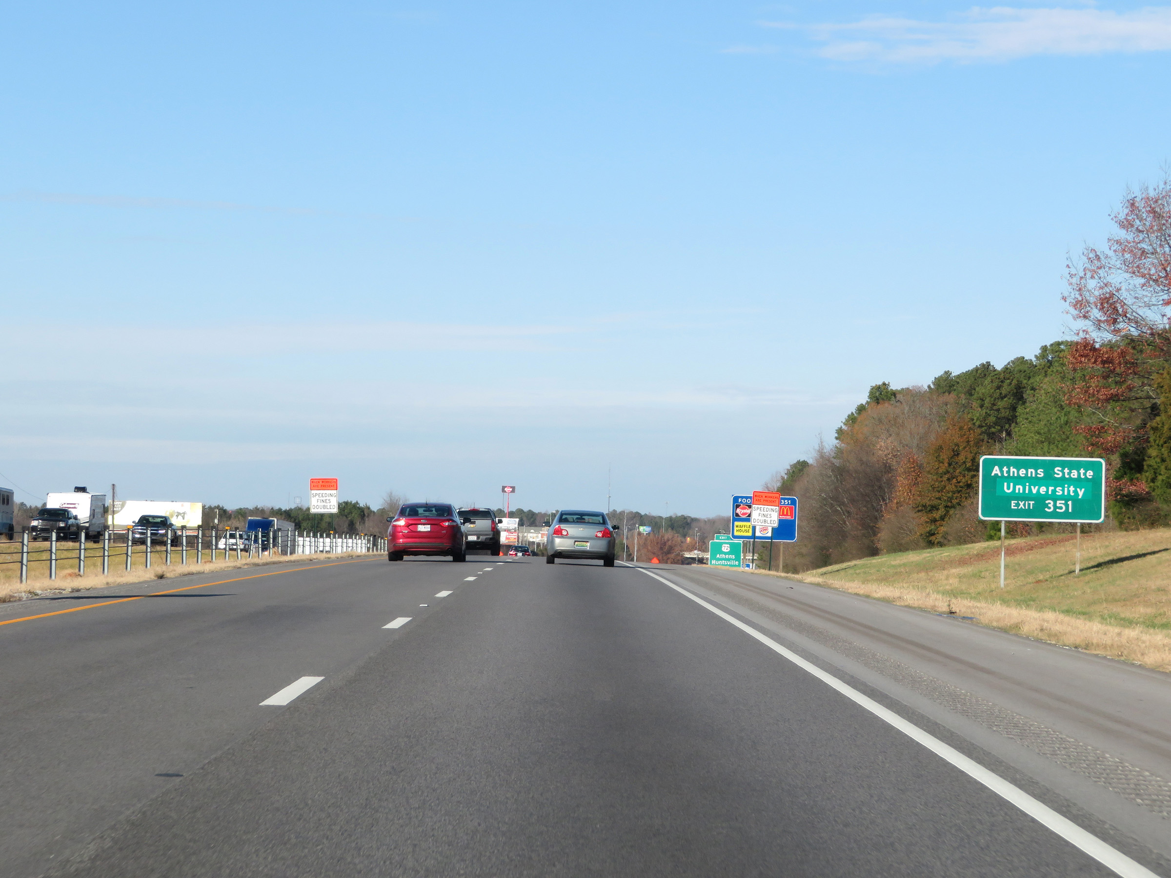 |
Take Exit 351 to Athens State University. (Photo taken 12/13/20). |
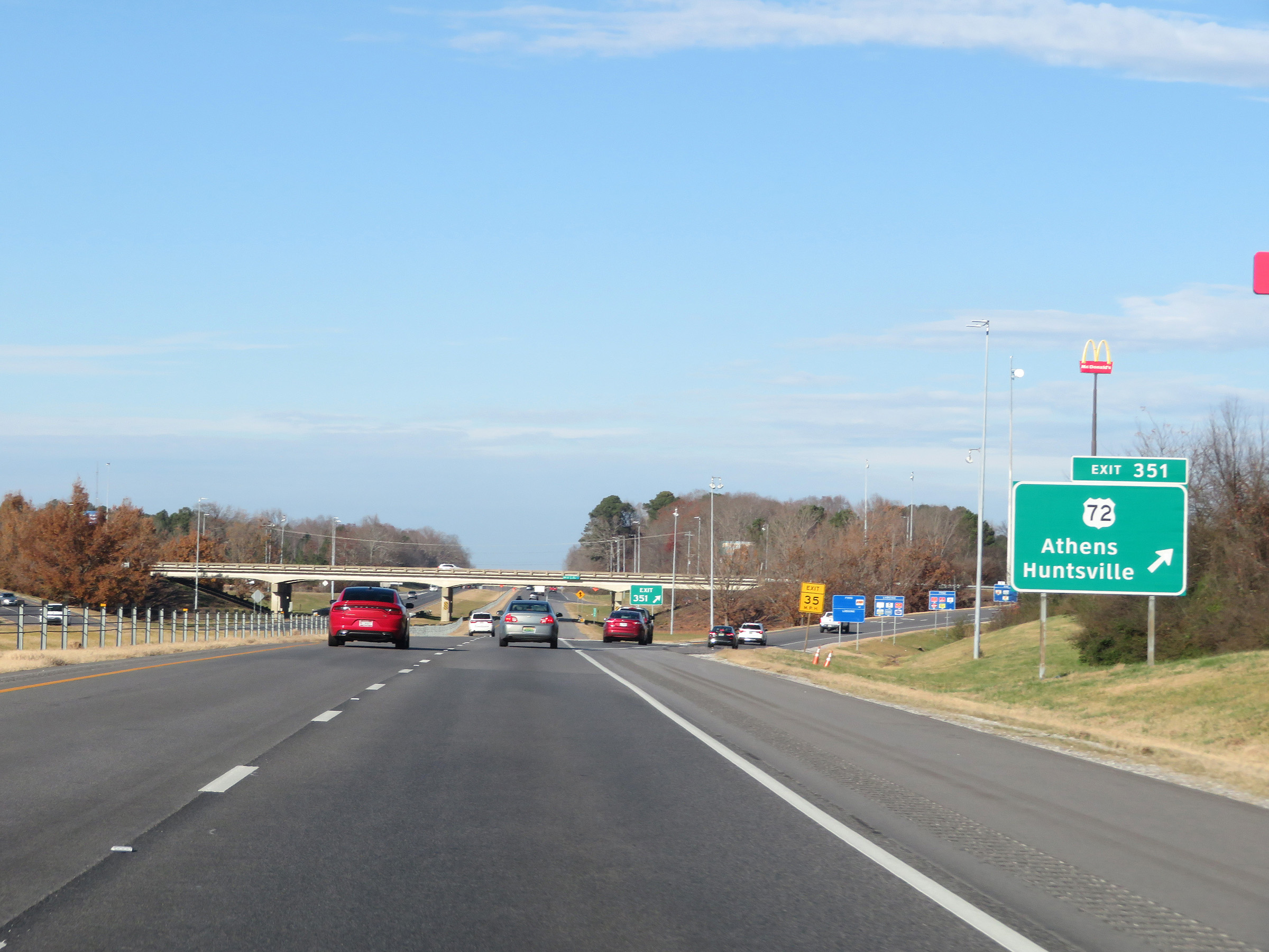 |
Interstate 65 North at Exit 351: US 72 - Athens / Huntsville (Photo taken 12/13/20). |
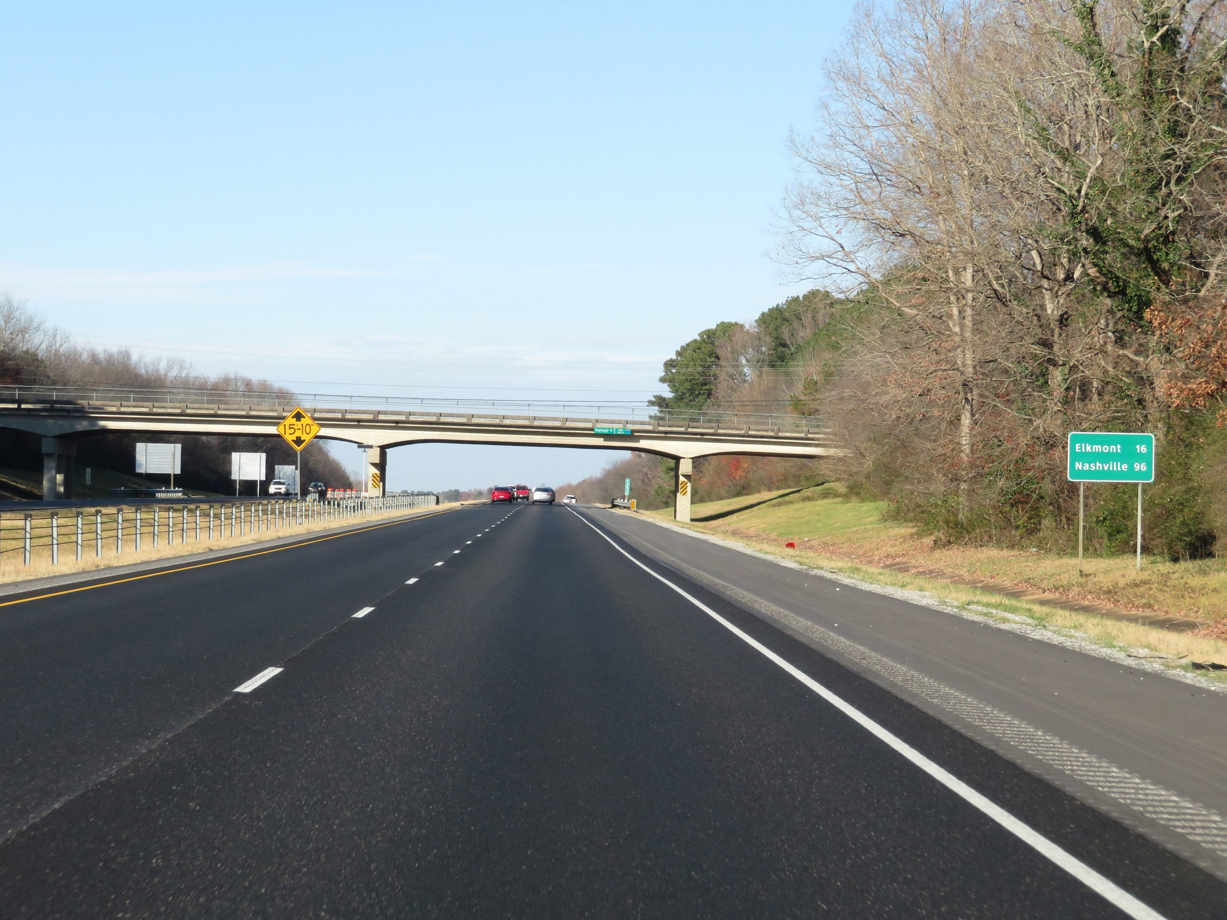 |
Mileage sign on Interstate 65 North. It's 16 miles to Elkmont and 96 miles to Nashville. (Photo taken 12/13/20). |
 |
View on Interstate 65 North at mile marker 353. (Photo taken 12/13/20). |
 |
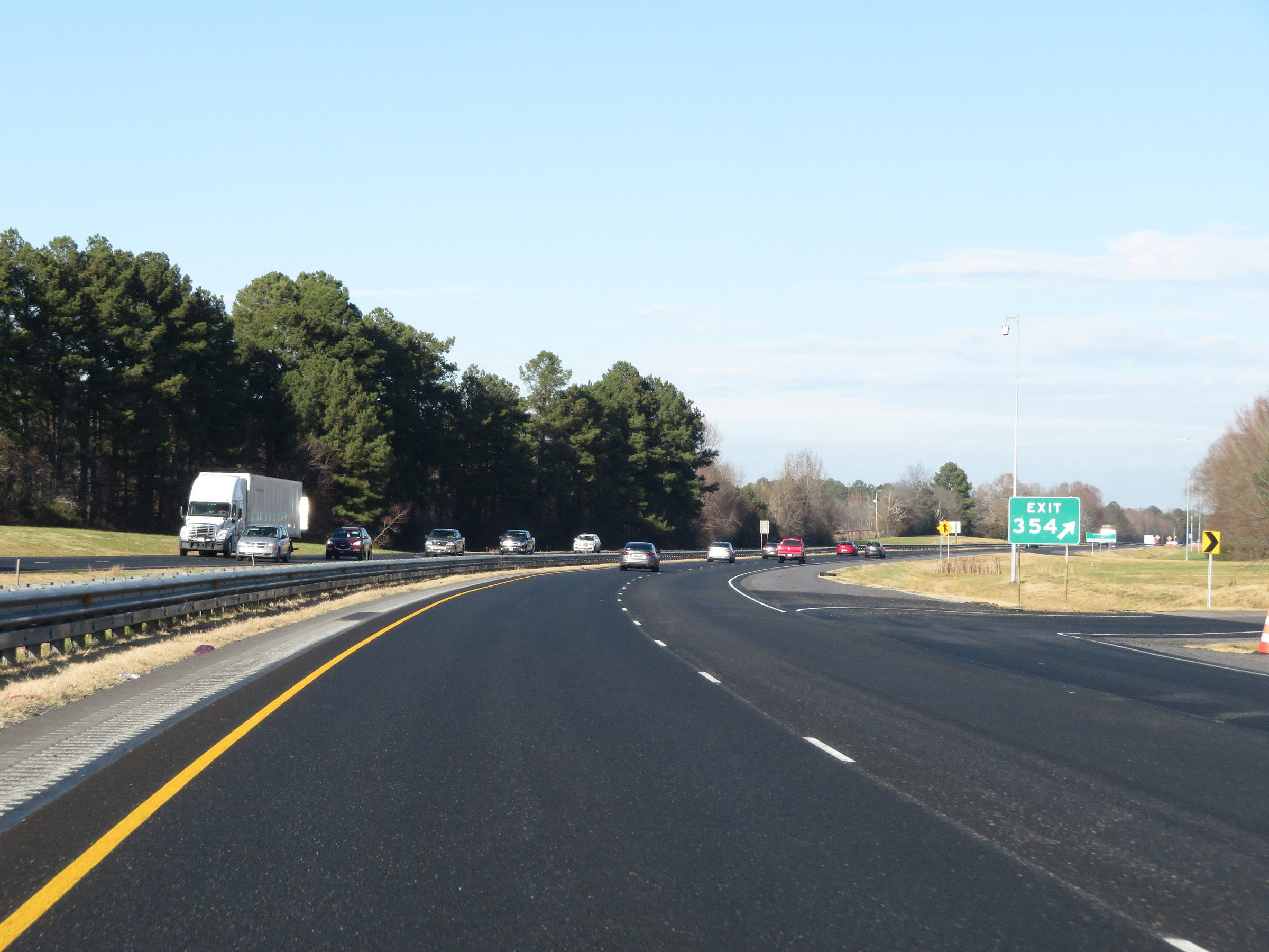
Interstate 65 North approaching Exit 354 - 1 mile. (Photo taken 12/13/20). |
 |
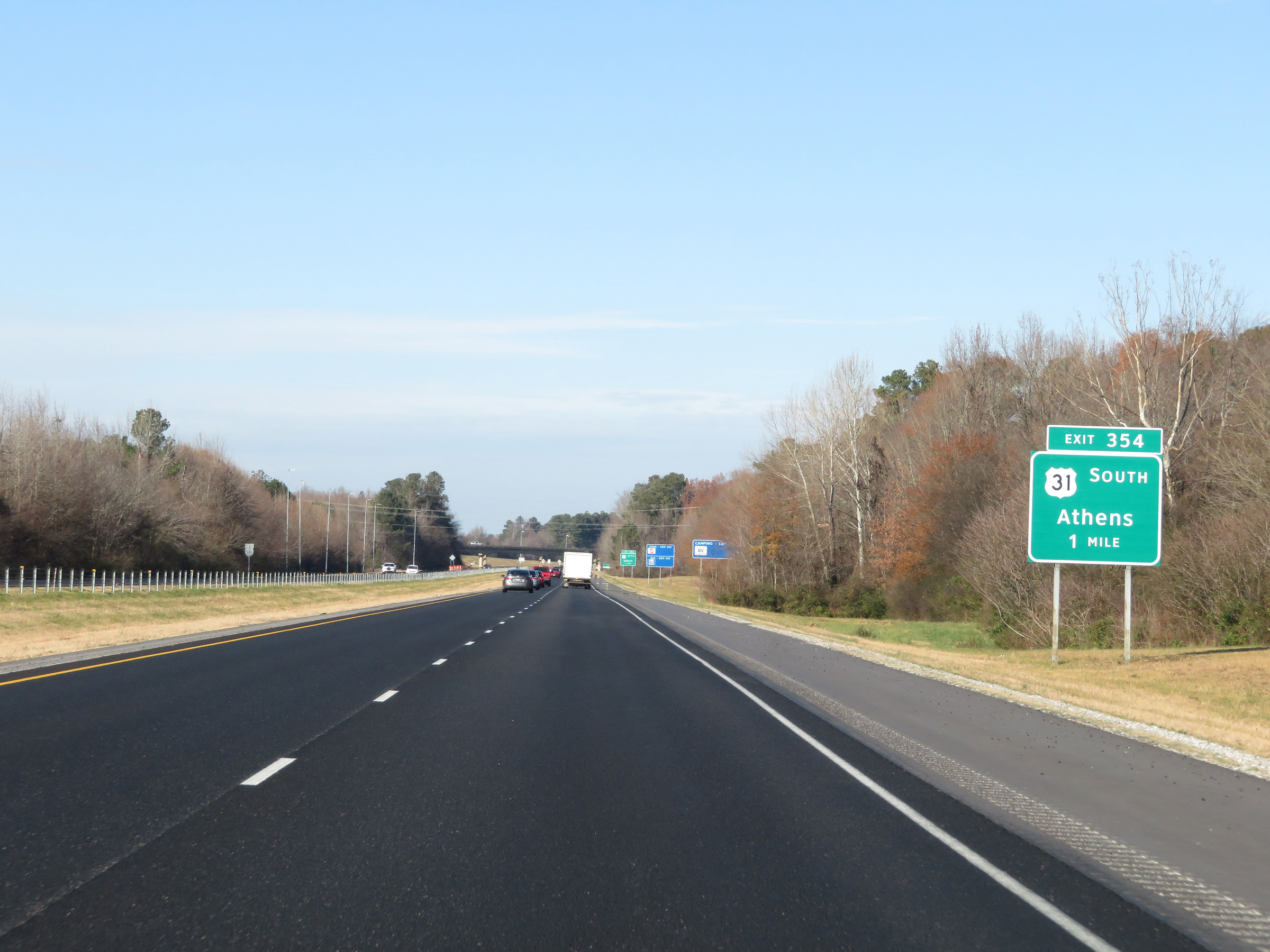
Interstate 65 North at Exit 354: US 31 South - Athens (Photo taken 12/13/20). |
 |
Another state-named Interstate 65 North reassurance shield. (Photo taken 12/13/20). |
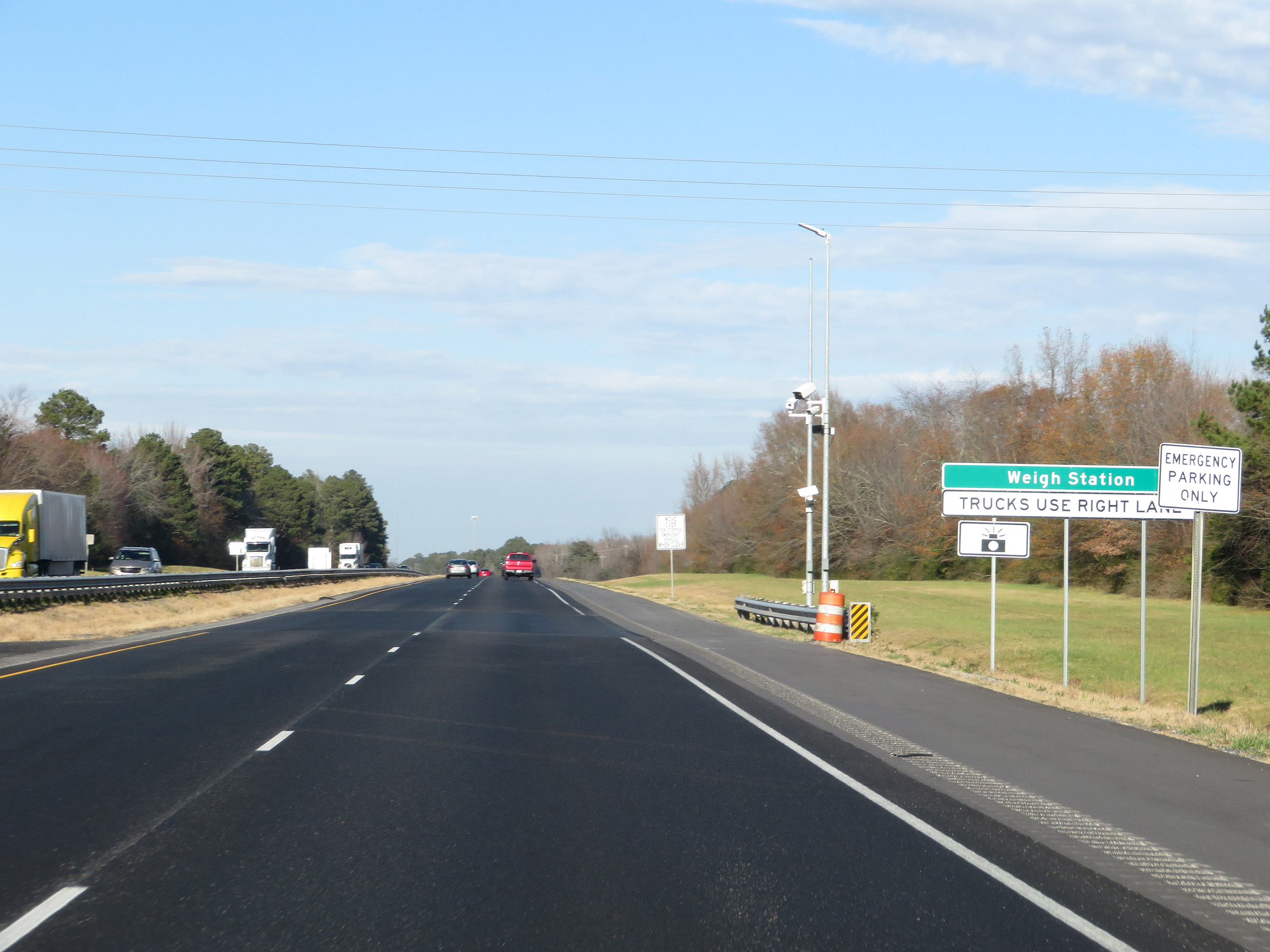 |
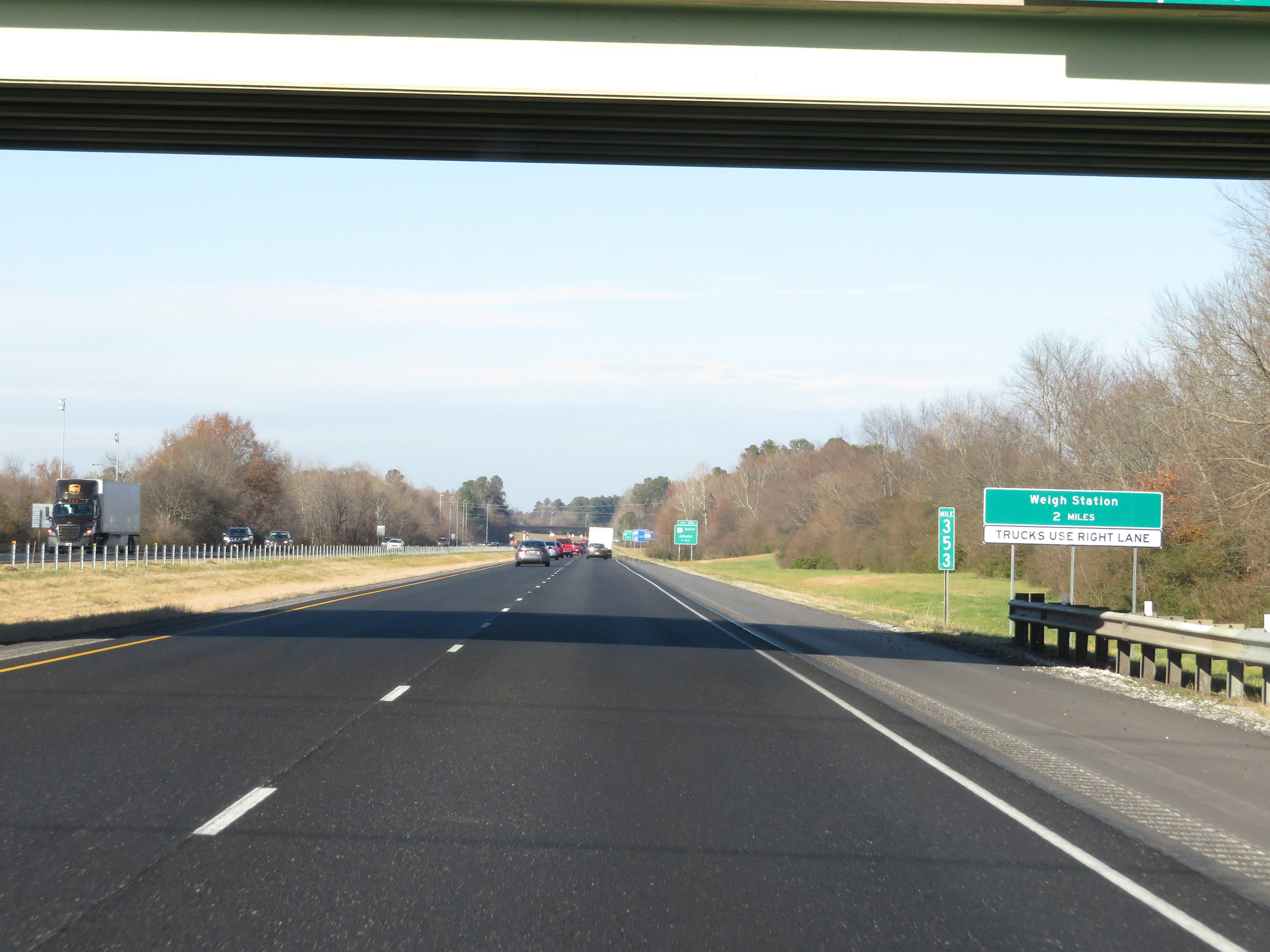
Weigh Station on Interstate 65 North in Limestone County. (Photo taken 12/13/20). |
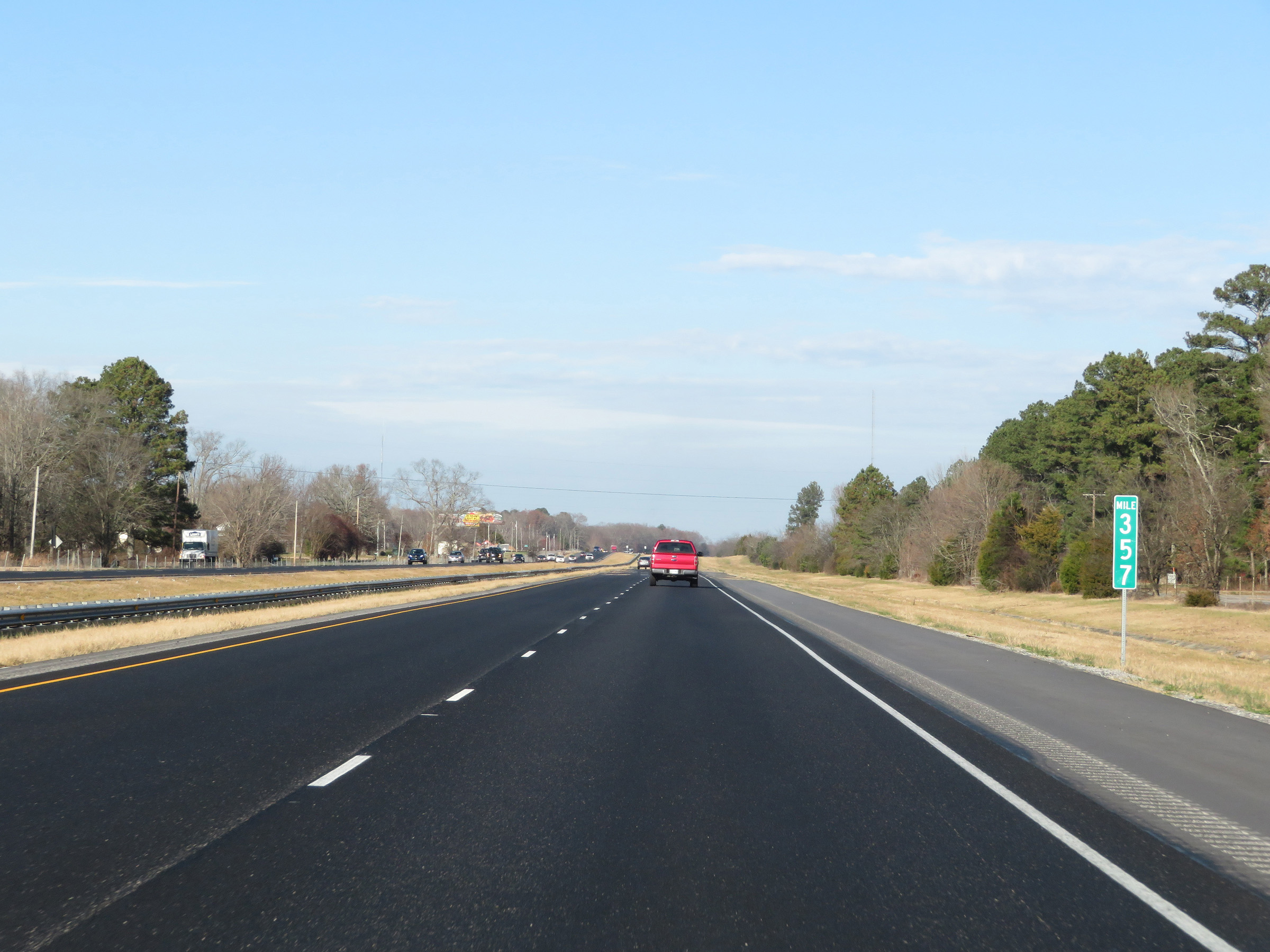 |
View on Interstate 65 North at mile marker 357. (Photo taken 12/13/20). |
 |
Interstate 65 North in Limestone County. (Photo taken 12/13/20). |
 |
View on Interstate 65 North at mile marker 360. (Photo taken 12/13/20). |
 |
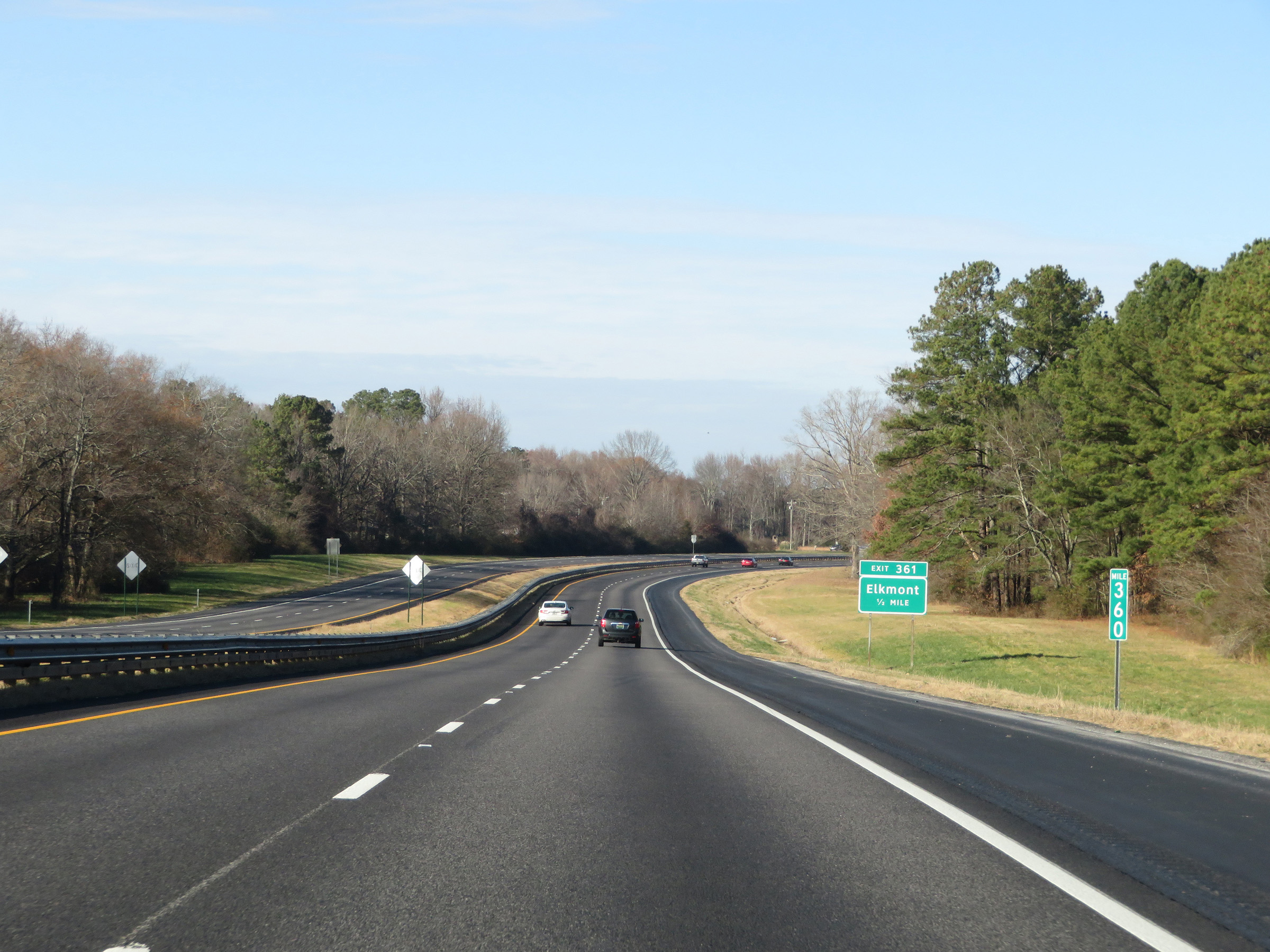
Interstate 65 North at Exit 361: Elkmont (Photo taken 12/13/20). |
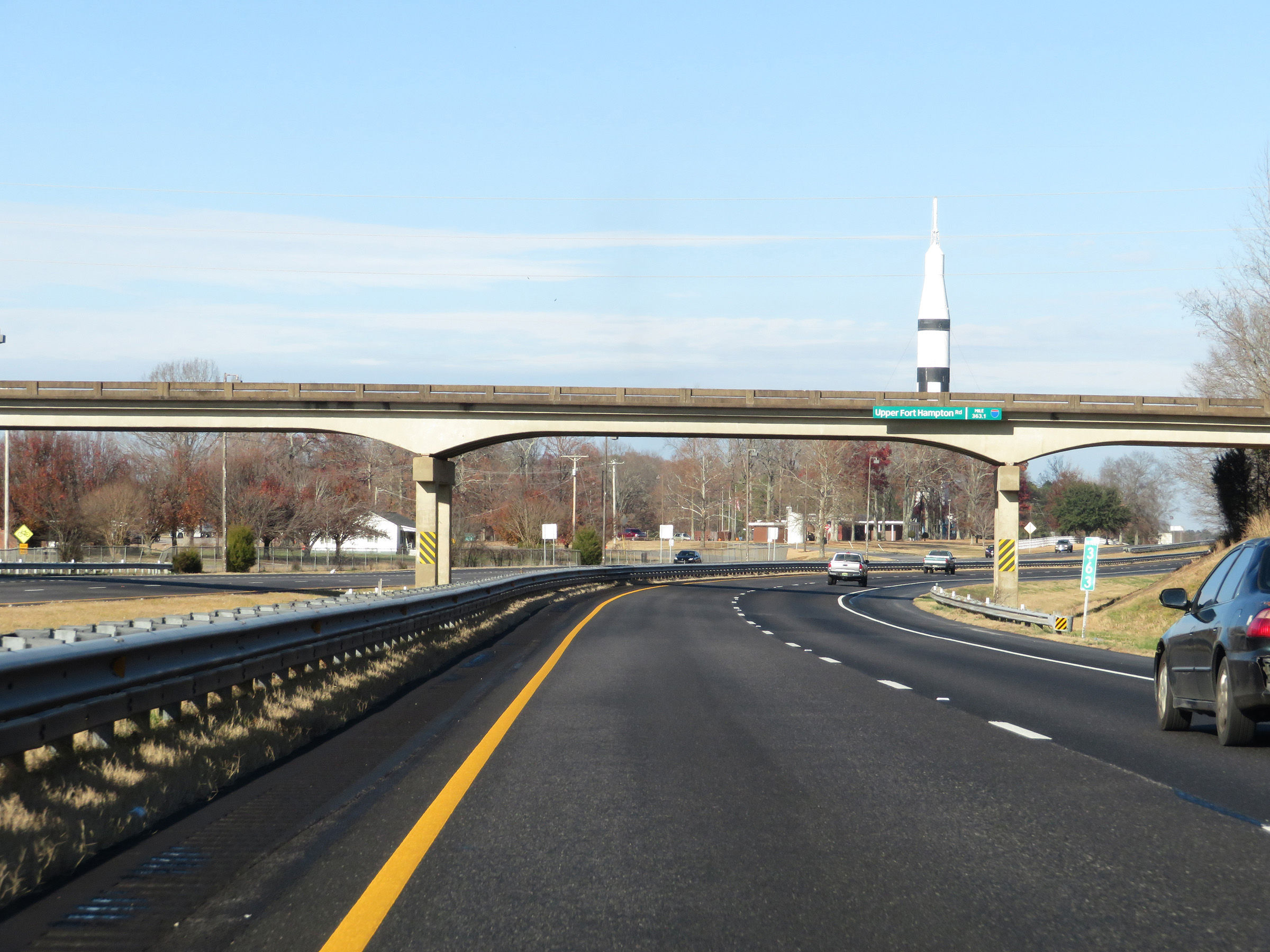 |
Interstate 65 North at mile marker 363. (Photo taken 12/13/20). |
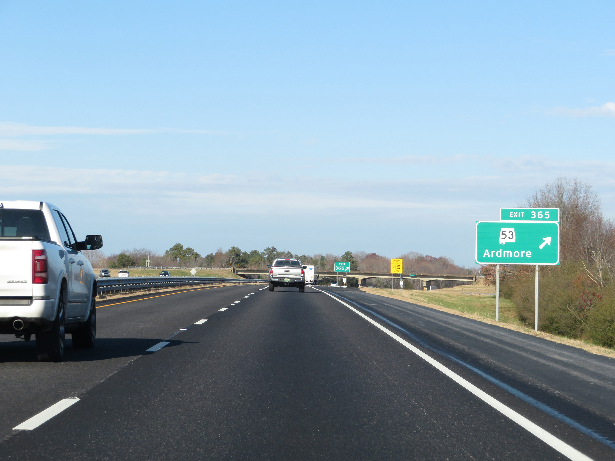 |
Interstate 65 North at Exit 365: AL 53 - Ardmore (Photo taken 12/13/20). |
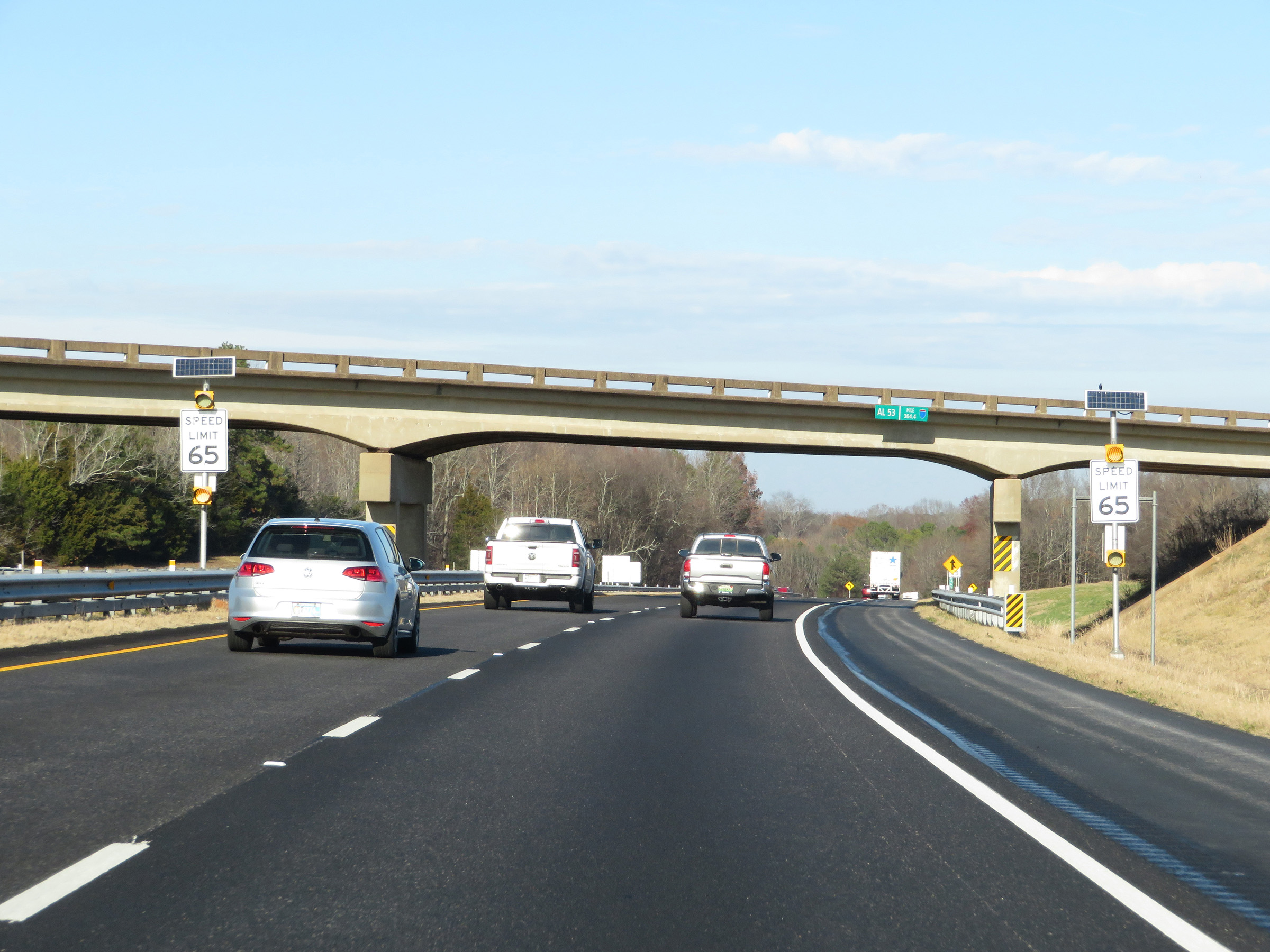 |
North of Exit 365, the speed limit decreases to 65 mph as Interstate 65 North approaches the Tennessee border. (Photo taken 12/13/20). |
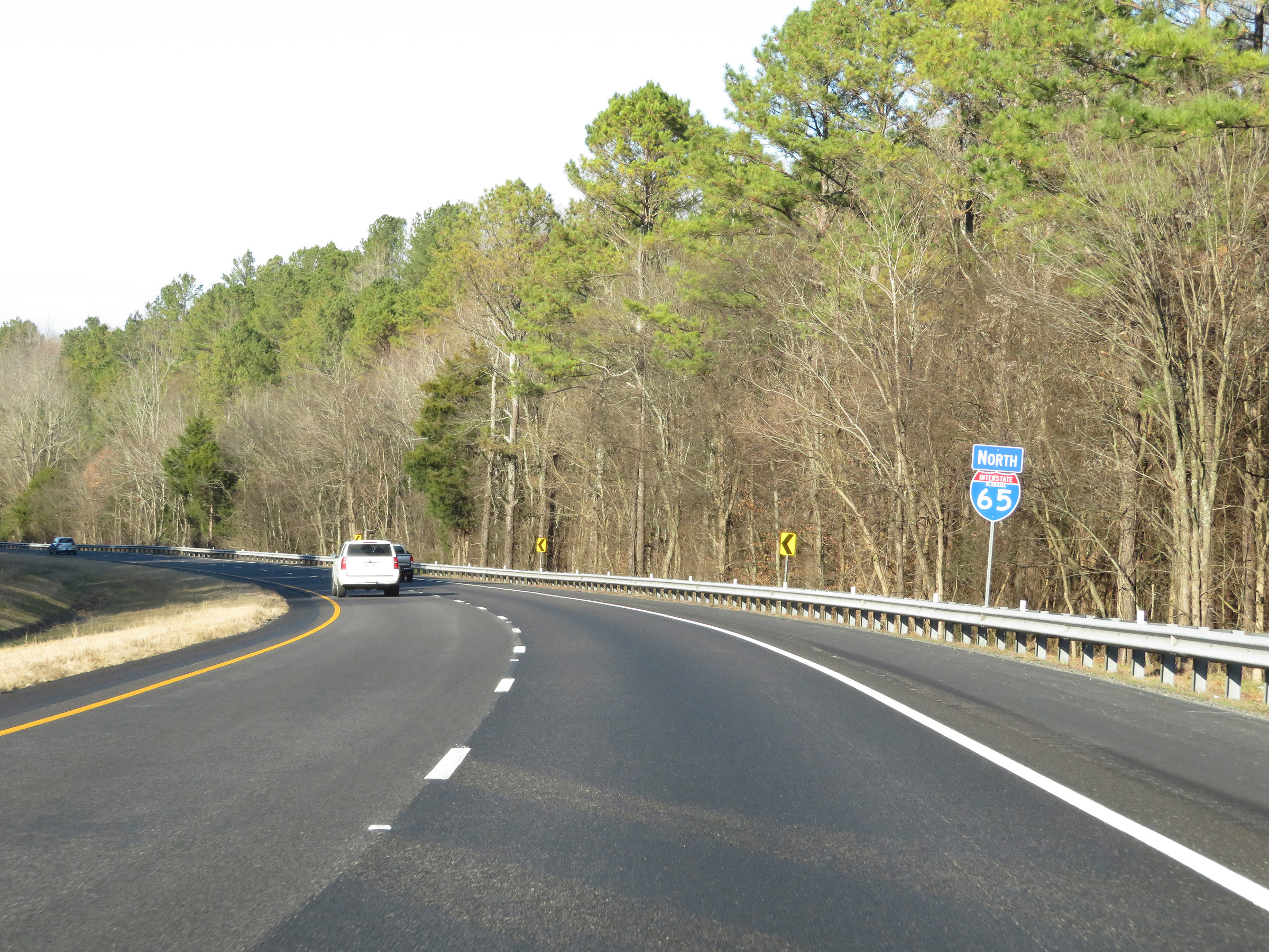 |
One final state-named Interstate 65 North reassurance shield. (Photo taken 12/13/20). |
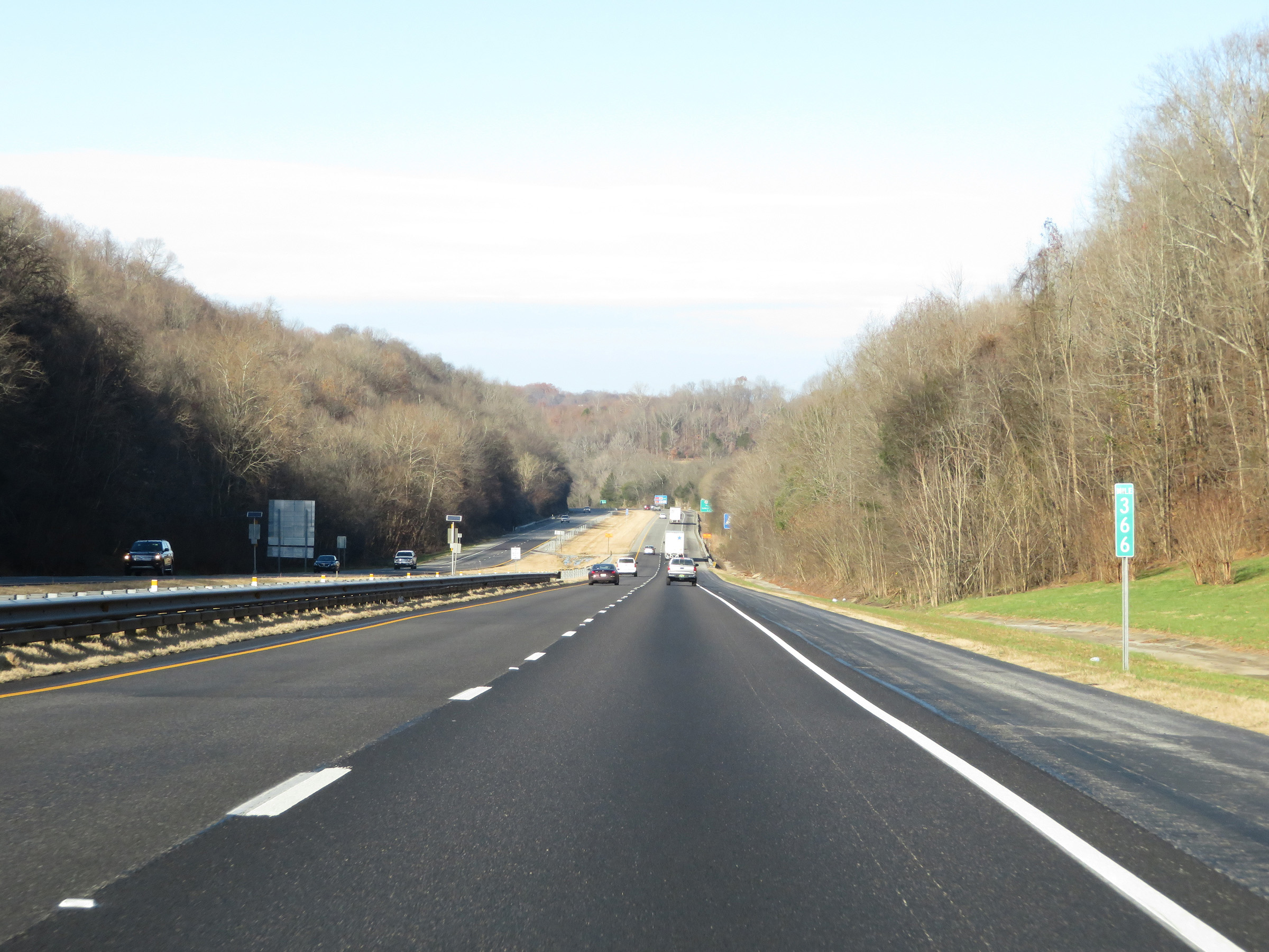 |
Interstate 65 North at mile marker 366, as the Tennessee border comes into view and I-65 North prepares to leave Alabama. (Photo taken 12/13/20). |