Road Information |
||
 |
||
| Total Mileage in State: | 241 miles | |
| Northern End: | At Georgia state line | |
| Southern End: | At Mississippi state line | |
| Mileage covered in Photos: | 241 miles | |
| Counties covered in Photos: | DeKalb, Etowah, Saint Clair, Jefferson, Tuscaloosa, Greene, Sumter | |
| Major Junctions in Photos: | I-759, in Attalla I-459, in Trussville I-20, in Birmingham I-65, in Birmingham I-459, near Bessemer I-359, in Tuscaloosa |
|
| Control Cities in Photos: | Gadsden, Attalla, Trussville, Birmingham, Bessemer, Tuscaloosa | |
Southbound
- Section 1: Georgia Border to Attalla (Exit 181)
- Section 2: Attalla (Exit 181) to Birmingham (Exit 126A)
- Section 3: Birmingham (Exit 126A) to Tuscaloosa (Exit 79)
- Section 4: Tuscaloosa (Exit 79) to Mississippi Border
Section 1: Georgia Border to Attalla (Exit 181)
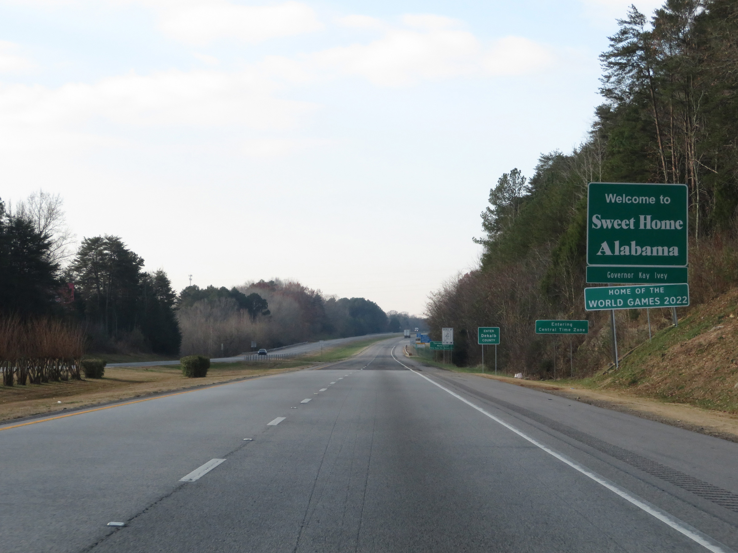 |
Welcome sign as Interstate 59 South enters Alabama from Georgia. (Photo taken 12/8/20). |
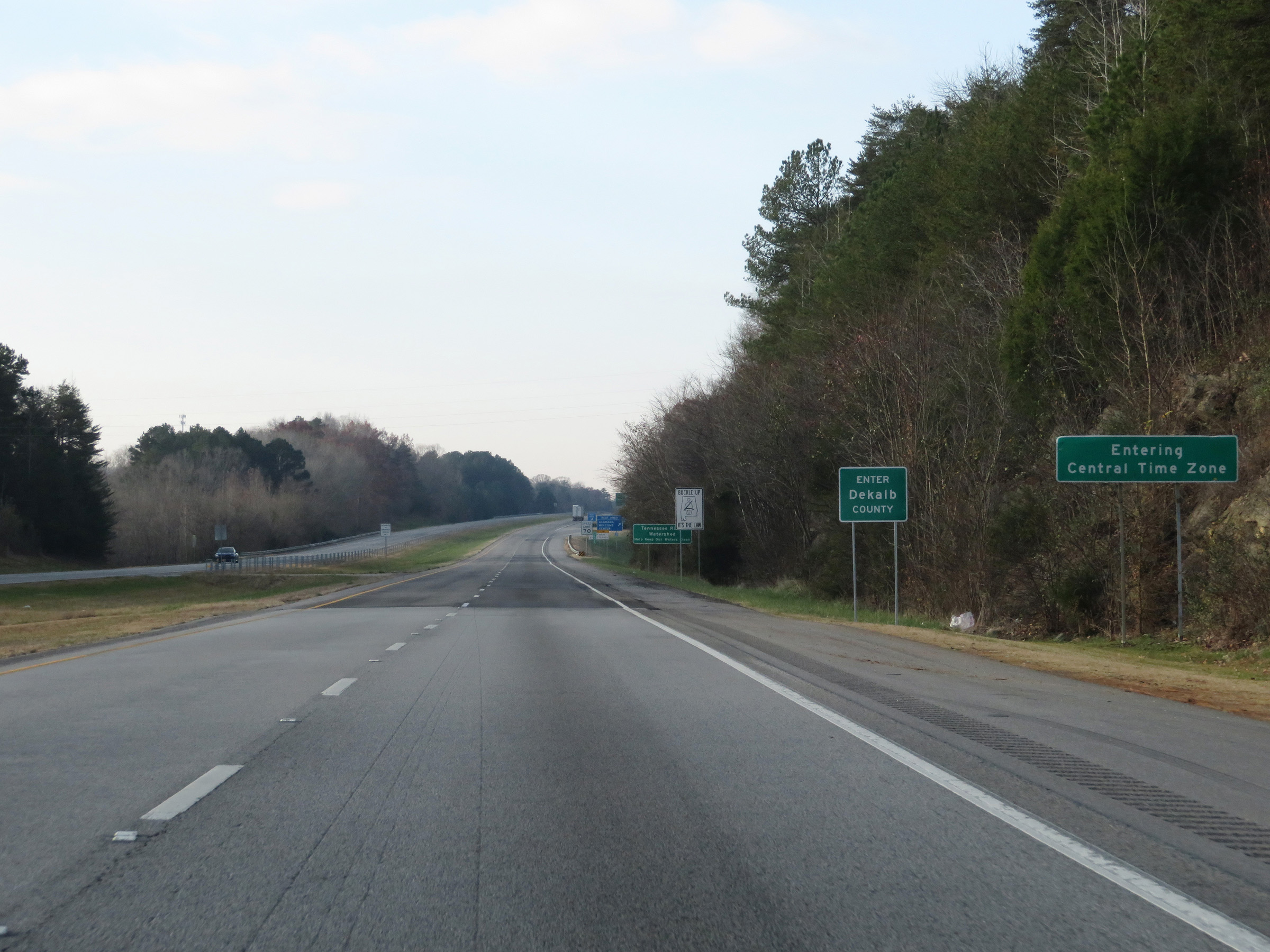 |
Upon entering Alabama, Interstate 59 South enters the Central Time Zone. Also, it starts out in DeKalb County. (Photo taken 12/8/20). |
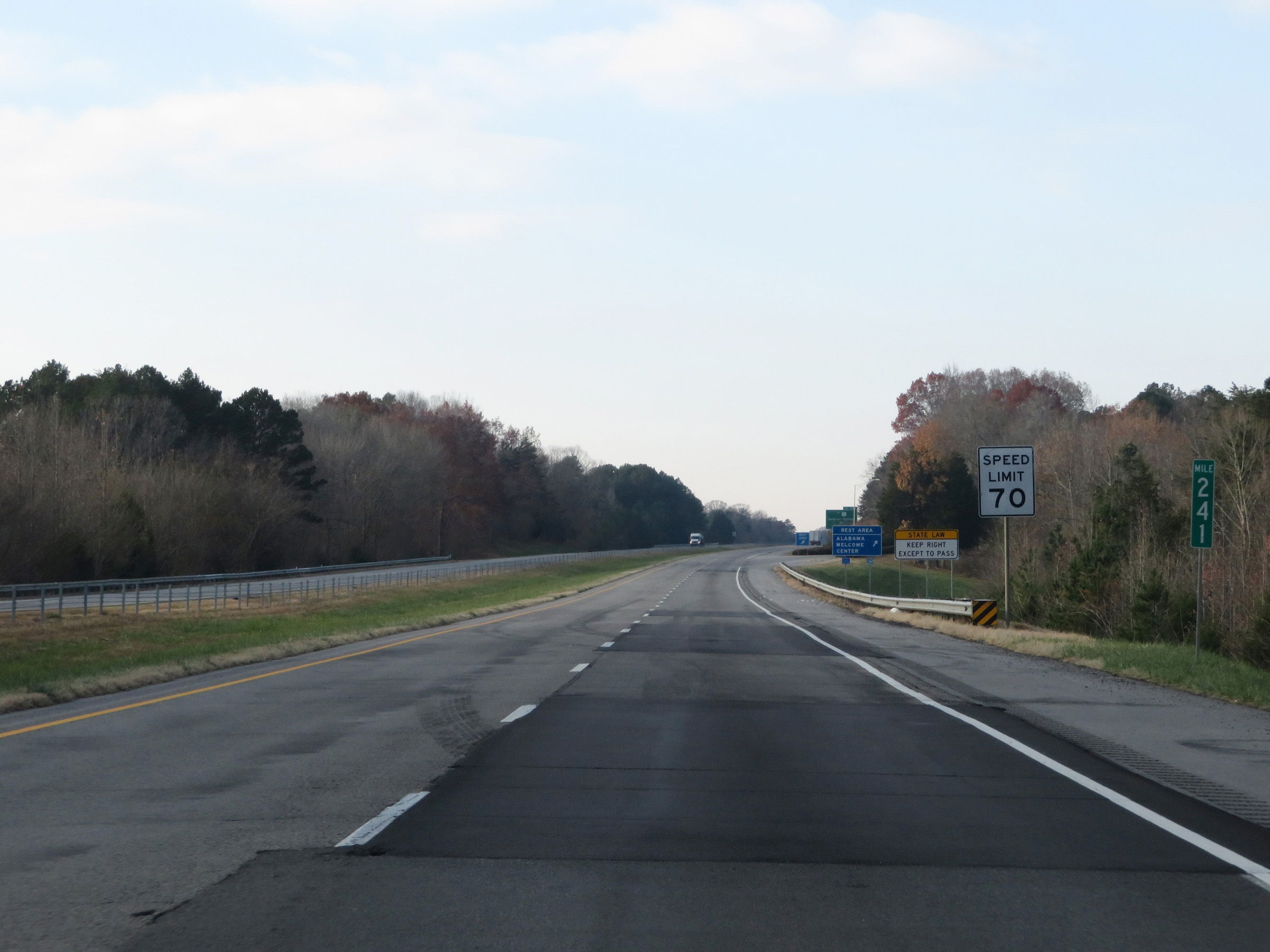 |
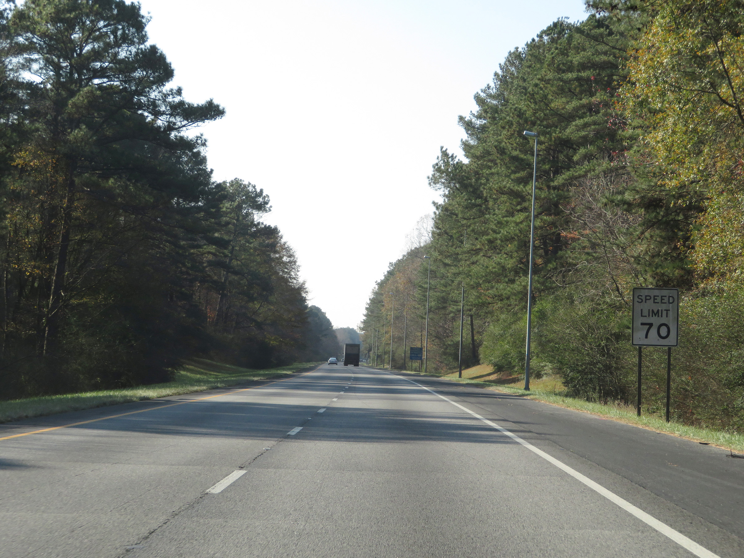
The speed limit on Interstate 59 South starts out at 70 mph. This is the standard speed limit on most rural Interstate highways in Alabama. (Photo taken 12/8/20). |
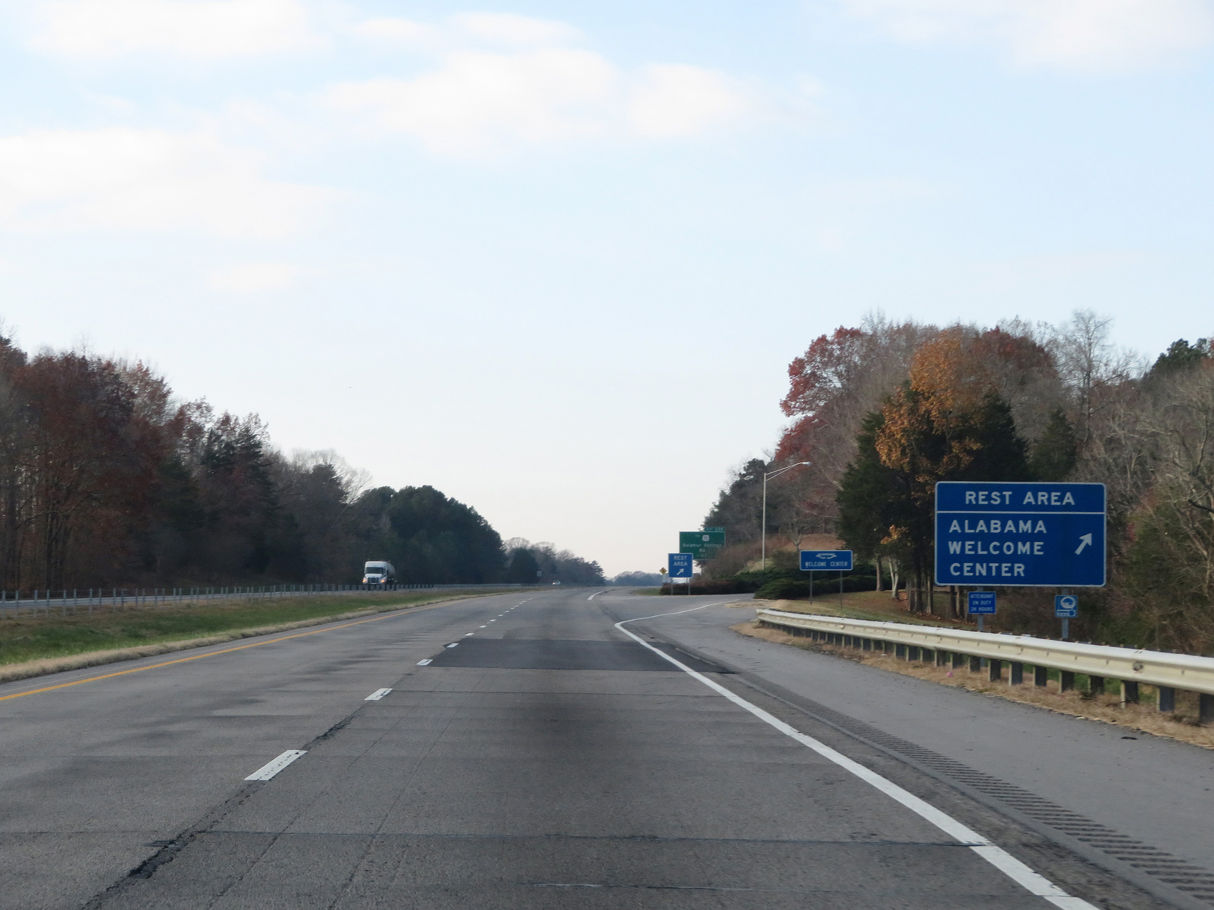 |
Alabama Welcome Center / Rest Area on Interstate 59 South in DeKalb County. (Photo taken 12/8/20). |
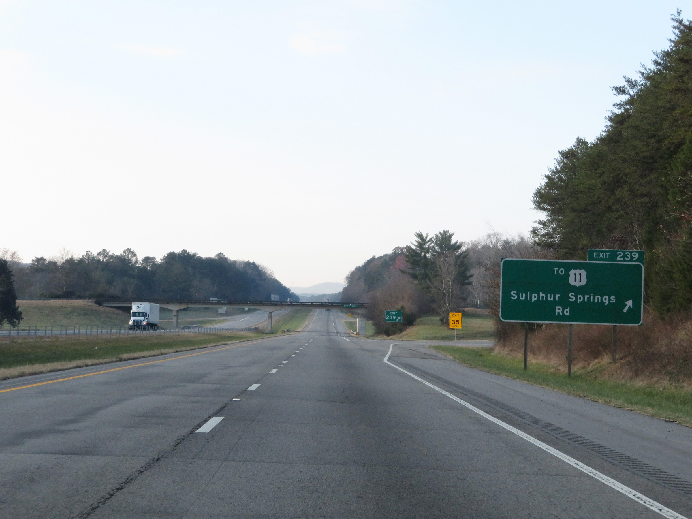 |
Interstate 59 South at Exit 239: To US 11 - Sulphur Springs Rd (Photo taken 12/8/20). |
 |
State-named Interstate 59 South reassurance shield. (Photo taken 12/8/20). |
 |
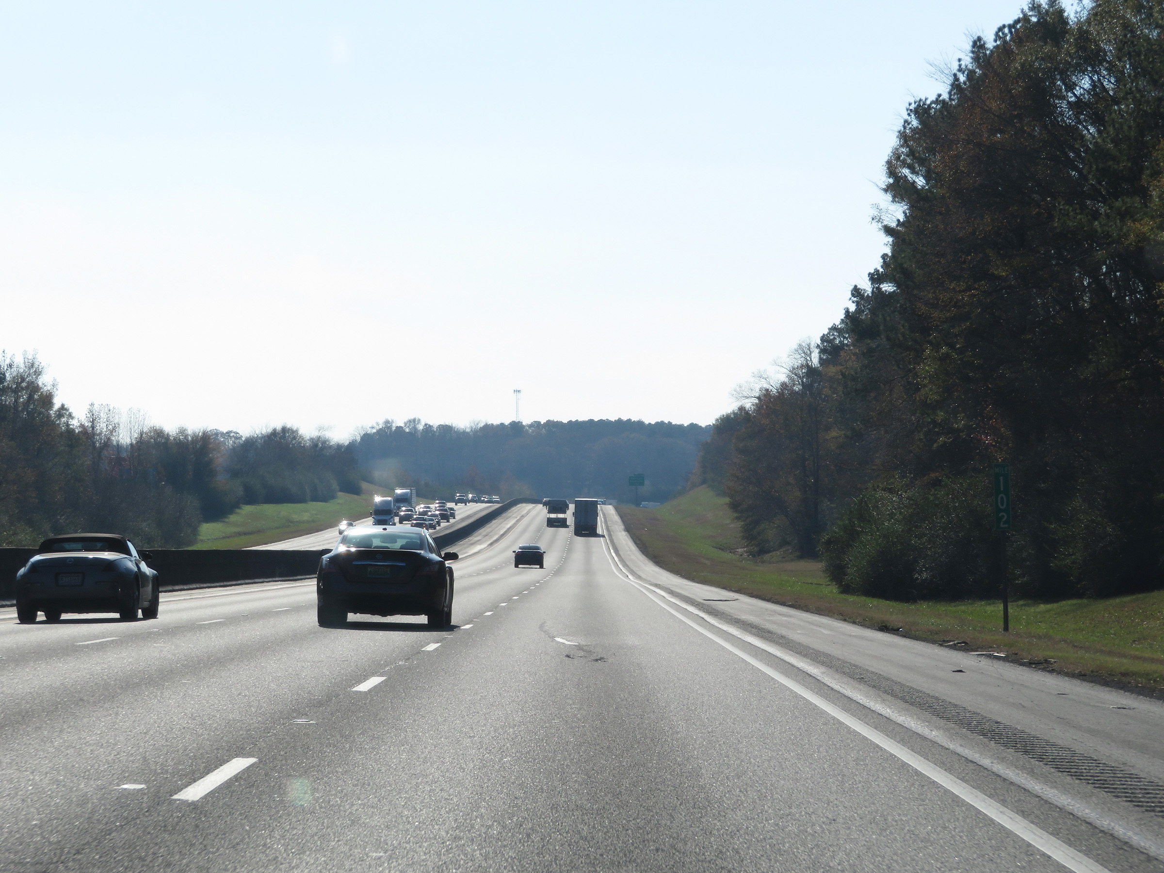
View on Interstate 59 South at mile marker 239. (Photo taken 12/8/20). |
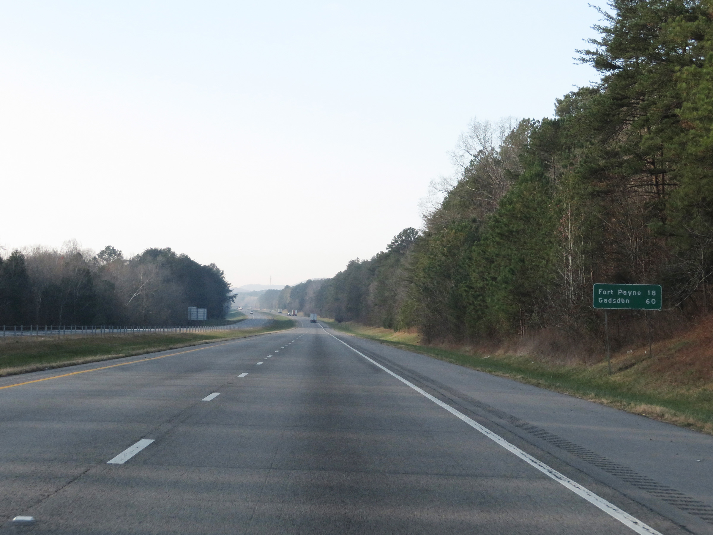 |
Mileage sign on Interstate 59 South. It's 18 miles to Fort Payne and 60 miles to Gadsden. (Photo taken 12/8/20). |
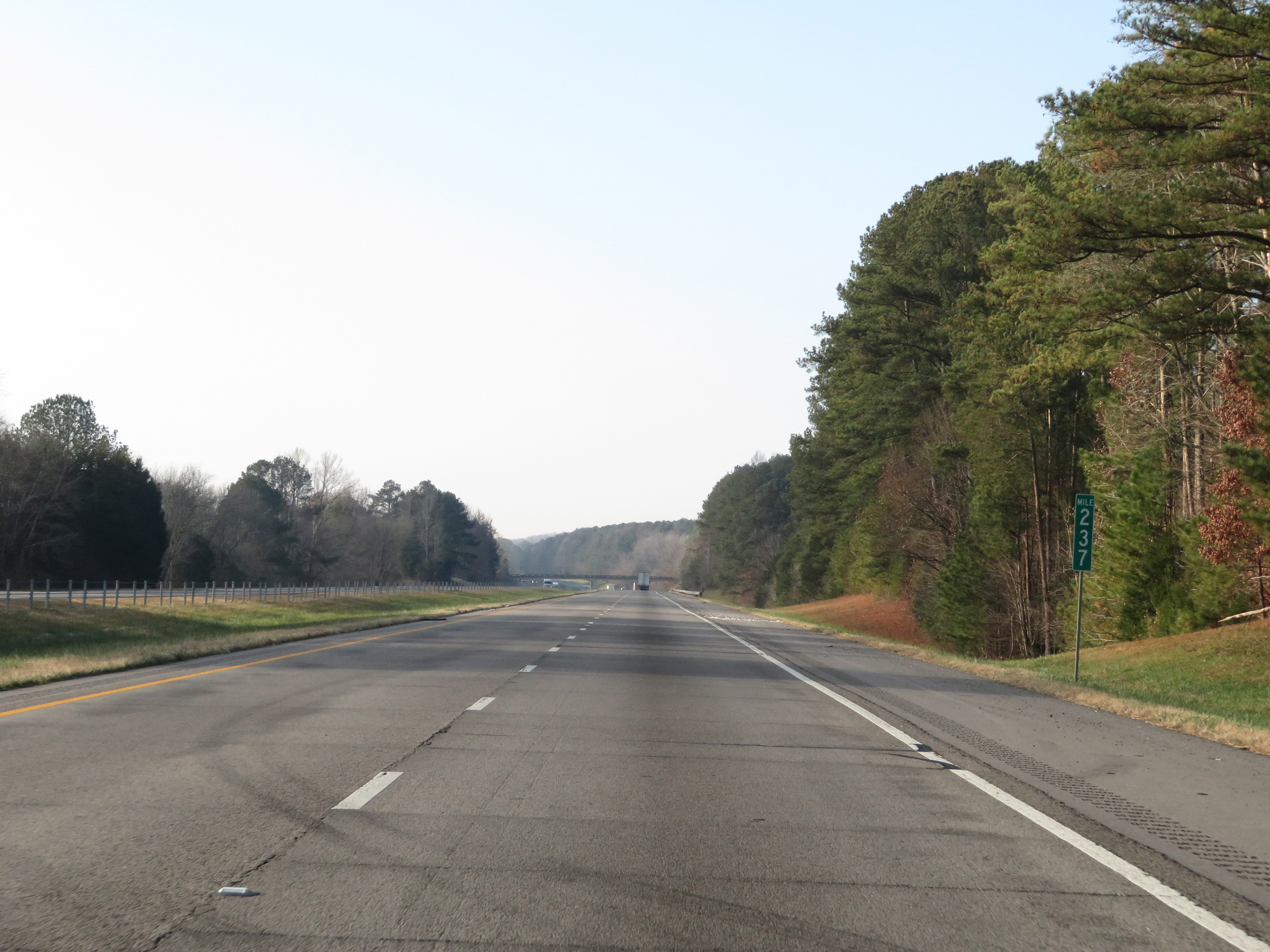 |
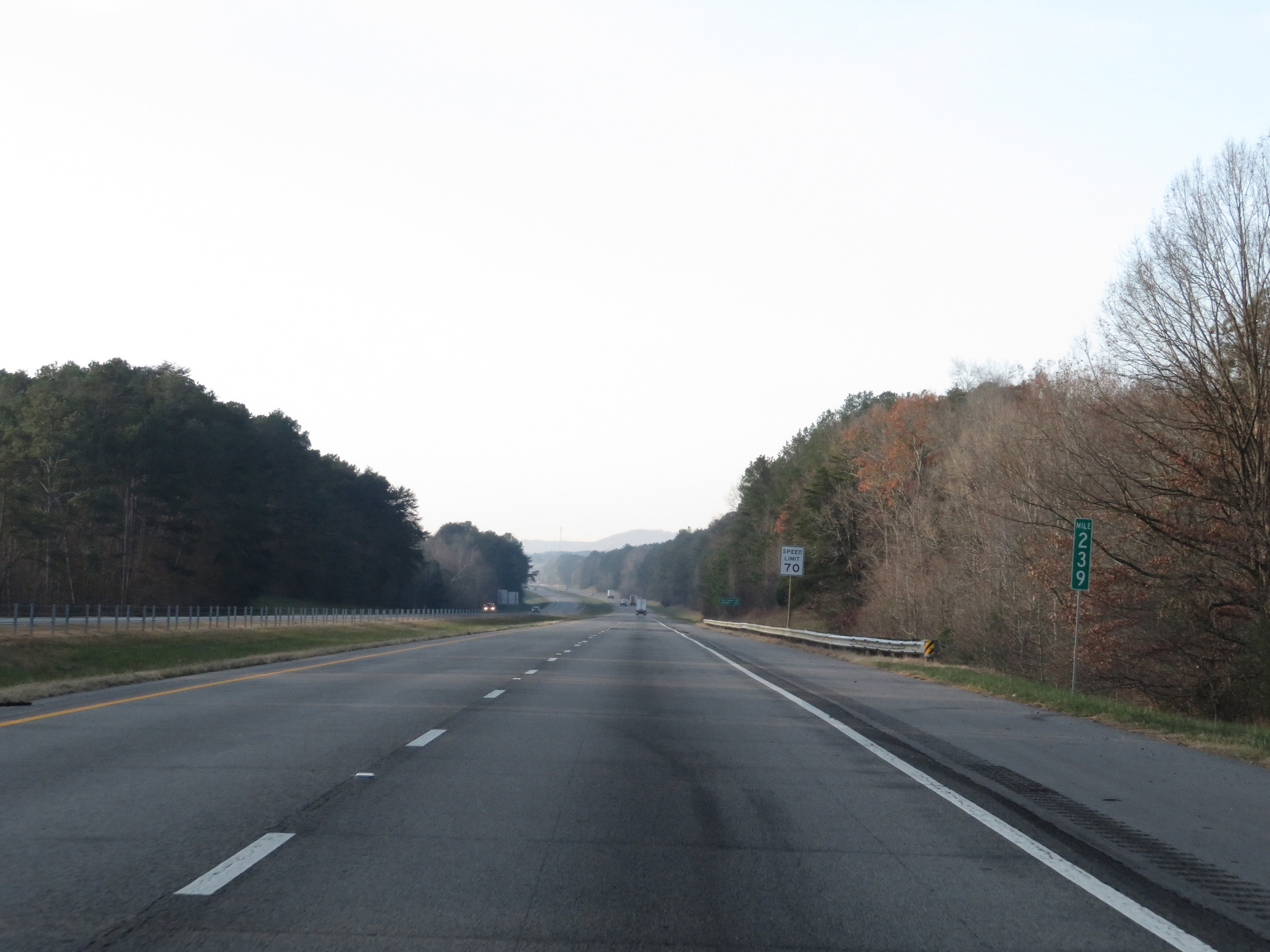
Interstate 59 South at mile marker 237. (Photo taken 12/8/20). |
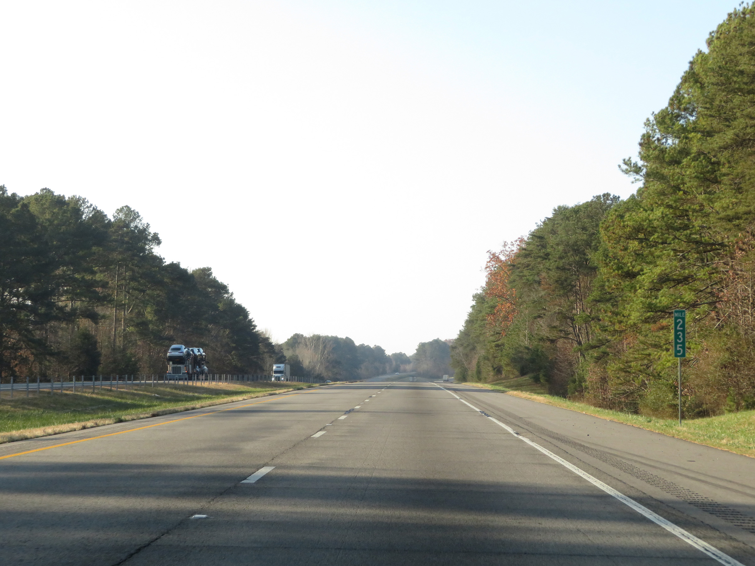 |
View on Interstate 59 South at mile marker 235. (Photo taken 12/8/20). |
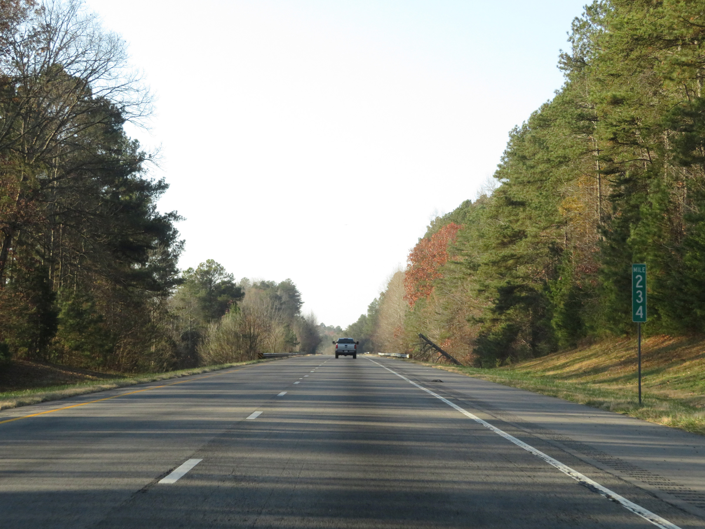 |
Mile marker 234 on Interstate 59 South in DeKalb County. (Photo taken 12/8/20). |
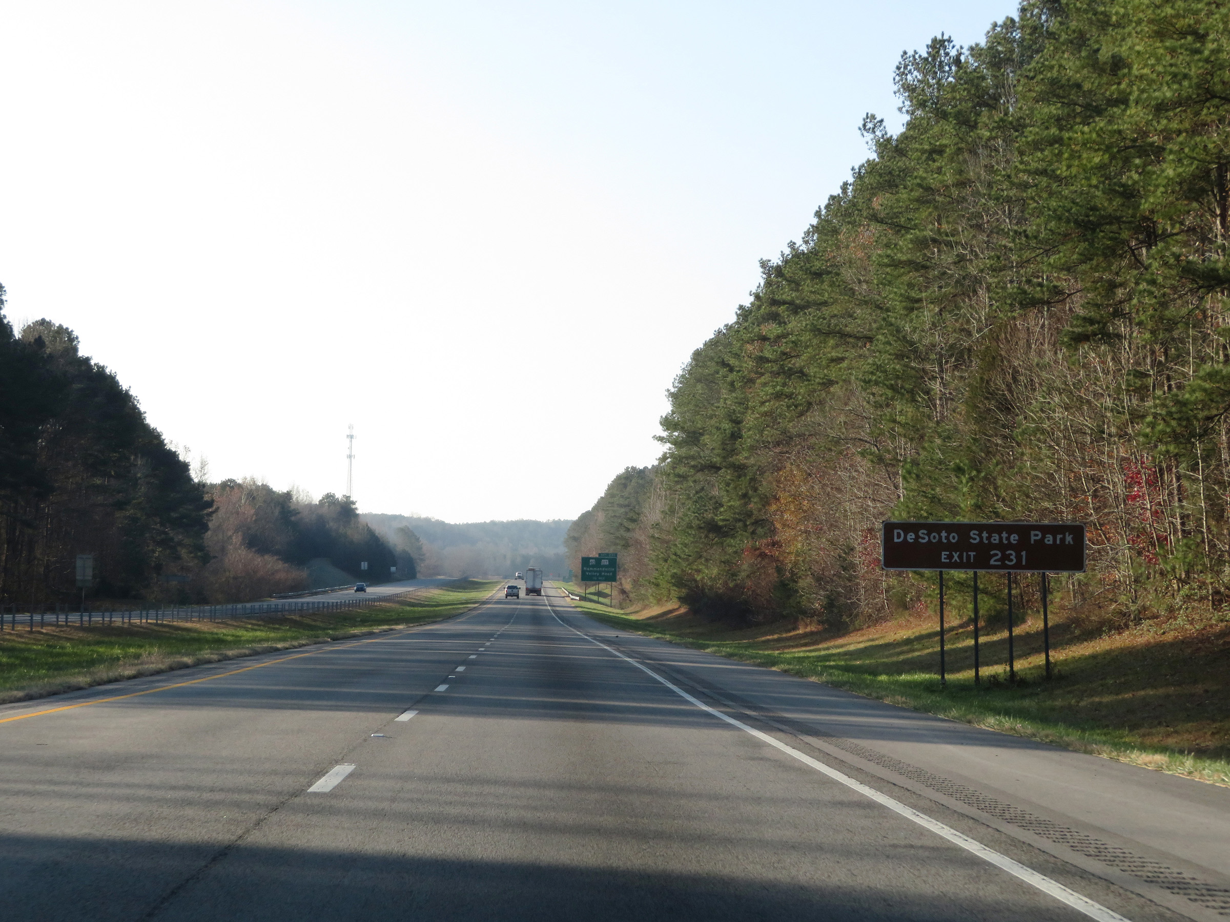 |
Take Exit 231 to DeSoto State Park. (Photo taken 12/8/20). |
 |
Also take Exit 231 to Mentone and Henagar. (Photo taken 12/8/20). |
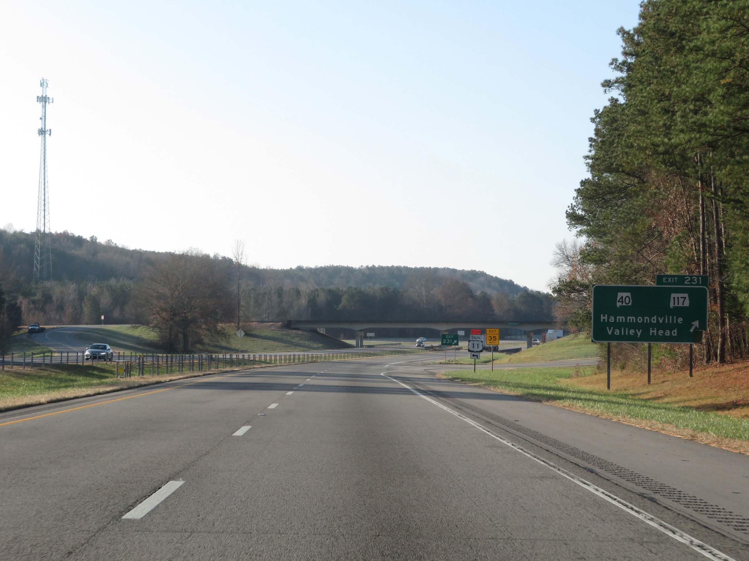 |
Interstate 59 South at Exit 231: AL 40 / AL 117 - Hammondville / Valley Head (Photo taken 12/8/20). |
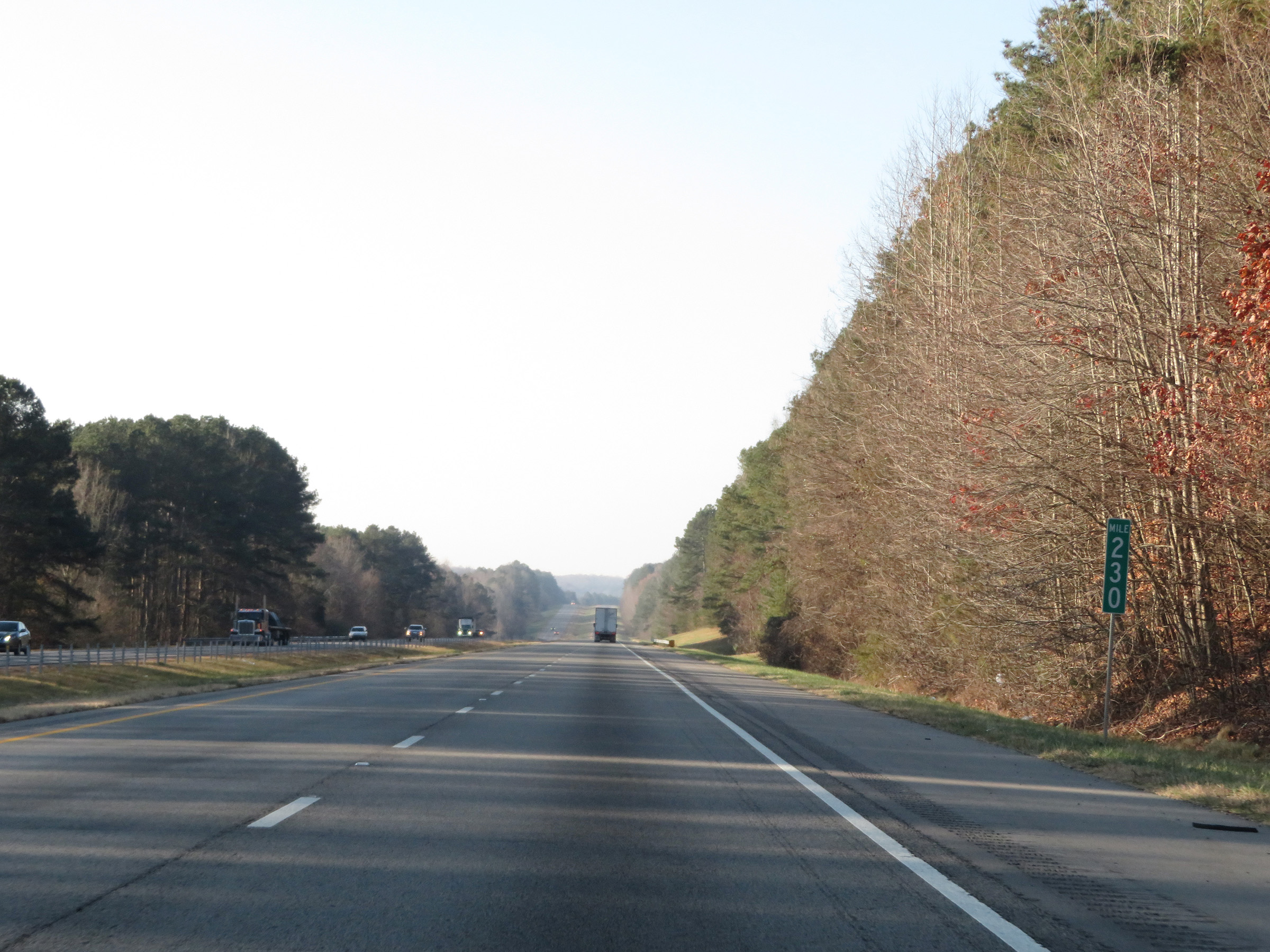 |
View on Interstate 59 South at mile marker 230. (Photo taken 12/8/20). |
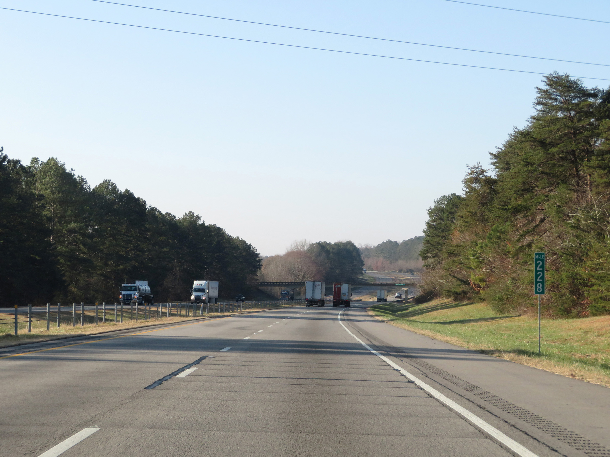 |
Interstate 59 South at mile marker 228. (Photo taken 12/8/20). |
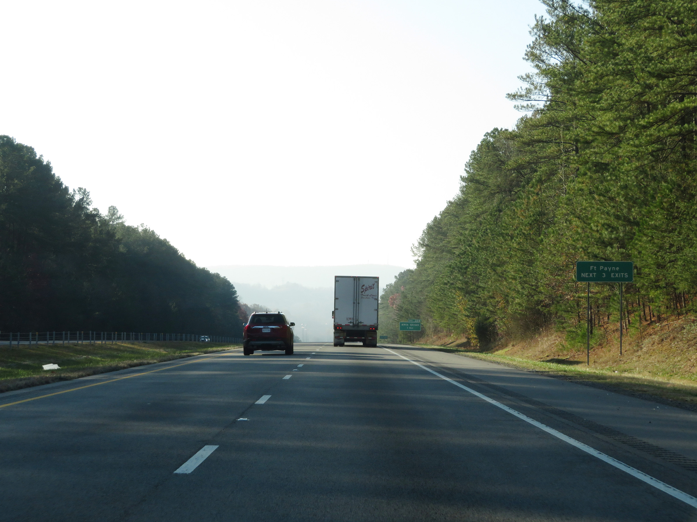 |
Take any of the next 3 exits to Fort Payne. (Photo taken 12/8/20). |
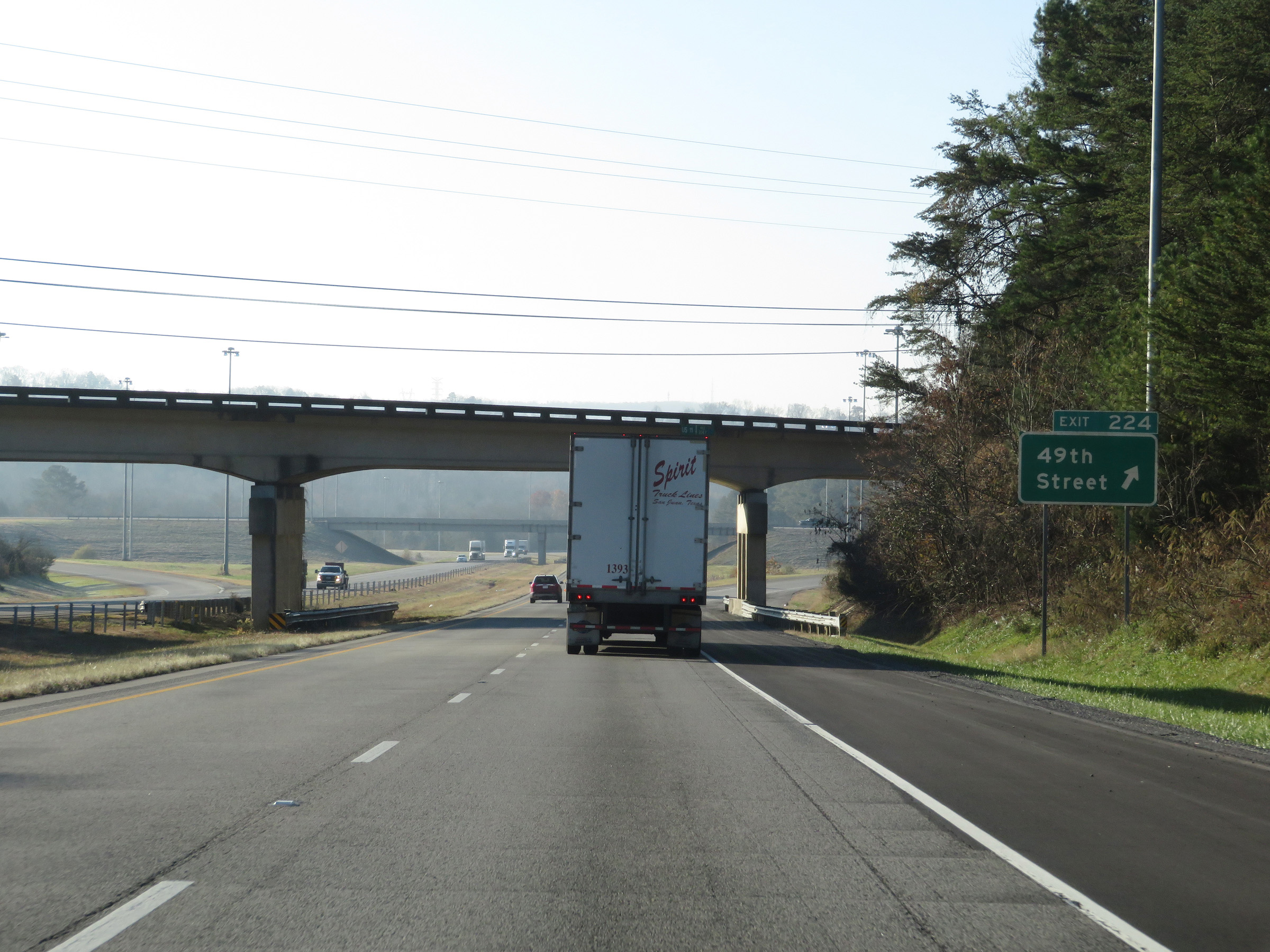 |
Interstate 59 South at Exit 224: 49th Street (Photo taken 12/8/20). |
 |
View on Interstate 59 South at mile marker 223. (Photo taken 12/8/20). |
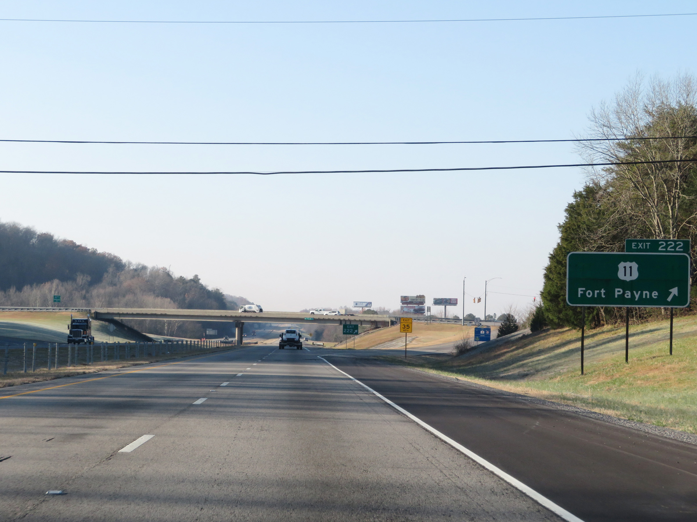 |
Interstate 59 South at Exit 222: US 11 - Fort Payne (Photo taken 12/8/20). |
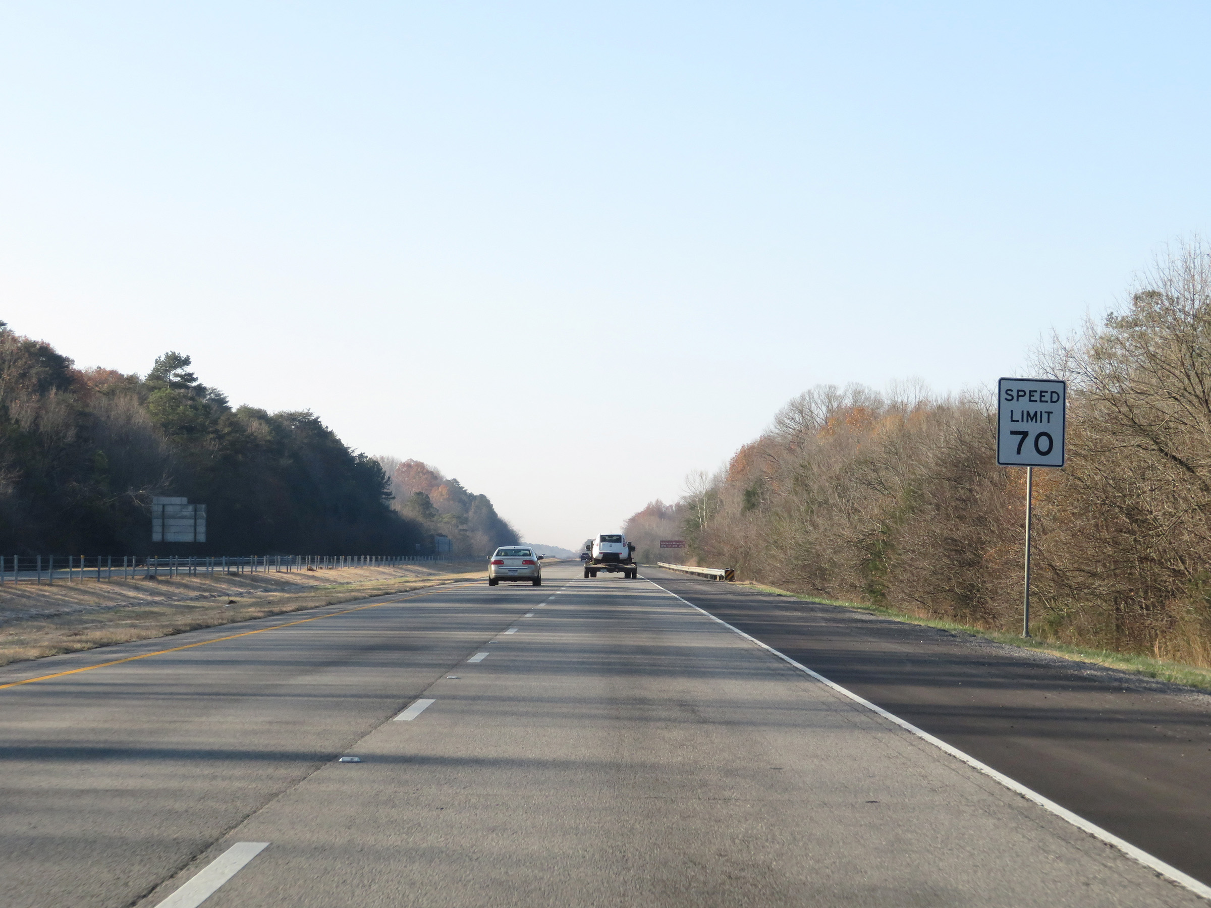 |
The speed limit remains 70 mph. (Photo taken 12/8/20). |
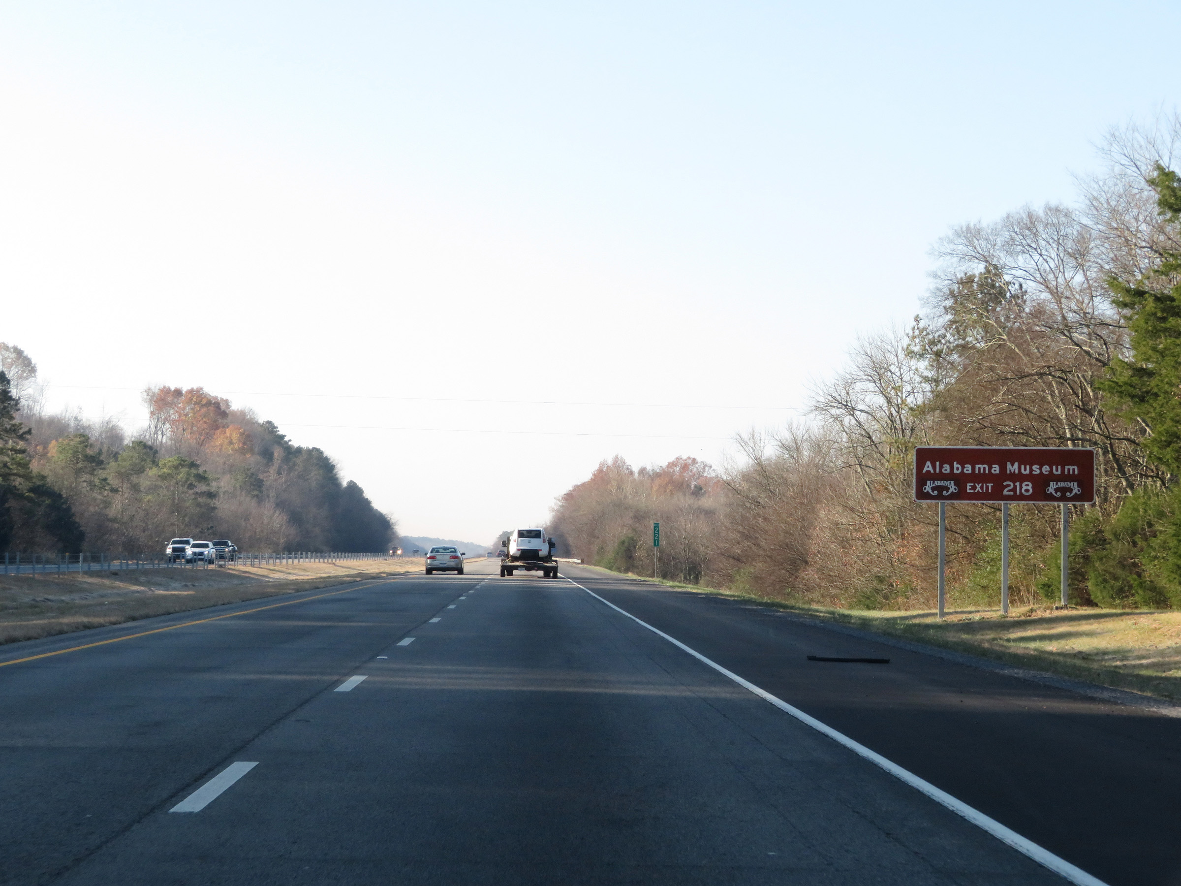 |
Take Exit 218 to the Alabama Museum. (Photo taken 12/8/20). |
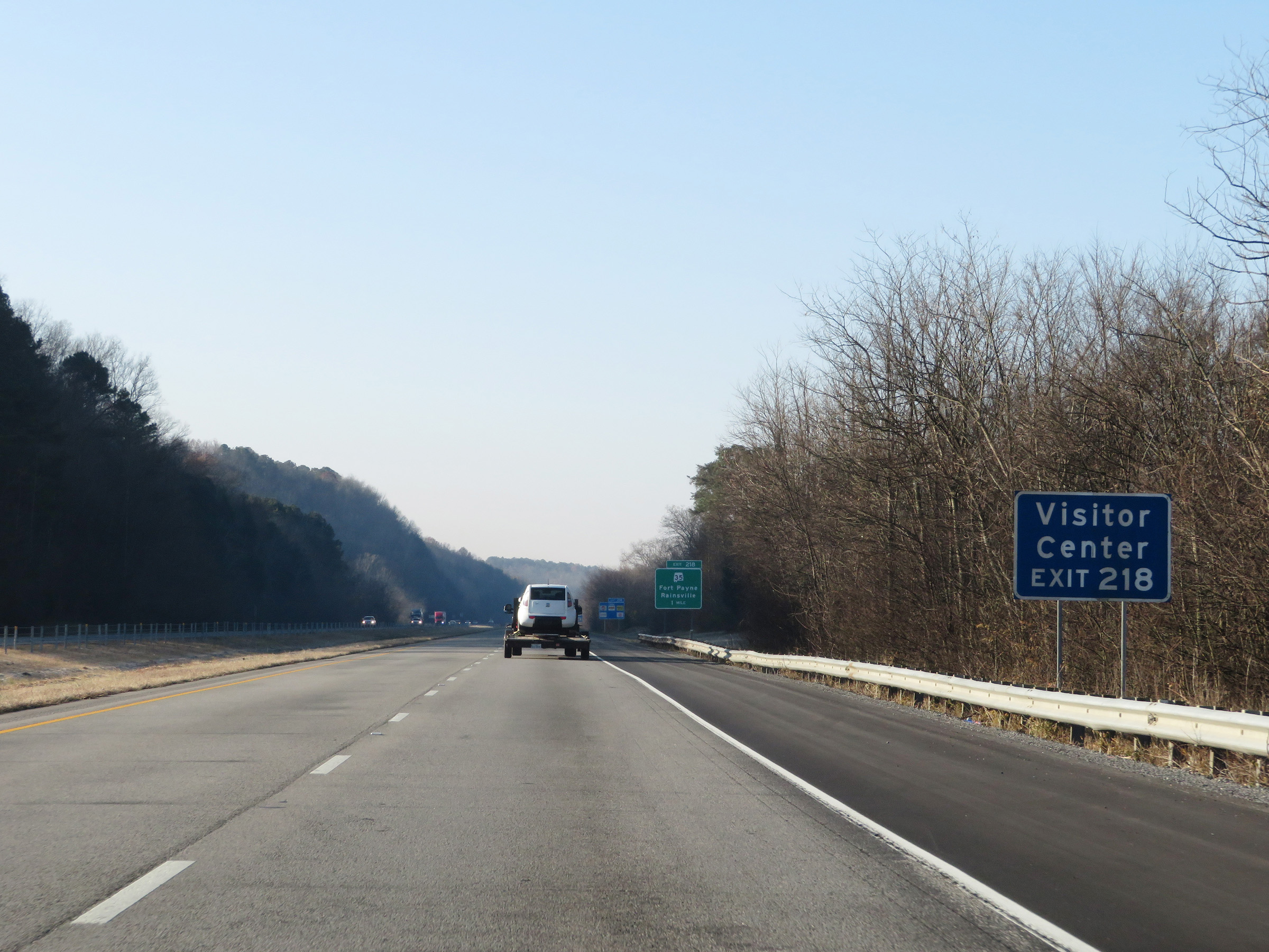 |
A Visitor Center also exists off Exit 218. (Photo taken 12/8/20). |
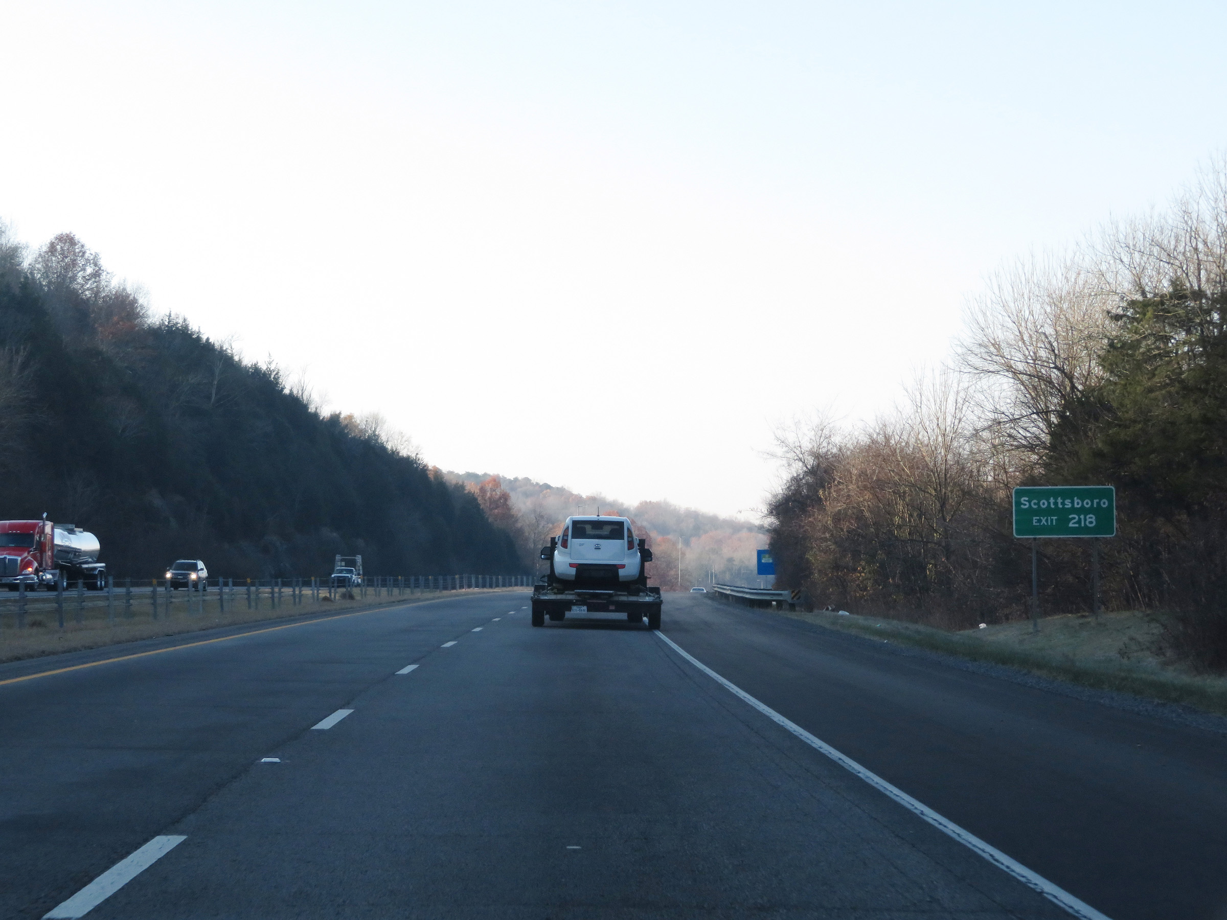 |
Also take Exit 218 to Scottsboro. (Photo taken 12/8/20). |
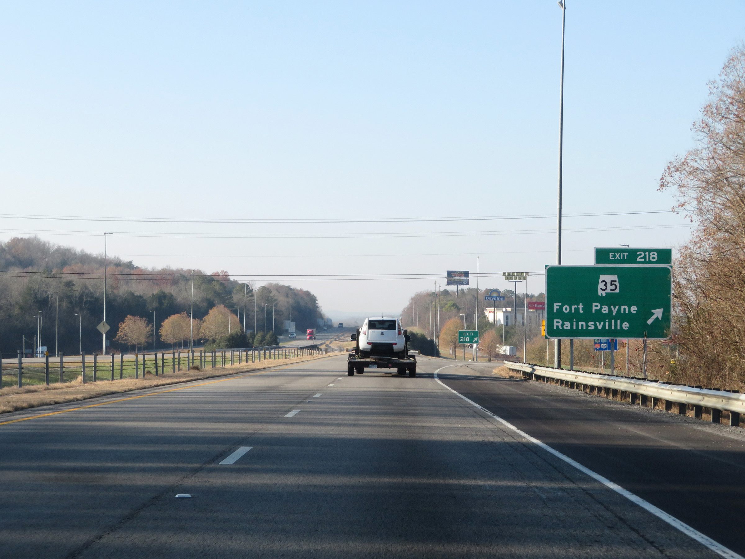 |
Interstate 59 South at Exit 218: AL 35 - Fort Payne / Rainsville (Photo taken 12/8/20). |
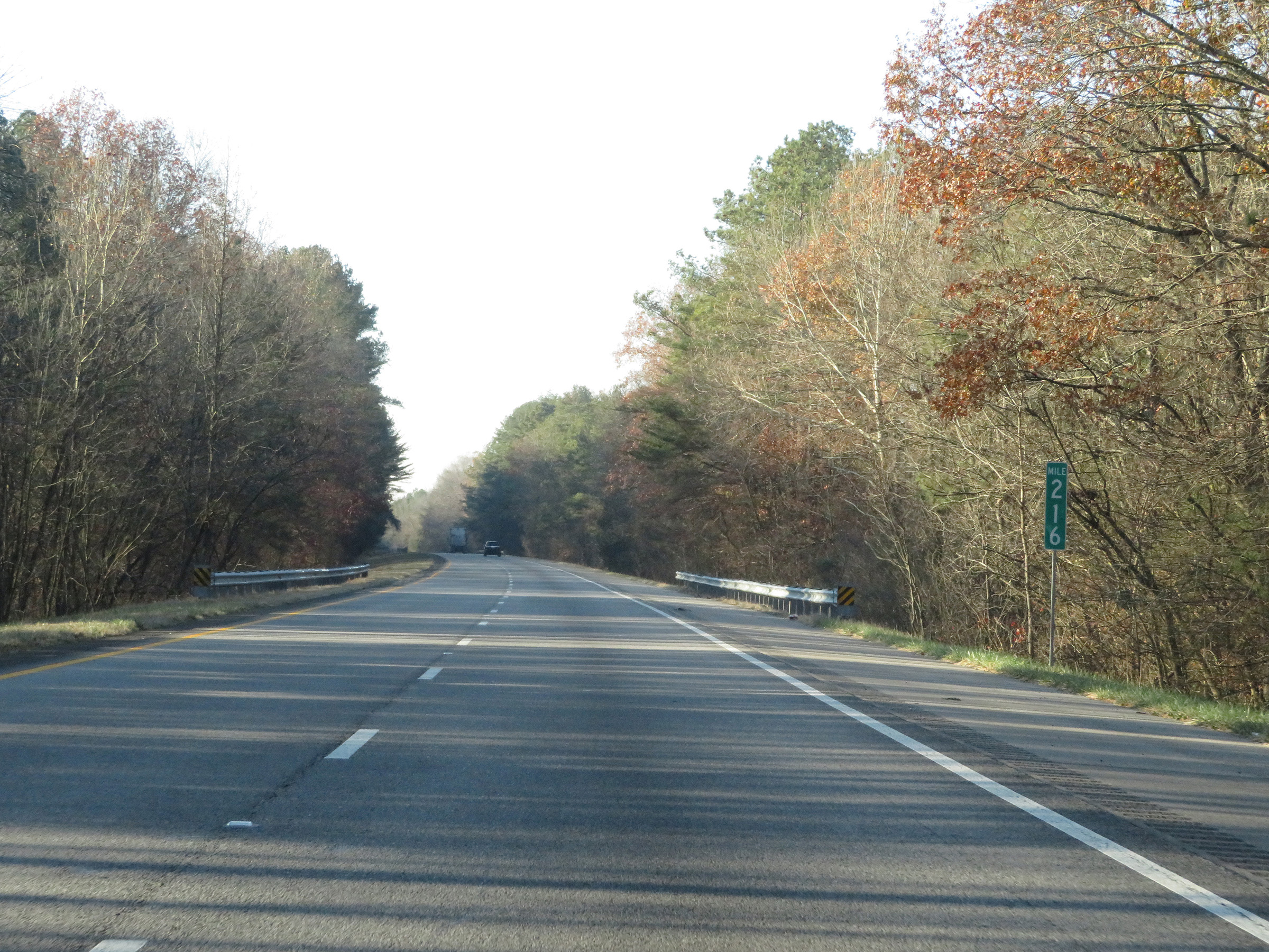 |
Mile marker 216 on Interstate 59 South in DeKalb County. (Photo taken 12/8/20). |
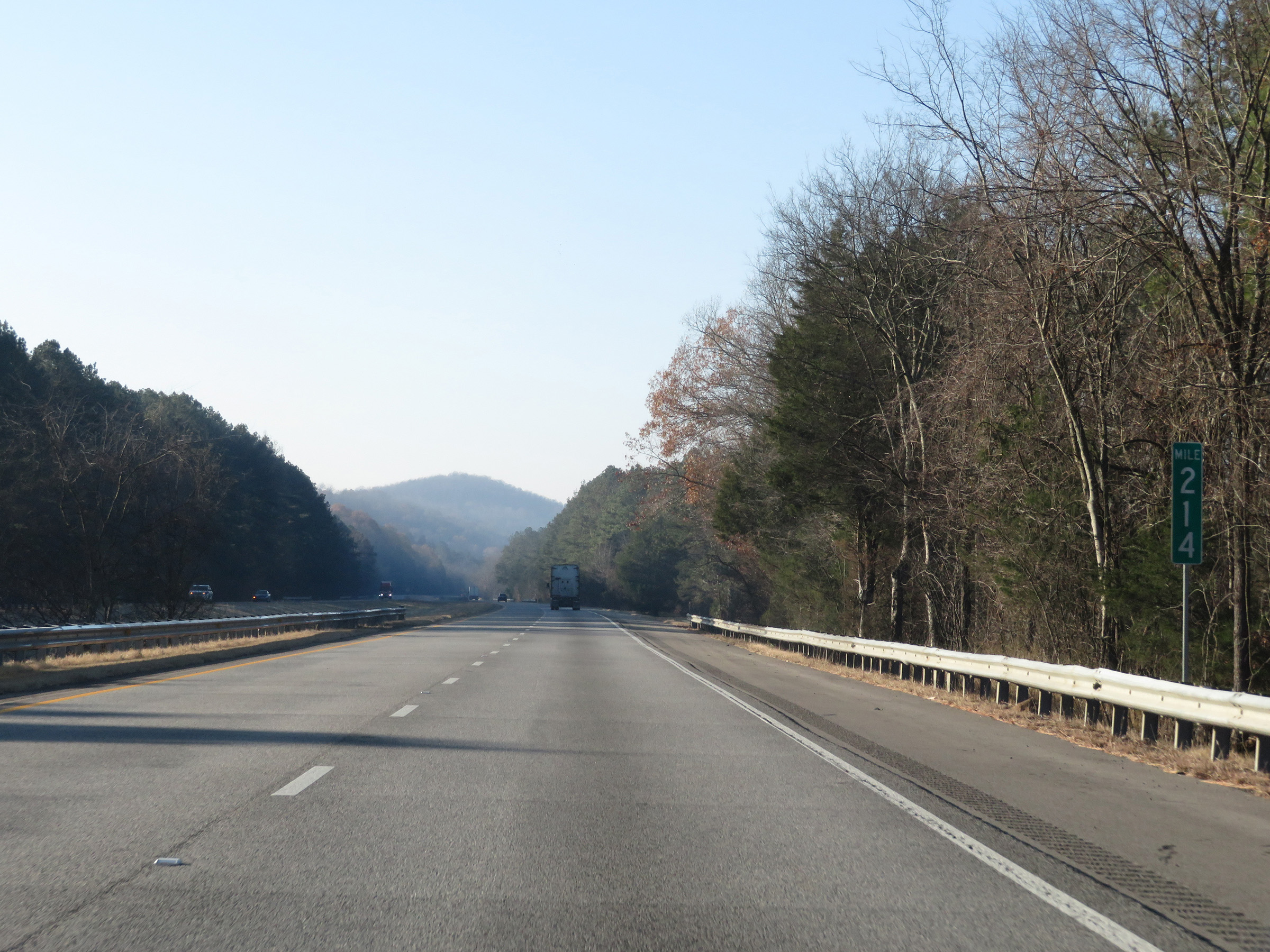 |
View on Interstate 59 South at mile marker 214. (Photo taken 12/8/20). |
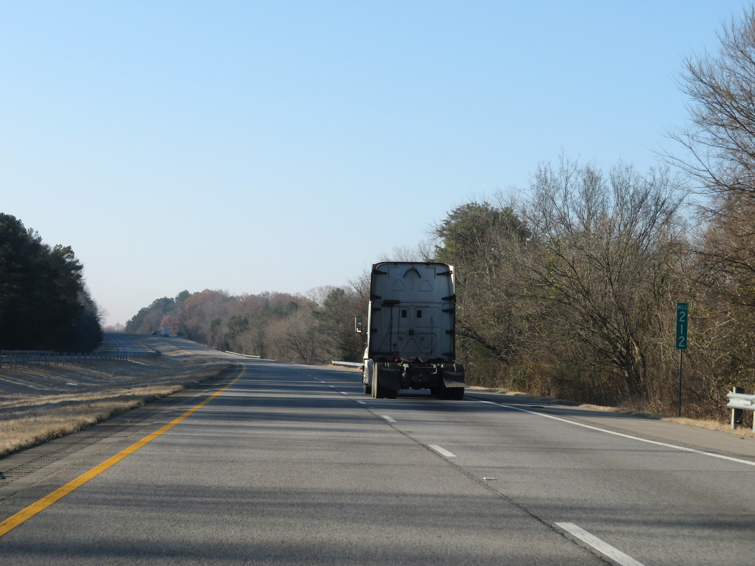 |
Interstate 59 South at mile marker 212. (Photo taken 12/8/20). |
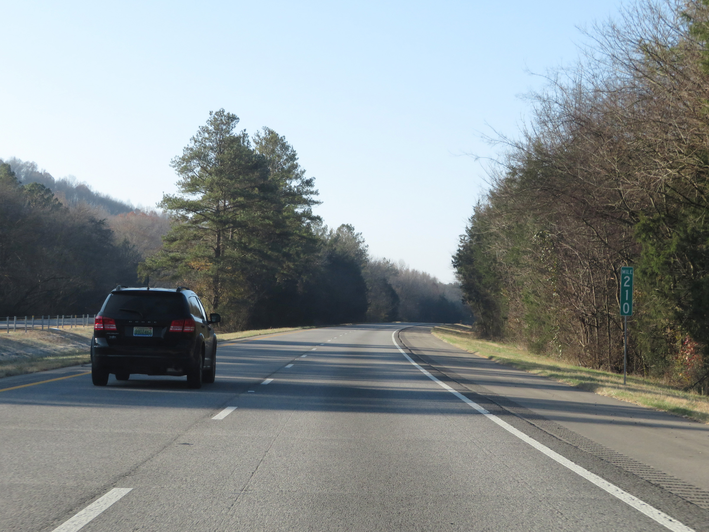 |
View on Interstate 59 South at mile marker 210. (Photo taken 12/8/20). |
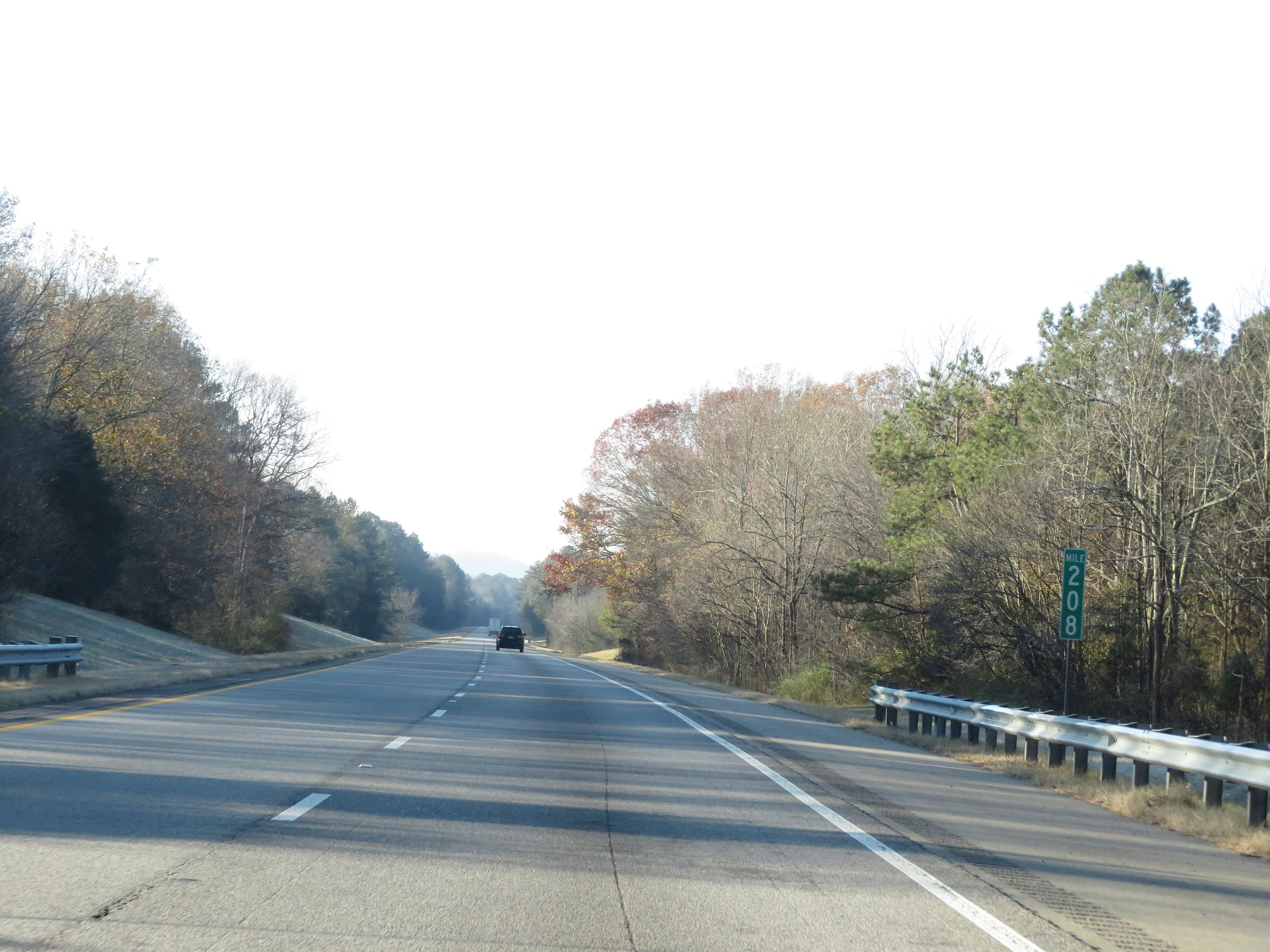 |
Interstate 59 South at mile marker 208. (Photo taken 12/8/20). |
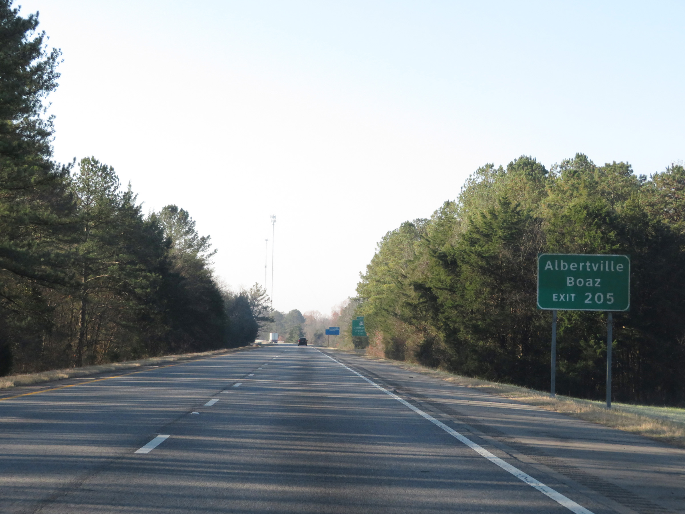 |
Take Exit 205 to Albertville and Boaz. (Photo taken 12/8/20). |
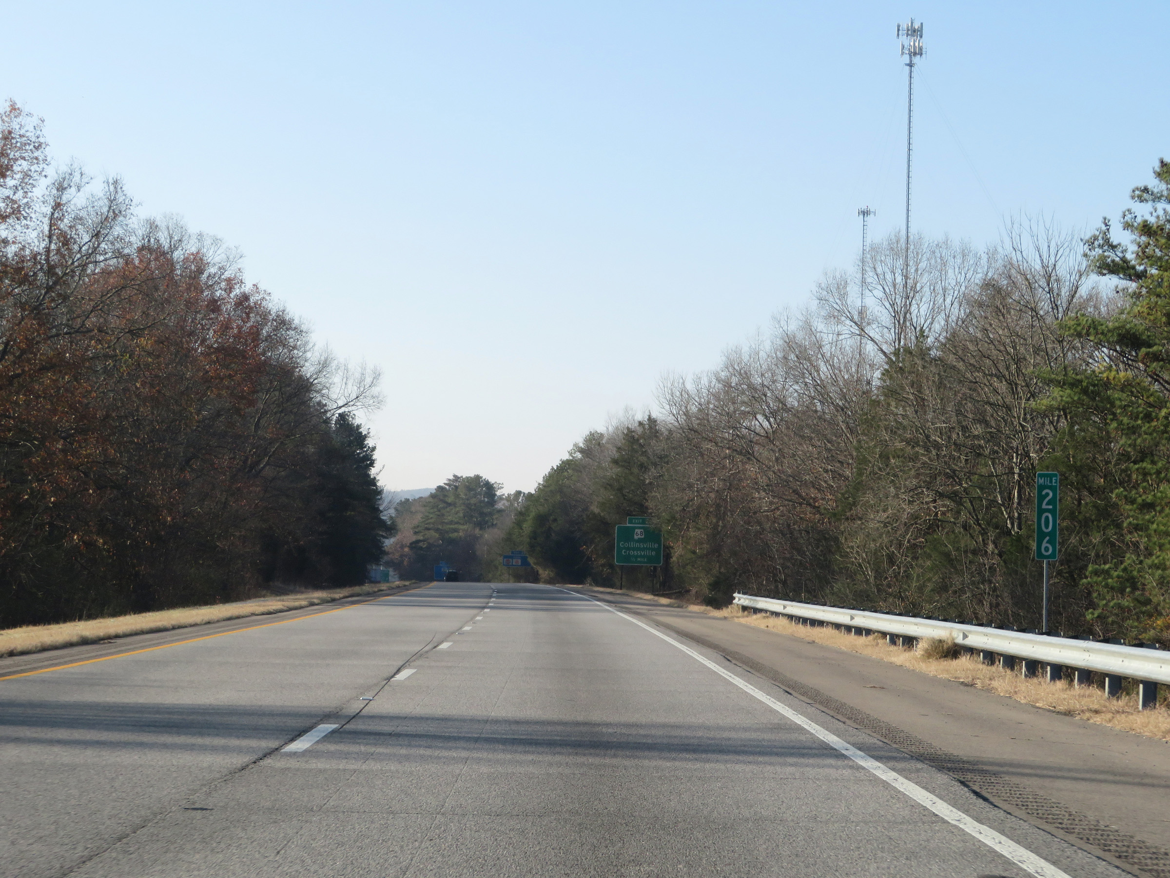 |
View on Interstate 59 South at mile marker 206. (Photo taken 12/8/20). |
 |
Interstate 59 South at Exit 205: AL 68 - Collinsville / Crossville (Photo taken 12/8/20). |
 |
Another state-named Interstate 59 South reassurance shield. (Photo taken 12/8/20). |
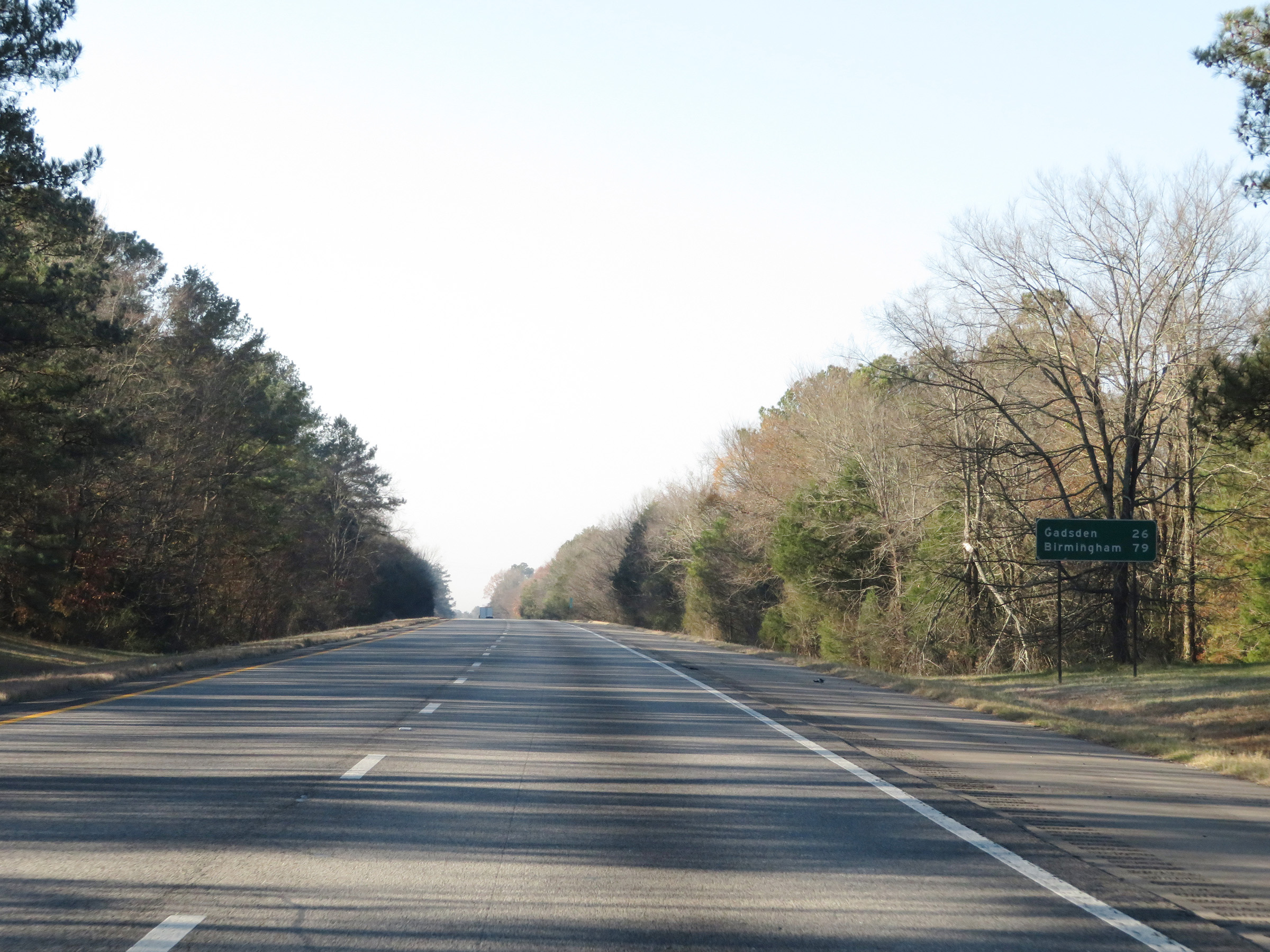 |
Another mileage sign on Interstate 59 South. It's 26 miles to Gadsden and 79 miles to Birmingham. (Photo taken 12/8/20). |
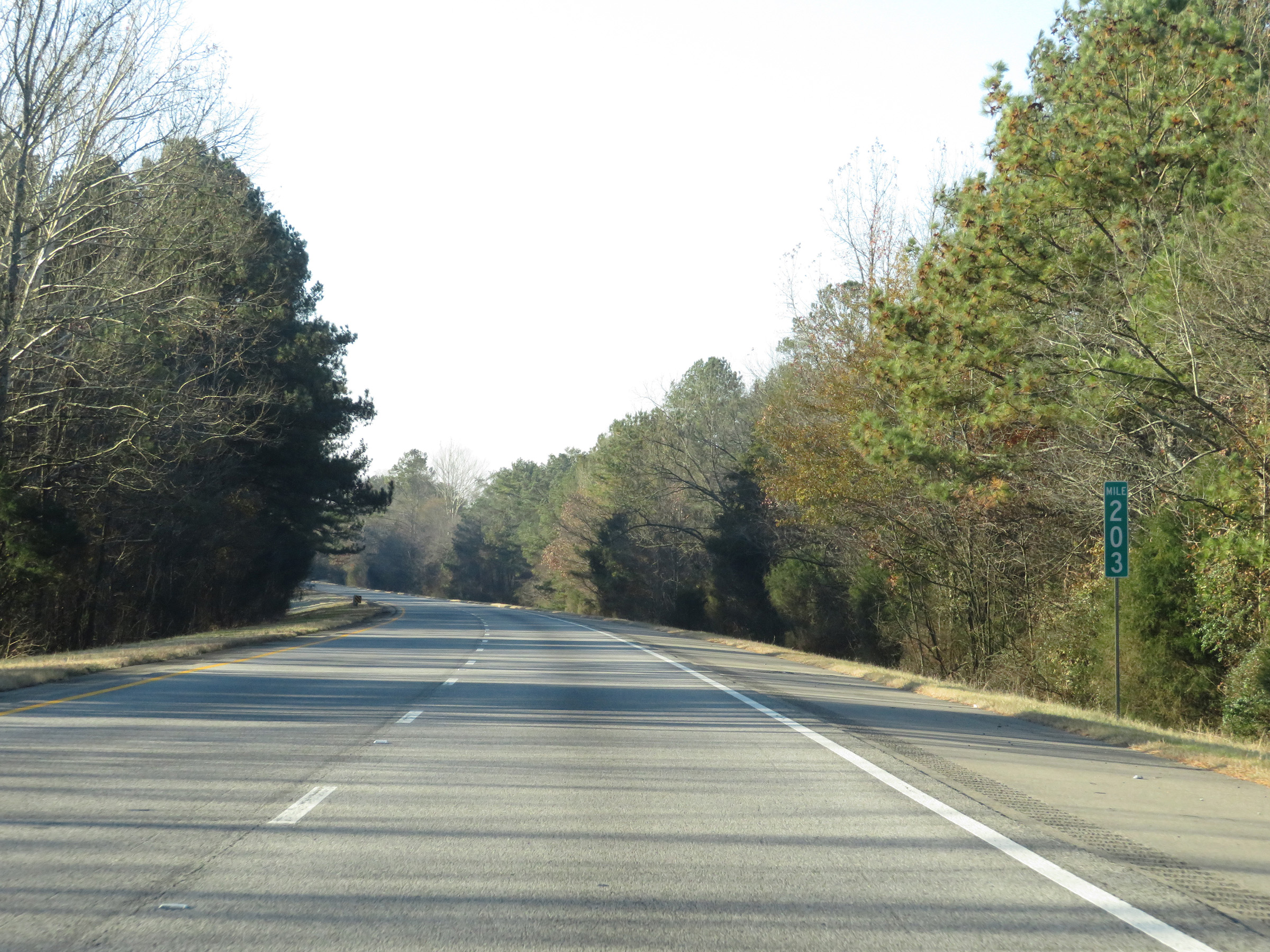 |
View on Interstate 59 South at mile marker 203. (Photo taken 12/8/20). |
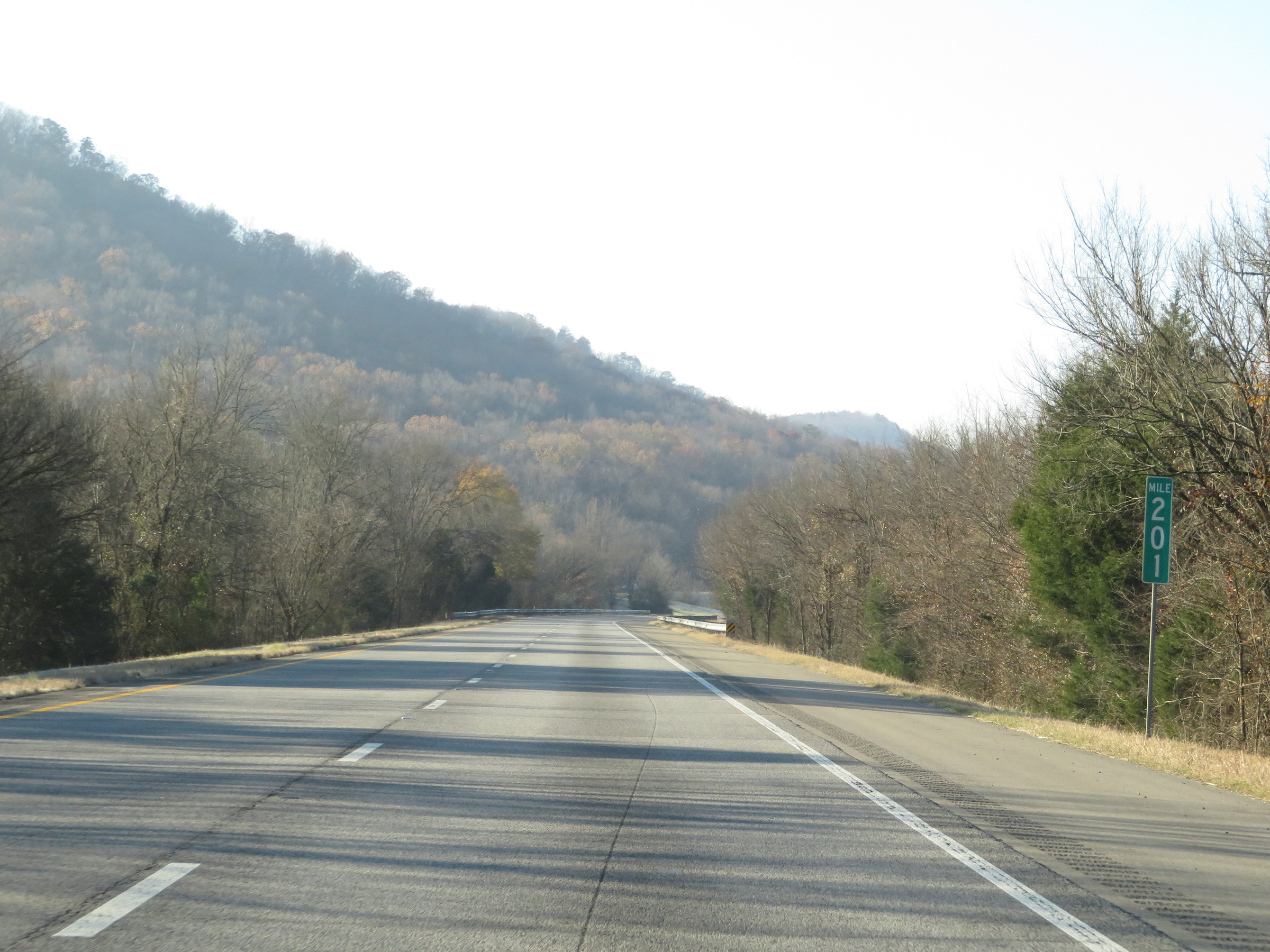 |
Interstate 59 South at mile marker 201. (Photo taken 12/8/20). |
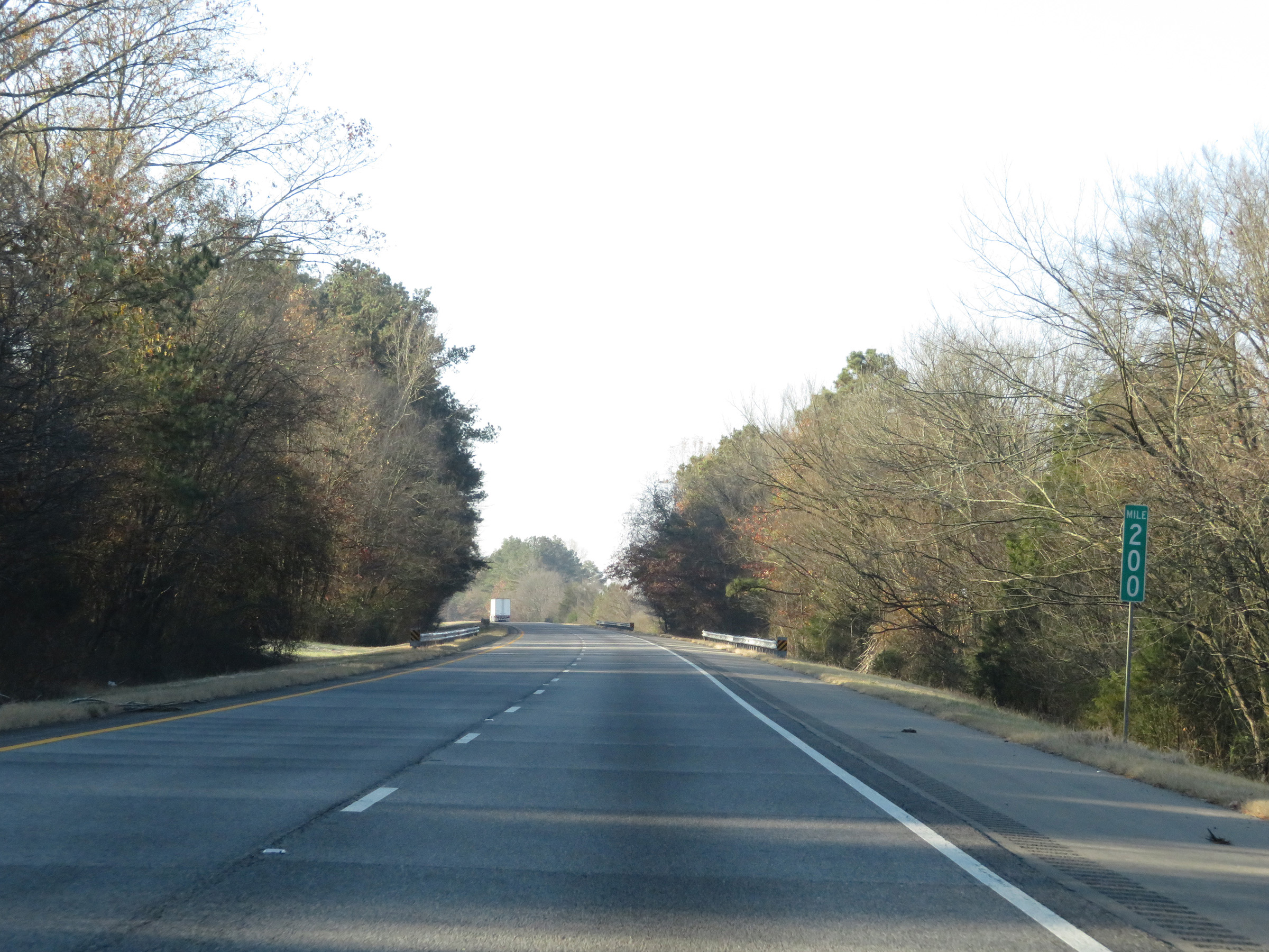 |
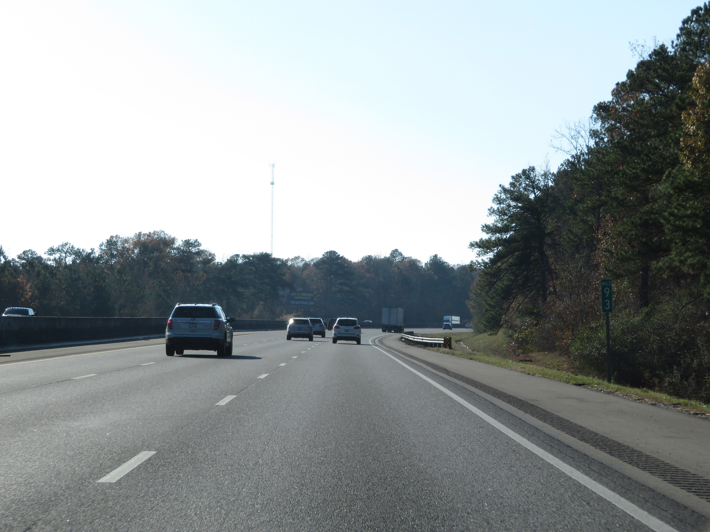
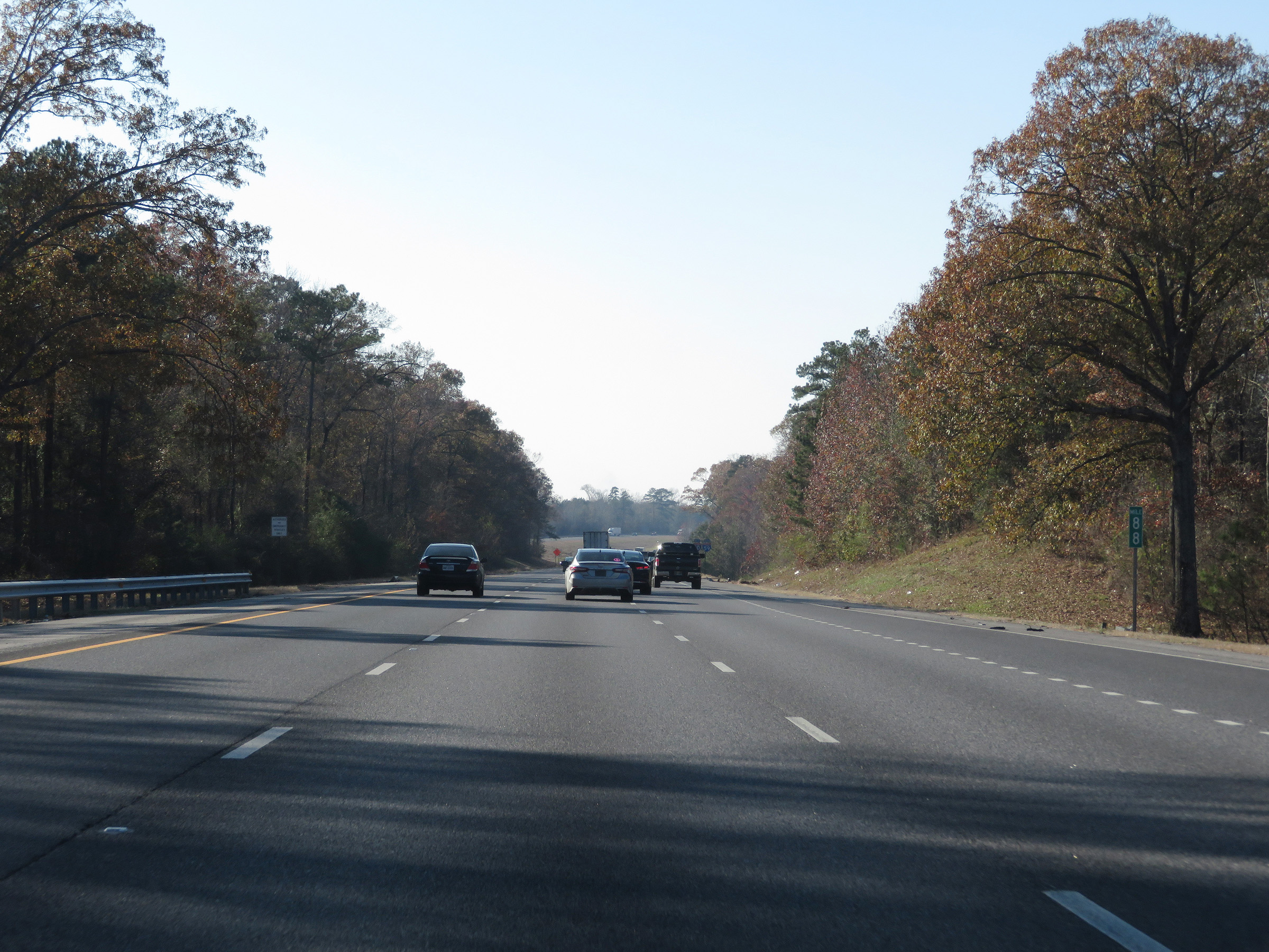
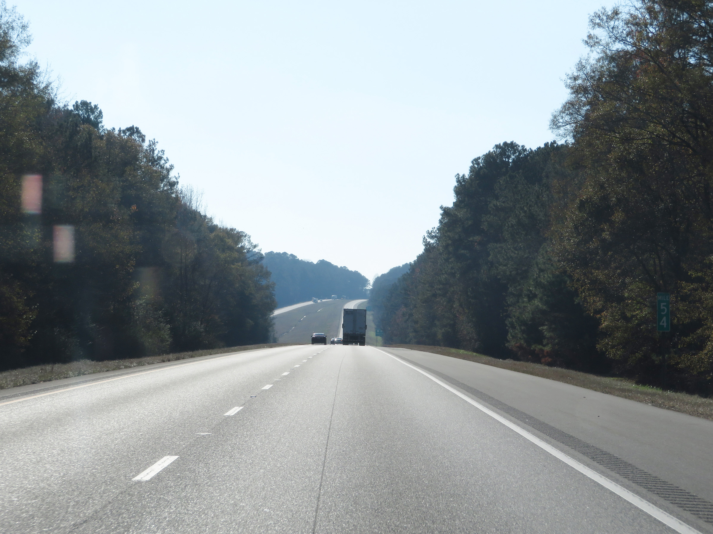
Mile marker 200 on Interstate 59 South in DeKalb County. (Photo taken 12/8/20). |
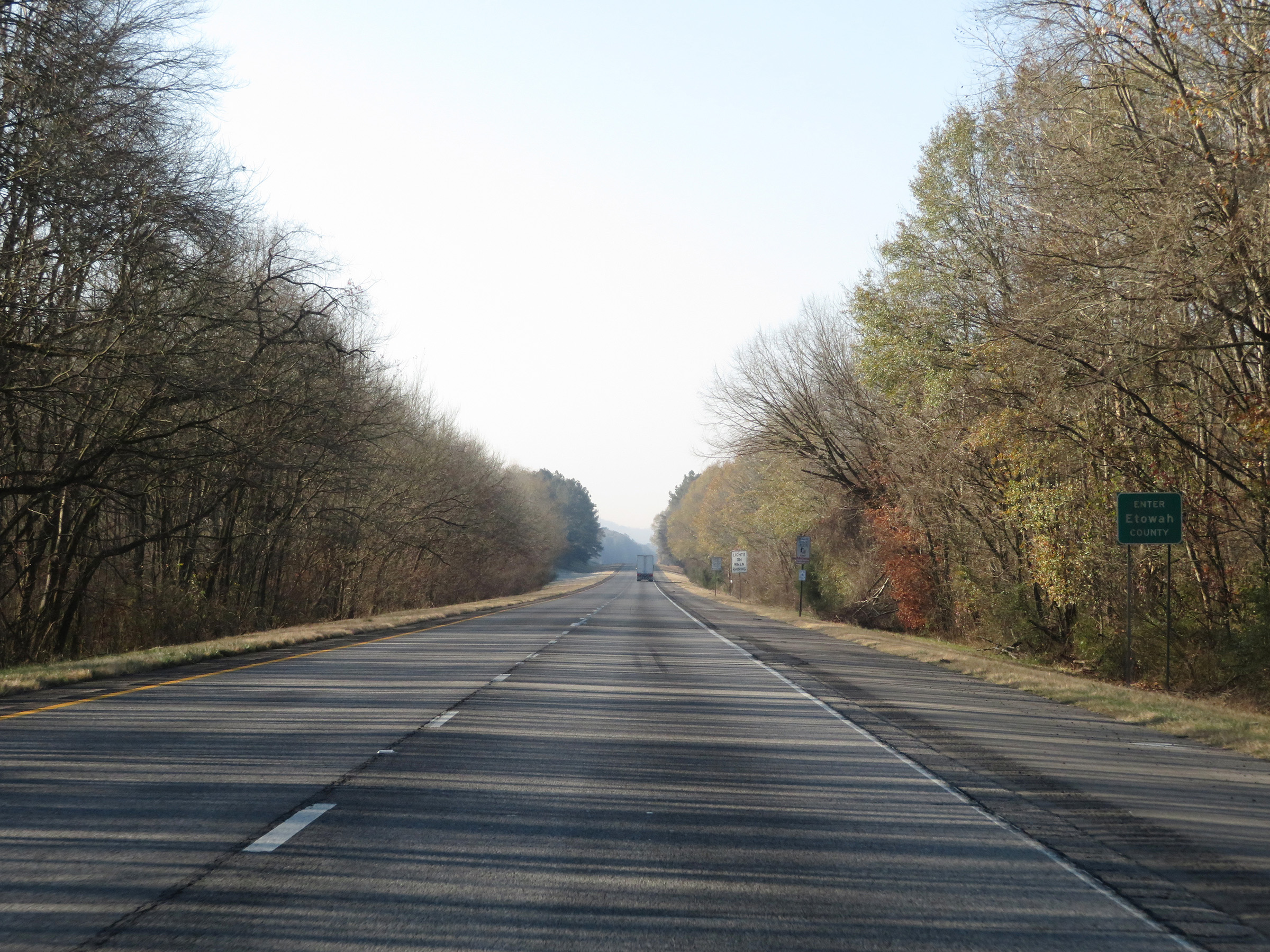 |
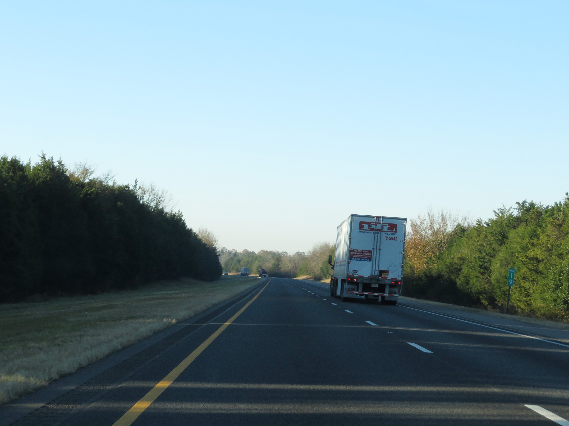
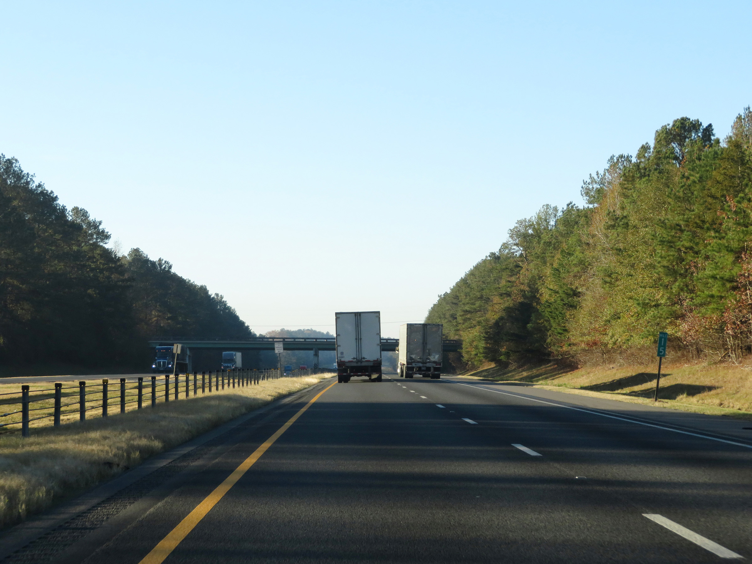
Interstate 59 South as it enters Etowah County. (Photo taken 12/8/20). |
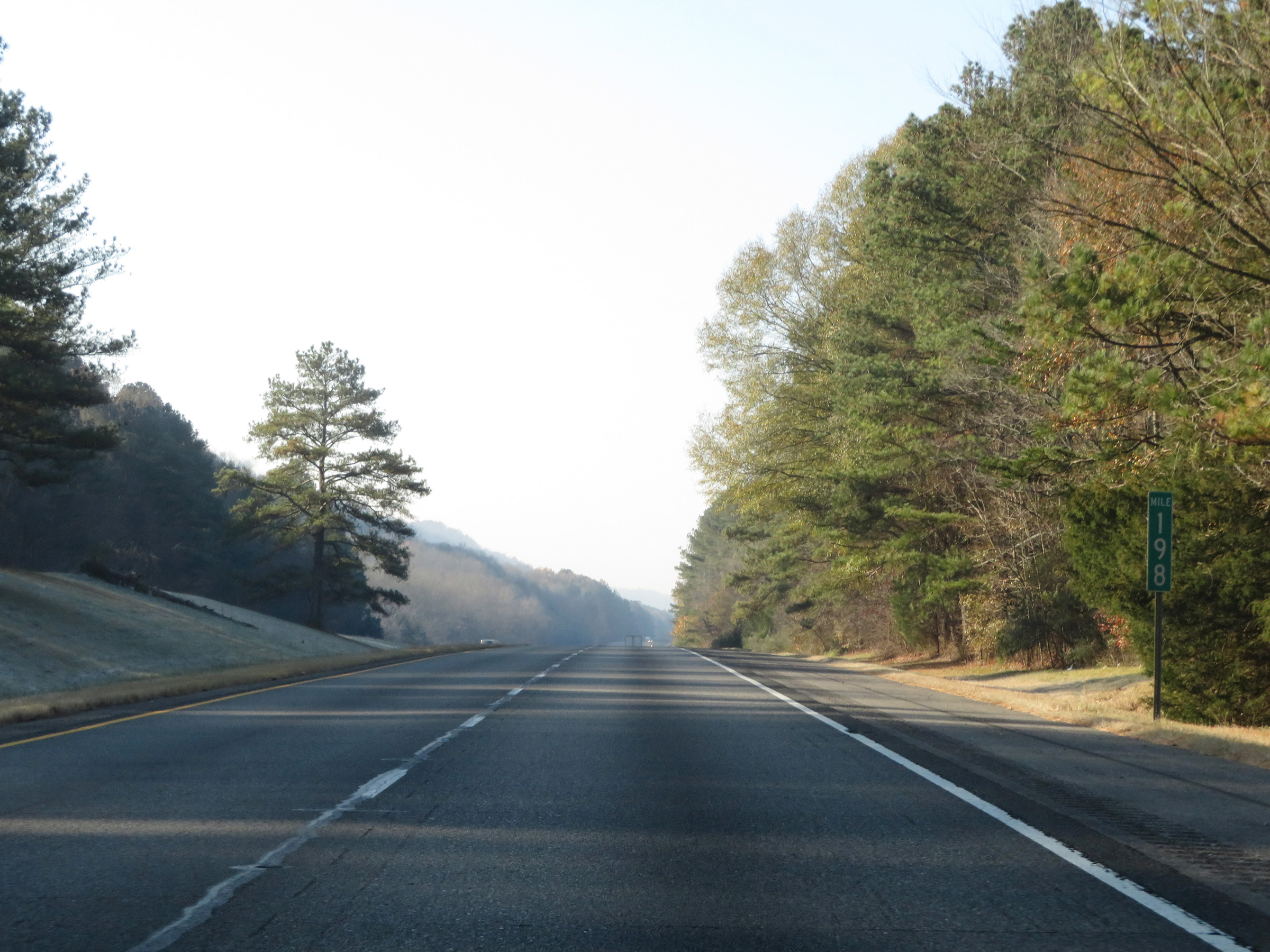 |
View on Interstate 59 South at mile marker 198. (Photo taken 12/8/20). |
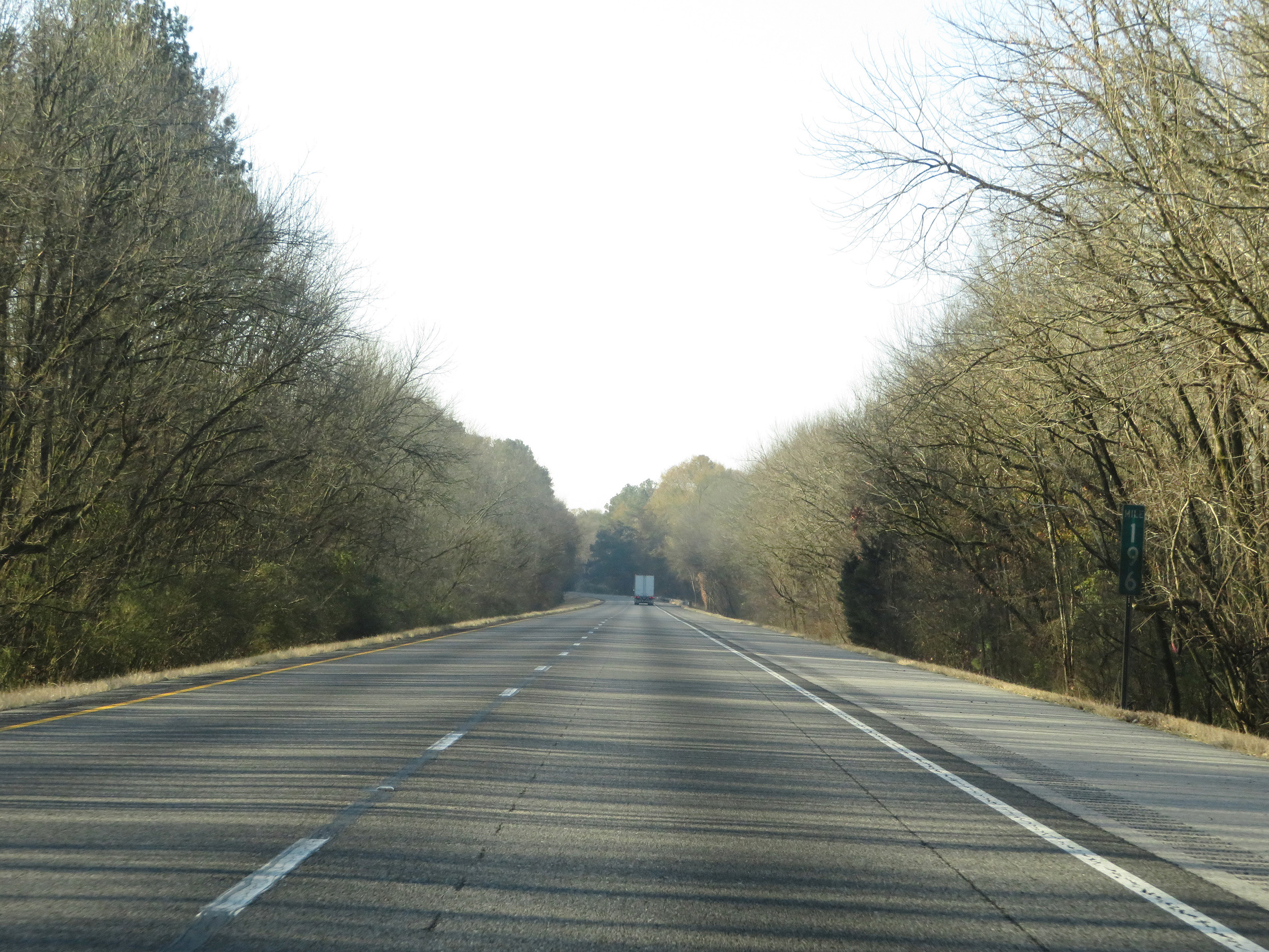 |
Interstate 59 South at mile marker 196. (Photo taken 12/8/20). |
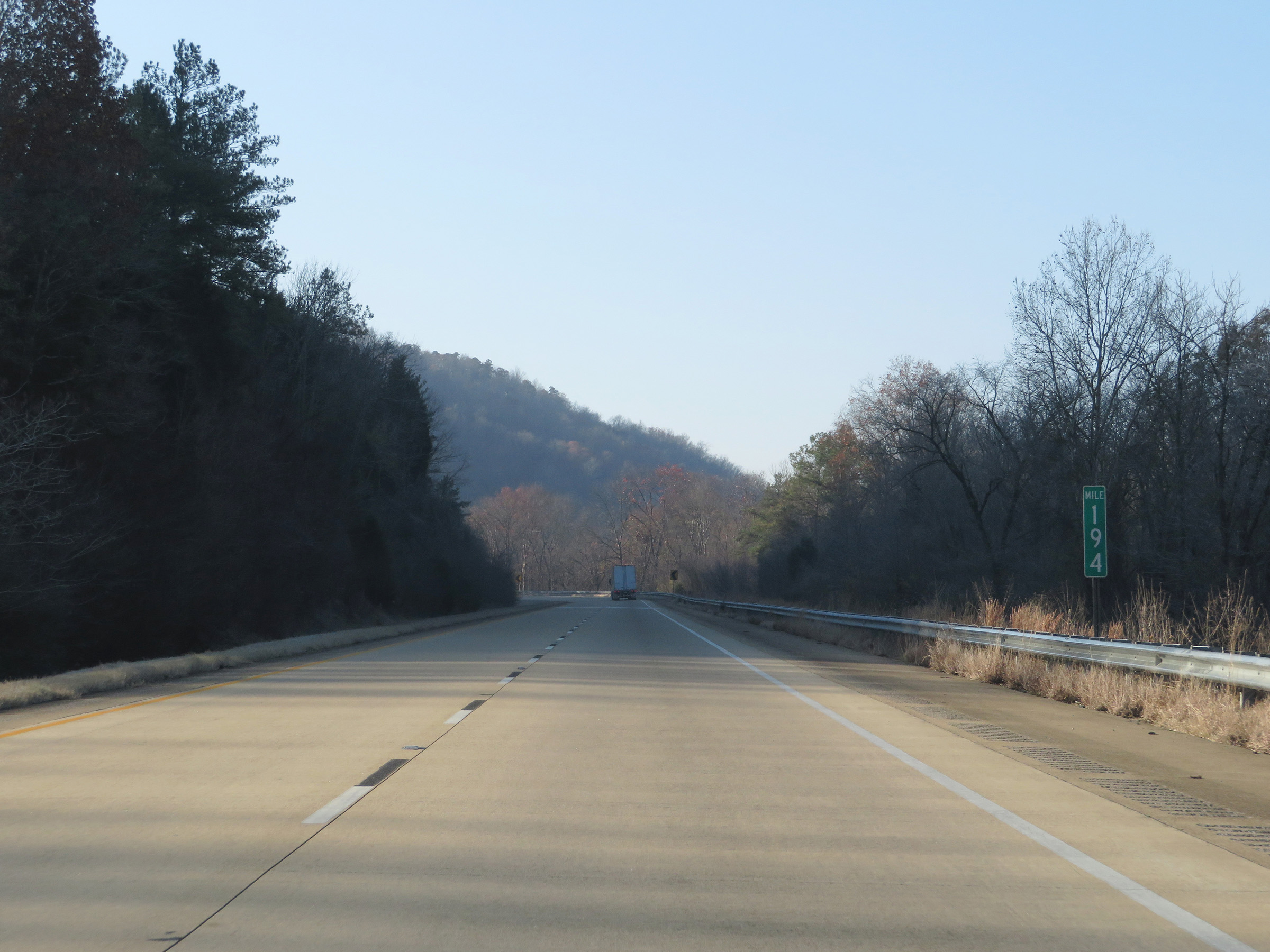 |
Mile marker 194 on Interstate 59 South in Etowah County. (Photo taken 12/8/20). |
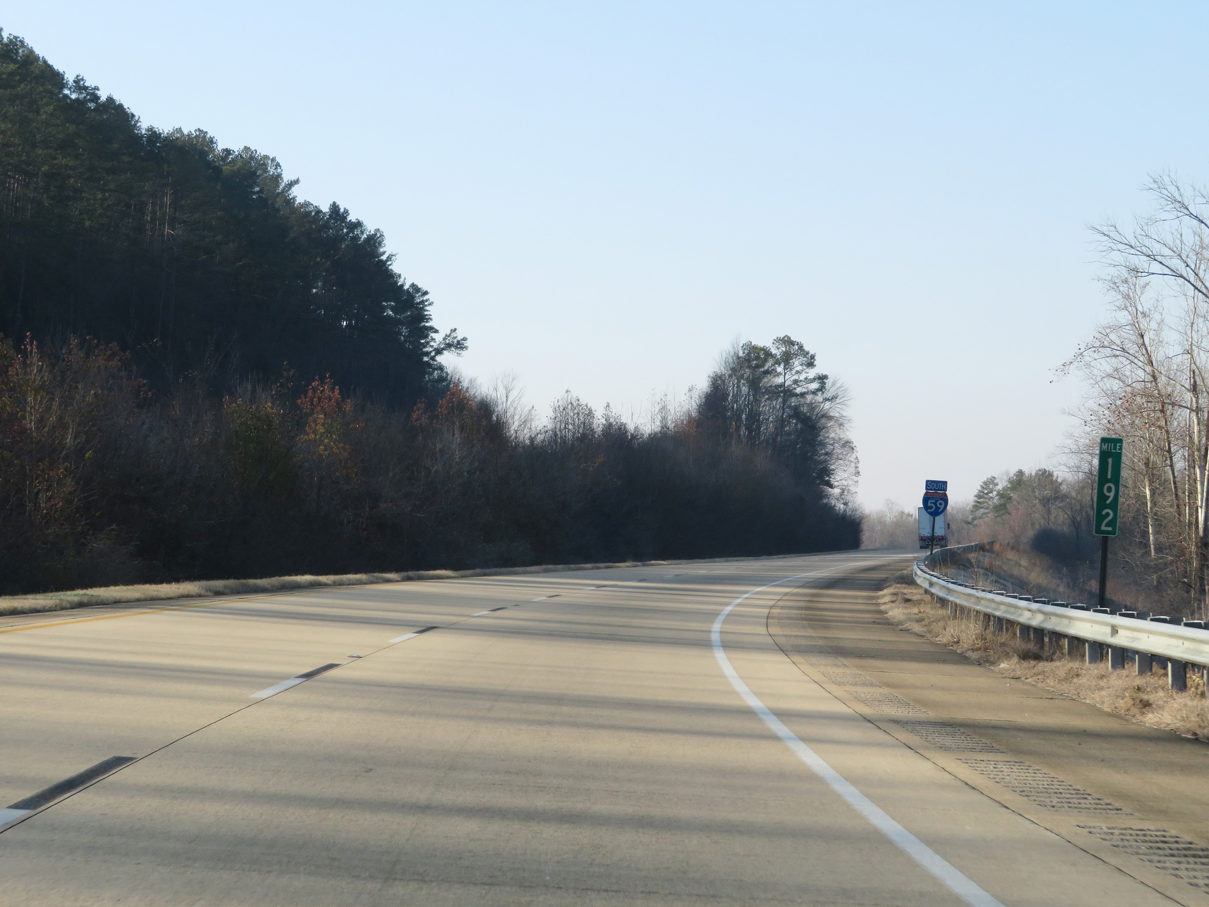 |
View on Interstate 59 South at mile marker 192. (Photo taken 12/8/20). |
 |
Interstate 59 South at mile marker 191. (Photo taken 12/8/20). |
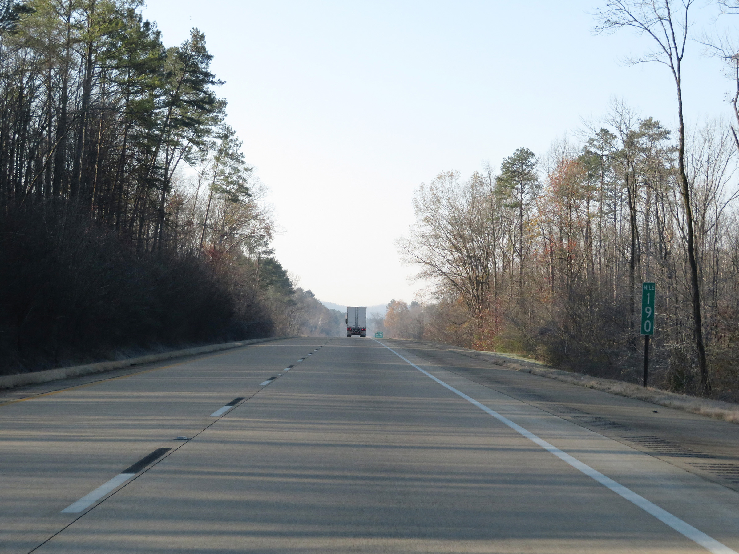 |
Mile marker 190 on Interstate 59 South in Etowah County. (Photo taken 12/8/20). |
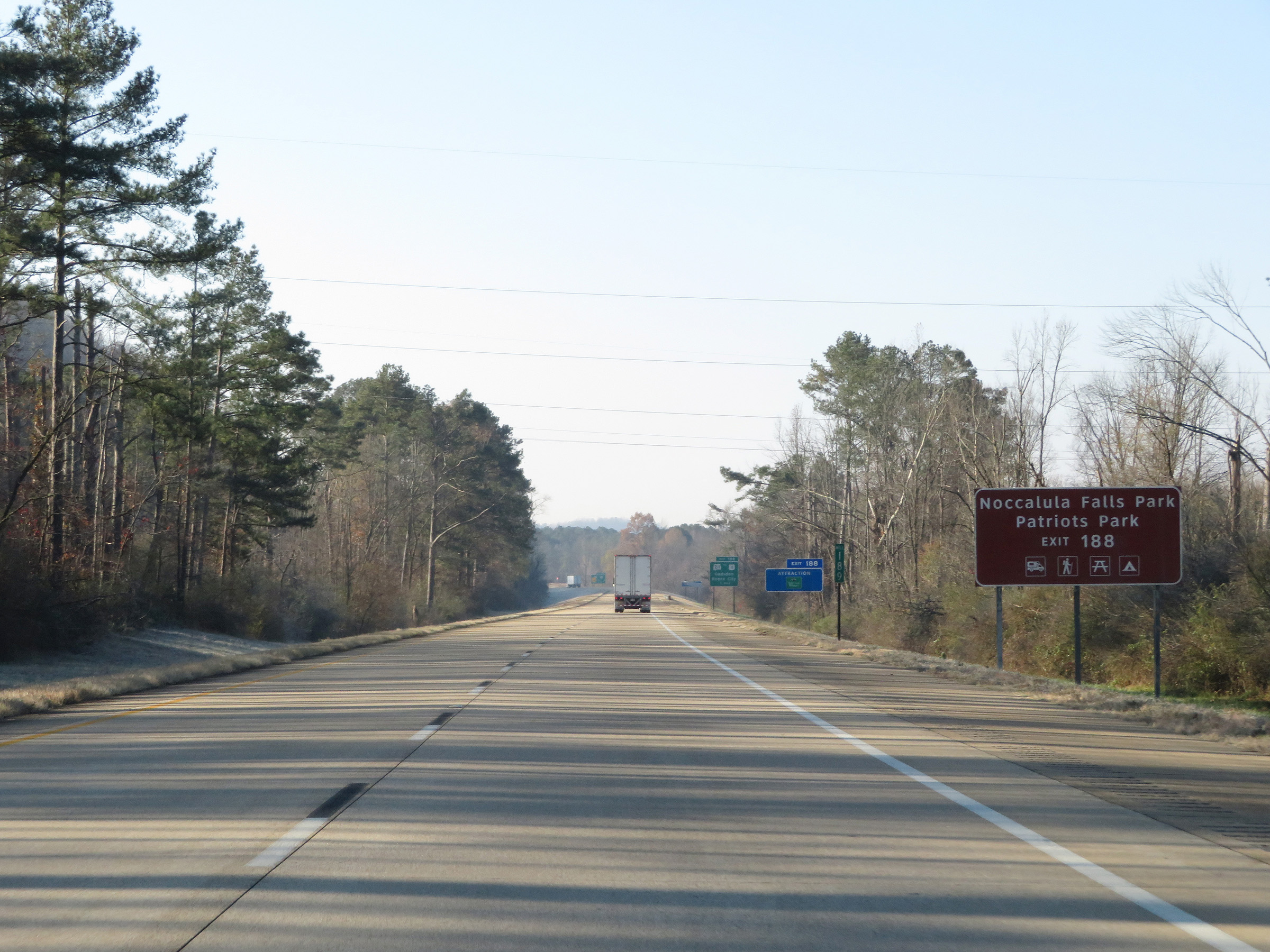 |
Take Exit 188 to Noccalula Falls Park and Patriots Park. (Photo taken 12/8/20). |
 |
Interstate 59 South at Exit 188: AL 211 / To US 11 - Gadsden / Reece City (Photo taken 12/8/20). |
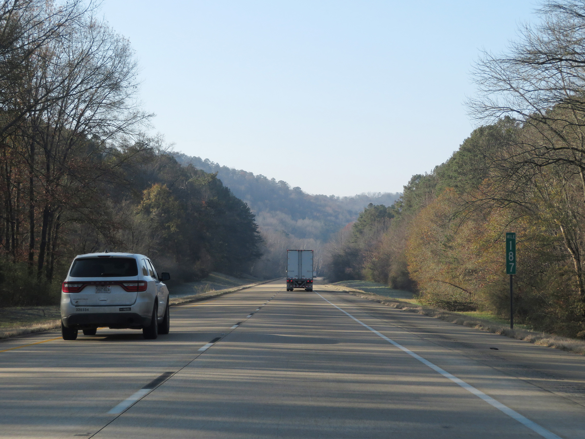 |
View on Interstate 59 South at mile marker 187. (Photo taken 12/8/20). |
 |
Interstate 59 South at mile marker 186. (Photo taken 12/8/20). |
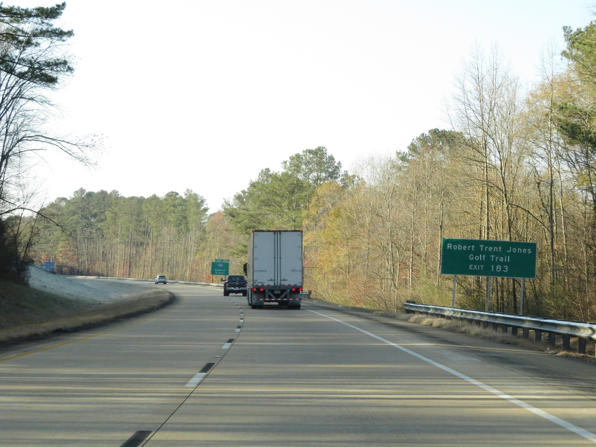 |
Take Exit 183 to Robert Trent Jones Golf Trail. (Photo taken 12/8/20). |
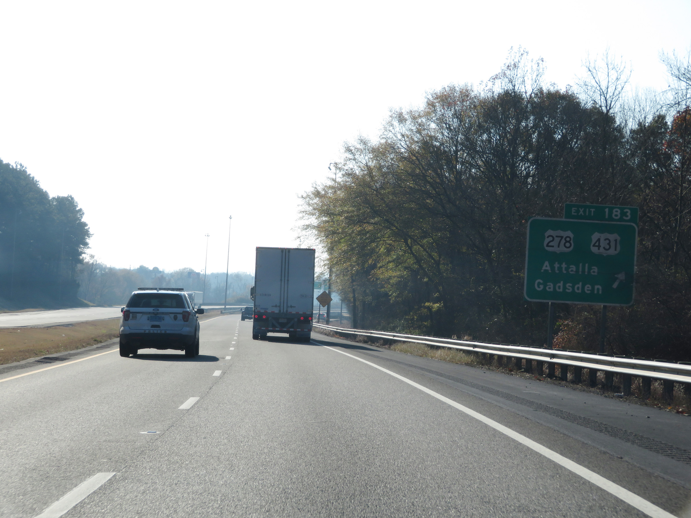 |
Interstate 59 South at Exit 183: US 278 / US 431 - Attalla / Gadsden (Photo taken 12/8/20). |
 |
Interstate 59 South approaching Exit 182 - 1 mile. (Photo taken 12/8/20). |
 |
Interstate 59 South at Exit 182: Interstate 759 East - Gadsden (Photo taken 12/8/20). |
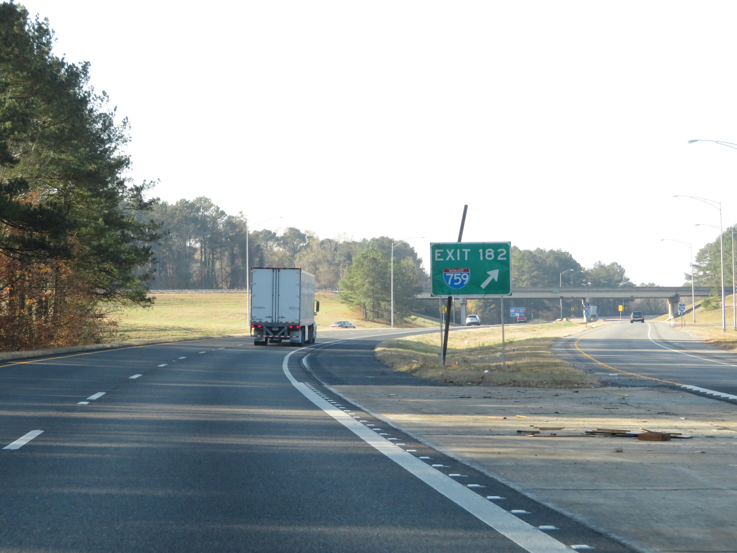 |
A closer view of the ramp to Interstate 759 East at Exit 182. (Photo taken 12/8/20). |
 |
View on Interstate 59 South at mile marker 182. (Photo taken 12/8/20). |
 |
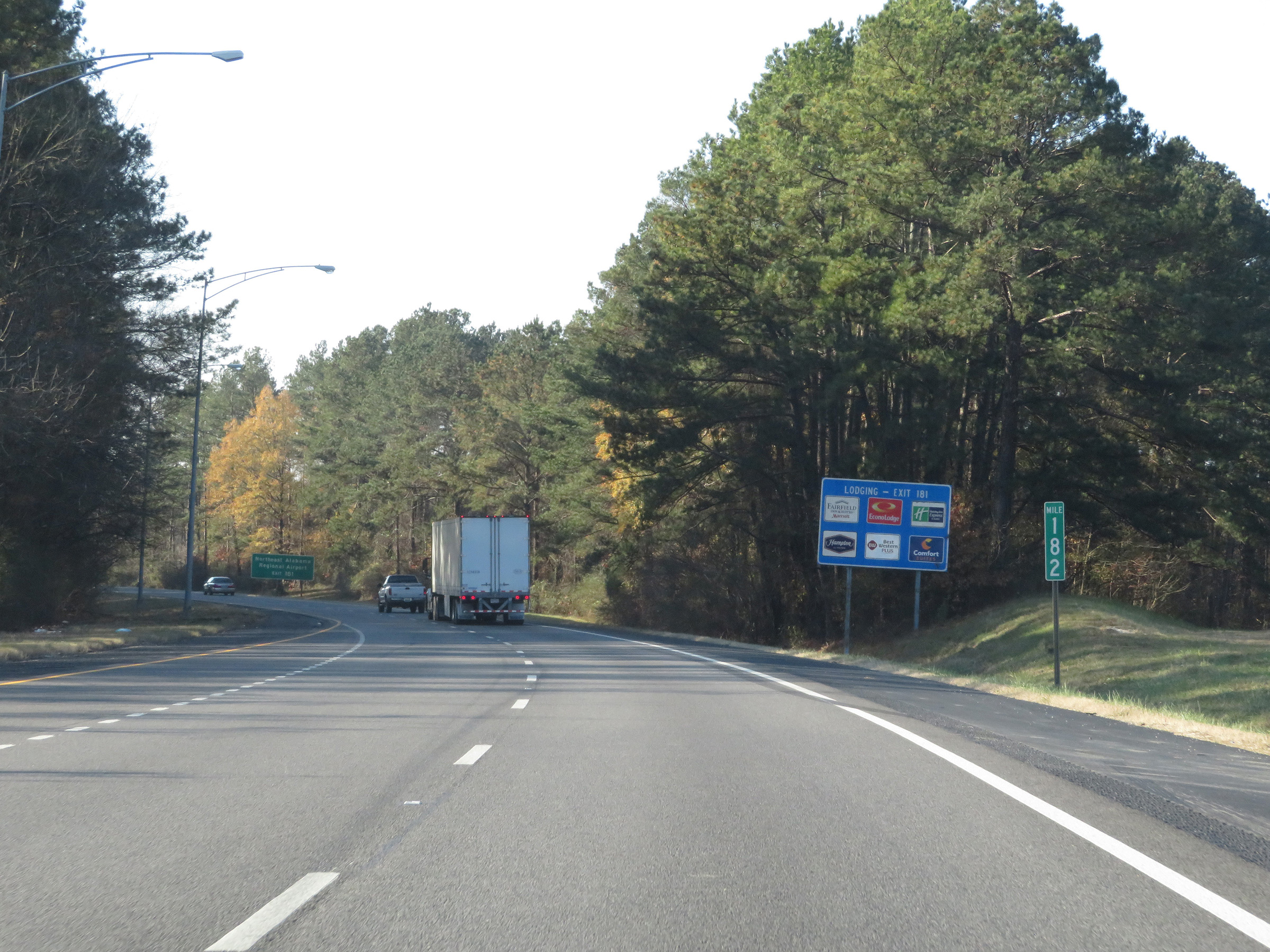
Take Exit 181 to Northeast Alabama Regional Airport. (Photo taken 12/8/20). |
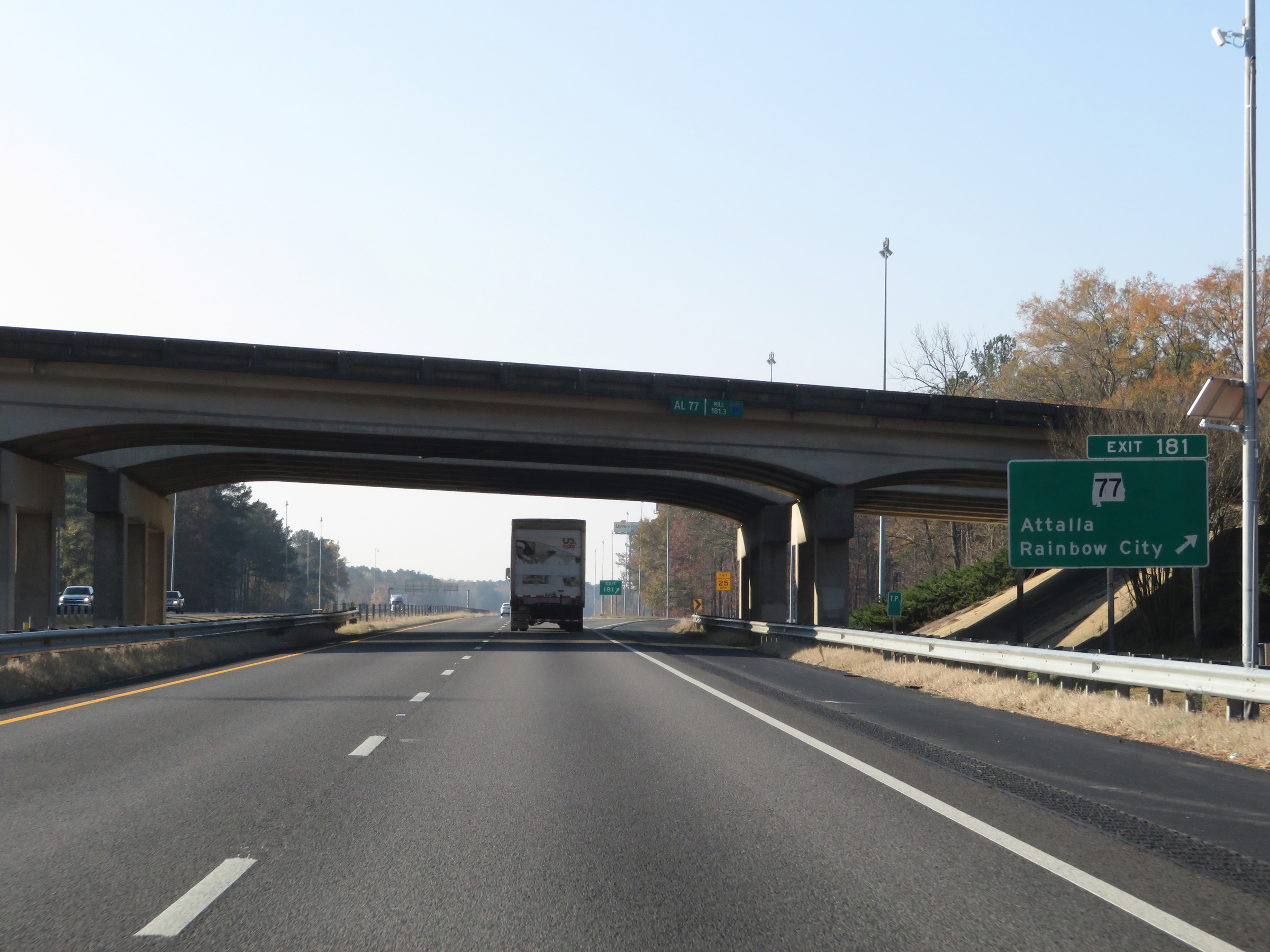 |
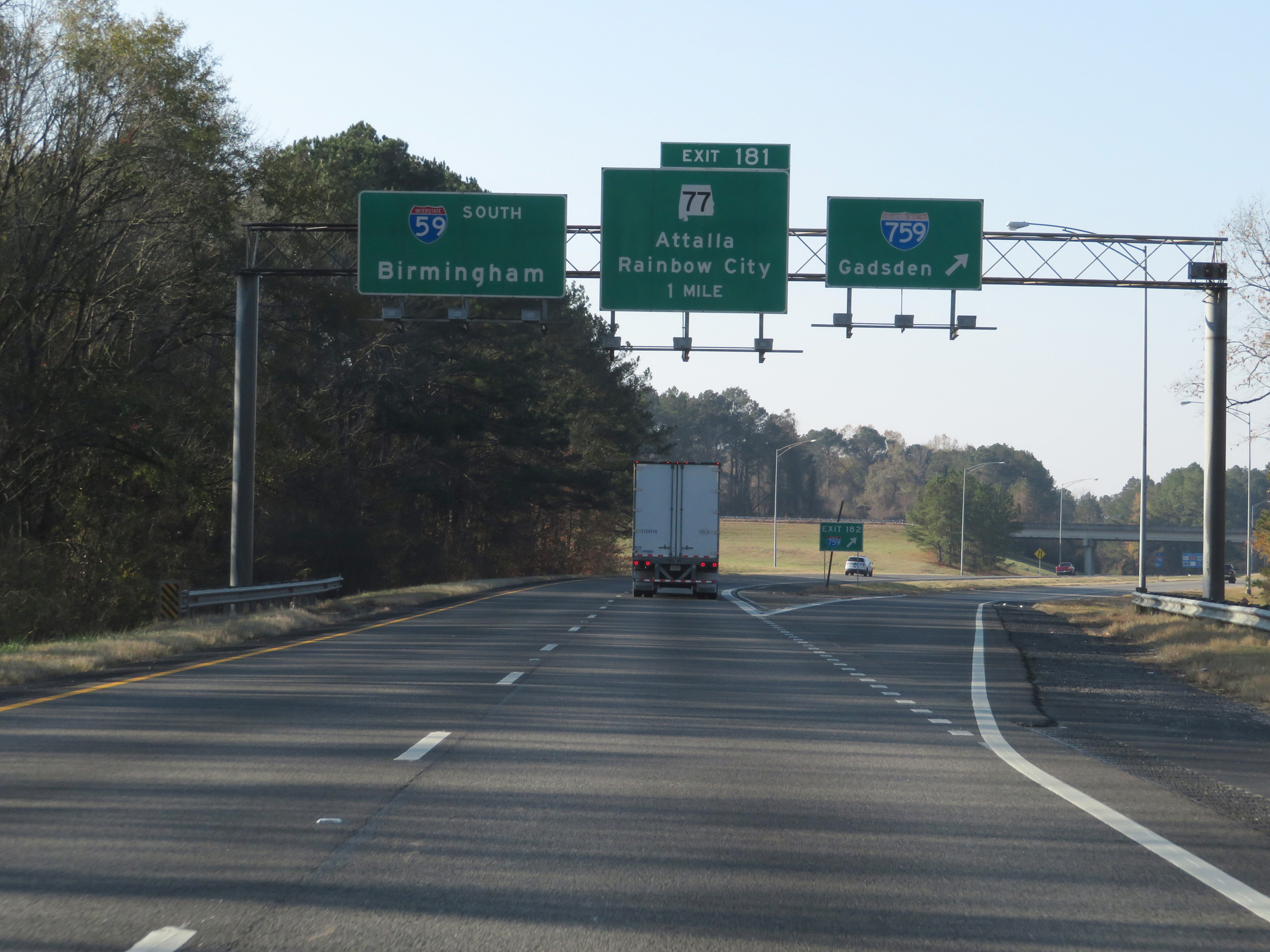
Interstate 59 South at Exit 181: AL 77 - Attalla / Rainbow City (Photo taken 12/8/20). |
Section 2: Attalla (Exit 181) to Birmingham (Exit 126A)
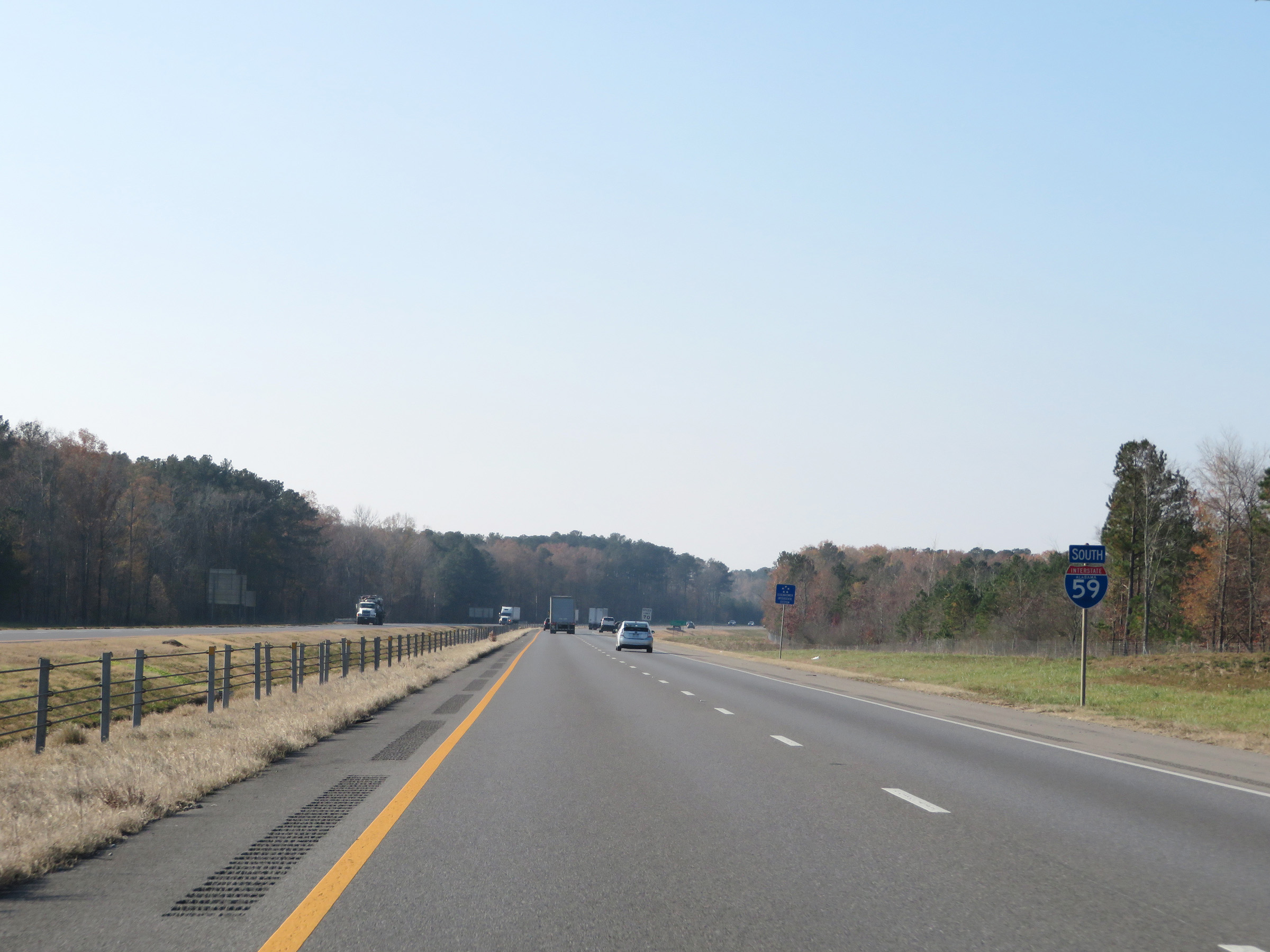 |
State-named Interstate 59 South reassurance shield to the south of Exit 181. (Photo taken 12/8/20). |
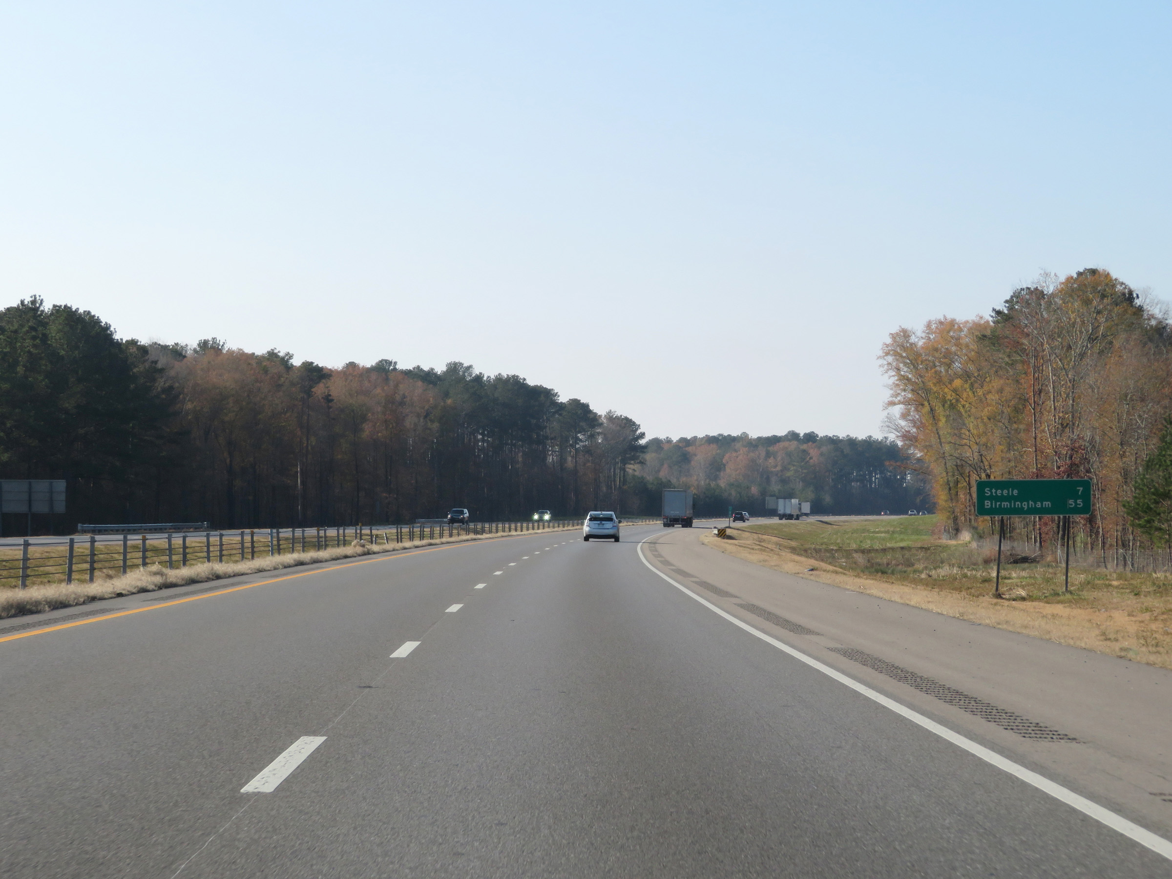 |
Mileage sign on Interstate 59 South. It's 7 miles to Steele and 55 miles to Birmingham. (Photo taken 12/8/20). |
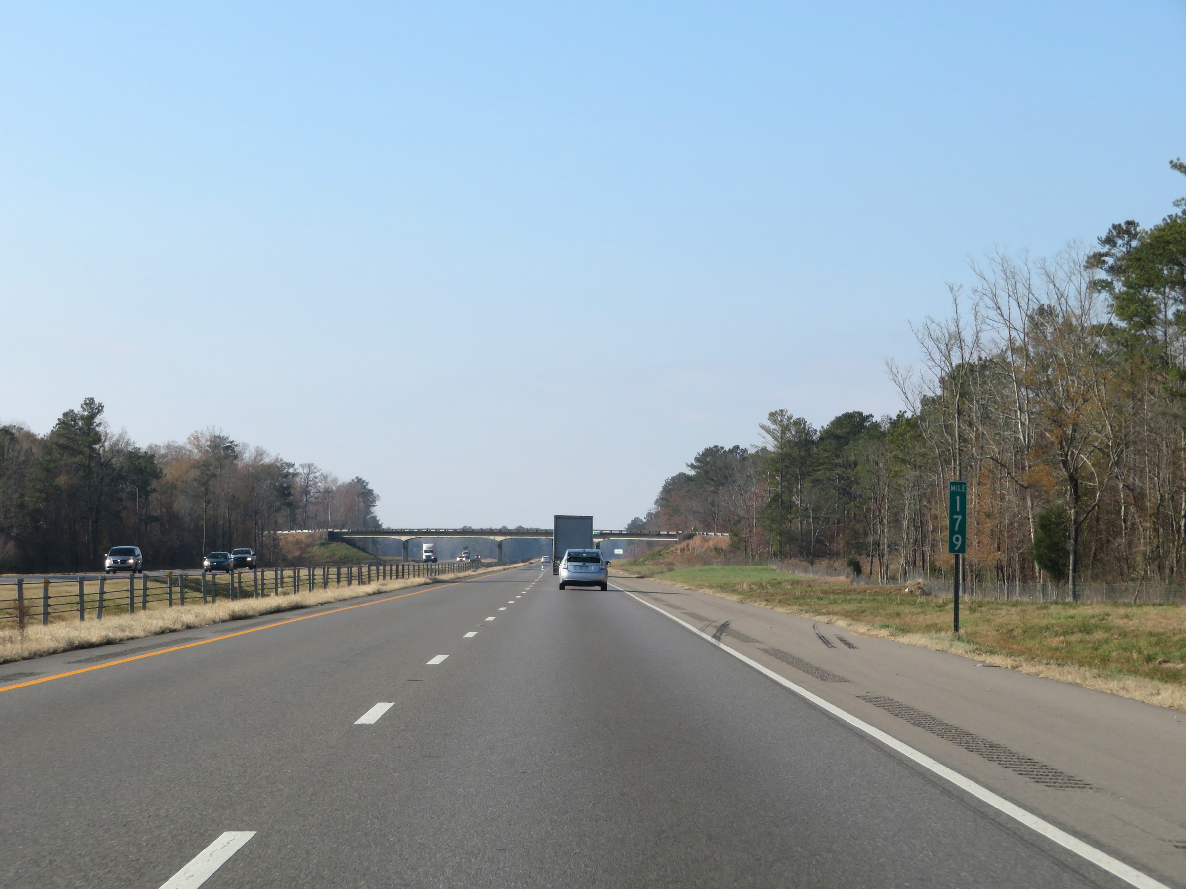 |
View on Interstate 59 South at mile marker 179. (Photo taken 12/8/20). |
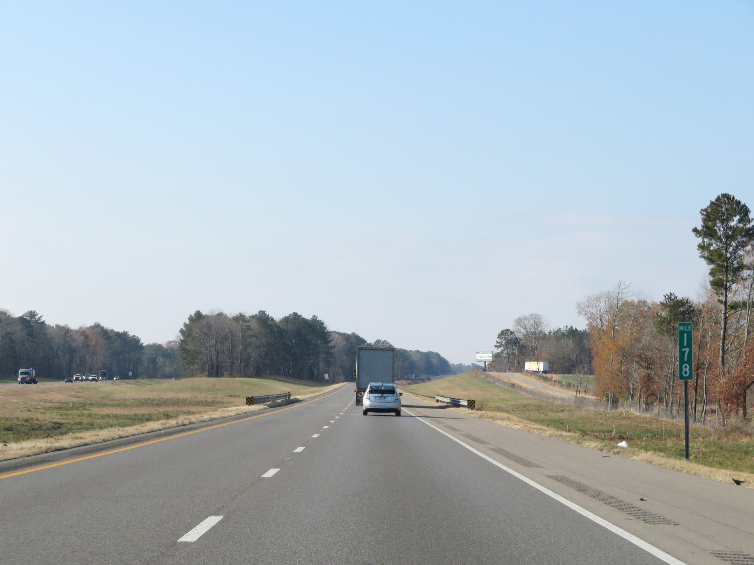 |
Interstate 59 South at mile marker 178. (Photo taken 12/8/20). |
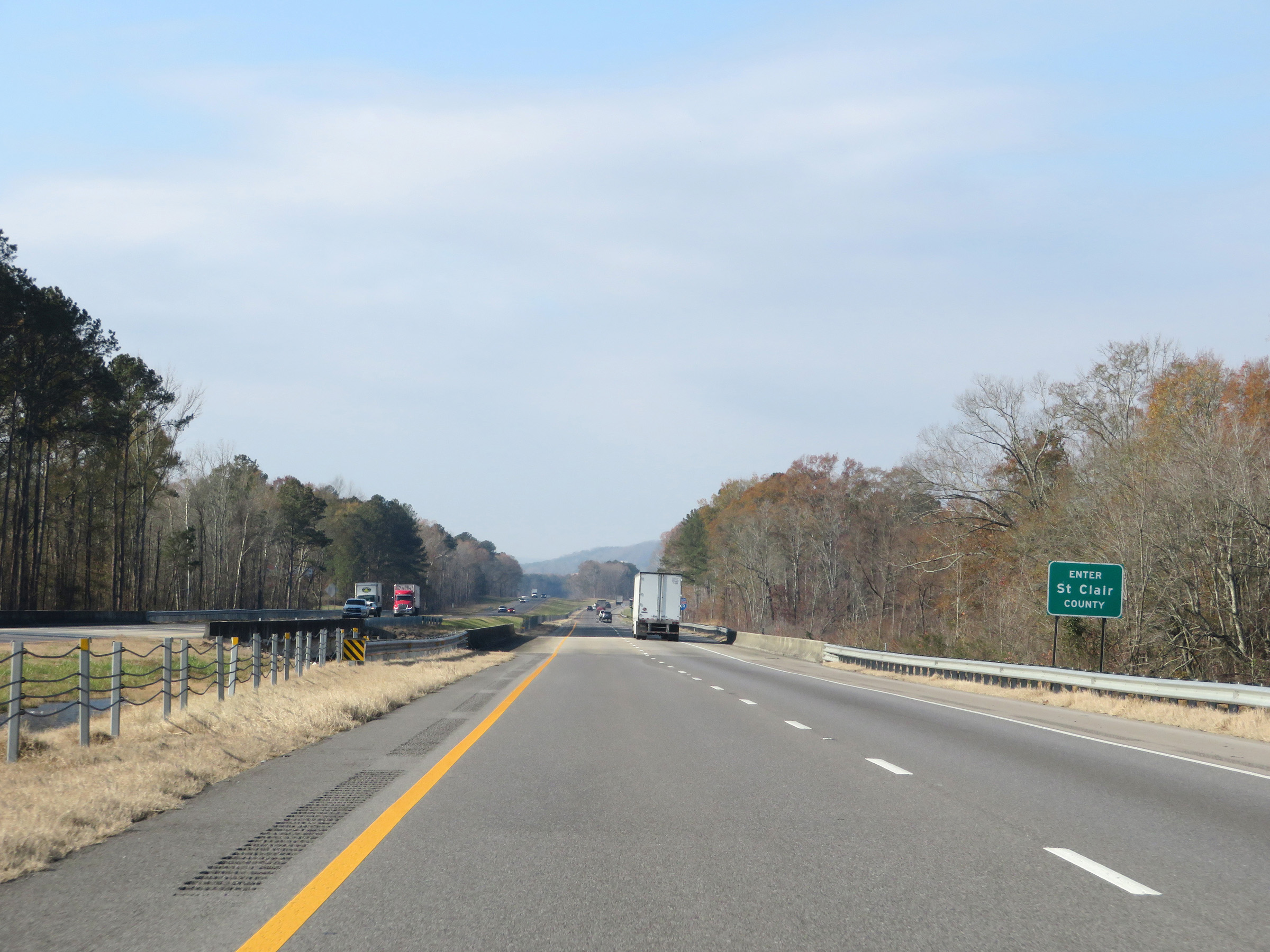 |
Interstate 59 South as it enters St. Clair County. (Photo taken 12/8/20). |
 |
The speed limit remains 70 mph. (Photo taken 12/8/20). |
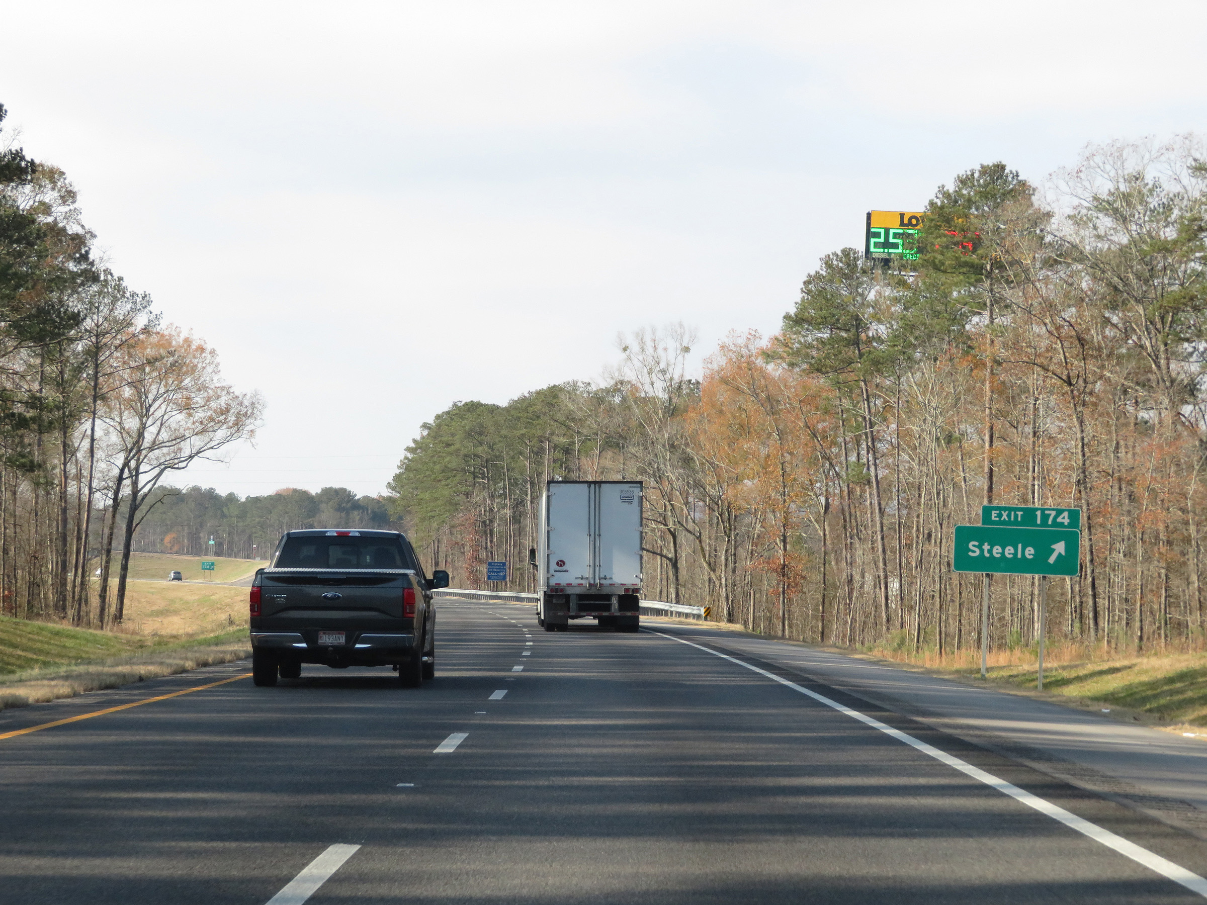 |
Interstate 59 South at Exit 174: Steele (Photo taken 12/8/20). |
 |
Mile marker 173 on Interstate 59 South in St. Clair County. (Photo taken 12/8/20). |
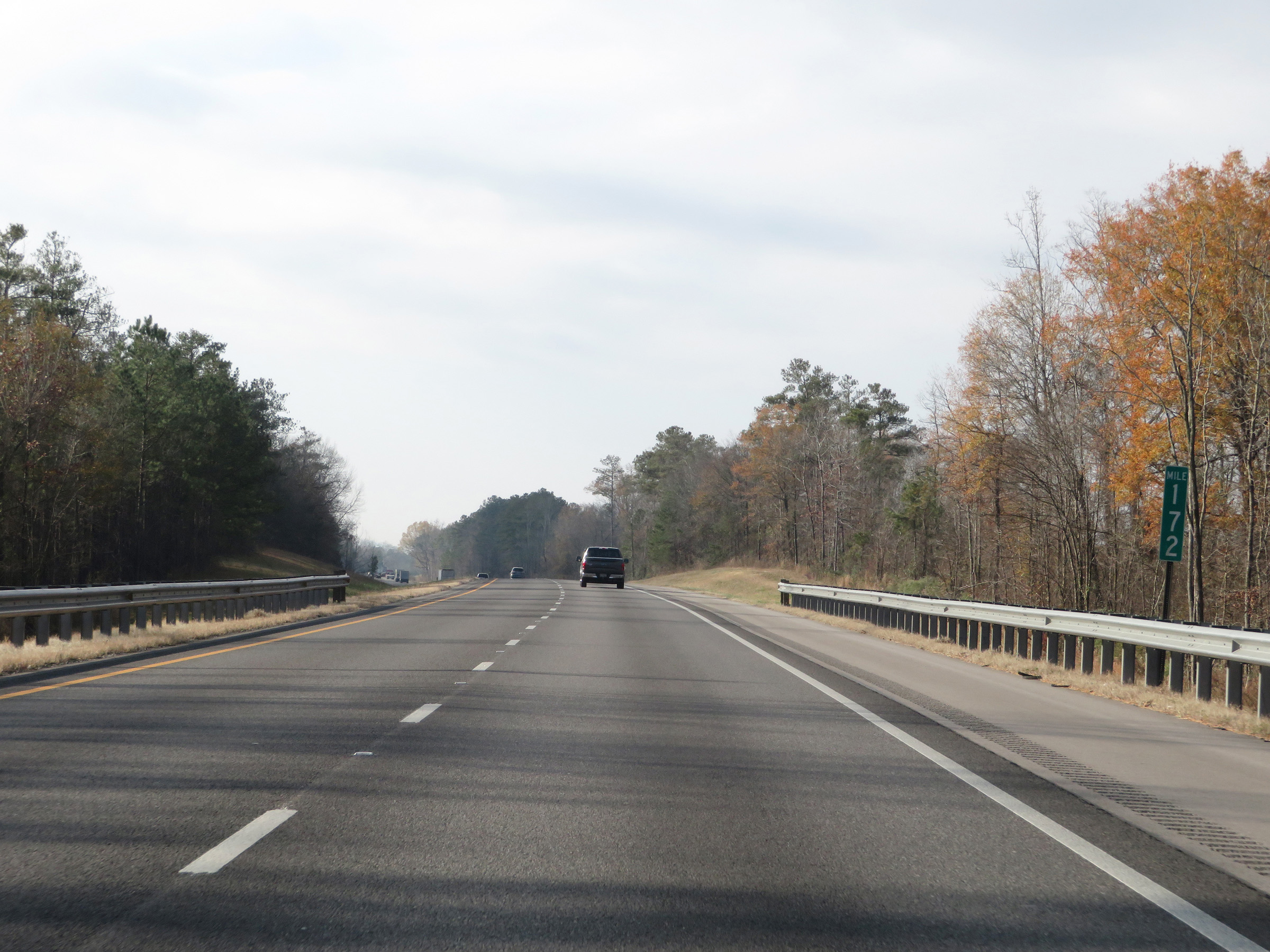 |
View on Interstate 59 South at mile marker 172. (Photo taken 12/8/20). |
 |
Interstate 59 South at mile marker 170. (Photo taken 12/8/20). |
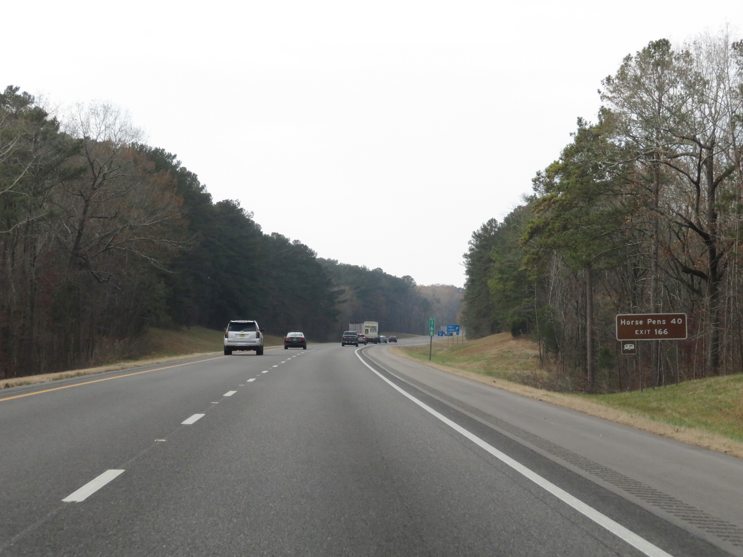 |
Take Exit 166 to Horse Pens 40. (Photo taken 12/8/20). |
 |
Rest Area on Interstate 59 South in St. Clair County. (Photo taken 12/8/20). |
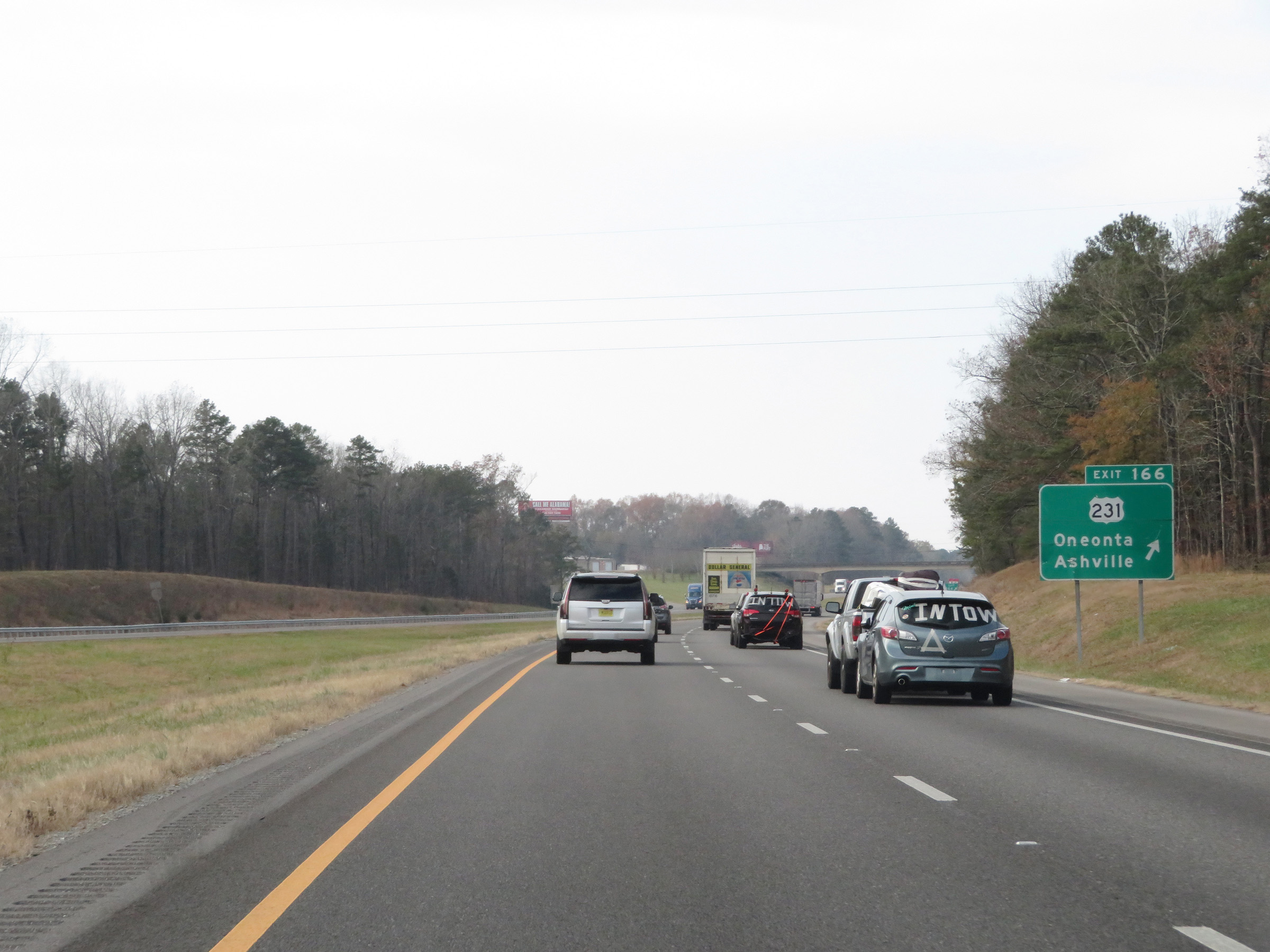 |
Interstate 59 South at Exit 166: US 231 - Oneonta / Ashville (Photo taken 12/8/20). |
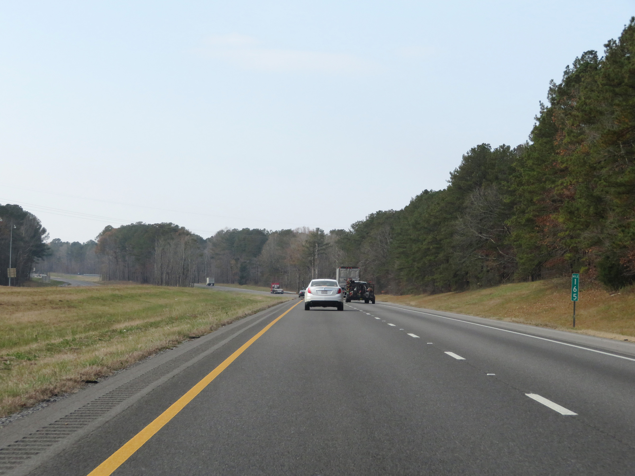 |
View on Interstate 59 South at mile marker 165. (Photo taken 12/8/20). |
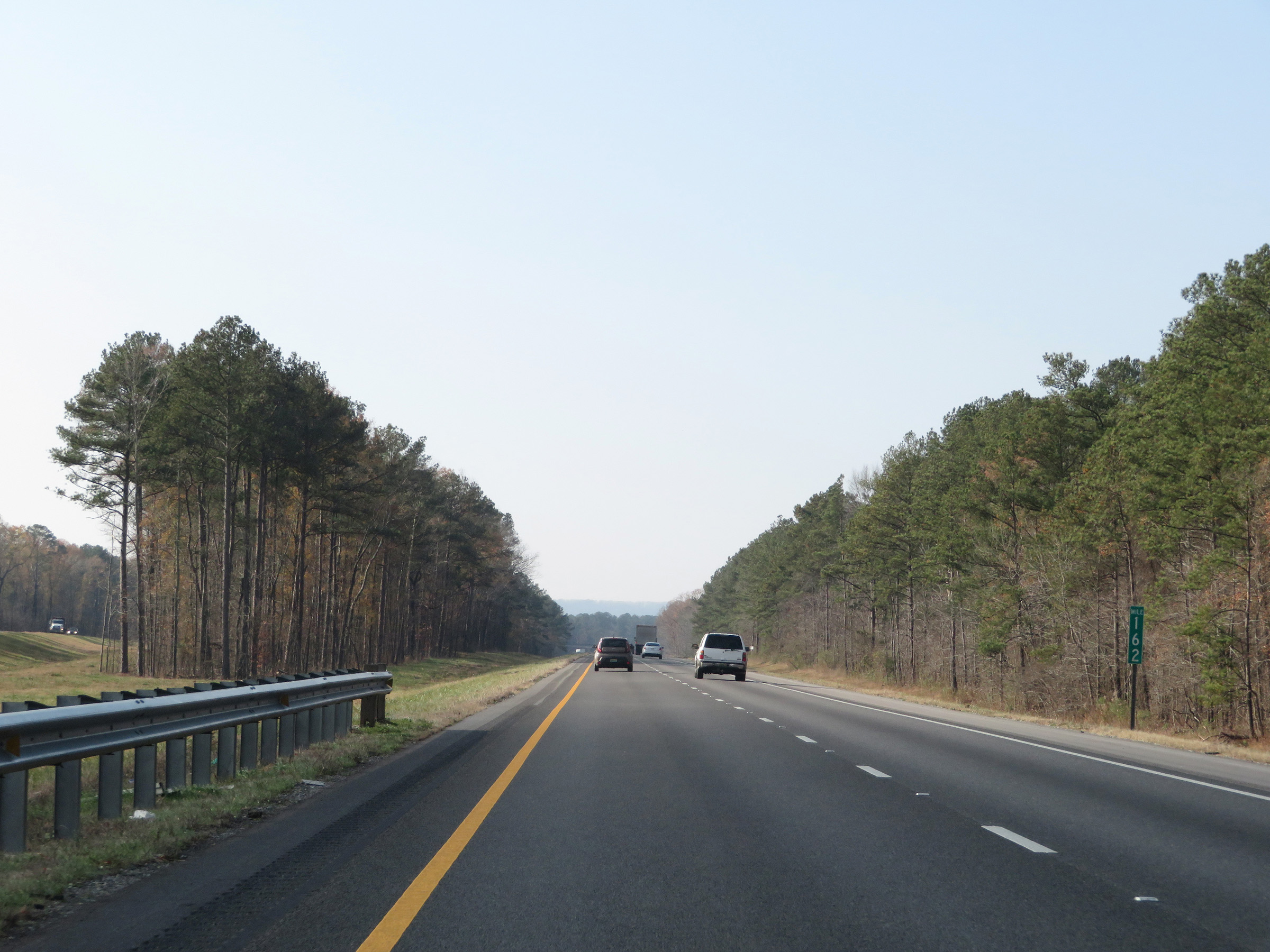 |
Interstate 59 South at mile marker 162. (Photo taken 12/8/20). |
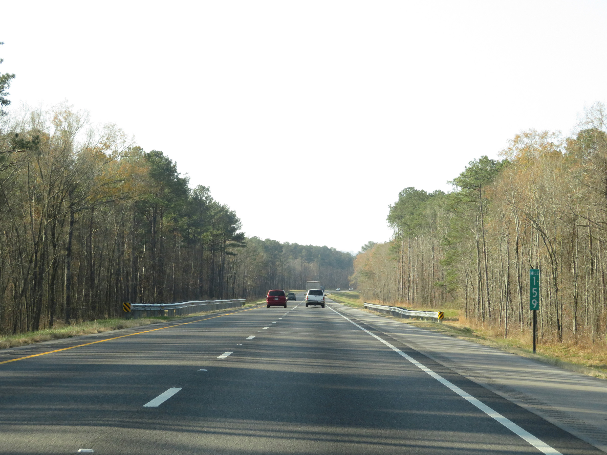 |
Mile marker 159 on Interstate 59 South in St. Clair County. (Photo taken 12/8/20). |
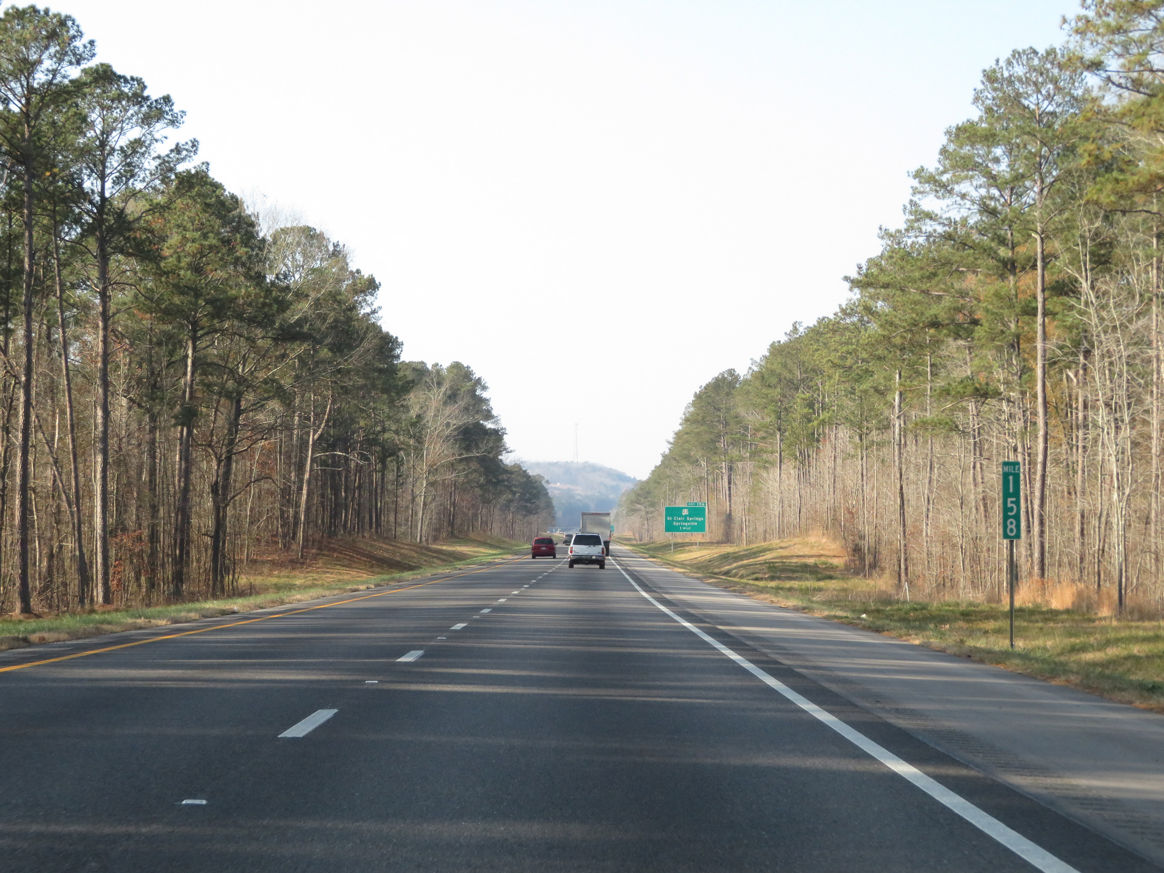 |
View on Interstate 59 South at mile marker 158. (Photo taken 12/8/20). |
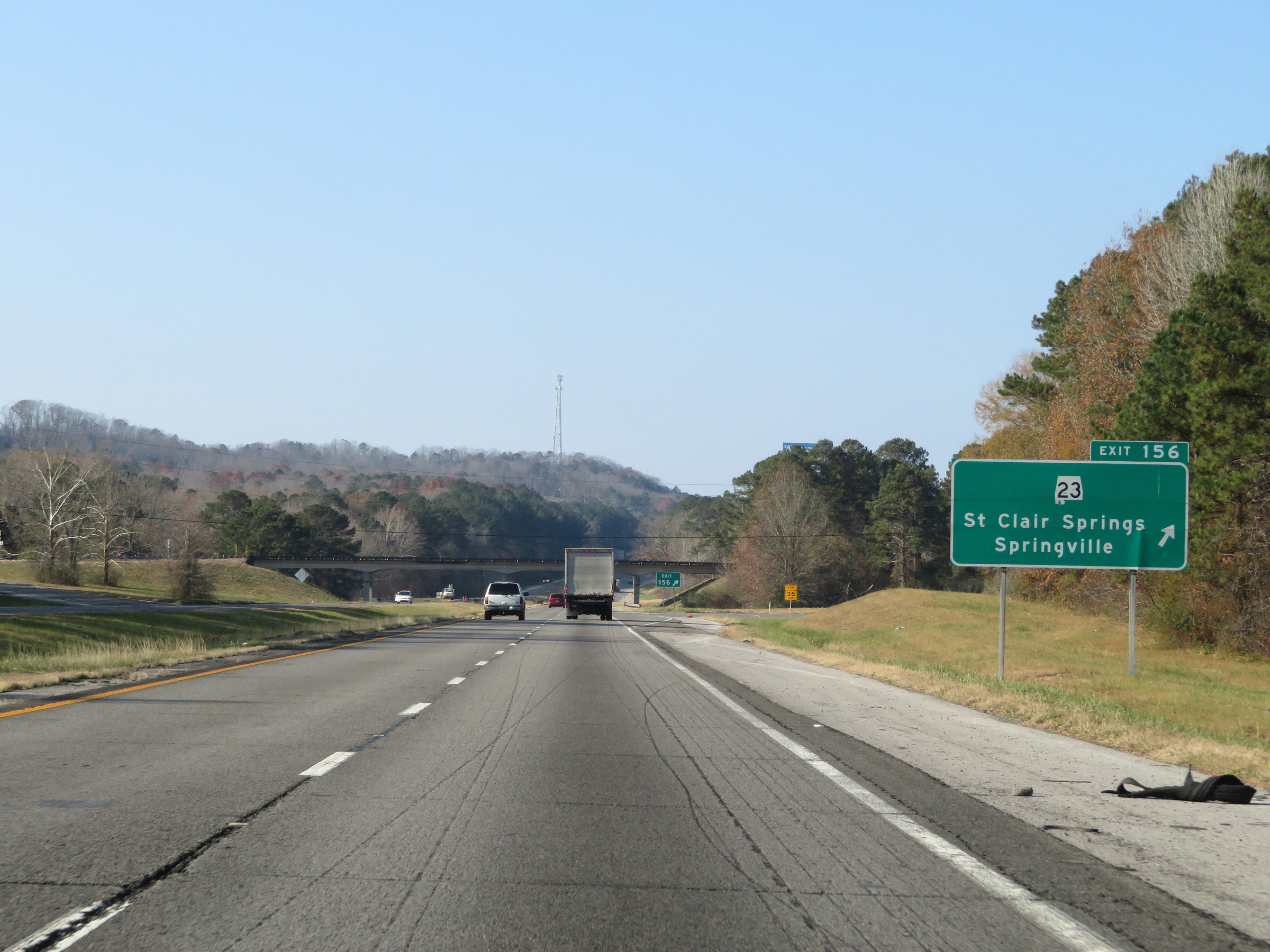 |
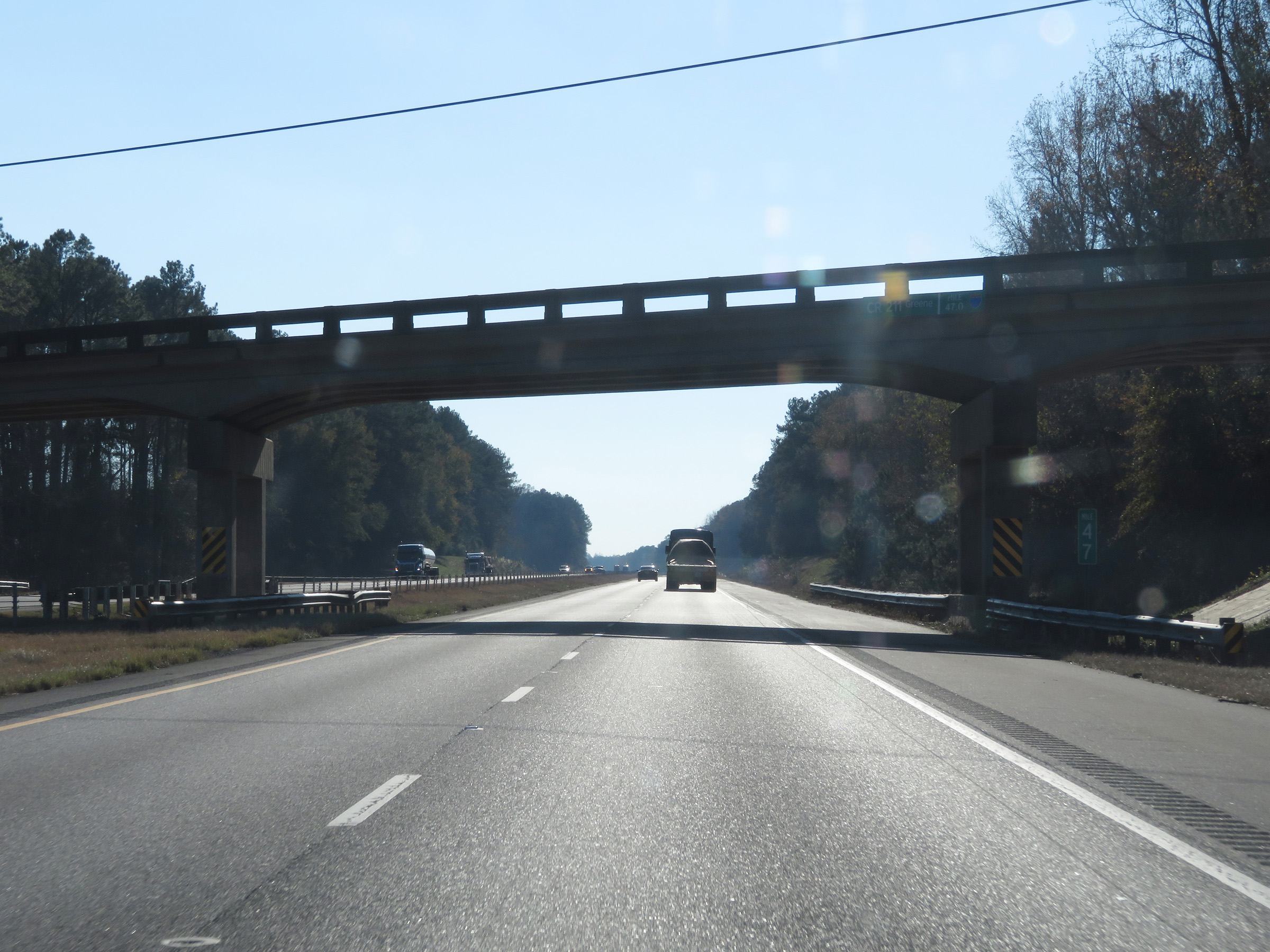
Interstate 59 South at Exit 156: AL 23 - St. Clair Springs / Springville (Photo taken 12/8/20). |
 |
Another state-named Interstate 59 South reassurance shield. (Photo taken 12/8/20). |
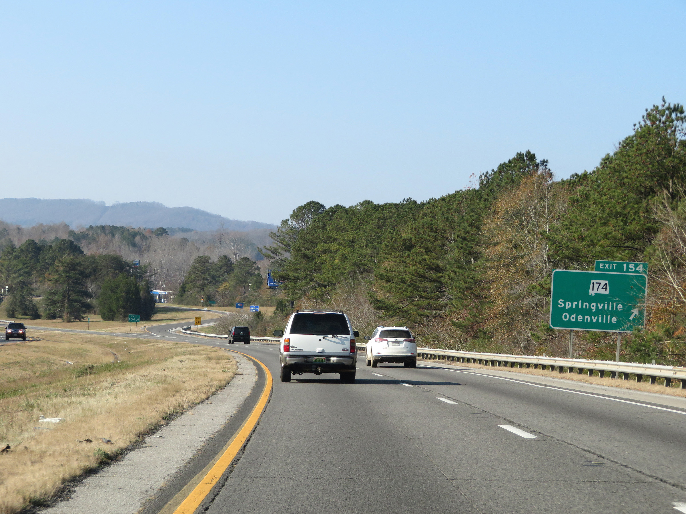 |
Interstate 59 South at Exit 154: AL 174 - Springville / Odenville (Photo taken 12/8/20). |
 |
Mileage sign on Interstate 59 South. It's 14 miles to Trussville and 26 miles to Birmingham. (Photo taken 12/8/20). |
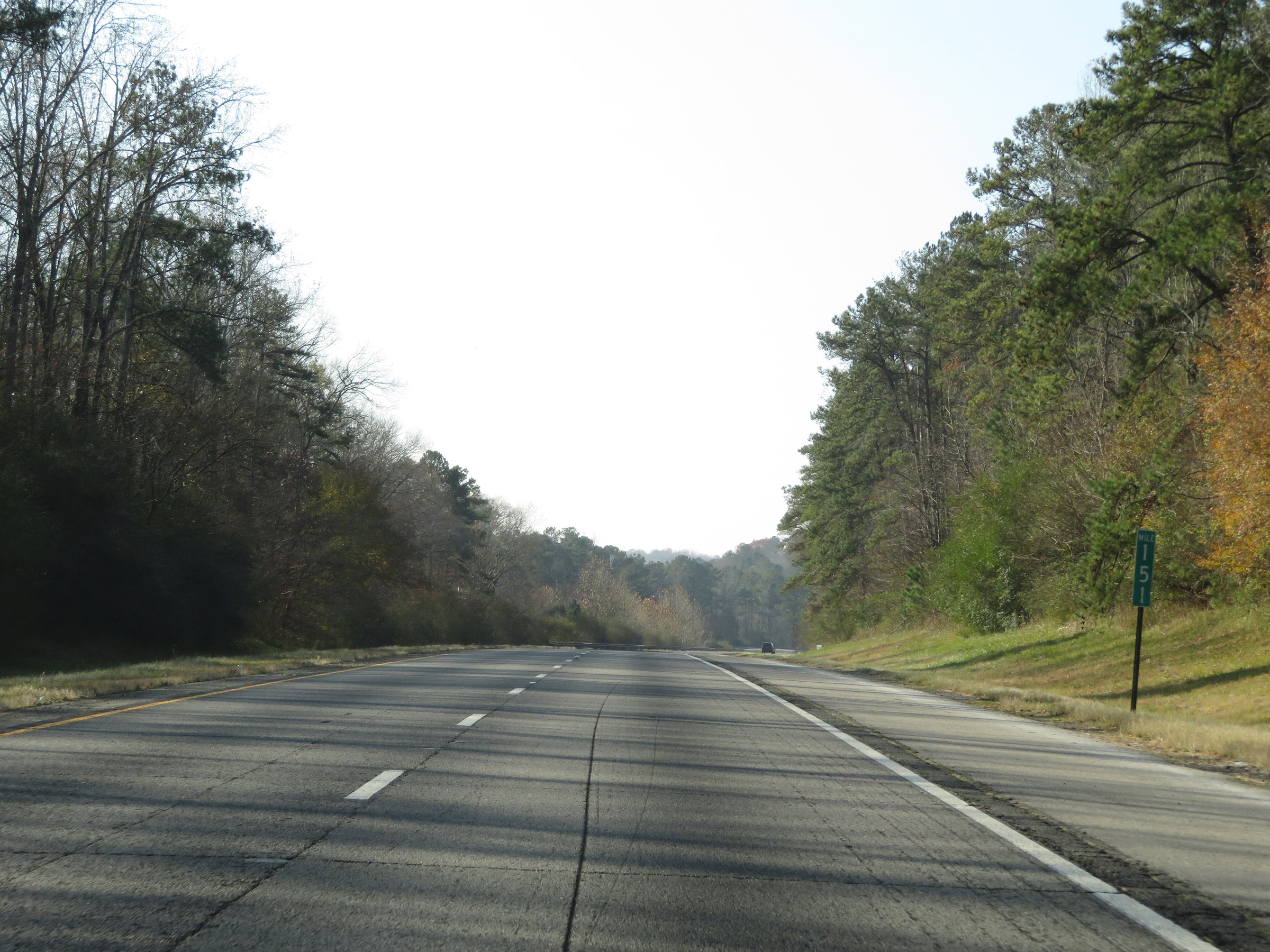 |
View on Interstate 59 South at mile marker 151. (Photo taken 12/8/20). |
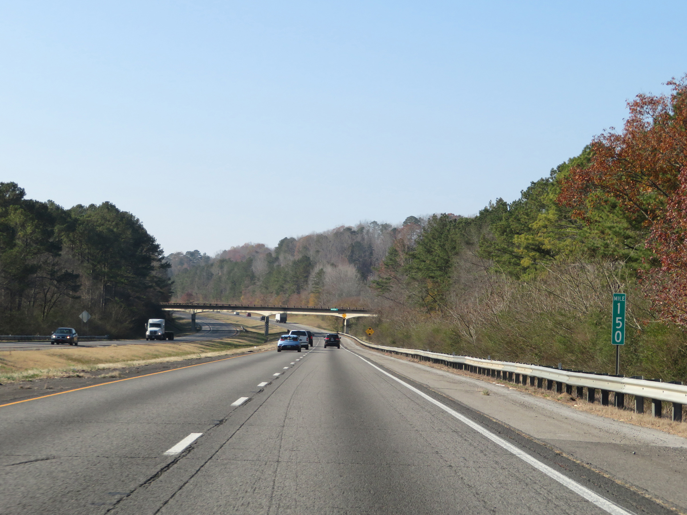 |
Interstate 59 South at mile marker 150. (Photo taken 12/8/20). |
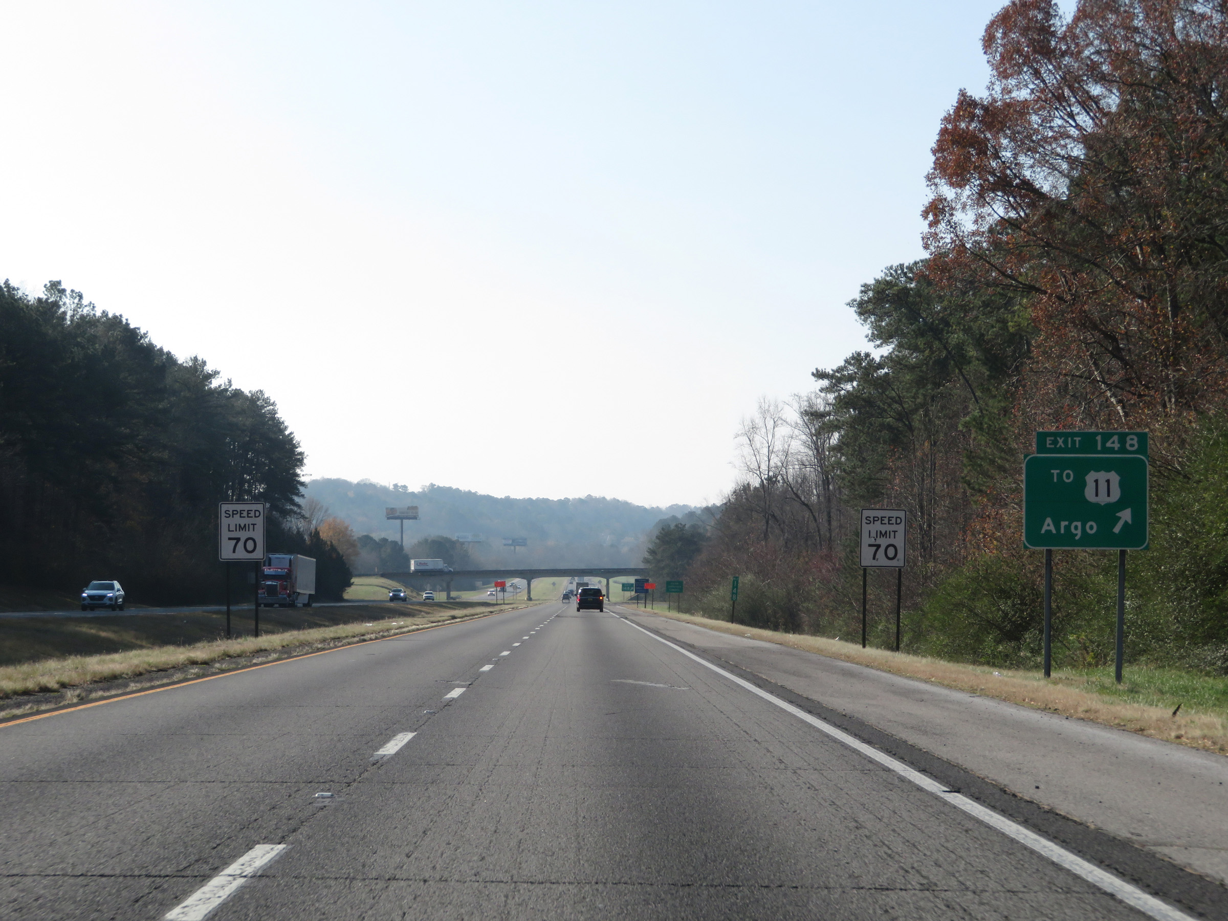 |
Interstate 59 South at Exit 148: To US 11 - Argo (Photo taken 12/8/20). |
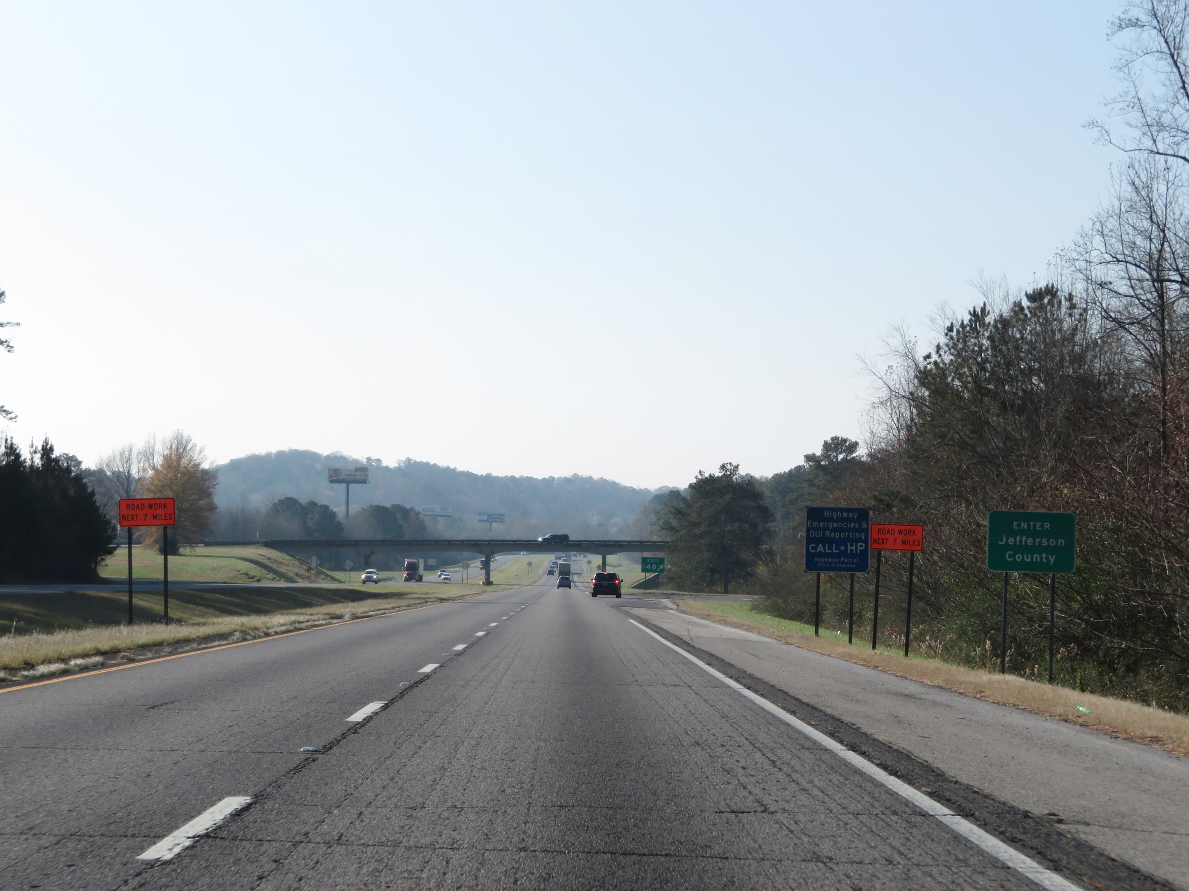 |
At Exit 148, Interstate 59 South enters Jefferson County. (Photo taken 12/8/20). |
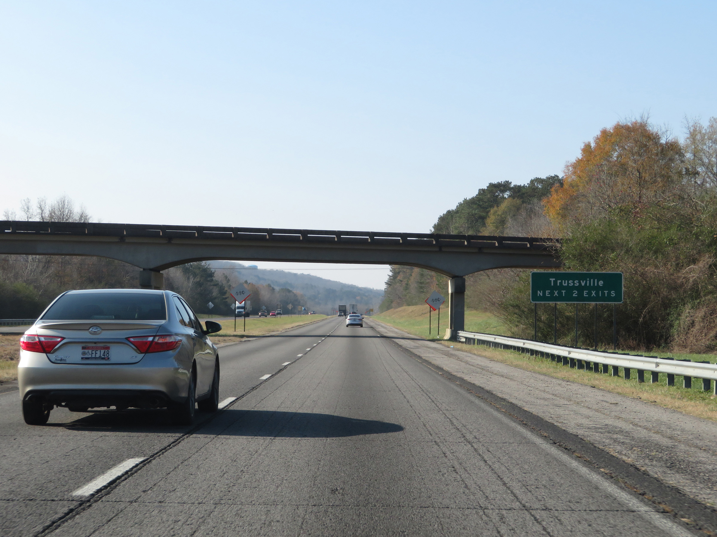 |
Take either of the next 2 exits to Trussville. (Photo taken 12/8/20). |
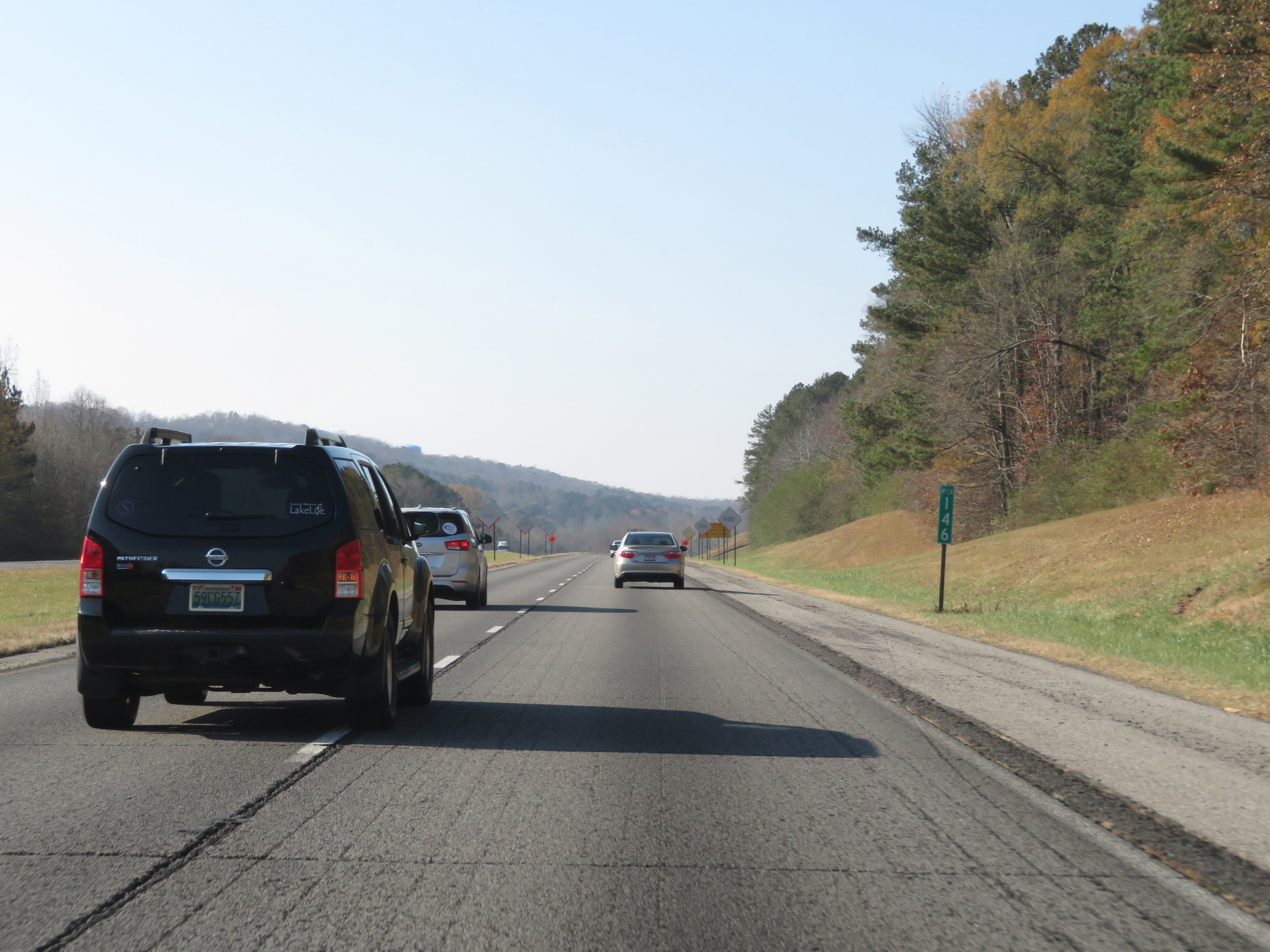 |
Mile marker 146 on Interstate 59 South in Jefferson County. (Photo taken 12/8/20). |
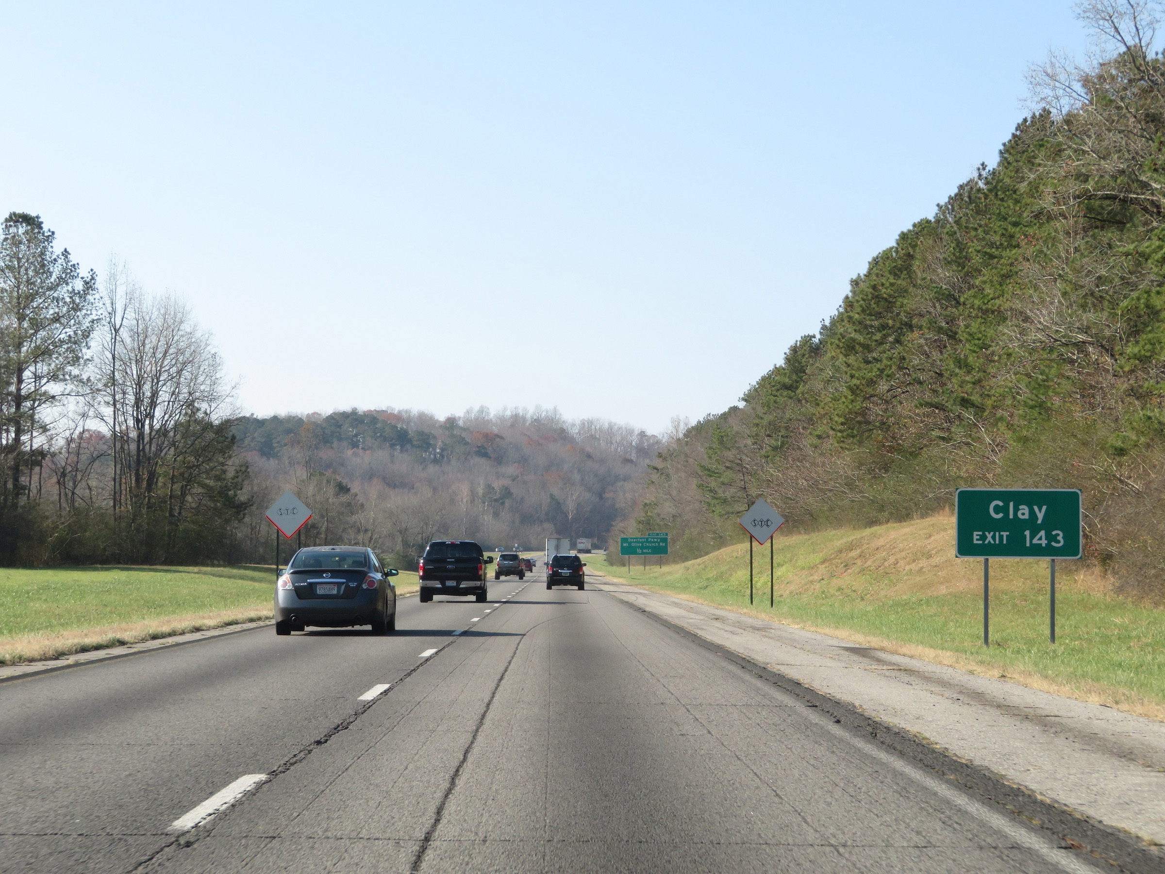 |
Take Exit 143 to Clay. (Photo taken 12/8/20). |
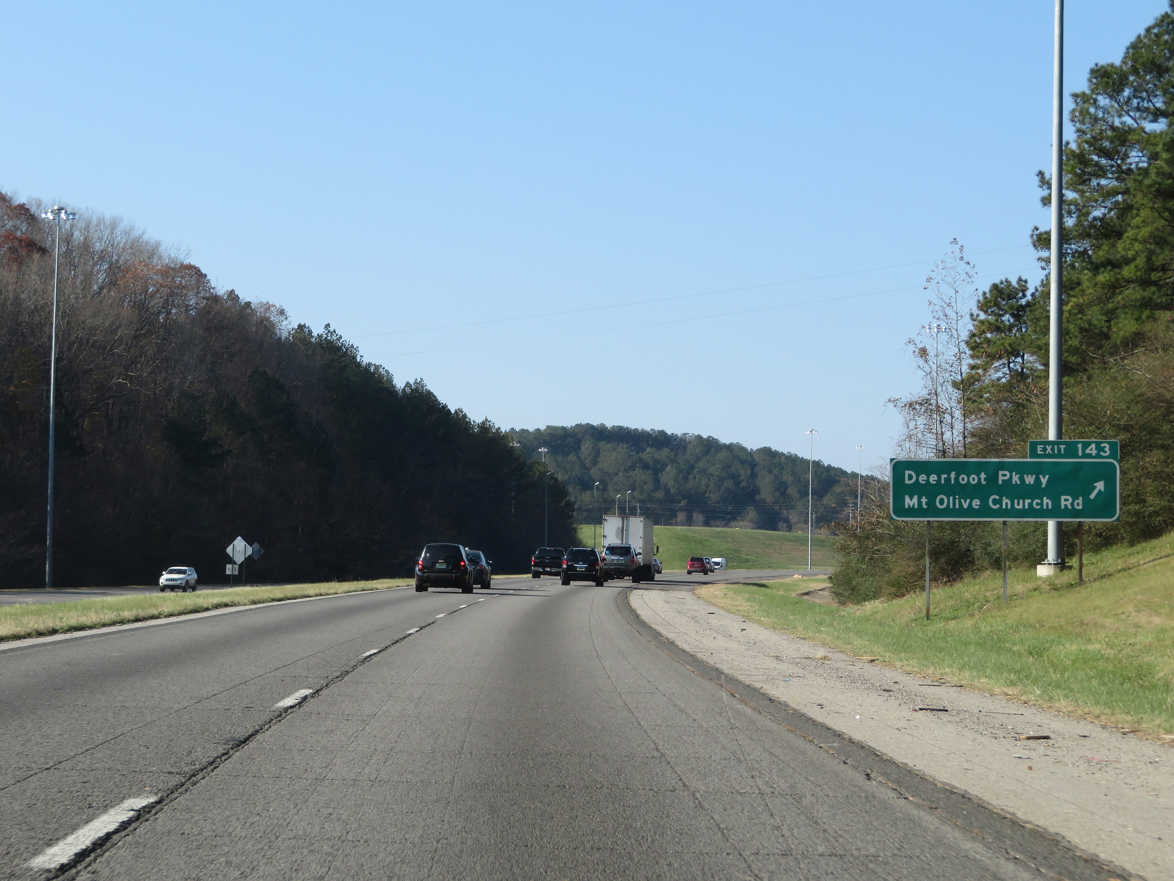 |
Interstate 59 South at Exit 143: Deerfoot Pkwy / Mt Olive Church Rd (Photo taken 12/8/20). |
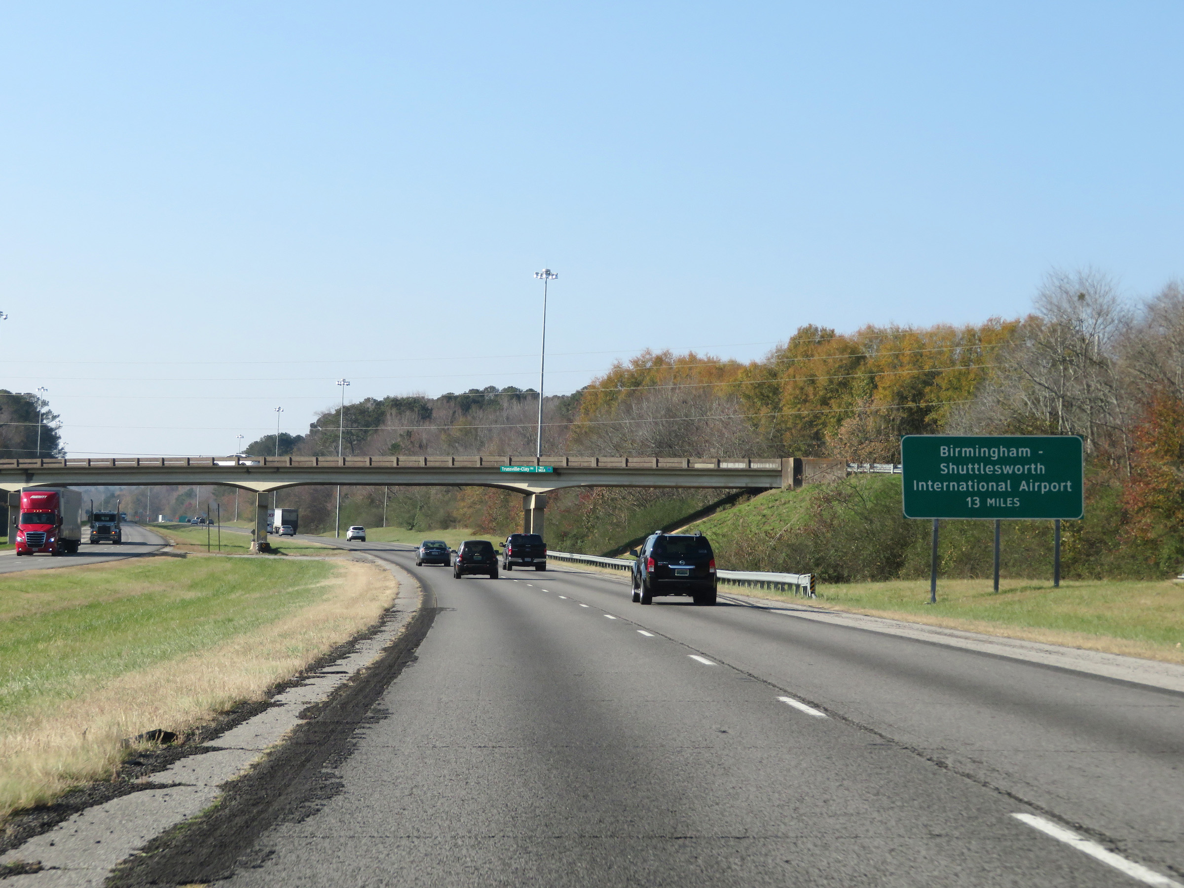 |
Birmingham-Shuttlesworth International Airport is 13 miles ahead on Interstate 59 South. (Photo taken 12/8/20). |
 |
View on Interstate 59 South at mile marker 142. (Photo taken 12/8/20). |
 |
Take Exit 141 to Center Point. (Photo taken 12/8/20). |
 |
Interstate 59 South at Exit 141: Trussville / Pinson (Photo taken 12/8/20). |
 |
The speed limit remains the rural standard 70 mph on Interstate 59 South. (Photo taken 12/8/20). |
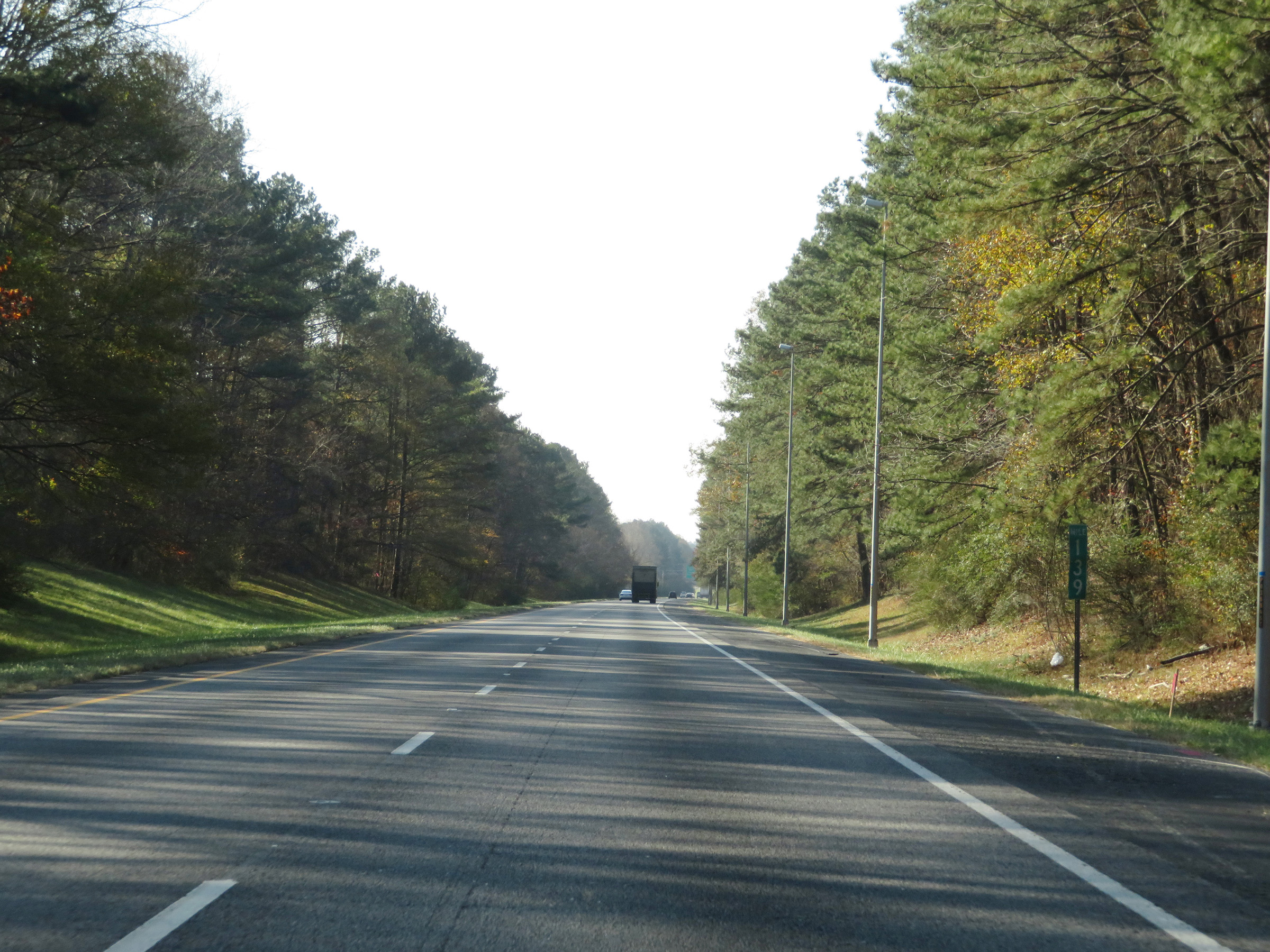 |
Mile marker 139 on Interstate 59 South in Jefferson County. (Photo taken 12/8/20). |
 |
Interstate 59 South approaching Exit 137 - 1 mile on the left. (Photo taken 12/8/20). |
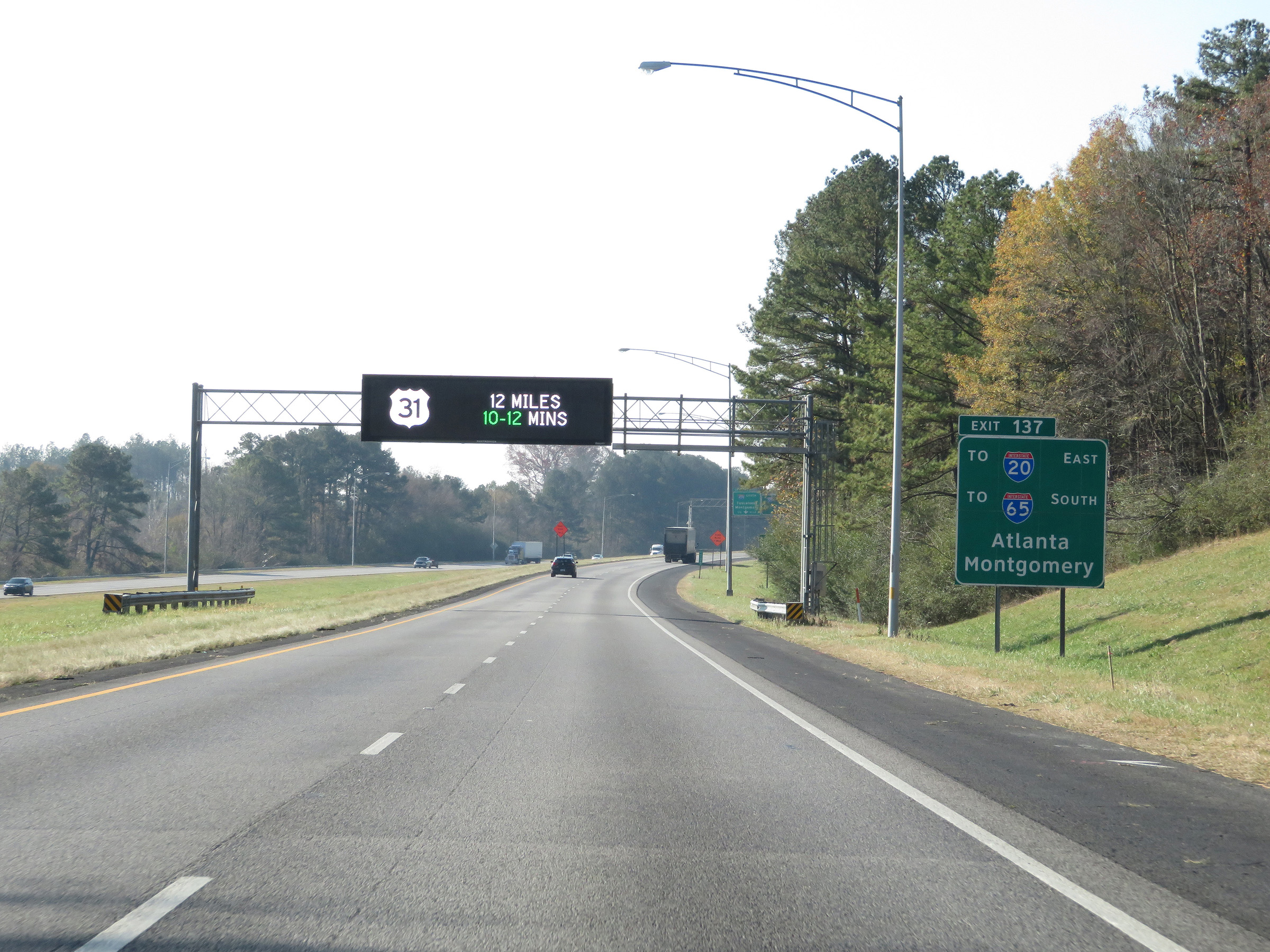 |
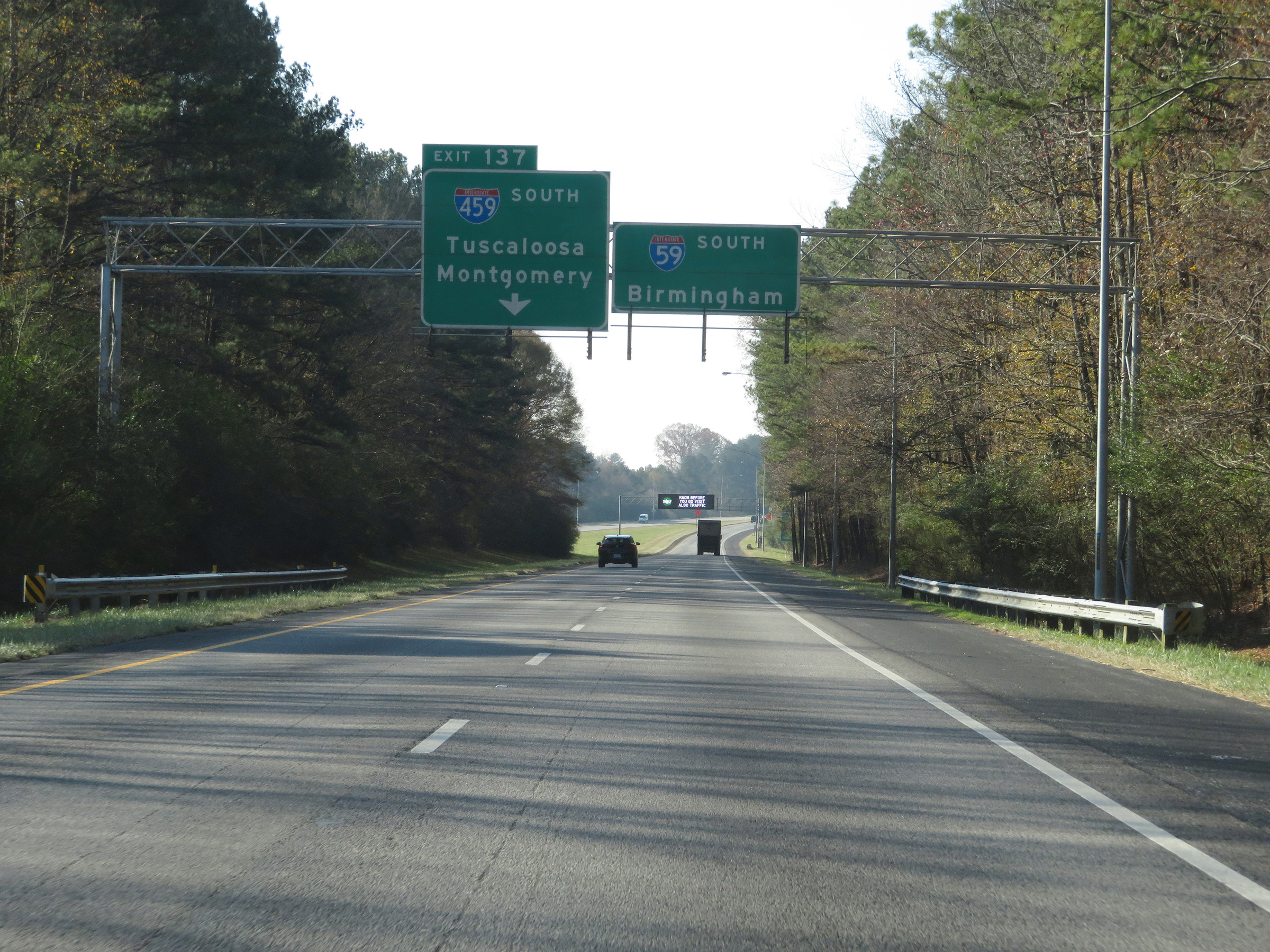
Take Exit 137 (Interstate 459 South) to Interstate 20 East toward Atlanta and to Interstate 65 South toward Montgomery. (Photo taken 12/8/20). |
 |
Also take Exit 137 (Interstate 459 South) to Birmingham Race Course. (Photo taken 12/8/20). |
 |
Interstate 59 South approaching Exit 137 - 1/2 mile on the left. (Photo taken 12/8/20). |
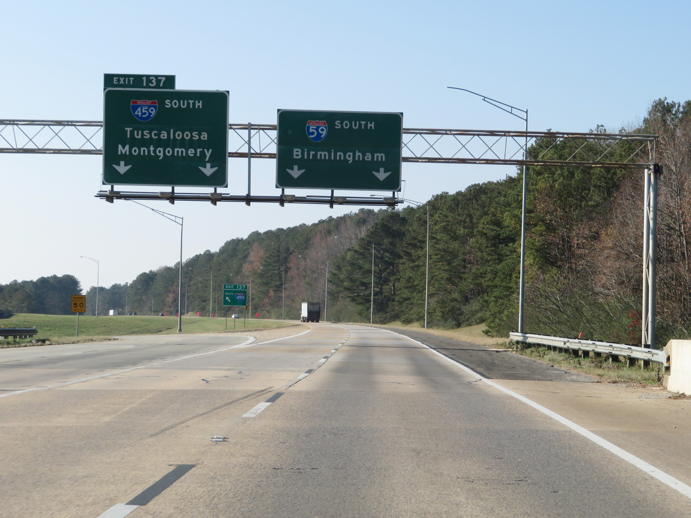 |
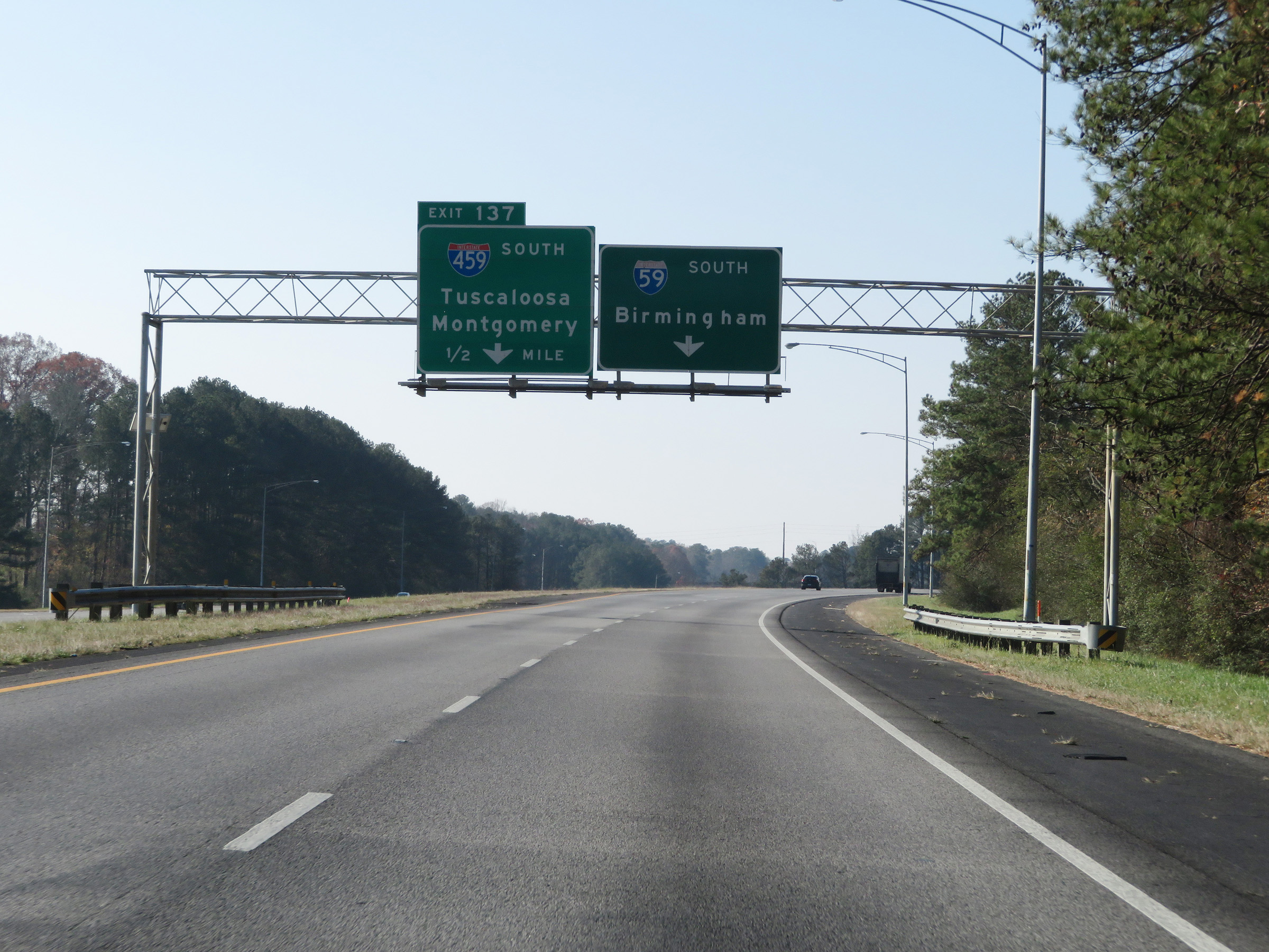
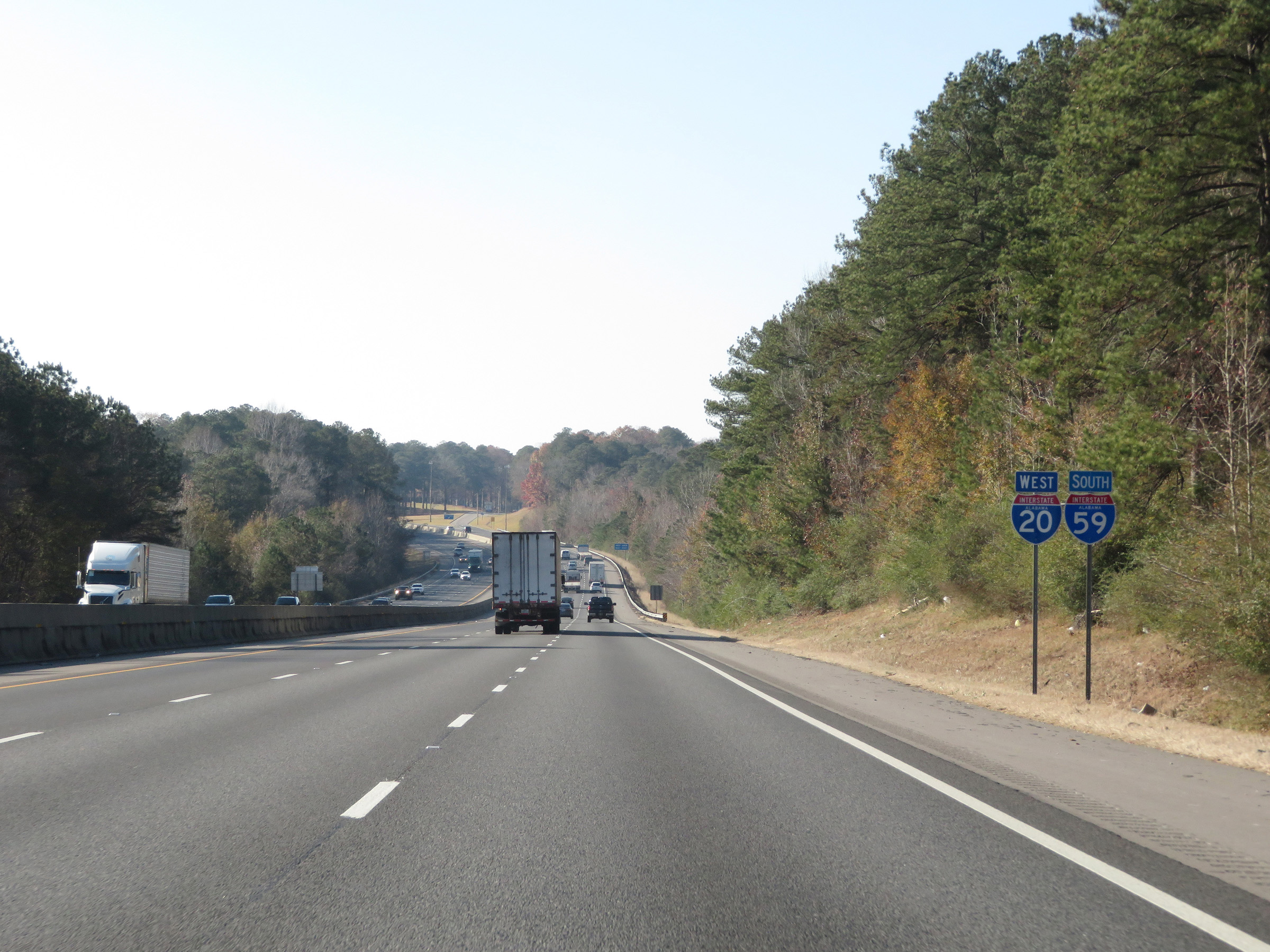
Interstate 59 South at Exit 137: Interstate 459 South - Tuscaloosa / Montgomery (Photo taken 12/8/20). |
 |
At mile marker 137, we see the ramp from Interstate 459 North to Interstate 59 South merging on the left. (Photo taken 12/8/20). |
 |
View on Interstate 59 South at mile marker 136. (Photo taken 12/8/20). |
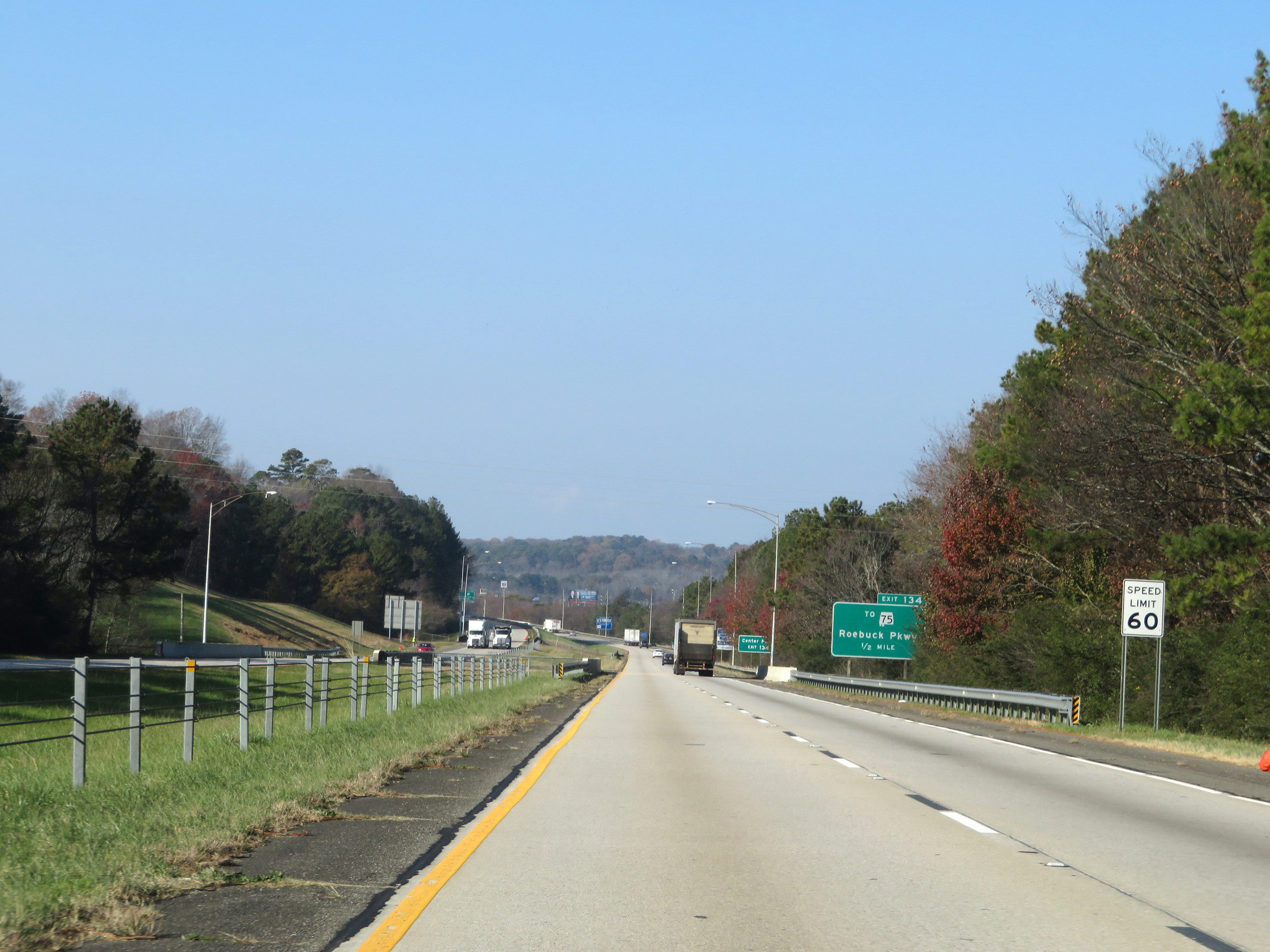 |
1/2 mile from Exit 134, the speed limit decreases to 60 mph as Interstate 59 South begins to enter the Birmingham area. (Photo taken 12/8/20). |
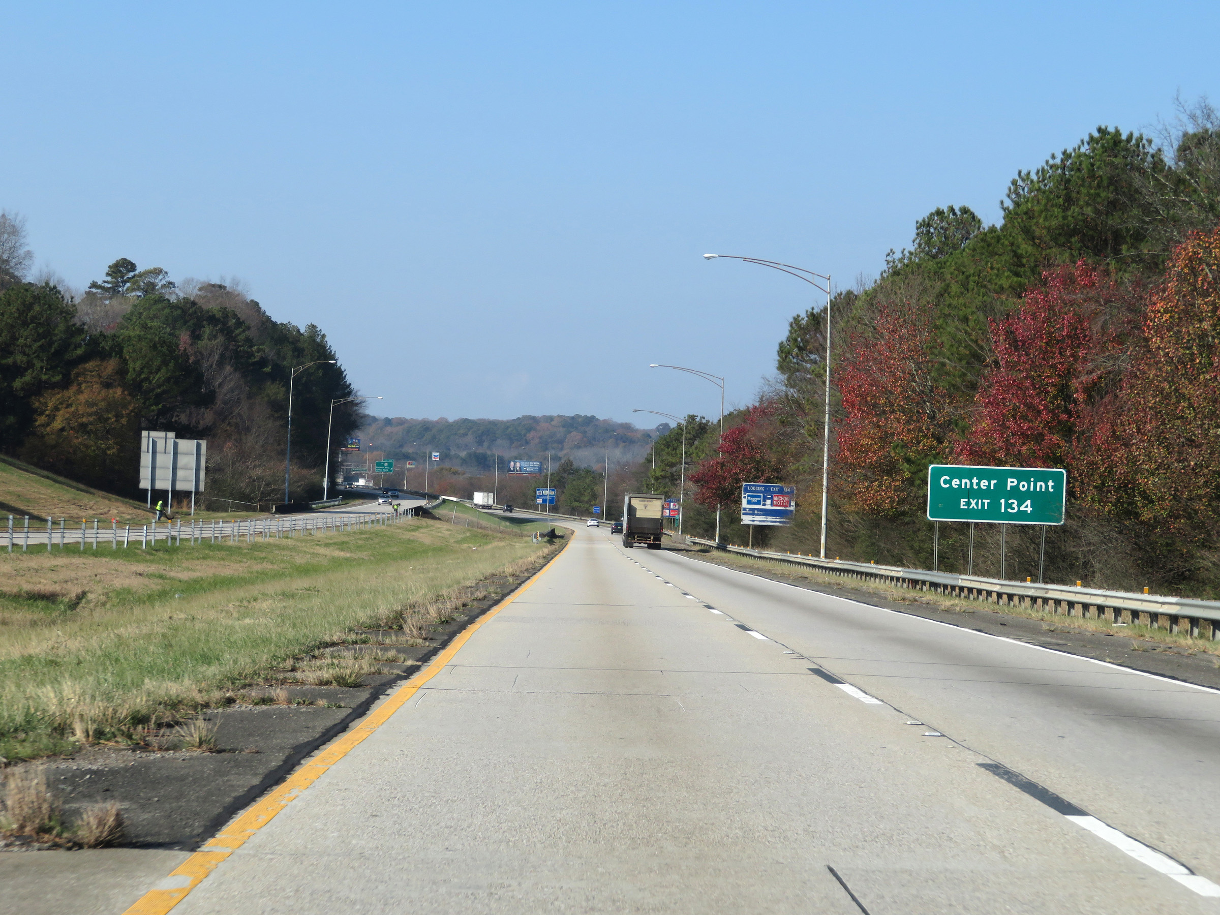 |
Take Exit 134 to Center Point. (Photo taken 12/8/20). |
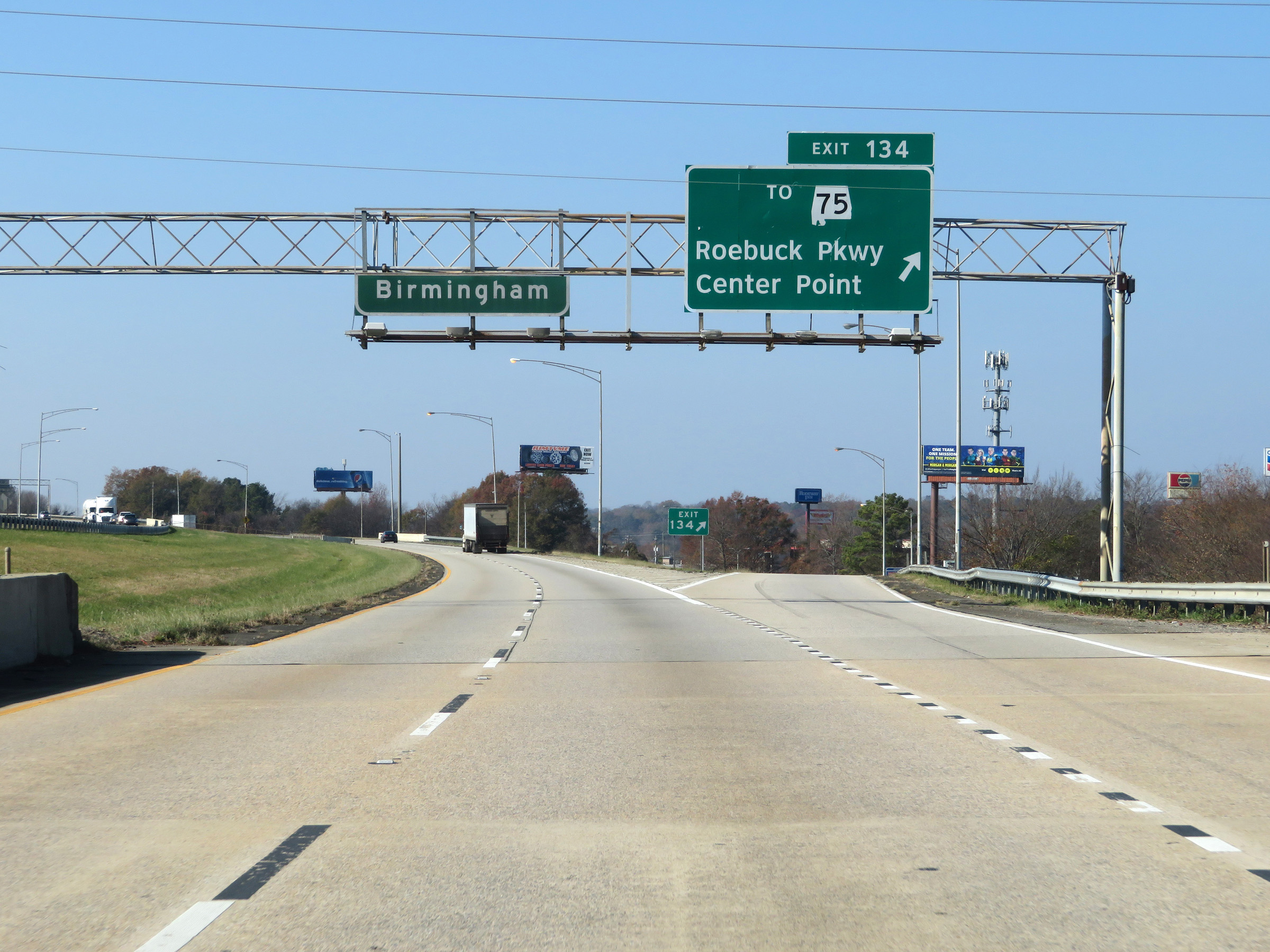 |
Interstate 59 South at Exit 134: To AL 75 - Roebuck Pkwy / Center Point (Photo taken 12/8/20). |
 |
Interstate 59 South approaching Exit 132 - 1 mile. (Photo taken 12/8/20). |
 |
Another state-named Interstate 59 South reassurance shield. (Photo taken 12/8/20). |
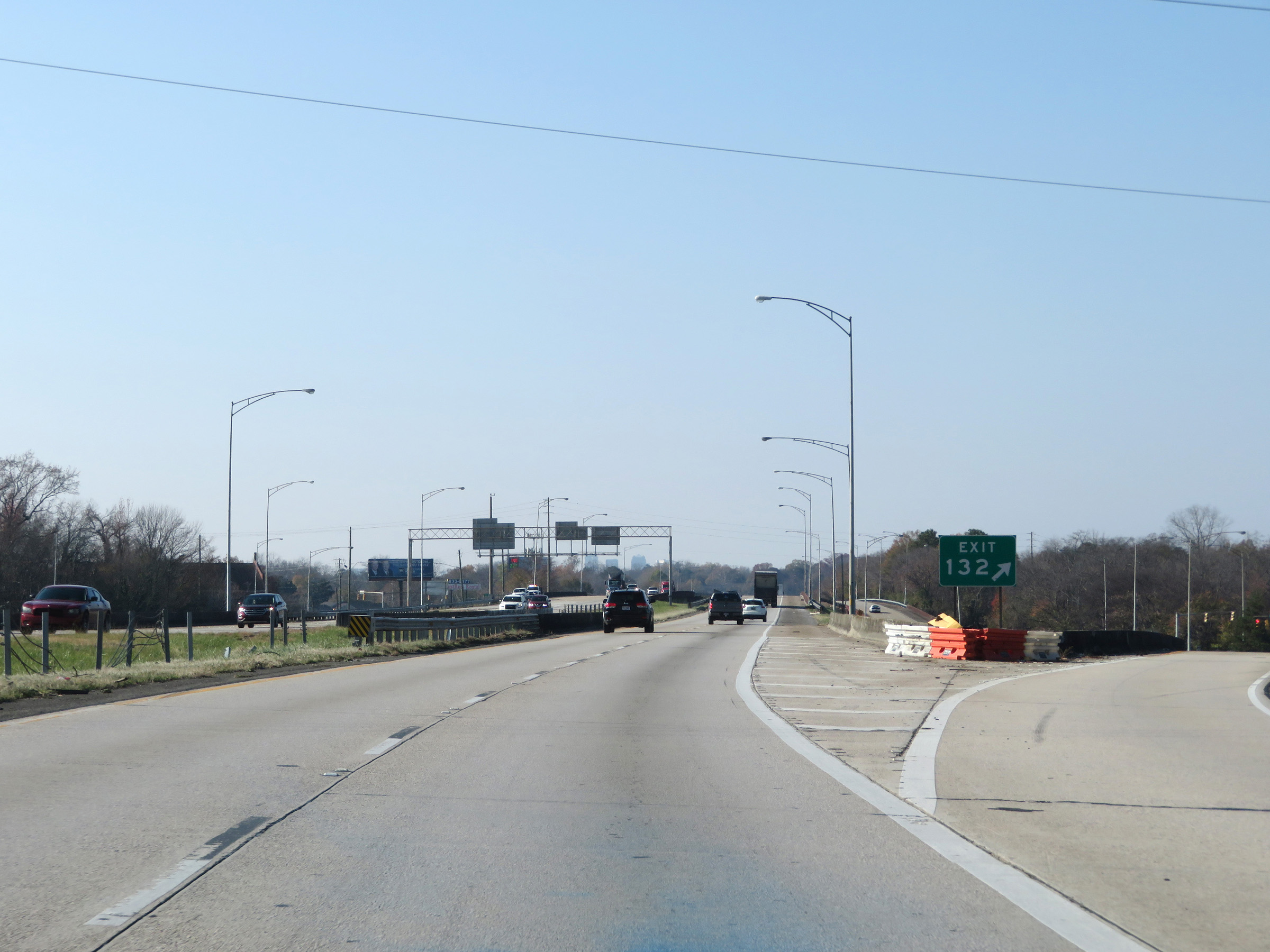 |
Interstate 59 South at Exit 132: US 11 - 1st Ave N (Photo taken 12/8/20). |
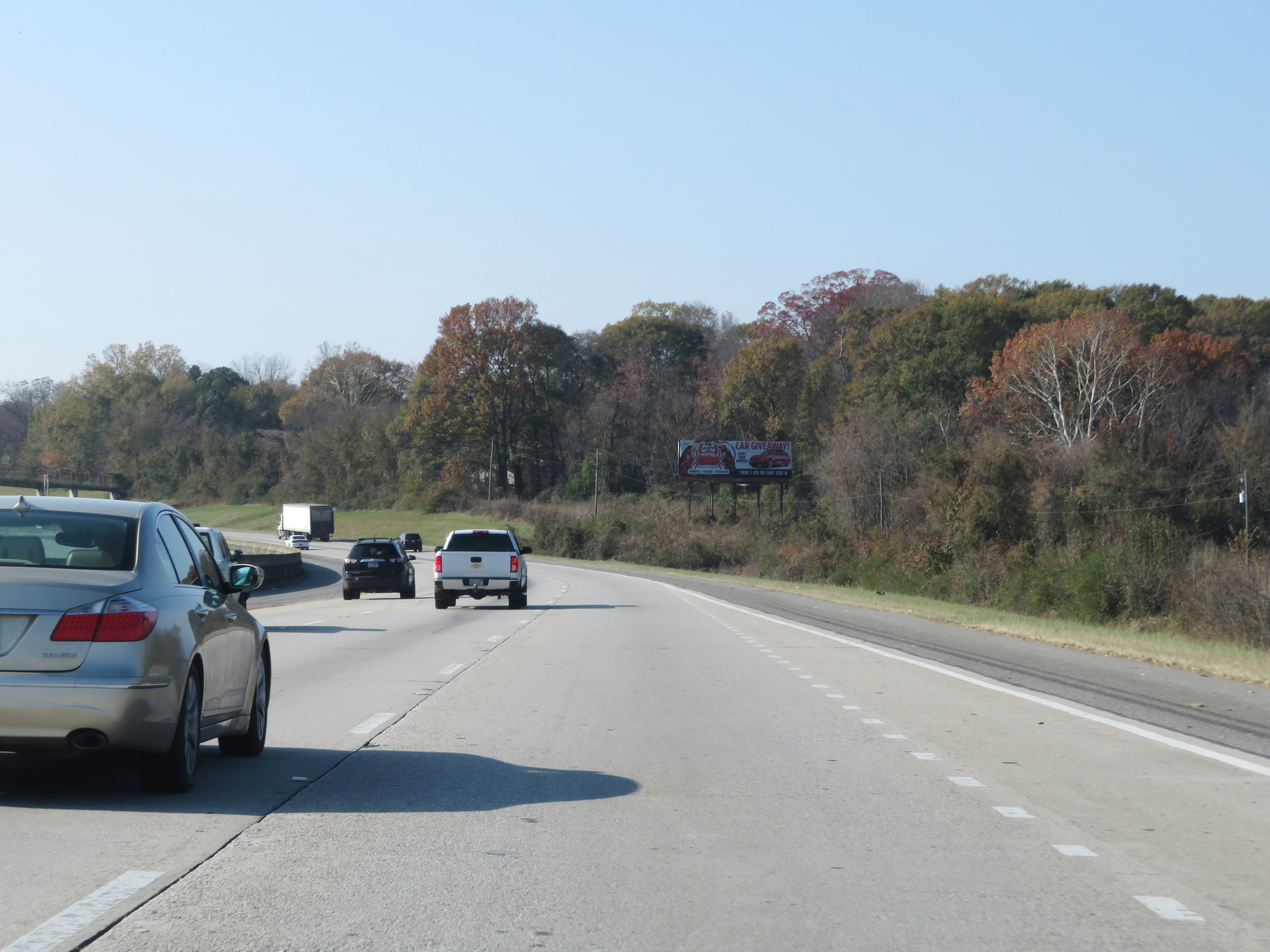 |
View on Interstate 59 South as it approaches downtown Birmingham. (Photo taken 12/8/20). |
 |
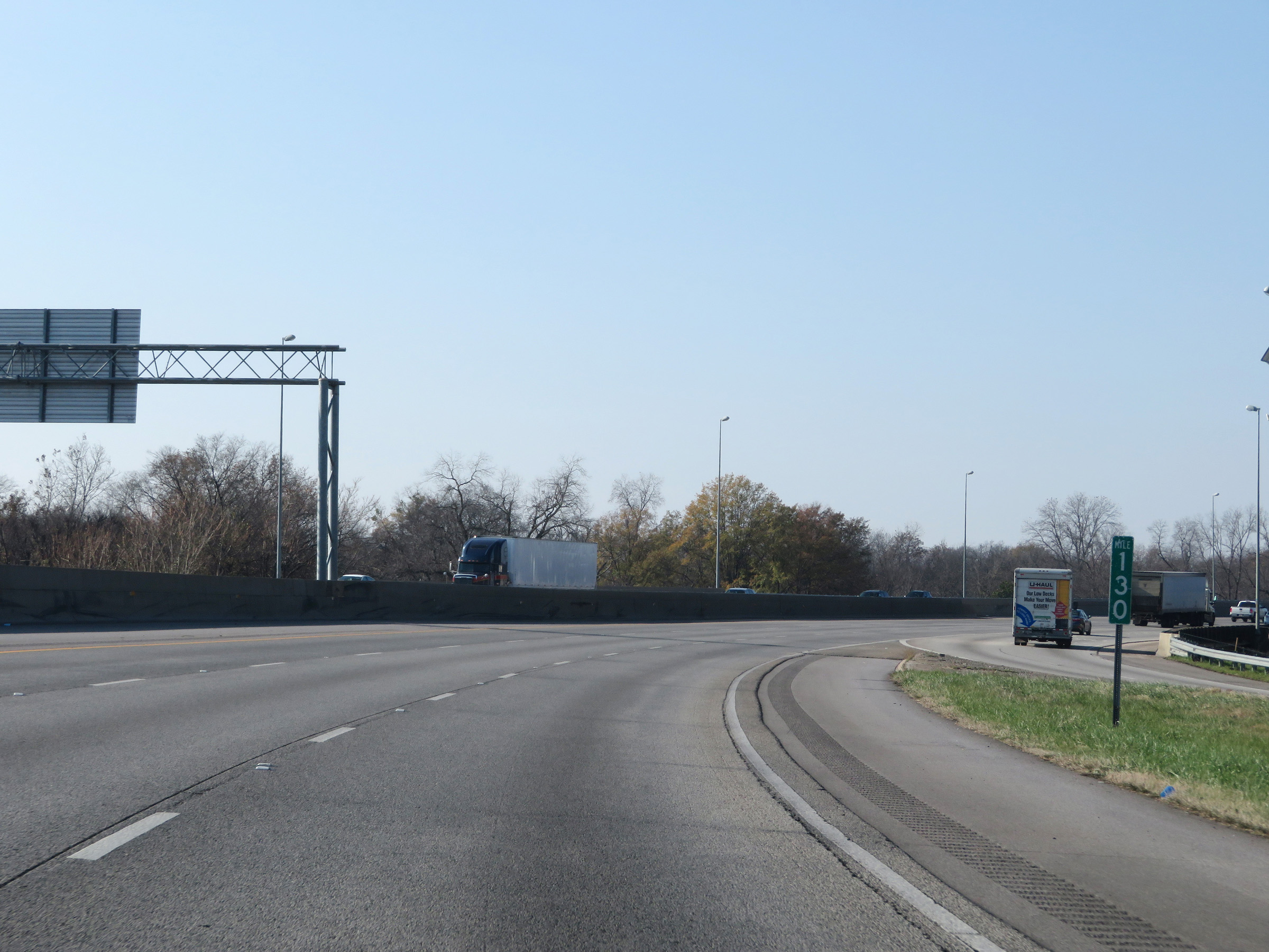
Interstate 59 South approaching Exit 130 - 1 mile. (Photo taken 12/8/20). |
 |
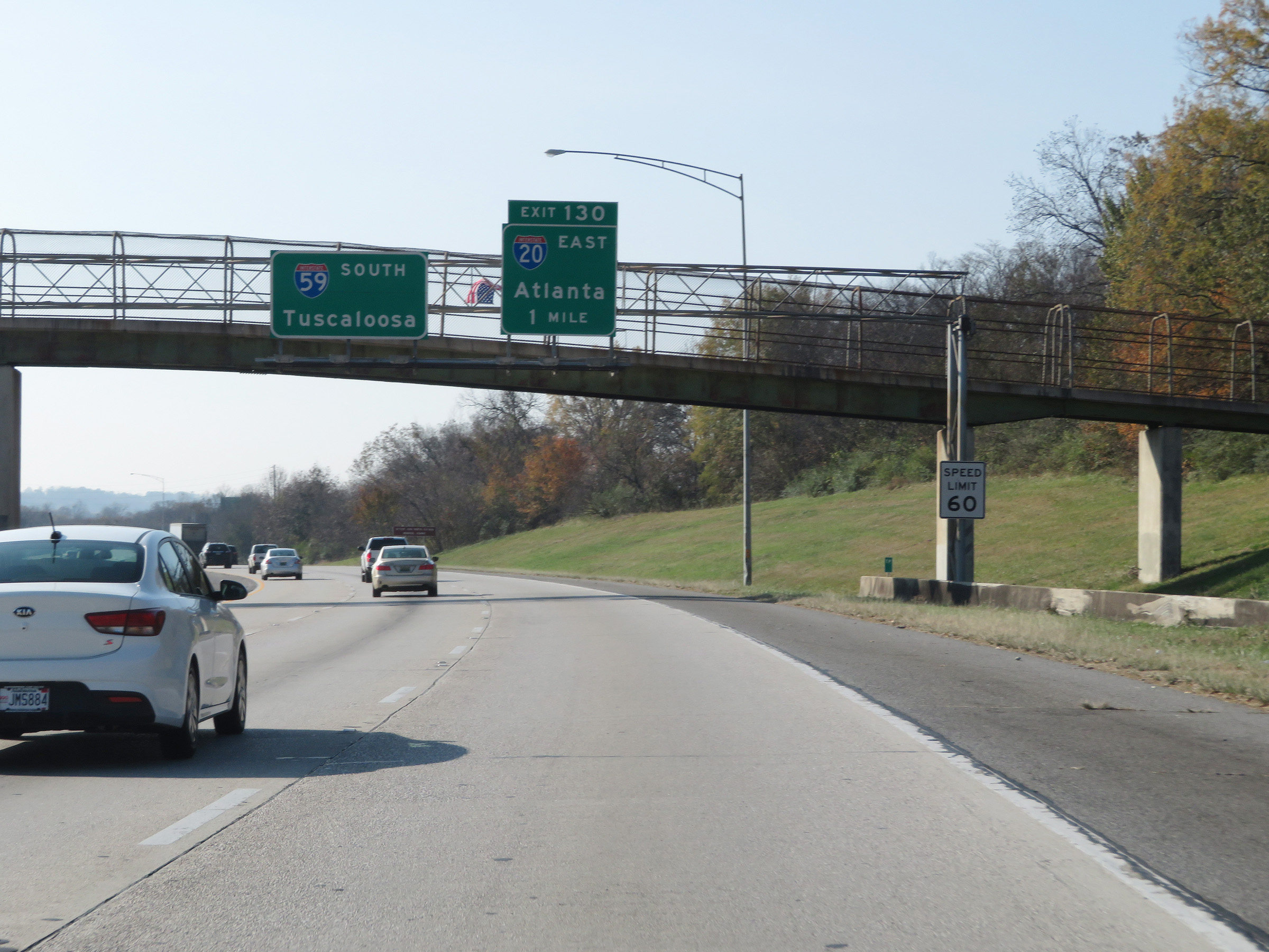
Interstate 59 South at Exit 130: Interstate 20 East - Atlanta (Photo taken 12/8/20). |
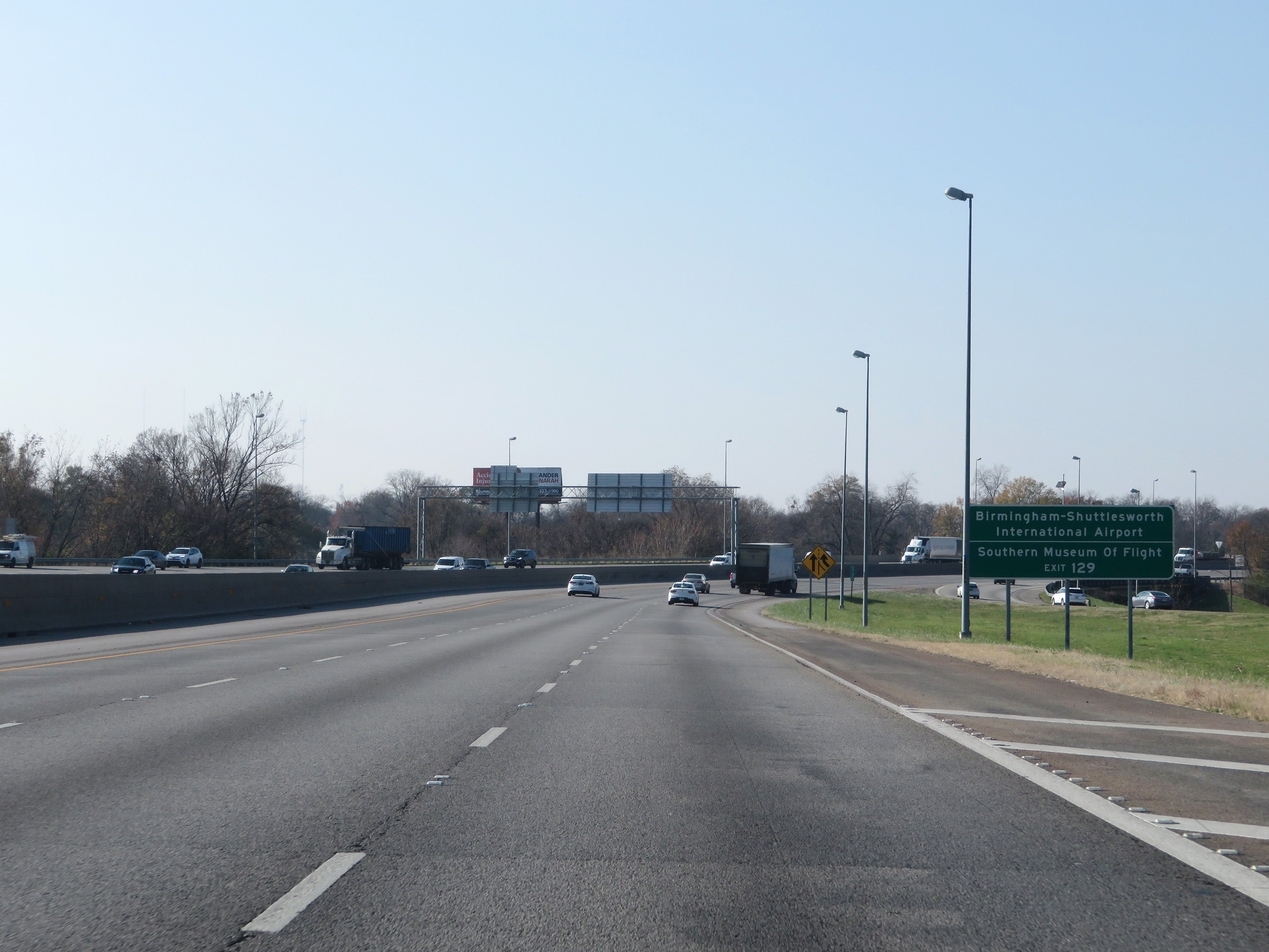 |
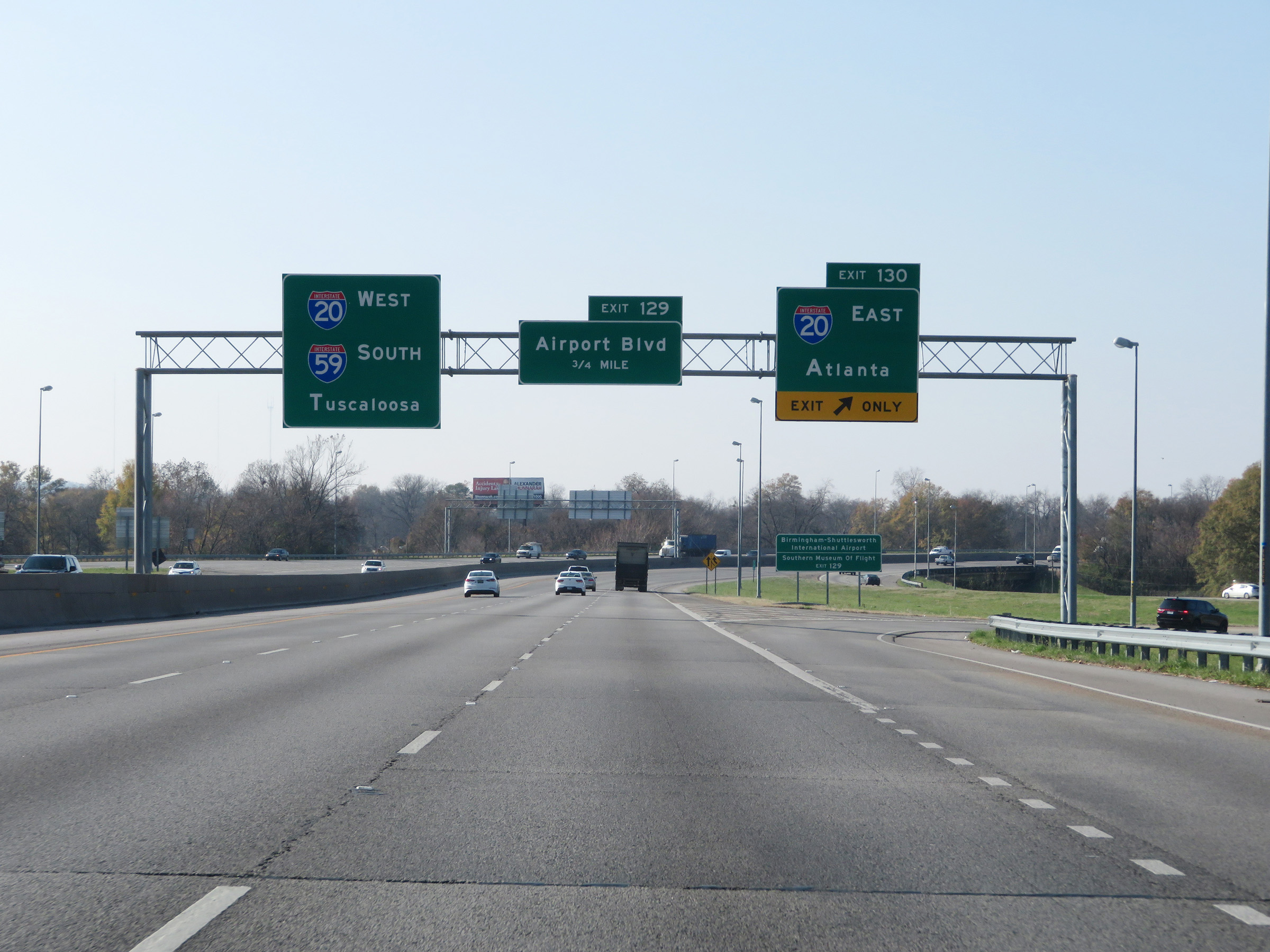
Take Exit 129 to Birmingham-Shuttlesworth International Airport and the Southern Museum of Flight. (Photo taken 12/8/20). |
 |
At mile marker 130, traffic from Interstate 20 West merges into Interstate 59 South on the right. I-59 and I-20 will run concurrently the whole way into Mississippi. (Photo taken 12/8/20). |
 |
Mileage sign on Interstate 59 South / Interstate 20 West nearing downtown Birmingham, listing the distances to the three upcoming interchanges on the duplex. (Photo taken 12/8/20). |
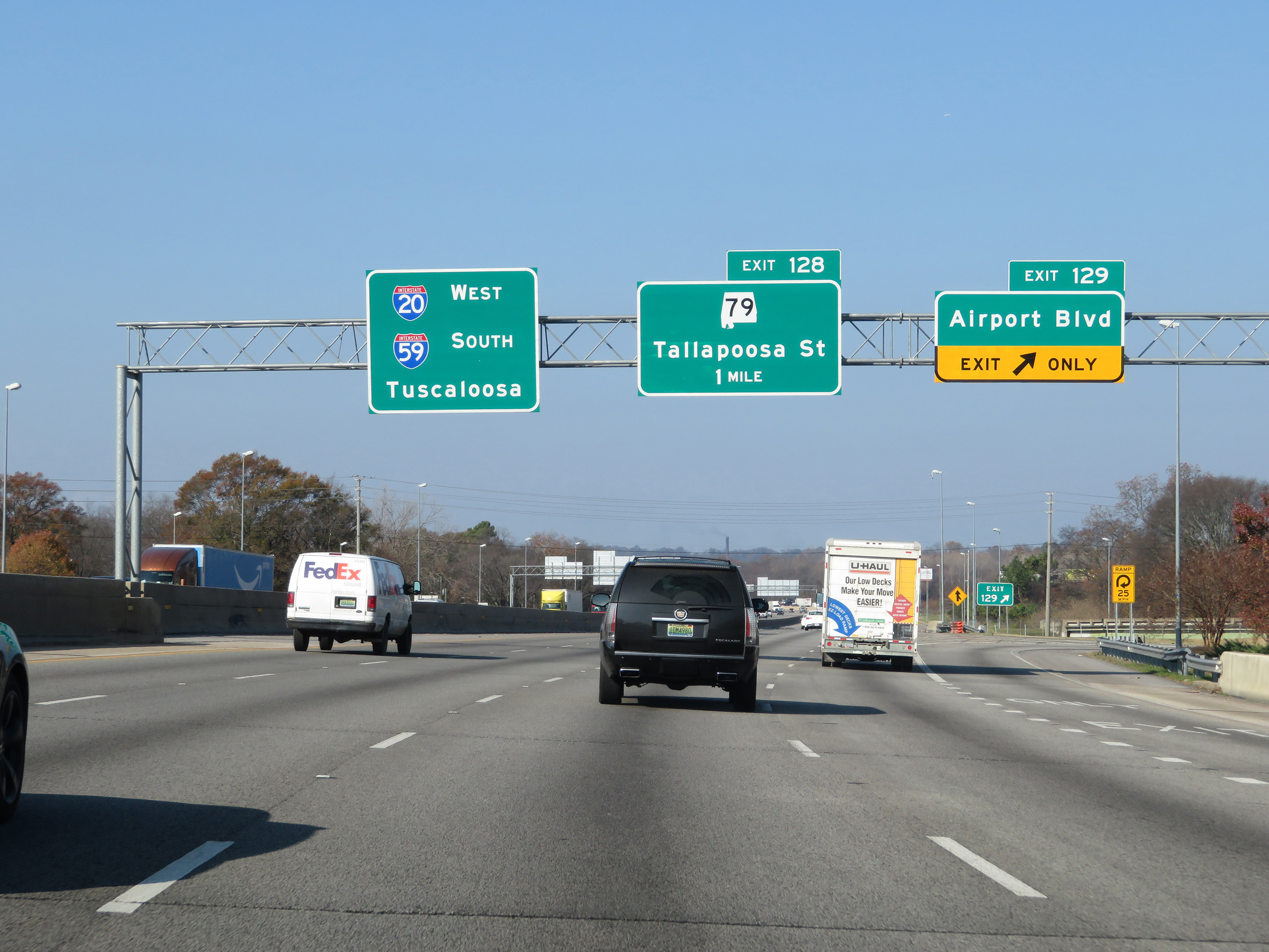 |
Interstate 59 South / Interstate 20 West at Exit 129: Airport Blvd (Photo taken 12/8/20). |
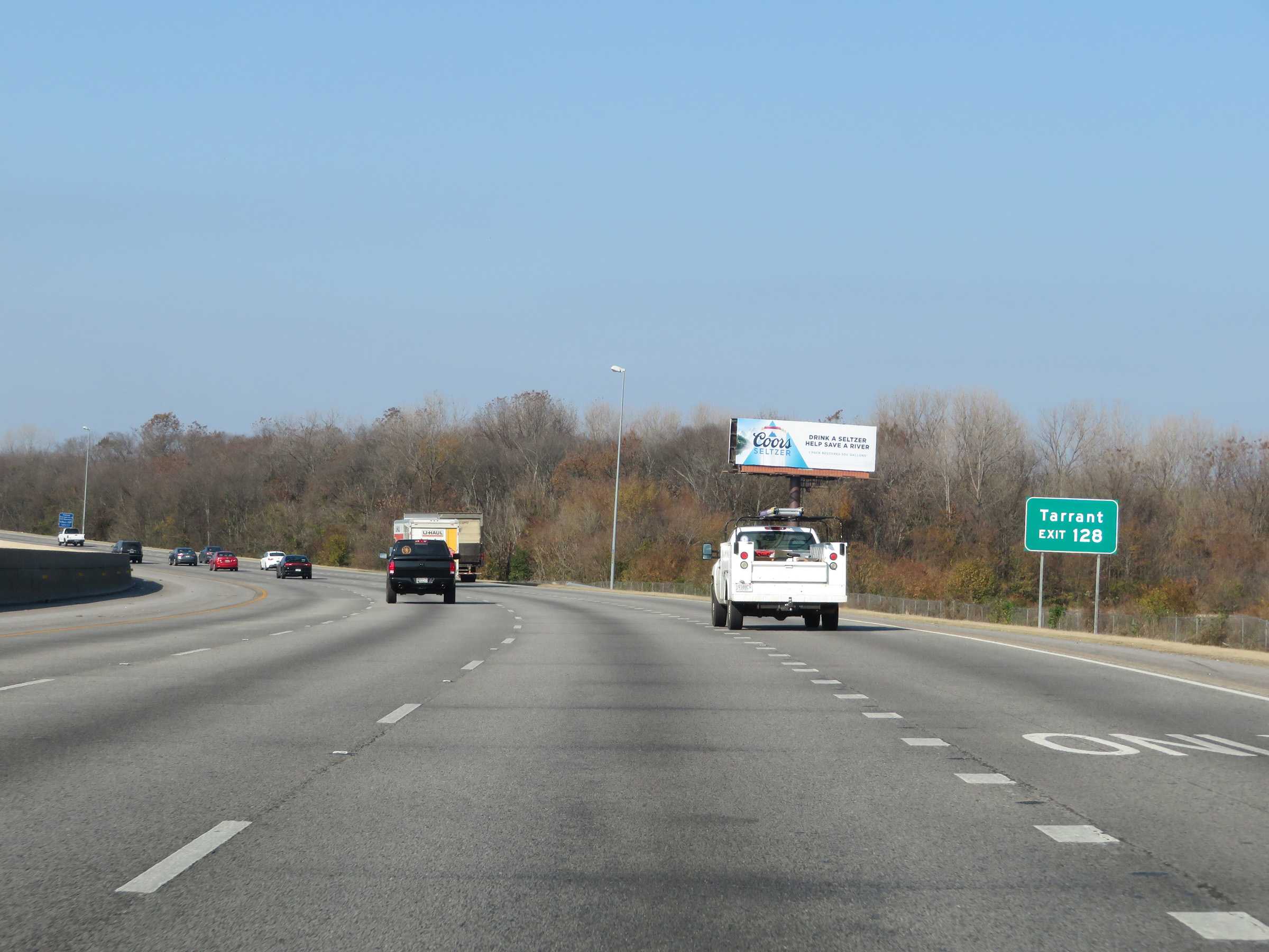 |
Take Exit 128 to Tarrant. (Photo taken 12/8/20). |
 |
Interstate 59 South / Interstate 20 West at Exit 128: AL 79 - Tallapoosa St (Photo taken 12/8/20). |
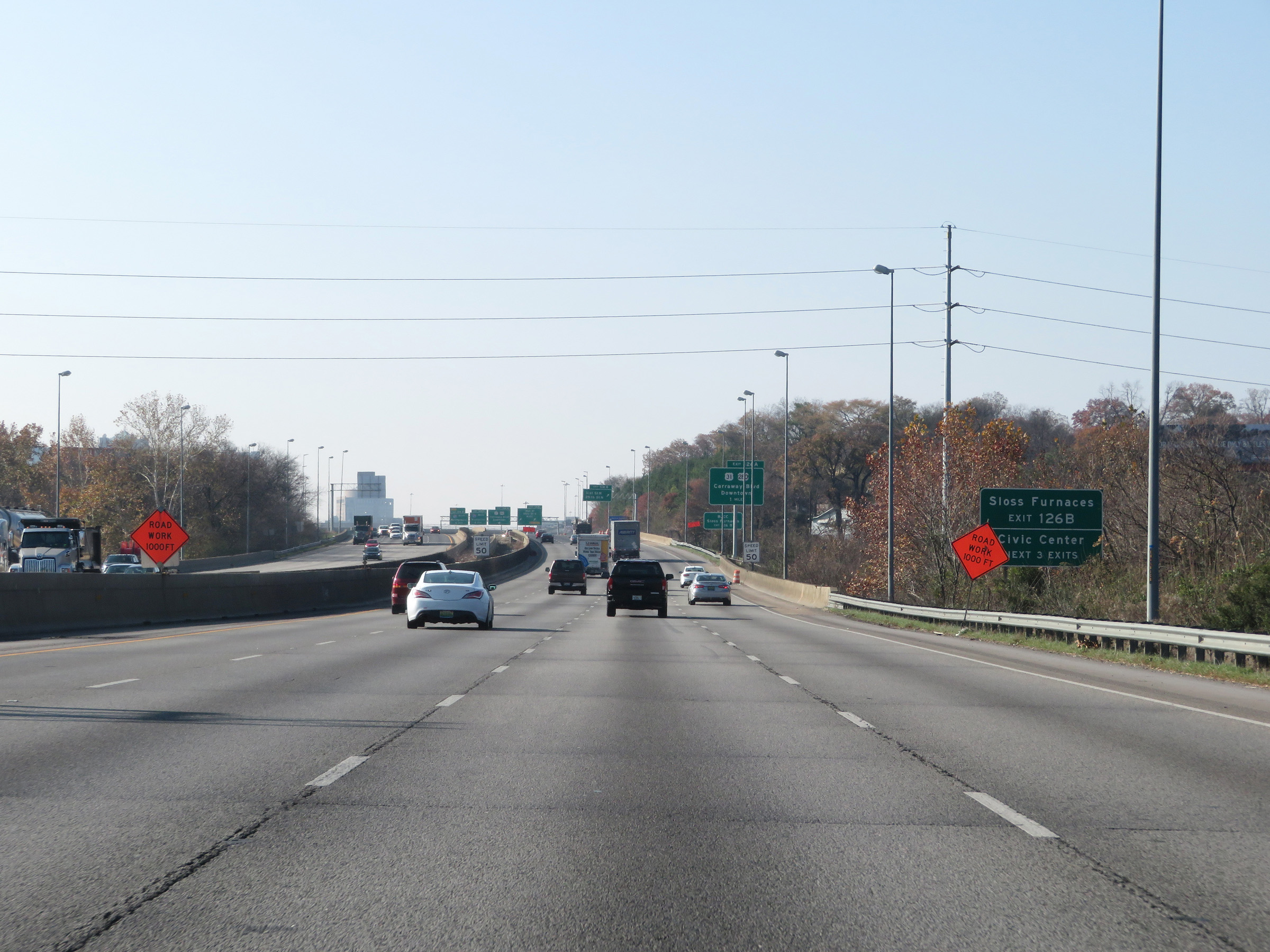 |
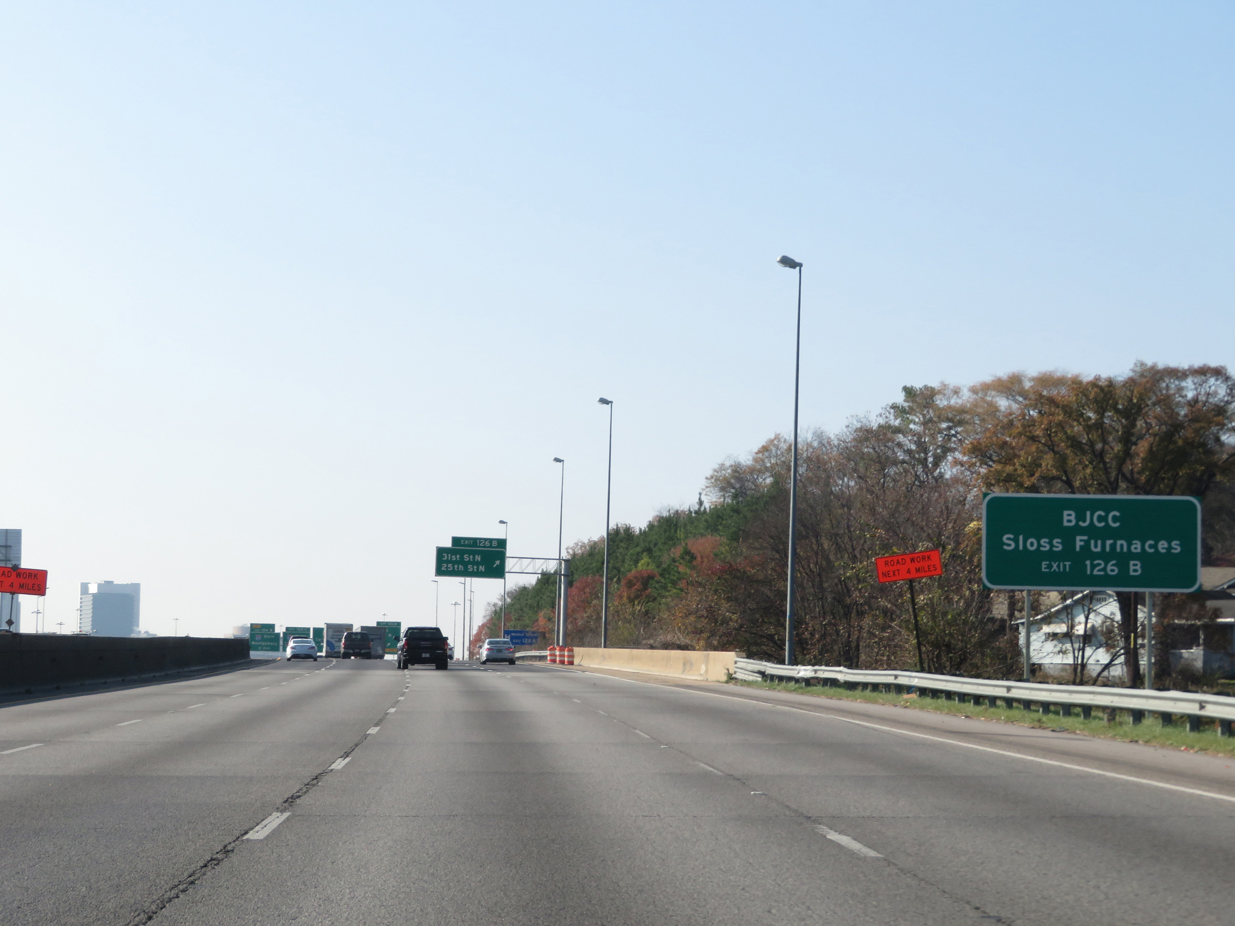
Take Exit 126B to Sloss Furnaces. Take any of the next 3 exits to the Civic Center. (Photo taken 12/8/20). |
 |
Interstate 59 South / Interstate 20 West approaching Exit 126A - 1 mile. (Photo taken 12/8/20). |
 |
Take Exit 126 to BJCC as well. (Photo taken 12/8/20). |
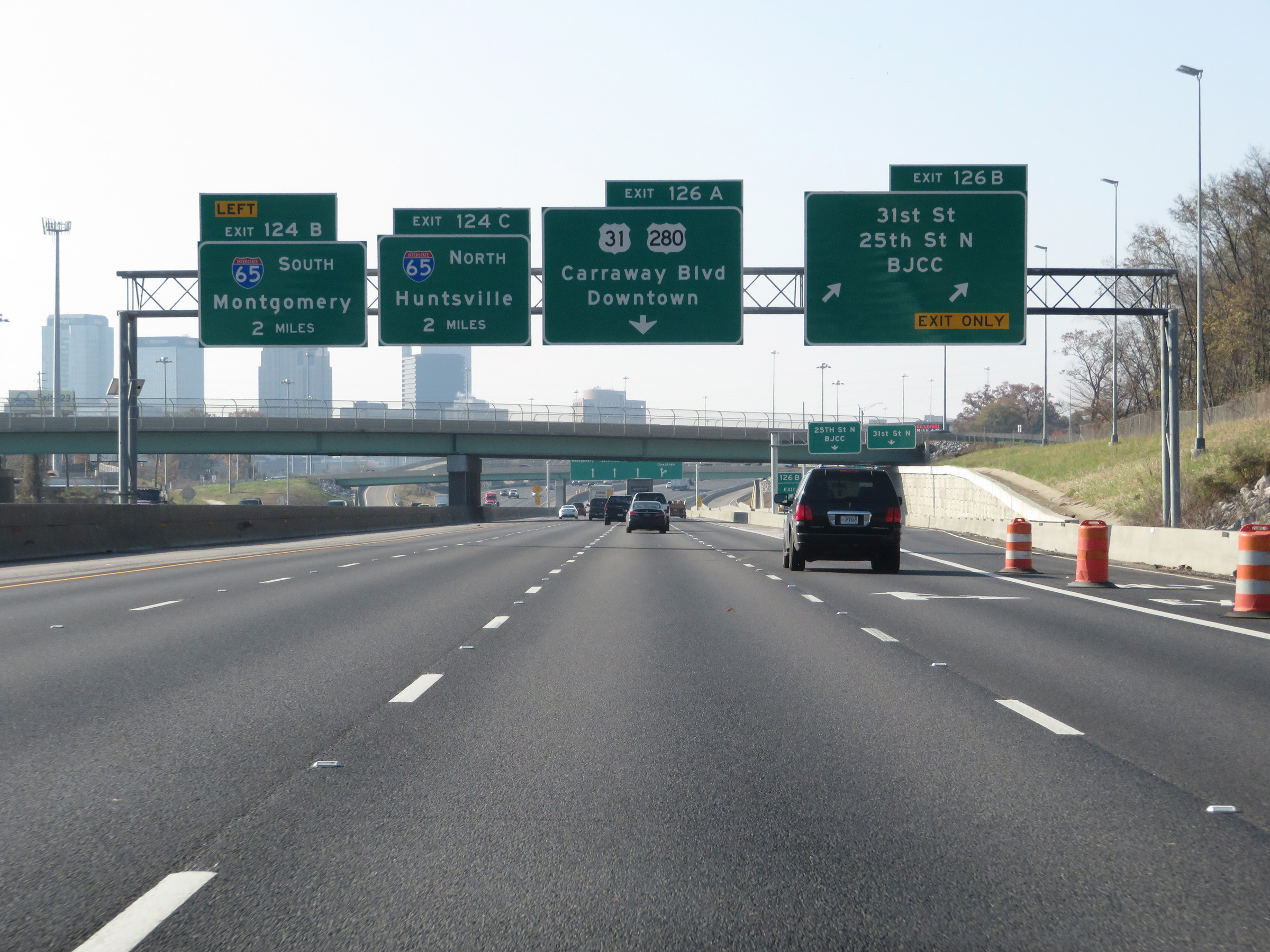 |
Interstate 59 South / Interstate 20 West at Exit 126B: 31st St / 25th St N / BJCC (Photo taken 12/8/20). |
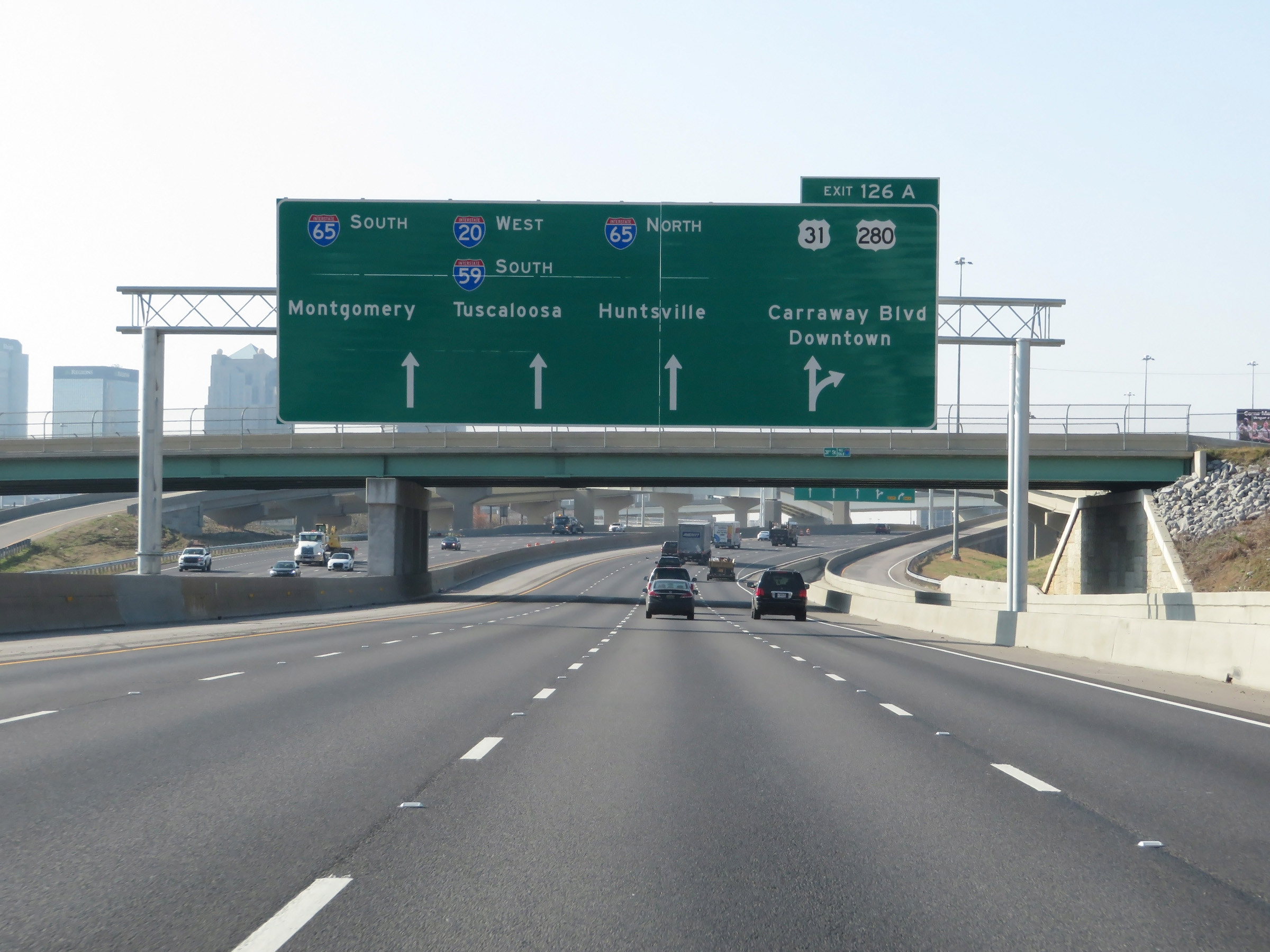 |
Large APL guide signs like this are now present on Interstate 59 South / Interstate 20 West in downtown Birmingham. (Photo taken 12/8/20). |
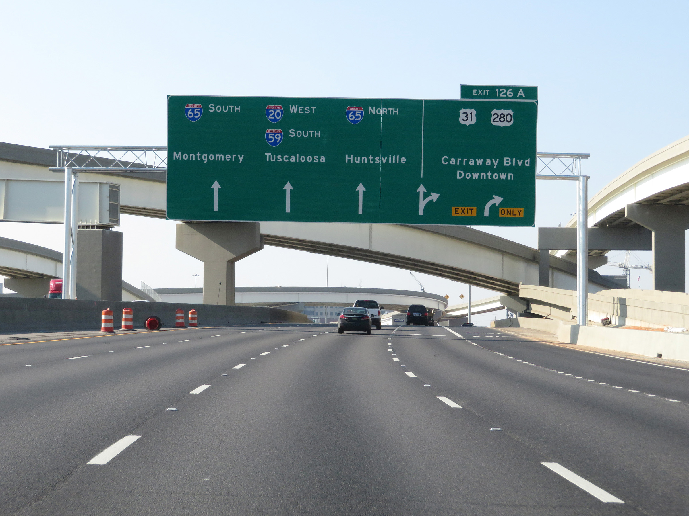 |
Interstate 59 South / Interstate 20 West at Exit 126A: US 31 / US 280 - Carraway Blvd / Downtown (Photo taken 12/8/20). |
Section 3: Birmingham (Exit 126A) to Tuscaloosa (Exit 79)
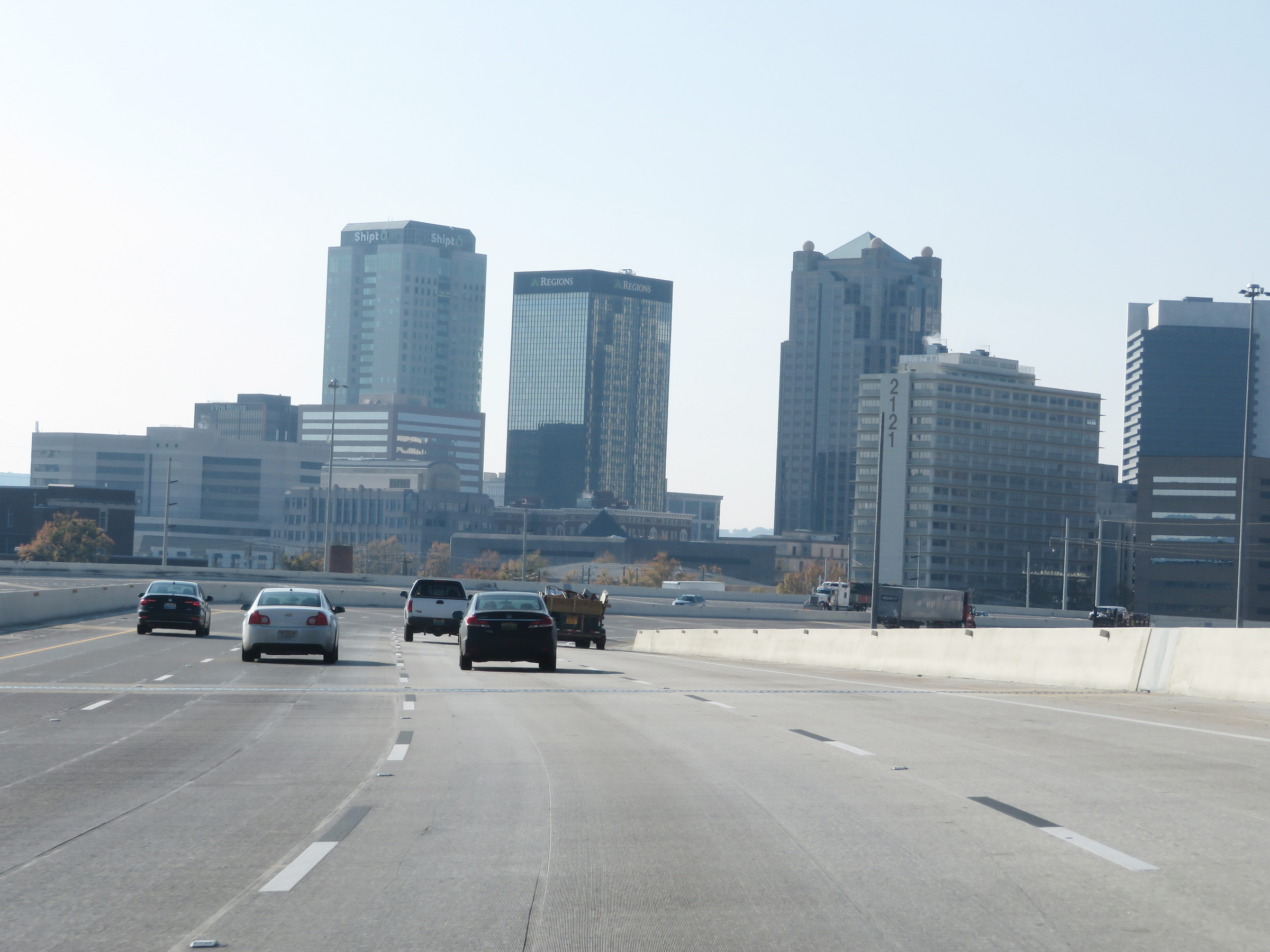 |
A view of downtown Birmingham on Interstate 59 South / Interstate 20 West. (Photo taken 12/8/20). |
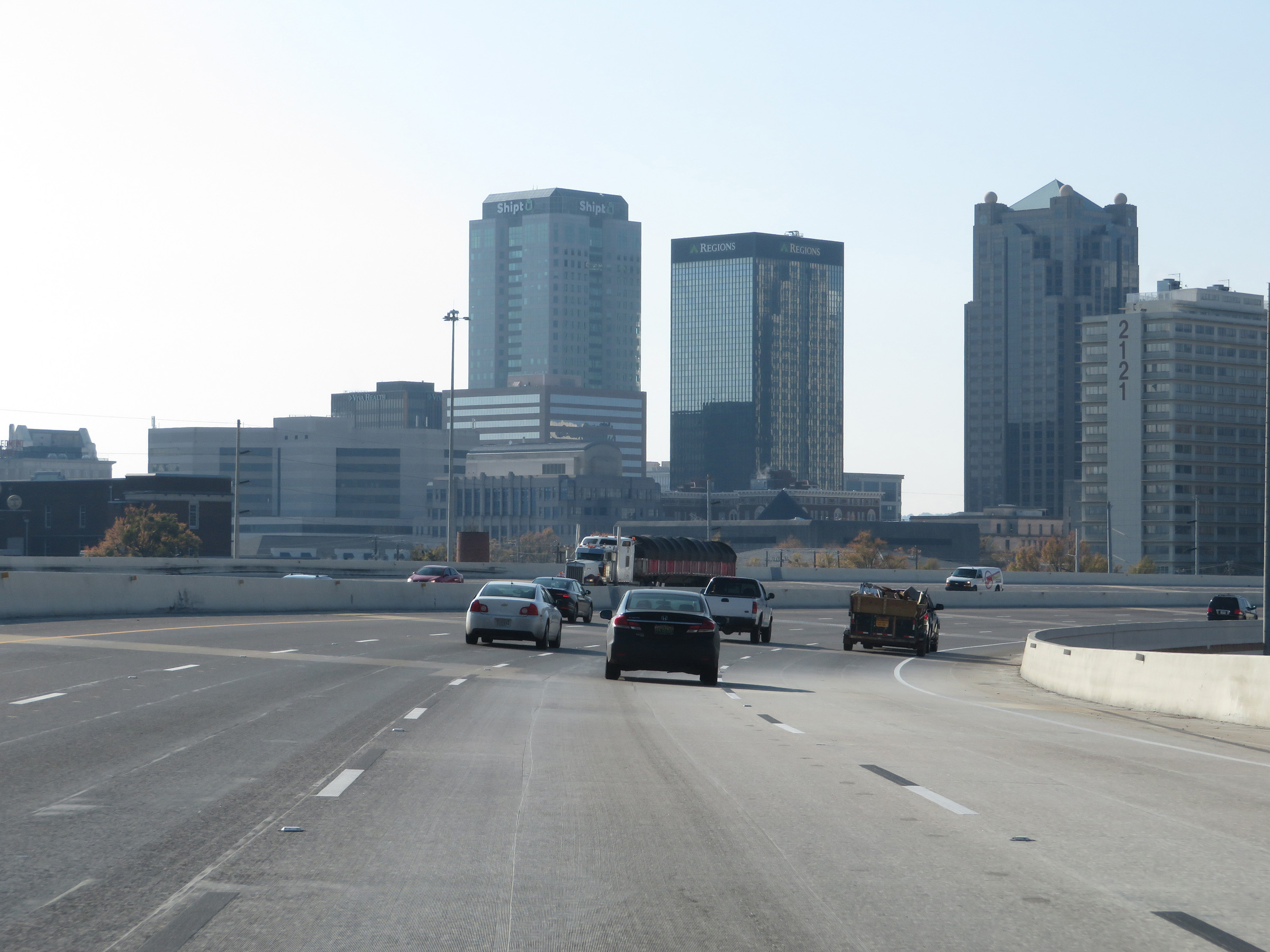 |
A second view of downtown Birmingham as Interstate 59 South / Interstate 20 West curve back to the southwest. (Photo taken 12/8/20). |
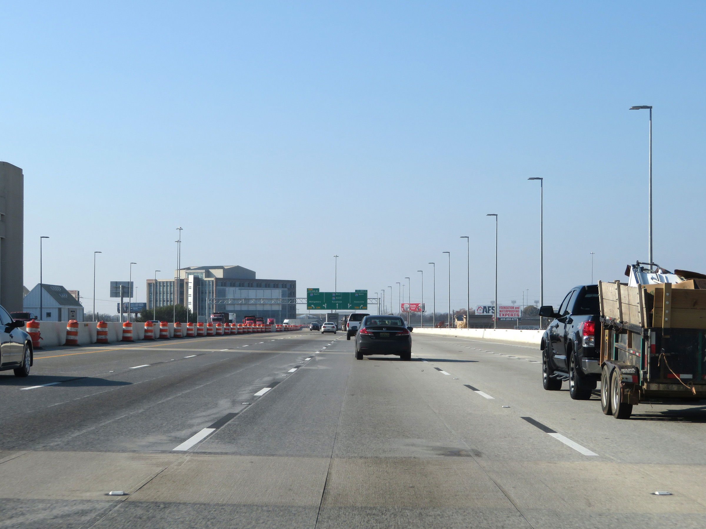 |
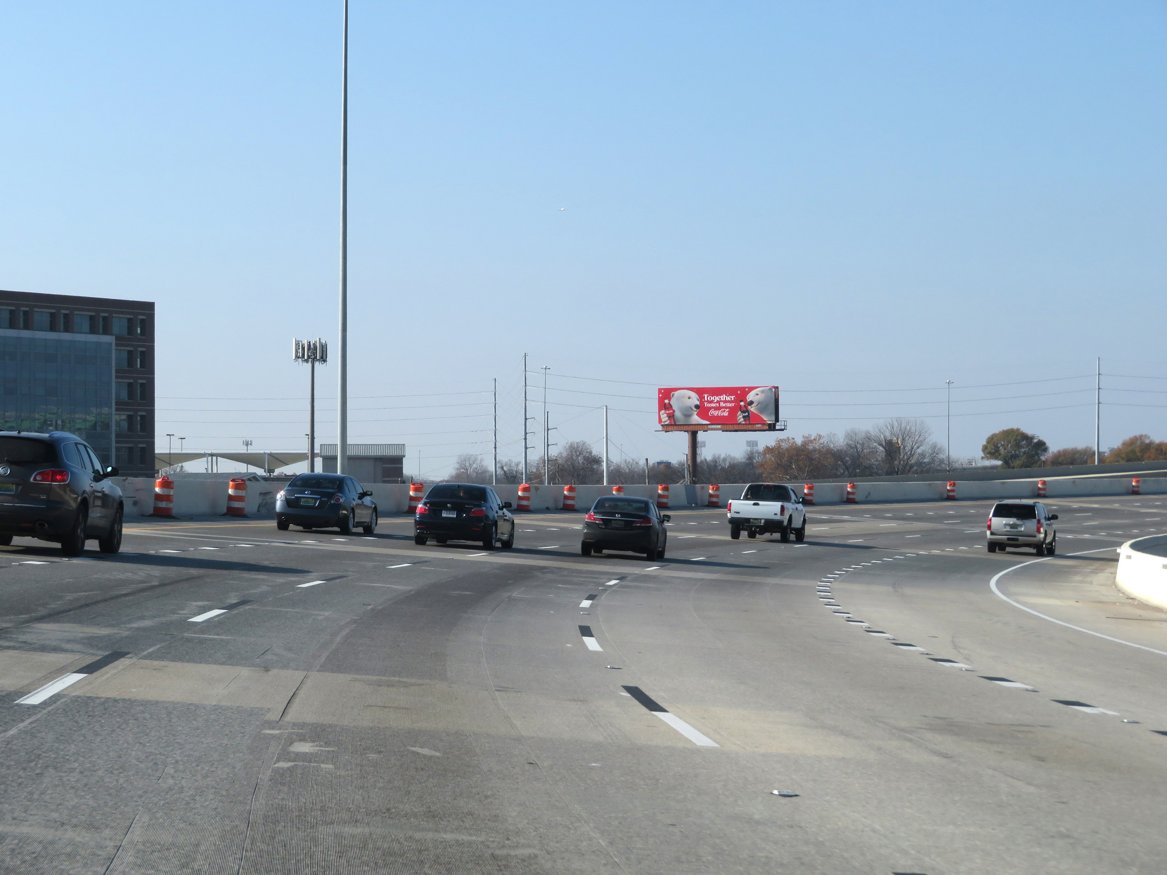
Interstate 59 South / Interstate 20 West as they near the junction of Interstate 65 in downtown Birmingham. (Photo taken 12/8/20). |
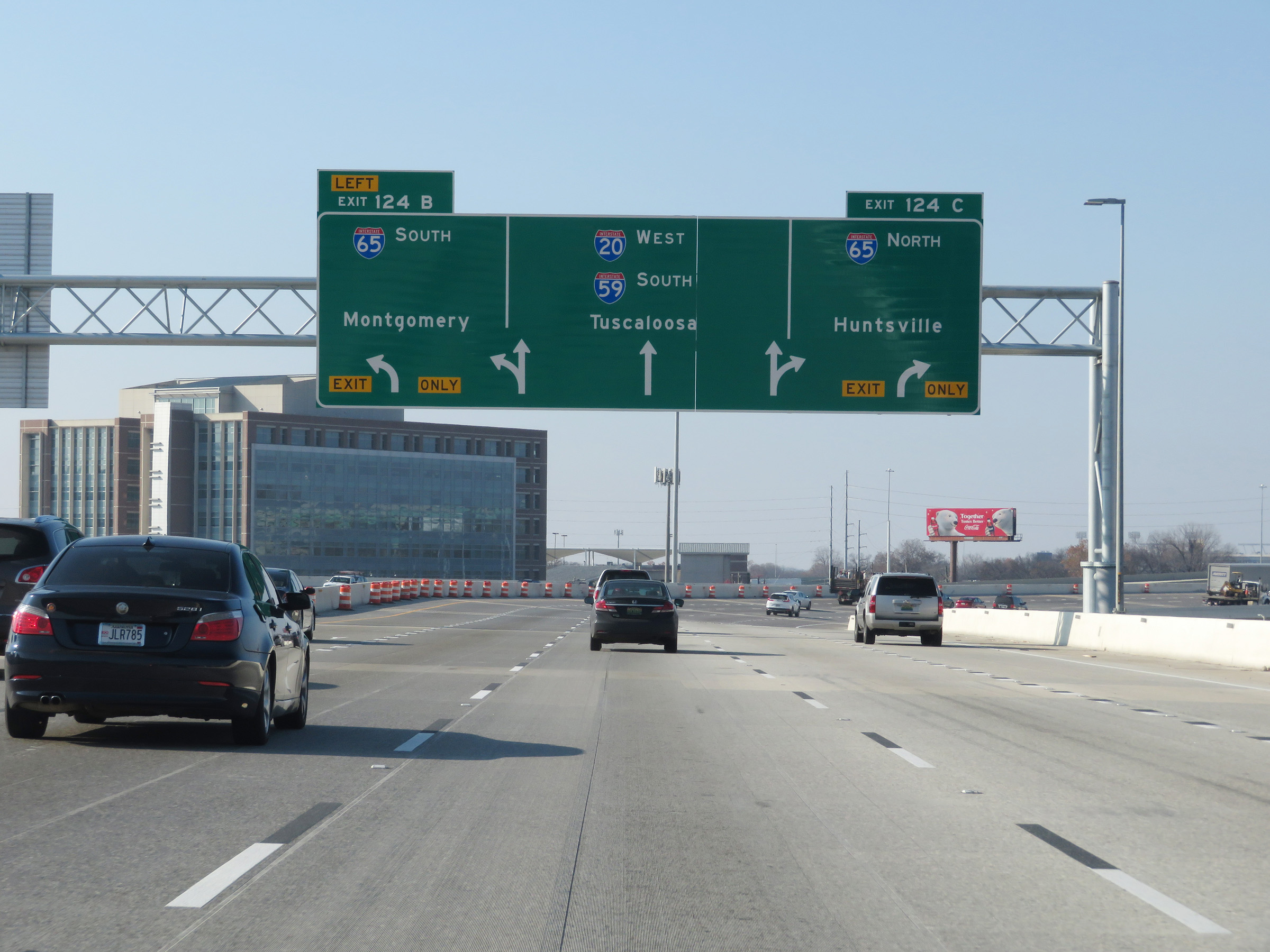 |
Another large APL guide sign approaching Exits 124C-B. (Photo taken 12/8/20). |
 |
View on Interstate 59 South / Interstate 20 West as they curve to the northwest to meet Interstate 65. (Photo taken 12/8/20). |
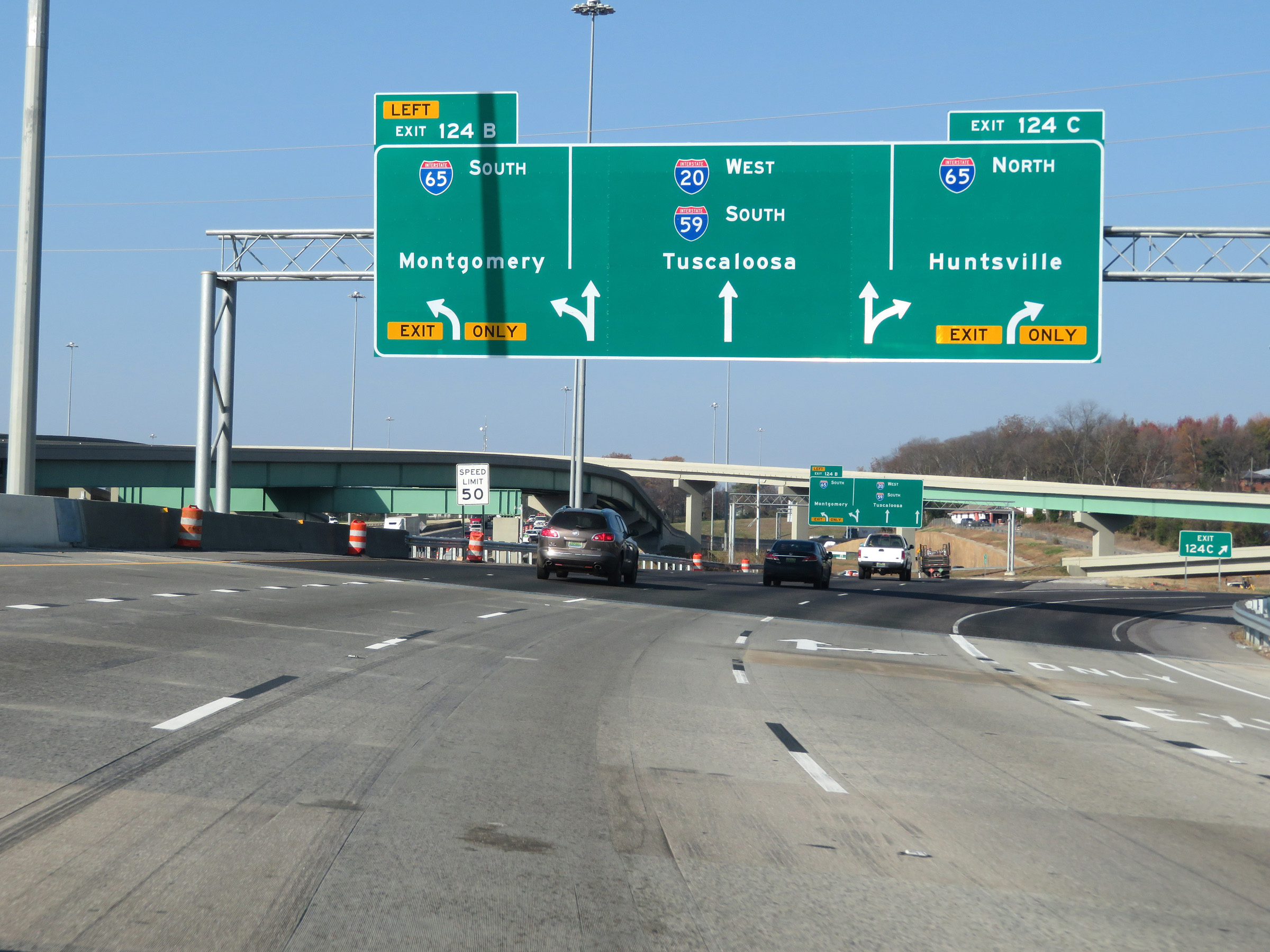 |
Interstate 59 South / Interstate 20 West at Exit 124C: Interstate 65 North - Huntsville (Photo taken 12/8/20). |
 |
Interstate 59 South / Interstate 20 West at Exit 124B: Interstate 65 South - Montgomery (Photo taken 12/8/20). |
 |
View on Interstate 59 South / Interstate 20 West as the duplex passes under Interstate 65 in downtown Birmingham. (Photo taken 12/8/20). |
 |
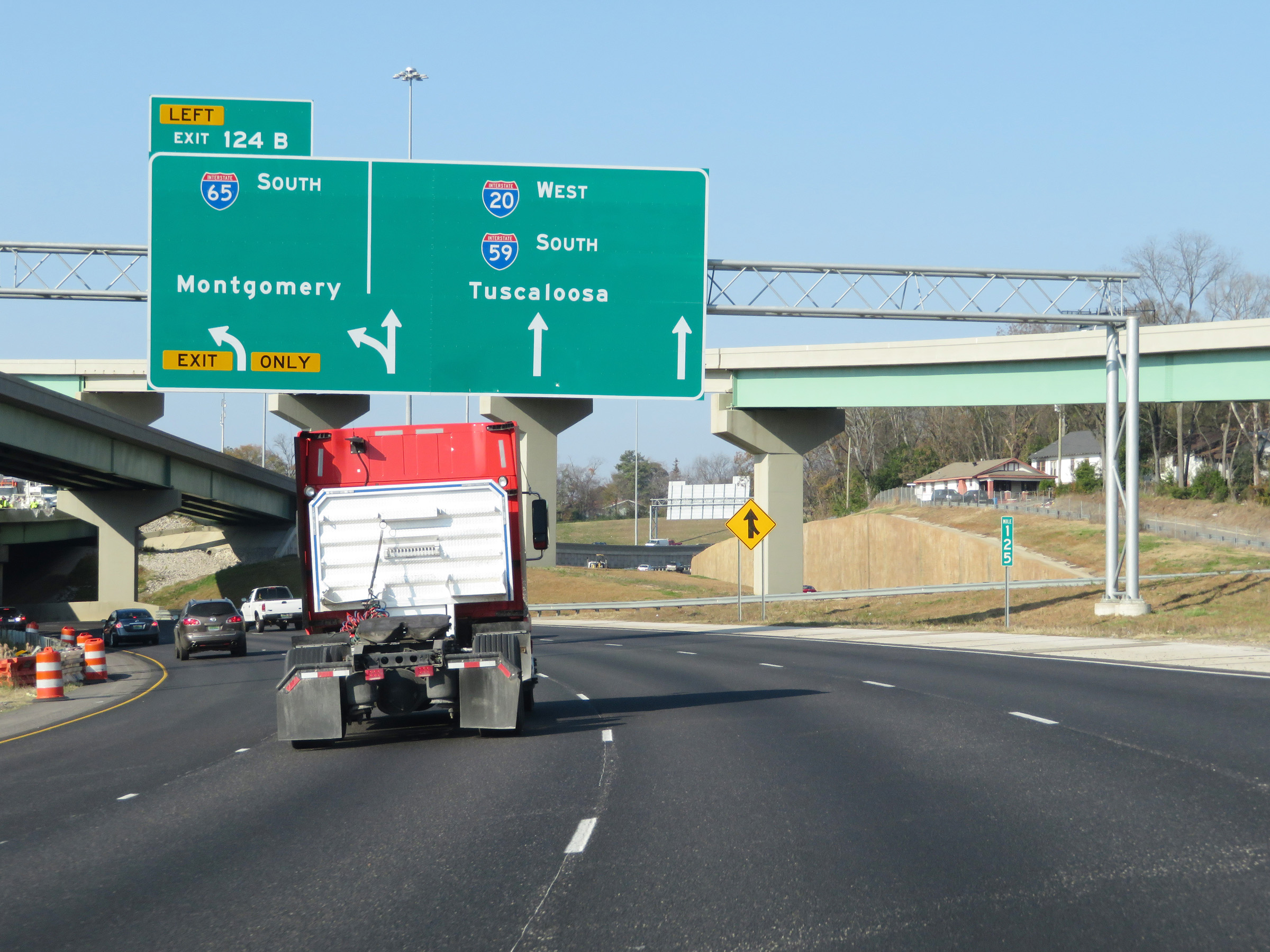
State-named Interstate 59 South / Interstate 20 West reassurance shields. (Photo taken 12/8/20). |
 |
Take Exit 123 to Jasper. (Photo taken 12/8/20). |
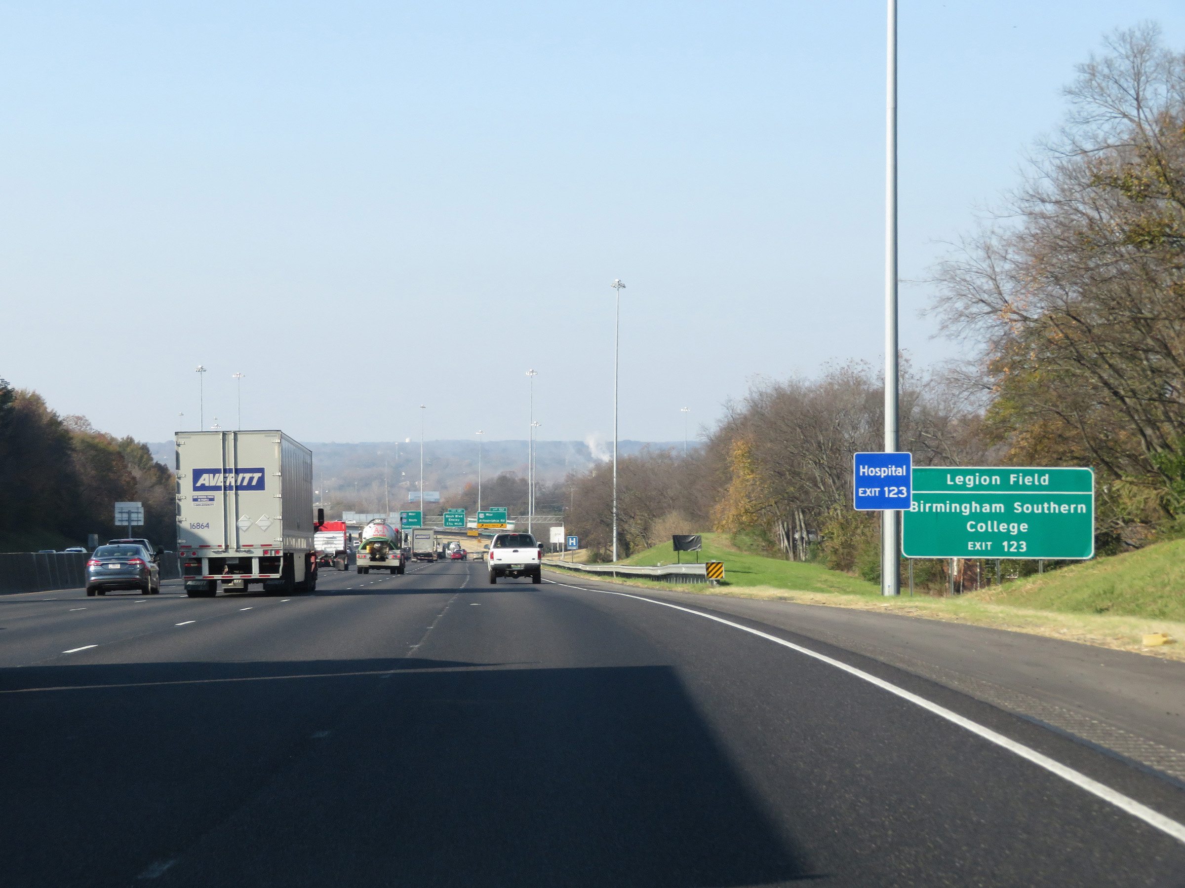 |
Also take Exit 123 to Legion Field and Birmingham Southern College. (Photo taken 12/8/20). |
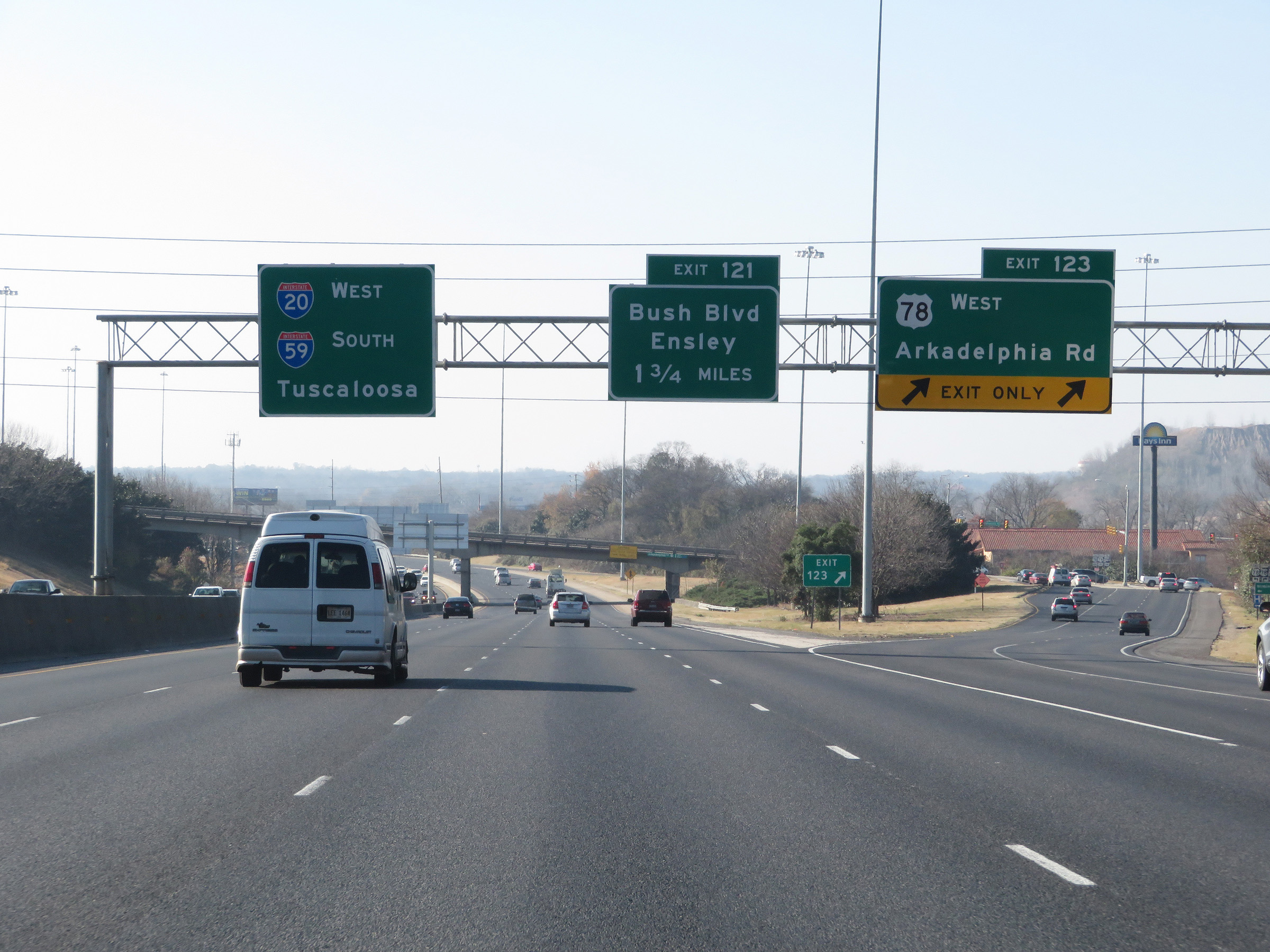 |
Interstate 59 South / Interstate 20 West at Exit 123: US 78 West - Arkadelphia Rd (Photo taken 12/8/20). |
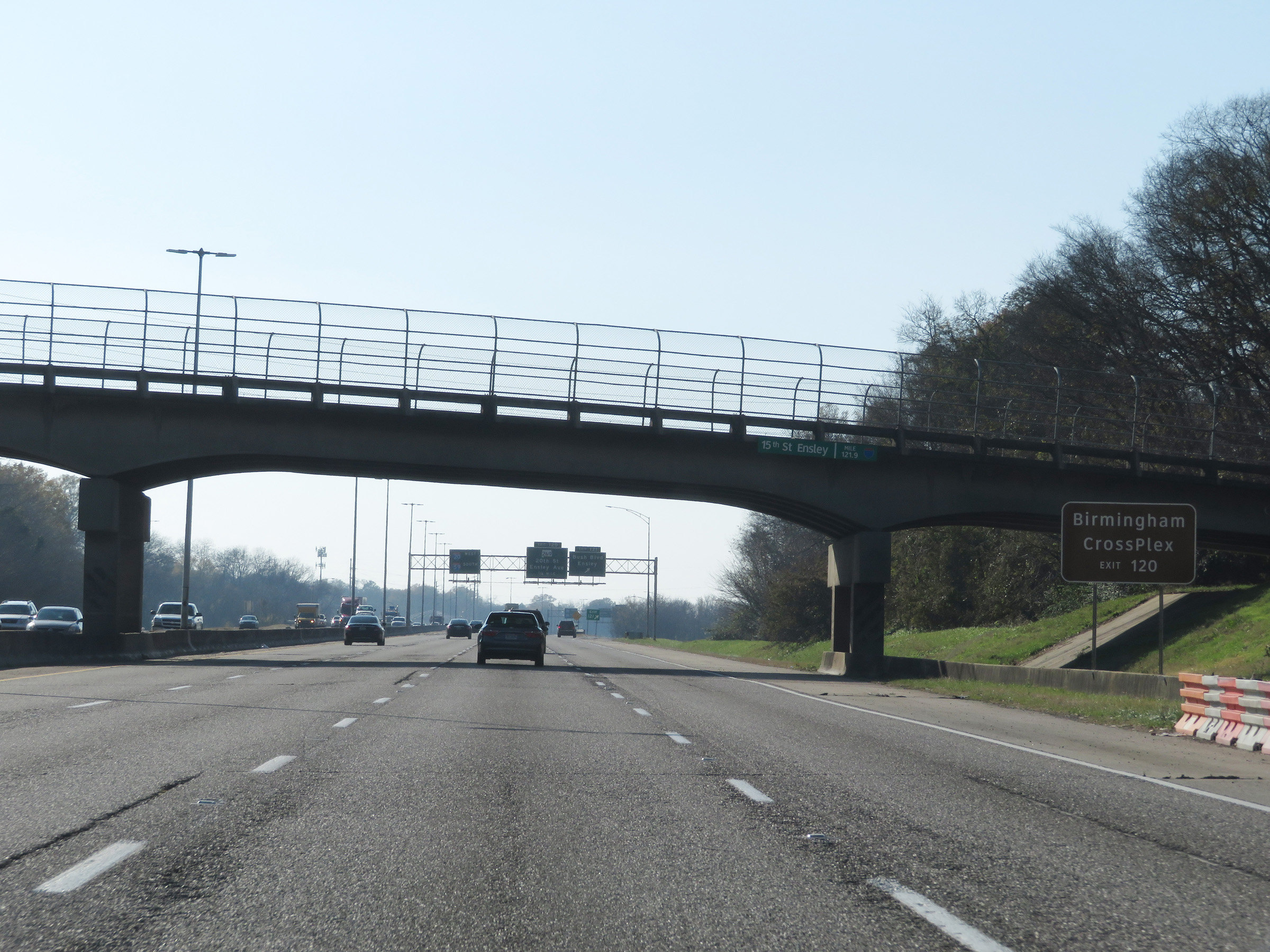 |
Take Exit 120 to Birmingham CrossPlex. (Photo taken 12/8/20). |
 |
Interstate 59 South / Interstate 20 West at Exit 121: Bush Blvd / Ensley (Photo taken 12/8/20). |
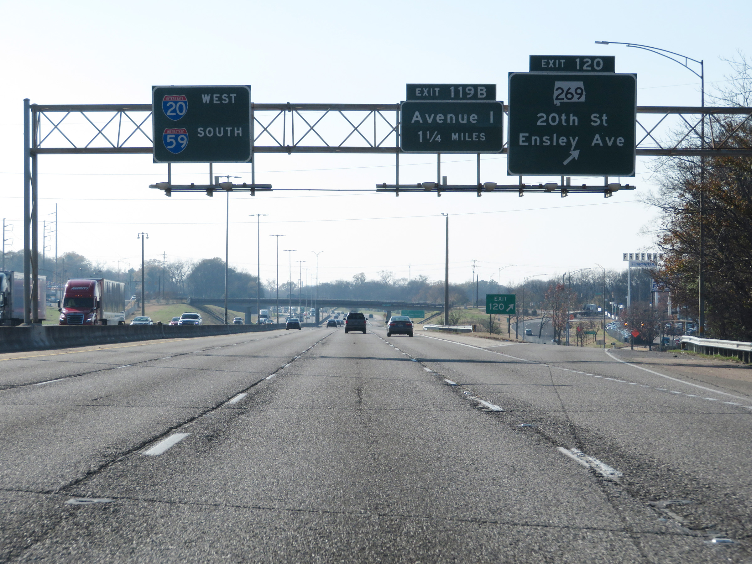 |
Interstate 59 South / Interstate 20 West at Exit 120: AL 269 - 20th St / Ensley Ave (Photo taken 12/8/20). |
 |
Another mileage sign listing the distances to the three upcoming interchanges on Interstate 59 South / Interstate 20 West. (Photo taken 12/8/20). |
 |
The speed limit remains 60 mph. (Photo taken 12/8/20). |
 |
Interstate 59 South / Interstate 20 West at Exit 199B: Avenue I (Photo taken 12/8/20). |
 |
Interstate 59 South / Interstate 20 West at Exit 119A: Lloyd Noland Pkwy (Photo taken 12/8/20). |
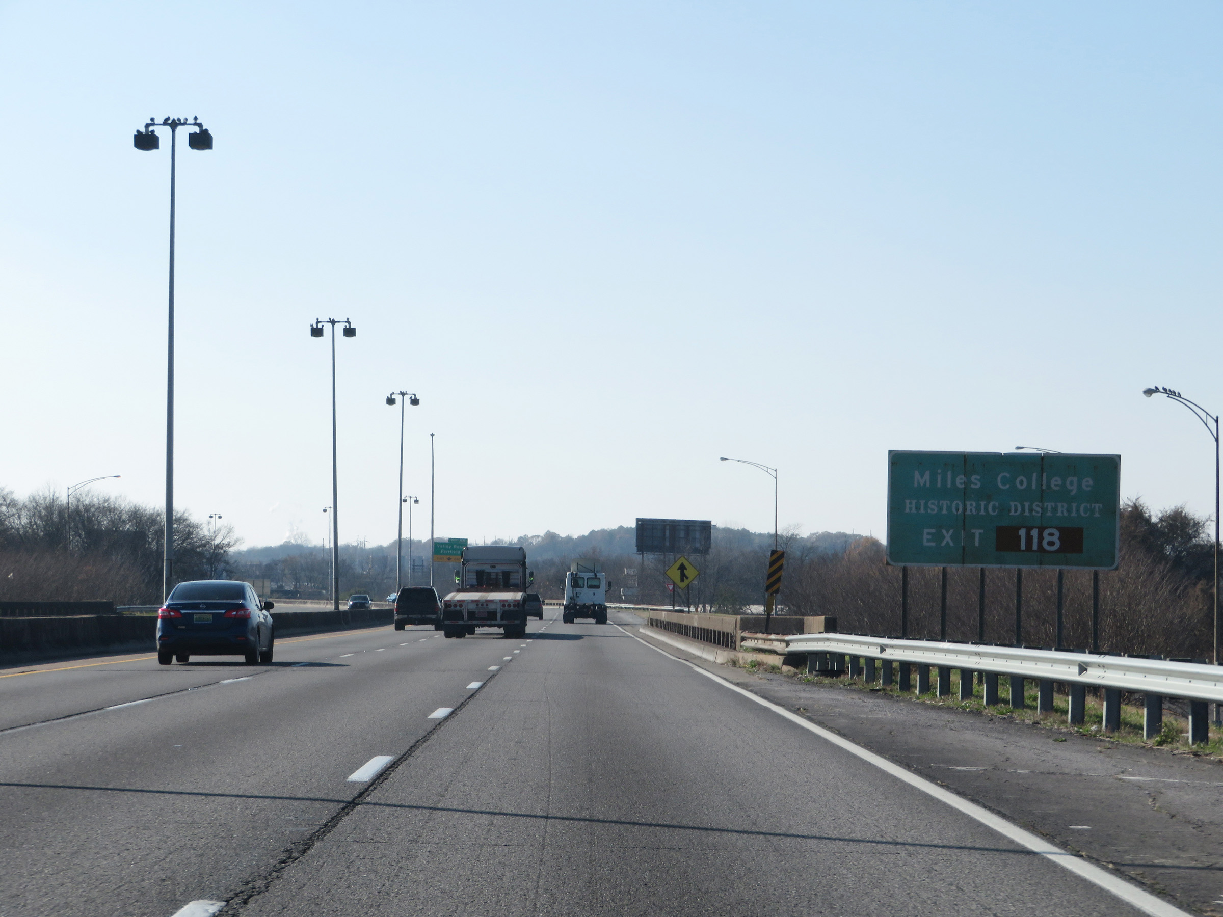 |
Take Exit 118 to Miles College Historic District. (Photo taken 12/8/20). |
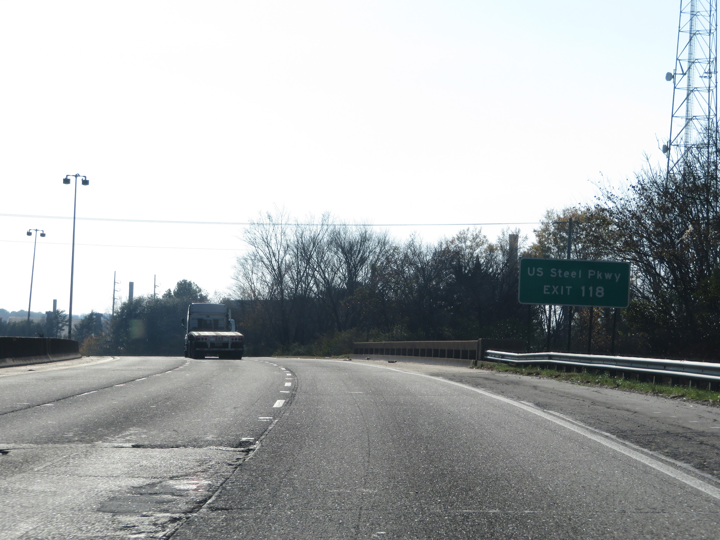 |
Also take Exit 118 to US Steel Pkwy. (Photo taken 12/8/20). |
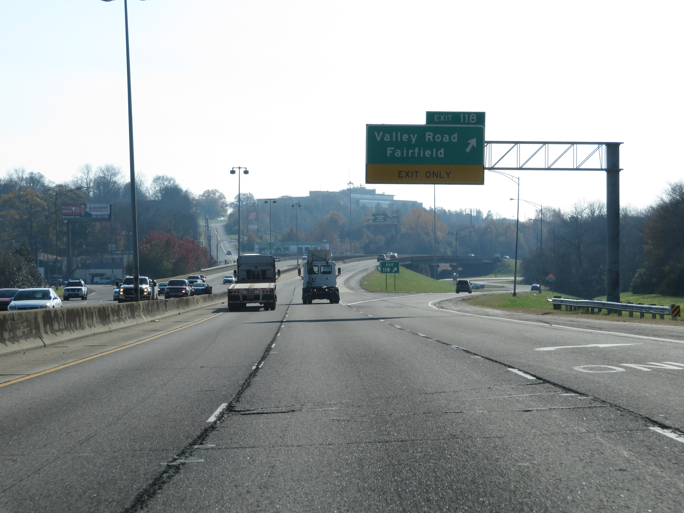 |
Interstate 59 South / Interstate 20 West at Exit 118: Valley Road / Fairfield (Photo taken 12/8/20). |
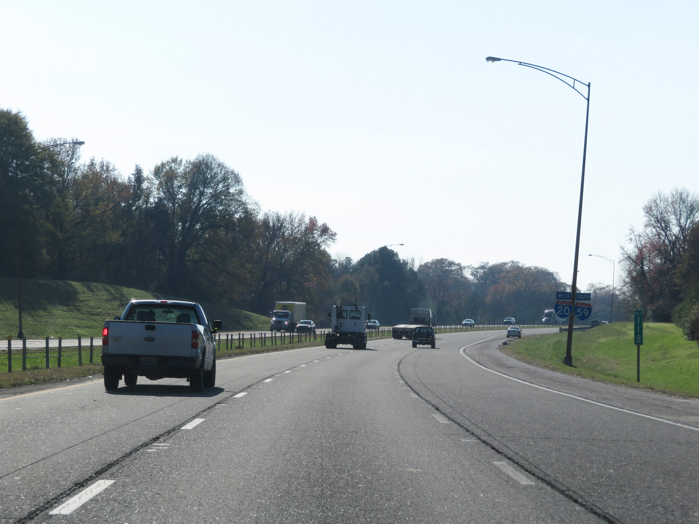 |
View on Interstate 59 South / Interstate 20 West at mile marker 118. (Photo taken 12/8/20). |
 |
Interstate 59 South / Interstate 20 West as the speed limit finally increases to 70 mph once again, leaving the Birmingham area. (Photo taken 12/8/20). |
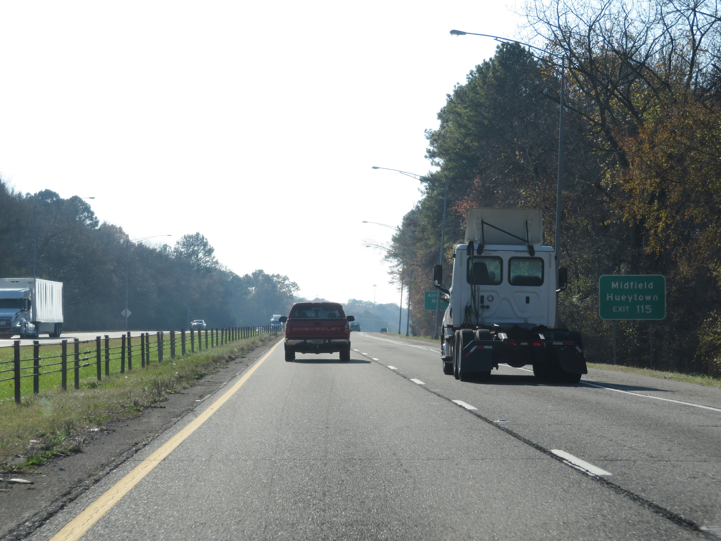 |
Take Exit 115 to Midfield and Hueytown. (Photo taken 12/8/20). |
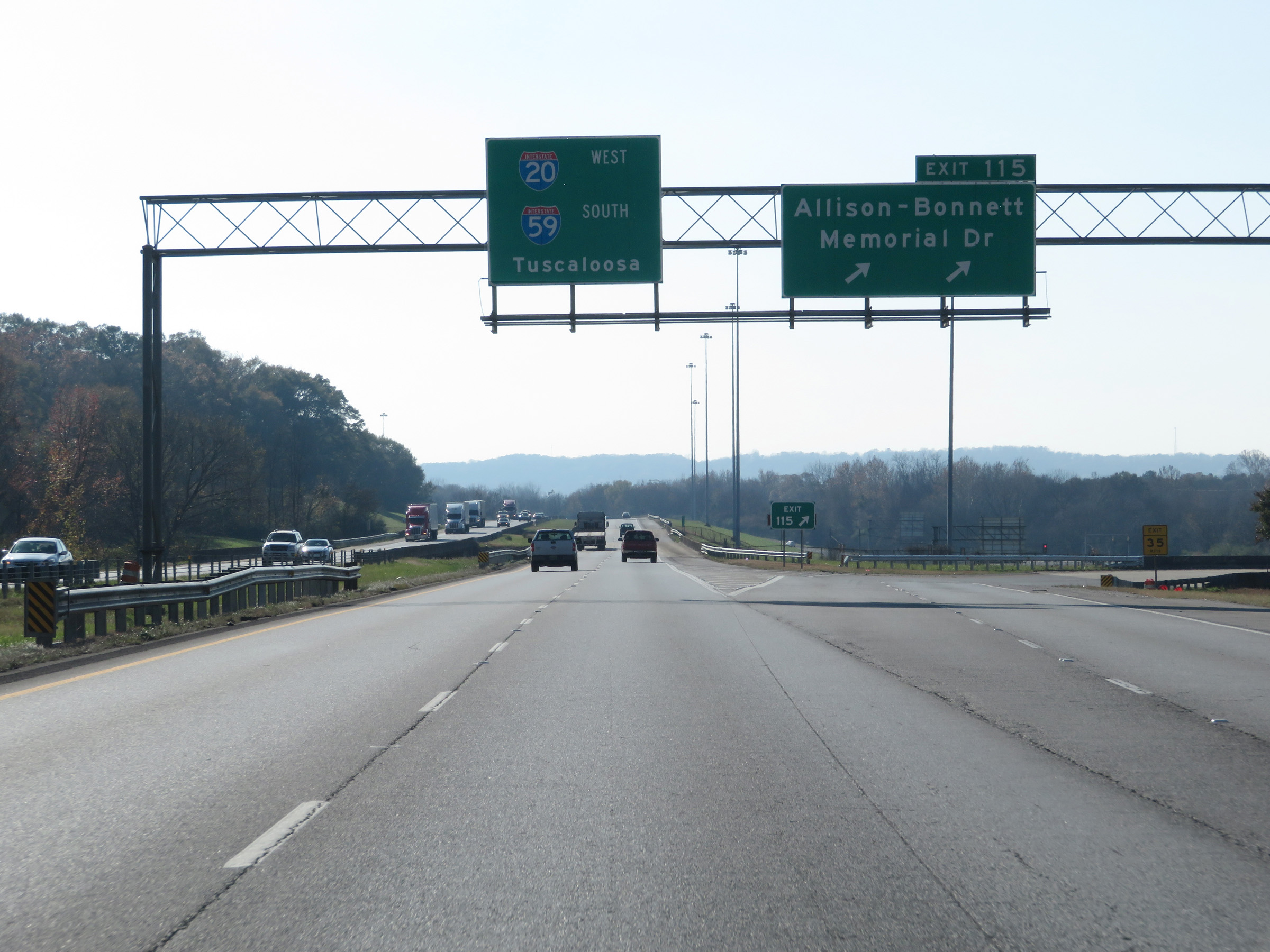 |
Interstate 59 South / Interstate 20 West at Exit 115: Allison-Bonnett Memorial Dr (Photo taken 12/8/20). |
 |
Take Exit 113 to Lipscomb and Brighton. (Photo taken 12/8/20). |
 |
Interstate 59 South / Interstate 20 West at Exit 113: 18th Ave (Photo taken 12/8/20). |
 |
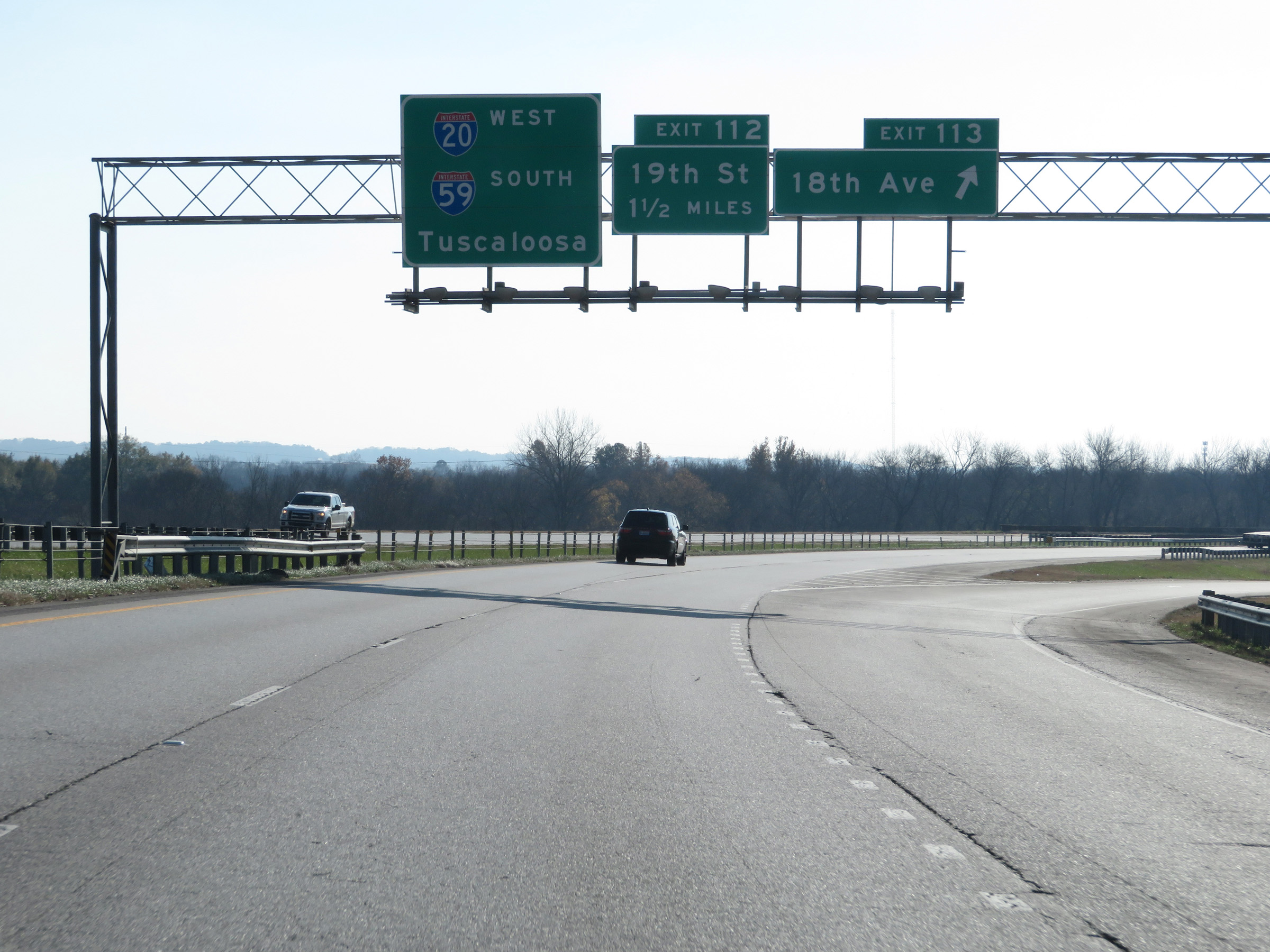
Take either of the next 2 exits to Bessemer. (Photo taken 12/8/20). |
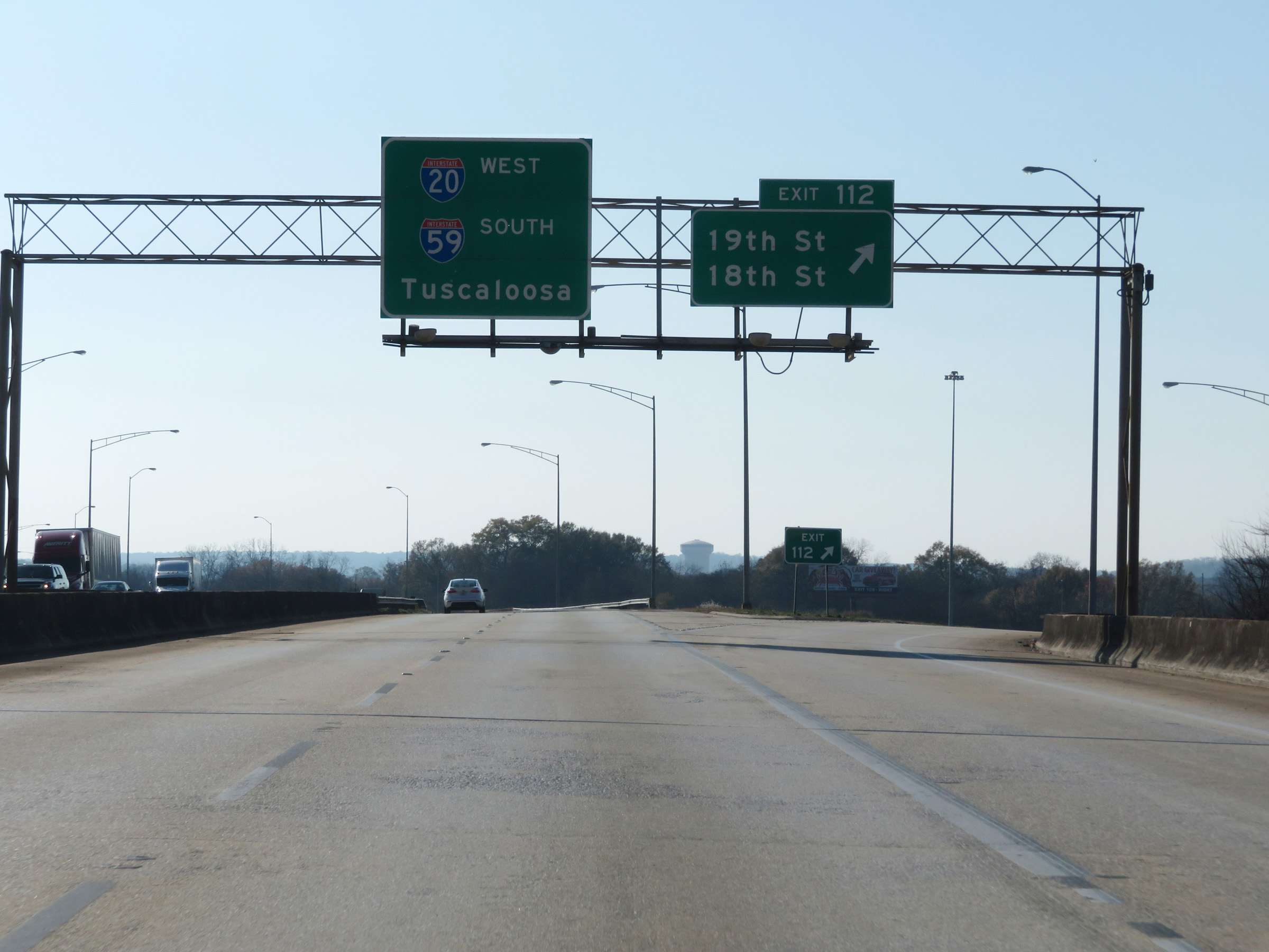 |
Interstate 59 South / Interstate 20 West at Exit 112: 19th St / 18th St (Photo taken 12/8/20). |
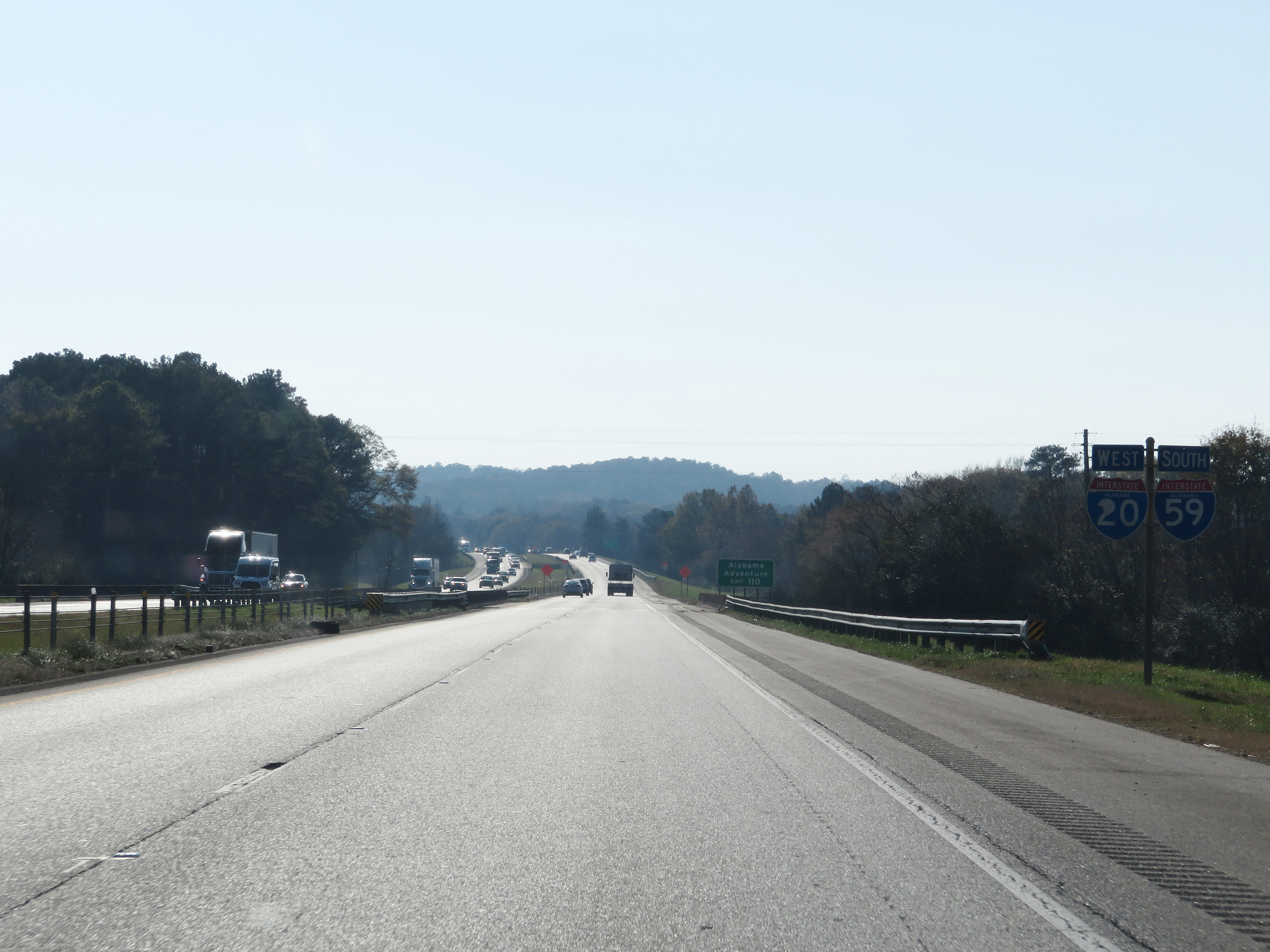 |
Another set of state-named Interstate 59 South / Interstate 20 West reassurance shields. (Photo taken 12/8/20). |
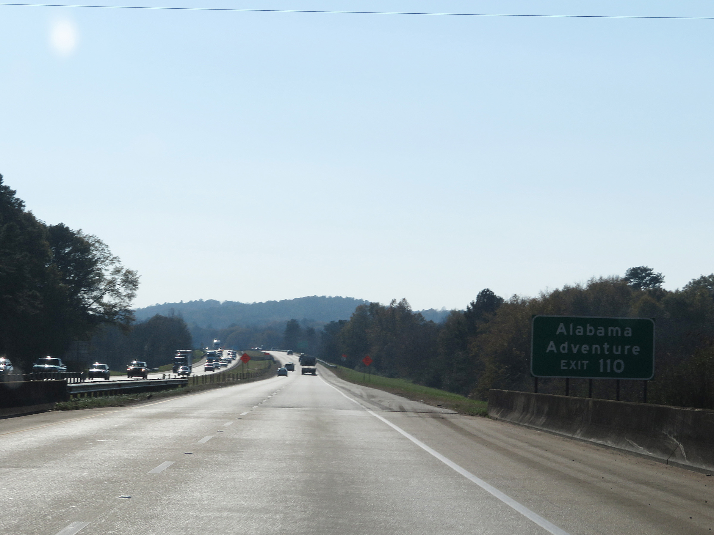 |
Take Exit 110 to Alabama Adventure. (Photo taken 12/8/20). |
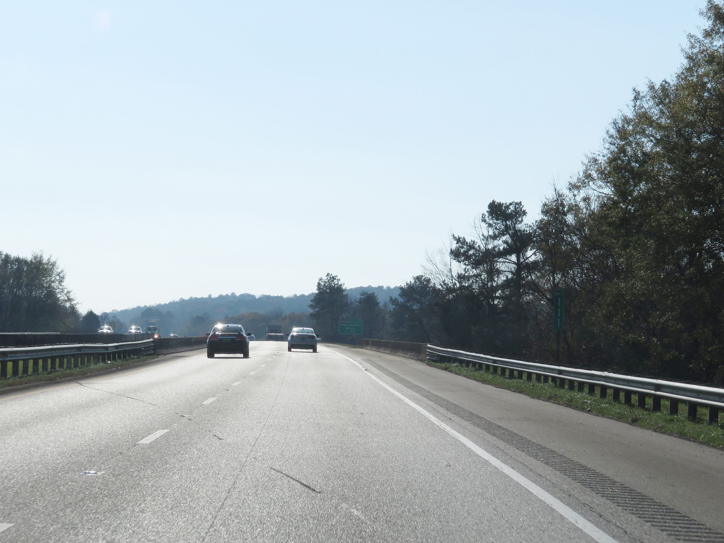 |
View on Interstate 59 South / Interstate 20 West at mile marker 111. (Photo taken 12/8/20). |
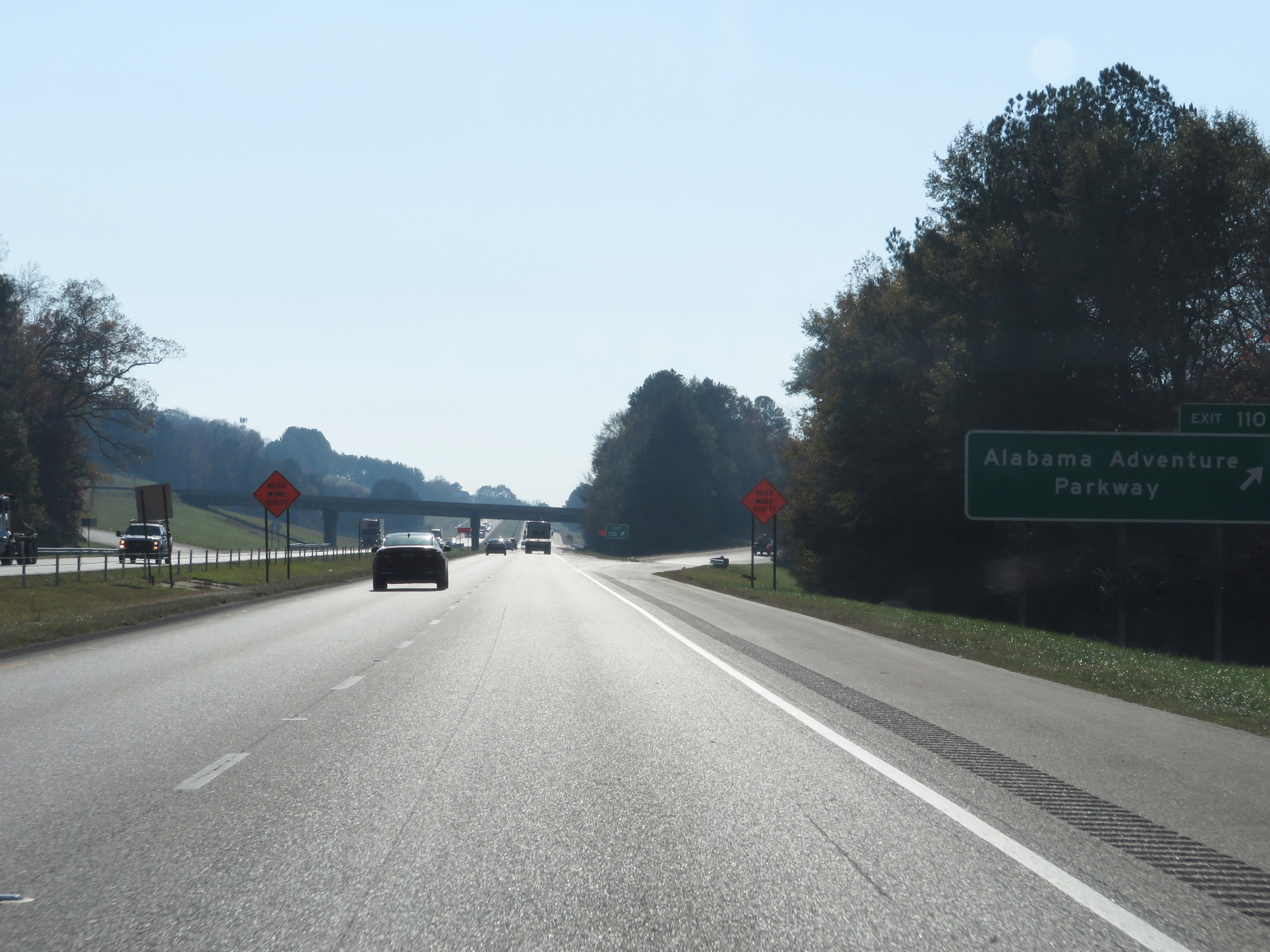 |
Interstate 59 South / Interstate 20 West at Exit 110: Alabama Adventure Parkway (Photo taken 12/8/20). |
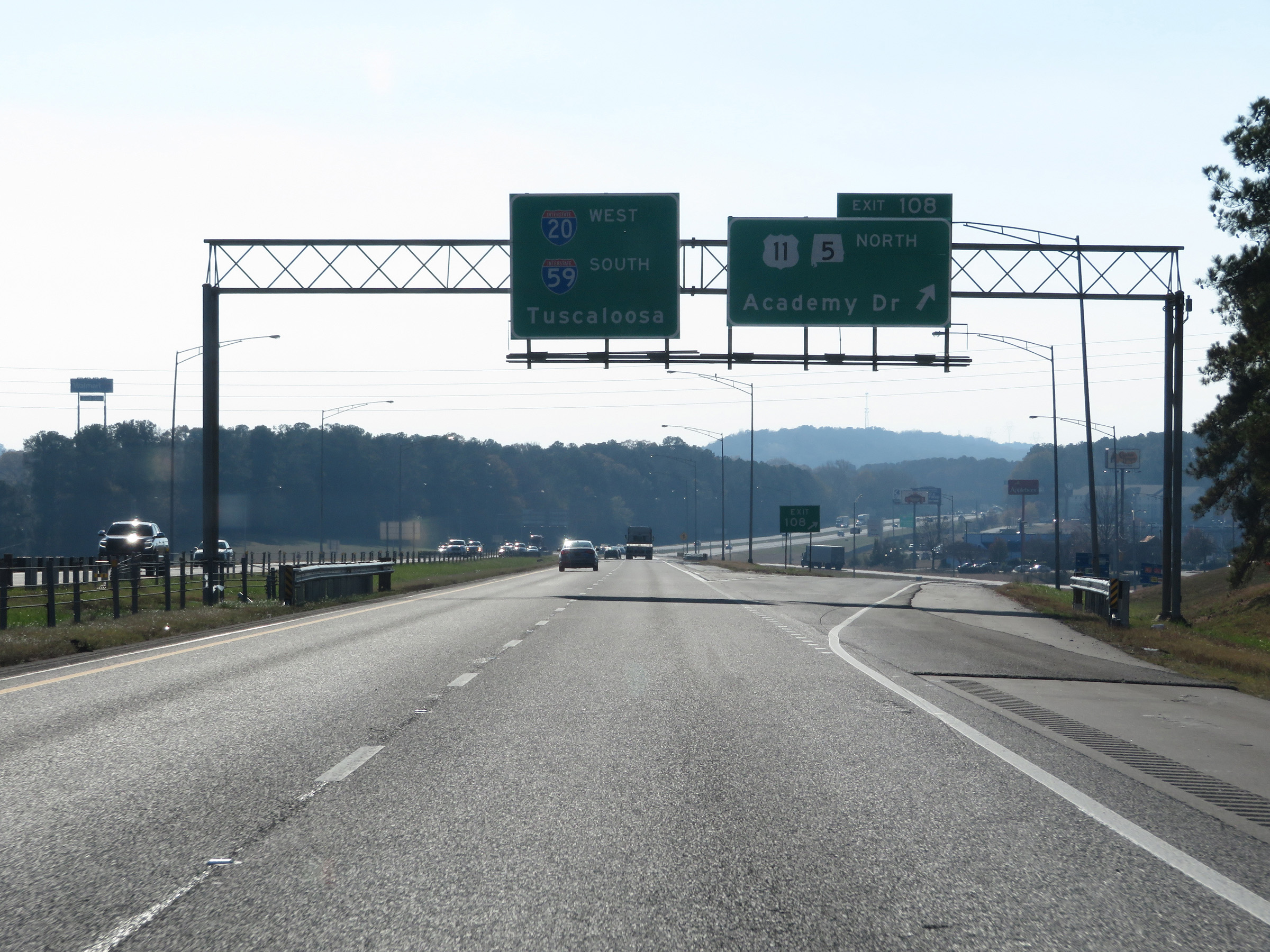 |
Interstate 59 South / Interstate 20 West at Exit 108: US 11 North / AL 5 North - Academy Dr (Photo taken 12/8/20). |
 |
Interstate 59 South / Interstate 20 West approaching Exit 106 - 1 mile. (Photo taken 12/8/20). |
 |
Take Exit 106 (Interstate 459 North) to Interstate 65 South toward Montgomery. (Photo taken 12/8/20). |
 |
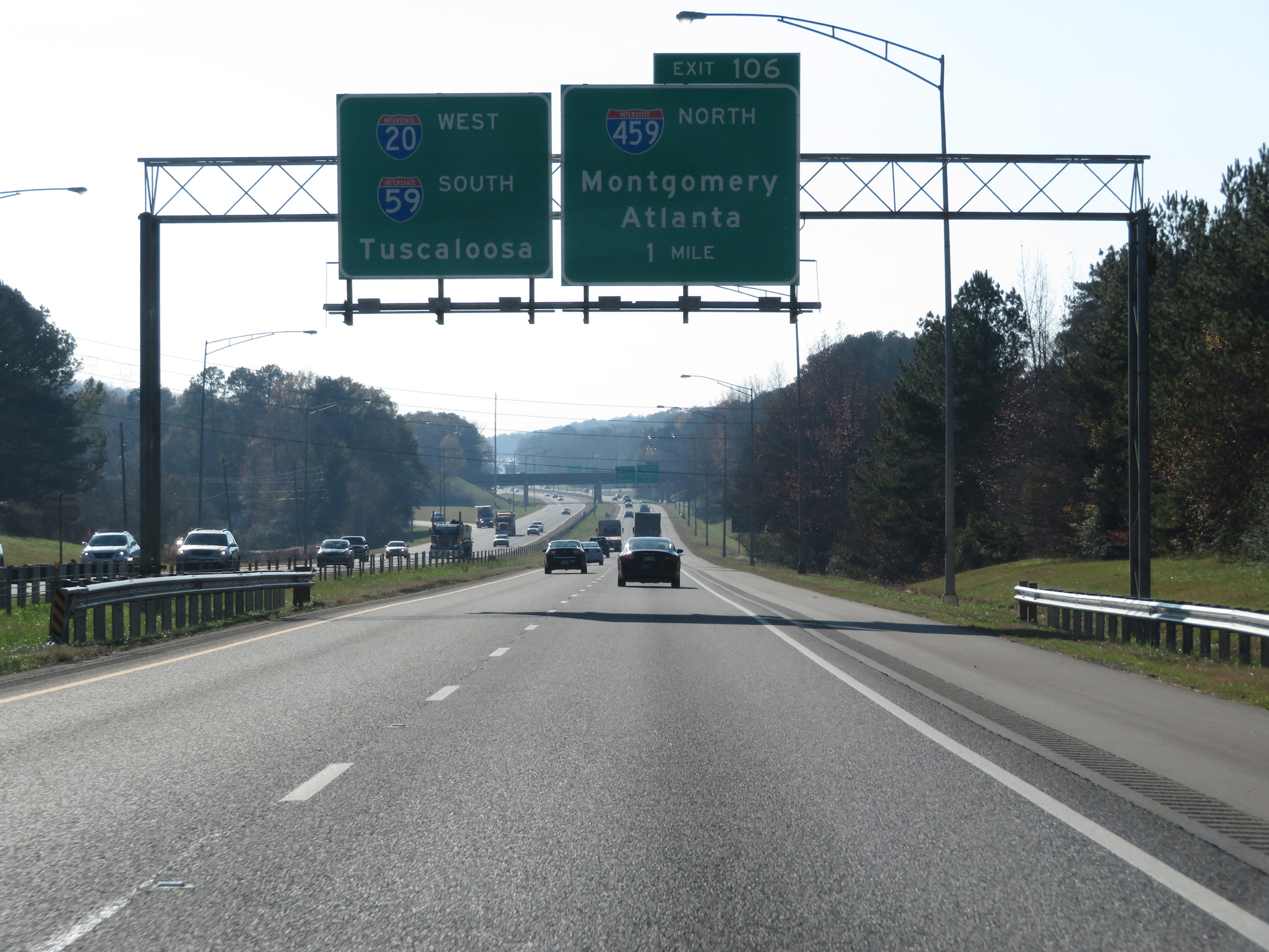
Interstate 59 South / Interstate 20 West at Exit 106: Interstate 459 North - Montgomery / Atlanta (Photo taken 12/8/20). |
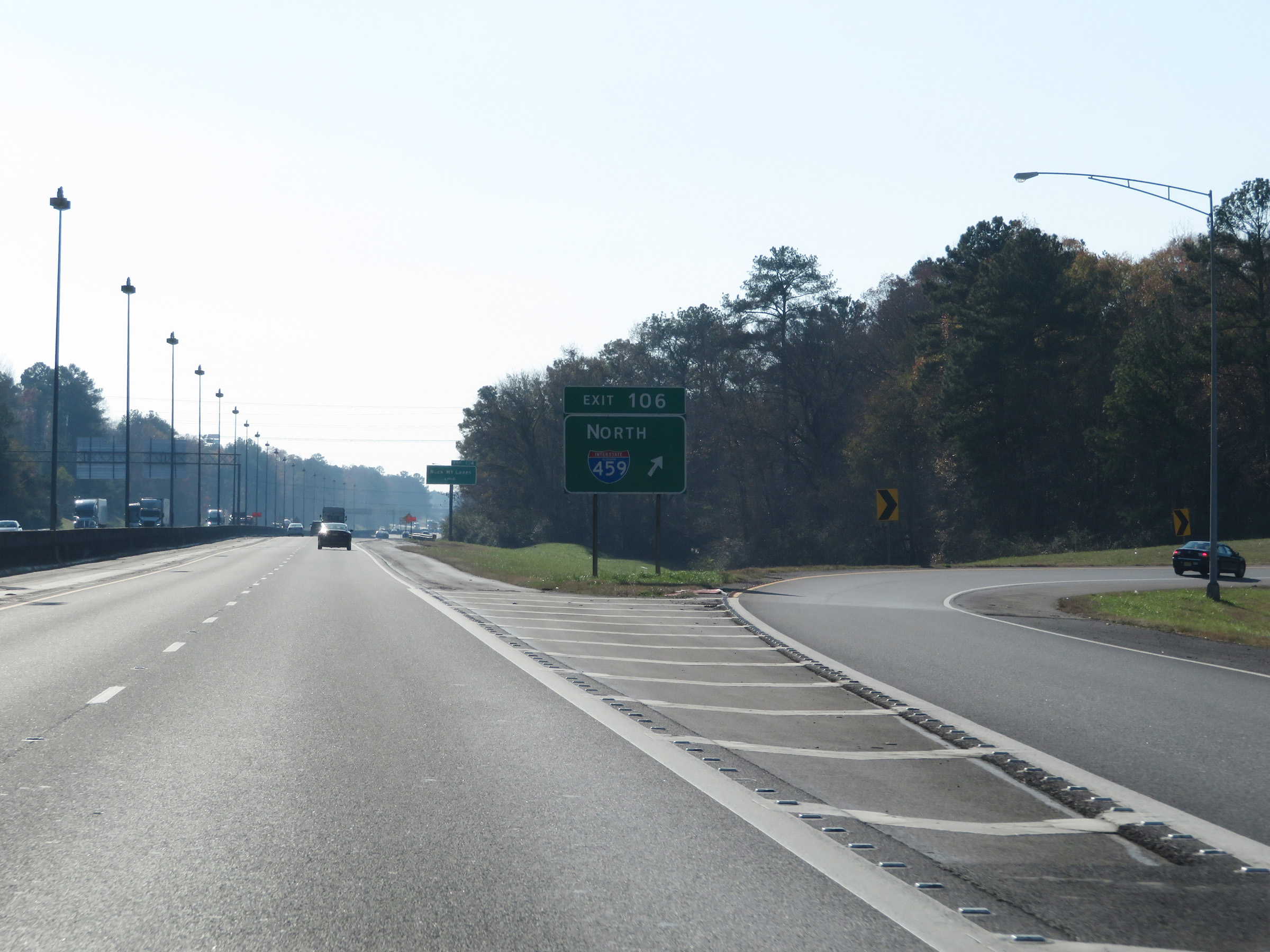 |
A closer view of the ramp to Interstate 459 North from Interstate 59 South / Interstate 20 West via Exit 106. (Photo taken 12/8/20). |
 |
Take Exit 104 to McCalla. (Photo taken 12/8/20). |
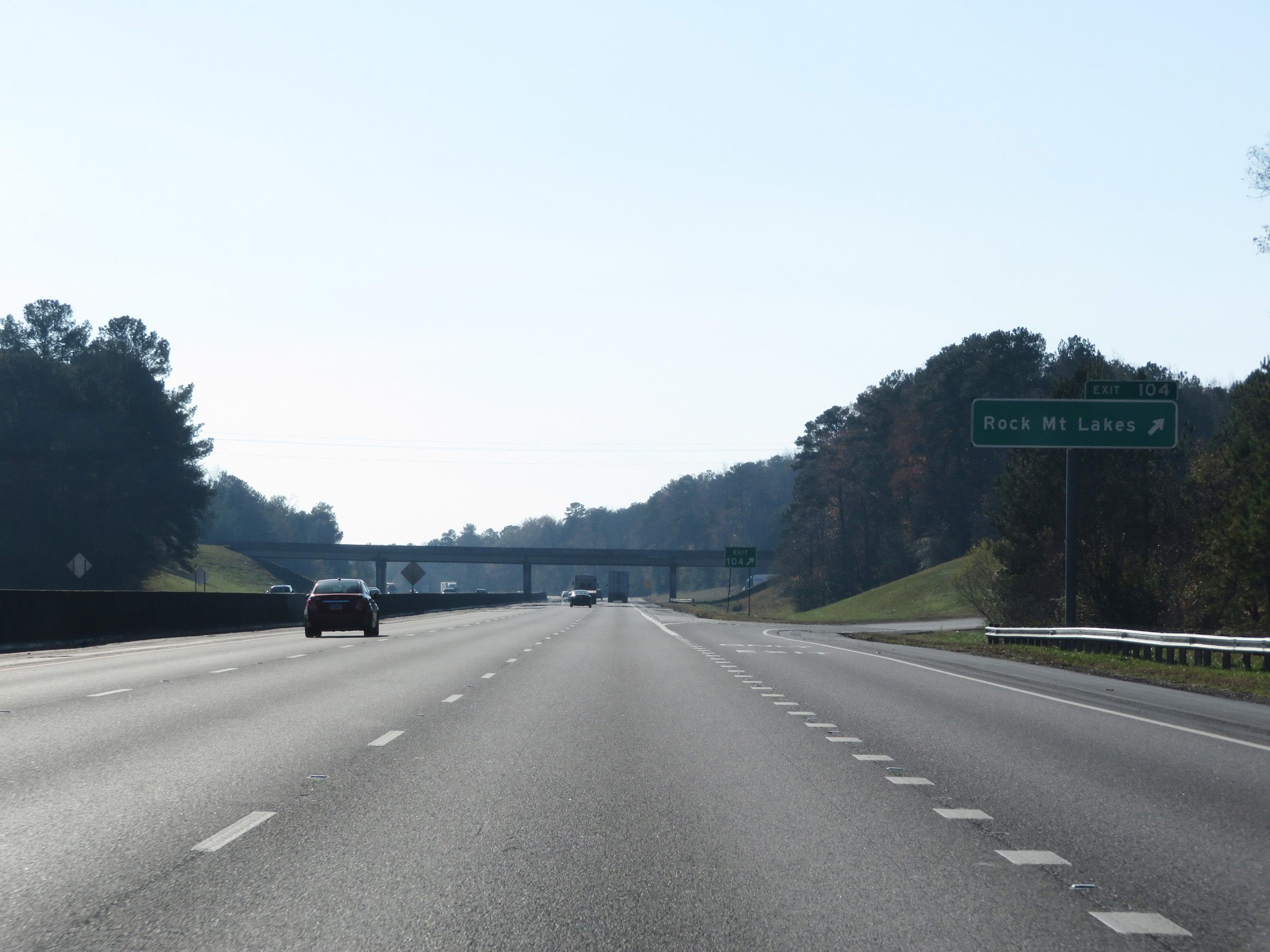 |
Interstate 59 South / Interstate 20 West at Exit 104: Rock Mountain Lakes (Photo taken 12/8/20). |
 |
View on Interstate 59 South / Interstate 20 West at mile marker 102. The duplex maintains three lanes between Bessemer and Tuscaloosa. (Photo taken 12/8/20). |
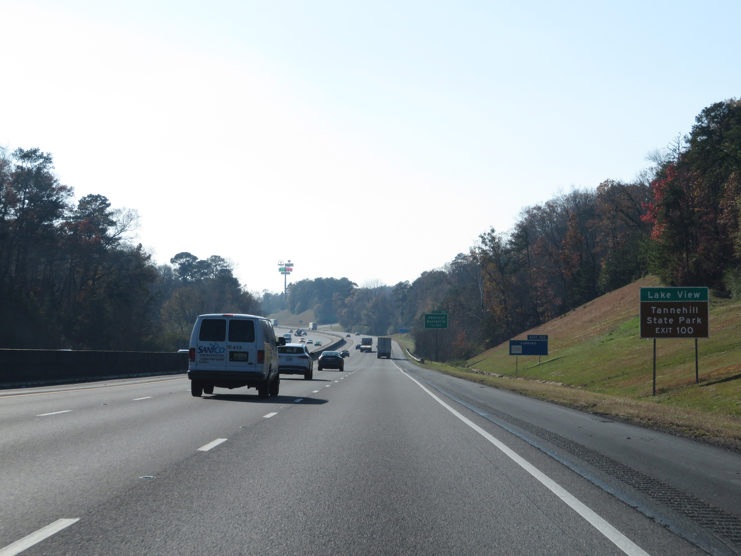 |
Take Exit 100 to Lake View and Tannehill State Park. (Photo taken 12/8/20). |
 |
Interstate 59 South as it enters Tuscaloosa County. (Photo taken 12/8/20). |
 |
Interstate 59 South / Interstate 20 West at Exit 100: Abernant / Bucksville (Photo taken 12/8/20). |
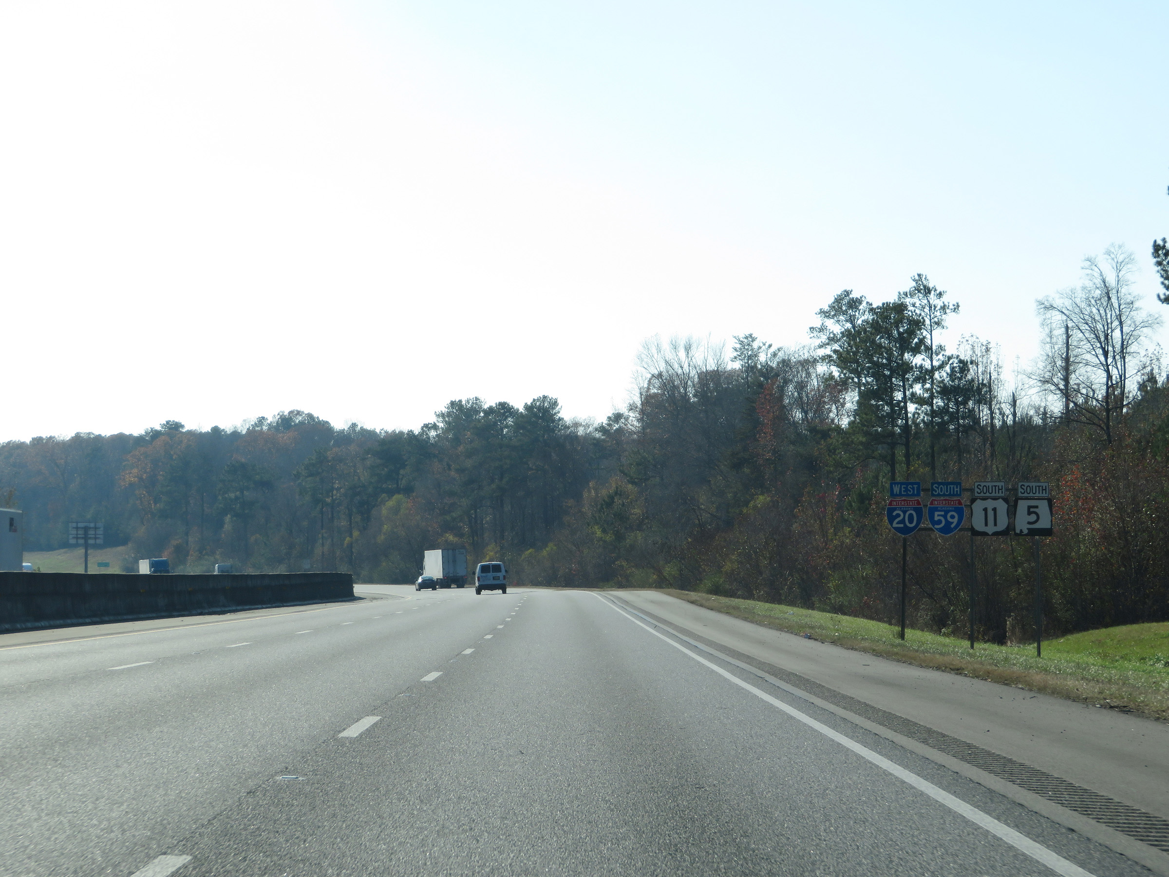 |
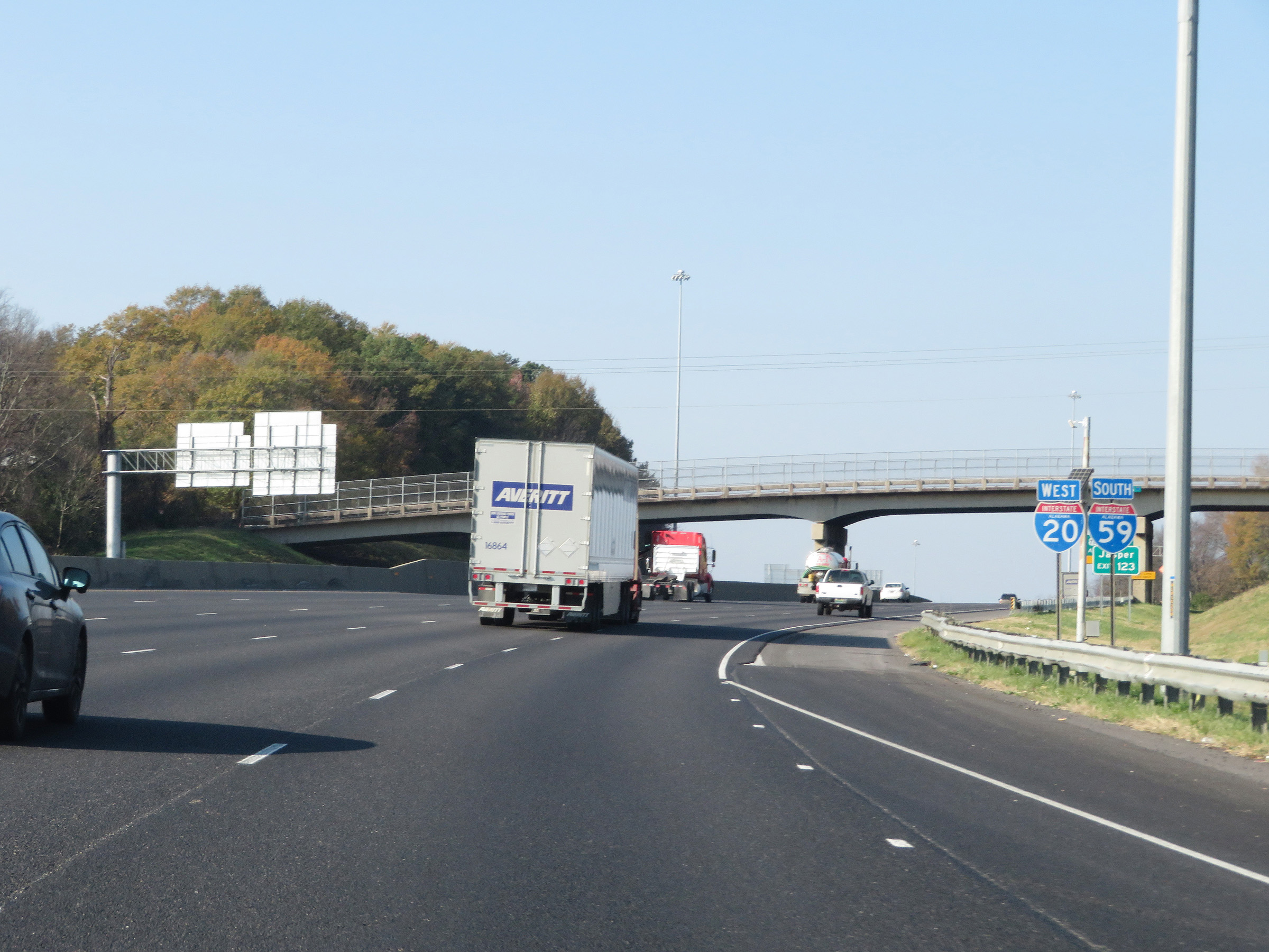
State-named Interstate 59 South / Interstate 20 West reassurance shields along with US 11 South / AL 5 South reassurance markers. (Photo taken 12/8/20). |
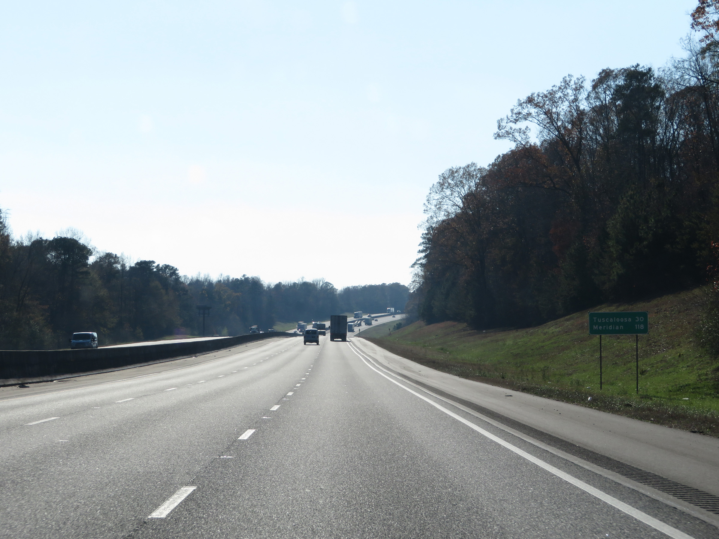 |
Mileage sign on Interstate 59 South / Interstate 20 West. It's 30 miles to Tuscaloosa and 118 miles to Meridian. (Photo taken 12/8/20). |
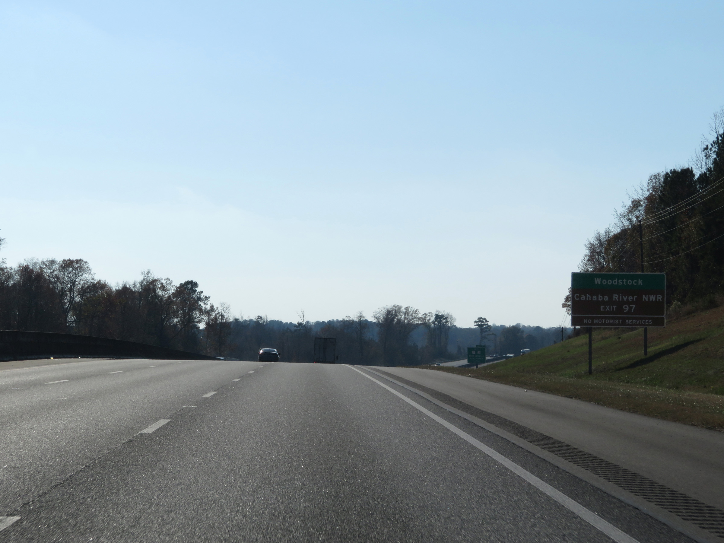 |
Take Exit 97 to Woodstock and Cahaba River National Wildlife Refuge. (Photo taken 12/8/20). |
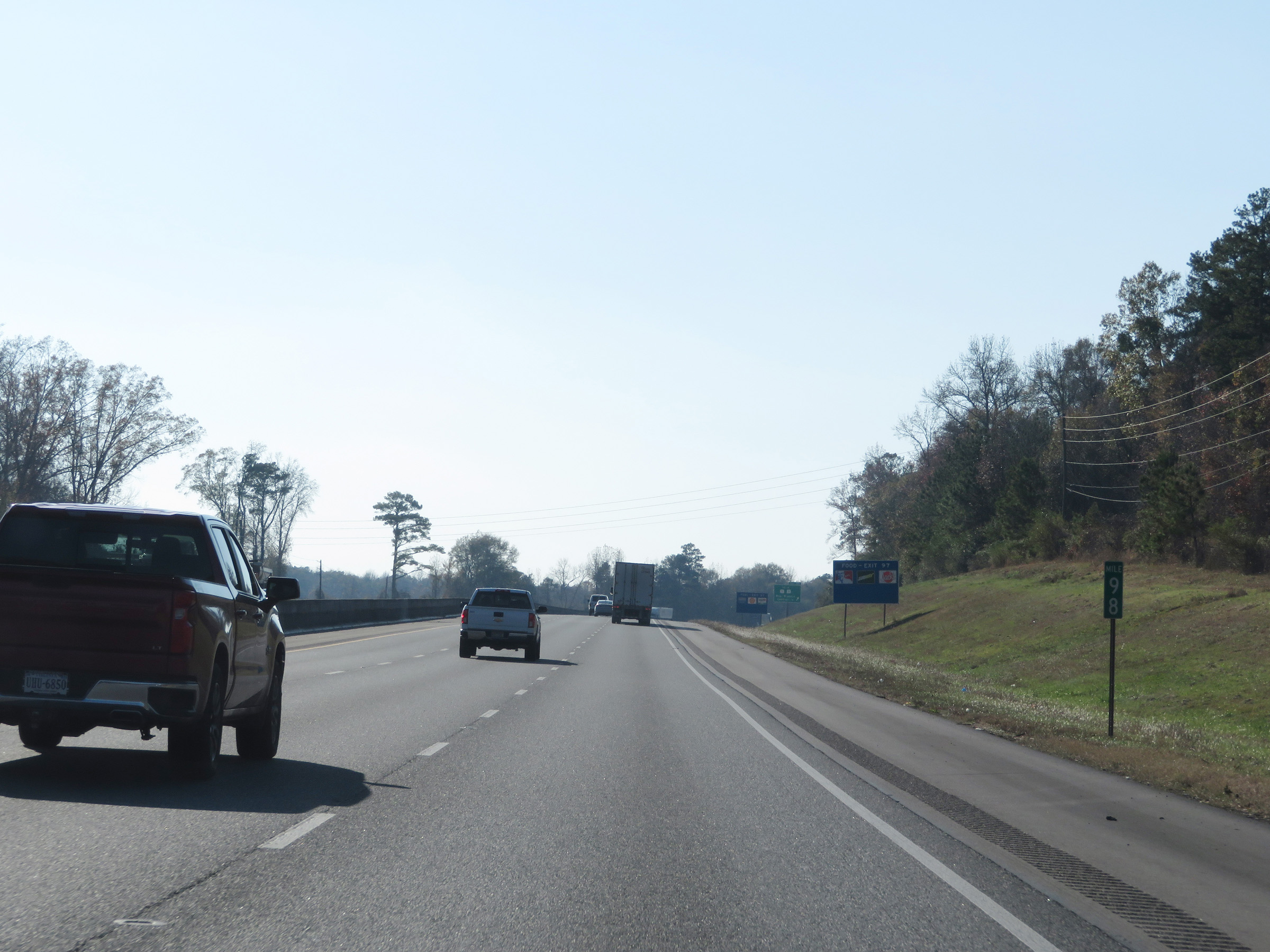 |
View on Interstate 59 South / Interstate 20 West at mile marker 98. (Photo taken 12/8/20). |
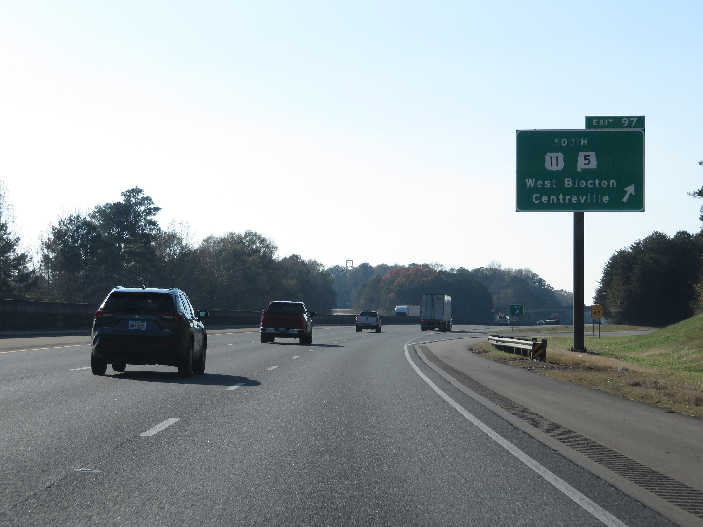 |
Interstate 59 South / Interstate 20 West at Exit 97: US 11 South / AL 5 South - West Blocton / Centreville (Photo taken 12/8/20). |
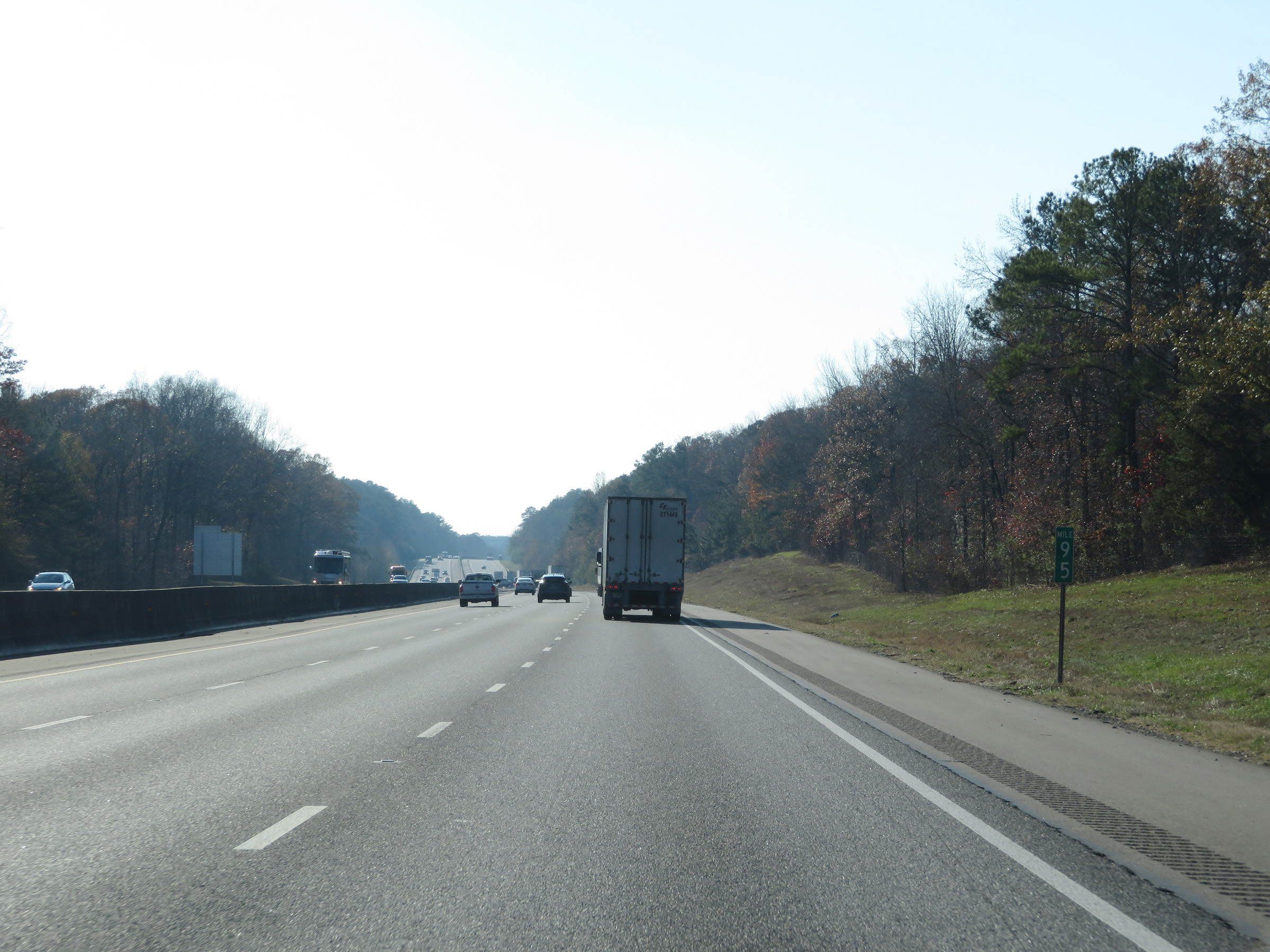 |
Interstate 59 South / Interstate 20 West at mile marker 95. (Photo taken 12/8/20). |
 |
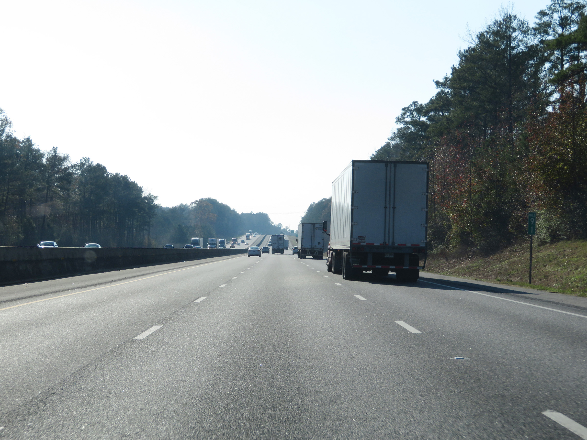
Mile marker 93 on Interstate 59 South / Interstate 20 West in Tuscaloosa County. (Photo taken 12/8/20). |
 |
View on Interstate 59 South / Interstate 20 West at mile marker 91. (Photo taken 12/8/20). |
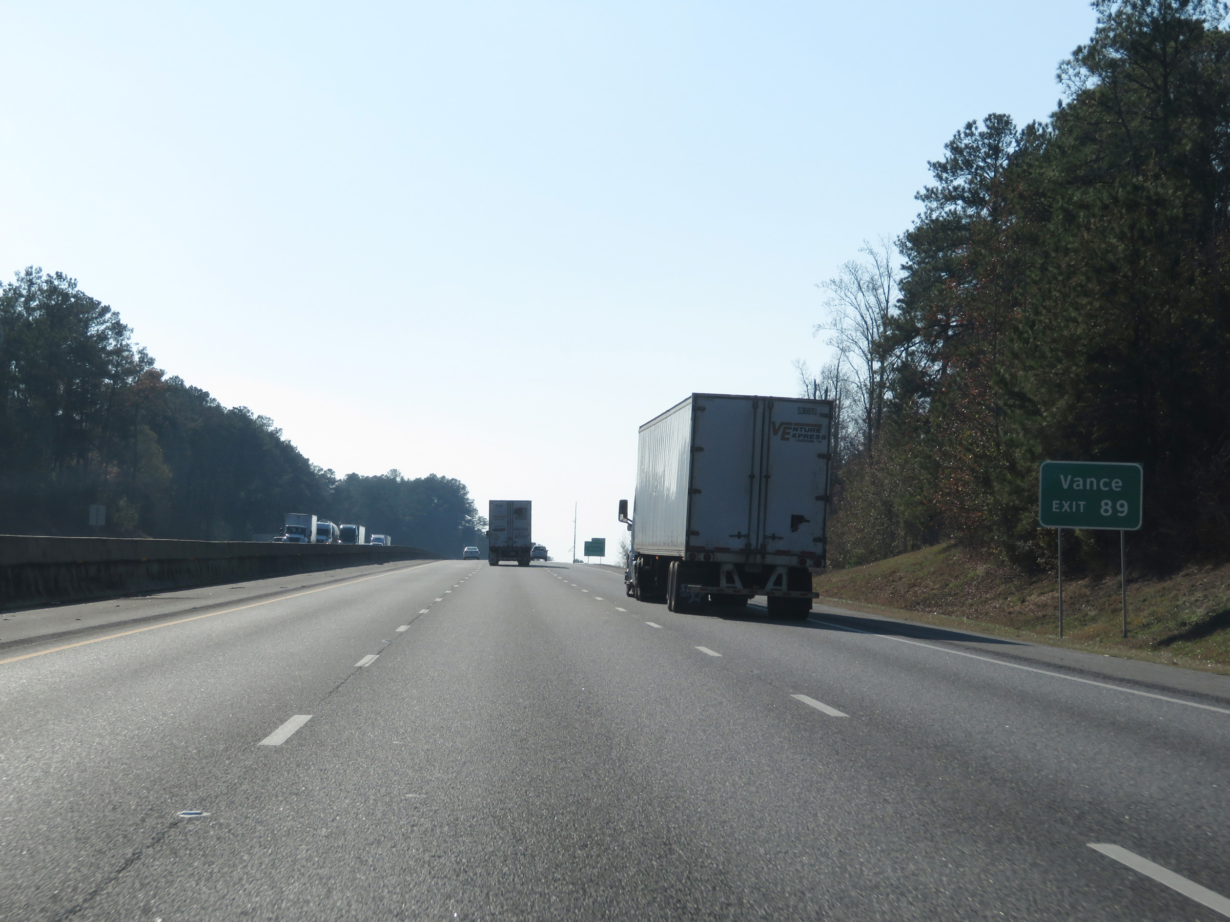 |
Take Exit 89 to Vance. (Photo taken 12/8/20). |
 |
Interstate 59 South / Interstate 20 West at Exit 89: Mercedes Drive (Photo taken 12/8/20). |
 |
View on Interstate 59 South / Interstate 20 West at mile marker 88. (Photo taken 12/8/20). |
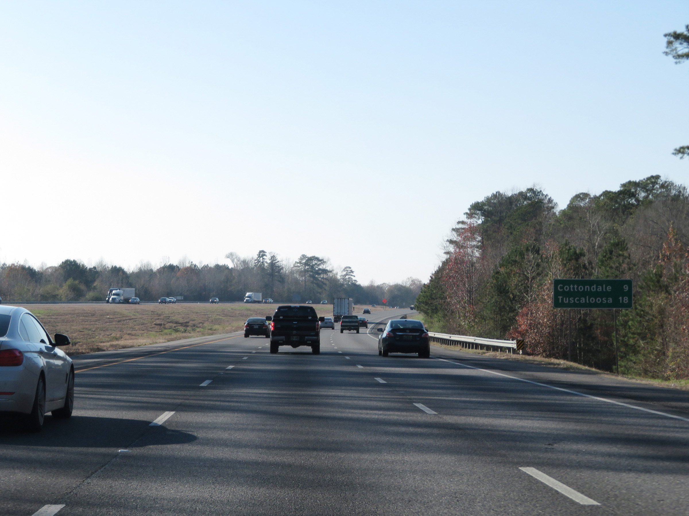 |
Mileage sign on Interstate 59 South / Interstate 20 West. It's 9 miles to Cottondale and 18 miles to Tuscaloosa. (Photo taken 12/8/20). |
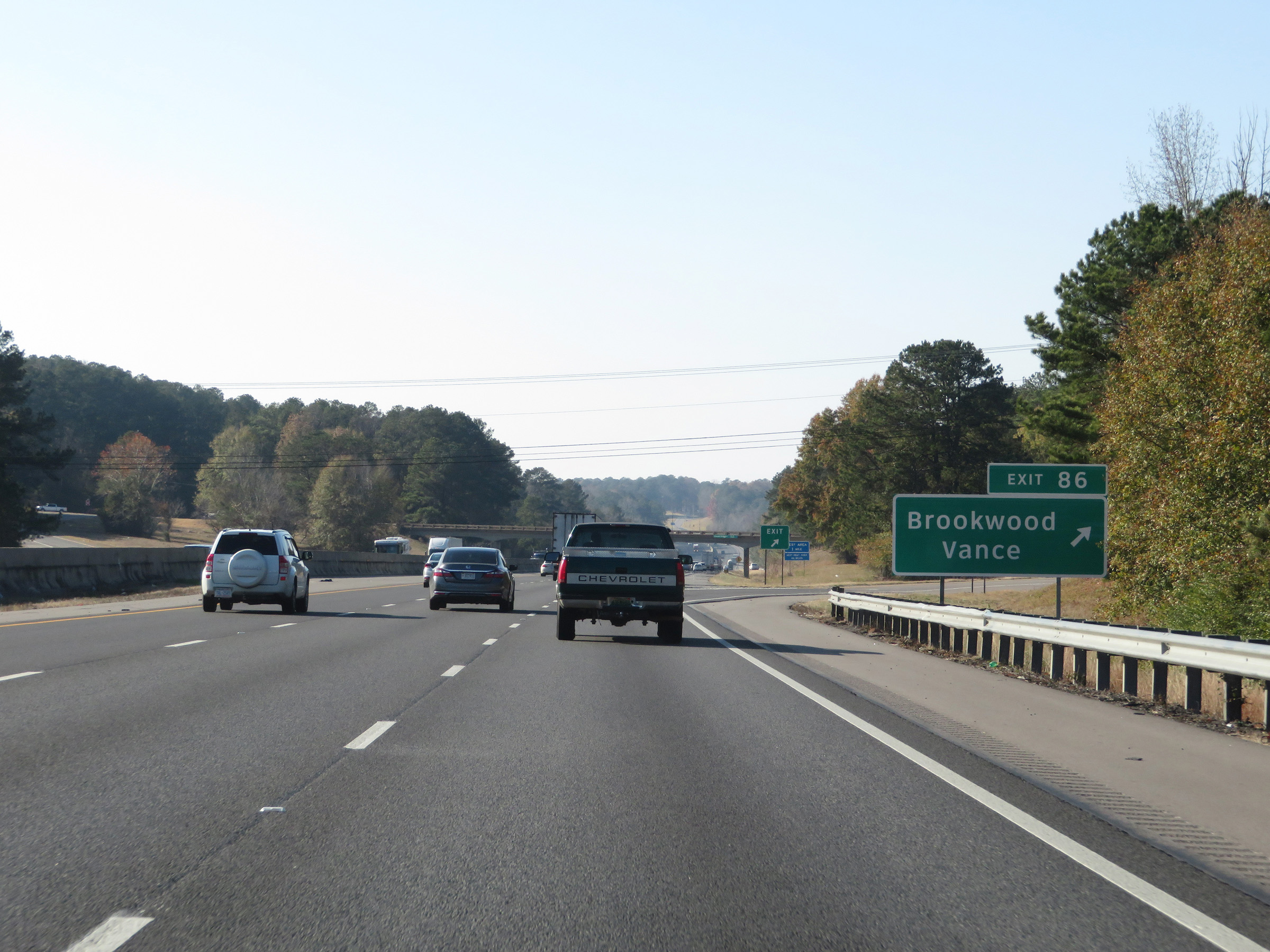 |
Interstate 59 South / Interstate 20 West at Exit 86: Brookwood / Vance (Photo taken 12/8/20). |
 |
Another set of state-named Interstate 59 South / Interstate 20 West reassurance shields. (Photo taken 12/8/20). |
 |
Rest Area on Interstate 59 South / Interstate 20 West in Tuscaloosa County. (Photo taken 12/8/20). |
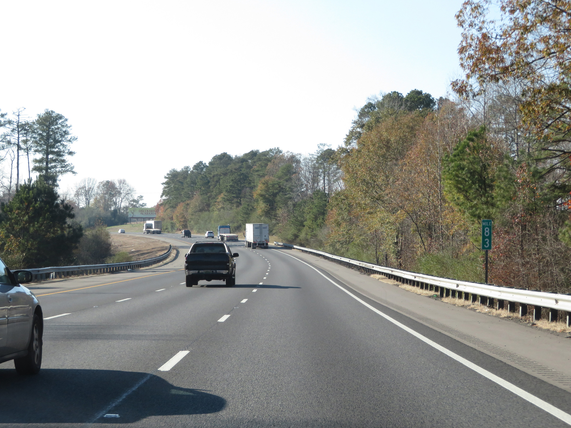 |
View on Interstate 59 South / Interstate 20 West at mile marker 83. (Photo taken 12/8/20). |
 |
Interstate 59 South / Interstate 20 West at mile marker 82. (Photo taken 12/8/20). |
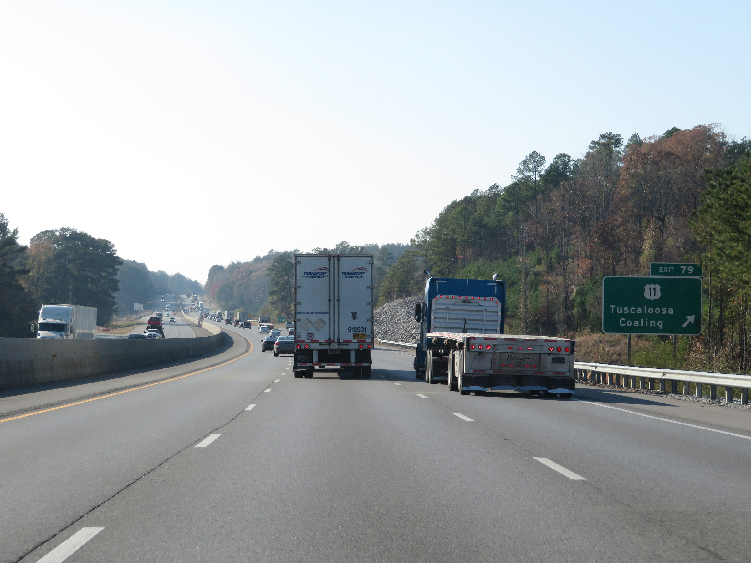 |
Interstate 59 South / Interstate 20 West at Exit 79: US 11 - Tuscaloosa / Coaling (Photo taken 12/8/20). |
Section 4: Tuscaloosa (Exit 79) to Mississippi Border
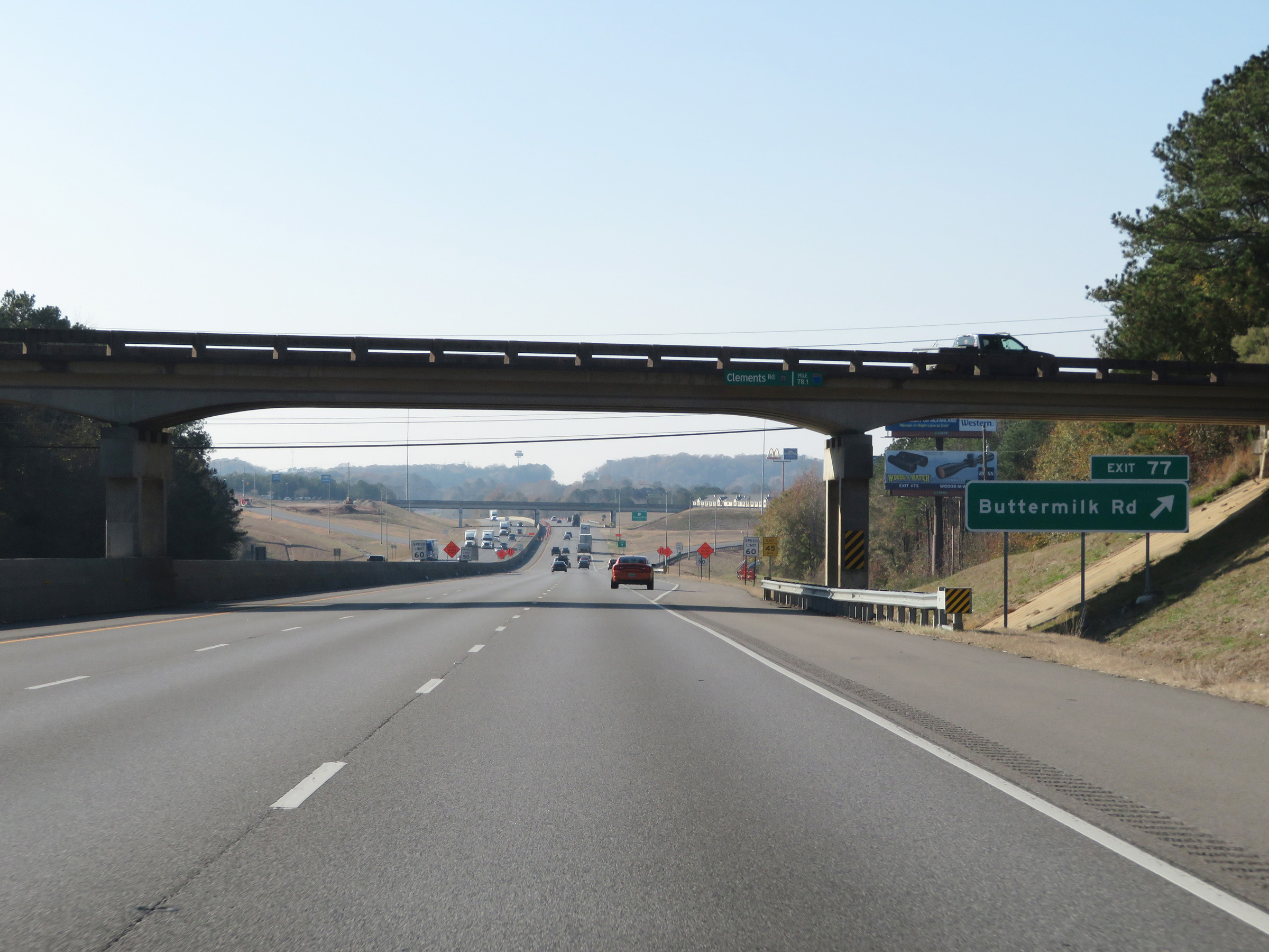 |
Interstate 59 South / Interstate 20 West at Exit 77: Buttermilk Rd (Photo taken 12/8/20). |
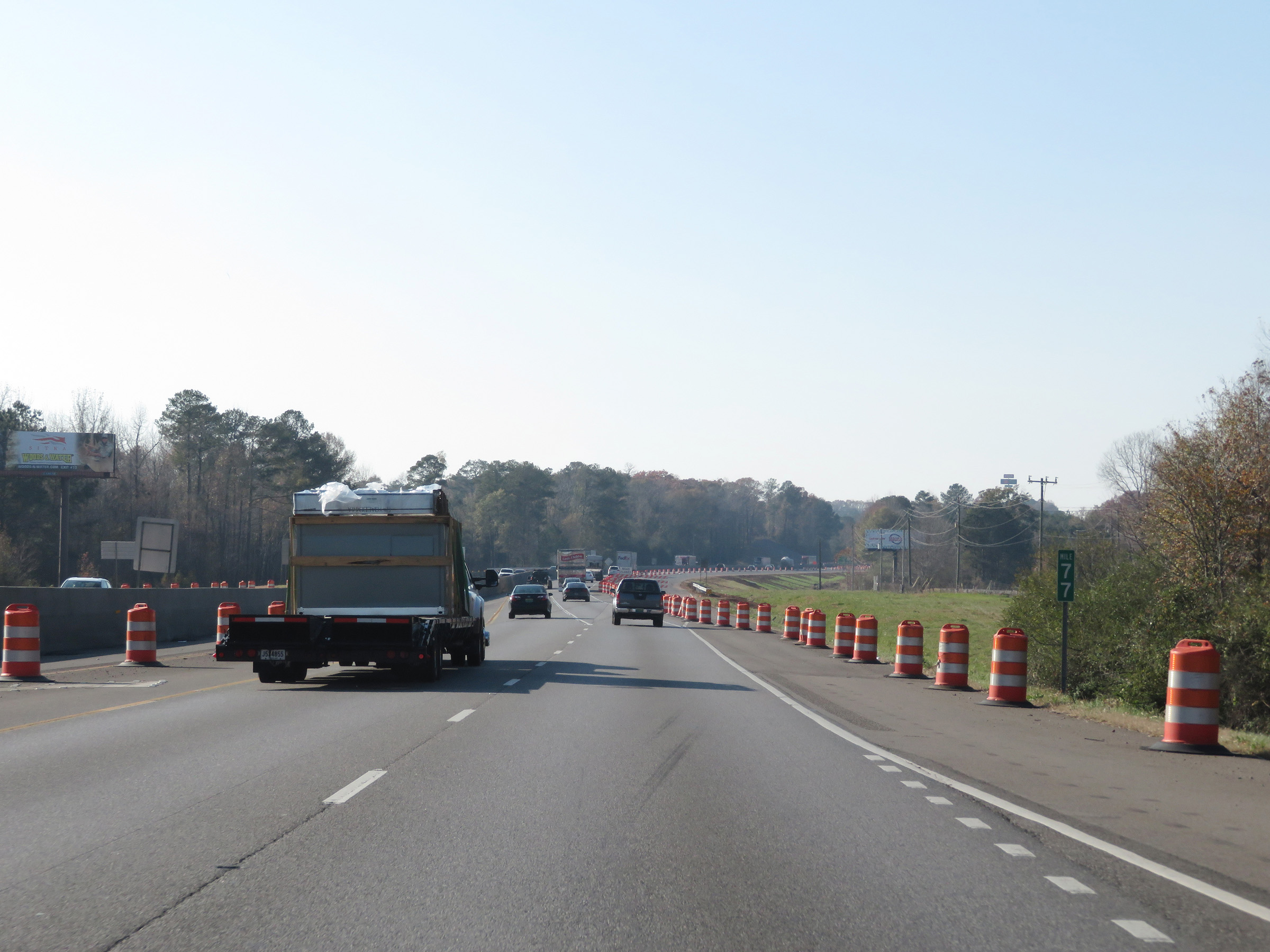 |
View on Interstate 59 South / Interstate 20 West at mile marker 77. (Photo taken 12/8/20). |
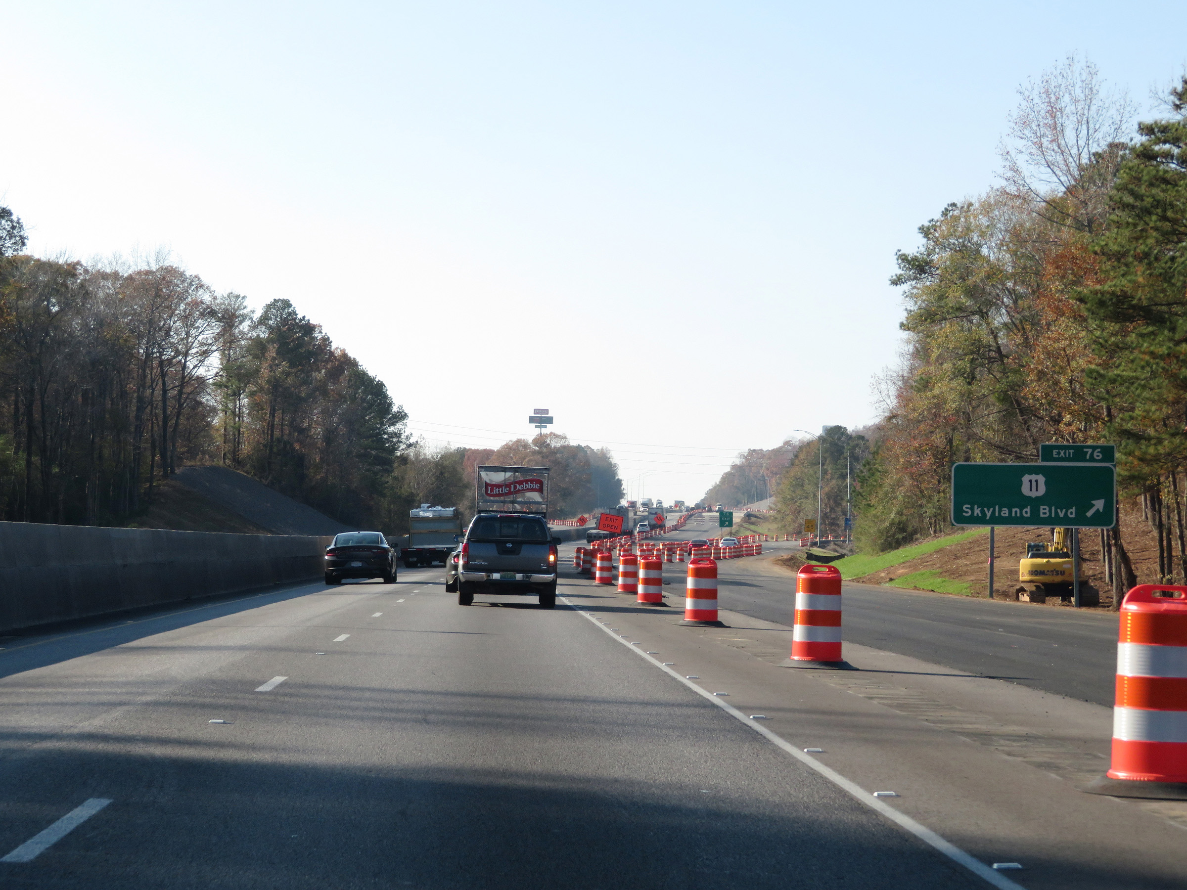 |
Interstate 59 South / Interstate 20 West at Exit 76: US 11 - Skyland Blvd (Photo taken 12/8/20). |
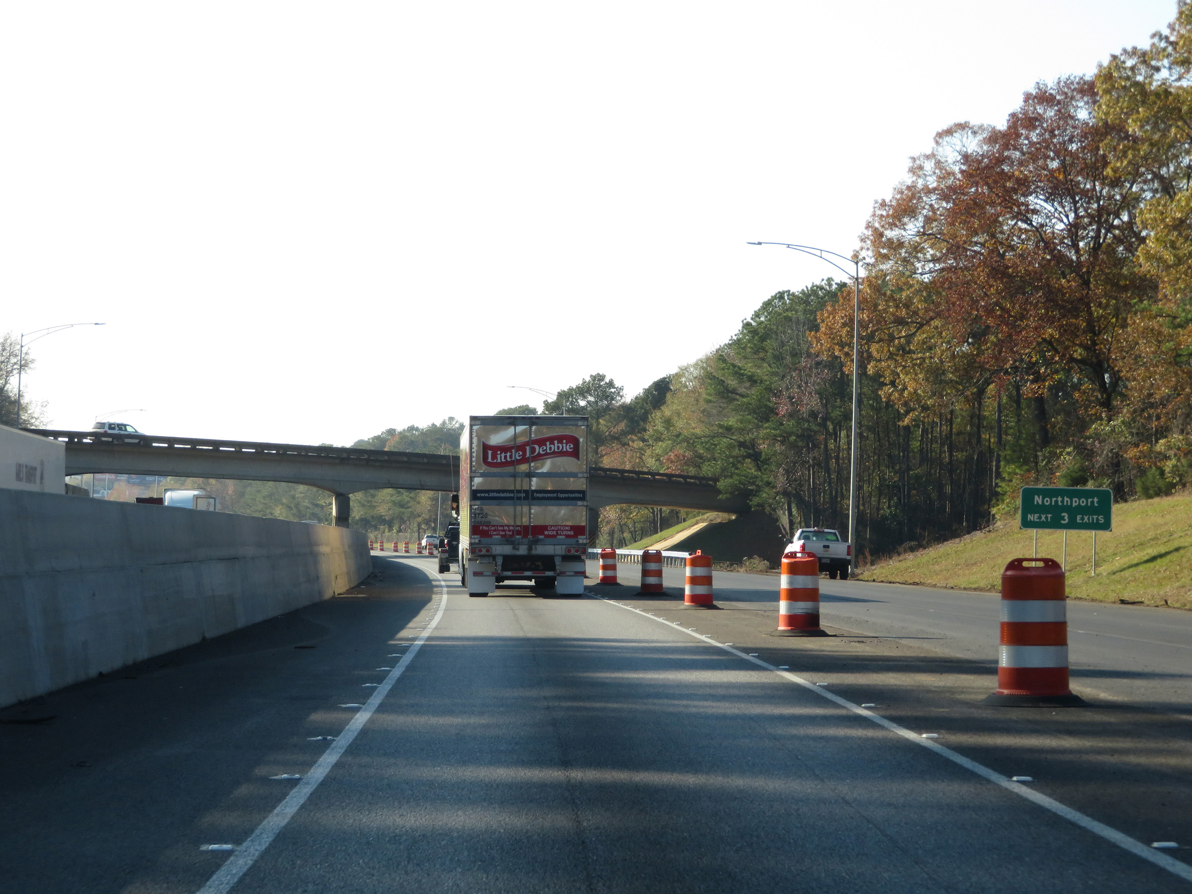 |
Take any of the next 3 exits to Northport. (Photo taken 12/8/20). |
 |
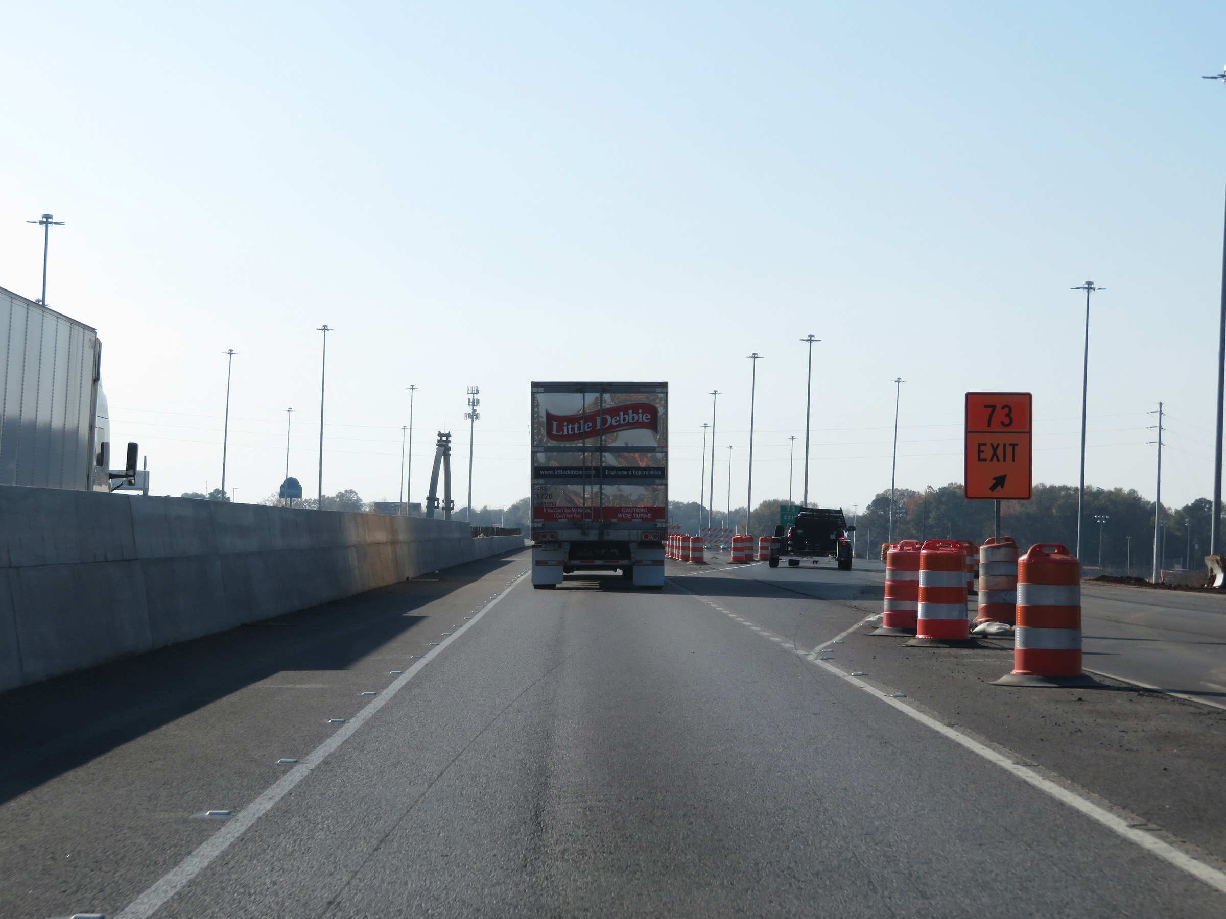
Interstate 59 South / Interstate 20 West approaching Exit 73 - 1/2 mile. (Photo taken 12/8/20). |
 |
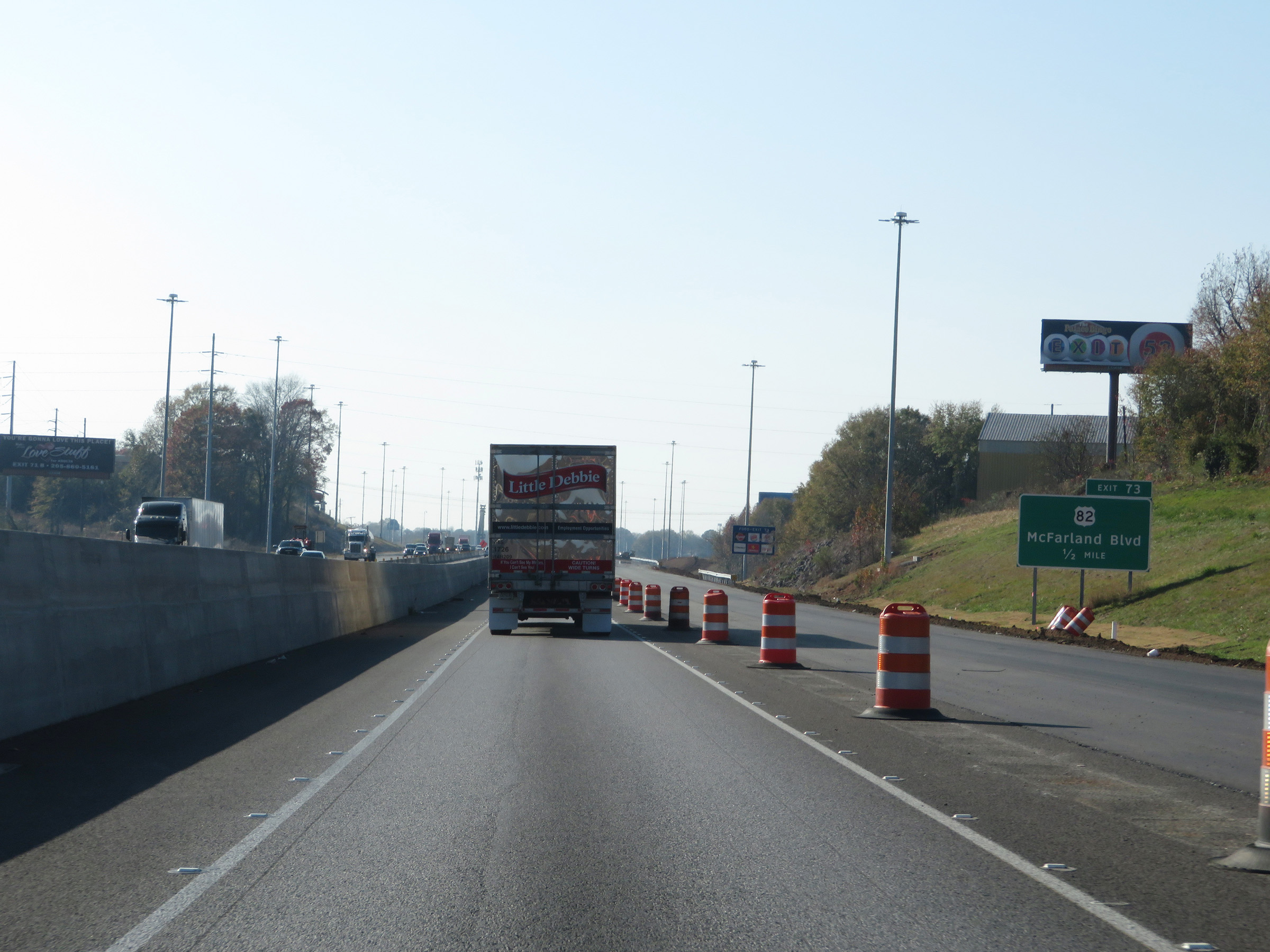
Interstate 59 South / Interstate 20 West at Exit 73: US 82 - McFarland Blvd (Photo taken 12/8/20). |
 |
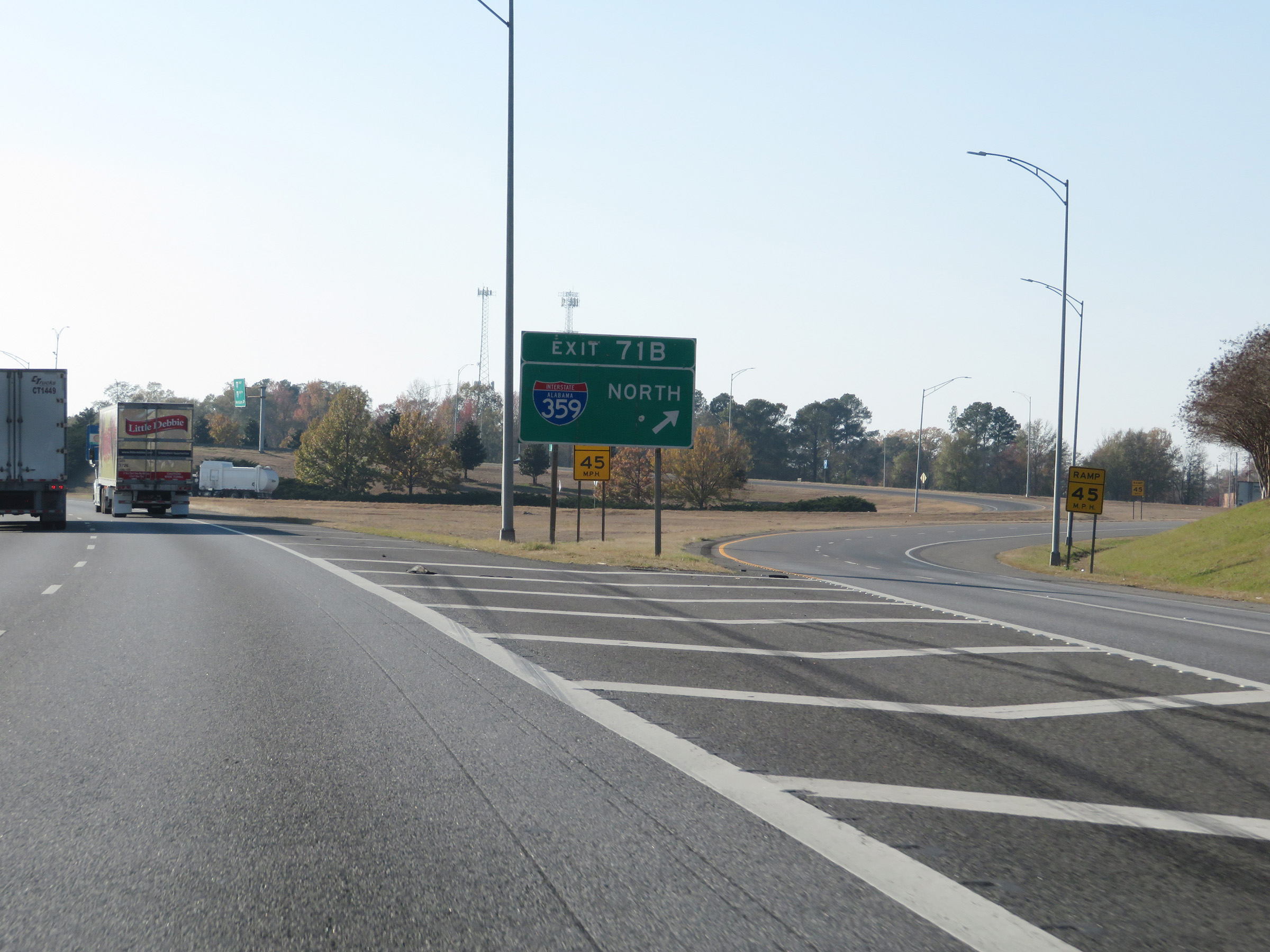
Interstate 59 South / Interstate 20 West approaching Exit 71B - 1 mile. (Photo taken 12/8/20). |
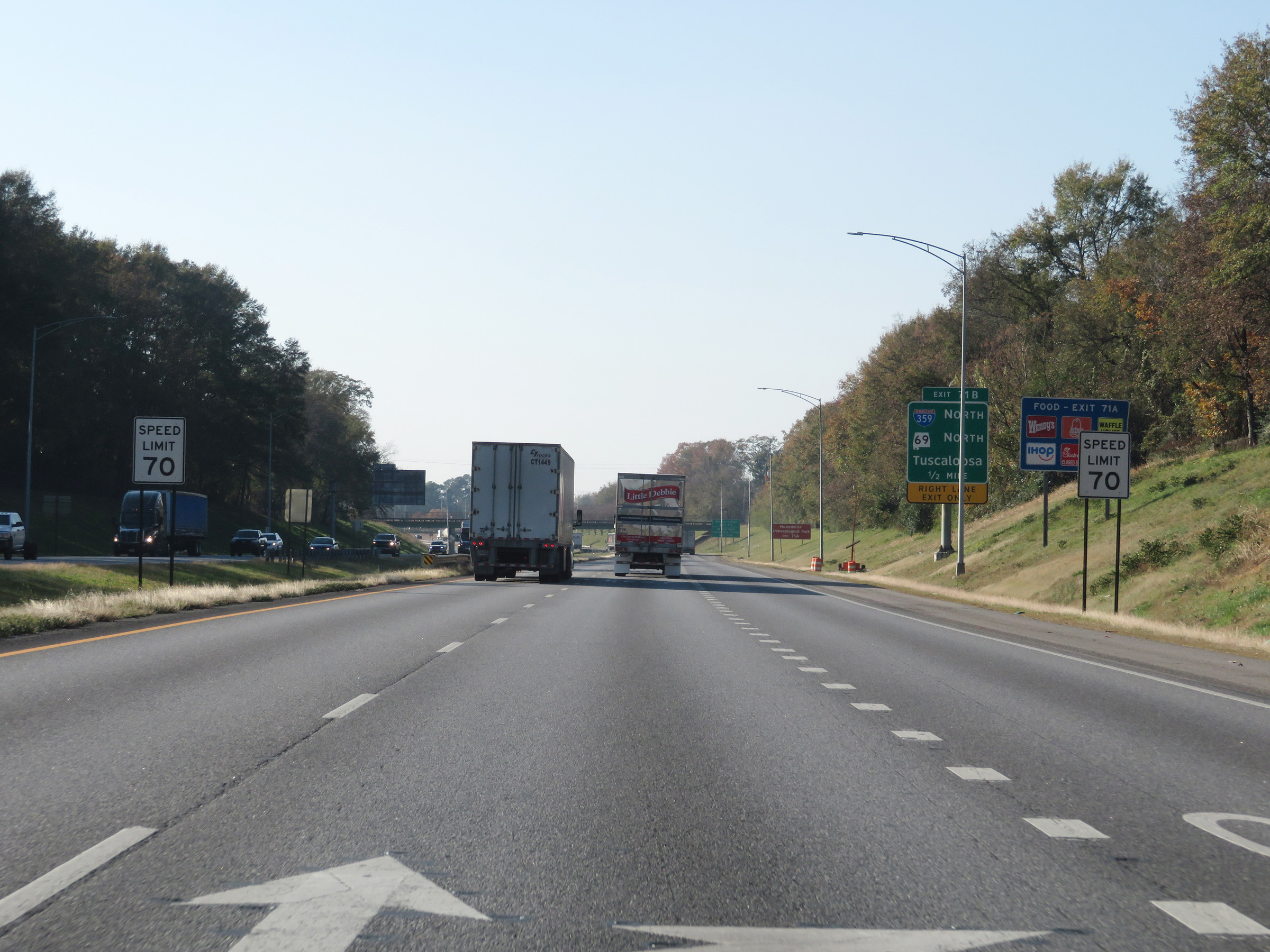 |
The speed limit remains 70 mph through the Tuscaloosa area on Interstate 59 South / Interstate 20 West. (Photo taken 12/8/20). |
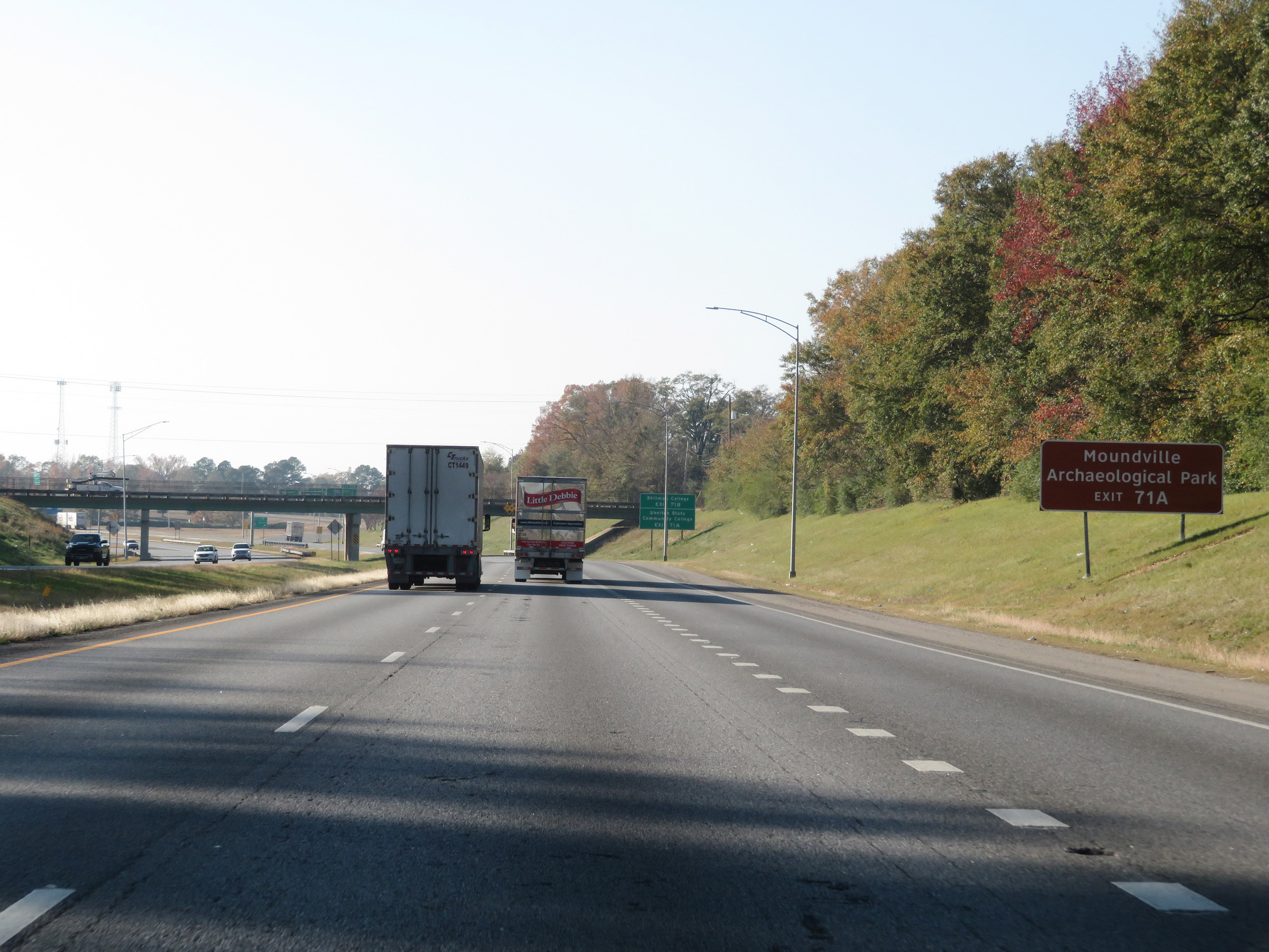 |
Take Exit 71A to Moundville Archaeological Park. (Photo taken 12/8/20). |
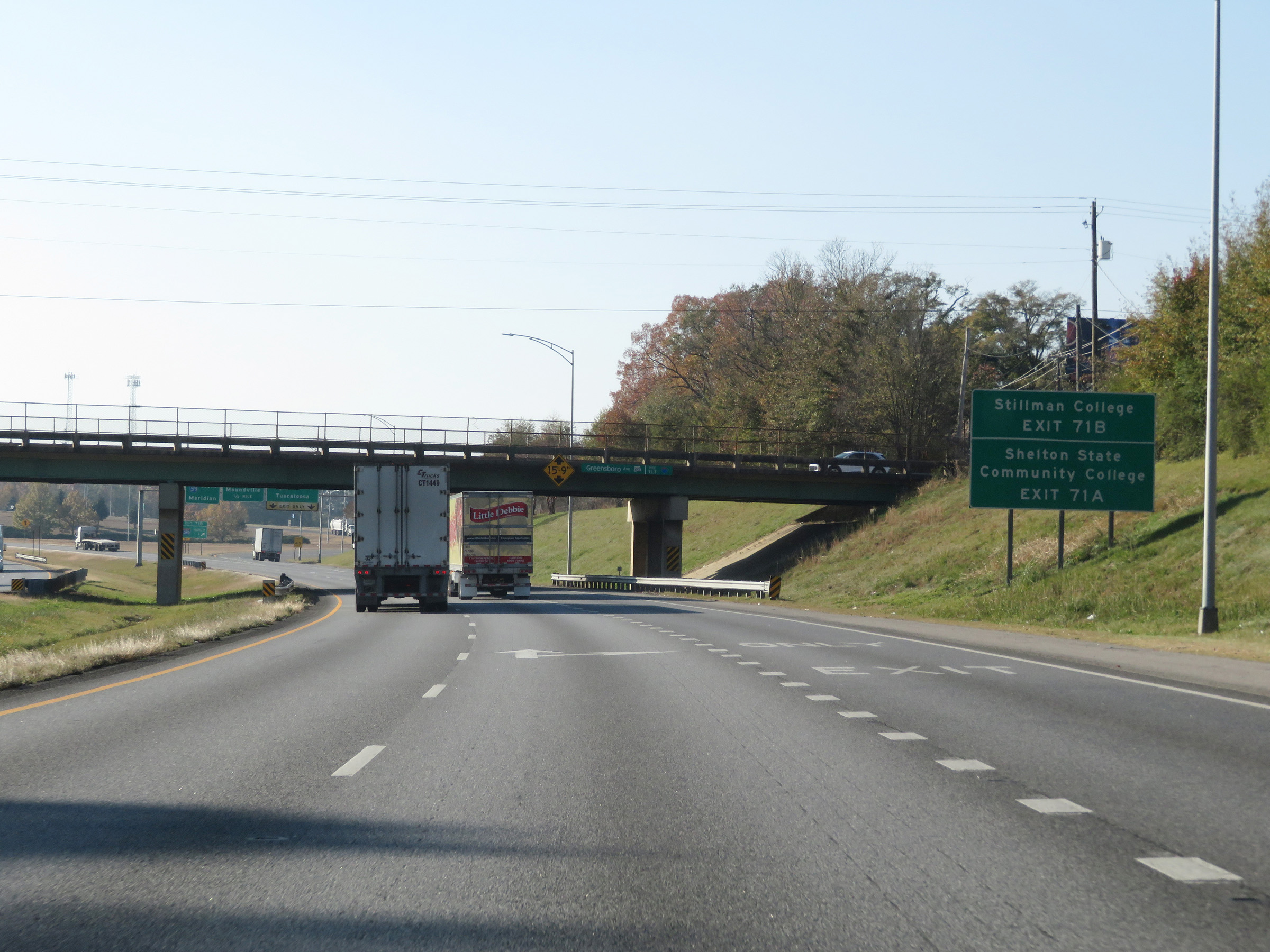 |
Also take Exit 71A to Shelton State Community College. Take Exit 71B (Interstate 359 North) to Stillman College. (Photo taken 12/8/20). |
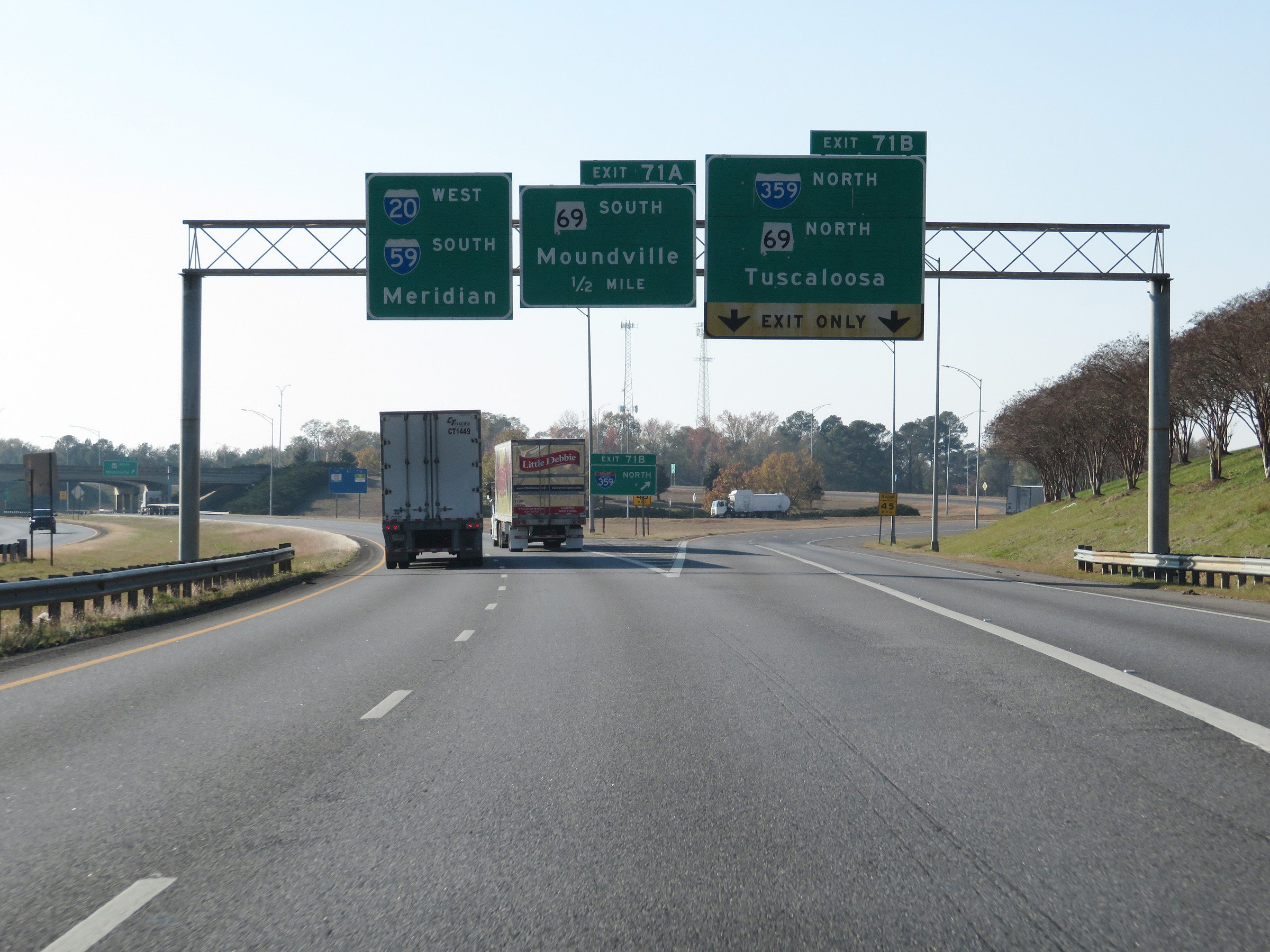 |
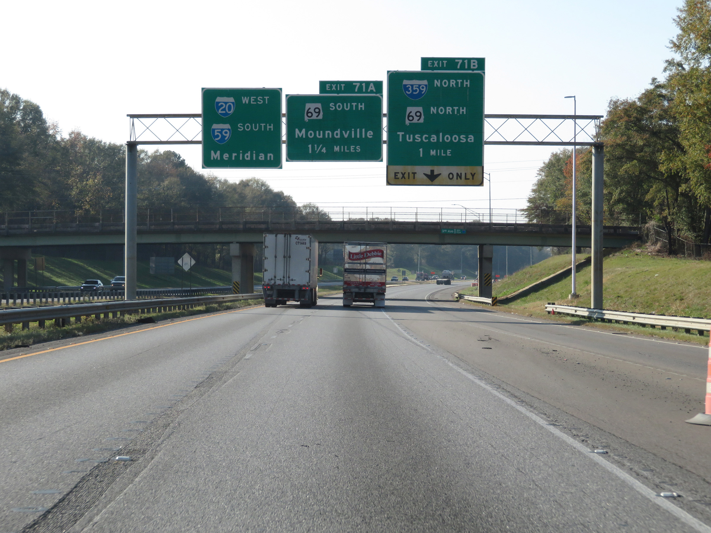
Interstate 59 South / Interstate 20 West at Exit 71B: Interstate 359 North / AL 69 North - Tuscaloosa (Photo taken 12/8/20). |
 |
A closer view of the ramp to Interstate 359 North via Exit 71B. (Photo taken 12/8/20). |
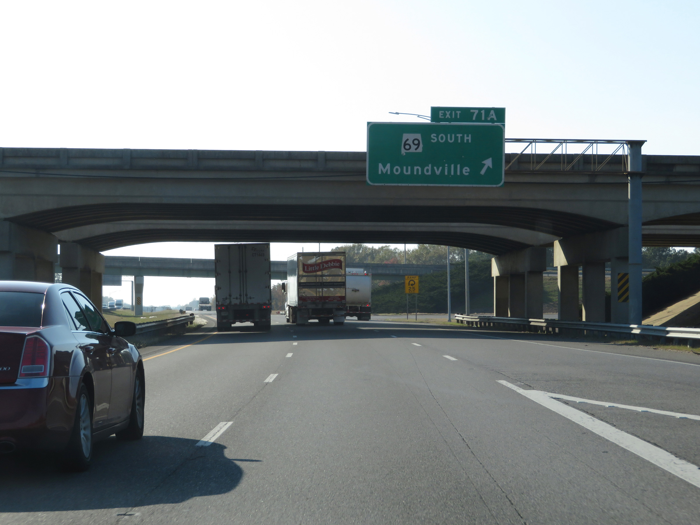 |
Interstate 59 South / Interstate 20 West at Exit 71A: AL 69 South - Moundville (Photo taken 12/8/20). |
 |
View on Interstate 59 South / Interstate 20 West at mile marker 70. (Photo taken 12/8/20). |
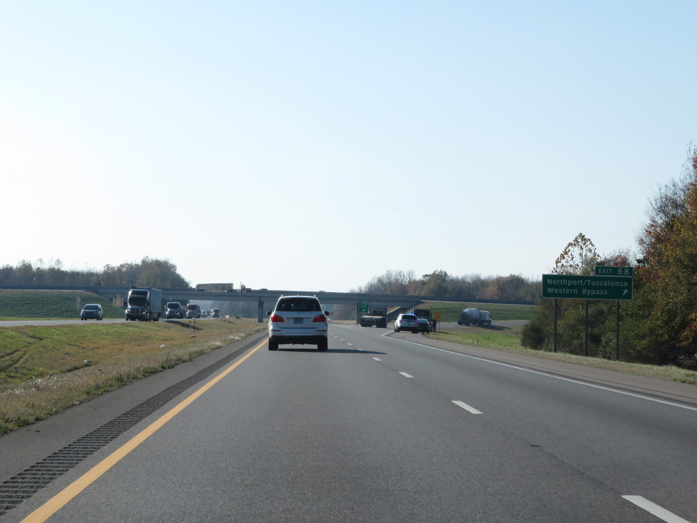 |
Interstate 59 South / Interstate 20 West at Exit 68: Northport/Tuscaloosa Western Bypass (Photo taken 12/8/20). |
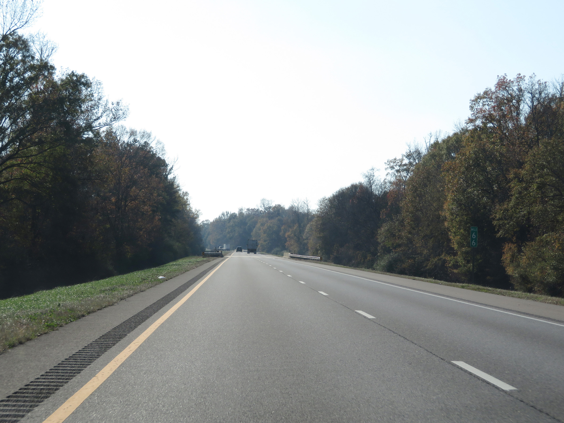 |
Mile marker 66 on Interstate 59 South / Interstate 20 West in Tuscaloosa County. (Photo taken 12/8/20). |
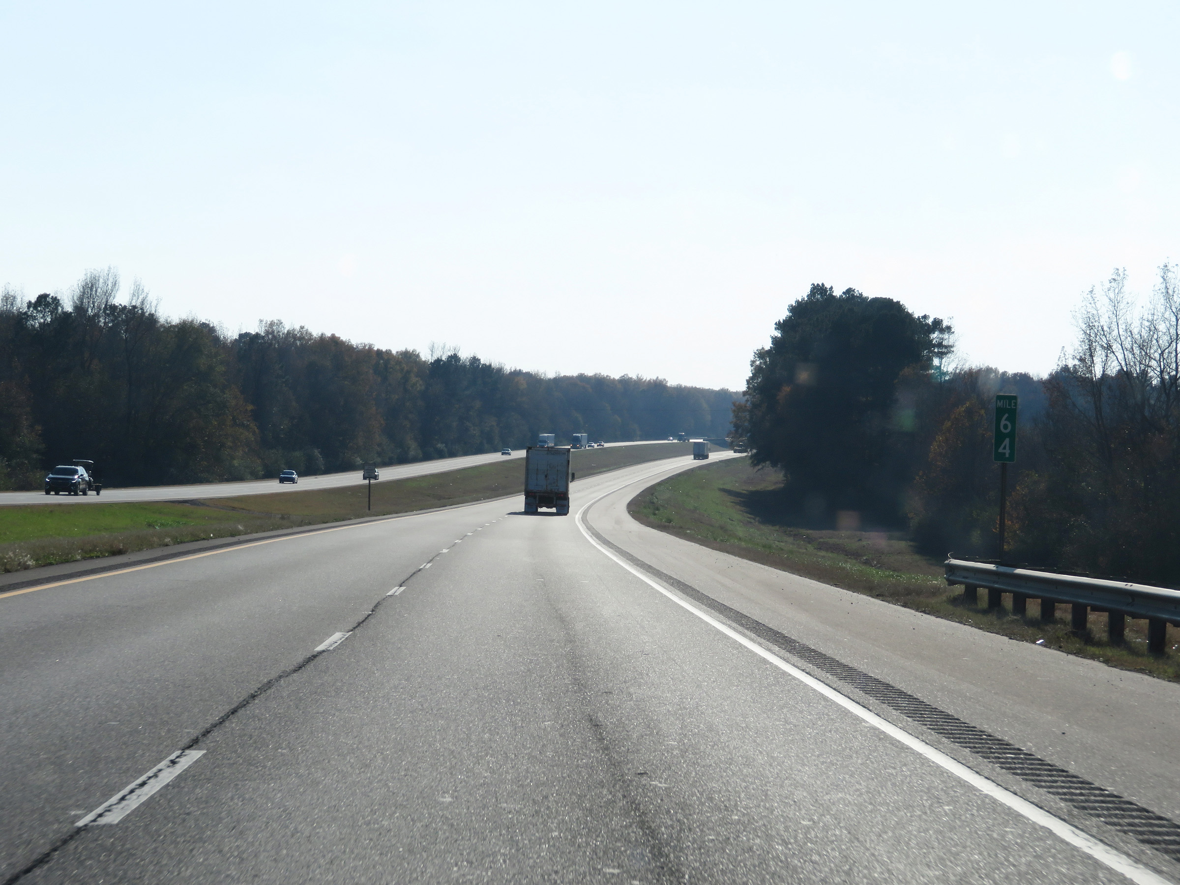 |
View on Interstate 59 South / Interstate 20 West at mile marker 64. (Photo taken 12/8/20). |
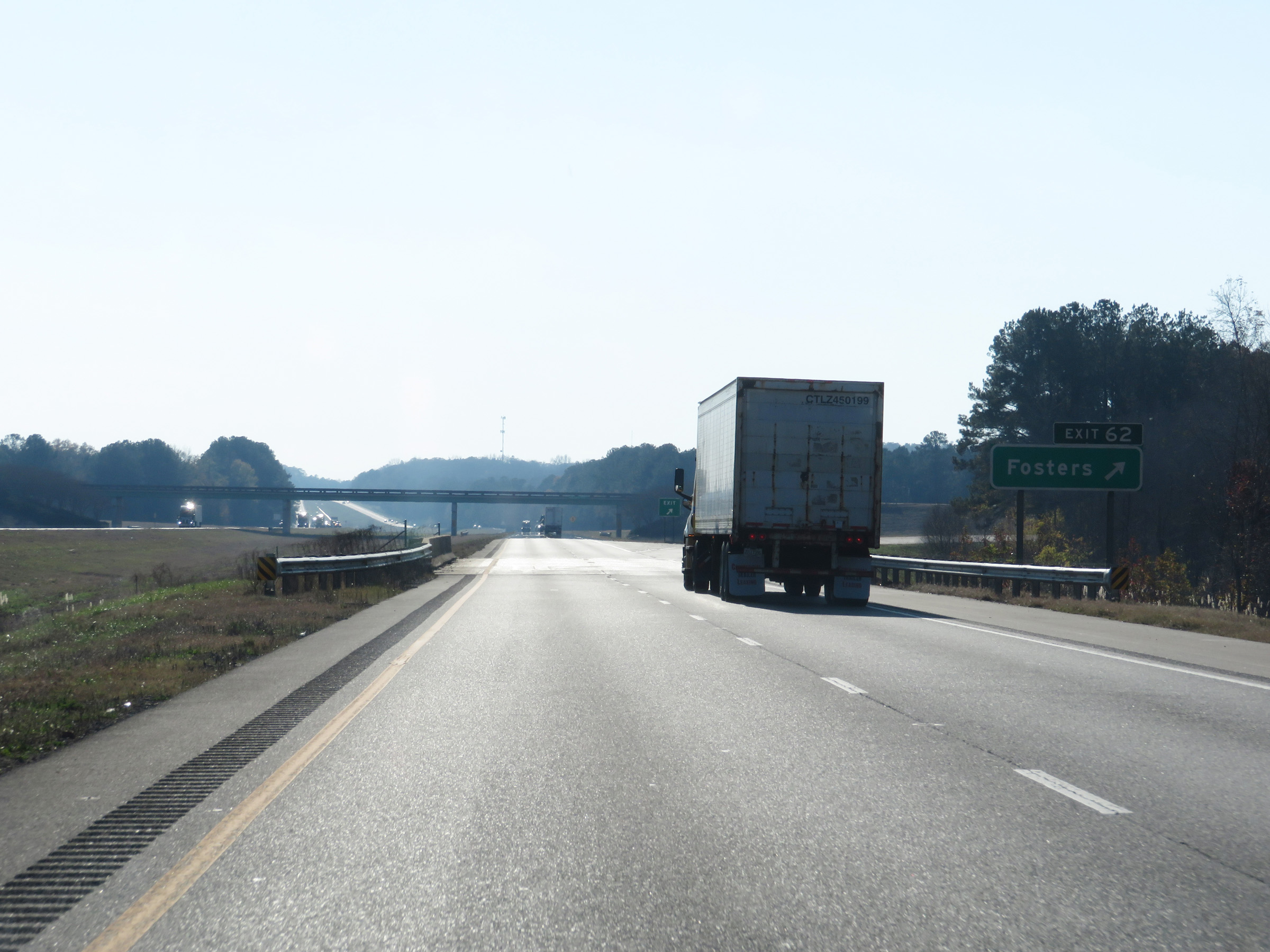 |
Interstate 59 South / Interstate 20 West at Exit 62: Fosters (Photo taken 12/8/20). |
 |
Interstate 59 South / Interstate 20 West at mile marker 59. (Photo taken 12/8/20). |
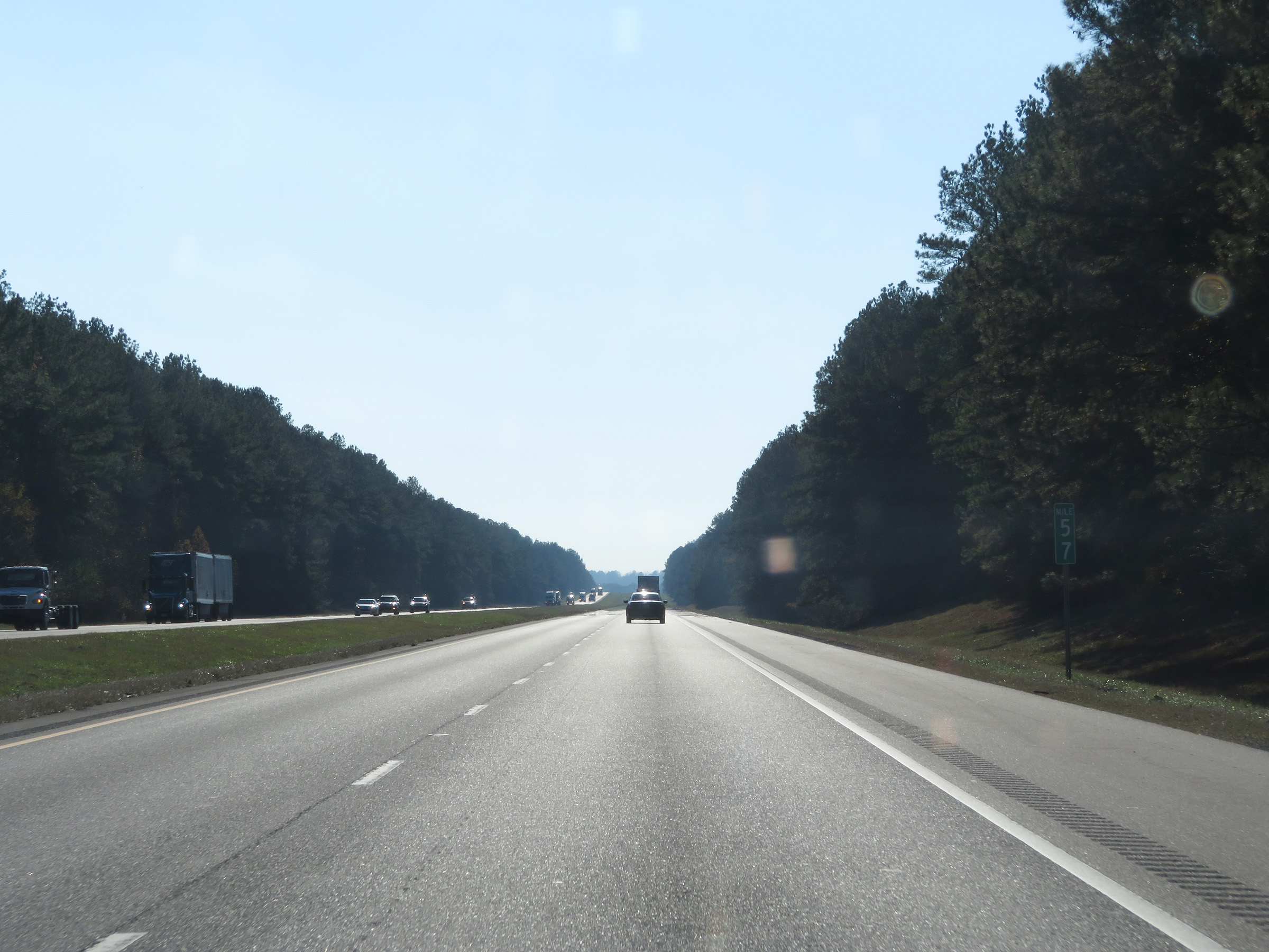 |
View on Interstate 59 South / Interstate 20 West at mile marker 57. (Photo taken 12/8/20). |
 |
Interstate 59 South / Interstate 20 West as they enter Greene County. (Photo taken 12/8/20). |
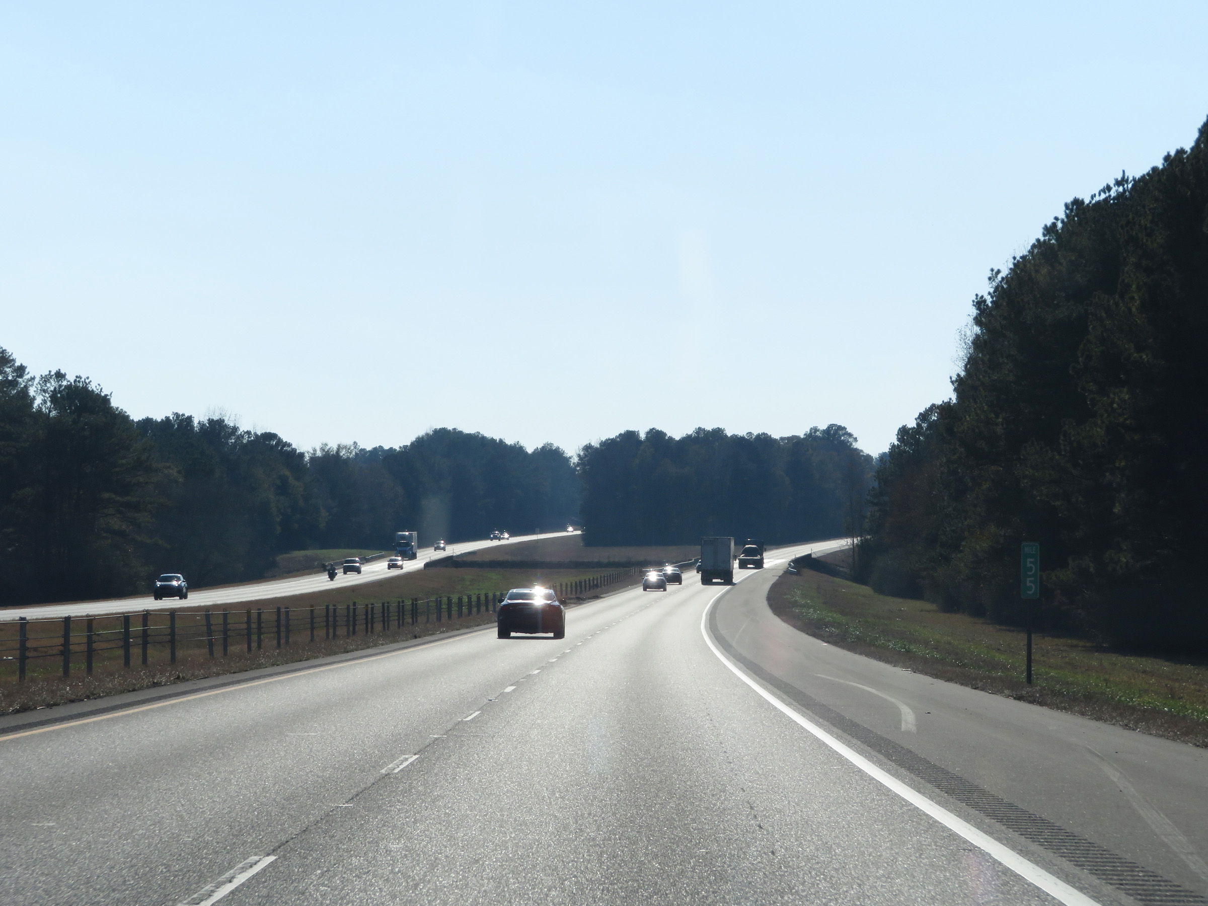 |
Interstate 59 South / Interstate 20 West at mile marker 55. (Photo taken 12/8/20). |
 |
Mile marker 54 on Interstate 59 South / Interstate 20 West in Greene County. (Photo taken 12/8/20). |
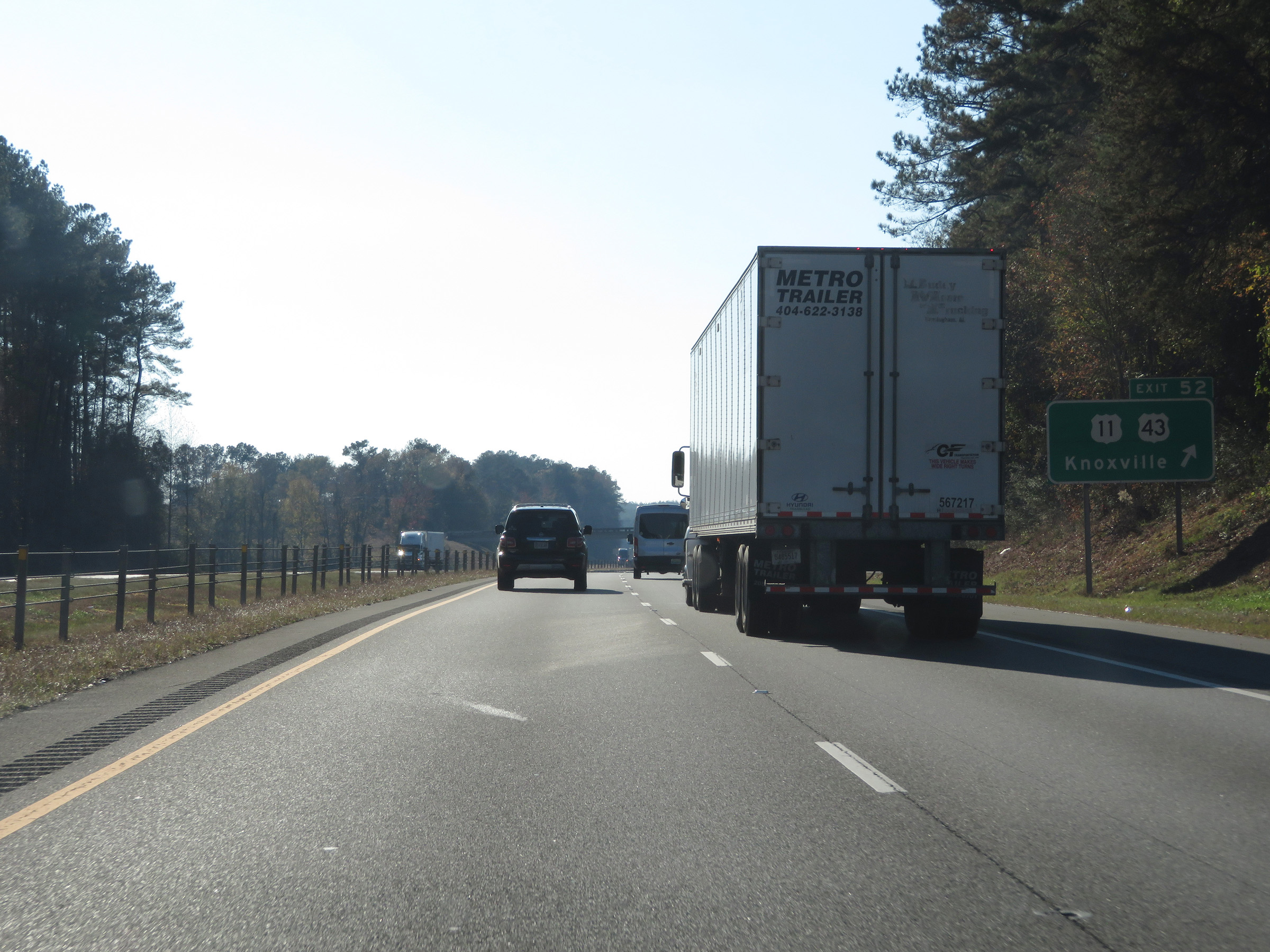 |
Interstate 59 South / Interstate 20 West at Exit 52: US 11 / US 43 - Knoxville (Photo taken 12/8/20). |
 |
Mileage sign on Interstate 59 South / Interstate 20 West. It's 12 miles to Union and 70 miles to Meridian. (Photo taken 12/8/20). |
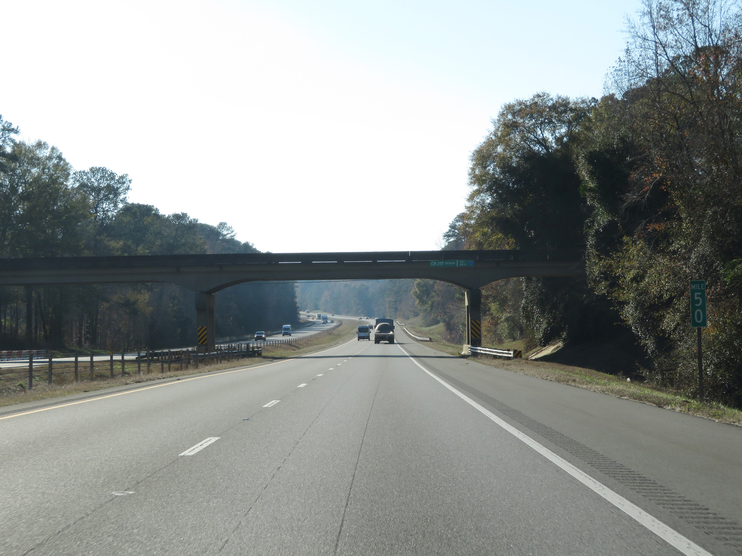 |
View on Interstate 59 South / Interstate 20 West at mile marker 50. (Photo taken 12/8/20). |
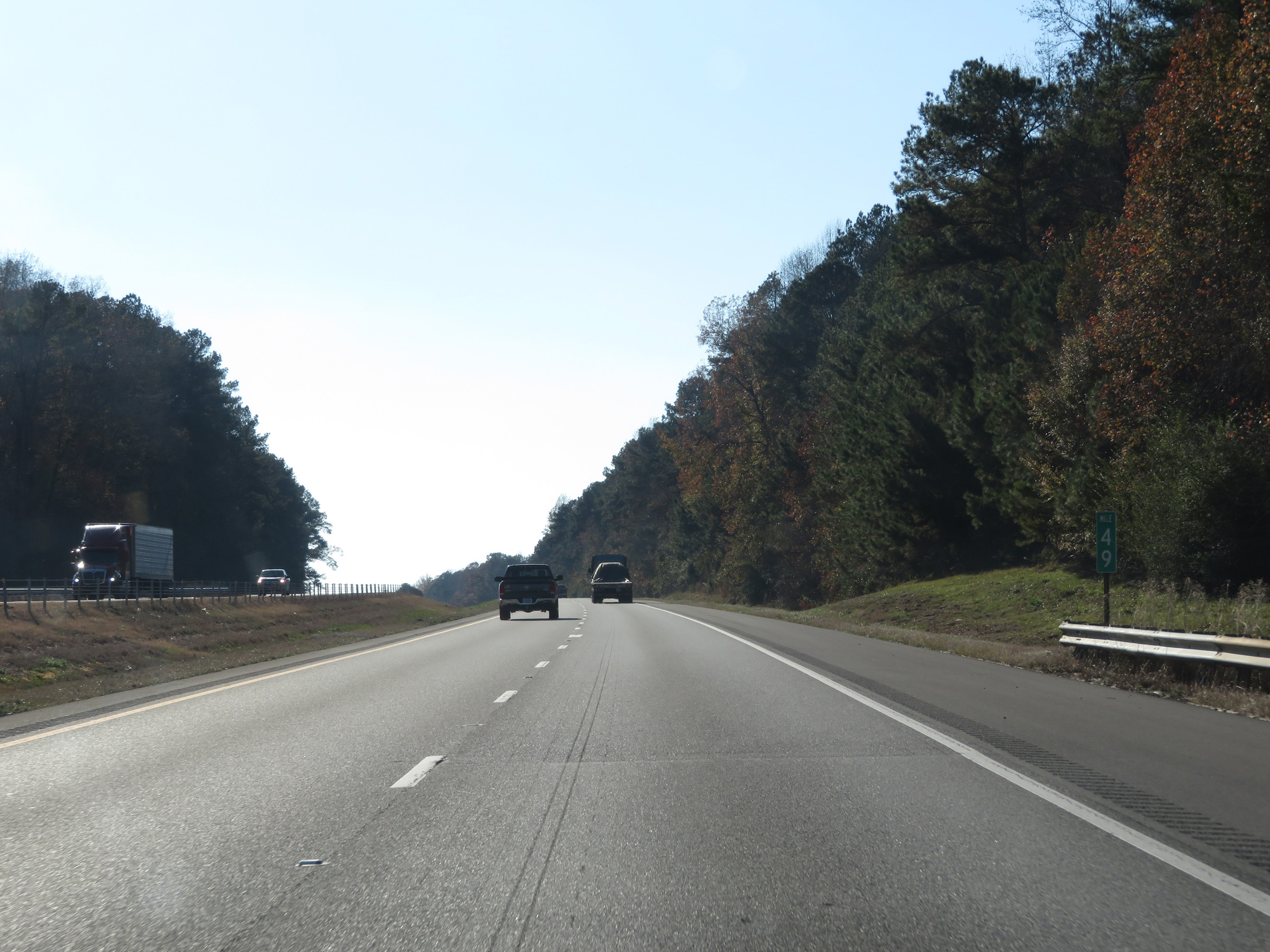 |
Interstate 59 South / Interstate 20 West at mile marker 49. (Photo taken 12/8/20). |
 |
Mile marker 47 on Interstate 59 South / Interstate 20 West in Greene County. (Photo taken 12/8/20). |
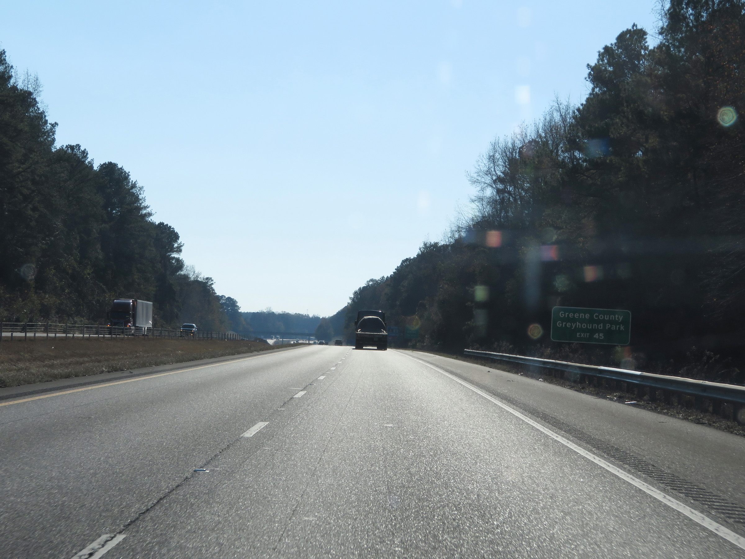 |
Take Exit 45 to Greene County Greyhound Park. (Photo taken 12/8/20). |
 |
Interstate 59 North / Interstate 20 West at Exit 45: Union (Photo taken 12/8/20). |
 |
View on Interstate 59 South / Interstate 20 West at mile marker 43. (Photo taken 12/9/20). |
 |
Take Exit 40 to Tom Bevill Lock & Dam and its Visitor Center. (Photo taken 12/9/20). |
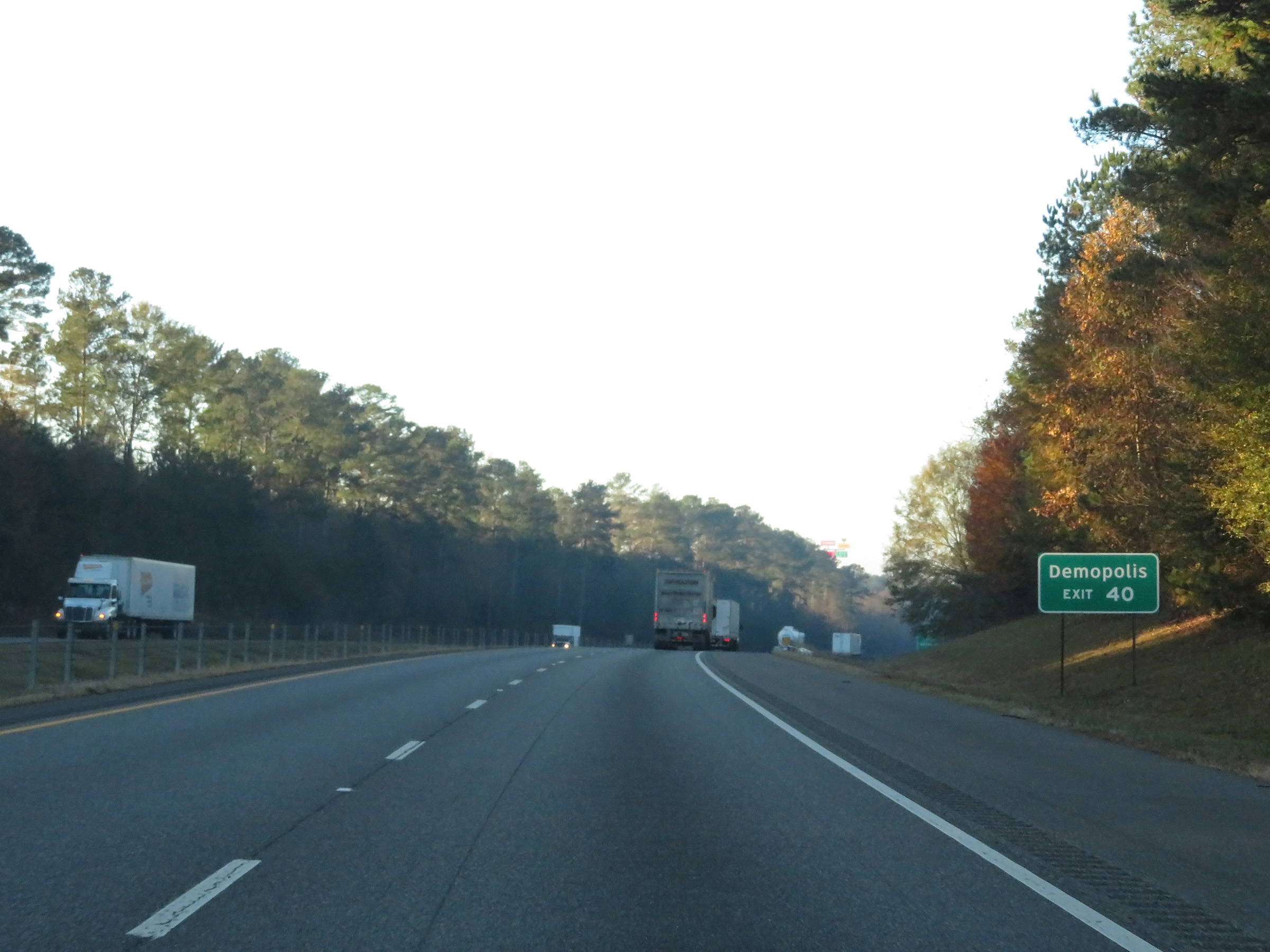 |
Also take Exit 40 to Demopolis. (Photo taken 12/9/20). |
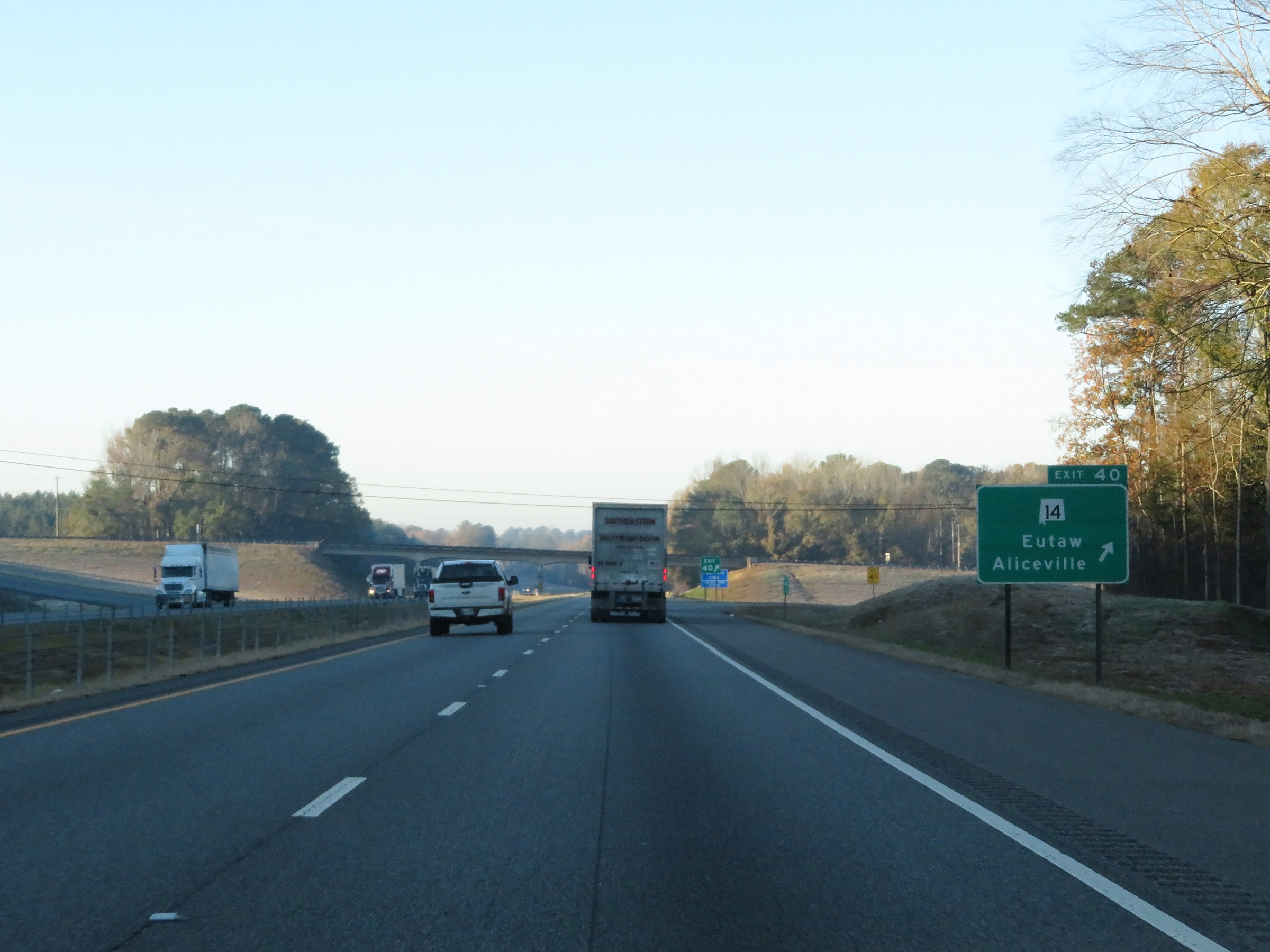 |
Interstate 59 South / Interstate 20 West at Exit 40: AL 14 - Eutaw / Aliceville (Photo taken 12/9/20). |
 |
Rest Area on Interstate 59 South / Interstate 20 West in Greene County. (Photo taken 12/9/20). |
 |
View on Interstate 59 South / Interstate 20 West at mile marker 37. (Photo taken 12/9/20). |
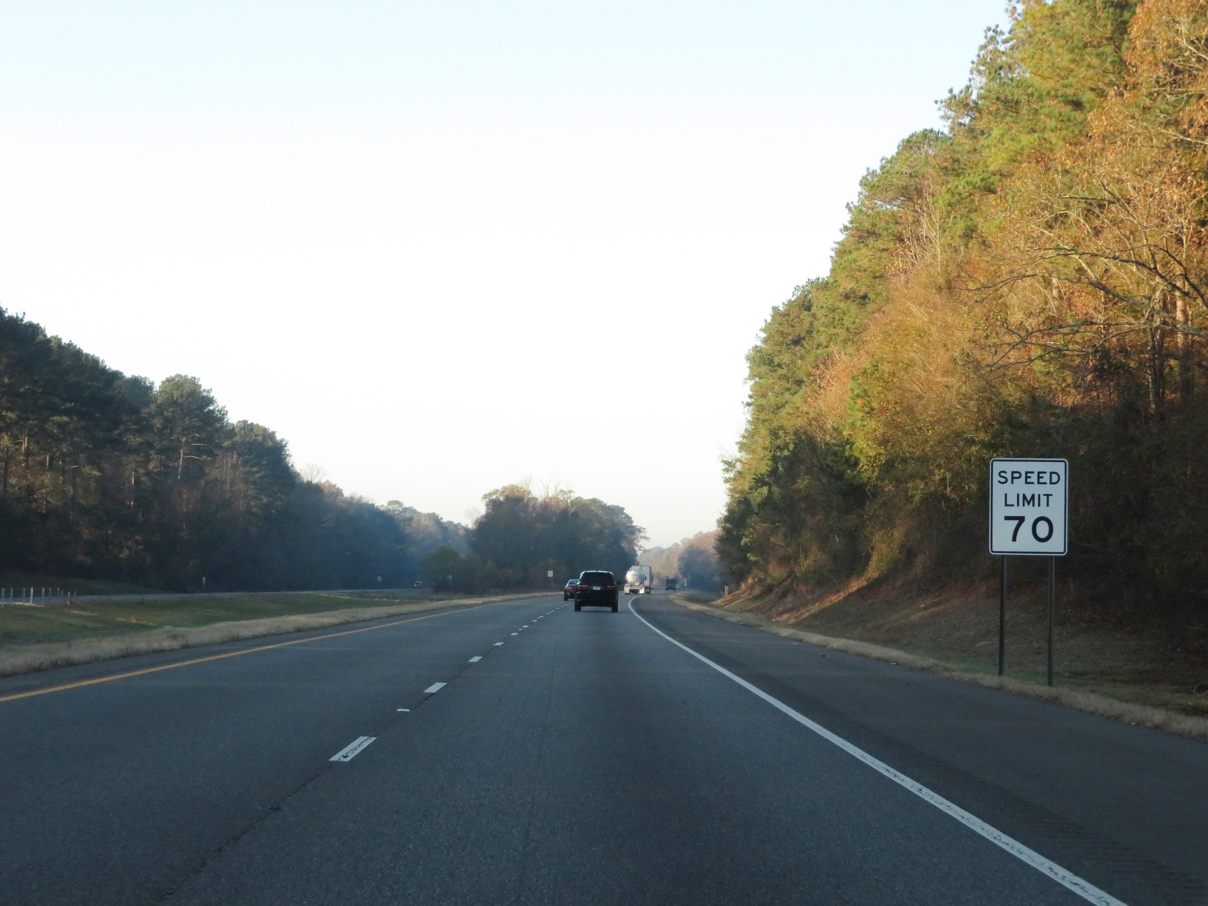 |
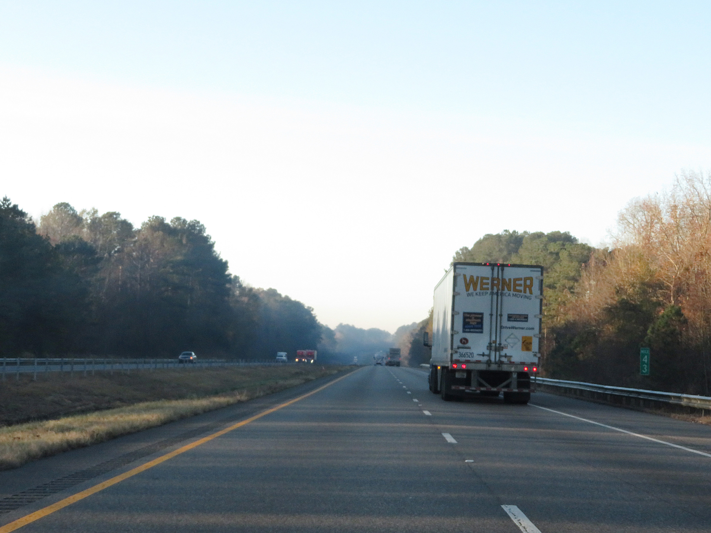
The speed limit remains 70 mph on Interstate 59 South / Interstate 20 West. This is the standard speed limit on most rural Interstate highways in Alabama. (Photo taken 12/9/20). |
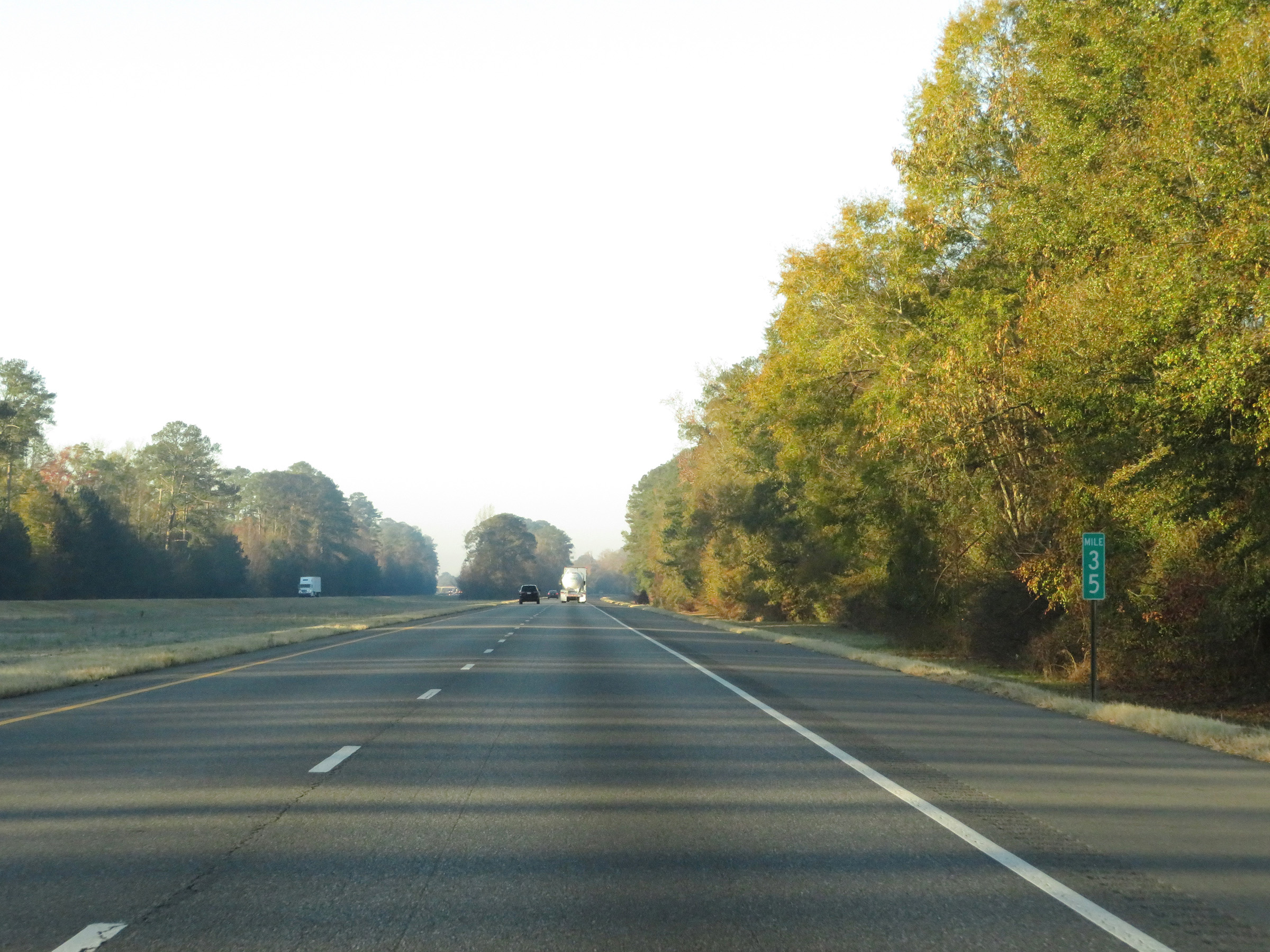 |
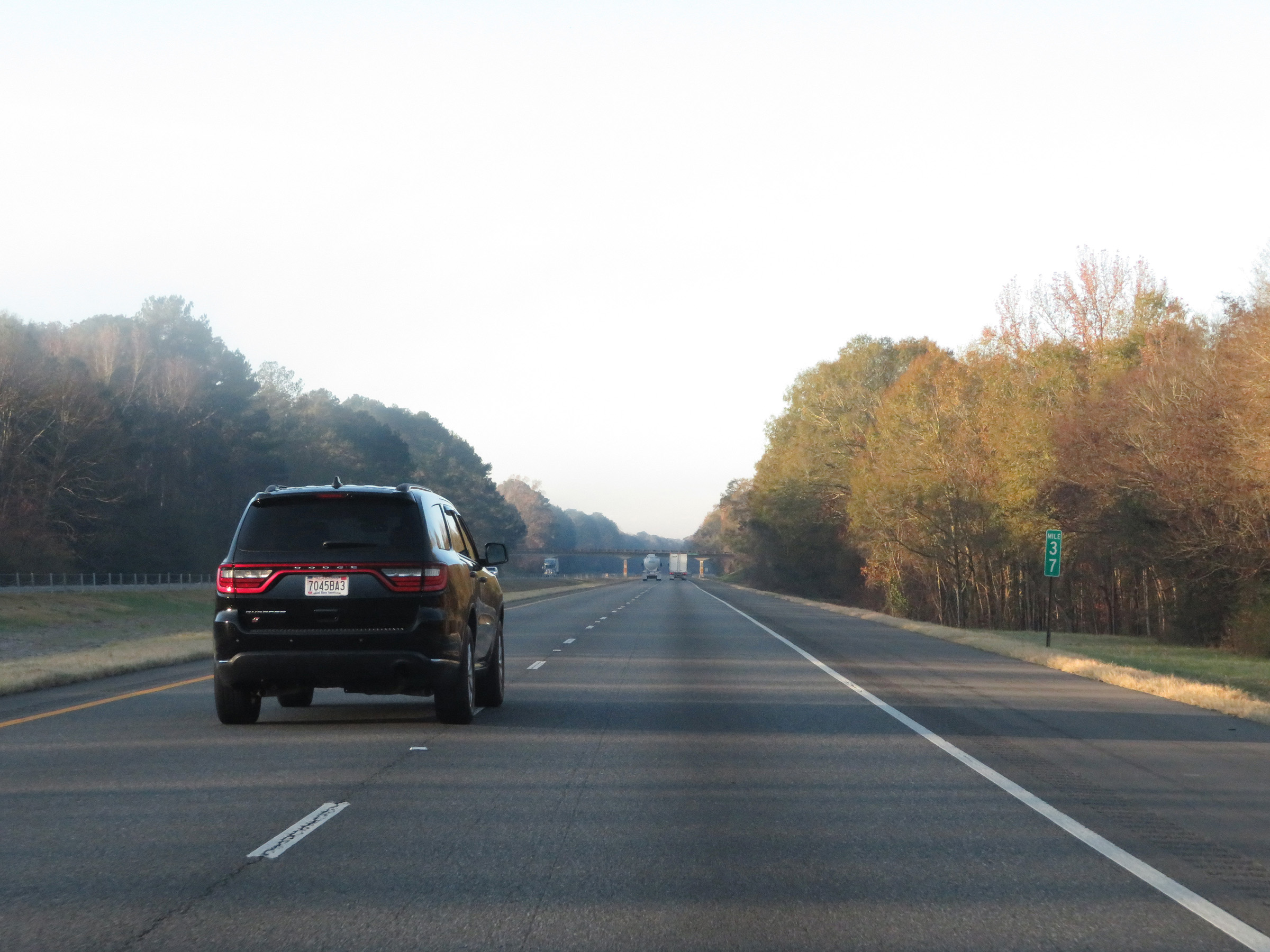
Interstate 59 South / Interstate 20 West at mile marker 35. (Photo taken 12/9/20). |
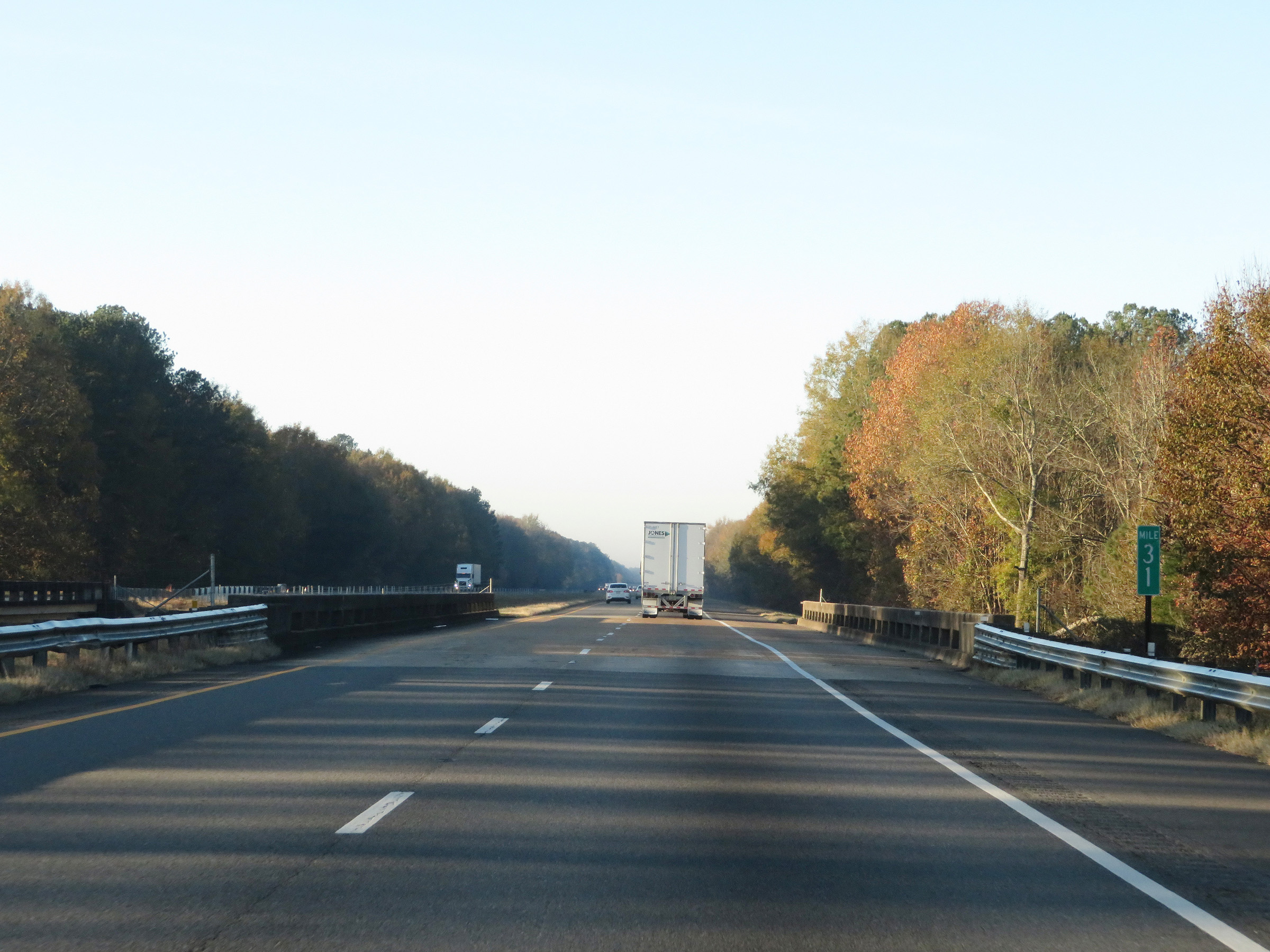
 |
Mile marker 34 on Interstate 59 South / Interstate 20 West in Greene County. (Photo taken 12/9/20). |
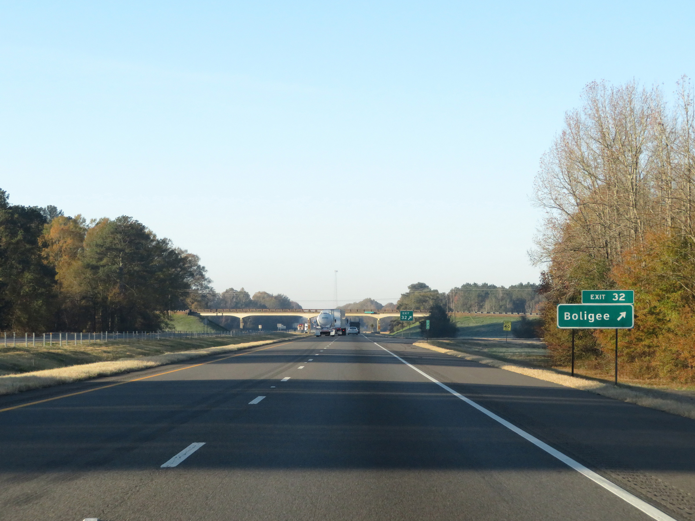 |
Interstate 59 South / Interstate 20 West at Exit 32: Boligee (Photo taken 12/9/20). |
 |
State-named Interstate 59 South / Interstate 20 West reassurance shields. (Photo taken 12/9/20). |
 |
Mileage sign at mile marker 32. It's 11 miles to Epes and 51 miles to Meridian. (Photo taken 12/9/20). |
 |
View on Interstate 59 South / Interstate 20 West at mile marker 31. (Photo taken 12/9/20). |
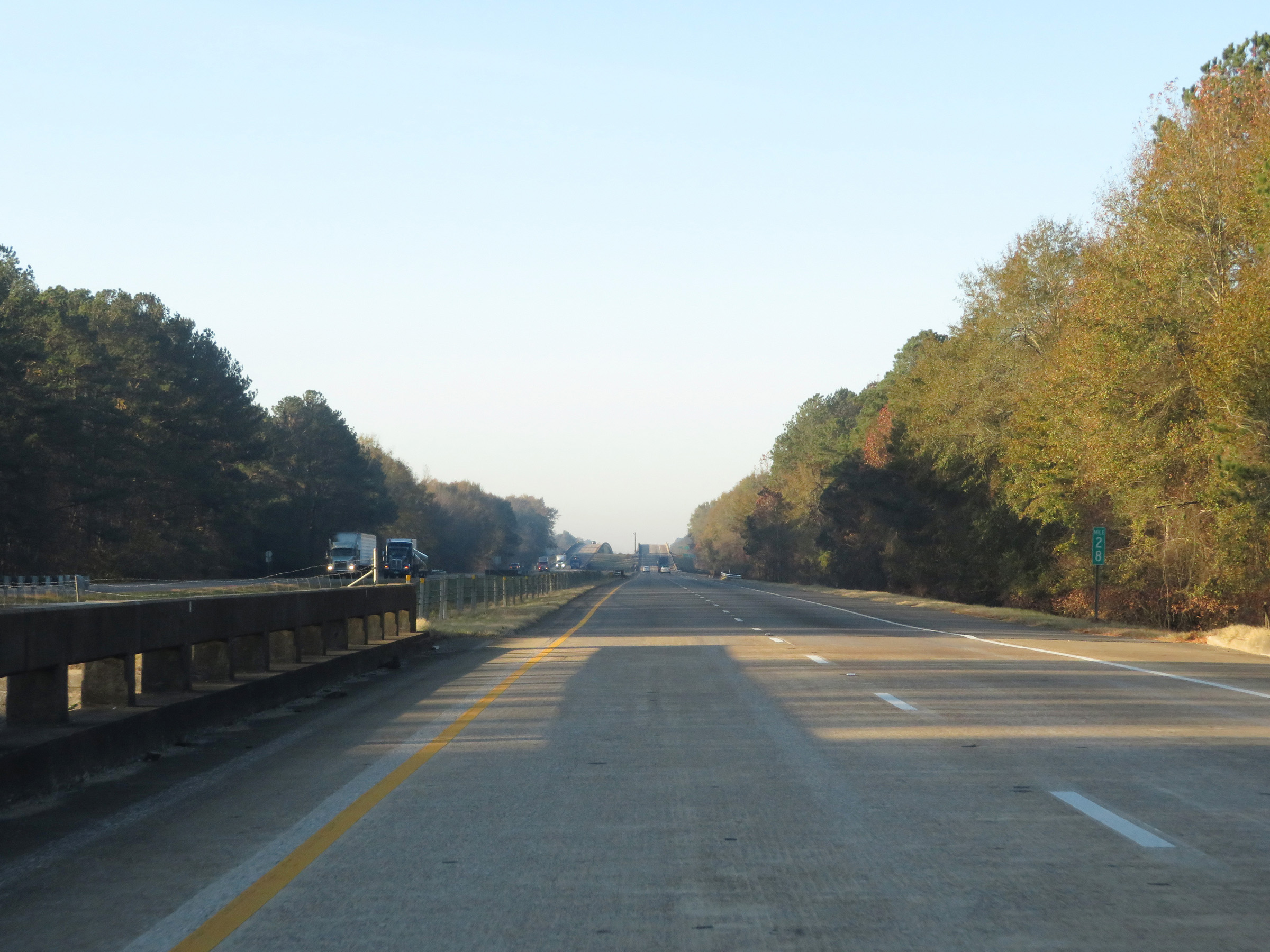 |
Interstate 59 South / Interstate 20 West at mile marker 28. (Photo taken 12/9/20). |
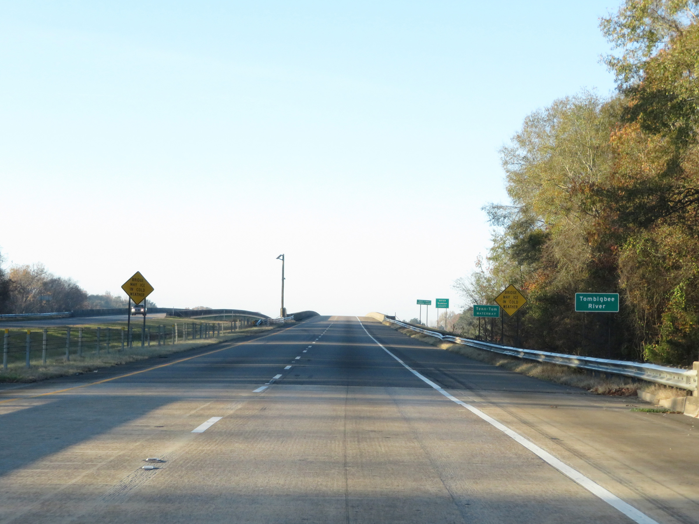 |
Interstate 59 South / Interstate 20 West as the duplex prepares to cross the Tombigbee River. (Photo taken 12/9/20). |
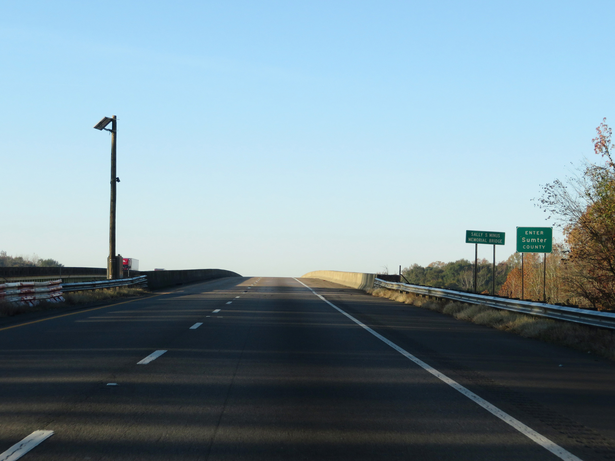 |
Upon crossing the Tombigbee River on the Sally S. Minus Memorial Bridge, Interstate 59 South / Interstate 20 West enter Sumter County. (Photo taken 12/9/20). |
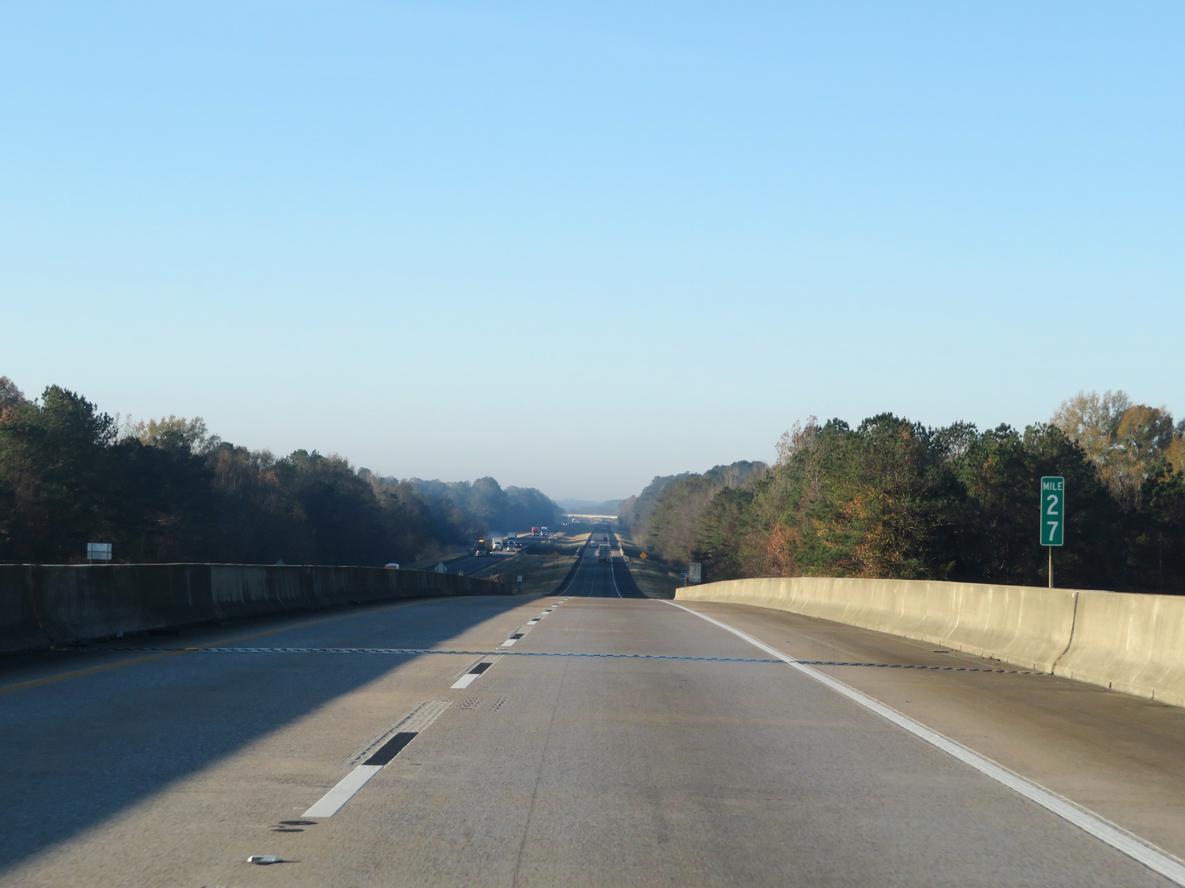 |
View on Interstate 59 South / Interstate 20 West at mile marker 27, as it crosses the Tombigbee River and enters Sumter County. (Photo taken 12/9/20). |
 |
Interstate 59 South / Interstate 20 West at mile marker 25. (Photo taken 12/9/20). |
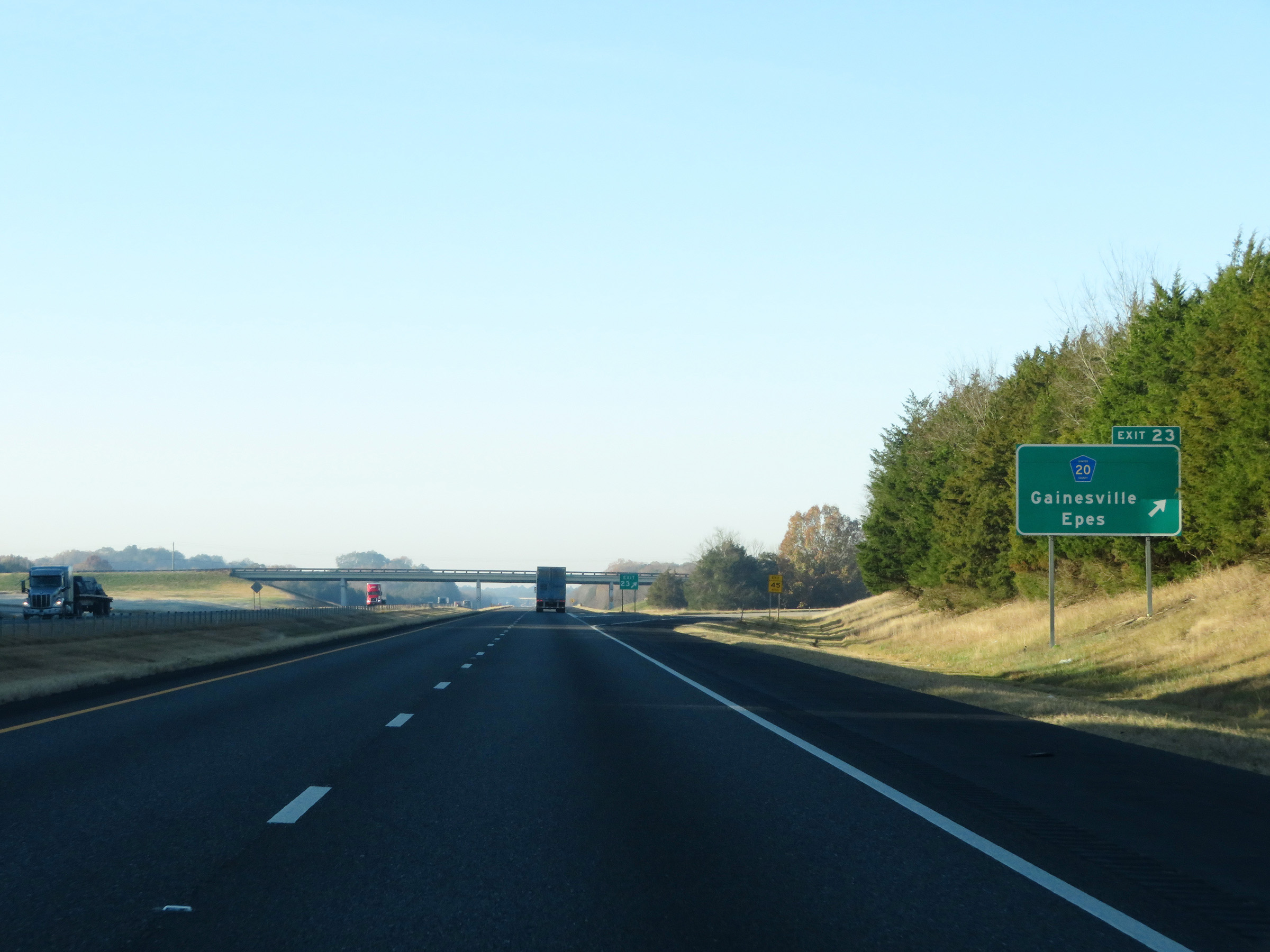 |
Interstate 59 South / Interstate 20 West at Exit 23: CR 20 - Gainesville / Epes (Photo taken 12/9/20). |
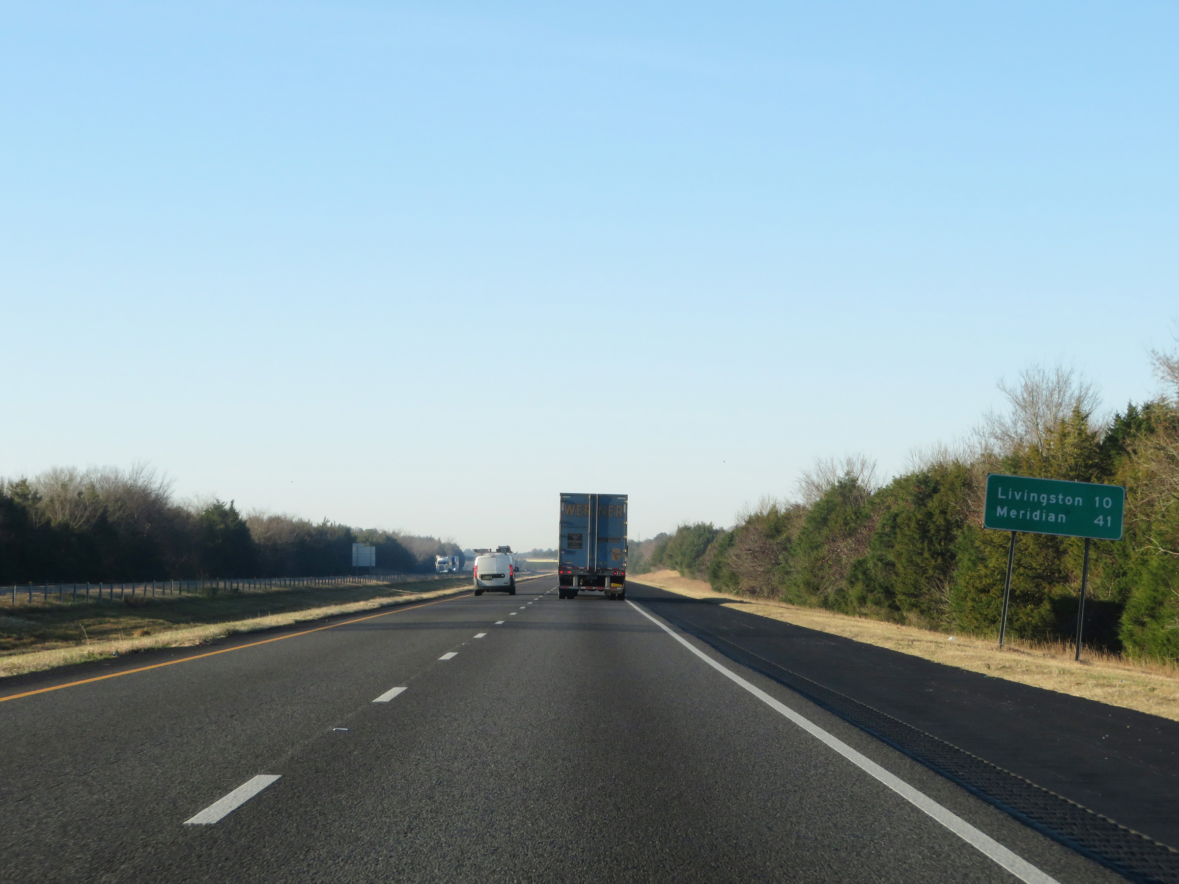 |
Another mileage sign on Interstate 59 South / Interstate 20 West. It's 10 miles to Livingston and 41 miles to Meridian. (Photo taken 12/9/20). |
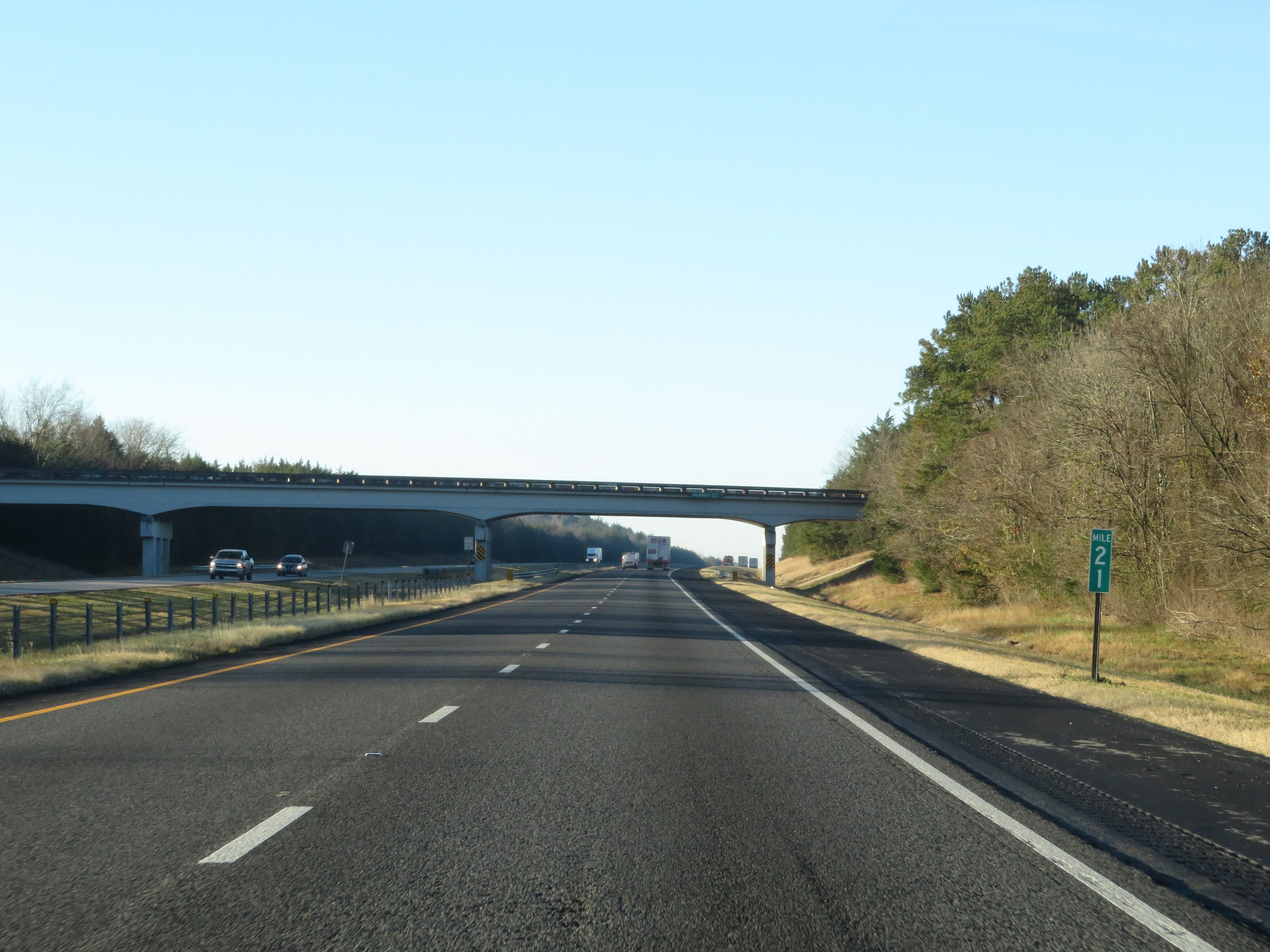 |
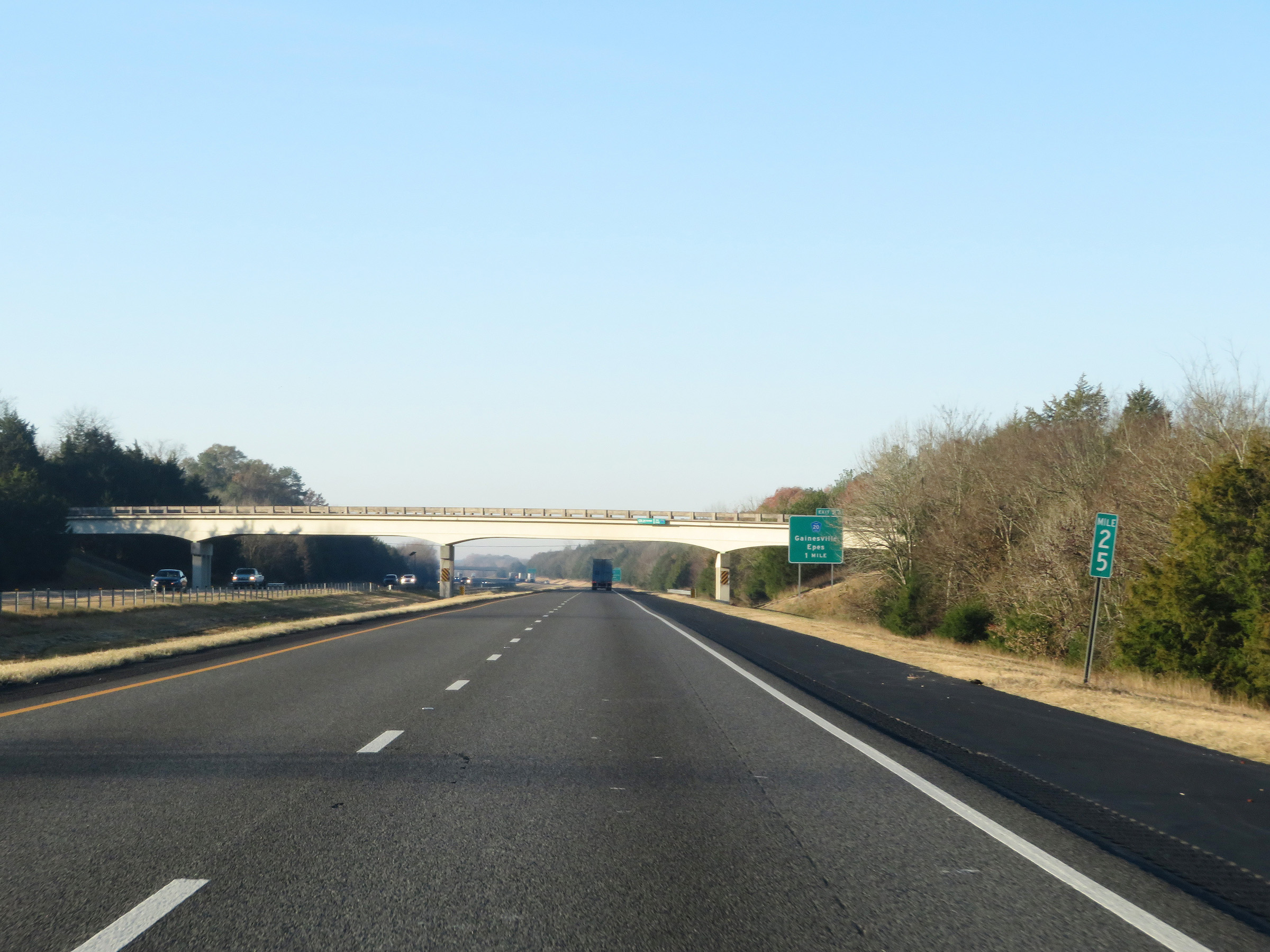
View on Interstate 59 South / Interstate 20 West at mile marker 21. (Photo taken 12/9/20). |
 |
Mile marker 19 on Interstate 59 South / Interstate 20 West in Sumter County. (Photo taken 12/9/20). |
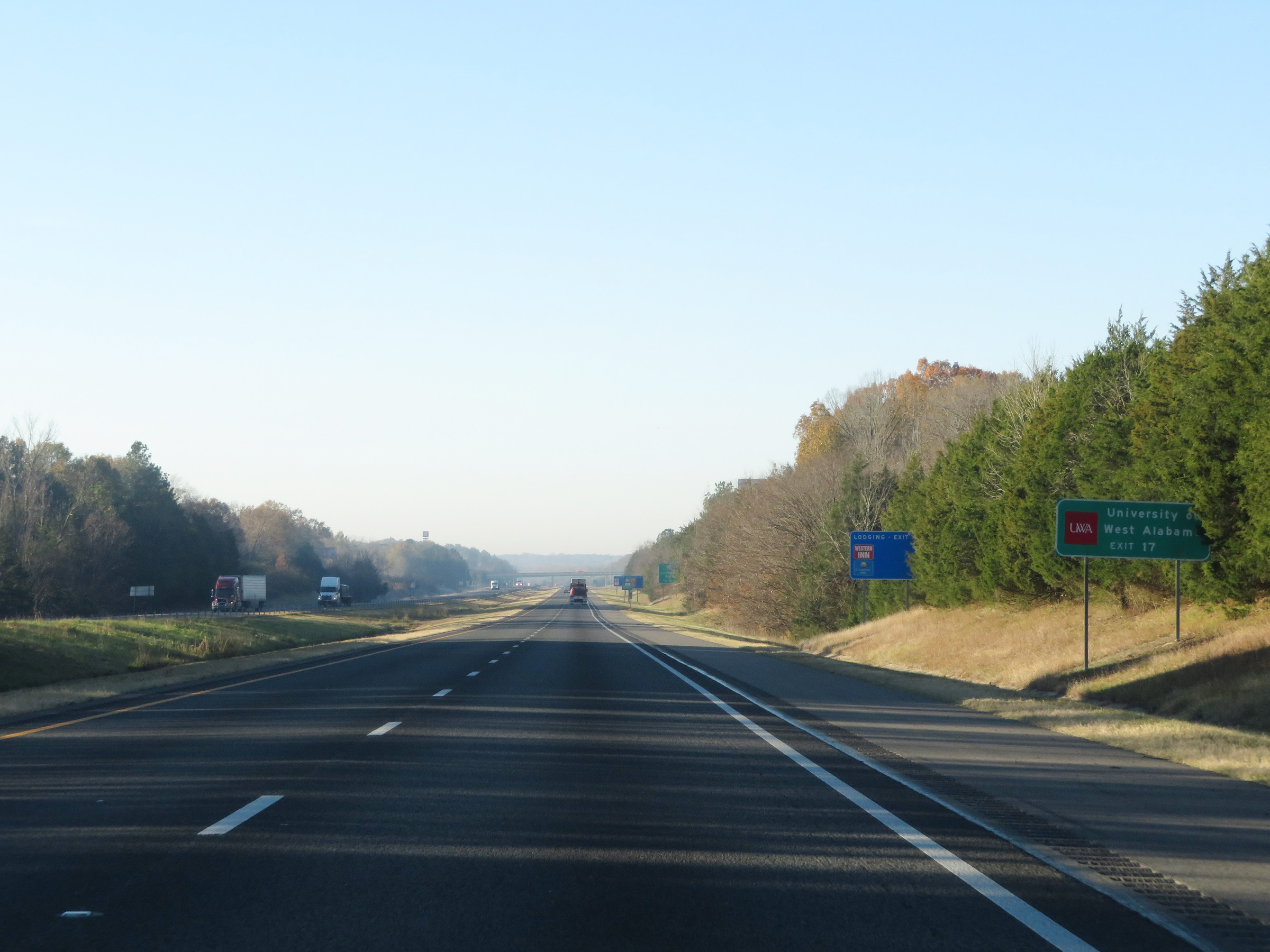 |
Take Exit 17 to the University of West Alabama. (Photo taken 12/9/20). |
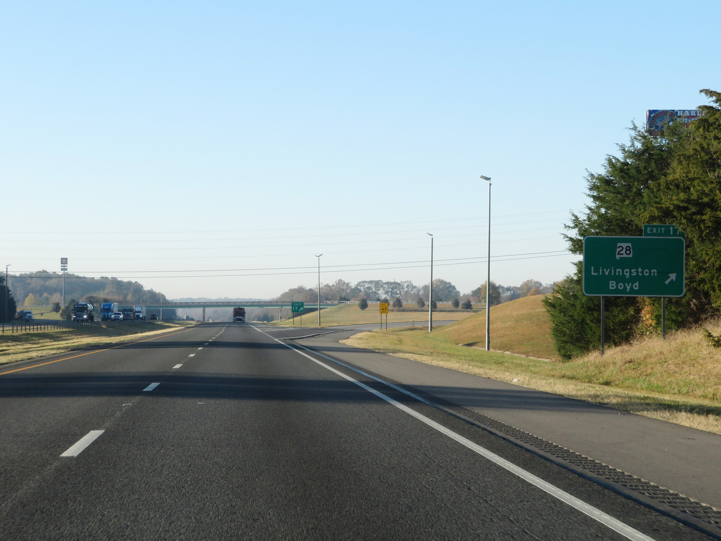 |
Interstate 59 South / Interstate 20 West at Exit 17: AL 28 - Livingston / Boyd (Photo taken 12/9/20). |
 |
Another set of state-named Interstate 59 South / Interstate 20 West reassurance shields. (Photo taken 12/9/20). |
 |
Interstate 59 South / Interstate 20 West at mile marker 15. (Photo taken 12/9/20). |
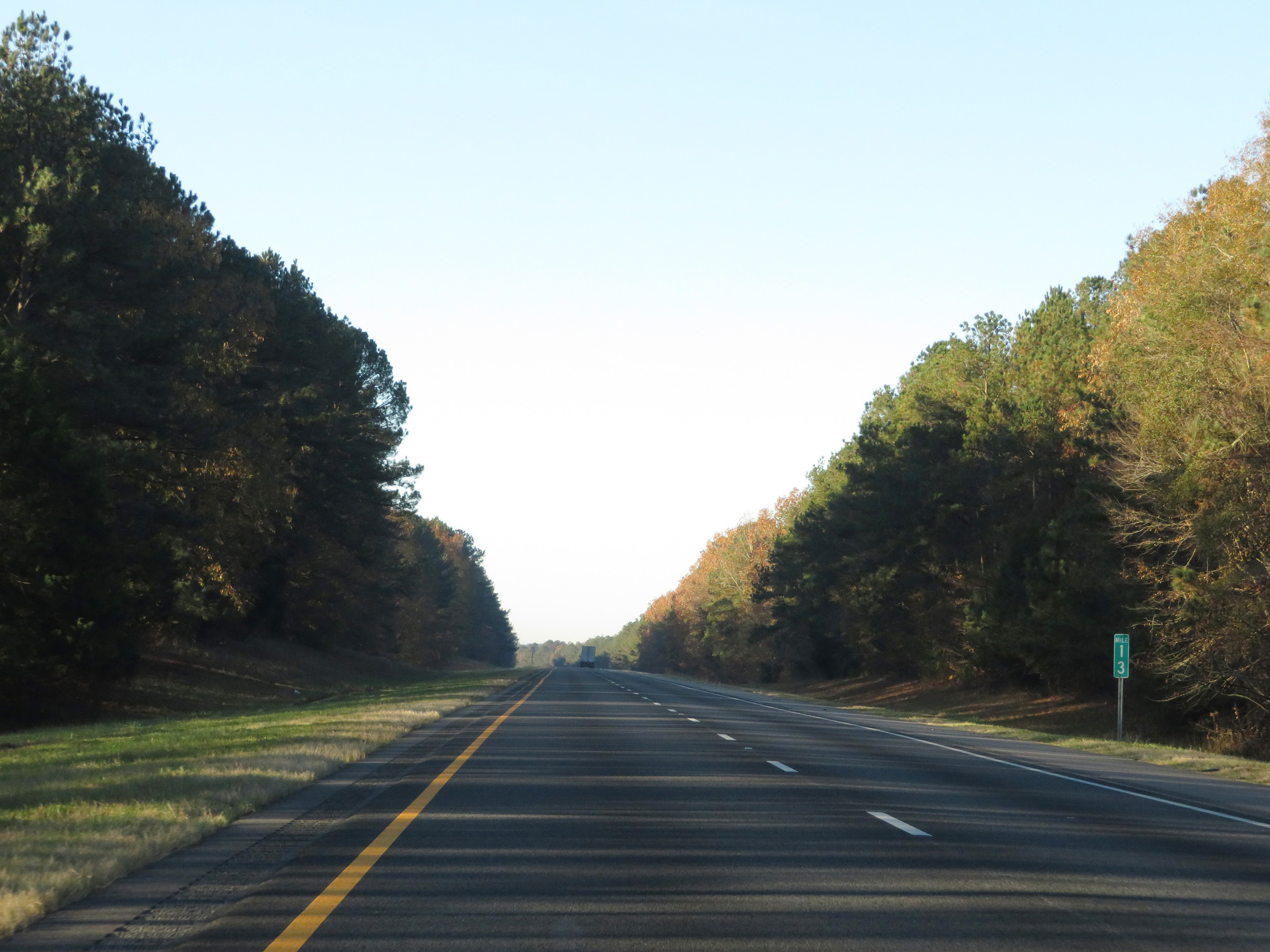 |
View on Interstate 59 South / Interstate 20 West at mile marker 13. (Photo taken 12/9/20). |
 |
Mile marker 10 on Interstate 59 South / Interstate 20 West in Sumter County. (Photo taken 12/9/20). |
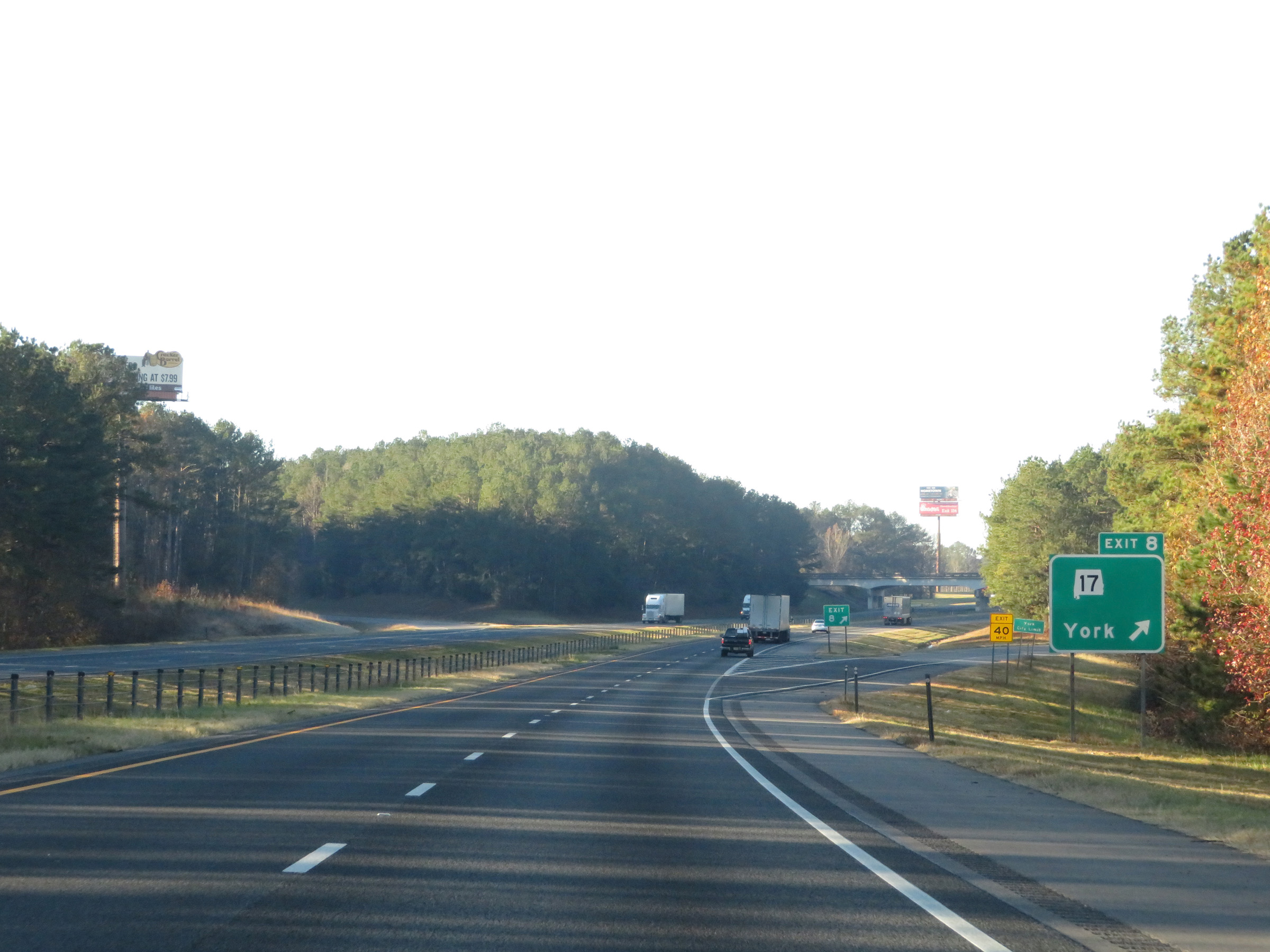 |
Interstate 59 South / Interstate 20 West at Exit 8: AL 17 - York (Photo taken 12/9/20). |
 |
Interstate 59 South / Interstate 20 West at mile marker 7. (Photo taken 12/9/20). |
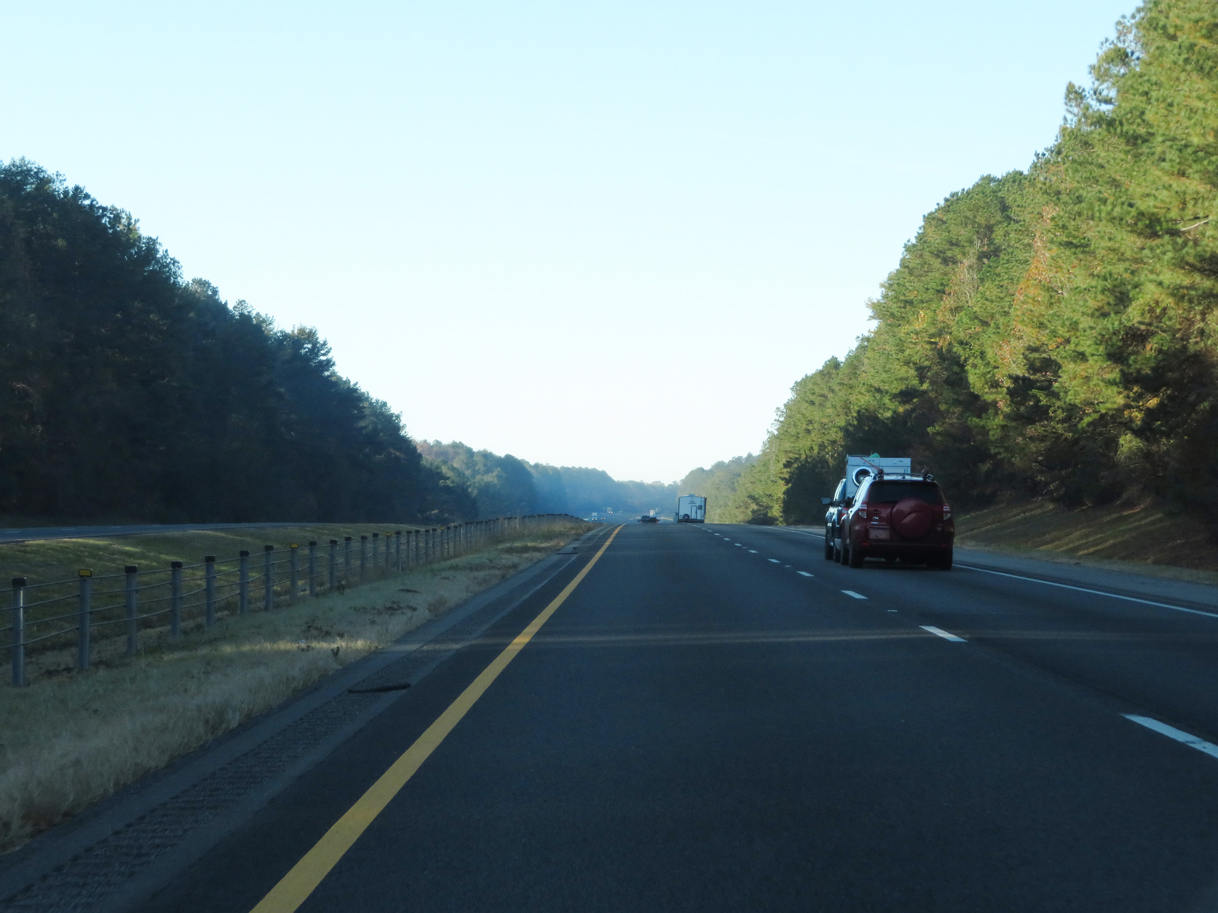 |
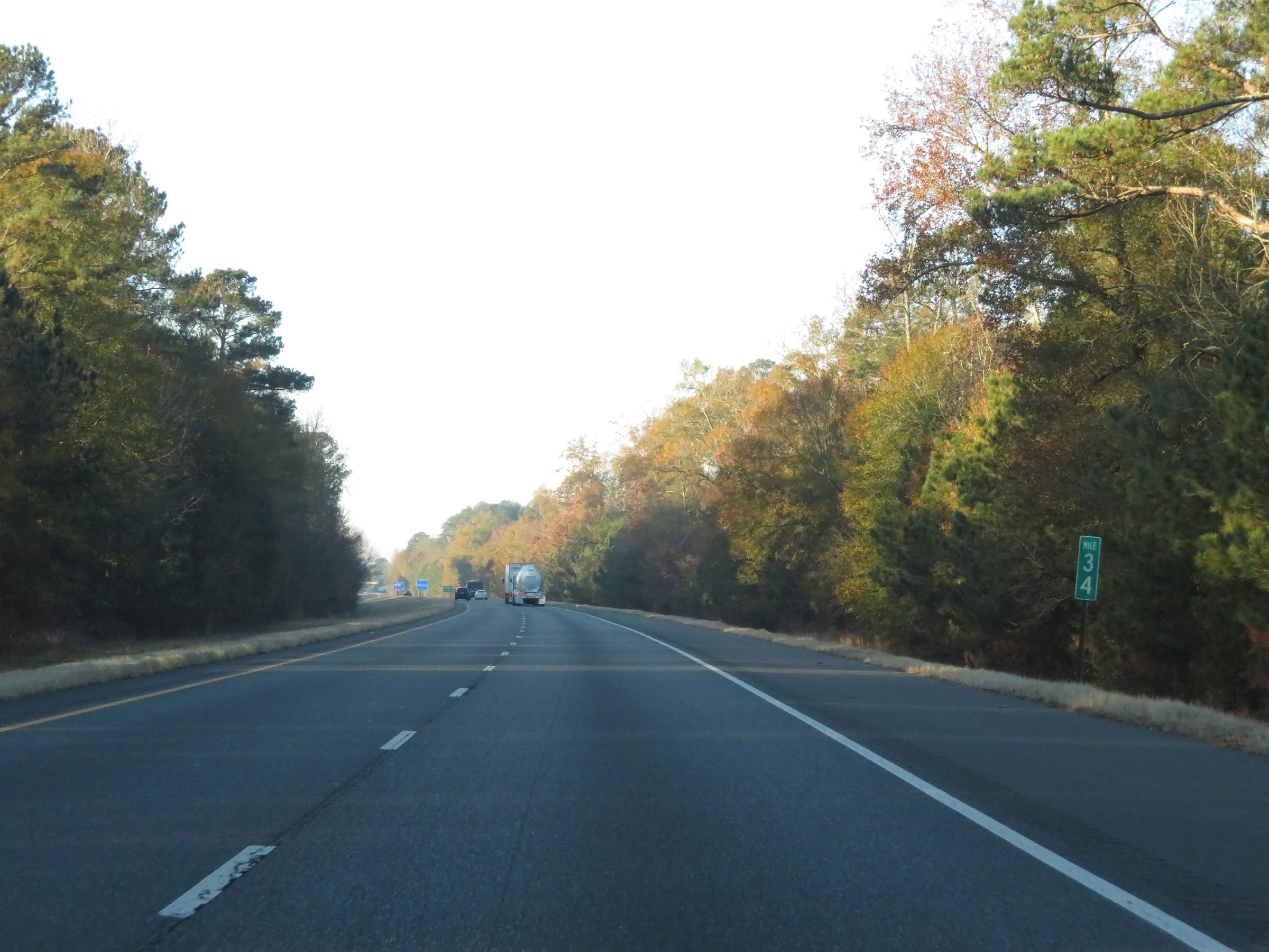
View on Interstate 59 South / Interstate 20 West near mile marker 4 in Sumter County. (Photo taken 12/9/20). |
 |
Interstate 59 South / Interstate 20 West at mile marker 2. (Photo taken 12/9/20). |
 |
Interstate 59 South / Interstate 20 West approaching Exit 1 - 1/2 mile. (Photo taken 12/9/20). |
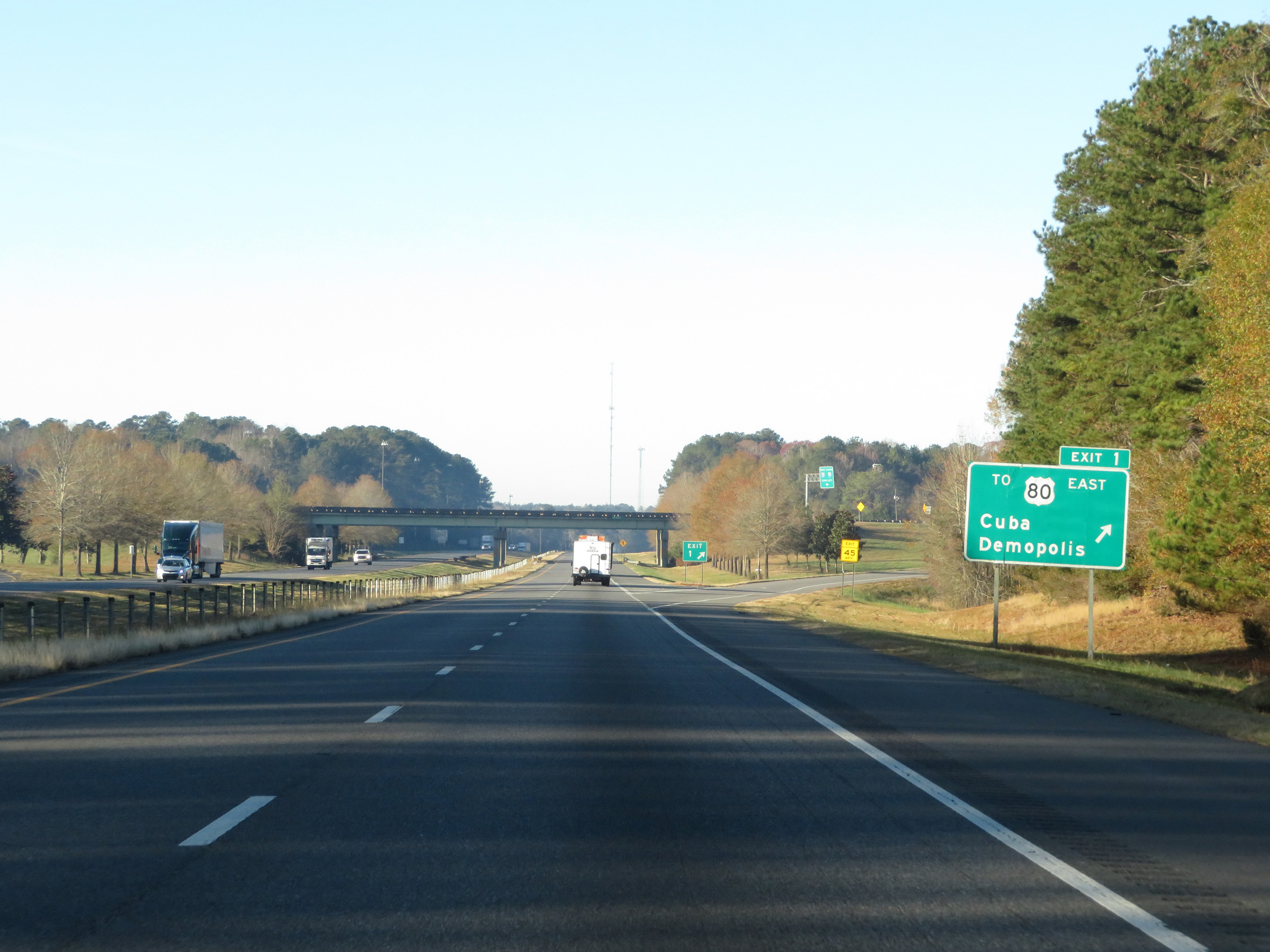 |
Interstate 59 South / Interstate 20 West at Exit 1: To US 80 East - Cuba / Demopolis (Photo taken 12/9/20). |
 |
One final set of state-named Interstate 59 South / Interstate 20 West reassurance shields. (Photo taken 12/9/20). |
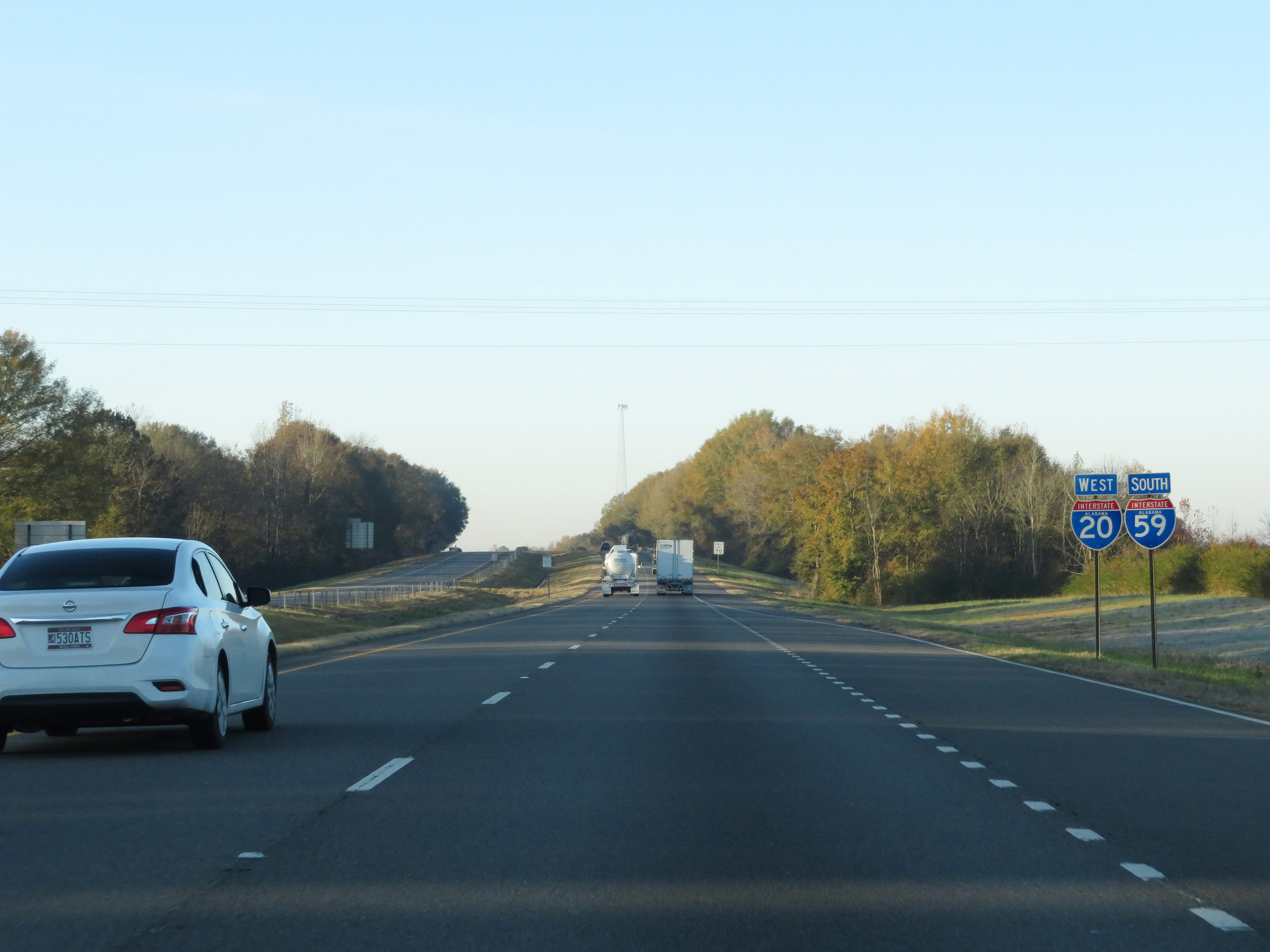
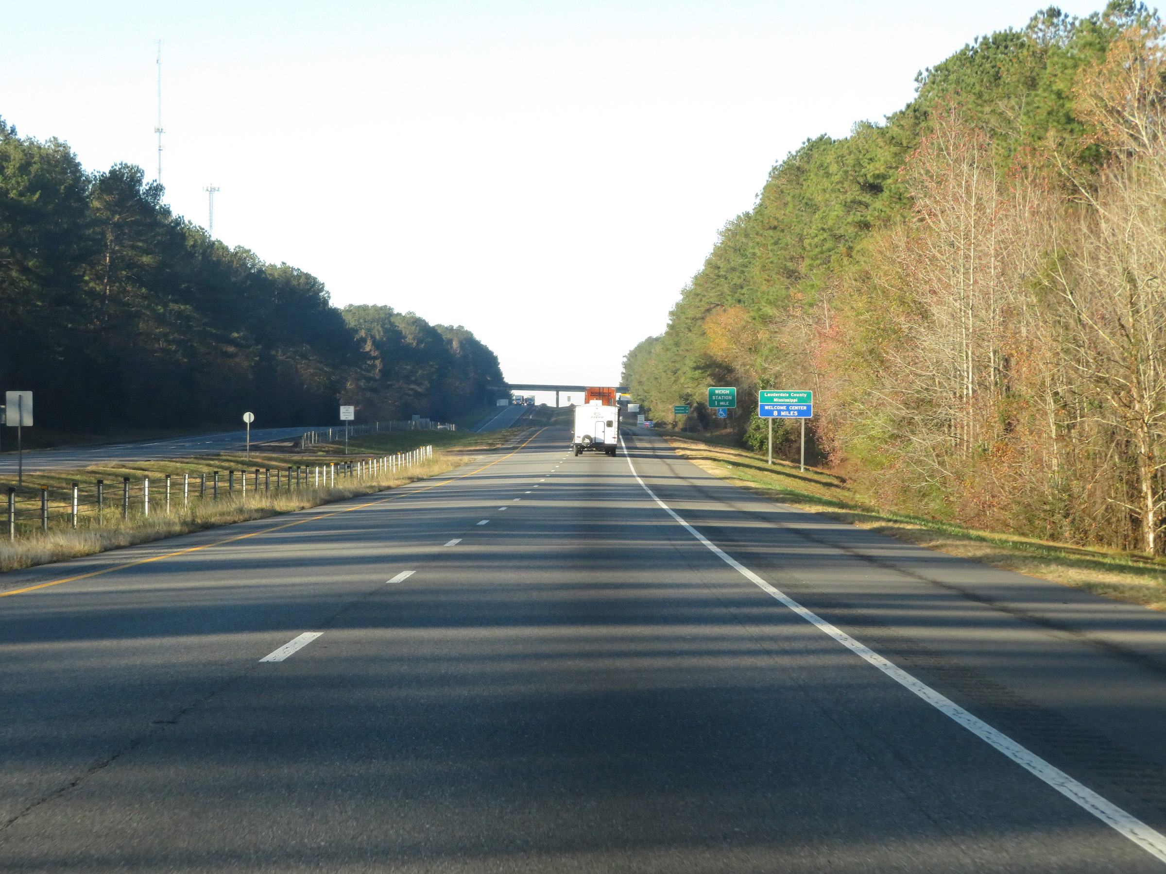 |
Interstate 59 South / Interstate 20 West as the duplex prepares to cross the state line into Mississippi. (Photo taken 12/9/20). |