Road Information |
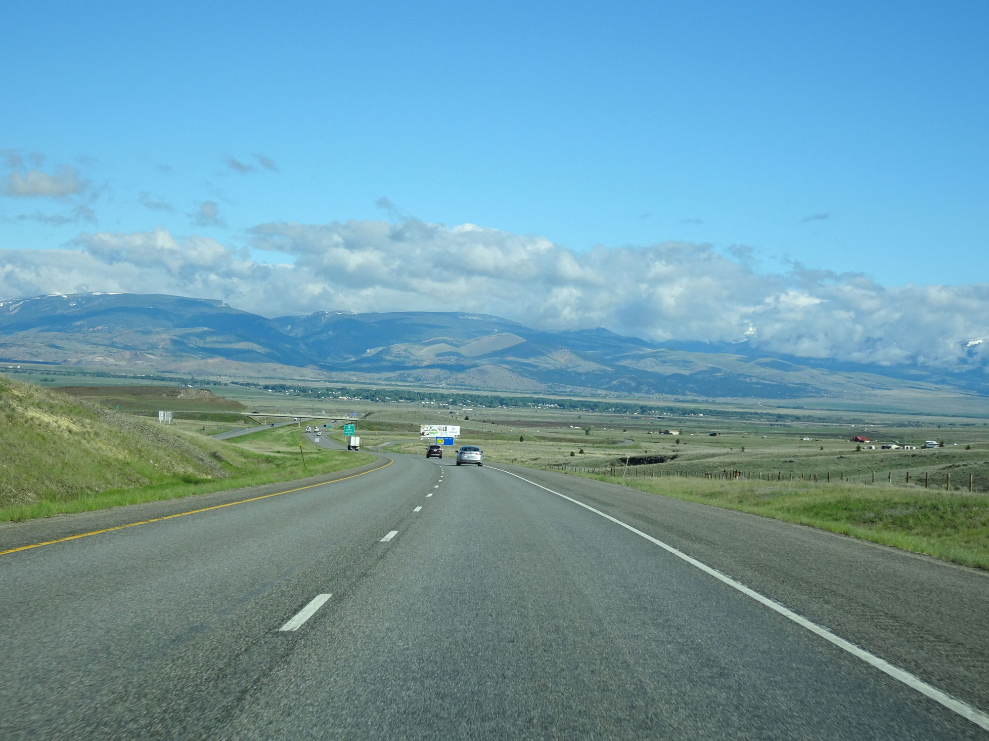
||
 |
||
| Total Mileage in State: | 554 miles | |
| Eastern End: | At Wyoming state line | |
| Western End: | At Idaho state line | |
| Mileage covered in Photos: | 554 miles | |
| Counties covered in Photos: | Big Horn, Yellowstone, Stillwater, Sweet Grass, Park, Gallatin, Broadwater, Jefferson, Silver Bow, Deer Lodge, Powell, Granite, Missoula, Mineral | |
| Major Junctions in Photos: | I-94 East, in Billings US 89, in Livingston US 191, in Bozeman I-15 North, in Butte I-15 South, in Butte US 93, near Missoula |
|
| Control Cities in Photos: | Billings, Laurel, Livingston, Bozeman, Butte, Deer Lodge, Drummond, Missoula | |
Westbound
- Section 1: Wyoming Border to Hardin (Exit 495)
- Section 2: Hardin (Exit 495) to Billings (Exit 455
- Section 3: Billings (Exit 455) to Livingston (Exit 337)
- Section 4: Livingston (Exit 337) to Bozeman (Exit 305)
- Section 5: Bozeman (Exit 305) to Butte (Exit 227)
- Section 6: Butte (Exit 227) to Deer Lodge (Exit 184)
- Section 7: Deer Lodge (Exit 184) to Missoula (Exit 104)
- Section 8: Missoula (Exit 104) to St. Regis (Exit 33)
- Section 9: St. Regis (Exit 33) to Idaho Border
Section 1: Wyoming Border to Hardin (Exit 495)
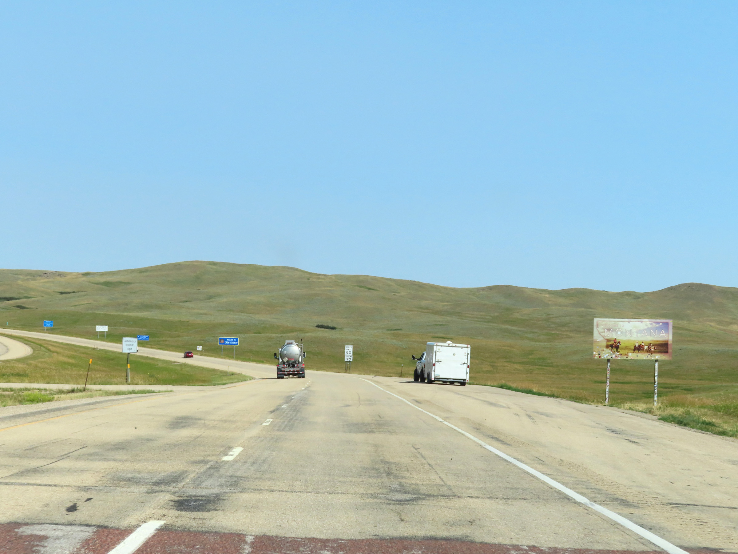 |
Montana welcome sign on Interstate 90 West as it enters Big Sky Country from Wyoming. (Photo taken 8/17/22). |
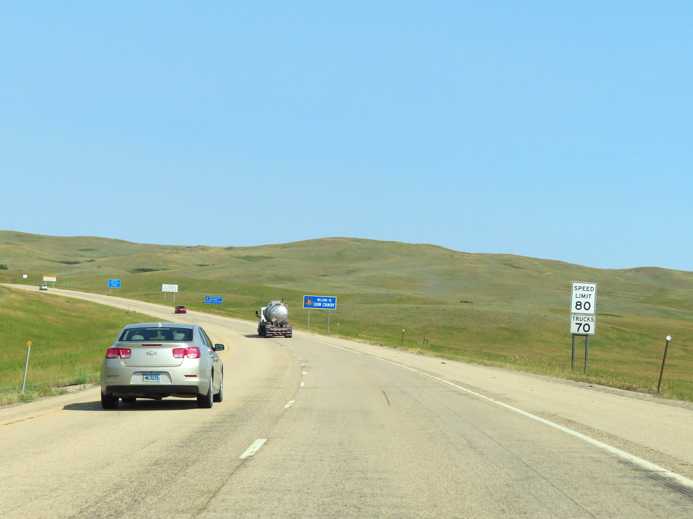 |
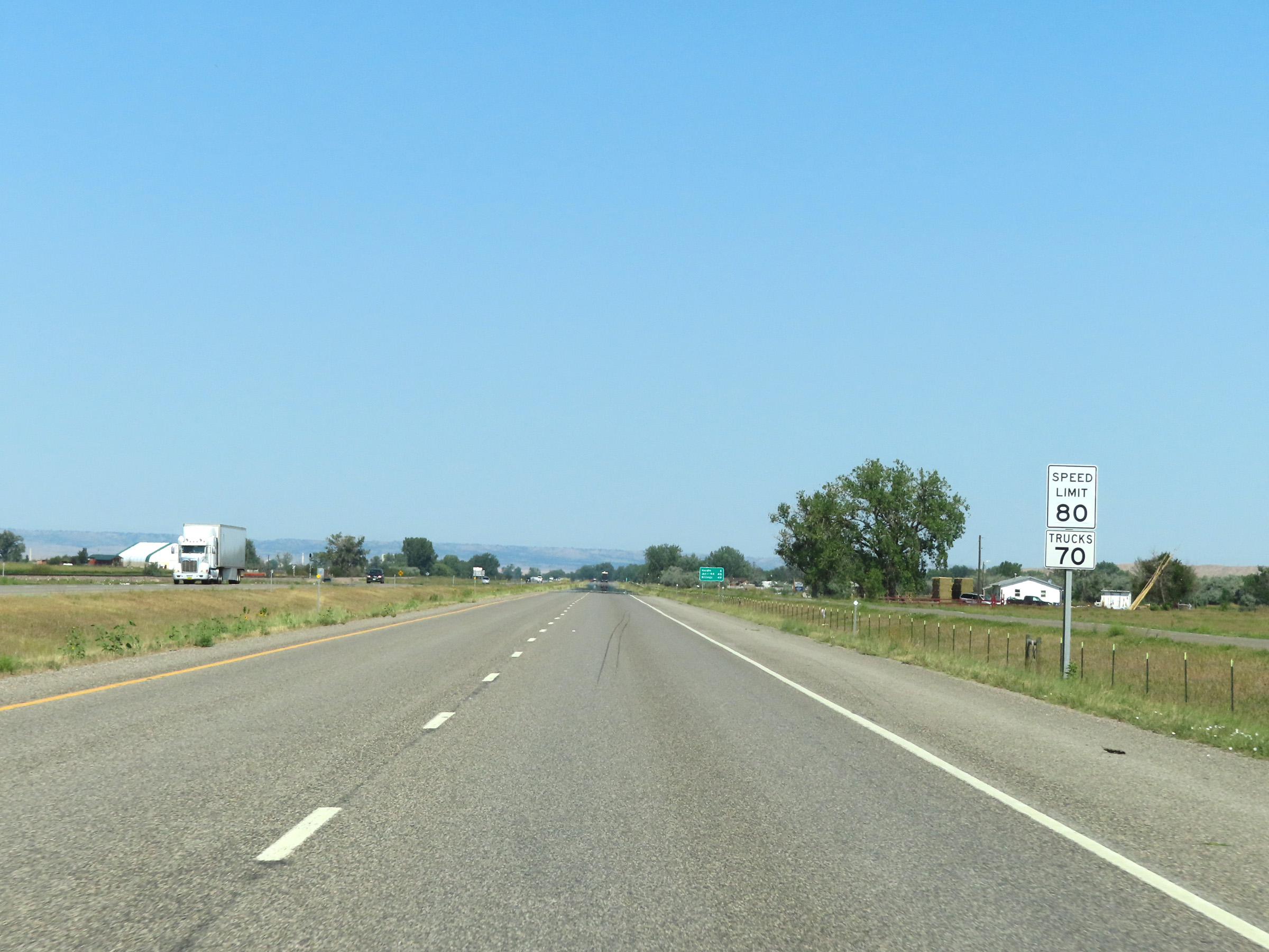
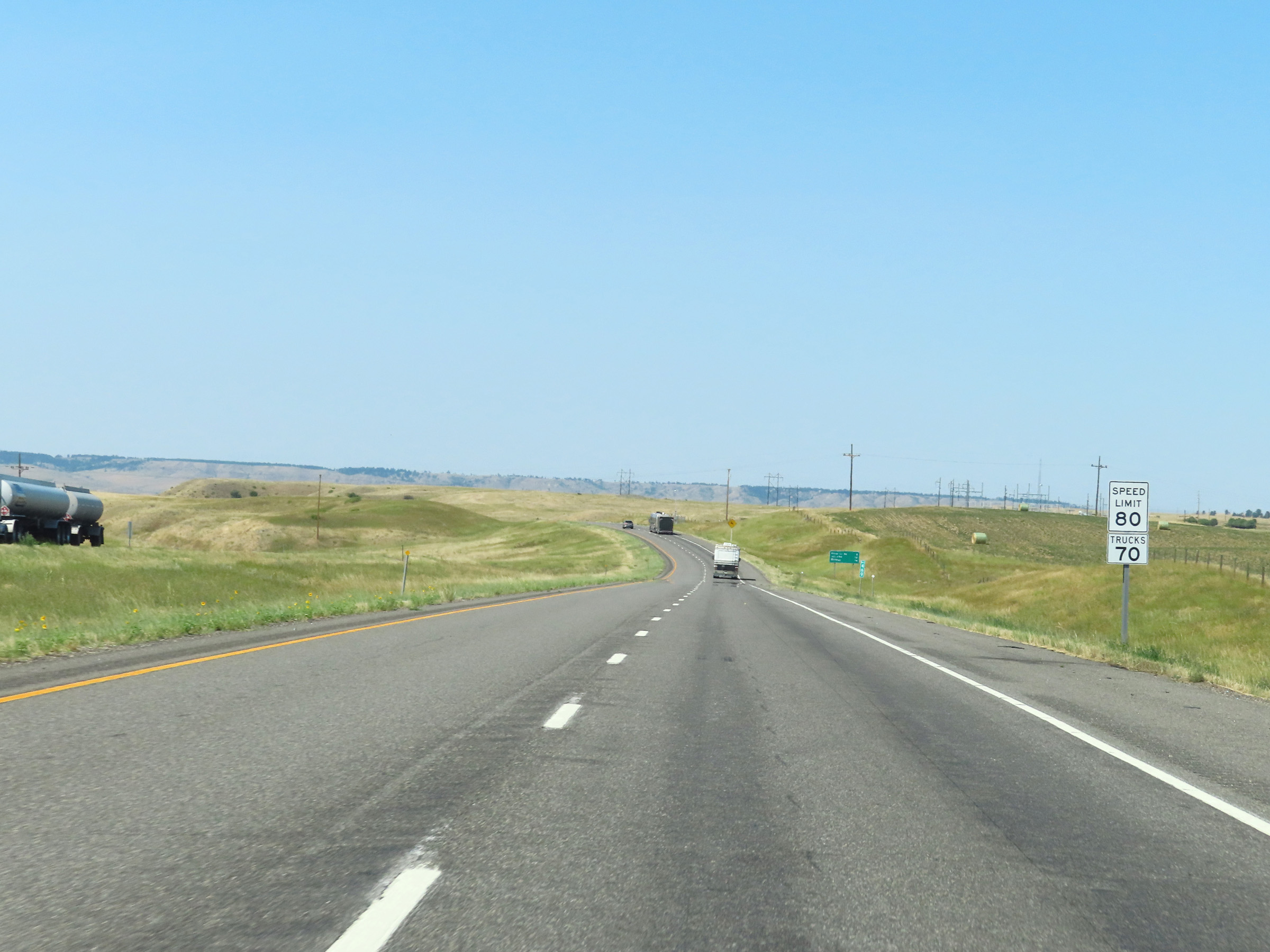
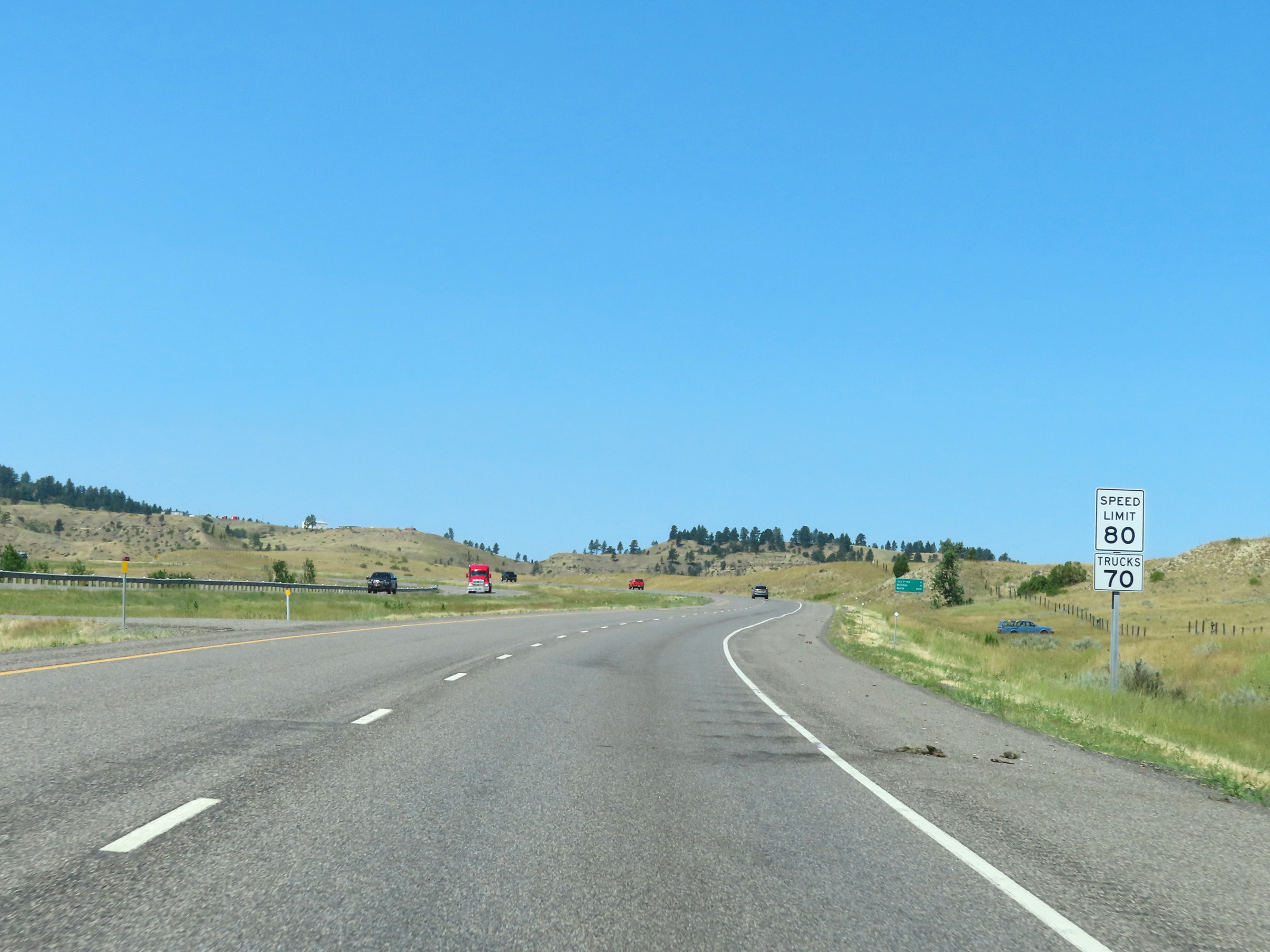
The speed limits on Interstate 90 West start out at 80 mph for automobiles and 70 mph for trucks. These are the standard speed limits on most rural Interstate highways in Montana. Upon entering Montana, I-90 West also enters the Crow Indian Reservation. (Photo taken 8/17/22). |
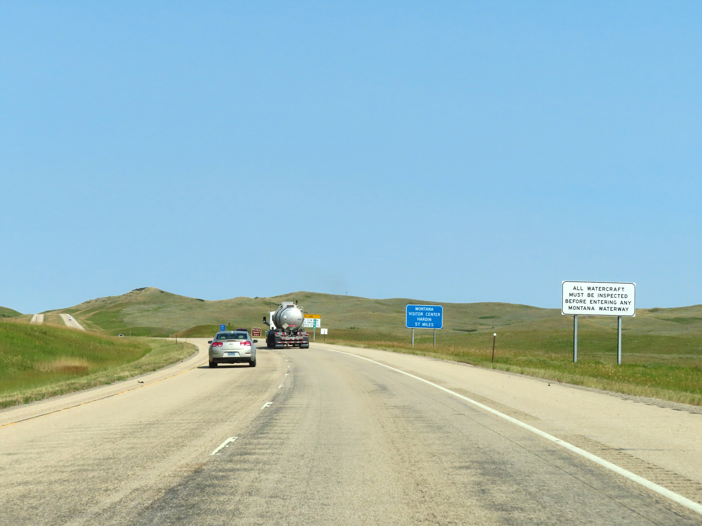 |
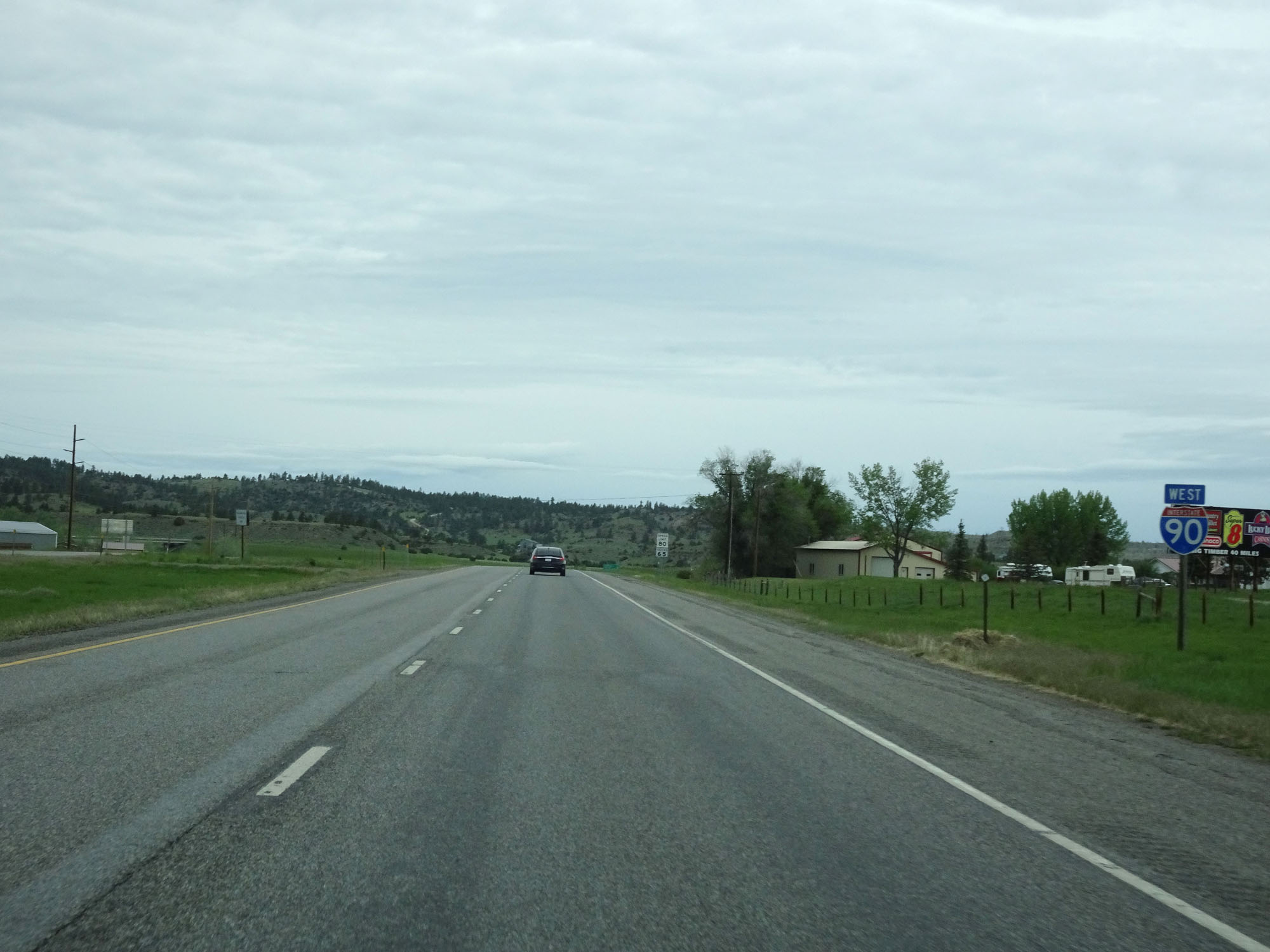
The first Rest Area on Interstate 90 West, which also serves as a Montana Visitor Center and Watercraft Inspection Station, lies 57 miles ahead in Hardin. As this sign reads, all watercraft must be inspected before entering any Montana waterway. (Photo taken 8/17/22). |
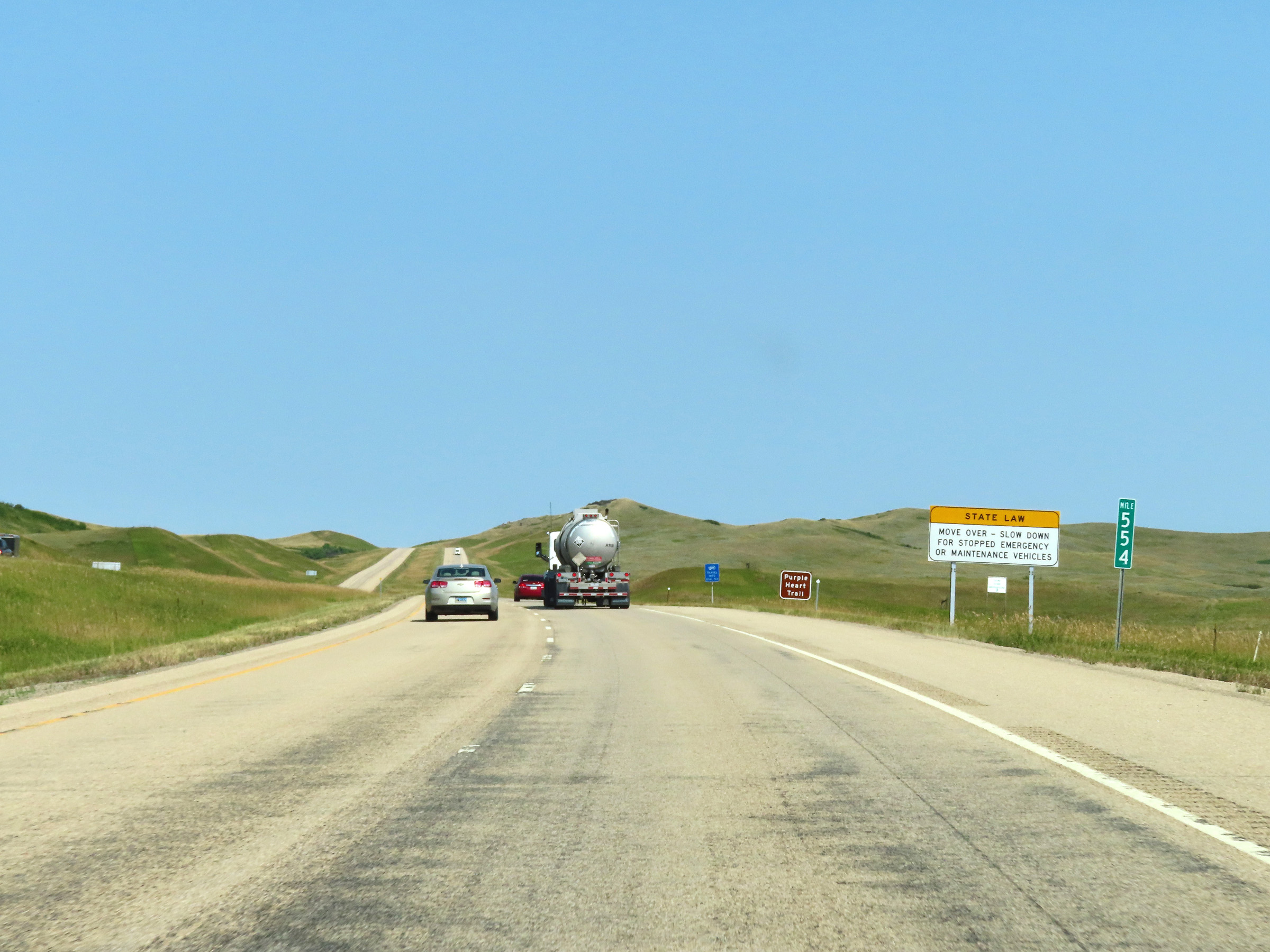 |
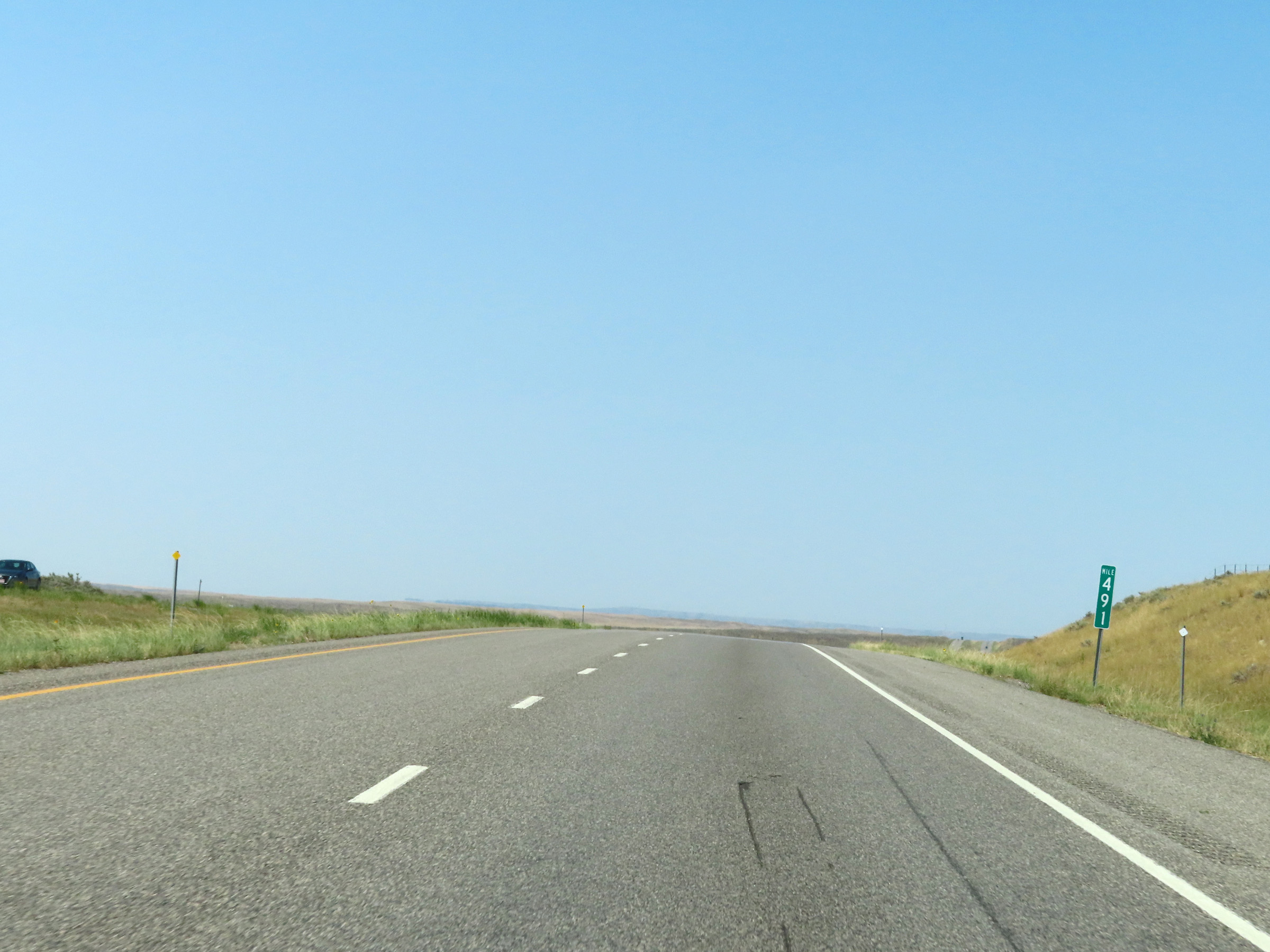
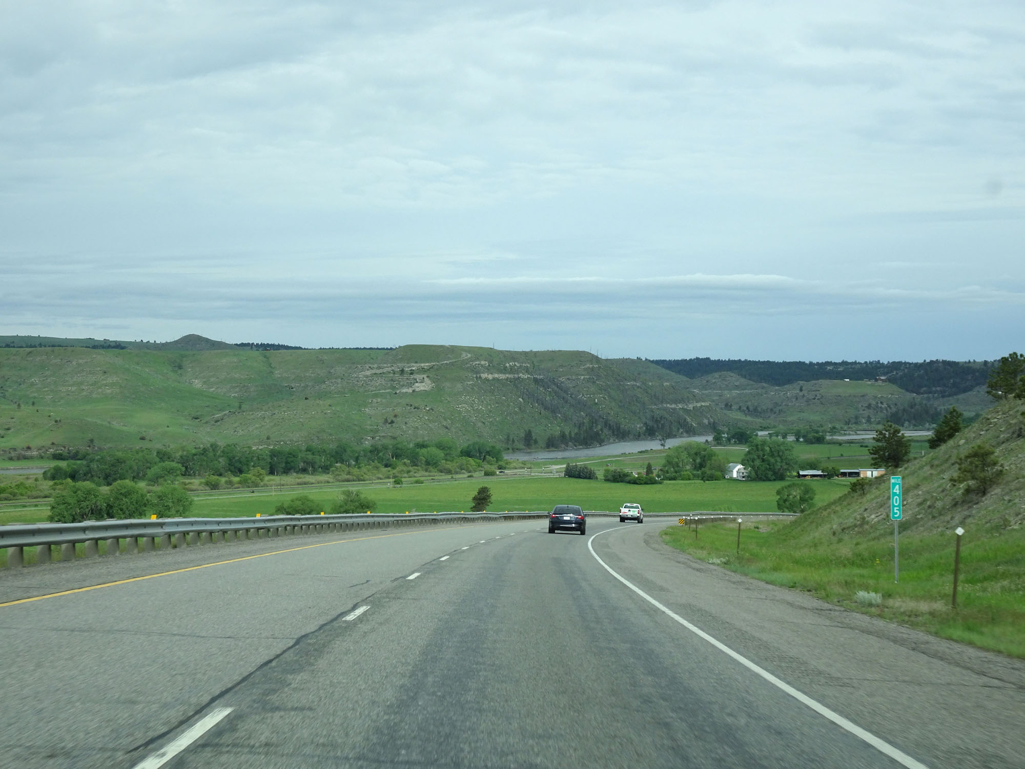
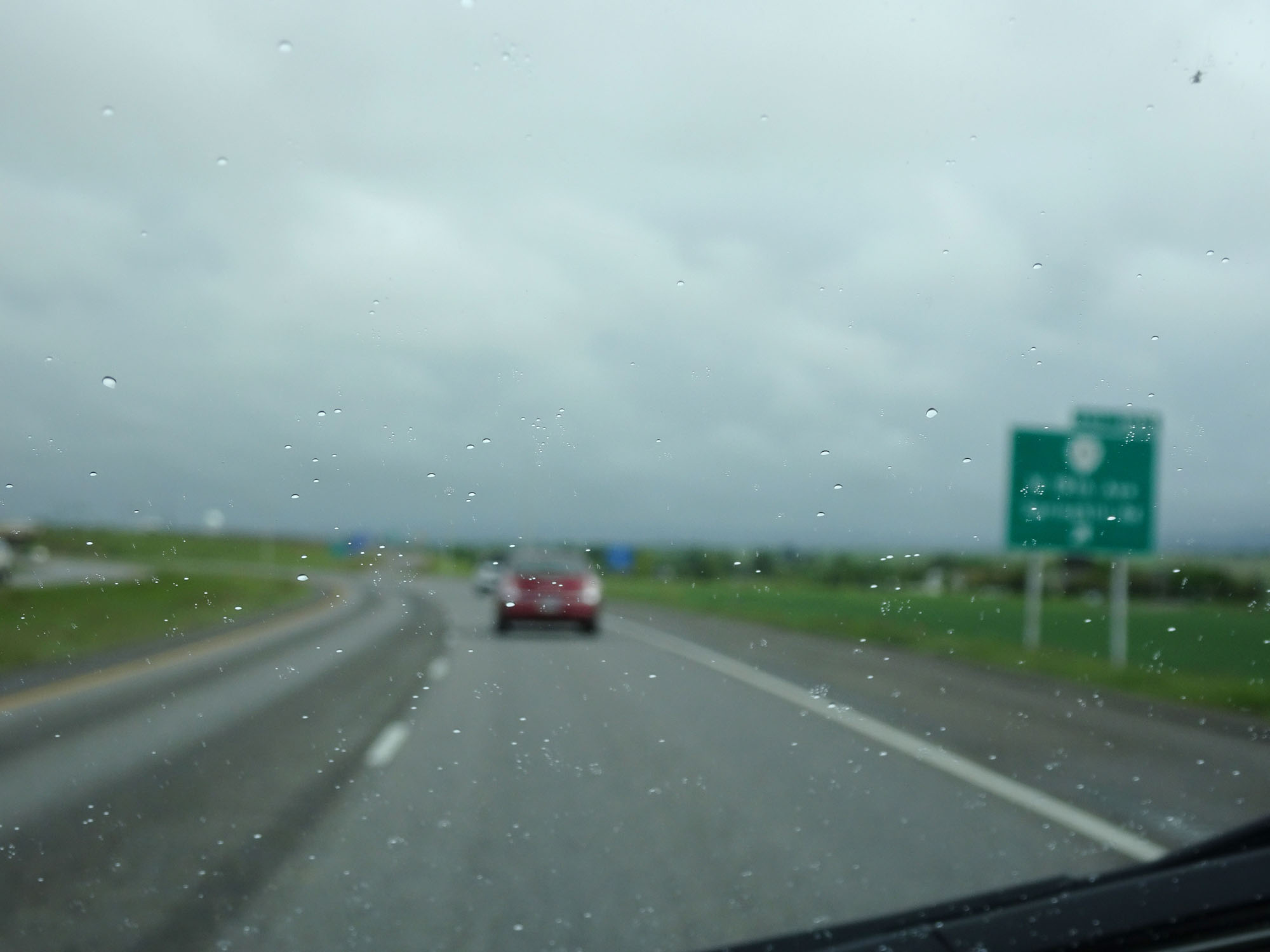
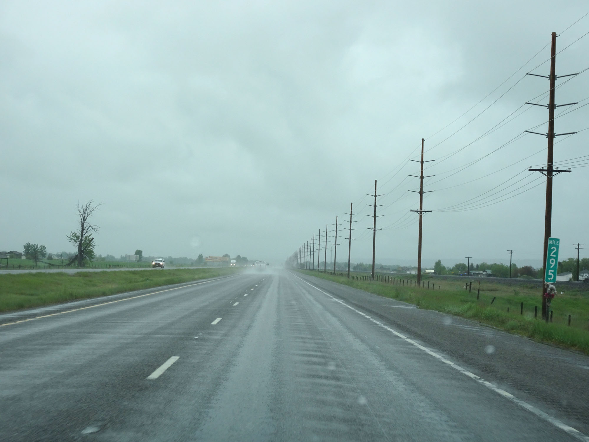
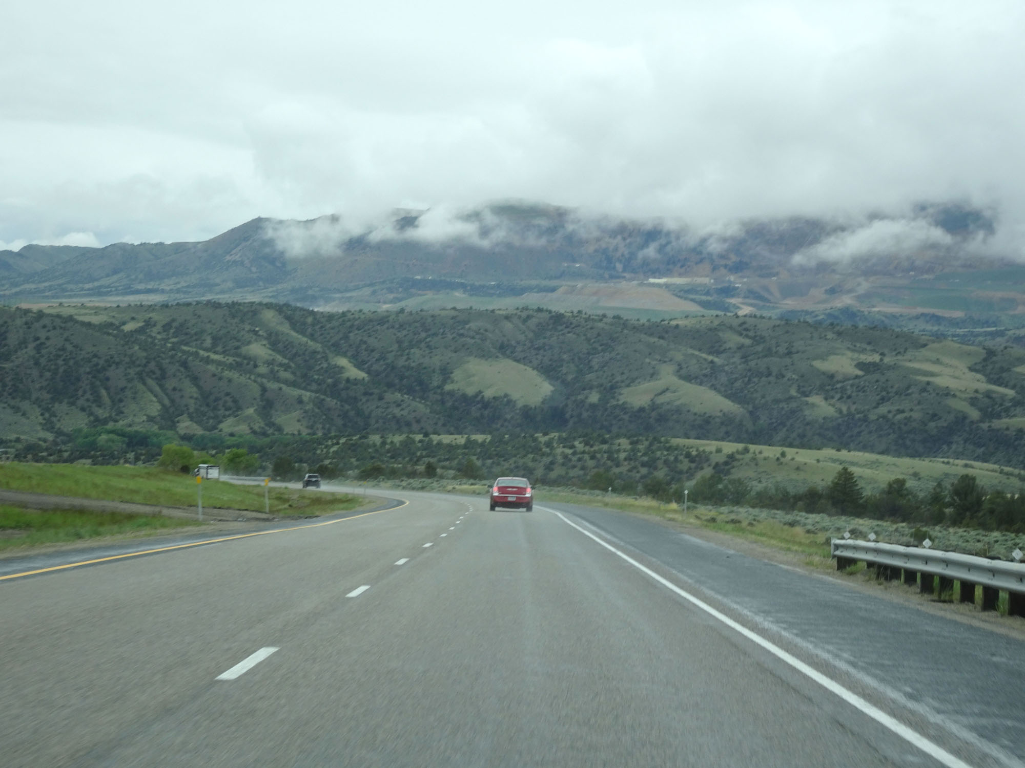
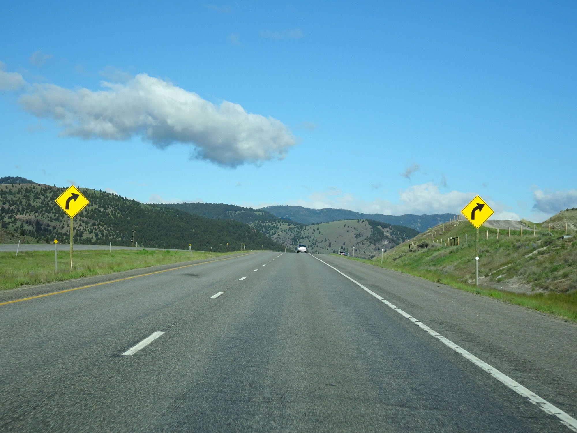
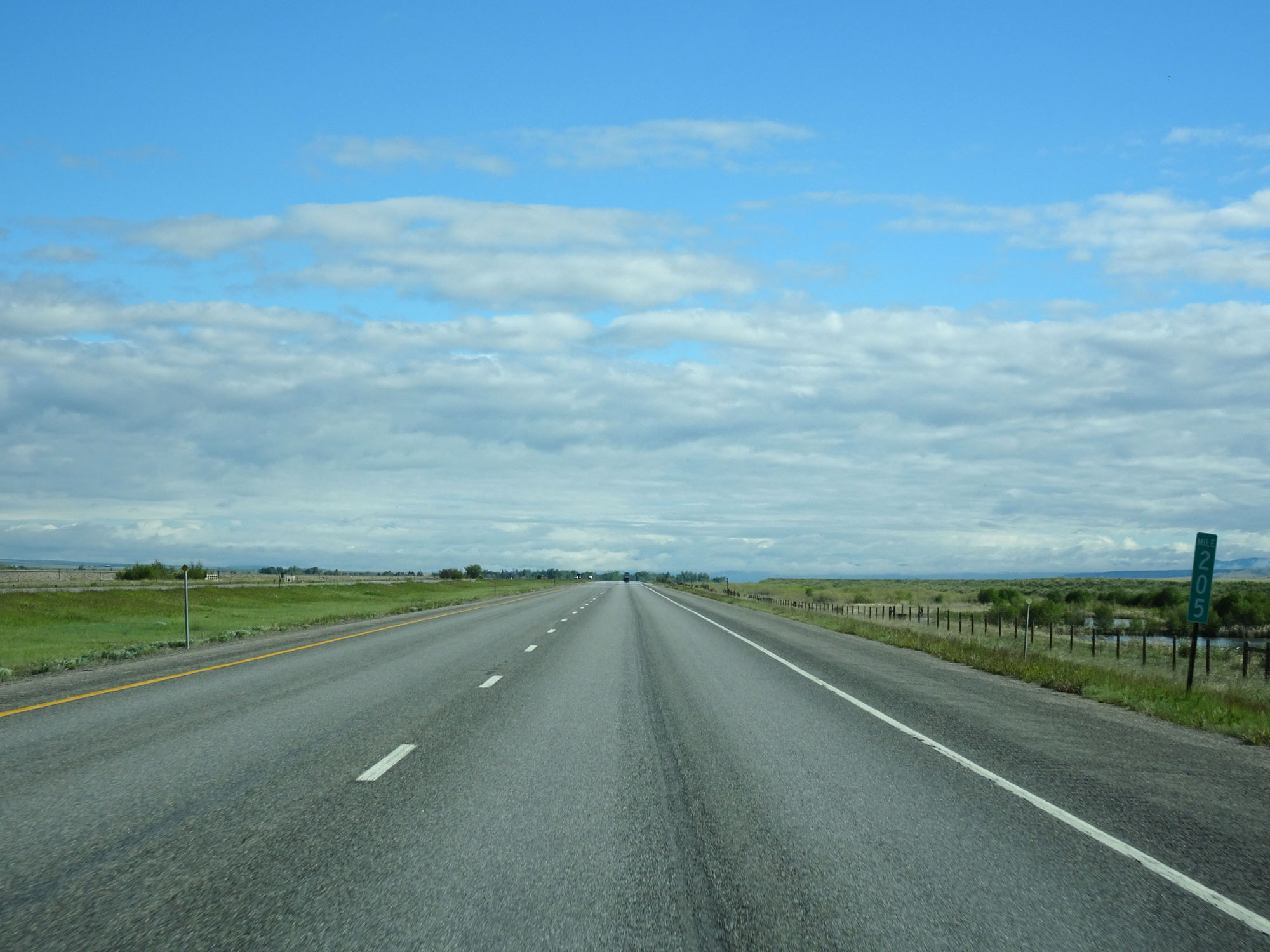
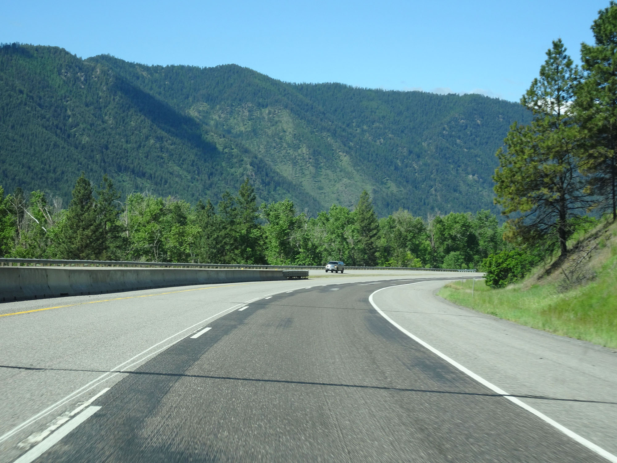
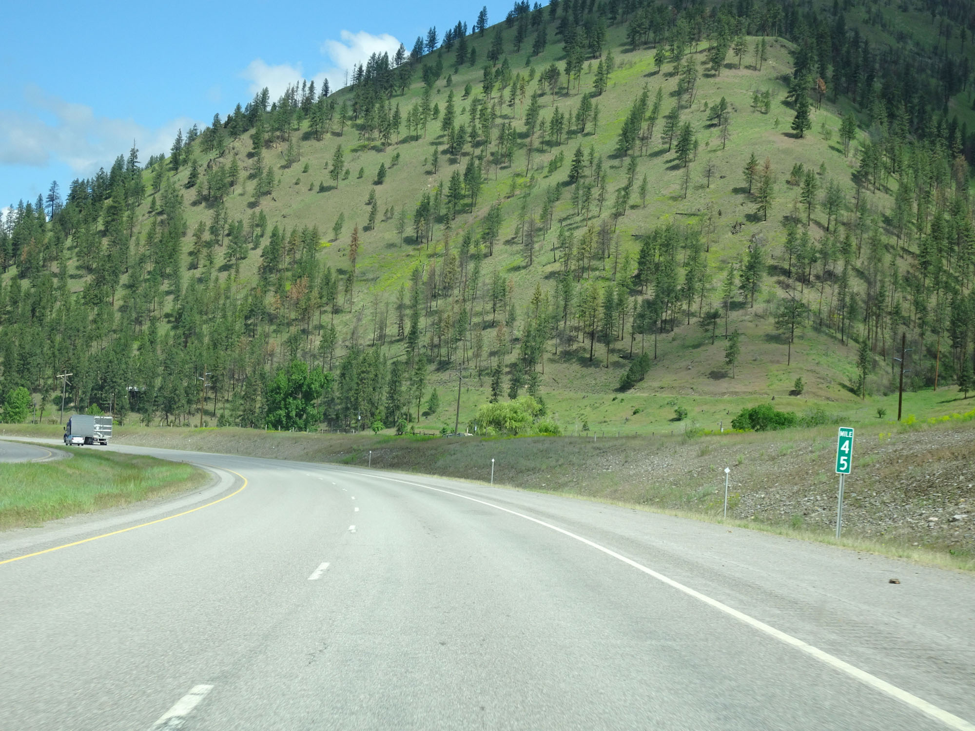
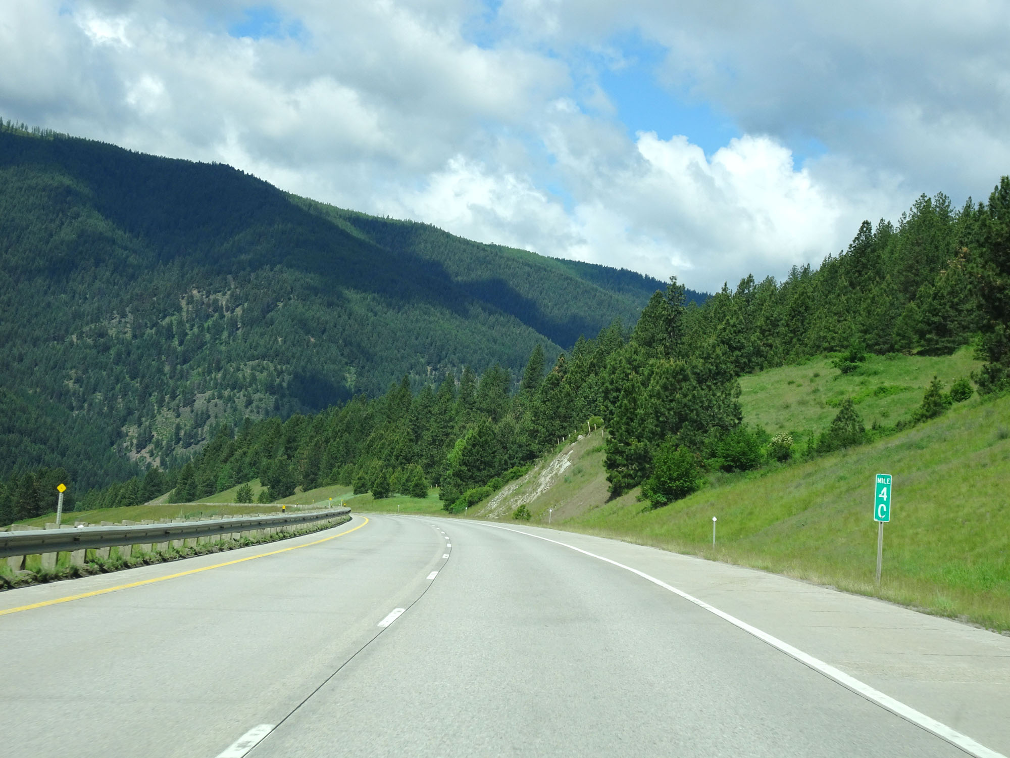
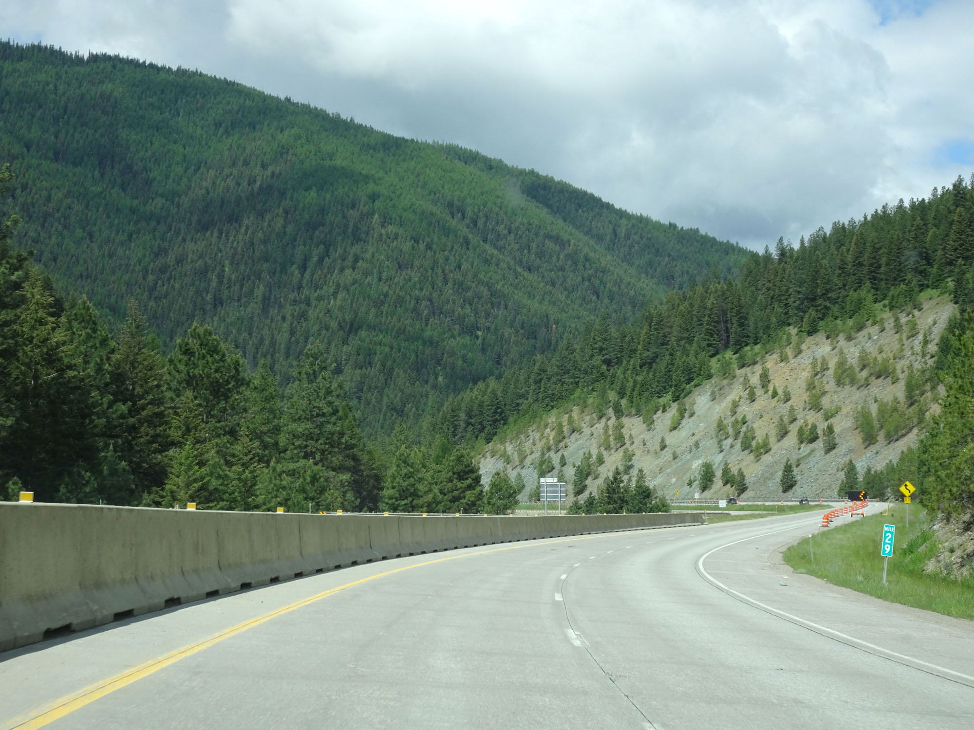
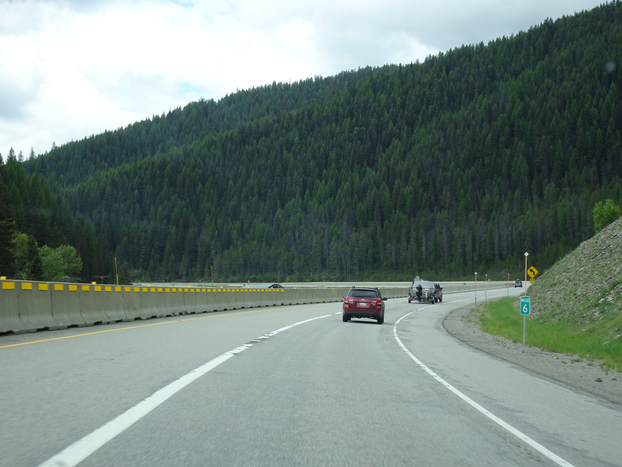
Interstate 90 West at mile marker 554. (Photo taken 8/17/22). |
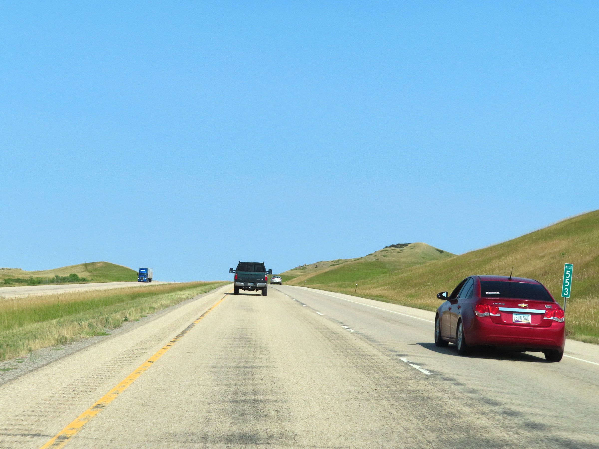 |
Mile marker 553 on Interstate 90 West in Big Horn County. (Photo taken 8/17/22). |
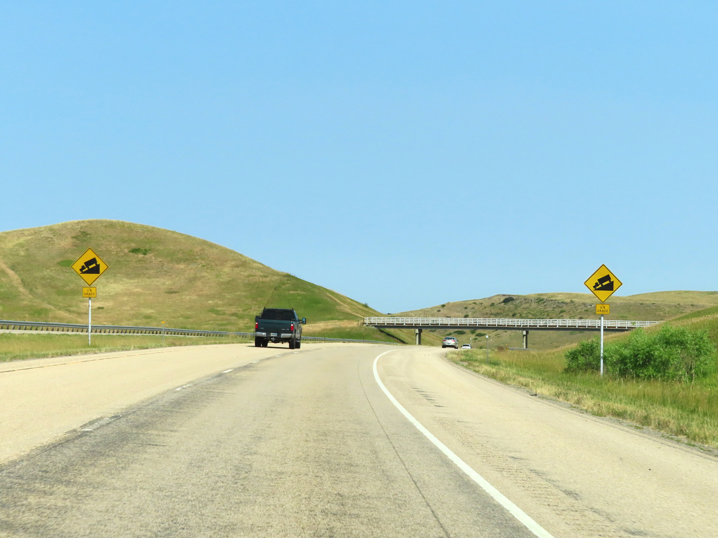 |
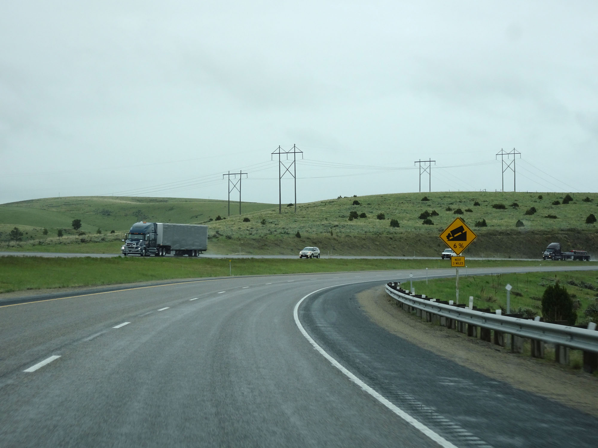
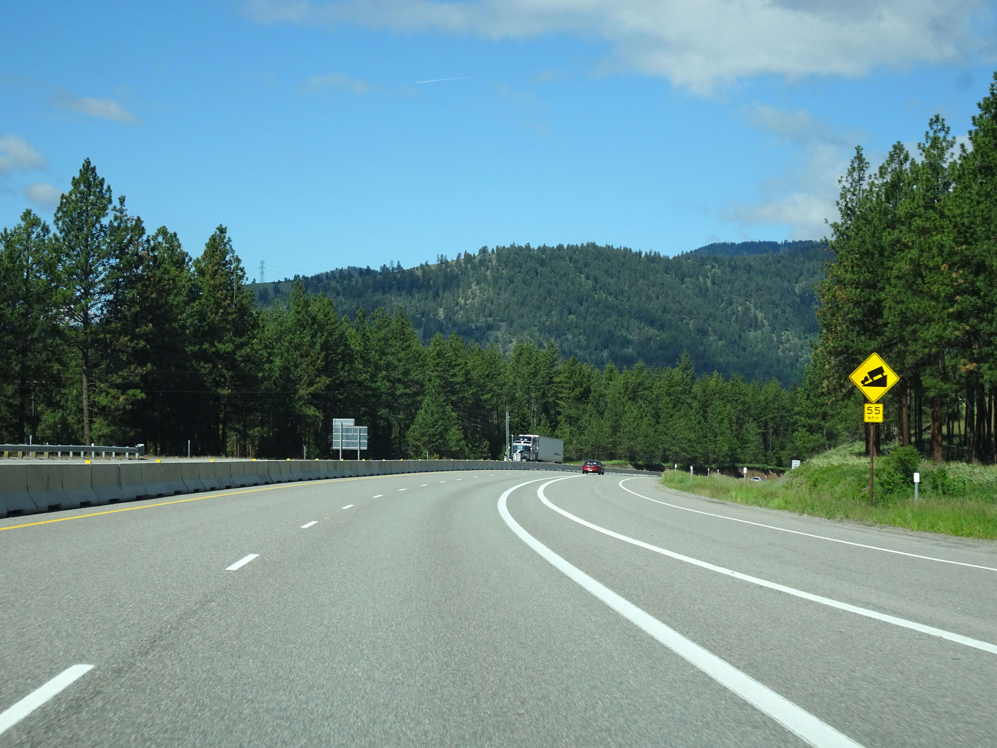
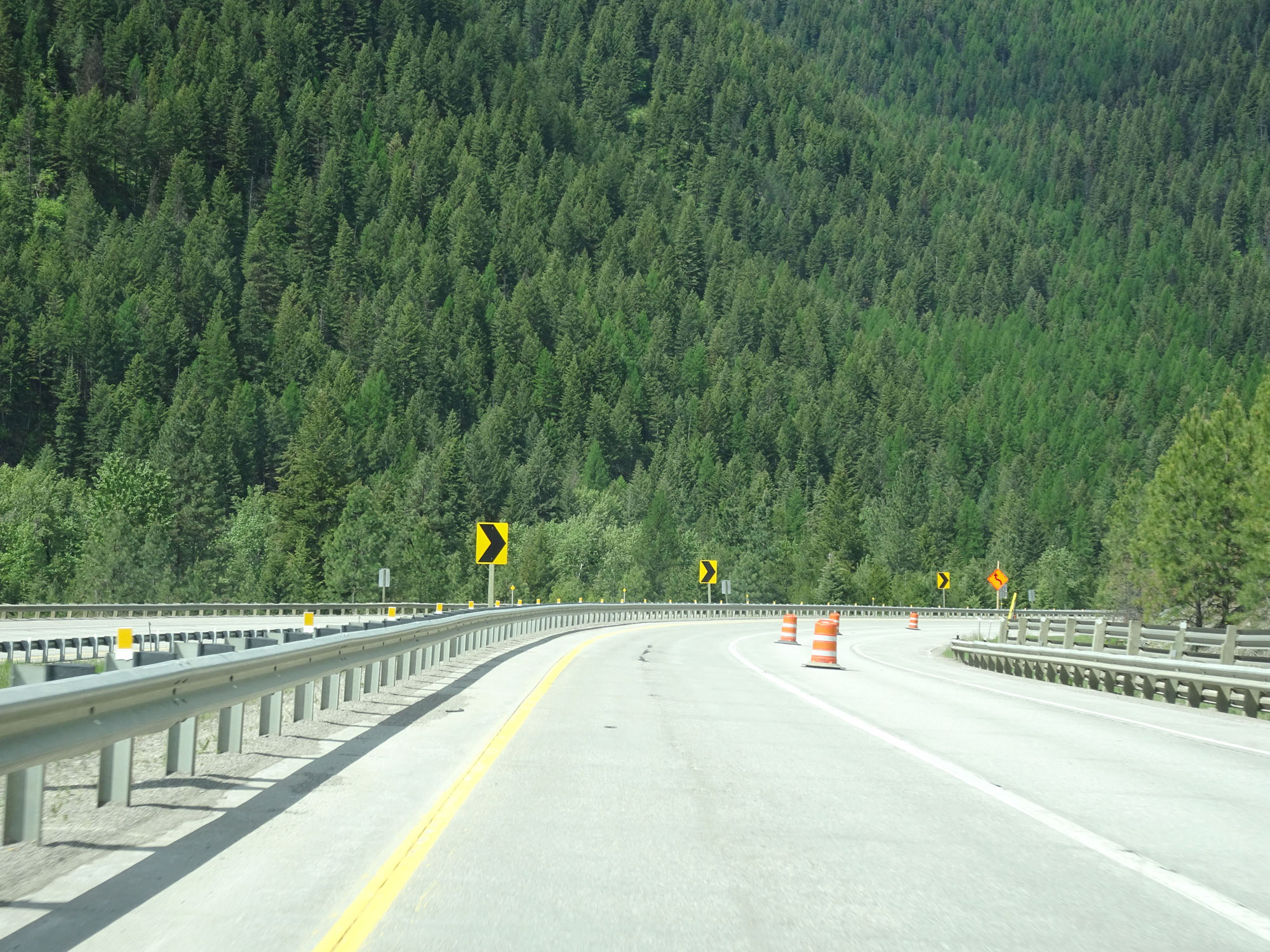
These signs warn that Interstate 90 West will traverse a 6% downgrade ahead. (Photo taken 8/17/22). |
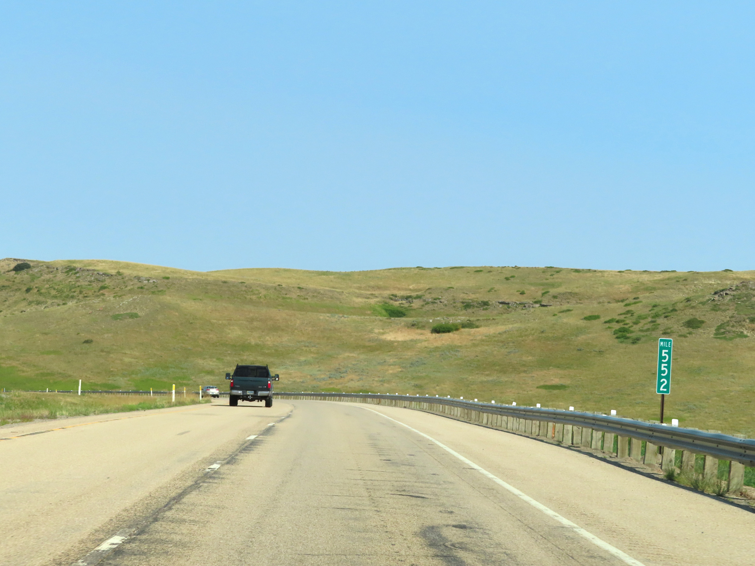 |
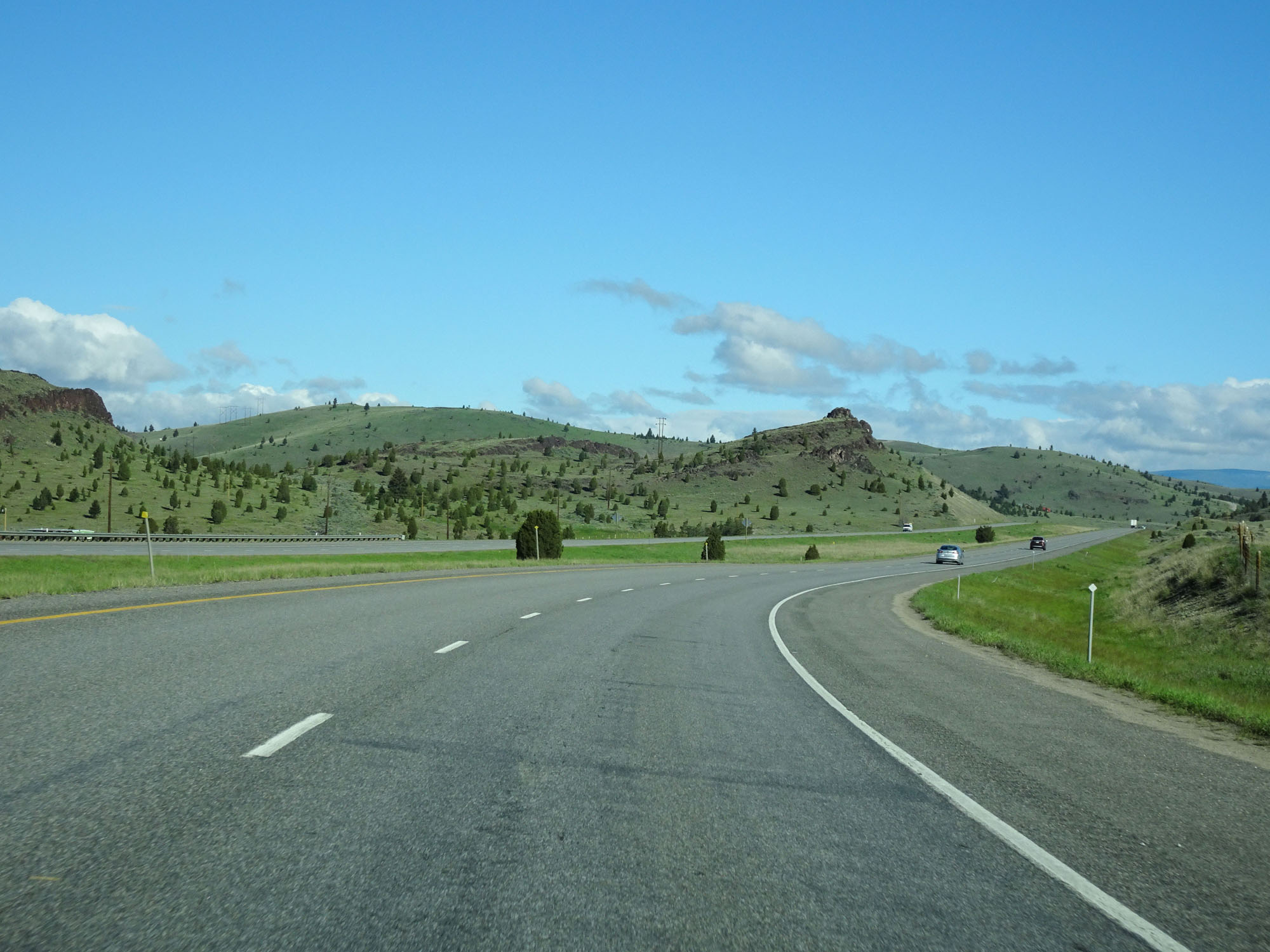
View on Interstate 90 West at mile marker 552, as it starts down the aforementioned 6% grade. (Photo taken 8/17/22). |
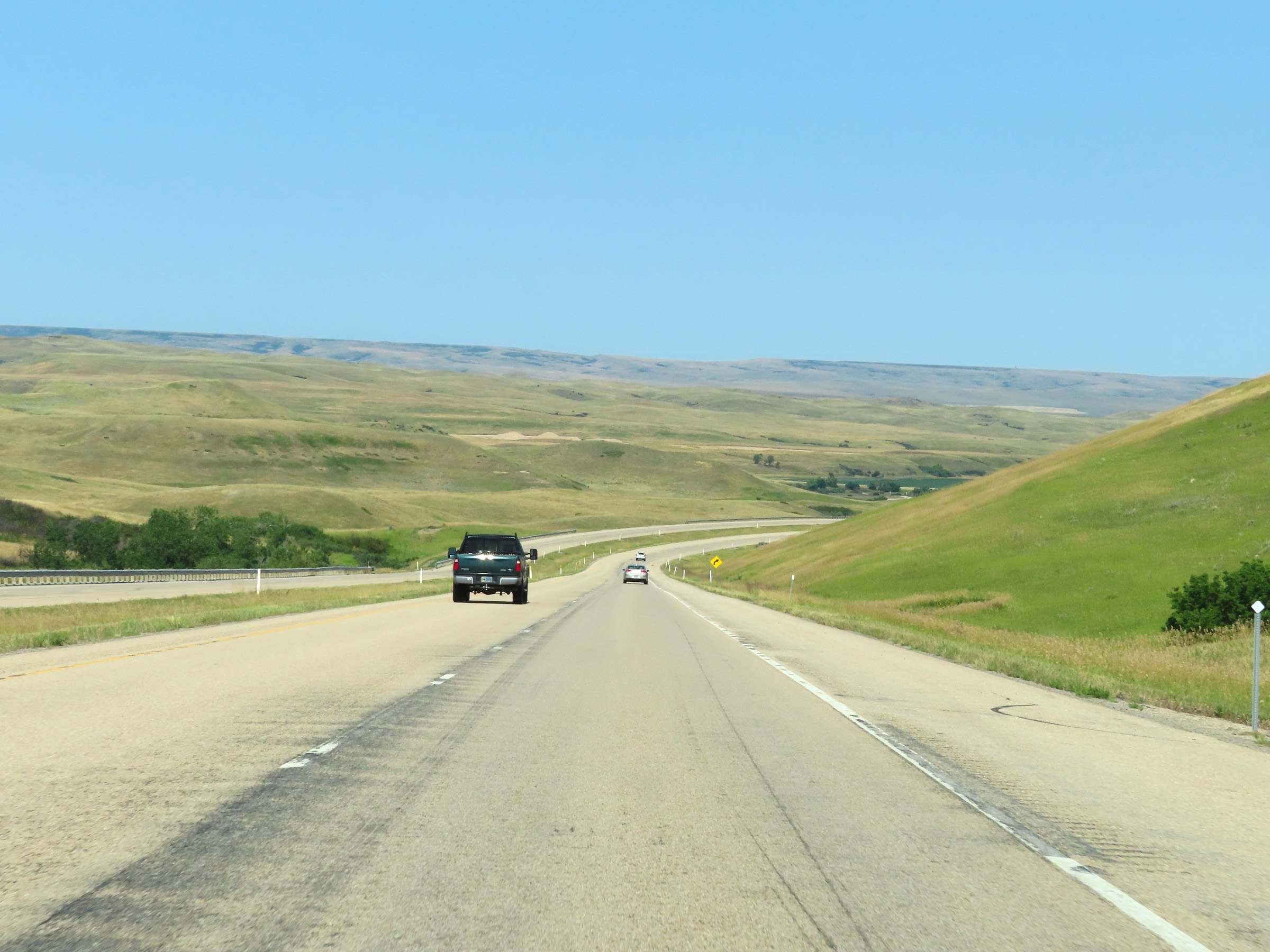 |
Another view on Interstate 90 West as it continues down the grade. (Photo taken 8/17/22). |
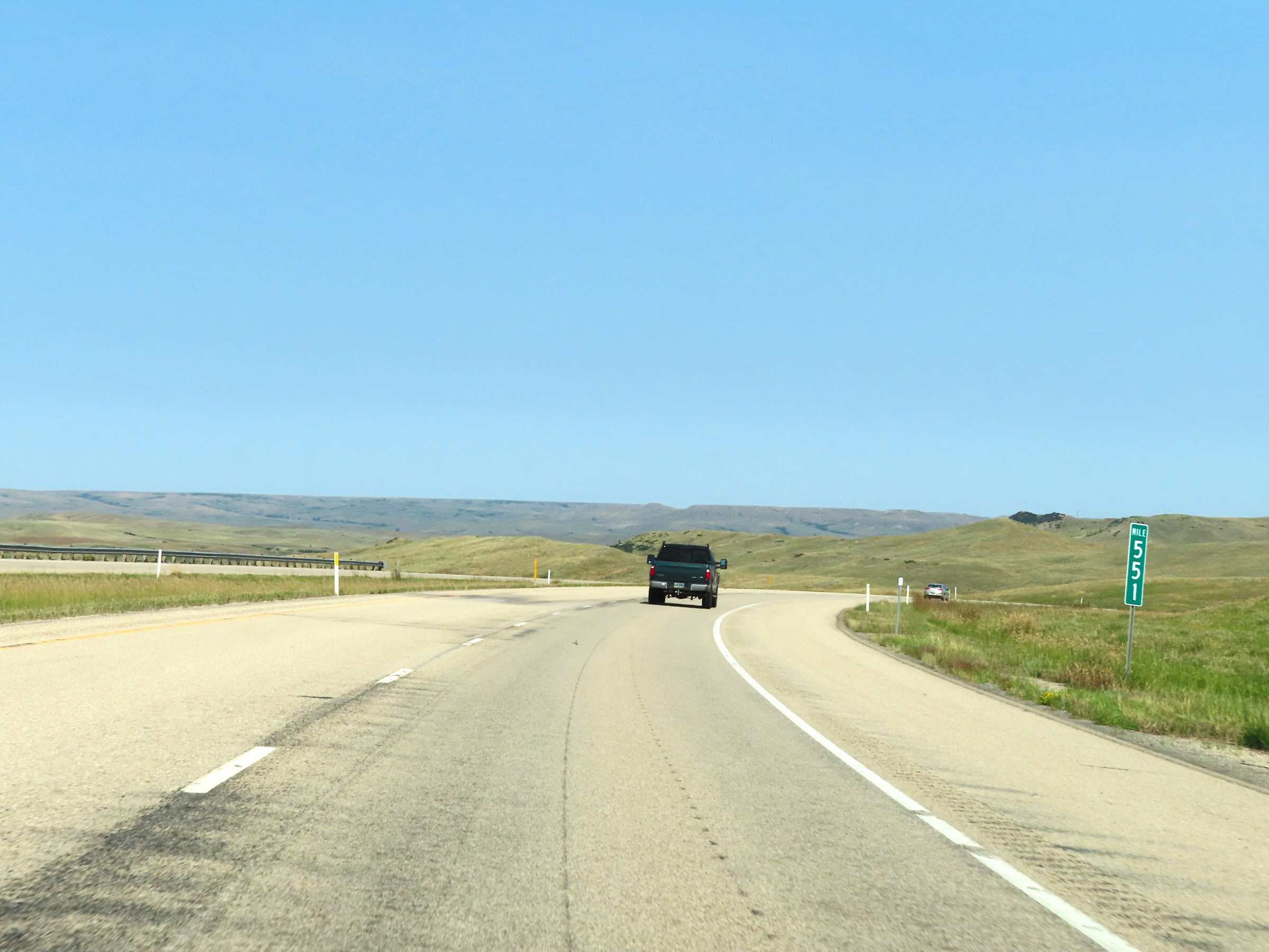 |
Interstate 90 West at mile marker 551. (Photo taken 8/17/22). |
 |
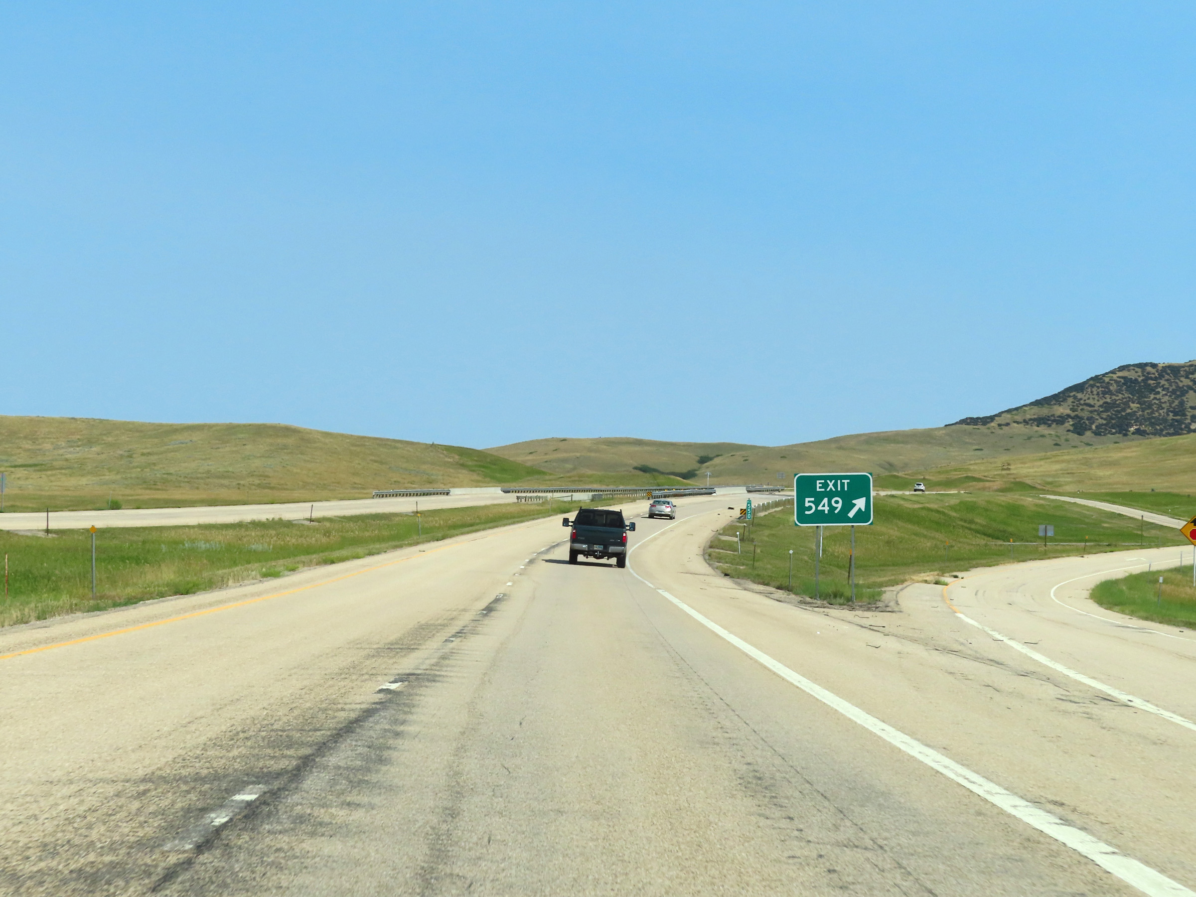
Interstate 90 West approaching Exit 549 - 1/2 mile. (Photo taken 8/17/22). |
 |
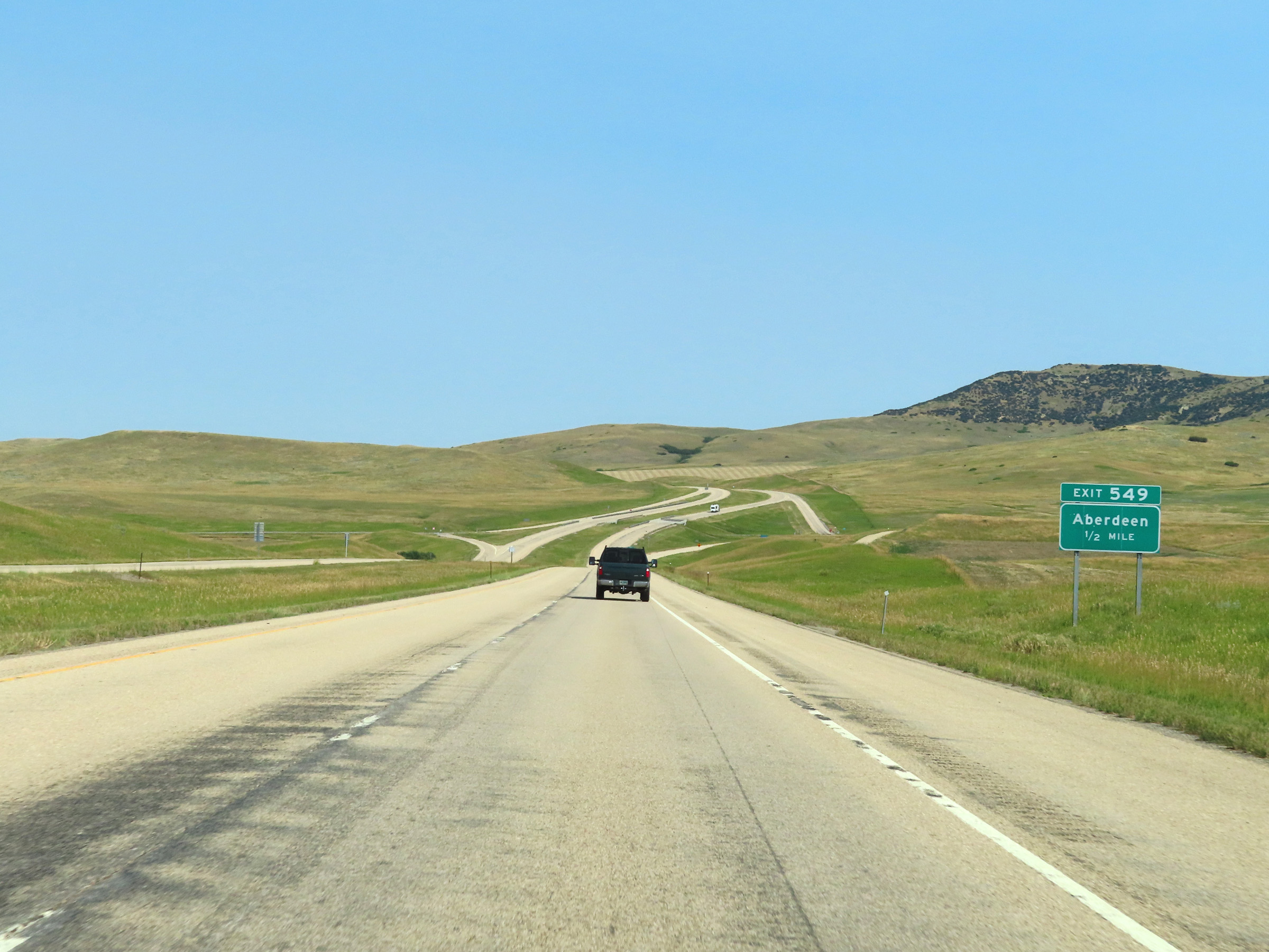
Interstate 90 West at Exit 549: Aberdeen (Photo taken 8/17/22). |
 |
Interstate 90 West reassurance shield in Big Horn County. (Photo taken 8/17/22). |
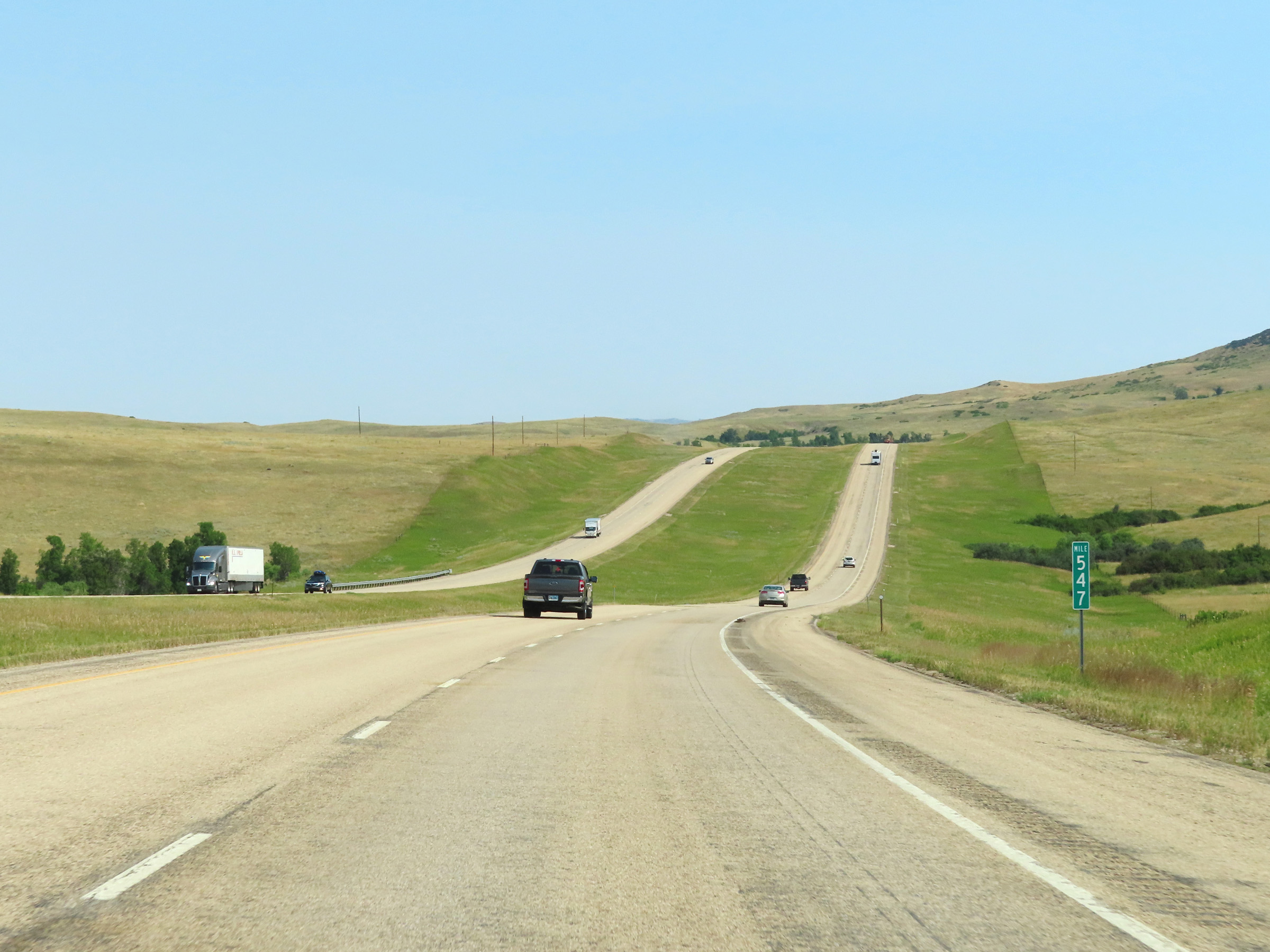 |
View on Interstate 90 West at mile marker 547. (Photo taken 8/17/22). |
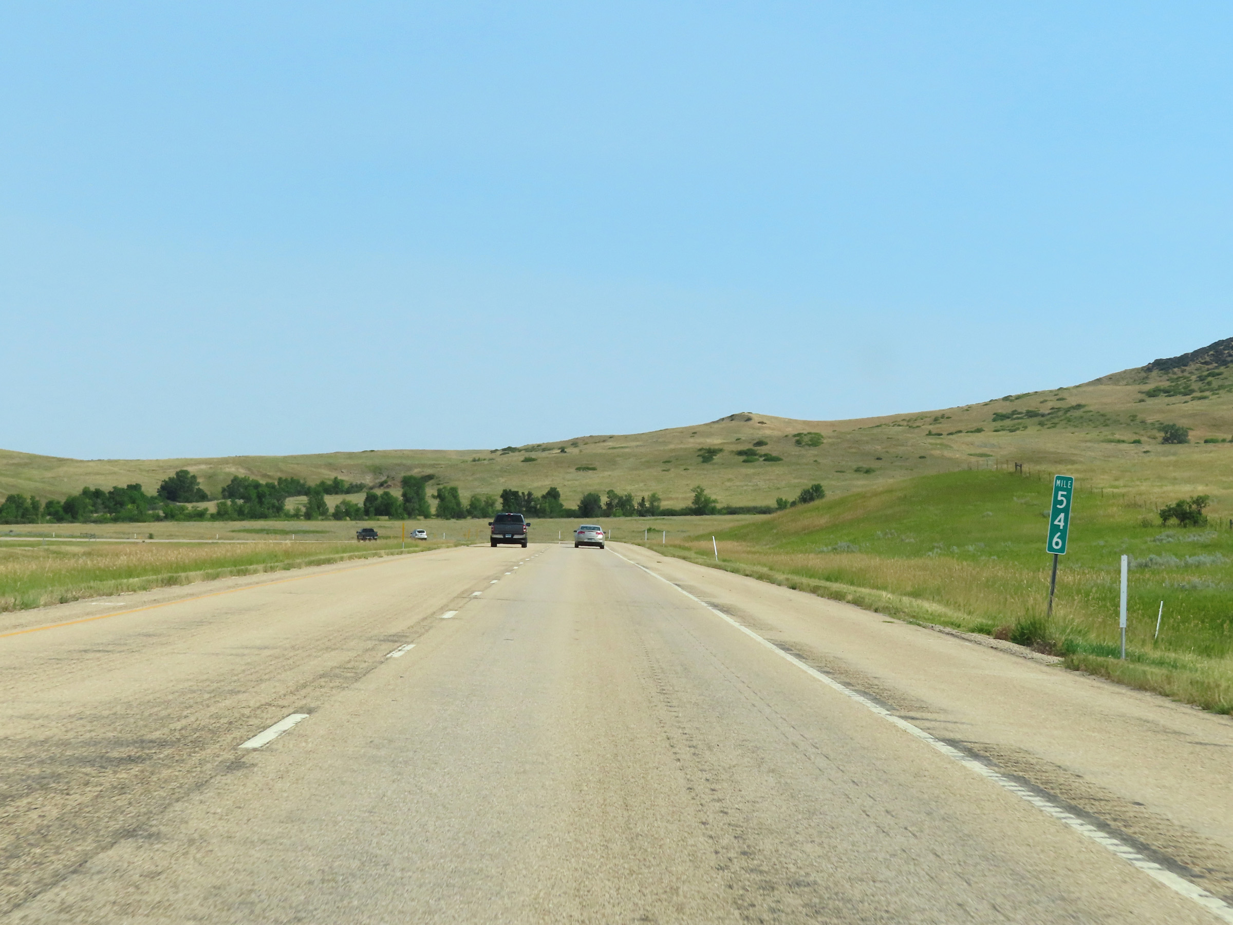 |
Mile marker 546 on Interstate 90 West in Big Horn County. (Photo taken 8/17/22). |
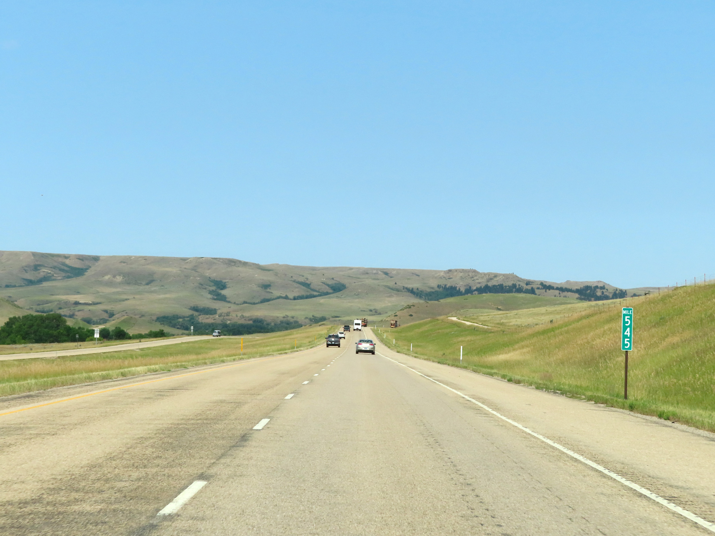 |
View on Interstate 90 West at mile marker 545. (Photo taken 8/17/22). |
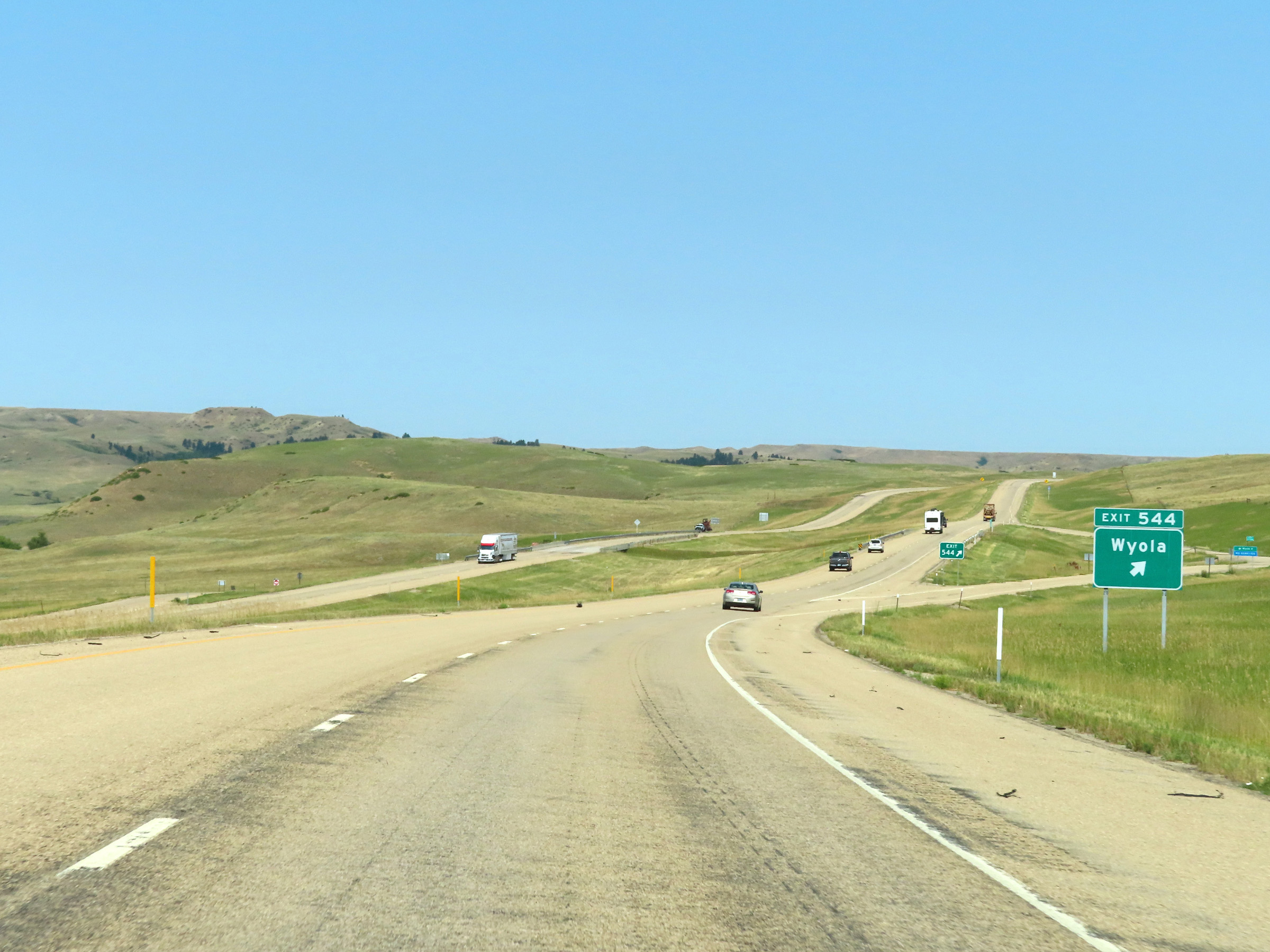 |
Interstate 90 West at Exit 544: Wyola (Photo taken 8/17/22). |
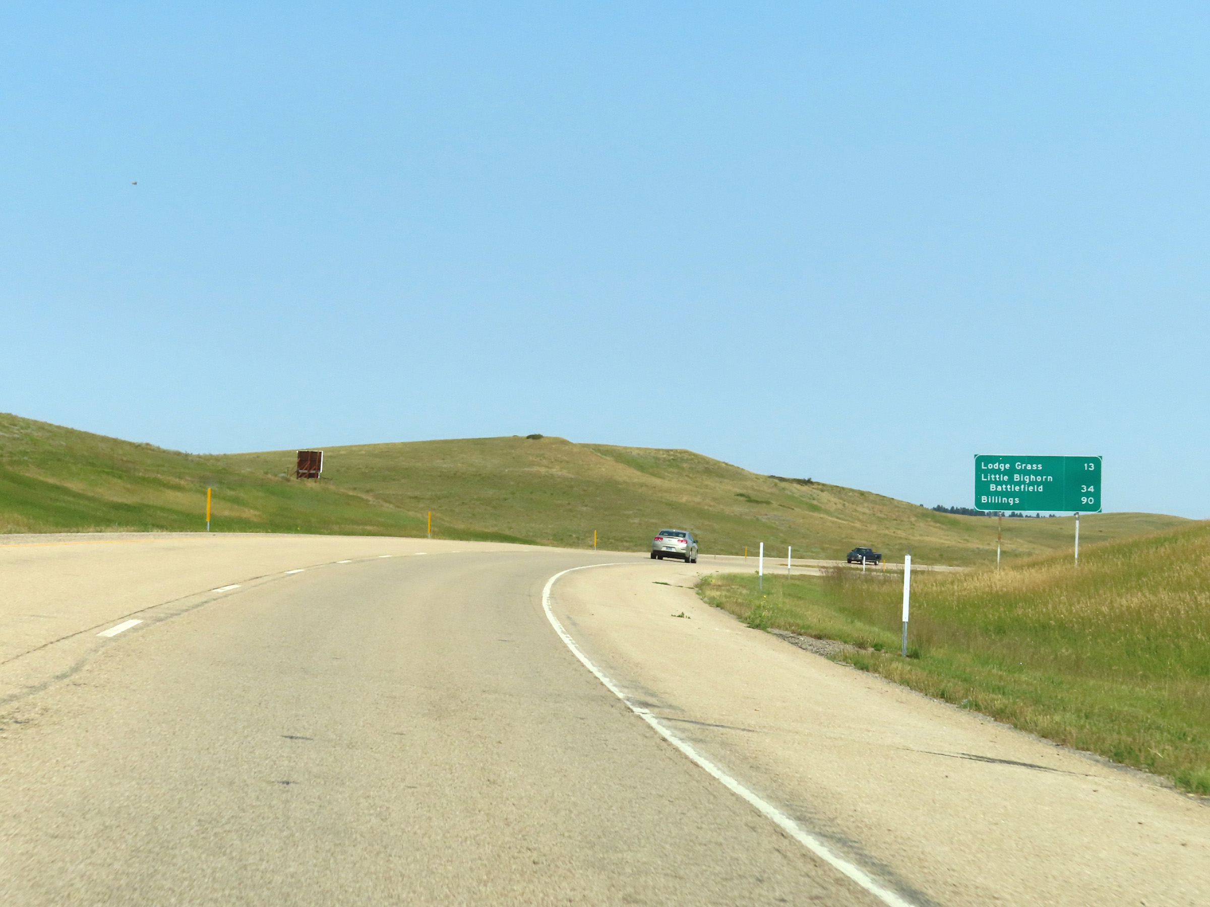 |
Mileage sign on Interstate 90 West. It's 13 miles to Lodge Grass, 34 miles to Little Bighorn Battlefield, and 90 miles to Billings. (Photo taken 8/17/22). |
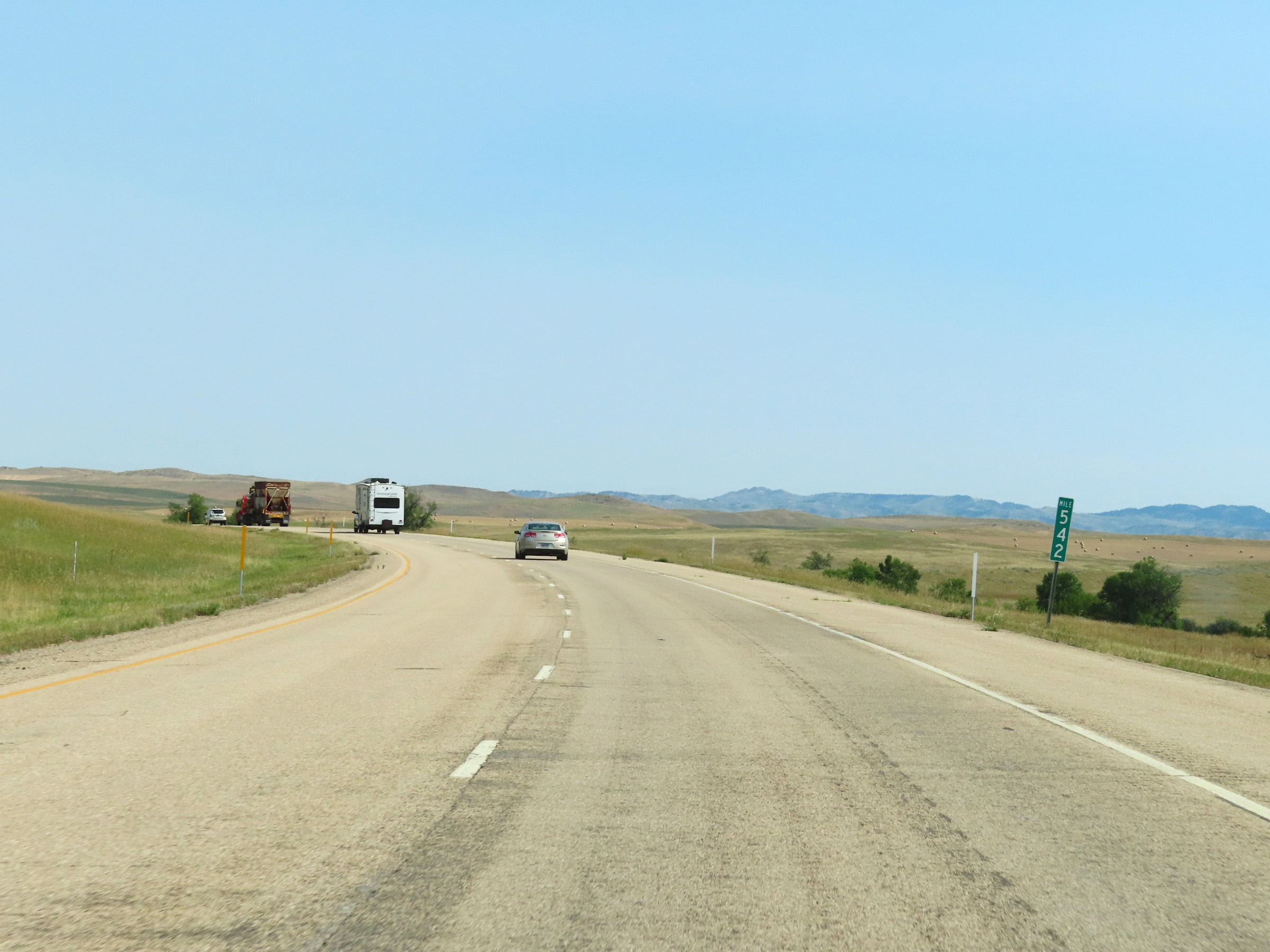 |
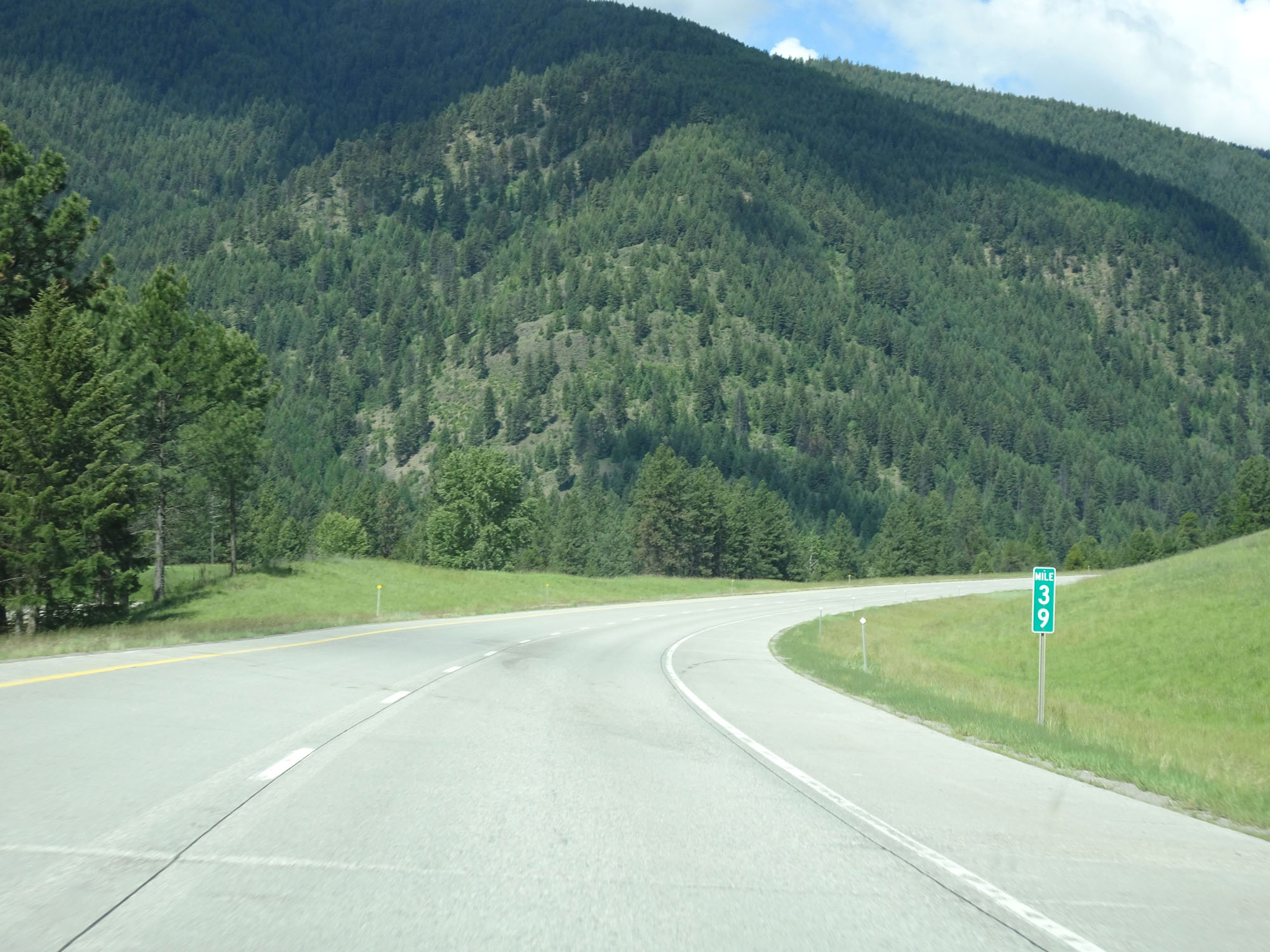
Interstate 90 West at mile marker 542. (Photo taken 8/17/22). |
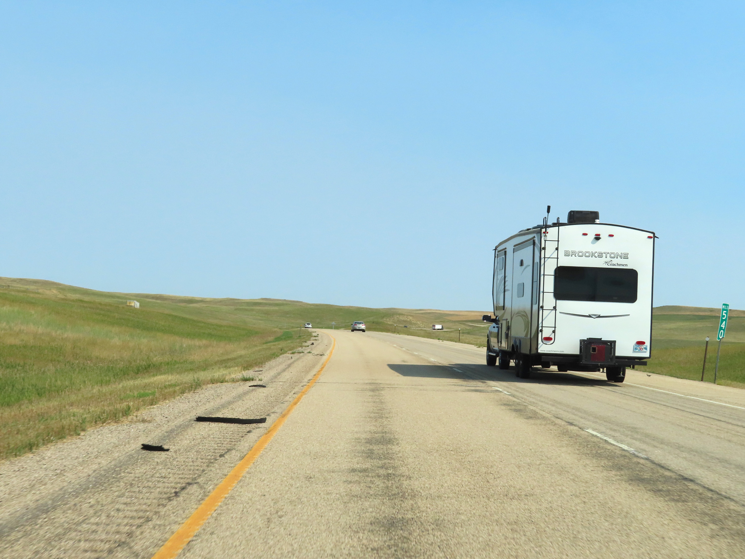 |
Mile marker 540 on Interstate 90 West in Big Horn County. (Photo taken 8/17/22). |
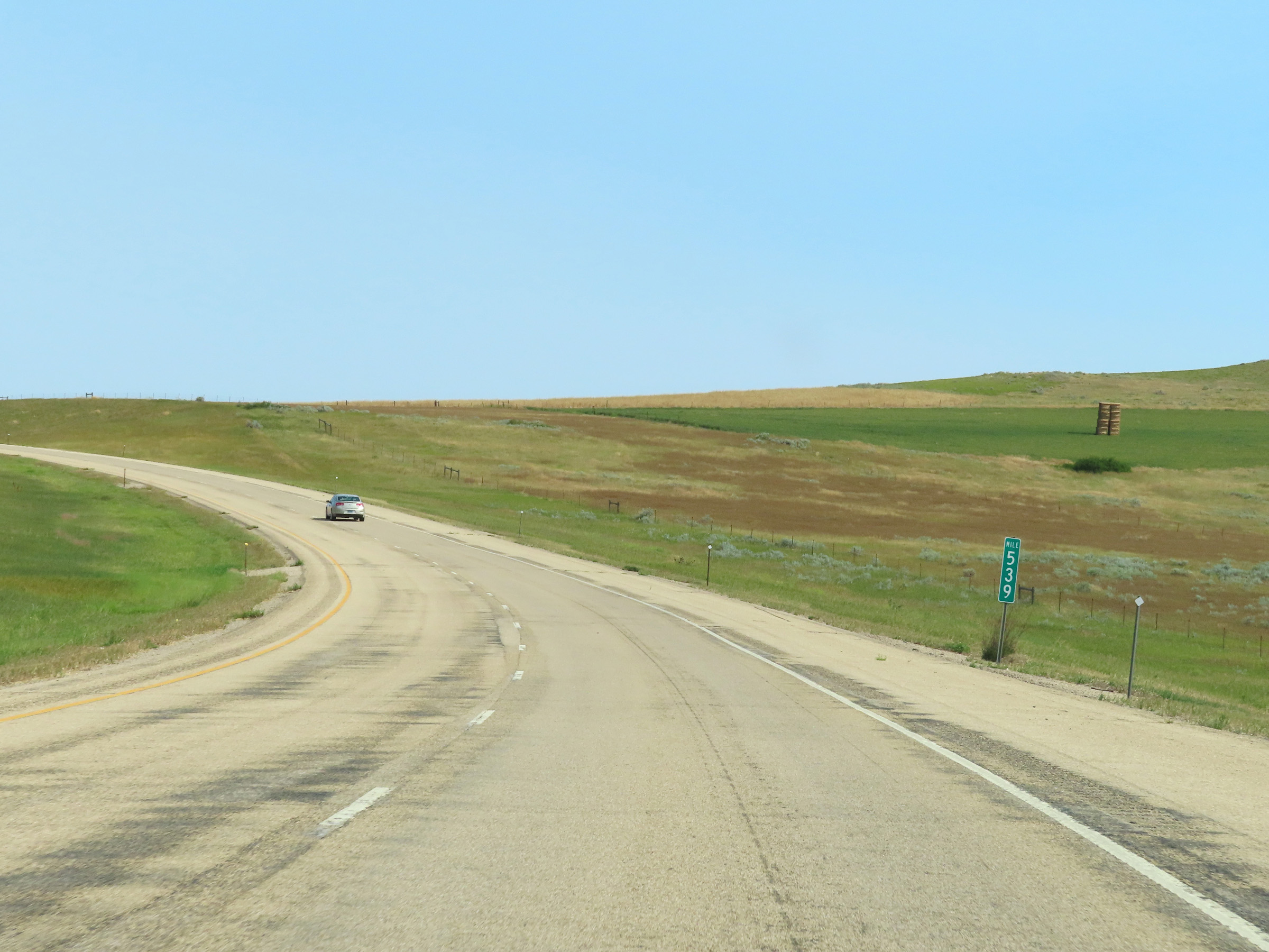 |
View on Interstate 90 West at mile marker 539. (Photo taken 8/17/22). |
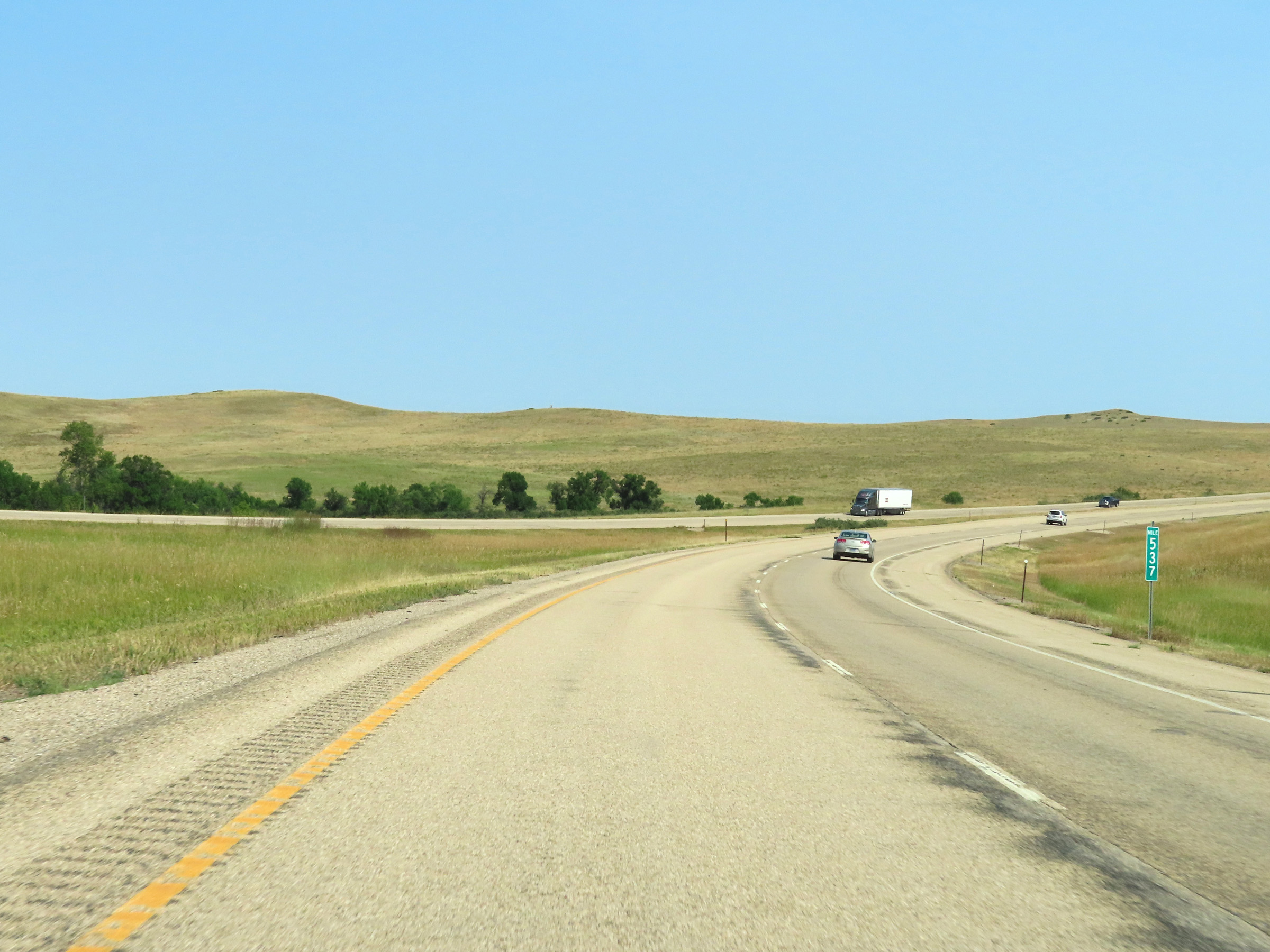 |
Interstate 90 West at mile marker 537. (Photo taken 8/17/22). |
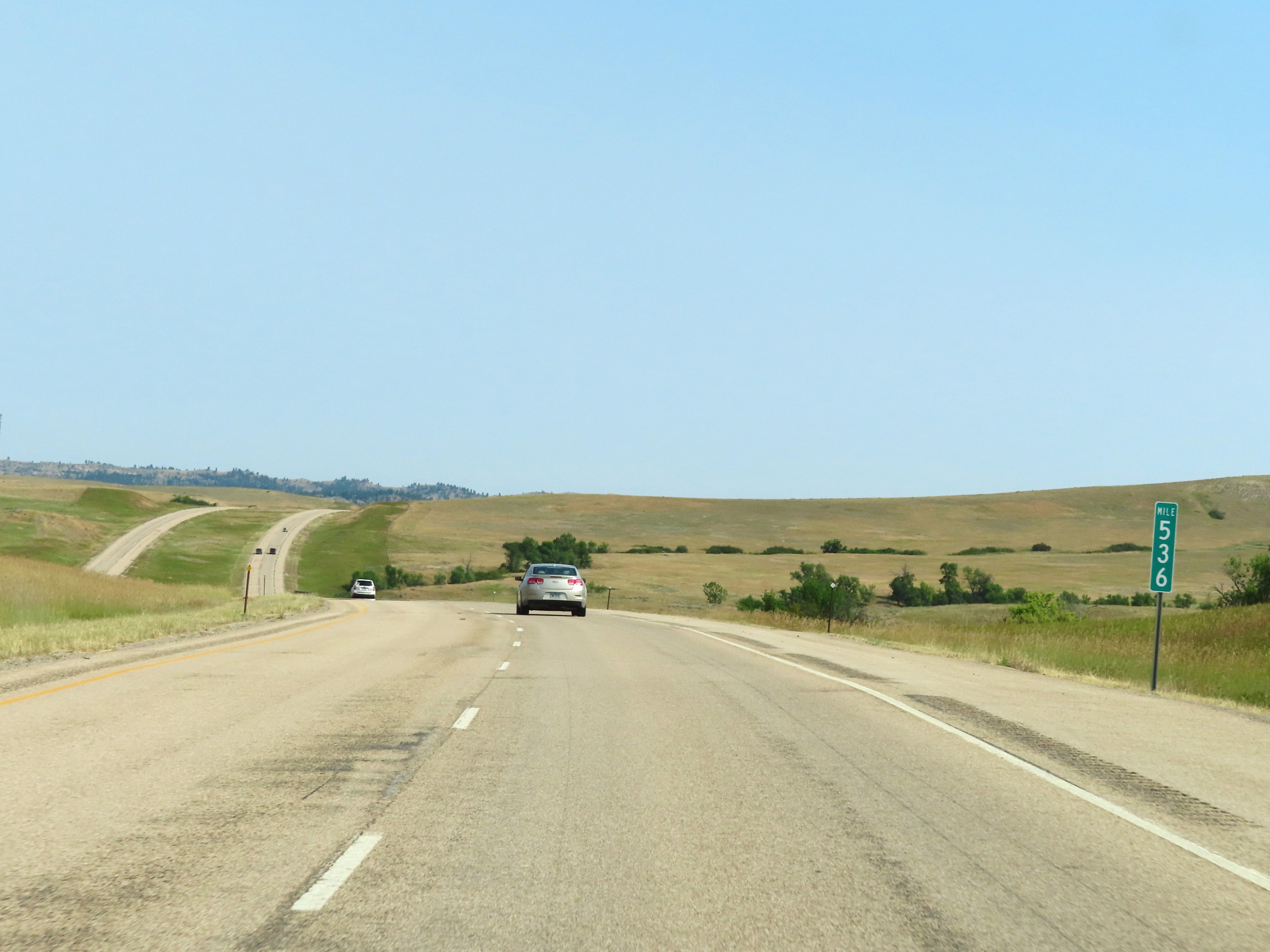 |
View on Interstate 90 West at mile marker 536. (Photo taken 8/17/22). |
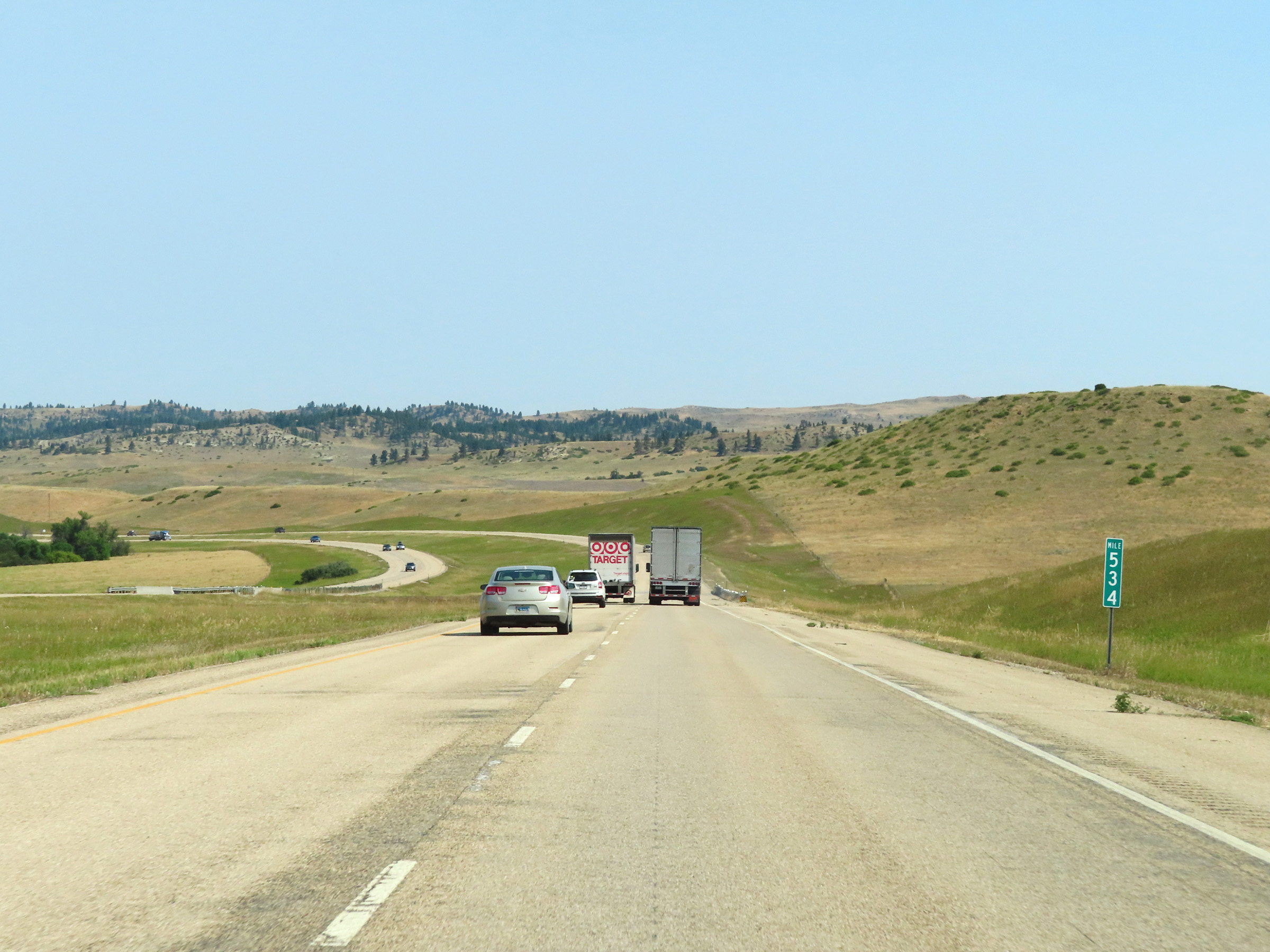 |
Interstate 90 West at mile marker 534. (Photo taken 8/17/22). |
 |
Mile marker 532 on Interstate 90 West in Big Horn County. (Photo taken 8/17/22). |
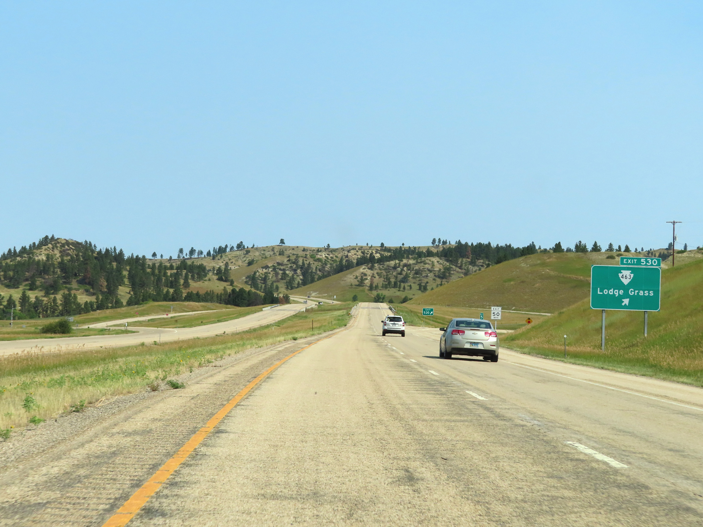 |
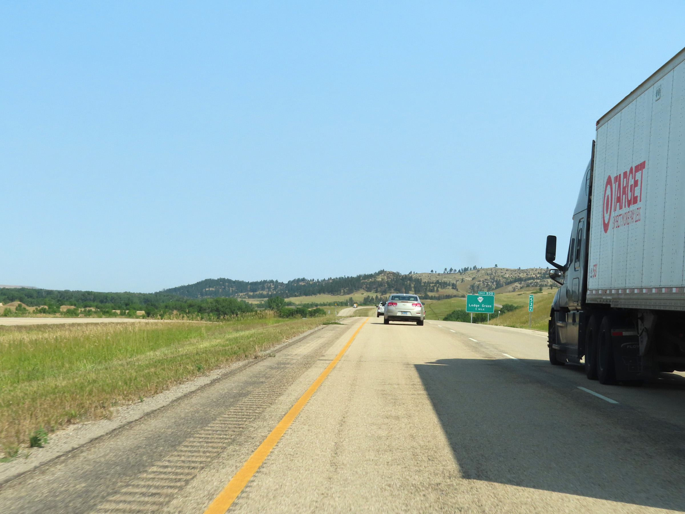
Interstate 90 West at Exit 530: S-463 - Lodge Grass (Photo taken 8/17/22). |
 |
Another Interstate 90 West reassurance shield in Lodge Grass. (Photo taken 8/17/22). |
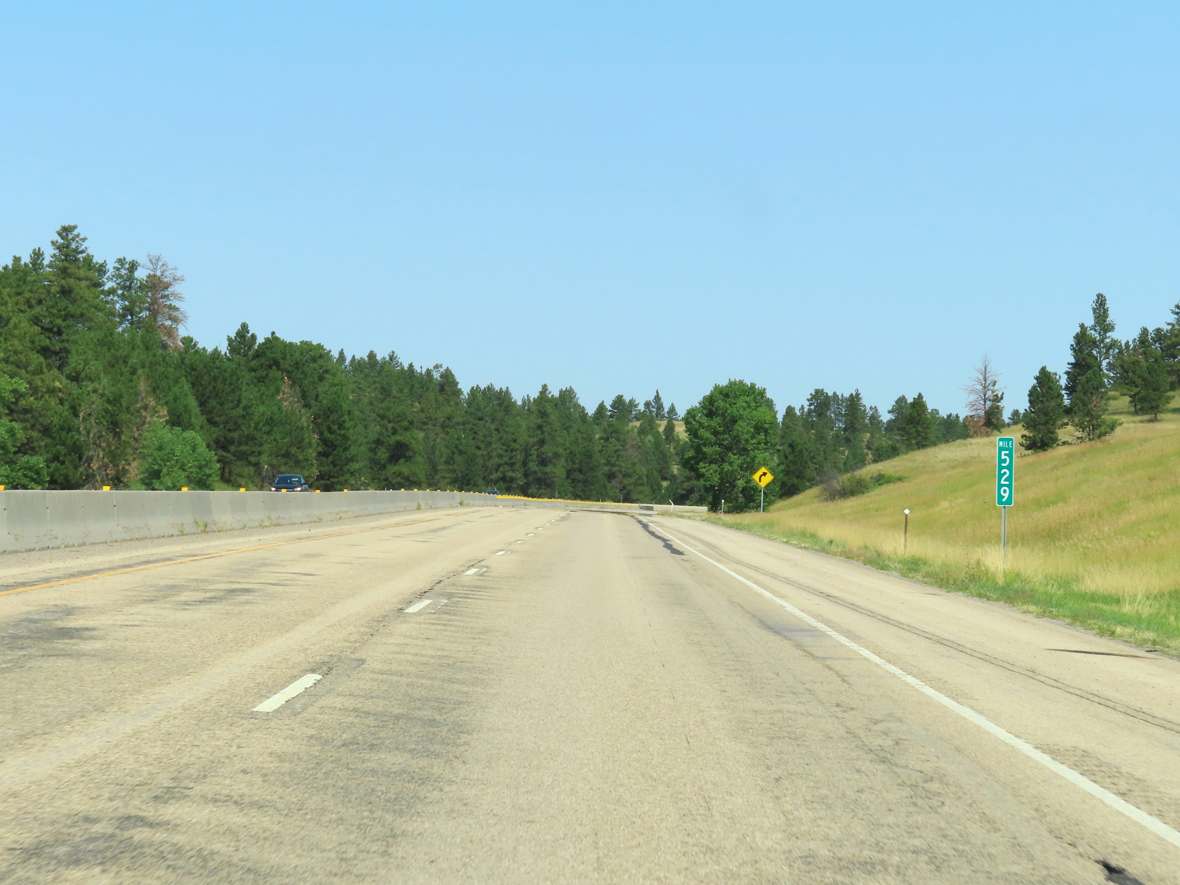 |
View on Interstate 90 West at mile marker 529. (Photo taken 8/17/22). |
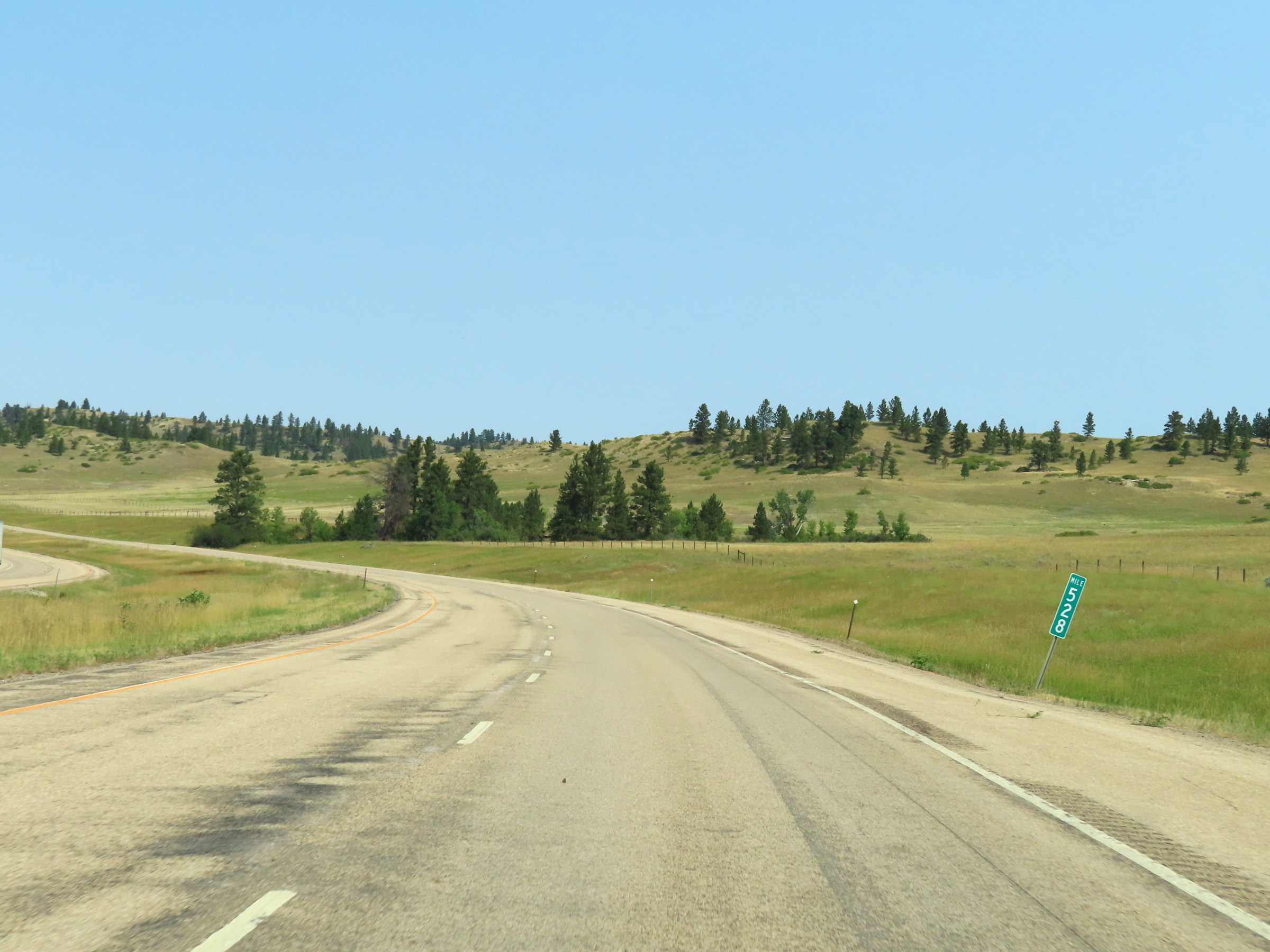 |
Interstate 90 West at mile marker 528. (Photo taken 8/17/22). |
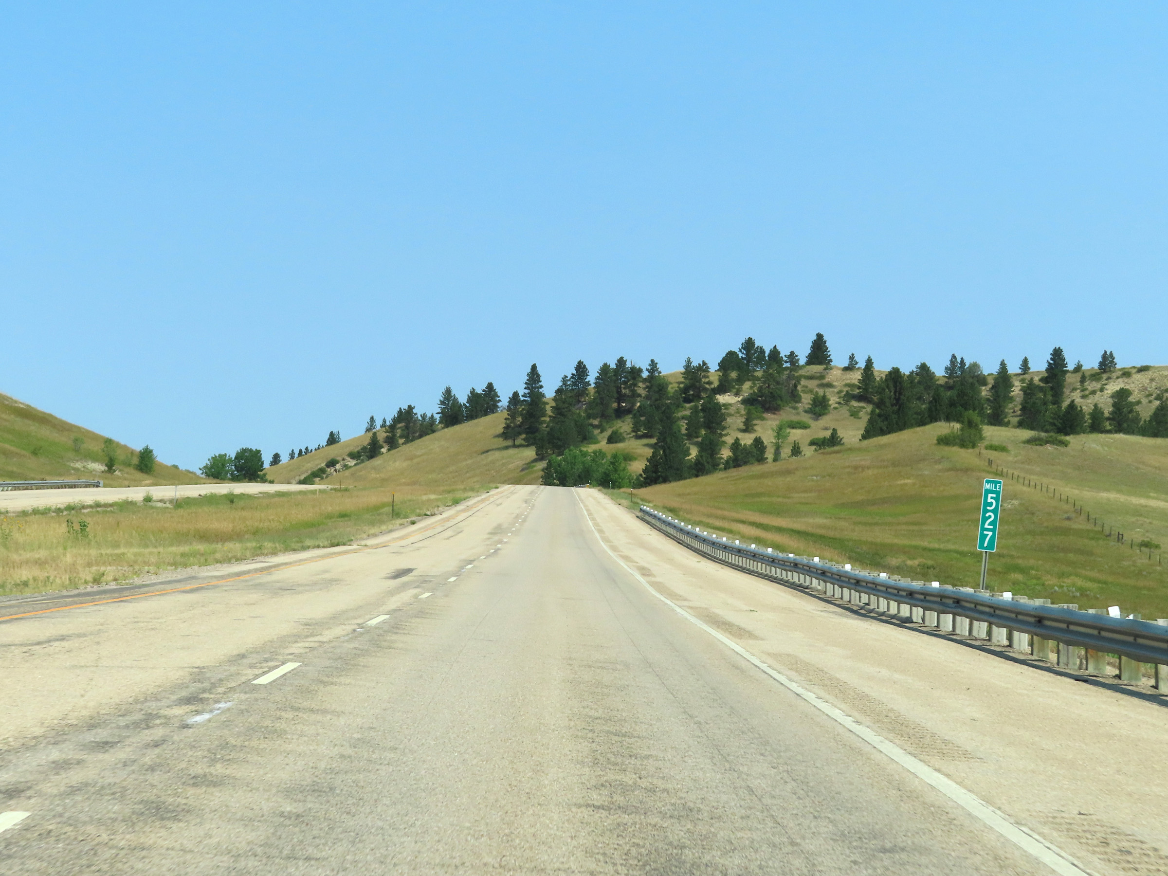 |
View on Interstate 90 West at mile marker 527. (Photo taken 8/17/22). |
 |
Mile marker 525 on Interstate 90 West in Big Horn County. (Photo taken 8/17/22). |
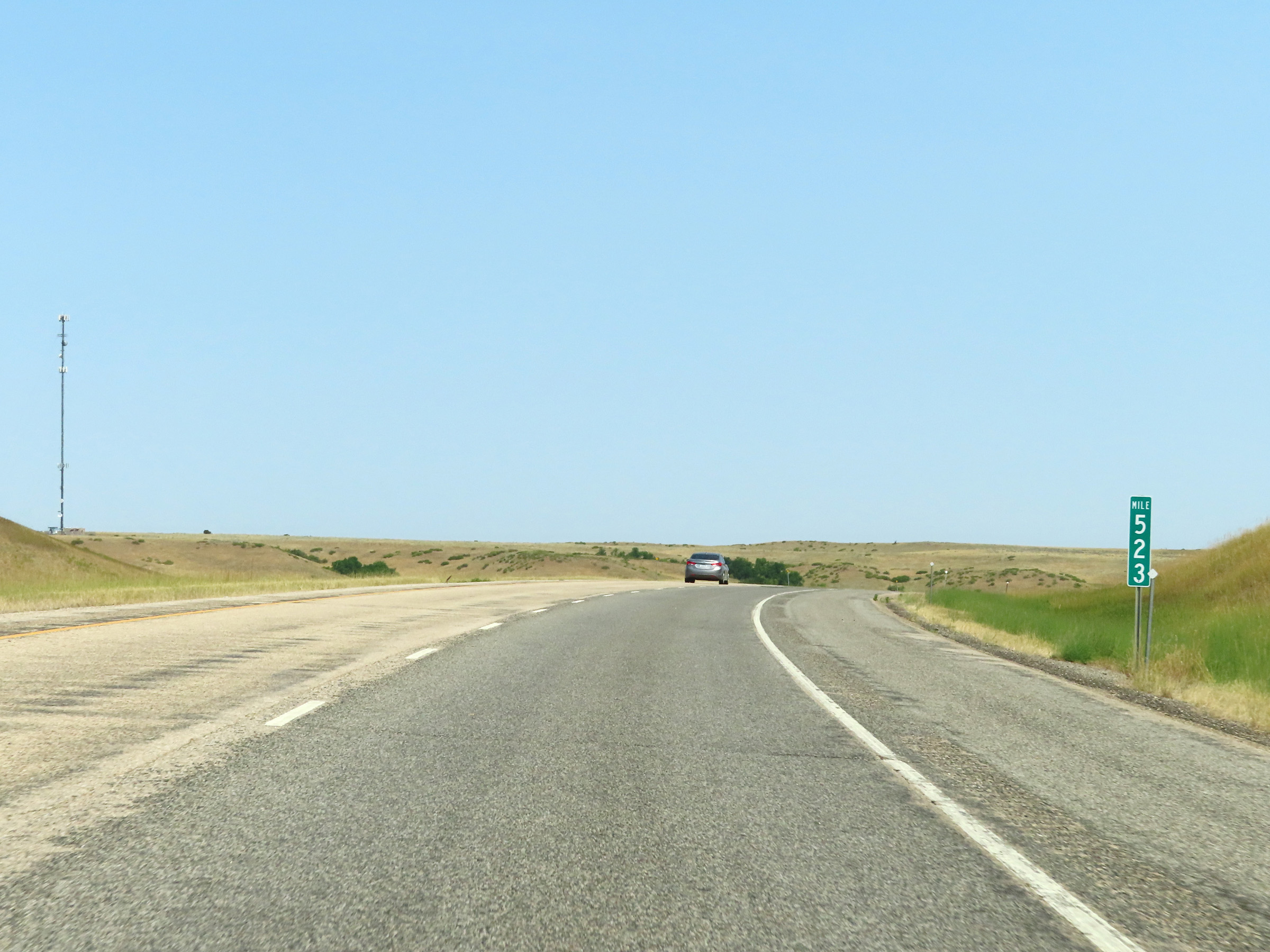 |
Interstate 90 West at mile marker 523. (Photo taken 8/17/22). |
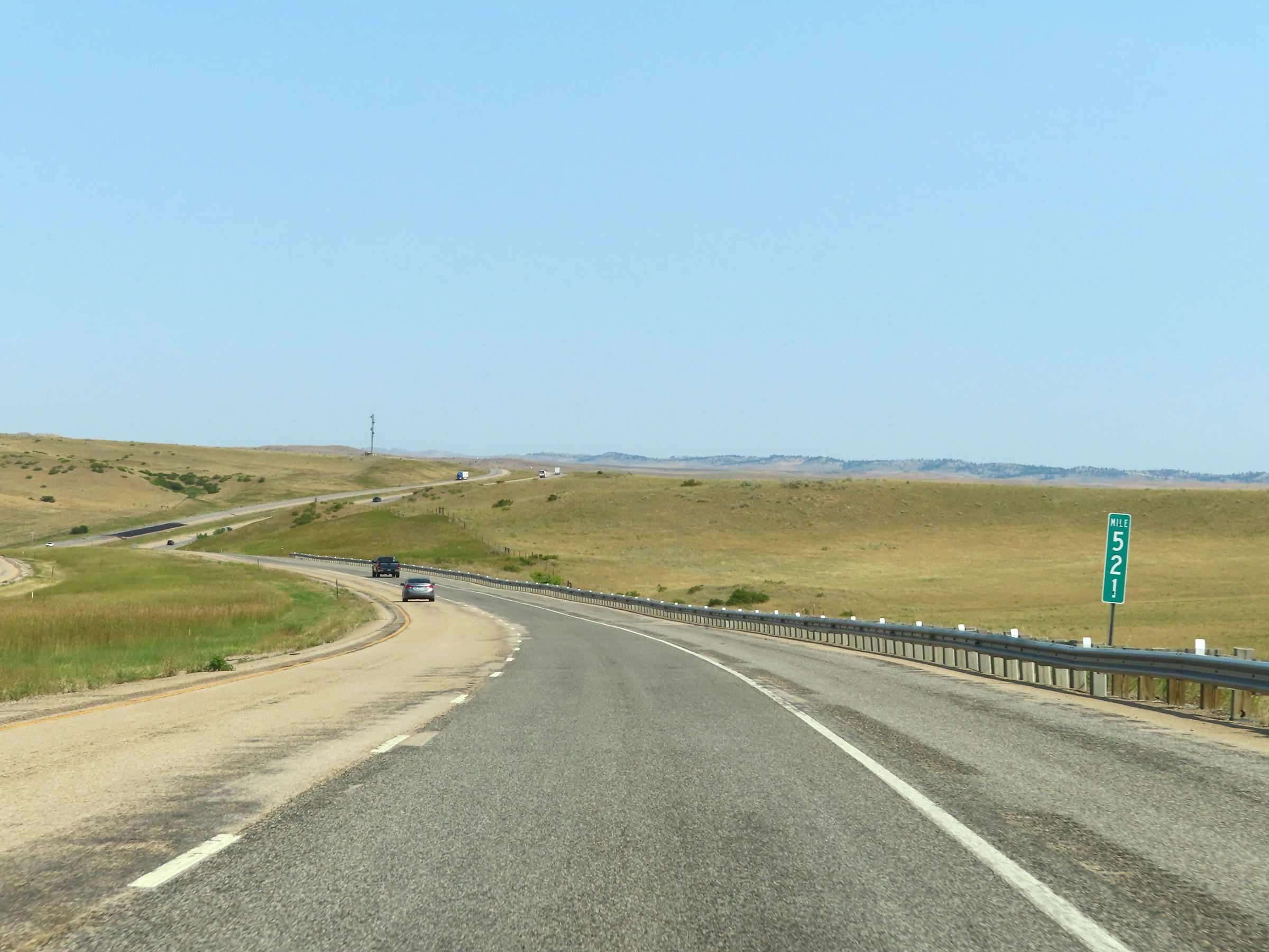 |
View on Interstate 90 West at mile marker 521. (Photo taken 8/17/22). |
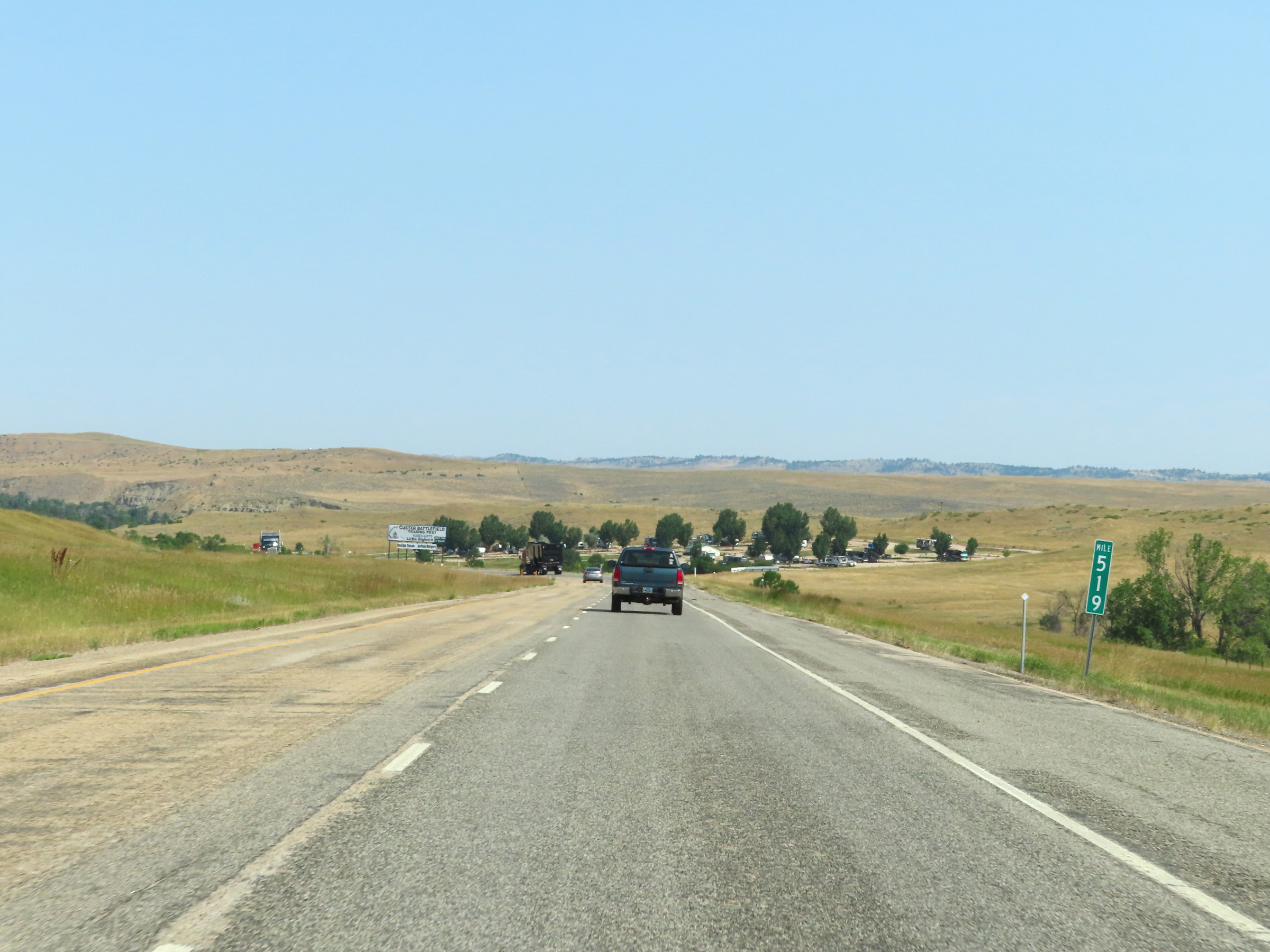 |
Mile marker 519 on Interstate 90 West in Big Horn County. (Photo taken 8/17/22). |
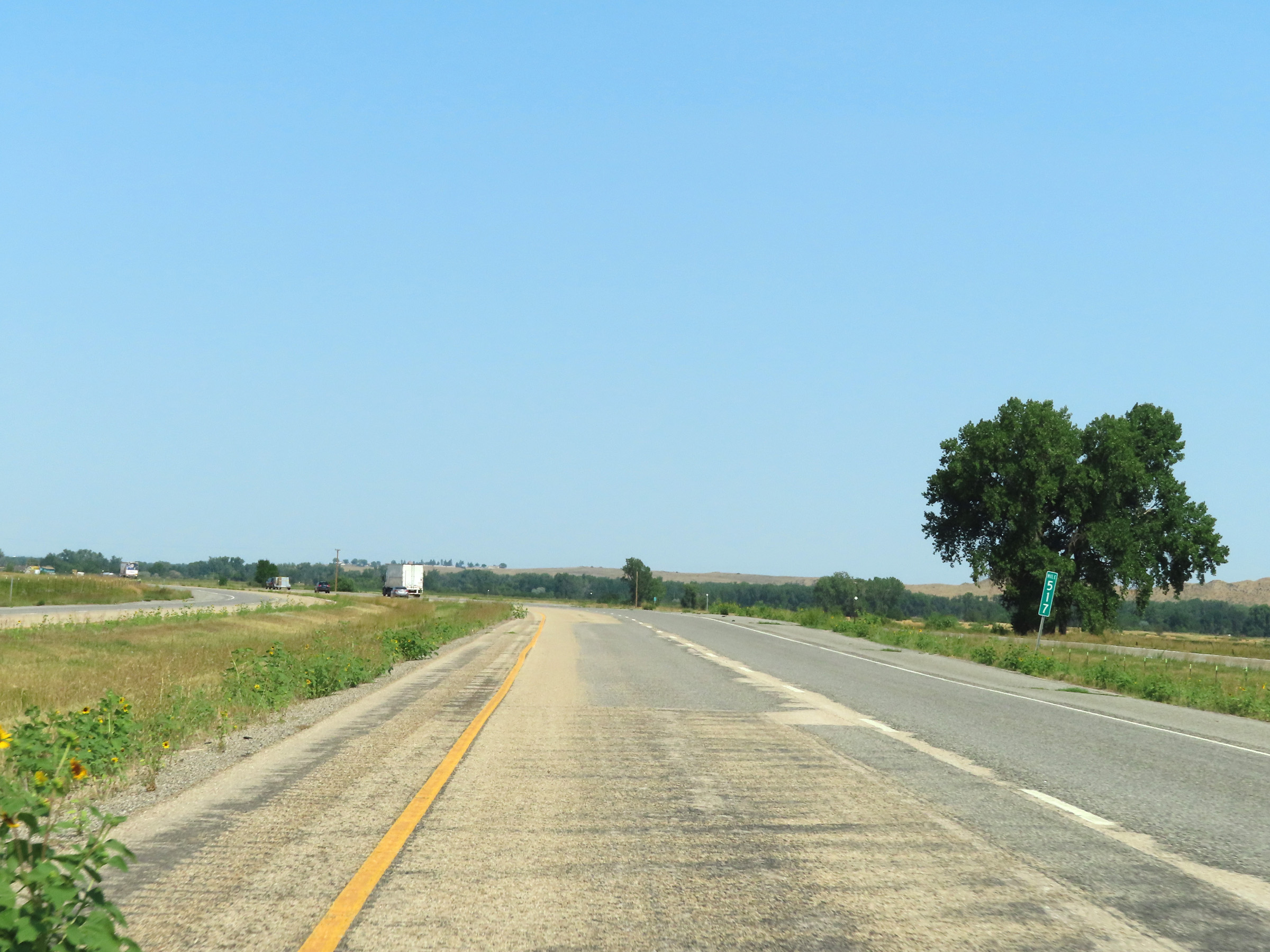 |
Interstate 90 West at mile marker 517. (Photo taken 8/17/22). |
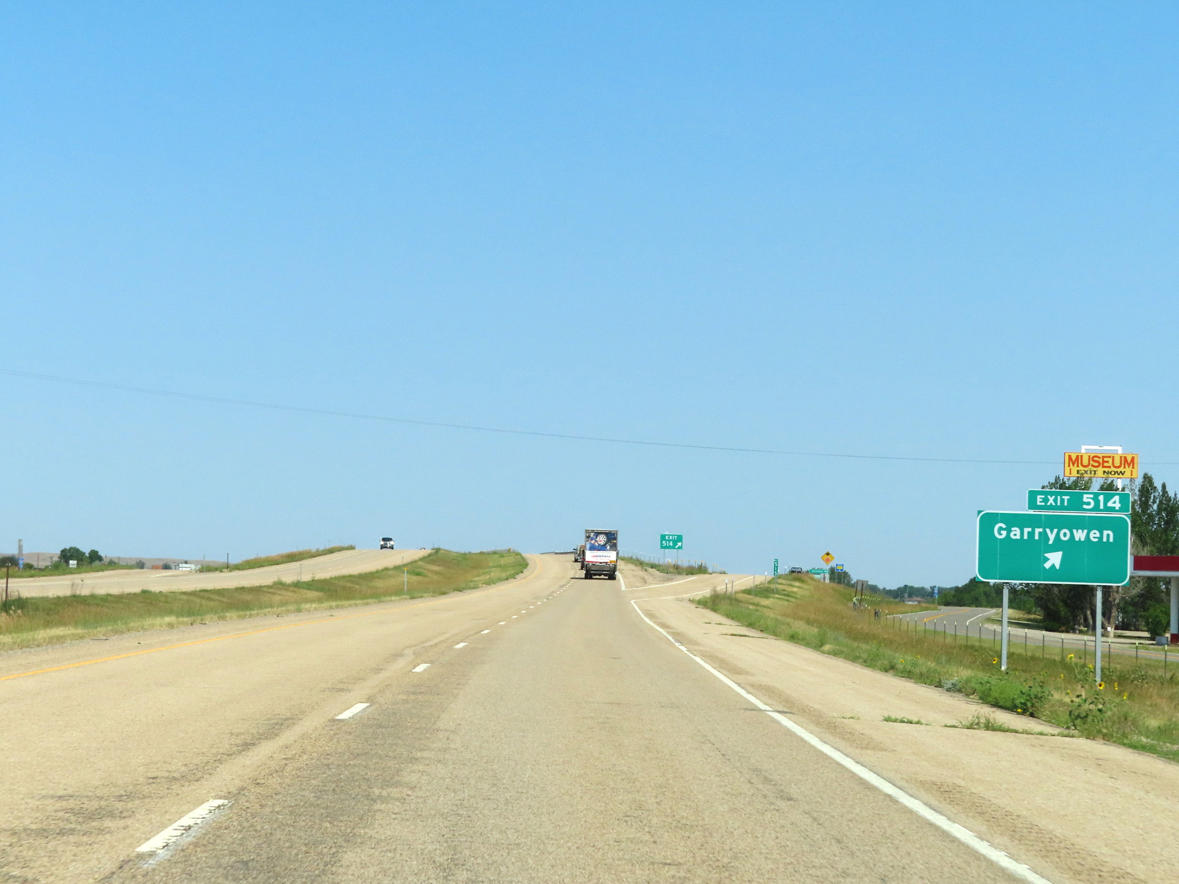 |
Interstate 90 West at Exit 514: Garryowen (Photo taken 8/17/22). |
 |
Interstate 90 West approaching Exit 510 - 1 mile. (Photo taken 8/17/22). |
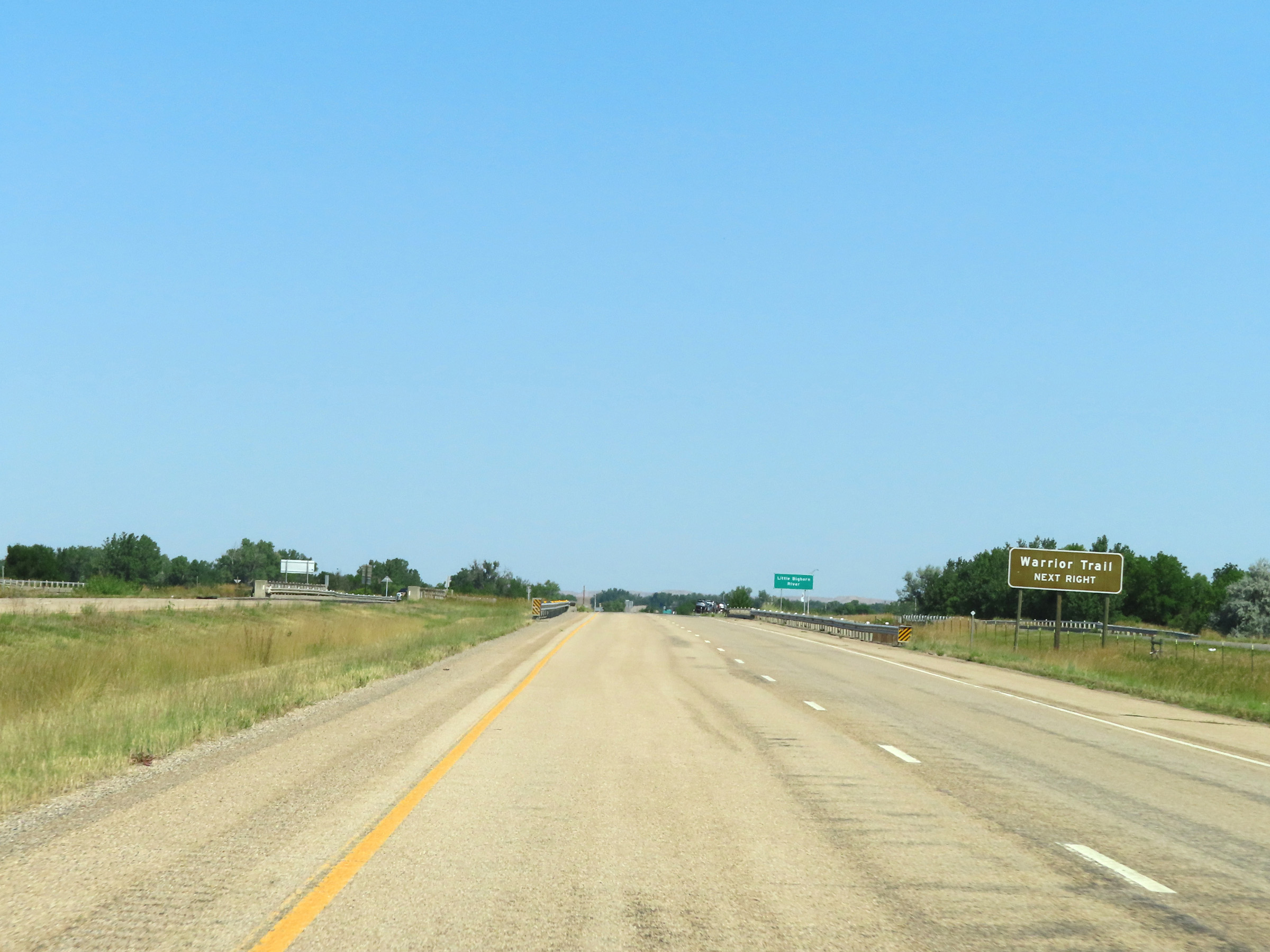 |
Take Exit 510 to Warrior Trail. (Photo taken 8/17/22). |
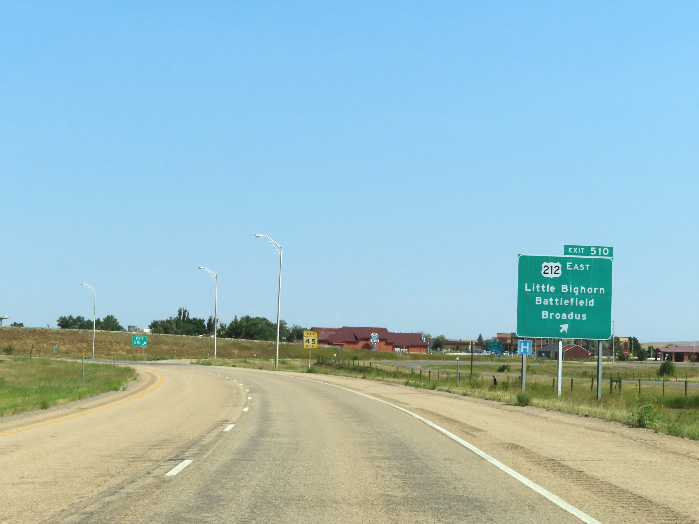 |
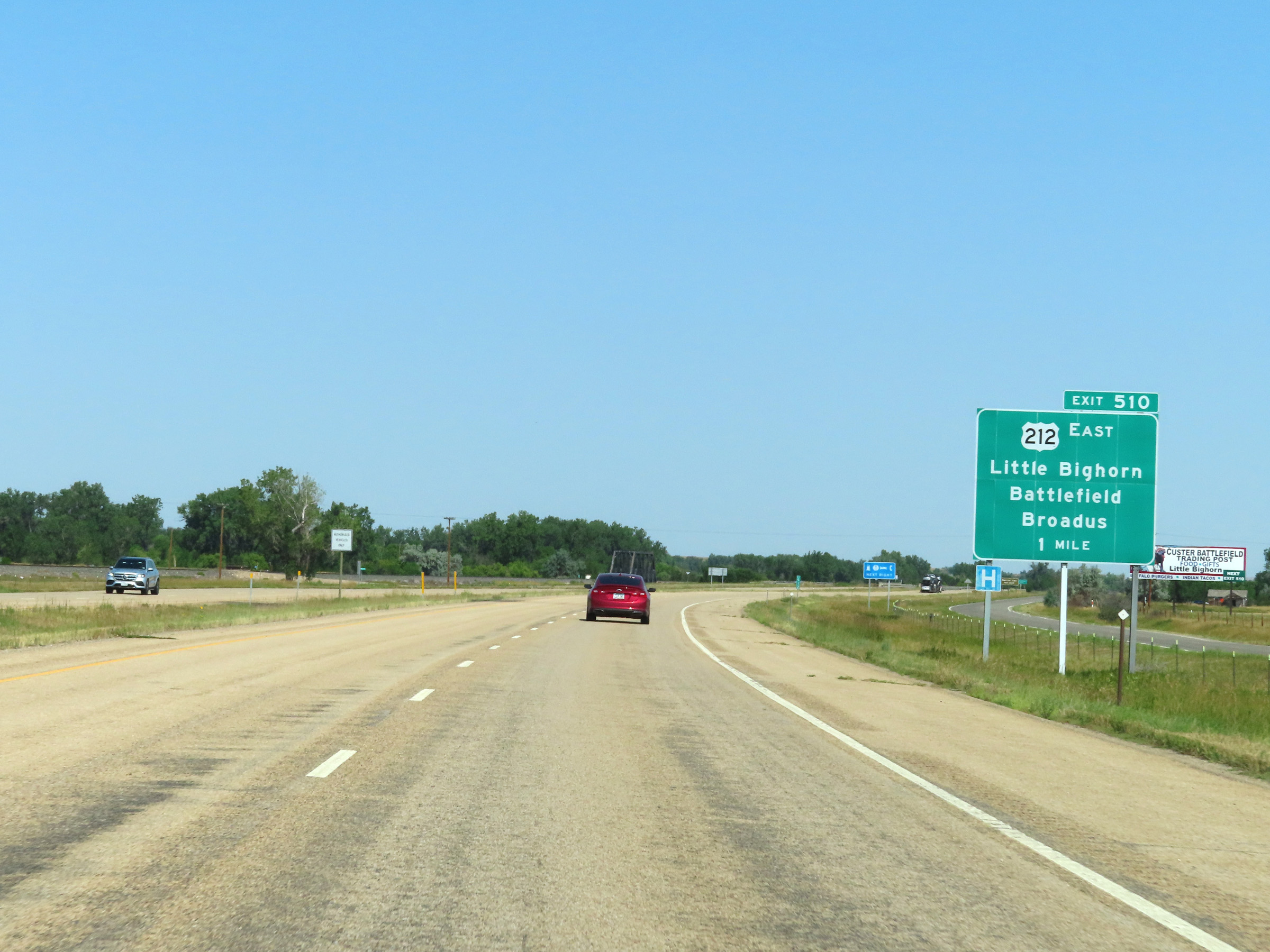
Interstate 90 West at Exit 510: US 212 East - Little Bighorn Battlefield / Broadus (Photo taken 8/17/22). |
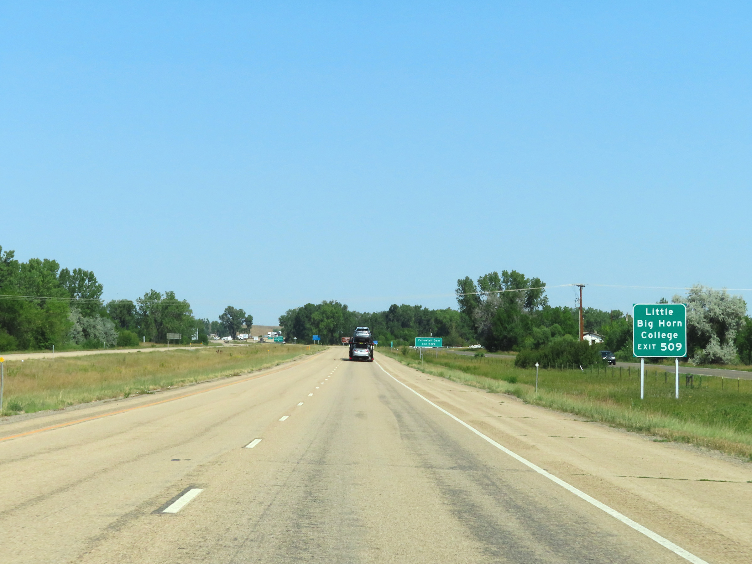 |
Take Exit 509 to Little Big Horn College. (Photo taken 8/17/22). |
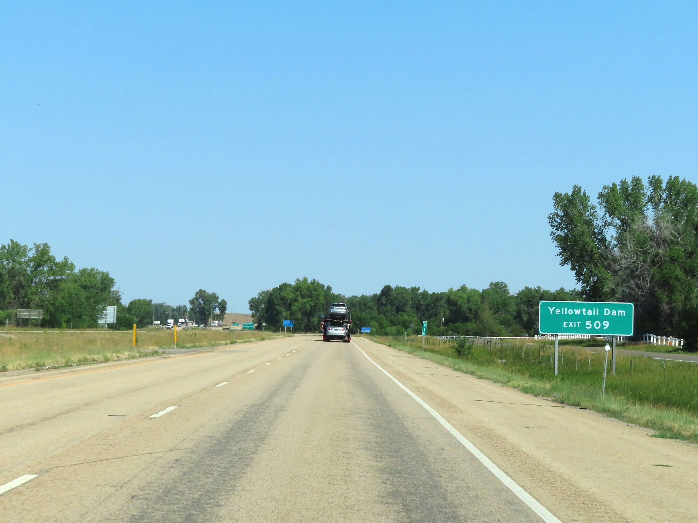 |
Also take Exit 509 to Yellowtail Dam. (Photo taken 8/17/22). |
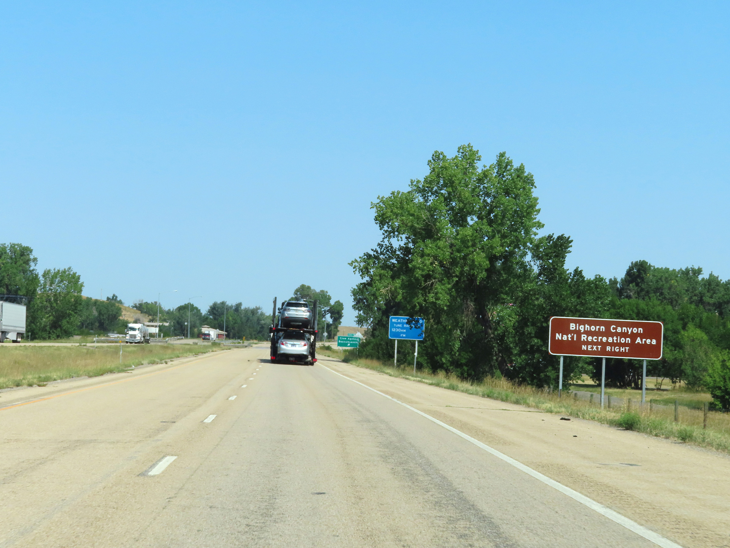 |
Traffic to Bighorn Canyon National Recreation Area should also use Exit 509. (Photo taken 8/17/22). |
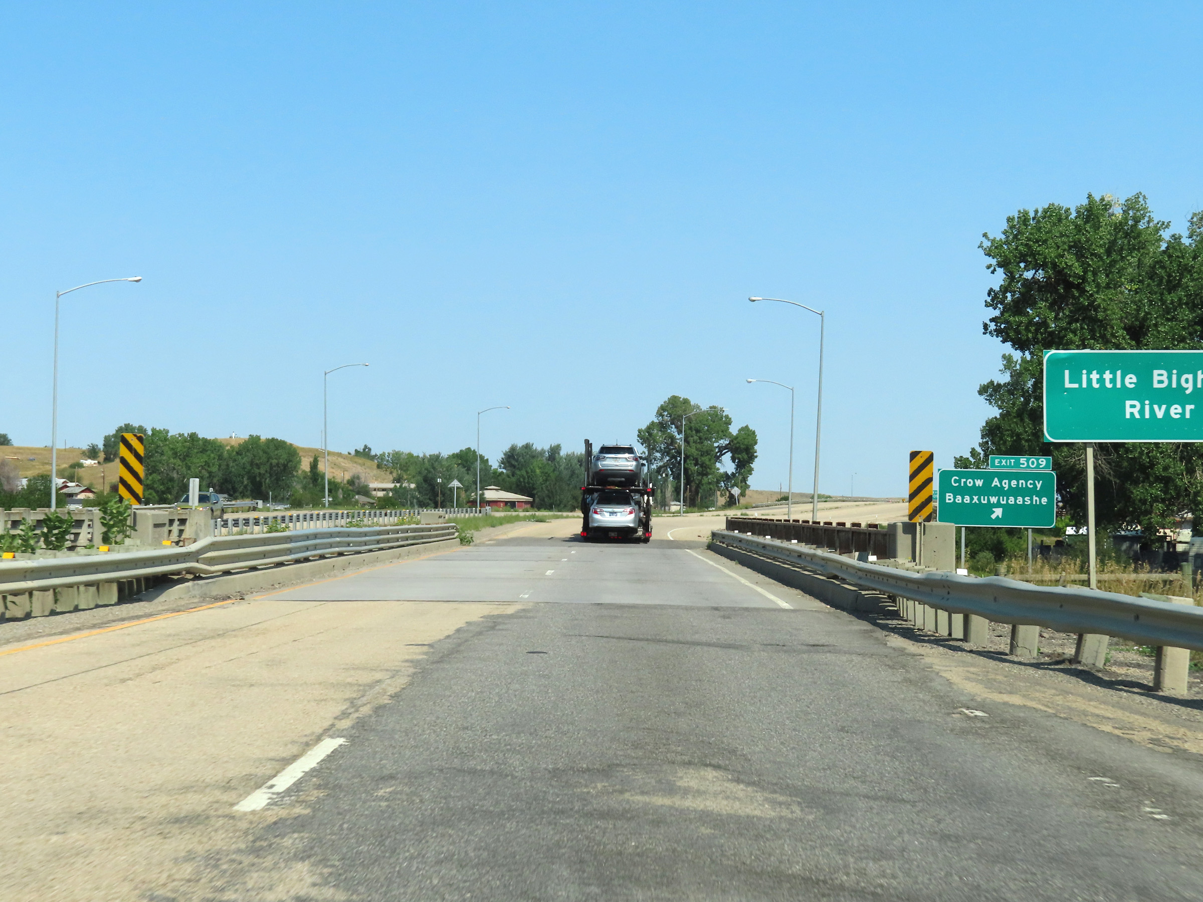 |
Interstate 90 West at Exit 509: Crow Agency / Baaxuwuaashe (Photo taken 8/17/22). |
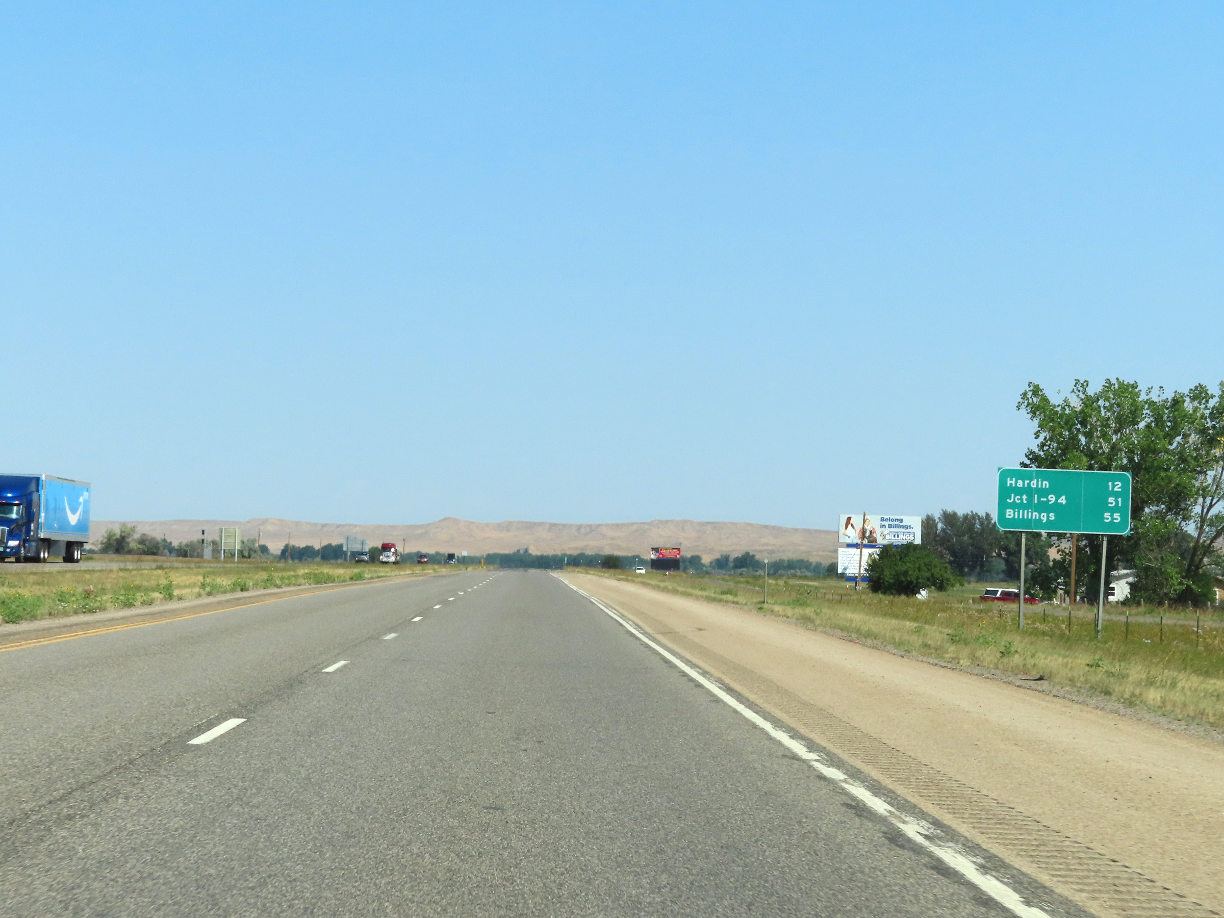 |
Another mileage sign on Interstate 90 West. It's 12 miles to Hardin, 51 miles to the junction of Interstate 94, and 55 miles to Billings. (Photo taken 8/17/22). |
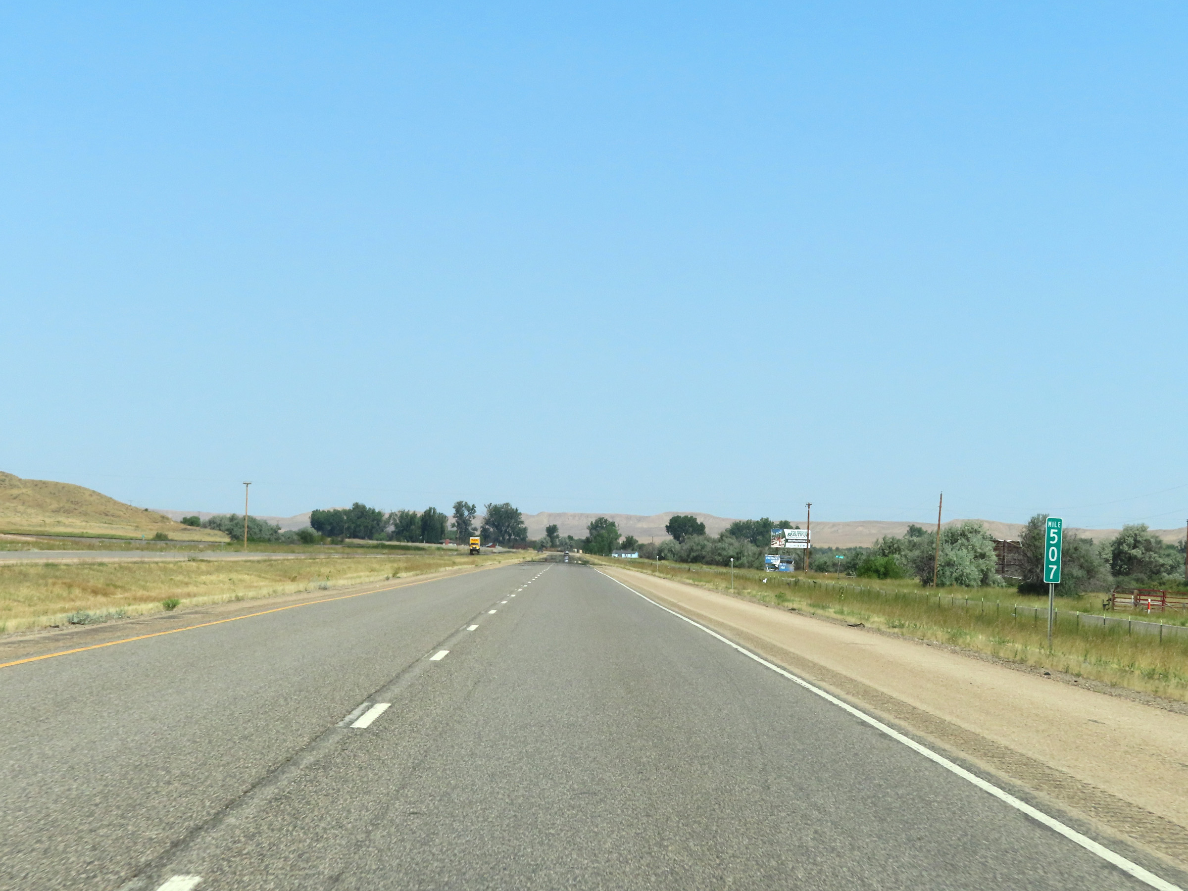 |
View on Interstate 90 West at mile marker 507. (Photo taken 8/17/22). |
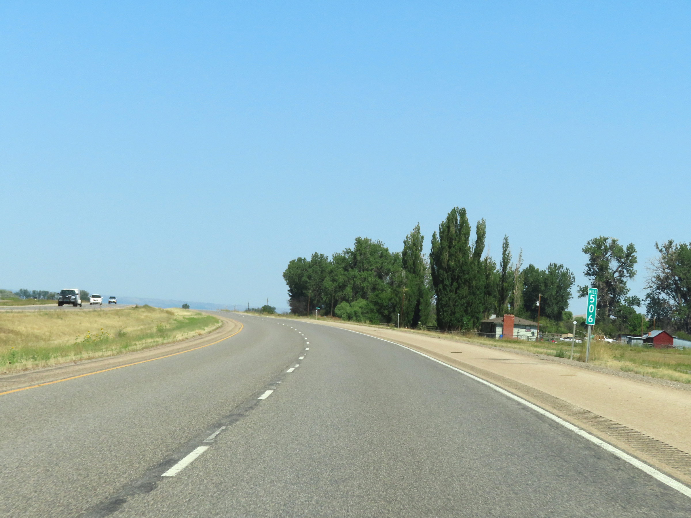 |
Interstate 90 West at mile marker 506. (Photo taken 8/17/22). |
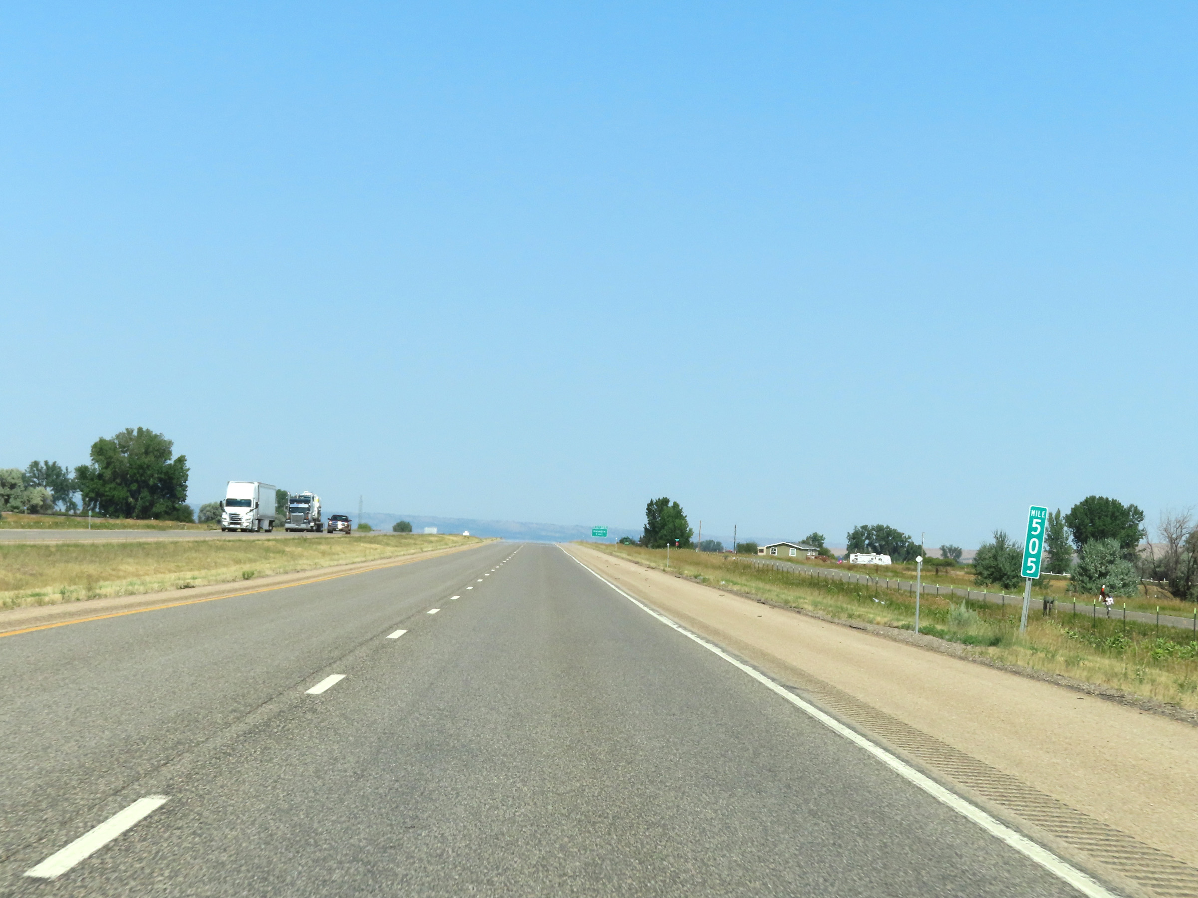 |
Mile marker 505 on Interstate 90 West in Big Horn County. (Photo taken 8/17/22). |
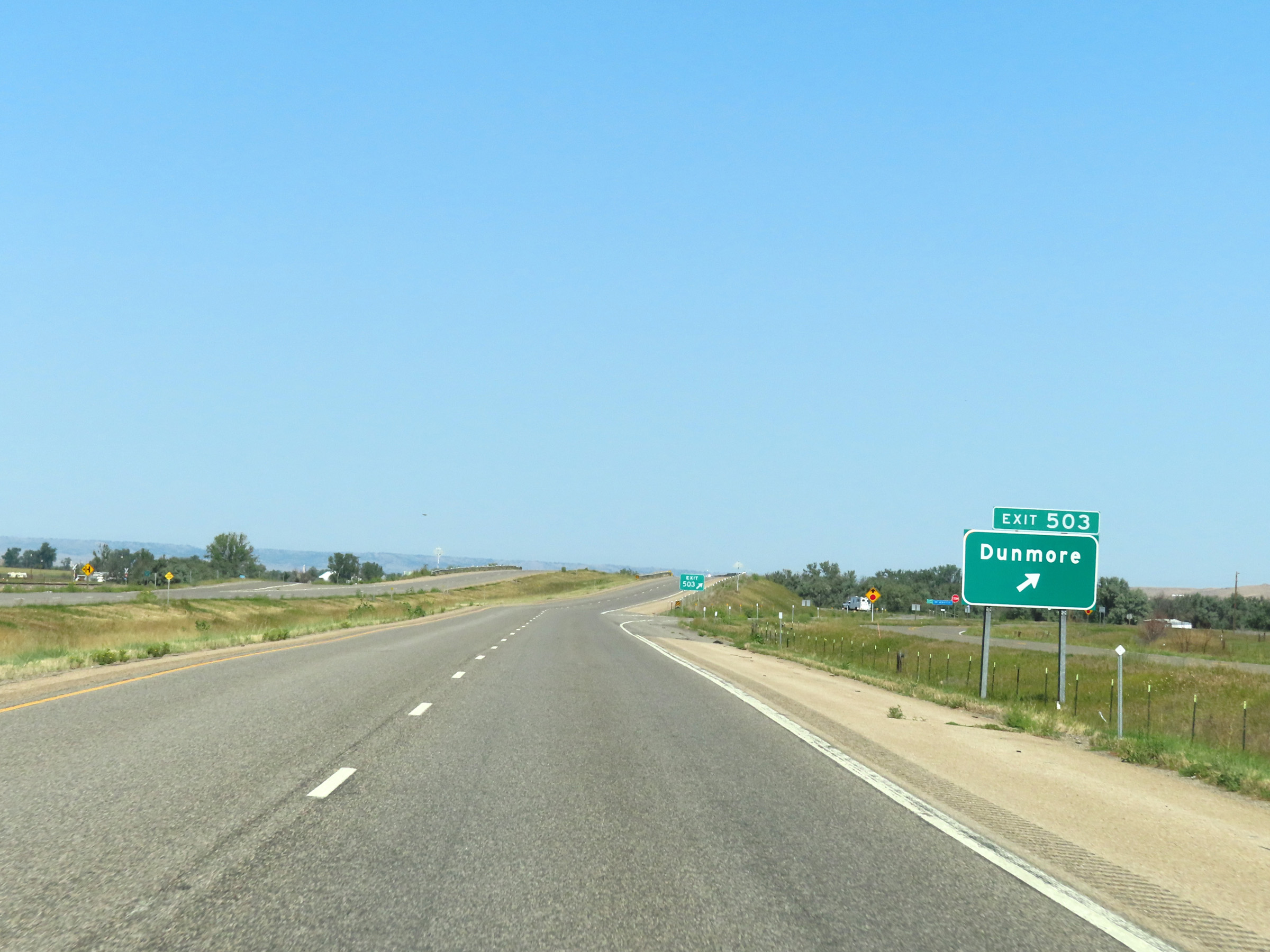 |
Interstate 90 West at Exit 503: Dunmore (Photo taken 8/17/22). |
 |
Interstate 90 West reassurance shield nearing Hardin. (Photo taken 8/17/22). |
 |
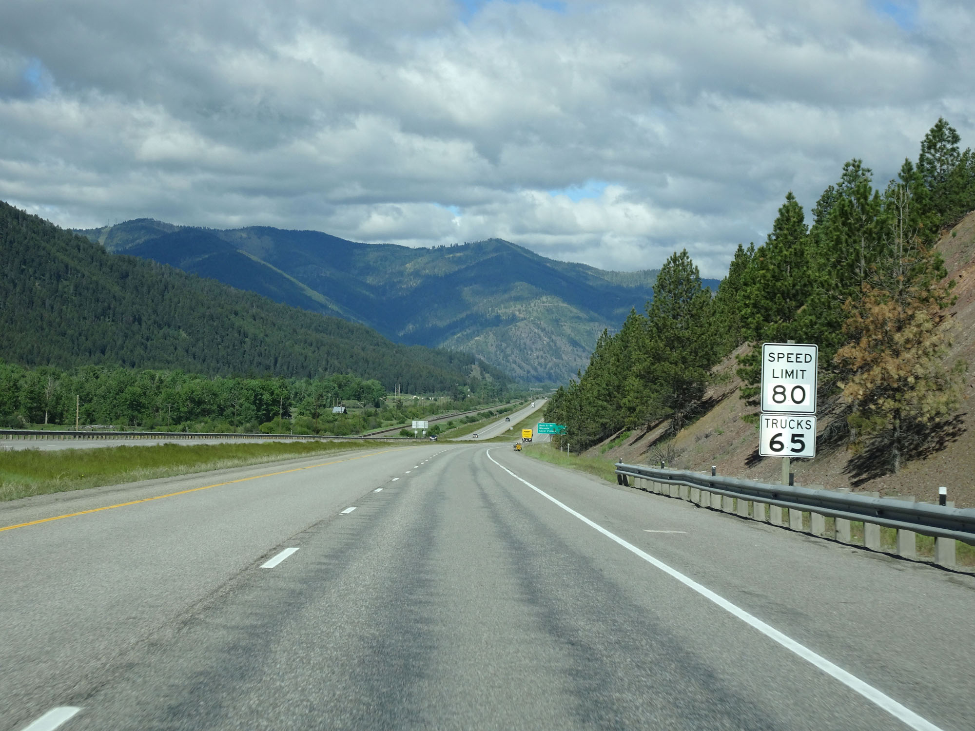
The speed limits on Interstate 90 West remain 80 mph for automobiles and 70 mph for trucks. (Photo taken 8/17/22). |
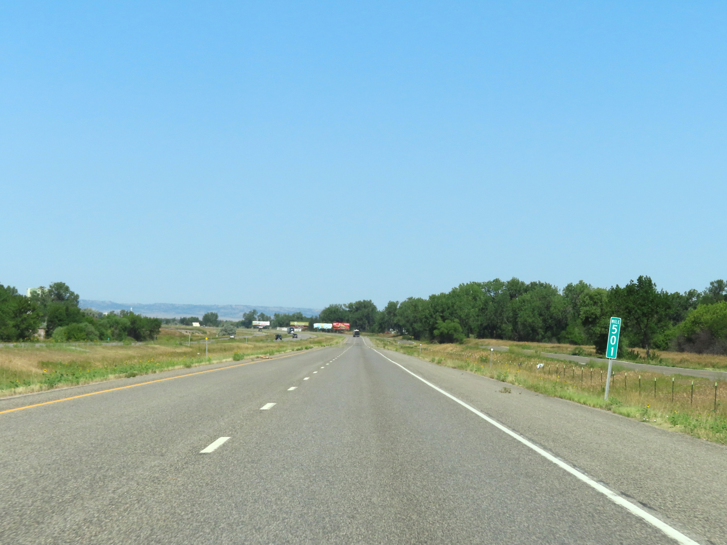 |
View on Interstate 90 West at mile marker 501. (Photo taken 8/17/22). |
 |
Interstate 90 West at mile marker 500. (Photo taken 8/17/22). |
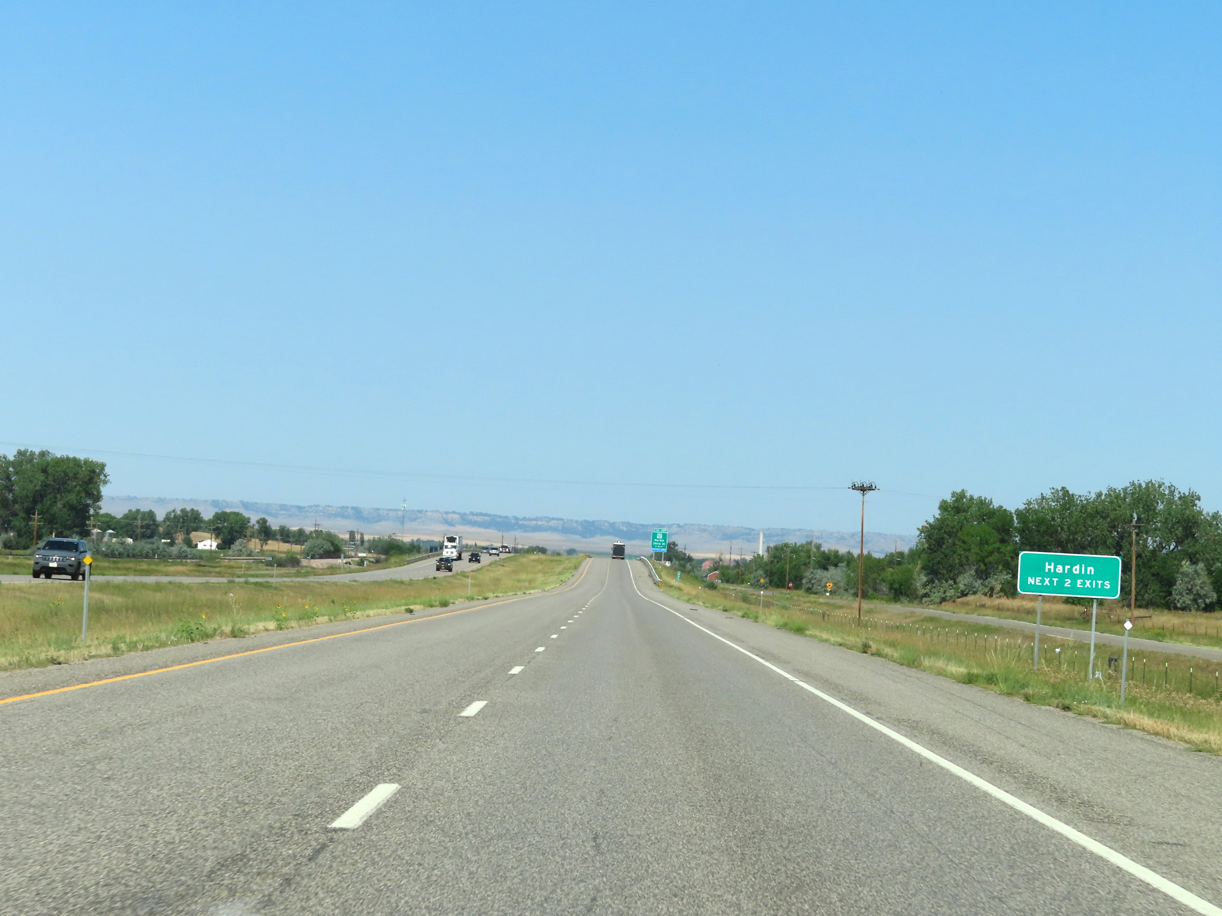 |
Take either of the next 2 exits to Hardin. (Photo taken 8/17/22). |
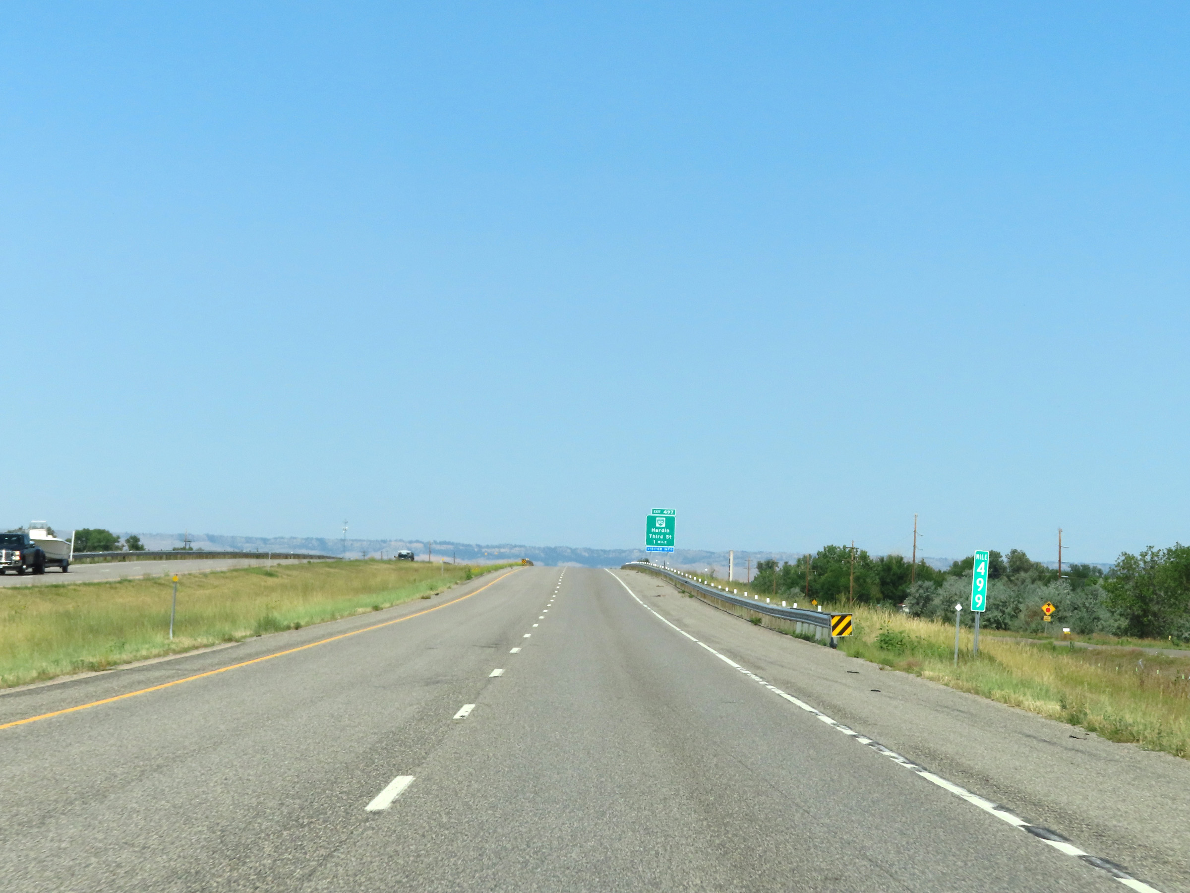 |
Mile marker 499 on Interstate 90 West in Big Horn County. (Photo taken 8/17/22). |
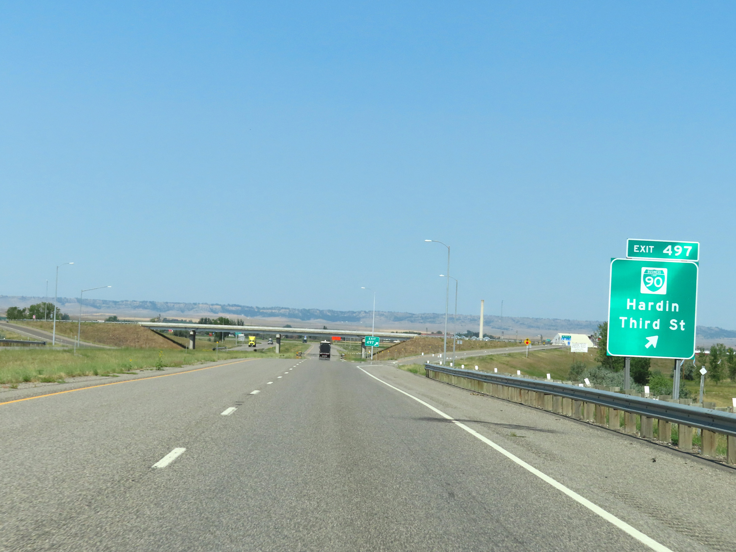 |
Interstate 90 West at Exit 497: Interstate 90 Business Loop - Hardin / Third St (Photo taken 8/17/22). |
 |
In Hardin, Interstate 90 West leaves the Crow Indiana Reservation. (Photo taken 8/17/22). |
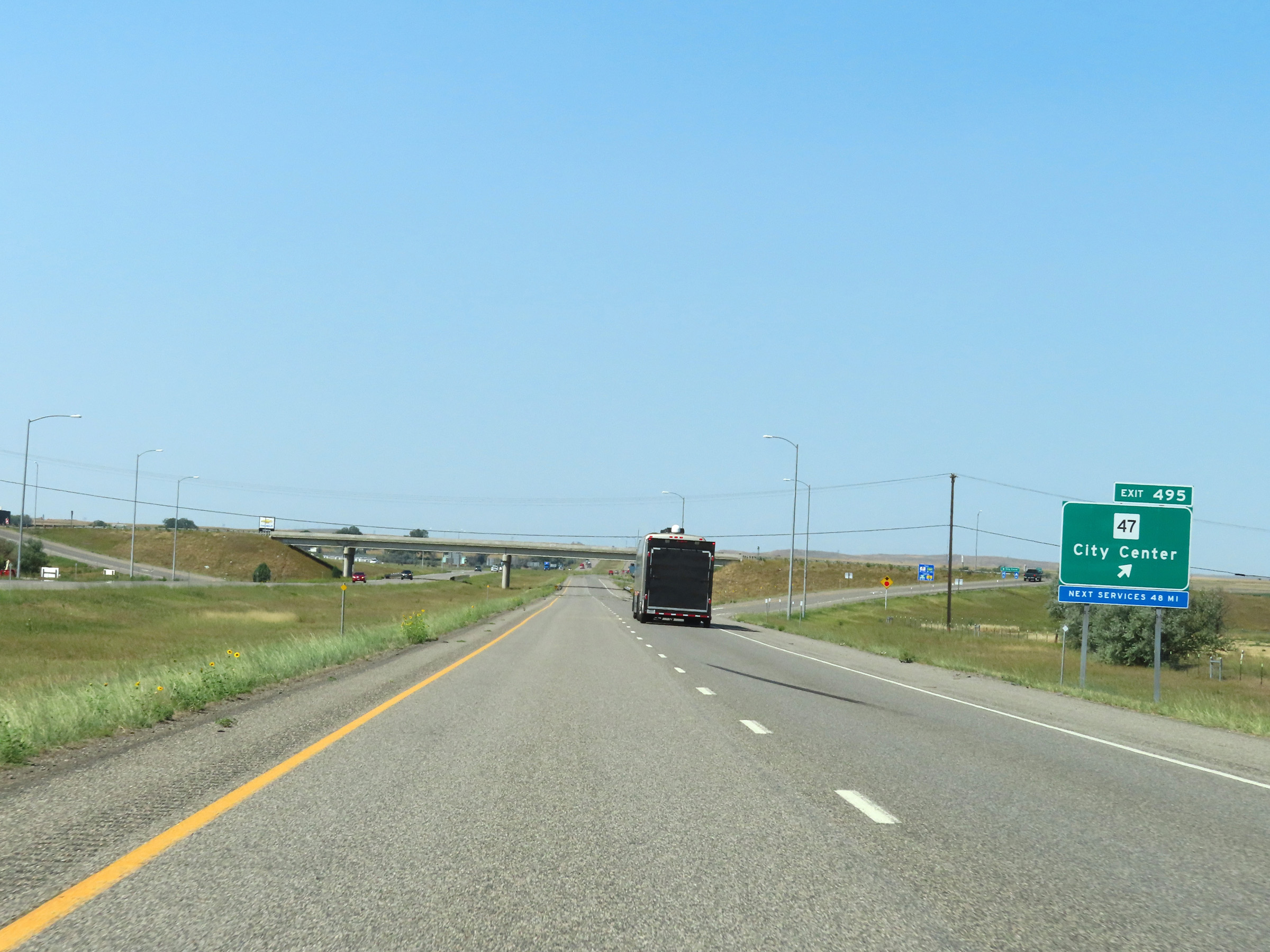 |
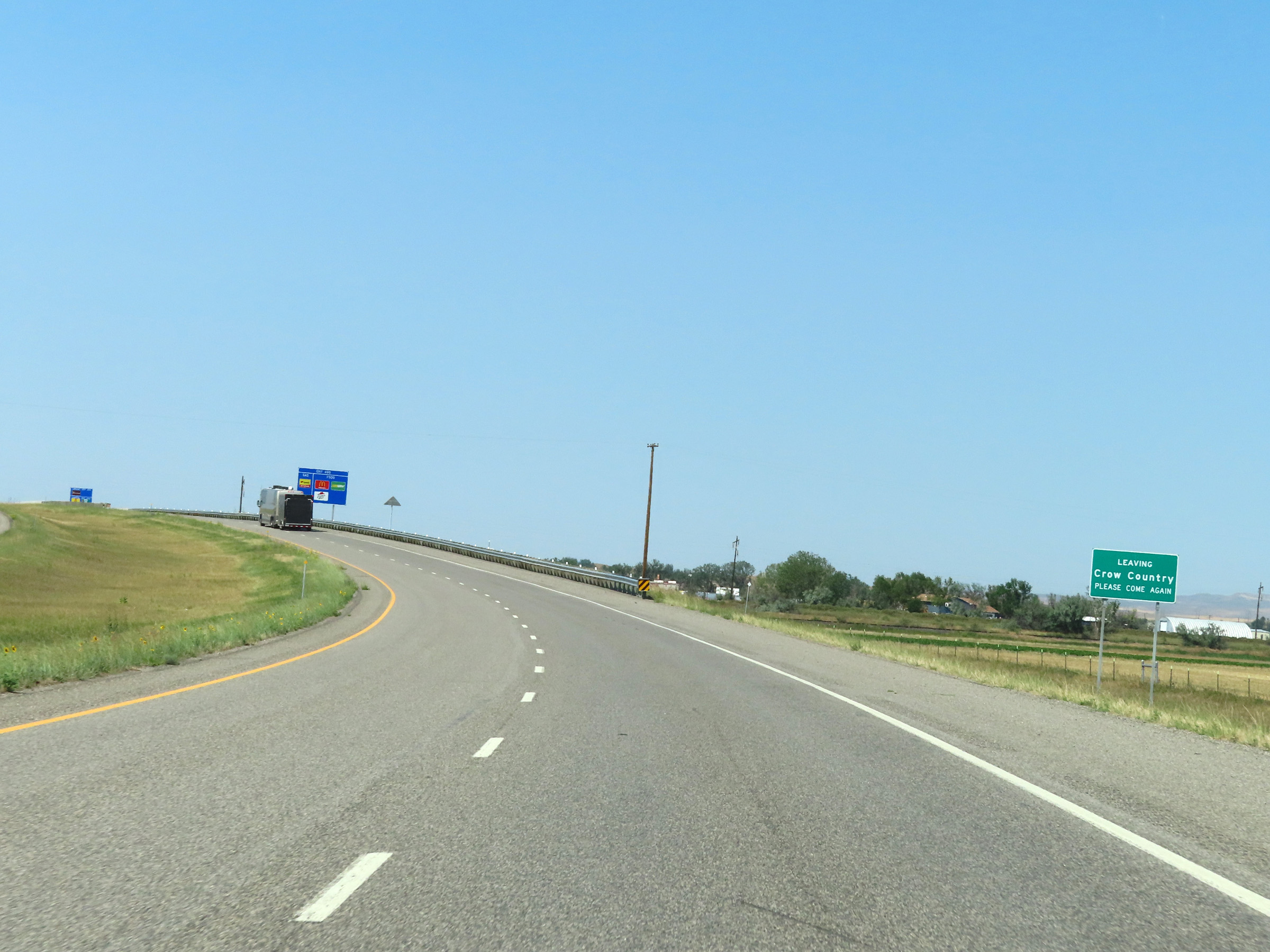
Interstate 90 West at Exit 495: MT 47 - City Center (Photo taken 8/17/22). |
Section 2: Hardin (Exit 495) to Billings (Exit 455)
 |
View on Interstate 90 West at mile marker 494. (Photo taken 8/17/22). |
 |
Mile marker 492 on Interstate 90 West in Big Horn County. (Photo taken 8/17/22). |
 |
Interstate 90 West at mile marker 491. (Photo taken 8/17/22). |
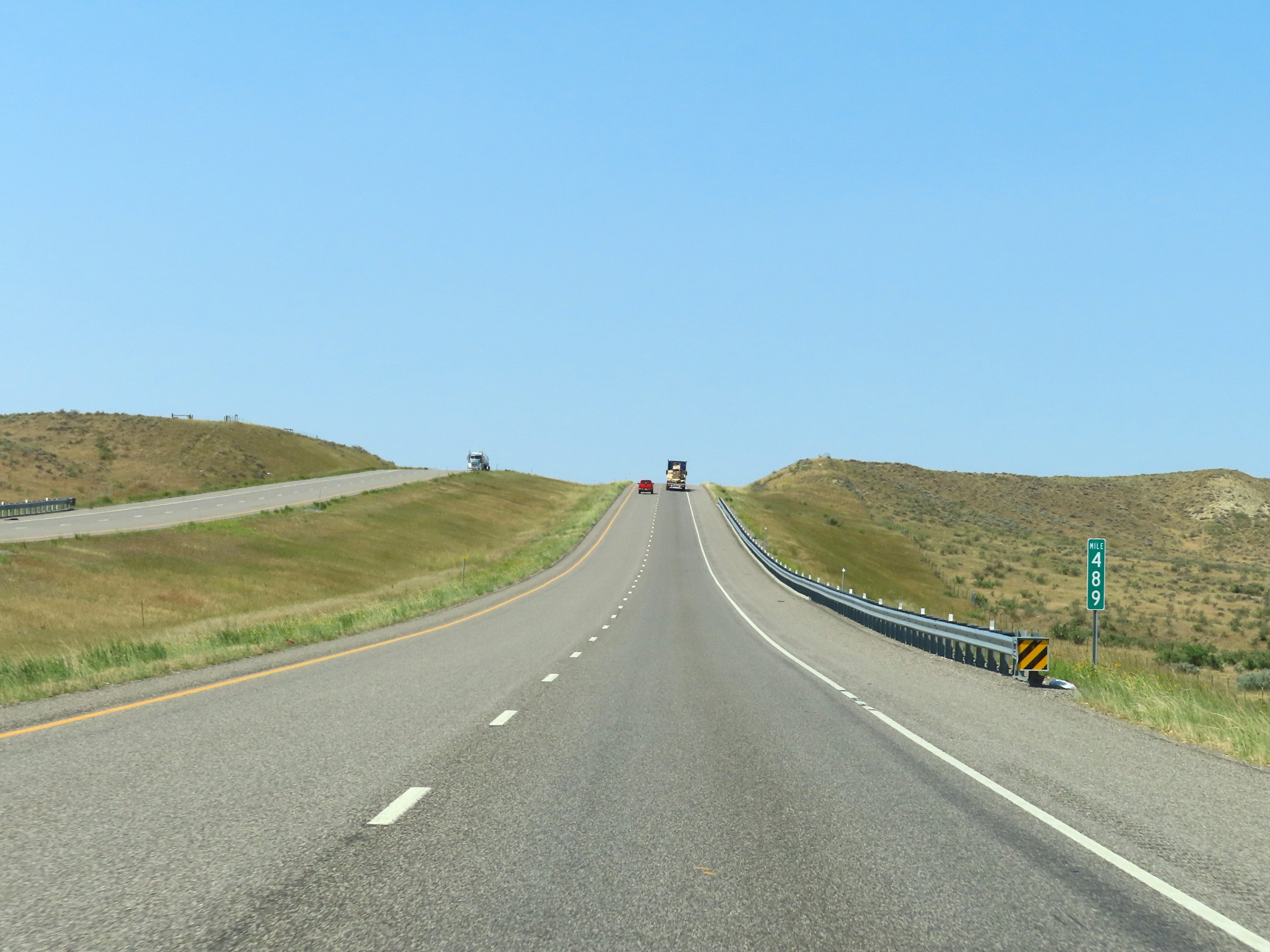 |
View on Interstate 90 West at mile marker 489. (Photo taken 8/17/22). |
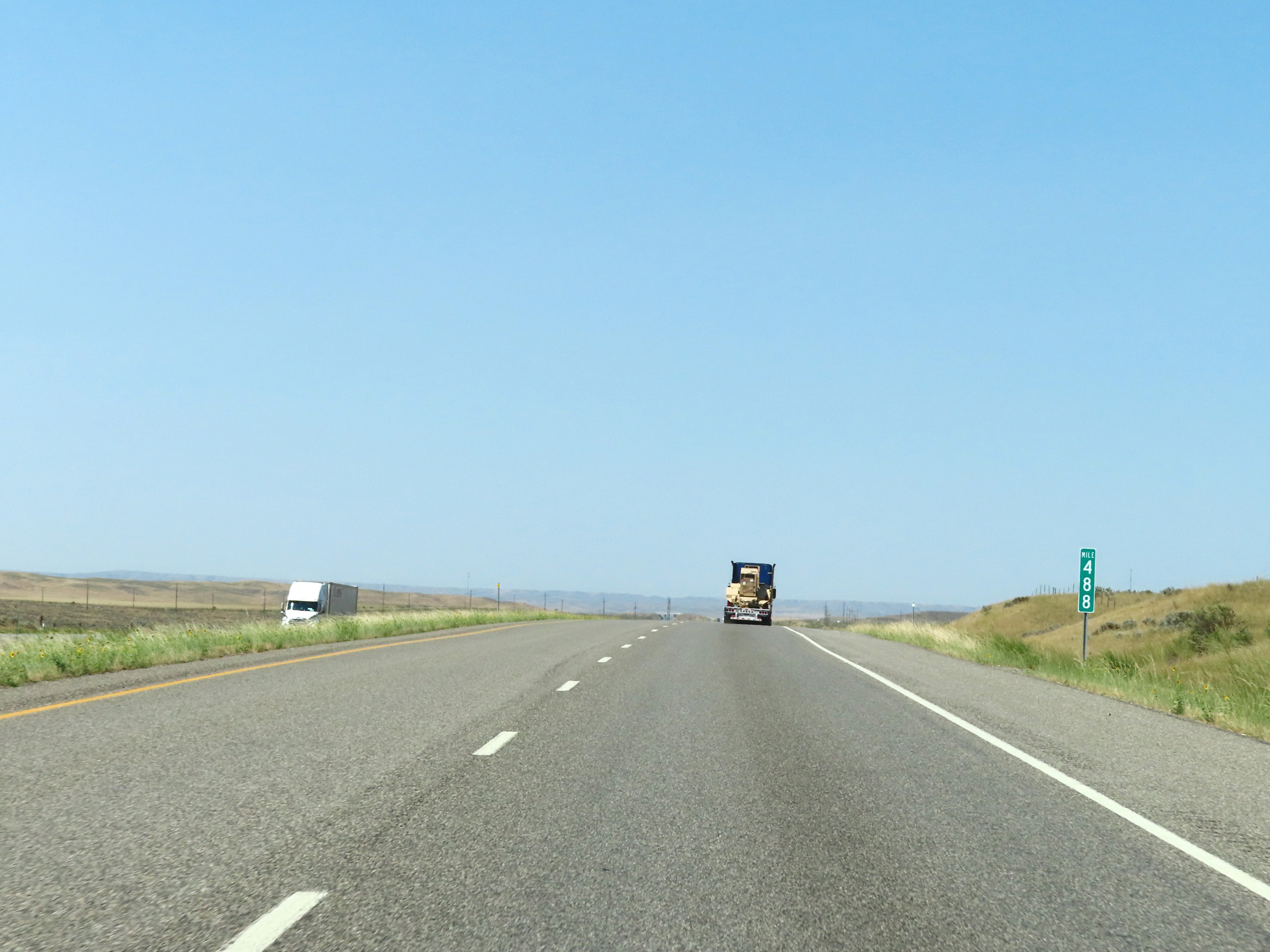 |
Interstate 90 West at mile marker 488. (Photo taken 8/17/22). |
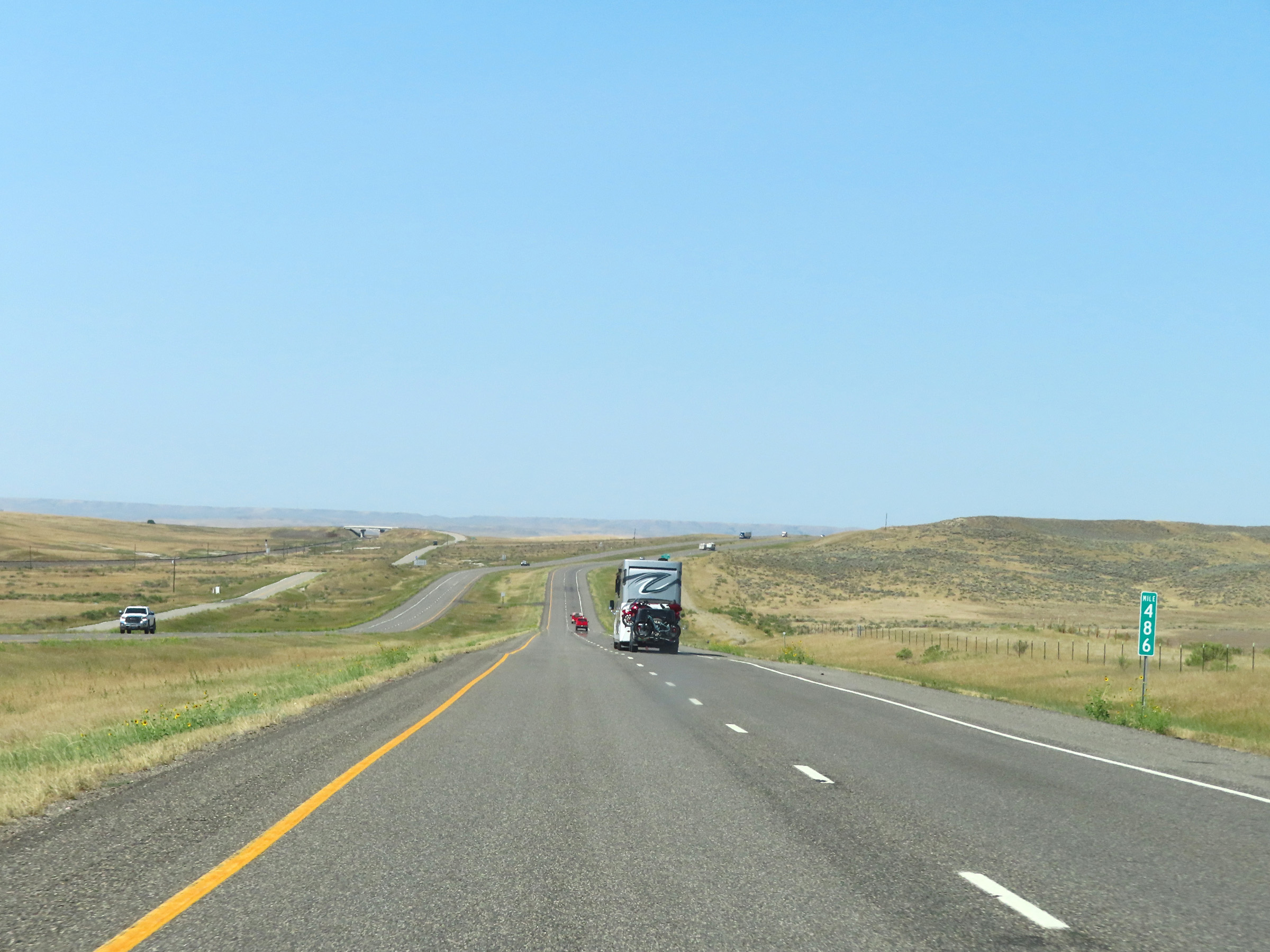 |
Mile marker 486 on Interstate 90 West in Big Horn County. (Photo taken 8/17/22). |
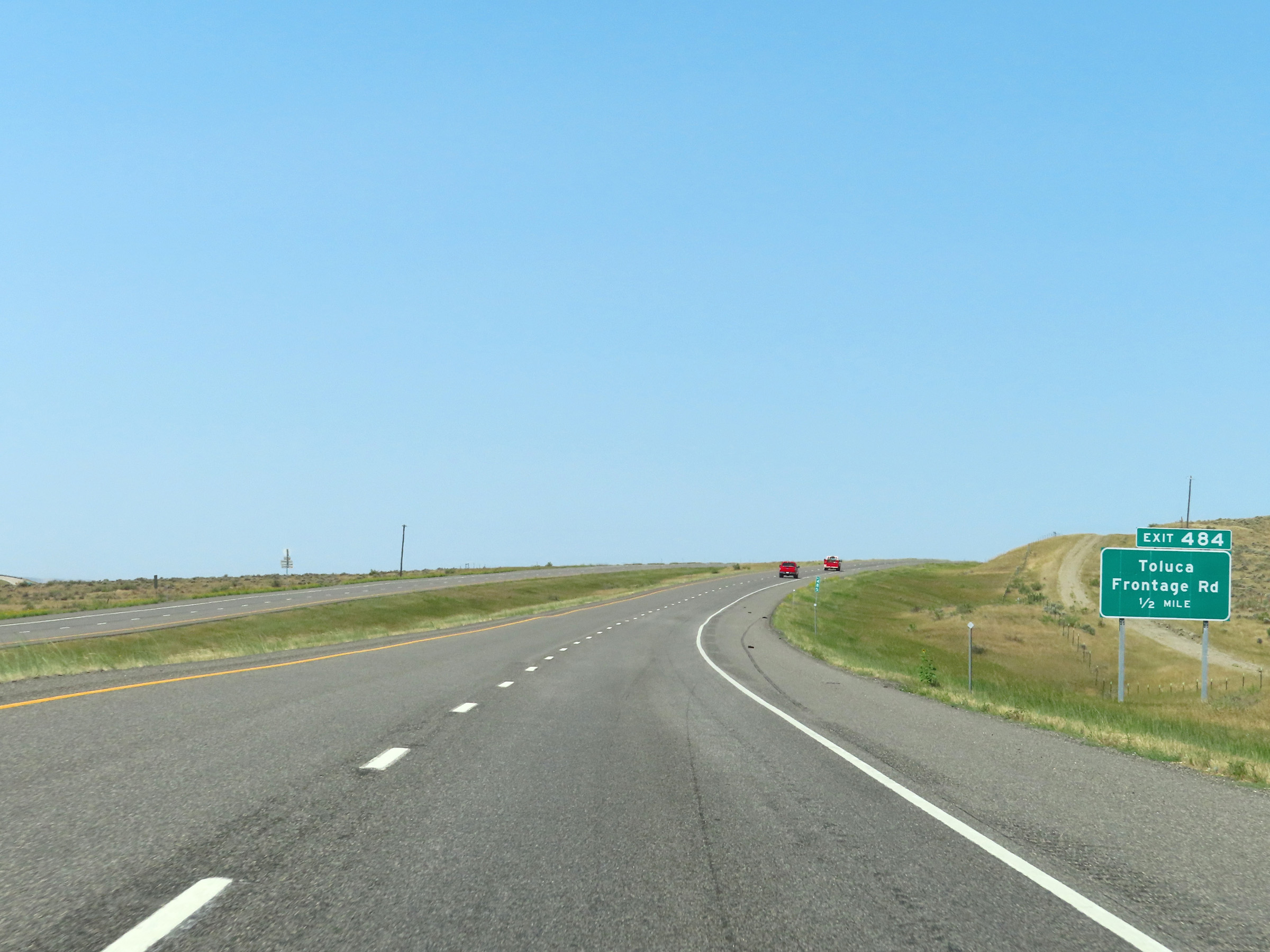 |
Interstate 90 West approaching Exit 484 - 1/2 mile. (Photo taken 8/17/22). |
 |
Interstate 90 West at Exit 484: Toluca / Frontage Rd (Photo taken 8/17/22). |
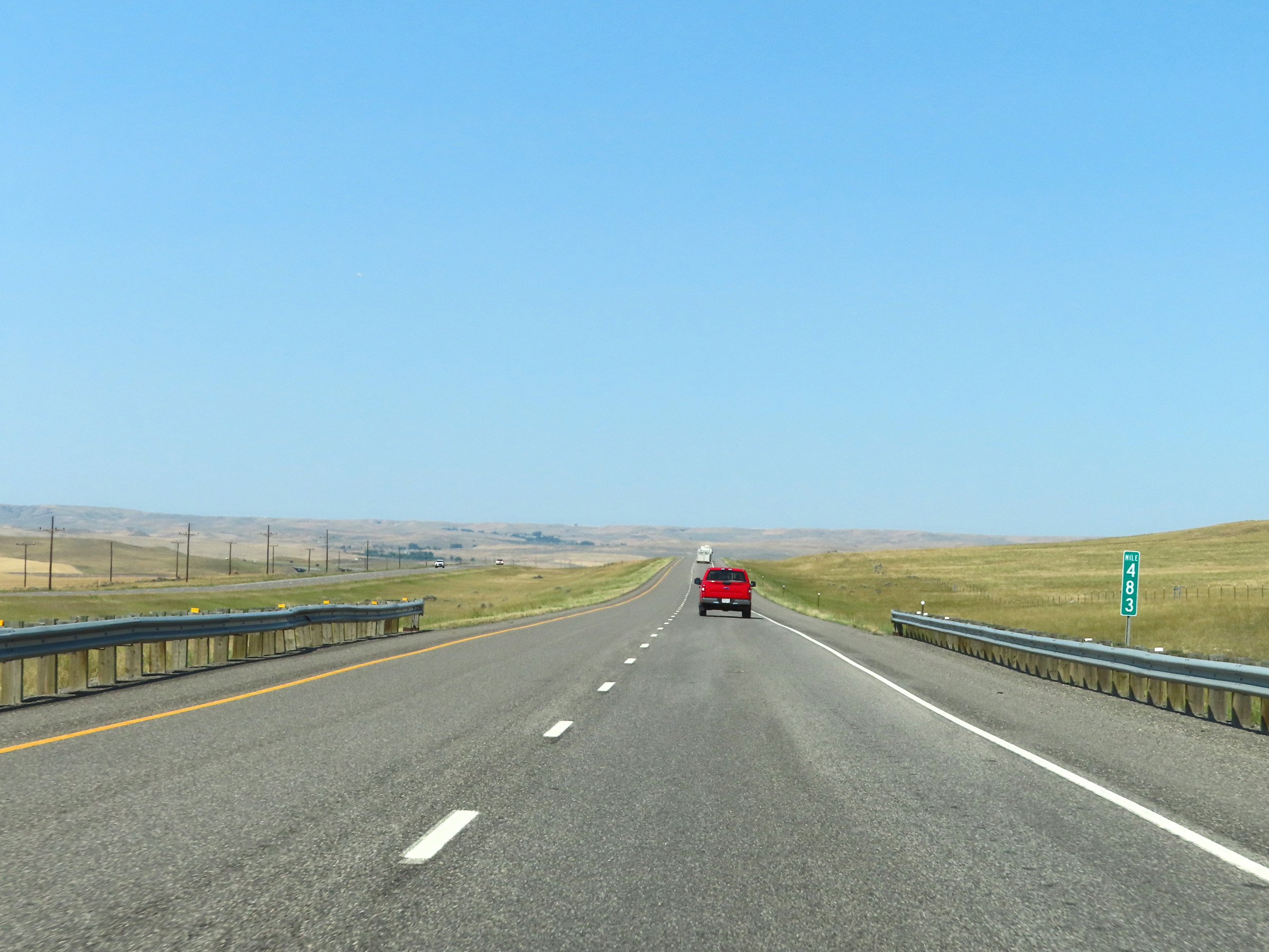 |
Interstate 90 West at mile marker 483. (Photo taken 8/17/22). |
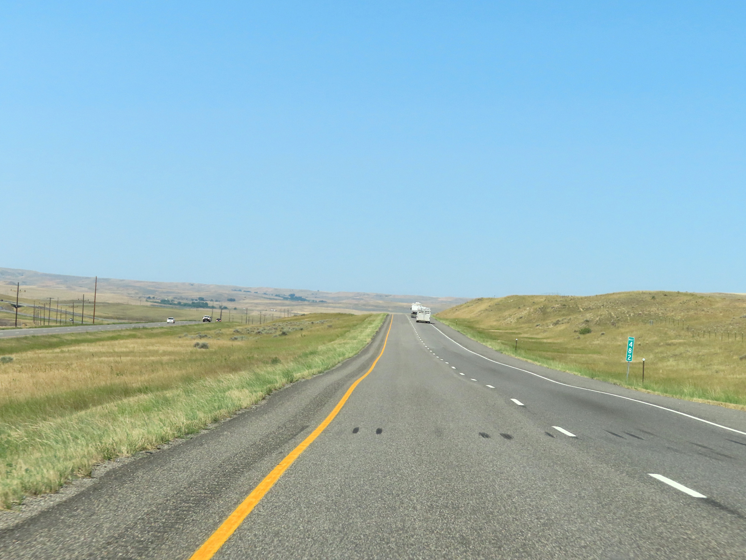 |
View on Interstate 90 West at mile marker 482. (Photo taken 8/17/22). |
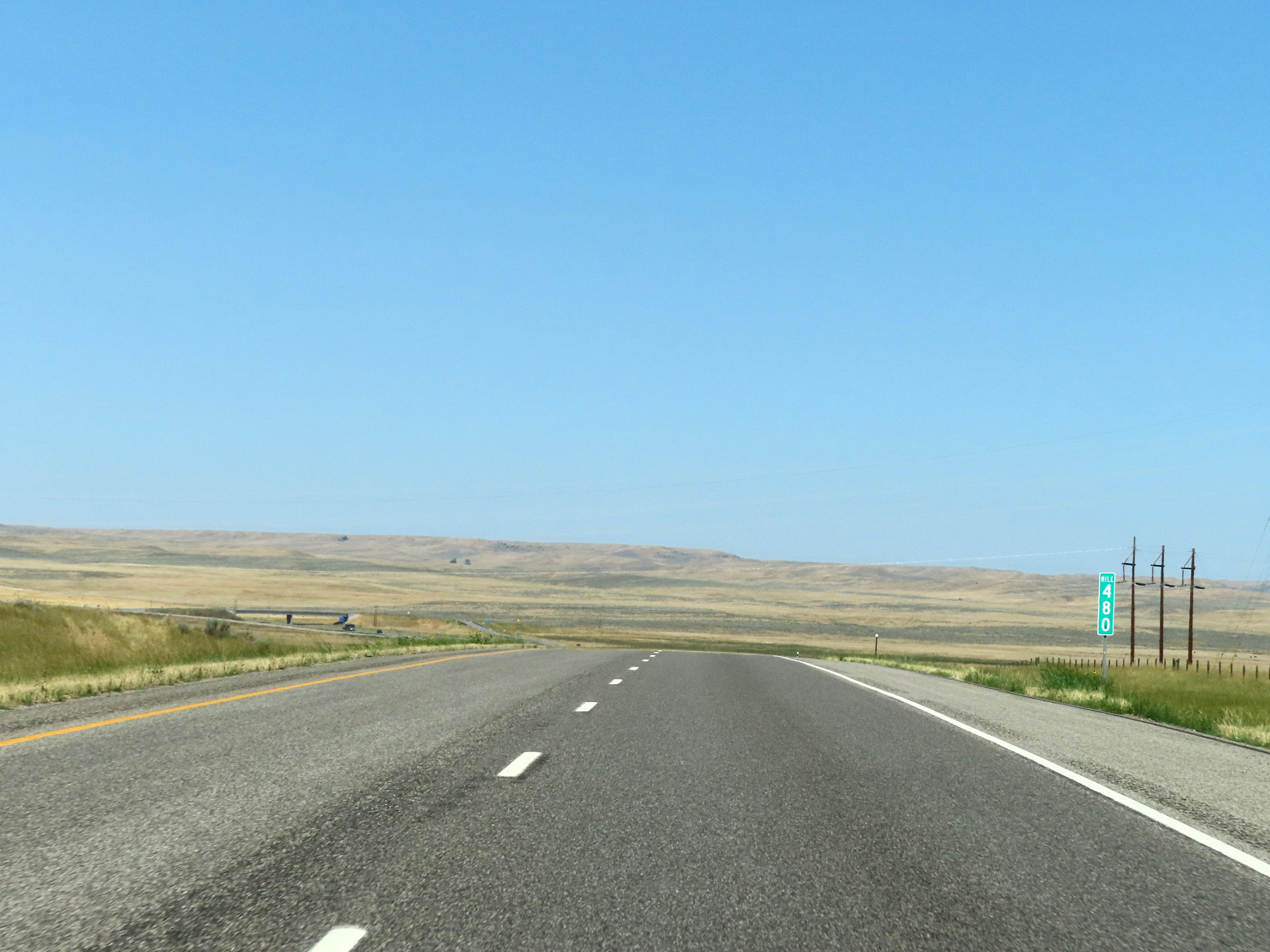 |
Mile marker 480 on Interstate 90 West in Big Horn County. (Photo taken 8/17/22). |
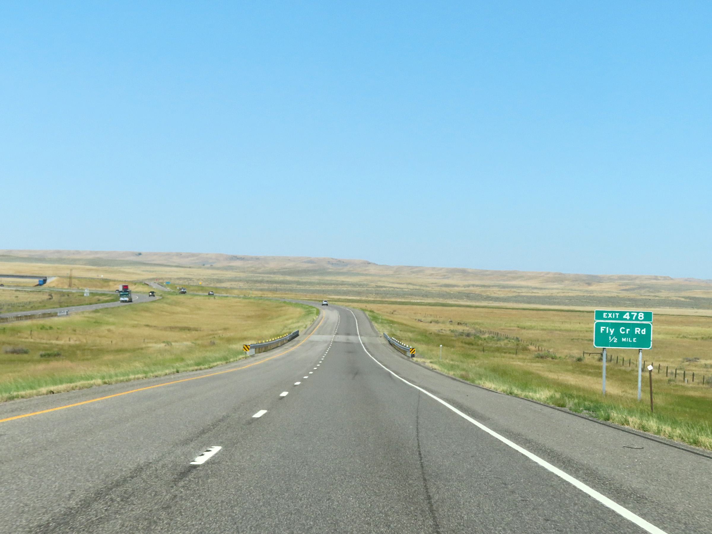 |
Interstate 90 West approaching Exit 478 - 1/2 mile. (Photo taken 8/17/22). |
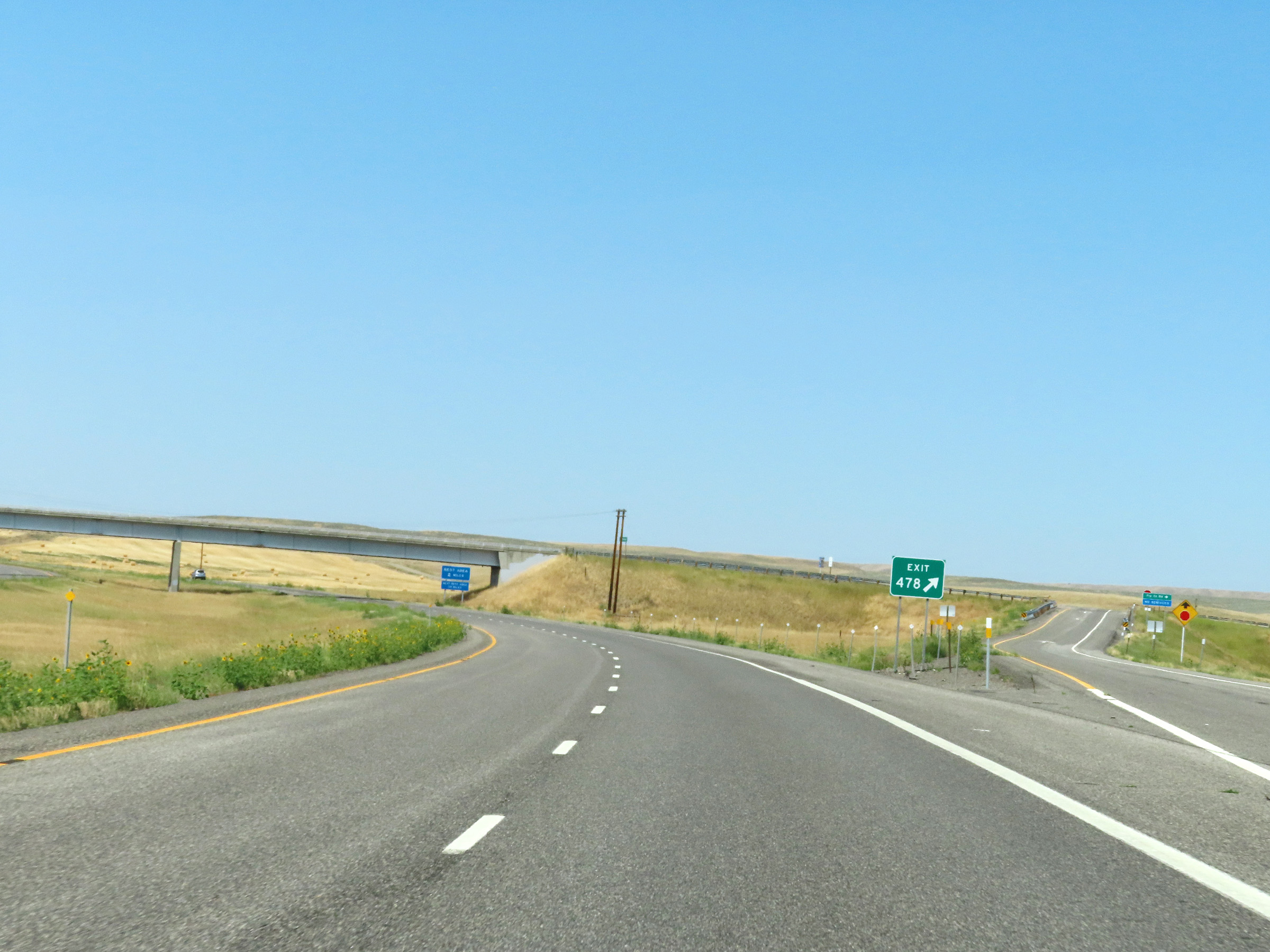 |
Interstate 90 West at Exit 478: Fly Creek Rd (Photo taken 8/17/22). |
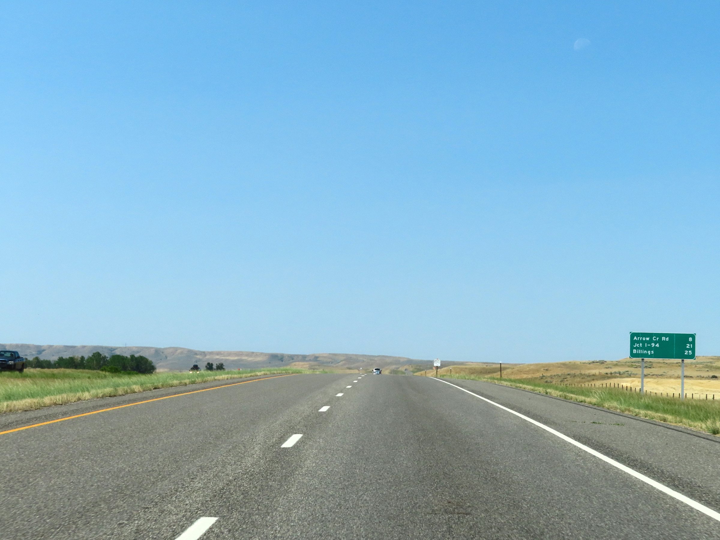 |
Mileage sign on Interstate 90 West. It's 8 miles to the junction of Arrow Creek Rd, 21 miles to the junction of Interstate 94, and 25 miles to Billings. (Photo taken 8/17/22). |
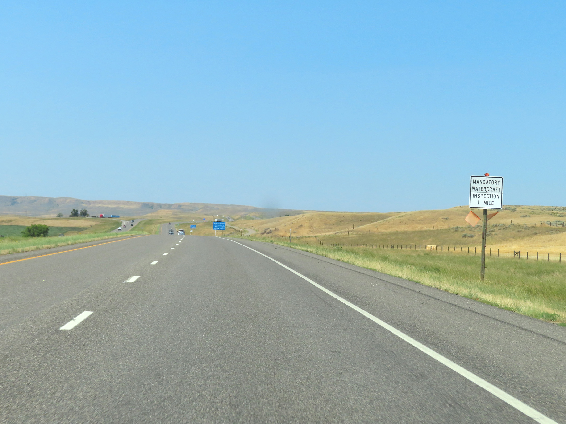 |
A mandatory Watercraft Inspection Station exists 1 mile ahead at the Rest Area. (Photo taken 8/17/22). |
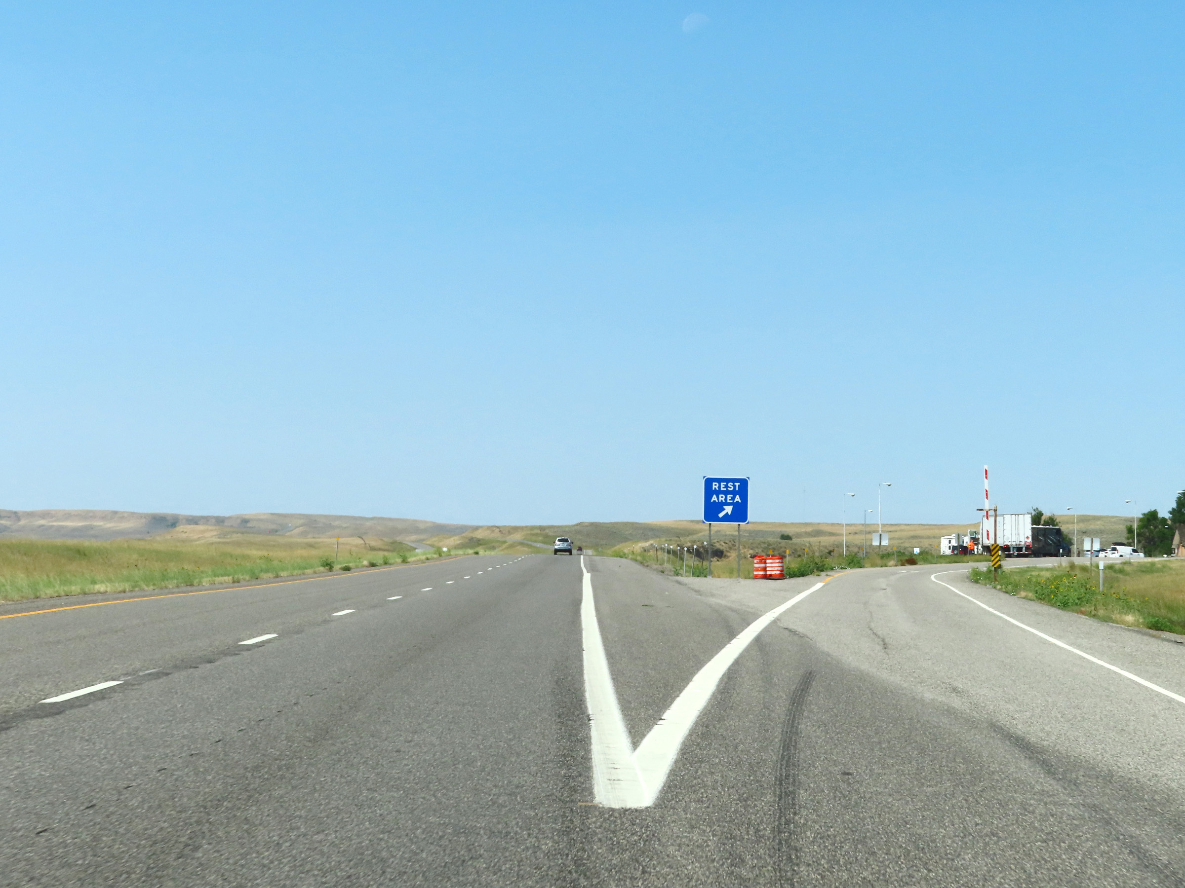 |
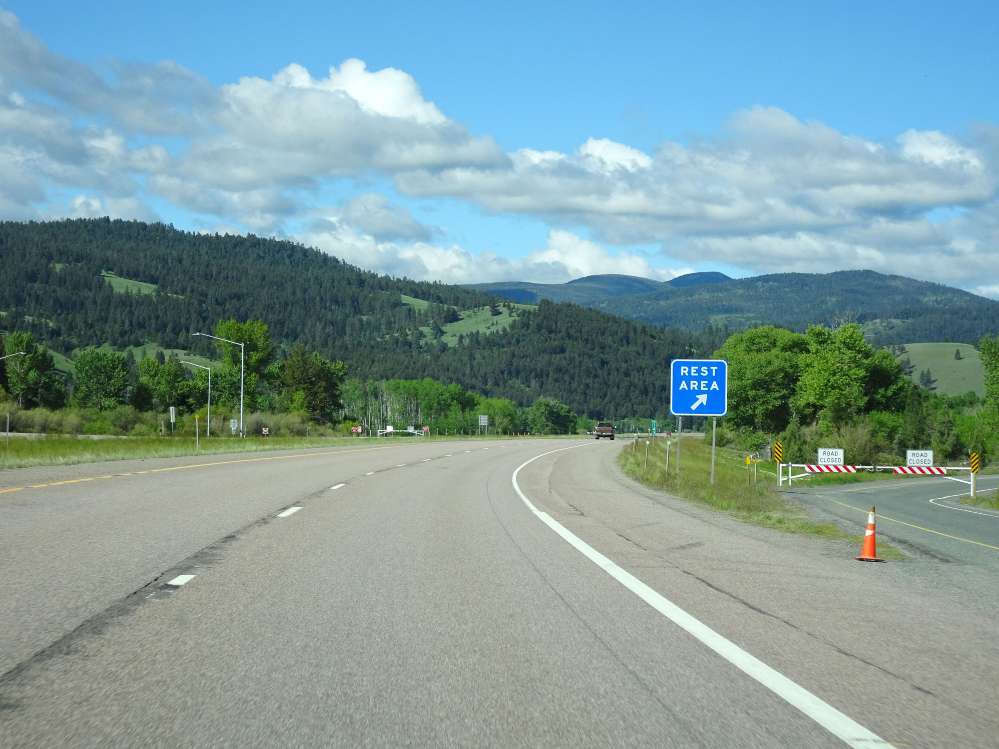
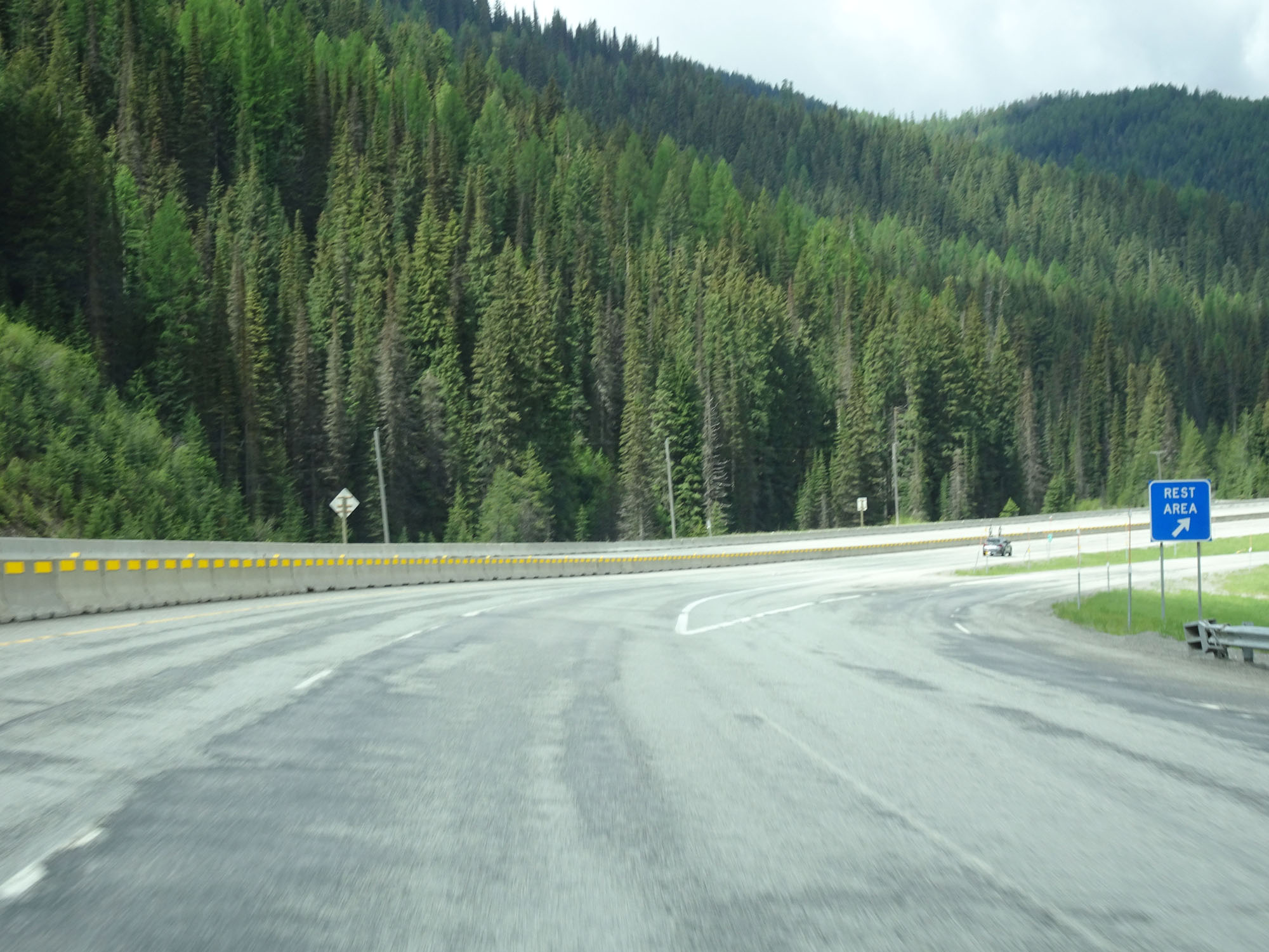
Rest Area on Interstate 90 West in Big Horn County. (Photo taken 8/17/22). |
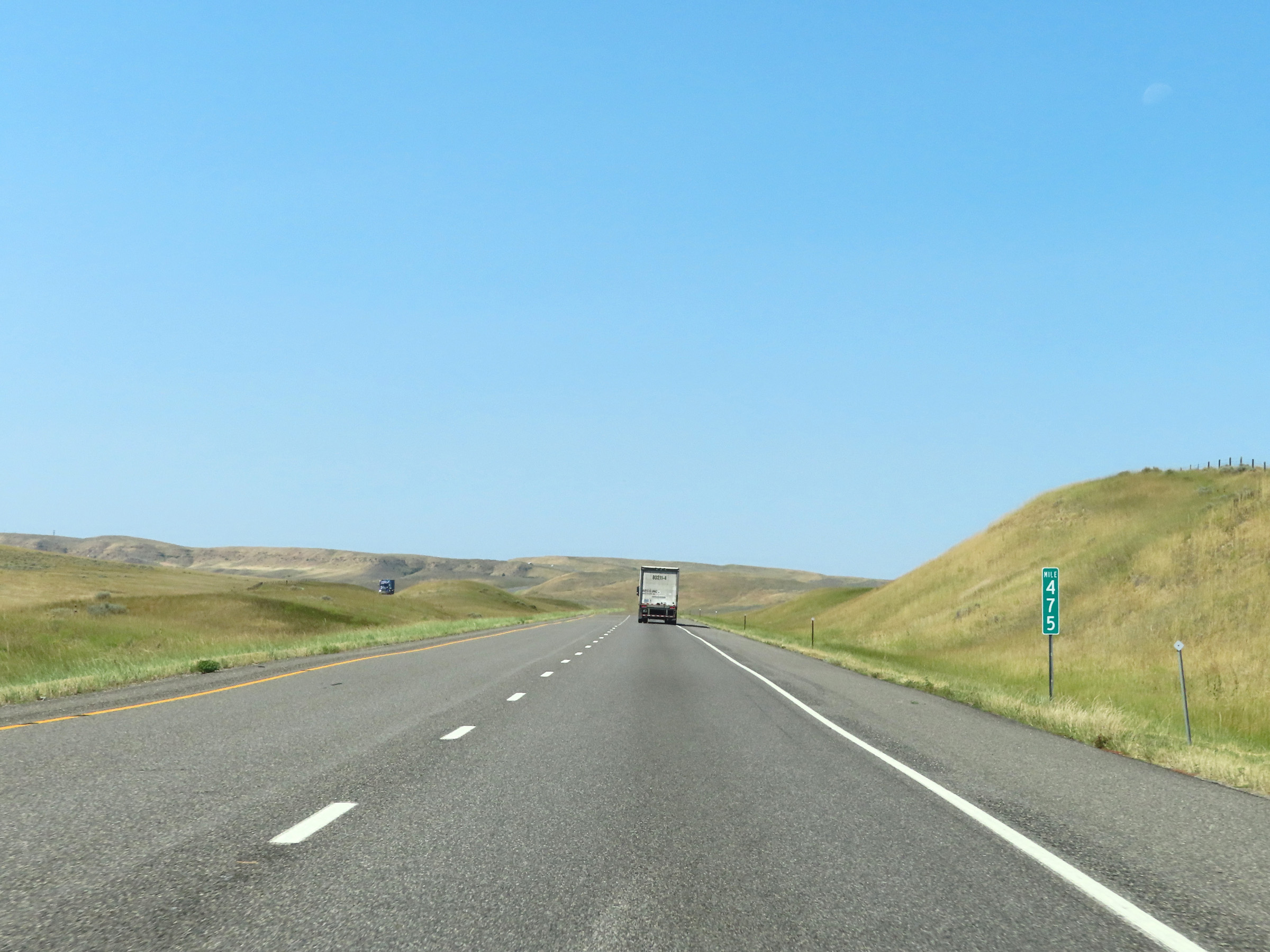 |
Interstate 90 West at mile marker 475. (Photo taken 8/17/22). |
 |
View on Interstate 90 West at mile marker 474. (Photo taken 8/17/22). |
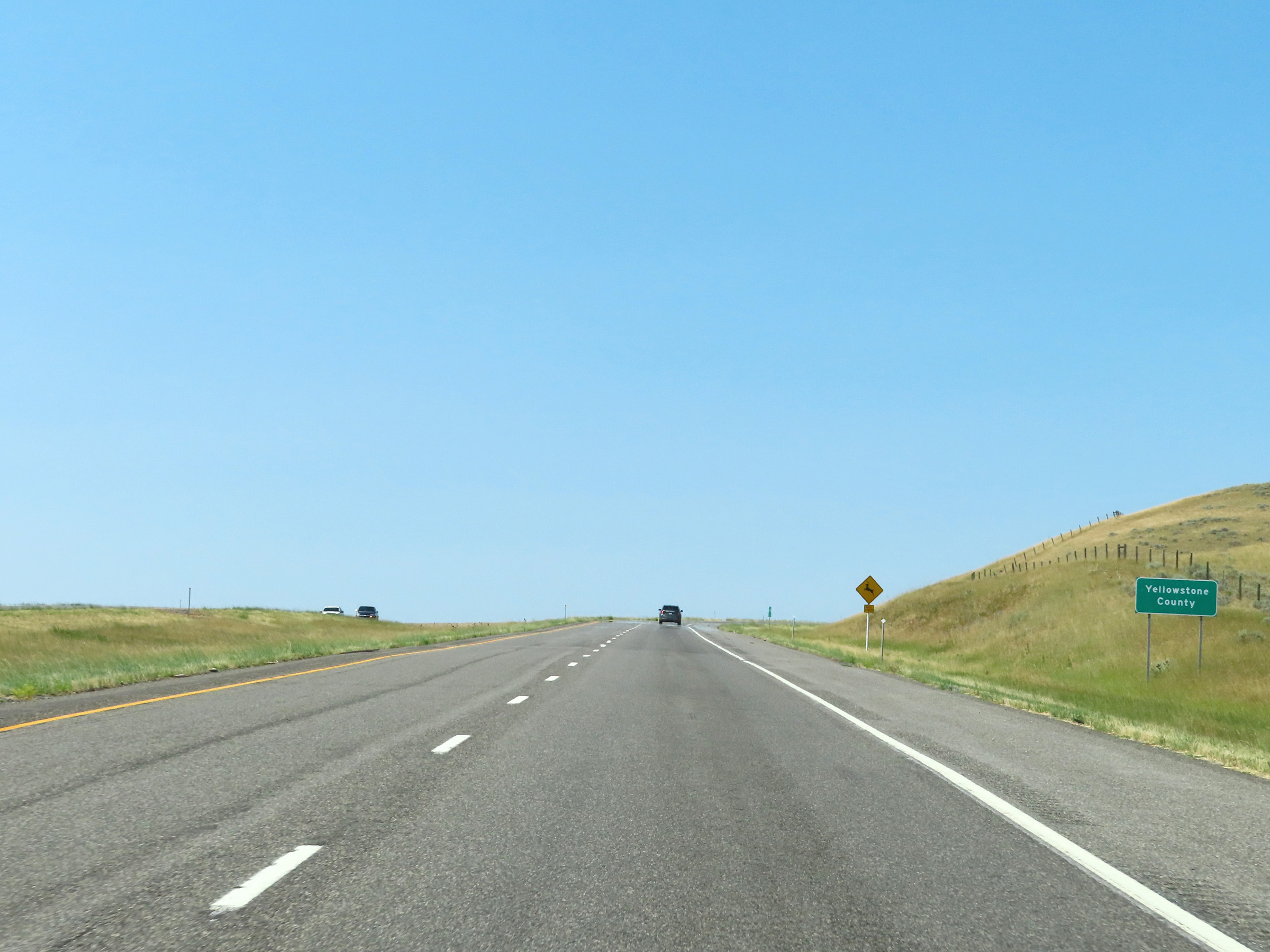 |
Interstate 90 West as it enters Yellowstone County. (Photo taken 8/17/22). |
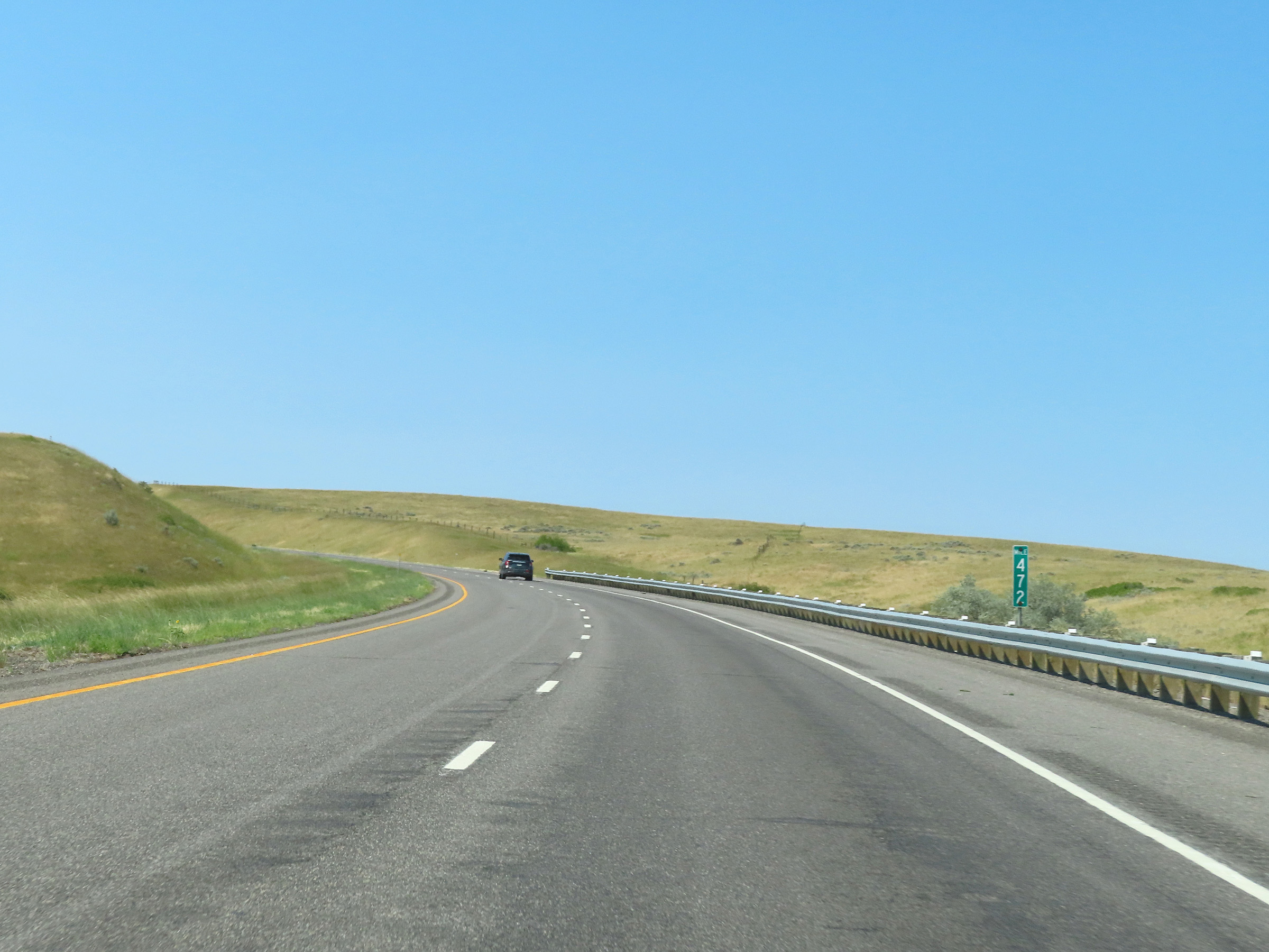 |
Interstate 90 West at mile marker 472. (Photo taken 8/17/22). |
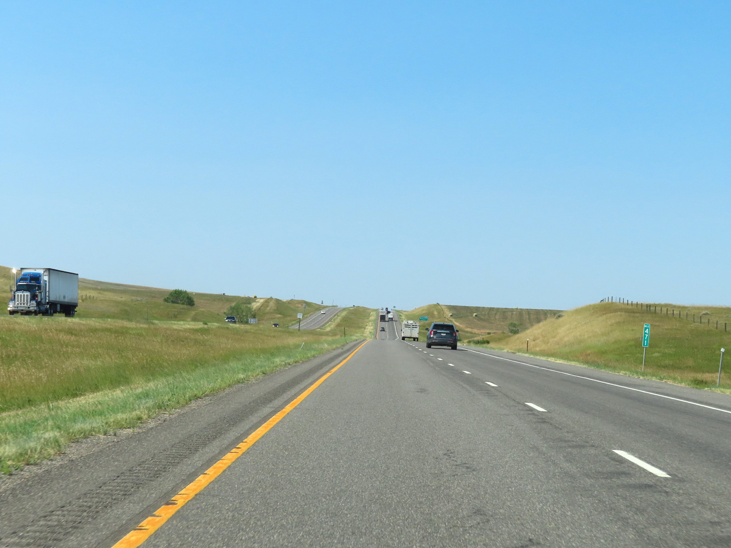 |
View on Interstate 90 West at mile marker 471. (Photo taken 8/17/22). |
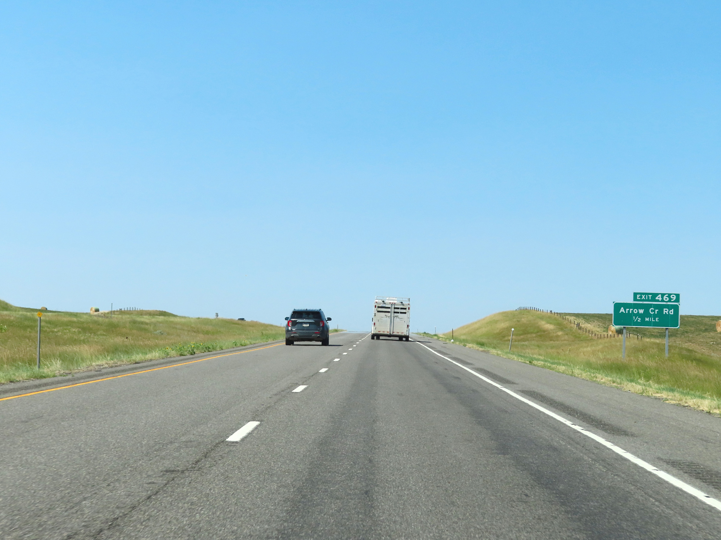 |
Interstate 90 West approaching Exit 469 - 1/2 mile. (Photo taken 8/17/22). |
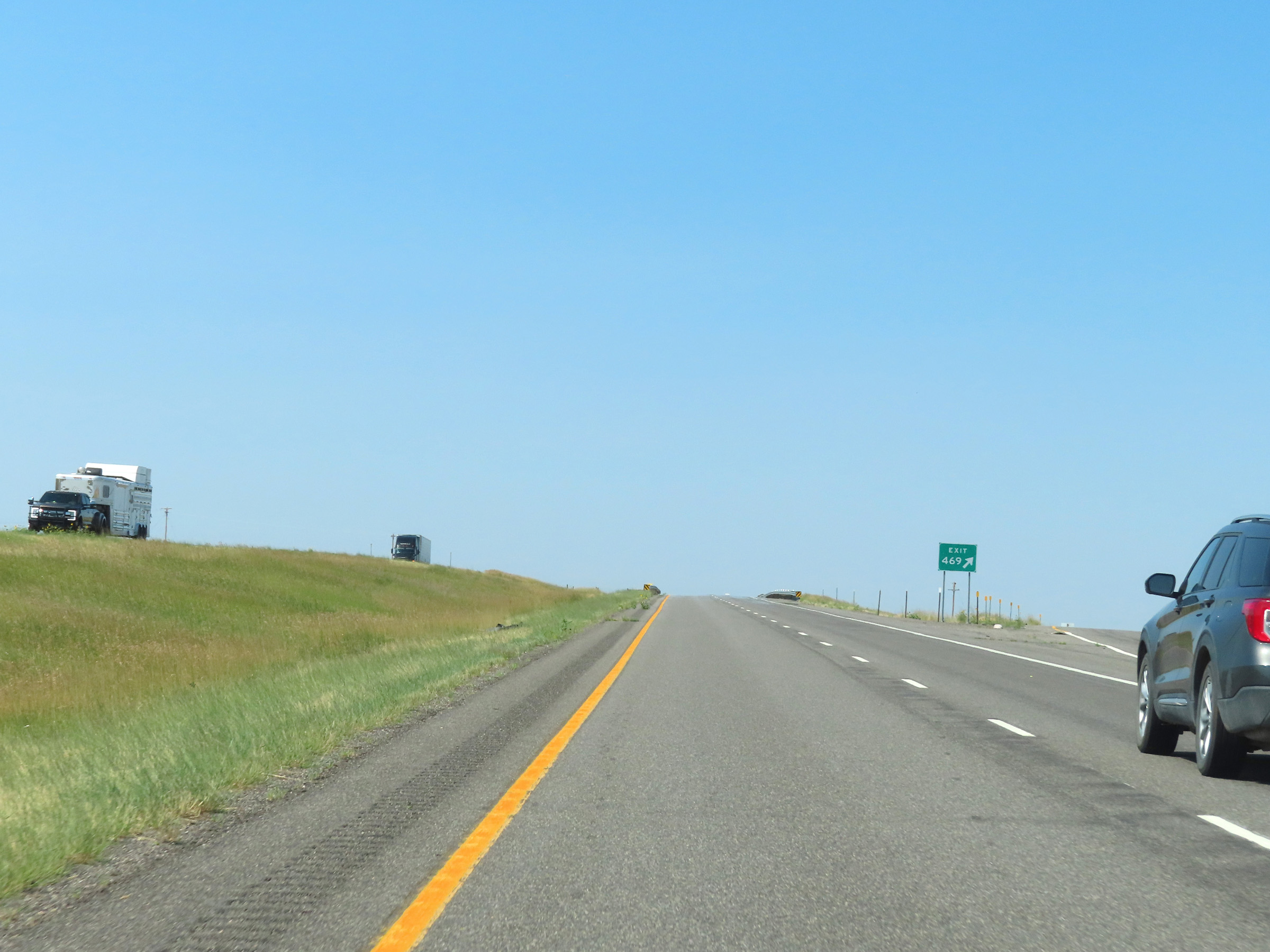 |
Interstate 90 West at Exit 469: Arrow Creek Rd (Photo taken 8/17/22). |
 |
Another Interstate 90 West reassurance shield. (Photo taken 8/17/22). |
 |
The speed limits on Interstate 90 West remain 80 mph for automobiles and 70 mph for trucks. (Photo taken 8/17/22). |
 |
View on Interstate 90 West in Yellowstone County. (Photo taken 8/17/22). |
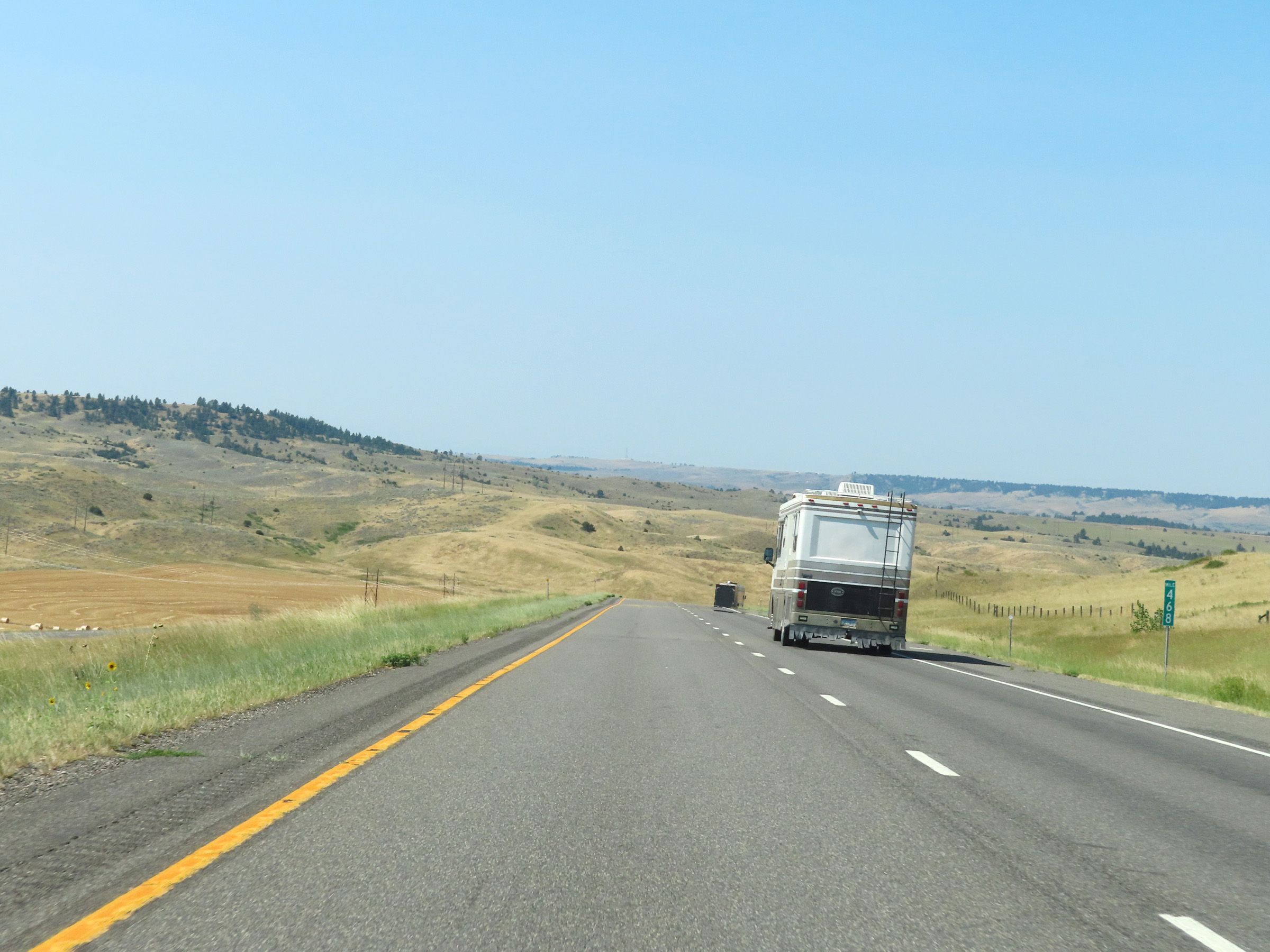 |
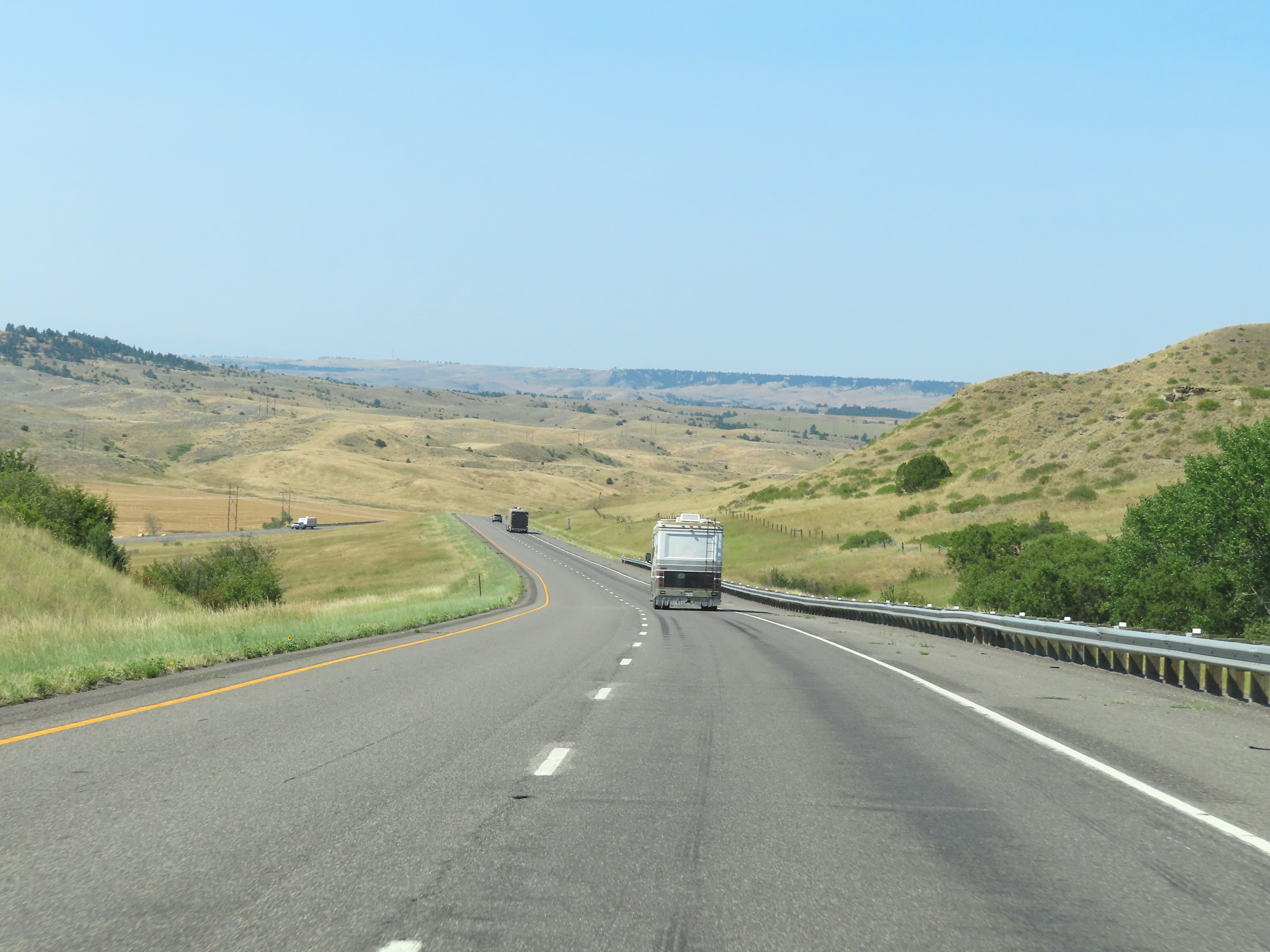
Mile marker 468 on Interstate 90 West in Yellowstone County. (Photo taken 8/17/22). |
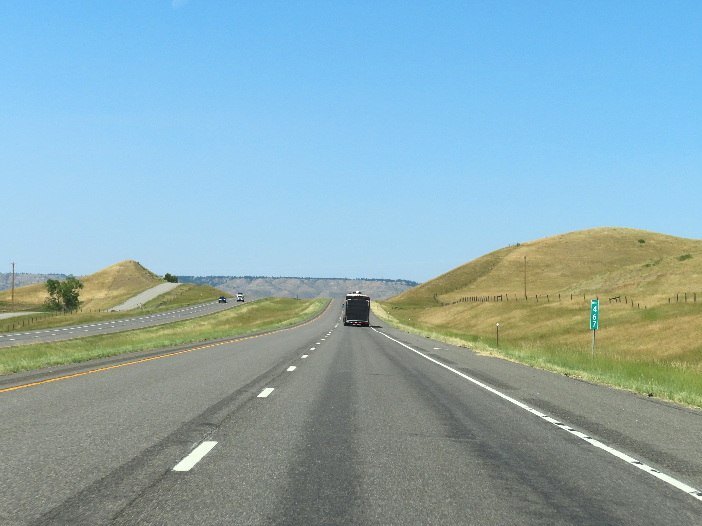 |
Interstate 90 West at mile marker 467. (Photo taken 8/17/22). |
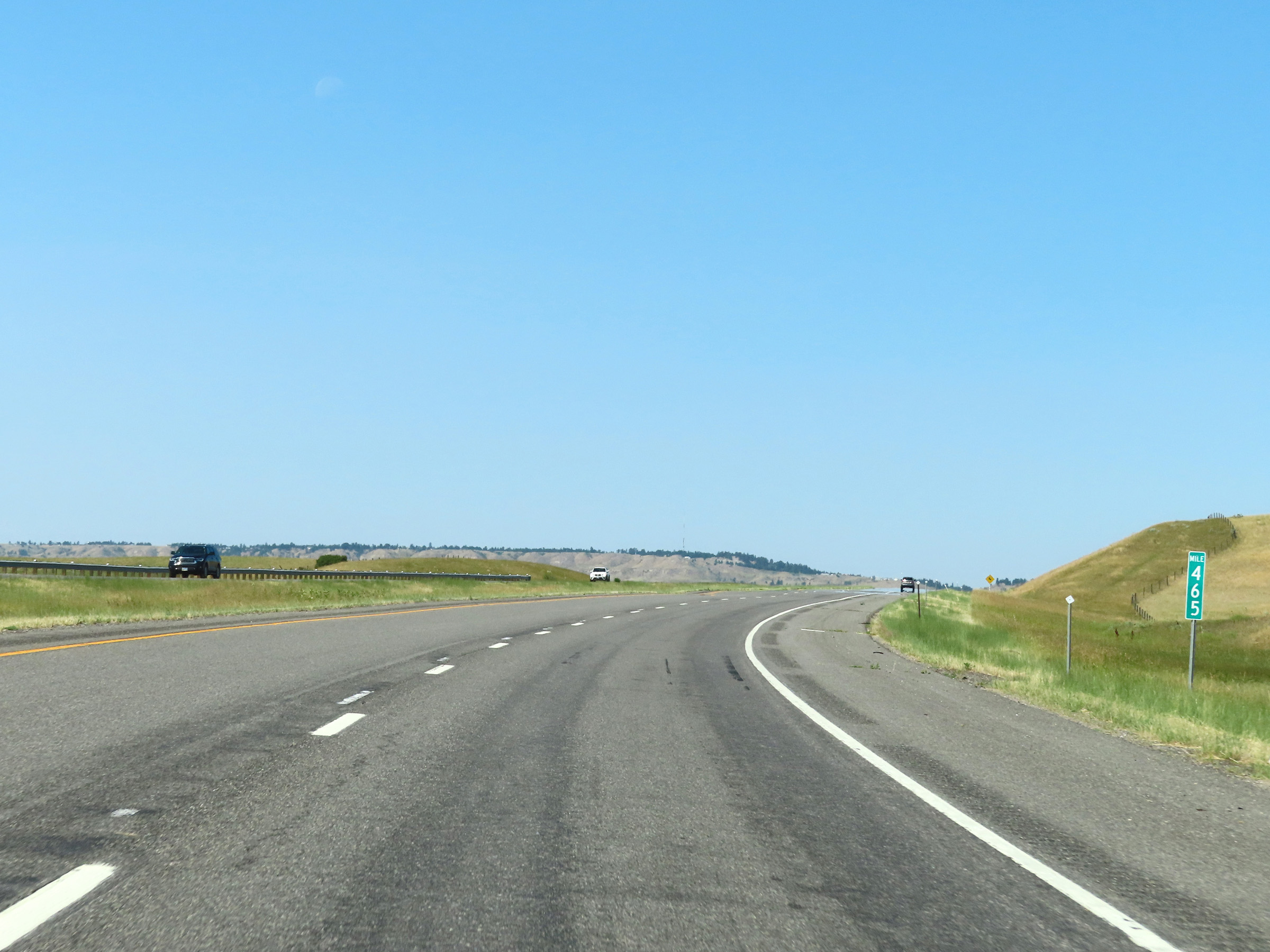 |
View on Interstate 90 West at mile marker 465. (Photo taken 8/17/22). |
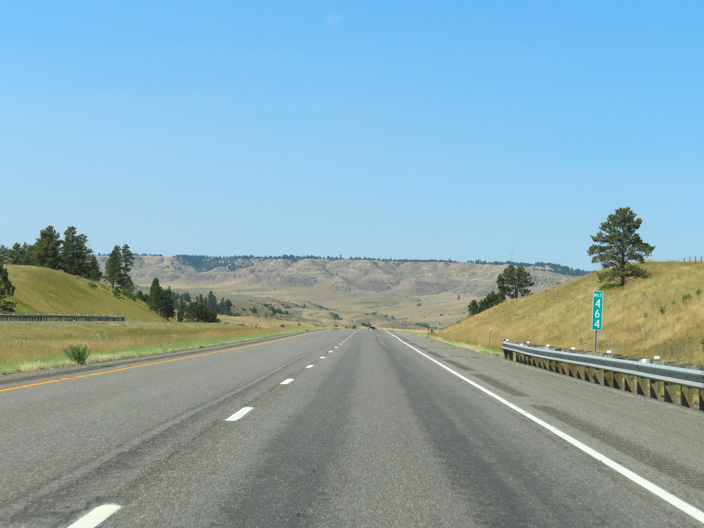 |
Interstate 90 West at mile marker 464. (Photo taken 8/17/22). |
 |
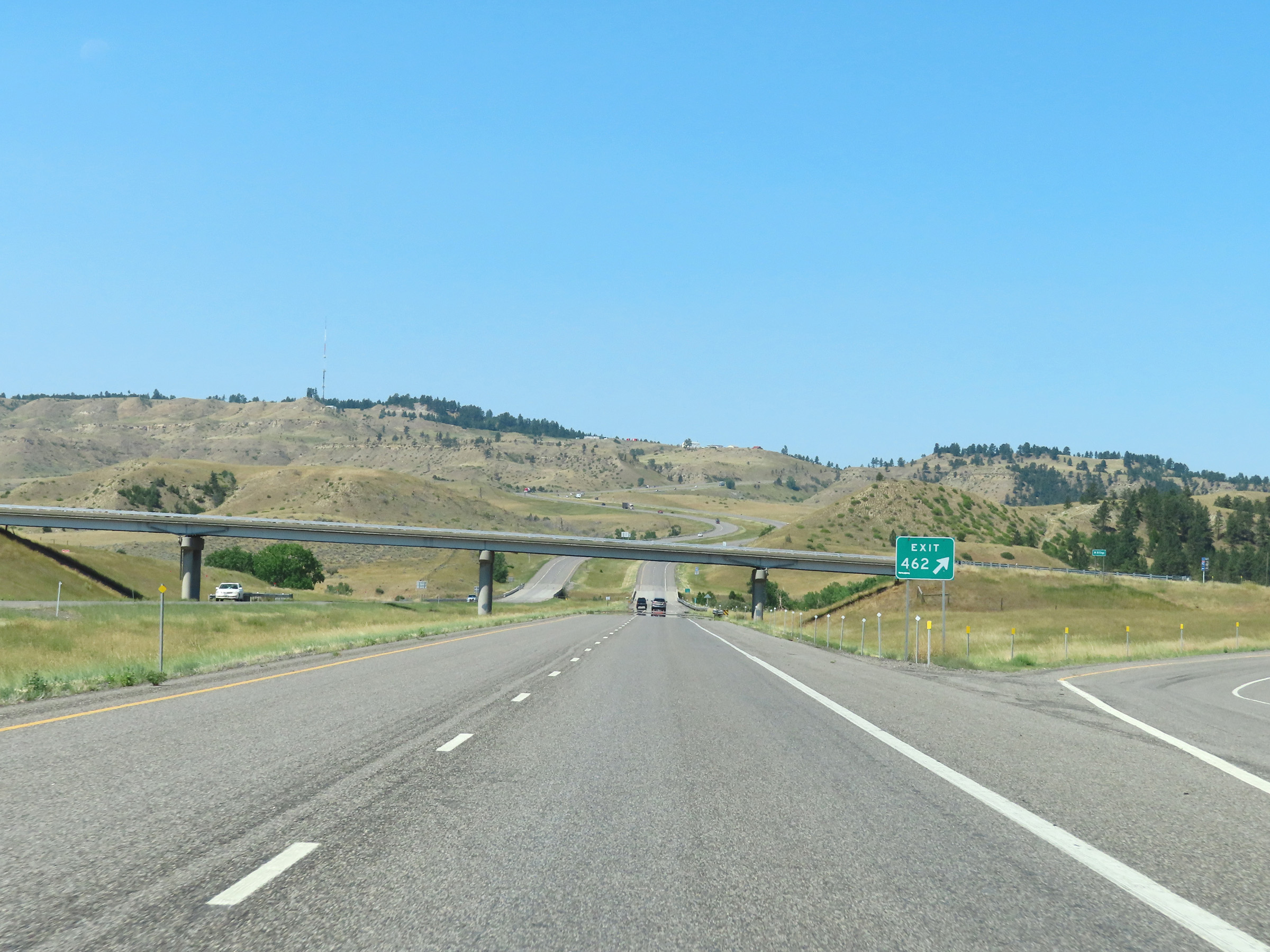
Interstate 90 West approaching Exit 462 - 1/2 mile. (Photo taken 8/17/22). |
 |
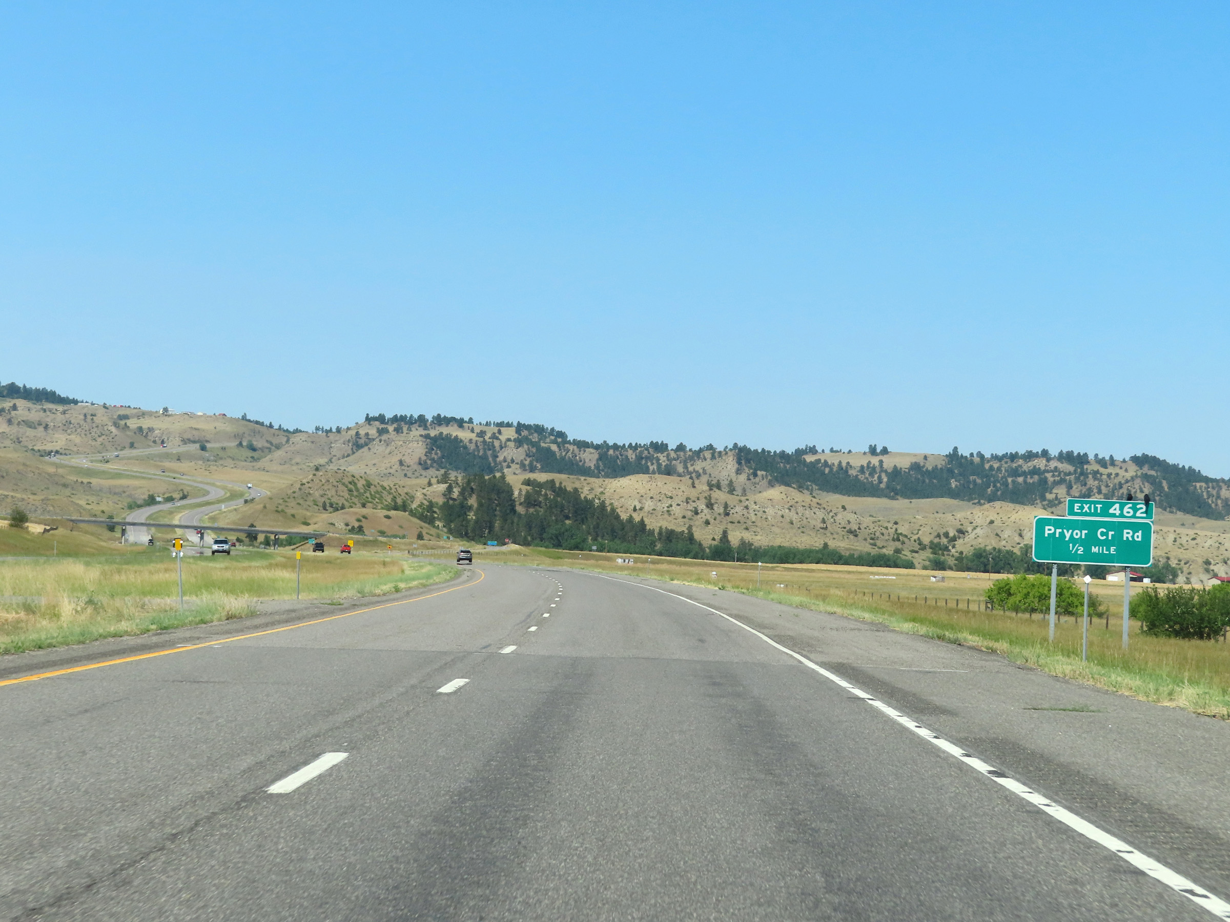
Interstate 90 West at Exit 462: Pryor Creek Rd (Photo taken 8/17/22). |
 |
Again, the speed limits remain the rural standard 80 mph for autos and 70 mph for trucks. (Photo taken 8/17/22). |
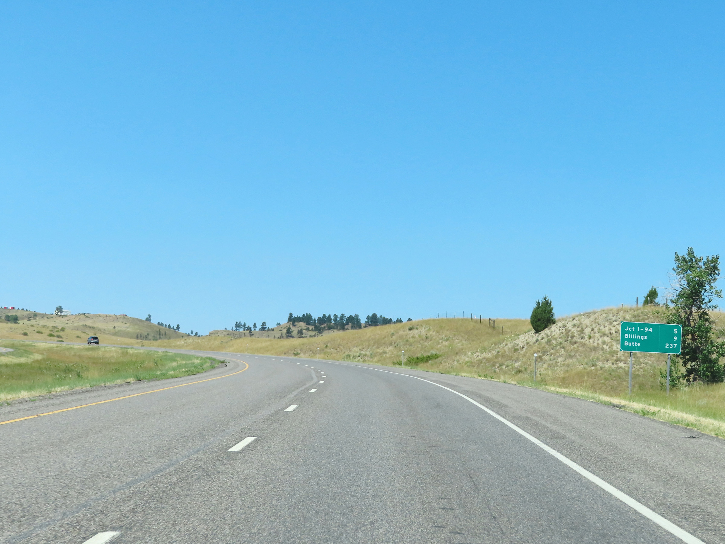 |
Another mileage sign on Interstate 90 West. It's 5 miles to the junction of Interstate 94, 9 miles to Billings, and 237 miles to Butte. (Photo taken 8/17/22). |
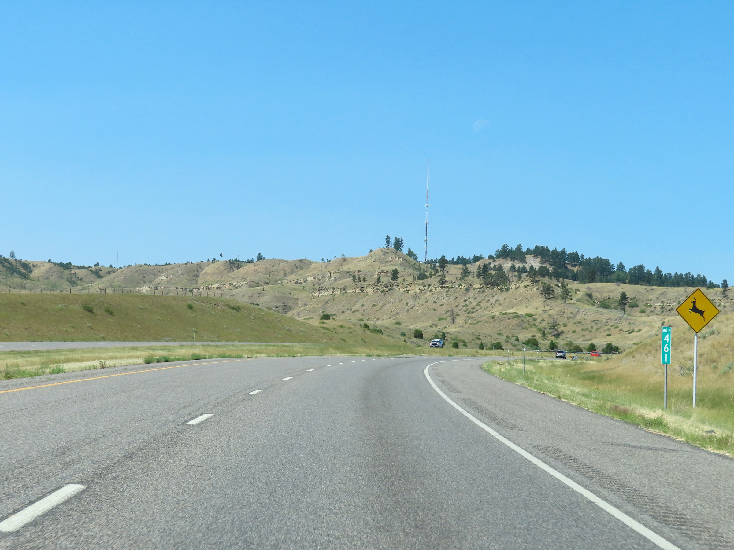 |
View on Interstate 90 West at mile marker 461. (Photo taken 8/17/22). |
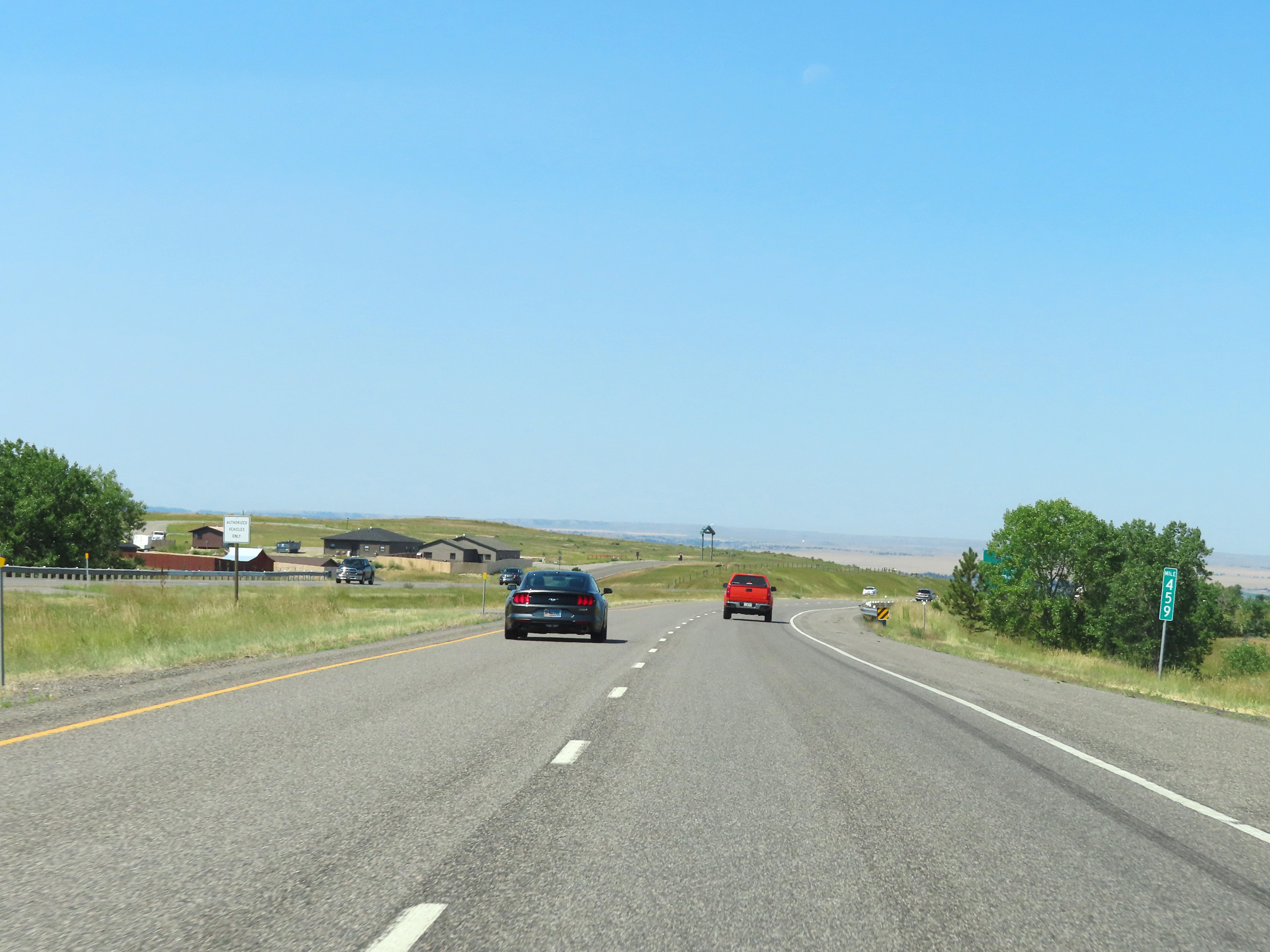 |
Mile marker 459 on Interstate 90 West in Yellowstone County. (Photo taken 8/17/22). |
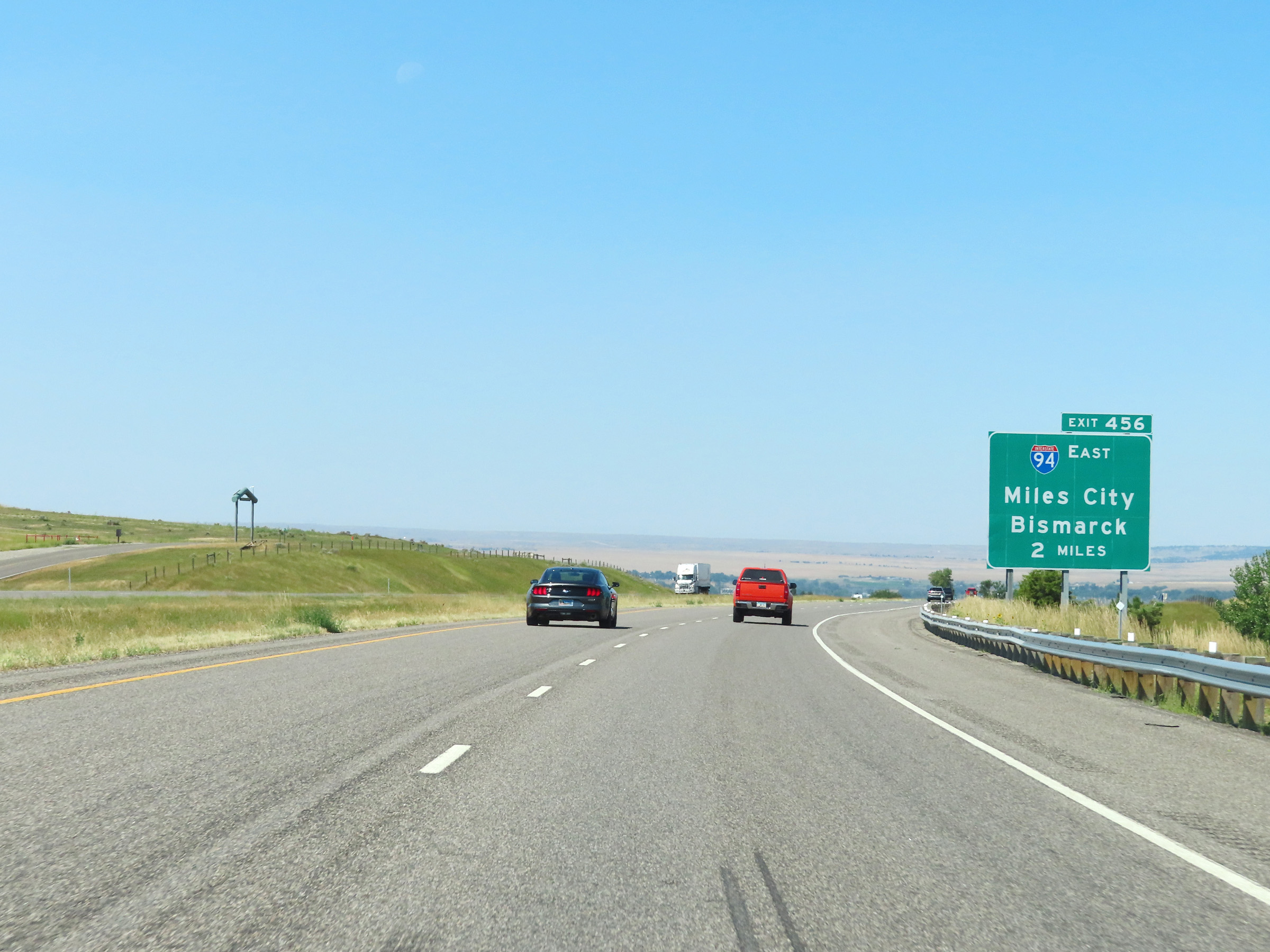 |
Advance signage for Exit 456, which is the junction of Interstate 94 East, now just 2 miles ahead. (Photo taken 8/17/22). |
 |
Interstate 90 West approaching Exit 456 - 1 1/4 miles. At mile marker 458, I-90 West begins to descend a steep grade down toward Billings. (Photo taken 8/17/22). |
 |
View on Interstate 90 West as it continues to descend down to Billings and the junction of Interstate 94 East. (Photo taken 8/17/22). |
 |
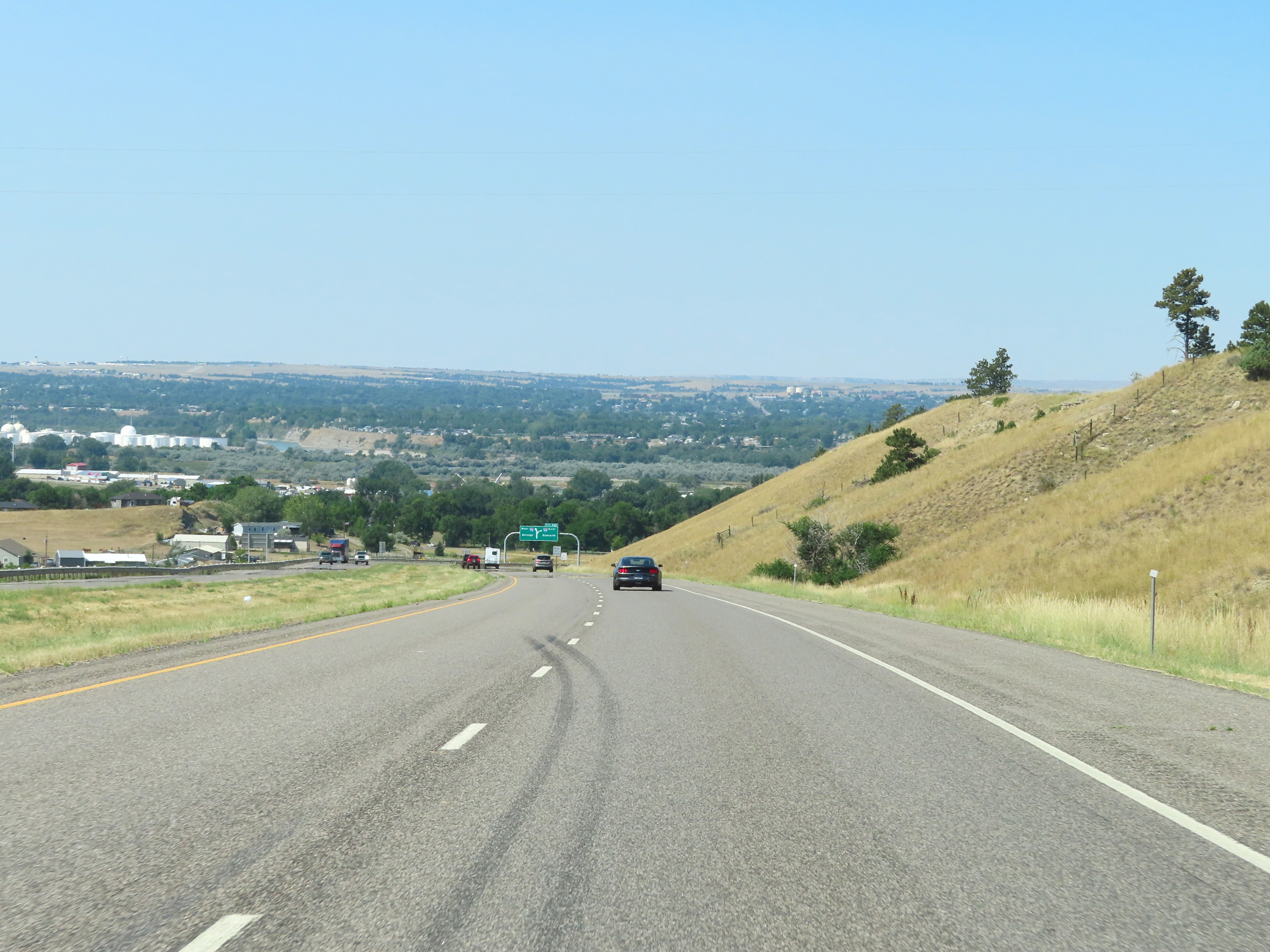
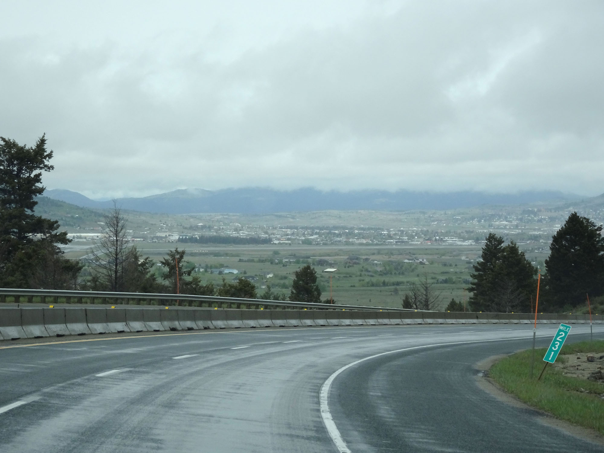
Downtown Billings and its surrounding areas come into view as Interstate 90 West continues down the grade, looking to the southwest. (Photo taken 8/17/22). |
 |
Approaching Exit 456, the speed limit decreases to 65 mph for all traffic. (Photo taken 8/17/22). |
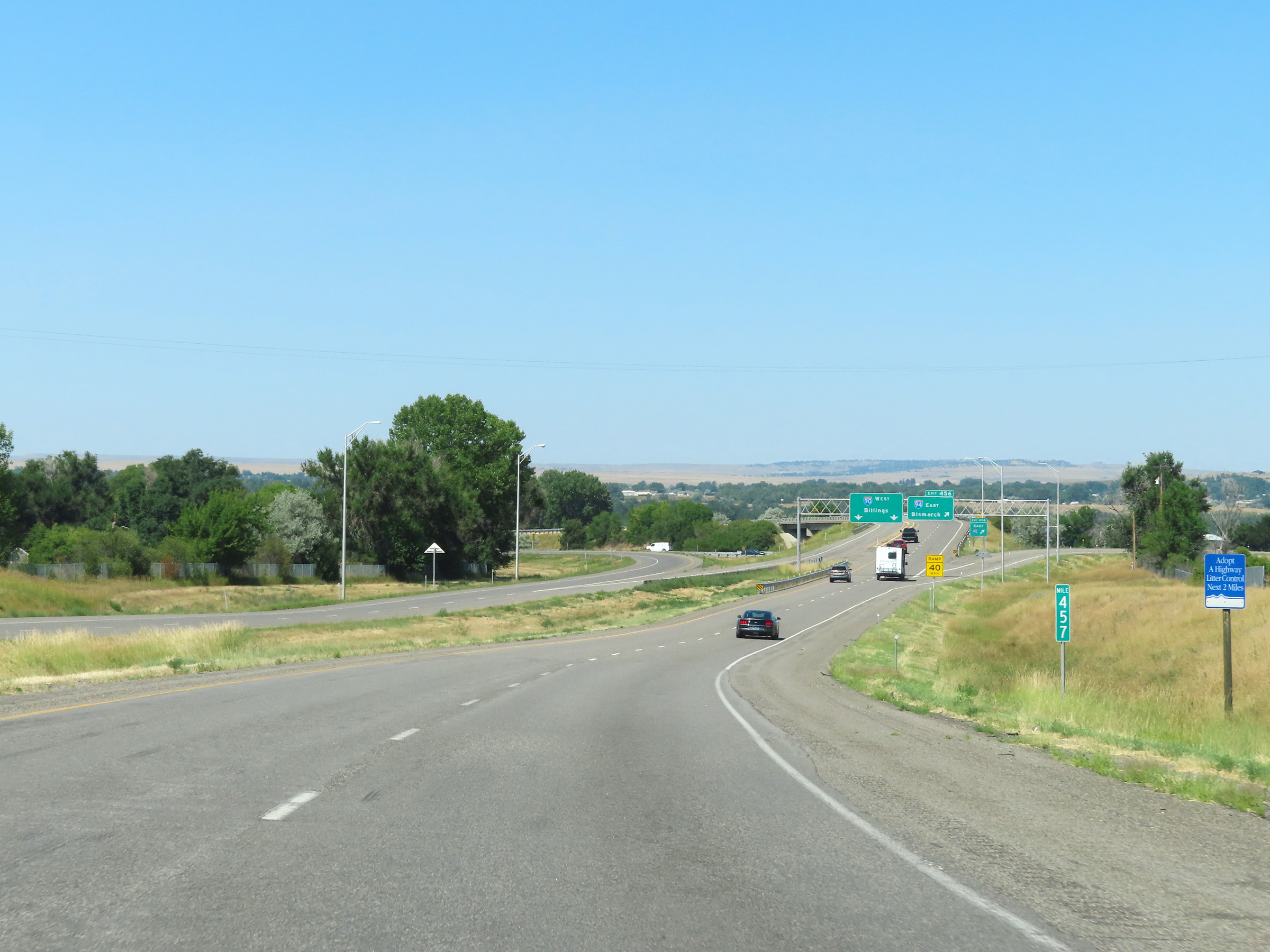 |
View on Interstate 90 West at mile marker 457. (Photo taken 8/17/22). |
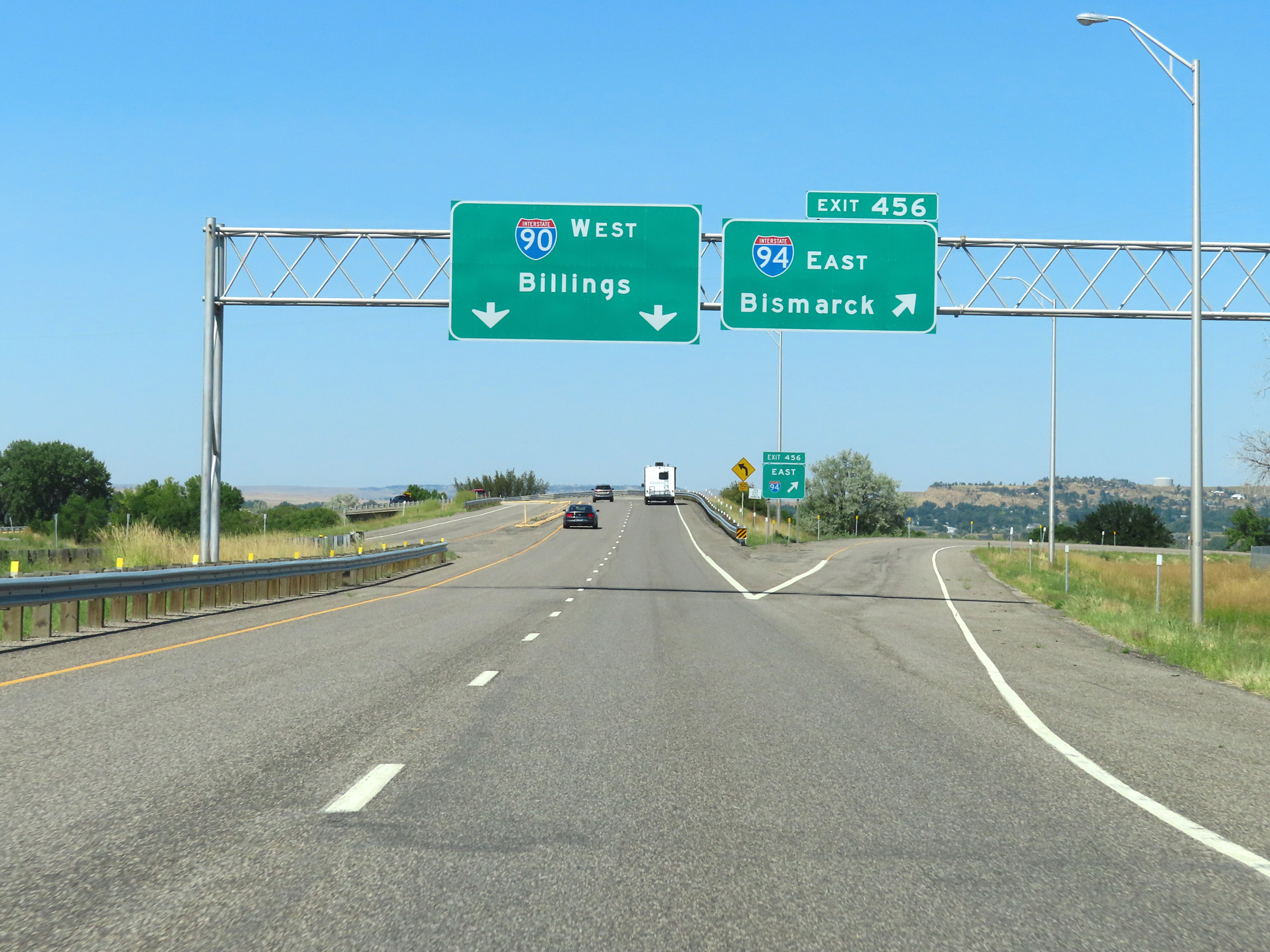 |
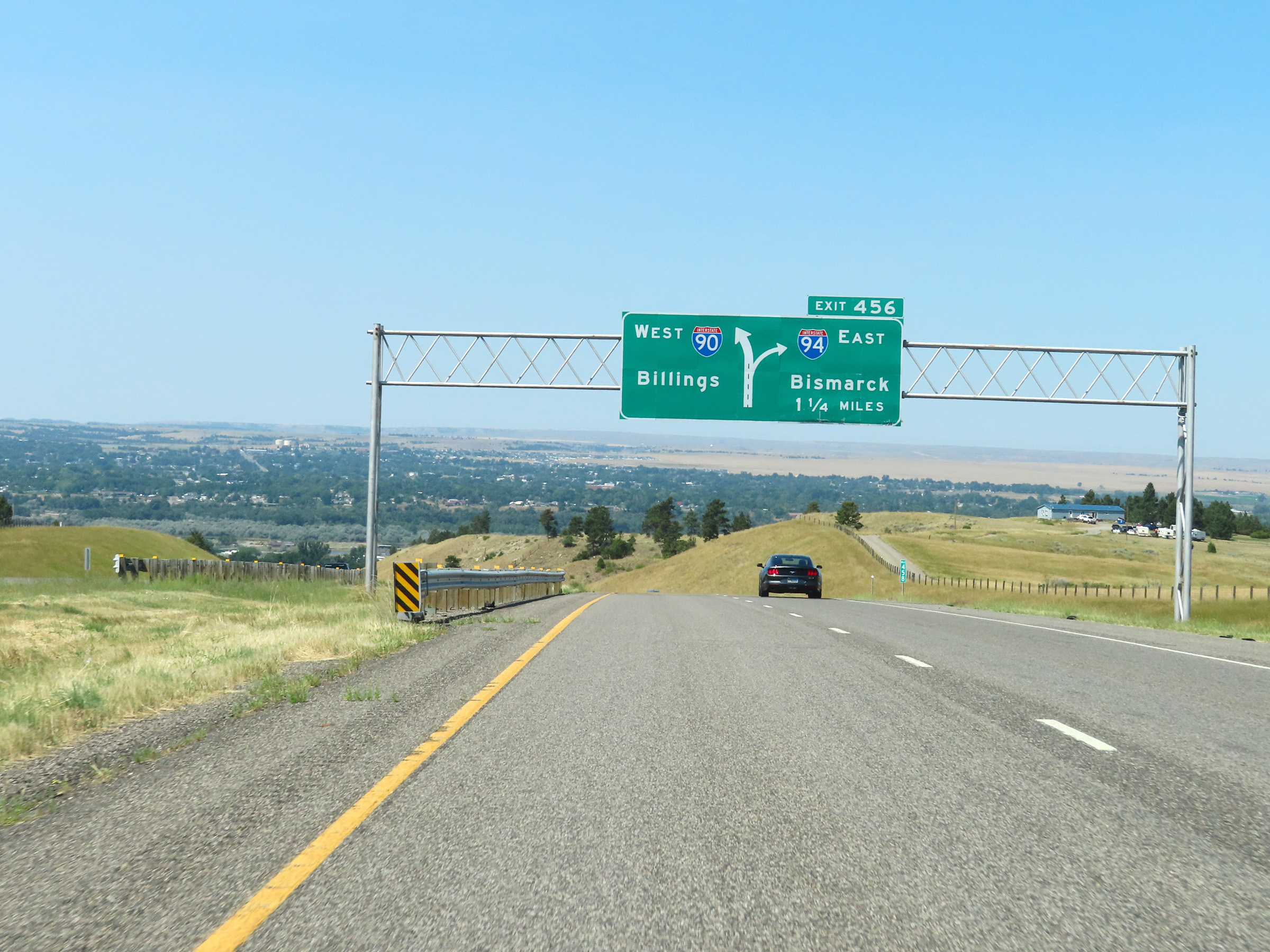
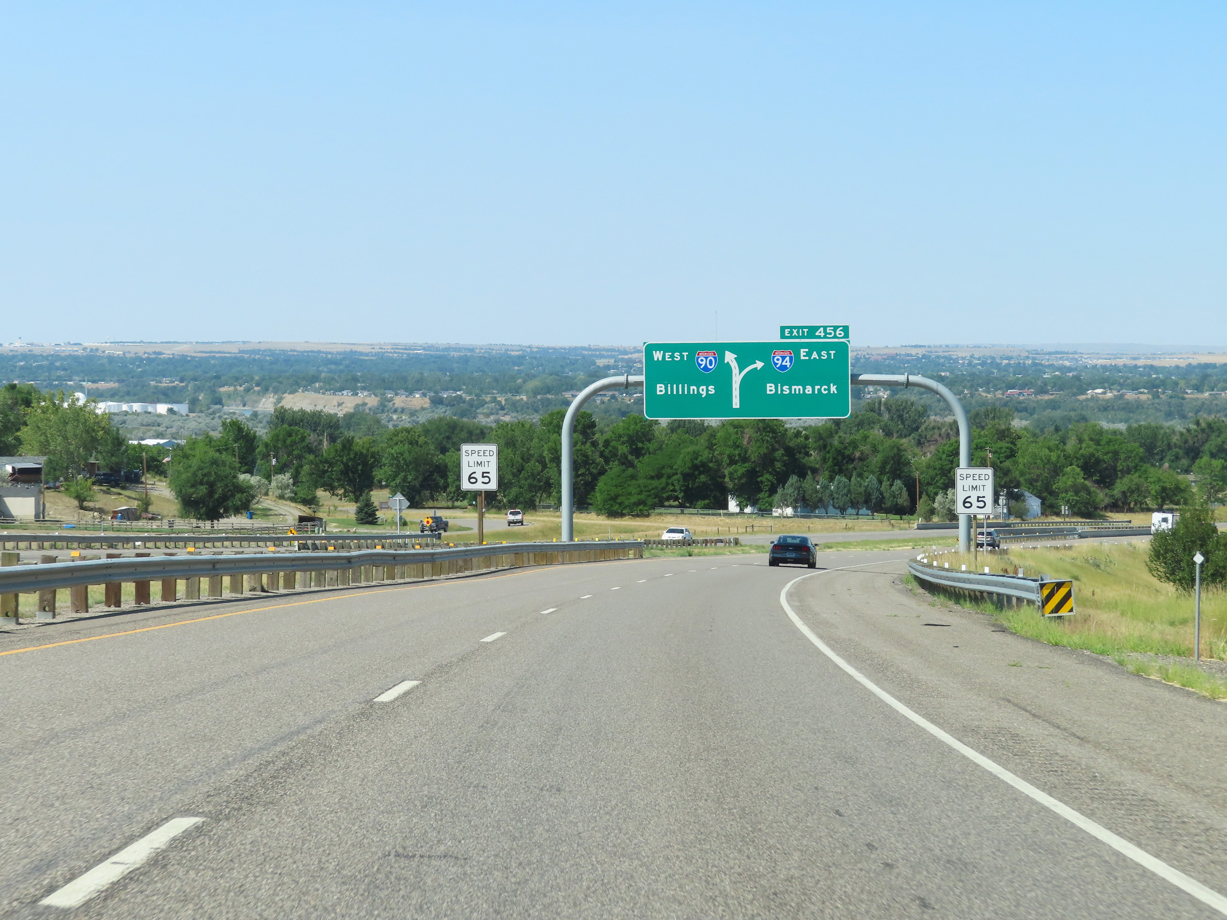
Interstate 90 West at Exit 456: Interstate 94 East - Bismarck (Photo taken 8/17/22). |
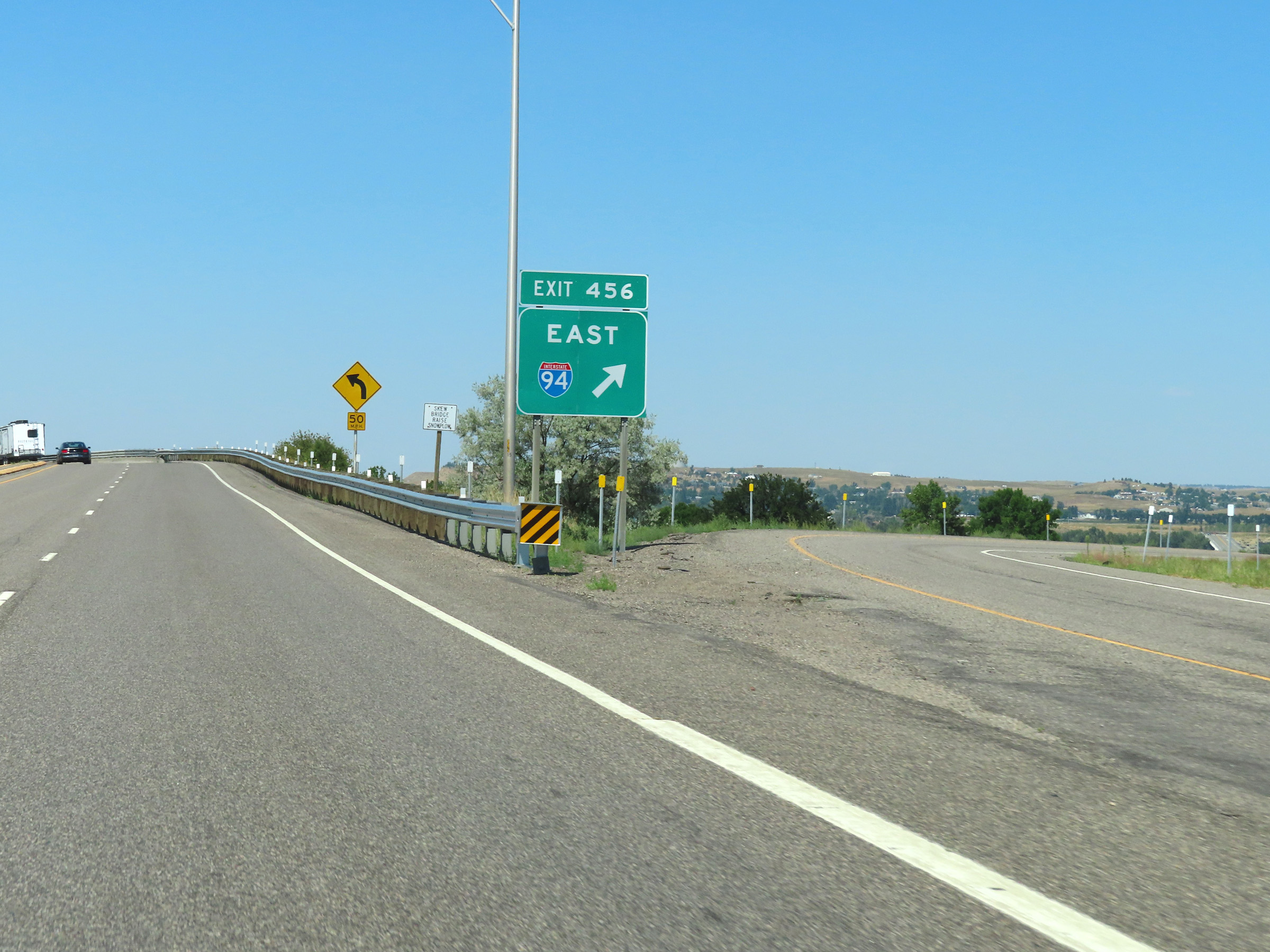 |
A closer view of the ramp to Interstate 94 East via Exit 456. (Photo taken 8/17/22). |
 |
View on Interstate 90 West as it passes under Interstate 94, at the western terminus/beginning of I-94 in Billings. (Photo taken 8/17/22). |
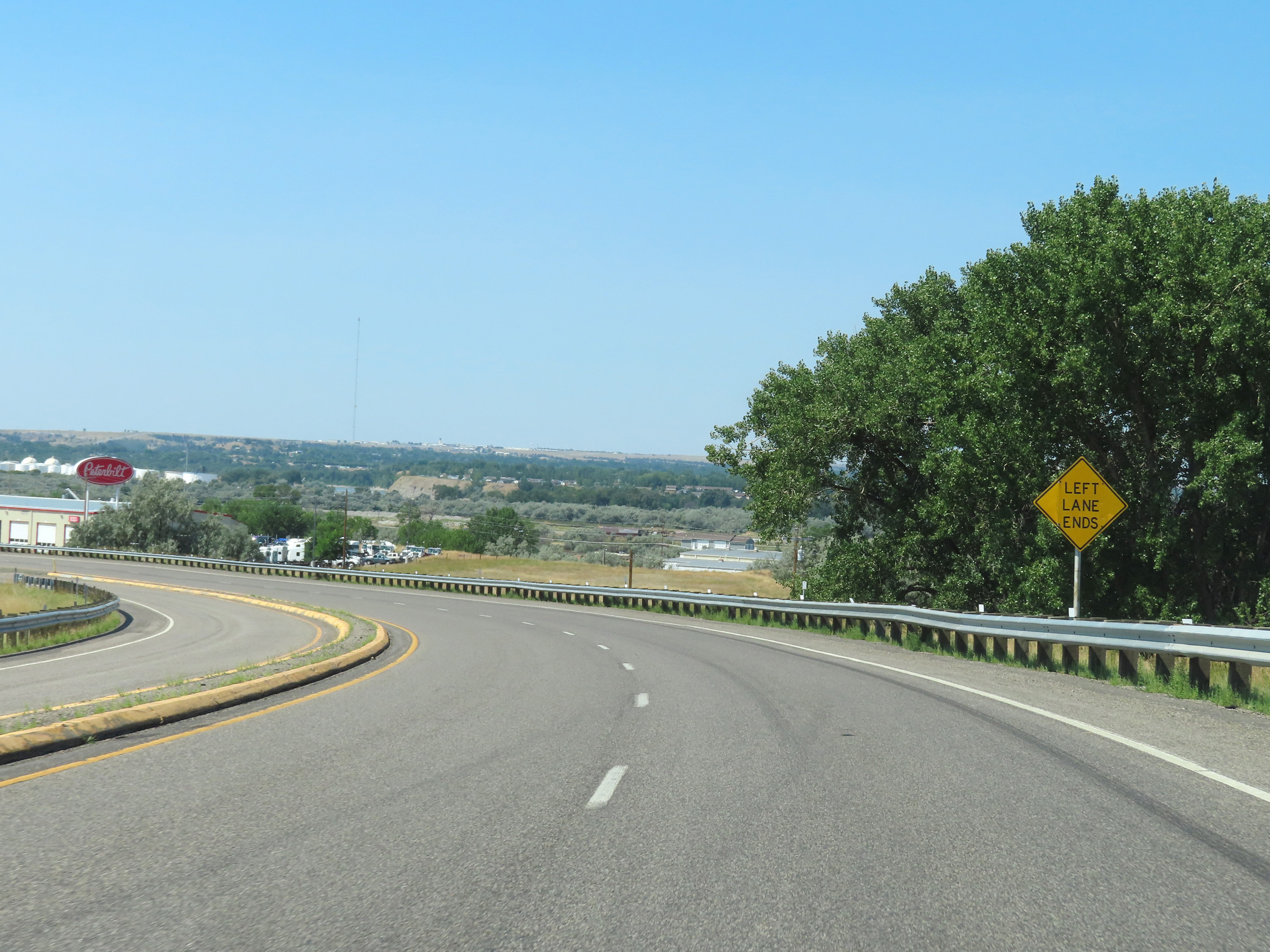 |
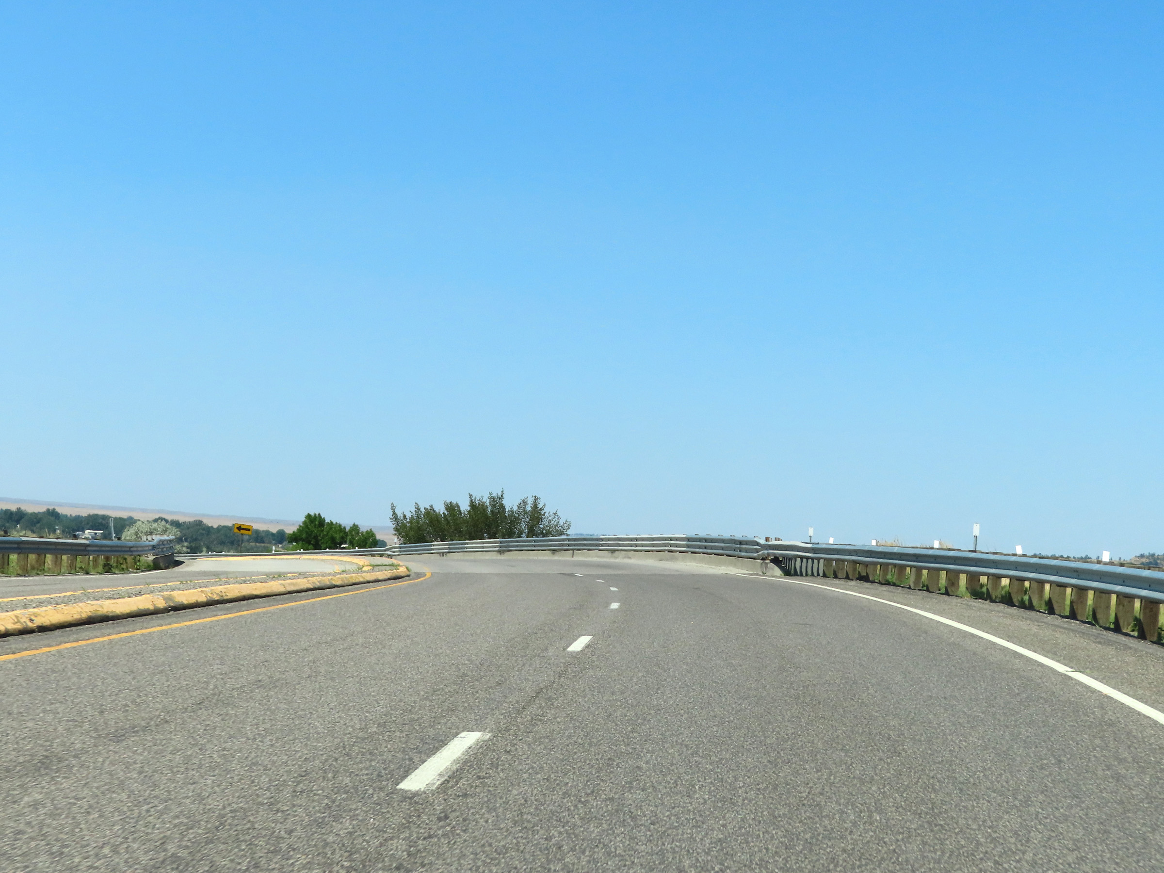
Interstate 90 West will be briefly reduced to a single lane ahead, as the left lane will come to an end as this sign warns. (Photo taken 8/17/22). |
 |
As the left lane comes to an end, Interstate 90 West prepares to merge into the two westbound lanes from Interstate 94 West ahead. (Photo taken 8/17/22). |
 |
At mile marker 456, the single lane of Interstate 90 West merges into the remaining two thru lanes from Interstate 94 West at its western terminus. (Photo taken 8/17/22). |
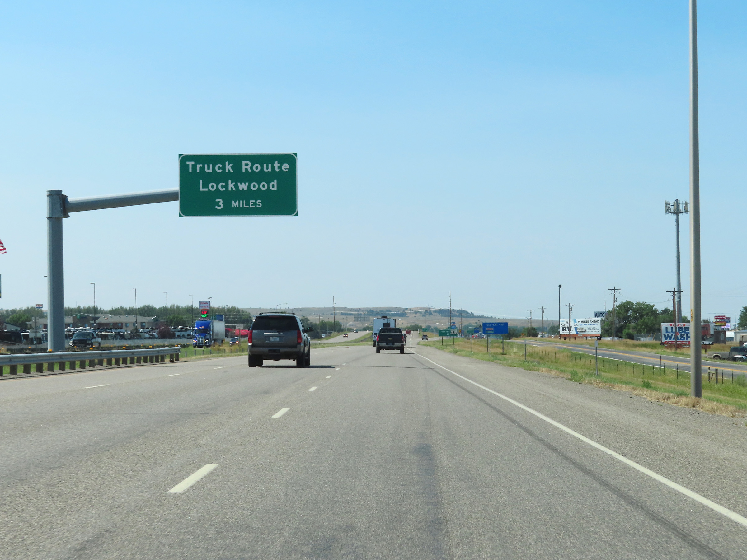 |
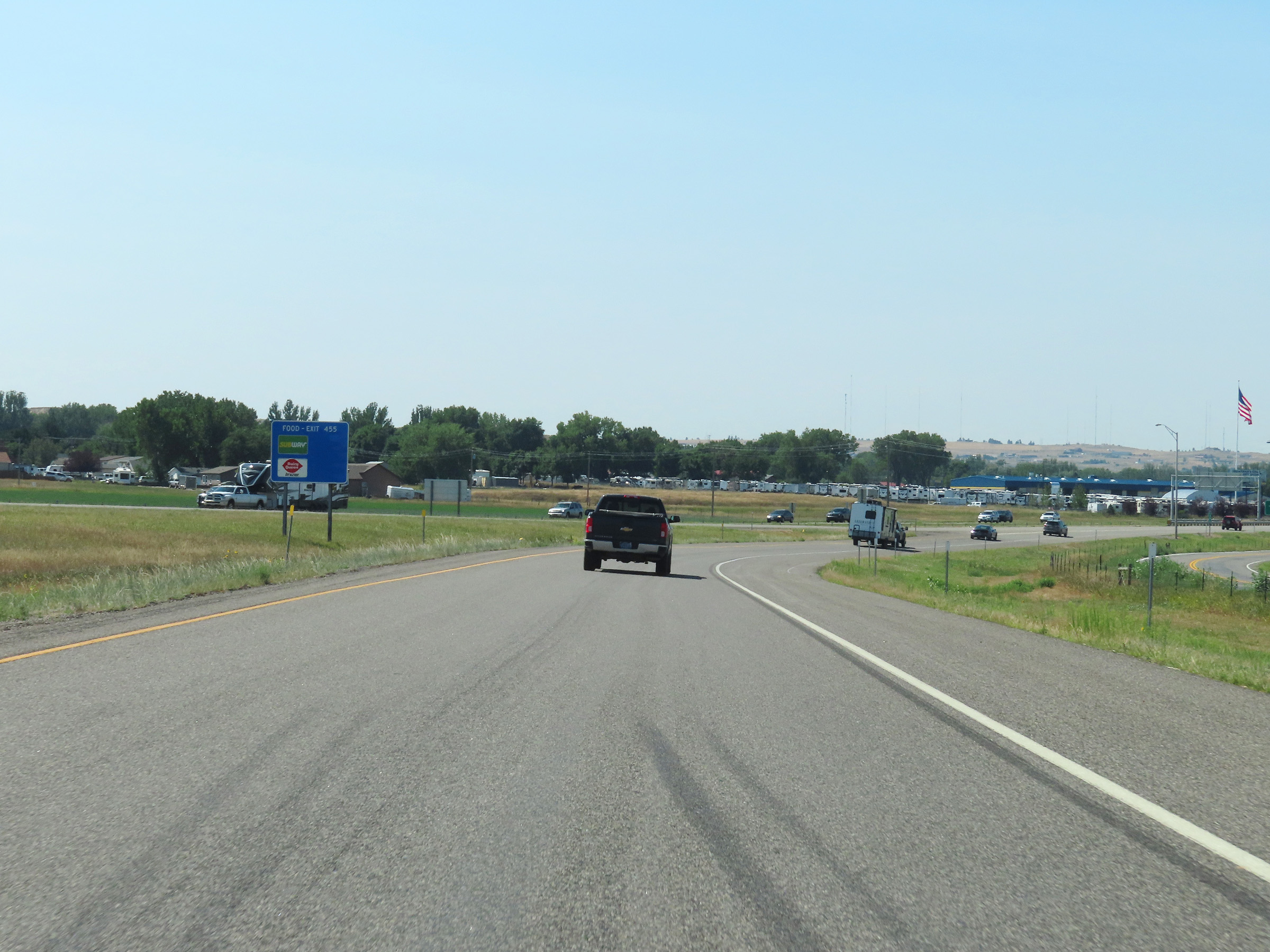
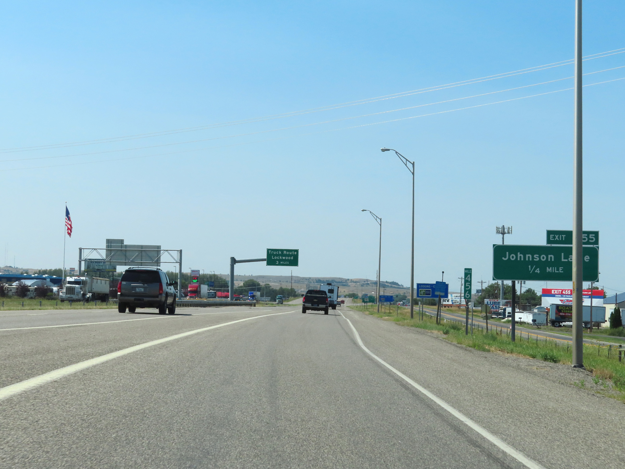
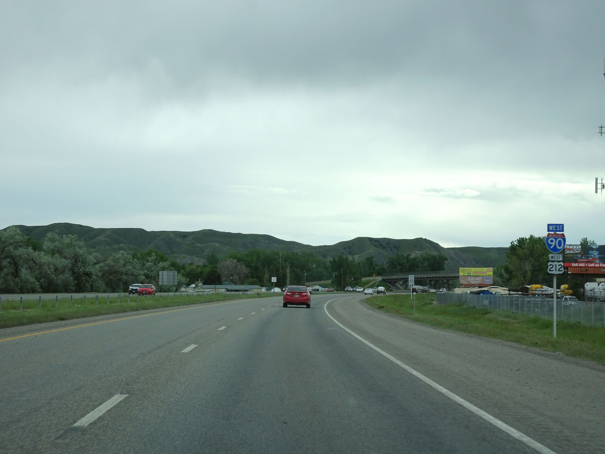
Trucks to Lockwood should remain on Interstate 90 West to Exit 452, 3 miles ahead. (Photo taken 8/17/22). |
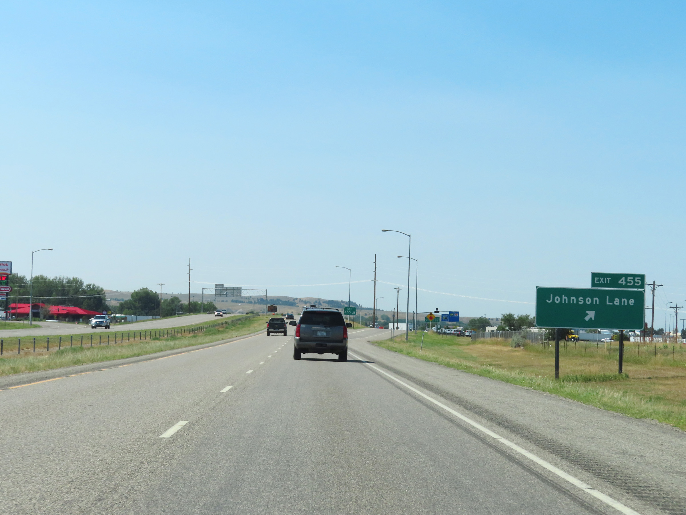 |
Interstate 90 West at Exit 455: Johnson Lane (Photo taken 8/17/22). |
Section 3: Billings (Exit 455) to Livingston (Exit 337)
 |
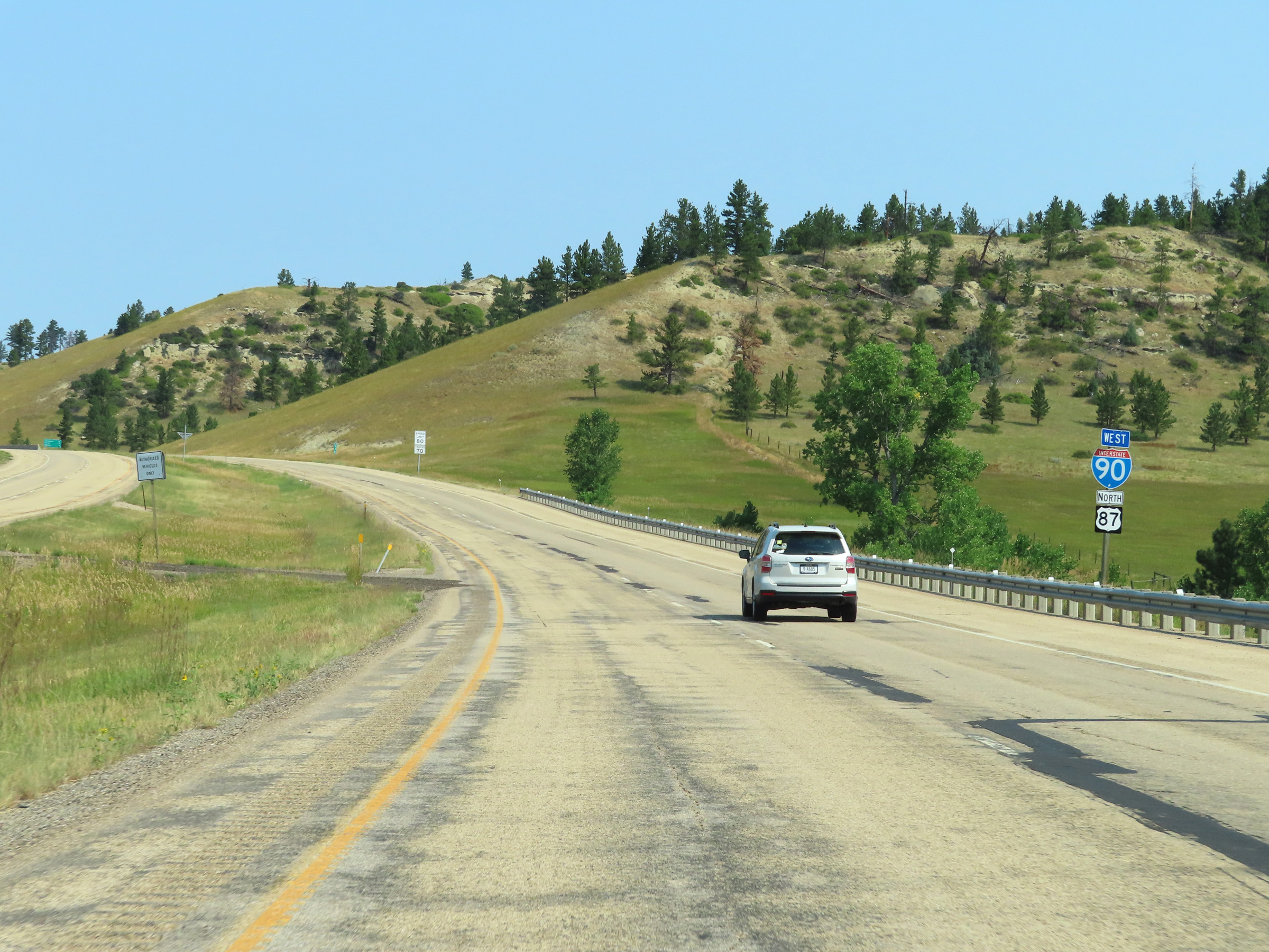
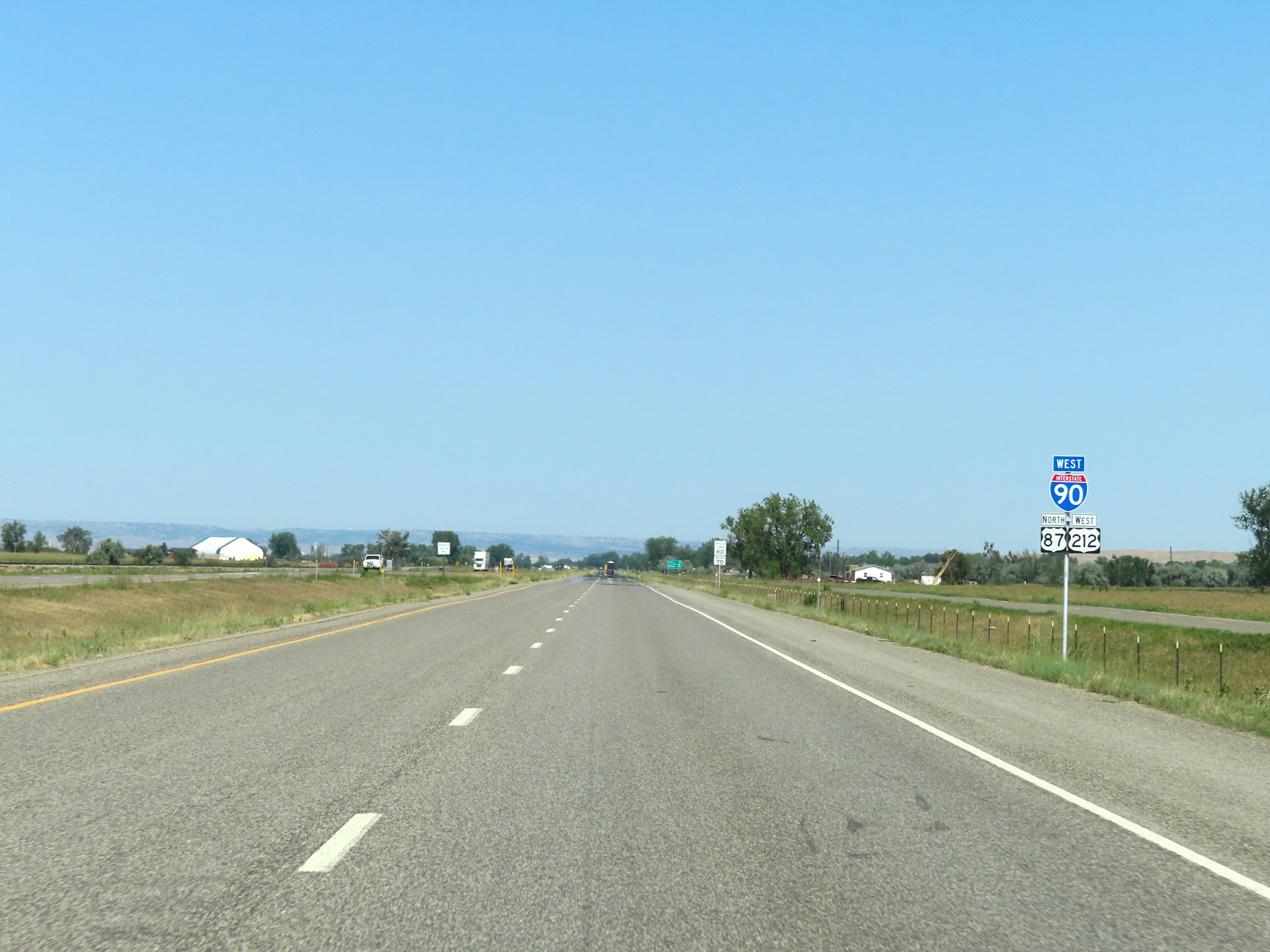
Interstate 90 West / US 87 North / US 212 West reassurance markers. (Photo taken 5/23/16). |
 |
The speed limit on Interstate 90 in Billings and vicinity is 65 mph for both cars and trucks. (Photo taken 5/23/16). |
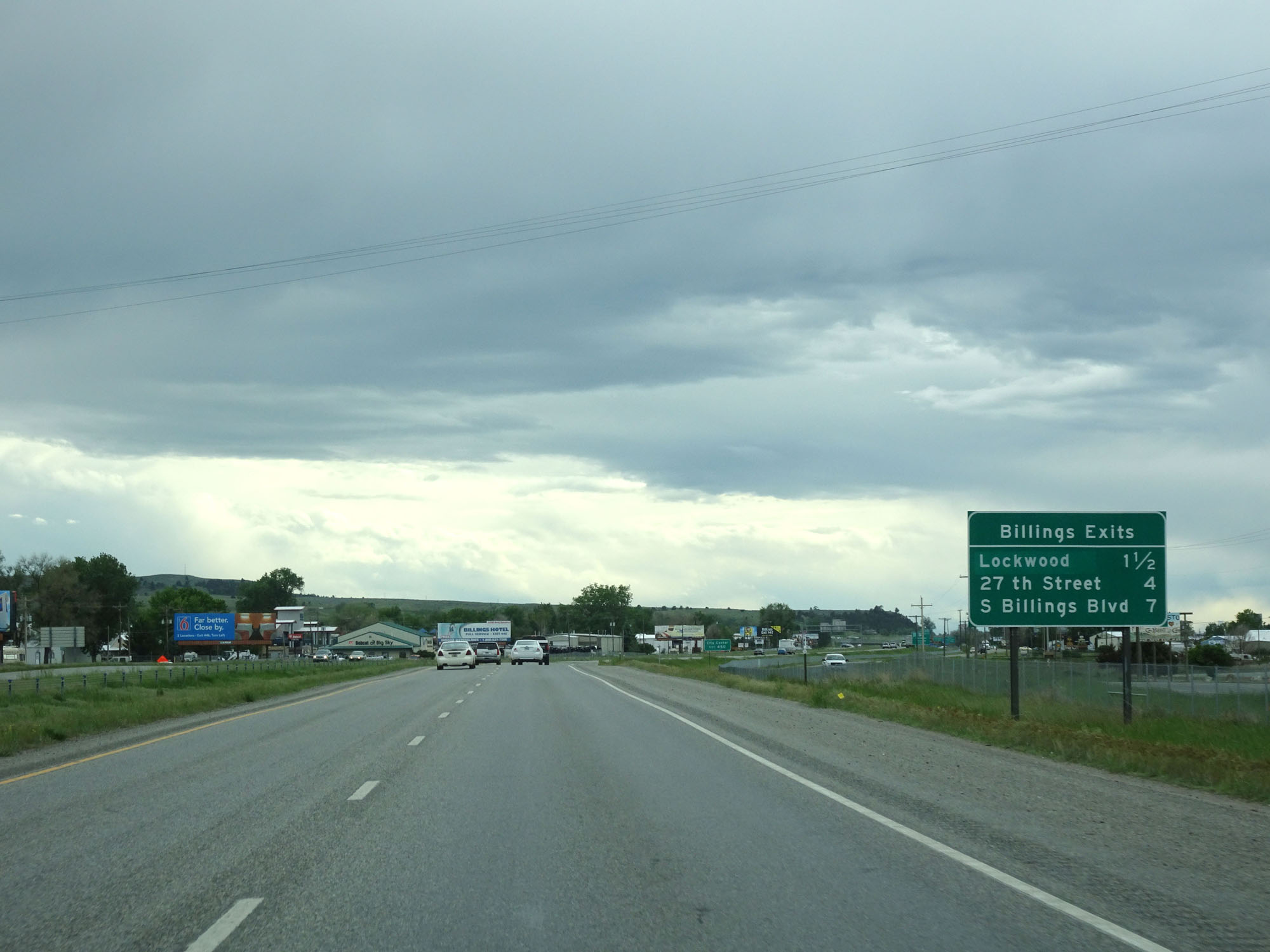 |
Sign listing the distances to the three upcoming exits to Billings. (Photo taken 5/23/16). |
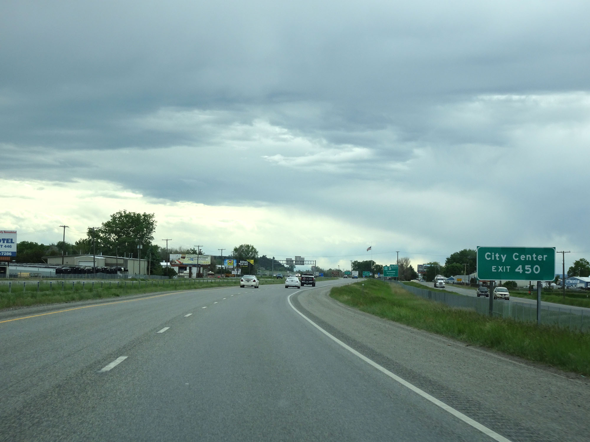 |
Take Exit 450 to City Center. (Photo taken 5/23/16). |
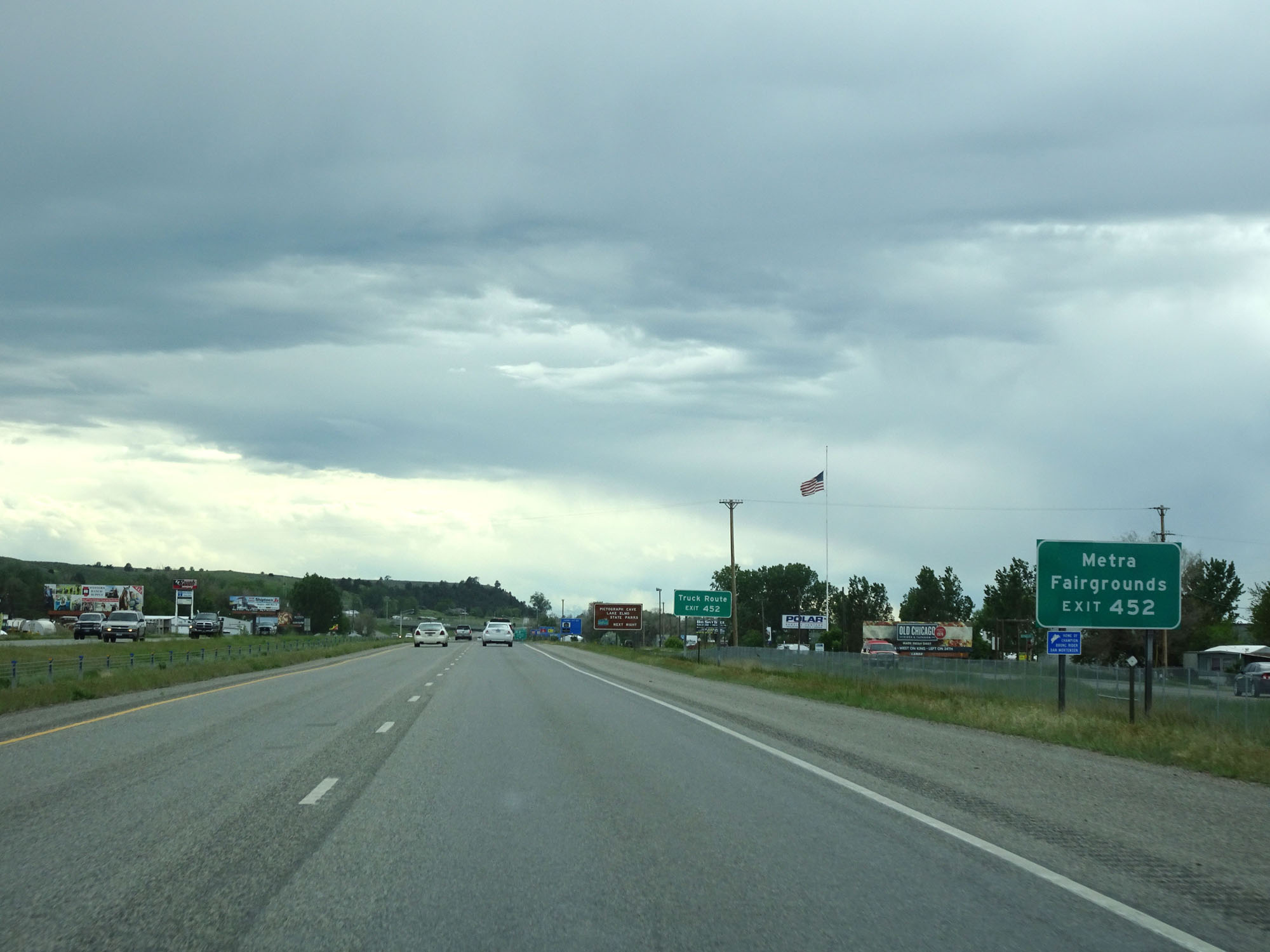 |
Take Exit 452 to Metra and the Fairgrounds. (Photo taken 5/23/16). |
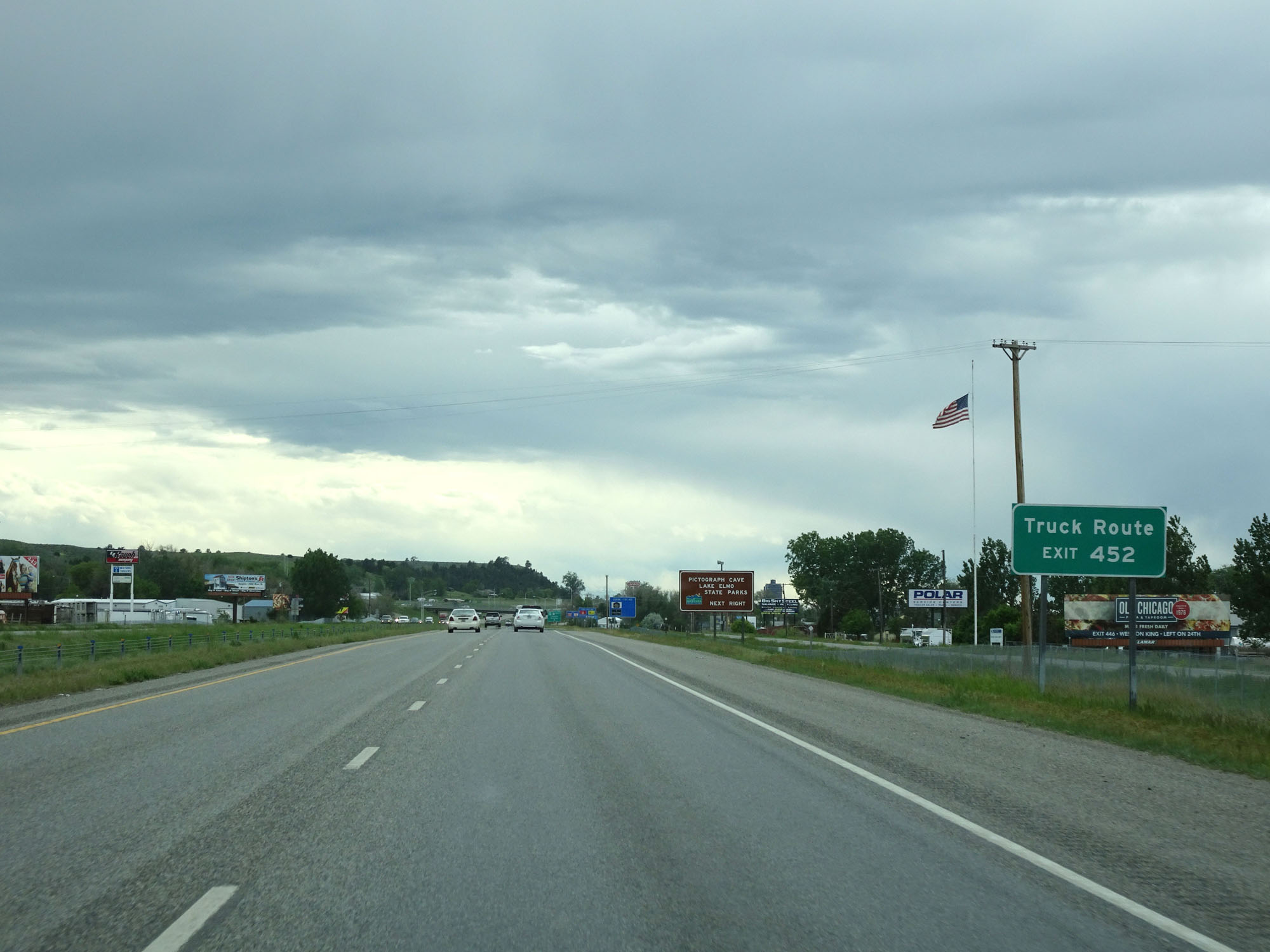 |
Exit 452 provides access to a designated truck route. (Photo taken 5/23/16). |
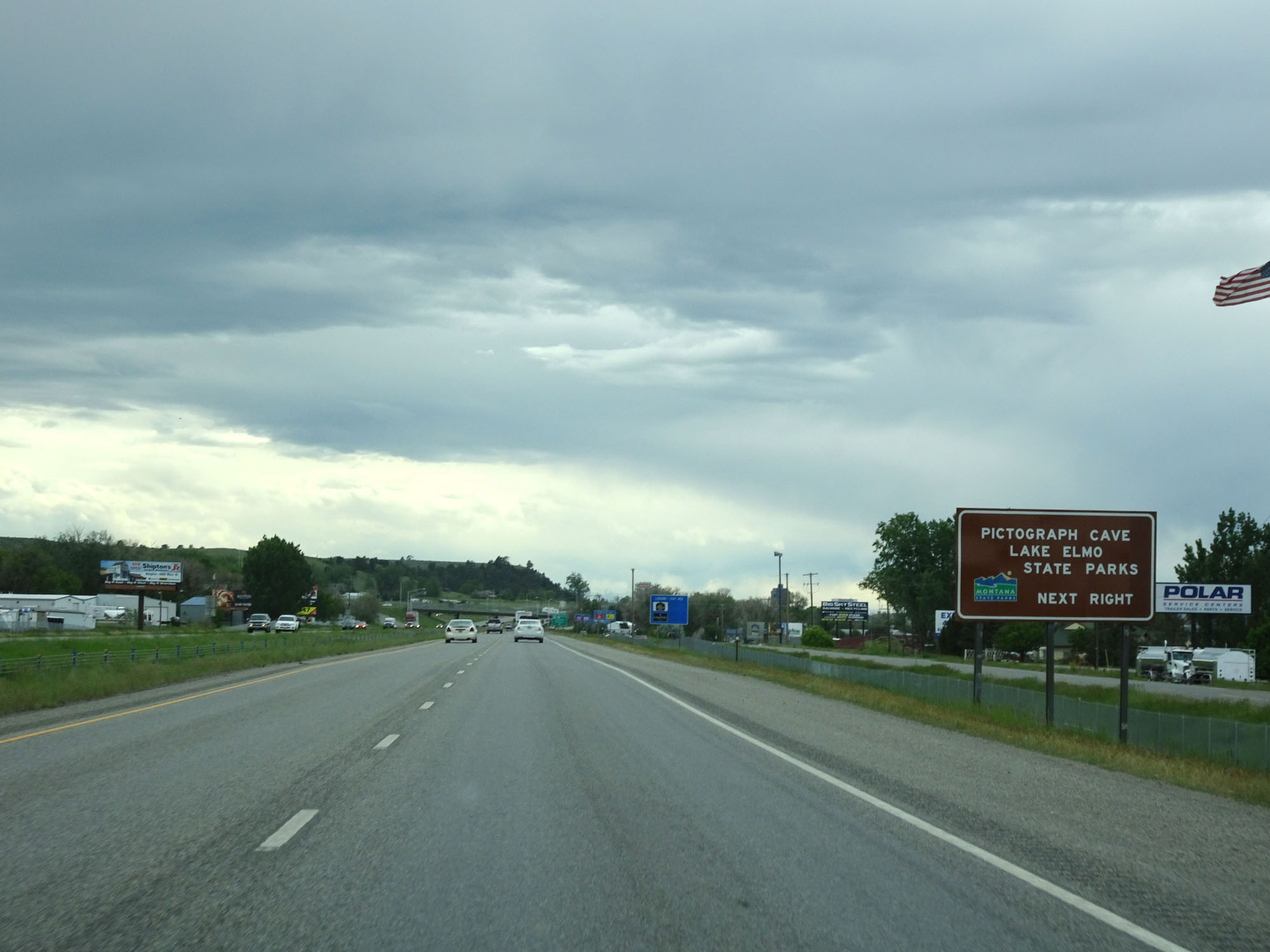 |
Take Exit 452 to Pictograph Cave and Lake Elmo State Parks. (Photo taken 5/23/16). |
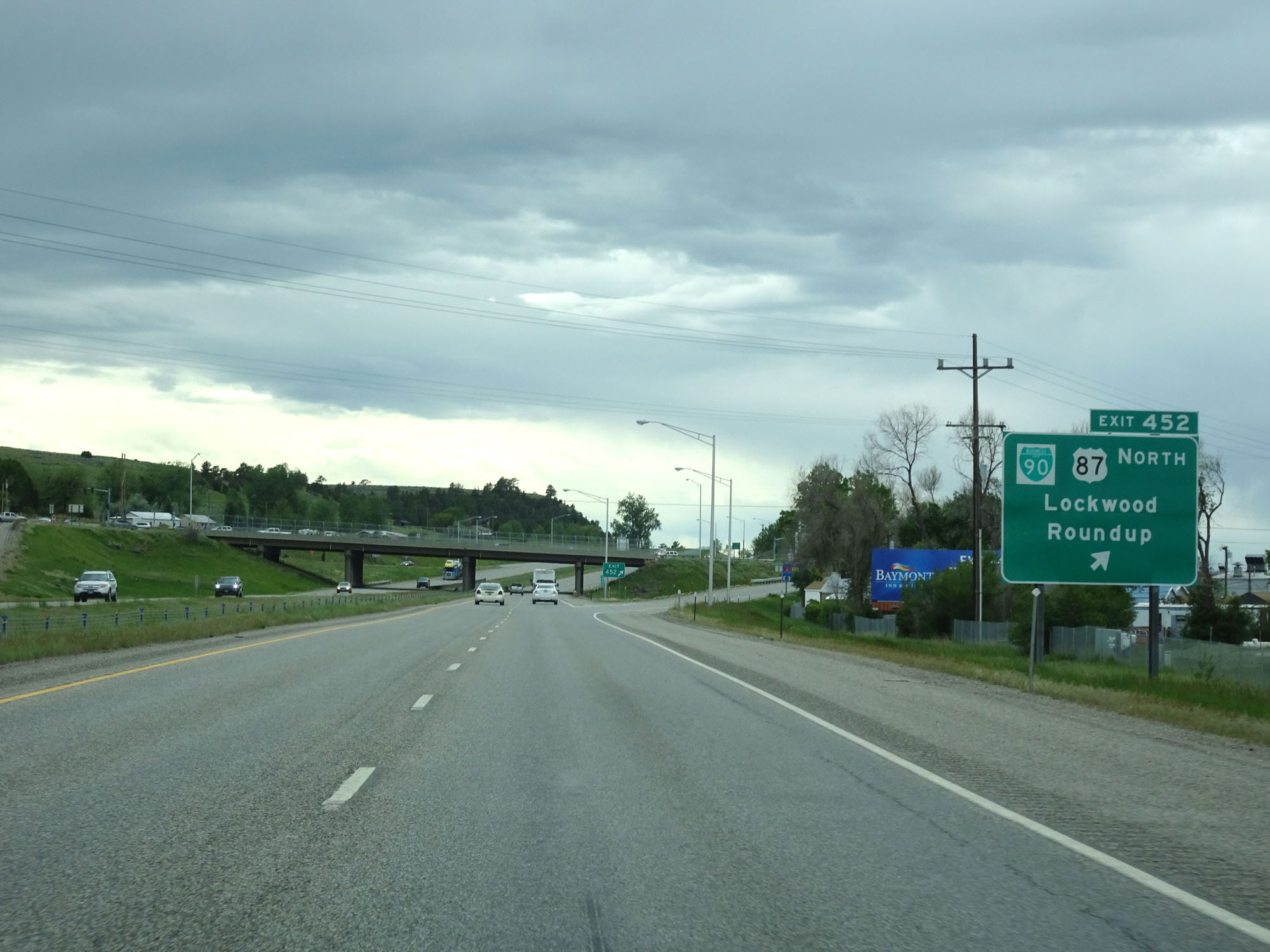 |
Interstate 90 West at Exit 452: Interstate 90 Business Loop / US 87 North - Lockwood / Roundup (Photo taken 5/23/16). |
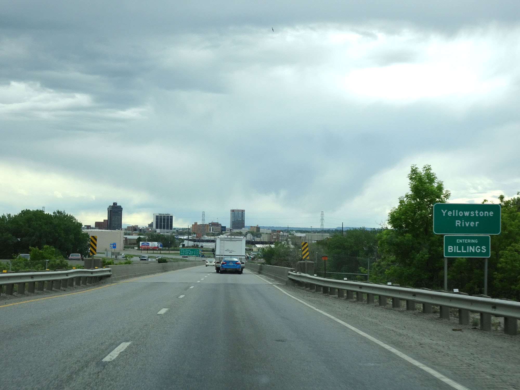 |
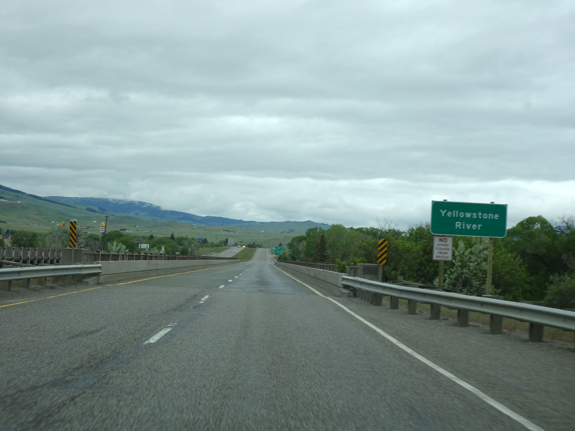
Interstate 90 West as it crosses the Yellowstone River and enters the Billings city limits. (Photo taken 5/23/16). |
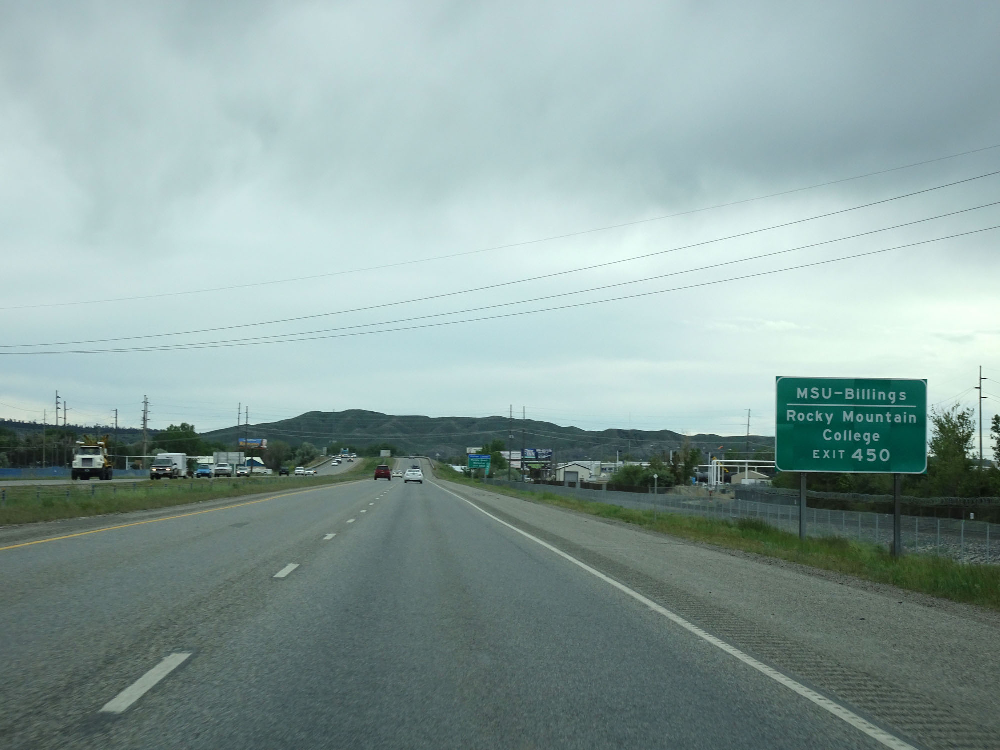 |
Take Exit 450 to MSU-Billings and Rocky Mountain College. (Photo taken 5/23/16). |
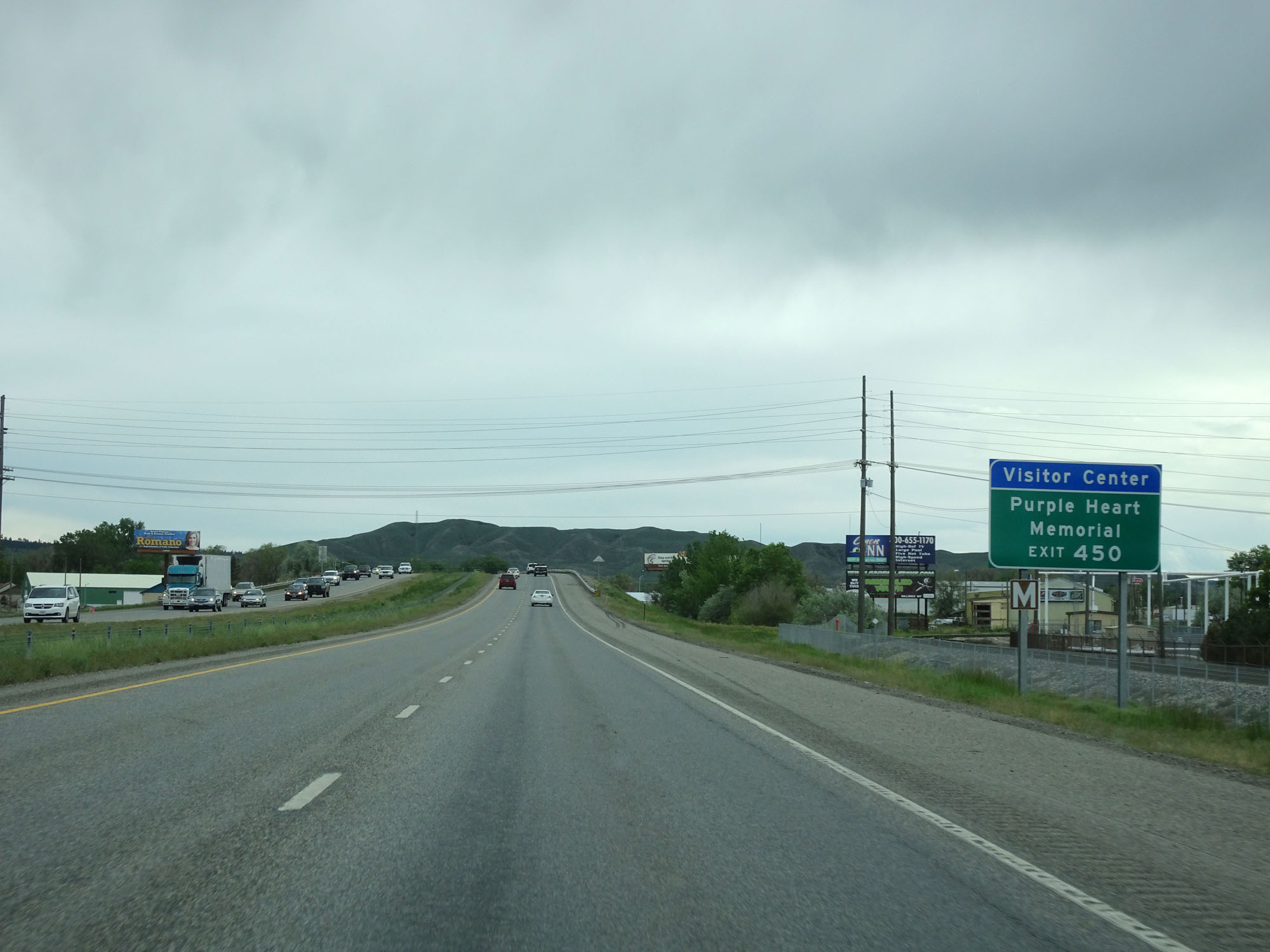 |
Take Exit 450 to the Purple Heart Memorial as well. (Photo taken 5/23/16). |
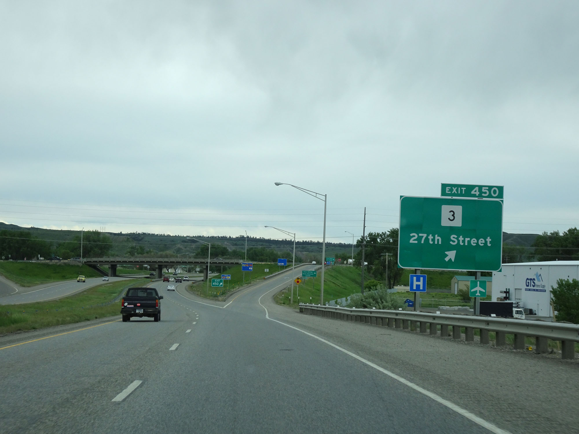 |
Interstate 90 West at Exit 450: MT 3 - 27th Street (Photo taken 5/23/16). |
 |
Interstate 90 West reassurance shield in Billings. (Photo taken 5/23/16). |
 |
The speed limit remains 65 mph for both cars and trucks. (Photo taken 5/23/16). |
 |
Another mileage sign listing the distances to the three upcoming Billings exits. (Photo taken 5/23/16). |
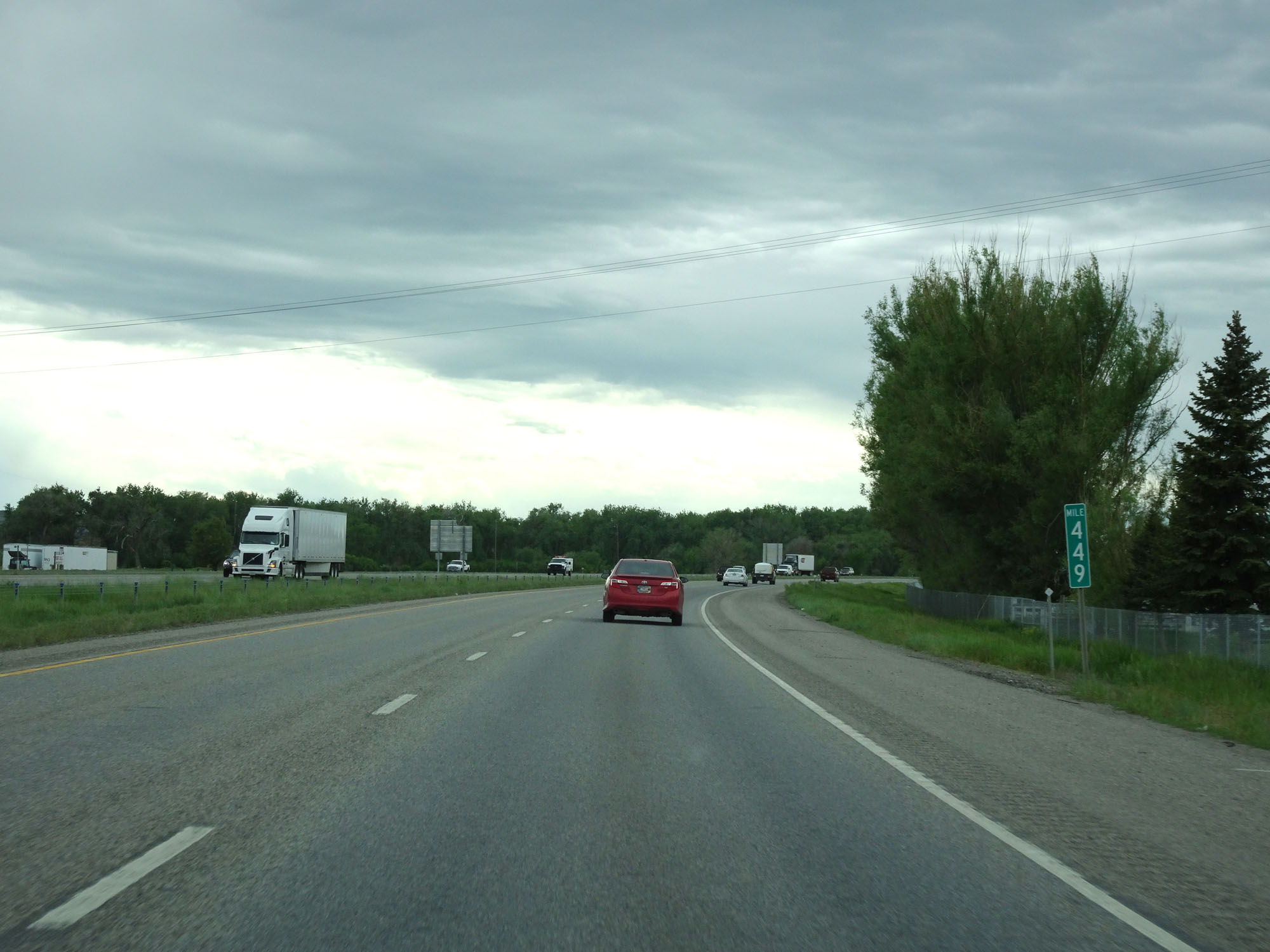 |
Interstate 90 West at mile marker 449. (Photo taken 5/23/16). |
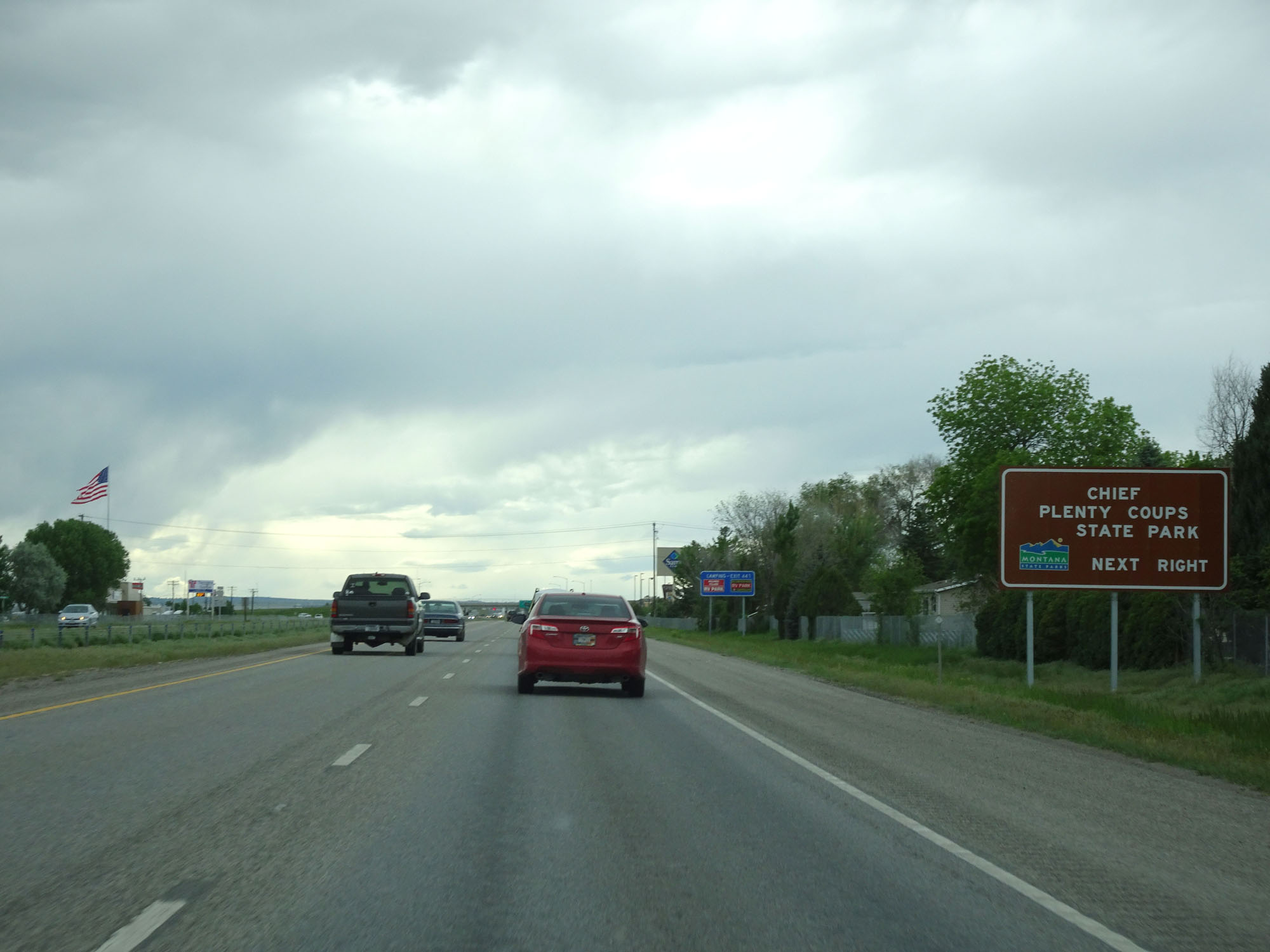 |
Take Exit 447 to Chief Plenty Coups State Park. (Photo taken 5/23/16). |
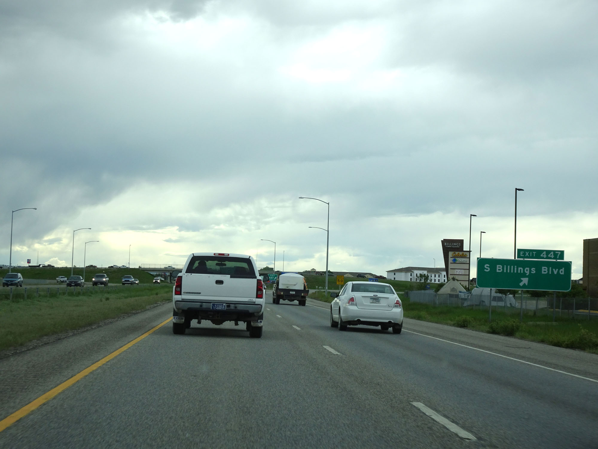 |
Interstate 90 West at Exit 447: S Billings Blvd (Photo taken 5/23/16). |
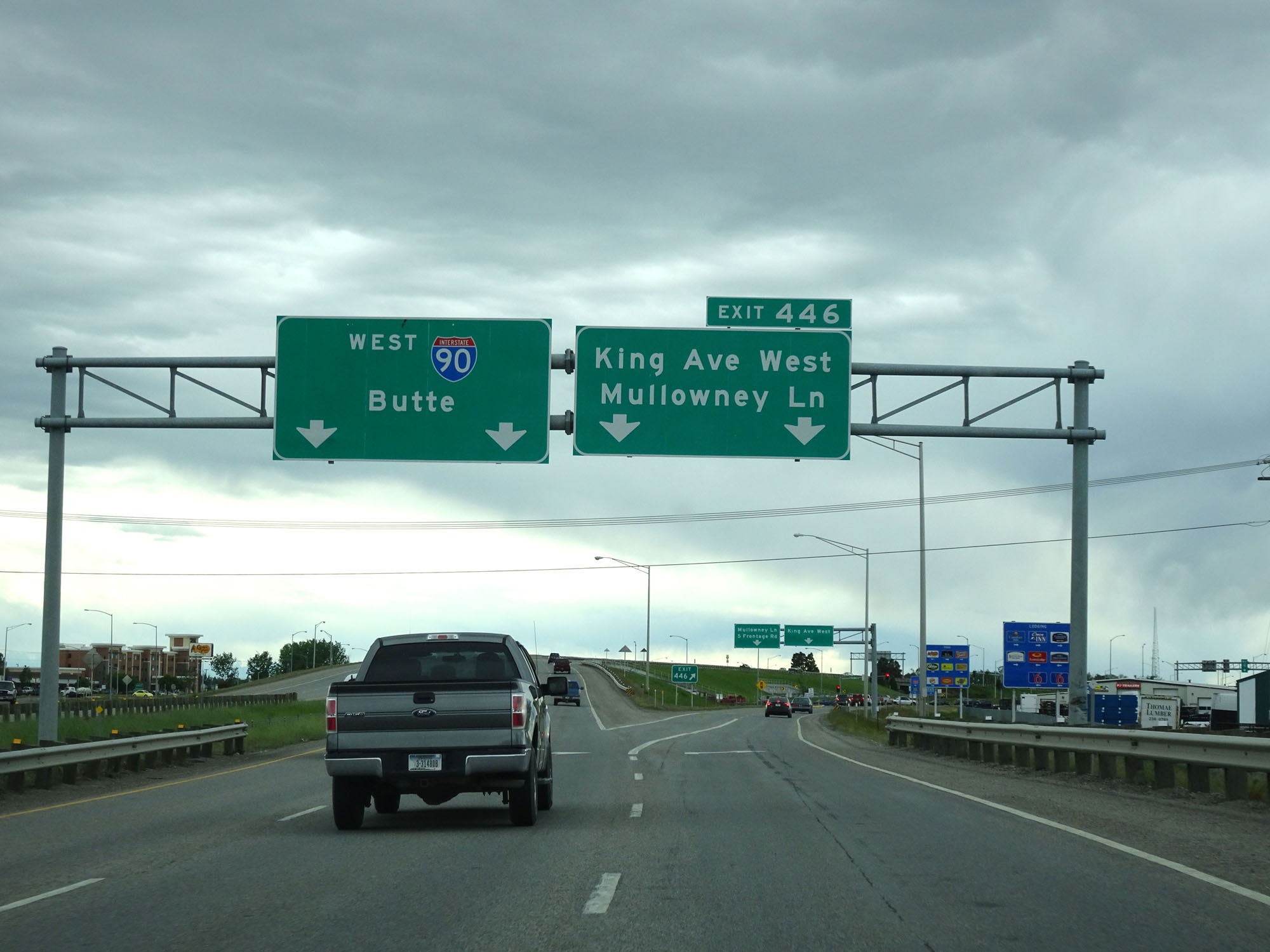 |
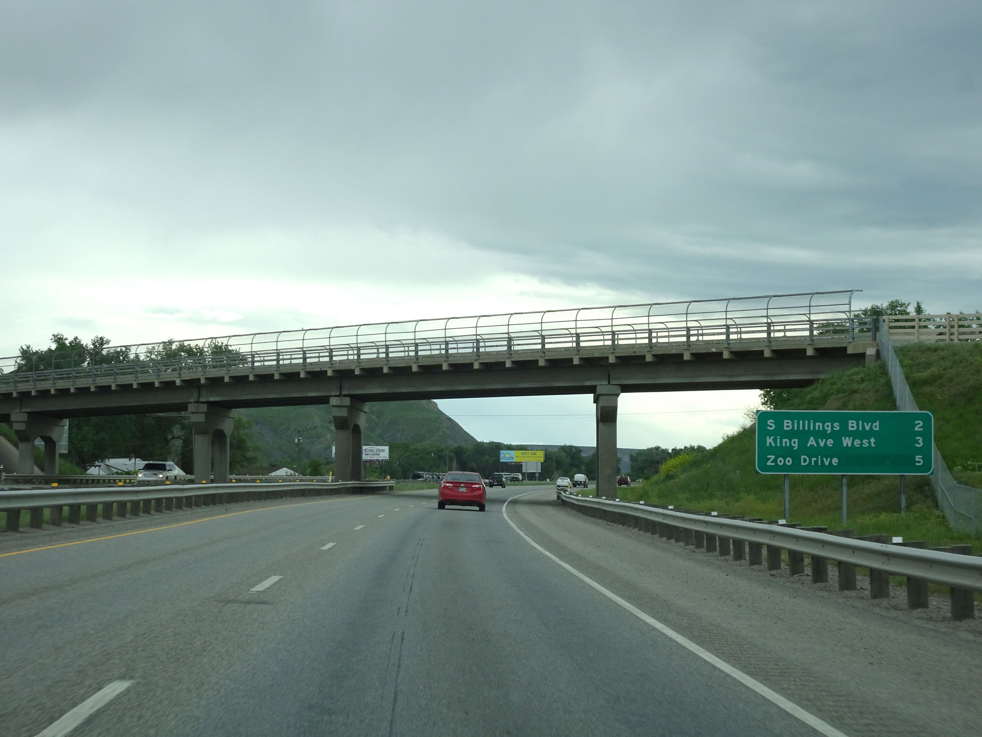
Interstate 90 West at Exit 446: King Ave West / Mullowney Lane (Photo taken 5/23/16). |
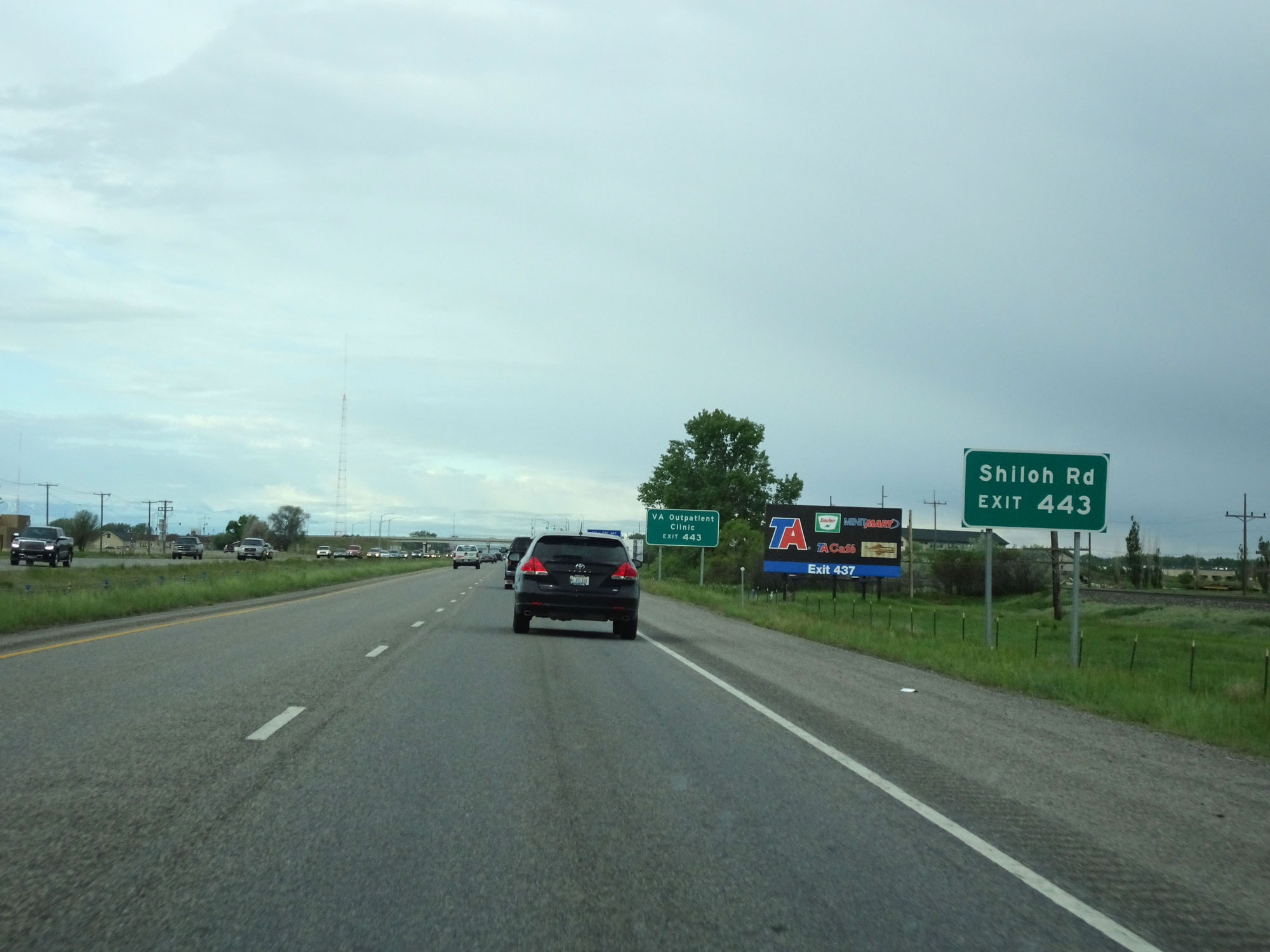 |
Take Exit 443 to Shiloh Rd. (Photo taken 5/24/16). |
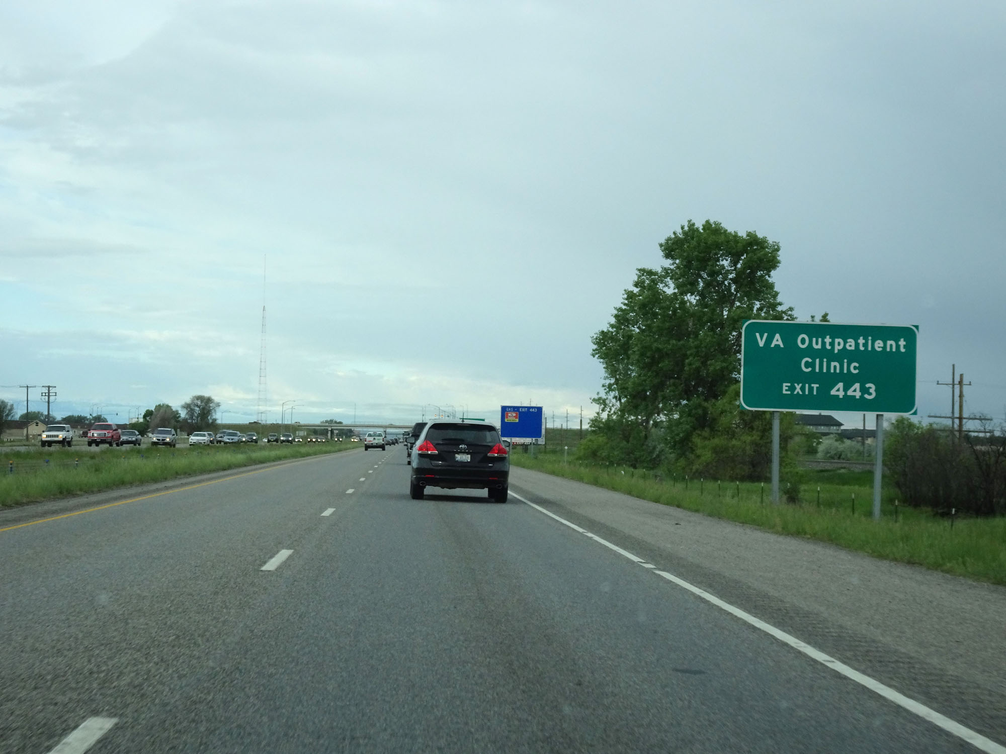 |
Take Exit 443 to the VA Outpatient Clinic as well. (Photo taken 5/24/16). |
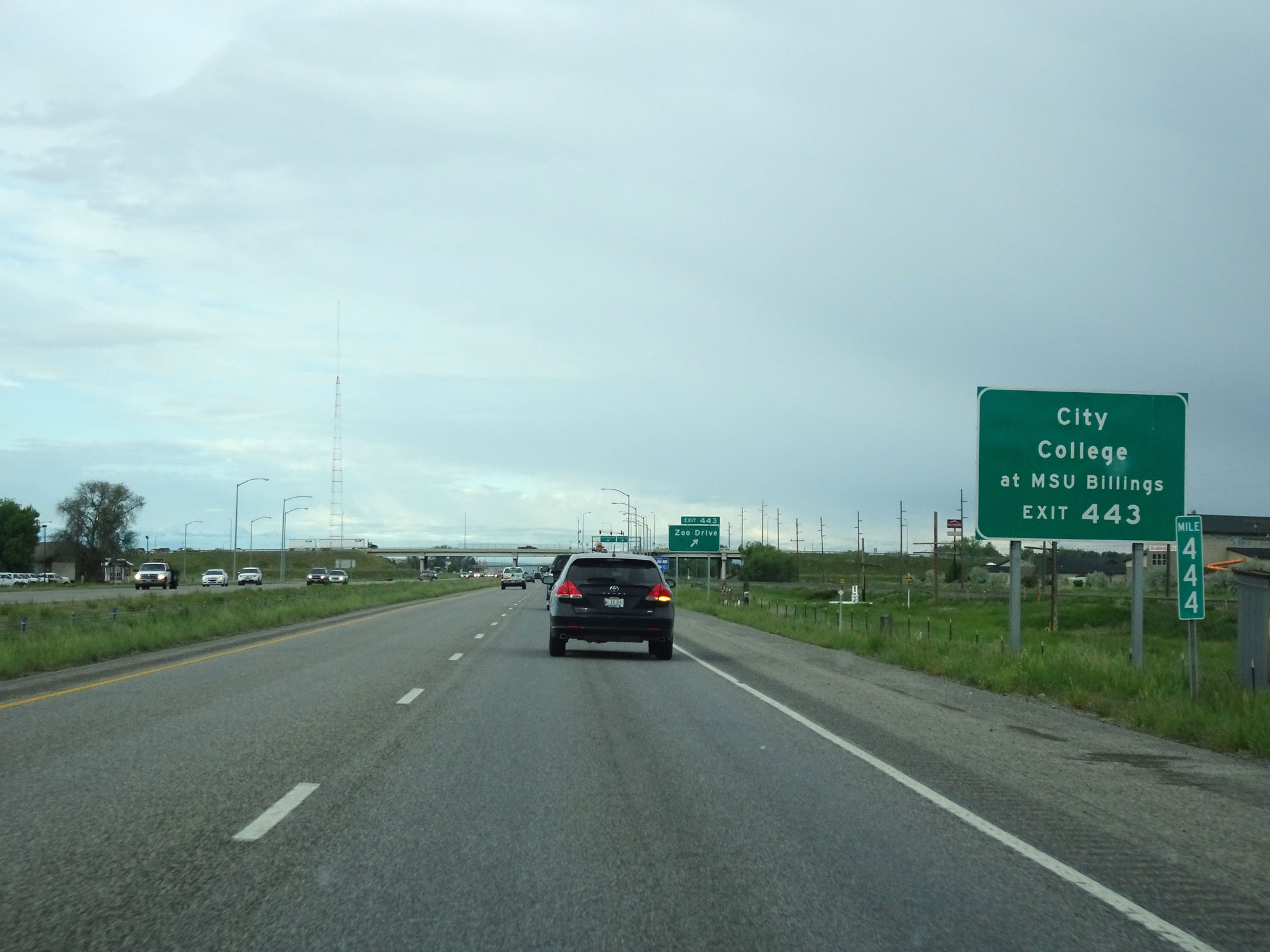 |
Also take Exit 443 to City College at MSU Billings. (Photo taken 5/24/16). |
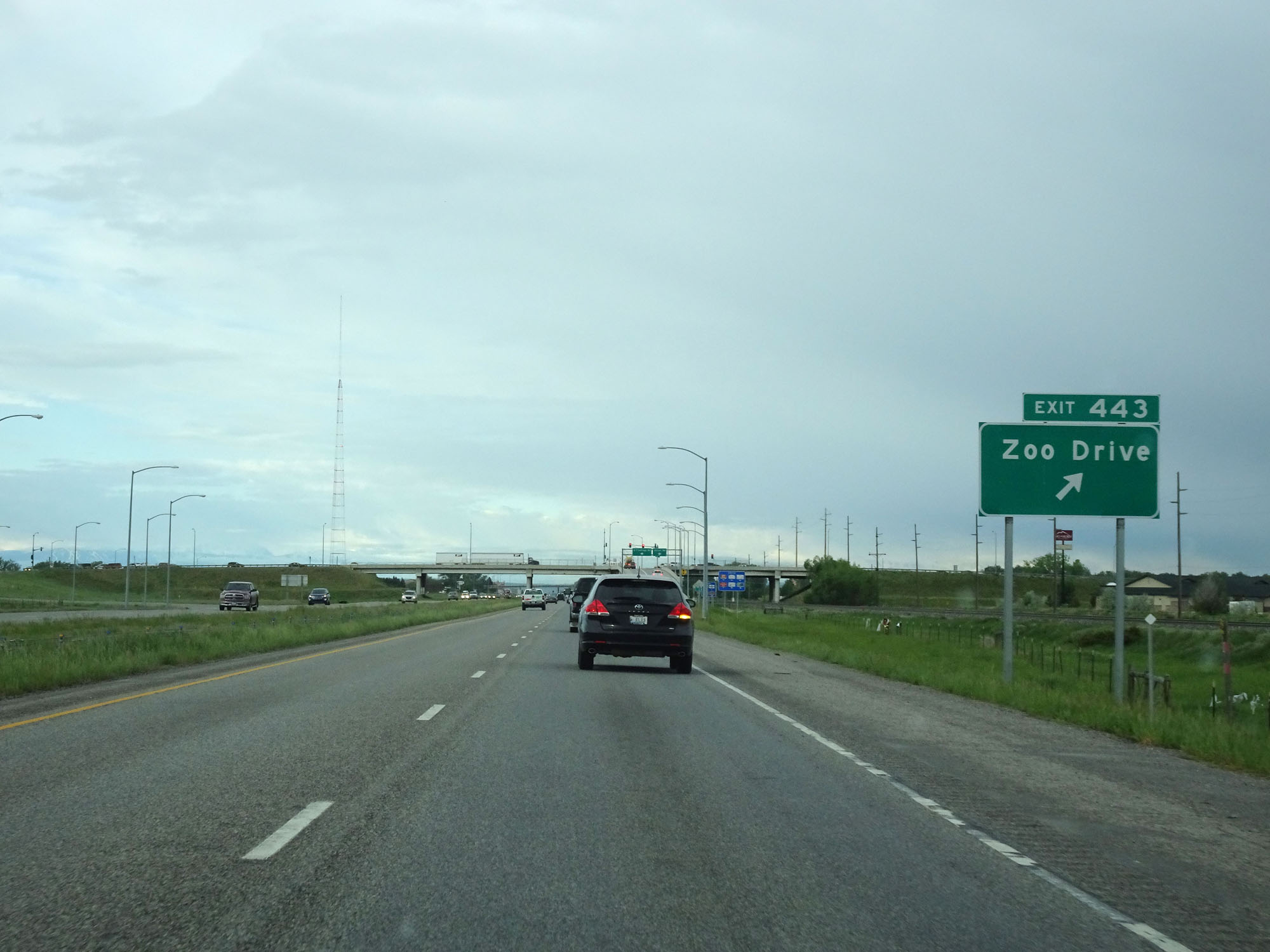 |
Interstate 90 West at Exit 443: Zoo Drive (Photo taken 5/24/16). |
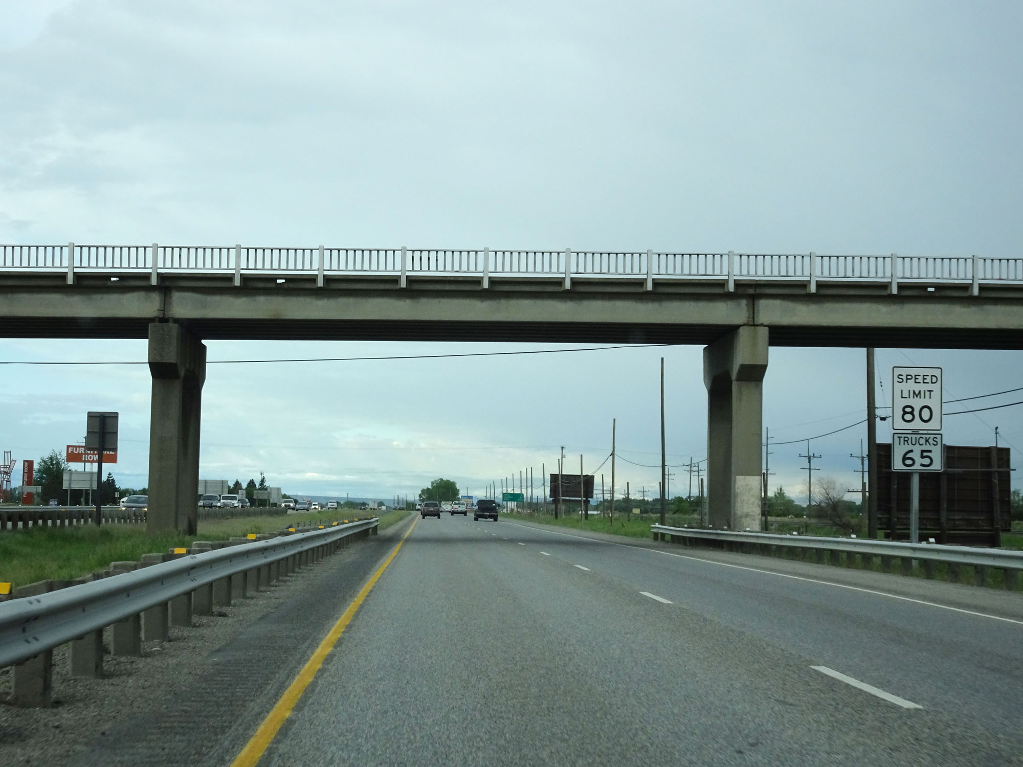 |
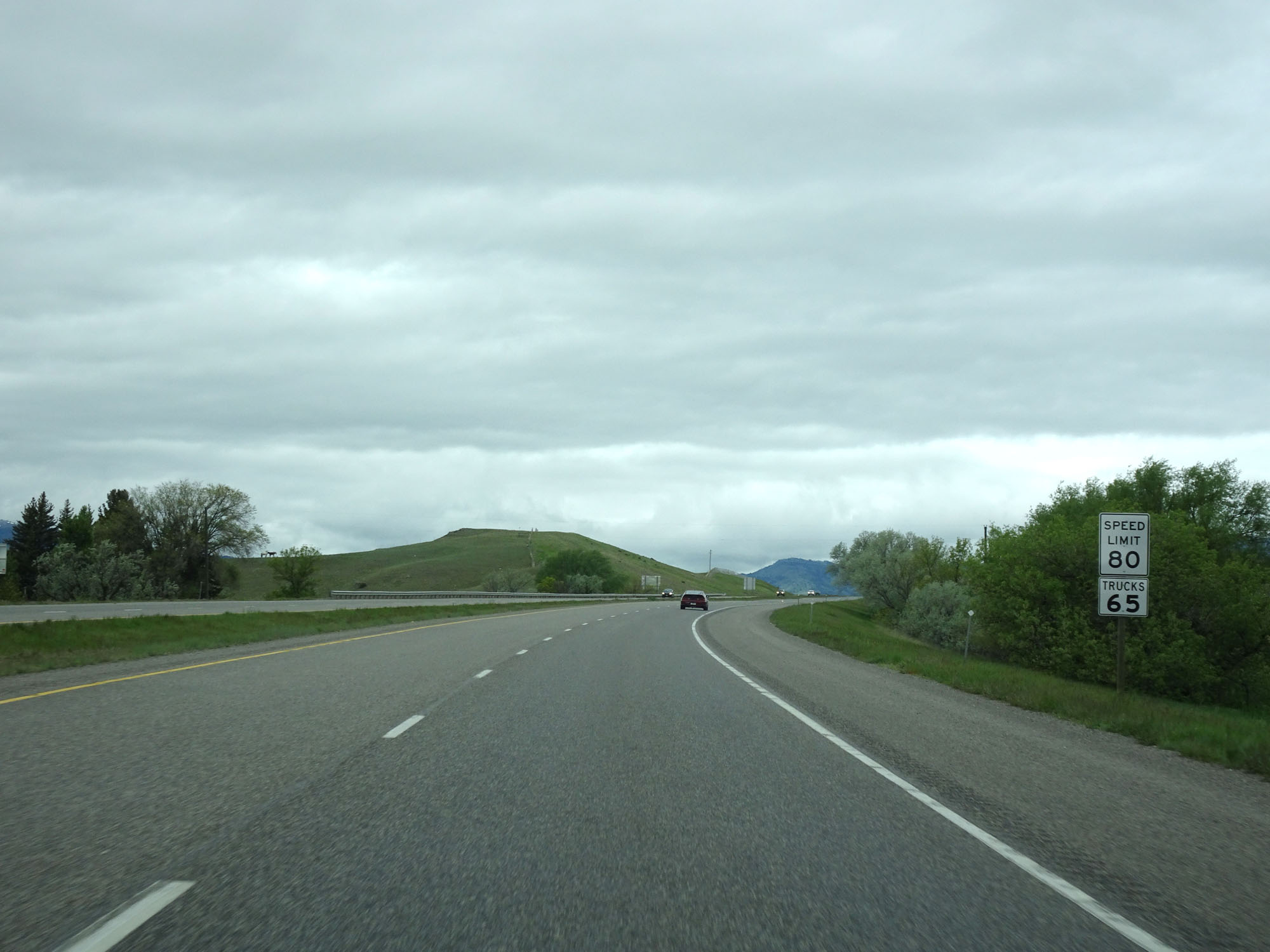
West of Exit 443, the speed limit increases to 80 mph for cars and remains 65 mph for trucks. These are the standard speed limits on most rural Interstate highways in Montana. (Photo taken 5/24/16). |
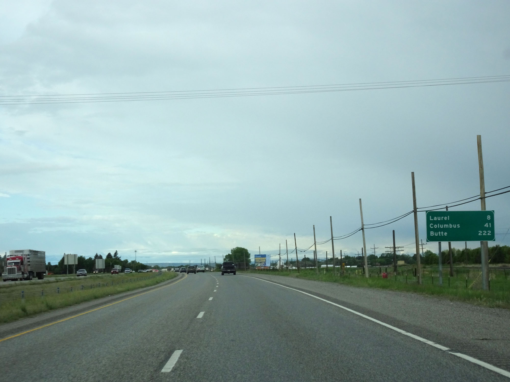 |
Mileage sign on Interstate 90 West. It's 8 miles to Laurel, 41 miles to Columbus, and 222 miles to Butte. (Photo taken 5/24/16). |
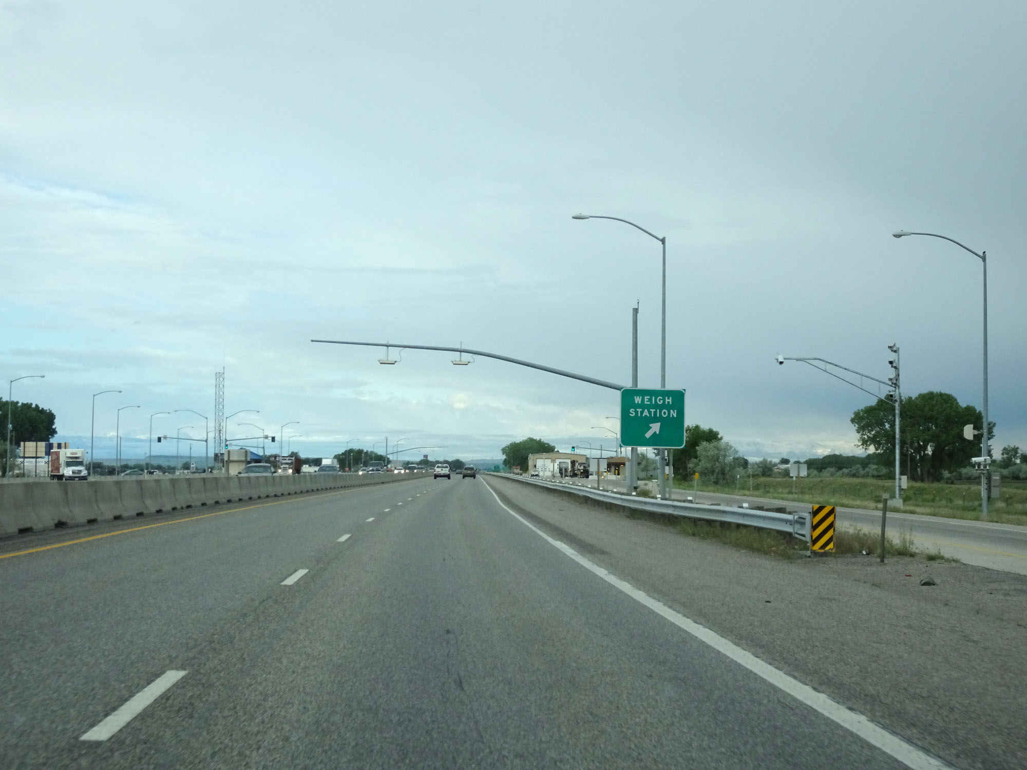 |
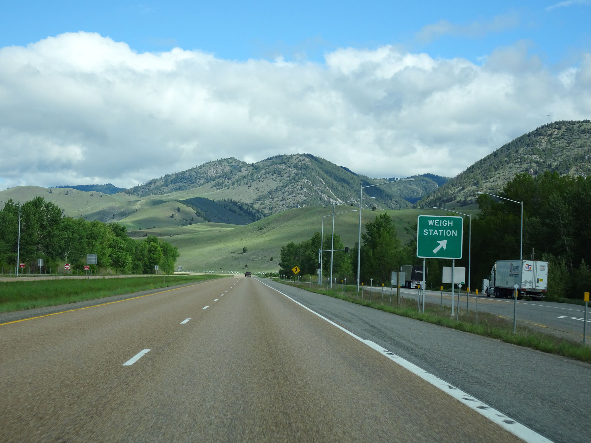
Interstate 90 West at the Weigh Station in Yellowstone County. (Photo taken 5/24/16). |
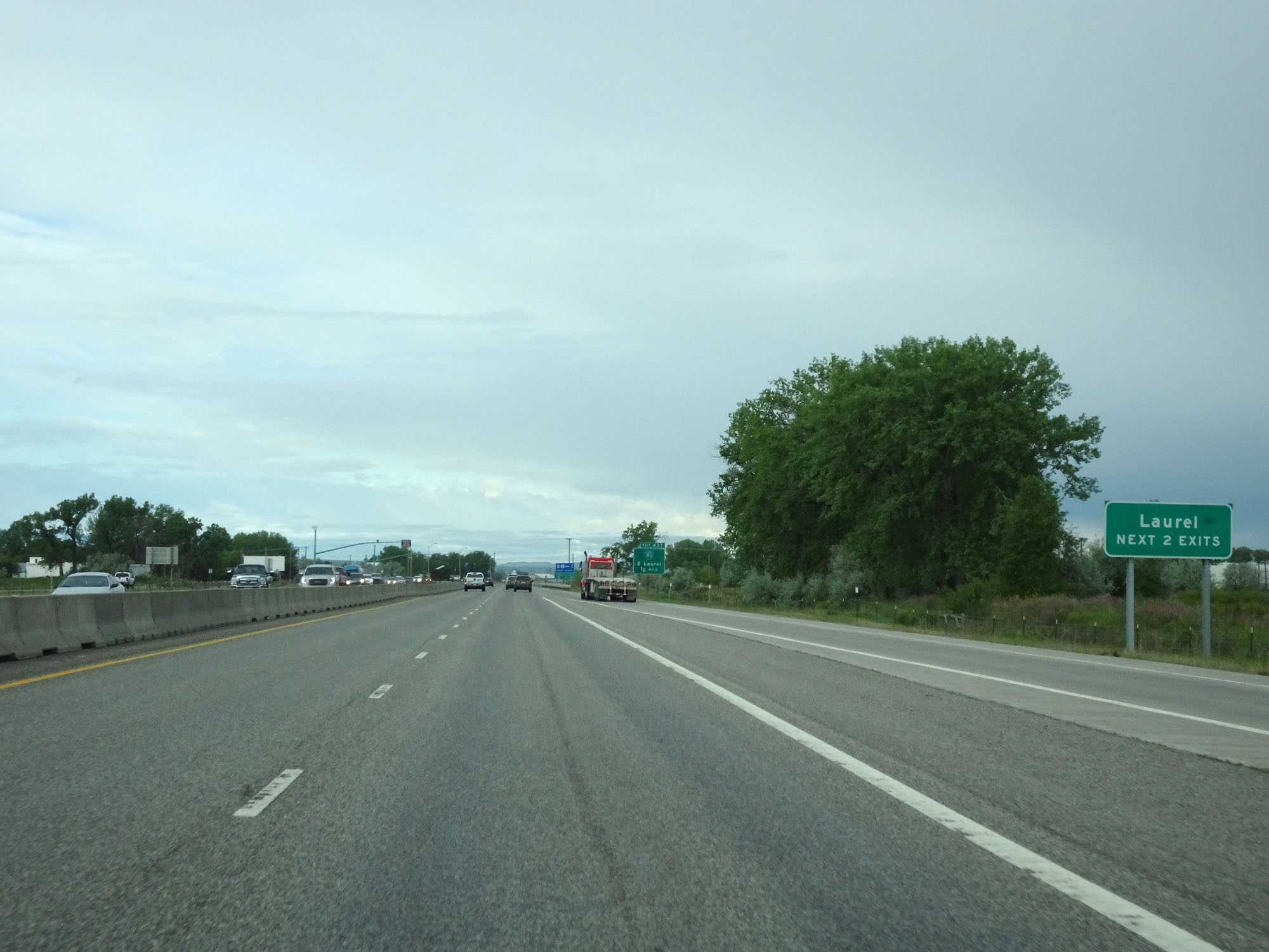 |
Take either of the next 2 exits to Laurel. (Photo taken 5/24/16). |
 |
Take Exit 437 to Yellowstone Boys-Girls Ranch. (Photo taken 5/24/16). |
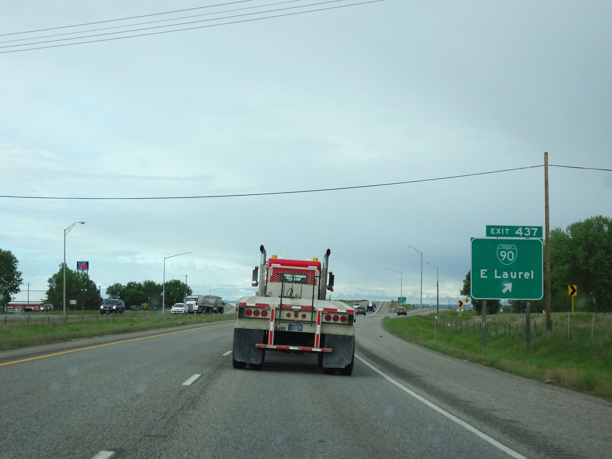 |
Interstate 90 West at Exit 437: Interstate 90 Business Loop - E Laurel (Photo taken 5/24/16). |
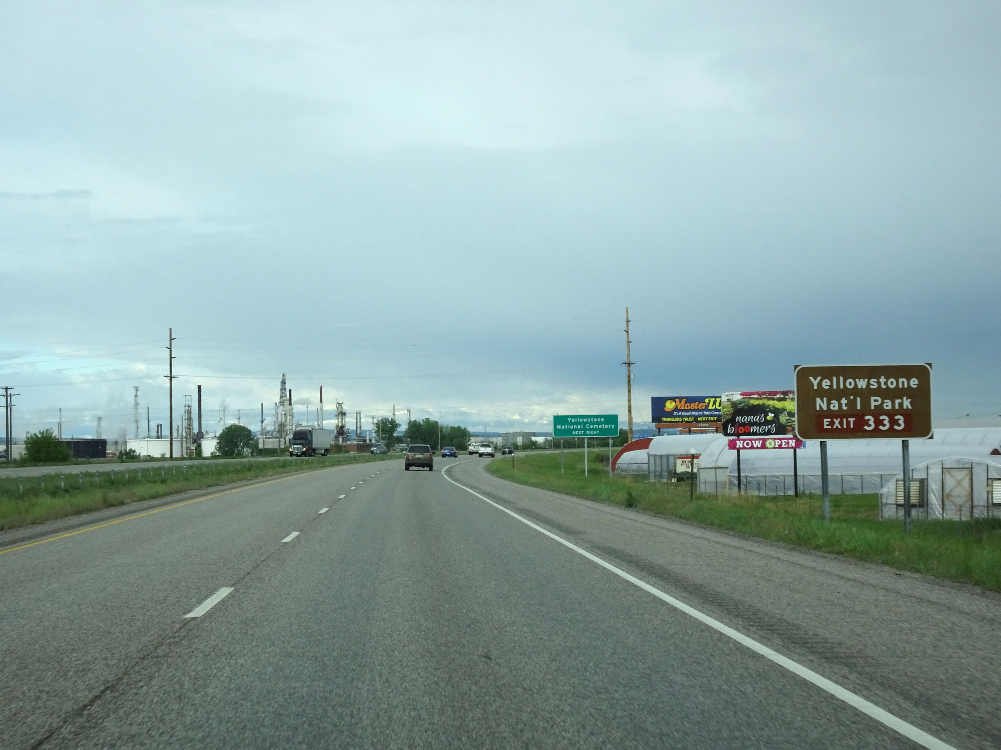 |
Take Exit 333, about 100 miles ahead, to Yellowstone National Park. (Photo taken 5/24/16). |
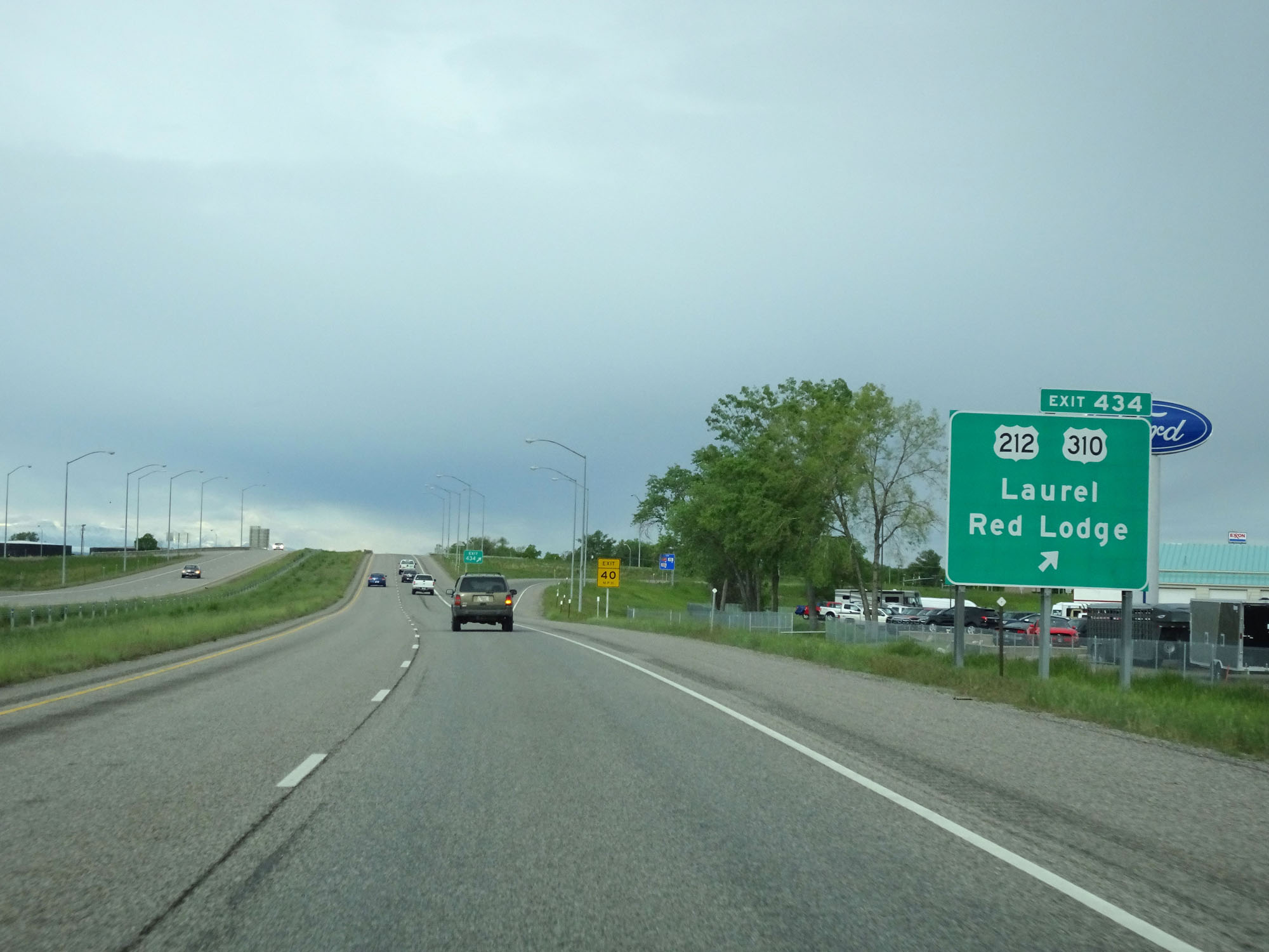 |
Interstate 90 West at Exit 434: US 212 / US 310 - Laurel / Red Lodge (Photo taken 5/24/16). |
 |
Interstate 90 West reassurance shield. (Photo taken 5/24/16). |
 |
Mileage sign on Interstate 90 West. It's 6 miles to Park City, 123 miles to Bozeman, and 208 miles to Butte. (Photo taken 5/24/16). |
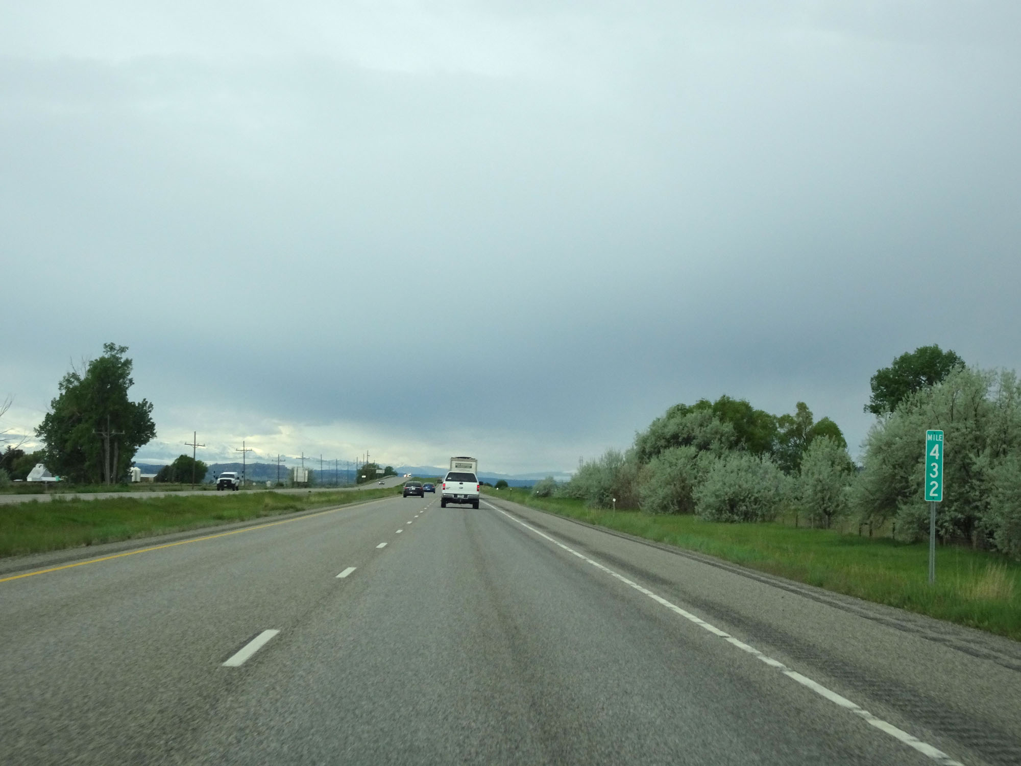 |
Interstate 90 West at mile marker 432. (Photo taken 5/24/16). |
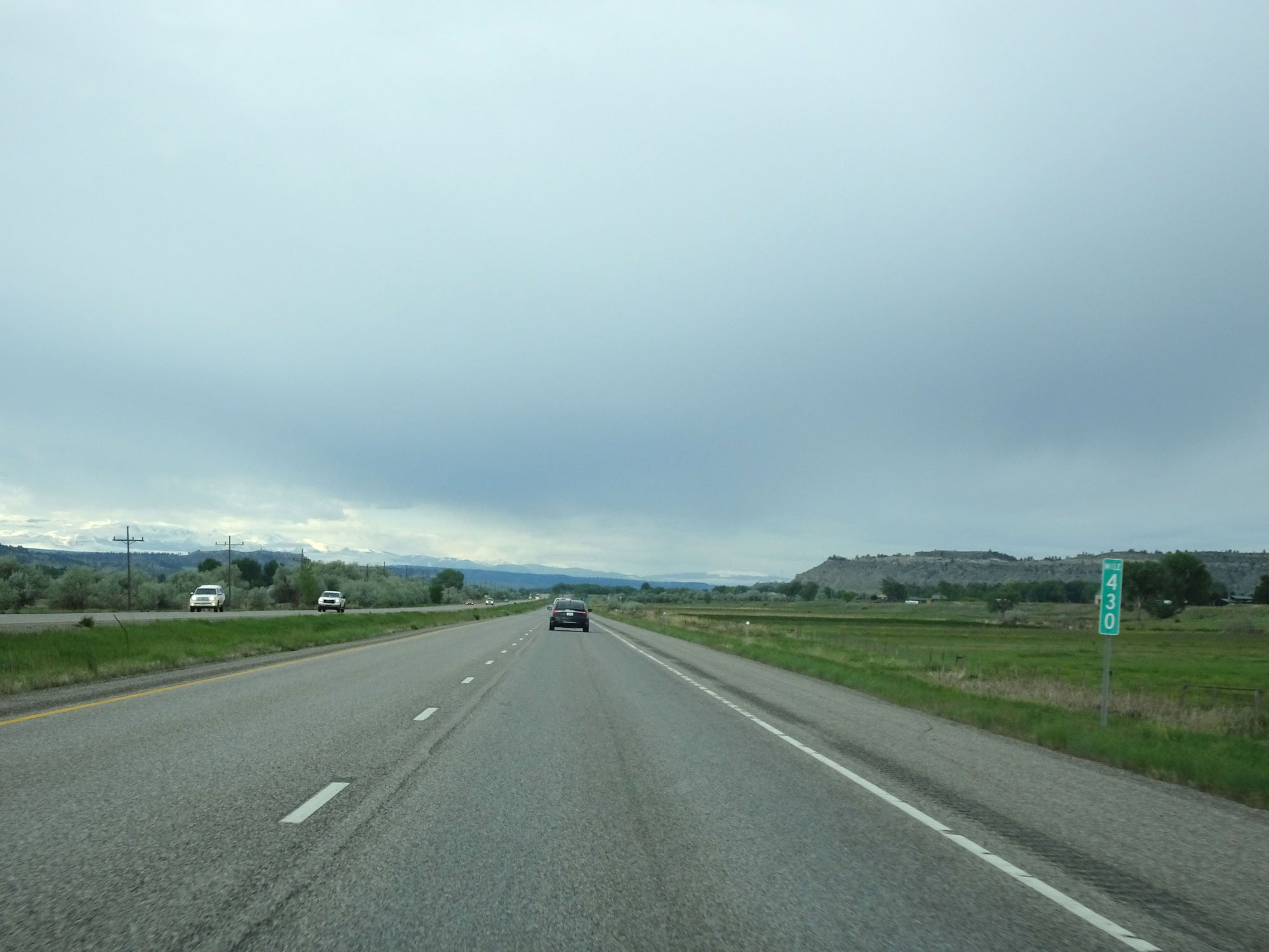 |
Interstate 90 West at mile marker 430. (Photo taken 5/24/16). |
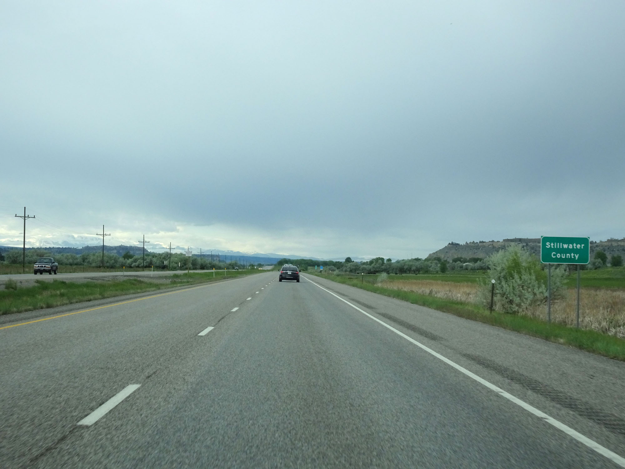 |
Interstate 90 West entering Stillwater County. (Photo taken 5/24/16). |
 |
Interstate 90 West at Exit 426: Park City (Photo taken 5/24/16). |
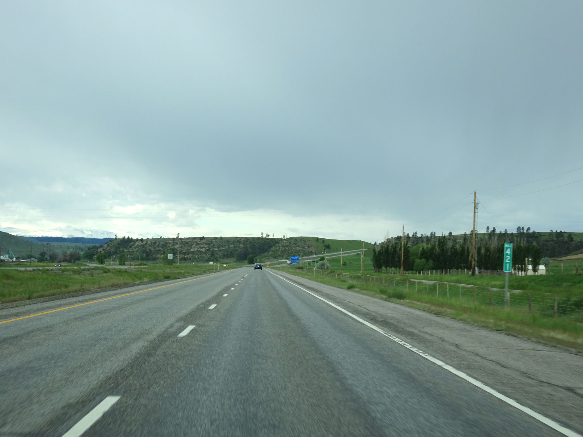 |
Interstate 90 West at mile marker 421. (Photo taken 5/24/16). |
 |
Another Interstate 90 West reassurance shield. (Photo taken 5/24/16). |
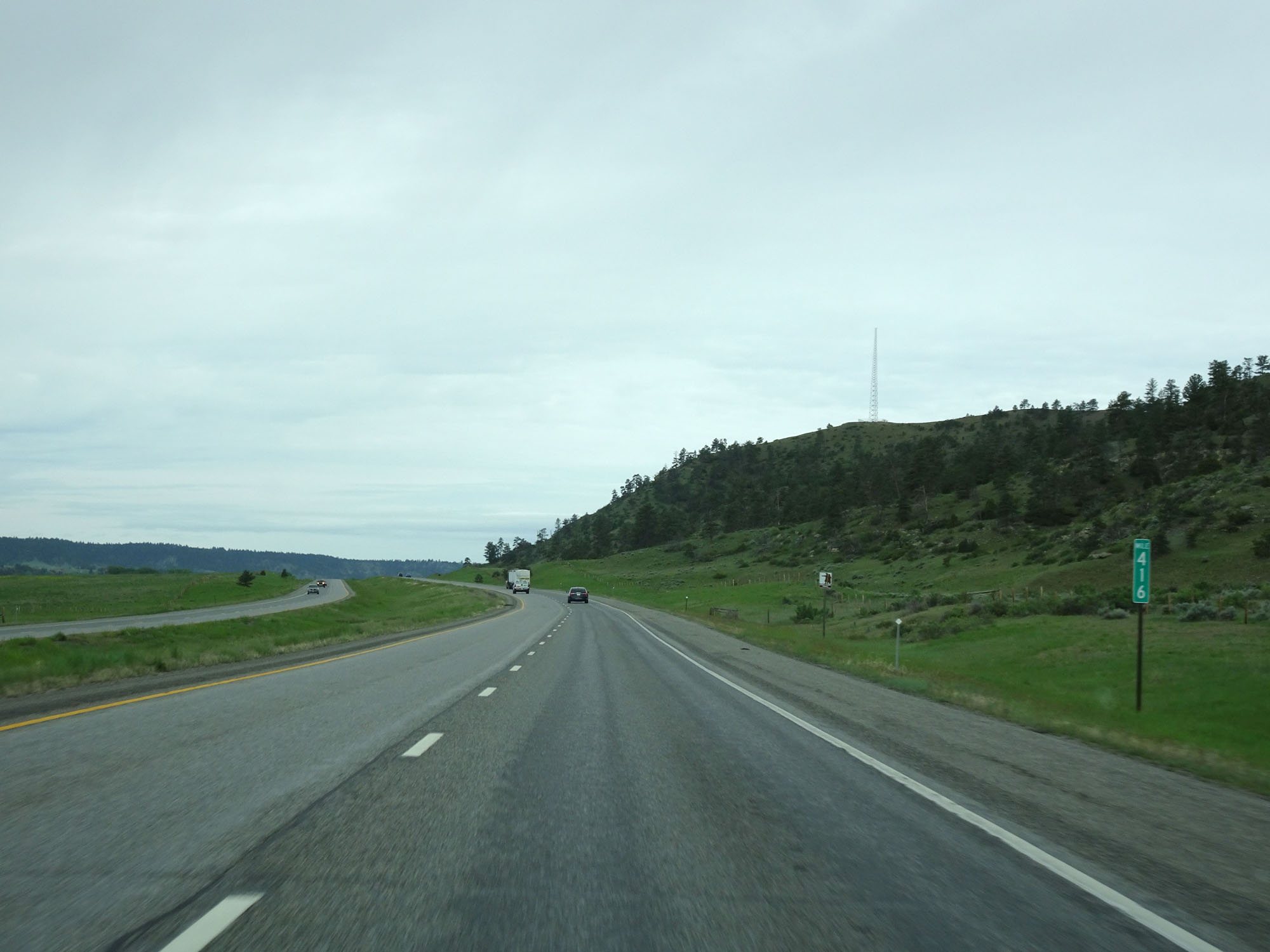 |
Interstate 90 West at mile marker 416. (Photo taken 5/24/16). |
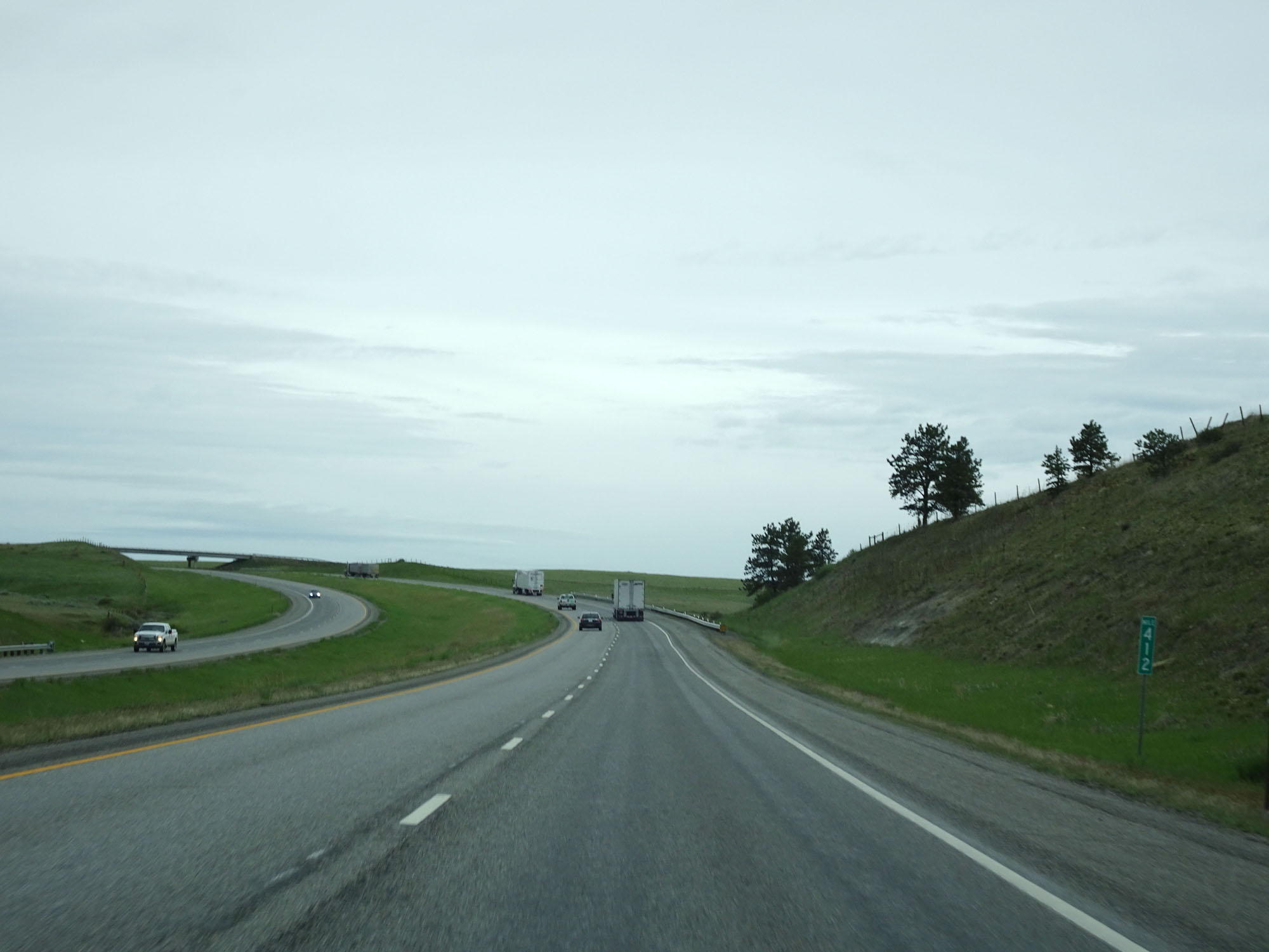 |
Interstate 90 West at mile marker 412. (Photo taken 5/24/16). |
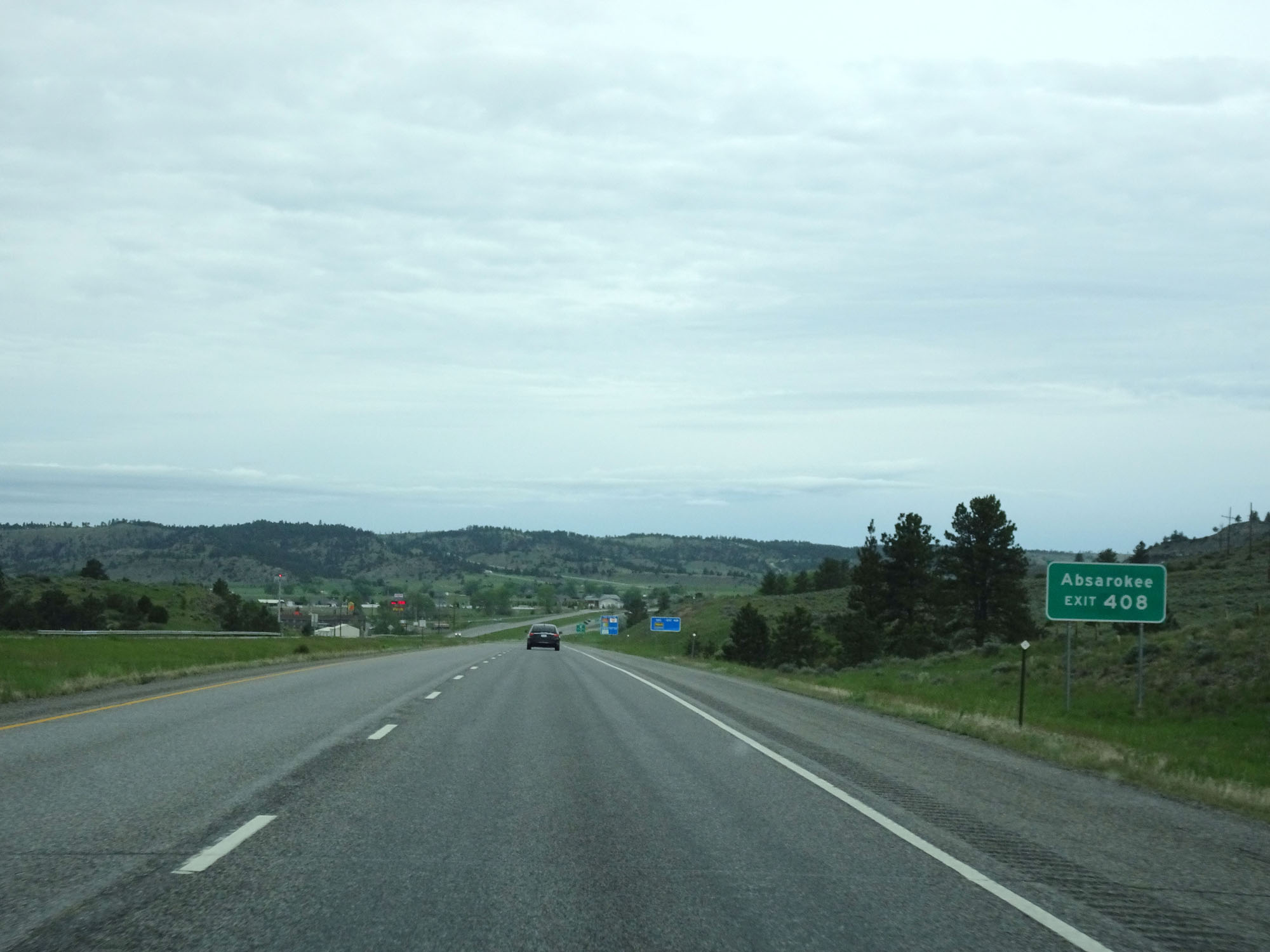 |
Take Exit 408 to Absarokee. (Photo taken 5/24/16). |
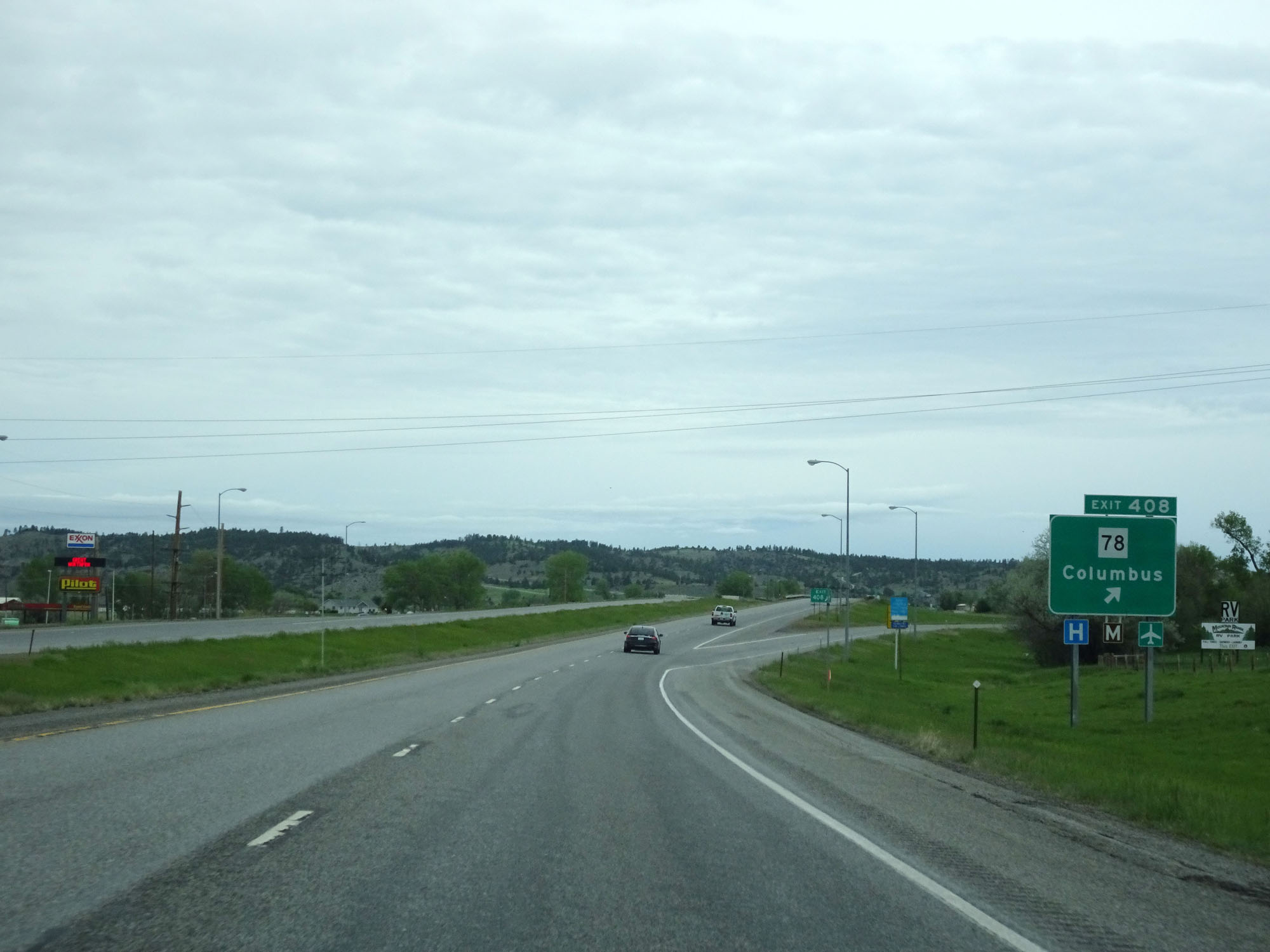 |
Interstate 90 West at Exit 408: MT 78 - Columbus (Photo taken 5/24/16). |
 |
Interstate 90 West reassurance shield. (Photo taken 5/24/16). |
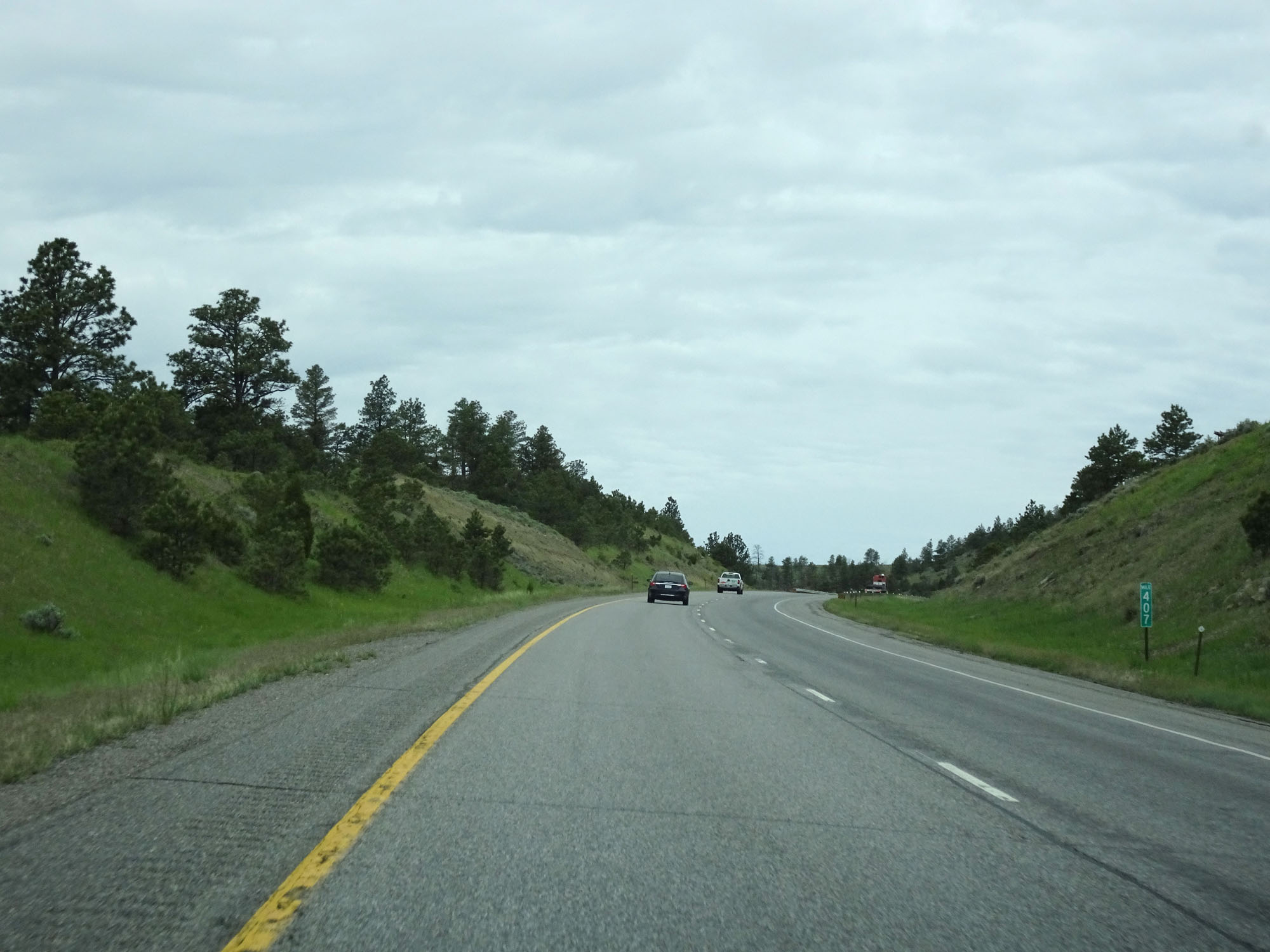 |
Interstate 90 West at mile marker 407. (Photo taken 5/24/16). |
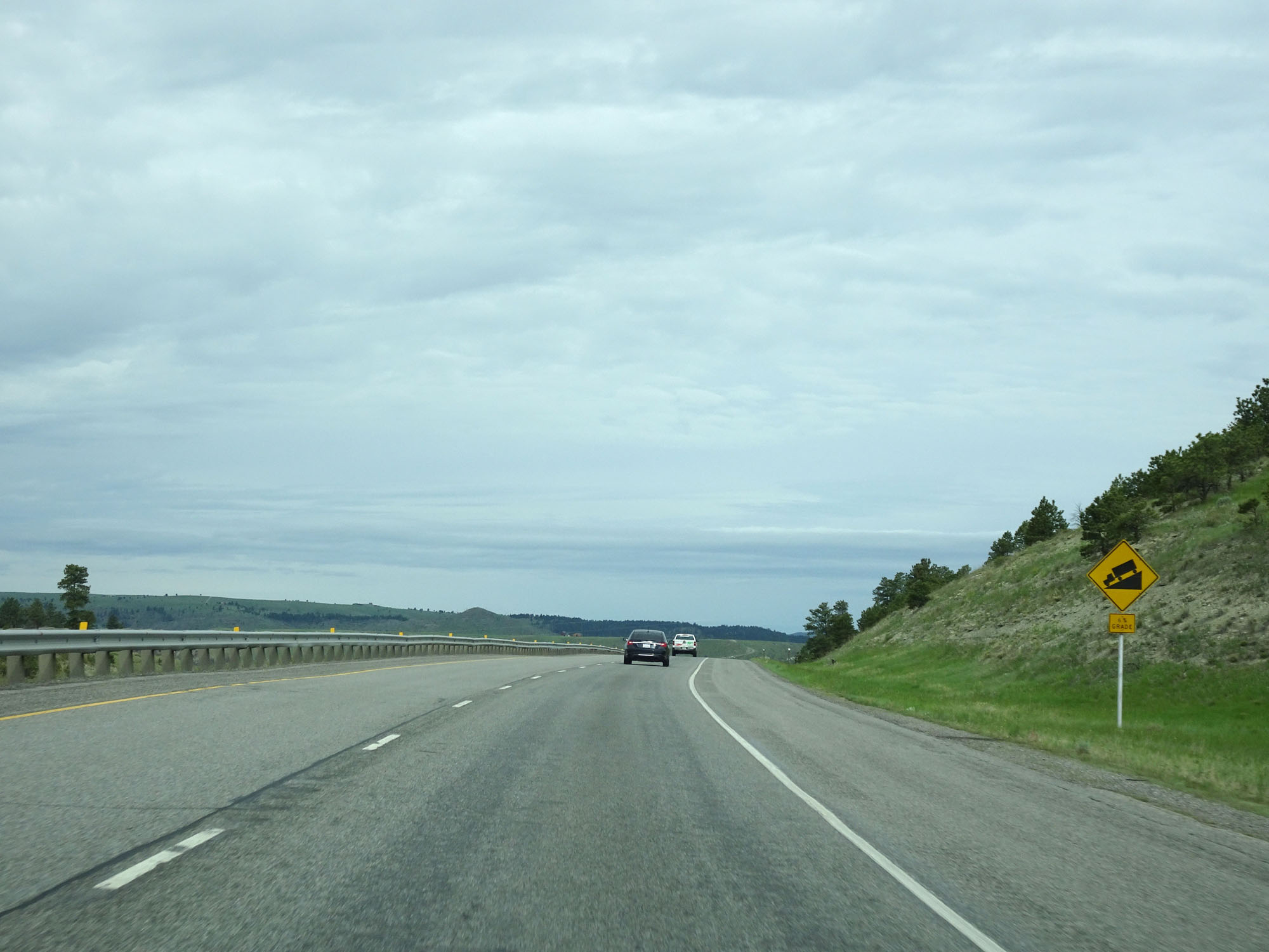 |
Interstate 90 West will traverse a 6% downgrade ahead. (Photo taken 5/24/16). |
 |
View on Interstate 90 West starting down the grade. (Photo taken 5/24/16). |
 |
Interstate 90 West at mile marker 305. (Photo taken 5/24/16). |
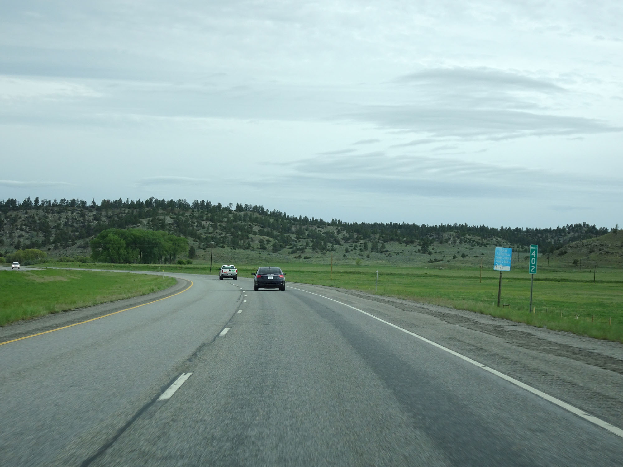 |
Interstate 90 West at mile marker 402. (Photo taken 5/24/16). |
 |
Interstate 90 West approaching Exit 400 - 1/2 mile. (Photo taken 5/24/16). |
 |
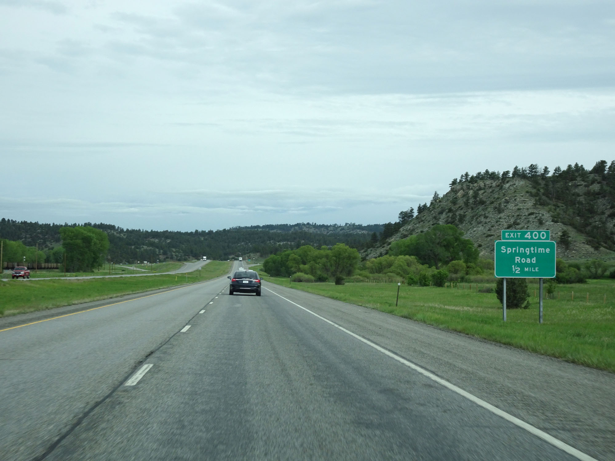
Interstate 90 West at Exit 400: Springtime Road (Photo taken 5/24/16). |
 |
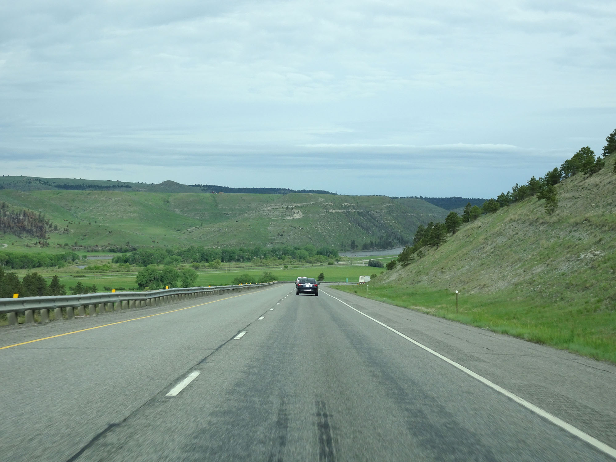
Interstate 90 West crossing the Yellowstone River in Stillwater County. (Photo taken 5/24/16). |
 |
Interstate 90 West approaching Exit 396 - 1/2 mile. (Photo taken 5/24/16). |
 |
Interstate 90 West at Exit 396: Ranch Access (Photo taken 5/24/16). |
 |
Interstate 90 West at Exit 392: Reed Point (Photo taken 5/24/16). |
 |
Interstate 90 West entering Sweet Grass County. (Photo taken 5/24/16). |
 |
Interstate 90 West at mile marker 387. (Photo taken 5/24/16). |
 |
Interstate 90 West approaching Exit 384 - 1/2 mile. (Photo taken 5/24/16). |
 |
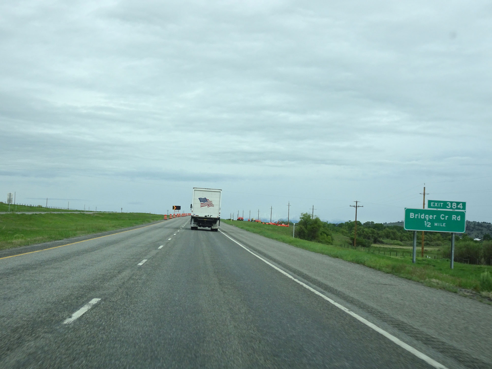
Interstate 90 West at Exit 384: Bridger Creek Rd (Photo taken 5/24/16). |
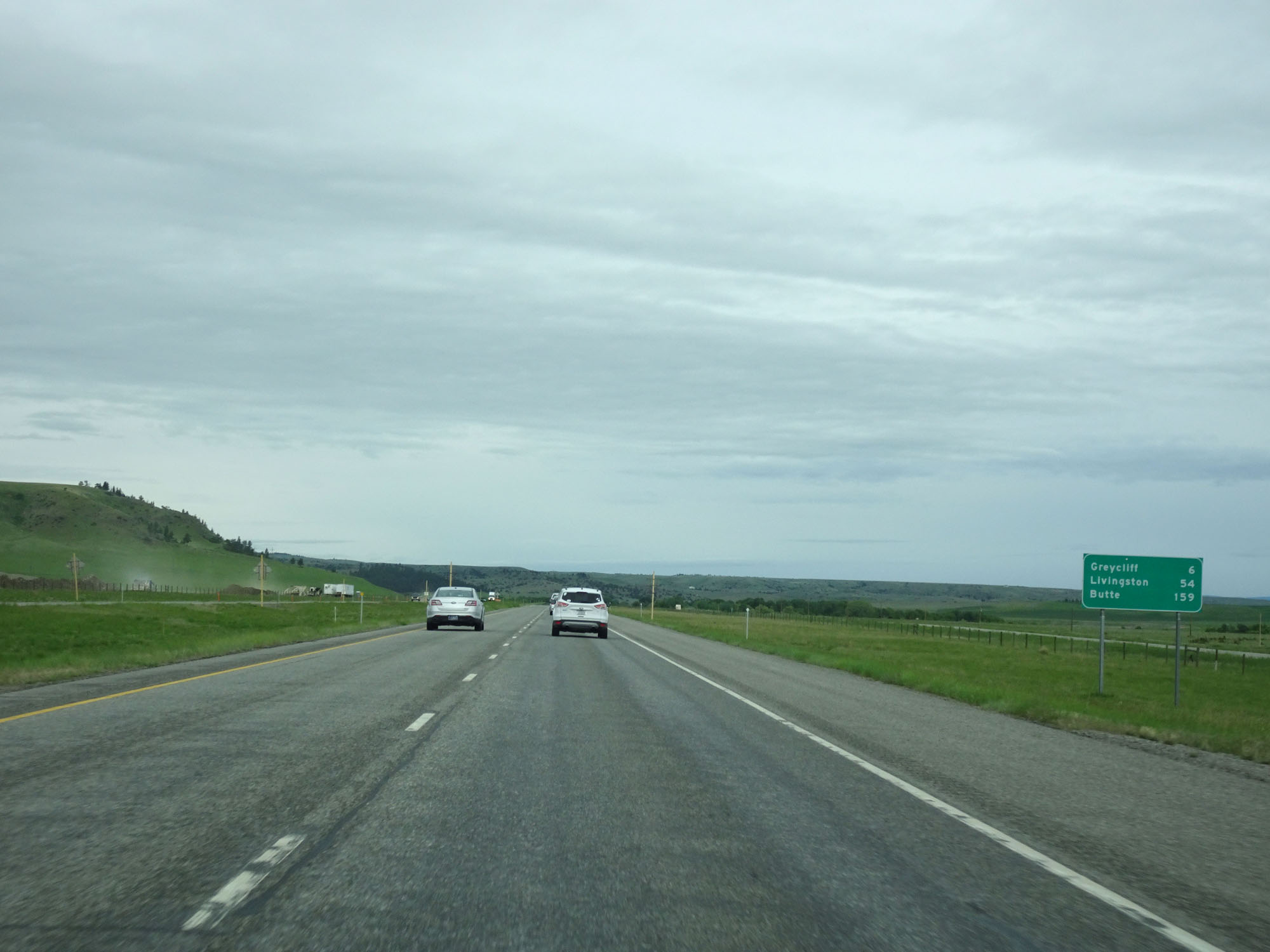 |
Mileage sign on Interstate 90 West. It's 6 miles to Greycliff, 54 miles to Livingston, and 159 miles to Butte. (Photo taken 5/24/16). |
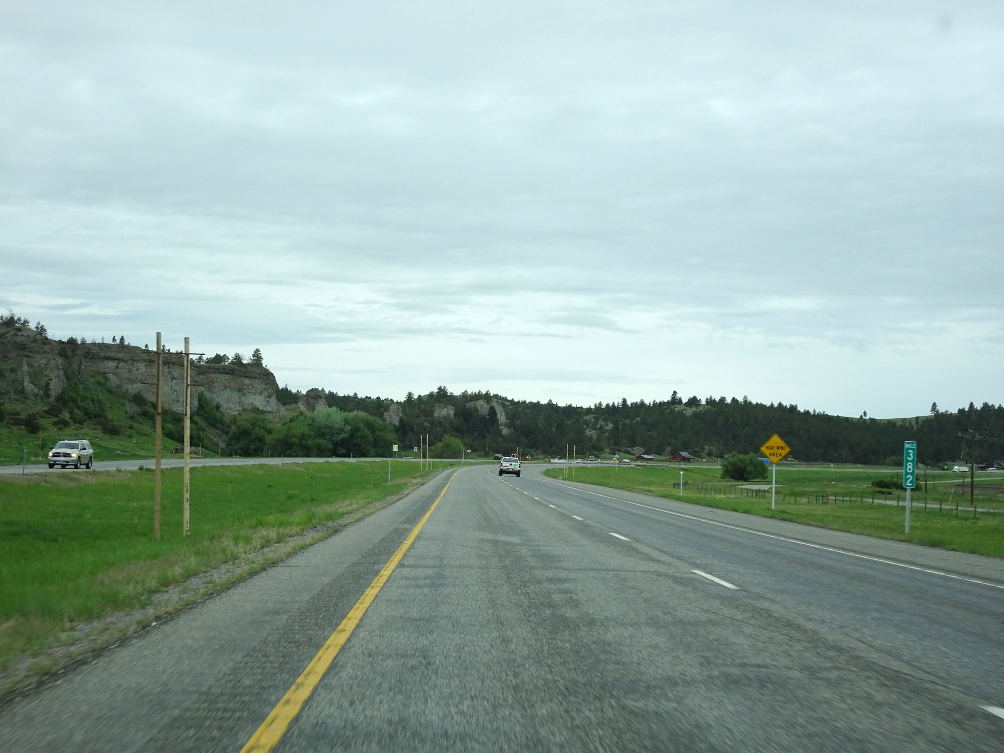 |
Interstate 90 West at mile marker 382. (Photo taken 5/24/16). |
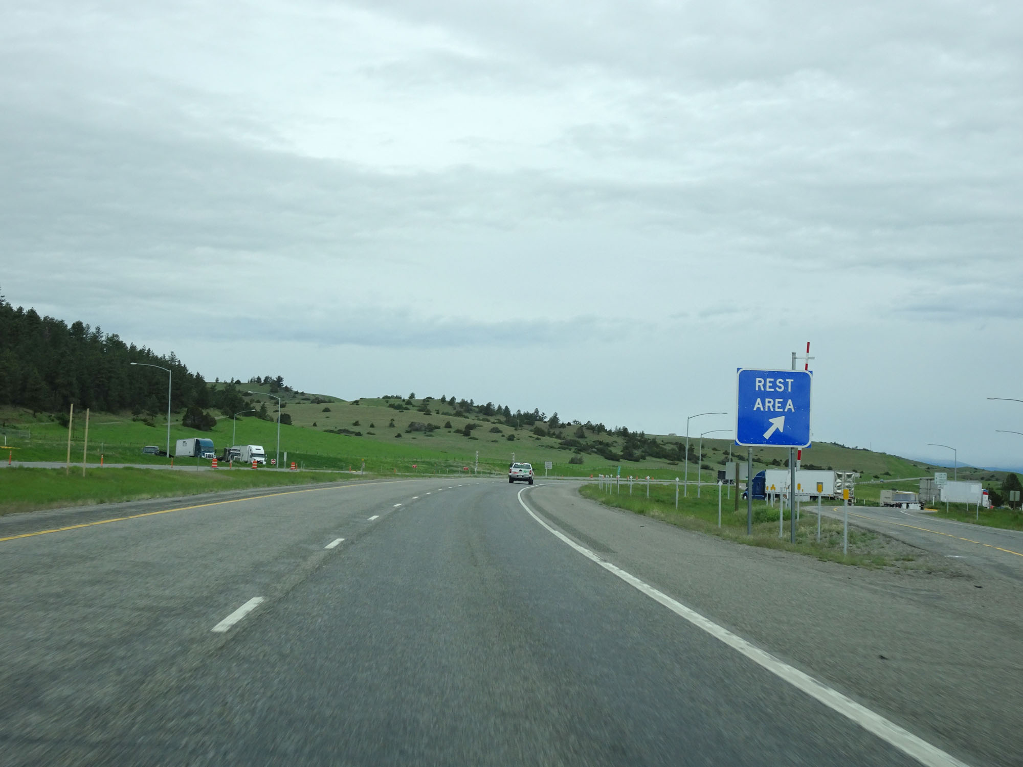 |
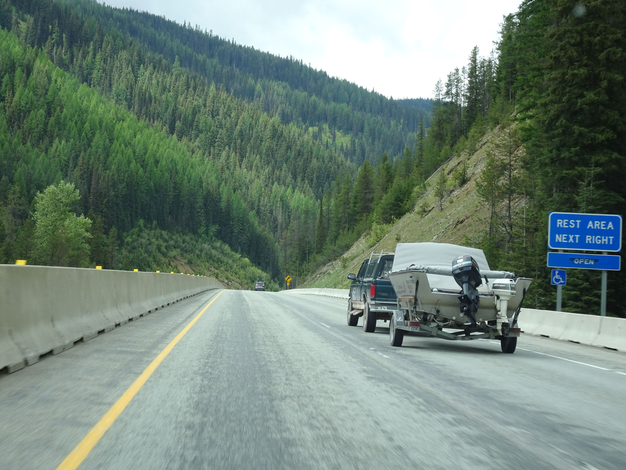
Interstate 90 West at the Rest Area in Sweet Grass County. (Photo taken 5/24/16). |
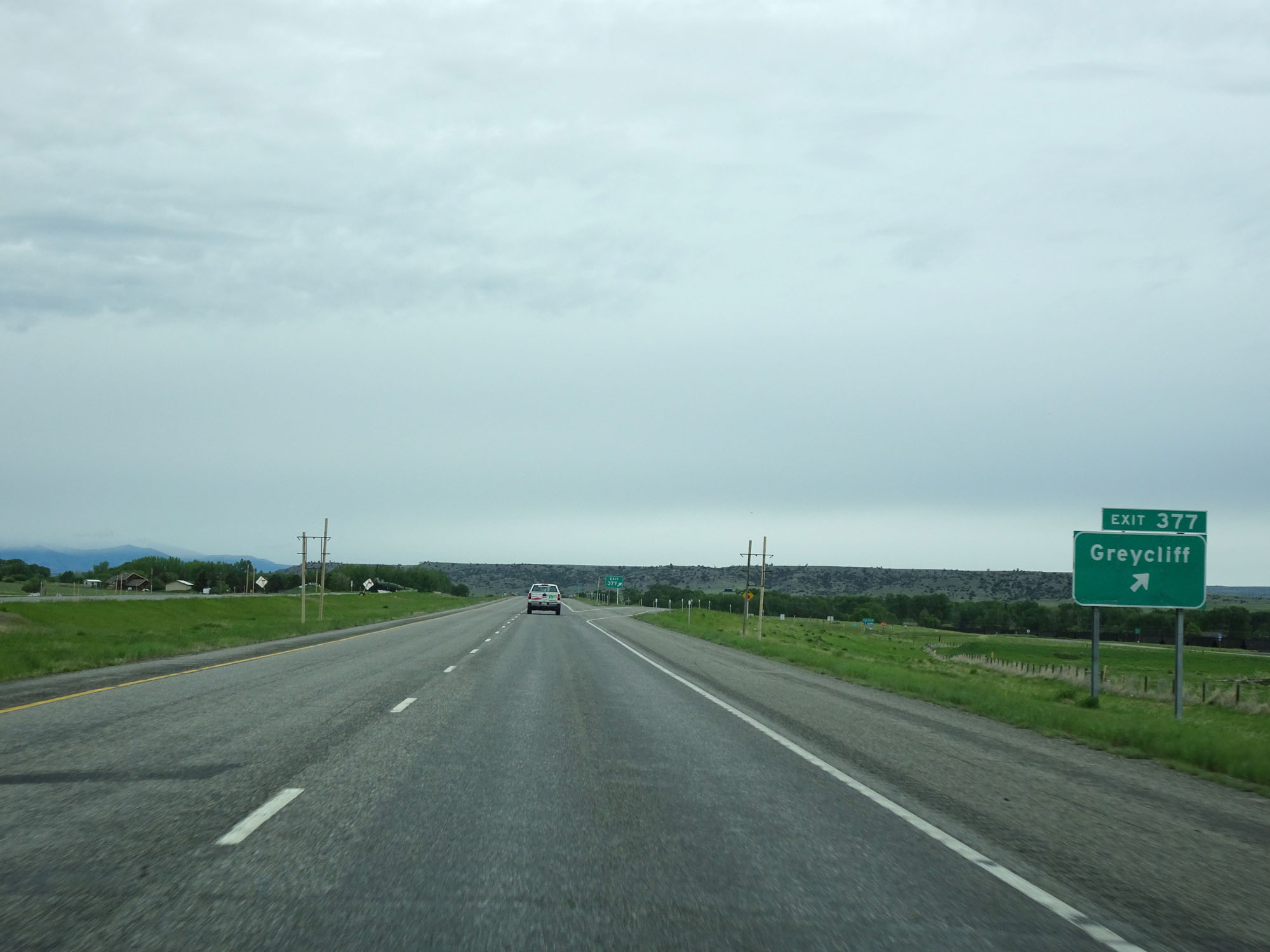 |
Interstate 90 West at Exit 377: Greycliff (Photo taken 5/24/16). |
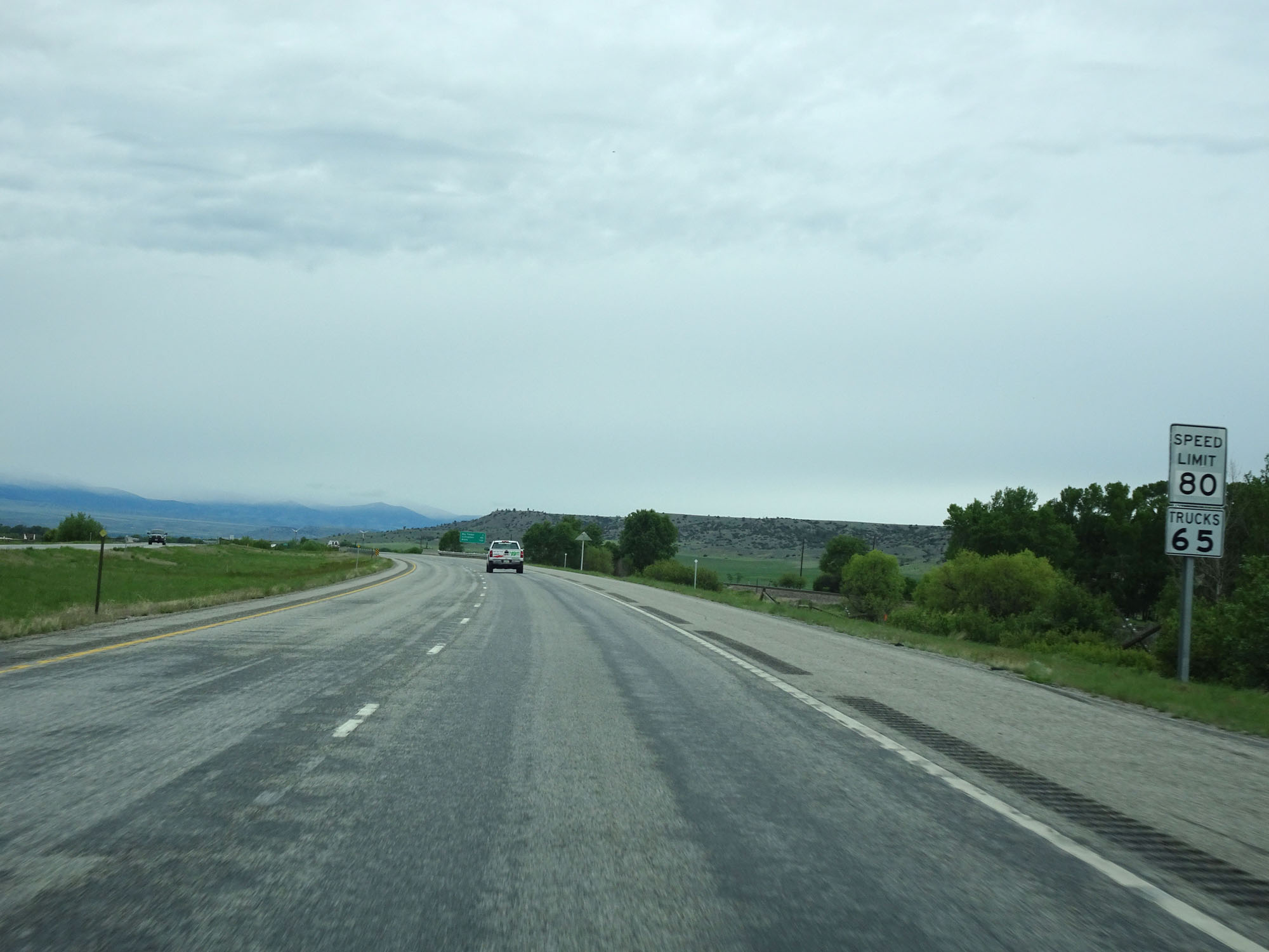 |
The speed limits remain 80 mph for cars and 65 mph for trucks. (Photo taken 5/24/16). |
 |
Interstate 90 West entering the Crazy Mountains. (Photo taken 5/24/16). |
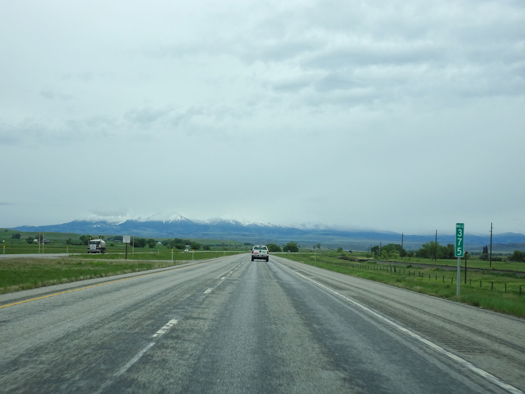 |
Interstate 90 West at mile marker 375. (Photo taken 5/24/16). |
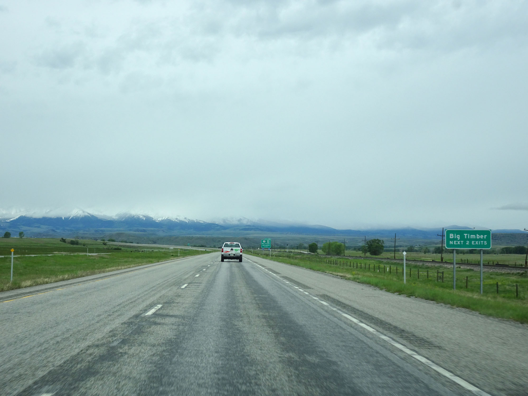 |
Take either of the next 2 exits to Big Timber. (Photo taken 5/24/16). |
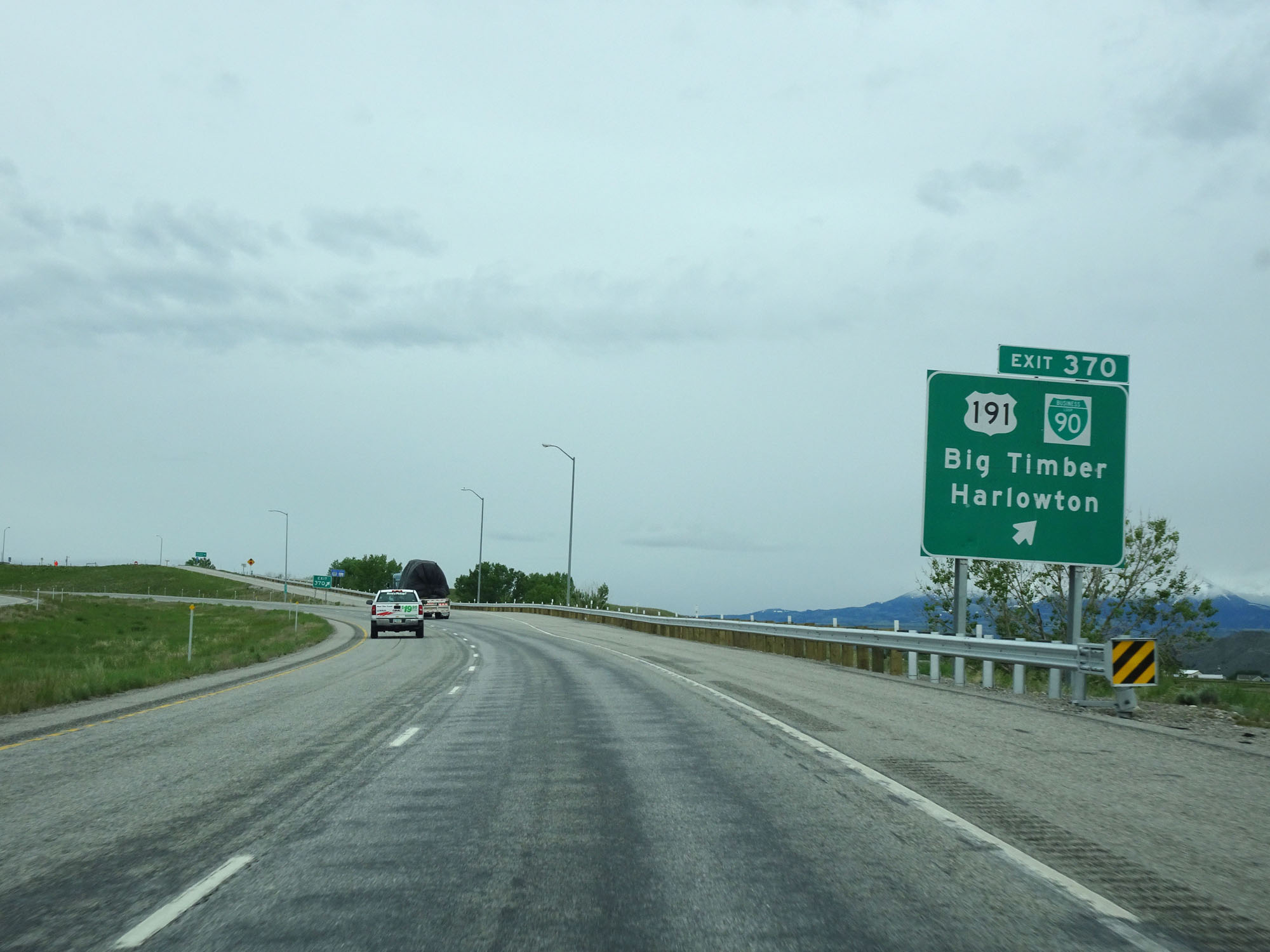 |
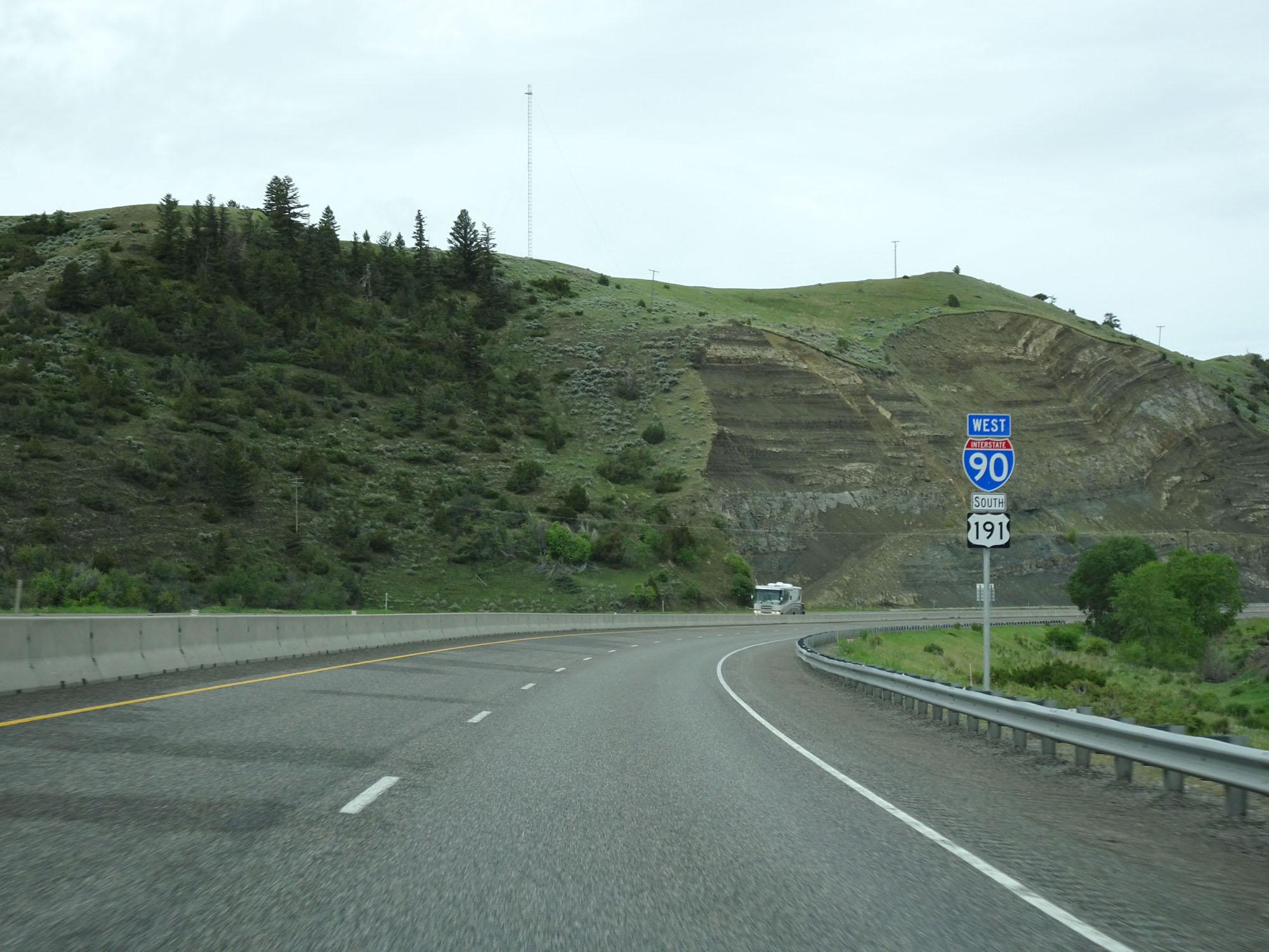
Interstate 90 West at Exit 370: US 191 / Interstate 90 Business Loop - Big Timber / Harlowton (Photo taken 5/24/16). |
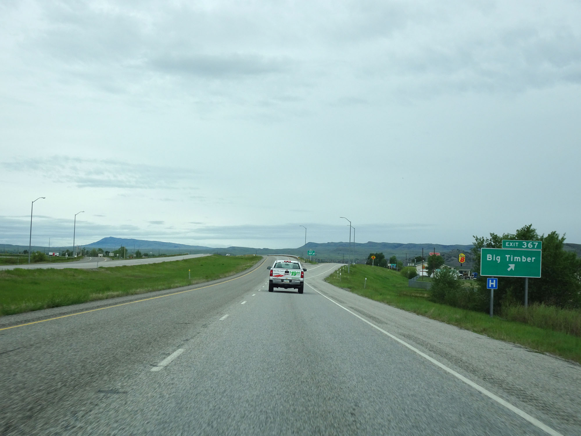 |
Interstate 90 West at Exit 367: Big Timber (Photo taken 5/24/16). |
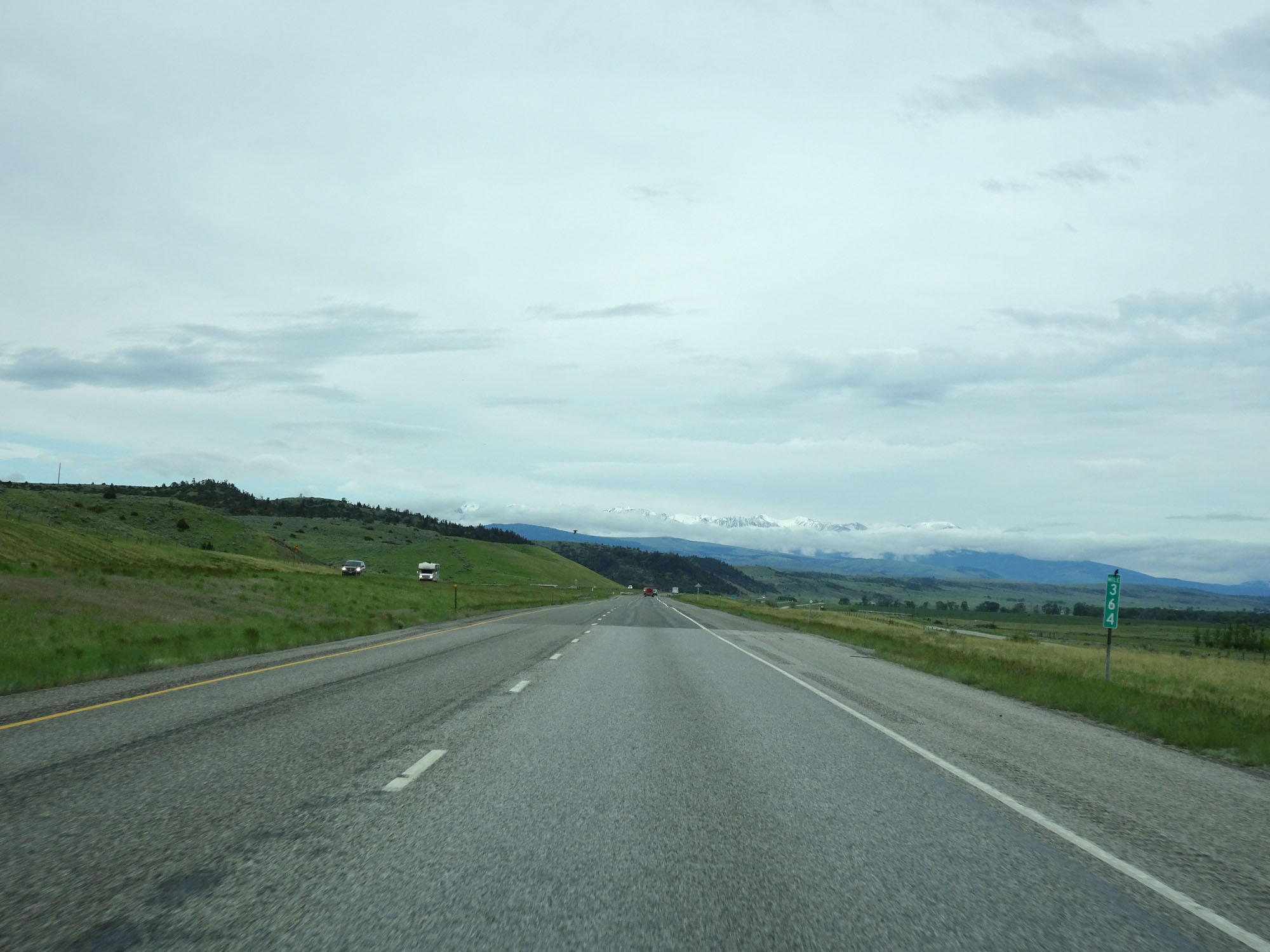 |
Interstate 90 West at mile marker 364. (Photo taken 5/24/16). |
 |
Interstate 90 West approaching Exit 362 - 1/2 mile. (Photo taken 5/24/16). |
 |
Interstate 90 West at Exit 362: De Hart (Photo taken 5/24/16). |
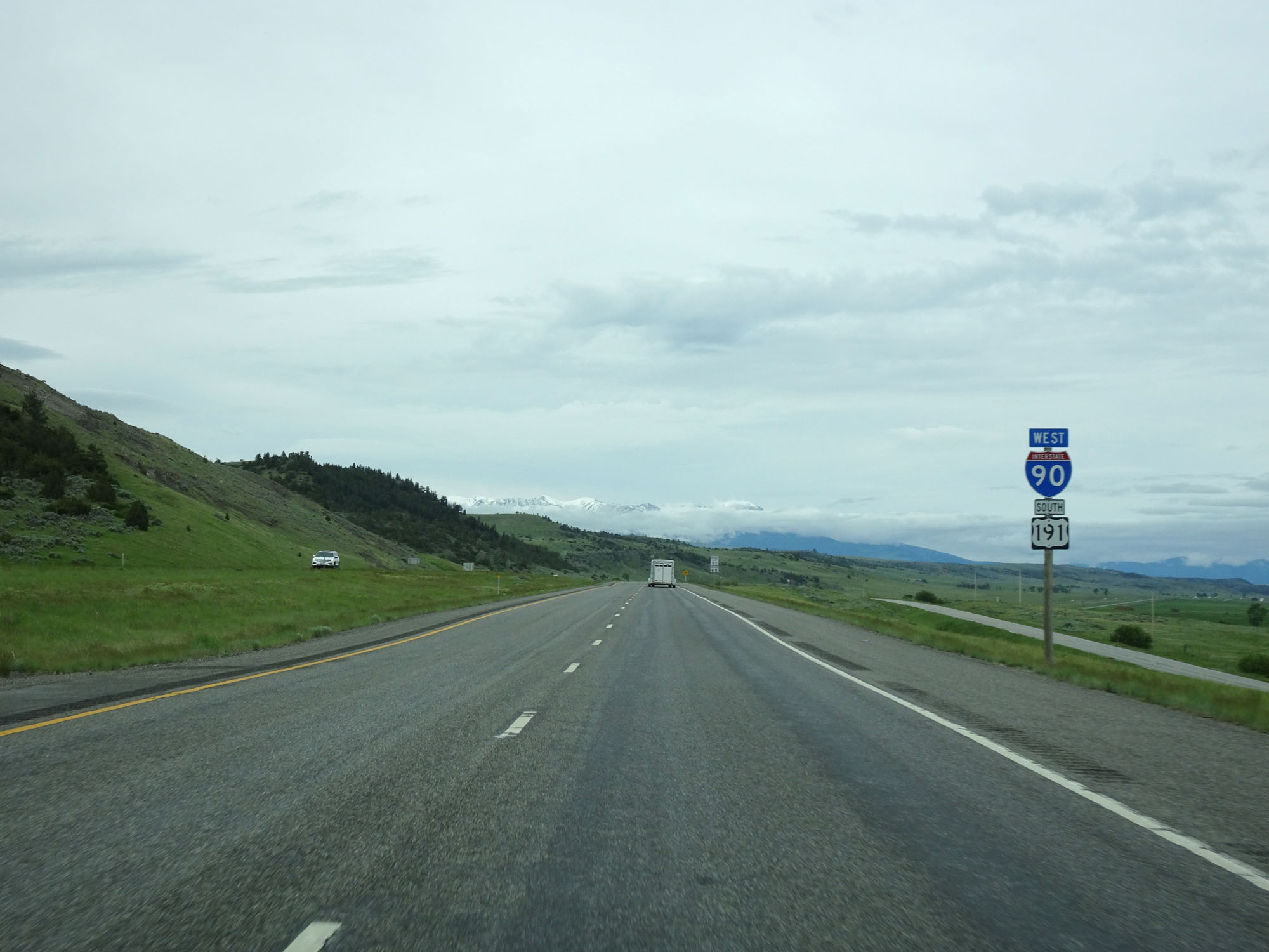 |
Interstate 90 West / US 191 South reassurance markers. (Photo taken 5/24/16). |
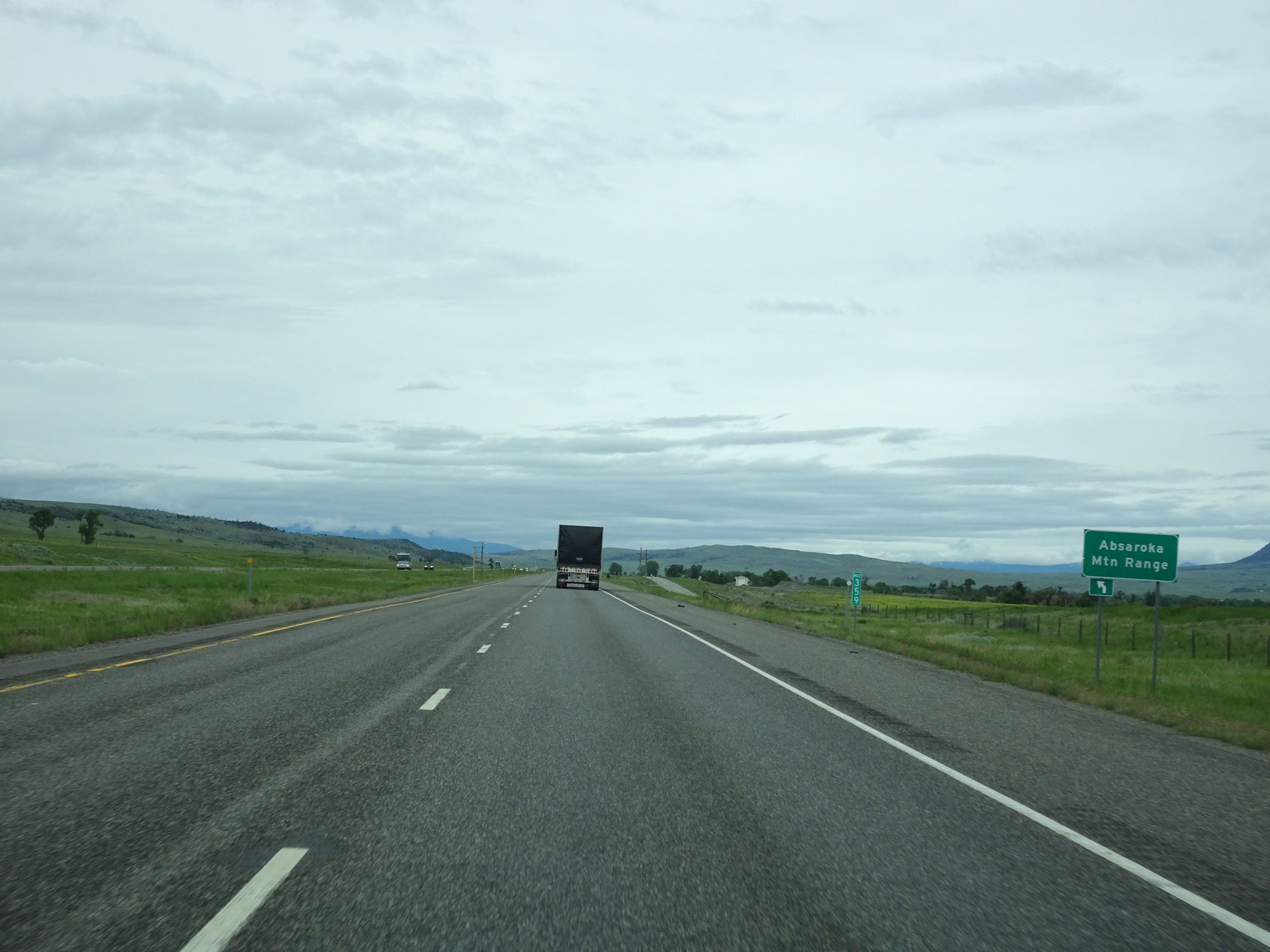 |
Interstate 90 West entering the Absaroka Mountain Range. (Photo taken 5/24/16). |
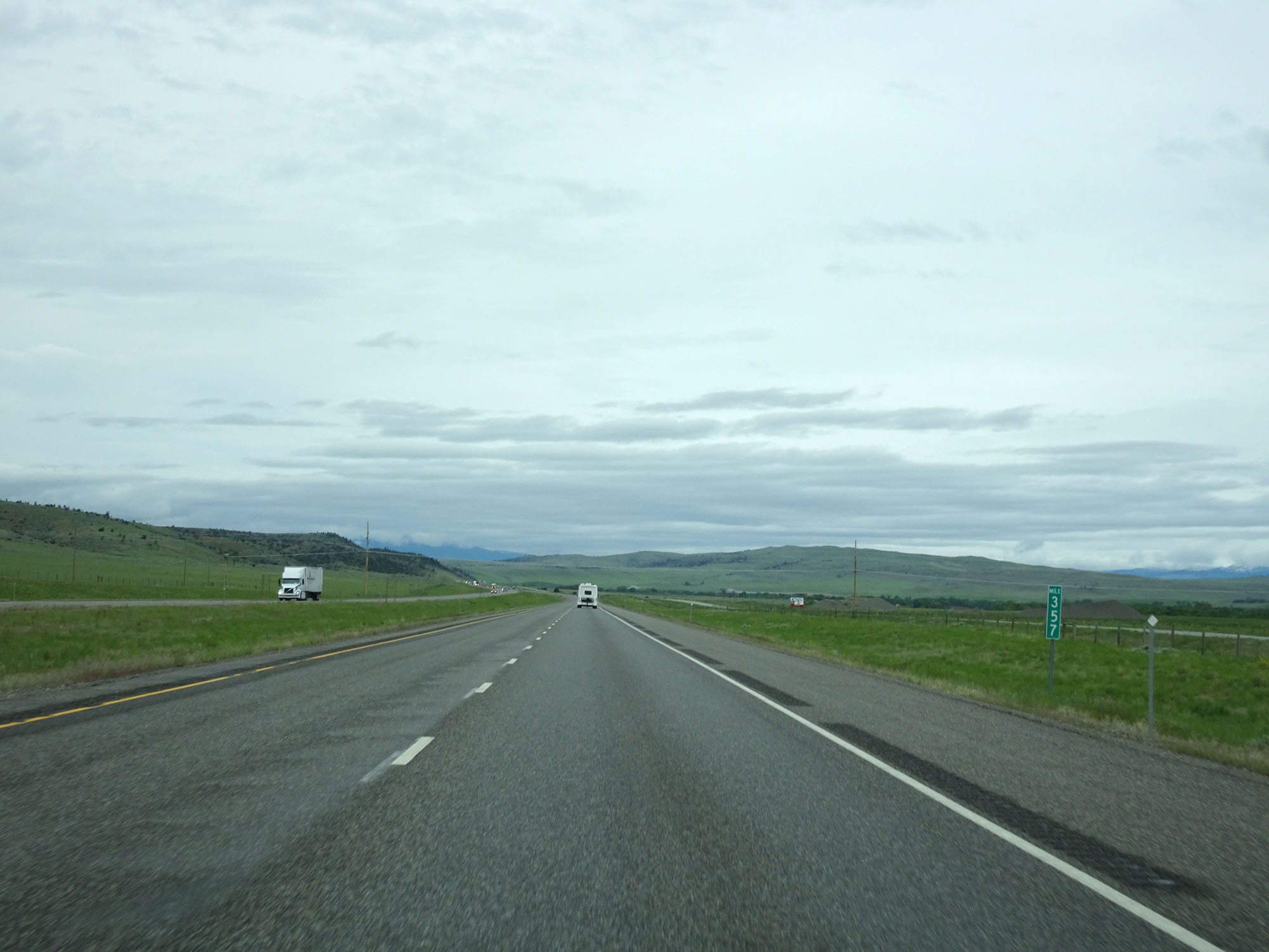 |
Interstate 90 West at mile marker 357. (Photo taken 5/24/16). |
 |
Interstate 90 West at Exit 354: S-563 - Springdale (Photo taken 5/24/16). |
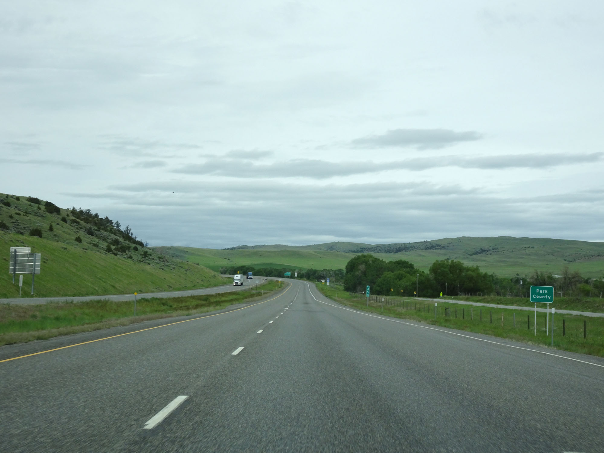 |
Interstate 90 West entering Park County. (Photo taken 5/24/16). |
 |
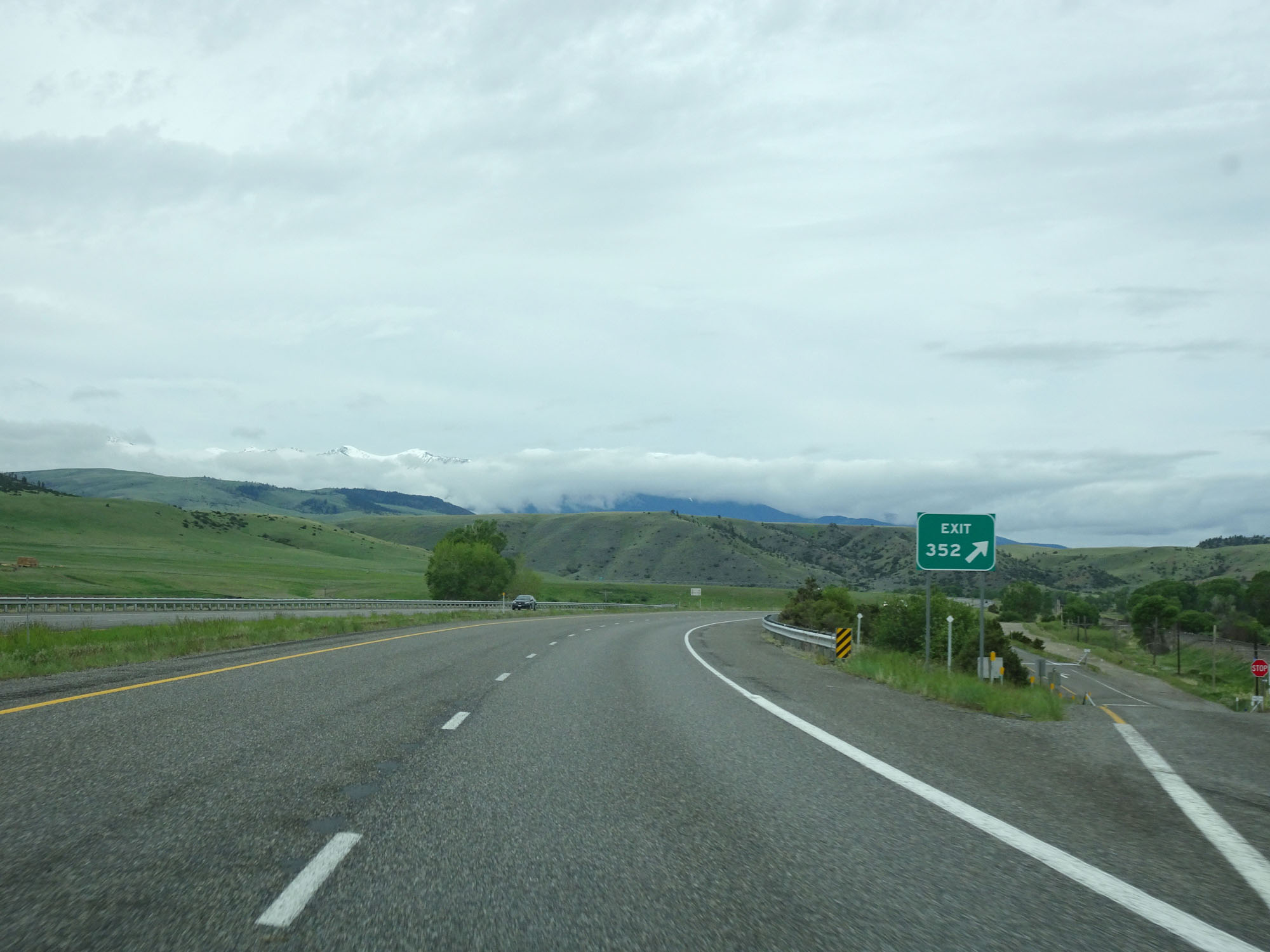
Interstate 90 West approaching Exit 352 - 1/2 mile. (Photo taken 5/24/16). |
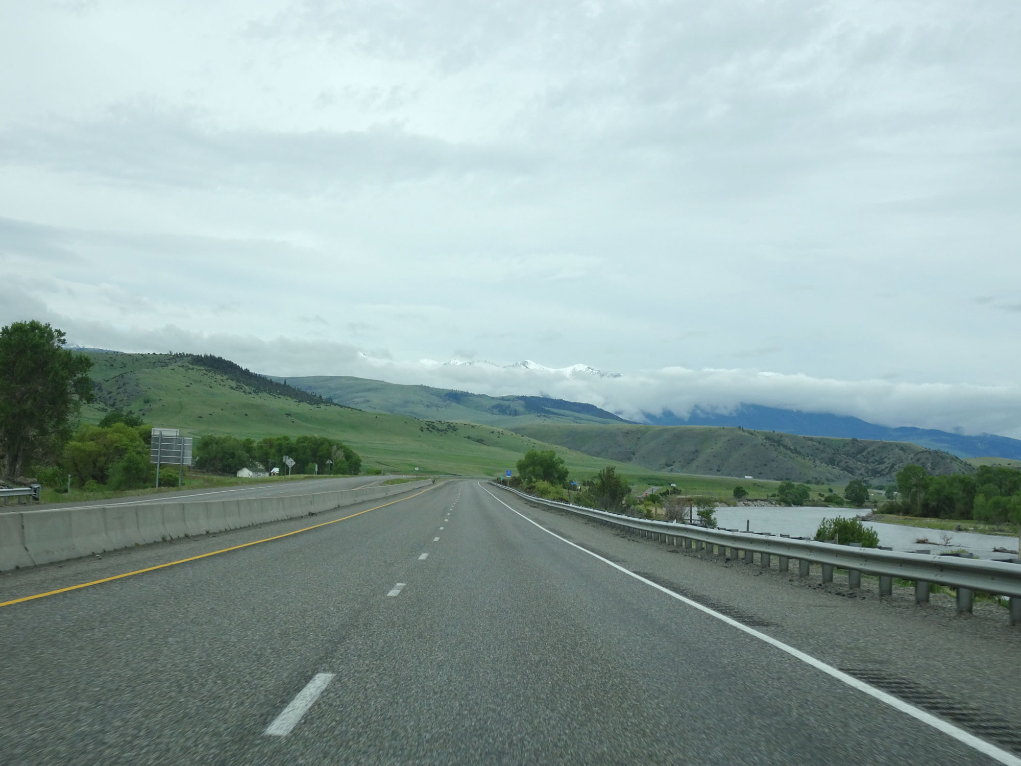 |
View on Interstate 90 West. (Photo taken 5/24/16). |
 |
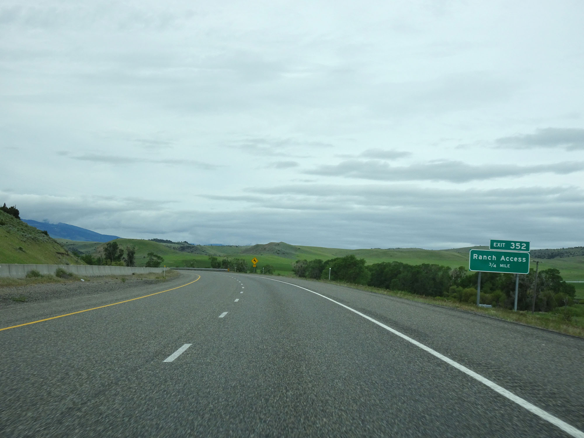
Interstate 90 West at Exit 352: Ranch Access (Photo taken 5/24/16). |
 |
Interstate 90 West approaching Exit 350 - 1/2 mile. (Photo taken 5/24/16). |
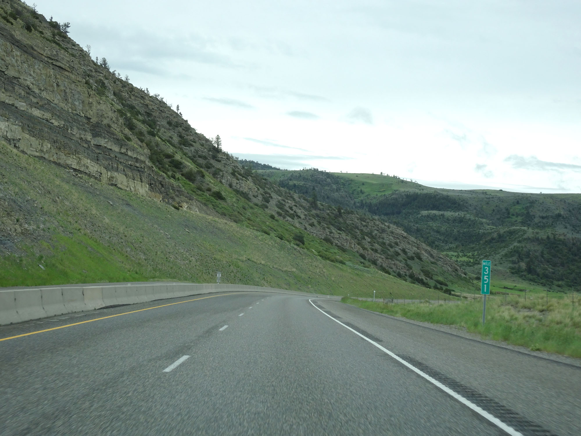 |
Interstate 90 West at mile marker 351. (Photo taken 5/24/16). |
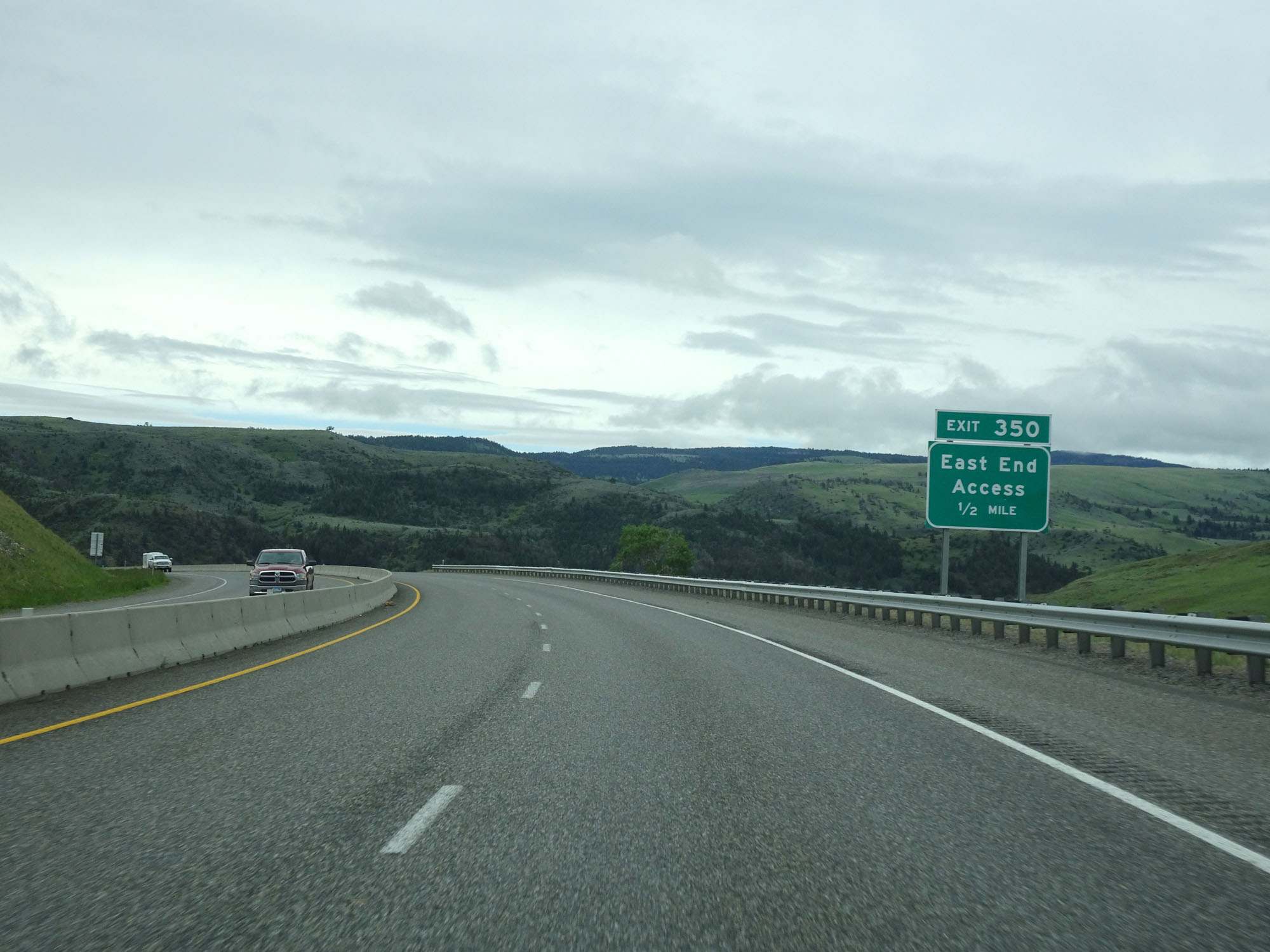
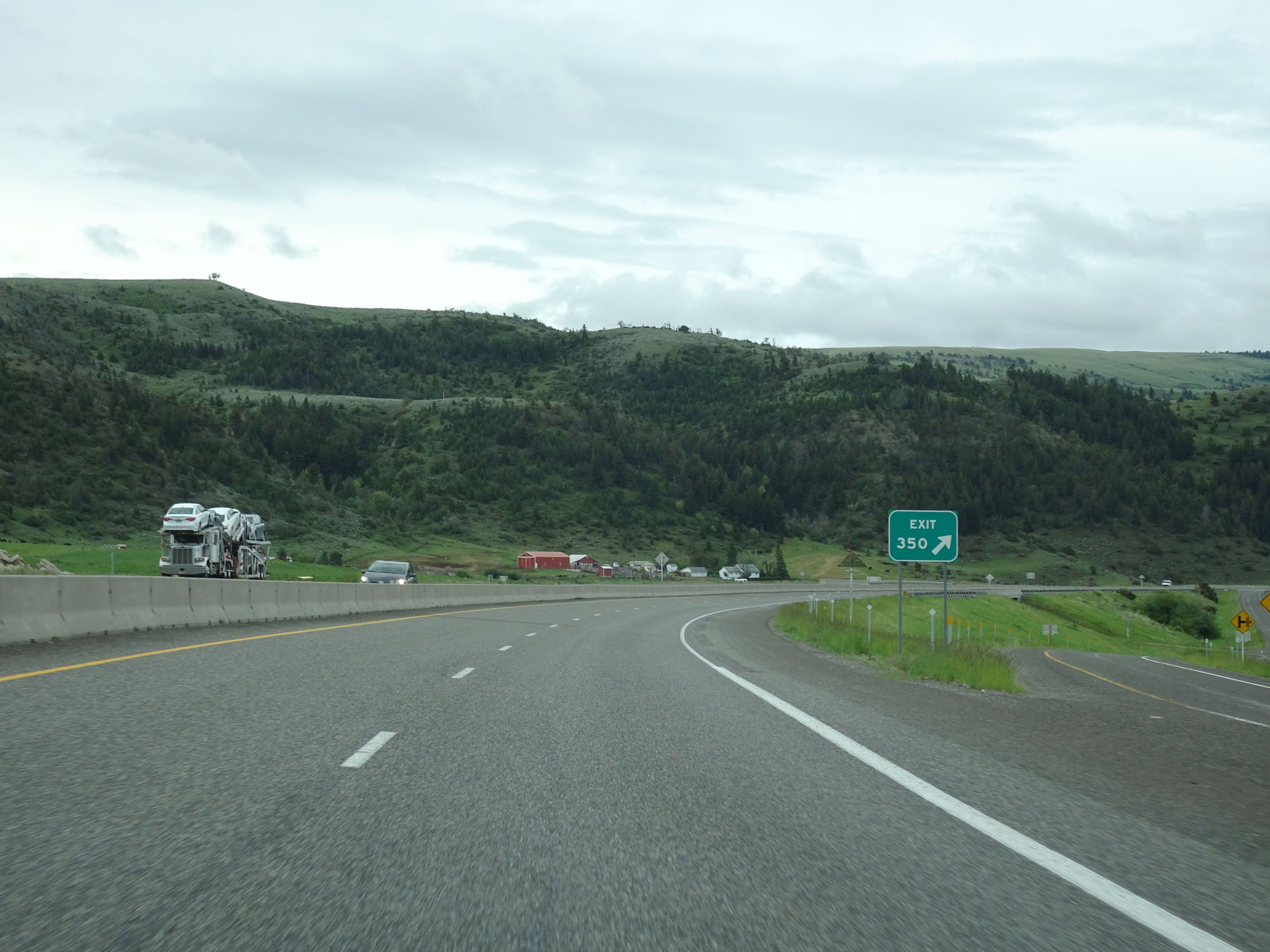 |
Interstate 90 West at Exit 350: East End Access (Photo taken 5/24/16). |
 |
Interstate 90 West reassurance shield. (Photo taken 5/24/16). |
 |
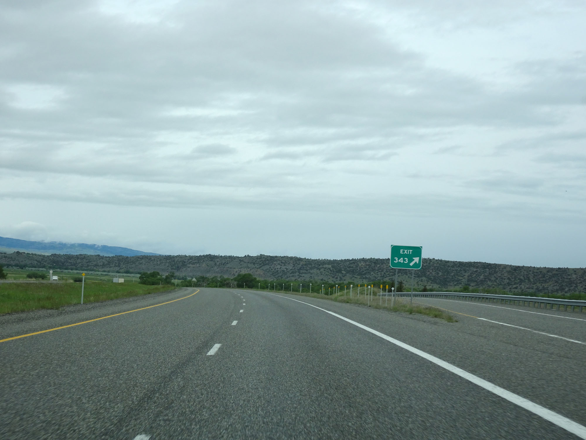
Interstate 90 West approaching Exit 343 - 1/2 mile. (Photo taken 5/24/16). |
 |
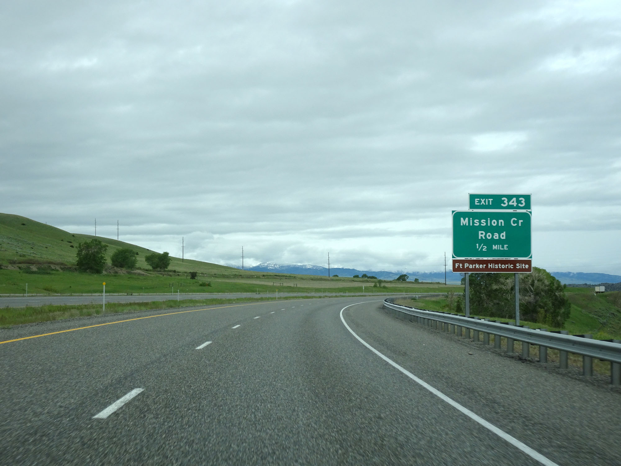
Interstate 90 West at Exit 343: Mission Creek Rd (Photo taken 5/24/16). |
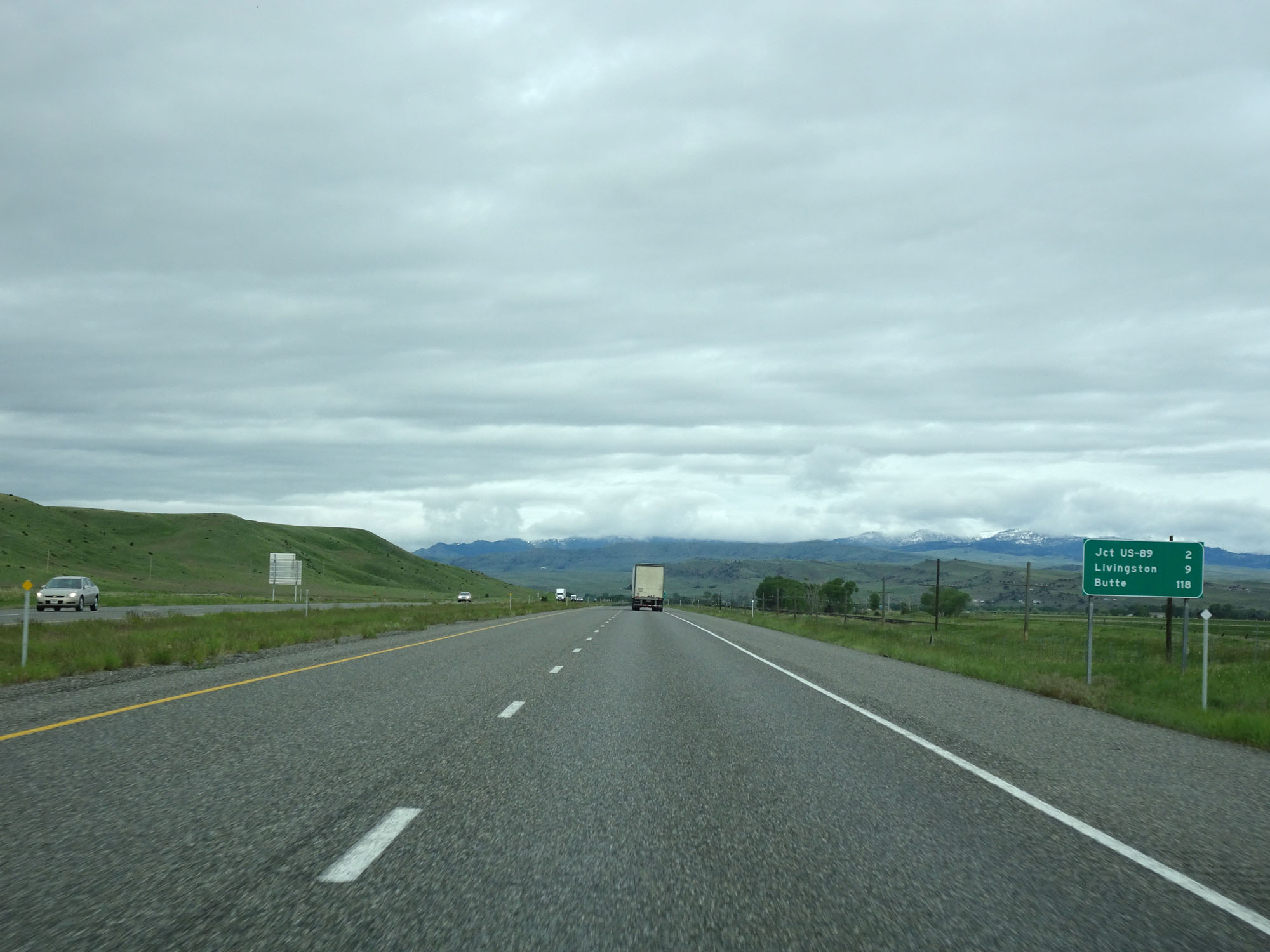 |
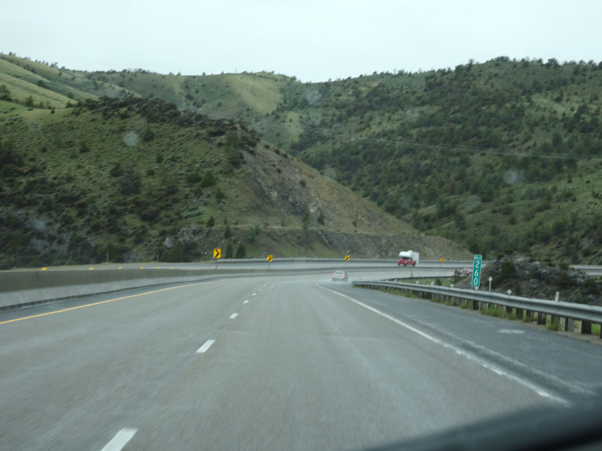
Mileage sign on Interstate 90 West. It's 2 miles to the junction of US 89, 9 miles to Livingston, and 118 miles to Butte. (Photo taken 5/24/16). |
 |
Interstate 90 West approaching Exit 342 - 1 mile. (Photo taken 5/24/16). |
 |
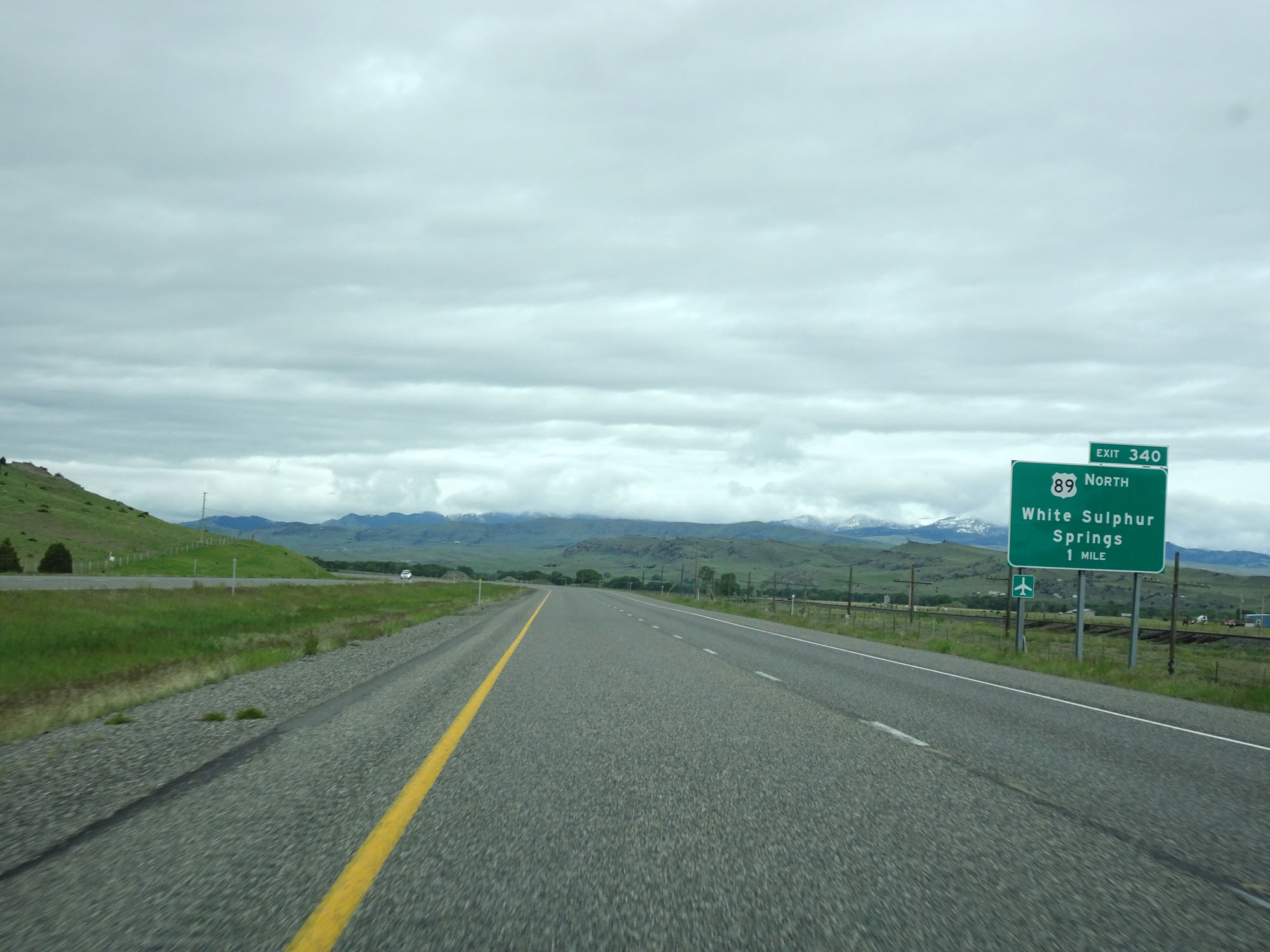
Interstate 90 West at Exit 340: US 89 North - White Sulphur Springs (Photo taken 5/24/16). |
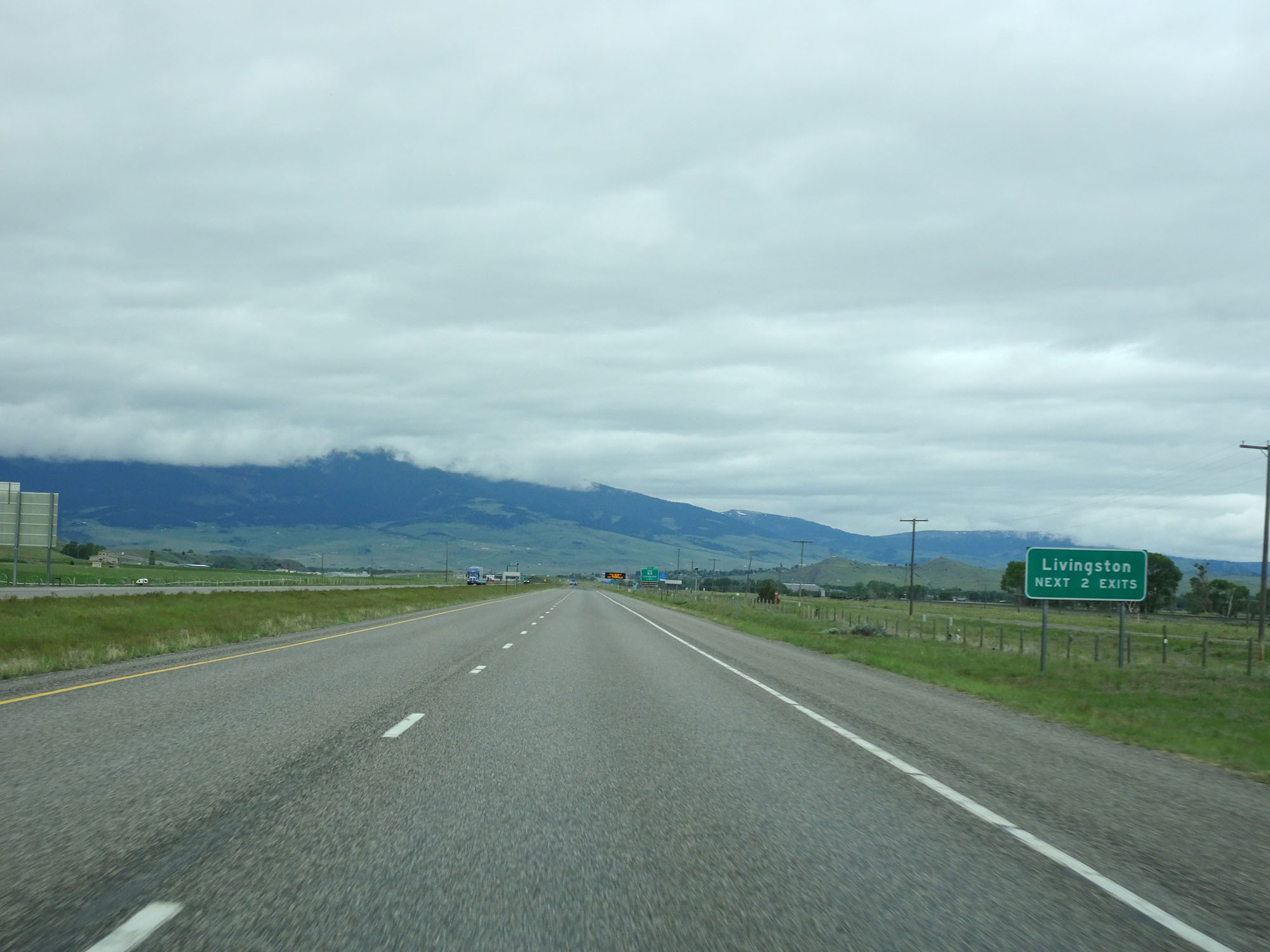 |
Take either of the next 2 exits to Livingston. (Photo taken 5/24/16). |
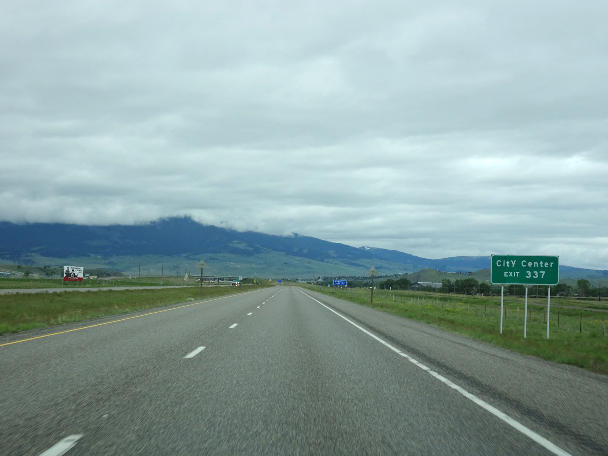 |
Take Exit 337 to City Center. (Photo taken 5/24/16). |
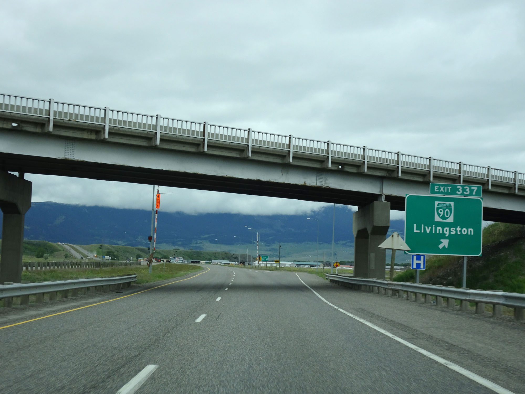 |
Interstate 90 West at Exit 337: Interstate 90 Business Loop - Livingston (Photo taken 5/24/16). |
Section 4: Livingston (Exit 337) to Bozeman (Exit 305)
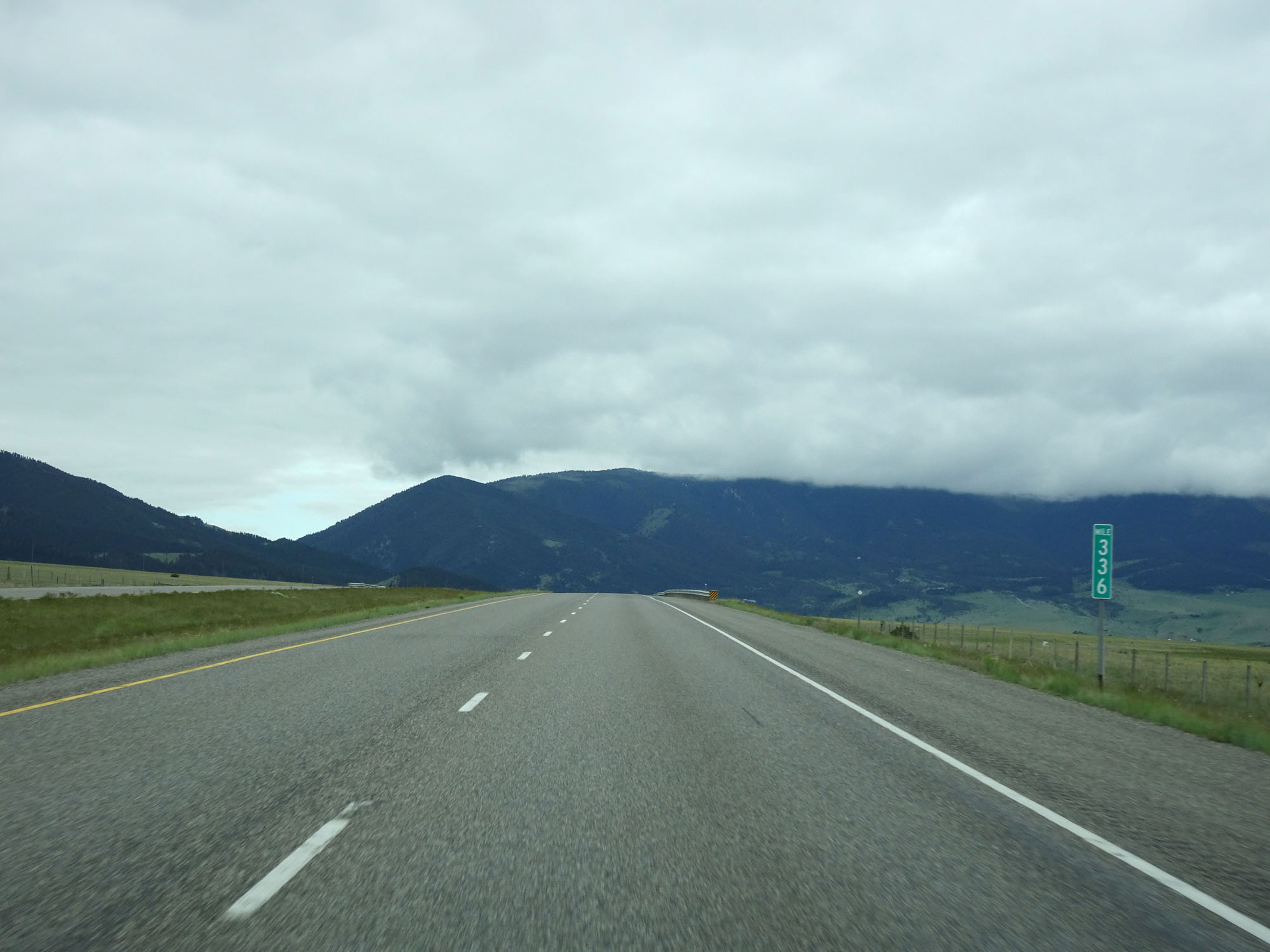 |
Interstate 90 West at mile marker 336. (Photo taken 5/24/16). |
 |
Interstate 90 West approaching Exit 333 - 1 mile. (Photo taken 5/24/16). |
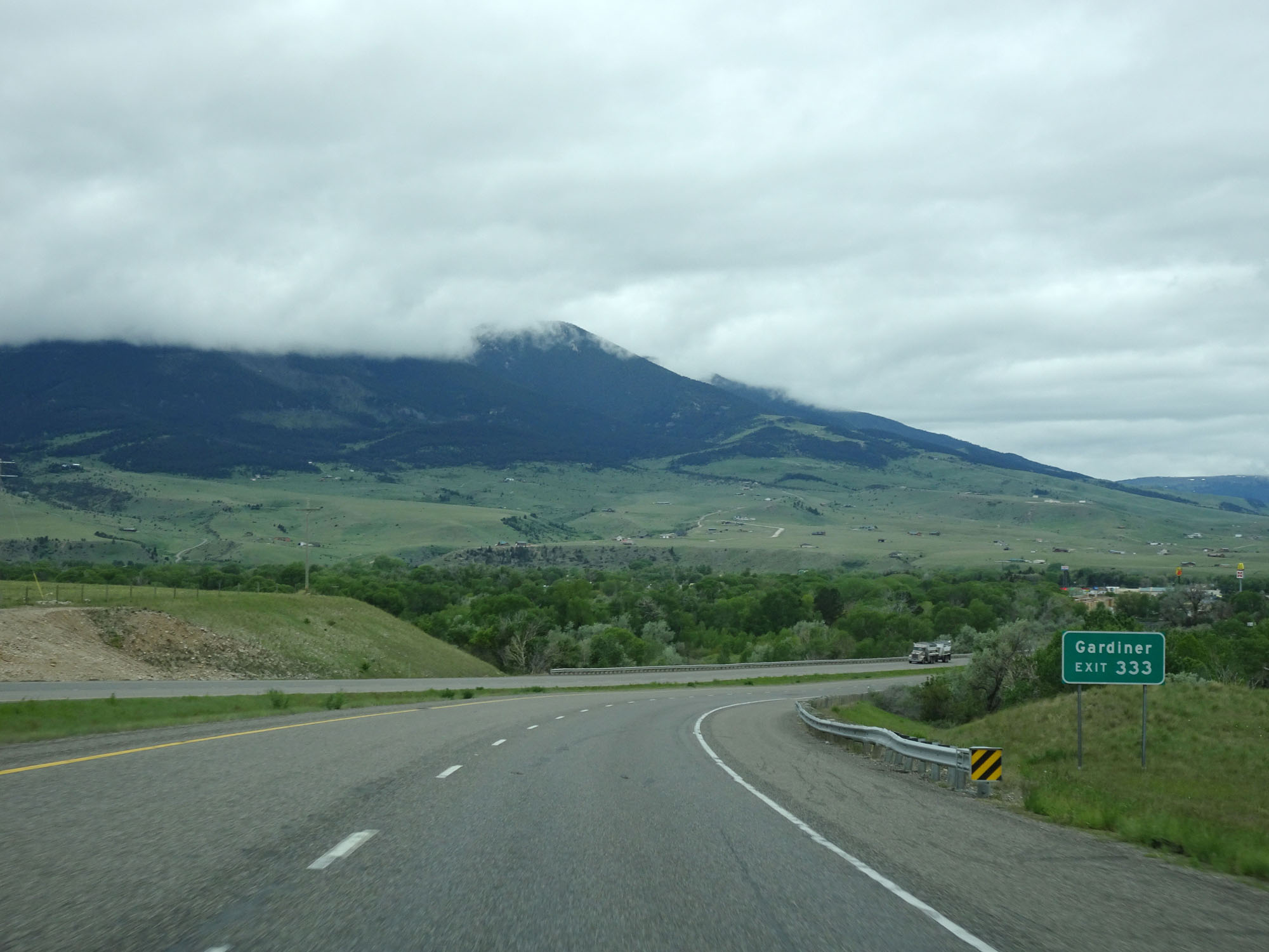 |
Take Exit 333 to Gardiner. (Photo taken 5/24/16). |
 |
Interstate 90 West crossing the Yellowstone River in Livingston. (Photo taken 5/24/16). |
 |
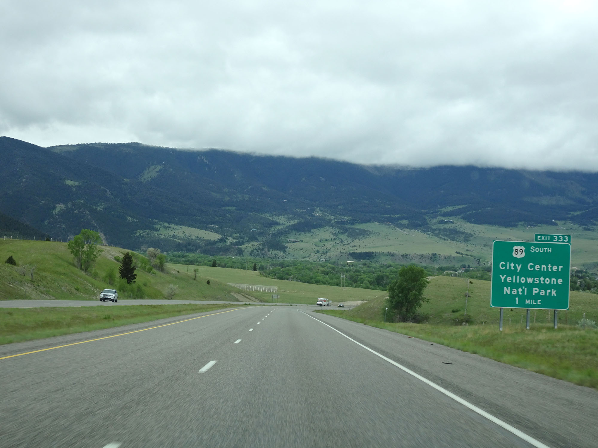
Interstate 90 West at Exit 333: US 89 South - City Center / Yellowstone National Park (Photo taken 5/24/16). |
 |
The speed limits remain 80 mph for cars and 65 mph for trucks through the Livingston area. (Photo taken 5/24/16). |
 |
Mileage sign on Interstate 90 West. It's 12 miles to Jackson Creek Rd, 23 miles to Bozeman, and 108 miles to Butte. (Photo taken 5/24/16). |
 |
Interstate 90 West approaching Exit 330 - 1/2 mile. (Photo taken 5/24/16). |
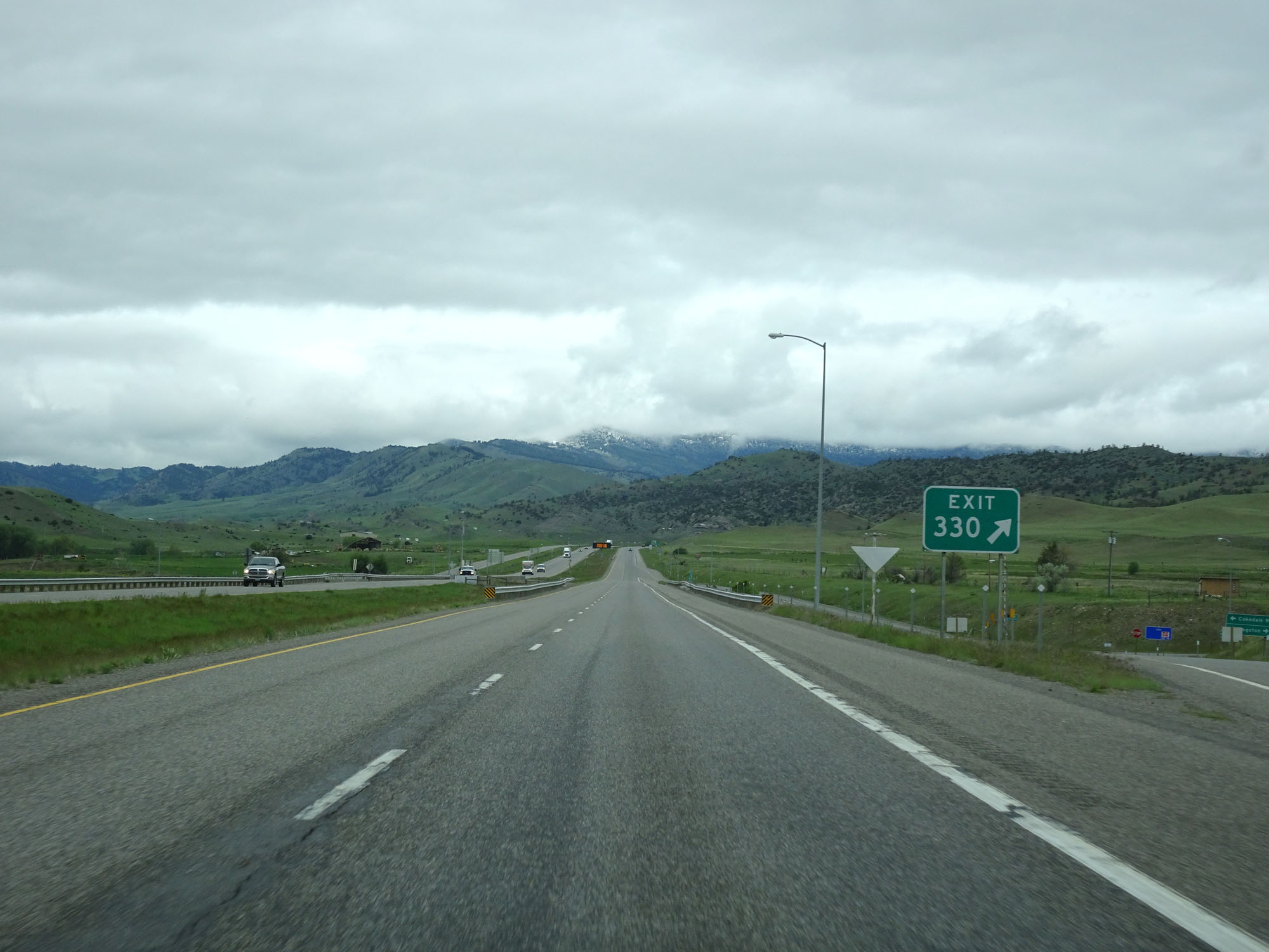 |
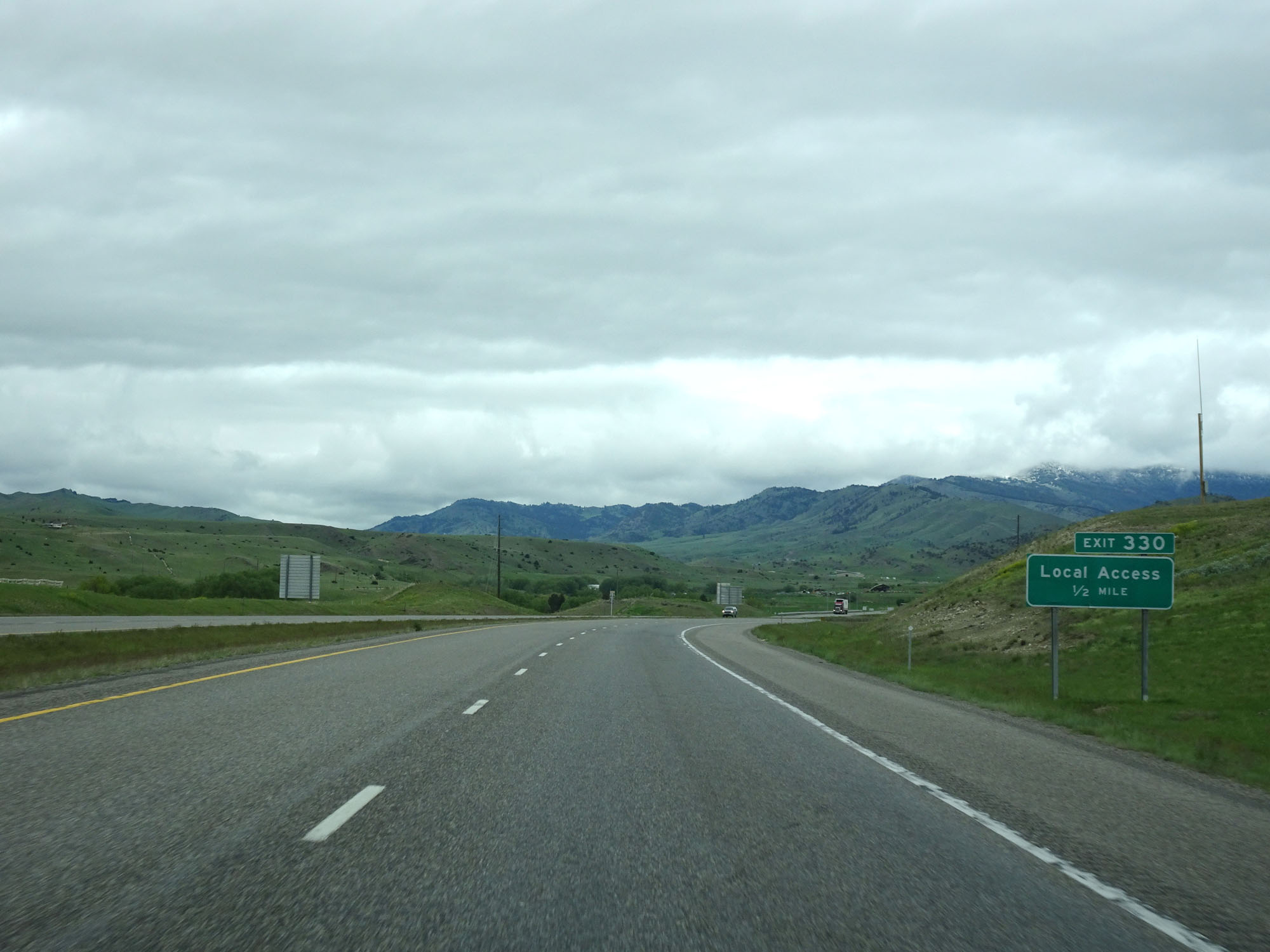
Interstate 90 West at Exit 330: Local Access (Photo taken 5/24/16). |
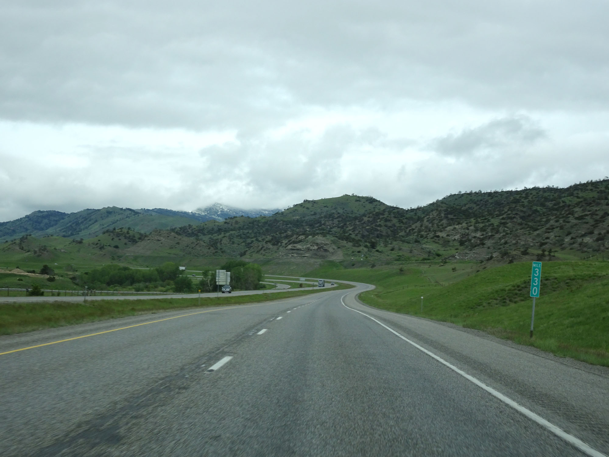 |
Interstate 90 West at mile marker 330. (Photo taken 5/24/16). |
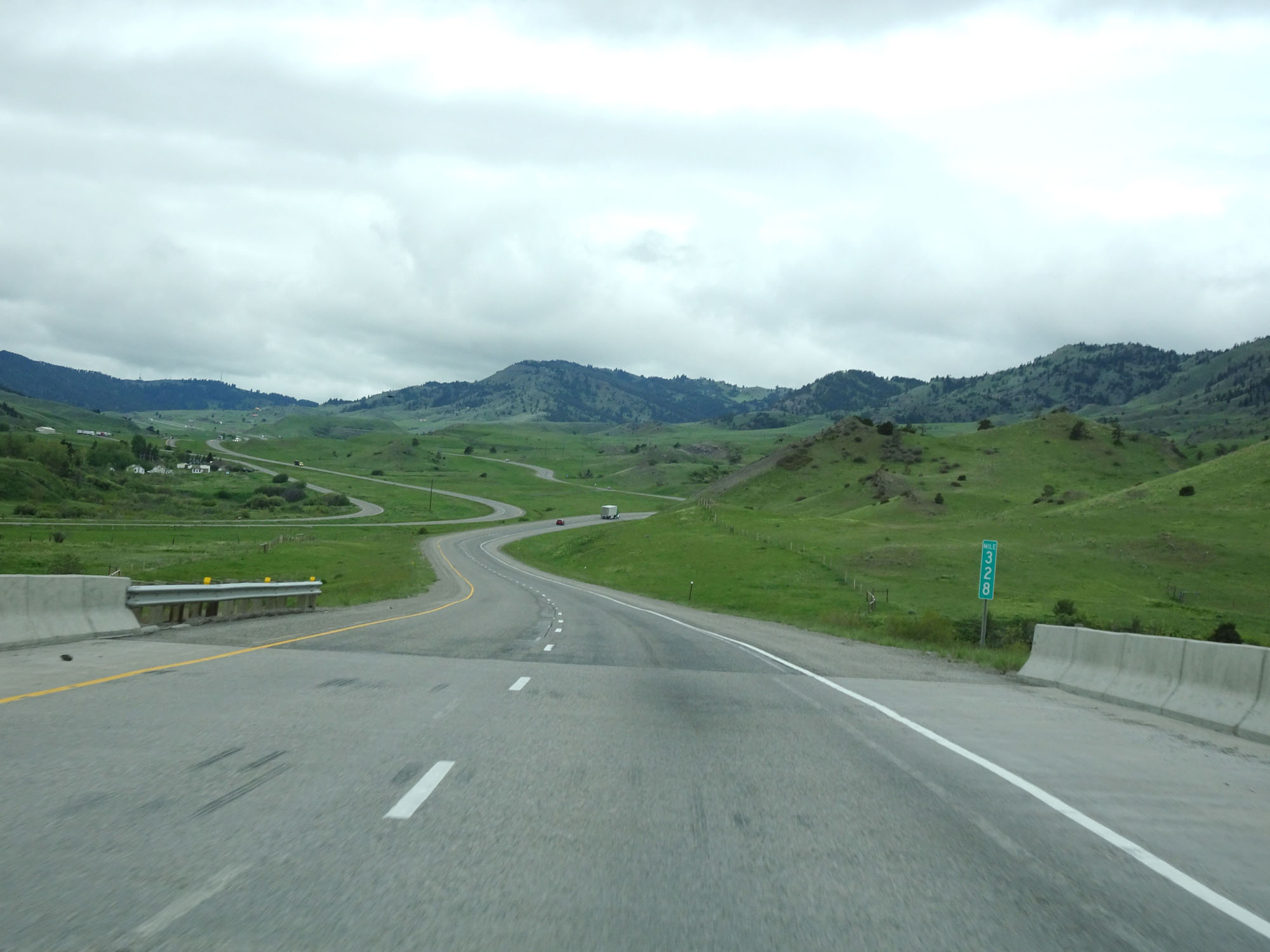 |
Interstate 90 West at mile marker 328. (Photo taken 5/24/16). |
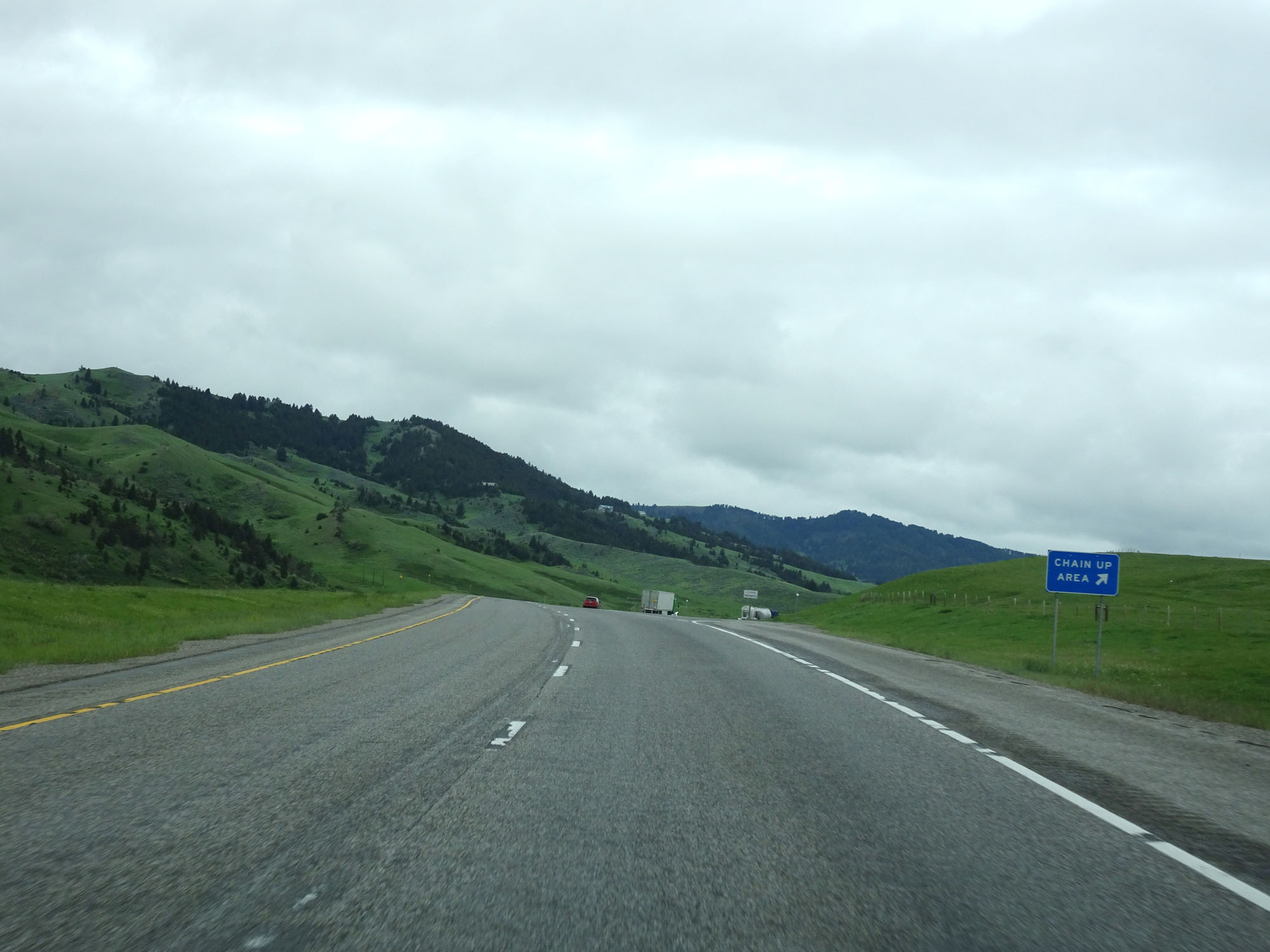 |
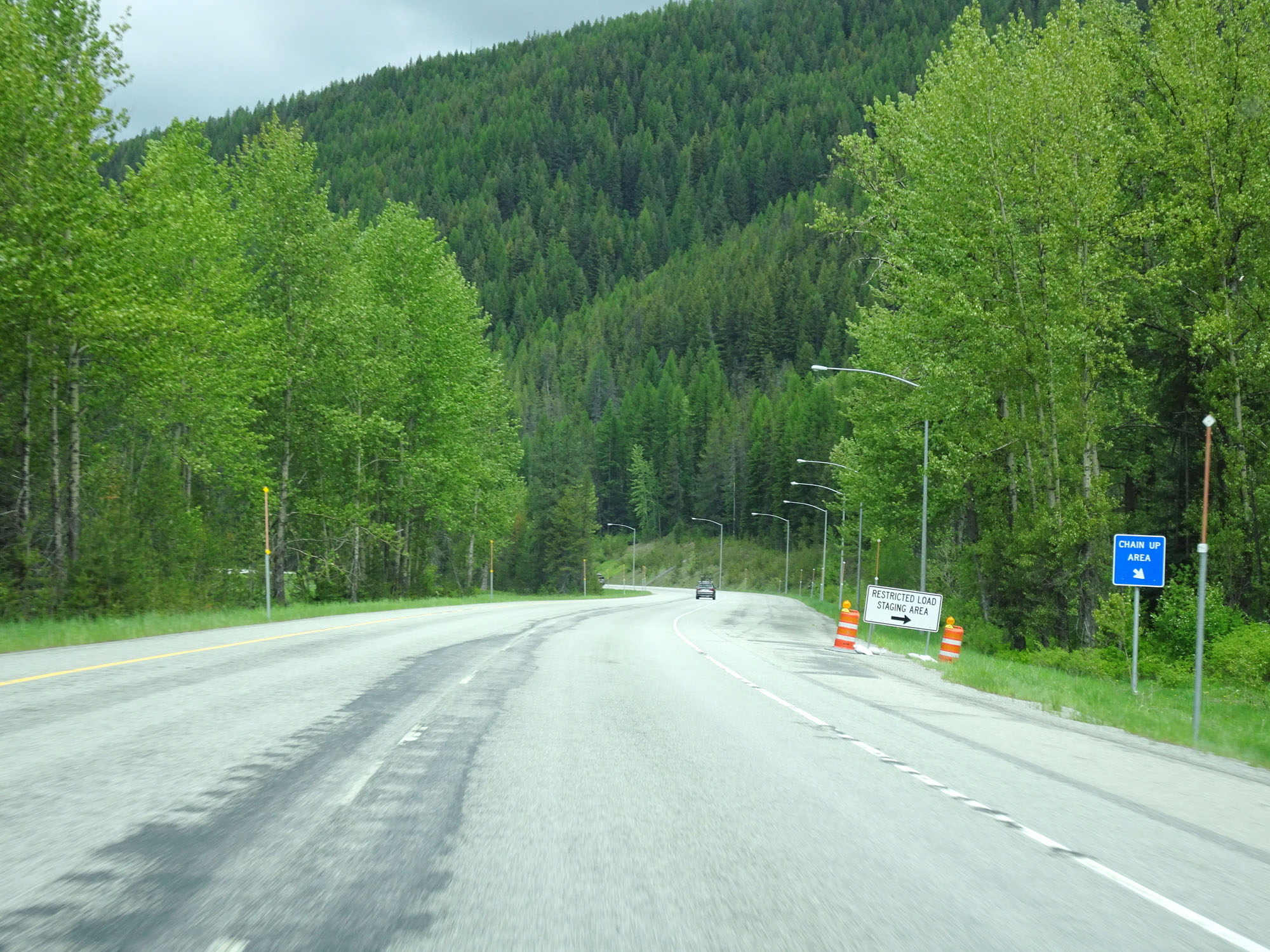
Interstate 90 West at a Chain Up Area near mile marker 327. (Photo taken 5/24/16). |
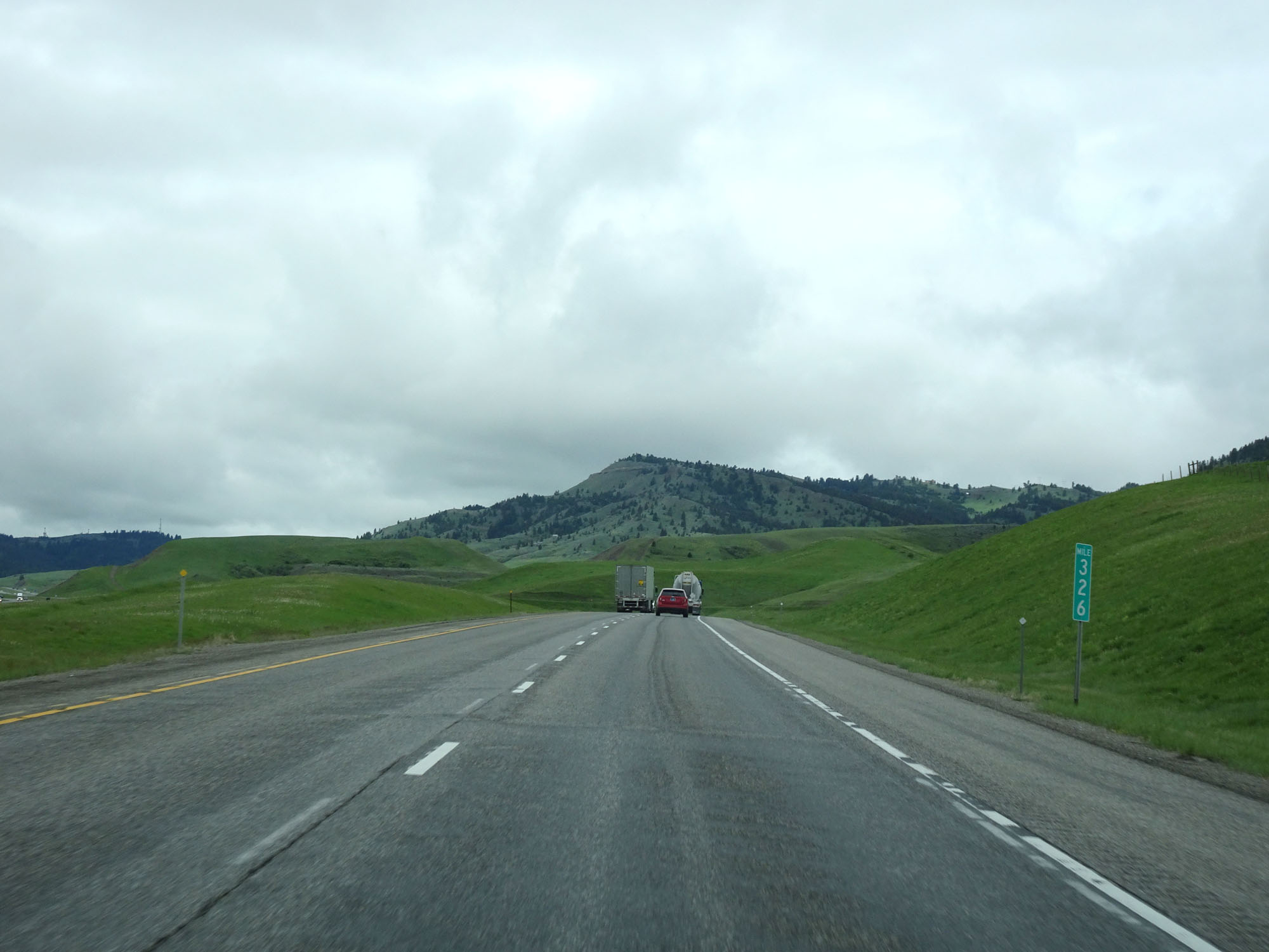 |
Interstate 90 West at mile marker 326. (Photo taken 5/24/16). |
 |
Interstate 90 West approaching Exit 324 - 1/2 mile. (Photo taken 5/24/16). |
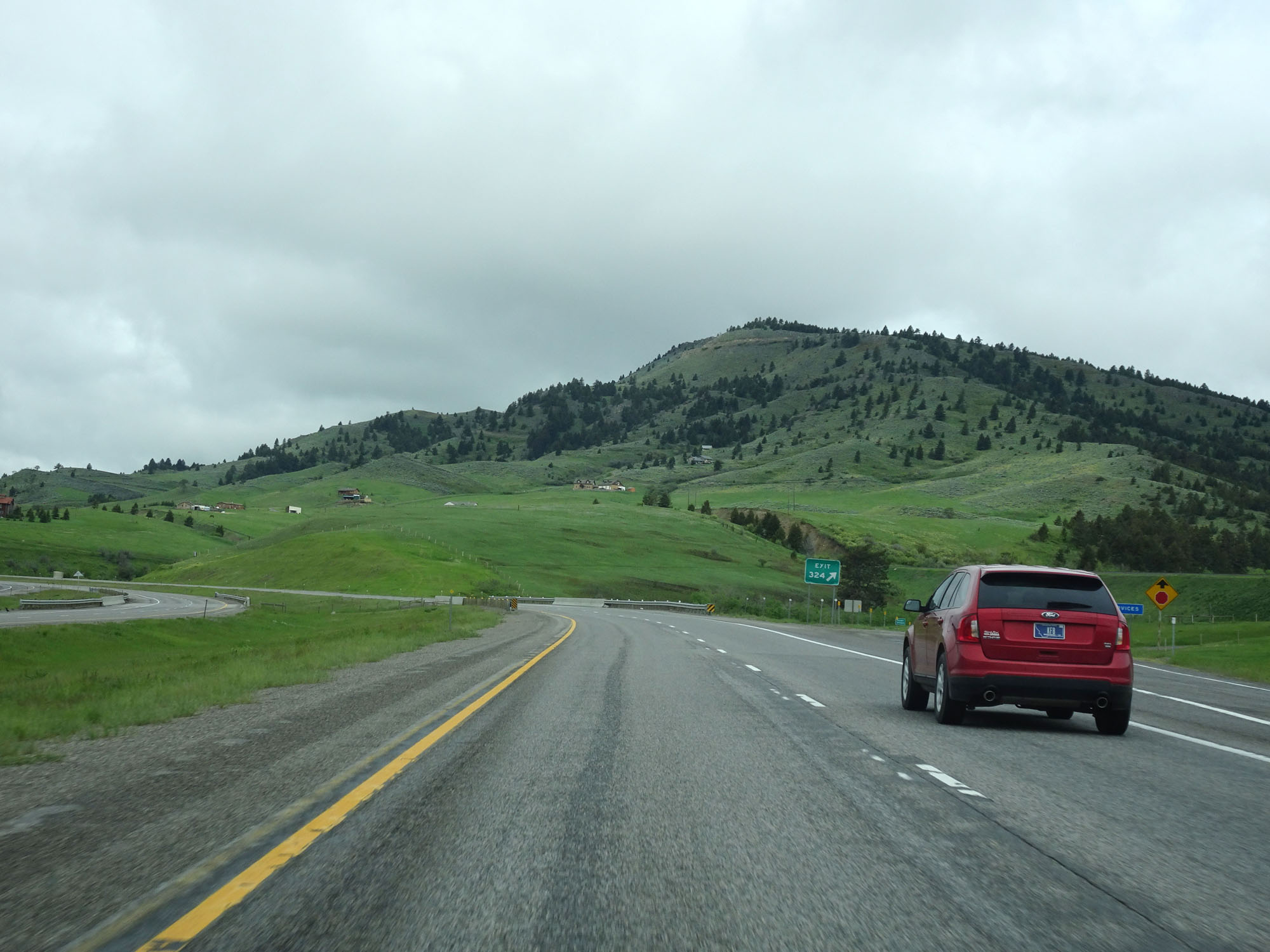 |
Interstate 90 West at Exit 324: Ranch Access (Photo taken 5/24/16). |
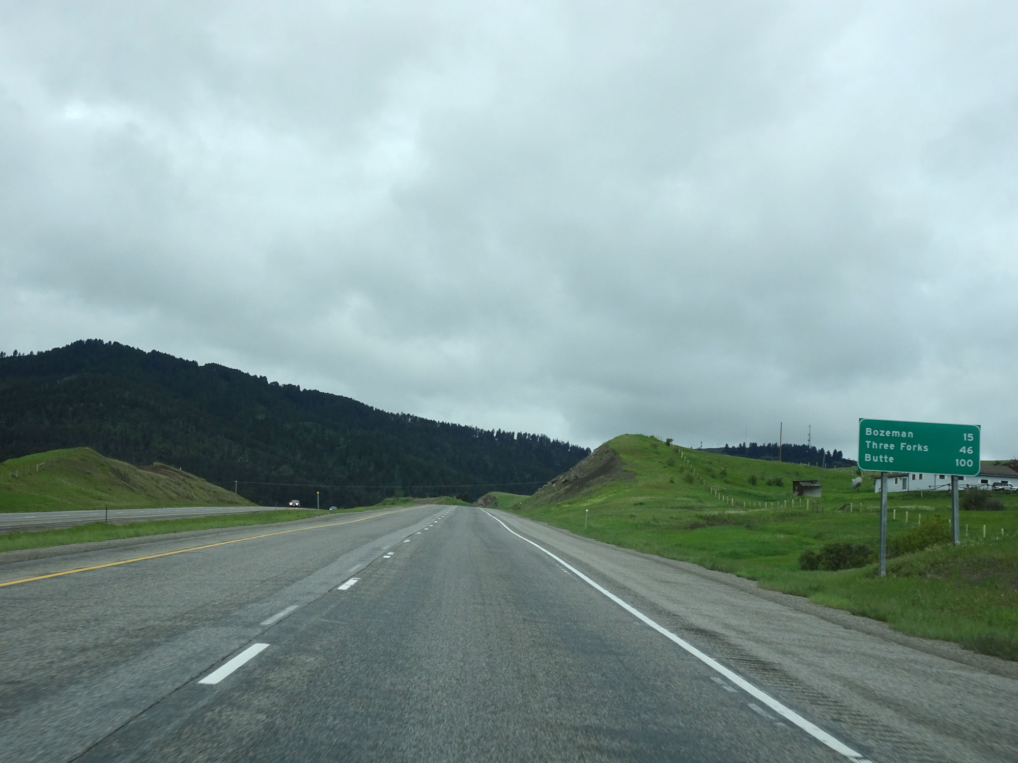 |
Mileage sign on Interstate 90 West. It's 15 miles to Bozeman, 46 miles to Three Forks, and 100 miles to Butte. (Photo taken 5/24/16). |
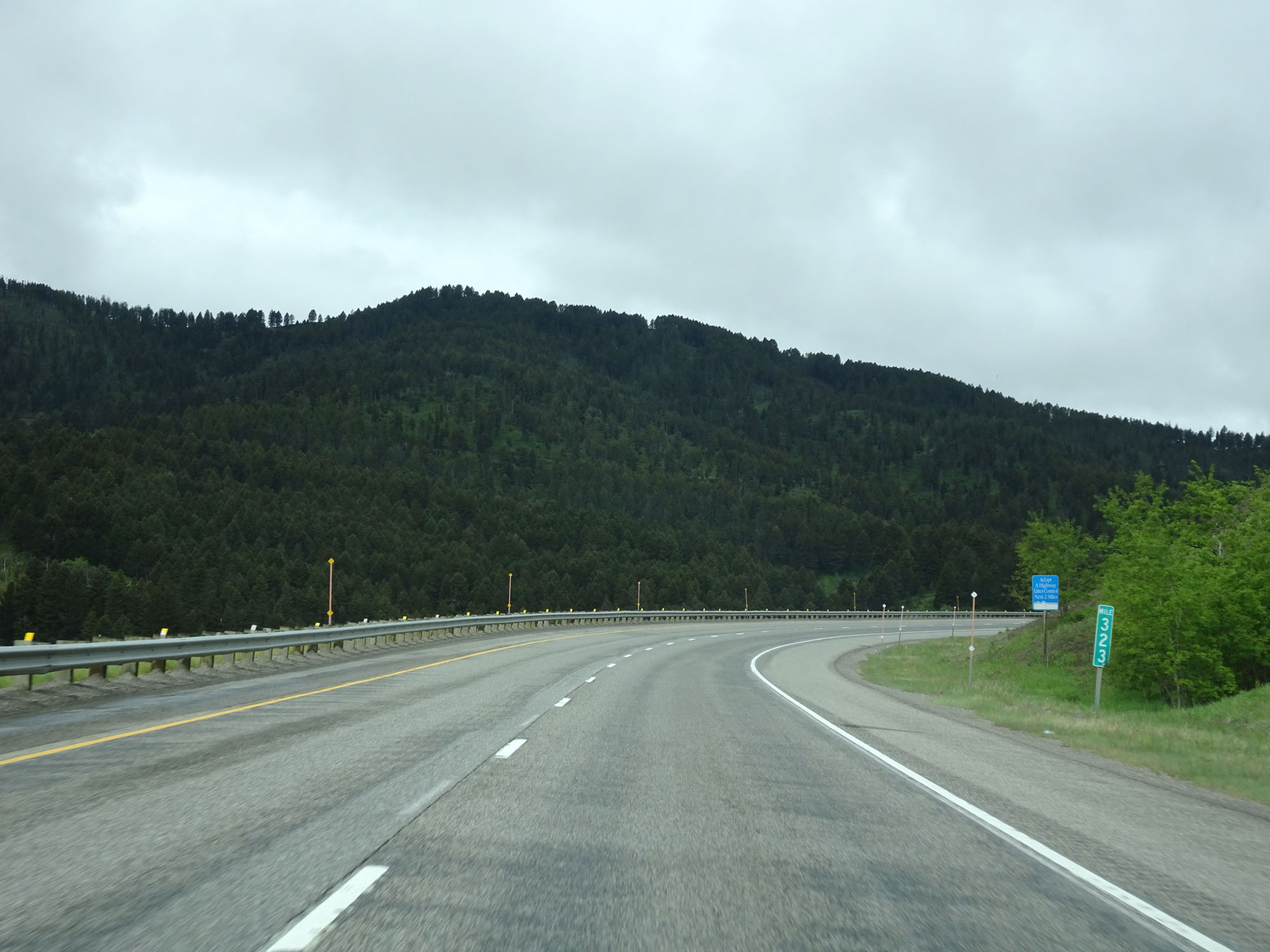 |
Interstate 90 West at mile marker 323. (Photo taken 5/24/16). |
 |
Another Chain Up Area on Interstate 90 West. (Photo taken 5/24/16). |
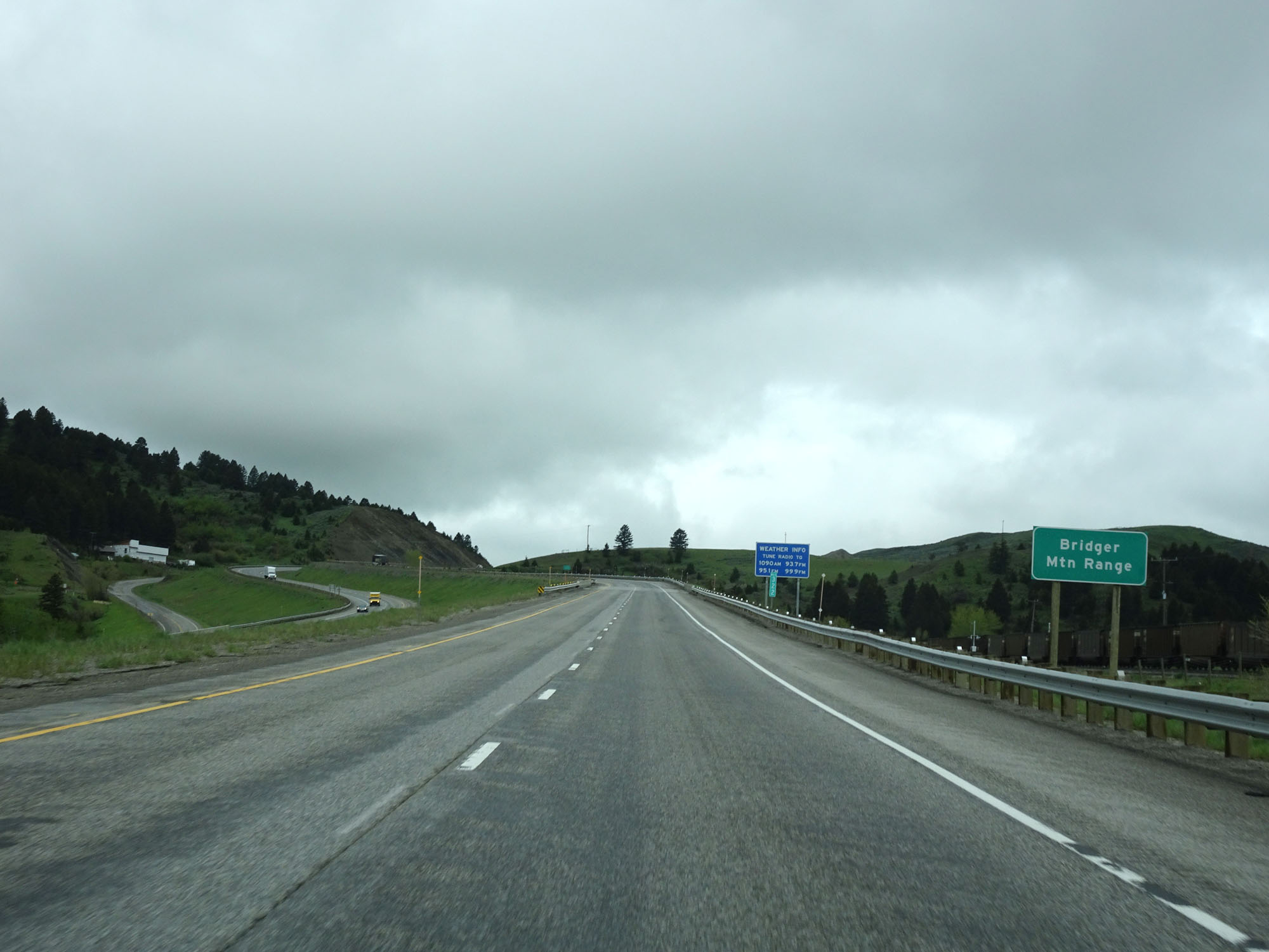 |
Interstate 90 West entering Bridger Mountain Range. (Photo taken 5/24/16). |
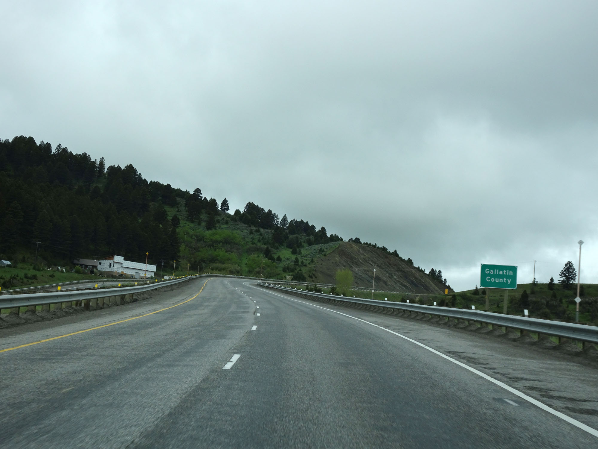 |
Interstate 90 West entering Gallatin County. (Photo taken 5/24/16). |
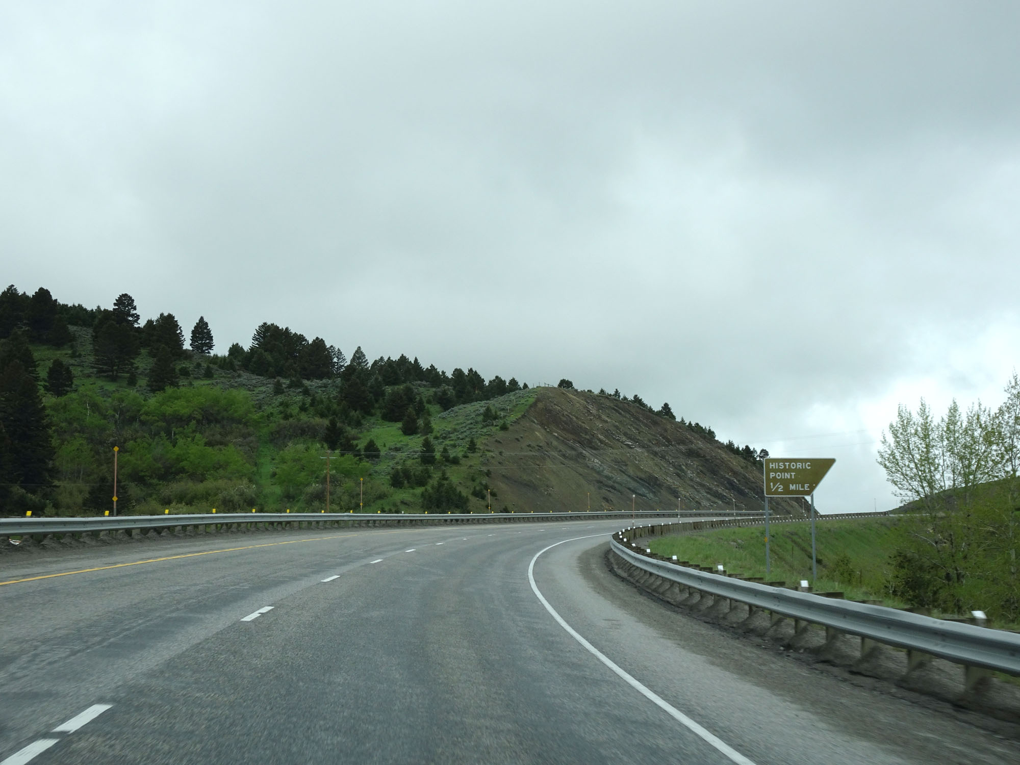 |
Interstate 90 West approaching a Historic Point Turnout in Gallatin County - 1/2 mile. (Photo taken 5/24/16). |
 |
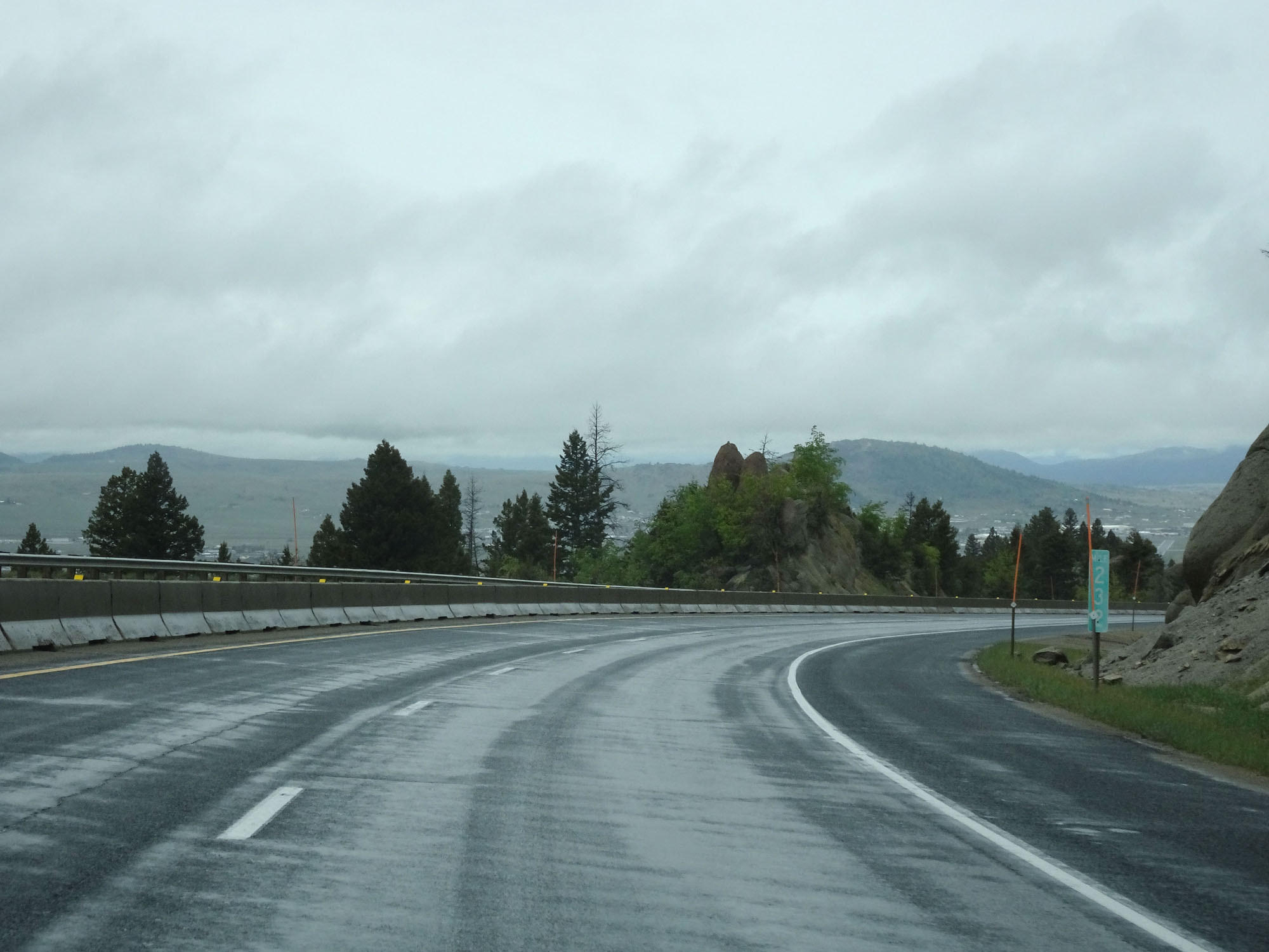
Historic Point Turnout on Interstate 90 West in Gallatin County. (Photo taken 5/24/16). |
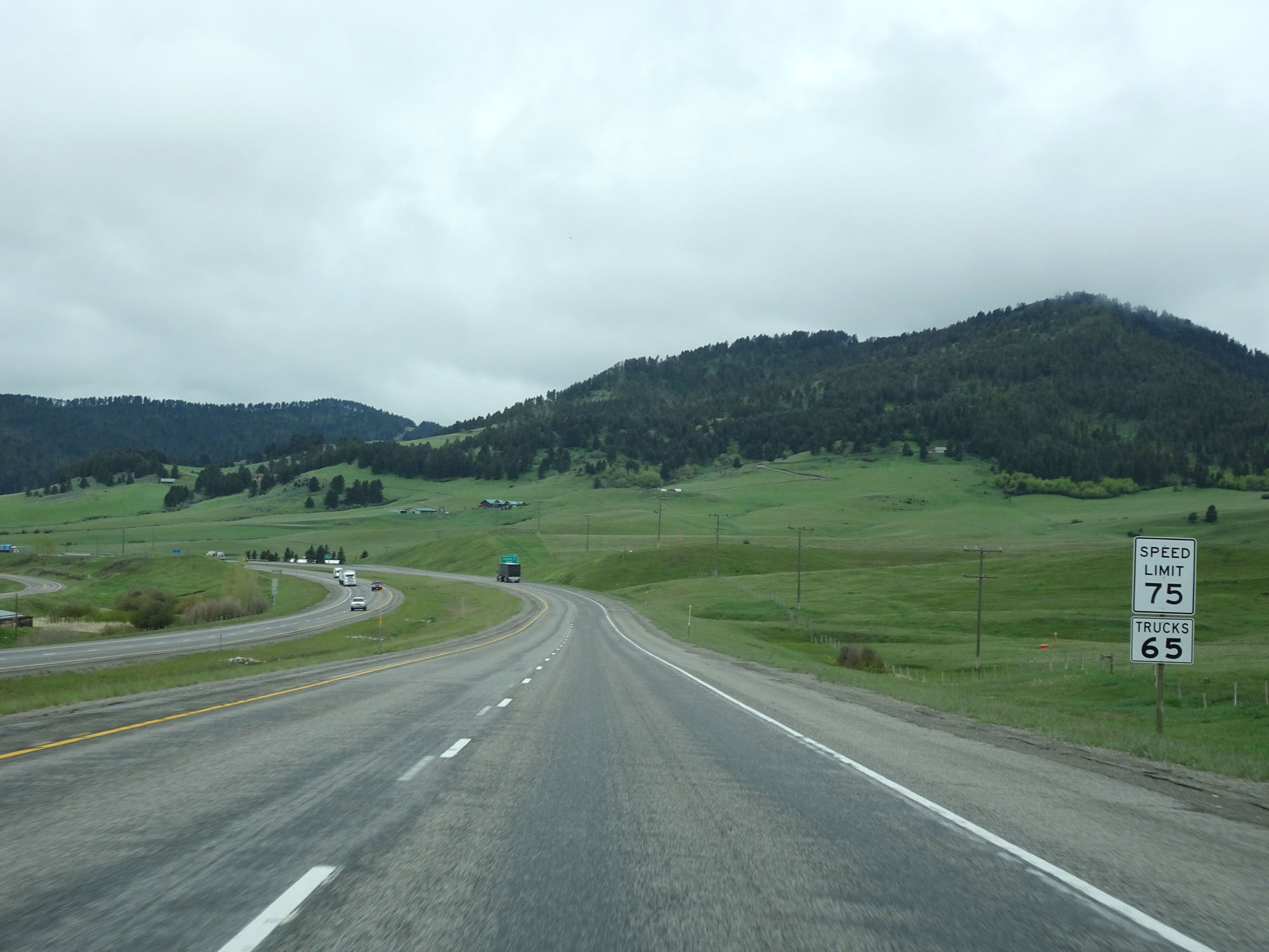 |
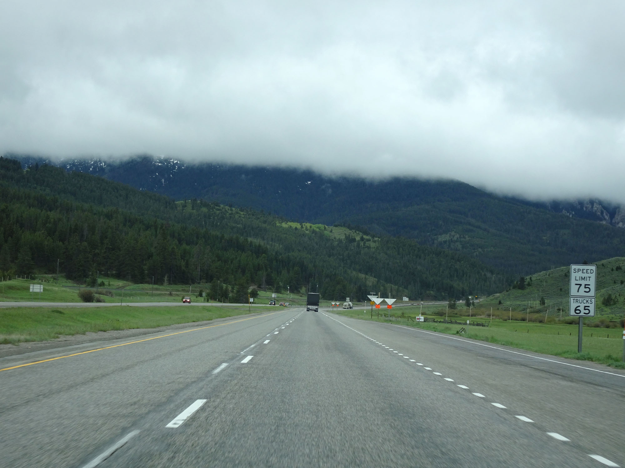
Entering the Bridger Mountain Range, the speed limit decreases to 75 mph for cars. It remains 65 mph for trucks. (Photo taken 5/24/16). |
 |
Interstate 90 West at Exit 319: Jackson Creek Road (Photo taken 5/24/16). |
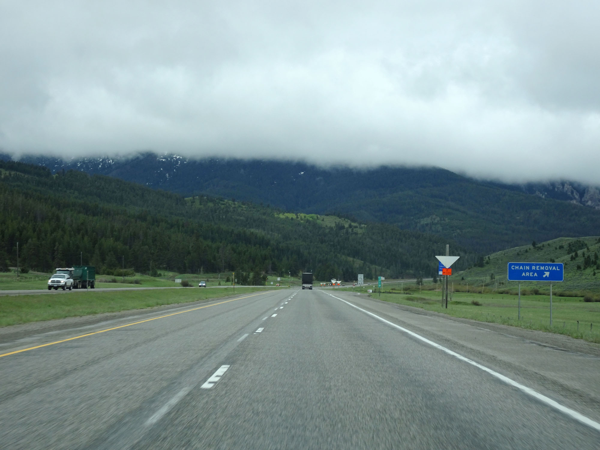 |
Interstate 90 West at a Chain Removal Area in Gallatin County. (Photo taken 5/24/16). |
 |
View on Interstate 90 West. (Photo taken 5/24/16). |
 |
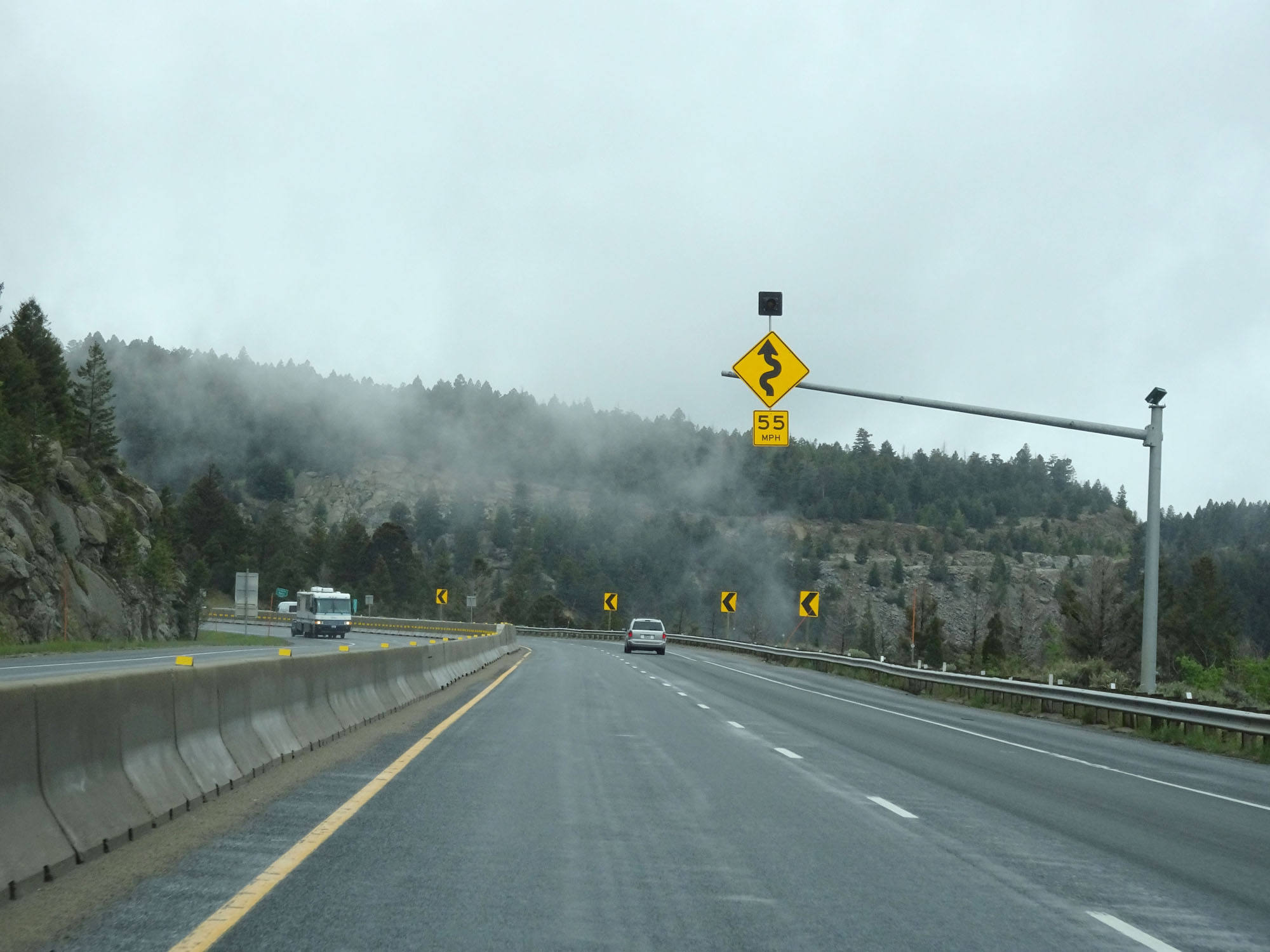
At mile marker 318, this overhead warning sign alerts motorists of winding curves ahead. (Photo taken 5/24/16). |
 |
View on Interstate 90 West. (Photo taken 5/24/16). |
 |
Interstate 90 West approaching Exit 316 - 1/2 mile. (Photo taken 5/24/16). |
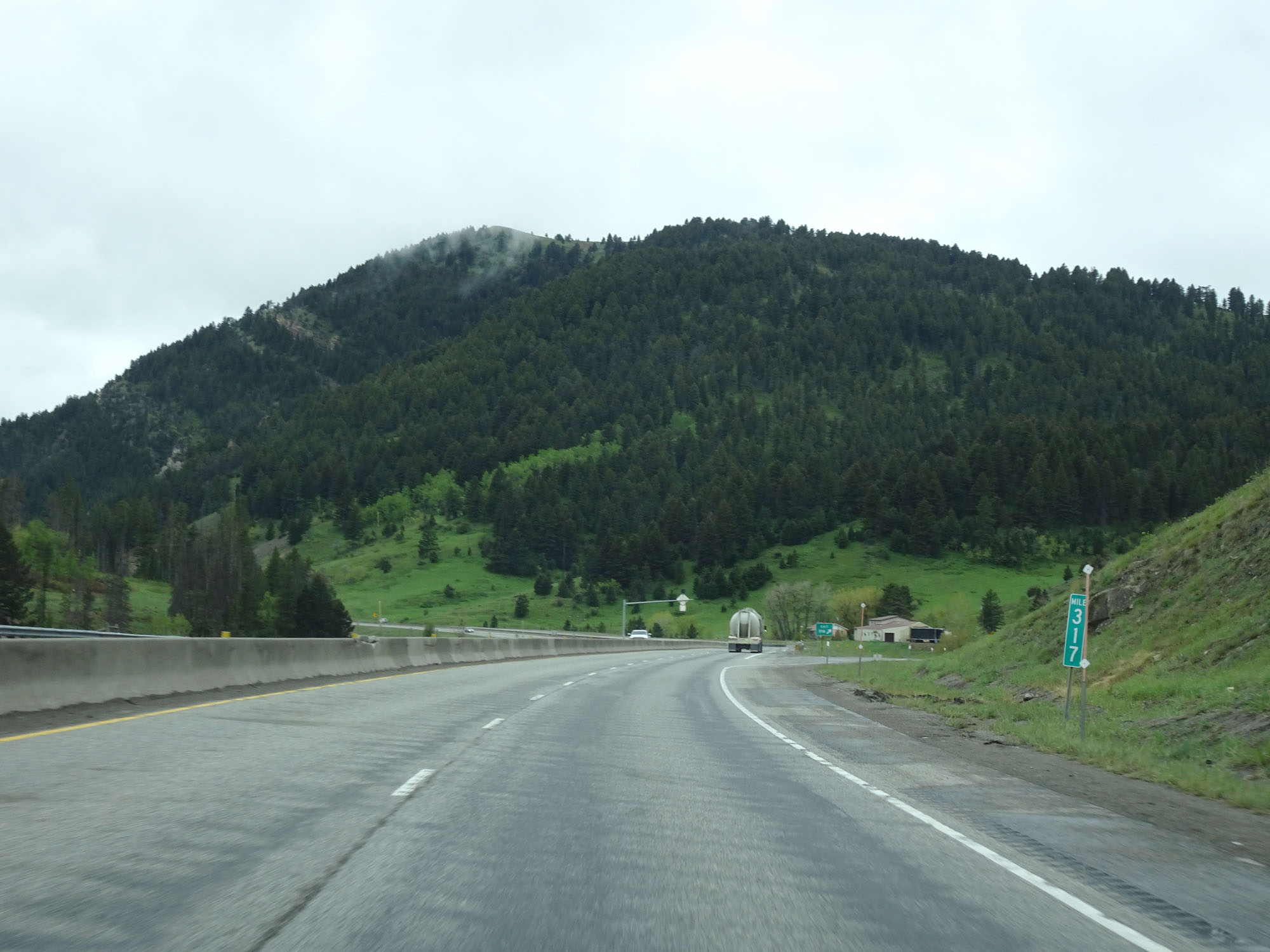 |
Interstate 90 West at mile marker 317. (Photo taken 5/24/16). |
 |
Interstate 90 West at Exit 316: Trail Creek Road (Photo taken 5/24/16). |
 |
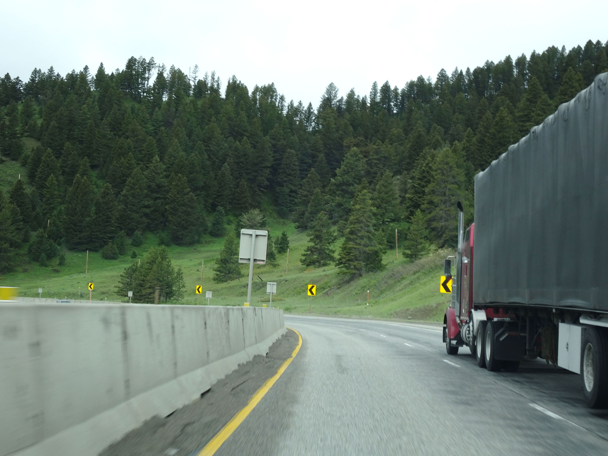
Watch for rocks that have fallen onto the roadway. (Photo taken 5/24/16). |
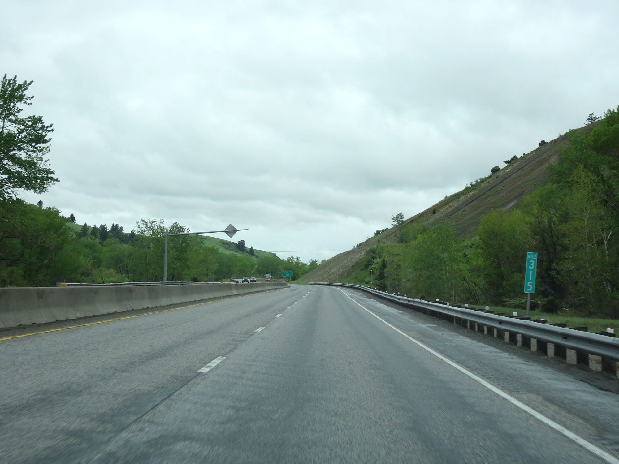 |
Interstate 90 West at mile marker 315. (Photo taken 5/24/16). |
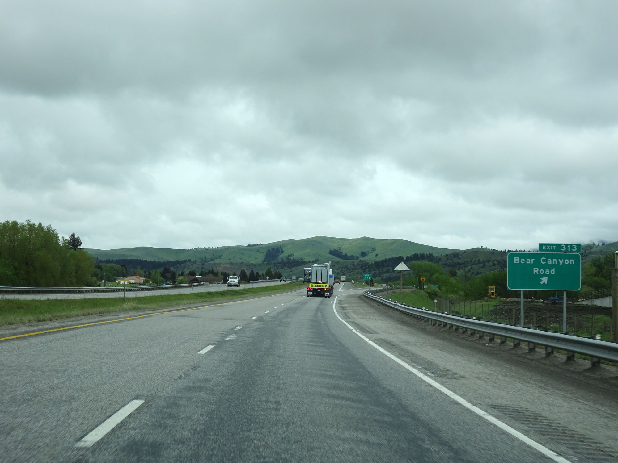 |
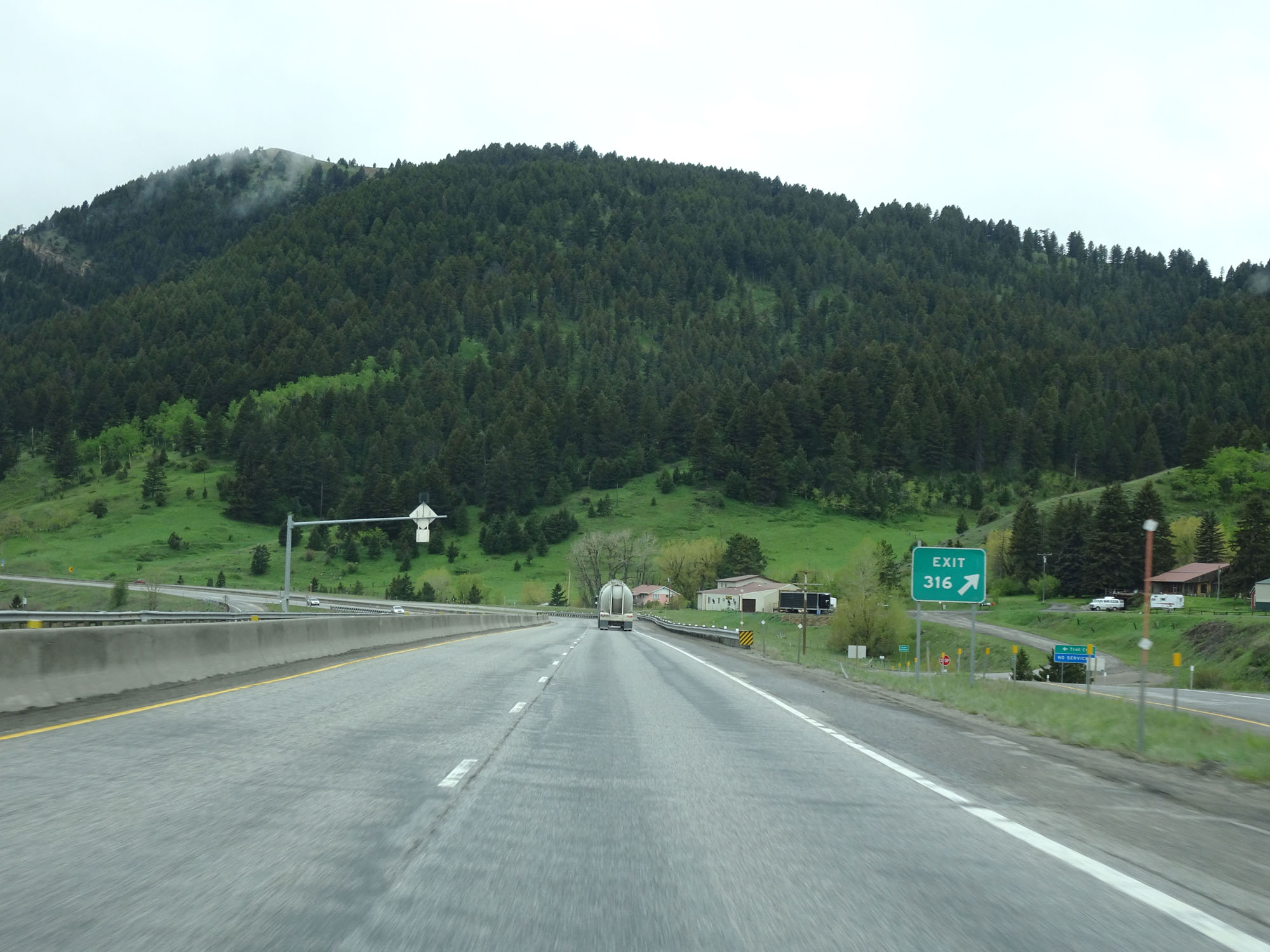
Interstate 90 West at Exit 313: Bear Canyon Road (Photo taken 5/24/16). |
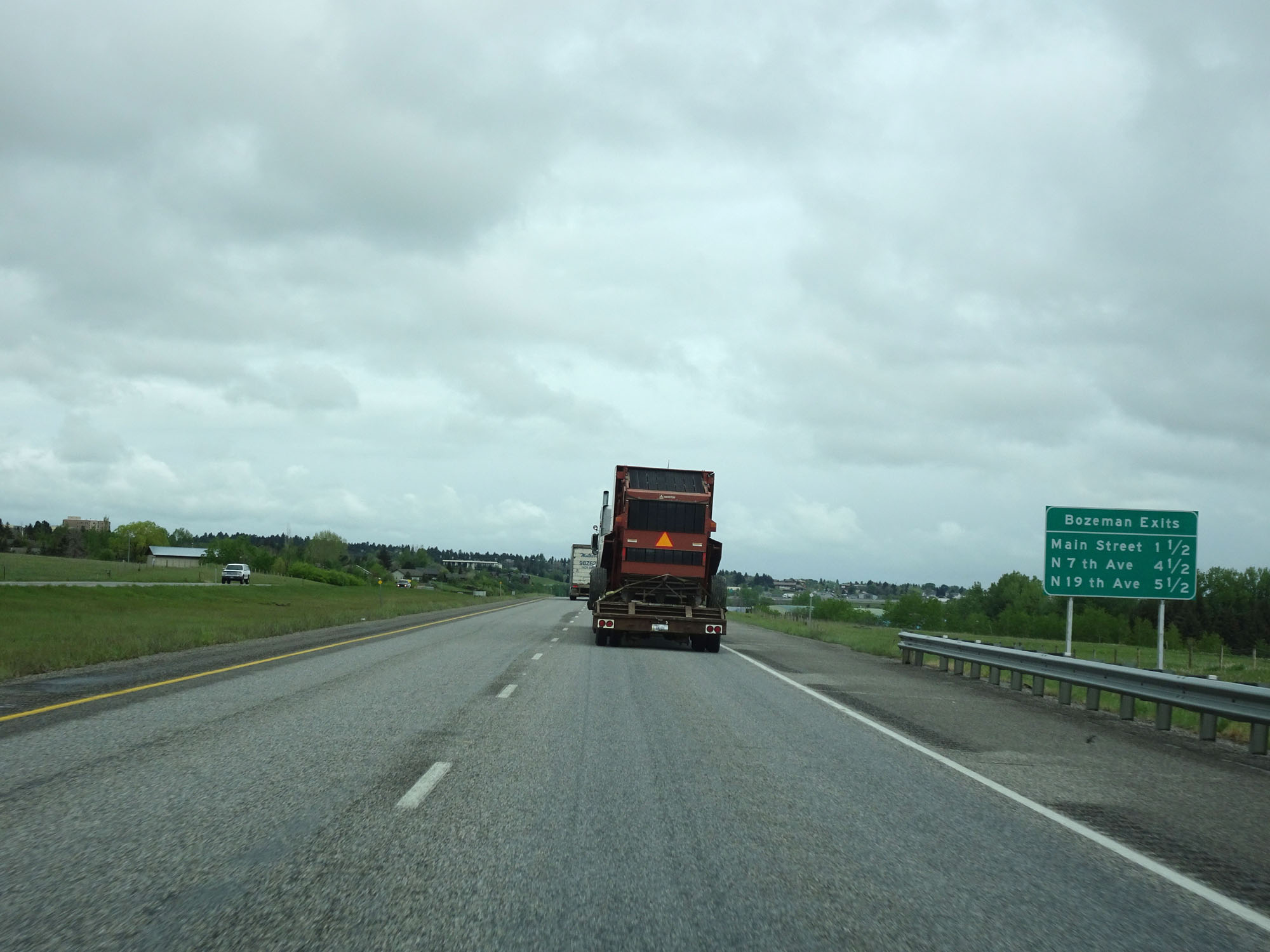 |
Sign listing the distances to the three upcoming exits to Bozeman. (Photo taken 5/24/16). |
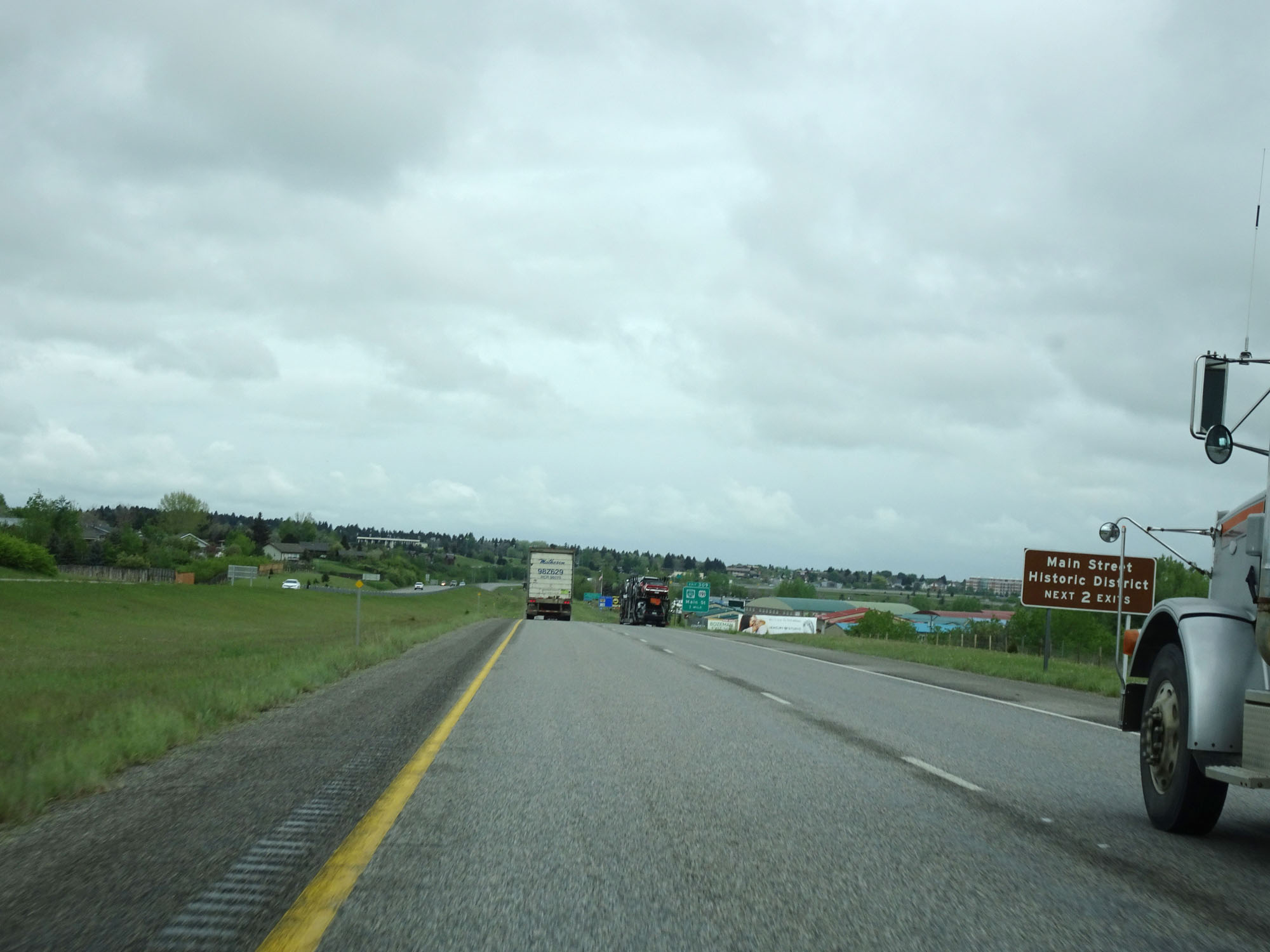 |
Take either of the next 2 exits to the Main Street Historic District. (Photo taken 5/24/16). |
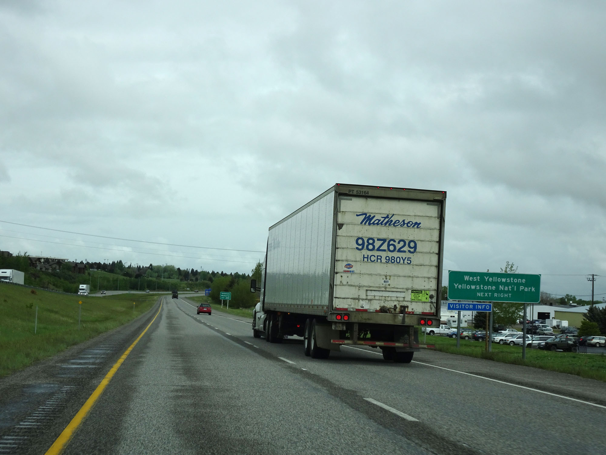 |
Take Exit 309 to West Yellowstone and Yellowstone National Park. (Photo taken 5/24/16). |
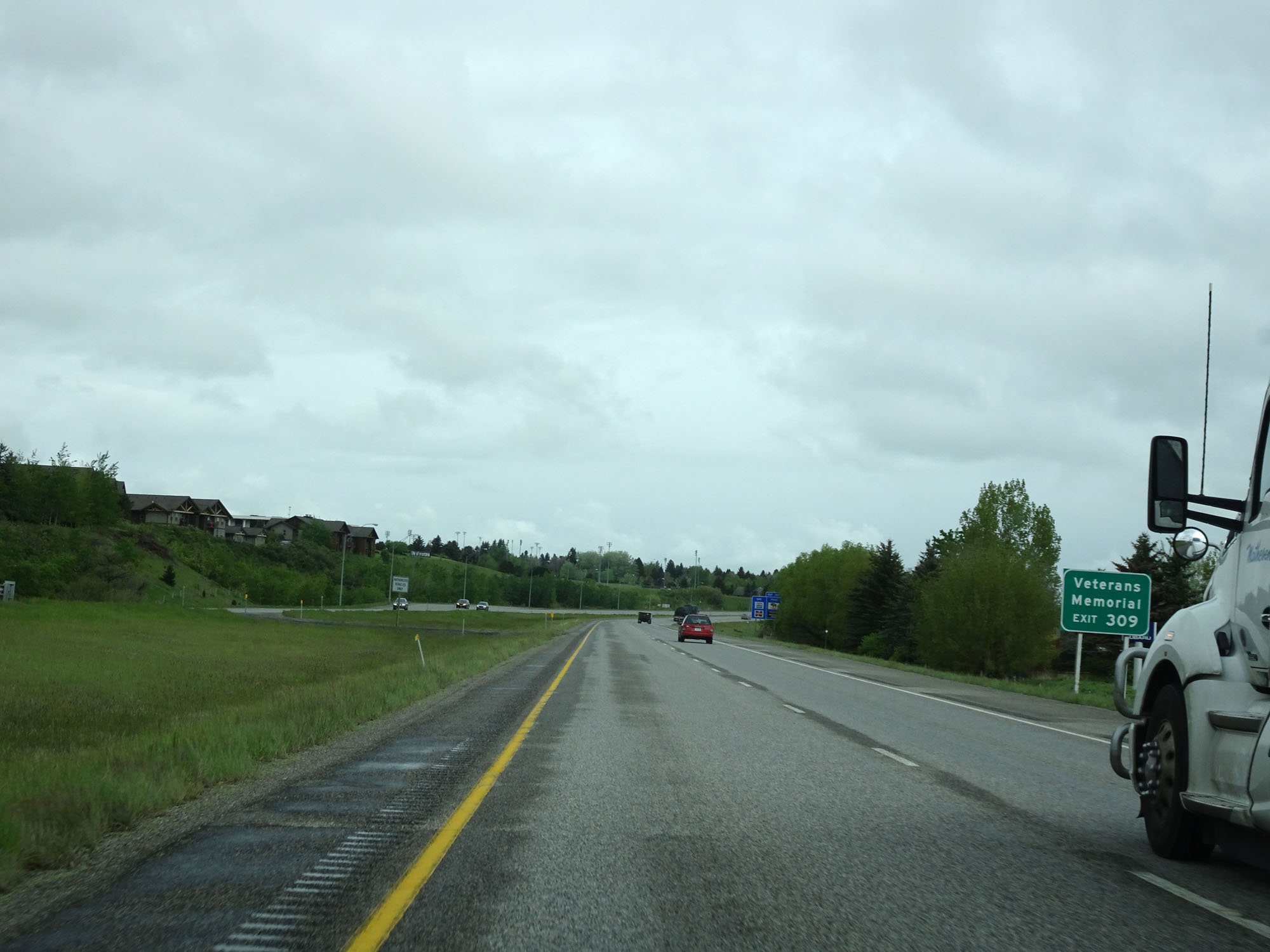 |
Also take Exit 309 to the Veterans Memorial. (Photo taken 5/24/16). |
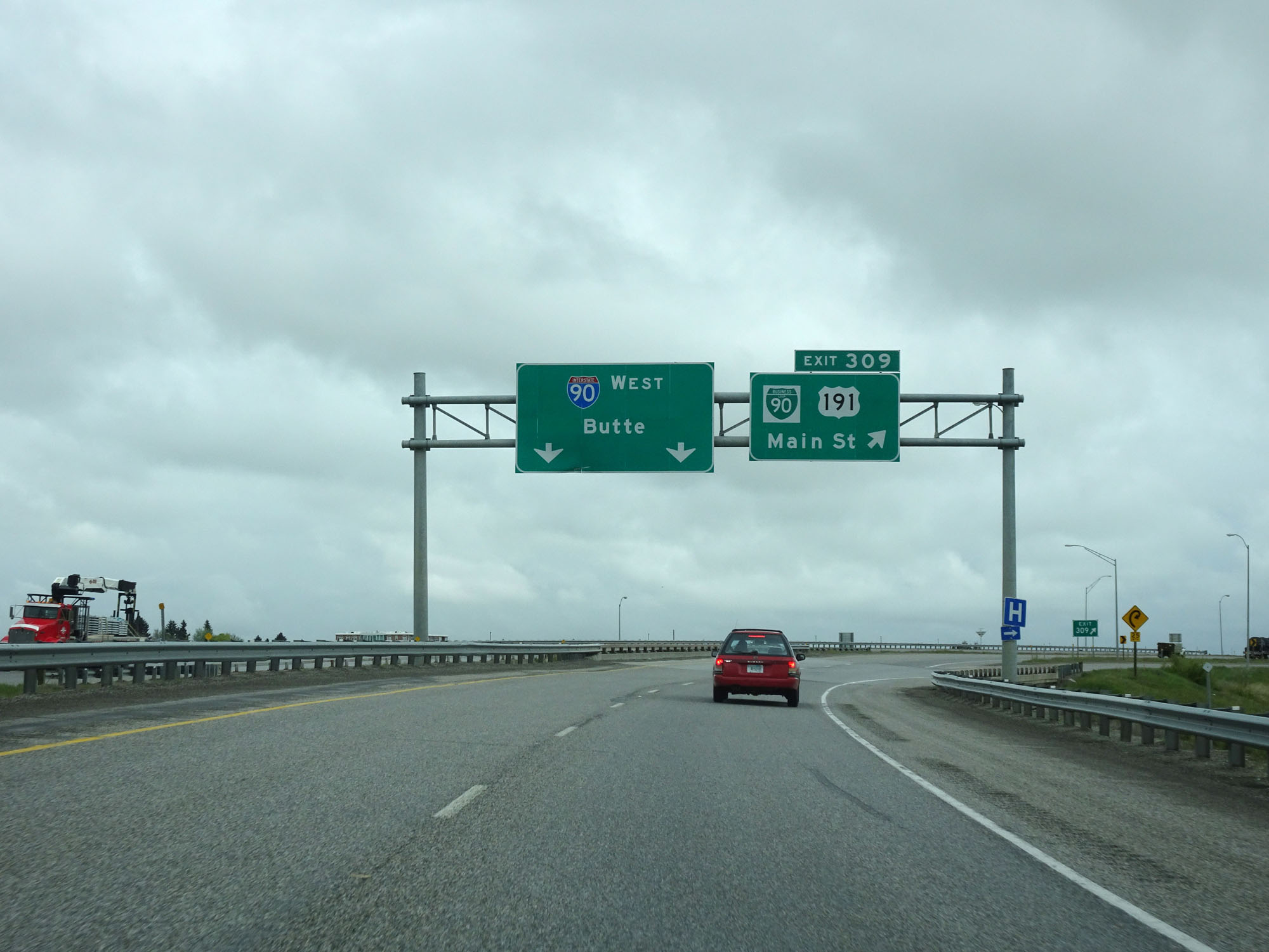 |
Interstate 90 West at Exit 309: Interstate 90 Business Loop - Main St (Photo taken 5/24/16). |
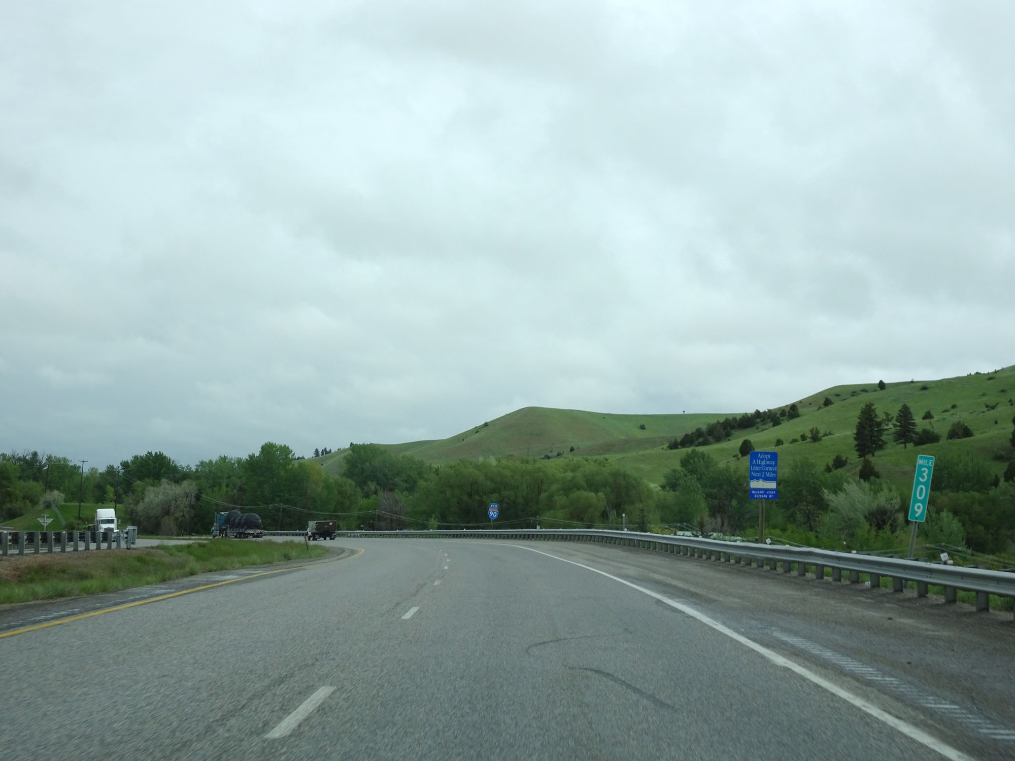 |
Interstate 90 West at mile marker 309. (Photo taken 5/24/16). |
 |
Interstate 90 West at Exit 306: S-205 - N 7th Ave (Photo taken 5/24/16). |
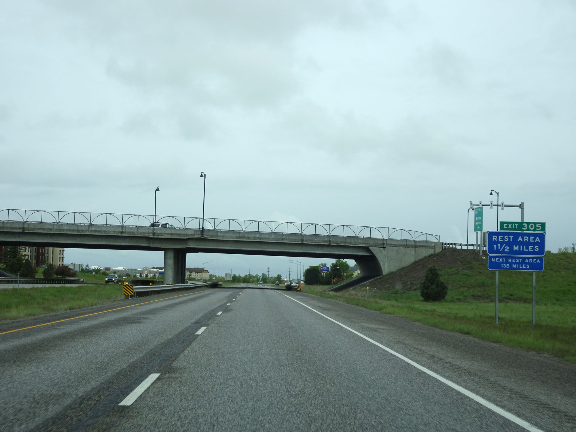 |
There is a Rest Area available off Exit 305 ahead. Beyond this, the next Rest Area is 138 miles ahead. (Photo taken 5/24/16). |
 |
Interstate 90 West approaching Exit 305 - 1 mile. (Photo taken 5/24/16). |
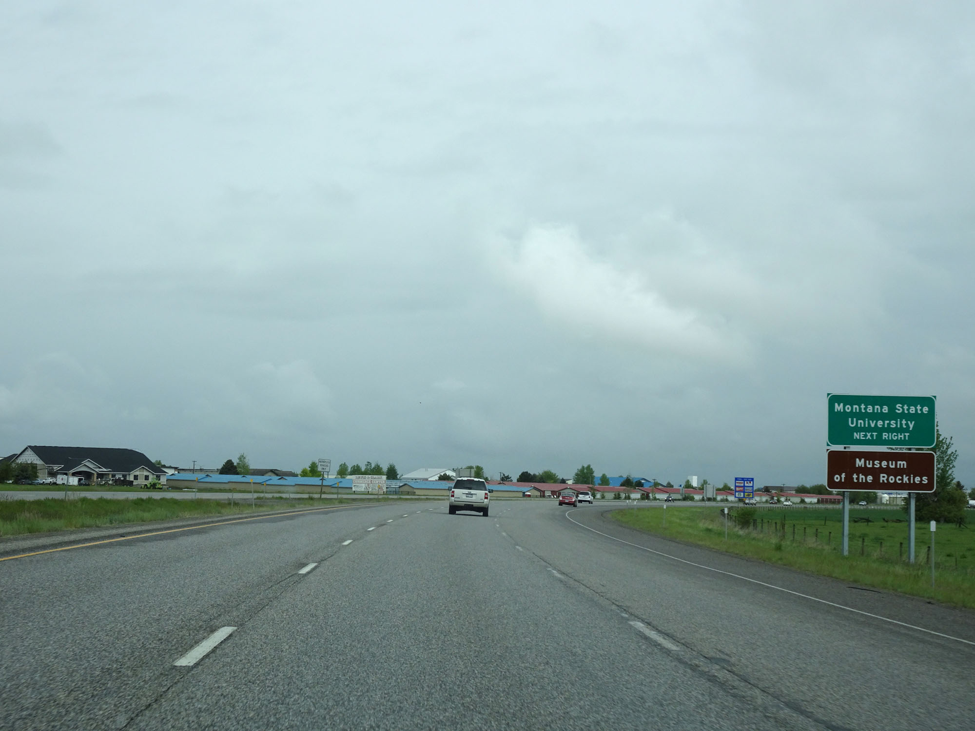 |
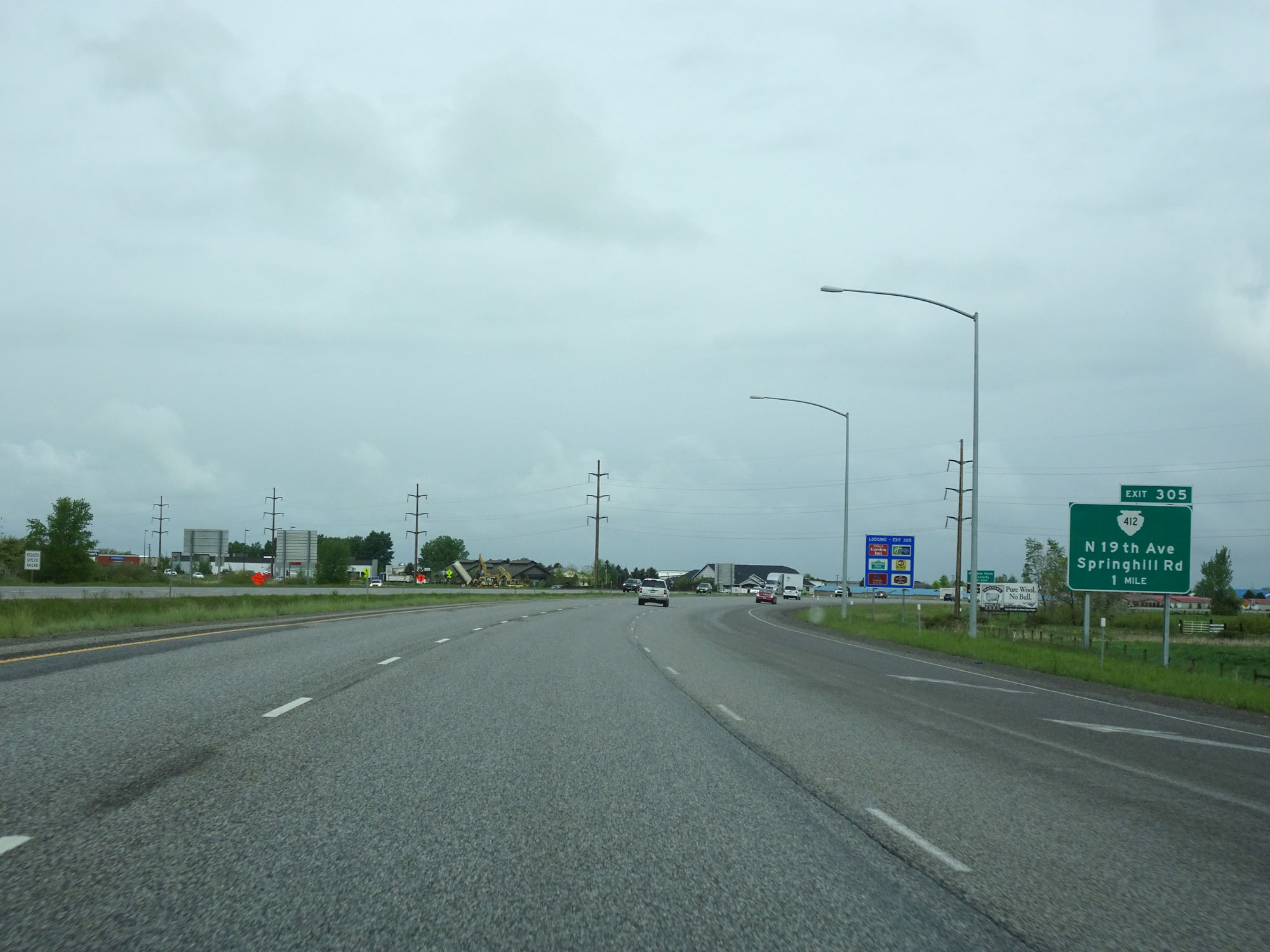
Take Exit 305 to Montana State University and Museum of the Rockies. (Photo taken 5/24/16). |
 |
Interstate 90 West at Exit 305: S-412 - N 19th Ave / Springhill Rd (Photo taken 5/24/16). |
Section 5: Bozeman (Exit 305) to Butte (Exit 227)
 |
The speed limits remains 75 mph for cars and 65 mph for trucks through Bozeman. (Photo taken 5/24/16). |
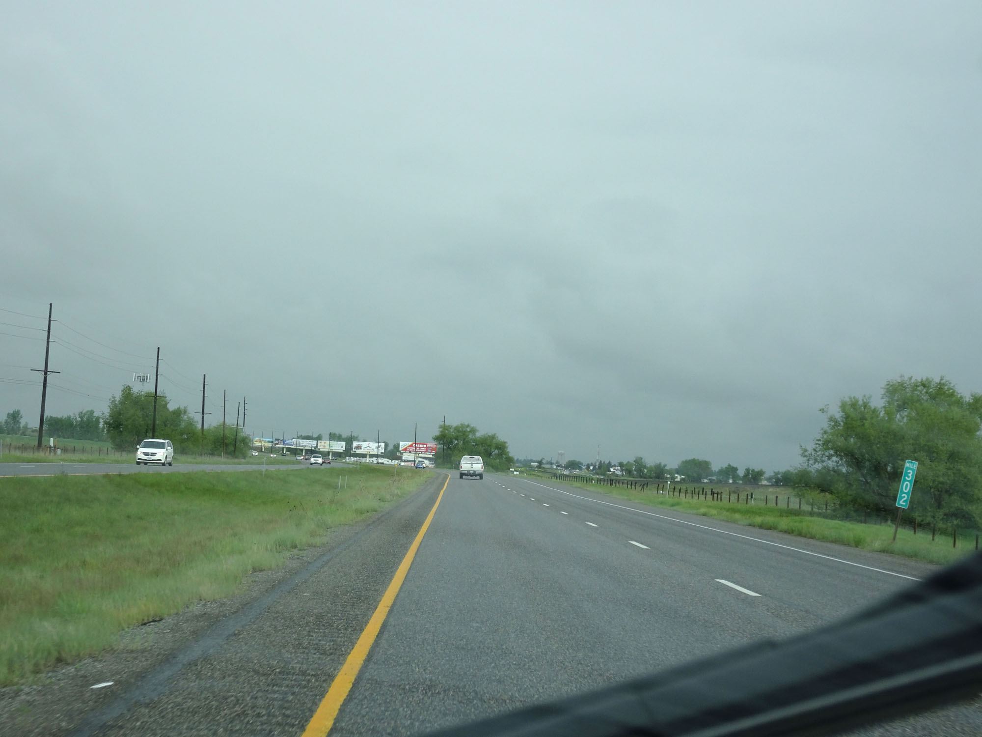 |
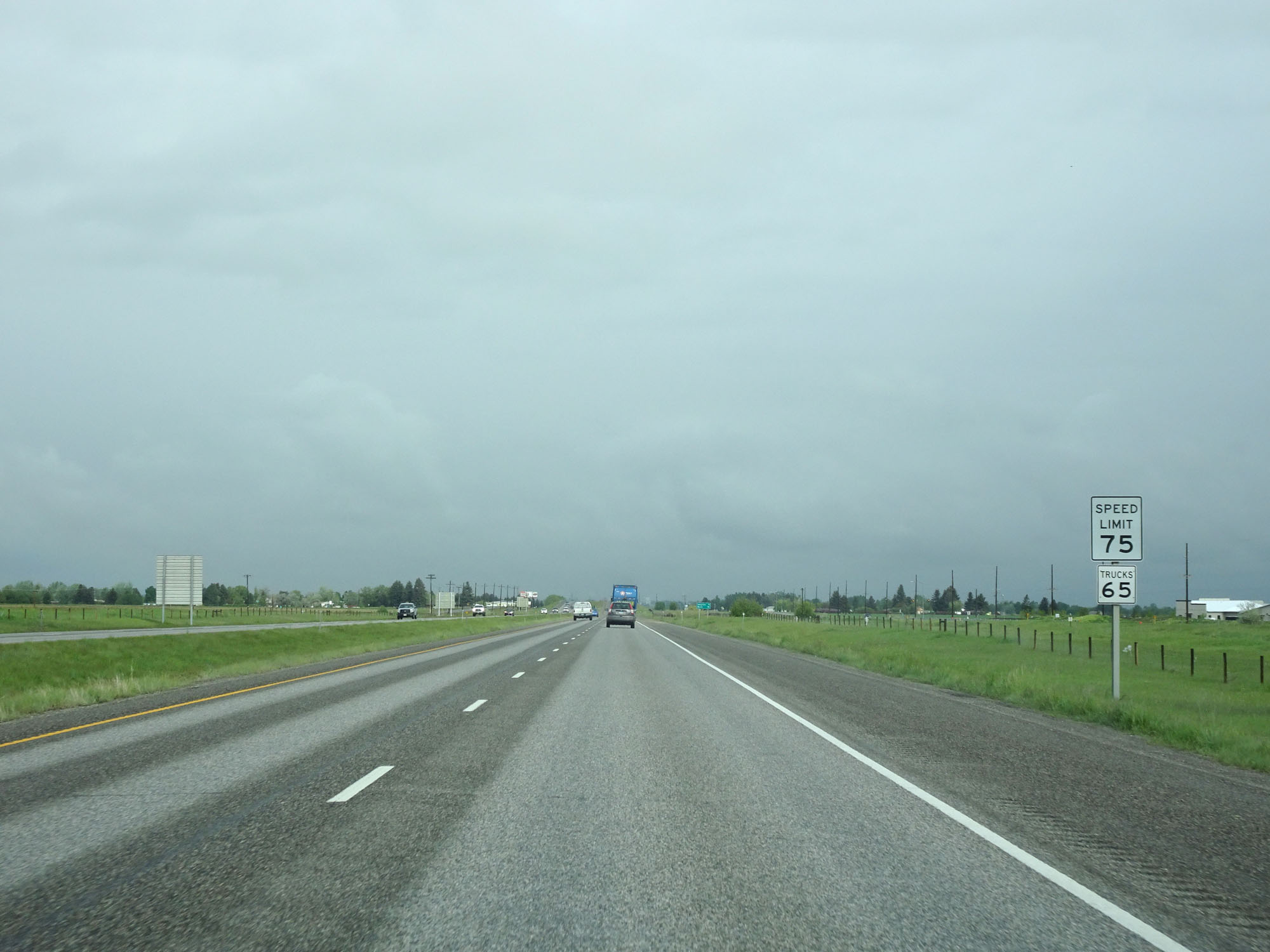
Interstate 90 West at mile marker 302. (Photo taken 5/24/16). |
 |
Take either of the next 2 exits to Belgrade. (Photo taken 5/24/16). |
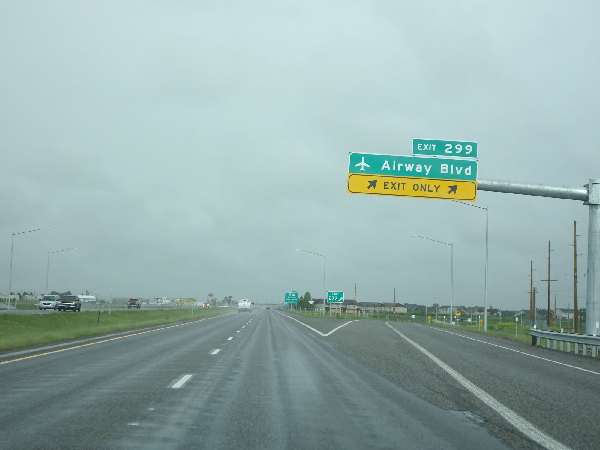 |
Interstate 90 West at Exit 299: Airway Blvd (Photo taken 5/24/16). |
 |
Interstate 90 West at Exit 298: S-291 / MT 85 - Belgrade / Amsterdam (Photo taken 5/24/16). |
 |
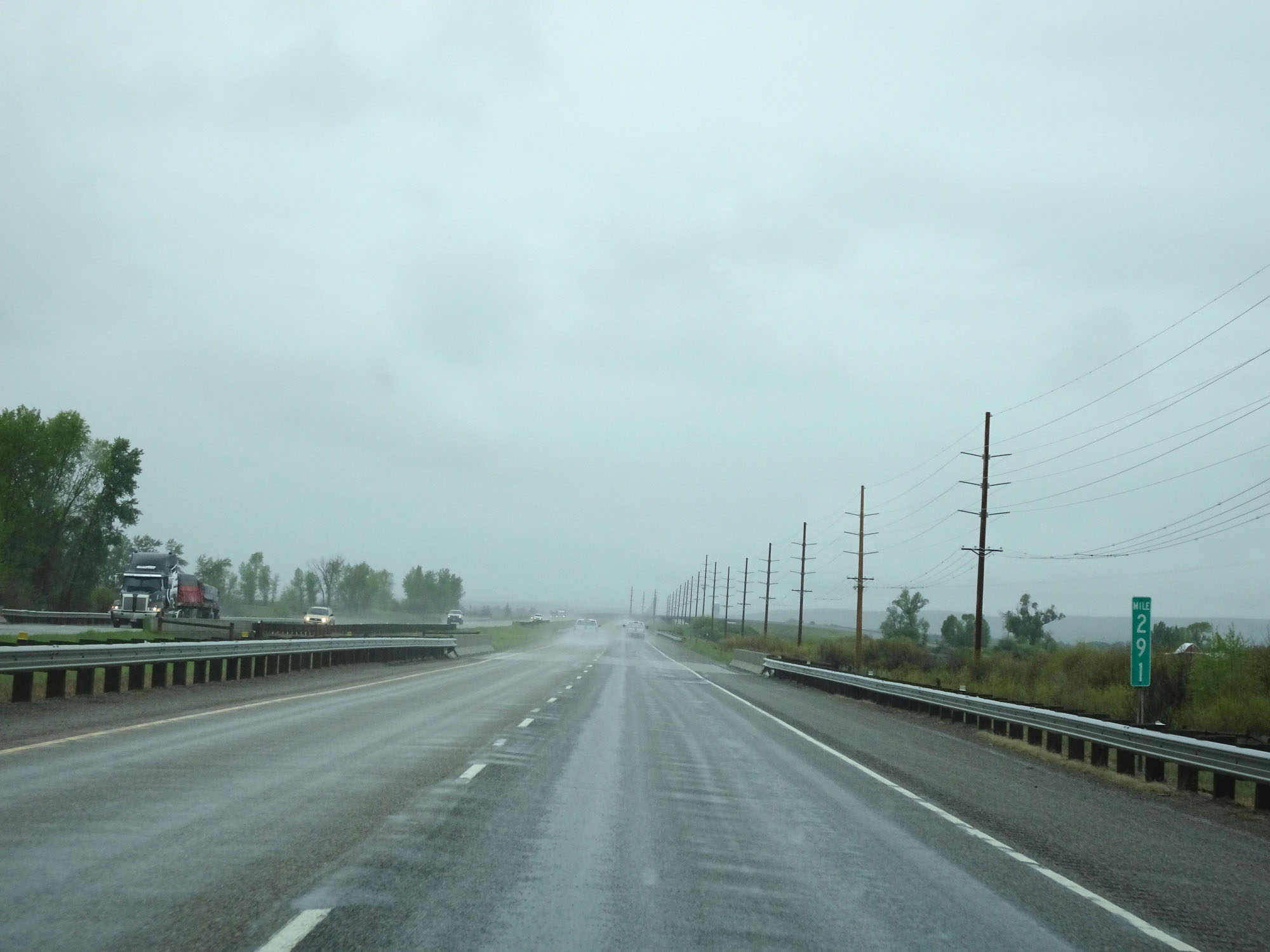
Interstate 90 West at mile marker 295. (Photo taken 5/24/16). |
 |
Interstate 90 West at mile marker 291. (Photo taken 5/24/16). |
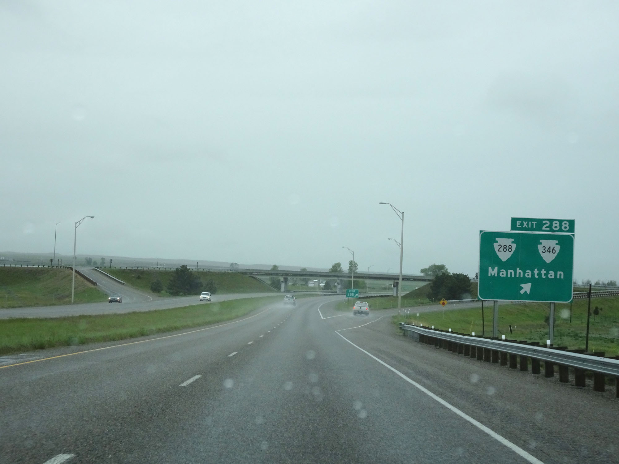 |
Interstate 90 West at Exit 288: S-288 / S-346 - Manhattan (Photo taken 5/24/16). |
 |
West of Exit 288, the standard rural speed limit of 80 mph for cars resumes. It remains 65 mph for trucks, as always. (Photo taken 5/24/16). |
 |
Interstate 90 West approaching Exit 283 - 1 mile. (Photo taken 5/24/16). |
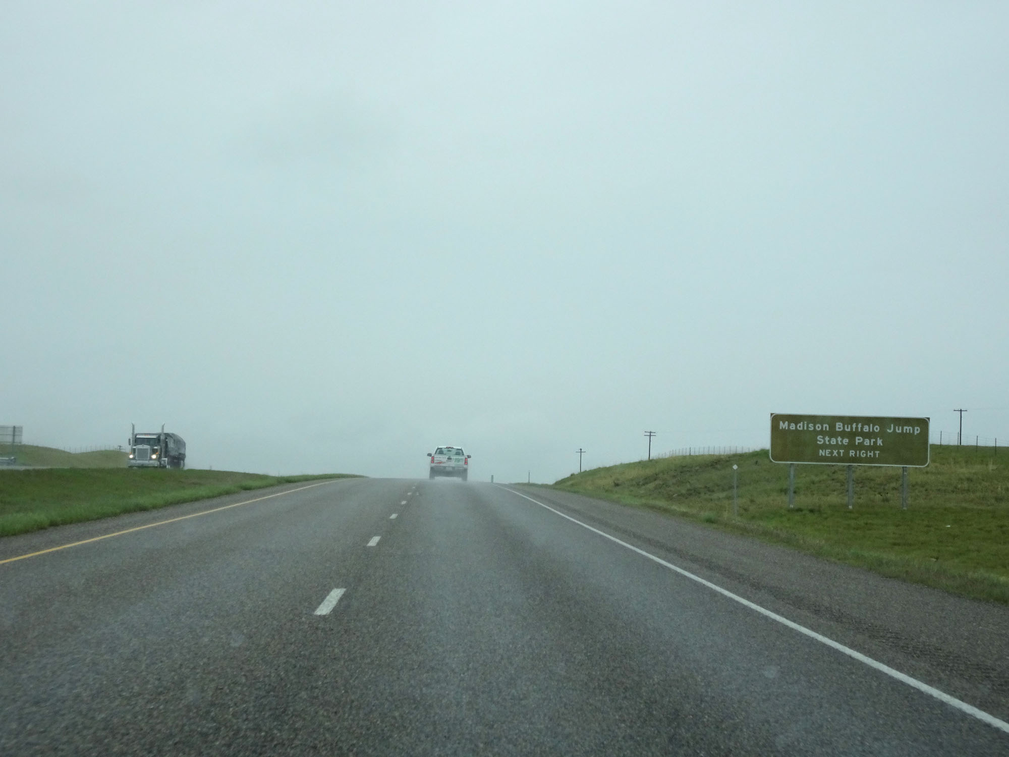 |
Take Exit 283 to Madison Buffalo Jump State Park. (Photo taken 5/24/16). |
 |
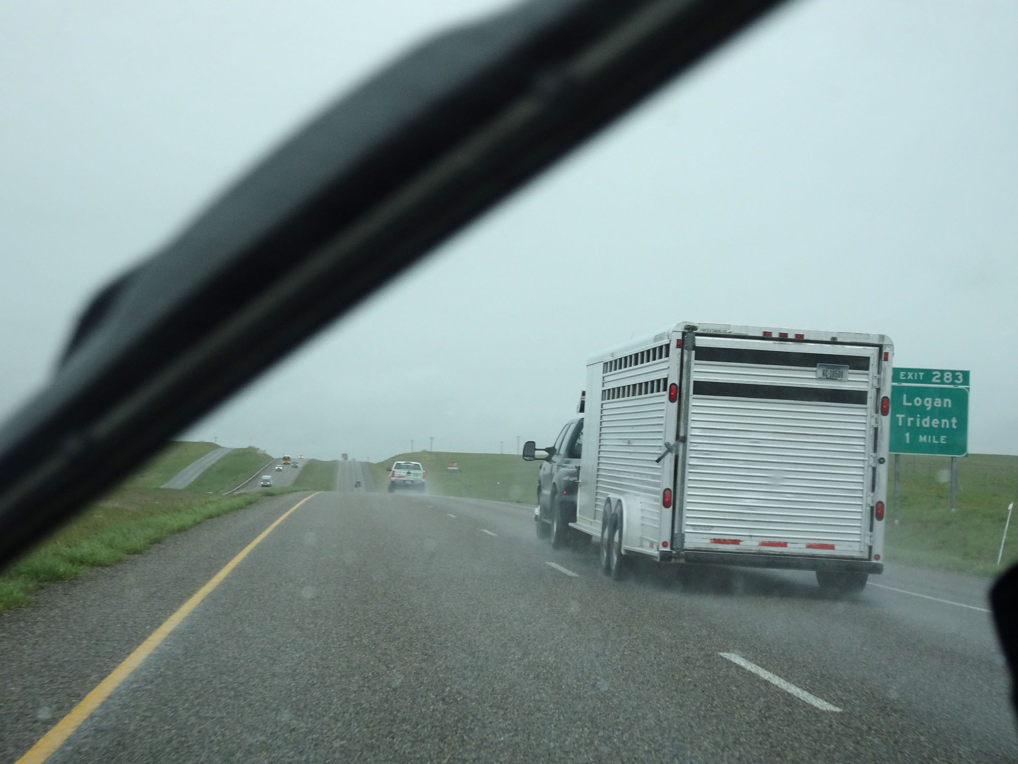
Interstate 90 West at Exit 283: Logan / Trident (Photo taken 5/24/16). |
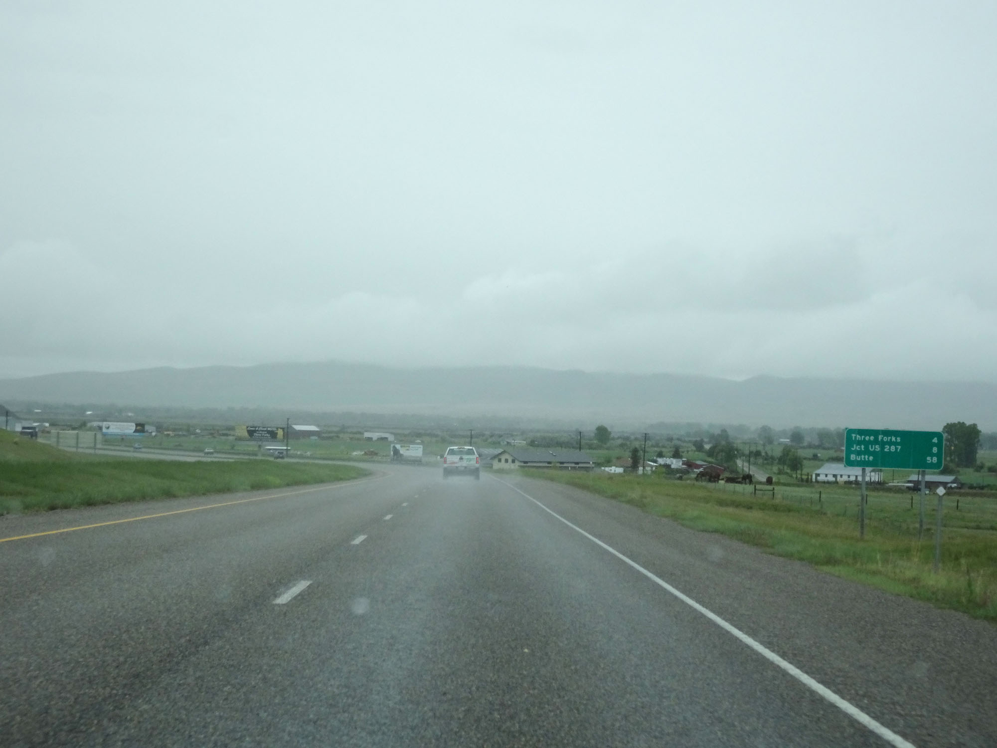 |
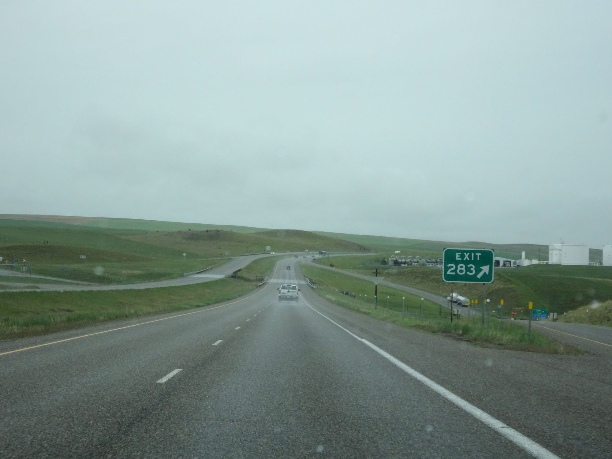
Mileage sign on Interstate 90 West. It's 4 miles to Three Forks, 8 miles to the junction of US 287, and 58 miles to Butte. (Photo taken 5/24/16). |
 |
Interstate 90 West at mile marker 281. (Photo taken 5/24/16). |
 |
Interstate 90 West approaching Exit 278 - 1 mile. (Photo taken 5/24/16). |
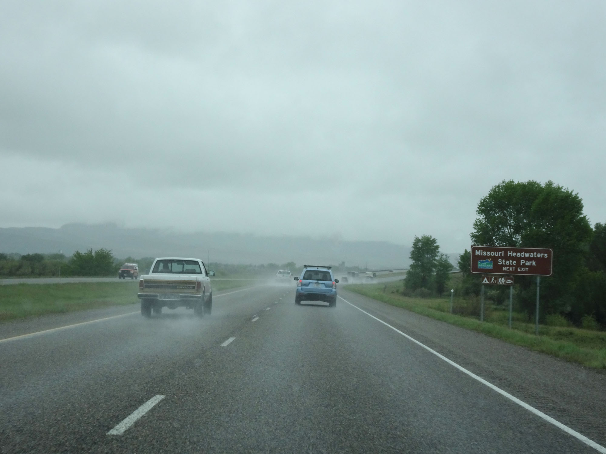 |
Take Exit 278 to Missouri Headwaters State Park. (Photo taken 5/24/16). |
 |
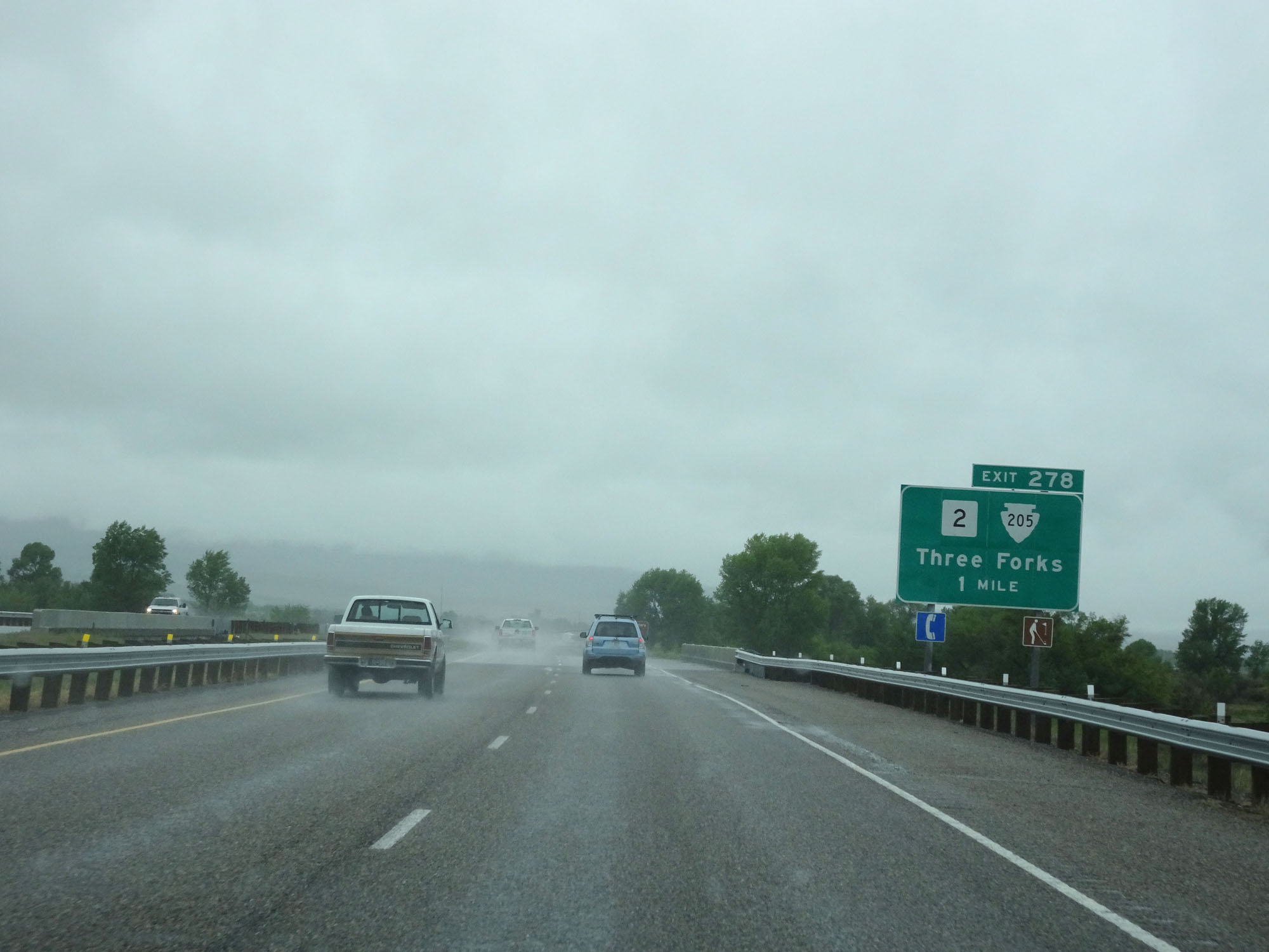
Interstate 90 West at Exit 278: MT 2 / S-205 - Three Forks (Photo taken 5/24/16). |
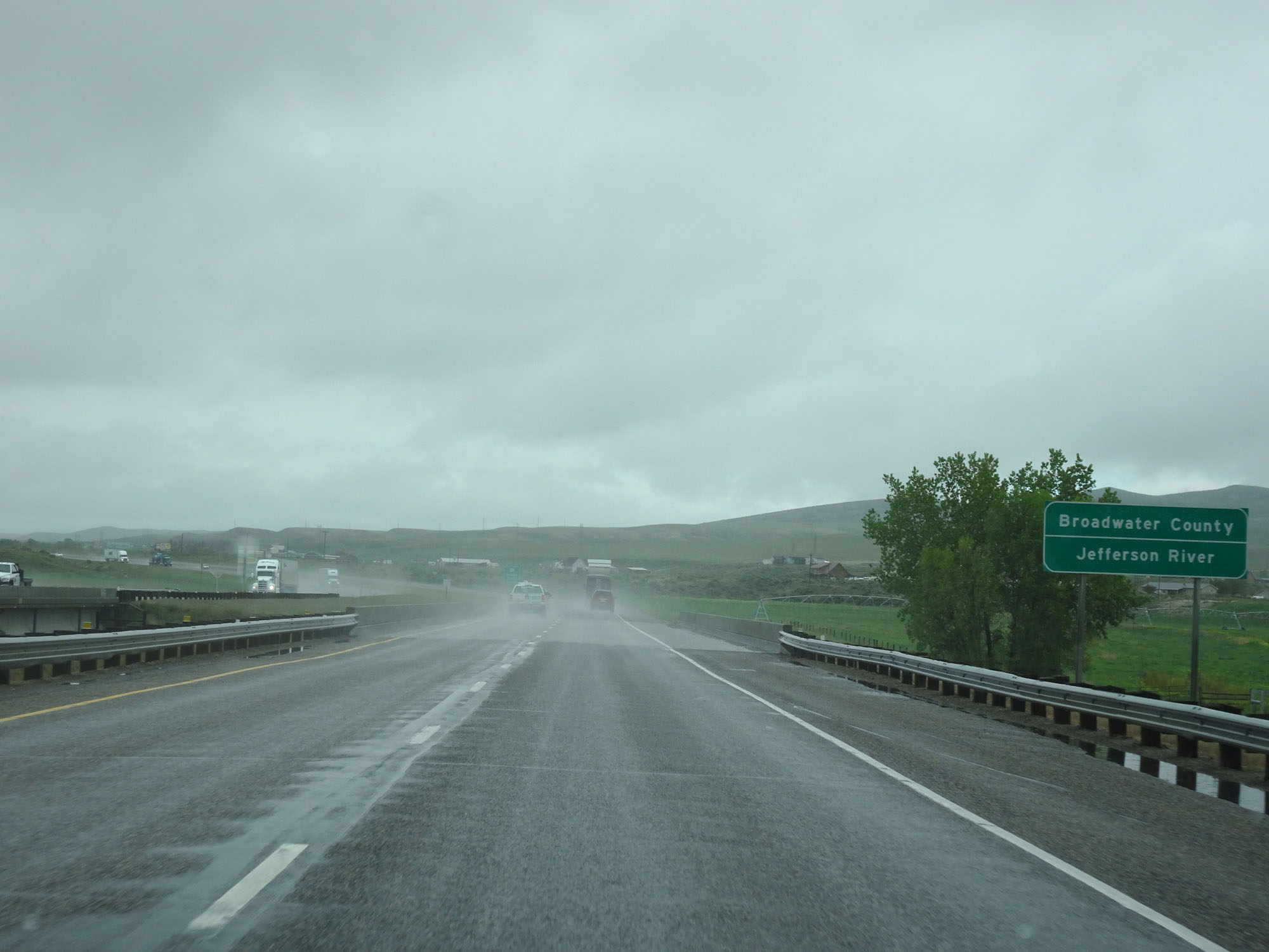 |
Interstate 90 West entering Broadwater County. (Photo taken 5/24/16). |
 |
Interstate 90 West approaching Exit 274 - 2 miles. (Photo taken 5/24/16). |
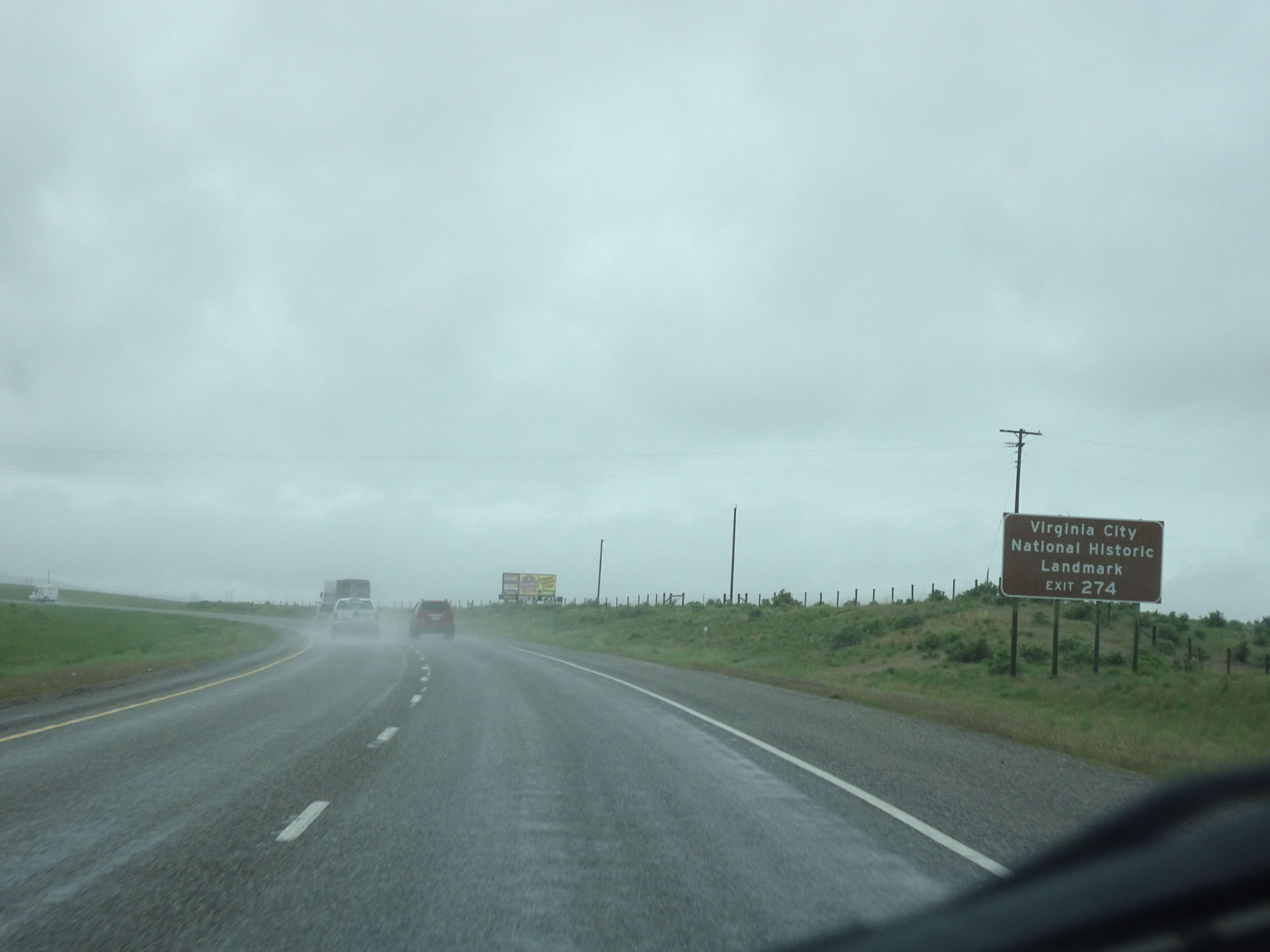 |
Take Exit 274 to Virginia City National Historic Landmark. (Photo taken 5/24/16). |
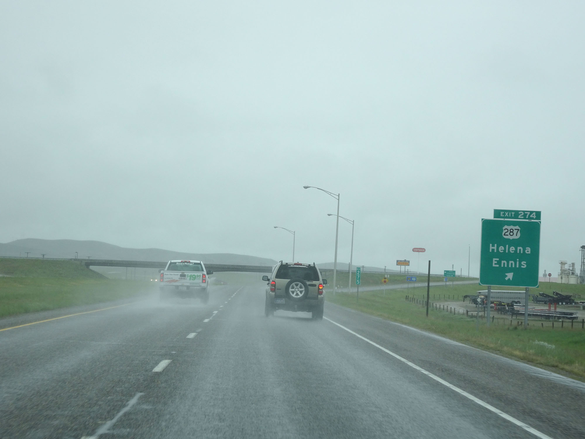 |
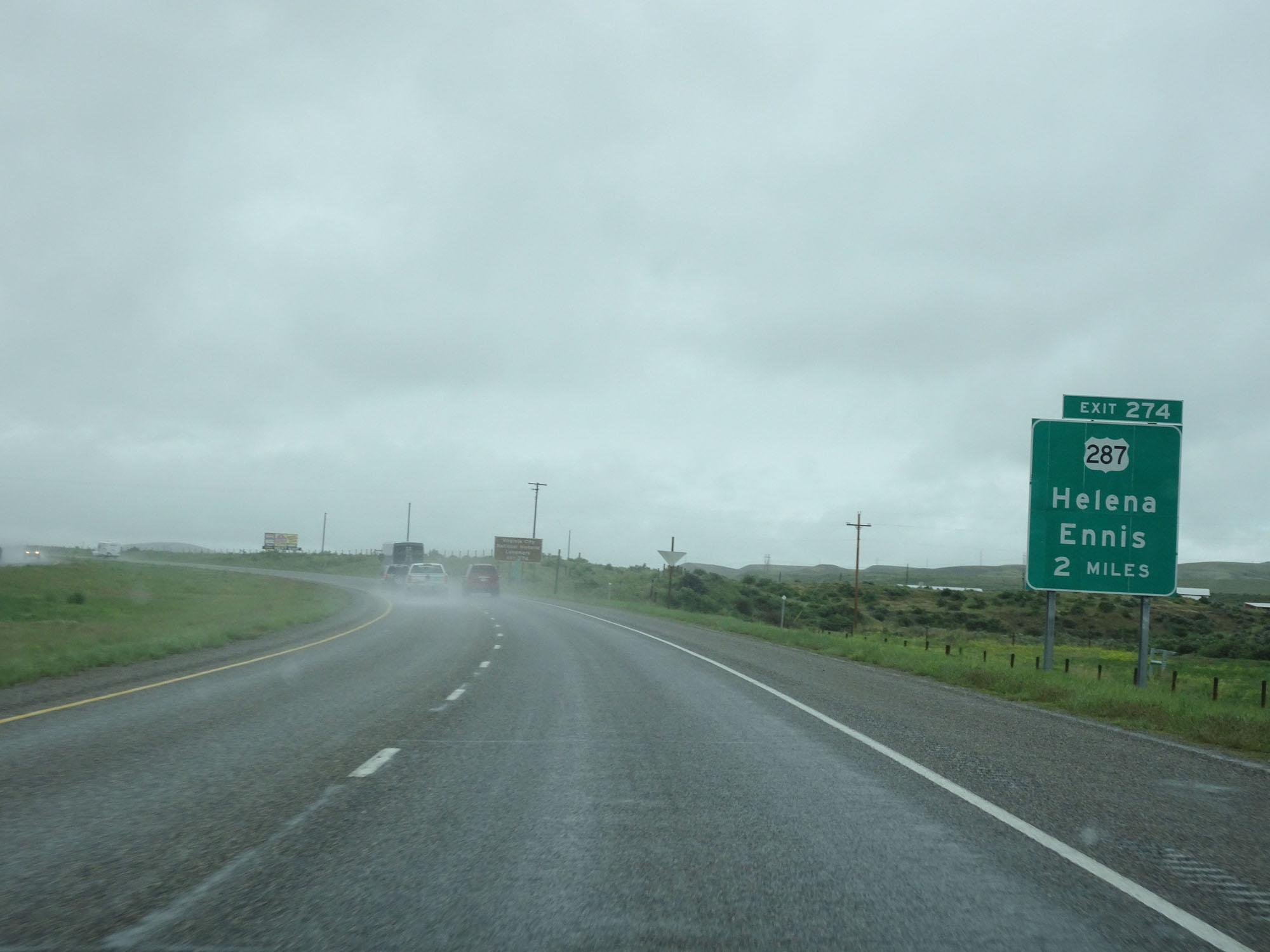
Interstate 90 West at Exit 274: US 287 - Helena / Ennis (Photo taken 5/24/16). |
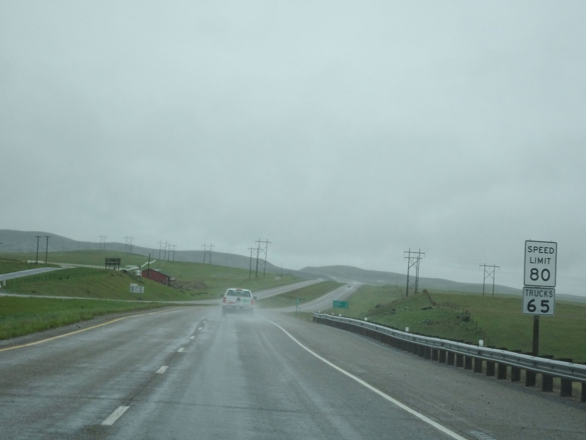 |
The speed limits remain 80 mph for cars and 65 mph for trucks. (Photo taken 5/24/16). |
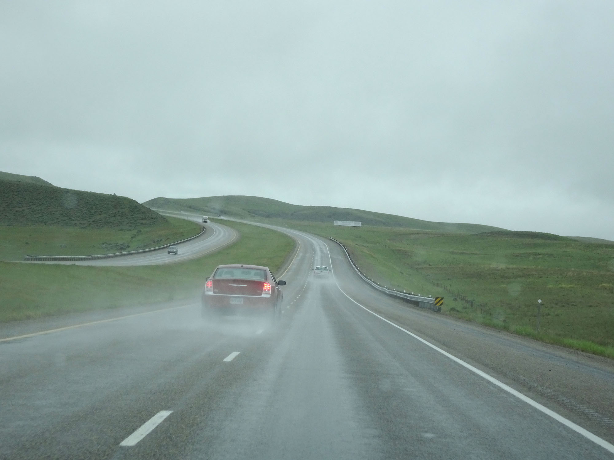 |
View on Interstate 90 West. (Photo taken 5/24/16). |
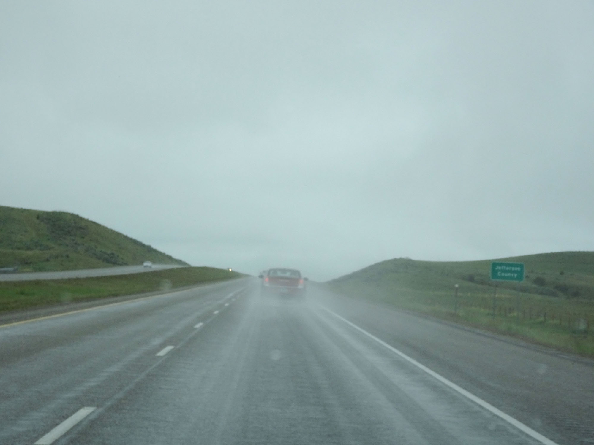 |
Interstate 90 West entering Jefferson County. (Photo taken 5/24/16). |
 |
View on Interstate 90 West in Jefferson County. (Photo taken 5/24/16). |
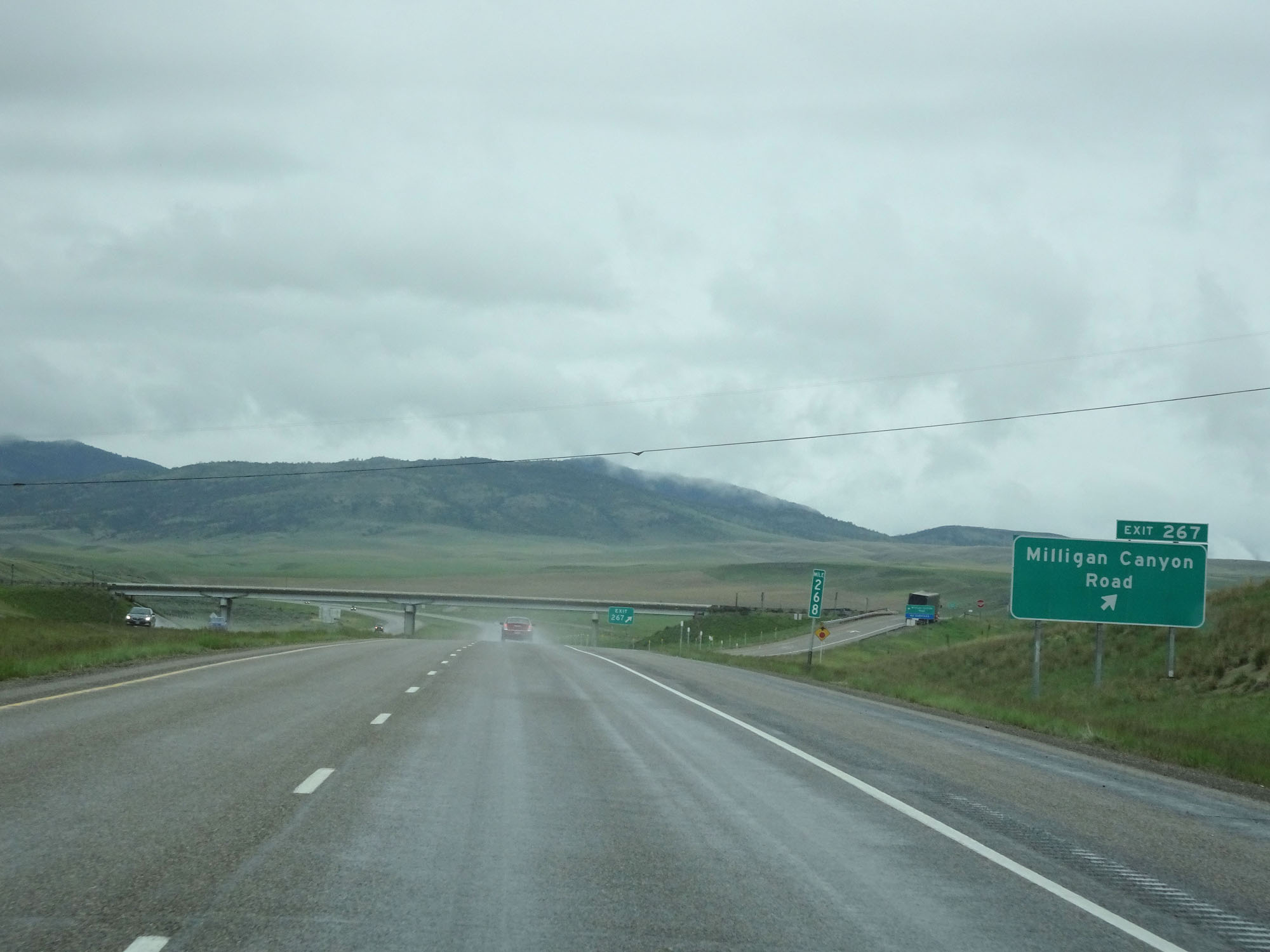 |
Interstate 90 West at Exit 267: Milligan Canyon Road (Photo taken 5/24/16). |
 |
Interstate 90 West reassurance shield. (Photo taken 5/24/16). |
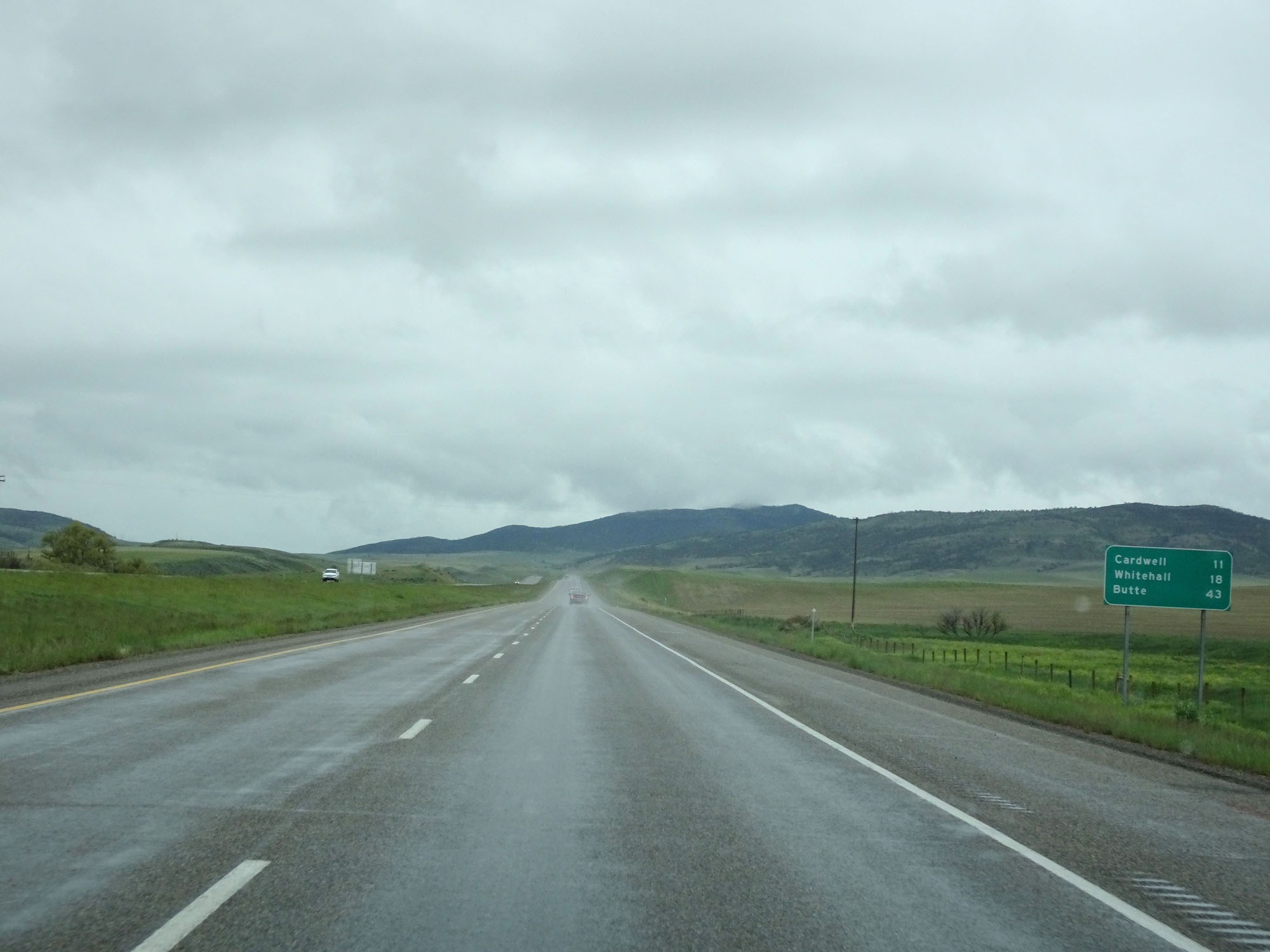 |
Mileage sign on Interstate 90 West. It's 11 miles to Cardwell, 18 miles to Whitehall, and 43 miles to Butte. (Photo taken 5/24/16). |
 |
Interstate 90 West at mile marker 263. (Photo taken 5/24/16). |
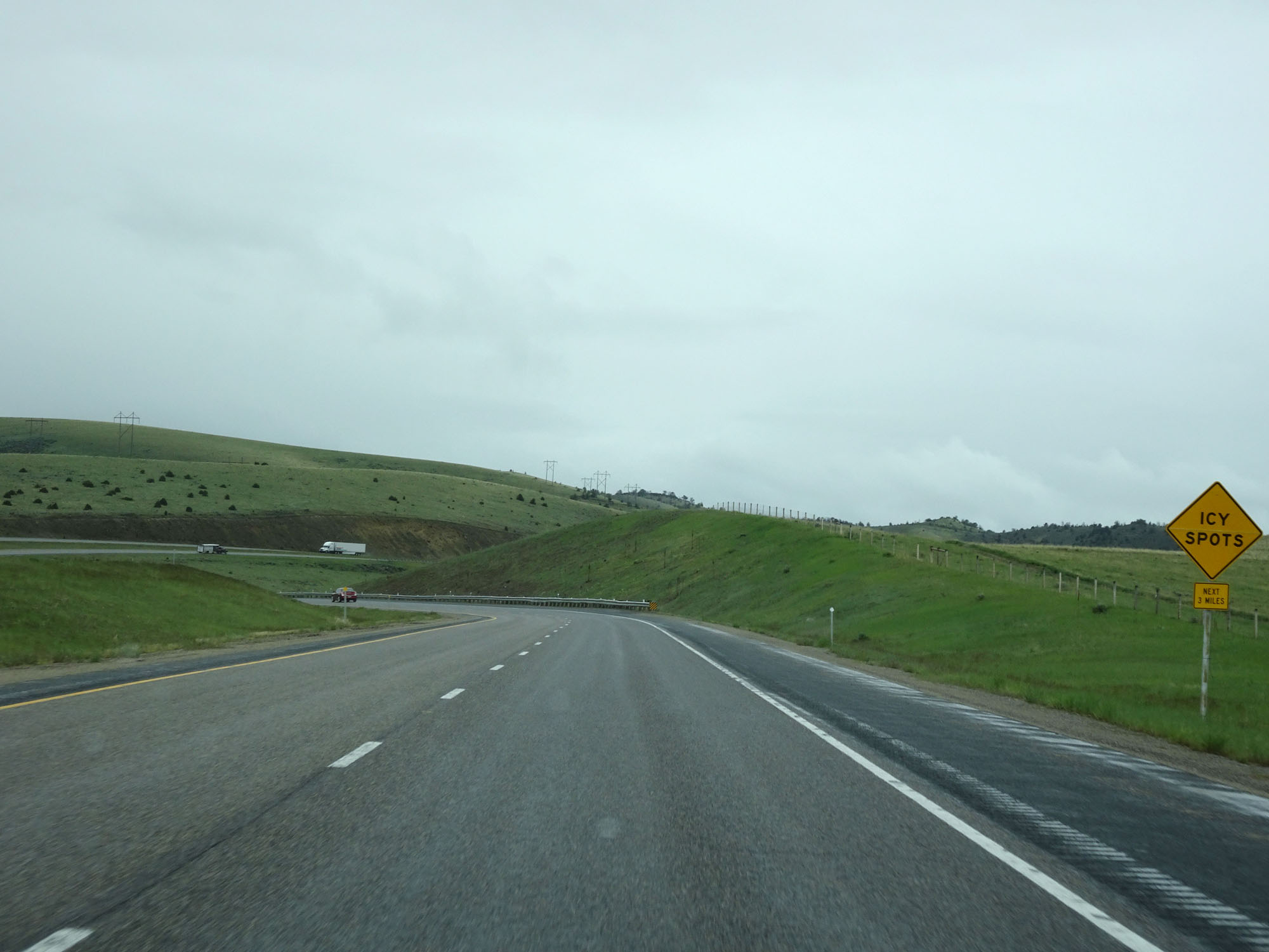 |
This sign warns that icy spots might exits for the next 3 miles. (Photo taken 5/24/16). |
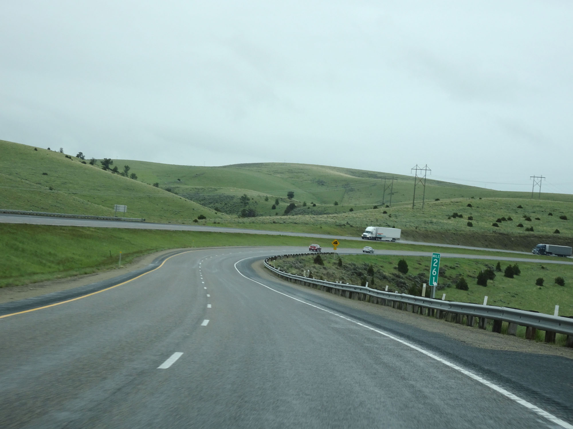 |
Interstate 90 West at mile marker 261. (Photo taken 5/24/16). |
 |
Interstate 90 West as it approaches a 6% downgrade which will last for the next 3 miles. (Photo taken 5/24/16). |
 |
View on Interstate 90 West in Jefferson County, starting down the aforementioned 6% downgrade. (Photo taken 5/24/16). |
 |
Interstate 90 West at mile marker 260. (Photo taken 5/24/16). |
 |
Another view on Interstate 90 West. (Photo taken 5/24/16). |
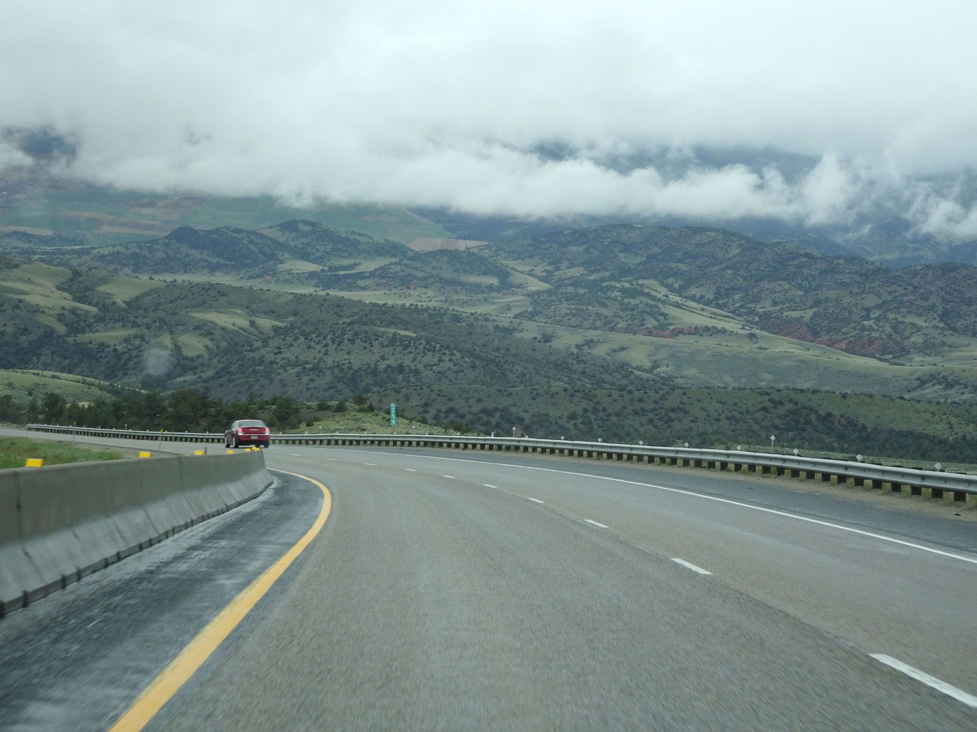 |
Interstate 90 West at mile marker 259. (Photo taken 5/24/16). |
 |
View on Interstate 90 West, continuing down the grade. (Photo taken 5/24/16). |
 |
Another view on Interstate 90 West, nearing the bottom of the grade. (Photo taken 5/24/16). |
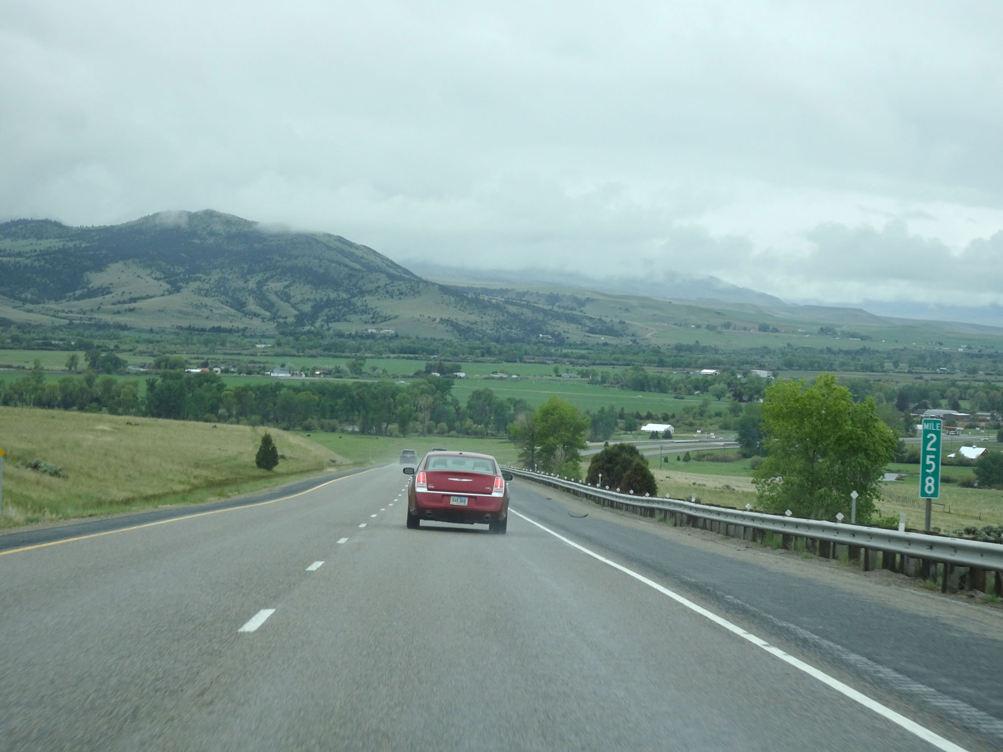 |
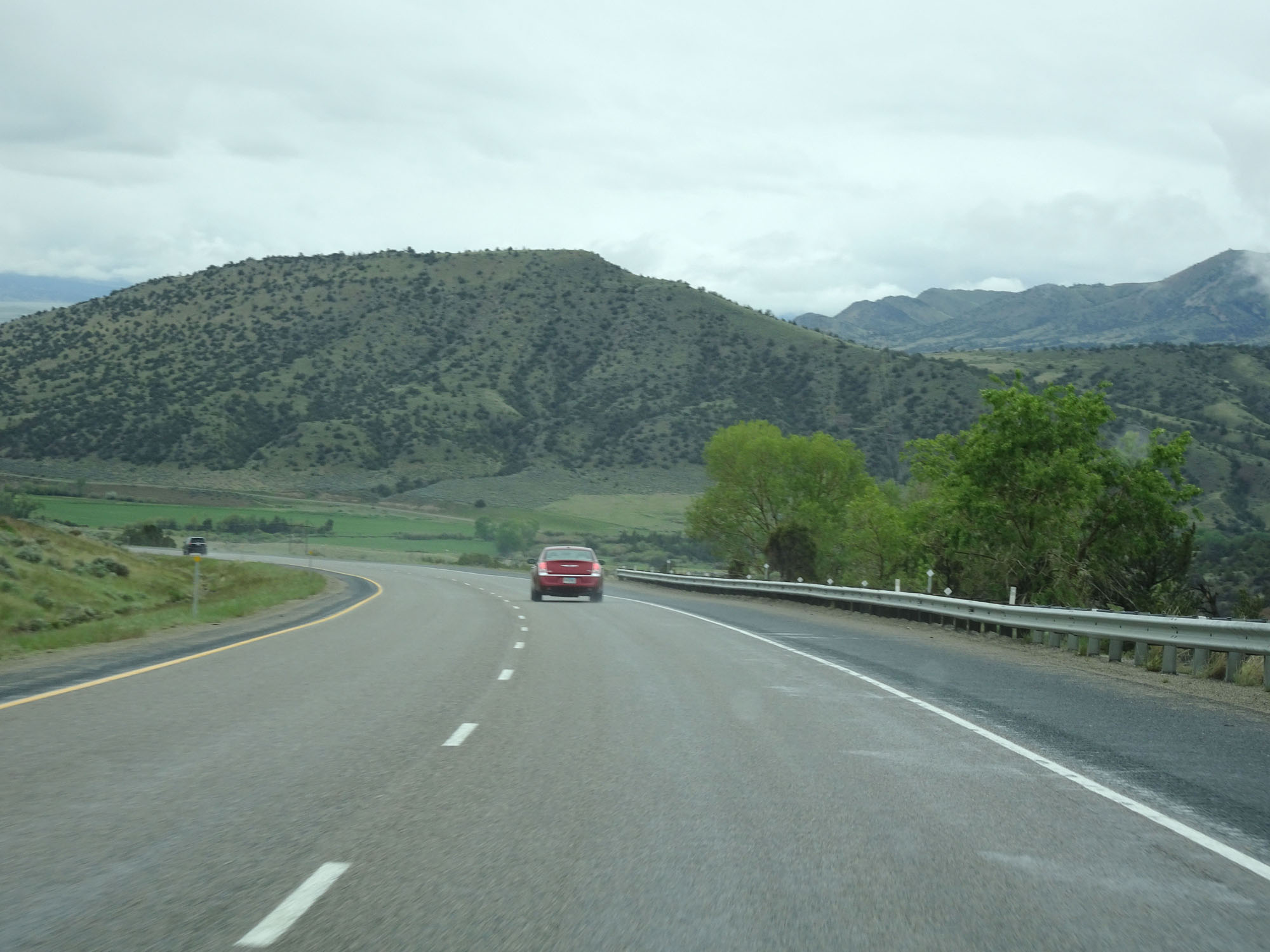
Interstate 90 West at mile marker 258. (Photo taken 5/24/16). |
 |
One final steep descent before the bottom of the grade. (Photo taken 5/24/16). |
 |
Interstate 90 West approaching Exit 256 - 1 mile. (Photo taken 5/24/16). |
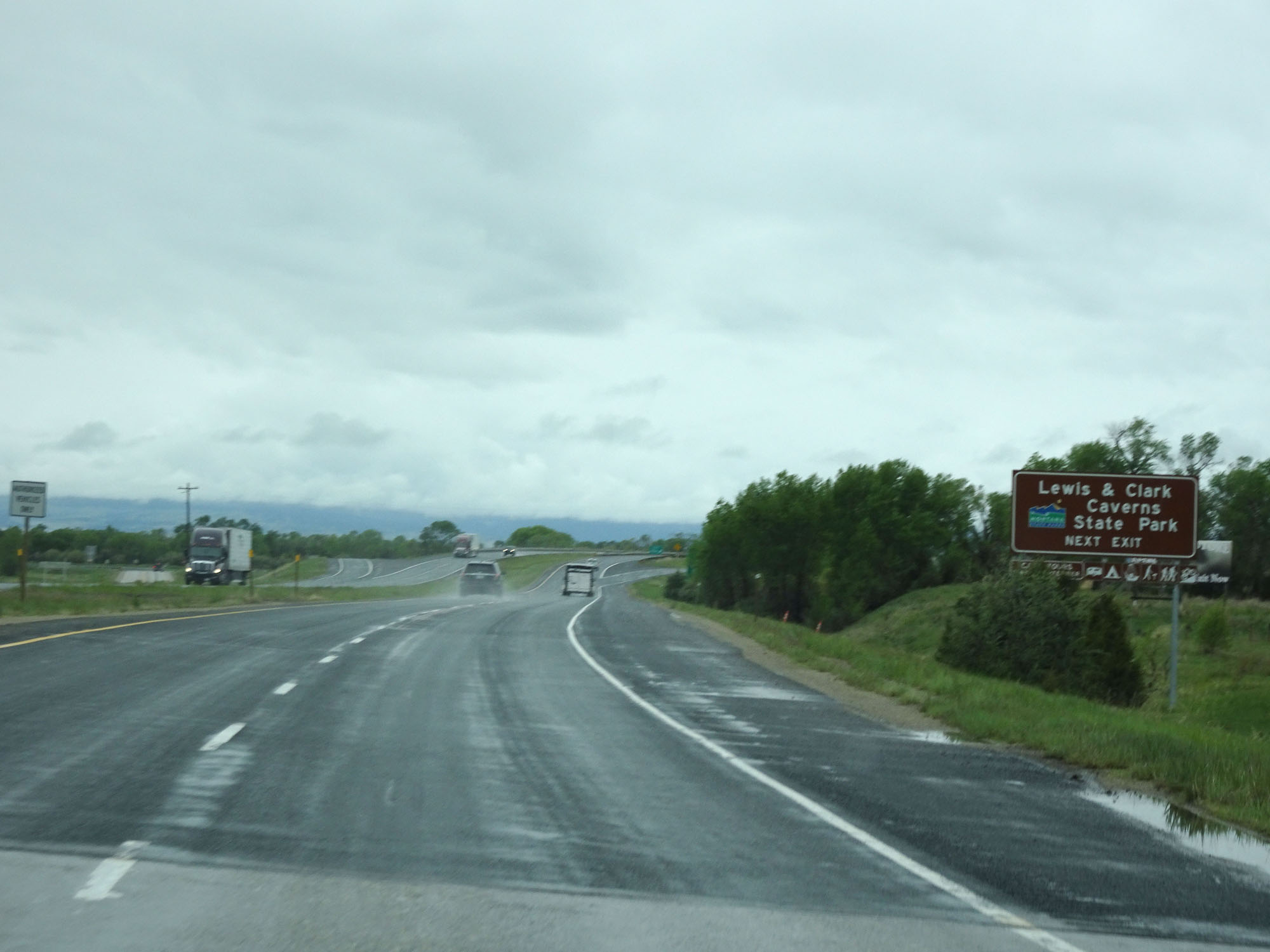 |
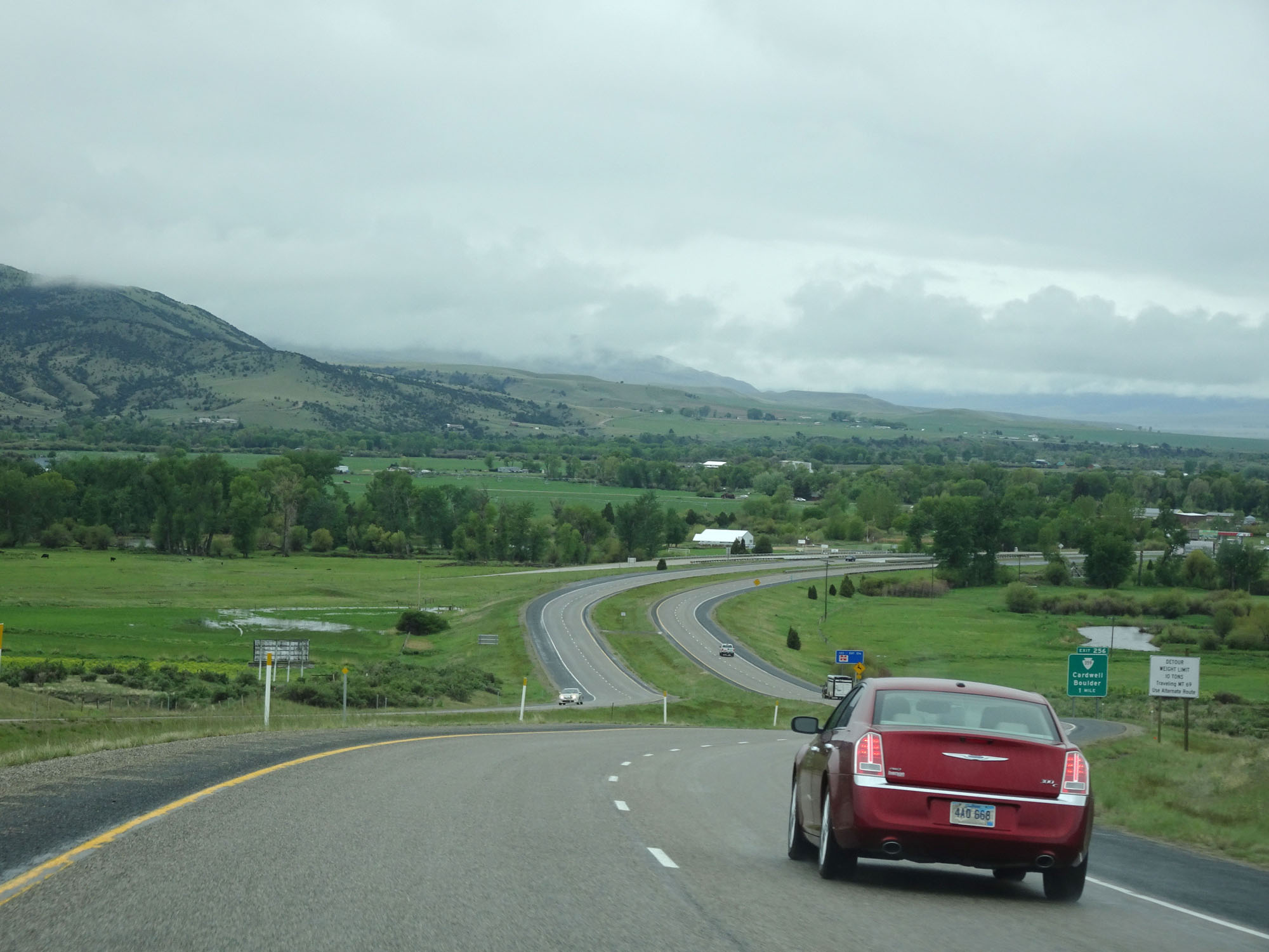
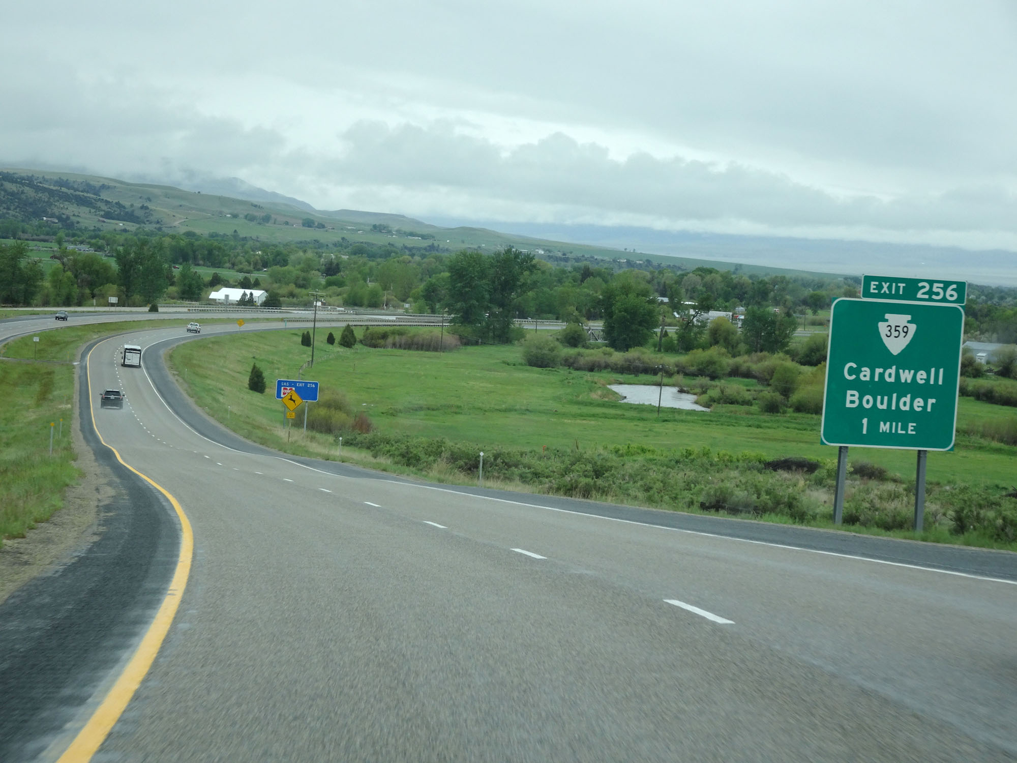
Take Exit 256 to Lewis & Clark Caverns State Park. (Photo taken 5/24/16). |
 |
Interstate 90 West at Exit 256: S-359 - Cardwell / Boulder (Photo taken 5/24/16). |
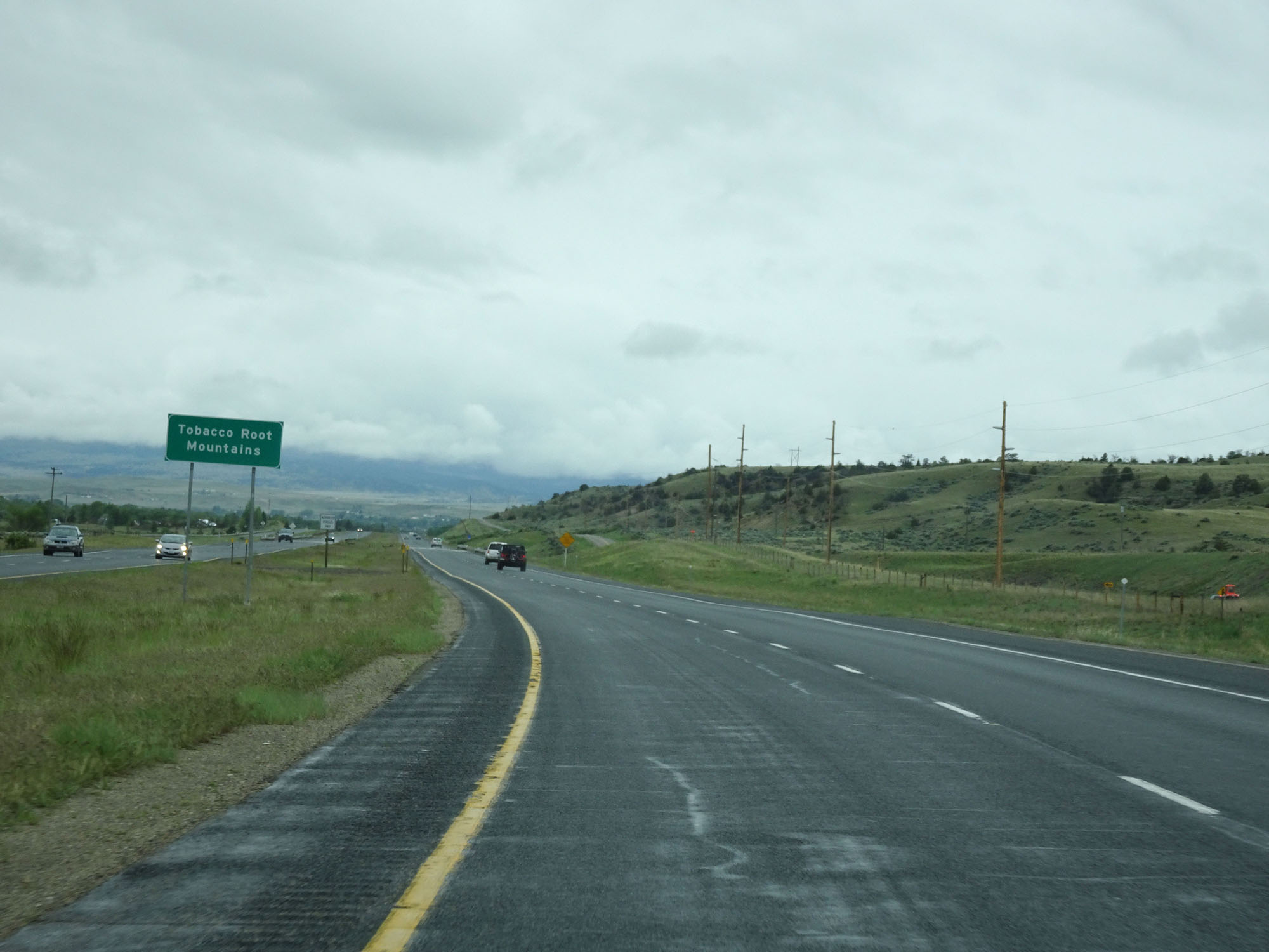 |
Interstate 90 West as it enters the Tobacco Root Mountains. (Photo taken 5/24/16). |
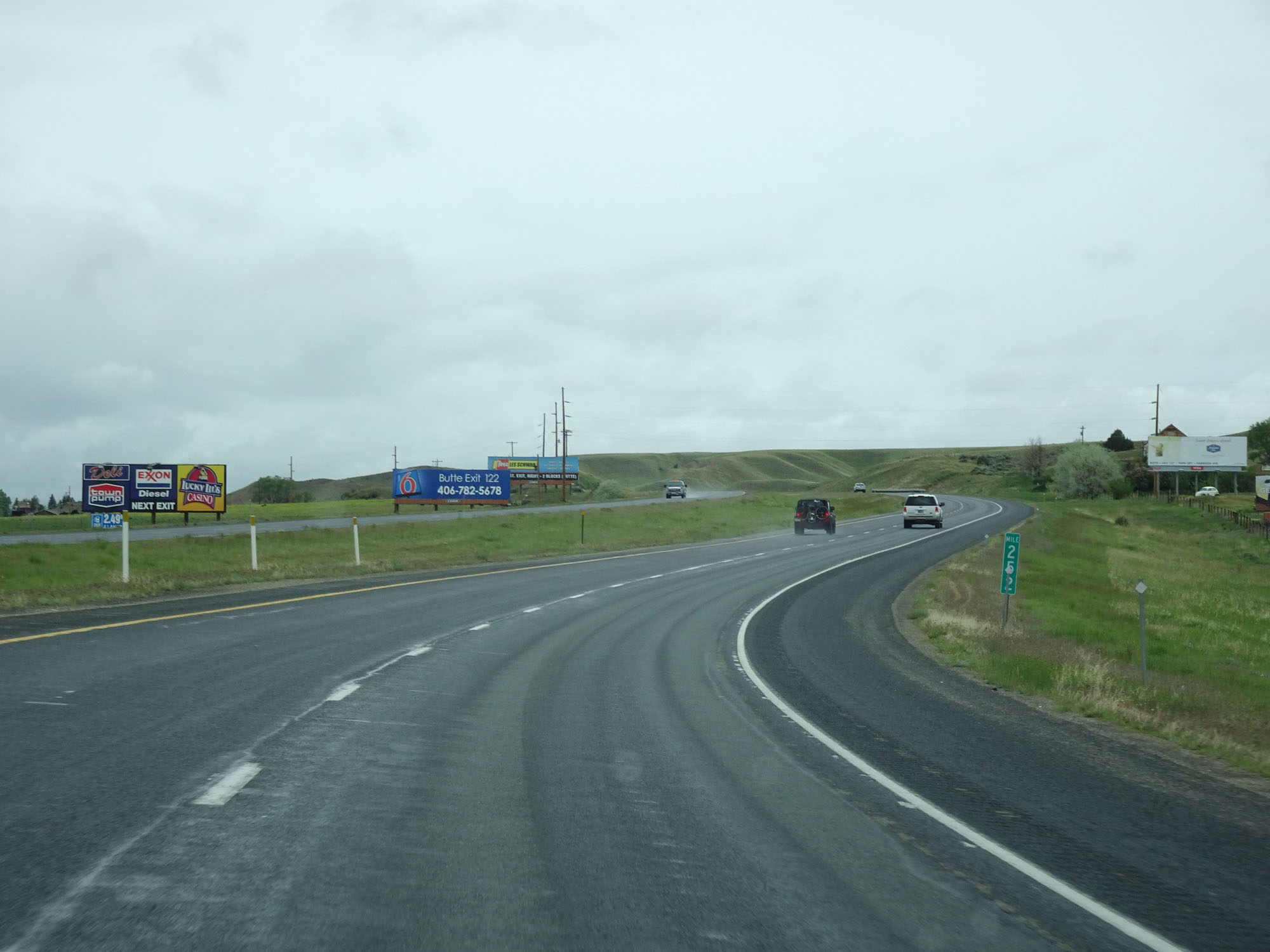 |
Interstate 90 West at mile marker 252. (Photo taken 5/24/16). |
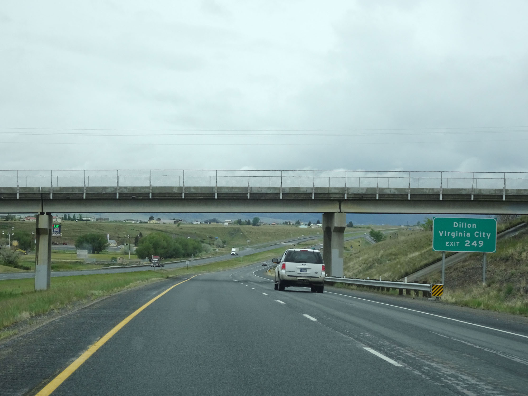 |
Take Exit 249 to Dillon and Virginia City. (Photo taken 5/24/16). |
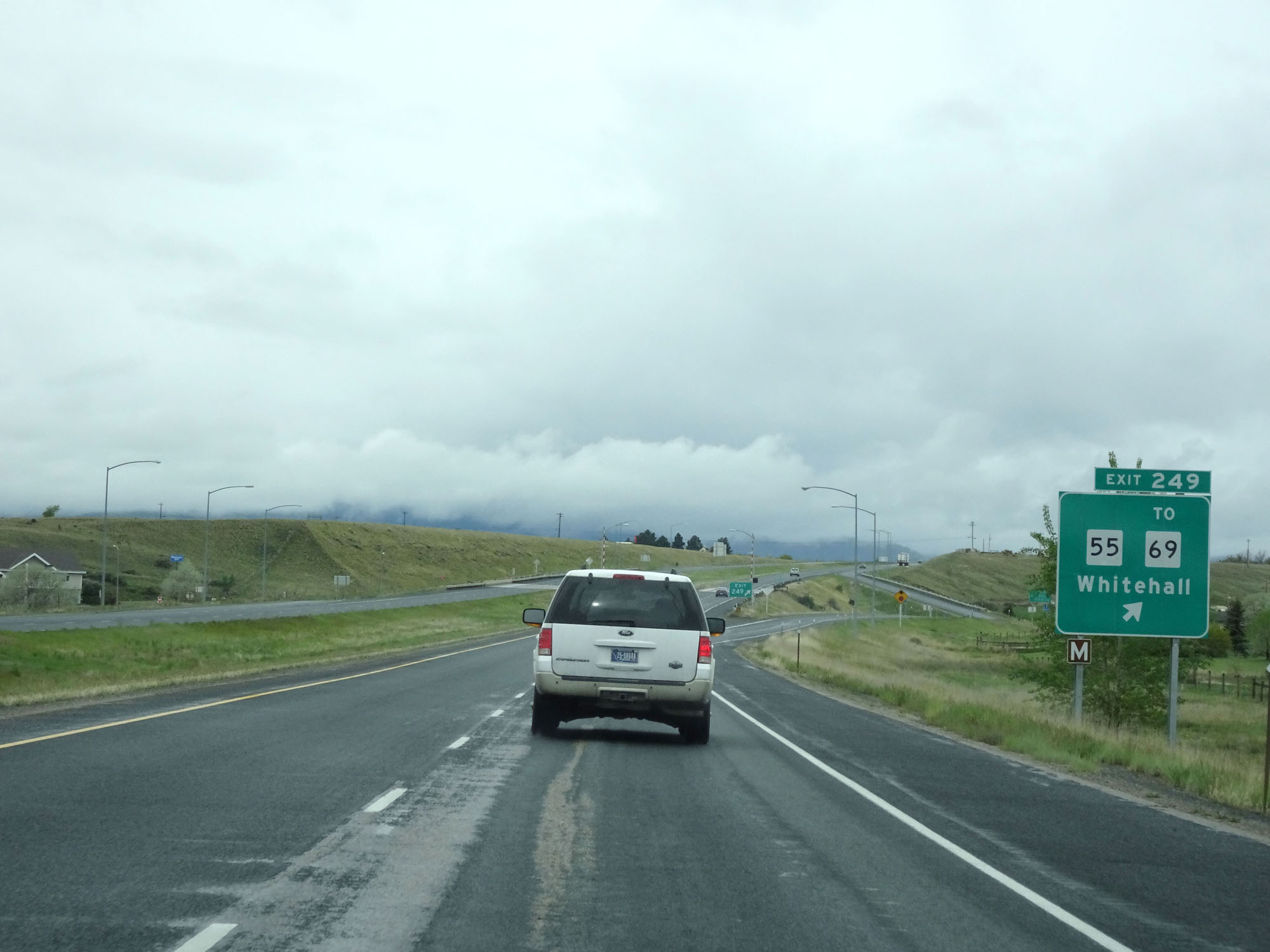 |
Interstate 90 West at Exit 249: MT 55 / To MT 69 - Whitehall (Photo taken 5/24/16). |
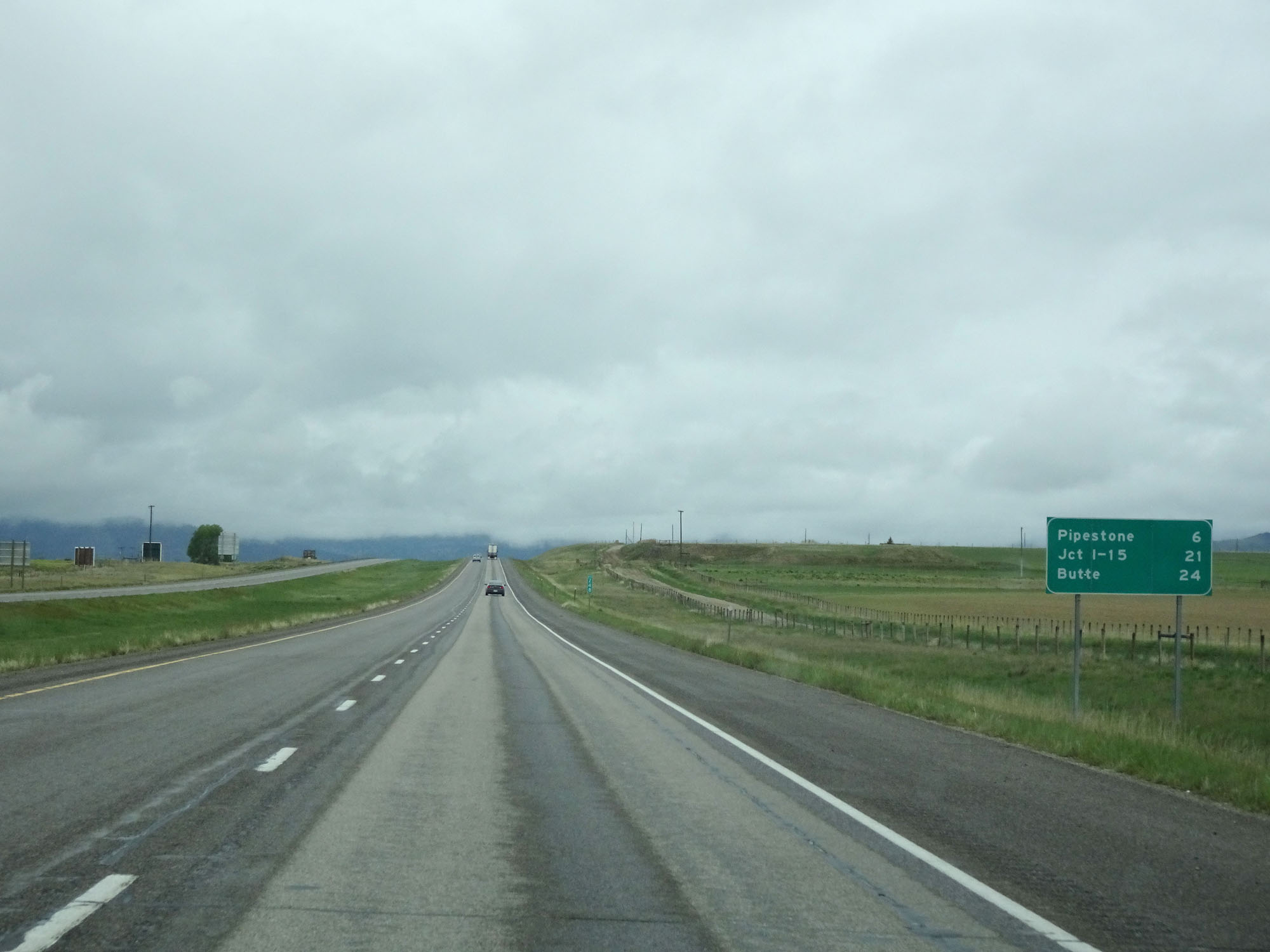 |
Mileage sign on Interstate 90 West. It's 6 miles to Pipestone, 21 miles to the junction of Interstate 15, and 24 miles to Butte. (Photo taken 5/24/16). |
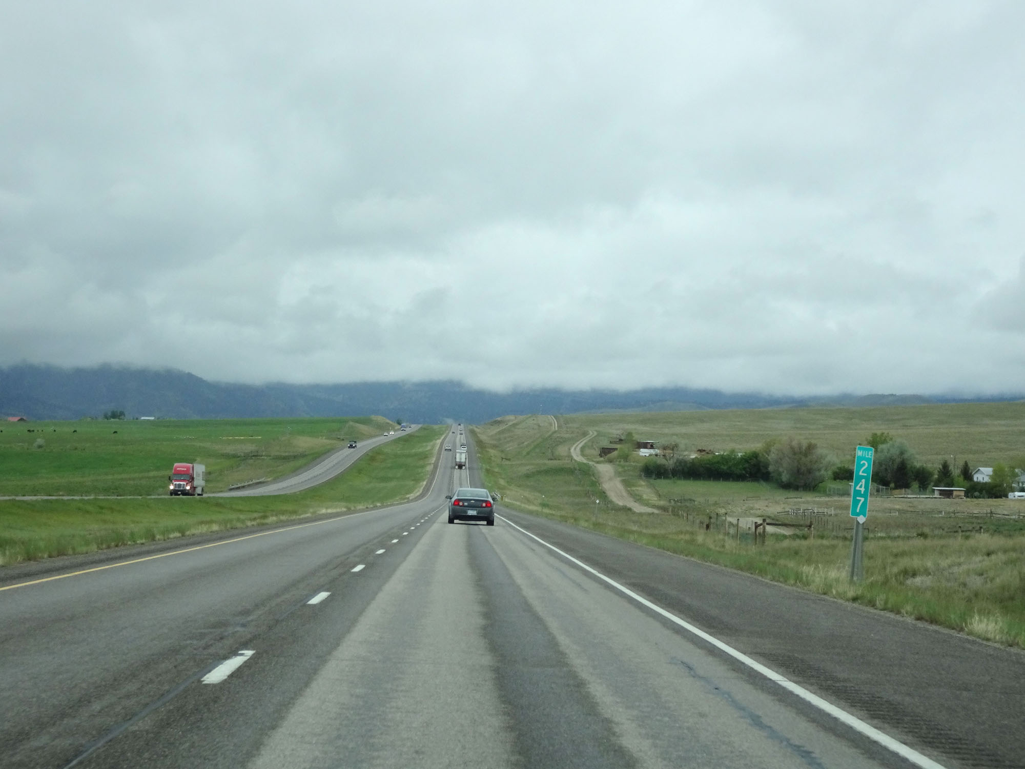 |
Interstate 90 West at mile marker 247. (Photo taken 5/24/16). |
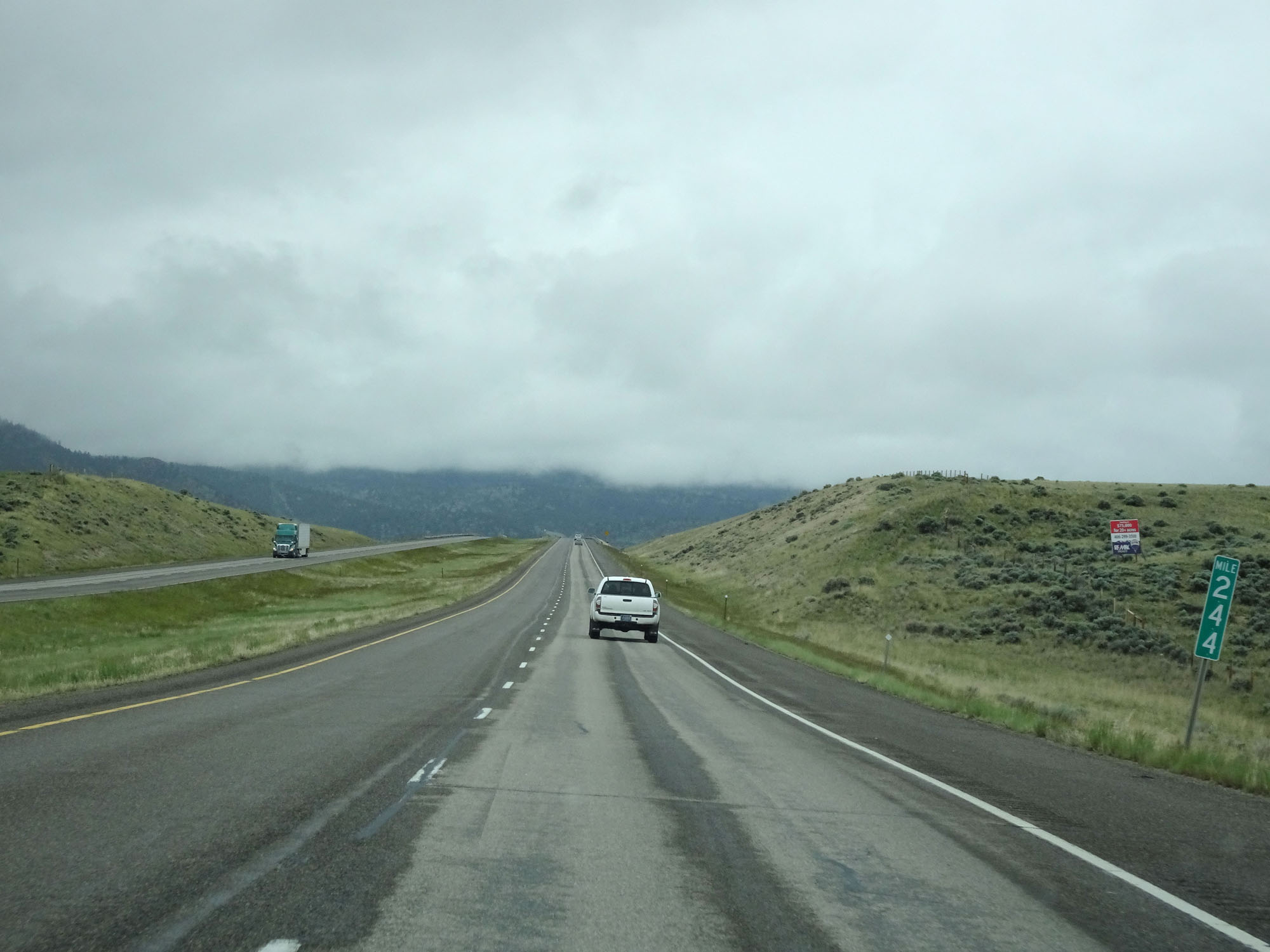 |
Interstate 90 West at mile marker 244. (Photo taken 5/24/16). |
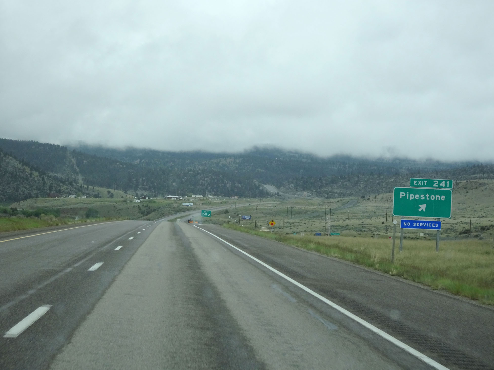 |
Interstate 90 West at Exit 241: Pipestone (Photo taken 5/24/16). |
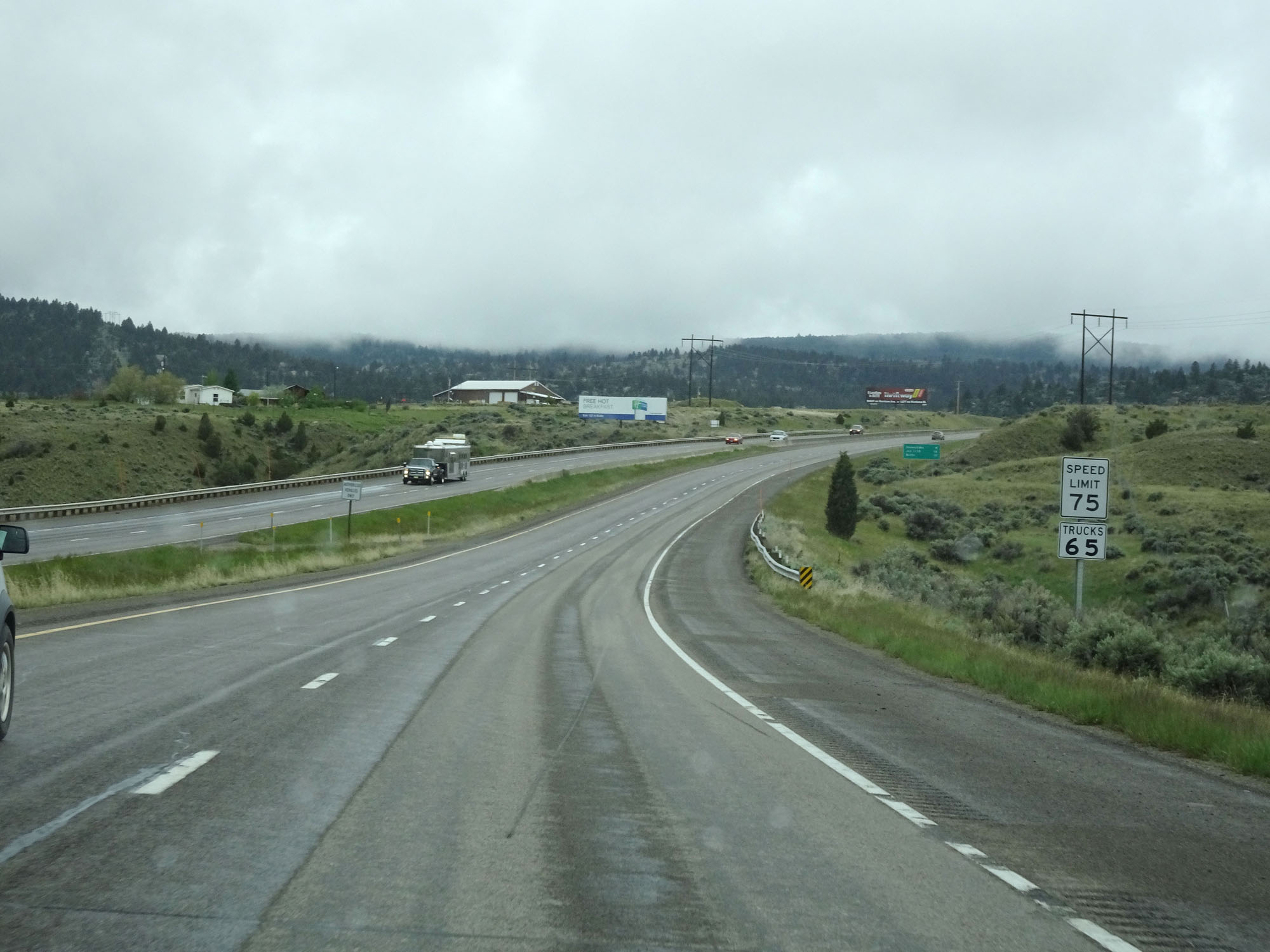 |
West of Exit 241, the speed limit decreases once again to 75 mph for cars and remains 65 mph for trucks in preparation for climbing Homestake Pass up to the Continental Divide ahead. (Photo taken 5/24/16). |
 |
Chain Up Area on Interstate 90 West as it prepares to start up Homestake Pass ahead. Homestake Pass is a long, steep, winding climb up to the Continental Divide. (Photo taken 5/24/16). |
 |
Be alert for icy spots for the next 8 miles. (Photo taken 5/24/16). |
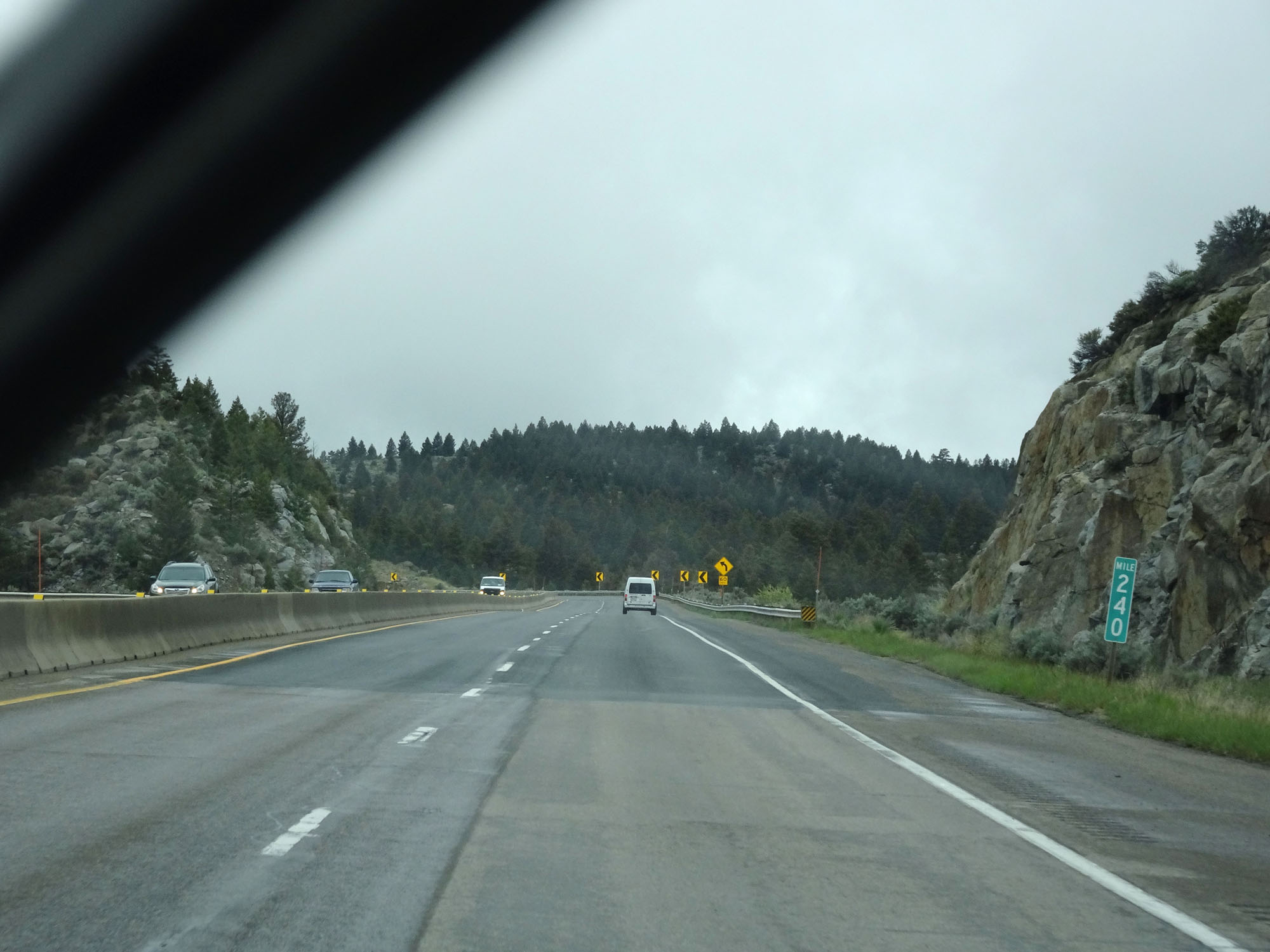 |
Interstate 90 West at mile marker 240, as it begins to climb Homestake Pass. (Photo taken 5/24/16). |
 |
View on Interstate 90 West starting up Homestake Pass. (Photo taken 5/24/16). |
 |
Another view on Interstate 90 West, continuing to gain altitude. (Photo taken 5/24/16). |
 |
View on Interstate 90 West on Homestake Pass. (Photo taken 5/24/16). |
 |
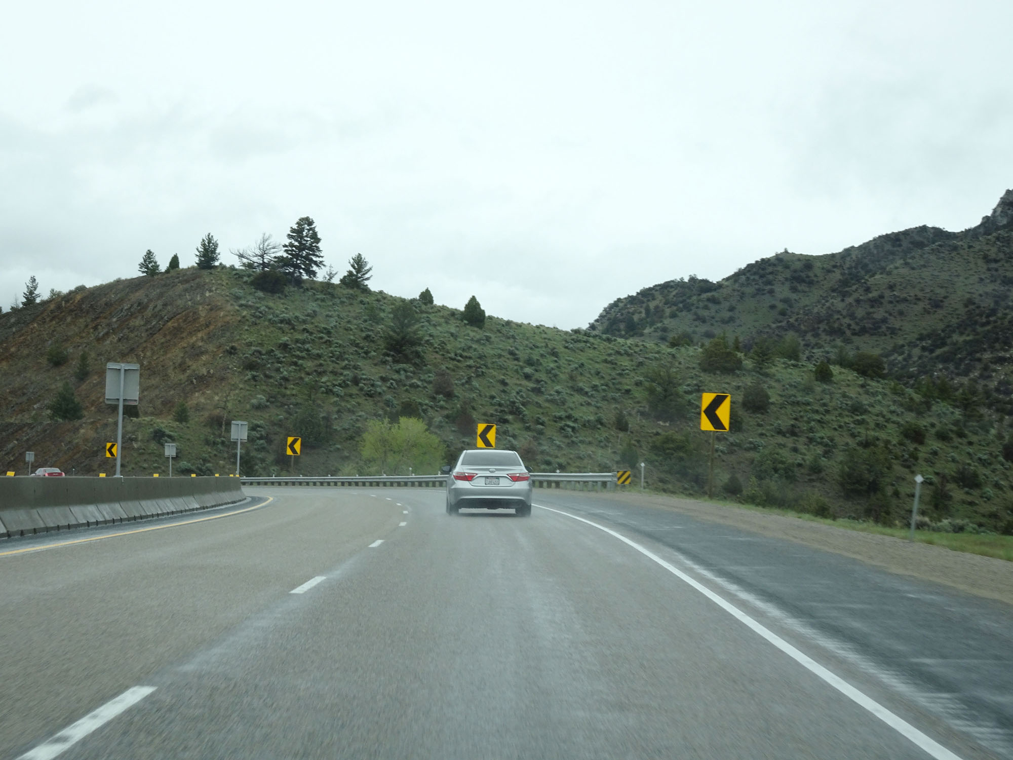
This sign warns of winding curves ahead. 55 mph is advised. (Photo taken 5/24/16). |
 |
Interstate 90 West at mile marker 238. (Photo taken 5/24/16). |
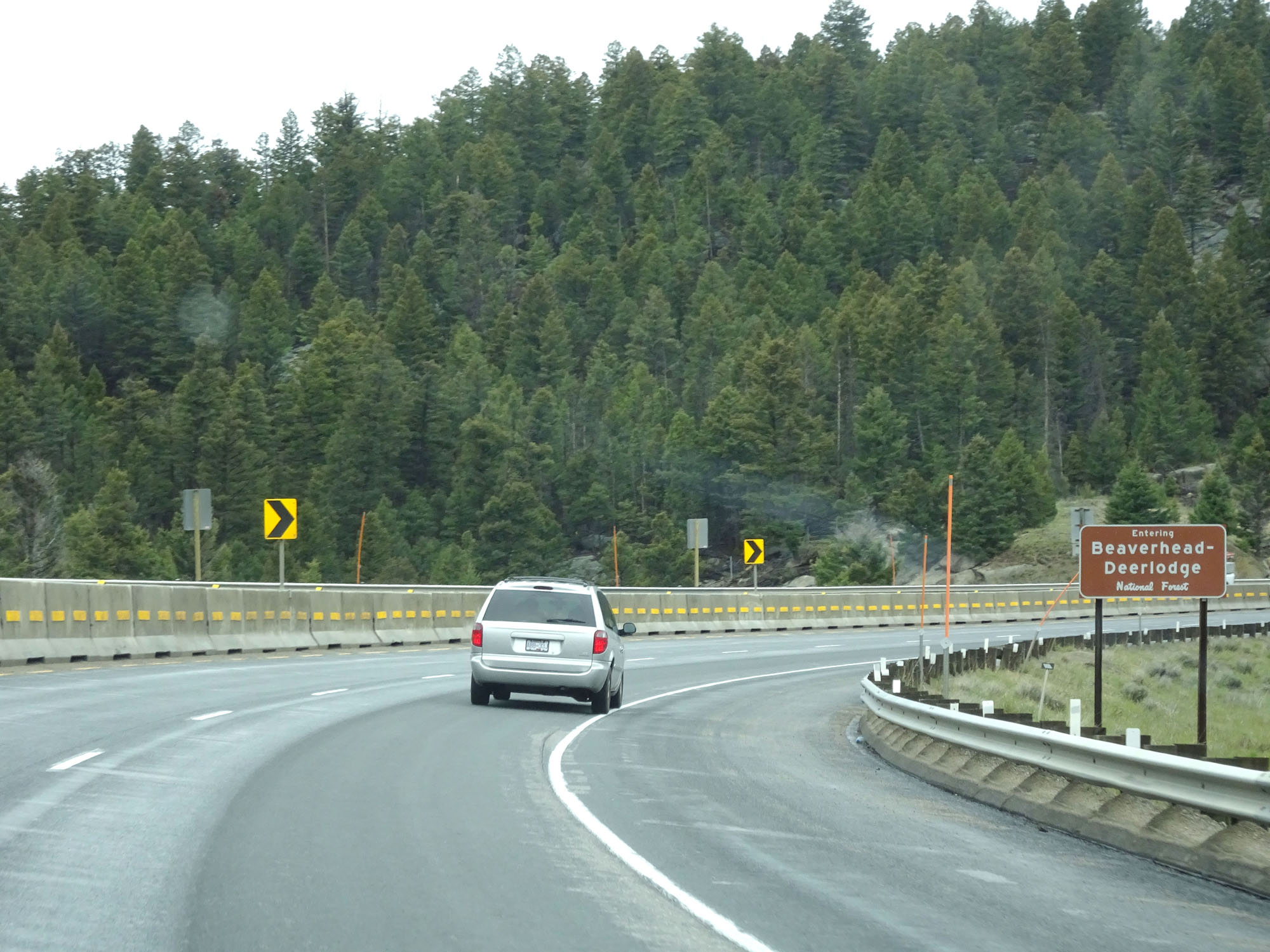 |
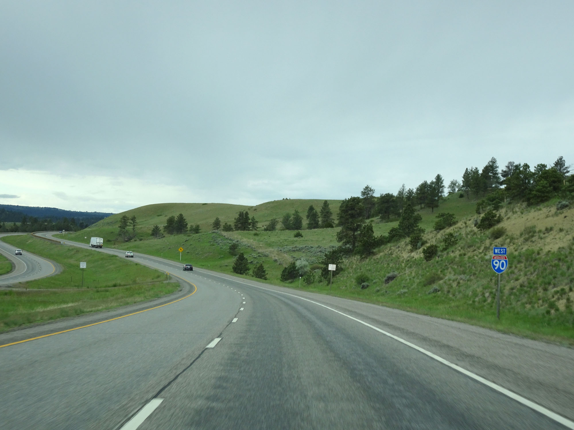
Interstate 90 West as it enters Beaverhead-Deerlodge National Forest while climbing Homestake Pass. (Photo taken 5/24/16). |
 |
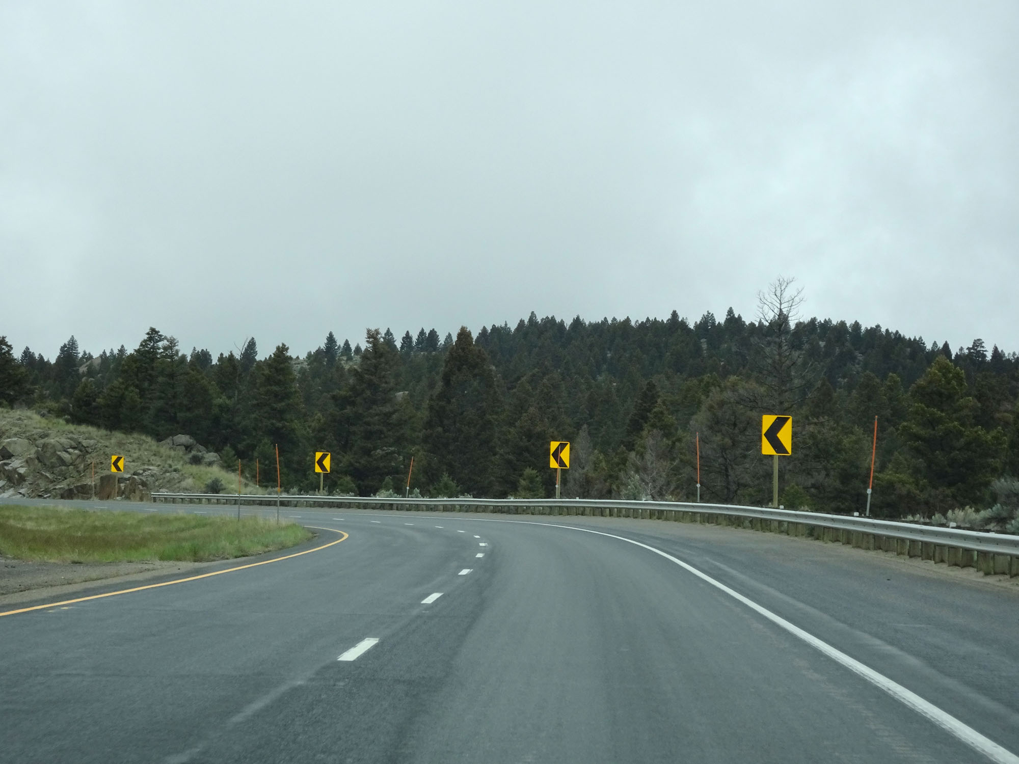
View of one of the winding curves you were warned about previously. (Photo taken 5/24/16). |
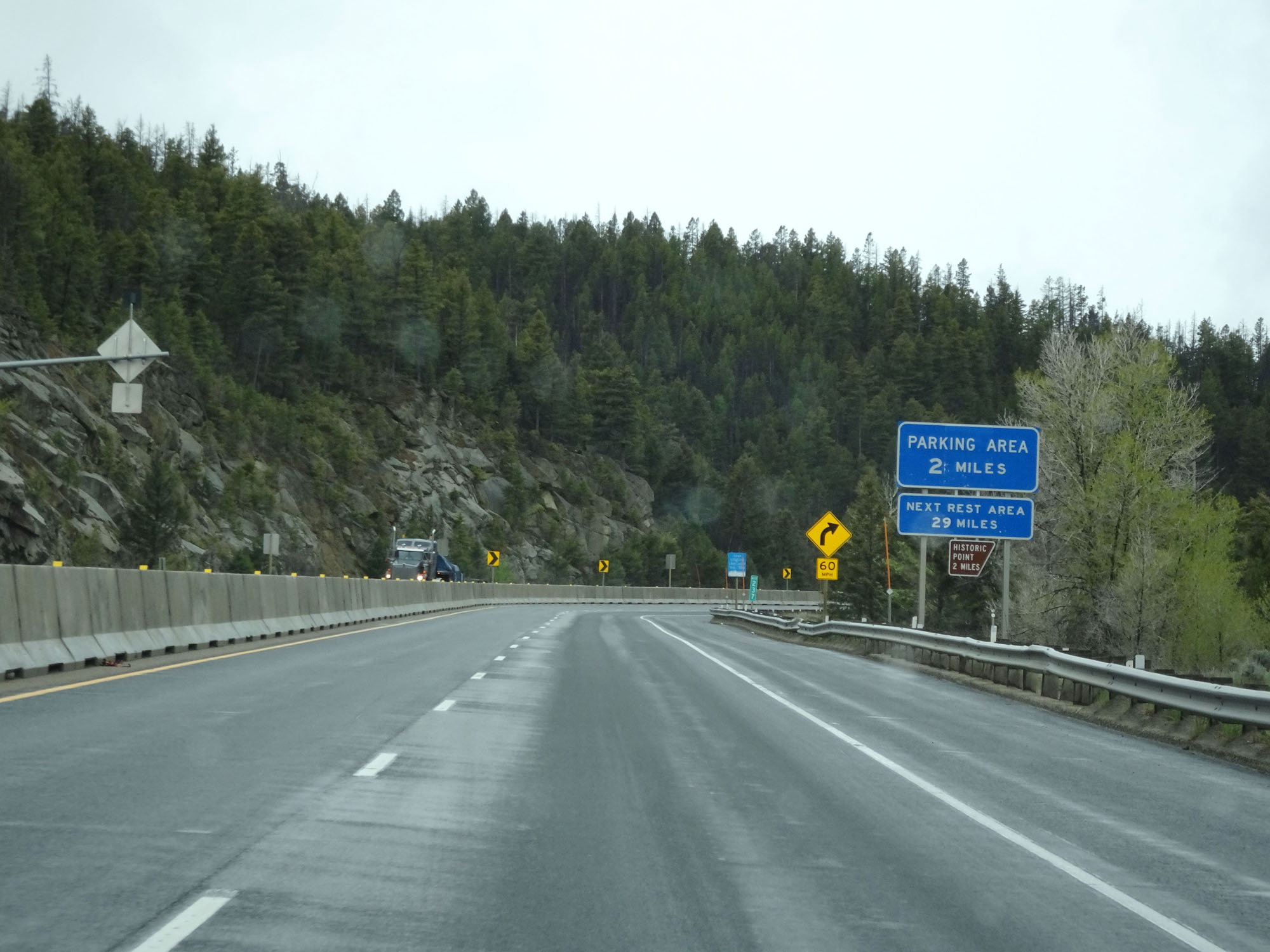 |
A Parking Area exists 2 miles ahead near mile marker 235 at the top of Homestake Pass. (Photo taken 5/24/16). |
 |
Interstate 90 West at mile marker 237. (Photo taken 5/24/16). |
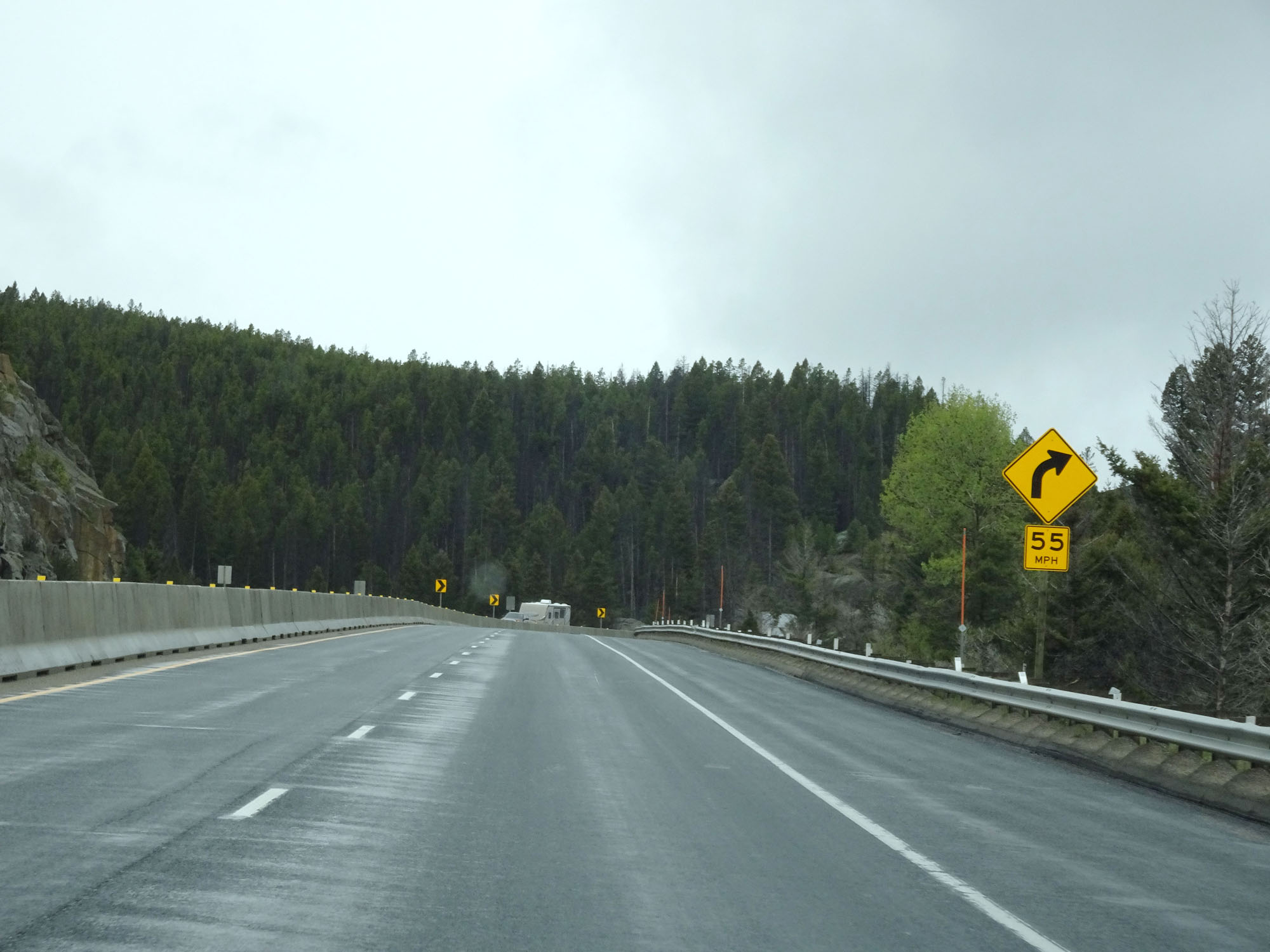 |
A 55 mph curve to the right exists ahead. This mountain pass is certainly no joke. (Photo taken 5/24/16). |
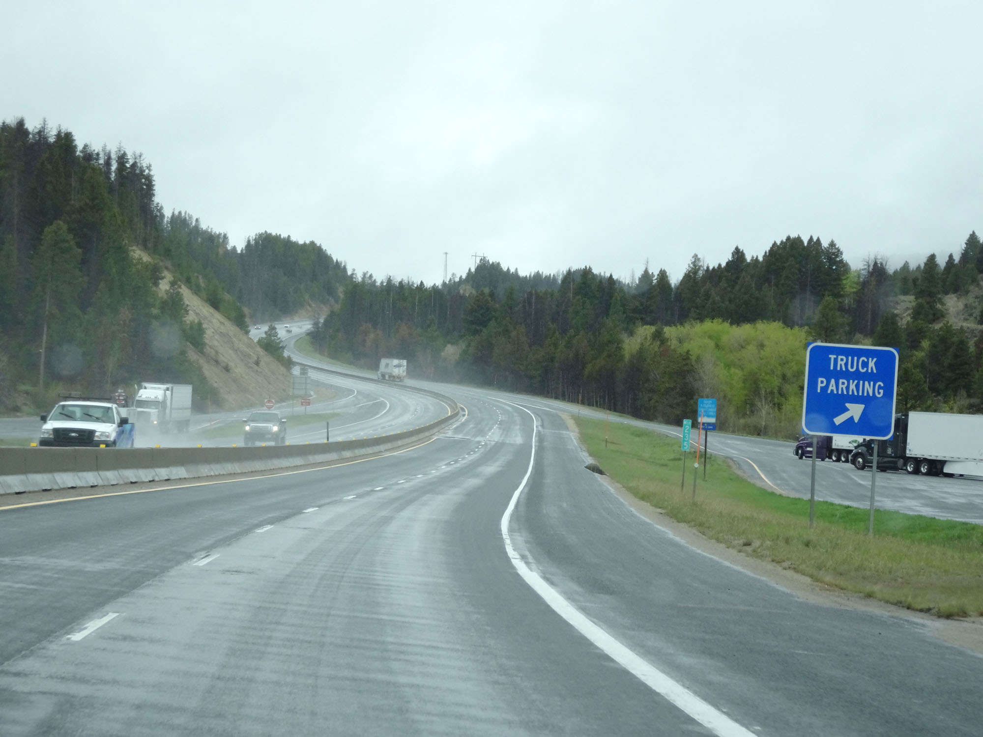 |
Truck Parking Area at mile marker 235 on Interstate 90 West near the summit of Homestake Pass. (Photo taken 5/24/16). |
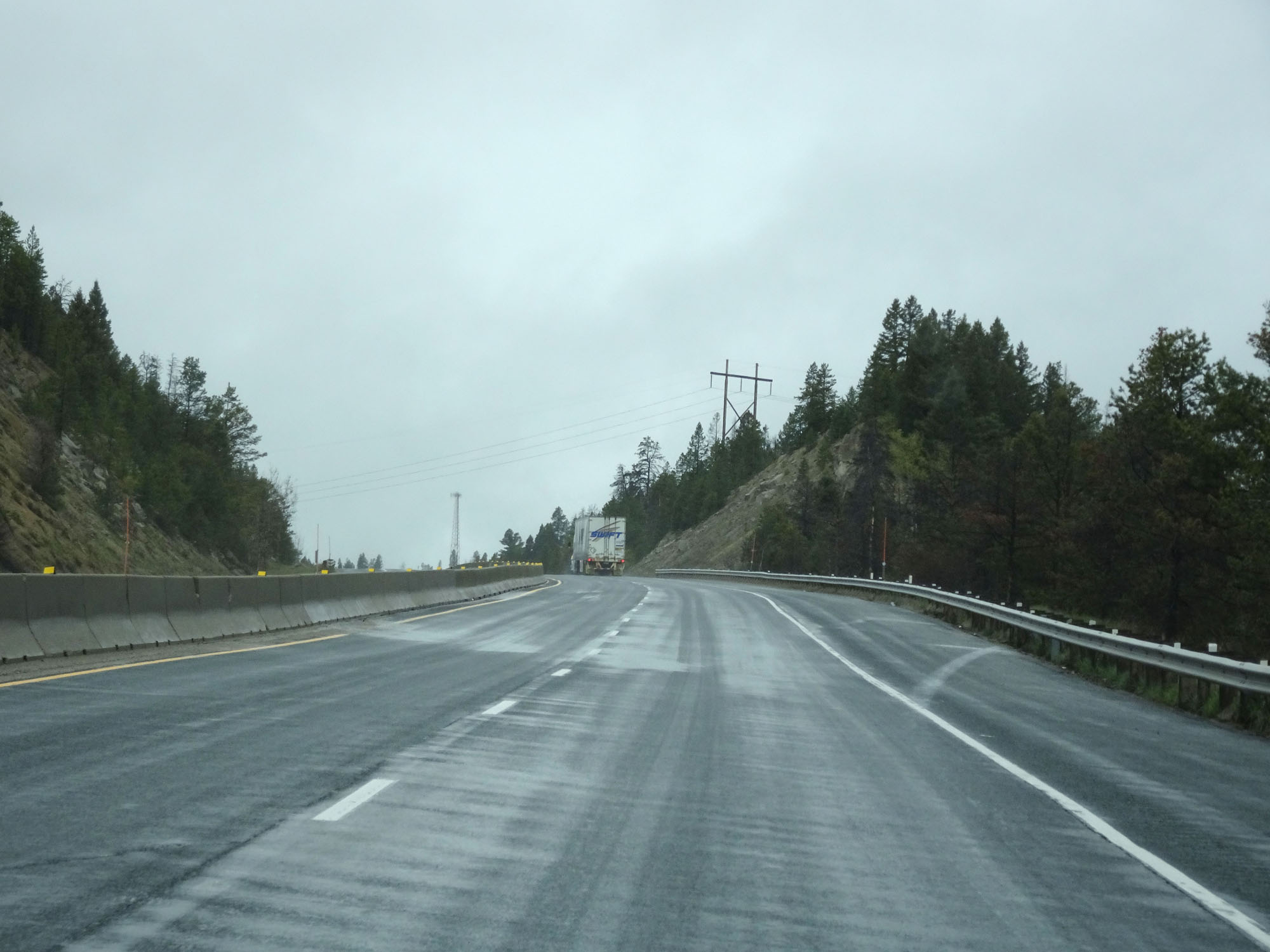 |
View on Interstate 90 West nearing the summit. (Photo taken 5/24/16). |
 |
Interstate 90 West approaching Exit 233 - 1/2 mile. (Photo taken 5/24/16). |
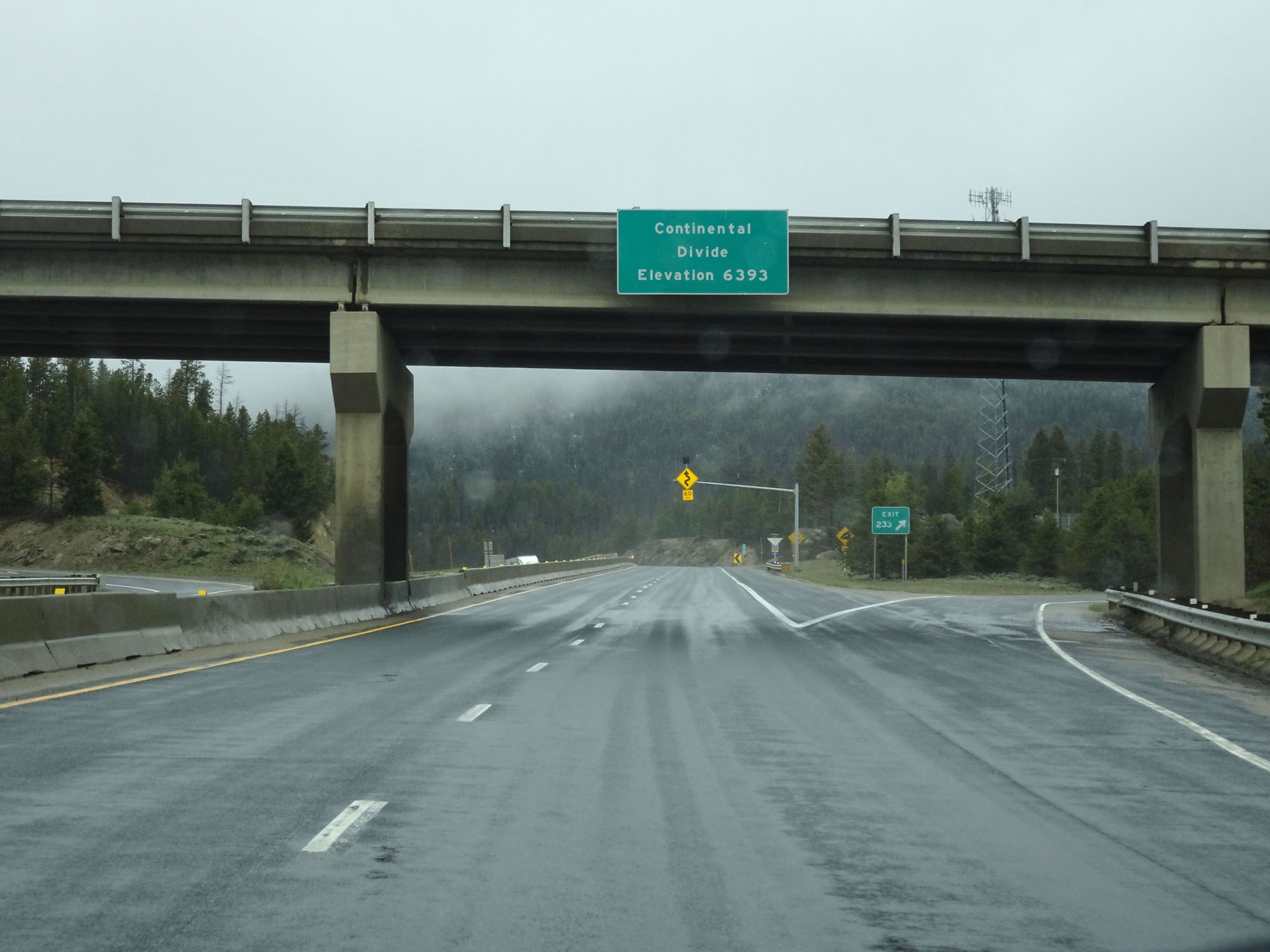 |
Interstate 90 West crosses the Continental Divide here, at the summit of Homestake Pass, at an elevation of 6,393 feet. (Photo taken 5/24/16). |
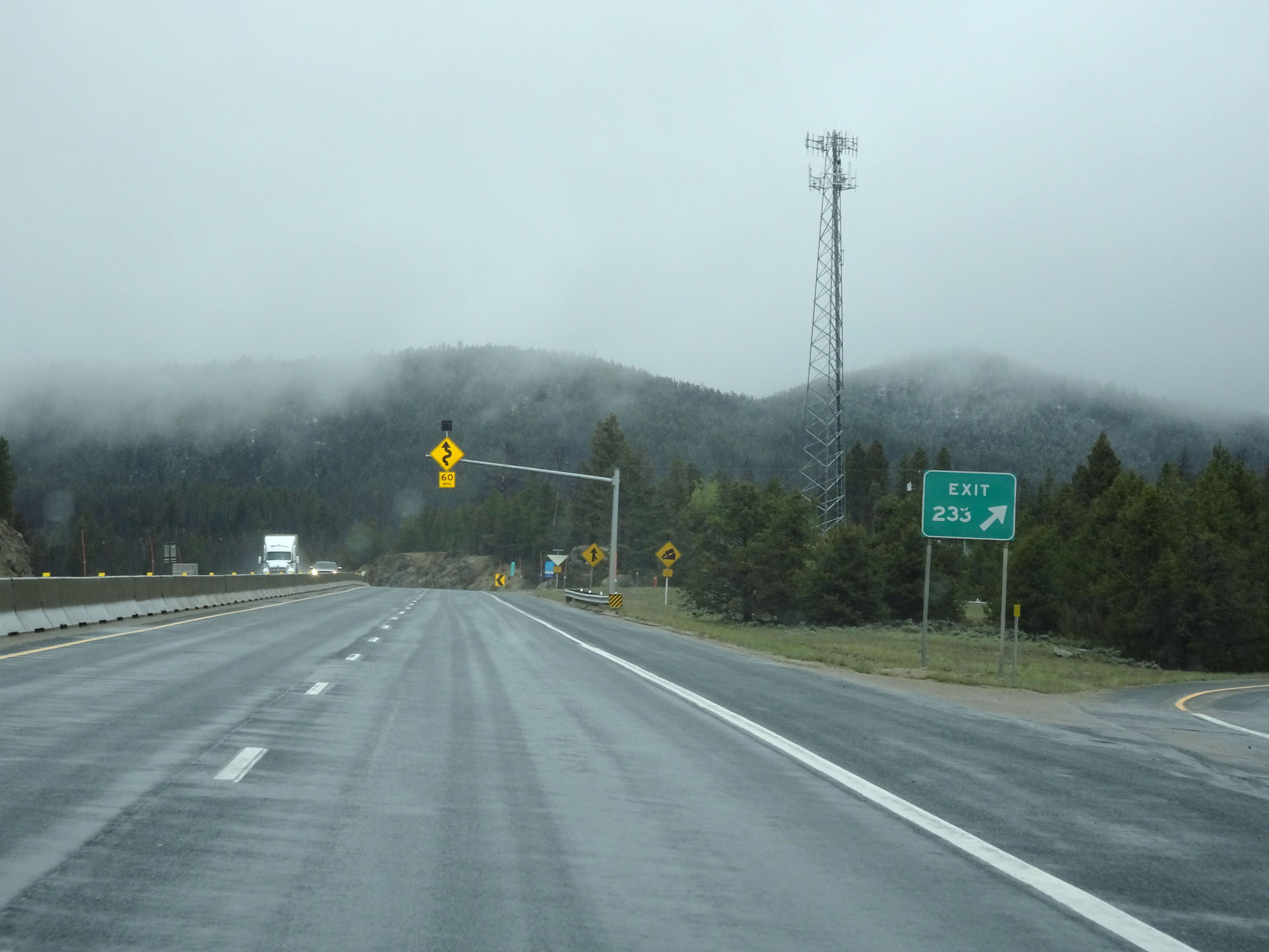 |
Interstate 90 West at Exit 233: Homestake (Photo taken 5/24/16). |
 |
Interstate 90 West at mile marker 233. (Photo taken 5/24/16). |
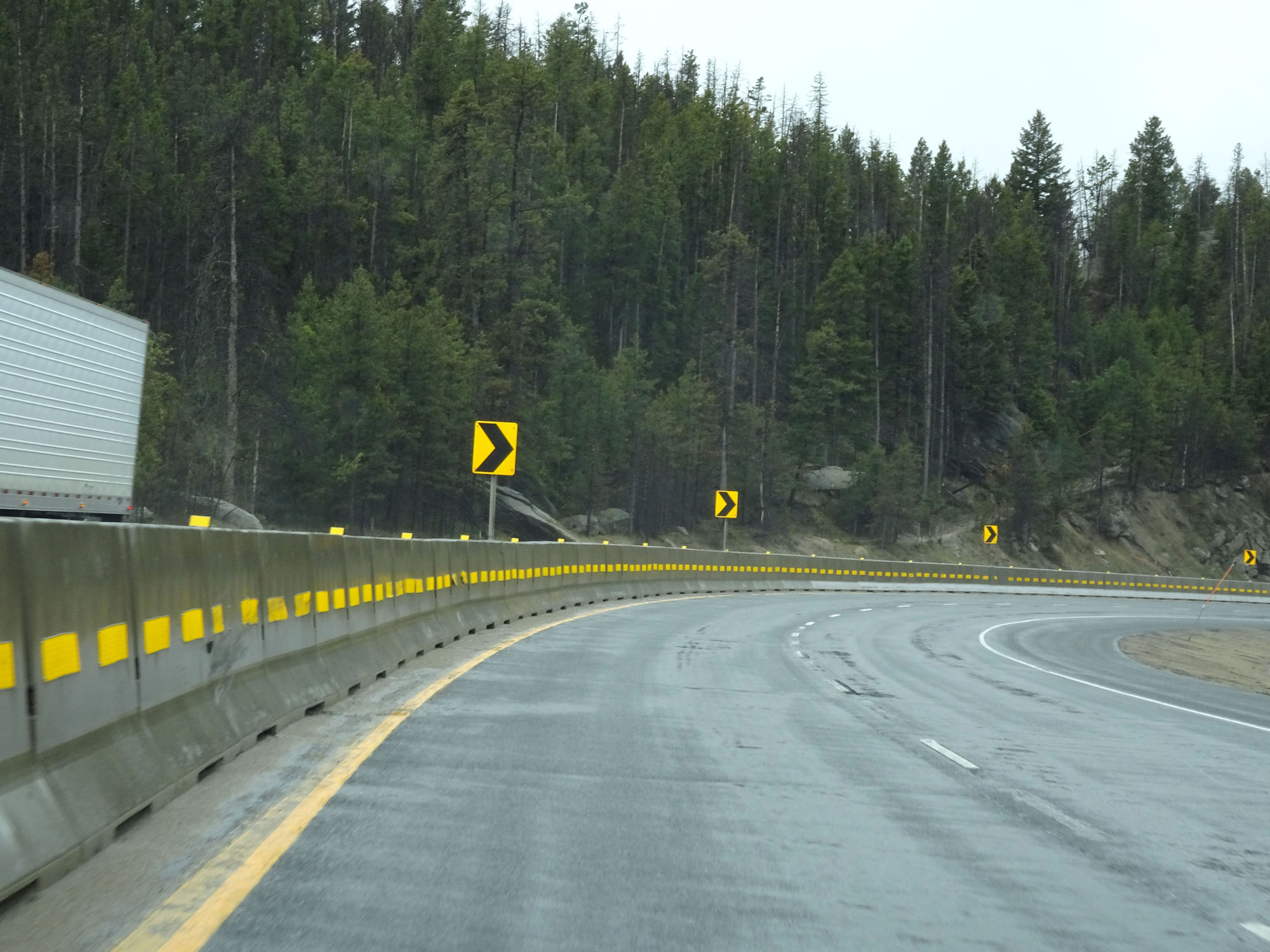 |
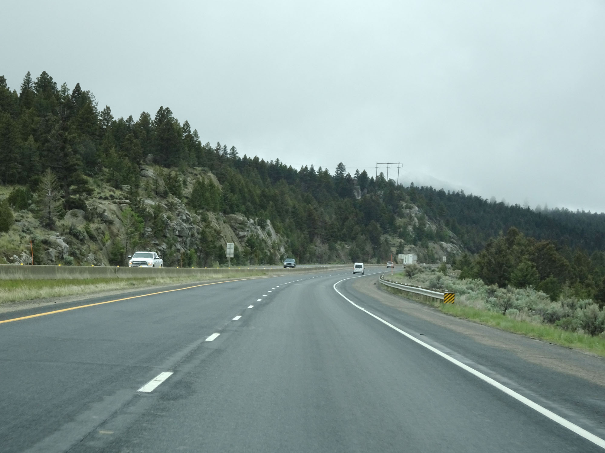
View on Interstate 90 West as it begins its descent down the west side of Homestake Pass. Butte and the junction of Interstate 15 lie at the bottom of the long, steep, winding grade. (Photo taken 5/24/16). |
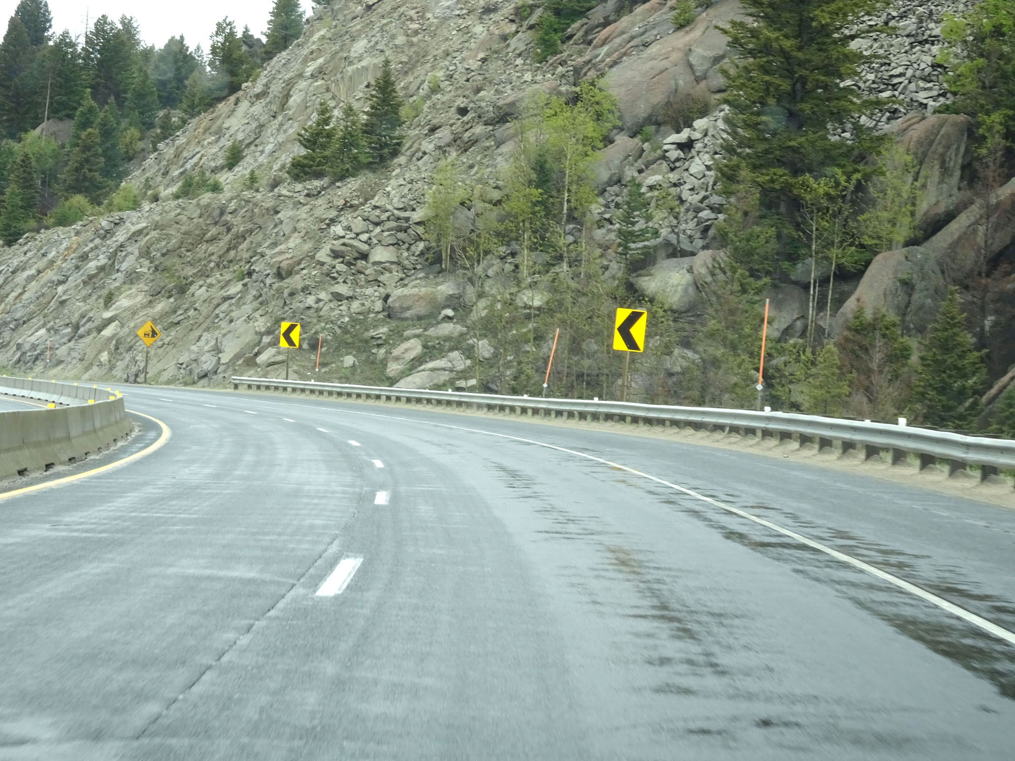 |
Another view on Interstate 90 West and its winding curves heading down Homestake Pass. (Photo taken 5/24/16). |
 |
Watch for rocks that have fallen onto the roadway. (Photo taken 5/24/16). |
 |
Interstate 90 West at mile marker 232. (Photo taken 5/24/16). |
 |
More sharp curves heading down the mountain. (Photo taken 5/24/16). |
 |
Interstate 90 West at mile marker 231. (Photo taken 5/24/16). |
 |
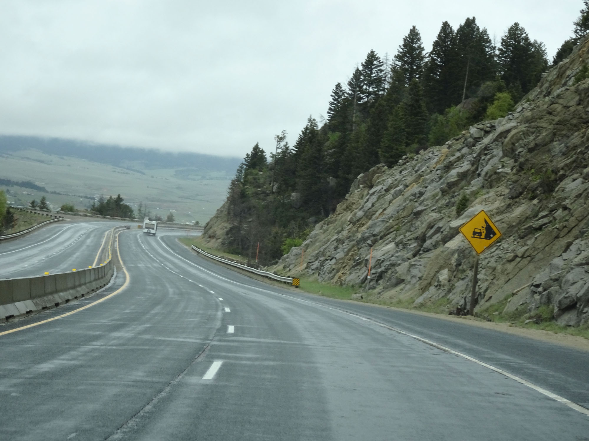
Interstate 90 West as the bottom of Homestake Pass comes into view. (Photo taken 5/24/16). |
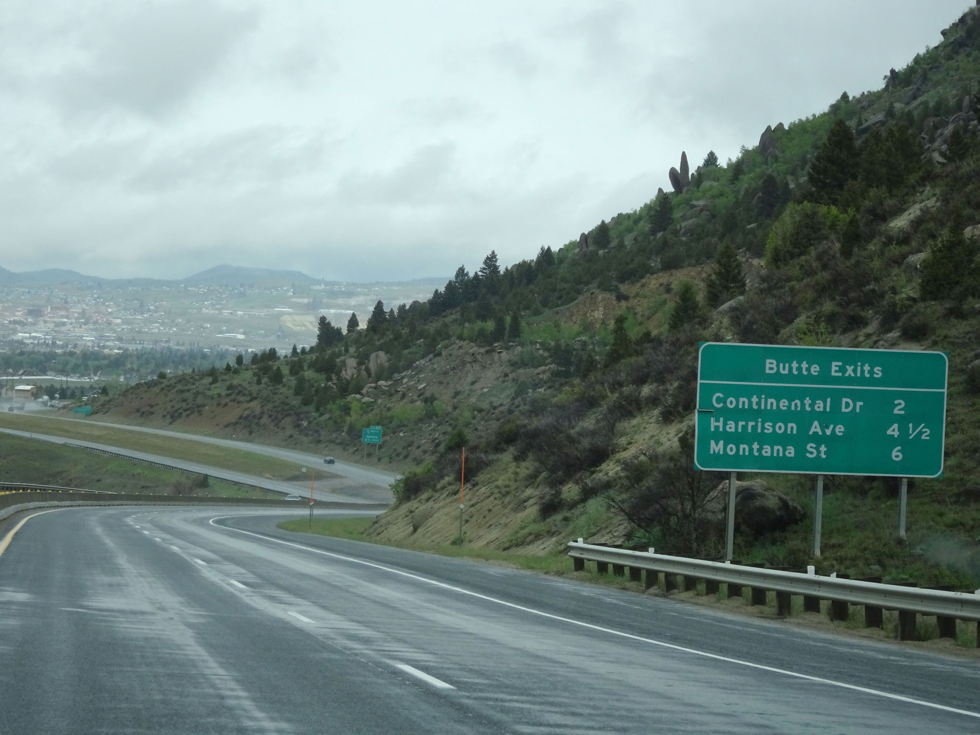 |
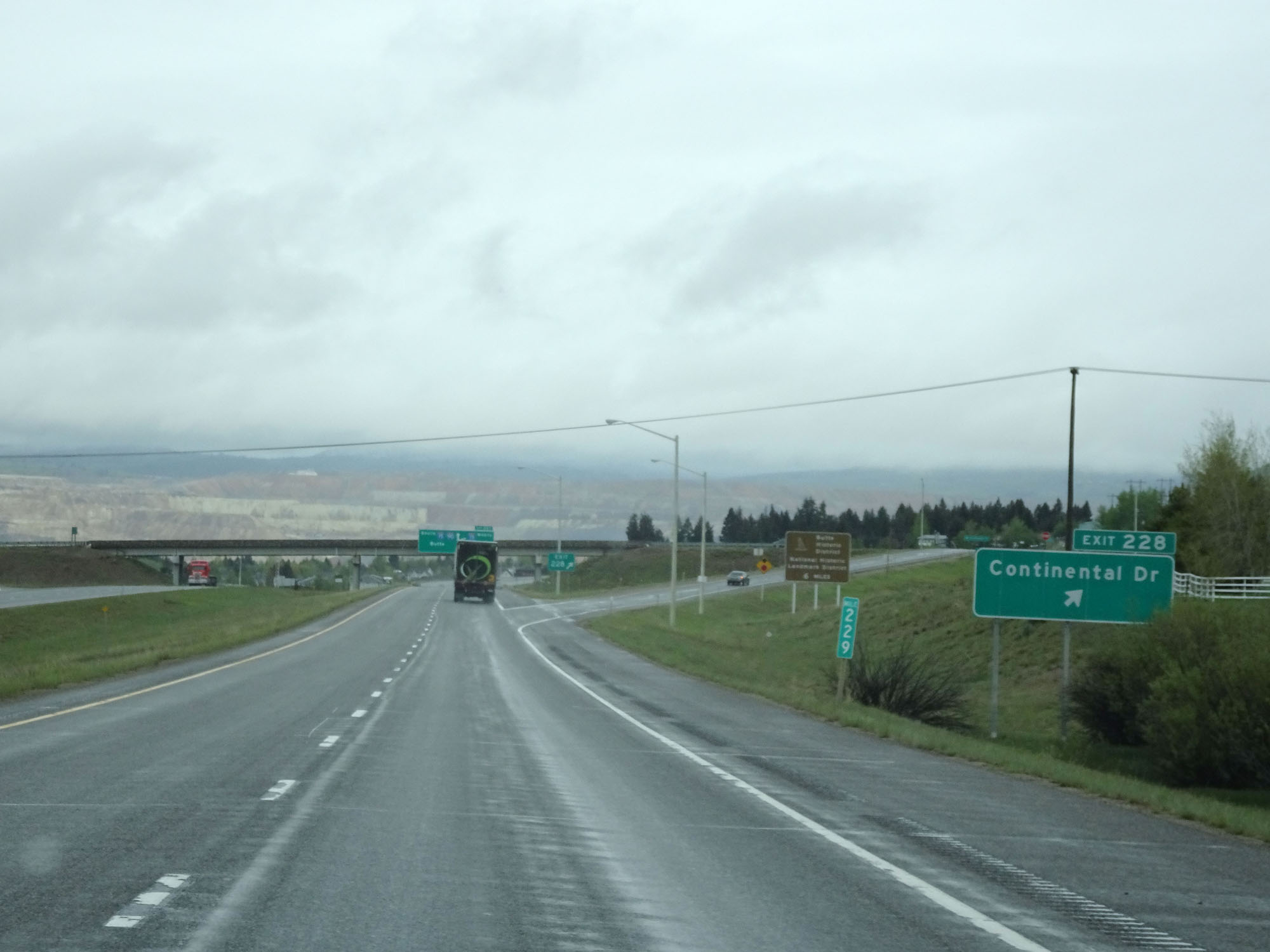
Sign listing the distances to the three upcoming exits to Butte. (Photo taken 5/24/16). |
 |
Interstate 90 West approaching Exit 228 - 3/4 mile. (Photo taken 5/24/16). |
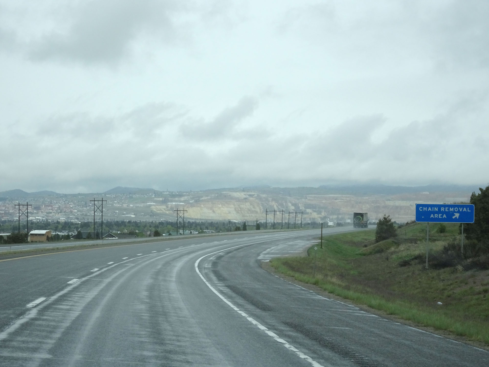 |
Chain Removal Area on Interstate 90 West as it reaches the bottom of Homestake Pass near the east end of Butte. (Photo taken 5/24/16). |
 |
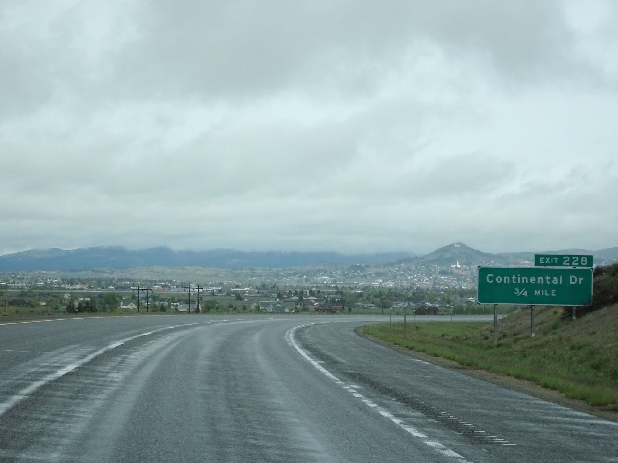
Interstate 90 West at Exit 228: Continental Dr (Photo taken 5/24/16). |
 |
Gore point signage for Exit 228. (Photo taken 5/24/16). |
 |
Interstate 90 West approaching Exit 227 - 1 mile. (Photo taken 5/24/16). |
 |
Interstate 90 West reassurance shield. (Photo taken 5/24/16). |
 |
Approaching the Butte area, the speed limit decreases to 65 mph for all traffic. (Photo taken 5/24/16). |
 |
Interstate 90 West approaching Exit 227 - 1/4 mile. (Photo taken 5/24/16). |
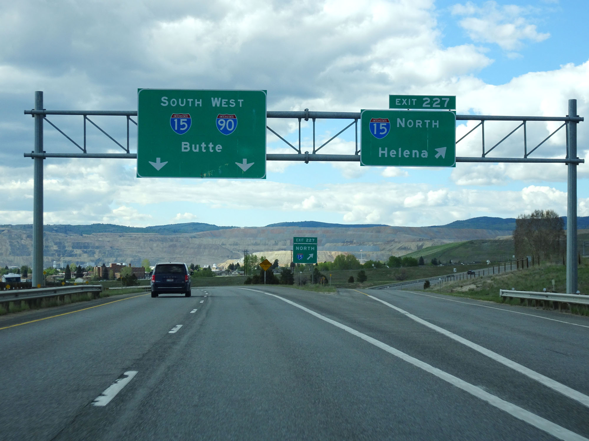 |
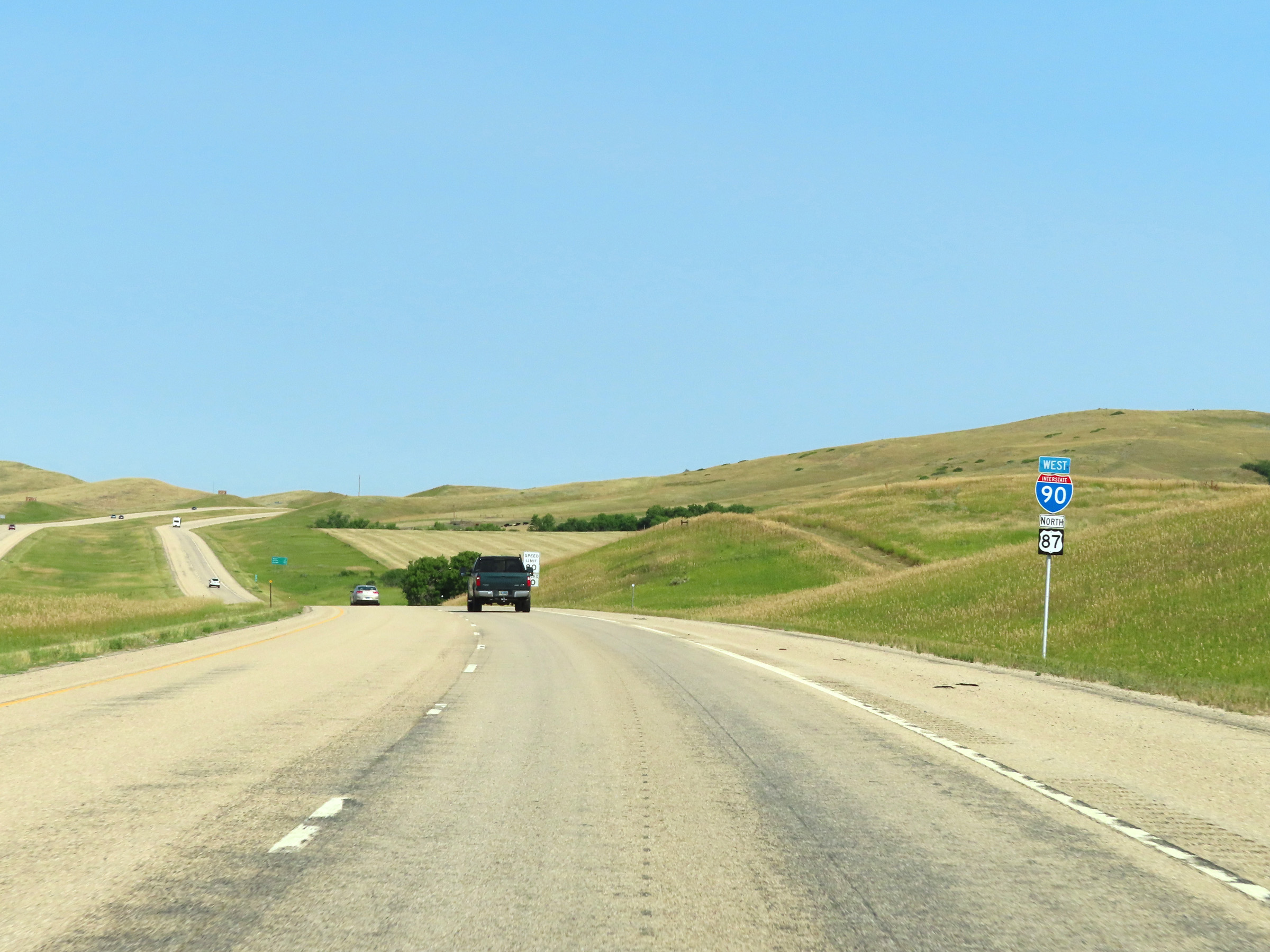
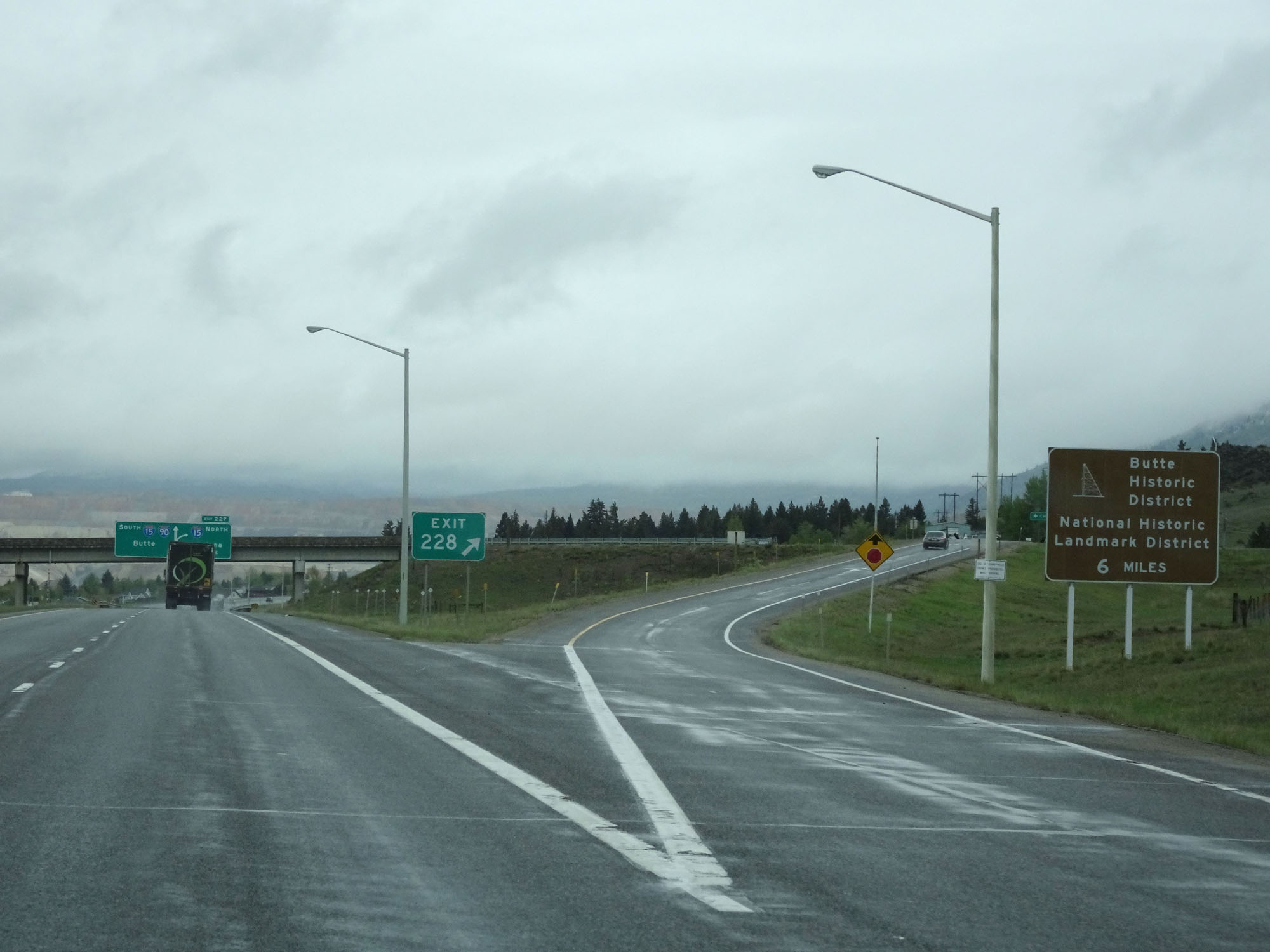
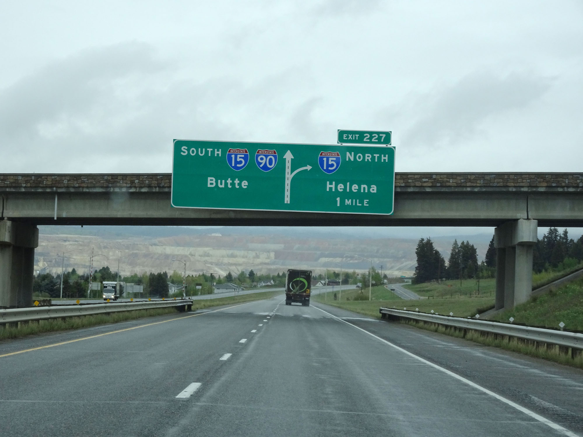
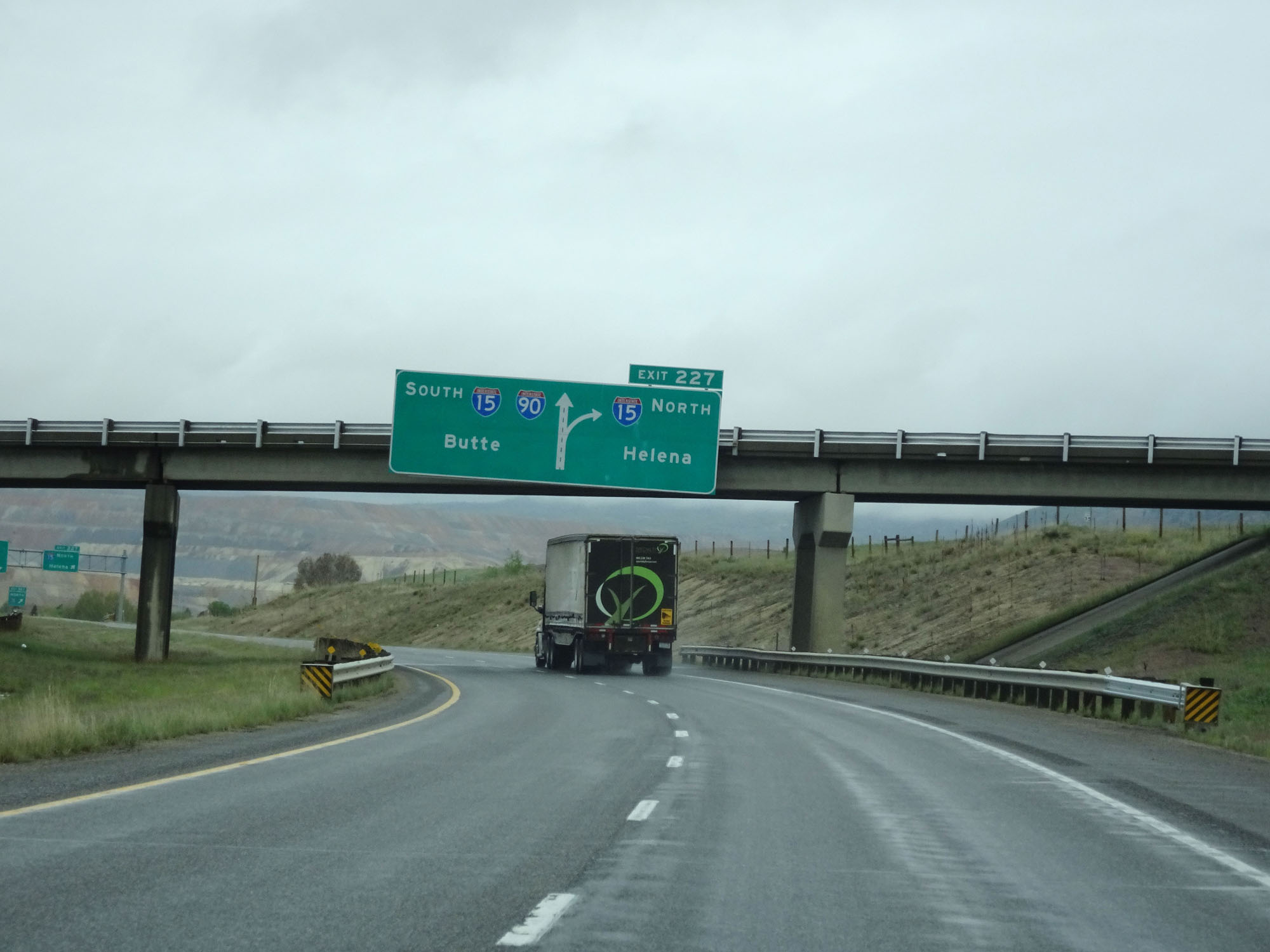
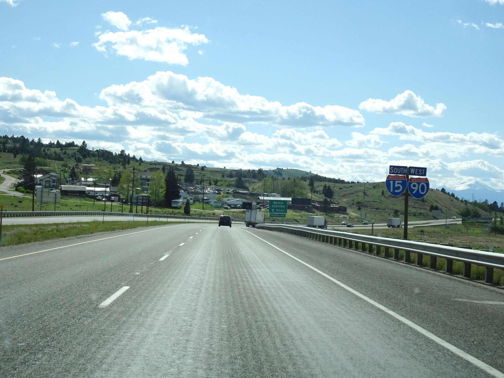
Interstate 90 West at Exit 227: Interstate 15 North - Helena (Photo taken 5/25/16). |
Section 6: Butte (Exit 227) to Deer Lodge (Exit 184)
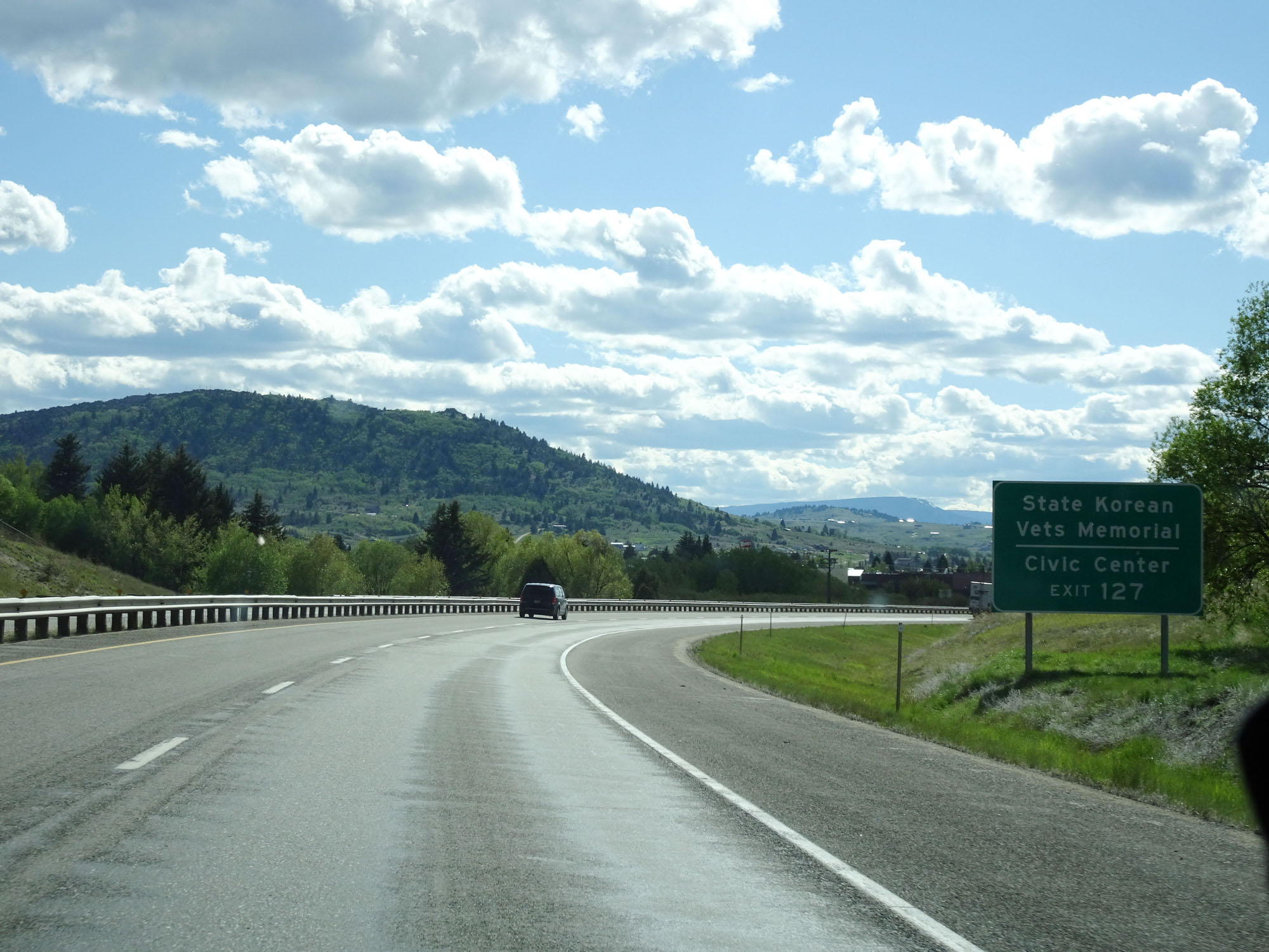 |
Take Exit 127 to the State Korean Vets Memorial and Civic Center. (Photo taken 5/25/16). |
 |
Take Exit 127 to Highlands College as well. (Photo taken 5/25/16). |
 |
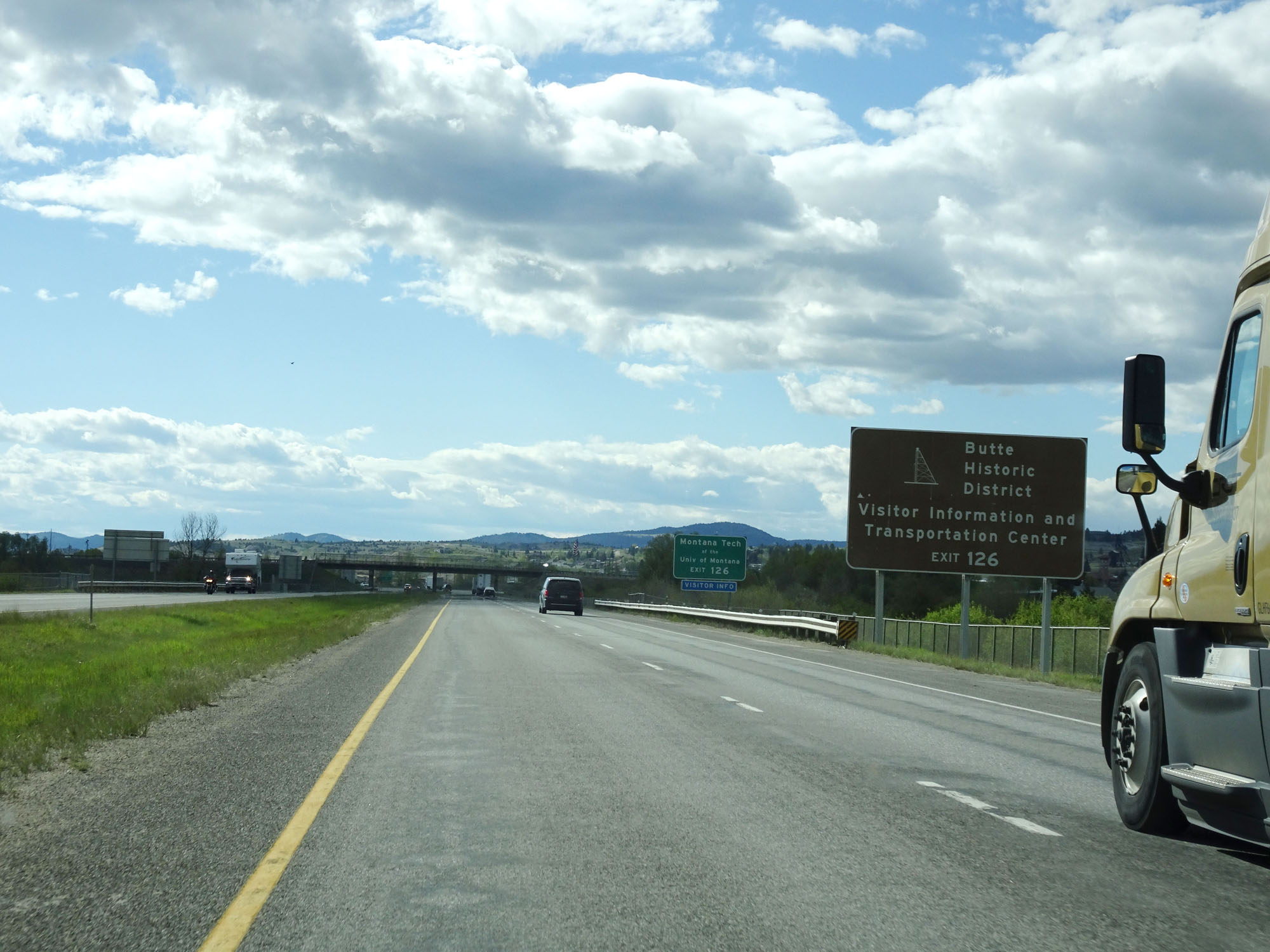
Take Exit 126 to Butte Historic District, Visitor Information and the Transportation Center. (Photo taken 5/25/16). |
 |
Interstate 90 West / Interstate 15 South at Exit 127: Interstate 15 Business Loop / Interstate 90 Business Loop - Harrison Ave (Photo taken 5/25/16). |
 |
Again, take Exit 126 to Butte Historic District, Visitor Information and Transportation Center. (Photo taken 5/25/16). |
 |
Take Exit 126 to Montana Tech of the University of Montana as well. (Photo taken 5/25/16). |
 |
Interstate 90 West / Interstate 15 South at mile marker 127. (Photo taken 5/25/16). |
 |
Interstate 90 West / Interstate 15 South at Exit 127: Montana St (Photo taken 5/25/16). |
 |
Interstate 90 West / Interstate 15 South reassurance shields. (Photo taken 5/25/16). |
 |
The speed limit remains 65 mph for all traffic. (Photo taken 5/25/16). |
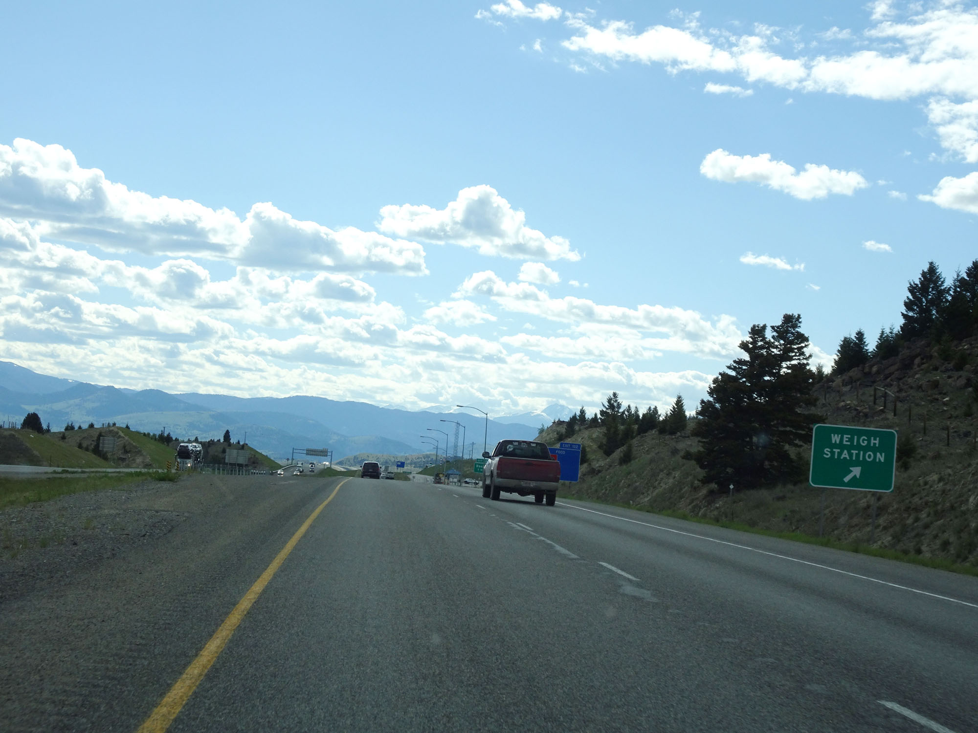 |
Weigh Station on Interstate 90 West / Interstate 15 South in Silver Bow County. (Photo taken 5/25/16). |
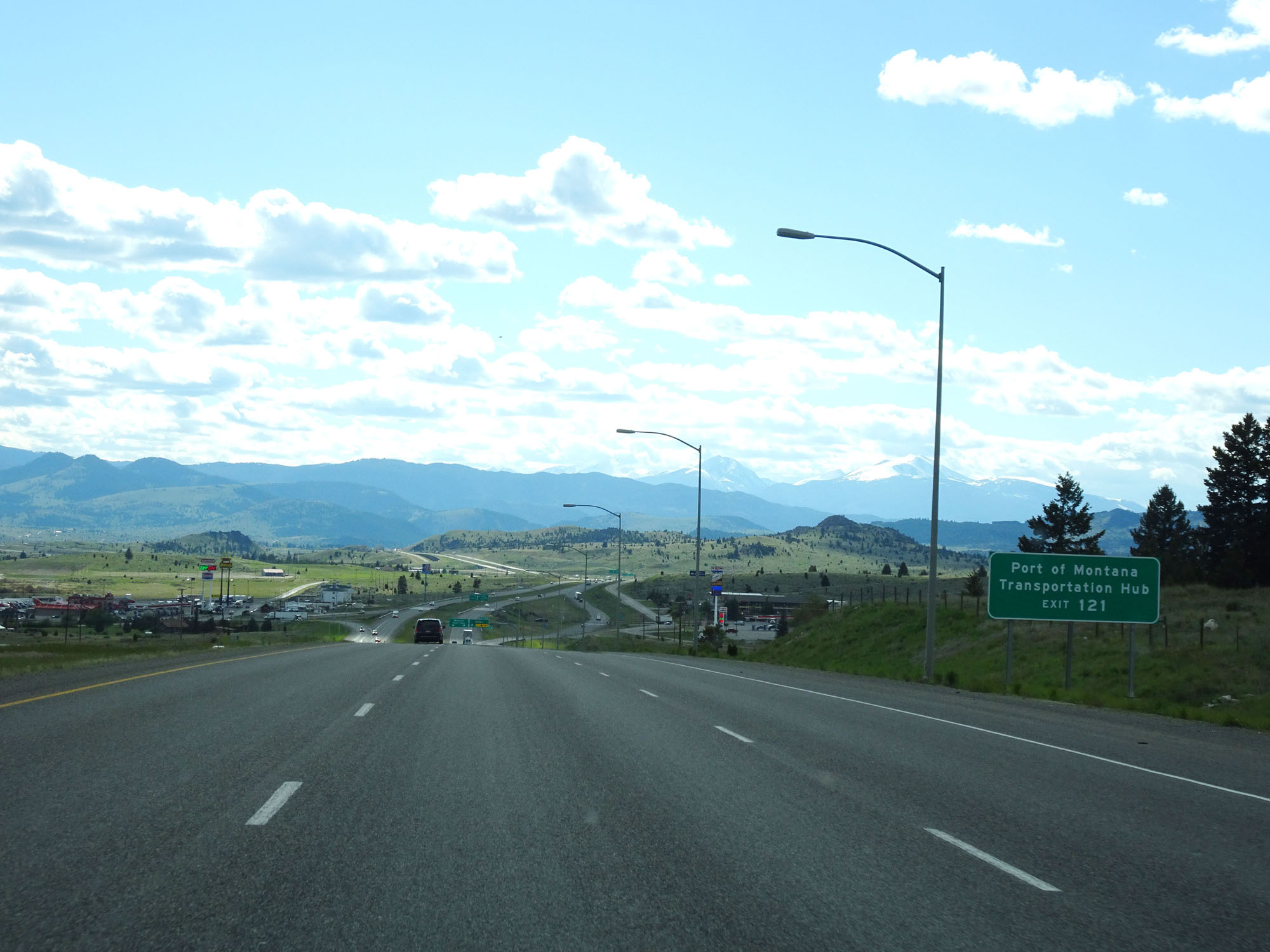 |
Take Exit 121 to Port of Montana Transportation Hub. (Photo taken 5/25/16). |
 |
Interstate 90 West / Interstate 15 South at Exit 122: Rocker (Photo taken 5/25/16). |
 |
Interstate 90 West / Interstate 15 South approaching Exit 121 - 1 mile. (Photo taken 5/25/16). |
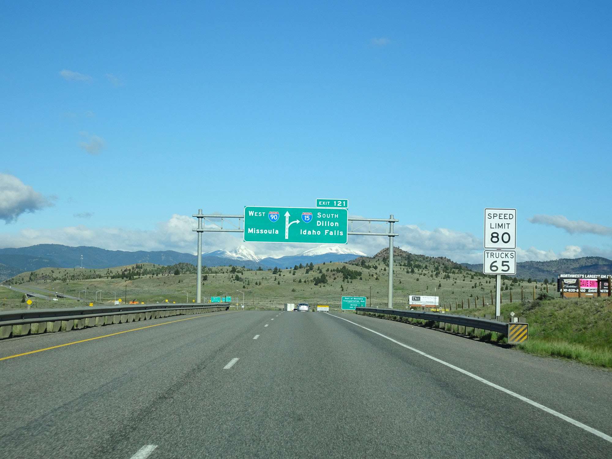 |
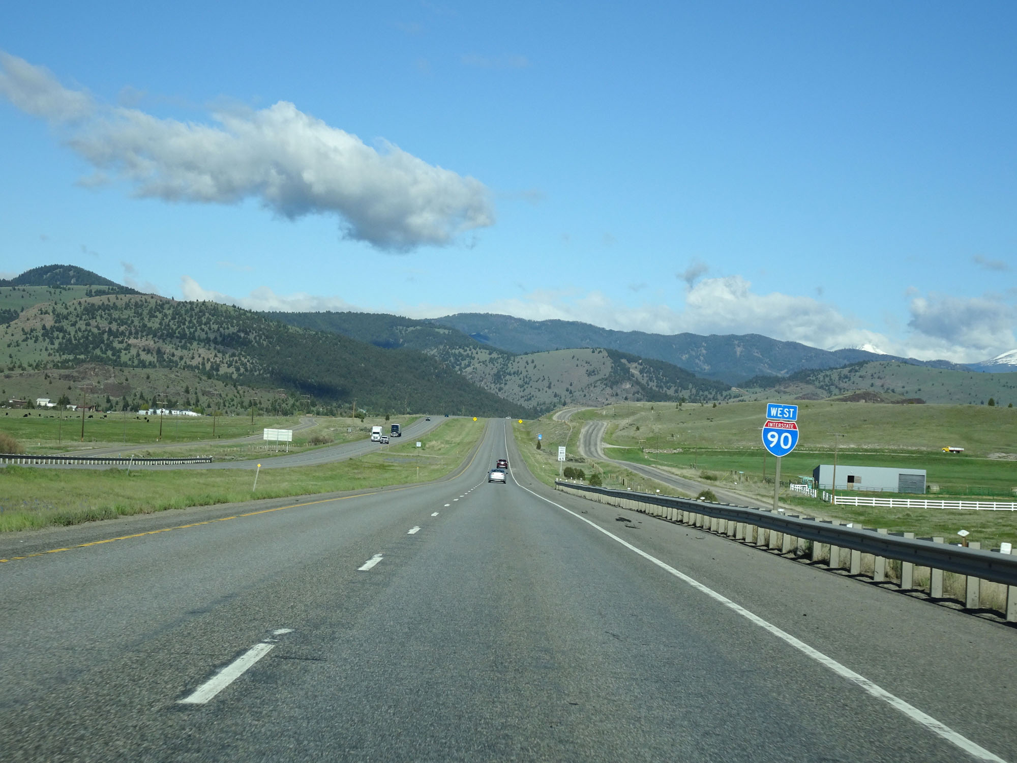
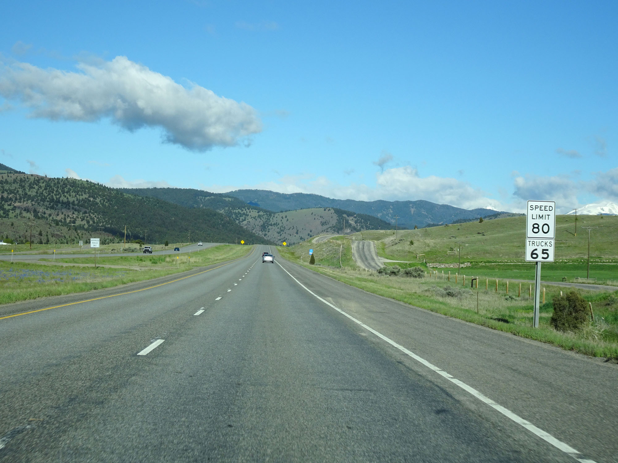
Approaching Exit 121, the standard rural speed limit of 80 mph for cars resumes. It remains 65 mph for trucks as always. (Photo taken 5/25/16). |
 |
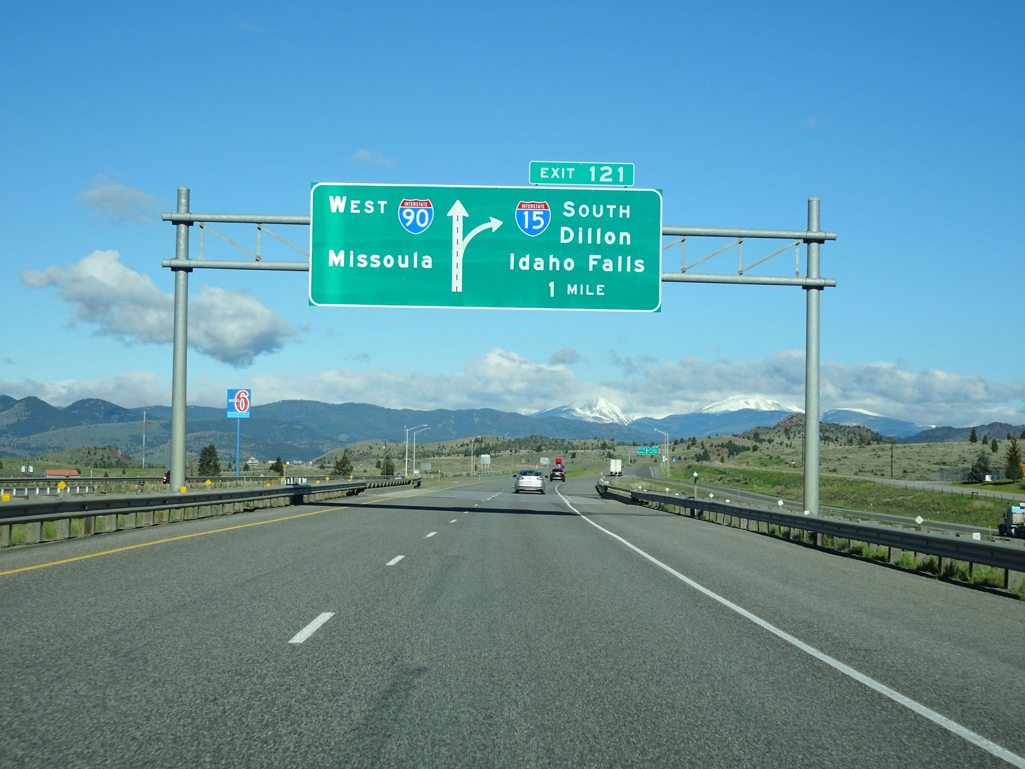
Take Exit 121 (Interstate 15 South) to Port of Montana Transportation Hub and Dillon. (Photo taken 5/25/16). |
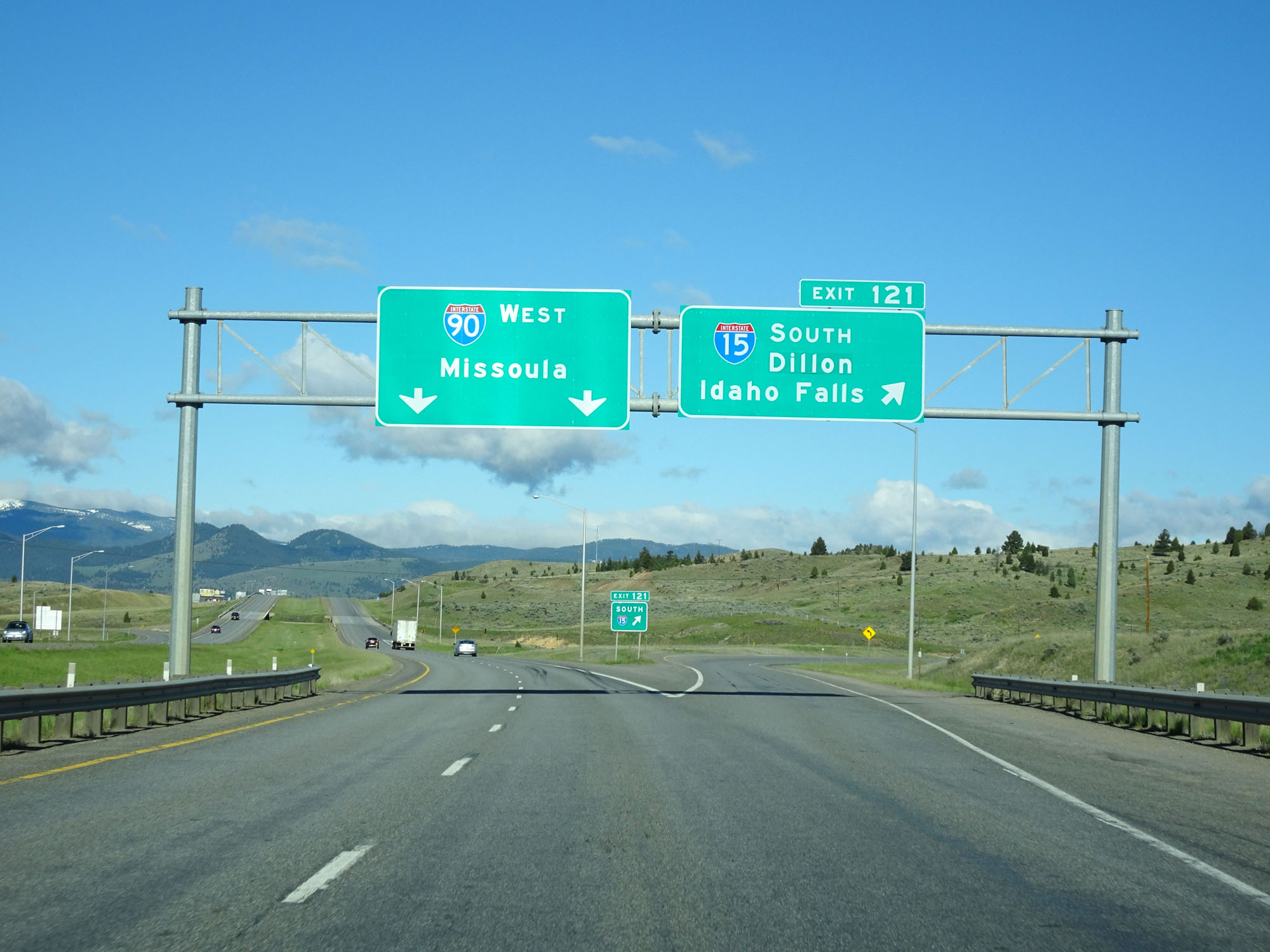 |
Interstate 90 West / Interstate 15 South at Exit 121: Interstate 15 South - Dillon / Idaho Falls (Photo taken 5/25/16). |
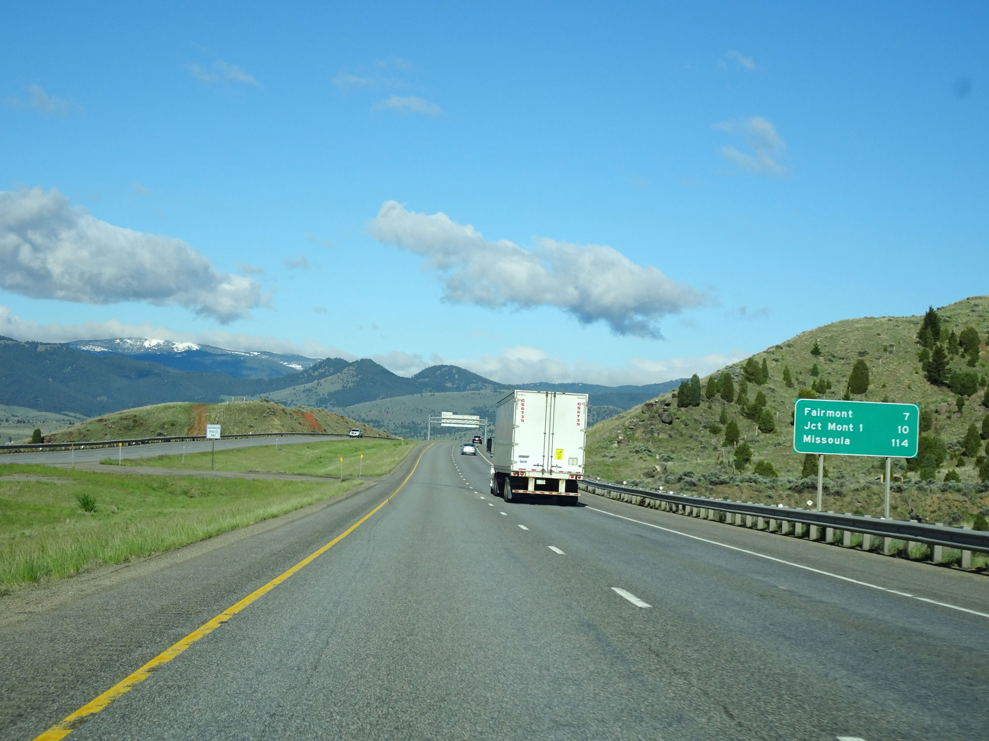 |
Mileage sign on Interstate 90 West. It's 7 miles to Fairmont, 10 miles to the junction of MT 1, and 114 miles to Missoula. (Photo taken 5/25/16). |
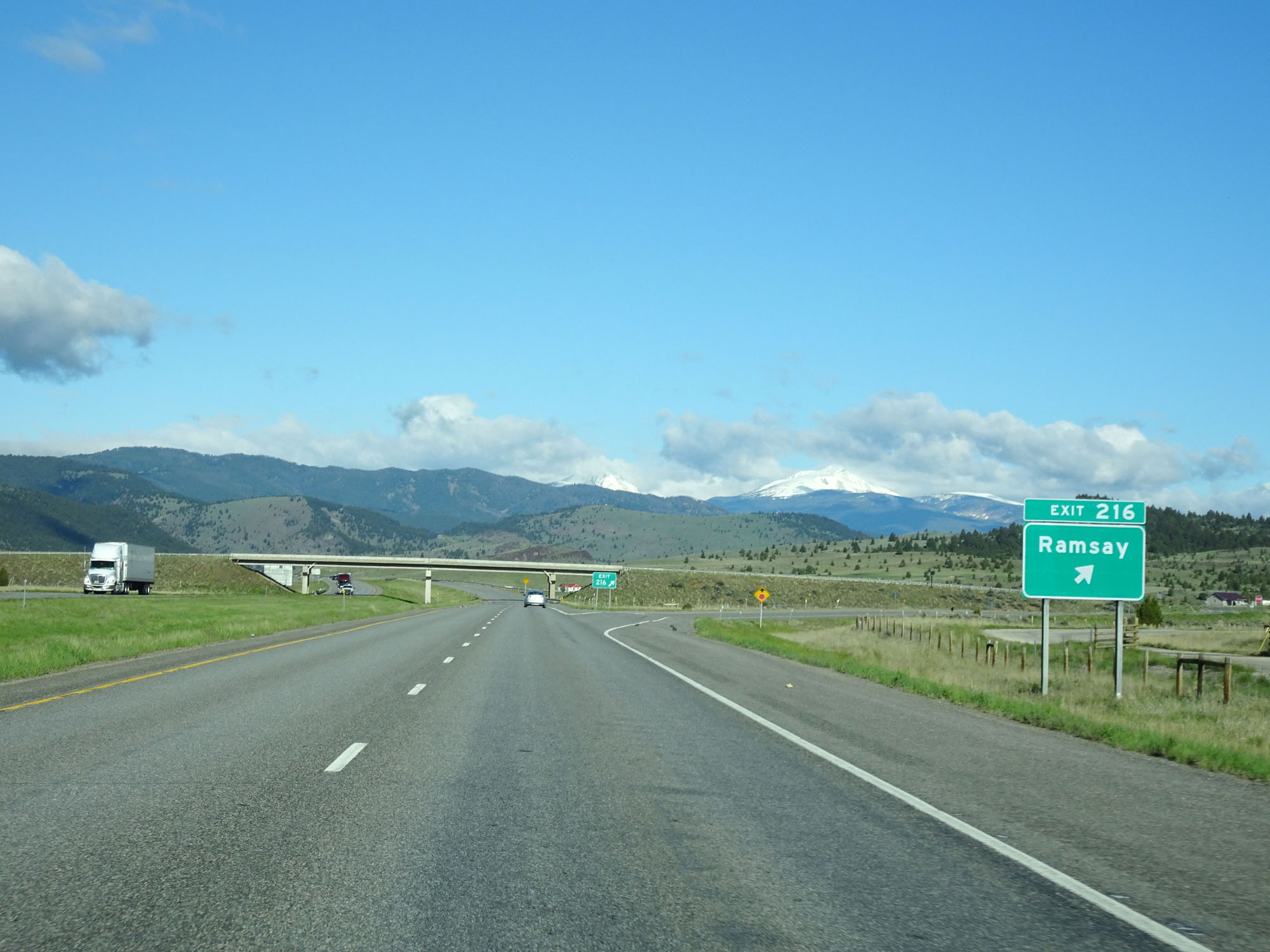 |
Interstate 90 West at Exit 216: Ramsay (Photo taken 5/25/16). |
 |
Interstate 90 West reassurance shield. (Photo taken 5/25/16). |
 |
The speed limits remain 80 mph for cars and 65 mph for trucks. (Photo taken 5/25/16). |
 |
Right curve ahead on Interstate 90 West. (Photo taken 5/25/16). |
 |
View on Interstate 90 West. (Photo taken 5/25/16). |
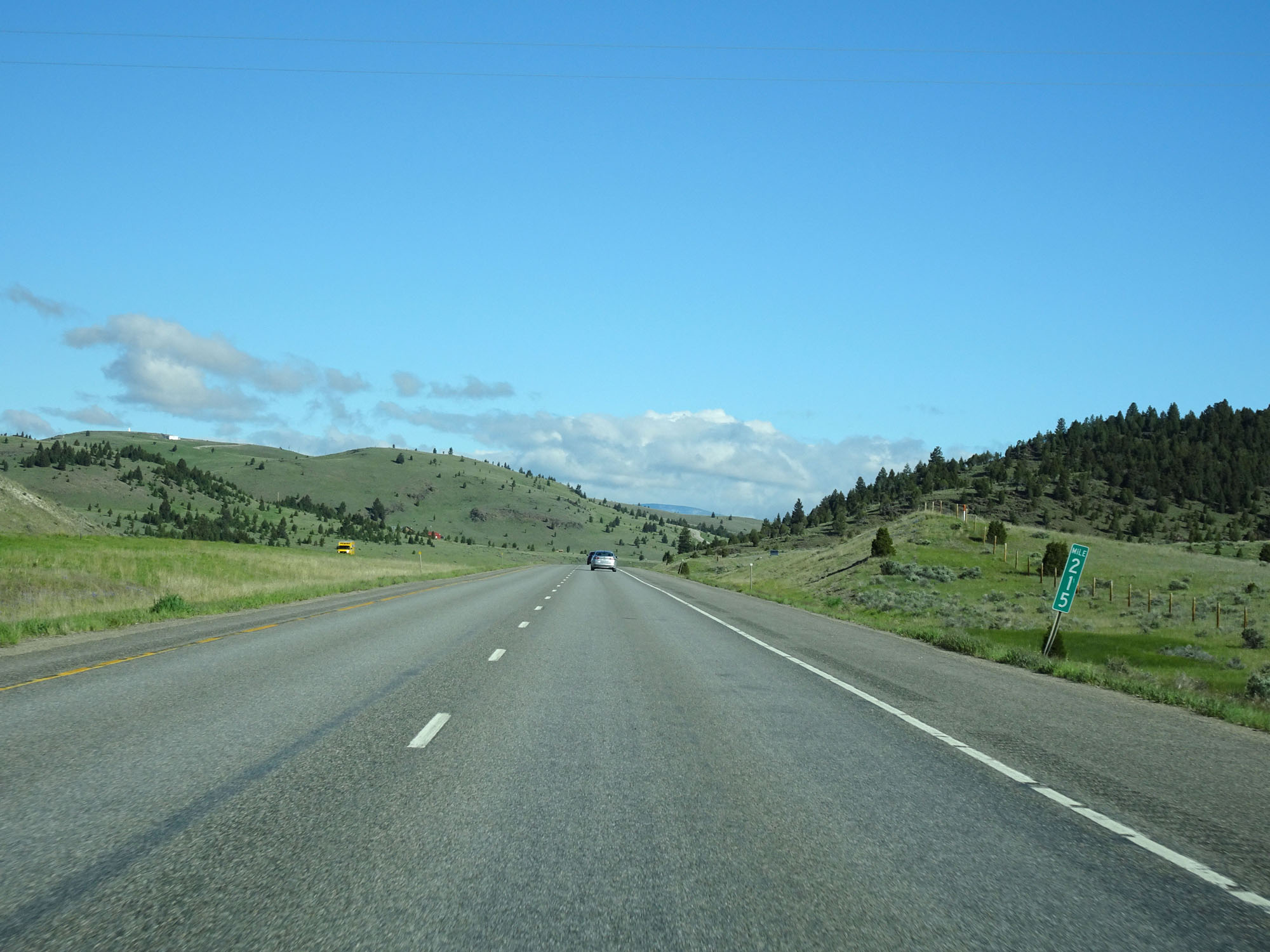 |
Interstate 90 West at mile marker 215. (Photo taken 5/25/16). |
 |
Another view on Interstate 90 West in Silver Bow County. (Photo taken 5/25/16). |
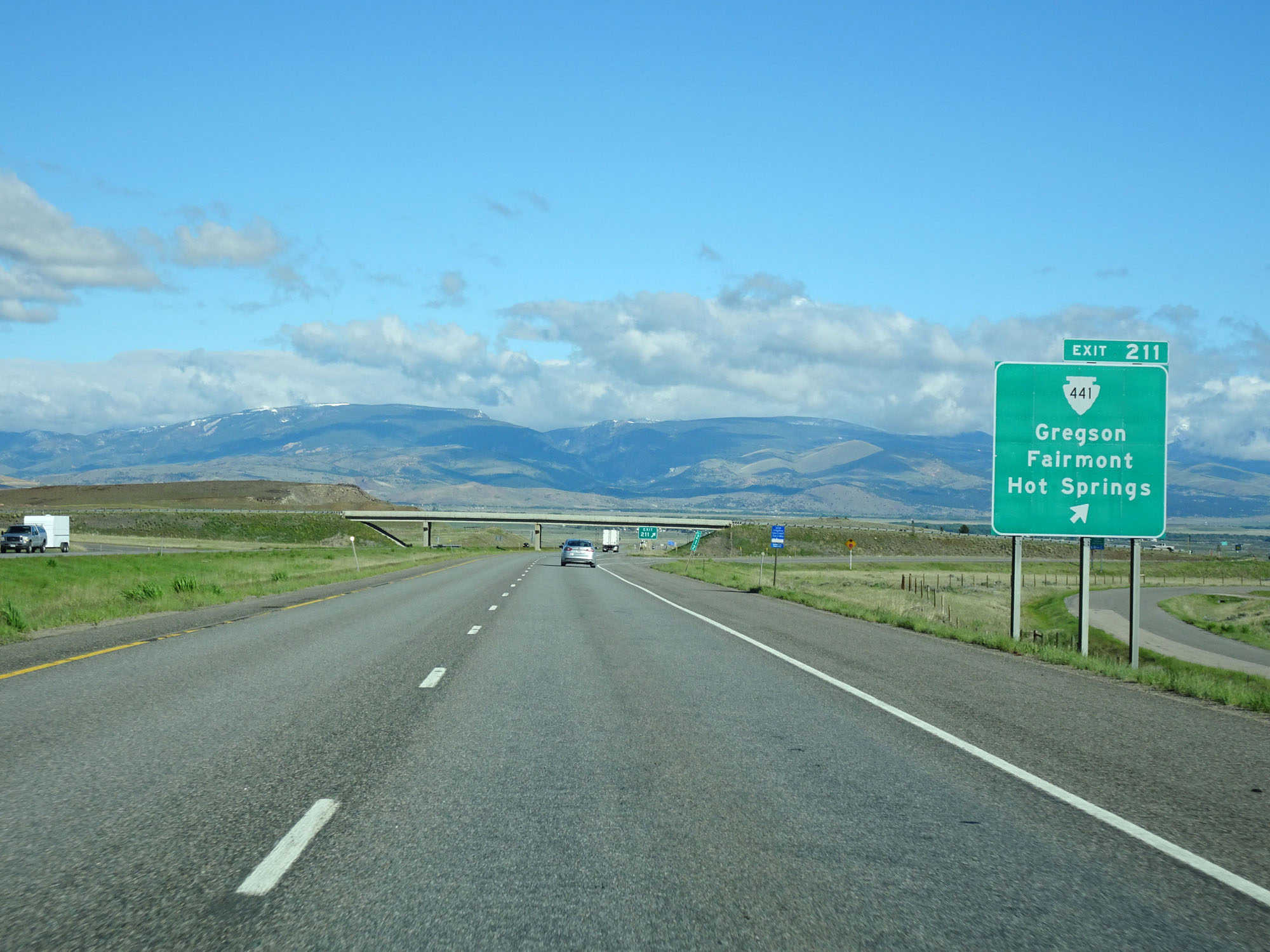 |
Interstate 90 West at Exit 211: S-441 - Gregson / Fairmont / Hot Springs (Photo taken 5/25/16). |
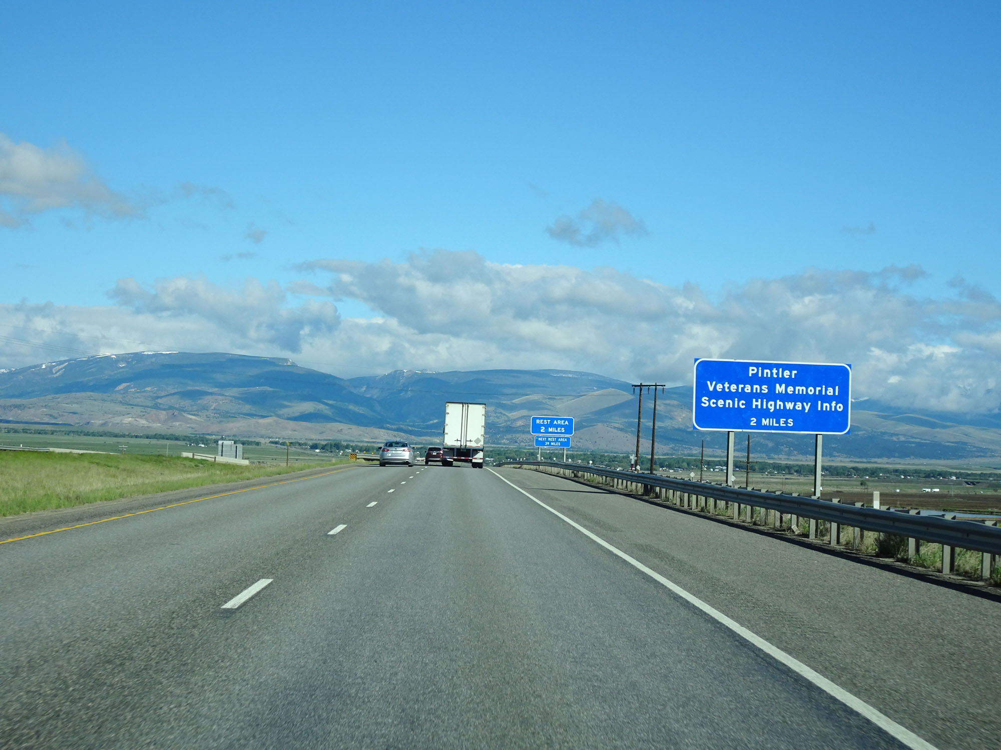 |
Information on Pintler Veterans Memorial Scenic Highway is available at the Rest Area ahead in 2 miles. (Photo taken 5/25/16). |
 |
Take Exit 208 to Philipsburg. (Photo taken 5/25/16). |
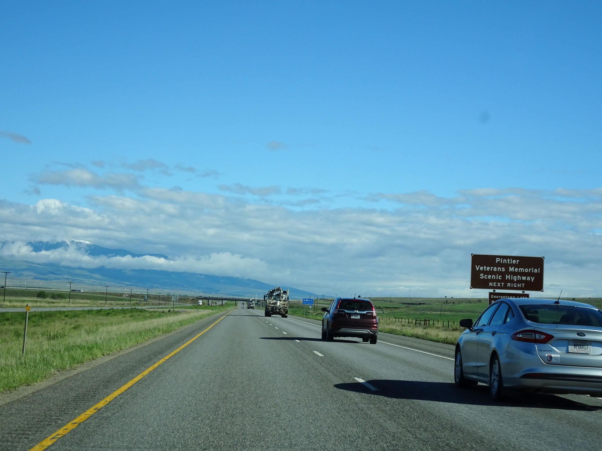 |
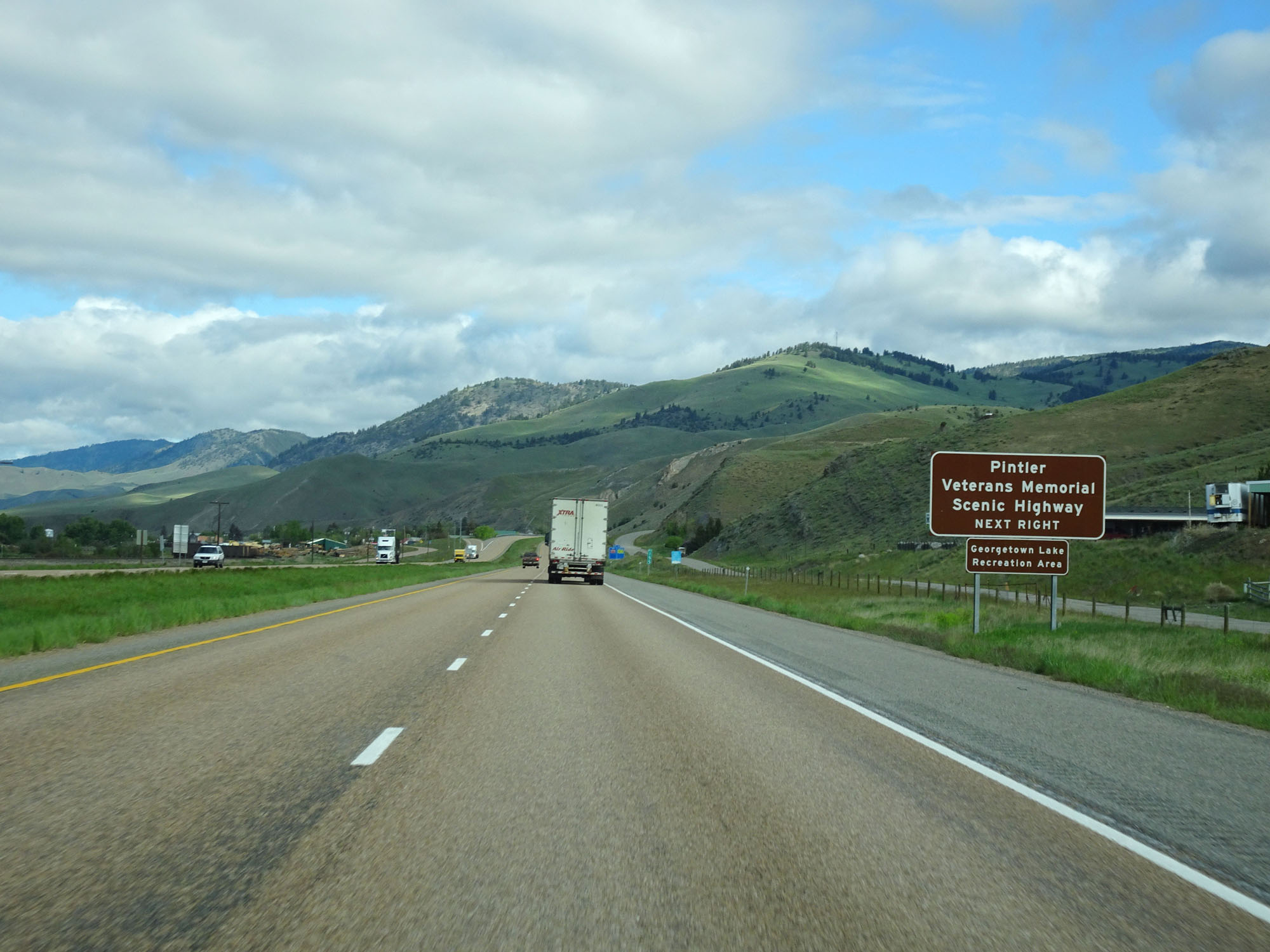
Take Exit 208 to Pintler Veterans Memorial Scenic Highway as well. (Photo taken 5/25/16). |
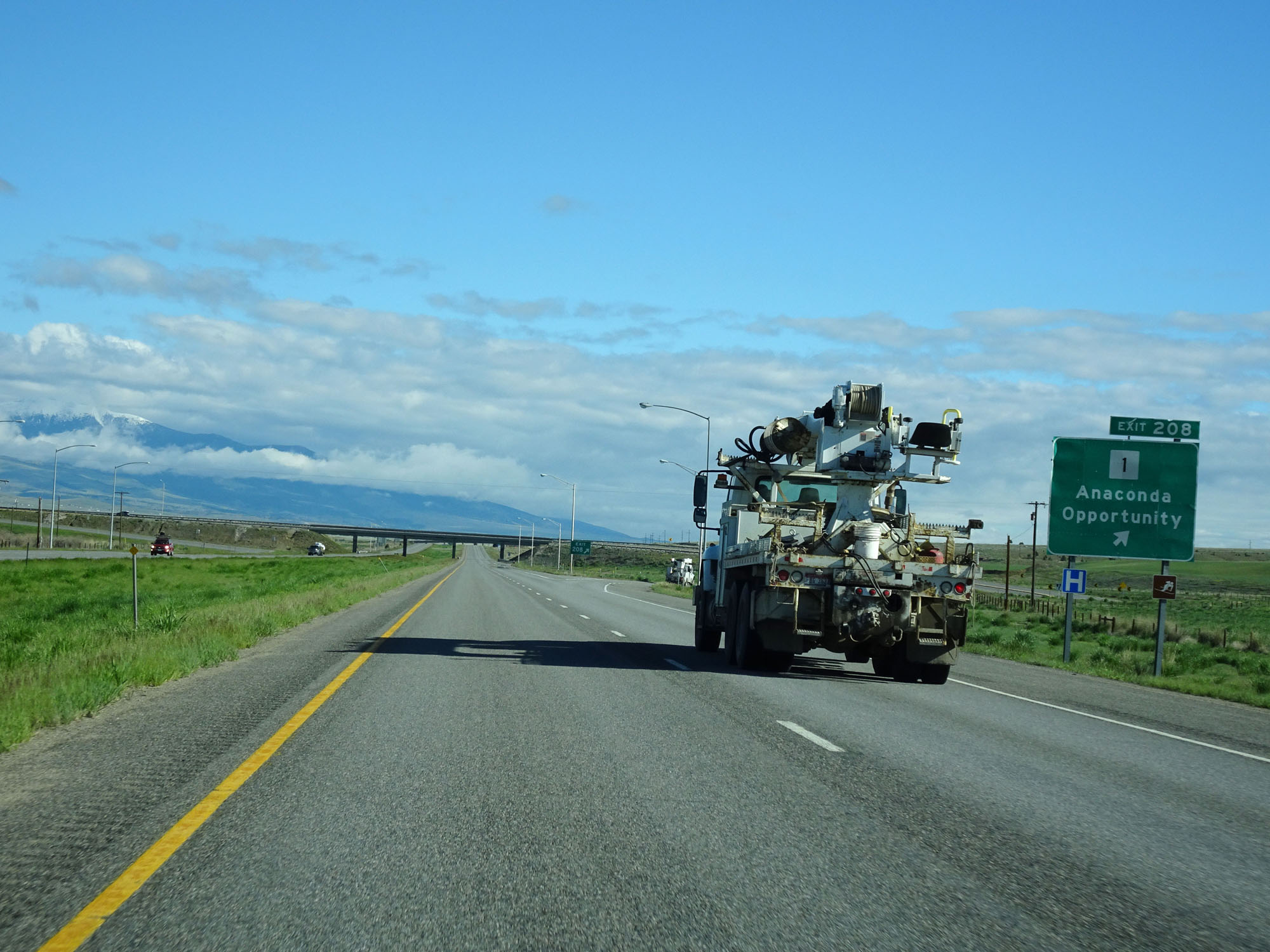 |
Interstate 90 West at Exit 208: MT 1 - Anaconda / Opportunity (Photo taken 5/25/16). |
 |
Interstate 90 West at mile marker 205. (Photo taken 5/25/16). |
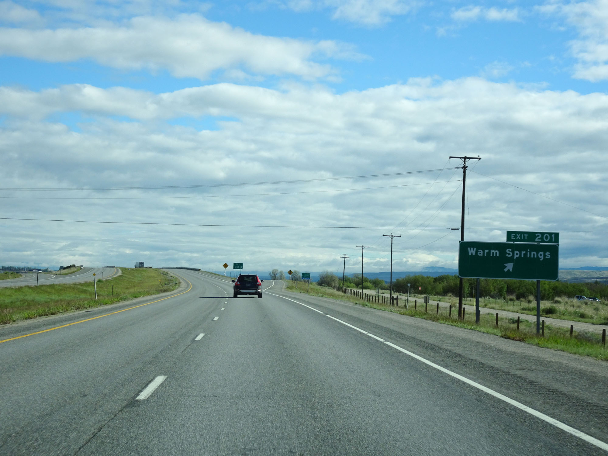 |
Interstate 90 West at Exit 201: Warm Springs (Photo taken 5/25/16). |
 |
Mileage sign on Interstate 90 West. It's 3 miles to Galen, 13 miles to Deer Lodge, and 97 miles to Missoula. (Photo taken 5/25/16). |
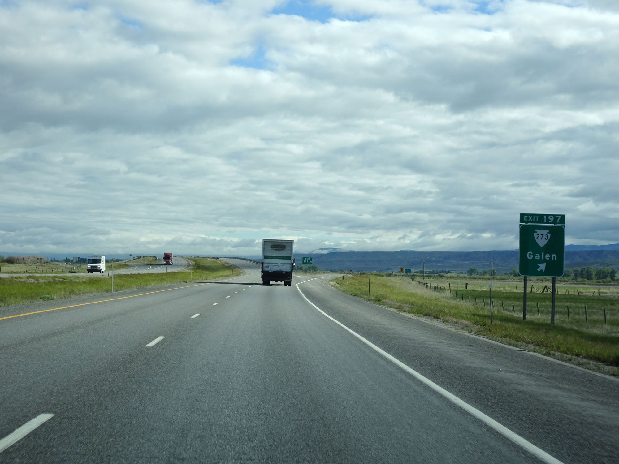 |
Interstate 90 West at Exit 197: S-273 - Galen (Photo taken 5/25/16). |
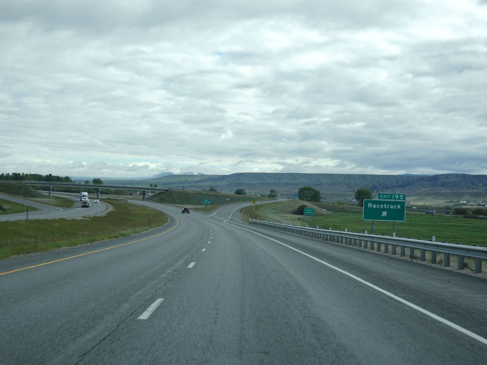 |
Interstate 90 West at Exit 195: Racetrack (Photo taken 5/25/16). |
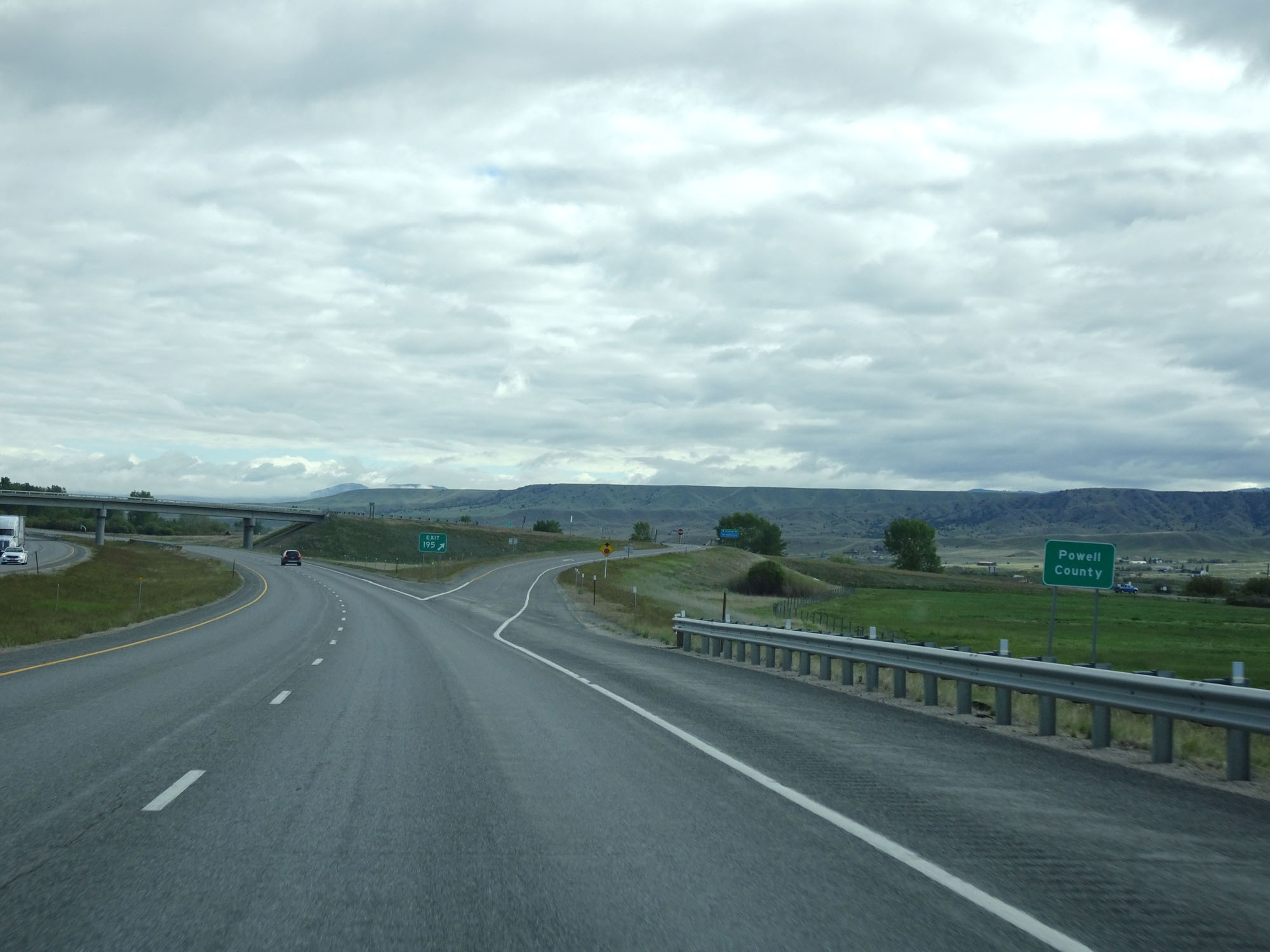 |
Interstate 90 West entering Powell County. (Photo taken 5/25/16). |
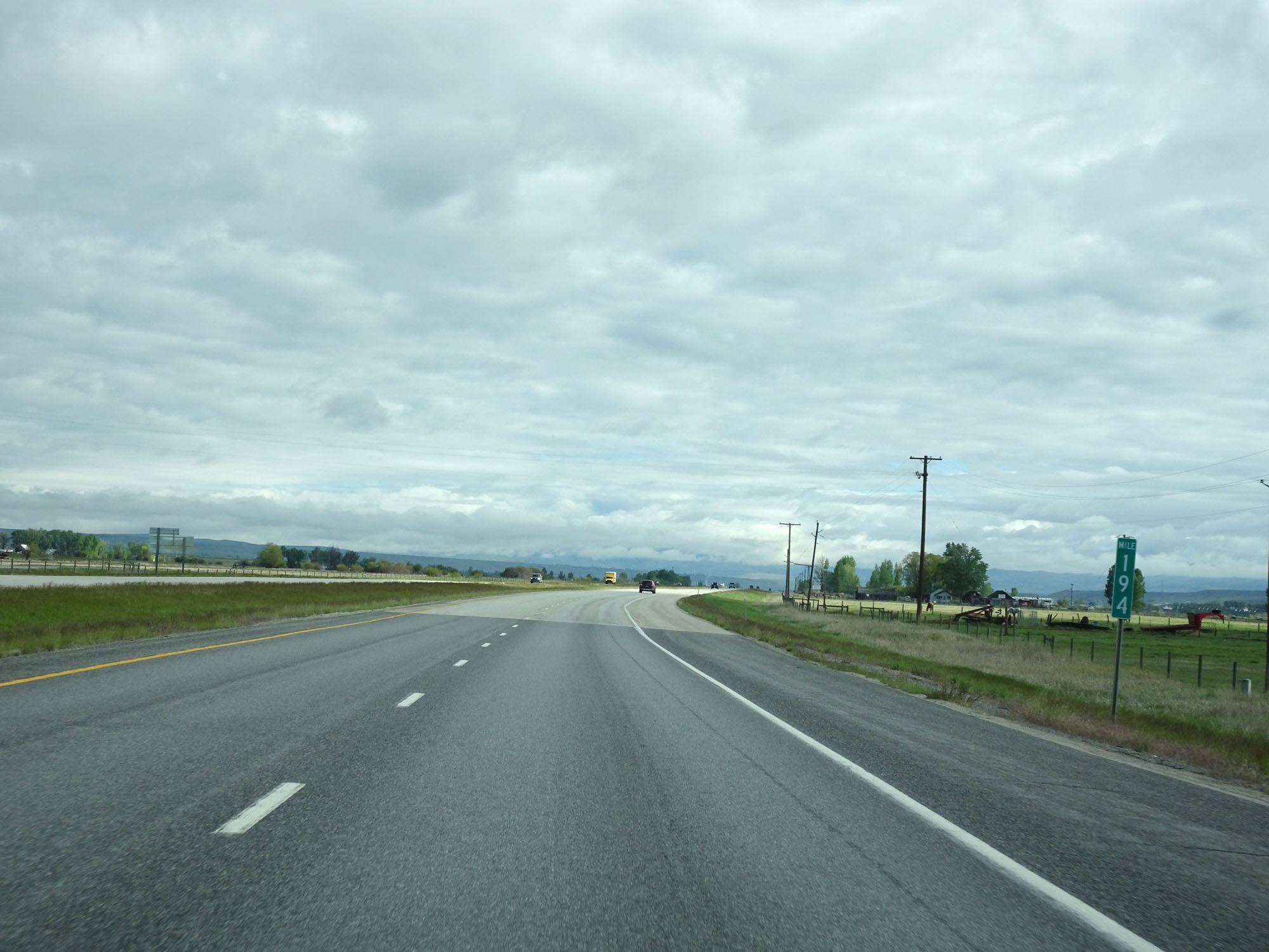 |
Interstate 90 West at mile marker 194. (Photo taken 5/25/16). |
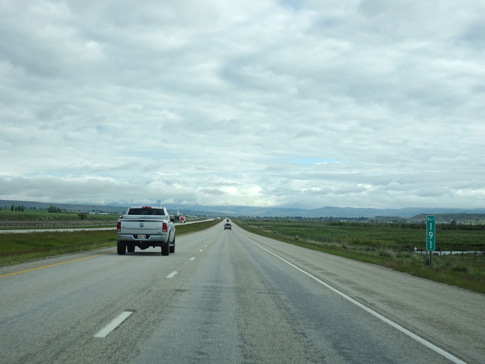 |
Interstate 90 West at mile marker 191. (Photo taken 5/25/16). |
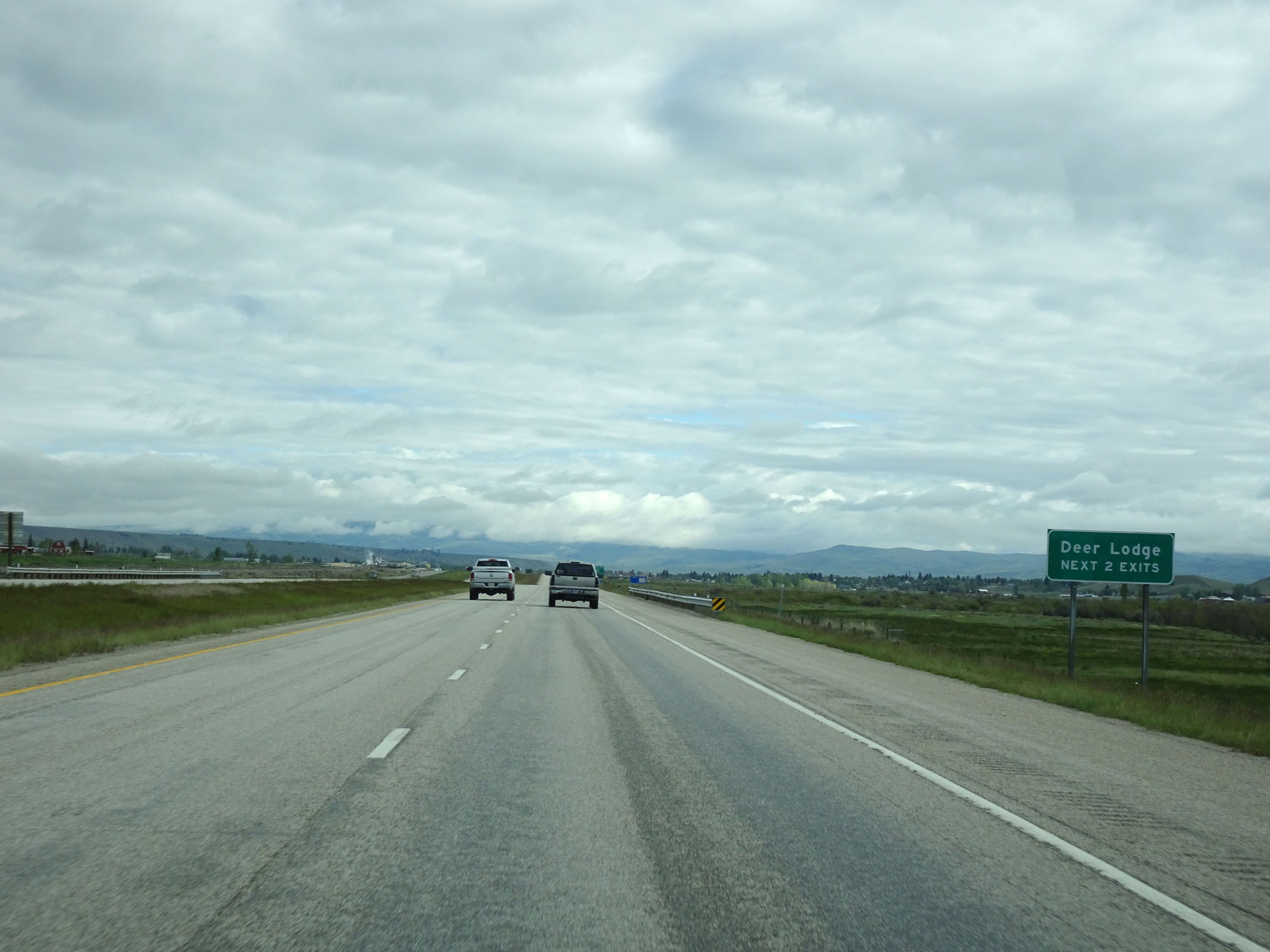 |
Take either of the next 2 exits to Deer Lodge. (Photo taken 5/25/16). |
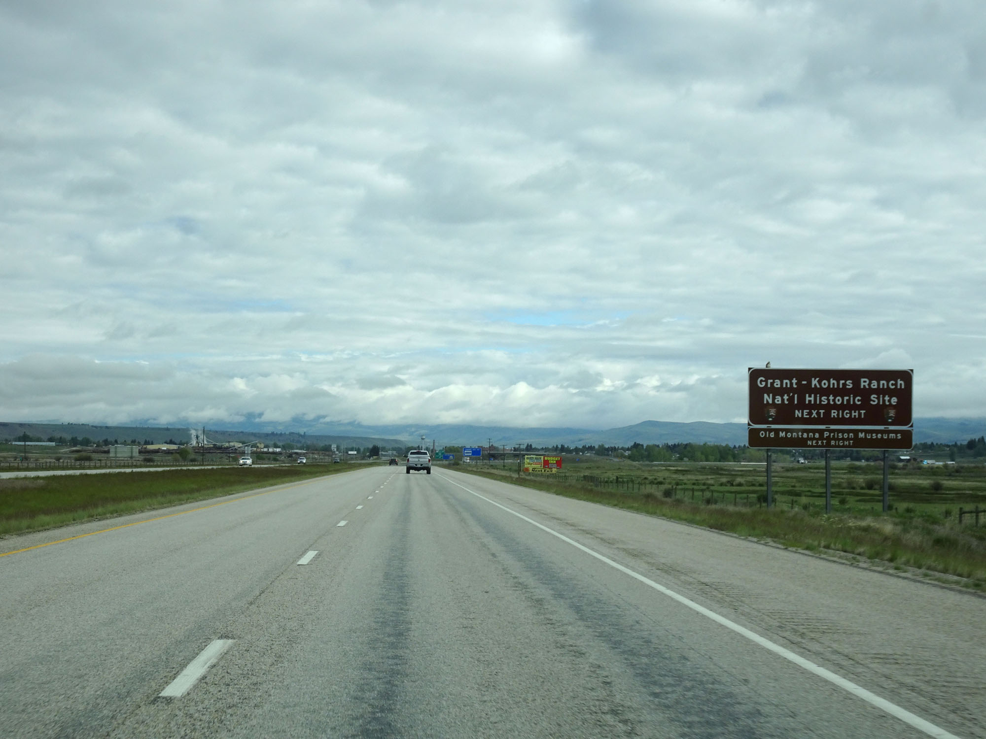 |
Take Exit 187 to Grant-Kohrs Ranch National Historic Site. (Photo taken 5/25/16). |
 |
Interstate 90 West at Exit 187: Interstate 90 Business Loop - Deer Lodge (Photo taken 5/25/16). |
 |
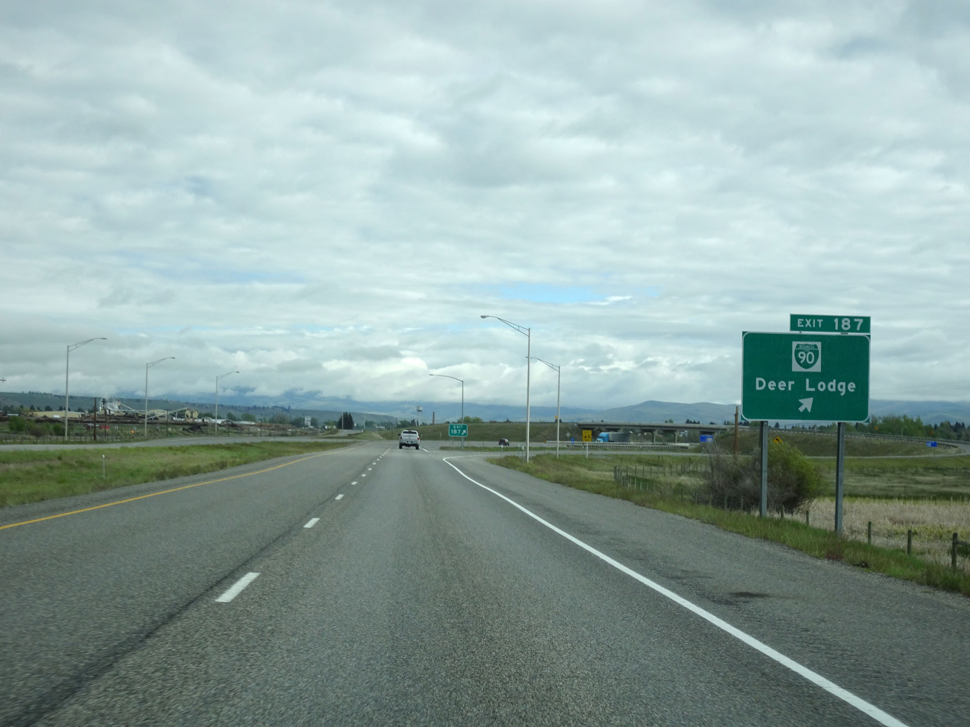
Interstate 90 West at Exit 184: Deer Lodge (Photo taken 5/25/16). |
Section 7: Deer Lodge (Exit 184) to Missoula (Exit 104)
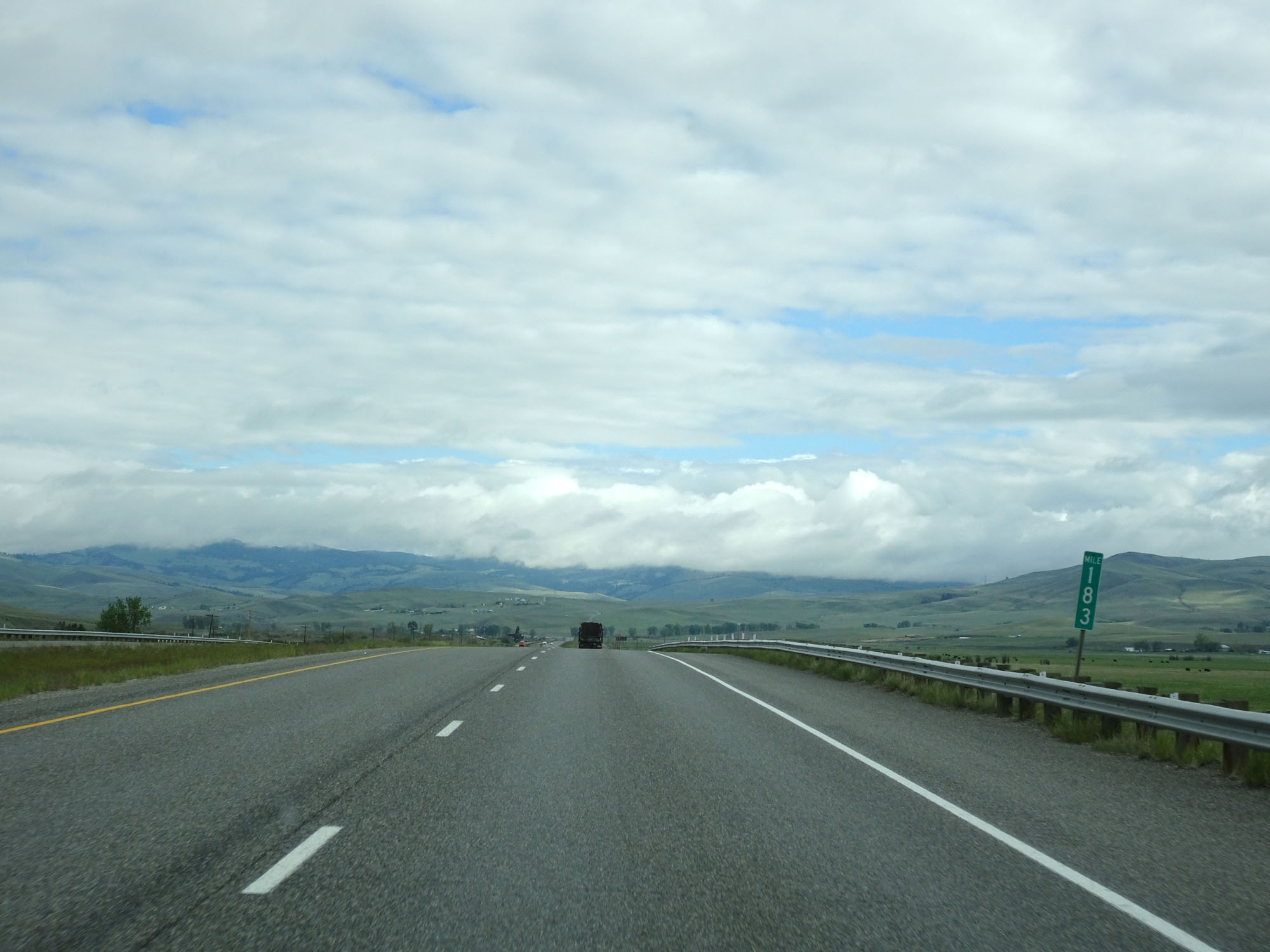 |
Interstate 90 West at mile marker 183. (Photo taken 5/25/16). |
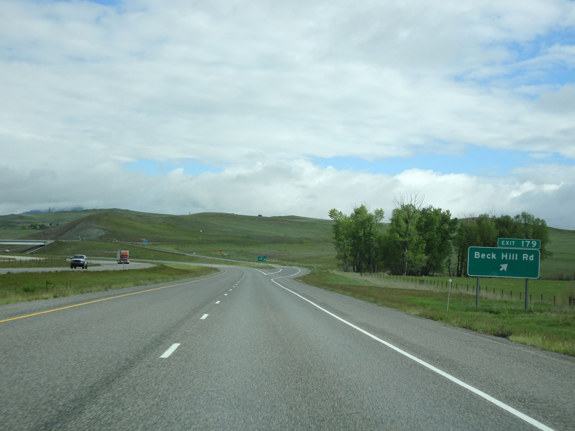 |
Interstate 90 West at Exit 179: Beck Hill Rd (Photo taken 5/25/16). |
 |
Mileage sign on Interstate 90 West. It's 3 miles to the junction of US 12, 26 miles to Drummond, and 75 miles to Missoula. (Photo taken 5/25/16). |
 |
Interstate 90 West at mile marker 178. (Photo taken 5/25/16). |
 |
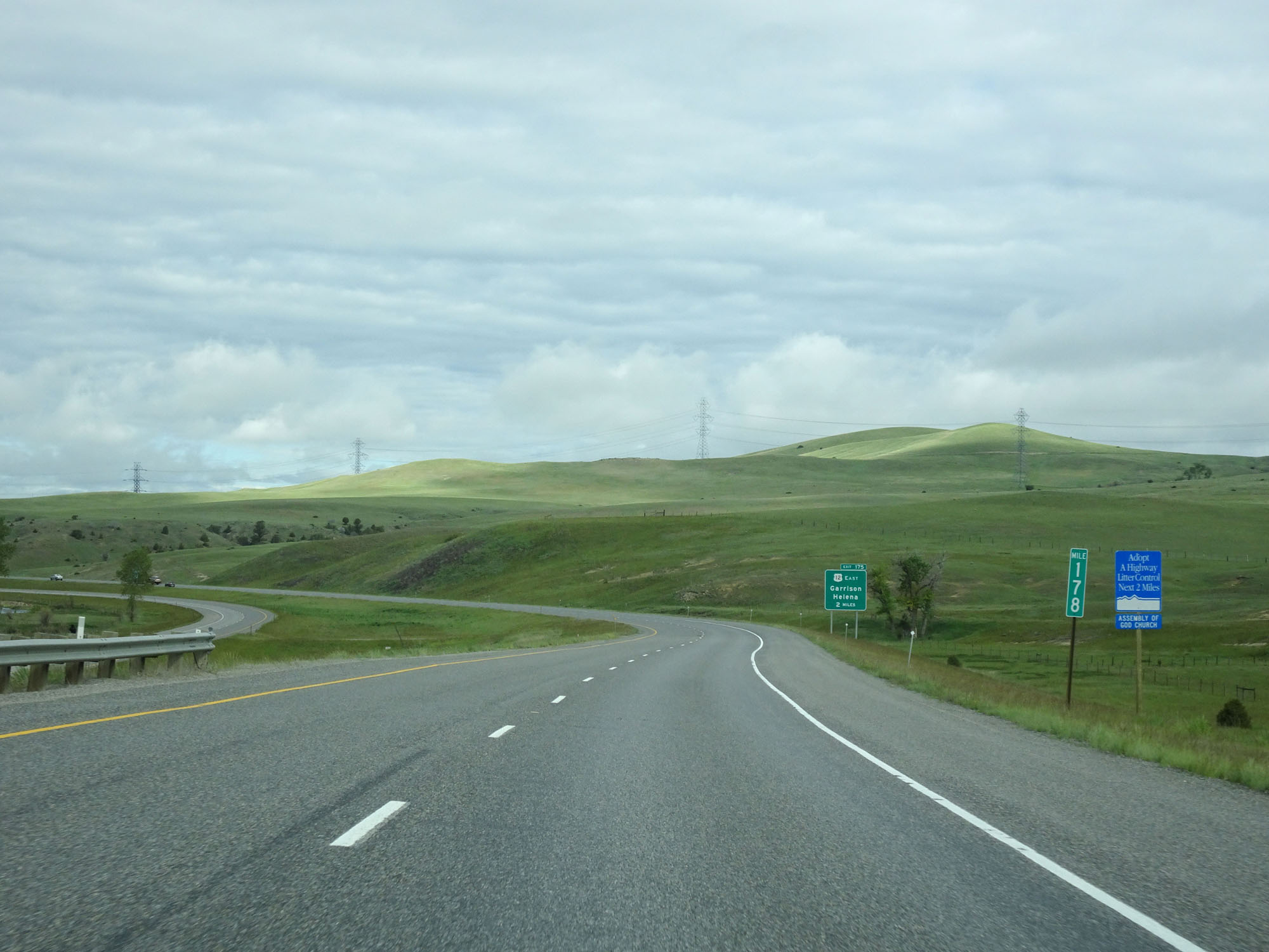
Interstate 90 West approaching Exit 175 - 1 mile. (Photo taken 5/25/16). |
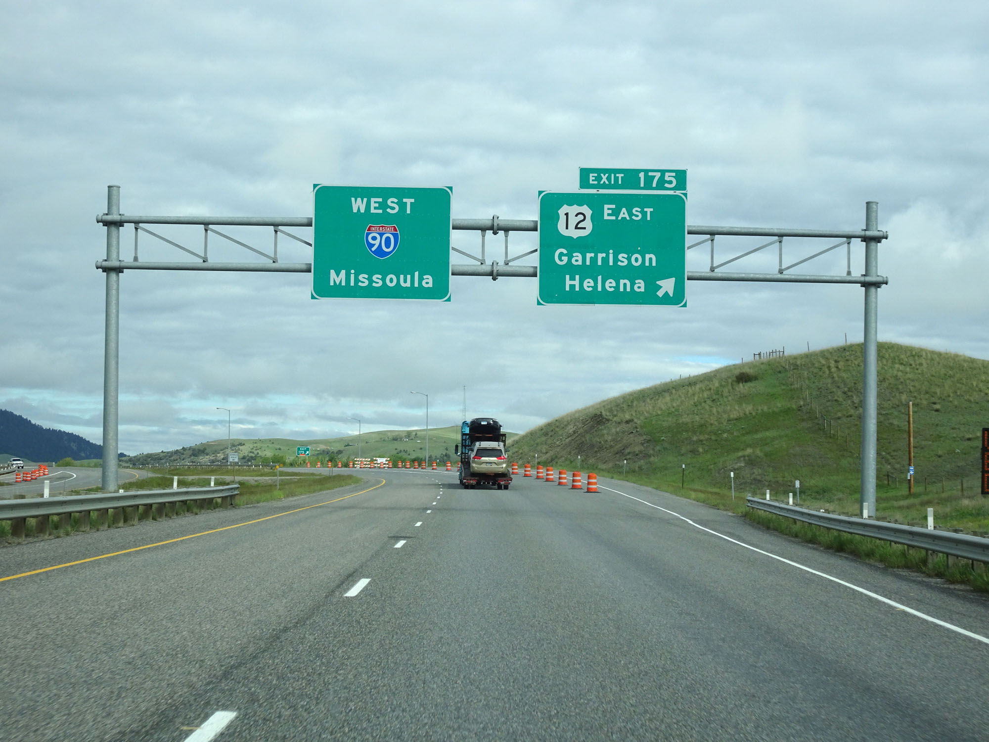 |
Interstate 90 West at Exit 175: US 12 East - Garrison / Helena (Photo taken 5/25/16). |
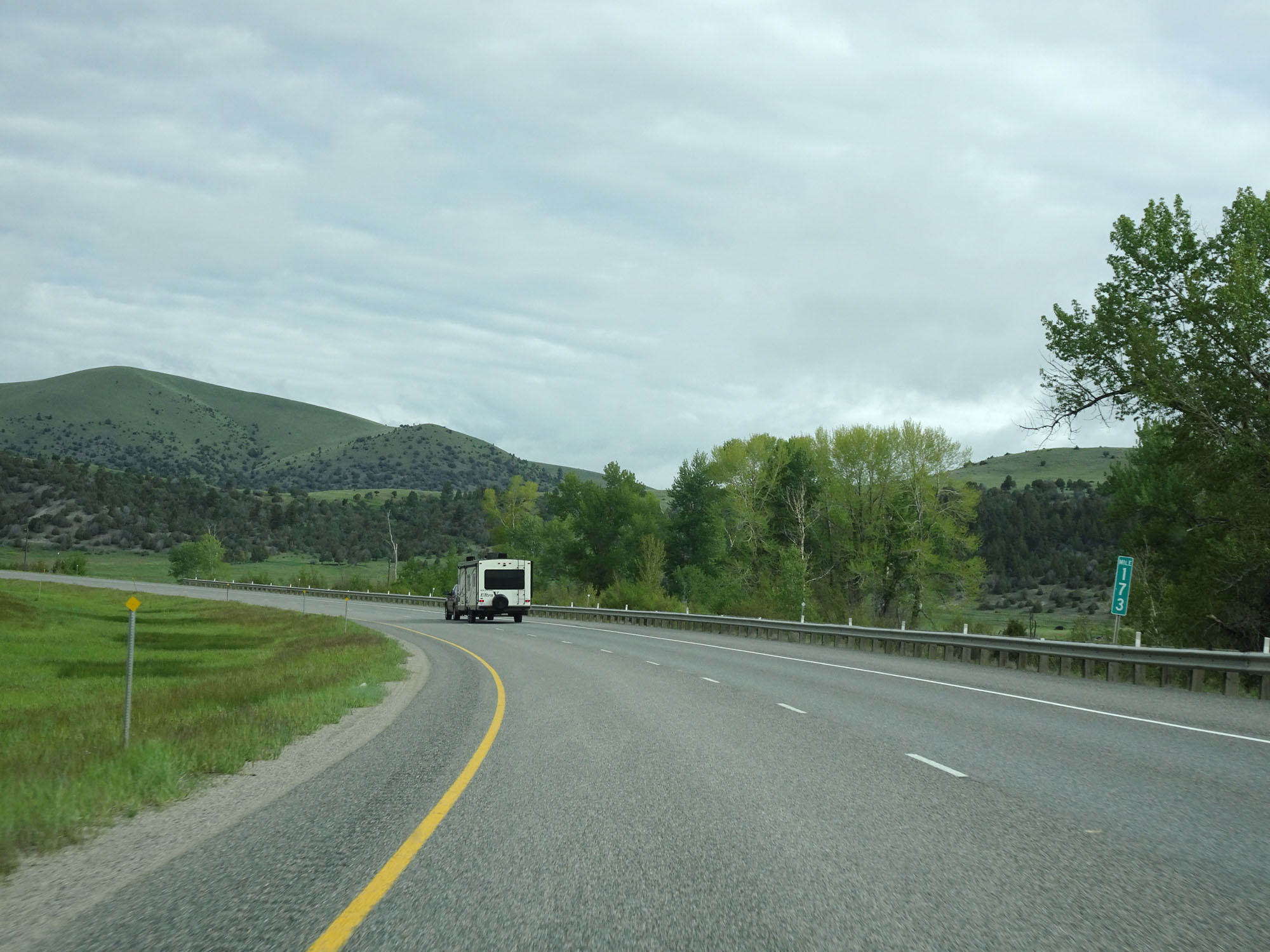 |
Interstate 90 West at mile marker 173. (Photo taken 5/25/16). |
 |
Interstate 90 West at Exit 170: Phosphate (Photo taken 5/25/16). |
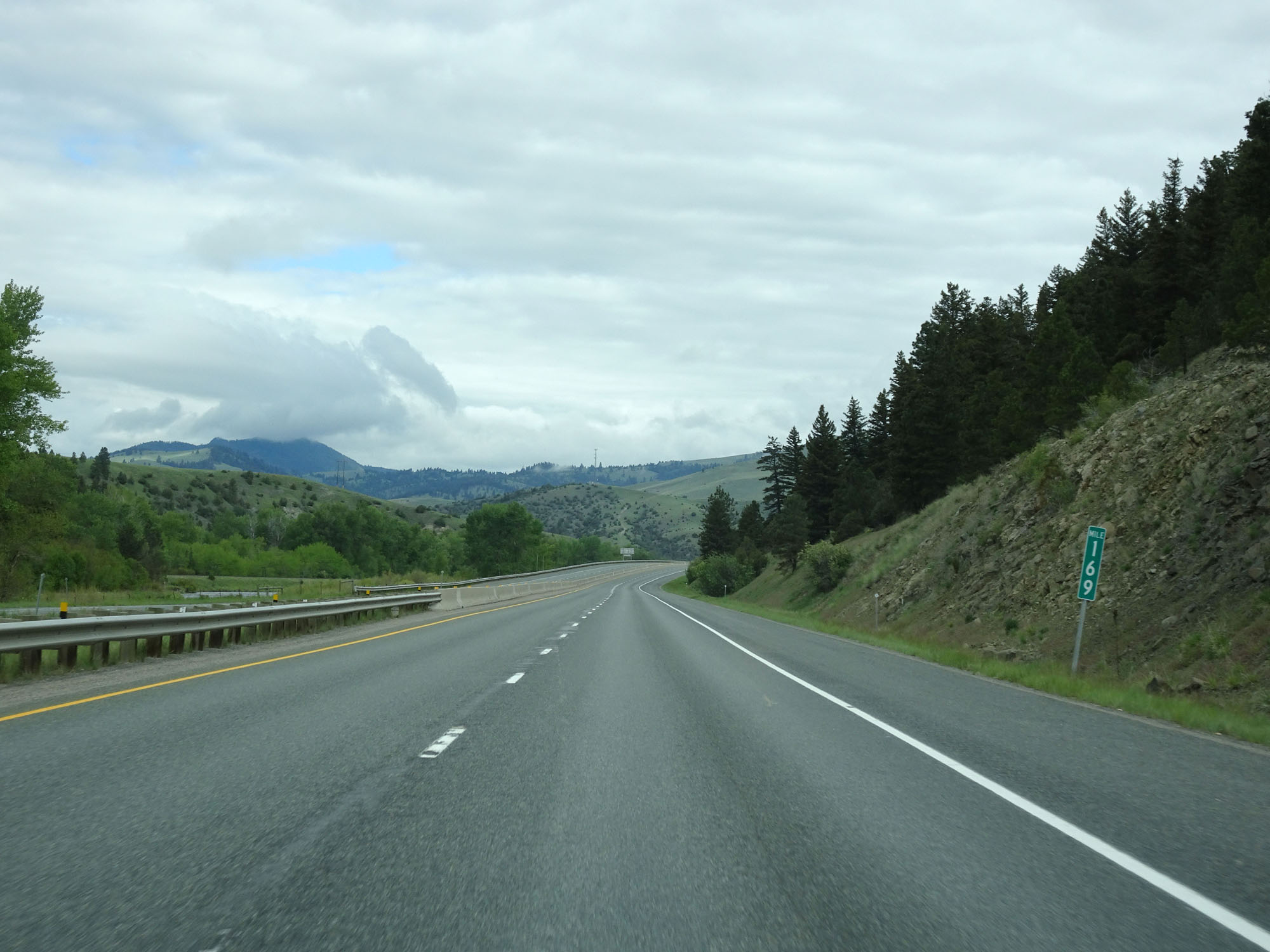 |
Interstate 90 West at mile marker 169. (Photo taken 5/25/16). |
 |
Closed Rest Area on Interstate 90 West in Powell County. (Photo taken 5/25/16). |
 |
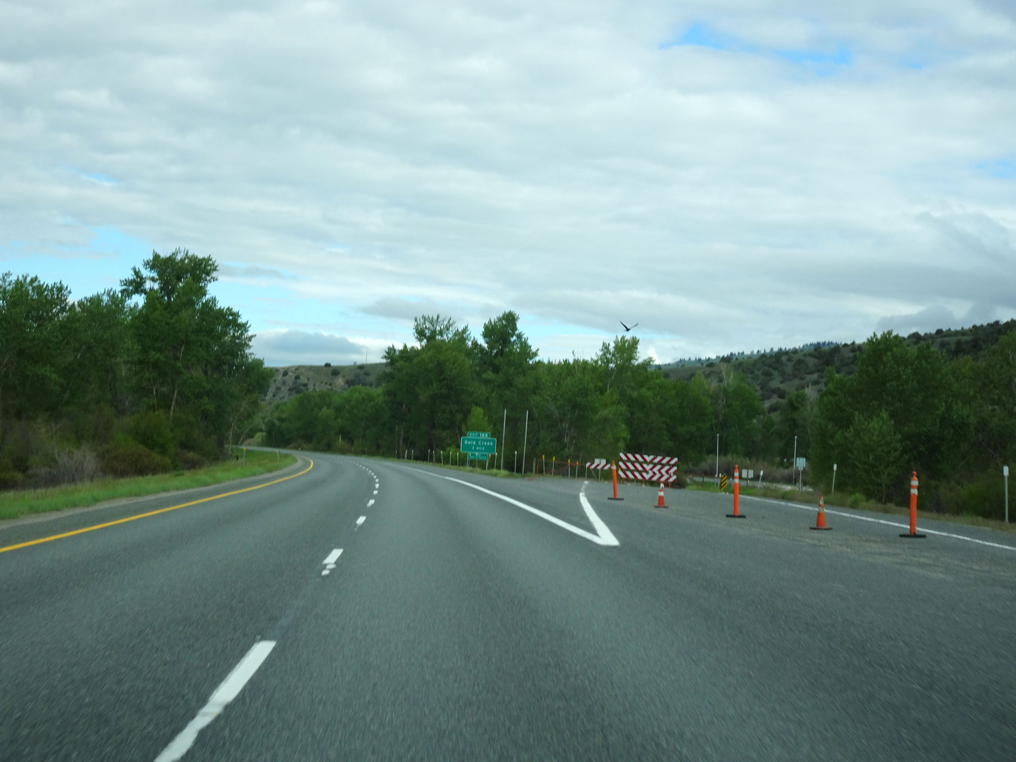
Interstate 90 West at Exit 166: Gold Creek (Photo taken 5/25/16). |
 |
Interstate 90 West at mile marker 164. (Photo taken 5/25/16). |
 |
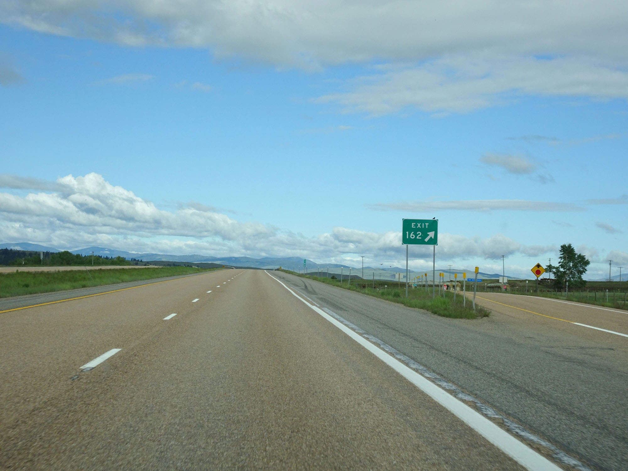
Interstate 90 West approaching Exit 162 - 1/2 mile. (Photo taken 5/25/16). |
 |
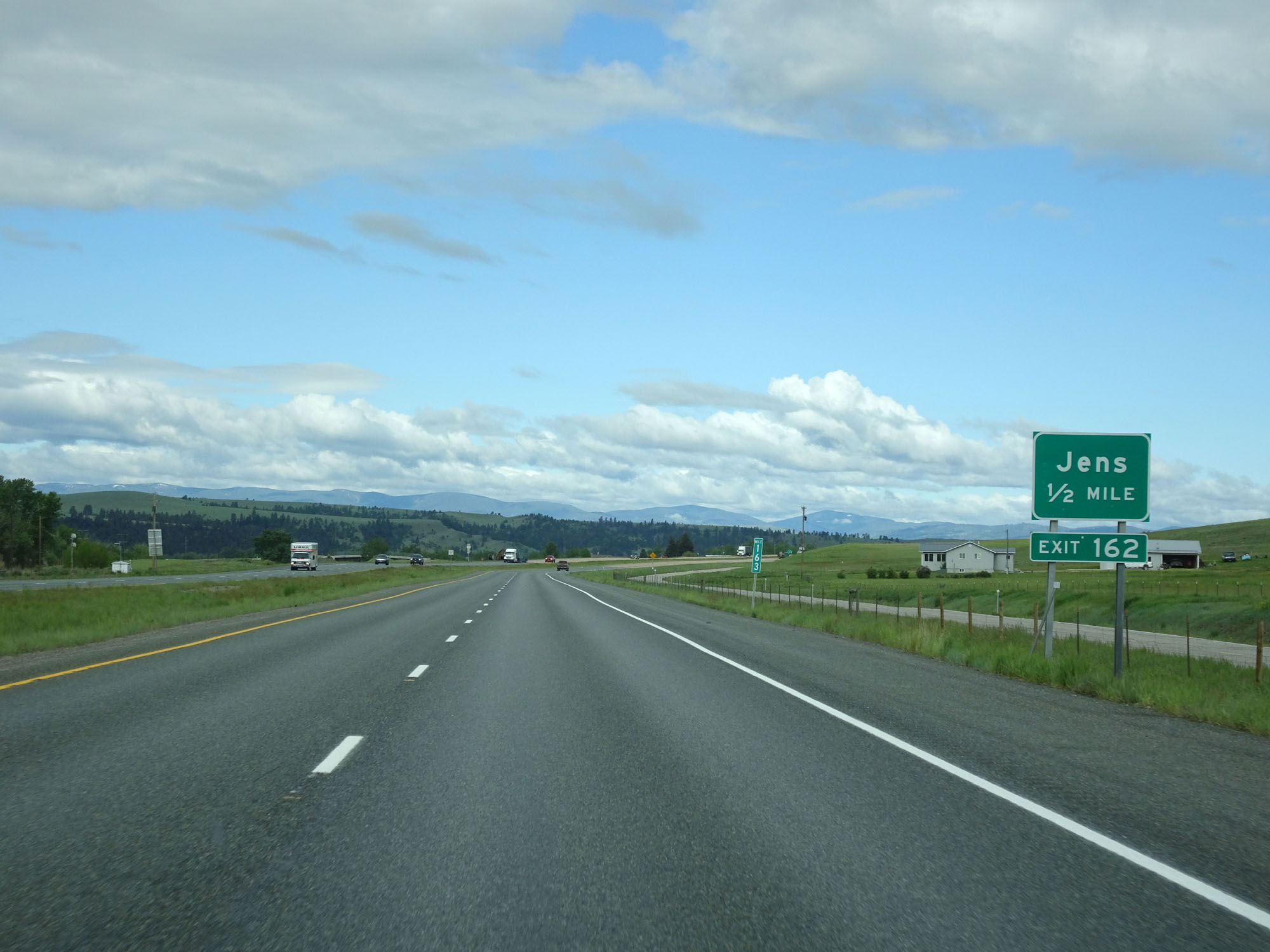
Interstate 90 West at Exit 162: Jens (Photo taken 5/25/16). |
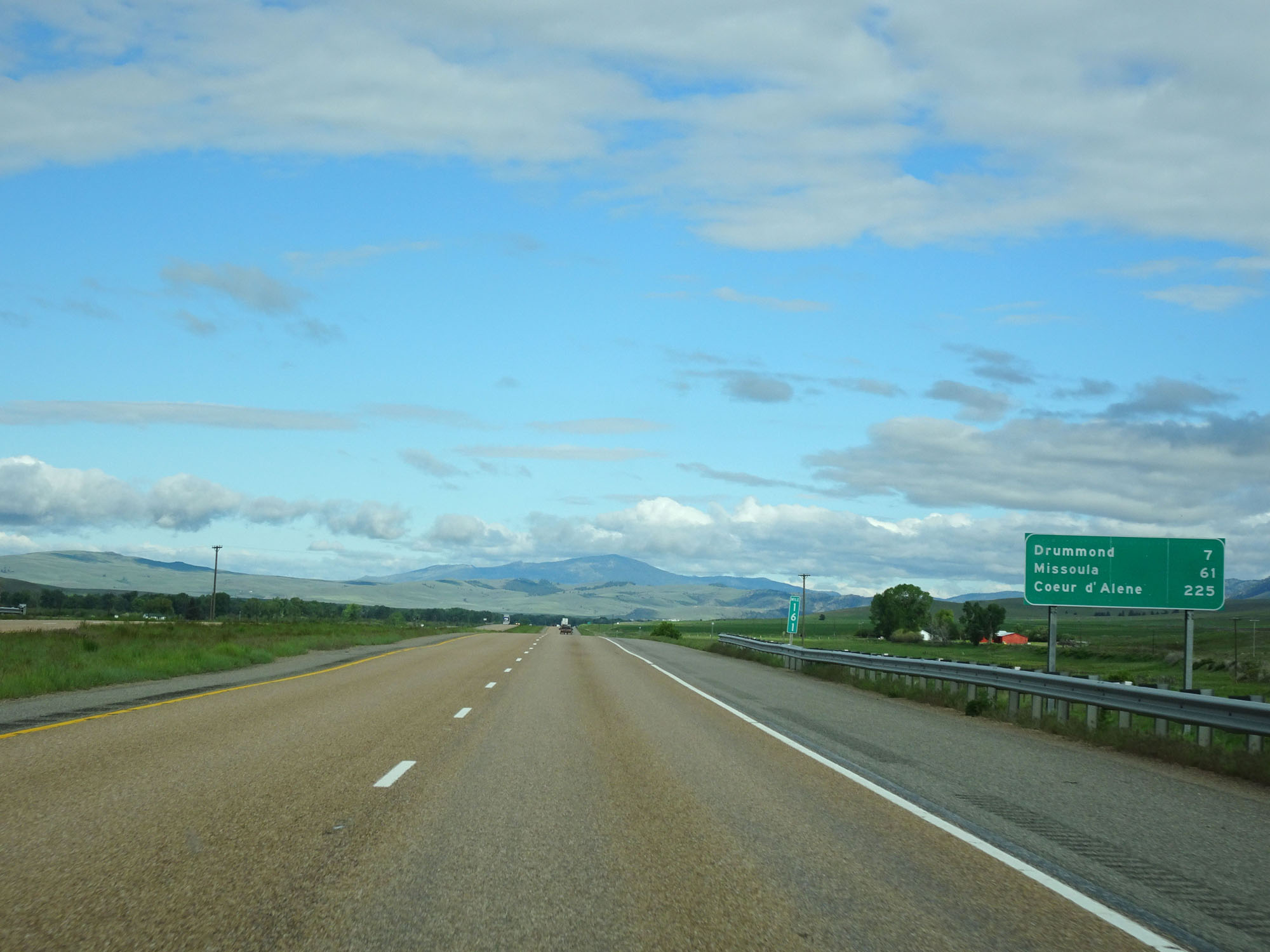 |
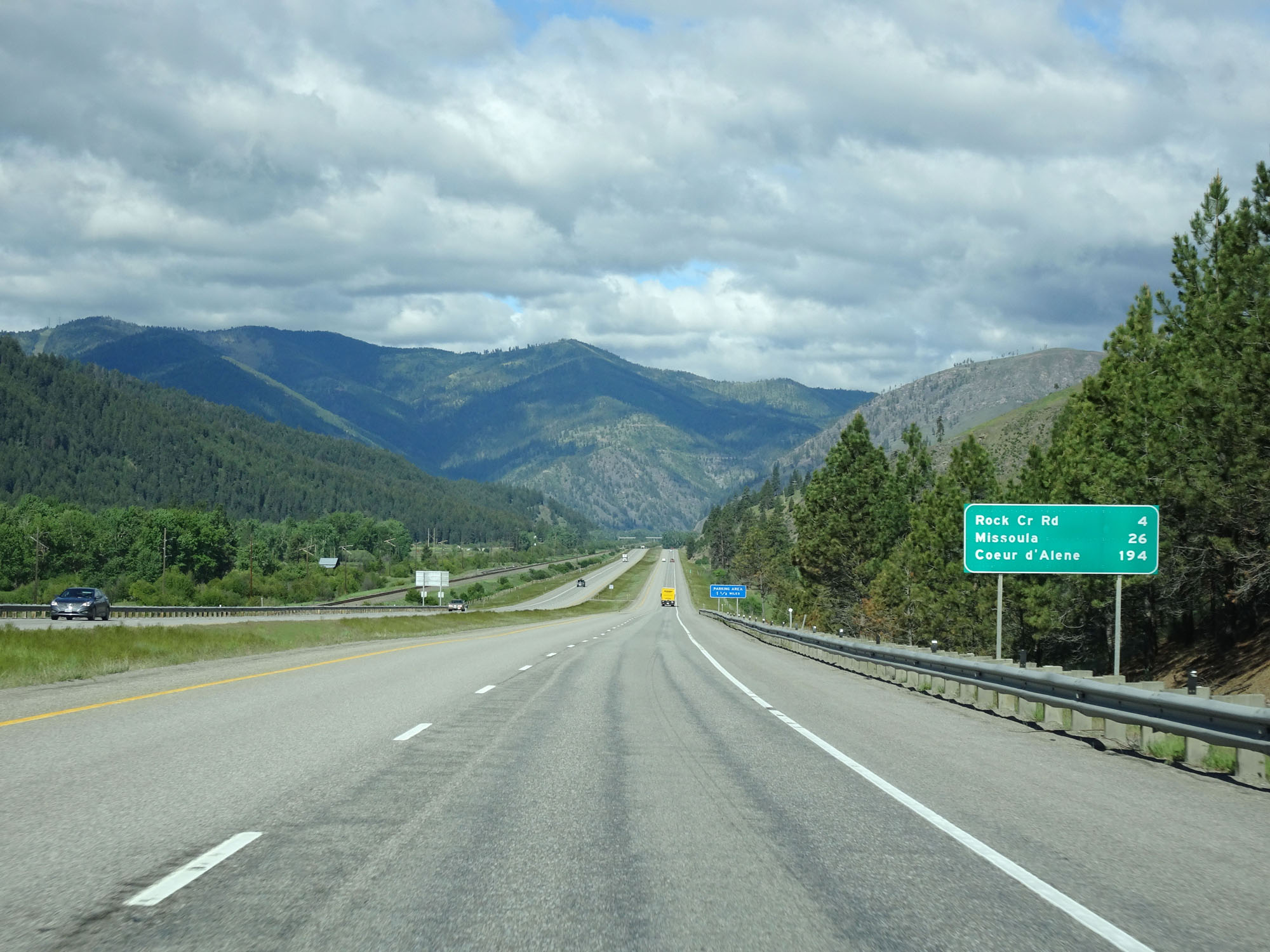
Mileage sign on Interstate 90 West. It's 7 miles to Drummond, 61 miles to Missoula, and 225 miles to Coeur d'Alene. (Photo taken 5/25/16). |
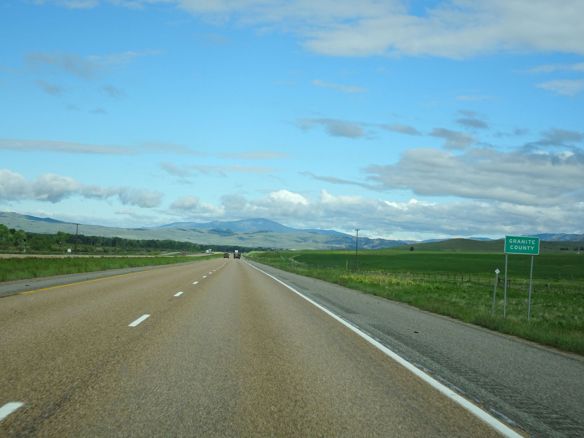 |
Interstate 90 West entering Granite County. (Photo taken 5/25/16). |
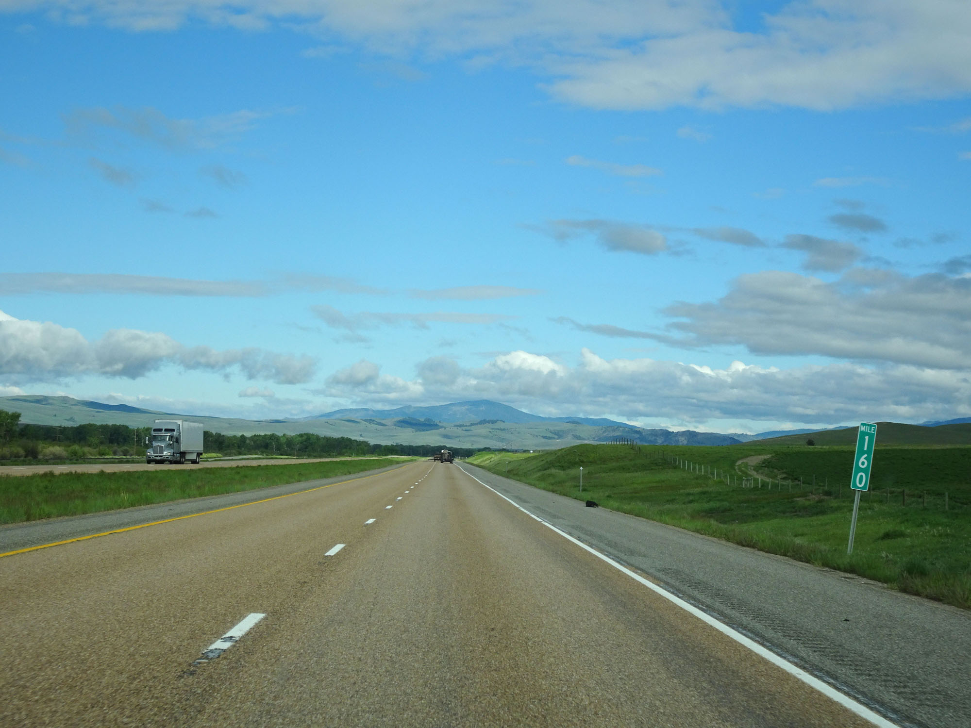 |
Interstate 90 West at mile marker 160. (Photo taken 5/25/16). |
 |
Take Exit 154 to Pintler Veterans Memorial Scenic Highway. (Photo taken 5/25/16). |
 |
Interstate 90 West at Exit 154: To MT 1 - Drummond / Philipsburg (Photo taken 5/25/16). |
 |
Interstate 90 West at mile marker 152. (Photo taken 5/25/16). |
 |
All trucks and commercial vehicles over 26,000 lbs Gross Vehicle Weight must enter the Weigh Station ahead when it is open. (Photo taken 5/25/16). |
 |
Interstate 90 West at the Weigh Station in Granite County. (Photo taken 5/25/16). |
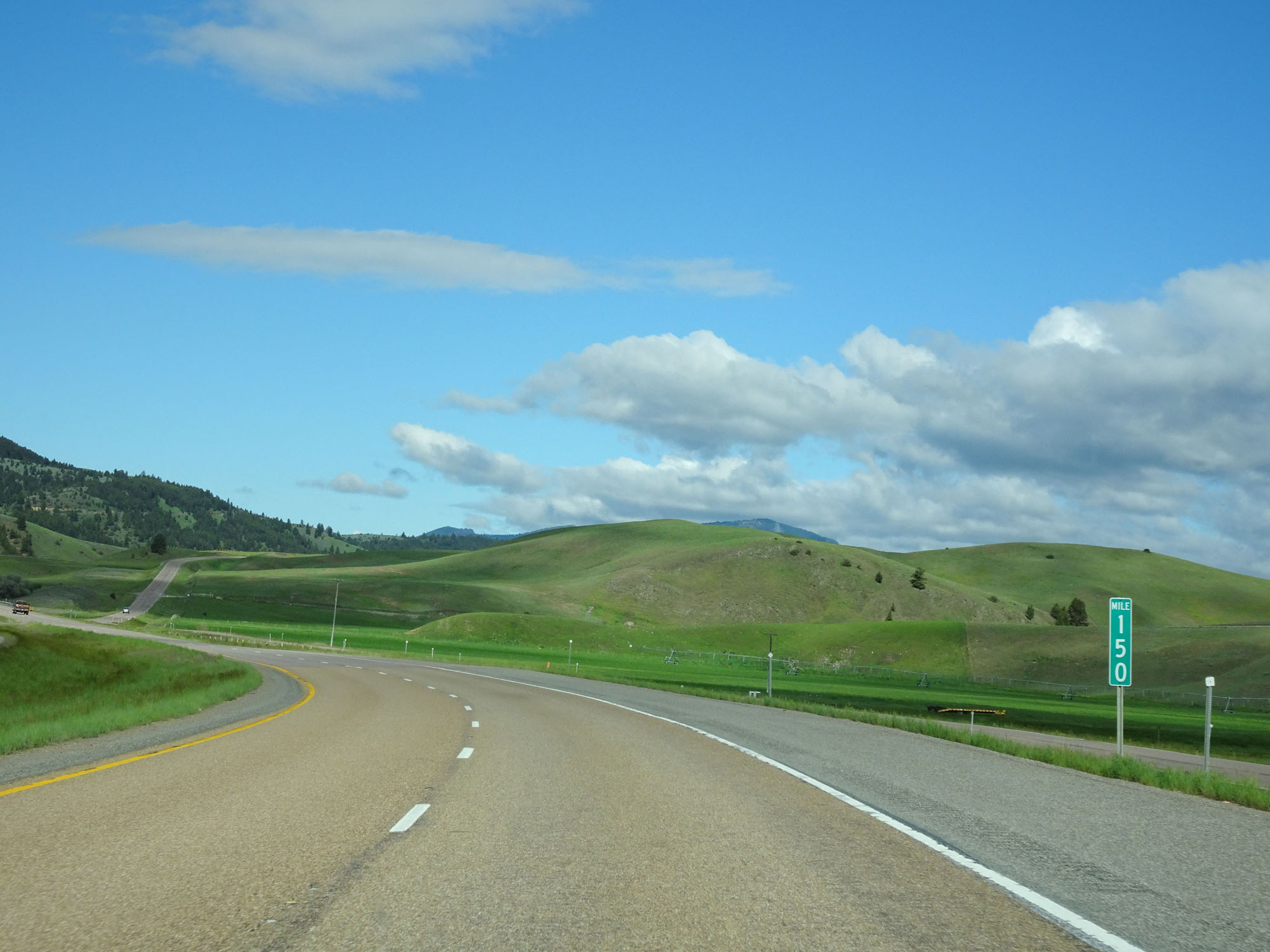 |
Interstate 90 West at mile marker 150. (Photo taken 5/25/16). |
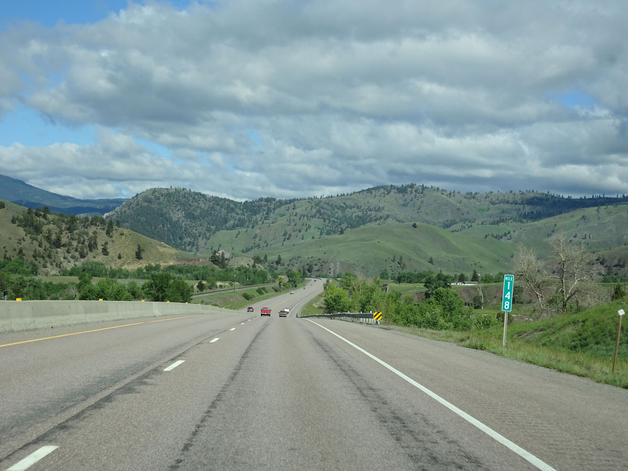 |
Interstate 90 West at mile marker 148. (Photo taken 5/25/16). |
 |
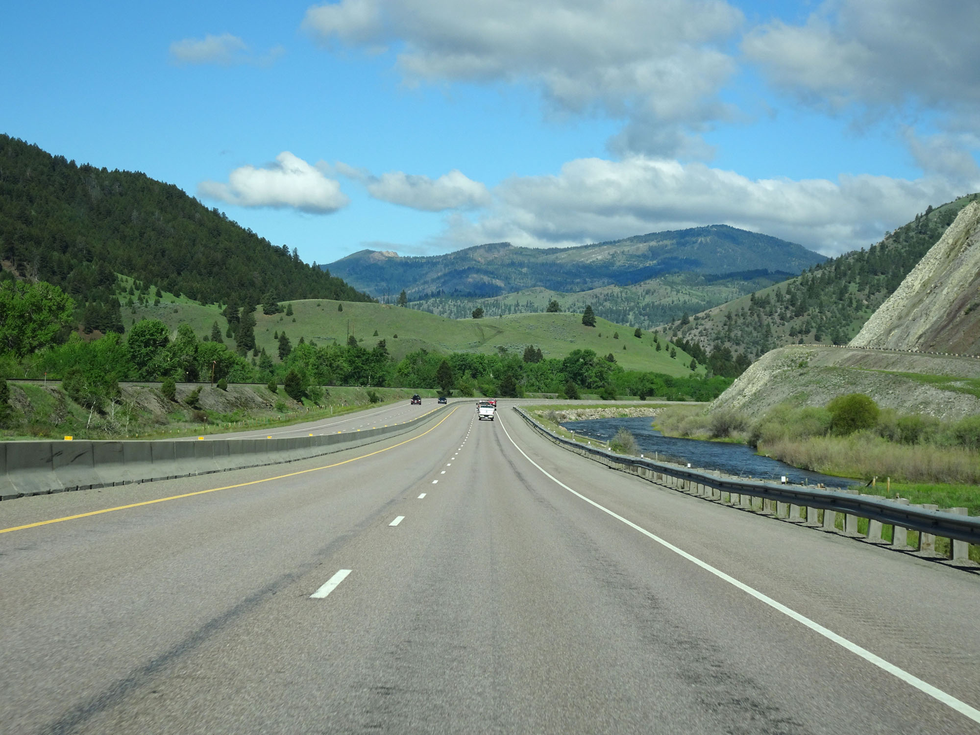
View on Interstate 90 West in Granite County. (Photo taken 5/25/16). |
 |
Another view on Interstate 90 West. (Photo taken 5/25/16). |
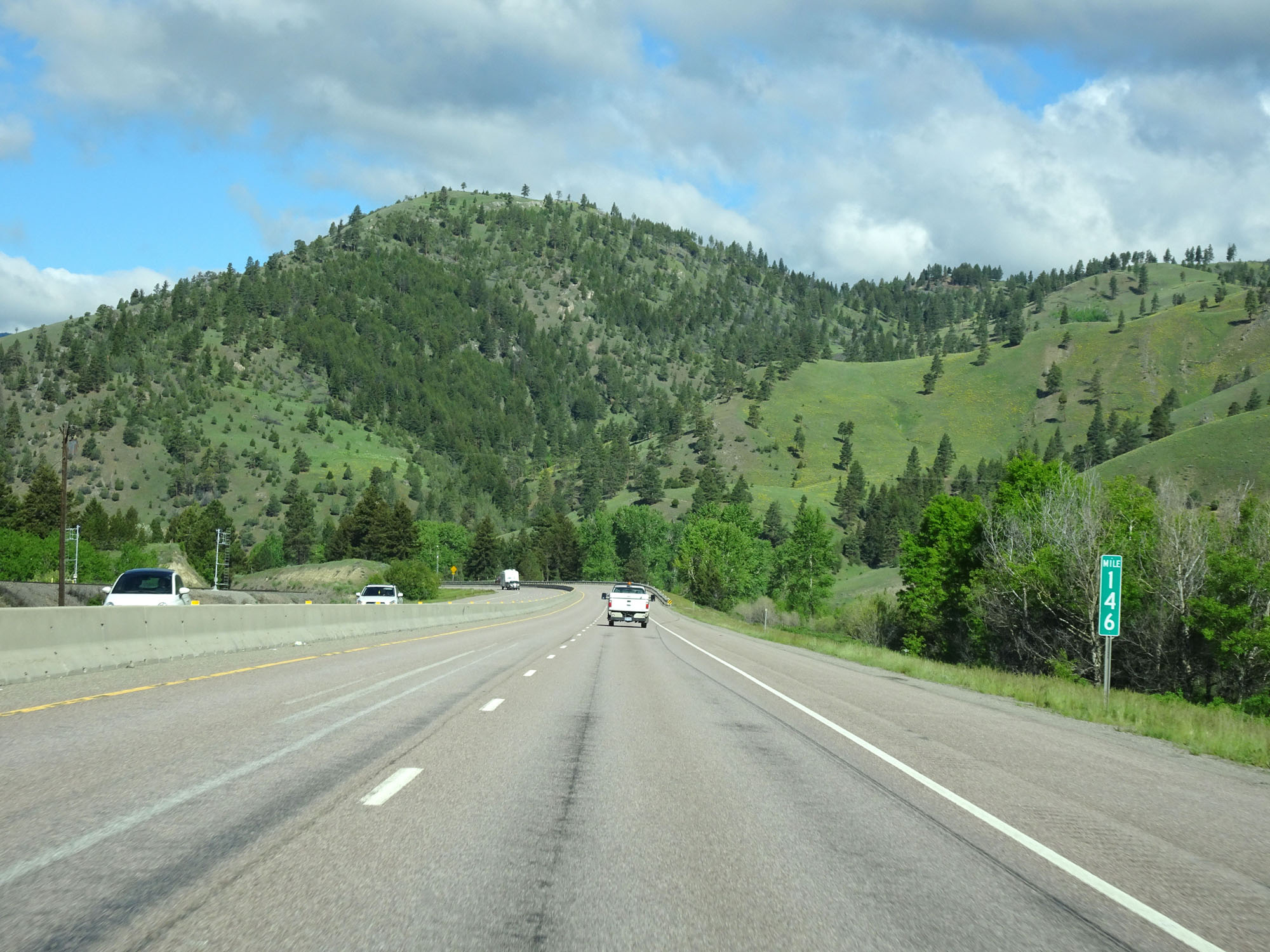 |
Interstate 90 West at mile marker 146. (Photo taken 5/25/16). |
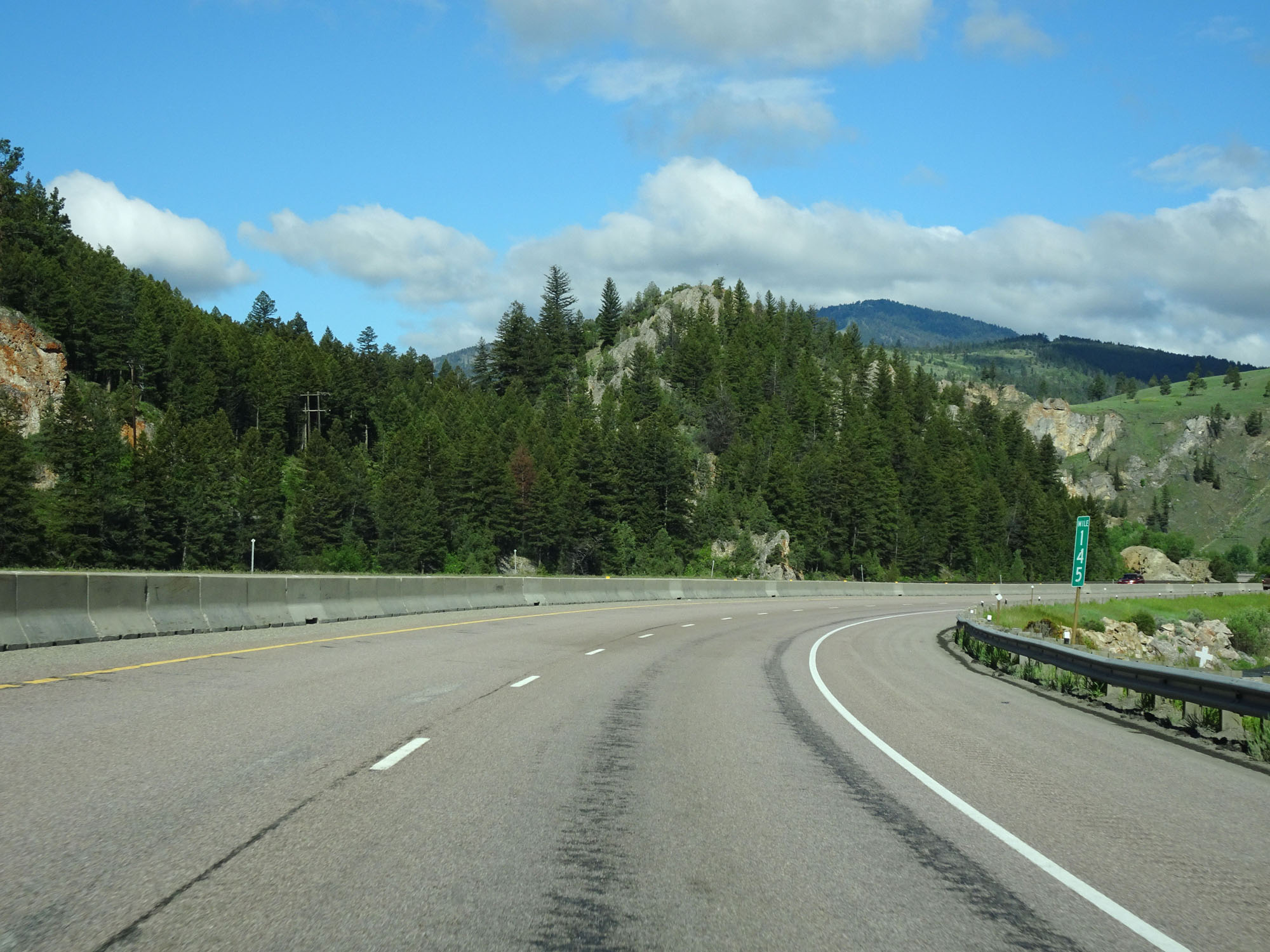 |
Interstate 90 West at mile marker 145. (Photo taken 5/25/16). |
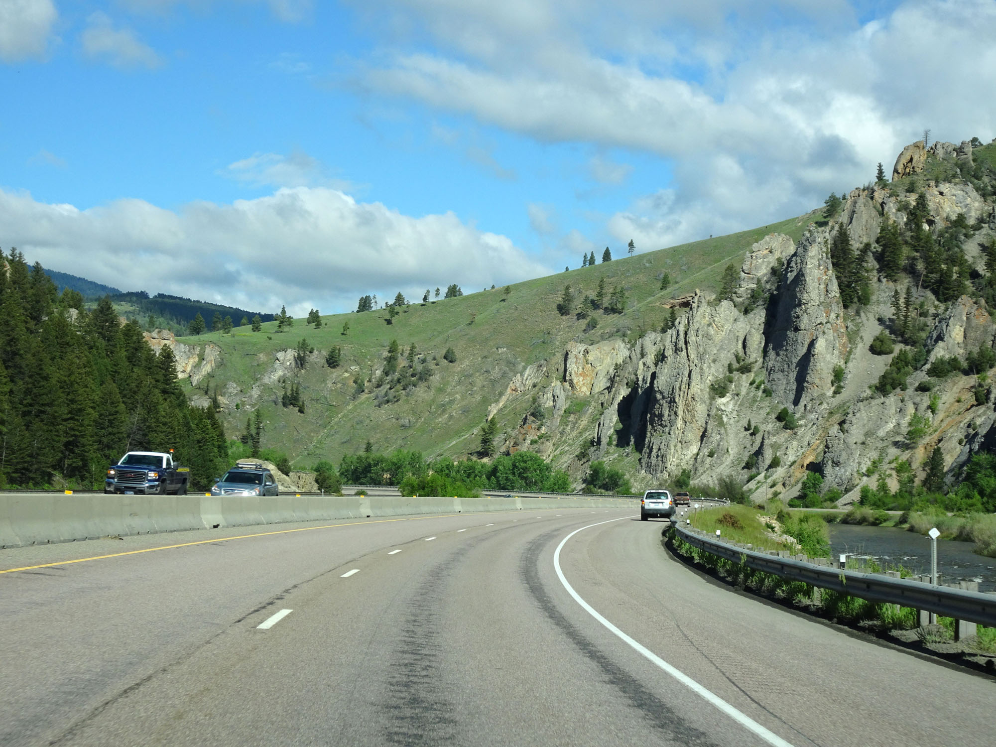 |
Another beautiful view on Interstate 90 West in Granite County. (Photo taken 5/25/16). |
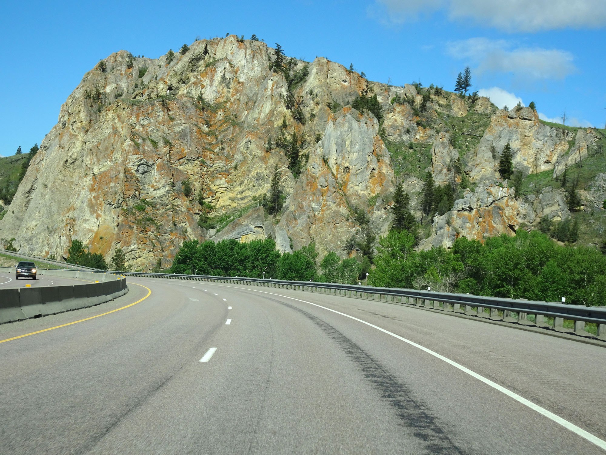 |
View on Interstate 90 West. (Photo taken 5/25/16). |
 |
Rest Area on Interstate 90 West in Granite County. (Photo taken 5/25/16). |
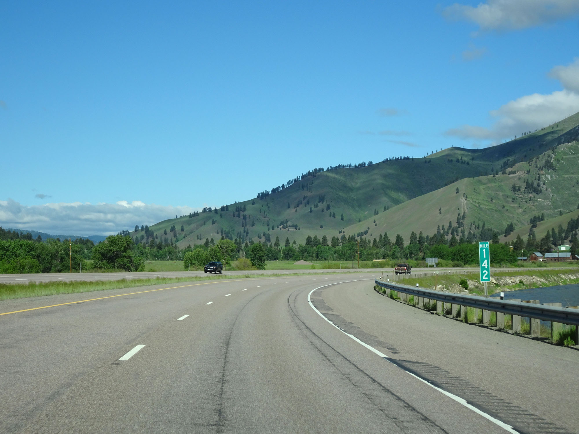 |
Interstate 90 West at mile marker 142. (Photo taken 5/25/16). |
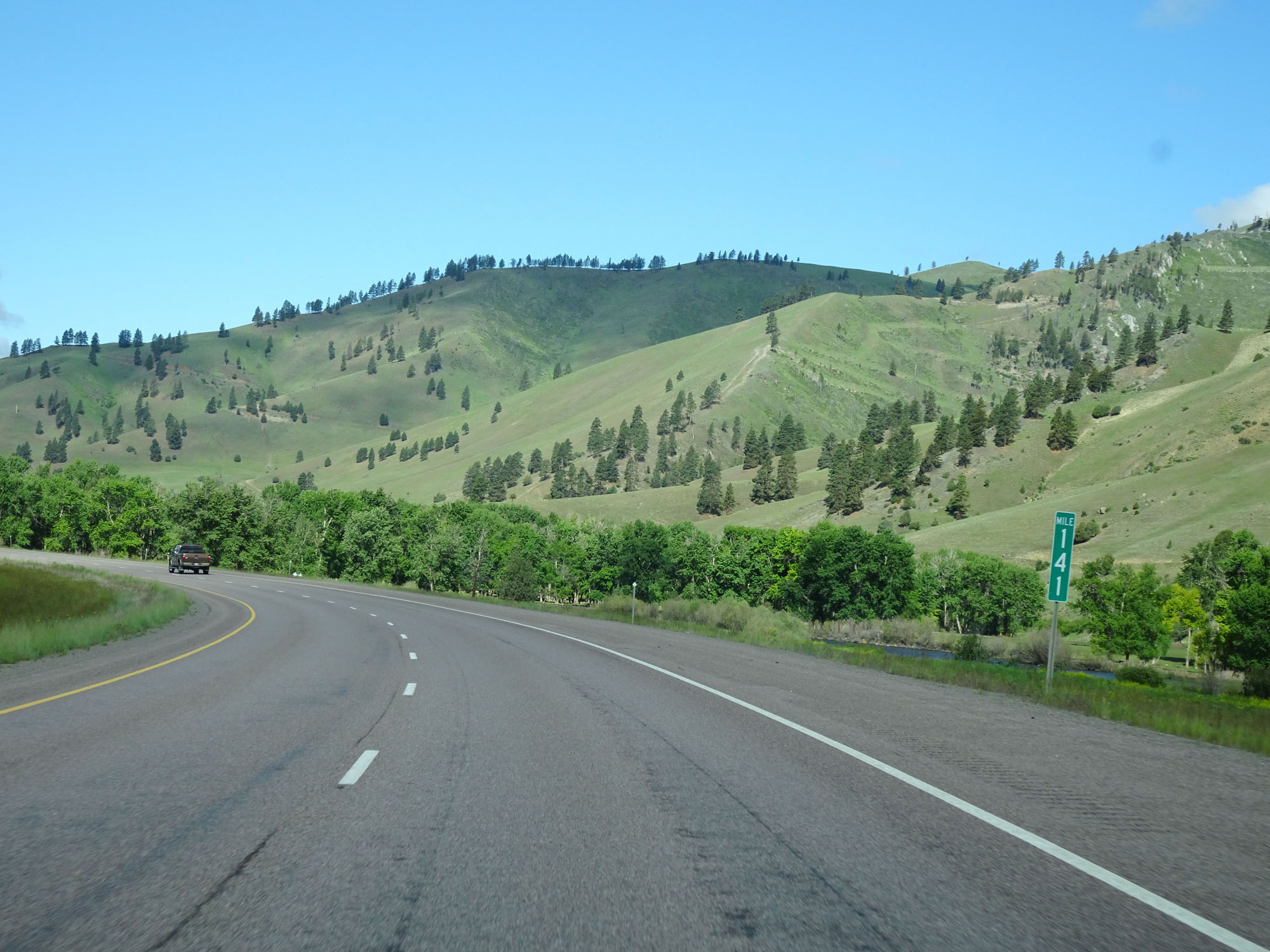 |
Interstate 90 West at mile marker 141. (Photo taken 5/25/16). |
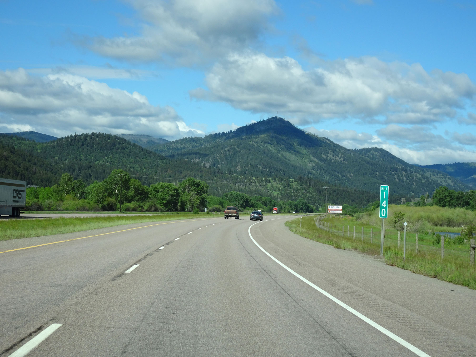 |
Interstate 90 West at mile marker 140. (Photo taken 5/25/16). |
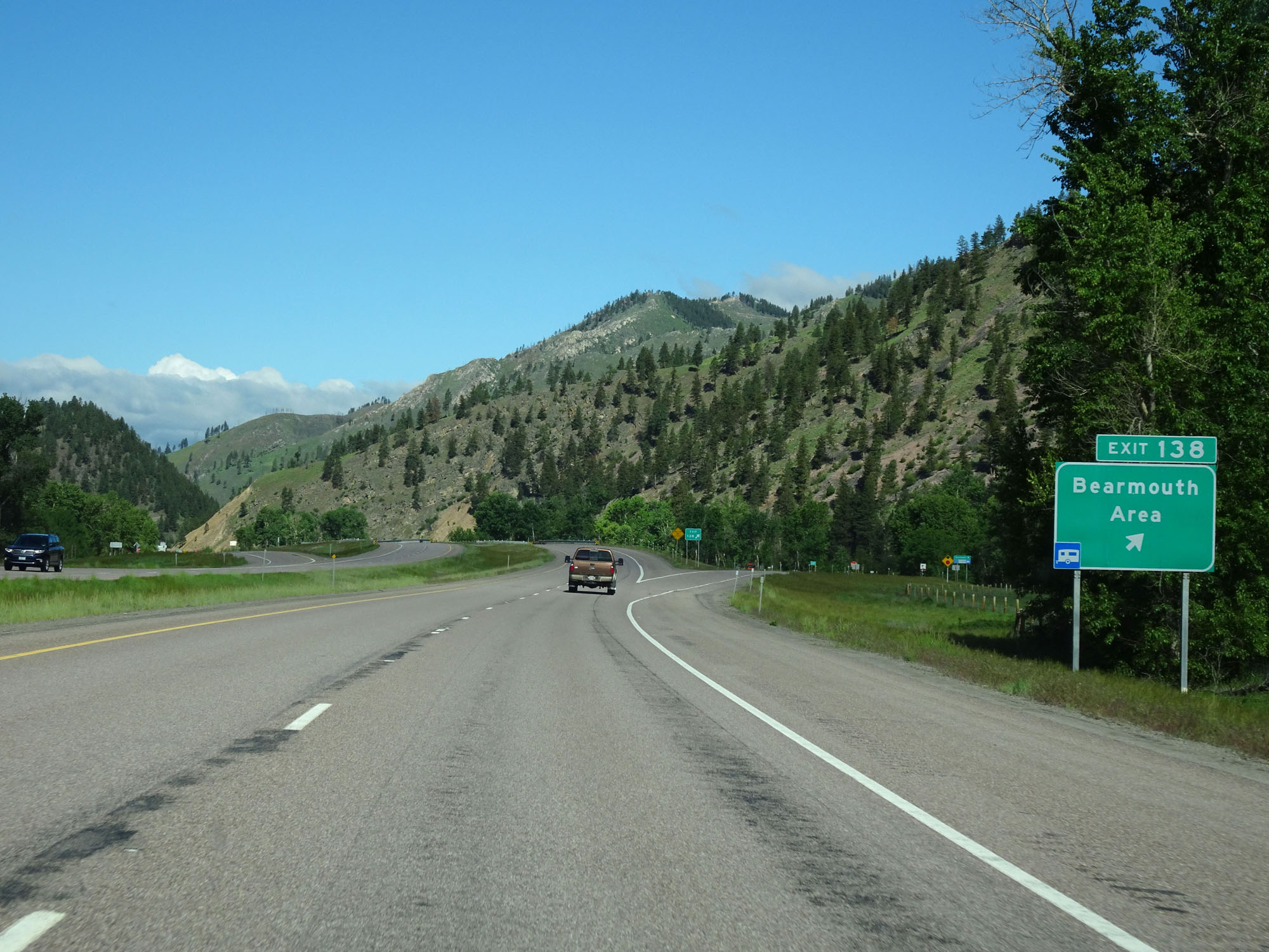 |
Interstate 90 West at Exit 138: Bearmouth Area (Photo taken 5/25/16). |
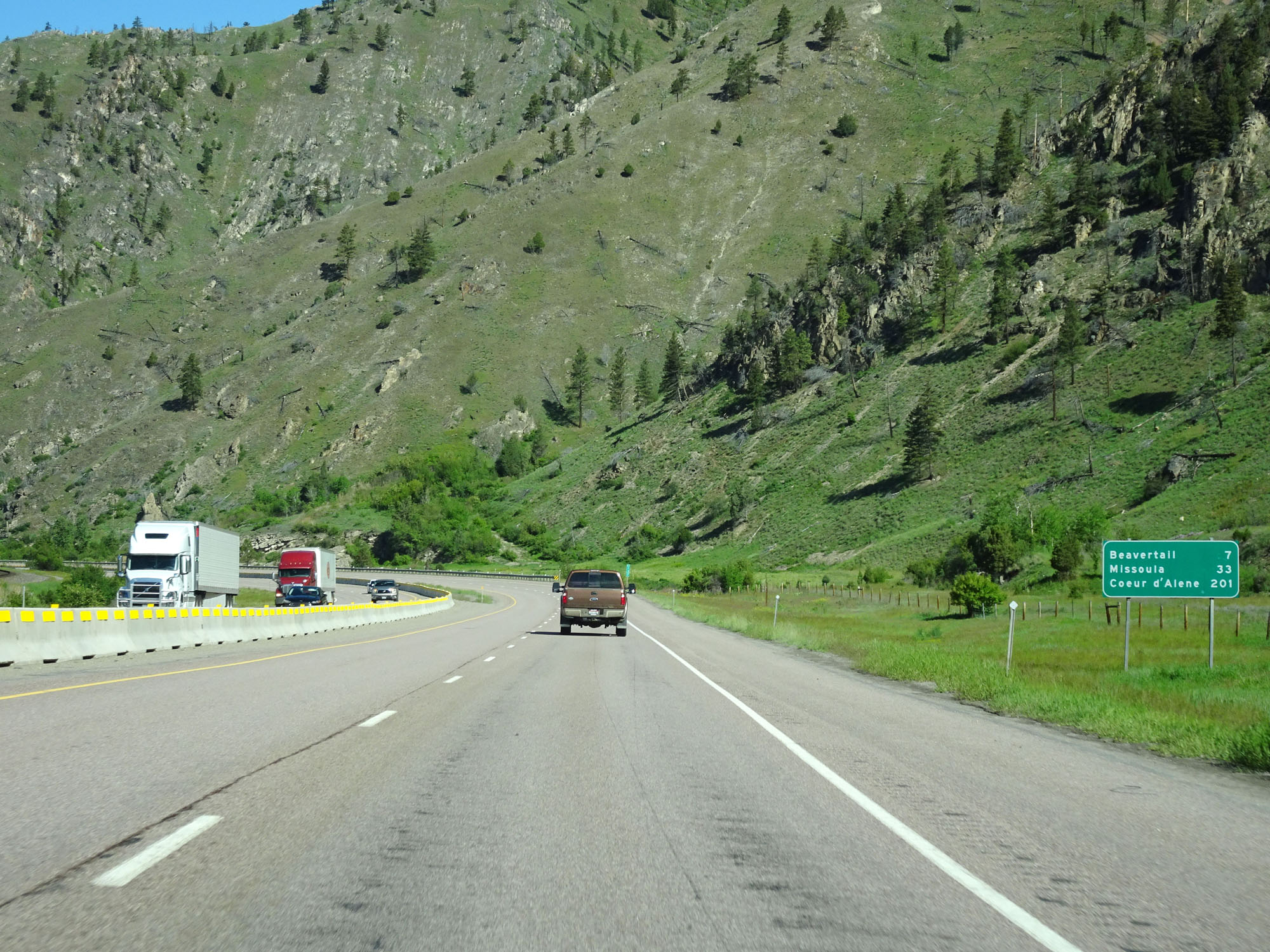 |
Mileage sign on Interstate 90 West. It's 7 miles to Beavertail, 33 miles to Missoula, and 201 miles to Coeur d'Alene. (Photo taken 5/25/16). |
 |
Interstate 90 West at mile marker 137. (Photo taken 5/25/16). |
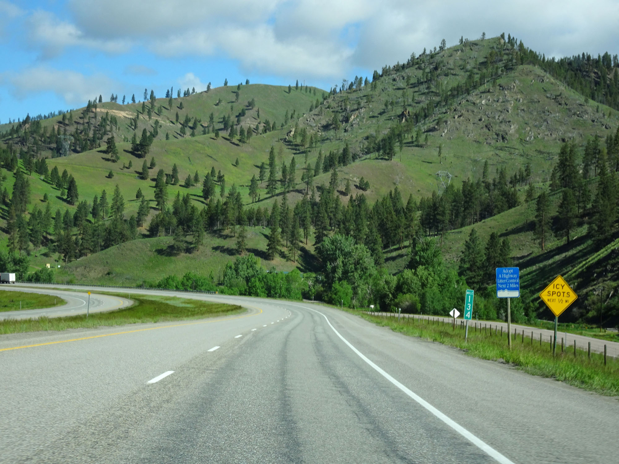 |
Interstate 90 West at mile marker 134. (Photo taken 5/25/16). |
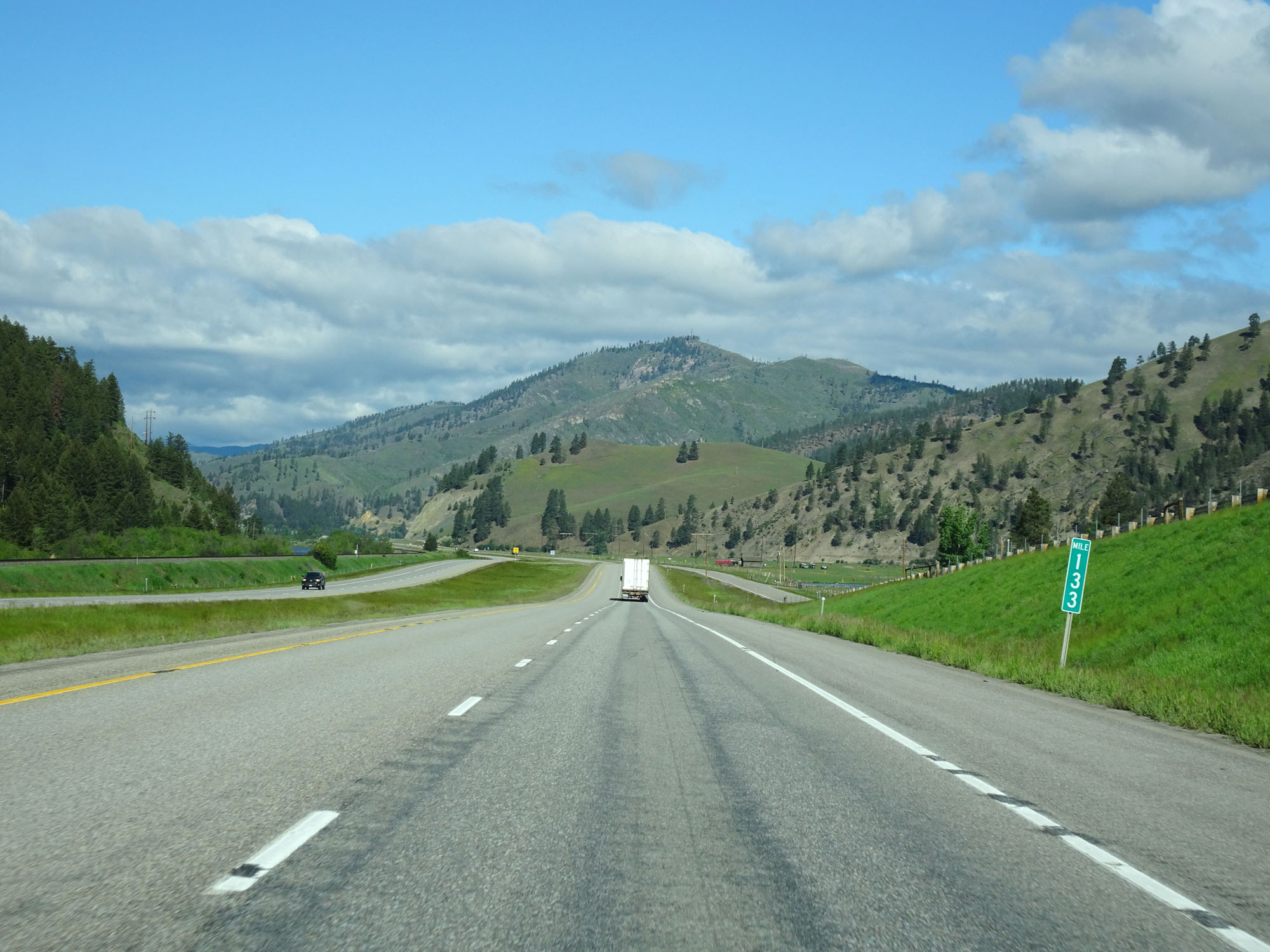 |
Interstate 90 West at mile marker 133. (Photo taken 5/25/16). |
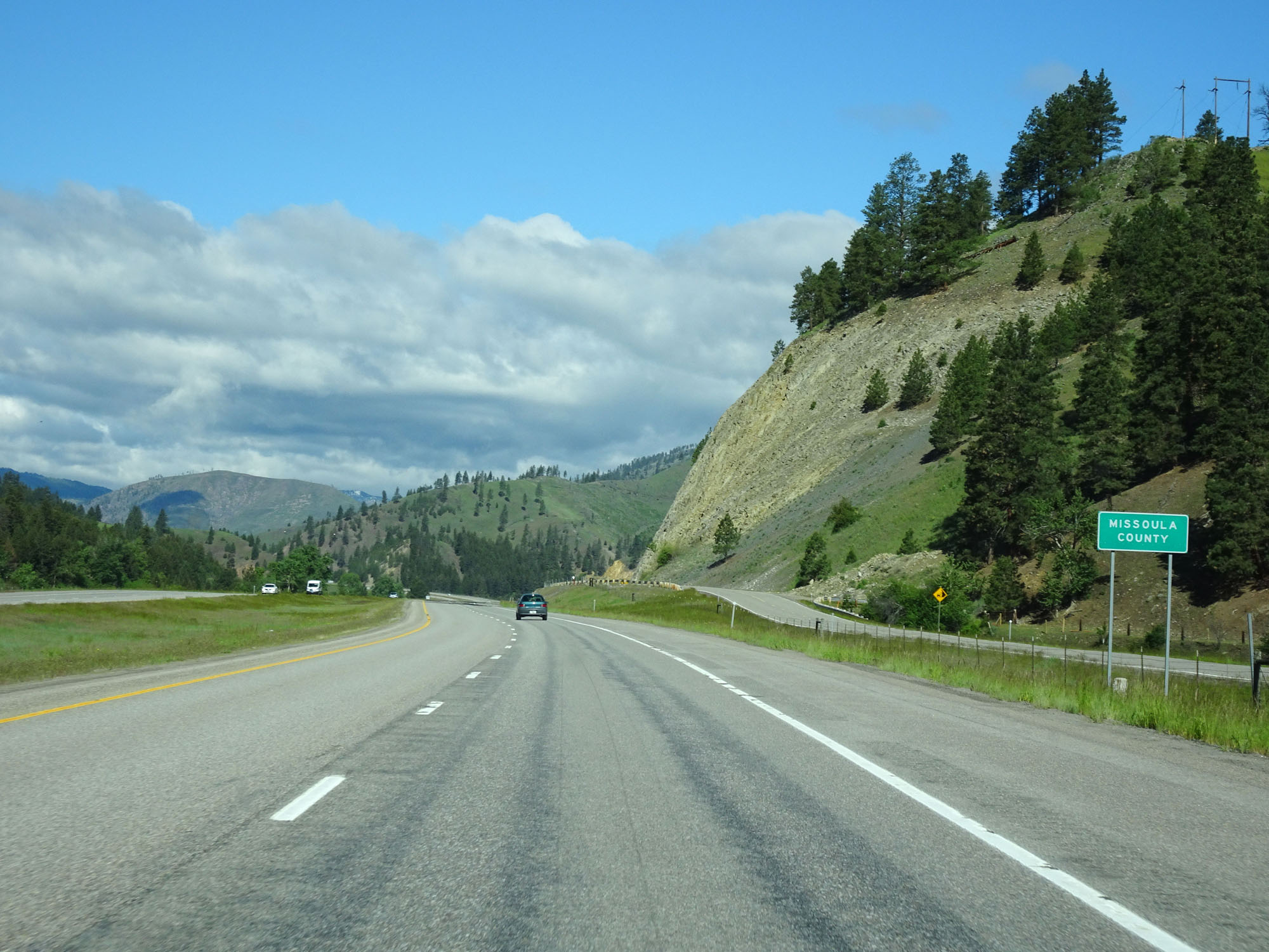 |
Interstate 90 West entering Missoula County. (Photo taken 5/25/16). |
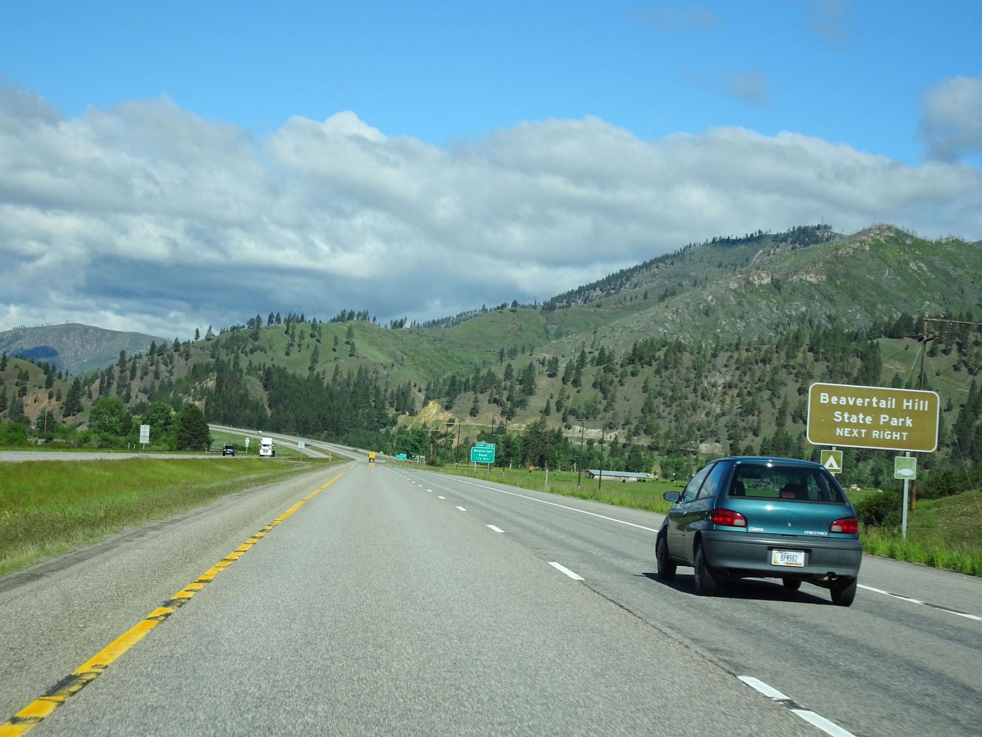 |
Take Exit 130 to Beavertail Hill State Park. (Photo taken 5/25/16). |
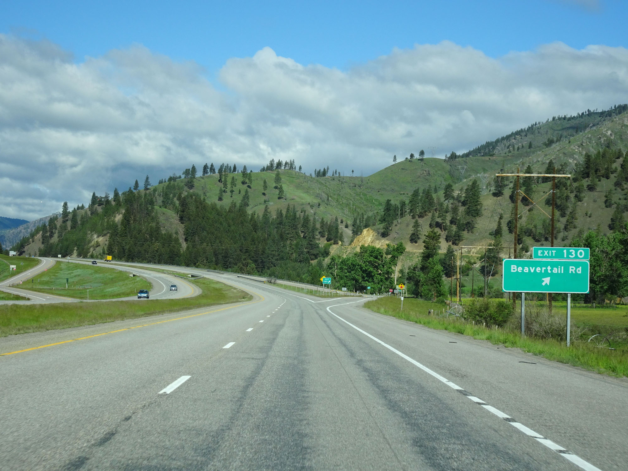 |
Interstate 90 West at Exit 130: Beavertail Rd (Photo taken 5/25/16). |
 |
Interstate 90 West reassurance shield. (Photo taken 5/25/16). |
 |
The speed limits remain 80 mph for cars and 65 mph for trucks. (Photo taken 5/25/16). |
 |
Mileage sign on Interstate 90 West. It's 4 miles to Rock Creek Rd, 26 miles to Missoula, and 194 miles to Coeur d'Alene. (Photo taken 5/25/16). |
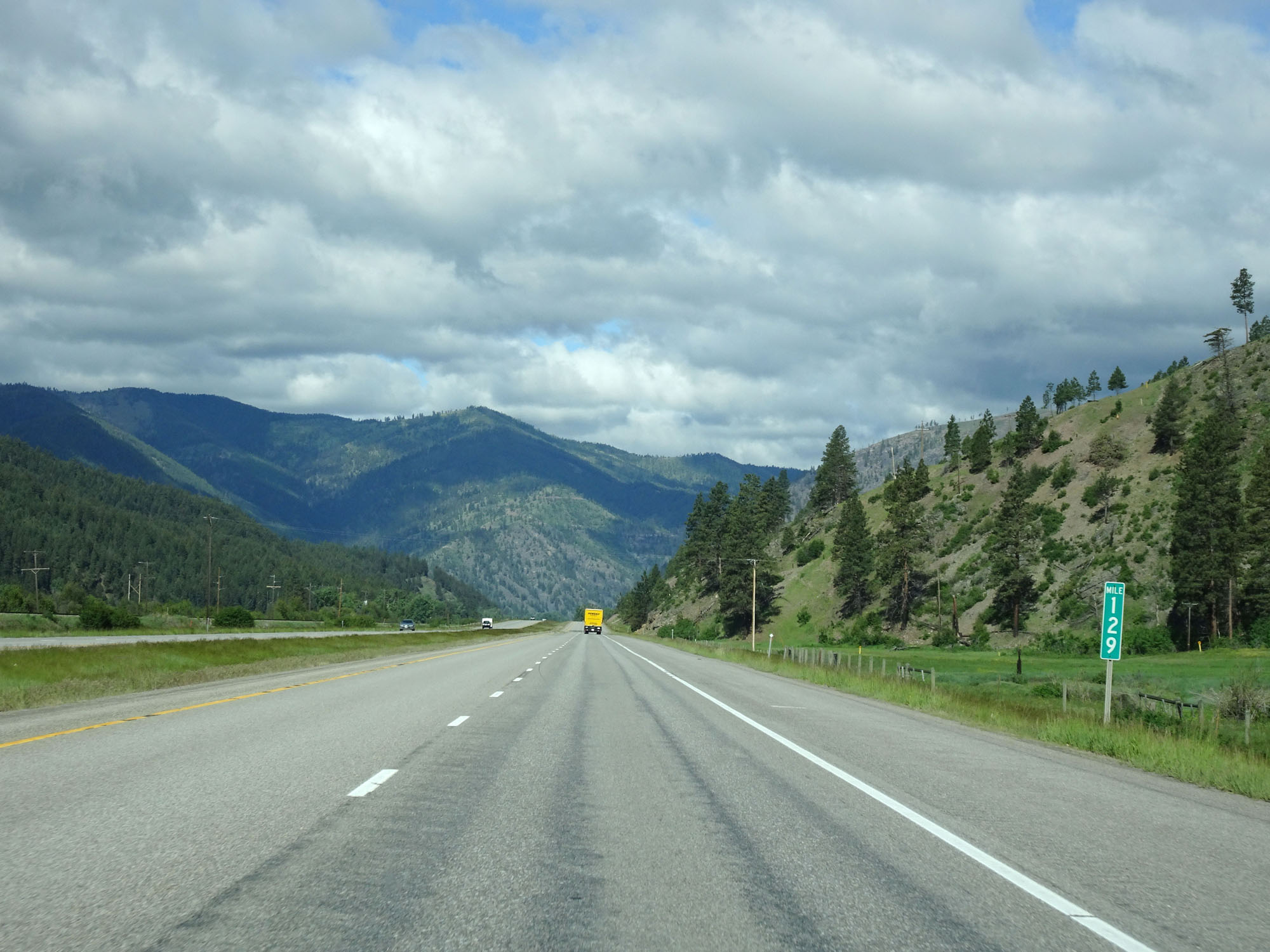 |
Interstate 90 West at mile marker 129. (Photo taken 5/25/16). |
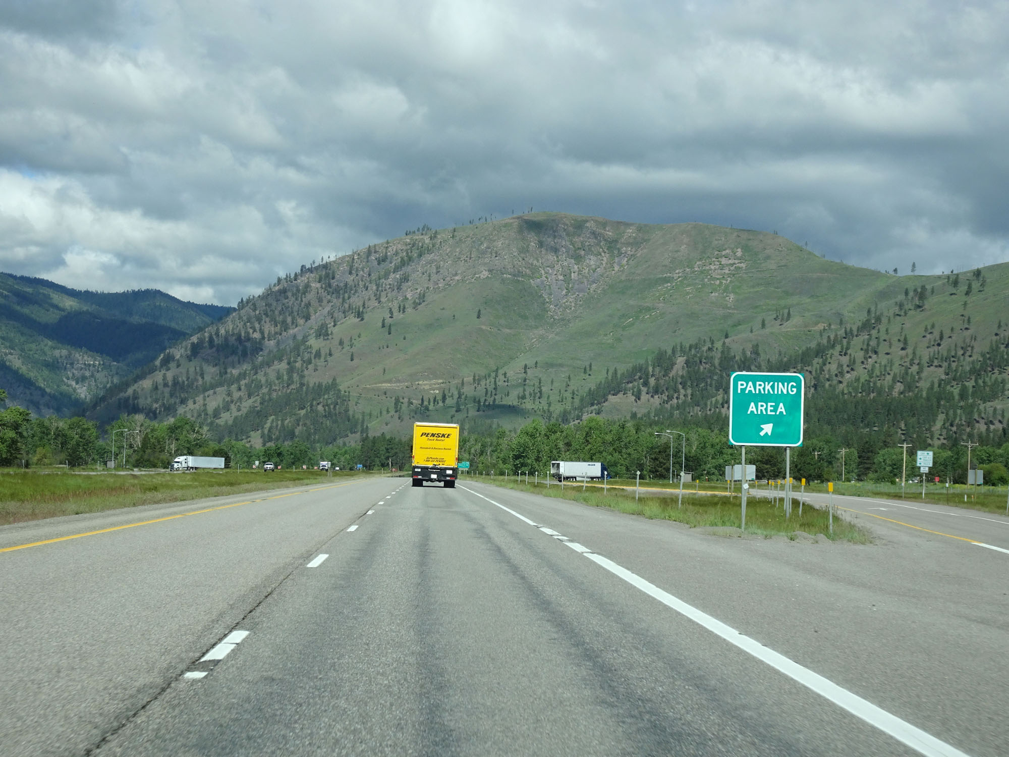 |
Parking Area on Interstate 90 West in Missoula County. (Photo taken 5/25/16). |
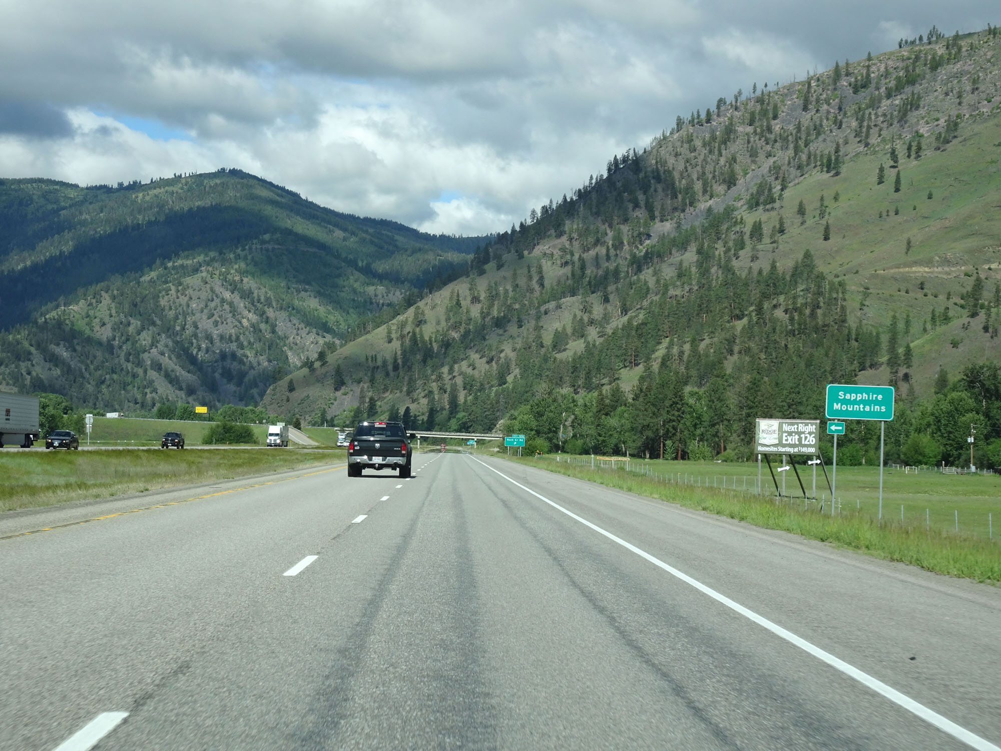 |
Interstate 90 West as it enters the Sapphire Mountains. (Photo taken 5/25/16). |
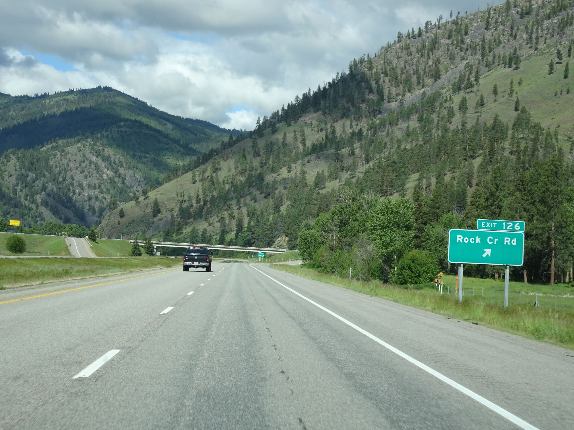 |
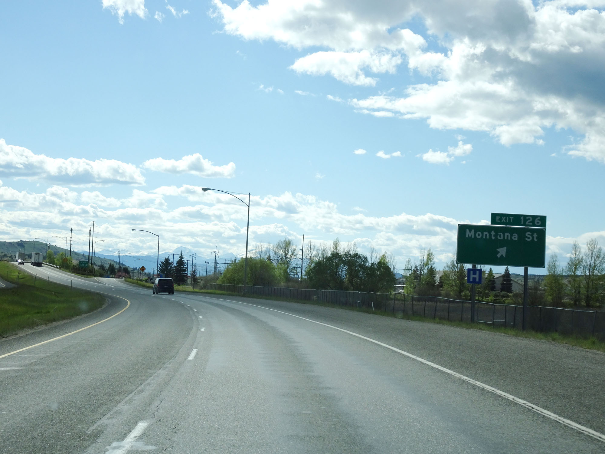
Interstate 90 West at Exit 126: Rock Creek Rd (Photo taken 5/25/16). |
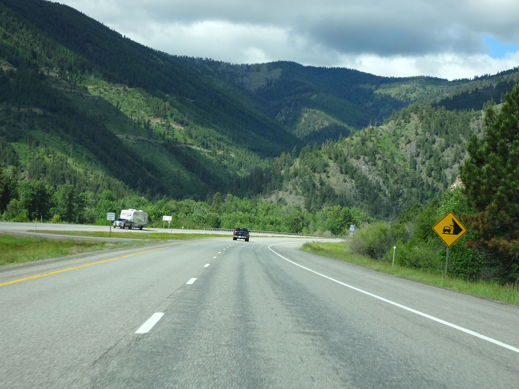 |
Watch for rocks that have fallen onto the right of way. (Photo taken 5/25/16). |
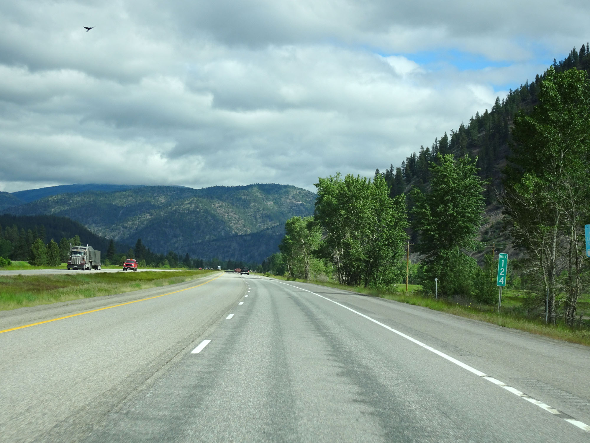 |
Interstate 90 West at mile marker 124. (Photo taken 5/25/16). |
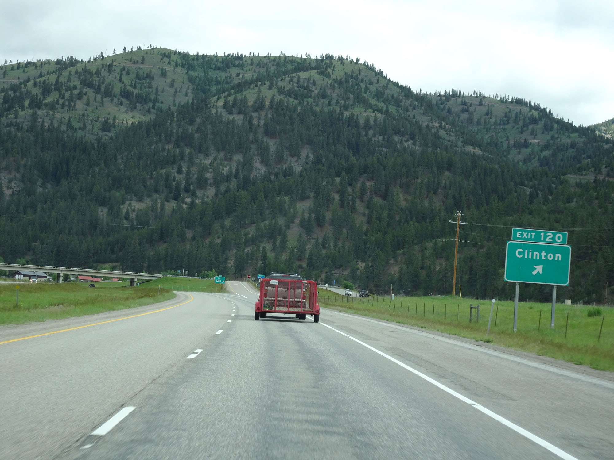 |
Interstate 90 West at Exit 120: Clinton (Photo taken 5/25/16). |
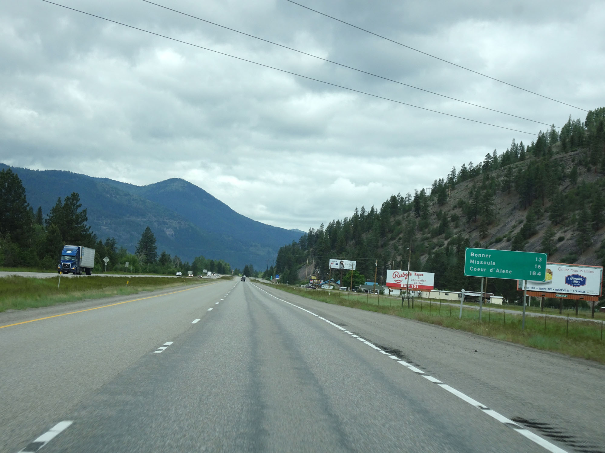 |
Mileage sign on Interstate 90 West. It's 13 miles to Bonner, 16 miles to Missoula, and 184 miles to Coeur d'Alene. (Photo taken 5/25/16). |
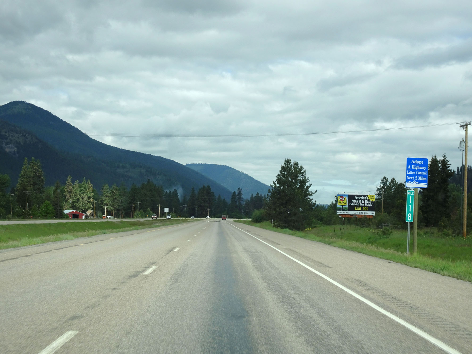 |
Interstate 90 West at mile marker 118. (Photo taken 5/25/16). |
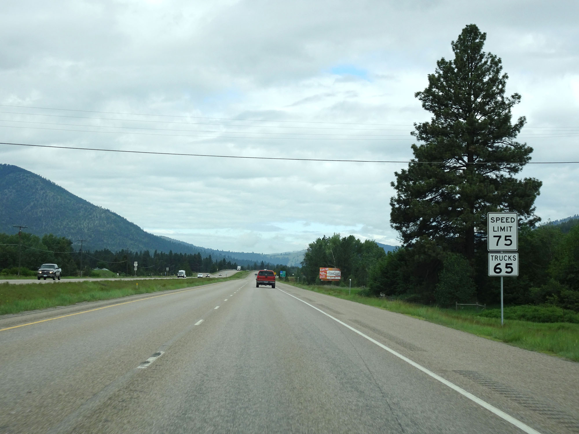 |
The speed limit decreases to 75 mph for cars here. It remains 65 mph for trucks as always. (Photo taken 5/25/16). |
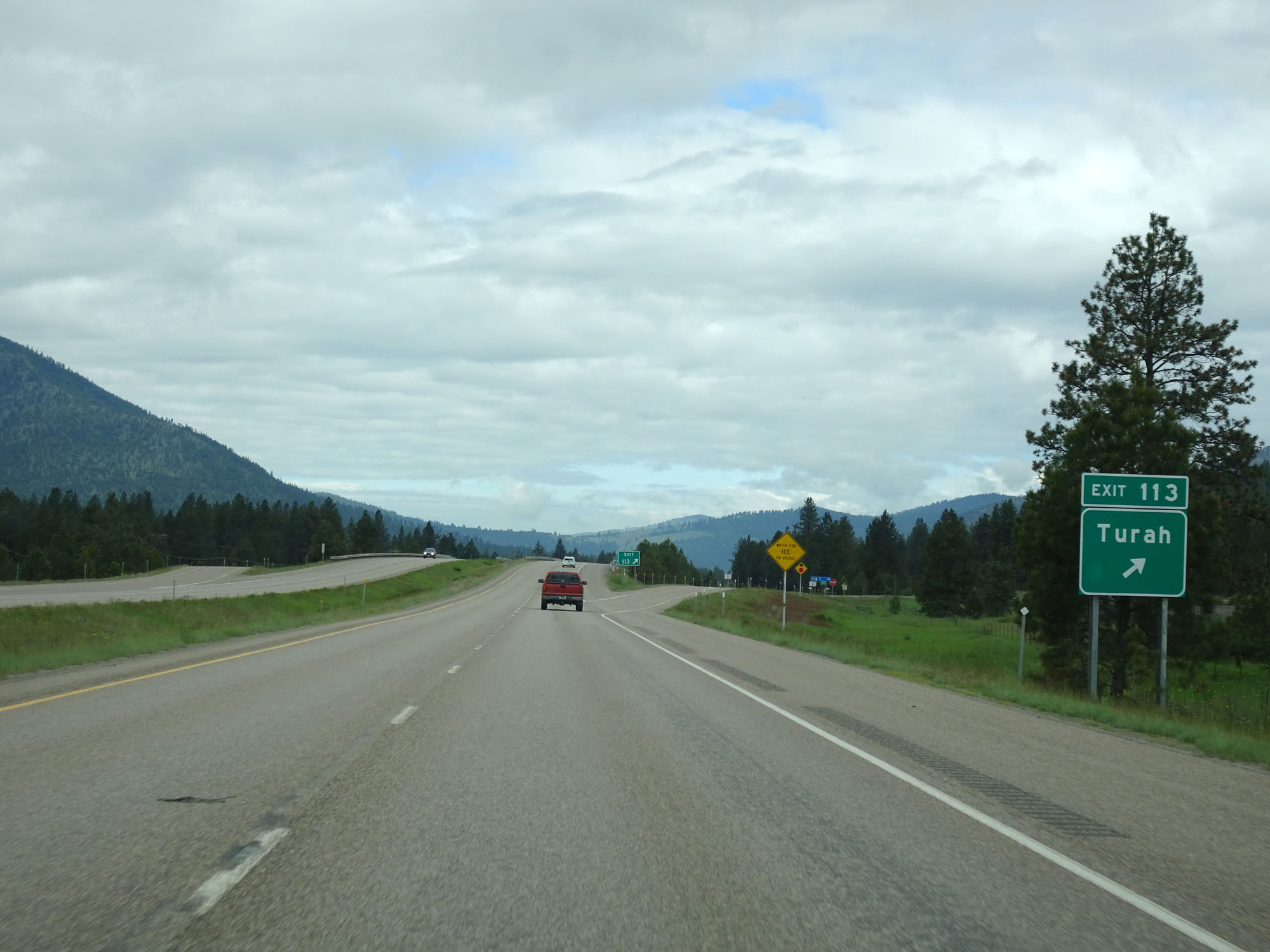 |
Interstate 90 West at Exit 113: Turah (Photo taken 5/25/16). |
 |
Interstate 90 West approaching Exit 109 - 1 mile. (Photo taken 5/25/16). |
 |
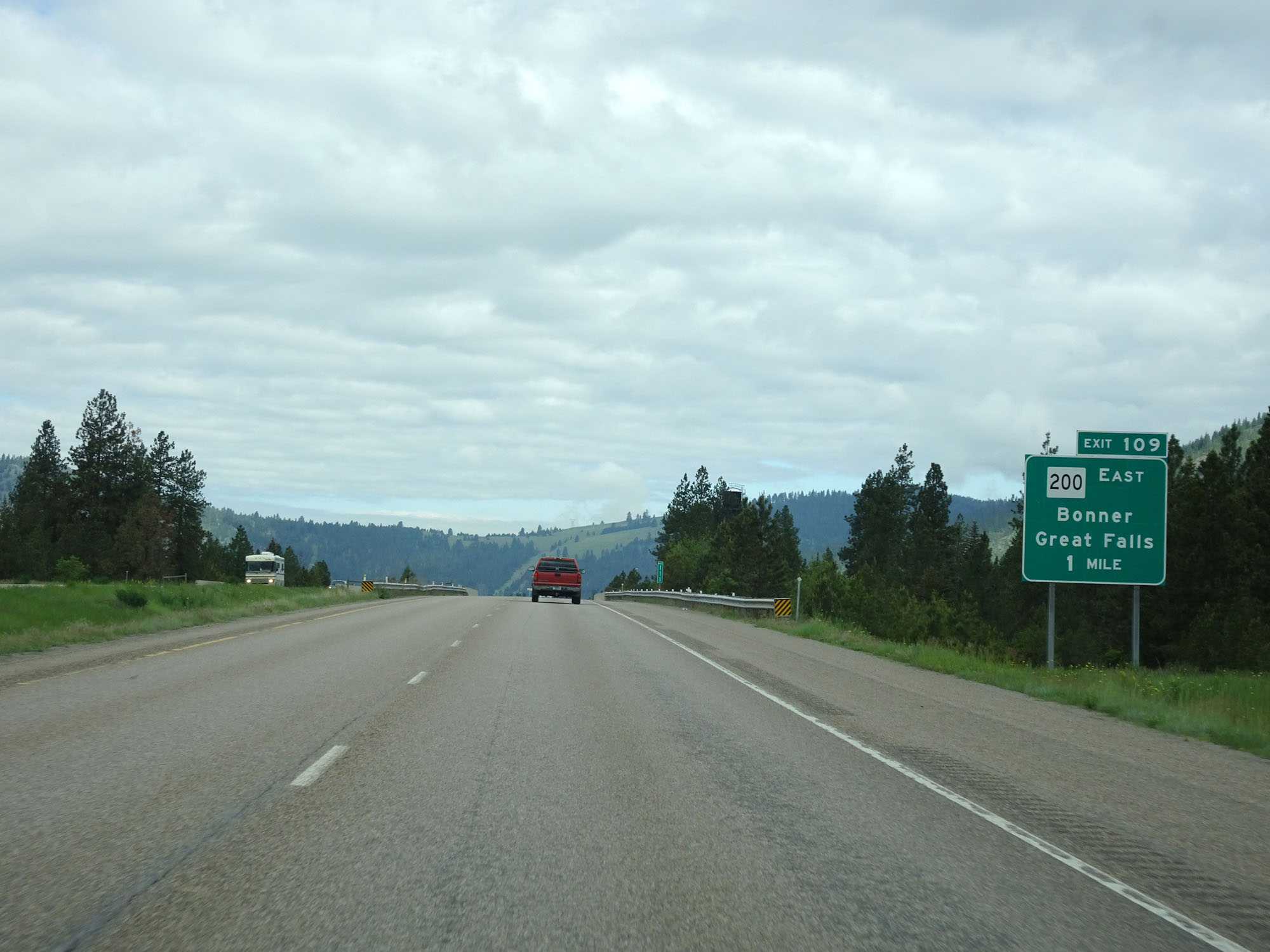
Interstate 90 West at Exit 109: MT 200 East - Bonner / Great Falls (Photo taken 5/25/16). |
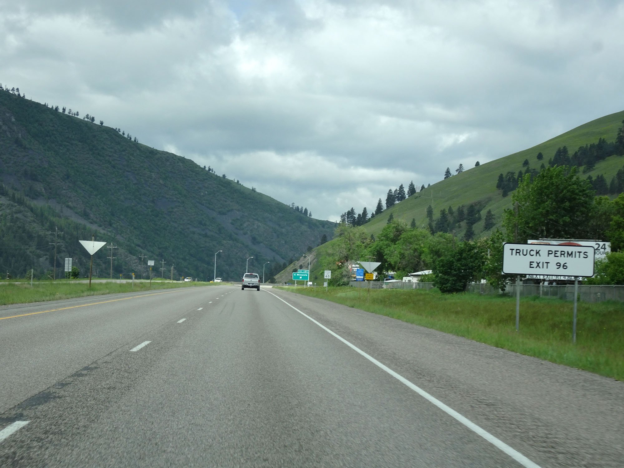 |
Take Exit 96 for Truck Permits. (Photo taken 5/25/16). |
 |
Approaching Missoula, the speed limit decreases to 65 mph for all traffic. (Photo taken 5/25/16). |
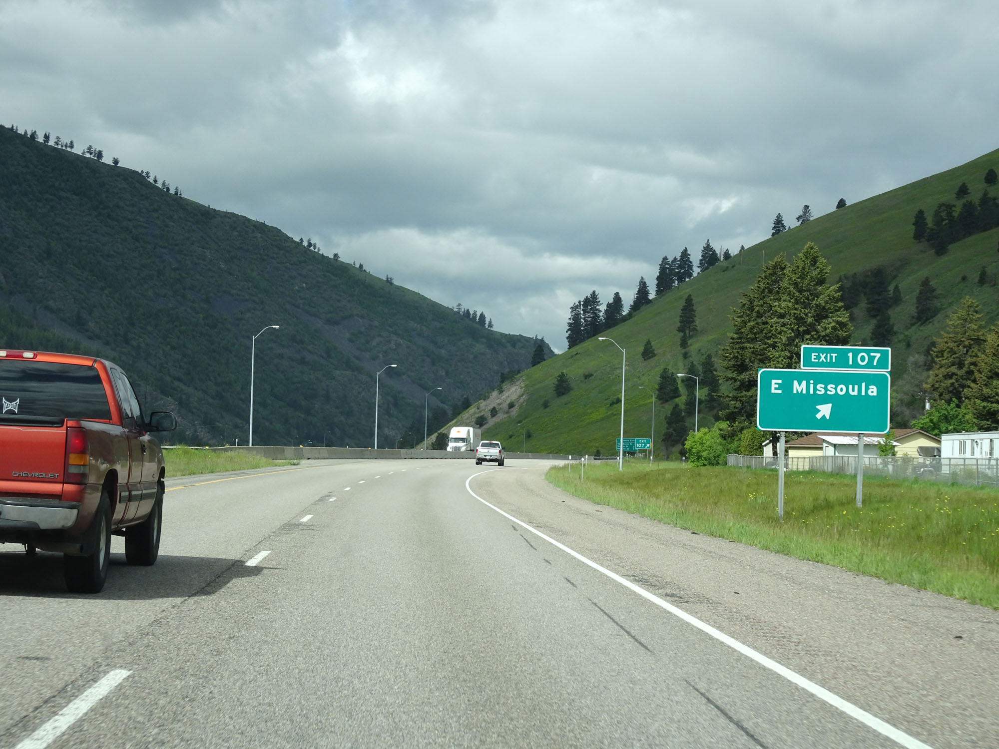 |
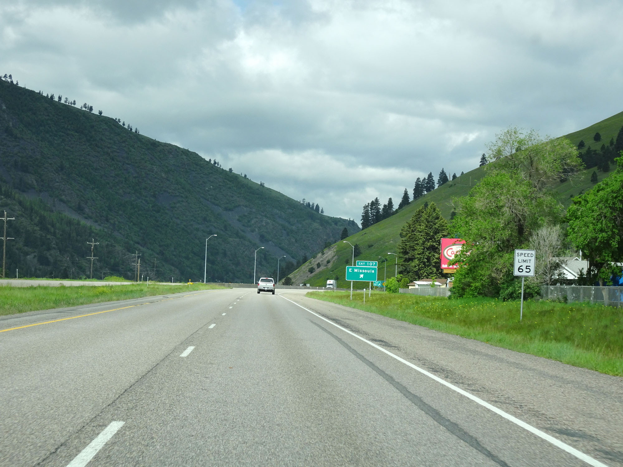
Interstate 90 West at Exit 107: E Missoula (Photo taken 5/25/16). |
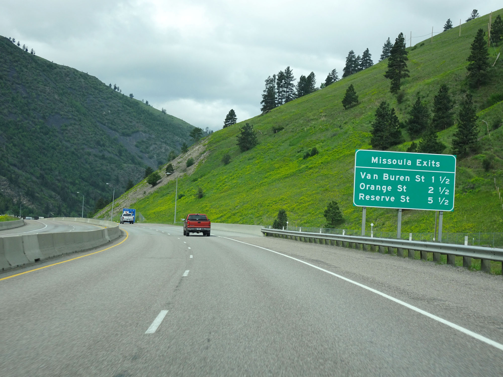 |
Sign listing the distances to the three upcoming Missoula exits. (Photo taken 5/25/16). |
 |
Interstate 90 West / US 12 West / MT 200 West reassurance markers. (Photo taken 5/25/16). |
 |
Take either of the next 2 exits to Missoula Downtown Historic District. (Photo taken 5/25/16). |
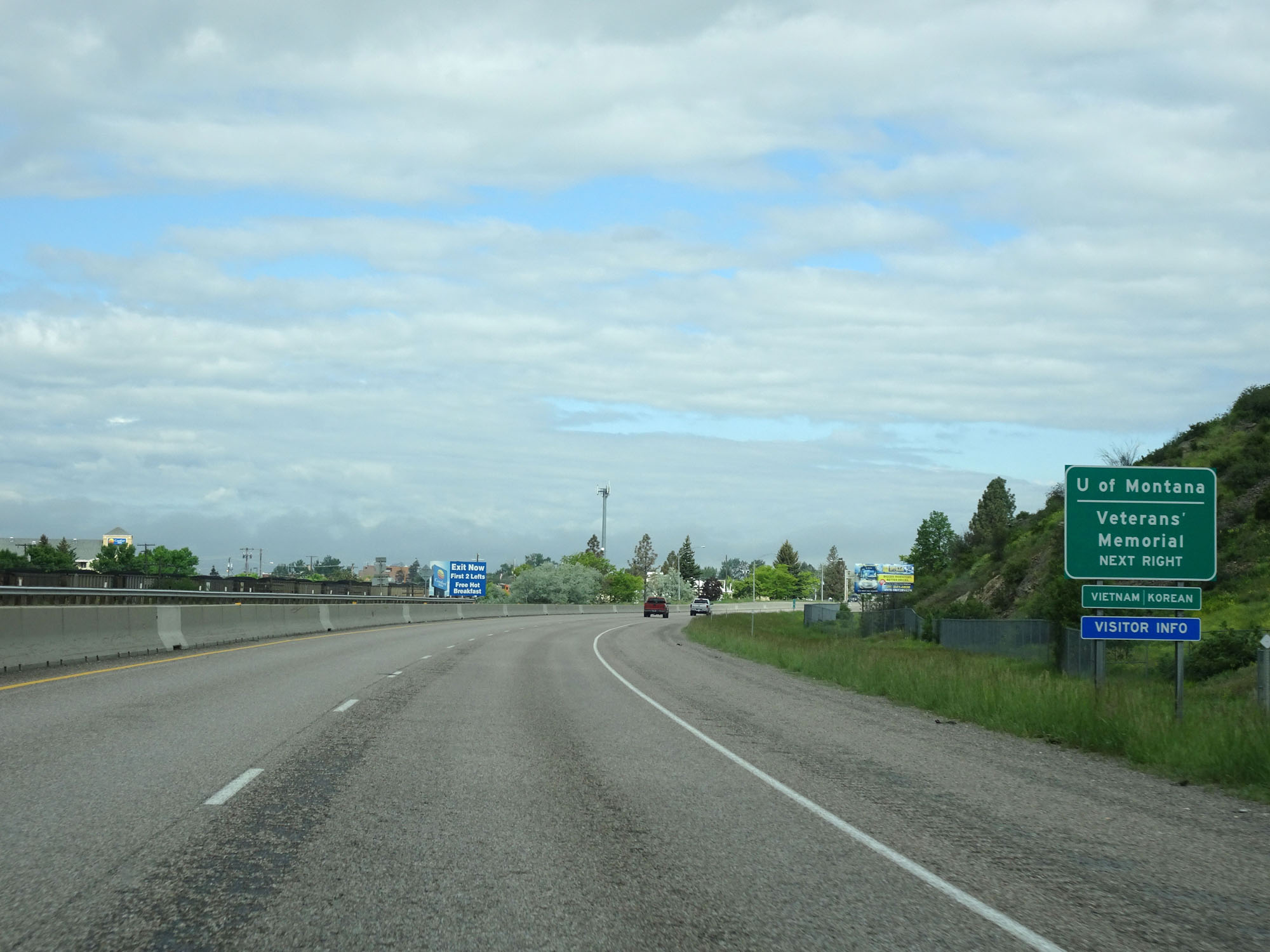 |
Take Exit 105 to the University of Montana and the Veterans' Memorial. (Photo taken 5/25/16). |
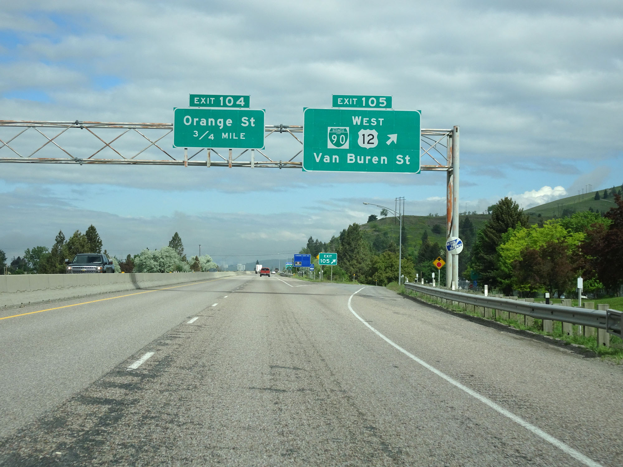 |
Interstate 90 West at Exit 105: Interstate 90 Business Loop / US 12 West - Van Buren St (Photo taken 5/25/16). |
 |
Take Exit 104 to City Center, Missoula College, and the University of Montana. (Photo taken 5/25/16). |
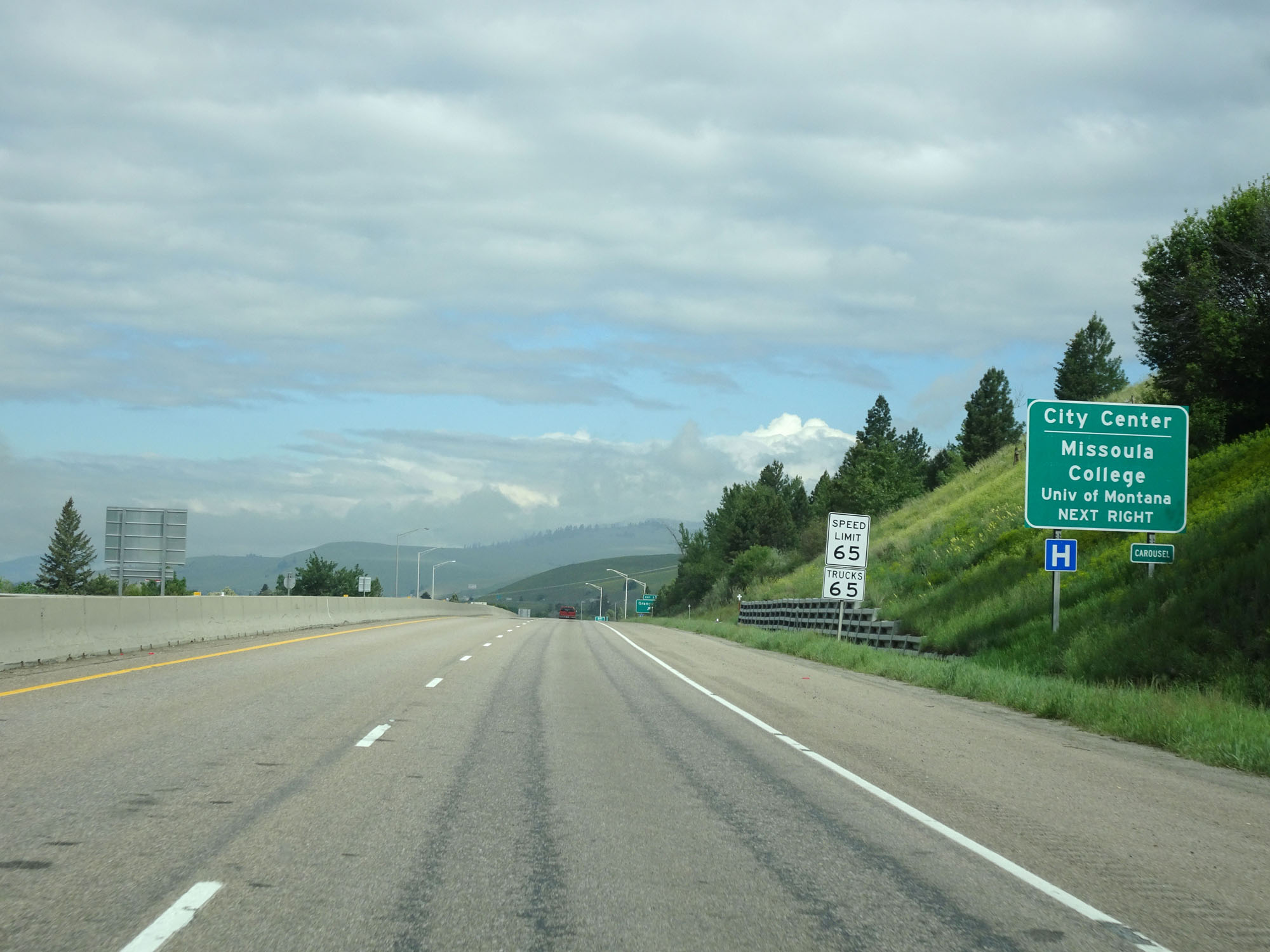
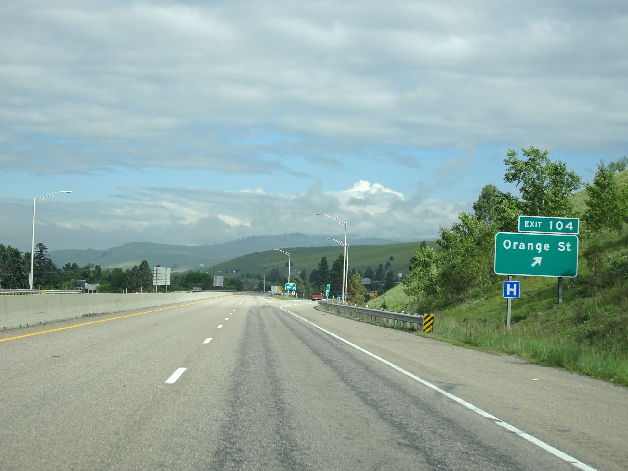 |
Interstate 90 West at Exit 104: Orange St (Photo taken 5/25/16). |
Section 8: Missoula (Exit 104) to St. Regis (Exit 33)
 |
Interstate 90 West at mile marker 104. (Photo taken 5/25/16). |
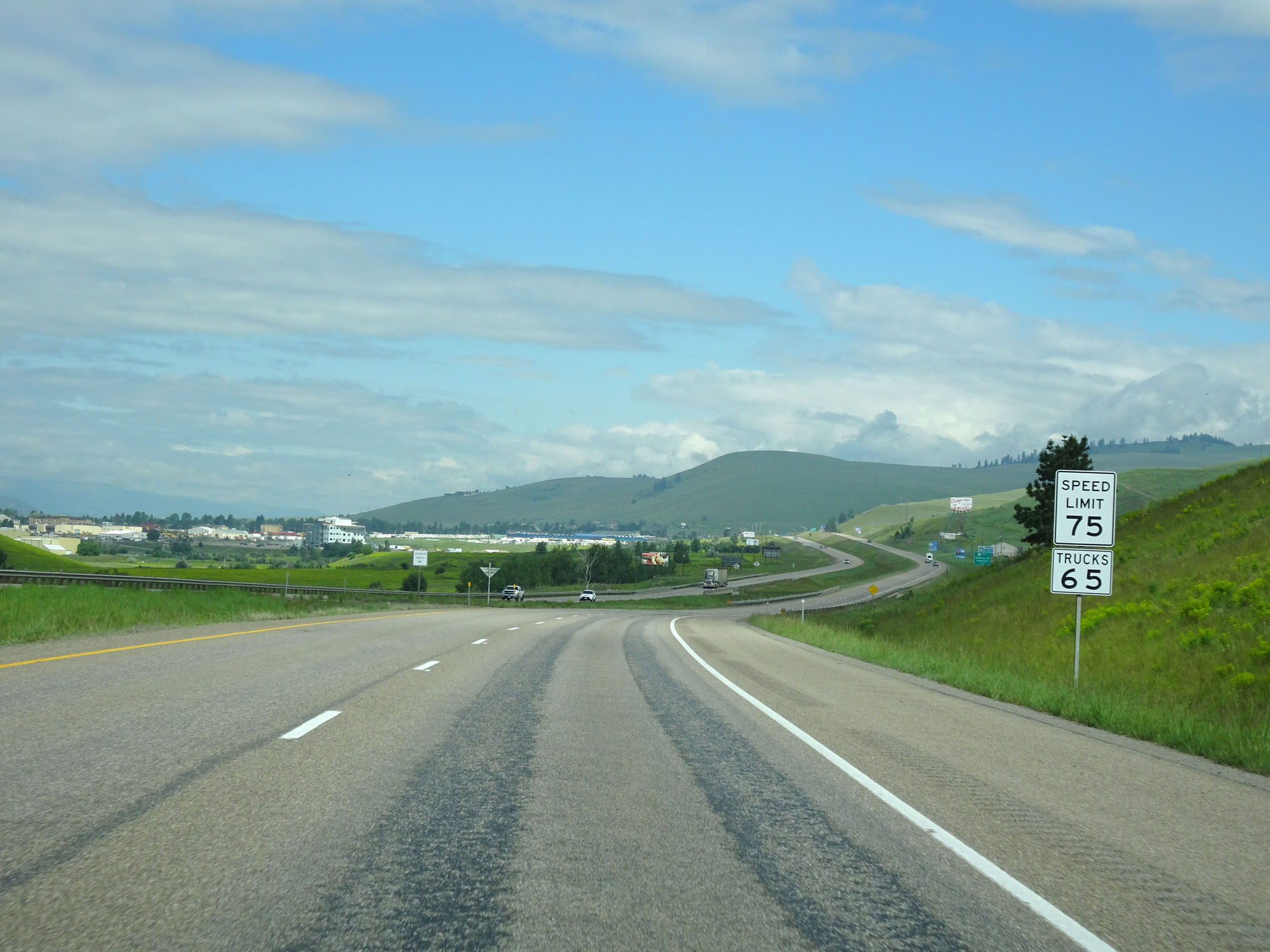 |
Near mile marker 103, the speed limit increases to 75 mph for cars once again. It remains 65 mph for trucks. (Photo taken 5/25/16). |
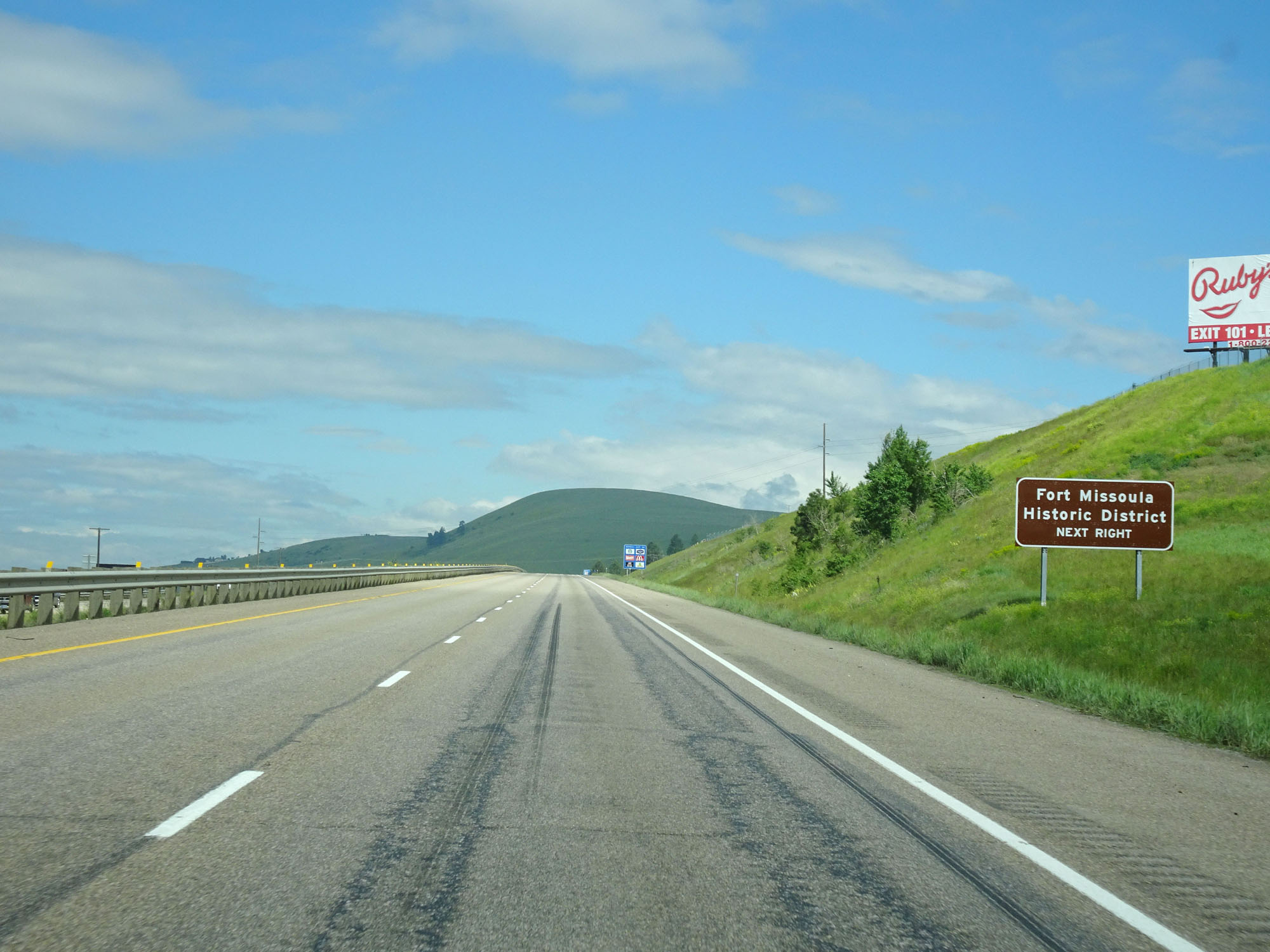 |
Take Exit 101 to Fort Missoula Historic District. (Photo taken 5/25/16). |
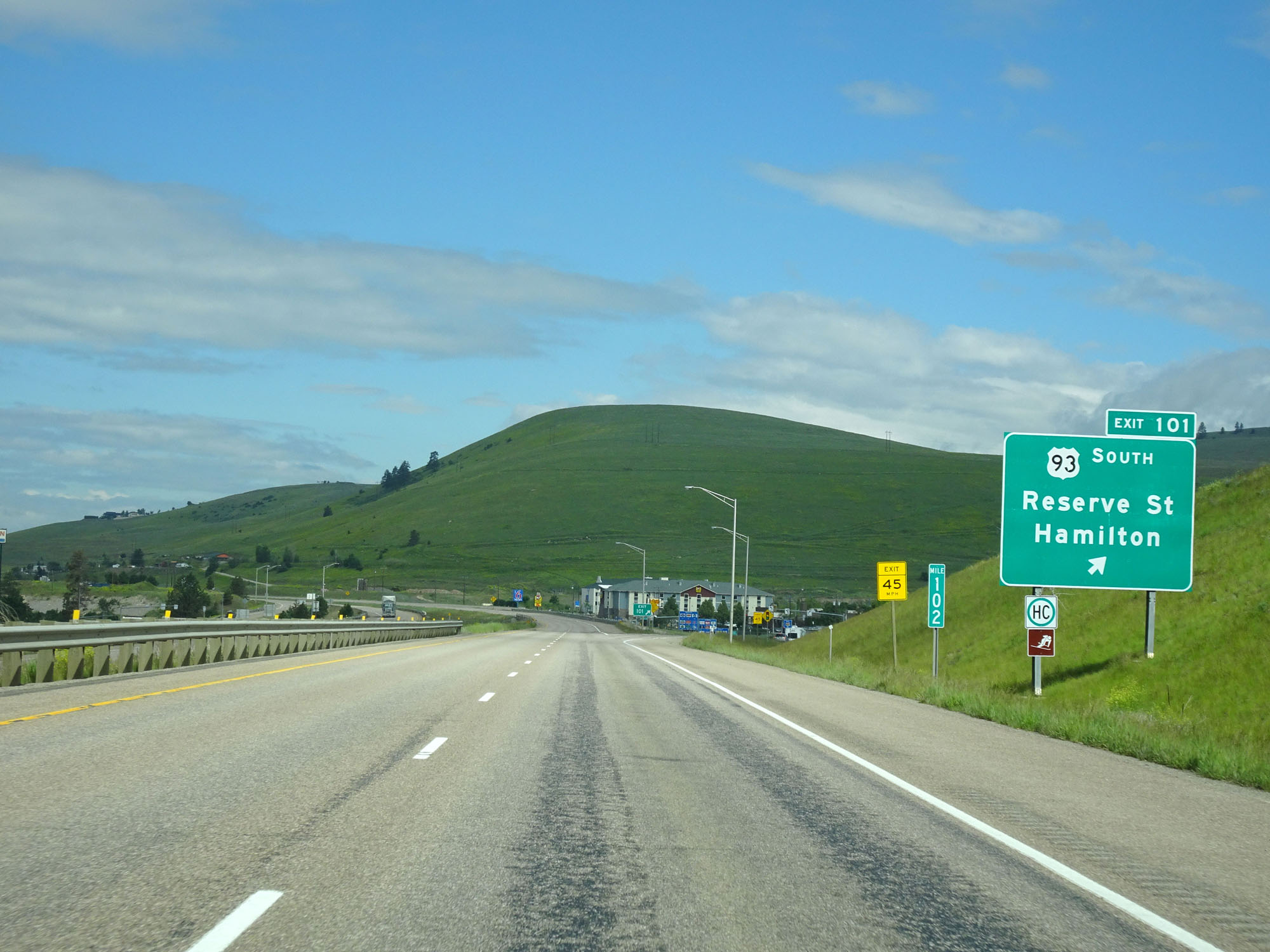 |
Interstate 90 West at Exit 101: US 93 South - Reserve St / Hamilton (Photo taken 5/25/16). |
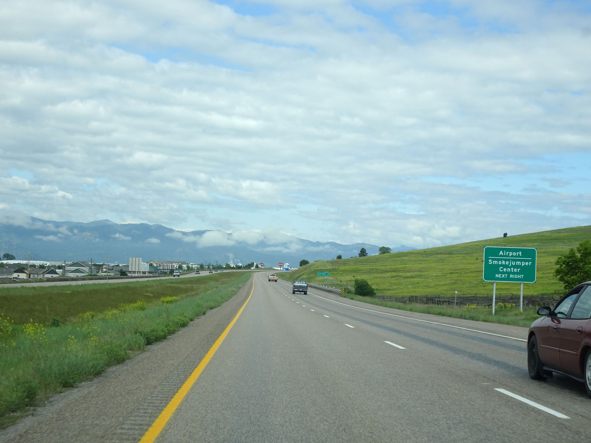 |
Take Exit 99 to the Airport and Smokejumper Center. (Photo taken 5/25/16). |
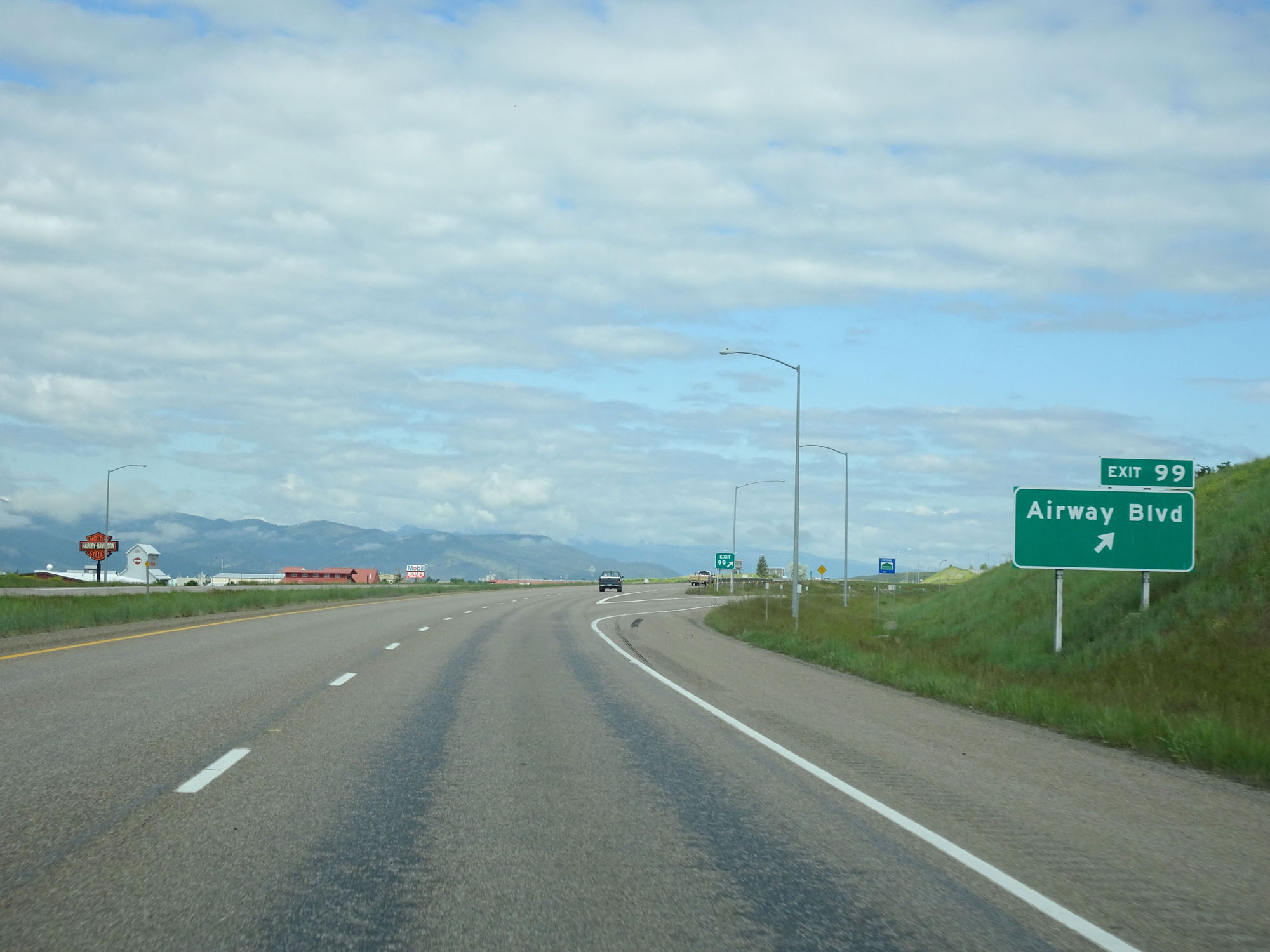 |
Interstate 90 West at Exit 99: Airway Blvd (Photo taken 5/25/16). |
 |
Interstate 90 West approaching Exit 96 - 2 miles. (Photo taken 5/25/16). |
 |
Take Exit 96 to Flathead Lake and Glacier National Park. (Photo taken 5/25/16). |
 |
Interstate 90 West approaching Exit 96 - 1 mile. (Photo taken 5/25/16). |
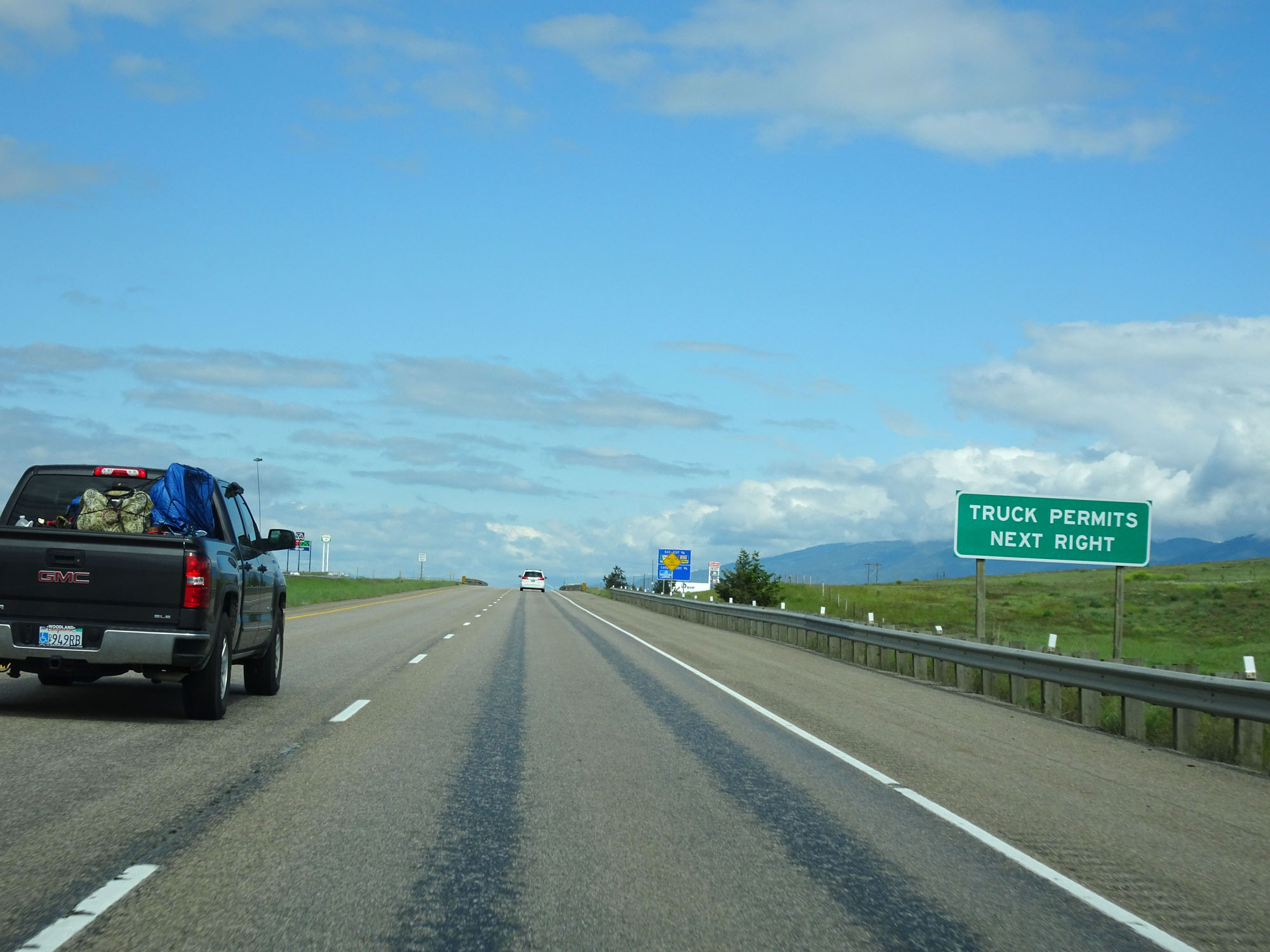 |
Take Exit 96 for Truck Permits. (Photo taken 5/25/16). |
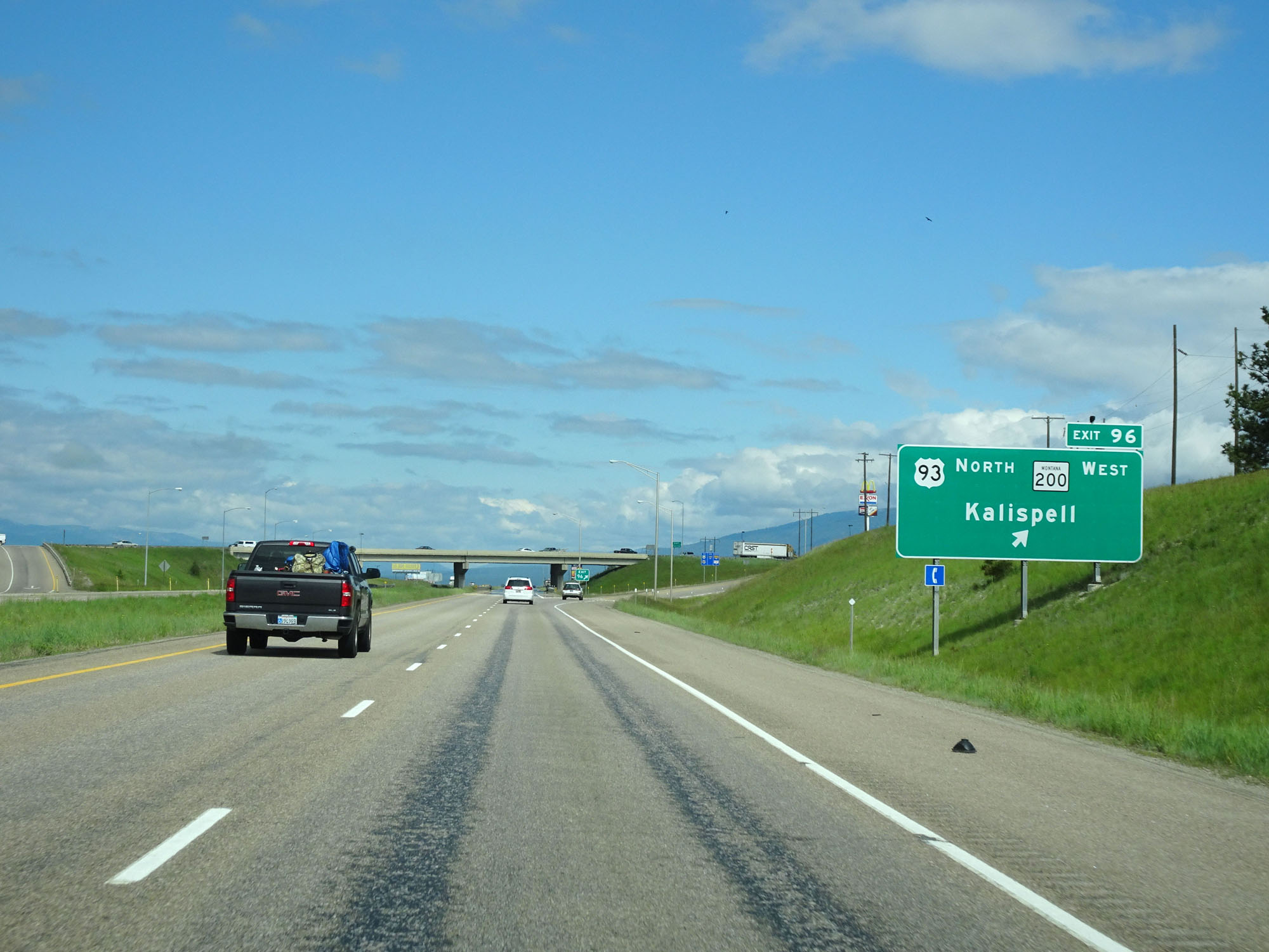 |
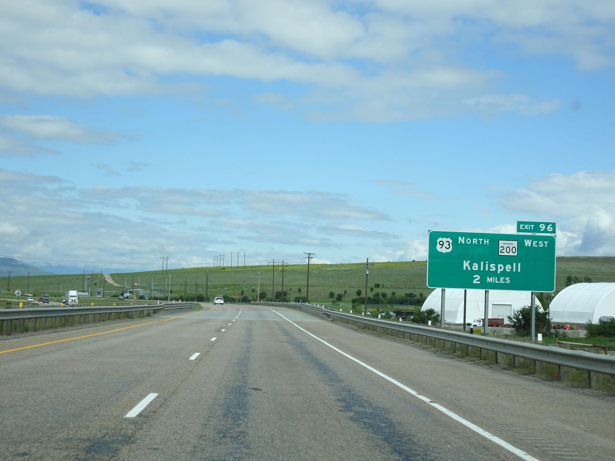
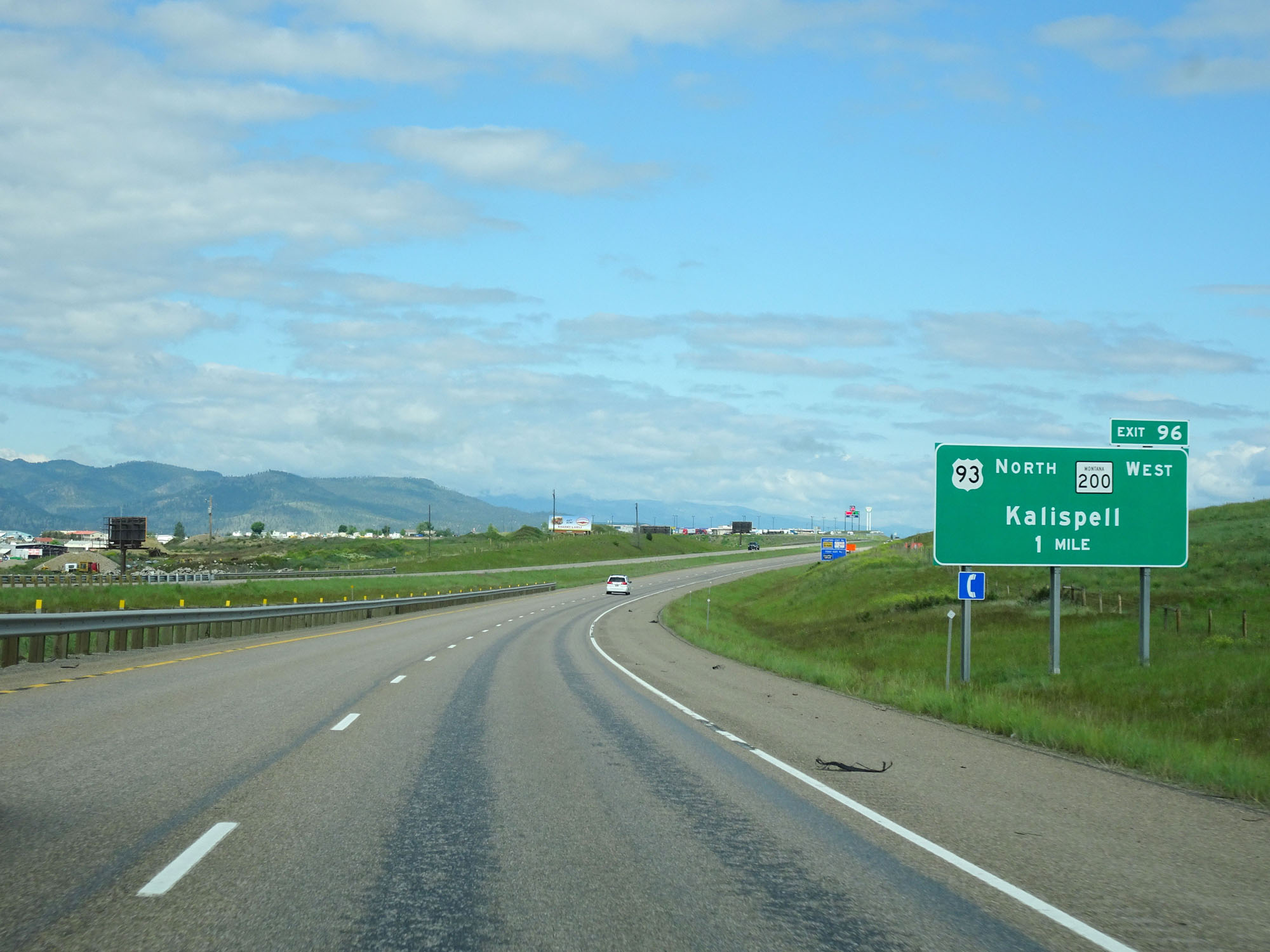
Interstate 90 West at Exit 96: US 93 North / MT 200 West - Kalispell (Photo taken 5/25/16). |
 |
Interstate 90 West reassurance shield. (Photo taken 5/25/16). |
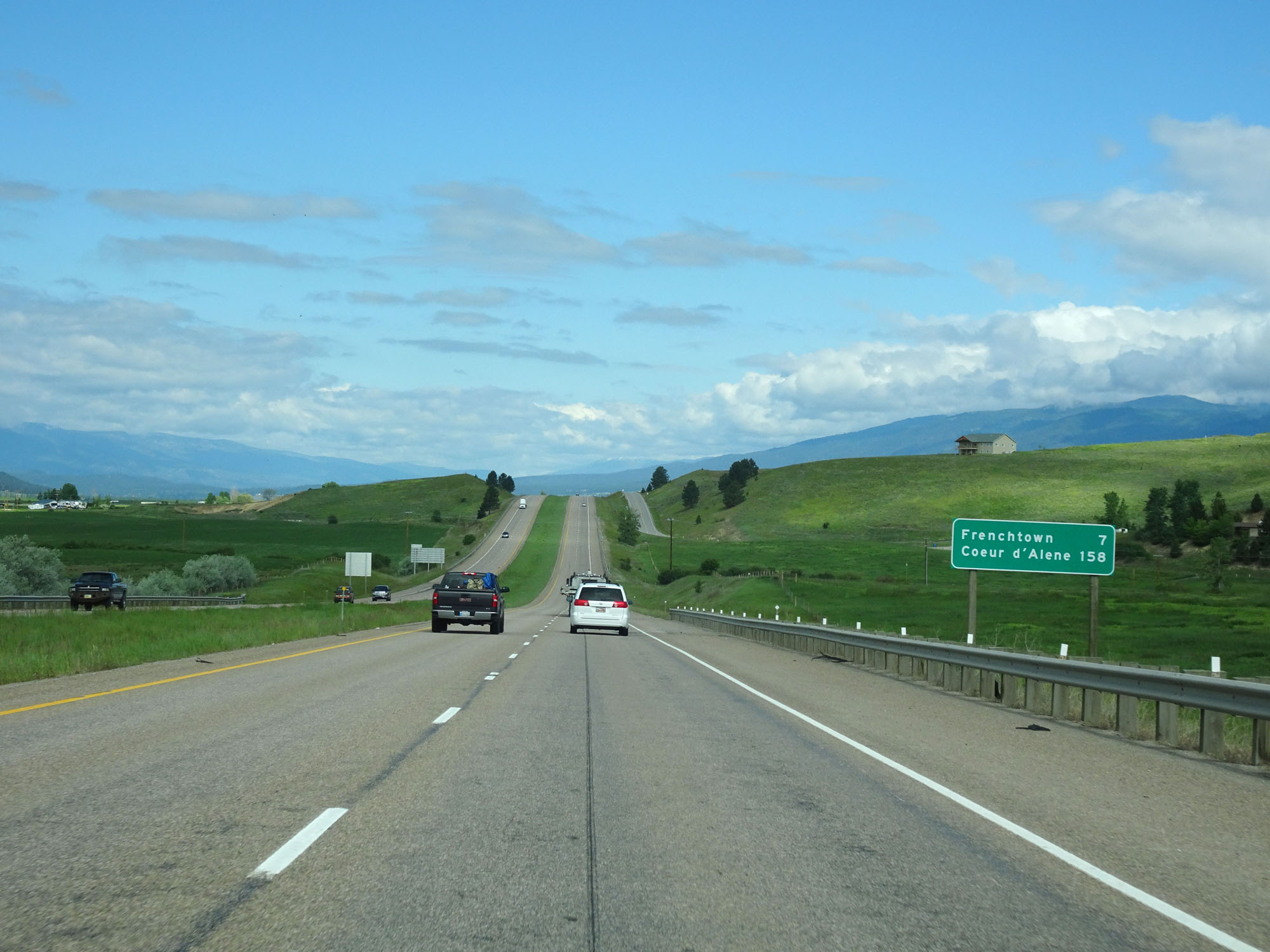 |
Mileage sign on Interstate 90 West. It's 7 miles to Frenchtown and 158 miles to Coeur d'Alene. (Photo taken 5/25/16). |
 |
Now well west of the Missoula vicinity, the standard rural speed limit of 80 mph for cars resumes. (Photo taken 5/25/16). |
 |
Interstate 90 West at the Inspection Station in Missoula County. (Photo taken 5/25/16). |
 |
Interstate 90 West at mile marker 92. (Photo taken 5/25/16). |
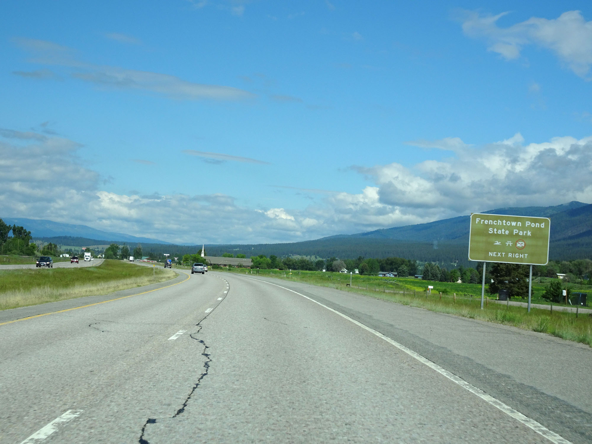 |
Take Exit 89 to Frenchtown Pond State Park. (Photo taken 5/25/16). |
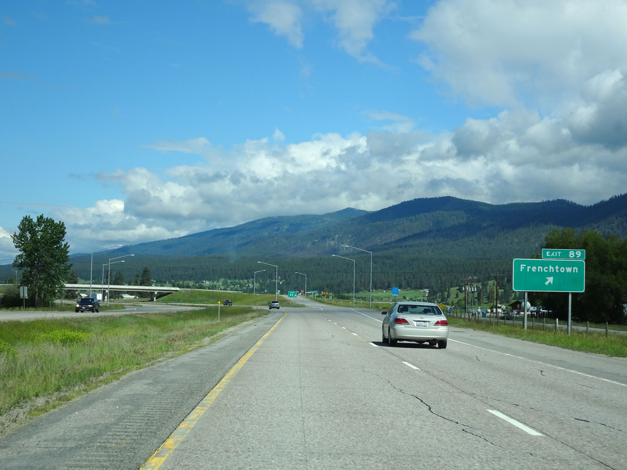 |
Interstate 90 West at Exit 89: Frenchtown (Photo taken 5/25/16). |
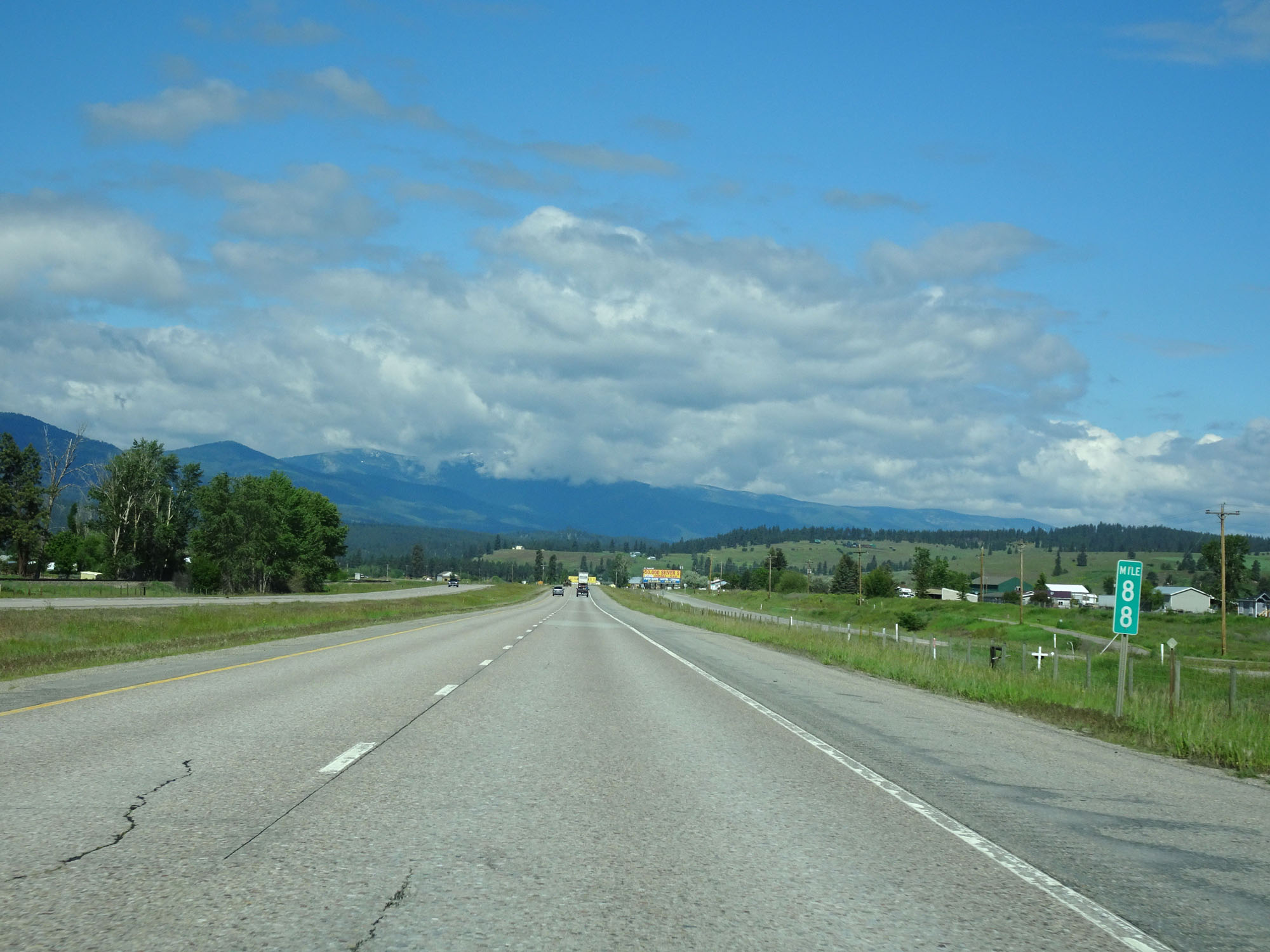 |
Interstate 90 West at mile marker 88. (Photo taken 5/25/16). |
 |
Interstate 90 West approaching Exit 85 - 1/2 mile. (Photo taken 5/25/16). |
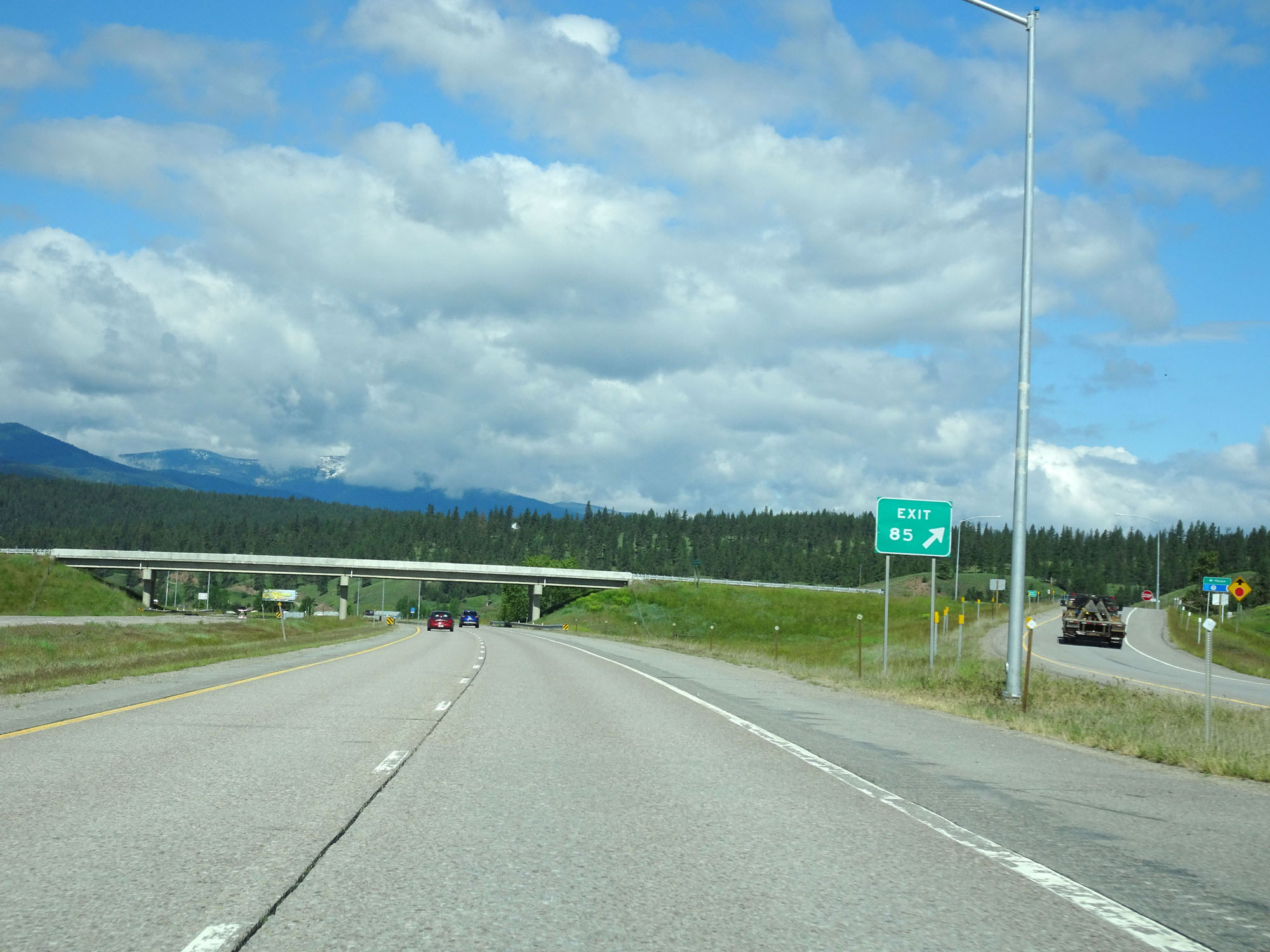 |
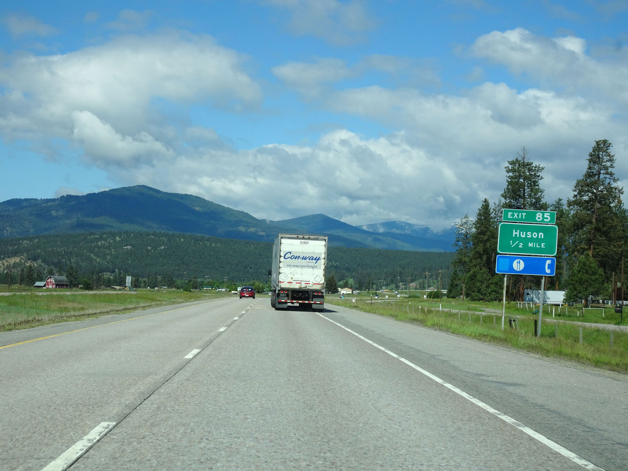
Interstate 90 West at Exit 85: Huson (Photo taken 5/25/16). |
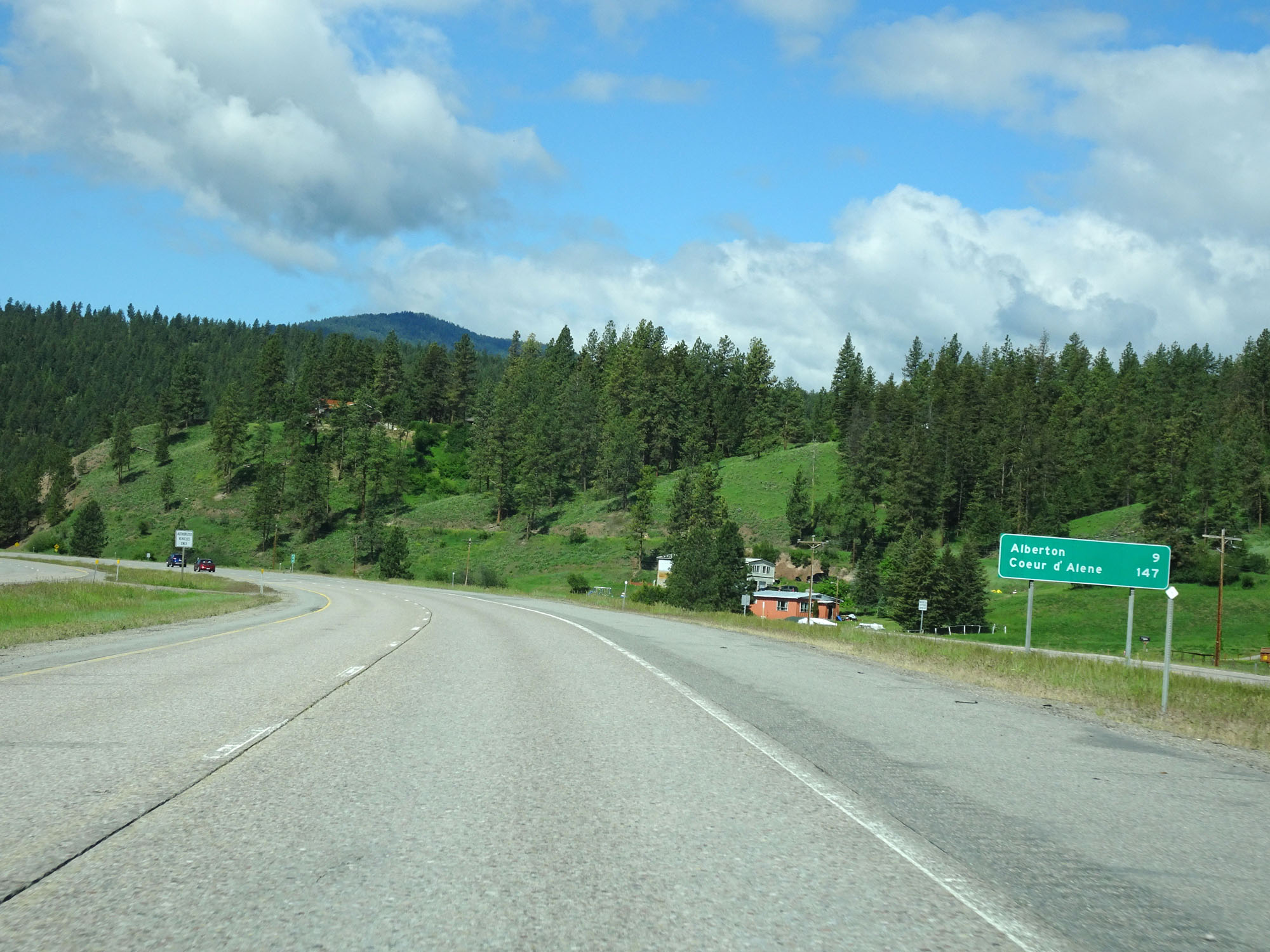 |
Mileage sign on Interstate 90 West. It's 9 miles to Alberton and 147 miles to Coeur d'Alene. (Photo taken 5/25/16). |
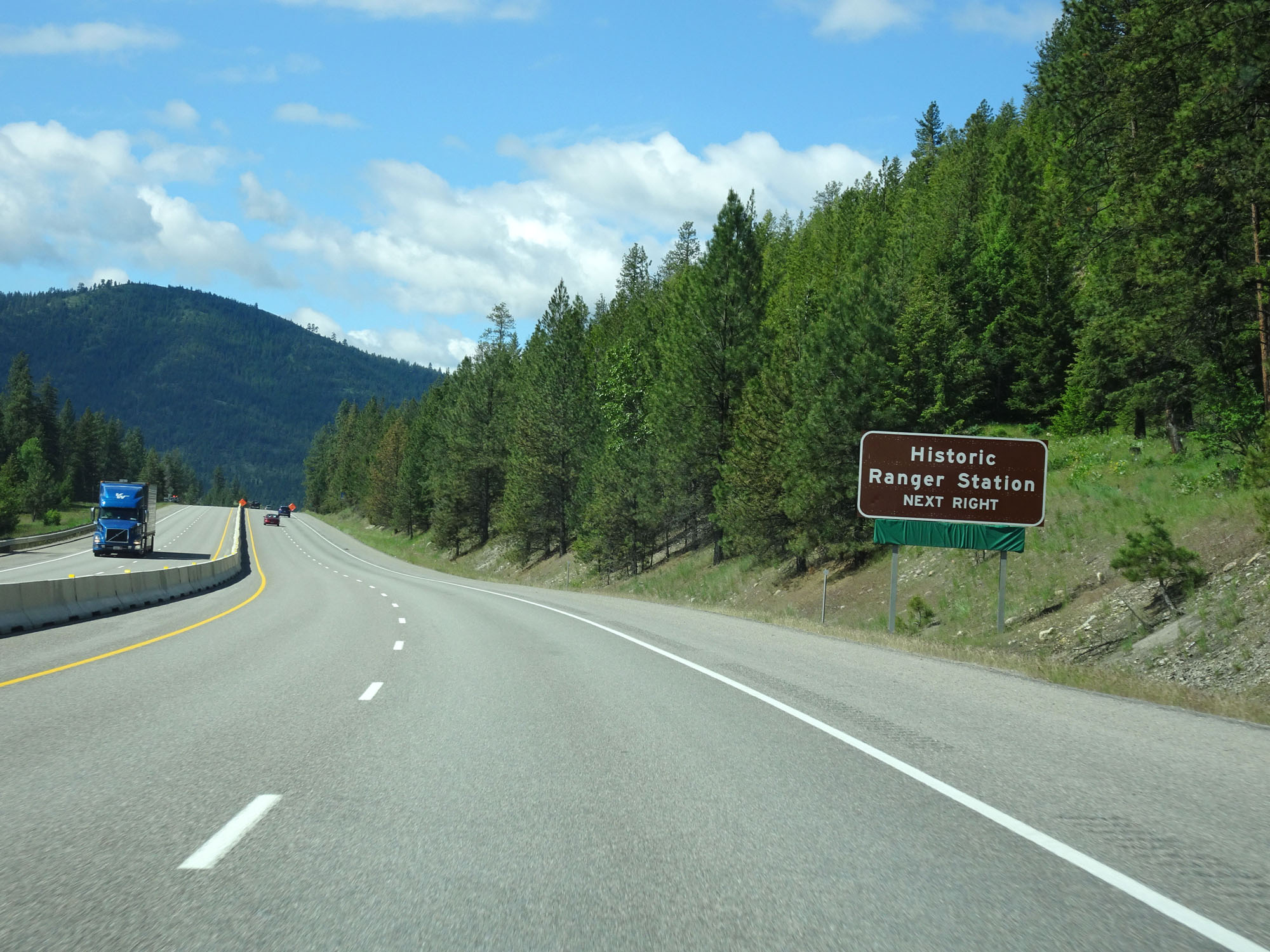 |
Take Exit 82 to Historic Ranger Station. (Photo taken 5/25/16). |
 |
Interstate 90 West at Exit 82: Nine Mile Road (Photo taken 5/25/16). |
 |
Interstate 90 West traverses a downgrade ahead. 55 mph is advised. (Photo taken 5/25/16). |
 |
Interstate 90 West at mile marker 82. (Photo taken 5/25/16). |
 |
Interstate 90 West at mile marker 81. (Photo taken 5/25/16). |
 |
Interstate 90 West at mile marker 80. (Photo taken 5/25/16). |
 |
Take either of the next 2 exits to Alberton. (Photo taken 5/25/16). |
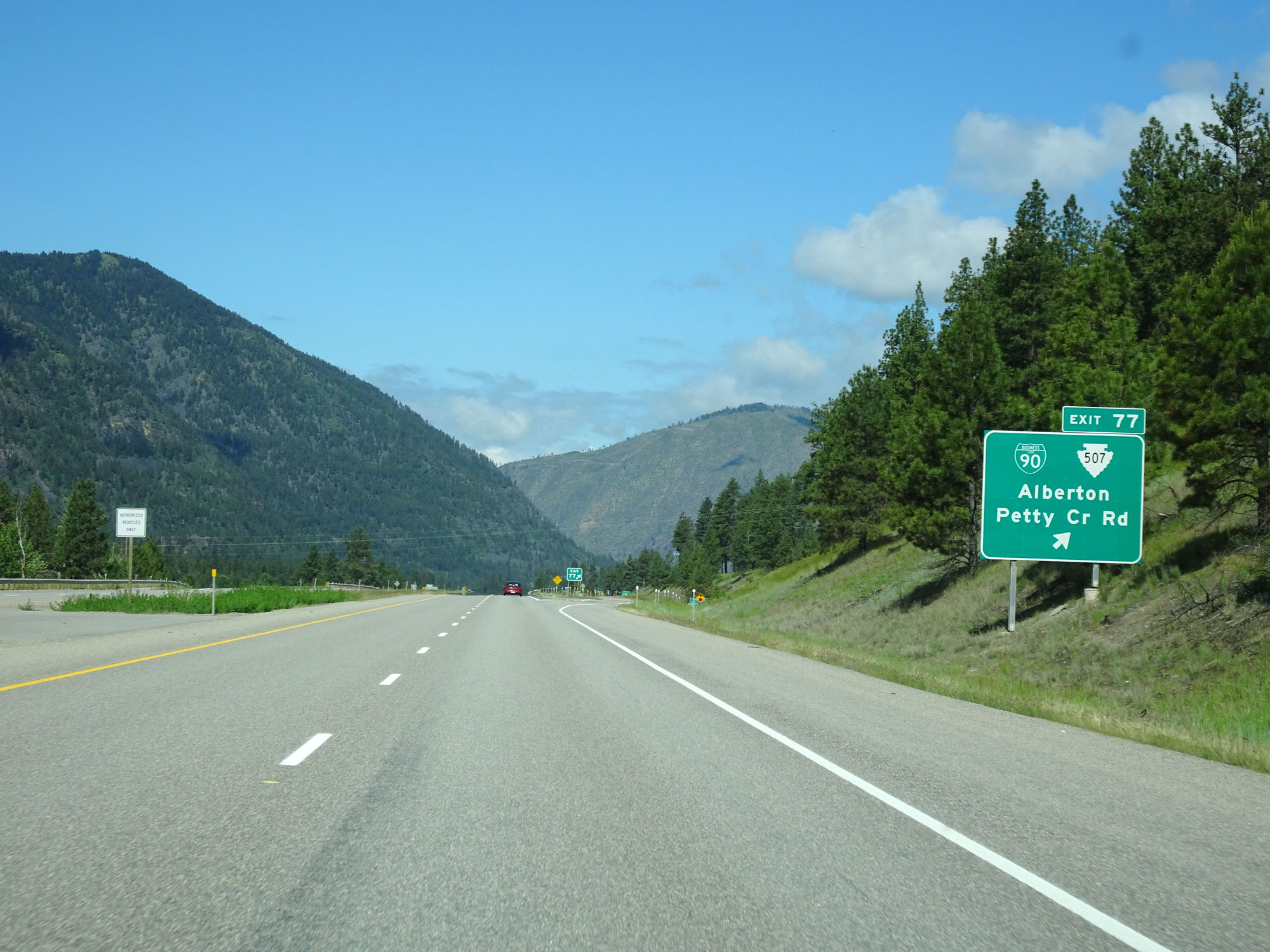 |
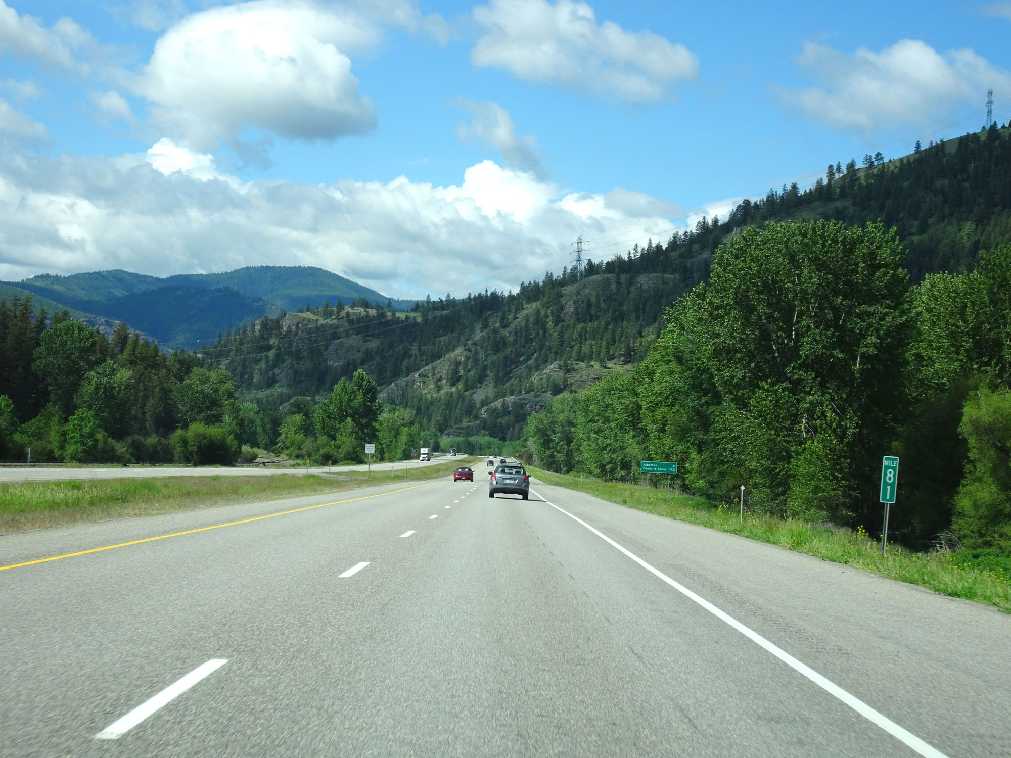
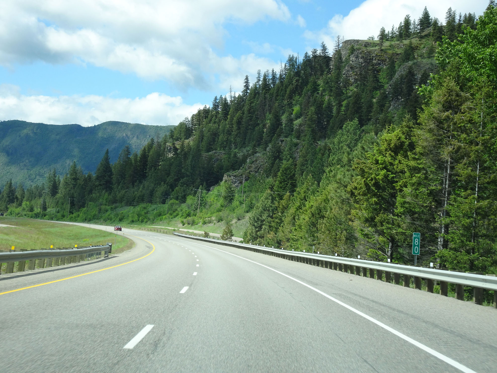
Interstate 90 West at Exit 77: Interstate 90 Business Loop / S-507 - Alberton / Petty Creek Rd (Photo taken 5/25/16). |
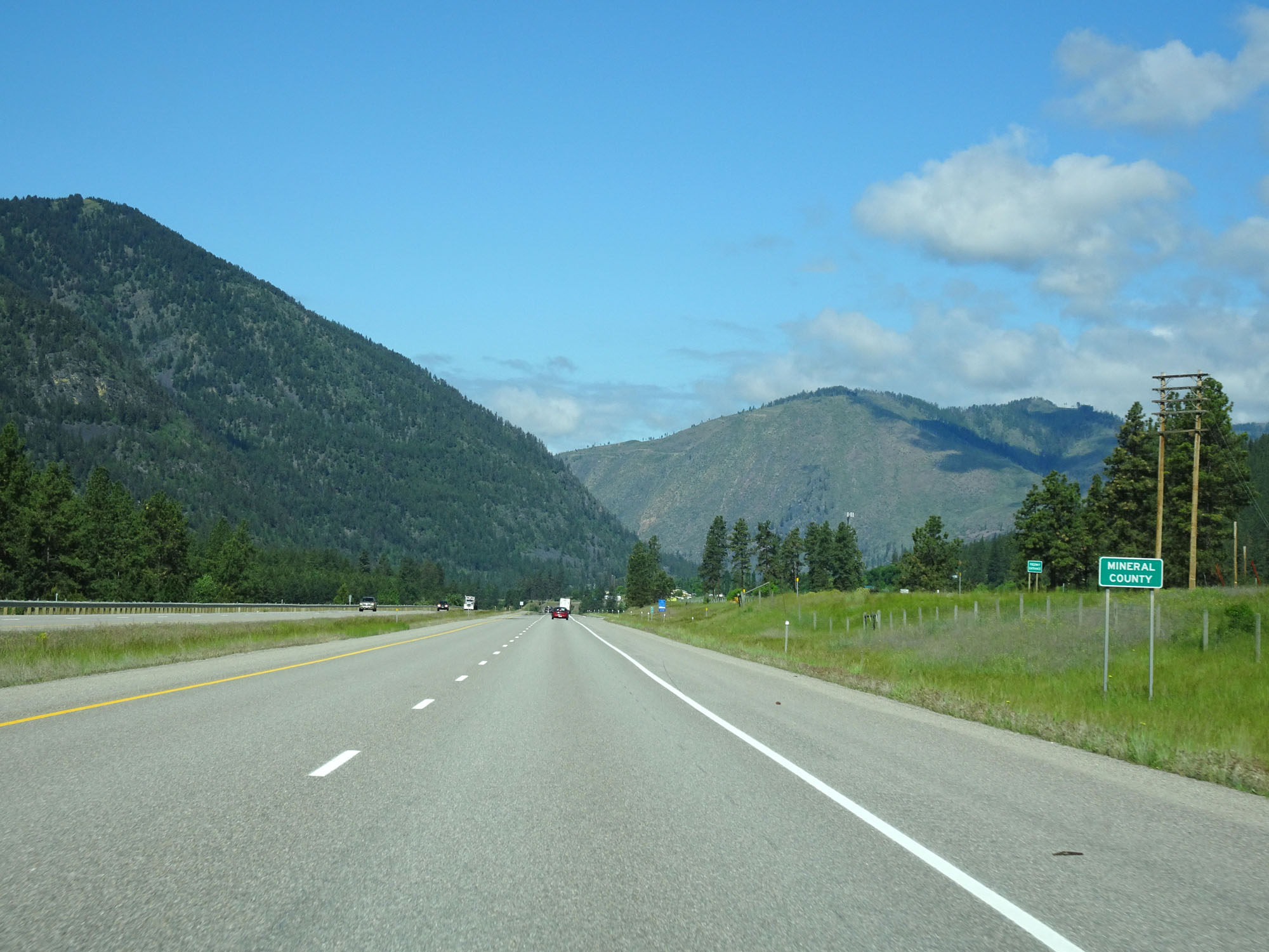 |
Interstate 90 West entering Mineral County. (Photo taken 5/25/16). |
 |
Interstate 90 West at mile marker 76. (Photo taken 5/25/16). |
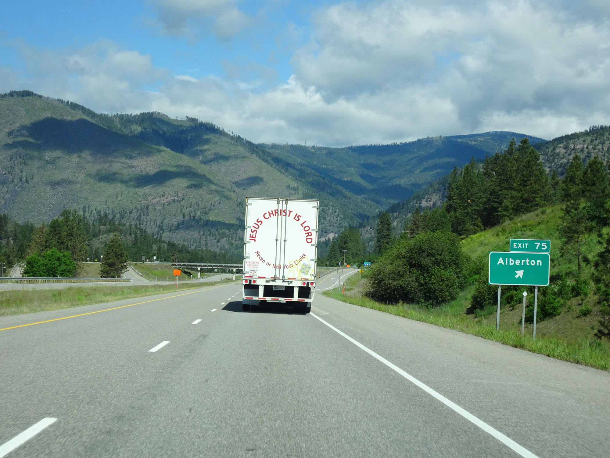 |
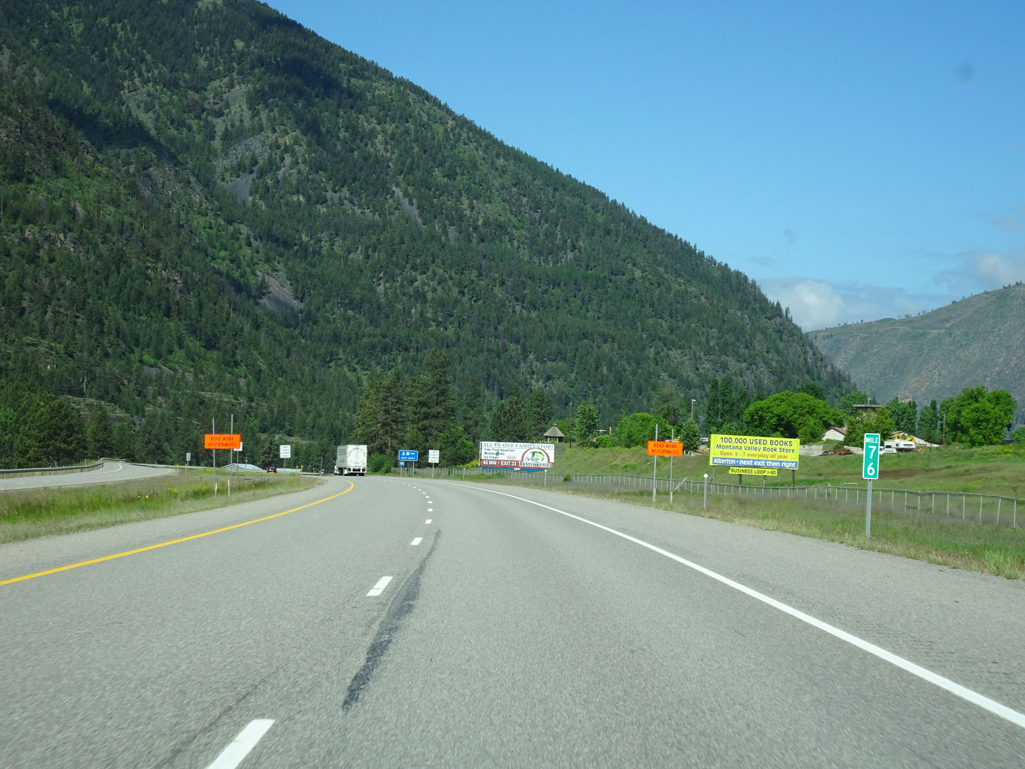
Interstate 90 West at Exit 75: Alberton (Photo taken 5/25/16). |
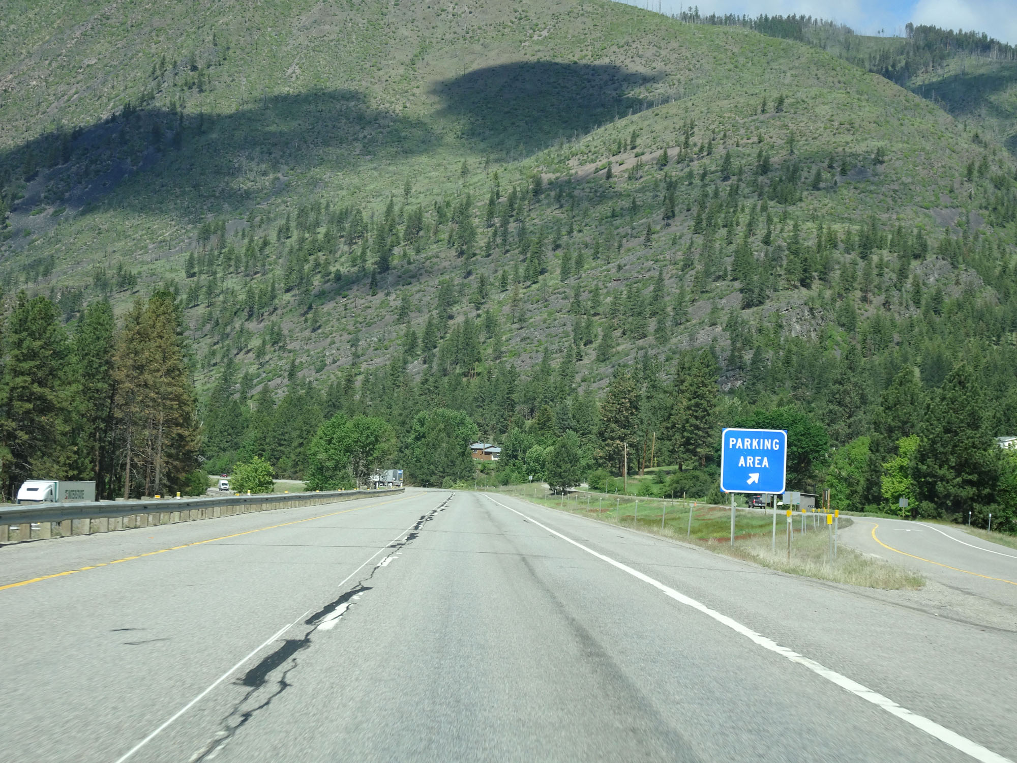 |
Parking Area on Interstate 90 West in Mineral County. (Photo taken 5/25/16). |
 |
Watch for rocks that have fallen onto the roadway. (Photo taken 5/25/16). |
 |
View on Interstate 90 West. (Photo taken 5/25/16). |
 |
Interstate 90 West approaching Exit 70 - 1/2 mile. (Photo taken 5/25/16). |
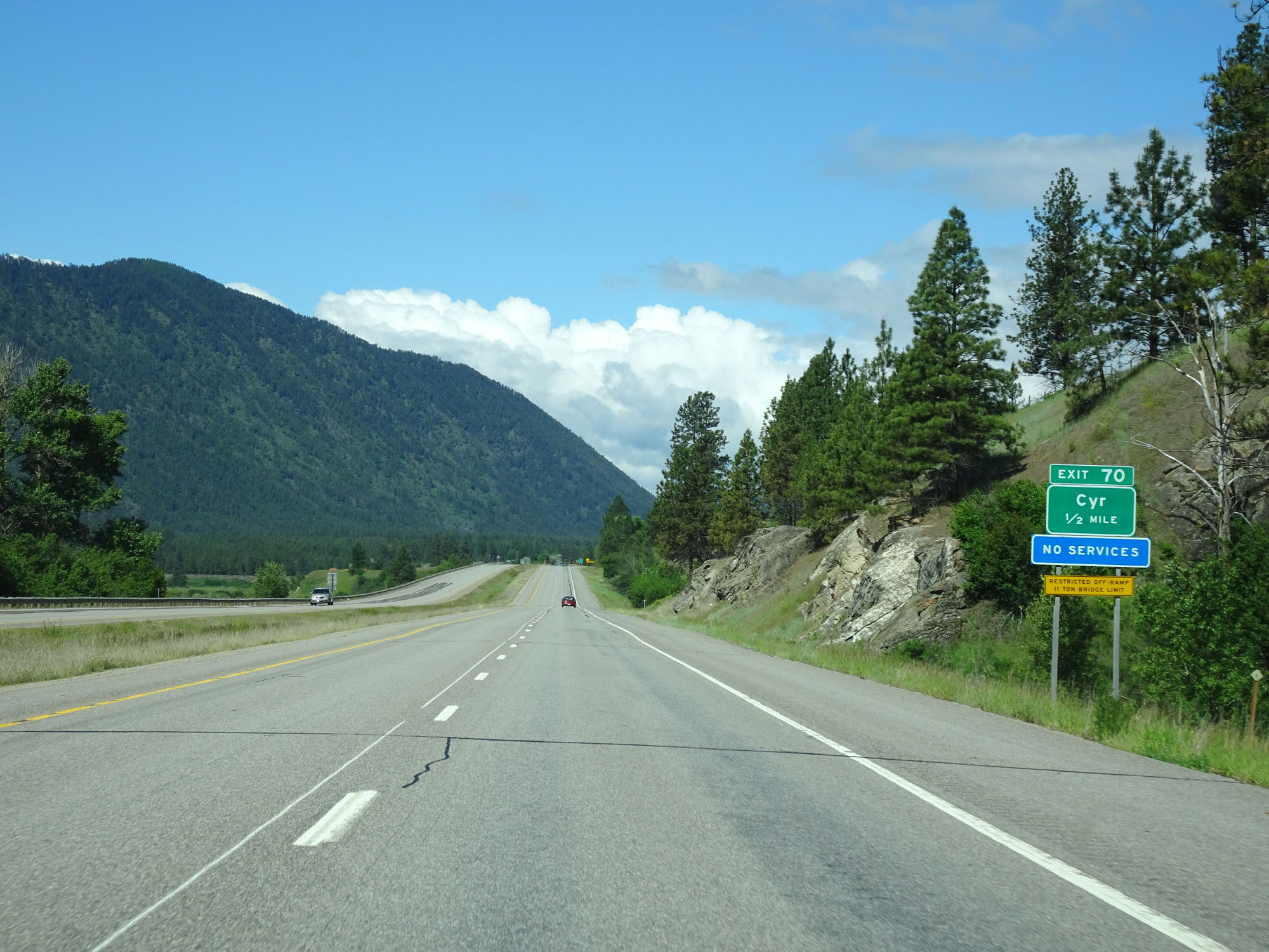
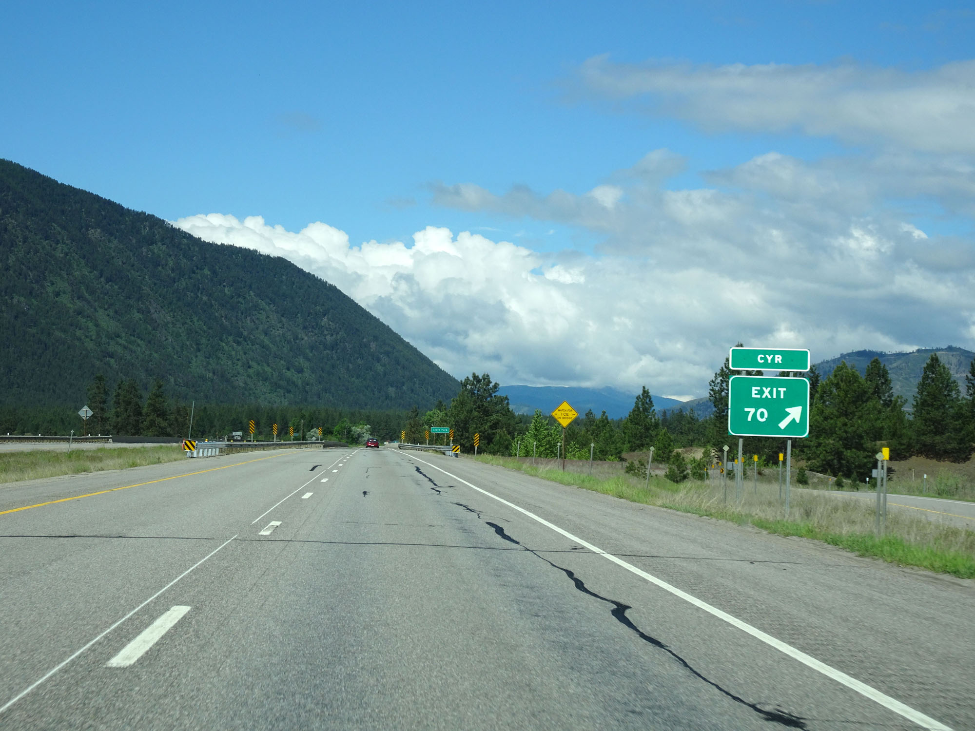 |
Interstate 90 West at Exit 70: Cyr (Photo taken 5/25/16). |
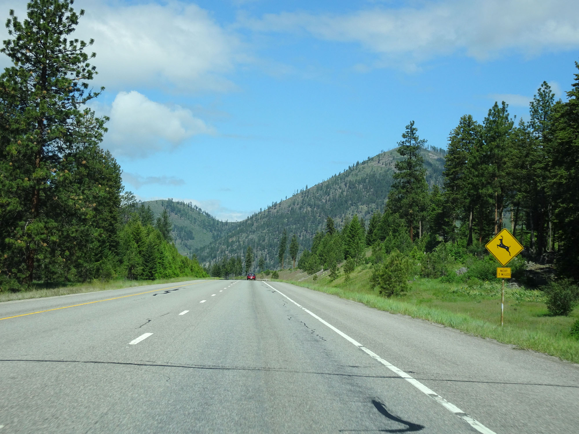 |
Be alert for deer entering the roadway for the next 3 miles. (Photo taken 5/25/16). |
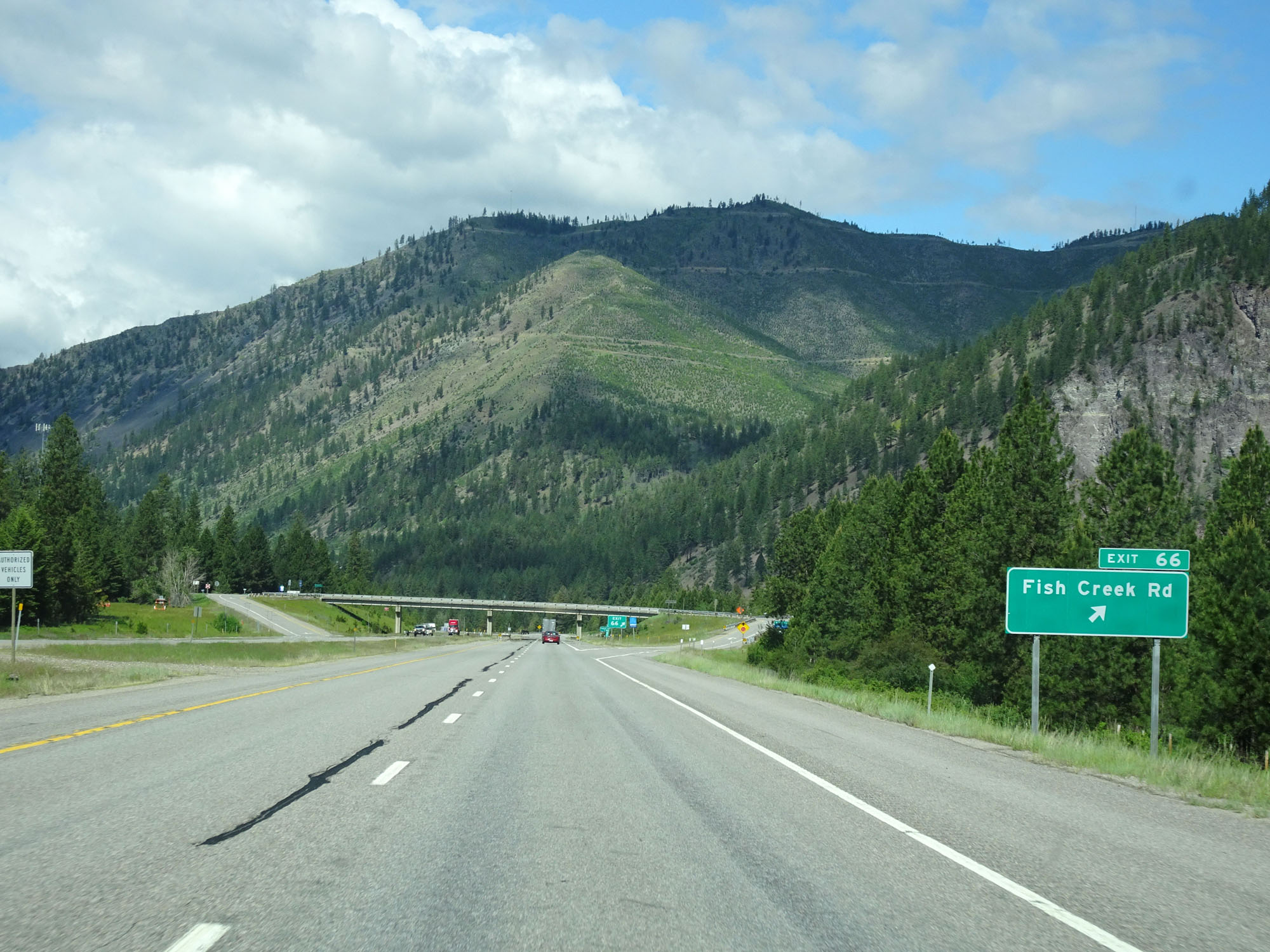 |
Interstate 90 West at Exit 66: Fish Creek Rd (Photo taken 5/25/16). |
 |
Interstate 90 West approaching Exit 65 - 1/2 mile. (Photo taken 5/25/16). |
 |
Interstate 90 West at Exit 65: Crystal Springs (Photo taken 5/25/16). |
 |
Interstate 90 West reassurance shield. (Photo taken 5/25/16). |
 |
Interstate 90 West at mile marker 64. (Photo taken 5/25/16). |
 |
Interstate 90 West at Exit 61: Tarkio (Photo taken 5/25/16). |
 |
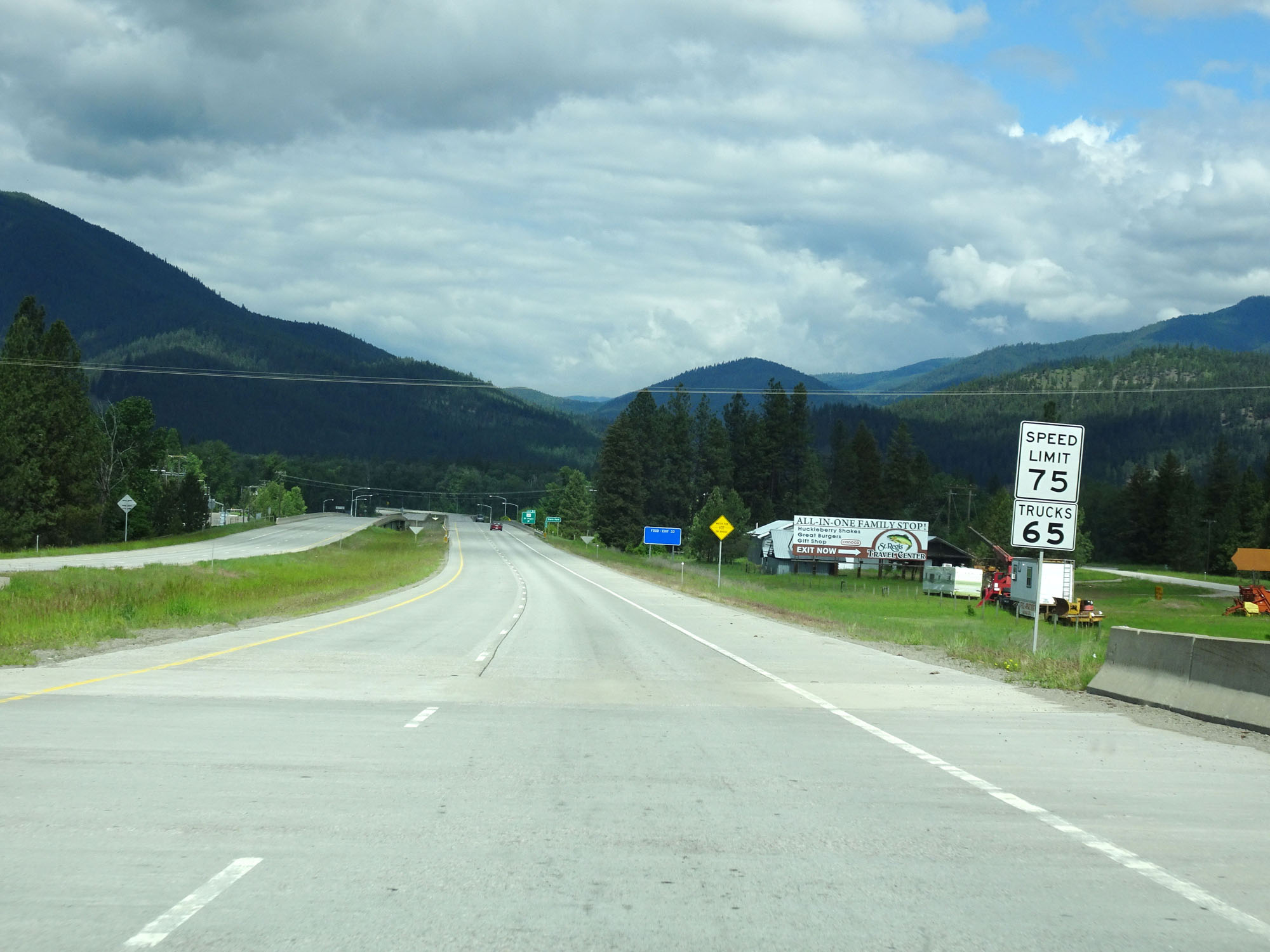
The speed limits remain 80 mph for cars and 65 mph for trucks. (Photo taken 5/25/16). |
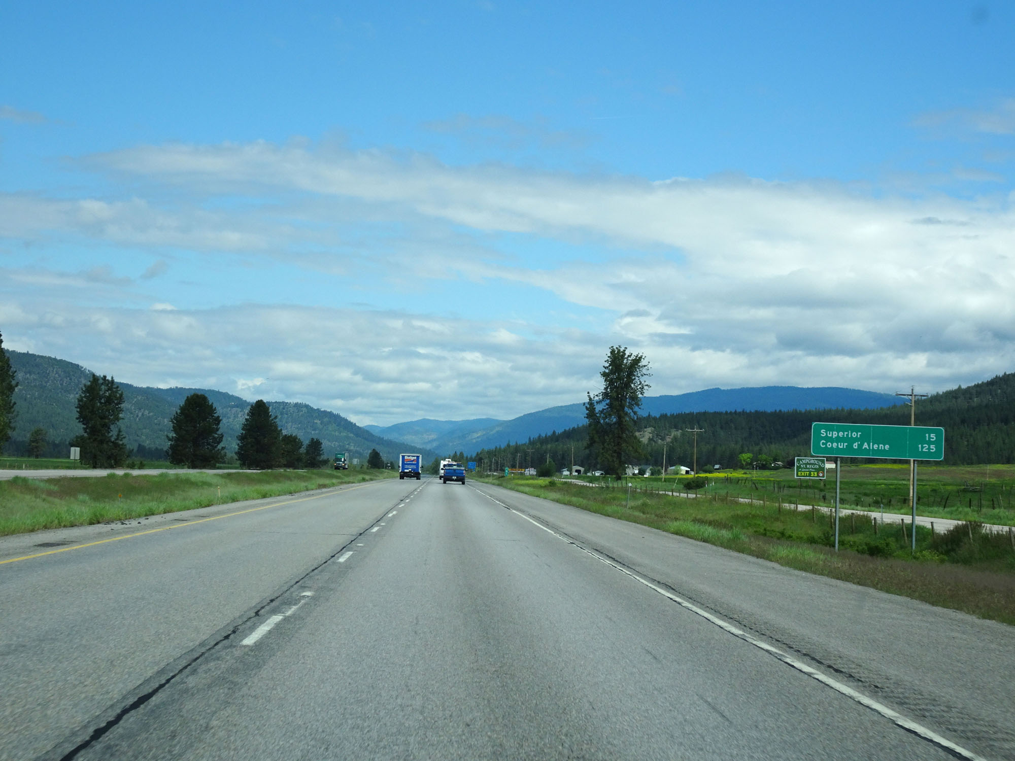 |
Mileage sign on Interstate 90 West. It's 15 miles to Superior and 125 miles to Coeur d'Alene. (Photo taken 5/25/16). |
 |
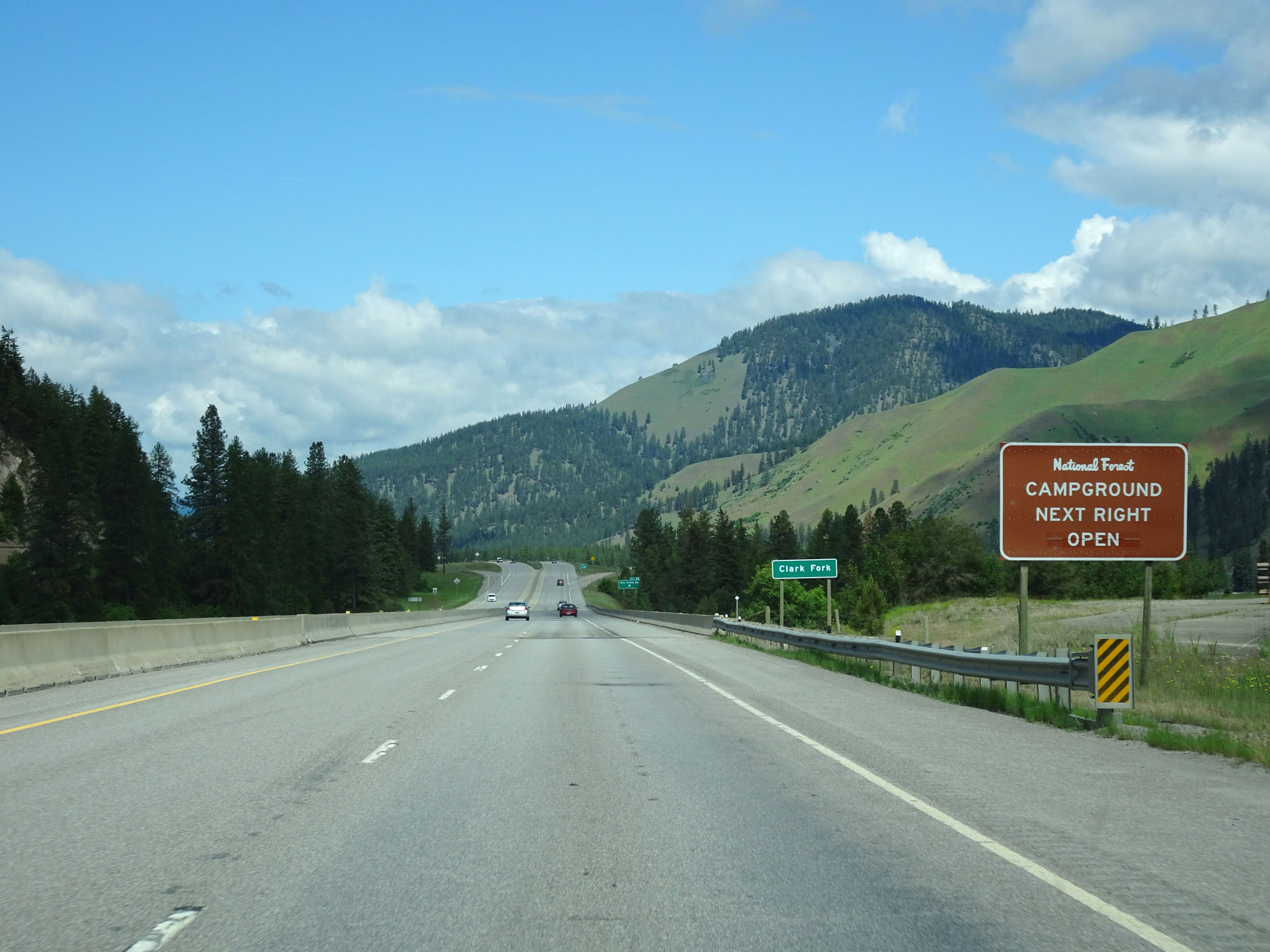
There is access to the National Forest Campground from the Rest Area ahead. (Photo taken 5/25/16). |
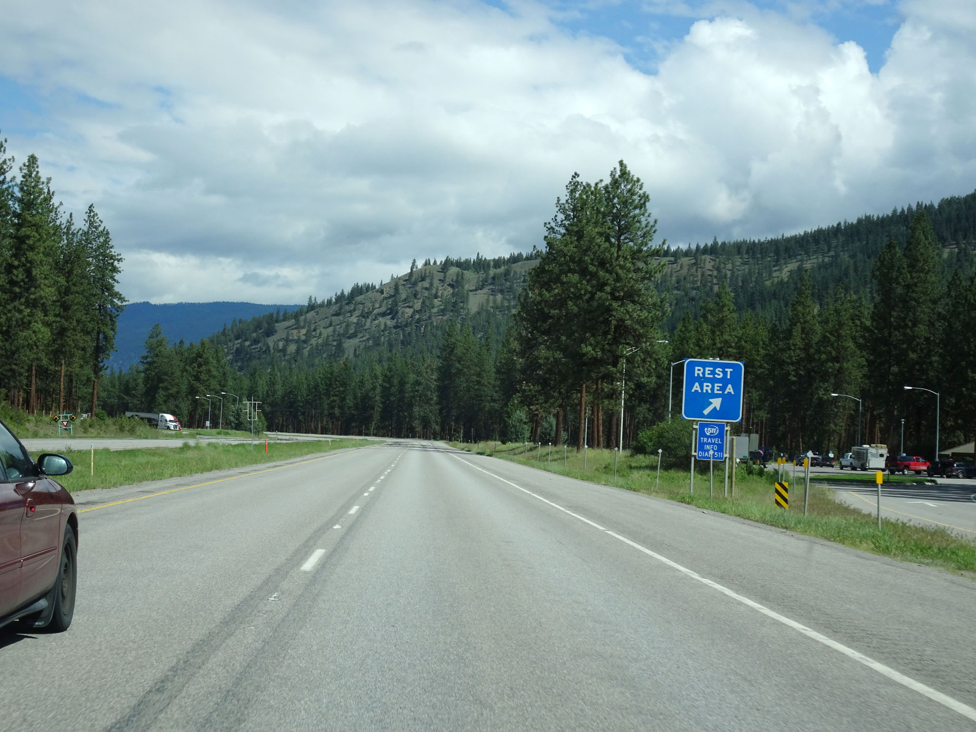 |
Interstate 90 West at the Rest Area in Mineral County. (Photo taken 5/25/16). |
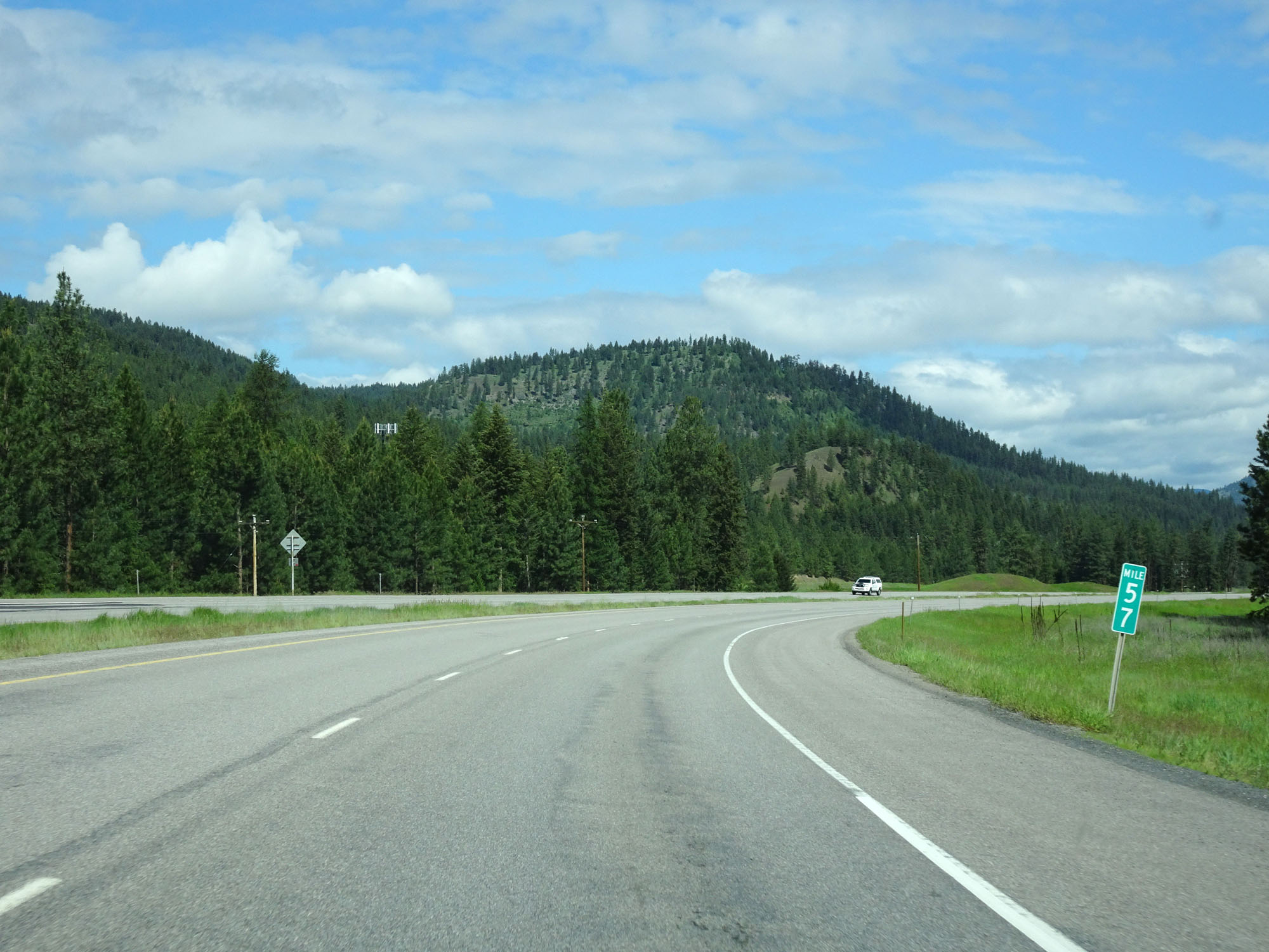 |
Interstate 90 West at mile marker 57. (Photo taken 5/25/16). |
 |
Interstate 90 West approaching Exit 55 - 1/2 mile. (Photo taken 5/25/16). |
 |
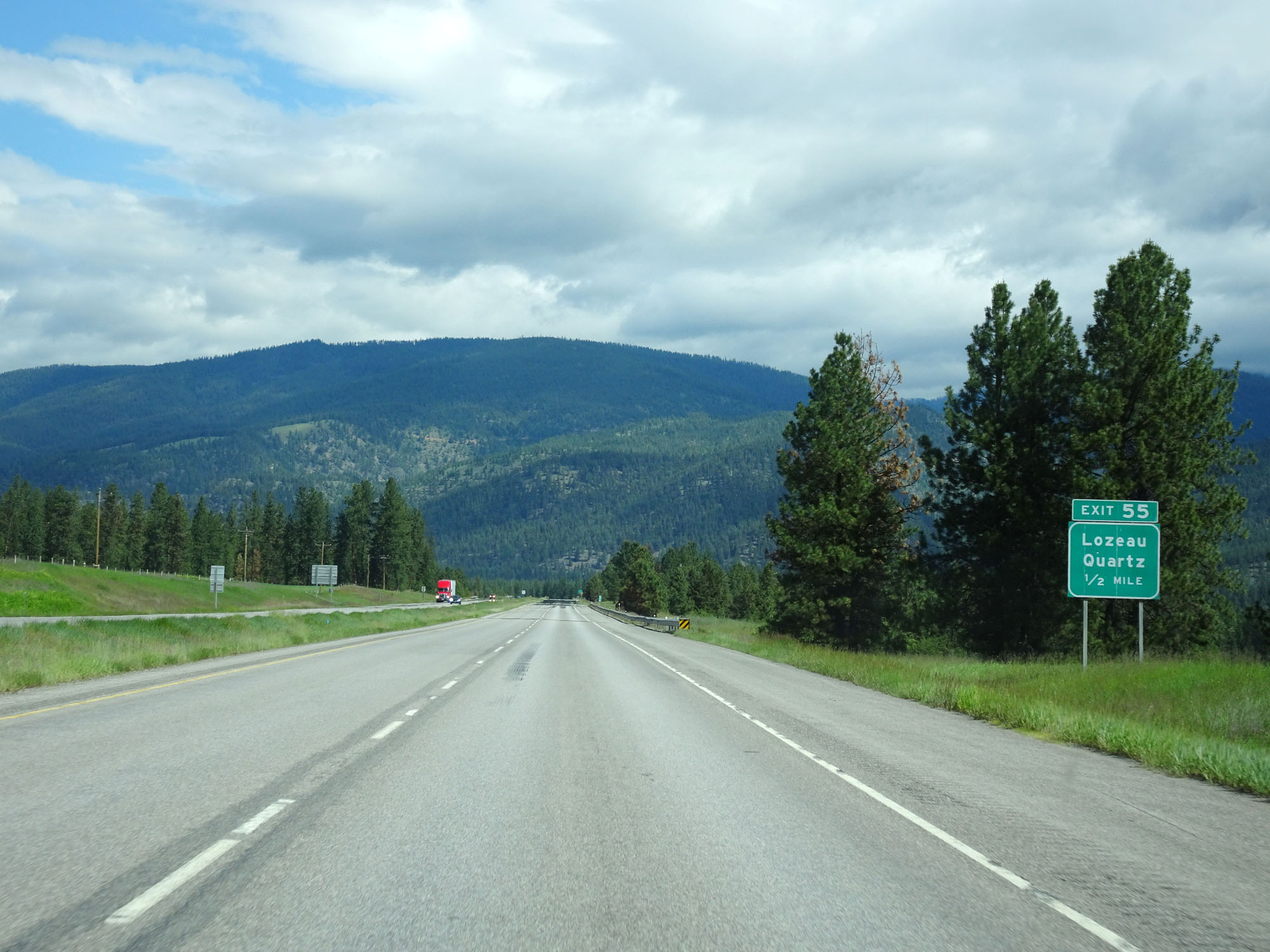
Interstate 90 West at Exit 55: Lozeau / Quartz (Photo taken 5/25/16). |
 |
Interstate 90 West at mile marker 54. (Photo taken 5/25/16). |
 |
Interstate 90 West at mile marker 50. (Photo taken 5/25/16). |
 |
Interstate 90 West at Exit 47: S-257 - Superior (Photo taken 5/25/16). |
 |
Mileage sign on Interstate 90 West. It's 13 miles to St Regis and 109 miles to Coeur d'Alene. (Photo taken 5/25/16). |
 |
Interstate 90 West at mile marker 45. (Photo taken 5/25/16). |
 |
Take Exit 43 to access the National Forest Campground. (Photo taken 5/25/16). |
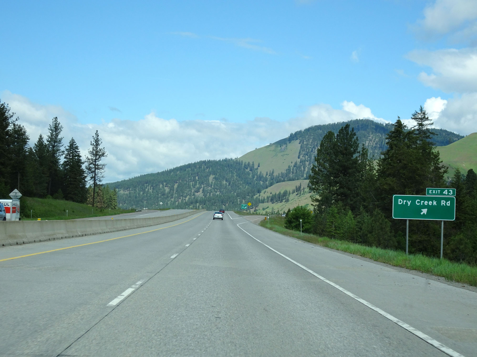 |
Interstate 90 West at Exit 43: Dry Creek Rd (Photo taken 5/25/16). |
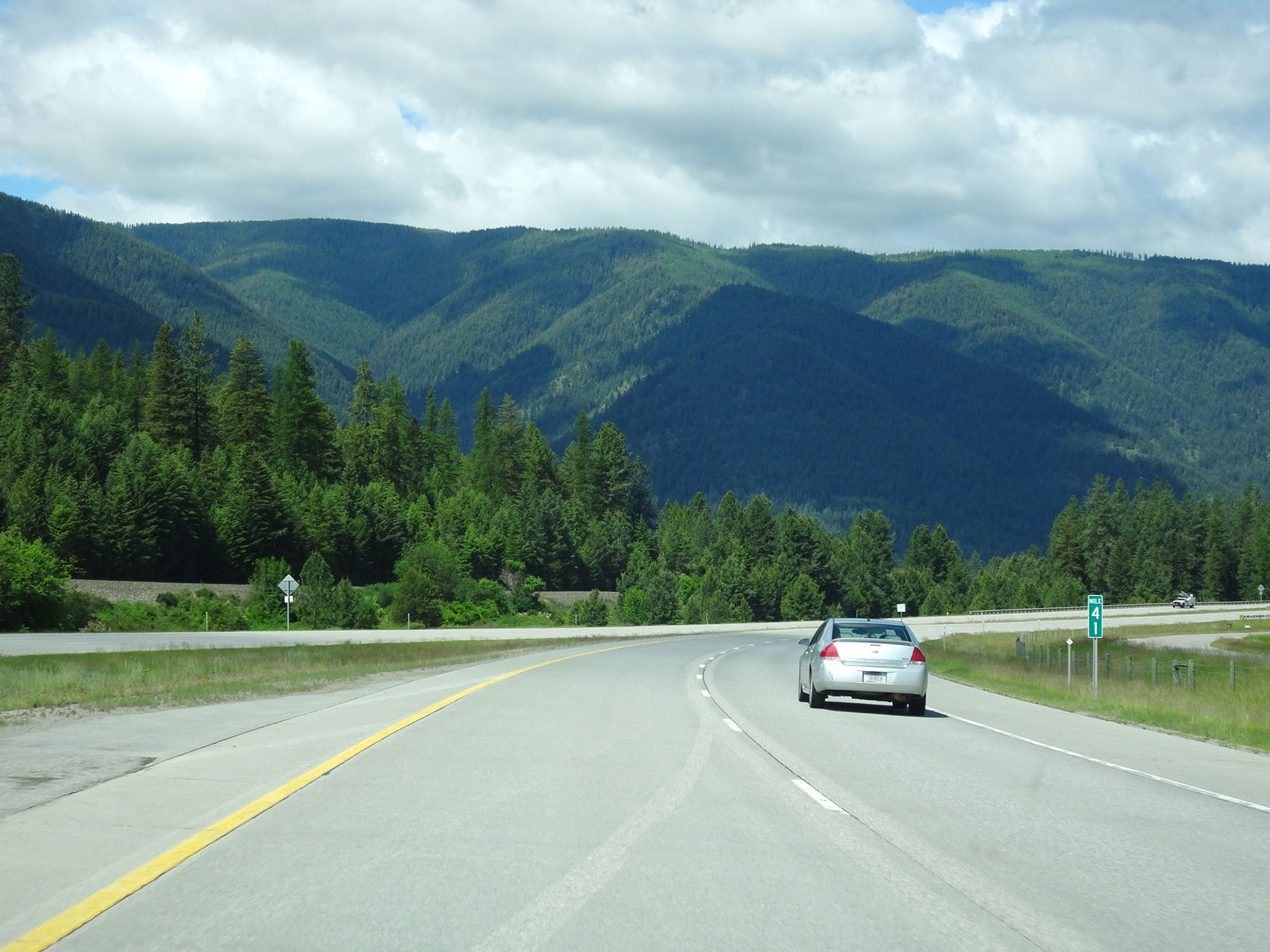 |
Interstate 90 West at mile marker 41. (Photo taken 5/25/16). |
 |
Interstate 90 West at mile marker 40. (Photo taken 5/25/16). |
 |
Interstate 90 West at mile marker 39. (Photo taken 5/25/16). |
 |
Interstate 90 West approaching Exit 37 - 1/2 mile. (Photo taken 5/25/16). |
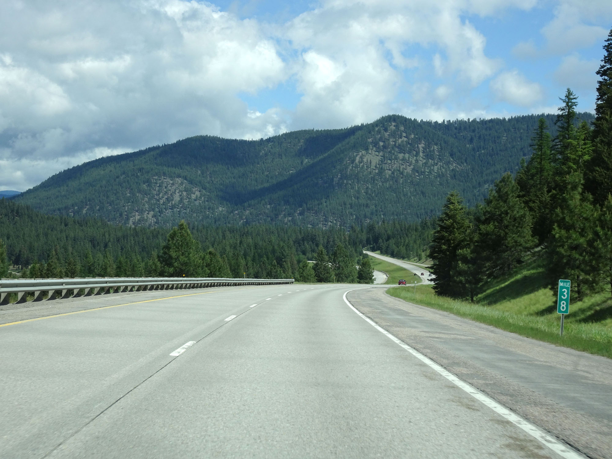 |
Interstate 90 West at mile marker 38. (Photo taken 5/25/16). |
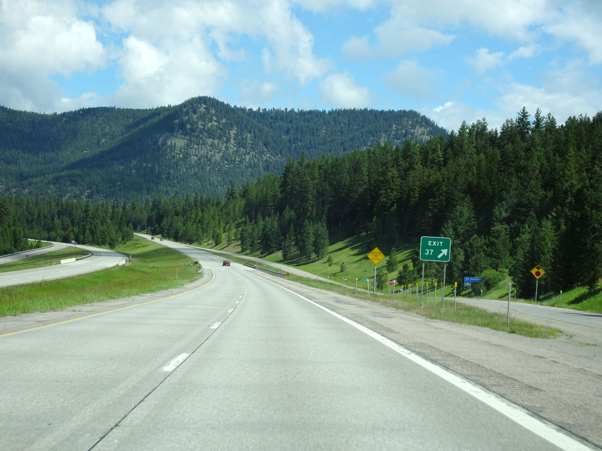 |
Interstate 90 West at Exit 37: Sloway Area (Photo taken 5/25/16). |
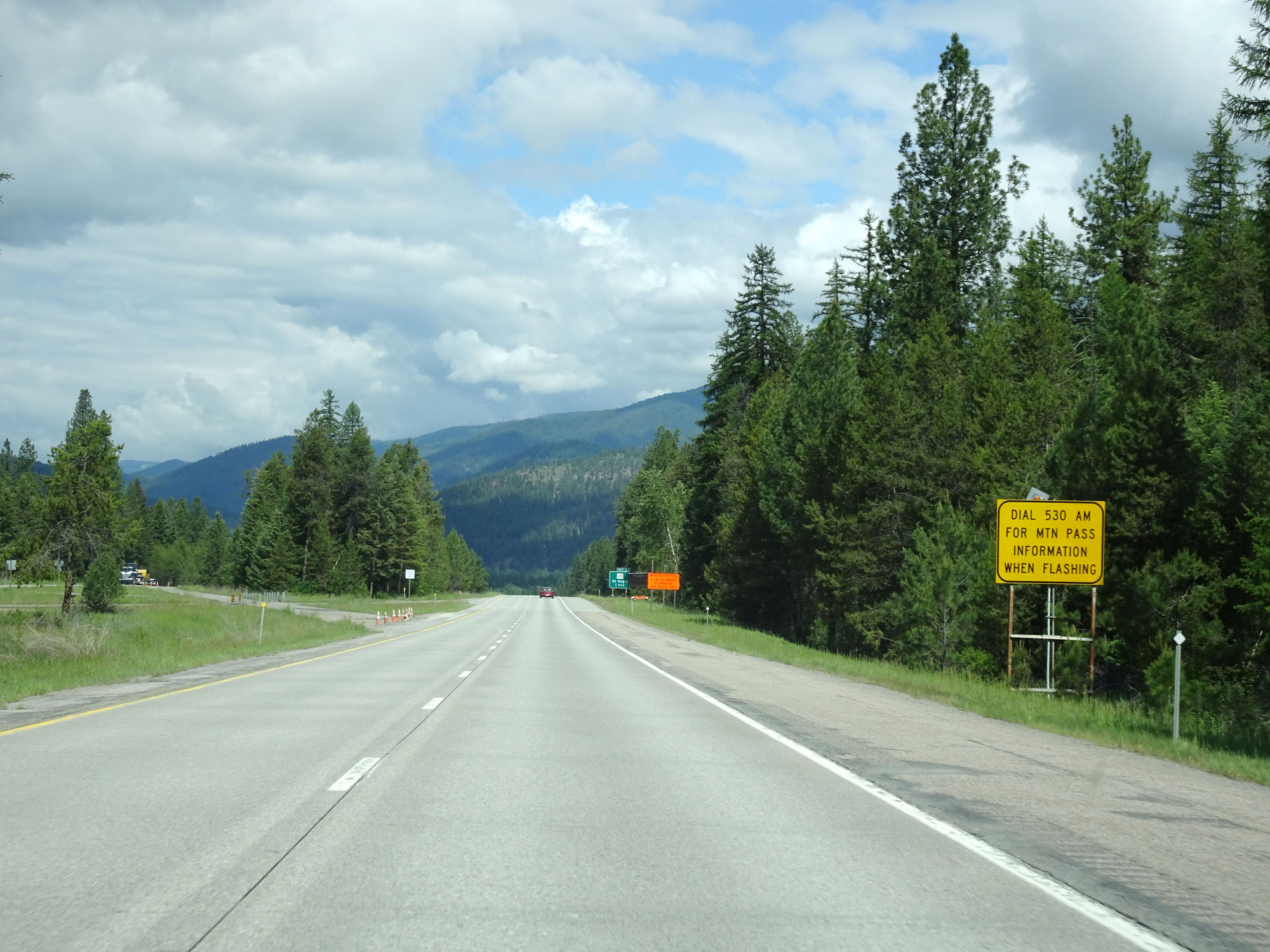 |
When the lights on this sign are flashing, you can tune to 530 AM for information on the road conditions over the mountain pass. (Photo taken 5/25/16). |
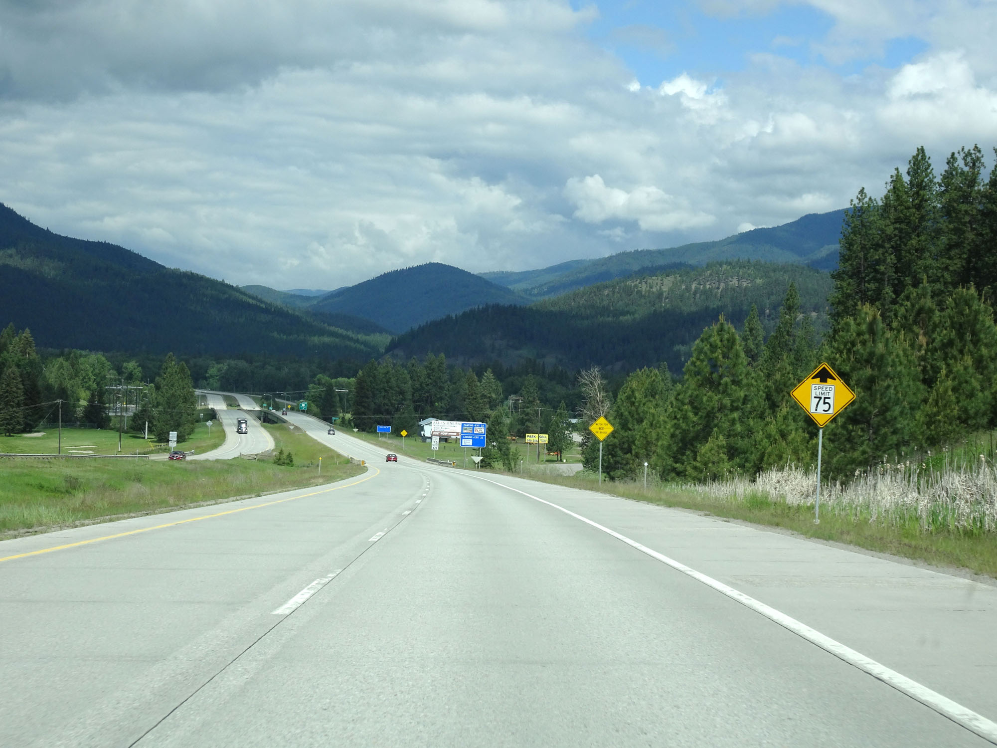 |
The speed limit decreases to 75 mph for cars ahead. (Photo taken 5/25/16). |
 |
Nearing St. Regis, the speed limit decreases to 75 mph for cars. It remains 65 mph for trucks. (Photo taken 5/25/16). |
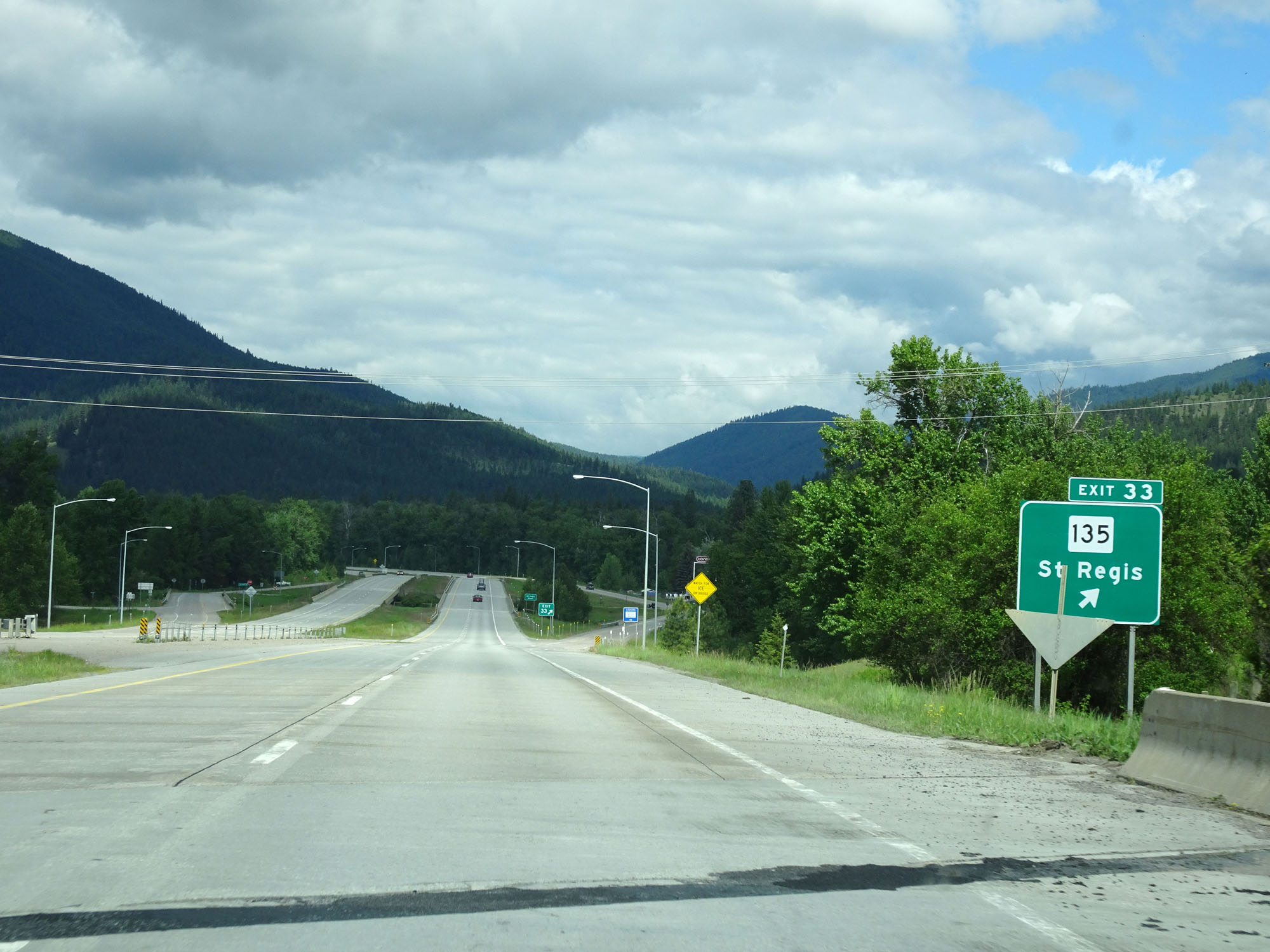 |
Interstate 90 West at Exit 33: MT 135 - St Regis (Photo taken 5/25/16). |
Section 9: St. Regis (Exit 33) to Idaho Border
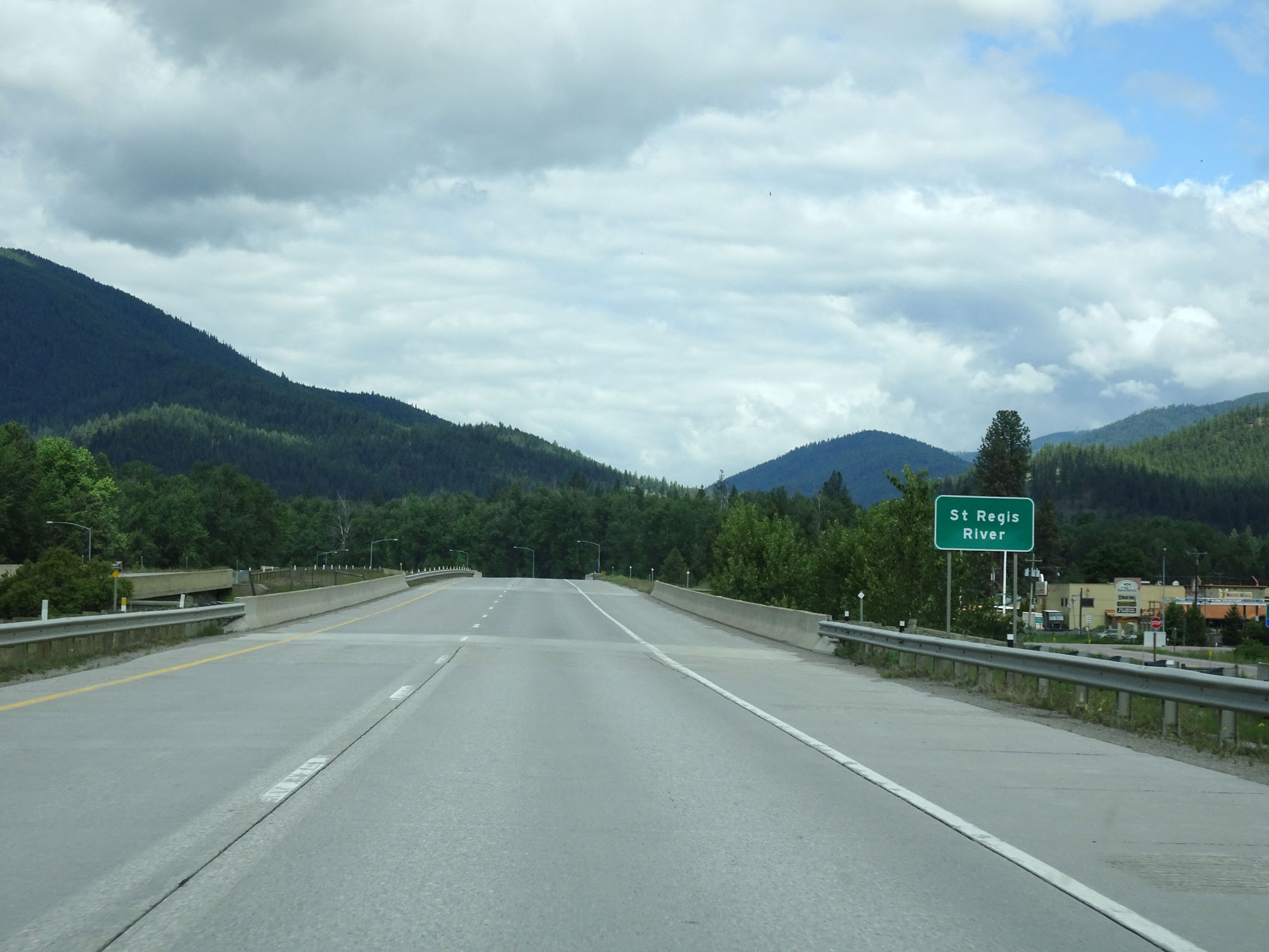 |
Interstate 90 West crossing the St Regis River. (Photo taken 5/25/16). |
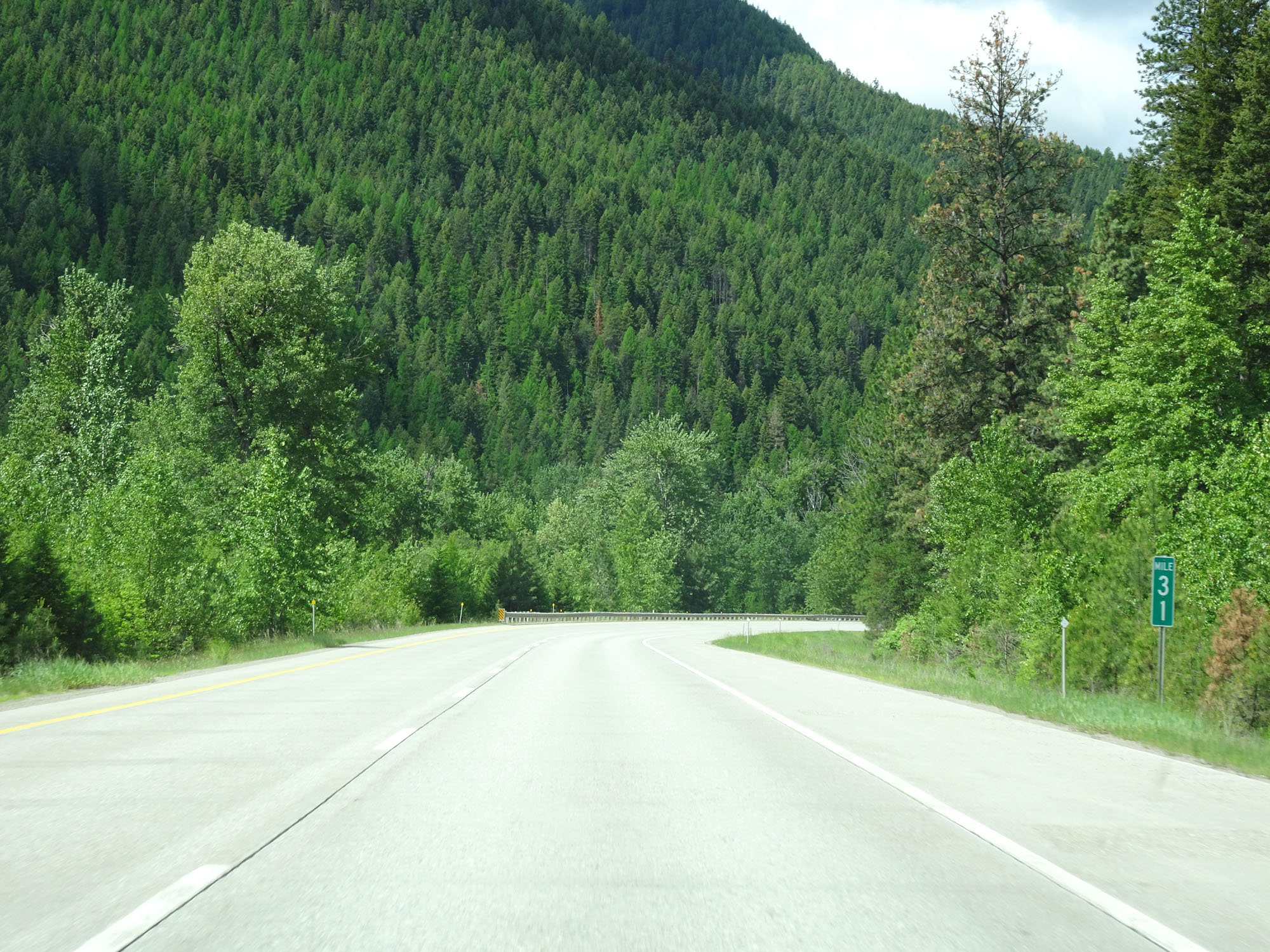 |
Interstate 90 West at mile marker 31. (Photo taken 5/25/16). |
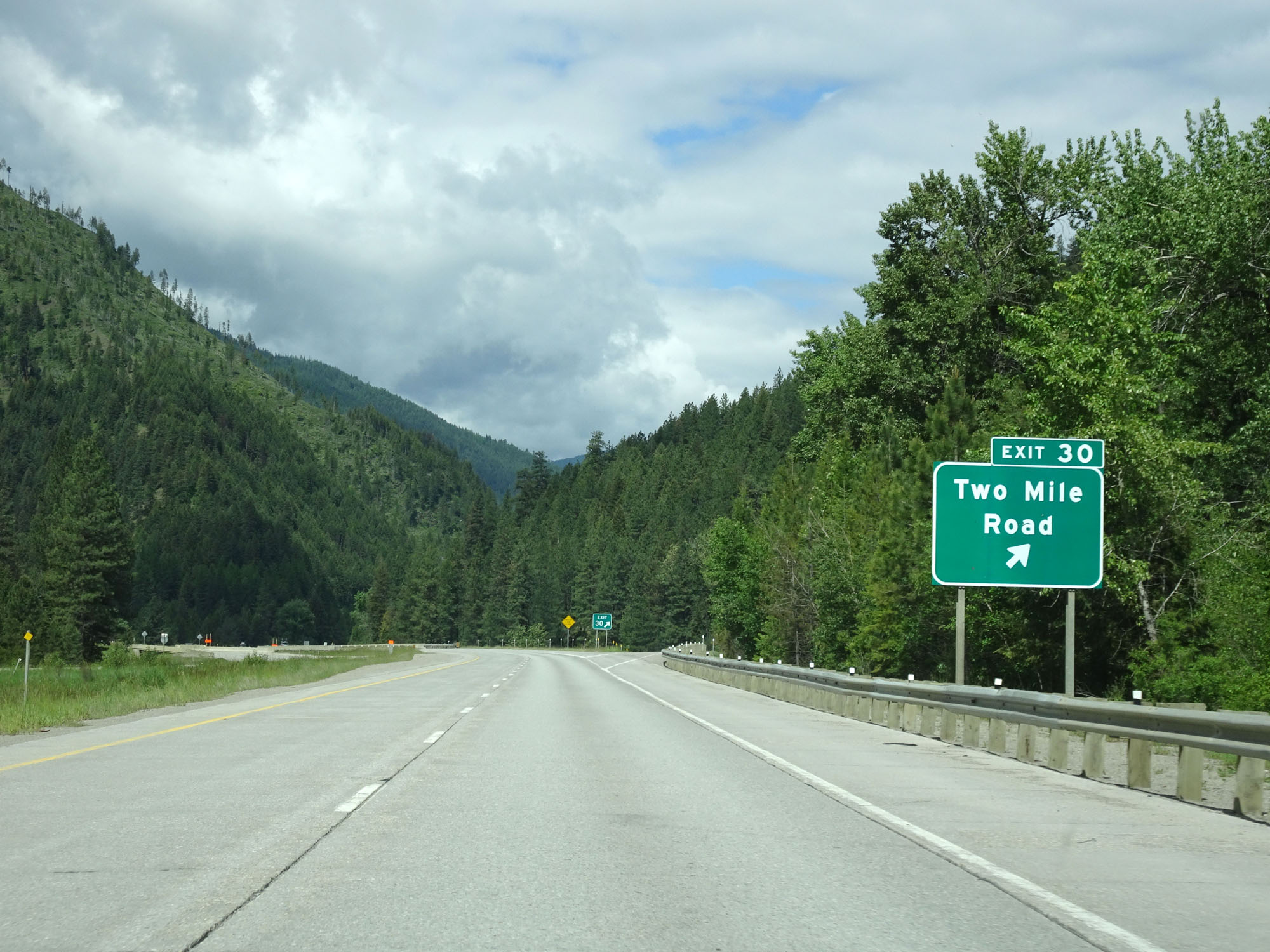 |
Interstate 90 West at Exit 30: Two Mile Road (Photo taken 5/25/16). |
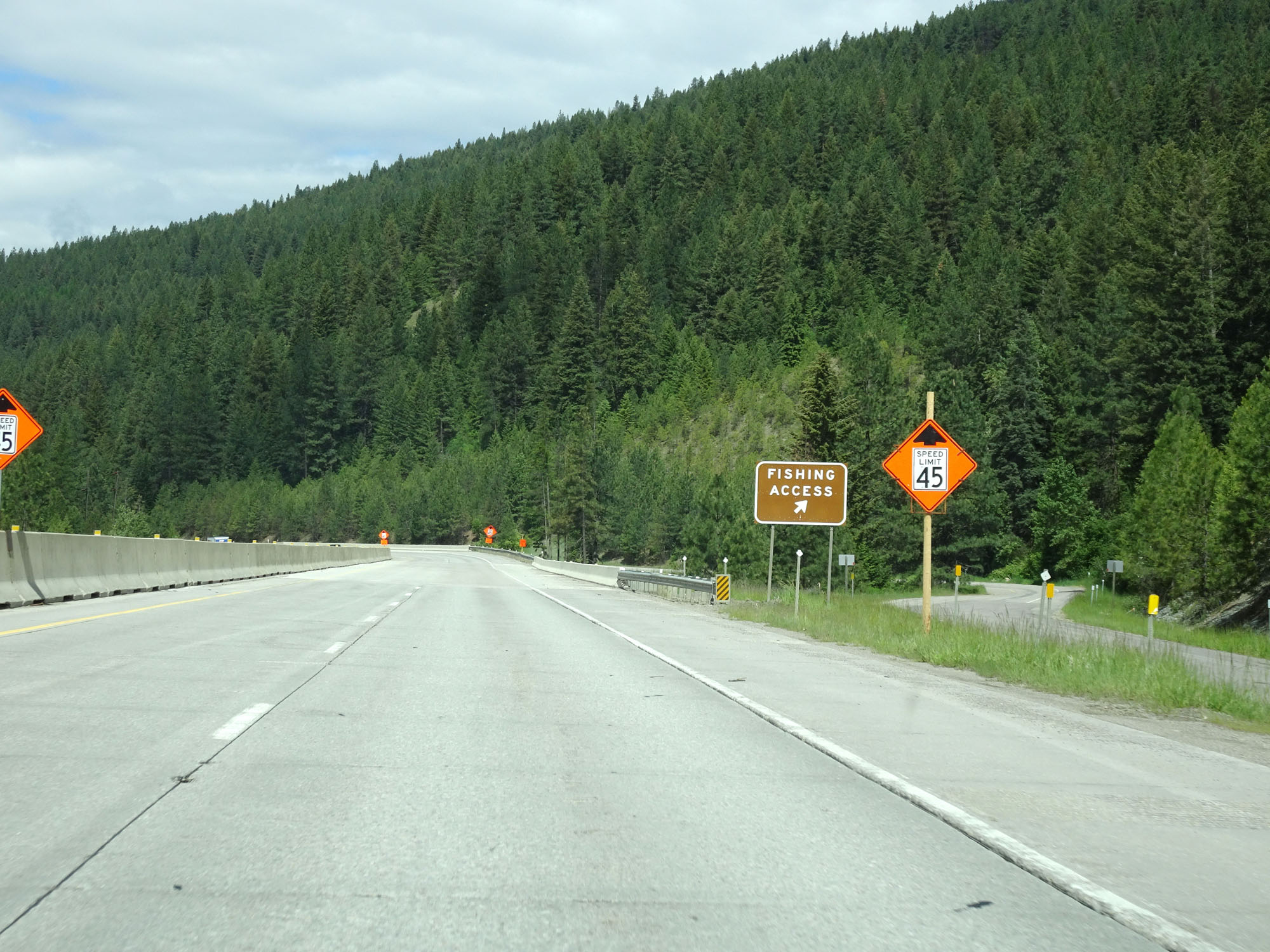 |
Ramp to a Fishing Access Area on Interstate 90 West in Mineral County. (Photo taken 5/25/16). |
 |
Interstate 90 West at mile marker 29. (Photo taken 5/25/16). |
 |
View on Interstate 90 West. (Photo taken 5/25/16). |
 |
Another view on Interstate 90 West in western Montana. (Photo taken 5/25/16). |
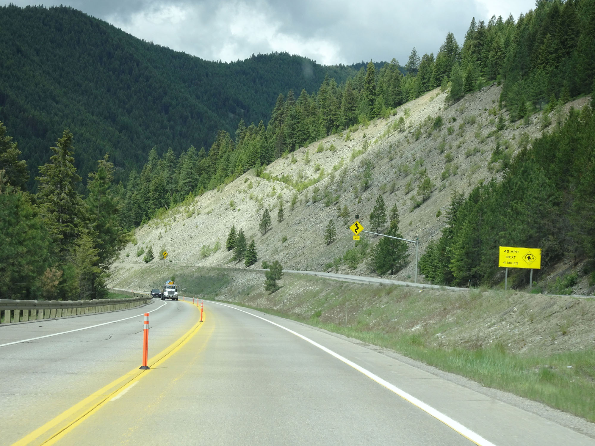 |
Several winding curves exist ahead for the next 4 miles. 45 mph is the advised speed around said curves. (Photo taken 5/25/16). |
 |
View on Interstate 90 West in Mineral County. (Photo taken 5/25/16). |
 |
Interstate 90 West approaching Exit 25 - 1/2 mile. (Photo taken 5/25/16). |
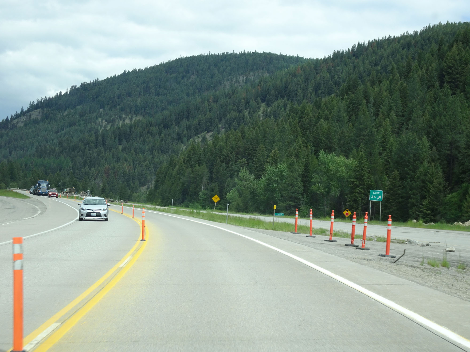 |
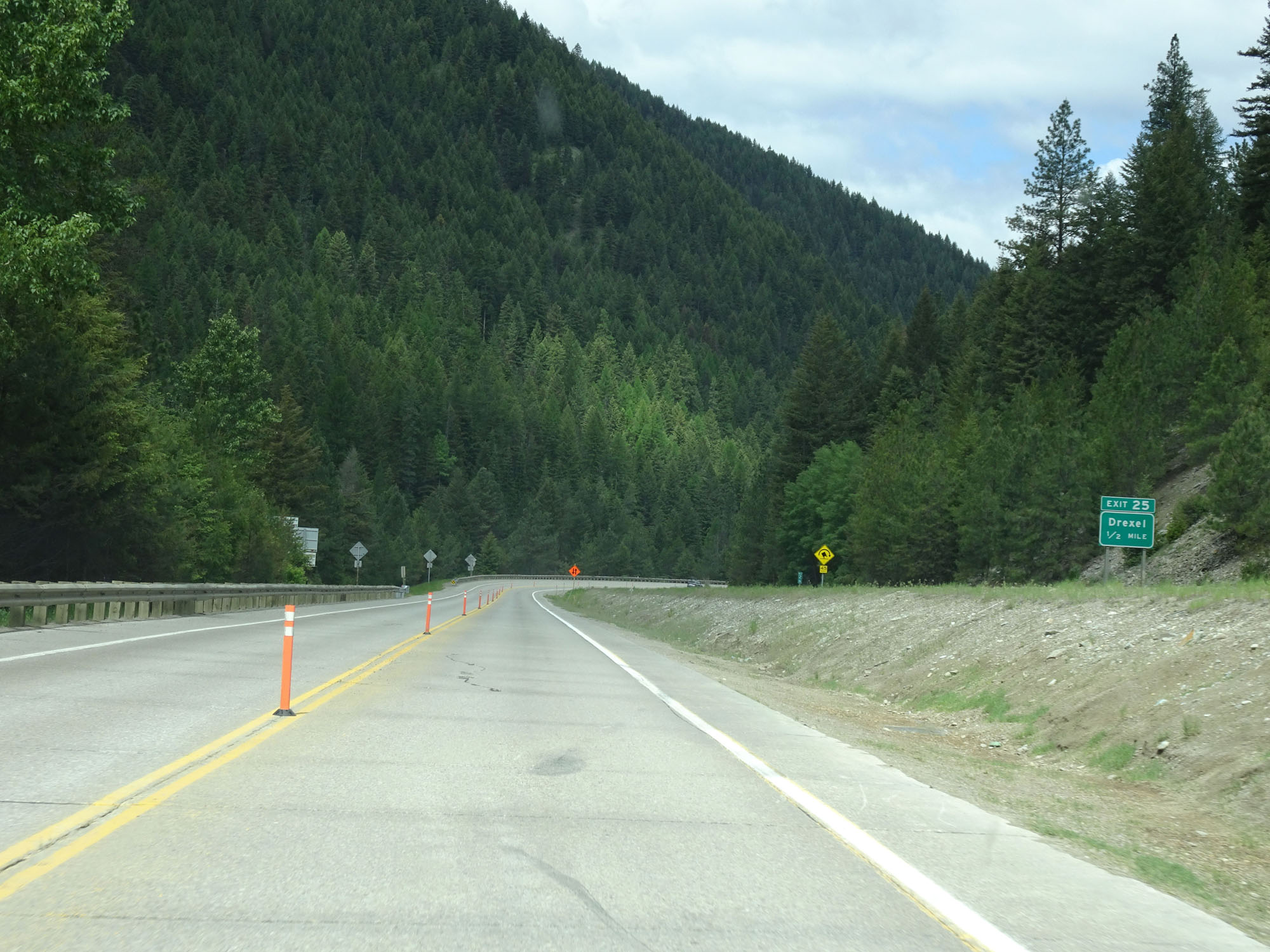
Interstate 90 West at Exit 25: Drexel (Photo taken 5/25/16). |
 |
Interstate 90 West in western Montana has several beautiful landscapes like this one. (Photo taken 5/25/16). |
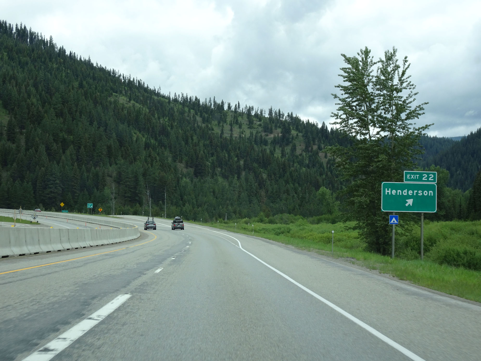 |
Interstate 90 West at Exit 22: Henderson (Photo taken 5/25/16). |
 |
Interstate 90 West reassurance shield. (Photo taken 5/25/16). |
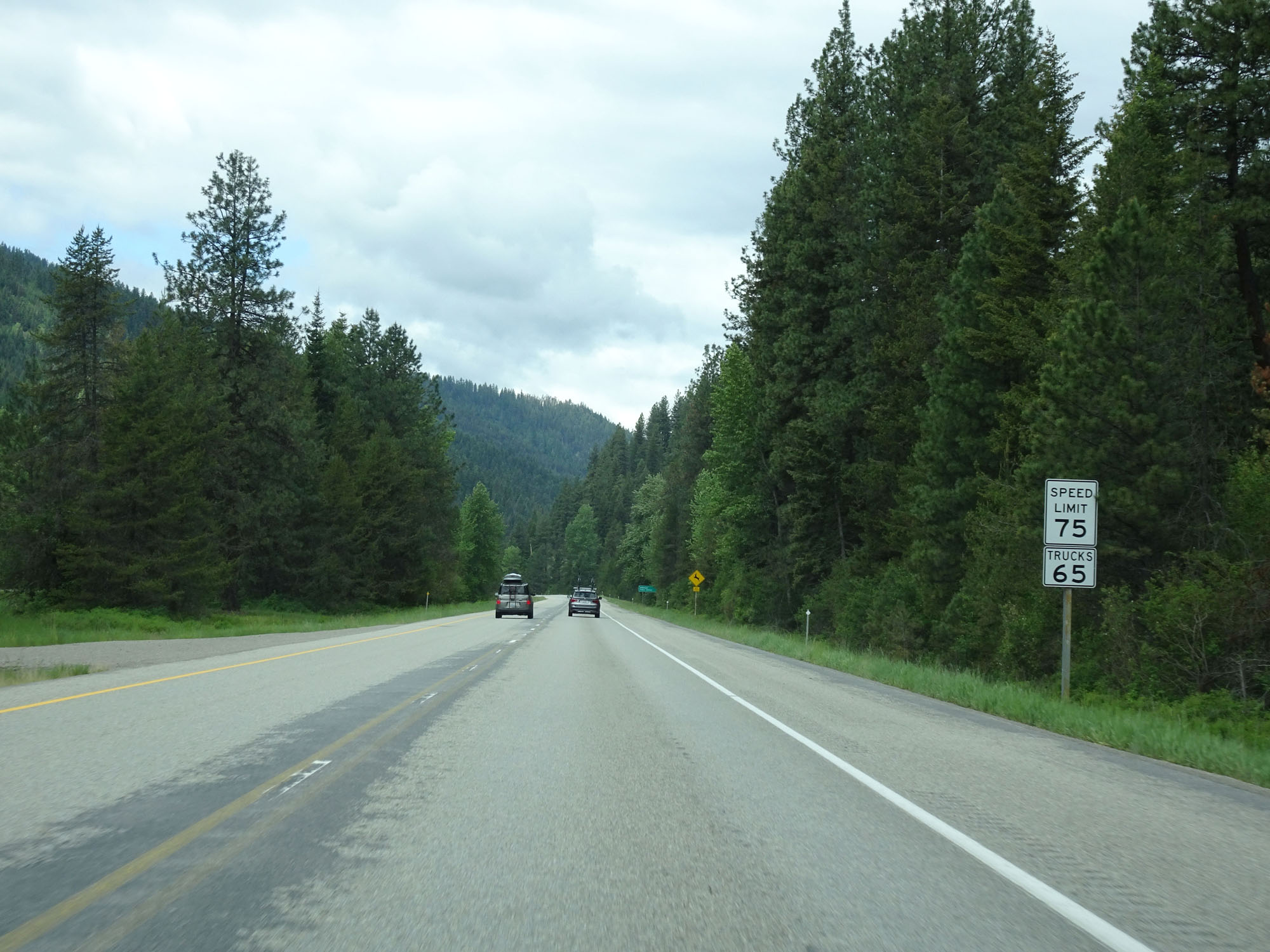 |
The speed limits remain 75 mph for cars and 65 mph for trucks. (Photo taken 5/25/16). |
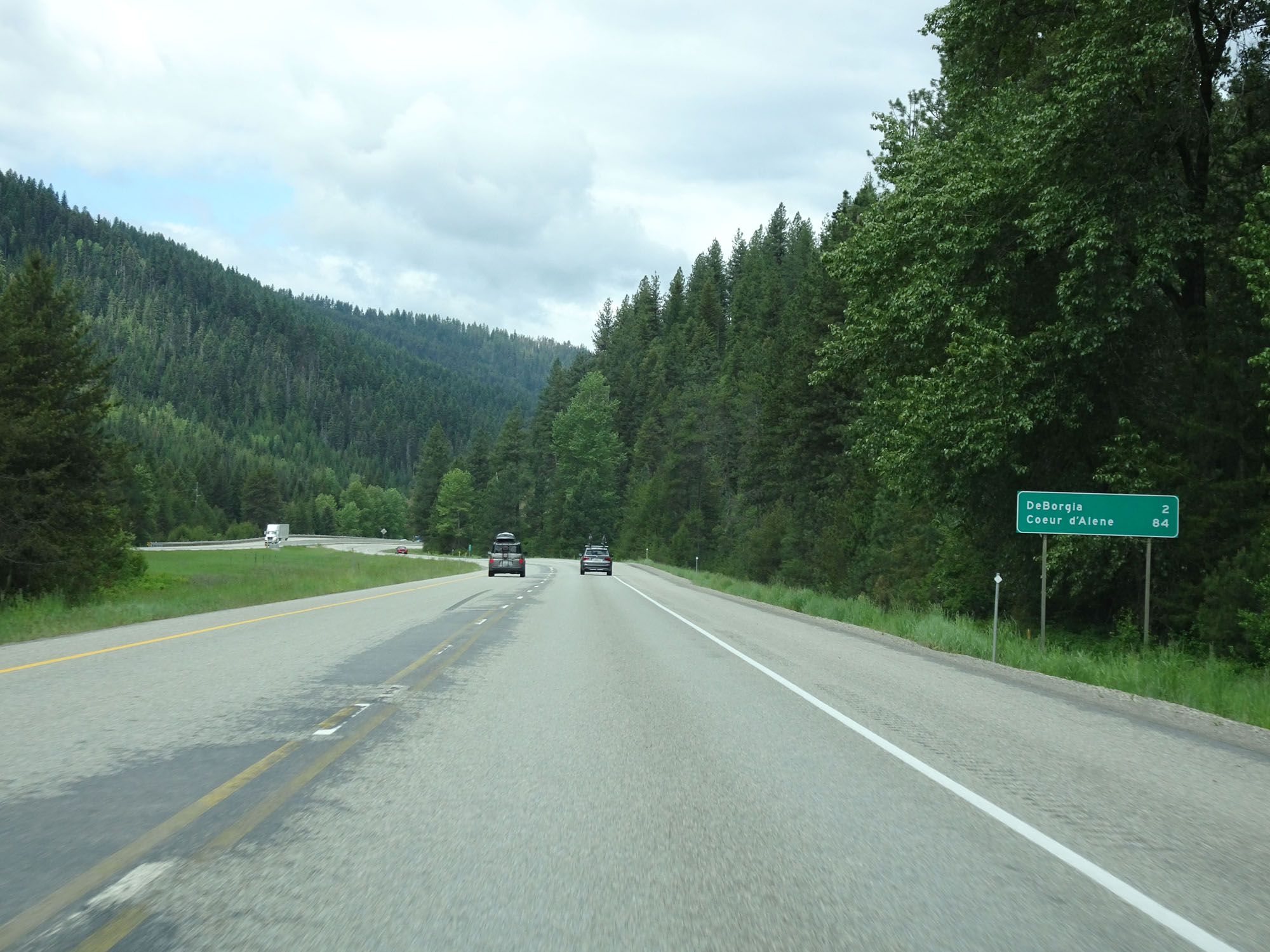 |
Mileage sign on Interstate 90 West. It's 2 miles to DeBorgia and 84 miles to Coeur d'Alene. (Photo taken 5/25/16). |
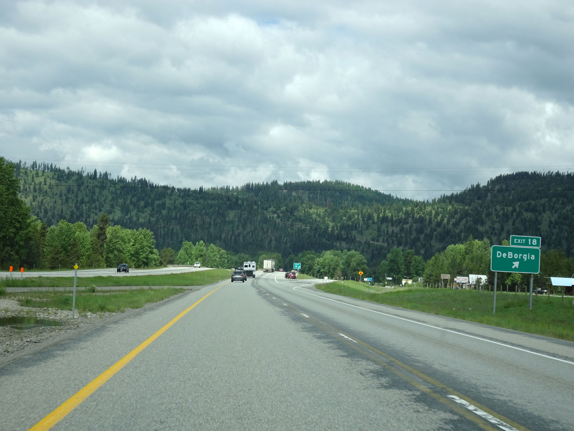 |
Interstate 90 West at Exit 18: DeBorgia (Photo taken 5/25/16). |
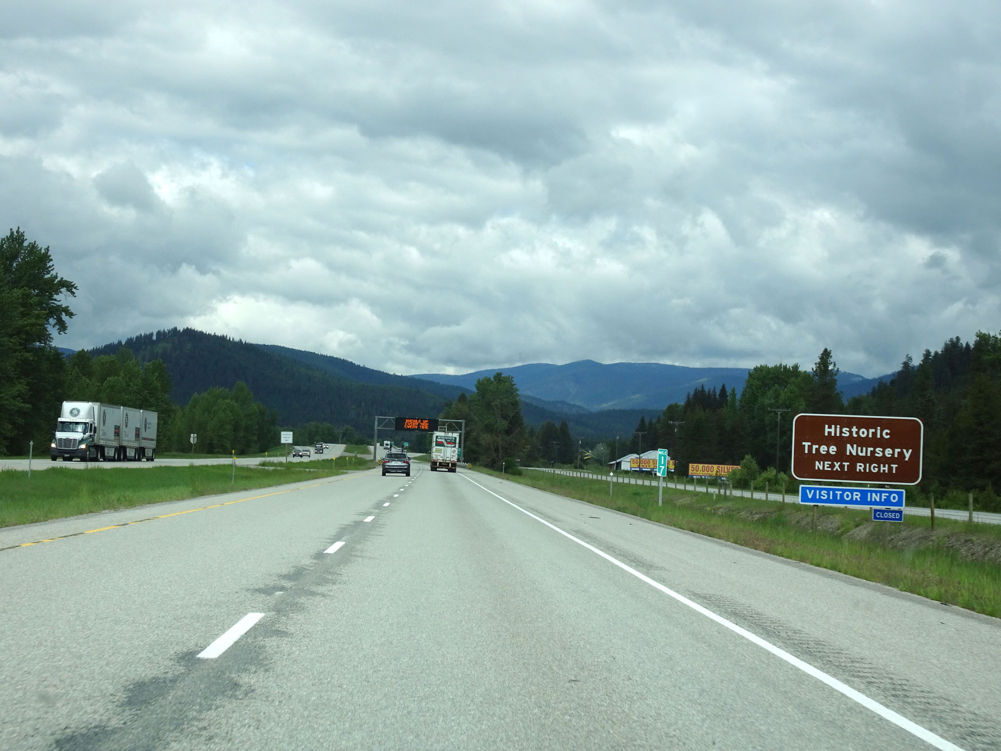 |
Take Exit 16 ahead to the Historic Tree Nursery. (Photo taken 5/25/16). |
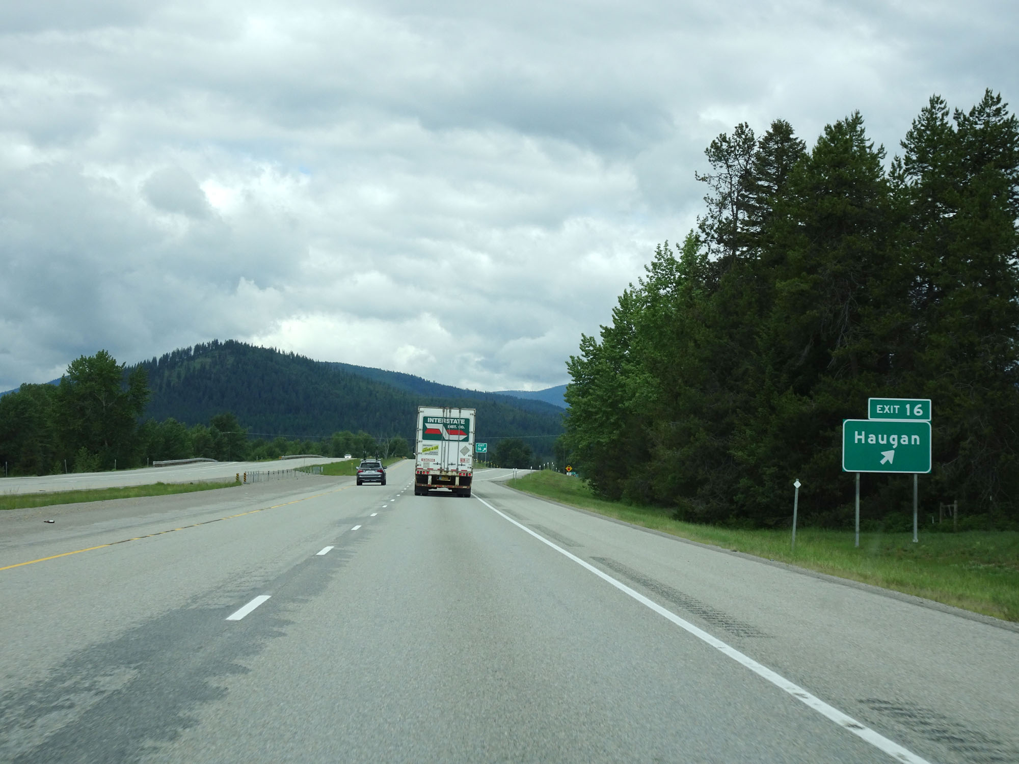 |
Interstate 90 West at Exit 16: Haugan (Photo taken 5/25/16). |
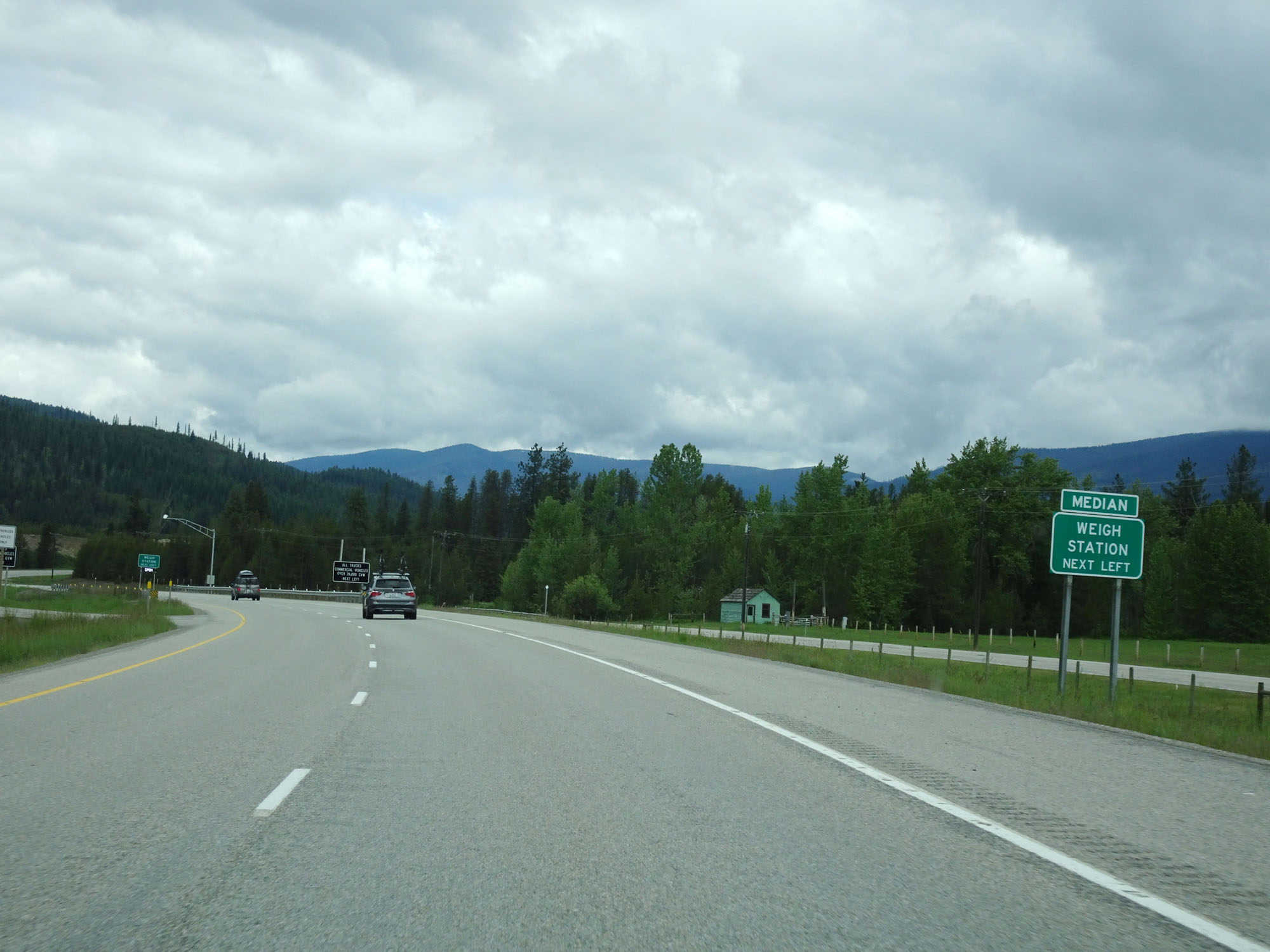 |
The Weigh Station ahead is located in the median as this sign reads. (Photo taken 5/25/16). |
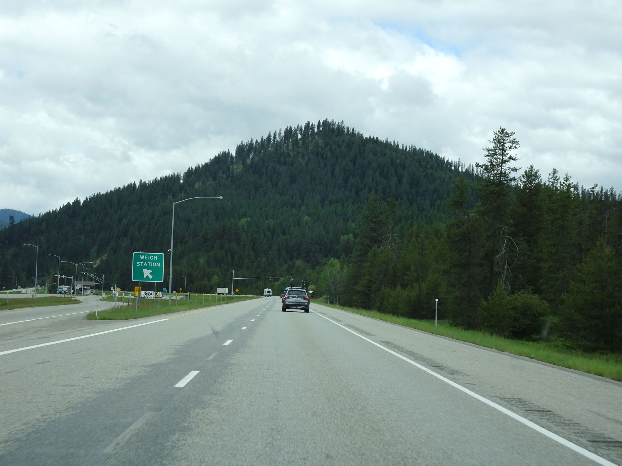 |
Interstate 90 West at the Weigh Station in western Mineral County. (Photo taken 5/25/16). |
 |
Interstate 90 West at mile marker 14. (Photo taken 5/25/16). |
 |
55 mph curves lie ahead. (Photo taken 5/25/16). |
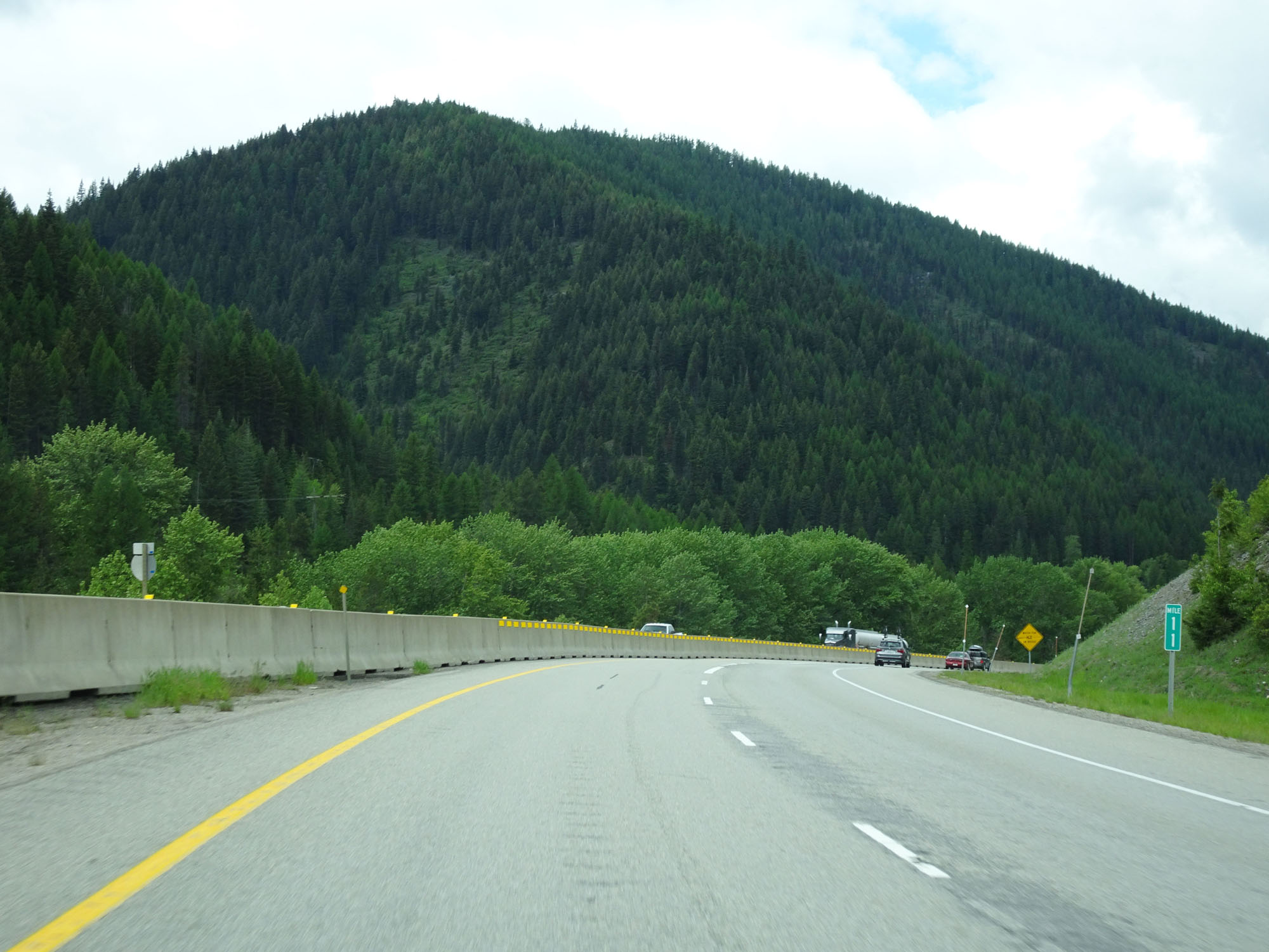 |
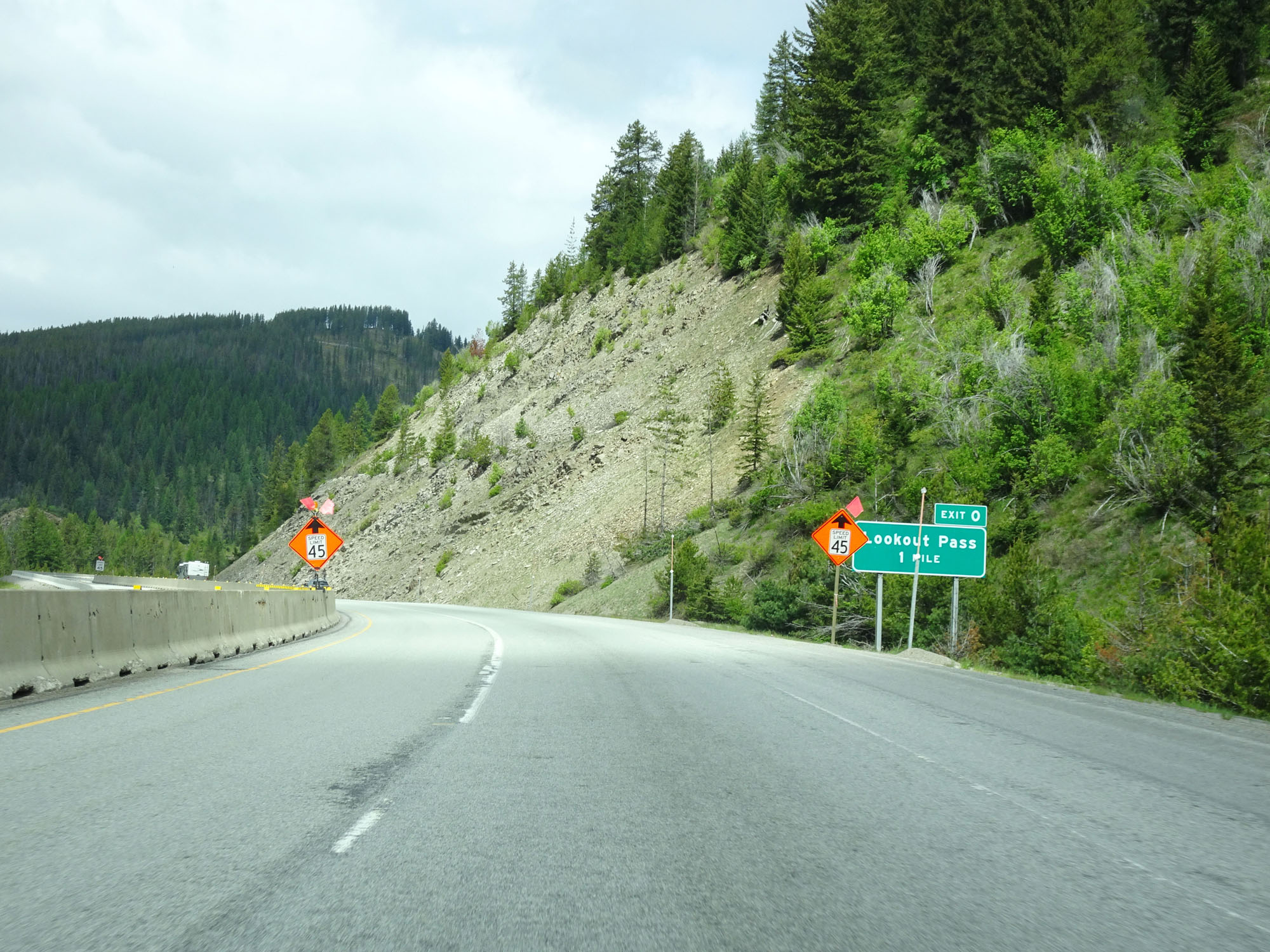
Interstate 90 West at mile marker 11. This mountain range I-90 goes through as it nears the Idaho border is known as Lookout Pass. (Photo taken 5/25/16). |
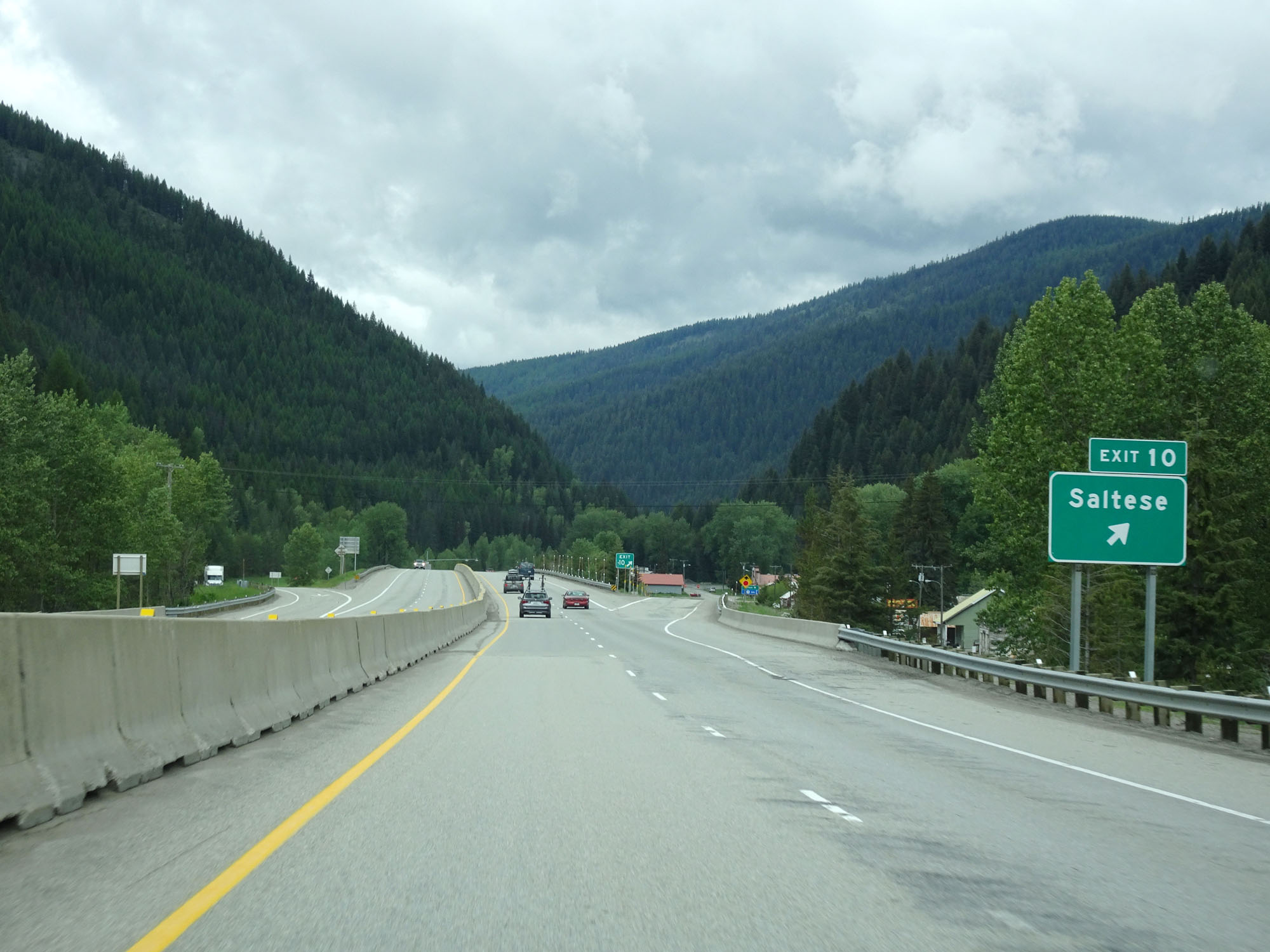 |
Interstate 90 West at Exit 10: Saltese (Photo taken 5/25/16). |
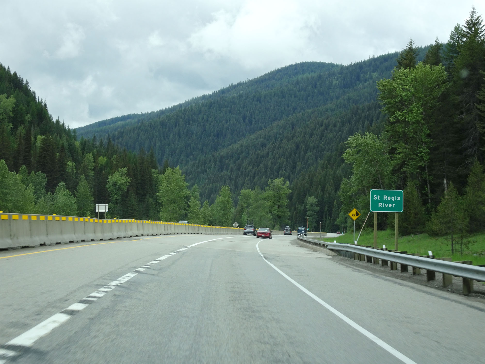 |
Interstate 90 West crossing the St Regis River a second time. (Photo taken 5/25/16). |
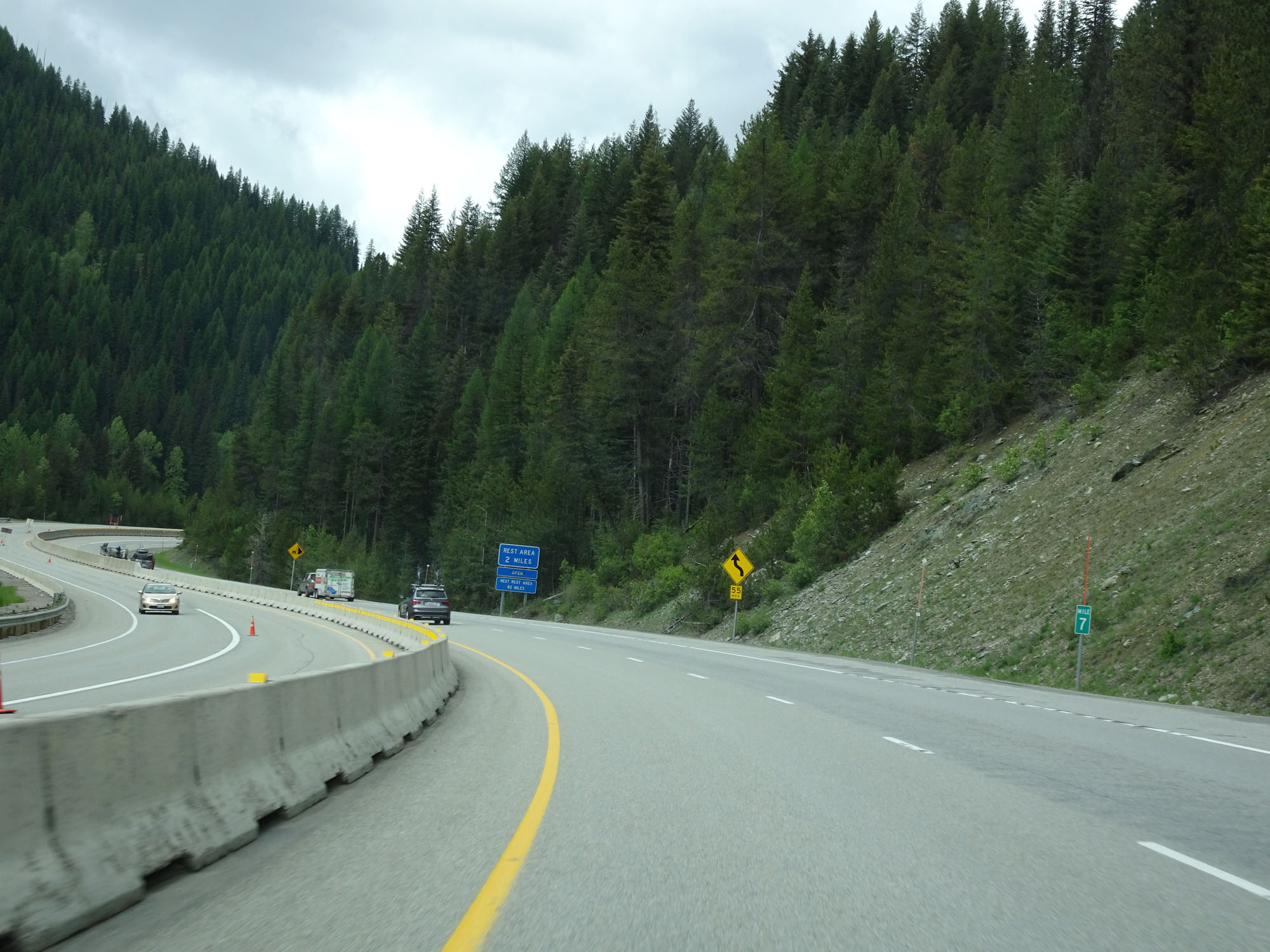 |
Interstate 90 West at mile marker 7. (Photo taken 5/25/16). |
 |
Interstate 90 West approaching Exit 5 - 1/2 mile. (Photo taken 5/25/16). |
 |
Interstate 90 West at mile marker 6. (Photo taken 5/25/16). |
 |
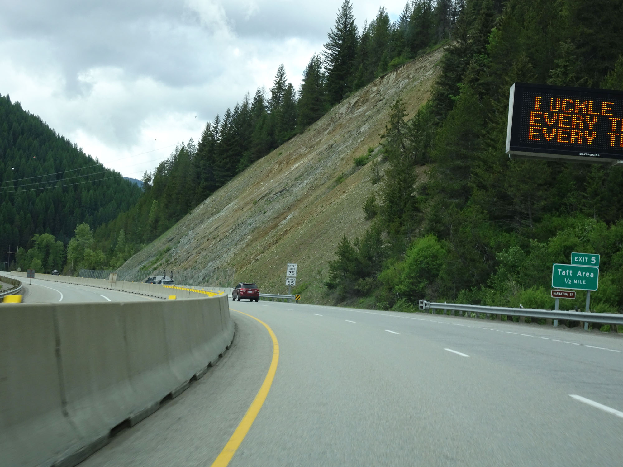
Interstate 90 West at Exit 5: Taft Area (Photo taken 5/25/16). |
 |
View on Interstate 90 West in Lookout Pass. (Photo taken 5/25/16). |
 |
View on Interstate 90 West as it travels through Lookout Pass. (Photo taken 5/25/16). |
 |
Rest Area on Interstate 90 West in western Mineral County. (Photo taken 5/25/16). |
 |
Chain Up Area on Interstate 90 West in Lookout Pass. (Photo taken 5/25/16). |
 |
More 60 mph curves ahead. (Photo taken 5/25/16). |
 |
Interstate 90 West at mile marker 2 as it begins its climb up to the summit of Lookout Pass, which is on the Idaho border. (Photo taken 5/25/16). |
 |
Interstate 90 West approaching Exit 0 - 1 mile. (Photo taken 5/25/16). |
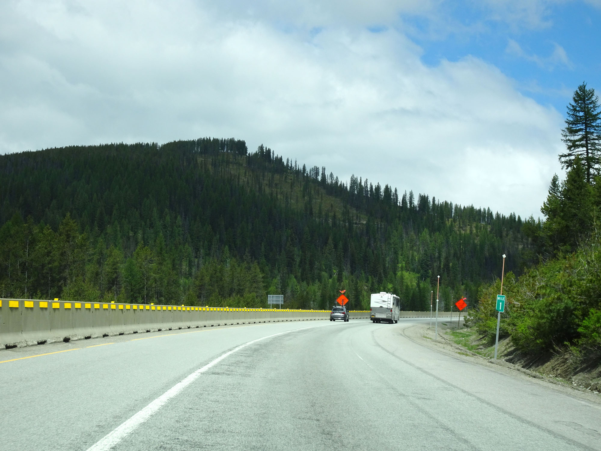 |
Interstate 90 West at mile marker 1. (Photo taken 5/25/16). |
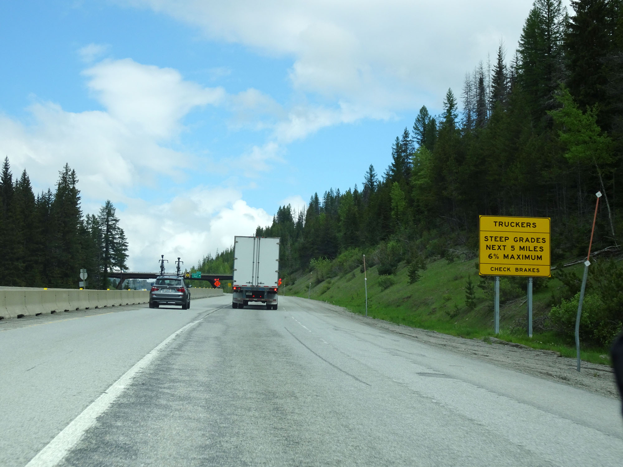 |
This sign warns that once at the top of Lookout Pass and into Idaho, Interstate 90 traverses a steep grade of varying steepness for the next 5 miles. The maximum steepness is 6%. (Photo taken 5/25/16). |
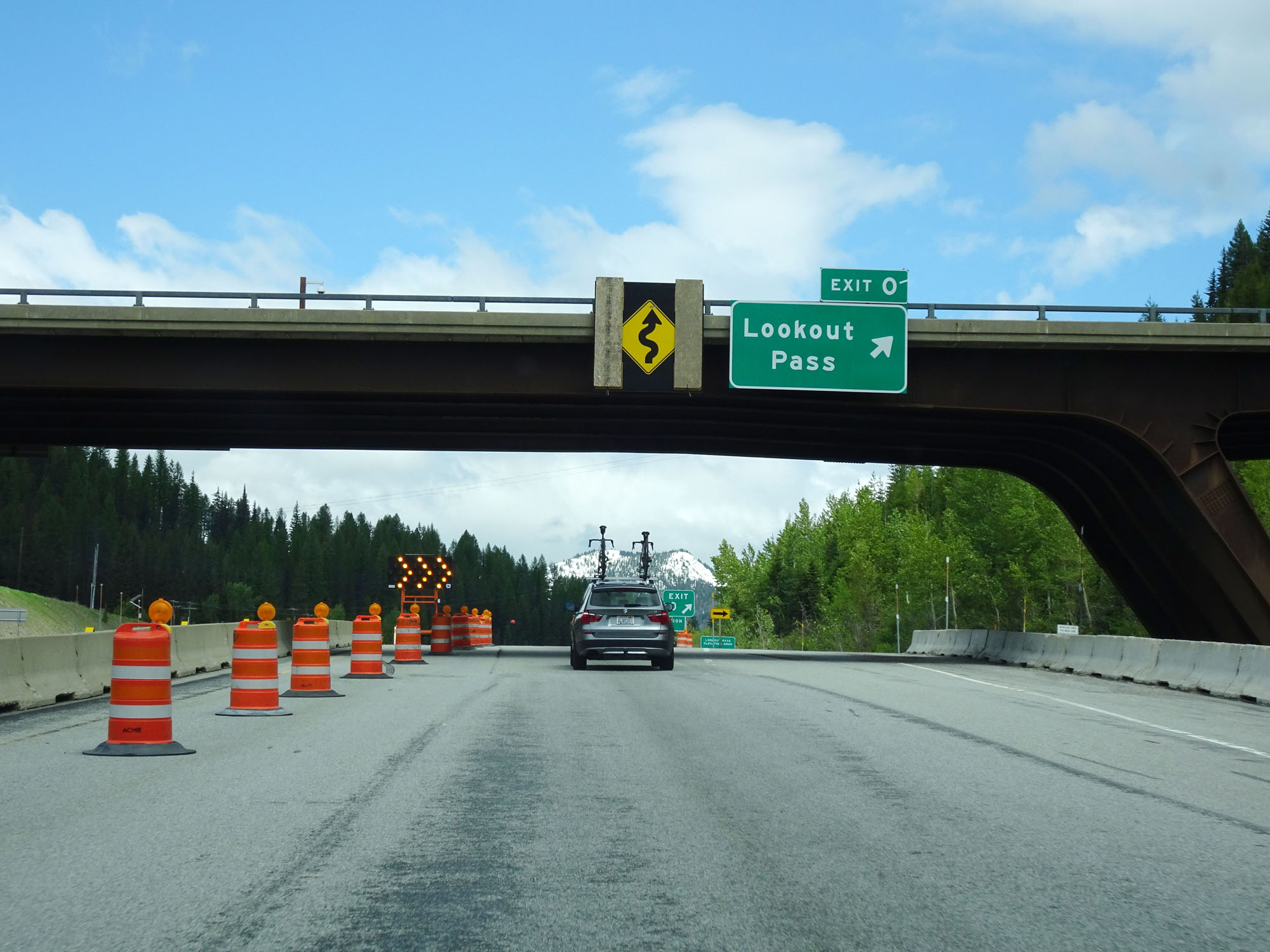 |
Interstate 90 West at Exit 0: Lookout Pass (Photo taken 5/25/16). |
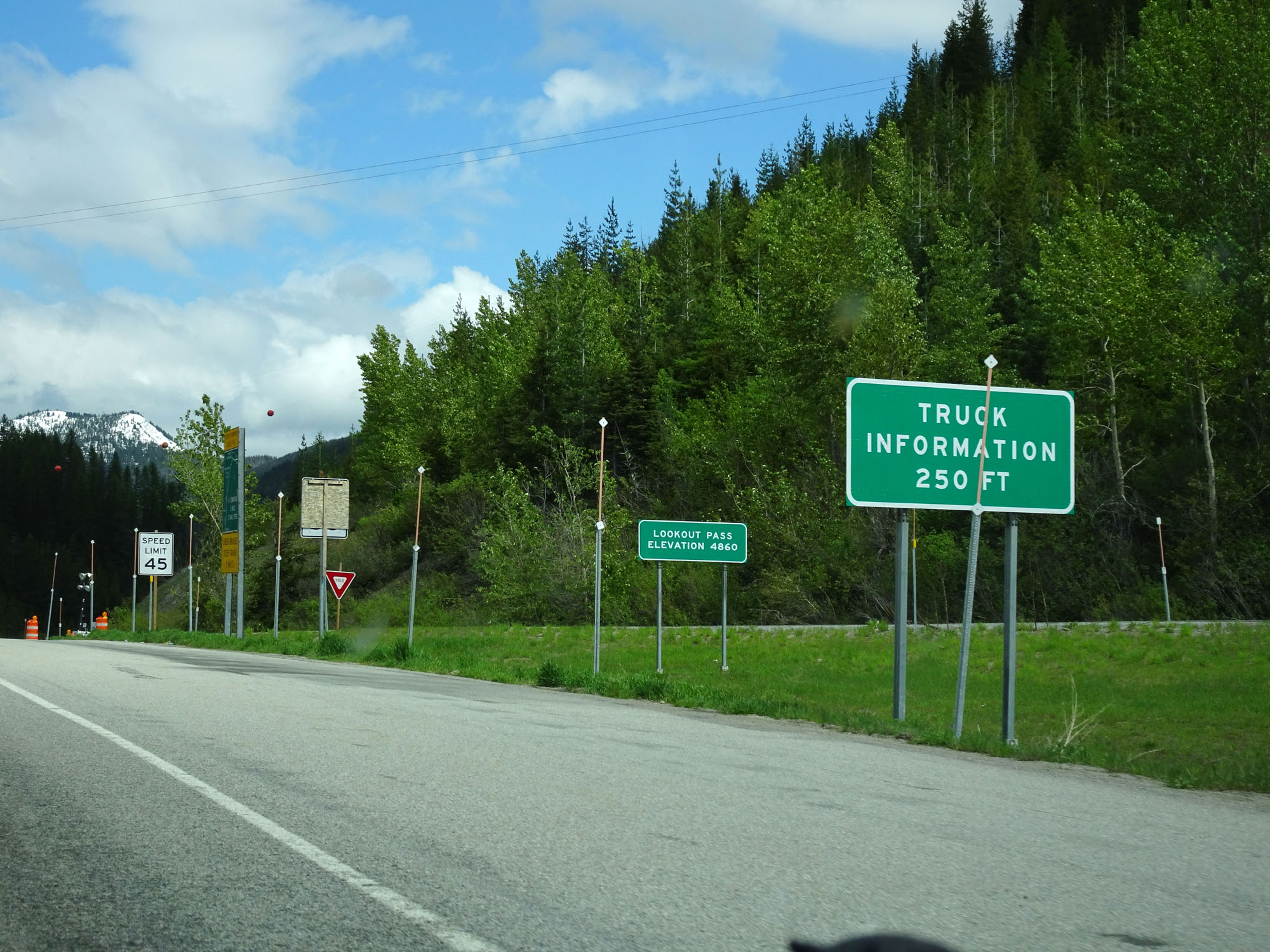 |
Interstate 90 West at the summit of Lookout Pass, which is at an elevation of 4,860 feet. The Idaho border is just ahead. (Photo taken 5/25/16). |