Road Information |
||
 |
||
| Total Mileage in State: | 156 miles | |
| Eastern End: | At Ohio state line | |
| Western End: | At Illinois state line | |
| Mileage covered in Photos: | 156 miles | |
| Counties covered in Photos: | Lake, Porter, LaPorte, St. Joseph, Elkhart, LaGrange, Steuben | |
| Major Junctions in Photos: | I-65, in Gary I-80, in Lake Station US 31, in South Bend I-69, near Angola |
|
| Control Cities in Photos: | Hammond, Gary, Lake Station, Portage, South Bend, Elkhart | |
Eastbound
- Section 1: Illinois Border to Interstate 80/Interstate 94
- Section 2: Interstate 80/Interstate 94 to Elkhart (Exit 92)
- Section 3: Elkhart (Exit 92) to Ohio Border
Section 1: Illinois Border to Interstate 80/Interstate 94
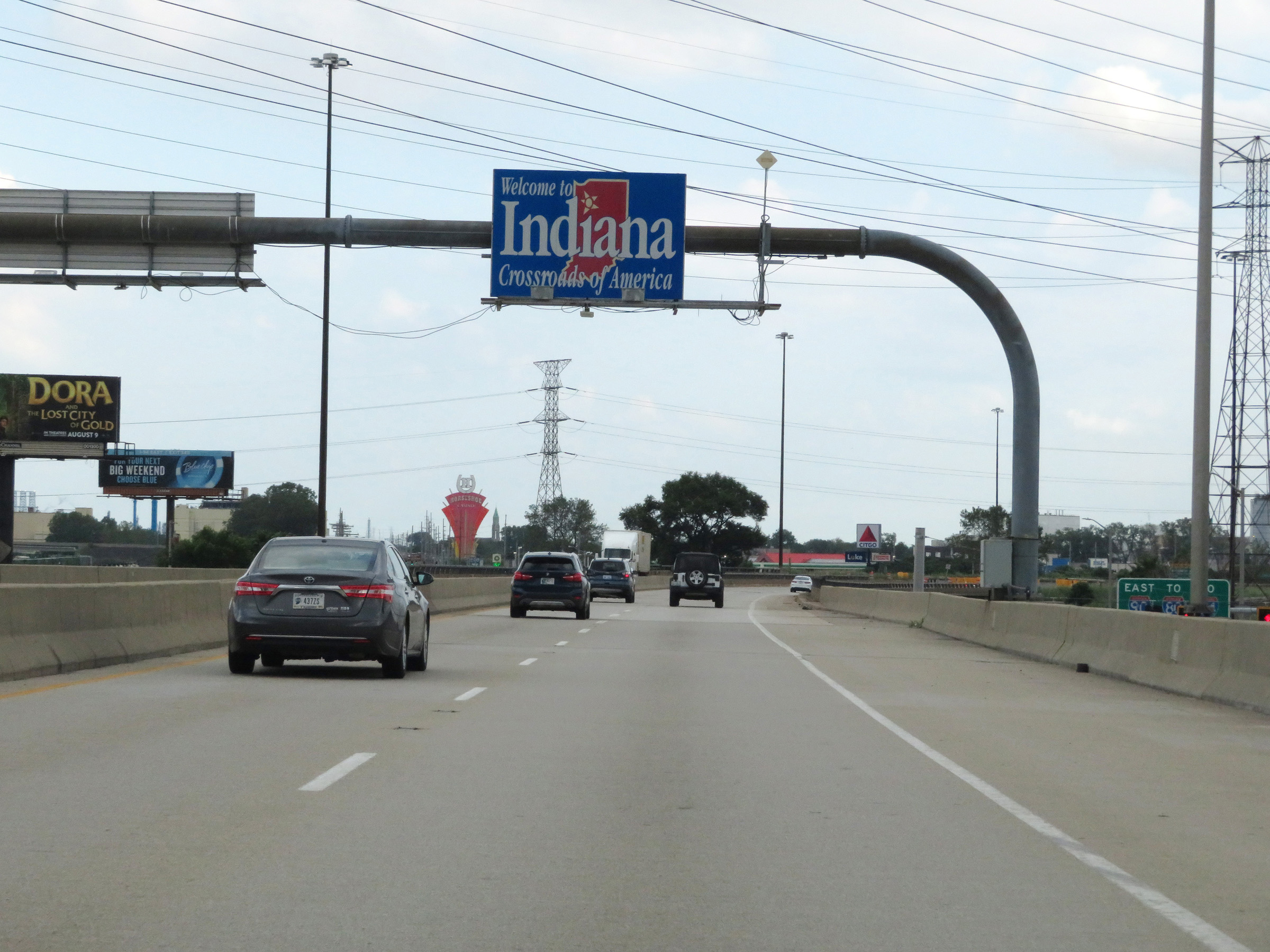 |
Indiana welcome sign as Interstate 90 East enters the Hoosier State from Illinois. I-90 in Indiana runs concurrently with the Indiana Toll Road for its entire 156-mile alignment. (Photo taken 8/14/19). |
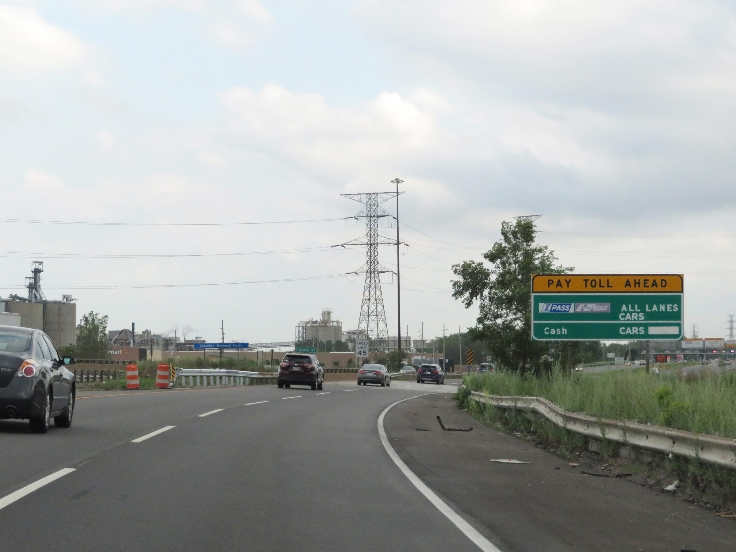 |
Interstate 90 East (Indiana Toll Road) will enter the Westpoint Toll Plaza one mile upon entering Indiana. This sign shows the toll payment options on the Indiana Toll Road. I Pass, EZ Pass, and Cash/Credit are all accepted. (Photo taken 8/14/19). |
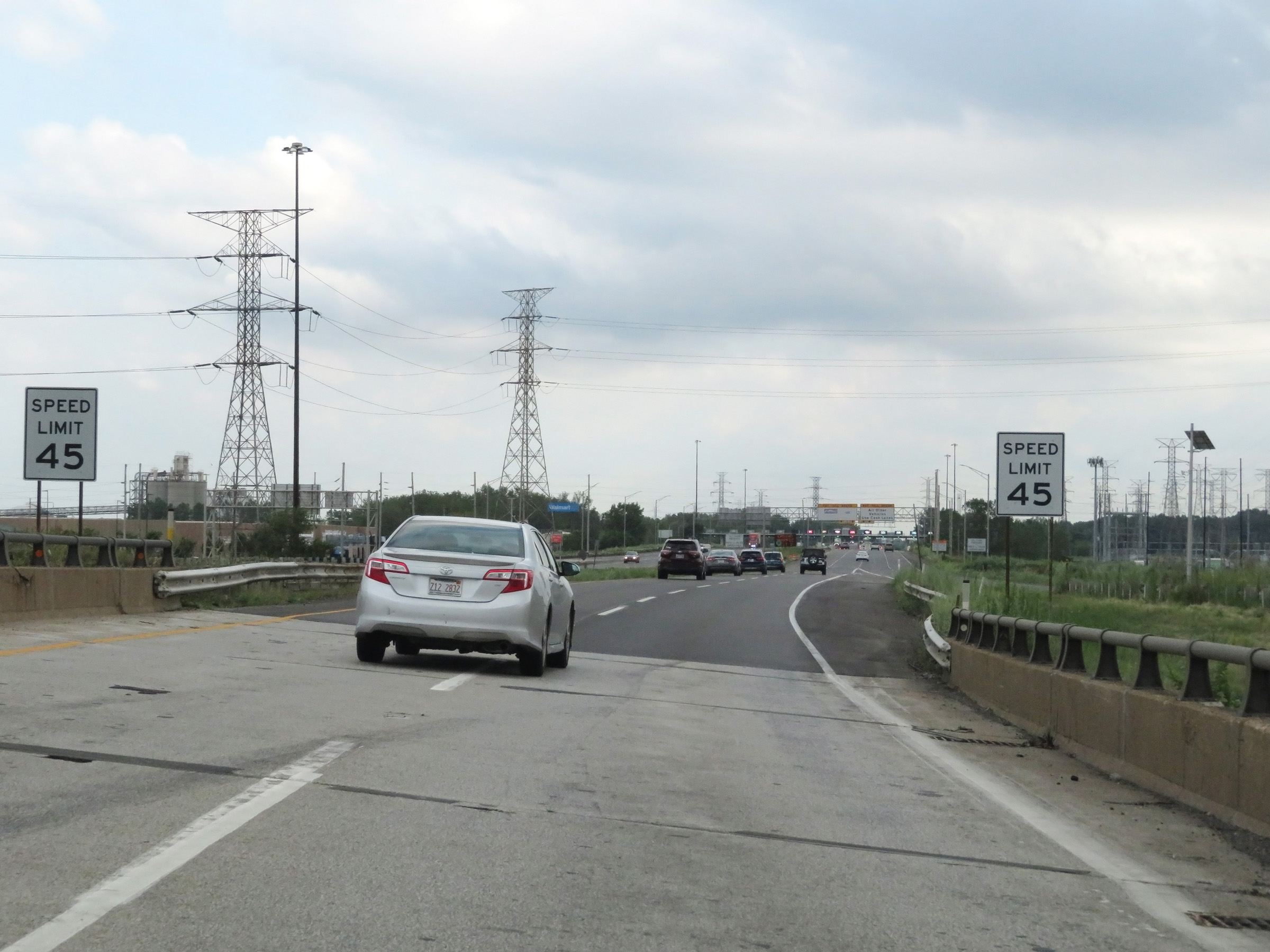 |
The speed limit on Interstate 90 East (Indiana Toll Road) starts out at 45 mph approaching the Westpoint Toll Plaza in Hammond. (Photo taken 8/14/19). |
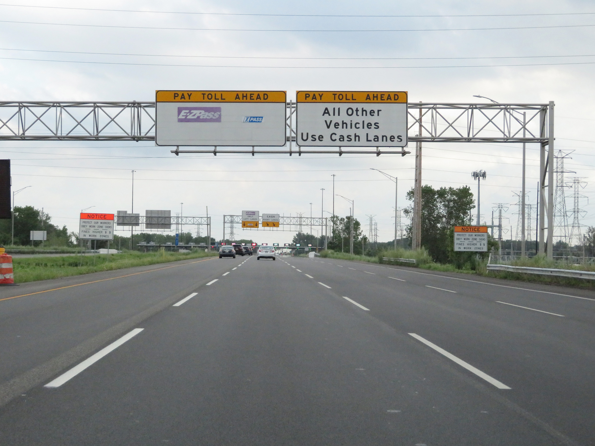 |
I Pass and EZ Pass customers should keep left approaching the Westpoint Toll Plaza. Cash customers should keep right. (Photo taken 8/14/19). |
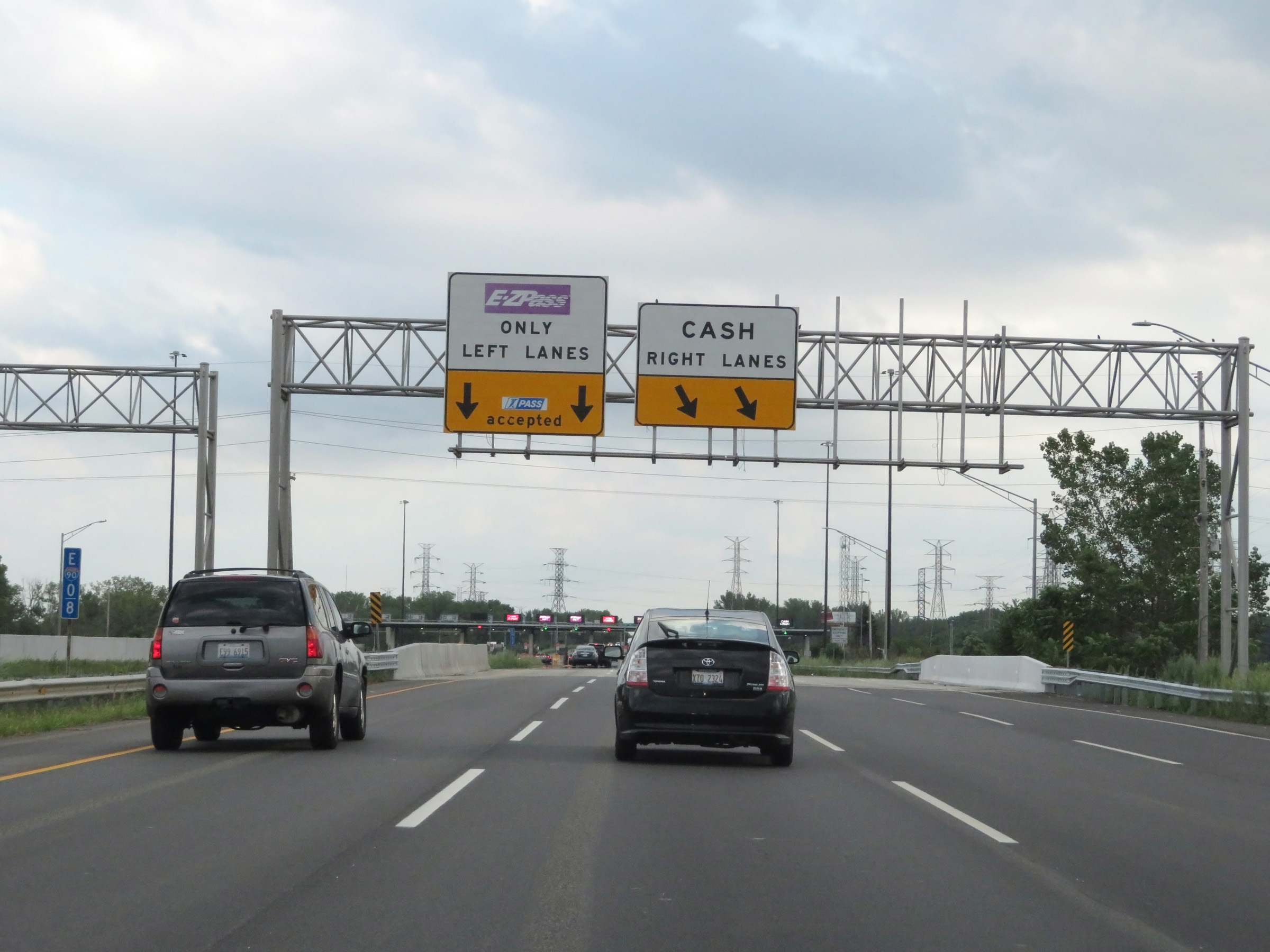 |
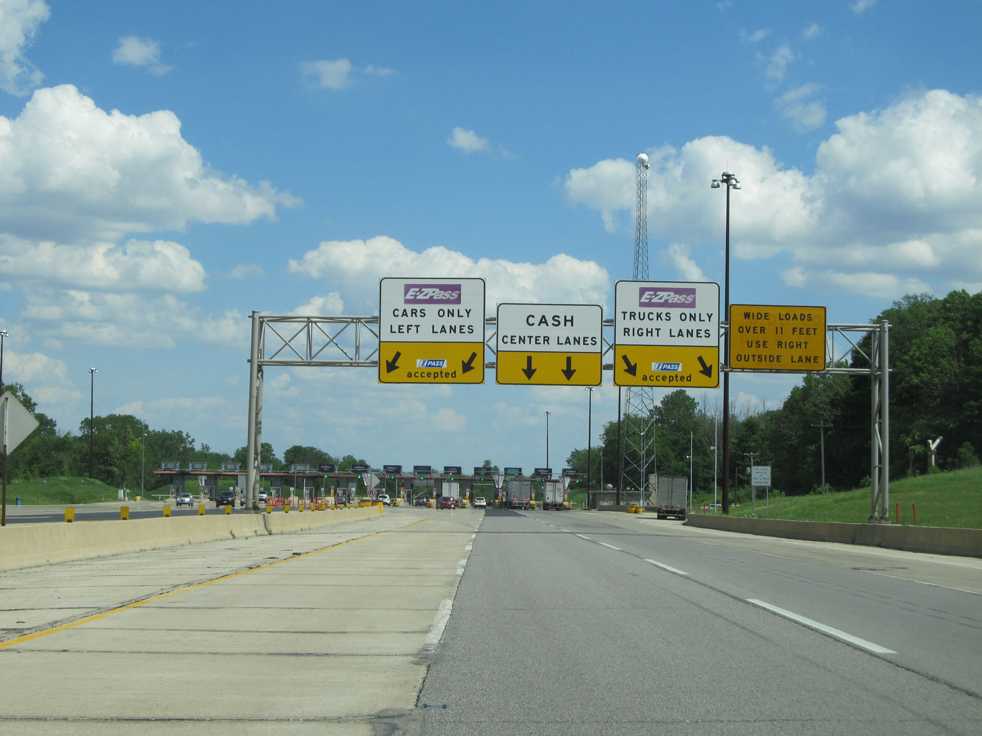
At mile marker 0.8, these overhead signs direct traffic as to which lanes to be in for the two different toll payment methods. (Photo taken 8/14/19). |
 |
View on Interstate 90 East (Indiana Toll Road) as it makes its approach to the Westpoint Toll Plaza. (Photo taken 8/14/19). |
 |
A closer view of the Westpoint Toll Plaza on Interstate 90 East (Indiana Toll Road). (Photo taken 8/14/19). |
 |
Interstate 90 East (Indiana Toll Road) at mile marker 1.2, leaving the Westpoint Toll Plaza. Take either of the next 2 exits to Hammond. (Photo taken 8/14/19). |
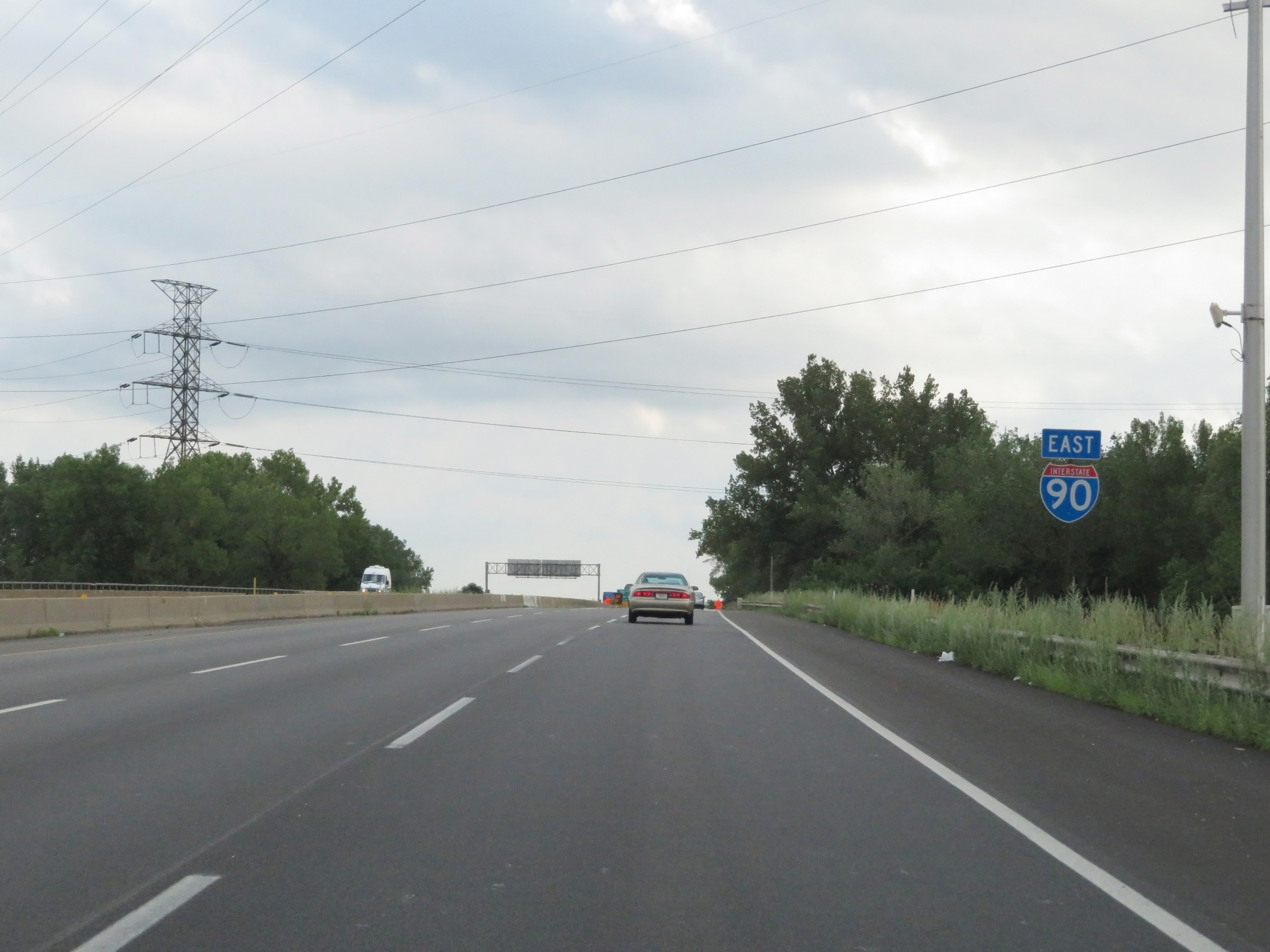 |
Interstate 90 East reassurance shield. (Photo taken 8/14/19). |
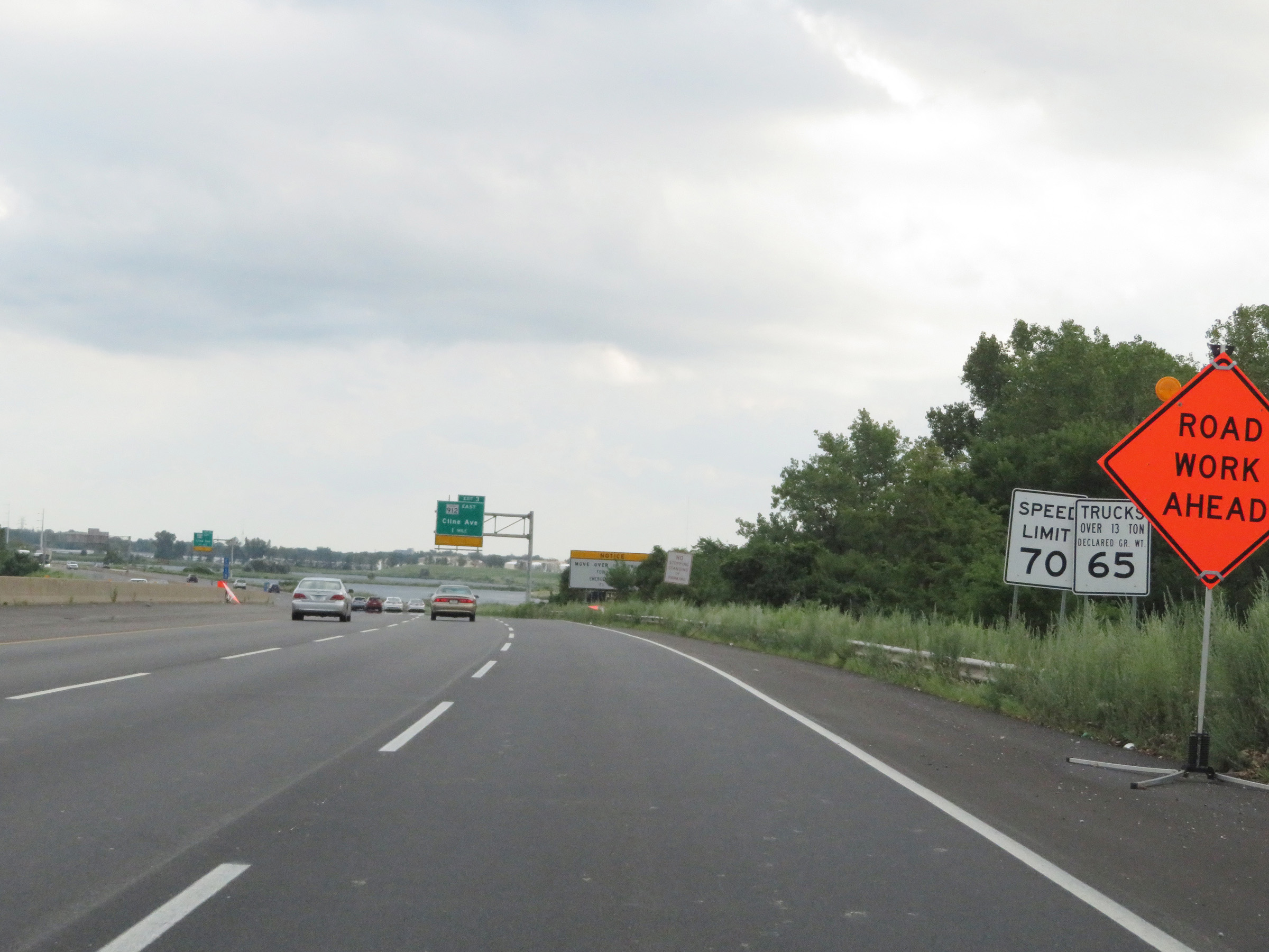 |
After having passed through the Westpoint Toll Plaza, the speed limits on Interstate 90 East (Indiana Toll Road) increase to 70 mph for automobiles and 65 mph for trucks. These are the standard speed limits on most rural Interstate highways in Indiana. (Photo taken 8/14/19). |
 |
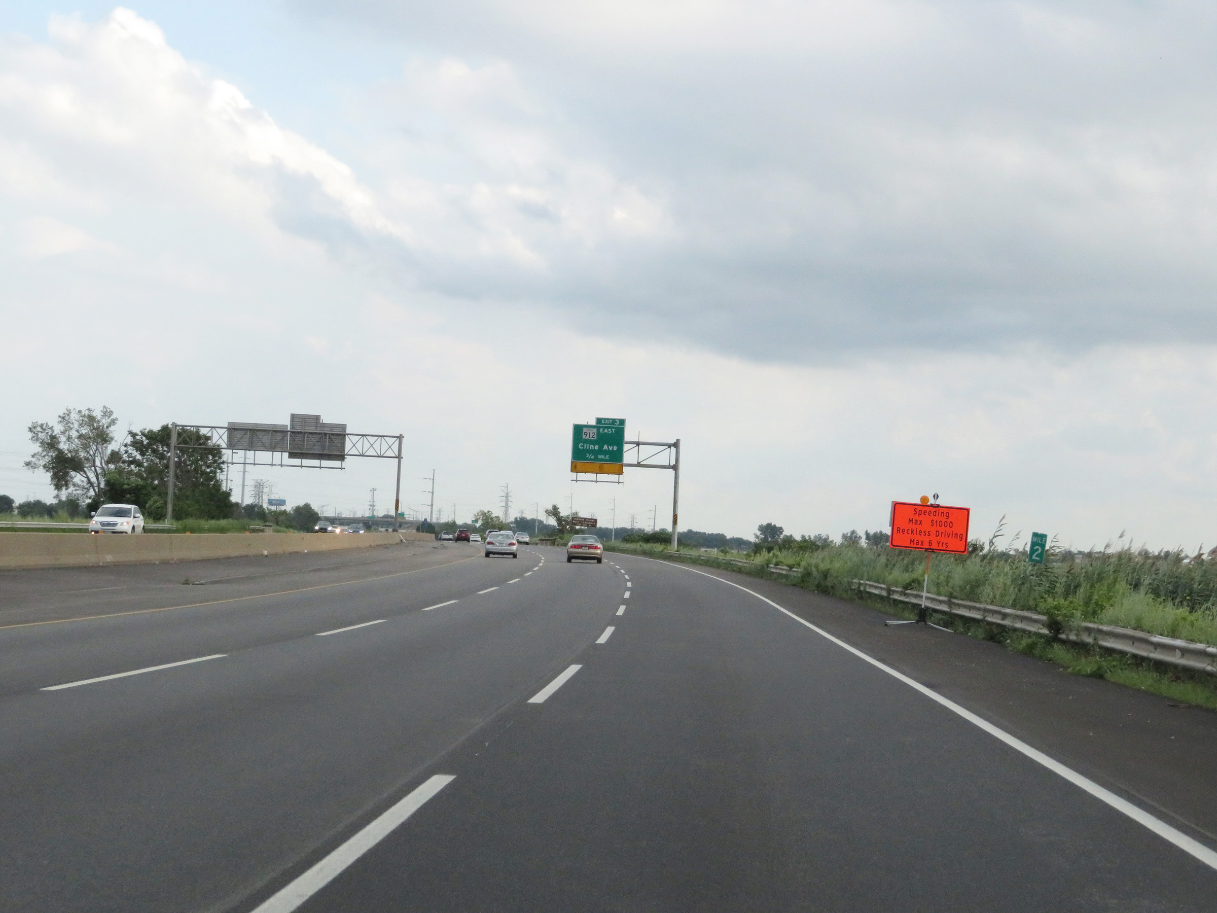
Interstate 90 East (Indiana Toll Road) approaching Exit 3 - 1 mile. (Photo taken 8/14/19). |
 |
View on Interstate 90 East (Indiana Toll Road) at mile marker 2. (Photo taken 8/14/19). |
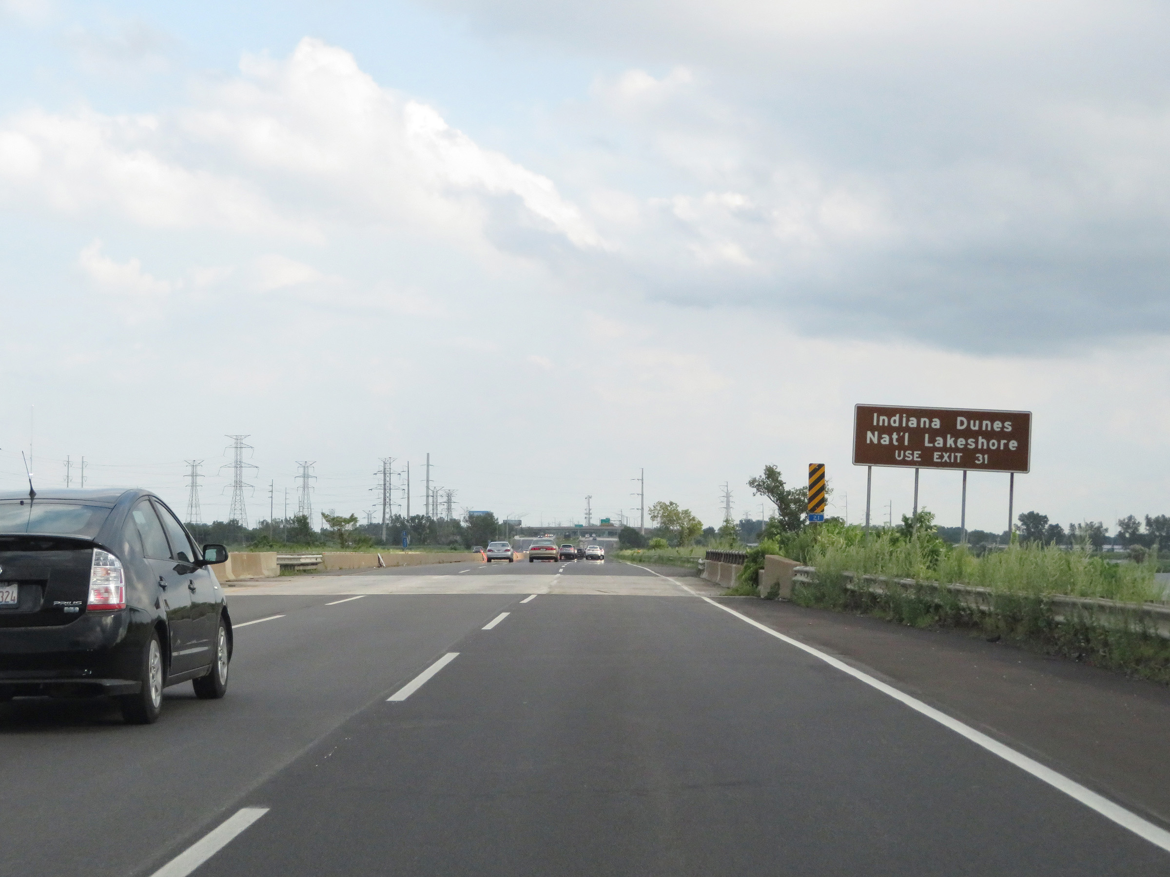 |
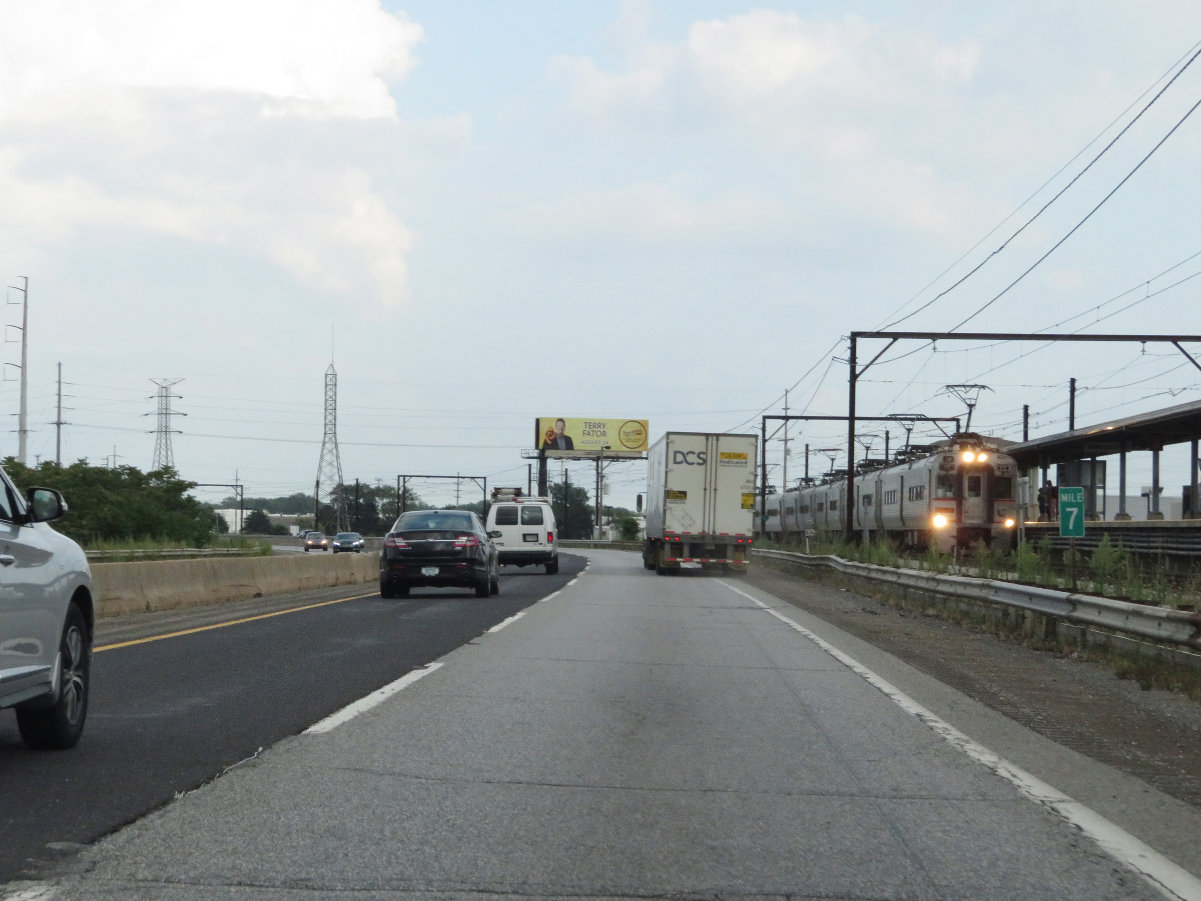
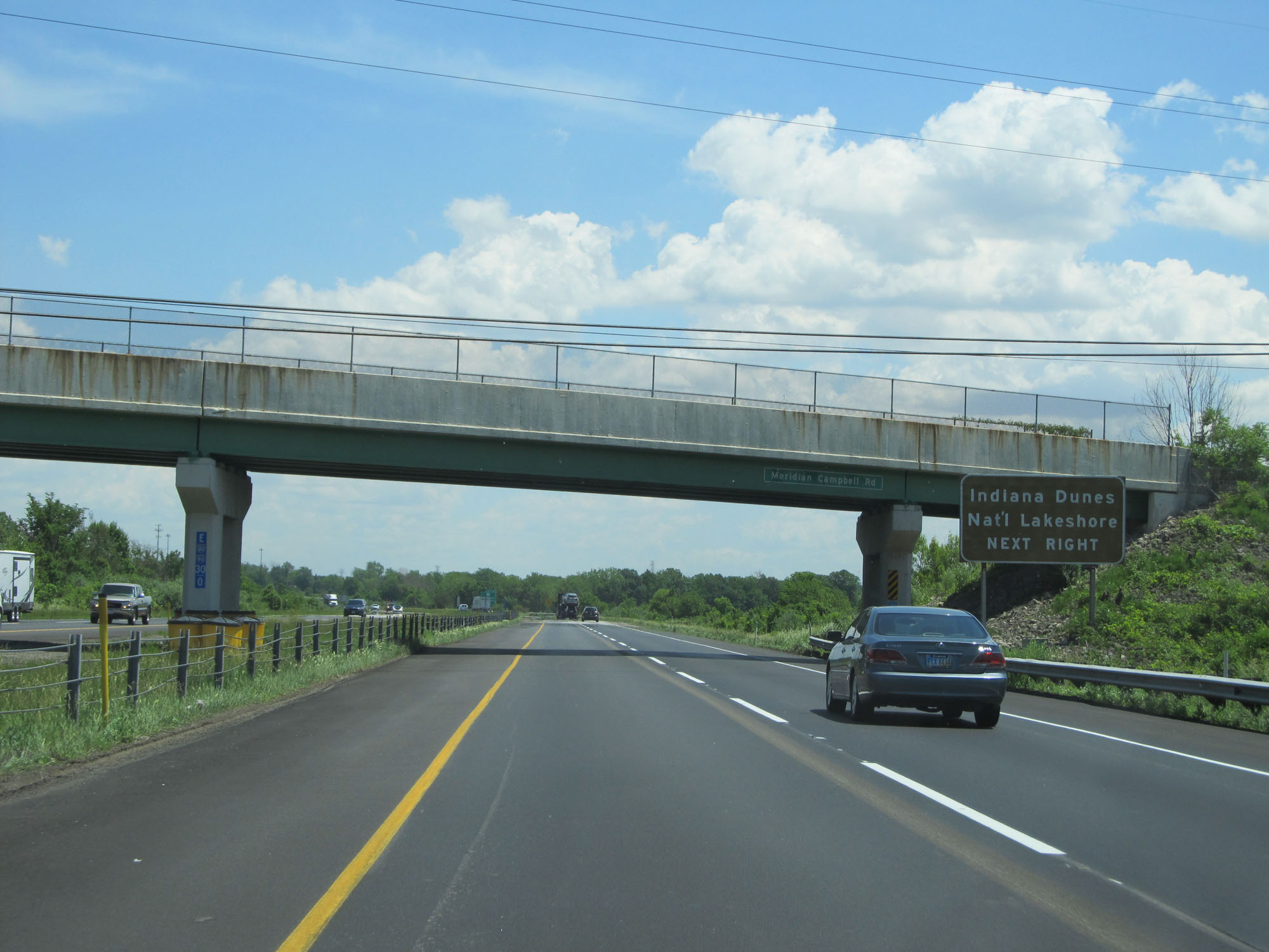
Traffic to Indiana Dunes National Lakeshore should use Exit 31, 28 miles ahead. (Photo taken 8/14/19). |
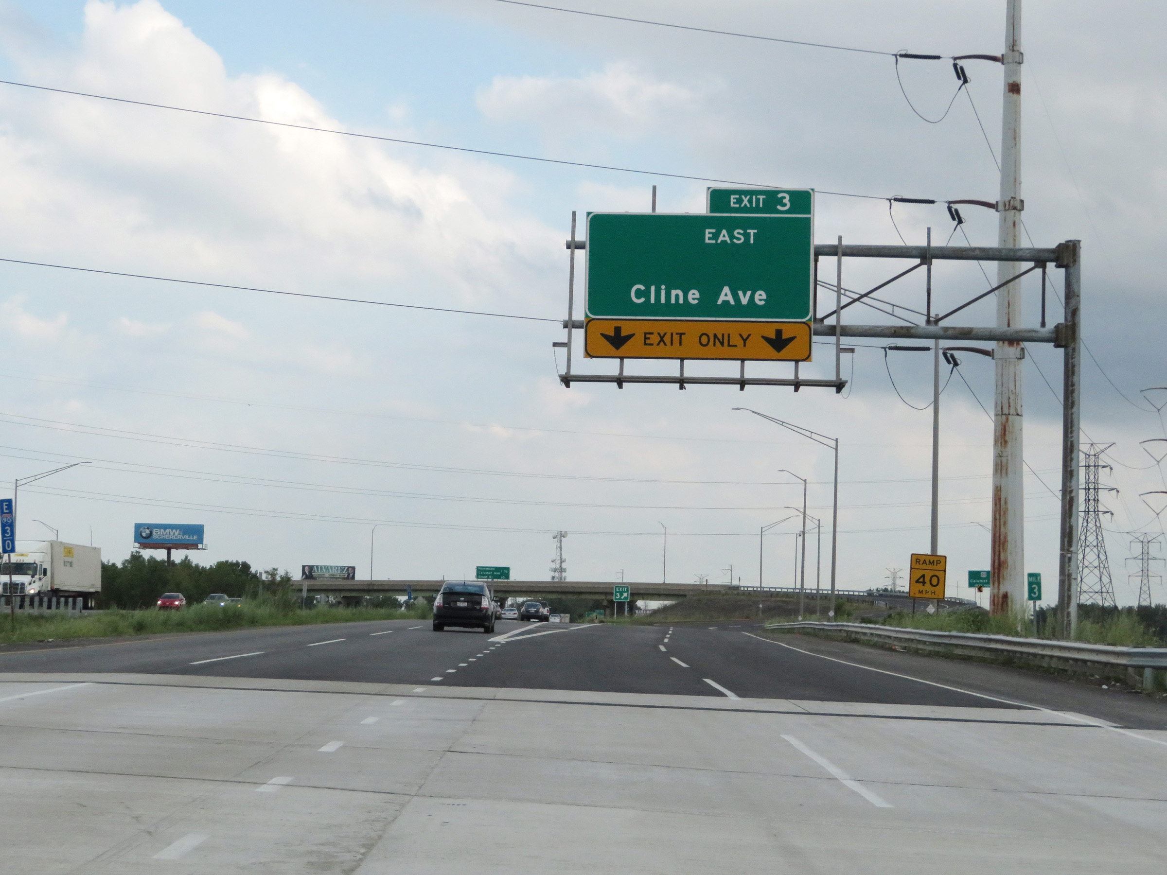 |
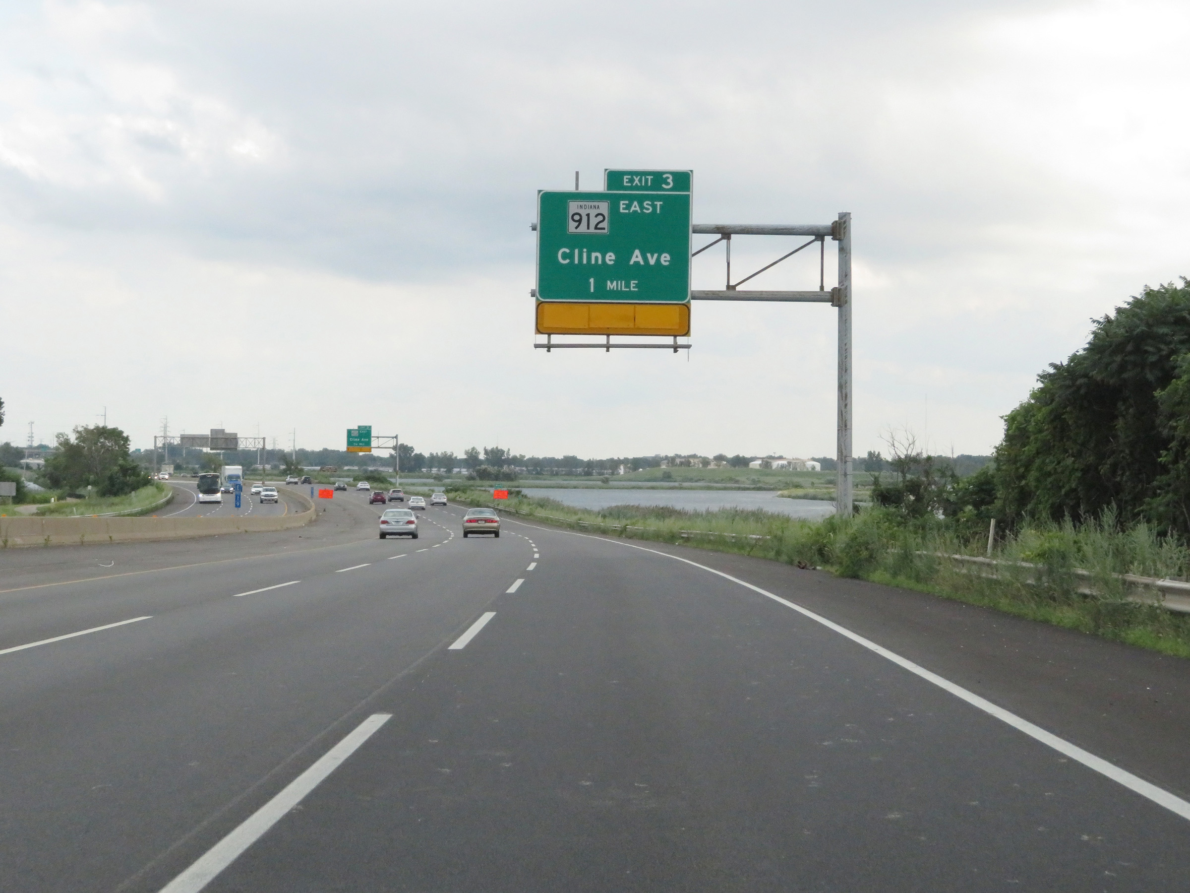
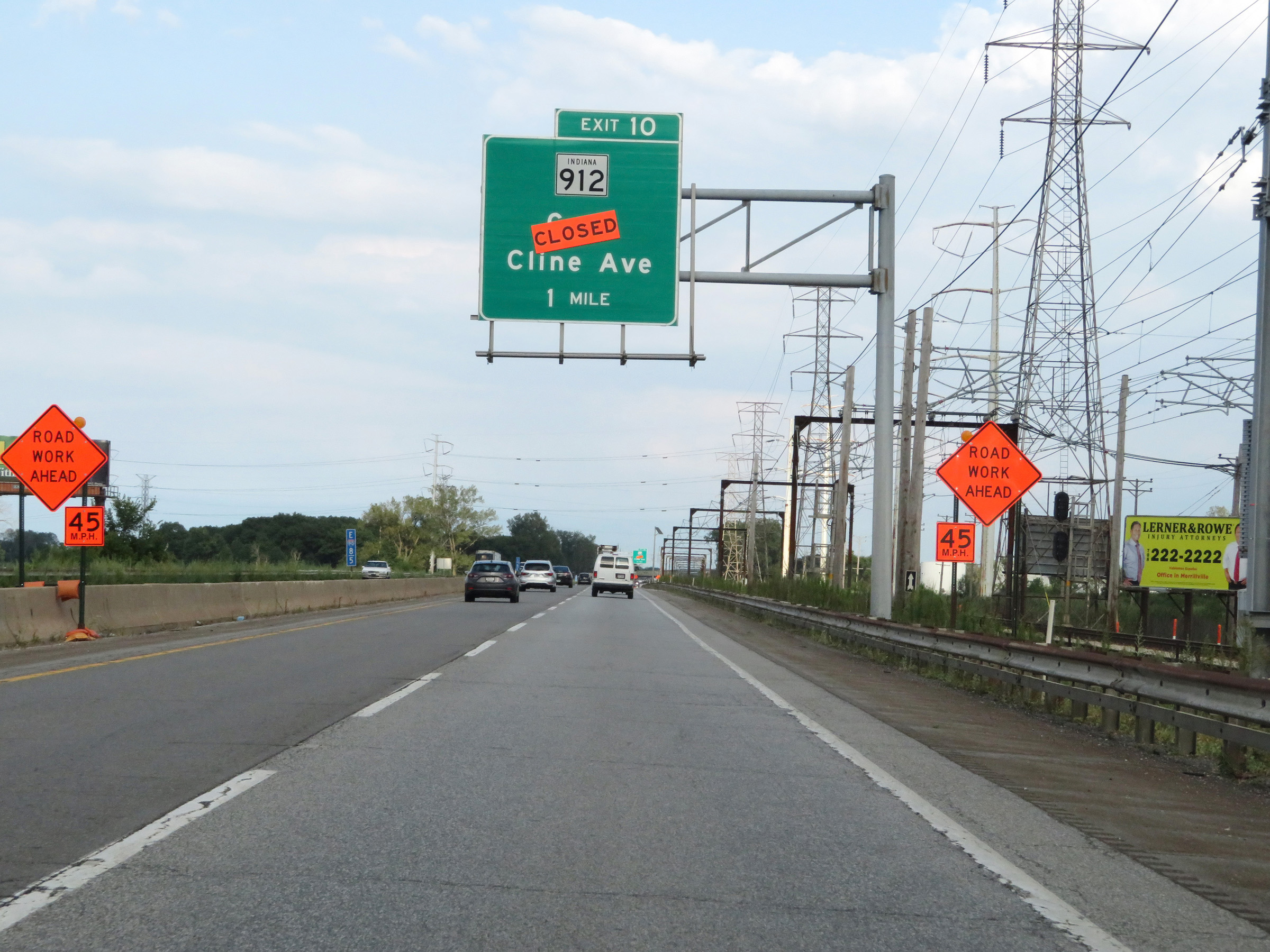
Interstate 90 East (Indiana Toll Road) at Exit 3: IN 912 East - Cline Ave (Photo taken 8/14/19). |
 |
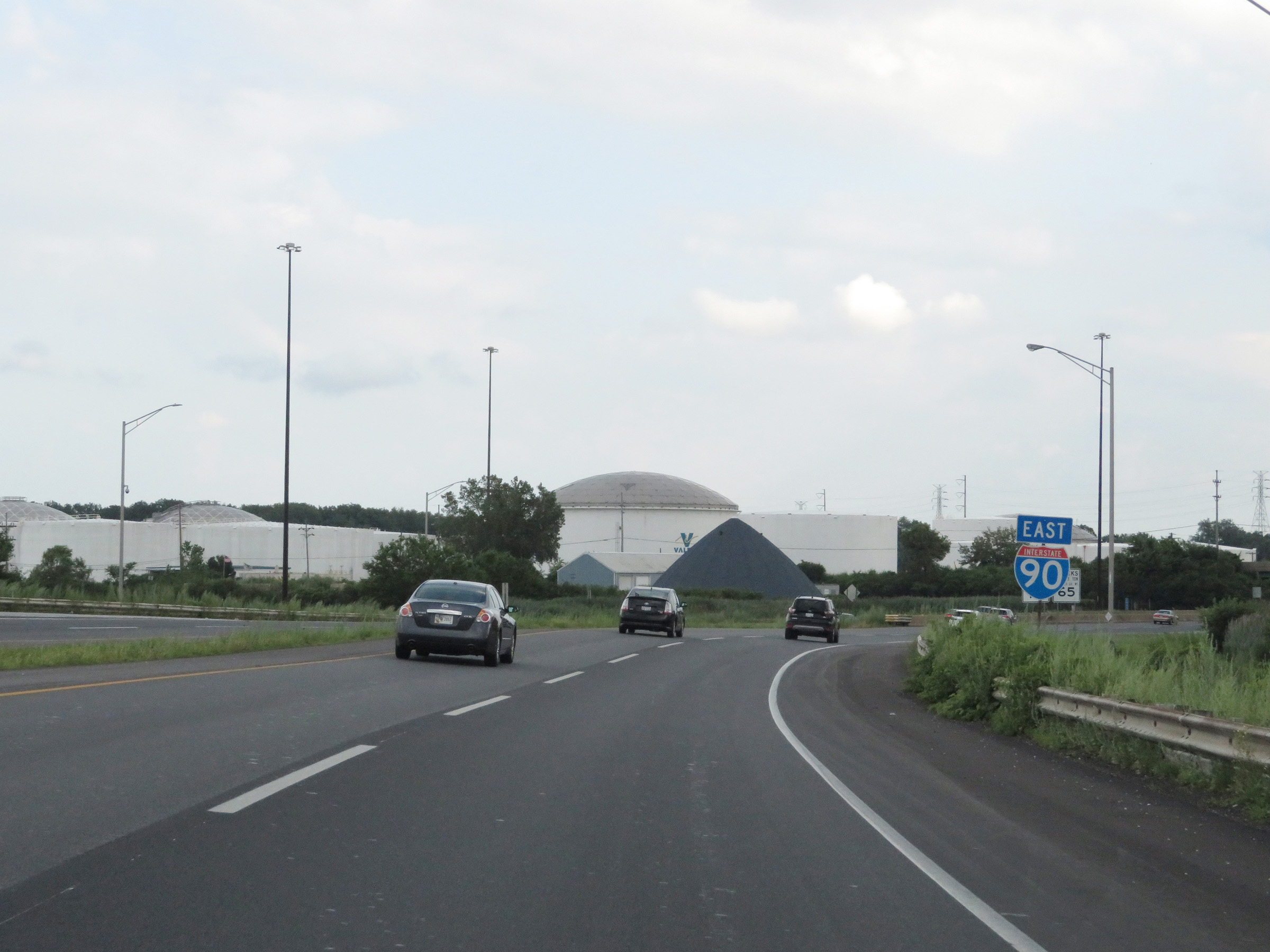
Interstate 90 East (Indiana Toll Road) approaching Exit 5 - 1 mile. (Photo taken 8/14/19). |
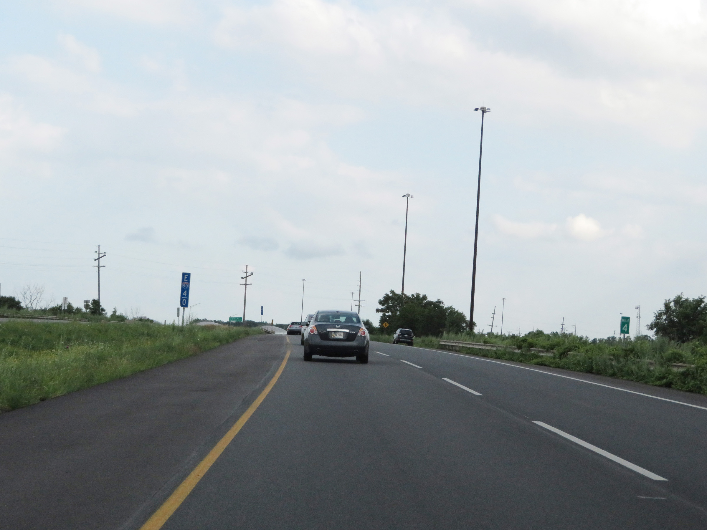 |
Mile marker 4 on Interstate 90 East (Indiana Toll Road) in Lake County. (Photo taken 8/14/19). |
 |
Another Interstate 90 East reassurance shield. (Photo taken 8/14/19). |
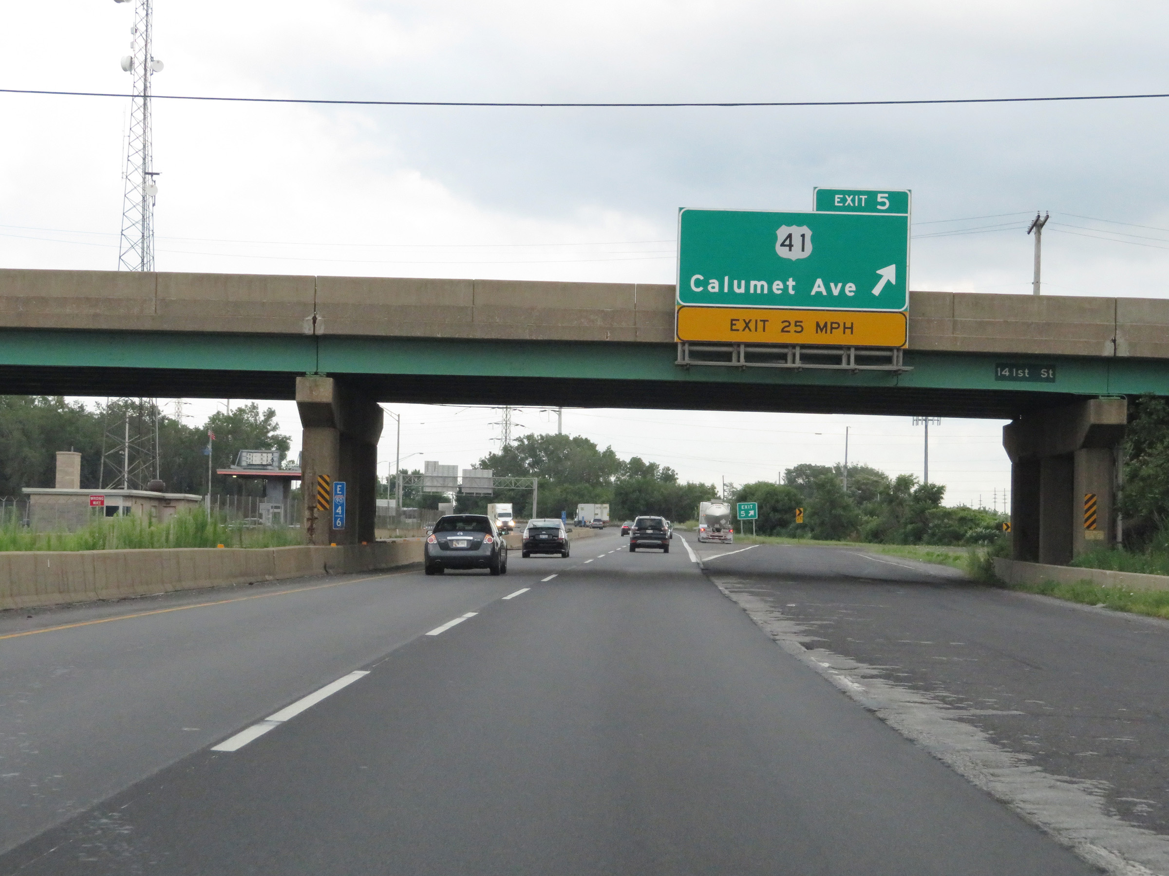 |
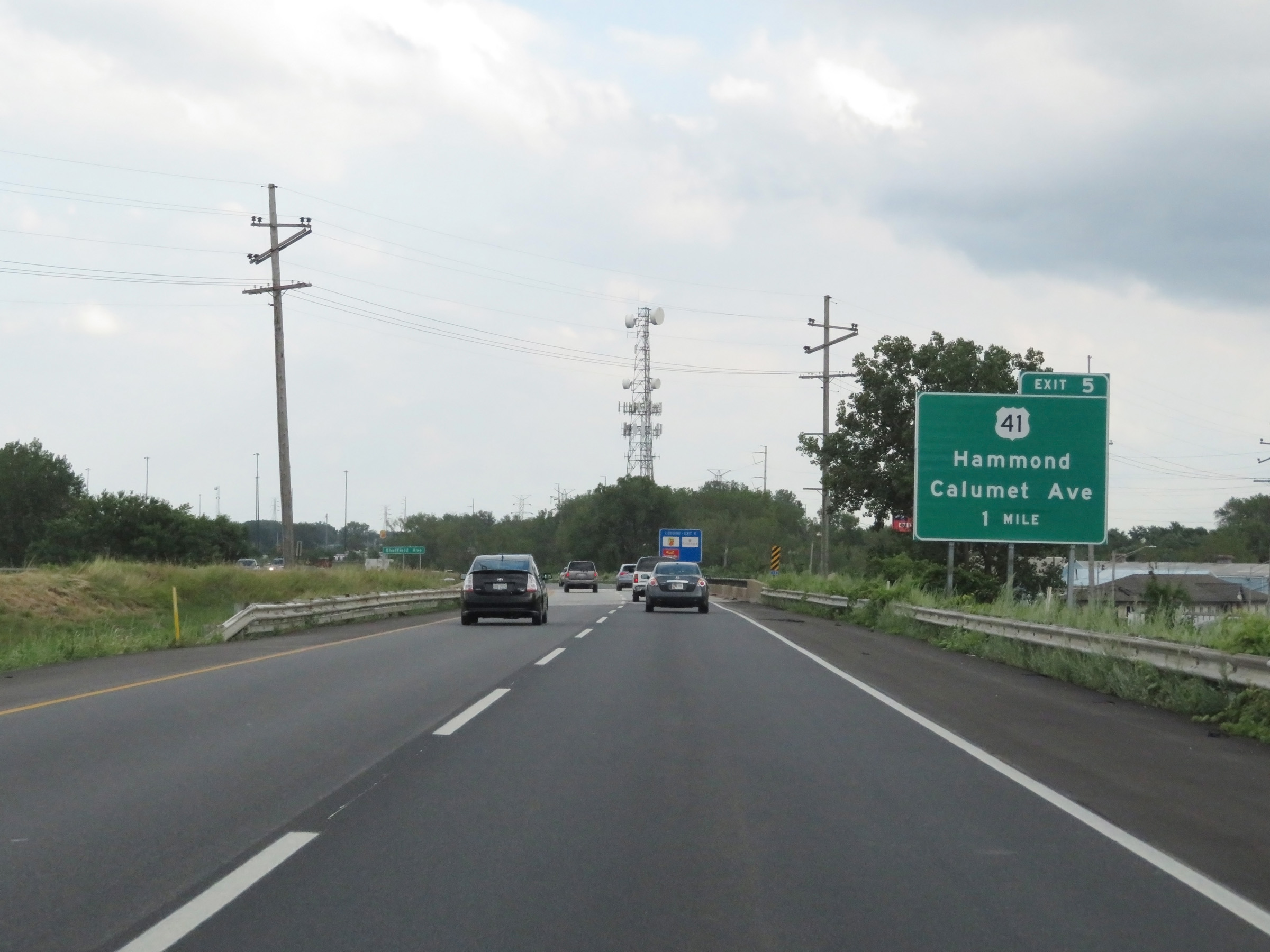
Interstate 90 East (Indiana Toll Road) at Exit 5: US 41 - Hammond / Calumet Ave (Photo taken 8/14/19). |
 |
Interstate 90 East reassurance shield with an Indiana Toll Road marker below it. (Photo taken 8/14/19). |
 |
View on Interstate 90 East (Indiana Toll Road) at mile marker 5.5. (Photo taken 8/14/19). |
 |
Interstate 90 East (Indiana Toll Road) at mile marker 7. (Photo taken 8/14/19). |
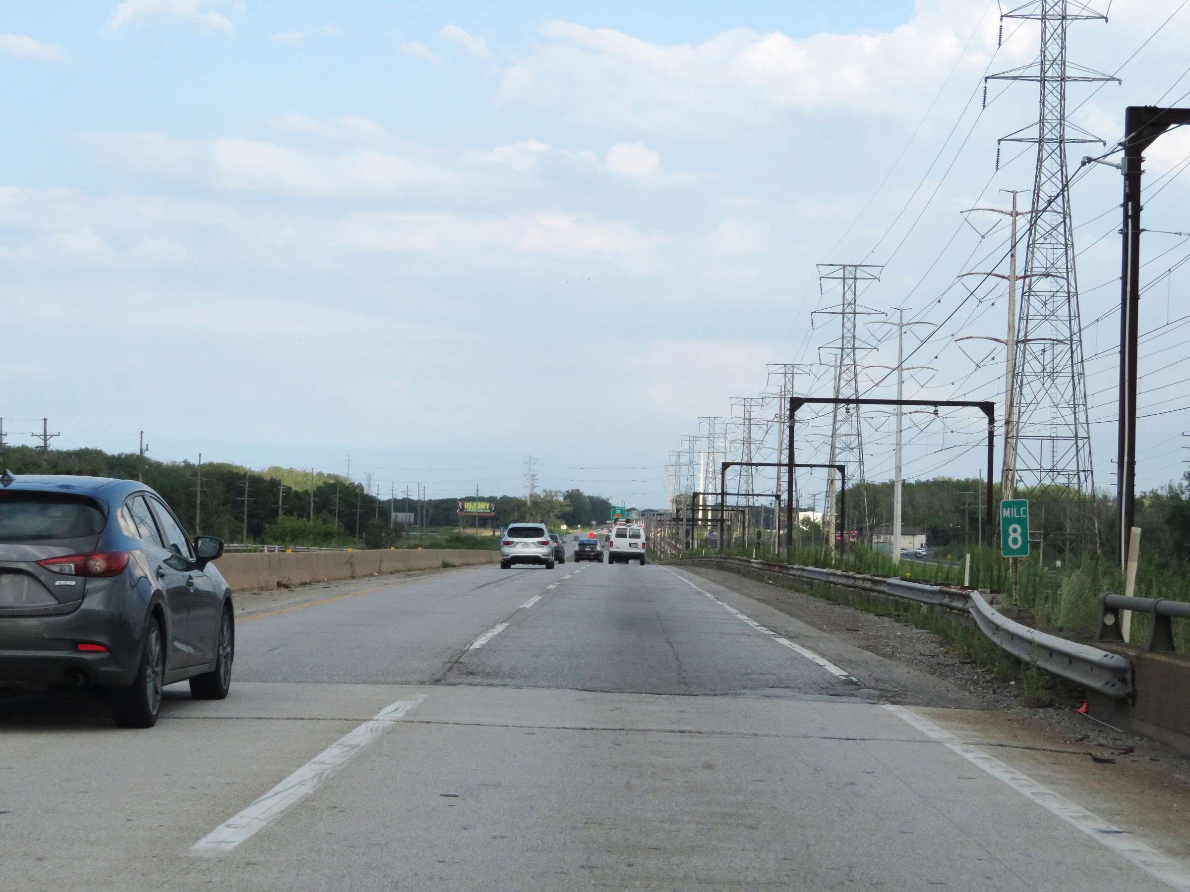 |
View on Interstate 90 East (Indiana Toll Road) at mile marker 8. (Photo taken 8/14/19). |
 |
Interstate 90 East (Indiana Toll Road) approaching Exit 10 - 1 mile. (Photo taken 8/14/19). |
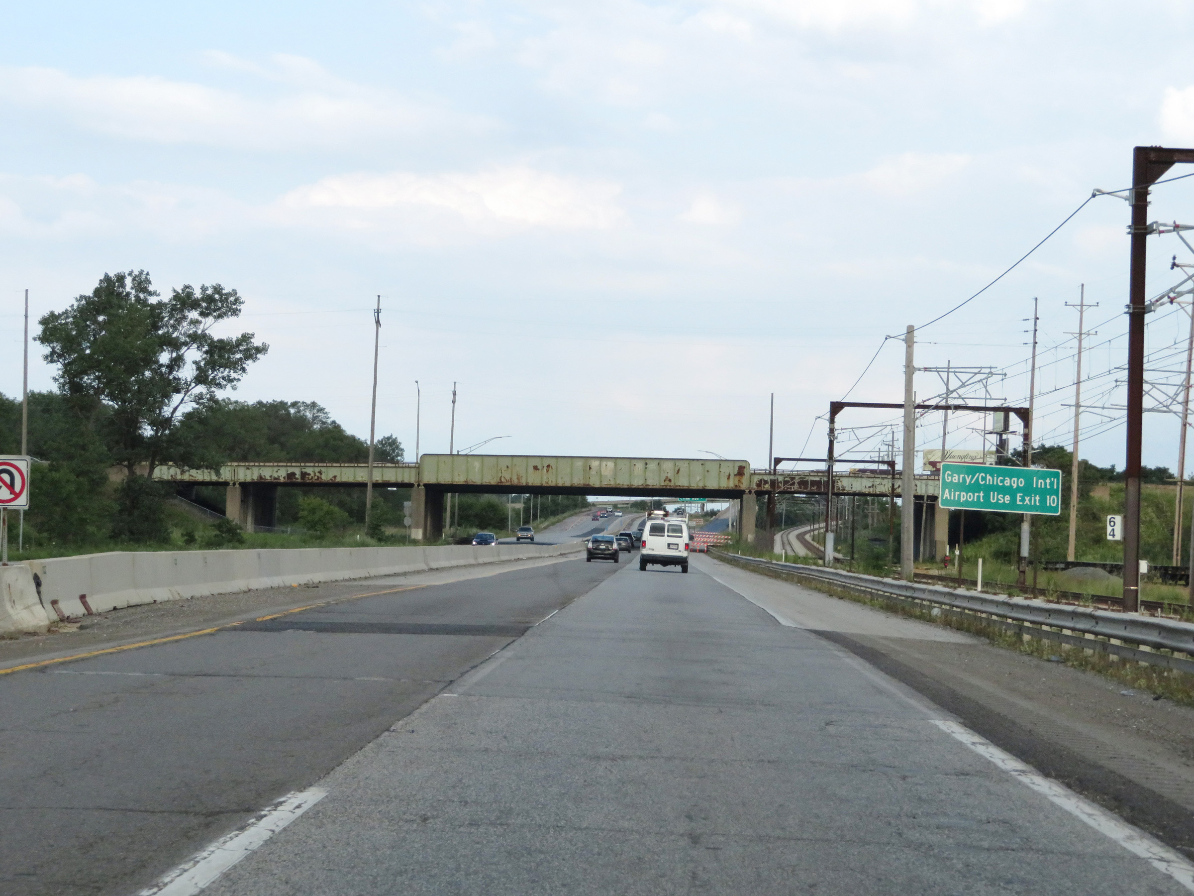 |
Take Exit 10 to Gary/Chicago International Airport. (Photo taken 8/14/19). |
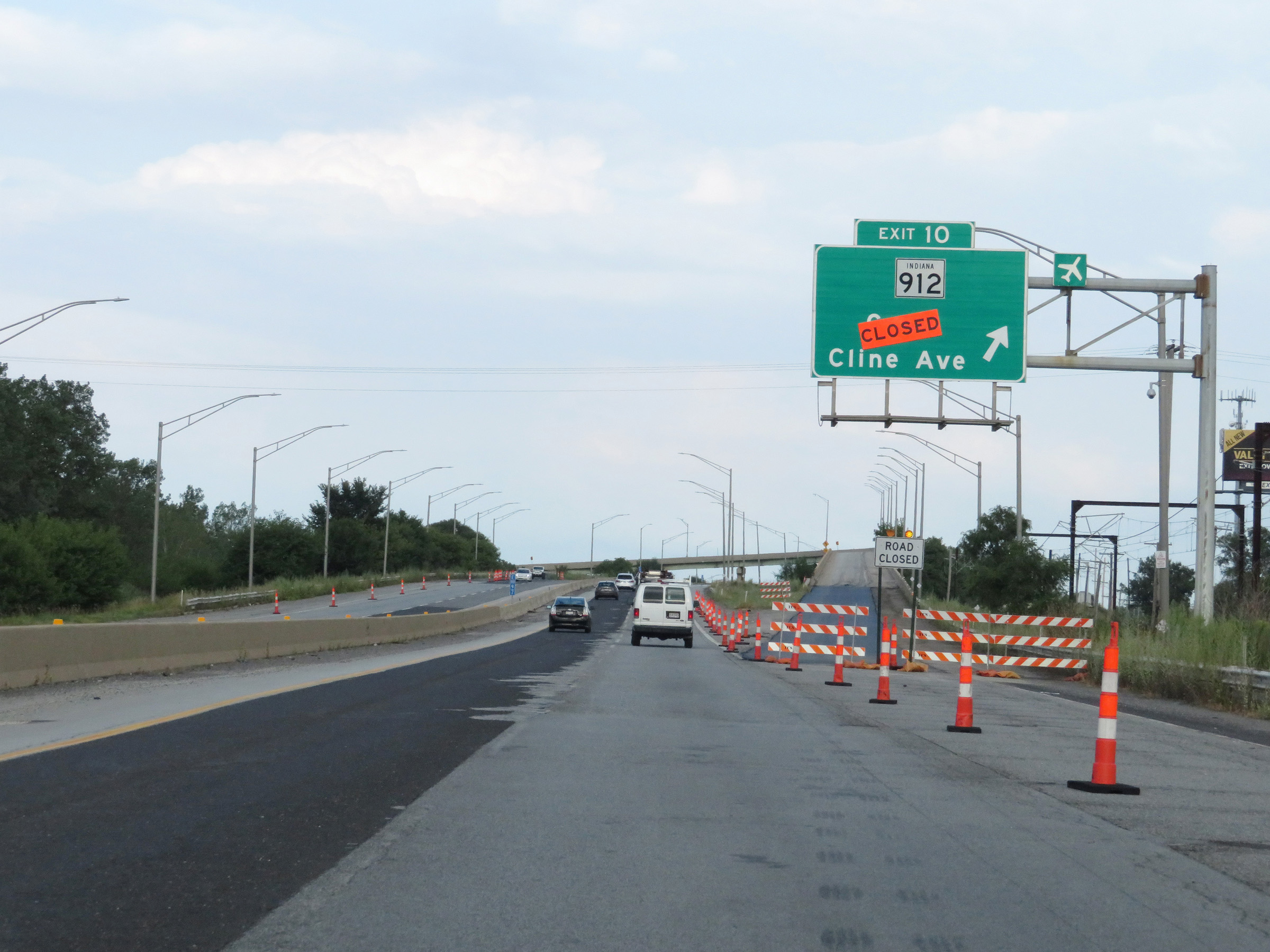 |
Interstate 90 East (Indiana Toll Road) at Exit 10: IN 912 - Gary / Cline Ave (Photo taken 8/14/19). |
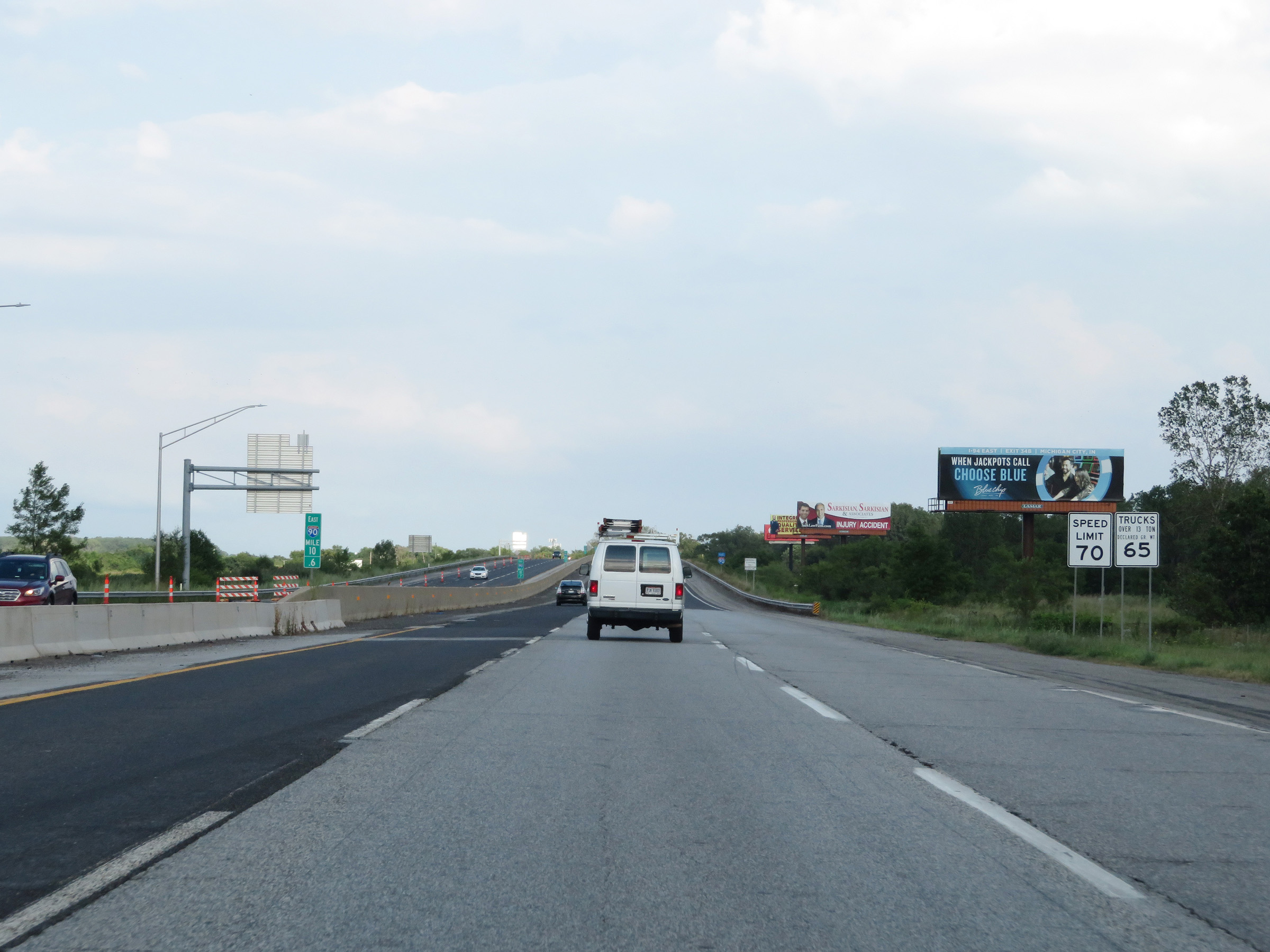 |
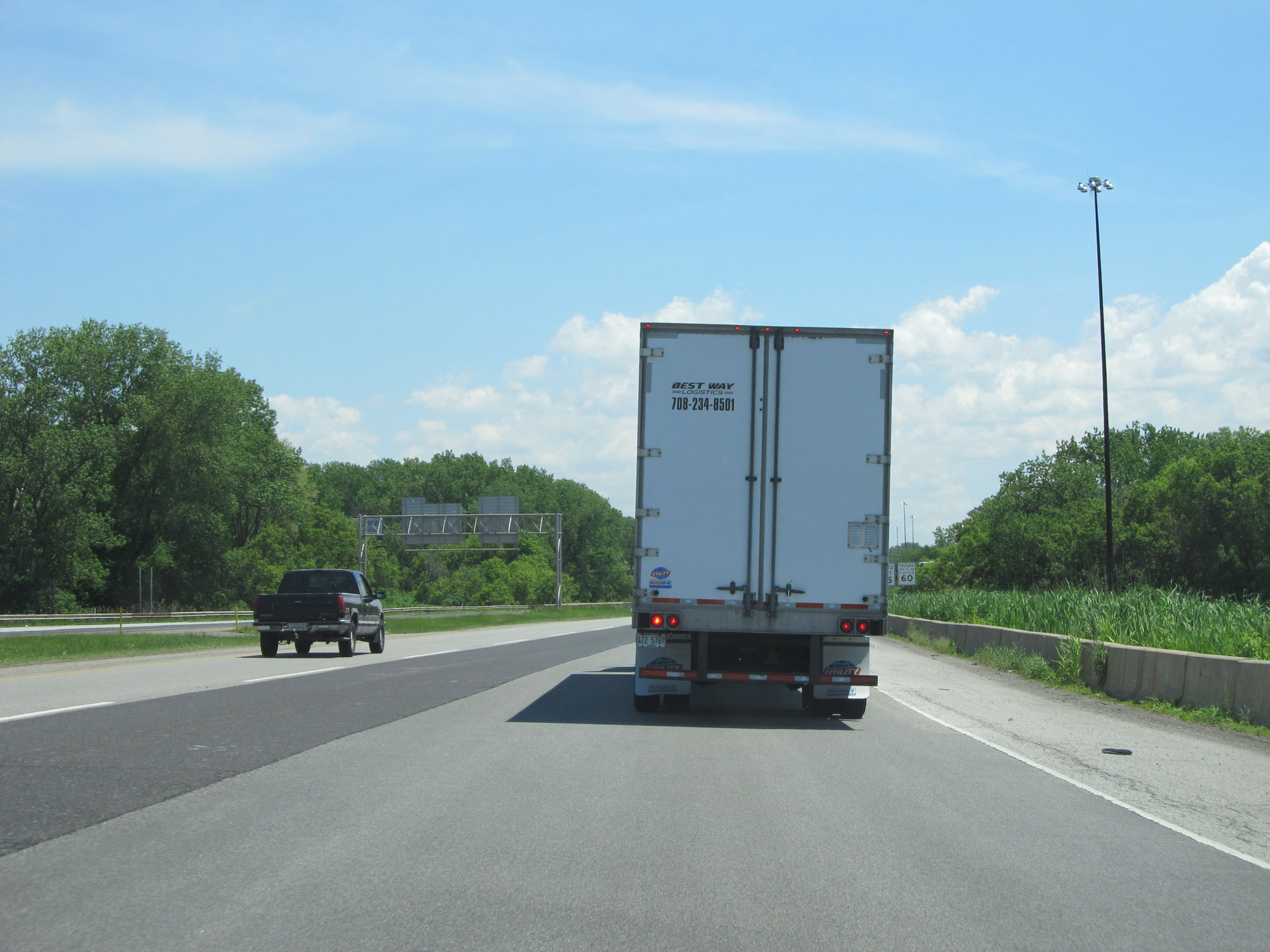
The speed limits remain 70 mph for automobiles and 65 mph for trucks over 13 tons GVW. (Photo taken 8/14/19). |
 |
View on Interstate 90 East (Indiana Toll Road) at mile marker 11. (Photo taken 8/14/19). |
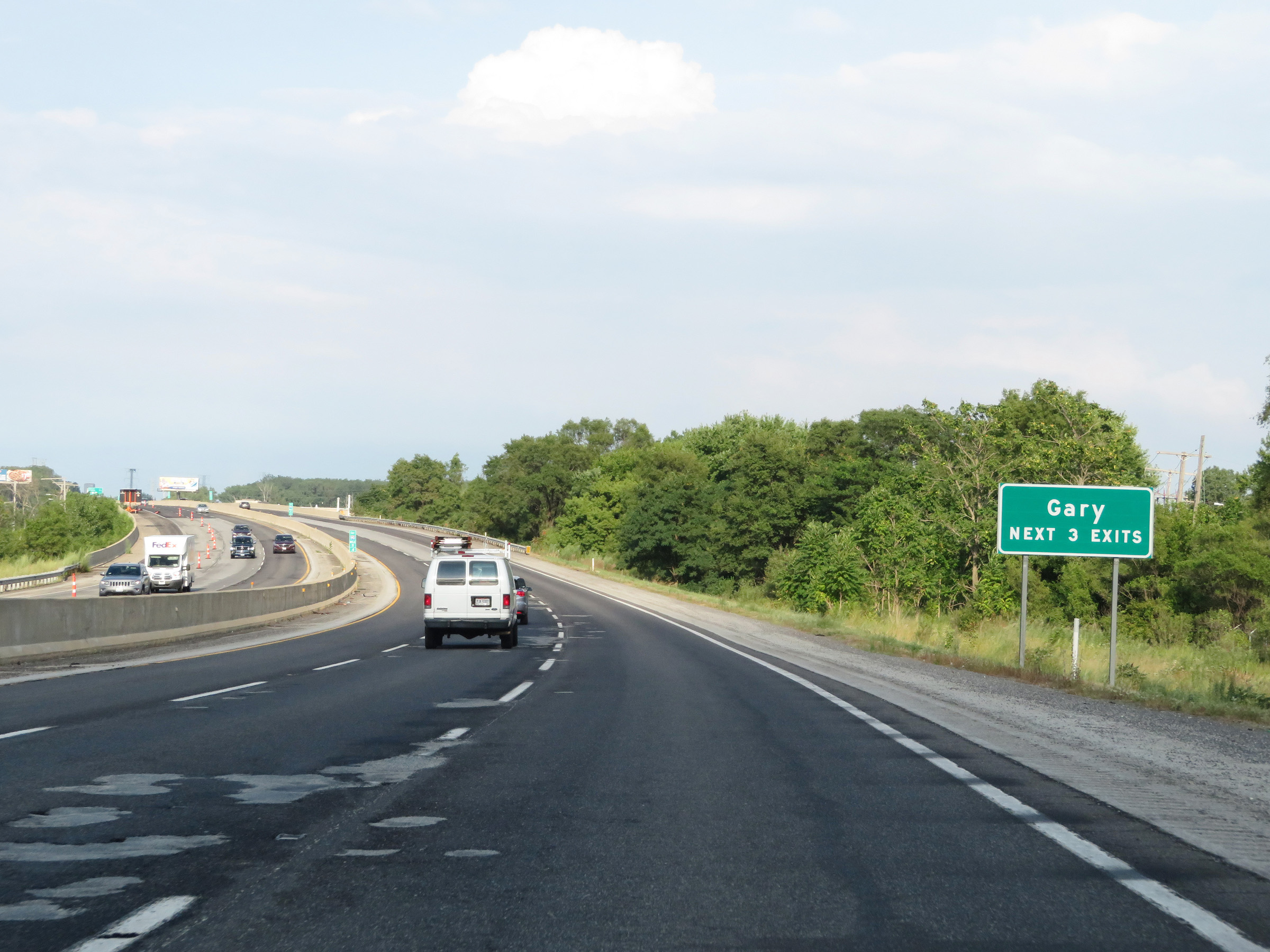 |
Take any of the next 3 exits to Gary. (Photo taken 8/14/19). |
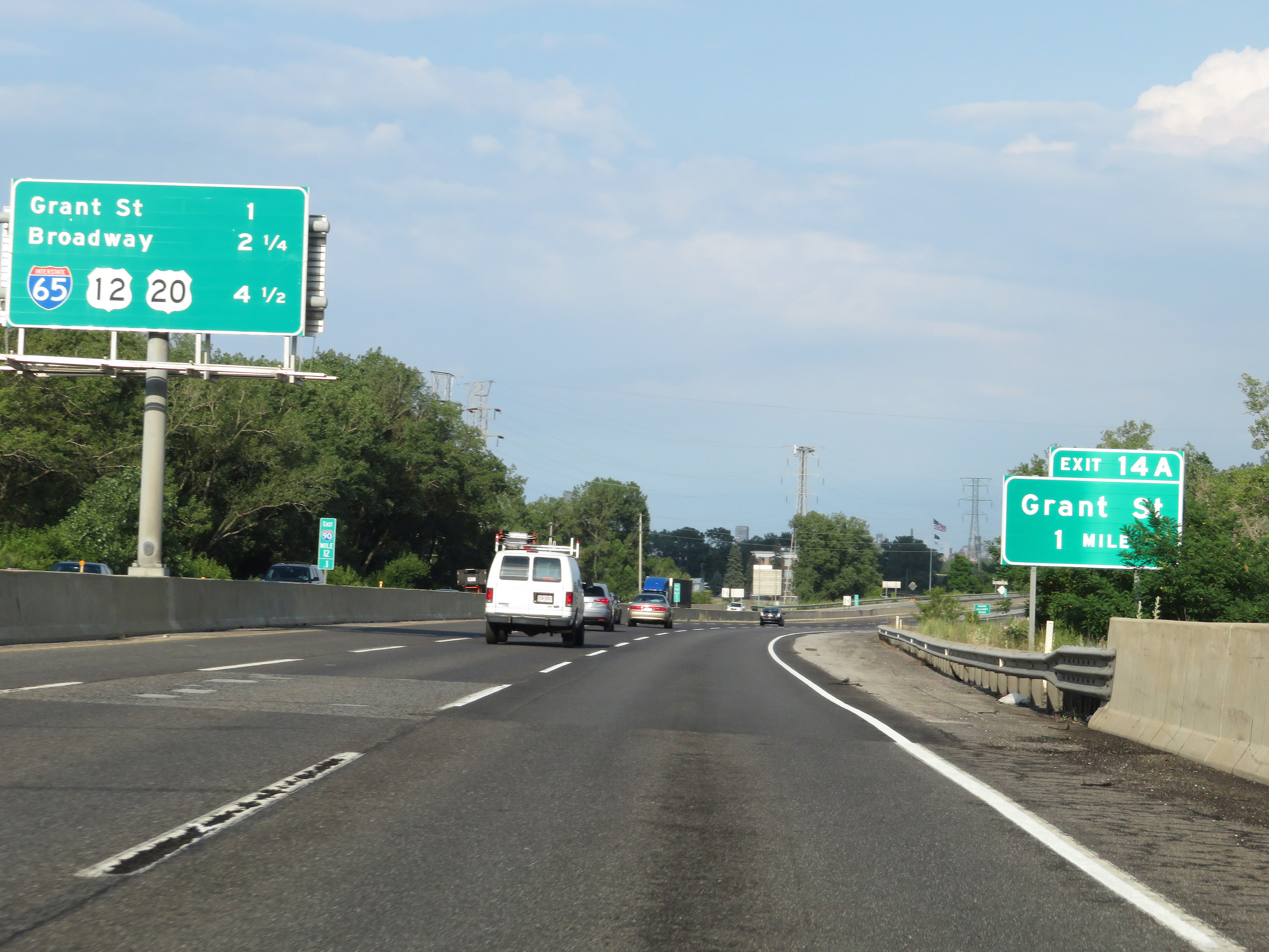 |
Interstate 90 East (Indiana Toll Road) approaching Exit 14A - 1 mile. (Photo taken 8/14/19). |
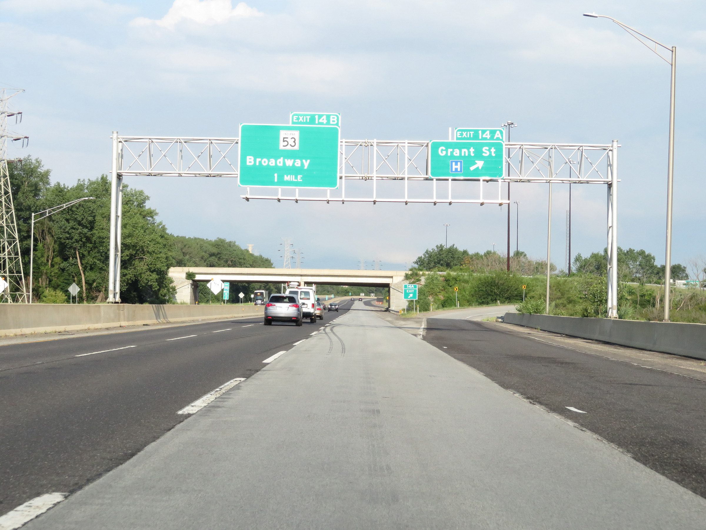 |
Interstate 90 East (Indiana Toll Road) at Exit 14A: Grant St (Photo taken 8/14/19). |
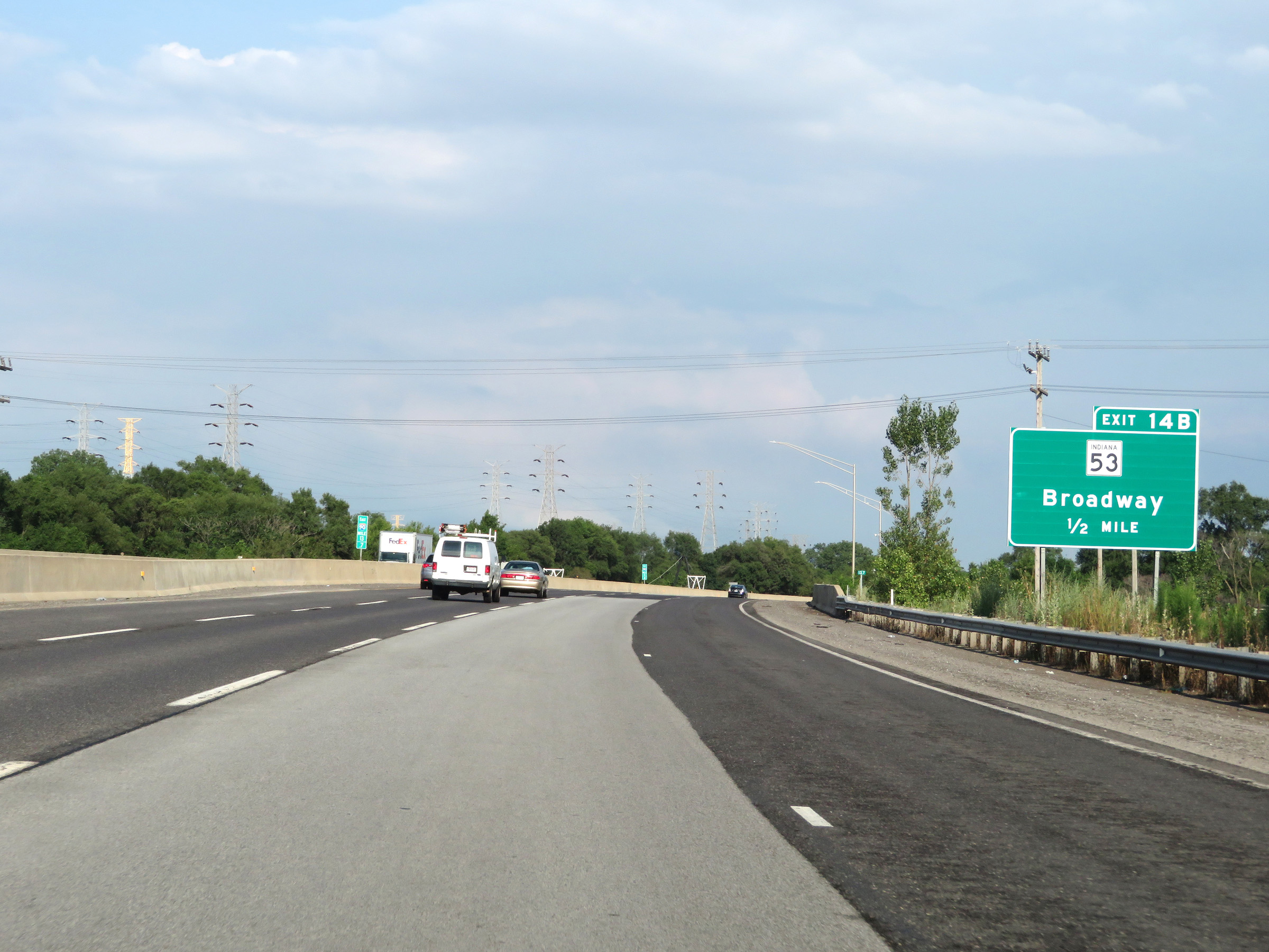 |
Advance signage for Exit 14B - 1/2 mile ahead. (Photo taken 8/14/19). |
 |
Interstate 90 East reassurance shield alongside an Indiana Toll Road reassurance marker. (Photo taken 8/14/19). |
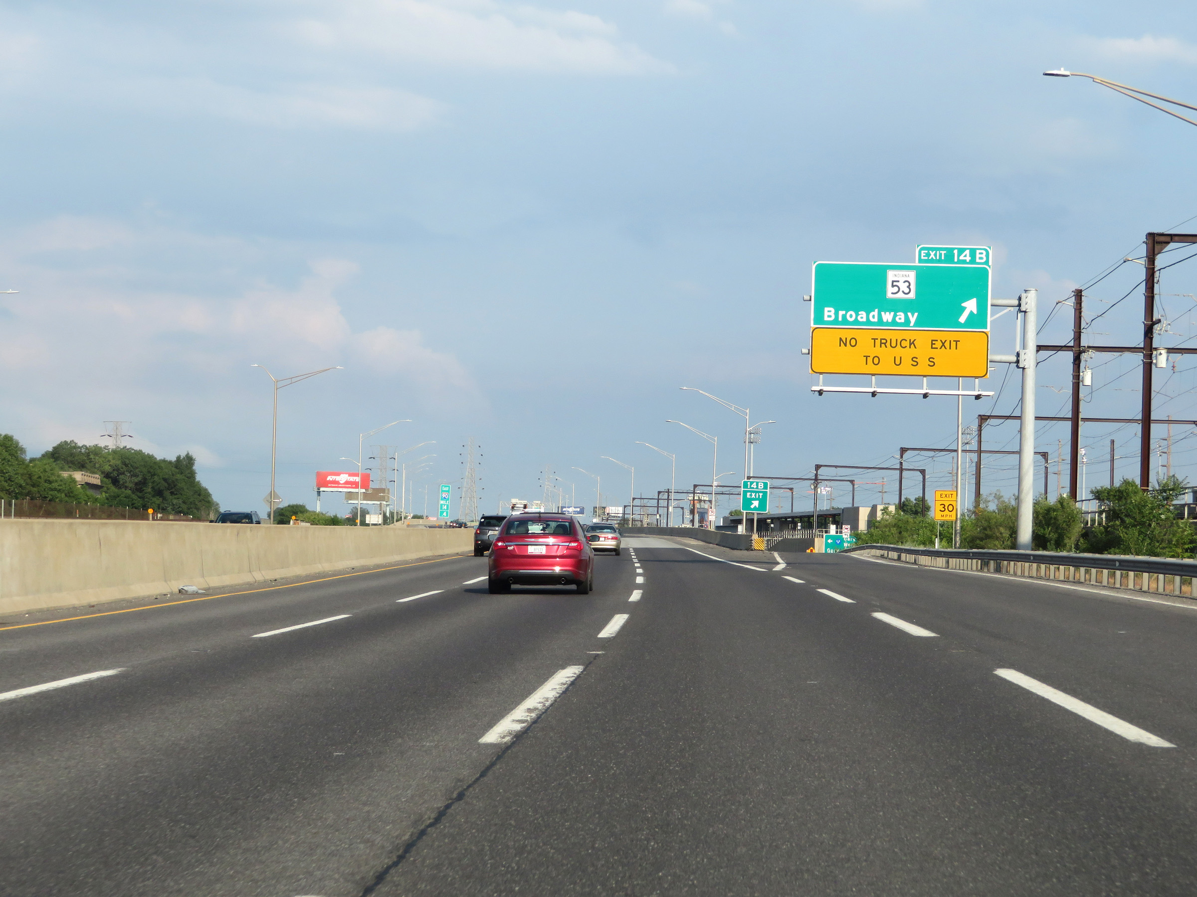 |
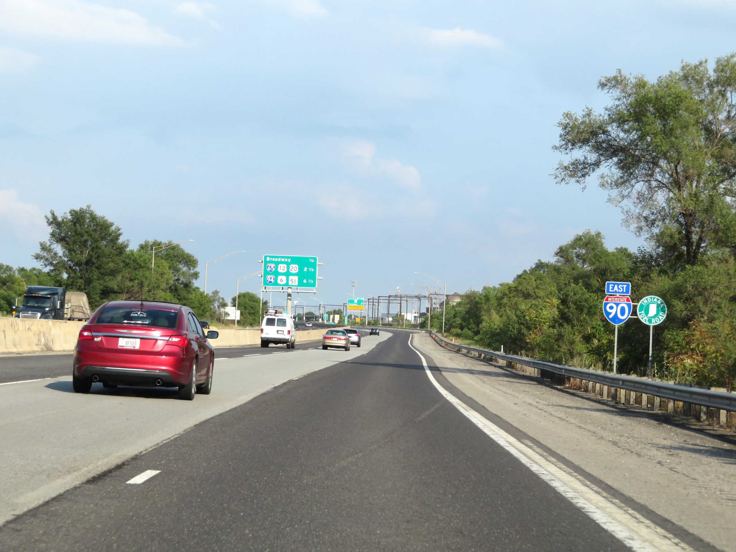
Interstate 90 East (Indiana Toll Road) at Exit 14B: IN 53 - Broadway (Photo taken 8/14/19). |
 |
Interstate 90 East (Indiana Toll Road) approaching Exit 17 - 1 mile. (Photo taken 8/14/19). |
 |
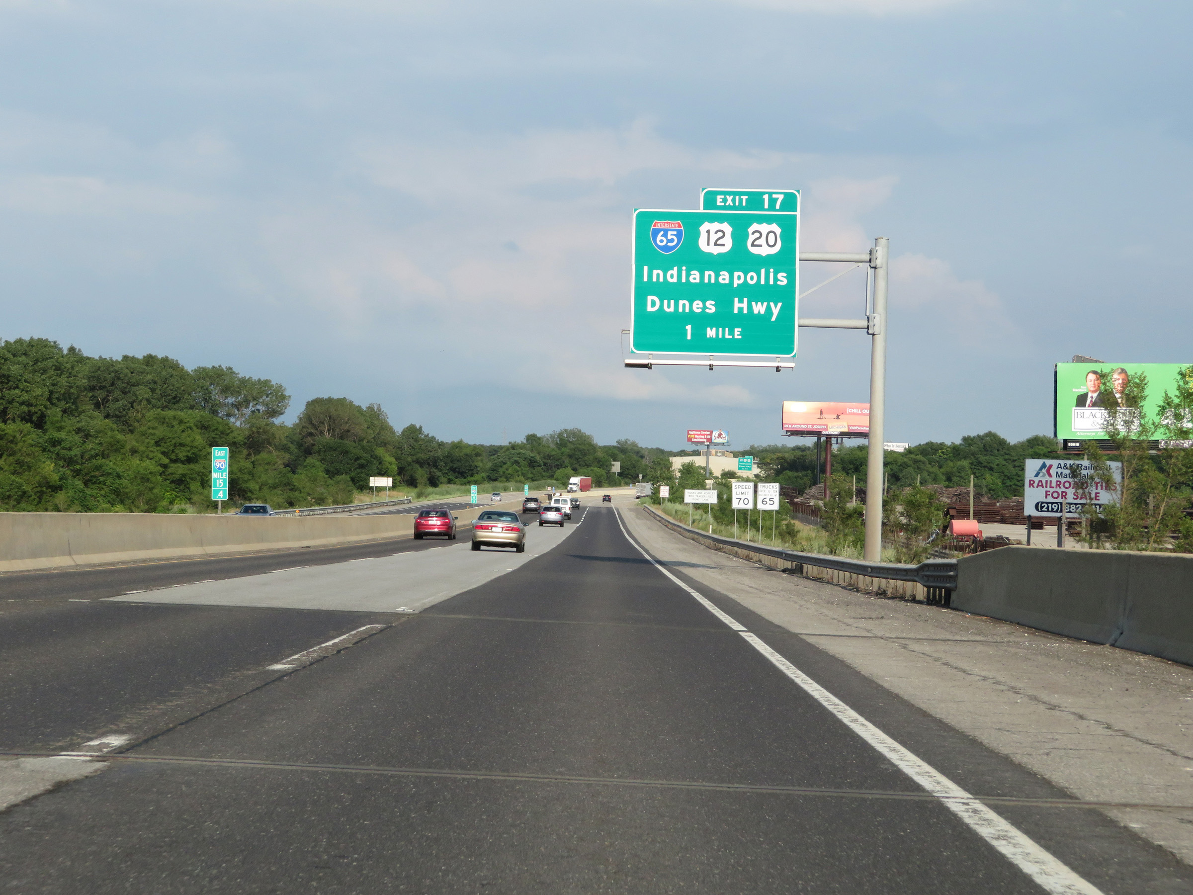
Interstate 90 East (Indiana Toll Road) at Exit 17: Interstate 65 / US 12 / US 20 - Indianapolis / Dunes Hwy (Photo taken 8/14/19). |
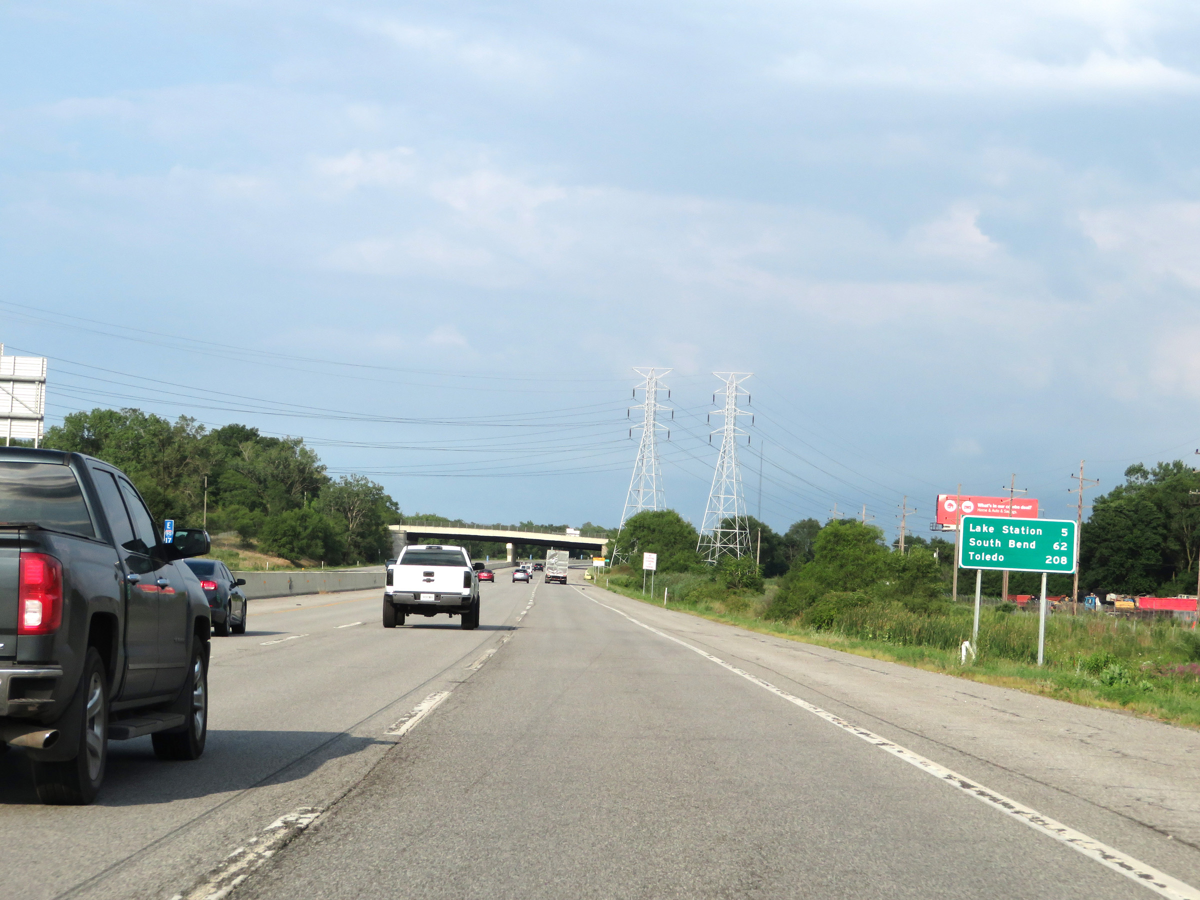 |
Mileage sign on Interstate 90 East (Indiana Toll Road). It's 5 miles to Lake Station, 62 miles to South Bend, and 208 miles to Toledo. (Photo taken 8/14/19). |
 |
View on Interstate 90 East (Indiana Toll Road) at mile marker 18. (Photo taken 8/14/19). |
 |
This overhead mileage sign on the center barrier at mile marker 18.5 shows that the junction of Interstate 80 / Interstate 94 is now just 2 miles ahead. (Photo taken 8/14/19). |
 |
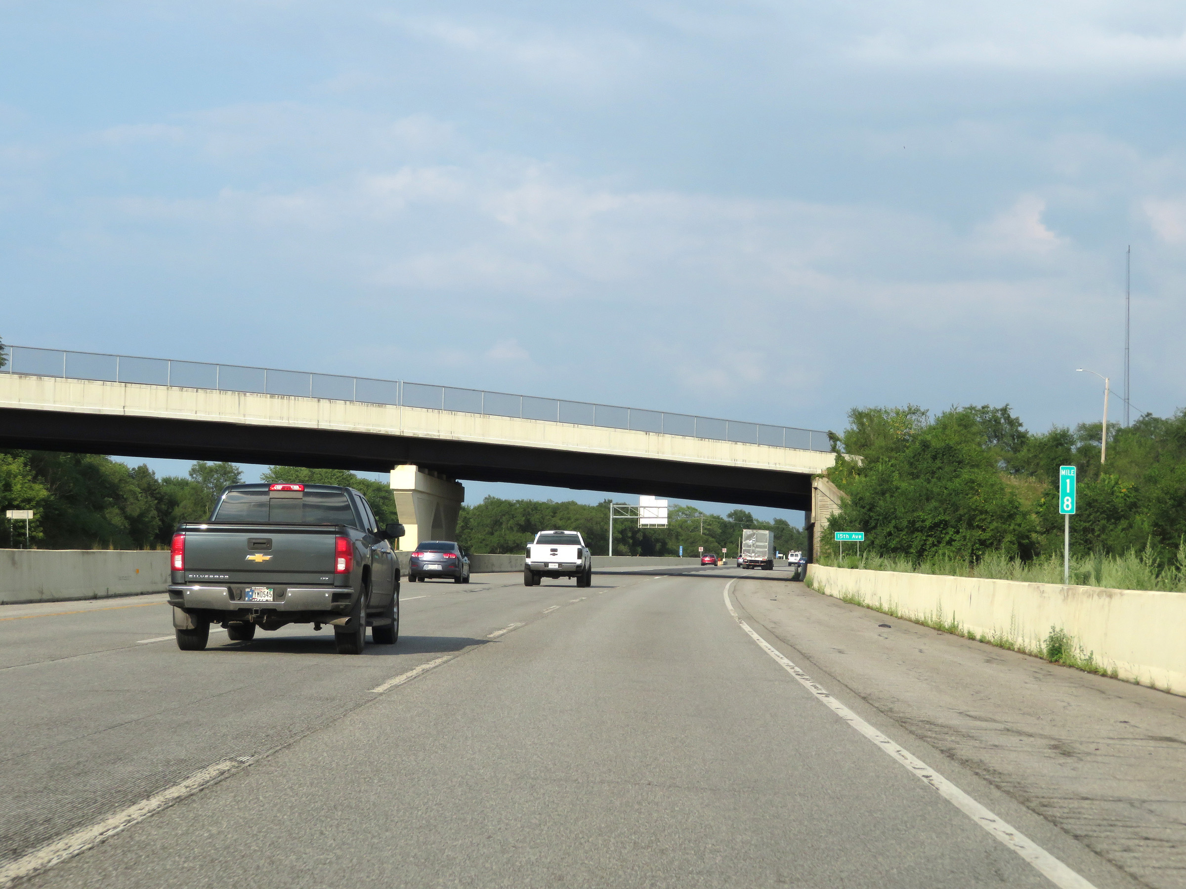
View on Interstate 90 East (Indiana Toll Road) at mile marker 19. (Photo taken 8/14/19). |
 |
Interstate 90 East (Indiana Toll Road) approaching Exit 21 - 1 mile. (Photo taken 8/14/19). |
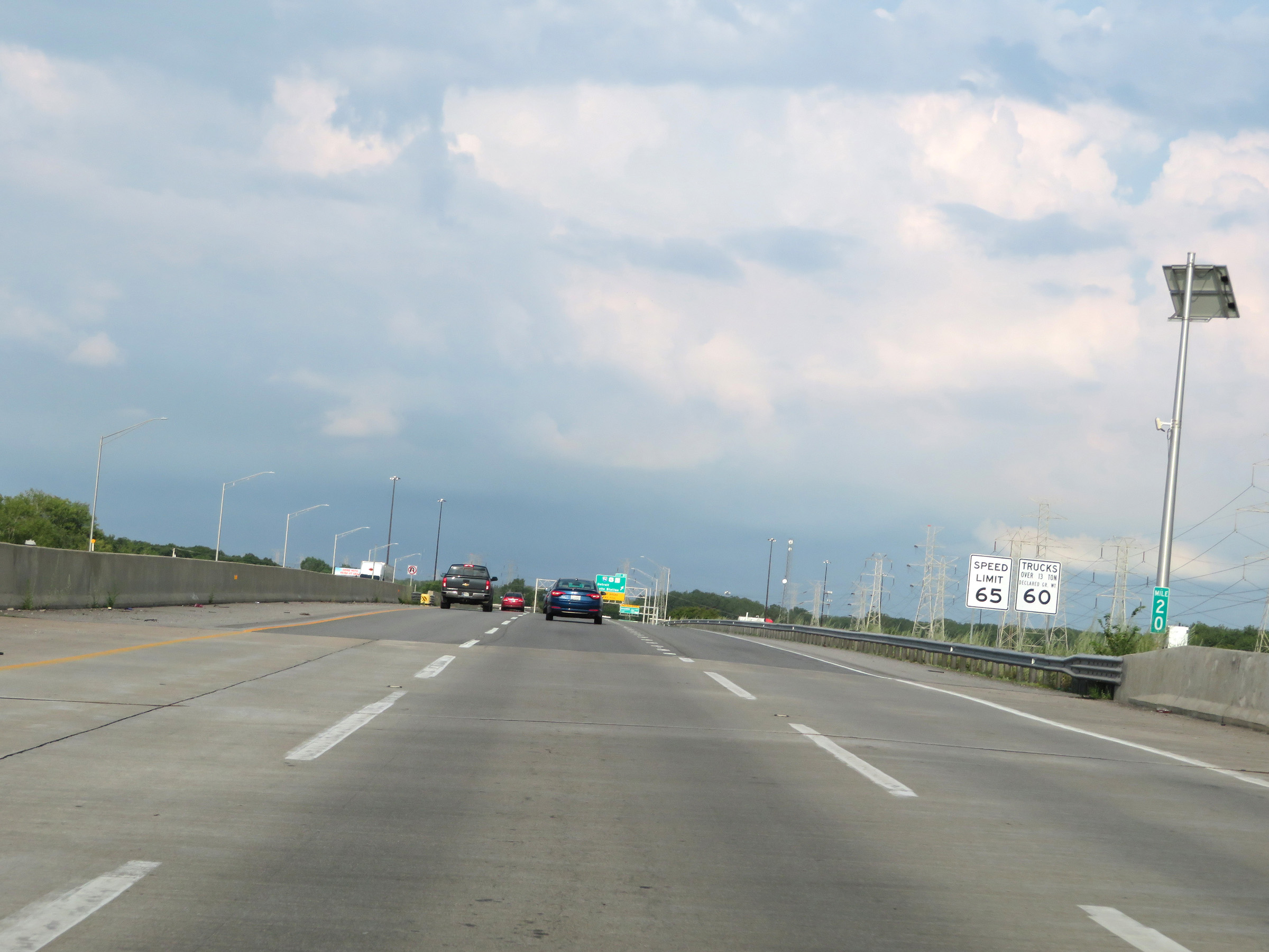 |
At mile marker 20, the speed limits decrease to 65 mph for automobiles and 60 mph for trucks as Interstate 90 East (Indiana Toll Road) approaches the junction of Interstate 80 / Interstate 94. (Photo taken 8/14/19). |
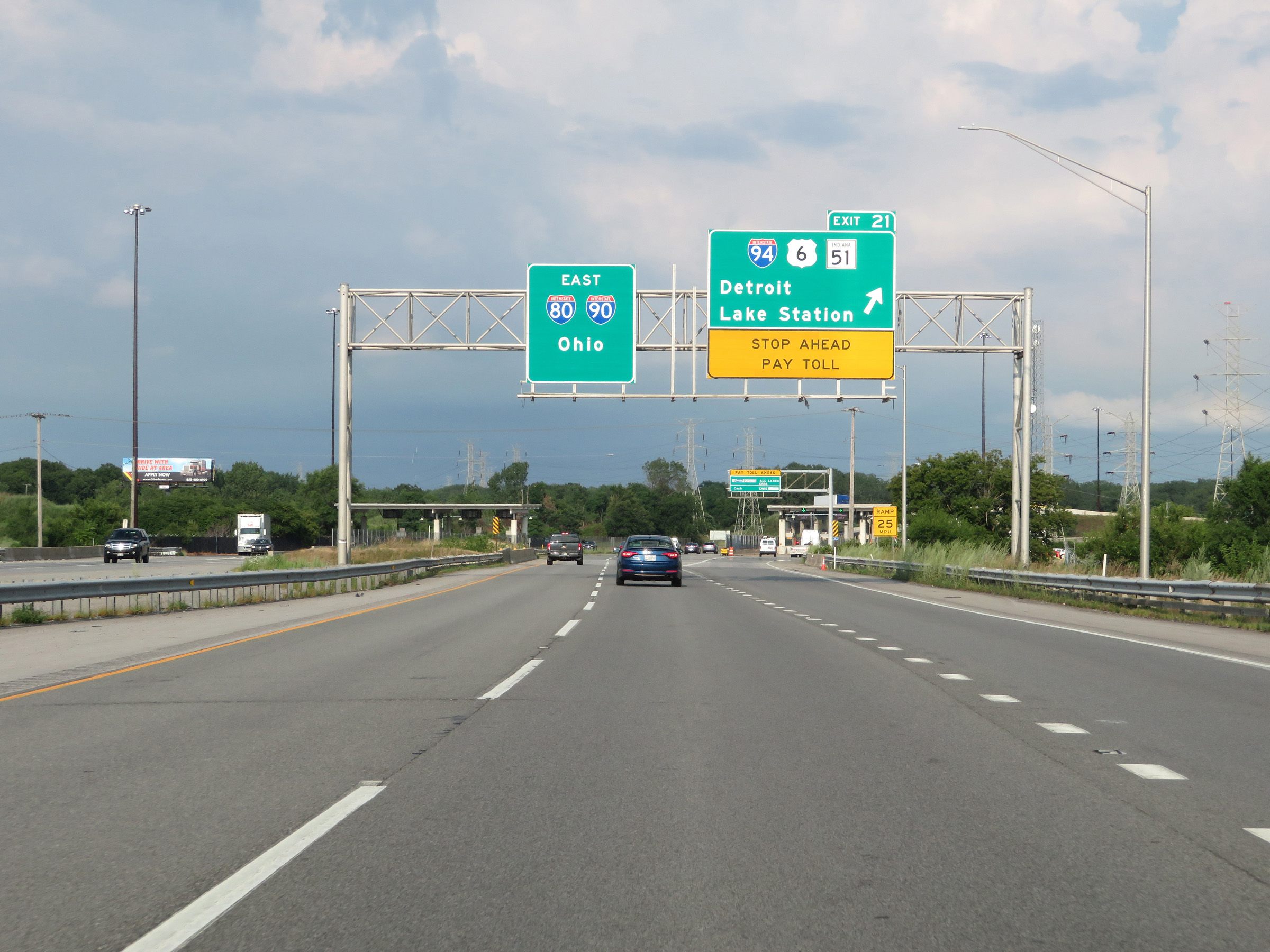 |
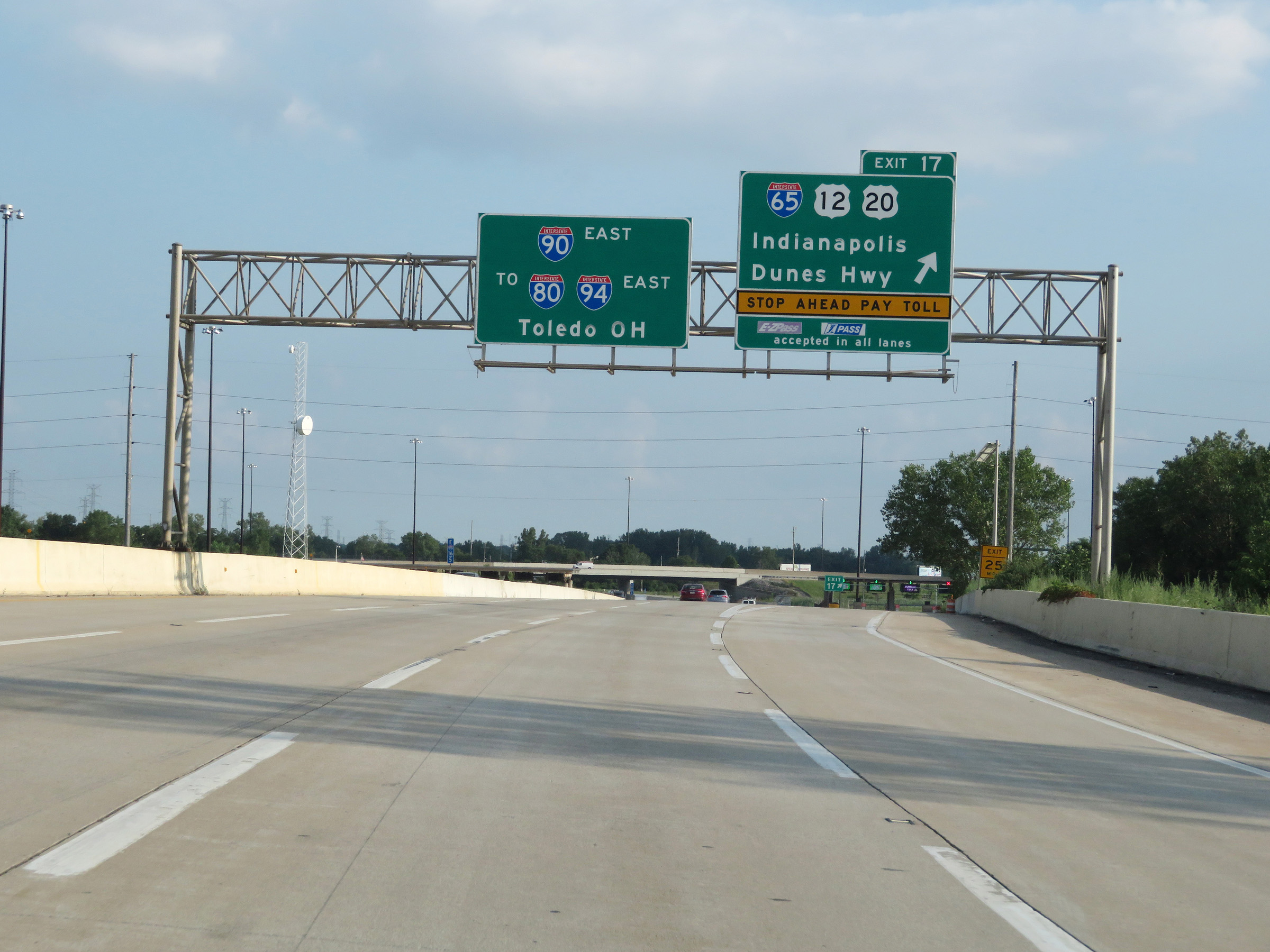
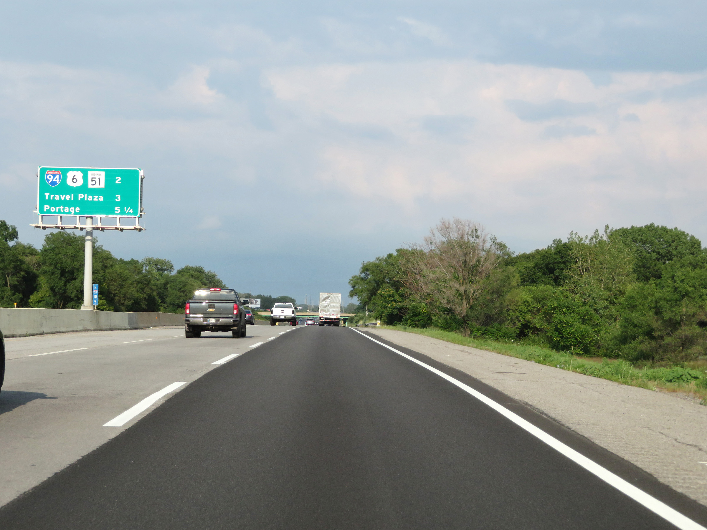
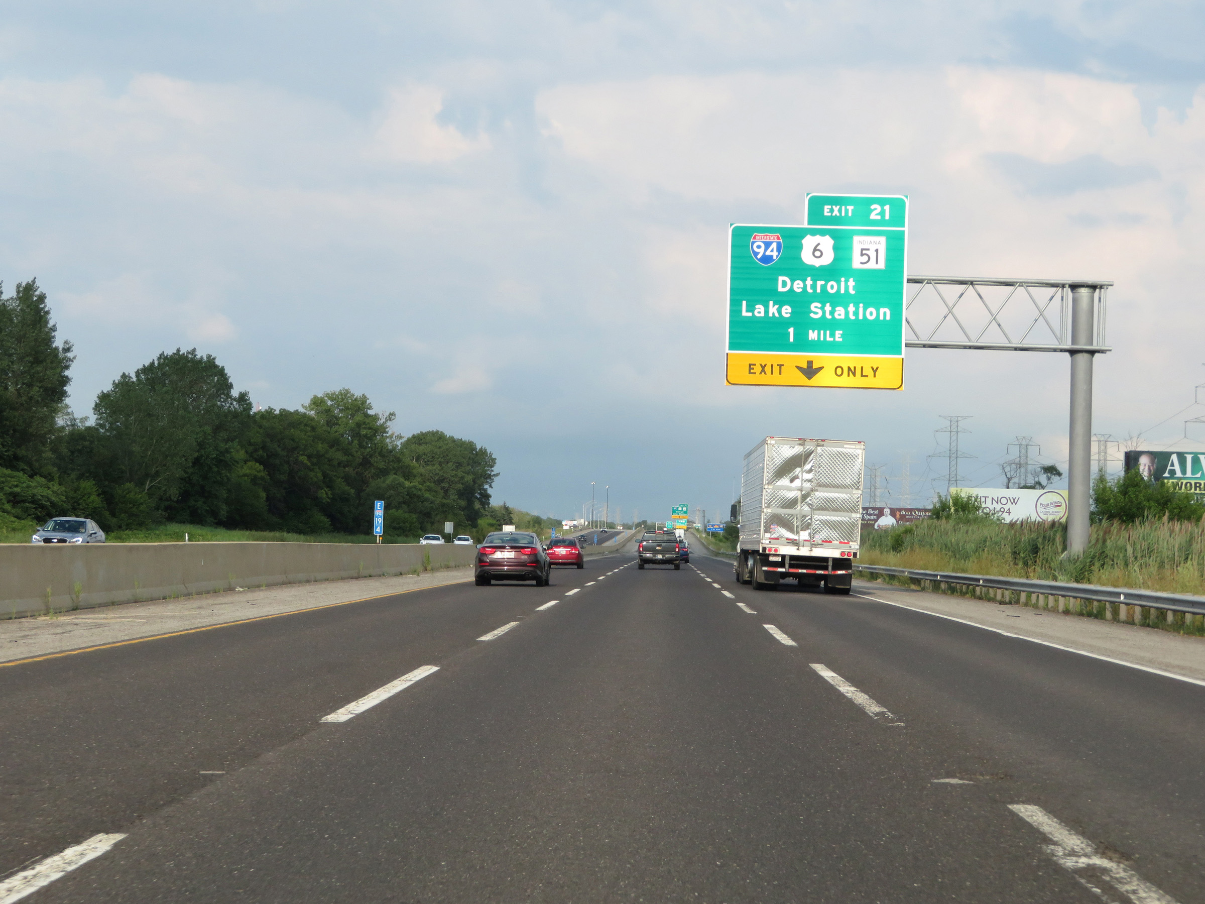
Interstate 90 East (Indiana Toll Road) at Exit 21: Interstate 94 / US 6 / IN 51 - Detroit / Lake Station (Photo taken 8/14/19). |
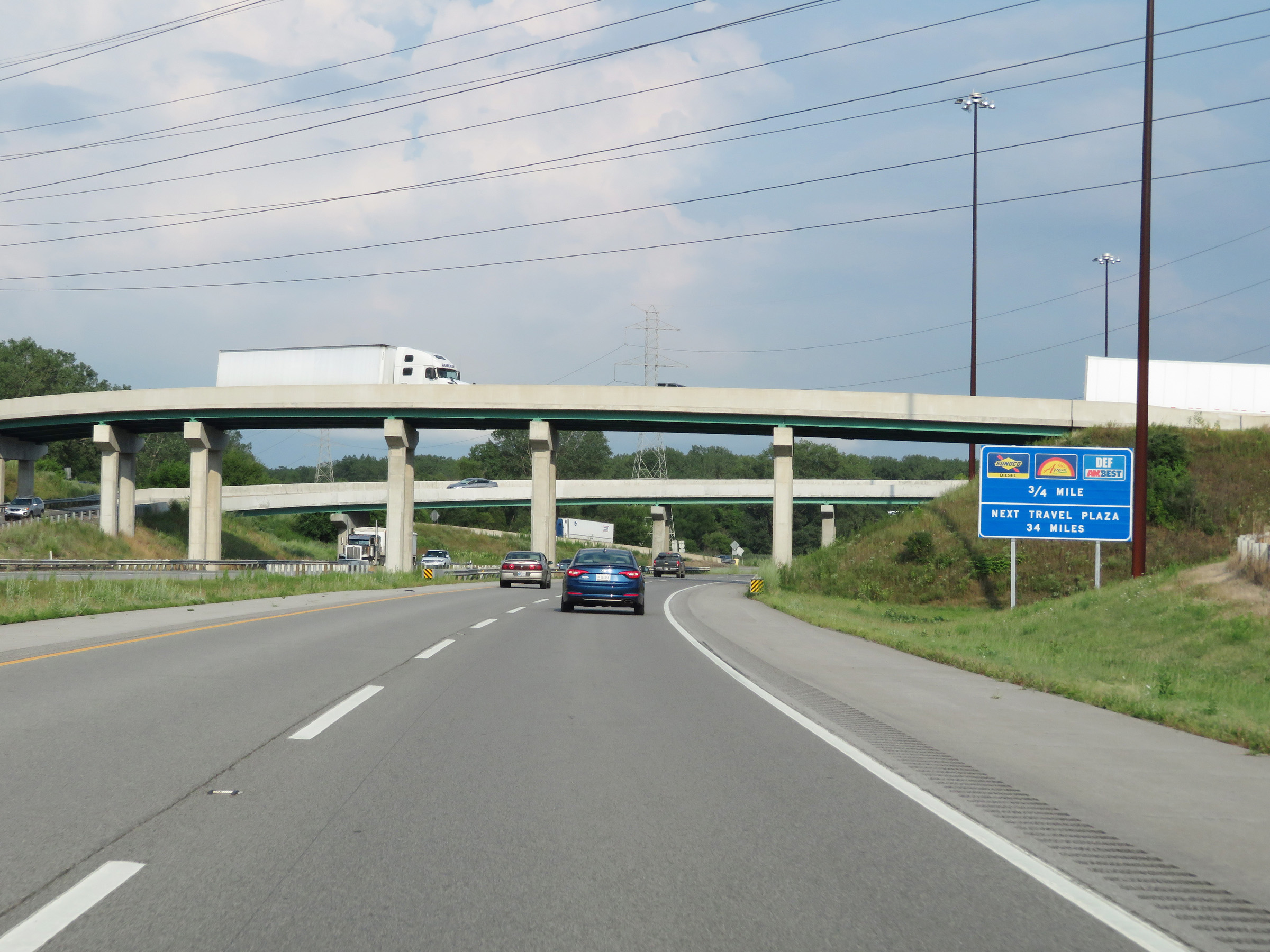 |
View on Interstate 90 East (Indiana Toll Road) as it prepares to pass under the ramps to and from Interstate 80 / Interstate 94. The first service plaza on the Indiana Toll Road heading eastbound is 3/4 mile ahead. (Photo taken 8/14/19). |
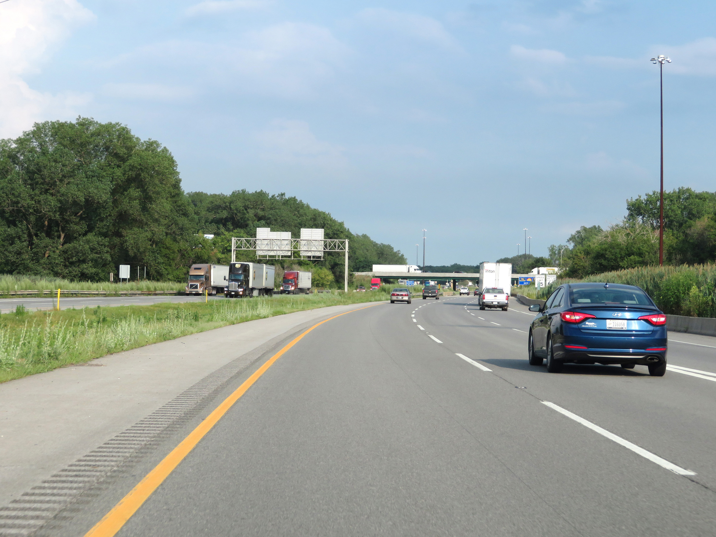 |
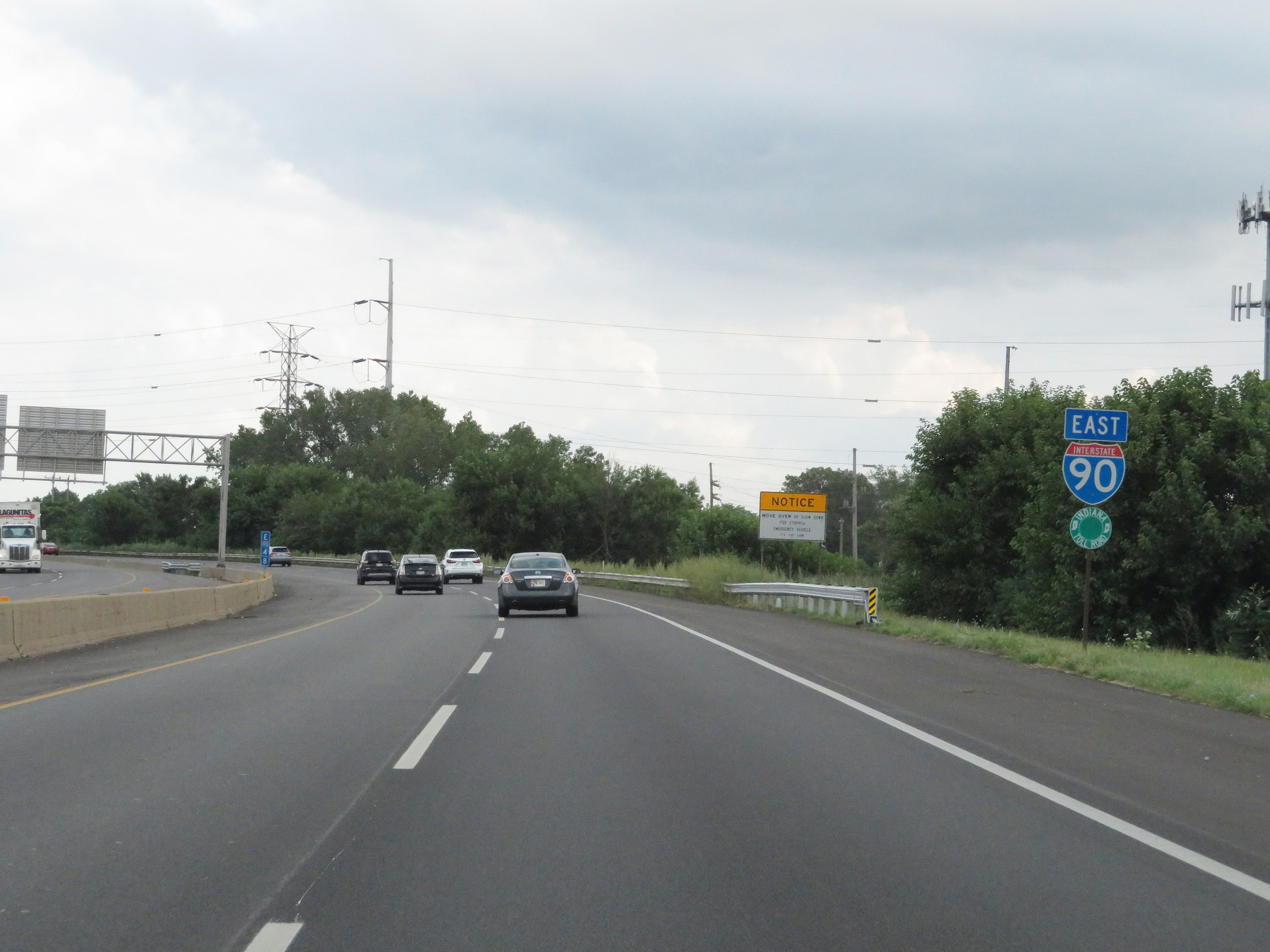
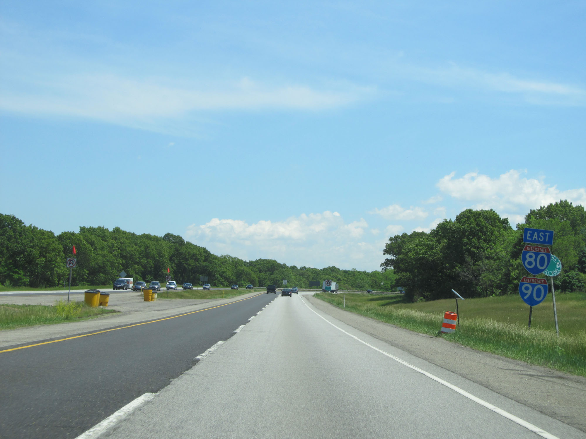
Interstate 90 East (Indiana Toll Road) as traffic from Interstate 80 / Interstate 94 merges into it from the right. I-80 and I-90 in Indiana will run concurrently from this point to the Ohio border (and beyond) as the Indiana Toll Road. (Photo taken 8/14/19). |
Section 2: Interstate 80/Interstate 94 to Elkhart (Exit 92)
 |
Interstate 80 East as it merges into Interstate 90 East (Indiana Toll Road). I-80 and I-90 will run concurrently as the Indiana Toll Road to the Ohio border from here. (Photo taken 5/30/16). |
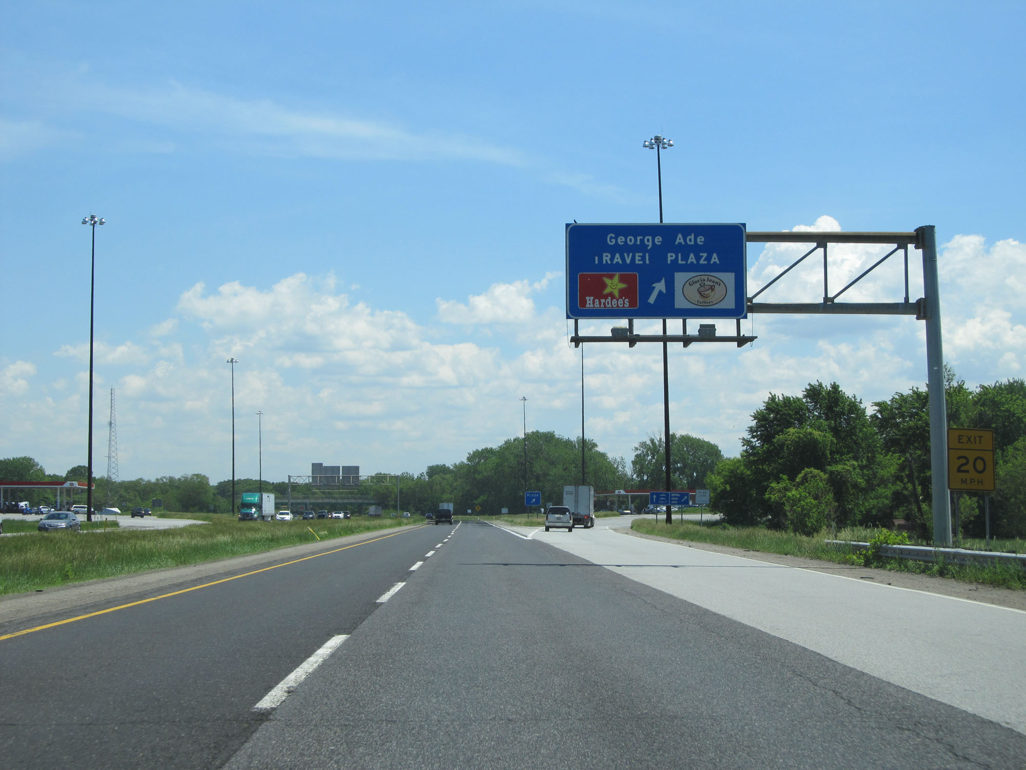 |
Interstate 80 / Interstate 90 East (Indiana Toll Road) at the George Ade Travel Plaza. (Photo taken 5/30/16). |
 |
Dual Interstate 80 / Interstate 90 East reassurance shields. (Photo taken 5/30/16). |
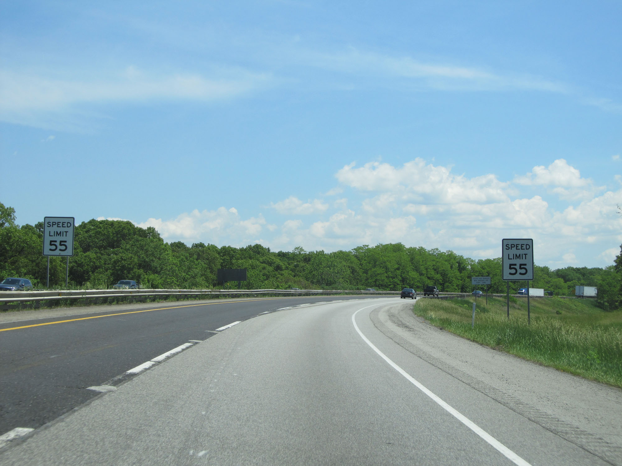 |
The speed limit decreases to 55 mph as Interstate 80 / Interstate 90 East (Indiana Toll Road) approaches the Portage Toll Plaza. (Photo taken 5/30/16). |
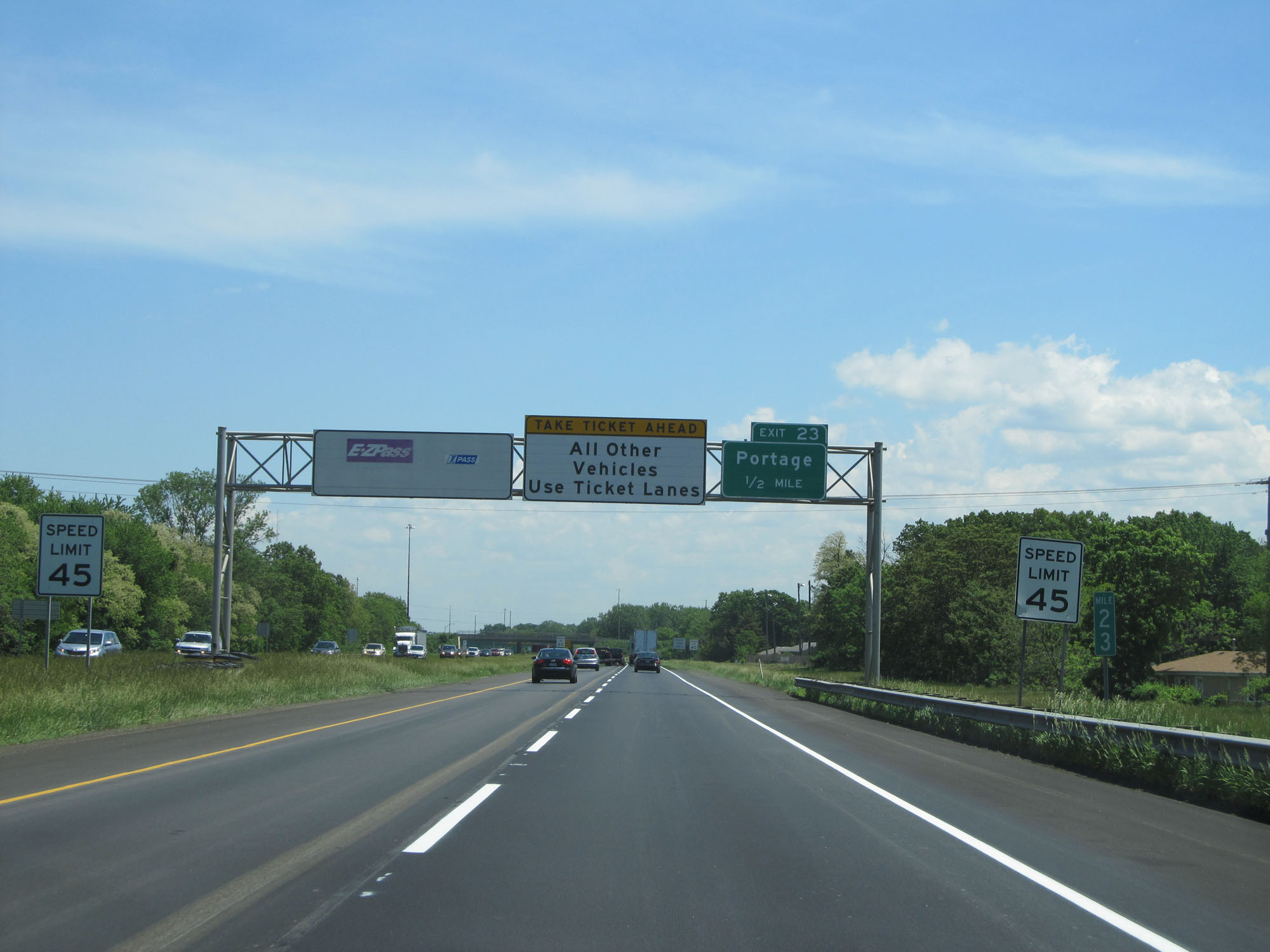 |
At mile marker 23, the speed limit decreases to 45 mph nearing the Portage Toll Plaza. Keep to the right here to remain on Interstate 80 East, which will take you onto Interstate 90 (Indiana Toll Road). (Photo taken 5/30/16). |
 |
The speed limit continues to decrease to 40 mph. (Photo taken 5/30/16). |
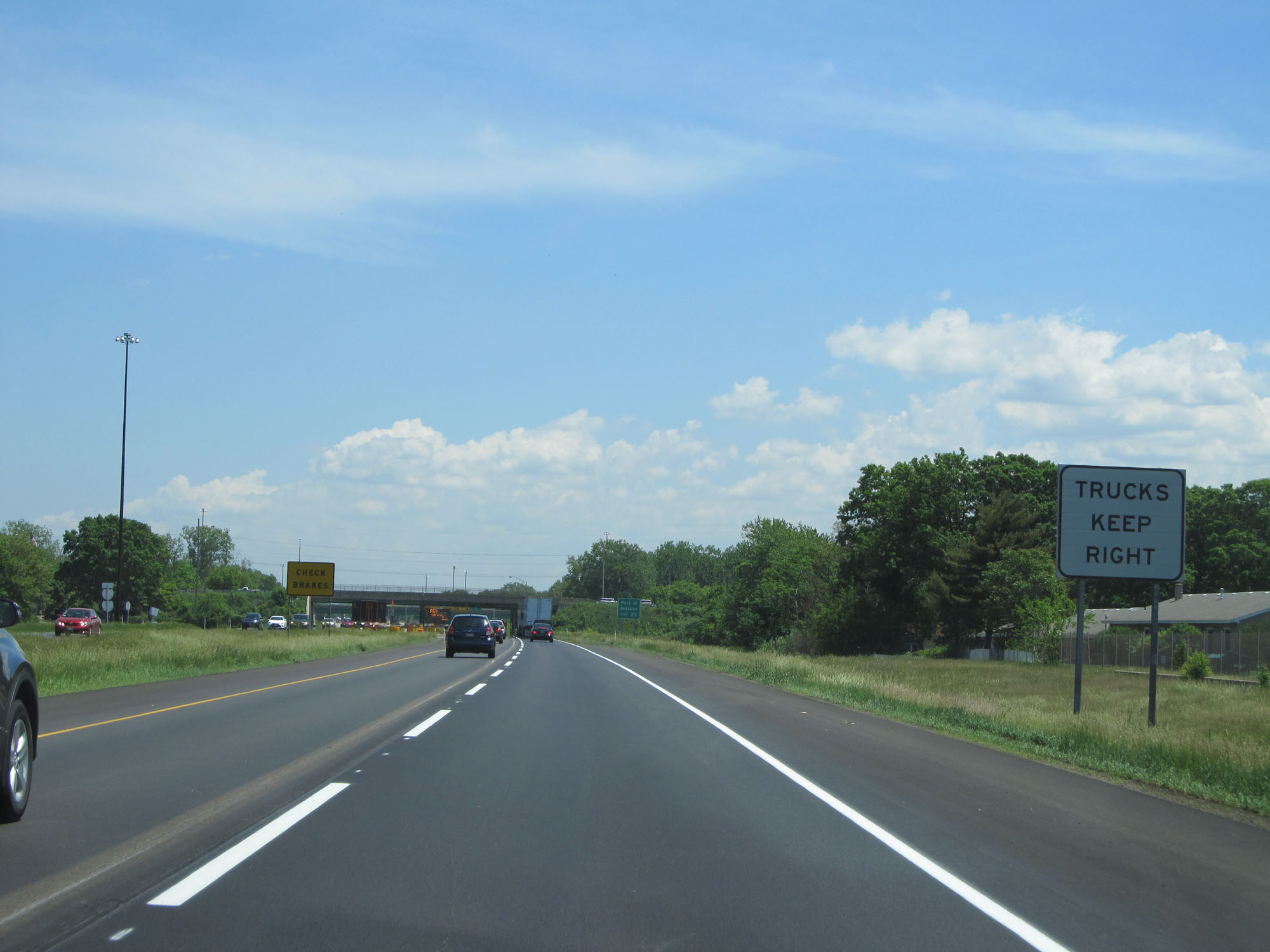 |
Trucks should keep right at the toll plaza ahead. (Photo taken 5/30/16). |
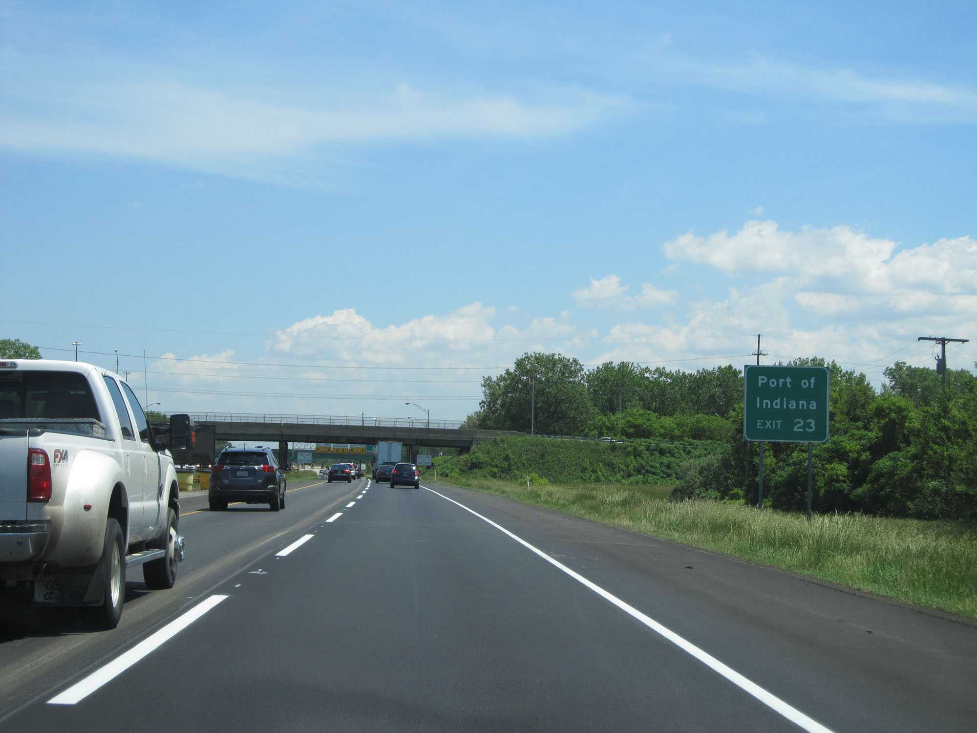 |
Take Exit 23 to Port of Indiana. (Photo taken 5/30/16). |
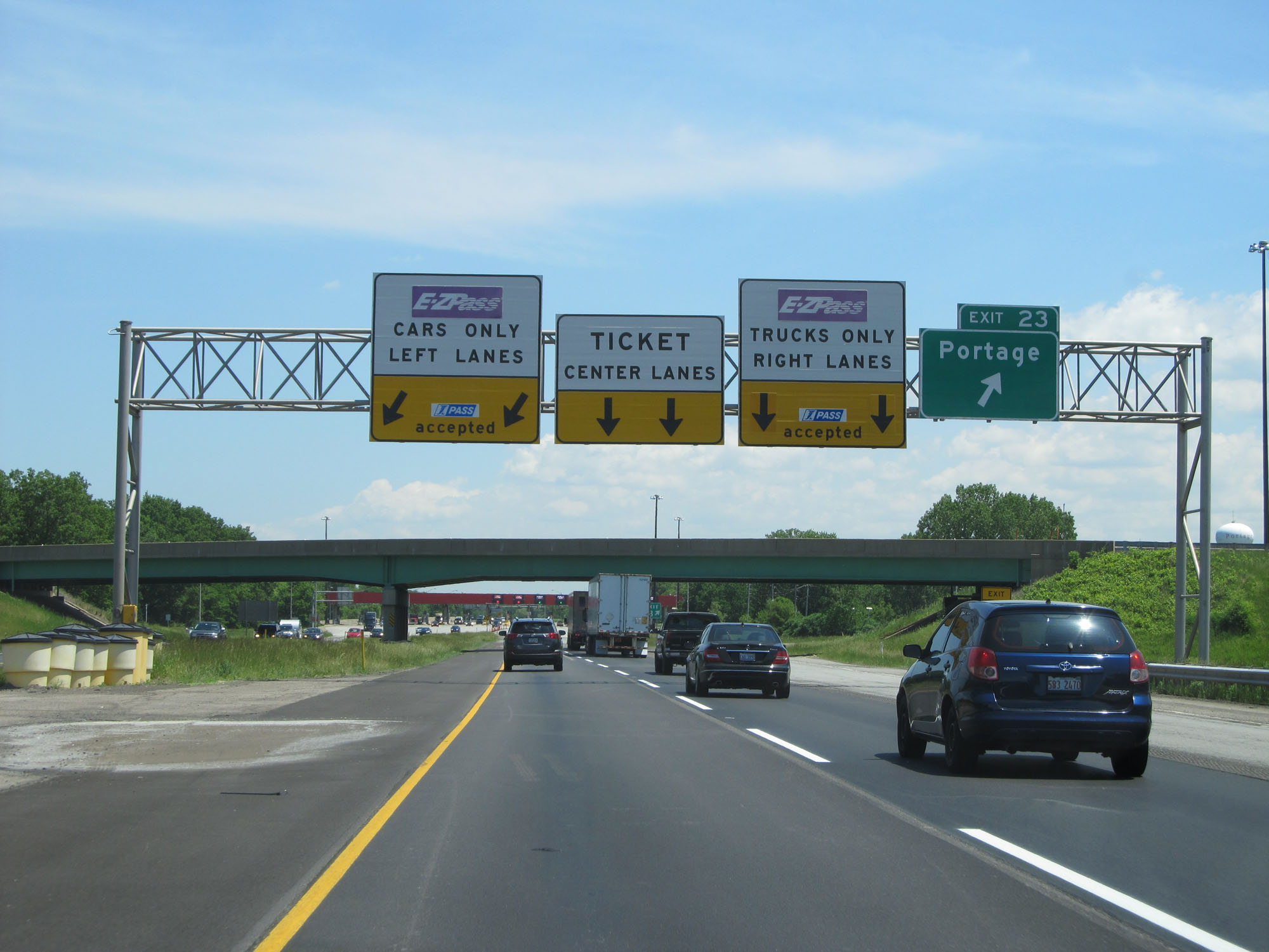 |
Interstate 80 / Interstate 90 East (Indiana Toll Road) at Exit 23: Portage (Photo taken 5/30/16). |
 |
Interstate 80 / Interstate 90 East (Indiana Toll Road) as the Portage Toll Plaza finally comes into view. (Photo taken 5/30/16). |
 |
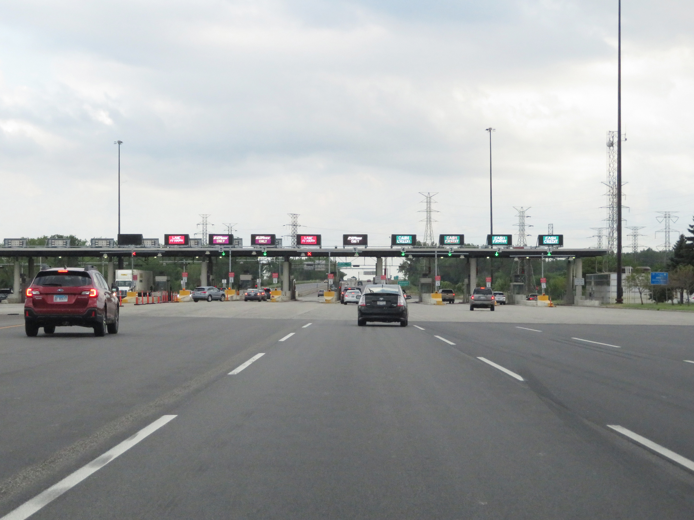
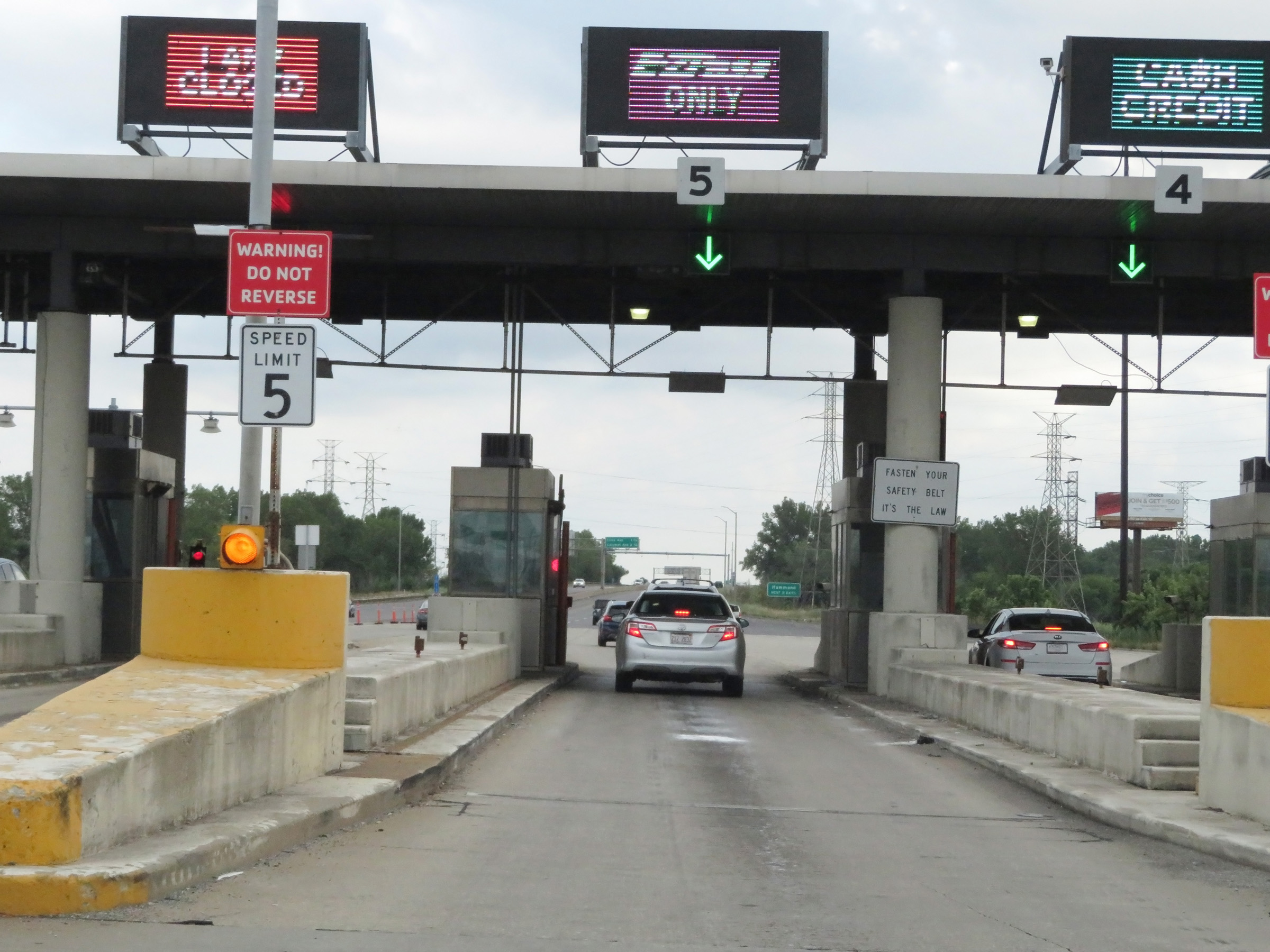
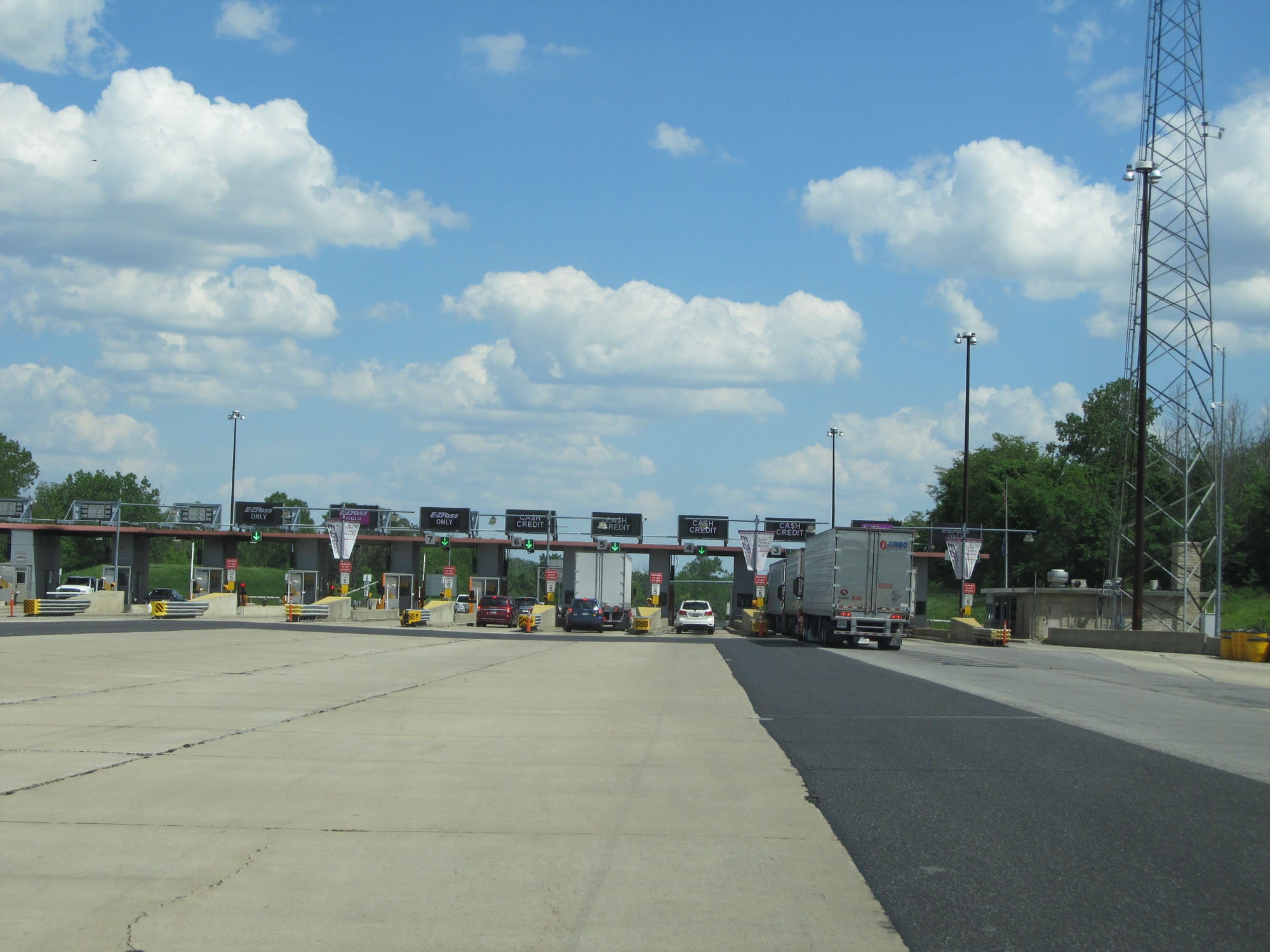
Interstate 80 / Interstate 90 East (Indiana Toll Road) passing through the Portage Toll Plaza. (Photo taken 5/30/16). |
 |
View on Interstate 80 / Interstate 90 East (Indiana Toll Road) leaving the Portage Toll Plaza. (Photo taken 5/30/16). |
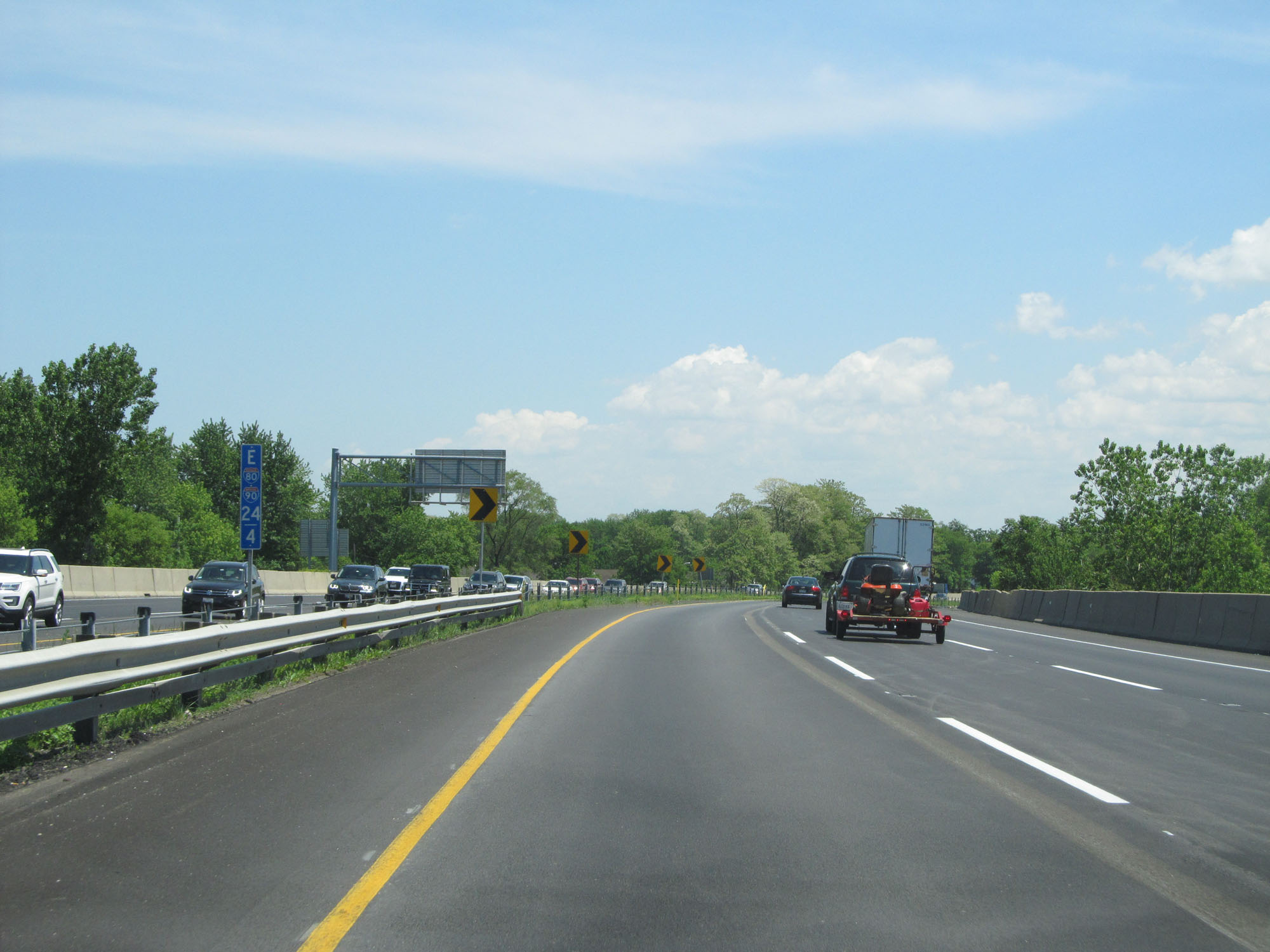 |
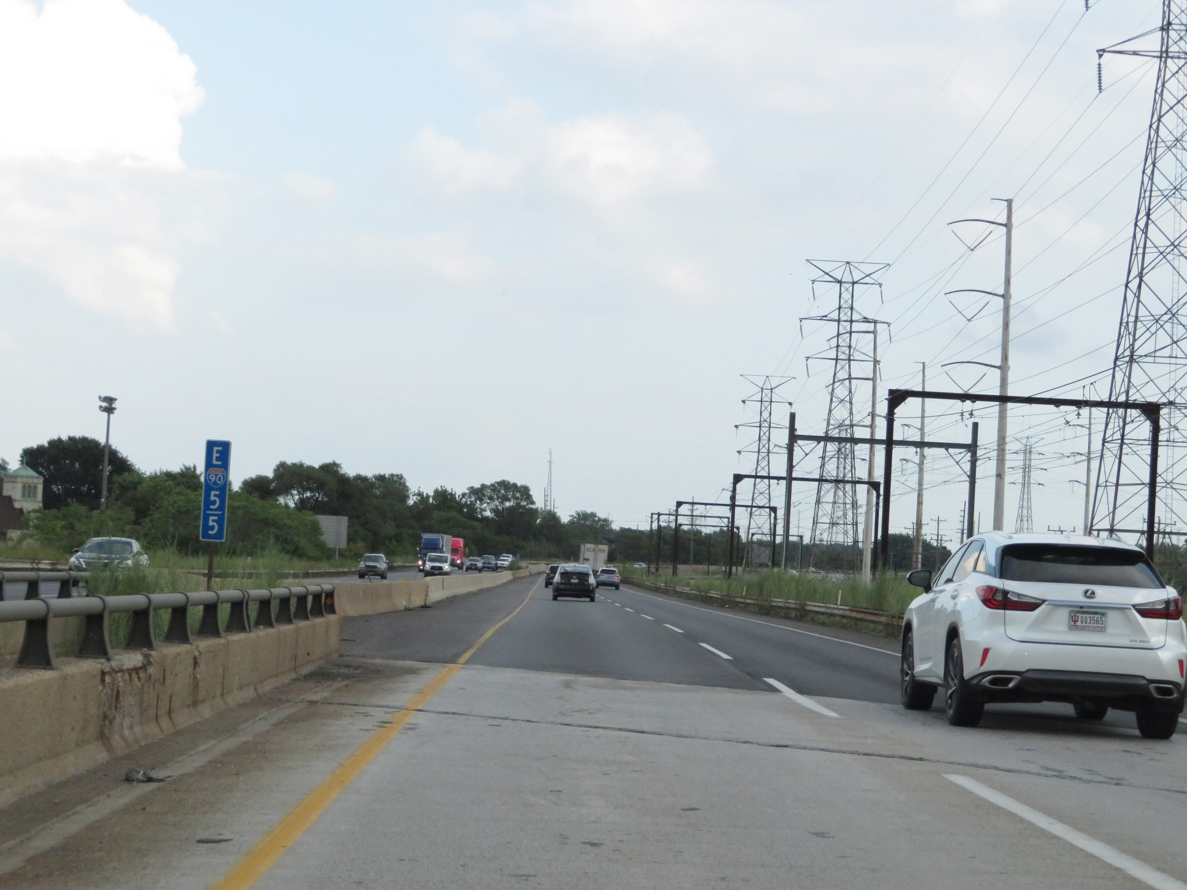
Interstate 80 / Interstate 90 East (Indiana Toll Road) at mile marker 24.2. (Photo taken 5/30/16). |
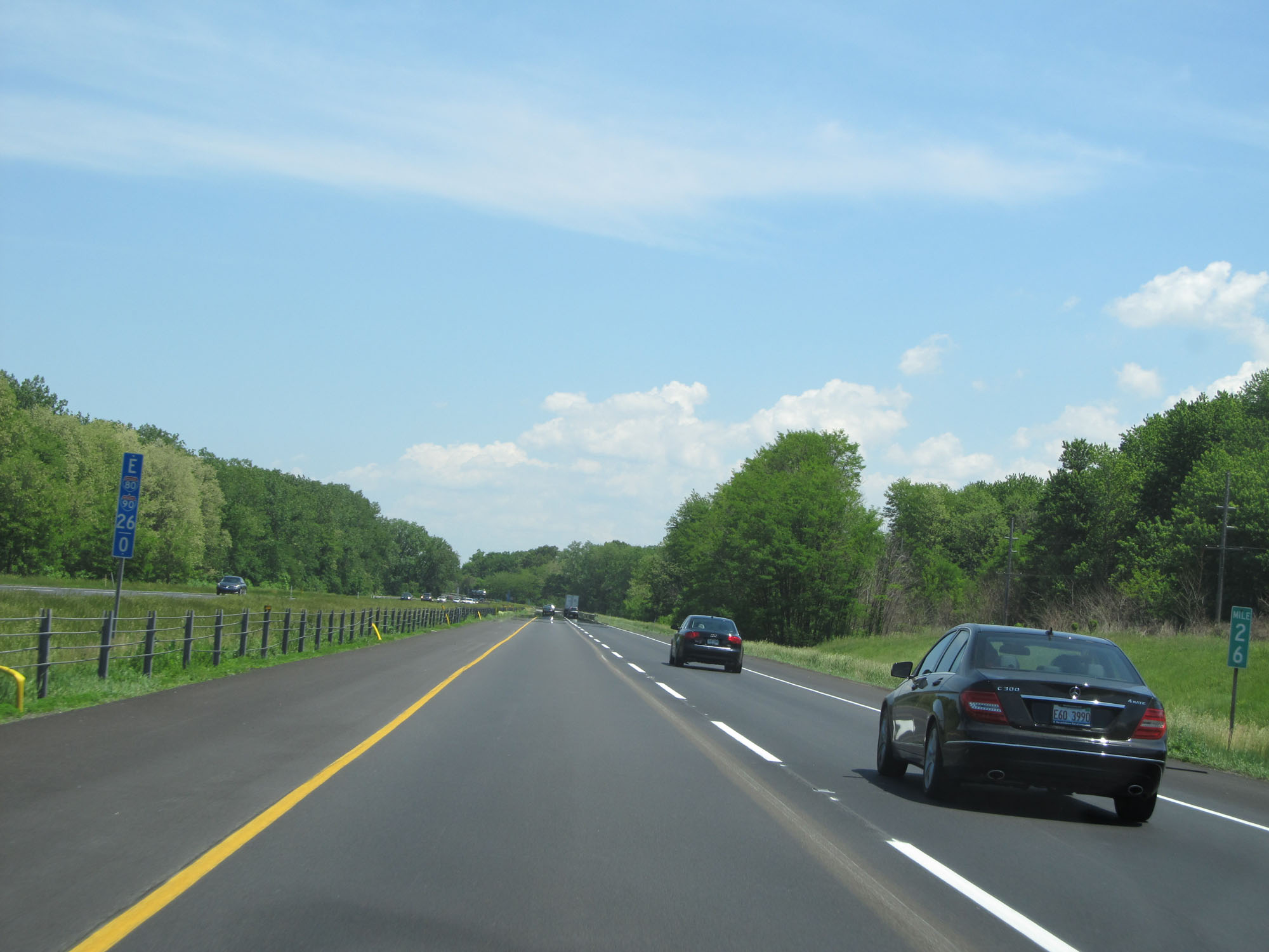 |
Interstate 80 / Interstate 90 East (Indiana Toll Road) at mile marker 26. (Photo taken 5/30/16). |
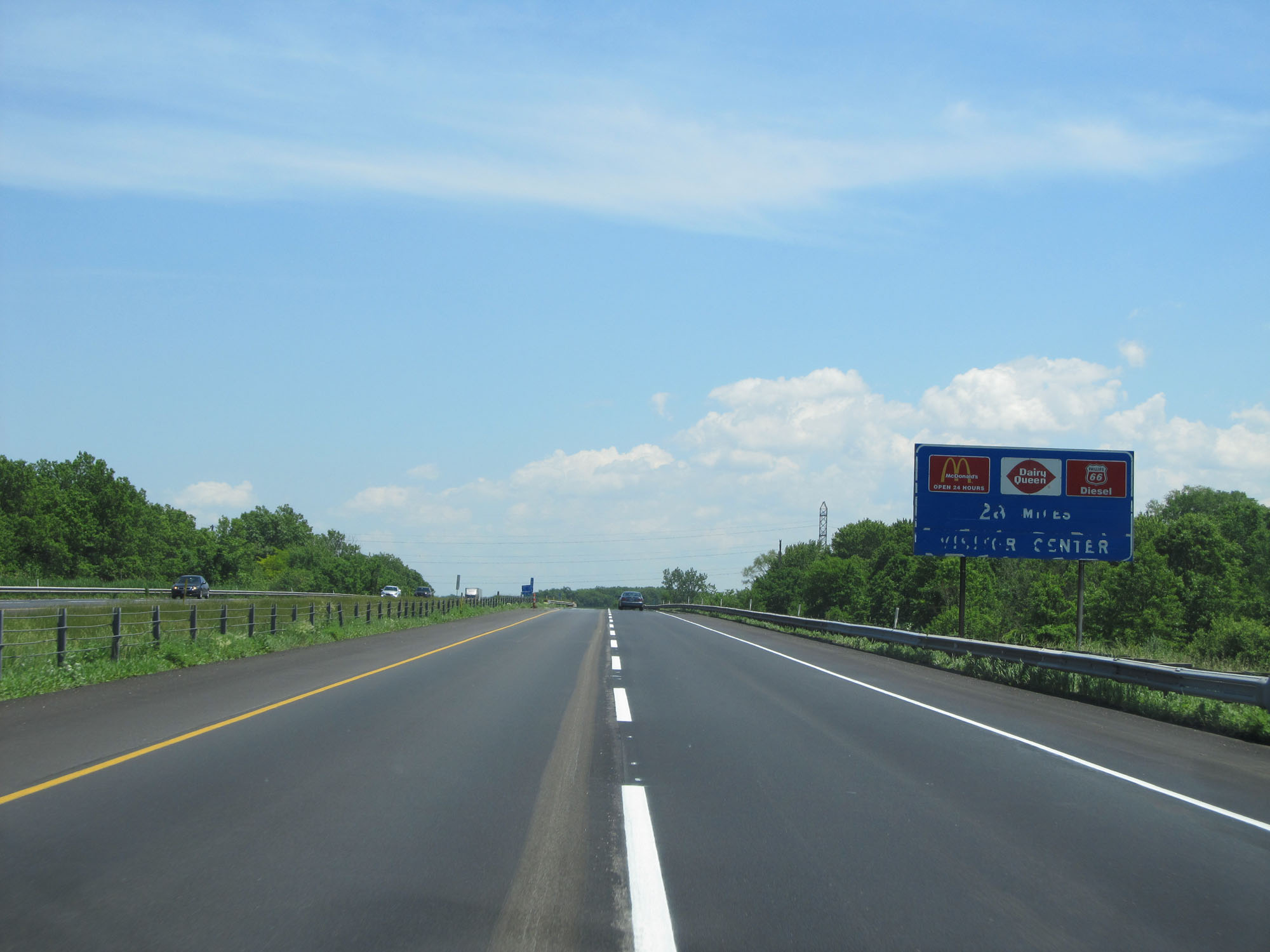 |
The next service plaza is 28 miles ahead. (Photo taken 5/30/16). |
 |
Interstate 80 / Interstate 90 East (Indiana Toll Road) approaching Exit 31 - 1 mile. (Photo taken 5/30/16). |
 |
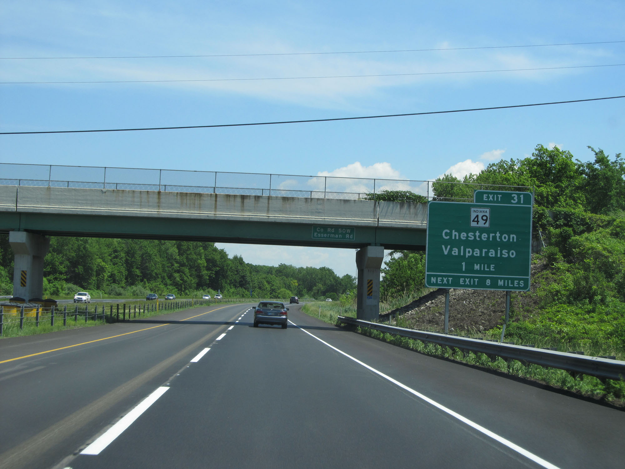
Take Exit 31 to Indiana Dunes National Lakeshore. (Photo taken 5/30/16). |
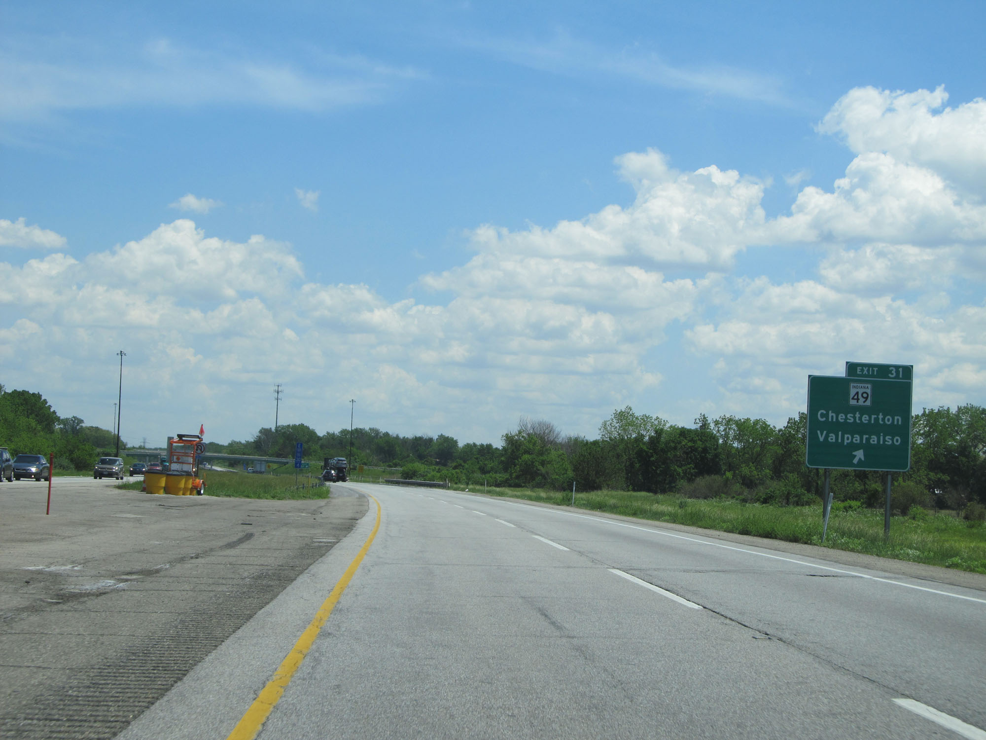 |
Interstate 80 / Interstate 90 East (Indiana Toll Road) at Exit 31: IN 49 - Chesterton / Valparaiso (Photo taken 5/30/16). |
 |
Mileage sign on Interstate 80 / Interstate 90 East (Indiana Toll Road). It's 17 miles to Michigan City, 48 miles to South Bend, and 184 miles to Toledo. (Photo taken 5/30/16). |
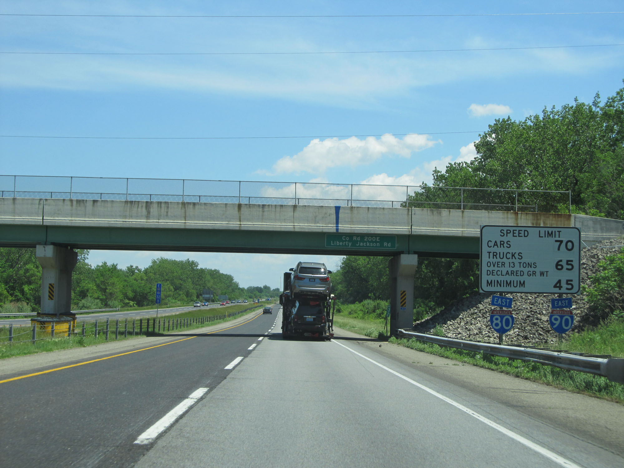 |
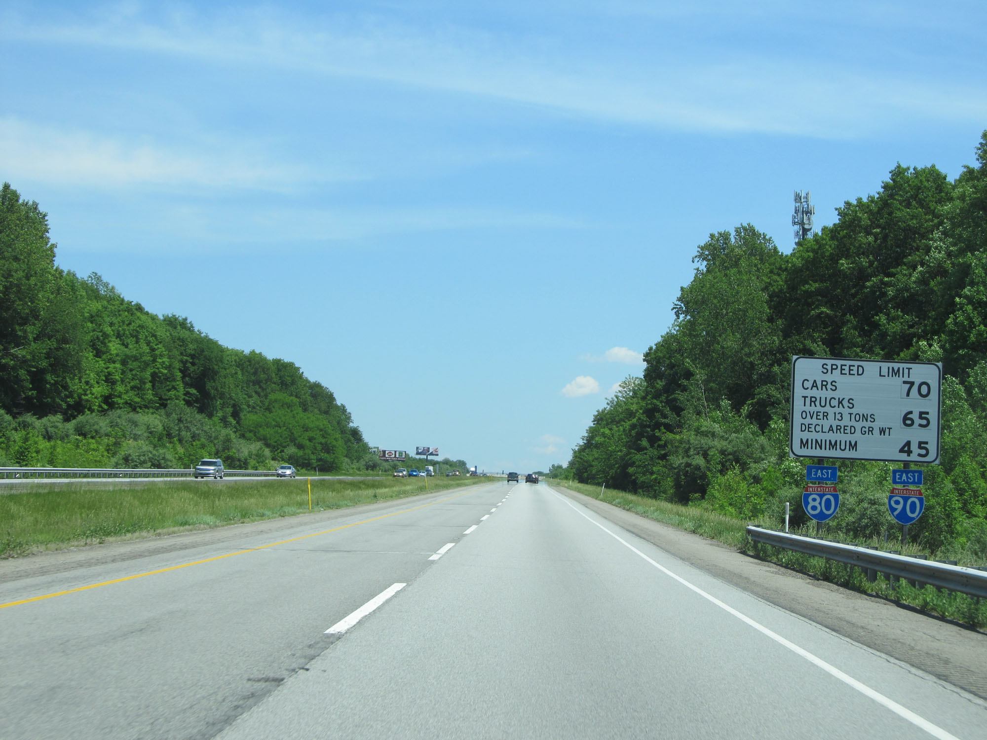
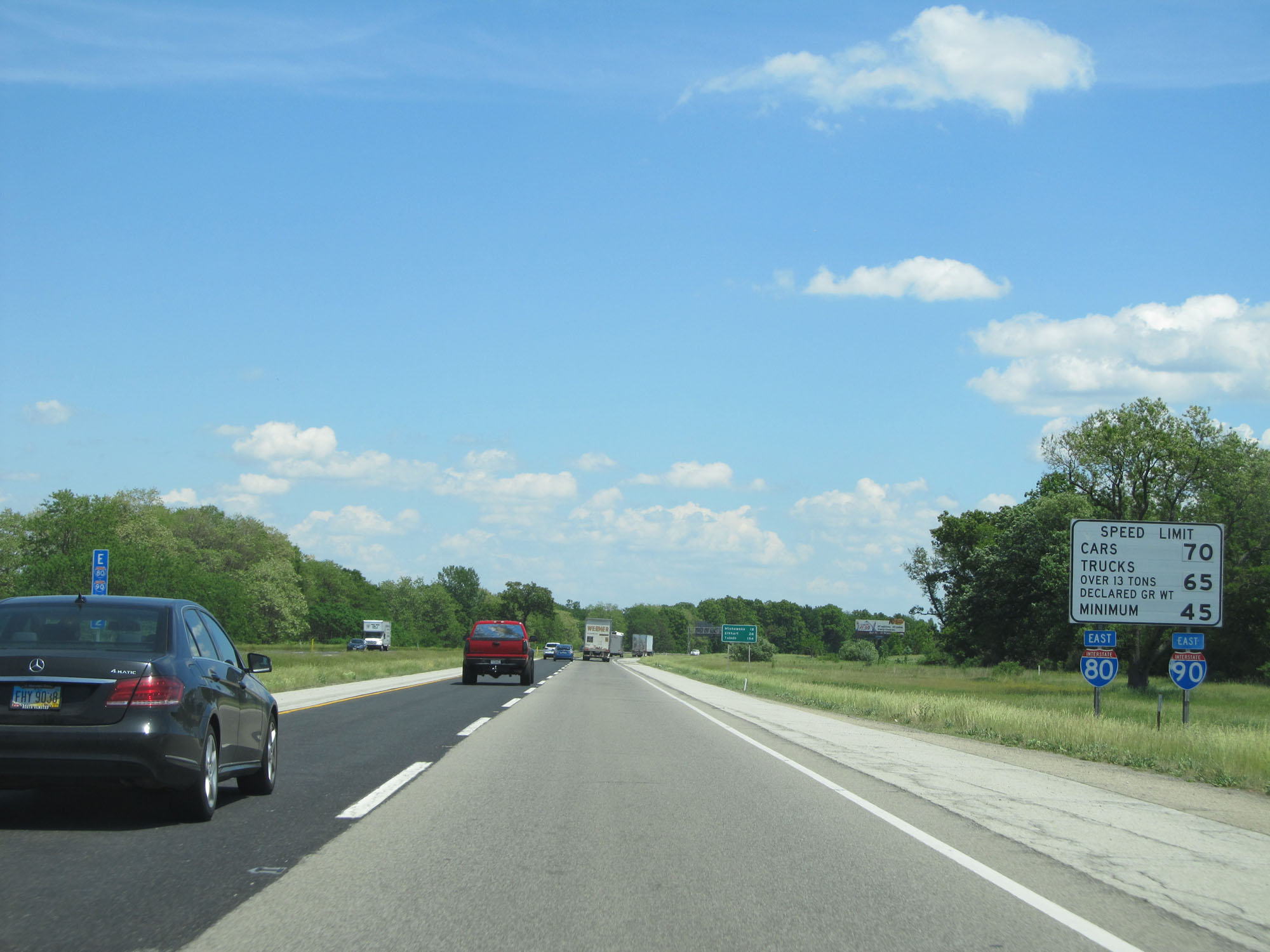
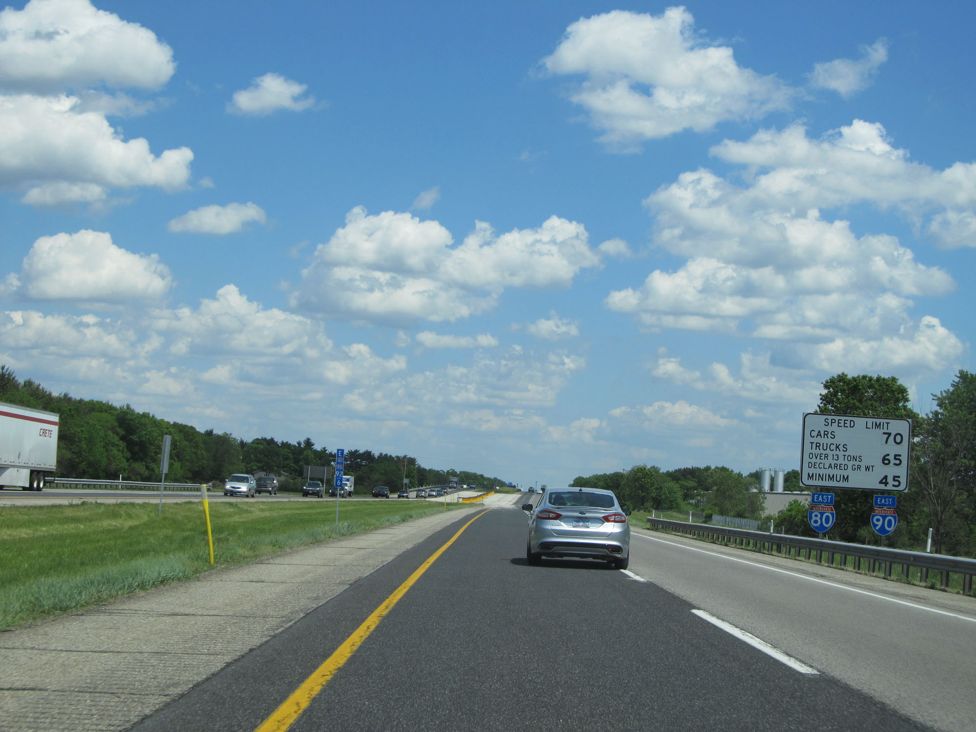
Speed limit sign with Interstate 80 / Interstate 90 East reassurance shields attached. The speed limits on the Indiana Toll Road are 70 mph for cars and 65 mph for trucks with a minimum speed limit of 45 mph. (Photo taken 5/30/16). |
 |
Interstate 80 / Interstate 90 East (Indiana Toll Road) at mile marker 33. (Photo taken 5/30/16). |
 |
Truck Rest Area on Interstate 80 / Interstate 90 East (Indiana Toll Road). (Photo taken 5/30/16). |
 |
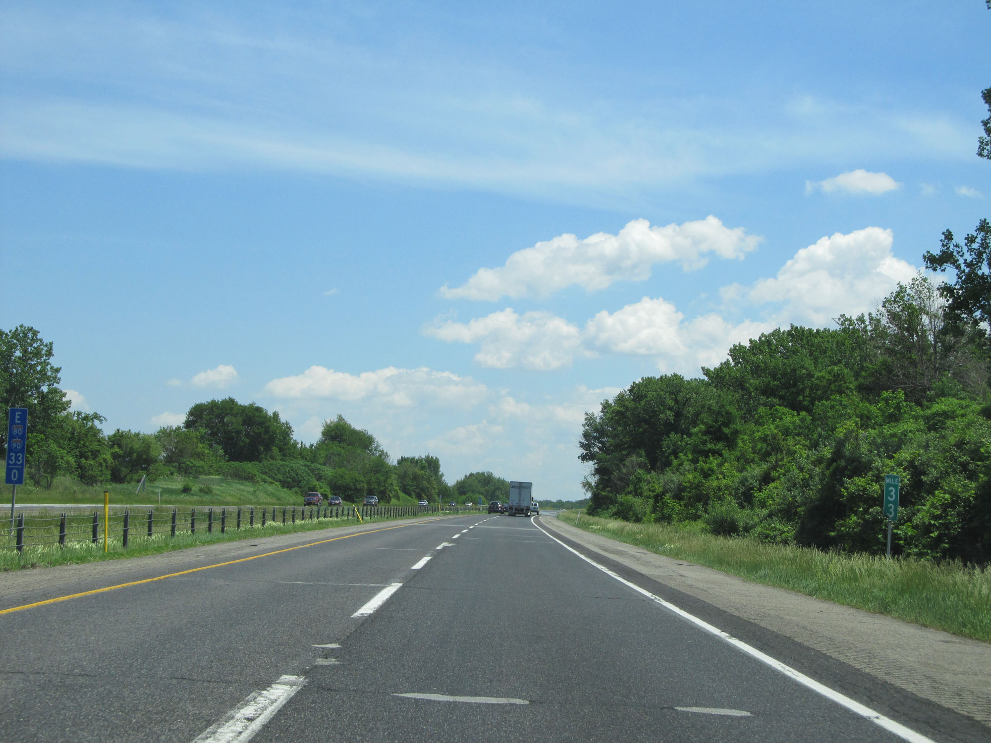
Interstate 80 / Interstate 90 East (Indiana Toll Road) entering LaPorte County. (Photo taken 5/30/16). |
 |
Interstate 80 / Interstate 90 East (Indiana Toll Road) approaching Exit 39 - 1 mile. (Photo taken 5/30/16). |
 |
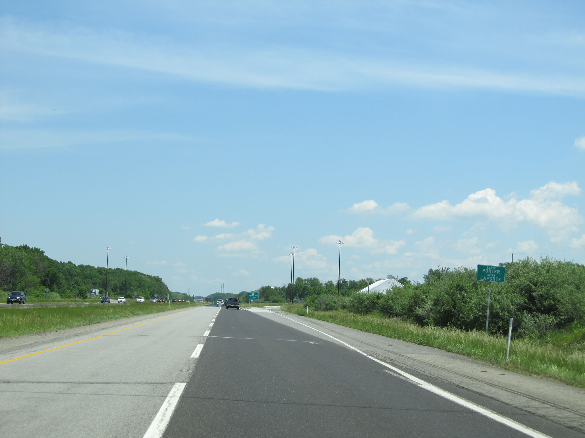
Take Exit 39 to Purdue University North Central. (Photo taken 5/30/16). |
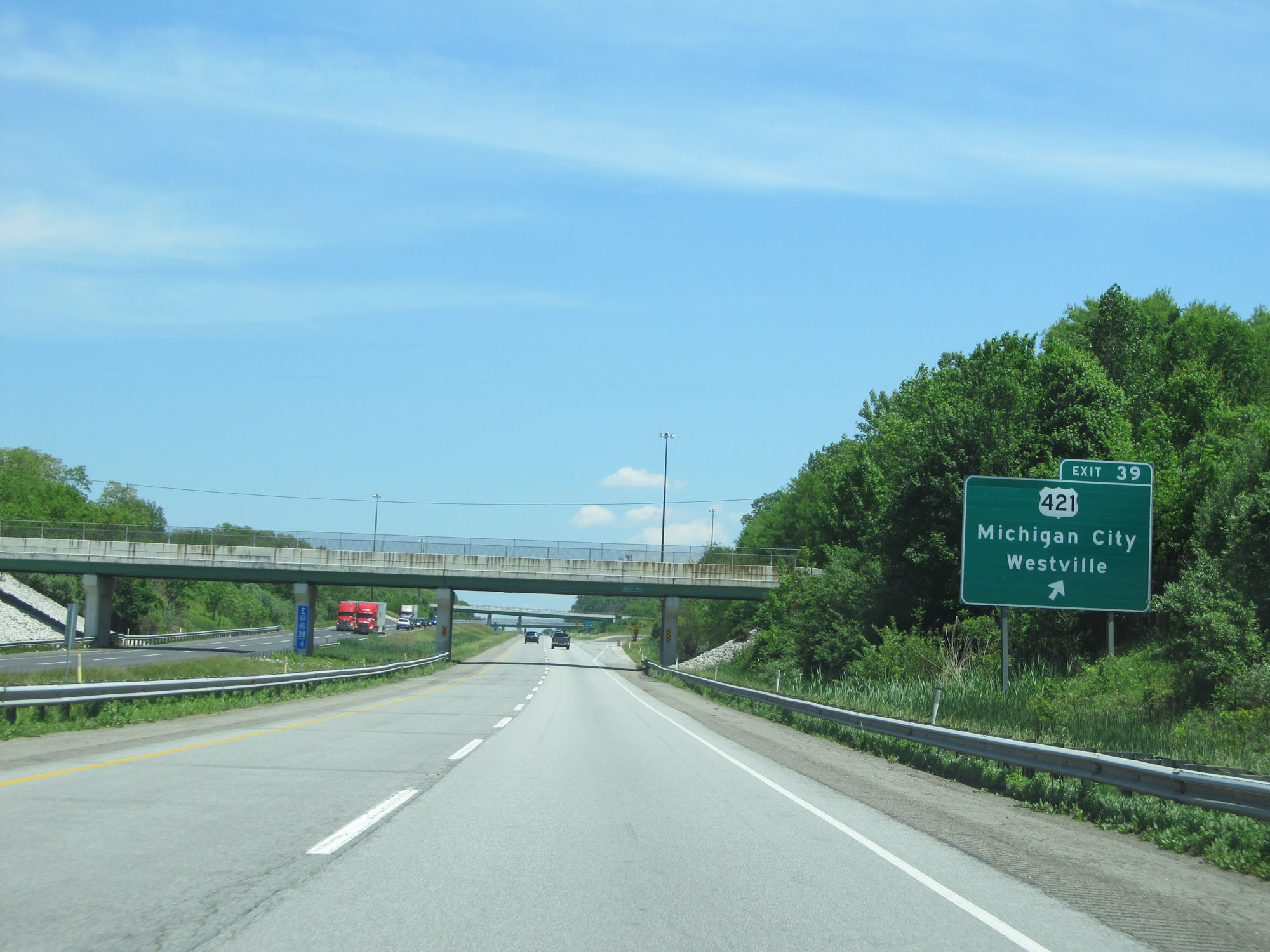 |
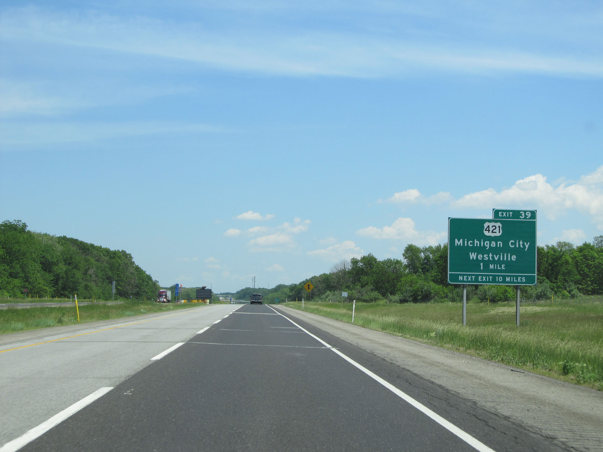
Interstate 80 / Interstate 90 East (Indiana Toll Road) at Exit 39: US 421 - Michigan City / Westville (Photo taken 5/30/16). |
 |
Another speed limit sign with Interstate 80 / Interstate 90 East reassurance shields attached. The speed limits remain 70 mph for cars and 65 mph for trucks with a minimum speed limit of 45 mph. (Photo taken 5/30/16). |
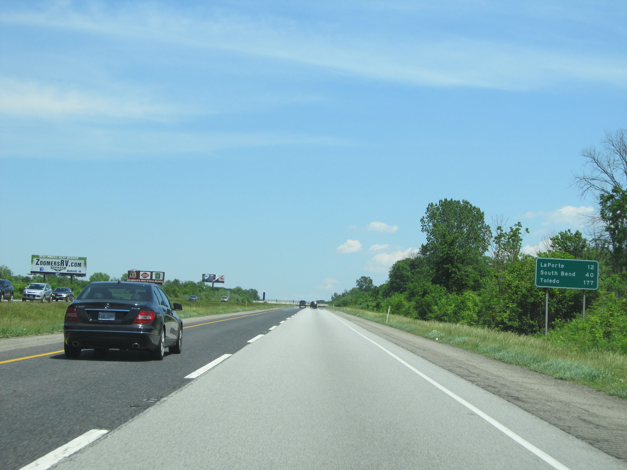 |
Mileage sign on Interstate 80 / Interstate 90 East (Indiana Toll Road). It's 12 miles to LaPorte, 40 miles to South Bend, and 177 miles to Toledo. (Photo taken 5/30/16). |
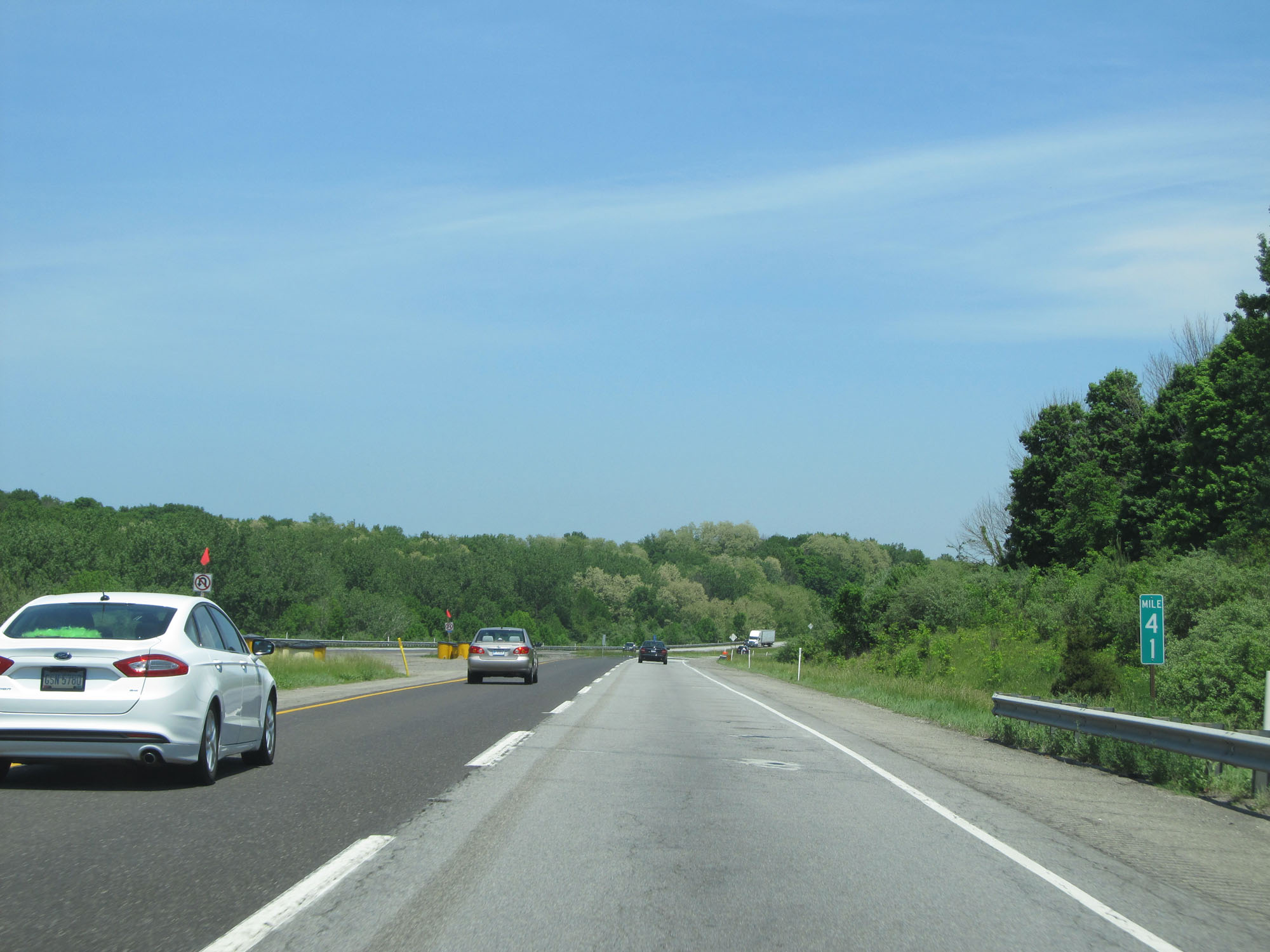 |
Interstate 80 / Interstate 90 East (Indiana Toll Road) at mile marker 41. (Photo taken 5/30/16). |
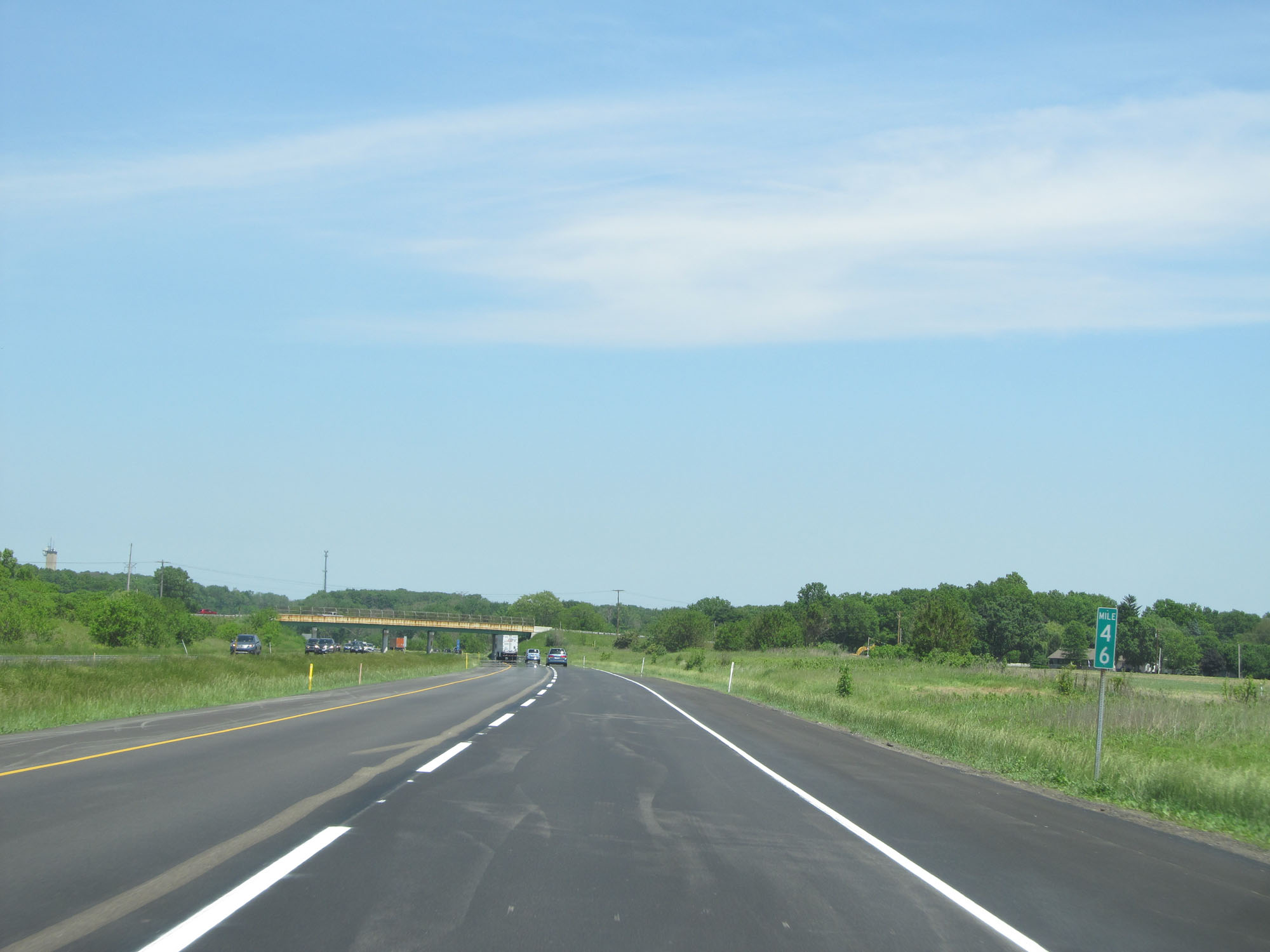 |
Interstate 80 / Interstate 90 East (Indiana Toll Road) at mile marker 46. (Photo taken 5/30/16). |
 |
Interstate 80 / Interstate 90 East (Indiana Toll Road) approaching Exit 49 - 1 mile. (Photo taken 5/30/16). |
 |
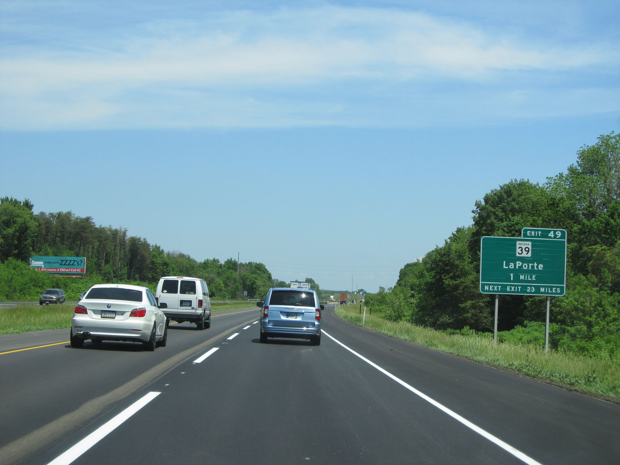
Interstate 80 / Interstate 90 East (Indiana Toll Road) at Exit 49: IN 39 - LaPorte (Photo taken 5/30/16). |
 |
Mileage sign on Interstate 80 / Interstate 90 East (Indiana Toll Road). It's 30 miles to South Bend, 102 miles to Angola, and 167 miles to Toledo. (Photo taken 5/30/16). |
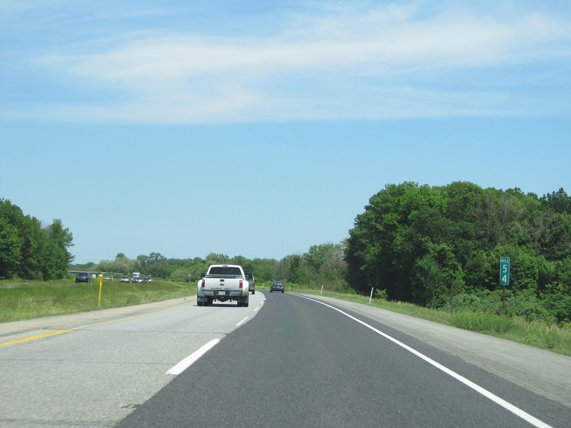 |
Interstate 80 / Interstate 90 East (Indiana Toll Road) at mile marker 54. (Photo taken 5/30/16). |
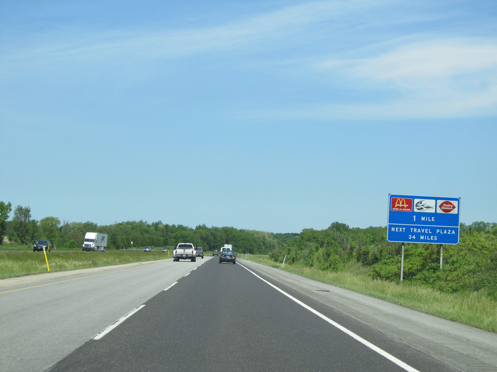 |
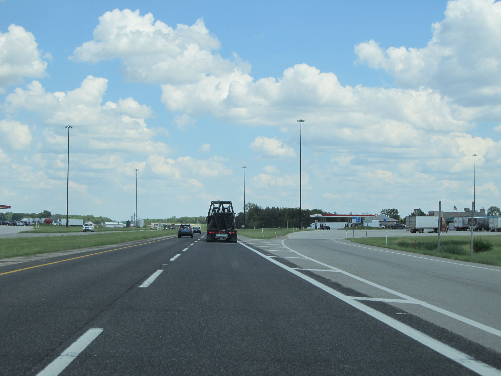
Interstate 80 / Interstate 90 East (Indiana Toll Road) approaching the Knute Rockne Service Plaza - 1 mile. (Photo taken 5/30/16). |
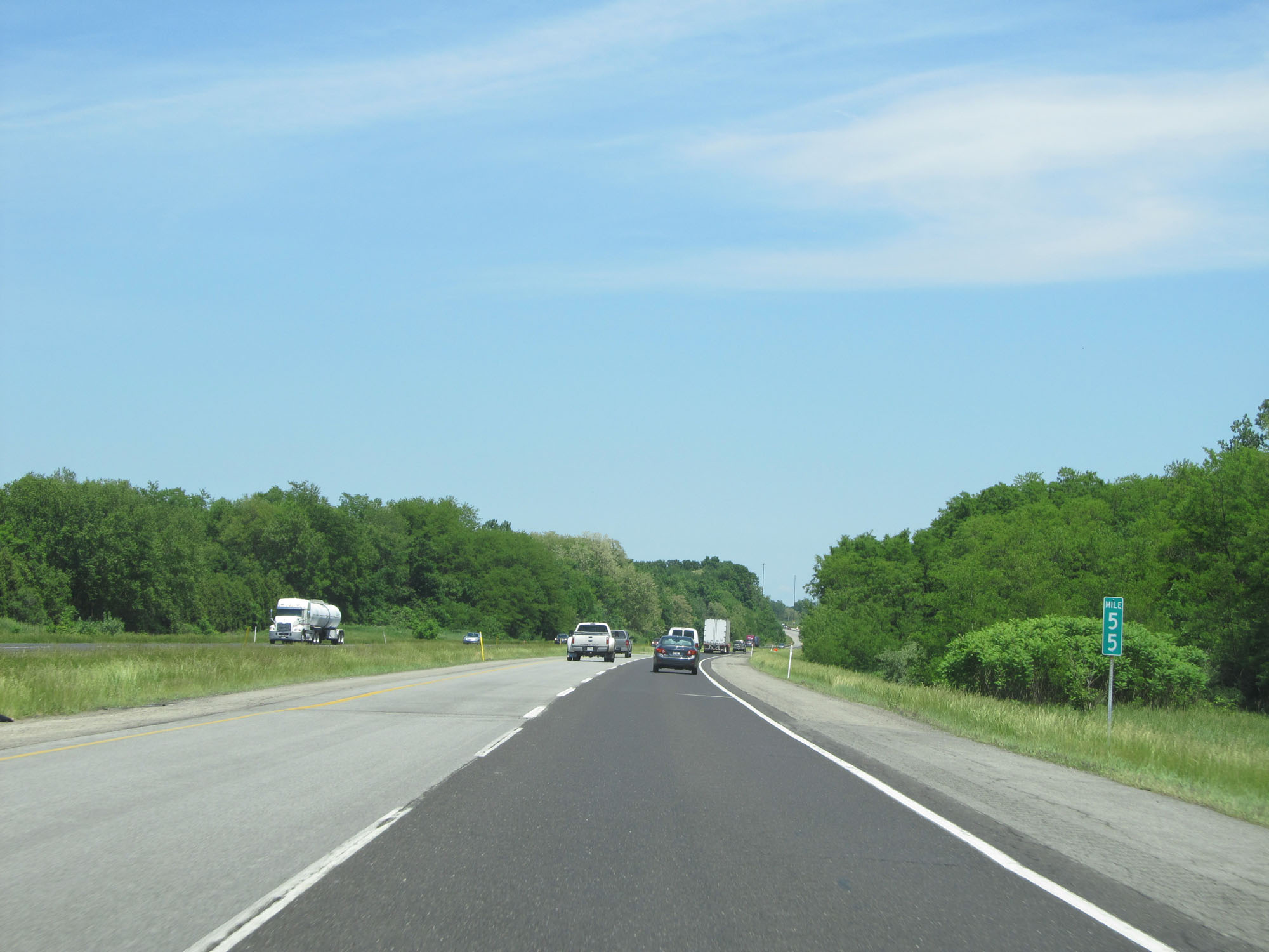 |
Interstate 80 / Interstate 90 East (Indiana Toll Road) at mile marker 55. (Photo taken 5/30/16). |
 |
Interstate 80 / Interstate 90 East at the Knute Rockne Service Plaza. (Photo taken 5/30/16). |
 |
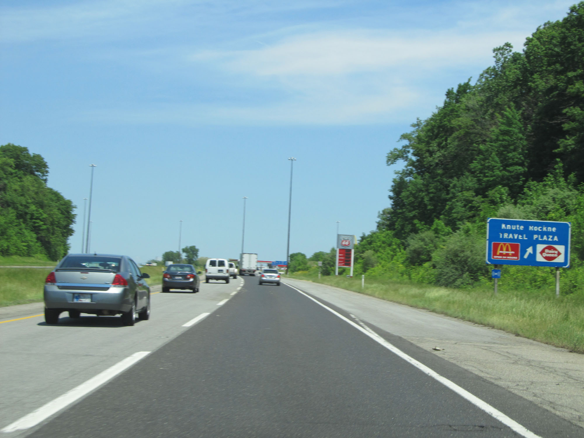
View of the ramp to the Knute Rockne Service Plaza. (Photo taken 5/30/16). |
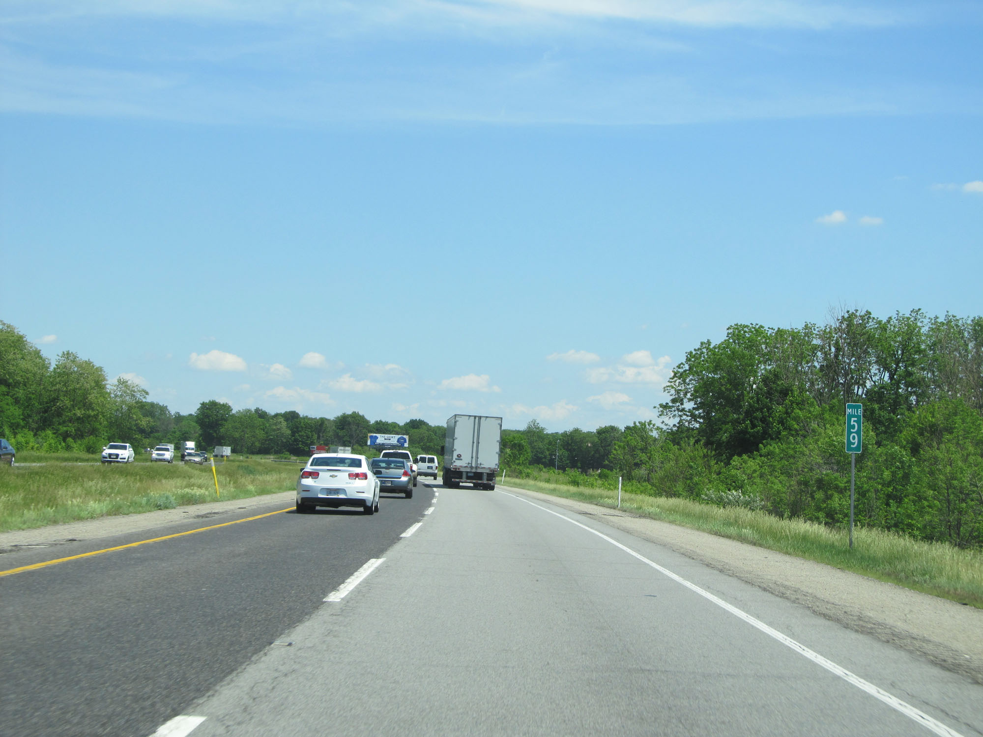 |
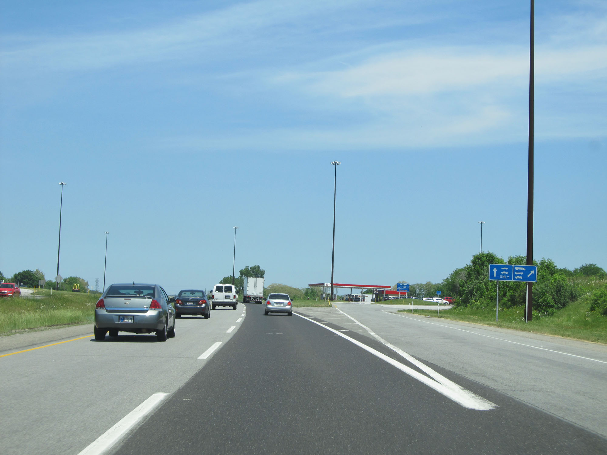
Interstate 80 / Interstate 90 East (Indiana Toll Road) at mile marker 59. (Photo taken 5/30/16). |
 |
Interstate 80 / Interstate 90 East (Indiana Toll Road) entering St. Joseph County and the Eastern Time Zone. (Photo taken 5/30/16). |
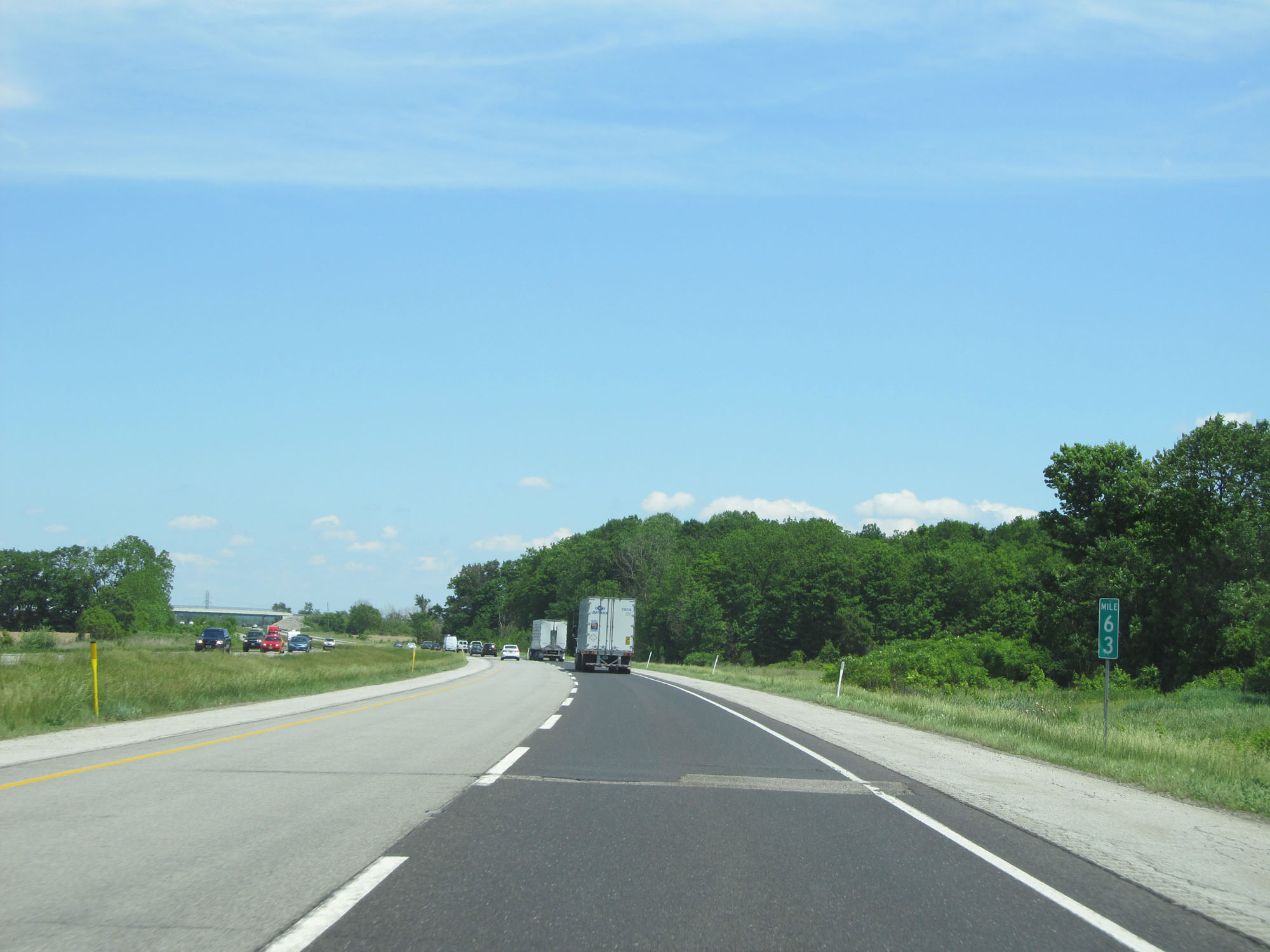 |
Interstate 80 / Interstate 90 East (Indiana Toll Road) at mile marker 63. (Photo taken 5/30/16). |
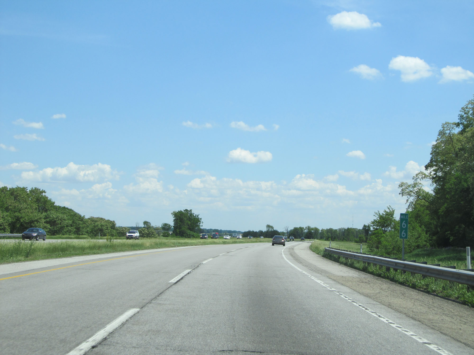 |
Interstate 80 / Interstate 90 East (Indiana Toll Road) at mile marker 66. (Photo taken 5/30/16). |
 |
Interstate 80 / Interstate 90 East (Indiana Toll Road) at mile marker 69. (Photo taken 5/30/16). |
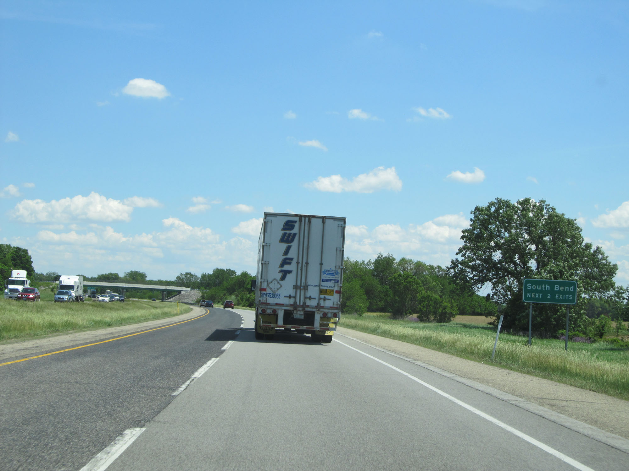 |
Take either of the next 2 exits to South Bend. (Photo taken 5/30/16). |
 |
Interstate 80 / Interstate 90 East (Indiana Toll Road) approaching Exit 72 - 1 mile. (Photo taken 5/30/16). |
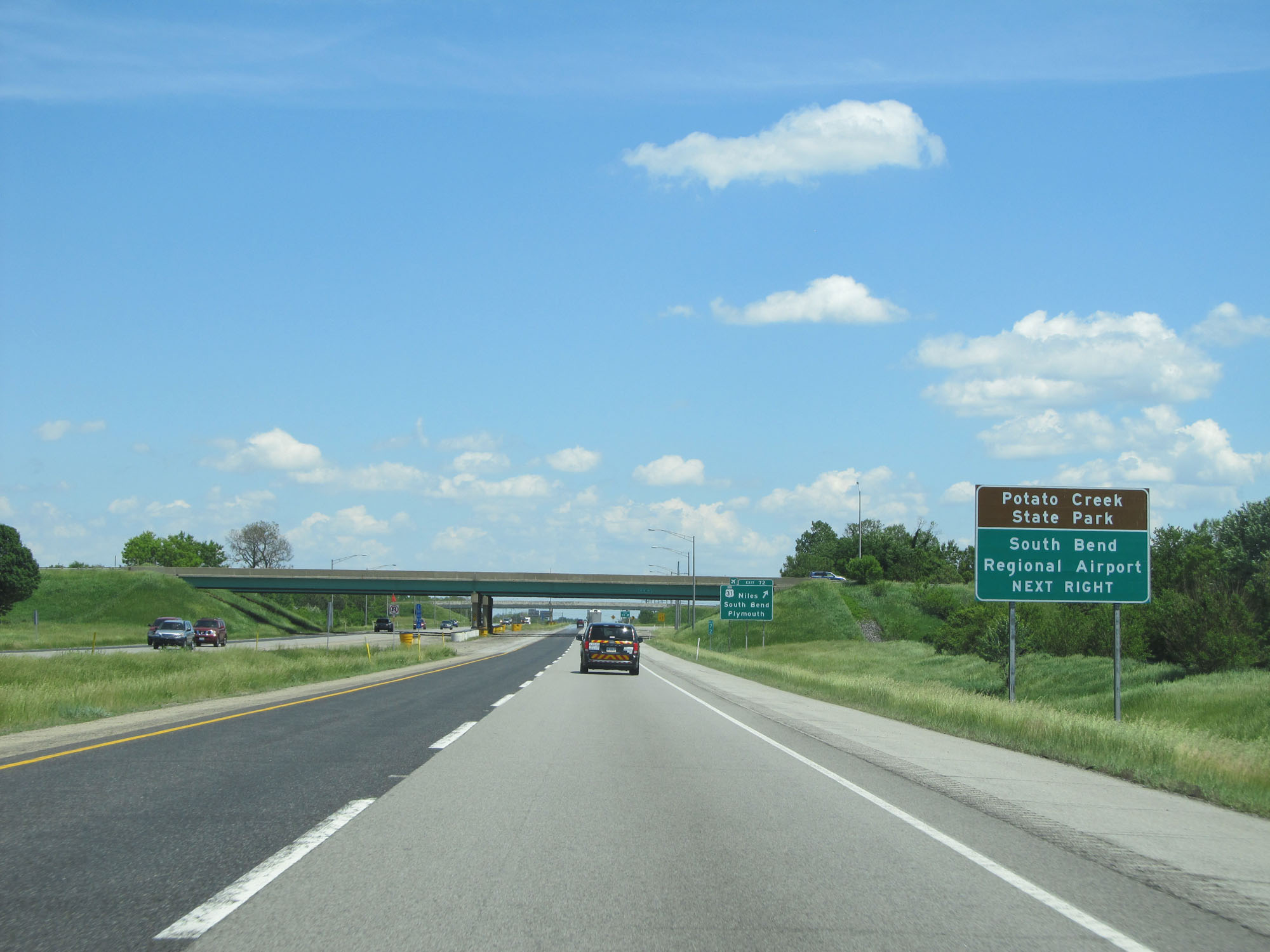 |
Take Exit 72 to Potato Creek State Park and South Bend Regional Airport. (Photo taken 5/30/16). |
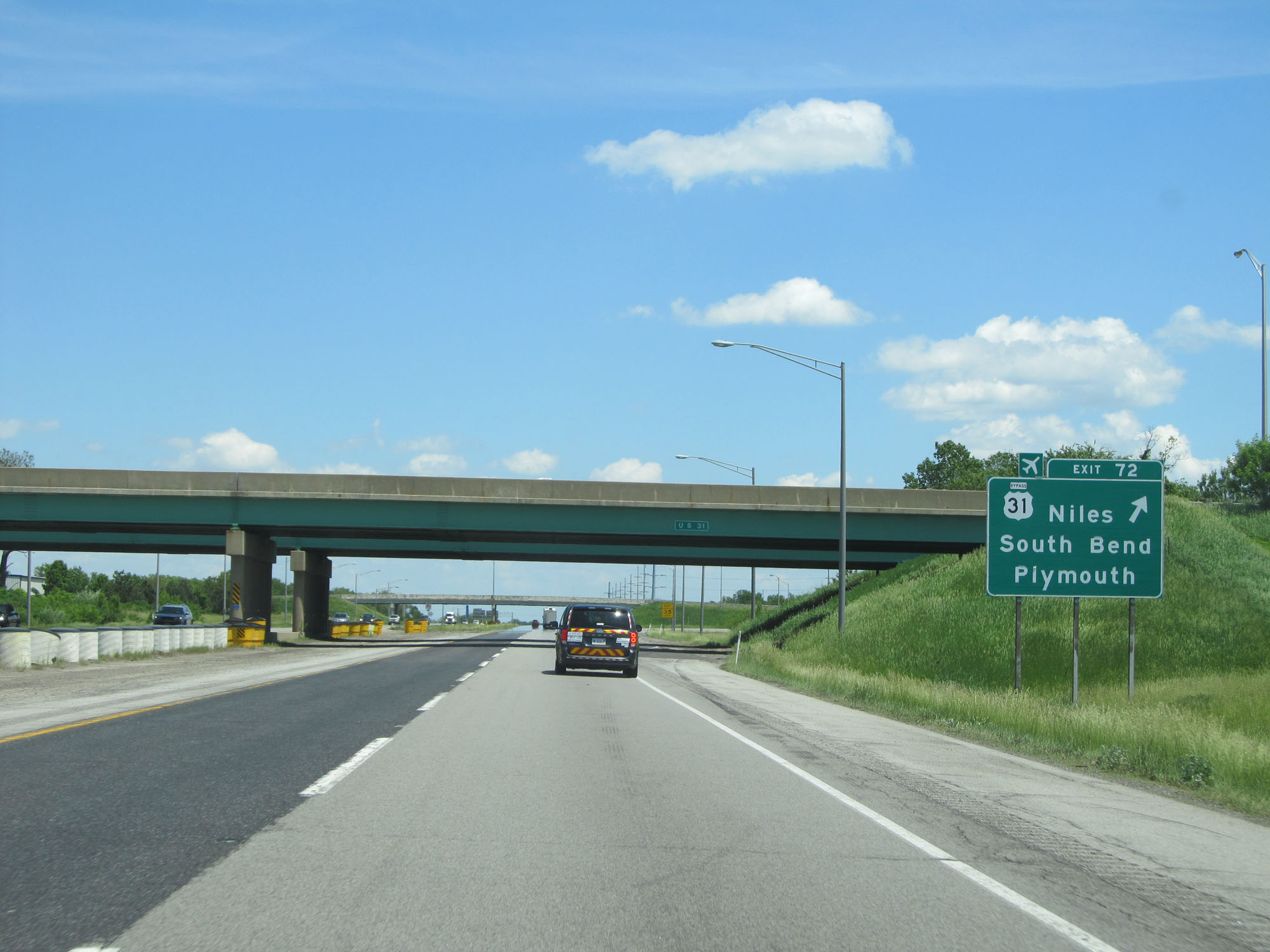 |
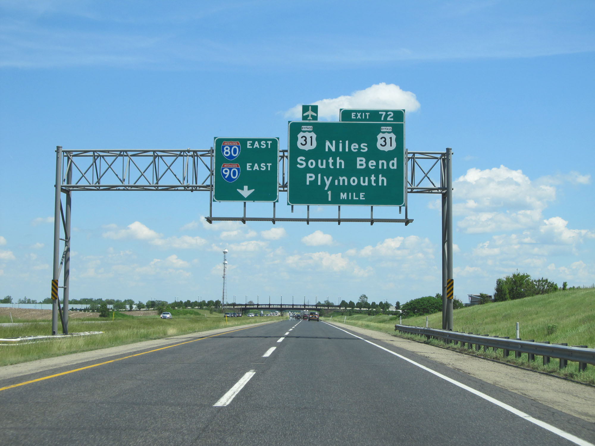
Interstate 80 / Interstate 90 East (Indiana Toll Road) at Exit 72: US 31 - Niles / South Bend / Plymouth (Photo taken 5/30/16). |
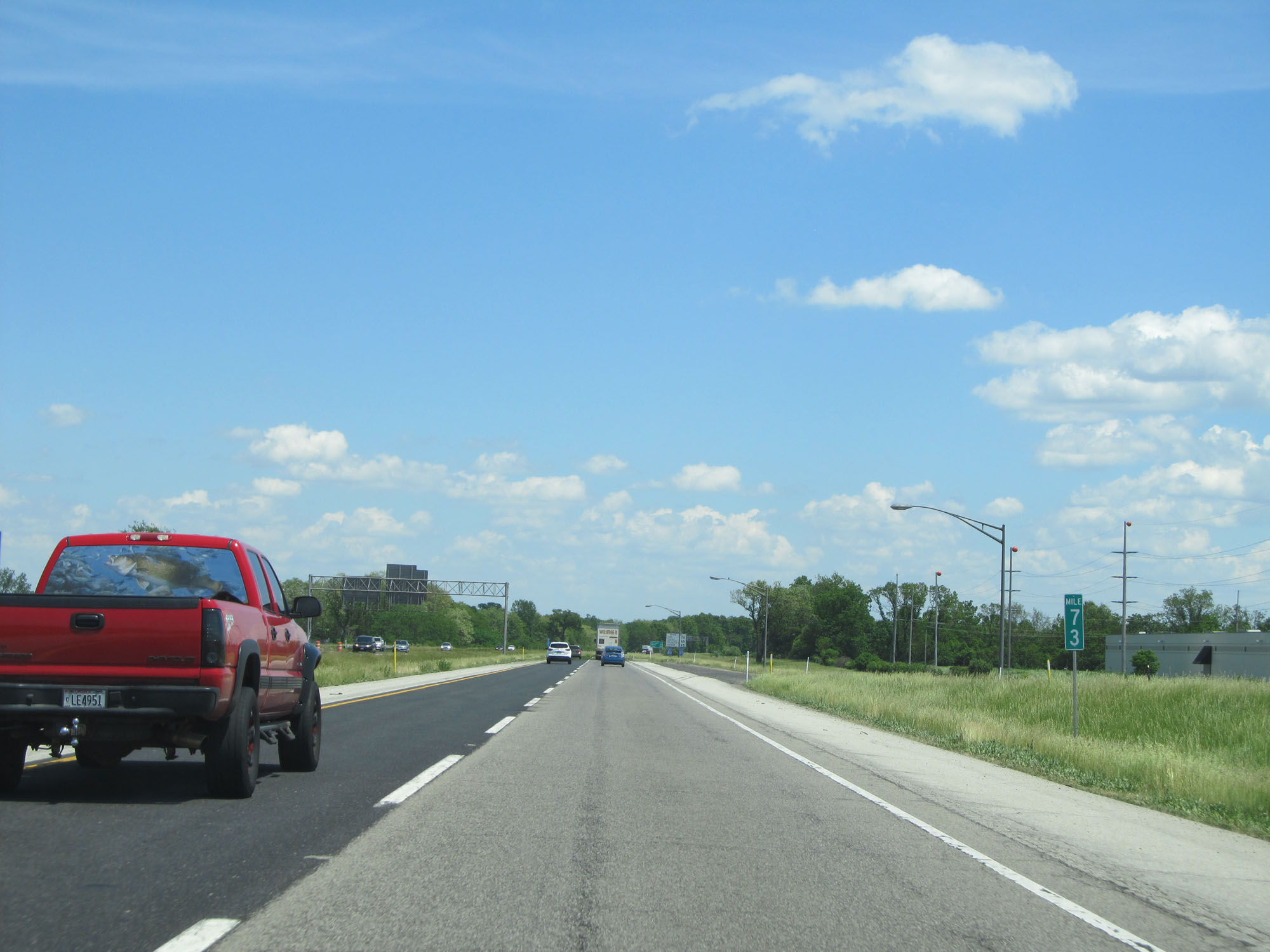 |
Interstate 80 / Interstate 90 East (Indiana Toll Road) at mile marker 73. (Photo taken 5/30/16). |
 |
Interstate 80 / Interstate 90 East reassurance shields. (Photo taken 5/30/16). |
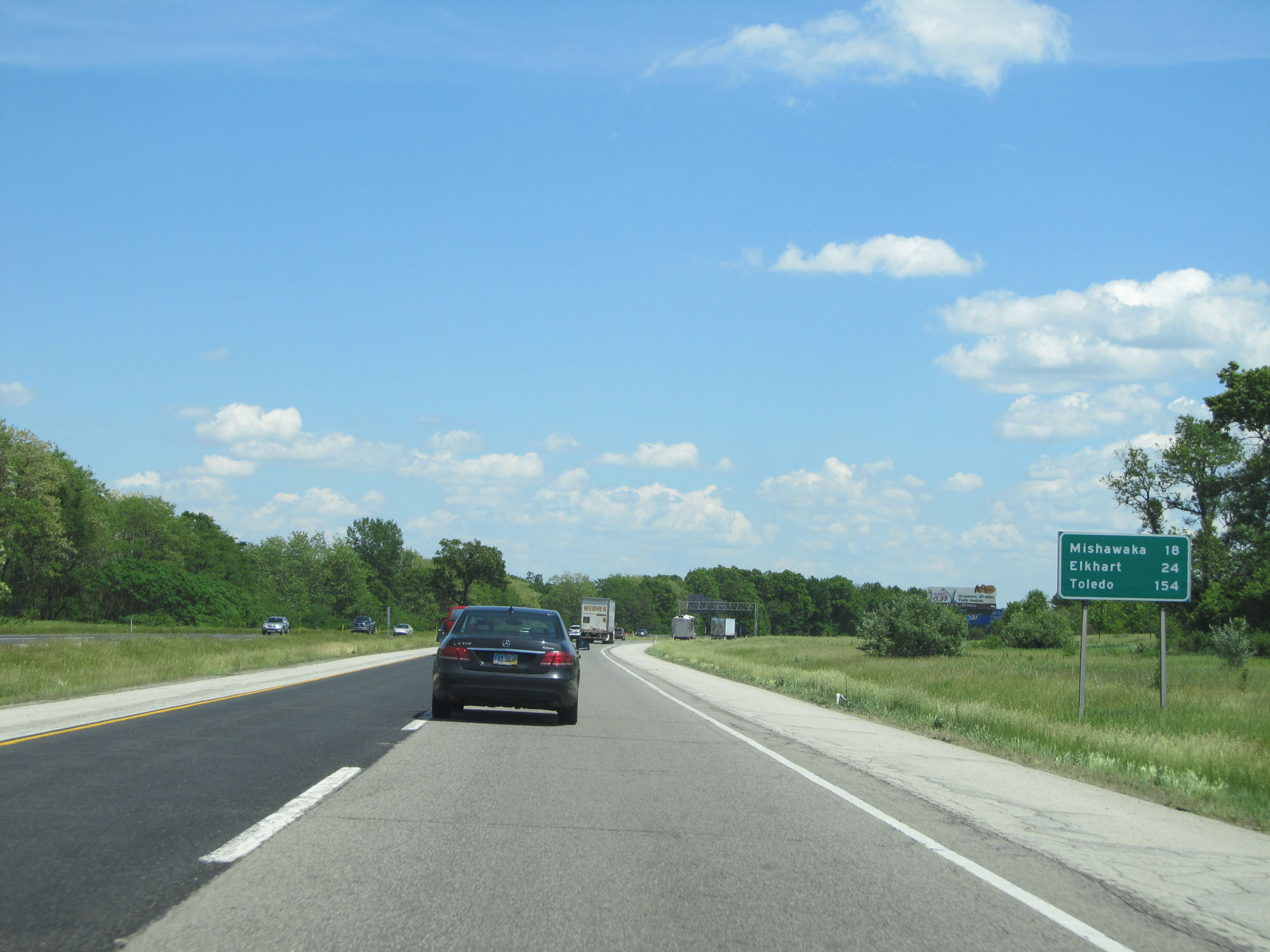 |
Mileage sign on Interstate 80 / Interstate 90 East (Indiana Toll Road). It's 18 miles to Mishawaka, 24 miles to Elkhart, and 154 miles to Toledo. (Photo taken 5/30/16). |
 |
Interstate 80 / Interstate 90 East (Indiana Toll Road) approaching Exit 77 - 1 mile. (Photo taken 5/30/16). |
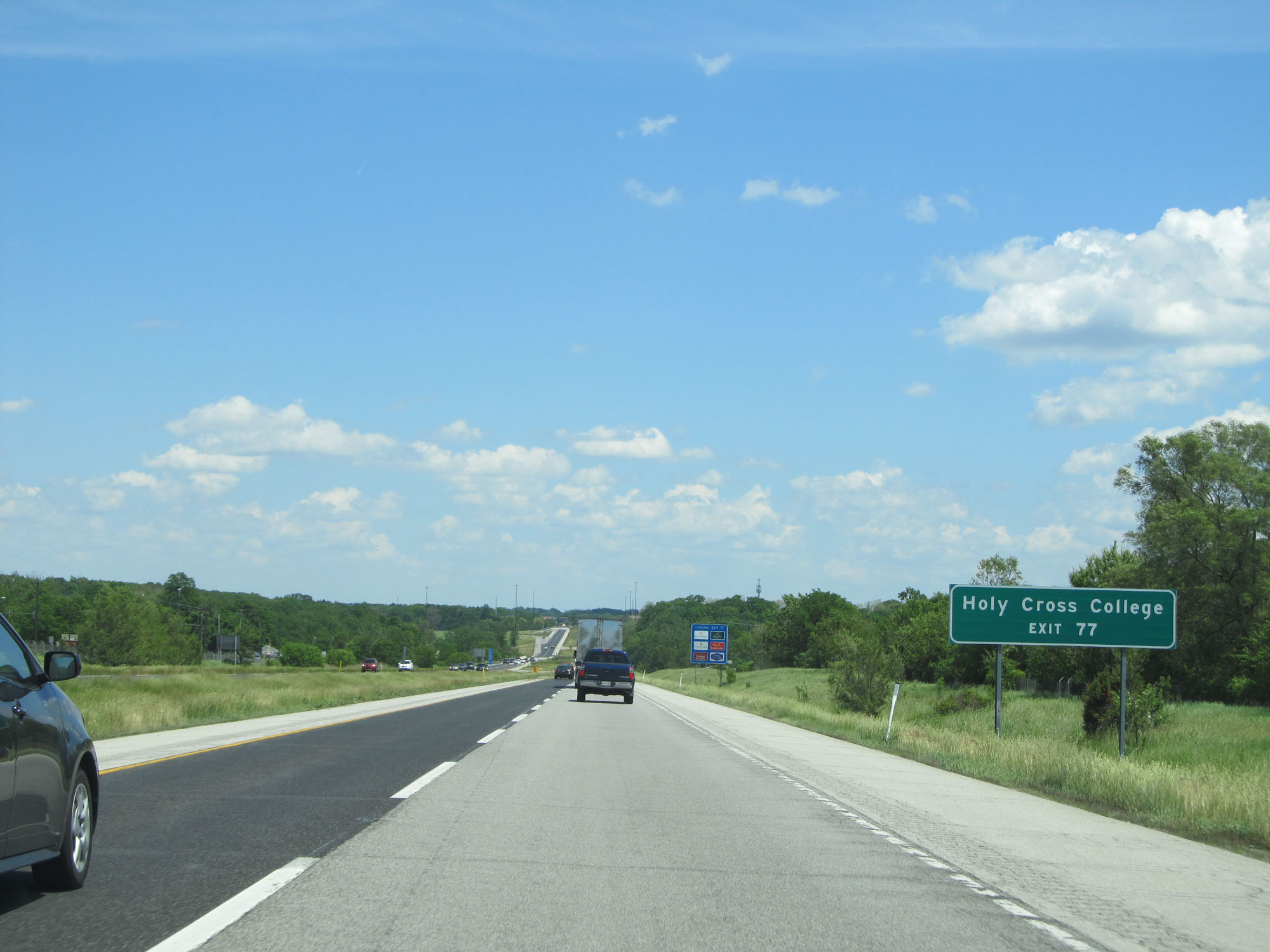 |
Take Exit 77 to Holy Cross College. (Photo taken 5/30/16). |
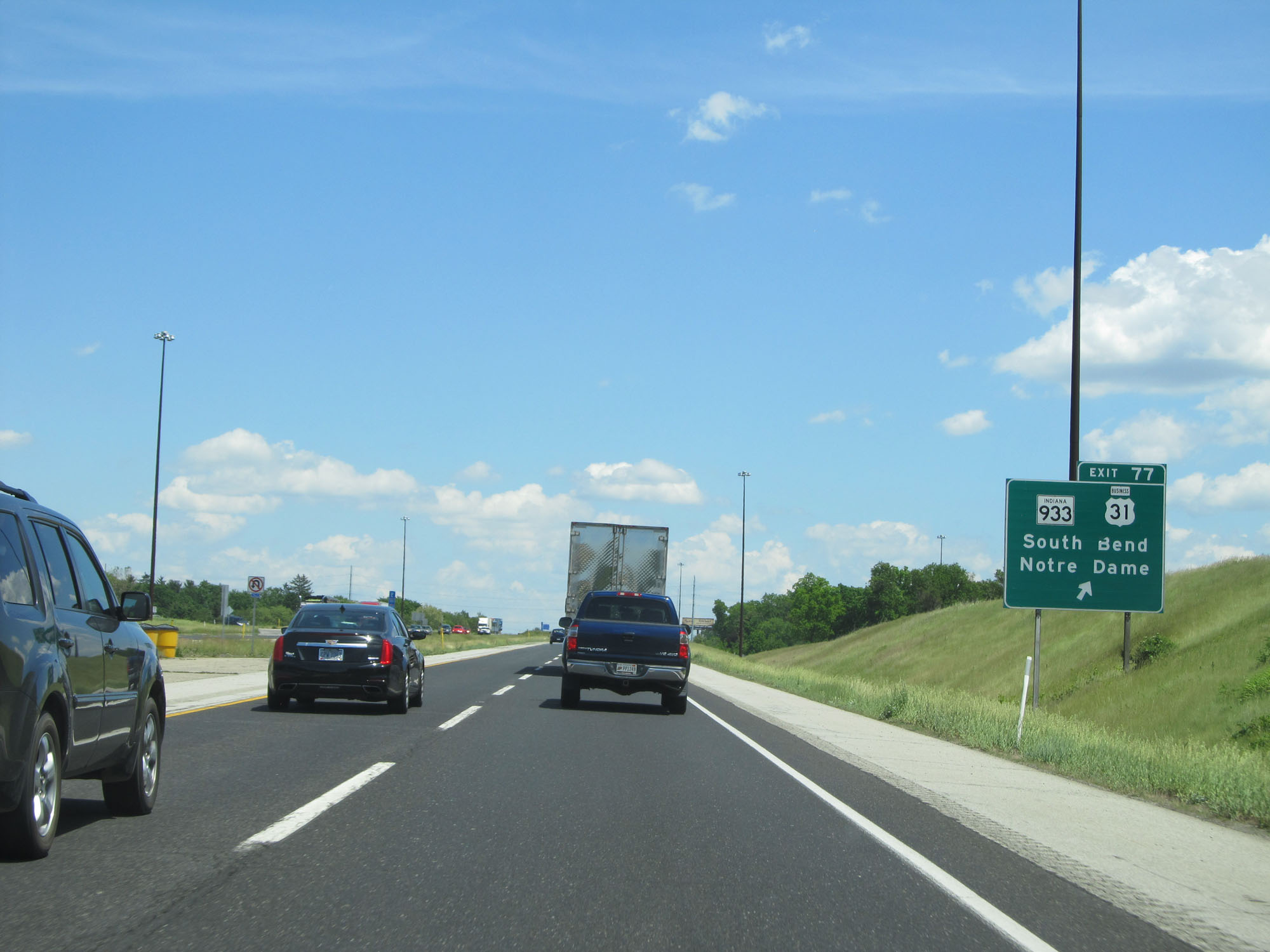 |
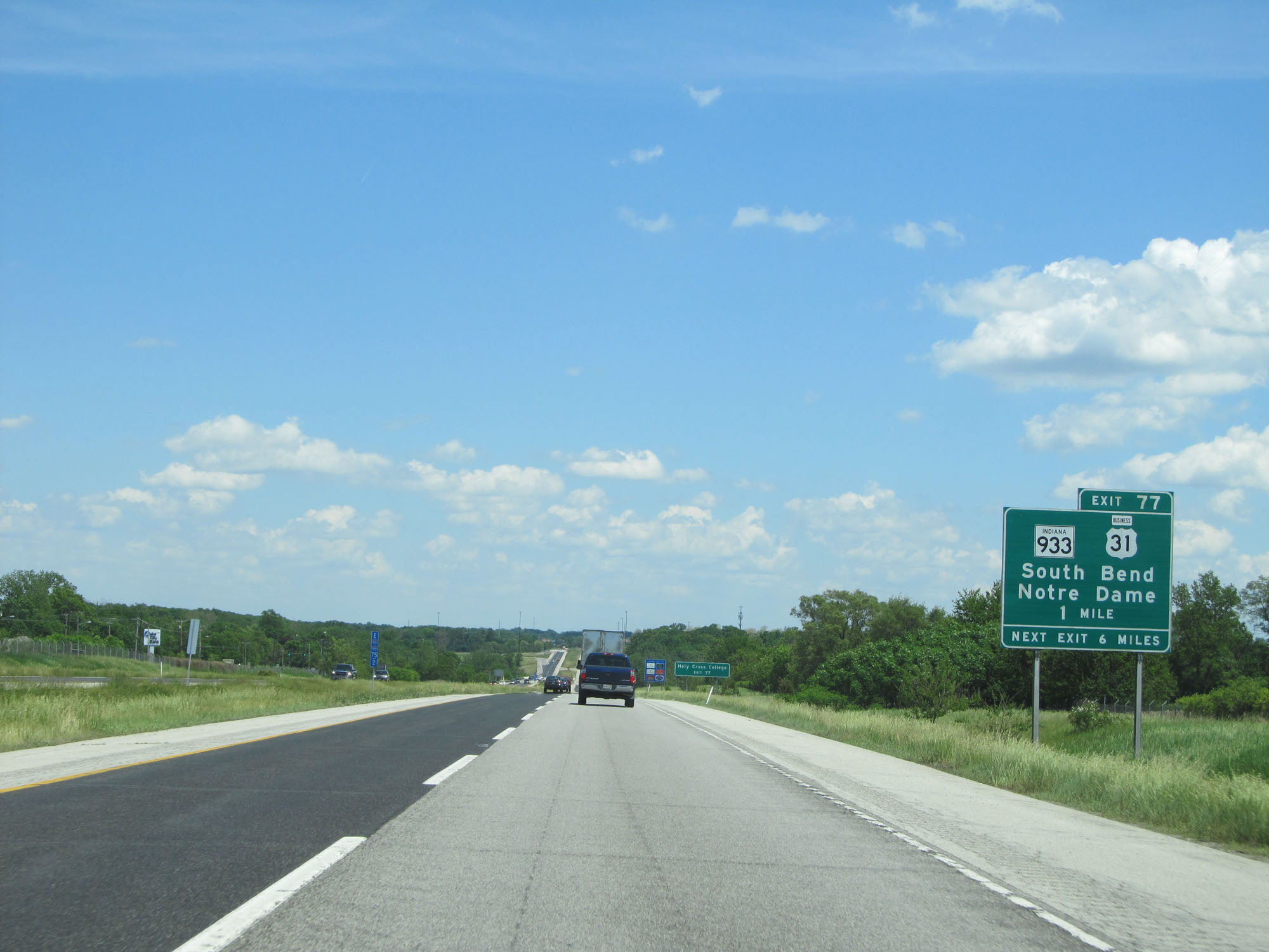
Interstate 80 / Interstate 90 East (Indiana Toll Road) at Exit 77: IN 933 / US 31 Business - South Bend / Notre Dame (Photo taken 5/30/16). |
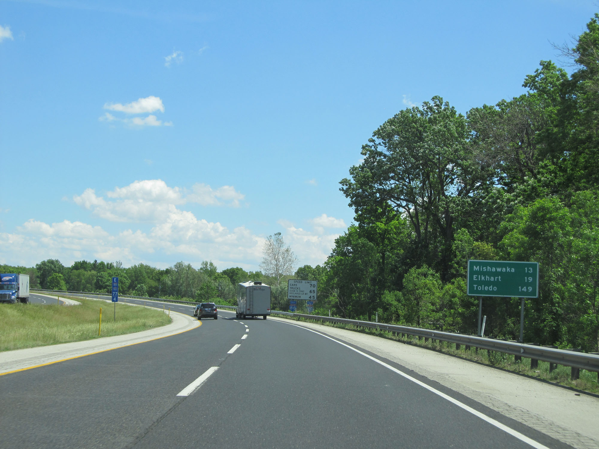 |
Mileage sign on Interstate 80 / Interstate 90 East (Indiana Toll Road). It's 13 miles to Mishawaka, 19 miles to Elkhart, and 149 miles to Toledo. (Photo taken 5/30/16). |
 |
Interstate 80 / Interstate 90 East (Indiana Toll Road) at mile marker 81. (Photo taken 5/30/16). |
 |
Interstate 80 / Interstate 90 East (Indiana Toll Road) approaching Exit 83 - 1 mile. (Photo taken 5/30/16). |
 |
Take Exit 83 to Bethel College. (Photo taken 5/30/16). |
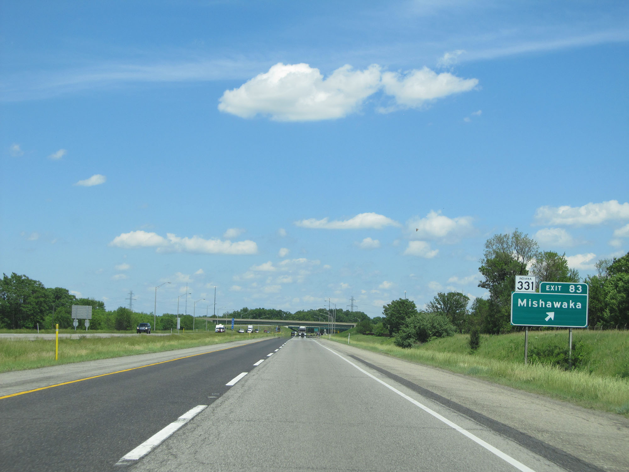 |
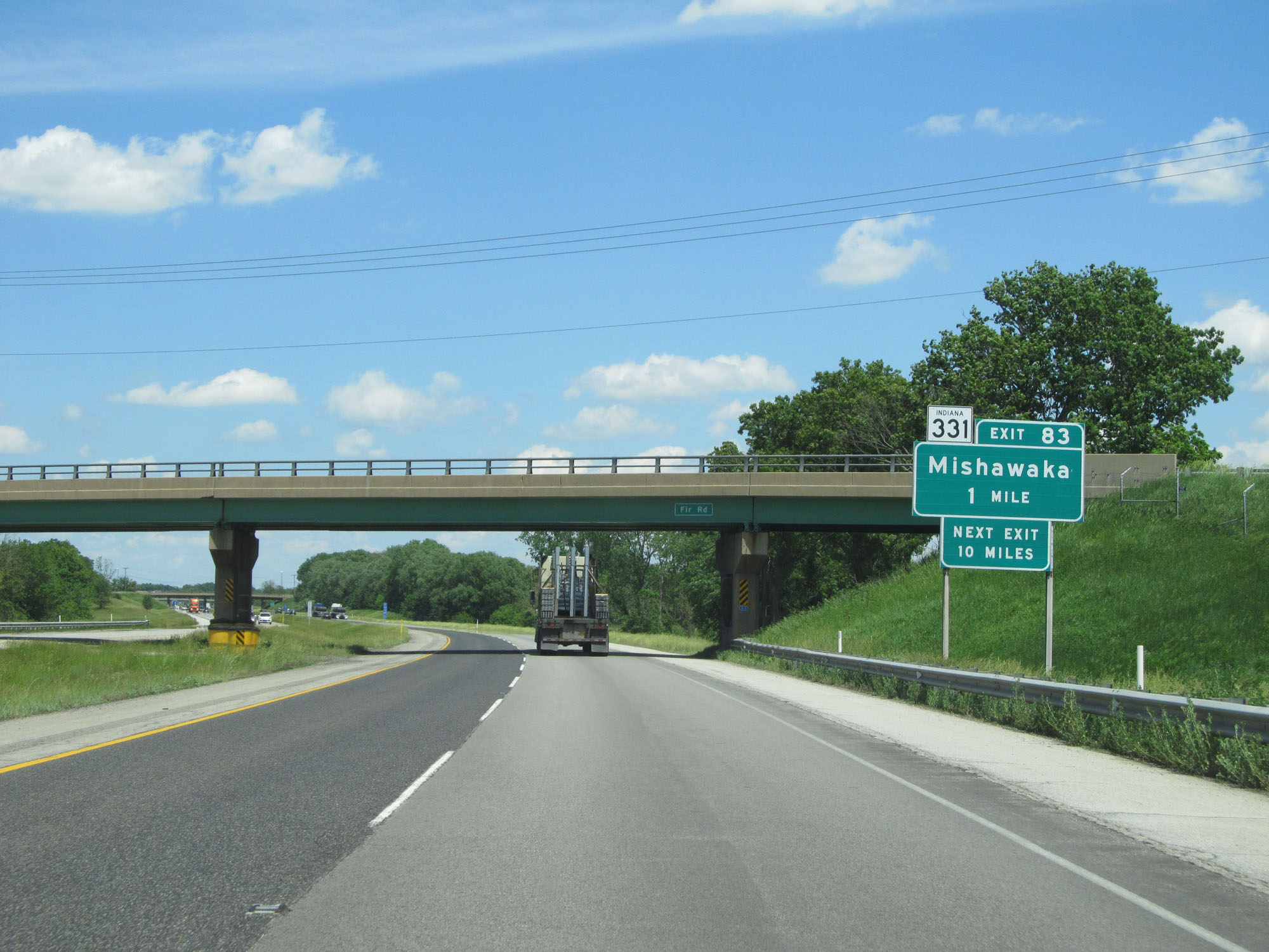
Interstate 80 / Interstate 90 East (Indiana Toll Road) at Exit 83: IN 331 - Mishawaka (Photo taken 5/30/16). |
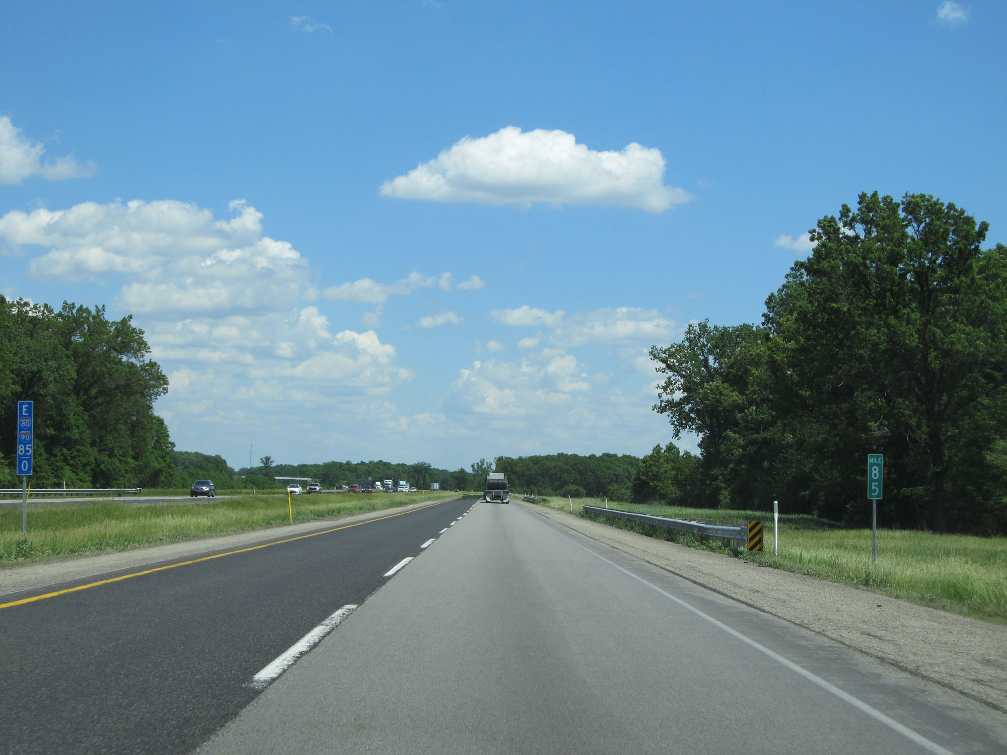 |
Interstate 80 / Interstate 90 East (Indiana Toll Road) at mile marker 85. (Photo taken 5/30/16). |
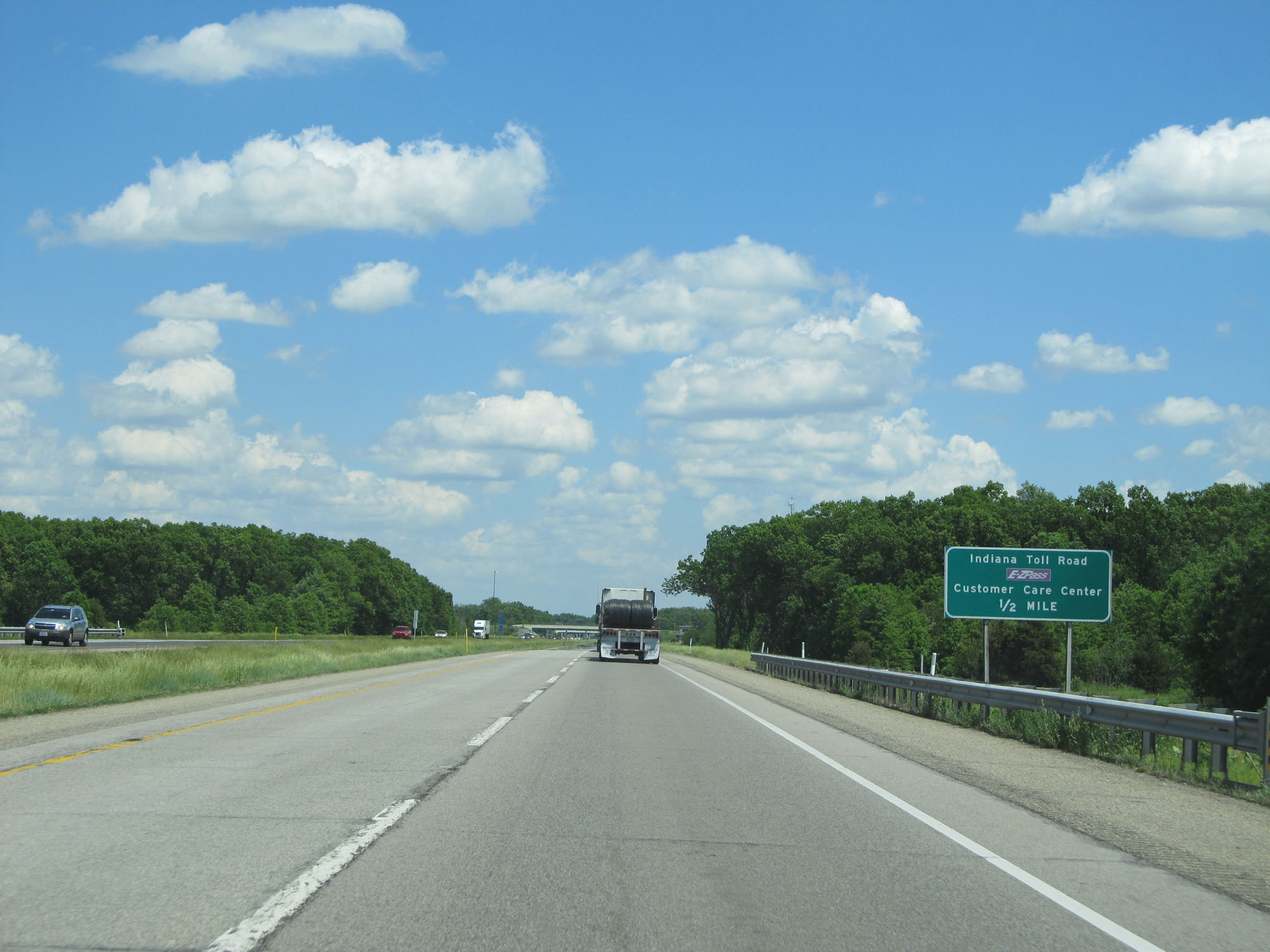 |
Interstate 80 / Interstate 90 East (Indiana Toll Road) approaching an Indiana Toll Road Customer Care Center ahead on the right in 1/2 mile. (Photo taken 5/30/16). |
 |
Interstate 80 / Interstate 90 East (Indiana Toll Road) at the Customer Care Center. (Photo taken 5/30/16). |
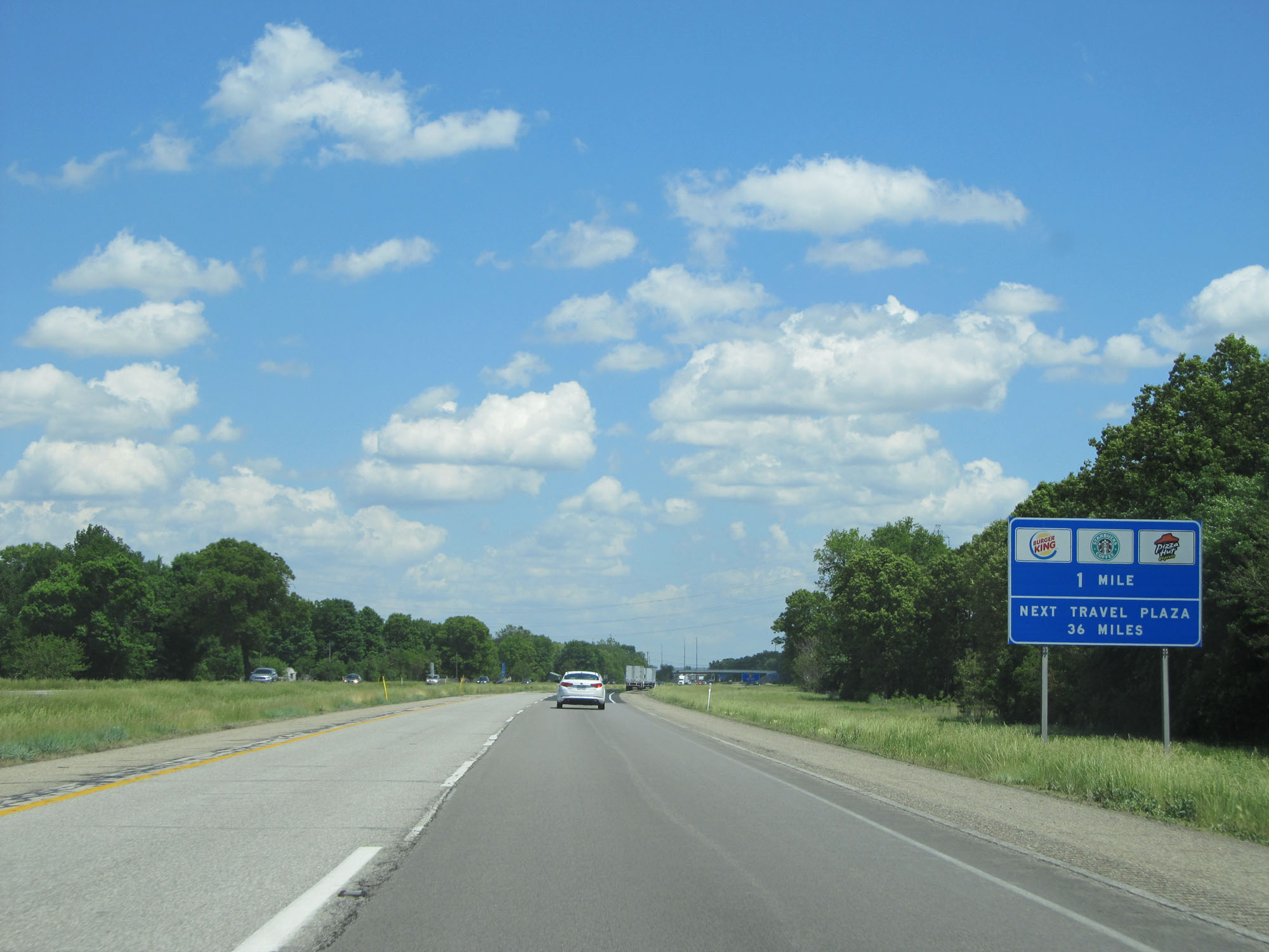 |
Interstate 80 / Interstate 90 East (Indiana Toll Road) approaching the George N. Craig Service Plaza - 1 mile. (Photo taken 5/30/16). |
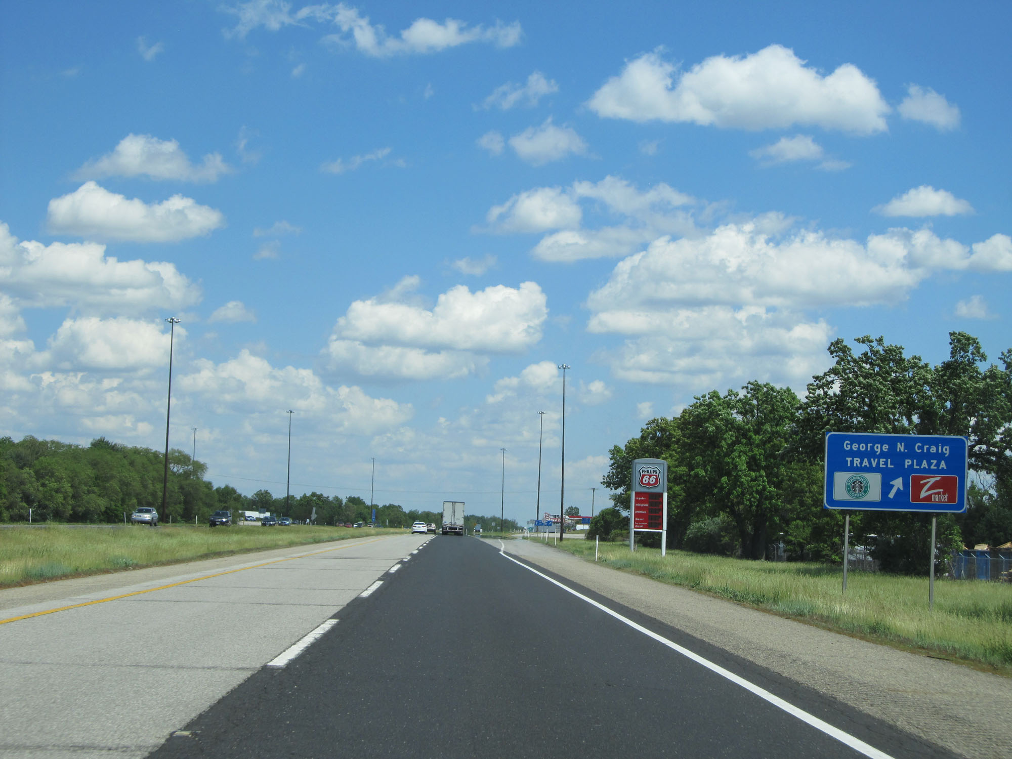 |
Interstate 80 / Interstate 90 East (Indiana Toll Road) at the George N. Craig Travel Plaza. (Photo taken 5/30/16). |
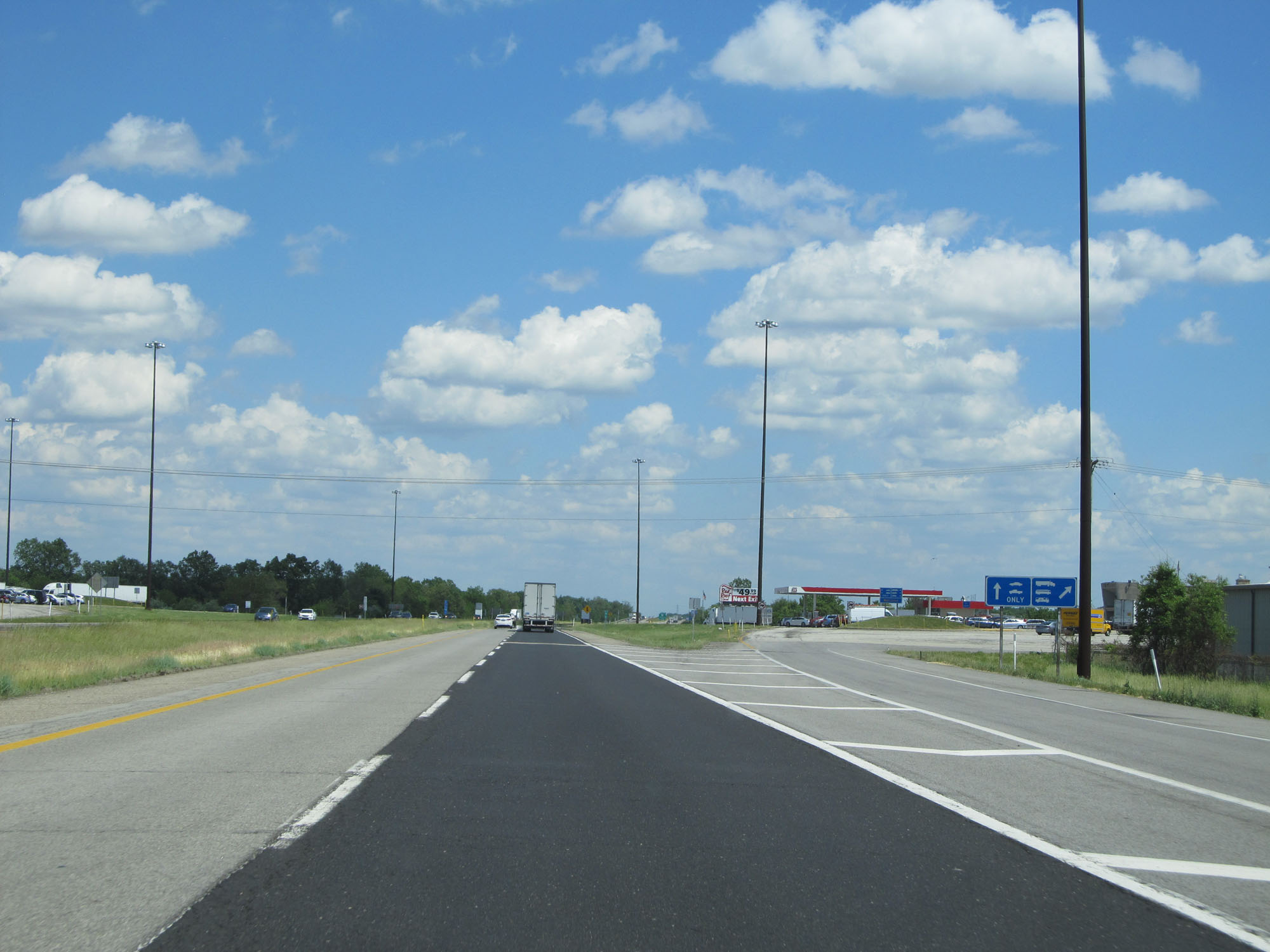 |
View of the ramp to the George N. Craig Travel Plaza. (Photo taken 5/30/16). |
 |
Interstate 80 / Interstate 90 East (Indiana Toll Road) approaching Exit 92 - 1 mile. (Photo taken 5/30/16). |
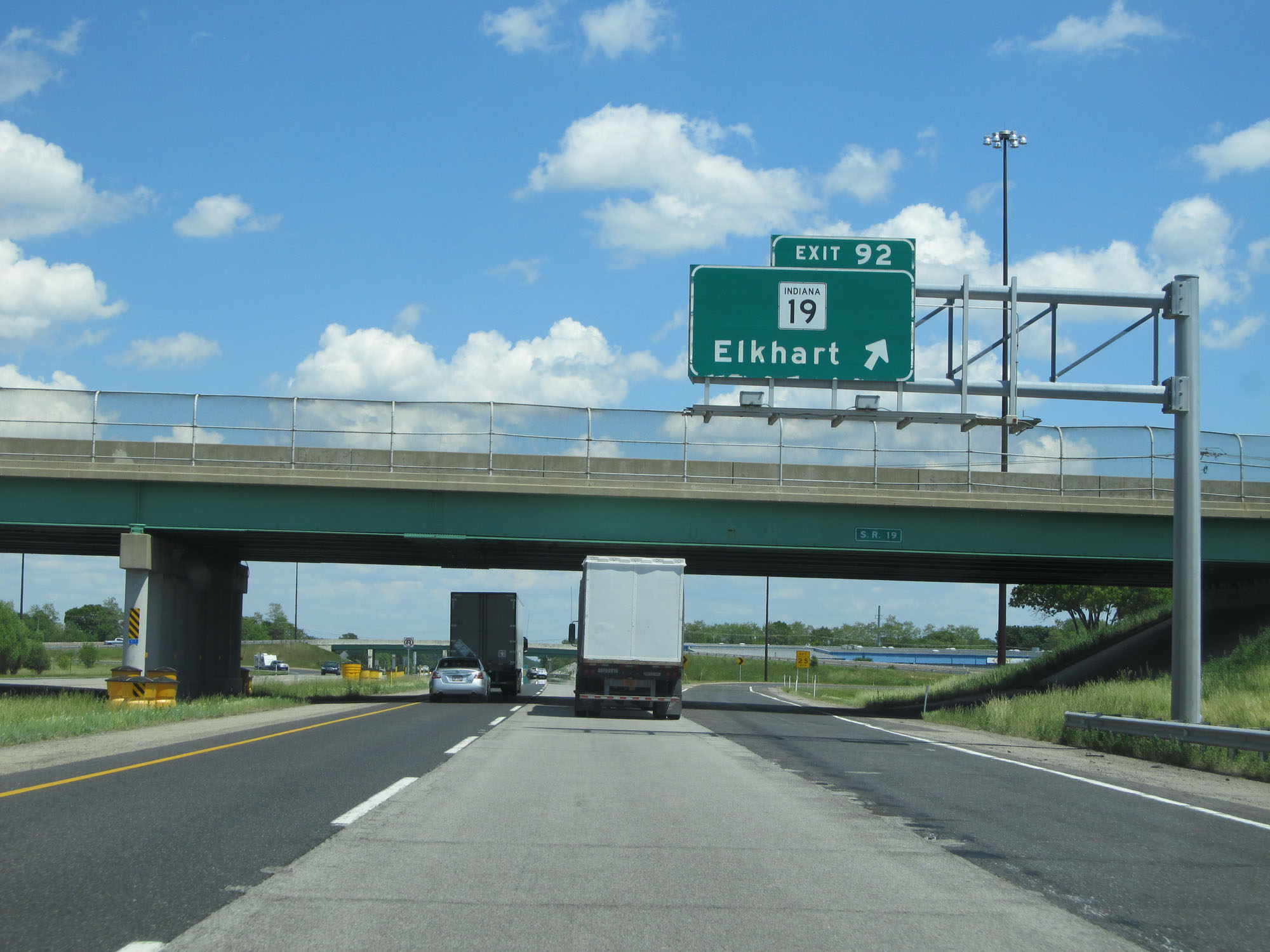 |
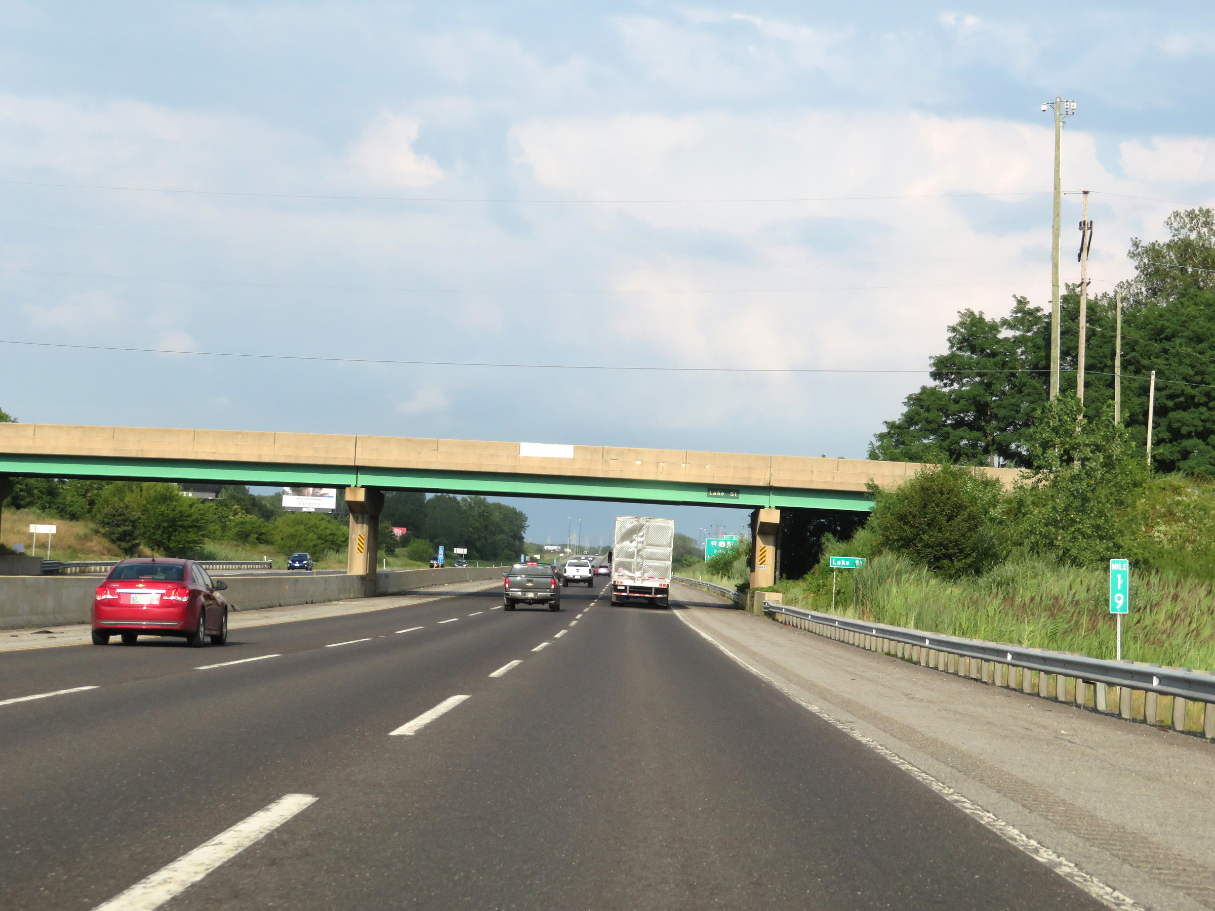
Interstate 80 / Interstate 90 East (Indiana Toll Road) at Exit 92: IN 19 - Elkhart (Photo taken 5/30/16). |
Section 3: Elkhart (Exit 92) to Ohio Border
 |
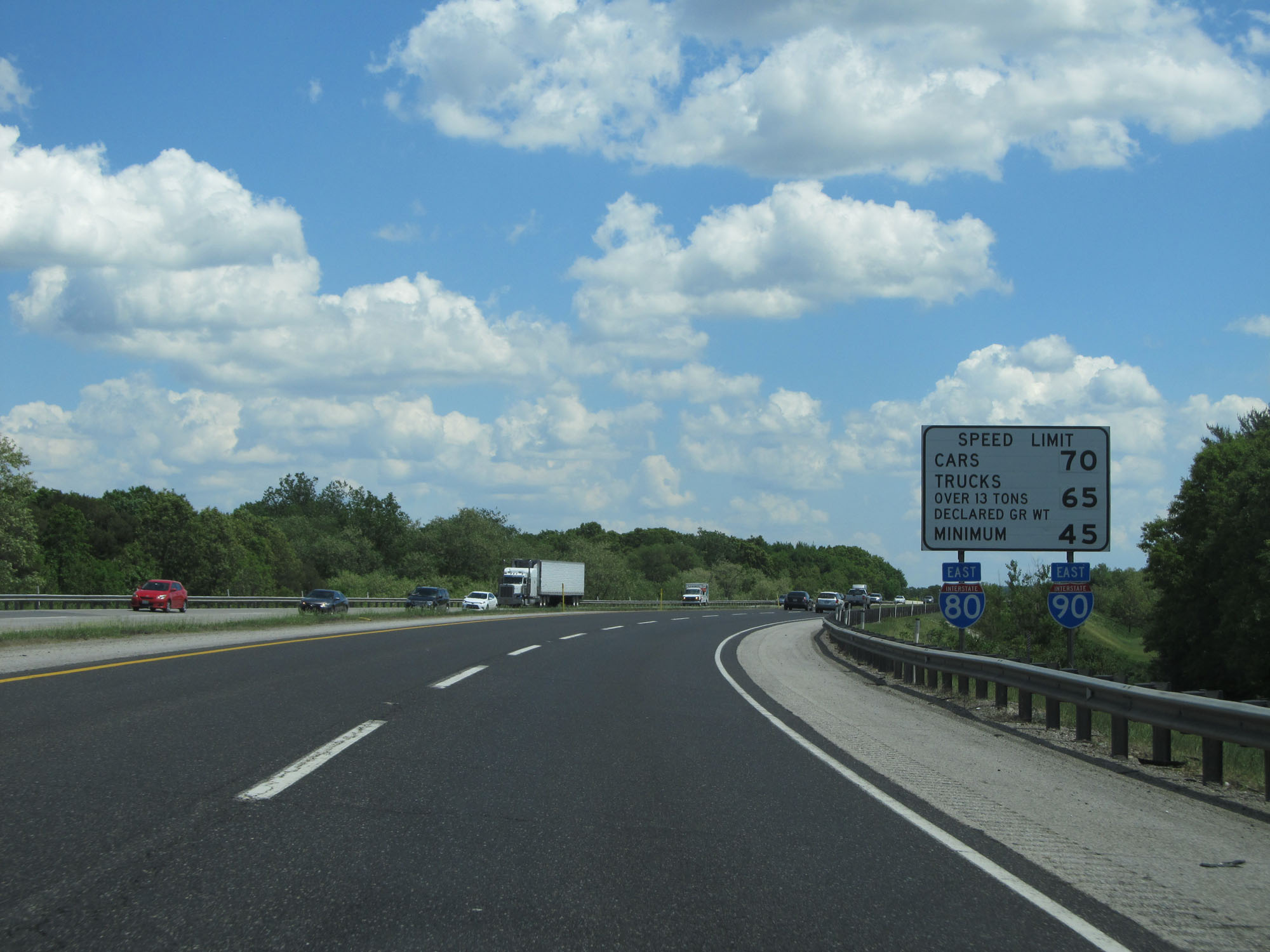
The speed limits remain 70 mph for cars and 65 mph for trucks with a minimum speed limit of 45 mph. (Photo taken 5/30/16). |
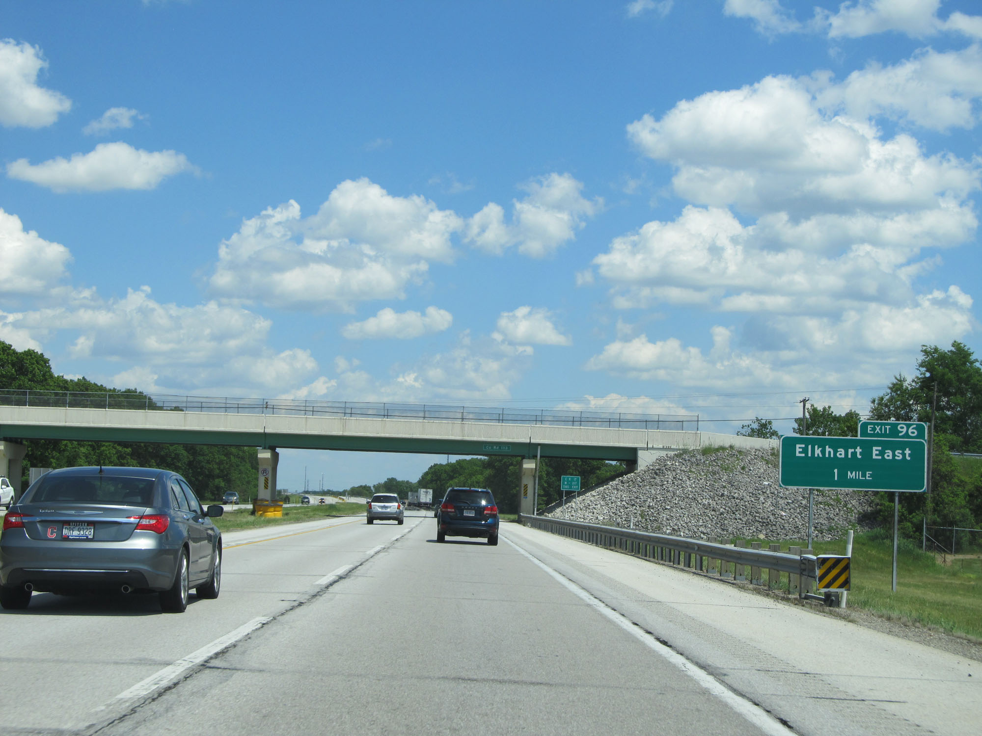 |
Interstate 80 / Interstate 90 East (Indiana Toll Road) approaching Exit 96 - 1 mile. (Photo taken 5/30/16). |
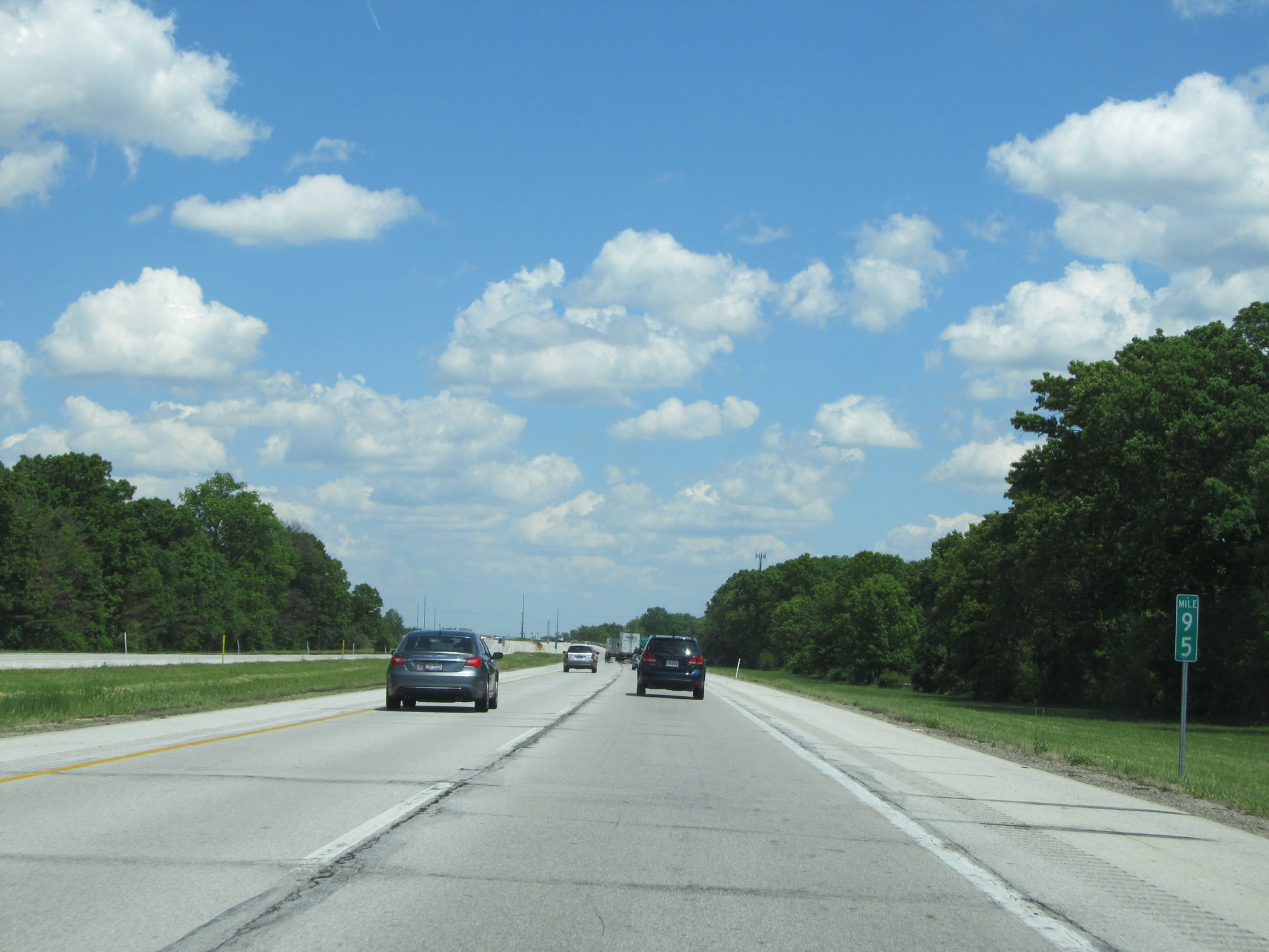 |
Interstate 80 / Interstate 90 East (Indiana Toll Road) at mile marker 95. (Photo taken 5/30/16). |
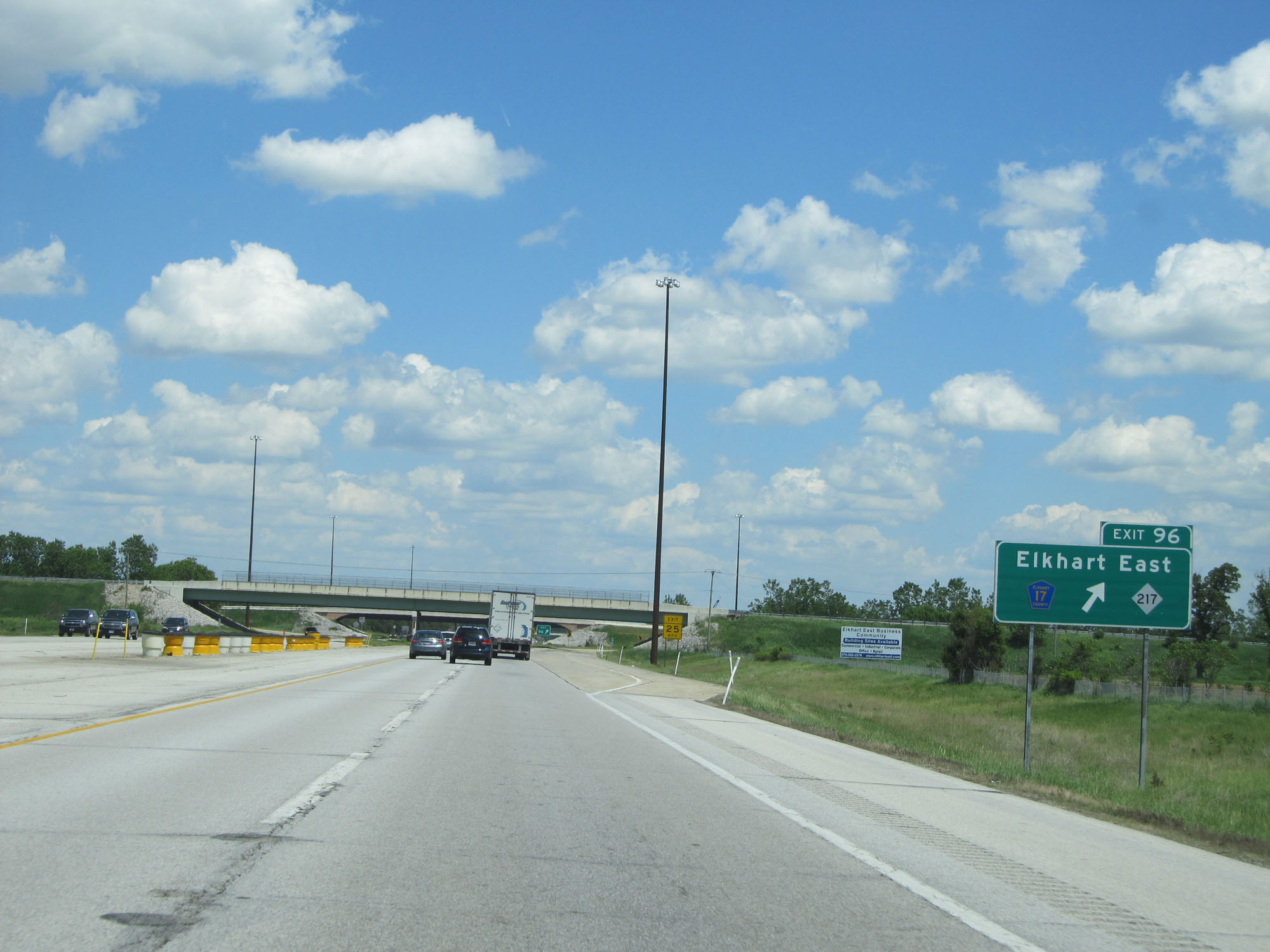 |
Interstate 80 / Interstate 90 East (Indiana Toll Road) at Exit 96: CR 17 - Elkhart (Photo taken 5/30/16). |
 |
Interstate 80 / Interstate 90 East (Indiana Toll Road) at mile marker 98. (Photo taken 5/30/16). |
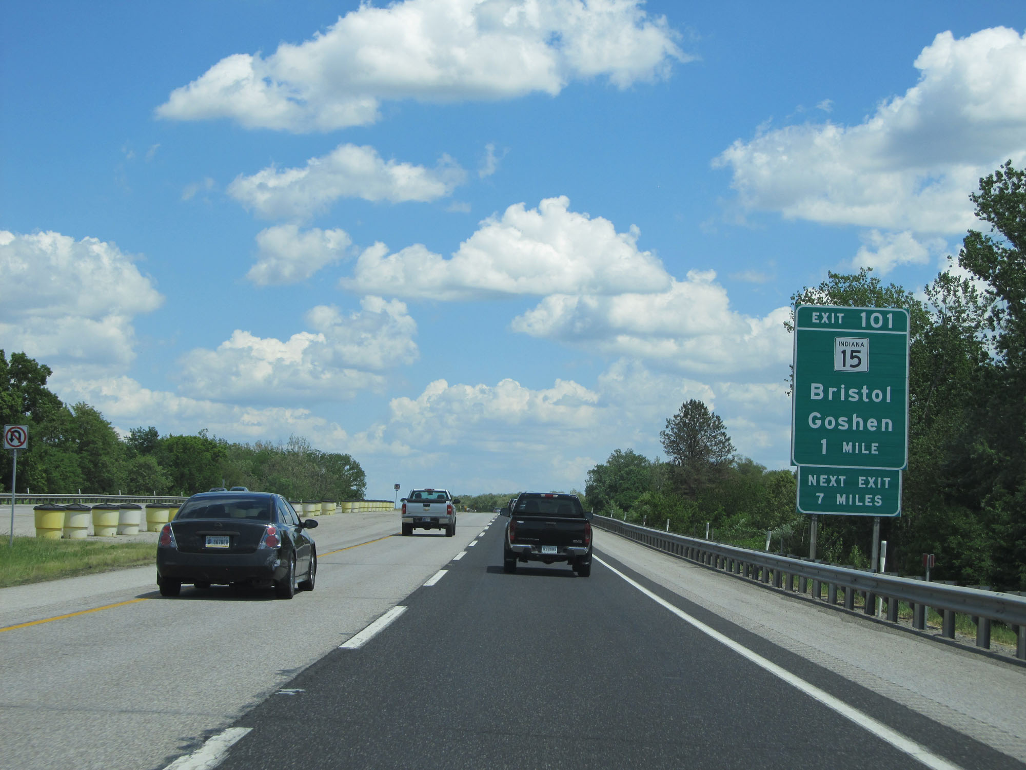 |
Interstate 80 / Interstate 90 East (Indiana Toll Road) approaching Exit 101 - 1 mile. (Photo taken 5/30/16). |
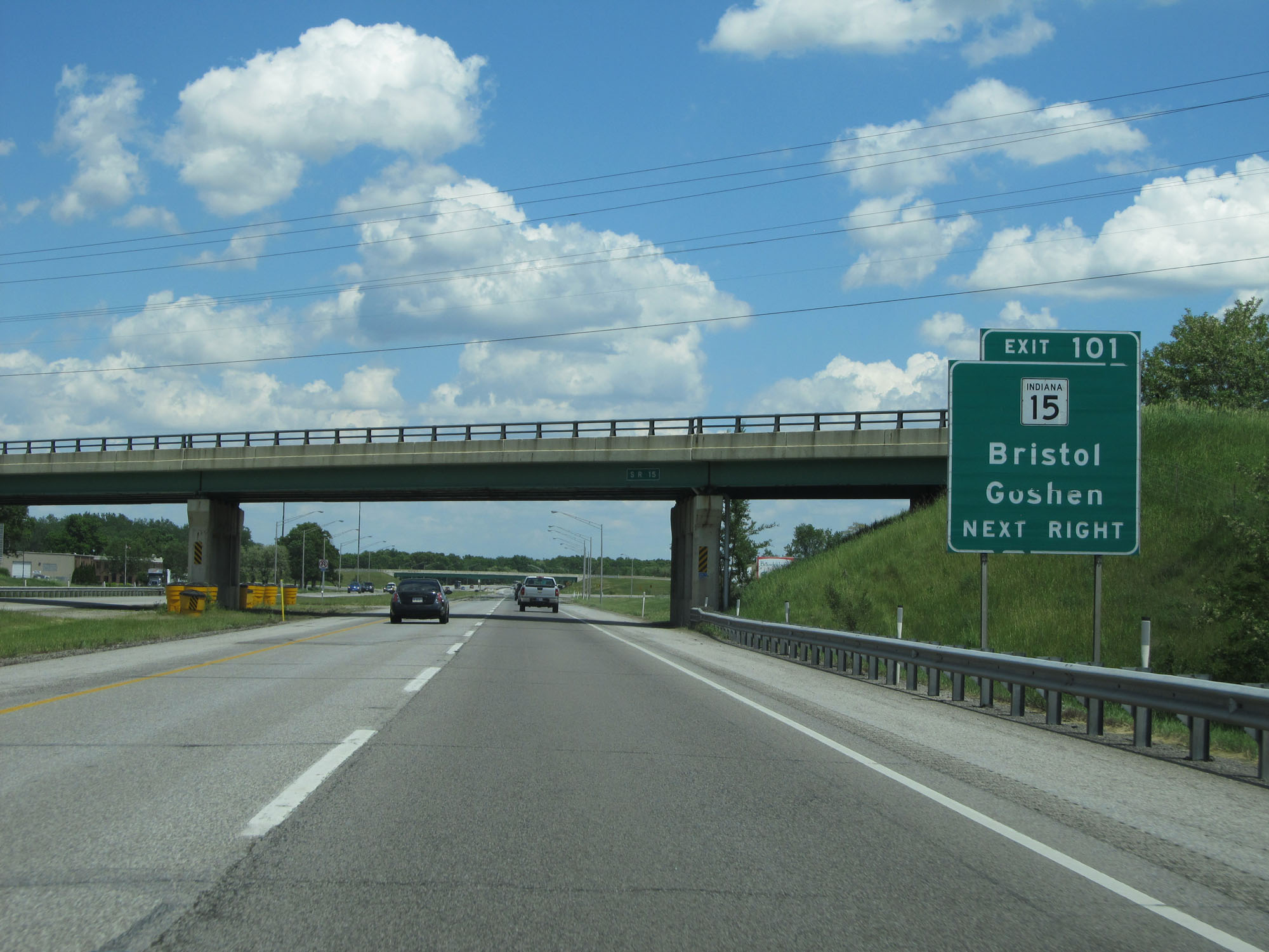 |
Interstate 80 / Interstate 90 East (Indiana Toll Road) at Exit 101: IN 15 - Bristol / Goshen (Photo taken 5/30/16). |
 |
Interstate 80 / Interstate 90 East reassurance shields. (Photo taken 5/30/16). |
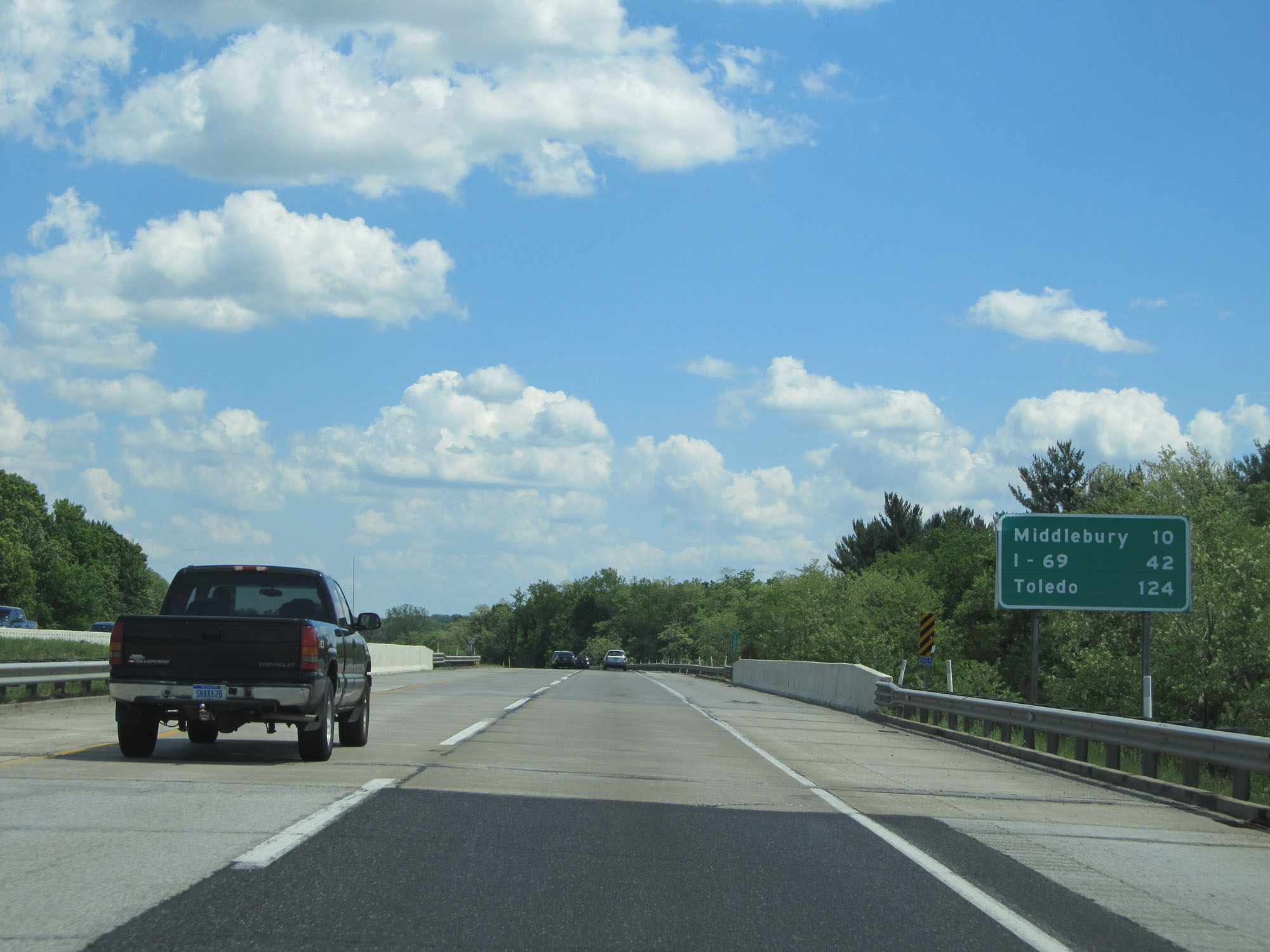 |
Another mileage sign on Interstate 80 / Interstate 90 East (Indiana Toll Road). It's 10 miles to Middlebury, 42 miles to the junction of Interstate 69, and 124 miles to Toledo. (Photo taken 5/30/16). |
 |
Interstate 80 / Interstate 90 East (Indiana Toll Road) at mile marker 103. (Photo taken 5/30/16). |
 |
Take either of the next 2 exits to Shipshewana. (Photo taken 5/30/16). |
 |
Interstate 80 / Interstate 90 East (Indiana Toll Road) approaching Exit 107 - 1 mile. (Photo taken 5/30/16). |
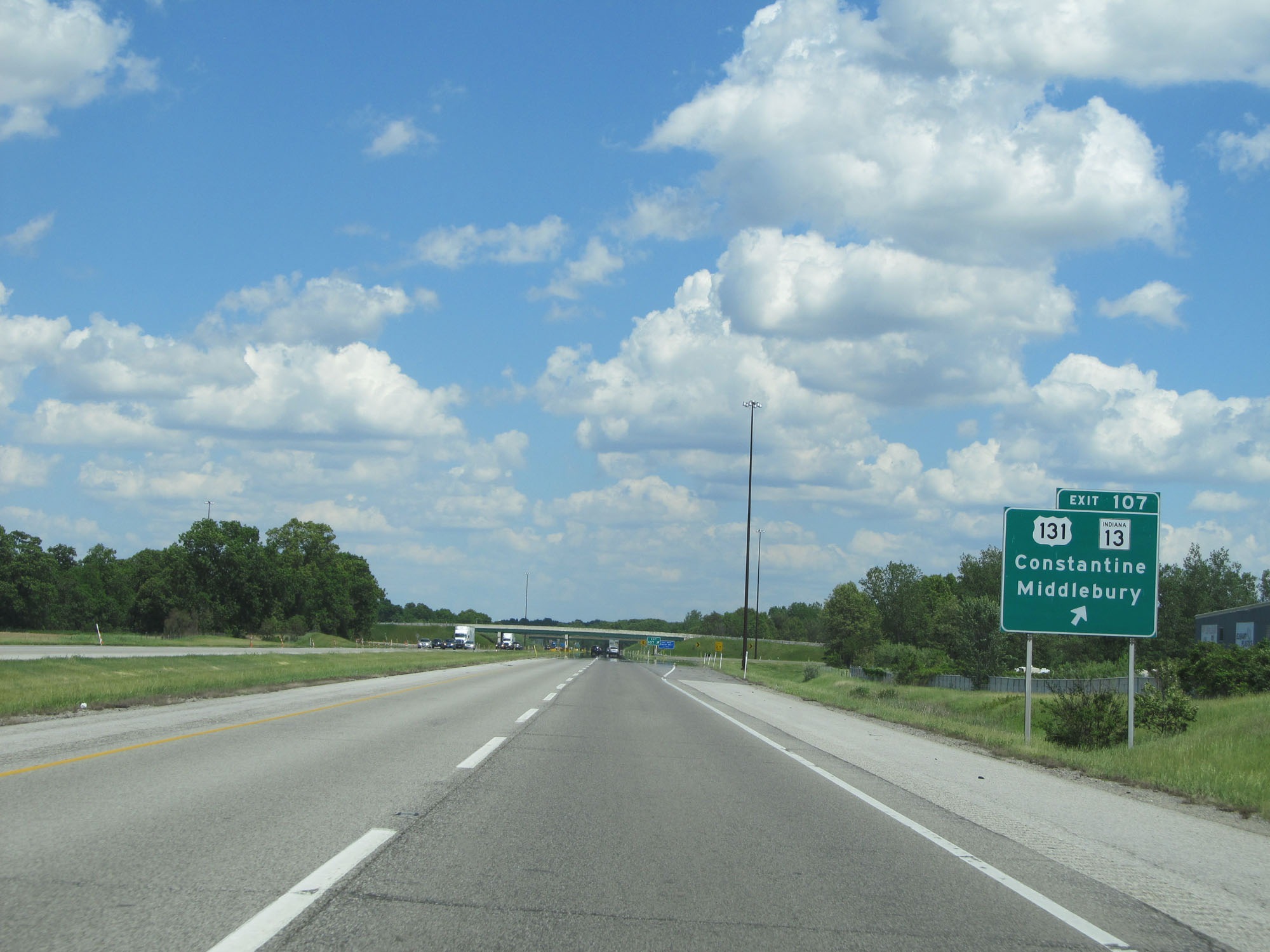 |
Interstate 80 / Interstate 90 East (Indiana Toll Road) at Exit 107: US 131 / IN 13 - Constantine / Middlebury (Photo taken 5/30/16). |
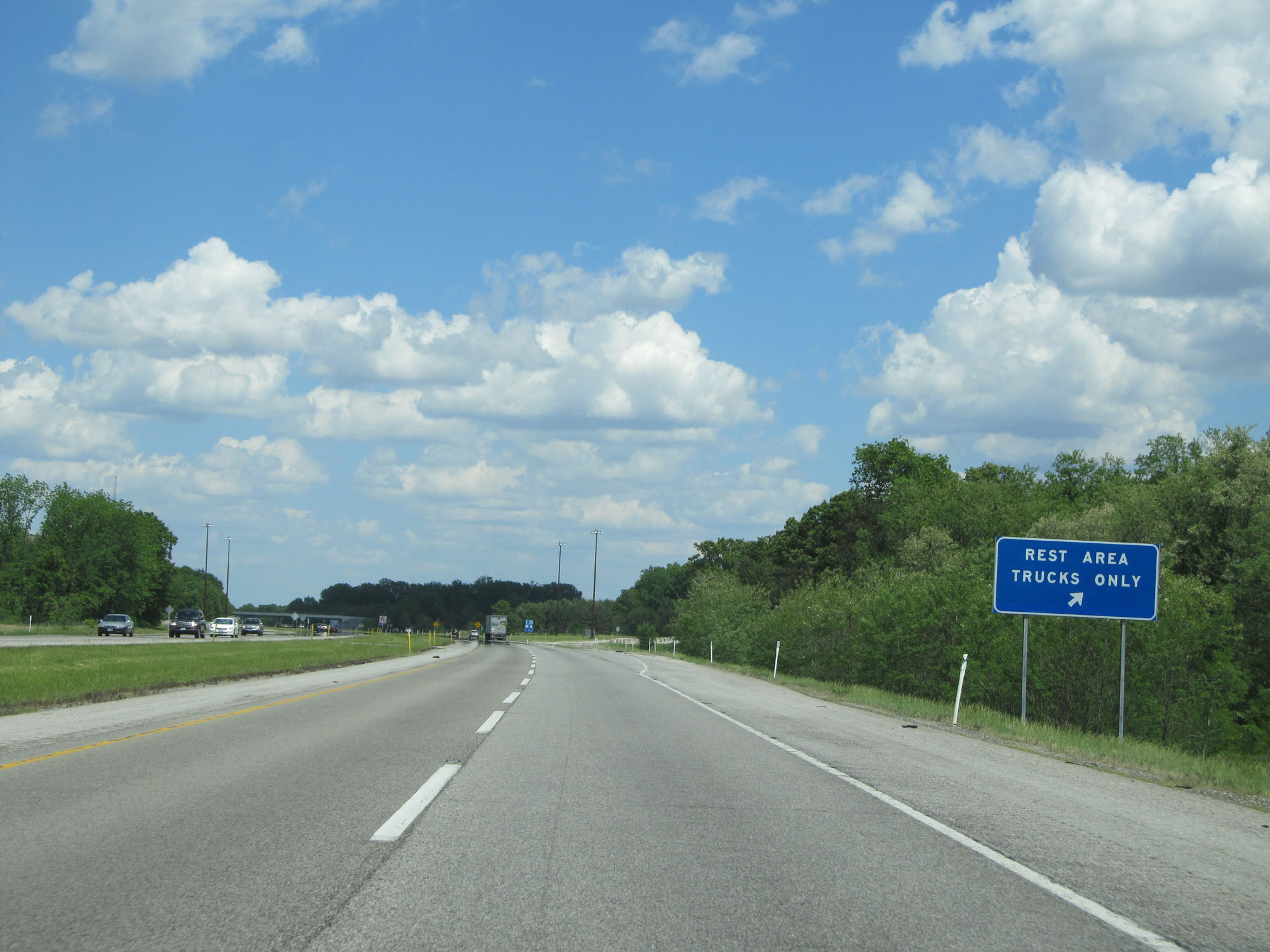 |
Truck Rest Area on Interstate 80 / Interstate 90 East (Indiana Toll Road). (Photo taken 5/30/16). |
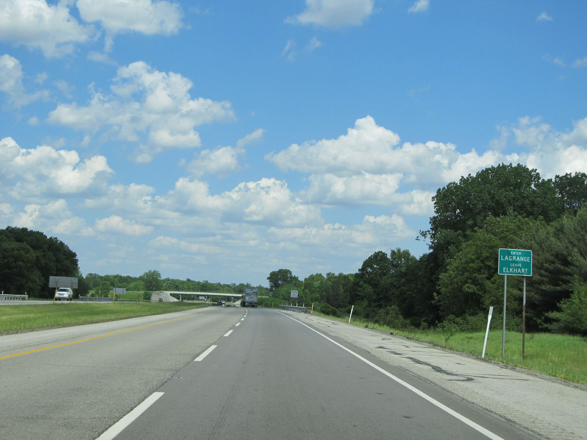 |
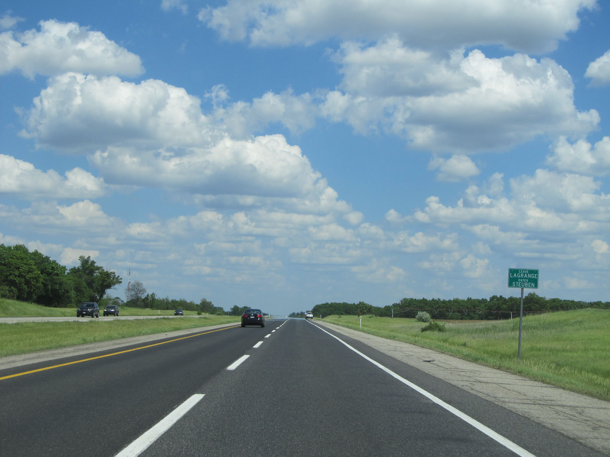
Interstate 80 / Interstate 90 East (Indiana Toll Road) entering LaGrange County. (Photo taken 5/30/16). |
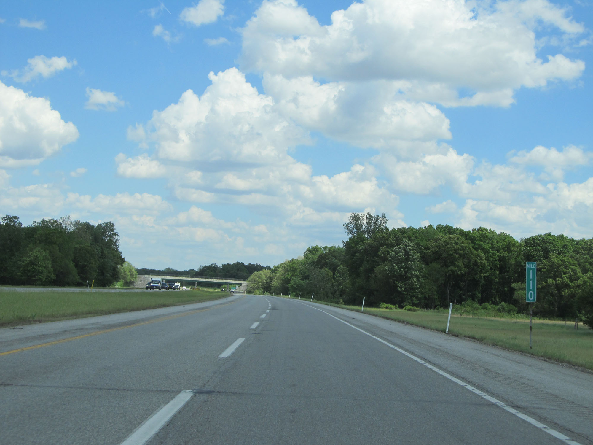 |
Interstate 80 / Interstate 90 East (Indiana Toll Road) at mile marker 110. (Photo taken 5/30/16). |
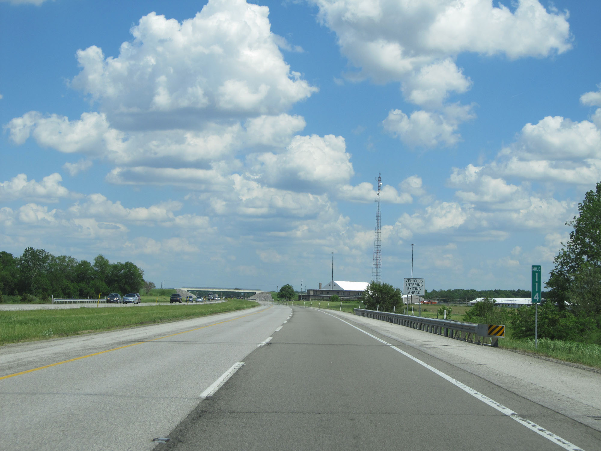 |
Interstate 80 / Interstate 90 East (Indiana Toll Road) at mile marker 114. (Photo taken 5/30/16). |
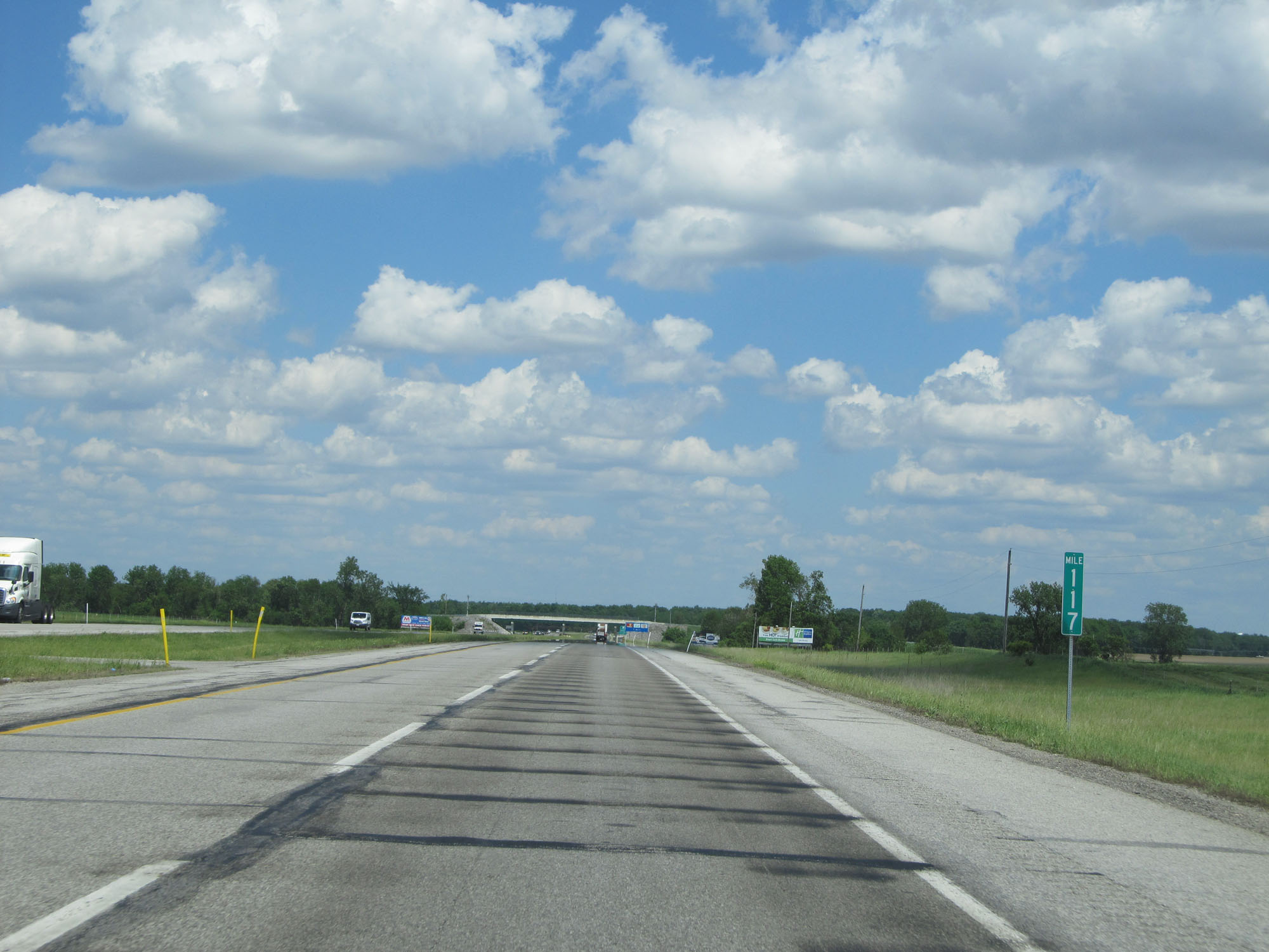 |
Interstate 80 / Interstate 90 East (Indiana Toll Road) at mile marker 117. (Photo taken 5/30/16). |
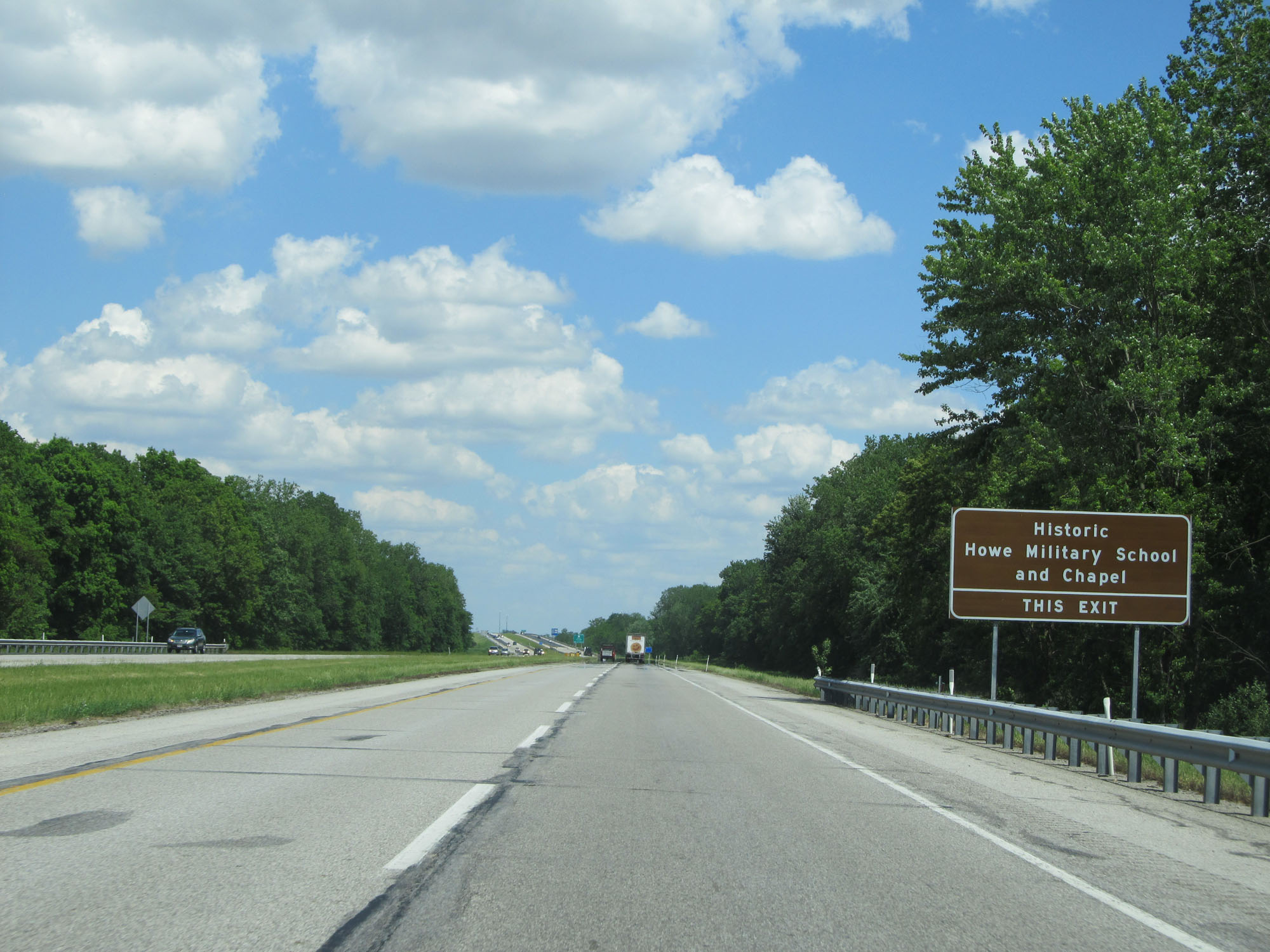 |
Take Exit 121 to Historic Howe Military School and Chapel. (Photo taken 5/30/16). |
 |
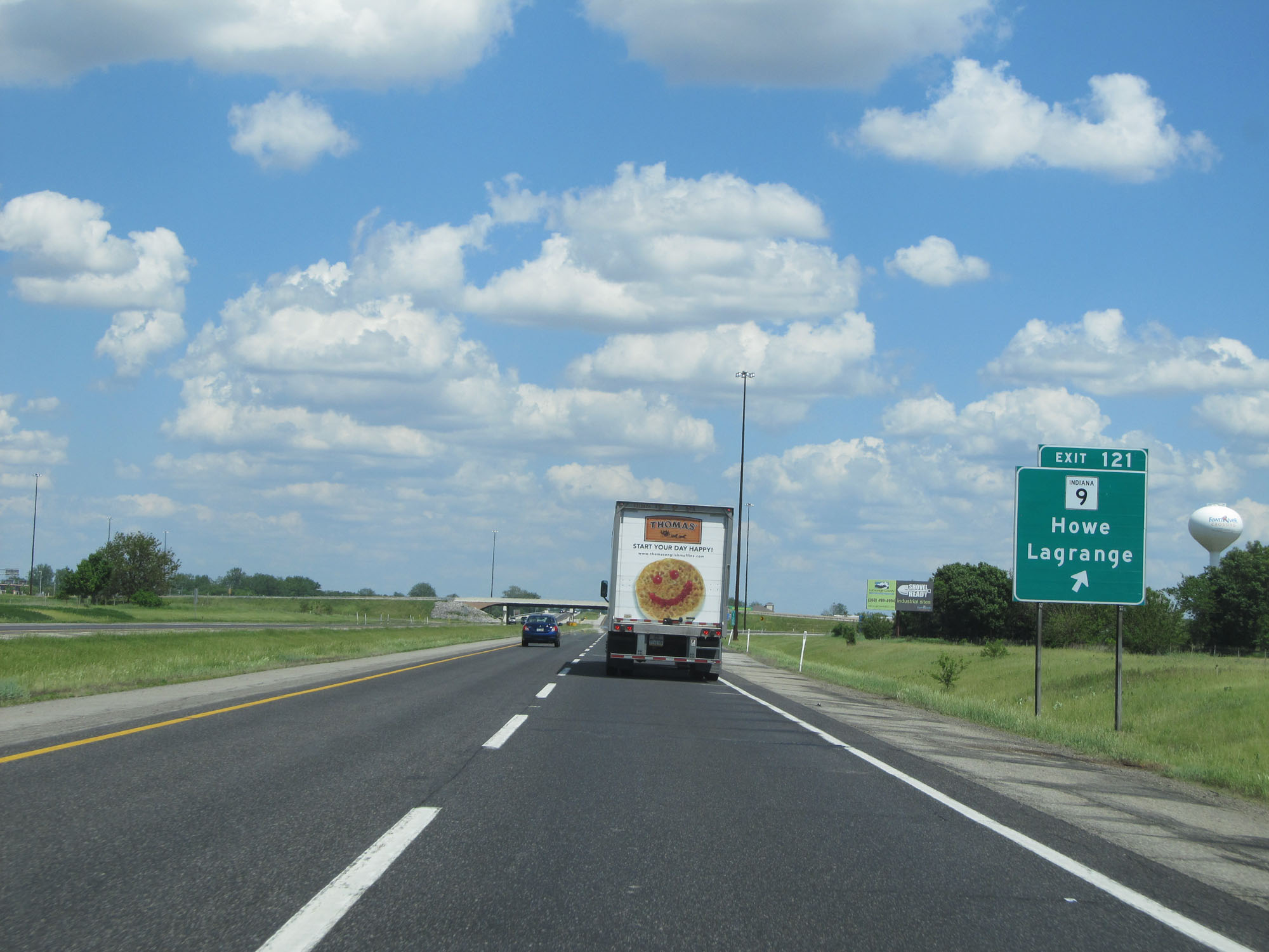
Interstate 80 / Interstate 90 East (Indiana Toll Road) approaching Exit 121 - 1 mile. (Photo taken 5/30/16). |
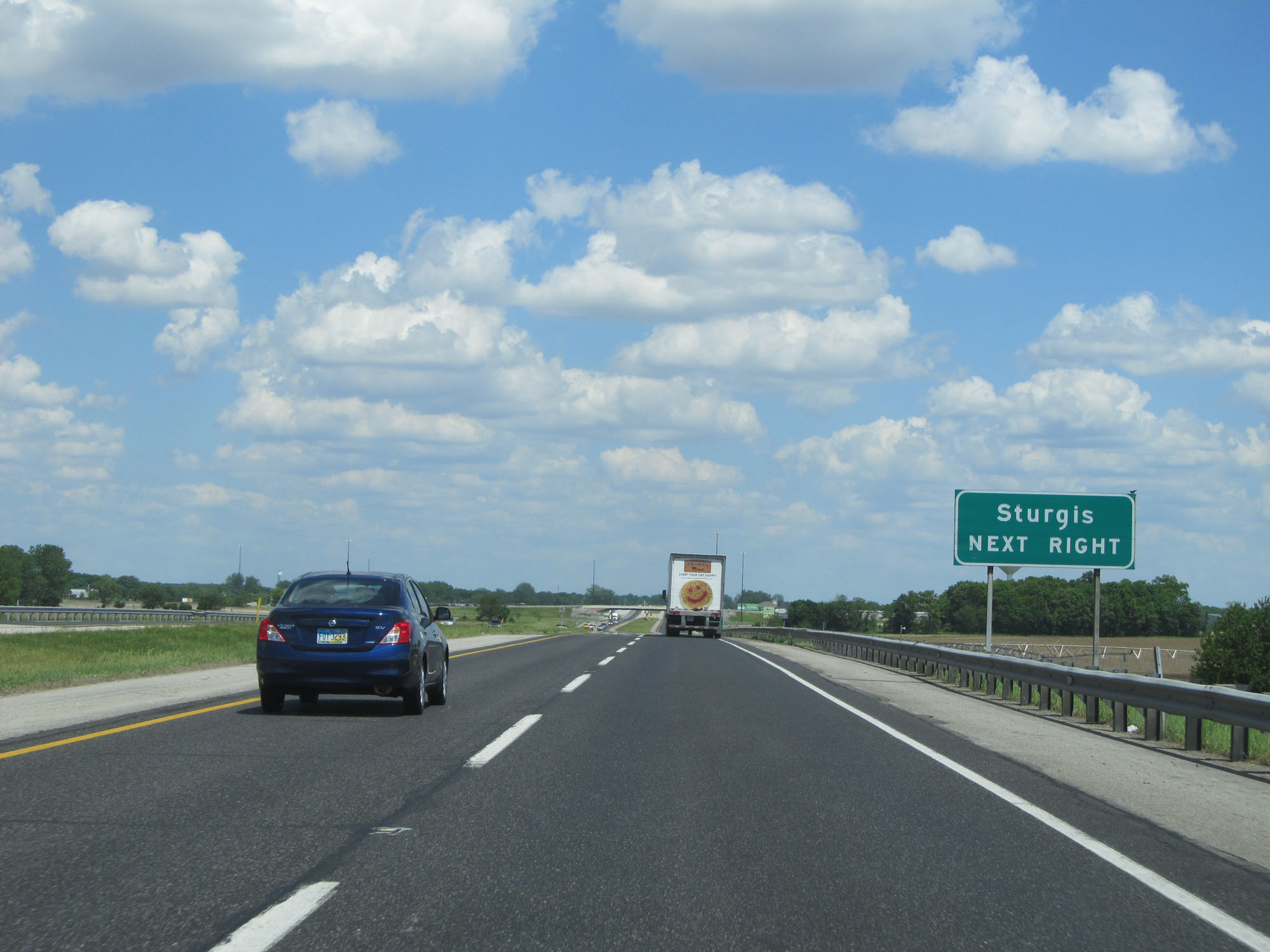 |
Take Exit 121 to Sturgis, MI. (Photo taken 5/30/16). |
 |
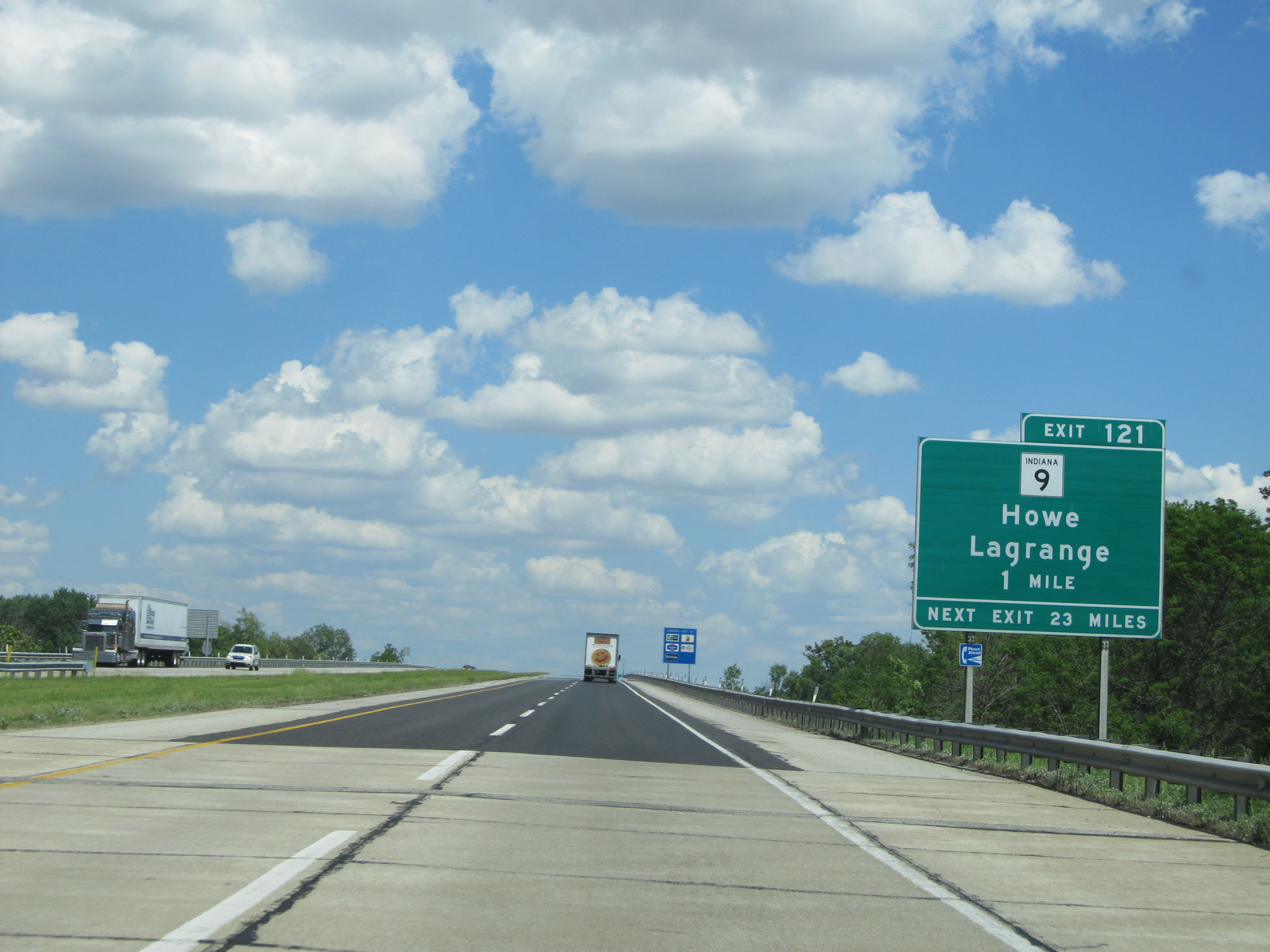
Interstate 80 / Interstate 90 East (Indiana Toll Road) at Exit 121: IN 9 - Howe / Lagrange (Photo taken 5/30/16). |
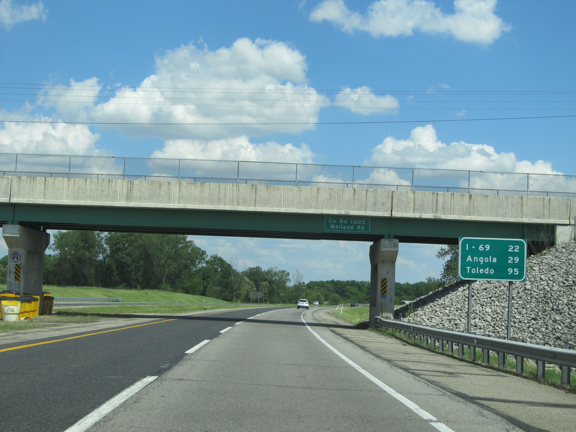 |
Mileage sign on Interstate 80 / Interstate 90 East (Indiana Toll Road). It's 22 miles to the junction of Interstate 69, 29 miles to Angola, and 95 miles to Toledo. (Photo taken 5/30/16). |
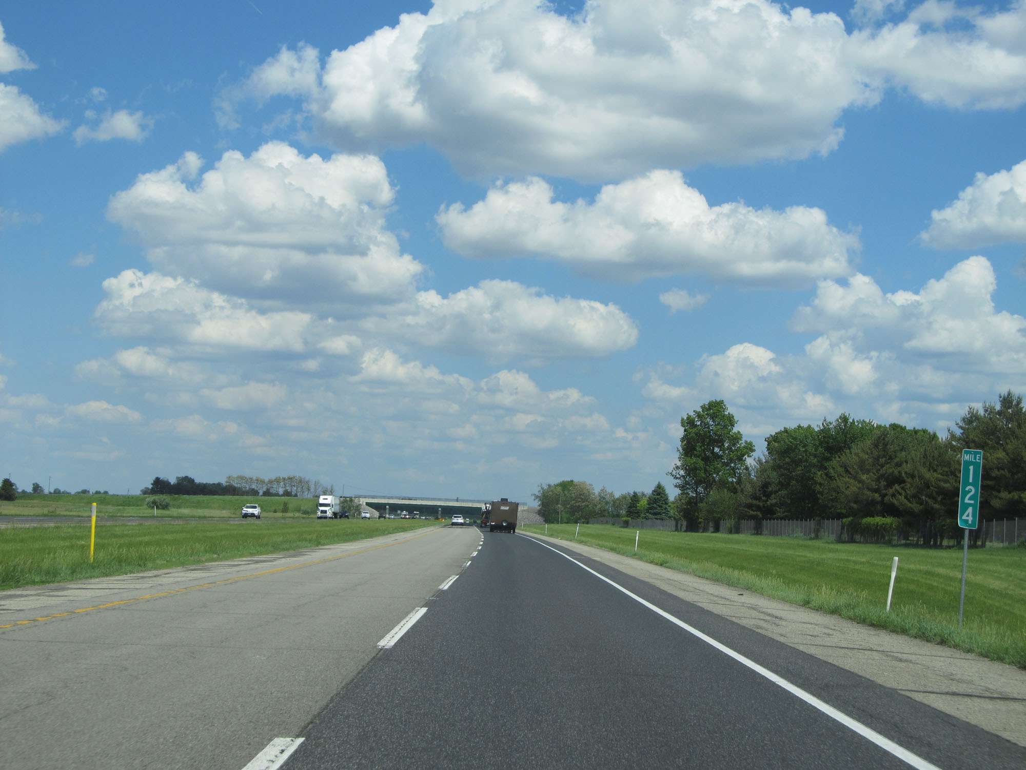 |
Interstate 80 / Interstate 90 East (Indiana Toll Road) at mile marker 124. (Photo taken 5/30/16). |
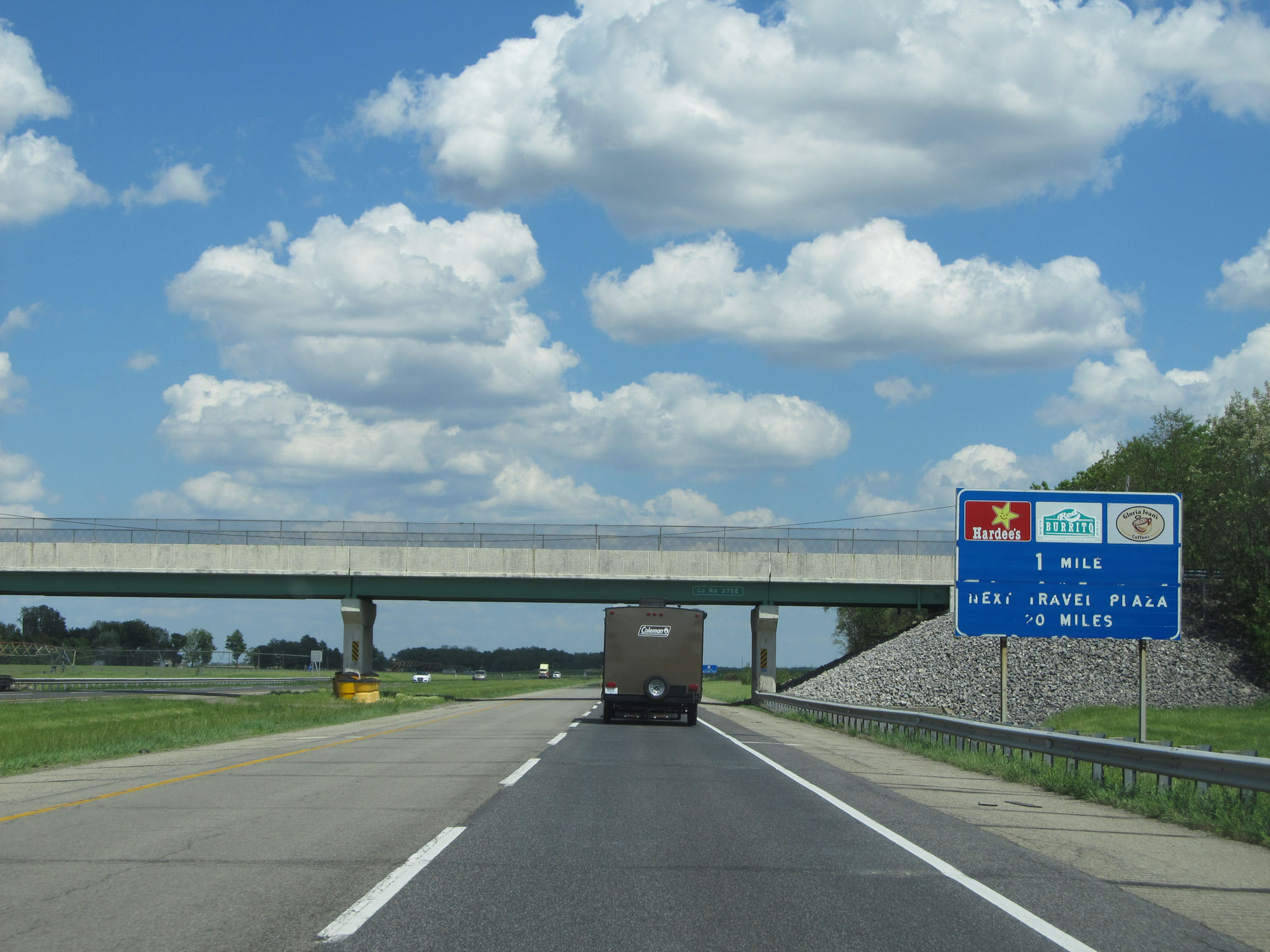 |
Interstate 80 / Interstate 90 East (Indiana Toll Road) approaching the Gene Stratton Porter Travel Plaza - 1 mile. (Photo taken 5/30/16). |
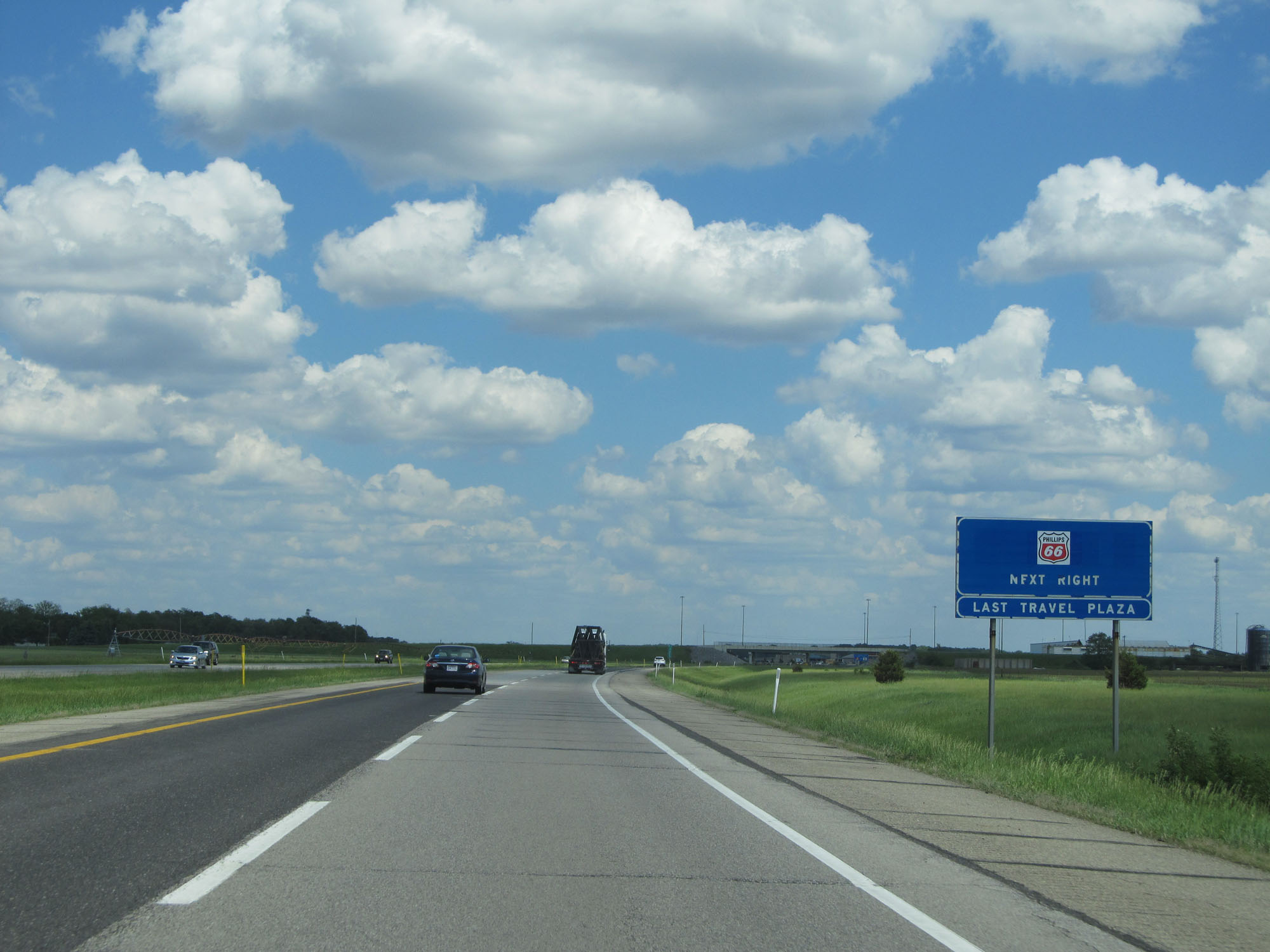 |
This sign approaching the Gene Stratton Porter Travel Plaza indicates that it is the last travel plaza on the Indiana Toll Road. (Photo taken 5/30/16). |
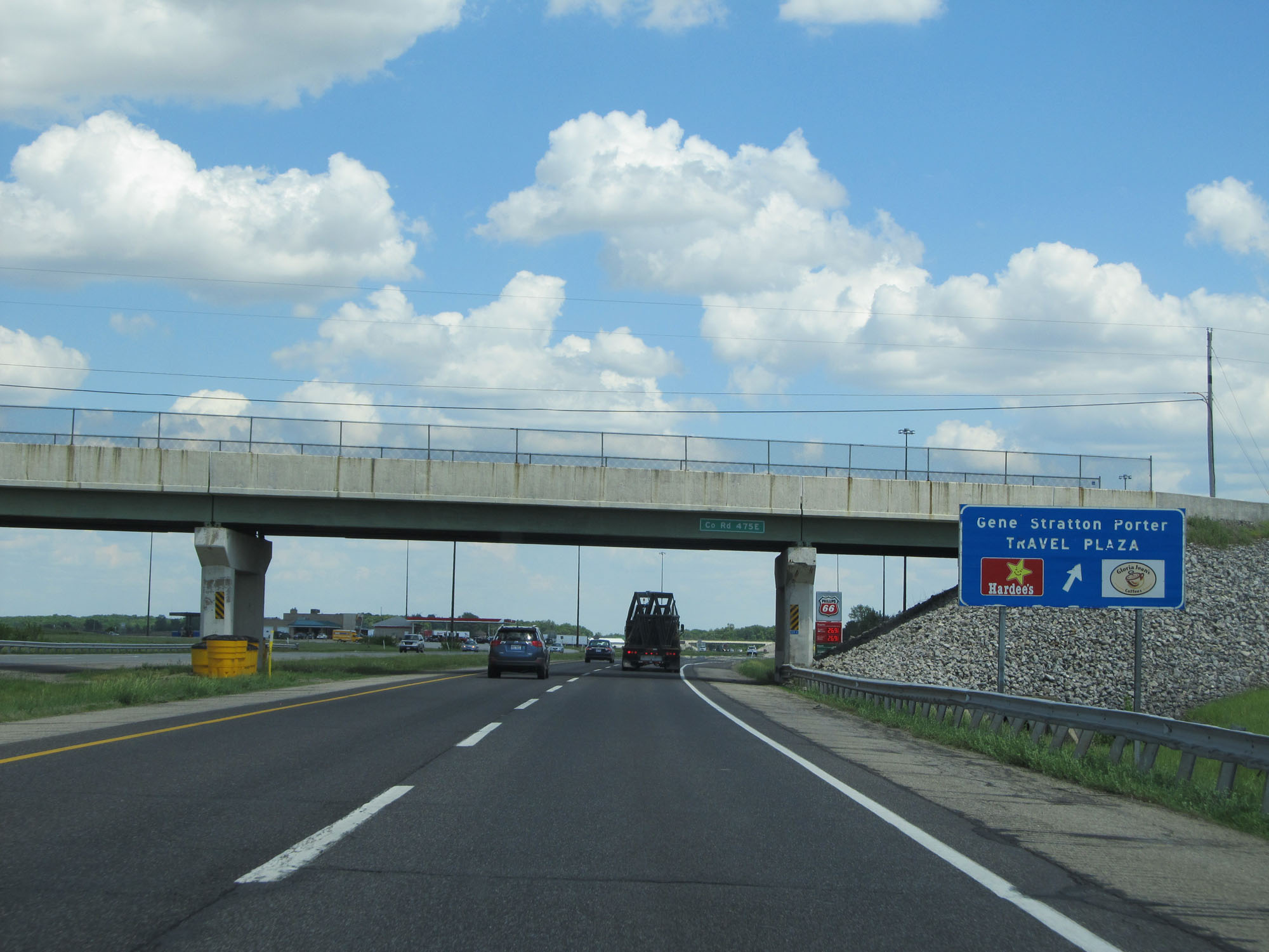 |
Interstate 80 / Interstate 90 East (Indiana Toll Road) at the Gene Stratton Porter Travel Plaza. (Photo taken 5/30/16). |
 |
View of the ramp to the Gene Stratton Porter Travel Plaza. (Photo taken 5/30/16). |
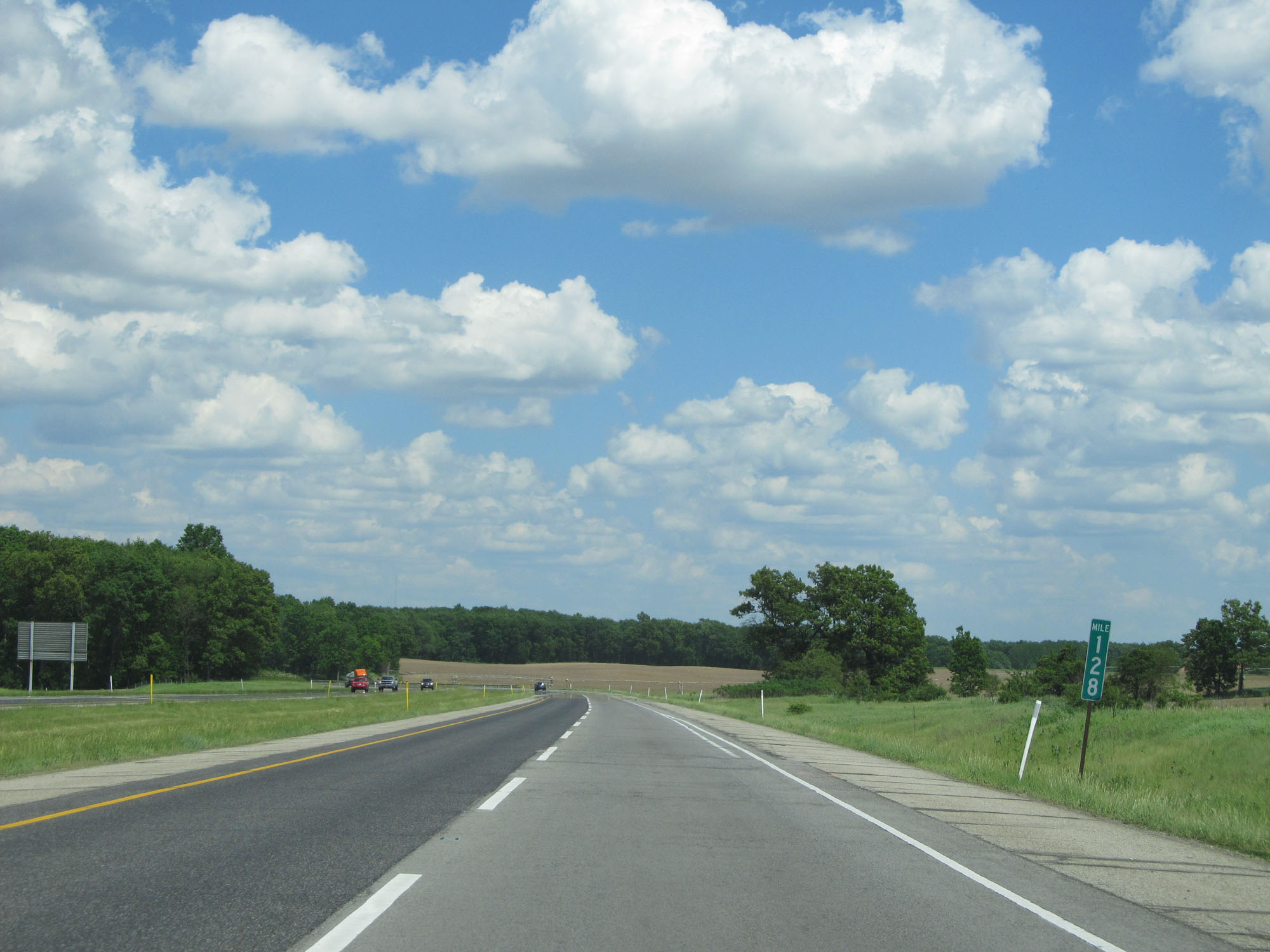 |
Interstate 80 / Interstate 90 East (Indiana Toll Road) at mile marker 128. (Photo taken 5/30/16). |
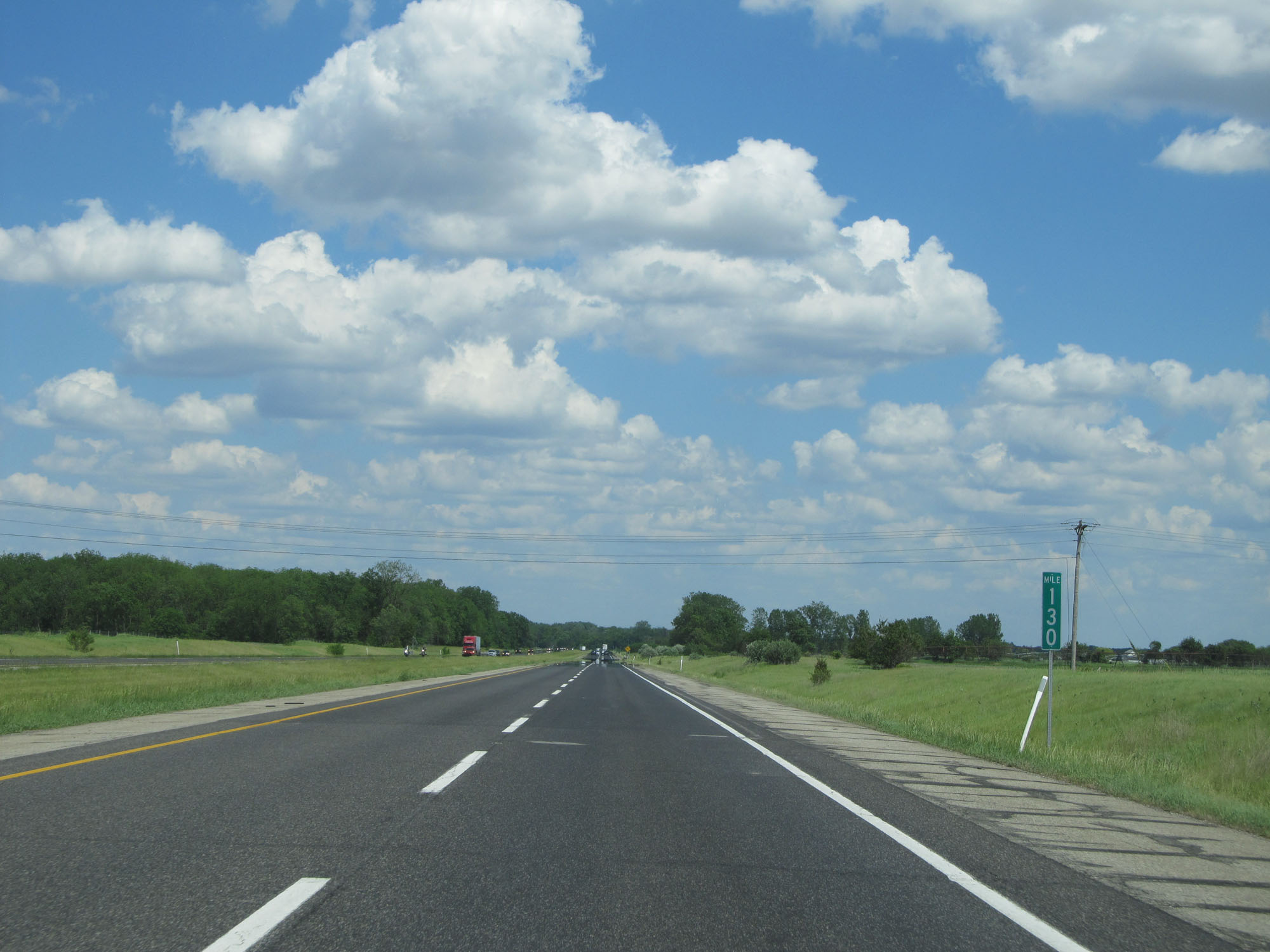 |
Interstate 80 / Interstate 90 East (Indiana Toll Road) at mile marker 130. (Photo taken 5/30/16). |
 |
Interstate 80 / Interstate 90 East (Indiana Toll Road) entering Steuben County. (Photo taken 5/30/16). |
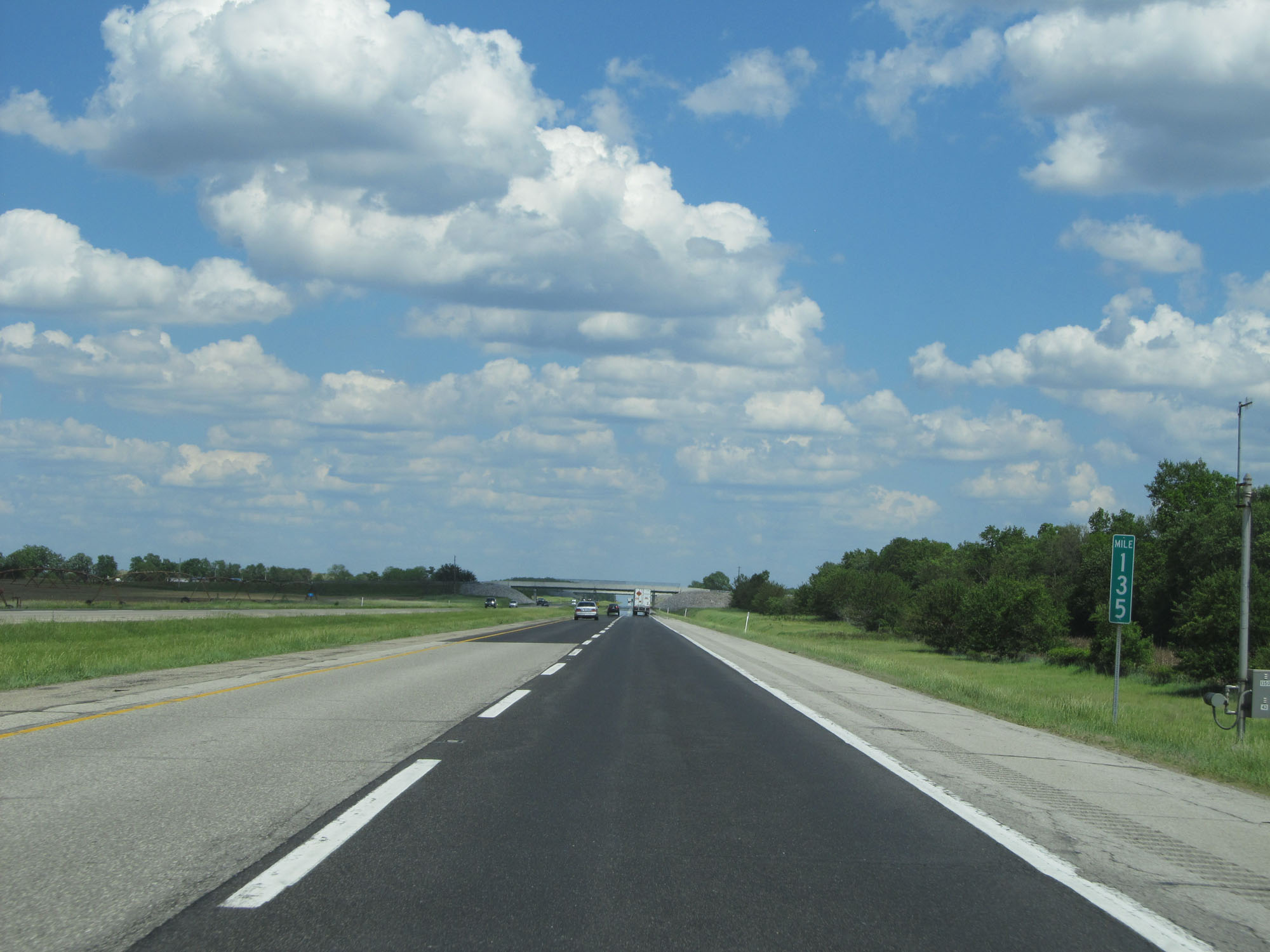 |
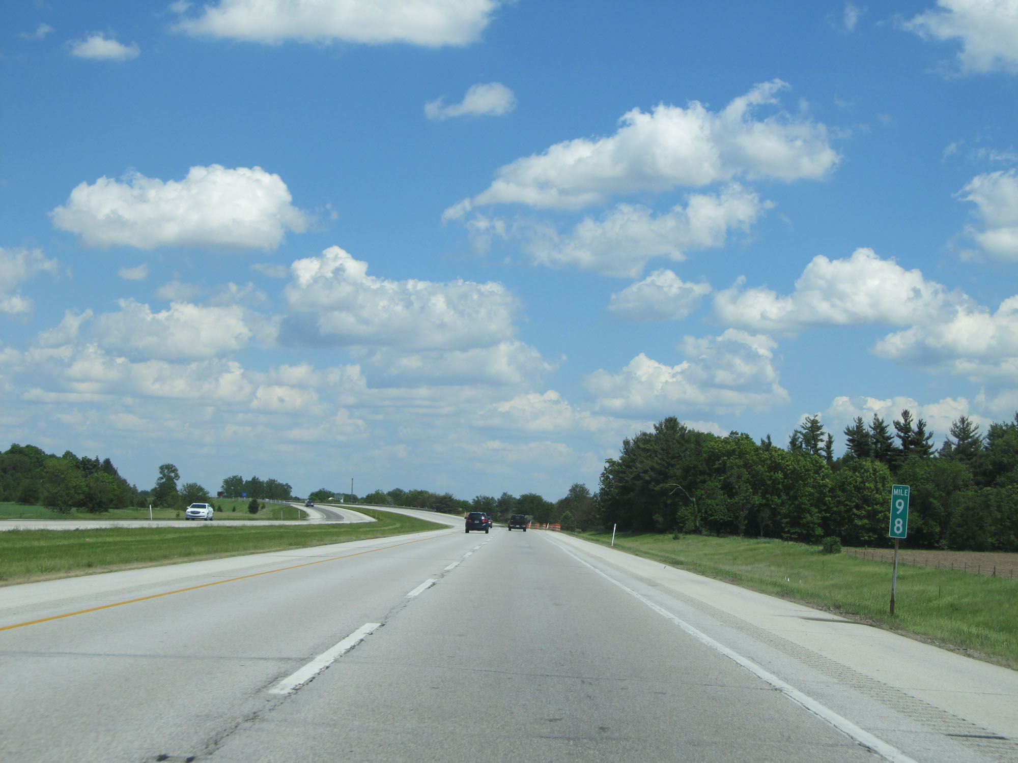
Interstate 80 / Interstate 90 East (Indiana Toll Road) at mile marker 135. (Photo taken 5/30/16). |
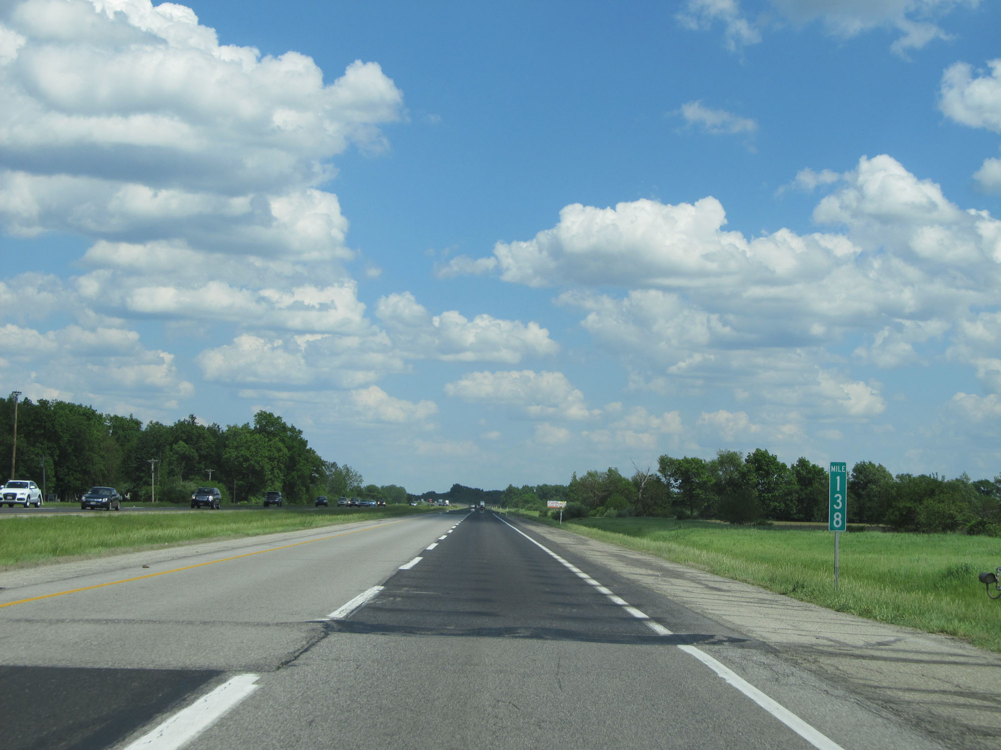 |
Interstate 80 / Interstate 90 East (Indiana Toll Road) at mile marker 138. (Photo taken 5/30/16). |
 |
Interstate 80 / Interstate 90 East (Indiana Toll Road) at mile marker 141. (Photo taken 5/30/16). |
 |
Interstate 80 / Interstate 90 East (Indiana Toll Road) at mile marker 142. (Photo taken 5/30/16). |
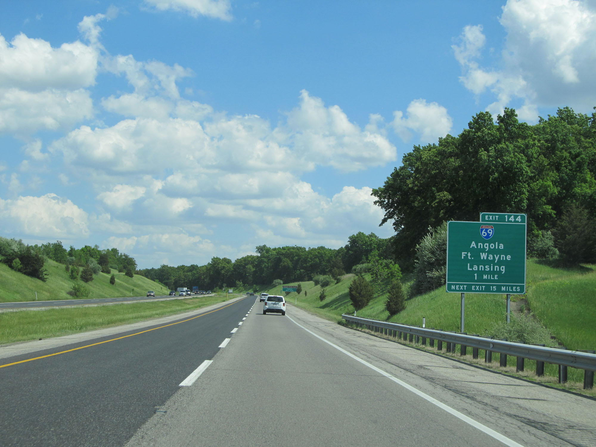 |
Interstate 80 / Interstate 90 East (Indiana Toll Road) approaching Exit 144 - 1 mile. (Photo taken 5/30/16). |
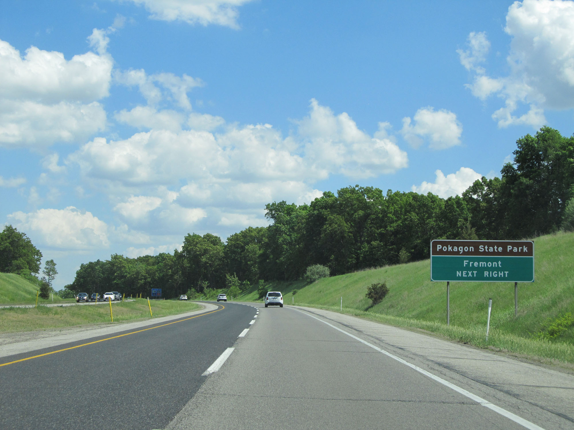 |
Take Exit 144 to Pokagon State Park and Fremont. (Photo taken 5/30/16). |
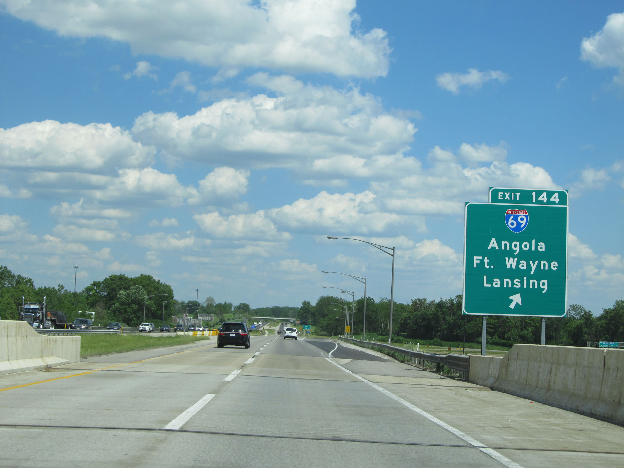 |
Interstate 80 / Interstate 90 East (Indiana Toll Road) at Exit 144: Interstate 69 - Angola / Fort Wayne / Lansing (Photo taken 5/30/16). |
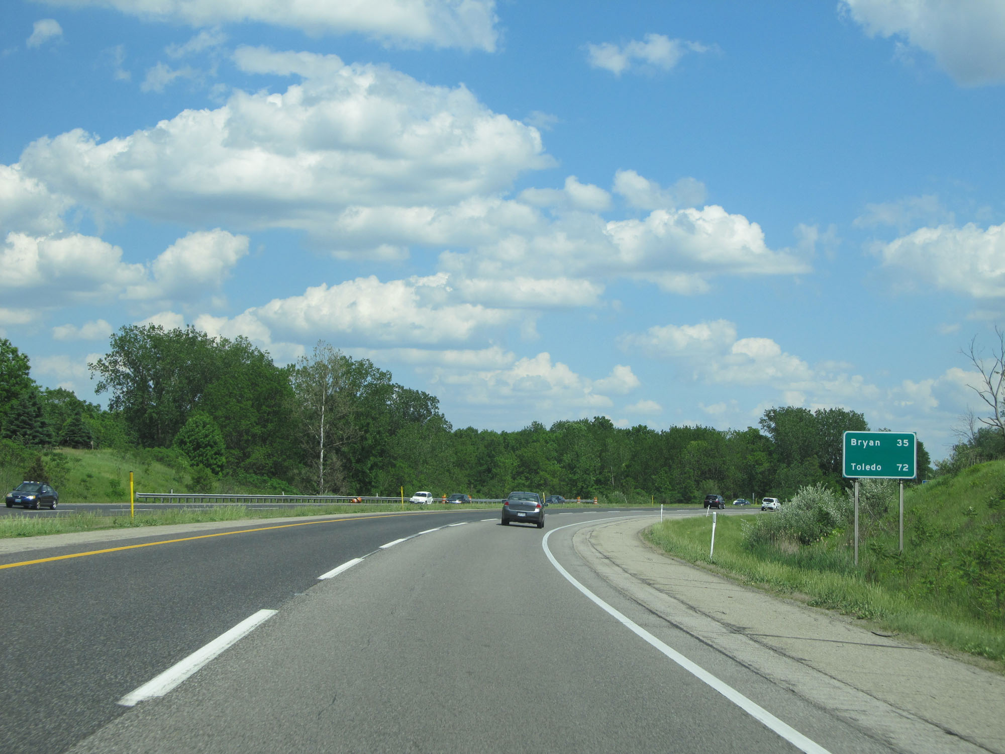 |
Mileage sign on Interstate 80 / Interstate 90 East (Indiana Toll Road). It's 35 miles to Bryan and 72 miles to Toledo. (Photo taken 5/30/16). |
 |
Interstate 80 / Interstate 90 East (Indiana Toll Road) at mile marker 145. (Photo taken 5/30/16). |
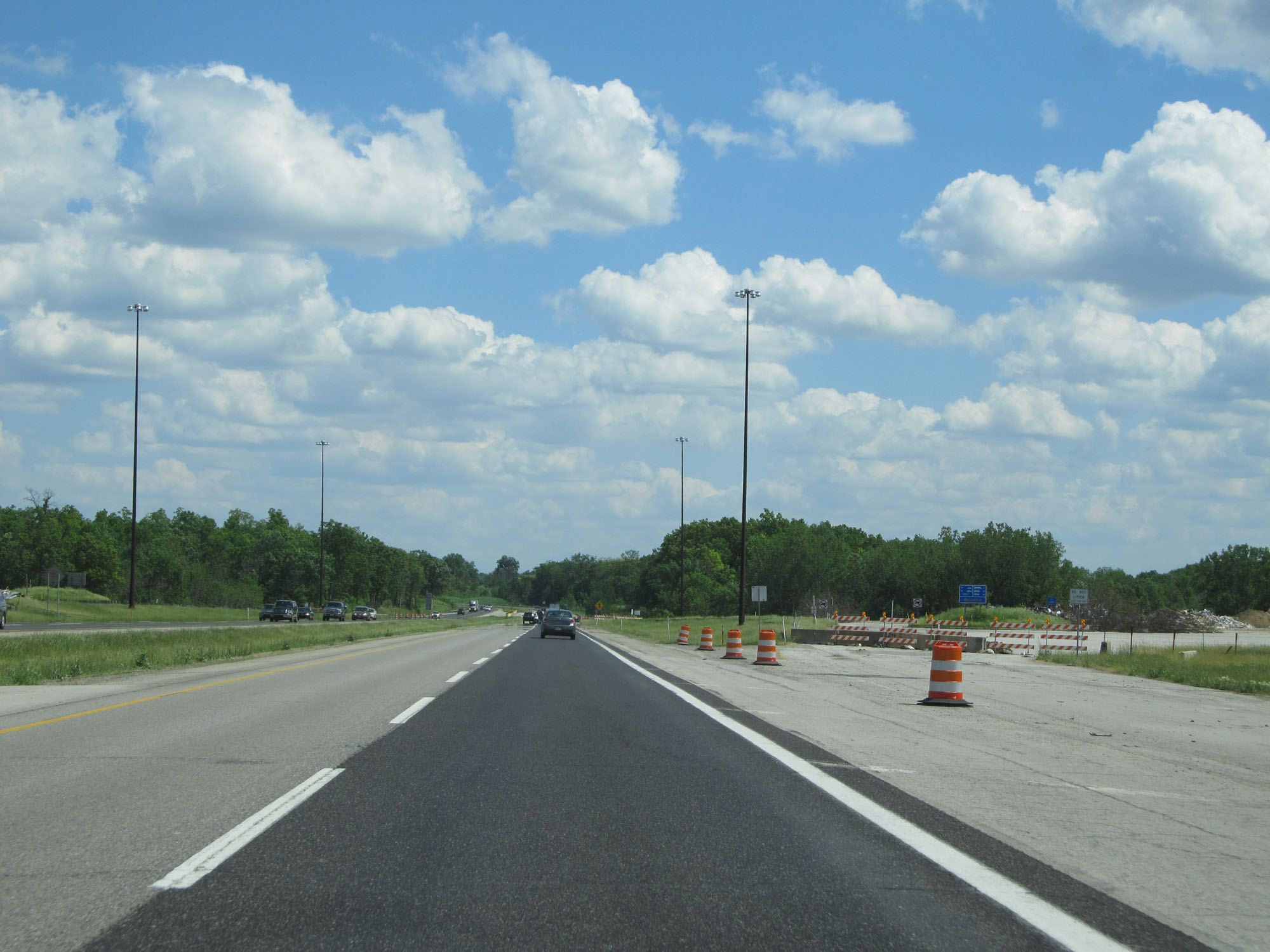 |
Former travel plaza on Interstate 80 / Interstate 90 East (Indiana Toll Road). (Photo taken 5/30/16). |
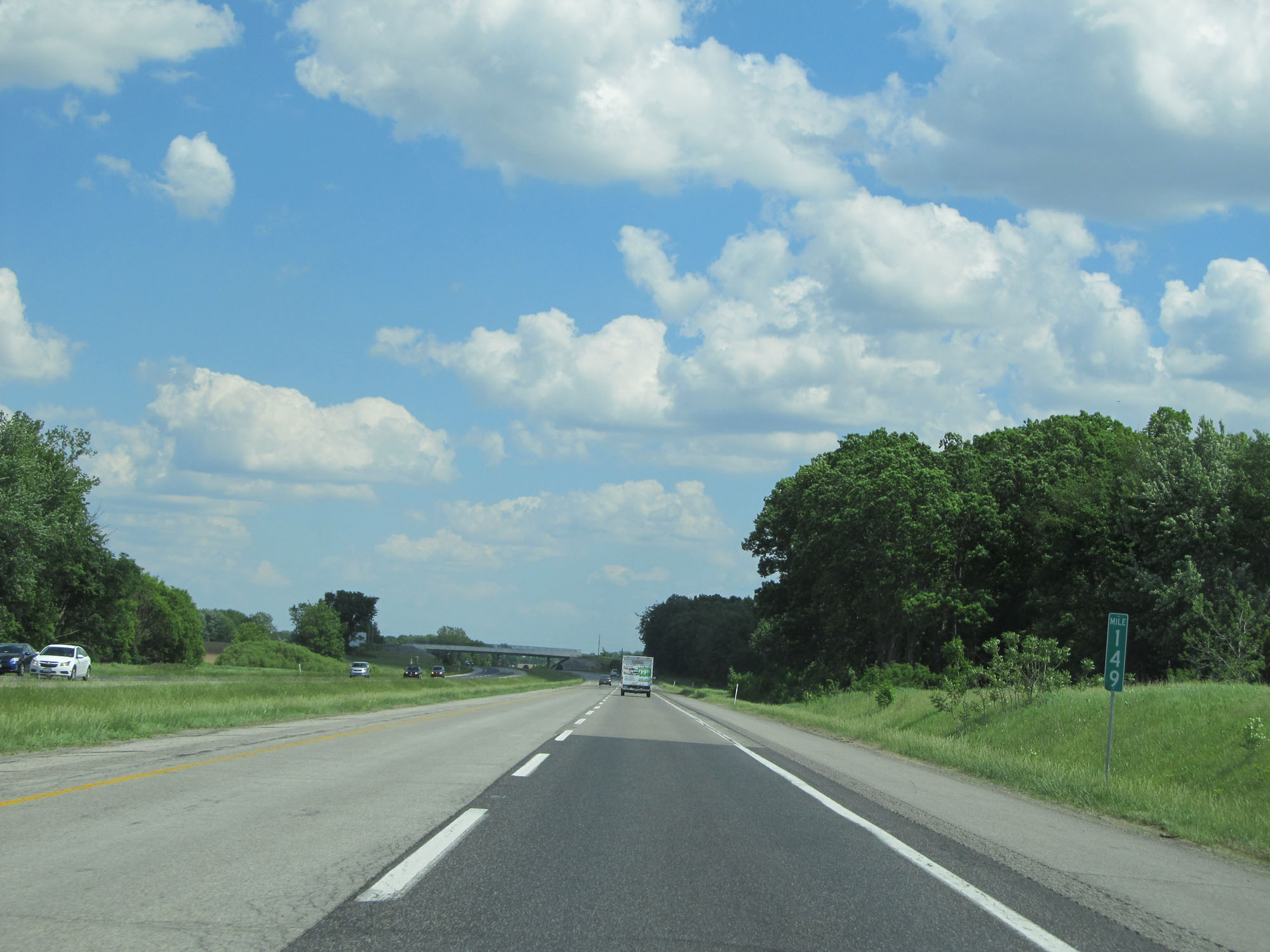 |
Interstate 80 / Interstate 90 East (Indiana Toll Road) at mile marker 149. (Photo taken 5/30/16). |
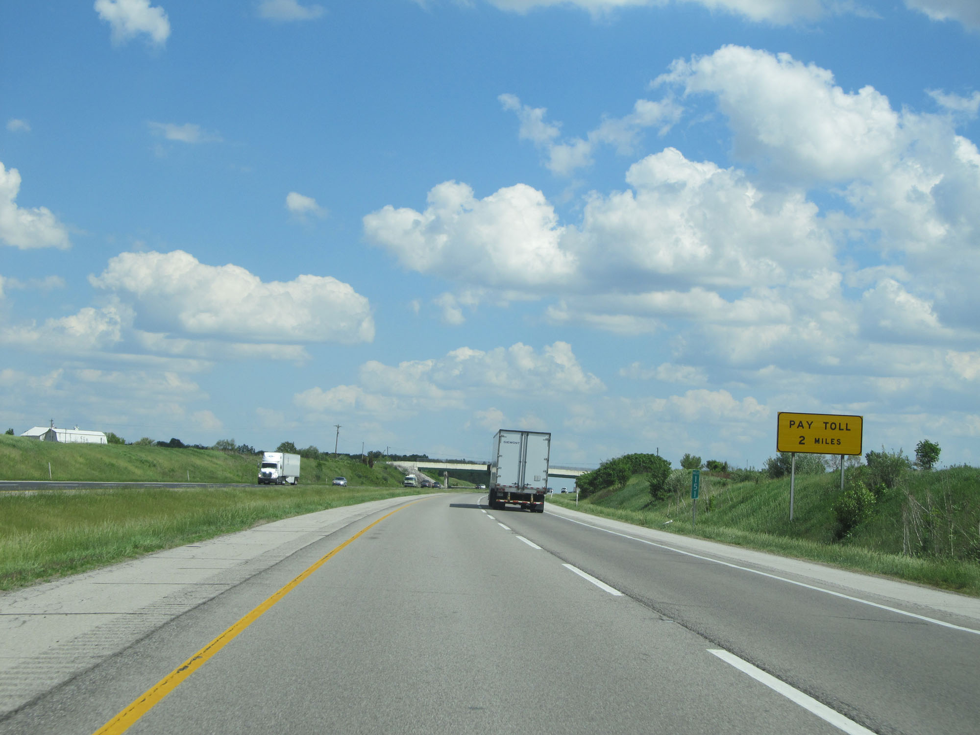 |
Interstate 80 / Interstate 90 East (Indiana Toll Road) approaching the Eastpoint Toll Plaza - 2 miles. (Photo taken 5/30/16). |
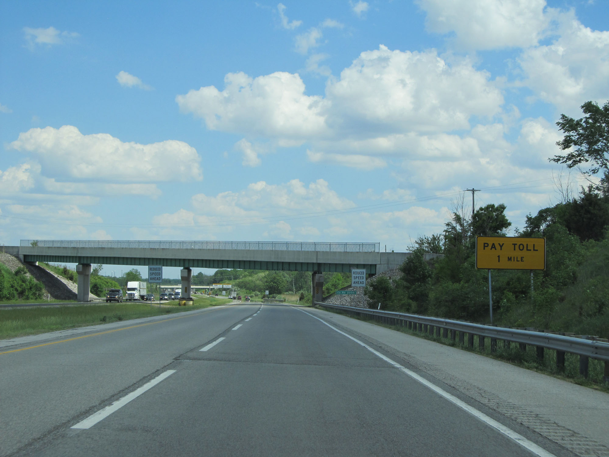 |
Interstate 80 / Interstate 90 East (Indiana Toll Road) approaching the Eastpoint Toll Plaza - 1 mile. (Photo taken 5/30/16). |
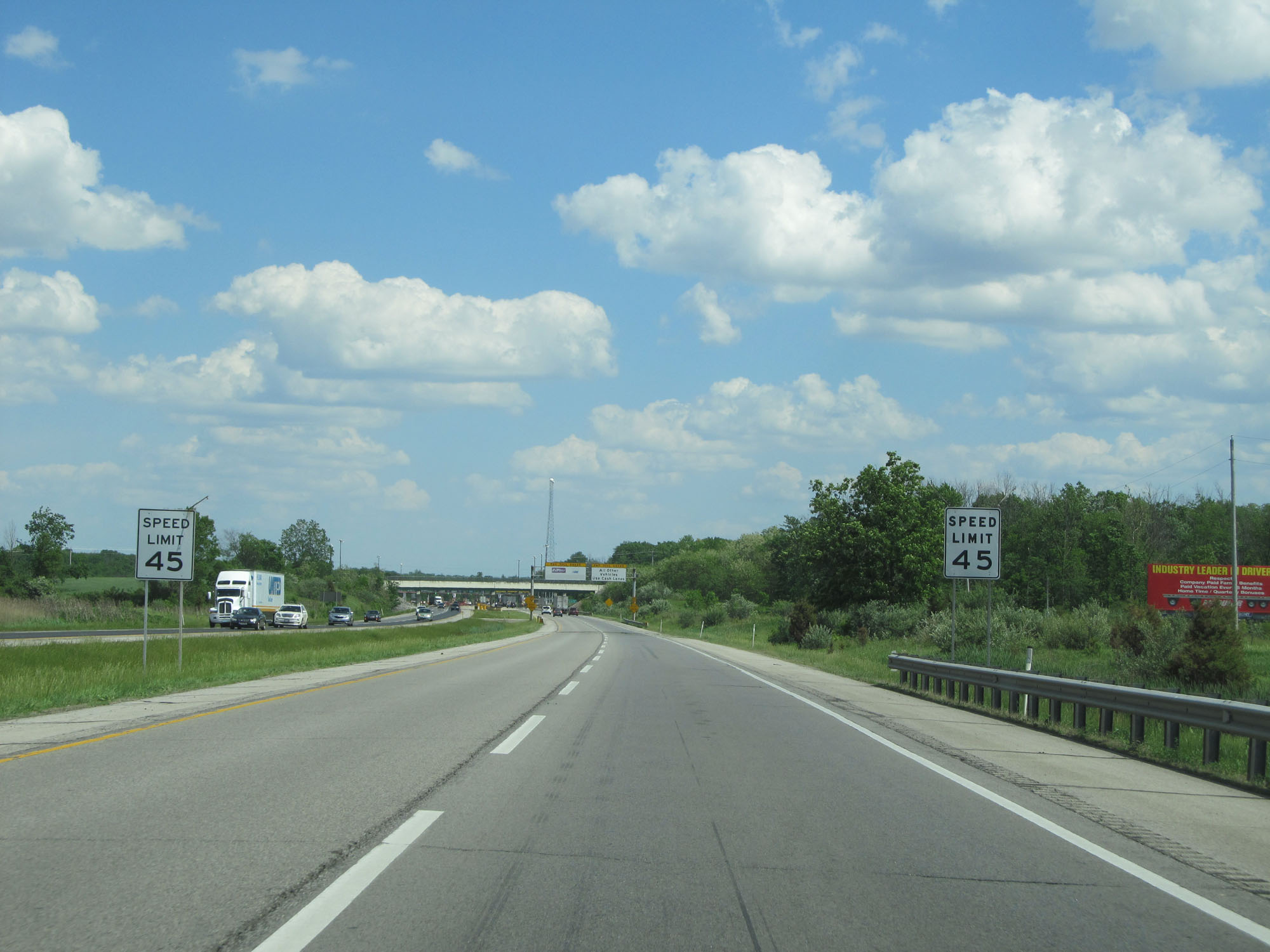 |
Approaching the toll plaza, the speed limit drops drastically to 45 mph for all traffic. (Photo taken 5/30/16). |
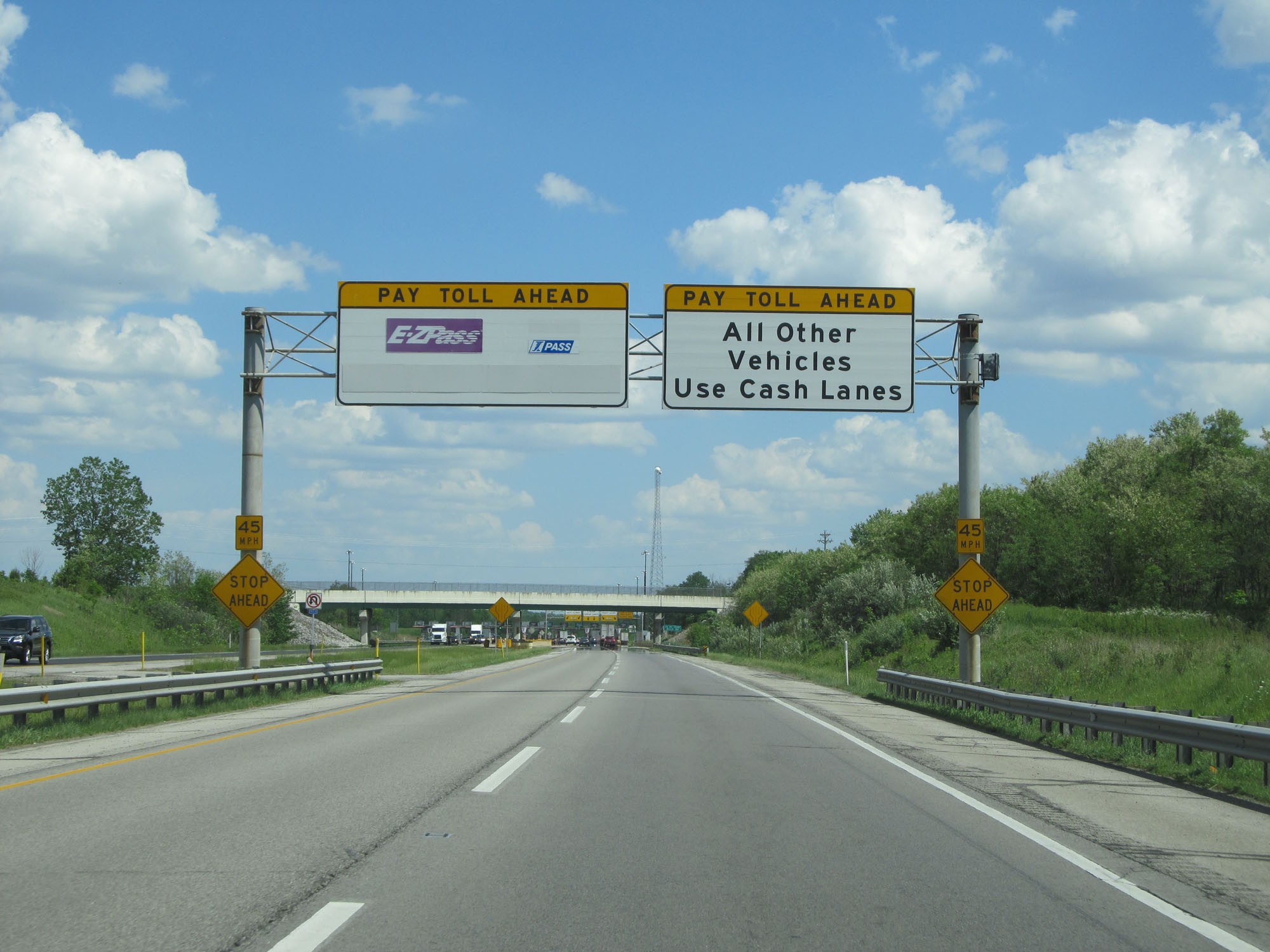 |
Both EZ Pass and I-Pass are accepted electronic payment methods on the Indiana Toll Road. (Photo taken 5/30/16). |
 |
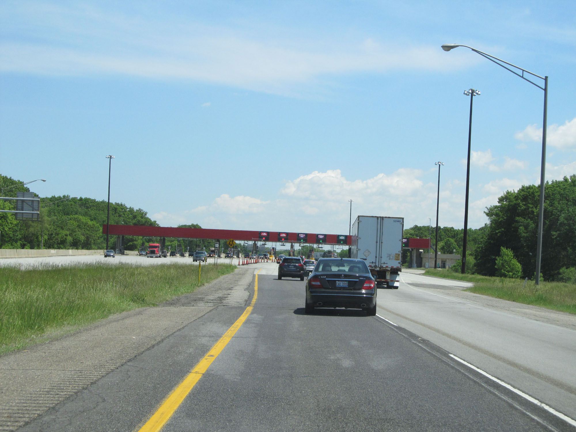
These overhead signs guide trucks to keep right at the toll plaza and signal which lanes are the cash payment lanes. Cars with EZ Pass or I-Pass should keep to the left. (Photo taken 5/30/16). |
 |
Interstate 80 / Interstate 90 East (Indiana Toll Road) approaching the Eastpoint Toll Plaza. (Photo taken 5/30/16). |
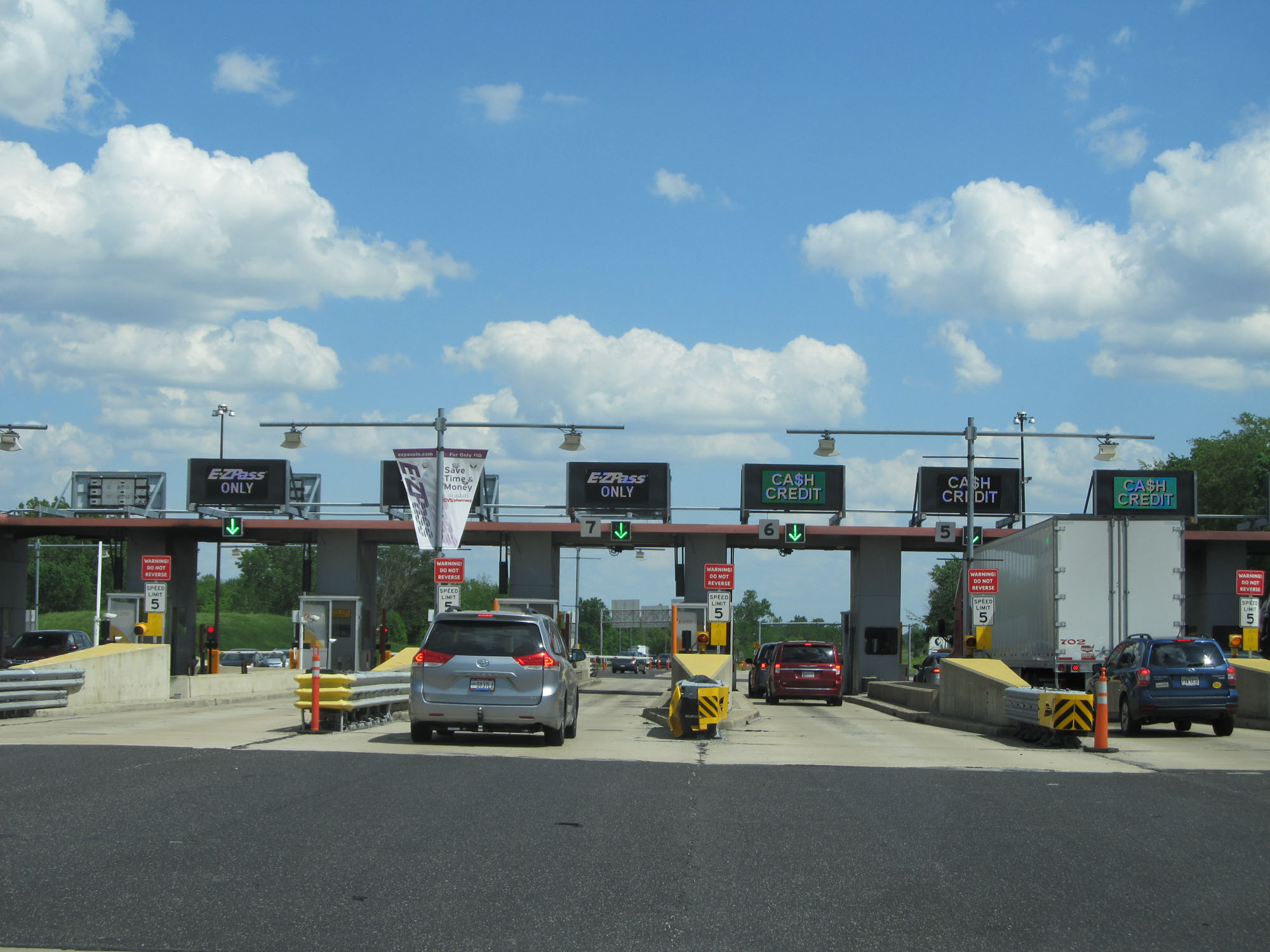 |
View at the Eastpoint Toll Plaza on Interstate 80 / Interstate 90 East (Indiana Toll Road). (Photo taken 5/30/16). |
 |
Interstate 80 / Interstate 90 East (Indiana Toll Road) leaving the Eastpoint Toll Plaza. (Photo taken 5/30/16). |
 |
The speed limit returns to 70 mph for cars. (Photo taken 5/30/16). |
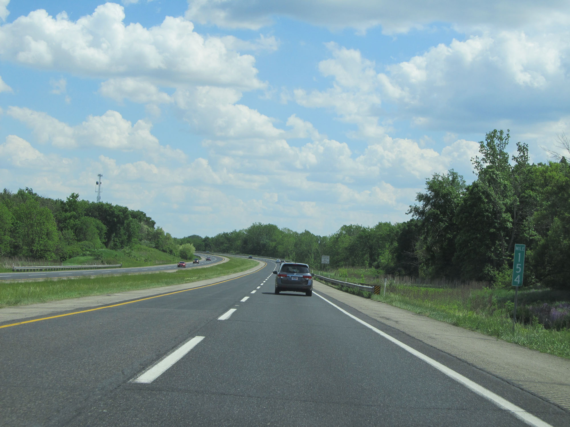 |
Interstate 80 / Interstate 90 East (Indiana Toll Road) at mile marker 154. (Photo taken 5/30/16). |
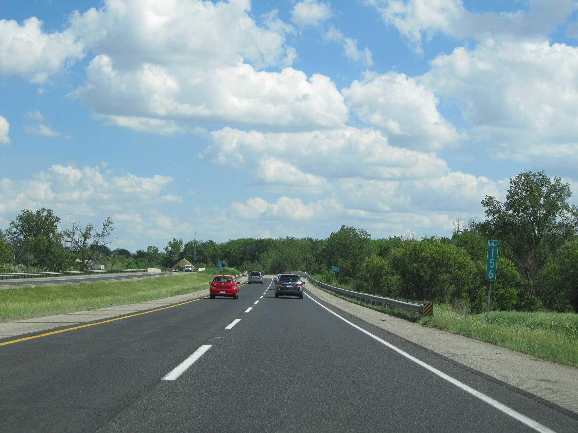 |
Interstate 80 / Interstate 90 East (Indiana Toll Road) at mile marker 156. (Photo taken 5/30/16). |
 |
Interstate 80 / Interstate 90 East (Indiana Toll Road) as it prepares to cross into Ohio, where it will become the Ohio Turnpike. (Photo taken 5/30/16). |