Road Information |
||
 |
||
| Total Mileage in State: | 299 miles | |
| Northern End: | At Wyoming state line | |
| Southern End: | At New Mexico state line | |
| Mileage covered in Photos: | 299 miles | |
| Counties covered in Photos: | Weld, Larimer, Weld, Broomfield, Adams, Denver, Arapahoe, Douglas, El Paso, Pueblo, Huerfano, Las Animas | |
| Major Junctions in Photos: | E-470, in Broomfield I-270/US 36, in Welby I-76, in Denver I-70, in Denver I-225, in Denver E-470/CO 470, in Lone Tree US 24, in Colorado Springs US 50, in Pueblo |
|
| Control Cities in Photos: | Fort Collins, Thornton, Denver, Castle Rock, Colorado Springs, Fountain, Pueblo, Trinidad | |
Southbound
- Section 1: Wyoming Border to Johnstown (Exit 250)
- Section 2: Johnstown (Exit 250) to Denver (Exit 214A)
- Section 3: Denver (Exit 214A) to Castle Rock (Exit 184)
- Section 4: Castle Rock (Exit 184) to Colorado Springs (Exit 142)
- Section 5: Colorado Springs (Exit 142) to Pueblo (Exit 98B)
- Section 6: Pueblo (Exit 98B) to Walsenburg (Exit 52)
- Section 7: Walsenburg (Exit 52) to New Mexico Border
Section 1: Wyoming Border to Johnstown (Exit 250)
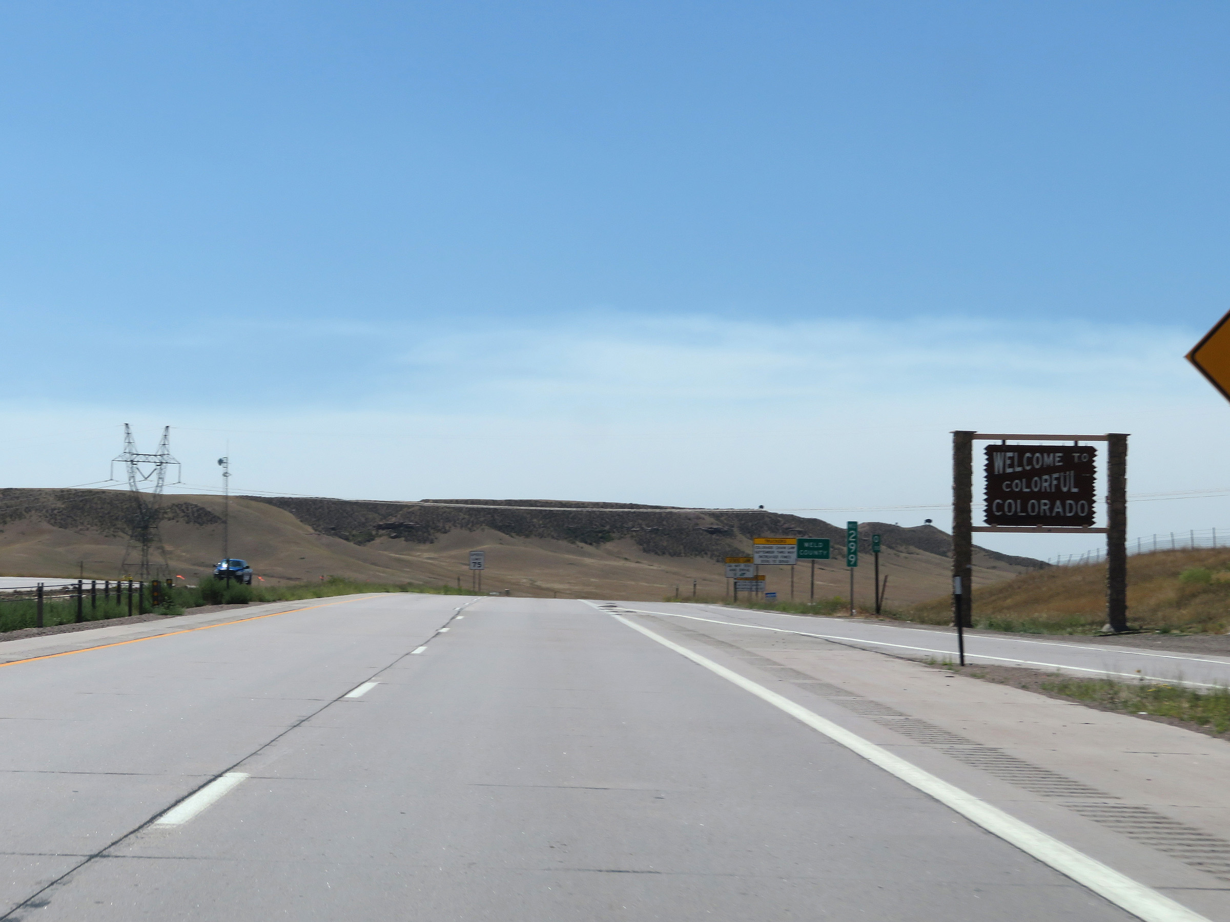 |
Colorado welcome sign on Interstate 25 South as it enters the Centennial State from Wyoming. (Photo taken 8/15/20). |
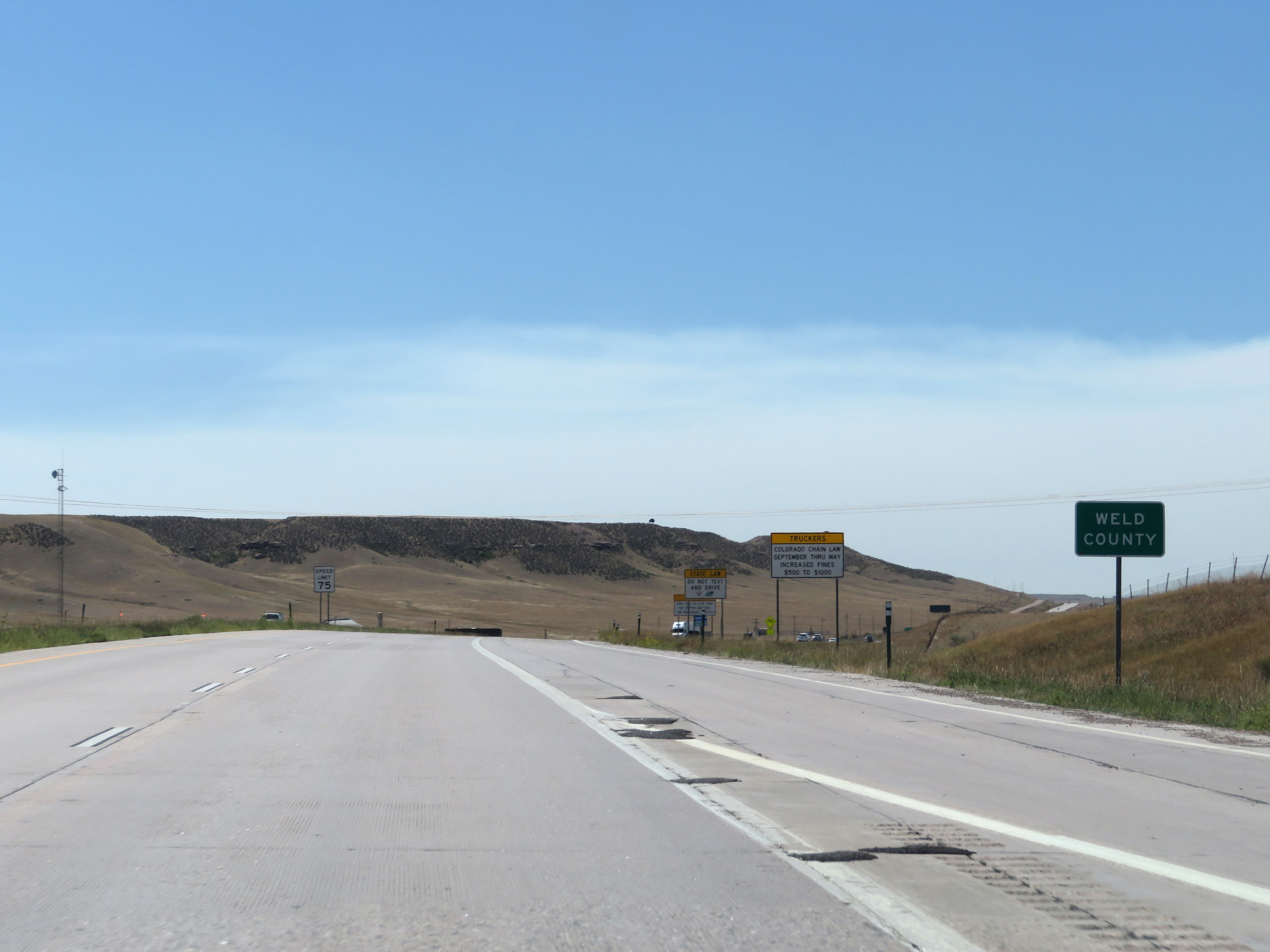 |
Interstate 25 South in Colorado starts out in Weld County. (Photo taken 8/15/20). |
 |
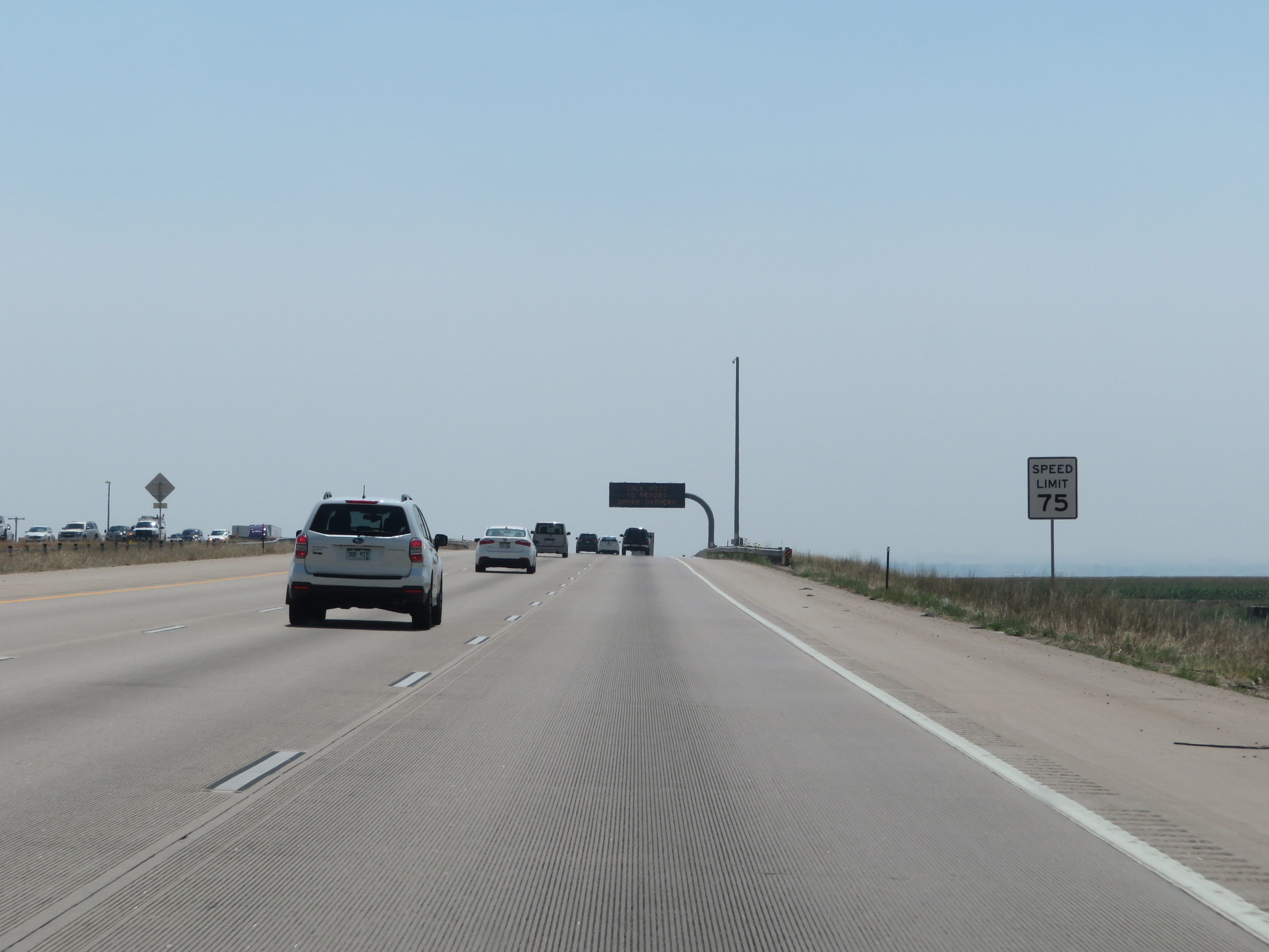
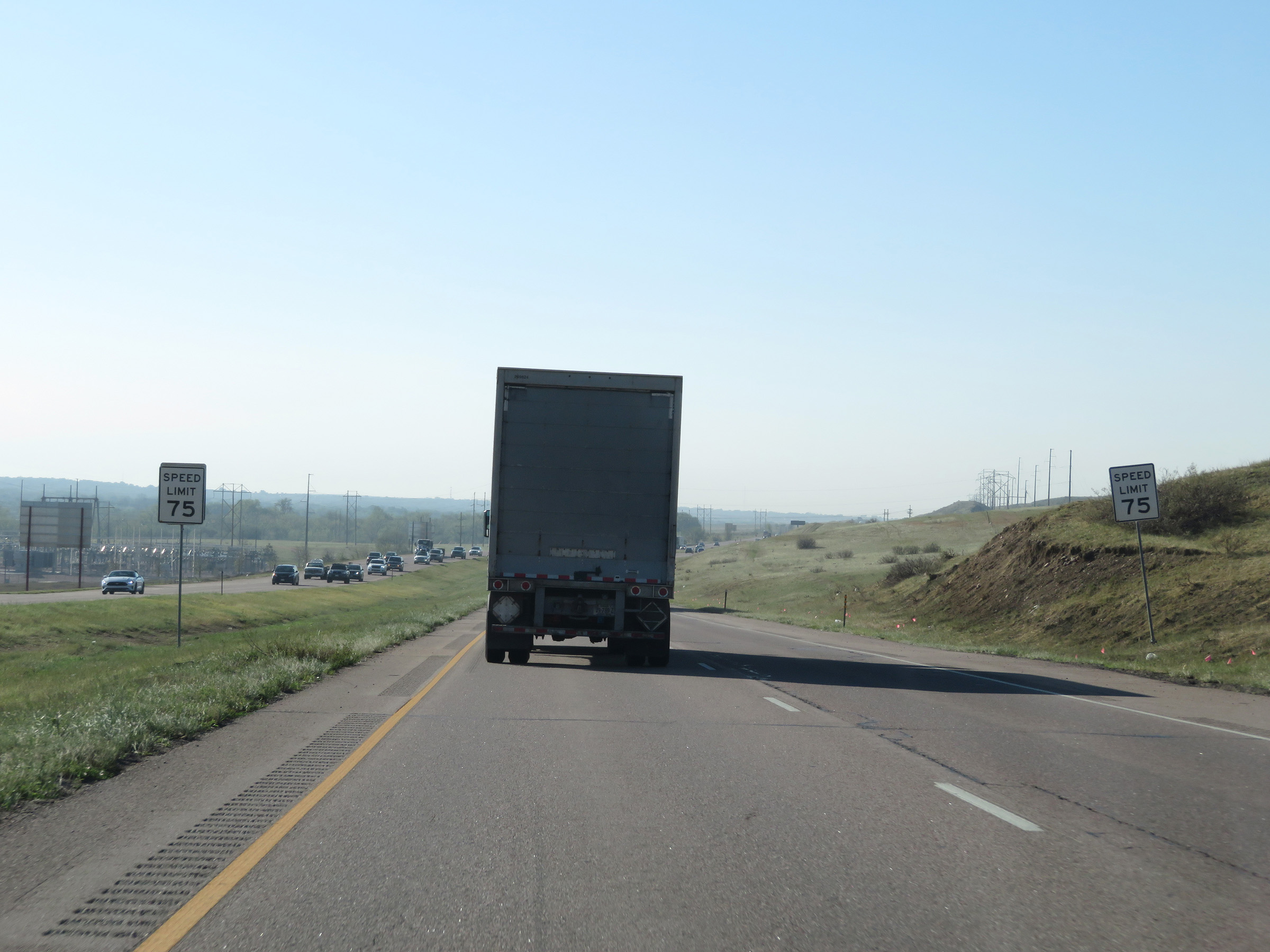
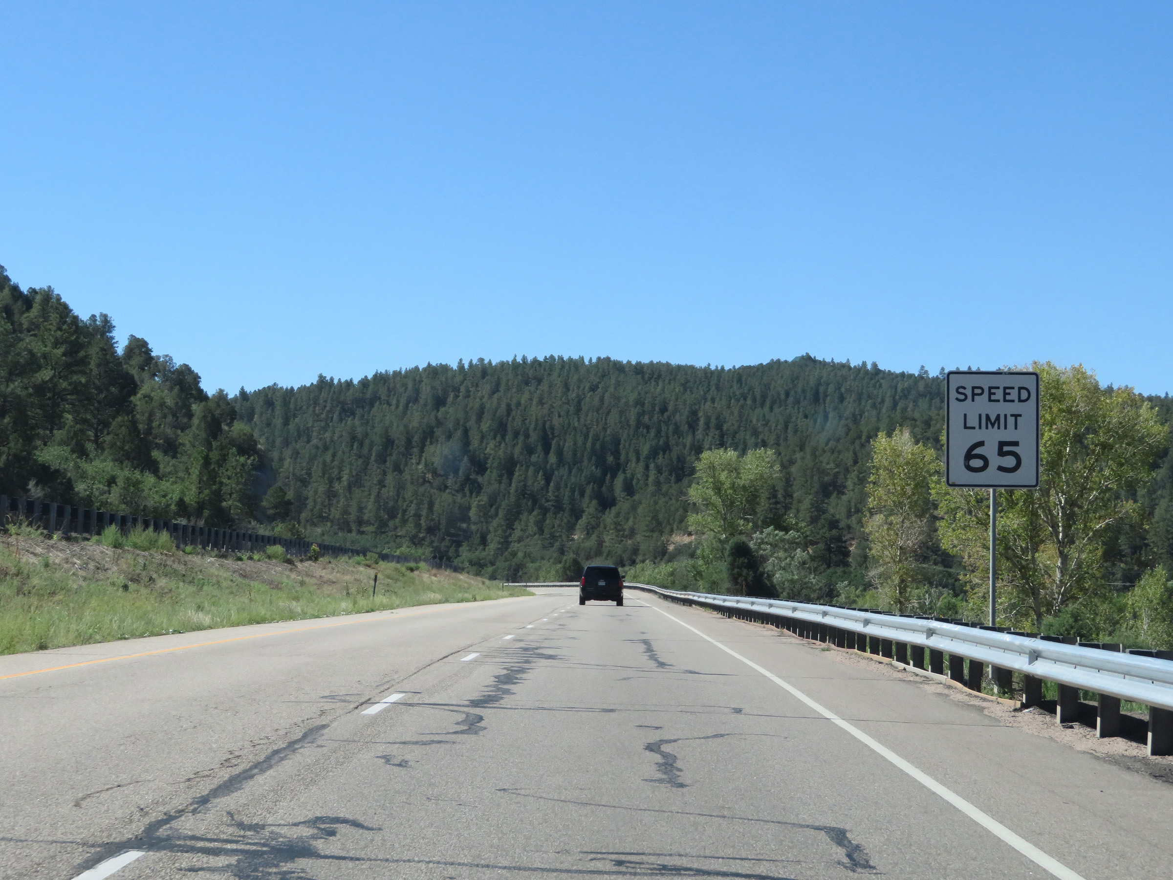
The speed limit on Interstate 25 South in Colorado starts out at 75 mph. This is the standard speed limit on most rural Interstate highways in Colorado. (Photo taken 8/15/20). |
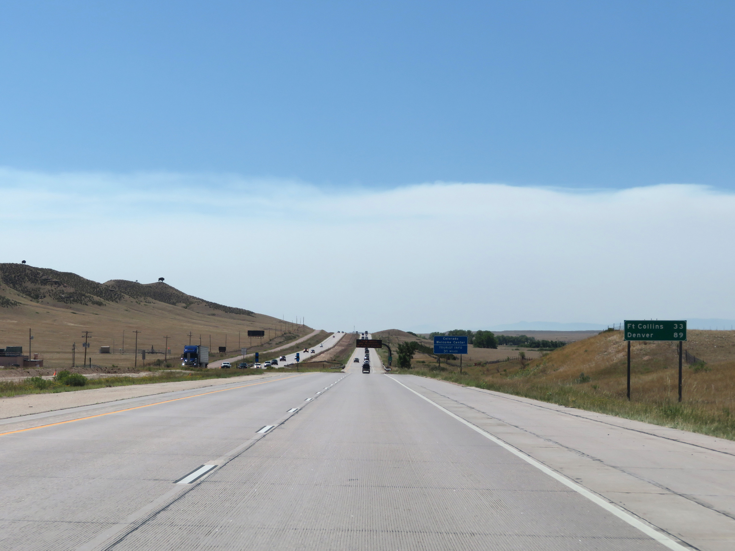 |
Mileage sign on Interstate 25 South. It's 33 miles to Fort Collins and 89 miles to Denver. (Photo taken 8/15/20). |
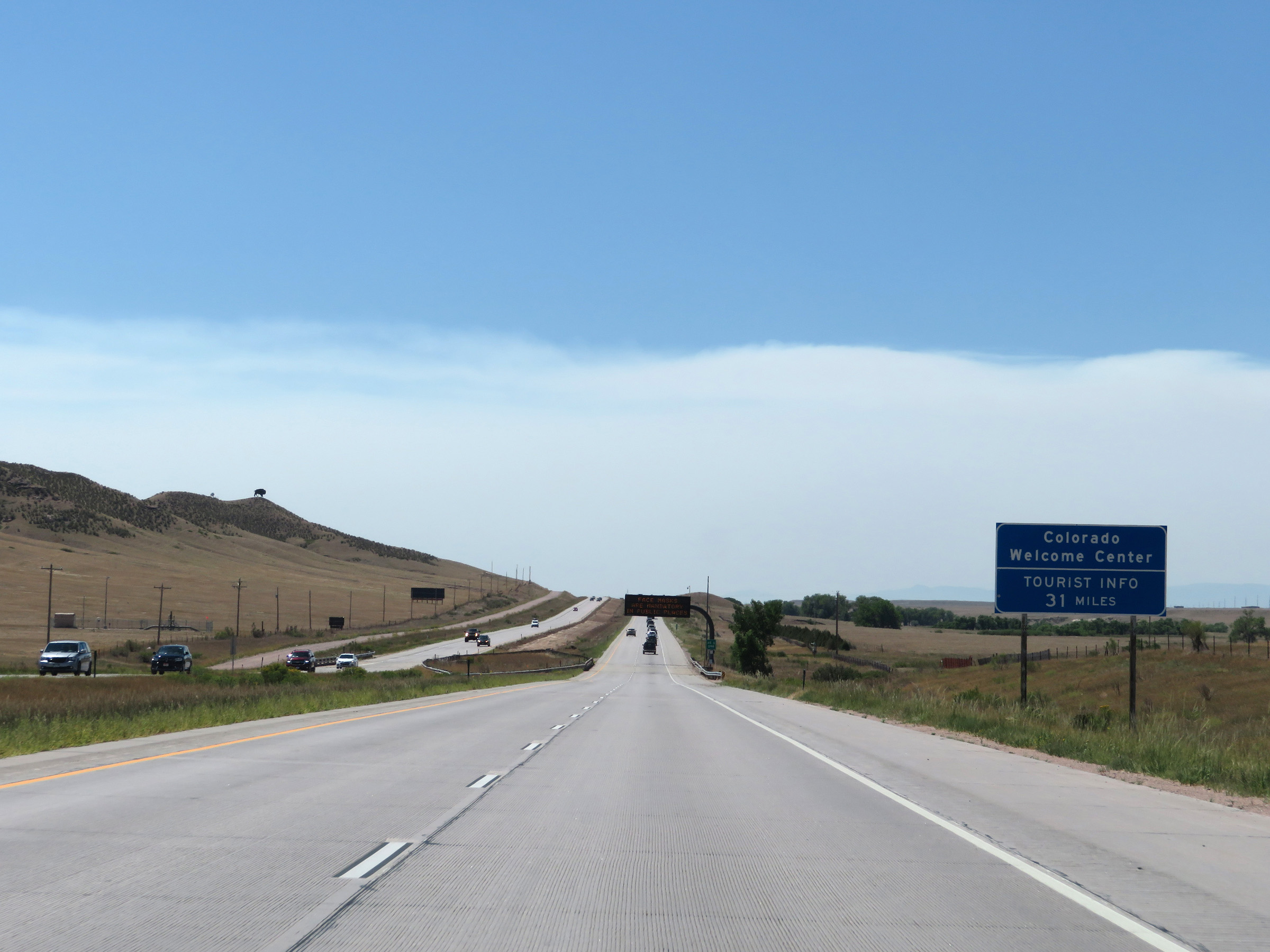 |
The Colorado Welcome Center on Interstate 25 South is 31 miles ahead, in Fort Collins. (Photo taken 8/15/20). |
 |
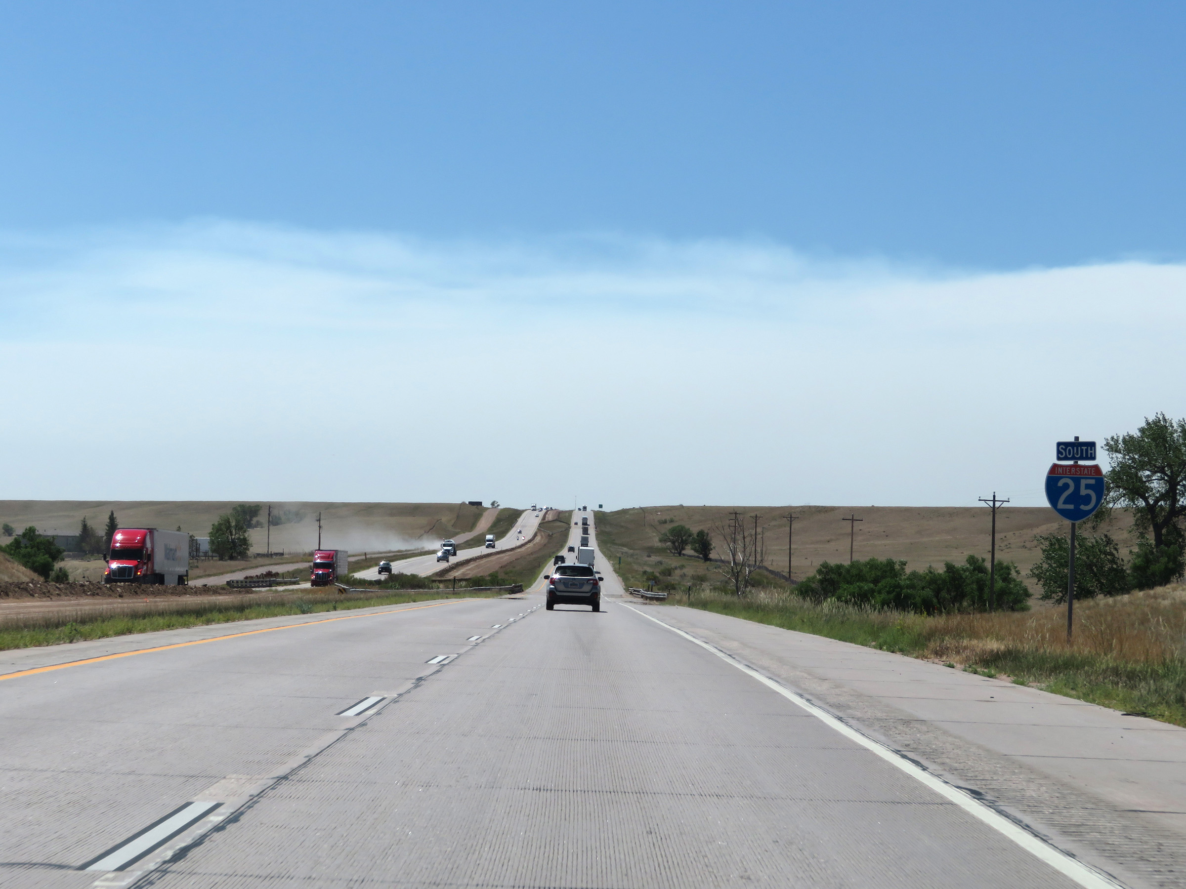
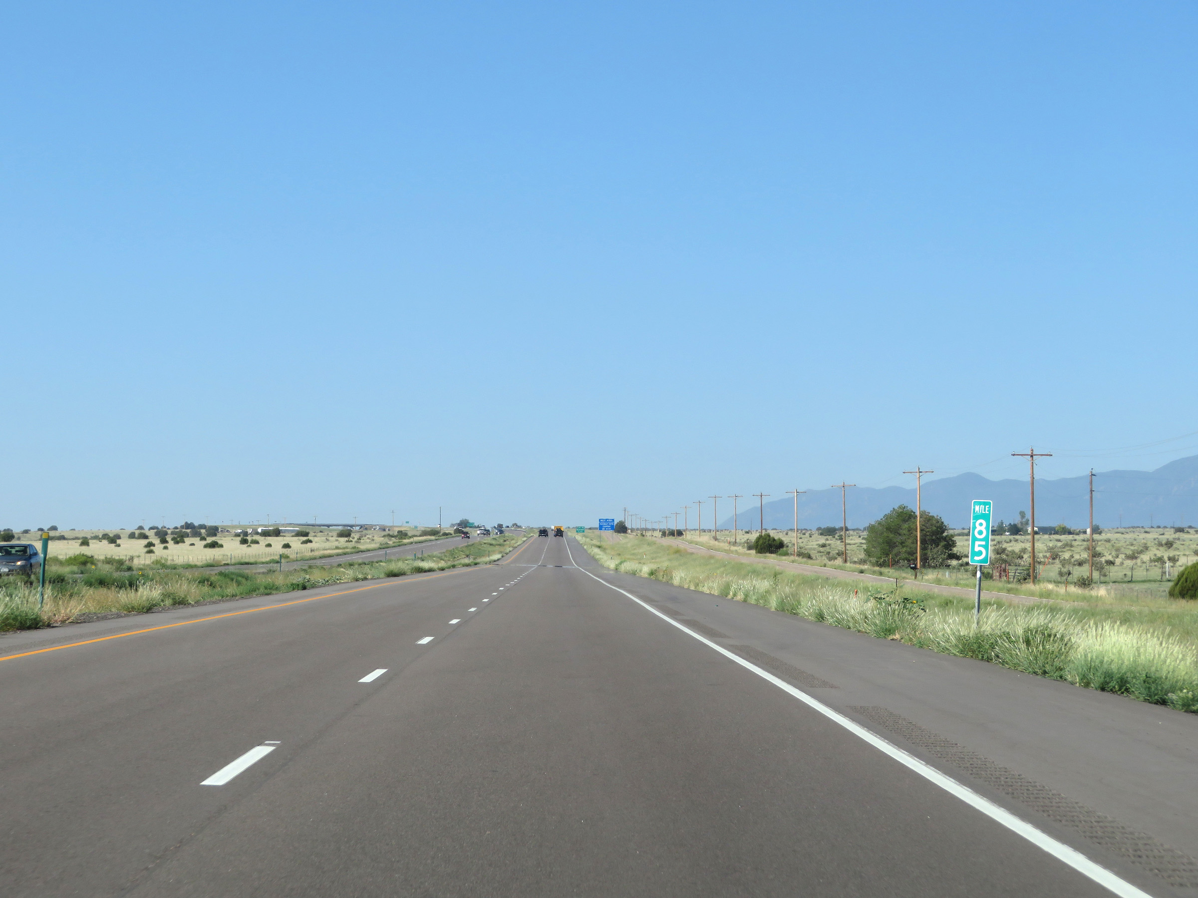
View on Interstate 25 South at mile marker 297. (Photo taken 8/15/20). |
 |
Interstate 25 South reassurance shield. (Photo taken 8/15/20). |
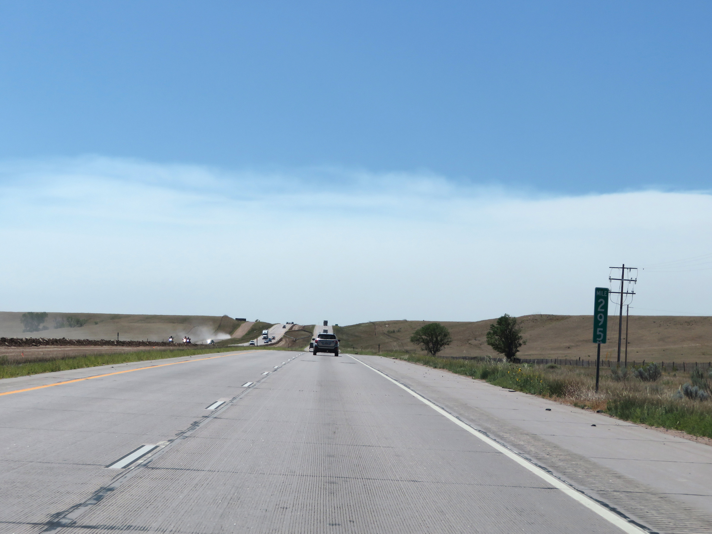 |
Interstate 25 South at mile marker 295. (Photo taken 8/15/20). |
 |
Interstate 25 South at Exit 293: Carr (Photo taken 8/15/20). |
 |
Another mileage sign on Interstate 25 South. It's 15 miles to Wellington, 27 miles to Fort Collins, and 83 miles to Denver. (Photo taken 8/15/20). |
 |
View on Interstate 25 South at mile marker 291. (Photo taken 8/15/20). |
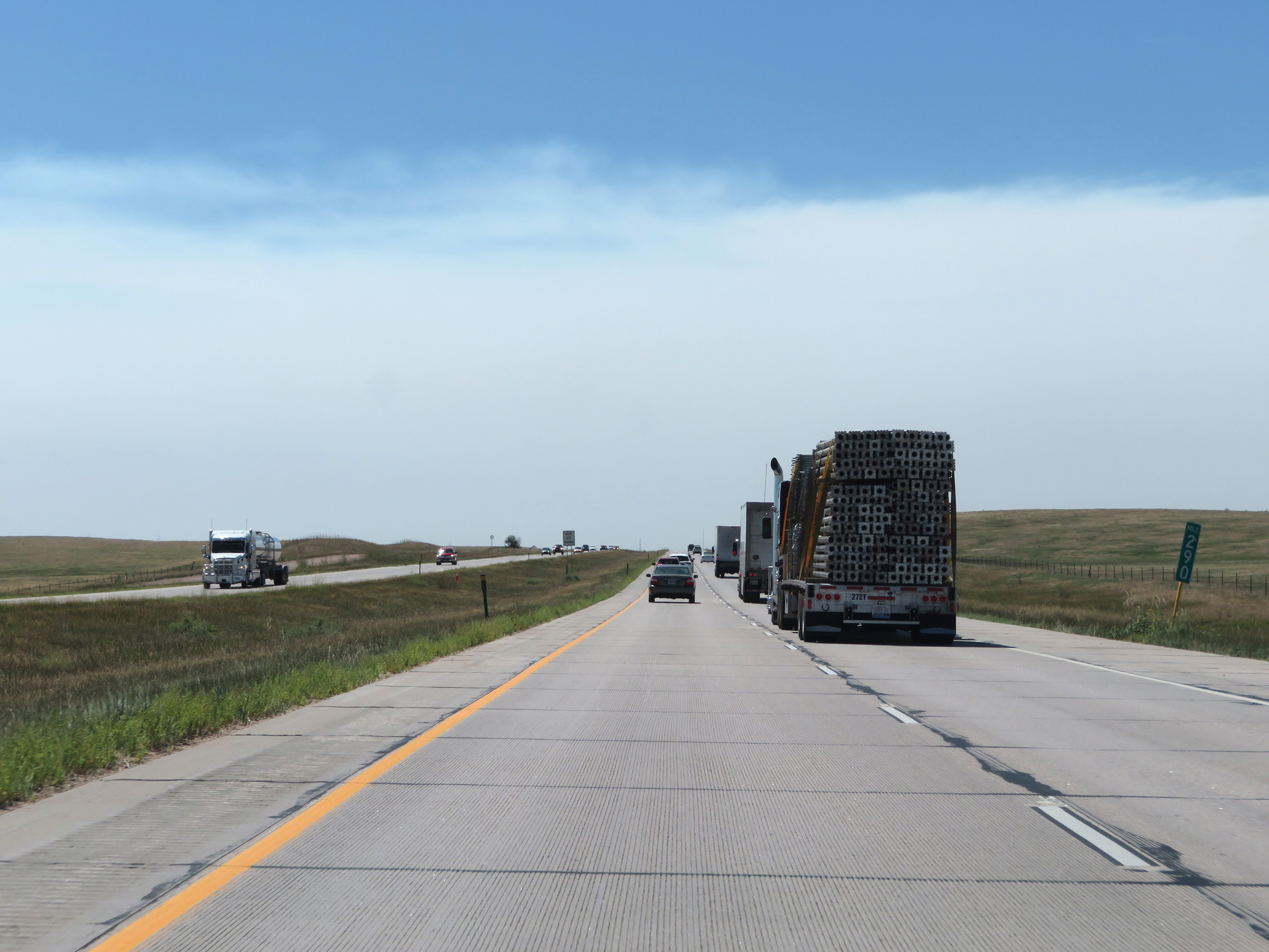 |
Interstate 25 South at mile marker 290. (Photo taken 8/15/20). |
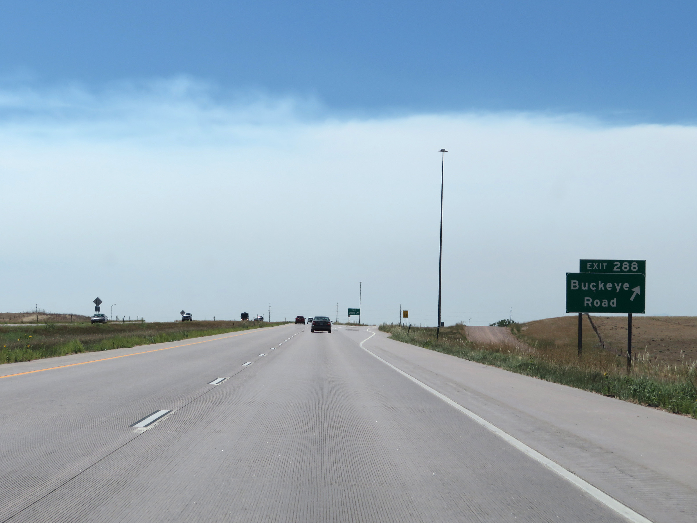 |
Interstate 25 South at Exit 288: Buckeye Road (Photo taken 8/15/20). |
 |
The speed limit remains 75 mph for all traffic. (Photo taken 8/15/20). |
 |
View on Interstate 25 South at mile marker 286. (Photo taken 8/15/20). |
 |
Interstate 25 South at mile marker 284. (Photo taken 8/15/20). |
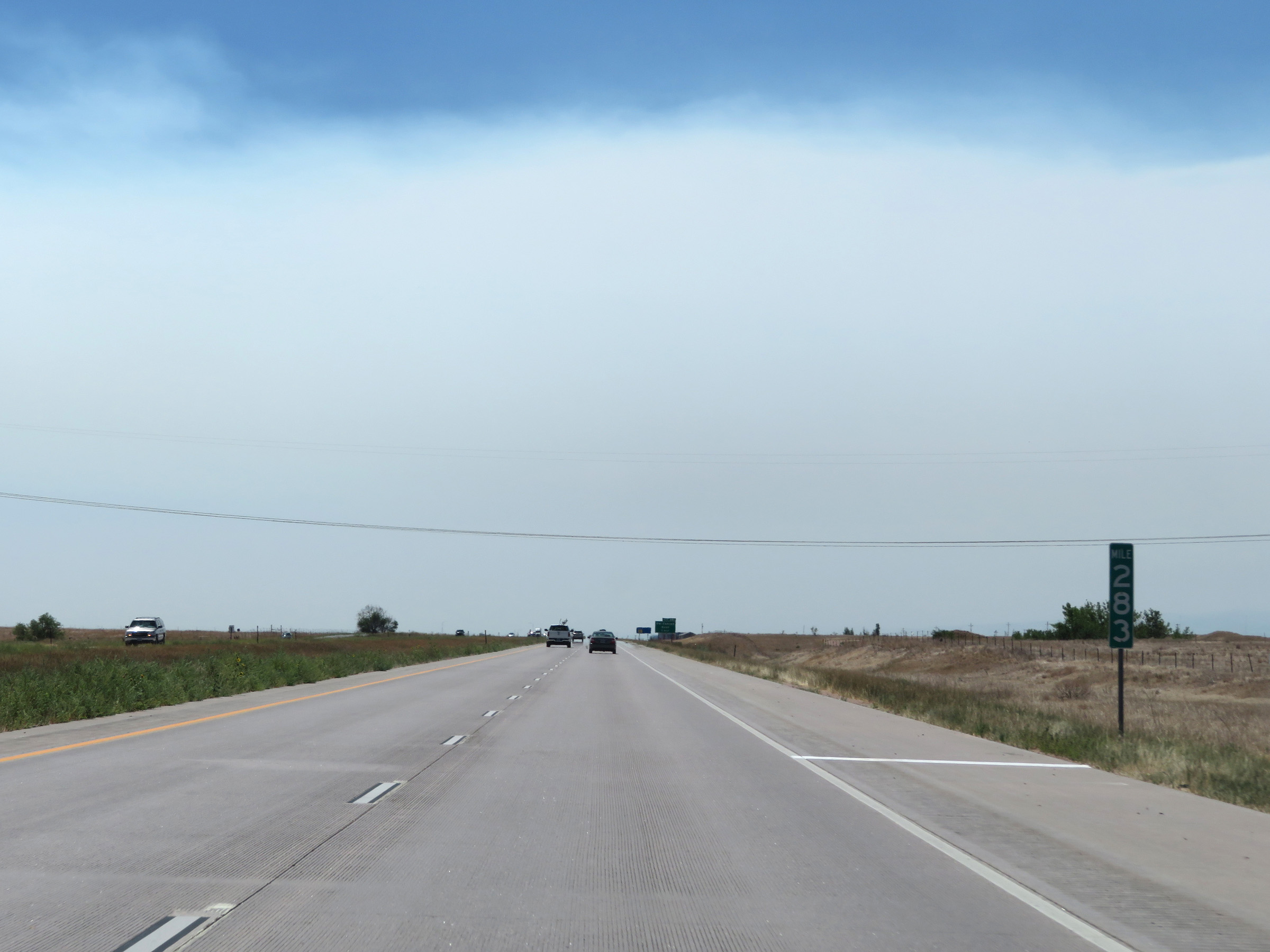 |
Mile marker 283 on Interstate 25 South in Weld County. (Photo taken 8/15/20). |
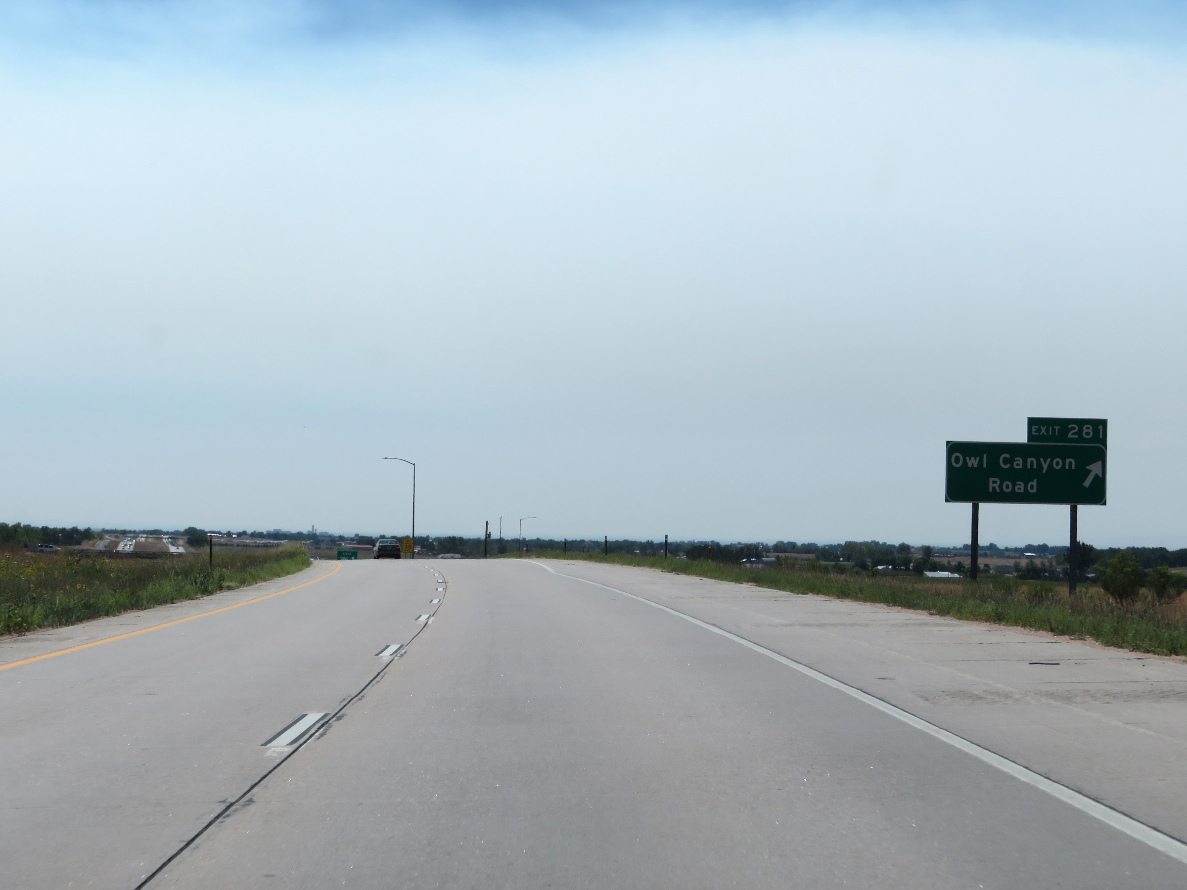 |
Interstate 25 South at Exit 281: Owl Canyon Road (Photo taken 8/15/20). |
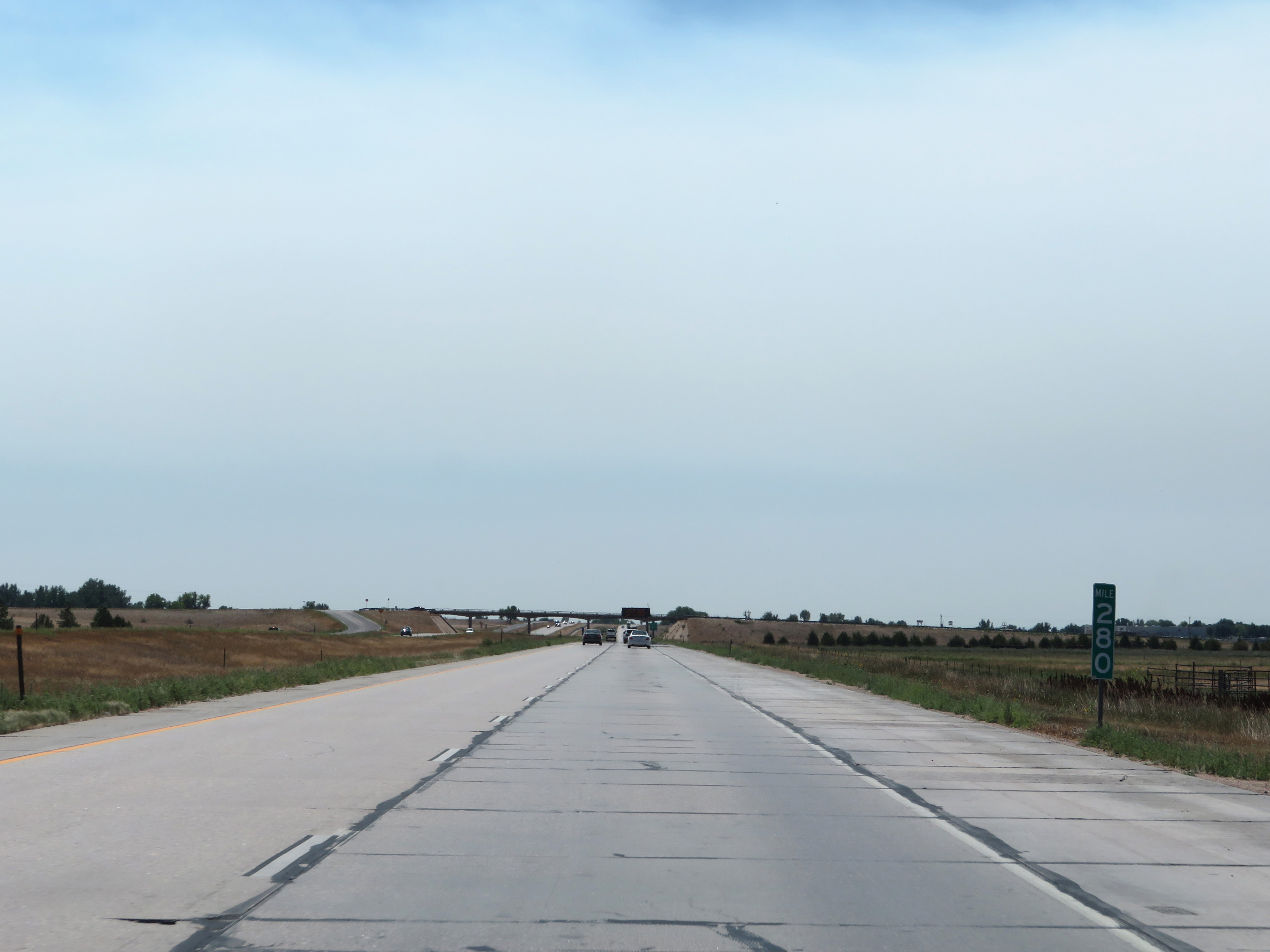 |
View on Interstate 25 South at mile marker 280. (Photo taken 8/15/20). |
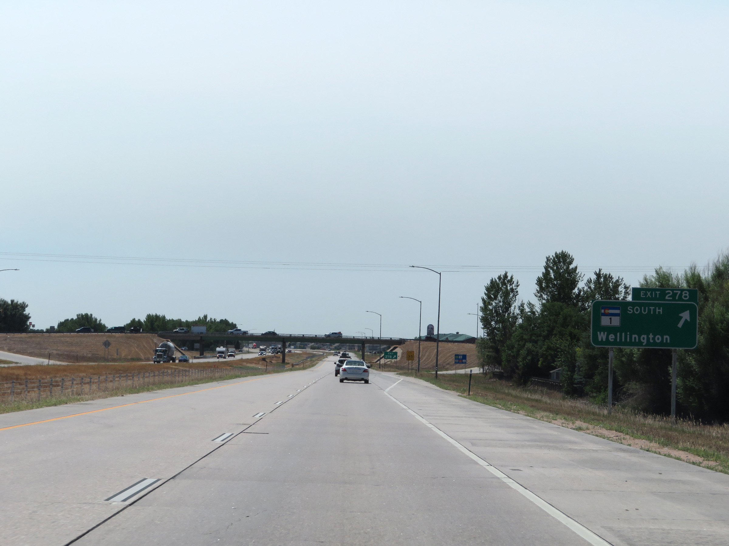 |
Interstate 25 South at Exit 278: CO 1 South - Wellington (Photo taken 8/15/20). |
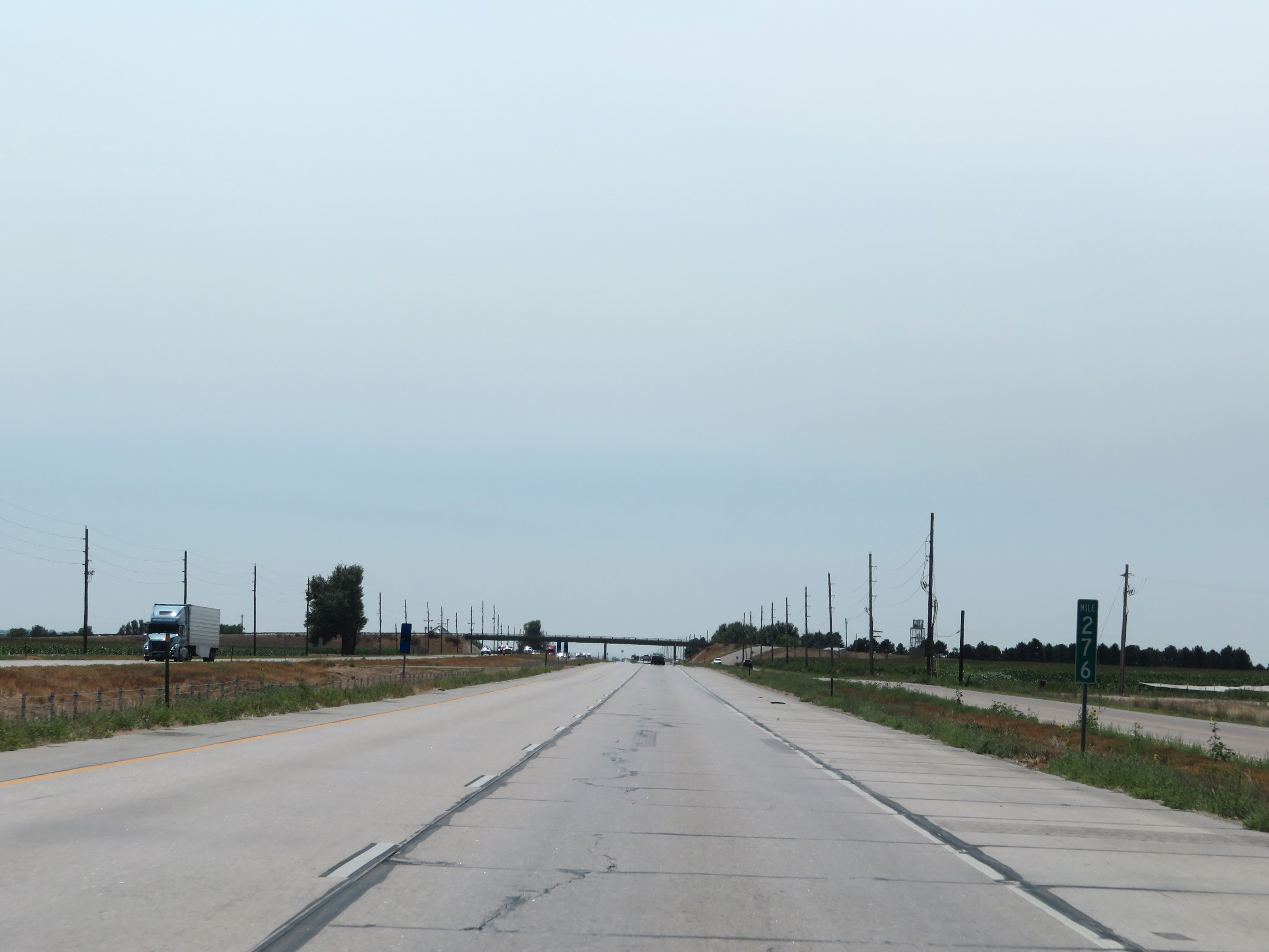 |
Interstate 25 South at mile marker 276. (Photo taken 8/15/20). |
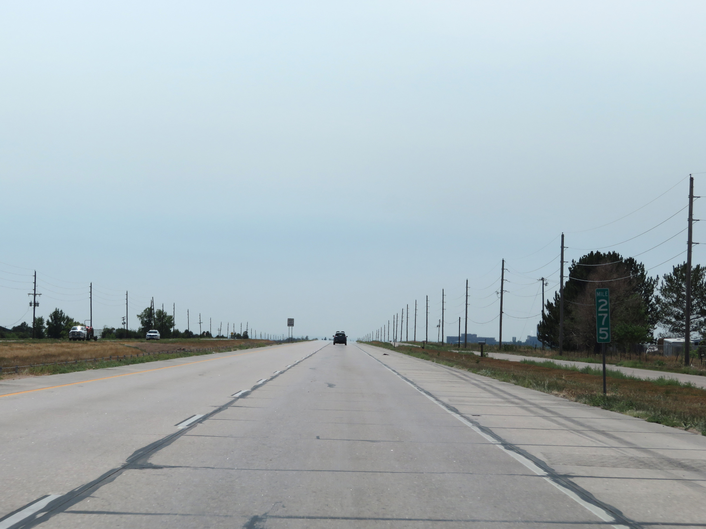 |
View on Interstate 25 South at mile marker 275. (Photo taken 8/15/20). |
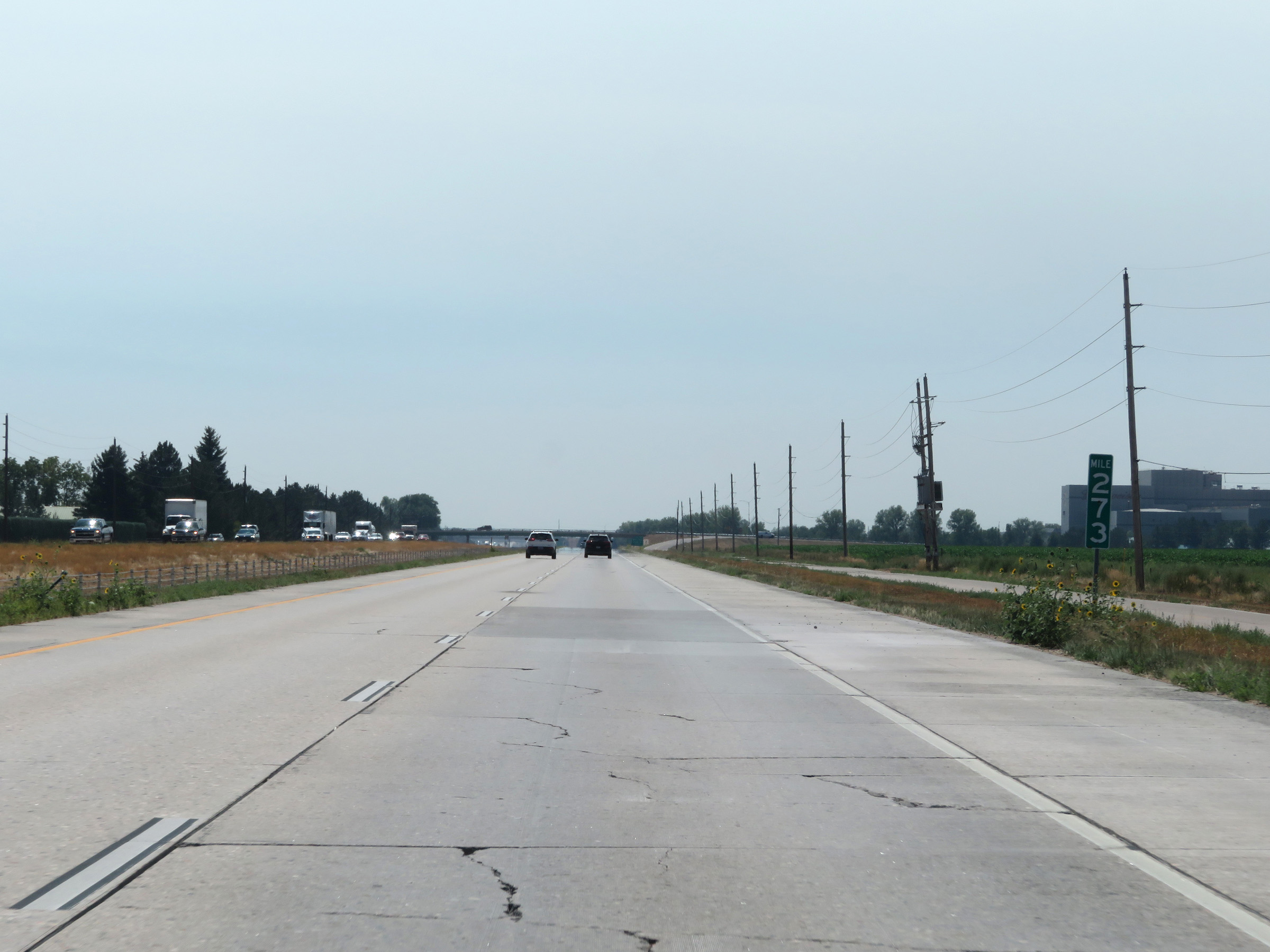 |
Interstate 25 South at mile marker 273. (Photo taken 8/15/20). |
 |
Interstate 25 South at Exit 271: Mountain Vista Dr (Photo taken 8/15/20). |
 |
Take Exit 269B to the Lincoln Center and Museum. (Photo taken 8/15/20). |
 |
Take any of the next 3 exits to Colorado State University. (Photo taken 8/15/20). |
 |
Interstate 25 South at Exit 269B: CO 14 West - Fort Collins (Photo taken 8/15/20). |
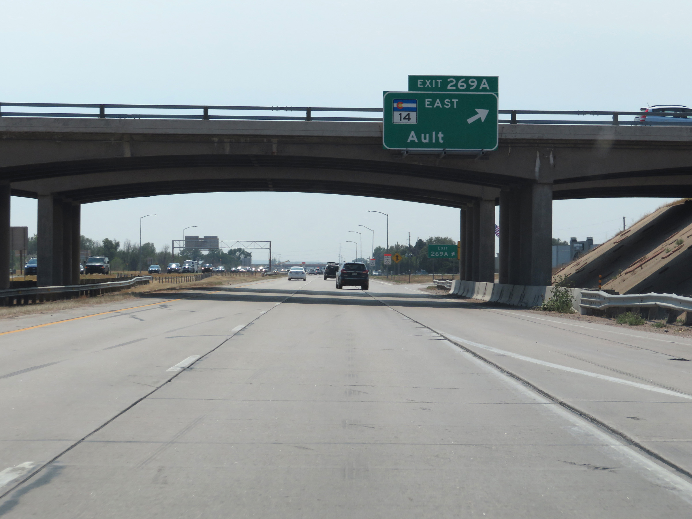 |
Interstate 25 South at Exit 269A: CO 14 East - Ault (Photo taken 8/15/20). |
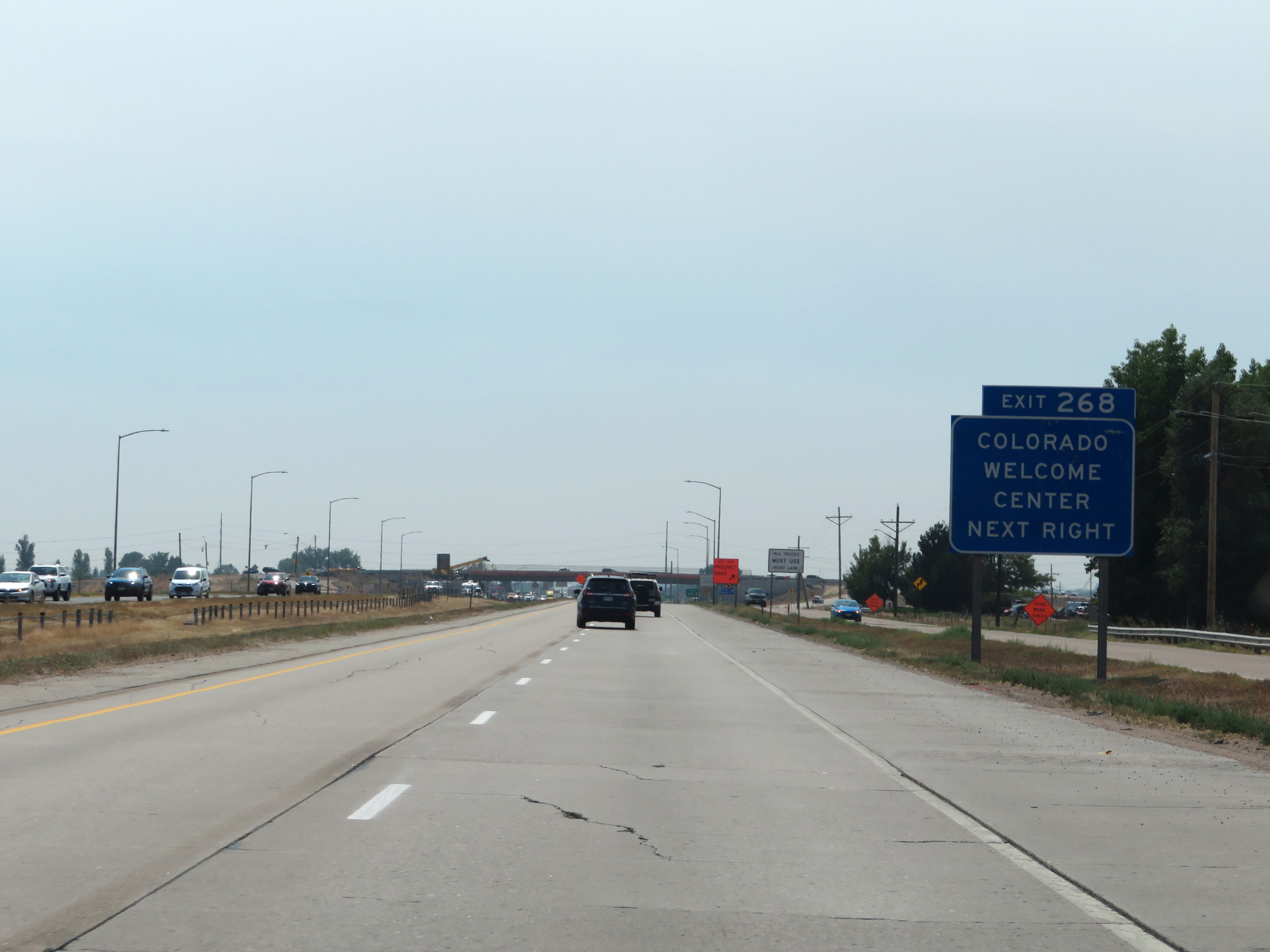 |
Take Exit 268 to the Colorado Welcome Center. (Photo taken 8/15/20). |
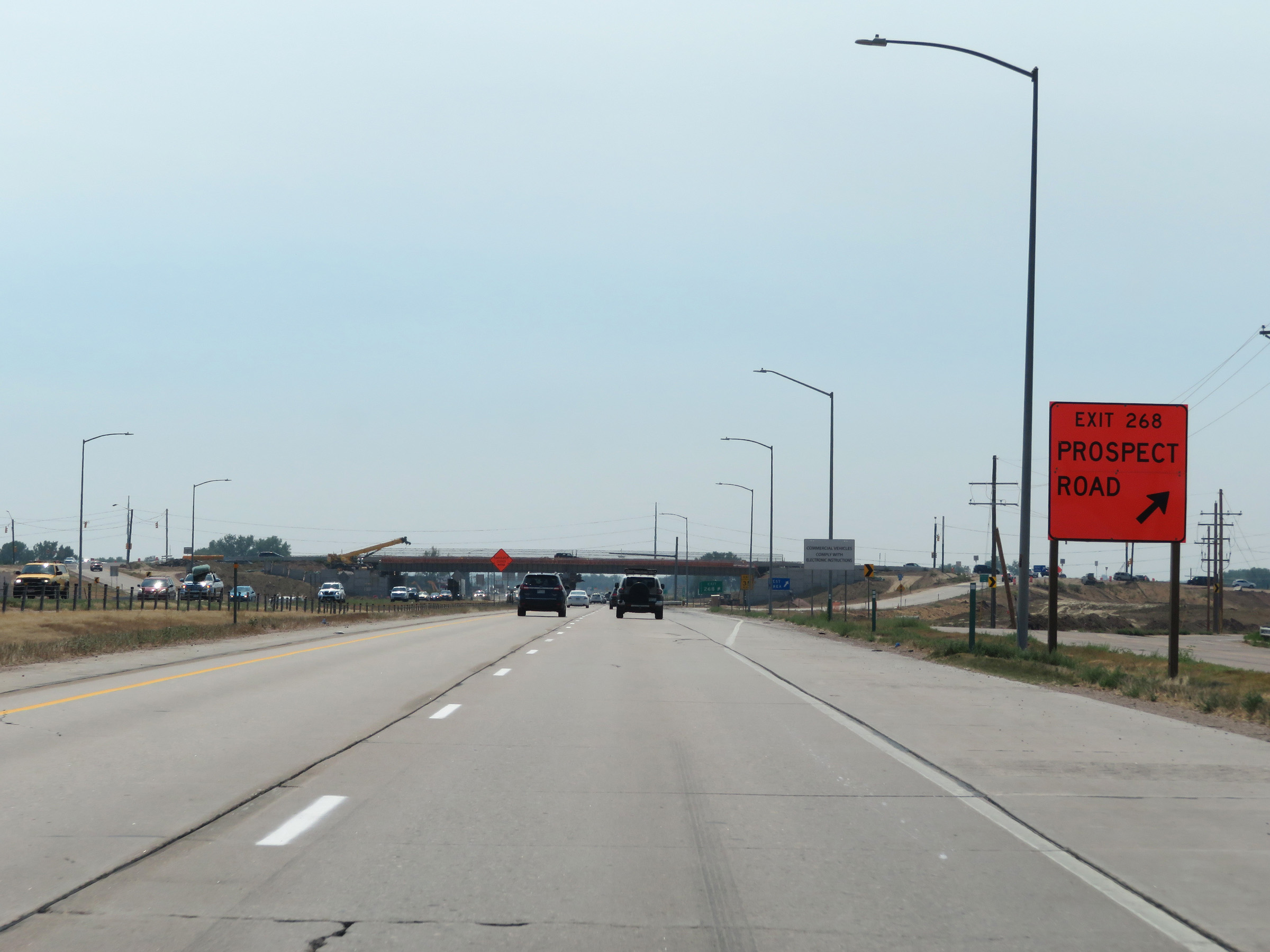 |
Interstate 25 South at Exit 268: Prospect Road (Photo taken 8/15/20). |
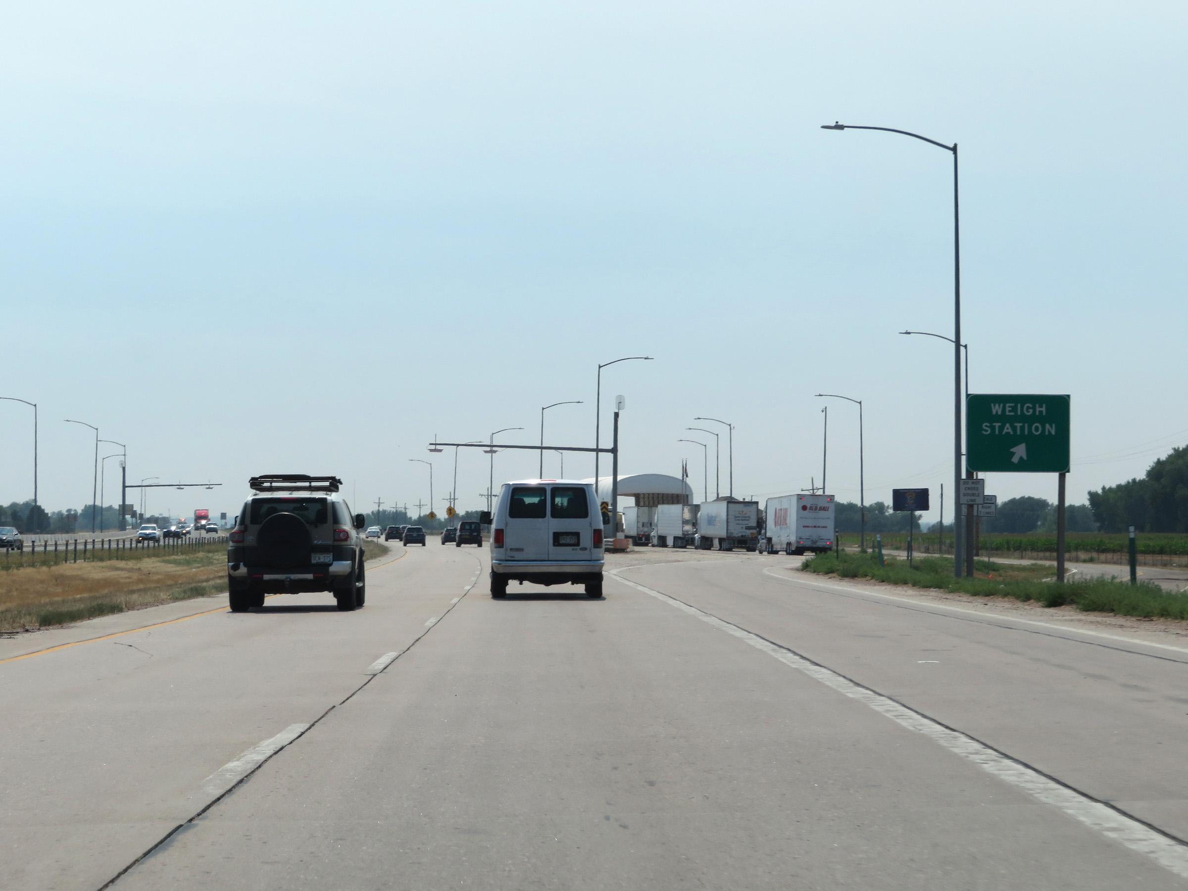 |
Weigh Station on Interstate 25 South in Larimer County. (Photo taken 8/15/20). |
 |
Take Exit 265 to Horsetooth Reservoir. (Photo taken 8/15/20). |
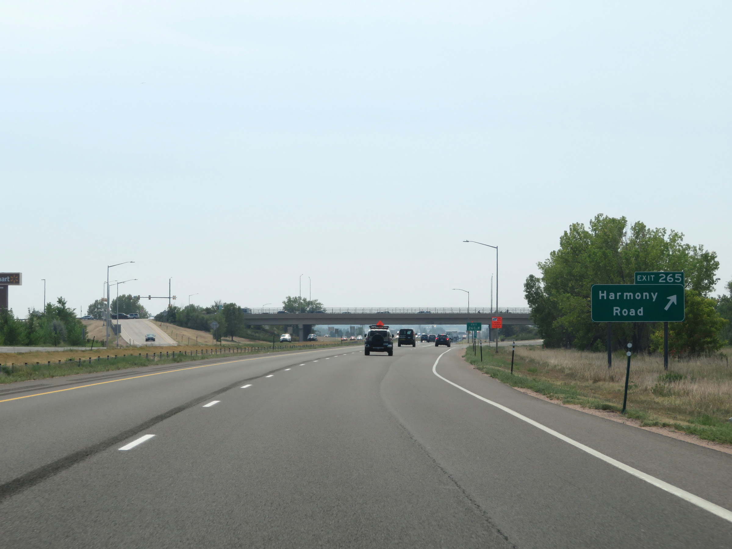 |
Interstate 25 South at Exit 265: Harmony Road (Photo taken 8/15/20). |
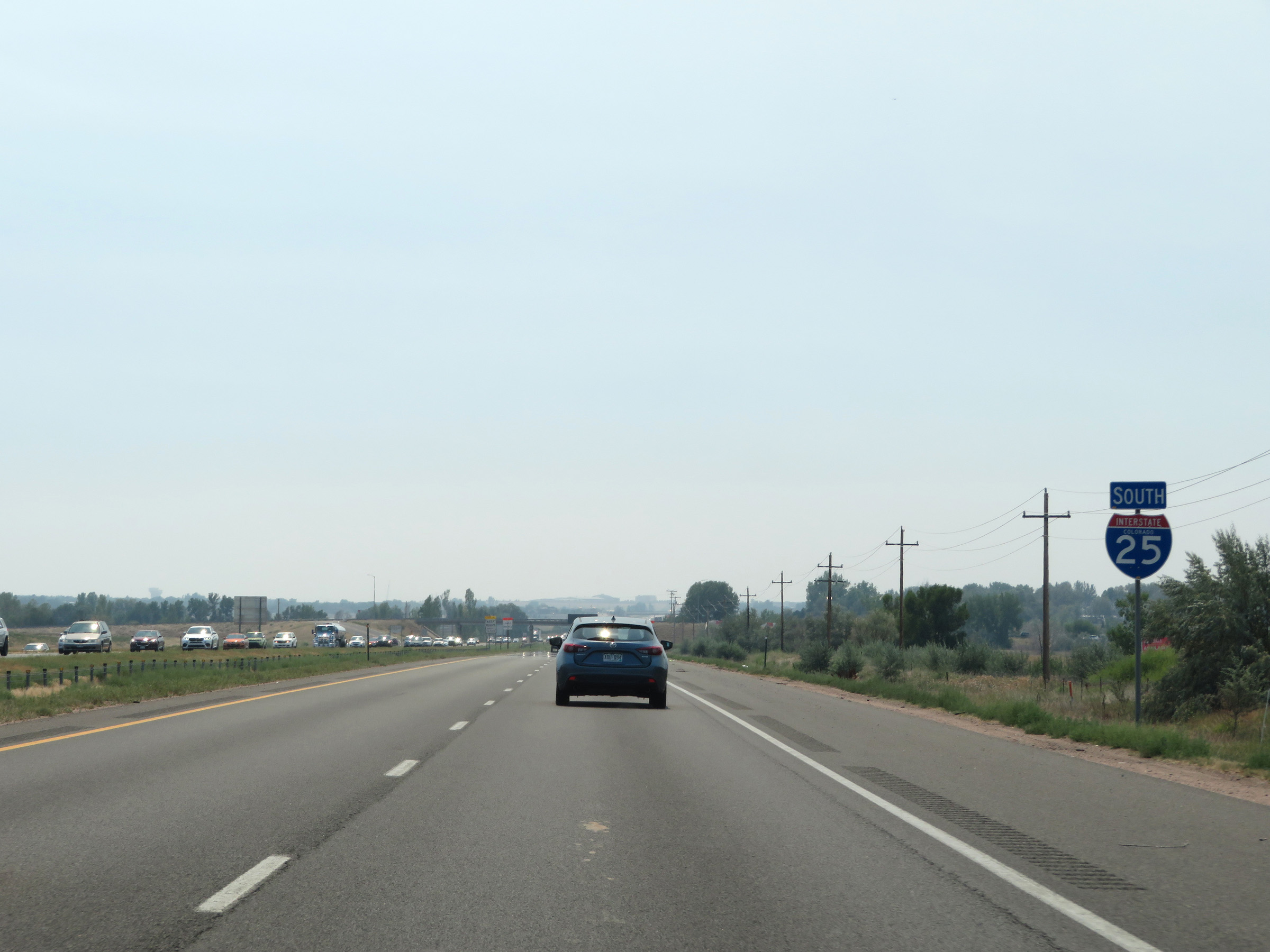 |
State-named Interstate 25 South reassurance shield. (Photo taken 8/15/20). |
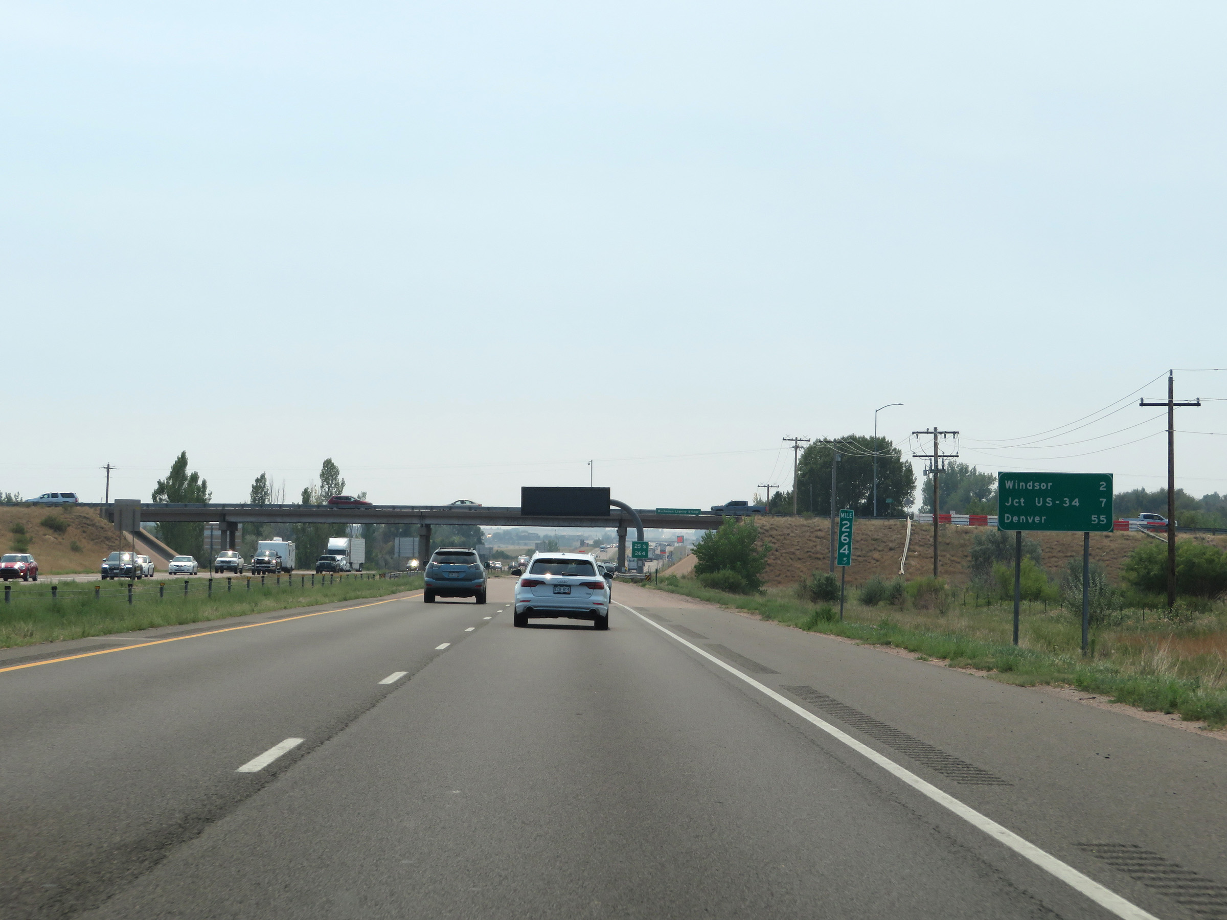 |
Mileage sign at mile marker 264.5. It's 2 miles to Windsor, 7 miles to the junction of US 34, and 55 miles to Denver. (Photo taken 8/15/20). |
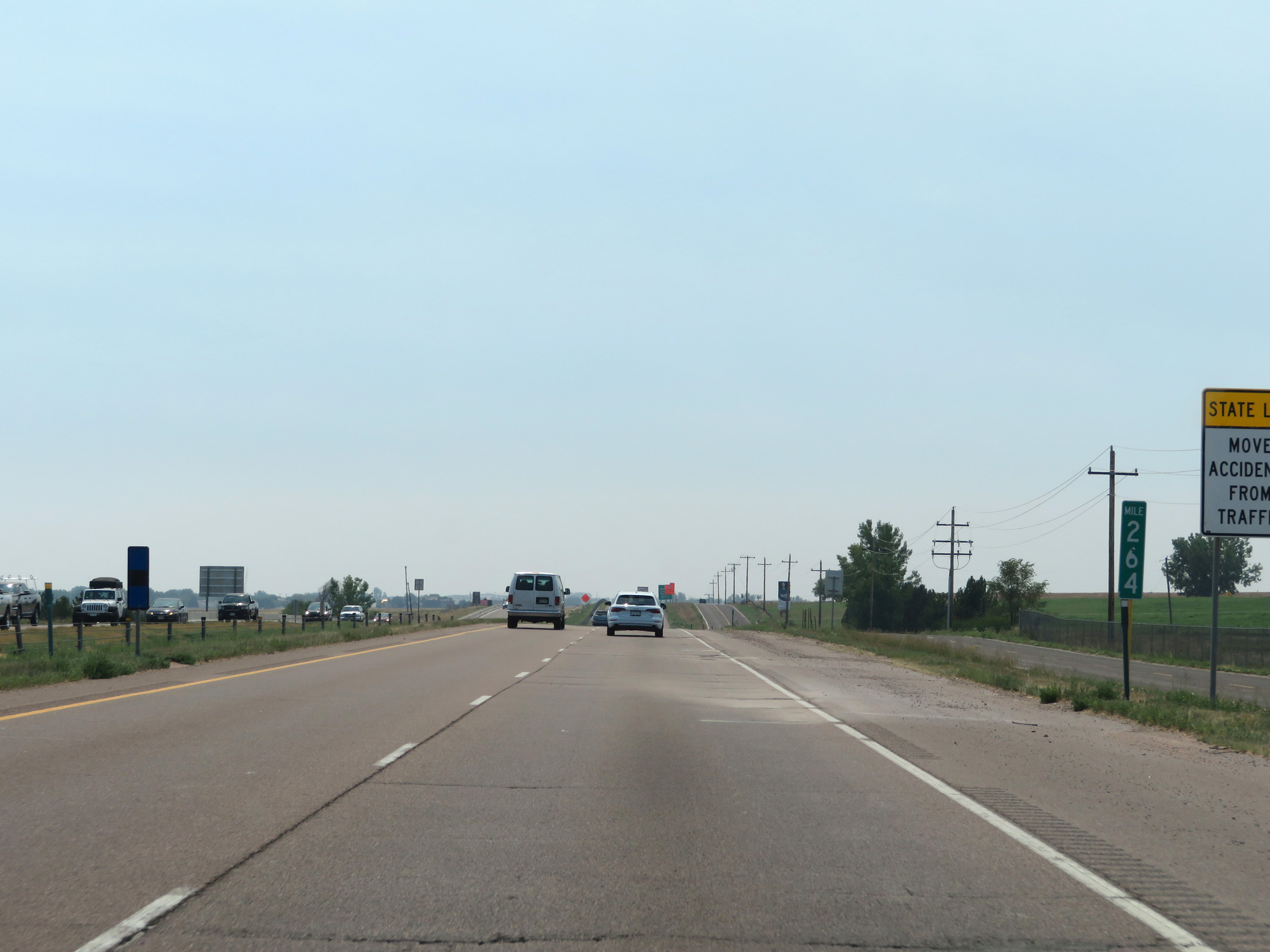 |
View on Interstate 25 South at mile marker 264. (Photo taken 8/15/20). |
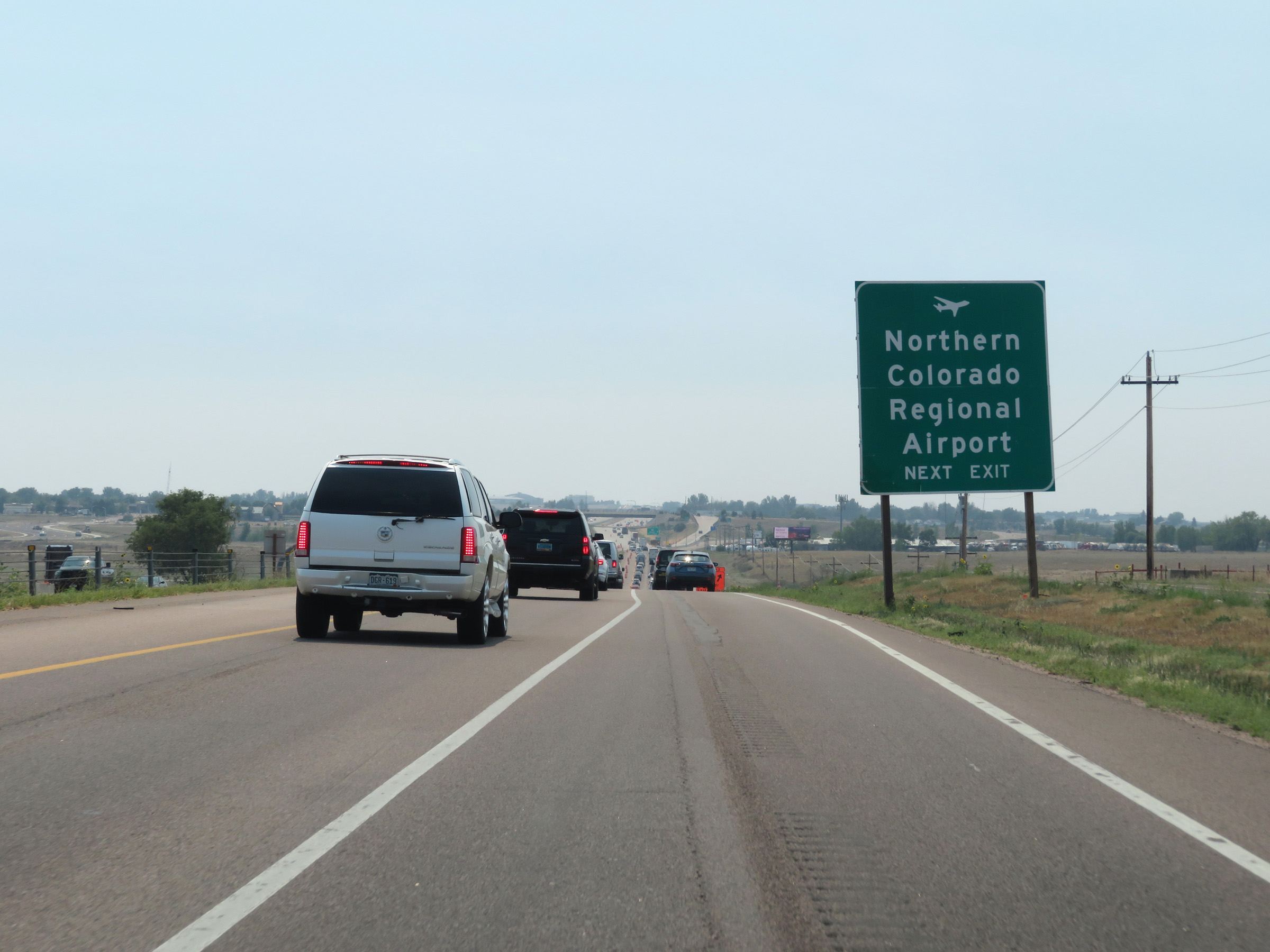 |
Take Exit 262 to Northern Colorado Regional Airport. (Photo taken 8/15/20). |
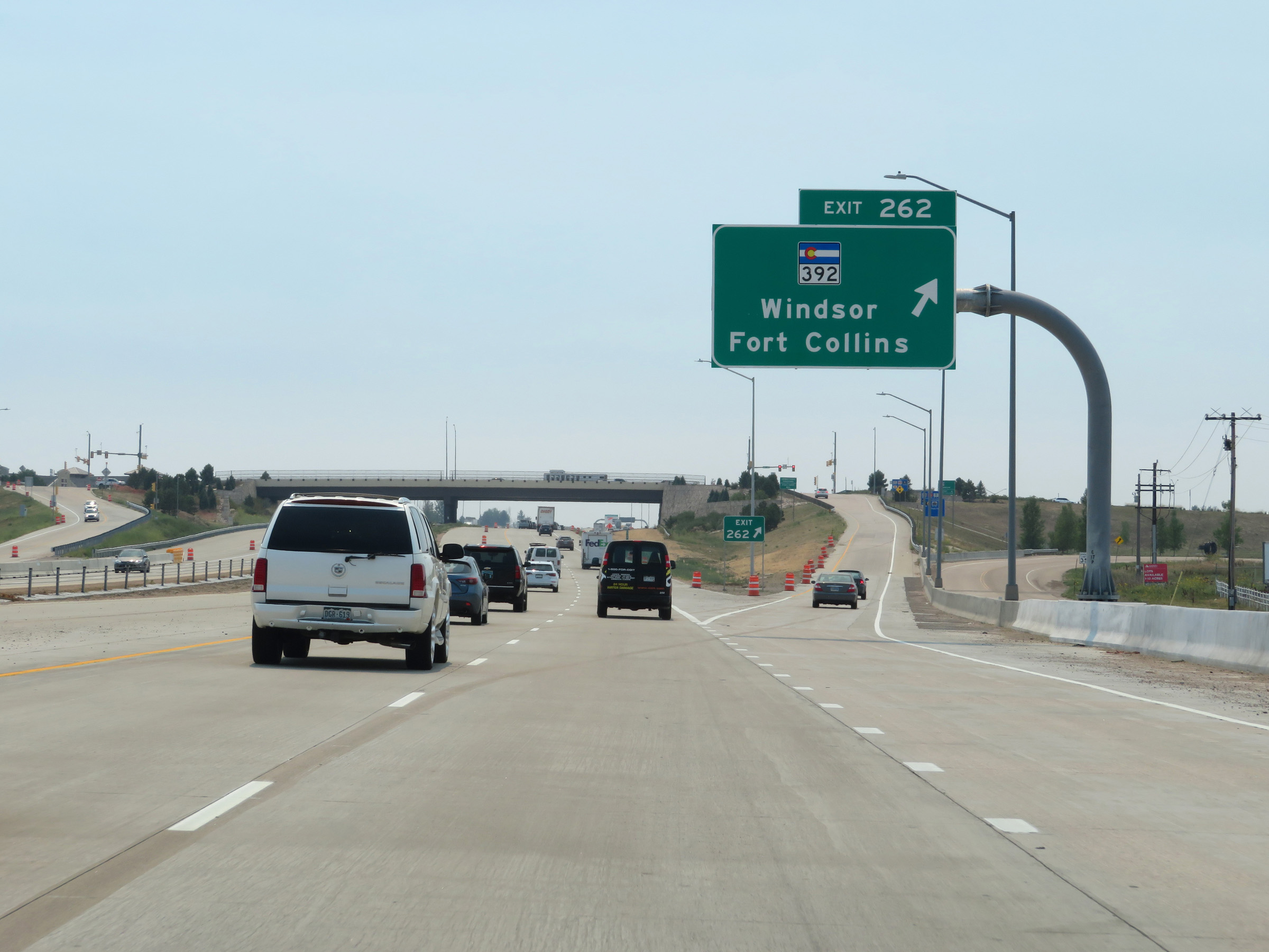 |
Interstate 25 South at Exit 262: CO 392 - Windsor / Fort Collins (Photo taken 8/15/20). |
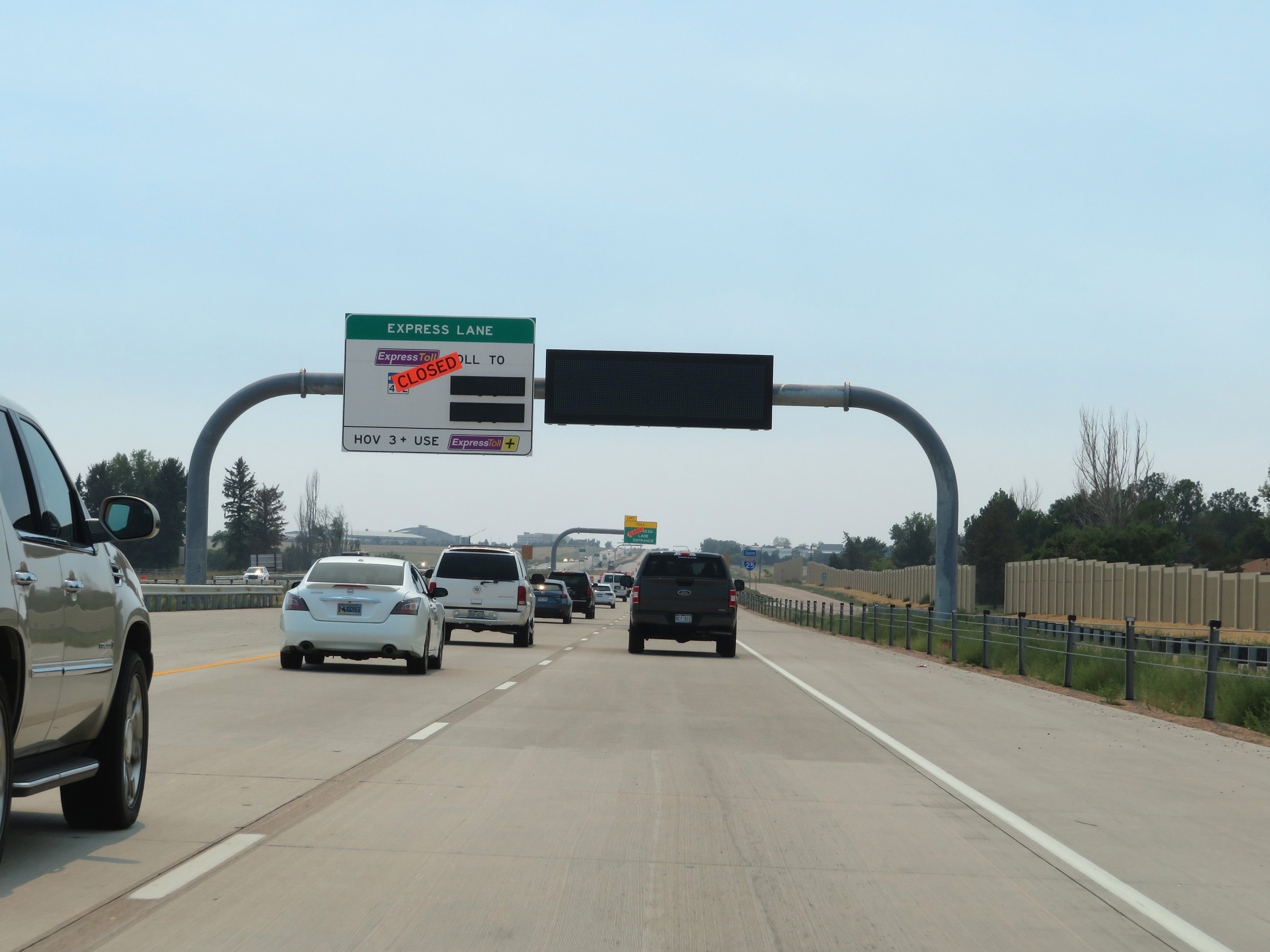 |
An Express Toll / HOV lane will begin ahead on Interstate 25 South in the Fort Collins area. While the lane wasn't yet open at the time, this sign shows the toll rates to the next 2 Fort Collins exits dynamically. (Photo taken 8/15/20). |
 |
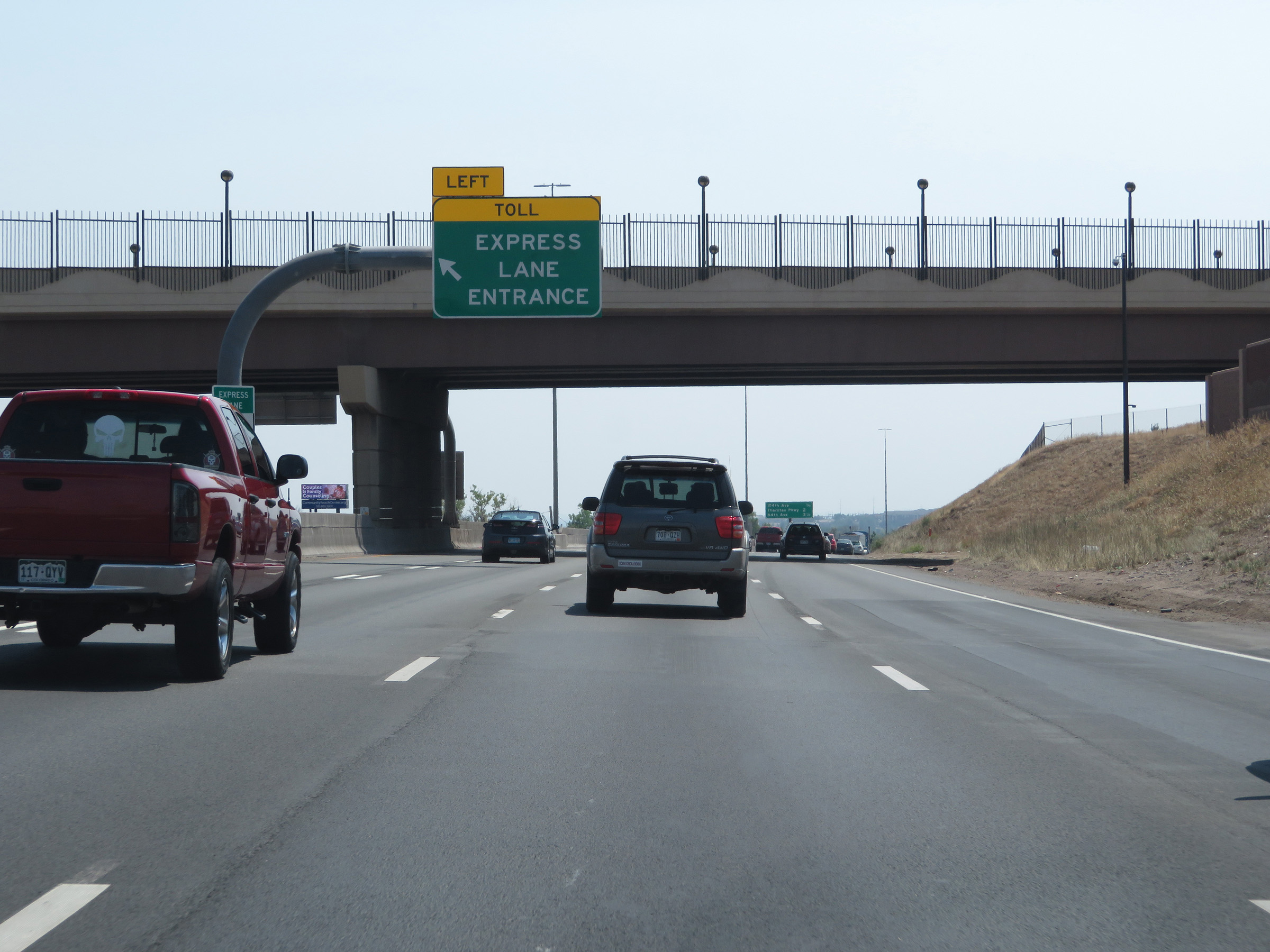
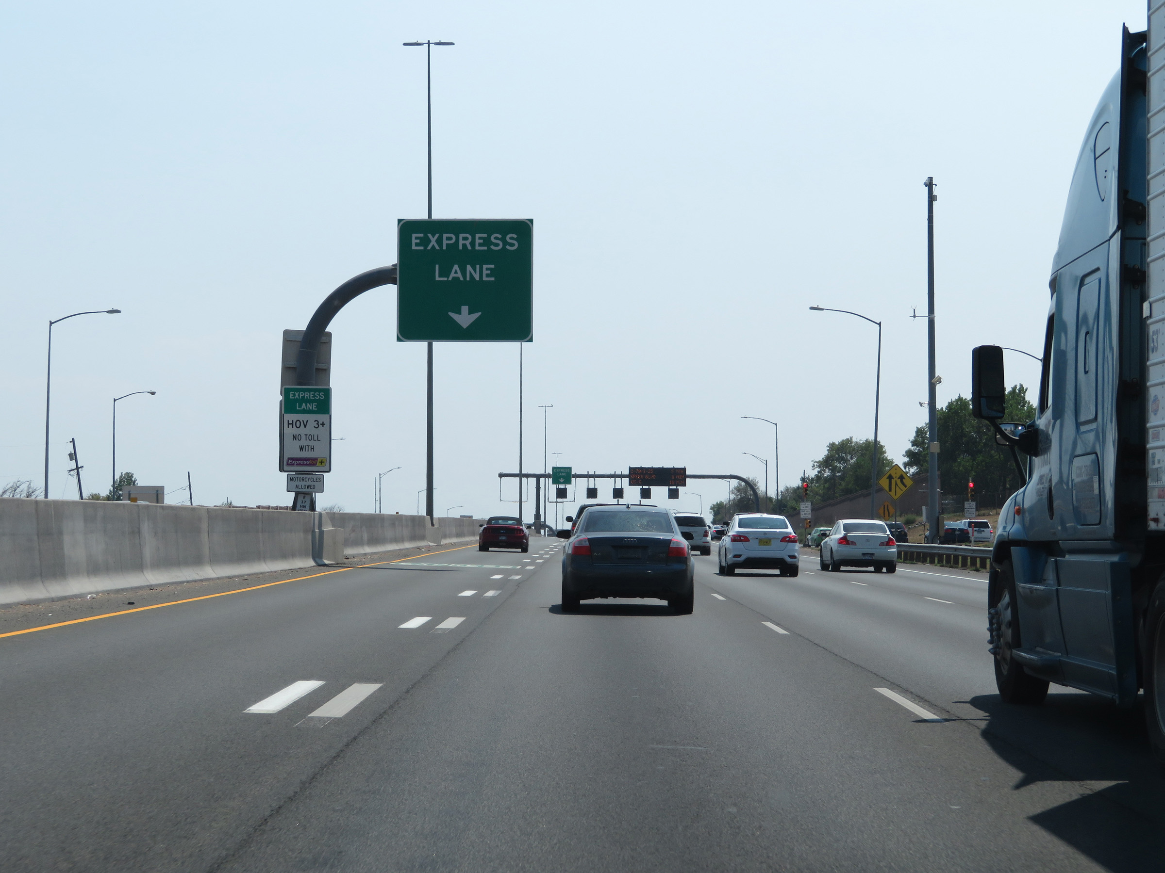
Interstate 25 South at the first Express Lane Entrance, to the north of Fort Collins. (Photo taken 8/15/20). |
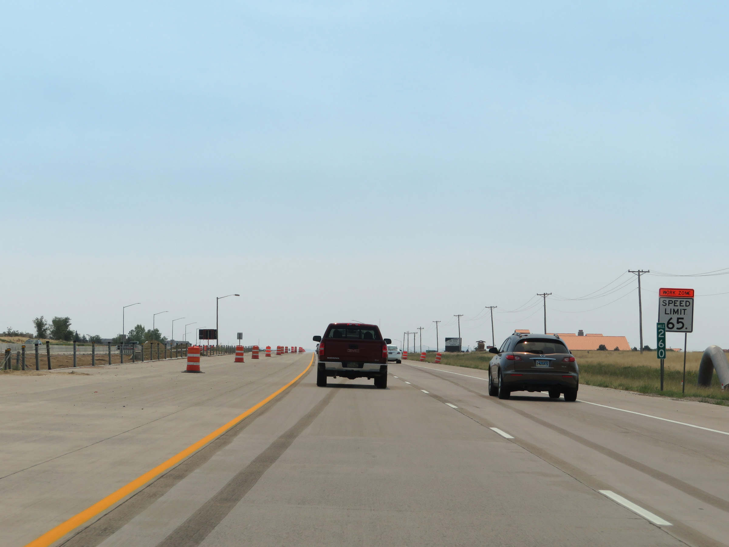 |
Interstate 25 South at mile marker 260. (Photo taken 8/15/20). |
 |
Interstate 25 South at Exit 259: Crossroads Boulevard (Photo taken 8/15/20). |
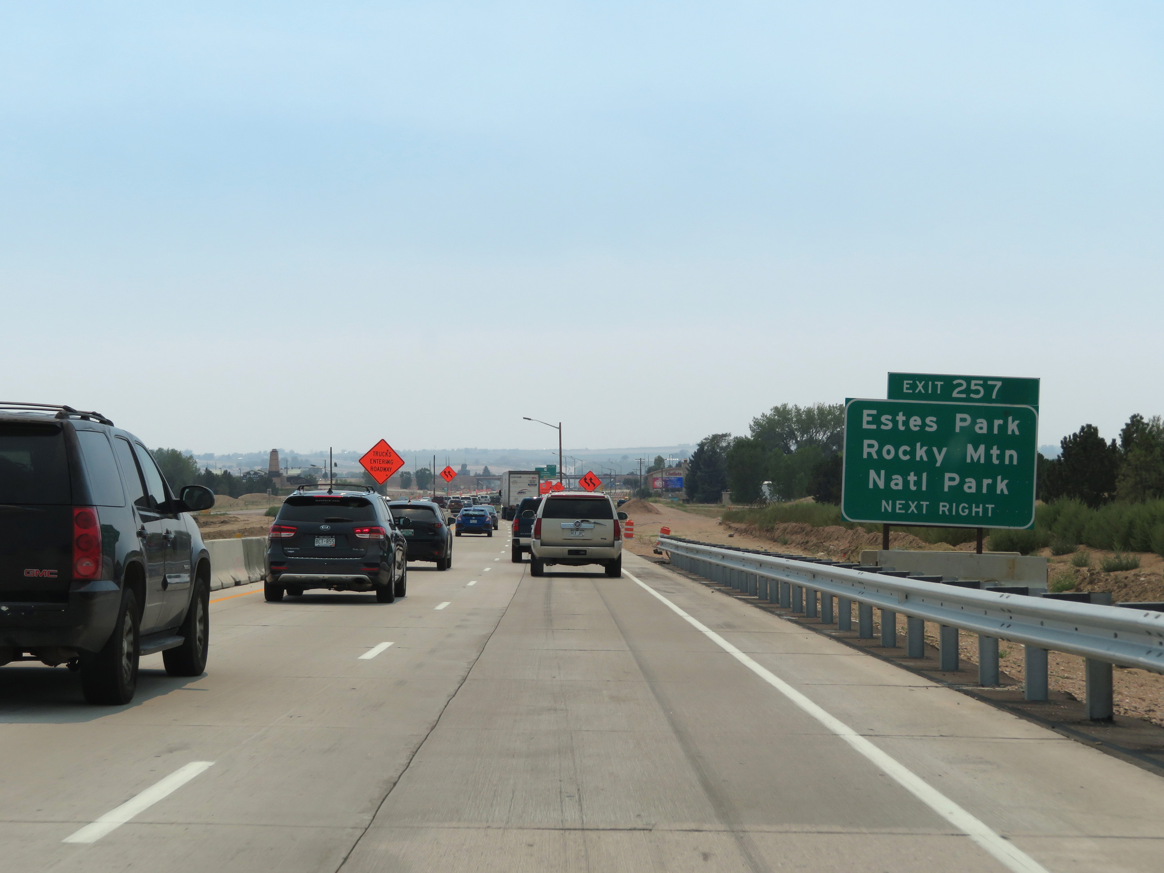 |
Take Exit 257 to Estes Park and Rocky Mountain National Park. (Photo taken 8/15/20). |
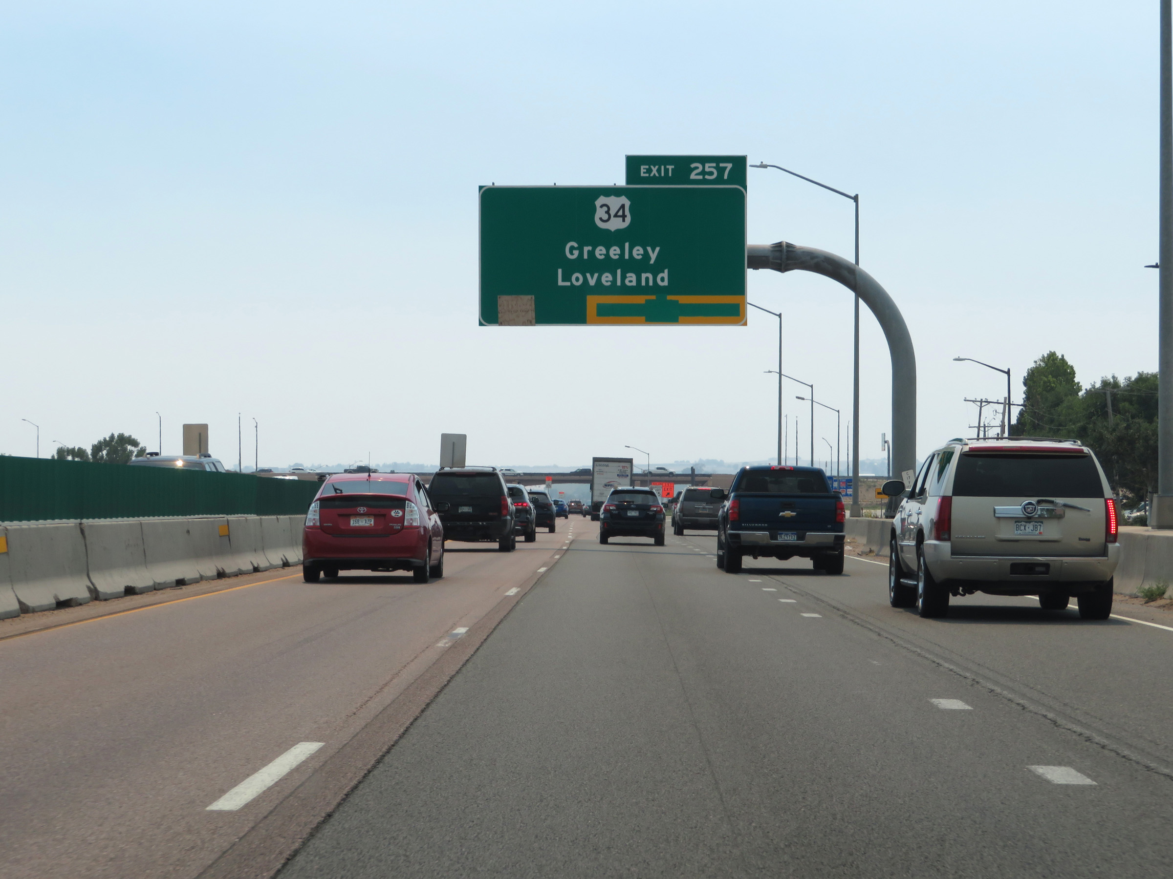 |
Interstate 25 South at Exit 257: US 34 - Greeley / Loveland (Photo taken 8/15/20). |
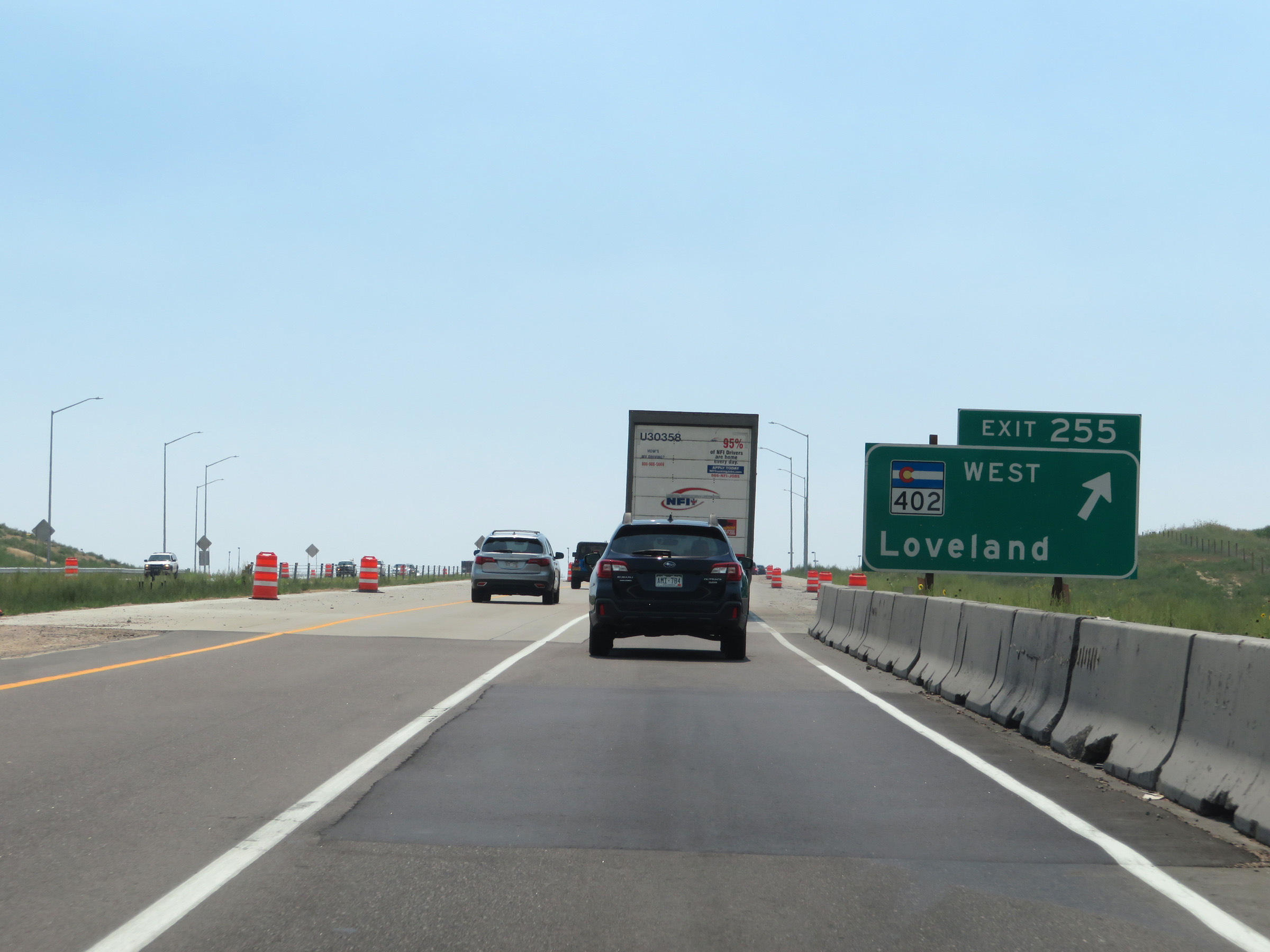 |
Interstate 25 South at Exit 255: CO 402 West - Loveland (Photo taken 8/15/20). |
 |
Interstate 25 South at Exit 254: CO 60 West - Campion (Photo taken 8/15/20). |
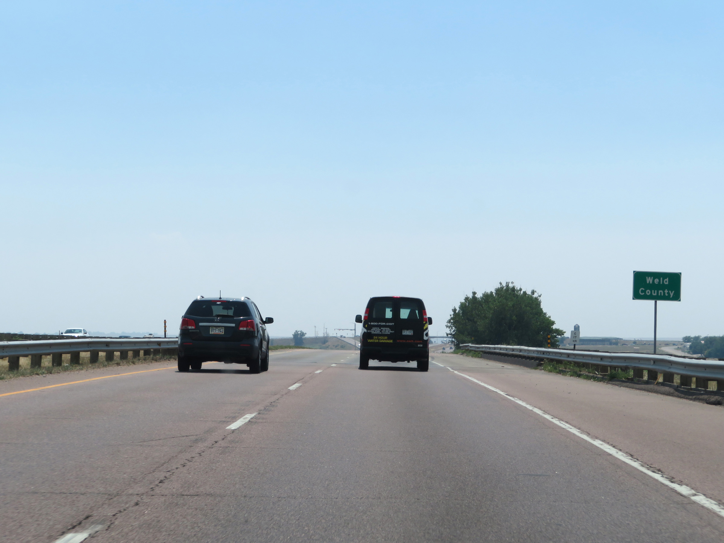 |
Interstate 25 South as it re-enters Weld County from Larimer County. (Photo taken 8/15/20). |
 |
View on Interstate 25 South at mile marker 253. (Photo taken 8/15/20). |
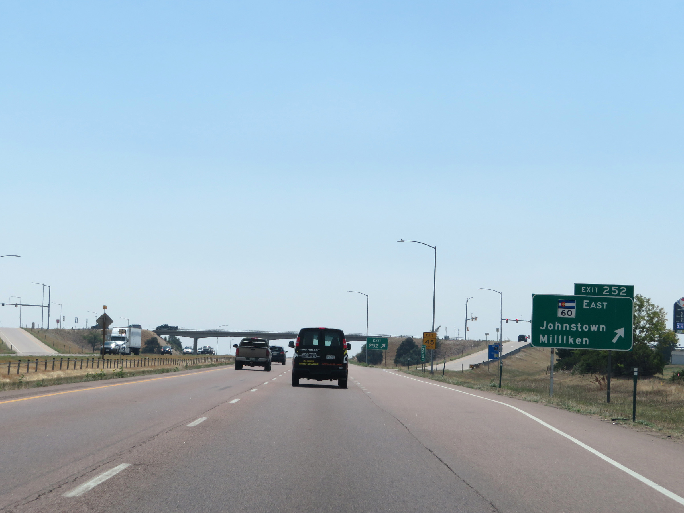 |
Interstate 25 South at Exit 252: CO 60 East - Johnstown / Milliken (Photo taken 8/15/20). |
 |
Interstate 25 South at mile marker 251. (Photo taken 8/15/20). |
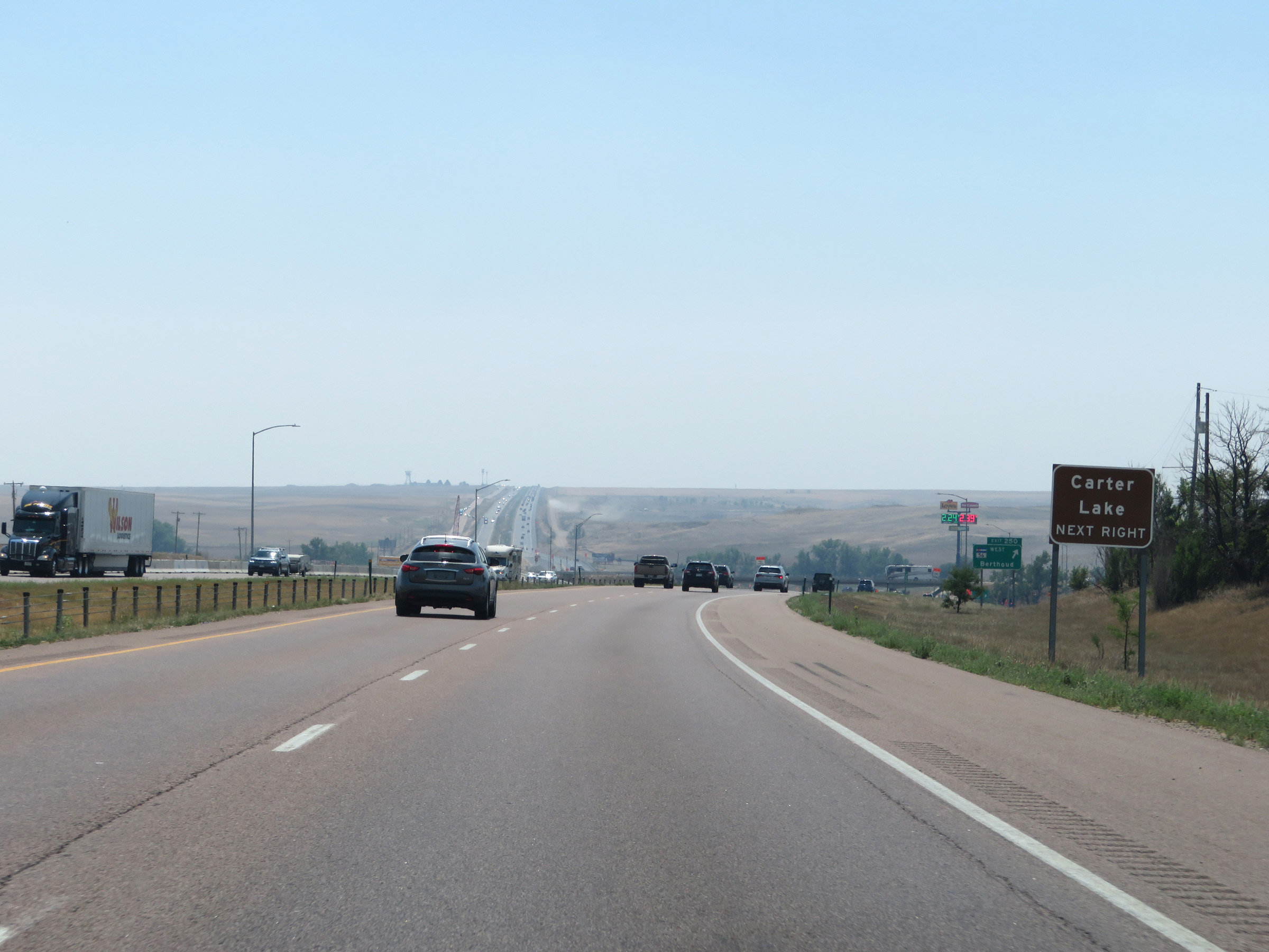 |
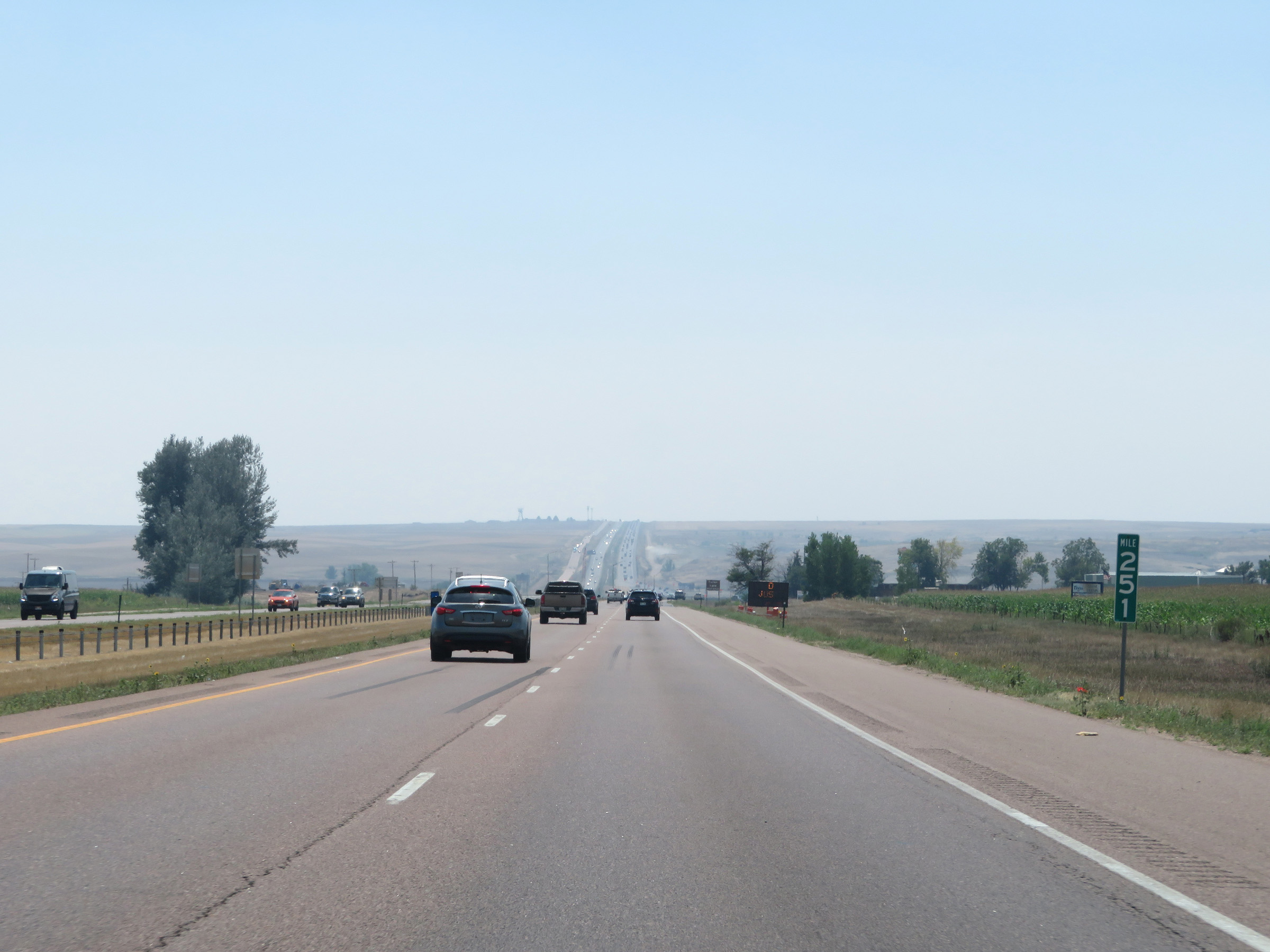
Take Exit 250 to Carter Lake. (Photo taken 8/15/20). |
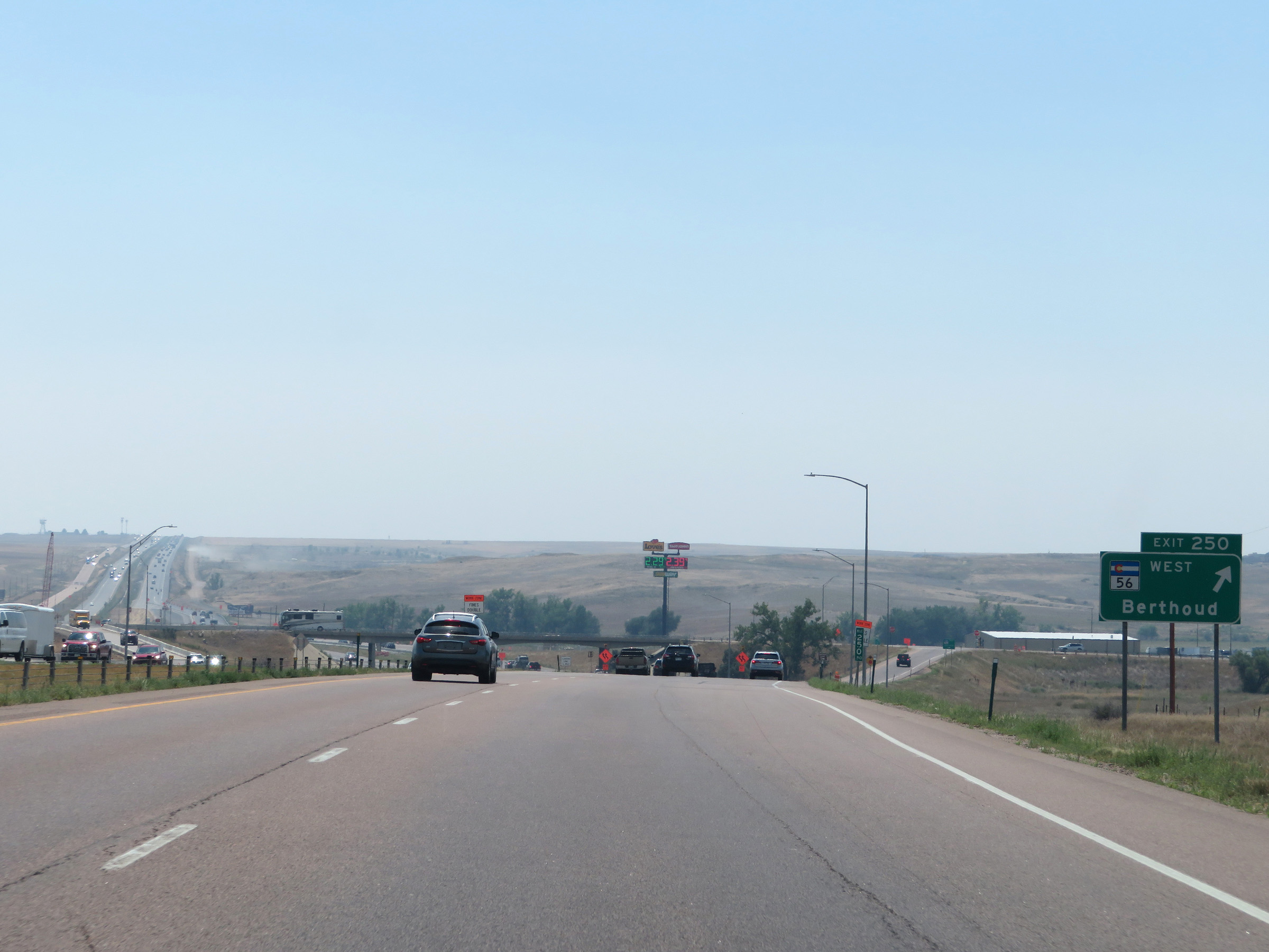 |
Interstate 25 South at Exit 250: CO 56 West - Berthoud (Photo taken 8/15/20). |
Section 2: Johnstown (Exit 250) to Denver (Exit 214A)
 |
South of Exit 250, this sign states that a truck climbing lane will appear 1/2 mile ahead on Interstate 25 South. (Photo taken 8/15/20). |
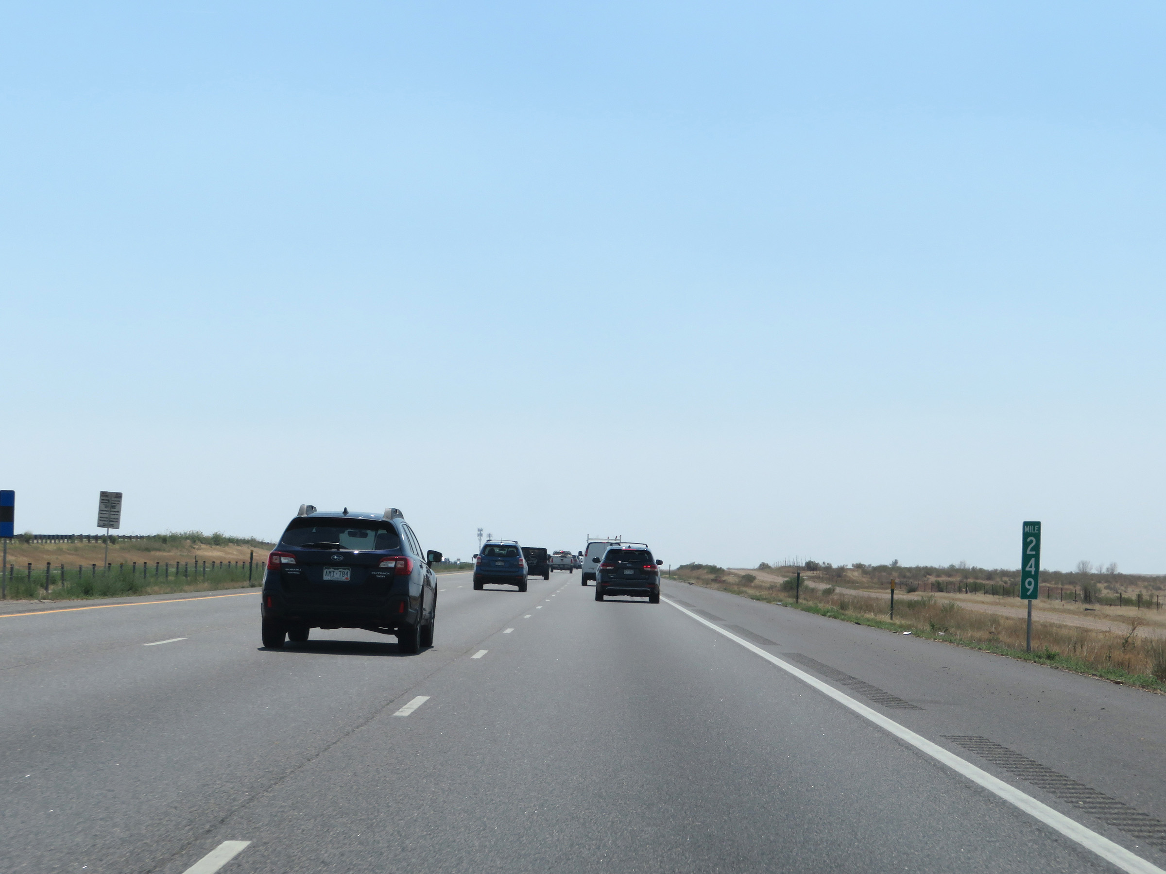 |
Interstate 25 South at mile marker 249, as the climbing lane continues up a mild grade. (Photo taken 8/15/20). |
 |
At the top of the mild grade, the truck climbing lane comes to an end and Interstate 25 South is reduced to two lanes once again. (Photo taken 8/15/20). |
 |
View on Interstate 25 South at mile marker 247. (Photo taken 8/15/20). |
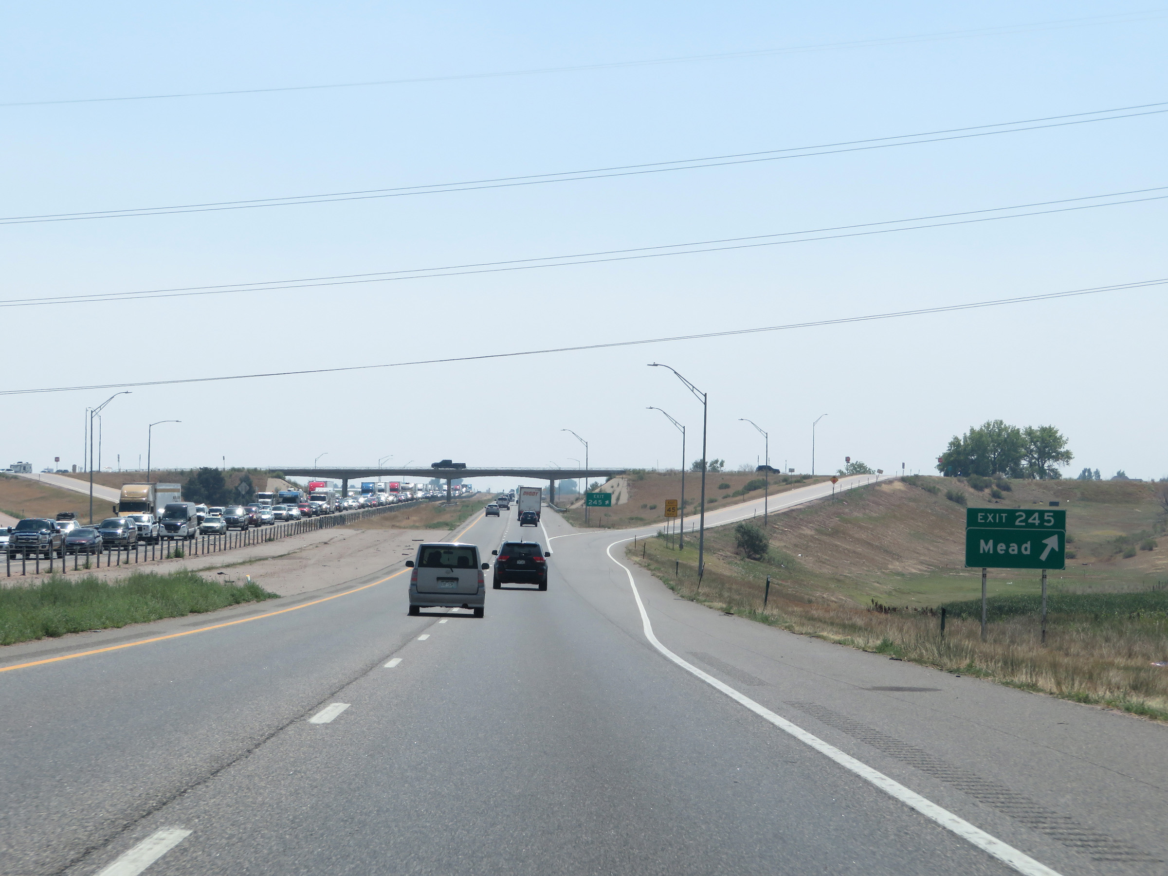 |
Interstate 25 South at Exit 245: Mead (Photo taken 8/15/20). |
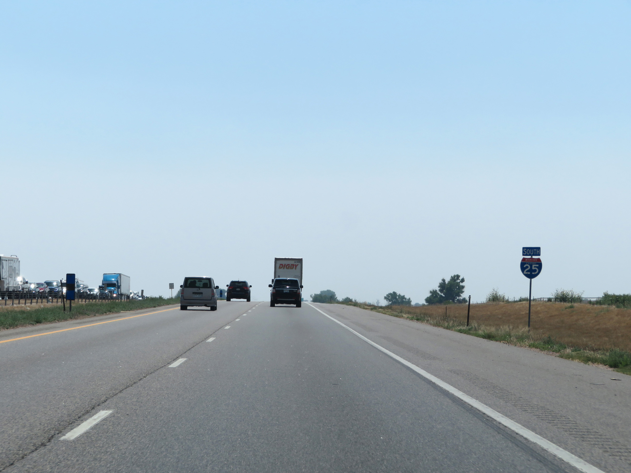 |
Another state-named Interstate 25 South reassurance shield. (Photo taken 8/15/20). |
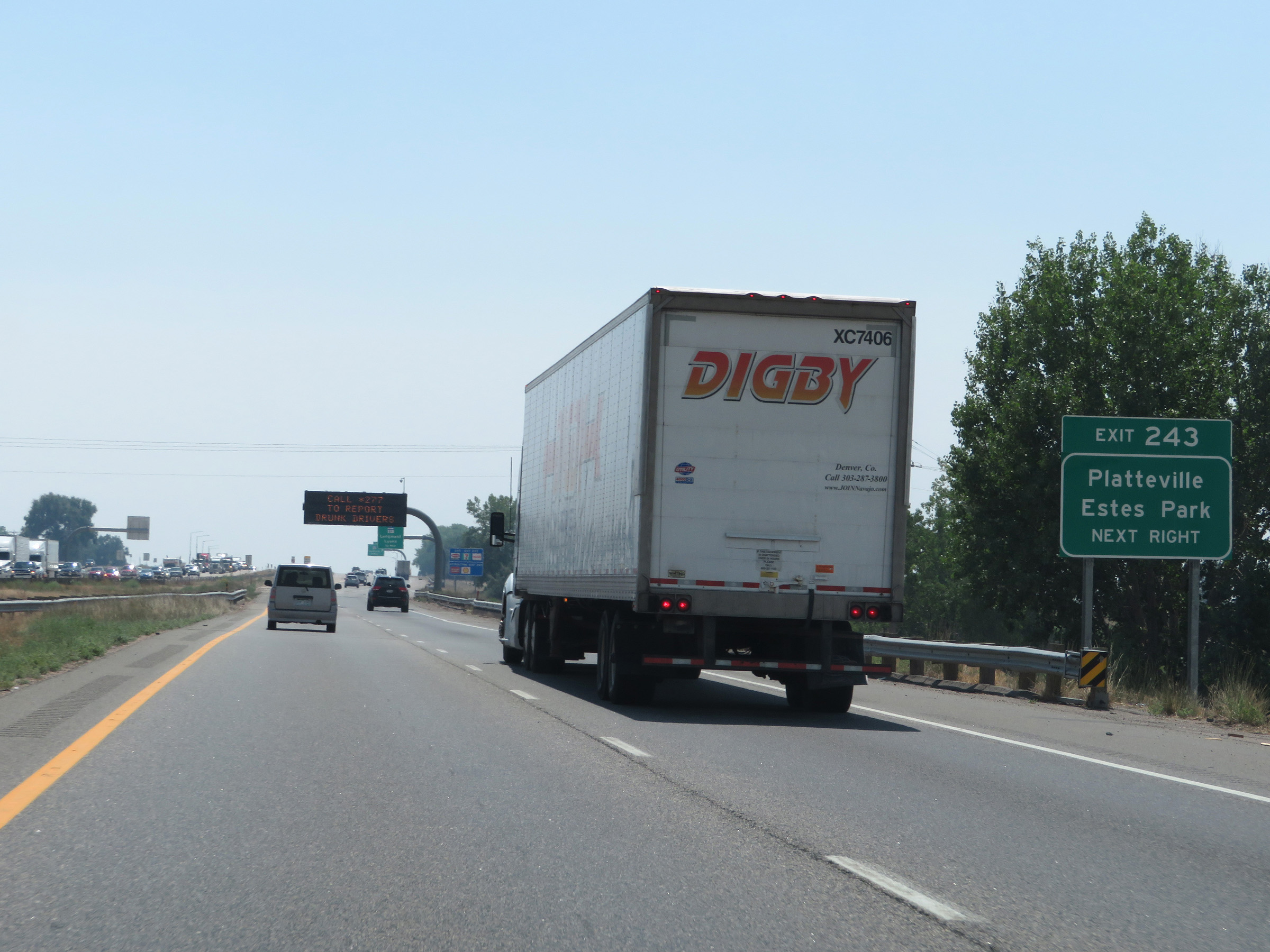 |
Take Exit 243 to Platteville and Estes Park. (Photo taken 8/15/20). |
 |
Also take Exit 243 to Rocky Mountain National Park. (Photo taken 8/15/20). |
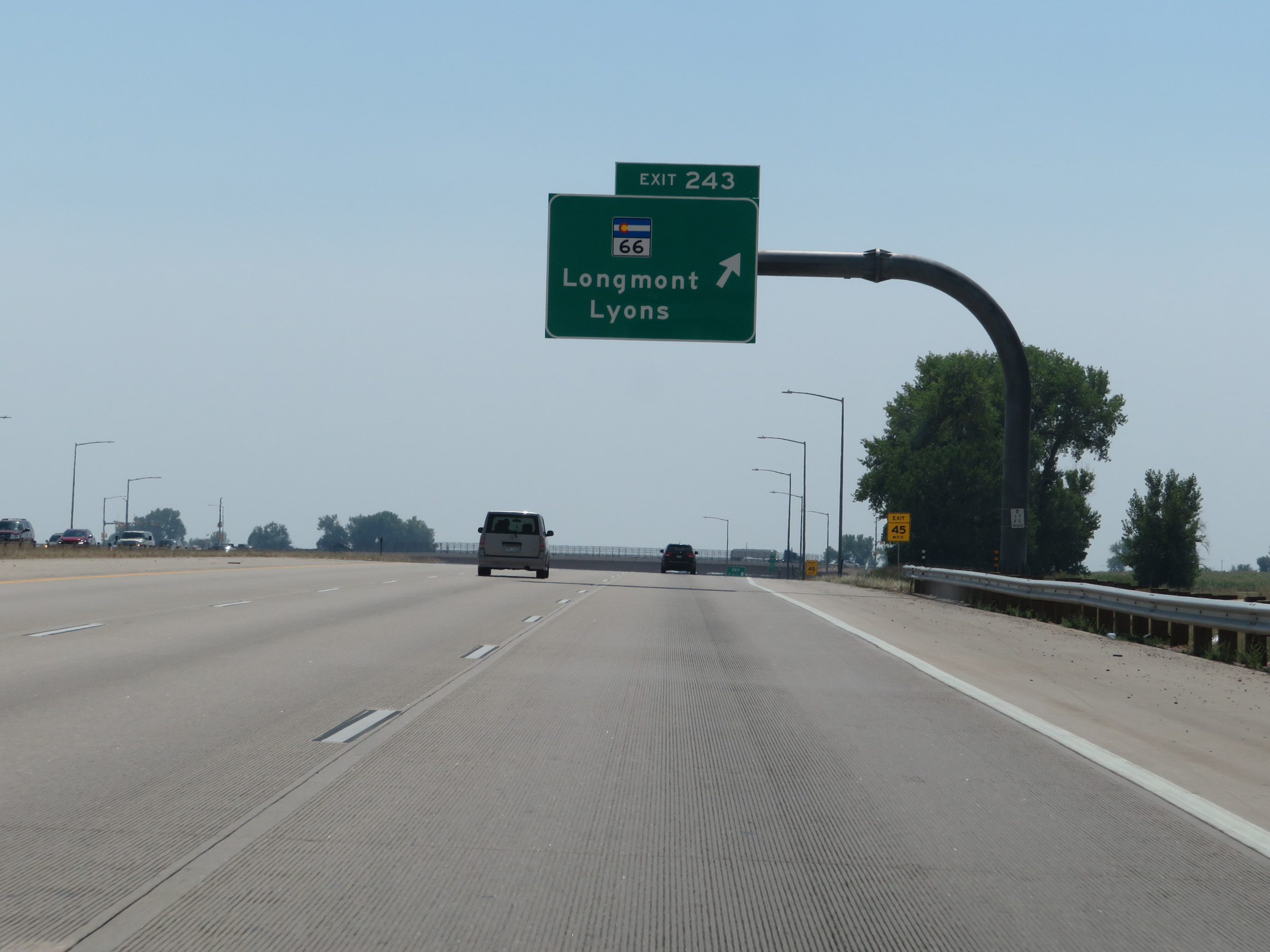 |
Interstate 25 South at Exit 243: CO 66 - Longmont / Lyons (Photo taken 8/15/20). |
 |
The speed limit remains 75 mph for all traffic. (Photo taken 8/15/20). |
 |
View on Interstate 25 South at mile marker 242. (Photo taken 8/15/20). |
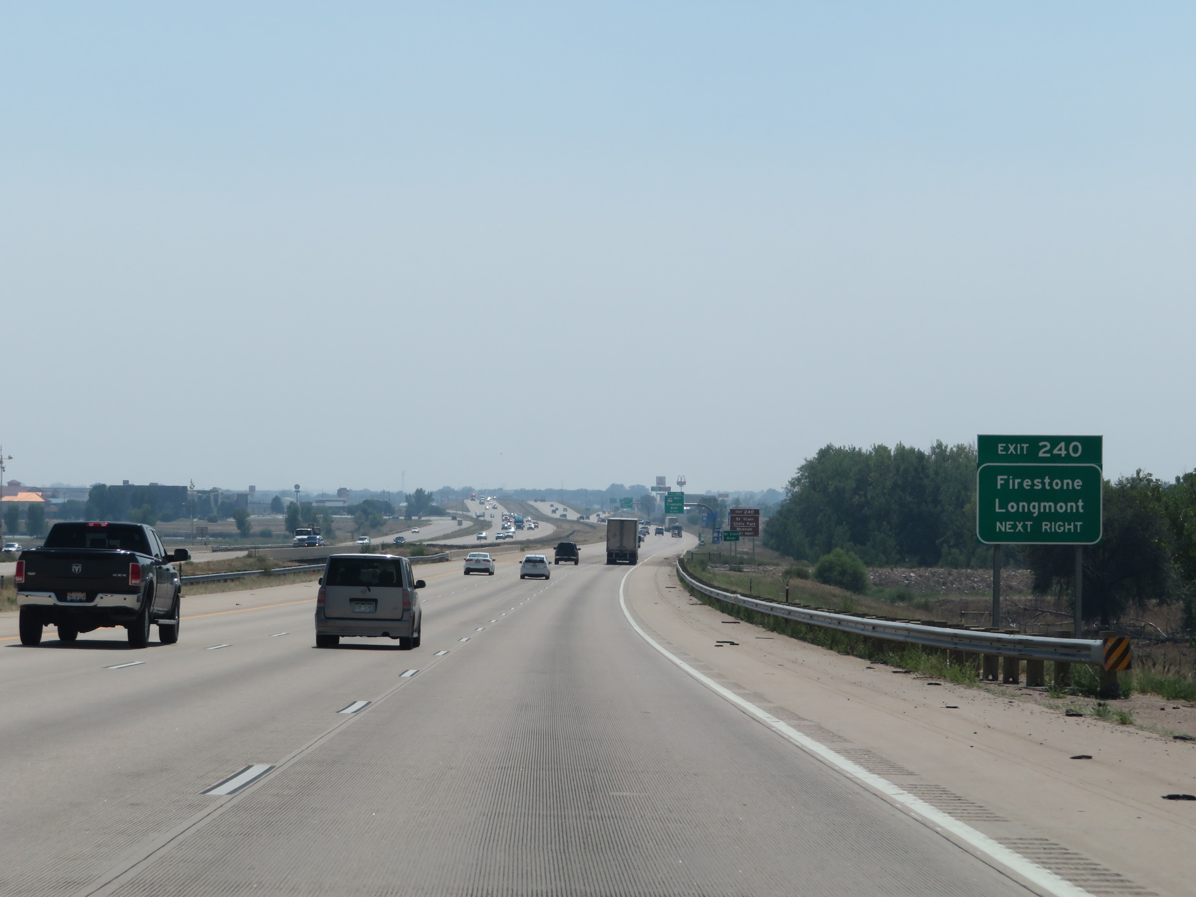 |
Take Exit 240 to Firestone and Longmont. (Photo taken 8/15/20). |
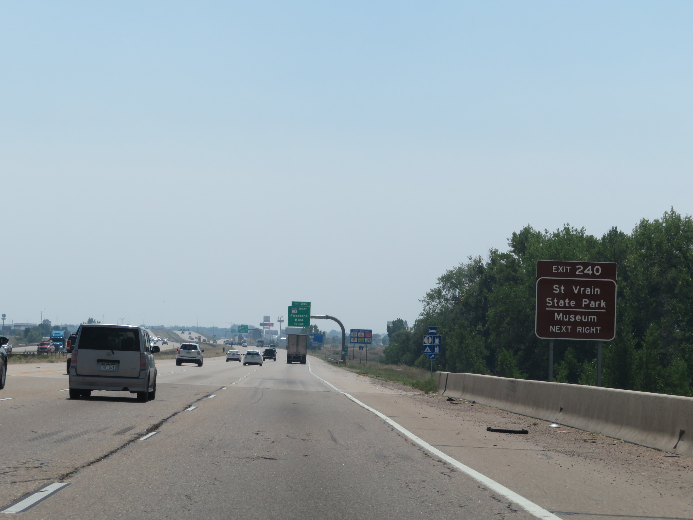 |
Also take Exit 240 to St Vrain State Park and Museum. (Photo taken 8/15/20). |
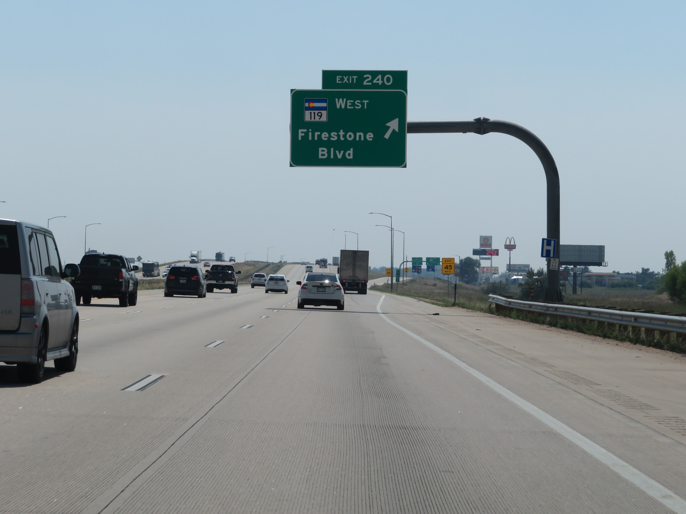 |
Interstate 25 South at Exit 240: CO 119 West - Firestone Blvd (Photo taken 8/15/20). |
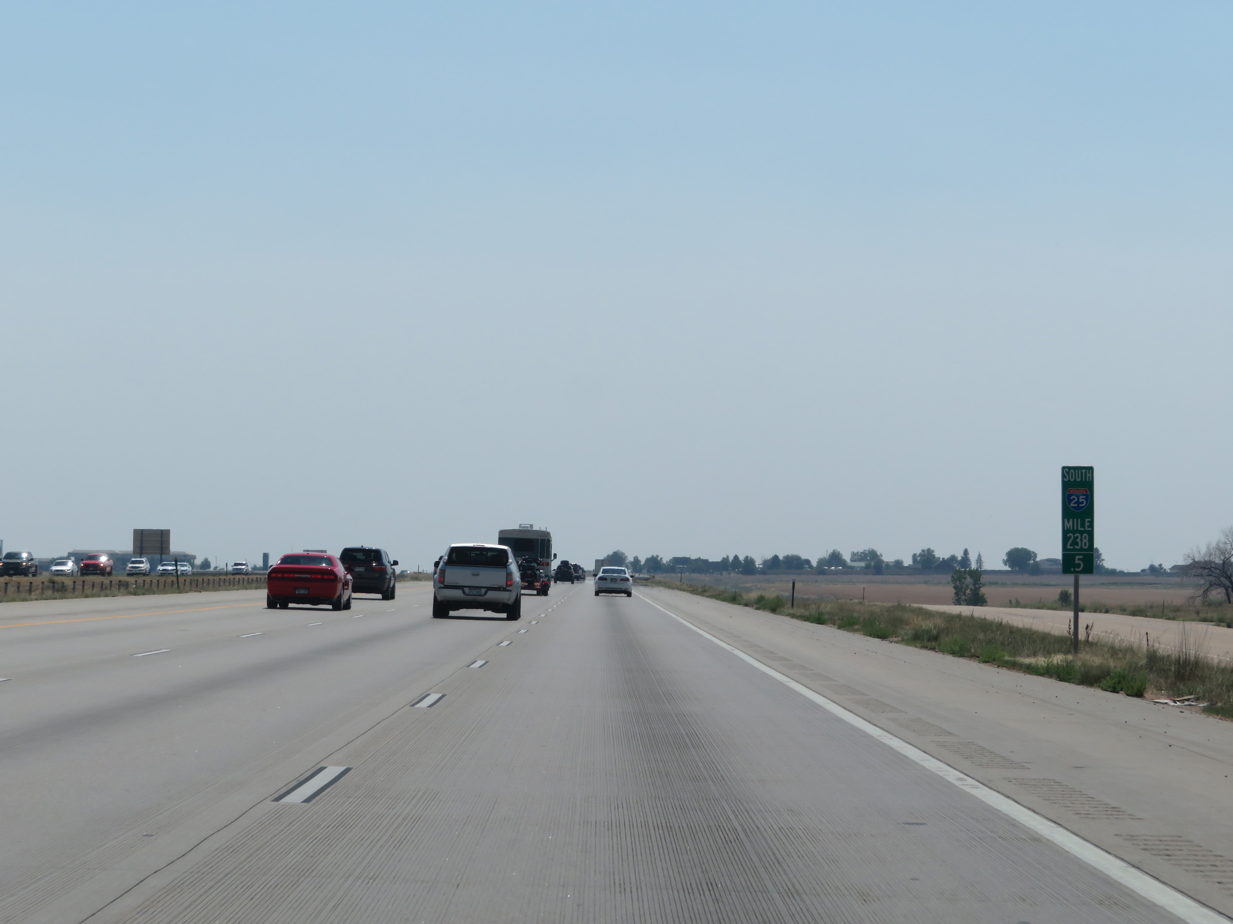 |
View on Interstate 25 South at mile marker 238.5. (Photo taken 8/15/20). |
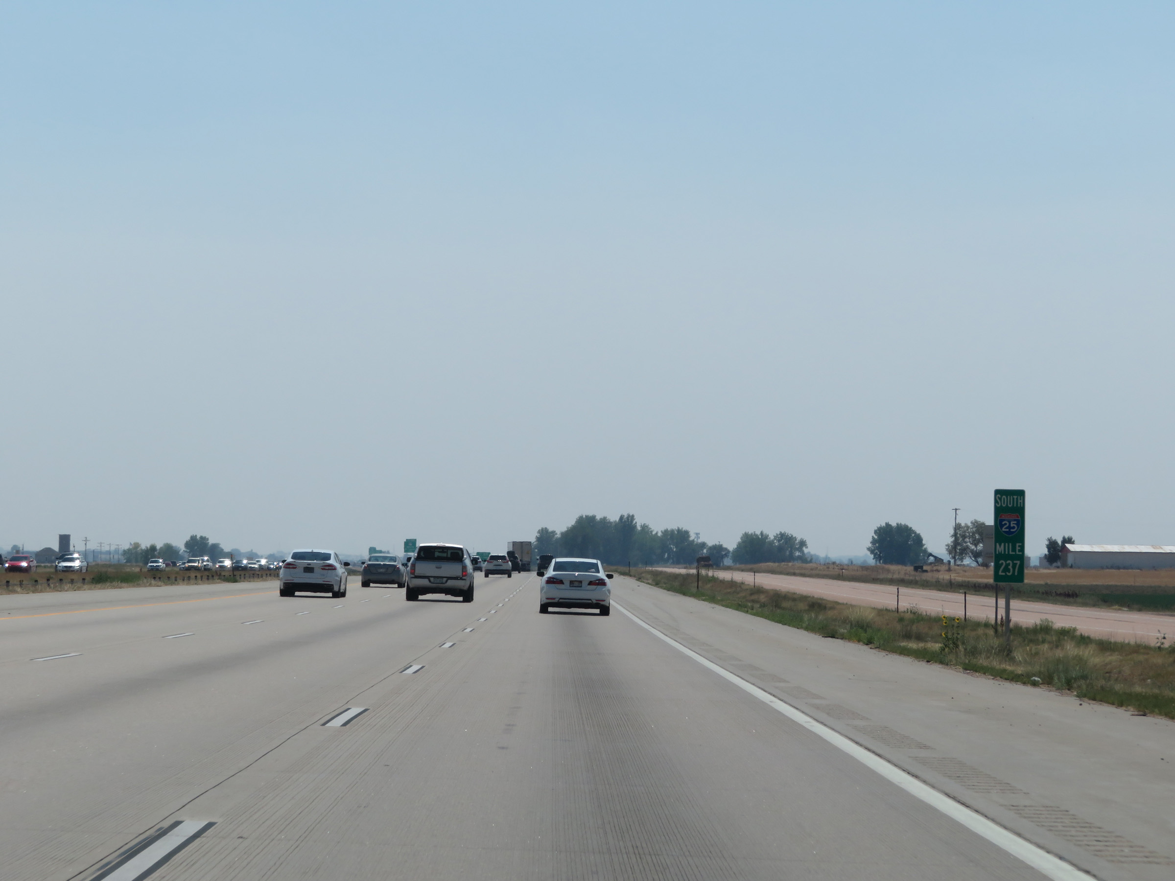 |
Interstate 25 South at mile marker 237. (Photo taken 8/15/20). |
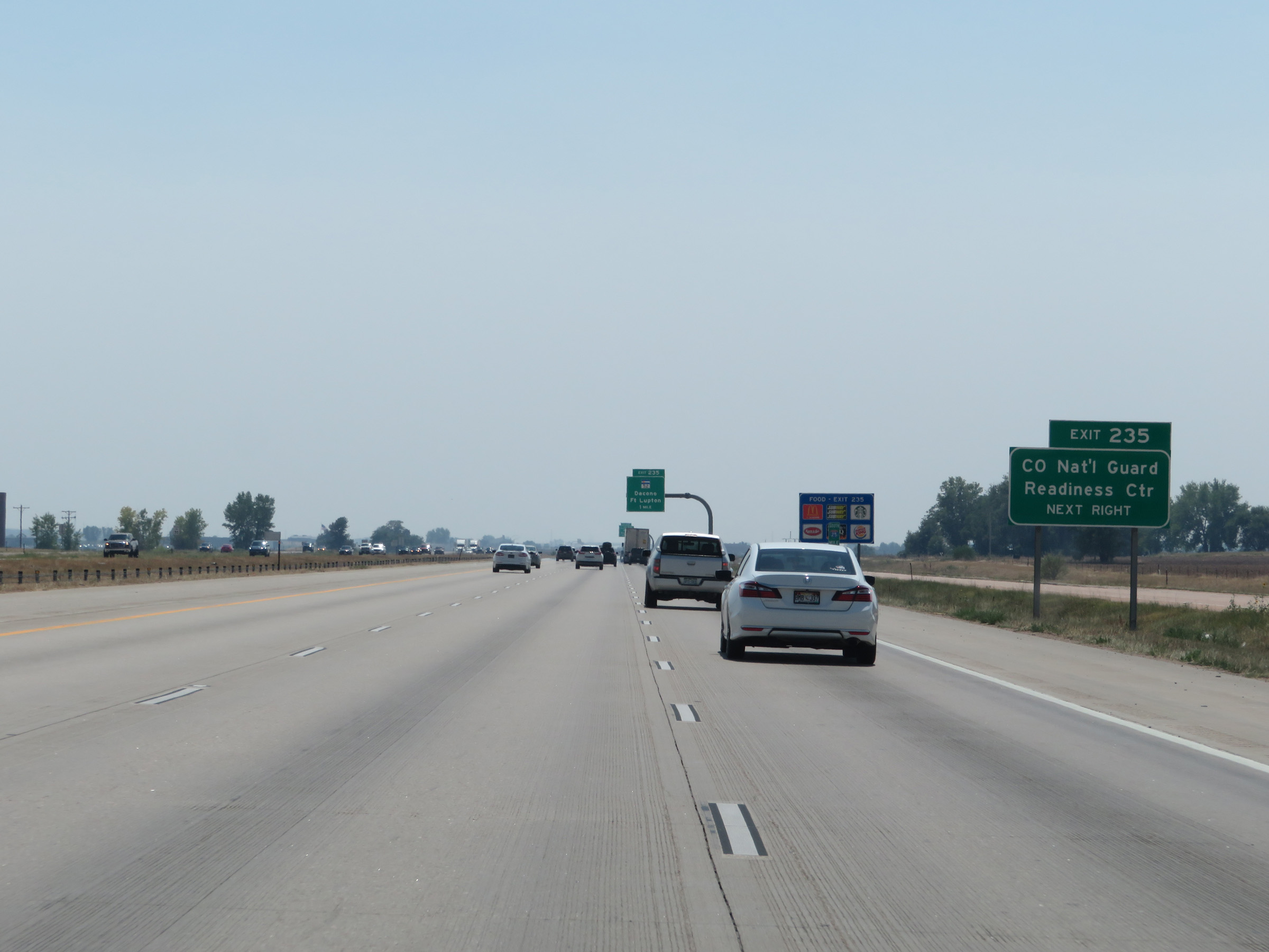 |
Take Exit 235 to the Colorado National Guard Readiness Center. (Photo taken 8/15/20). |
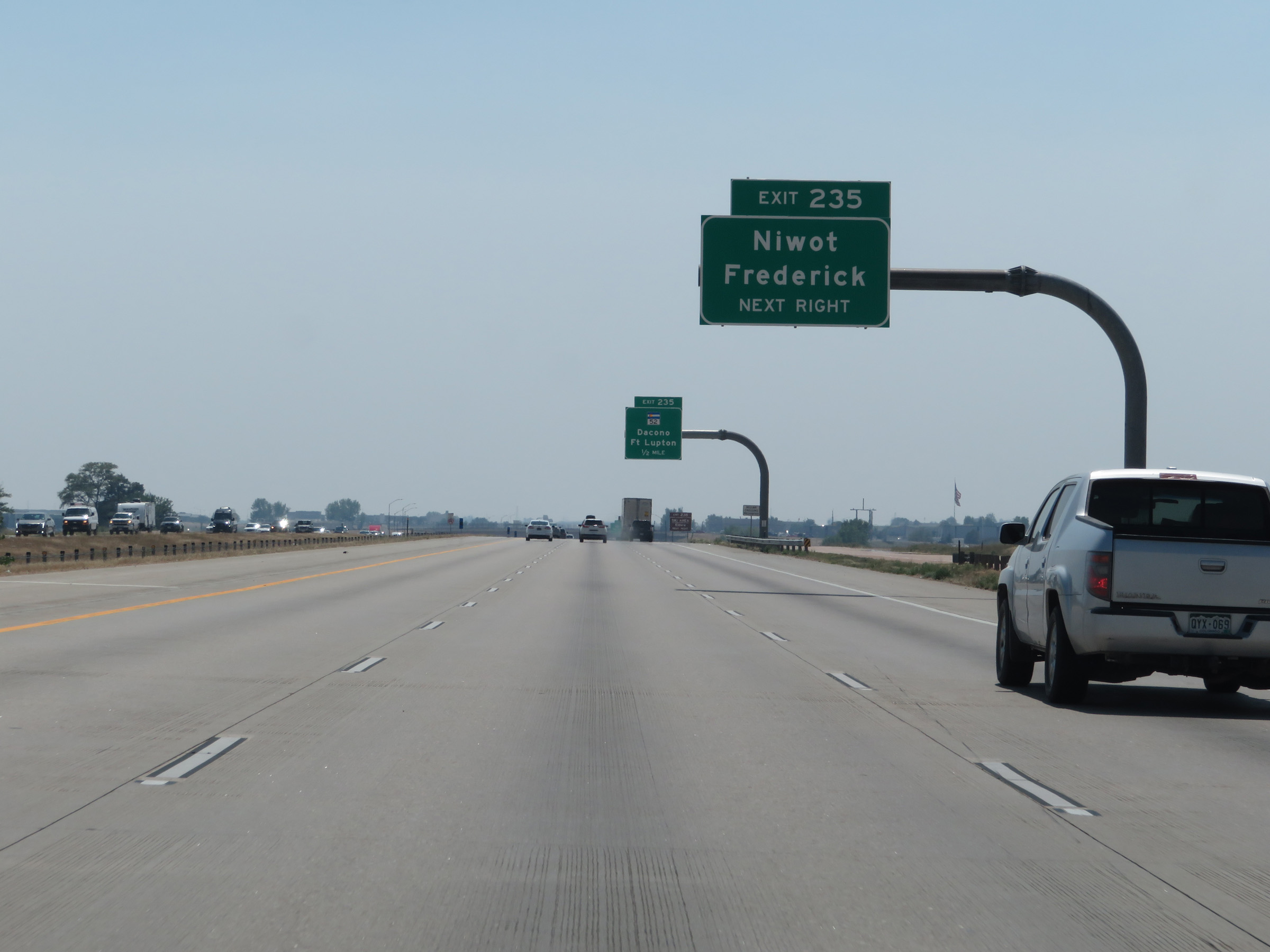 |
Also take Exit 235 to Niwot and Frederick. (Photo taken 8/15/20). |
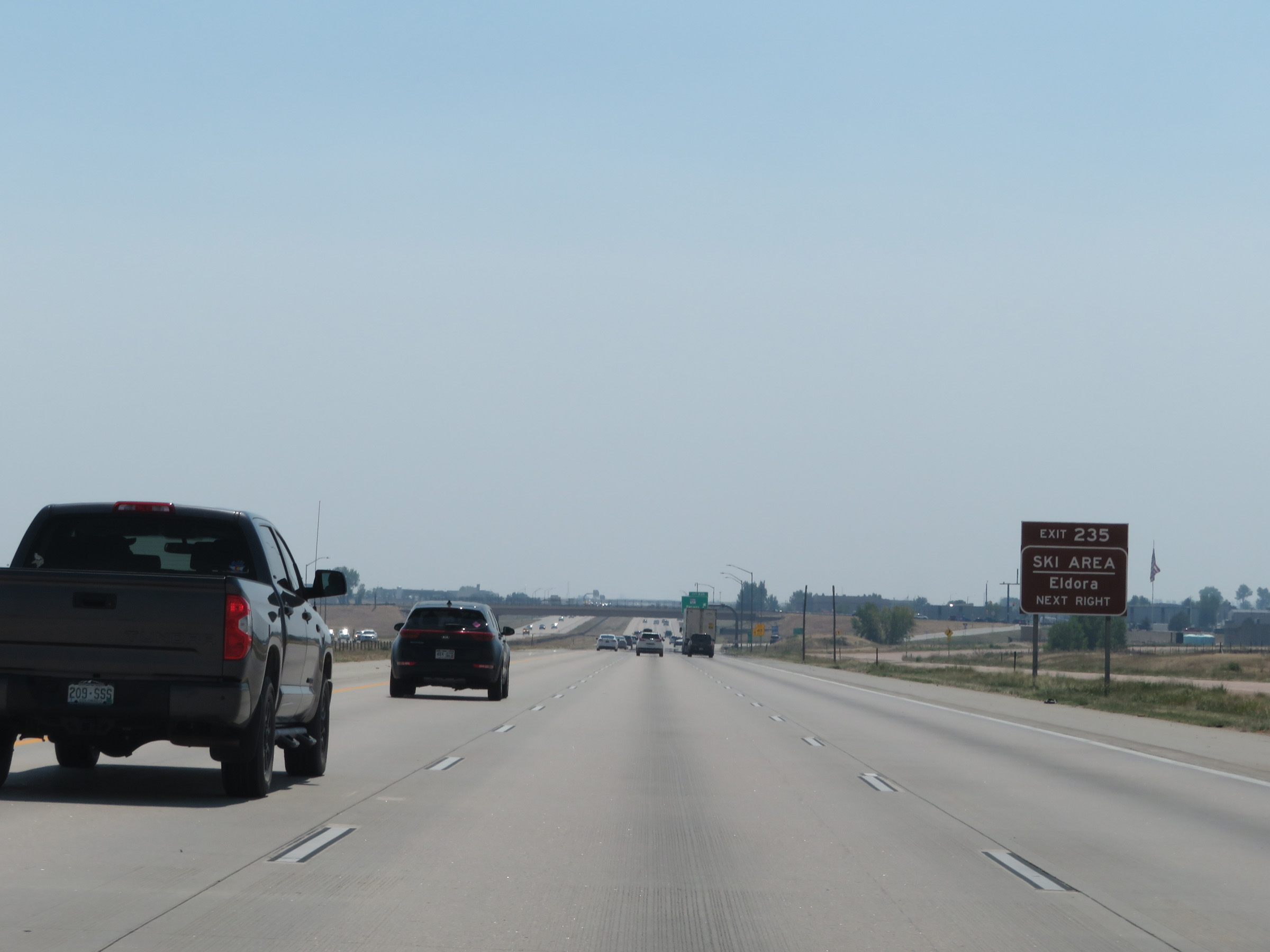 |
Take Exit 235 to Eldora Ski Area as well. (Photo taken 8/15/20). |
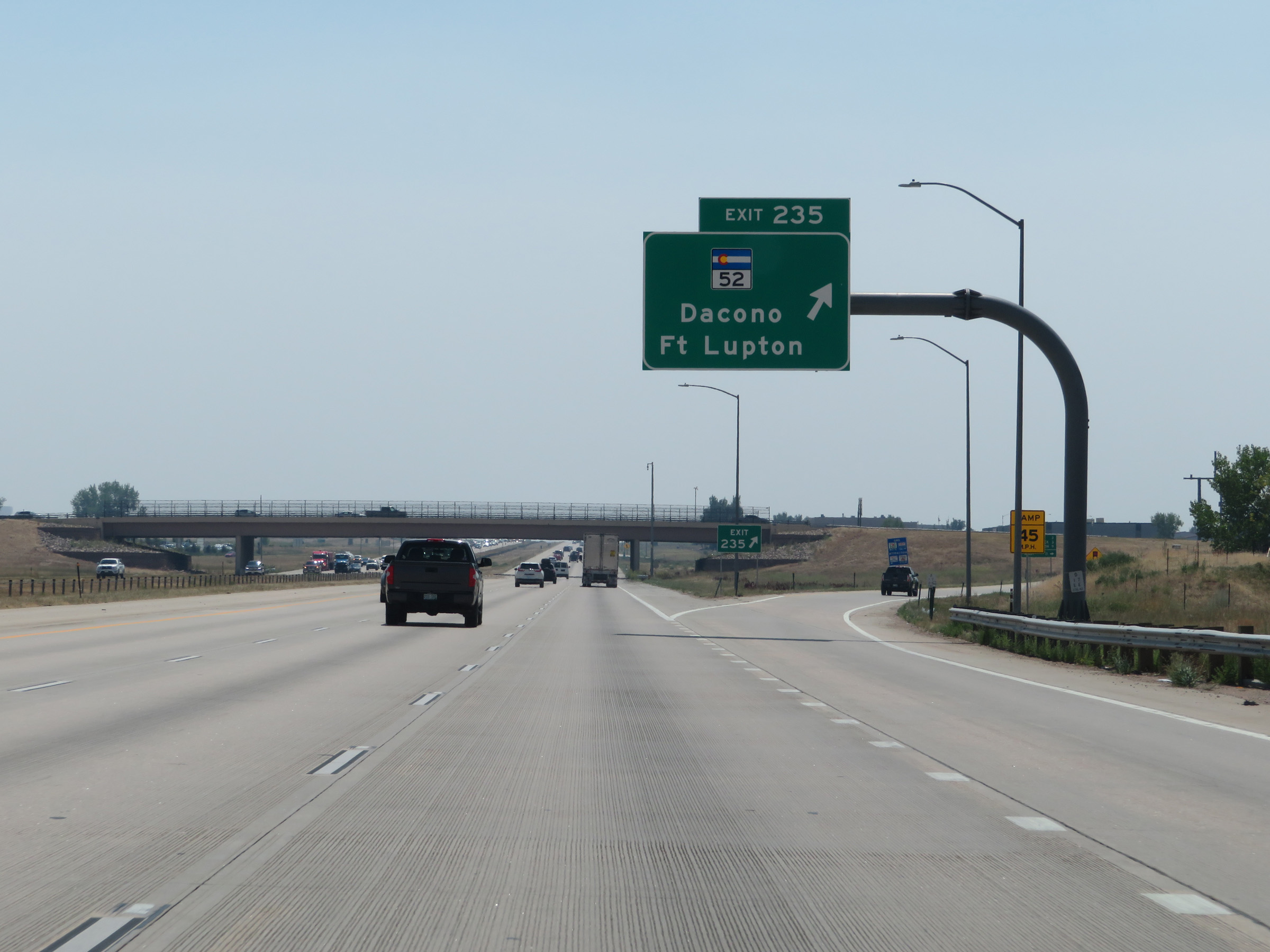 |
Interstate 25 South at Exit 235: CO 52 - Dacono / Fort Lupton (Photo taken 8/15/20). |
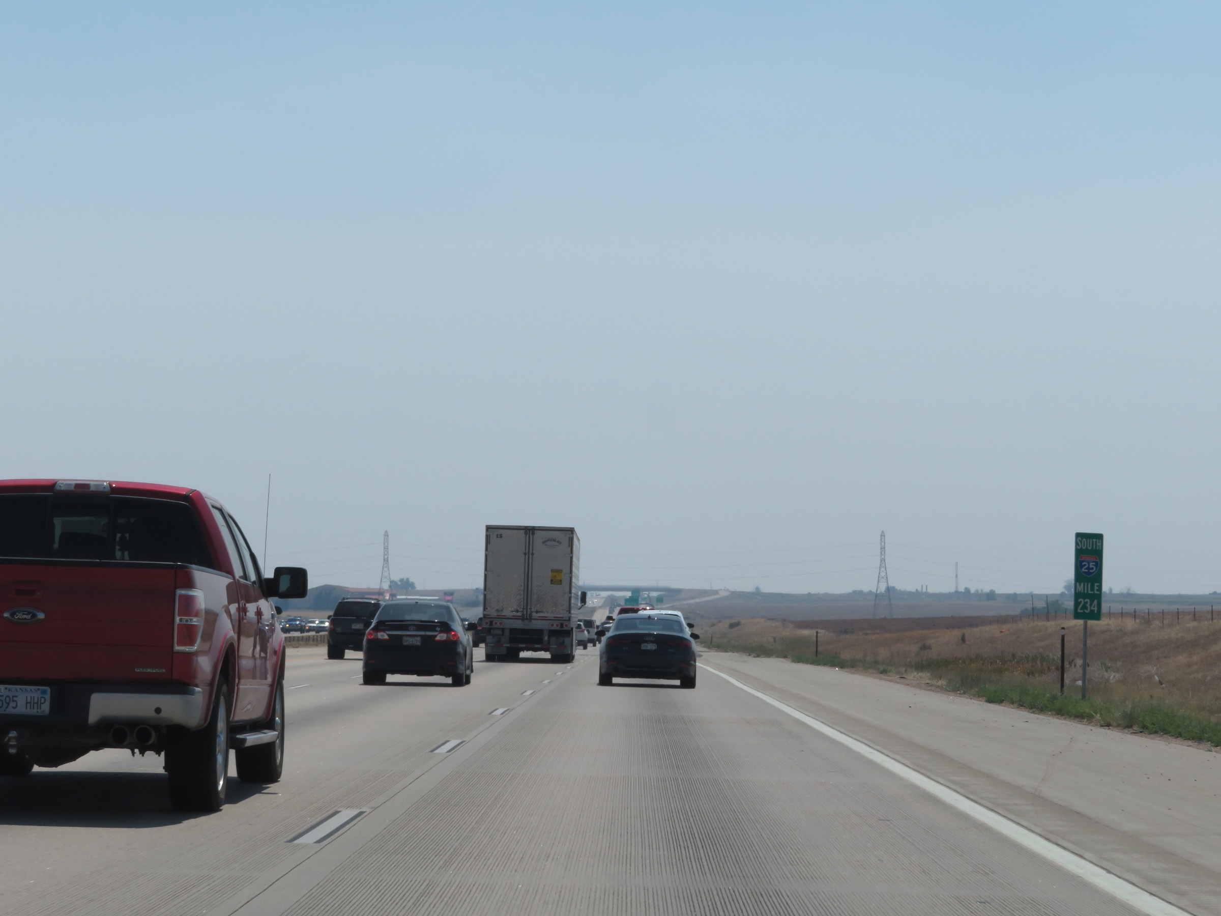 |
Interstate 25 South at mile marker 234. (Photo taken 8/15/20). |
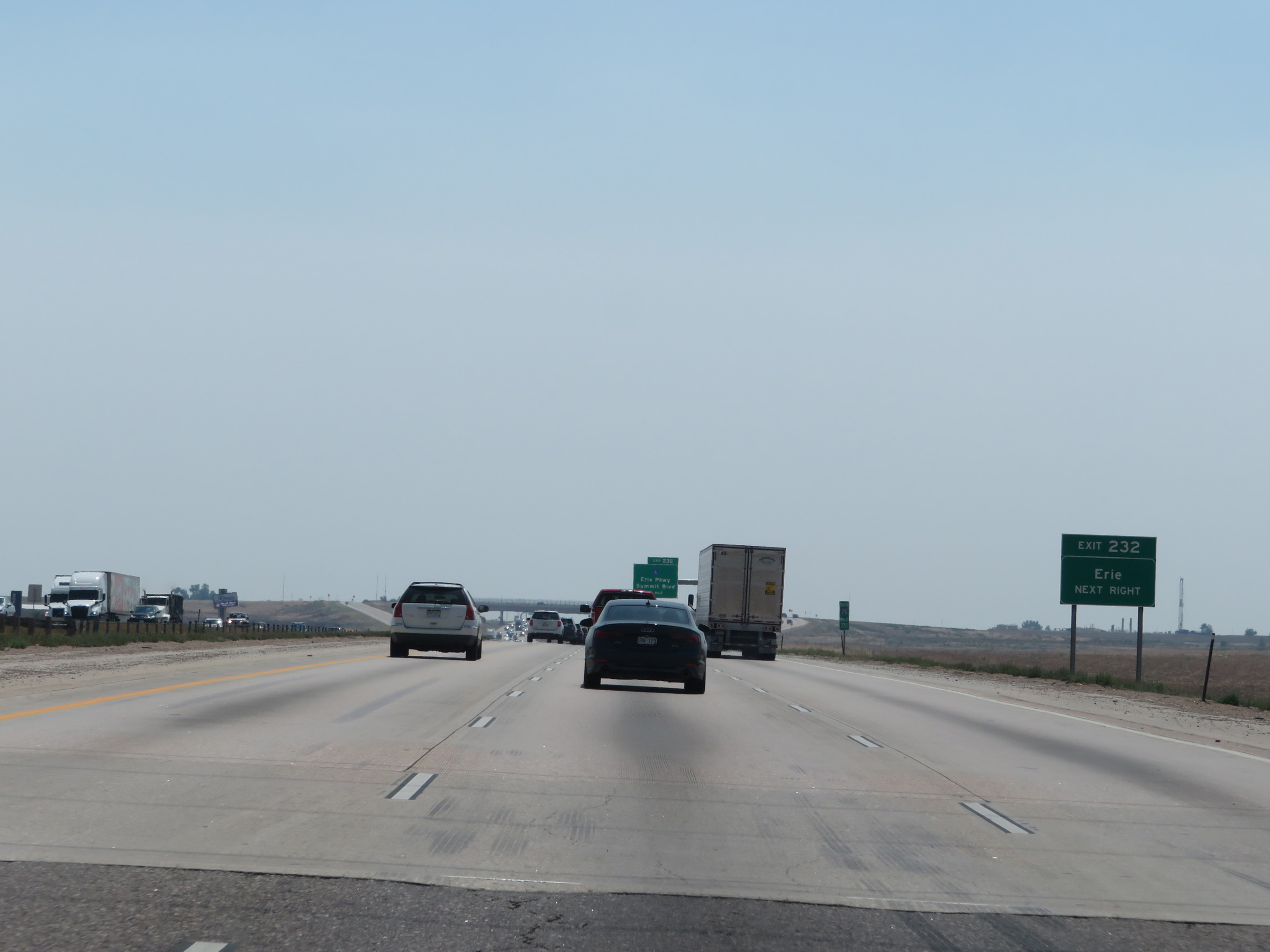 |
Take Exit 232 to Erie. (Photo taken 8/15/20). |
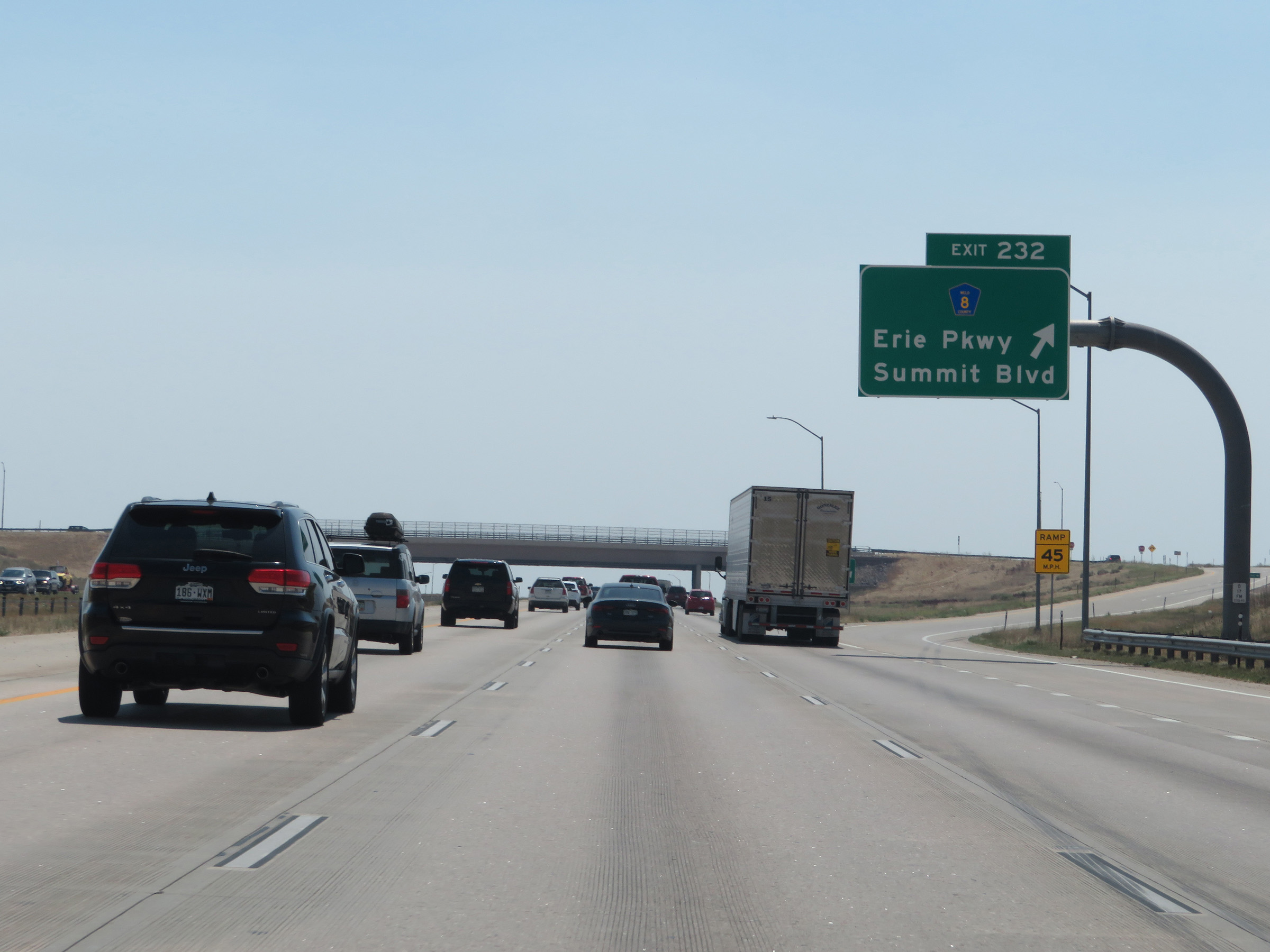 |
Interstate 25 South at Exit 232: CR 8 - Erie Pkwy / Summit Blvd (Photo taken 8/15/20). |
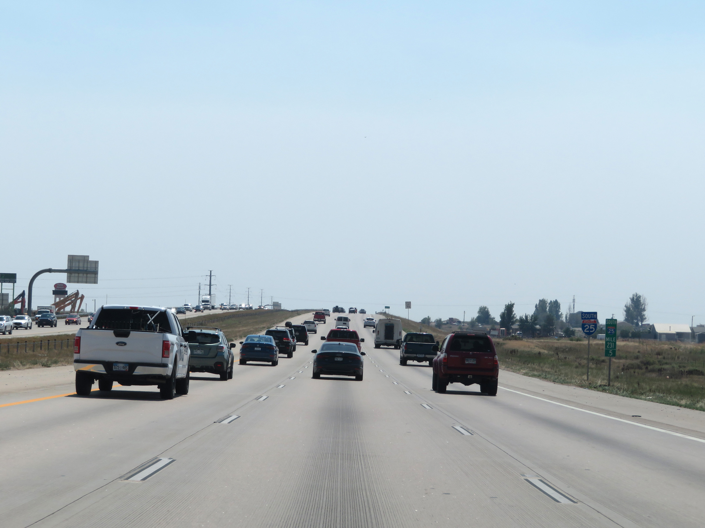 |
View on Interstate 25 South at mile marker 231.5. (Photo taken 8/15/20). |
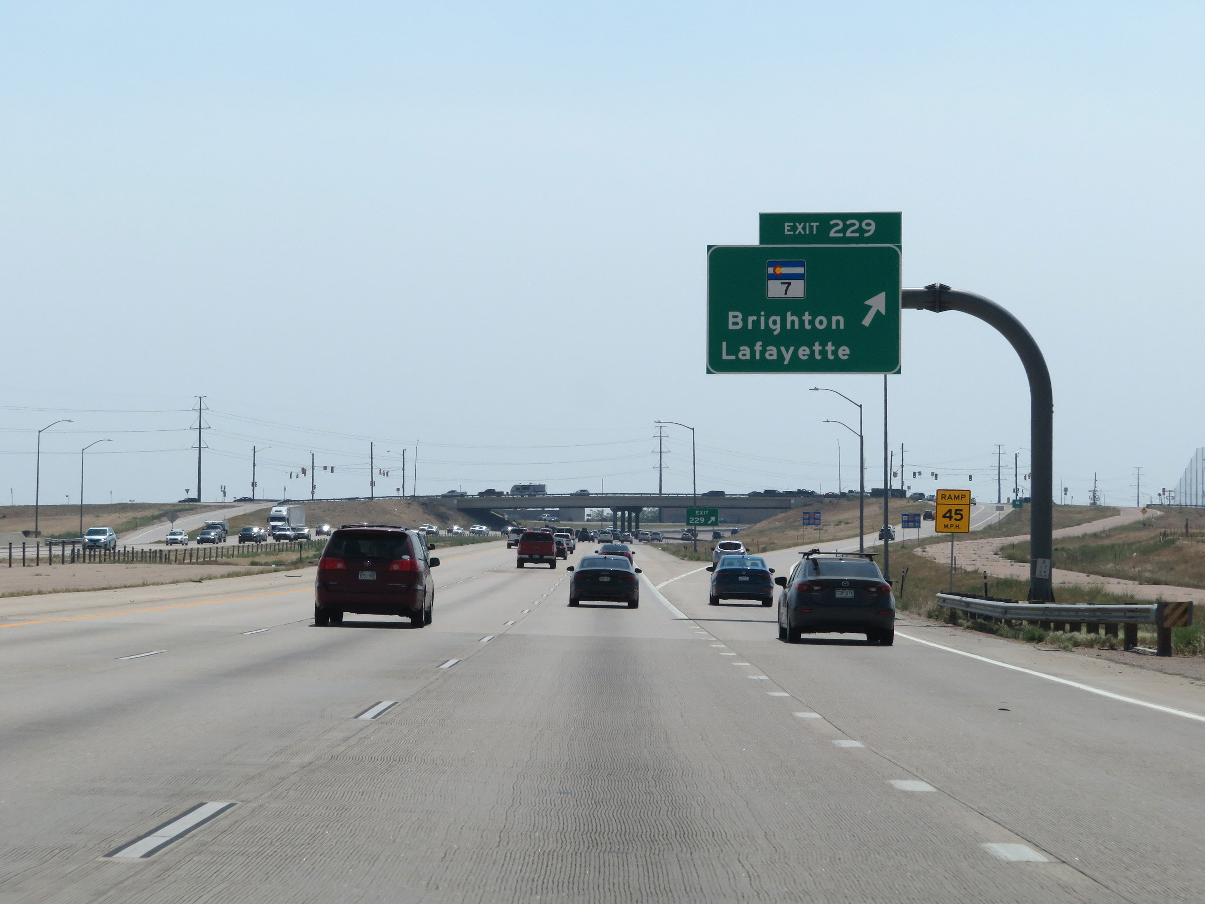 |
Interstate 25 South at Exit 229: CO 7 - Brighton / Lafayette (Photo taken 8/15/20). |
 |
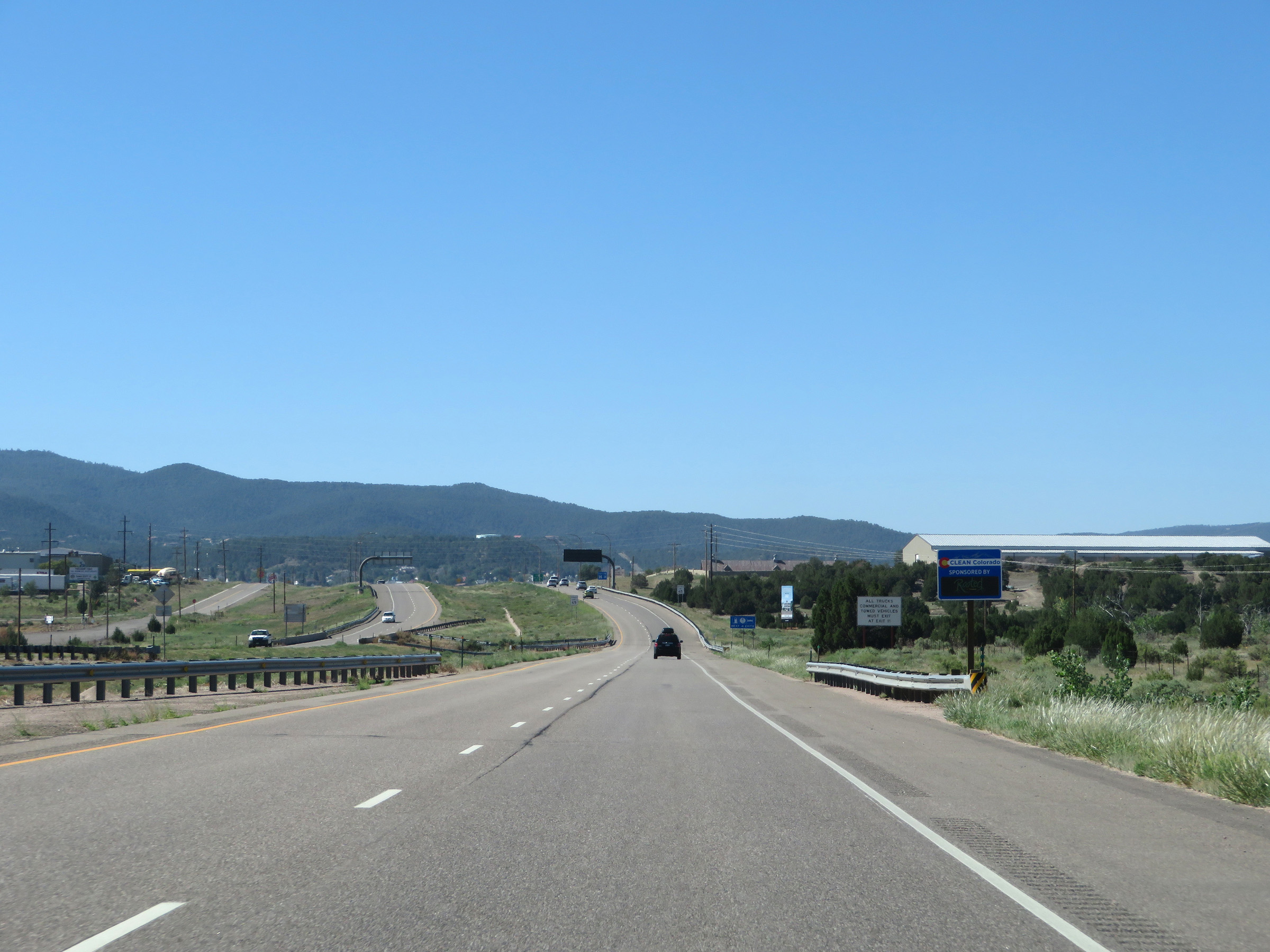
The E-470 Tollway via Exit 228 can be used to bypass the Denver metro area to Colorado Springs. (Photo taken 8/15/20). |
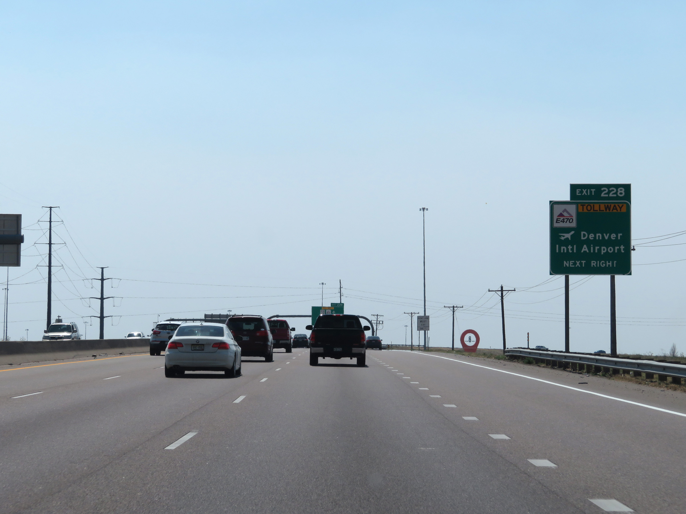 |
Take Exit 228 (E-470 East) to Denver International Airport. (Photo taken 8/15/20). |
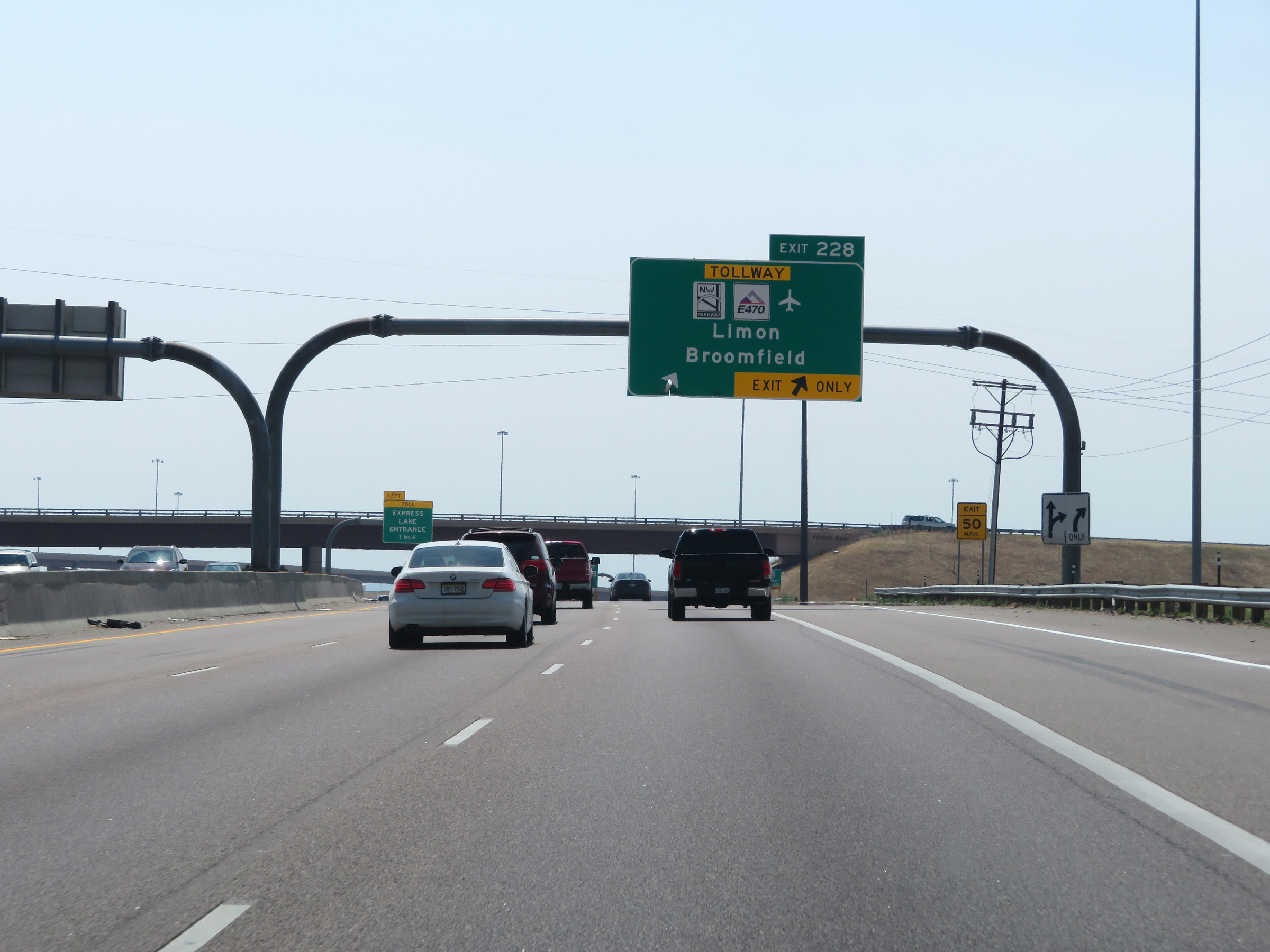 |
Interstate 25 South at Exit 228: E-470 Tollway - Limon / Broomfield (Photo taken 8/15/20). |
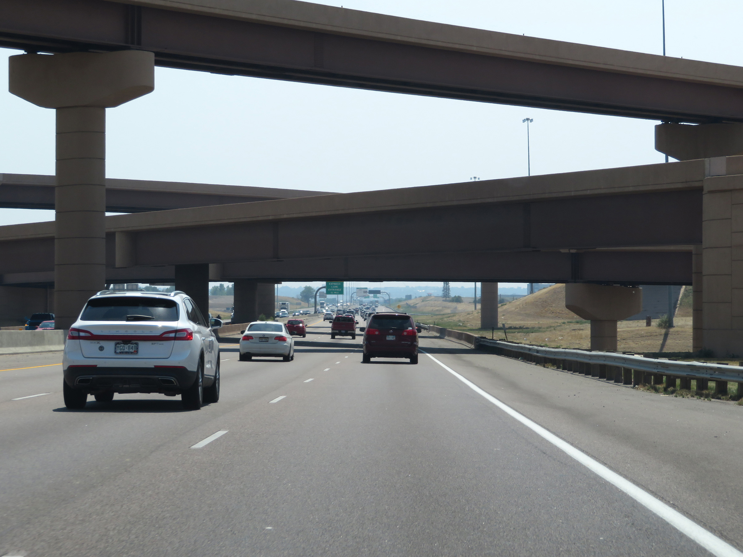 |
View on Interstate 25 South as it passes under E-470 and the ramps to and from it. (Photo taken 8/15/20). |
 |
A second Express Toll / HOV lane will begin ahead on Interstate 25 South. This sign shows the current toll rates to the two exits listed. (Photo taken 8/15/20). |
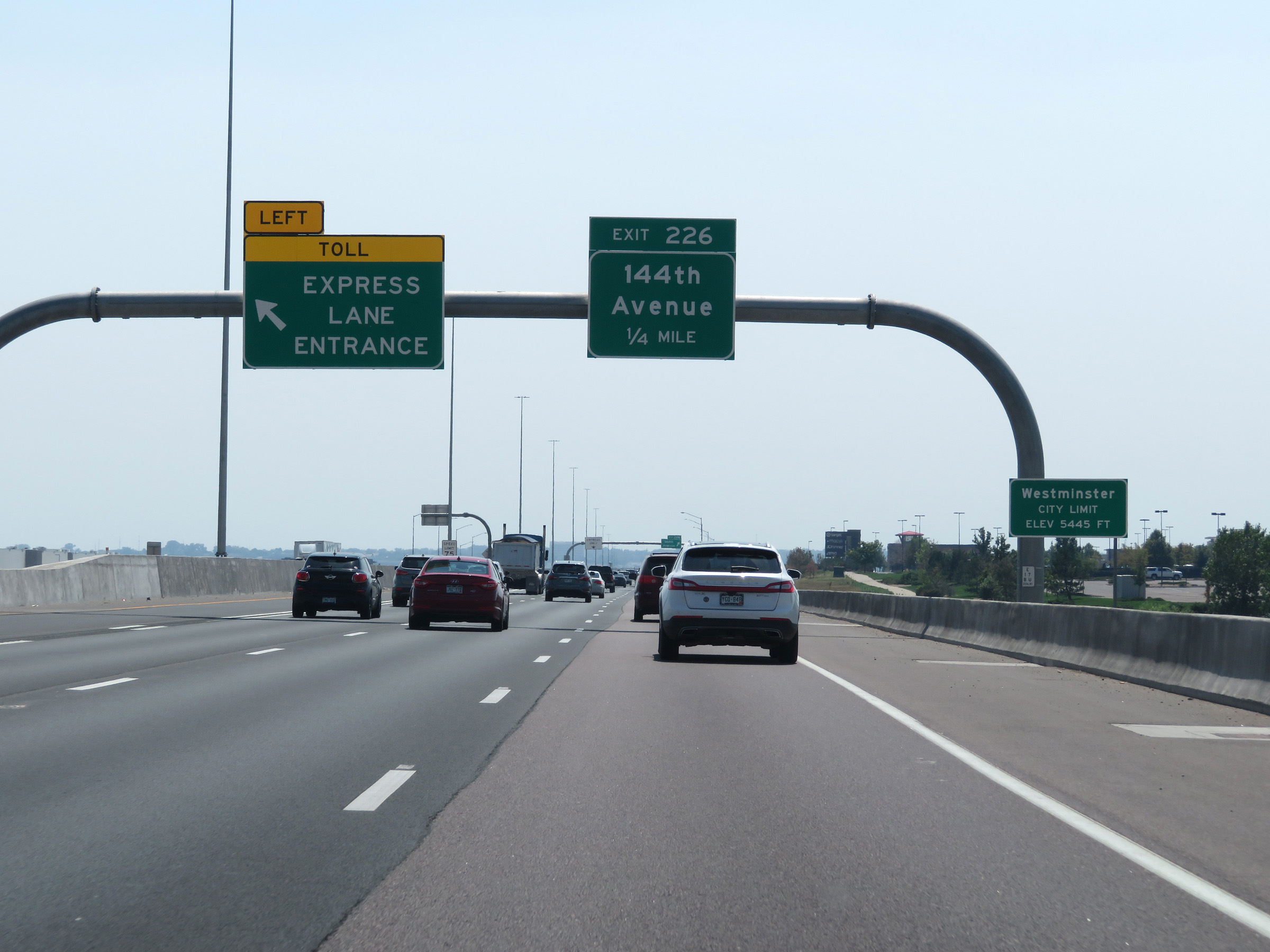 |
Express Lane Entrance on the left as Interstate 25 South enters the Westminster city limits. (Photo taken 8/15/20). |
 |
Interstate 25 South at Exit 226: 144th Avenue (Photo taken 8/15/20). |
 |
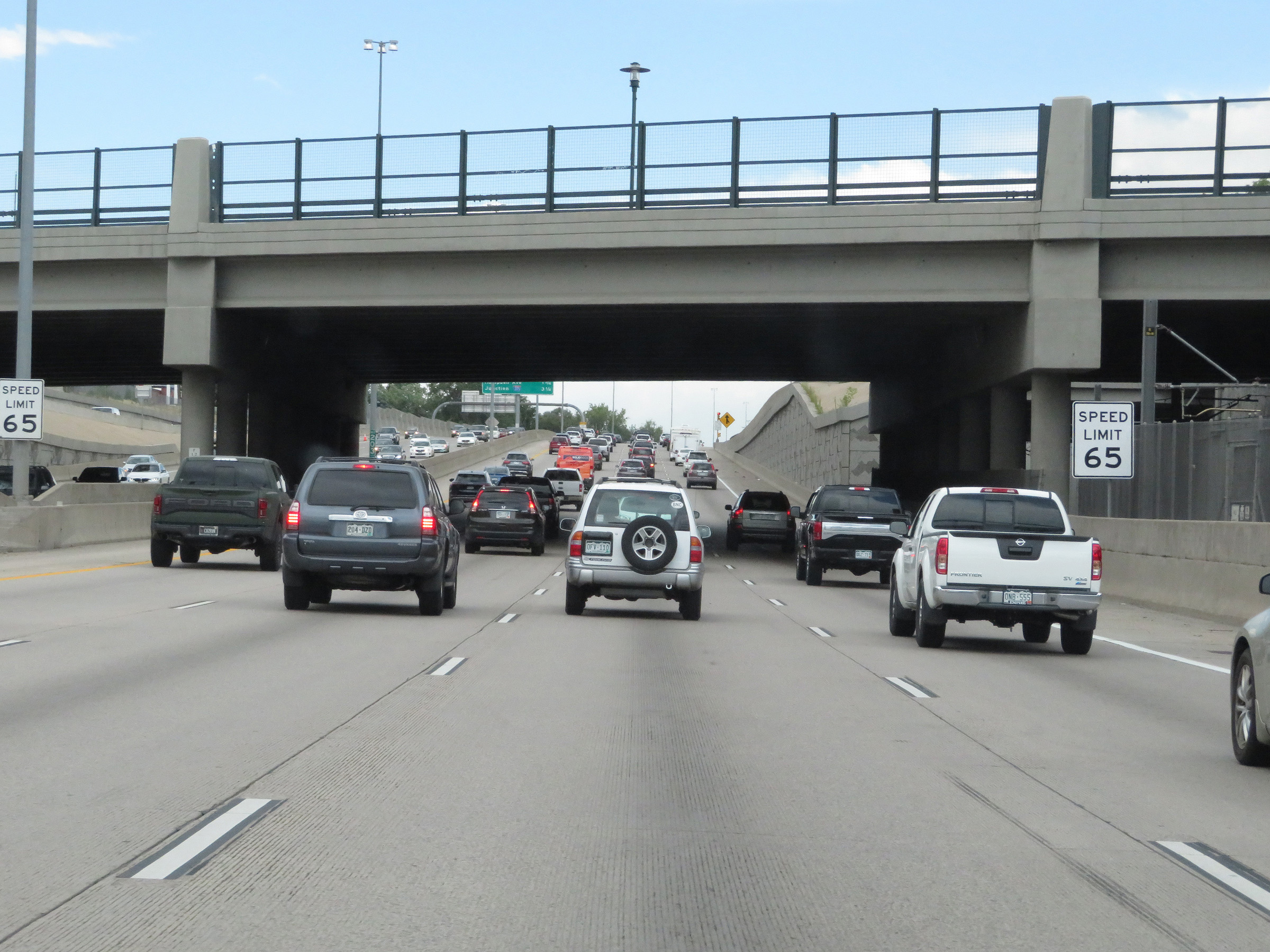
South of Exit 226, the speed limit decreases to 65 mph on Interstate 25 South. (Photo taken 8/15/20). |
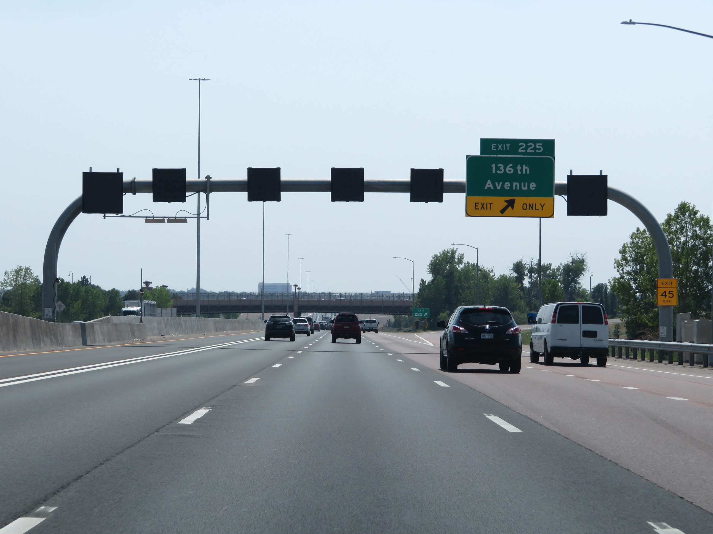 |
Interstate 25 South at Exit 225: 136th Avenue (Photo taken 8/15/20). |
 |
Another state-named Interstate 25 South reassurance shield. (Photo taken 8/15/20). |
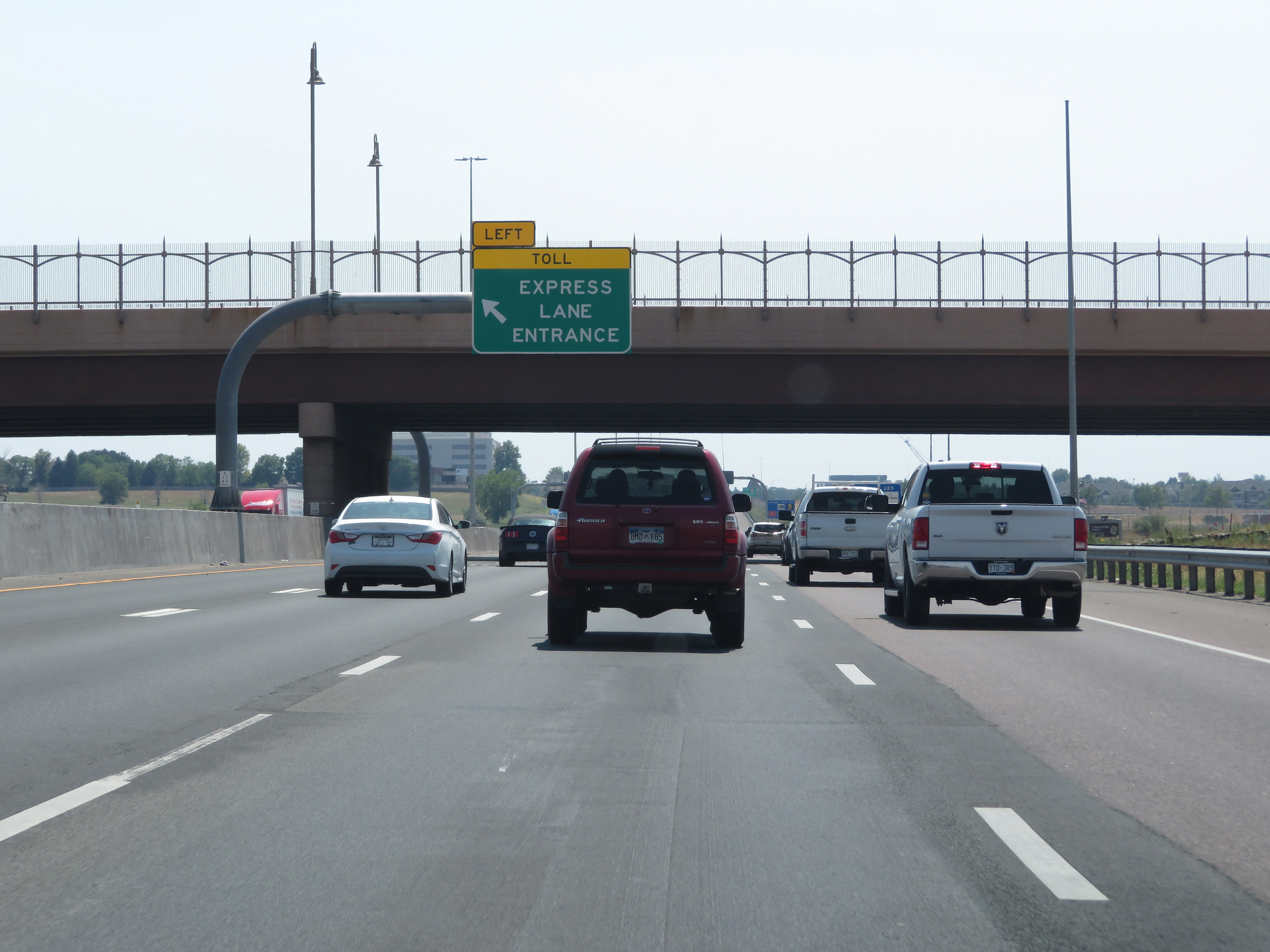 |
A second Express Toll Lane Entrance on the left on Interstate 25 South. (Photo taken 8/15/20). |
 |
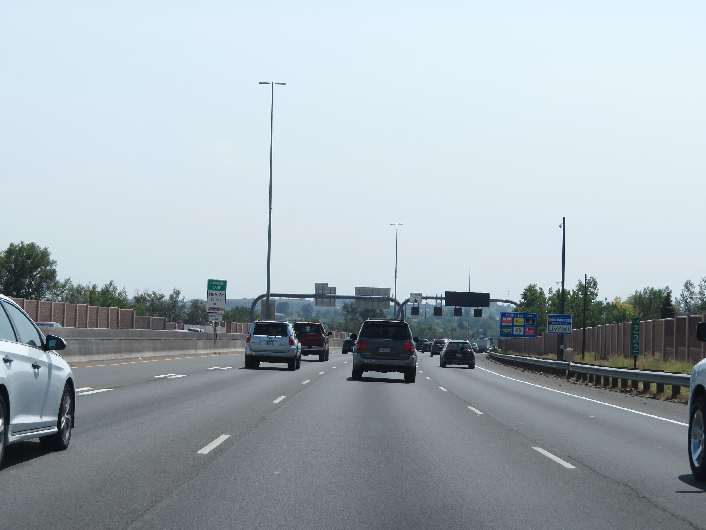
View of the Express Toll Lane on Interstate 25 South. (Photo taken 8/15/20). |
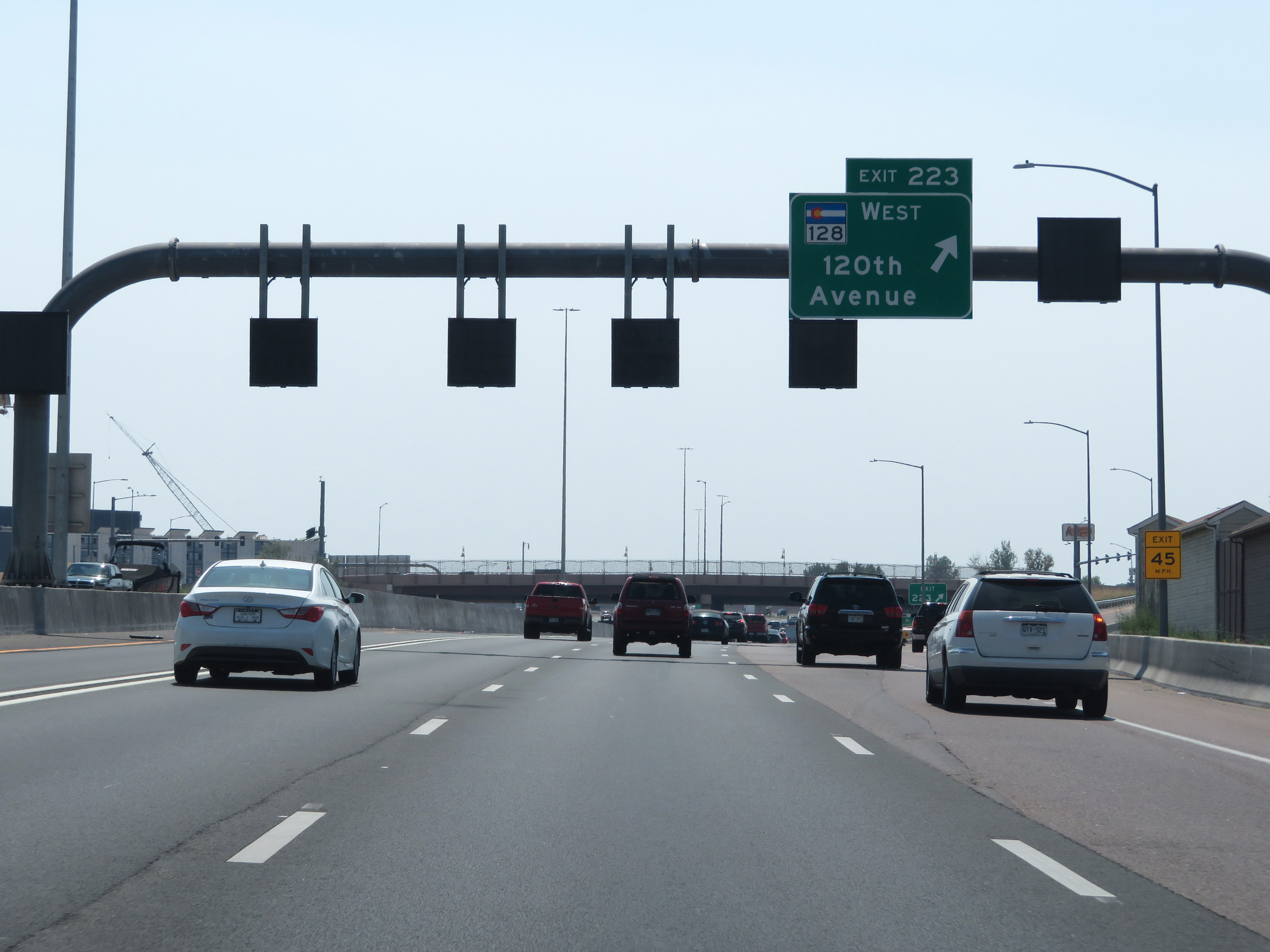 |
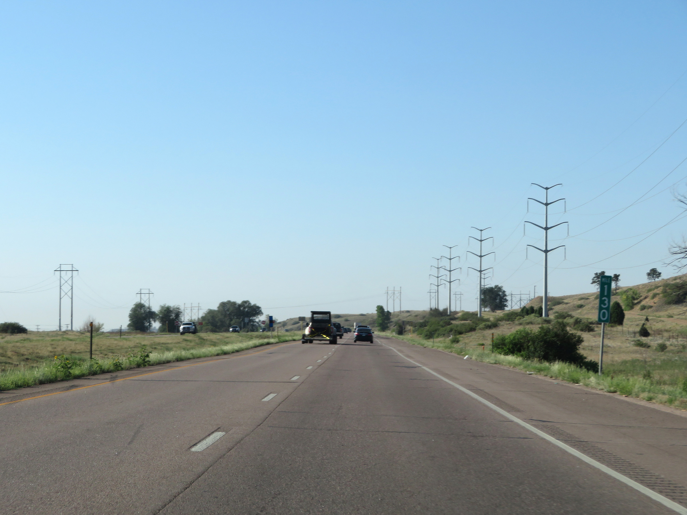
Interstate 25 South at Exit 223: CO 128 West - 120th Avenue (Photo taken 8/15/20). |
 |
Another Express Toll Lane Entrance on Interstate 25 South. (Photo taken 8/15/20). |
 |
View on Interstate 25 South at mile marker 222. (Photo taken 8/15/20). |
 |
Approaching Exit 221, the speed limit decreases to 55 mph as Interstate 25 South enters the Denver metro area. (Photo taken 8/15/20). |
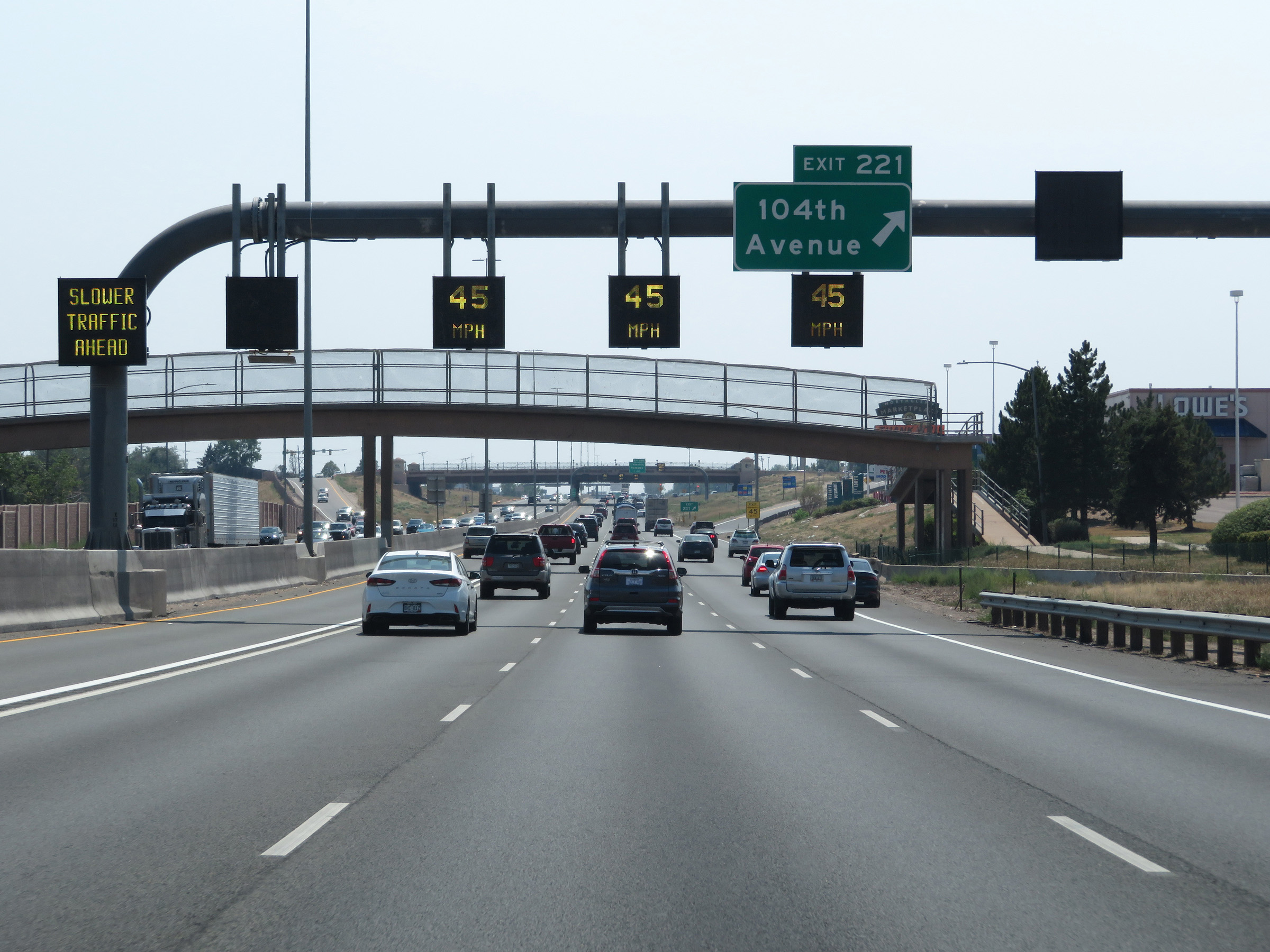 |
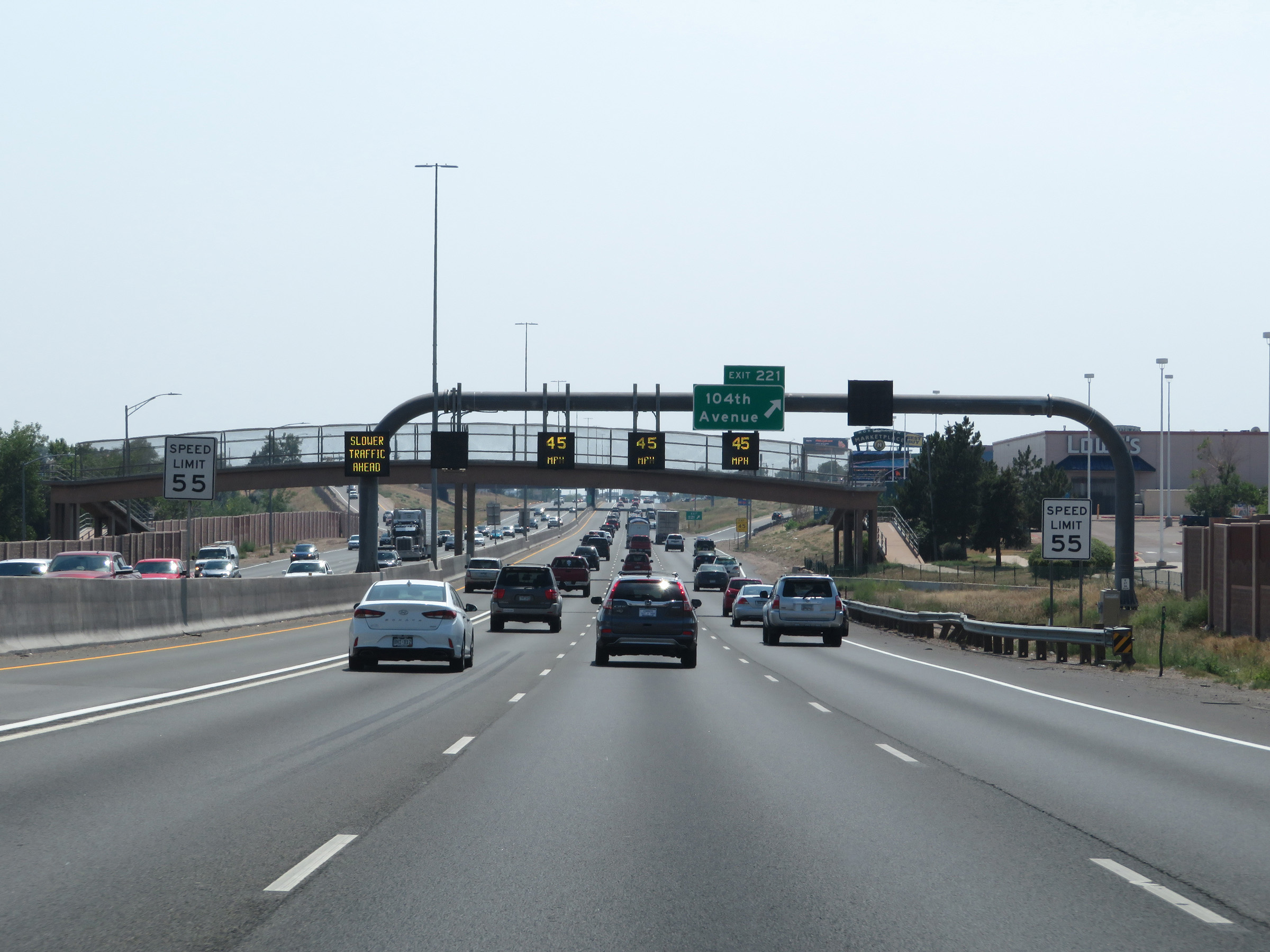
Interstate 25 South at Exit 221: 104th Avenue (Photo taken 8/15/20). |
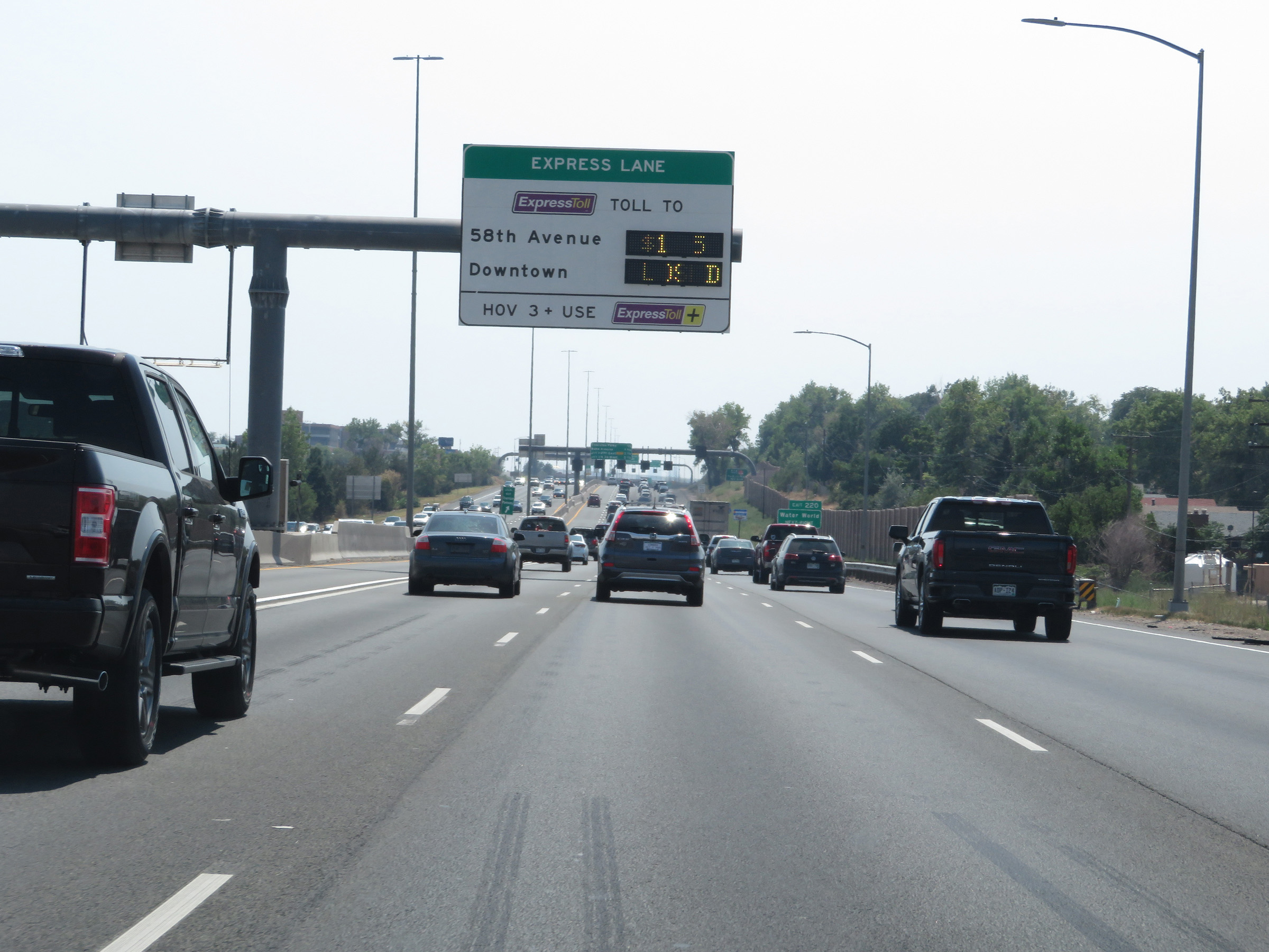 |
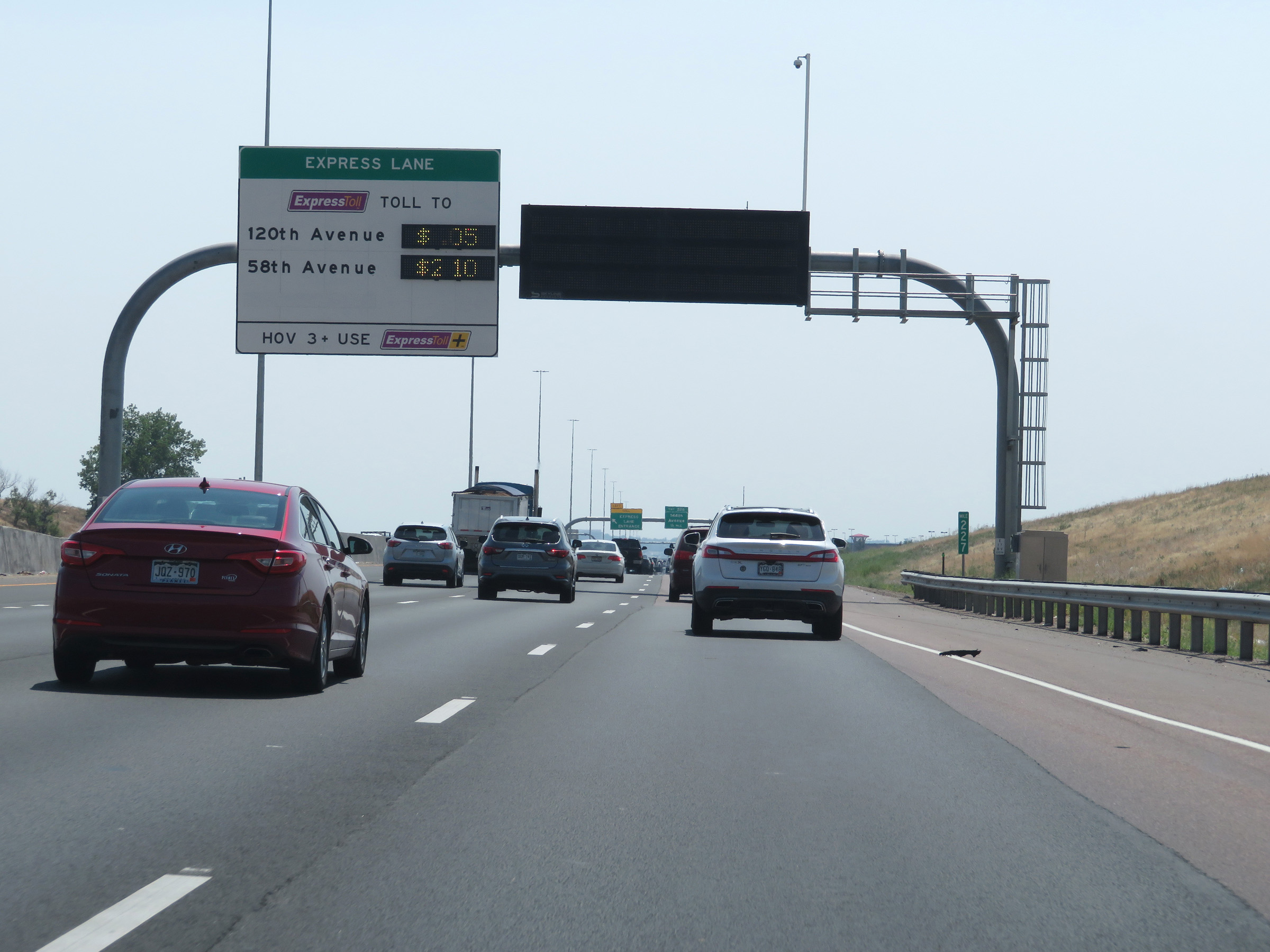
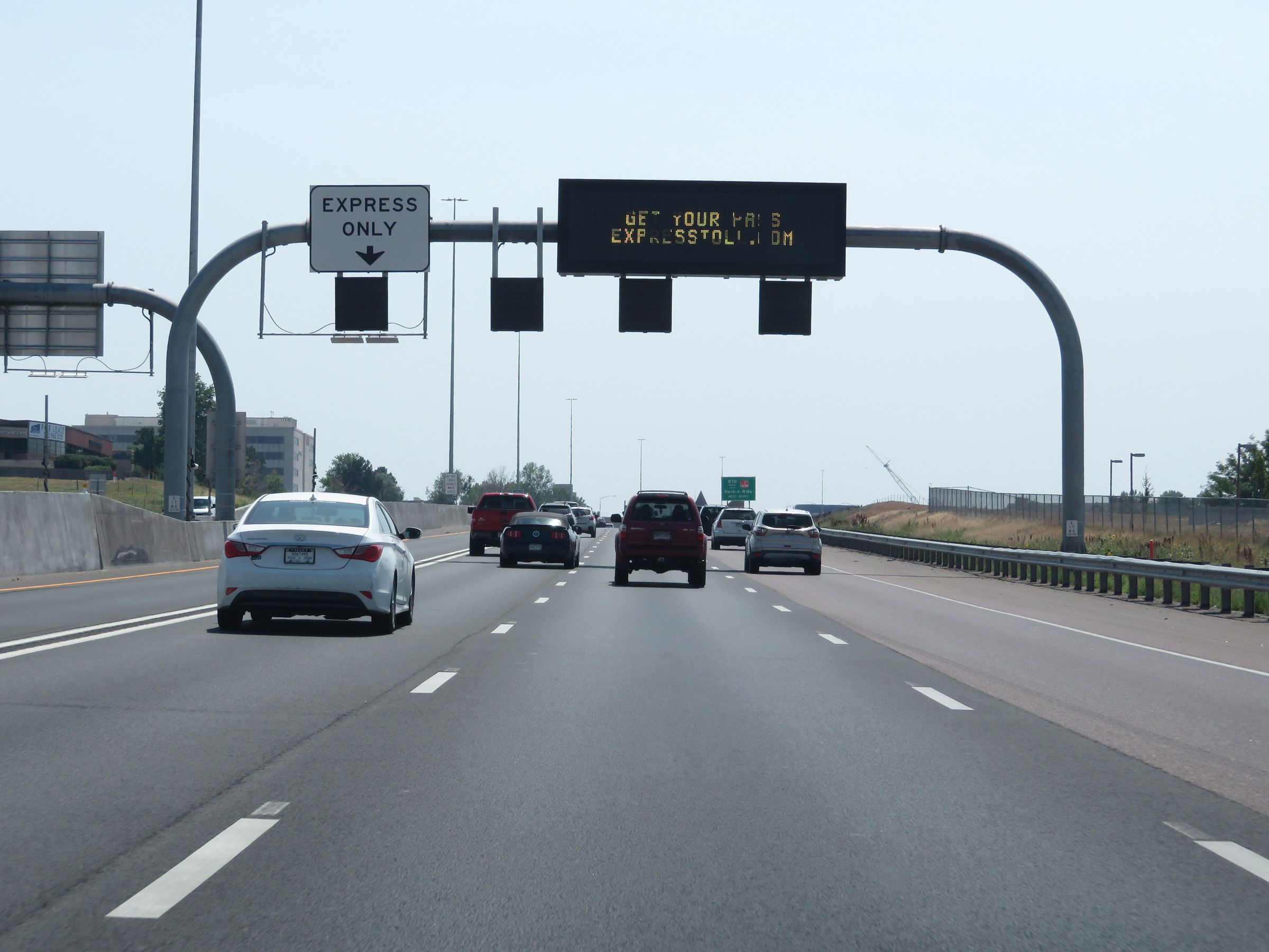
Overhead sign dynamically listing the current toll rates to the two exits shown via the Express Toll Lane. (Photo taken 8/15/20). |
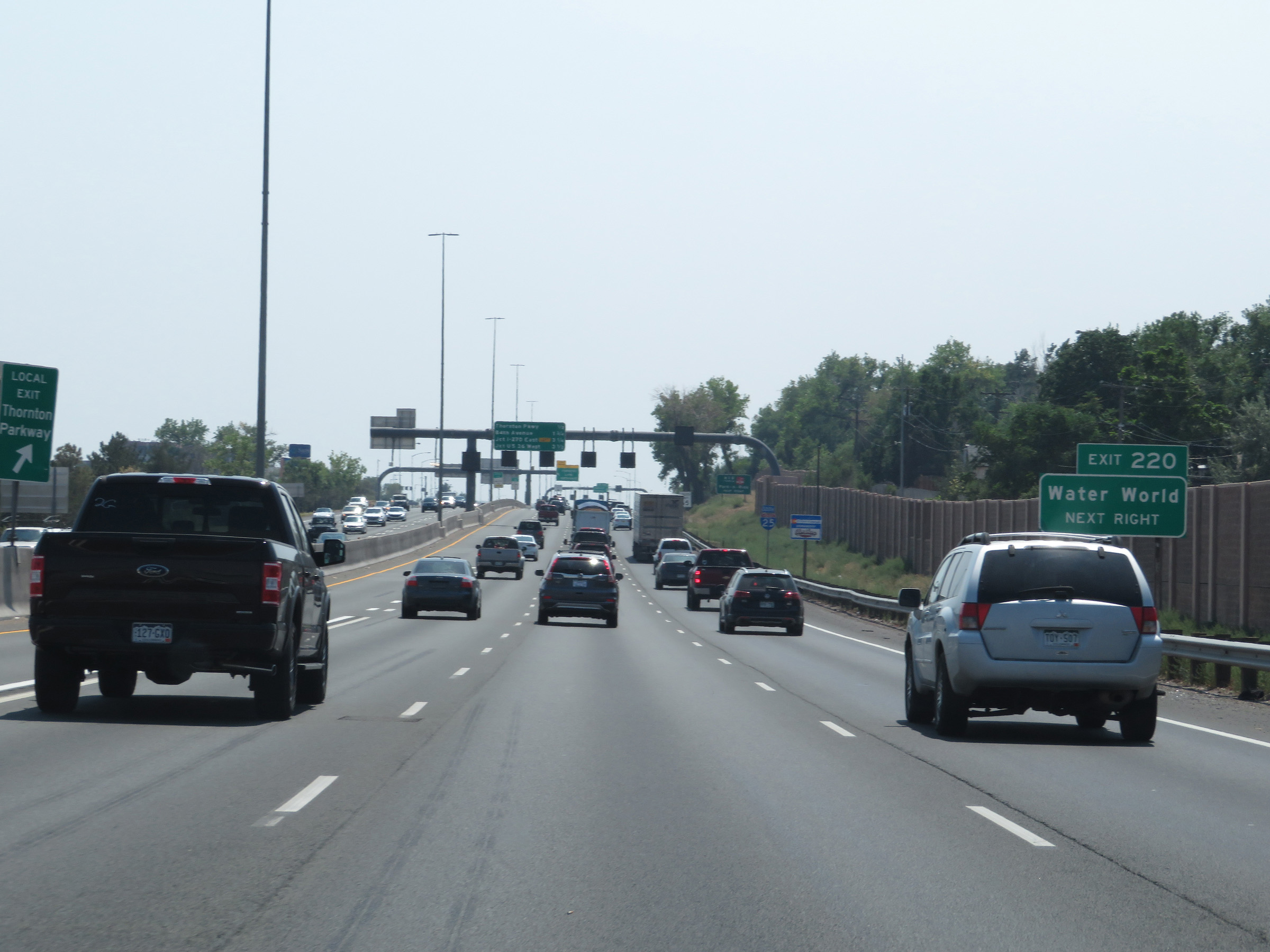 |
Take Exit 220 to Water World. (Photo taken 8/15/20). |
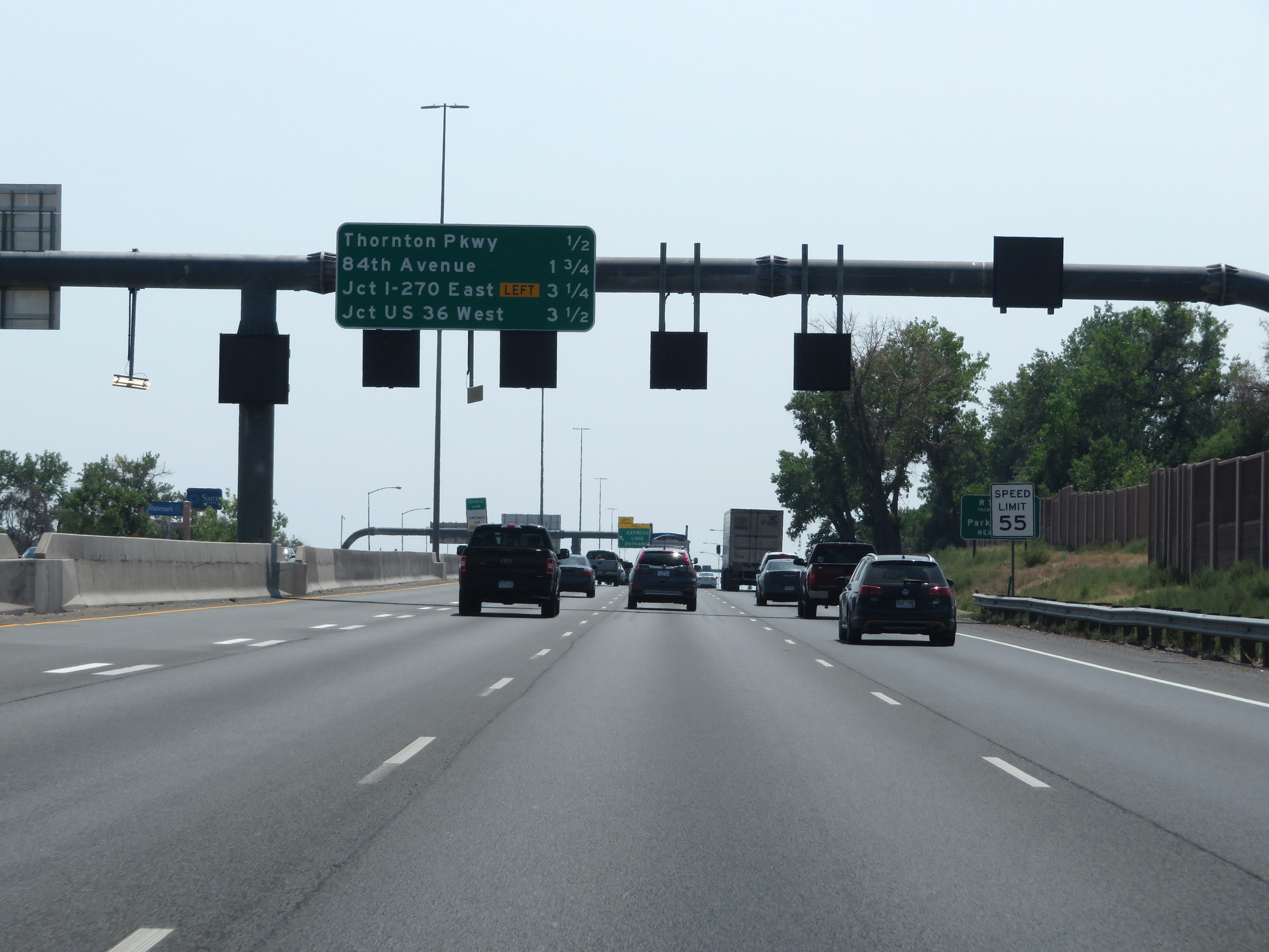 |
Overhead mileage sign listing the distances to the 4 upcoming interchanges on Interstate 25 South. (Photo taken 8/15/20). |
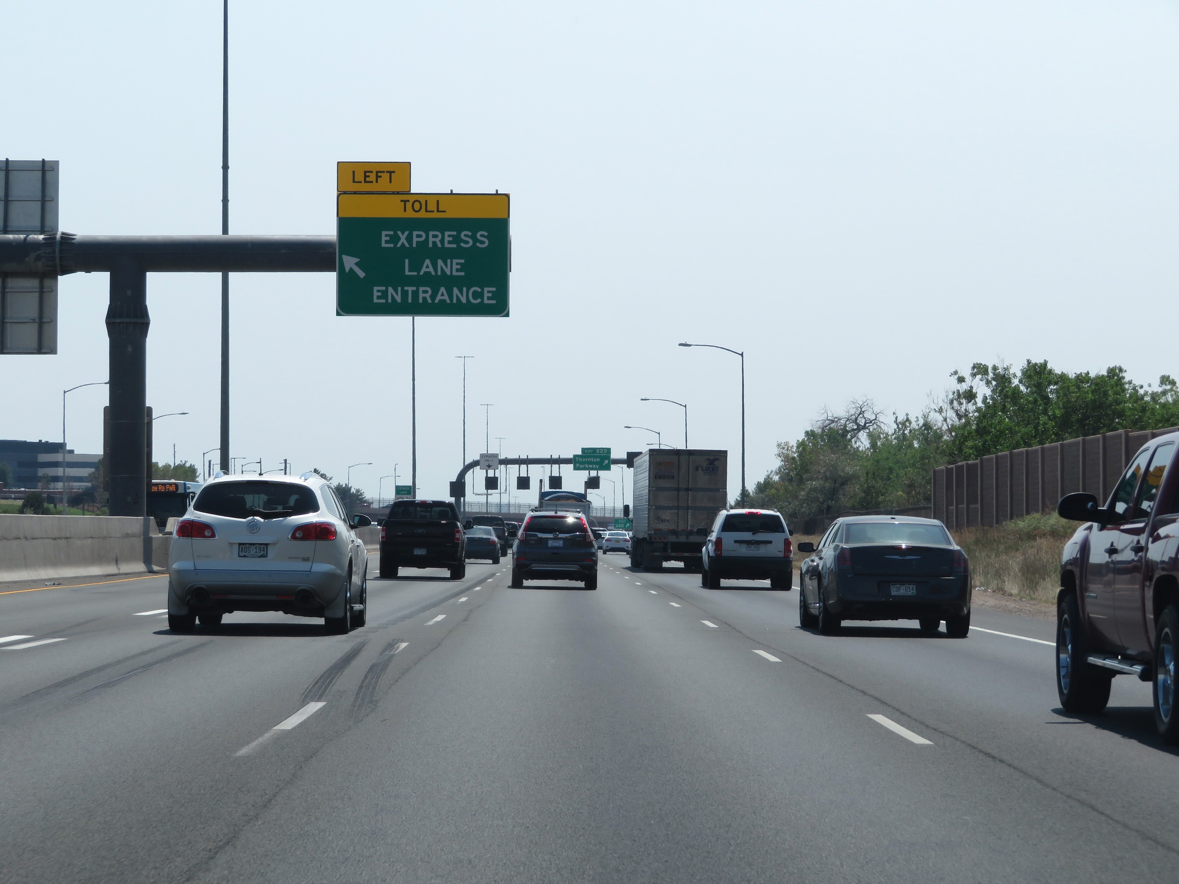 |
Another Express Toll Lane Entrance on the left approaching Exit 220. (Photo taken 8/15/20). |
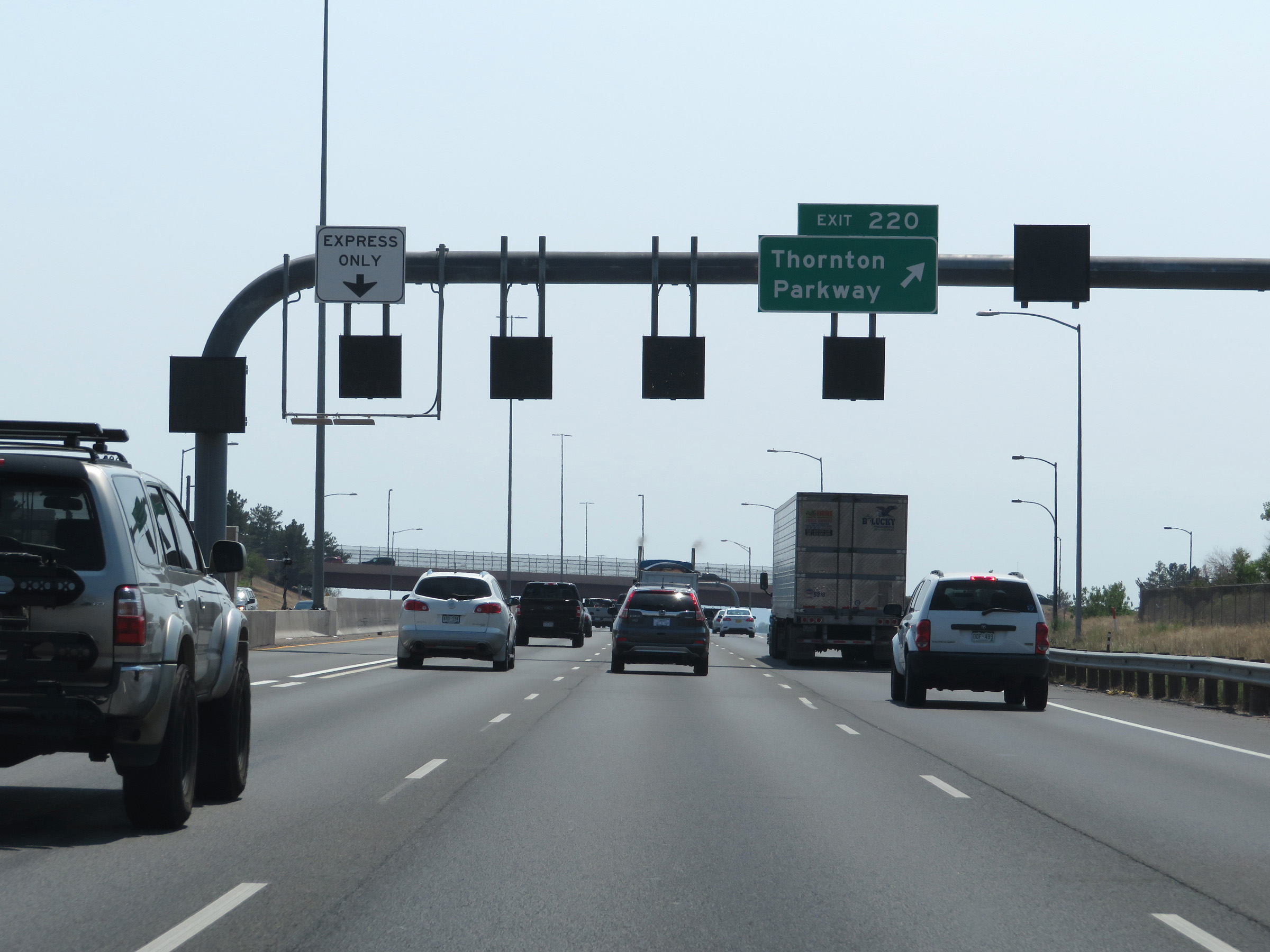 |
Interstate 25 South at Exit 220: Thornton Parkway (Photo taken 8/15/20). |
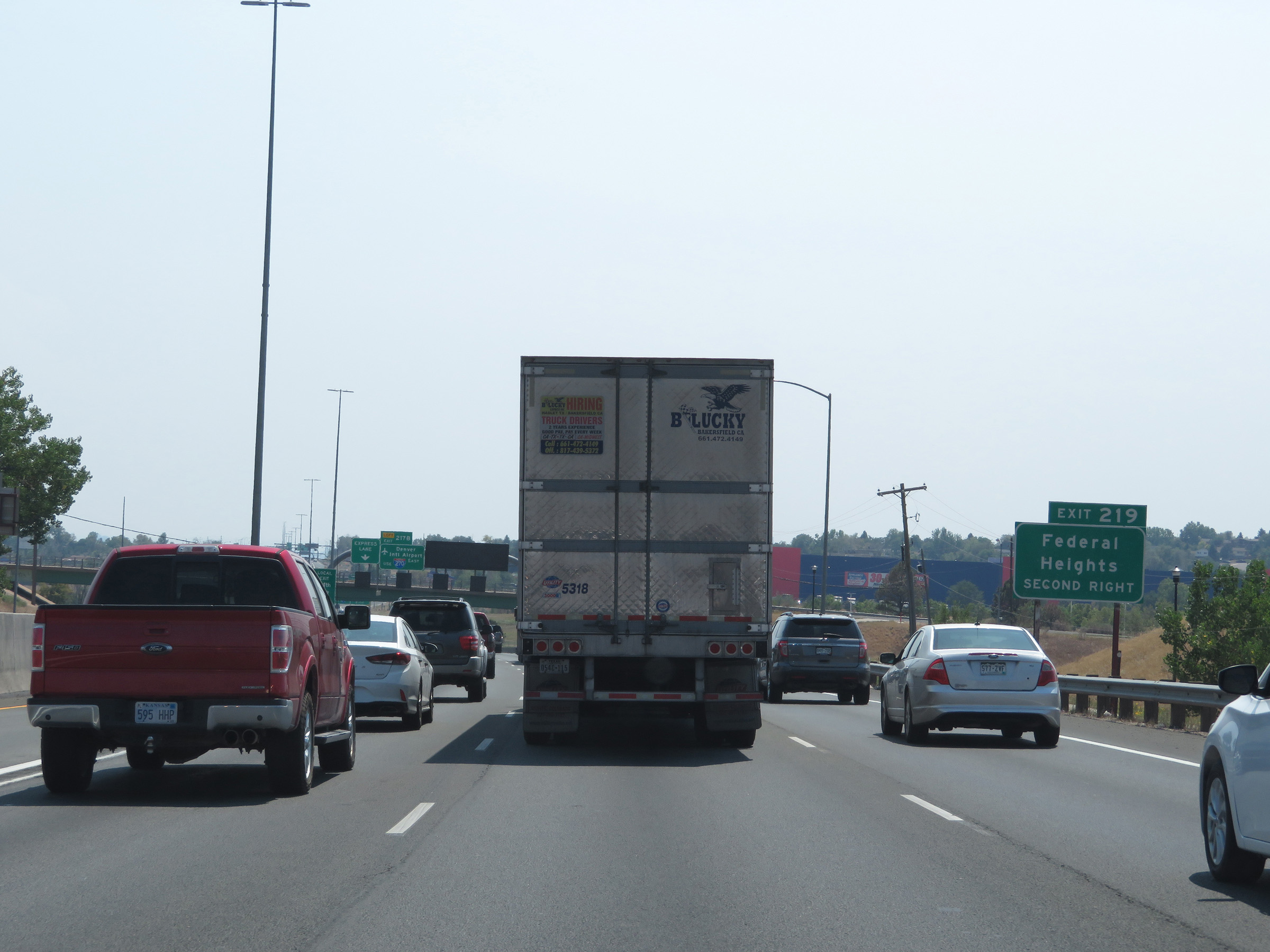 |
Take Exit 219 to Federal Heights. (Photo taken 8/15/20). |
 |
Take Exit 217B (Interstate 270 East) on the left ahead to Denver International Airport. (Photo taken 8/15/20). |
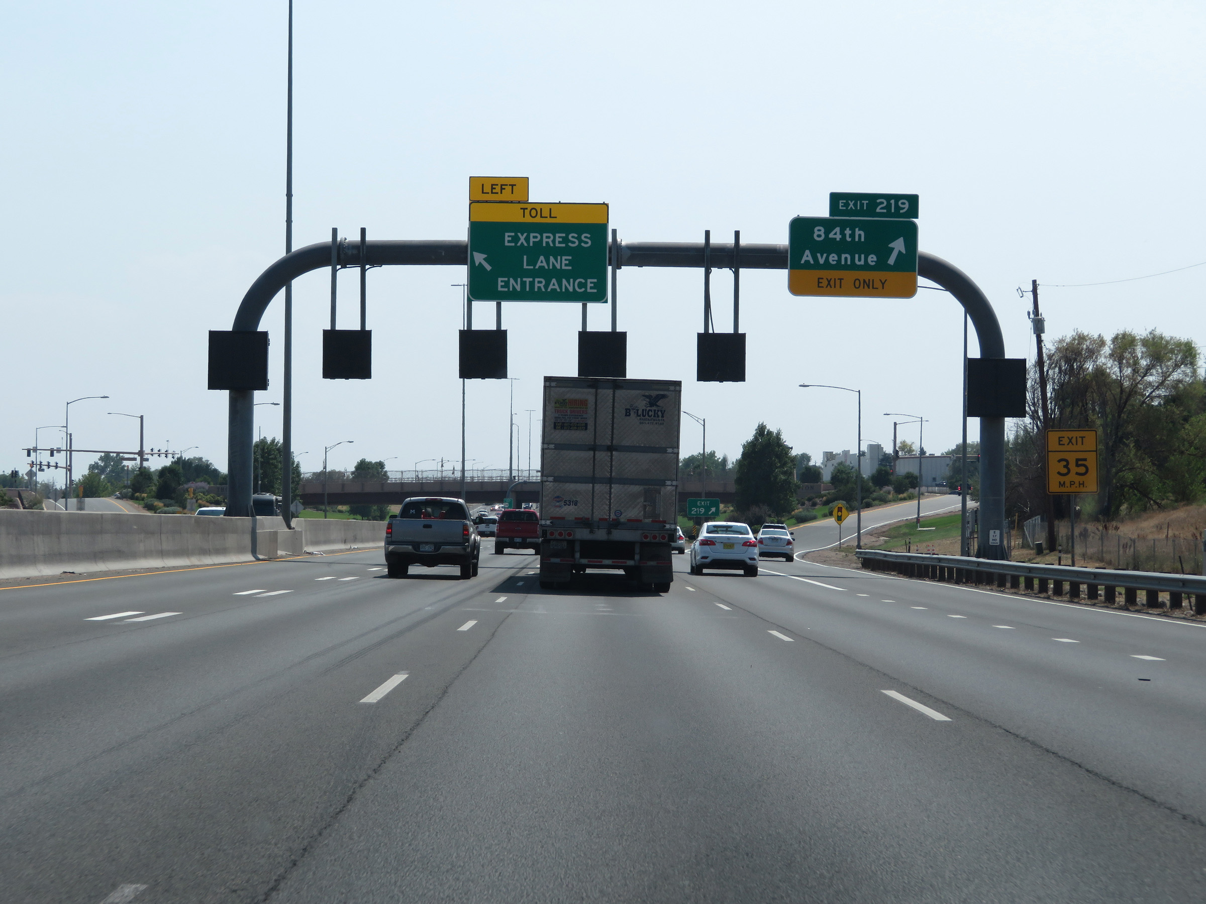 |
Interstate 25 South at Exit 219: 84th Avenue (Photo taken 8/15/20). |
 |
A closer view of the Express Toll Lane on Interstate 25 South in Thornton. As the sign reads, it doubles as a HOV lane and no toll is charged to vehicles with 3 or more persons. (Photo taken 8/15/20). |
 |
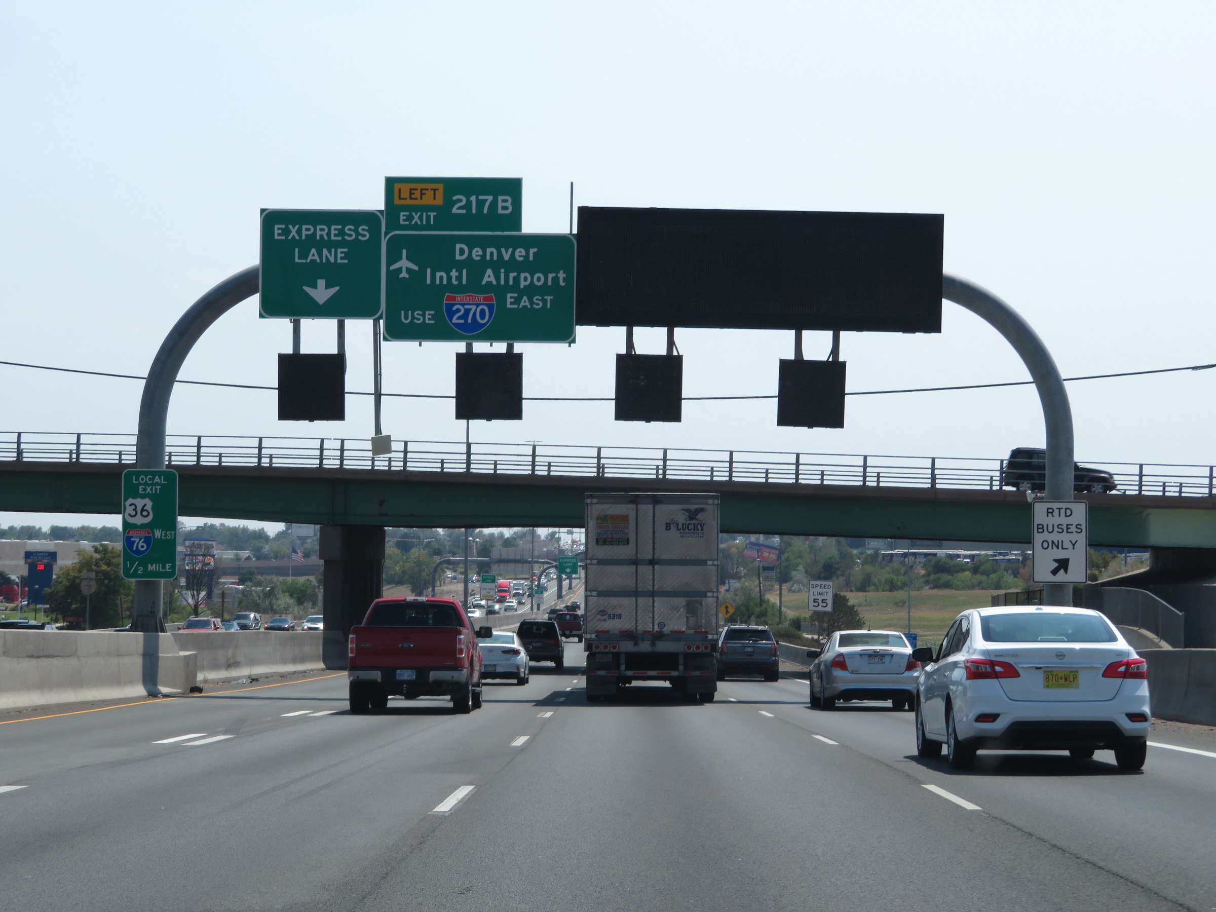
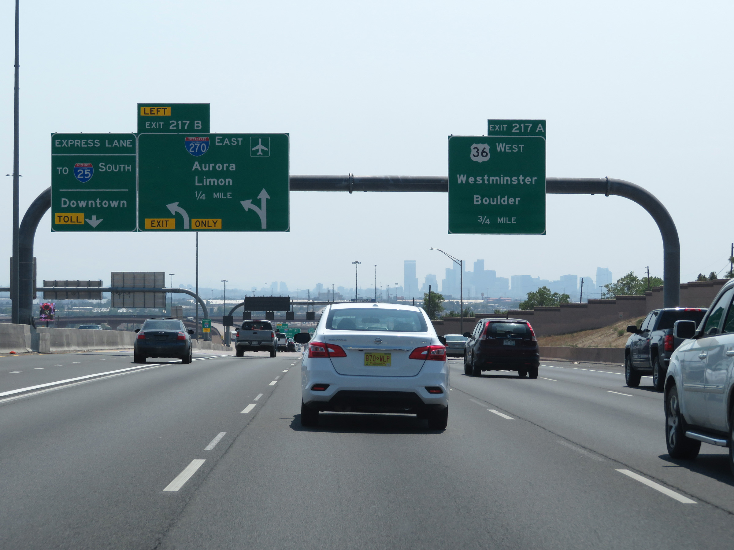
The Express Toll Lane will continue on Interstate 25 South toward downtown beyond the upcoming major interchanges. (Photo taken 8/15/20). |
 |
Interstate 25 South approaching Exit 217B - 1/4 mile on the left. (Photo taken 8/15/20). |
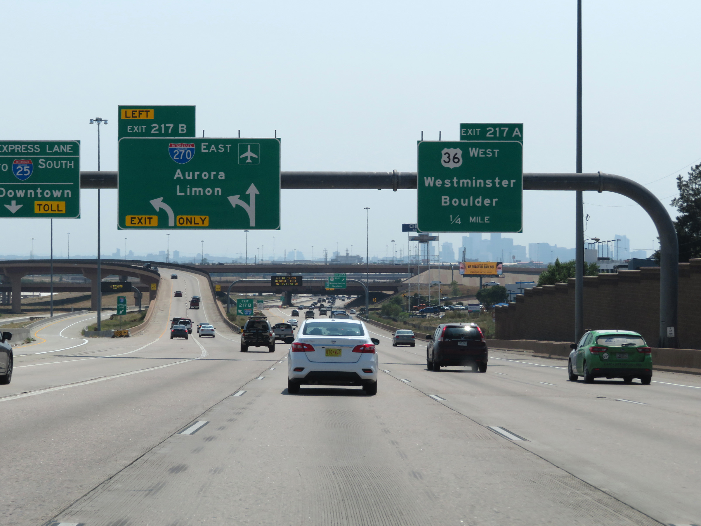 |
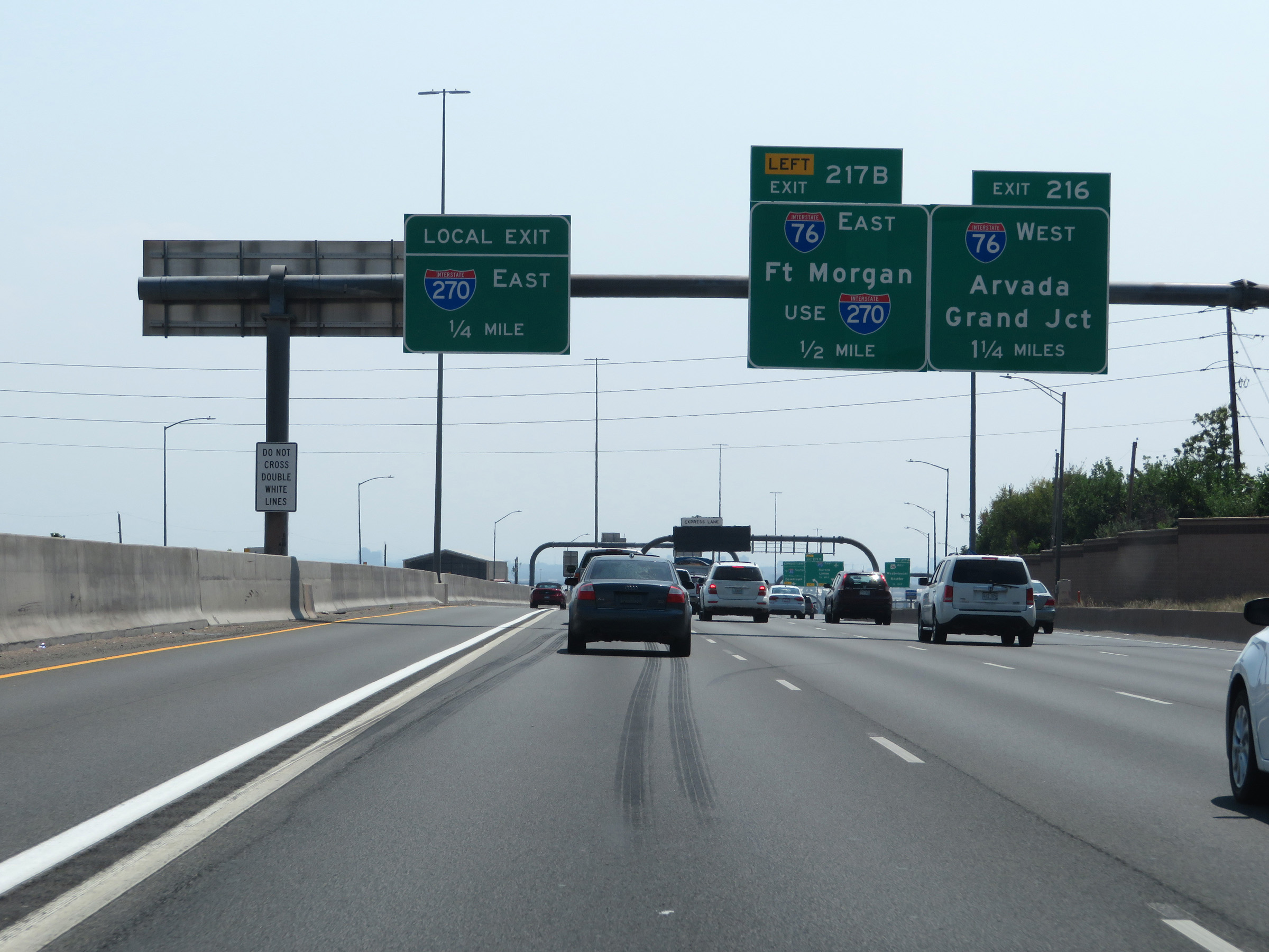
Interstate 25 South at Exit 217B: Interstate 270 East - Aurora / Limon (Photo taken 8/15/20). |
 |
Interstate 25 South at Exit 217A: US 36 West - Westminster / Boulder (Photo taken 8/15/20). |
 |
Interstate 25 South approaching Exit 216 - 1/4 mile. (Photo taken 8/15/20). |
 |
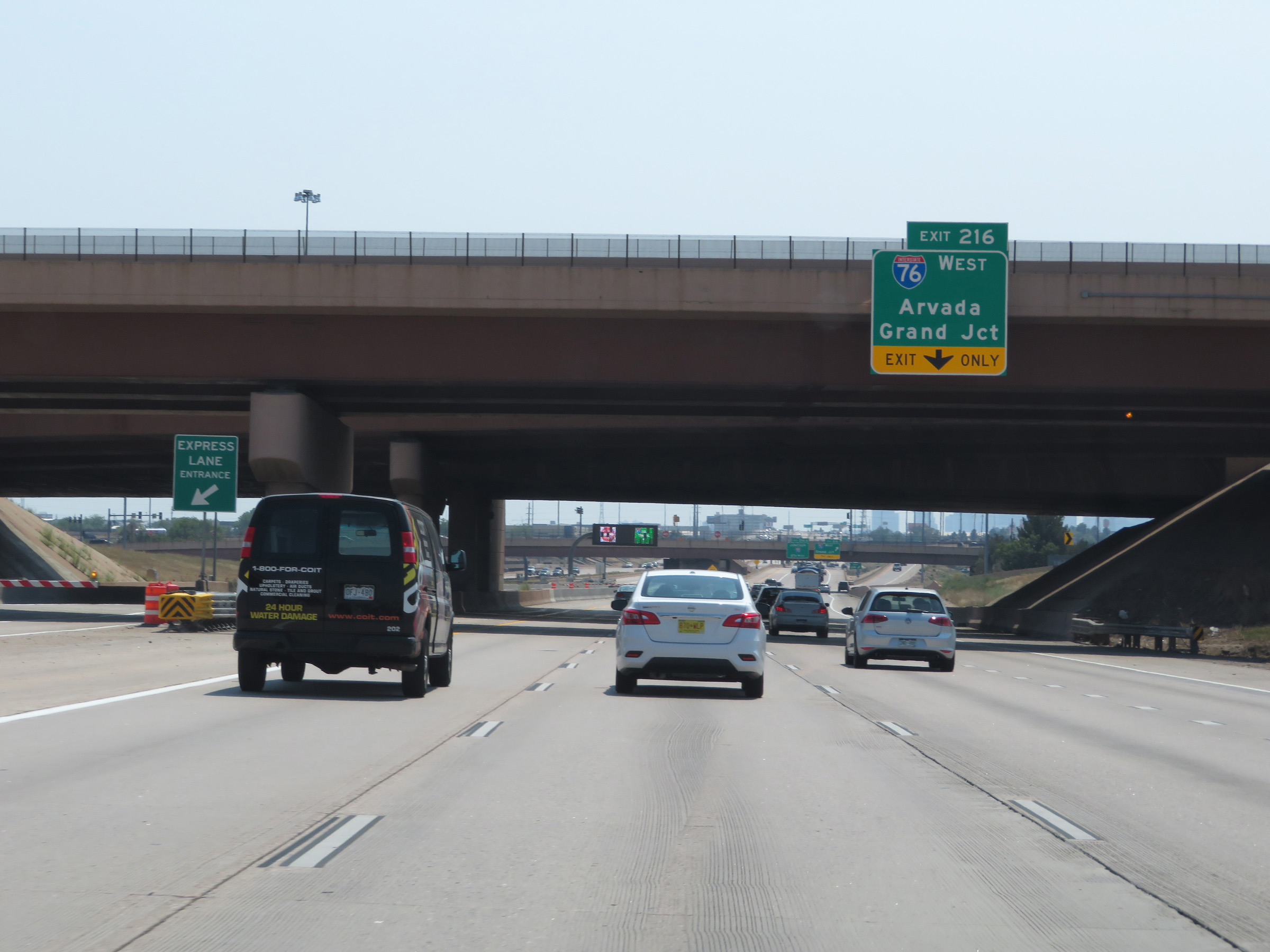
Interstate 25 South at Exit 216: Interstate 76 West - Grand Junction (Photo taken 8/15/20). |
 |
South of Exit 216, the Express Toll Lane comes to an end. (Photo taken 8/15/20). |
 |
Overhead mileage sign in the median listing the distances to the three upcoming exits on Interstate 25 South in Denver. (Photo taken 8/15/20). |
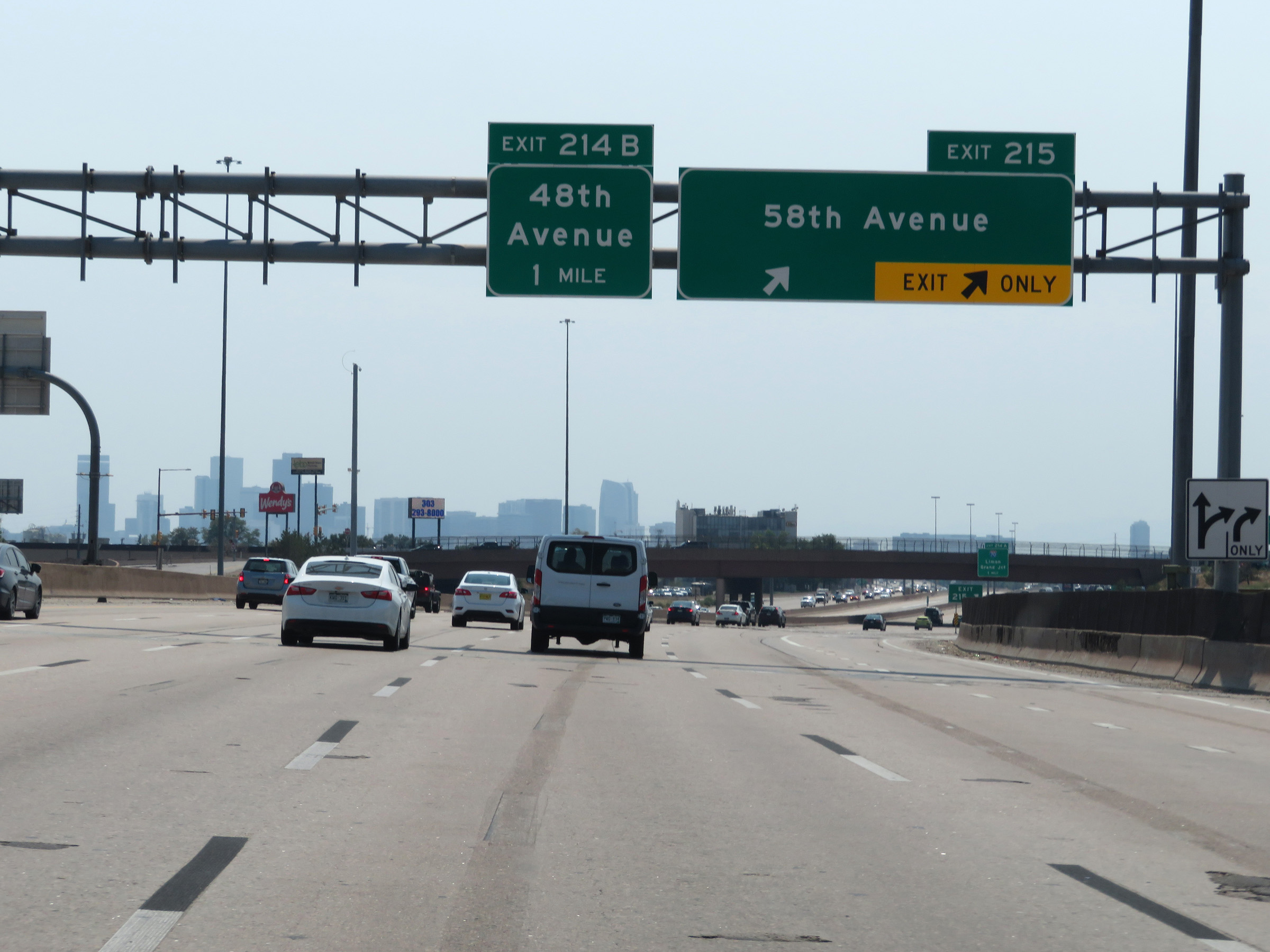 |
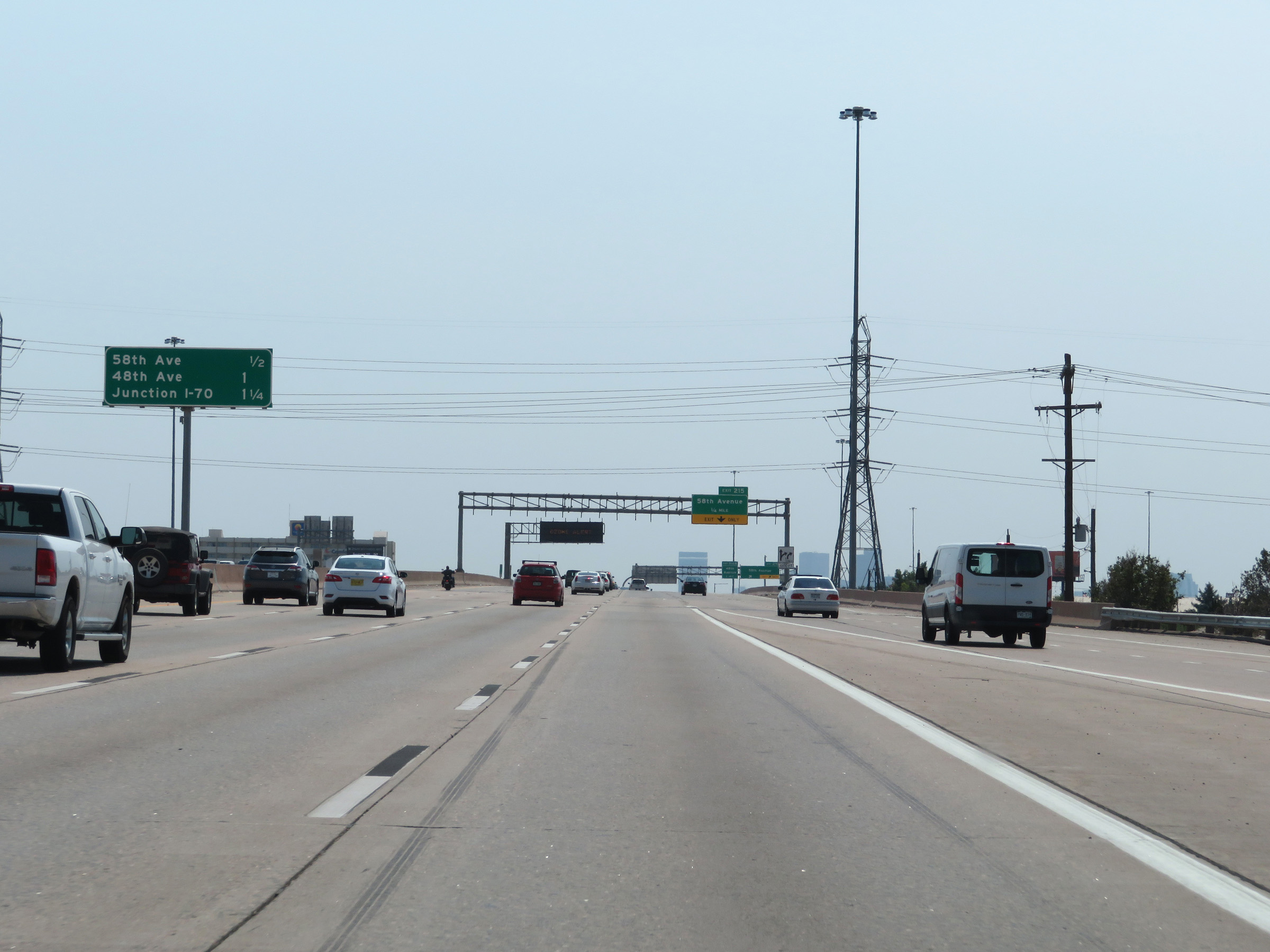
Interstate 25 South at Exit 215: 58th Avenue (Photo taken 8/15/20). |
 |
Interstate 25 South approaching Exit 214A - 1 mile. (Photo taken 8/15/20). |
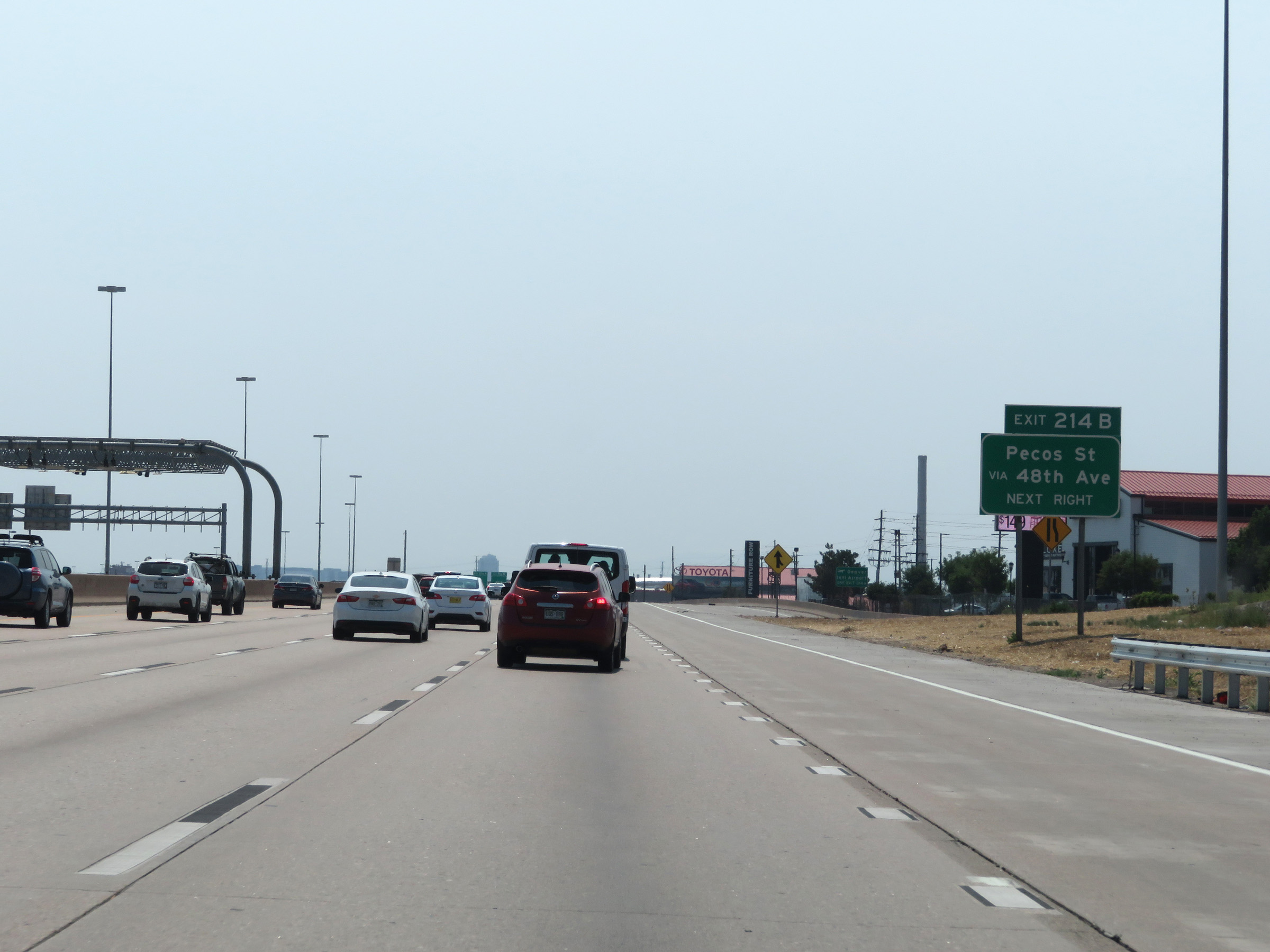 |
Take Exit 214B to Pecos St via 48th Ave. (Photo taken 8/15/20). |
 |
Approaching the Denver city limits and Denver County line, the maximum speed limit remains 55 mph on Interstate 25 South. However, a 40 mph minimum speed limit also comes into effect. (Photo taken 8/15/20). |
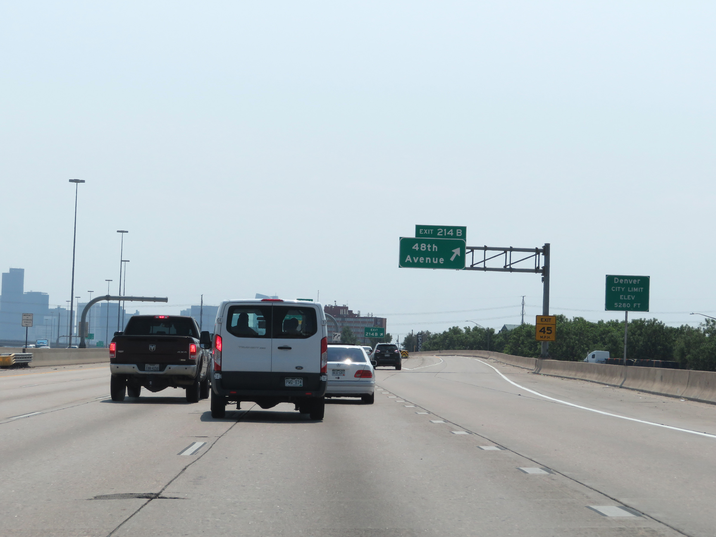 |
Interstate 25 South as it enters the Denver city limits and Denver County. (Photo taken 8/15/20). |
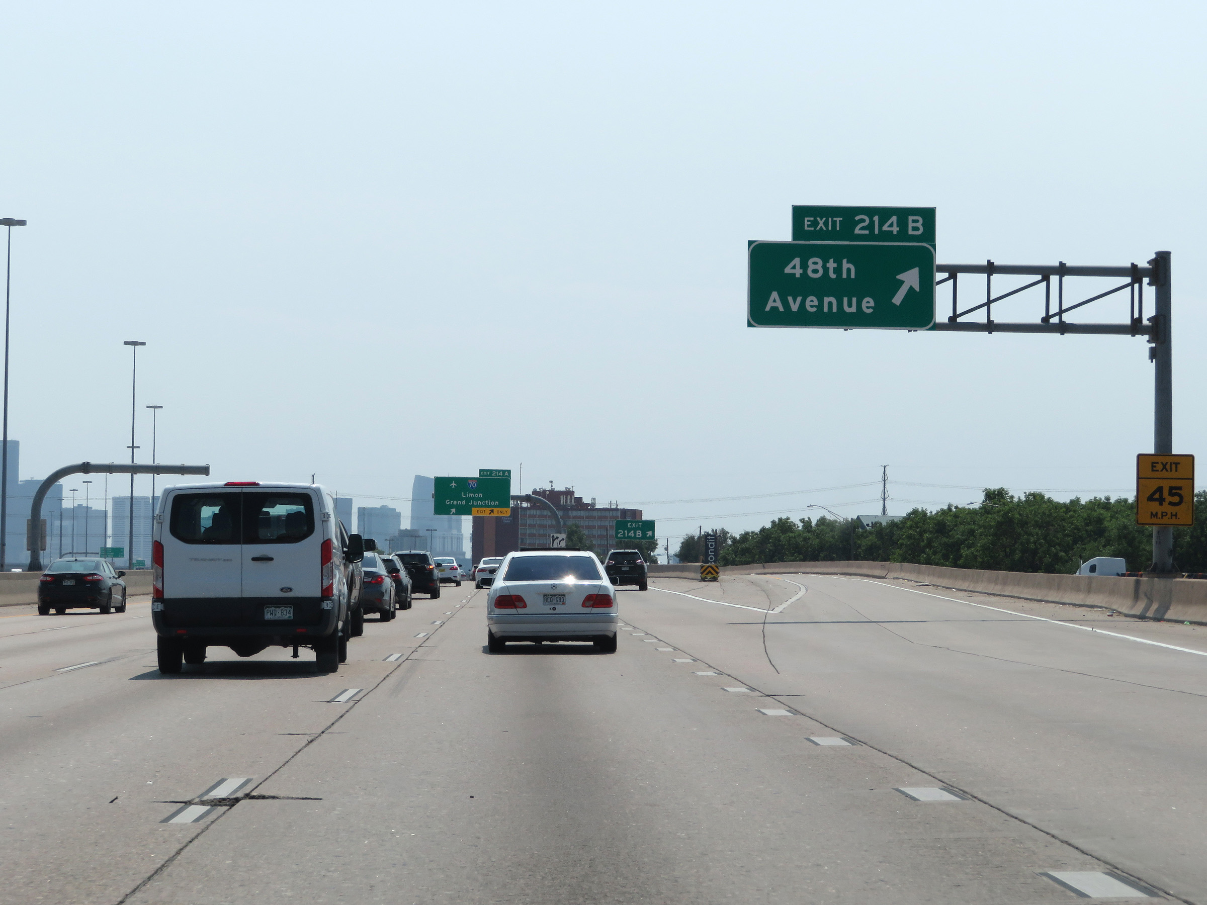 |
Interstate 25 South at Exit 214B: 48th Avenue (Photo taken 8/15/20). |
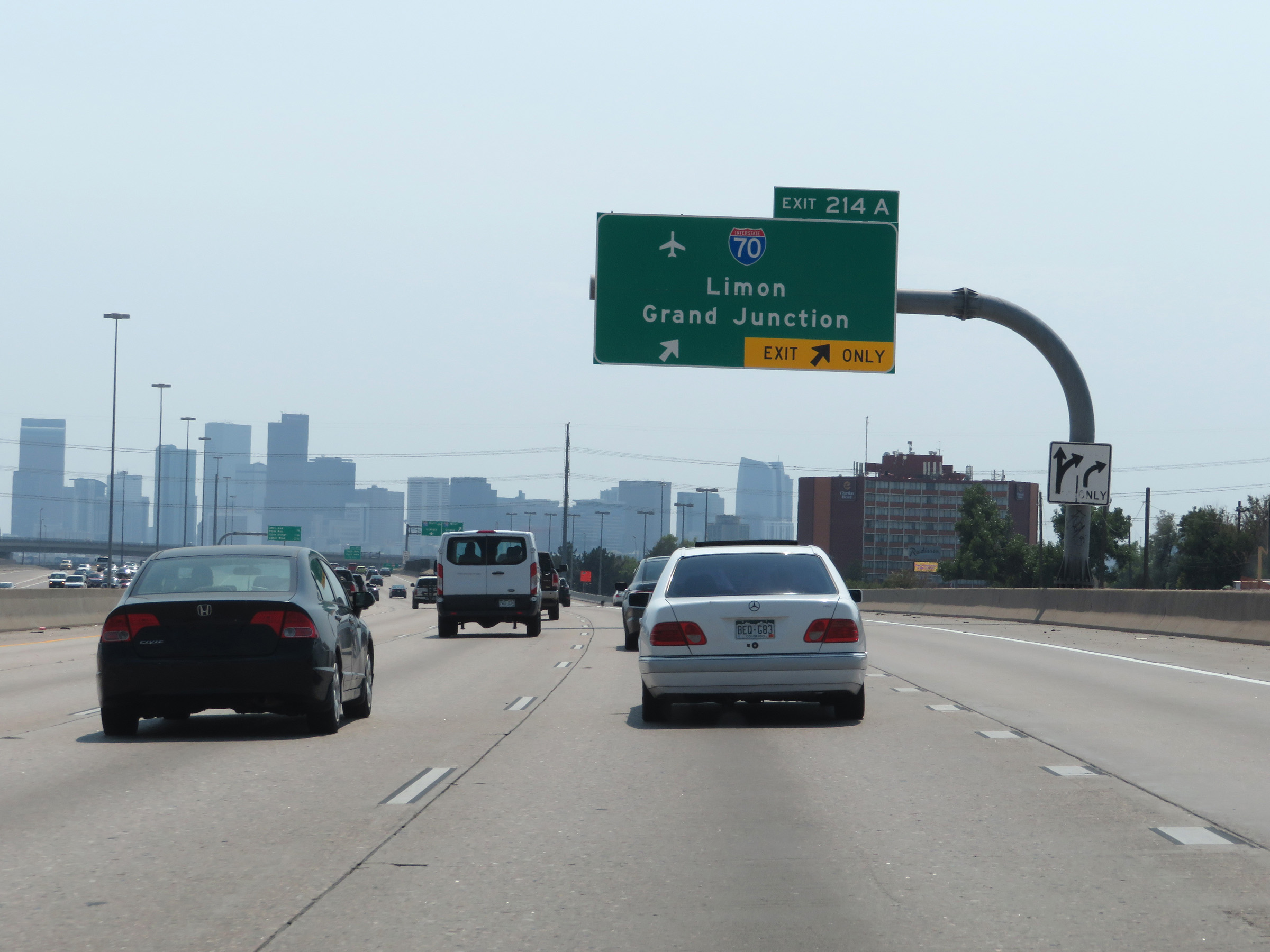 |
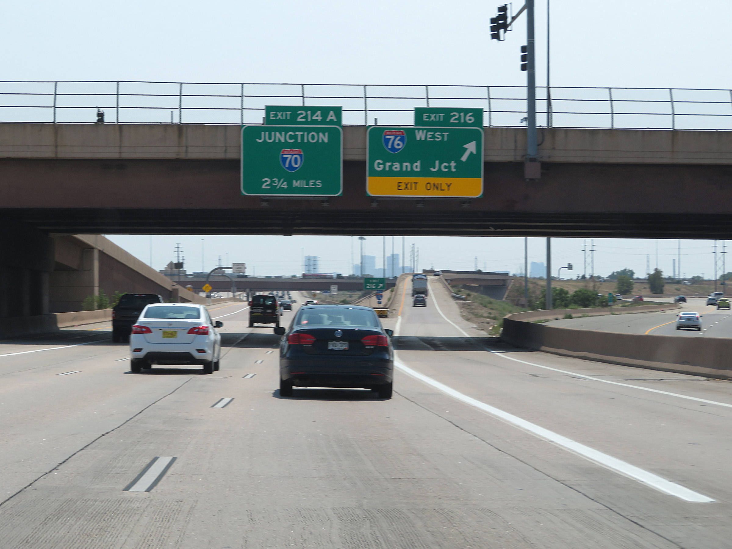
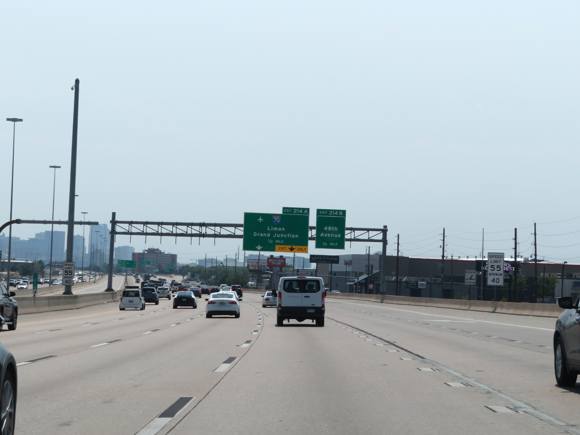
Interstate 25 South at Exit 214A: Interstate 70 - Limon / Grand Junction (Photo taken 8/15/20). |
Section 3: Denver (Exit 214A) to Castle Rock (Exit 184)
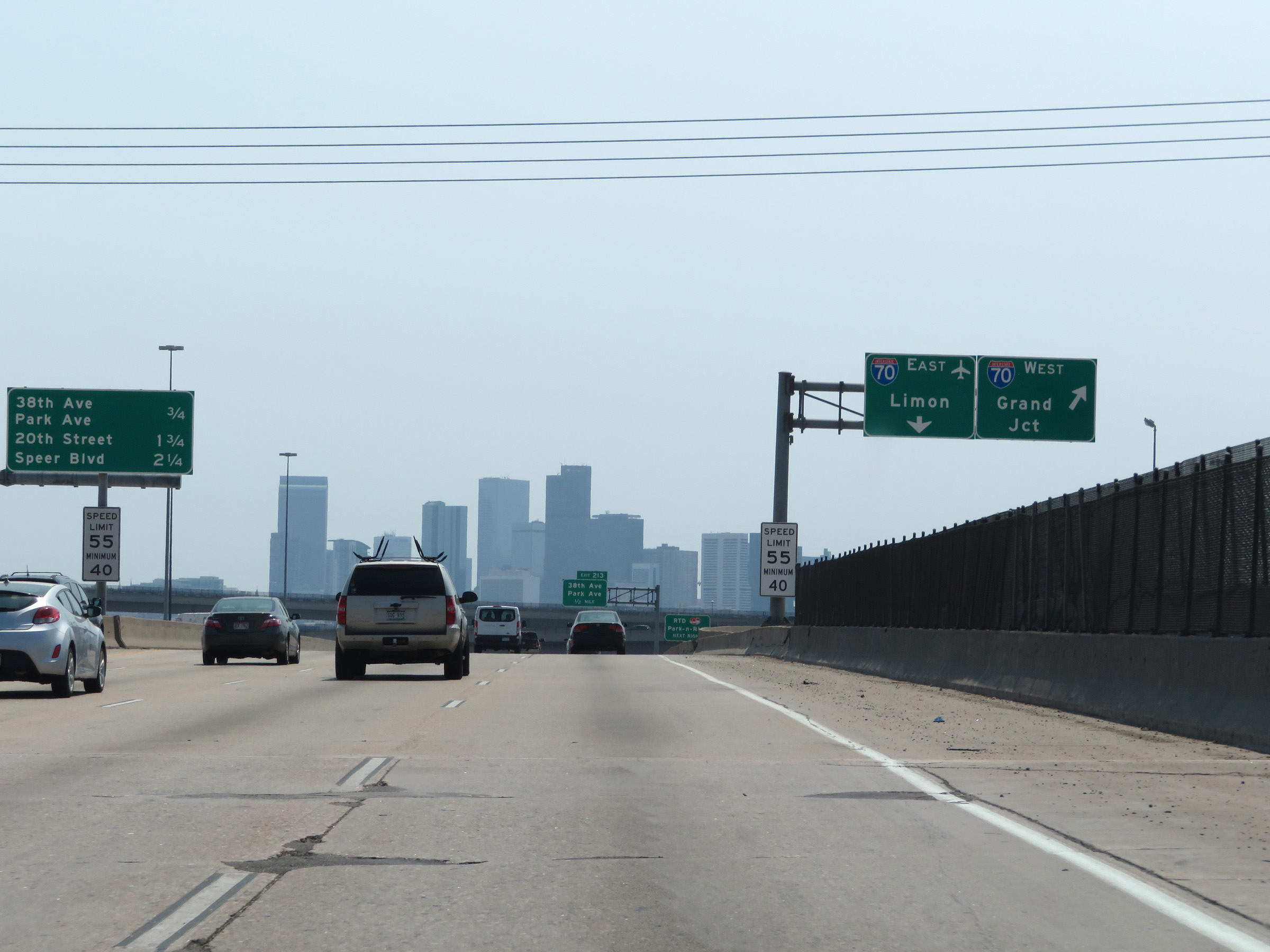 |
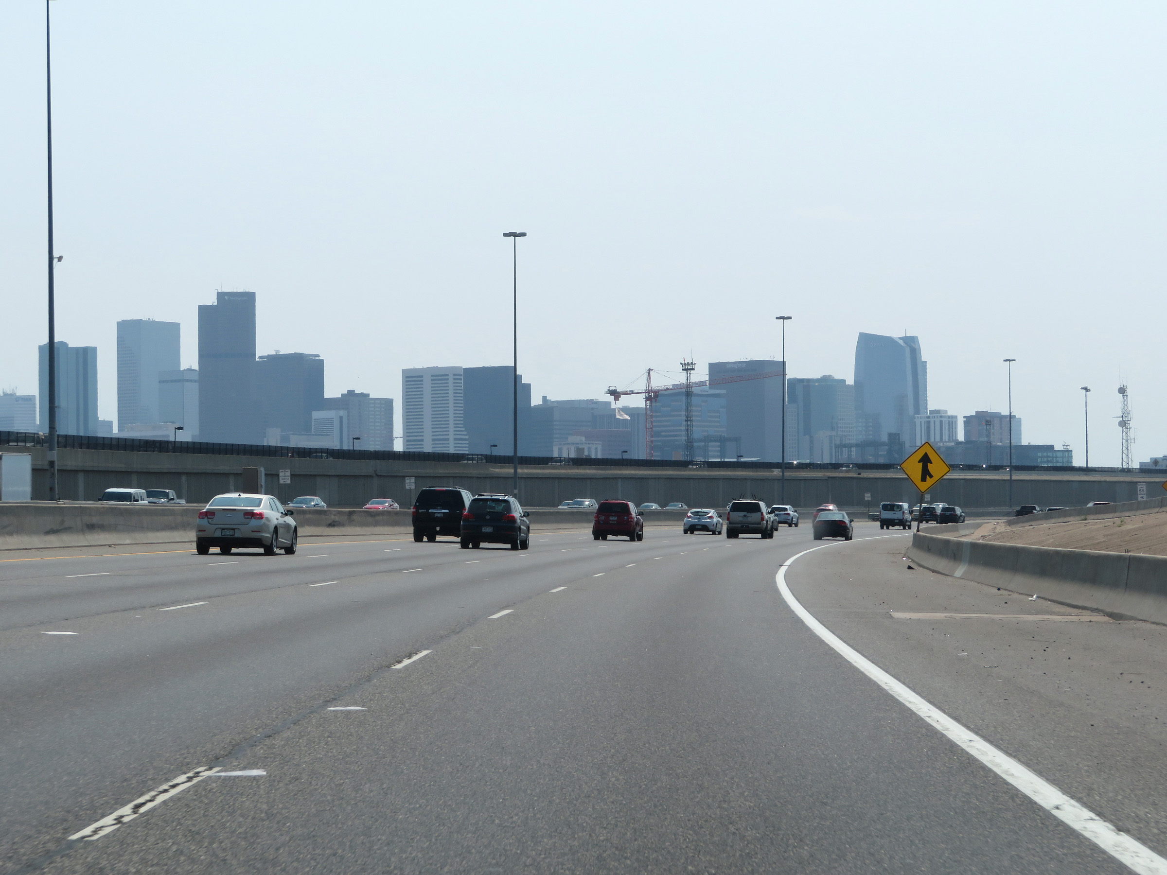
View of the Denver skyline on Interstate 25 South as the ramp to Interstate 70 splits on the right. (Photo taken 8/15/20). |
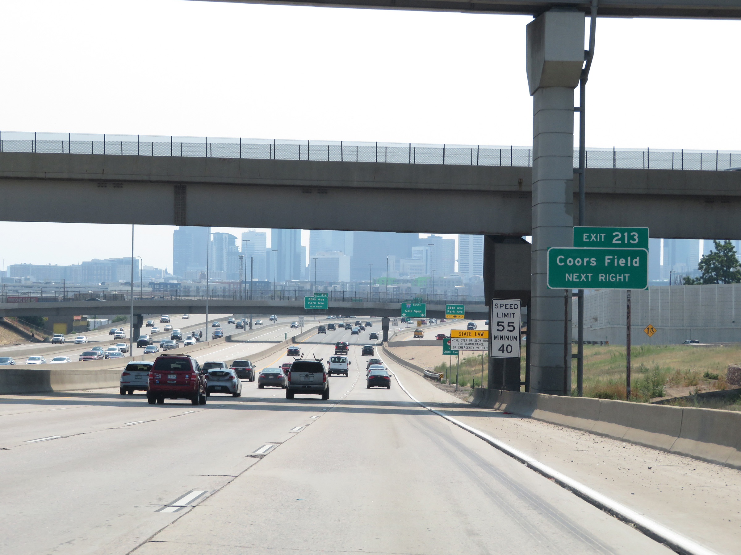 |
Take Exit 213 to Coors Field. (Photo taken 8/15/20). |
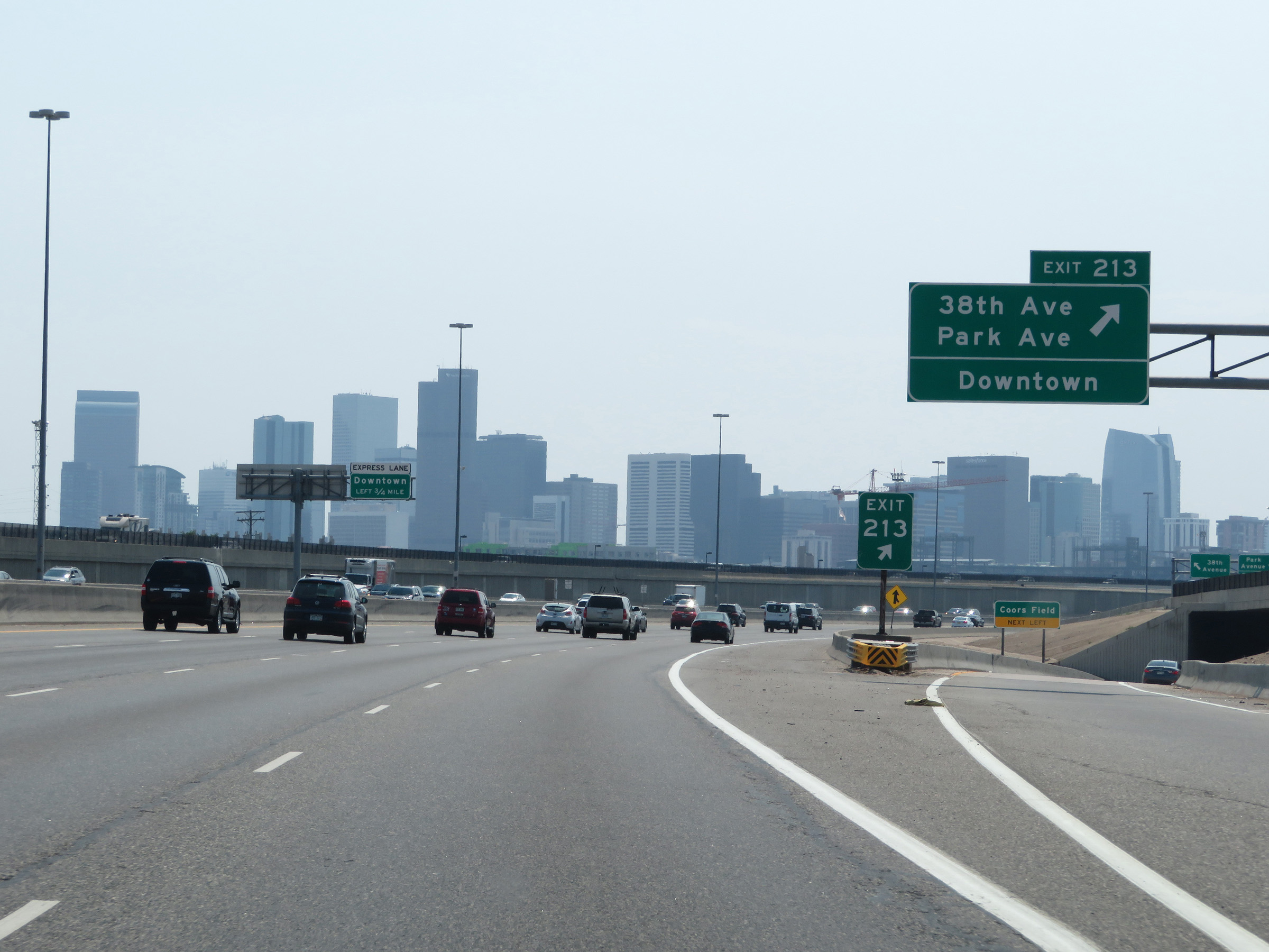 |
Interstate 25 South at Exit 213: 38th Ave / Park Ave / Downtown (Photo taken 8/15/20). |
 |
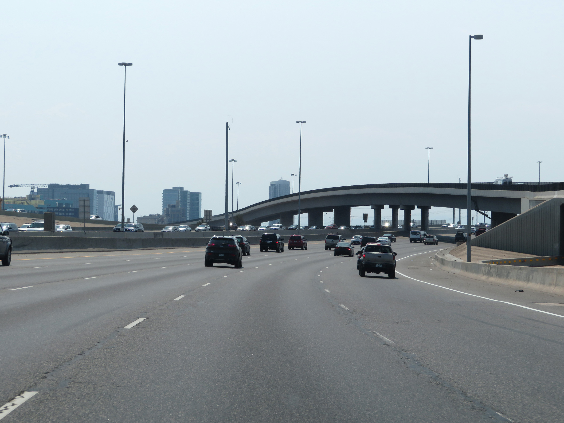
Another view of the Denver skyline from Interstate 25 South. (Photo taken 8/15/20). |
 |
View on Interstate 25 South in downtown Denver. (Photo taken 8/15/20). |
 |
Interstate 25 South at Exit 212C: 20th Street (Photo taken 8/12/20). |
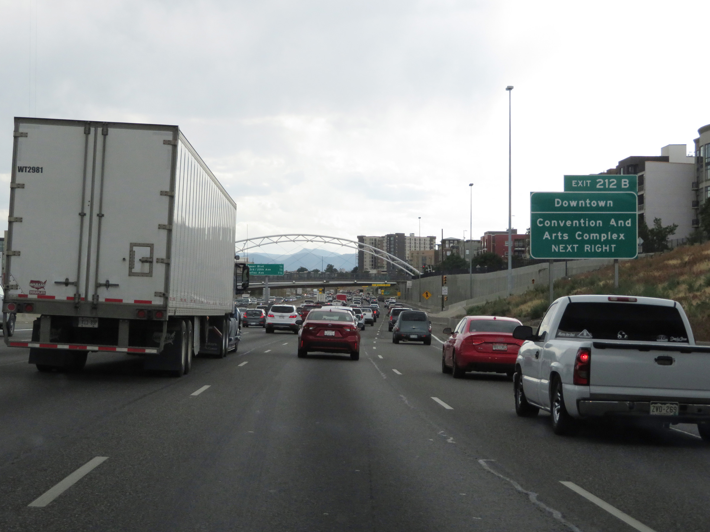 |
Take Exit 212B to Downtown Denver and the Convention And Arts Complex. (Photo taken 8/12/20). |
 |
Interstate 25 South at Exit 212B: Speer Blvd (Photo taken 8/12/20). |
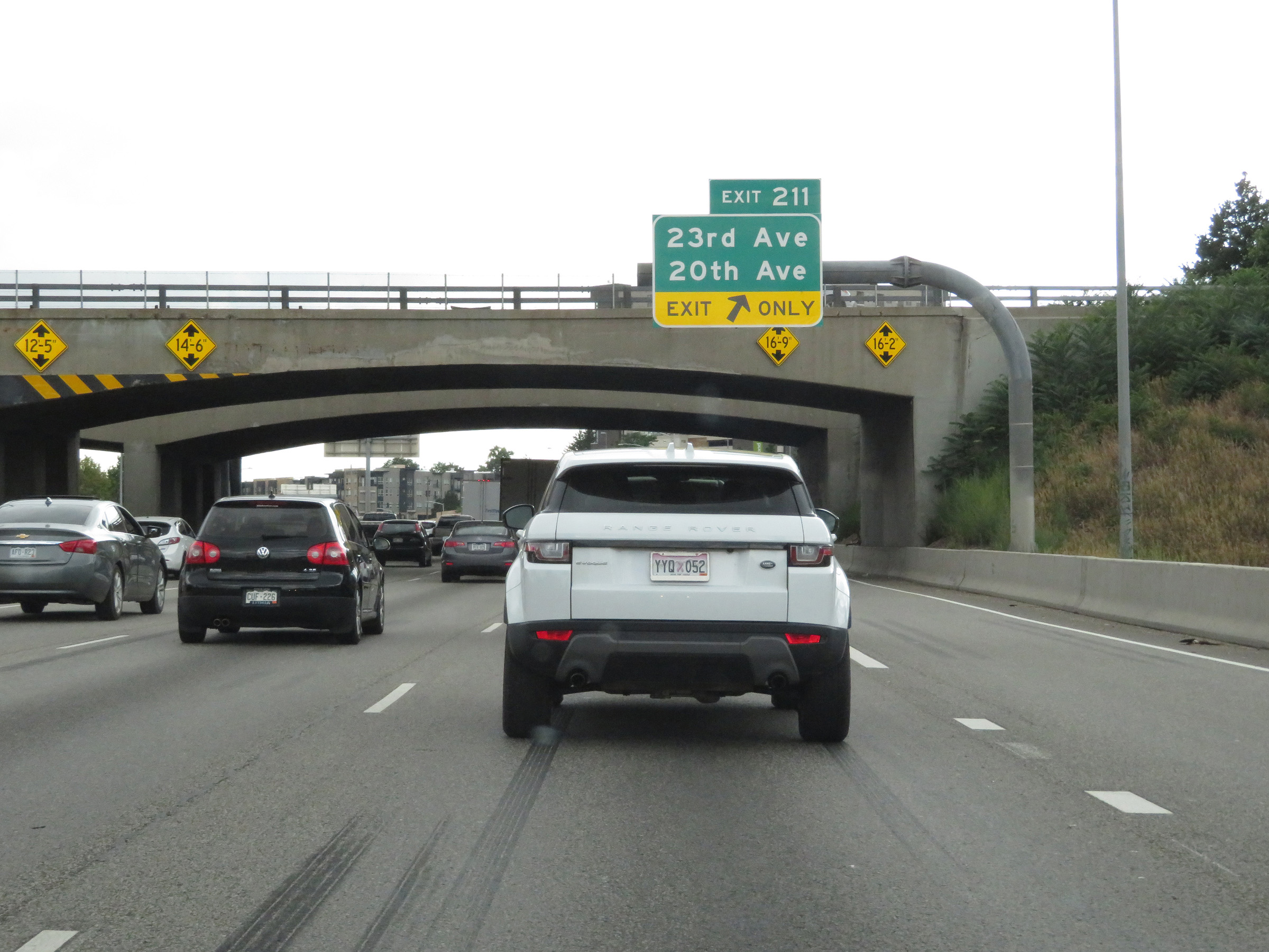 |
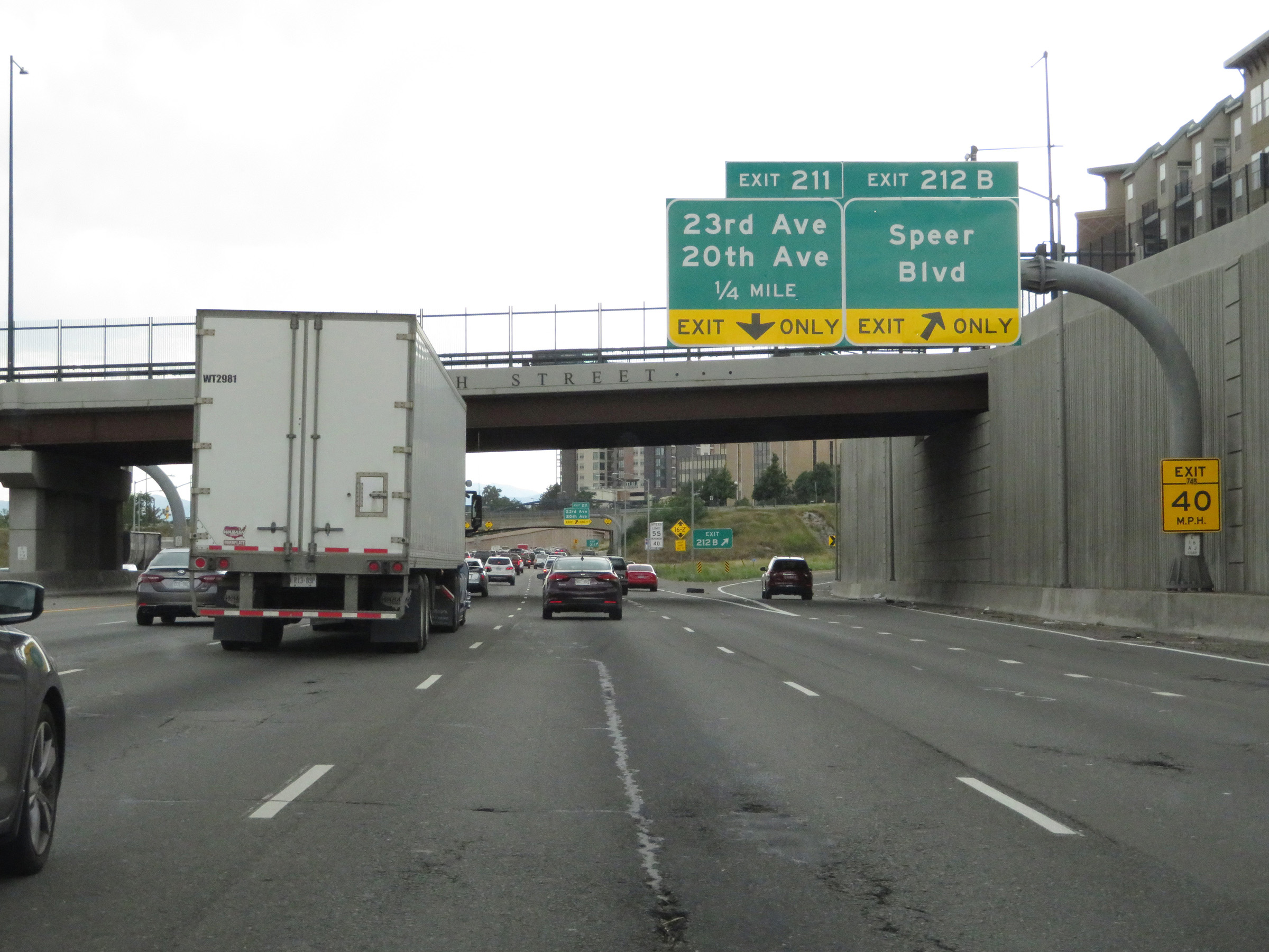
Interstate 25 South at Exit 211: 23rd Ave / 20th Ave. Notice the very low vertical clearance in the leftmost lane. (Photo taken 8/12/20). |
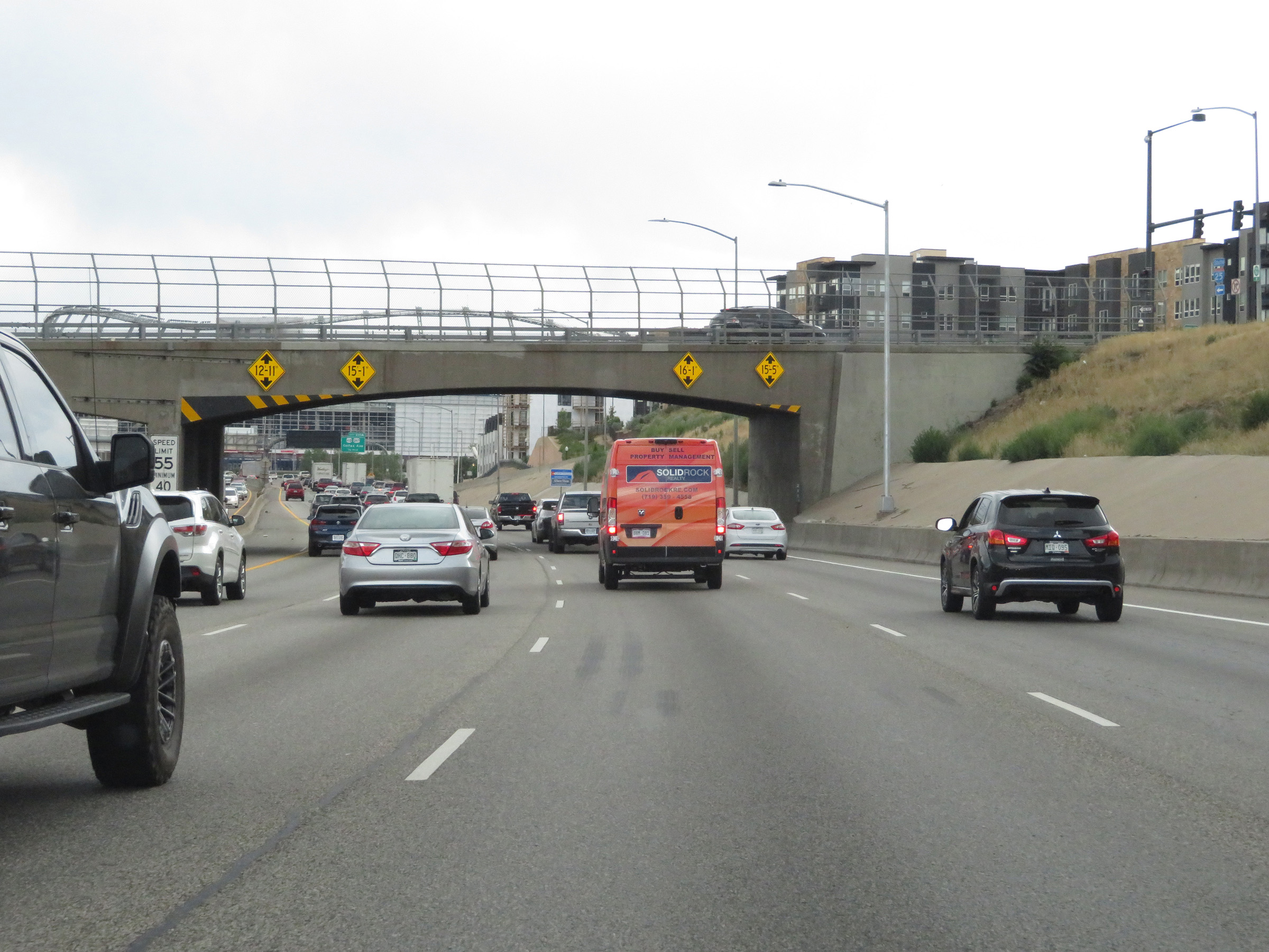 |
Another low vertical clearance overpass in the leftmost lane of Interstate 25 South in downtown Denver. Trucks have plenty of clearance in all other lanes. (Photo taken 8/12/20). |
 |
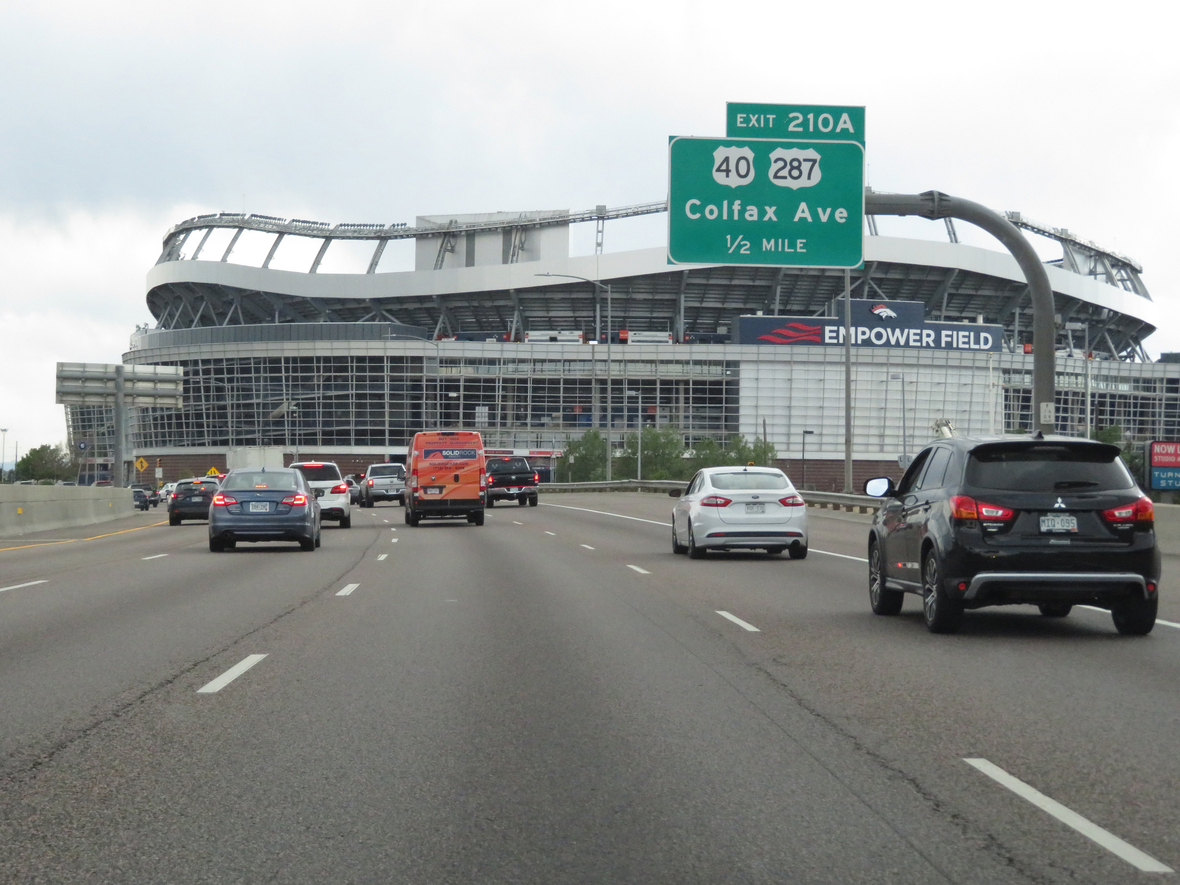
View of Empower Field in Denver, home of the Denver Broncos NFL franchise, from Interstate 25 South. (Photo taken 8/12/20). |
 |
Interstate 25 South approaching Exit 210A - 1/2 mile. (Photo taken 8/12/20). |
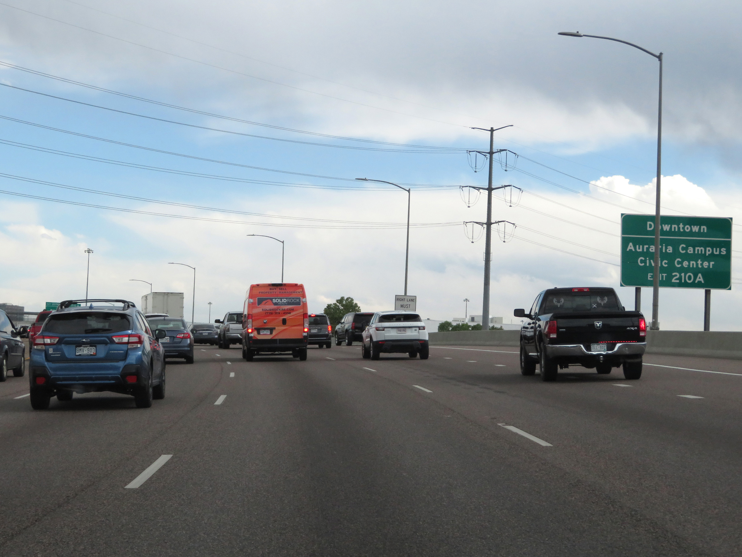 |
Take Exit 210A to Downtown and Auraria Campus Civic Center. (Photo taken 8/12/20). |
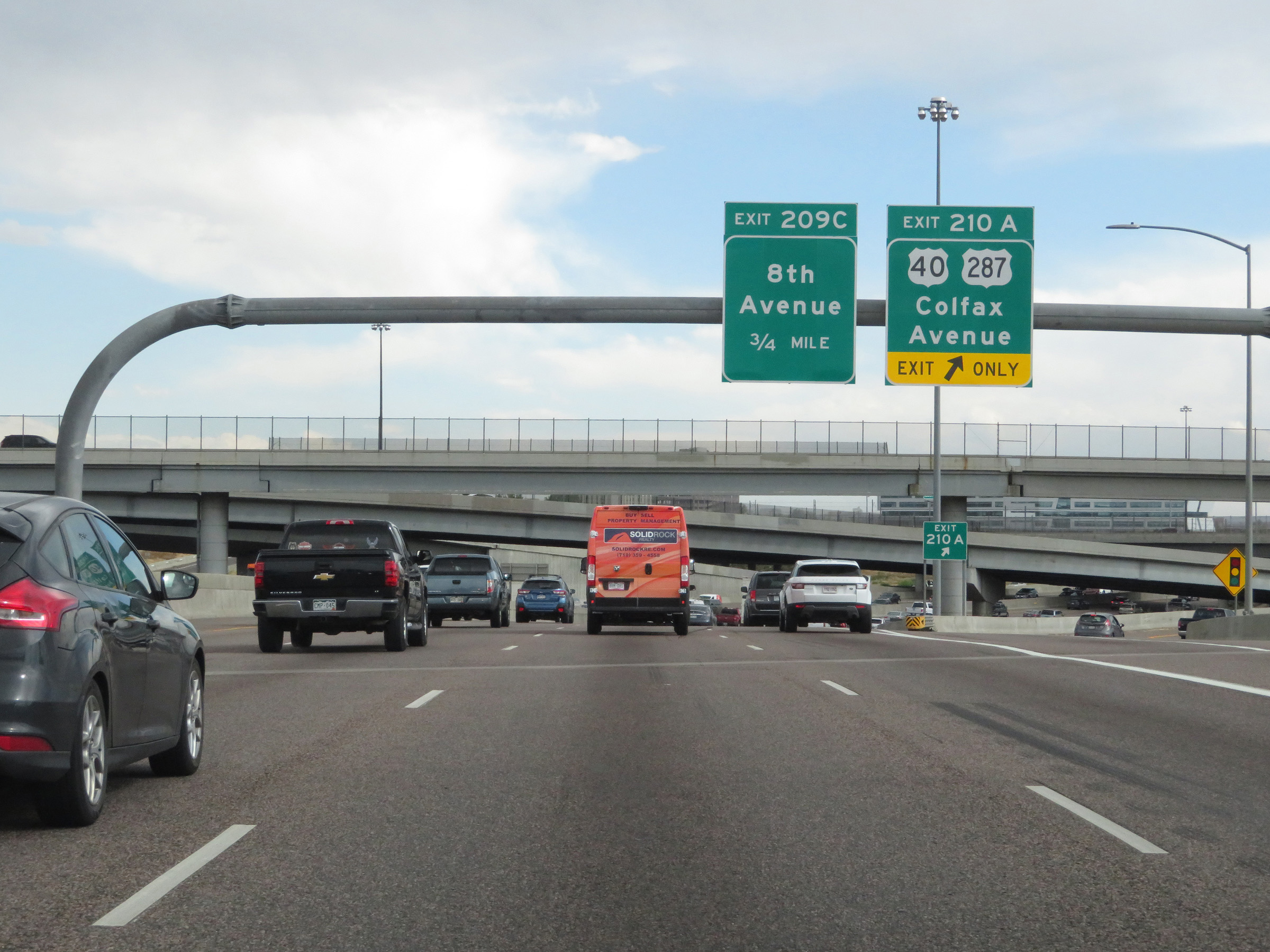 |
Interstate 25 South at Exit 210A: US 40 / US 287 - Colfax Avenue (Photo taken 8/12/20). |
 |
The speed limits remain 55 mph maximum and 40 mph minimum through Denver on Interstate 25 South. (Photo taken 8/12/20). |
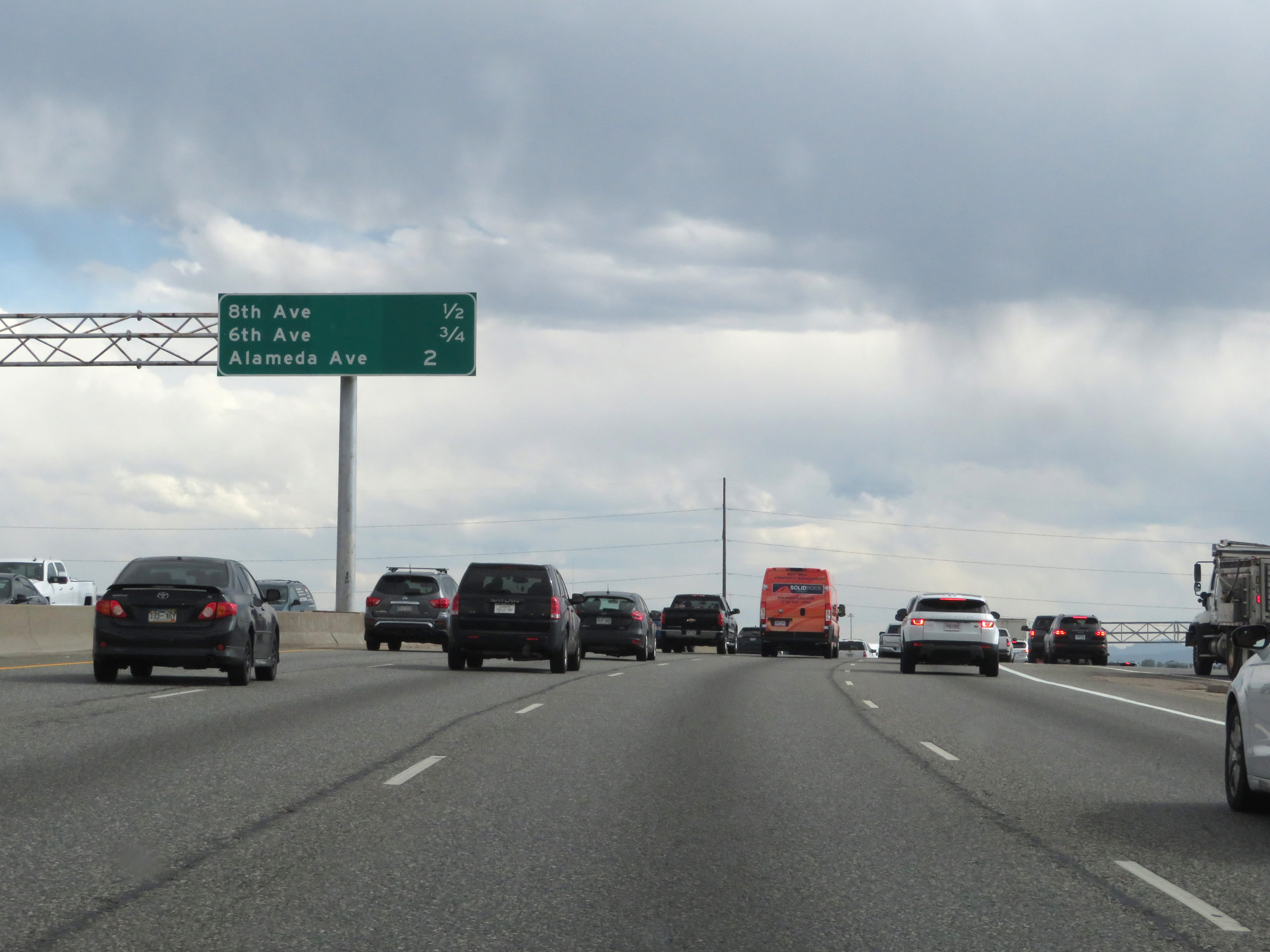 |
Another overhead mileage sign listing the distances to the three upcoming exits on Interstate 25 South in Denver. (Photo taken 8/12/20). |
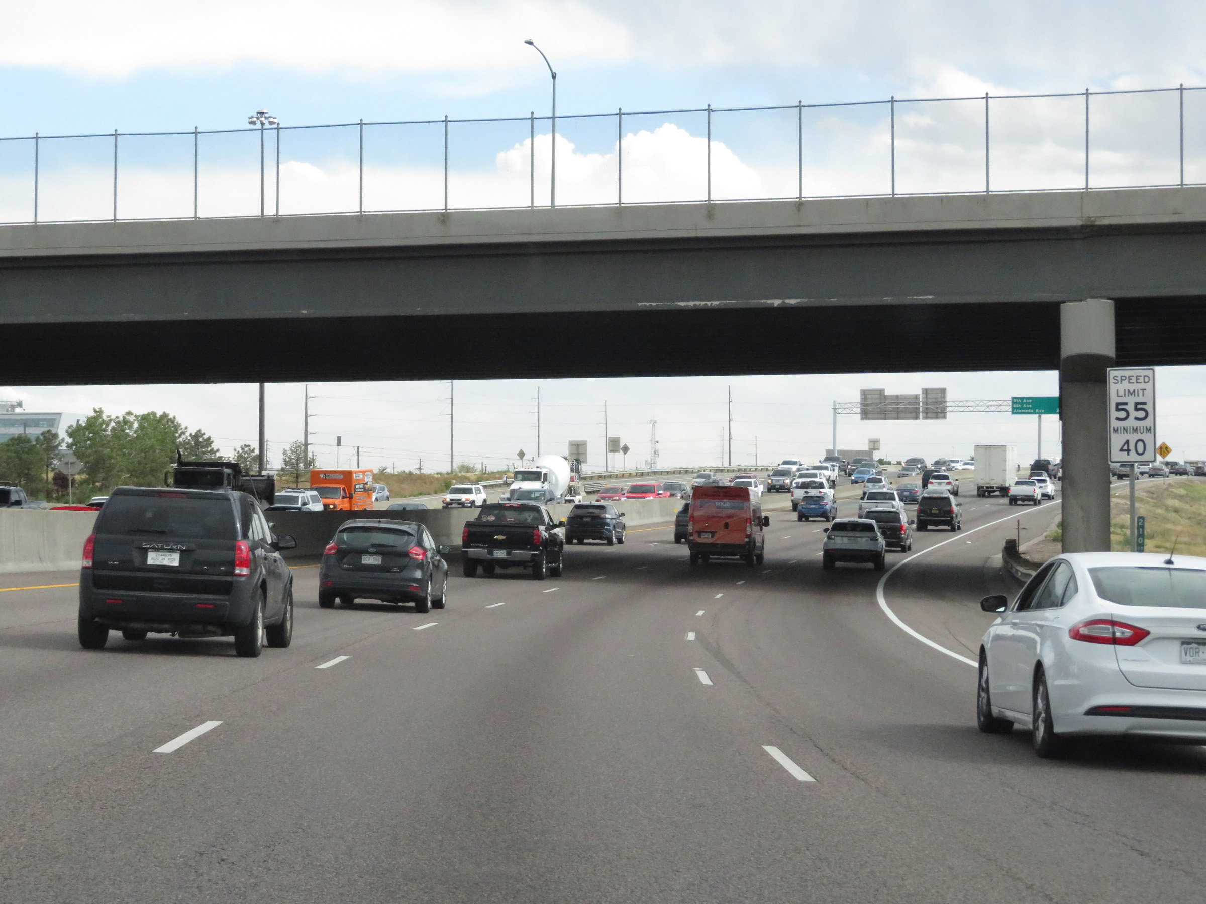
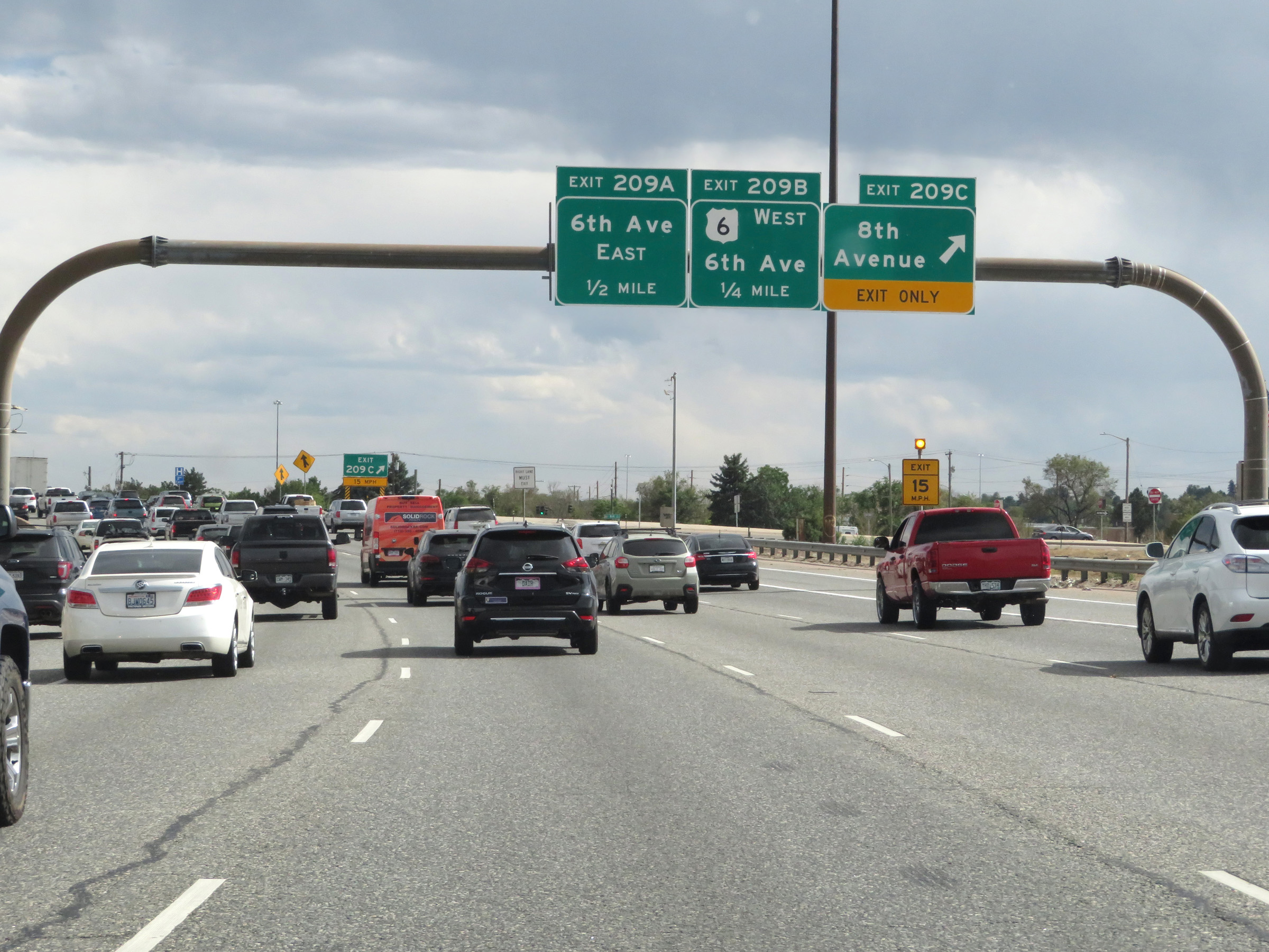 |
Interstate 25 South at Exit 209C: 8th Avenue (Photo taken 8/12/20). |
 |
Interstate 25 South at Exit 209B: US 6 West - 6th Avenue / Lakewood (Photo taken 8/12/20). |
 |
Interstate 25 South at Exit 209A: 6th Avenue East (Photo taken 8/12/20). |
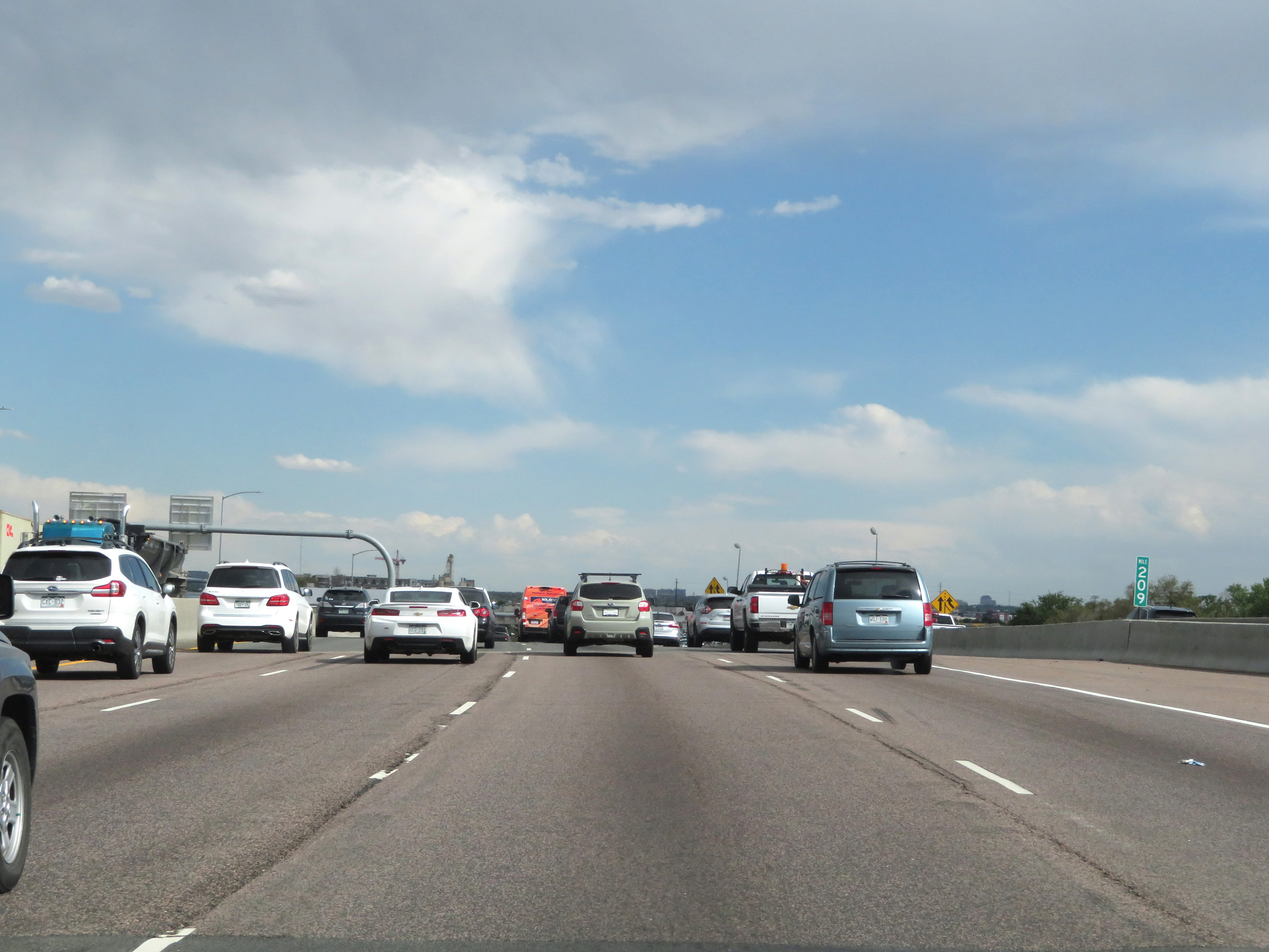 |
View on Interstate 25 South at mile marker 209 in Denver. (Photo taken 8/12/20). |
 |
State-named Interstate 25 South reassurance shield. (Photo taken 8/12/20). |
 |
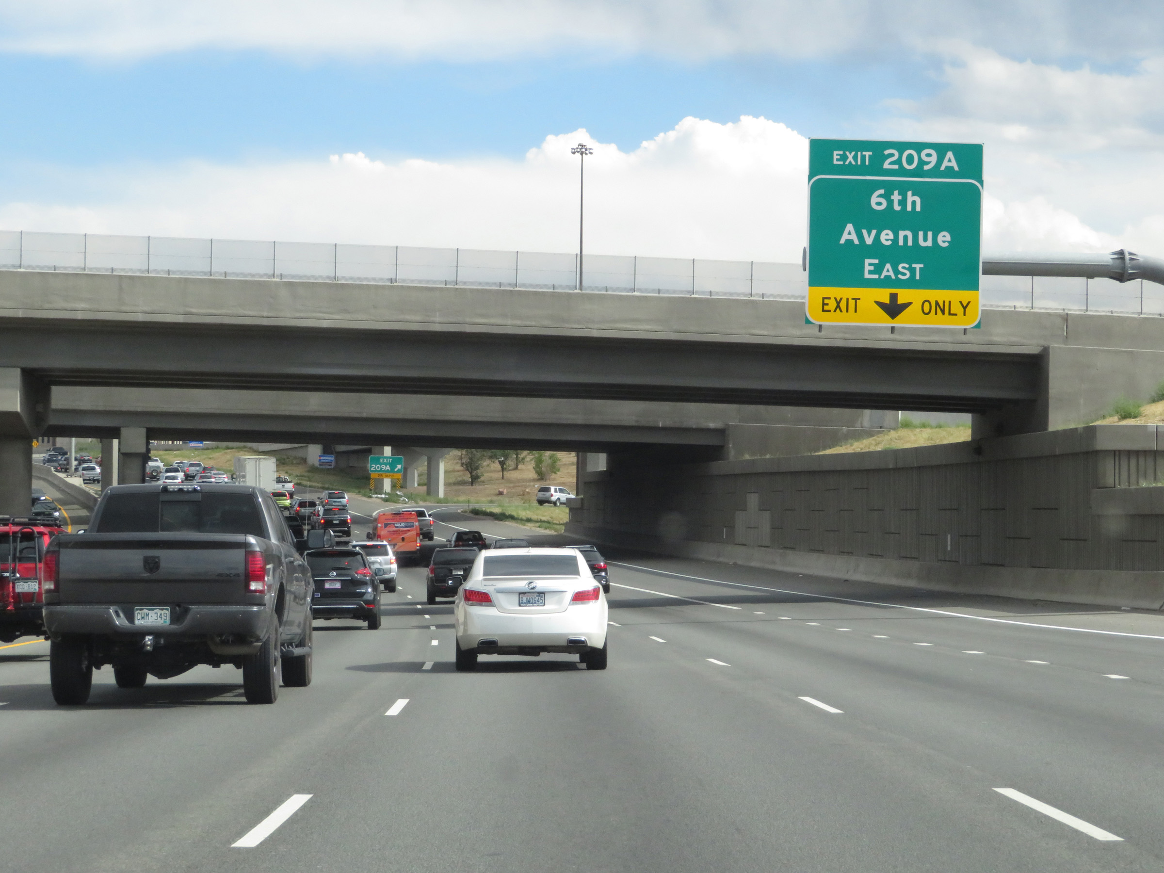
Interstate 25 South at Exit 208: CO 26 - Alameda Ave (Photo taken 8/12/20). |
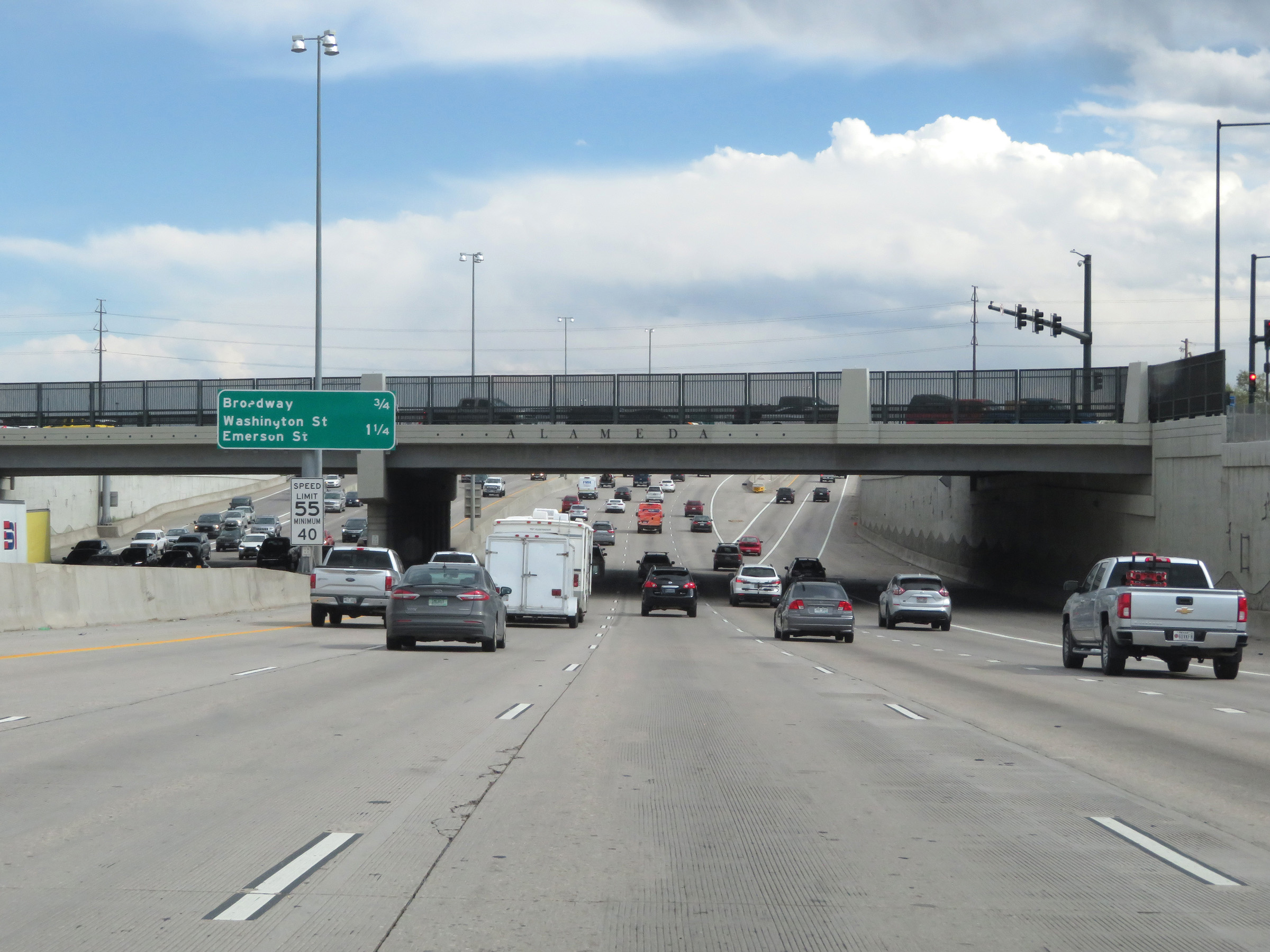 |
View on Interstate 25 South as it prepares to pass under Alameda Ave. (Photo taken 8/12/20). |
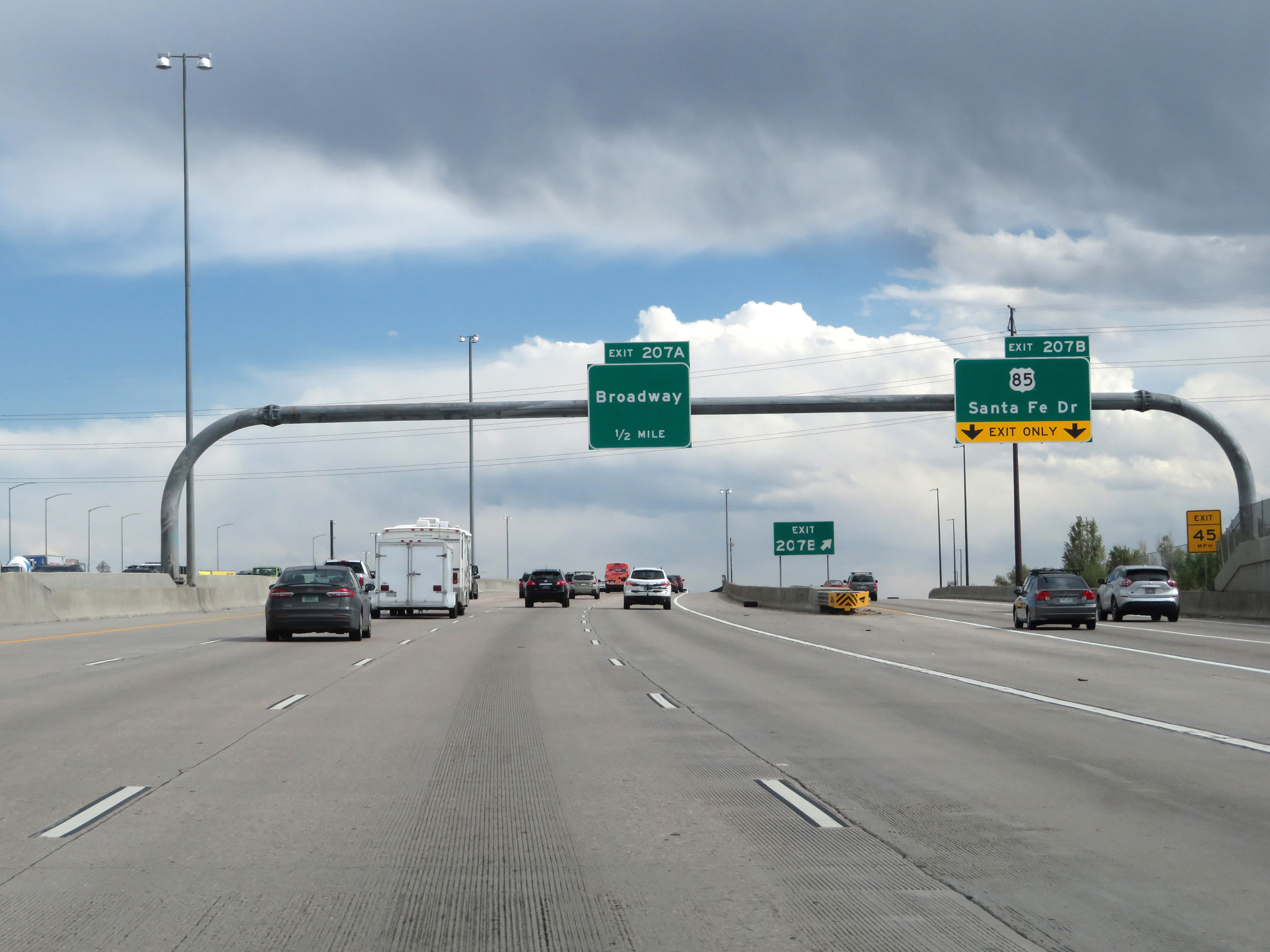 |
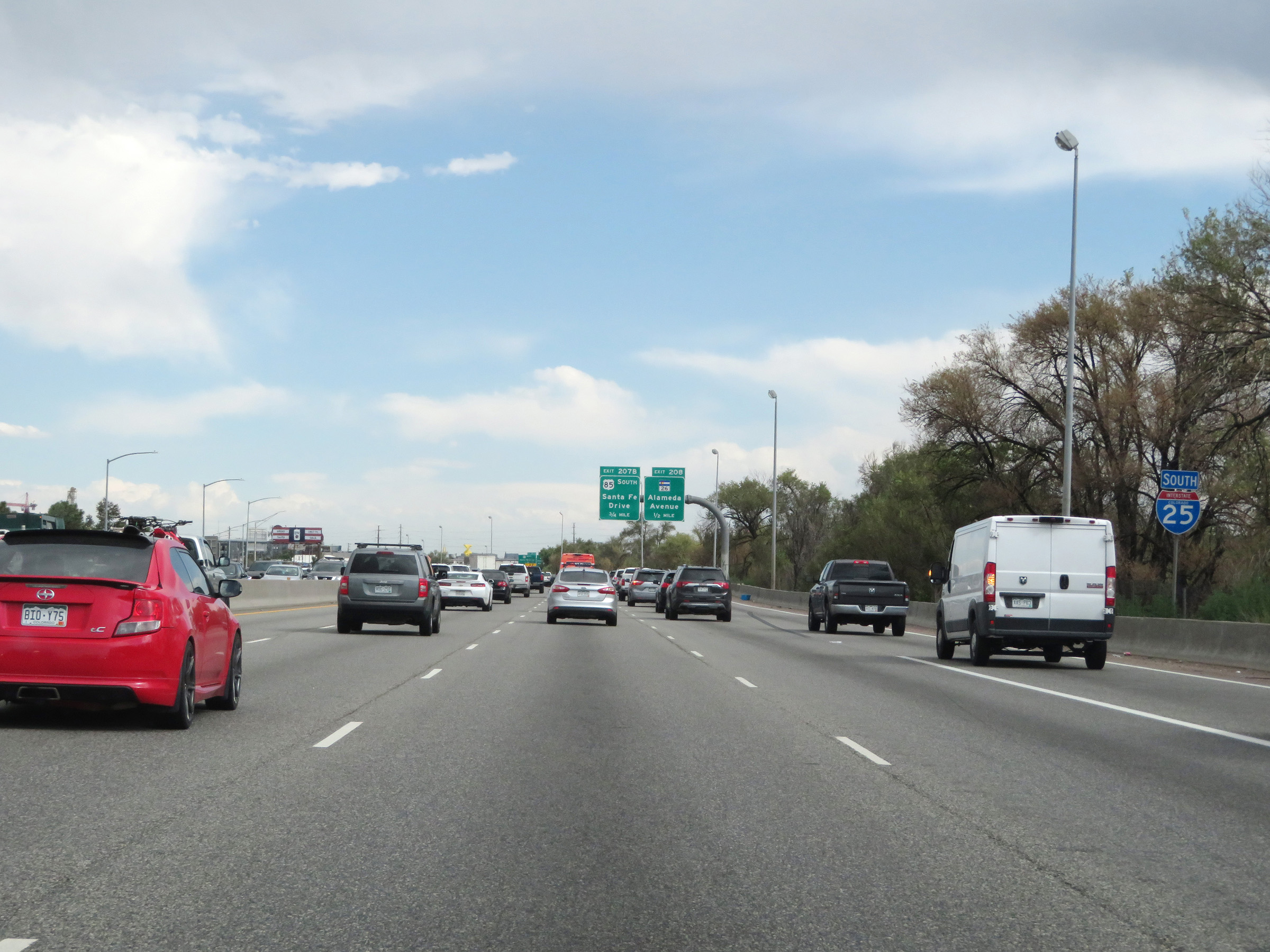
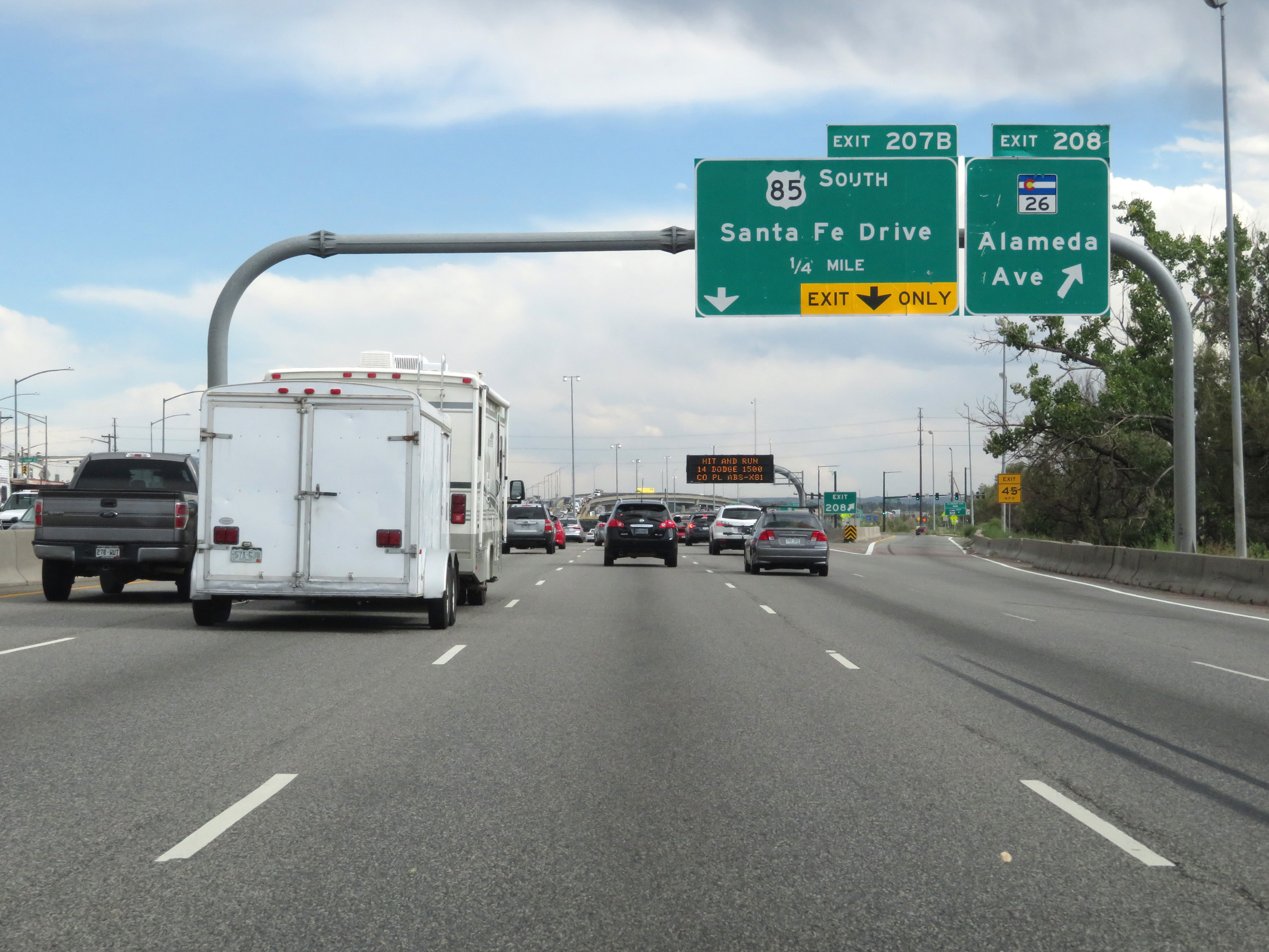
Interstate 25 South at Exit 207B: US 85 - Santa Fe Dr (Photo taken 8/12/20). |
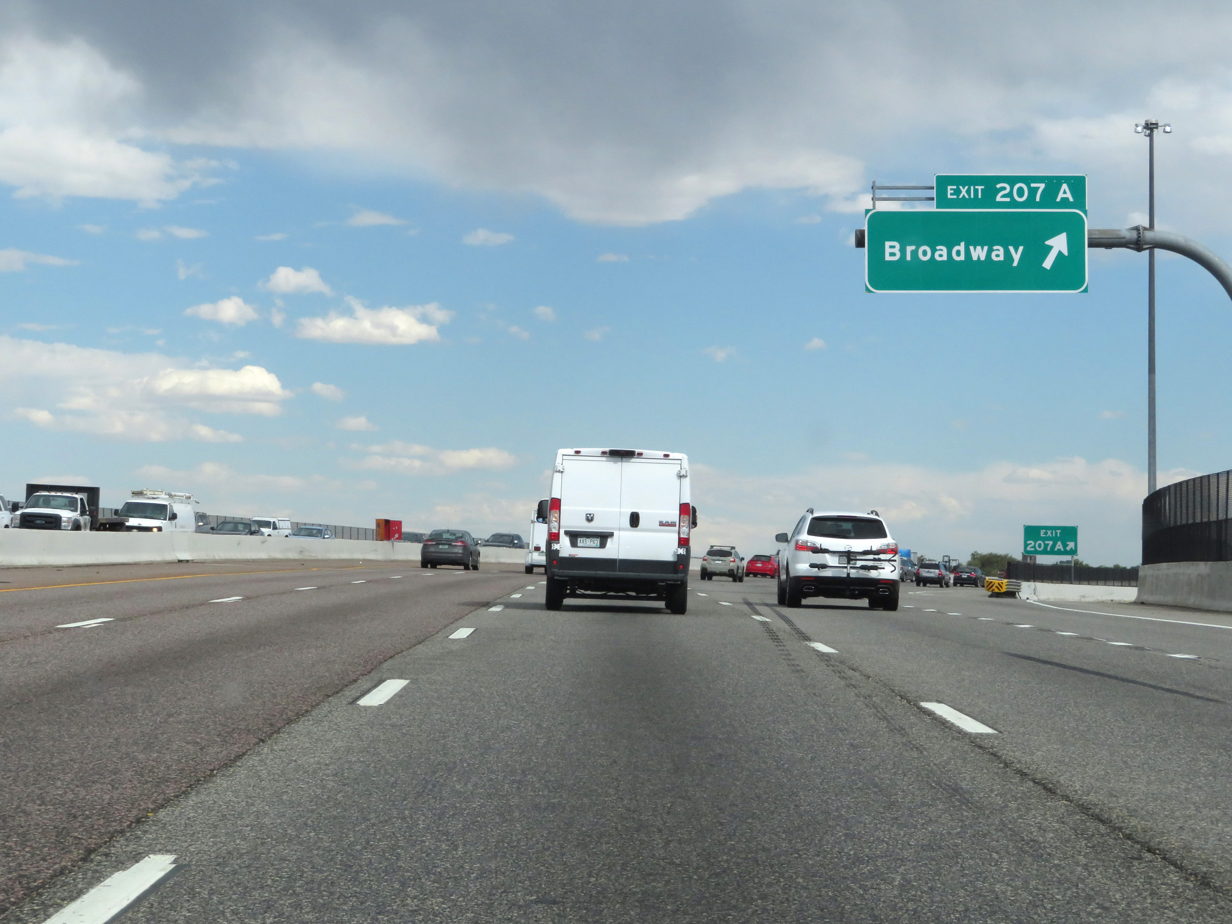 |
Interstate 25 South at Exit 207A: Broadway (Photo taken 8/12/20). |
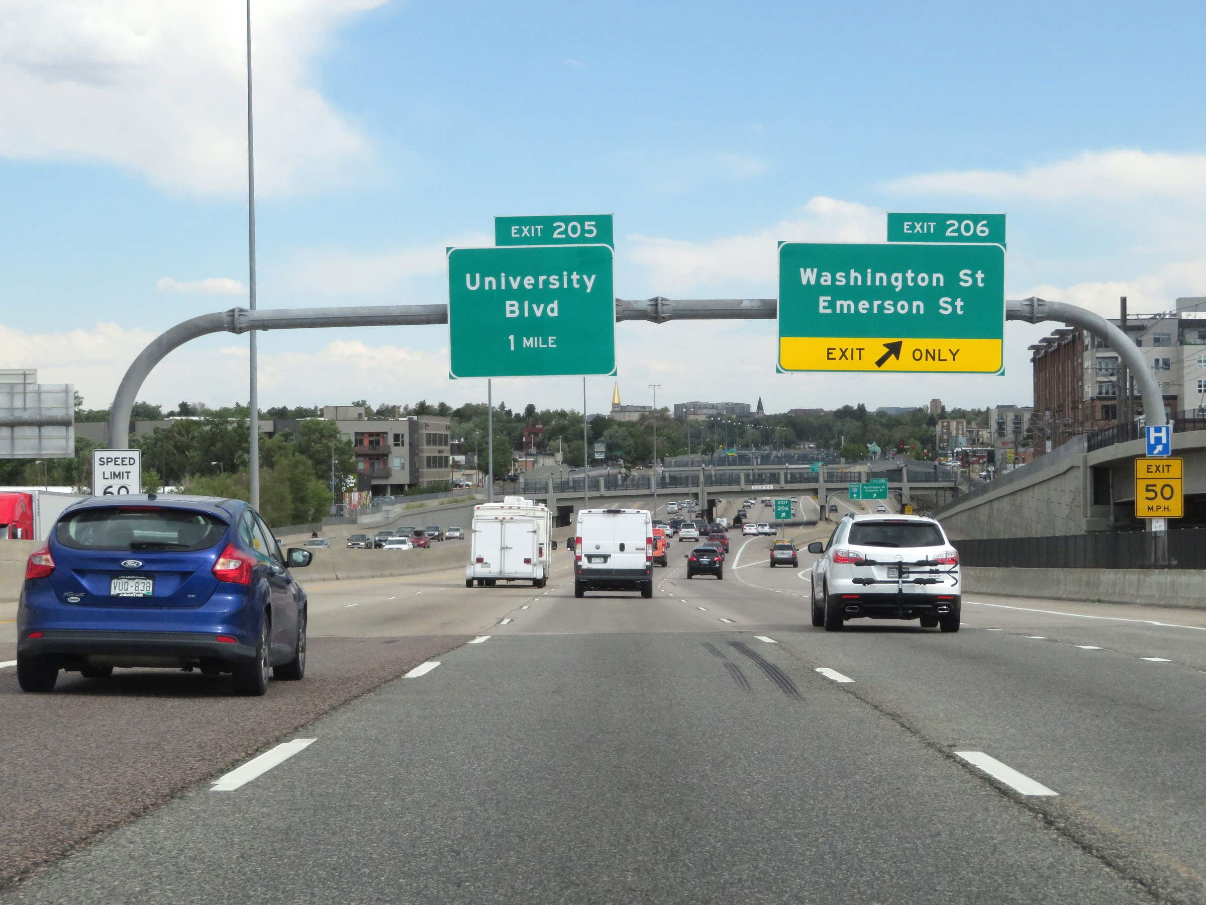 |
Interstate 25 South at Exit 206: Washington St / Emerson St (Photo taken 8/12/20). |
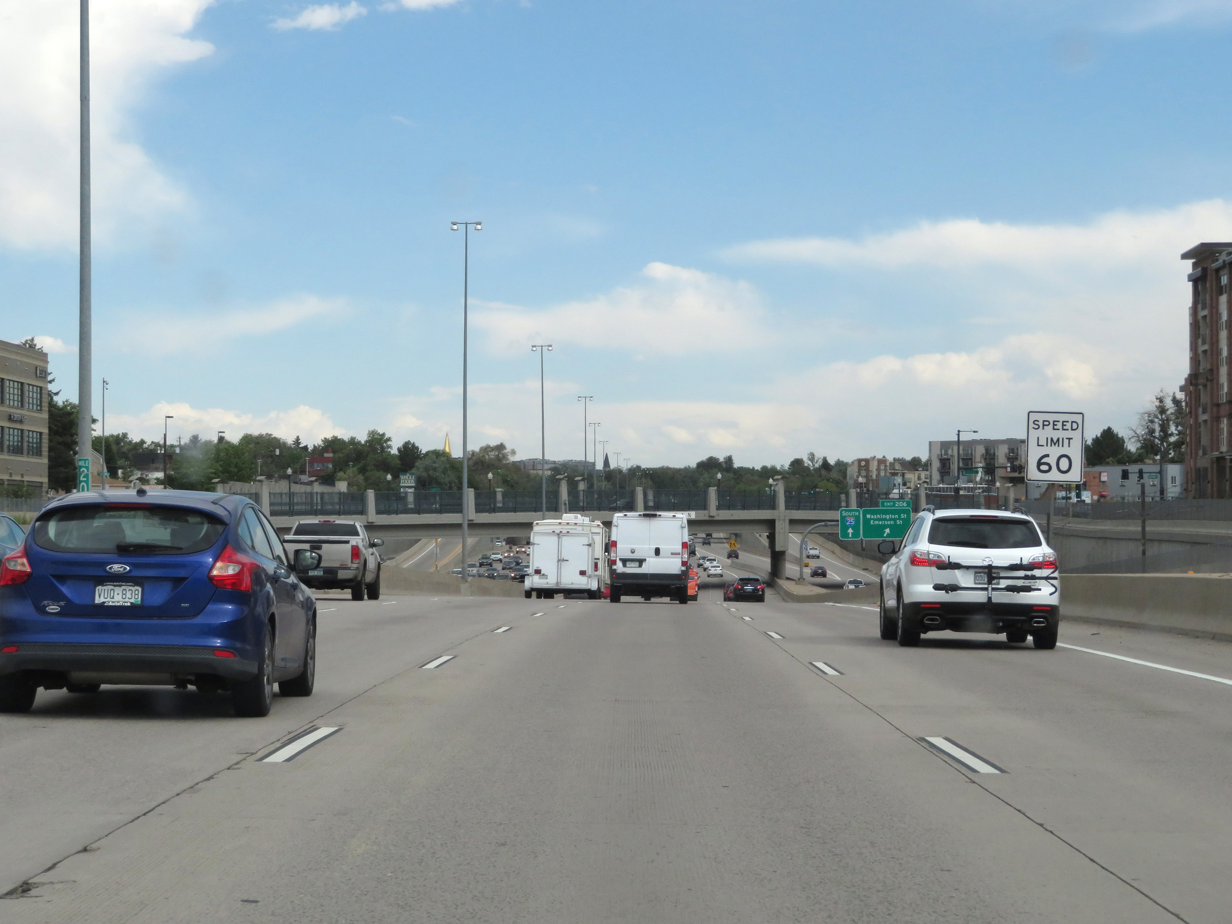 |
South of Exit 206, the speed limit increases to 60 mph. There is no longer any minimum speed limit posted. (Photo taken 8/12/20). |
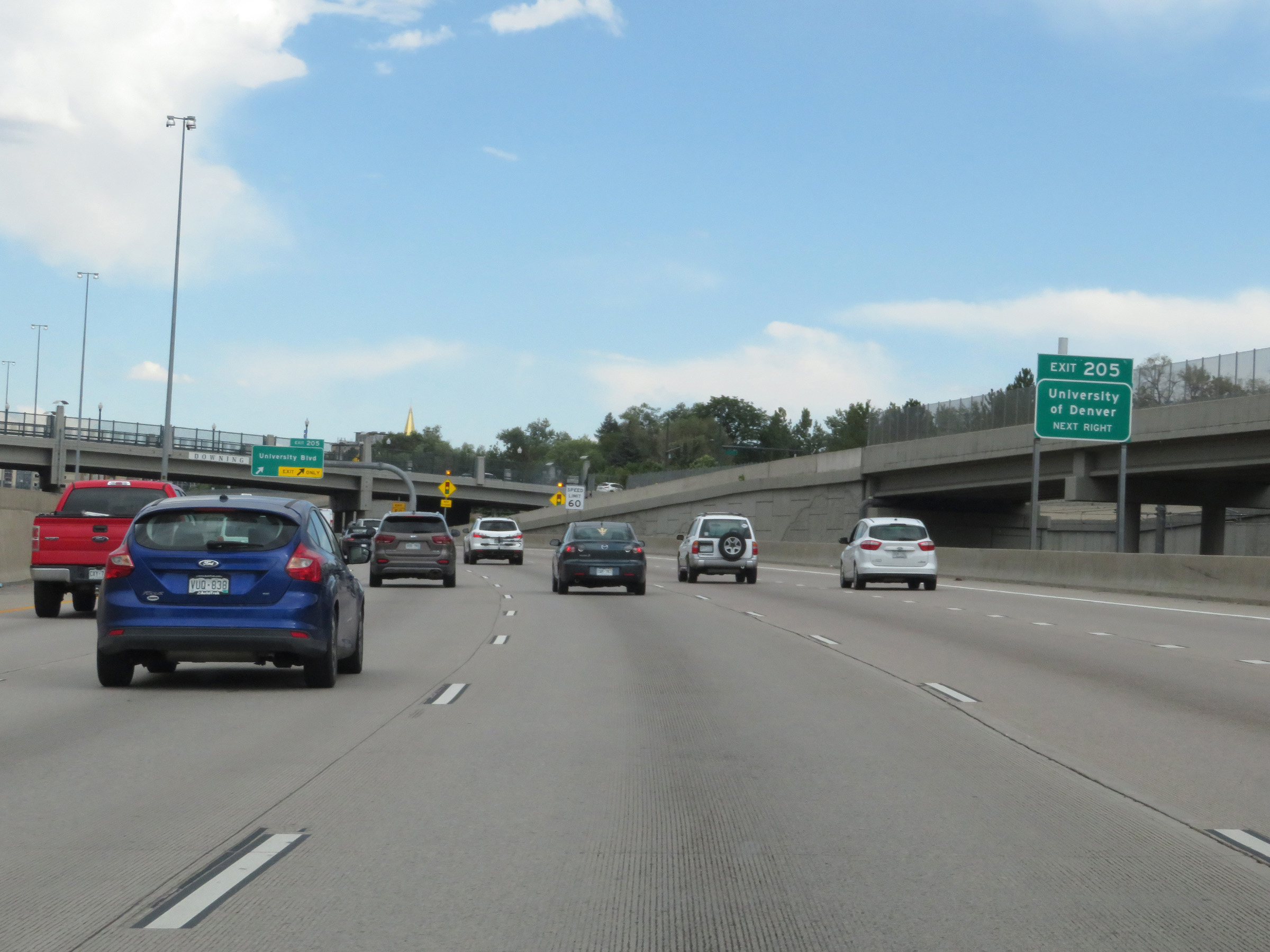 |
Take Exit 205 to the University of Denver. (Photo taken 8/12/20). |
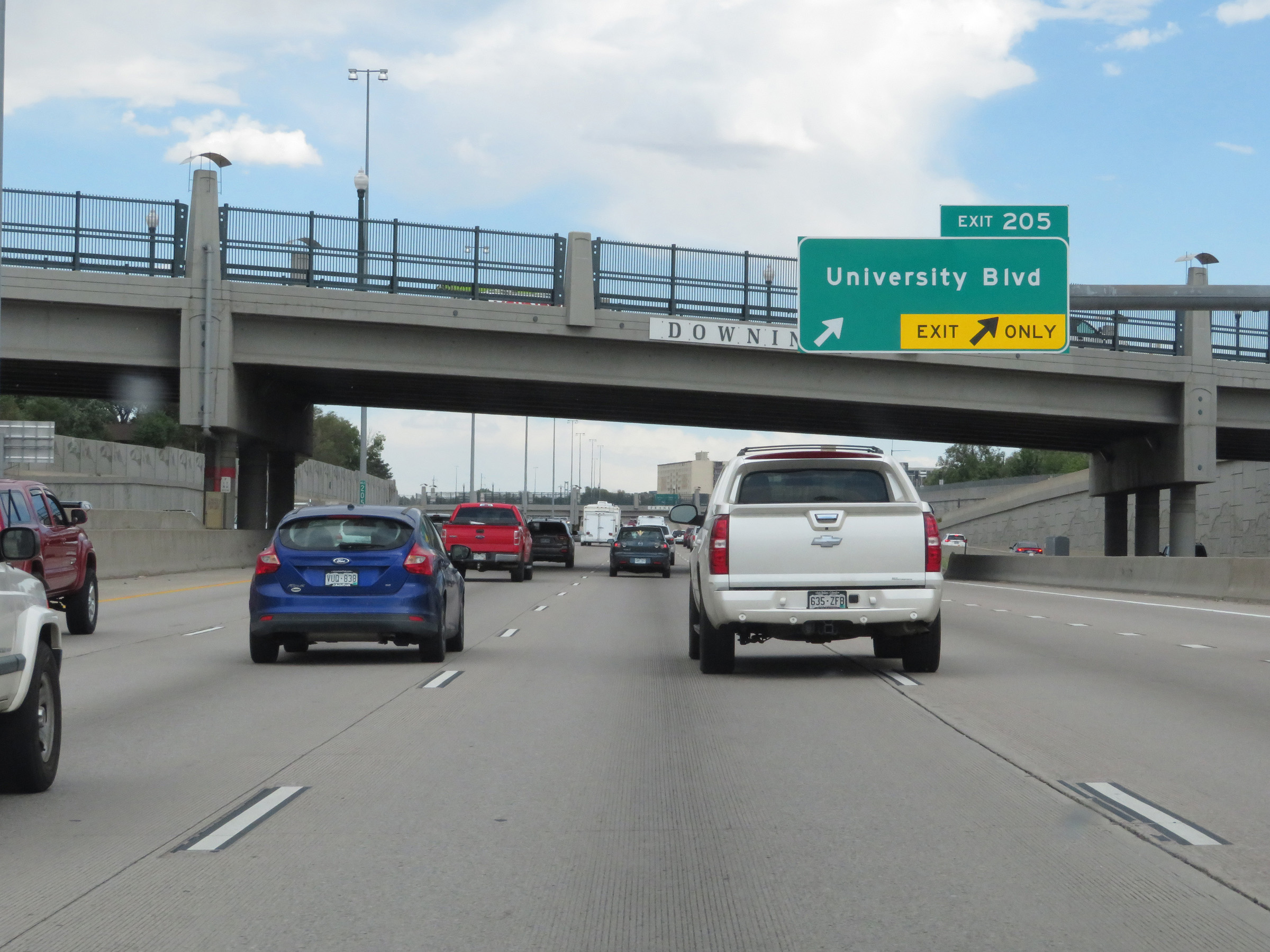 |
Interstate 25 South at Exit 205: University Blvd (Photo taken 8/12/20). |
 |
View of the ramp for Exit 205. (Photo taken 8/12/20). |
 |
Another overhead mileage sign on the median, listing the distances to the next three exits on Interstate 25 South. (Photo taken 8/12/20). |
 |
Interstate 25 South at Exit 204: CO 2 - Colorado Blvd (Photo taken 8/12/20). |
 |
Interstate 25 South at Exit 203: Evans Avenue (Photo taken 8/12/20). |
 |
The speed limit increases to 65 mph south of Exit 203. Again, no minimum speed limit is in effect any longer. (Photo taken 8/12/20). |
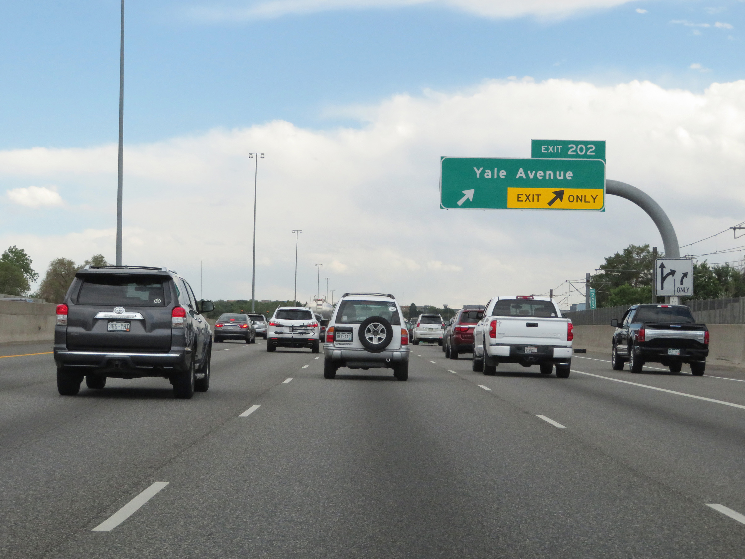 |
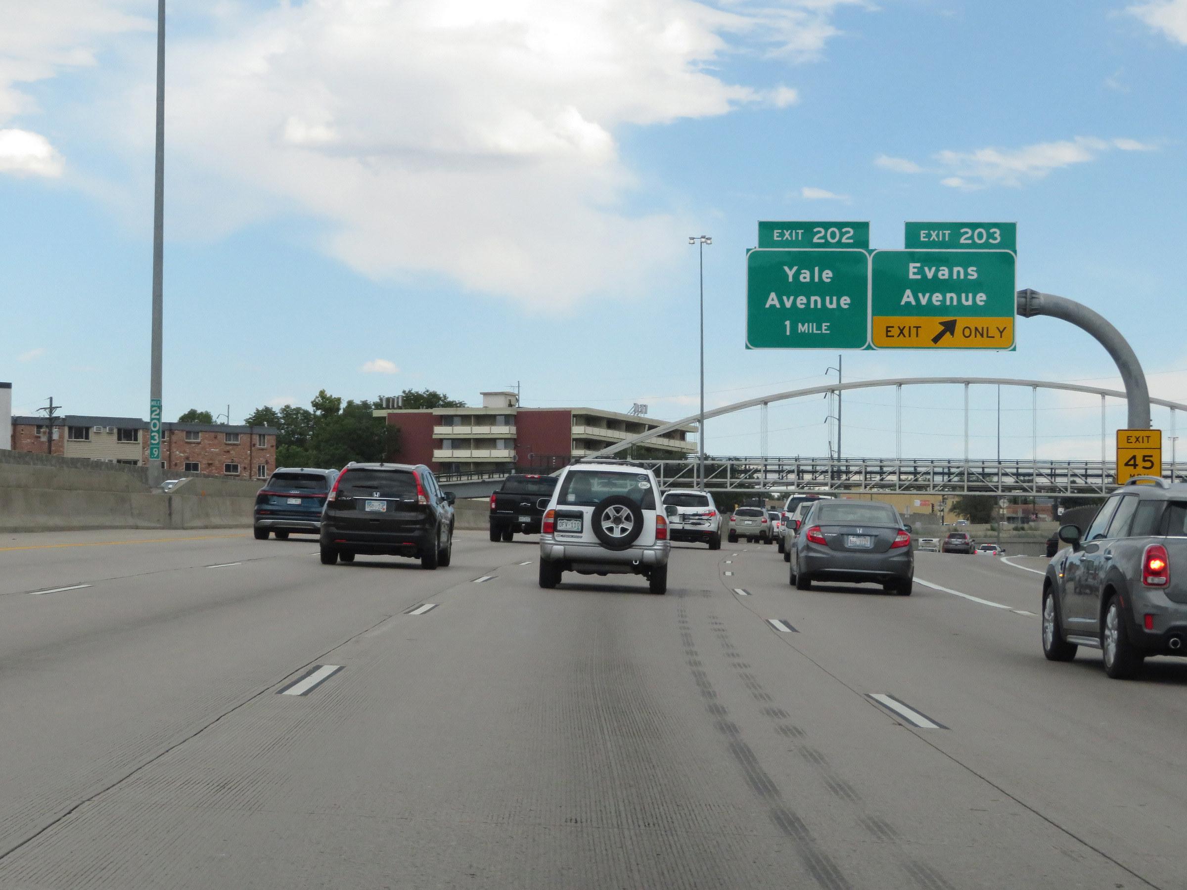
Interstate 25 South at Exit 202: Yale Avenue (Photo taken 8/12/20). |
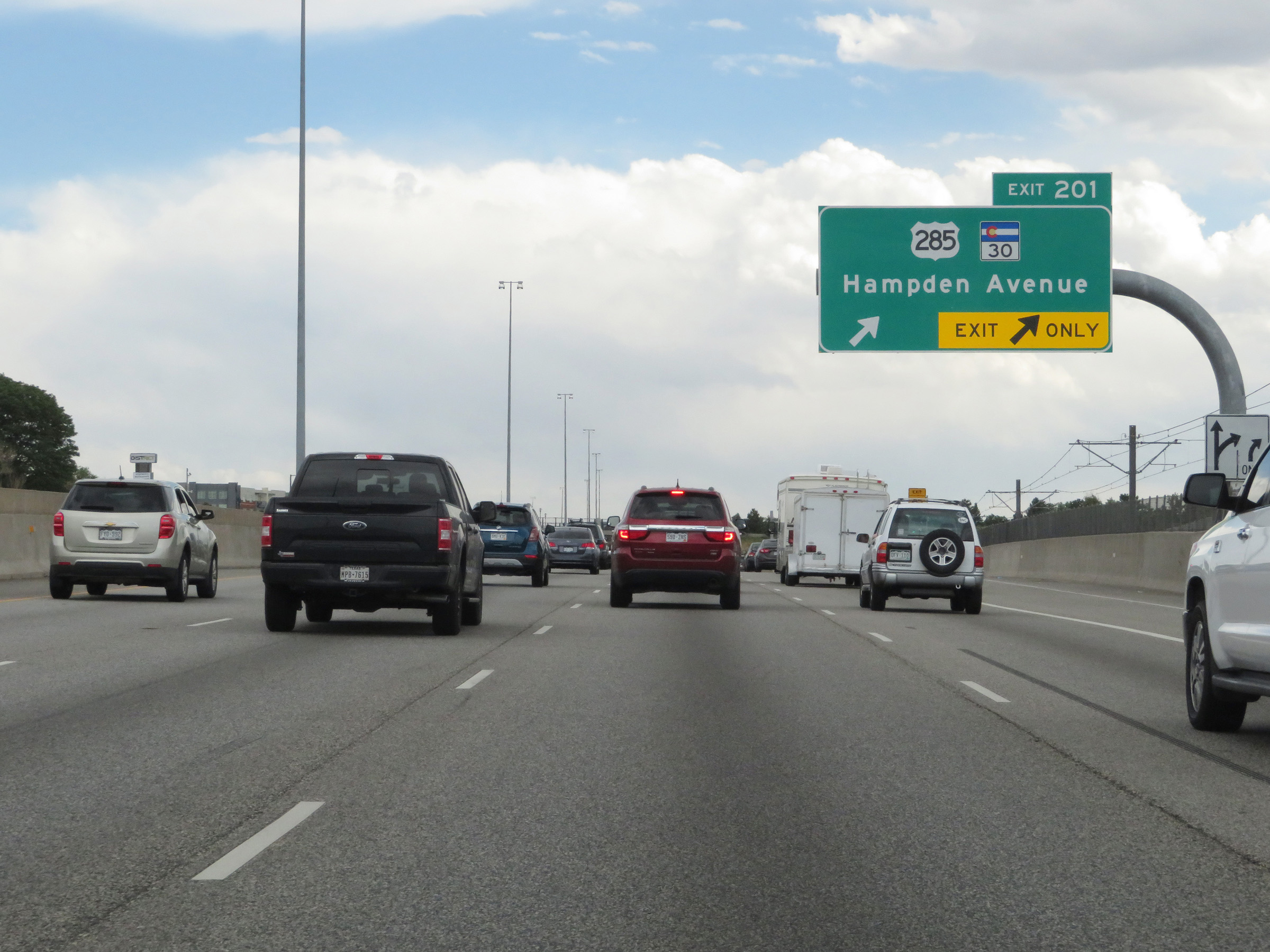 |
Interstate 25 South at Exit 201: US 285 / CO 30 - Hampden Avenue (Photo taken 8/12/20). |
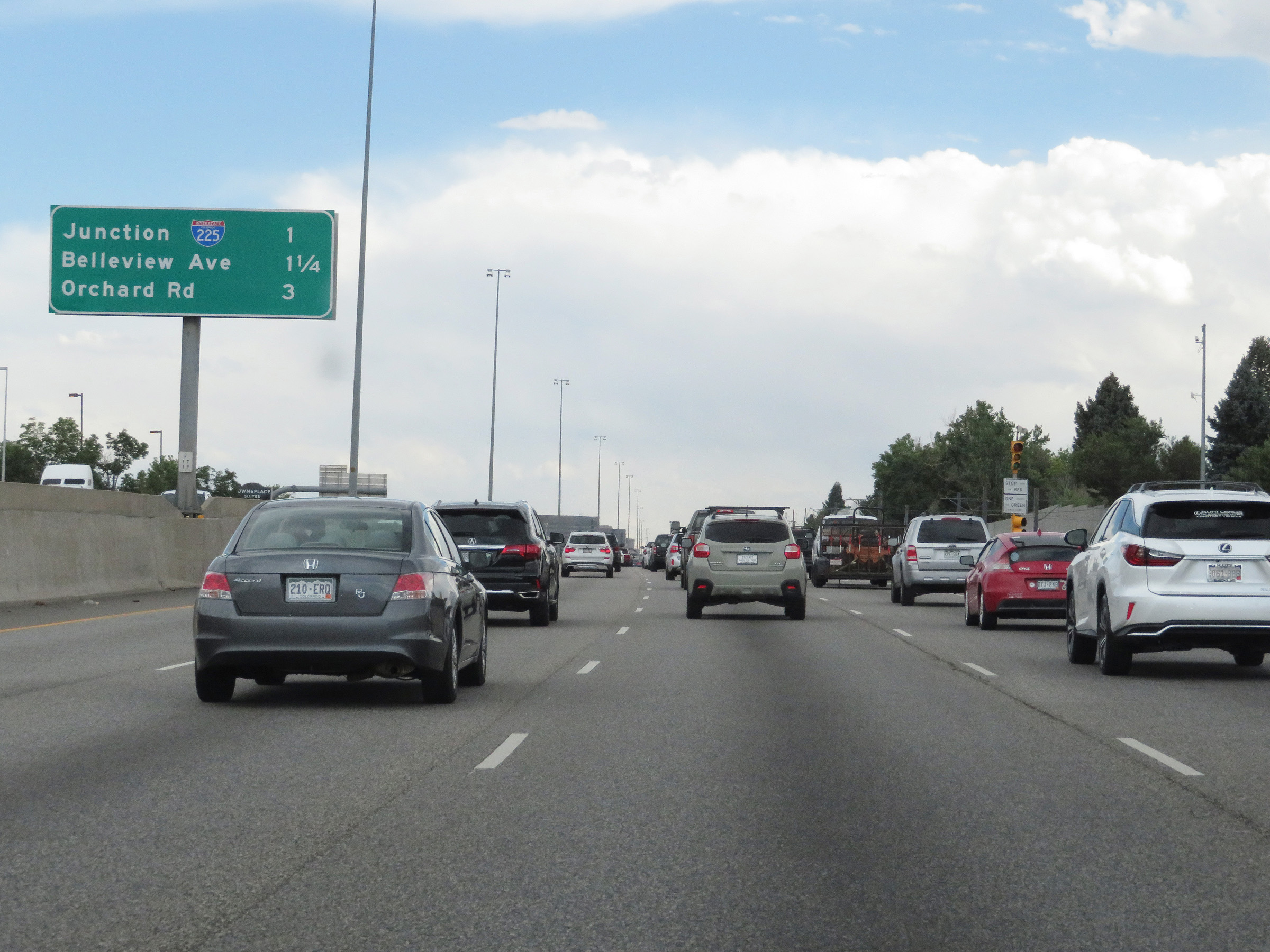 |
Overhead mileage sign listing the distances to the next three exits on Interstate 25 South in Denver. (Photo taken 8/12/20). |
 |
Interstate 25 South approaching Exit 200 - 1/2 mile. (Photo taken 8/12/20). |
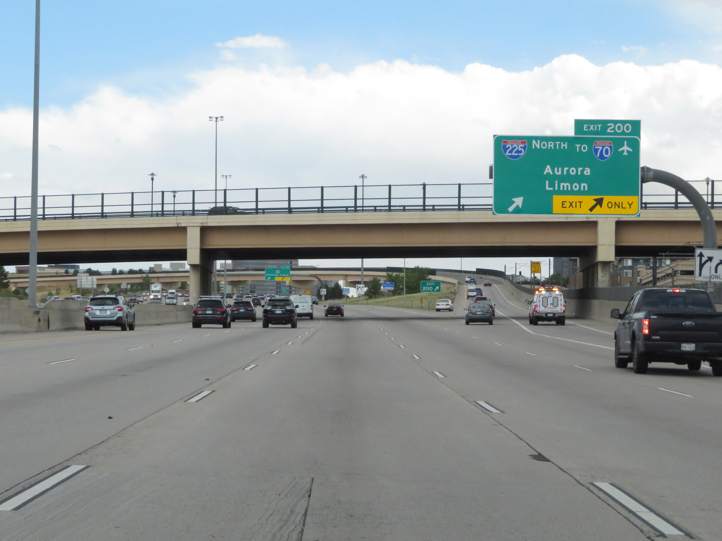 |
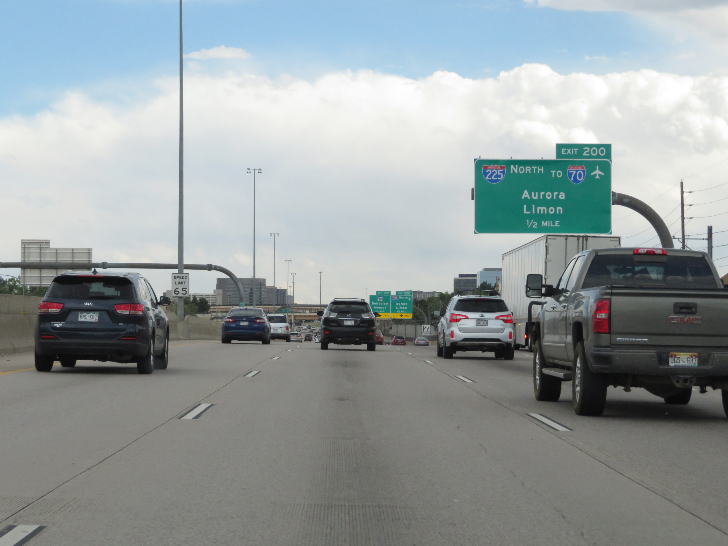
Interstate 25 South at Exit 200: Interstate 225 North / To Interstate 70 - Aurora / Limon (Photo taken 8/12/20). |
 |
Interstate 25 South at Exit 199: CO 88 - Belleview Avenue (Photo taken 8/12/20). |
 |
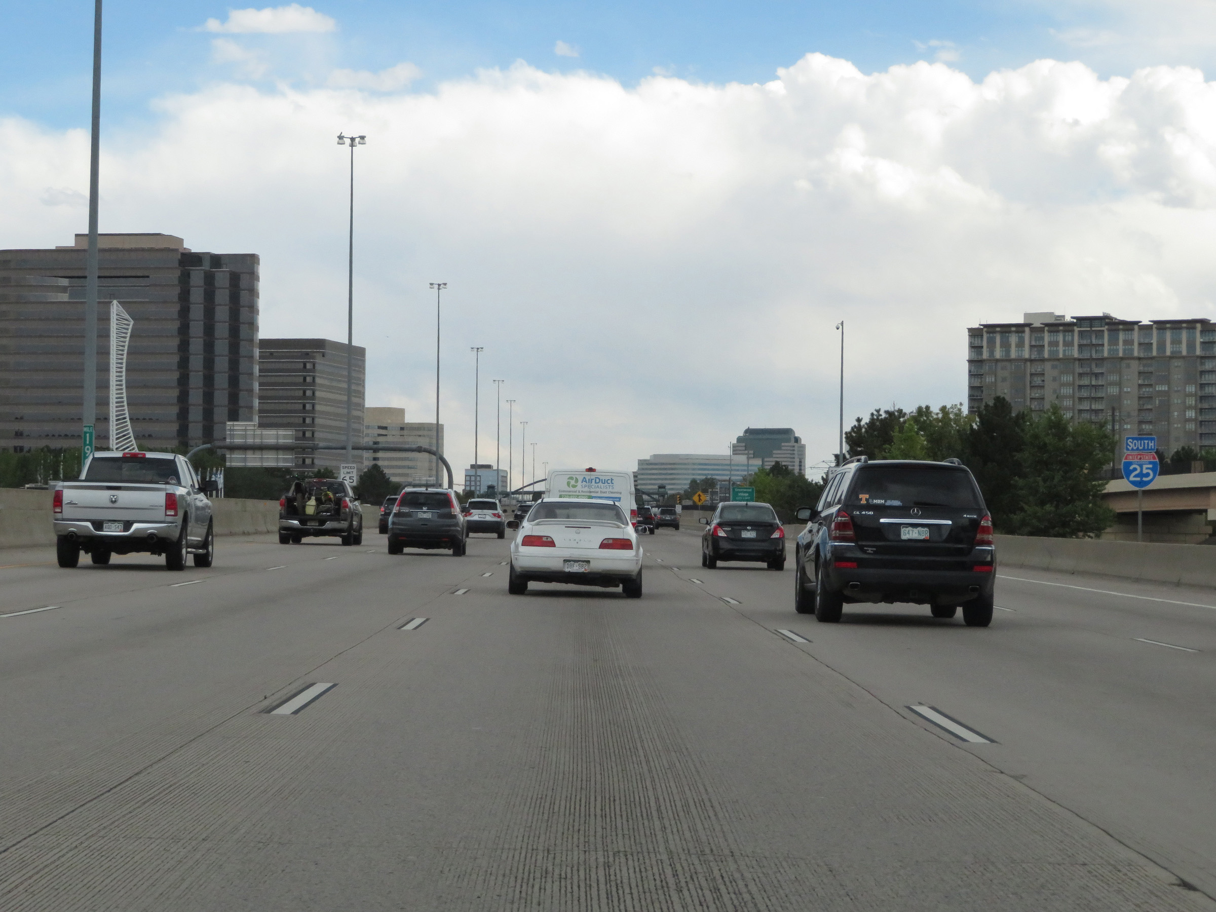
View on Interstate 25 South at mile marker 200. (Photo taken 8/12/20). |
 |
Another state-named Interstate 25 South reassurance shield in Denver. (Photo taken 8/12/20). |
 |
Interstate 25 South at Exit 198: Orchard Road (Photo taken 8/12/20). |
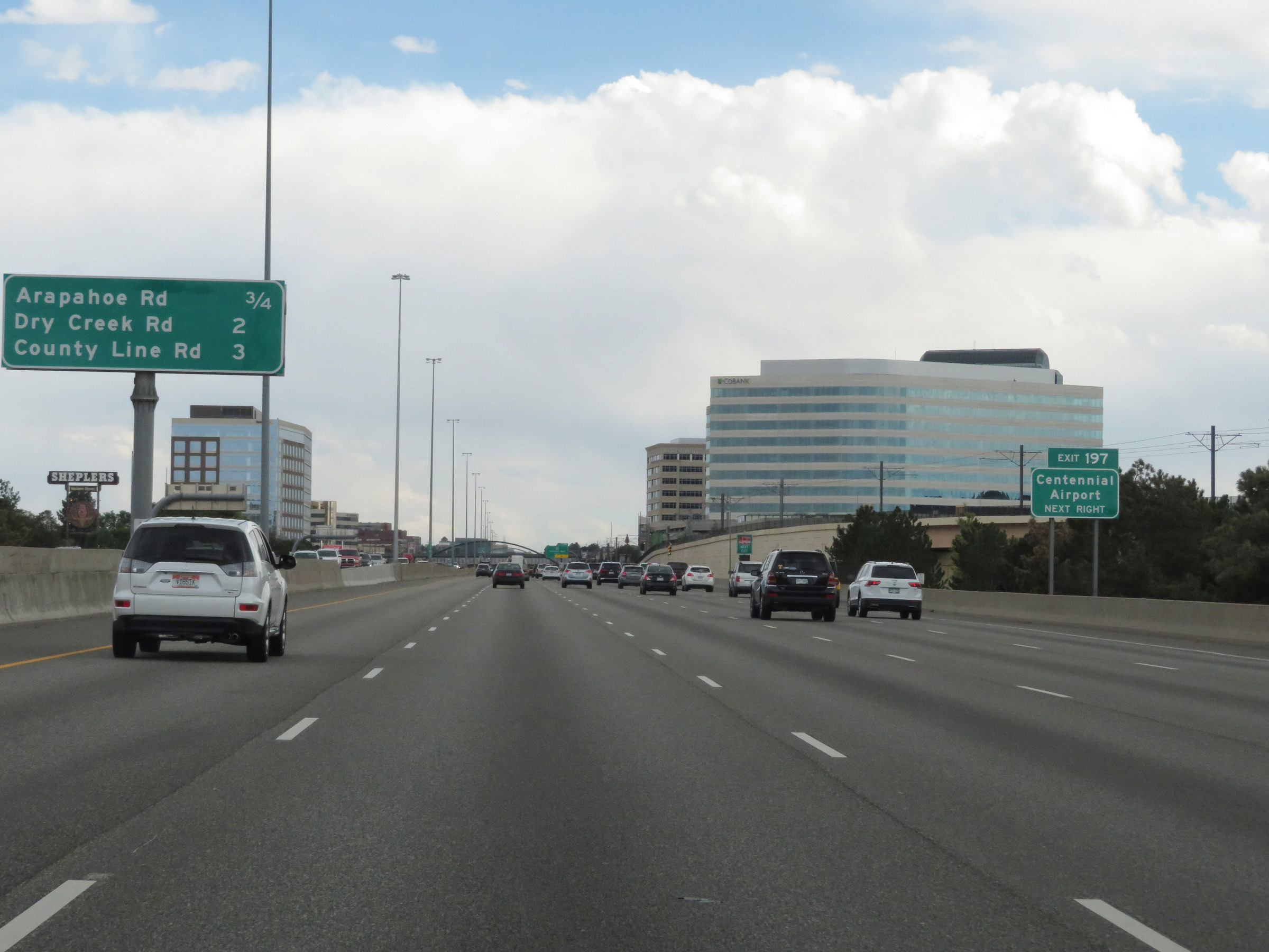 |
Take Exit 197 to Centennial Airport. (Photo taken 8/12/20). |
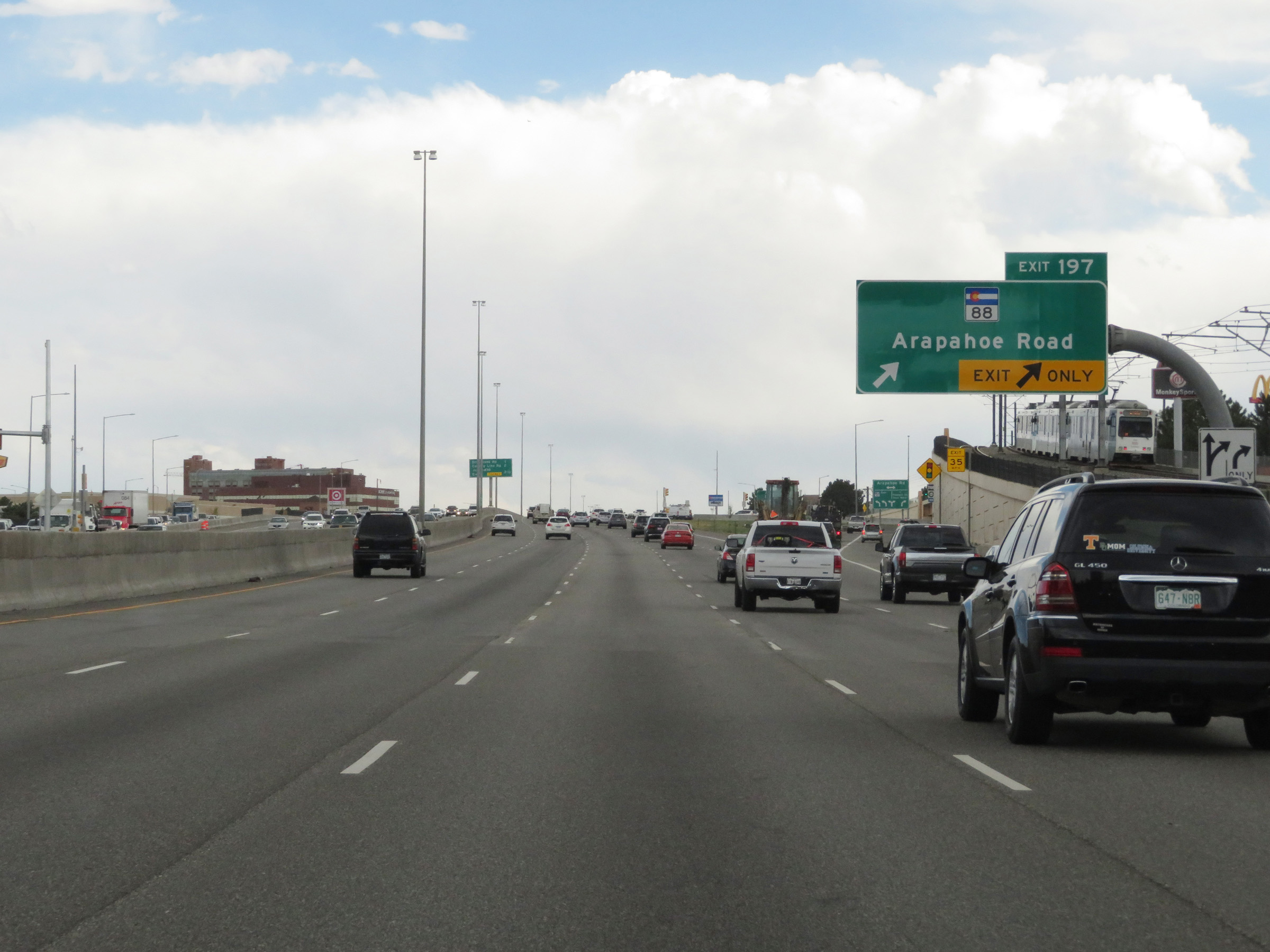 |
Interstate 25 South at Exit 197: CO 88 - Arapahoe Road (Photo taken 8/12/20). |
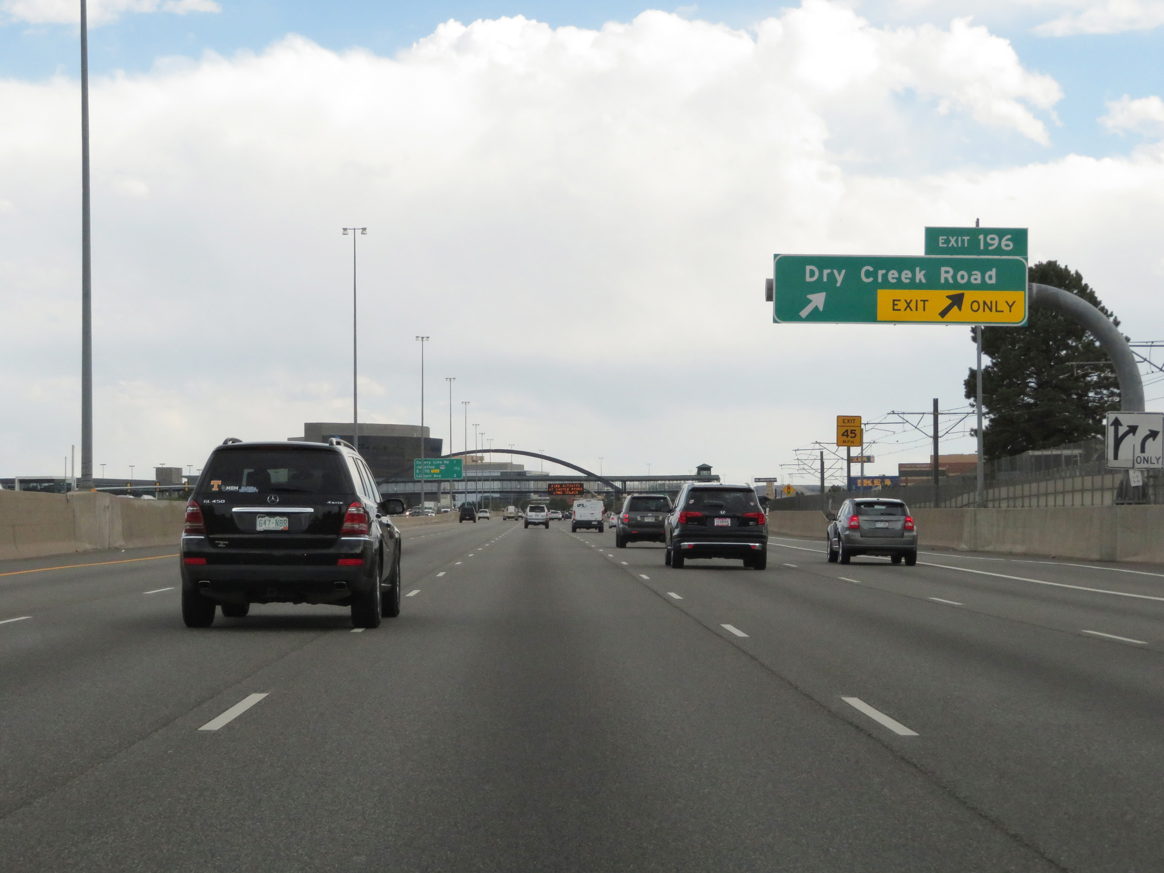 |
Interstate 25 South at Exit 196: Dry Creek Road (Photo taken 8/12/20). |
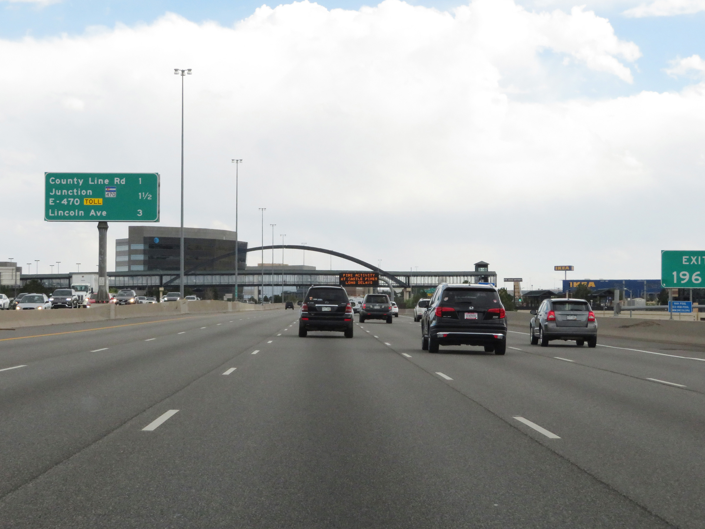 |
Another overhead mileage sign showing the distances to the next three interchanges on Interstate 25 South. (Photo taken 8/12/20). |
 |
Interstate 25 South at Exit 195: County Line Road (Photo taken 8/12/20). |
 |
Interstate 25 South approaching Exit 194 - 1/2 mile. (Photo taken 8/12/20). |
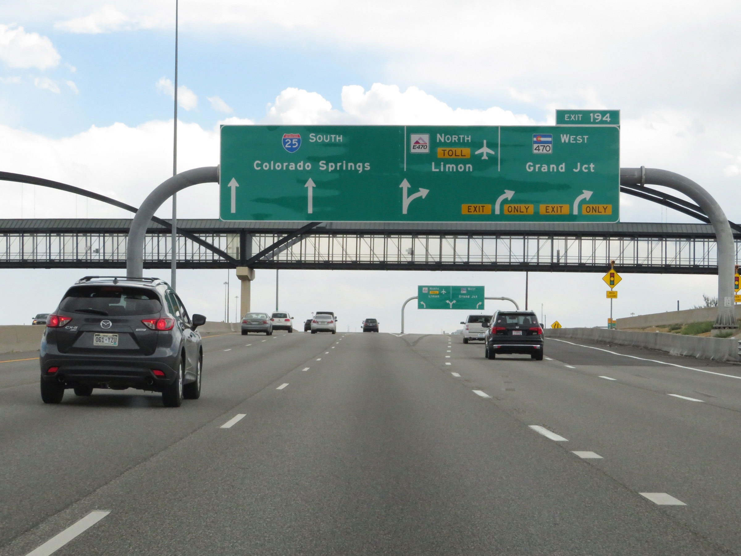 |
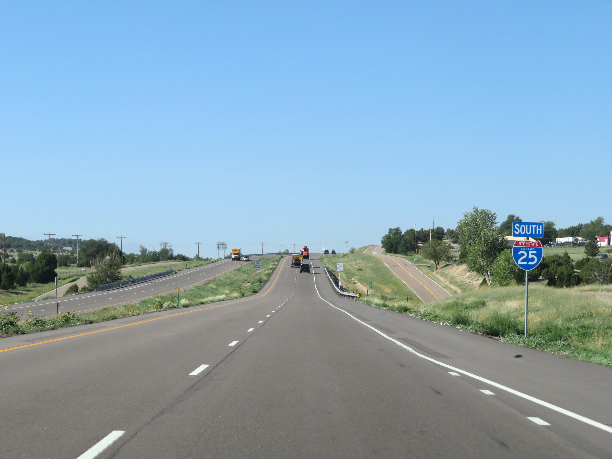
Interstate 25 South at Exit 194: E-470 Tollway North / CO 470 West - Limon / Grand Junction (Photo taken 8/12/20). |
 |
View on Interstate 25 South in Douglas County, leaving the Denver metro area. (Photo taken 8/12/20). |
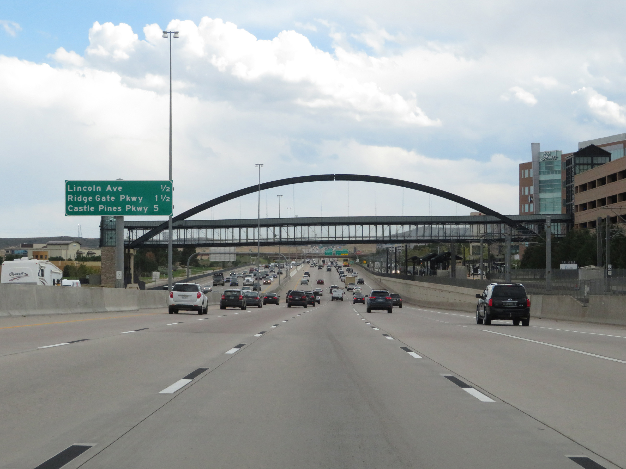
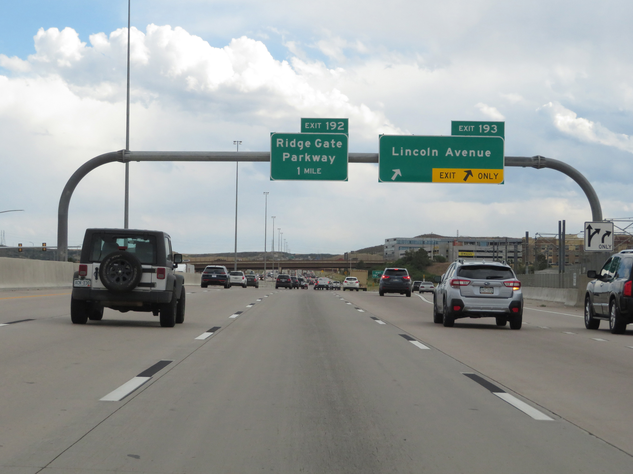 |
Interstate 25 South at Exit 193: Lincoln Avenue (Photo taken 8/12/20). |
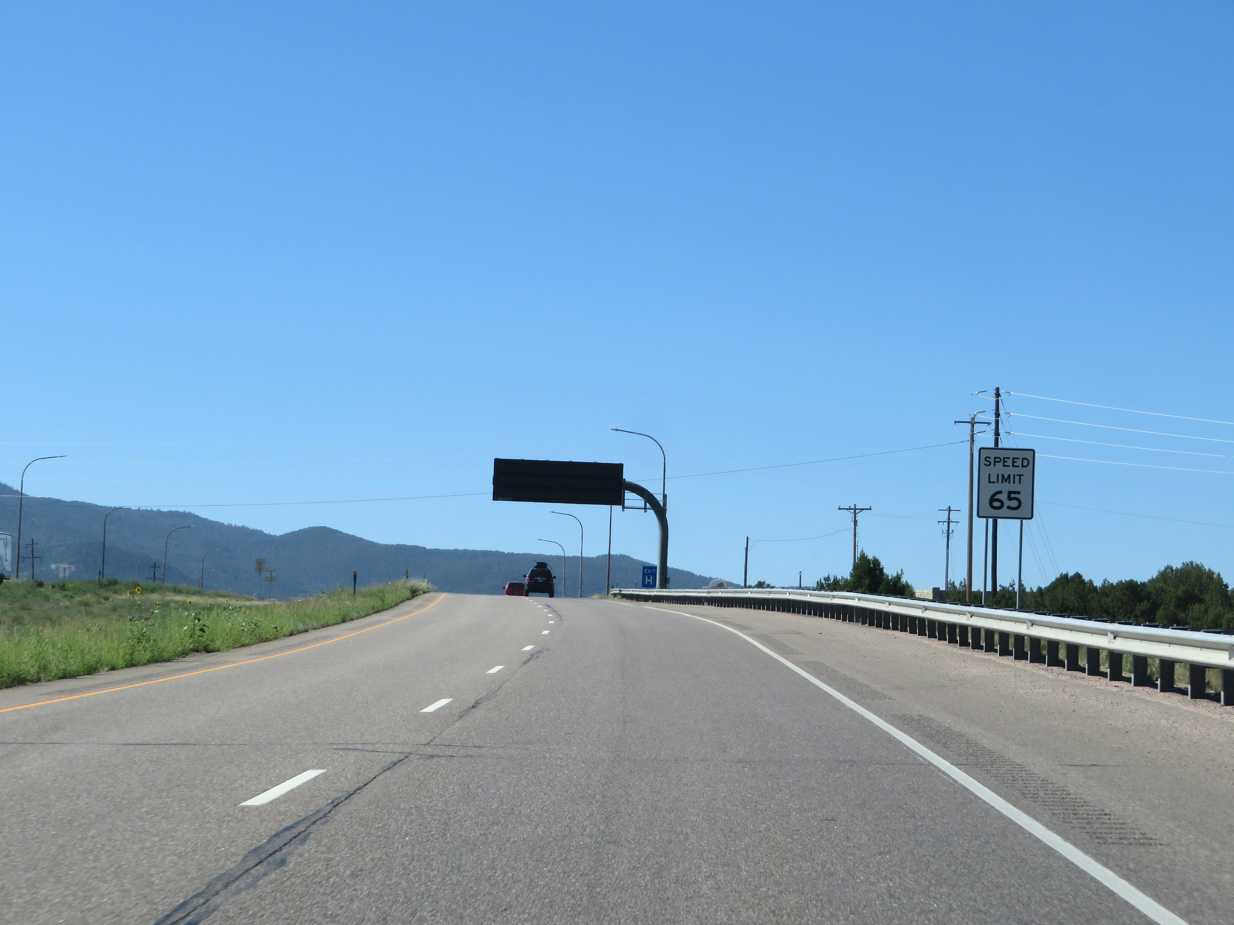
 |
South of Exit 193, the speed limit increases to 75 mph once again. This is the standard speed limit on most rural Interstate highways in Colorado. (Photo taken 8/12/20). |
 |
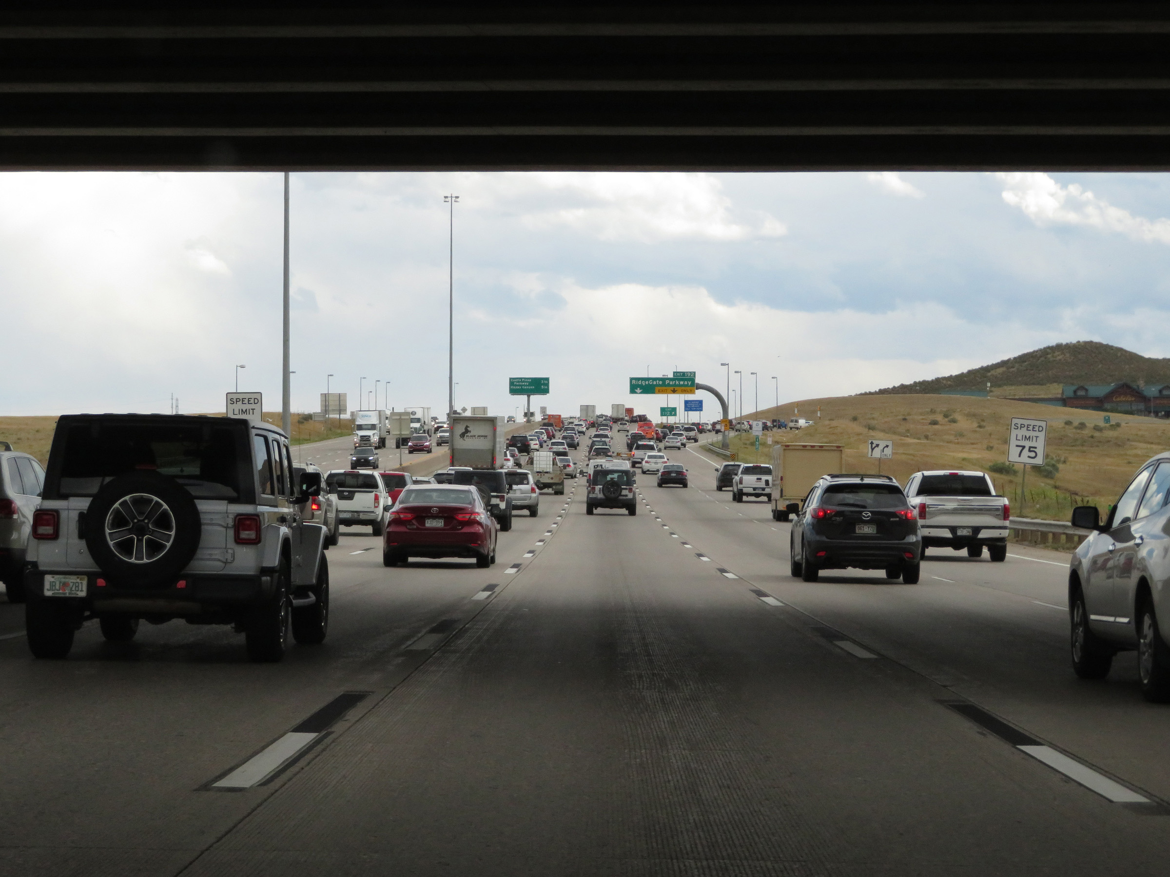
Interstate 25 South at Exit 192: RidgeGate Parkway (Photo taken 8/12/20). |
 |
View on Interstate 25 South at mile marker 191.5. (Photo taken 8/12/20). |
 |
Interstate 25 South at mile marker 190.5. (Photo taken 8/12/20). |
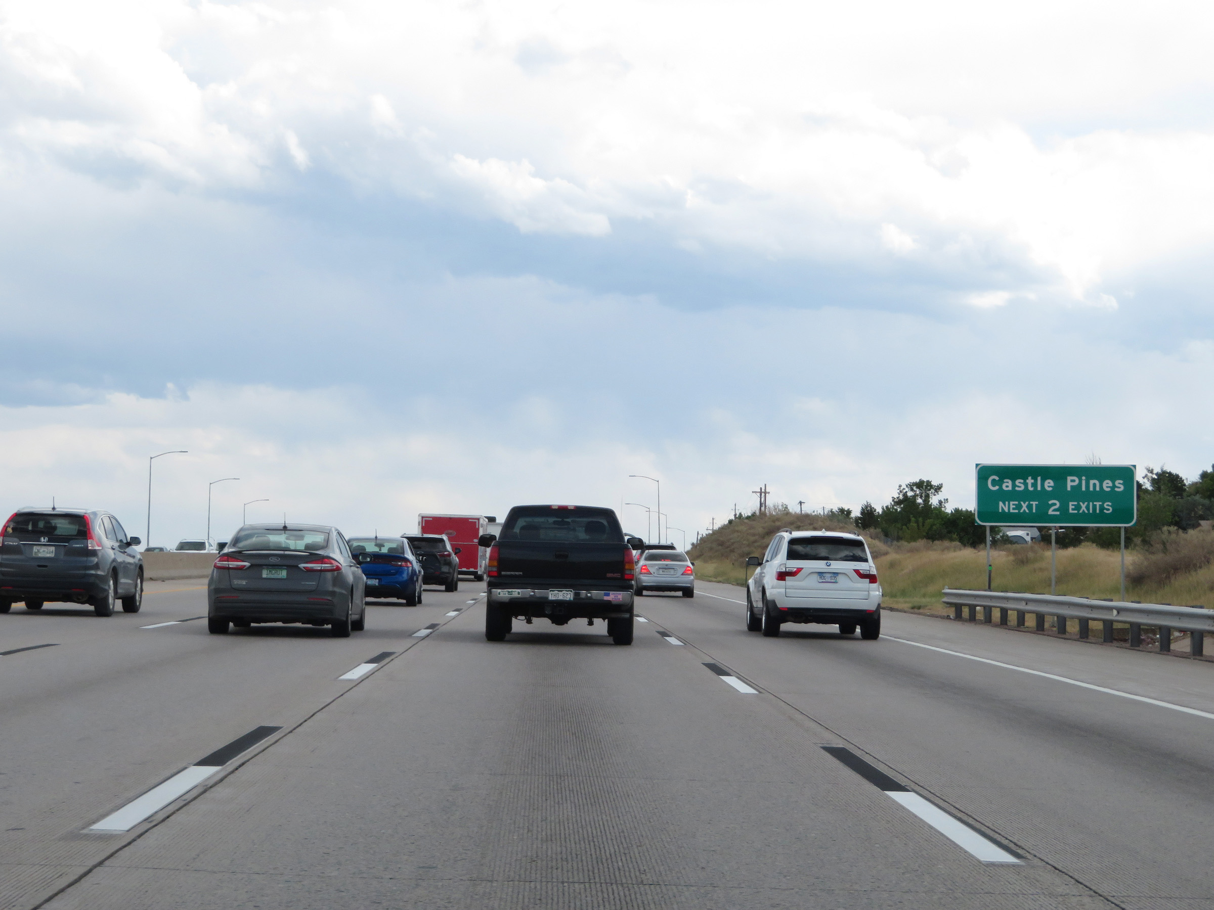 |
Take either of the next 2 exits to Castle Pines. (Photo taken 8/12/20). |
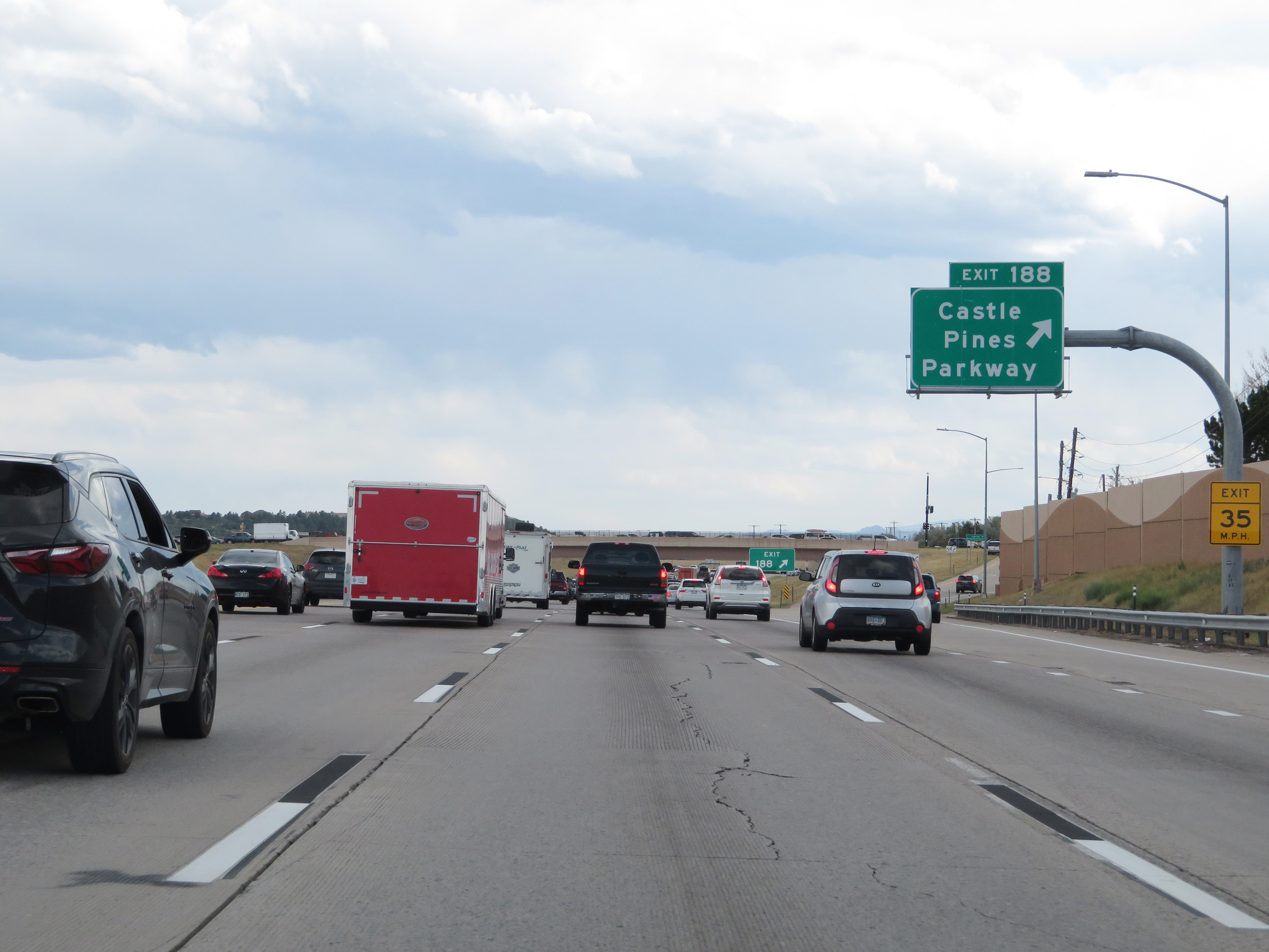 |
Interstate 25 South at Exit 188: Castle Pines Parkway (Photo taken 8/12/20). |
 |
View on Interstate 25 South at mile marker 188. (Photo taken 8/12/20). |
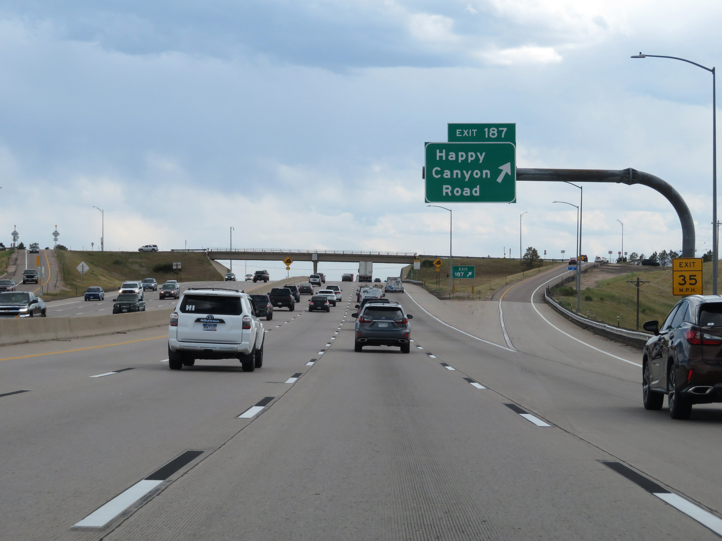 |
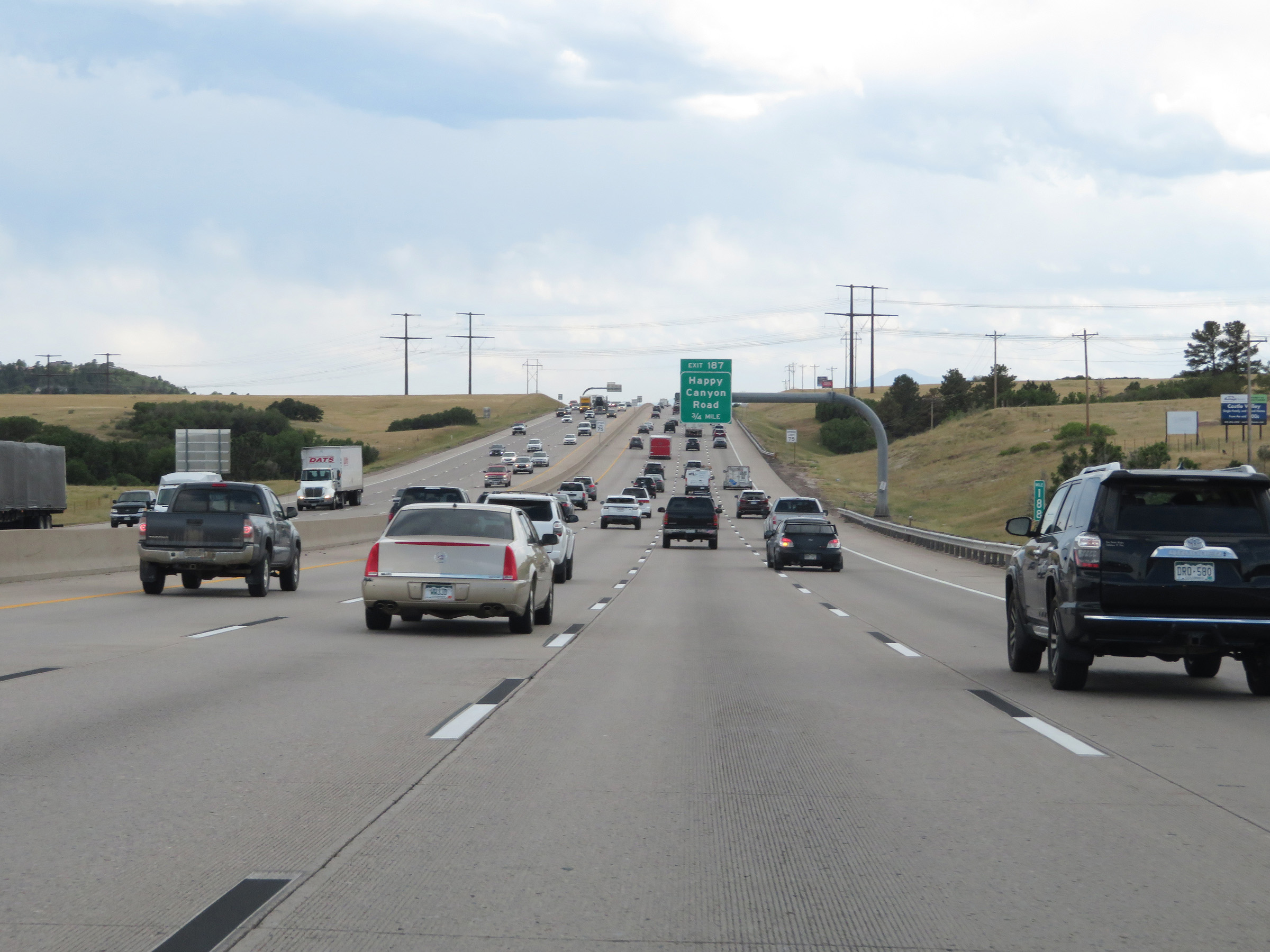
Interstate 25 South at Exit 187: Happy Canyon Road (Photo taken 8/12/20). |
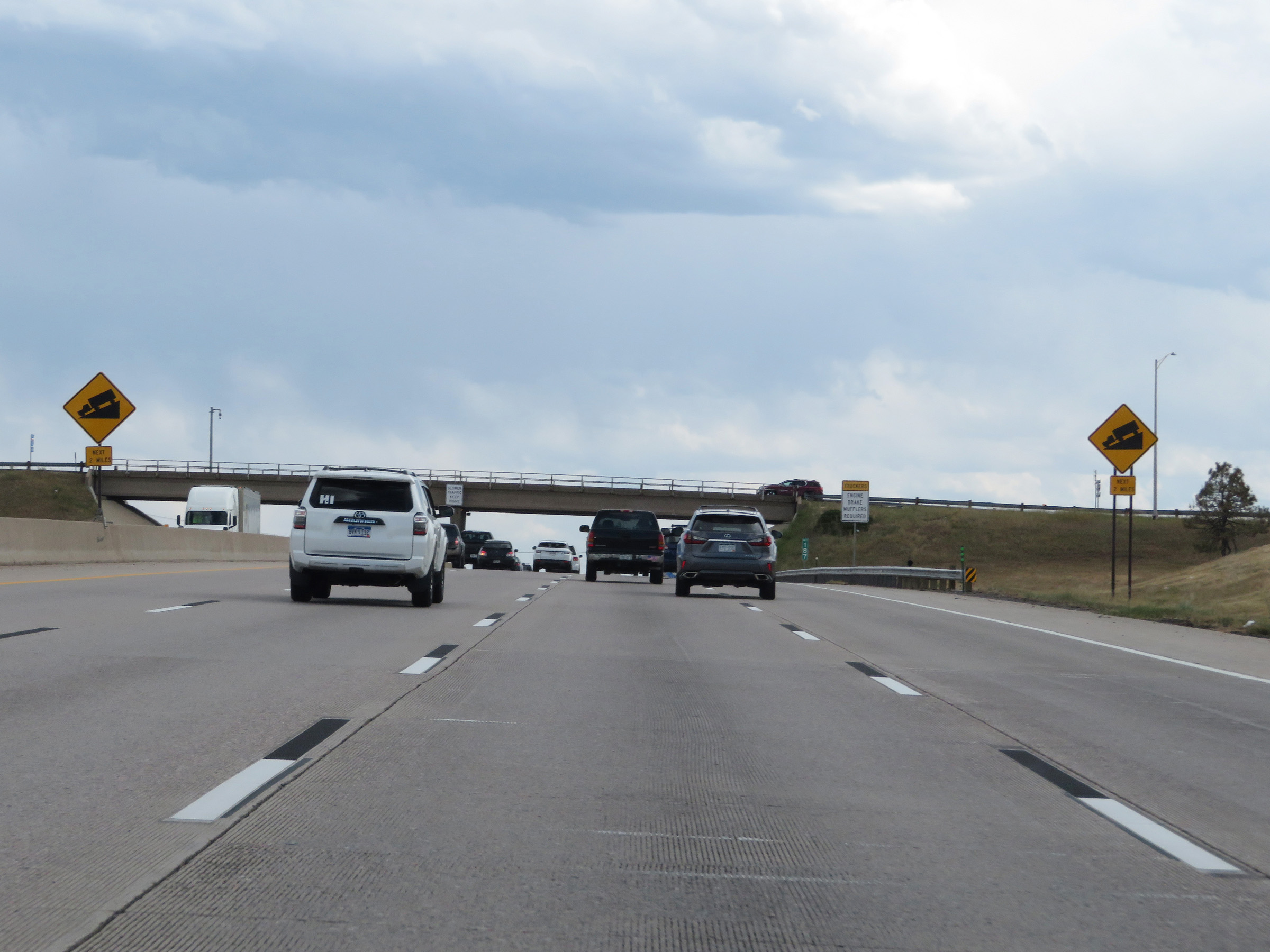 |
As these signs show, Interstate 25 South will traverse a steep downgrade ahead which will last for about 2 miles. The exact steepness of the grade is not displayed. (Photo taken 8/12/20). |
 |
State-named Interstate 25 South reassurance shield as it starts down the steep grade. (Photo taken 8/12/20). |
 |
The speed limit remains 75 mph on Interstate 25 South going down the grade. (Photo taken 8/12/20). |
 |
View on Interstate 25 South at mile marker 186. (Photo taken 8/12/20). |
 |
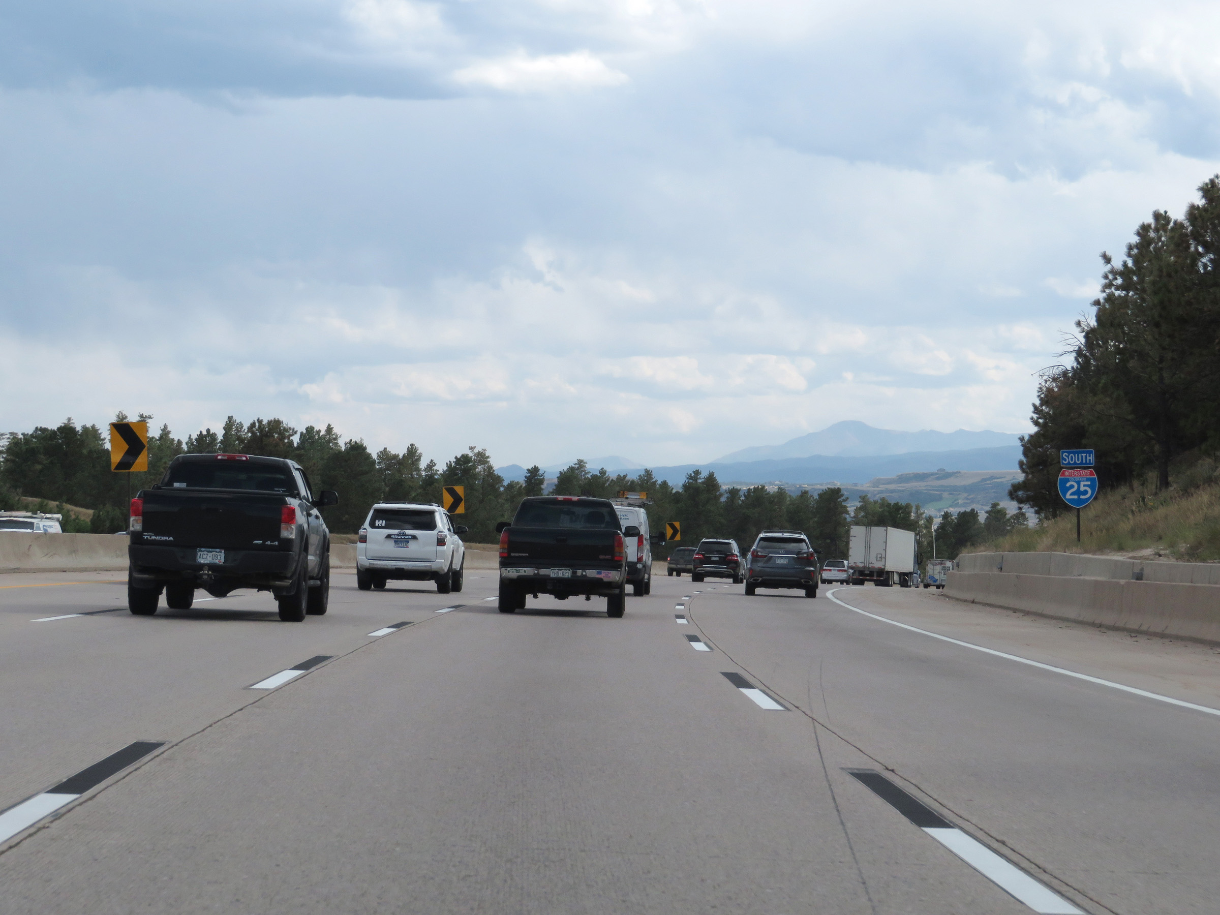
Take any of the next 4 exits to Castle Rock. (Photo taken 8/12/20). |
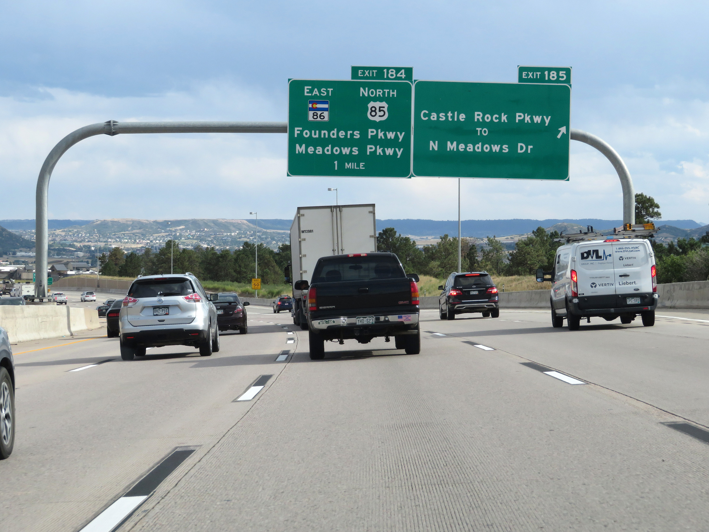 |
Interstate 25 South at Exit 185: Castle Rock Pkwy / To N Meadows Dr (Photo taken 8/12/20). |
 |
Take Exit 184 to Franktown via CO 86. (Photo taken 8/12/20). |
 |
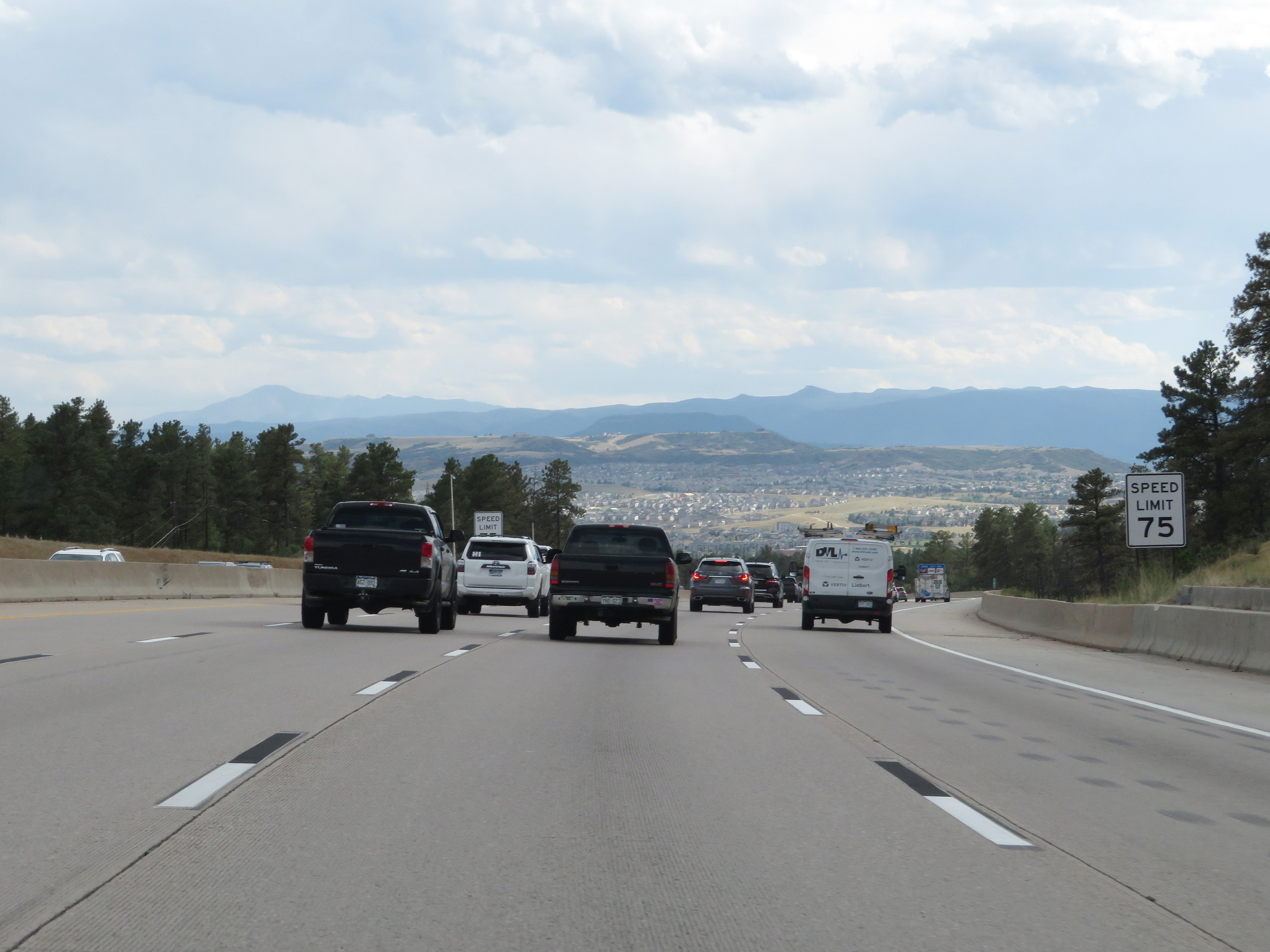
Entering Castle Rock at the bottom of the steep downgrade, the speed limit is reduced to 65 mph for all traffic. (Photo taken 8/12/20). |
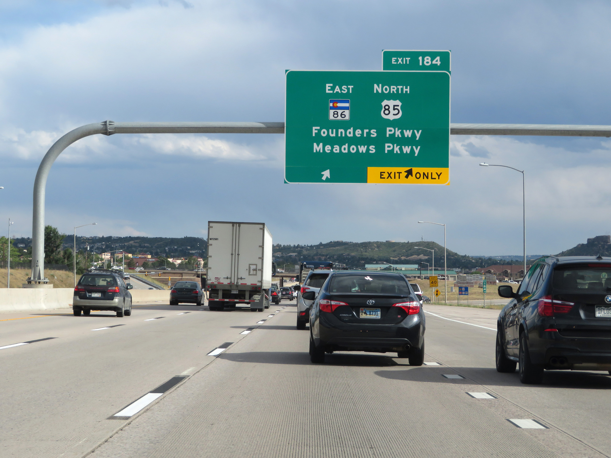 |
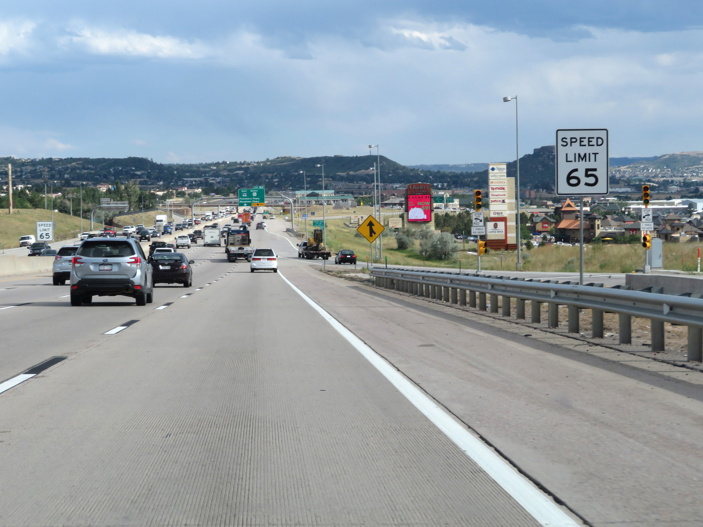
Interstate 25 South at Exit 184: CO 86 East / US 85 North - Founders Pkwy / Meadows Pkwy (Photo taken 8/12/20). |
Section 4: Castle Rock (Exit 184) to Colorado Springs (Exit 142)
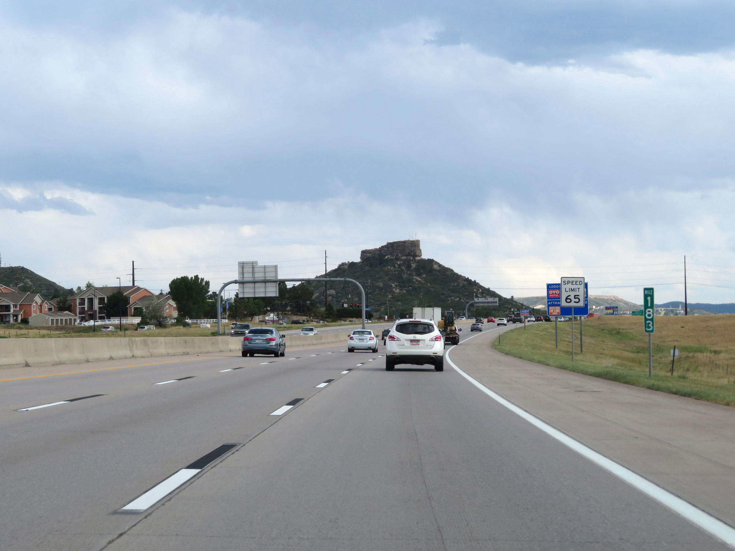 |
View on Interstate 25 South at mile marker 183. (Photo taken 8/12/20). |
 |
A Visitor Information Center exists off Exit 182. (Photo taken 8/12/20). |
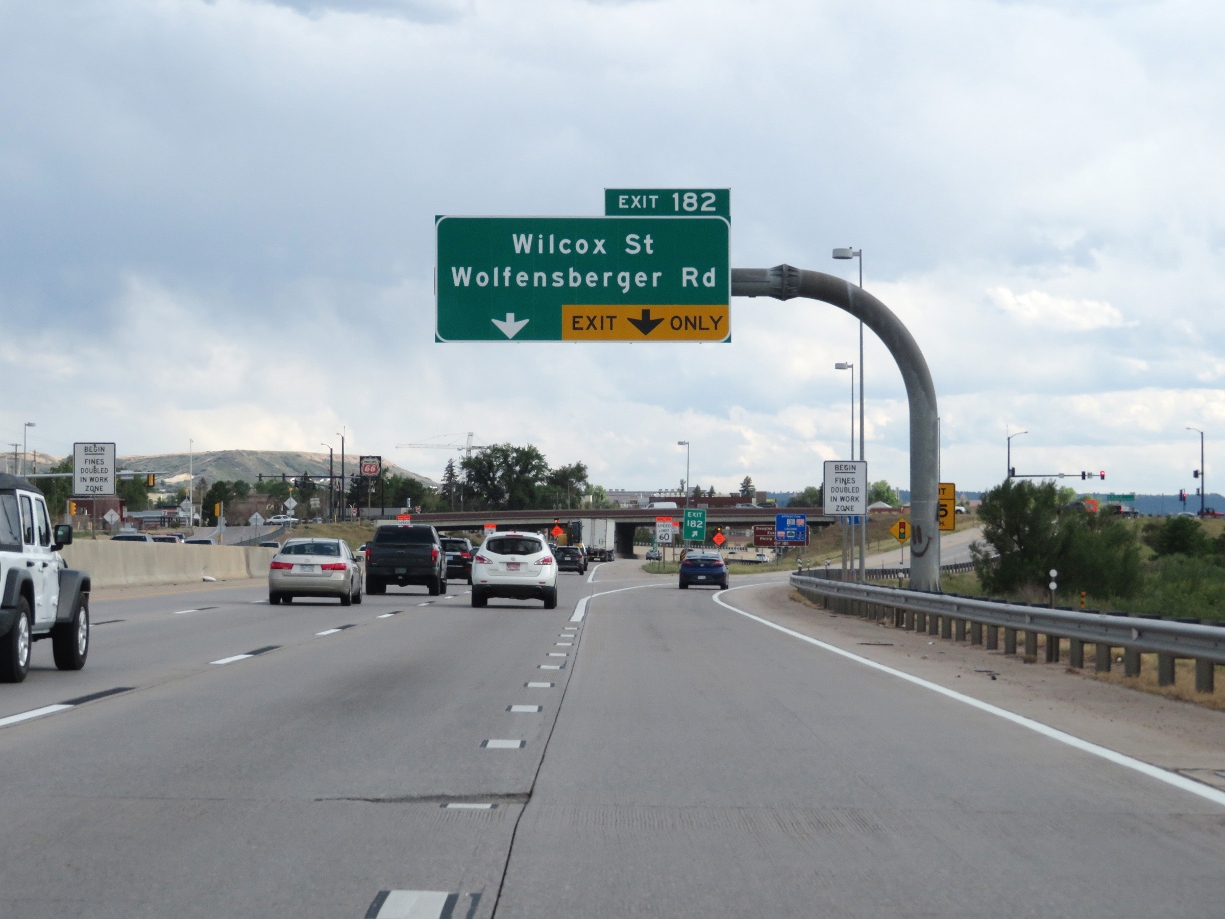 |
Interstate 25 South at Exit 182: Wilcox St / Wolfensberger Rd (Photo taken 8/12/20). |
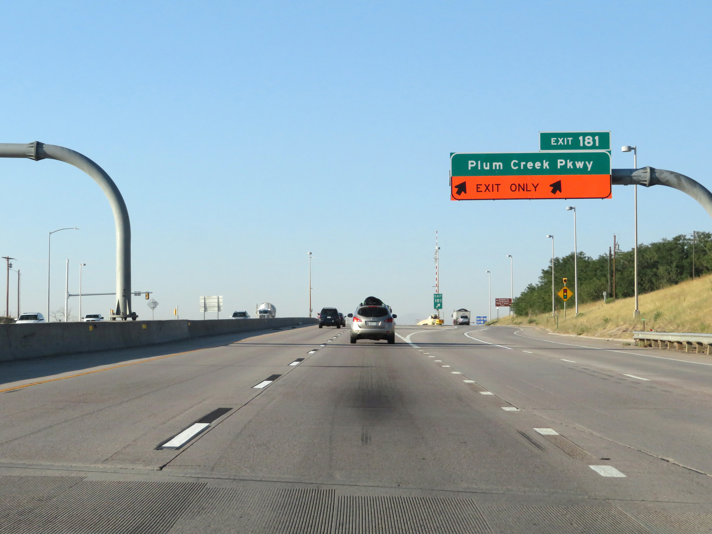 |
Interstate 25 South at Exit 181: Plum Creek Pkwy (Photo taken 8/13/20). |
 |
State-named Interstate 25 South reassurance shield at mile marker 180. (Photo taken 8/13/20). |
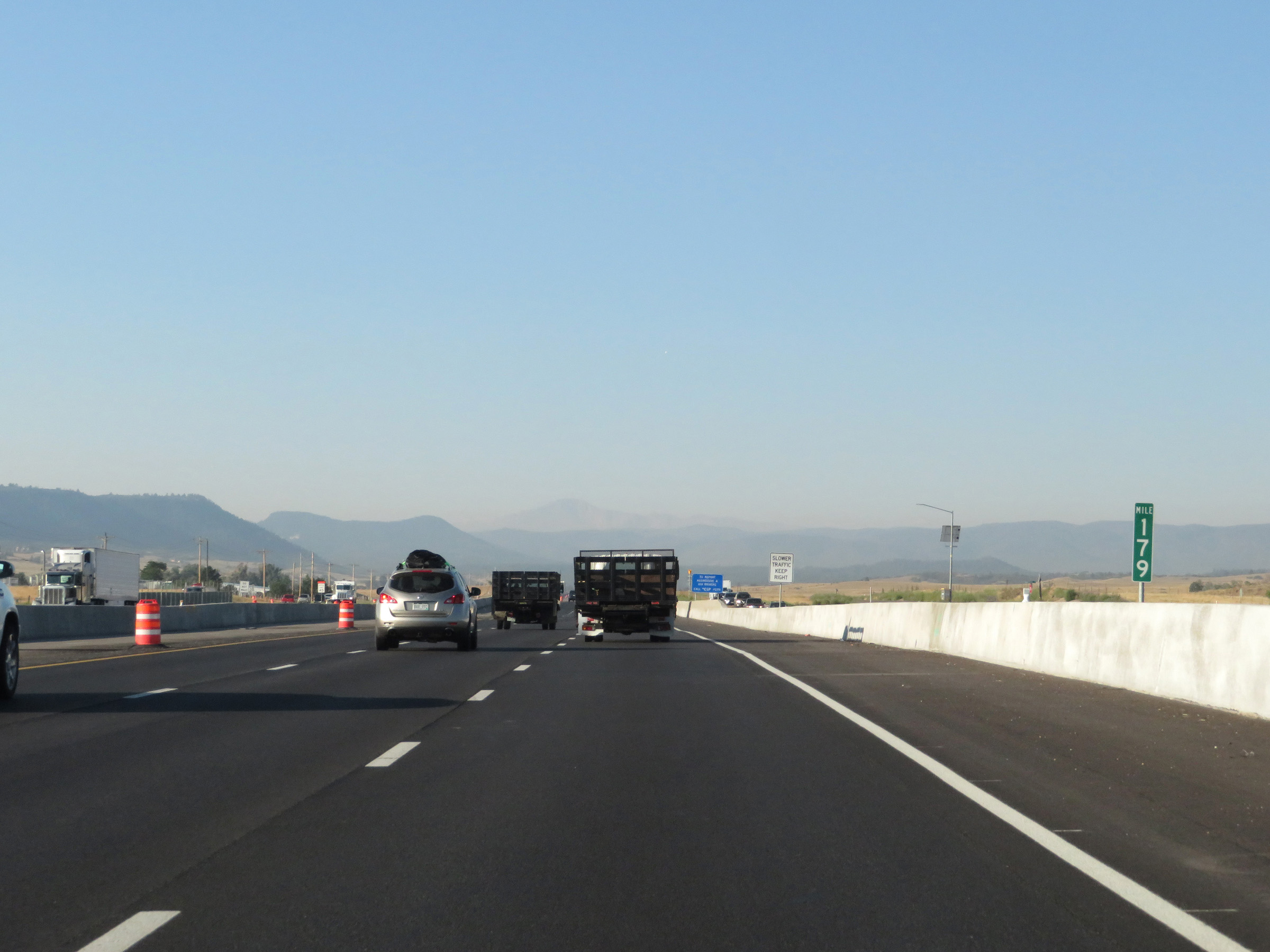 |
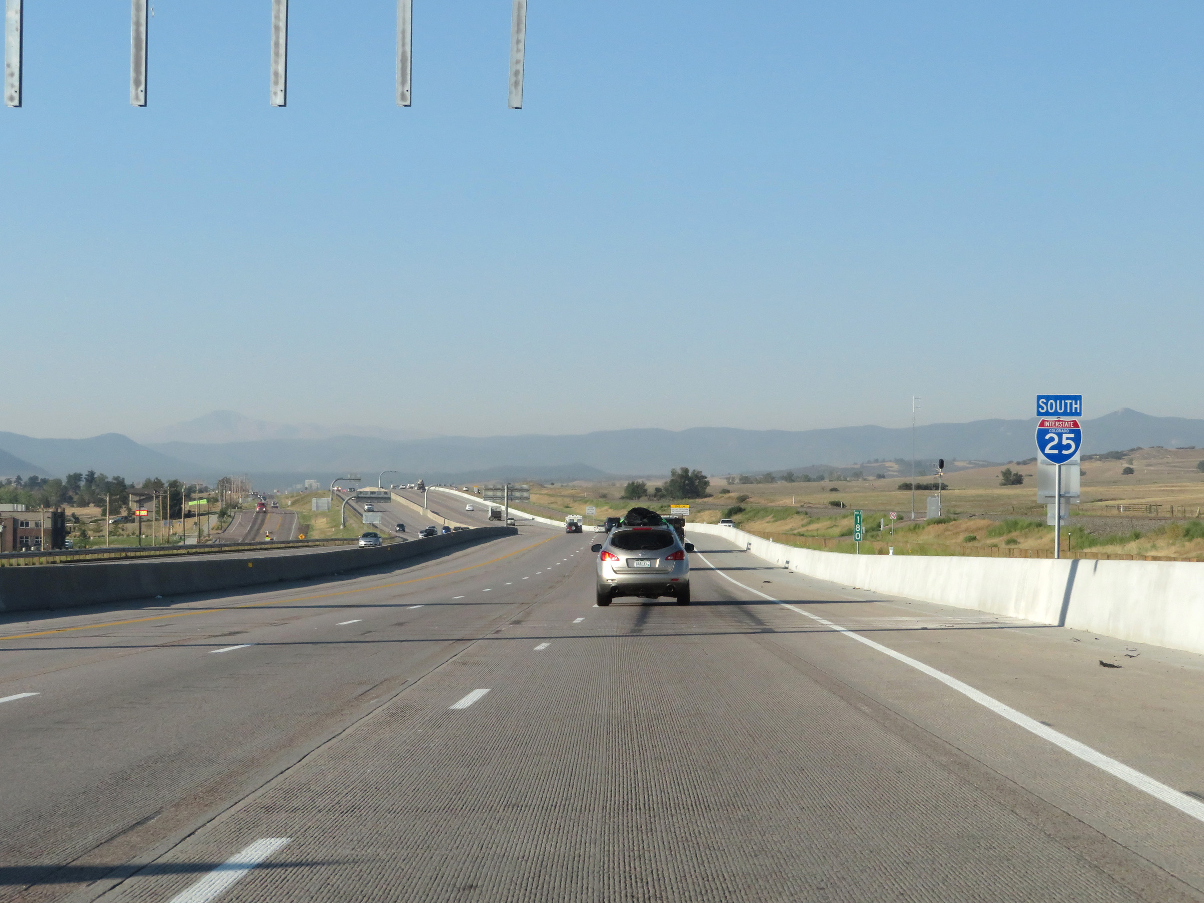
Interstate 25 South at mile marker 179. (Photo taken 8/13/20). |
 |
View on Interstate 25 South at mile marker 177. (Photo taken 8/13/20). |
 |
Mile marker 175.75 on Interstate 25 South in Douglas County. (Photo taken 8/13/20). |
 |
Interstate 25 South at Exit 174: Tomah Road (Photo taken 8/13/20). |
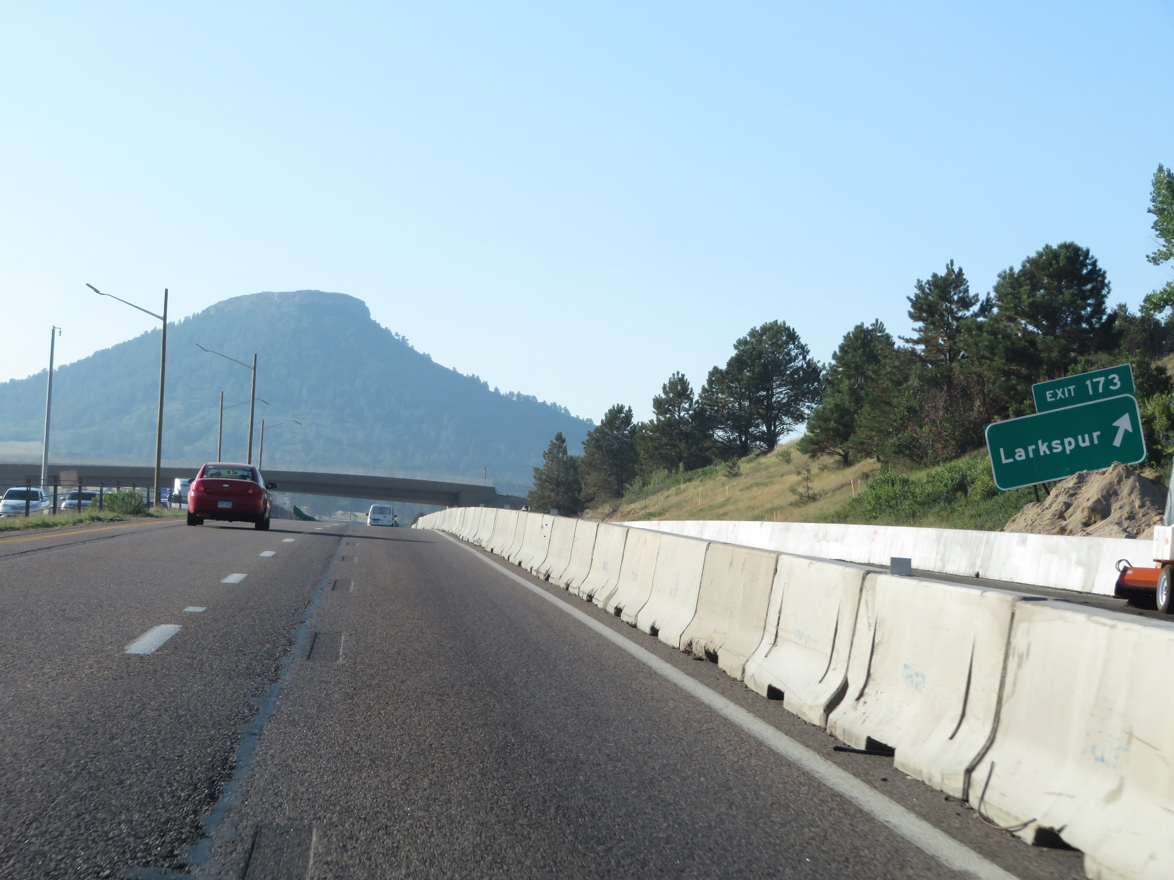 |
Interstate 25 South at Exit 173: Larkspur (Photo taken 8/13/20). |
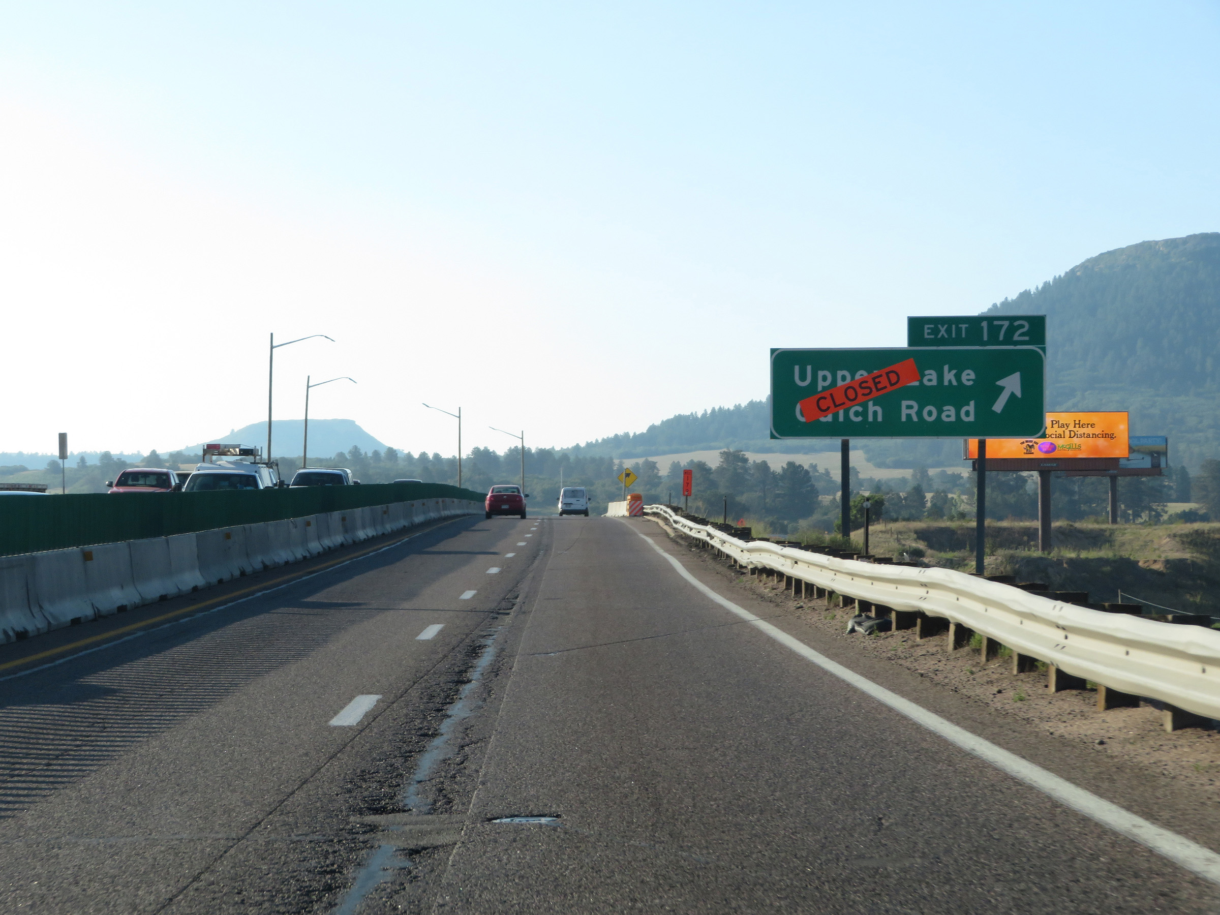 |
Interstate 25 South at Exit 172: Upper Lake Gulch Road (Photo taken 8/13/20). |
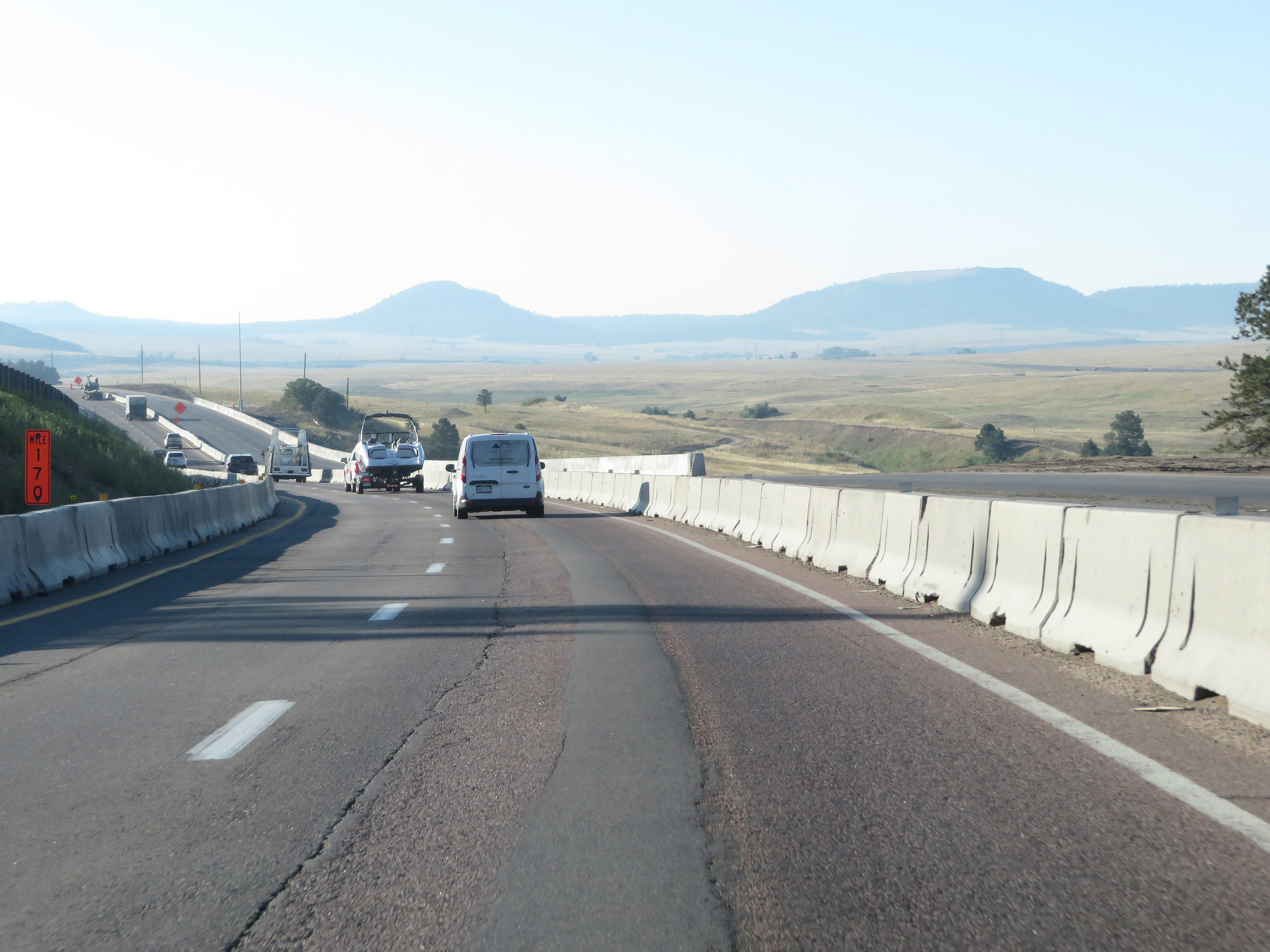 |
View on Interstate 25 South at mile marker 170. (Photo taken 8/13/20). |
 |
Interstate 25 South at mile marker 169. (Photo taken 8/13/20). |
 |
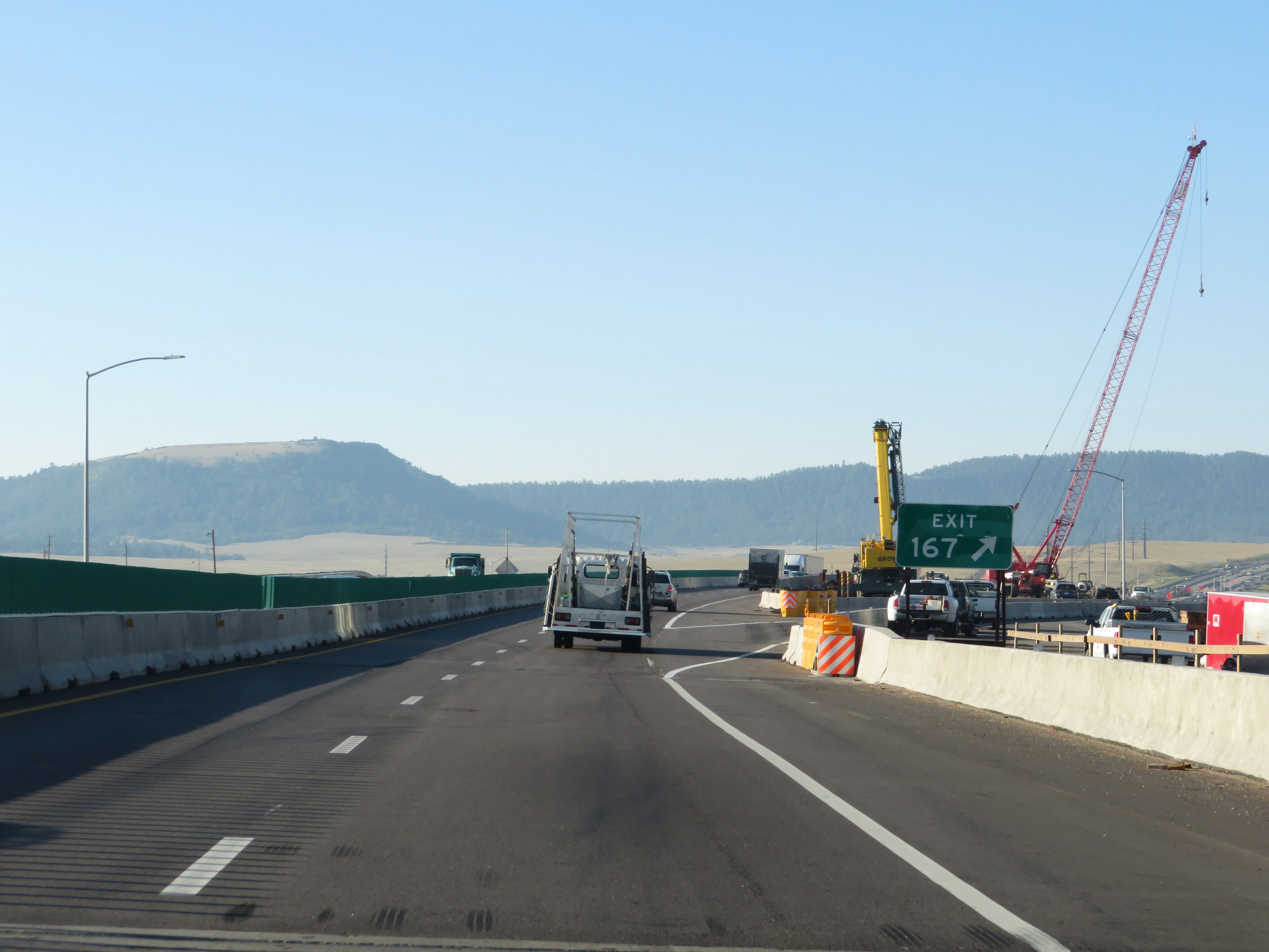
Interstate 25 South approaching Exit 167 - 1/2 mile. (Photo taken 8/13/20). |
 |
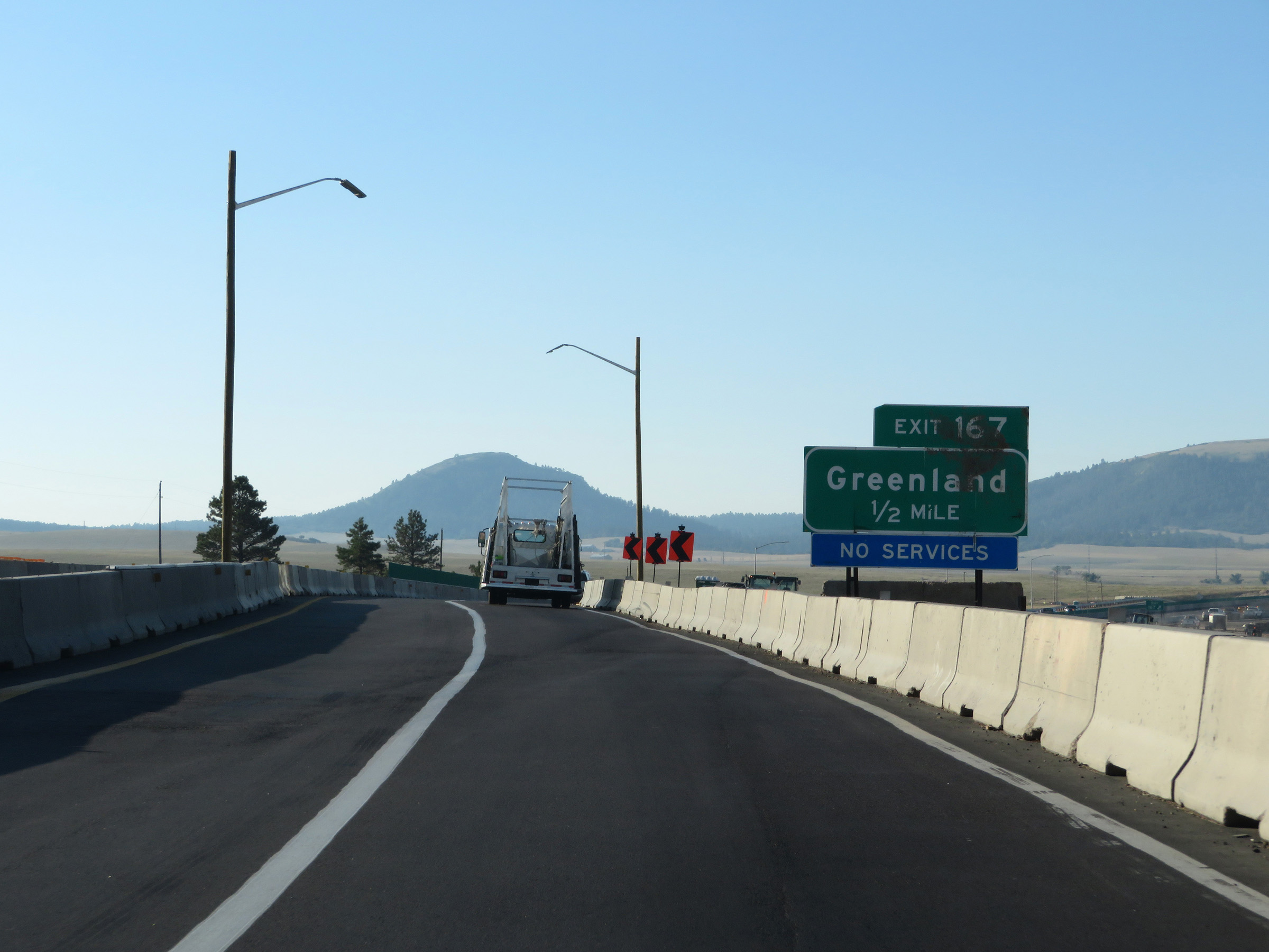
Interstate 25 South at Exit 167: Greenland (Photo taken 8/13/20). |
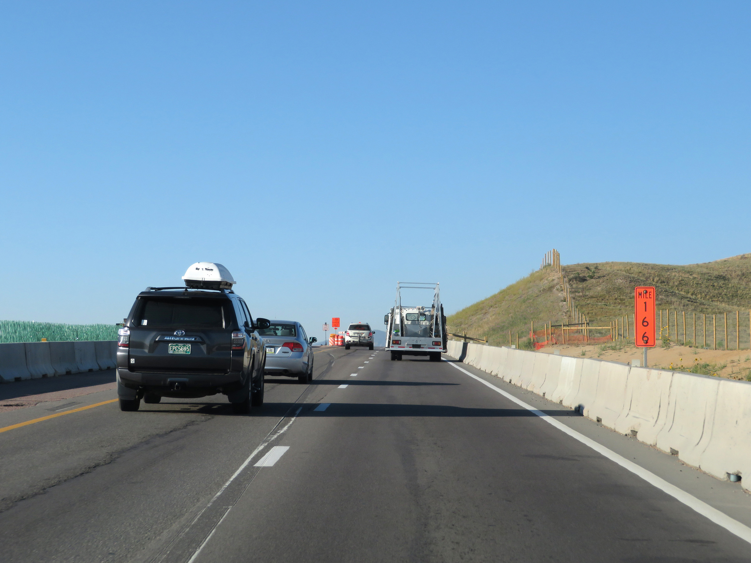 |
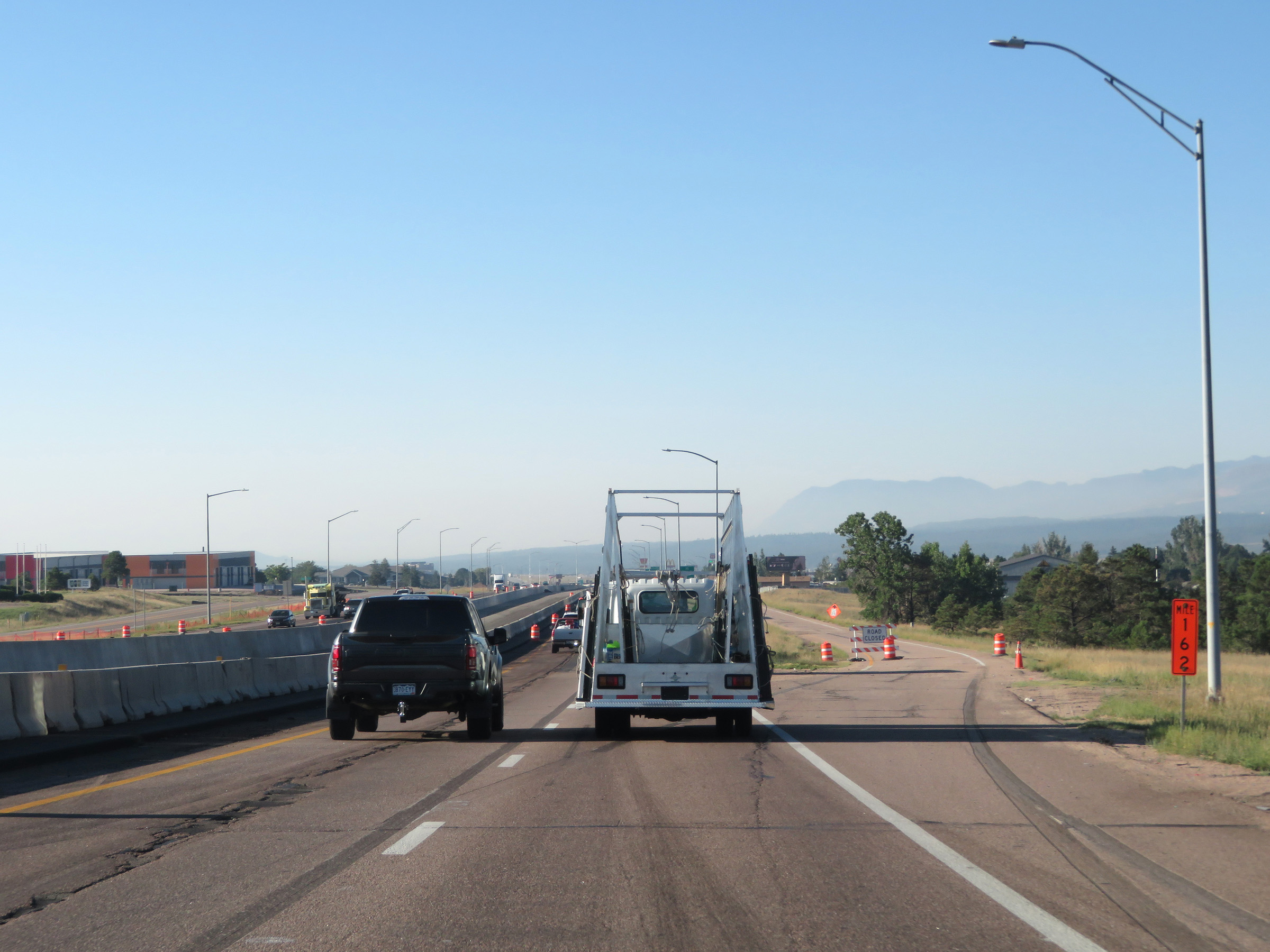
View on Interstate 25 South at mile marker 166. (Photo taken 8/13/20). |
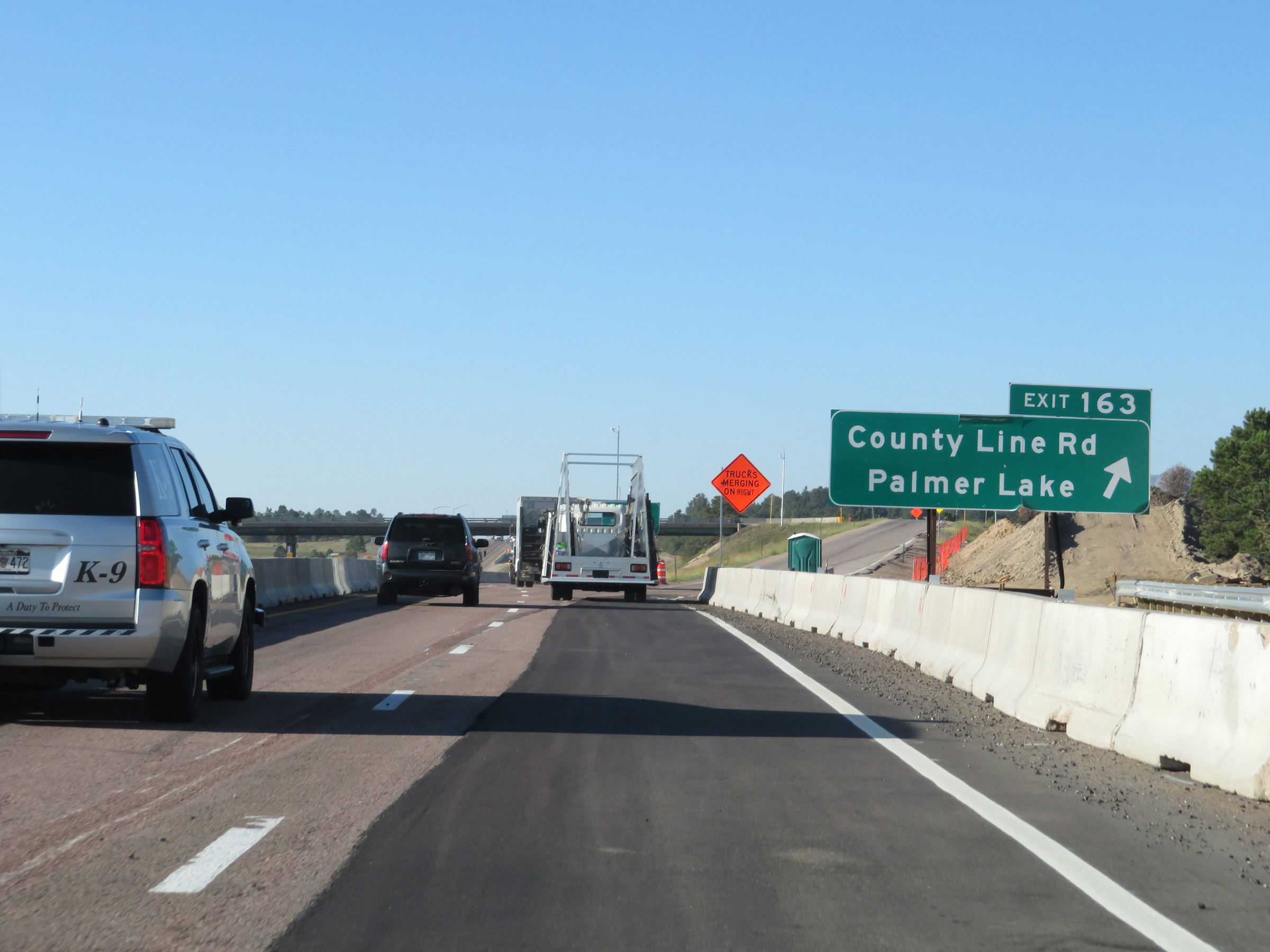 |
Interstate 25 South at Exit 163: County Line Rd / Palmer Lake (Photo taken 8/13/20). |
 |
Trucks should keep right in the event that the Weigh Station ahead is open. (Photo taken 8/13/20). |
 |
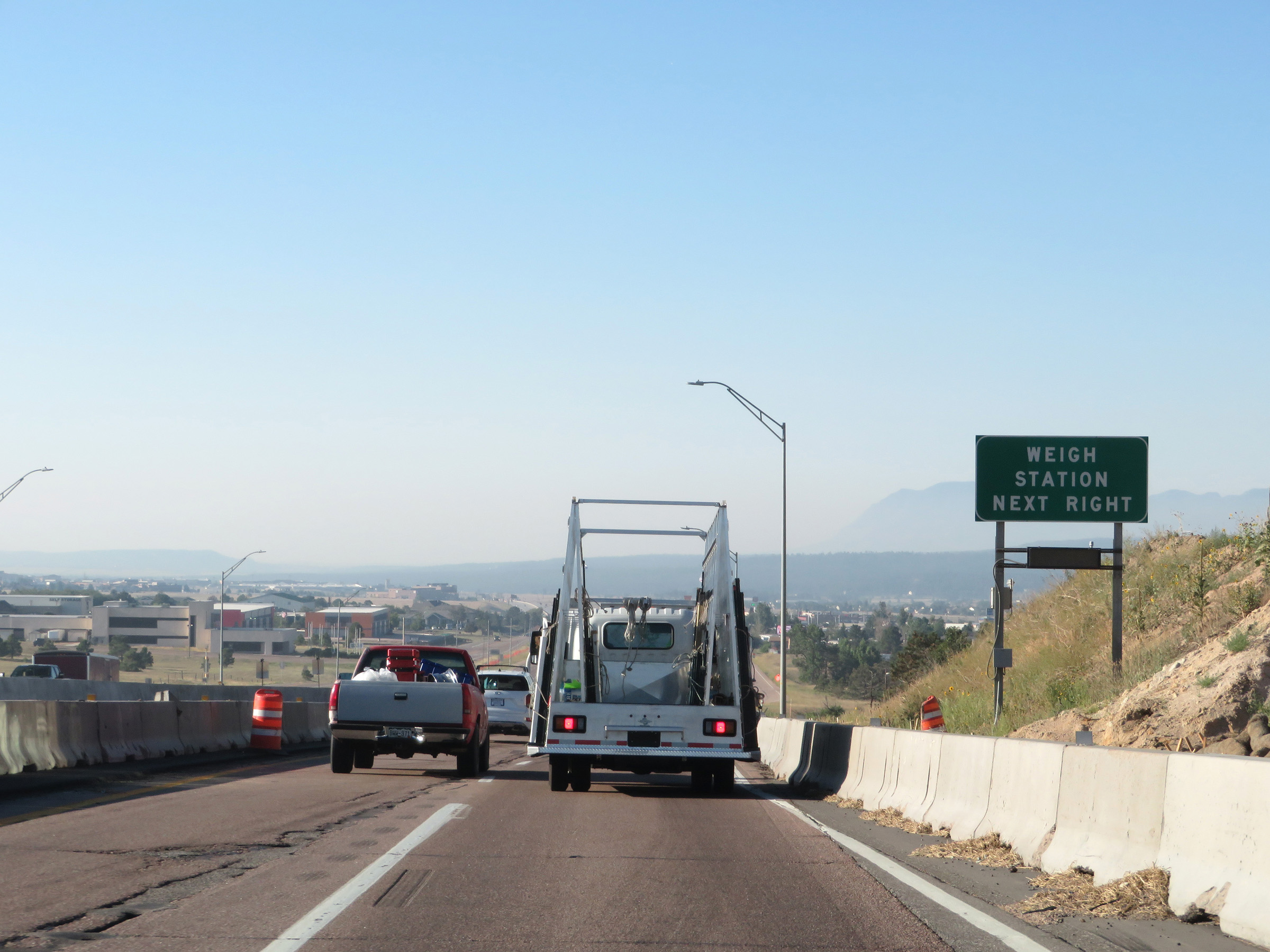
Weigh Station on Interstate 25 South at mile marker 162 in El Paso County. (Photo taken 8/13/20). |
 |
Take either of the next 2 exits to Monument. (Photo taken 8/13/20). |
 |
The speed limit remains the rural standard 75 mph. (Photo taken 8/13/20). |
 |
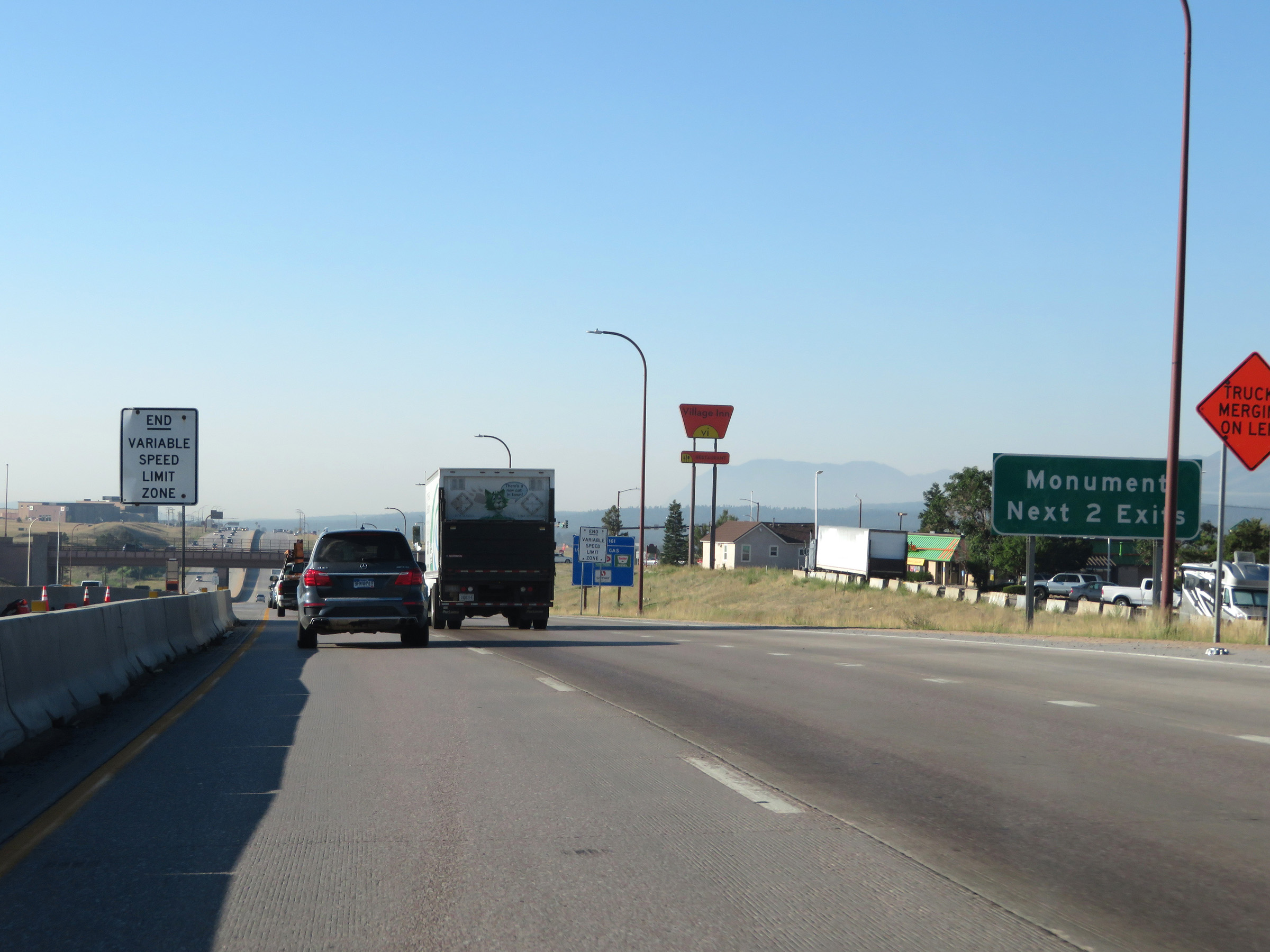
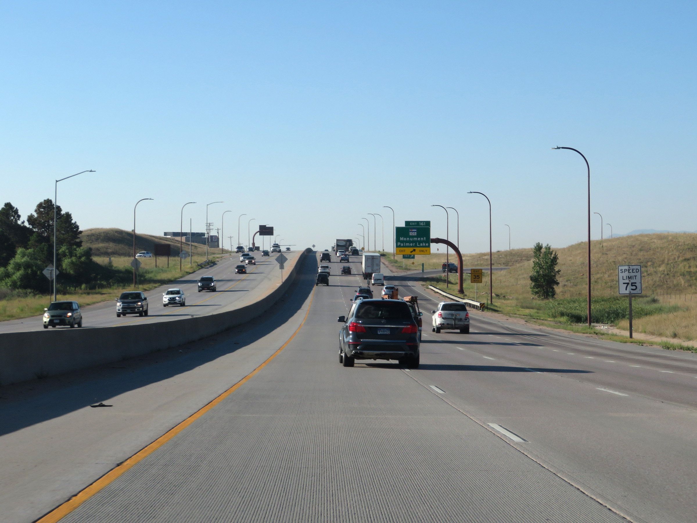
Interstate 25 South at Exit 161: CO 105 - Monument / Palmer Lake (Photo taken 8/13/20). |
 |
Interstate 25 South at Exit 158: Baptist Road (Photo taken 8/13/20). |
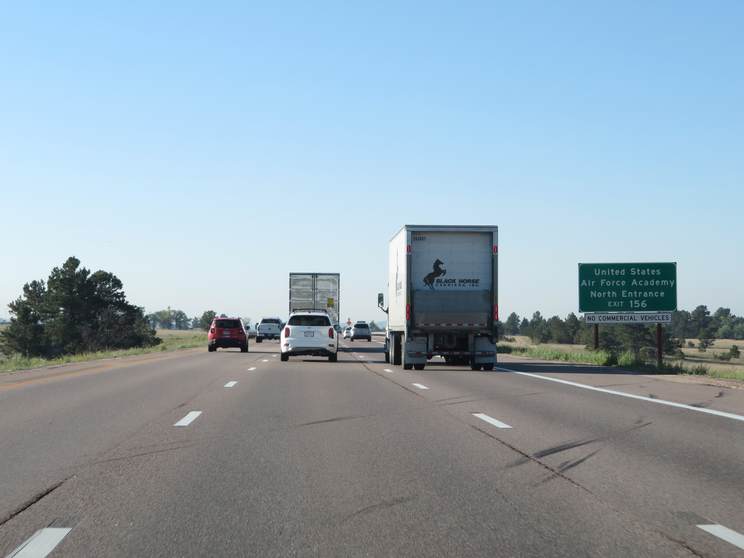 |
Take Exit 156 to the North Entrance of the United States Air Force Academy. (Photo taken 8/13/20). |
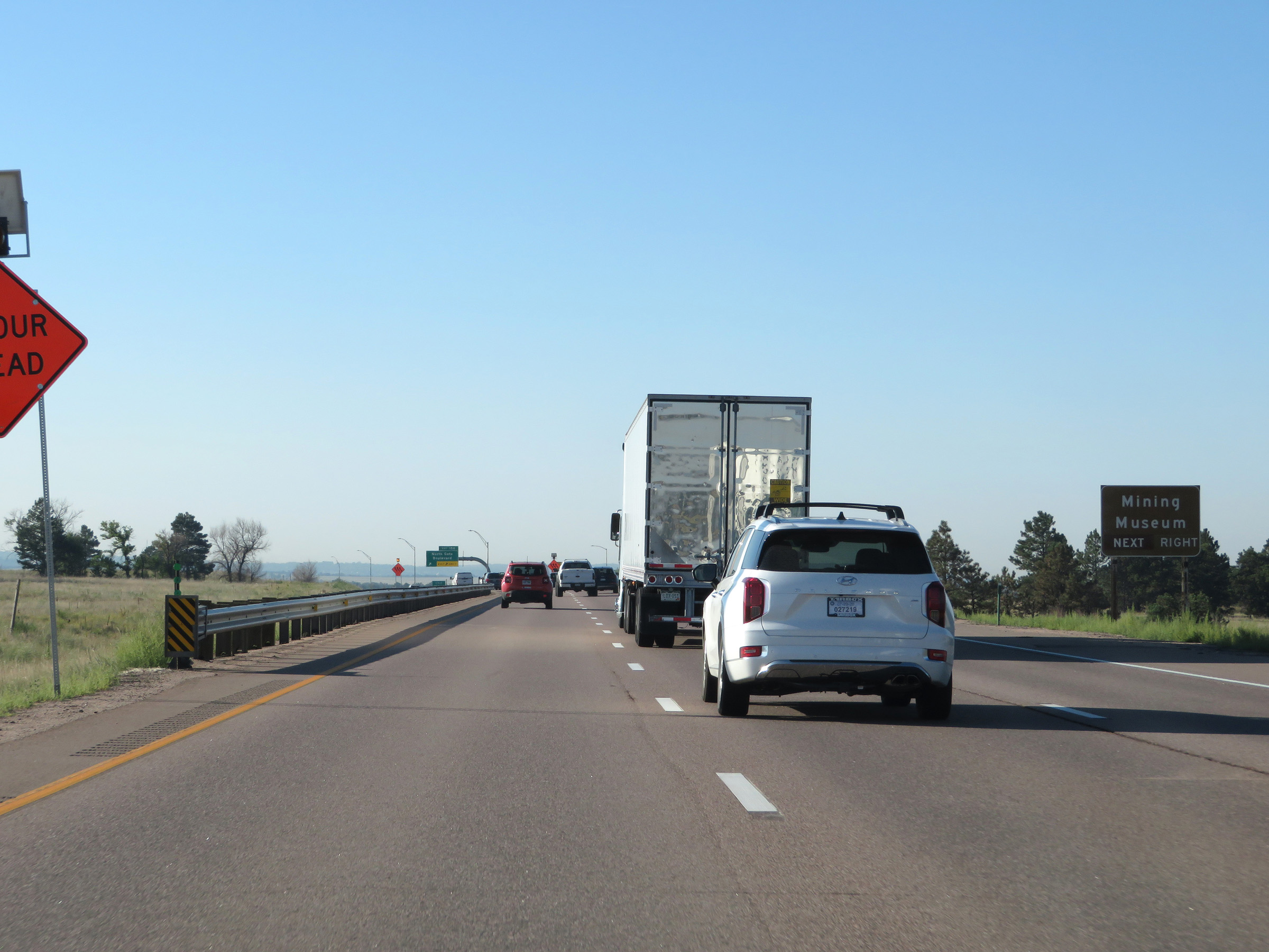 |
Also take Exit 156 to the Mining Museum. (Photo taken 8/13/20). |
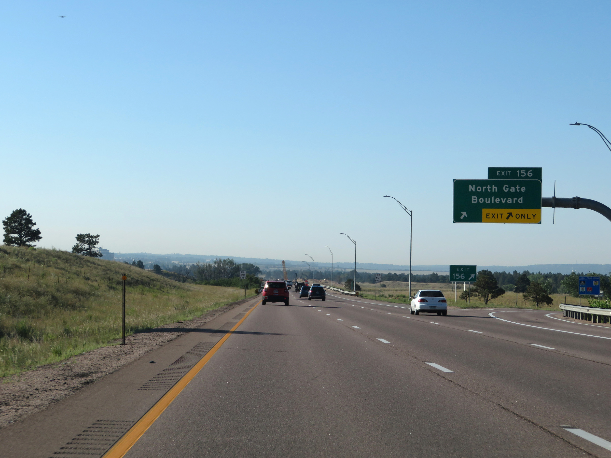 |
Interstate 25 South at Exit 156: North Gate Boulevard (Photo taken 8/13/20). |
 |
View on Interstate 25 South at mile marker 155. (Photo taken 8/13/20). |
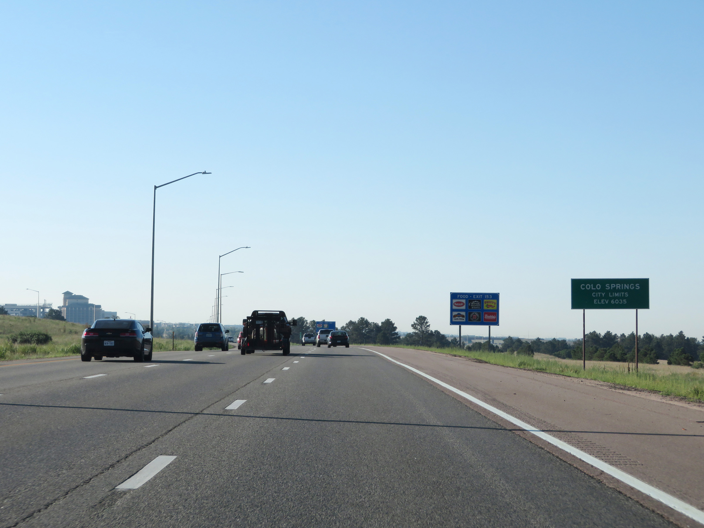 |
Interstate 25 South as it enters the Colorado Springs city limits. (Photo taken 8/13/20). |
 |
Interstate 25 South at mile marker 154. (Photo taken 8/13/20). |
 |
Take Exit 153 to CO 21 (Powers Blvd). (Photo taken 8/13/20). |
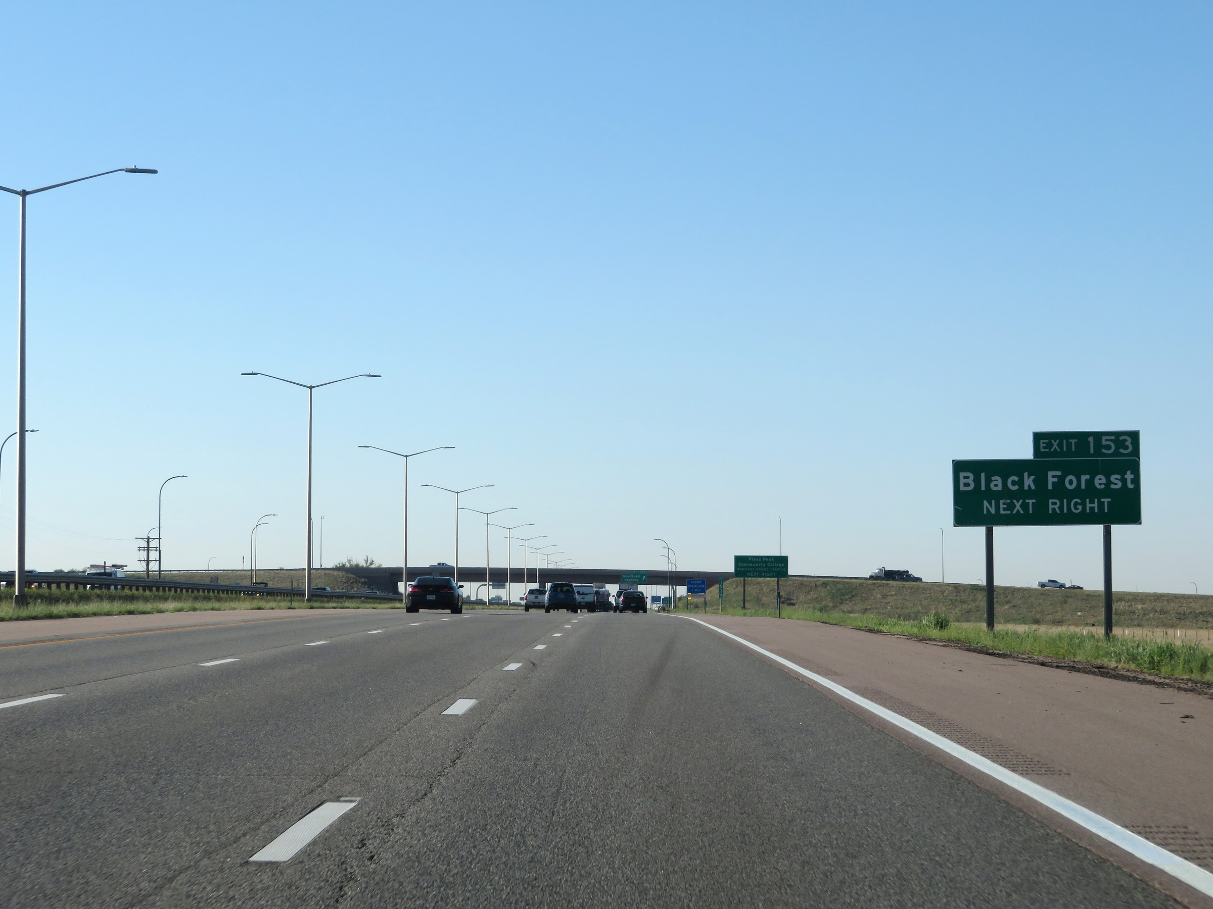 |
Also take Exit 153 to Black Forest. (Photo taken 8/13/20). |
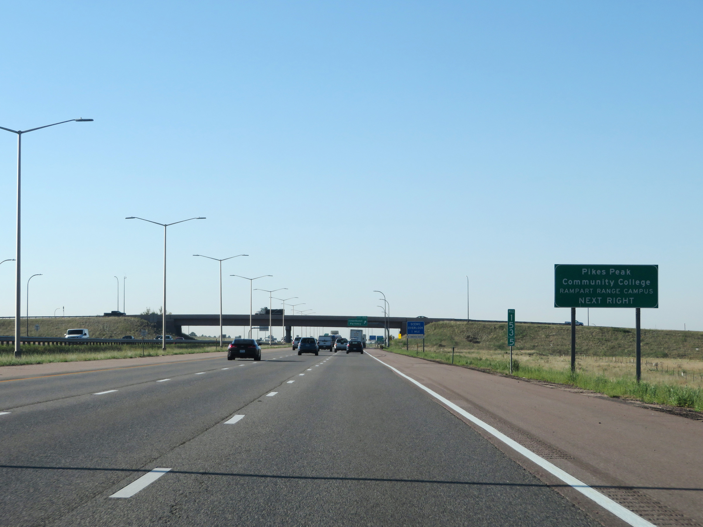 |
Take Exit 153 to Pikes Peak Community College Rampart Range Campus as well. (Photo taken 8/13/20). |
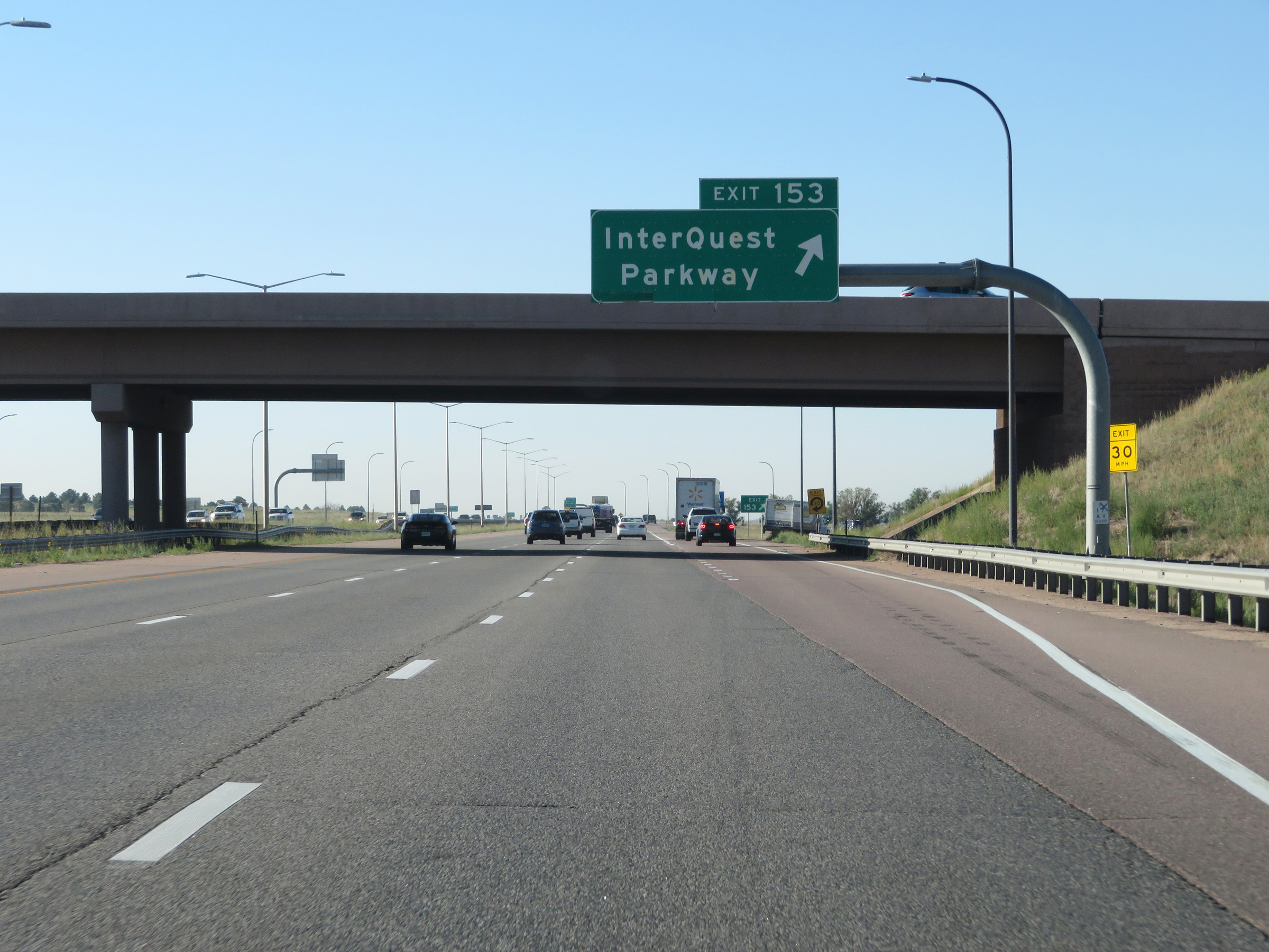 |
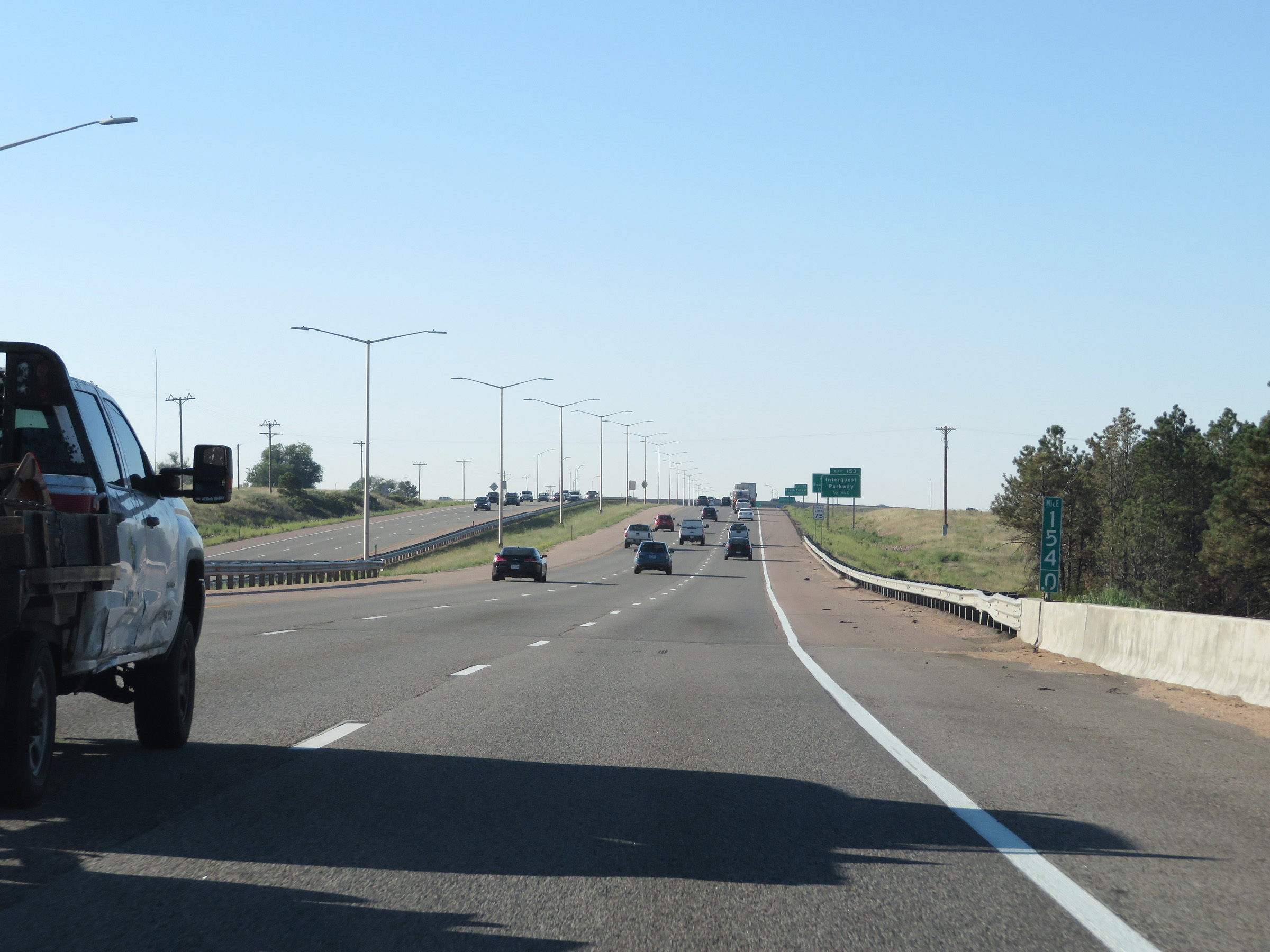
Interstate 25 South at Exit 153: InterQuest Parkway (Photo taken 8/13/20). |
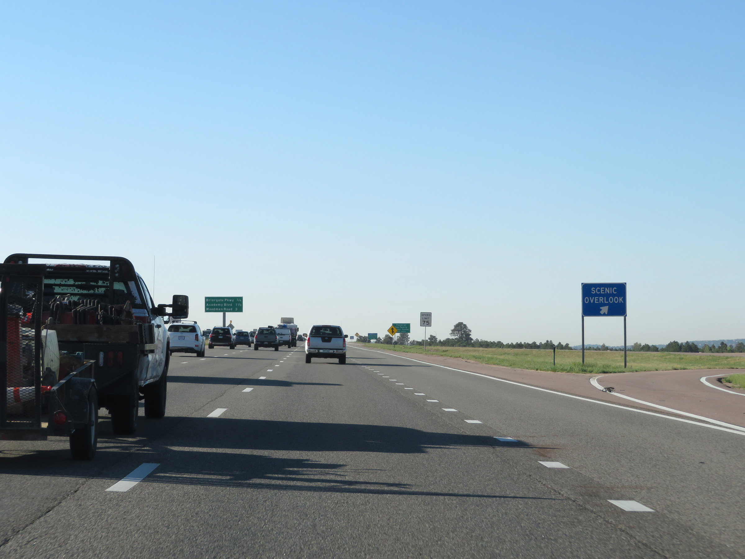 |
Scenic Overlook on Interstate 25 South in Colorado Springs. (Photo taken 8/13/20). |
 |
Take Exit 151 to Focus on the Family Visitor Center. (Photo taken 8/13/20). |
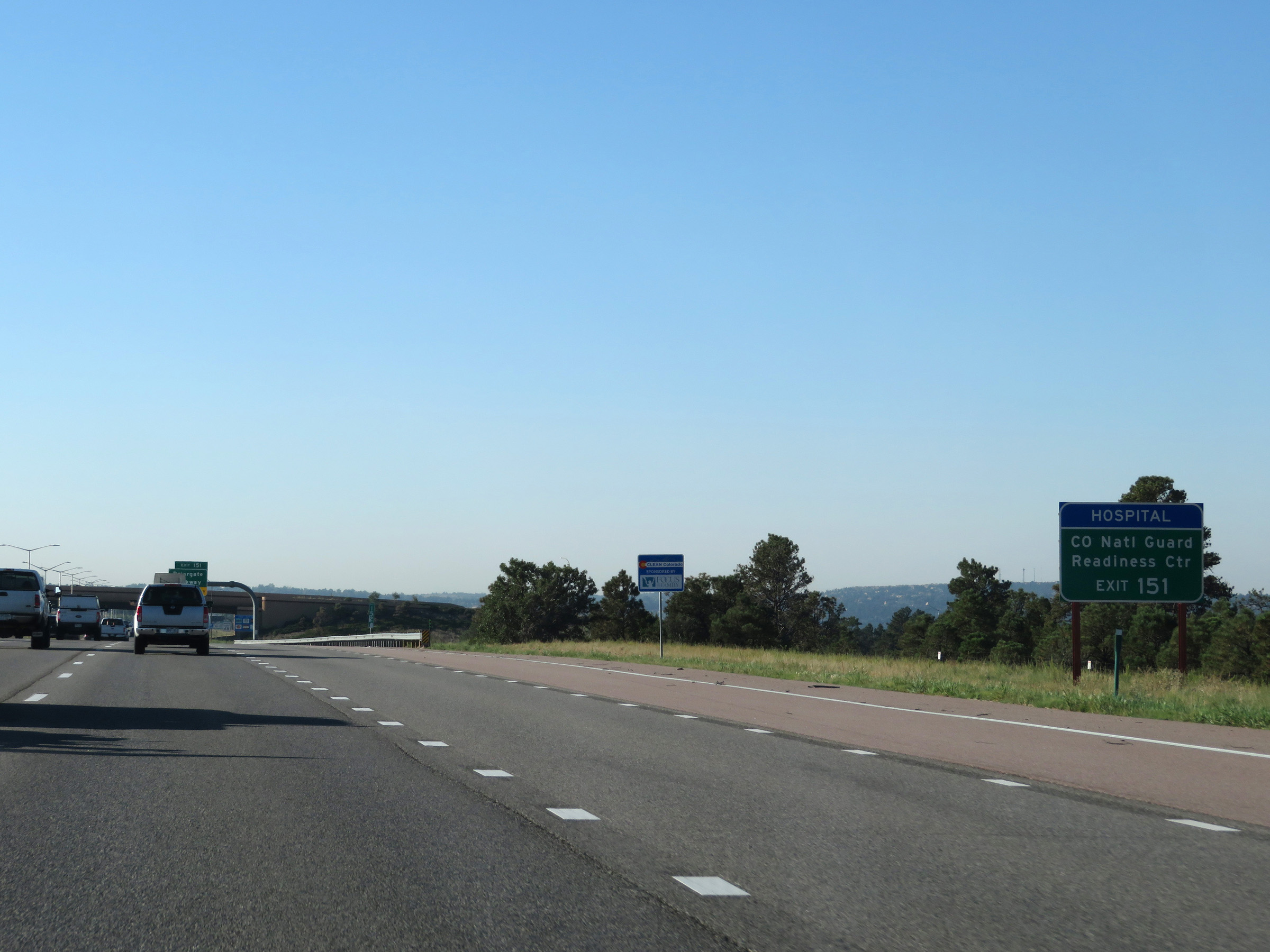 |
Also take Exit 151 to the Colorado National Guard Readiness Center. (Photo taken 8/13/20). |
 |
Approaching Exit 151 and approaching downtown Colorado Springs, the speed limit decreases to 65 mph. (Photo taken 8/13/20). |
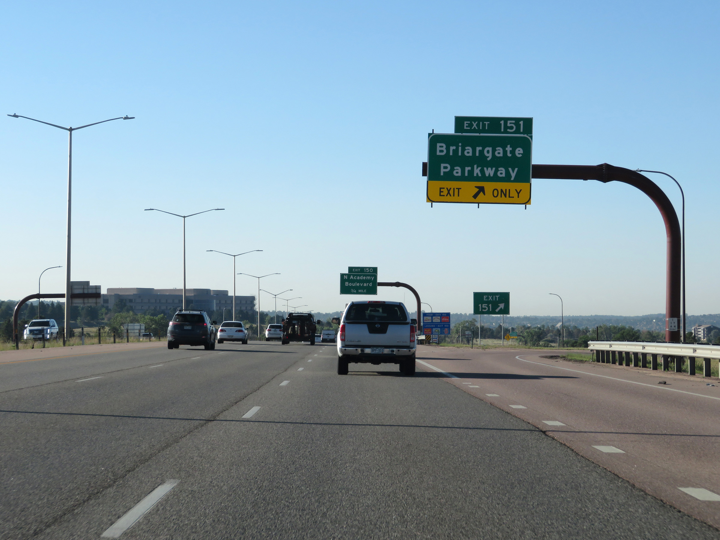 |
Interstate 25 South at Exit 151: Briargate Parkway (Photo taken 8/13/20). |
 |
Take Exit 150 to the South Entrance of the US Air Force Academy. (Photo taken 8/13/20). |
 |
Overhead mileage sign in the median listing the distances to the three upcoming exits on Interstate 25 South in Colorado Springs. (Photo taken 8/13/20). |
 |
Also take Exit 150 to Colorado Christian University. (Photo taken 8/13/20). |
 |
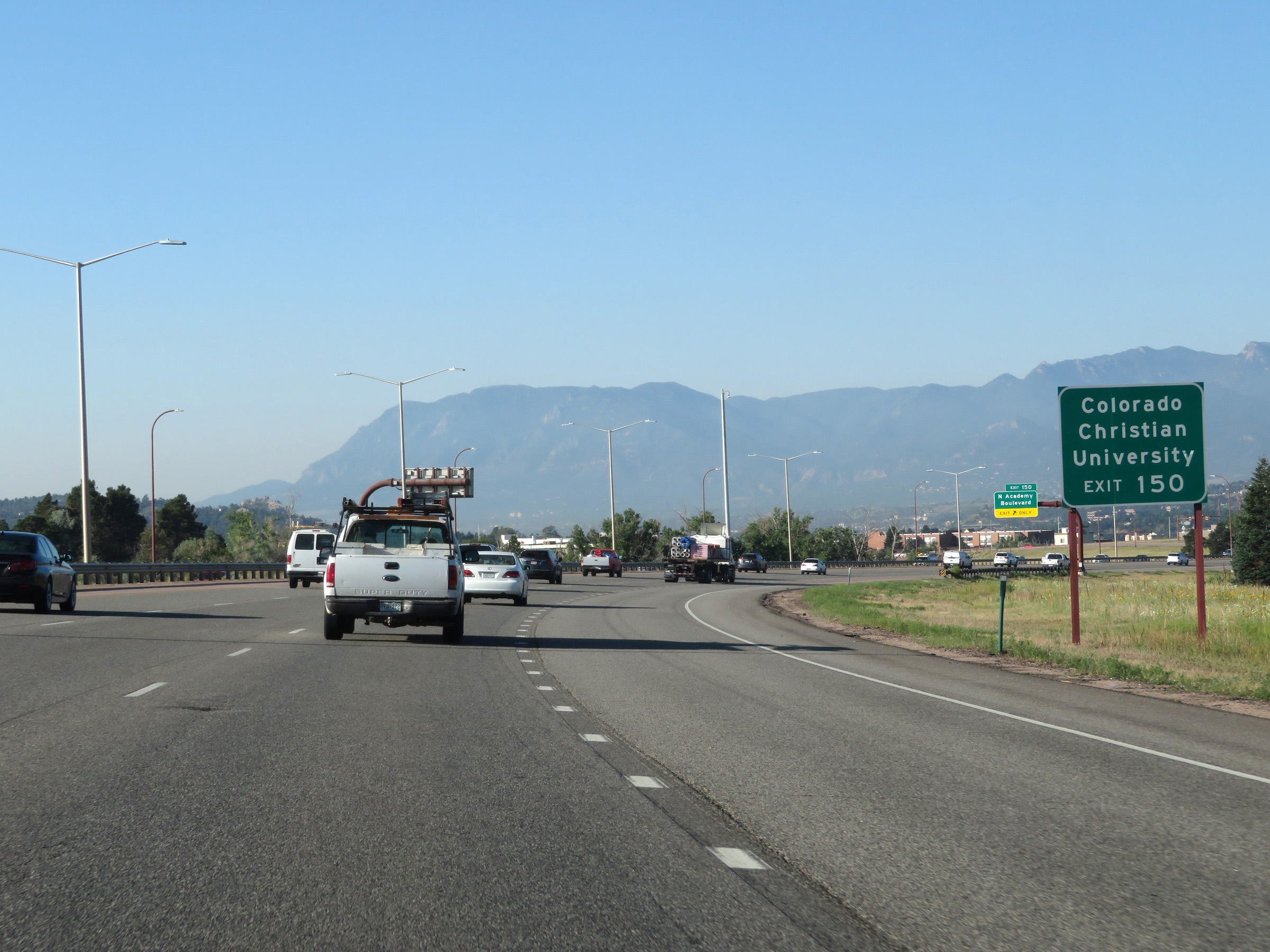
Interstate 25 South at Exit 150: N Academy Boulevard (Photo taken 8/13/20). |
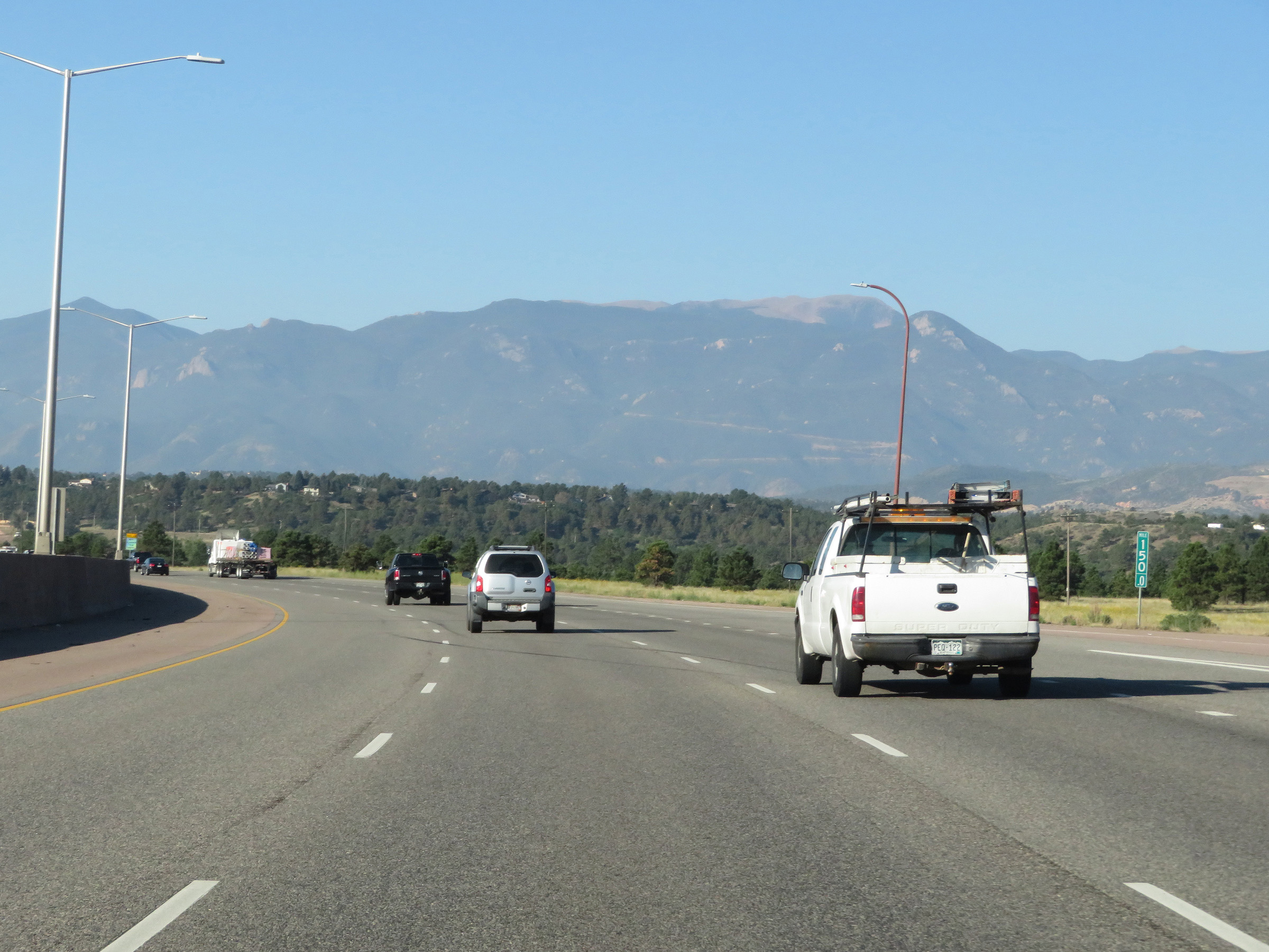 |
View on Interstate 25 South at mile marker 150. (Photo taken 8/13/20). |
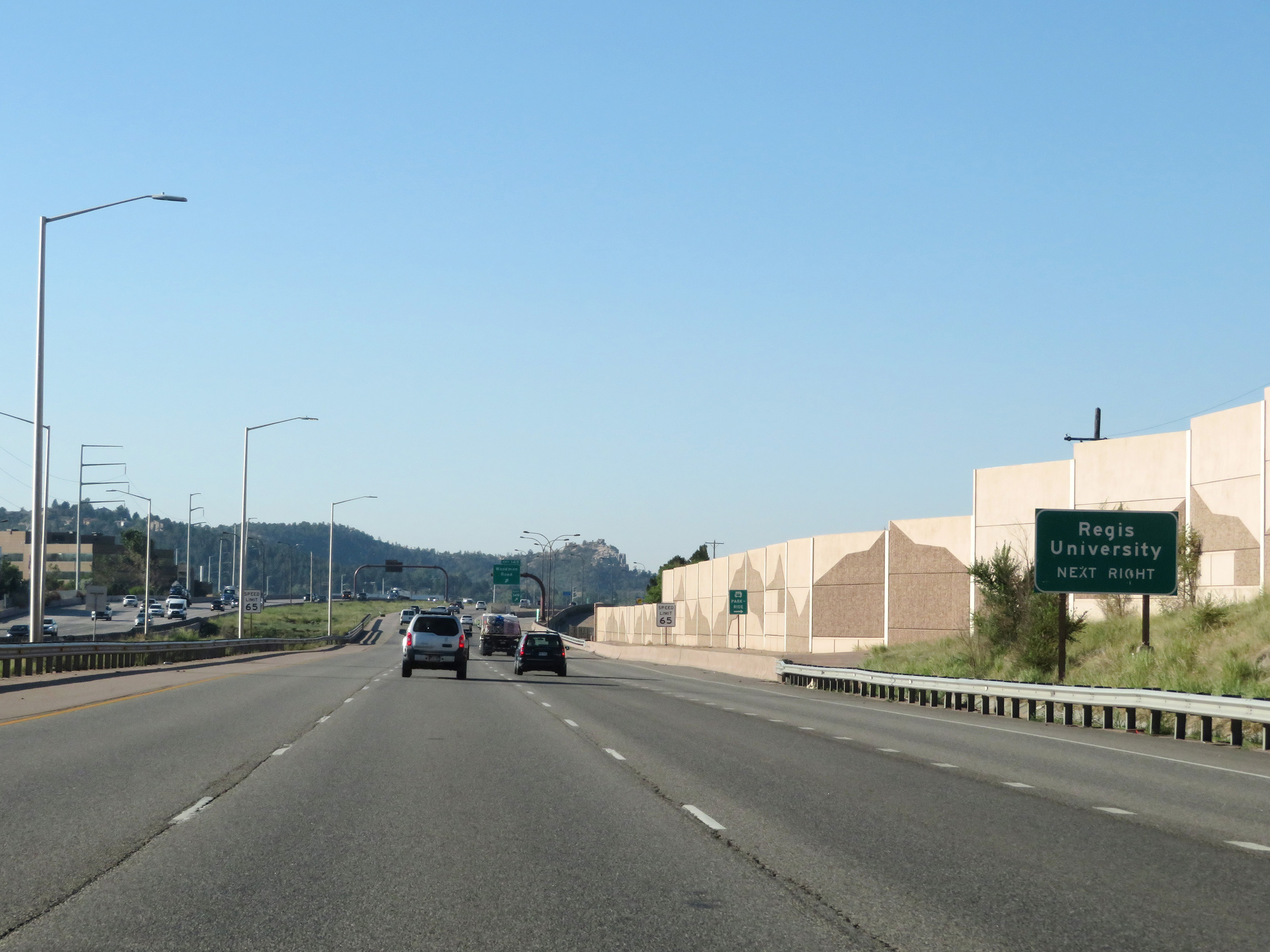 |
Take Exit 149 to Regis University. (Photo taken 8/13/20). |
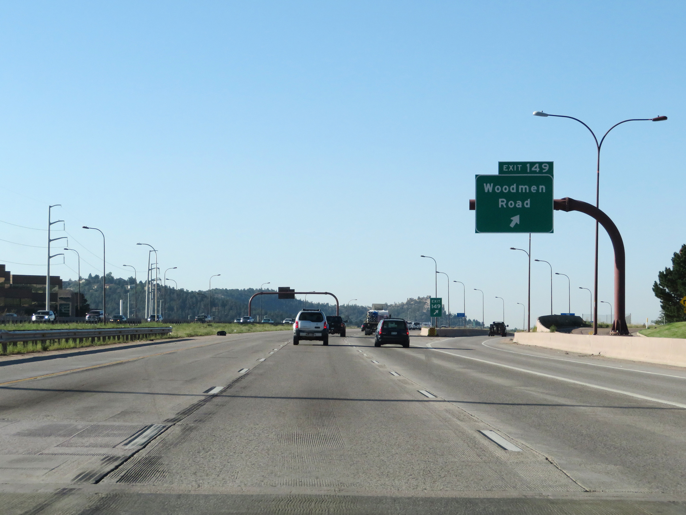 |
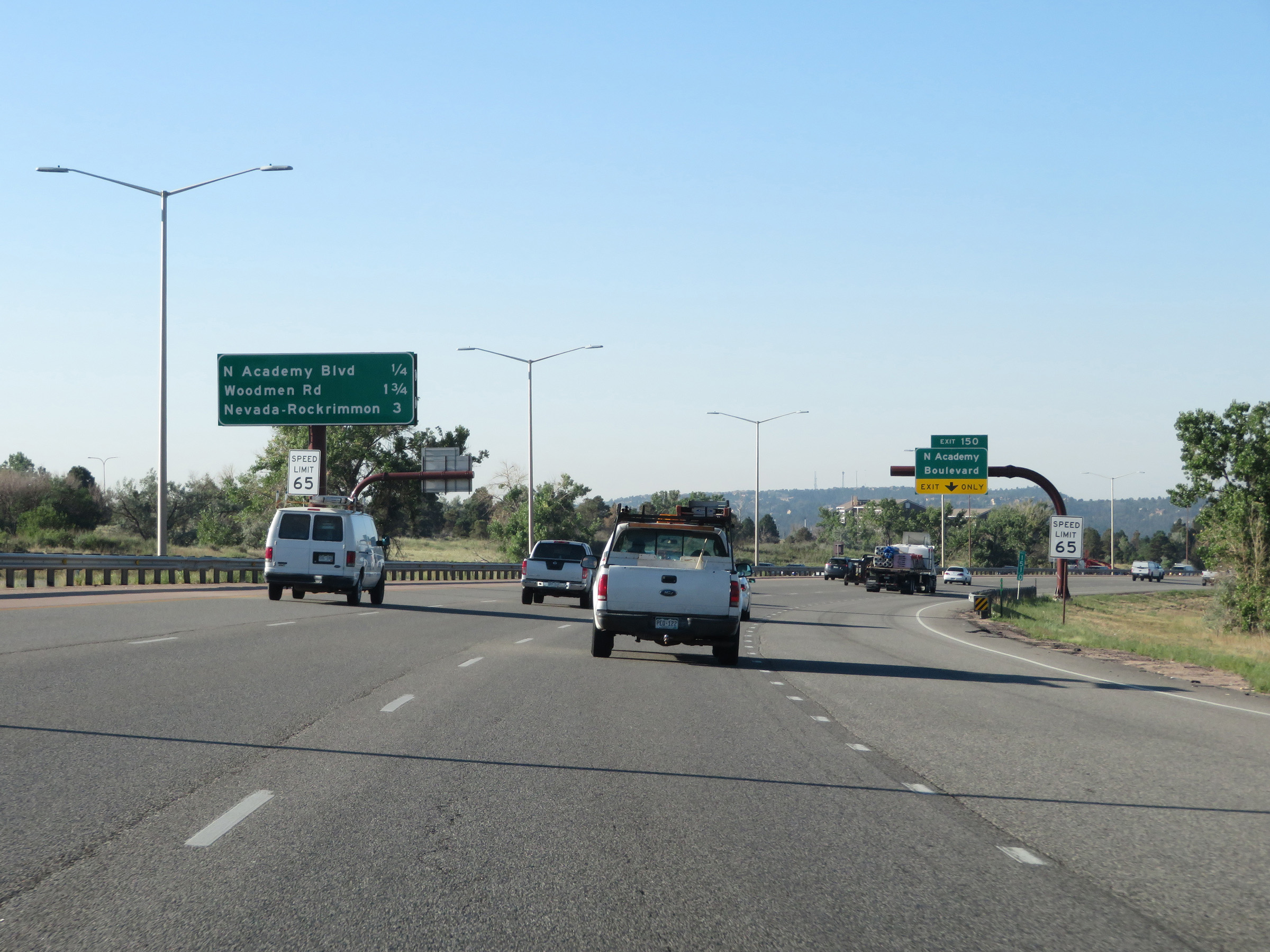
Interstate 25 South at Exit 149: Woodmen Road (Photo taken 8/13/20). |
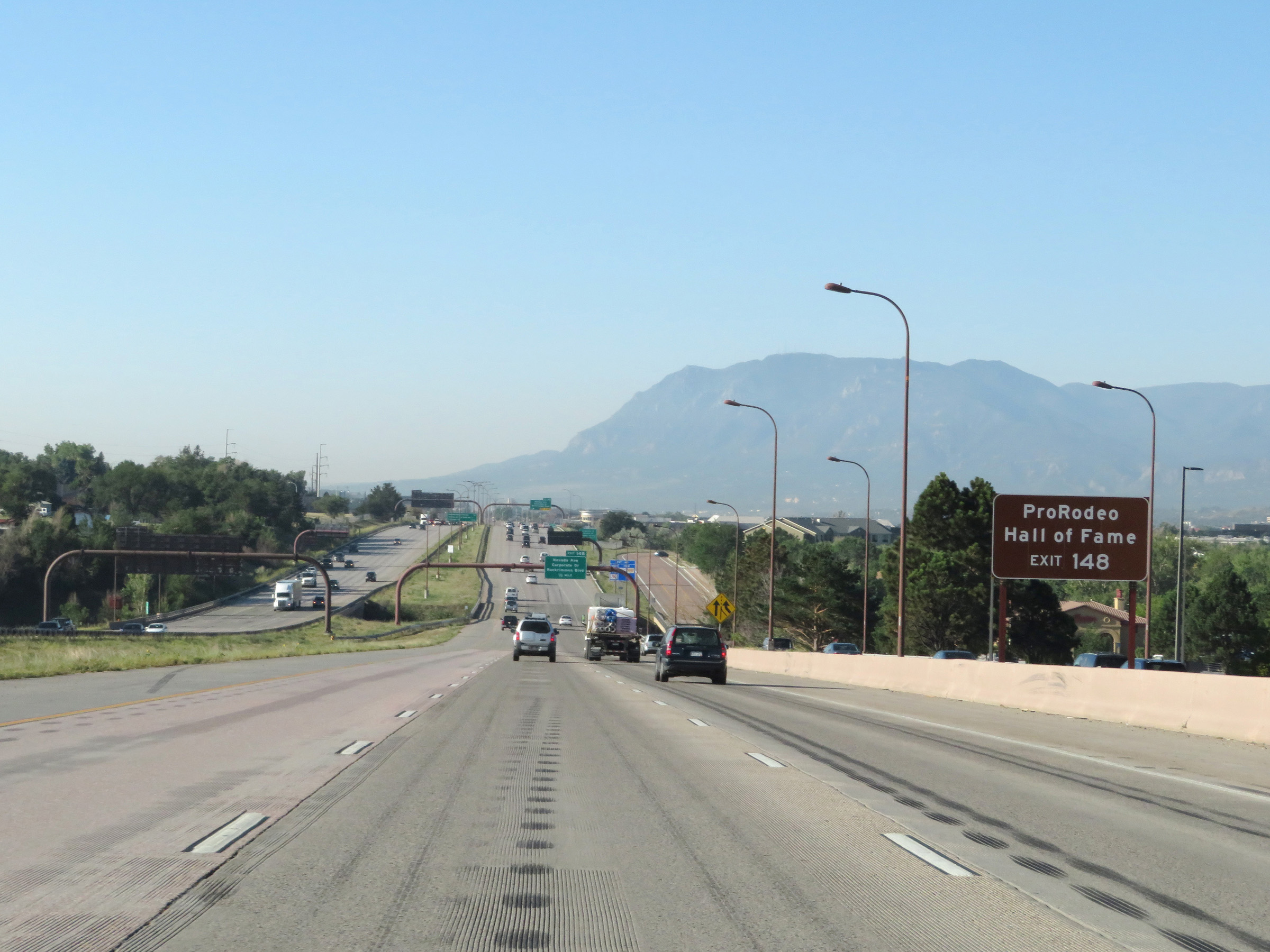 |
Take Exit 148 to the ProRodeo Hall of Fame. (Photo taken 8/13/20). |
 |
Also take Exit 148 to the University of Colorado at Colorado Springs. (Photo taken 8/13/20). |
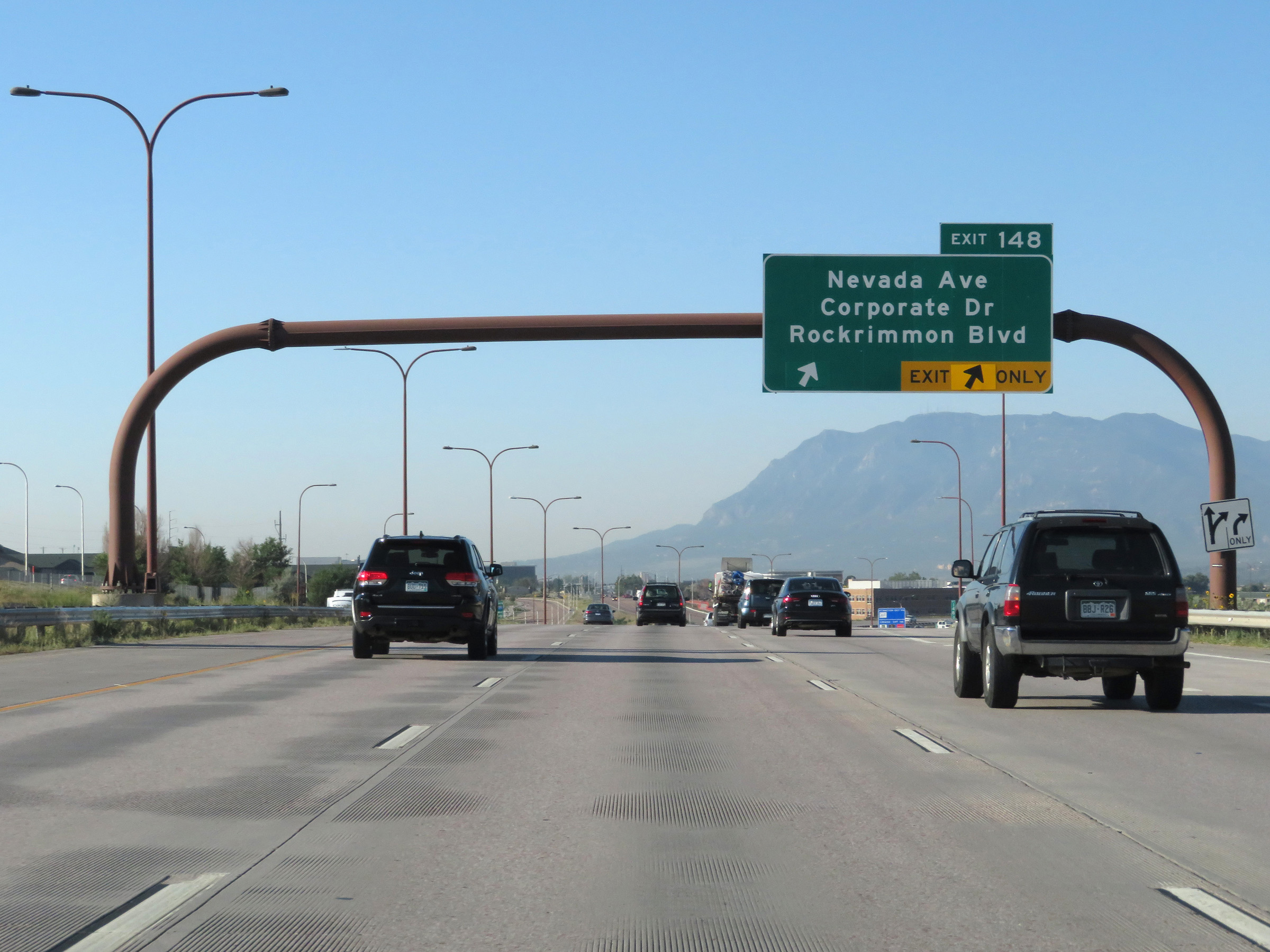 |
Interstate 25 South at Exit 148: Nevada Ave / Corporate Dr / Rockrimmon Blvd (Photo taken 8/13/20). |
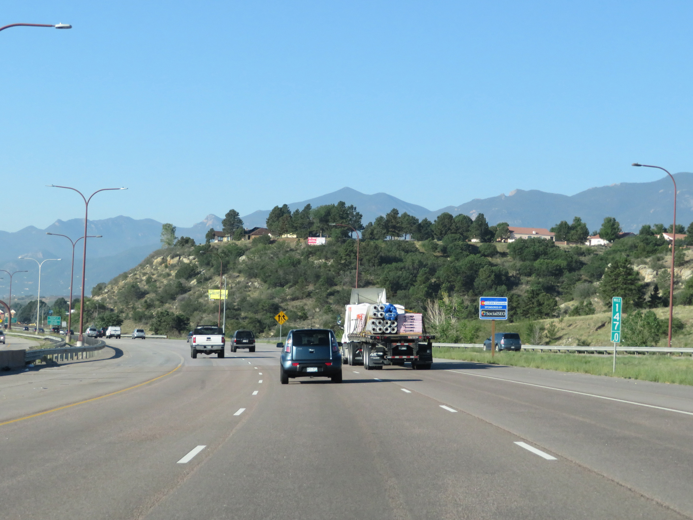 |
View on Interstate 25 South at mile marker 147 in Colorado Springs. (Photo taken 8/13/20). |
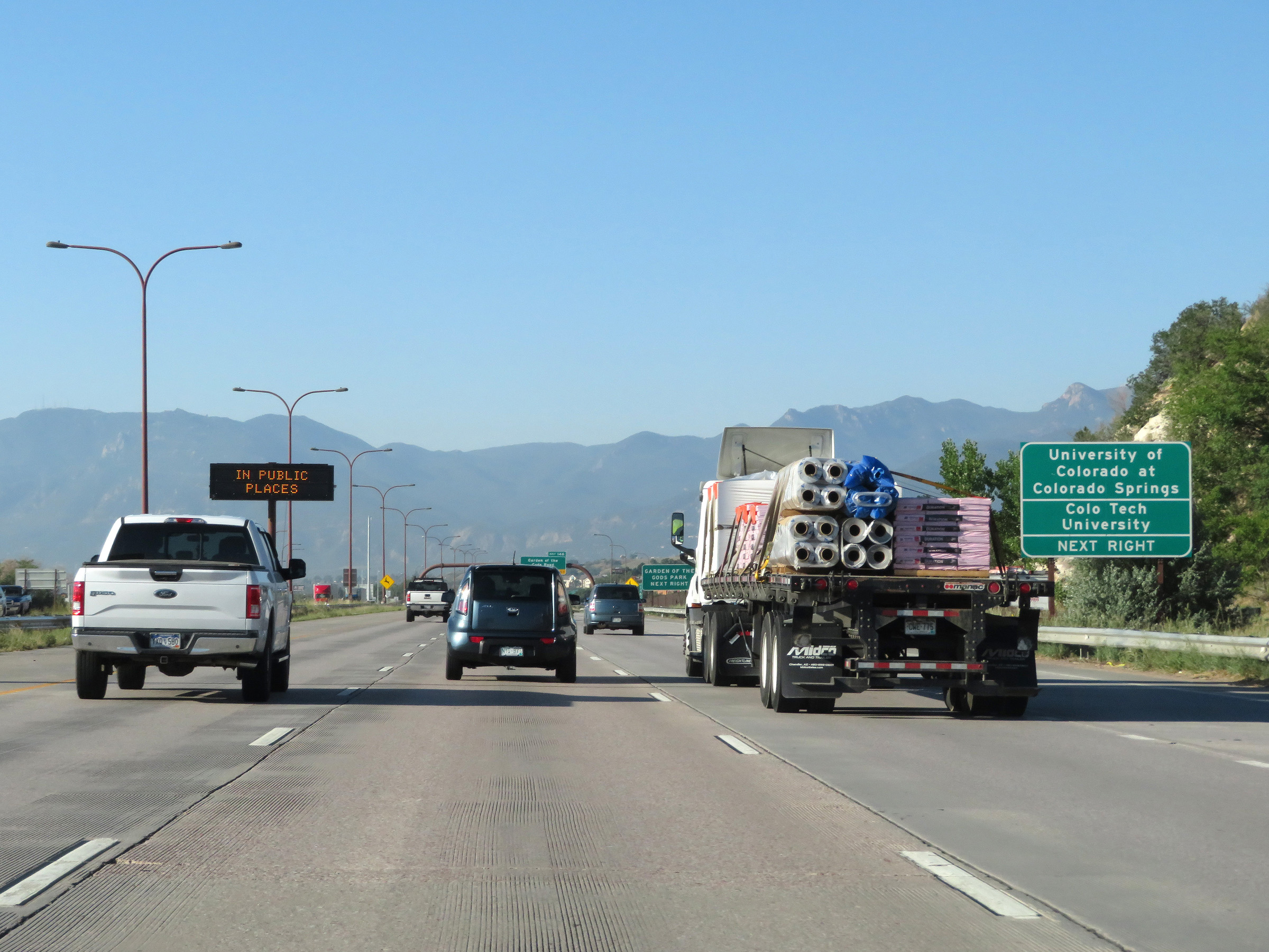 |
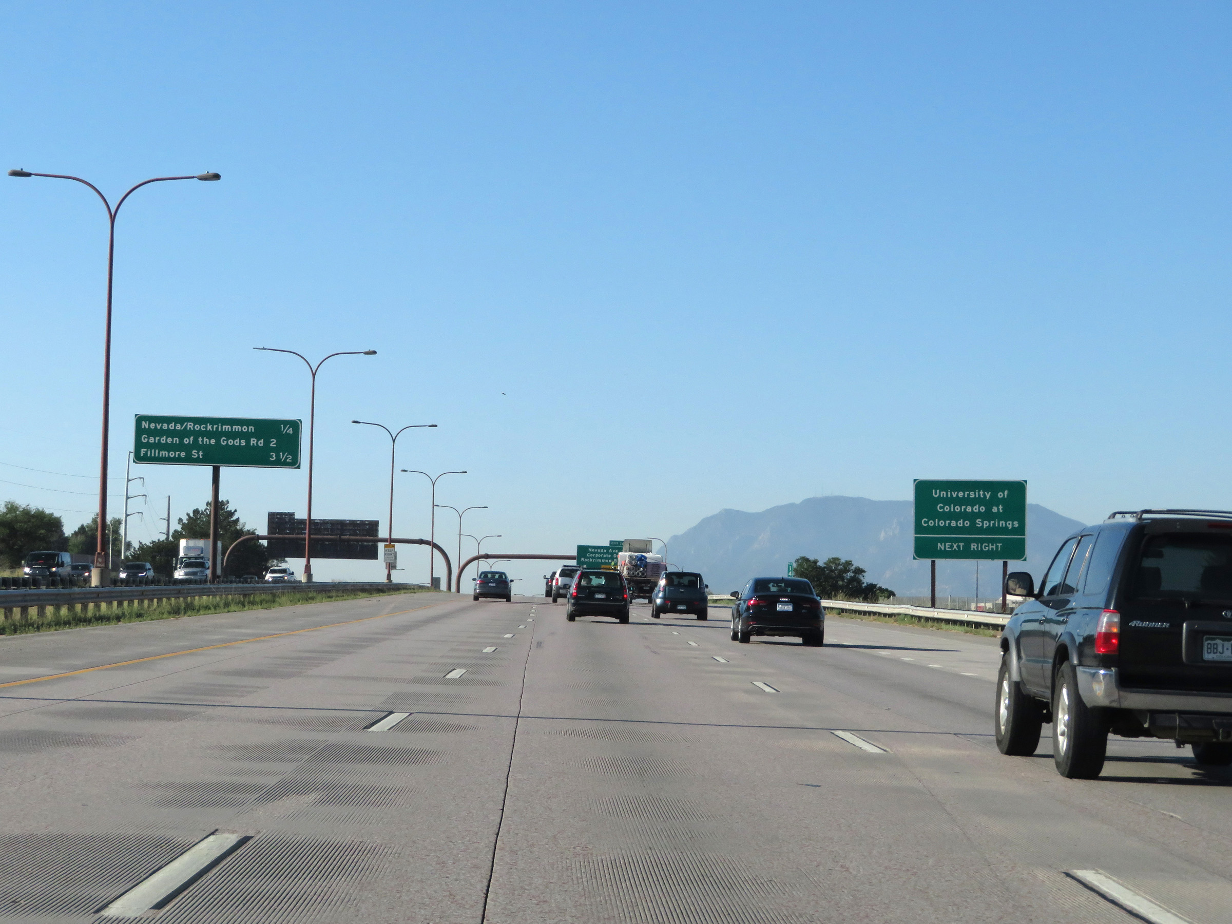
Take Exit 146 to the University of Colorado at Colorado Springs and Colorado Tech University. (Photo taken 8/13/20). |
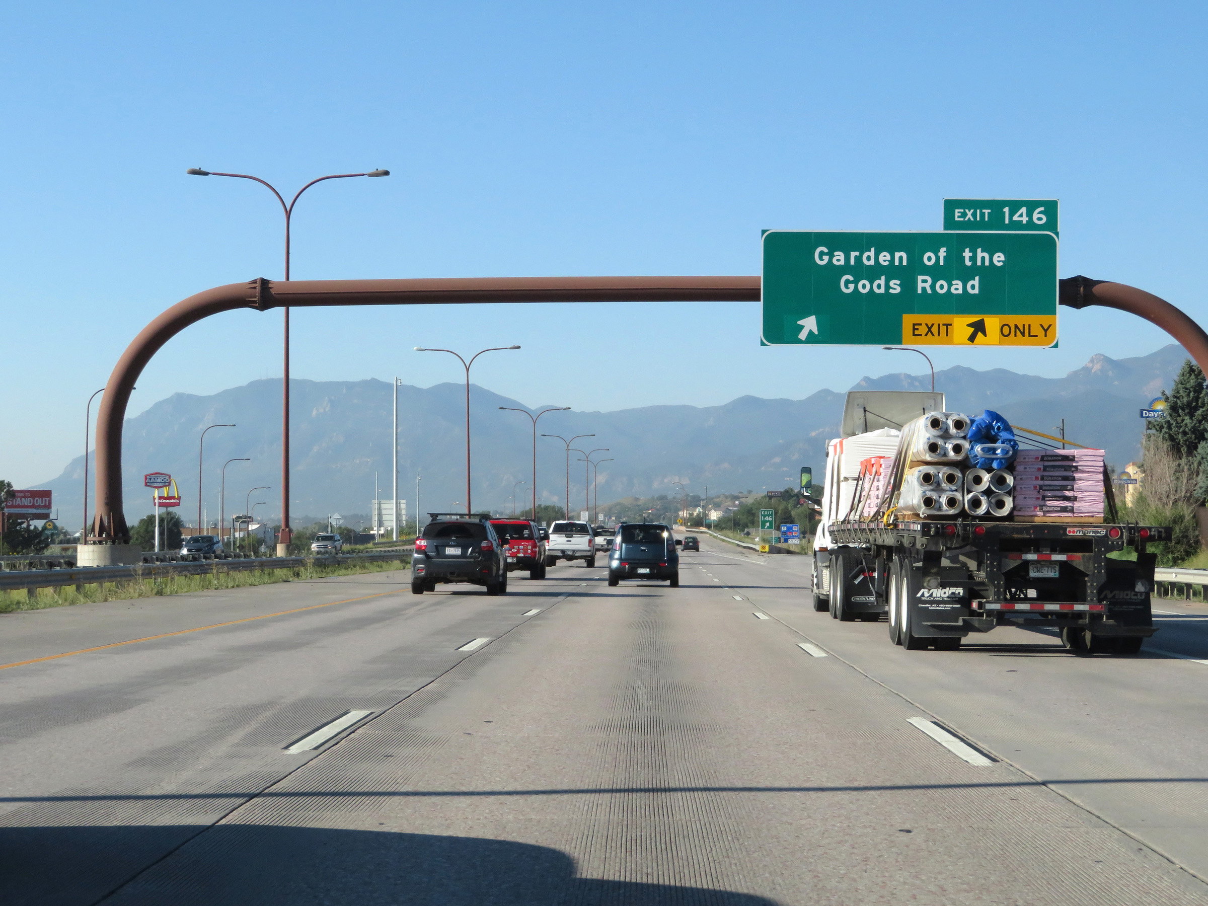 |
Interstate 25 South at Exit 146: Garden of the Gods Road (Photo taken 8/13/20). |
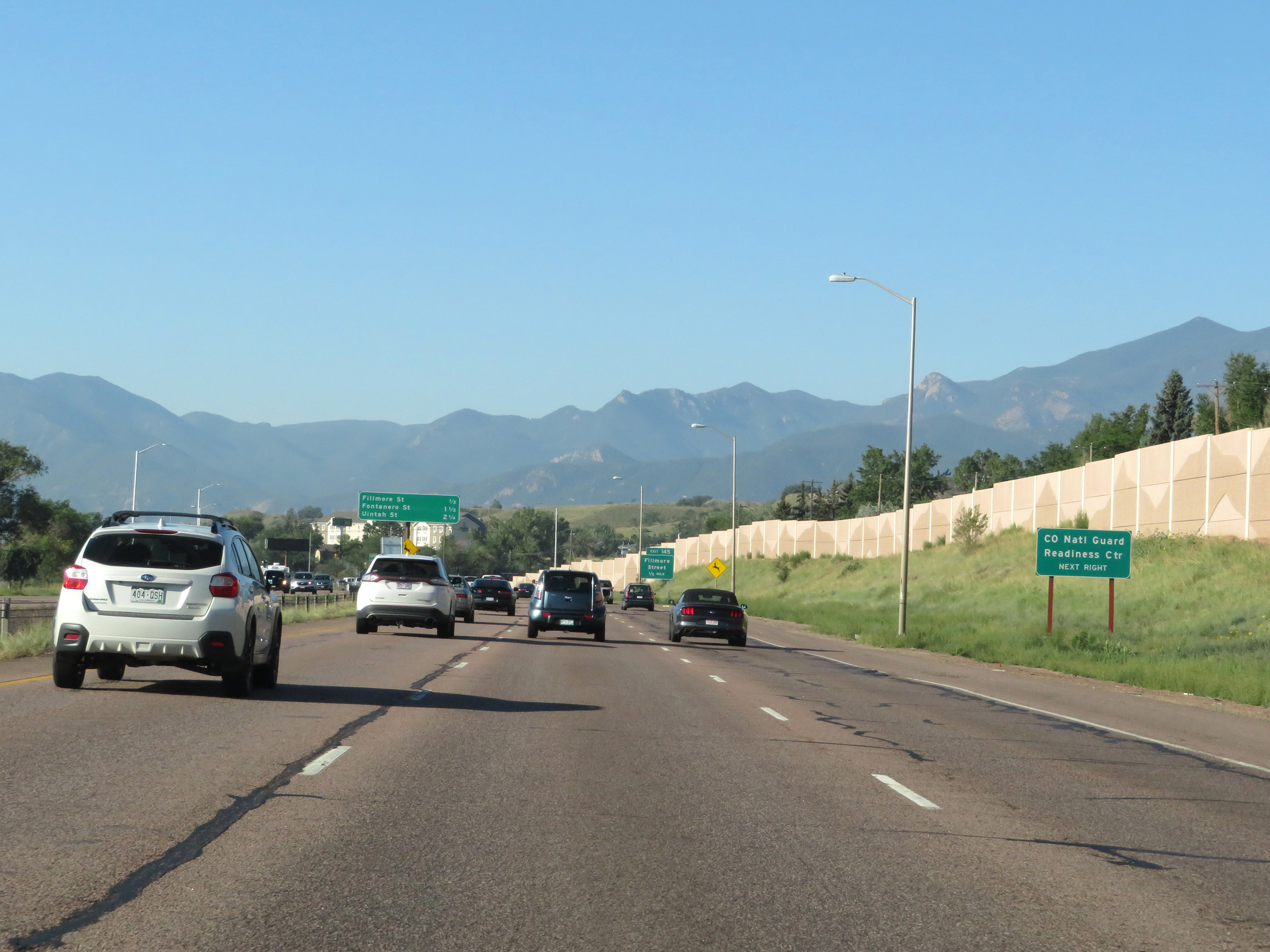 |
The Colorado National Guard Readiness Center can also be accessed via Exit 145. (Photo taken 8/13/20). |
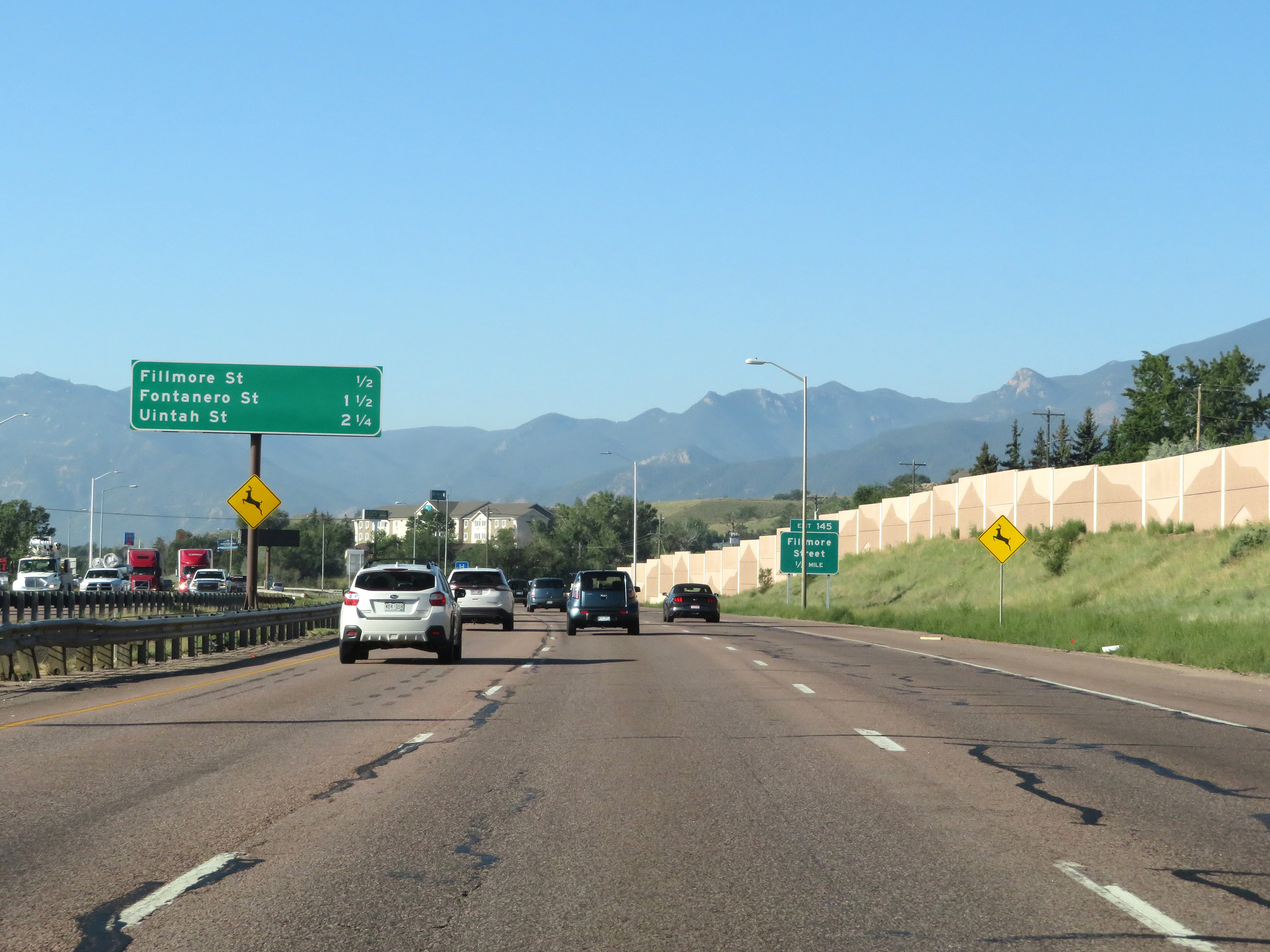 |
Overhead mileage sign listing the distances to the next three Colorado Springs exits. (Photo taken 8/13/20). |
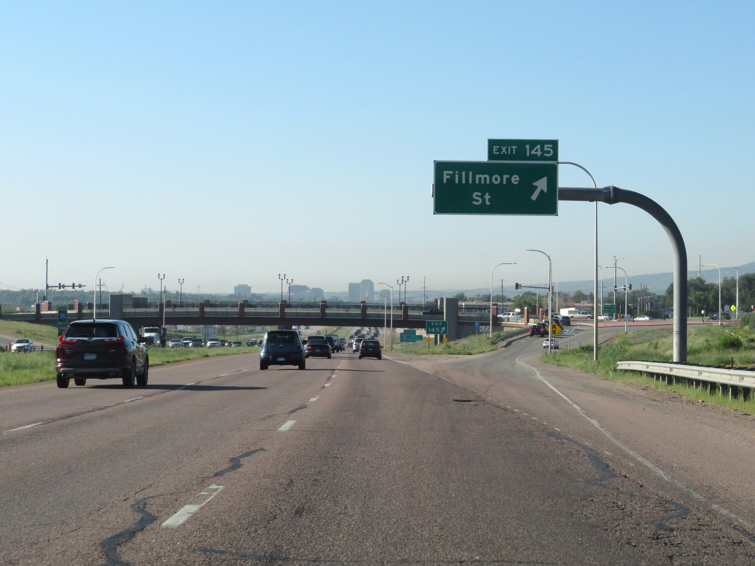 |
Interstate 25 South at Exit 145: Fillmore St (Photo taken 8/13/20). |
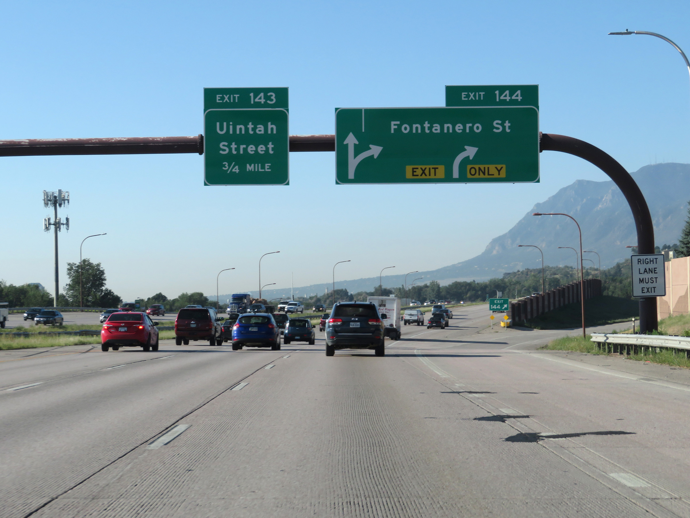 |
Interstate 25 South at Exit 144: Fontanero St (Photo taken 8/13/20). |
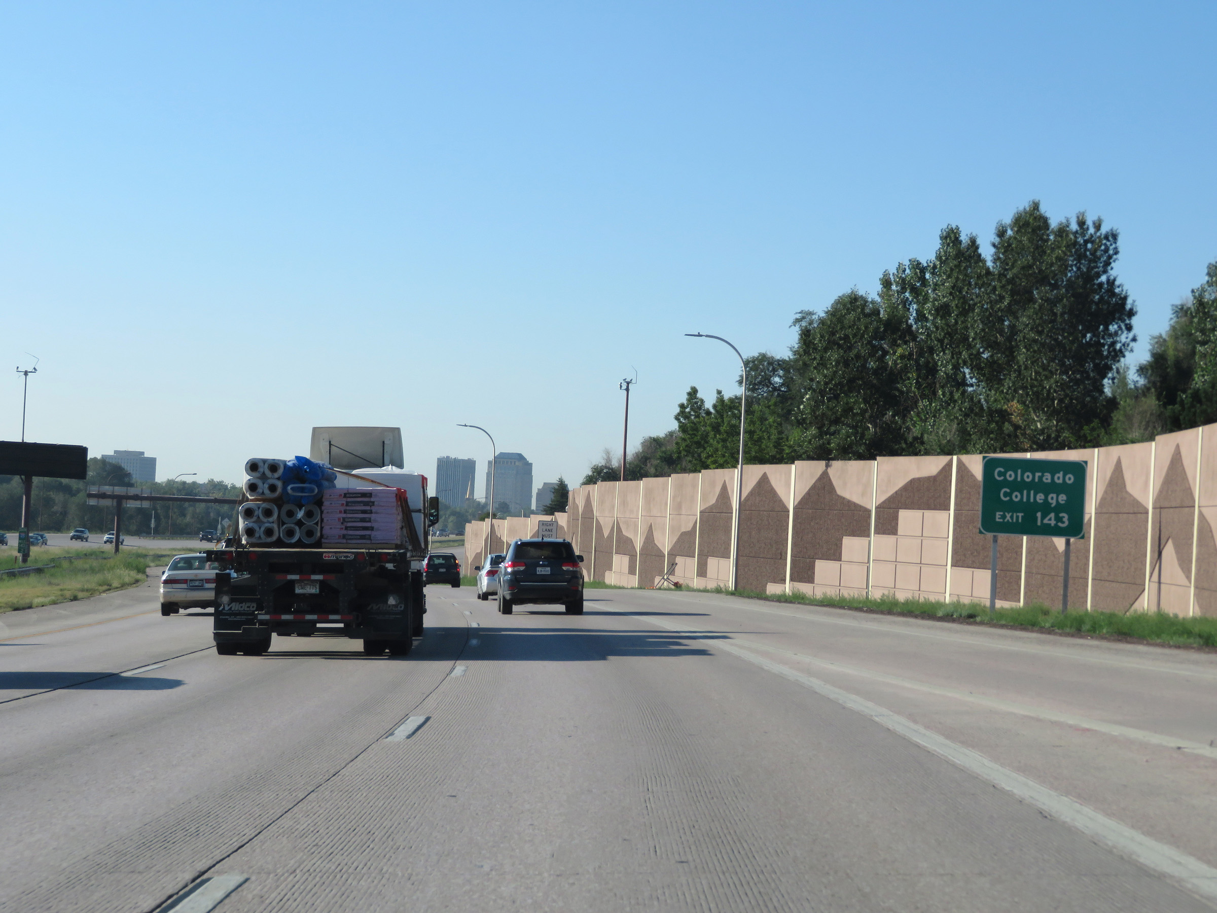 |
Take Exit 143 to Colorado College. (Photo taken 8/13/20). |
 |
Interstate 25 South at Exit 143: Uintah Street (Photo taken 8/13/20). |
 |
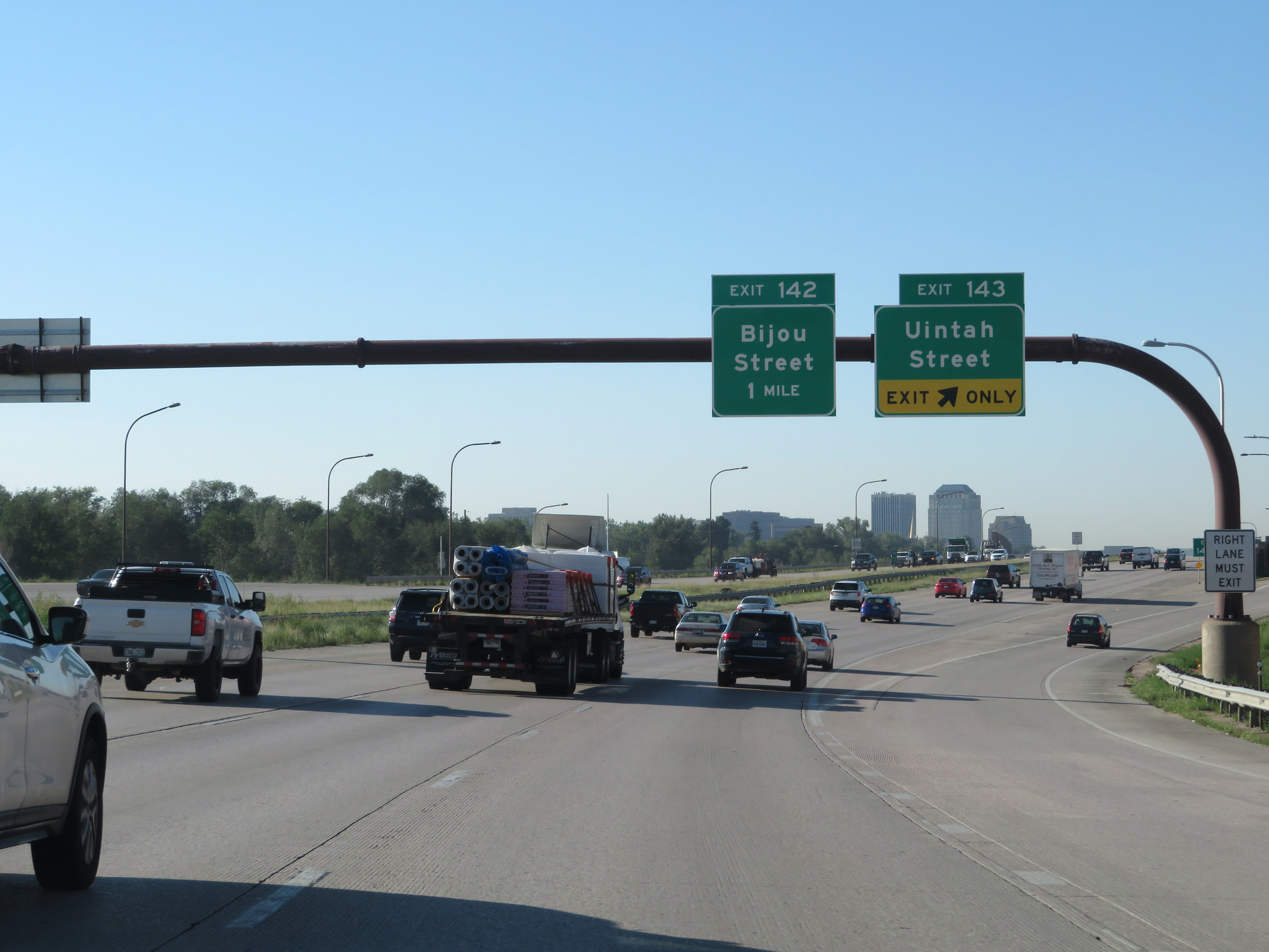
Take either of the next 2 exits to Downtown Colorado Springs. (Photo taken 8/13/20). |
 |
Interstate 25 South at Exit 142: Bijou Street (Photo taken 8/13/20). |
Section 5: Colorado Springs (Exit 142) to Pueblo (Exit 98B)
 |
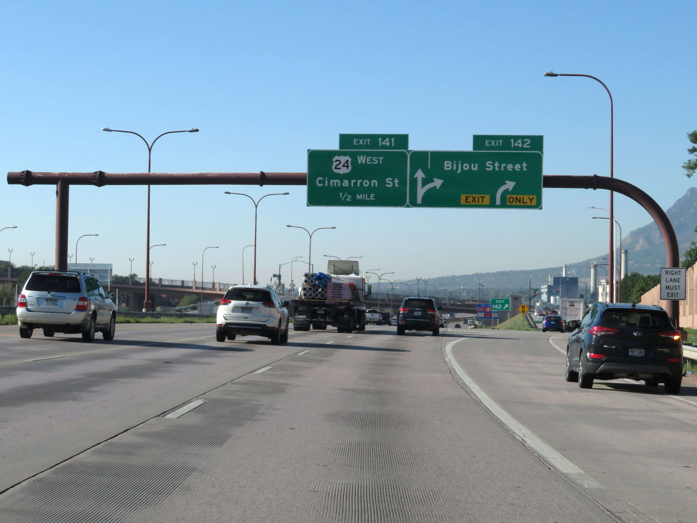
View on Interstate 25 South at mile marker 142 in Colorado Springs. (Photo taken 8/13/20). |
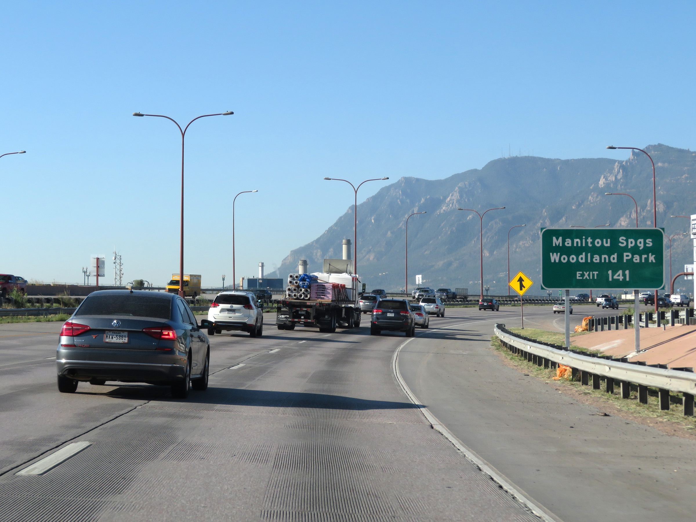 |
Take Exit 141 to Manitou Springs and Woodland Park. (Photo taken 8/13/20). |
 |
Interstate 25 South at Exit 141: US 24 West - Cimarron St (Photo taken 8/13/20). |
 |
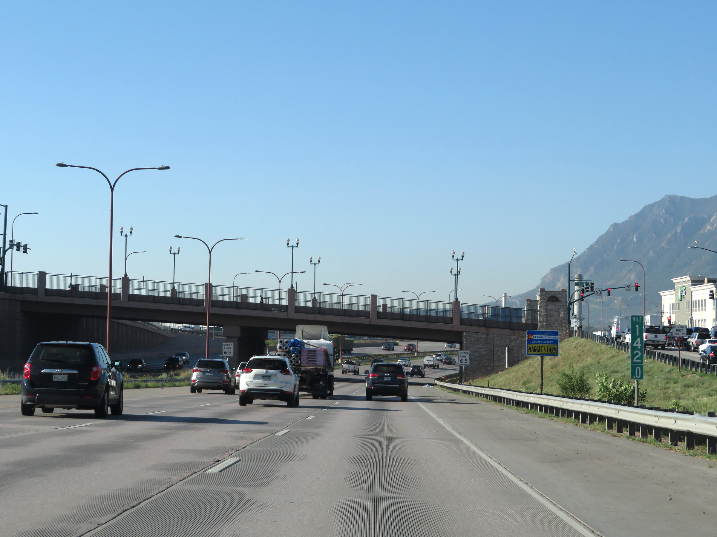
Interstate 25 South as it enters Fountain Creek. (Photo taken 8/13/20). |
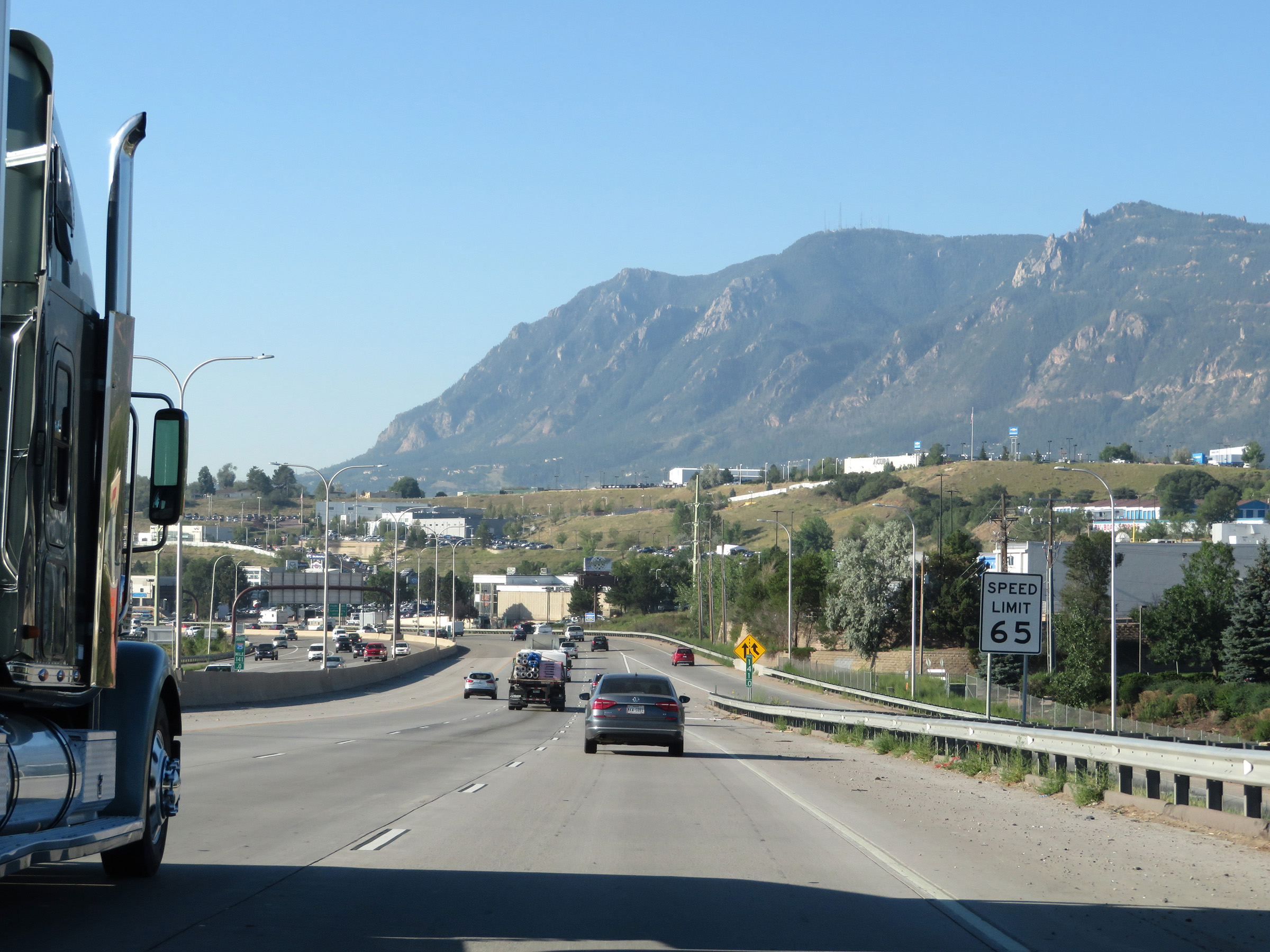 |
The speed limit remains 65 mph for all traffic. (Photo taken 8/13/20). |
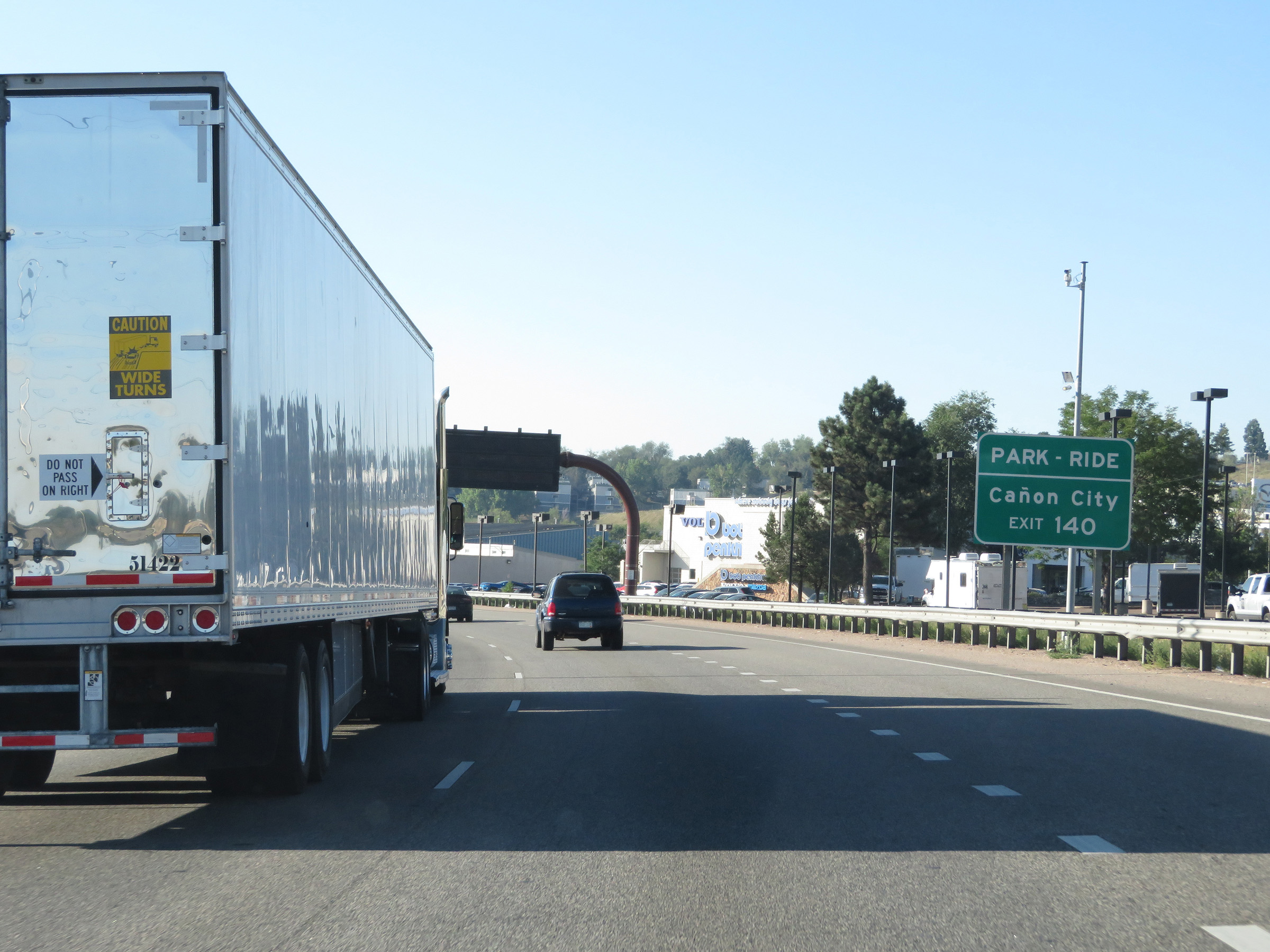 |
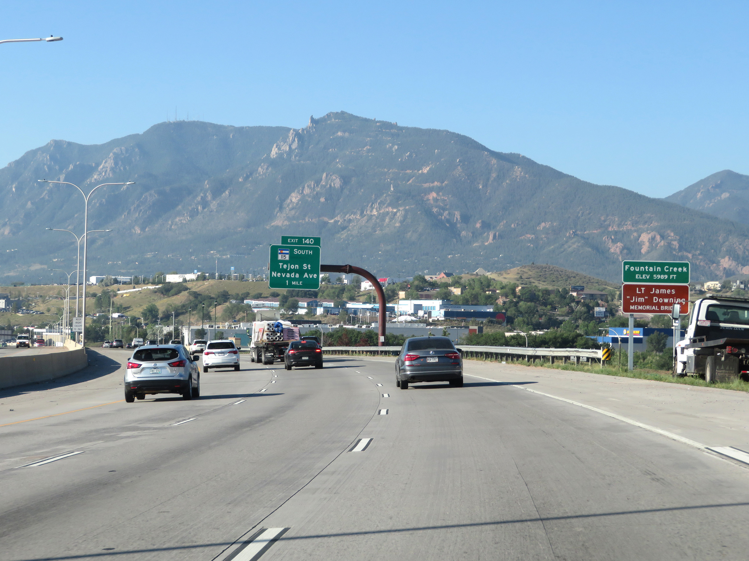
Take Exit 140 to Cañon City. (Photo taken 8/13/20). |
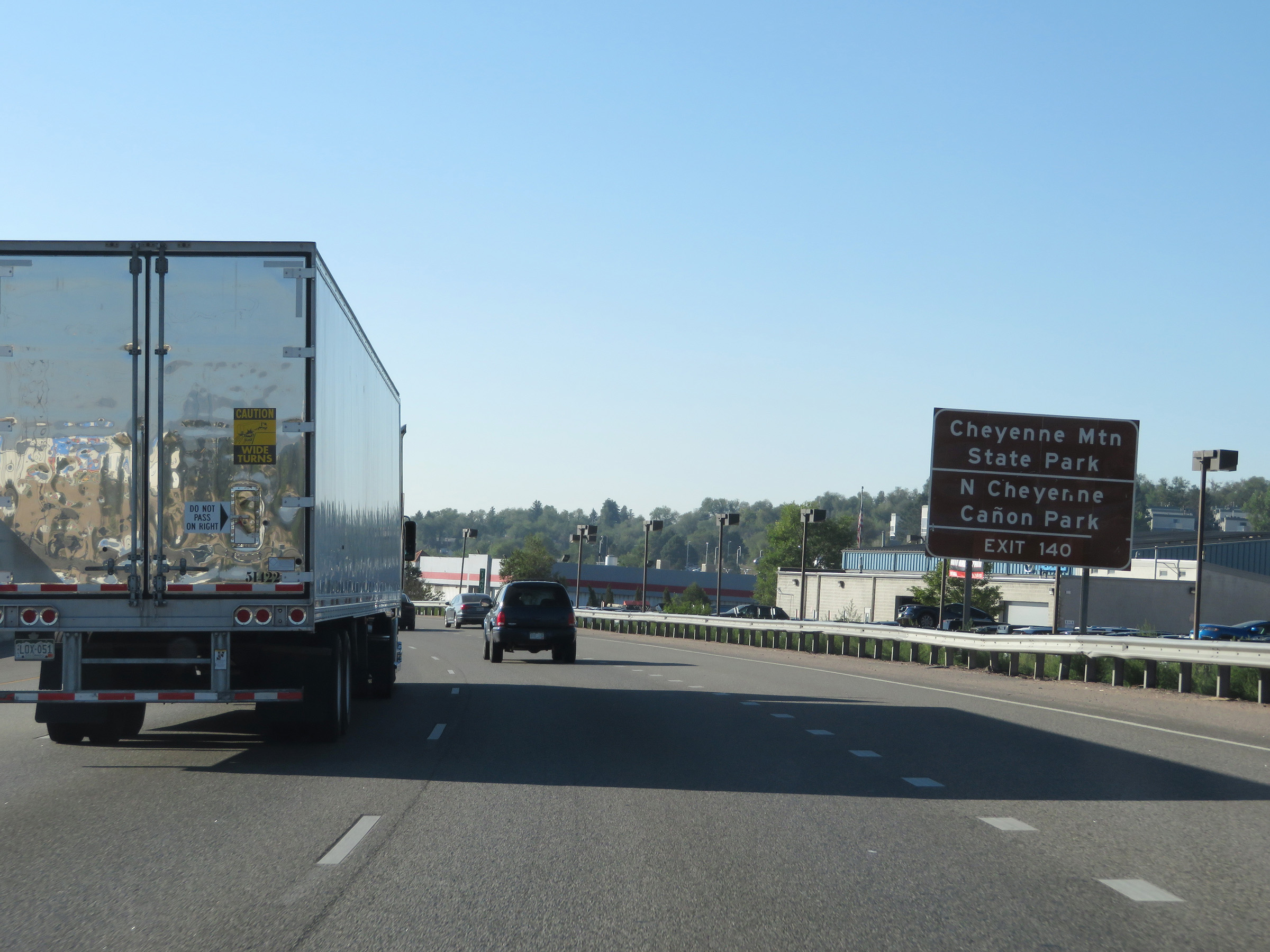 |
Also take Exit 140 to Cheyenne Mountain State Park and North Cheyenne Cañon Park. (Photo taken 8/13/20). |
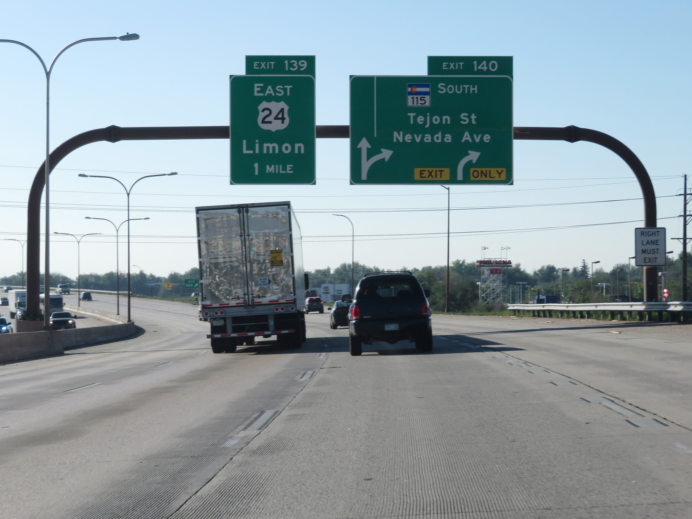 |
Interstate 25 South at Exit 140: CO 115 South - Tejon St / Nevada Ave (Photo taken 8/13/20). |
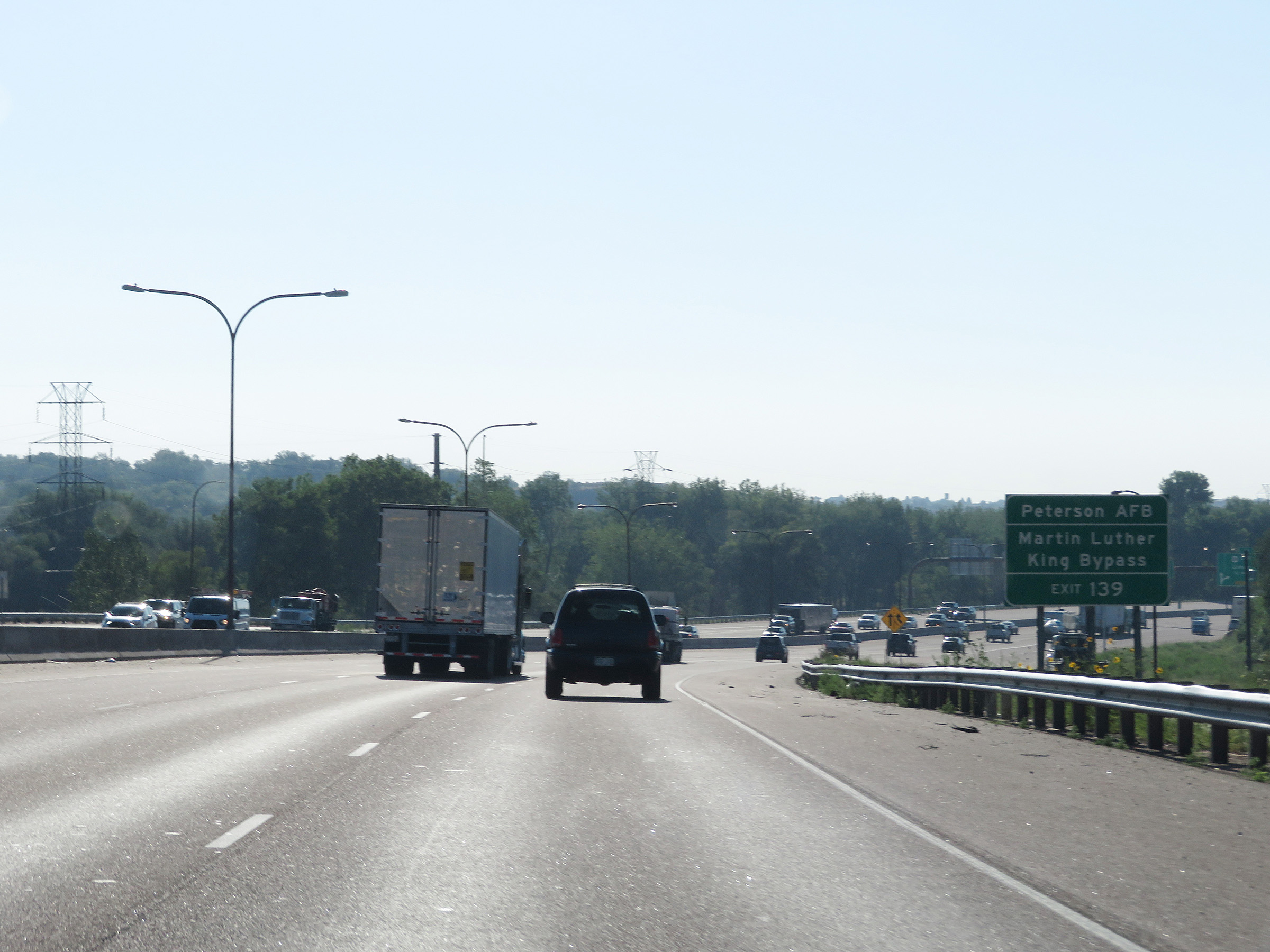 |
Take Exit 139 to Peterson AFB and Martin Luther King Bypass. (Photo taken 8/13/20). |
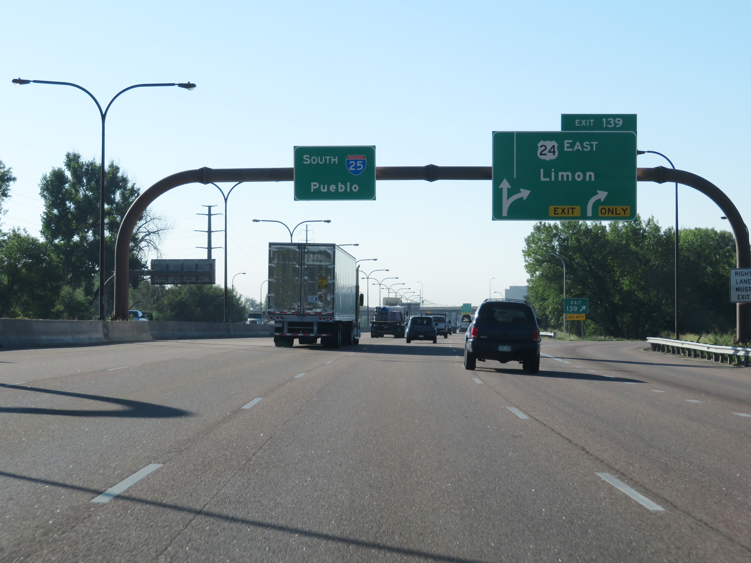 |
Interstate 25 South at Exit 139: US 24 East - Limon (Photo taken 8/13/20). |
 |
Take Exit 138 to Broadmoor World Arena and Cheyenne Mountain Zoo. (Photo taken 8/13/20). |
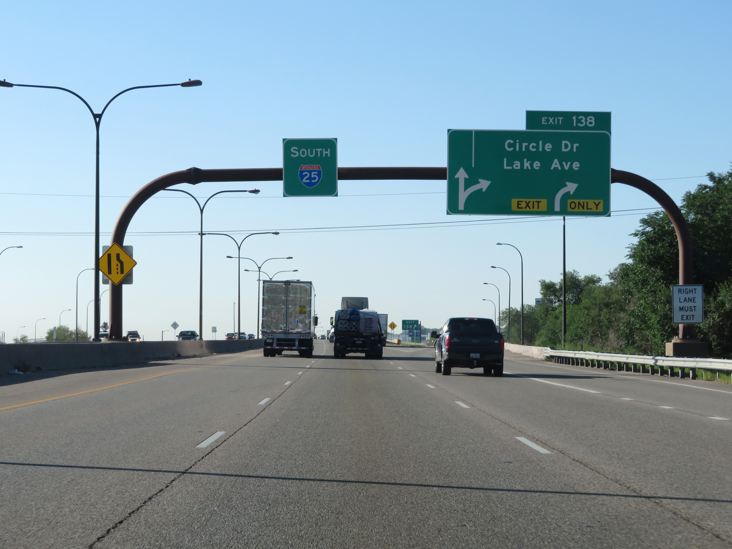 |
Interstate 25 South at Exit 138: Circle Dr / Lake Ave (Photo taken 8/13/20). |
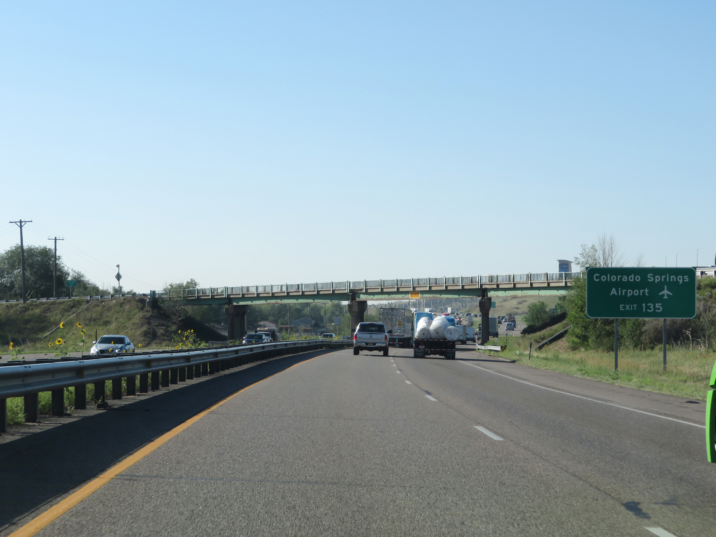 |
Take Exit 135 to Colorado Springs Airport. (Photo taken 8/13/20). |
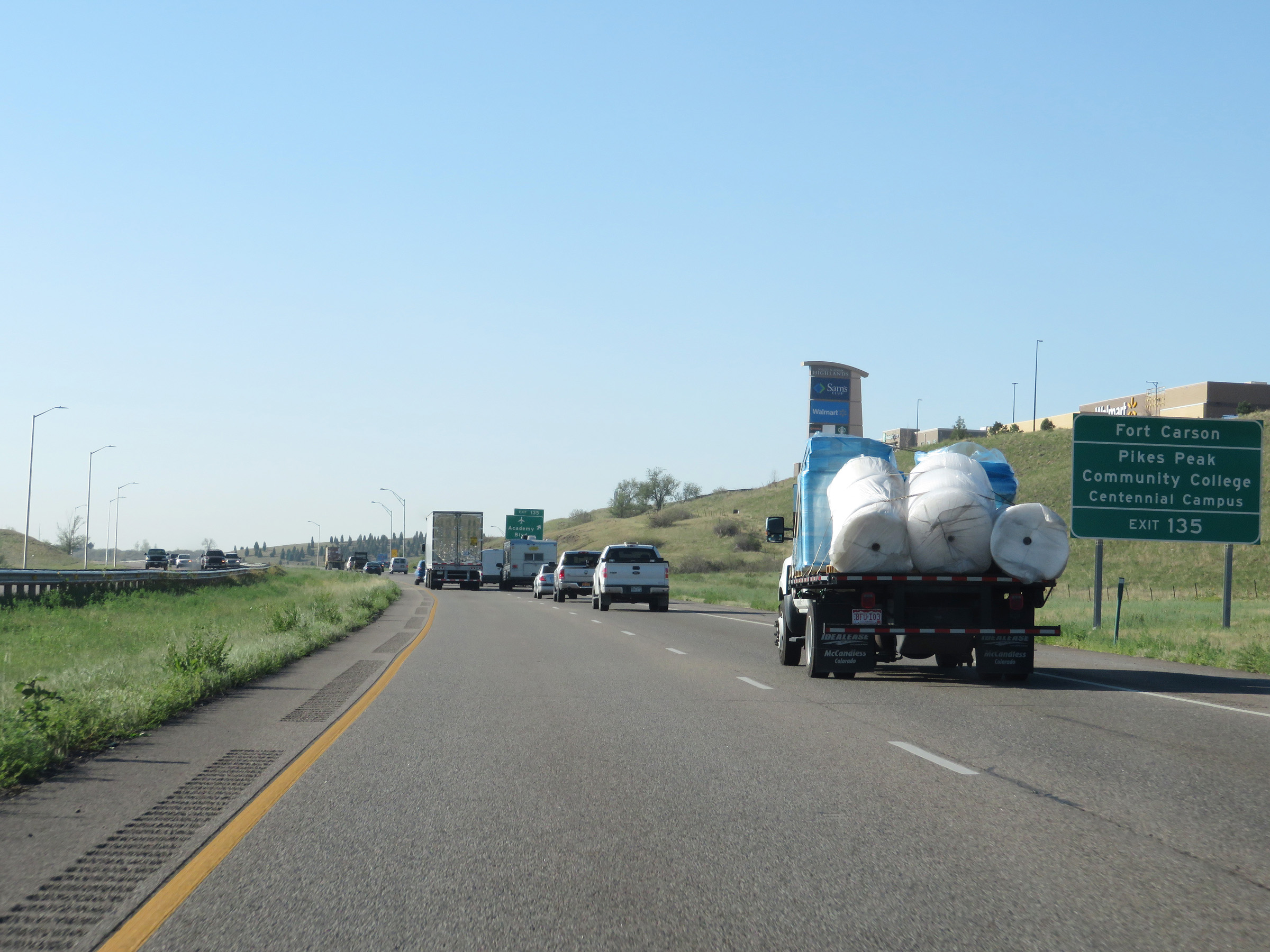 |
Also take Exit 135 to Fort Carson and Pikes Peak Community College Centennial Campus. (Photo taken 8/13/20). |
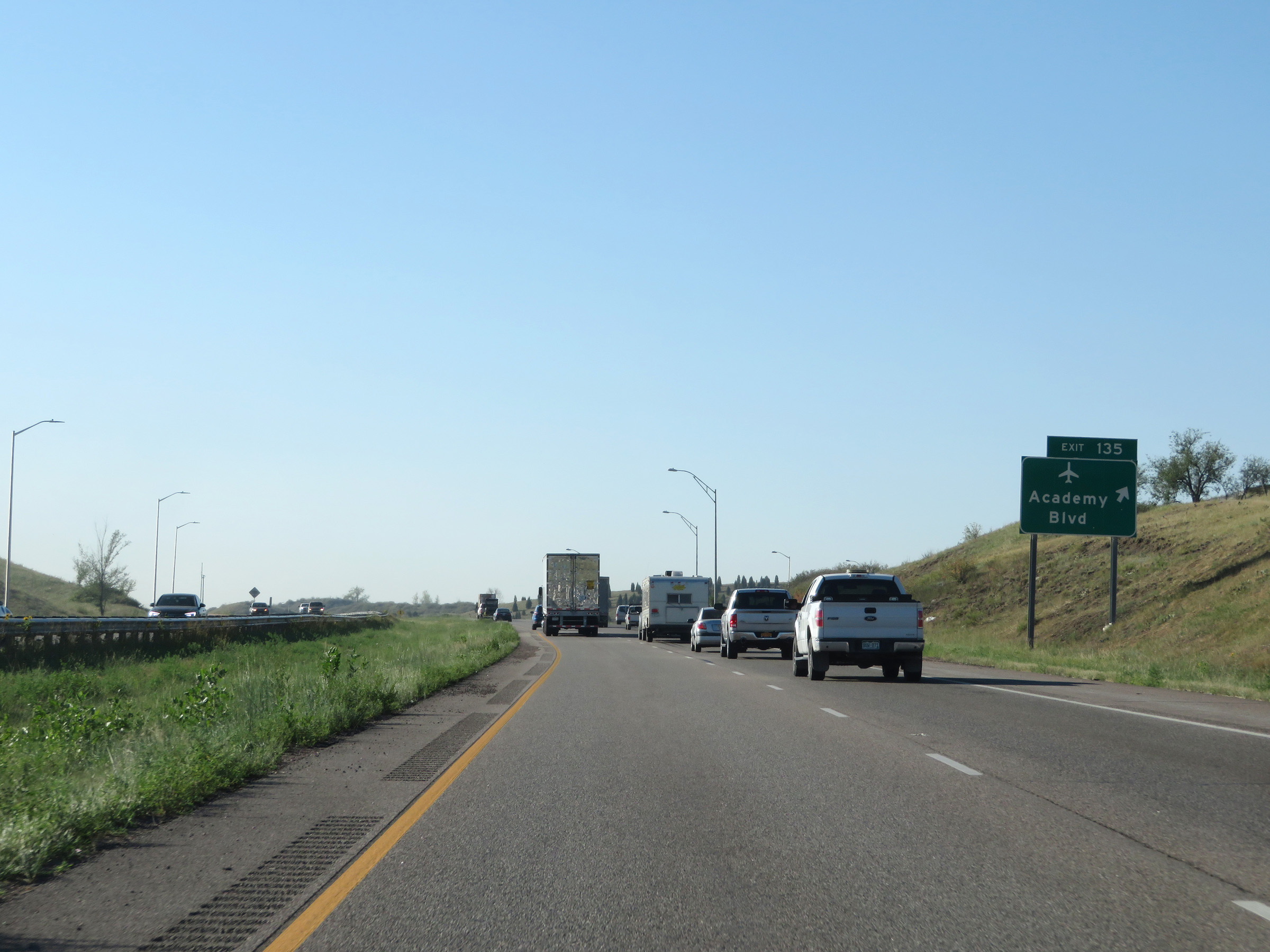 |
Interstate 25 South at Exit 135: Academy Blvd (Photo taken 8/13/20). |
 |
South of Exit 135, the speed limit increases to the rural standard 75 mph once again. (Photo taken 8/13/20). |
 |
View on Interstate 25 South at mile marker 133. (Photo taken 8/13/20). |
 |
Interstate 25 South at Exit 132B: Fort Carson Gate 20 (Photo taken 8/13/20). |
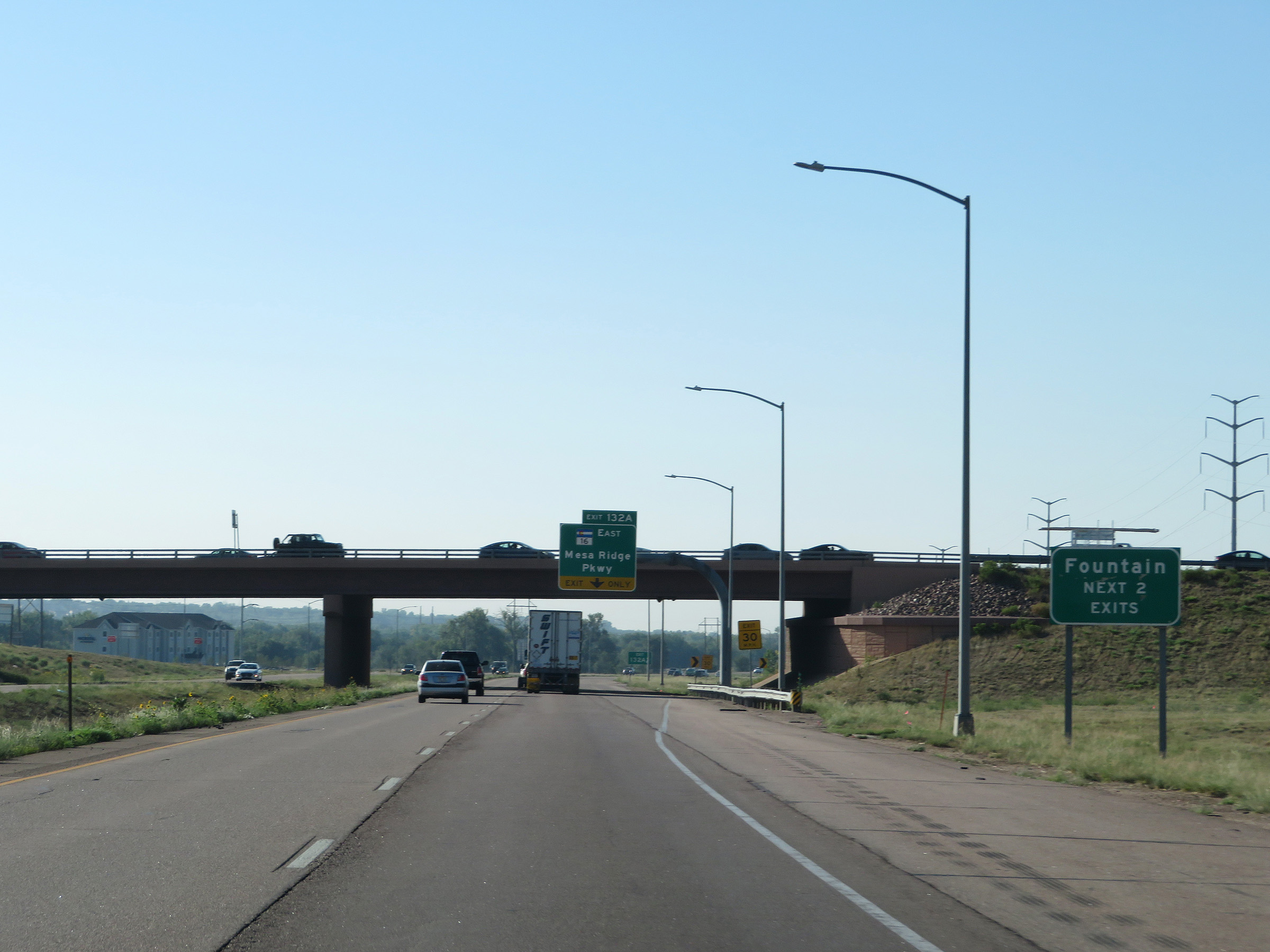 |
Take either of the next 2 exits to Fountain. (Photo taken 8/13/20). |
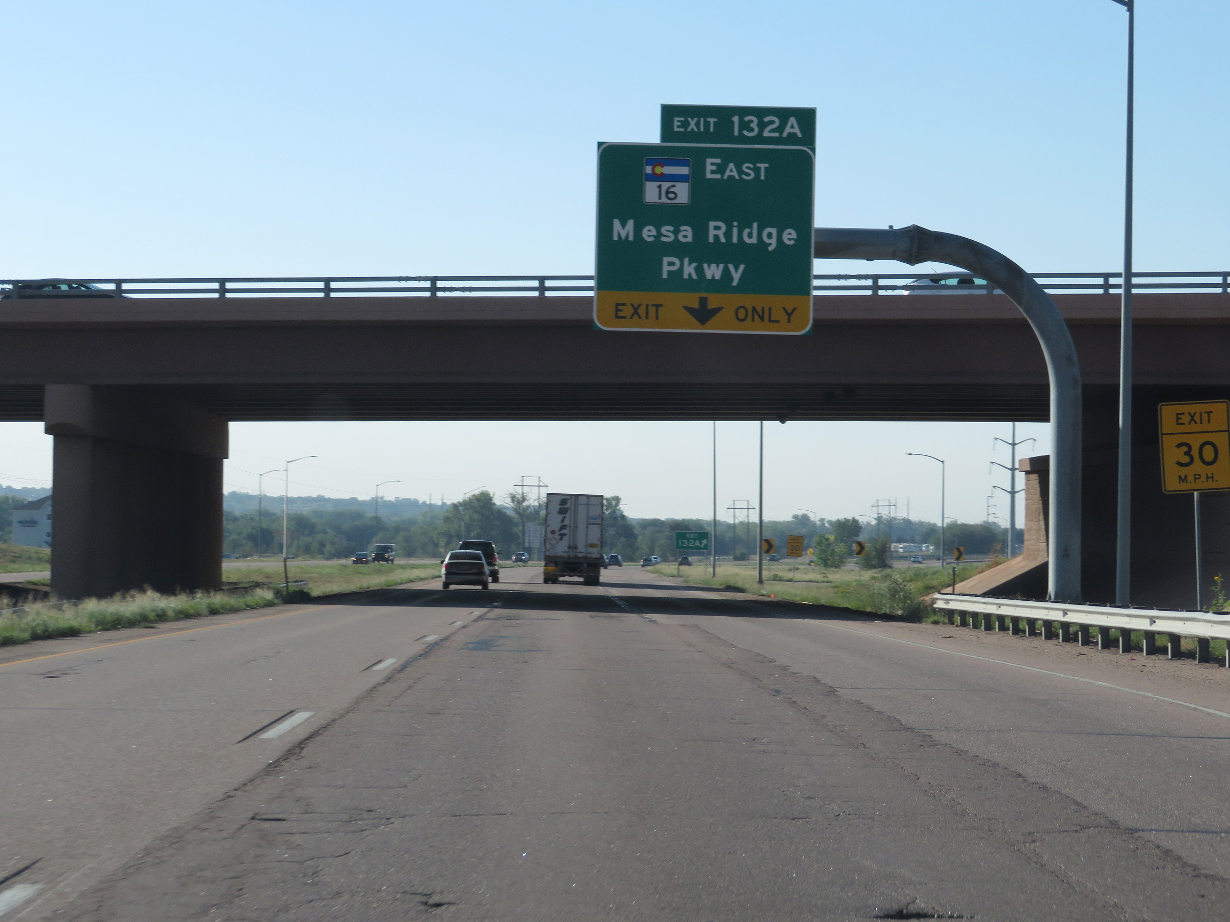 |
Interstate 25 South at Exit 132A: CO 16 East - Mesa Ridge Pkwy (Photo taken 8/13/20). |
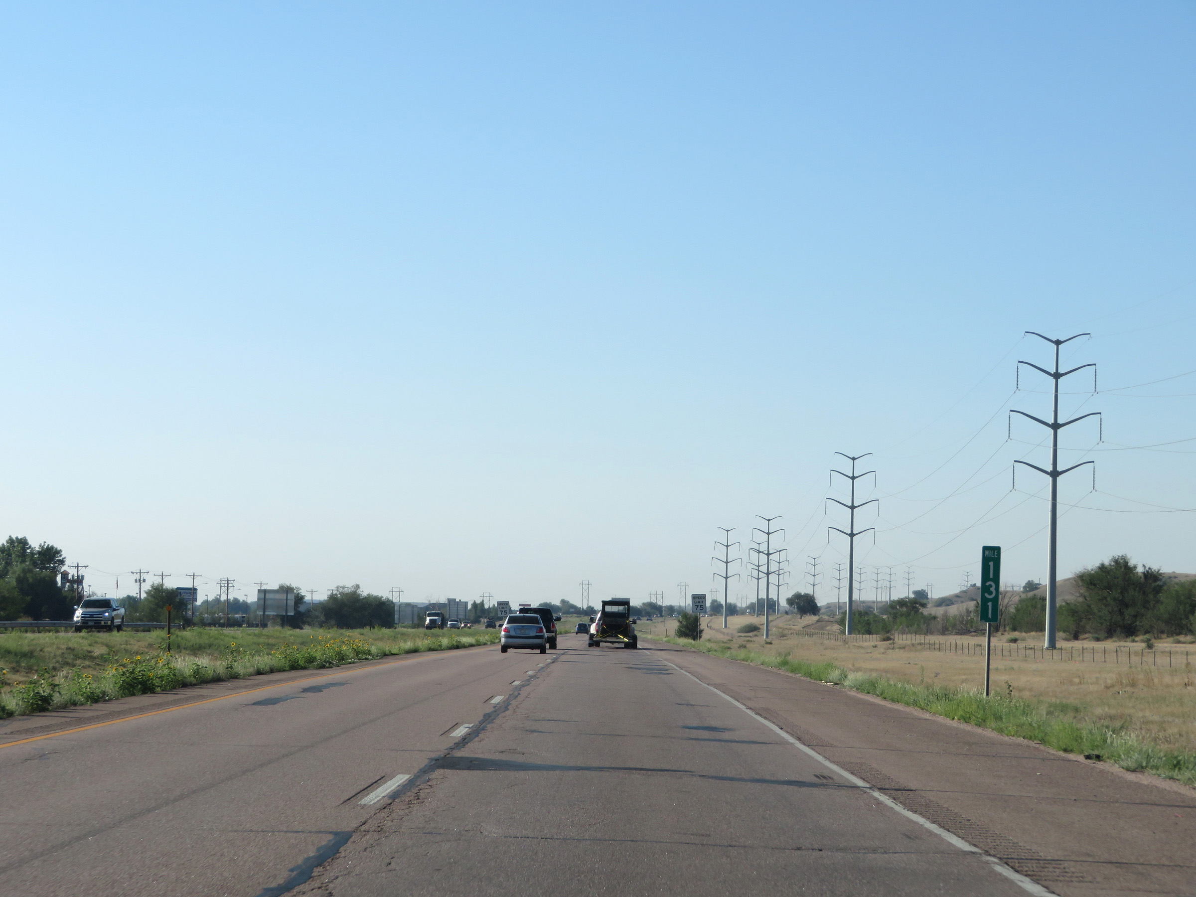 |
View on Interstate 25 South at mile marker 131. (Photo taken 8/13/20). |
 |
Interstate 25 South at mile marker 130. (Photo taken 8/13/20). |
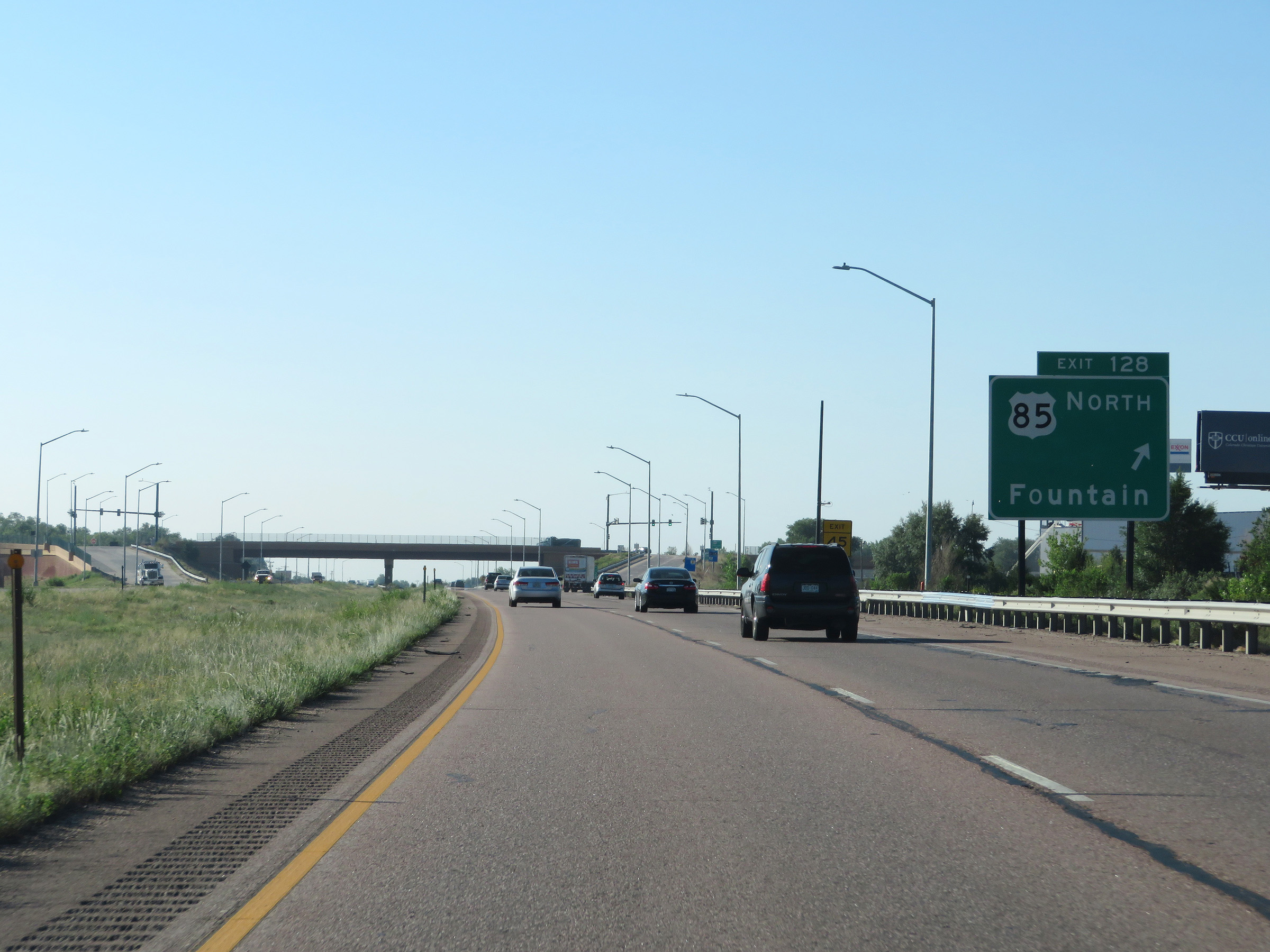 |
Interstate 25 South at Exit 128: US 85 North - Fountain (Photo taken 8/13/20). |
 |
Mileage sign on Interstate 25 South. It's 25 miles to Pueblo and 355 miles to Albuquerque. (Photo taken 8/13/20). |
 |
View on Interstate 25 South at mile marker 126. (Photo taken 8/13/20). |
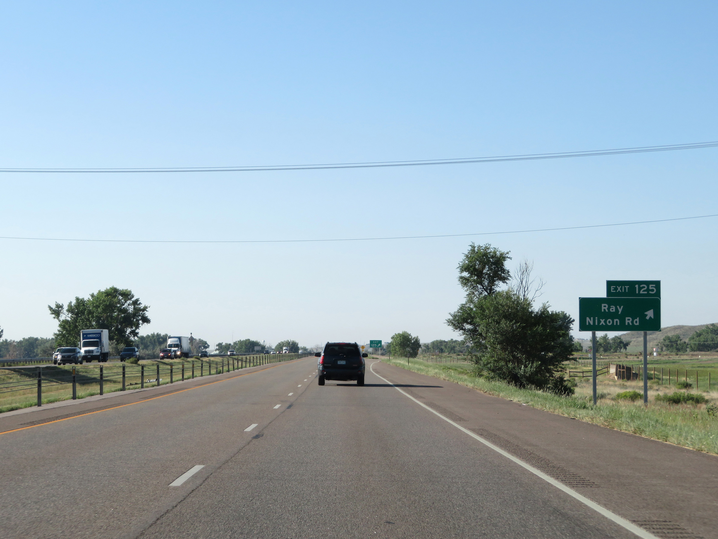 |
Interstate 25 South at Exit 125: Ray / Nixon Rd (Photo taken 8/13/20). |
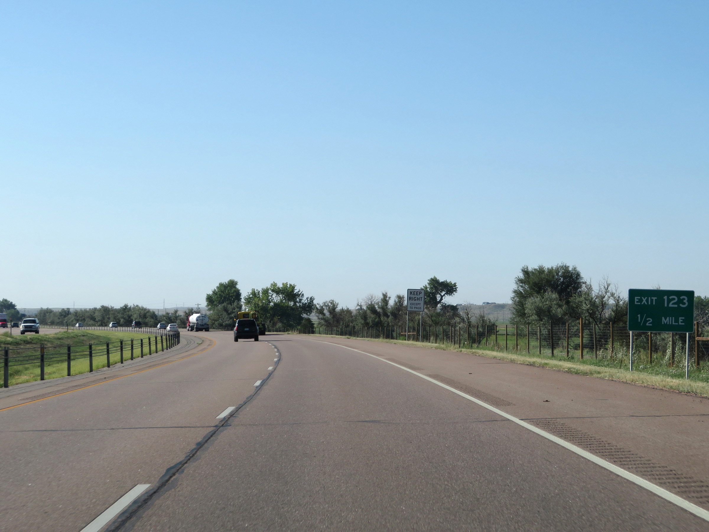 |
Interstate 25 South approaching Exit 123 - 1/2 mile. (Photo taken 8/13/20). |
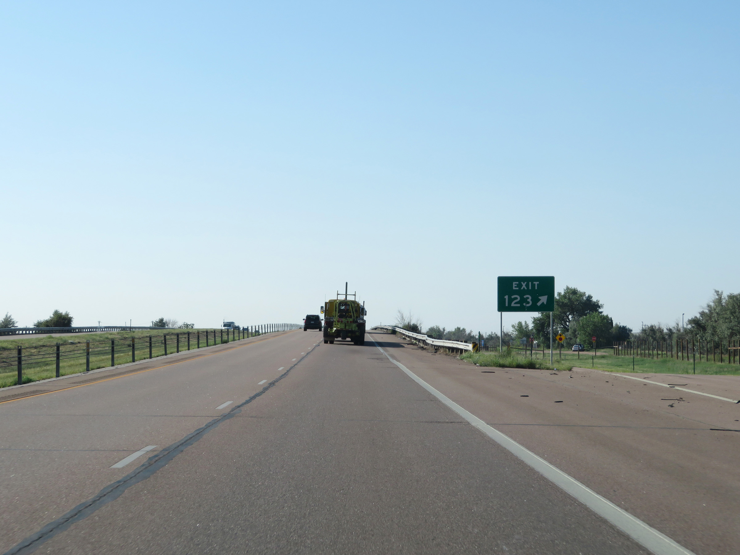 |
Interstate 25 South at Exit 123: (No Name) (Photo taken 8/13/20). |
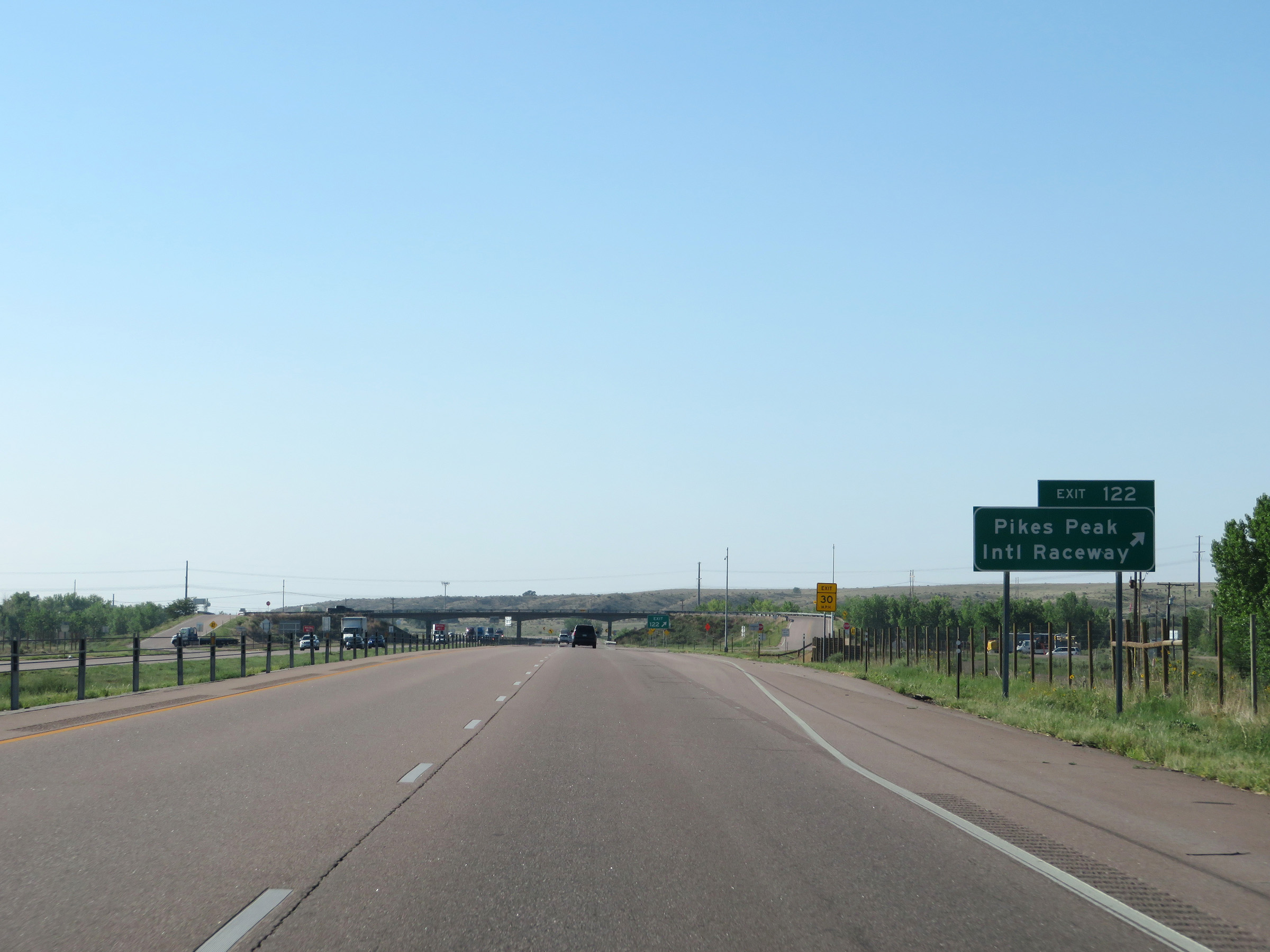 |
Interstate 25 South at Exit 122: Pikes Peak International Raceway (Photo taken 8/13/20). |
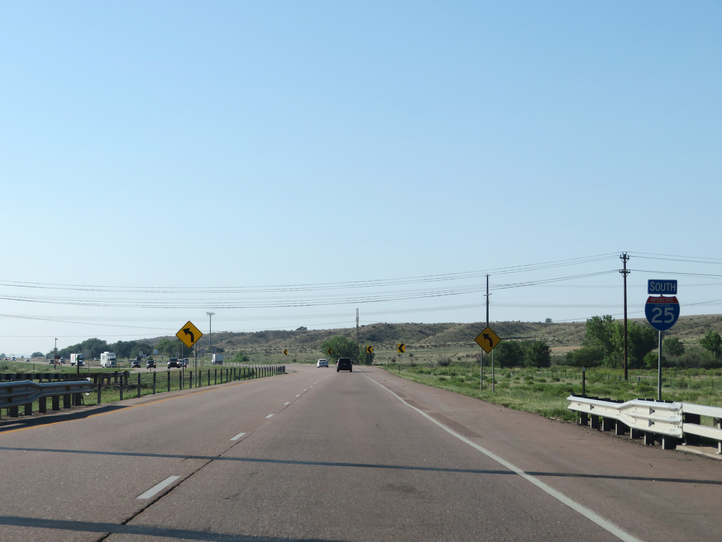 |
State-named Interstate 25 South reassurance shield. (Photo taken 8/13/20). |
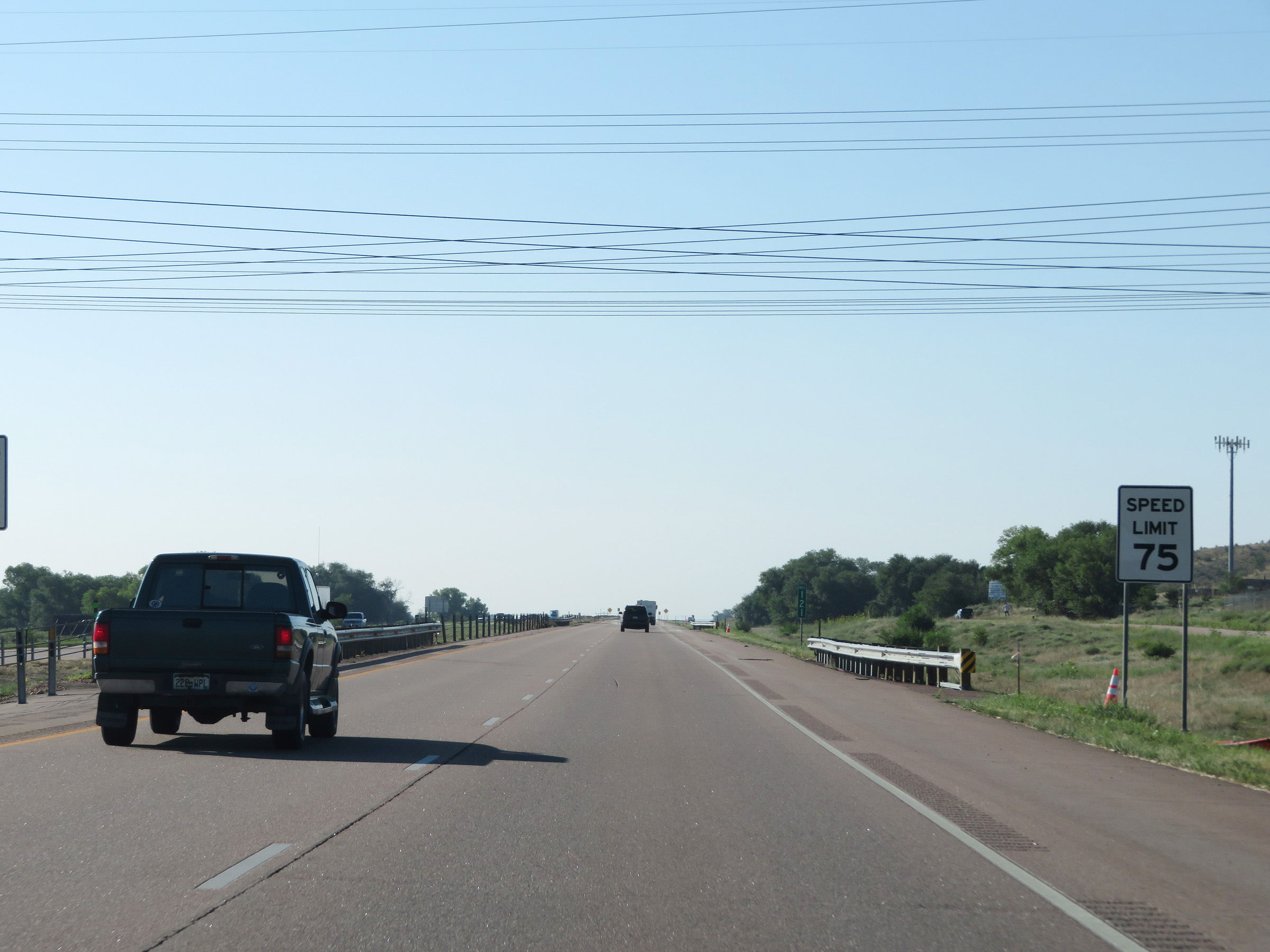 |
The speed limit remains 75 mph. (Photo taken 8/13/20). |
 |
View on Interstate 25 South at mile marker 120. (Photo taken 8/13/20). |
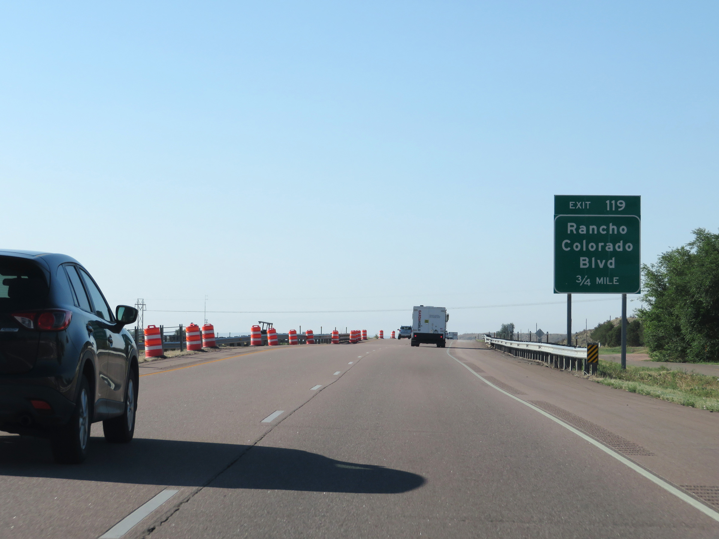 |
Interstate 25 South approaching Exit 119 - 3/4 mile. (Photo taken 8/13/20). |
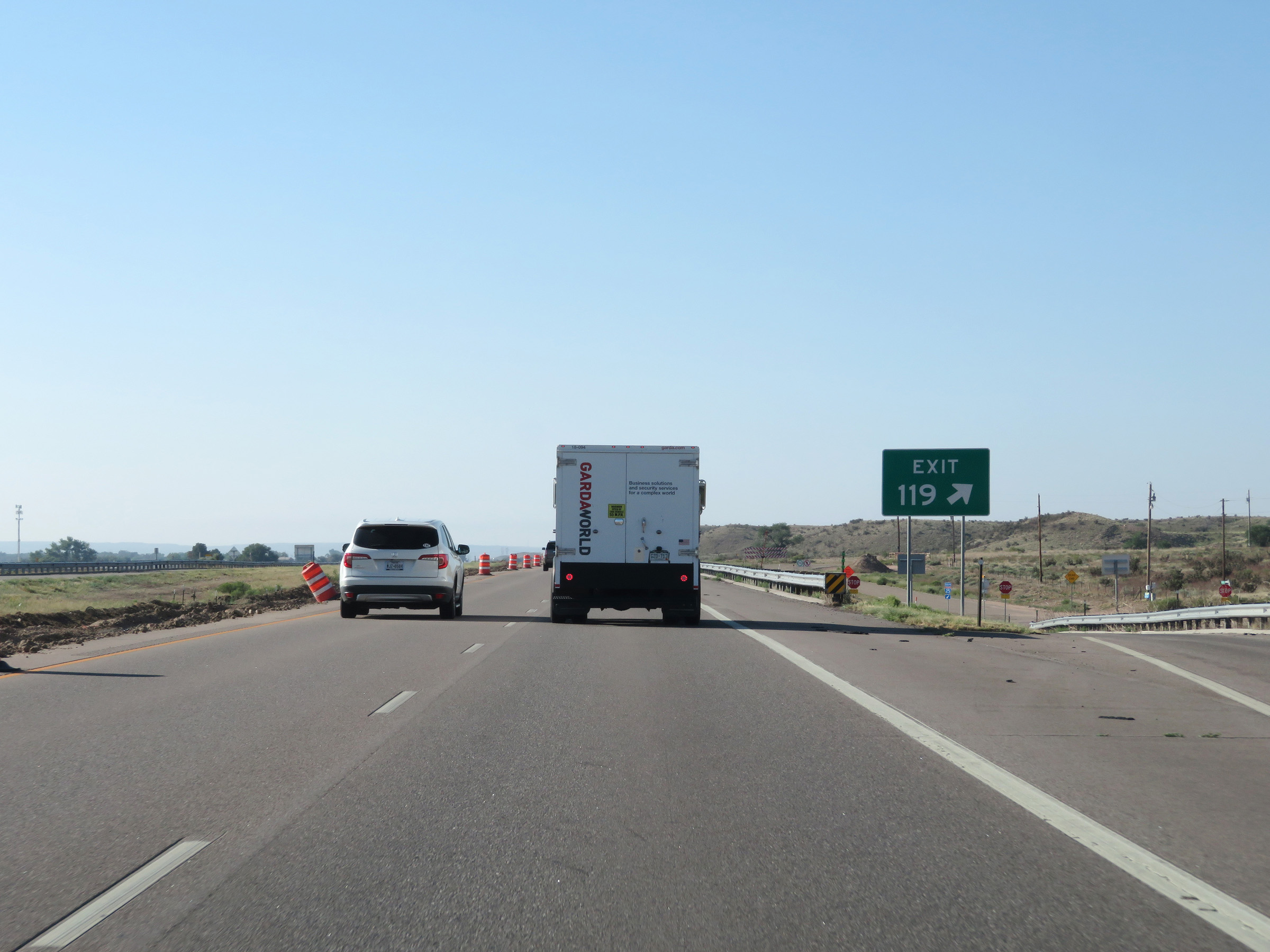 |
Interstate 25 South at Exit 119: Rancho Colorado Blvd (Photo taken 8/13/20). |
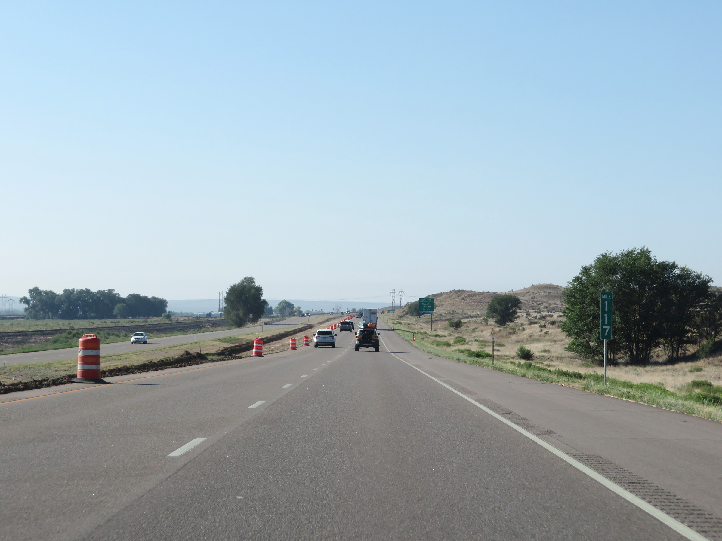 |
View on Interstate 25 South at mile marker 117. (Photo taken 8/13/20). |
 |
Interstate 25 South approaching Exit 116 - 3/4 mile. (Photo taken 8/13/20). |
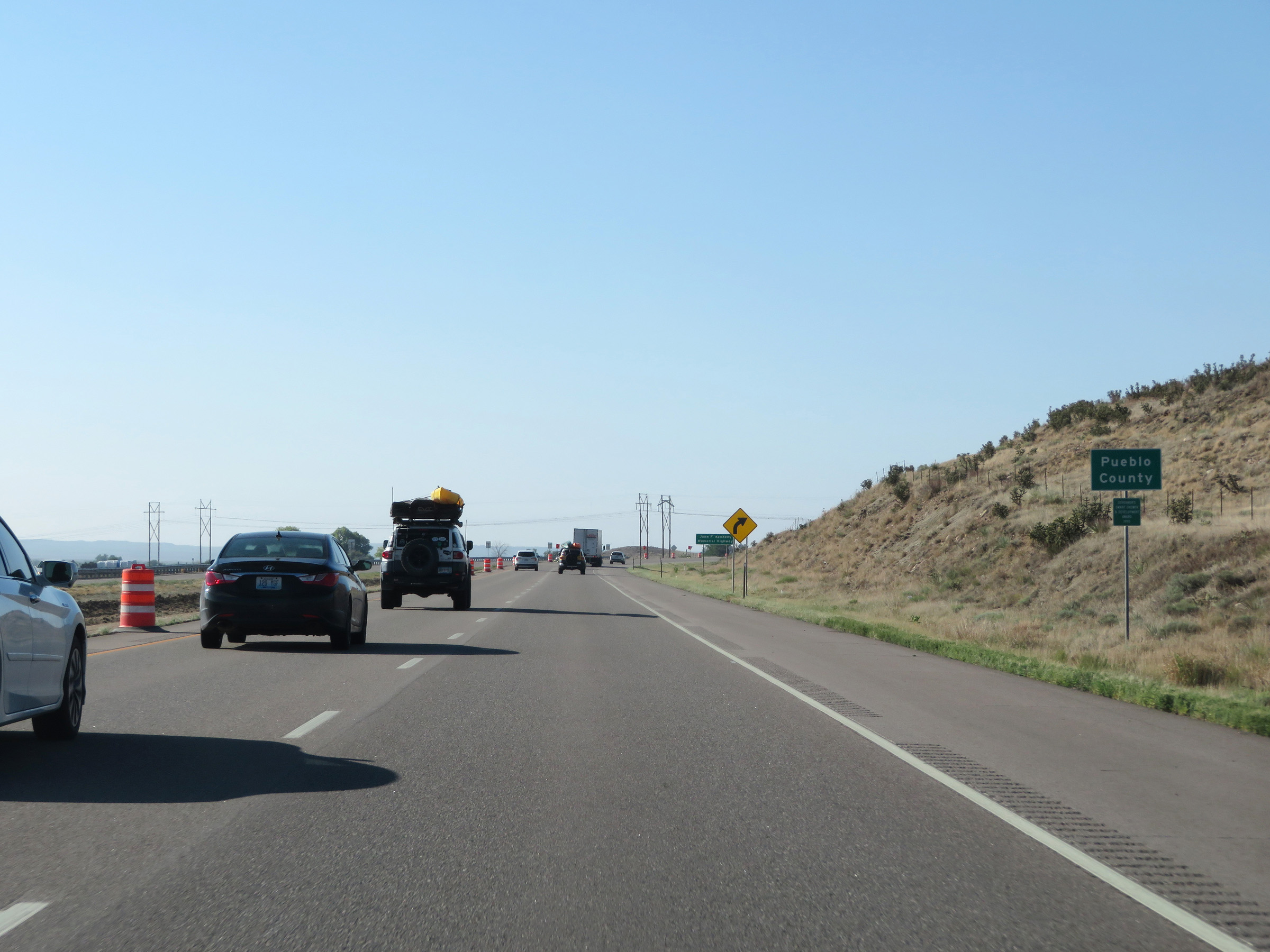 |
Interstate 25 South as it enters Pueblo County. (Photo taken 8/13/20). |
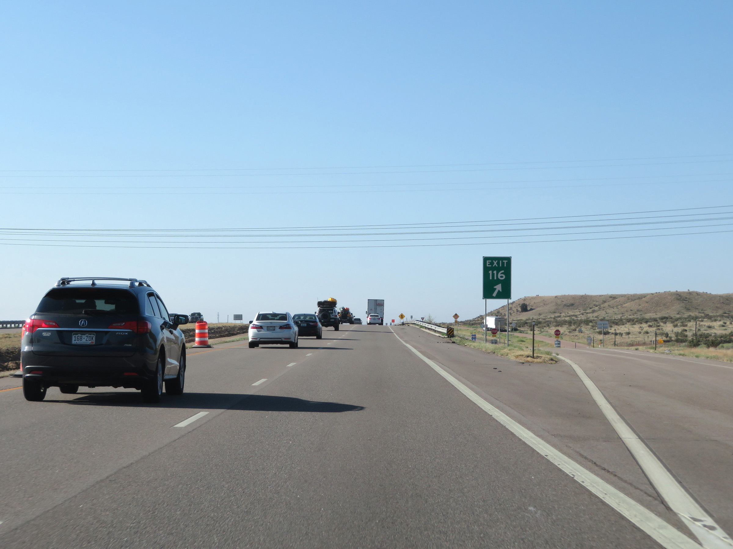 |
Interstate 25 South at Exit 116: County Line Rd (Photo taken 8/13/20). |
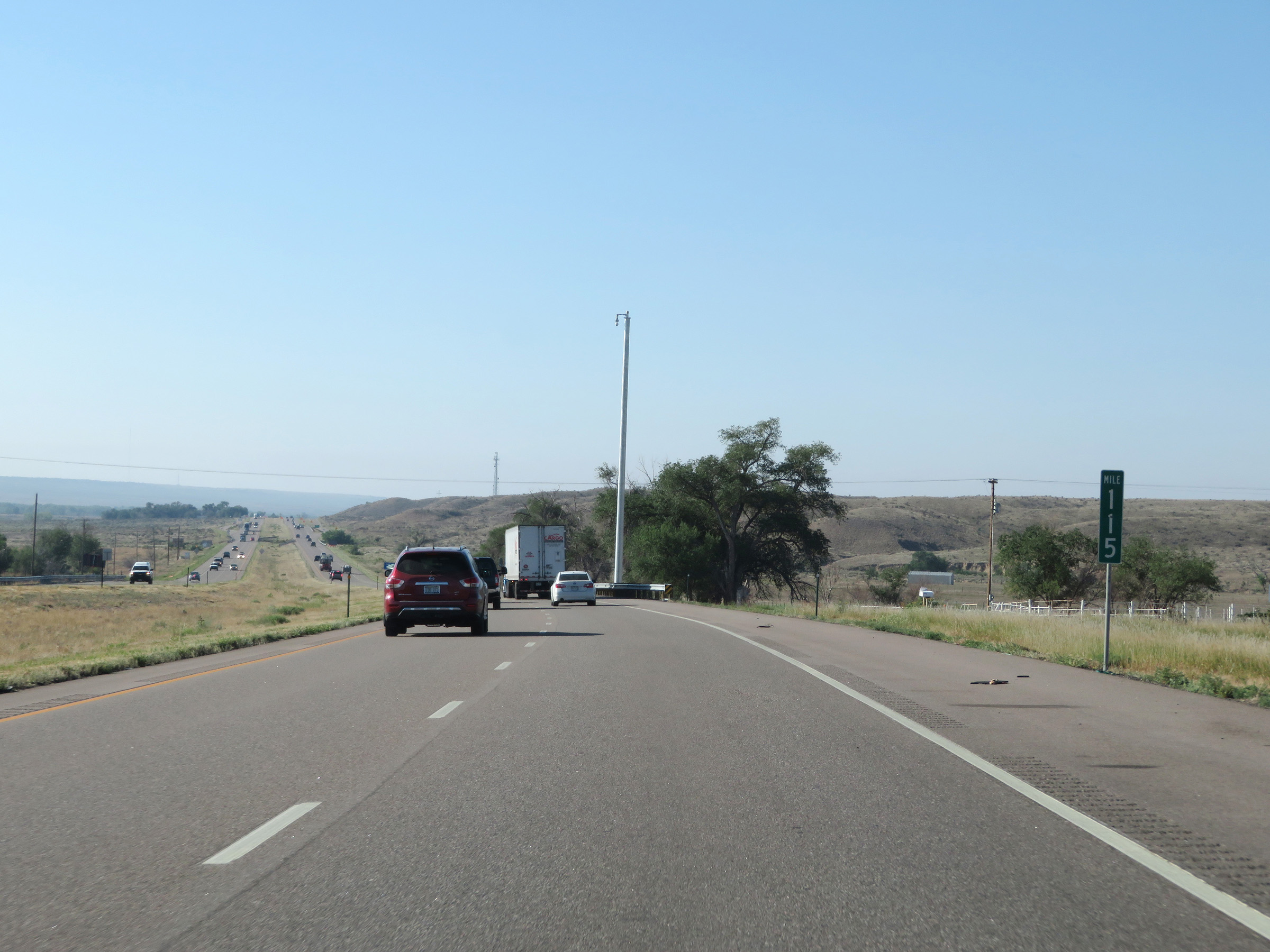 |
View on Interstate 25 South at mile marker 115. (Photo taken 8/13/20). |
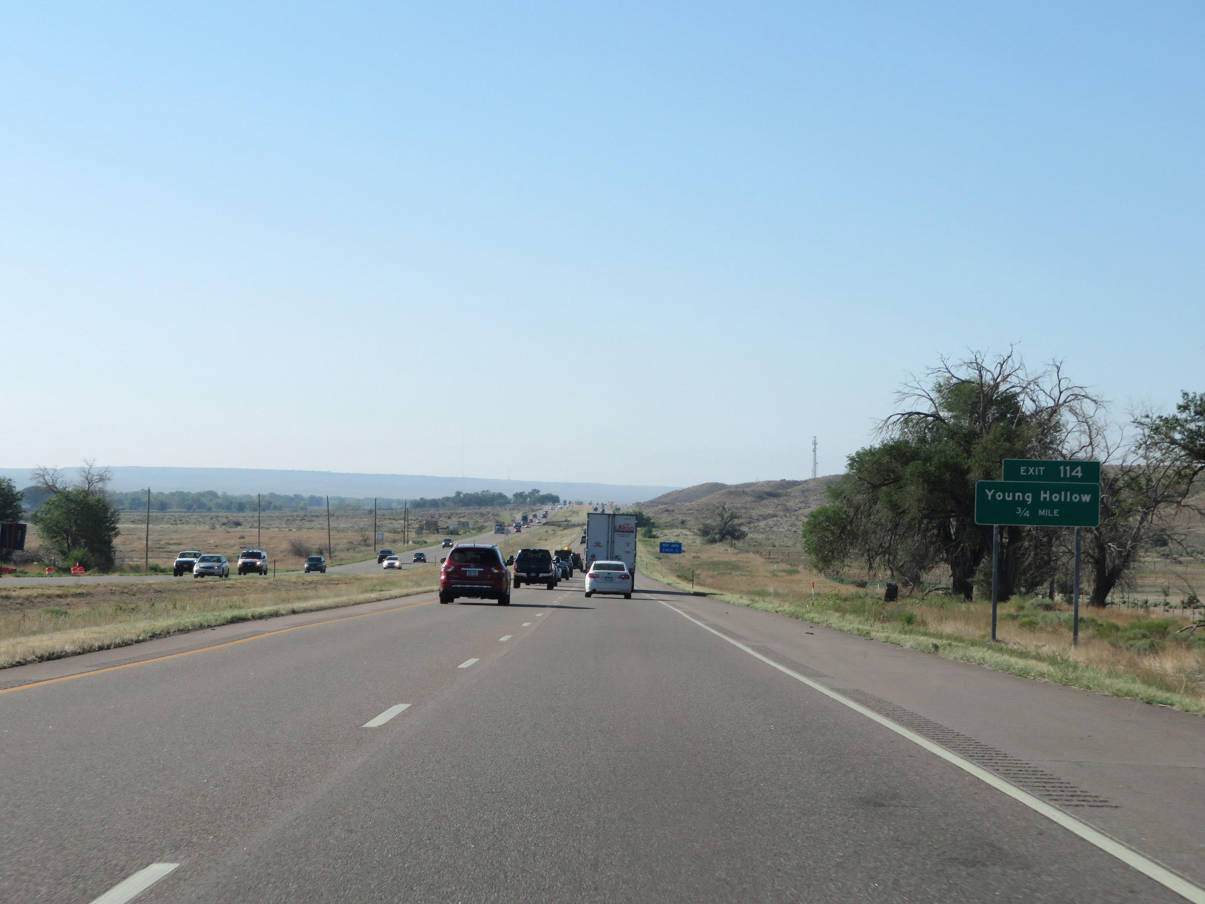 |
Interstate 25 South approaching Exit 114 - 3/4 mile. (Photo taken 8/13/20). |
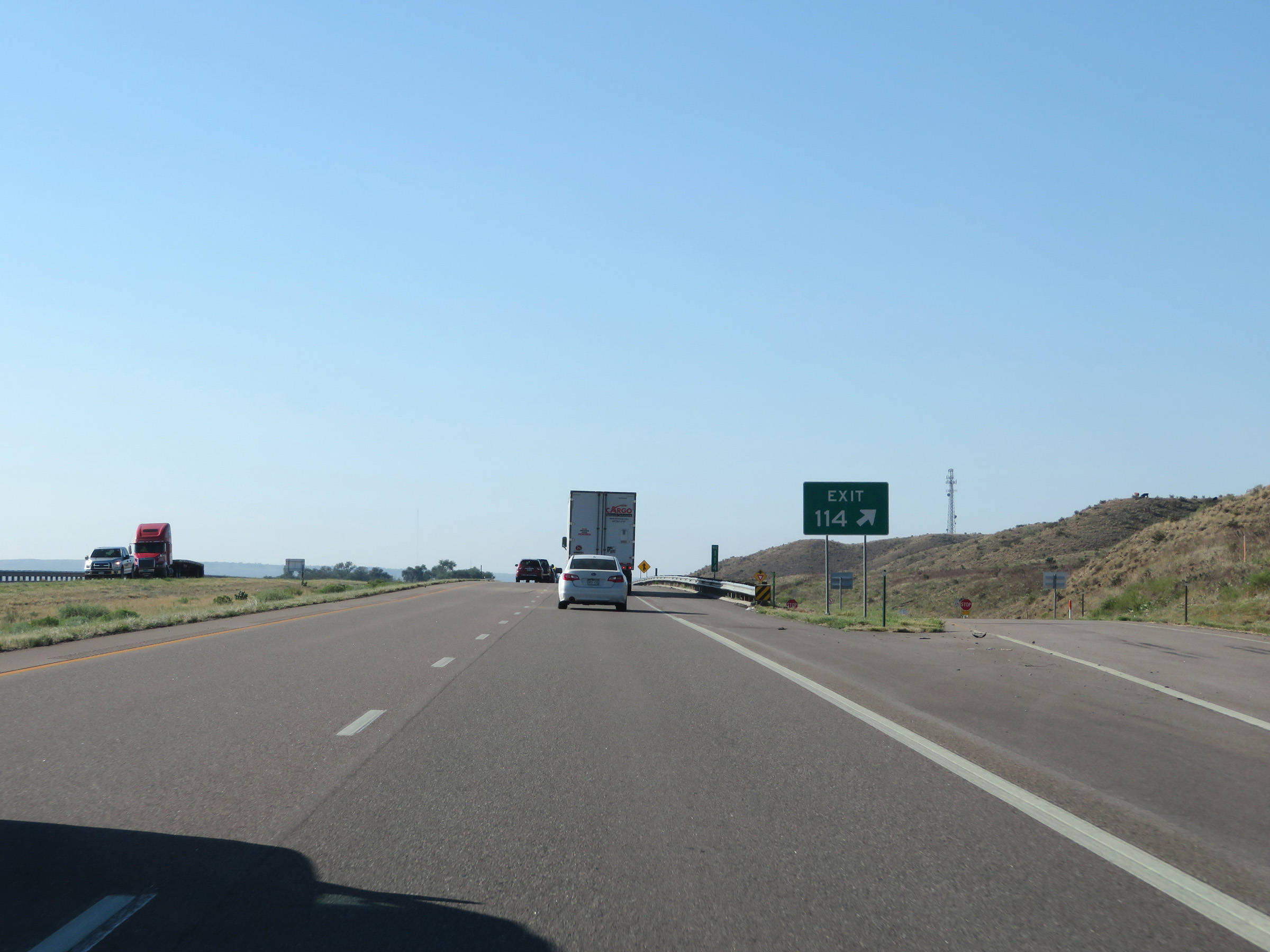 |
Interstate 25 South at Exit 114: Young Hollow (Photo taken 8/13/20). |
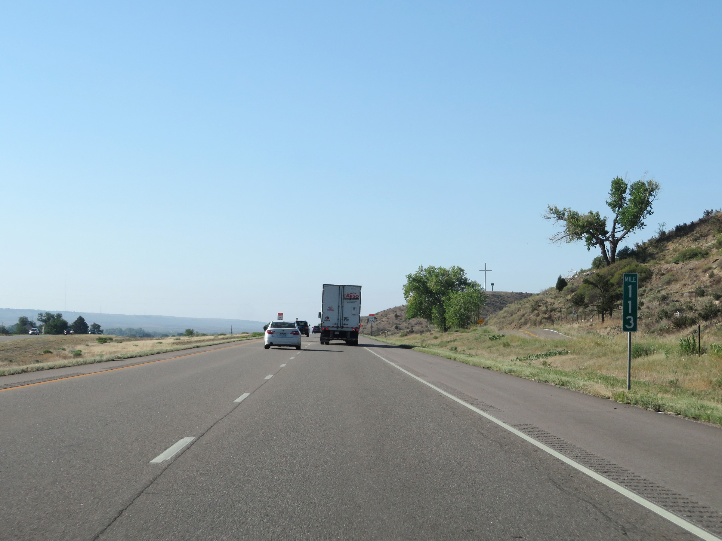 |
View on Interstate 25 South at mile marker 113. (Photo taken 8/13/20). |
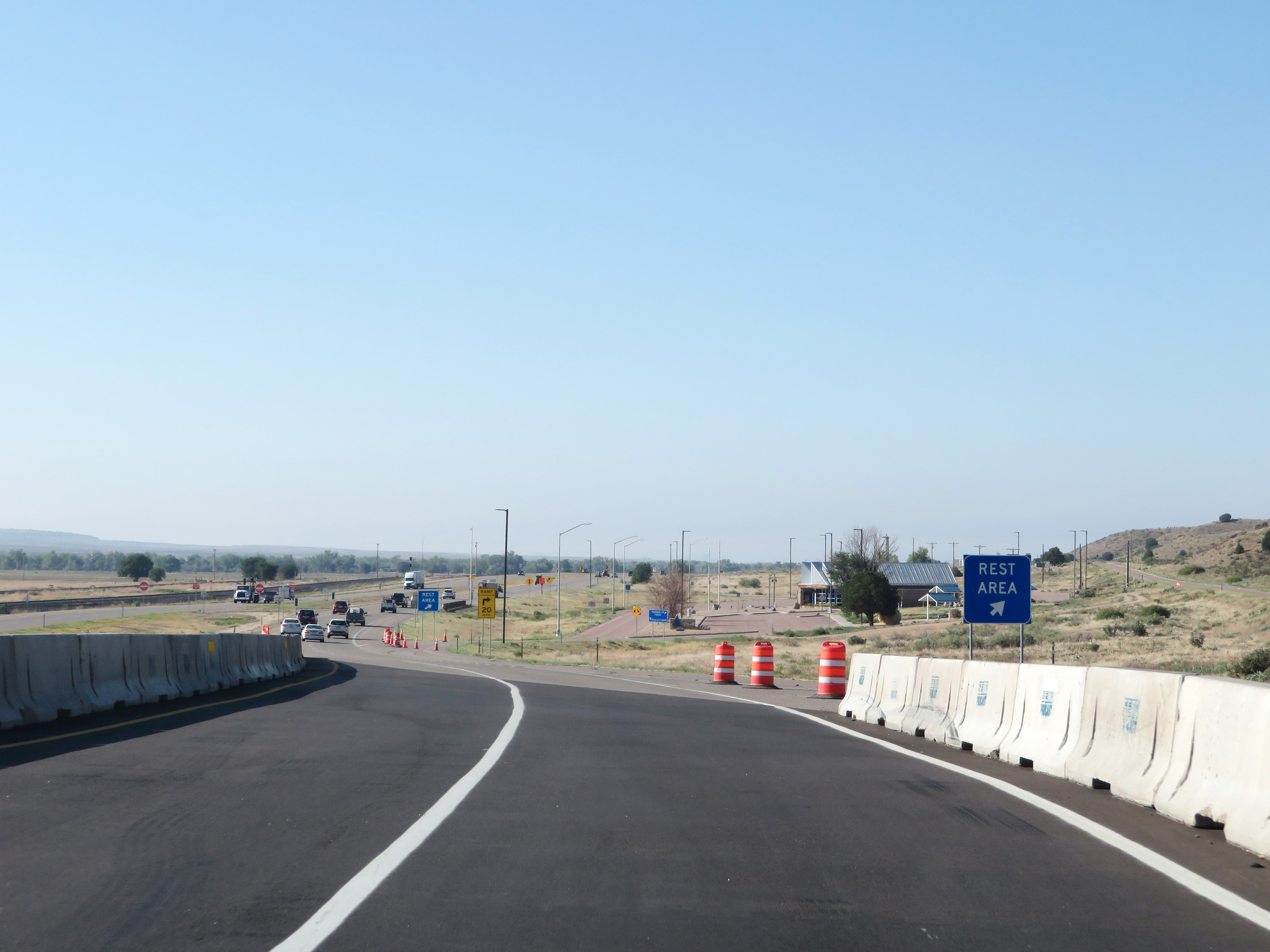 |
Rest Area on Interstate 25 South in Pueblo County. (Photo taken 8/13/20). |
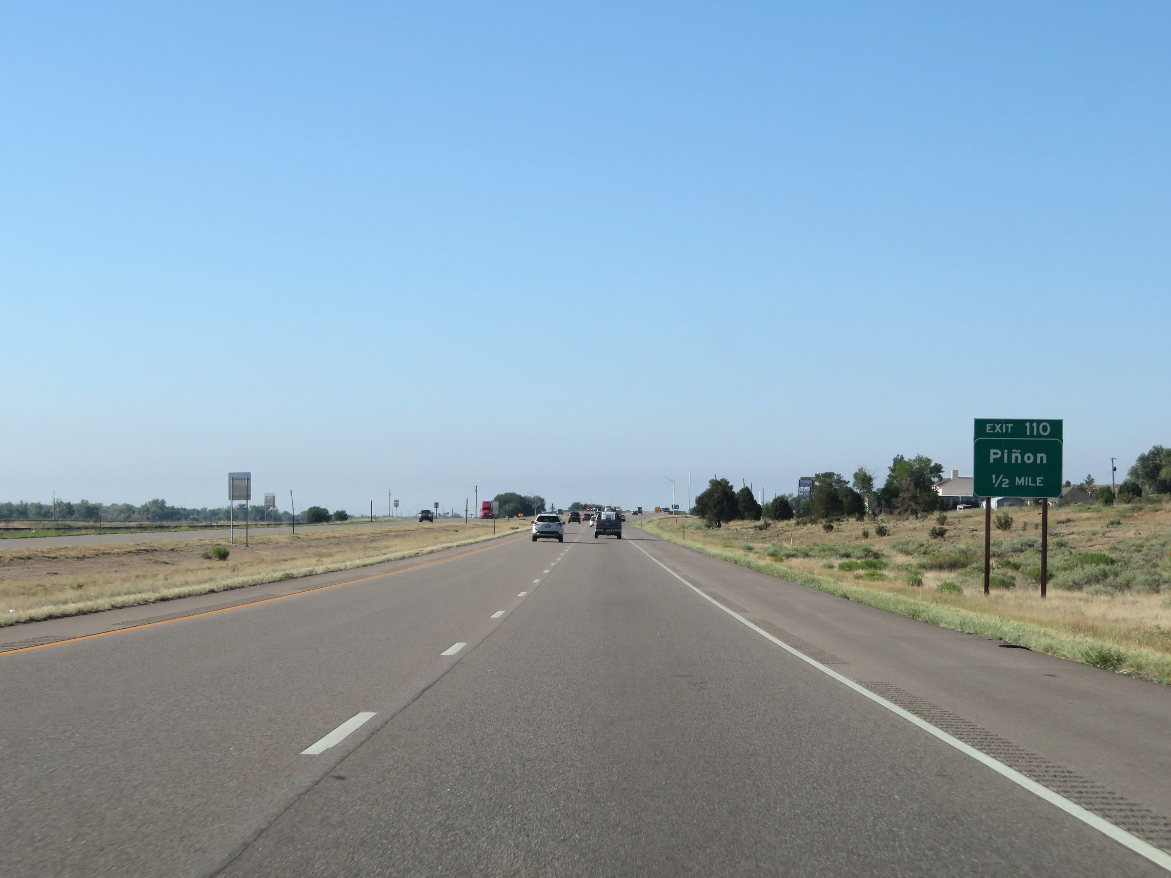 |
Interstate 25 South approaching Exit 110 - 1/2 mile. (Photo taken 8/13/20). |
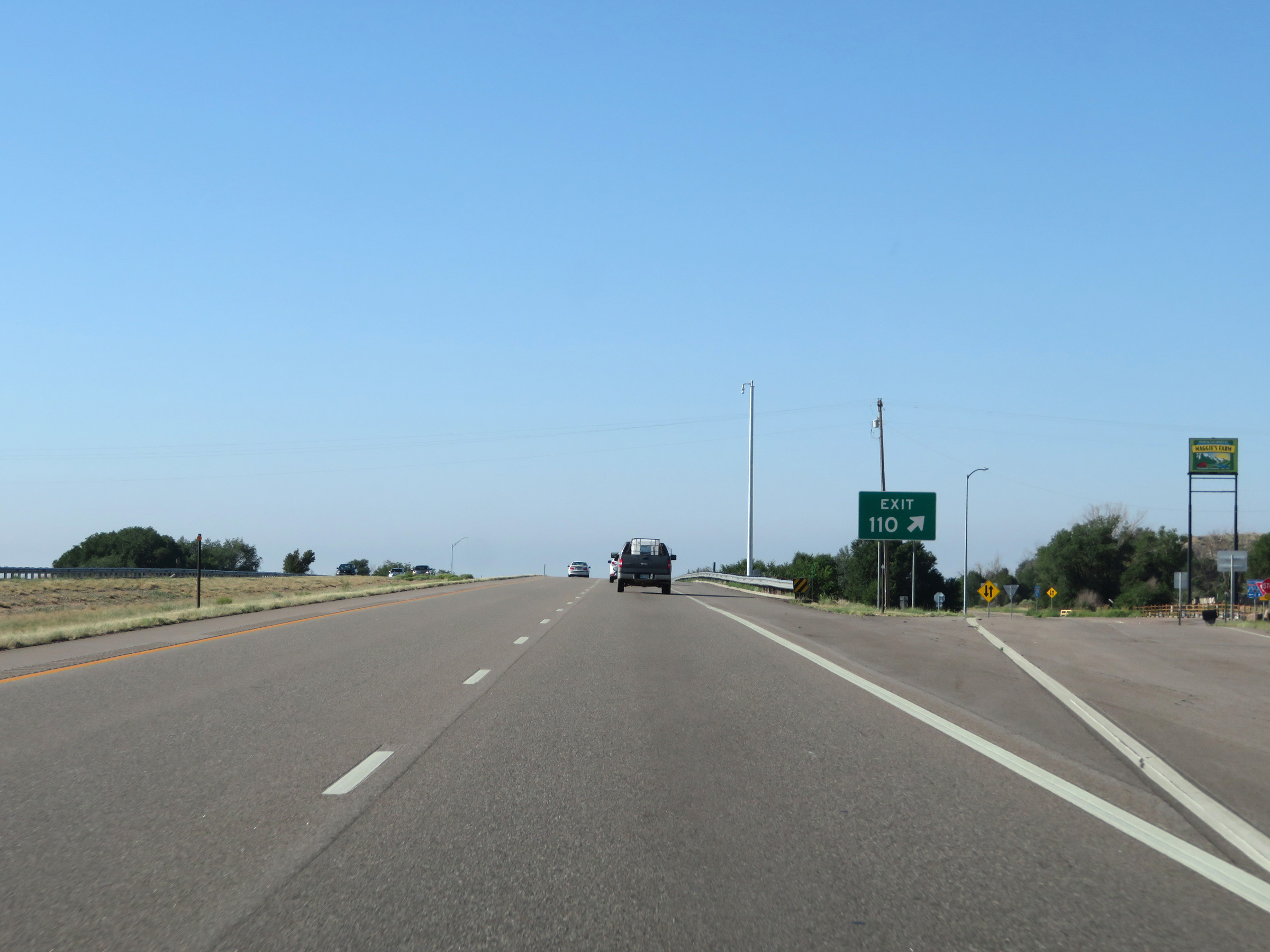 |
Interstate 25 South at Exit 110: Piñon (Photo taken 8/13/20). |
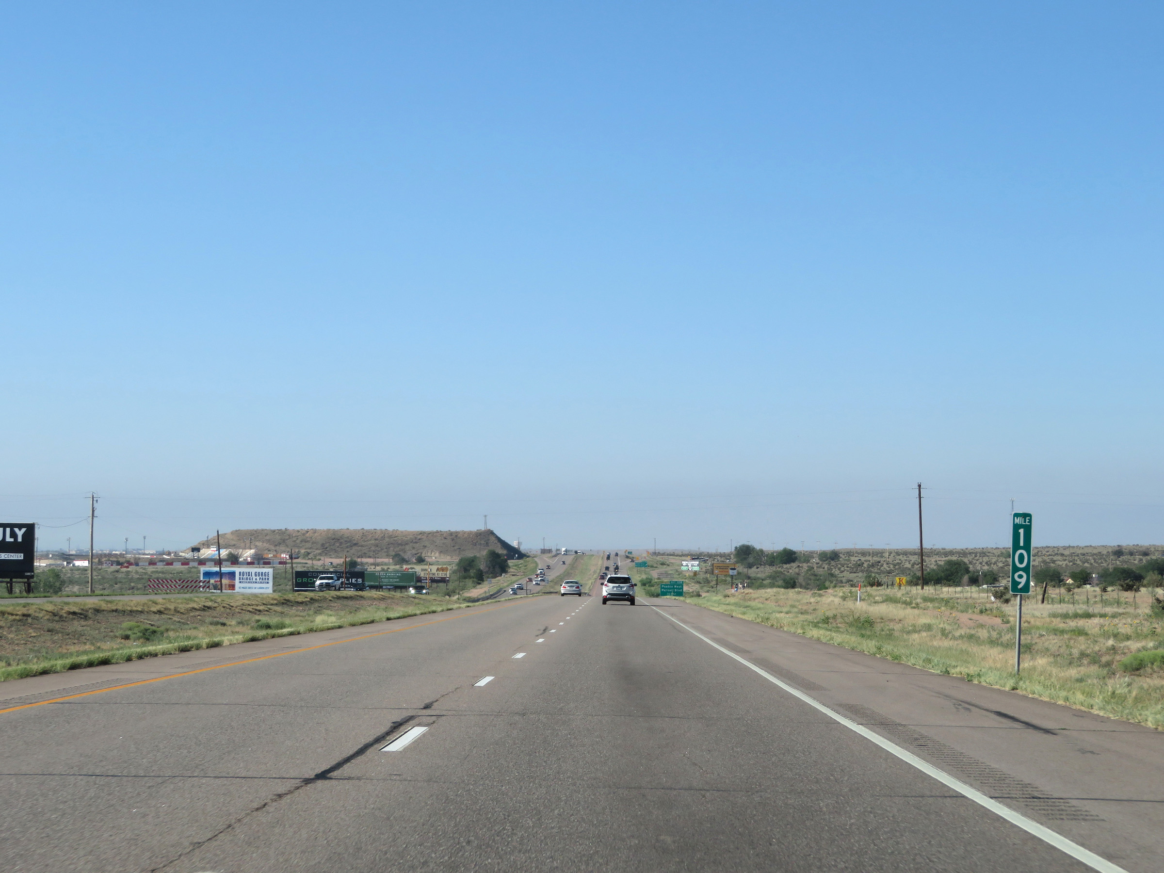 |
View on Interstate 25 South at mile marker 109. (Photo taken 8/13/20). |
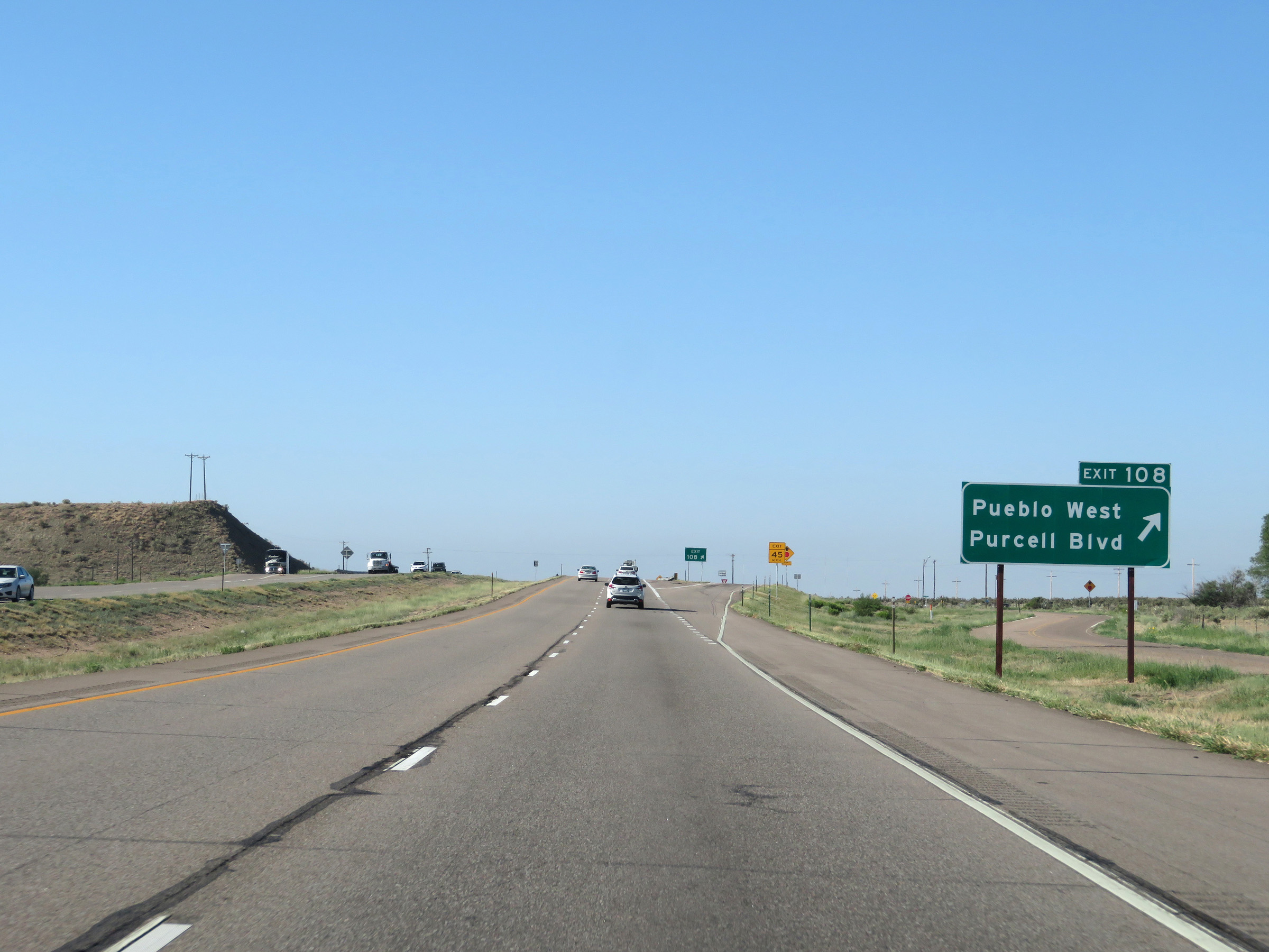 |
Interstate 25 South at Exit 108: Pueblo West / Purcell Blvd (Photo taken 8/13/20). |
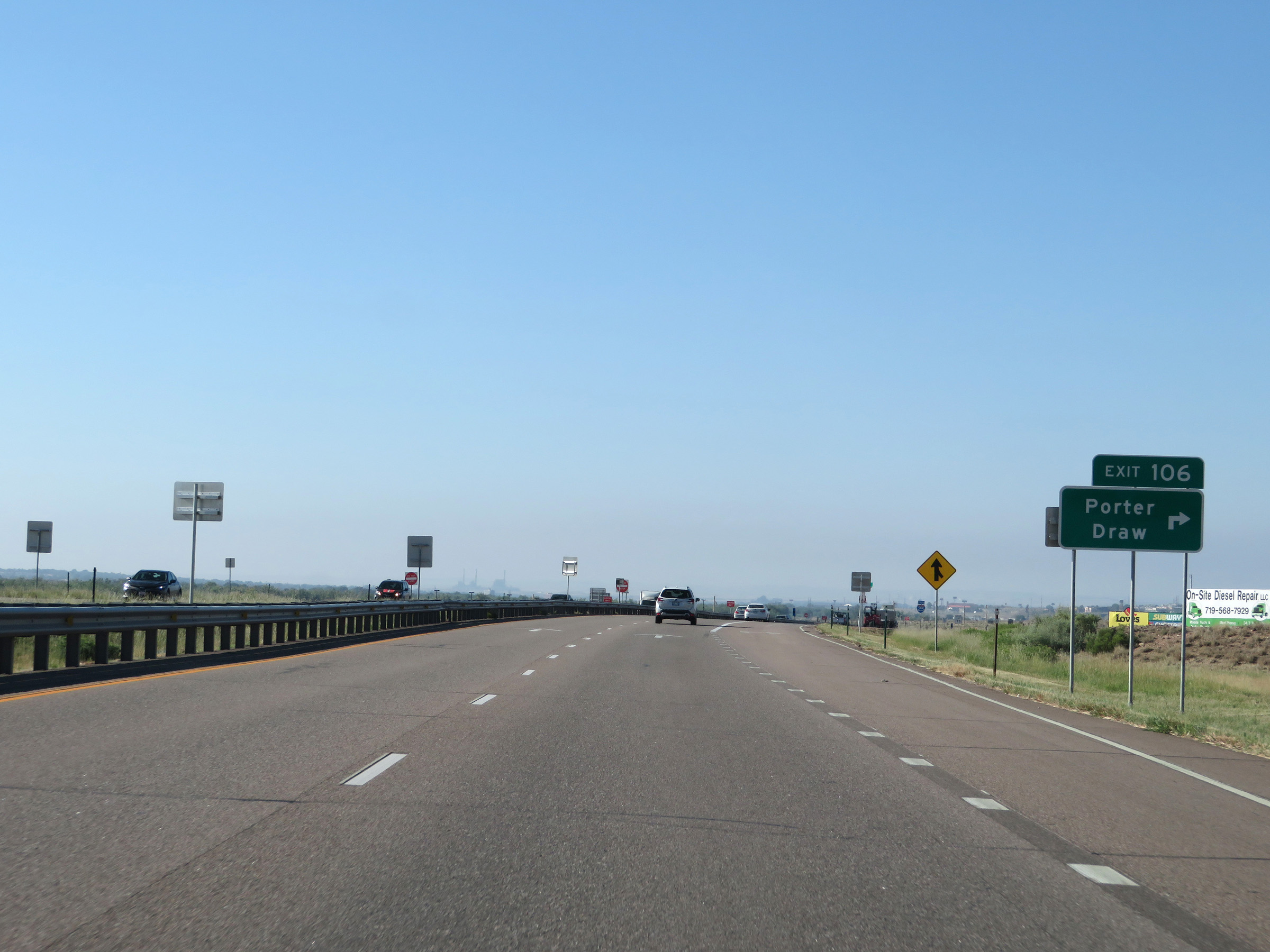 |
Interstate 25 South at Exit 106: Porter Draw (Photo taken 8/13/20). |
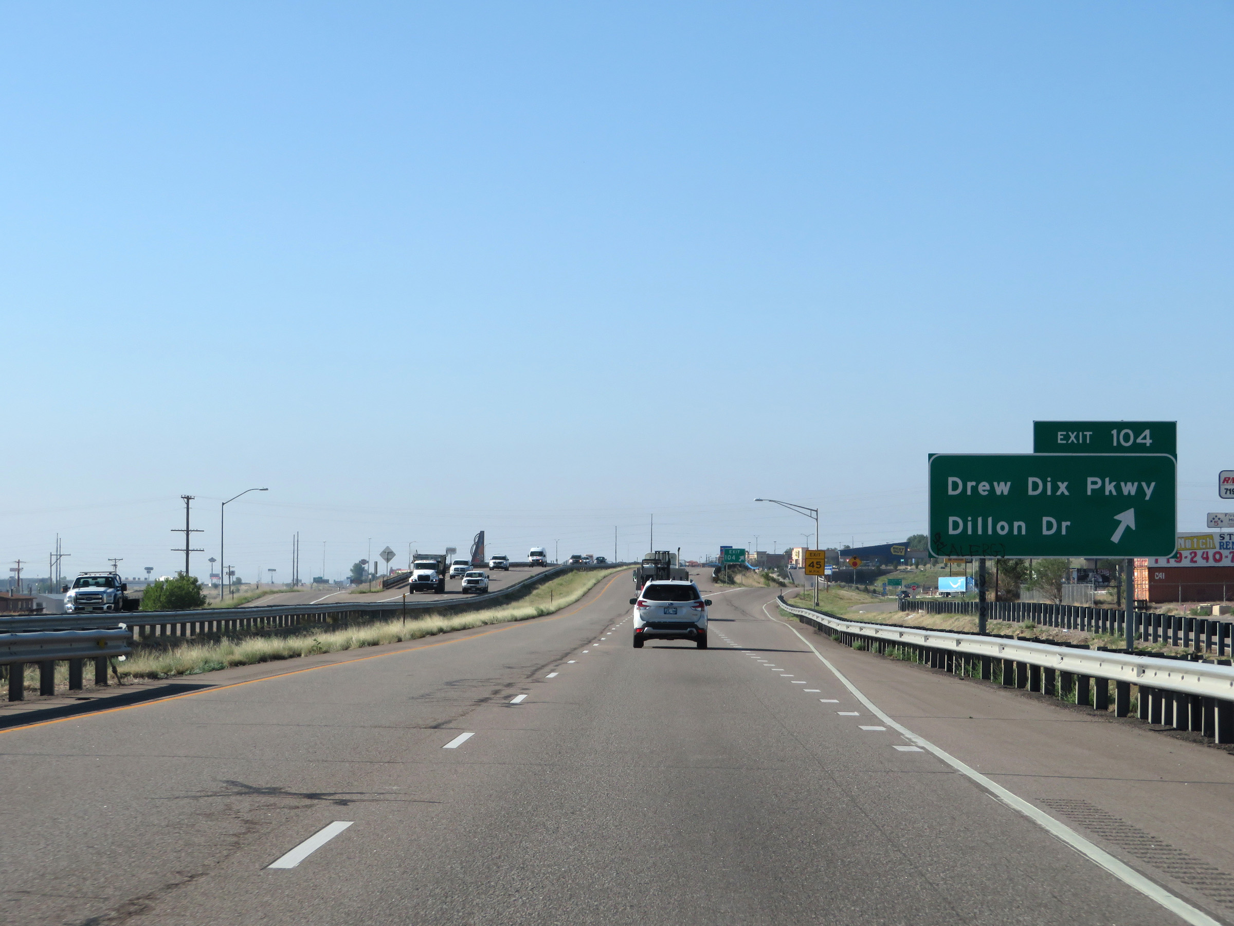 |
Interstate 25 South at Exit 104: Drew Dix Pkwy / Dillon Dr (Photo taken 8/13/20). |
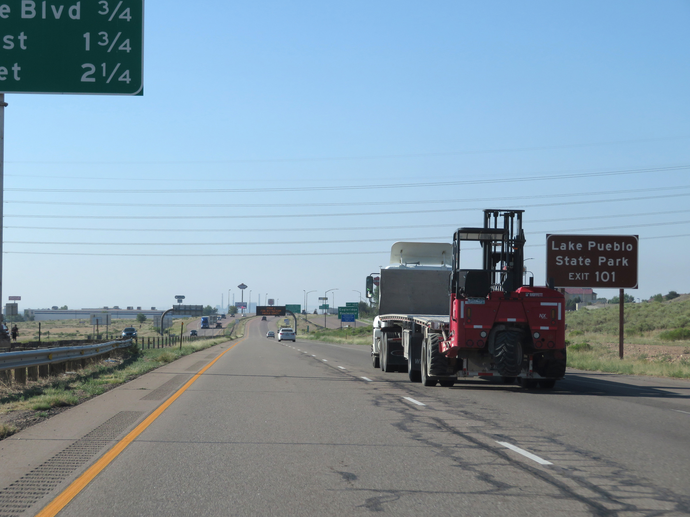 |
Take Exit 101 to Lake Pueblo State Park. (Photo taken 8/13/20). |
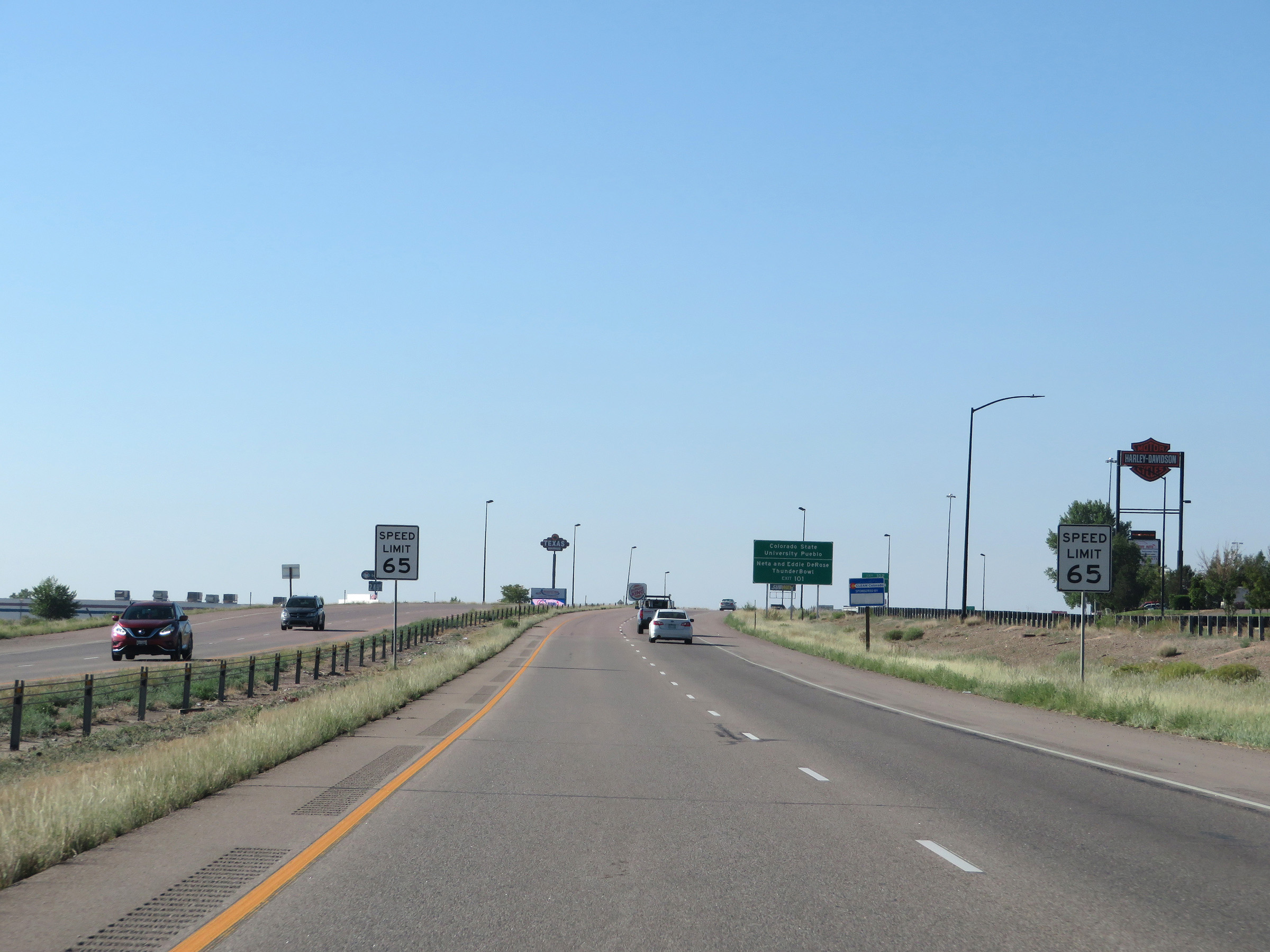 |
Entering Pueblo, the speed limit decreases to 65 mph for all traffic. (Photo taken 8/13/20). |
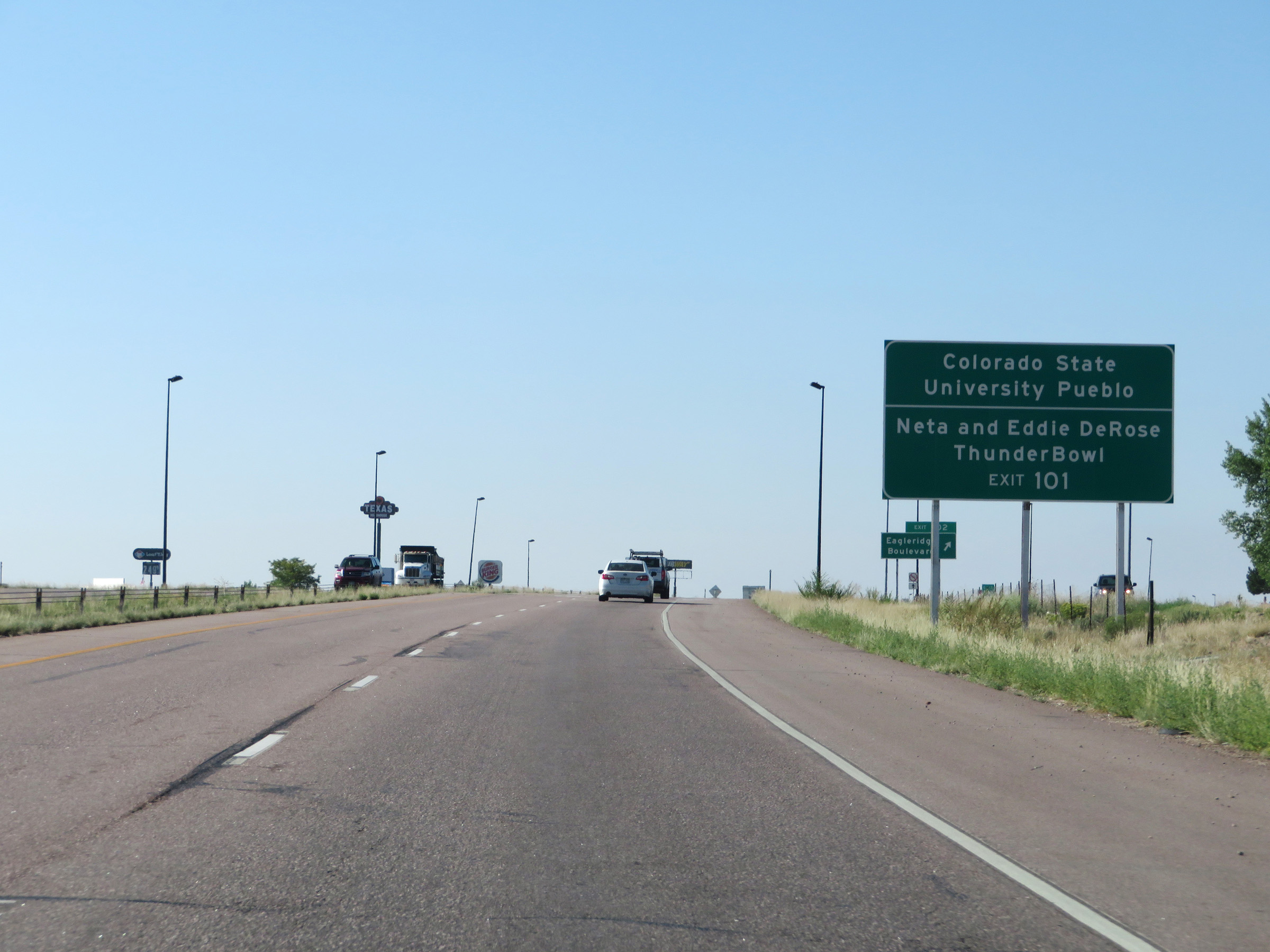 |
Take Exit 101 to Colorado State University Pueblo and Neta and Eddie DeRose ThunderBowl. (Photo taken 8/13/20). |
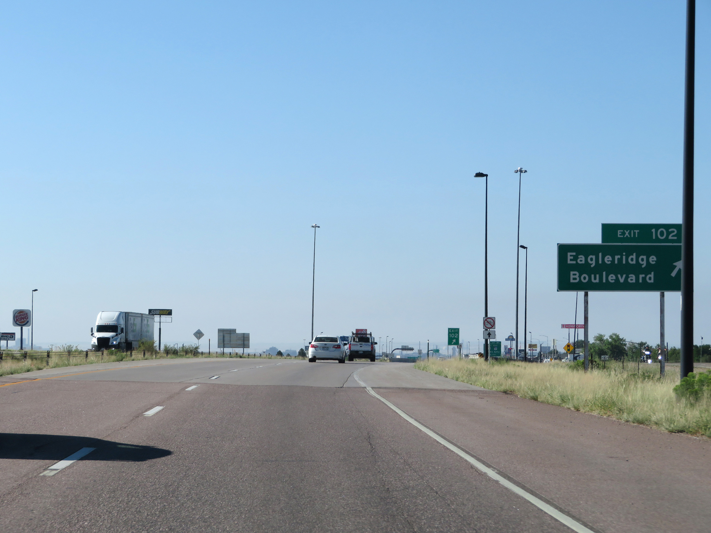 |
Interstate 25 South at Exit 102: Eagleridge Boulevard (Photo taken 8/13/20). |
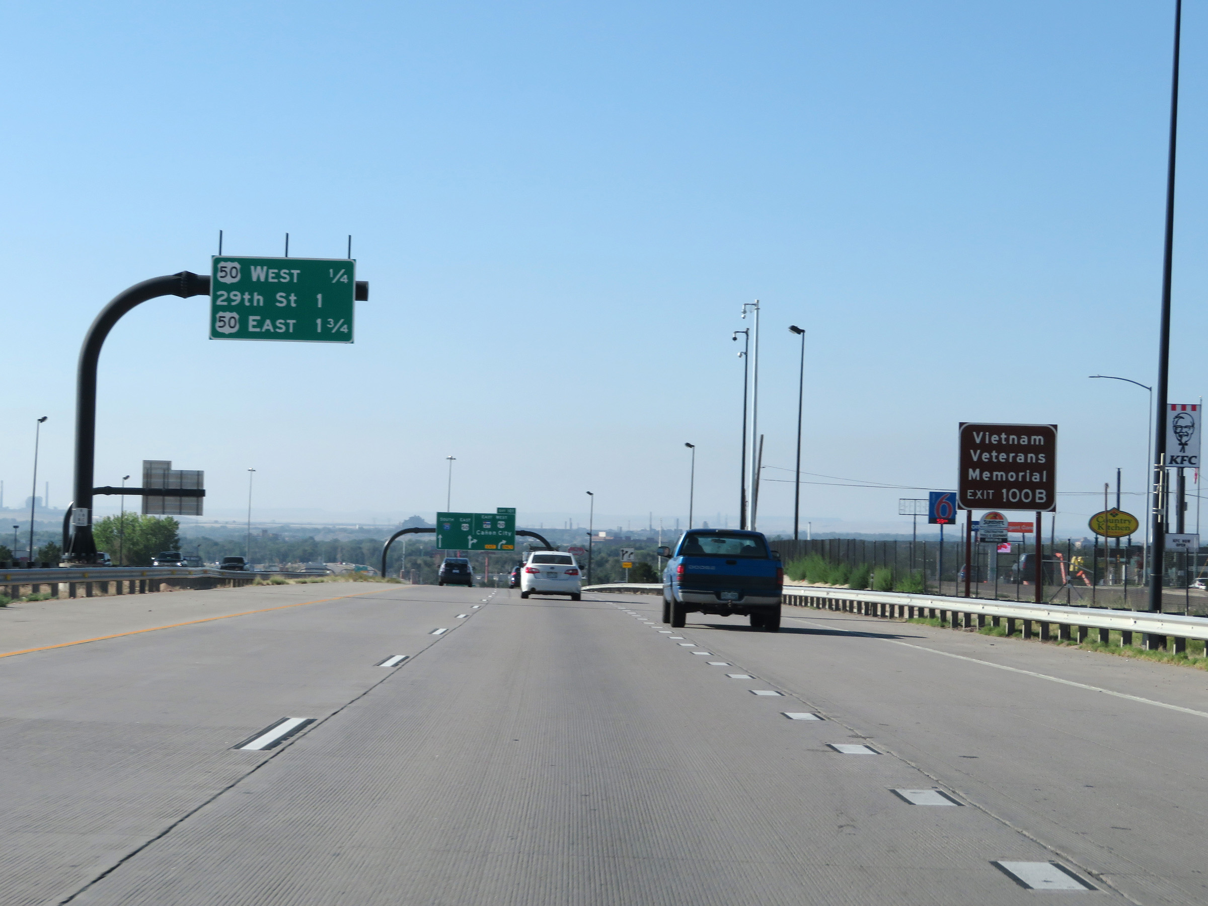 |
Take Exit 100B to the Vietnam Veterans Memorial. (Photo taken 8/13/20). |
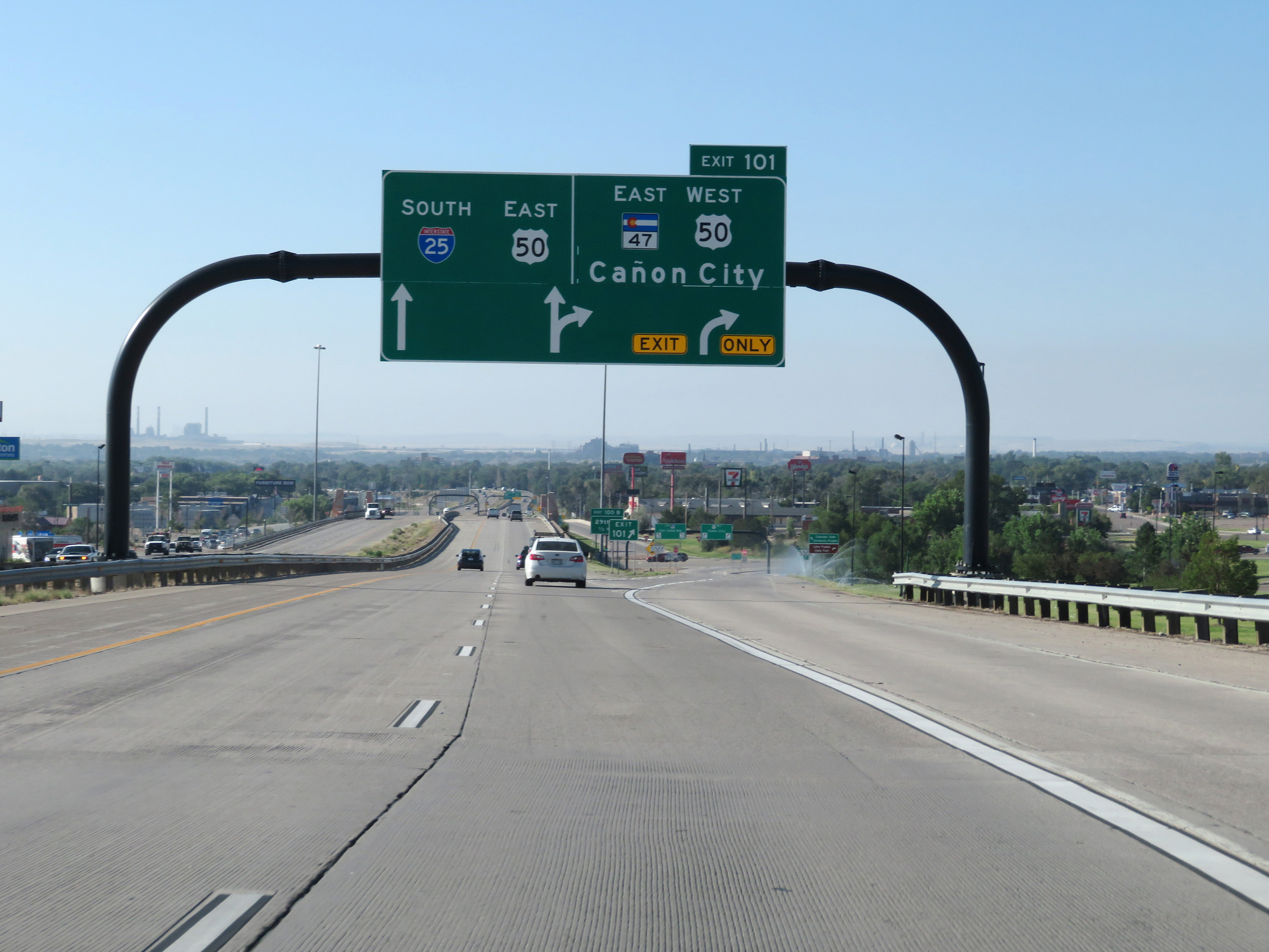 |
Interstate 25 South at Exit 101: CO 47 East / US 50 West - Cañon City (Photo taken 8/13/20). |
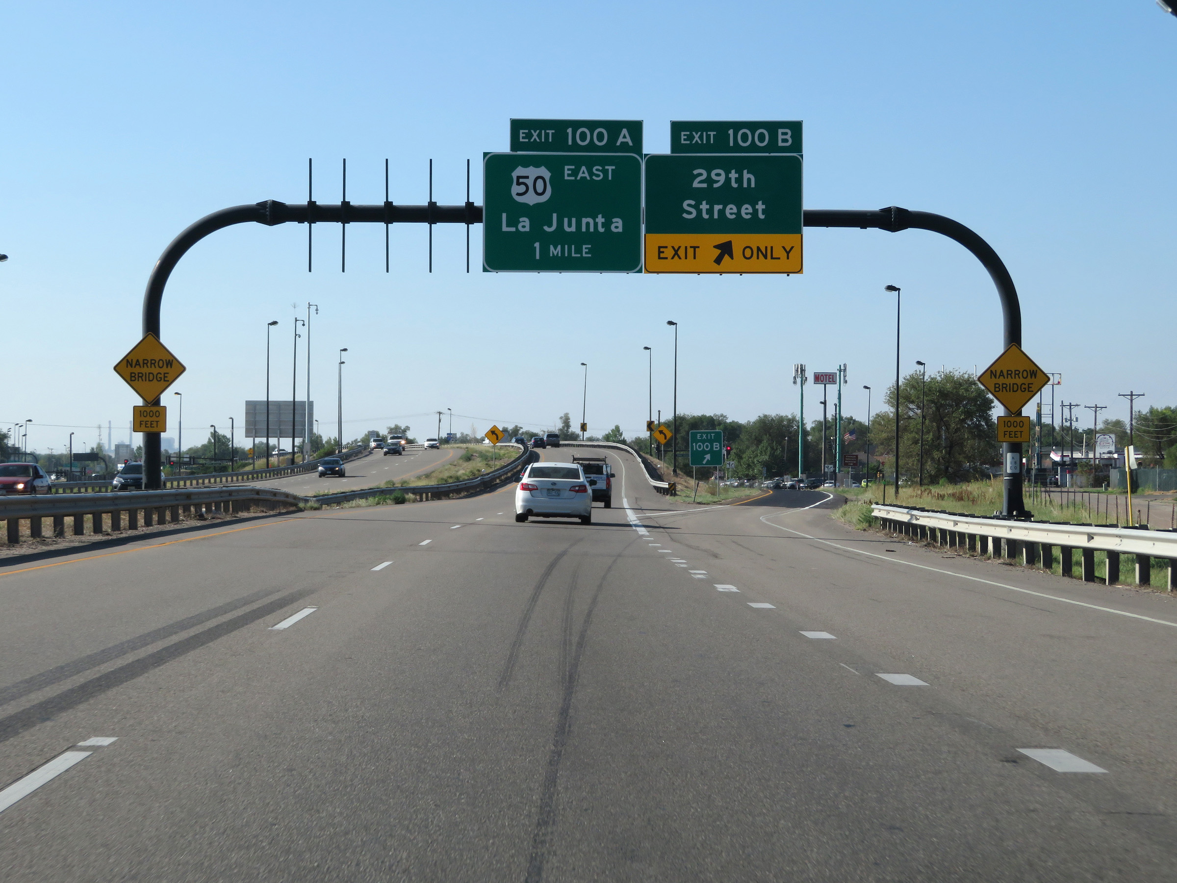 |
Interstate 25 South at Exit 100B: 29th Street (Photo taken 8/13/20). |
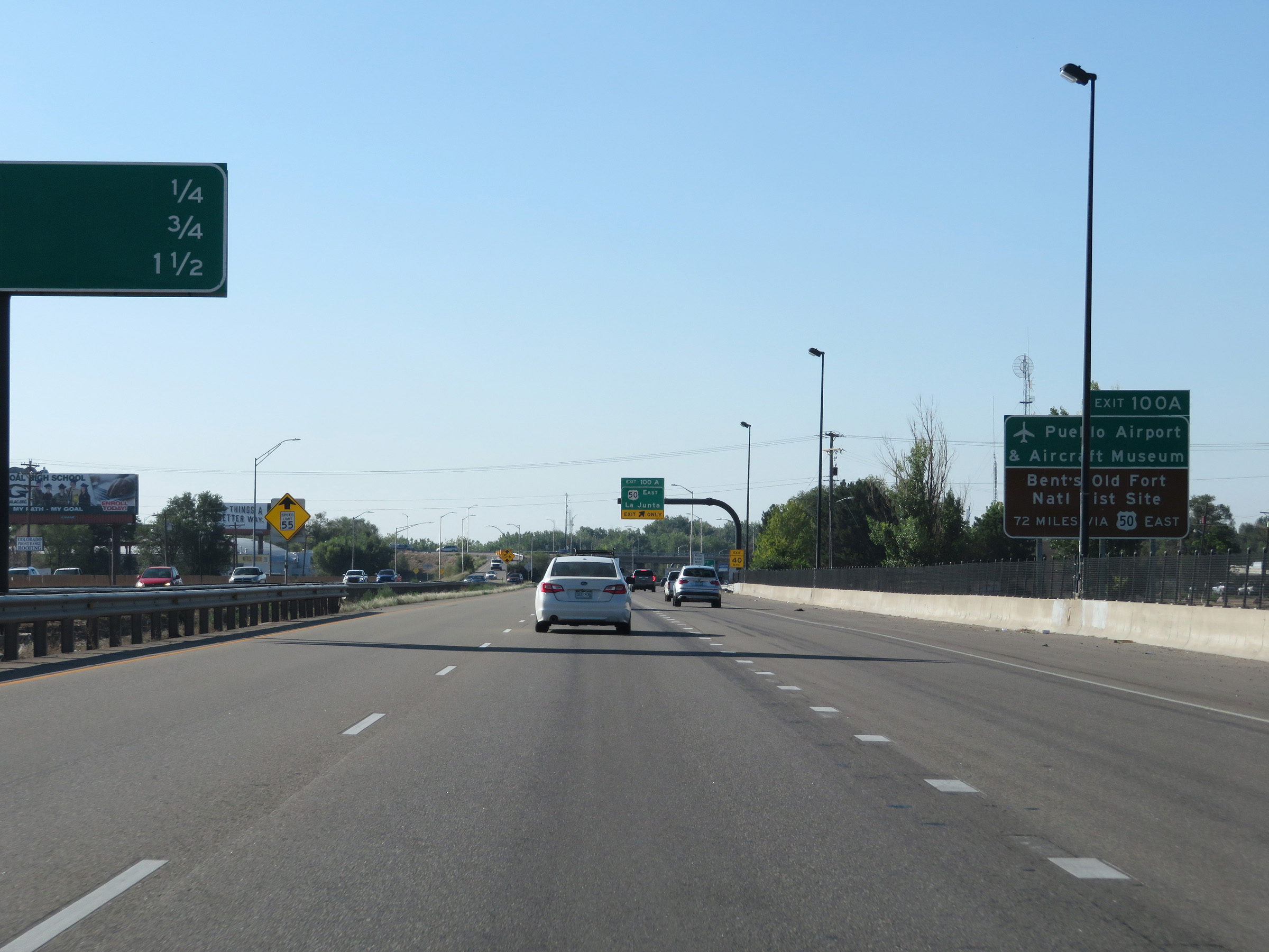 |
Take Exit 100A to Pueblo Airport & Aircraft Museum and Bent's Old Fort National Historic Site. (Photo taken 8/13/20). |
 |
Interstate 25 South at Exit 100A: US 50 East - La Junta (Photo taken 8/13/20). |
 |
South of Exit 100A, the speed limit decreases to 55 mph approaching downtown Pueblo. I-25 will traverse some tight spaces and sharp curves as it passed thorugh Pueblo. (Photo taken 8/13/20). |
 |
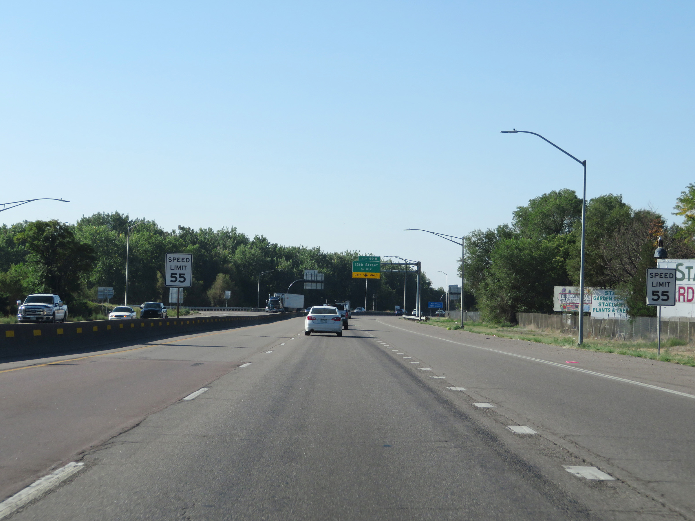
Interstate 25 South at Exit 99B: 13th Street (Photo taken 8/13/20). |
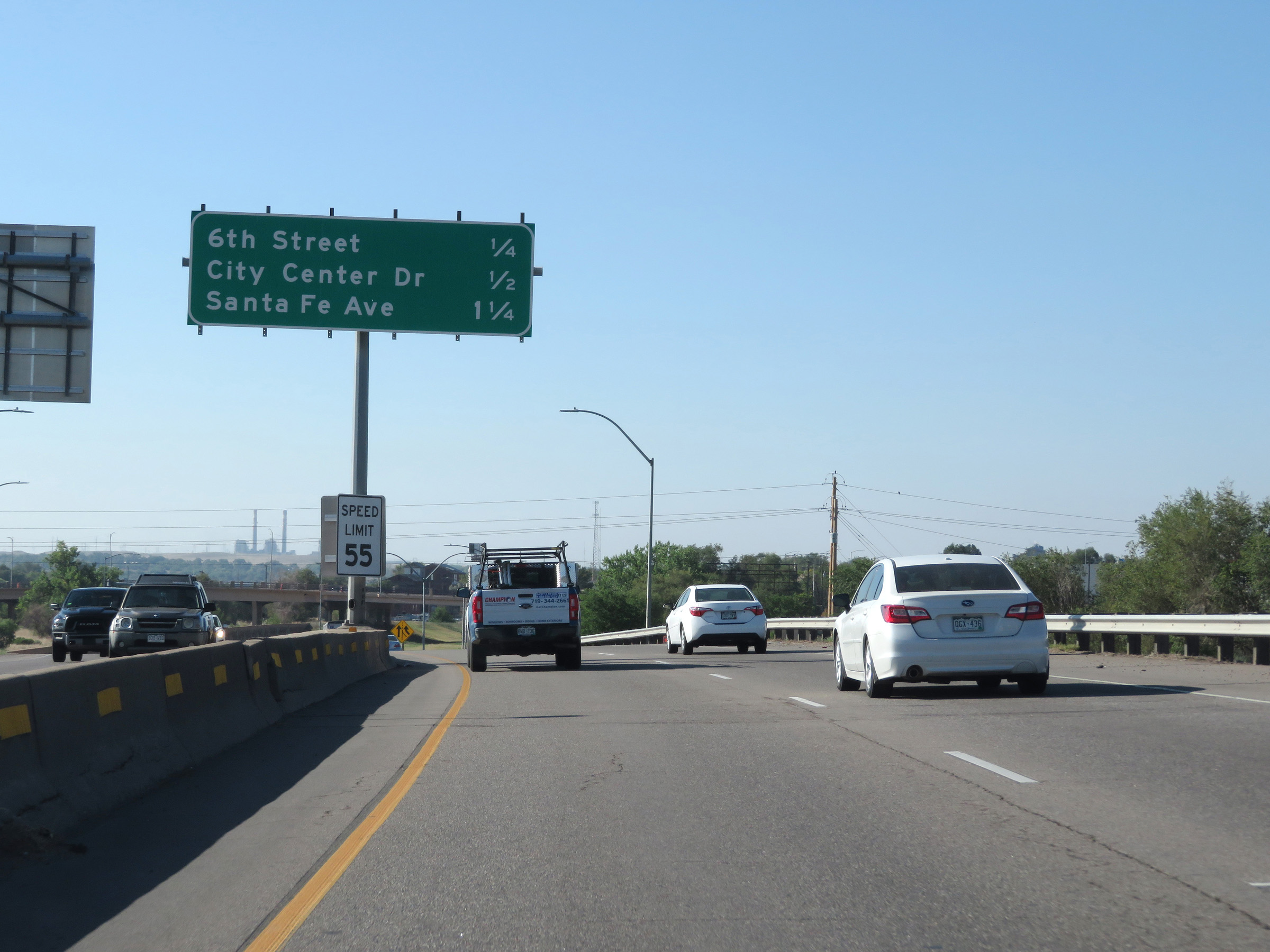 |
Overhead mileage sign in the median on Interstate 25 South listing the distances to the next three Pueblo exits. (Photo taken 8/13/20). |
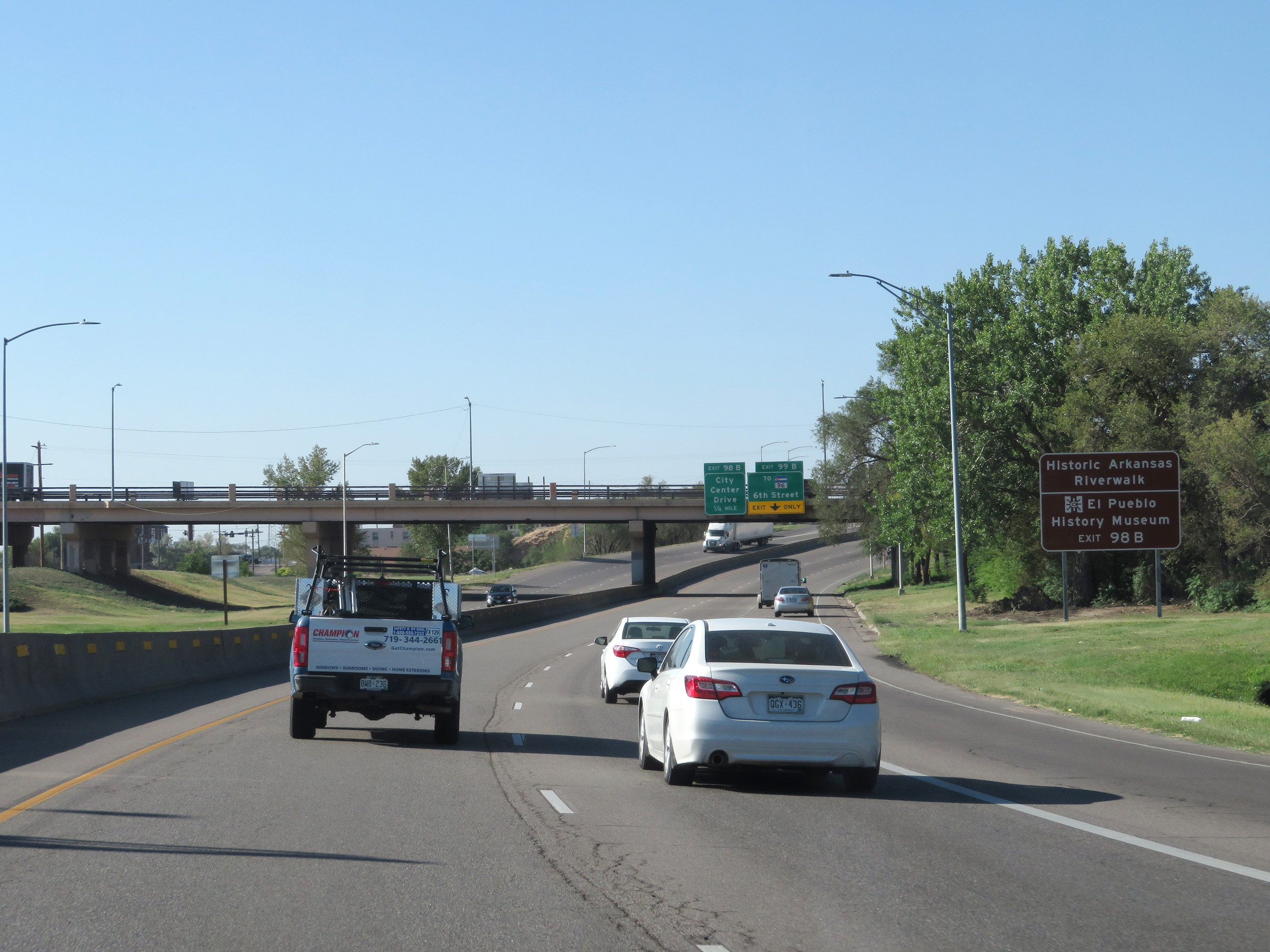 |
Take Exit 98B to Historic Arkansas Riverwalk and El Pueblo History Museum. (Photo taken 8/13/20). |
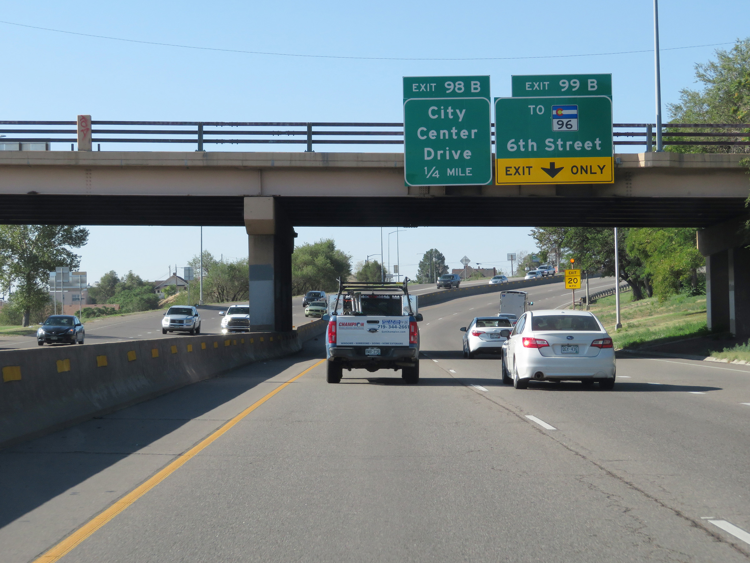 |
Sign error on Interstate 25 South in Pueblo. While the upcoming exit is signed Exit 99B, (To CO 96 - 6th Street) it's actually Exit 99A. (Photo taken 8/13/20). |
 |
Interstate 25 South at Exit 99A: To CO 96 - 6th Street (Photo taken 8/13/20). |
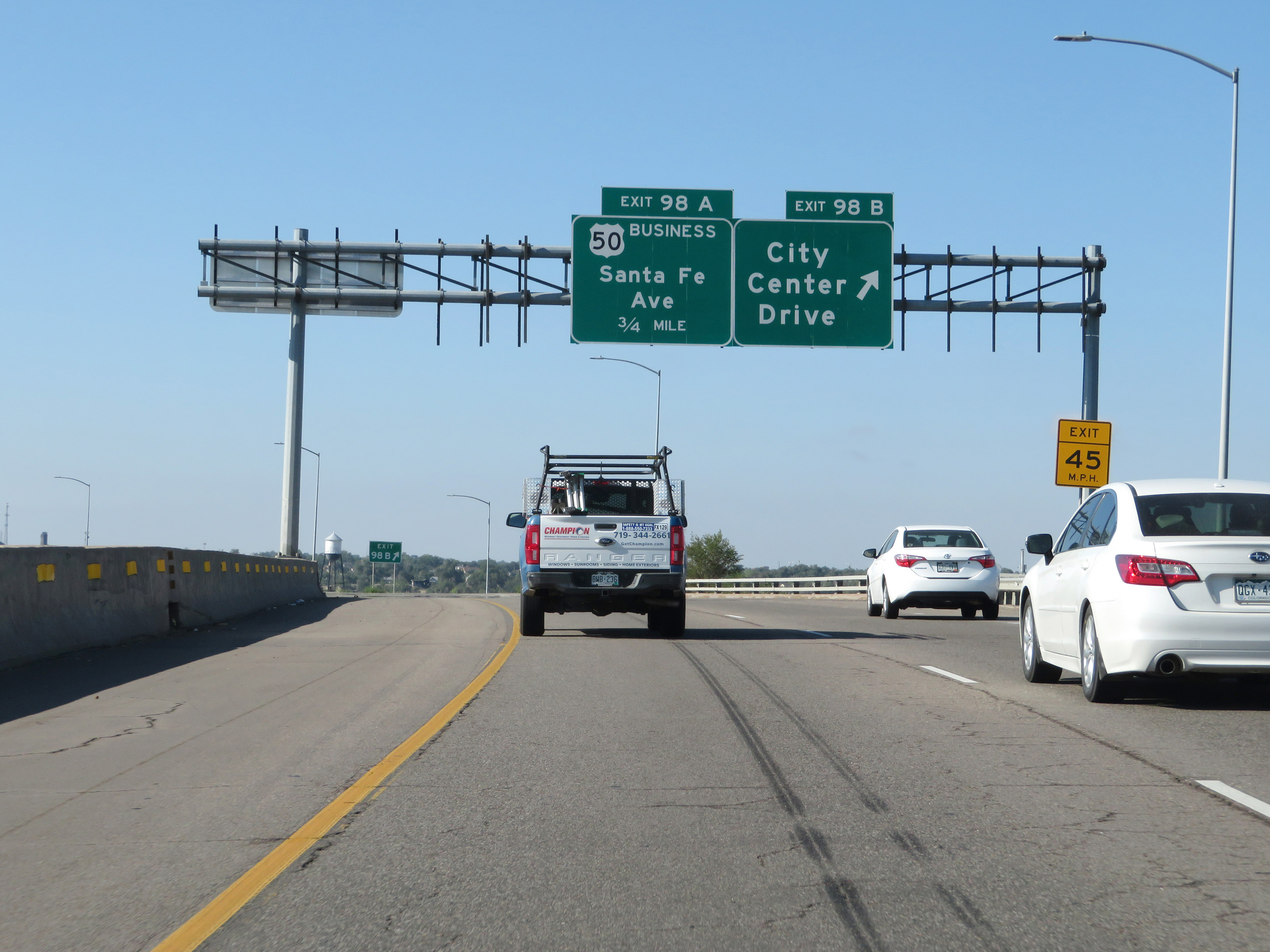 |
Interstate 25 South at Exit 98B: City Center Drive (Photo taken 8/13/20). |
Section 6: Pueblo (Exit 98B) to Walsenburg (Exit 52)
 |
View on Interstate 25 South at mile marker 98.5 in Pueblo. (Photo taken 8/13/20). |
 |
Interstate 25 South approaching Exit 98A - 1/4 mile. (Photo taken 8/13/20). |
 |
State-named Interstate 25 South reassurance shield in Pueblo. (Photo taken 8/13/20). |
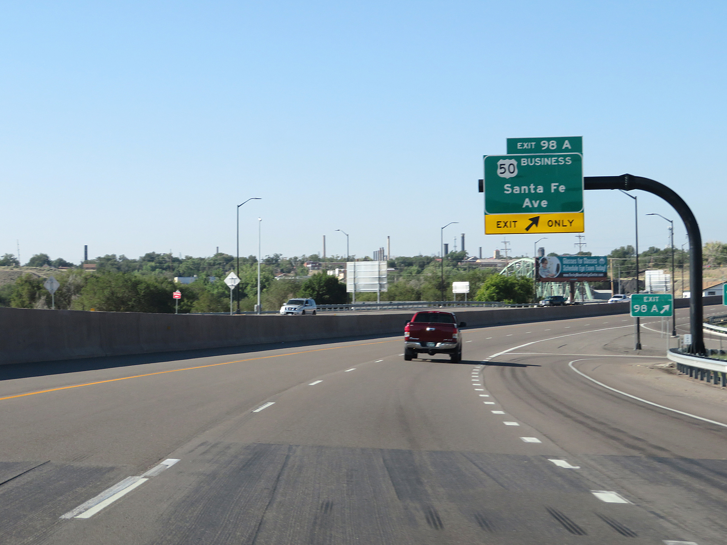 |
Interstate 25 South at Exit 98A: US 50 Business - Santa Fe Ave (Photo taken 8/13/20). |
 |
Take Exit 97B to Pueblo Community College. (Photo taken 8/13/20). |
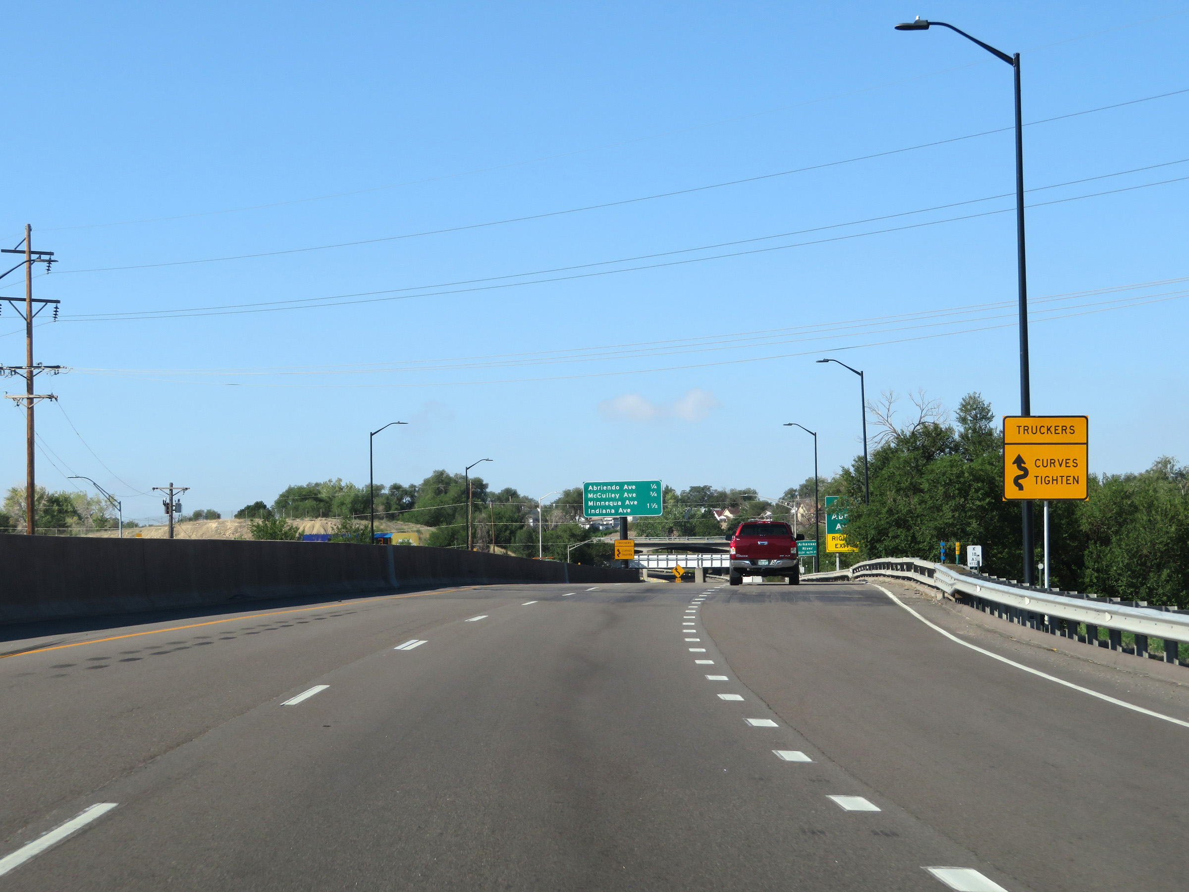 |
This sign warns truck drivers that the curves ahead on Interstate 25 South tighten. (Photo taken 8/13/20). |
 |
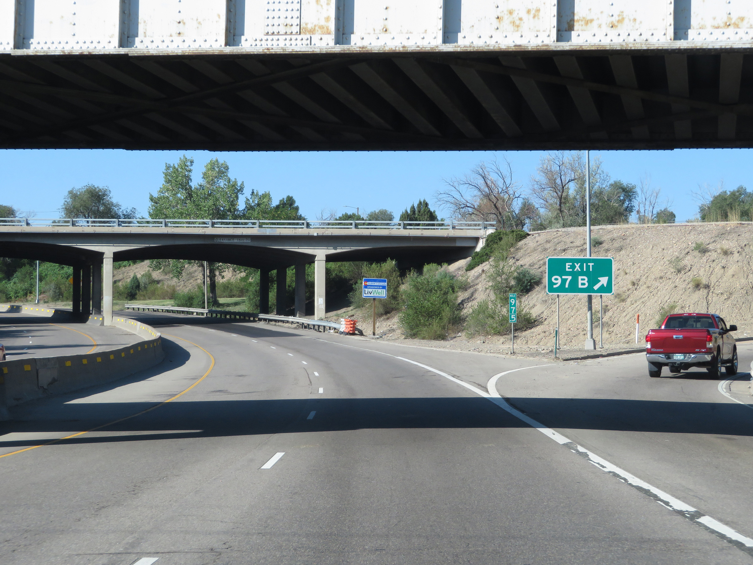
Interstate 25 South approaching Exit 97B. (Photo taken 8/13/20). |
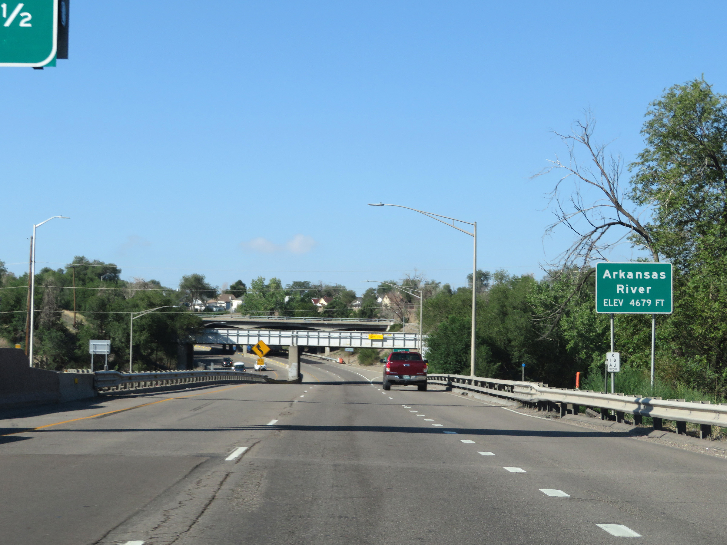 |
Interstate 25 South as it crosses the Arkansas River in Pueblo at an elevation of 4,679 feet. (Photo taken 8/13/20). |
 |
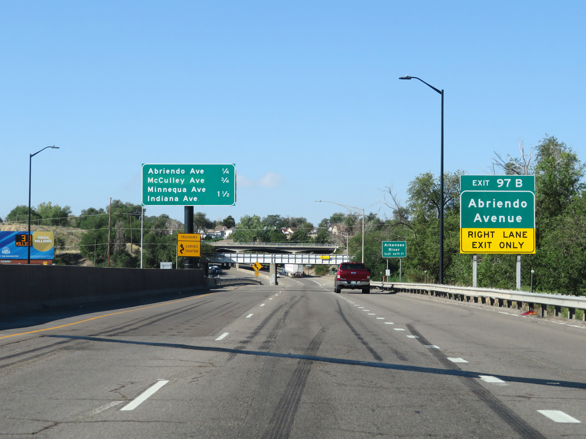
Interstate 25 South at Exit 97B: Abriendo Avenue (Photo taken 8/13/20). |
 |
As previously warned, the curves on Interstate 25 South tighten quite a bit ahead. 50 mph is advised through these curves. (Photo taken 8/13/20). |
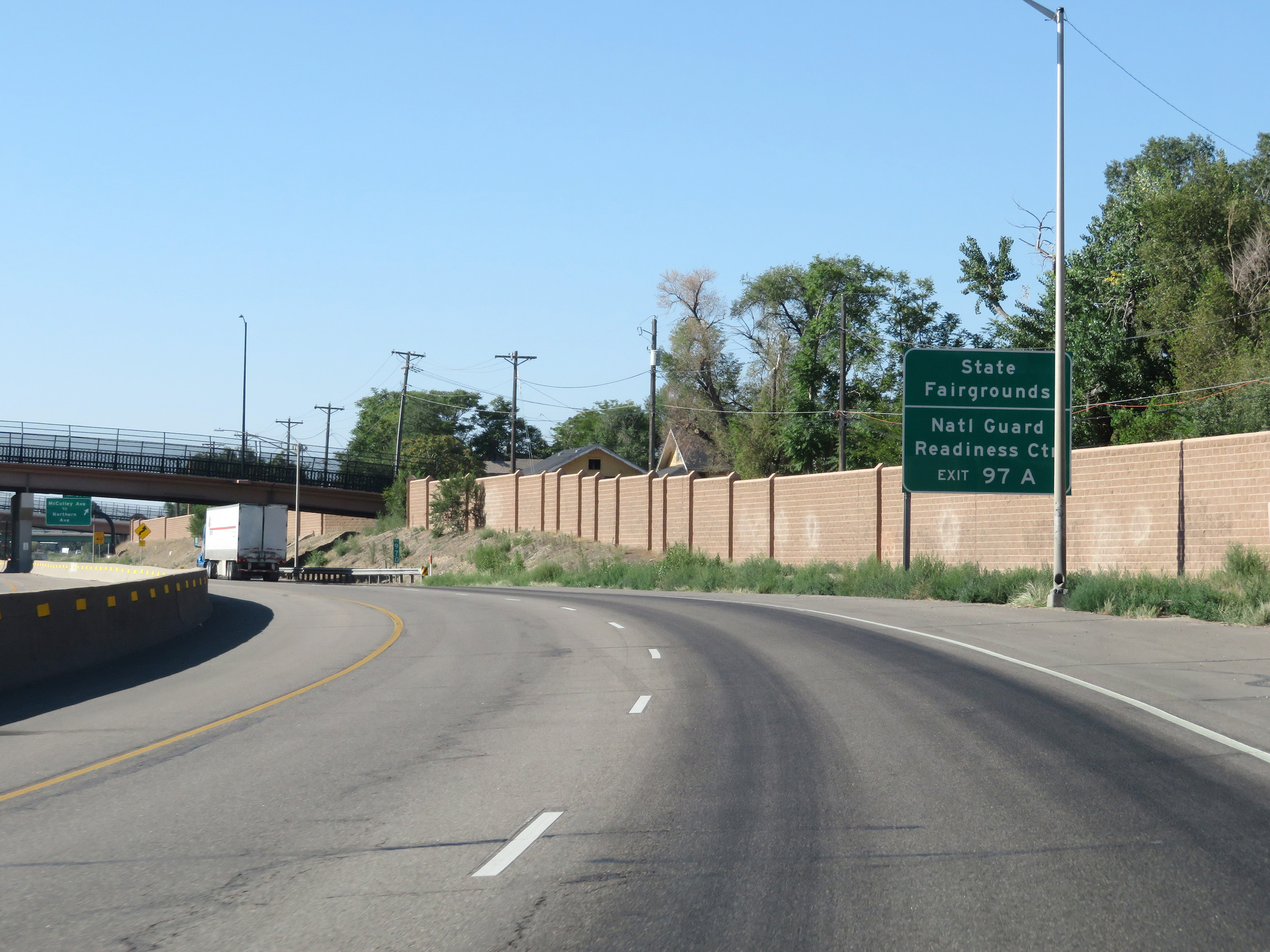 |
Take Exit 97A to the State Fairgrounds and the National Guard Readiness Center. (Photo taken 8/13/20). |
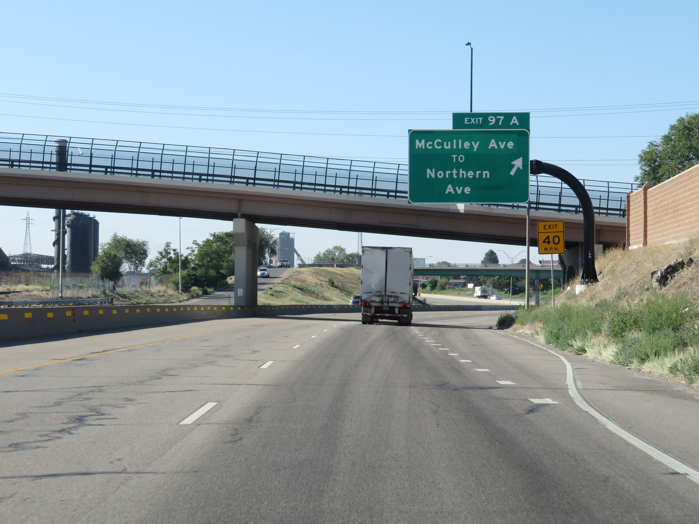 |
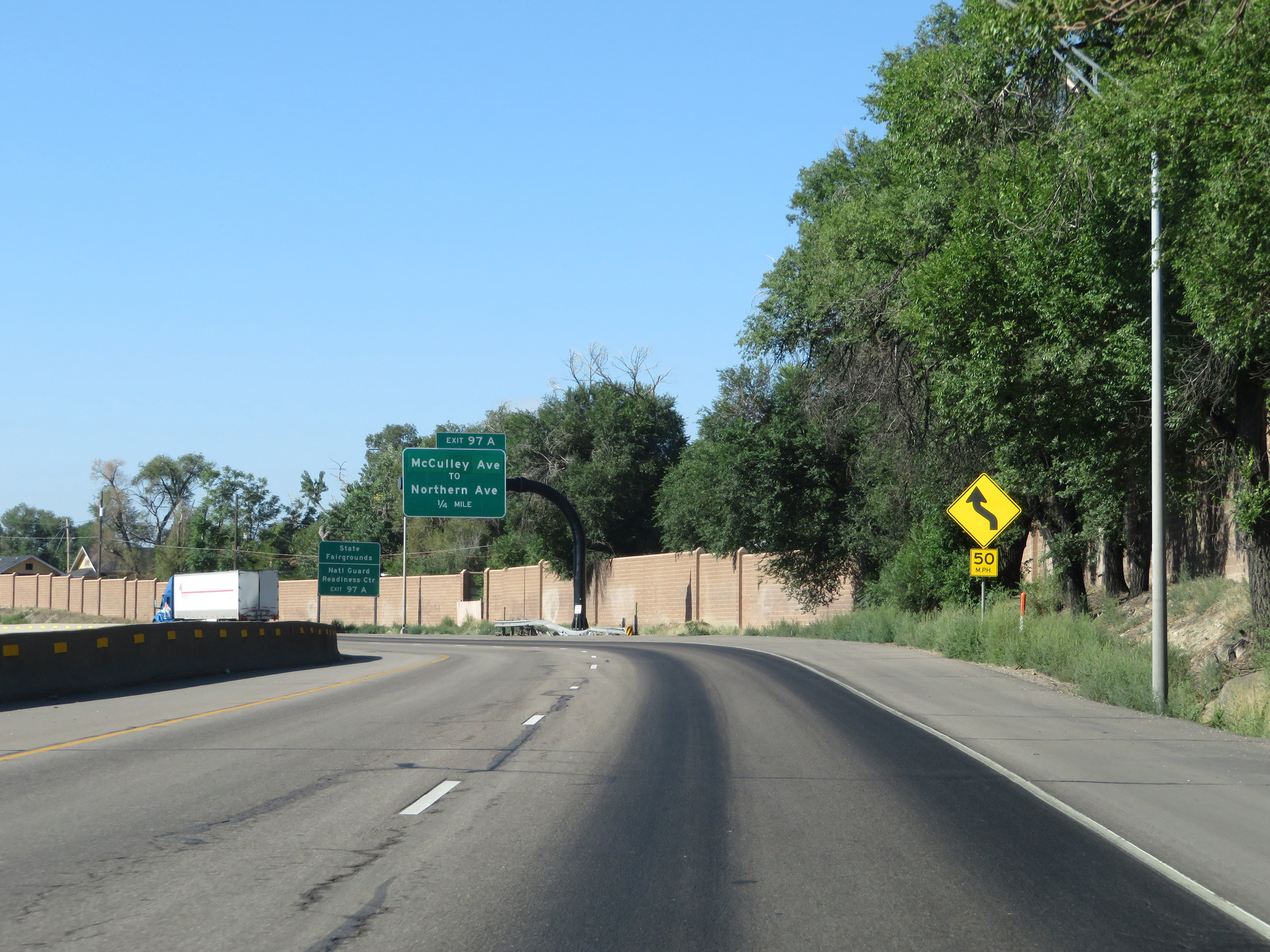
Interstate 25 South at Exit 97A: McCulley Ave / To Northern Ave (Photo taken 8/13/20). |
 |
South of Exit 97A, the speed limit increases to 65 mph once again. (Photo taken 8/13/20). |
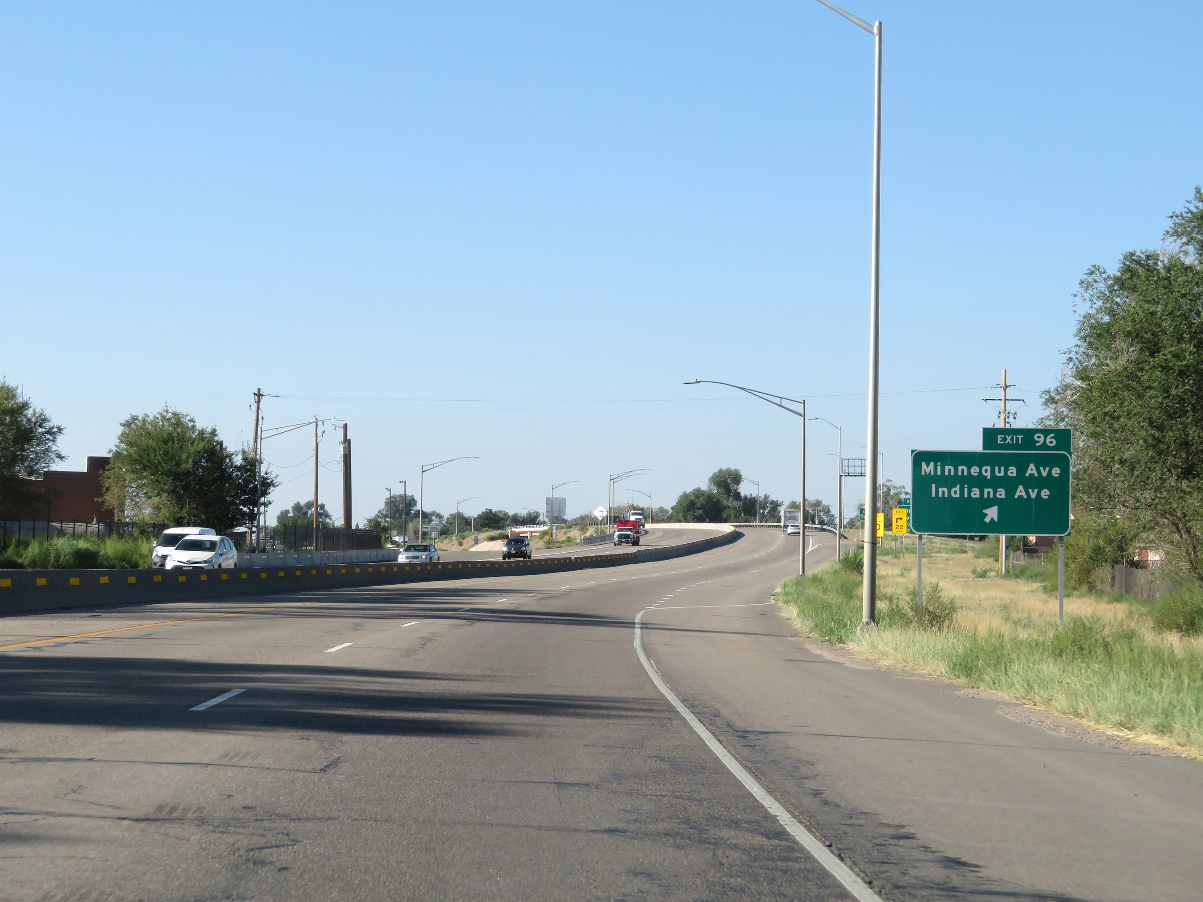 |
Interstate 25 South at Exit 96: Minnequa Ave / Indiana Ave (Photo taken 8/13/20). |
 |
State-named Interstate 25 South reassurance shield. (Photo taken 8/13/20). |
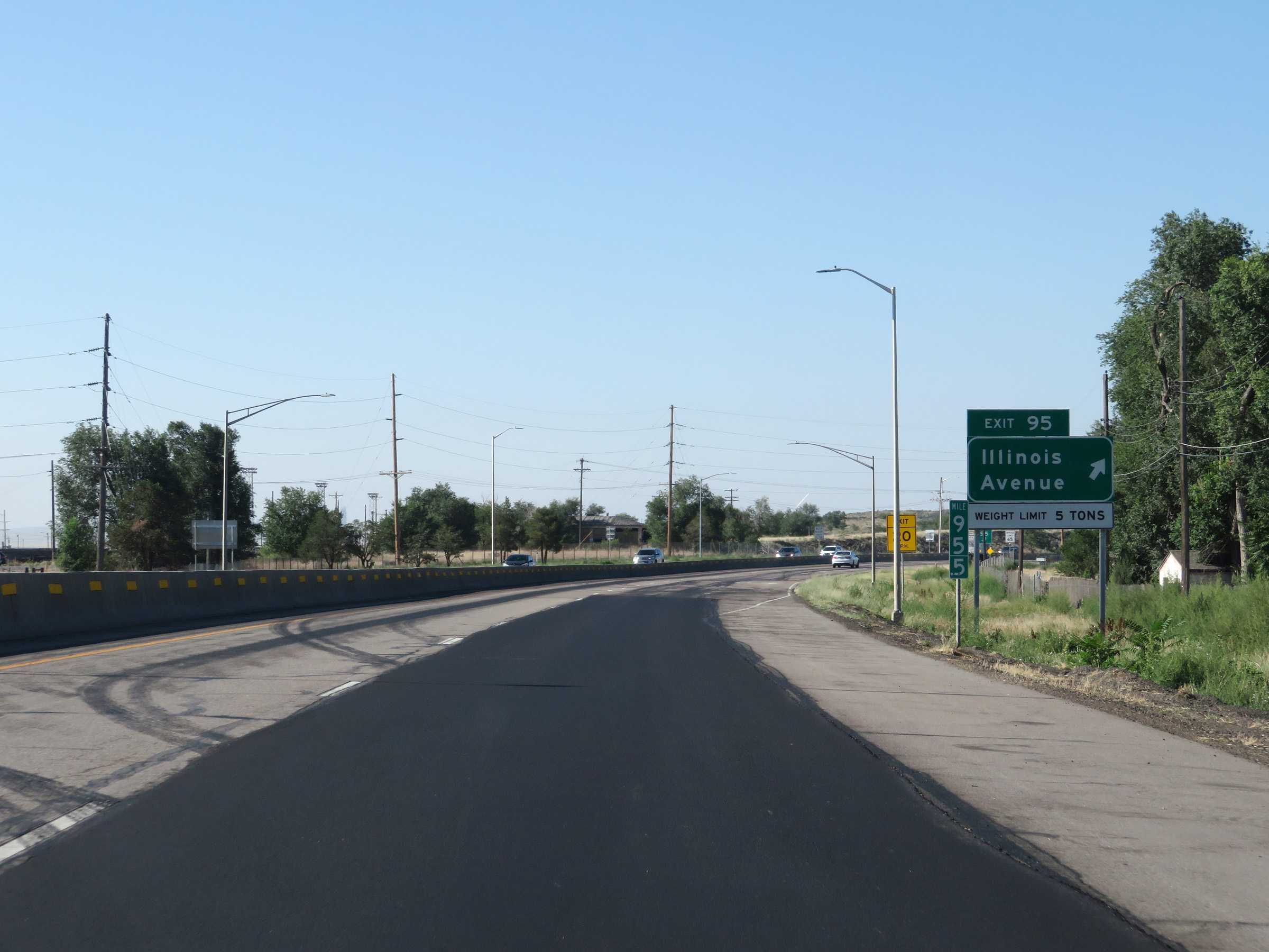 |
Interstate 25 South at Exit 95: Illinois Avenue (Photo taken 8/13/20). |
 |
Interstate 25 South at Exit 94: CO 45 North - Pueblo Blvd (Photo taken 8/13/20). |
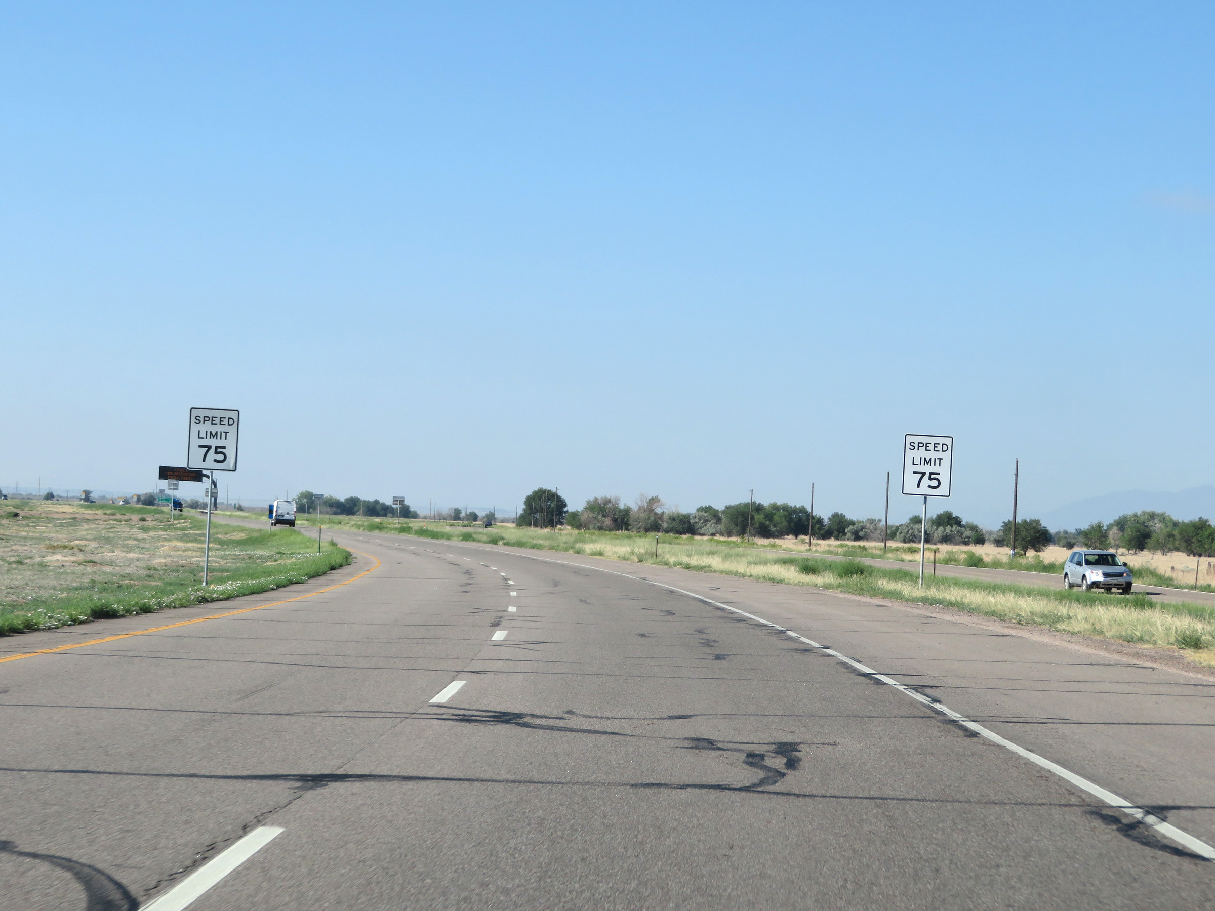 |
South of Exit 94, the speed limit increases to the rural standard 75 mph once again as Interstate 25 South leaves the Pueblo area. (Photo taken 8/13/20). |
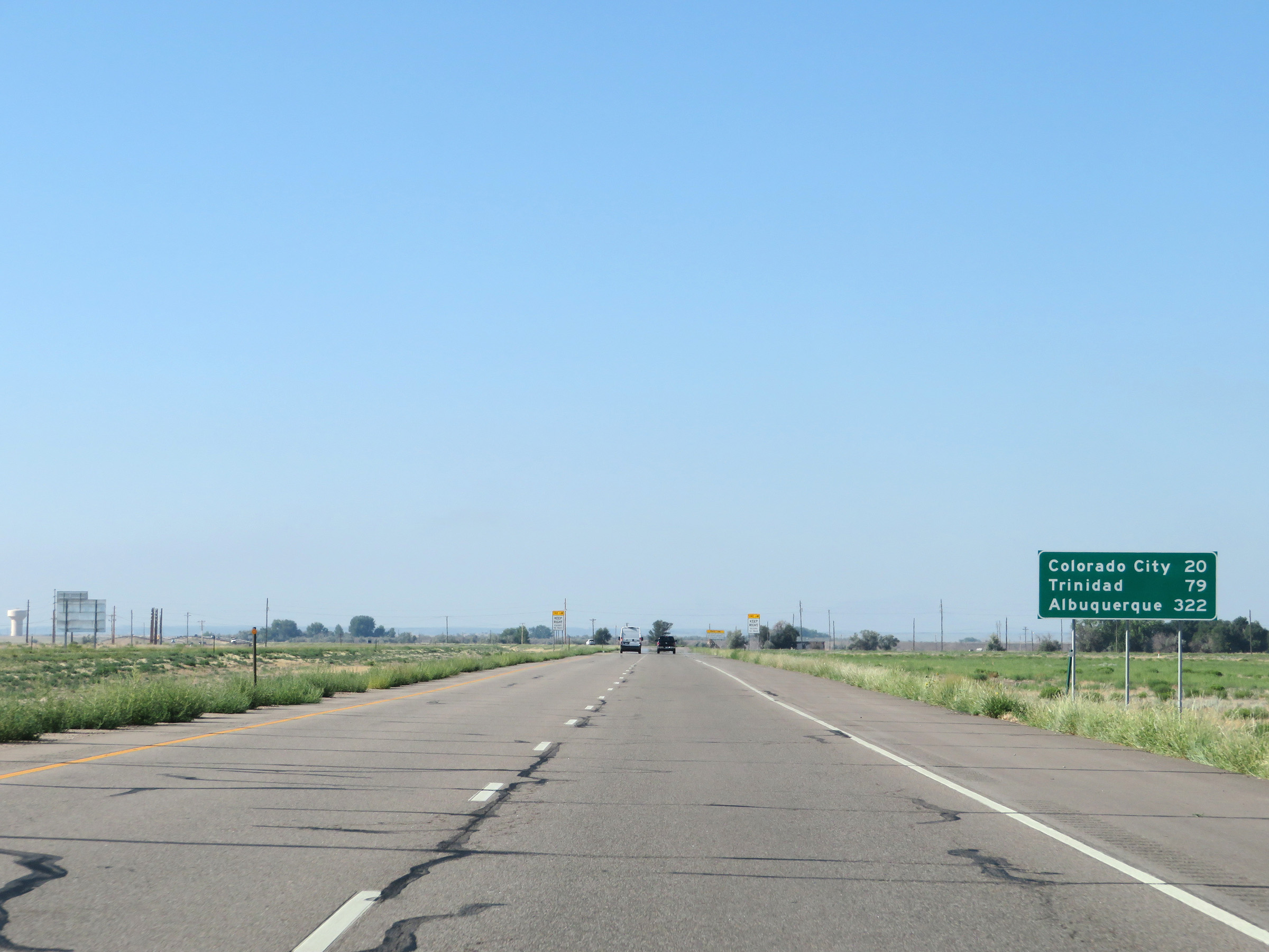 |
Mileage sign on Interstate 25 South. It's 20 miles to Colorado City, 79 miles to Trinidad, and 322 miles to Albuquerque. (Photo taken 8/13/20). |
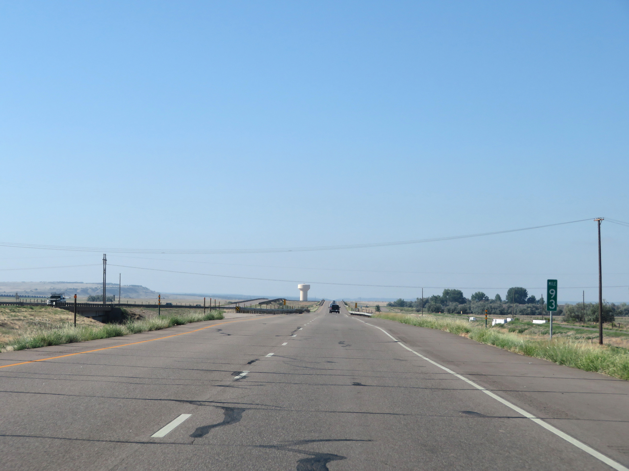 |
View on Interstate 25 South at mile marker 93. (Photo taken 8/13/20). |
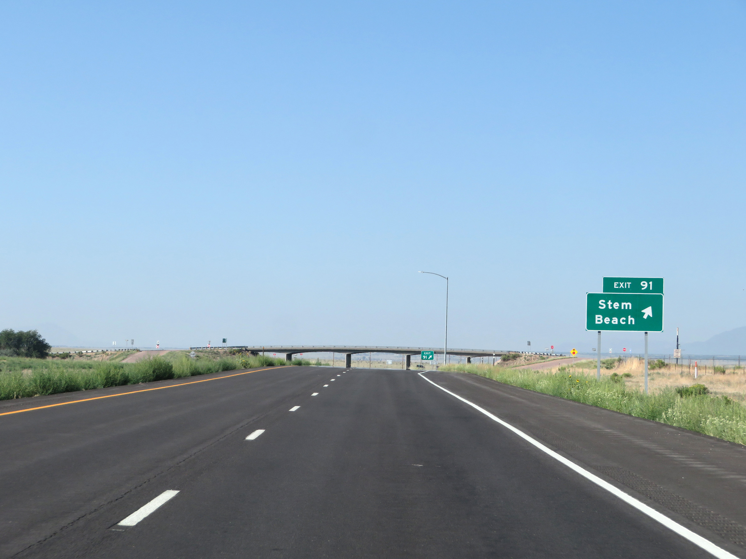 |
Interstate 25 South at Exit 91: Stem Beach (Photo taken 8/13/20). |
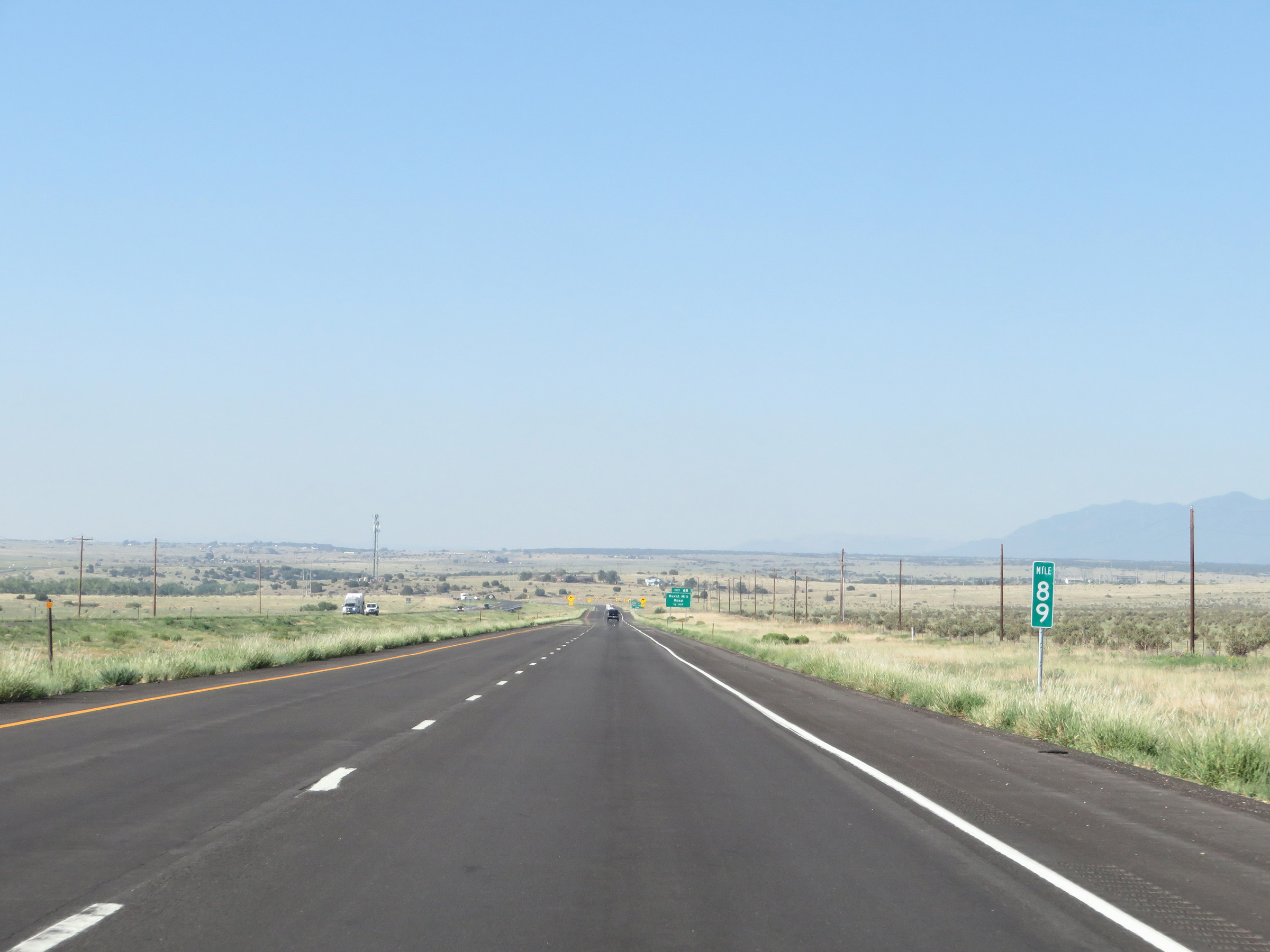 |
Interstate 25 South at mile marker 89. (Photo taken 8/13/20). |
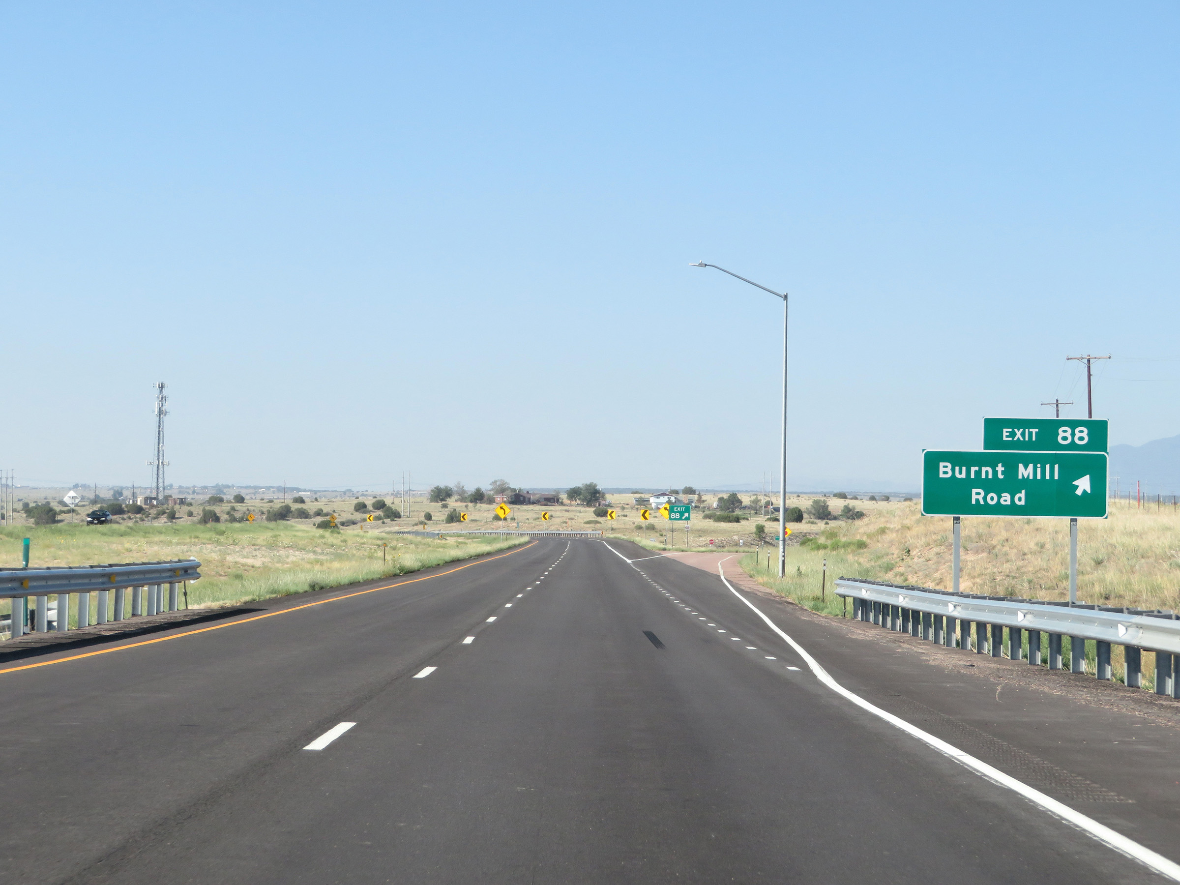 |
Interstate 25 South at Exit 88: Burnt Mill Road (Photo taken 8/13/20). |
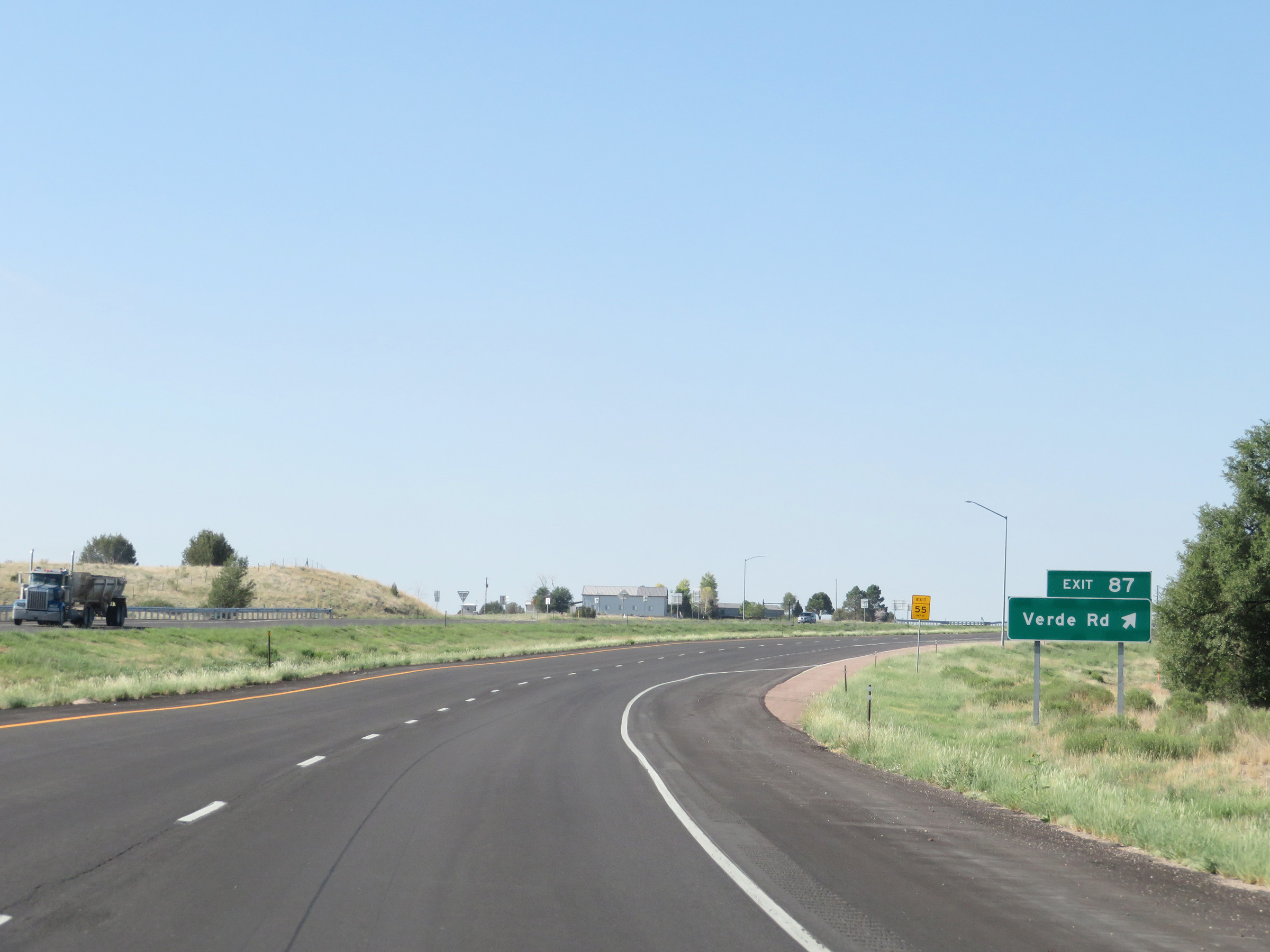 |
Interstate 25 South at Exit 87: Verde Rd (Photo taken 8/13/20). |
 |
View on Interstate 25 South at mile marker 85. (Photo taken 8/13/20). |
 |
Interstate 25 South at Exit 83: Brantzell (Photo taken 8/13/20). |
 |
Another state-named Interstate 25 South reassurance shield. (Photo taken 8/13/20). |
 |
View on Interstate 25 South at mile marker 82. (Photo taken 8/13/20). |
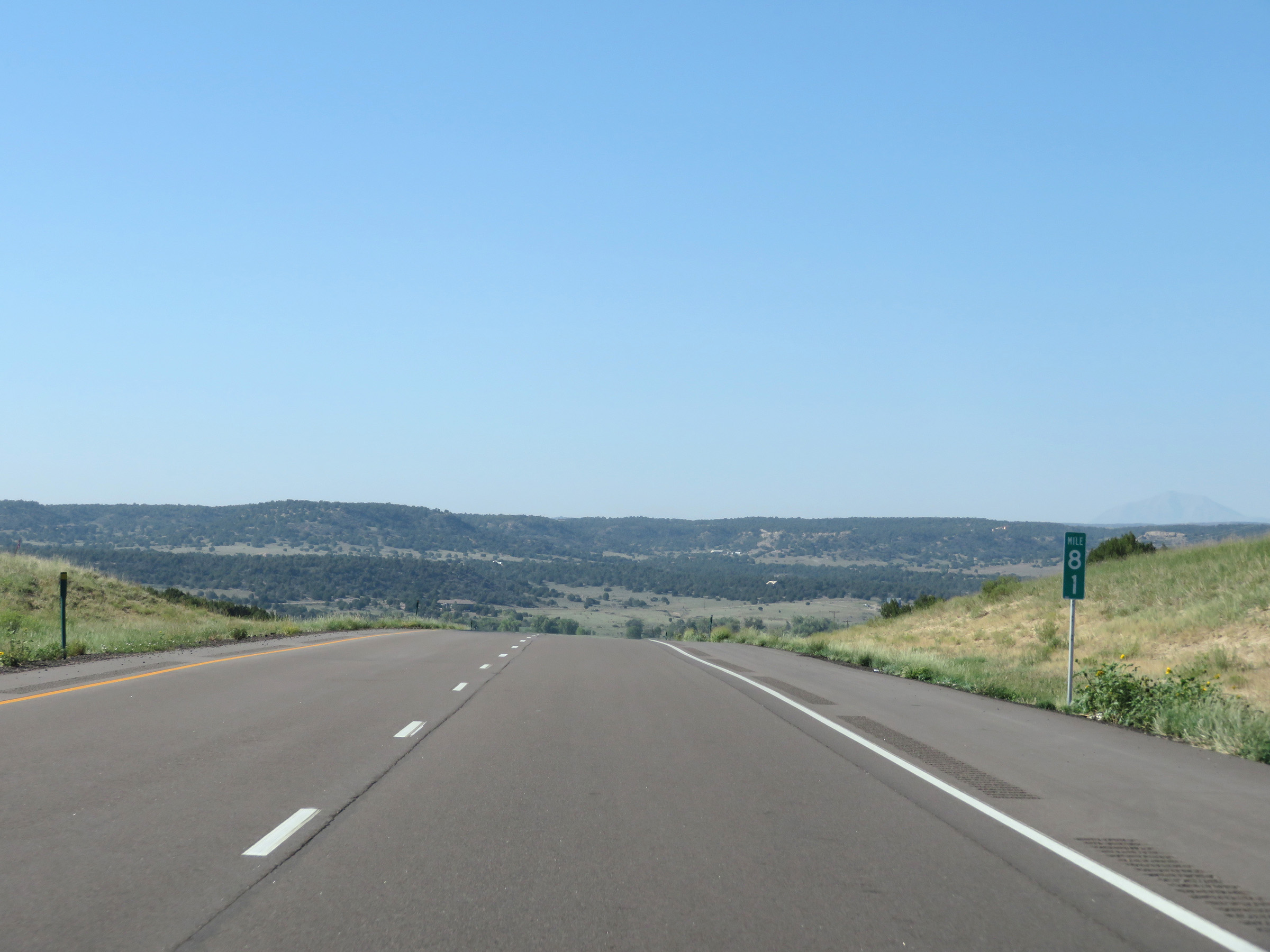 |
Interstate 25 South at mile marker 81. (Photo taken 8/13/20). |
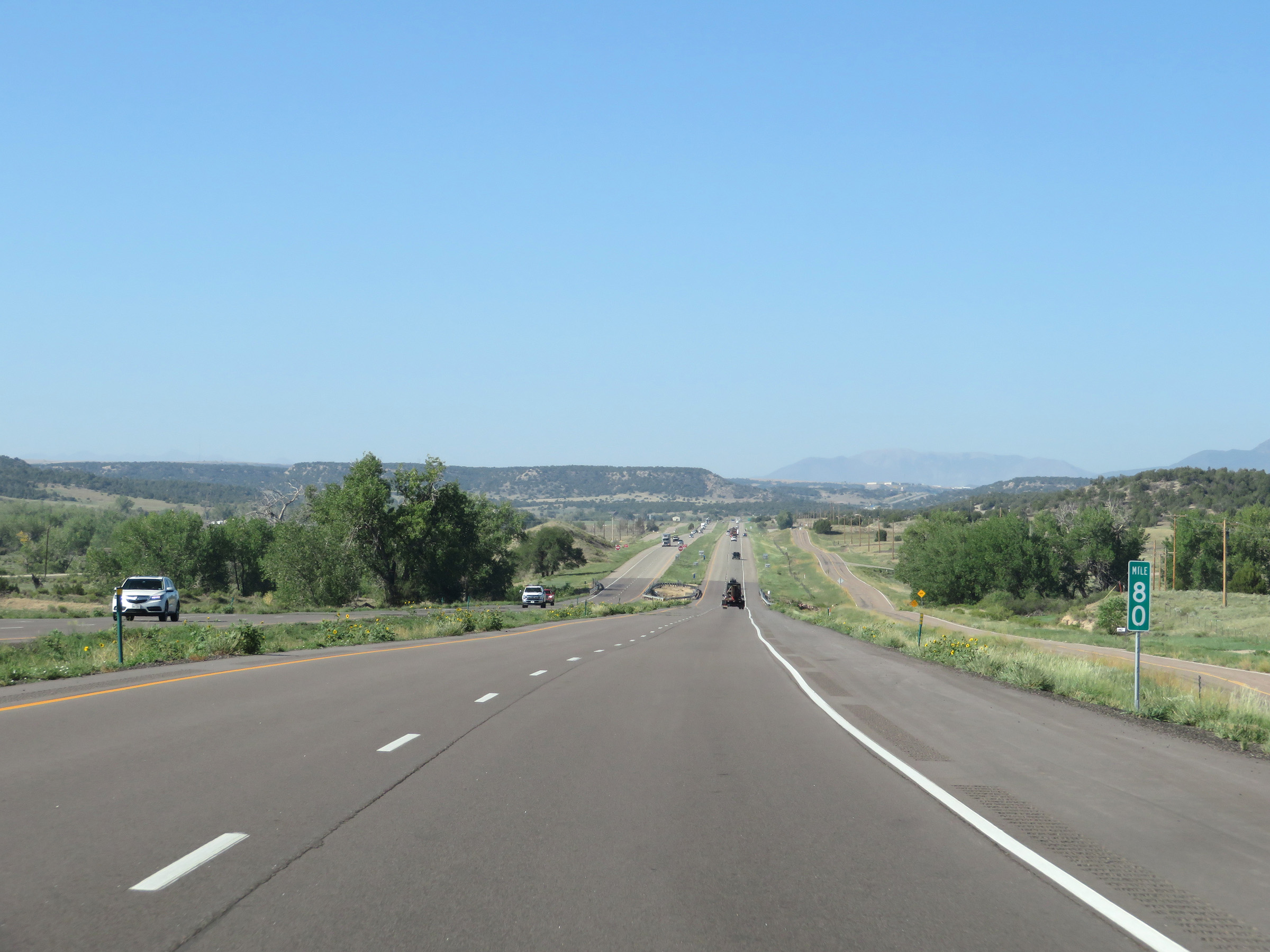 |
View on Interstate 25 South at mile marker 80. (Photo taken 8/13/20). |
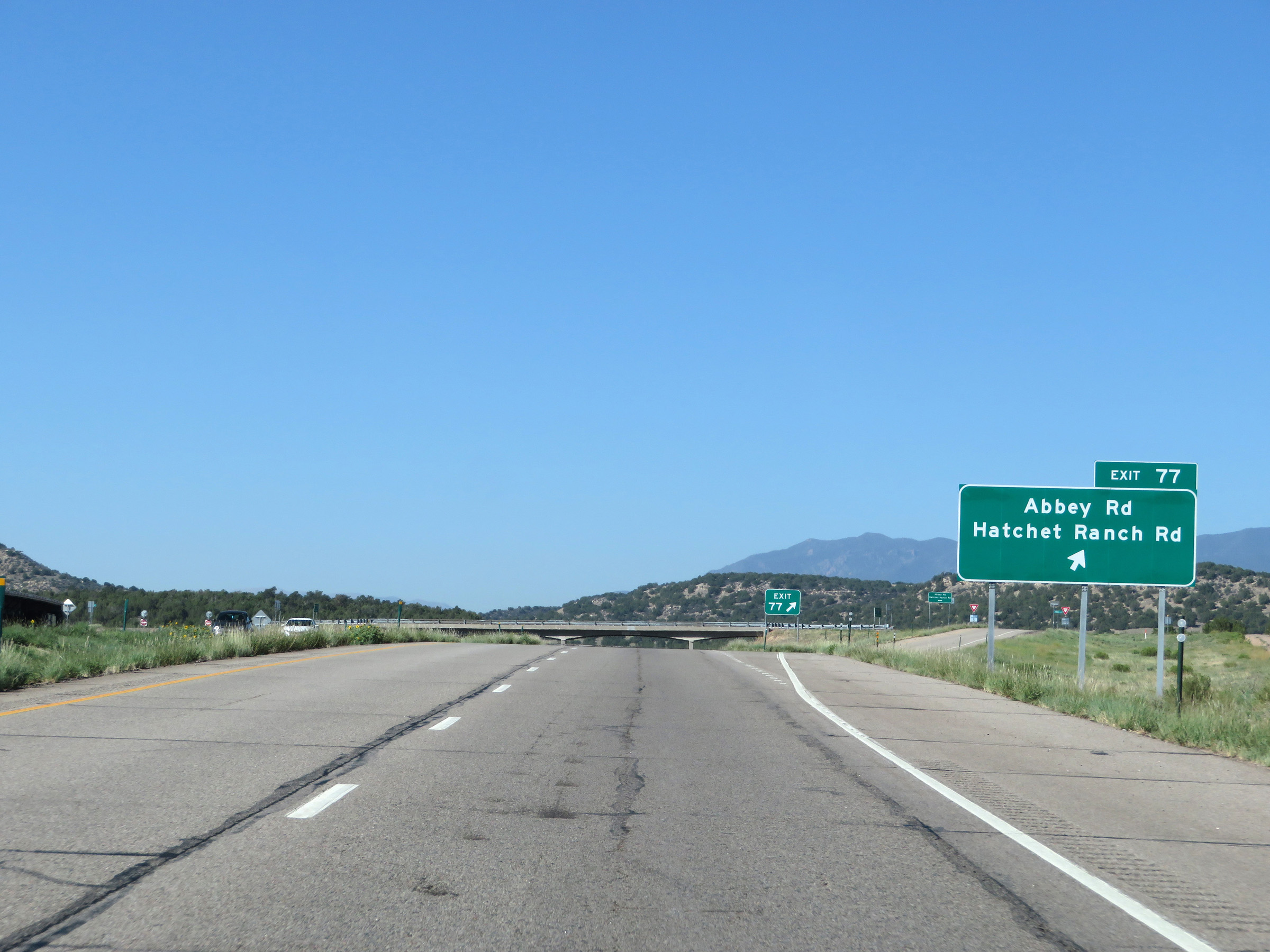 |
Interstate 25 South at Exit 77: Abbey Rd / Hatchet Ranch Rd (Photo taken 8/13/20). |
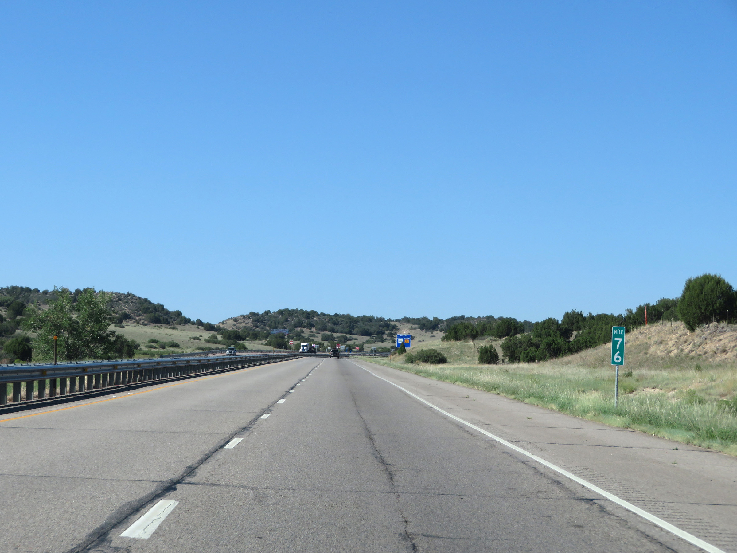 |
View on Interstate 25 South at mile marker 76. (Photo taken 8/13/20). |
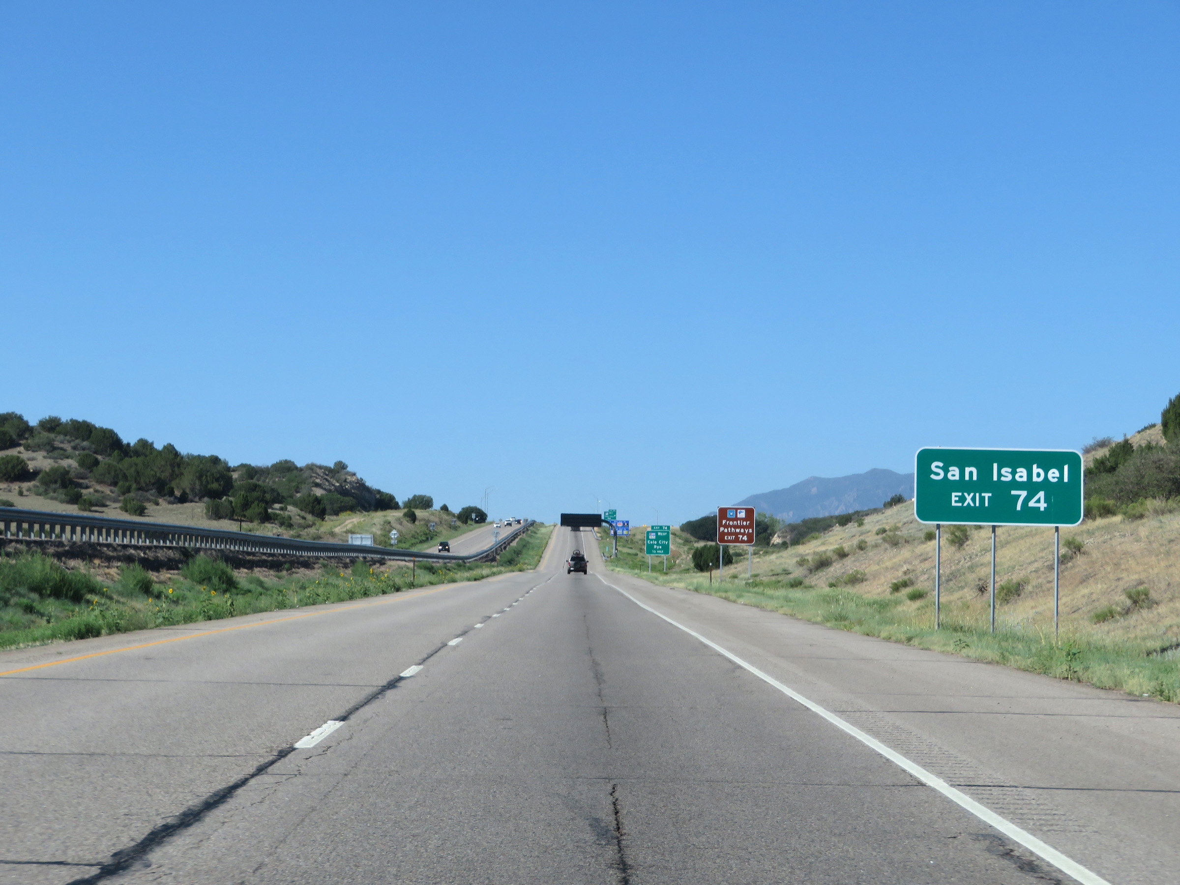 |
Take Exit 74 to San Isabel. (Photo taken 8/13/20). |
 |
Also take Exit 74 to Frontier Pathways Scenic Byway. (Photo taken 8/13/20). |
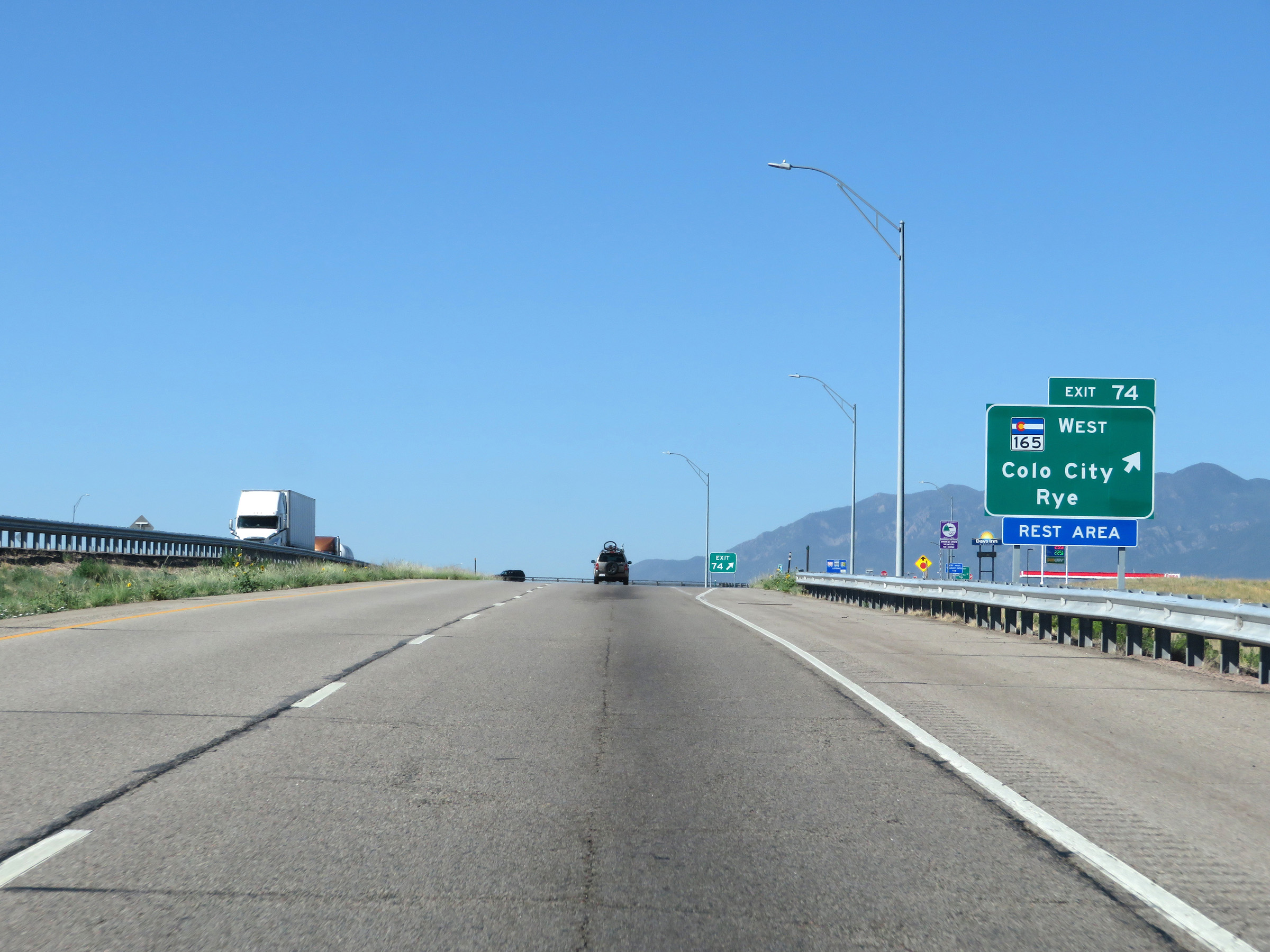 |
Interstate 25 South at Exit 74: CO 165 West - Colorado City / Rye / Rest Area (Photo taken 8/13/20). |
 |
The speed limit remains 75 mph. (Photo taken 8/13/20). |
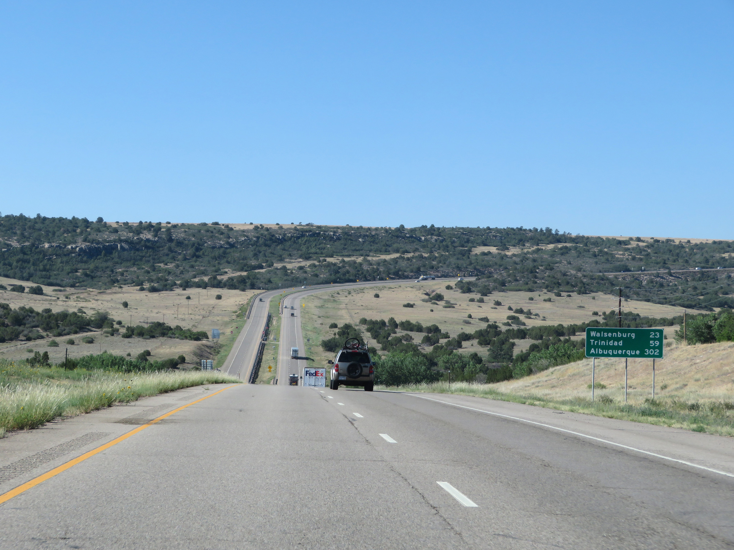 |
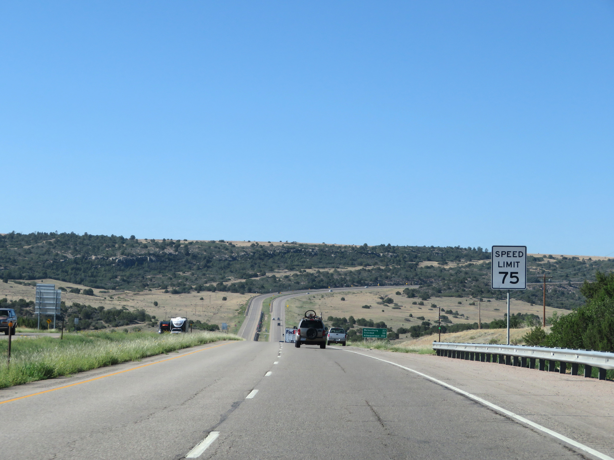
Mileage sign on Interstate 25 South. It's 23 miles to Walsenburg, 59 miles to Trinidad, and 302 miles to Albuquerque. (Photo taken 8/13/20). |
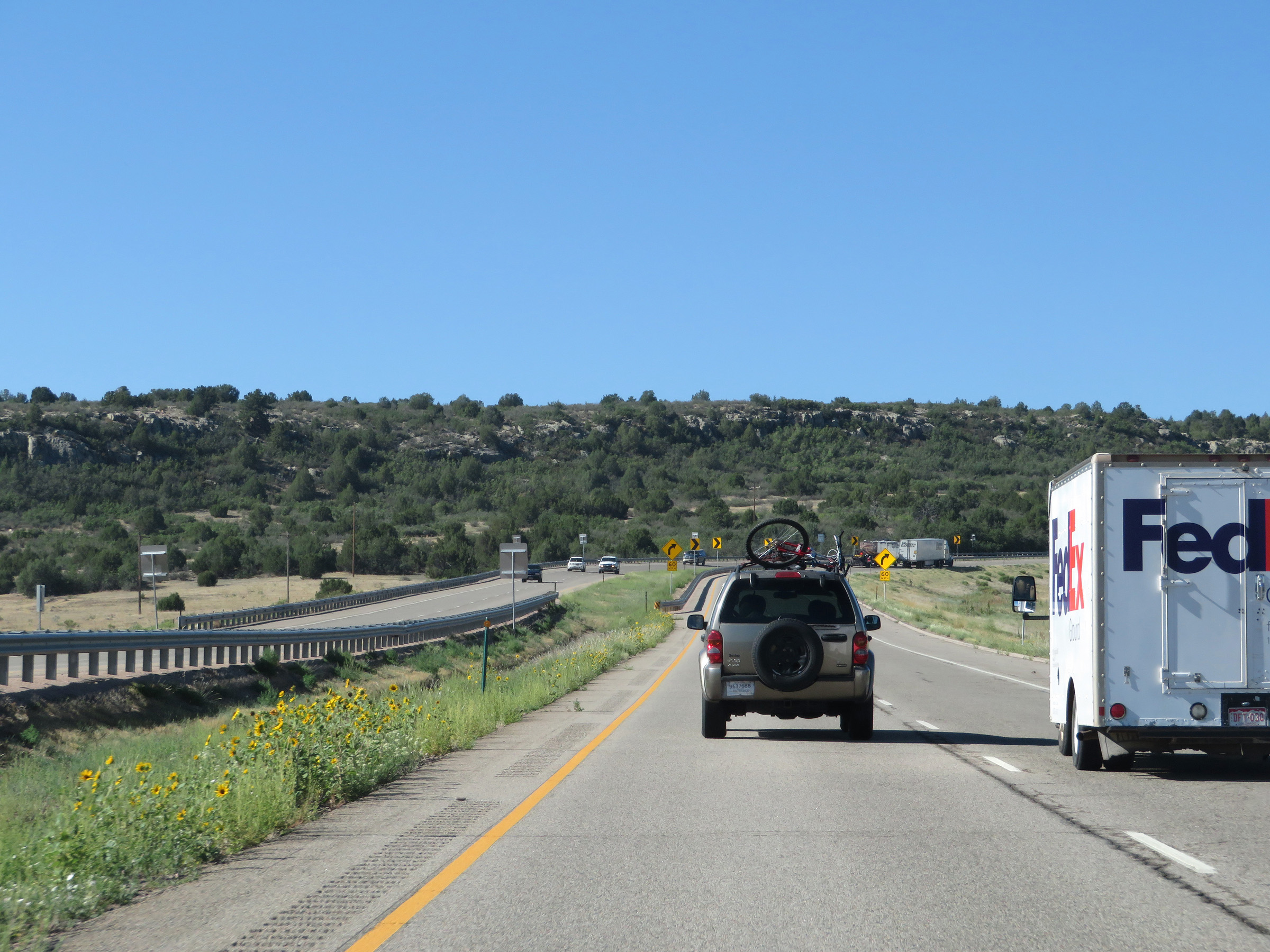 |
Interstate 25 South as it reaches the bottom of the downgrade seen in the last two photos. (Photo taken 8/13/20). |
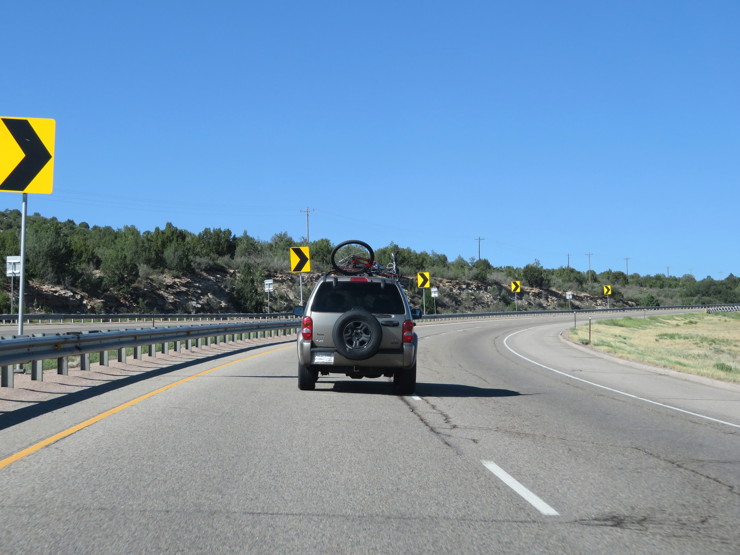 |
View on Interstate 25 South as it begins to climb out of the valley it just descended into. (Photo taken 8/13/20). |
 |
View on Interstate 25 South as it continues to climb up out of the valley. (Photo taken 8/13/20). |
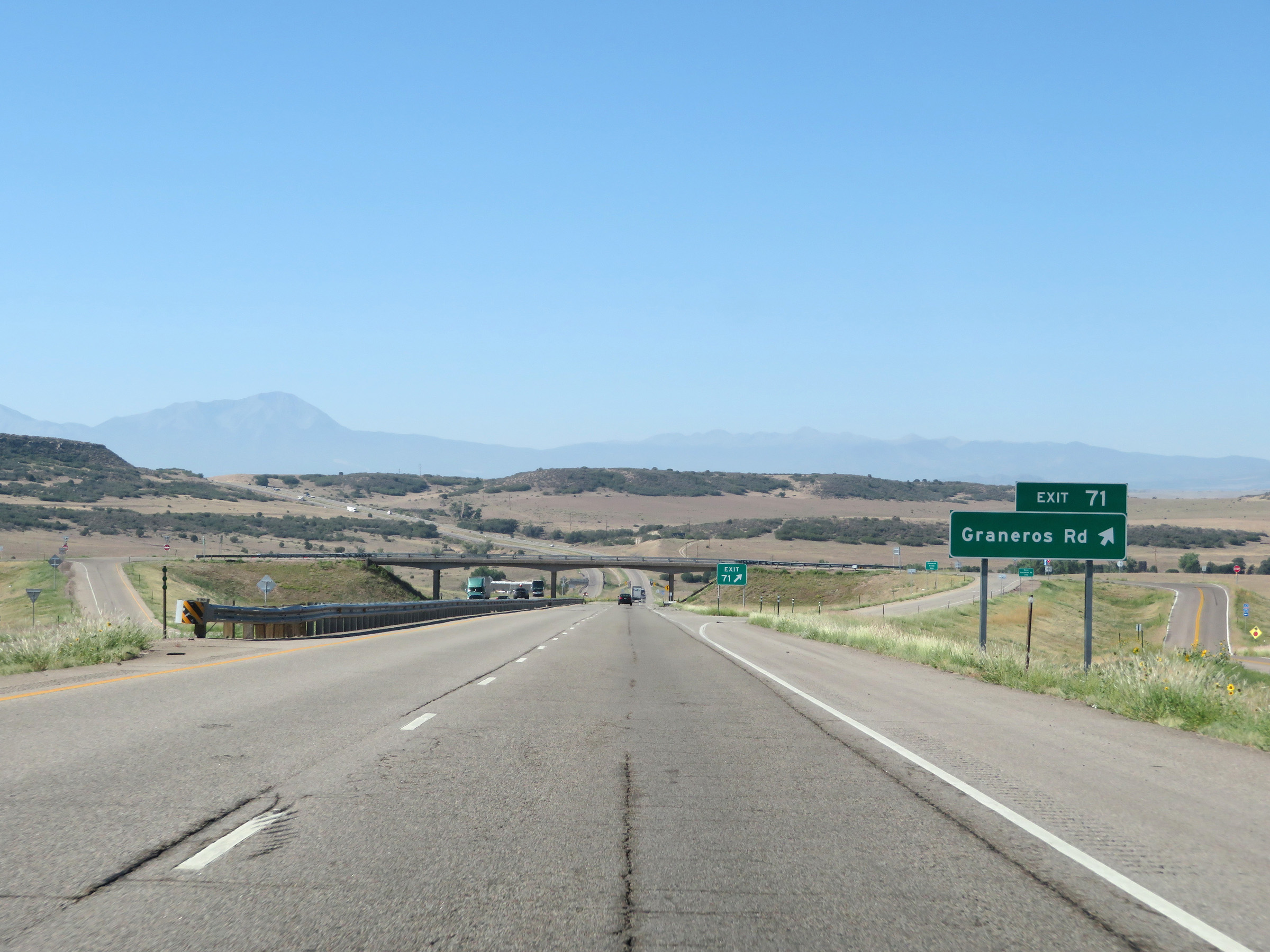 |
Interstate 25 South at Exit 71: Graneros Rd (Photo taken 8/13/20). |
 |
Another state-named Interstate 25 South reassurance shield. (Photo taken 8/13/20). |
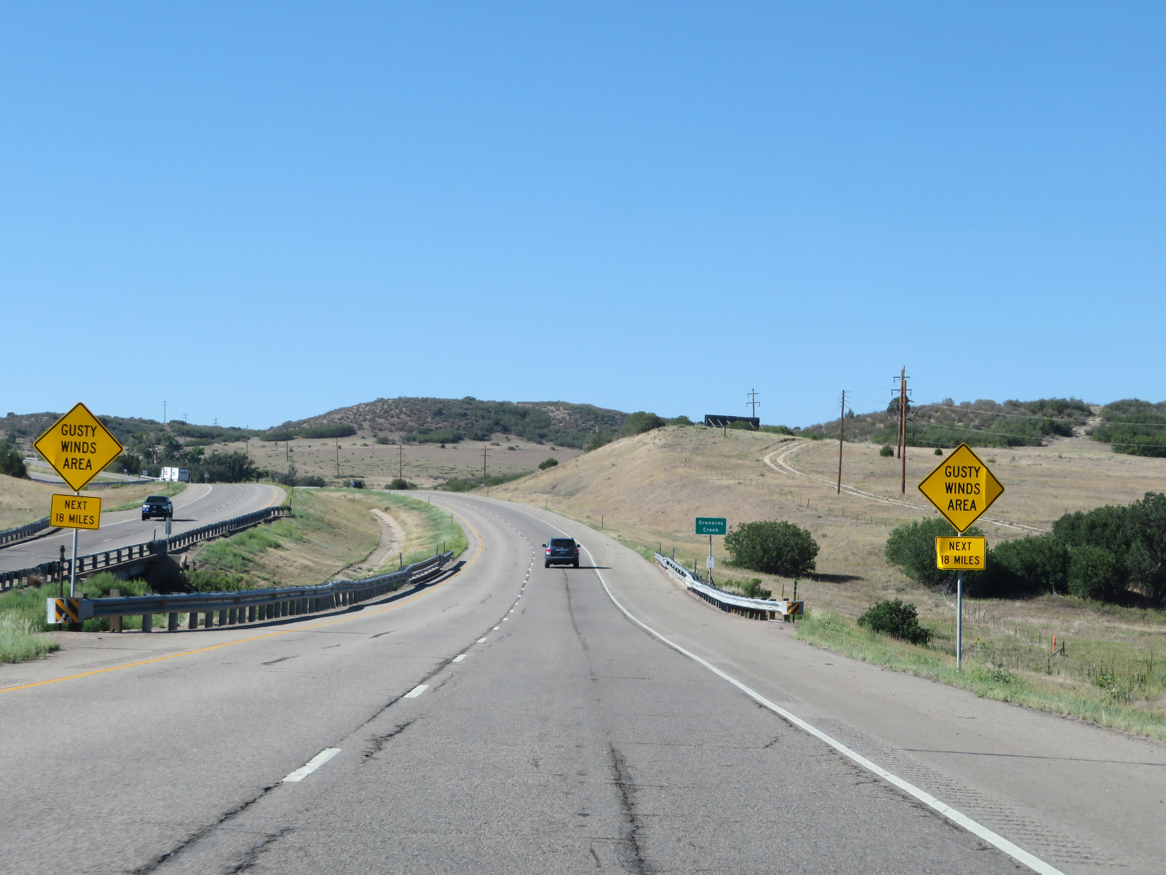 |
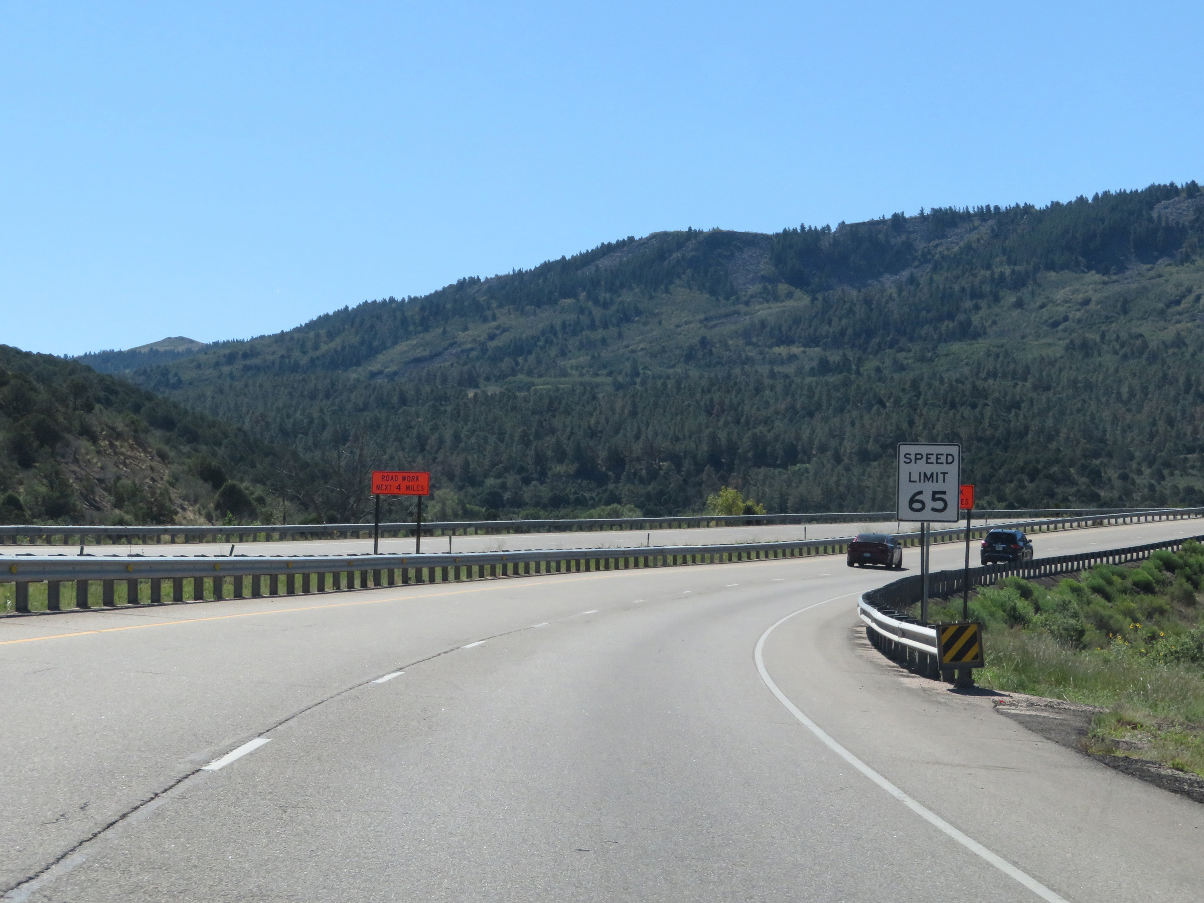
These signs warns that for the next 18 miles, Interstate 25 South will pass through an area subject to gusty winds. (Photo taken 8/13/20). |
 |
View on Interstate 25 South at mile marker 69. (Photo taken 8/13/20). |
 |
Interstate 25 South as it enters Huerfano County. (Photo taken 8/13/20). |
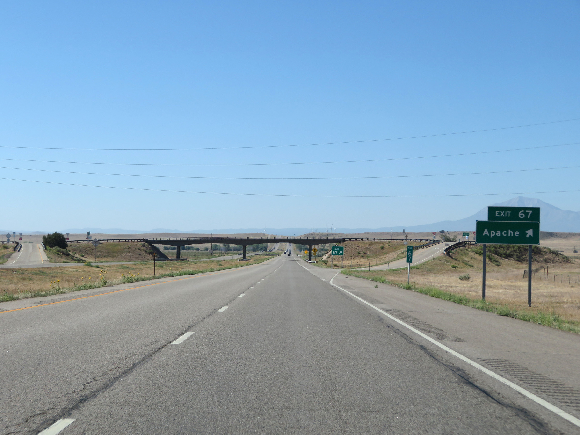 |
Interstate 25 South at Exit 67: Apache (Photo taken 8/13/20). |
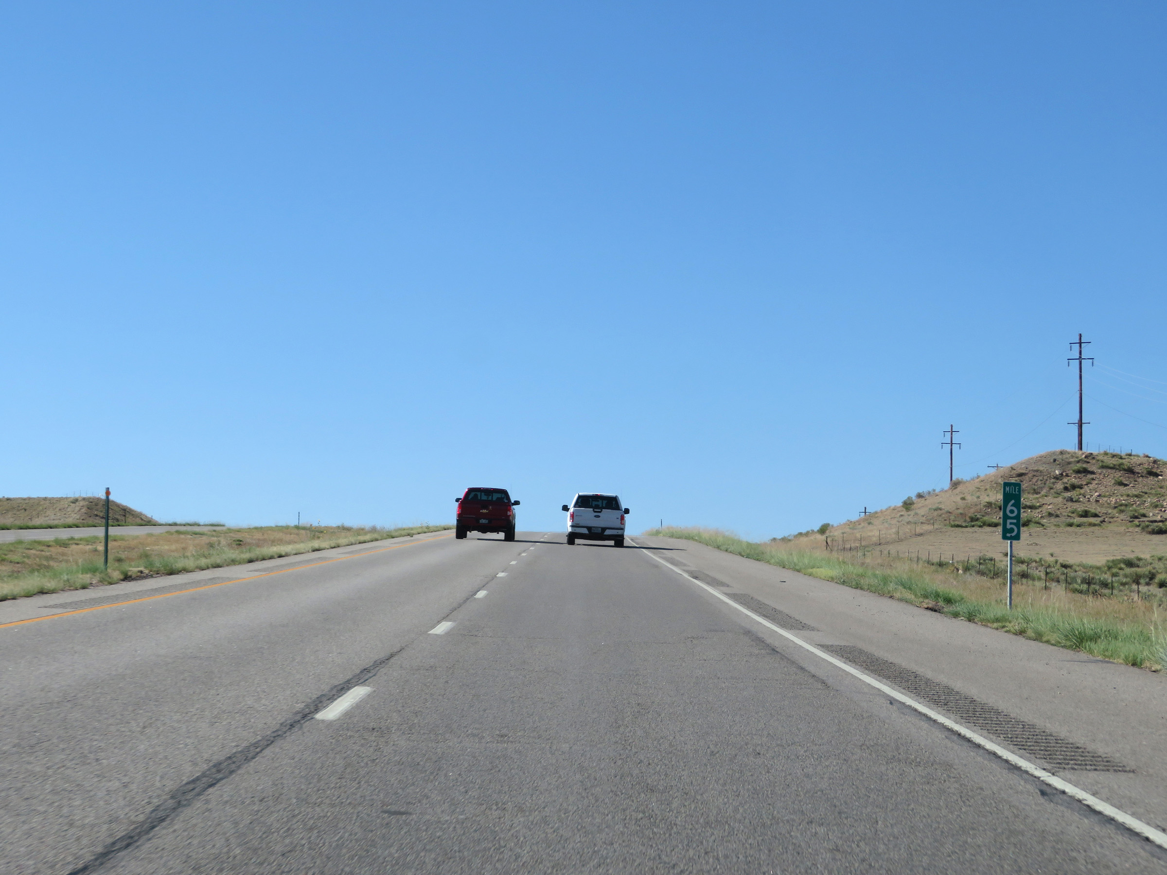 |
Interstate 25 South at mile marker 65. (Photo taken 8/13/20). |
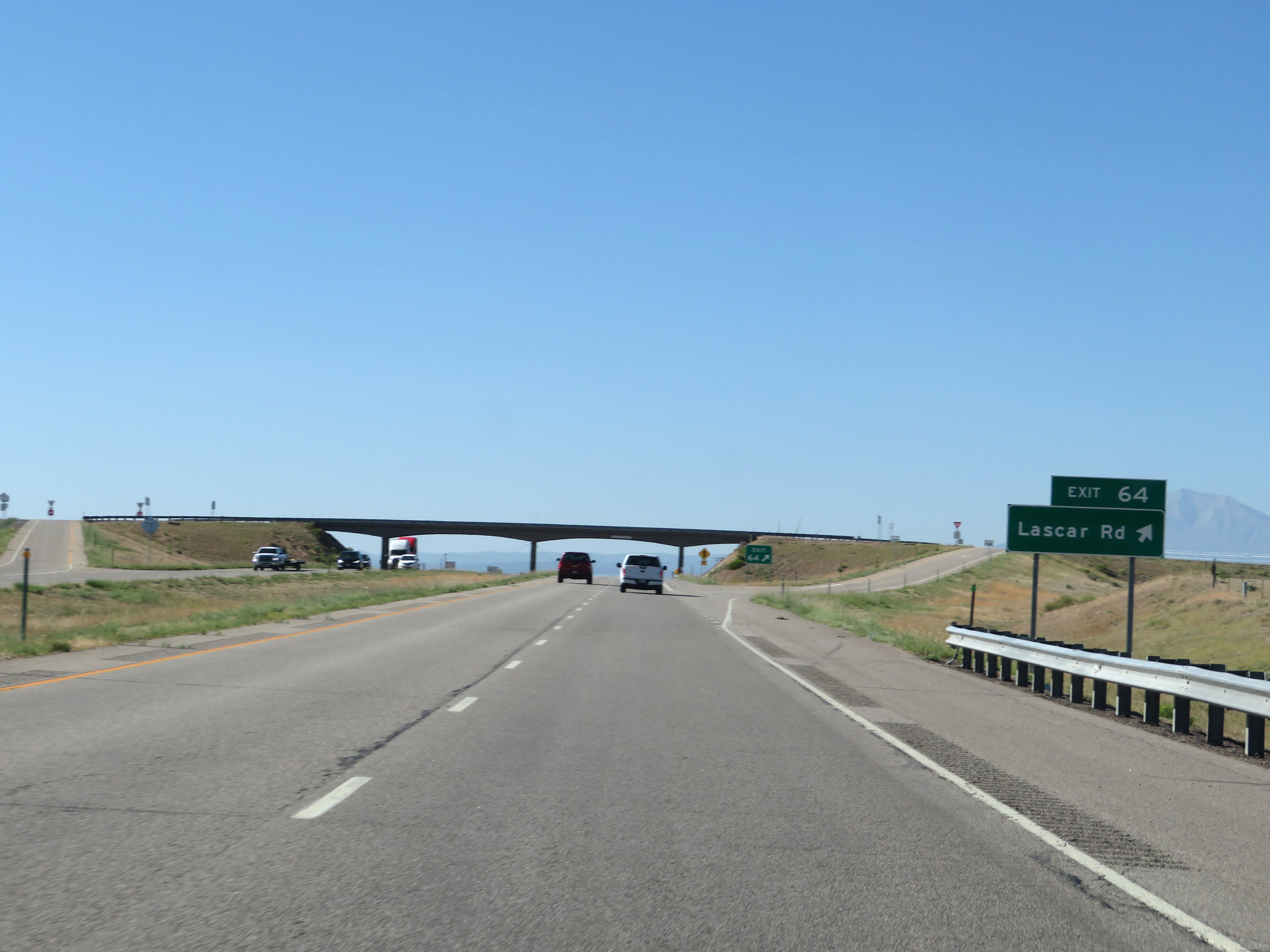 |
Interstate 25 South at Exit 64: Lascar Rd (Photo taken 8/13/20). |
 |
View on Interstate 25 South at mile marker 62. (Photo taken 8/13/20). |
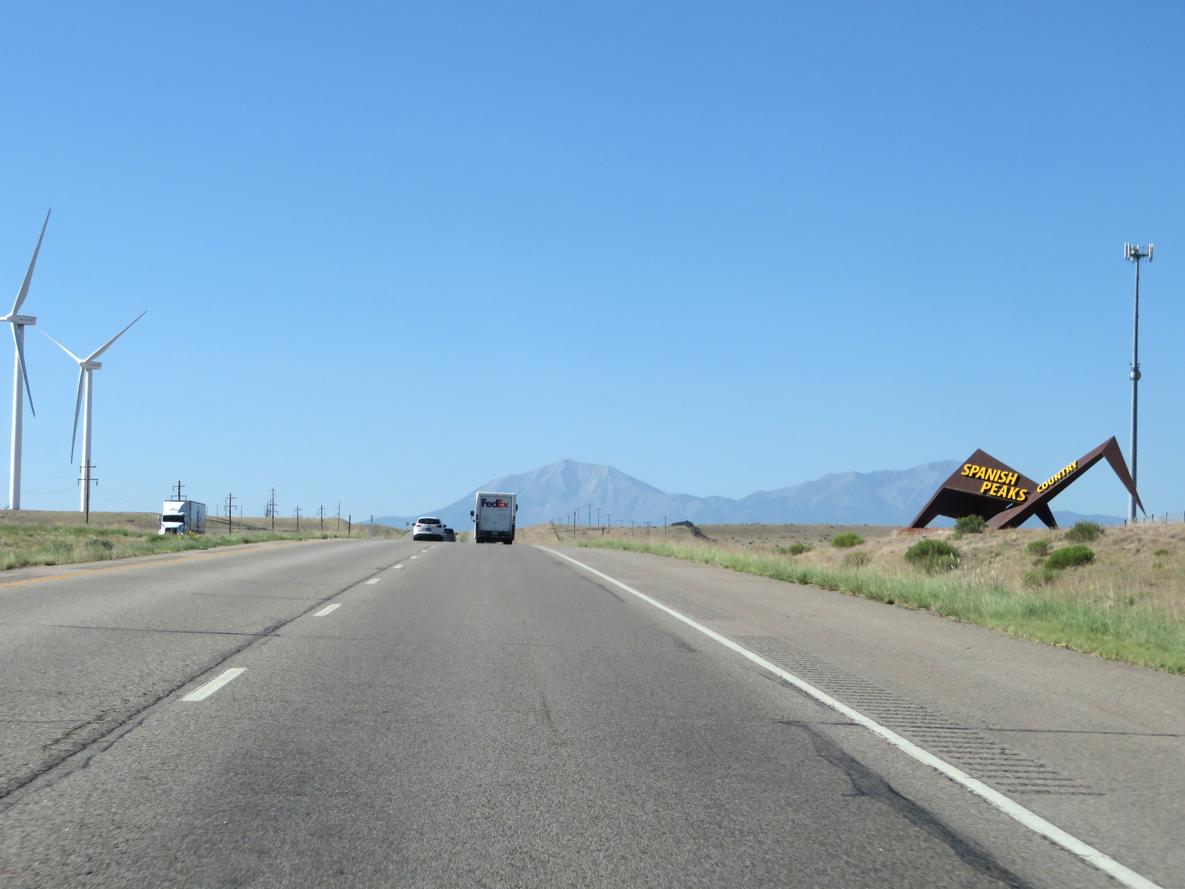 |
Interstate 25 South as it enters what is known as Spanish Peaks Country. (Photo taken 8/13/20). |
 |
Interstate 25 South at Exit 60: Huerfano (Photo taken 8/13/20). |
 |
Interstate 25 South approaching Exit 59 - 1/2 mile. (Photo taken 8/13/20). |
 |
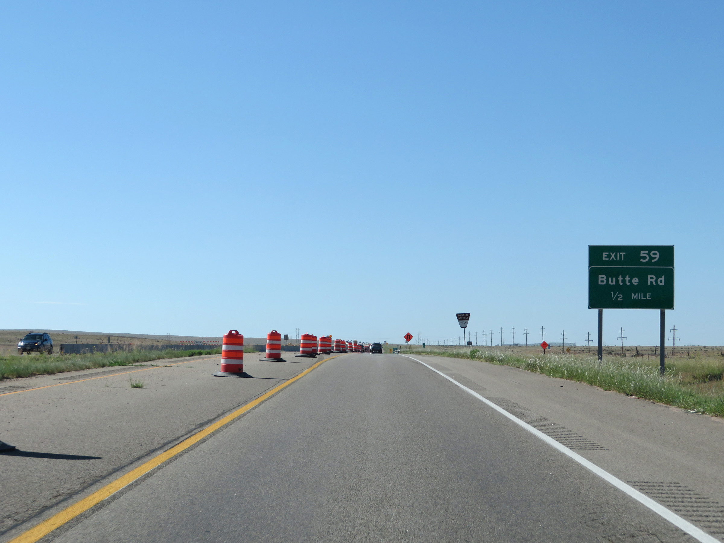
Interstate 25 South at Exit 59: Butte Rd (Photo taken 8/13/20). |
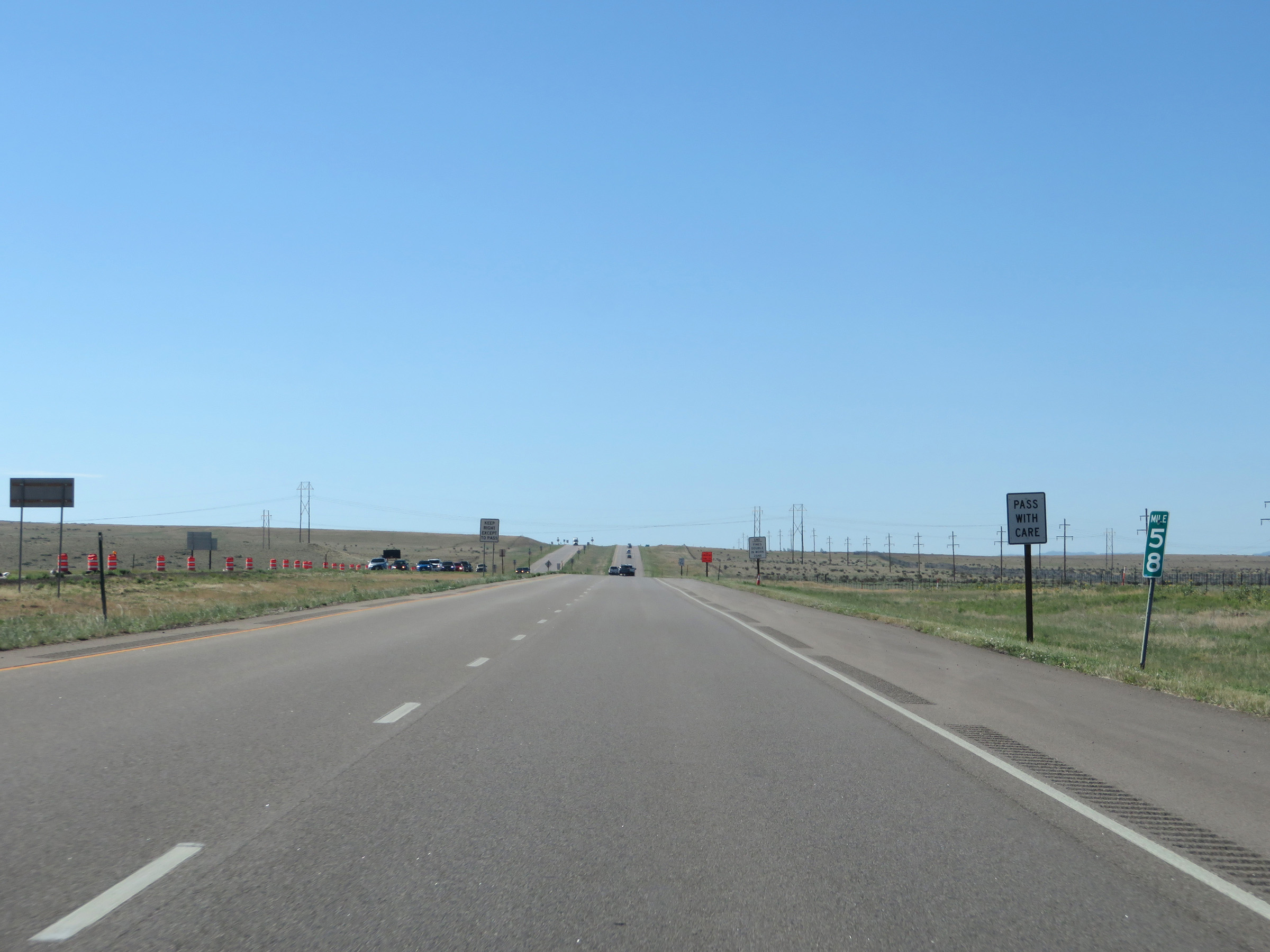 |
View on Interstate 25 South at mile marker 58. (Photo taken 8/13/20). |
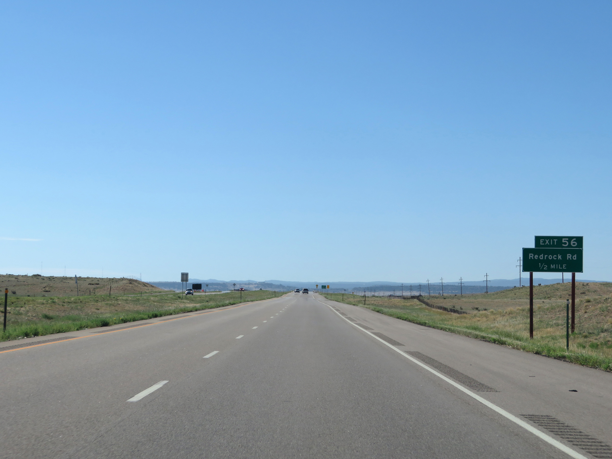 |
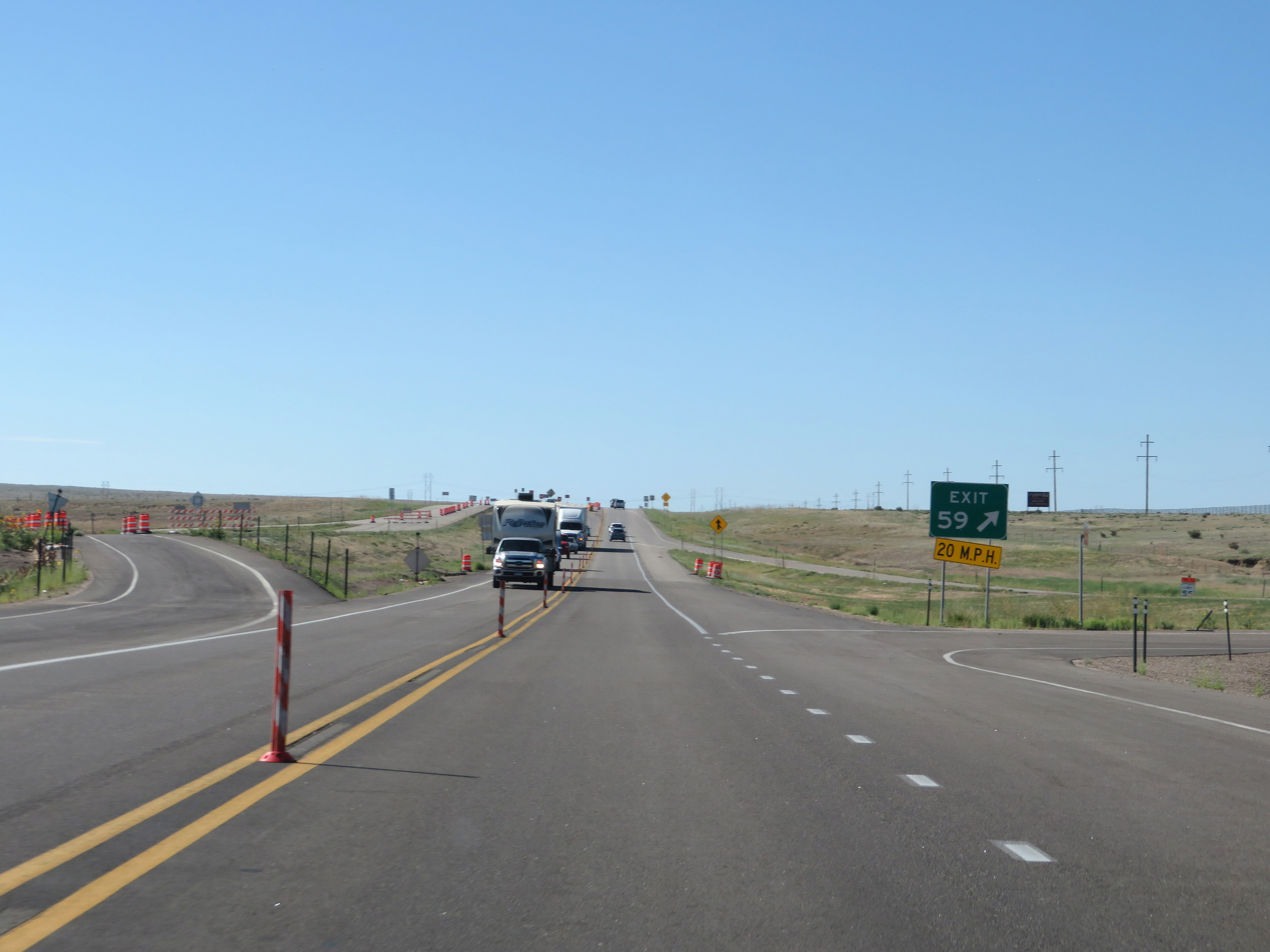
Interstate 25 South approaching Exit 56 - 1/2 mile. (Photo taken 8/13/20). |
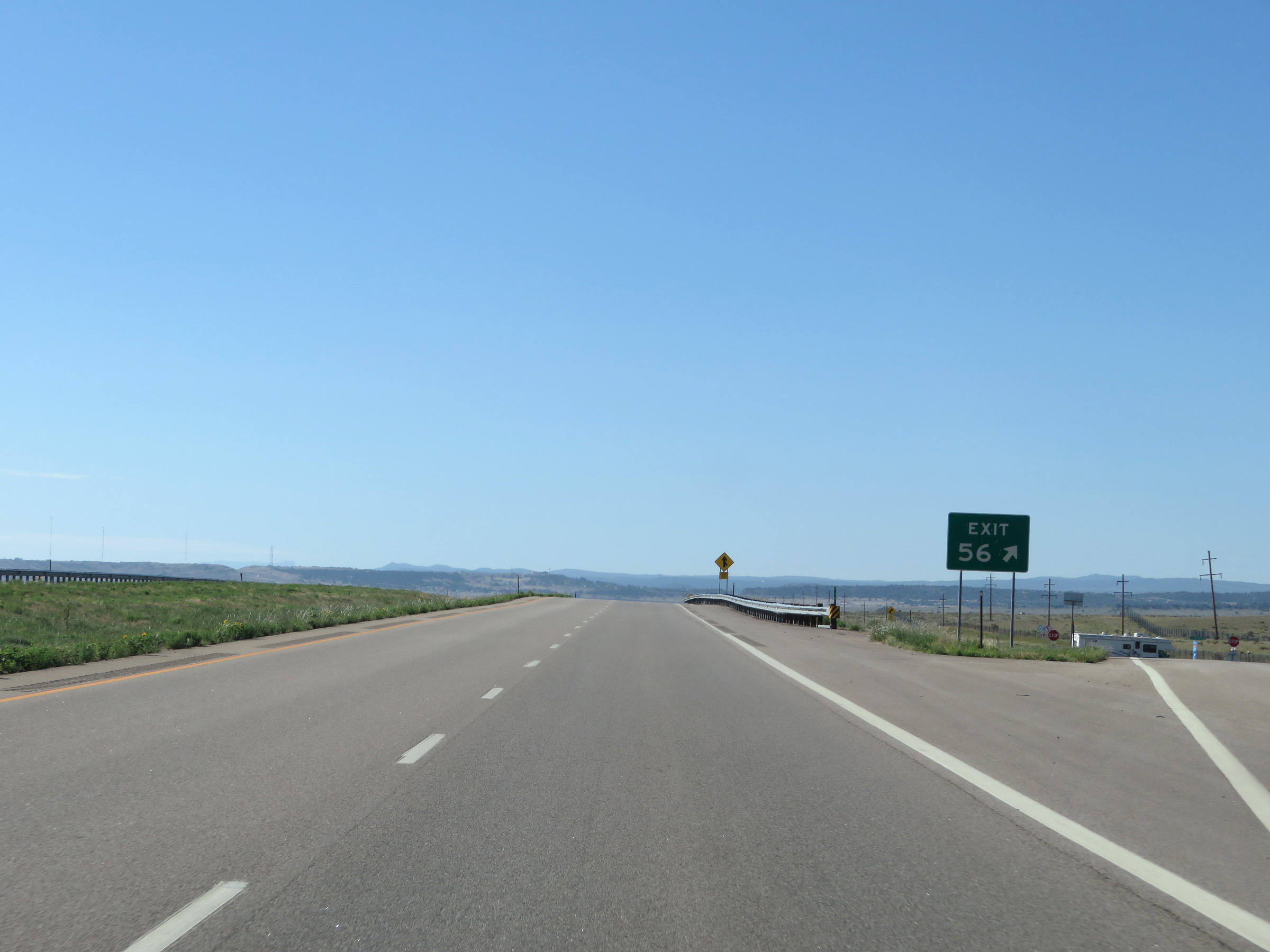 |
Interstate 25 South at Exit 56: Redrock Rd (Photo taken 8/13/20). |
 |
Interstate 25 South approaching Exit 55 - 1/2 mile. (Photo taken 8/13/20). |
 |
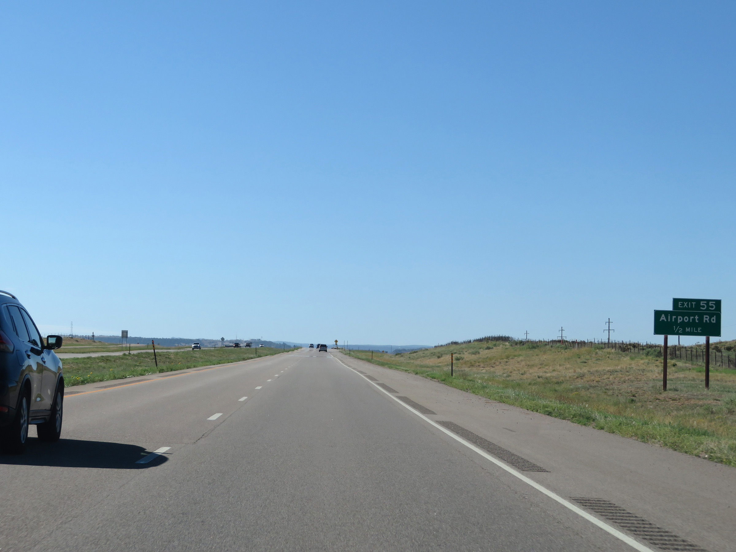
Interstate 25 South at Exit 55: Airport Rd (Photo taken 8/13/20). |
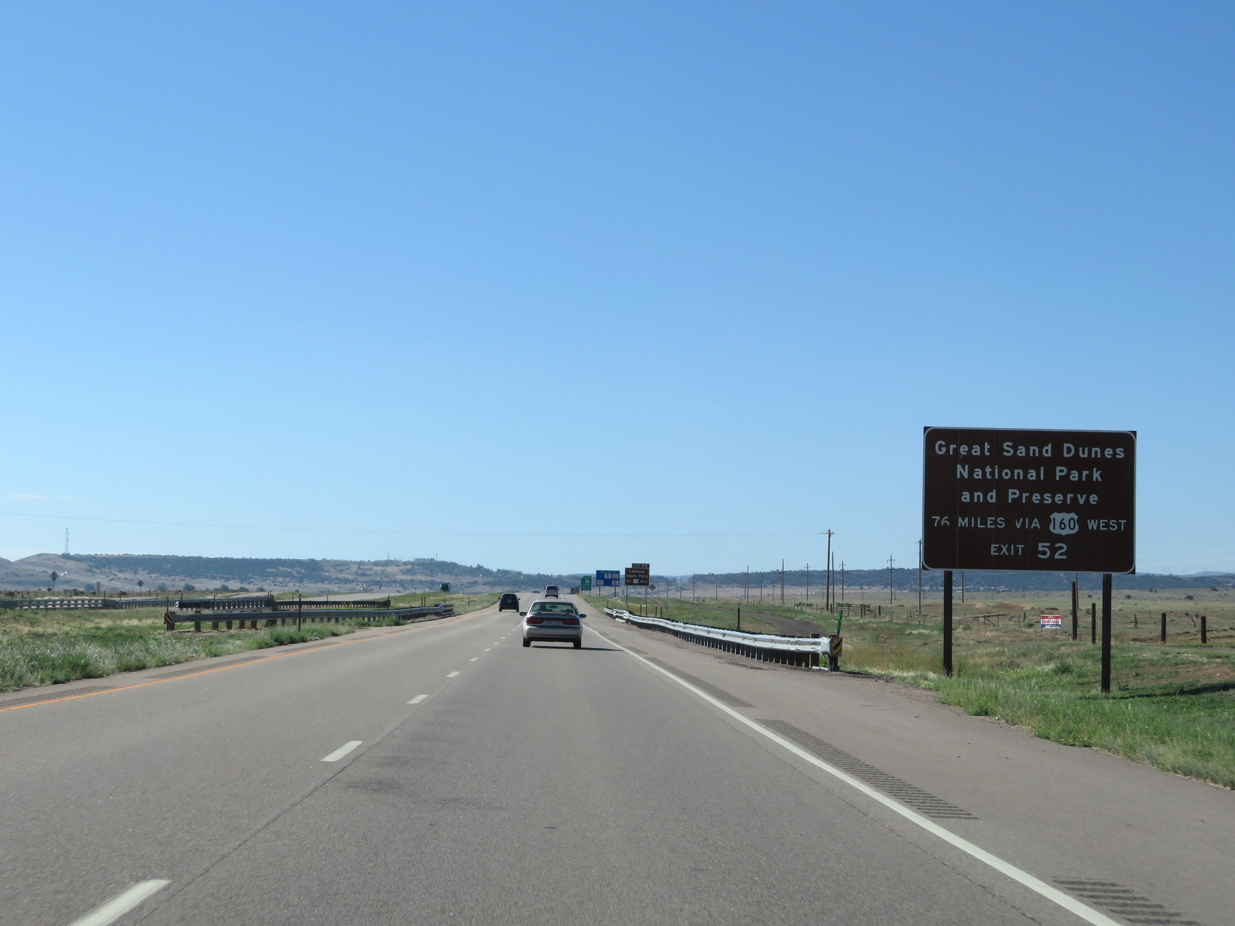 |
Take Exit 52 to Great Sand Dunes National Park and Preserve via US 160 West. (Photo taken 8/13/20). |
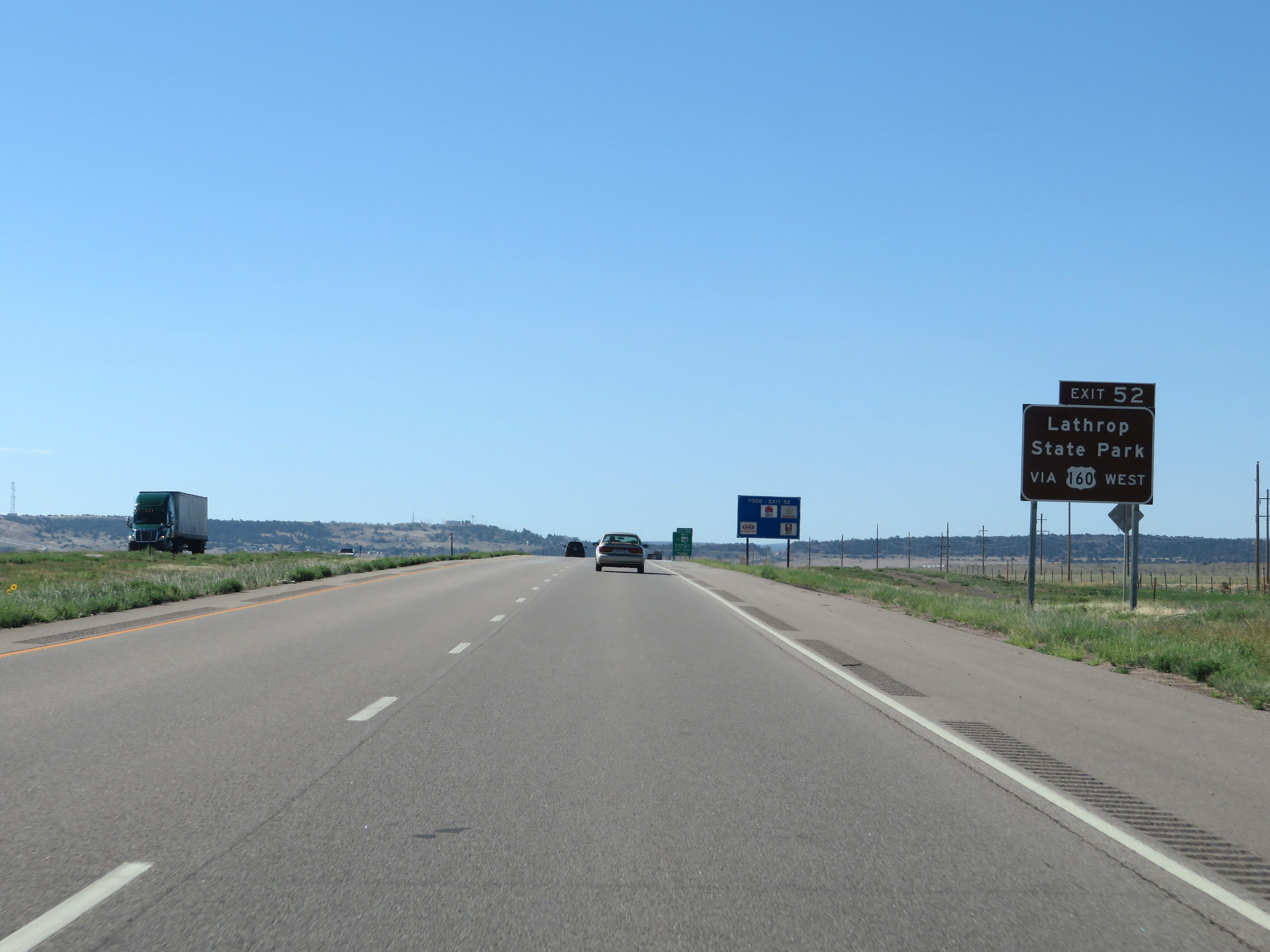 |
Also take Exit 52 to Lathrop State Park via US 160 West. (Photo taken 8/13/20). |
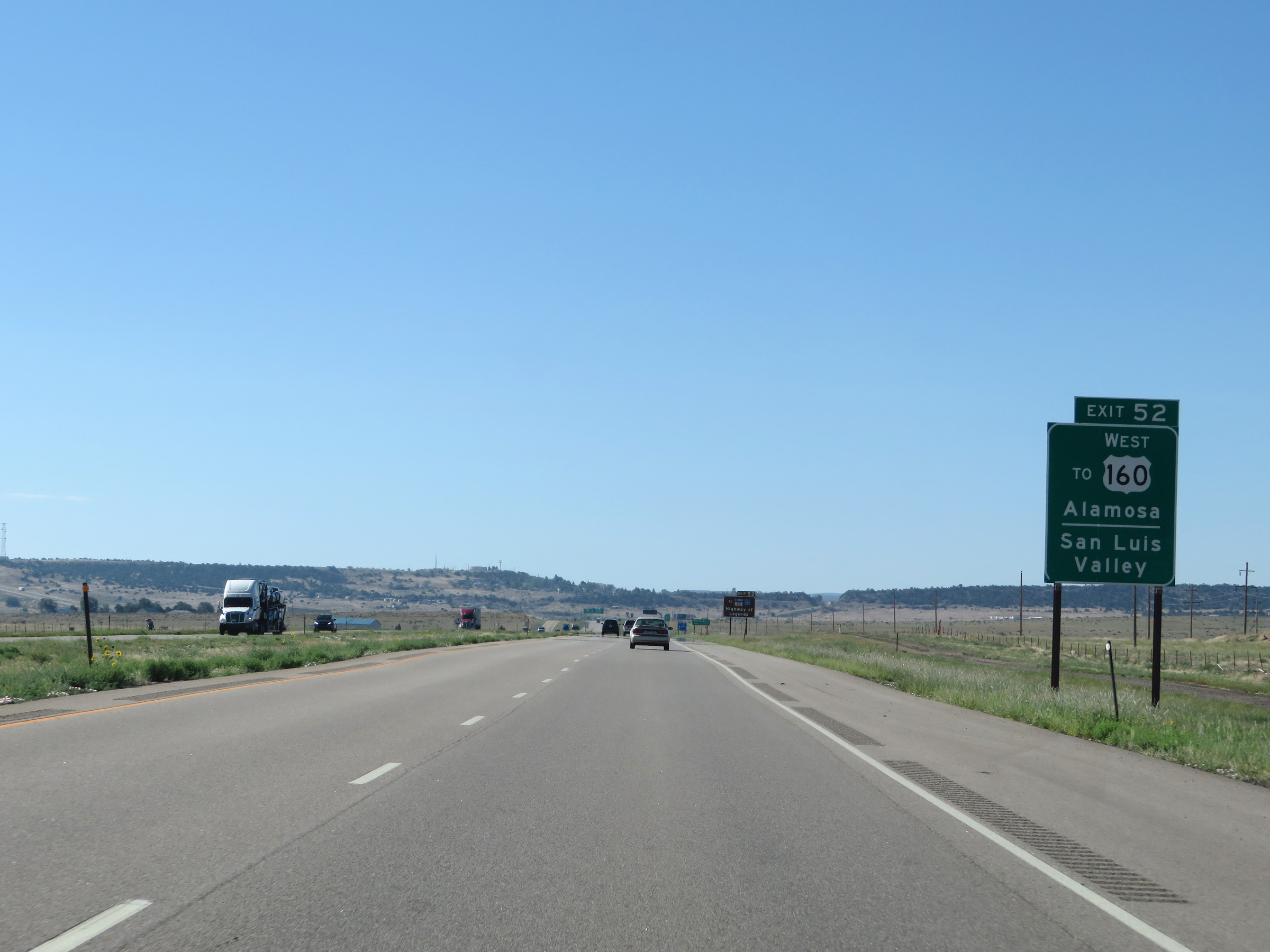 |
Take Exit 52 to Alamosa and San Luis Valley as well. (Photo taken 8/13/20). |
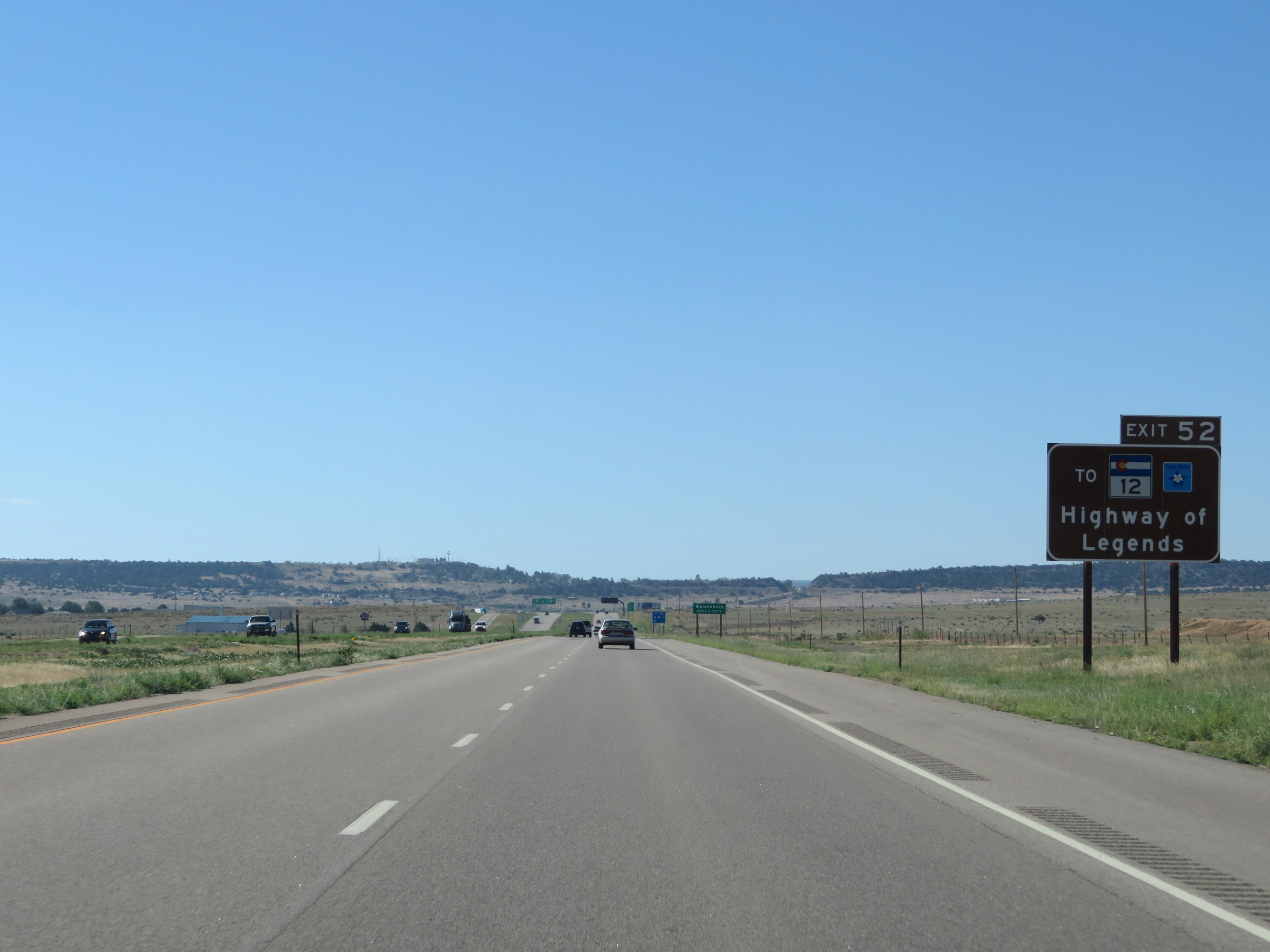 |
CO 12 and the HIghway of Legends Scenic Byway can be accessed via Exit 52. (Photo taken 8/13/20). |
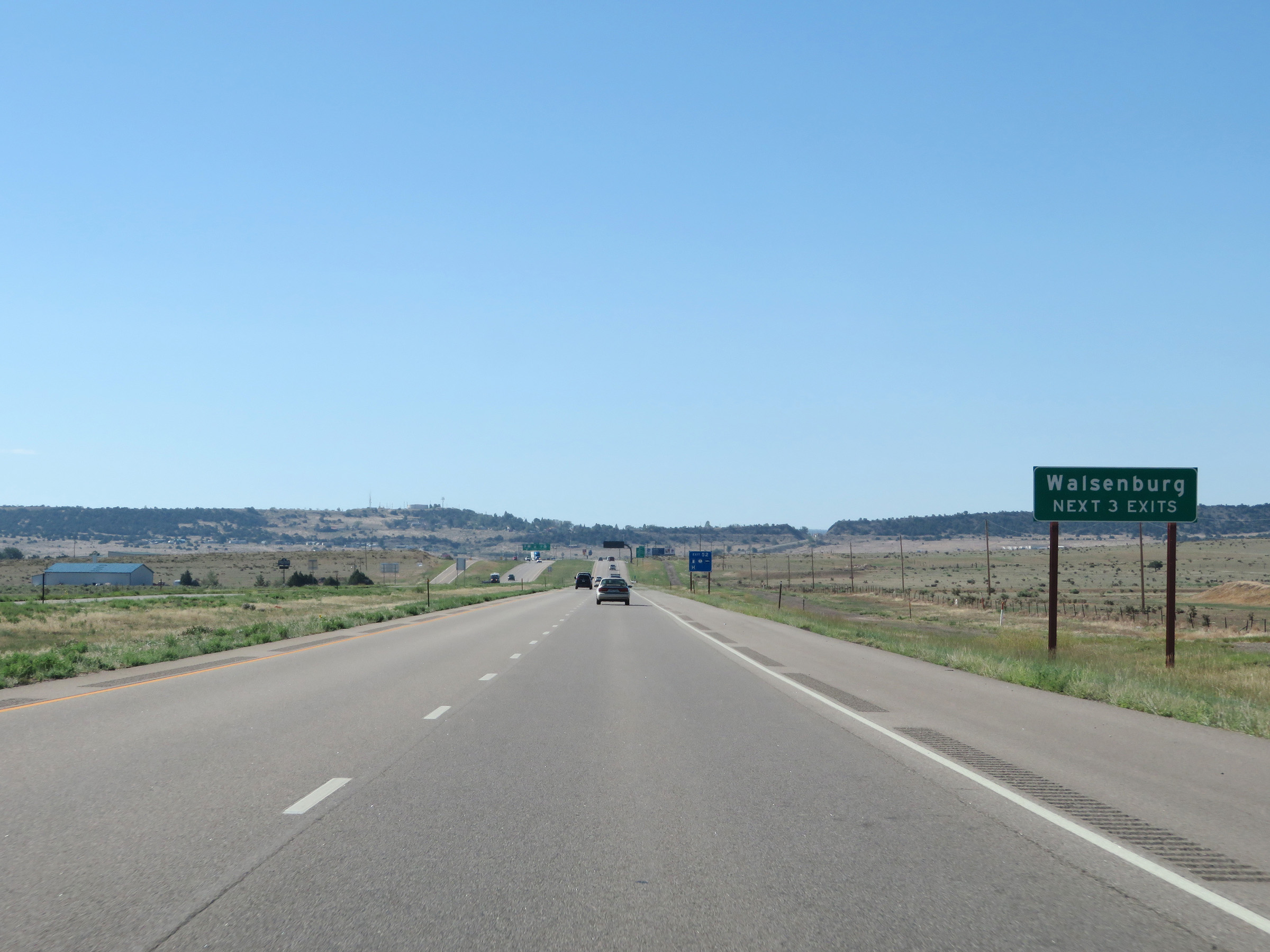 |
Take any of the next 3 exits to Walsenburg. (Photo taken 8/13/20). |
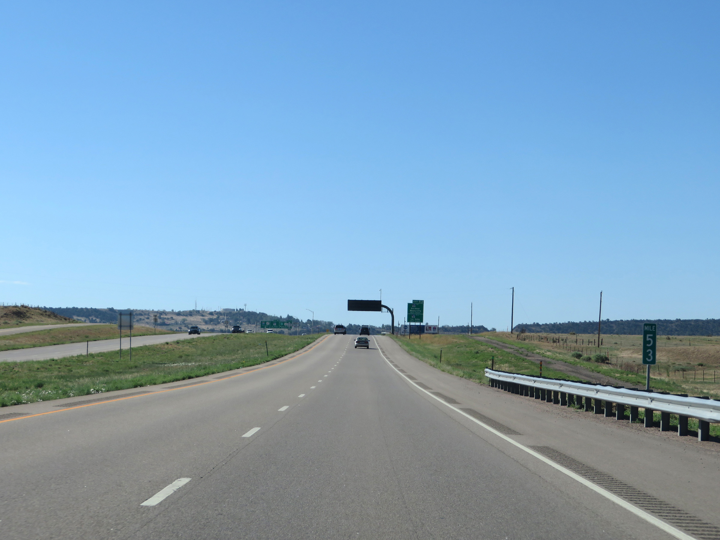 |
View on Interstate 25 South at mile marker 53. (Photo taken 8/13/20). |
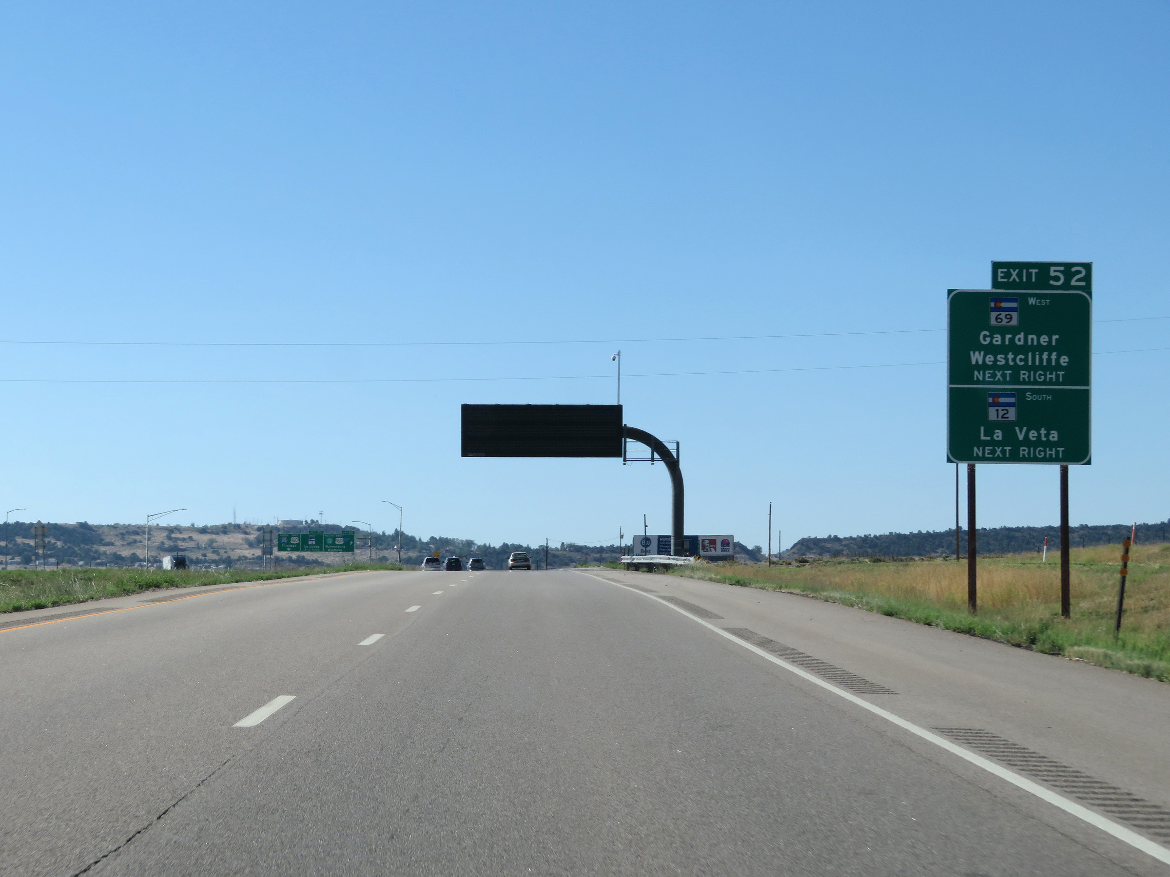 |
Take Exit 52 to CO 69 West toward Gardner and Westcliffe, as well as to CO 12 South toward La Veta. (Photo taken 8/13/20). |
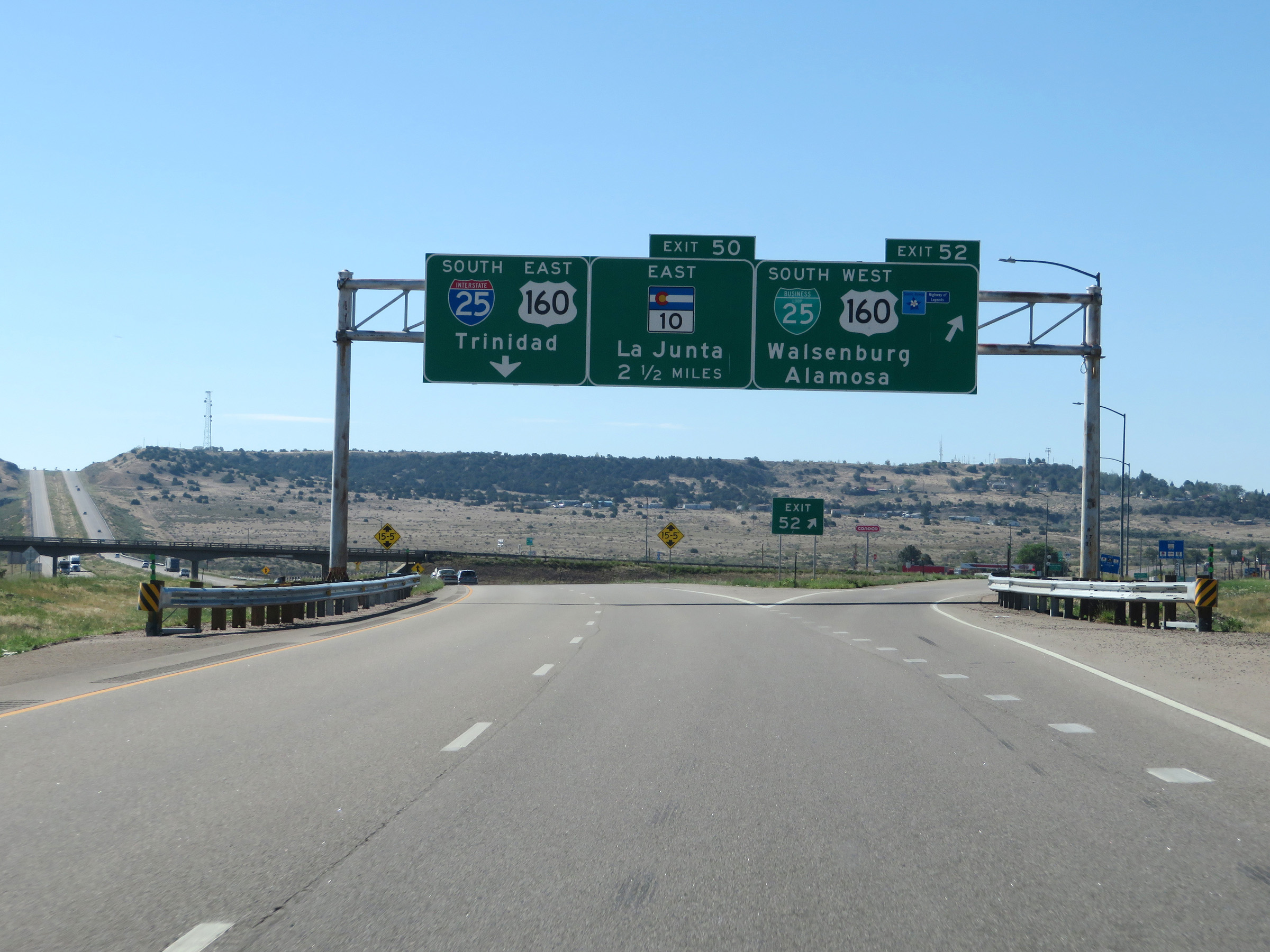 |
Interstate 25 South at Exit 52: Interstate 25 Business Loop South / US 160 West - Walsenburg / Alamosa (Photo taken 8/13/20). |
Section 7: Walsenburg (Exit 52) to New Mexico Border
 |
Interstate 25 South reassurance shield. (Photo taken 8/13/20). |
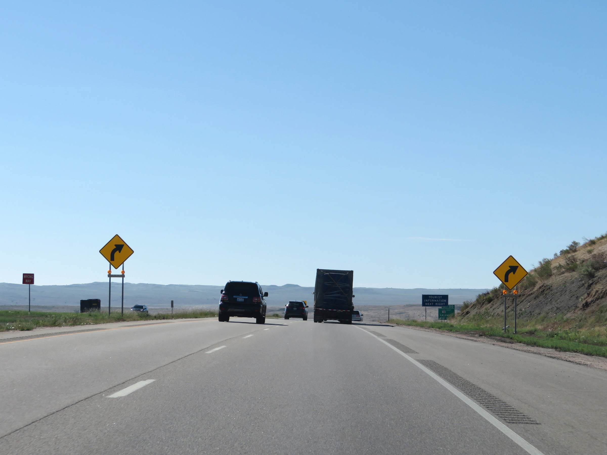 |
These signs warn of a sharp curve to the right ahead. (Photo taken 8/13/20). |
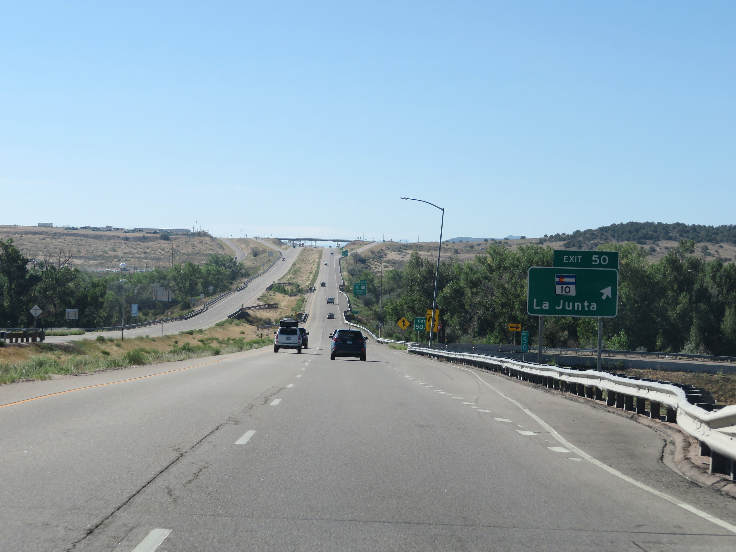 |
Interstate 25 South at Exit 50: CO 10 - La Junta (Photo taken 8/13/20). |
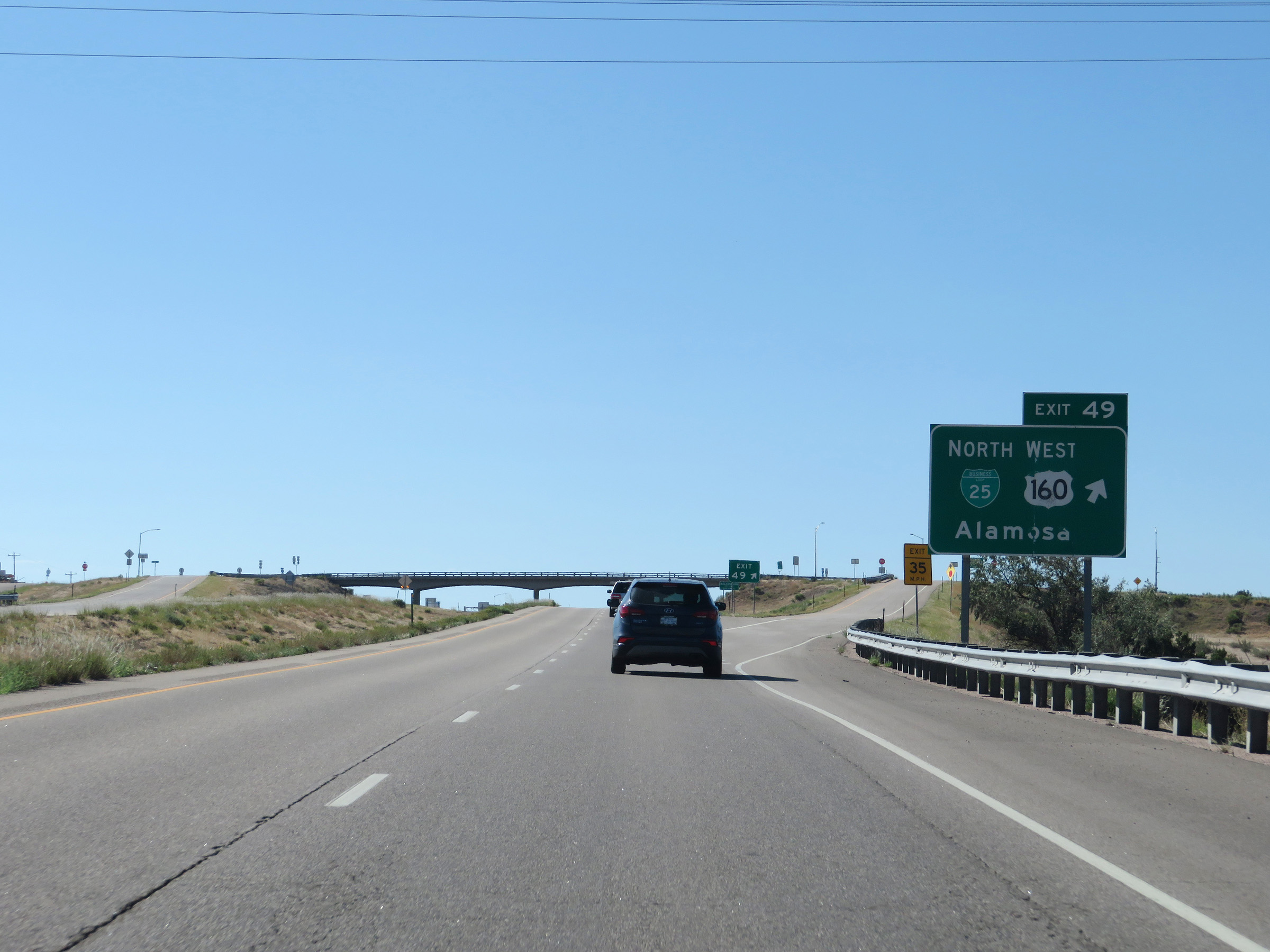 |
Interstate 25 South at Exit 49: Interstate 25 Business Loop North / US 160 West - Alamosa (Photo taken 8/13/20). |
 |
View on Interstate 25 South at mile marker 48. (Photo taken 8/13/20). |
 |
Interstate 25 South at mile marker 46. (Photo taken 8/13/20). |
 |
View on Interstate 25 South at mile marker 44. (Photo taken 8/13/20). |
 |
Mile marker 43 on Interstate 25 South in Huerfano County. (Photo taken 8/13/20). |
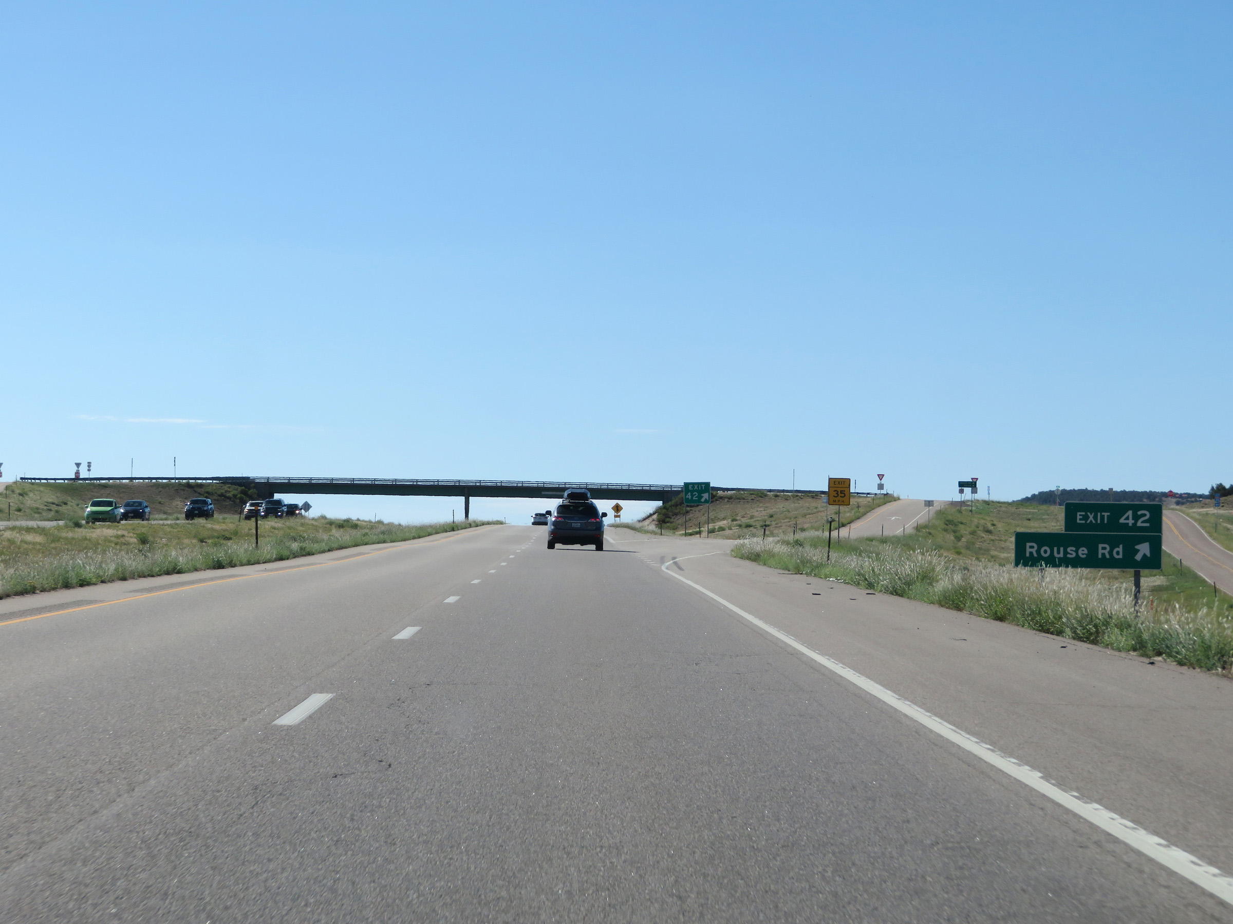 |
Interstate 25 South at Exit 42: Rouse Rd (Photo taken 8/13/20). |
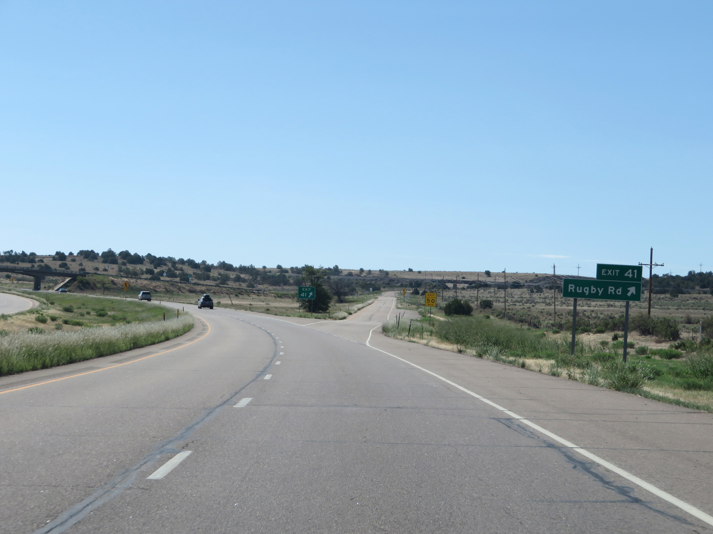 |
Interstate 25 South at Exit 41: Rugby Rd (Photo taken 8/13/20). |
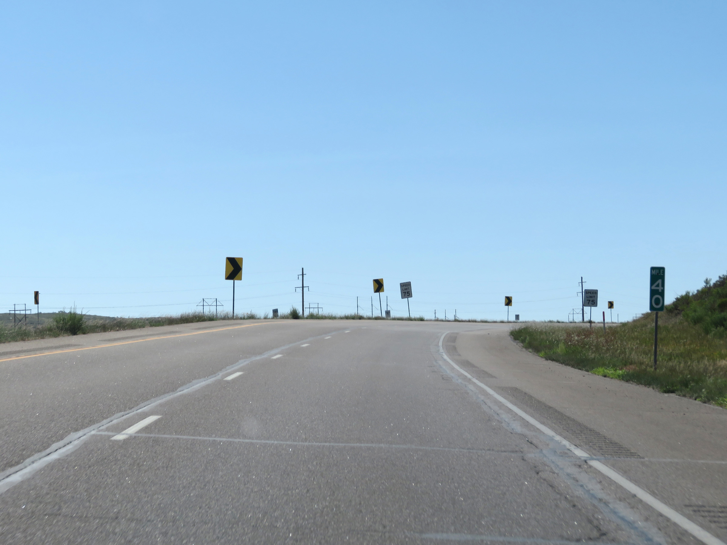 |
View on Interstate 25 South at mile marker 40. (Photo taken 8/13/20). |
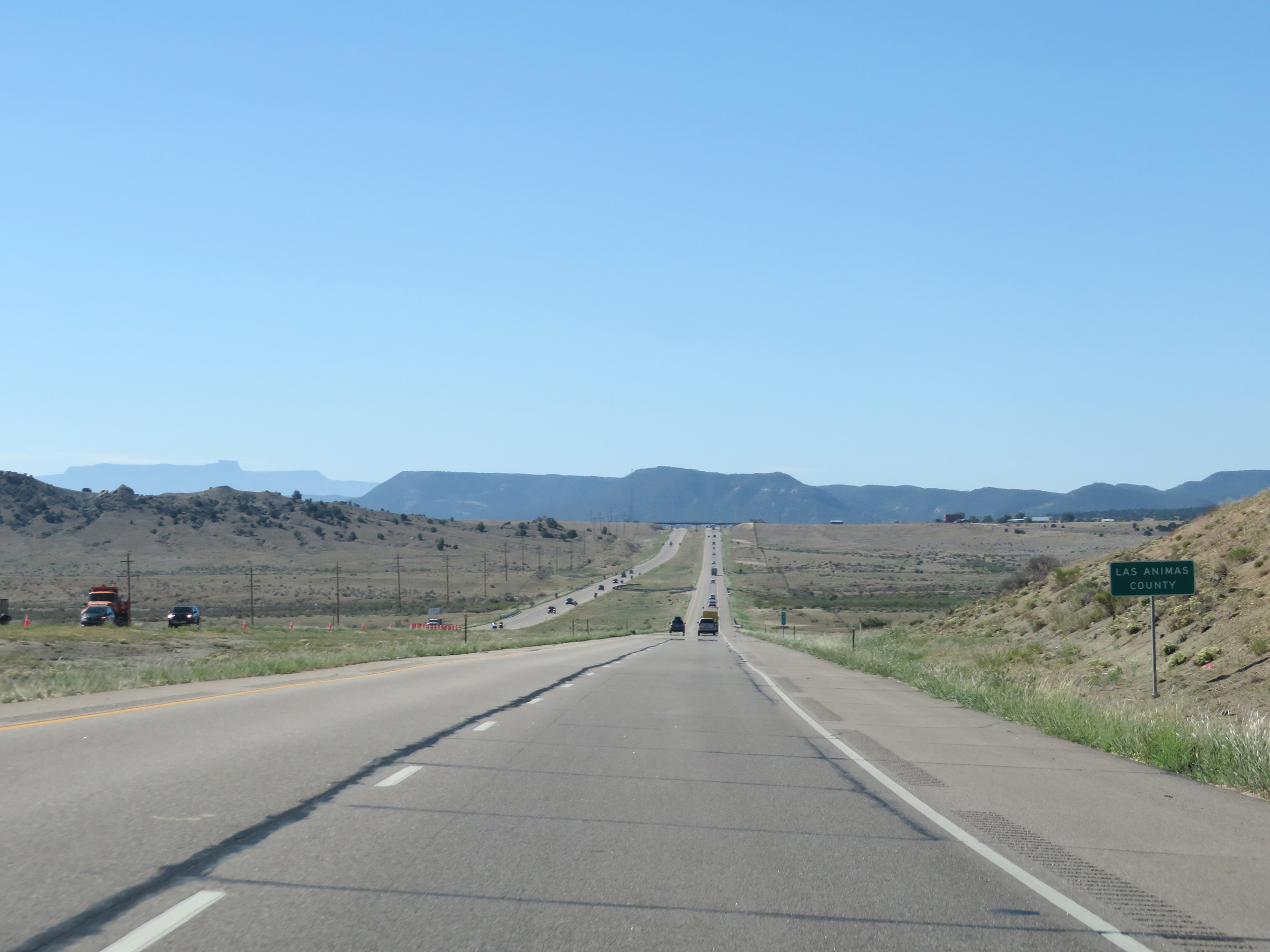 |
Interstate 25 South as it enters Las Animas County. (Photo taken 8/13/20). |
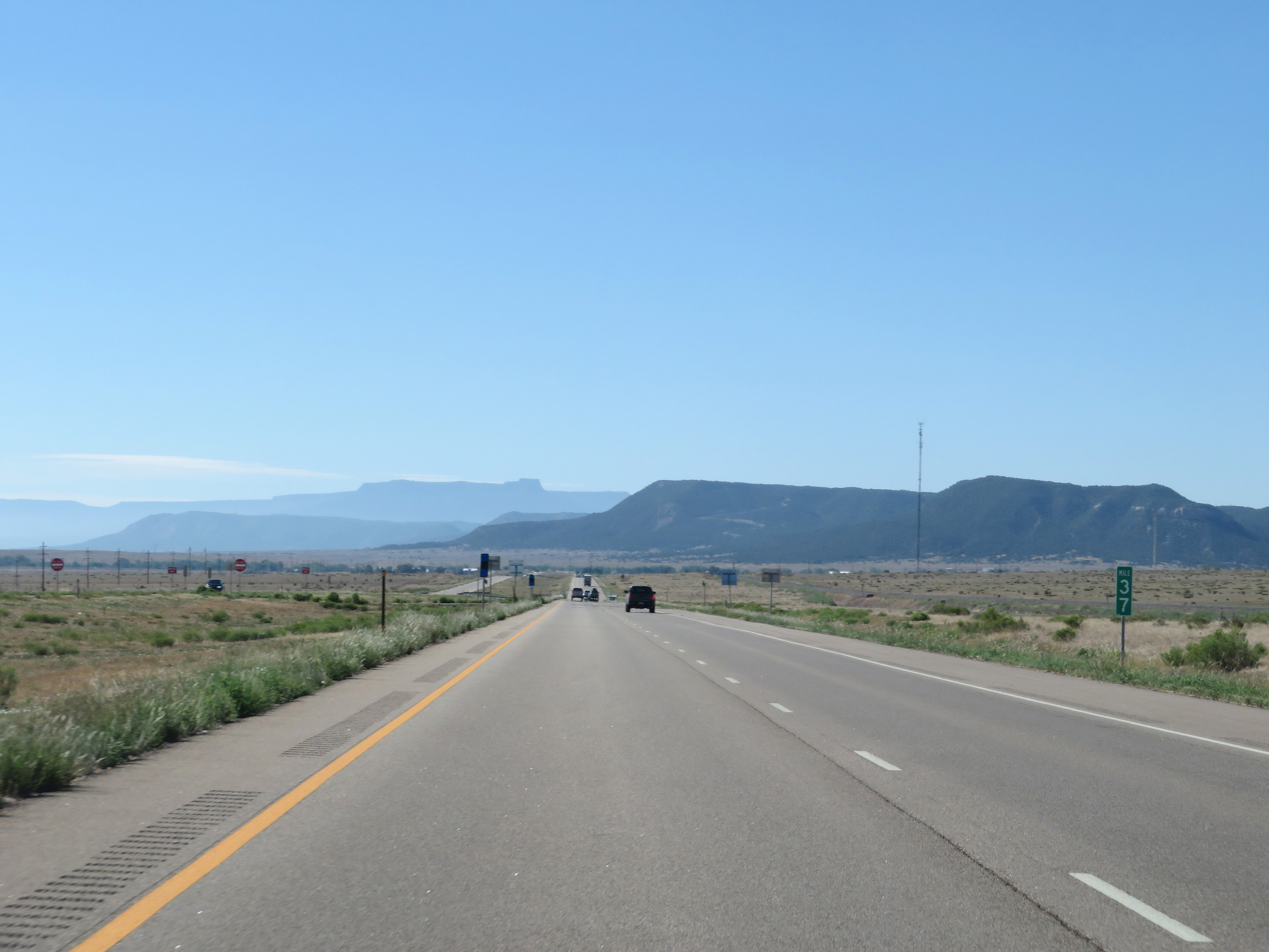 |
Interstate 25 South at mile marker 37. (Photo taken 8/13/20). |
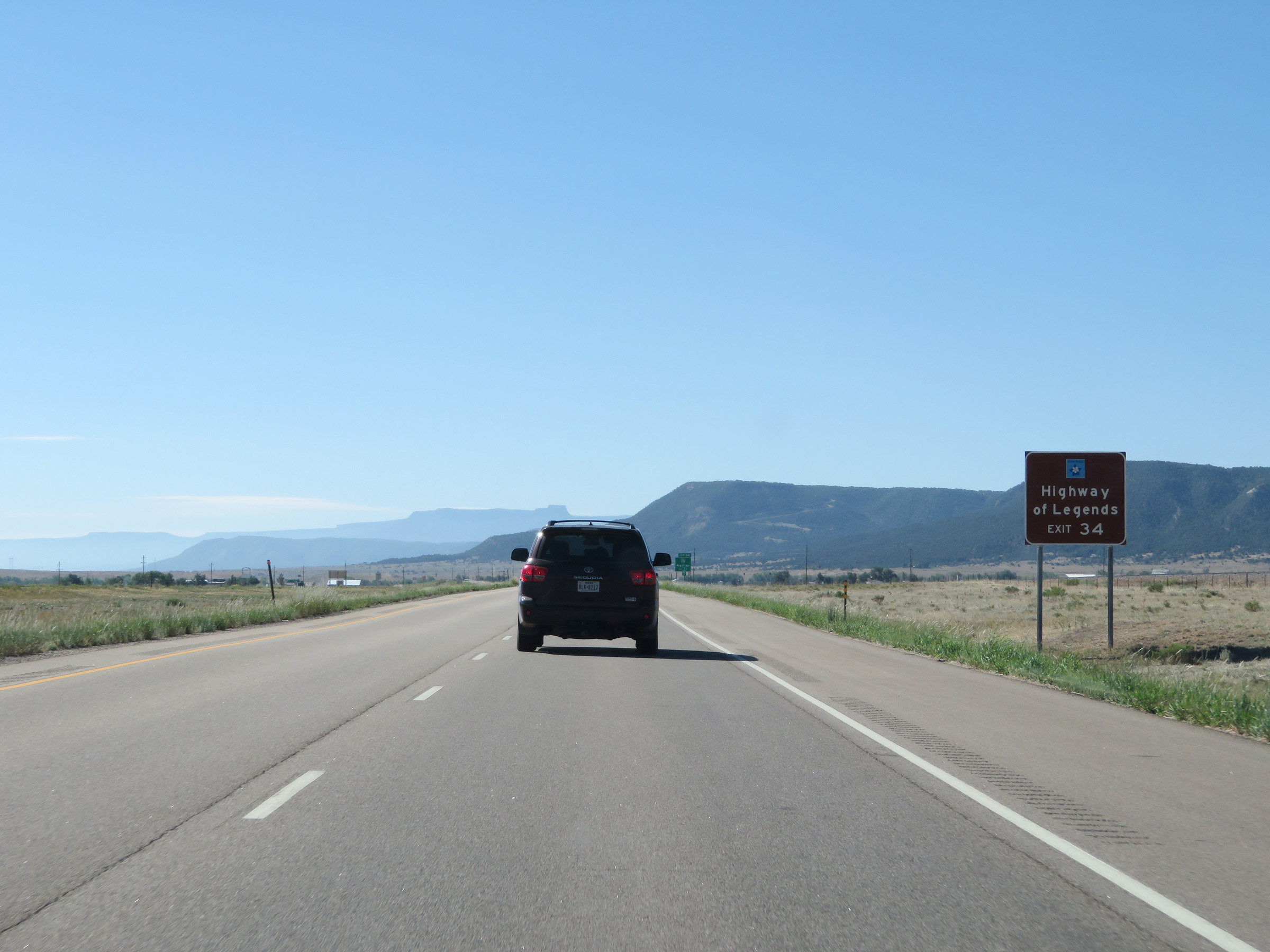 |
Take Exit 34 to the Highway of Legends Scenic Byway. (Photo taken 8/13/20). |
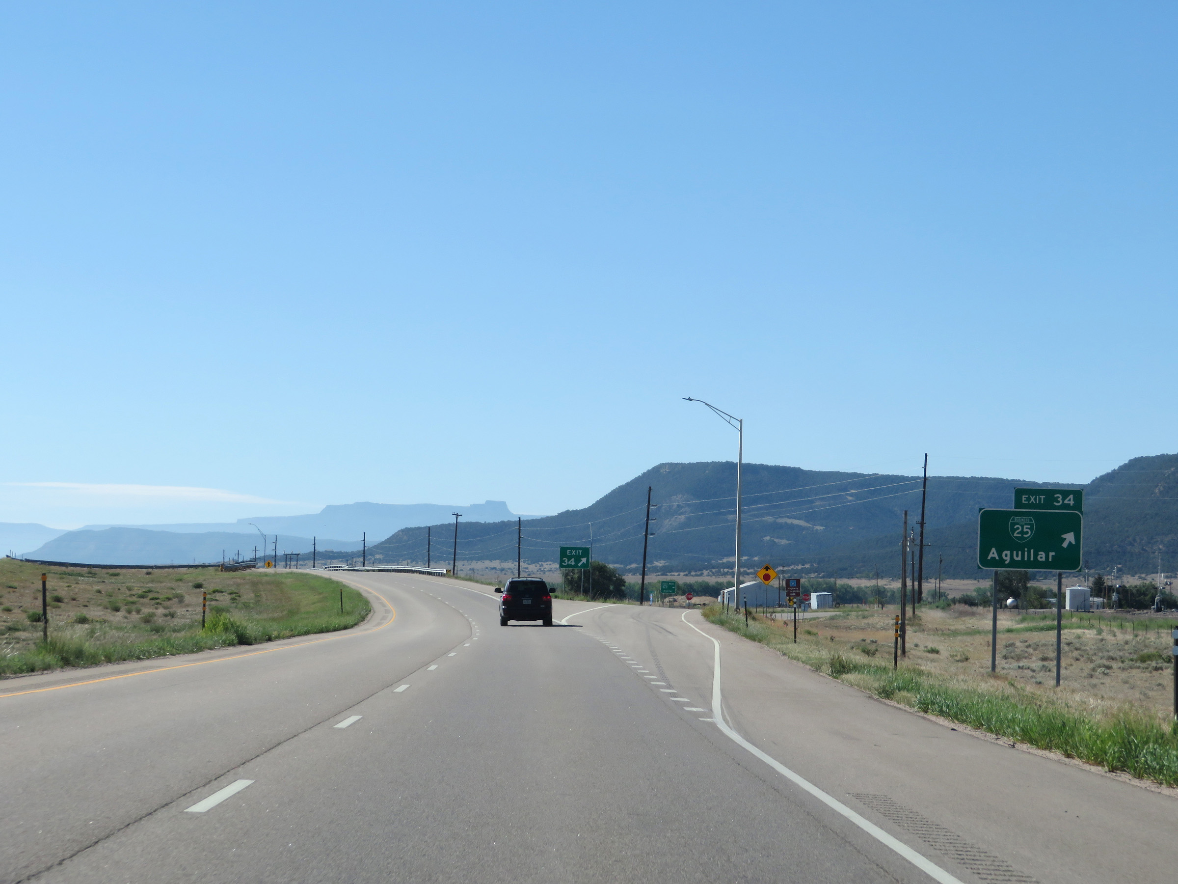 |
Interstate 25 South at Exit 34: Interstate 25 Business Loop - Aguilar (Photo taken 8/13/20). |
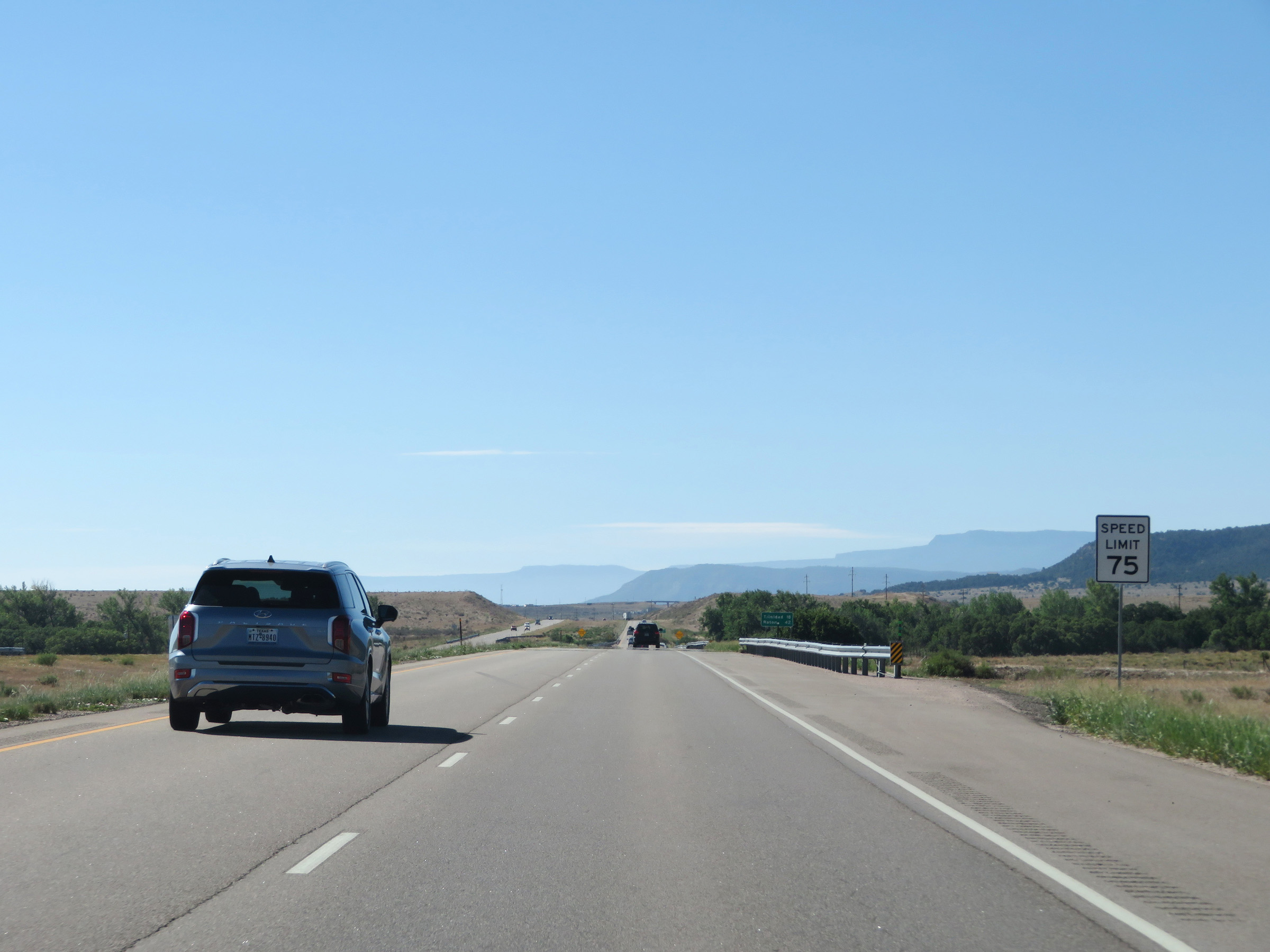 |
The speed limit on Interstate 25 South remains 75 mph for all traffic. (Photo taken 8/13/20). |
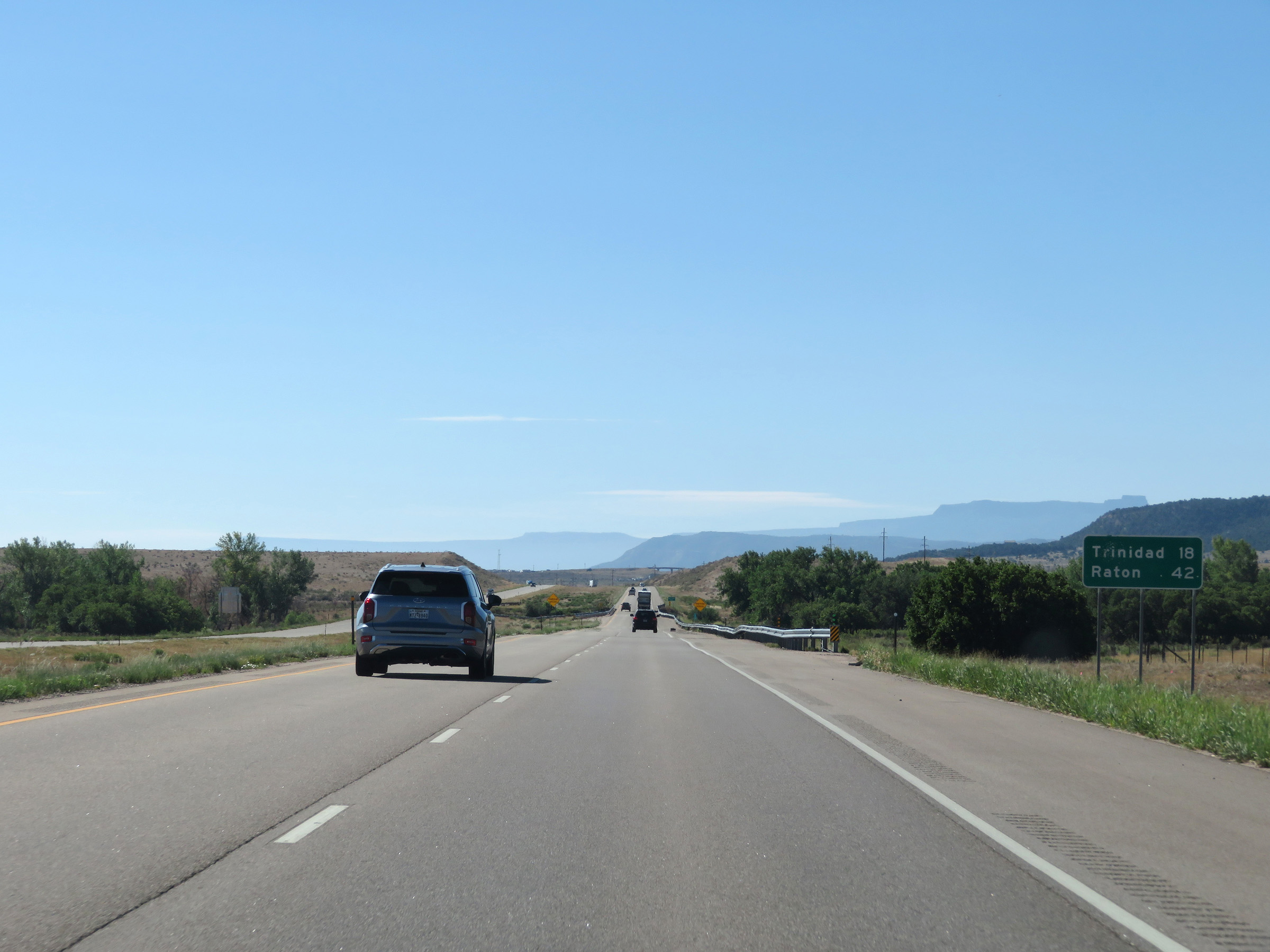 |
Mileage sign on Interstate 25 South. It's 18 miles to Trinidad and 42 miles to Raton. (Photo taken 8/13/20). |
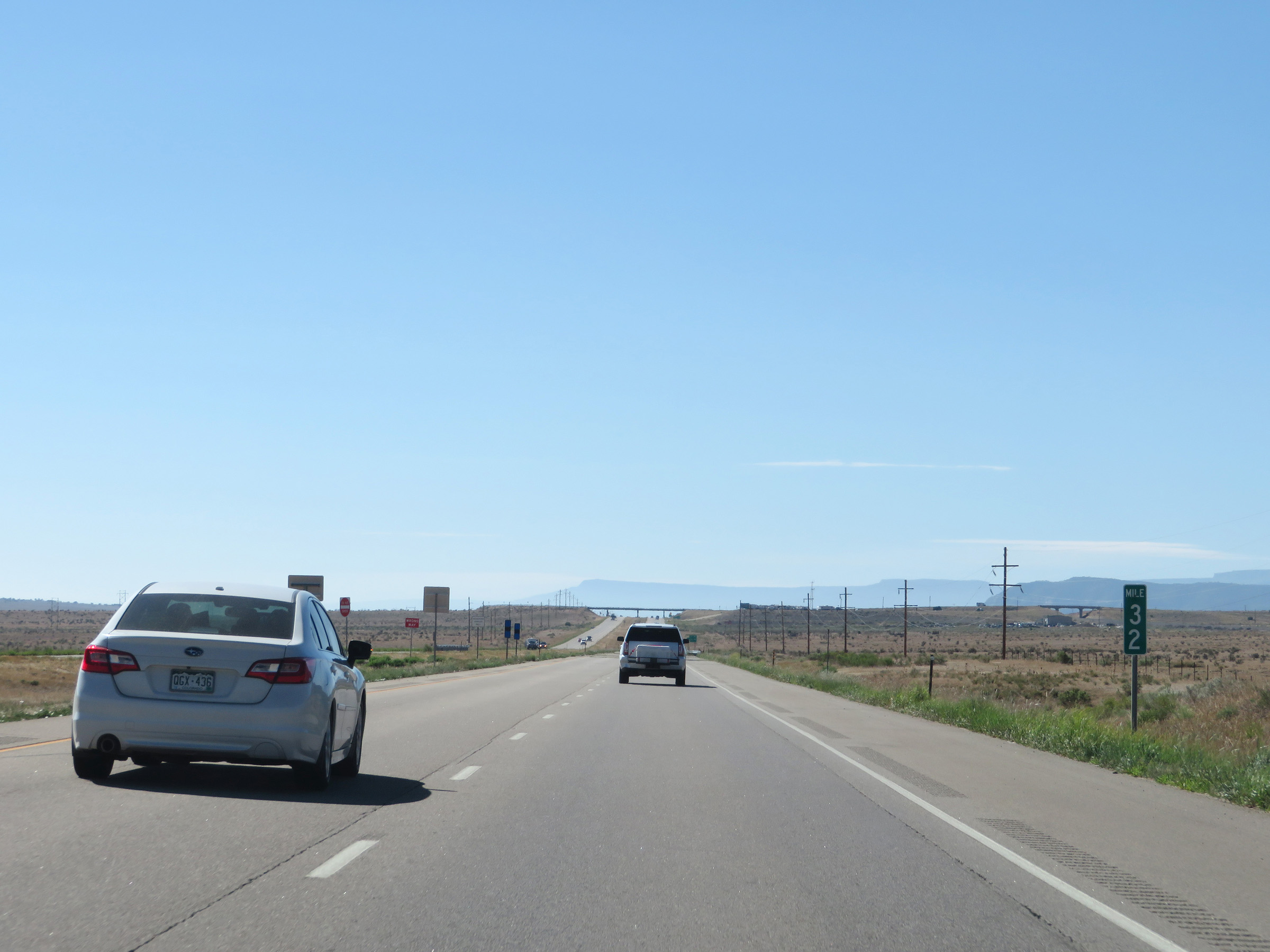 |
View on Interstate 25 South at mile marker 32. (Photo taken 8/13/20). |
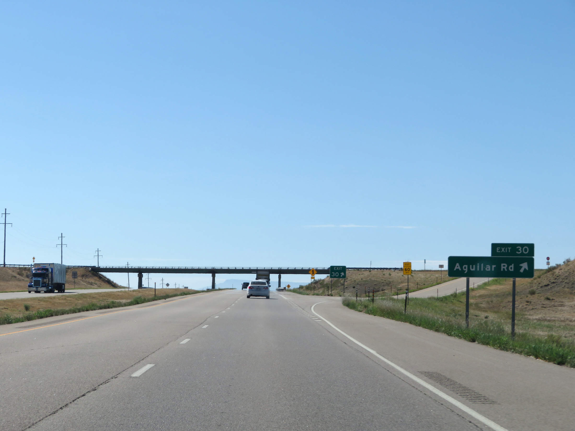 |
Interstate 25 South at Exit 30: Aguilar Rd (Photo taken 8/13/20). |
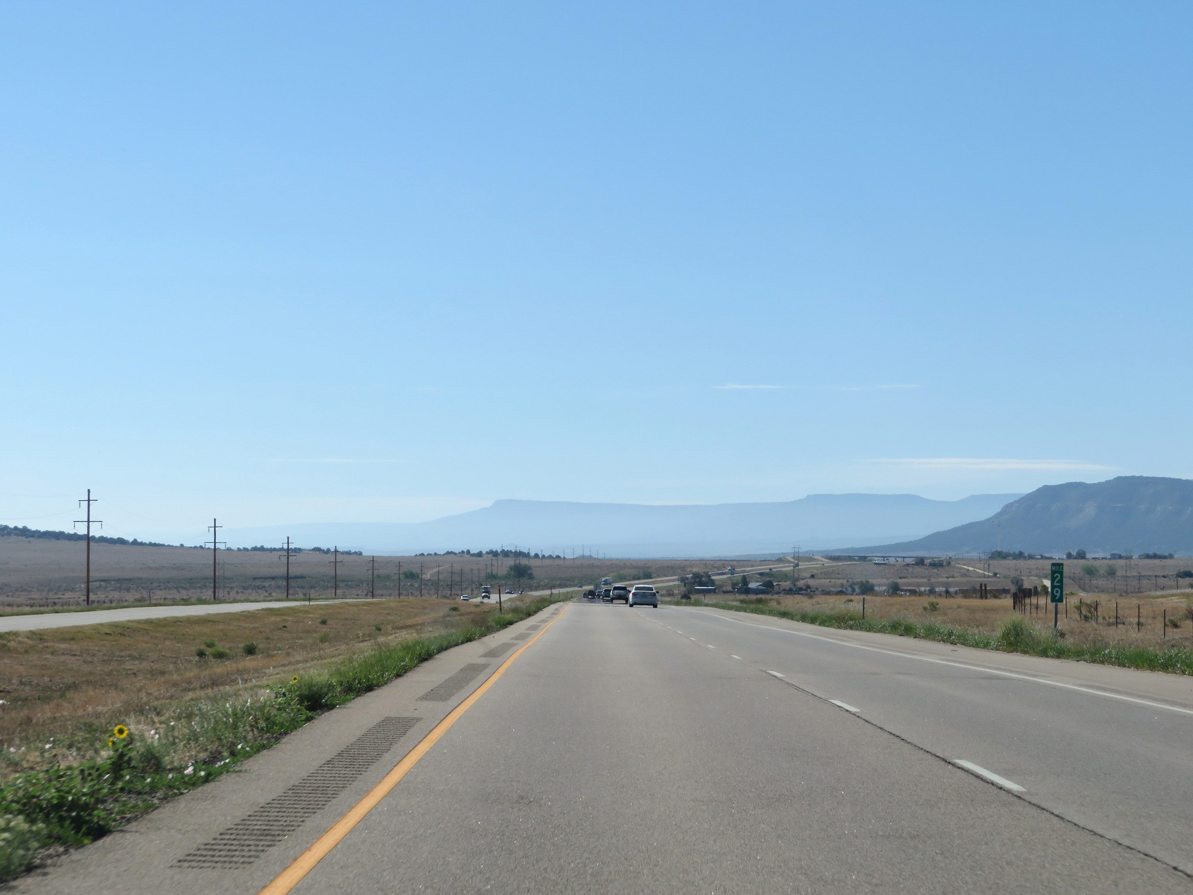 |
View on Interstate 25 South at mile marker 29. (Photo taken 8/13/20). |
 |
Interstate 25 South at mile marker 28. (Photo taken 8/13/20). |
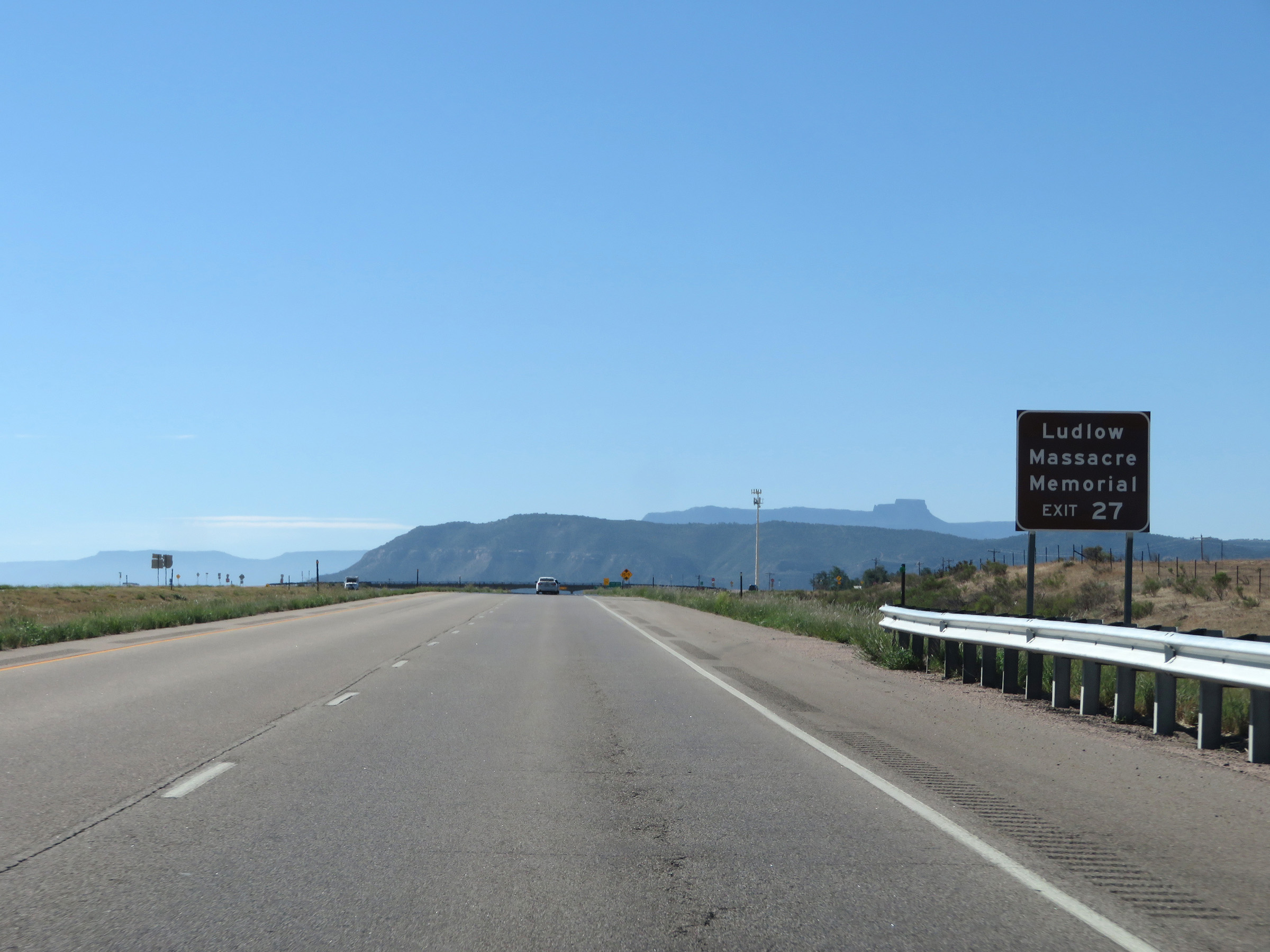 |
Take Exit 27 to the Ludlow Massacre Memorial. (Photo taken 8/13/20). |
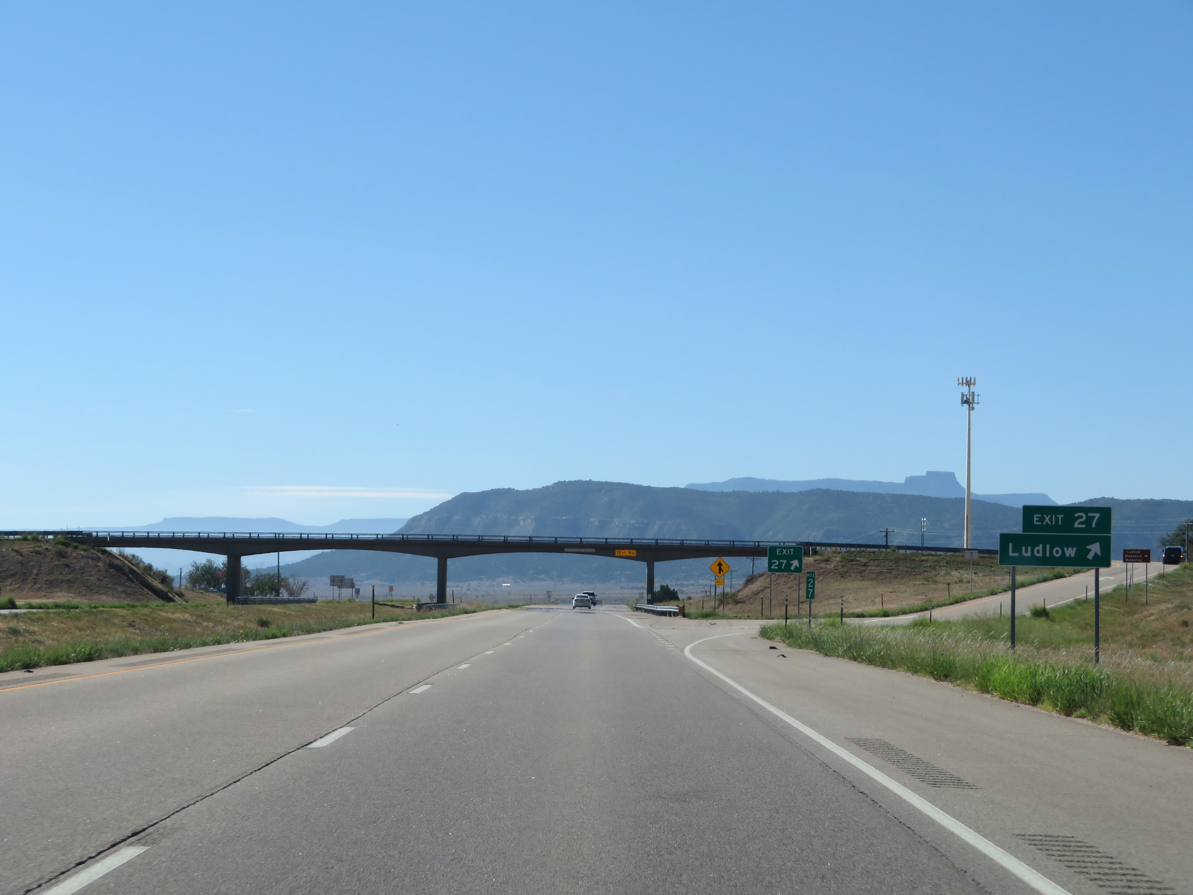 |
Interstate 25 South at Exit 27: Ludlow (Photo taken 8/13/20). |
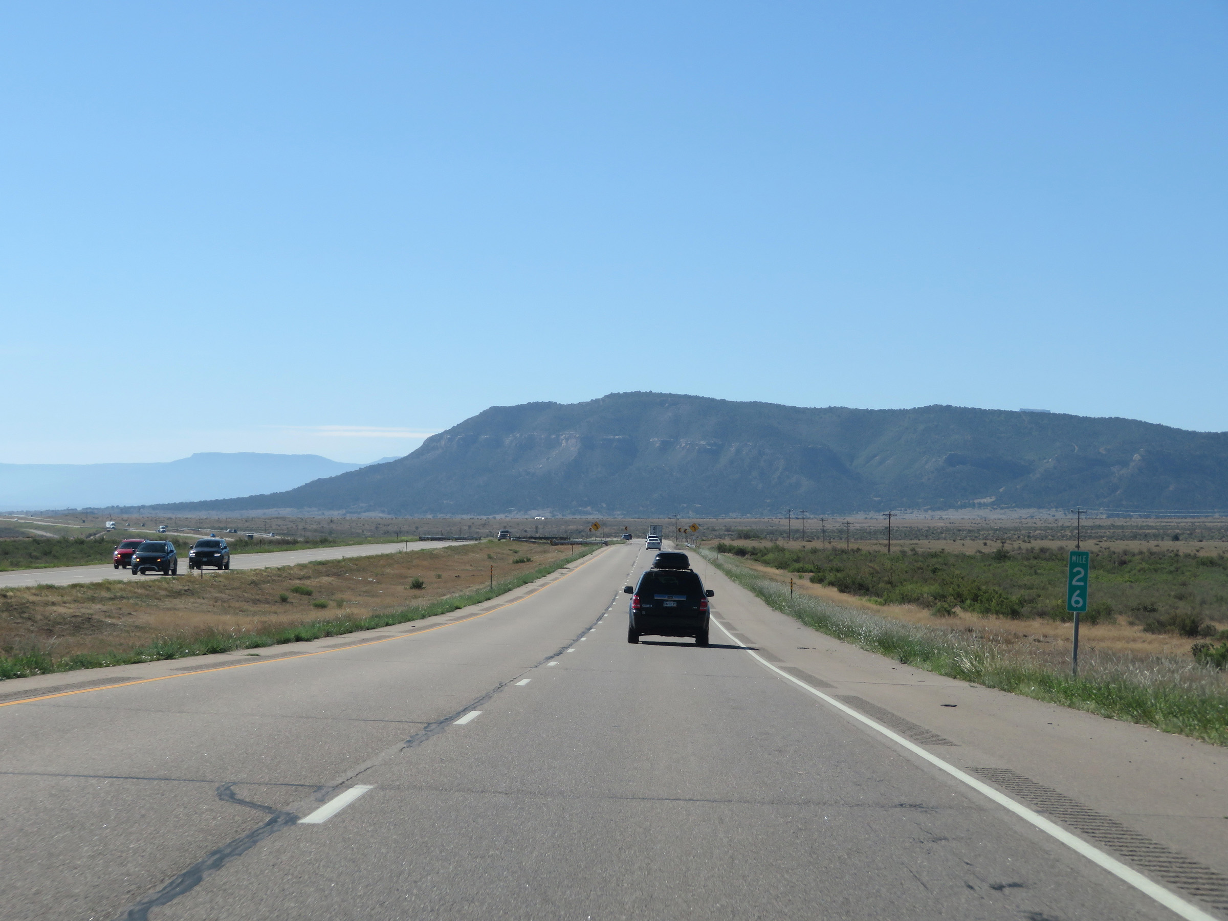 |
View on Interstate 25 South at mile marker 26. (Photo taken 8/13/20). |
 |
Interstate 25 South at Exit 23: Hoehne Rd (Photo taken 8/13/20). |
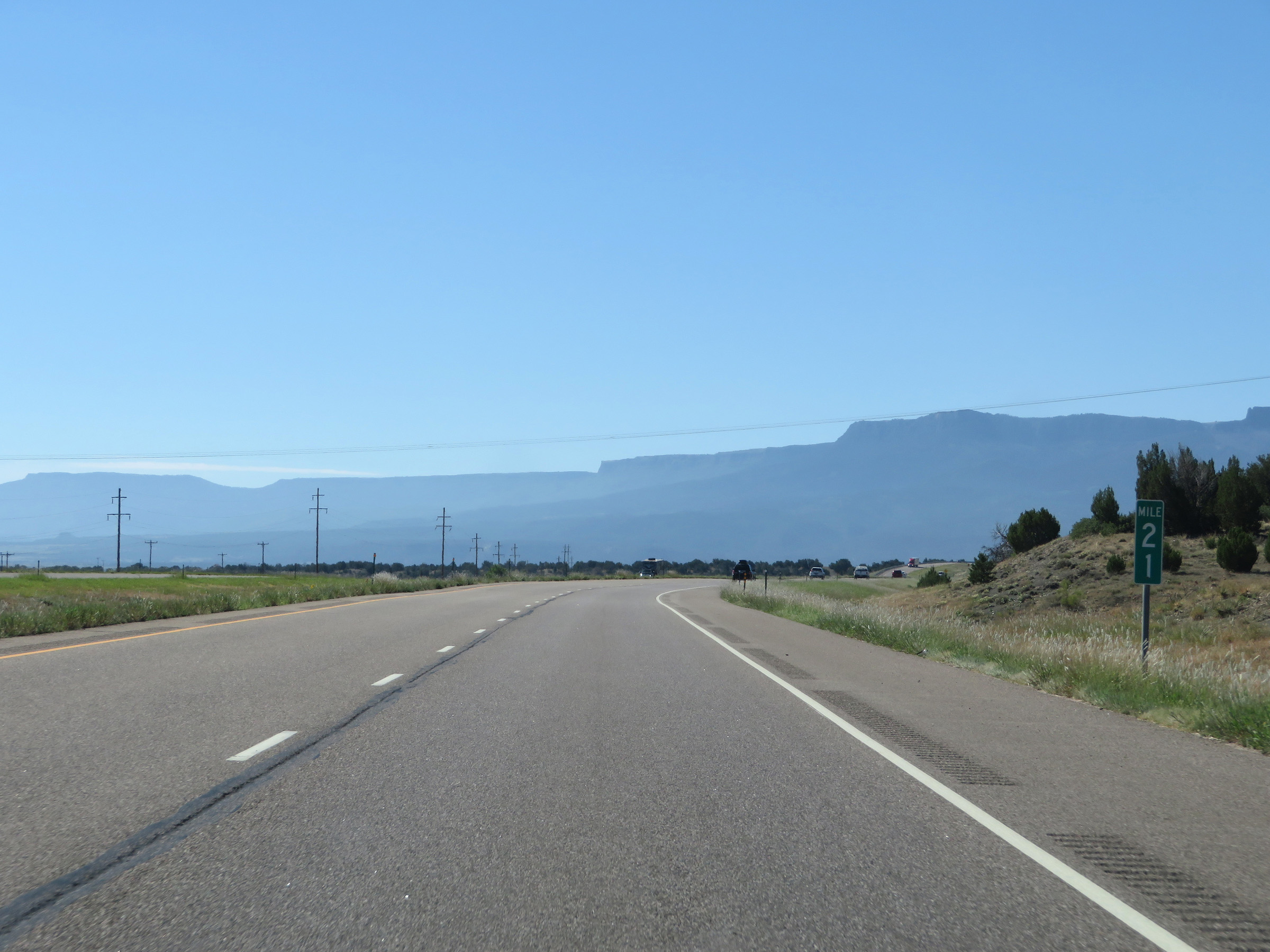 |
Interstate 25 South at mile marker 21. (Photo taken 8/13/20). |
 |
View on Interstate 25 South at mile marker 20. (Photo taken 8/13/20). |
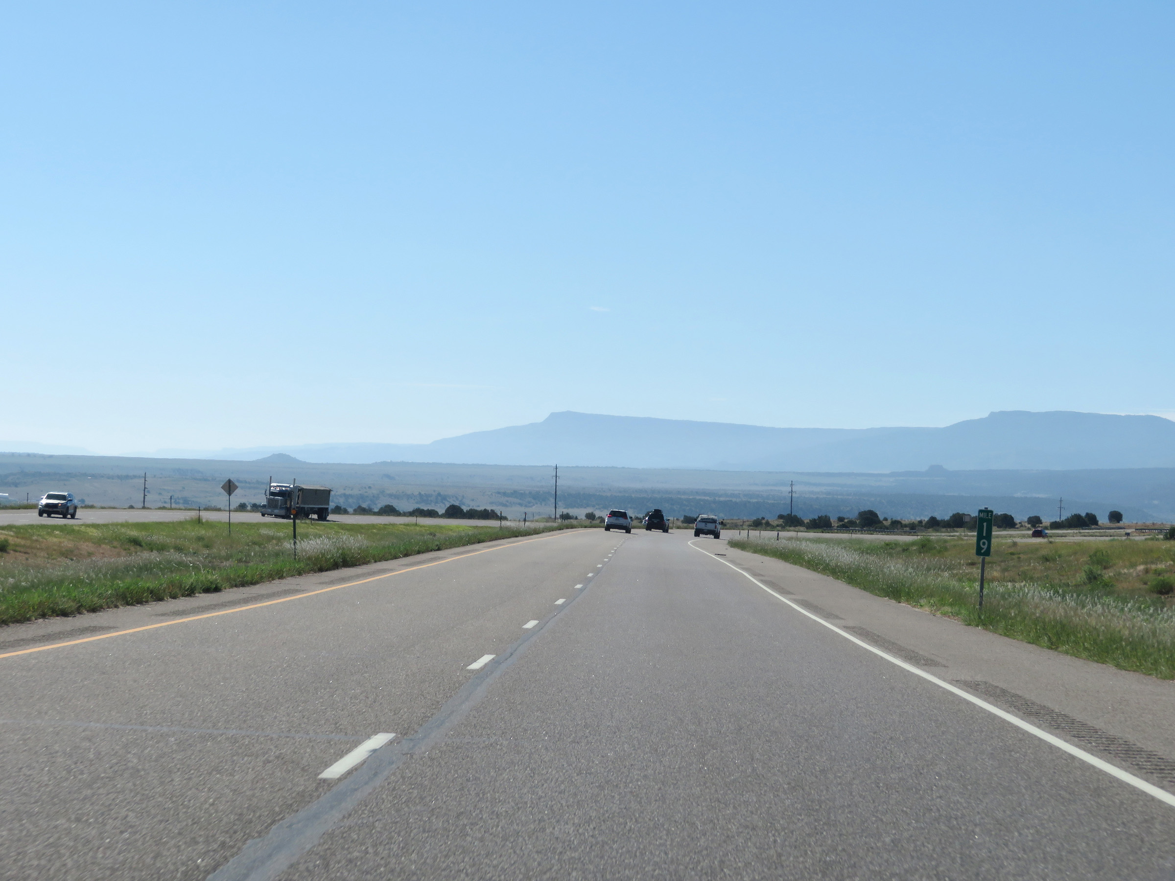 |
Interstate 25 South at mile marker 19. (Photo taken 8/13/20). |
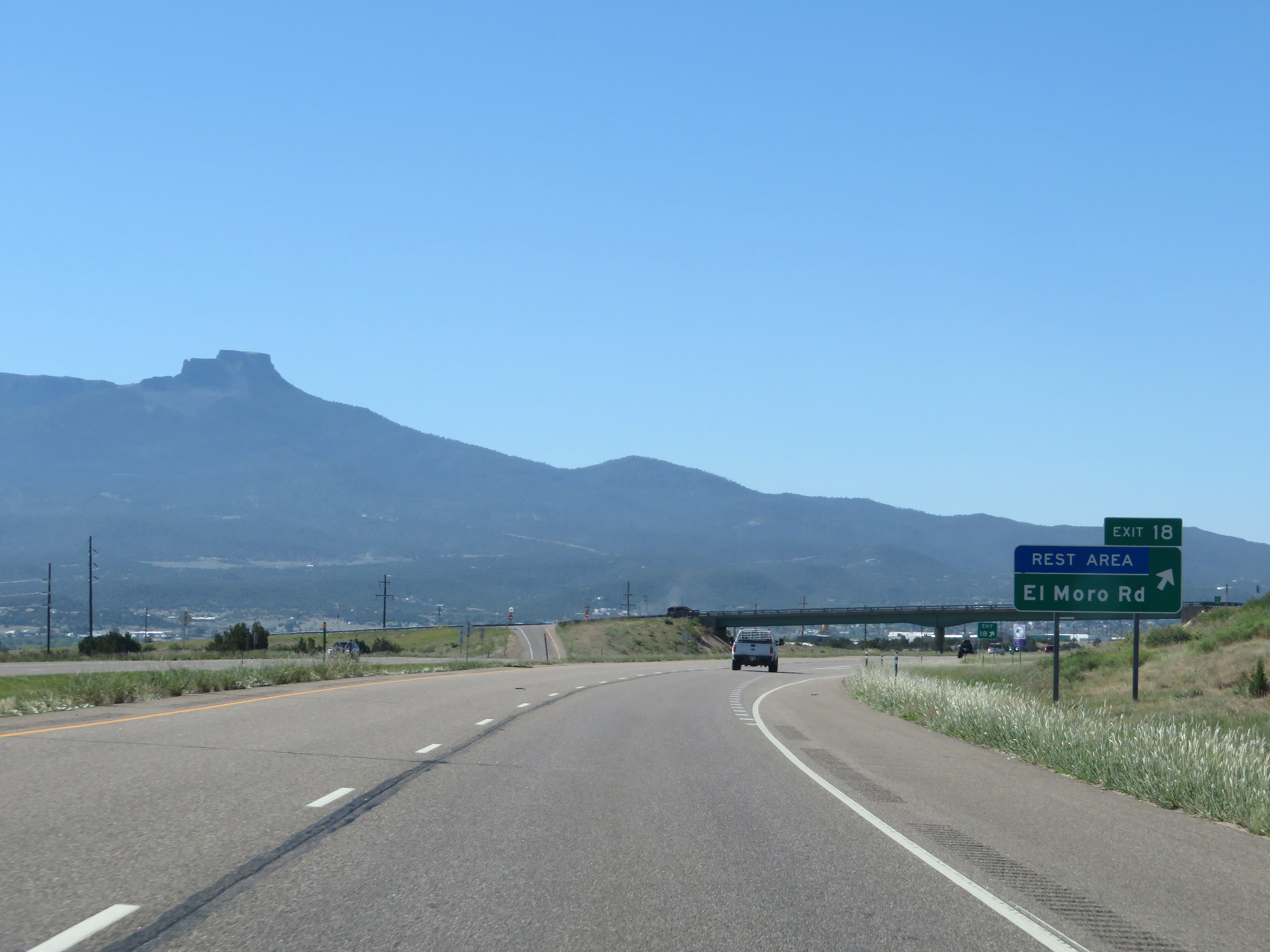 |
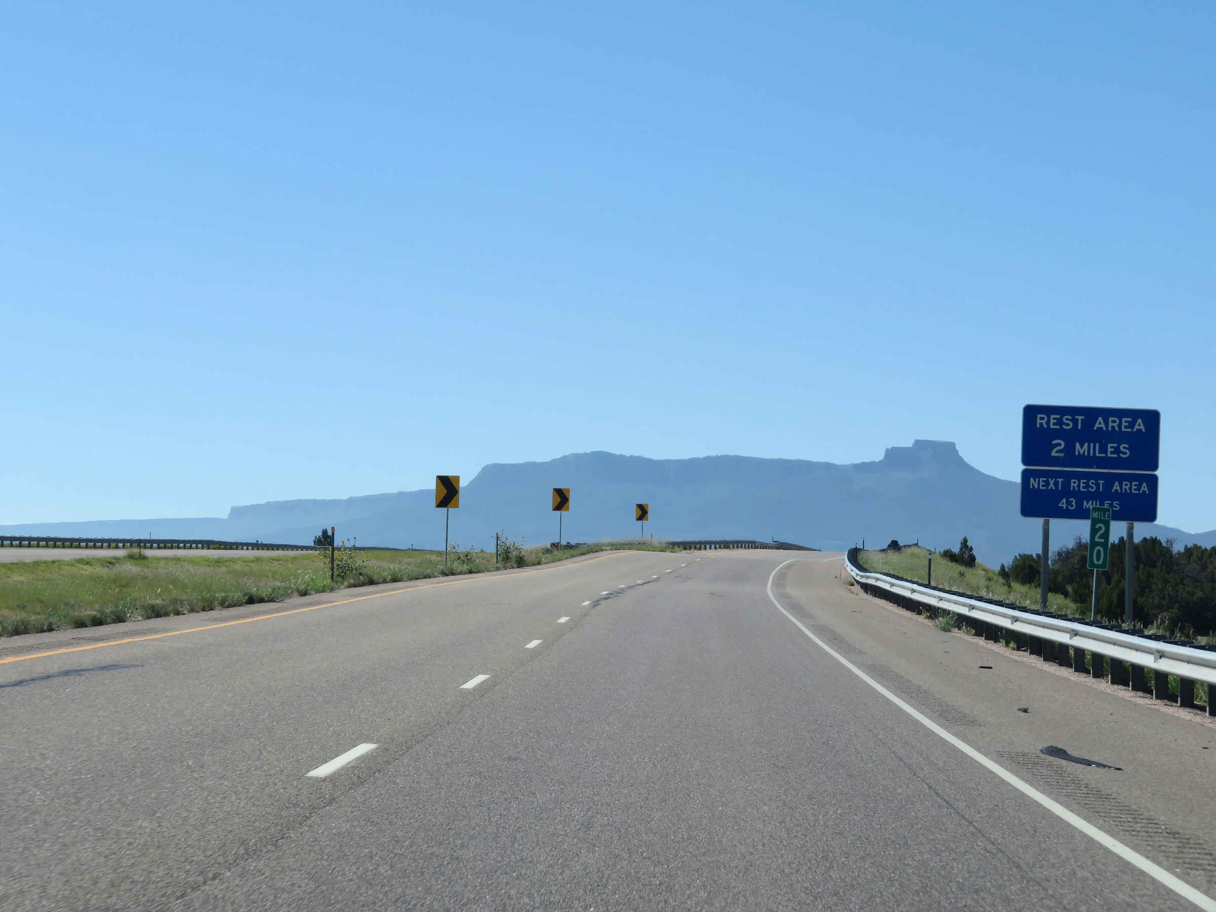
Interstate 25 South at Exit 18: El Moro Rd / Rest Area (Photo taken 8/13/20). |
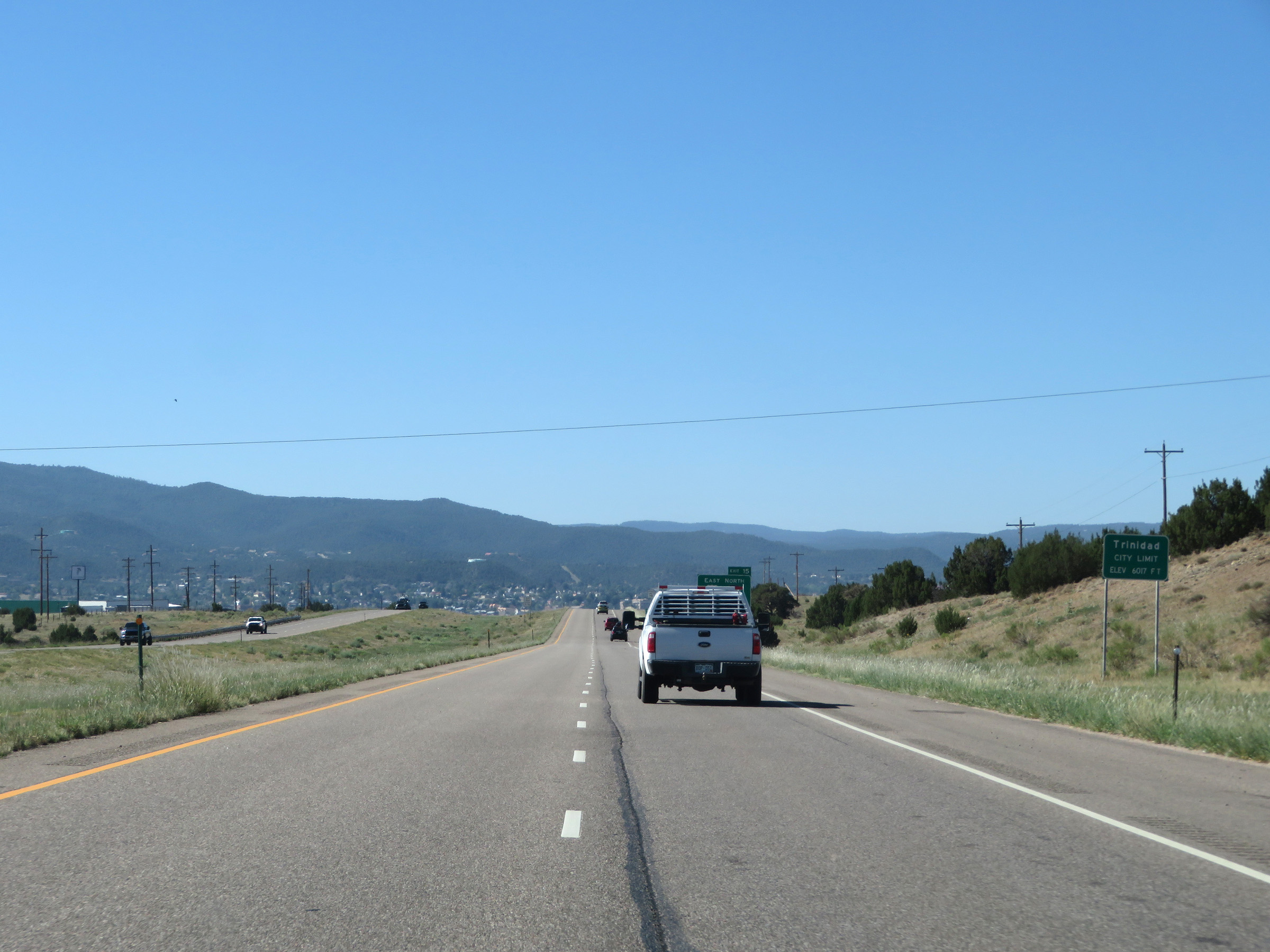 |
Interstate 25 South as it enters the Trinidad city limits. (Photo taken 8/13/20). |
 |
Mileage sign listing the distances to the three upcoming Trinidad exits. (Photo taken 8/13/20). |
 |
View on Interstate 25 South in Trinidad. (Photo taken 8/13/20). |
 |
Upon entering Trinidad, the speed limit decreases to 65 mph. (Photo taken 8/13/20). |
 |
Take Exit 15 to US 350 toward La Junta. (Photo taken 8/13/20). |
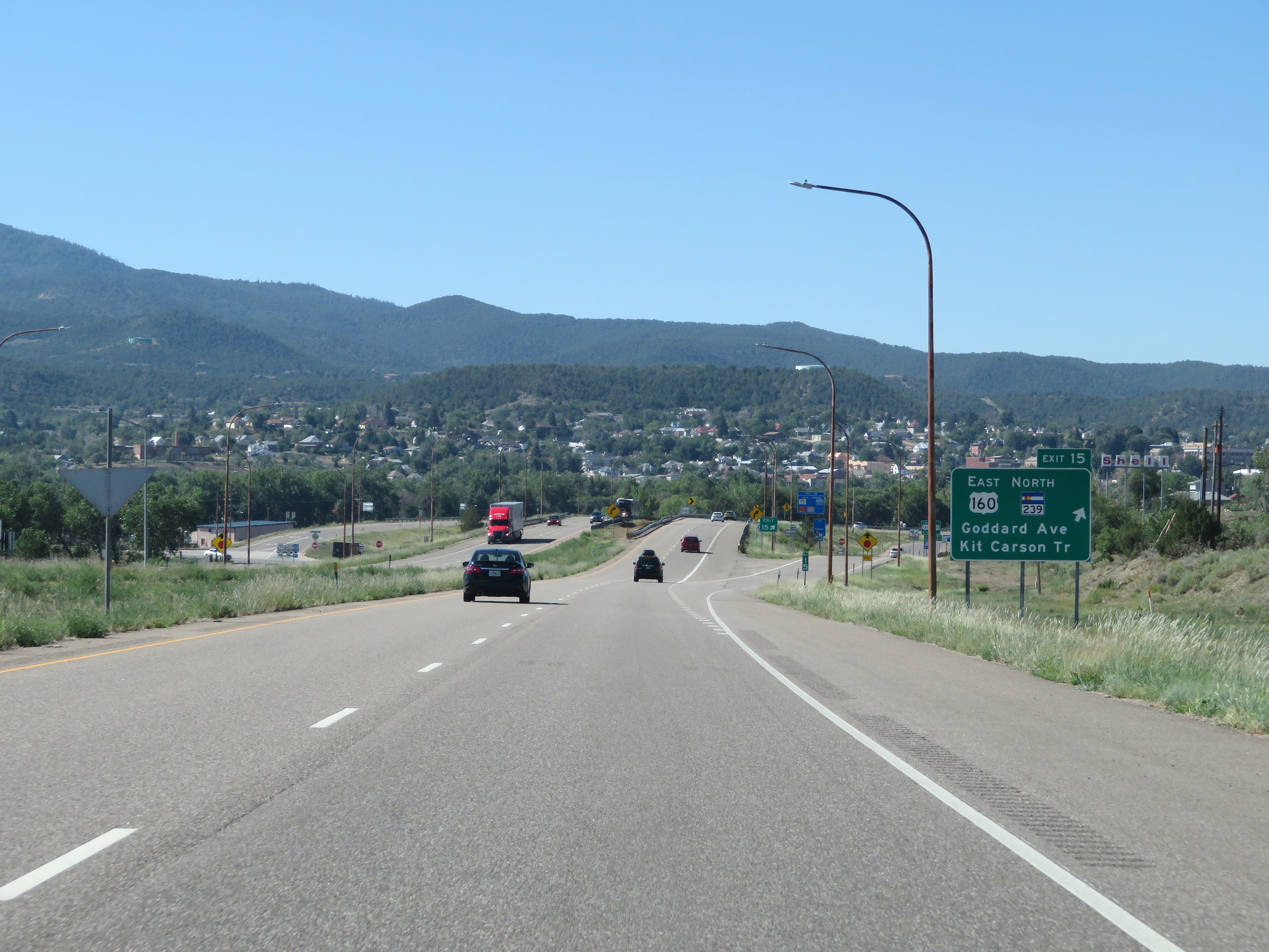 |
Interstate 25 South at Exit 15: US 160 East / CO 239 North - Goddard Ave / Kit Carson Trail (Photo taken 8/13/20). |
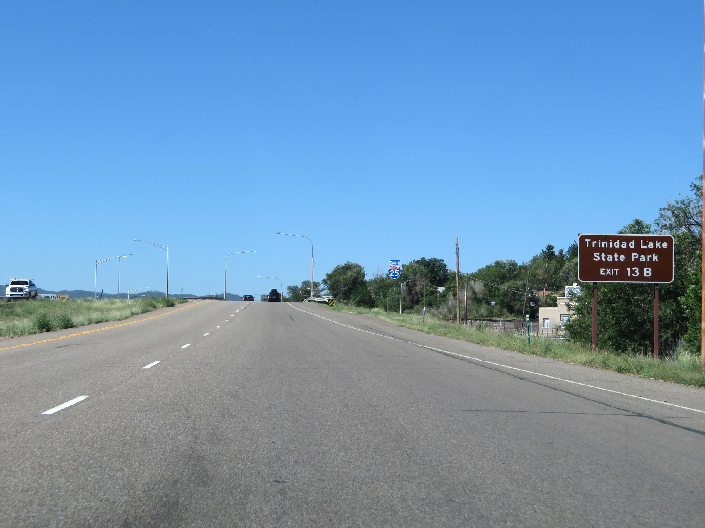 |
Take Exit 13B to Trinidad Lake State Park. (Photo taken 8/13/20). |
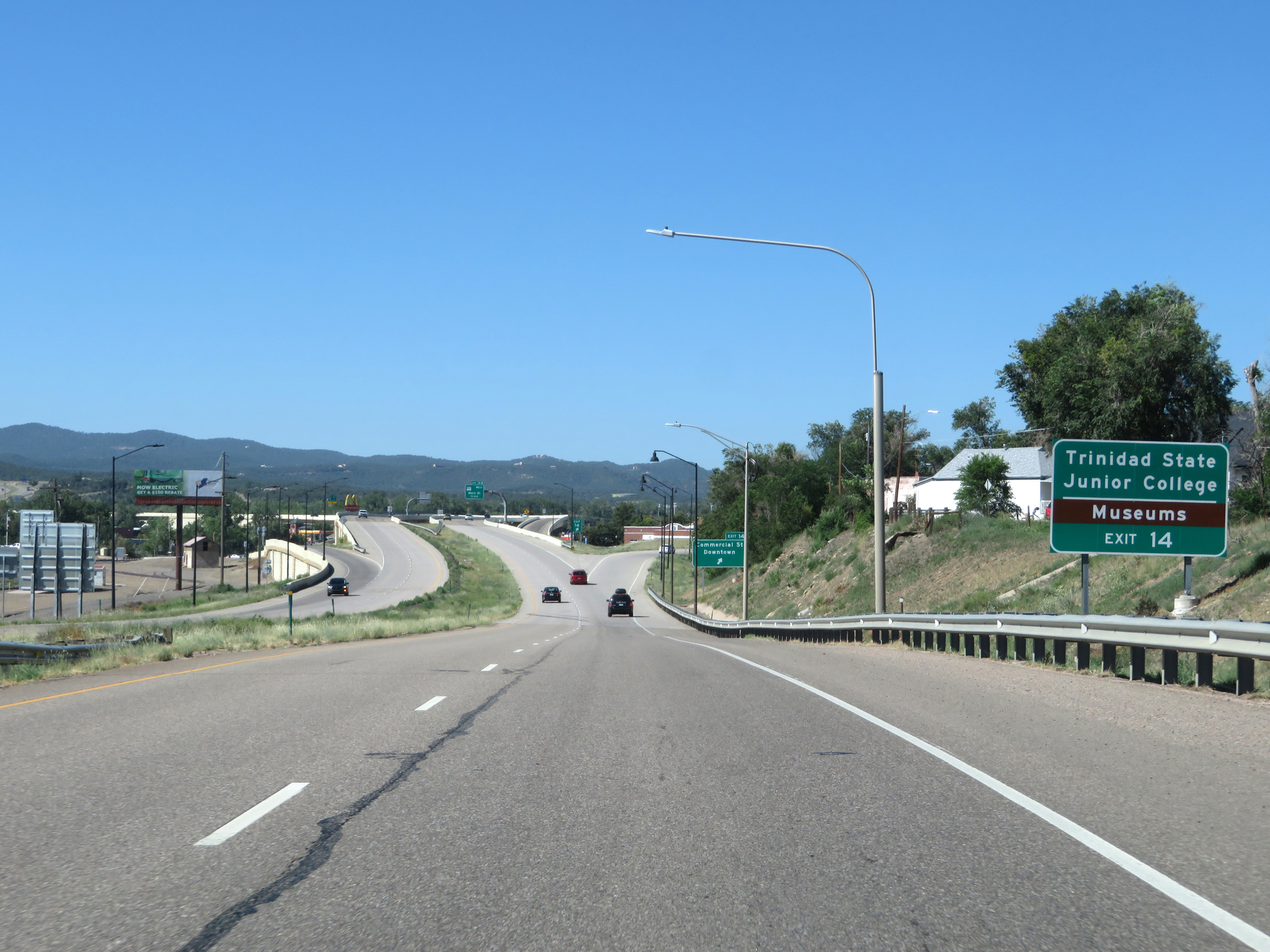 |
Take Exit 14 to Trinidad State Junior College and the local Museums. (Photo taken 8/13/20). |
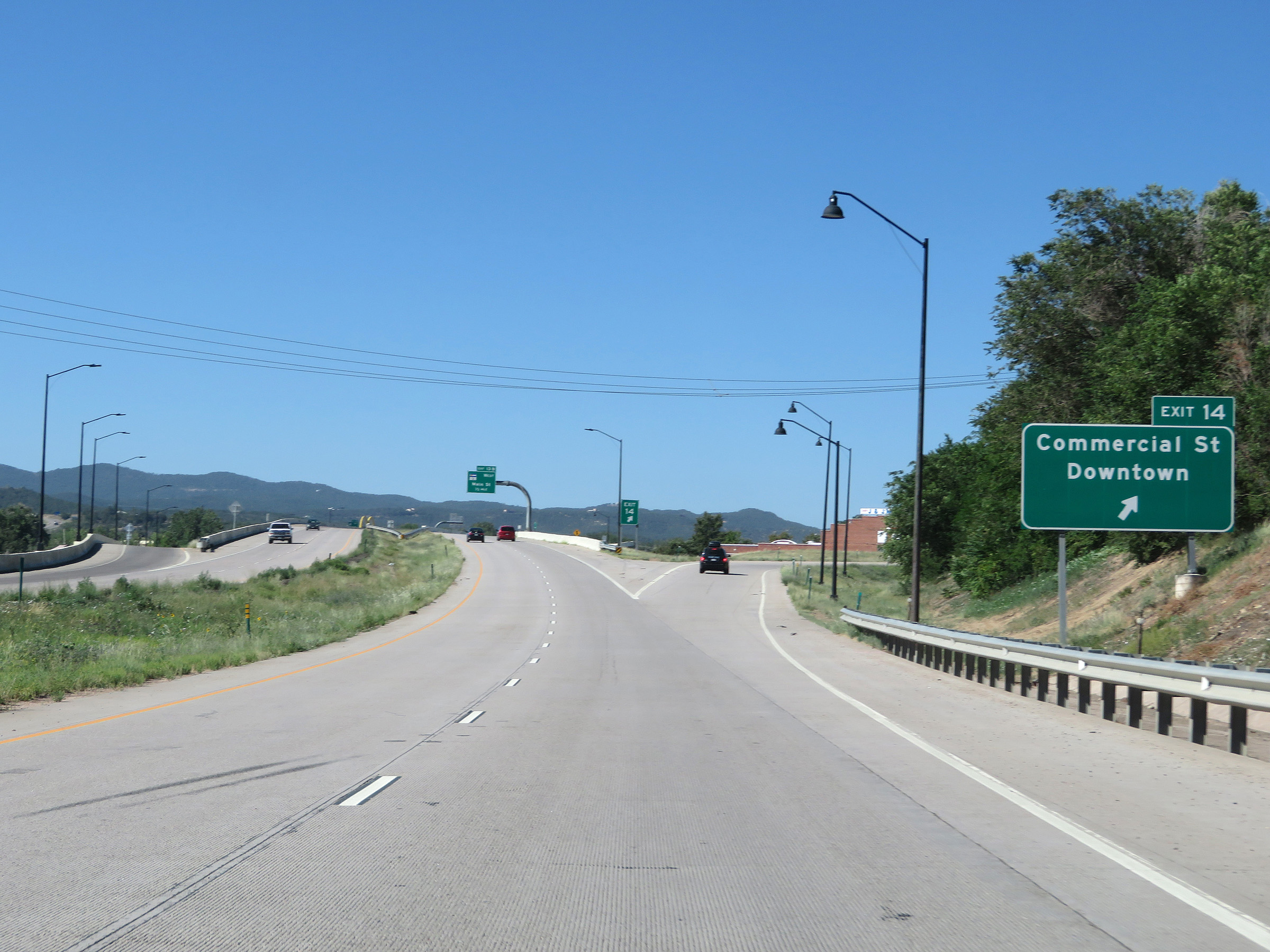 |
Interstate 25 South at Exit 14: Commercial St / Downtown (Photo taken 8/13/20). |
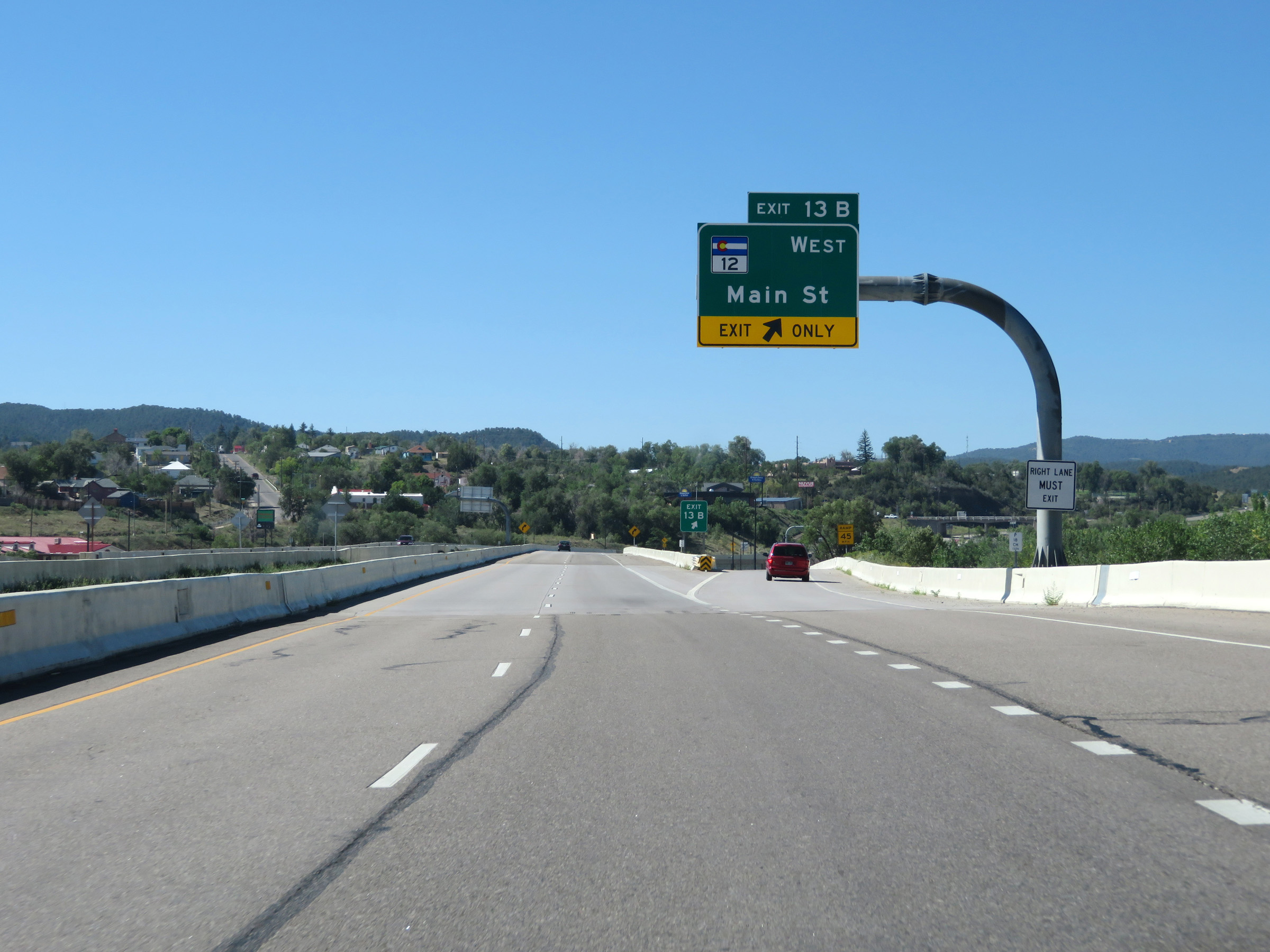 |
Interstate 25 South at Exit 13B: CO 12 West - Main St (Photo taken 8/13/20). |
 |
State-named Interstate 25 South reassurance shield in Trinidad. (Photo taken 8/13/20). |
 |
View on Interstate 25 South at mile marker 12. (Photo taken 8/13/20). |
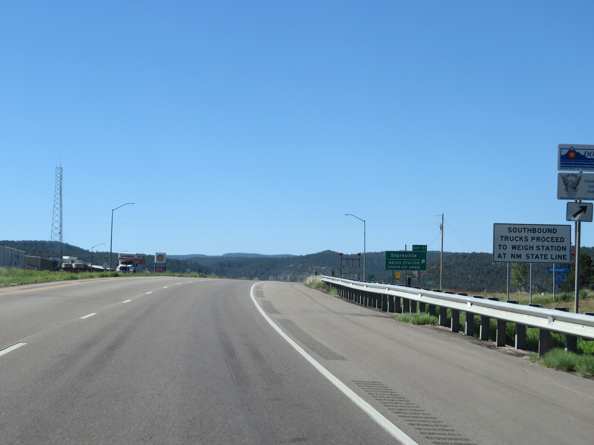 |
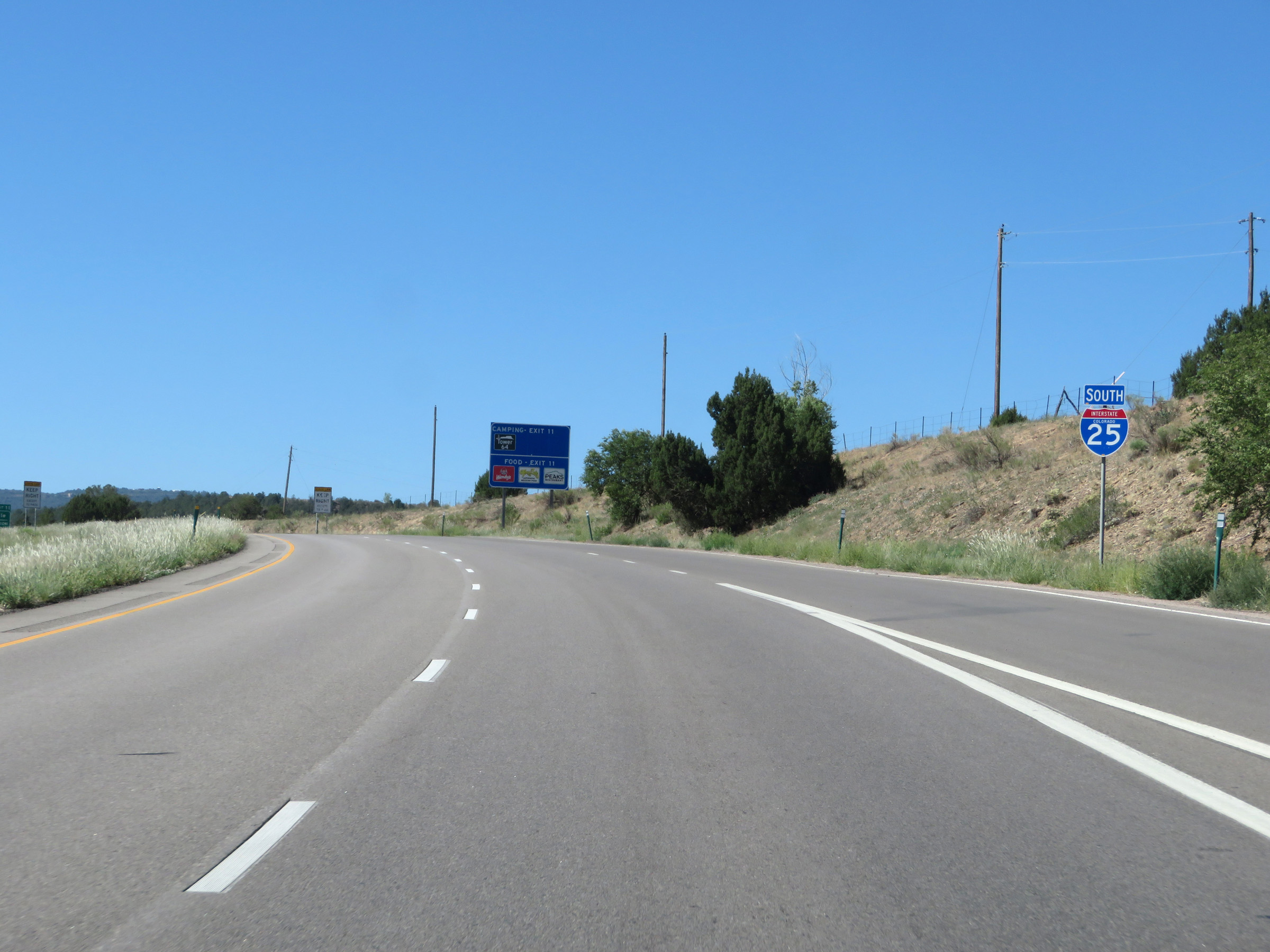
Southbound trucks don't have to stop at the Weigh Station off Exit 11 ahead, and can proceed to the scales at the New Mexico state line at the top of Raton Pass. (Photo taken 8/13/20). |
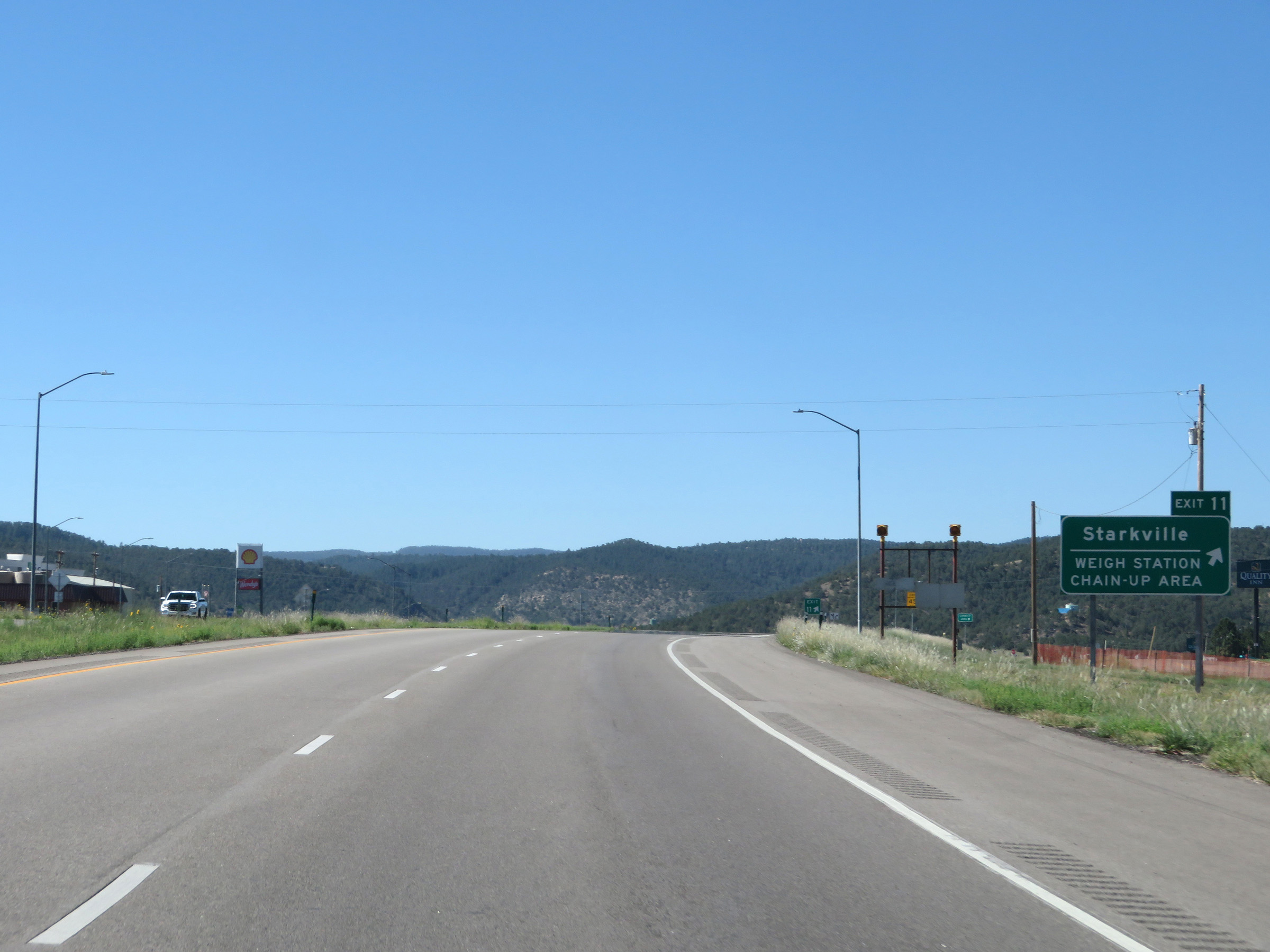 |
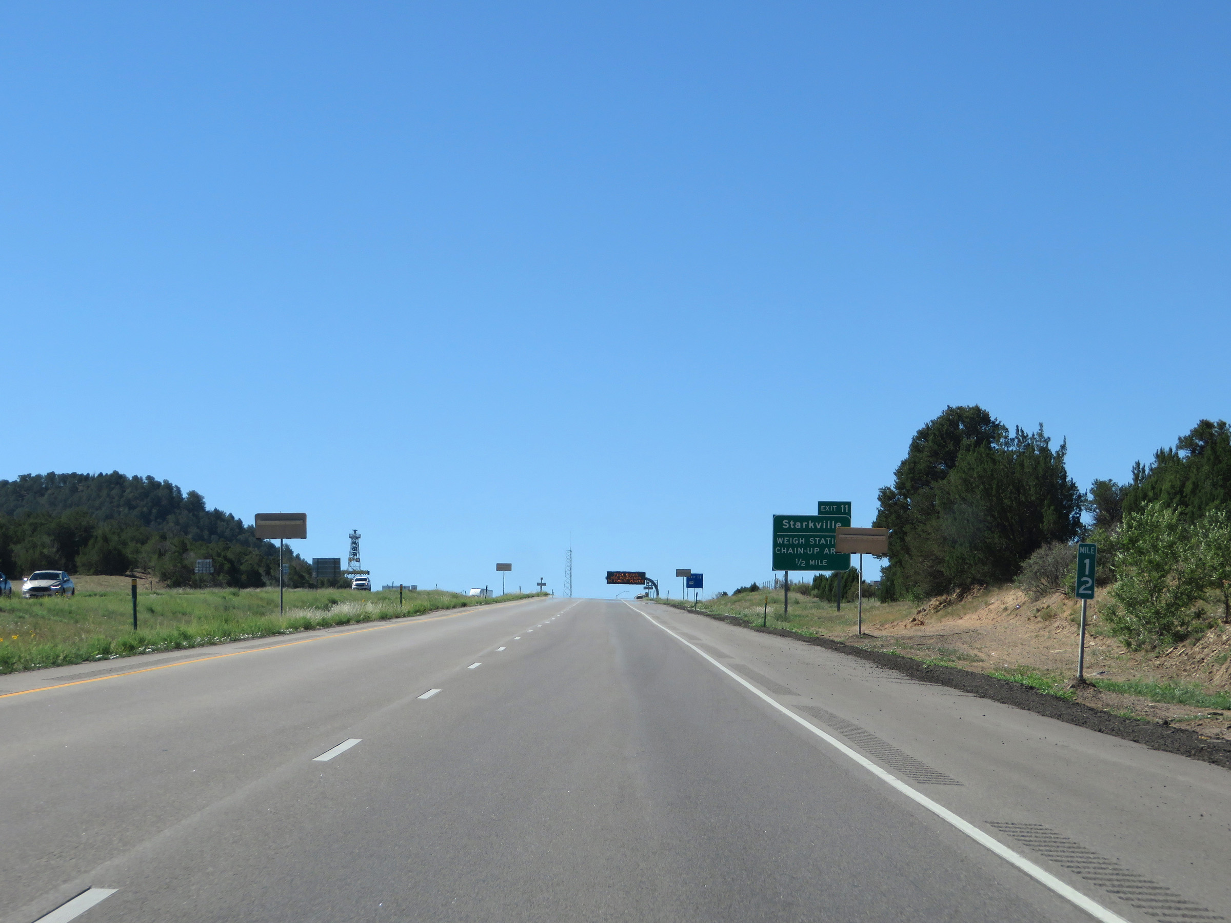
Interstate 25 South at Exit 11: Starkville / Weigh Station / Chain-Up Area (Photo taken 8/13/20). |
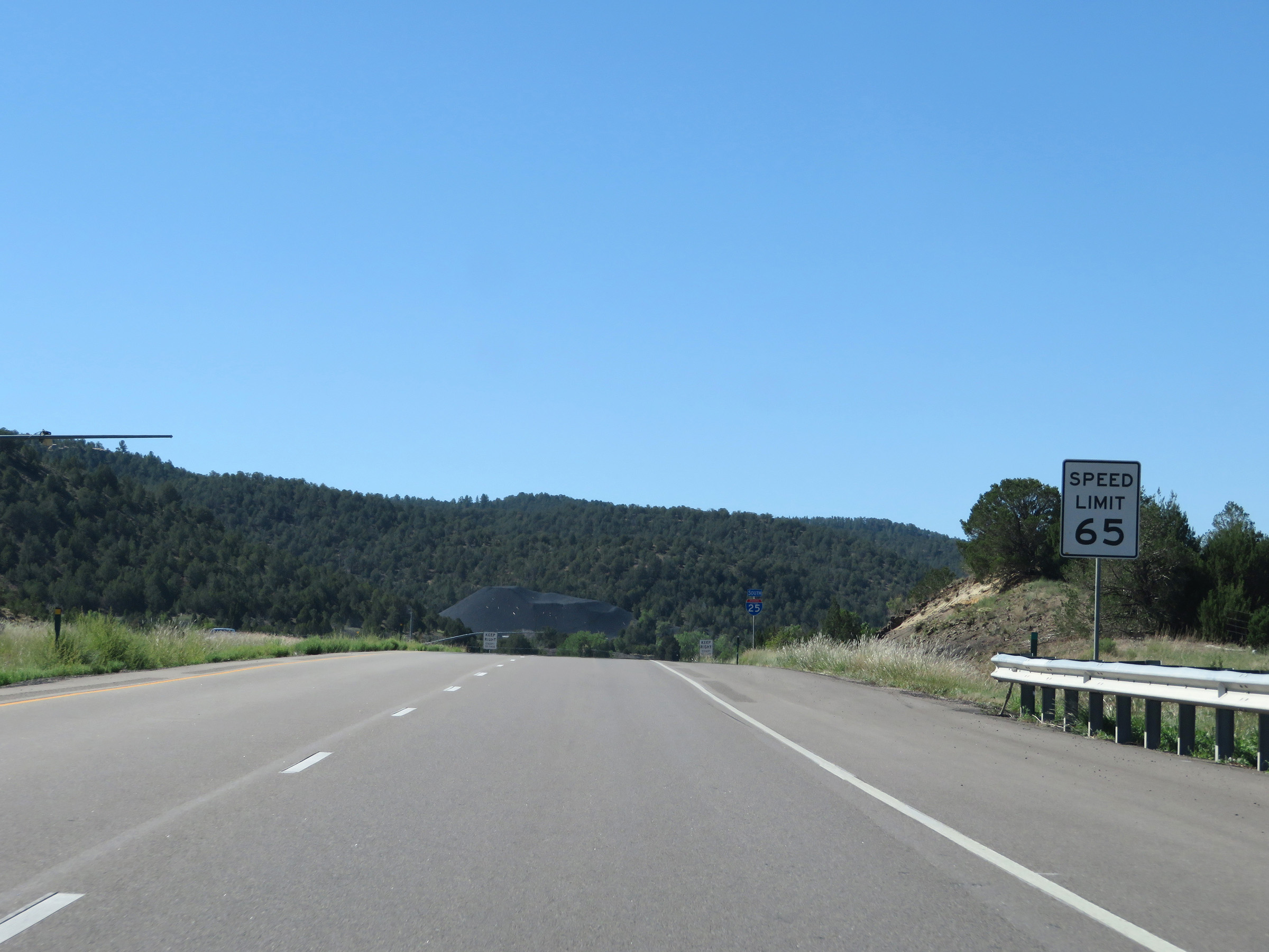 |
The speed limit remains 65 mph for all traffic. (Photo taken 8/13/20). |
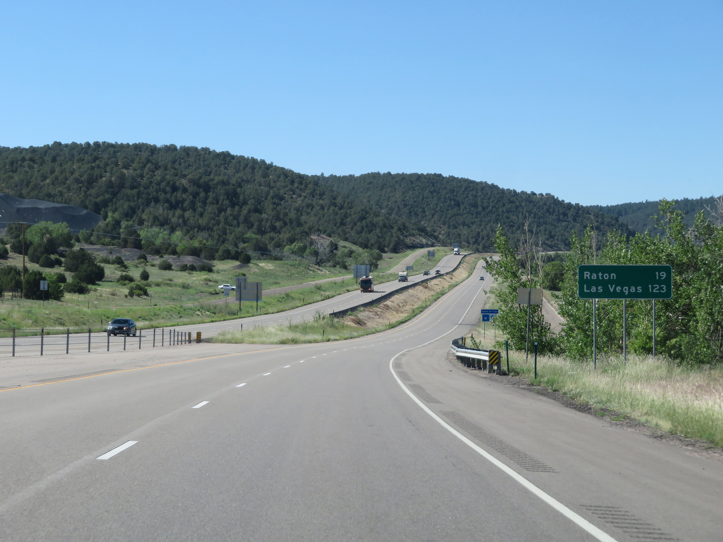 |
Mileage sign on Interstate 25 South, just before it begins to climb Raton Pass. It's 19 miles to Raton and 123 miles to Las Vegas. (Photo taken 8/13/20). |
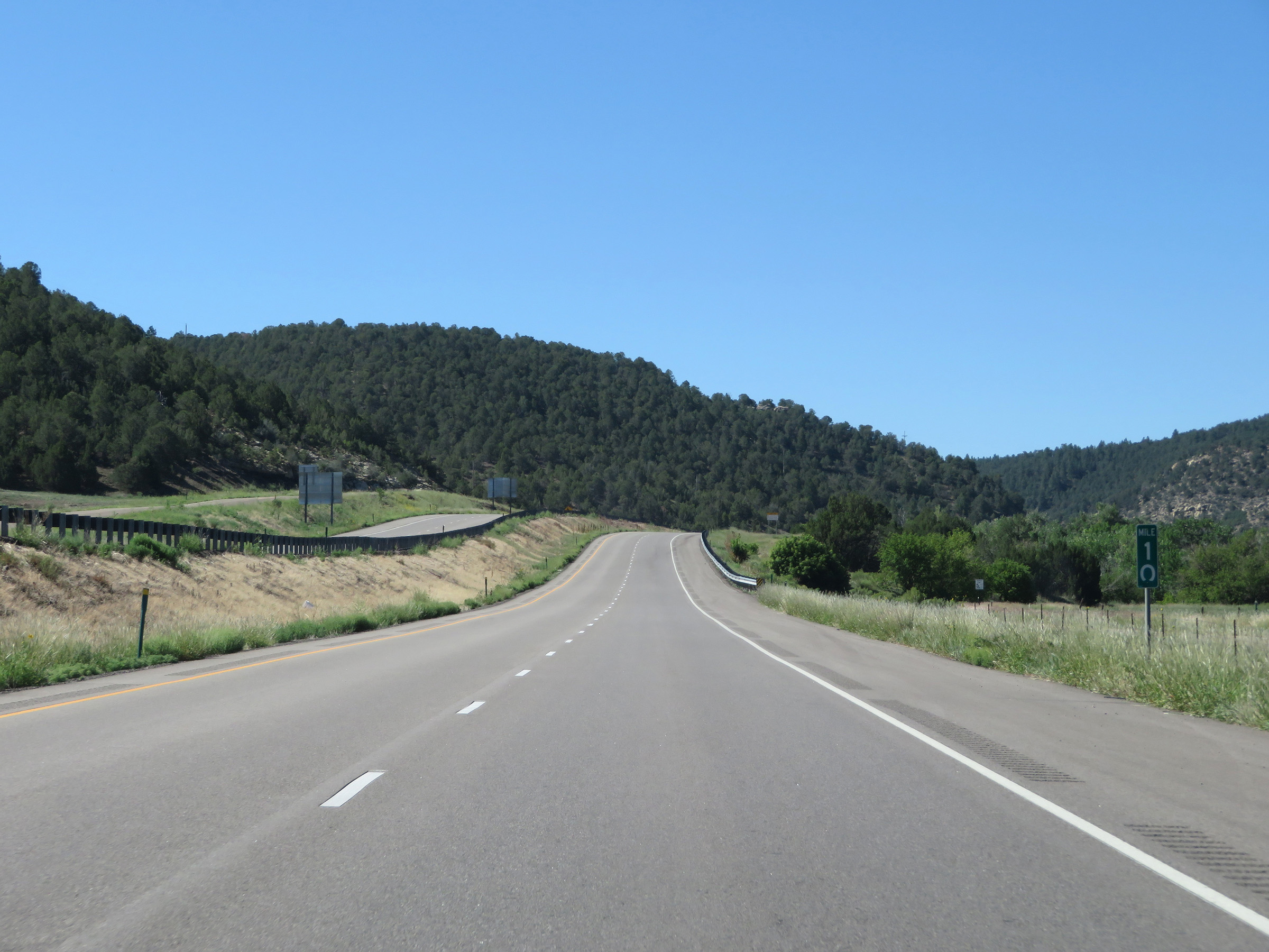 |
View on Interstate 25 South at mile marker 10, as it begins to climb Raton Pass. For the next 10 miles to the New Mexico state line, we're going to be doing quite a bit of climbing. (Photo taken 8/13/20). |
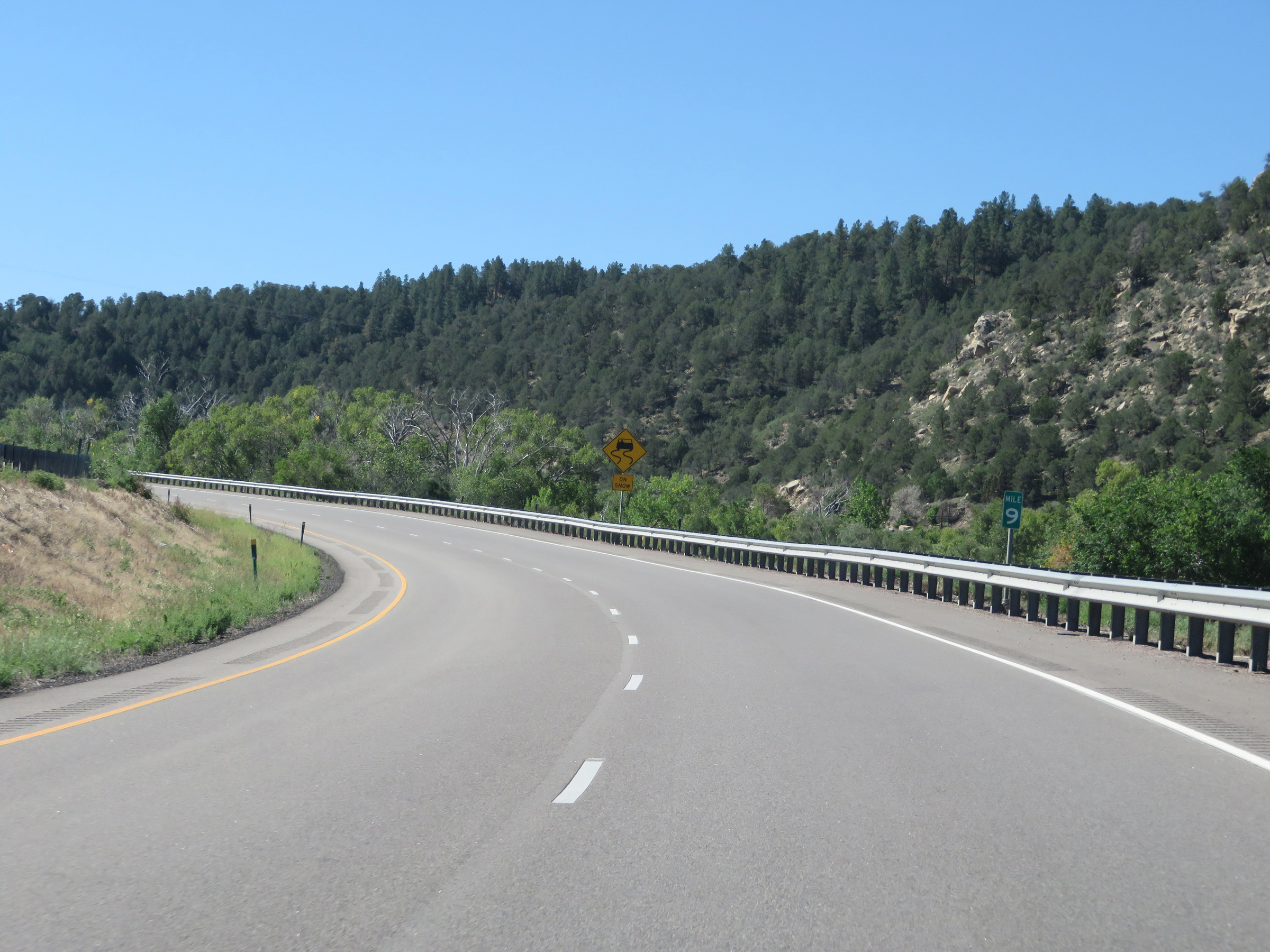 |
Interstate 25 South at mile marker 9 as it climbs Raton Pass. (Photo taken 8/13/20). |
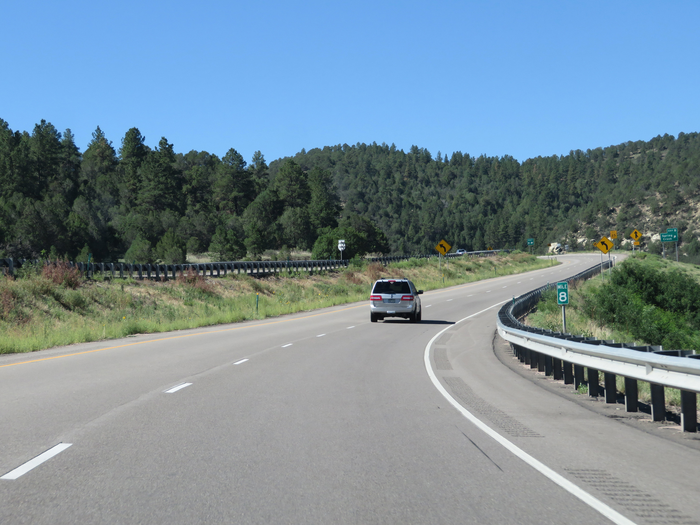 |
View on Interstate 25 South at mile marker 8. (Photo taken 8/13/20). |
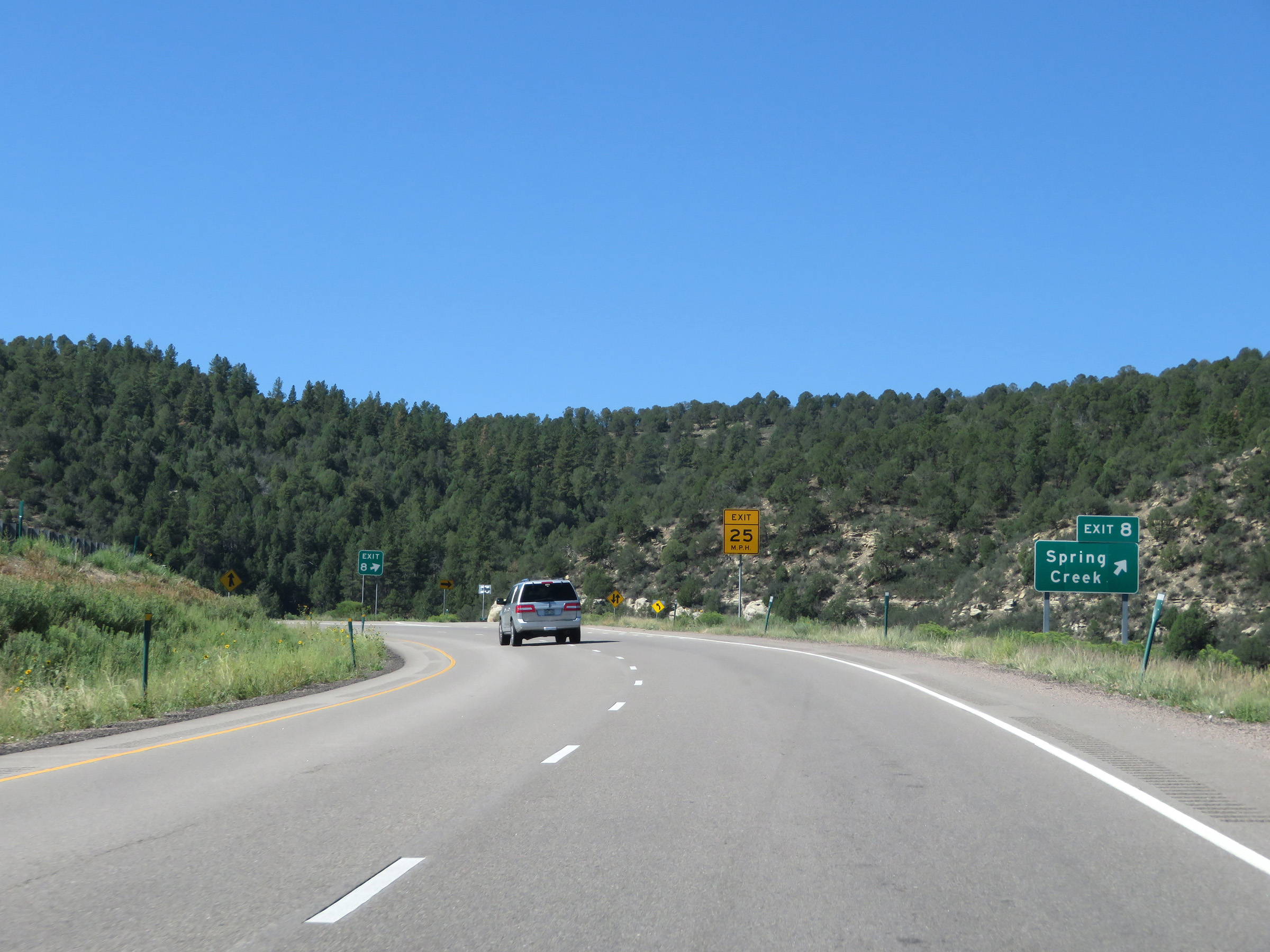 |
Interstate 25 South at Exit 8: Spring Creek (Photo taken 8/13/20). |
 |
State-named Interstate 25 South reassurance shield while continuing up Raton Pass. (Photo taken 8/13/20). |
 |
View on Interstate 25 South at mile marker 7. (Photo taken 8/13/20). |
 |
Interstate 25 South at mile marker 6. (Photo taken 8/13/20). |
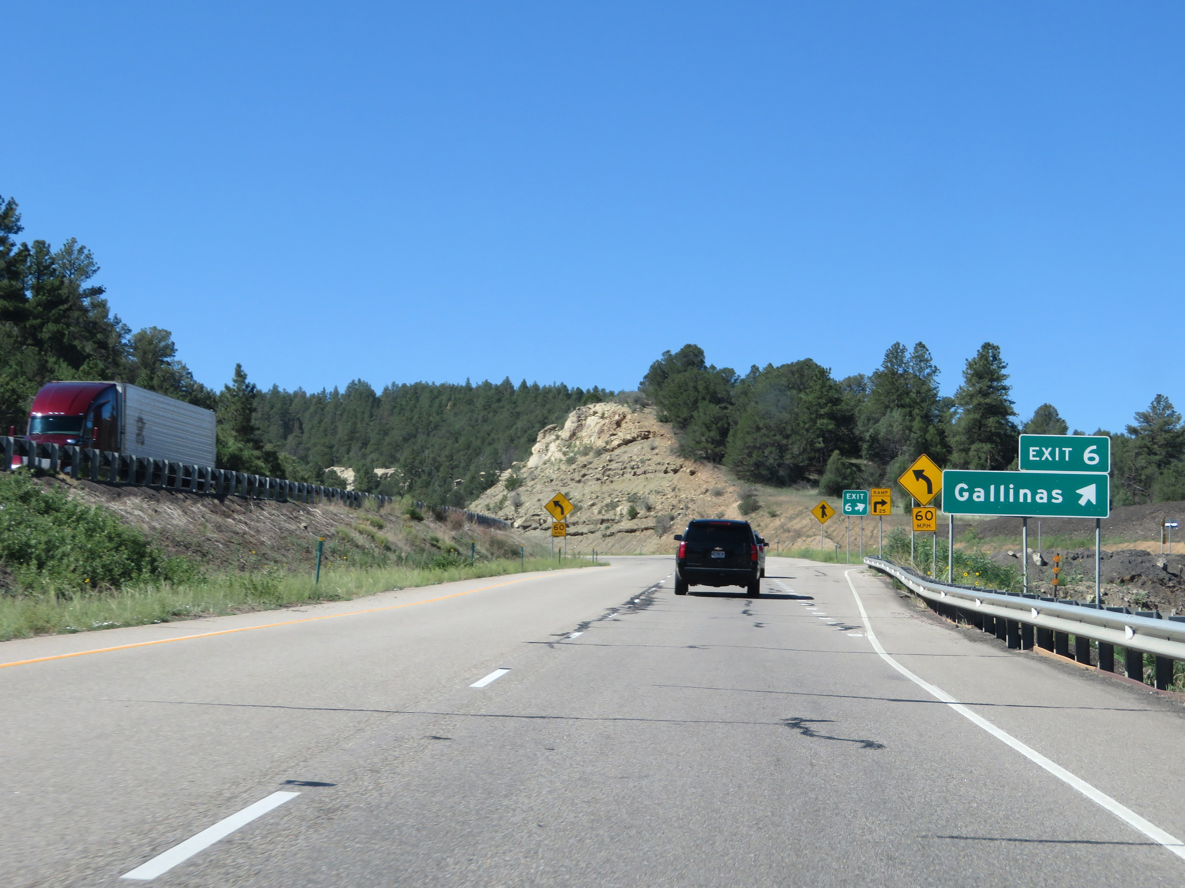 |
Interstate 25 South at Exit 6: Gallinas (Photo taken 8/13/20). |
 |
The speed limit remains 65 mph the rest of the way up Raton Pass to the New Mexico border. (Photo taken 8/13/20). |
 |
View on Interstate 25 South at mile marker 5. (Photo taken 8/13/20). |
 |
Interstate 25 South at mile marker 4. (Photo taken 8/13/20). |
 |
As this sign warns, Interstate 25 South will traverse several sharp curves ahead as it continues to climb Raton Pass. (Photo taken 8/13/20). |
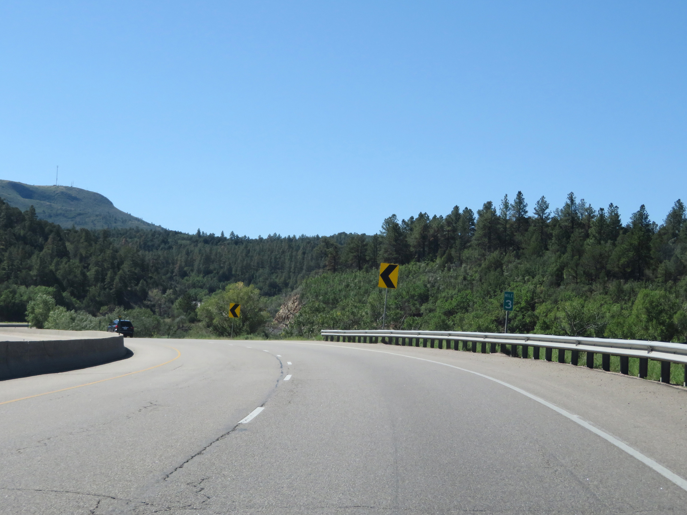 |
View on Interstate 25 South at mile marker 3. (Photo taken 8/13/20). |
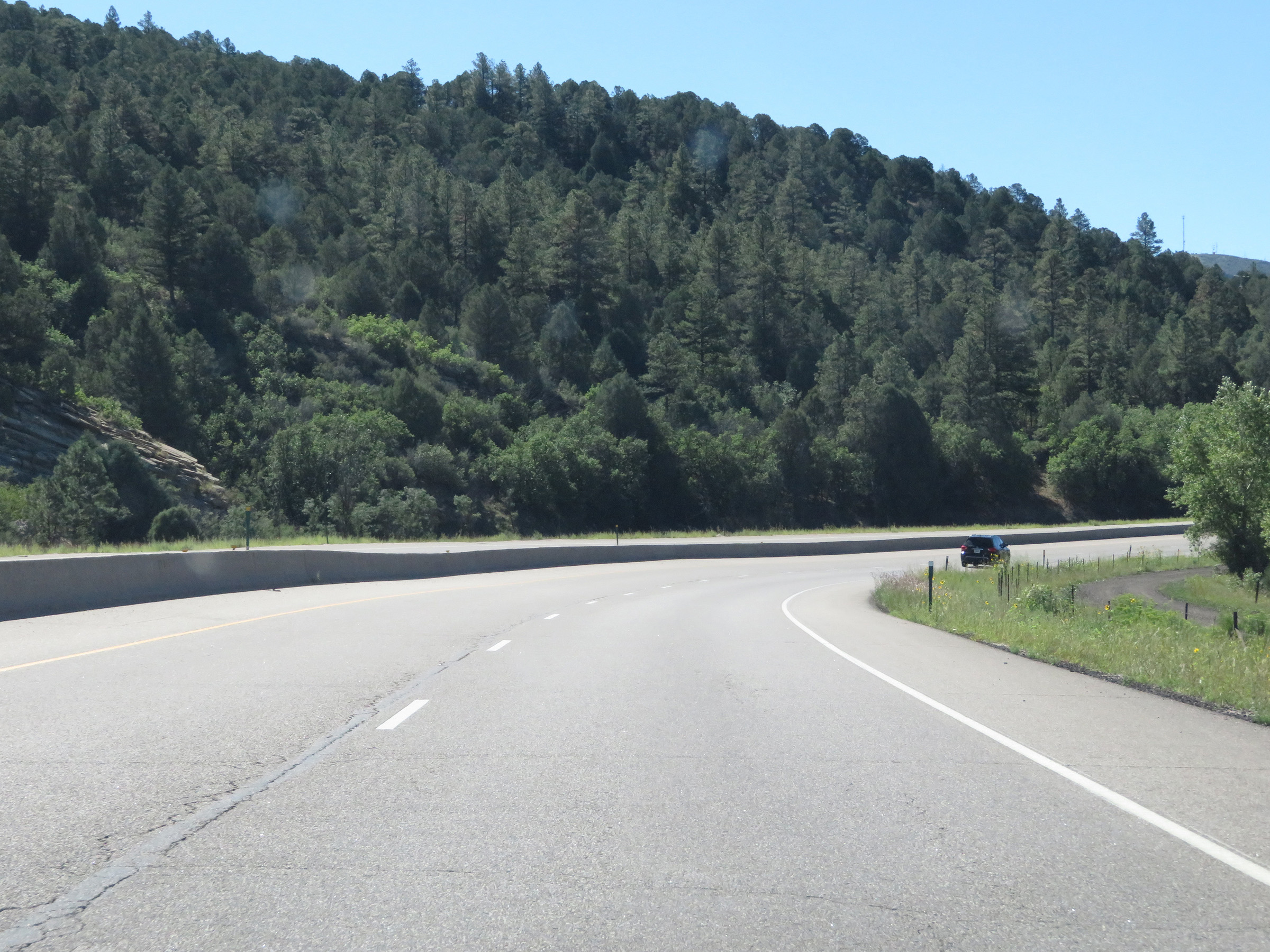 |
Interstate 25 South as it climbs Raton Pass. (Photo taken 8/13/20). |
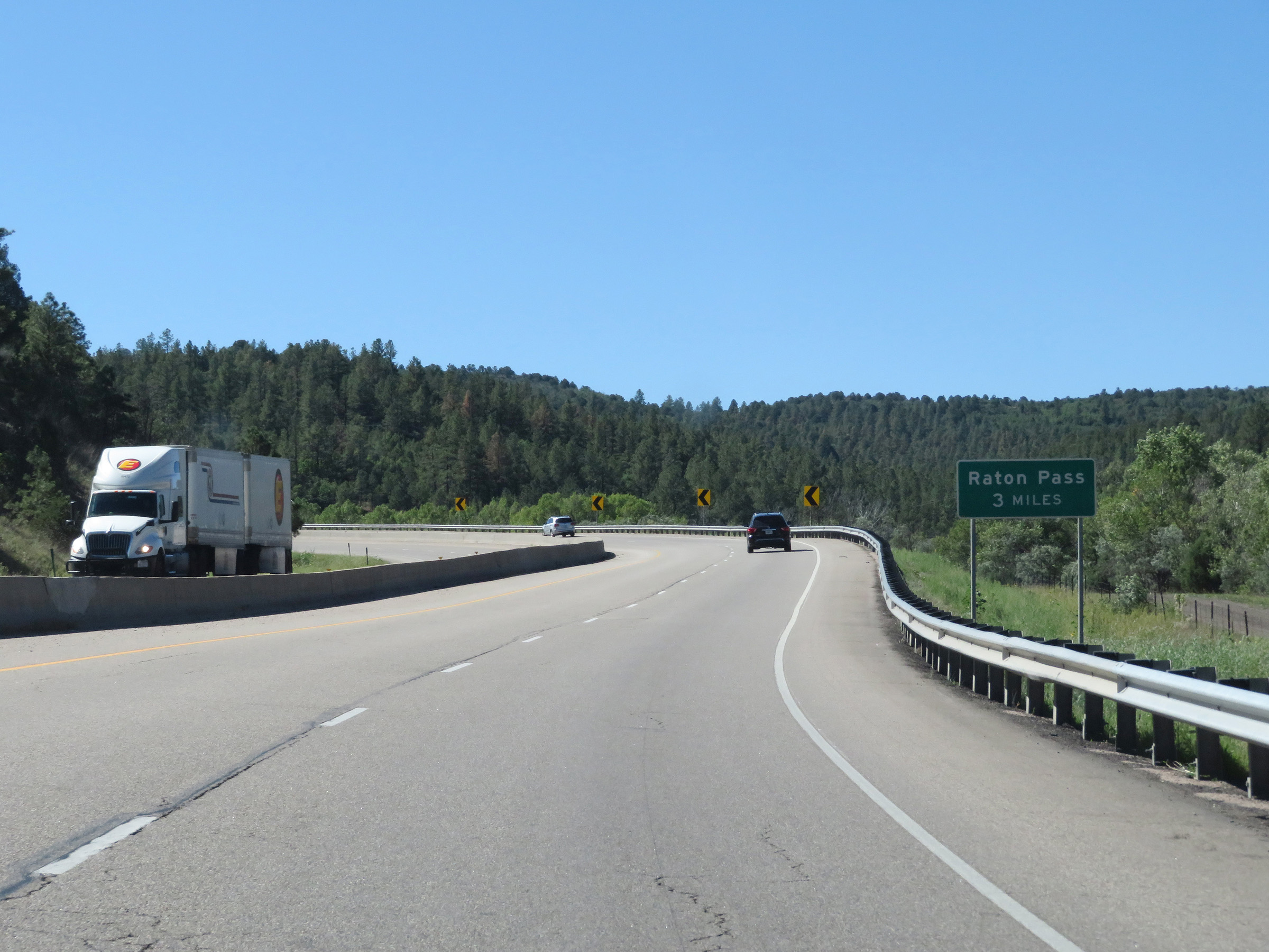 |
As this sign reads, it is 3 more miles of climbing to the summit of Raton Pass, which will occur at the New Mexico state line. (Photo taken 8/13/20). |
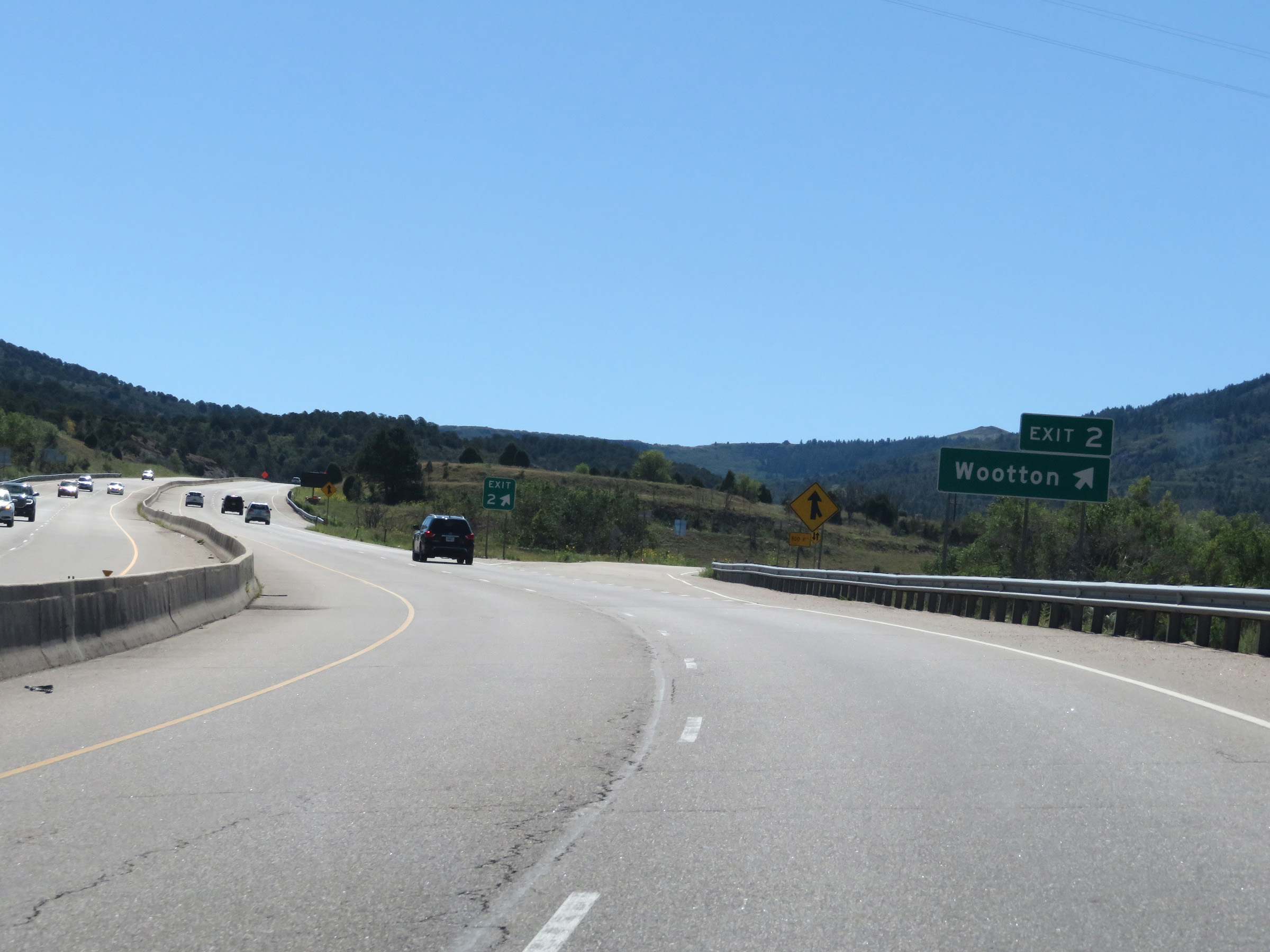 |
Interstate 25 South at Exit 2: Wootton (Photo taken 8/13/20). |
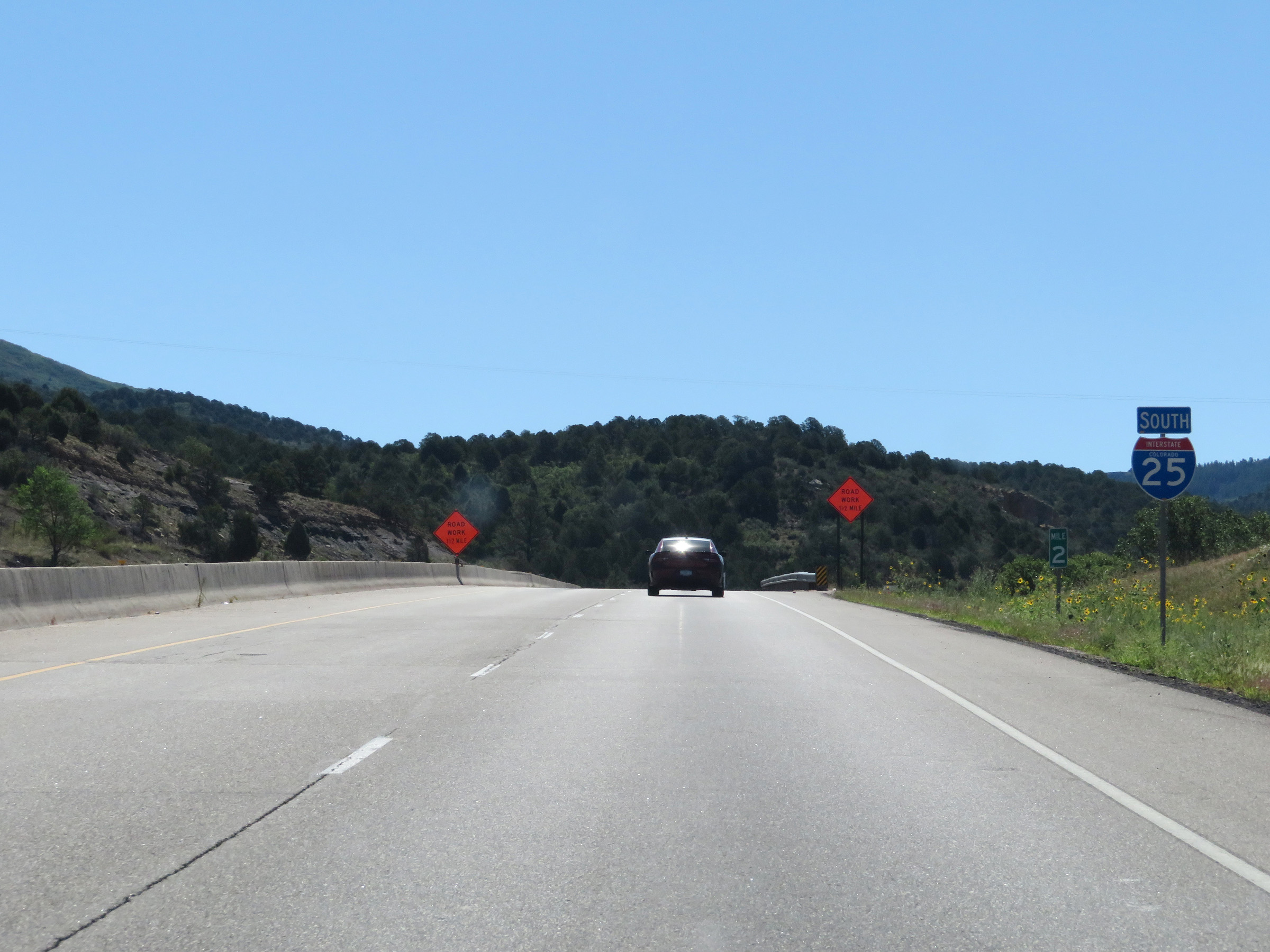 |
One final state-named Interstate 25 South reassurance shield at mile marker 2, continuing up Raton Pass. (Photo taken 8/13/20). |
 |
Again, the speed limit remains 65 mph for the remainder of Interstate 25 South in Colorado to the top of Raton Pass. (Photo taken 8/13/20). |
 |
View on Interstate 25 South as it continues to climb up toward the summit of Raton Pass. About 1 1/2 miles to go to the top. (Photo taken 8/13/20). |
 |
Interstate 25 South at mile marker 1. (Photo taken 8/13/20). |
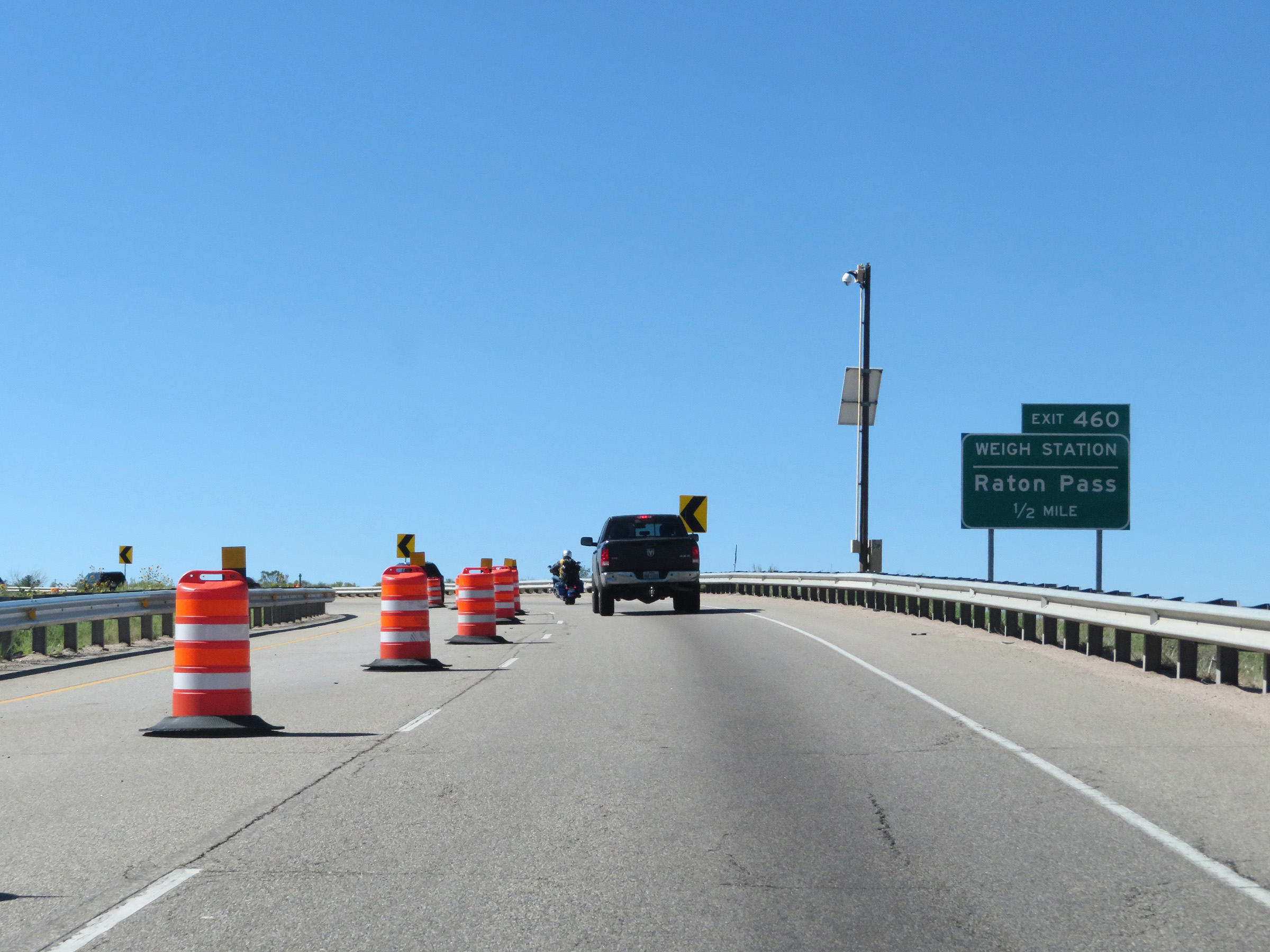 |
Interstate 25 South approaching Exit 460 - 1/2 mile. This is the first exit in New Mexico, and it occurs immediately after crossing the state line. (Photo taken 8/13/20). |
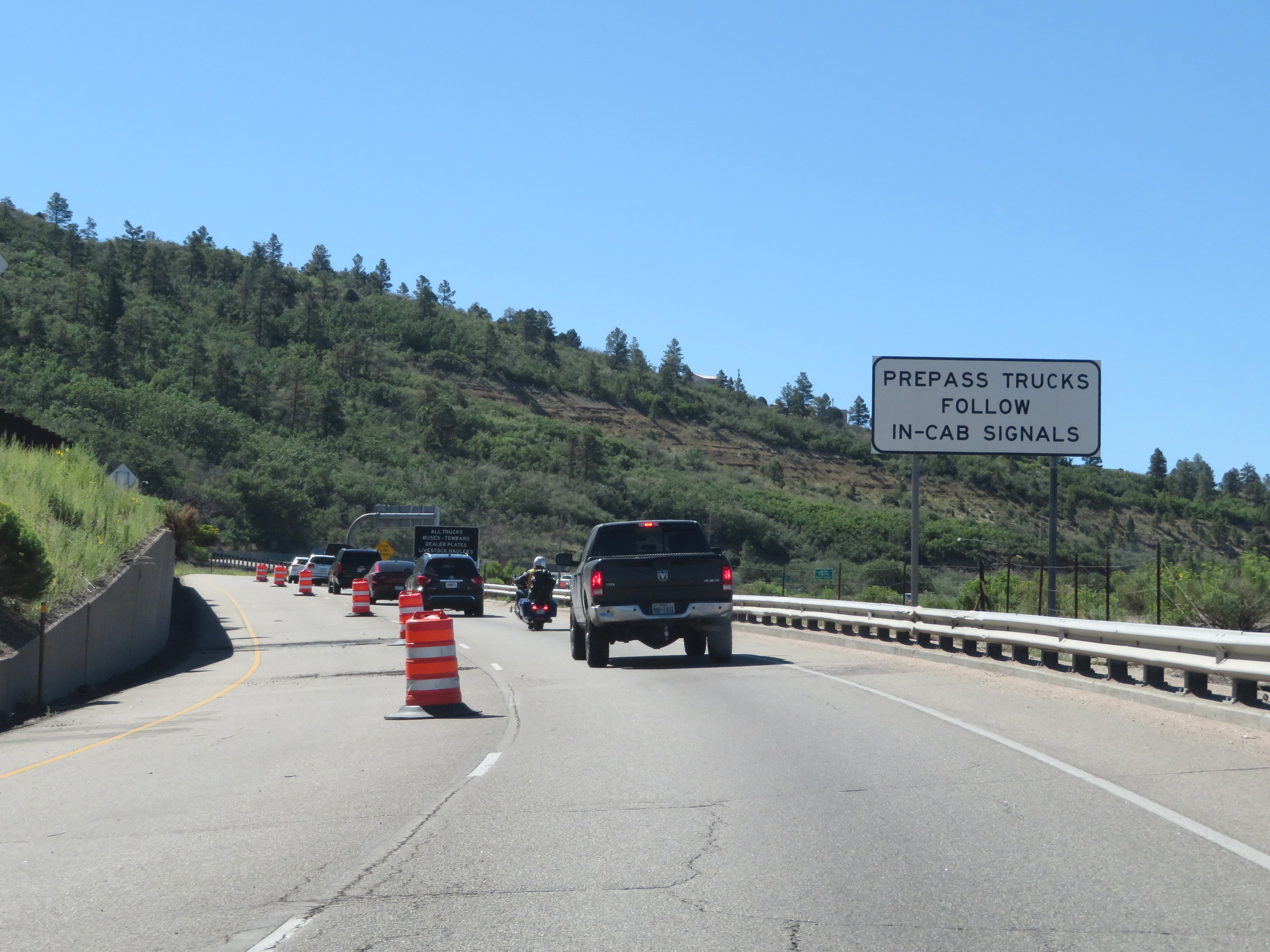 |
Approaching the summit of Raton Pass and the Weigh Station at Exit 460, this sign reminds trucks equipped with PrePass transponders to follow the in-cab signals they get from the transponder. (Photo taken 8/13/20). |
 |
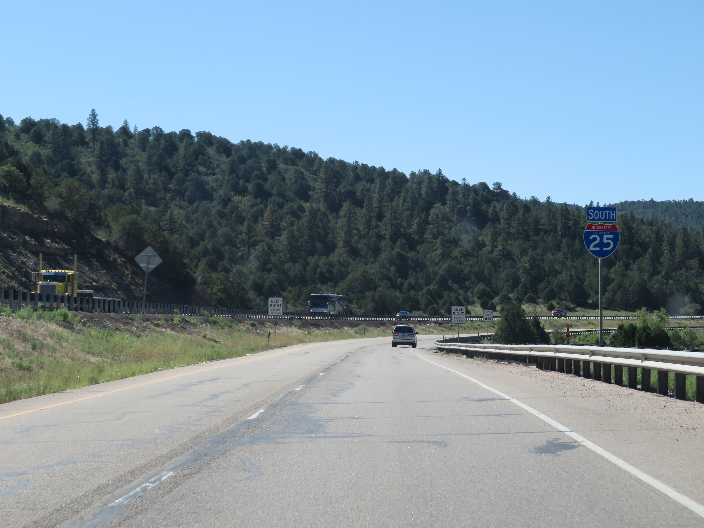
Interstate 25 South as it approaches the New Mexico state line and the summit of Raton Pass. (Photo taken 8/13/20). |