Road Information |
||
 |
||
| Total Mileage in State: | 402 miles | |
| Eastern End: | At Nebraska state line | |
| Western End: | At Utah state line | |
| Mileage covered in Photos: | 402 miles | |
| Counties covered in Photos: | Laramie, Albany, Carbon, Sweetwater, Uinta | |
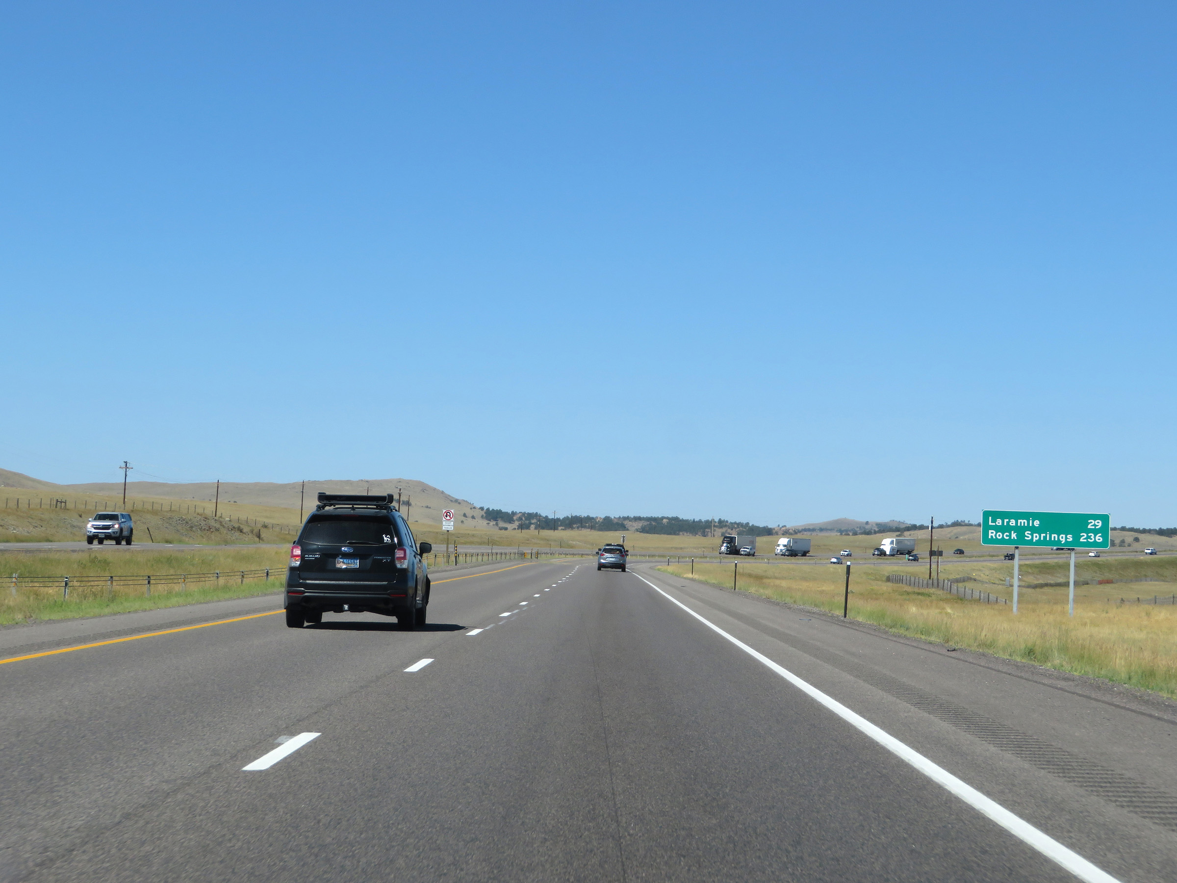
| Major Junctions in Photos: | I-180/US 85, in Cheyenne I-25, in Cheyenne US 287, in Laramie US 191, in Rock Springs US 189, in Evanston |
|
| Control Cities in Photos: | Cheyenne, Laramie, Rawlins, Rock Springs, Green River, Evanston | |
Westbound
- Section 1: Nebraska Border to Cheyenne (Exit 358)
- Section 2: Cheyenne (Exit 359A) to Buford (Exit 335)
- Section 3: Buford (Exit 335) to Laramie (Exit 310)
- Section 4: Laramie (Exit 310) to Rawlins (Exit 214)
- Section 5: Rawlins (Exit 214) to Rock Springs (Exit 107)
- Section 6: Rock Springs (Exit 107) to Little America (Exit 68)
- Section 7: Little America (Exit 68) to Utah Border
Section 1: Nebraska Border to Cheyenne (Exit 359A)
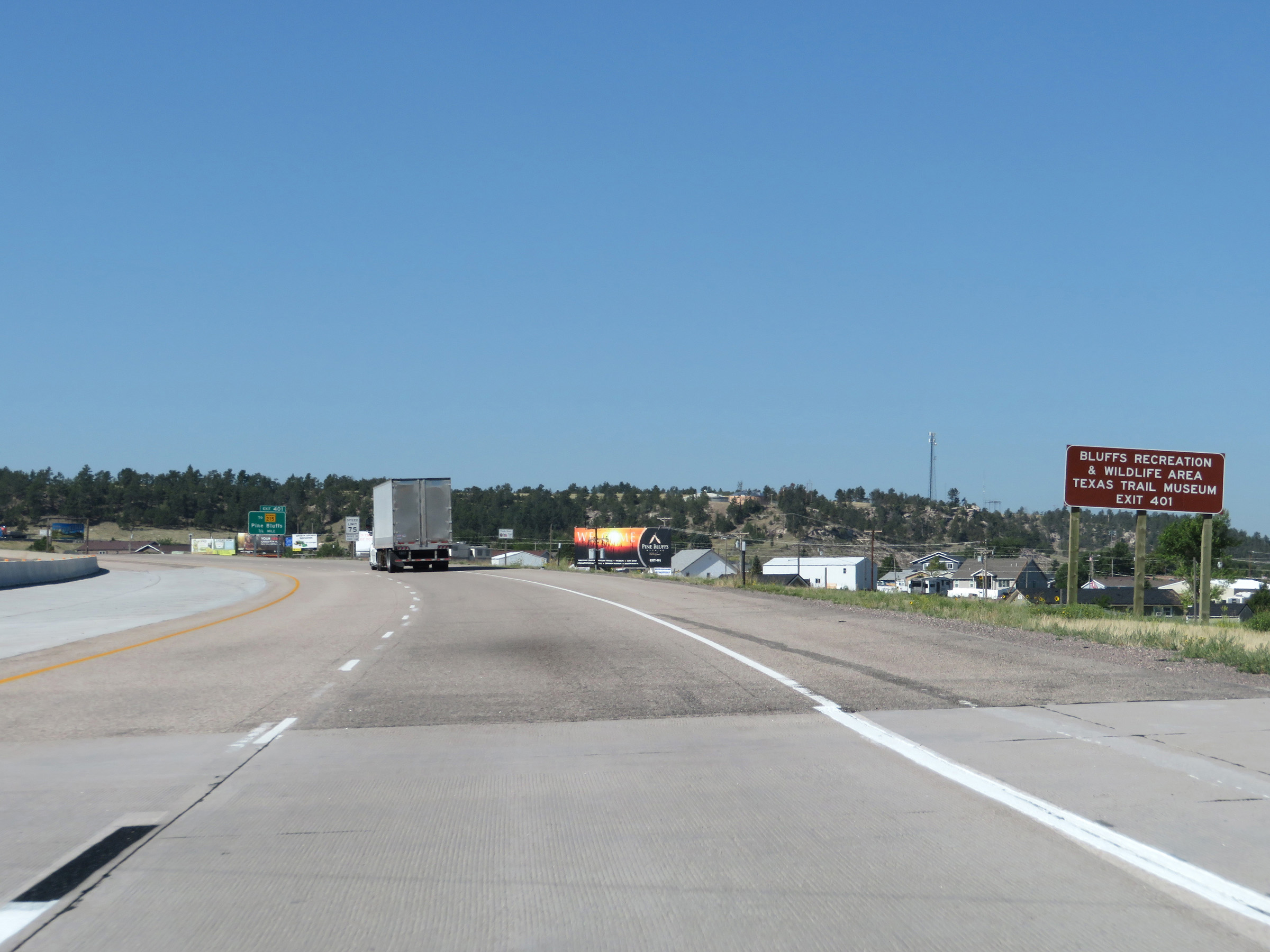 |
Take Exit 401 to Bluffs Recreation & Wildlife Area and the Texas Trail Museum. (Photo taken 8/15/20). |
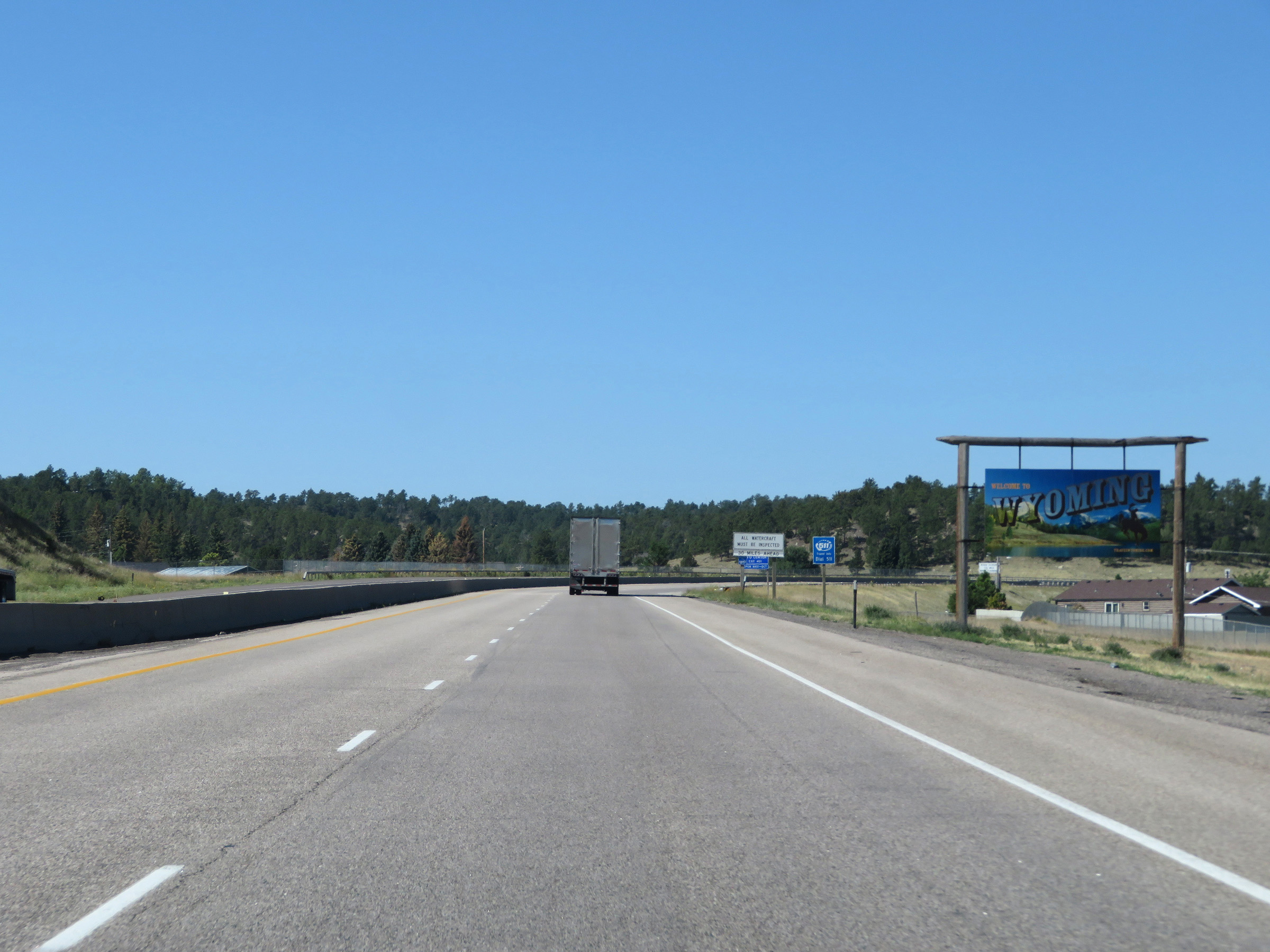 |
Wyoming welcome sign as Interstate 80 West enters the Equality State from Nebraska. (Photo taken 8/15/20). |
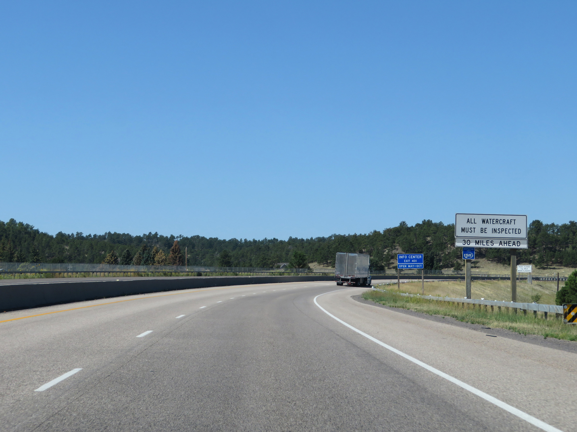 |
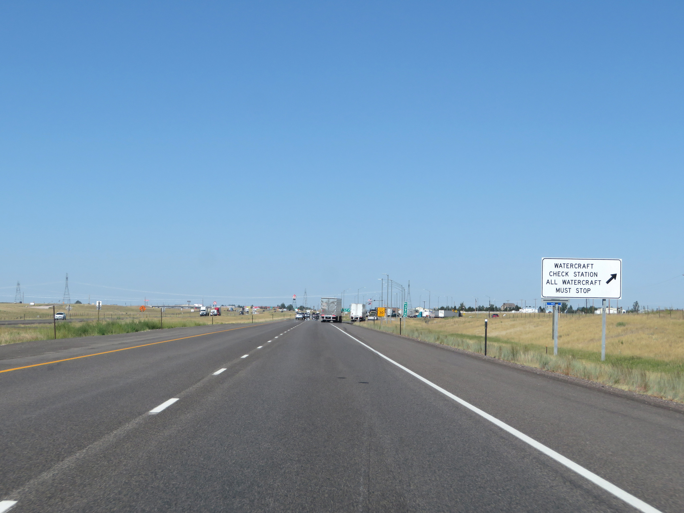
As this sign reads, all watercraft will need to stop for inspection at the Port of Entry, 30 miles ahead. (Photo taken 8/15/20). |
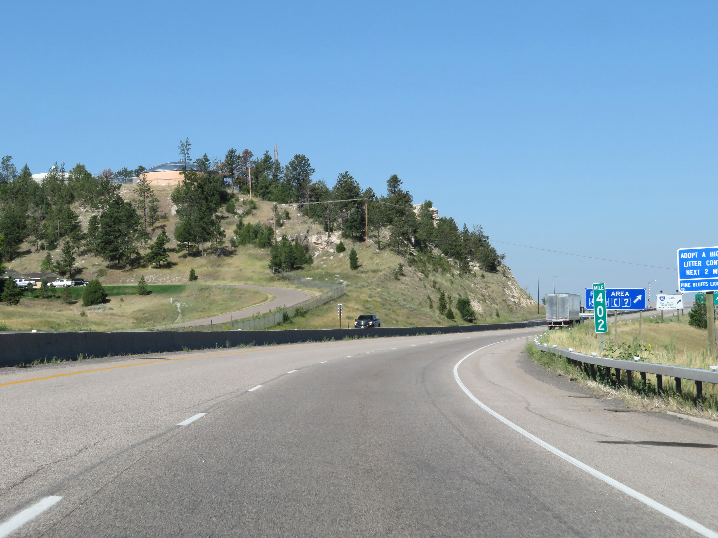 |
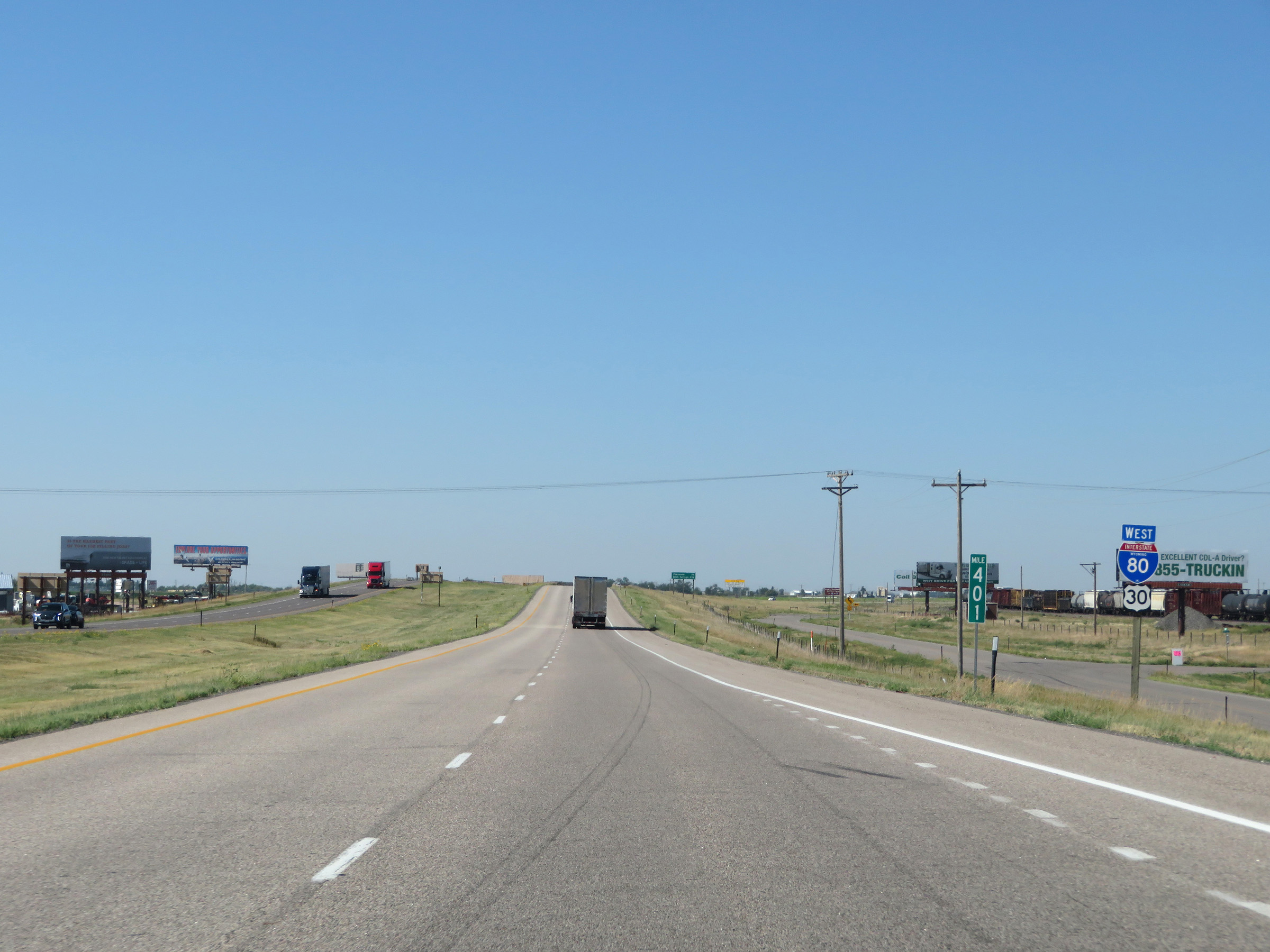
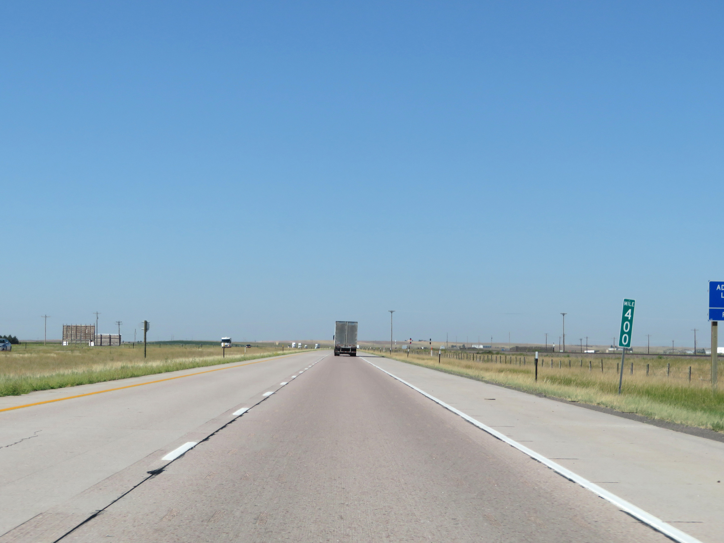
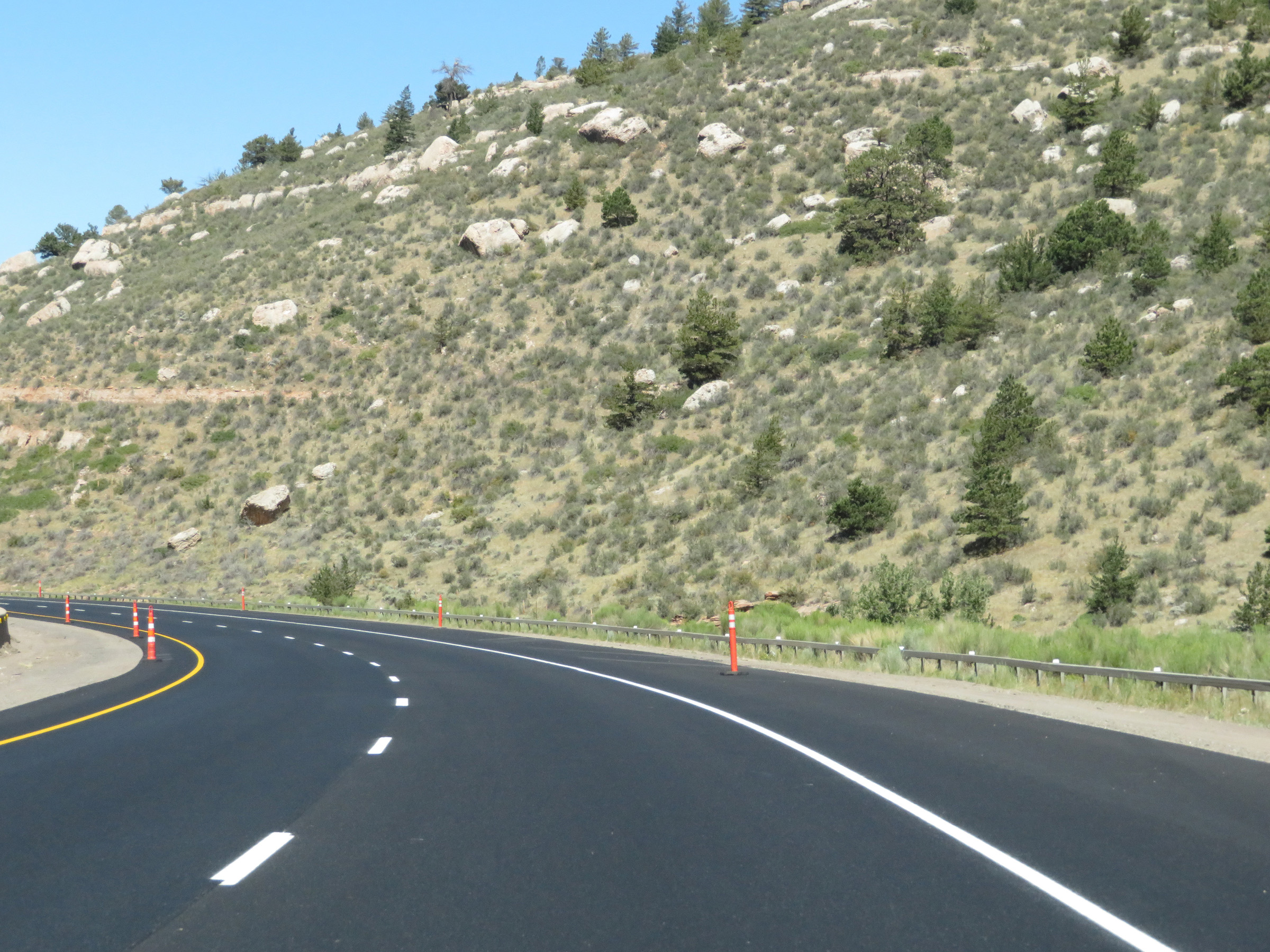
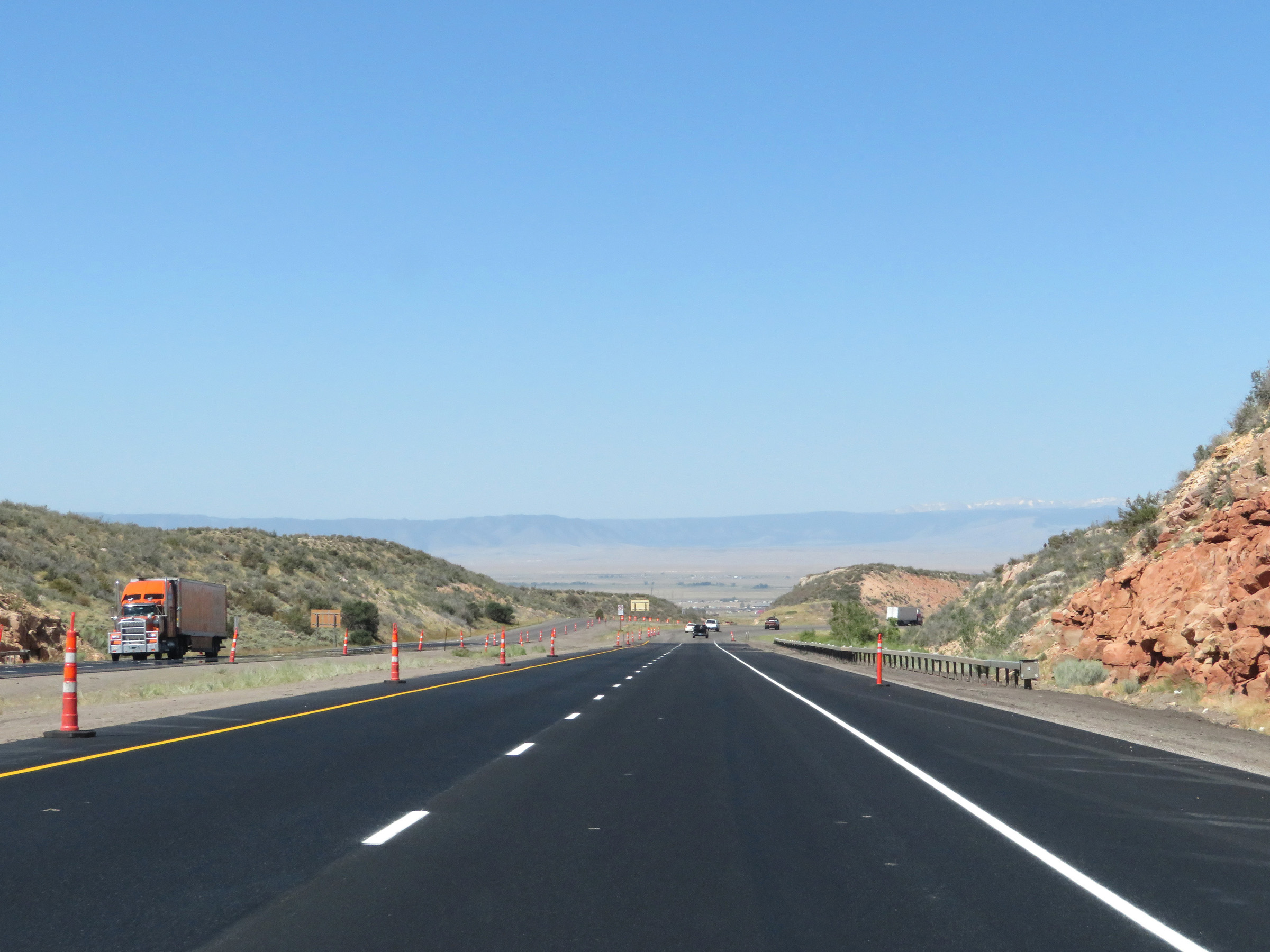
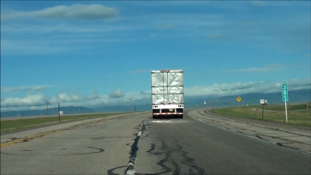
View on Interstate 80 West at mile marker 402. (Photo taken 8/15/20). |
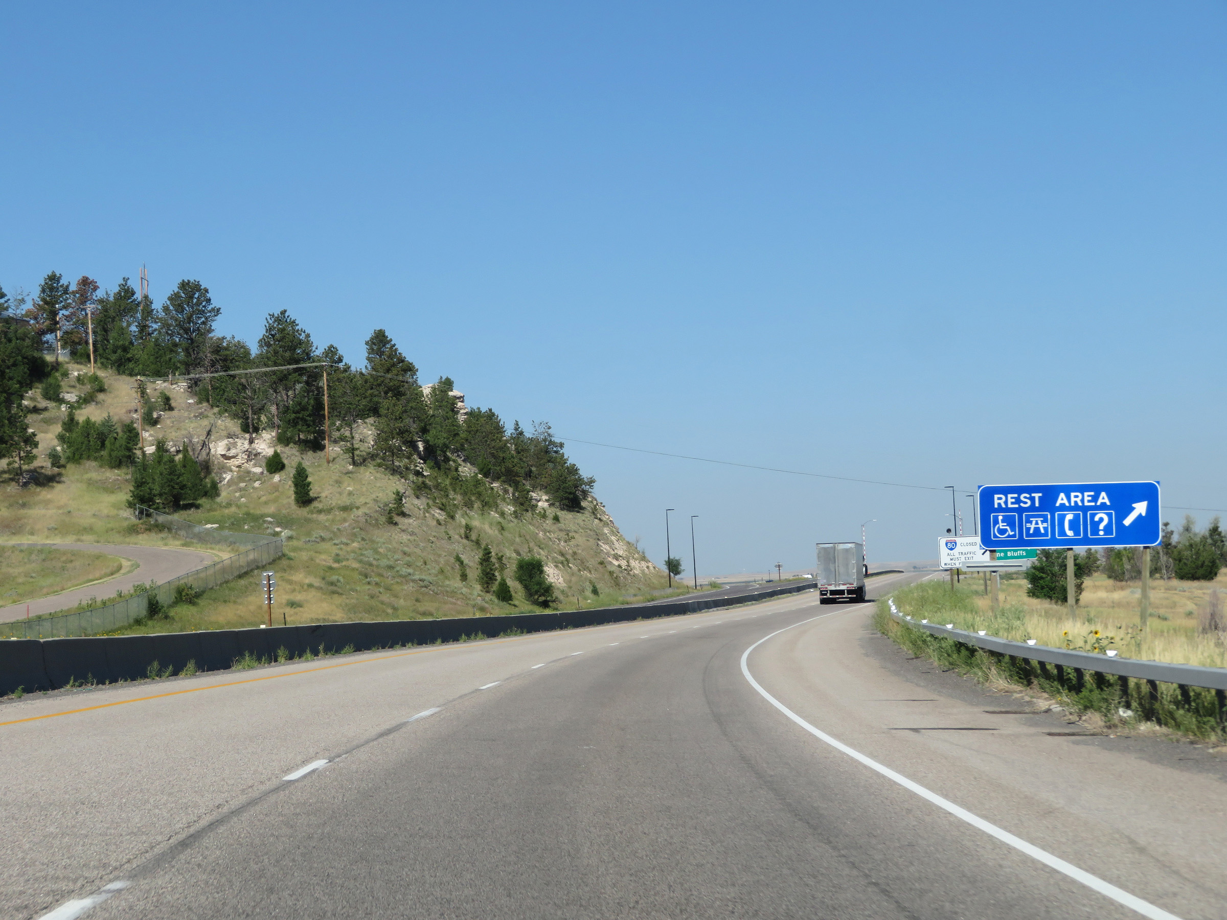 |
A Rest Area exists off Exit 401 ahead. (Photo taken 8/15/20). |
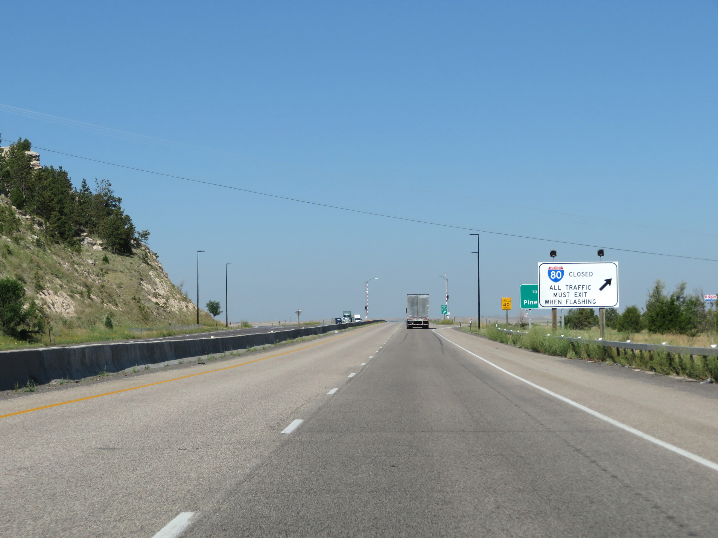 |
When the lights on this sign are flashing, Interstate 80 West is closed ahead and all traffic should exit at Exit 401. These signs are very common along Interstate 80 in Wyoming, as much of the alignment is subject to very adverse winter weather conditions. (Photo taken 8/15/20). |
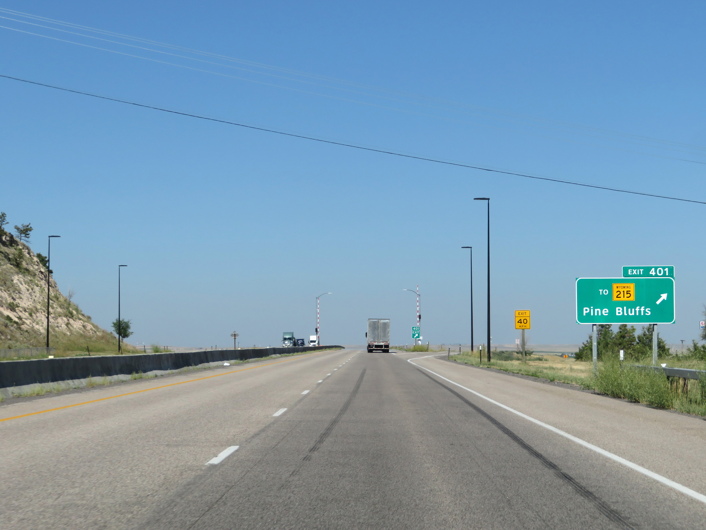 |
Interstate 80 West at Exit 401: To WY 215 - Pine Bluffs (Photo taken 8/15/20). |
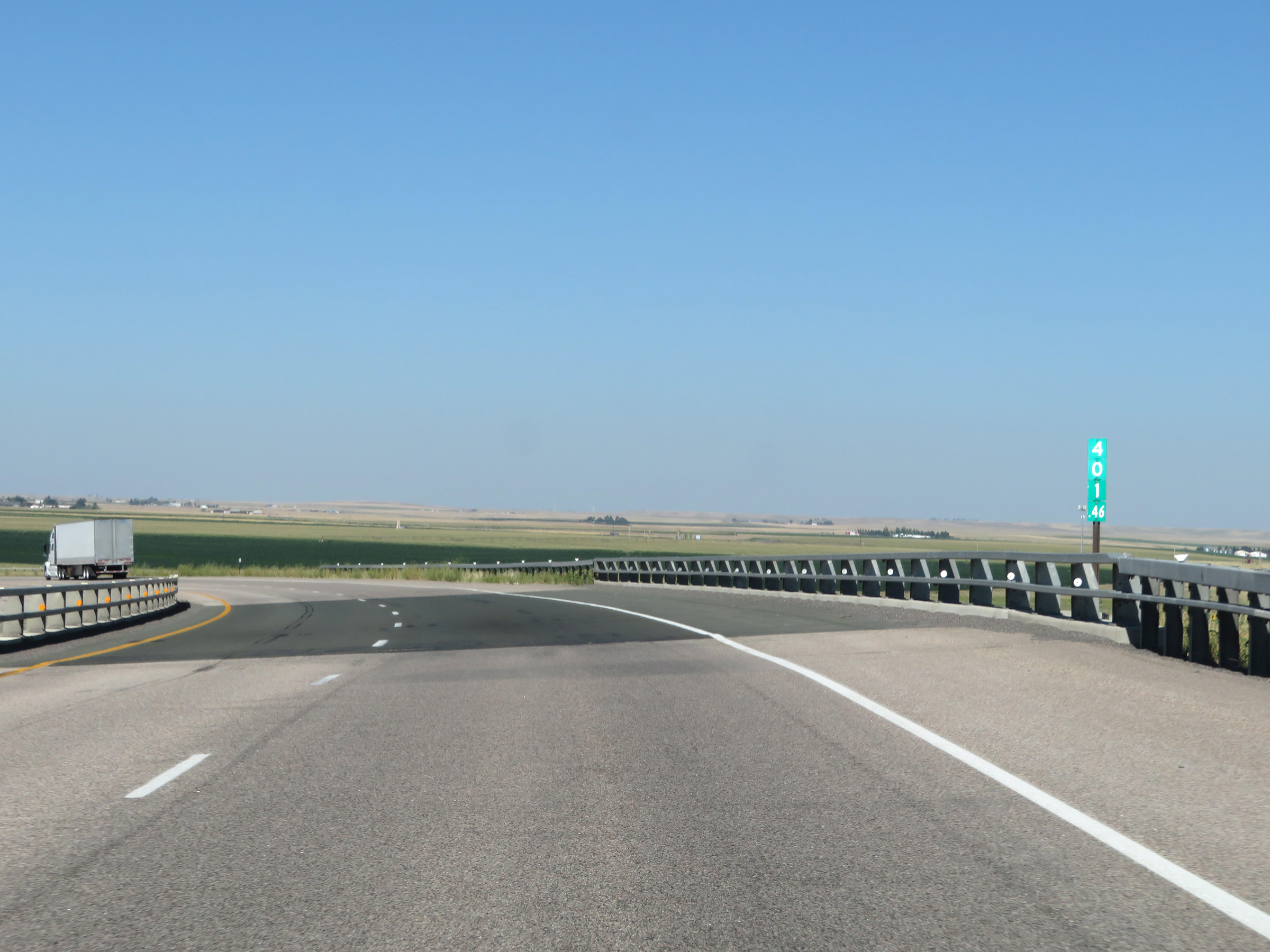 |
View on Interstate 80 West at mile marker 401.46, showing the high plains of eastern Wyoming. (Photo taken 8/15/20). |
 |
State-named Interstate 80 West reassurance shield at mile marker 401 in Laramie County. (Photo taken 8/15/20). |
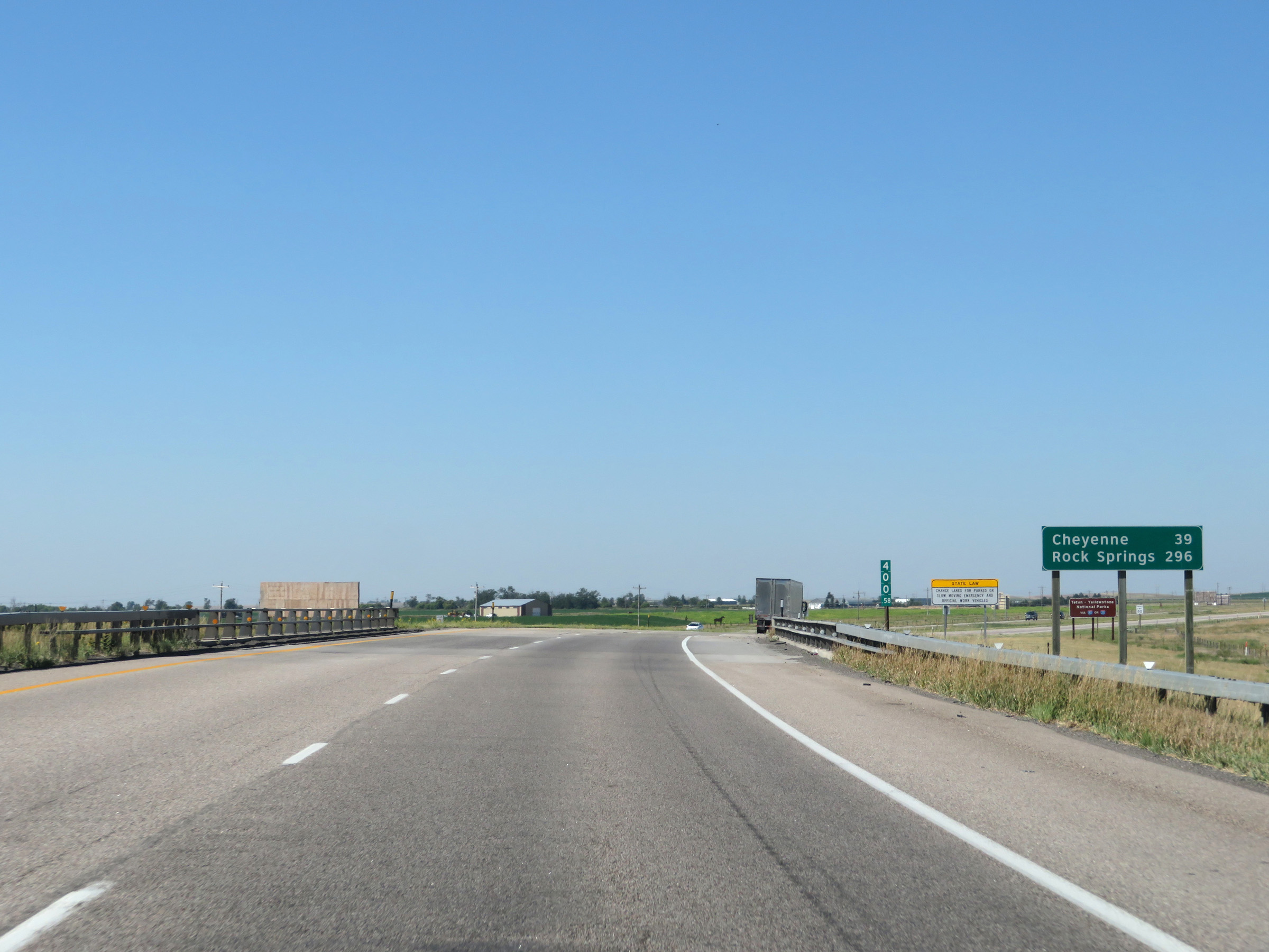 |
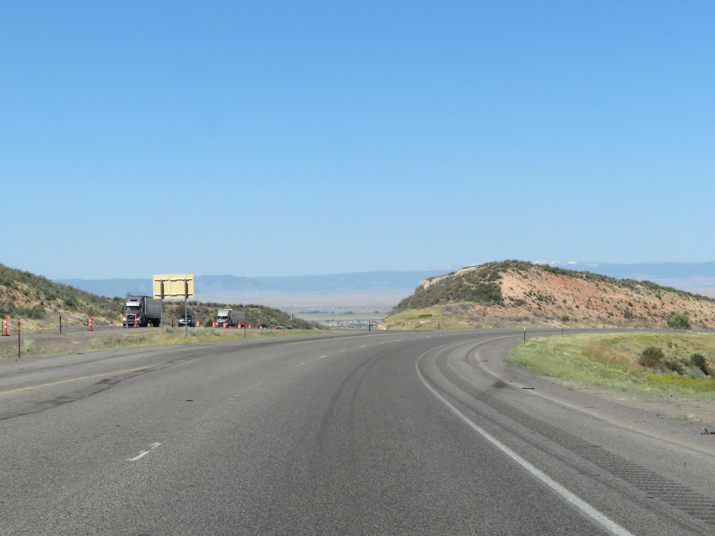
Mileage sign at mile marker 400.58. It's 39 miles to Cheyenne and 296 miles to Rock Springs. (Photo taken 8/15/20). |
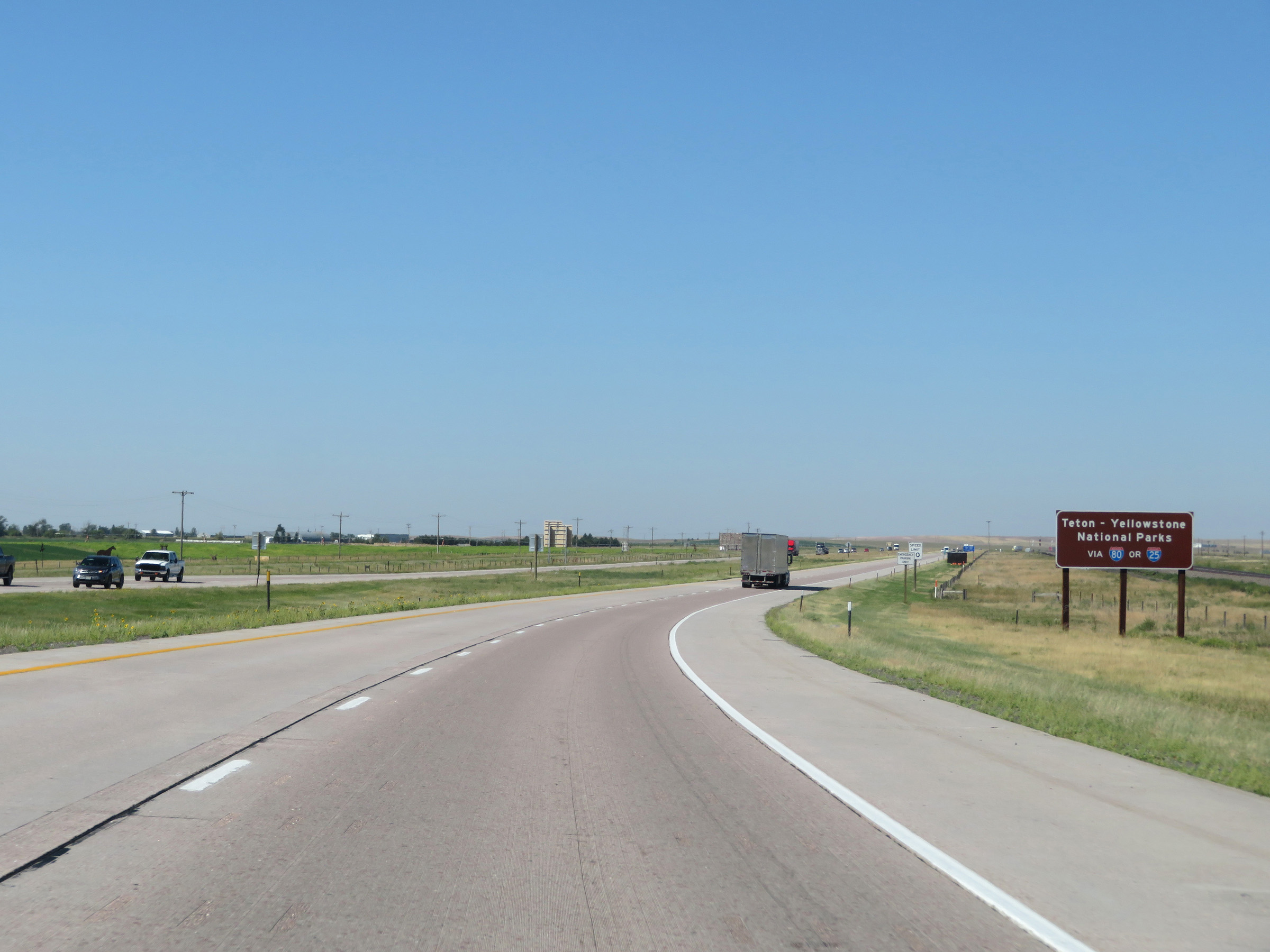 |
Grand Teton and Yellowstone National Parks, two of the most popular tourist destinations in the state of Wyoming, can be accessed via either Interstate 80 or Interstate 25. (Photo taken 8/15/20). |
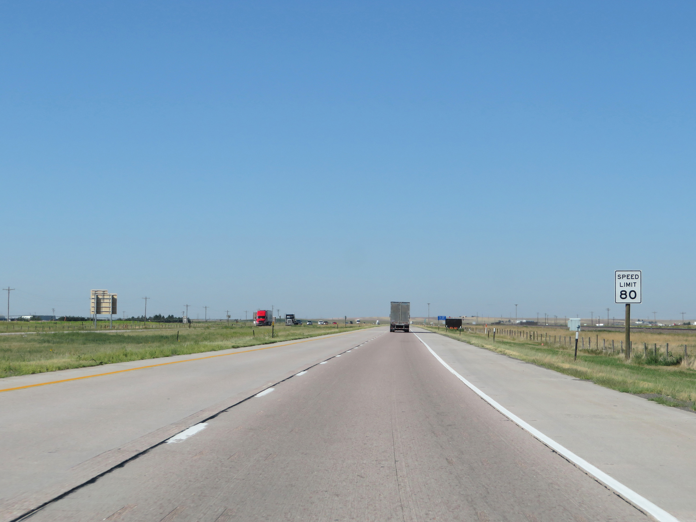 |
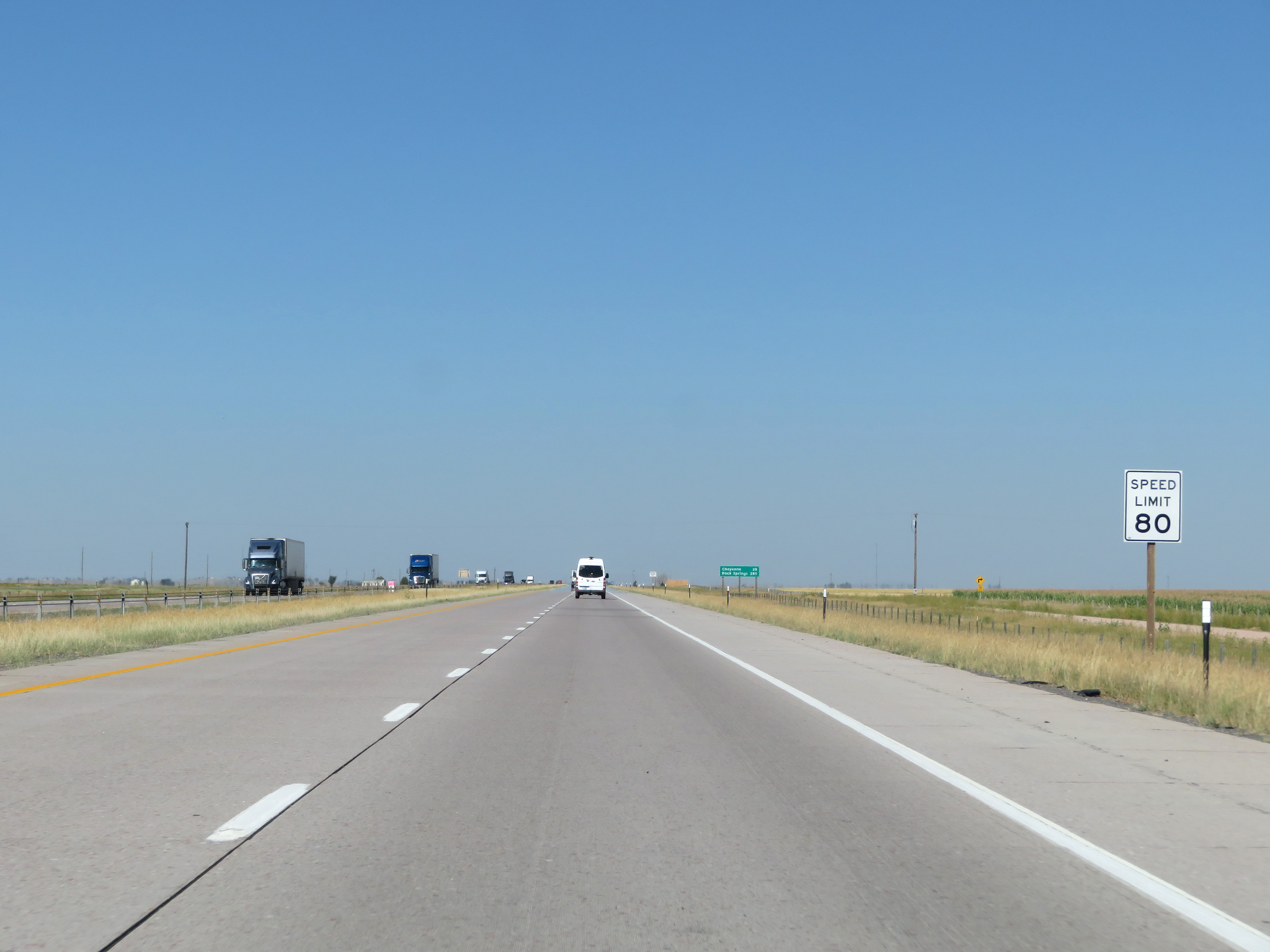
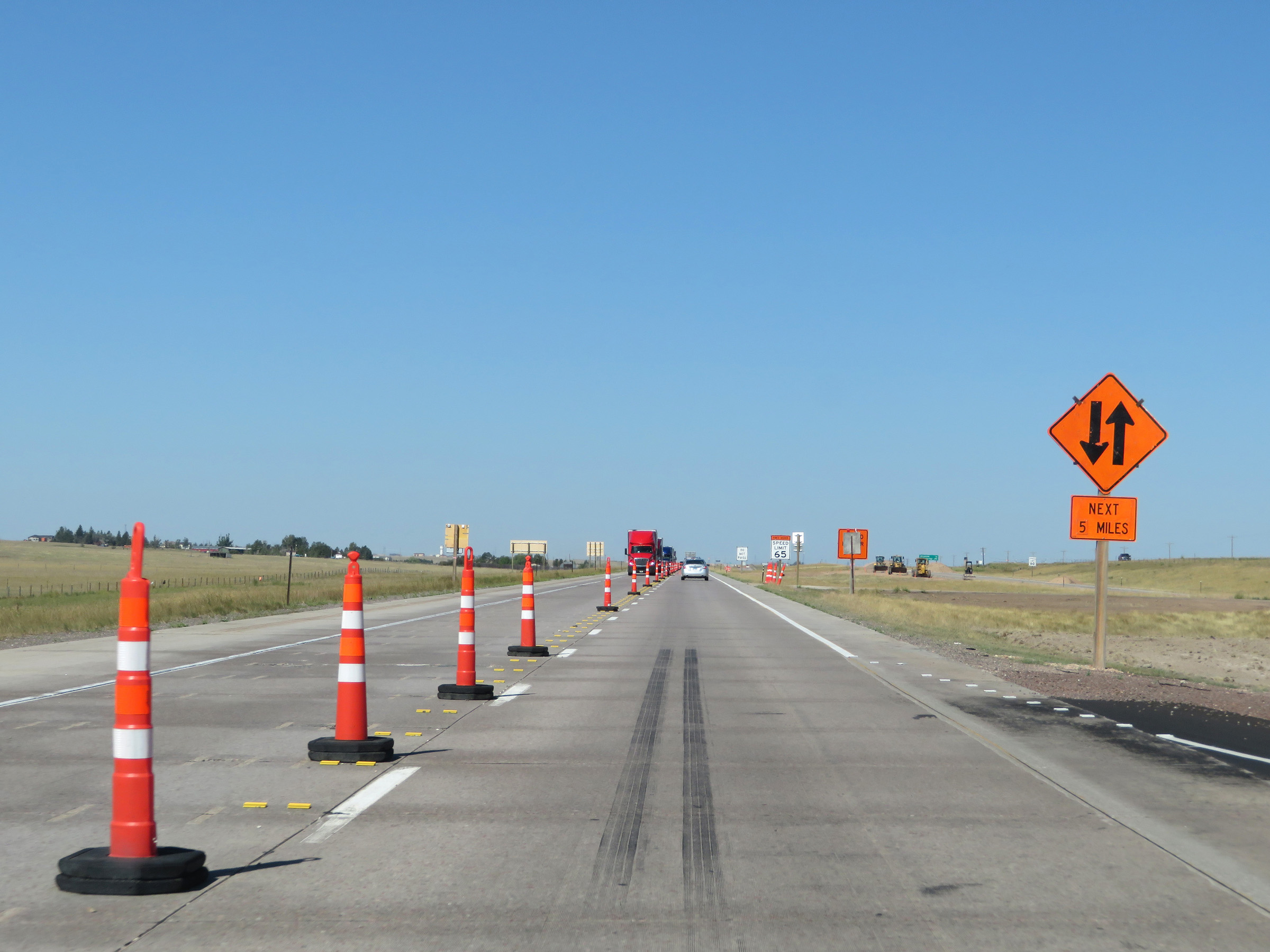
The speed limit on Interstate 80 West in Wyoming starts out at 80 mph for all traffic. This is the standard speed limit on most stretches of Interstate highway in Wyoming. (Photo taken 8/15/20). |
 |
View on Interstate 80 West at mile marker 400. (Photo taken 8/15/20). |
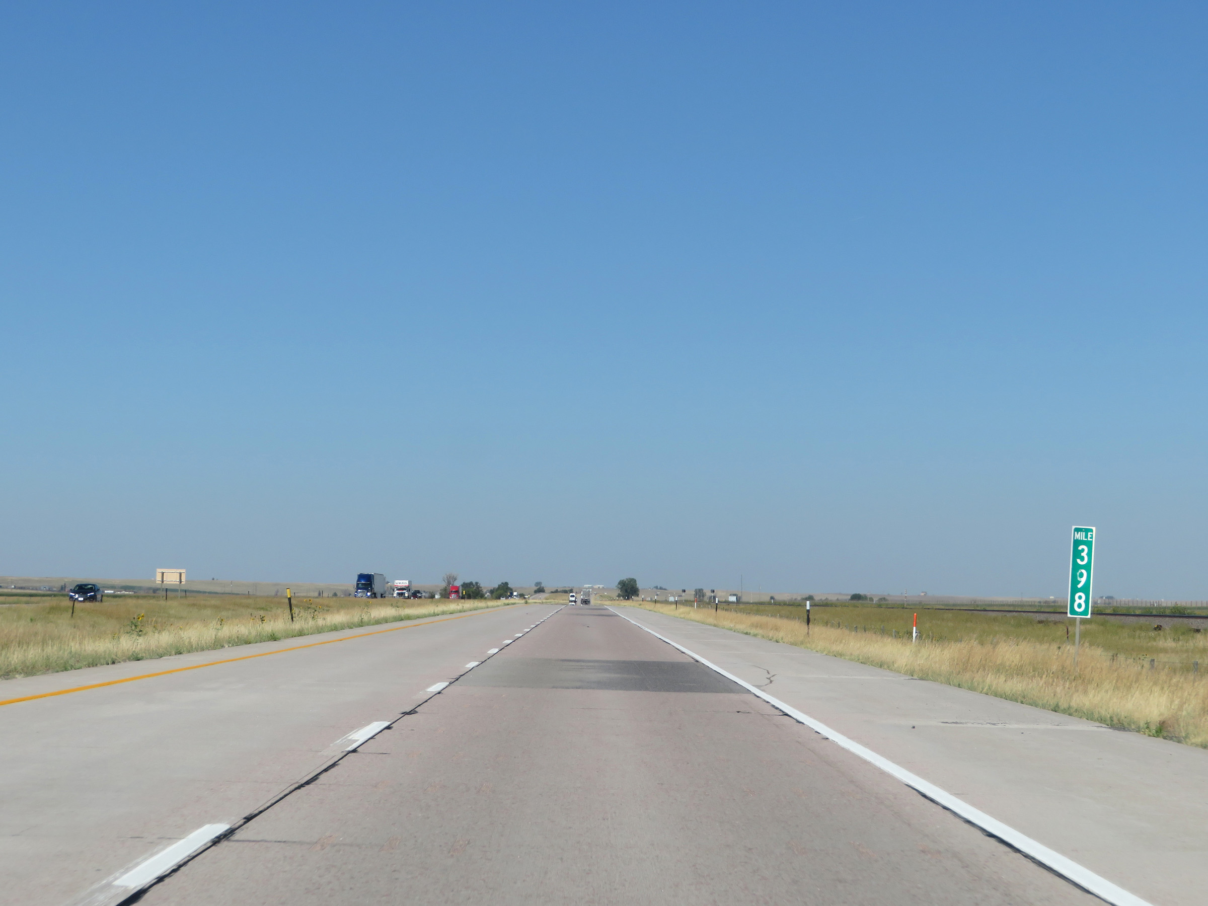 |
Interstate 80 West at mile marker 398. (Photo taken 8/15/20). |
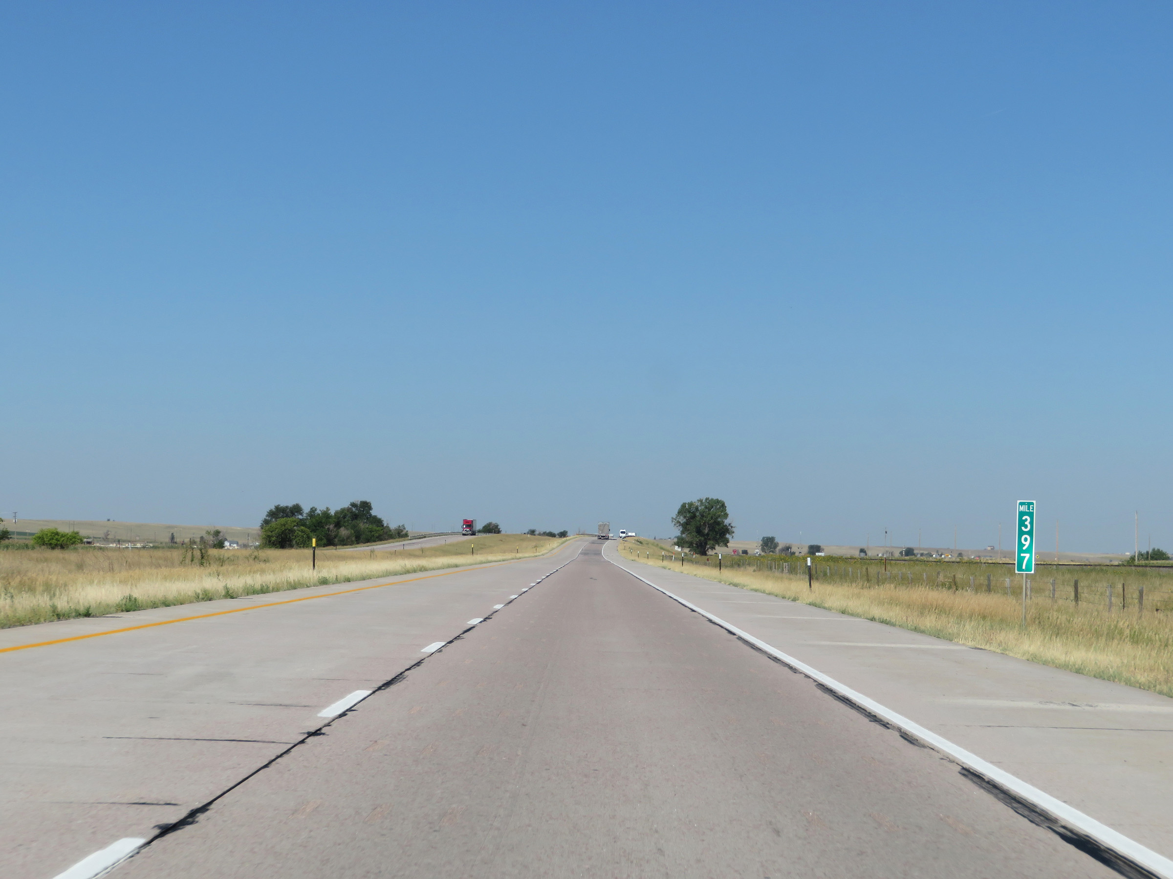 |
Mile marker 397 on Interstate 80 West in Laramie County. (Photo taken 8/15/20). |
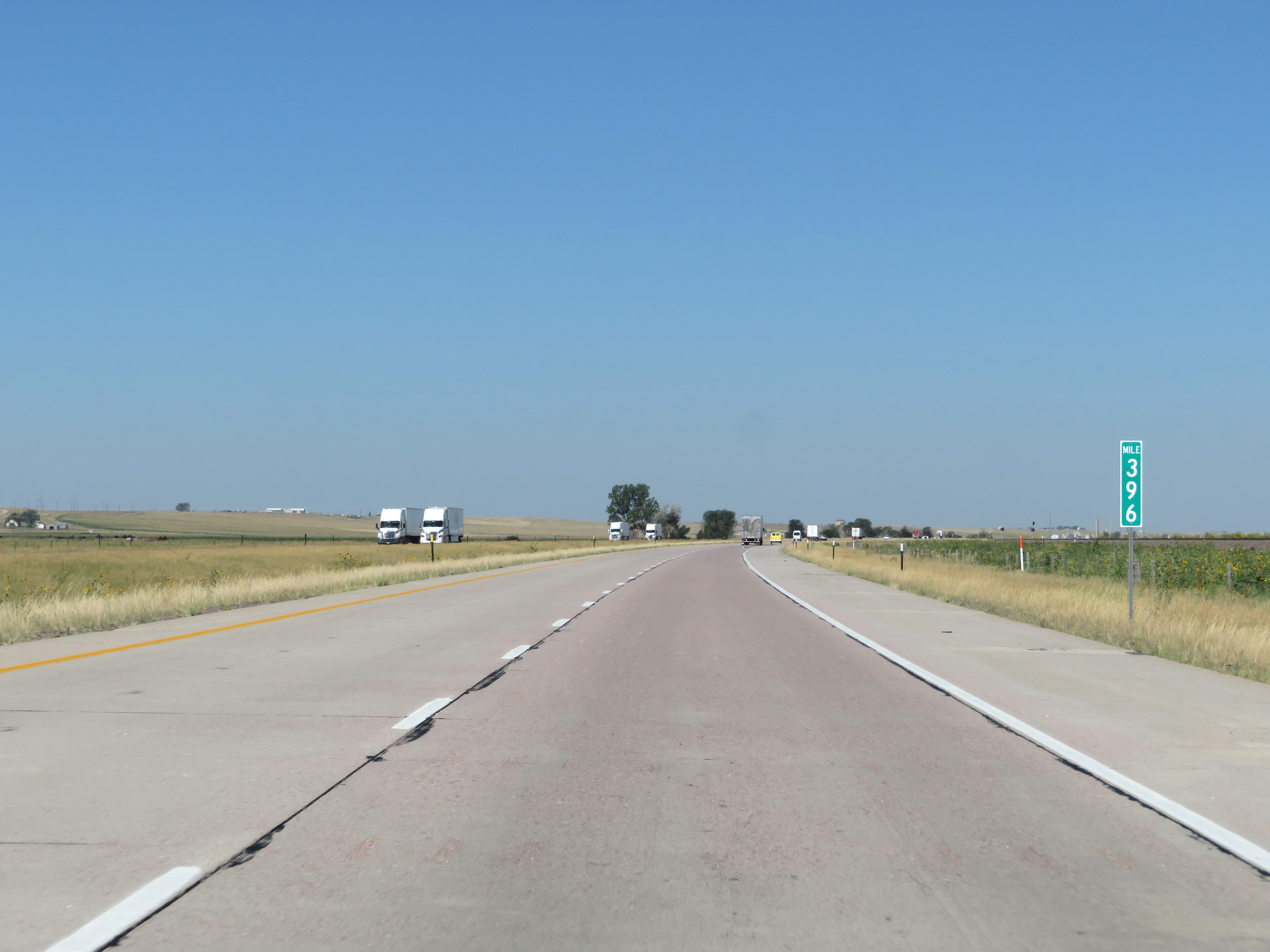 |
View on Interstate 80 West at mile marker 396. (Photo taken 8/15/20). |
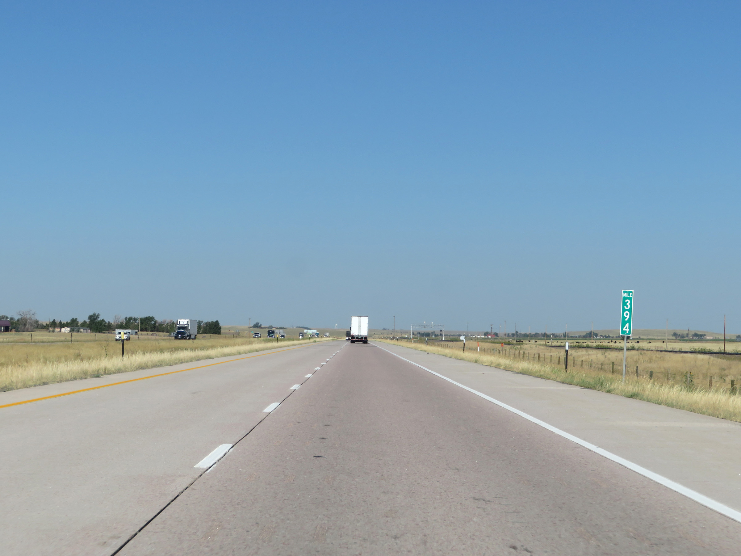 |
Interstate 80 West at mile marker 394. (Photo taken 8/15/20). |
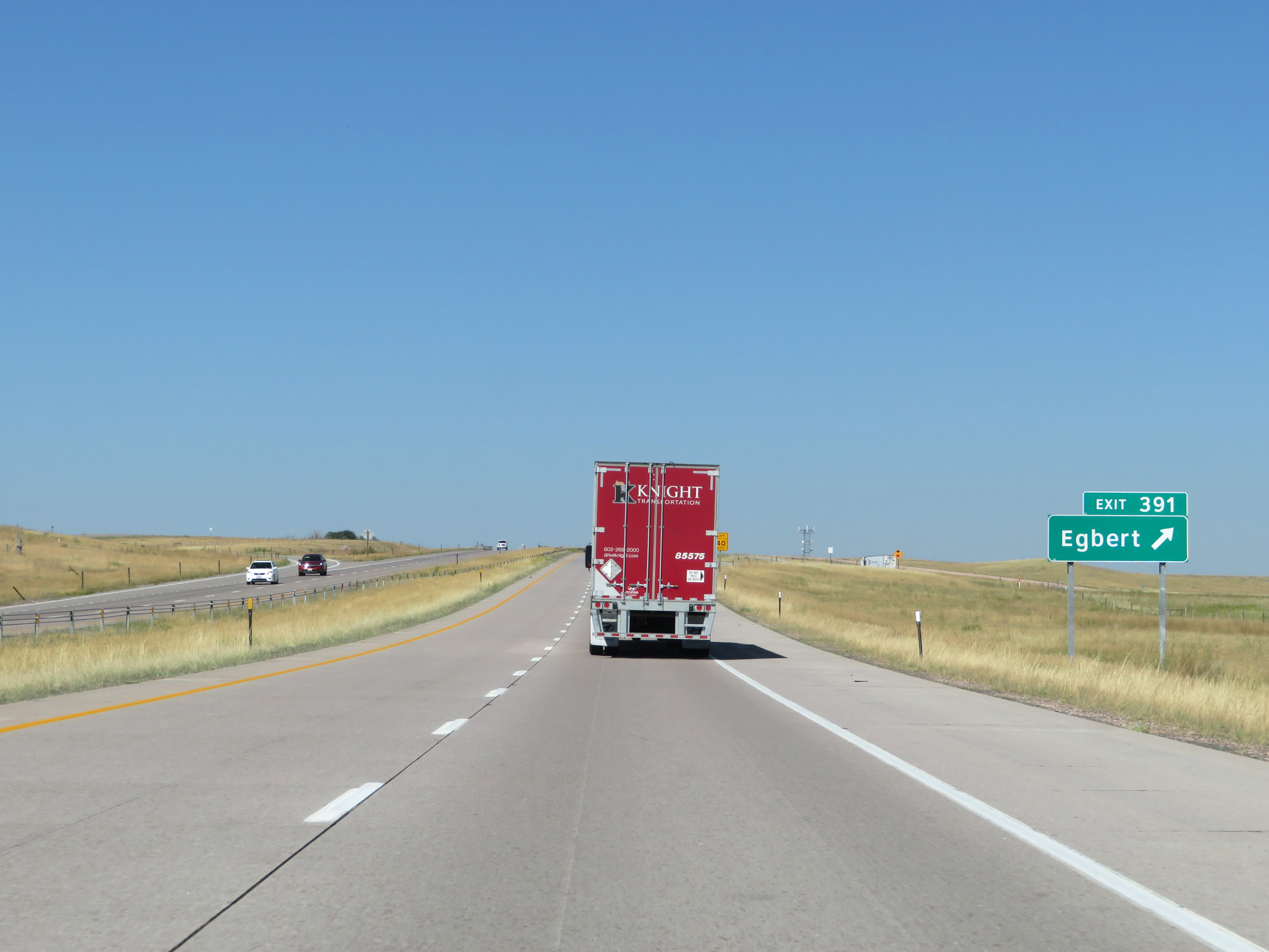 |
Interstate 80 West at Exit 391: Egbert (Photo taken 8/15/20). |
 |
Another state-named Interstate 80 West reassurance shield. (Photo taken 8/15/20). |
 |
The speed limit remains 80 mph for all traffic. (Photo taken 8/15/20). |
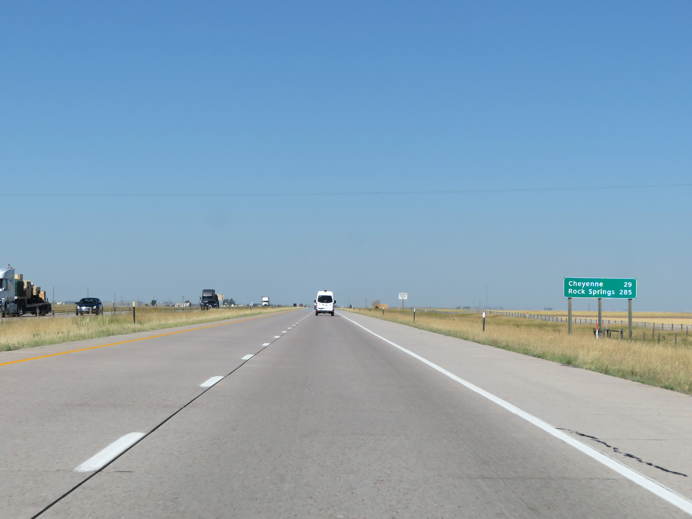 |
Another mileage sign on Interstate 80 West. It's 29 miles to Cheyenne and 285 miles to Rock Springs. (Photo taken 8/15/20). |
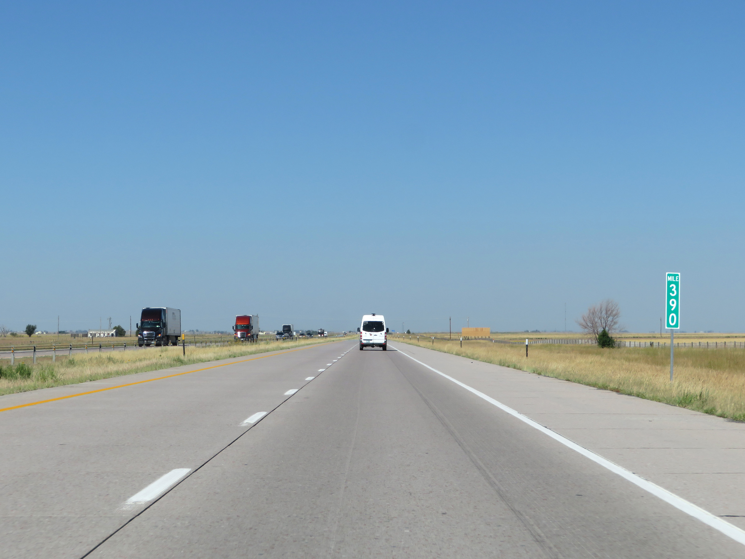 |
View on Interstate 80 West at mile marker 390. (Photo taken 8/15/20). |
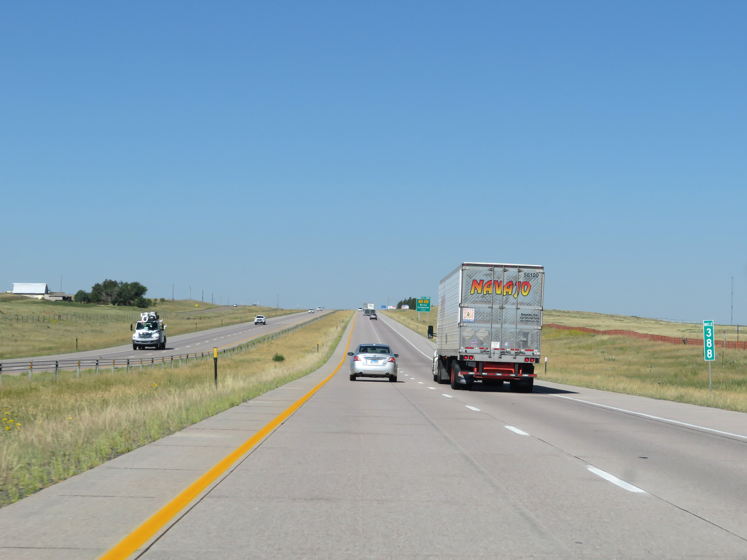 |
Interstate 80 West at mile marker 388. (Photo taken 8/15/20). |
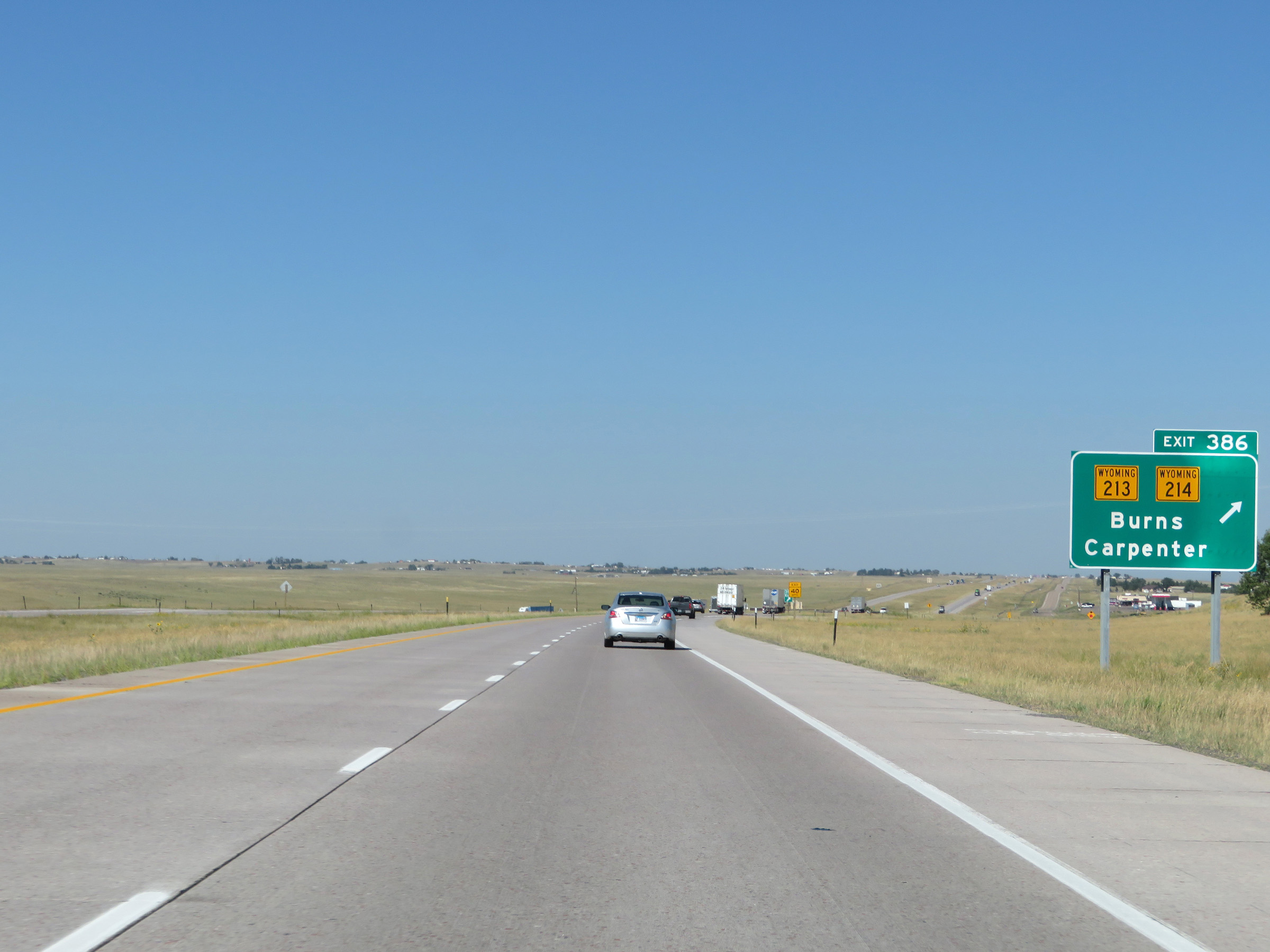 |
Interstate 80 West at Exit 386: WY 213 / WY 214 - Burns / Carpenter (Photo taken 8/15/20). |
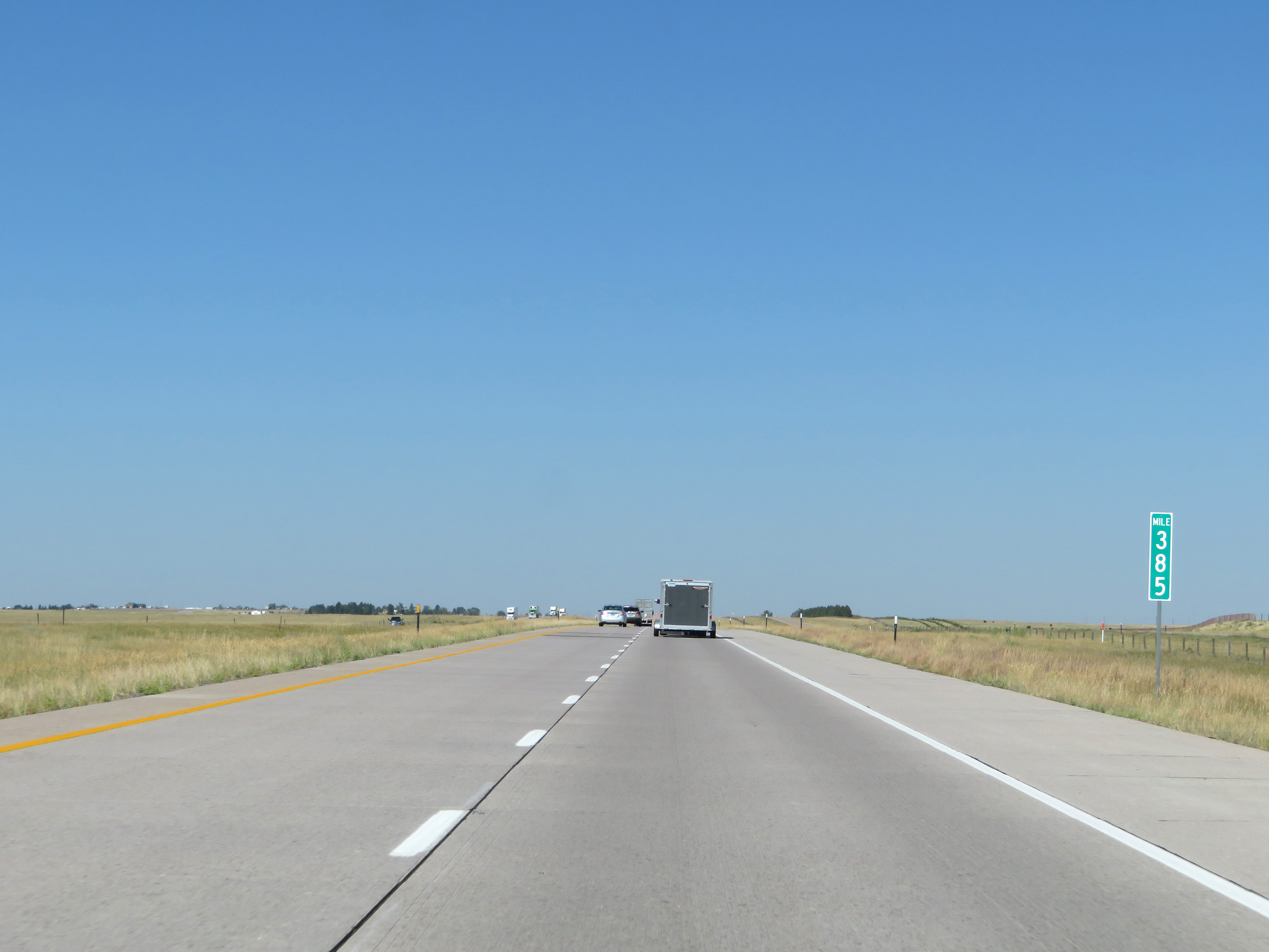 |
View on Interstate 80 West at mile marker 385. (Photo taken 8/15/20). |
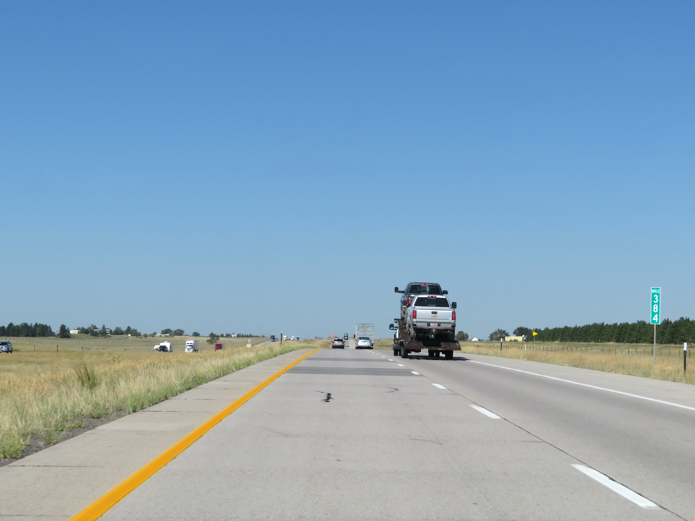 |
Interstate 80 West at mile marker 384. (Photo taken 8/15/20). |
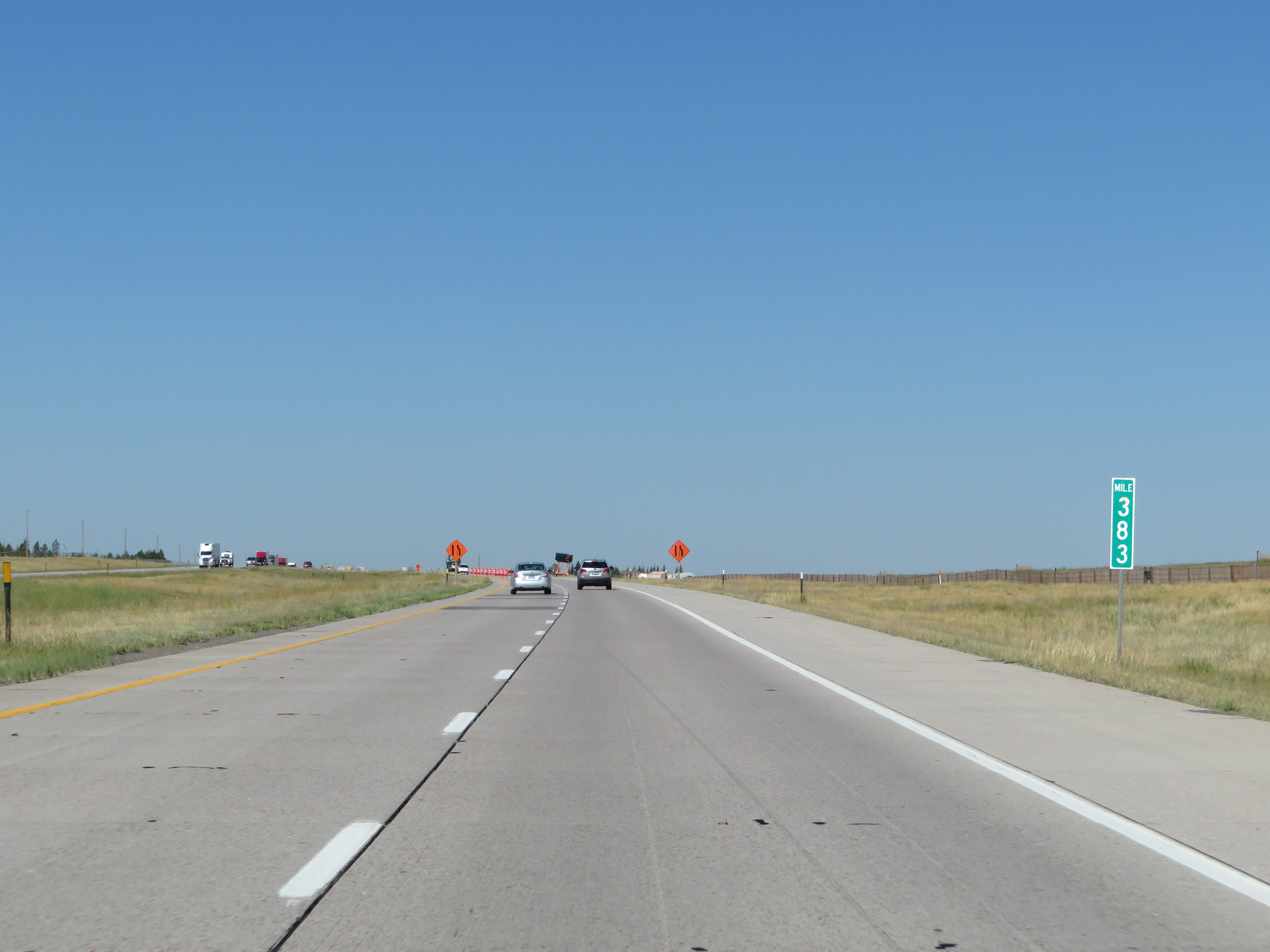 |
Mile marker 383 on Interstate 80 West in Laramie County. (Photo taken 8/15/20). |
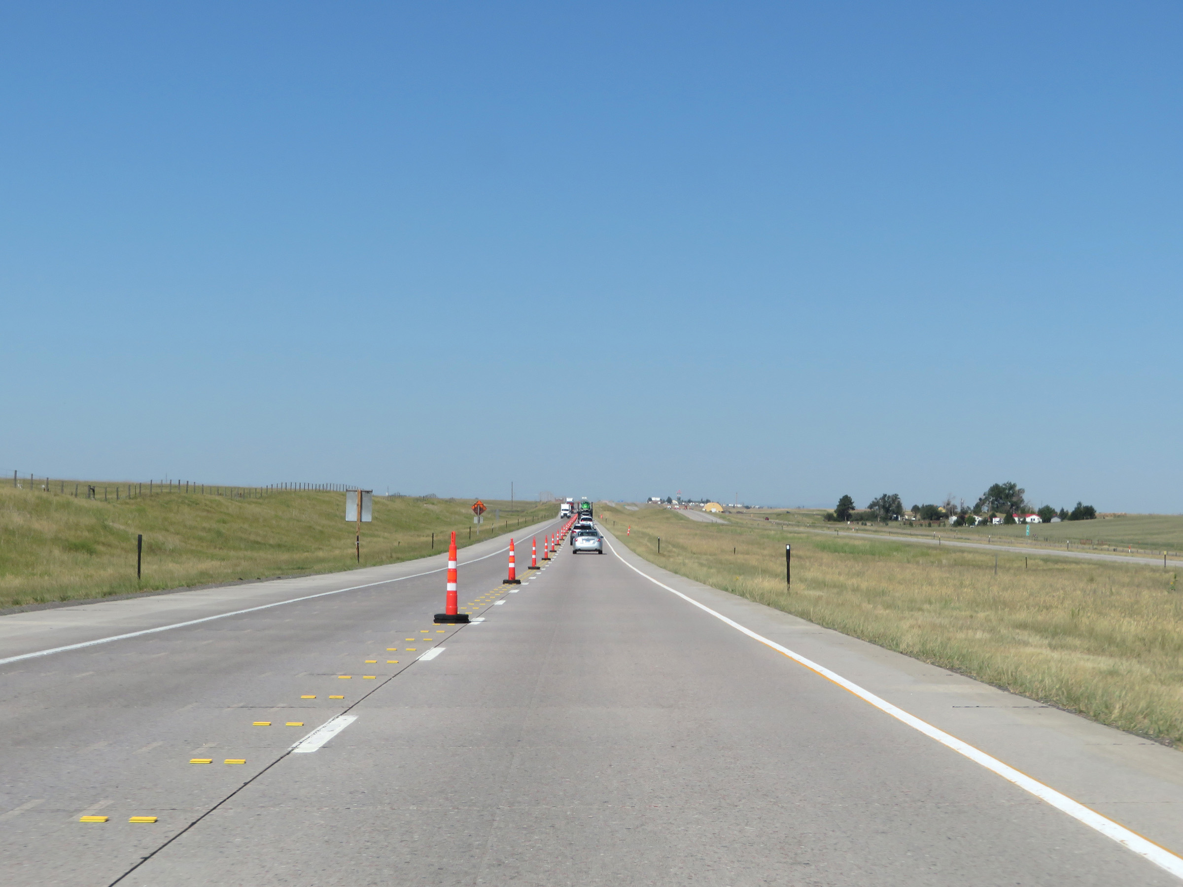 |
View on Interstate 80 West at mile marker 381. (Photo taken 8/15/20). |
 |
Interstate 80 West near mile marker 379. (Photo taken 8/15/20). |
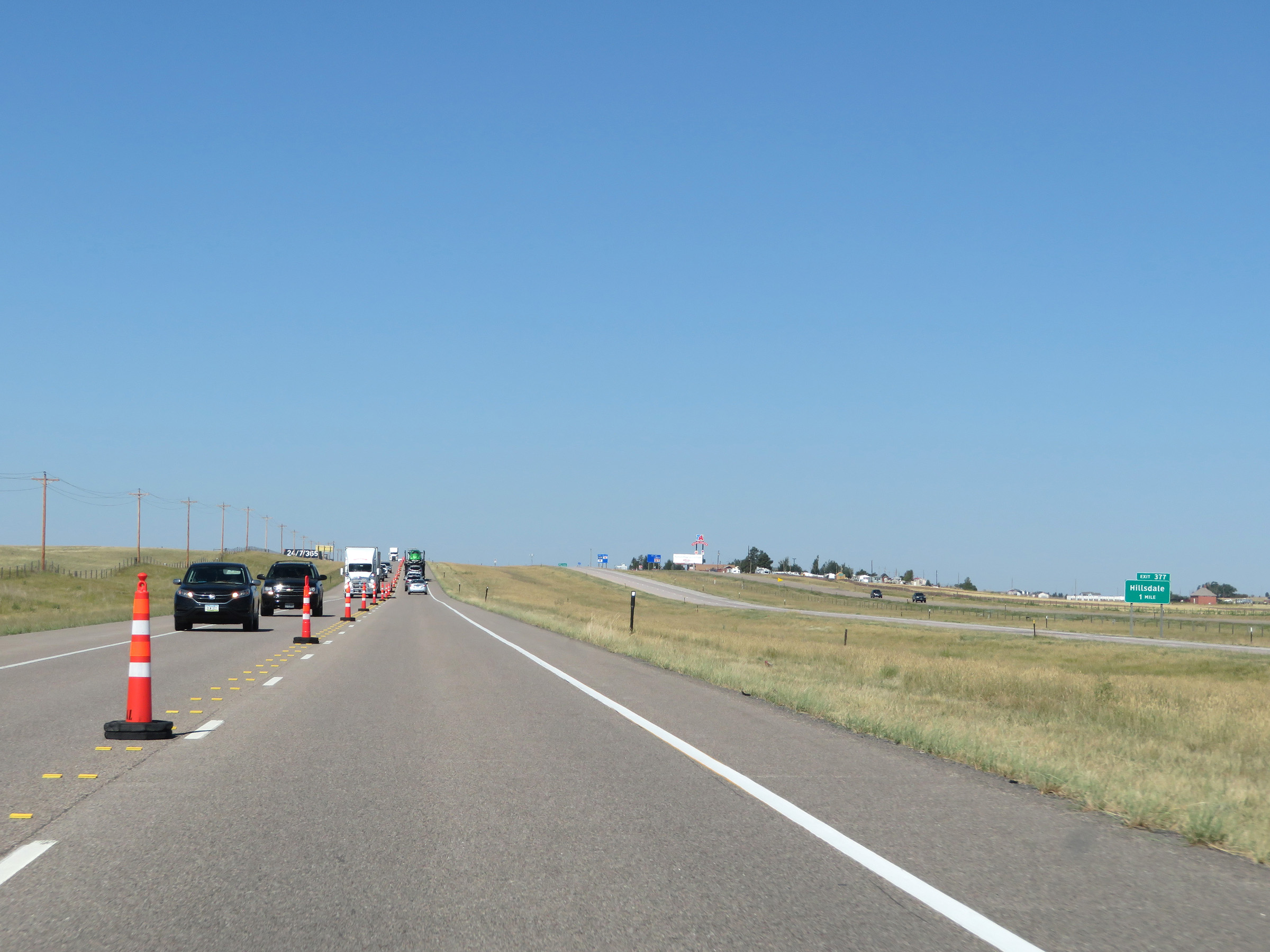 |
Interstate 80 West approaching Exit 377 - 1 mile. (Photo taken 8/15/20). |
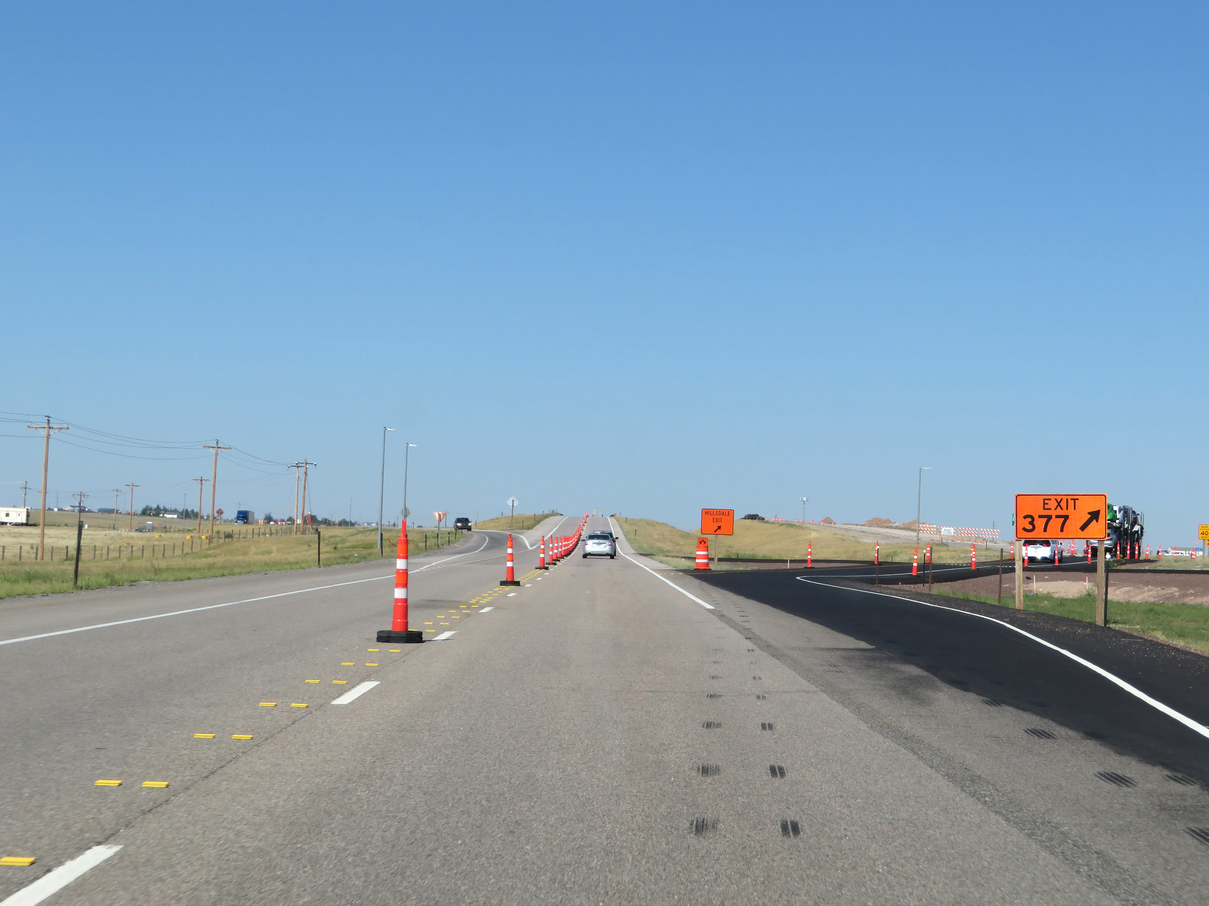 |
Interstate 80 West at Exit 377: Hillsdale (Photo taken 8/15/20). |
 |
View on Interstate 80 West near mile marker 377. (Photo taken 8/15/20). |
 |
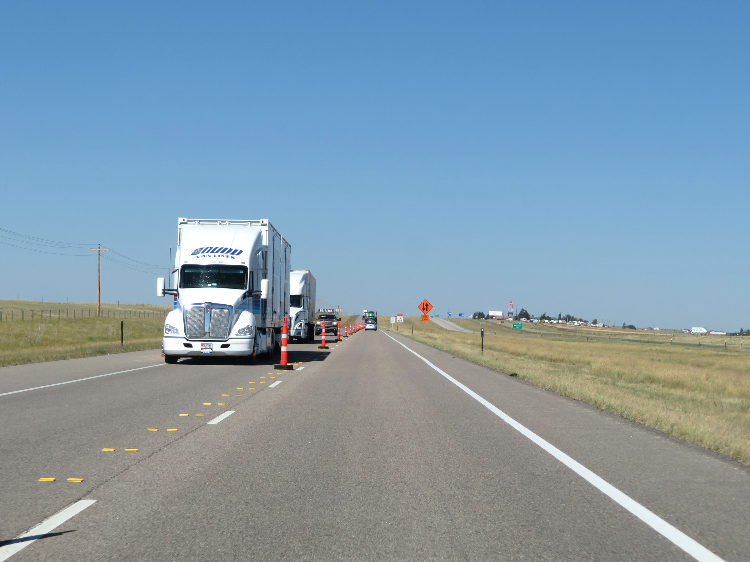
Interstate 80 West in Laramie County. (Photo taken 8/15/20). |
 |
View on Interstate 80 West as it nears the Cheyenne area. (Photo taken 8/15/20). |
 |
Another view on Interstate 80 West in Laramie County. (Photo taken 8/15/20). |
 |
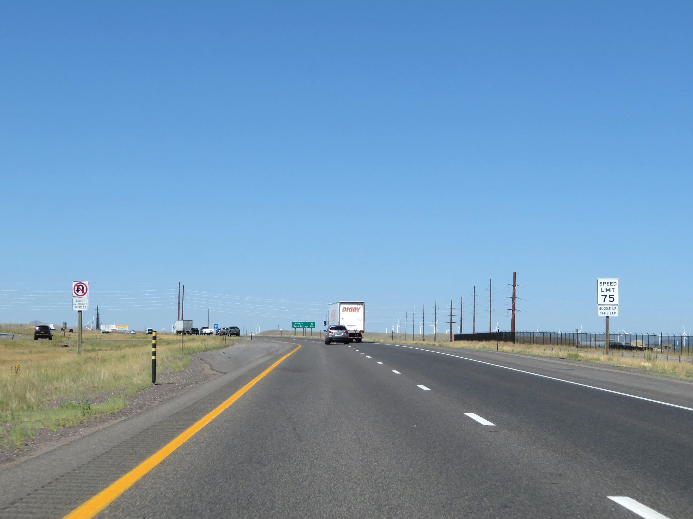
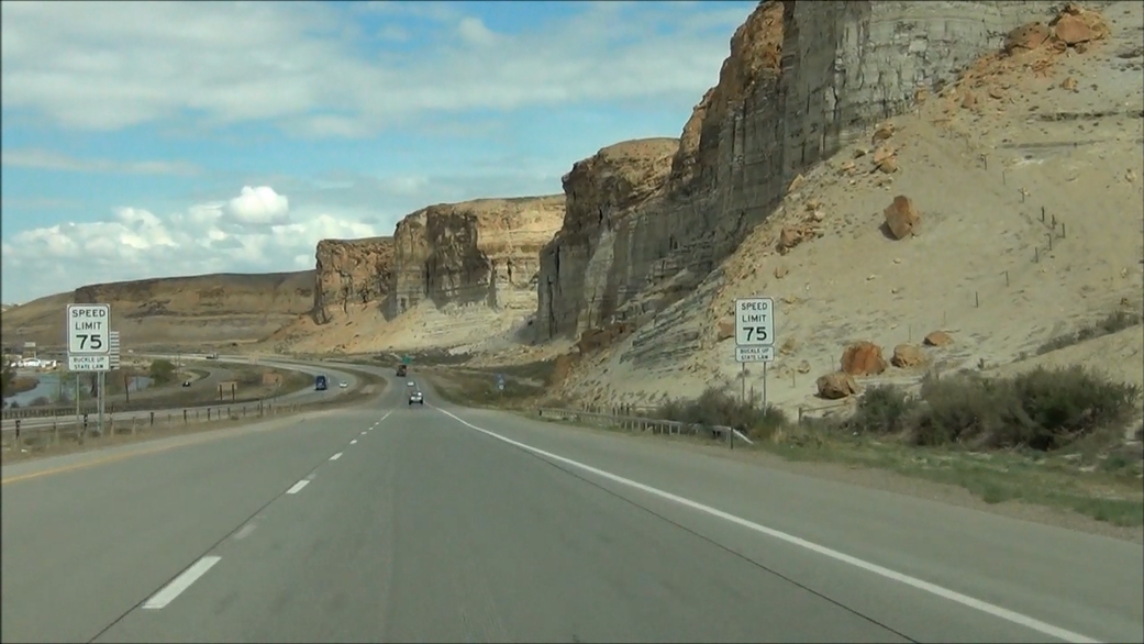
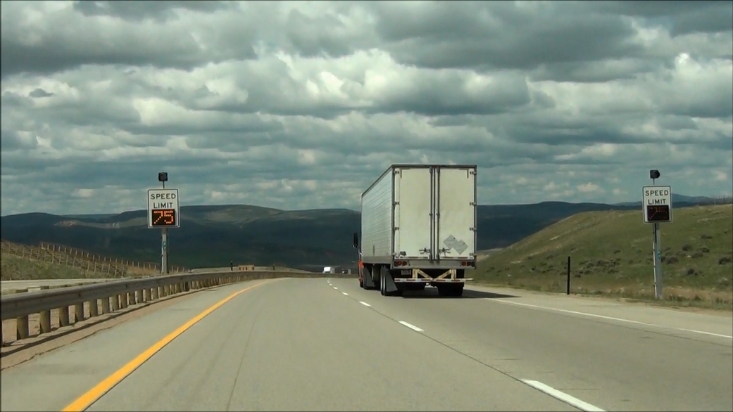
Approaching the Cheyenne area, the speed limit decreases to 75 mph on Interstate 80 West. (Photo taken 8/15/20). |
 |
All watercraft must stop at the Port of Entry ahead. (Photo taken 8/15/20). |
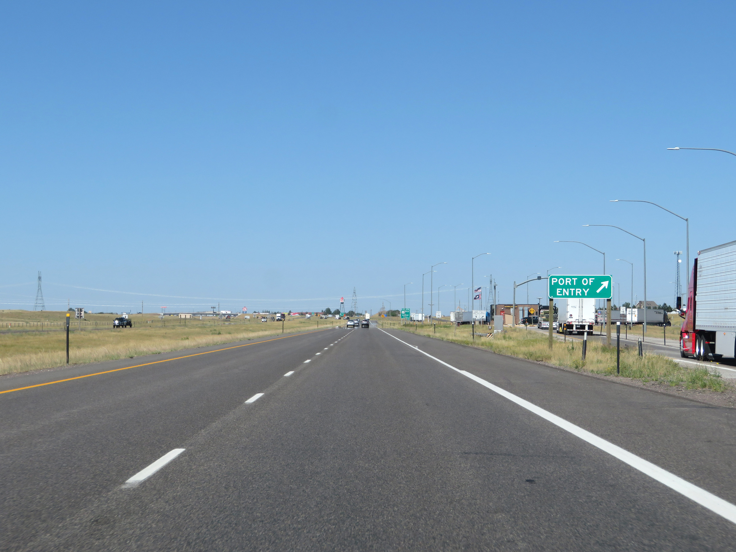 |
Port of Entry near mile marker 372 on Interstate 80 West in Laramie County. (Photo taken 8/15/20). |
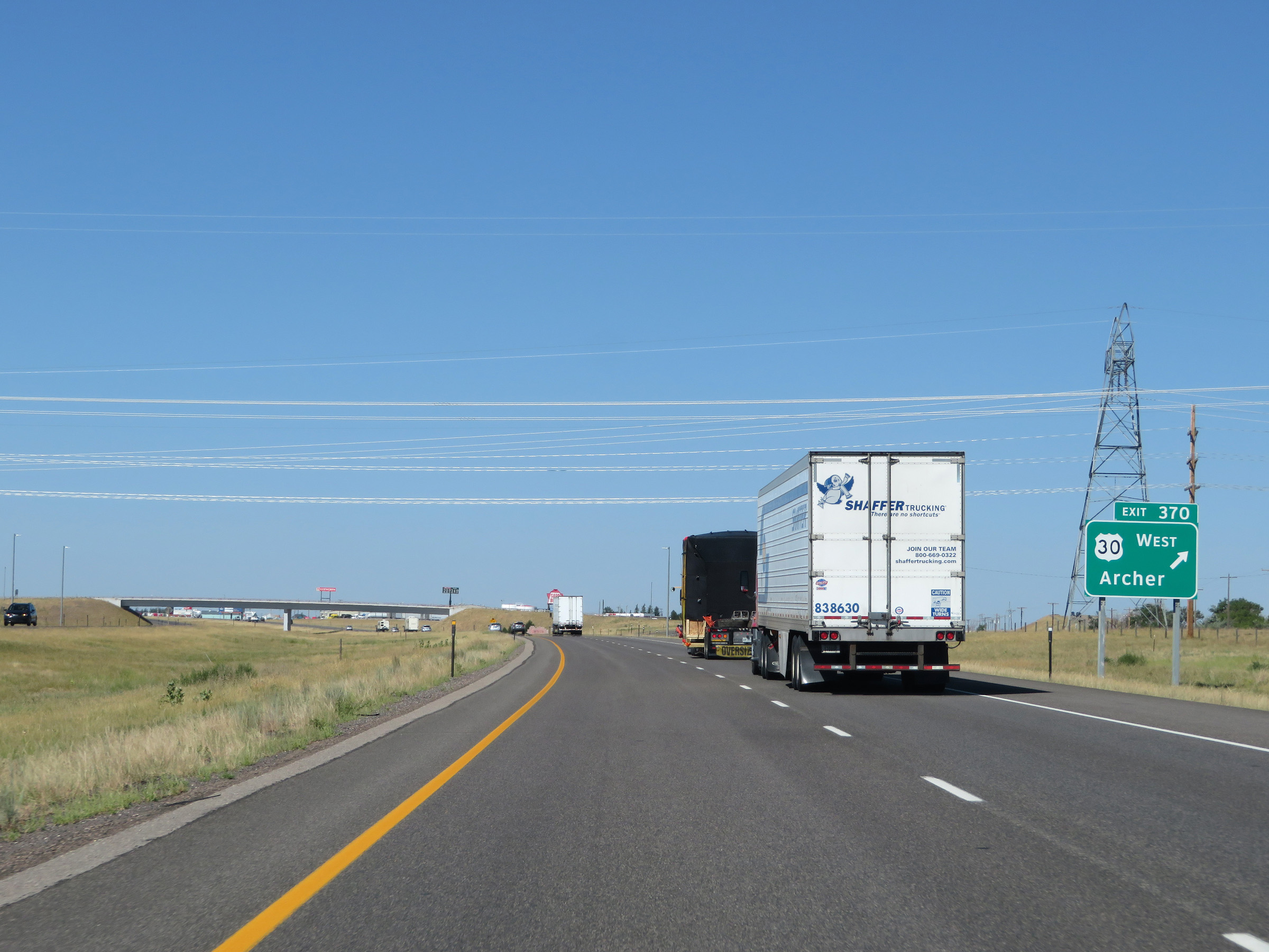 |
Interstate 80 West at Exit 370: US 30 West - Archer (Photo taken 8/15/20). |
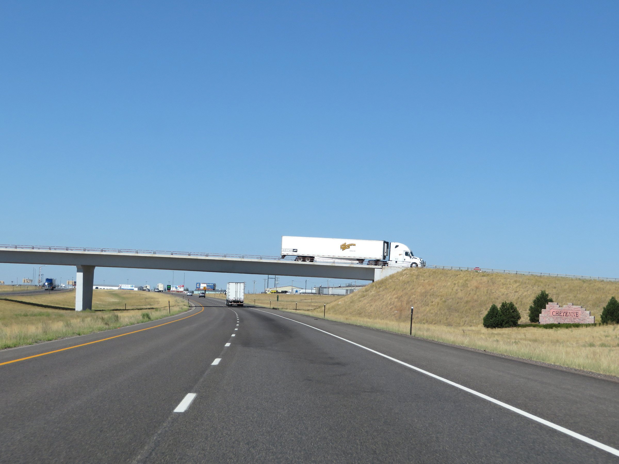 |
This sign is posted as Interstate 80 West enters the Cheyenne area. (Photo taken 8/15/20). |
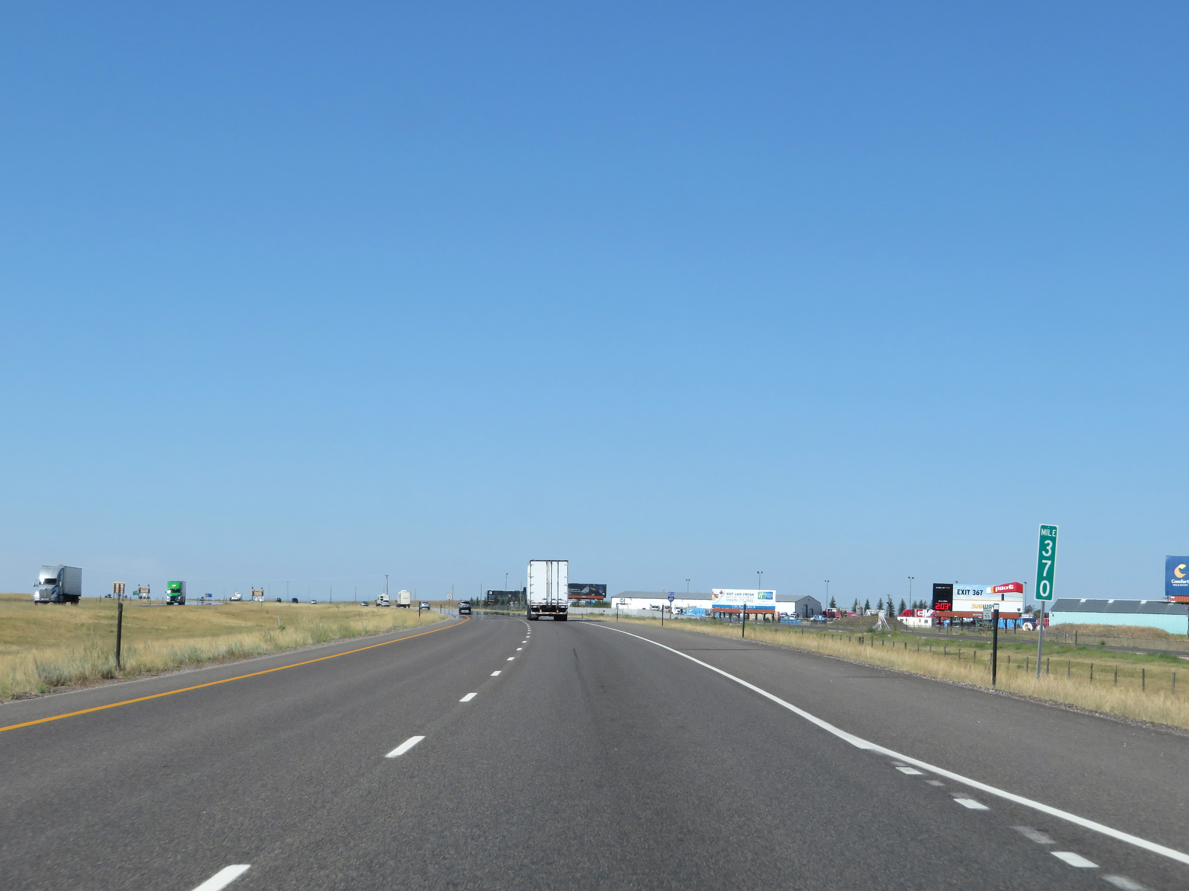 |
View on Interstate 80 West at mile marker 370. (Photo taken 8/15/20). |
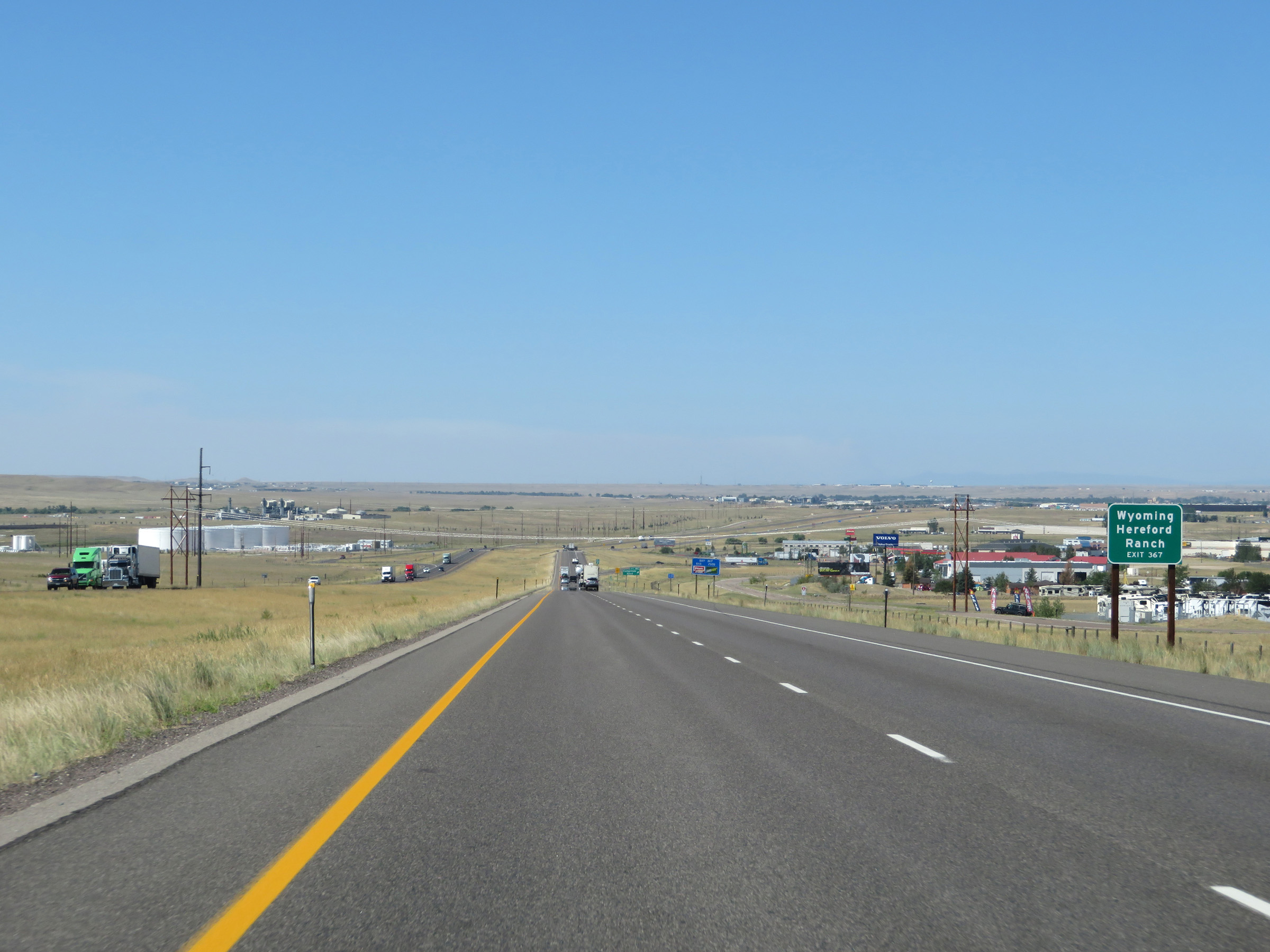 |
Take Exit 367 to Wyoming Hereford Ranch. (Photo taken 8/15/20). |
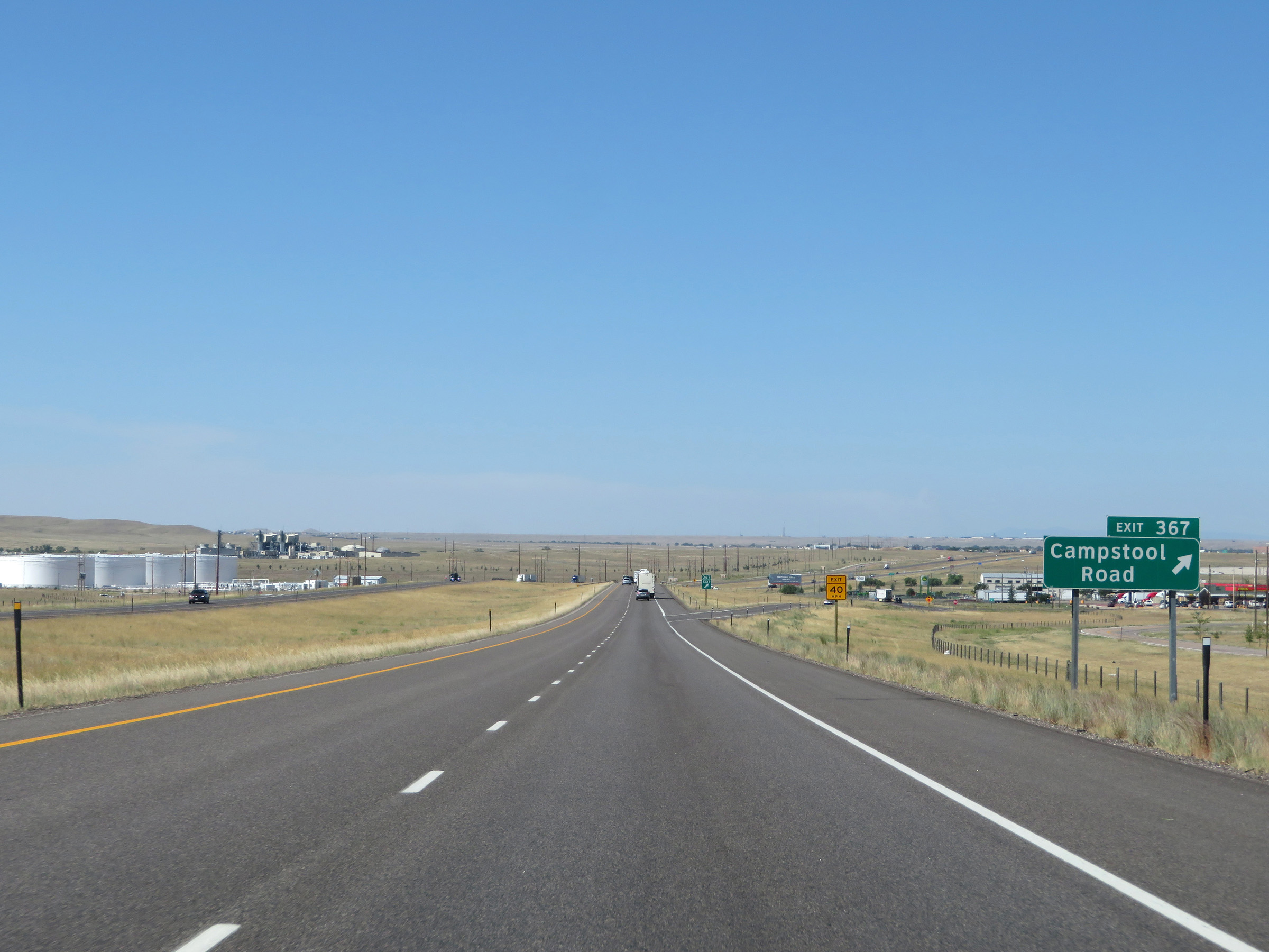 |
Interstate 80 West at Exit 367: Campstool Road (Photo taken 8/15/20). |
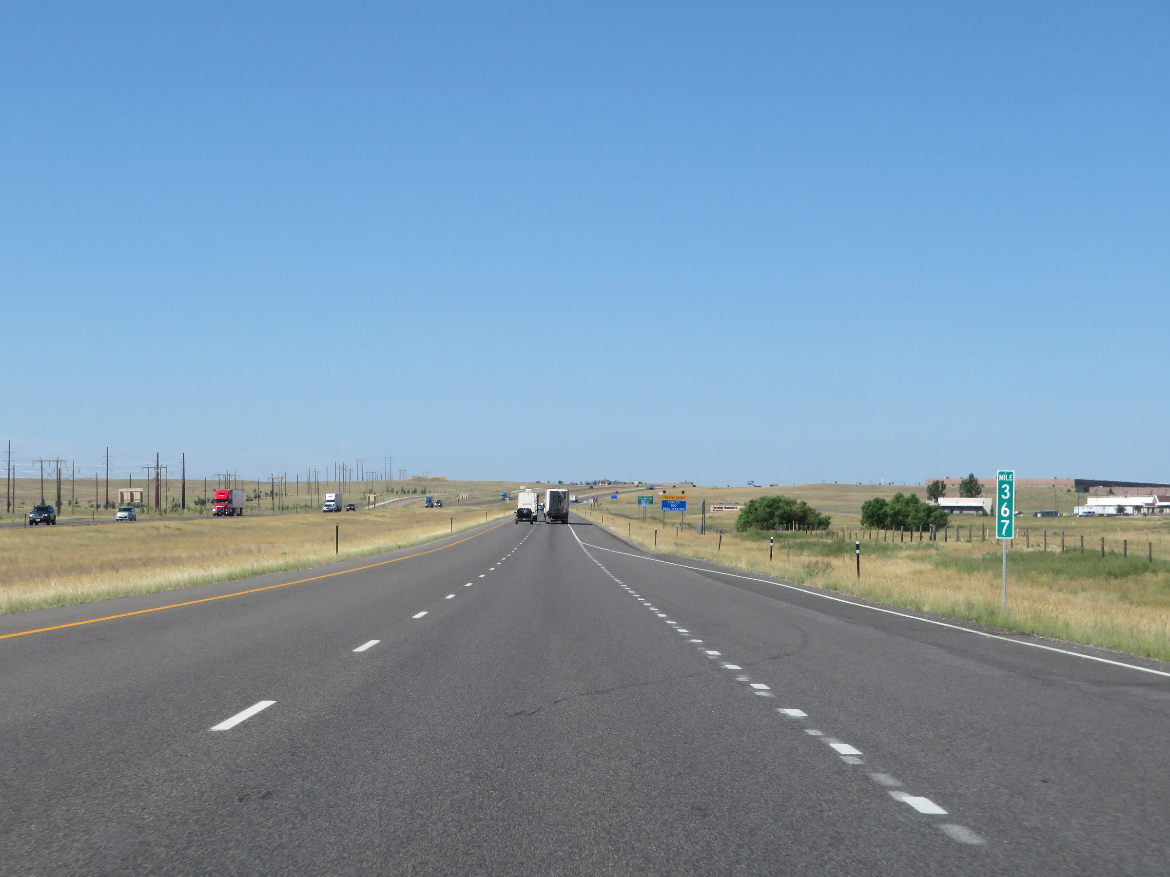 |
Interstate 80 West at mile marker 367. (Photo taken 8/15/20). |
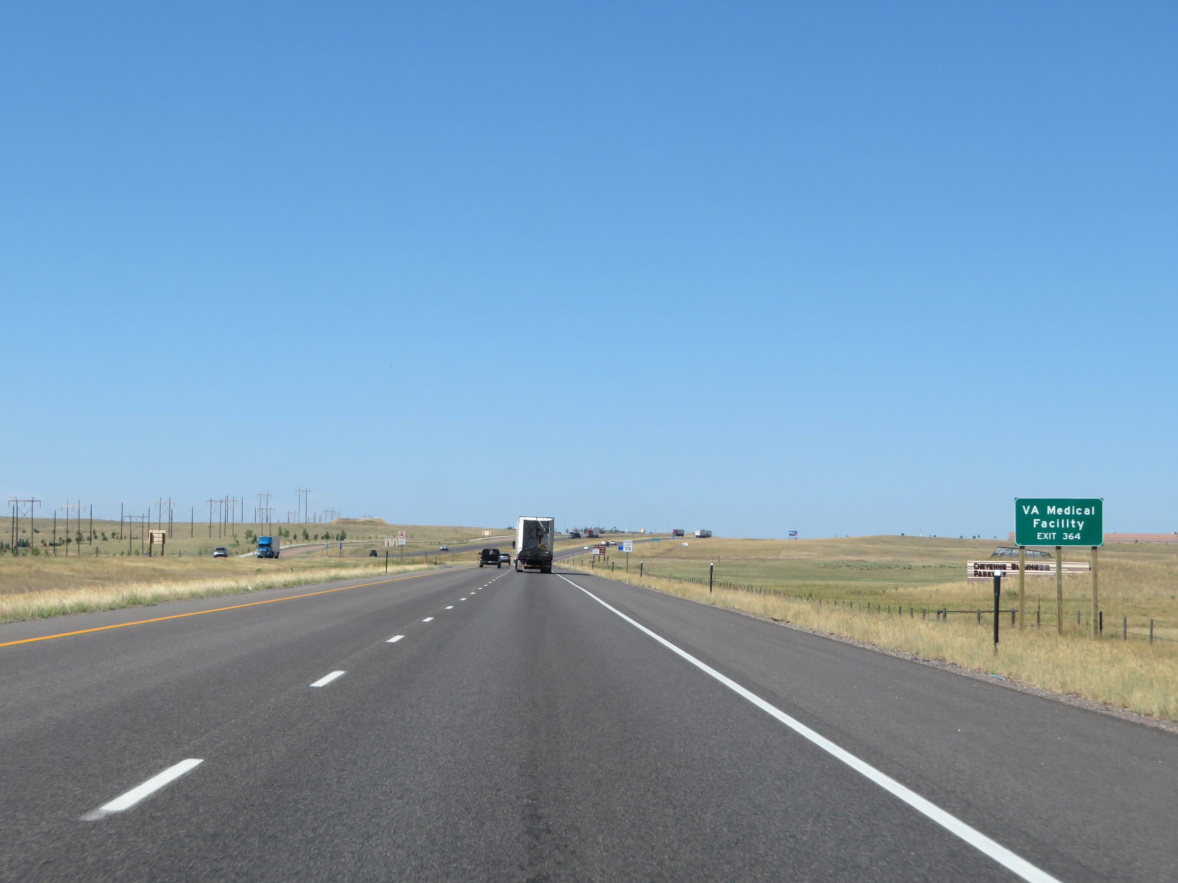 |
Take Exit 364 to the VA Medical Facility. (Photo taken 8/15/20). |
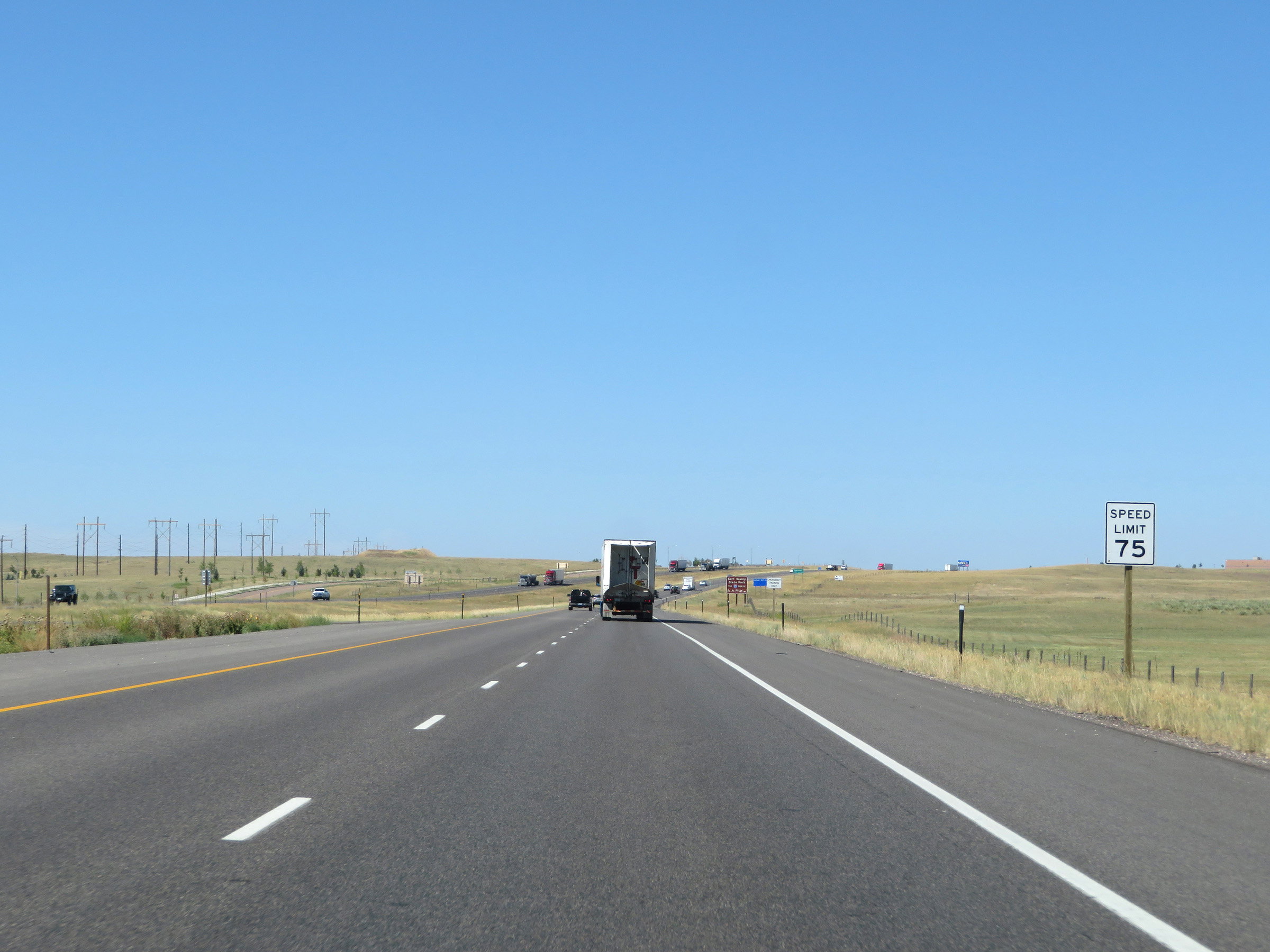 |
The speed limit remains 75 mph for all traffic. (Photo taken 8/15/20). |
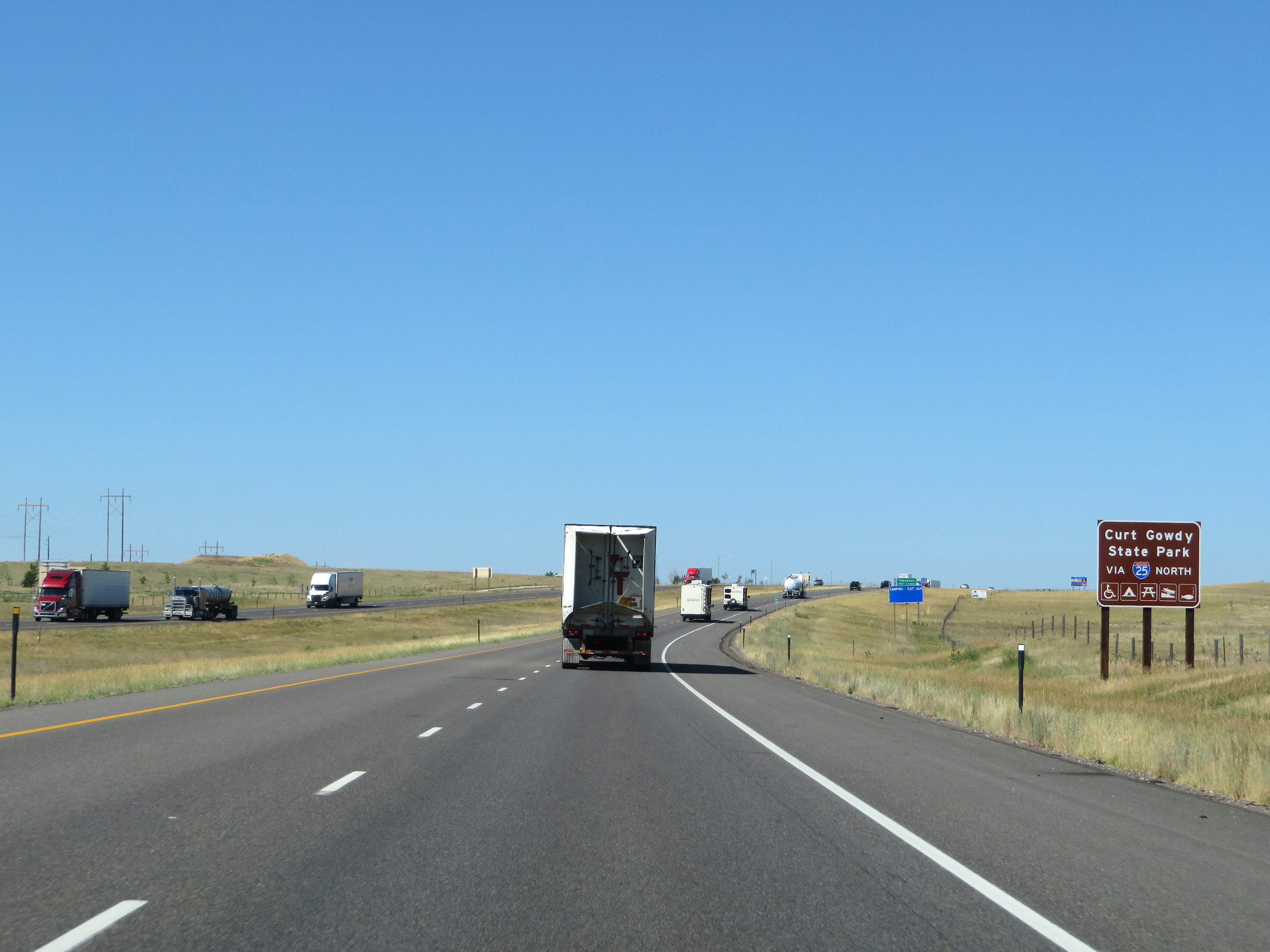 |
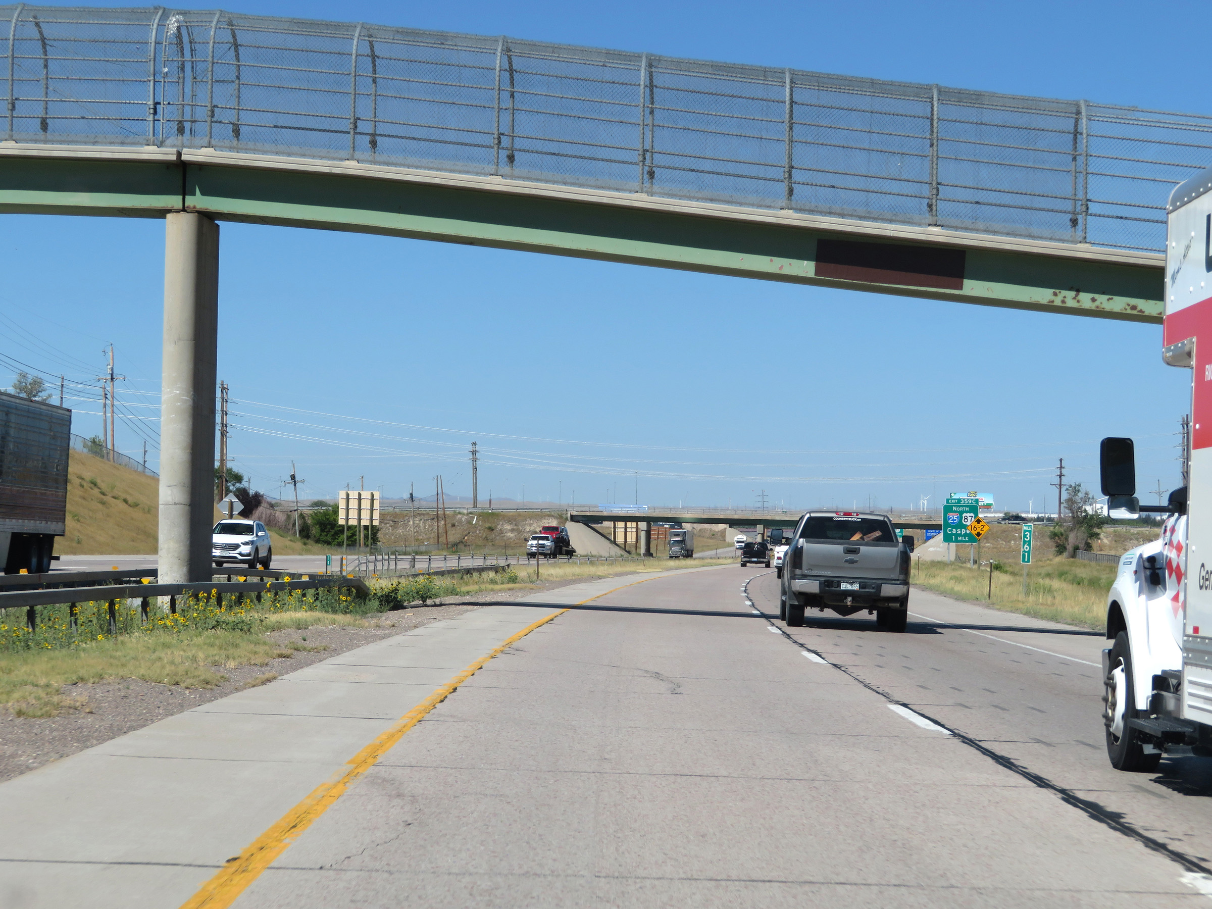
Take Exit 359C (Interstate 25 North) to Curt Gowdy State Park. (Photo taken 8/15/20). |
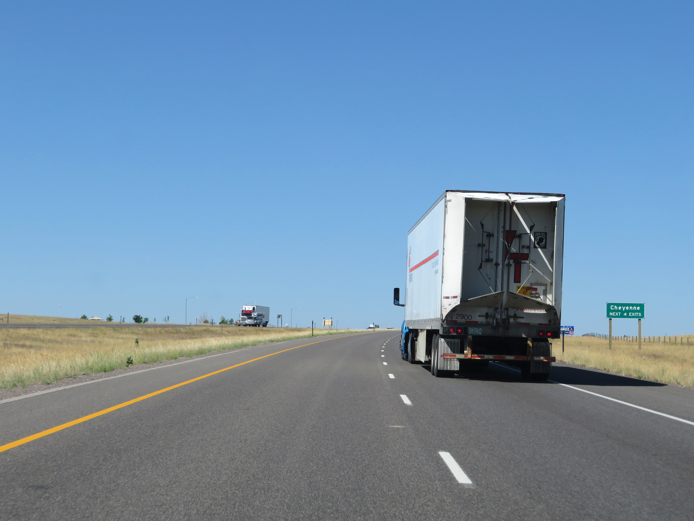 |
Take any of the next 4 exits to Cheyenne. (Photo taken 8/15/20). |
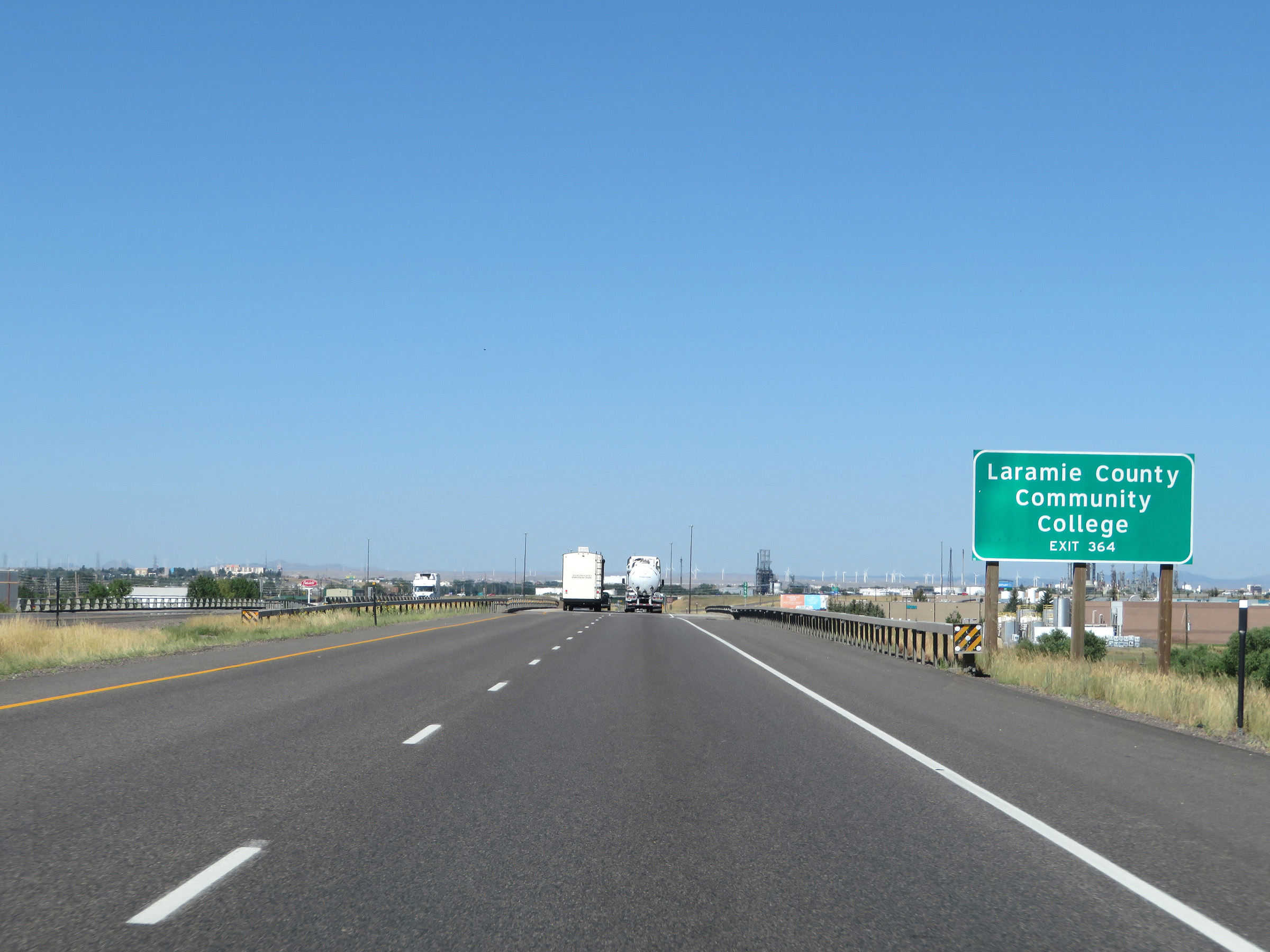 |
Laramie County Community College can be accessed via Exit 364. (Photo taken 8/15/20). |
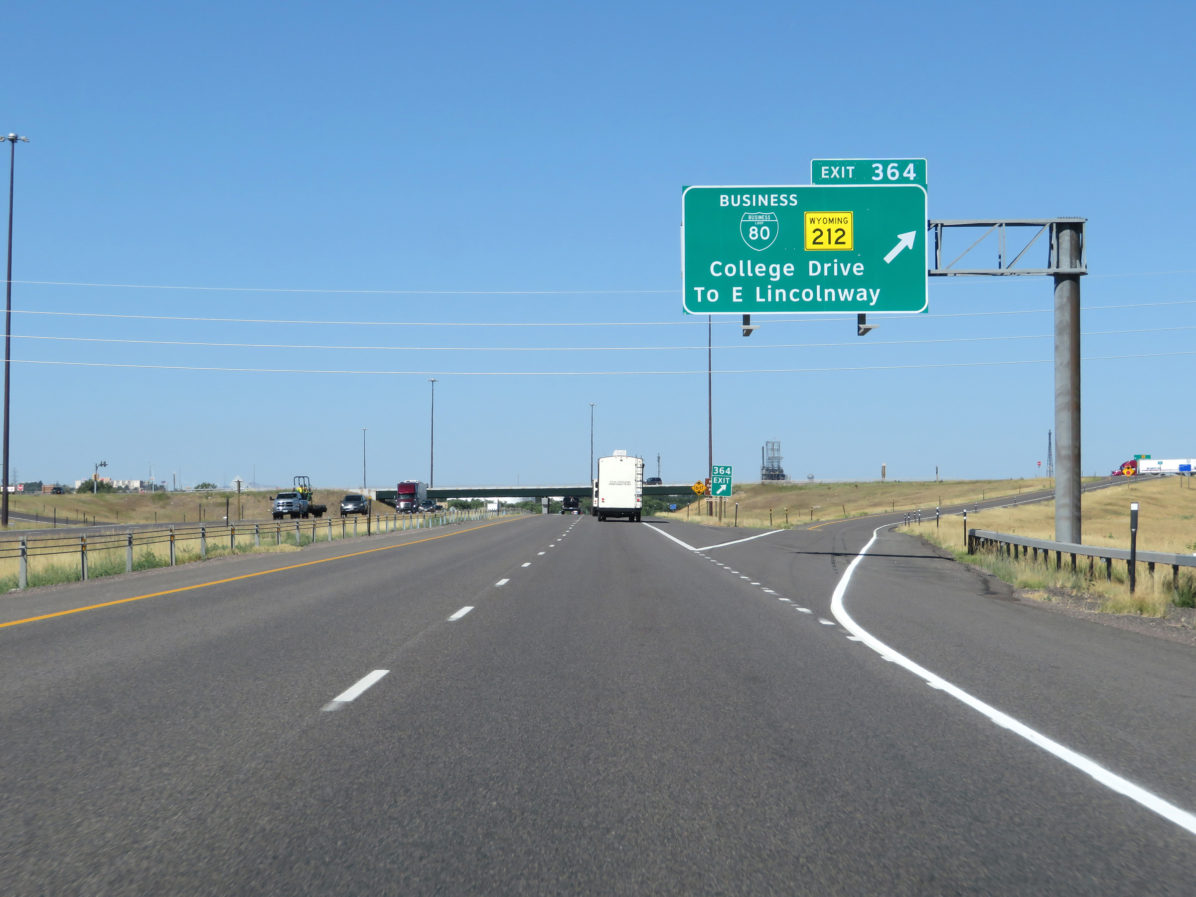 |
Interstate 80 West at Exit 364: Interstate 80 Business Loop / WY 212 - College Drive / To East Lincolnway (Photo taken 8/15/20). |
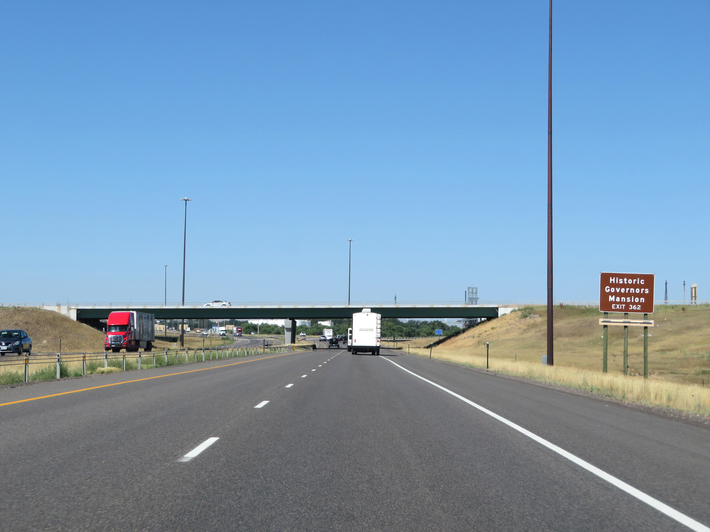 |
Take Exit 362 to the Historic Governors Mansion. (Photo taken 8/15/20). |
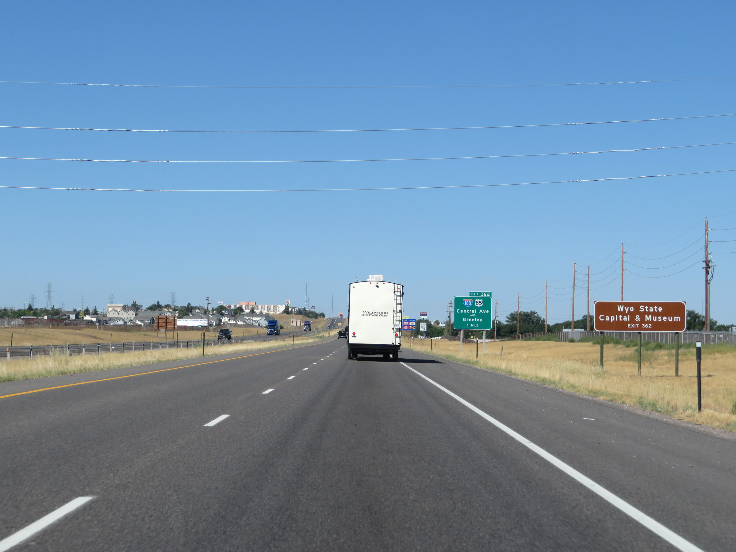 |
Also take Exit 362 to the Wyoming State Capital & Museum. (Photo taken 8/15/20). |
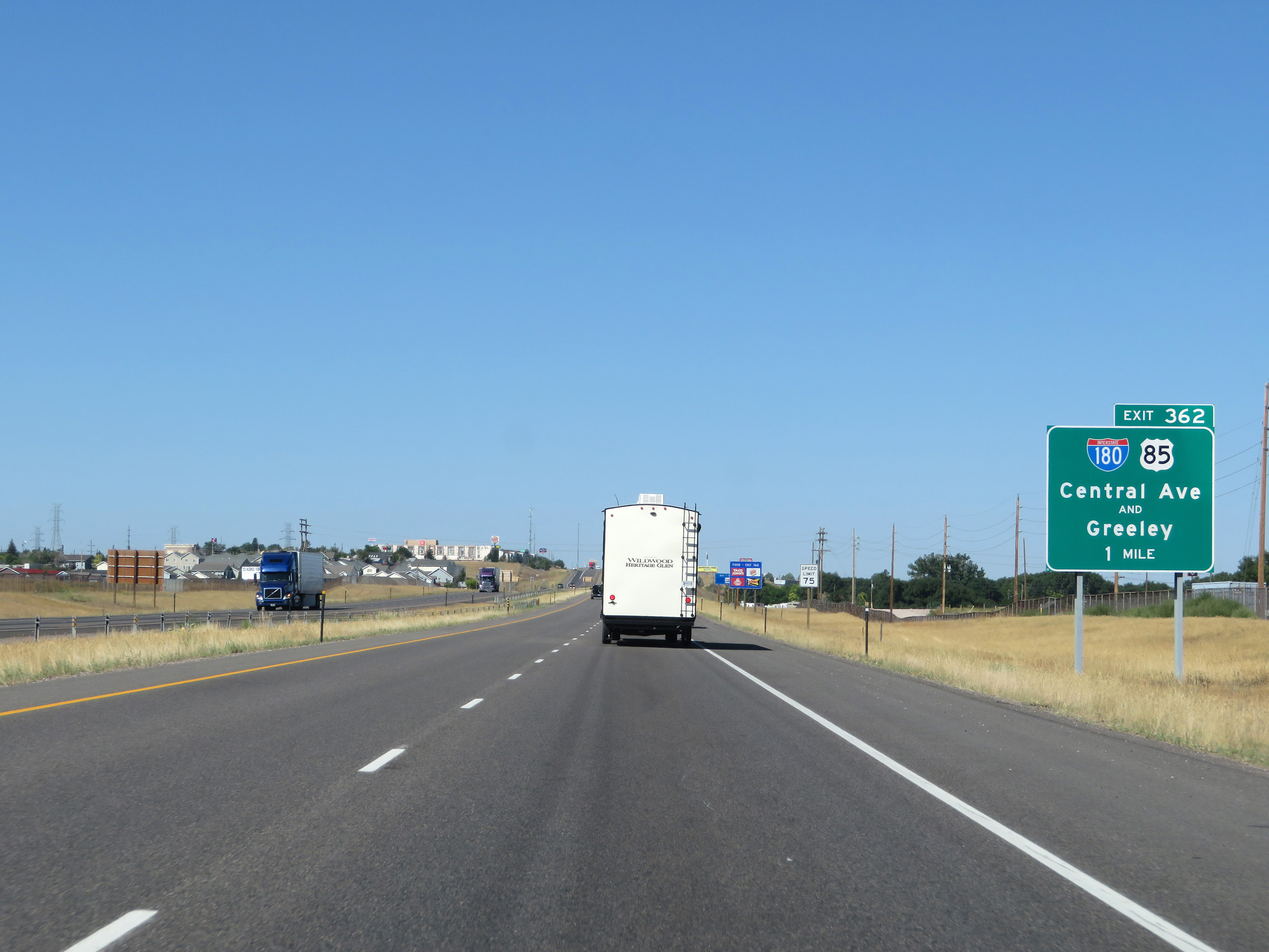 |
Interstate 80 West approaching Exit 362 - 1 mile. (Photo taken 8/15/20). |
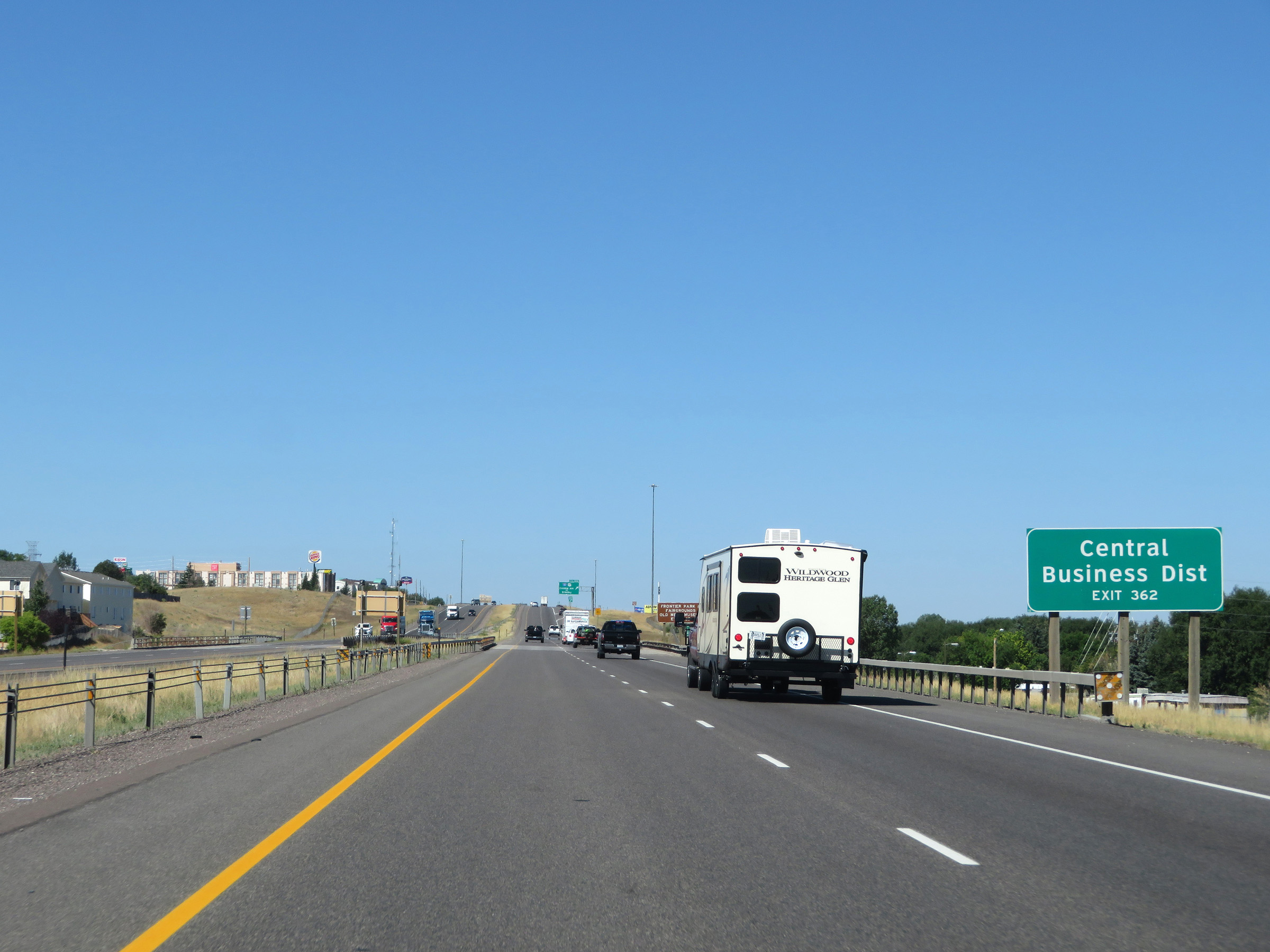 |
Take Exit 362 to the Central Business District as well. (Photo taken 8/15/20). |
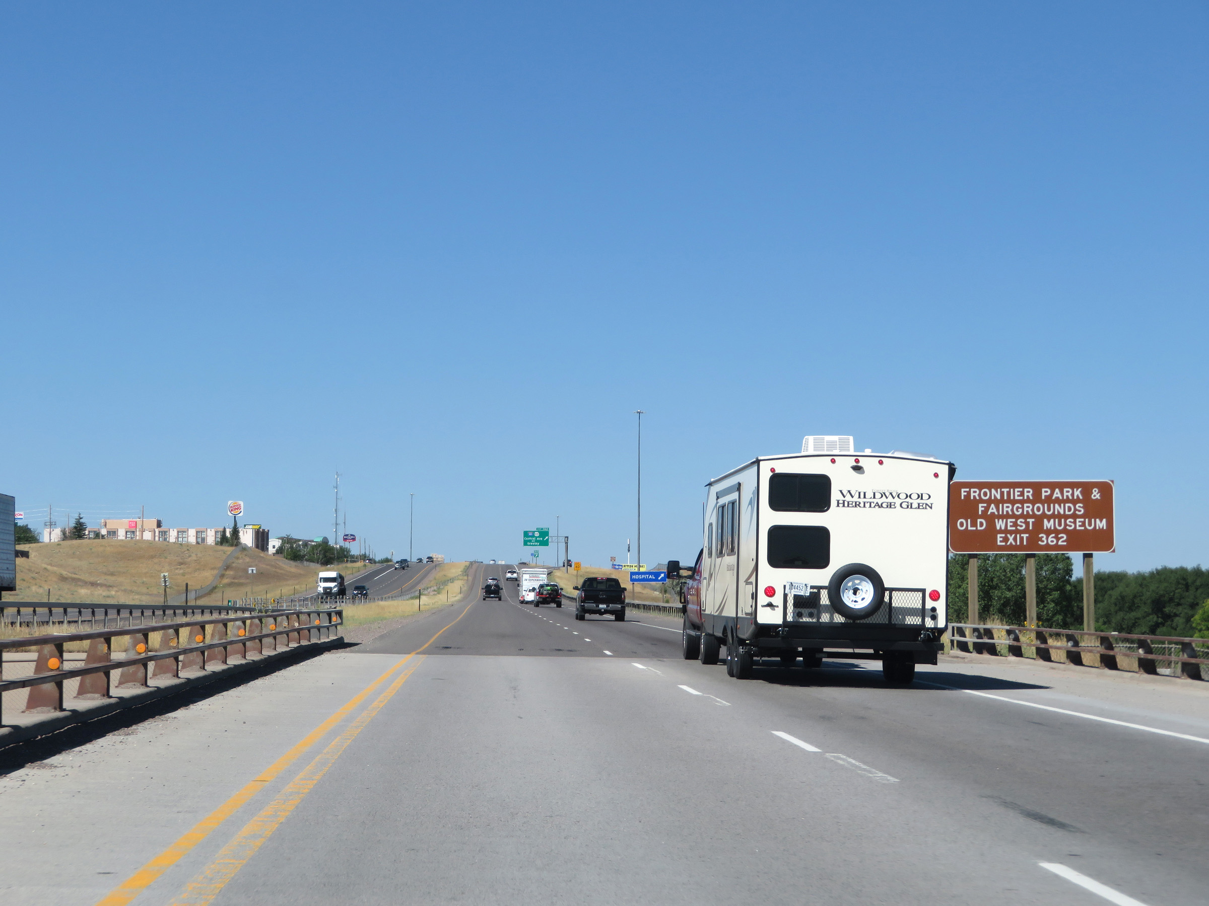 |
Frontier Park, the Fairgrounds, and the Old West Museum can also be accessed via Exit 362. (Photo taken 8/15/20). |
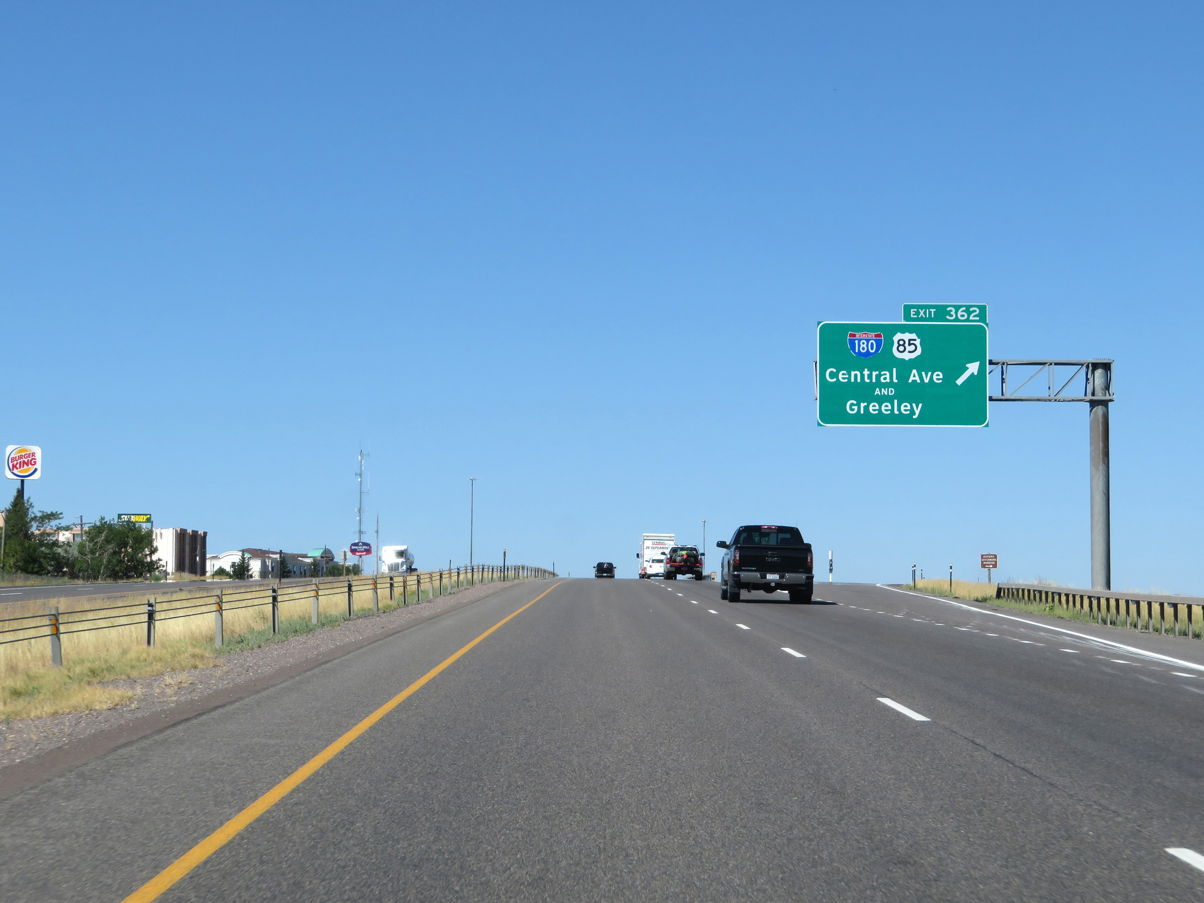 |
Interstate 80 West at Exit 362: Interstate 180 / US 85 - Central Ave / Greeley (Photo taken 8/15/20). |
 |
View on Interstate 80 West at mile marker 361. (Photo taken 8/15/20). |
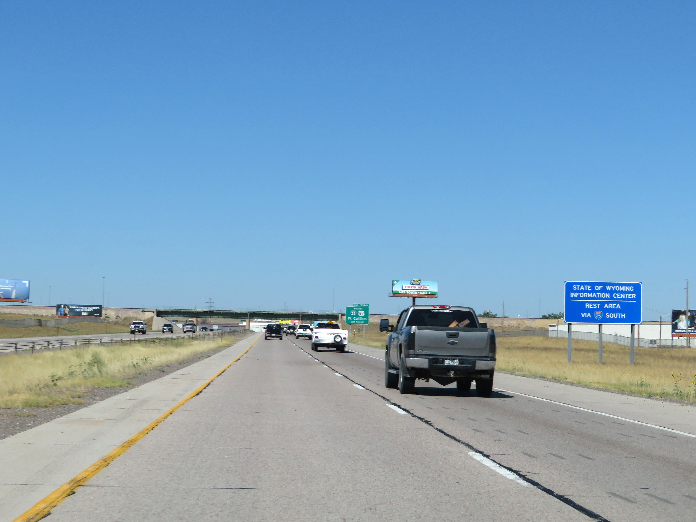 |
Take Exit 359A (Interstate 25 South) to a State of Wyoming Information Center. (Photo taken 8/15/20). |
 |
Interstate 80 West approaching Exit 359A - 1 mile. (Photo taken 8/15/20). |
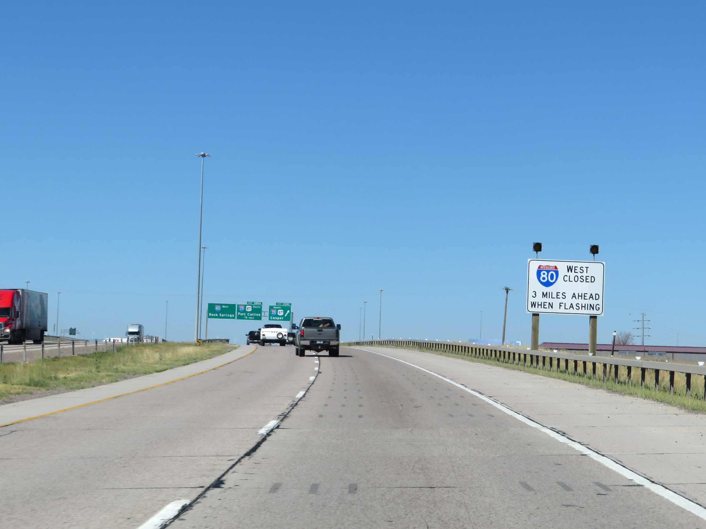 |
When the lights on this sign are flashing, Interstate 80 West is closed 3 miles ahead and all traffic must exit onto Interstate 25. (Photo taken 8/15/20). |
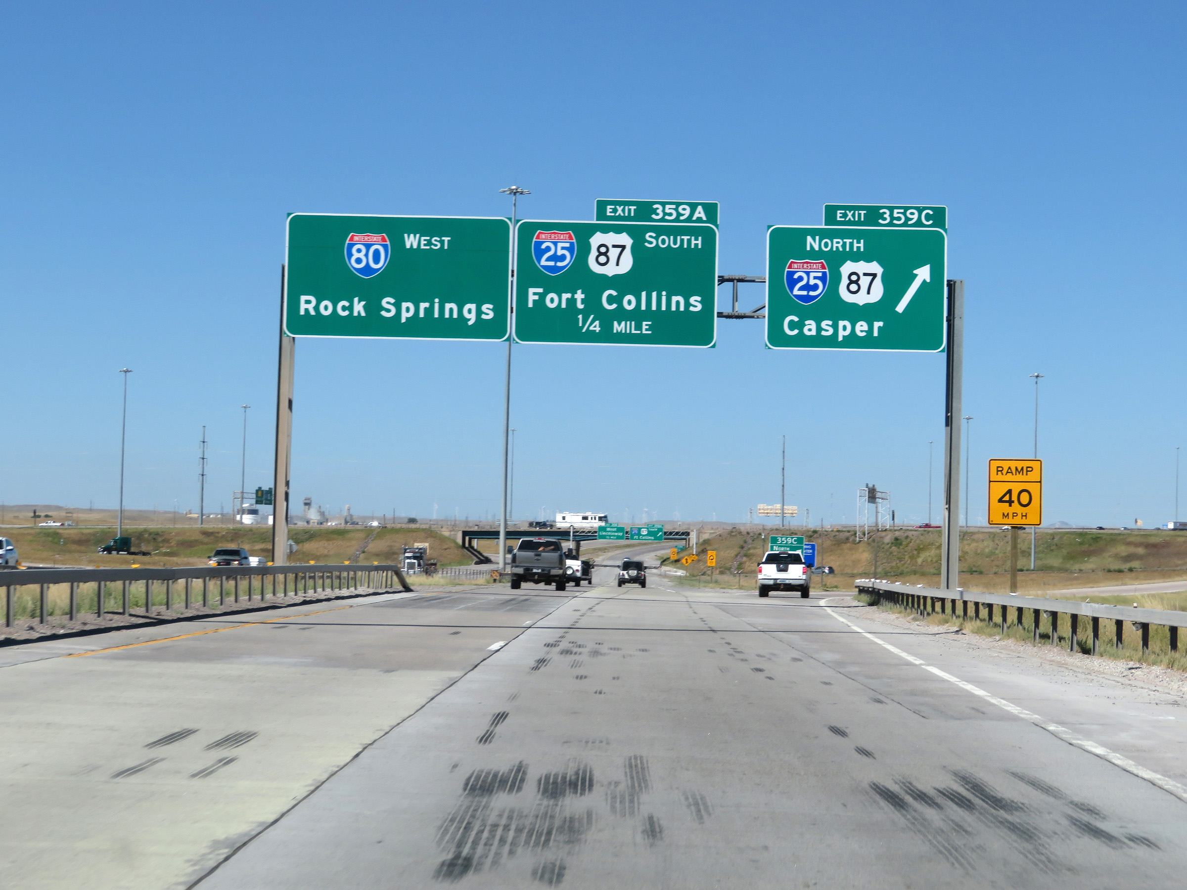 |
Interstate 80 West at Exit 359C: Interstate 25 North / US 87 North - Casper (Photo taken 8/15/20). |
 |
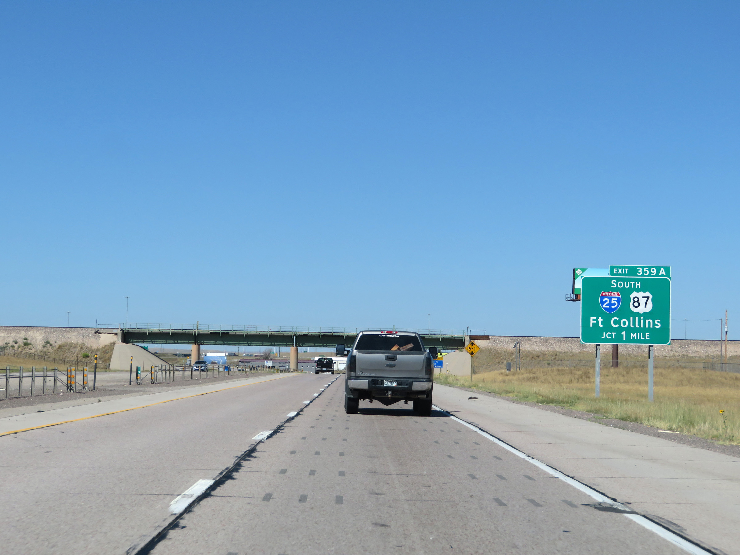
Interstate 80 West at Exit 359A: Interstate 25 South / US 87 South - Fort Collins (Photo taken 8/15/20). |
Section 2: Cheyenne (Exit 359A) to Buford (Exit 335)
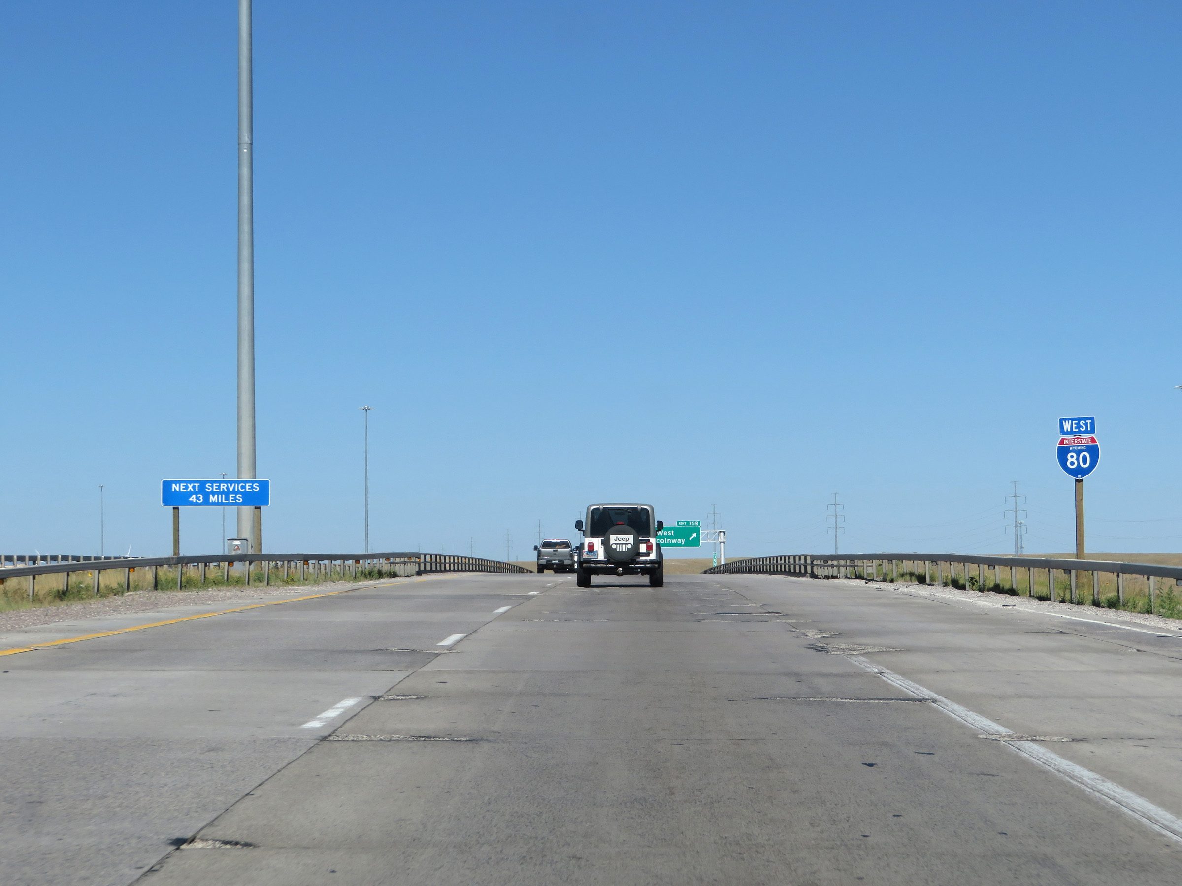 |
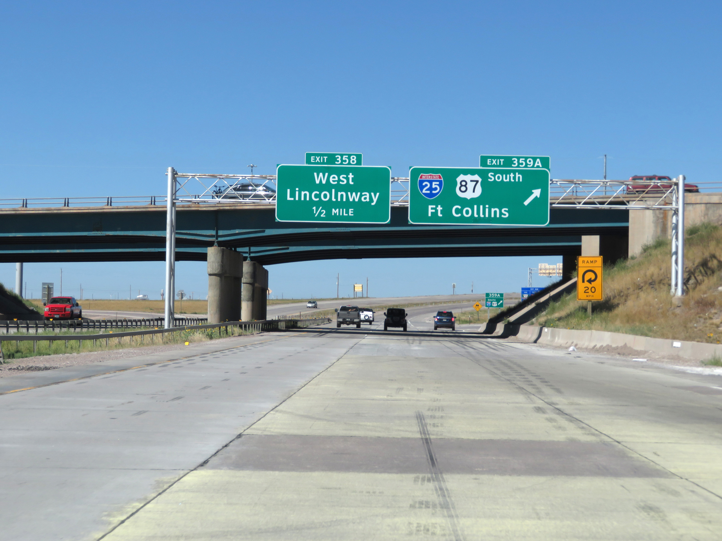
State-named Interstate 80 West reassurance shield approaching Exit 358. The next services beyond Exit 358 are 43 miles ahead. (Photo taken 8/15/20). |
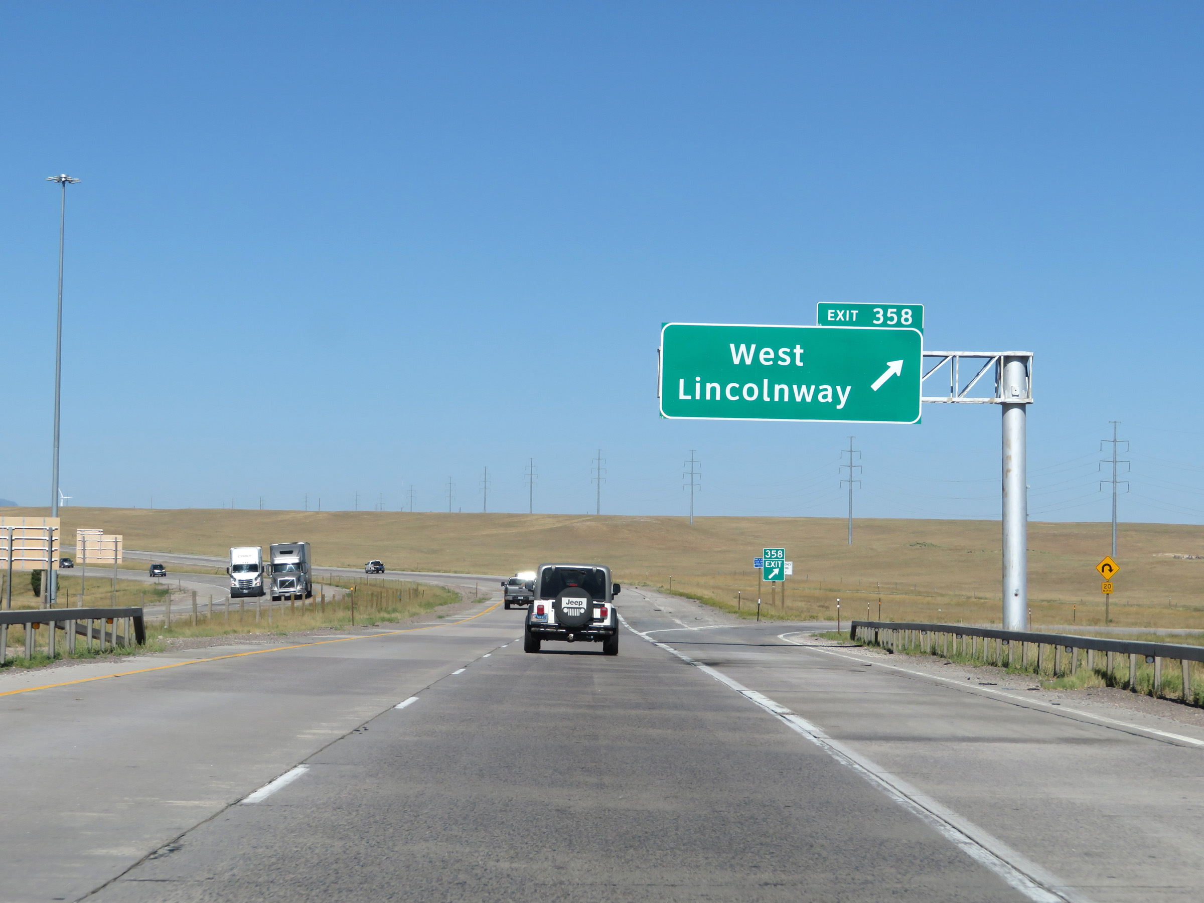 |
Interstate 80 West at Exit 358: West Lincolnway (Photo taken 8/15/20). |
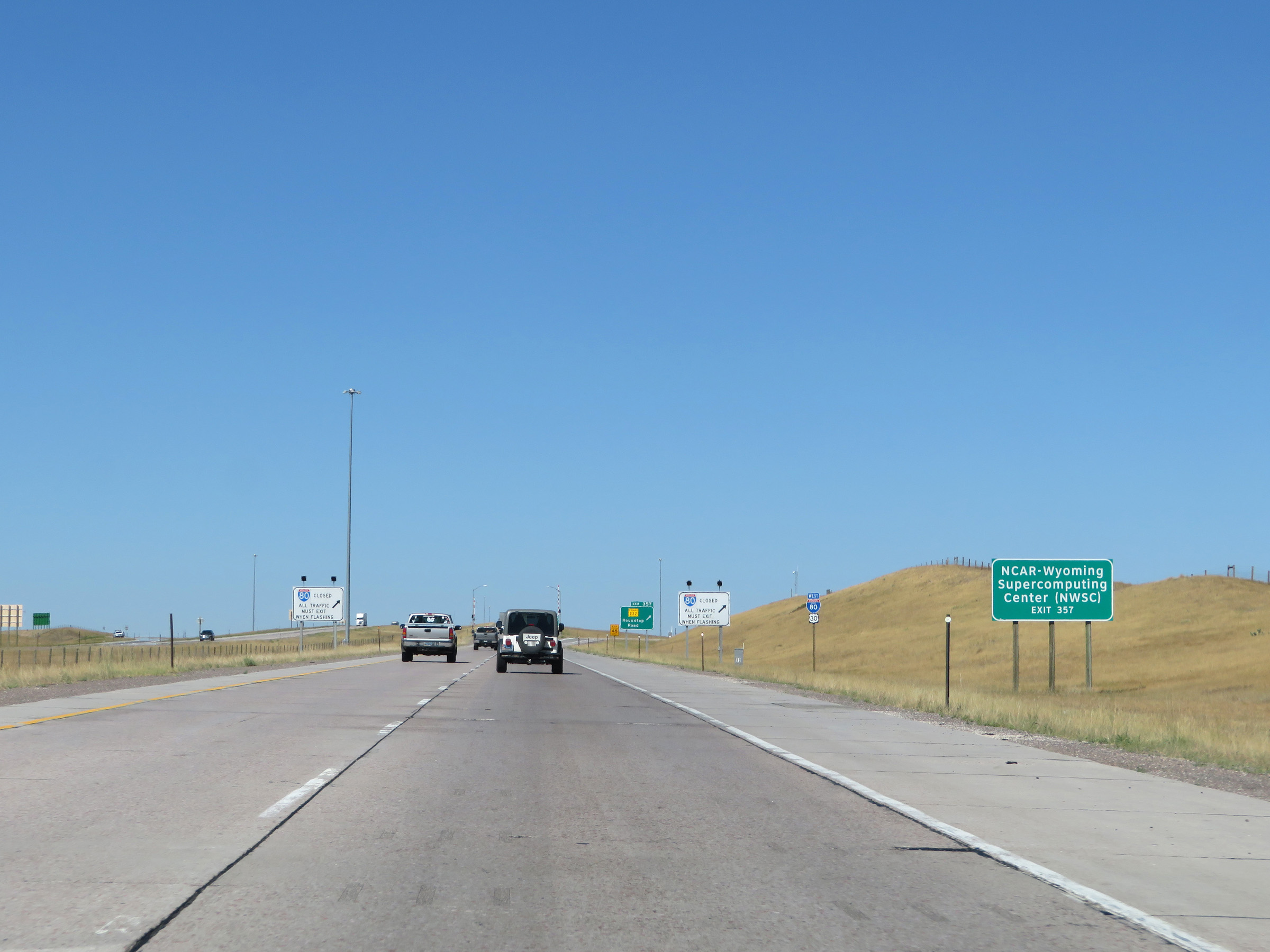 |
Take Exit 357 to NCAR-Wyoming Supercomputing Center (NWSC). (Photo taken 8/15/20). |
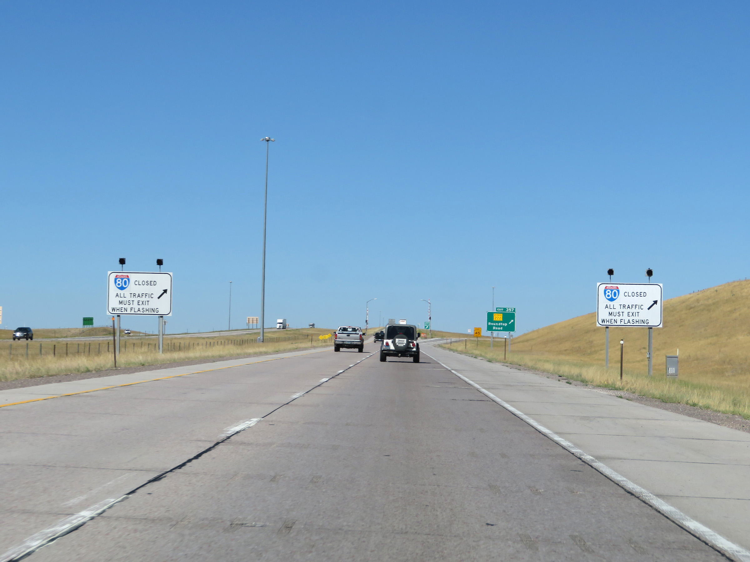 |
Another set of signs in which if the lights on them are flashing, Interstate 80 West is closed ahead and all traffic must exit at Exit 357 to get turned around. The next 40 miles or so is a stretch of I-80 which will traverse Sherman Pass, which is subject to severe winter weather and is closed rather often. (Photo taken 8/15/20). |
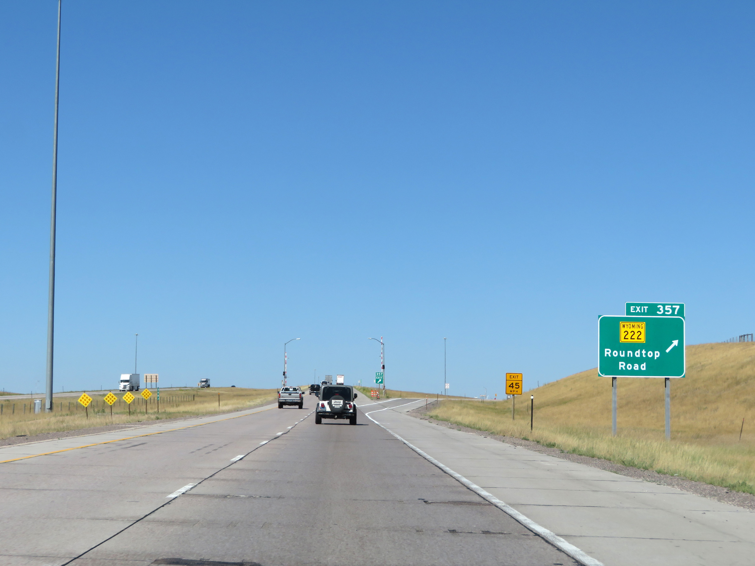 |
Interstate 80 West at Exit 357: WY 222 - Roundtop Road (Photo taken 8/15/20). |
 |
Interstate 80 West at mile marker 357, as it begins to make its slow and steady climb up to the summit of Sherman Pass. For the next 34 miles or so to the summit, it will be a very, very gradual increase in elevation. (Photo taken 8/15/20). |
 |
The speed limit remains 75 mph. (Photo taken 8/15/20). |
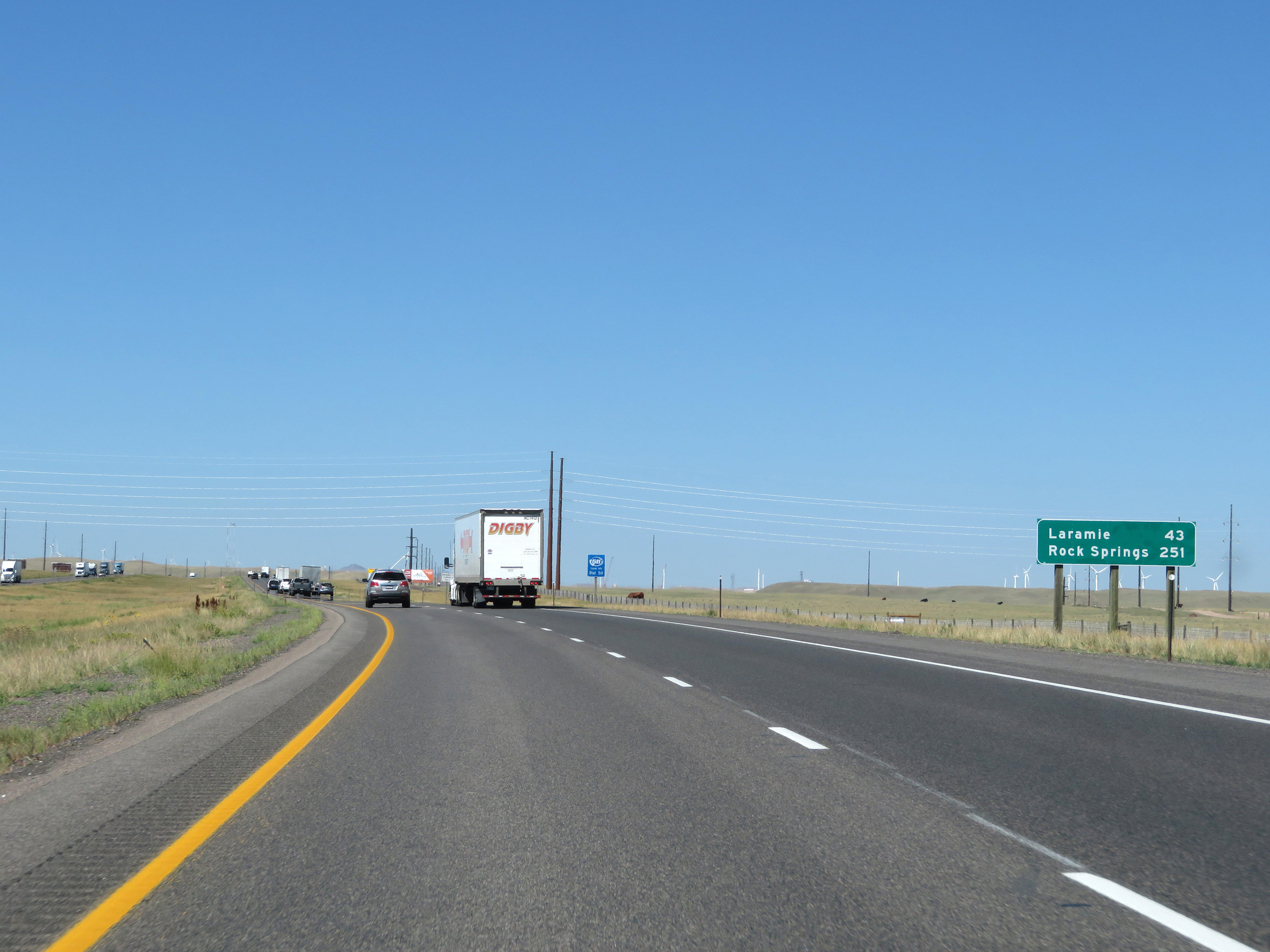 |
Mileage sign on Interstate 80 West. It's 43 miles to Laramie and 251 miles to Rock Springs. (Photo taken 8/15/20). |
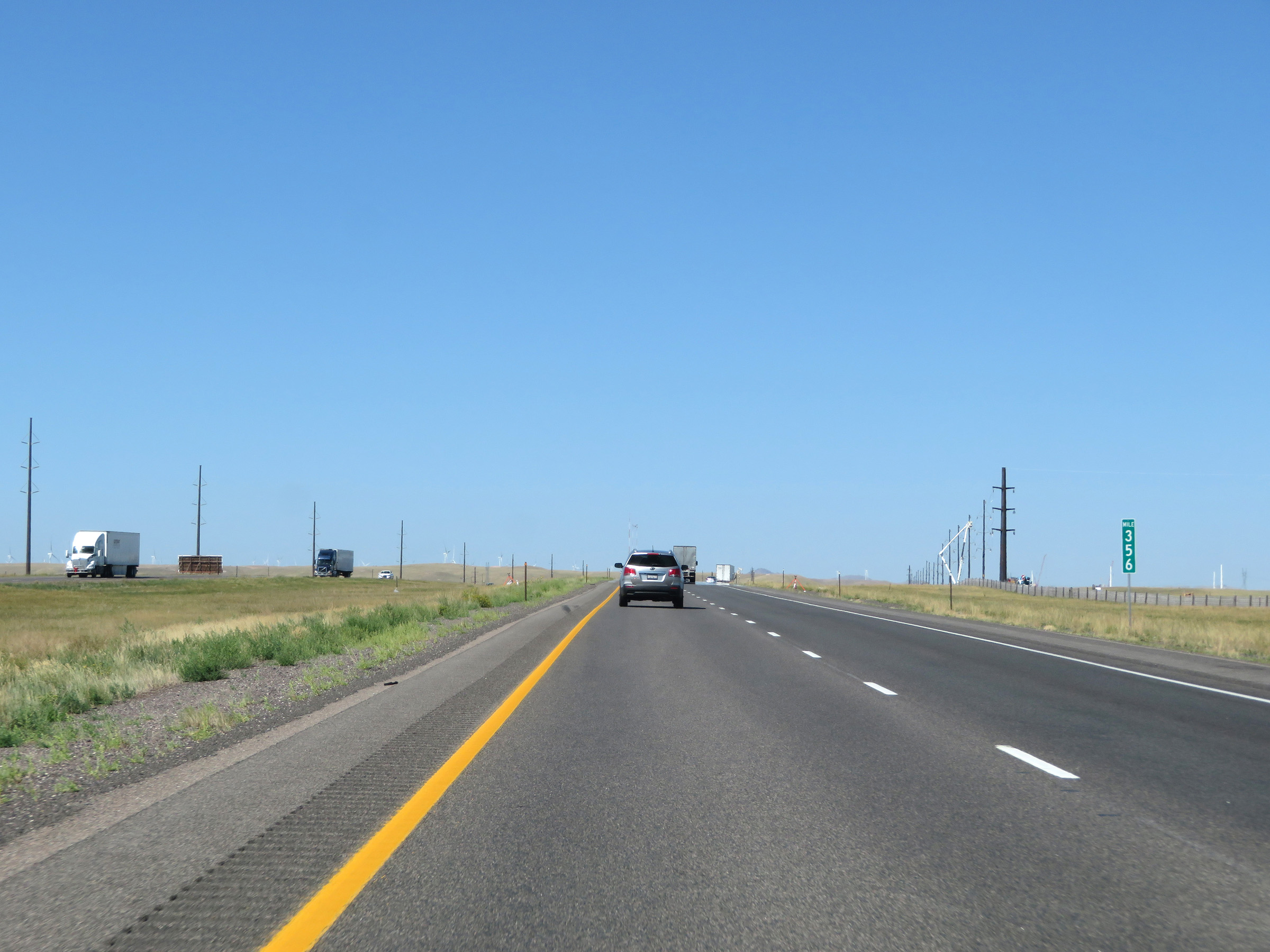 |
View on Interstate 80 West at mile marker 356. (Photo taken 8/15/20). |
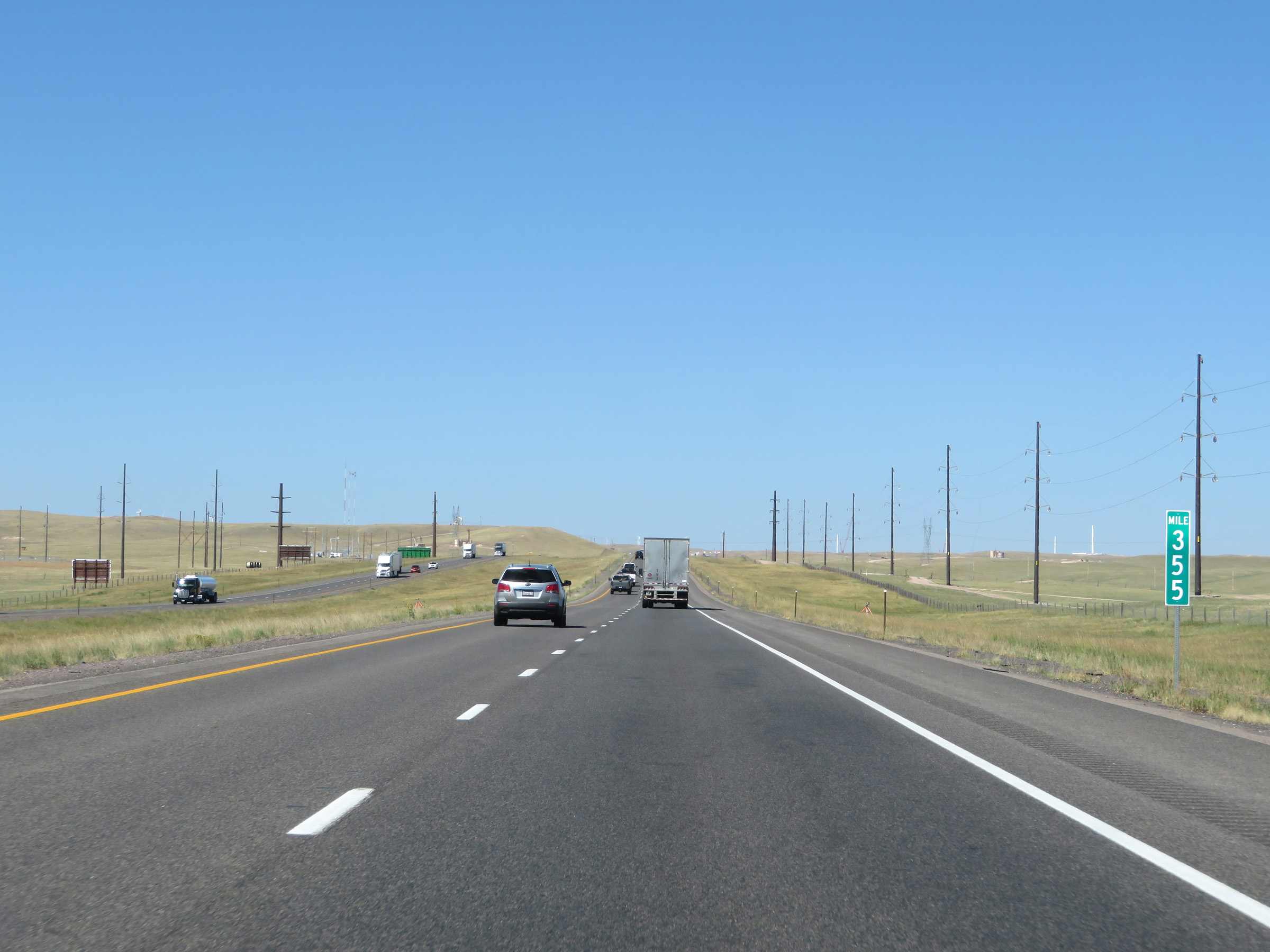 |
Interstate 80 West at mile marker 355. (Photo taken 8/15/20). |
 |
View on Interstate 80 West at mile marker 354, as it continues its gradual climb up Sherman Pass. There's about 31 miles to go to the summit. (Photo taken 8/15/20). |
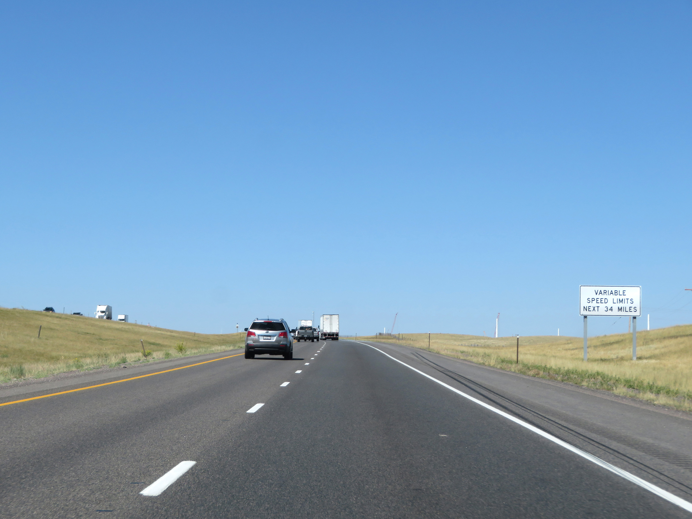 |
Since the Sherman Pass section of Interstate 80 in Wyoming is subject to severe winter weather and very heavy winds, variable speed limits go into effect at this point as this sign reads. They will last for the next 34 miles. (Photo taken 8/15/20). |
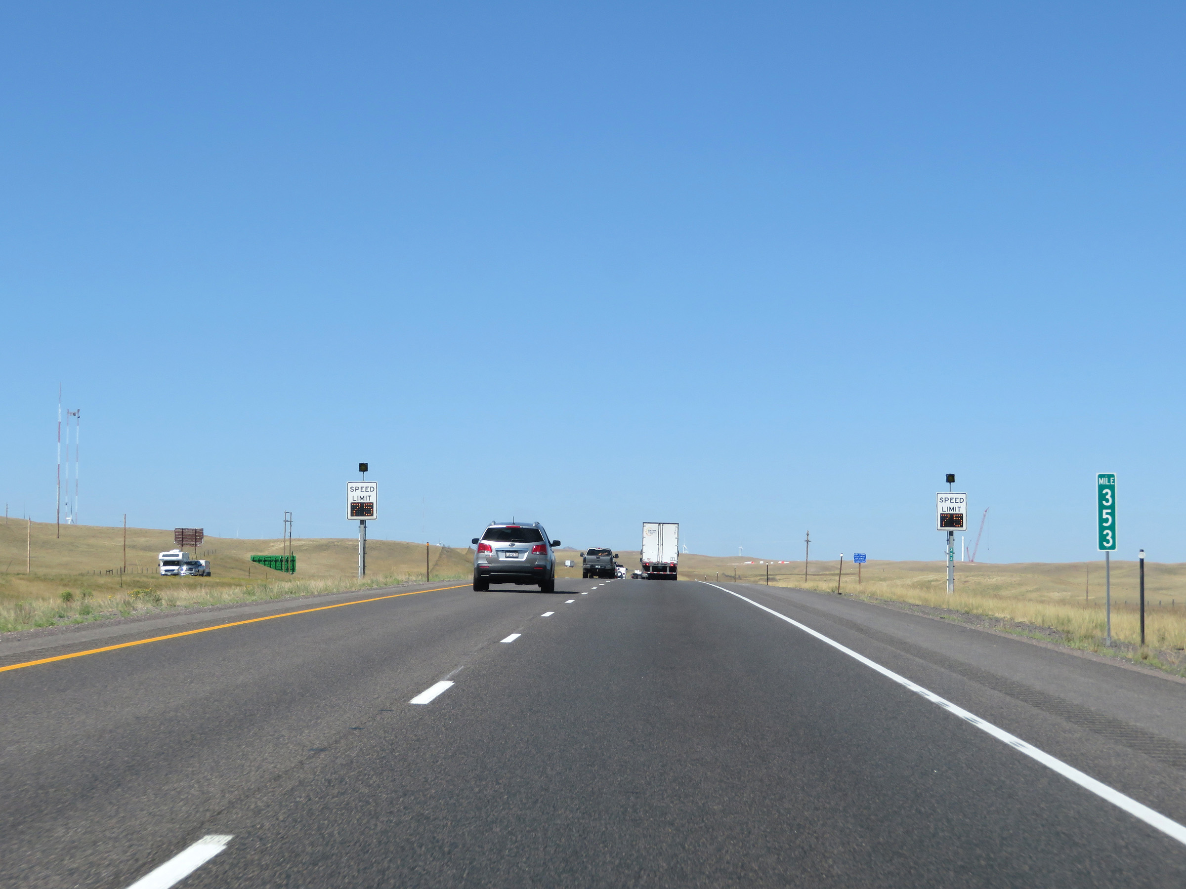 |
Variable speed limit signs on Interstate 80 West at mile marker 353 on Sherman Pass. (Photo taken 8/15/20). |
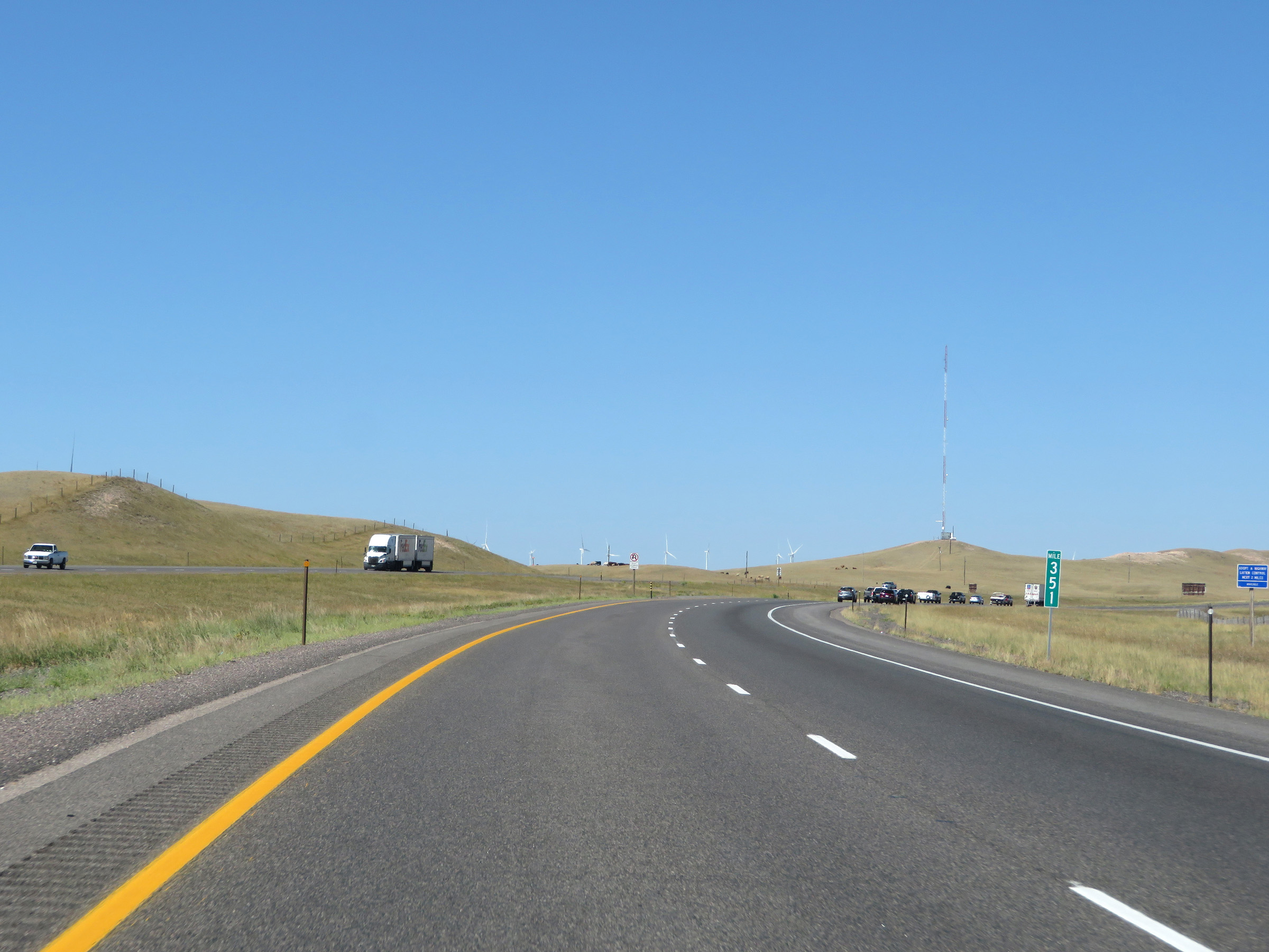 |
View on Interstate 80 West at mile marker 351. (Photo taken 8/15/20). |
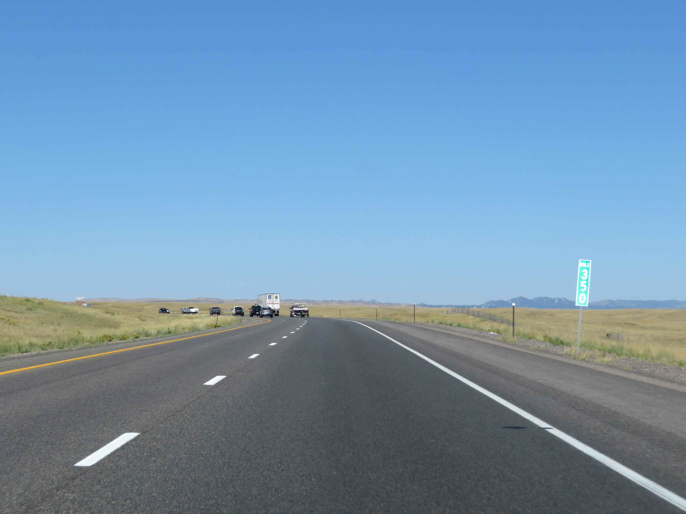 |
Interstate 80 West at mile marker 350. (Photo taken 8/15/20). |
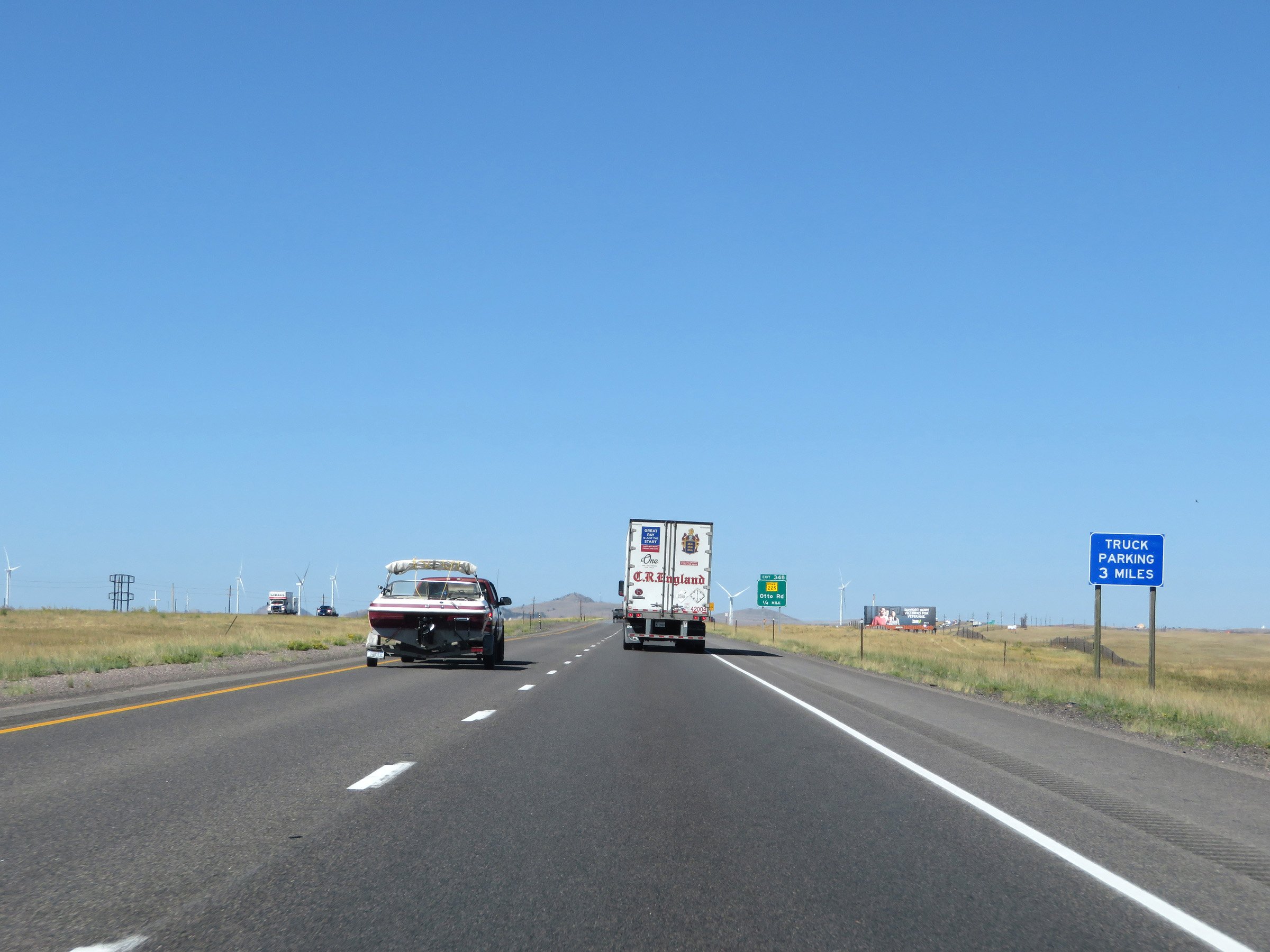 |
A Truck Parking Area exists 3 miles ahead, off Exit 345. (Photo taken 8/15/20). |
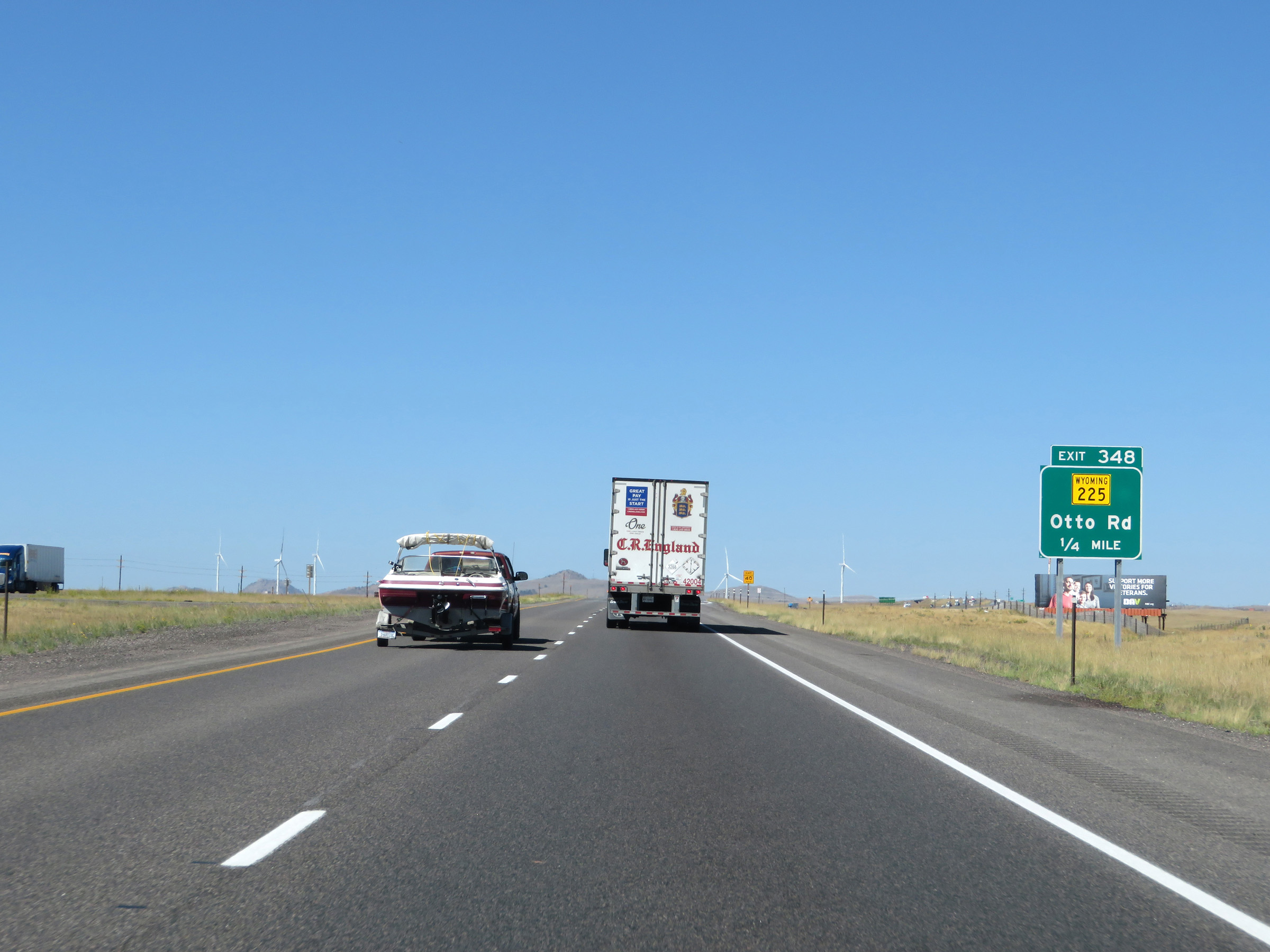 |
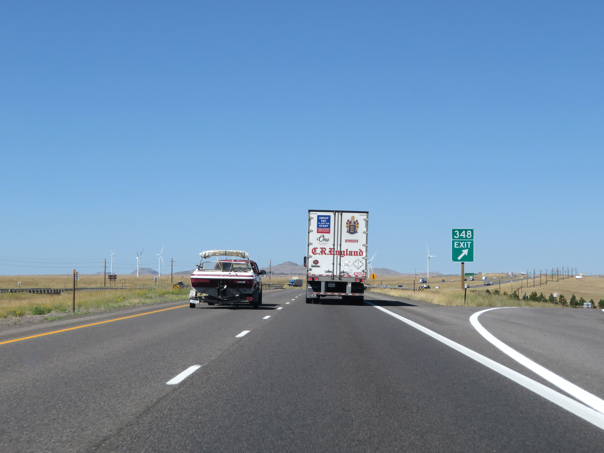
Interstate 80 West approaching Exit 348 - 1/4 mile. (Photo taken 8/15/20). |
 |
Interstate 80 West at Exit 348: WY 225 - Otto Rd (Photo taken 8/15/20). |
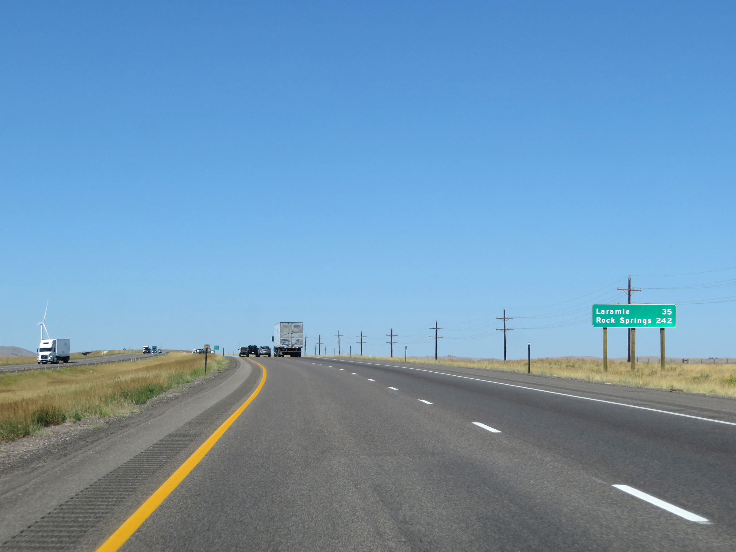 |
Another mileage sign on Interstate 80 West. It's 35 miles to Laramie and 242 miles to Rock Springs. (Photo taken 8/15/20). |
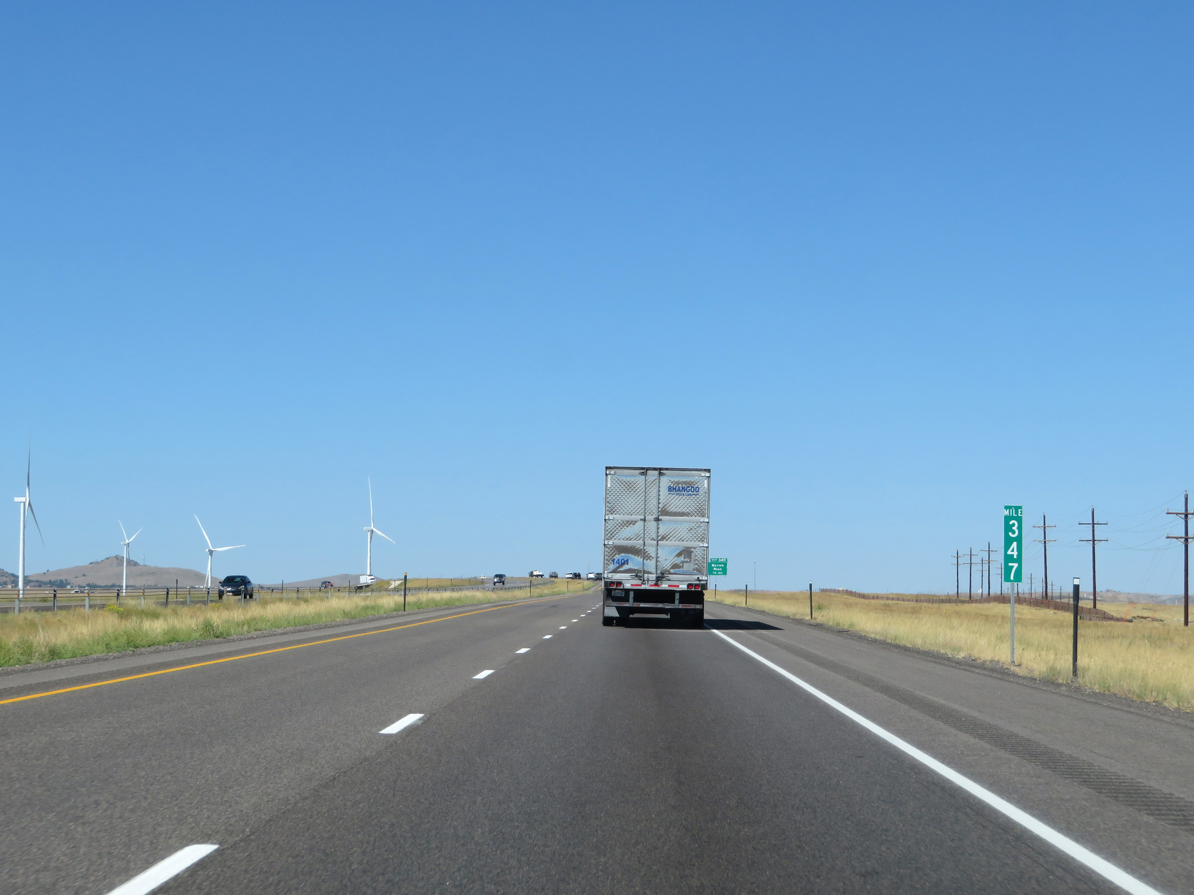 |
Interstate 80 West at mile marker 347. (Photo taken 8/15/20). |
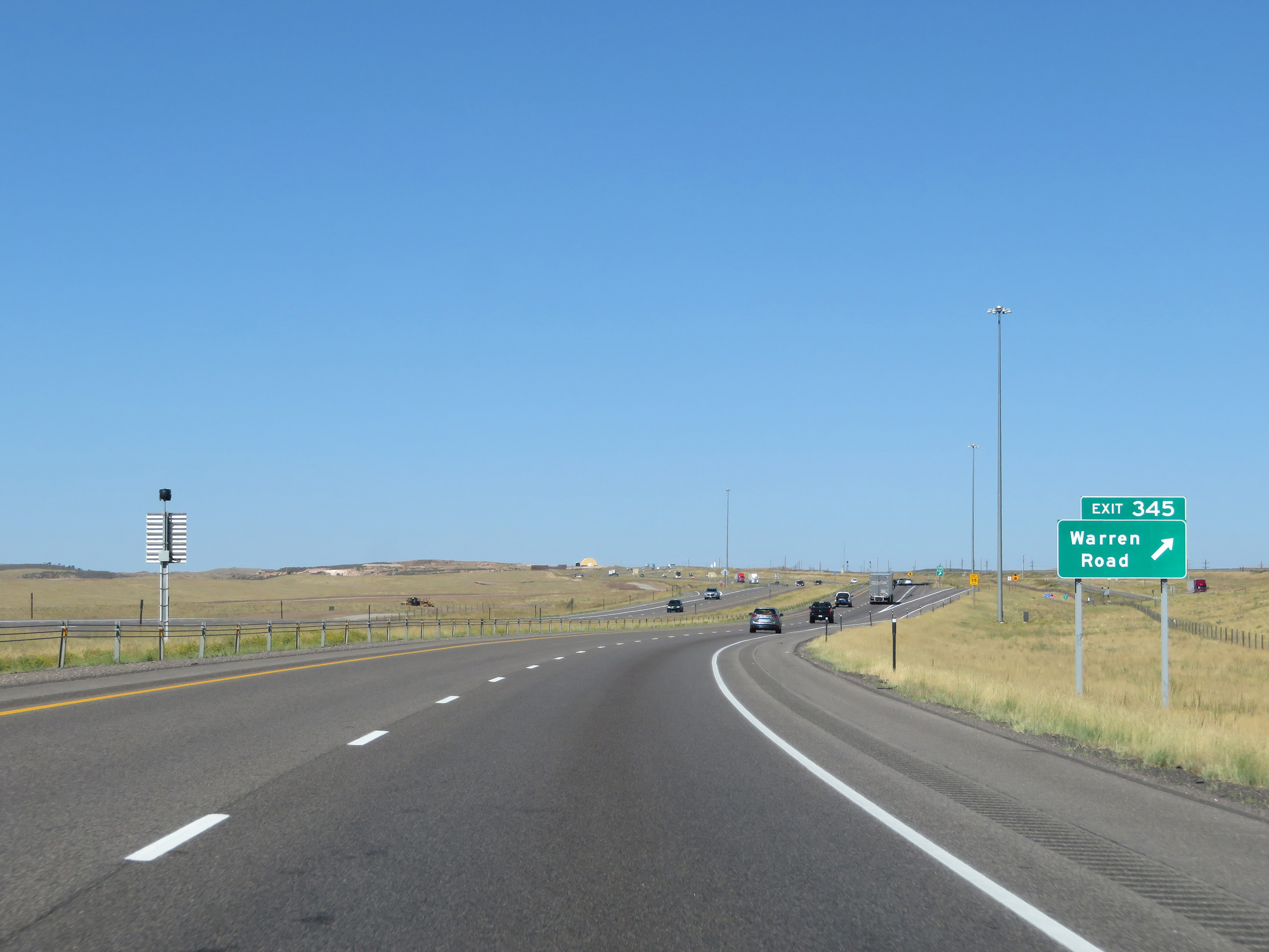 |
Interstate 80 West at Exit 345: Warren Road (Photo taken 8/15/20). |
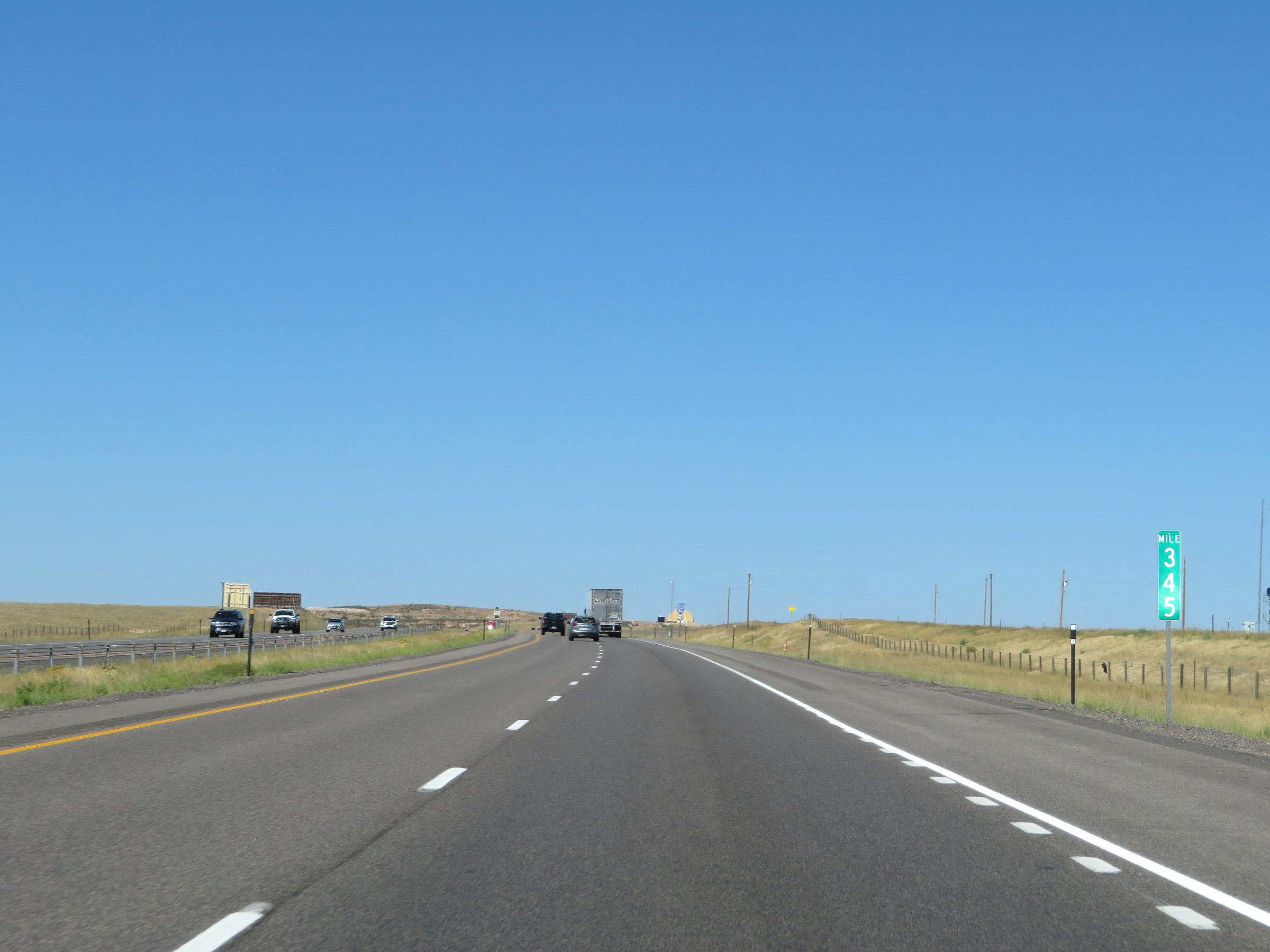 |
View on Interstate 80 West at mile marker 345. (Photo taken 8/15/20). |
 |
Another state-named Interstate 80 West reassurance shield. (Photo taken 8/15/20). |
 |
Interstate 80 West at Exit 342: Harriman Road (Photo taken 8/15/20). |
 |
Mileage sign on Interstate 80 West. It's 29 miles to Laramie and 236 miles to Rock Springs. (Photo taken 8/15/20). |
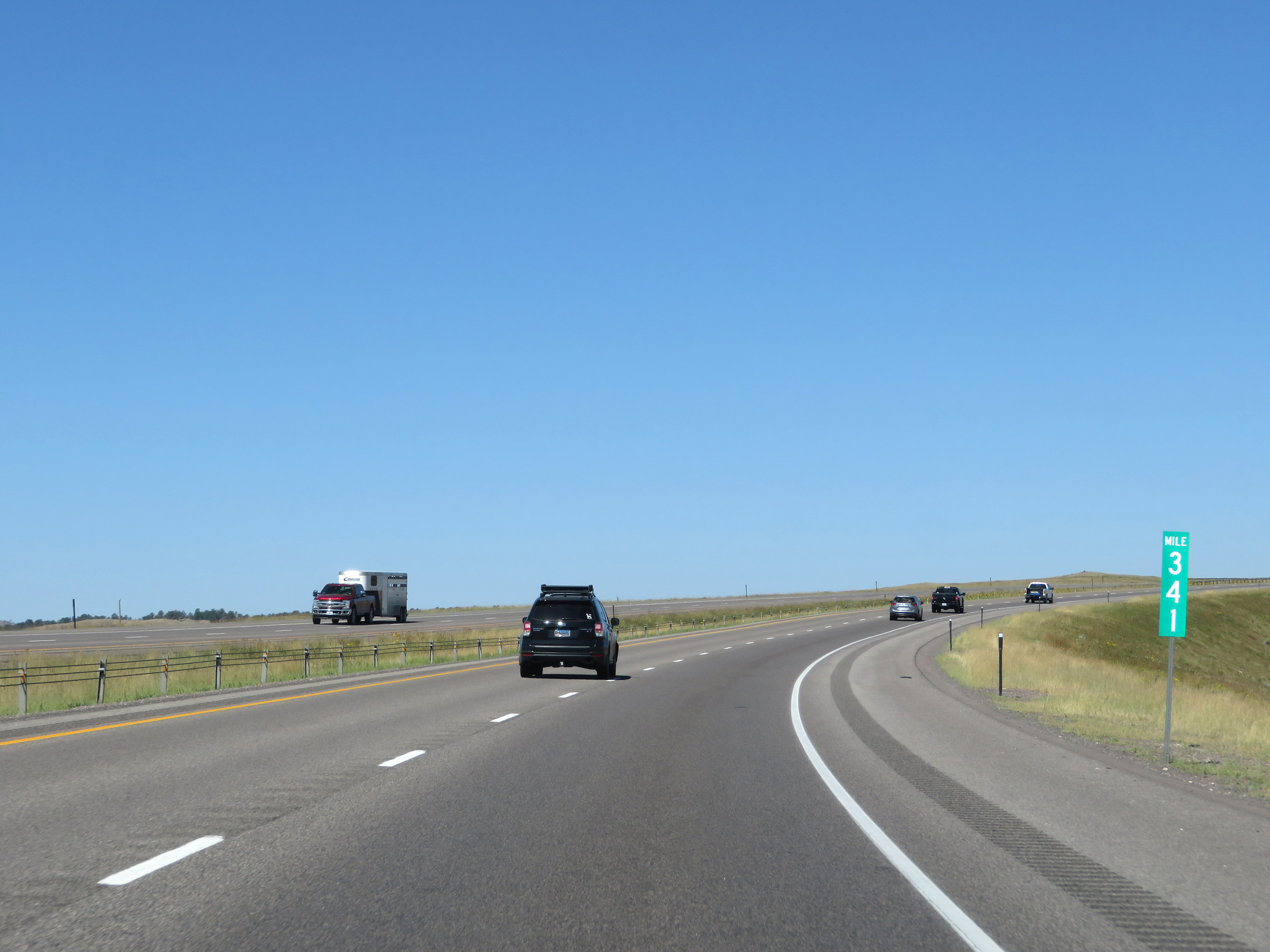 |
View on Interstate 80 West at mile marker 341. (Photo taken 8/15/20). |
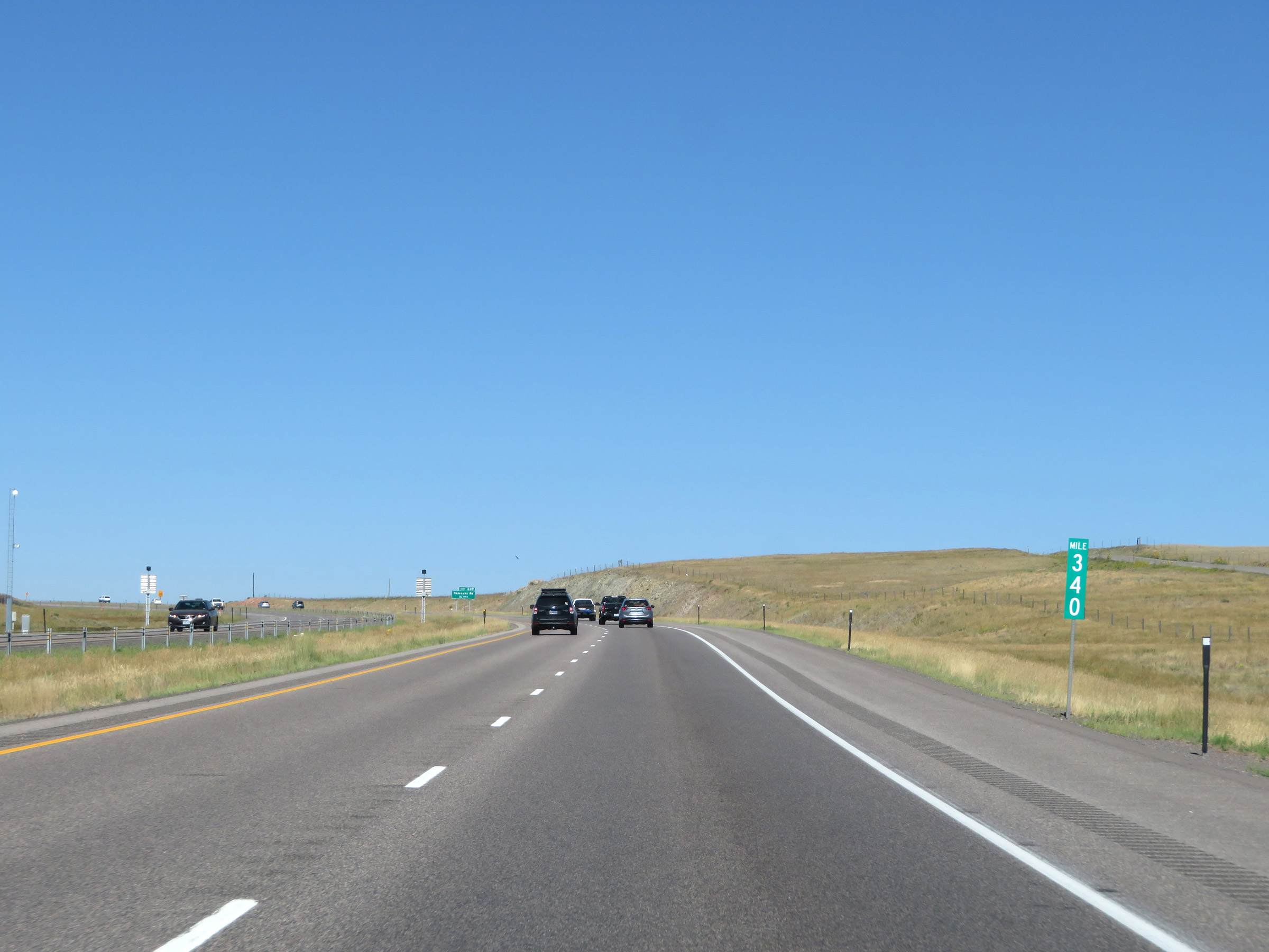 |
Interstate 80 West at mile marker 340. (Photo taken 8/15/20). |
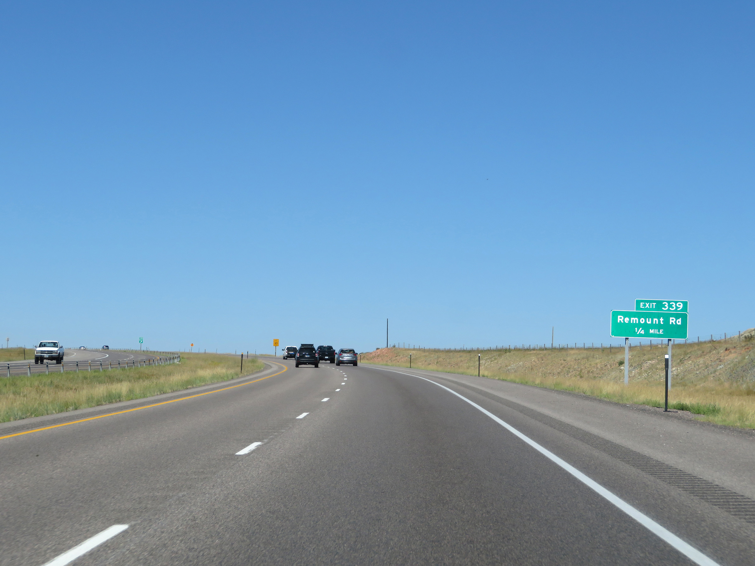 |
Interstate 80 West approaching Exit 339 - 1/4 mile. (Photo taken 8/15/20). |
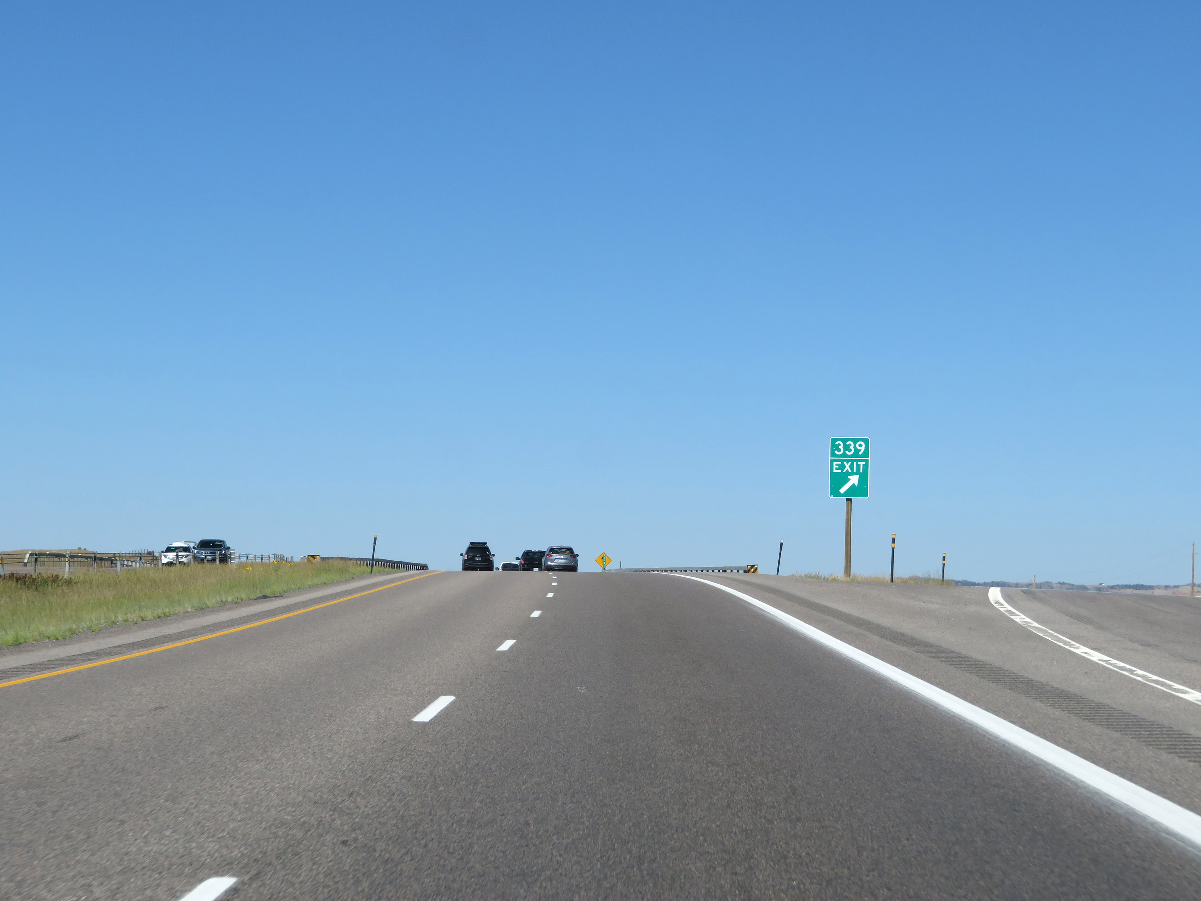 |
Interstate 80 West at Exit 339: Remount Rd (Photo taken 8/15/20). |
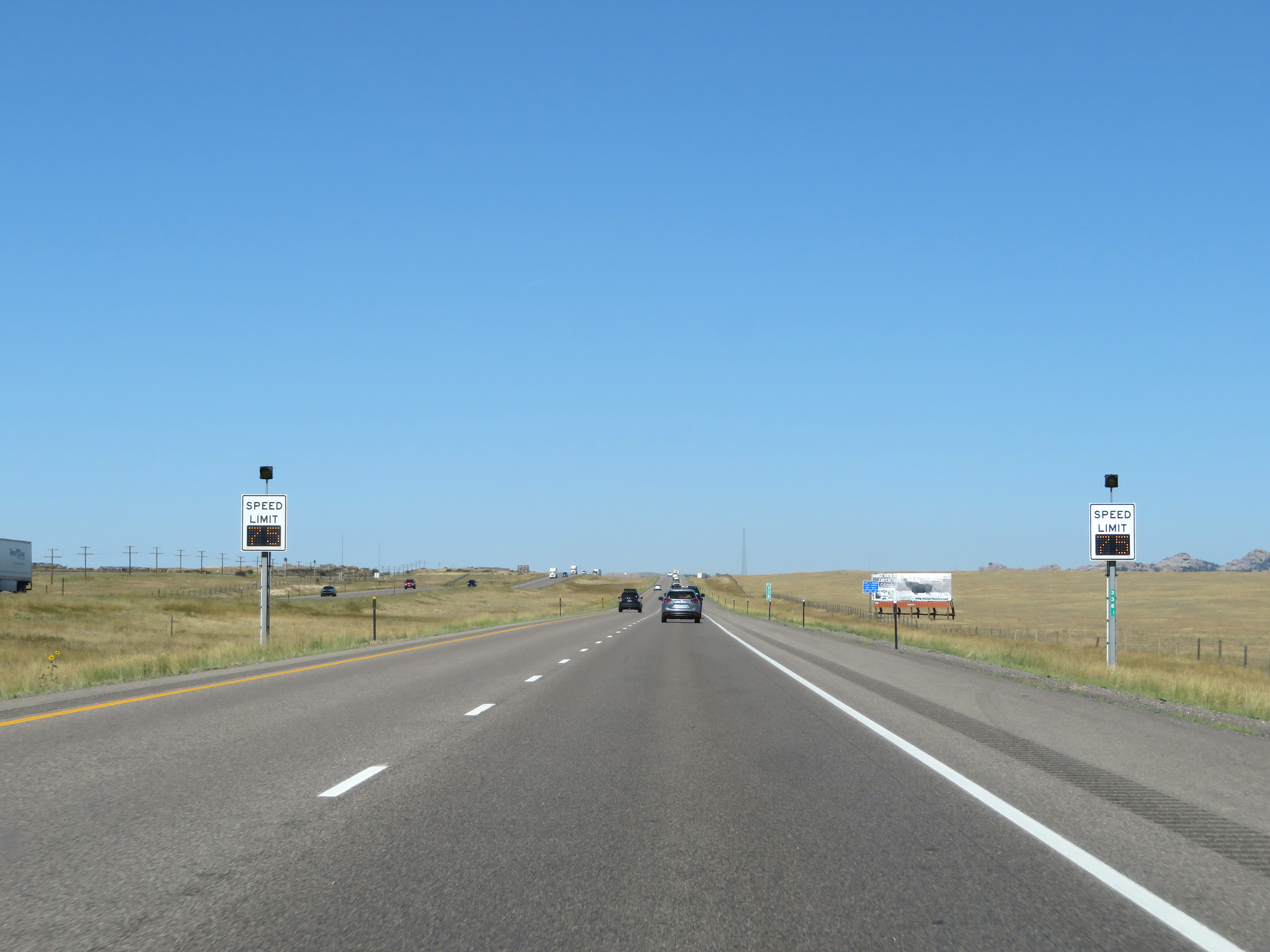 |
The variable speed limits continue on Interstate 80 West as it makes its way up Sherman Pass. (Photo taken 8/15/20). |
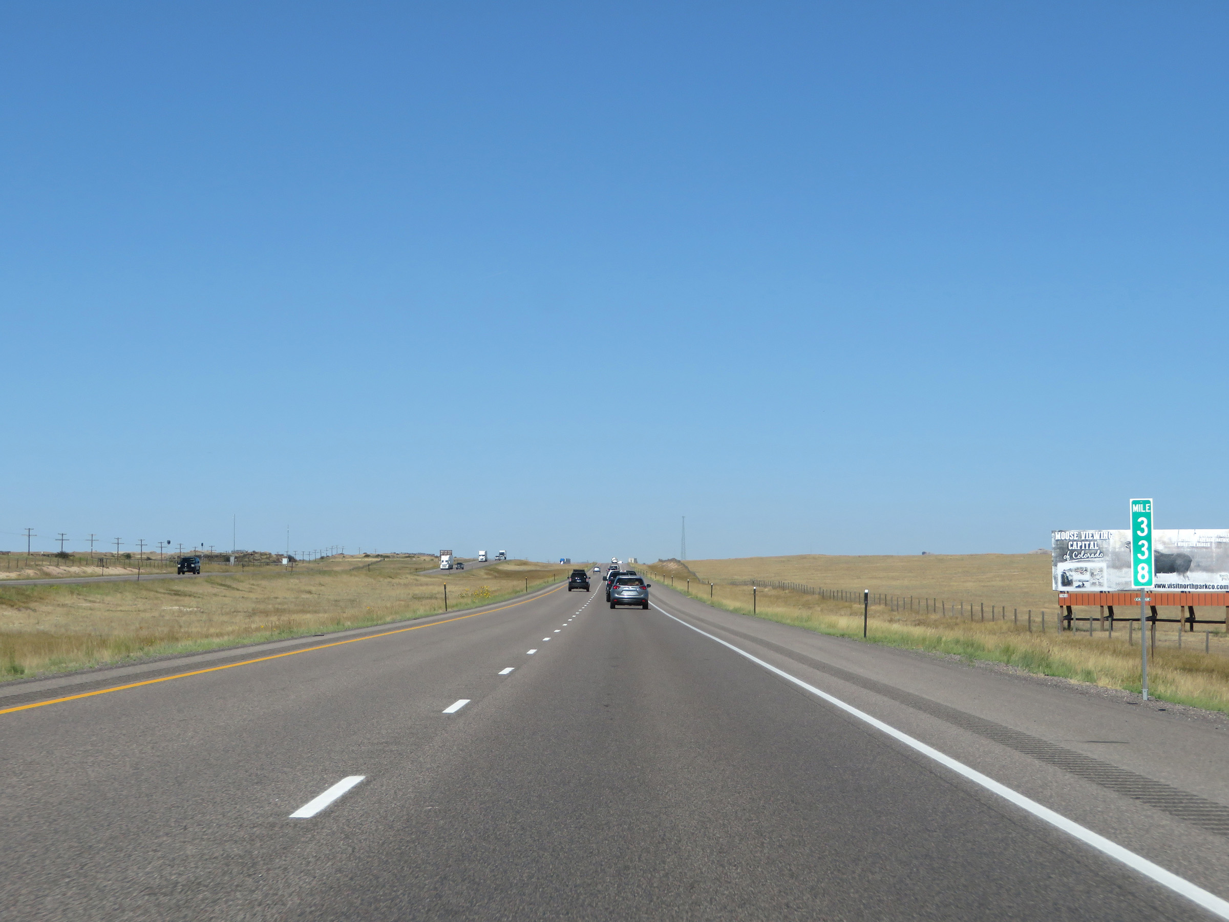 |
View on Interstate 80 West at mile marker 338. (Photo taken 8/15/20). |
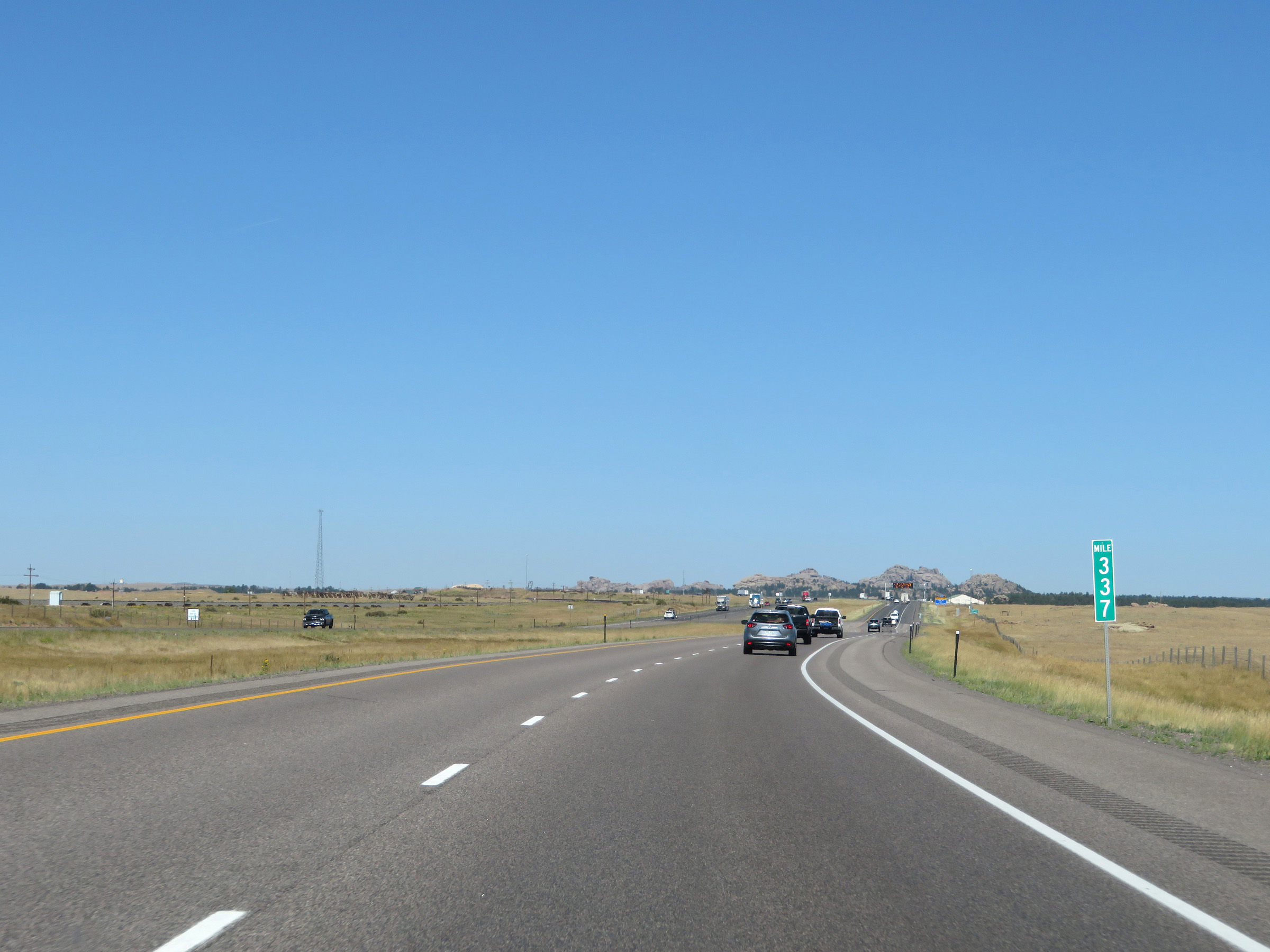 |
Interstate 80 West at mile marker 337. (Photo taken 8/15/20). |
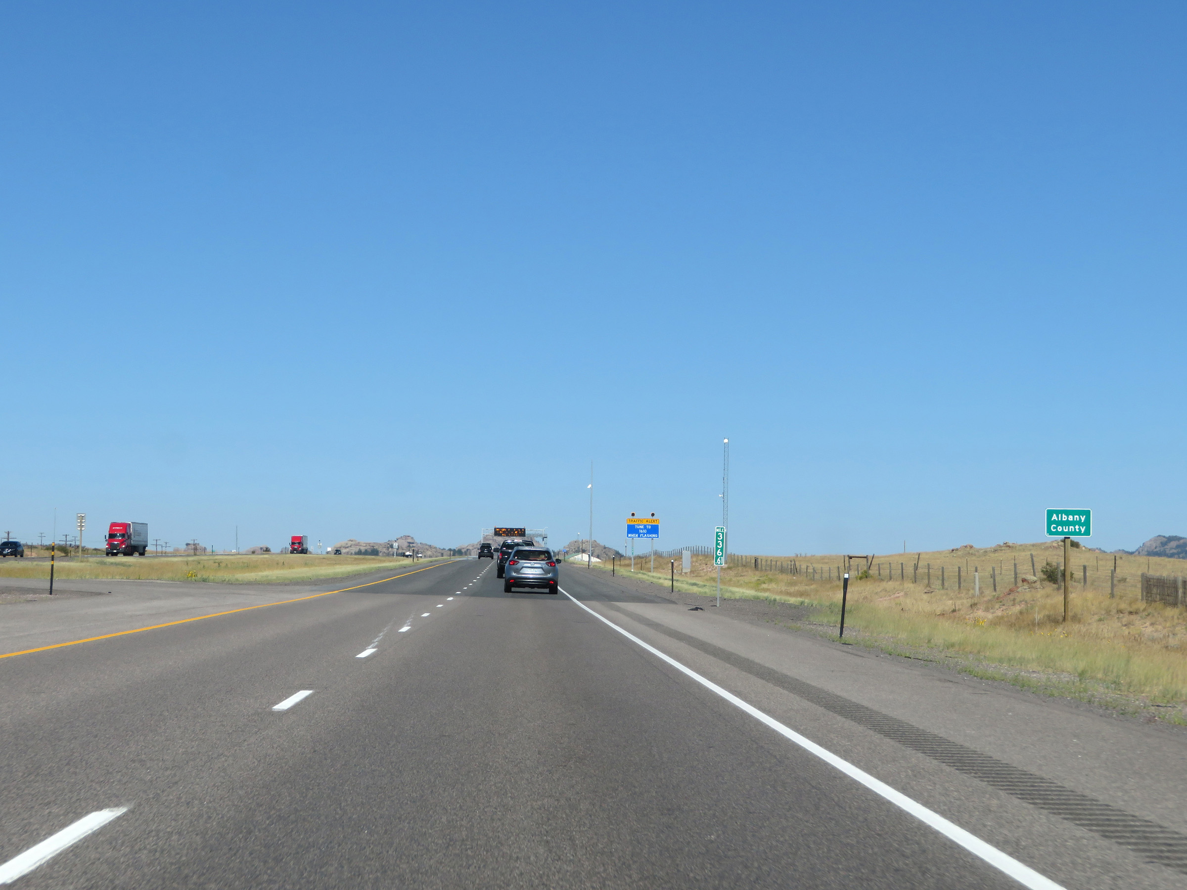 |
Interstate 80 West as it enters Albany County at mile marker 336.61. (Photo taken 8/15/20). |
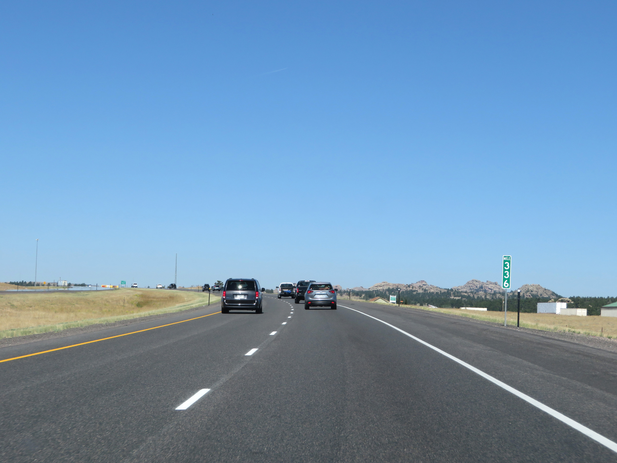 |
View on Interstate 80 West at mile marker 336. (Photo taken 8/15/20). |
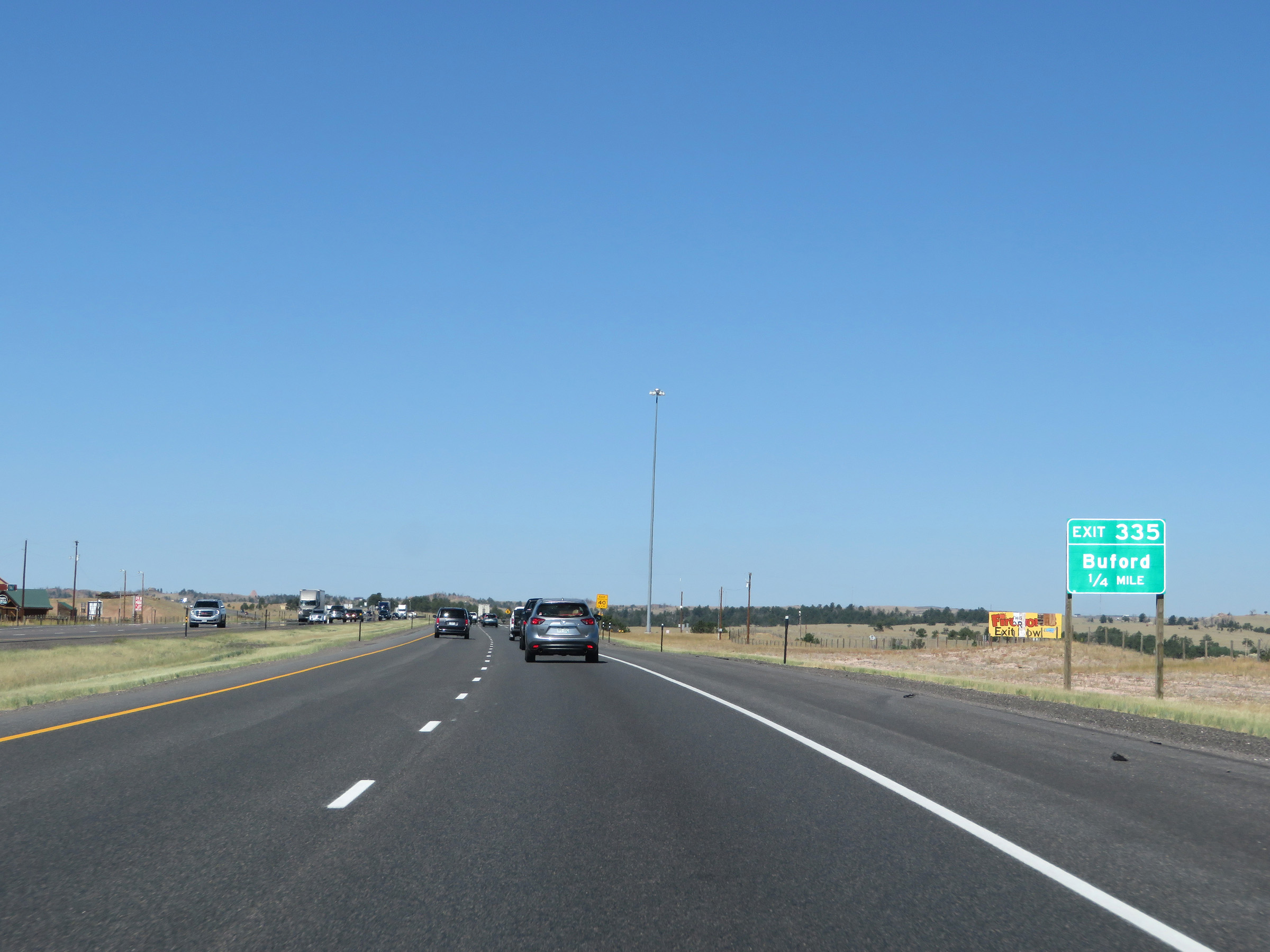 |
Interstate 80 West approaching Exit 335 - 1/4 mile. (Photo taken 8/15/20). |
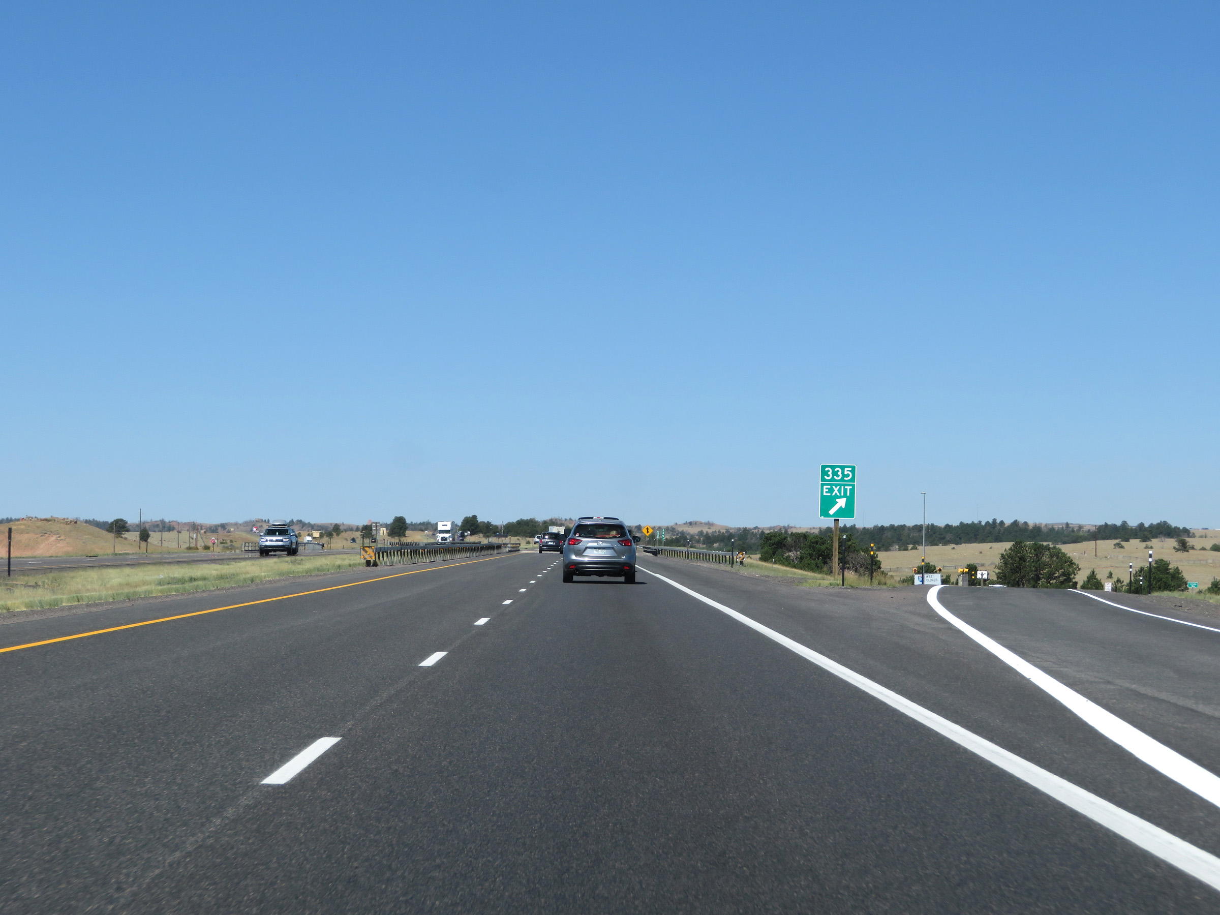 |
Interstate 80 West at Exit 335: Buford (Photo taken 8/15/20). |
Section 3: Buford (Exit 335) to Laramie (Exit 310)
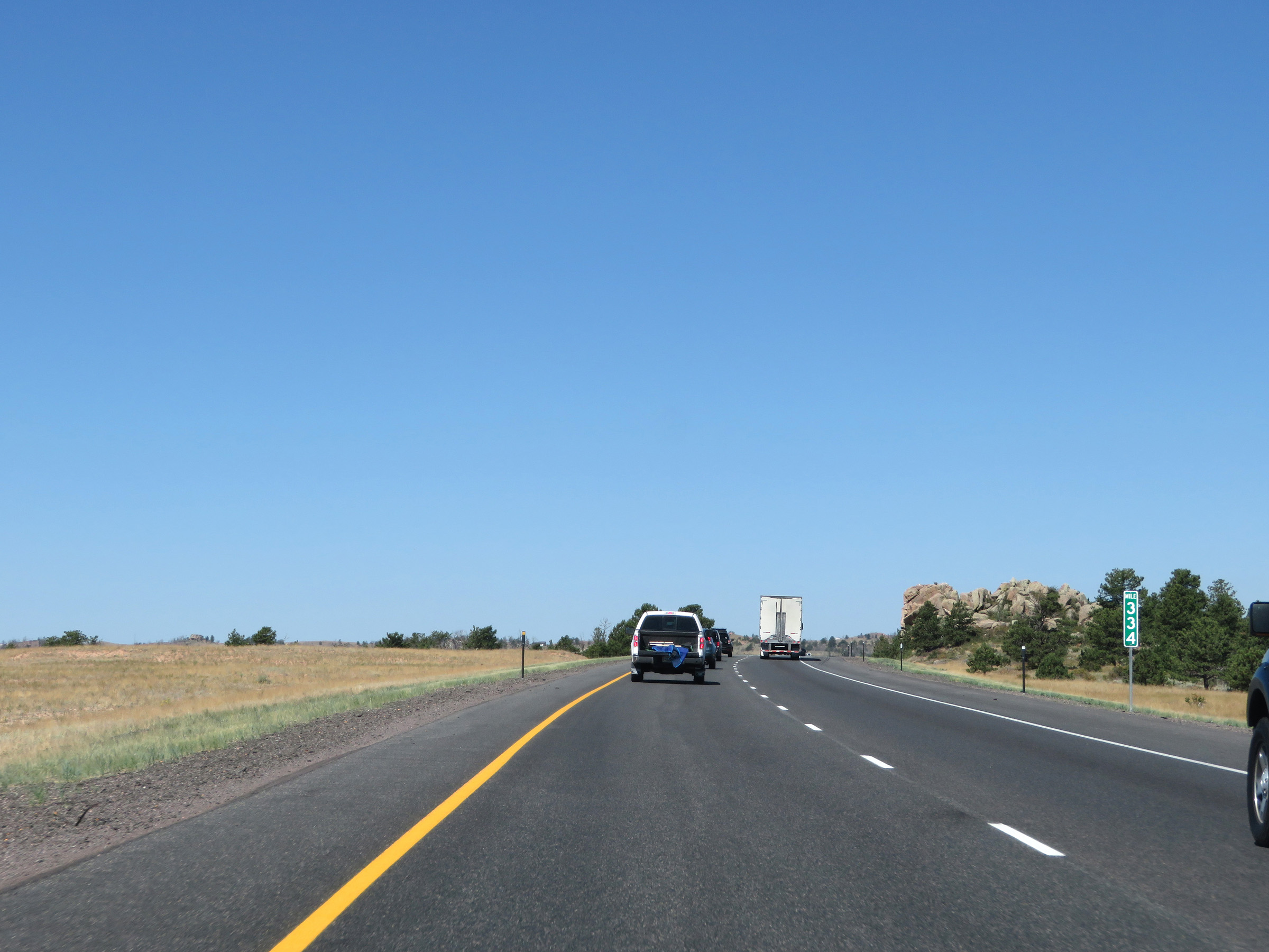 |
View on Interstate 80 West at mile marker 334. (Photo taken 8/15/20). |
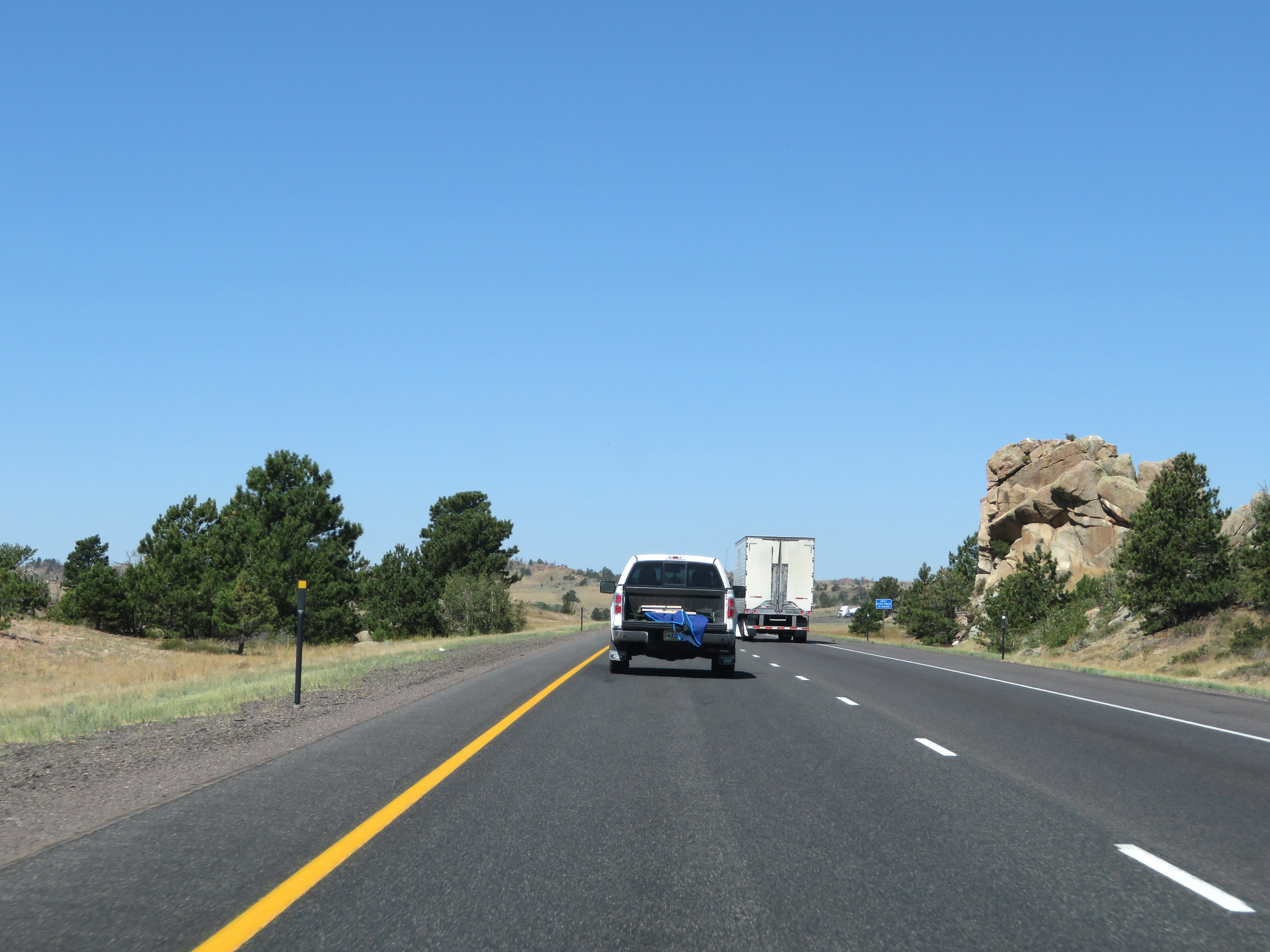 |
View on Interstate 80 West just beyond mile marker 334 in Albany County, climbing Sherman Pass. (Photo taken 8/15/20). |
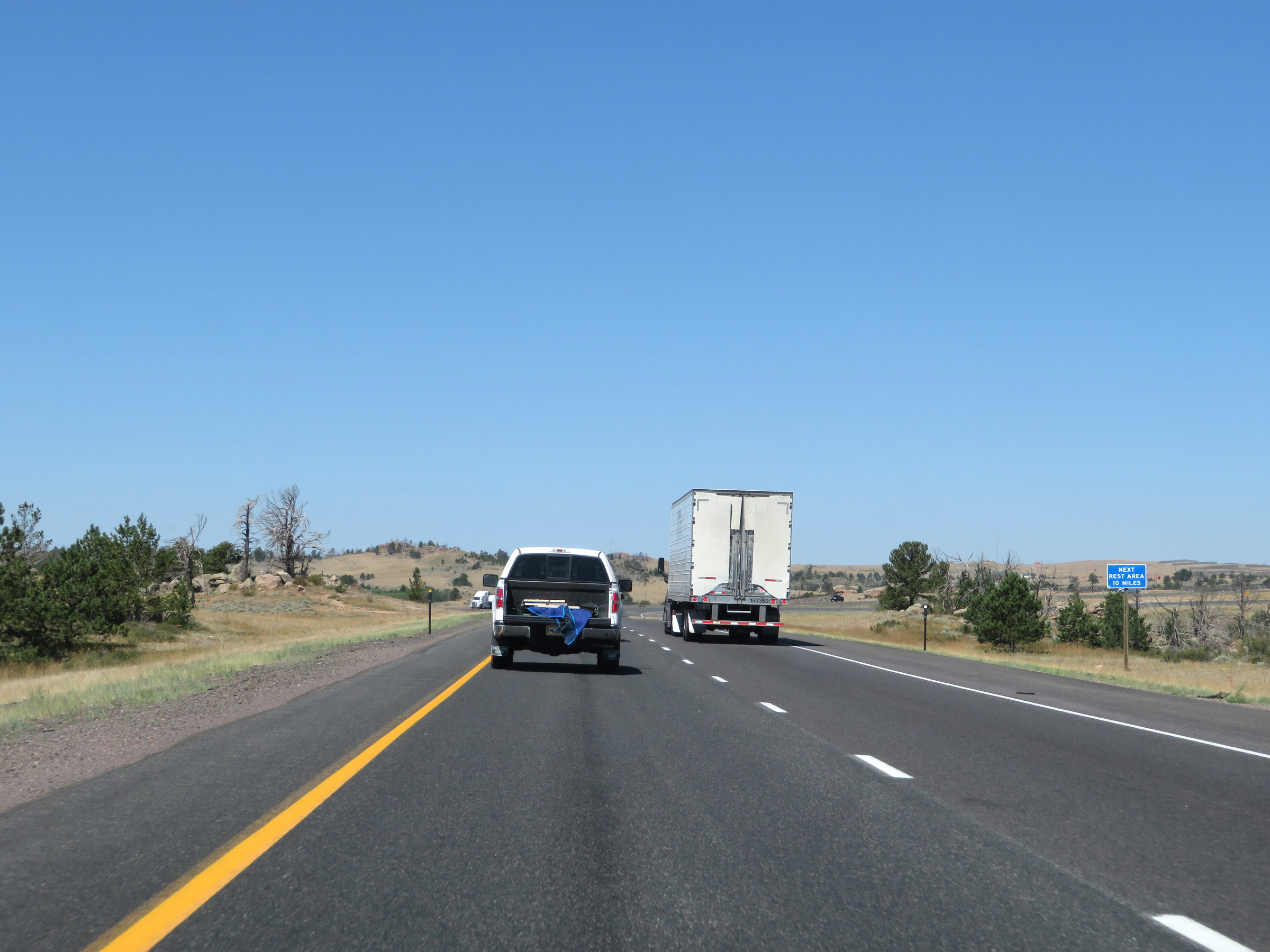 |
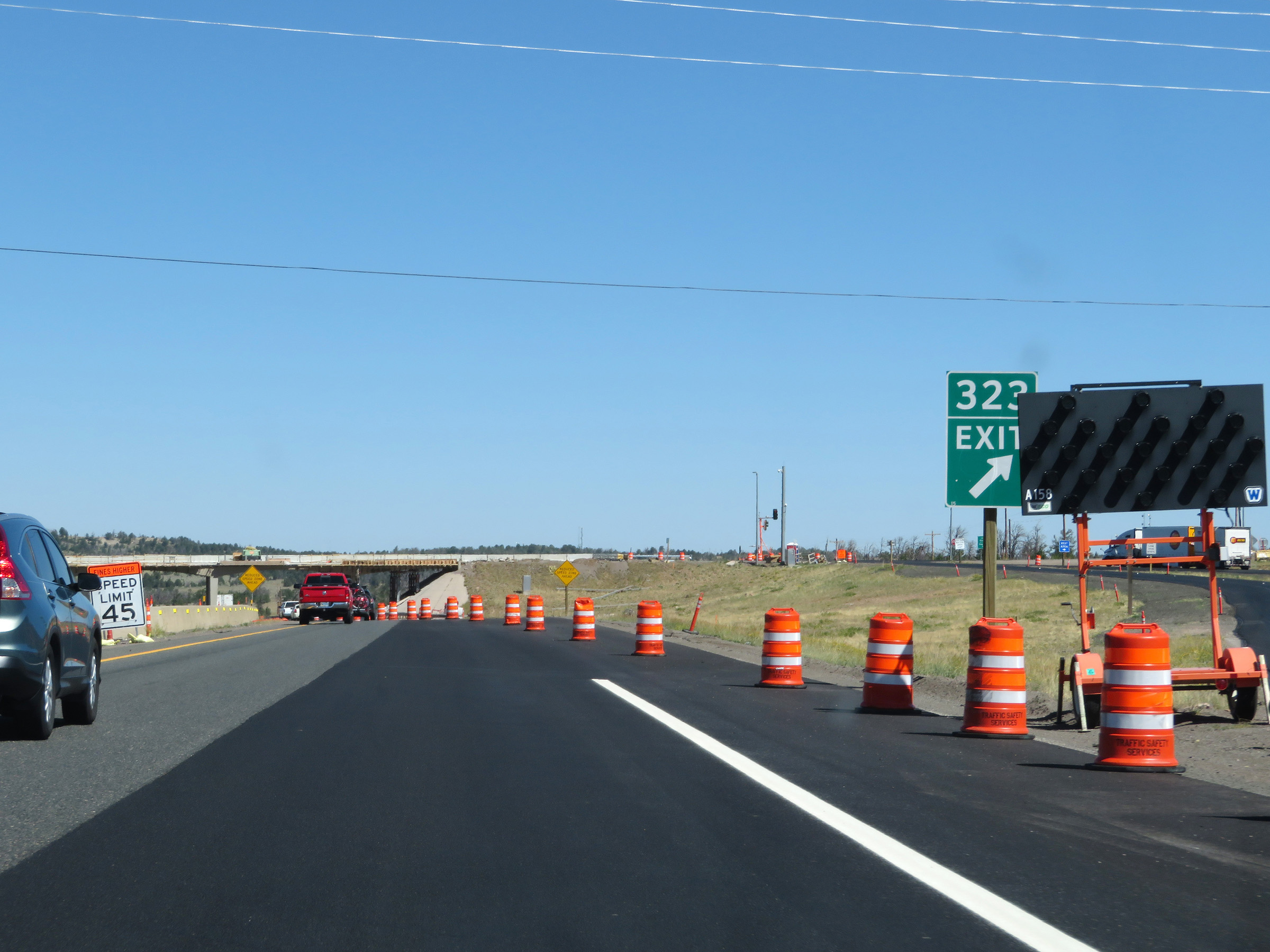
As this sign reads, the next Rest Area on Interstate 80 West is 10 miles ahead, off of Exit 323 at the summit of Sherman Pass. (Photo taken 8/15/20). |
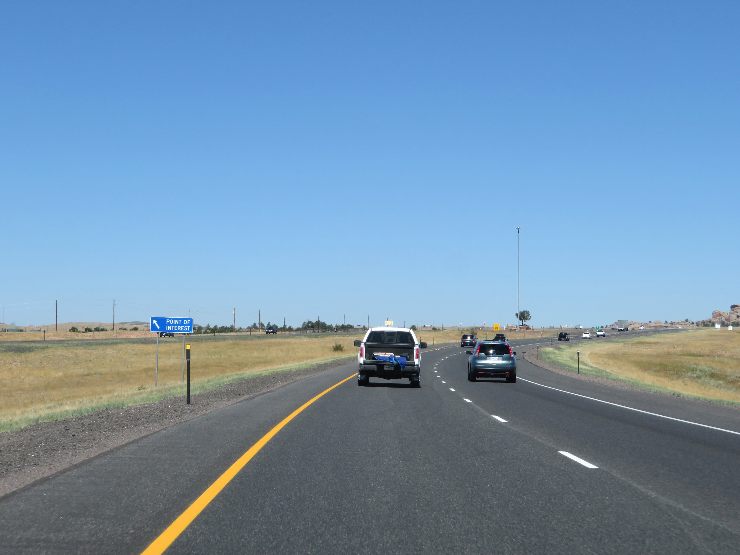 |
A Point of Interest exists ahead on the median of Interstate 80. (Photo taken 8/15/20). |
 |
Interstate 80 West at a Point of Interest Area in the median. At this Point of Interest is information about the surrounding Sherman Mountains. (Photo taken 8/15/20). |
 |
More variable speed limit signs on Interstate 80 West as it continues to gradually gain altitude climbing Sherman Pass. (Photo taken 8/15/20). |
 |
Another state-named Interstate 80 West reassurance shield. (Photo taken 8/15/20). |
 |
A view of the Sherman Mountains from Interstate 80 West, looking to the north. (Photo taken 8/15/20). |
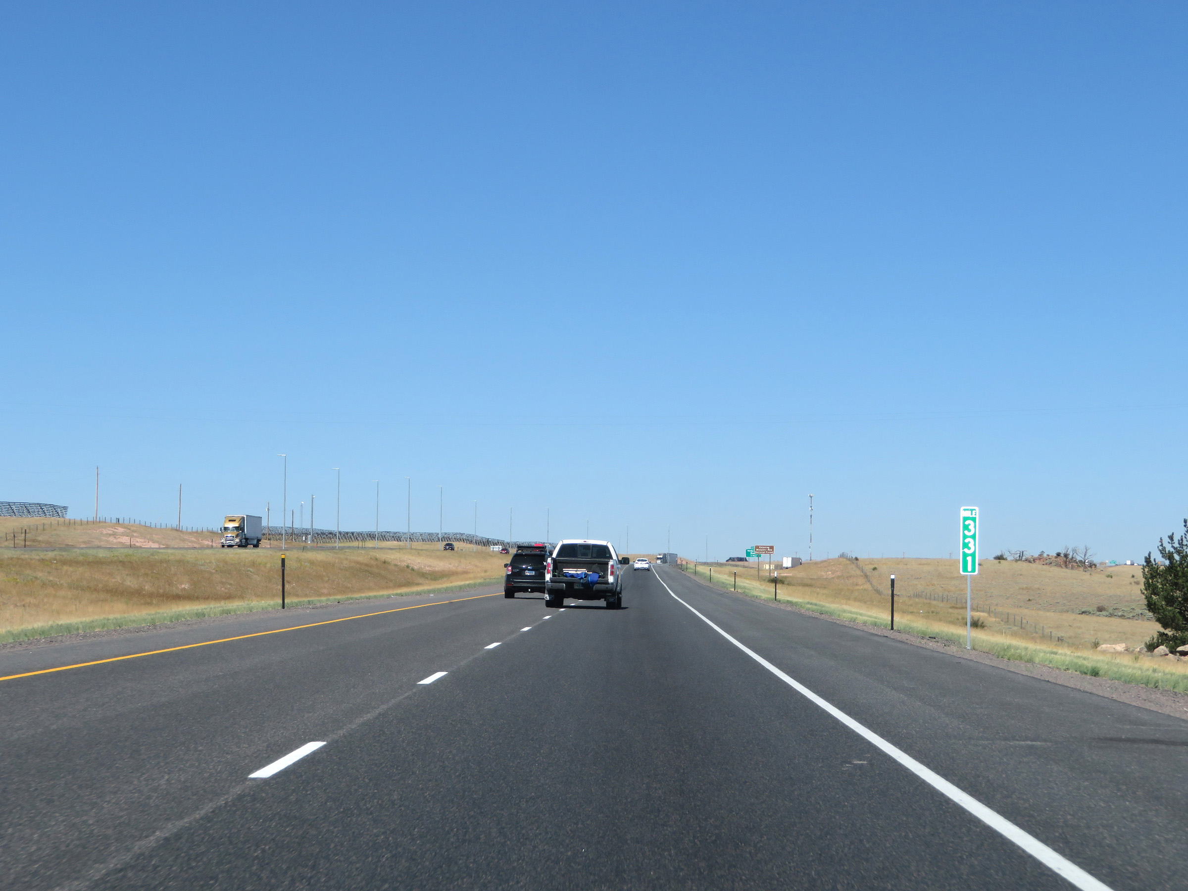 |
View on Interstate 80 West at mile marker 331. (Photo taken 8/15/20). |
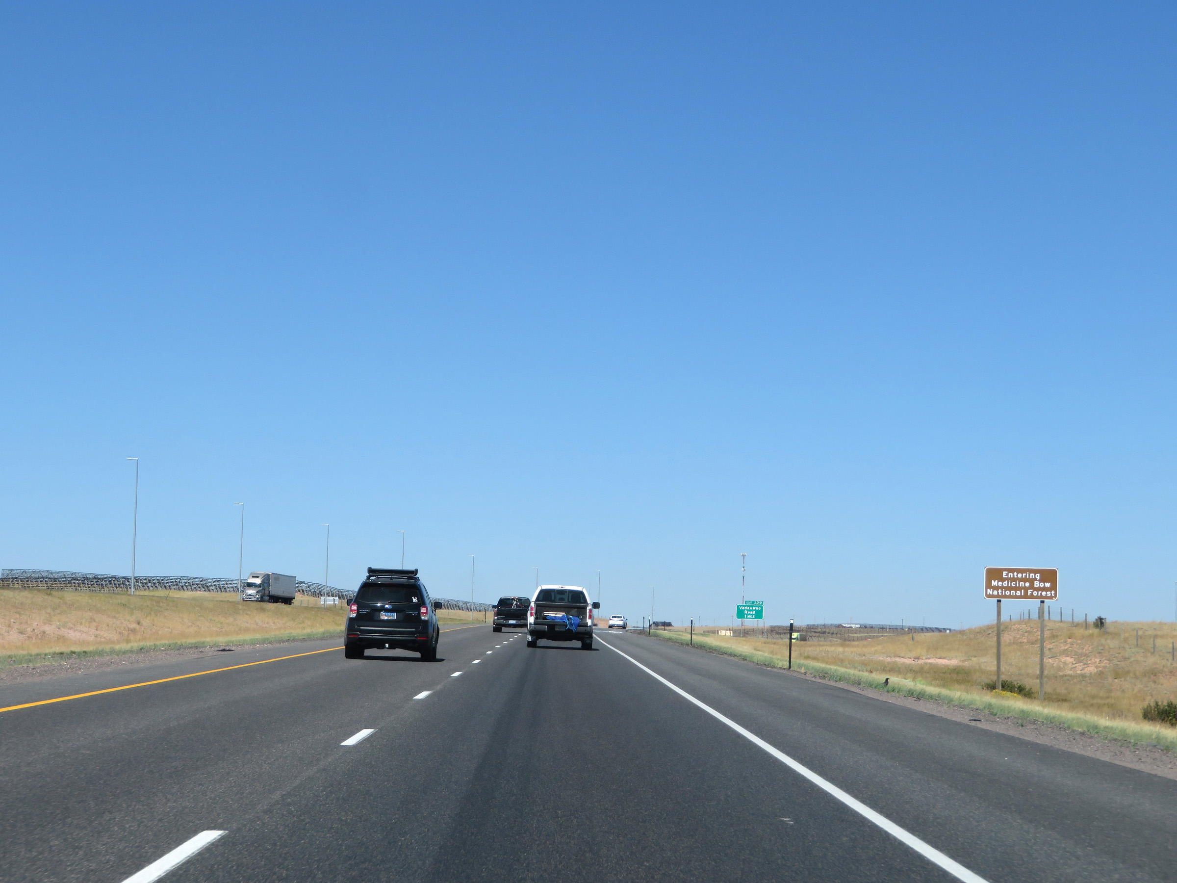 |
Interstate 80 West as it enters Medicine Bow National Forest. (Photo taken 8/15/20). |
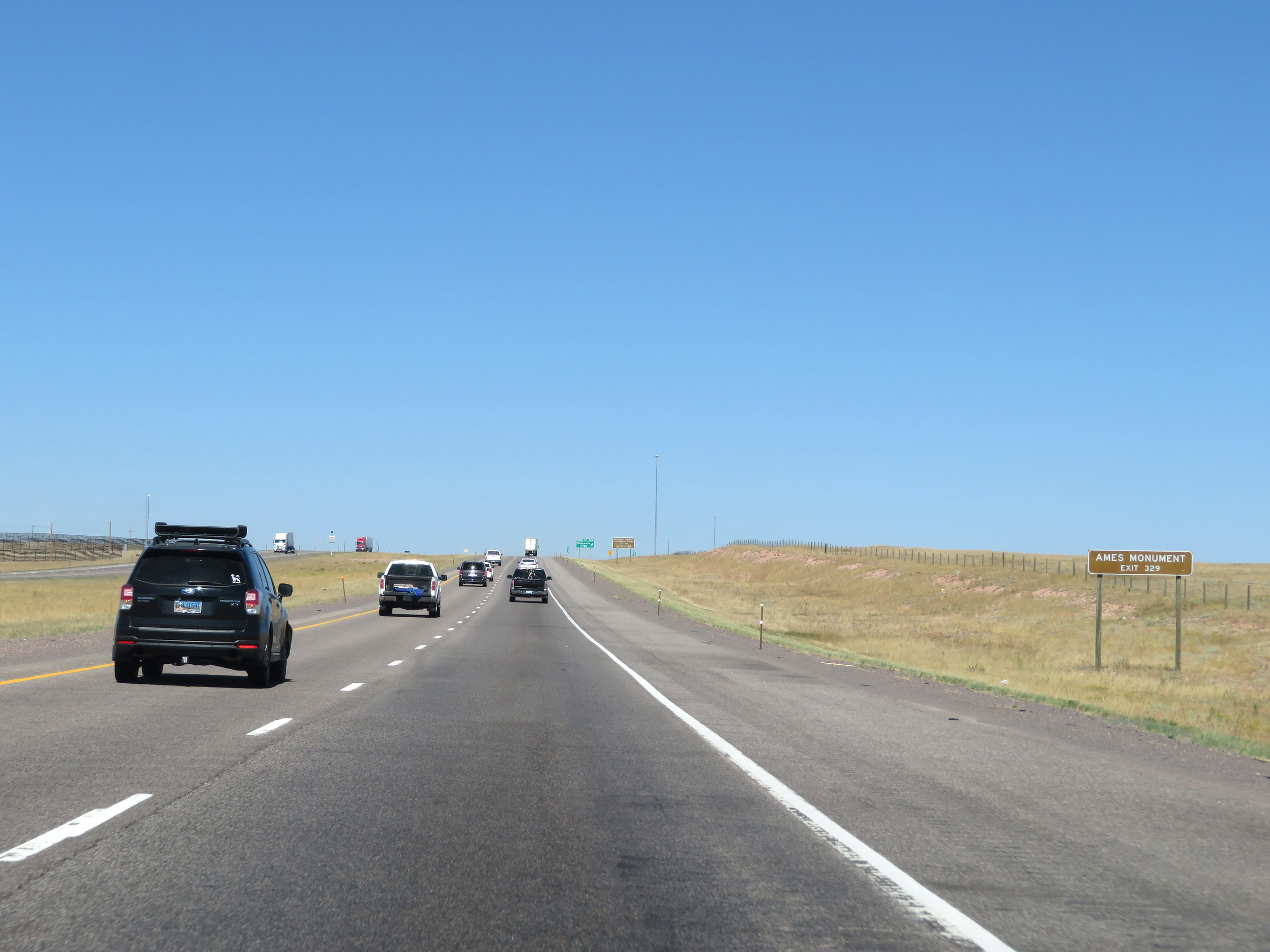 |
Take Exit 329 to the Ames Monument. (Photo taken 8/15/20). |
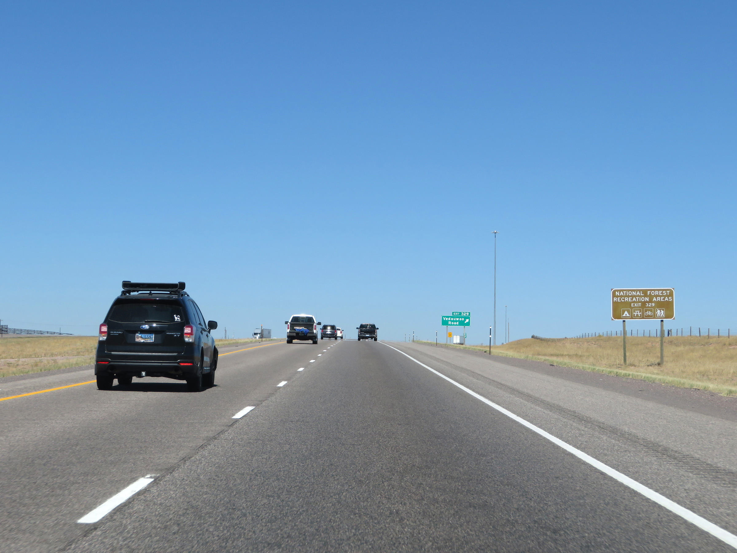 |
Also take Exit 329 to the Medicine Bow National Forest Recreation Areas. (Photo taken 8/15/20). |
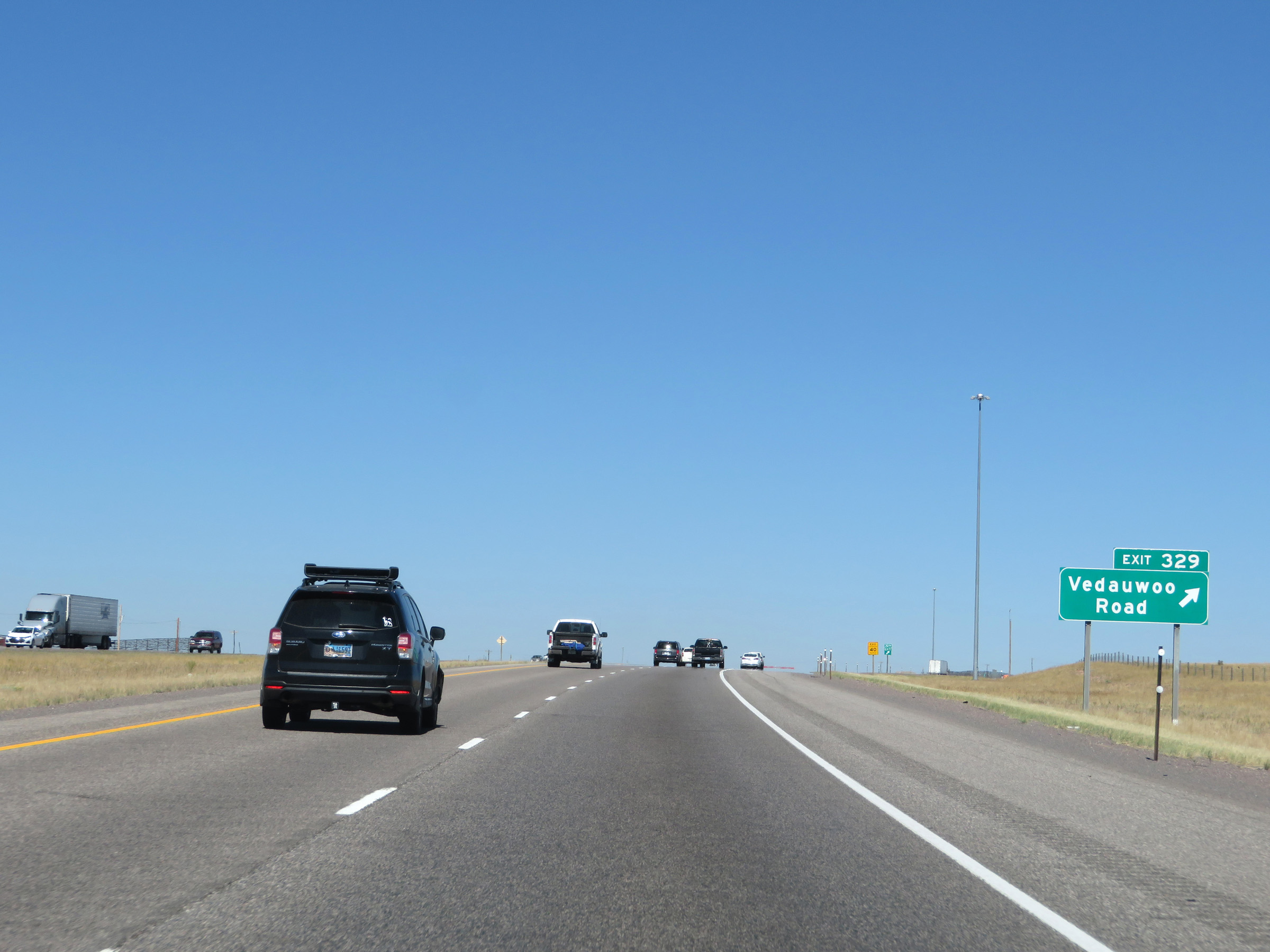 |
Interstate 80 West at Exit 329: Vedauwoo Road (Photo taken 8/15/20). |
 |
Another view of the Sherman Mountains from Interstate 80 West, looking to the north. (Photo taken 8/15/20). |
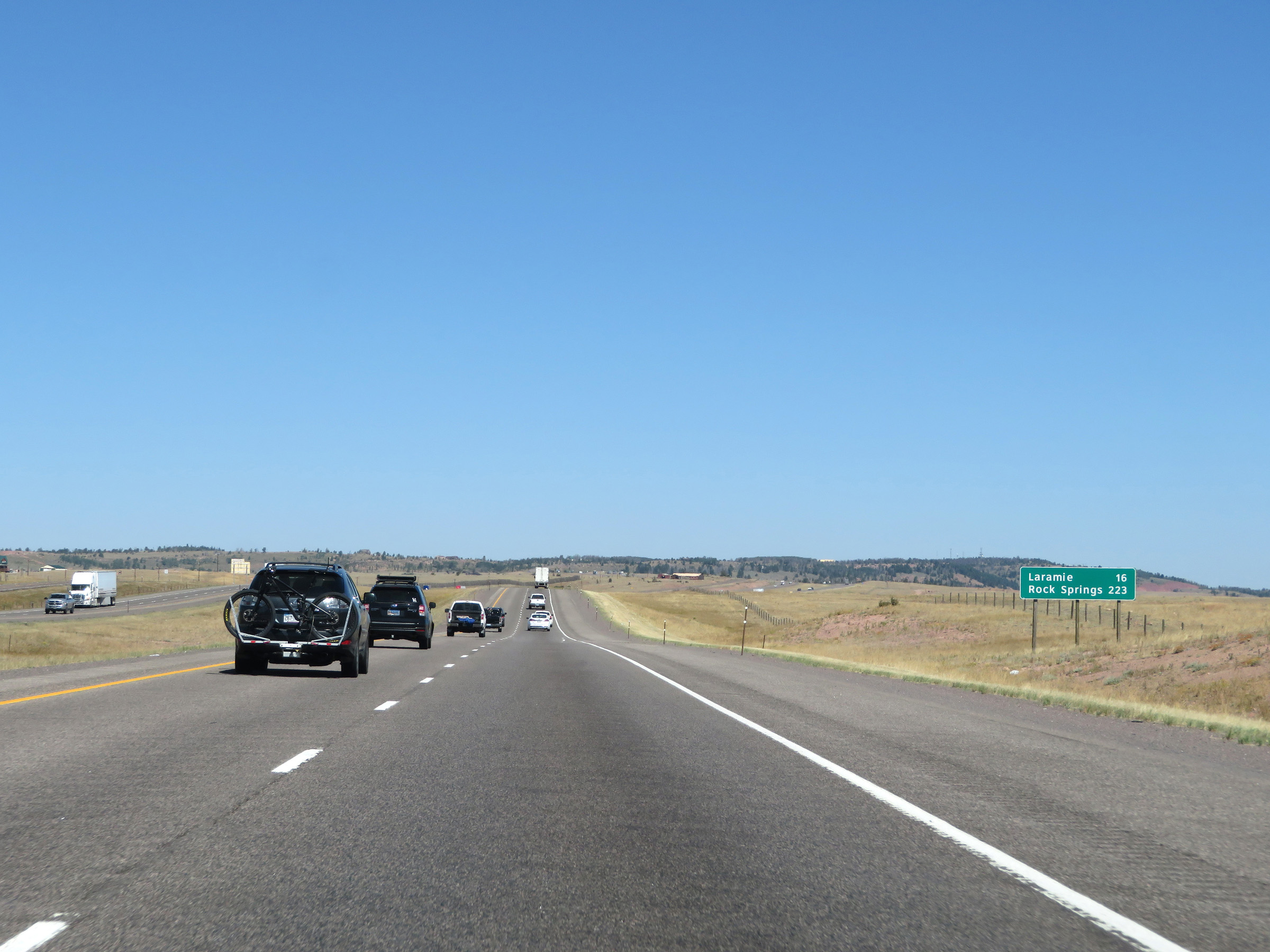 |
Mileage sign on Interstate 80 West. It's 16 miles to Laramie and 223 miles to Rock Springs. (Photo taken 8/15/20). |
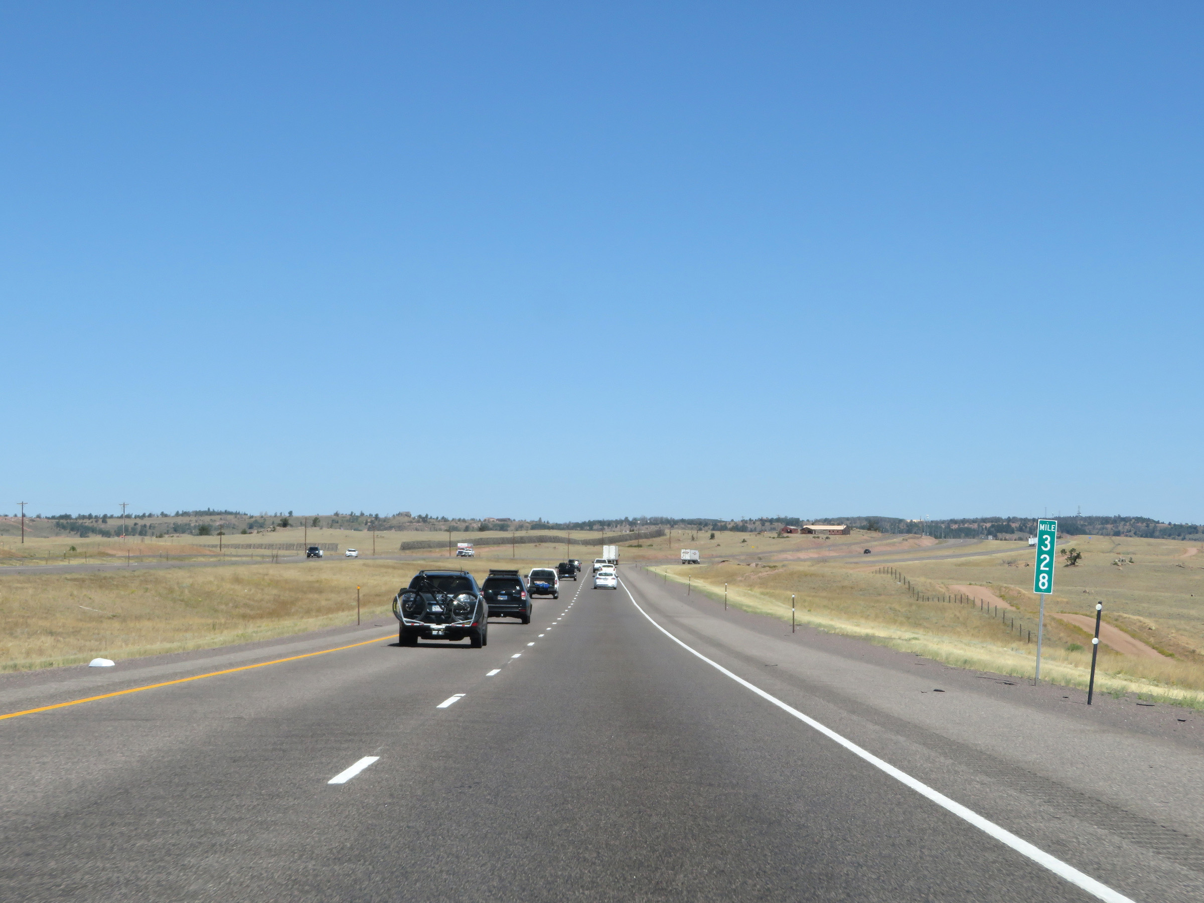 |
Interstate 80 West at mile marker 328. About 5 more miles to go to the summit of Sherman Pass. (Photo taken 8/15/20). |
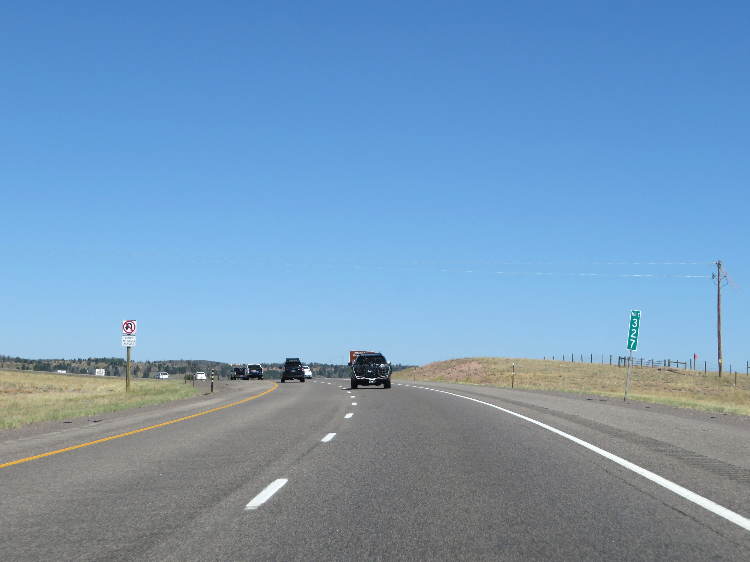 |
View on Interstate 80 West at mile marker 327. (Photo taken 8/15/20). |
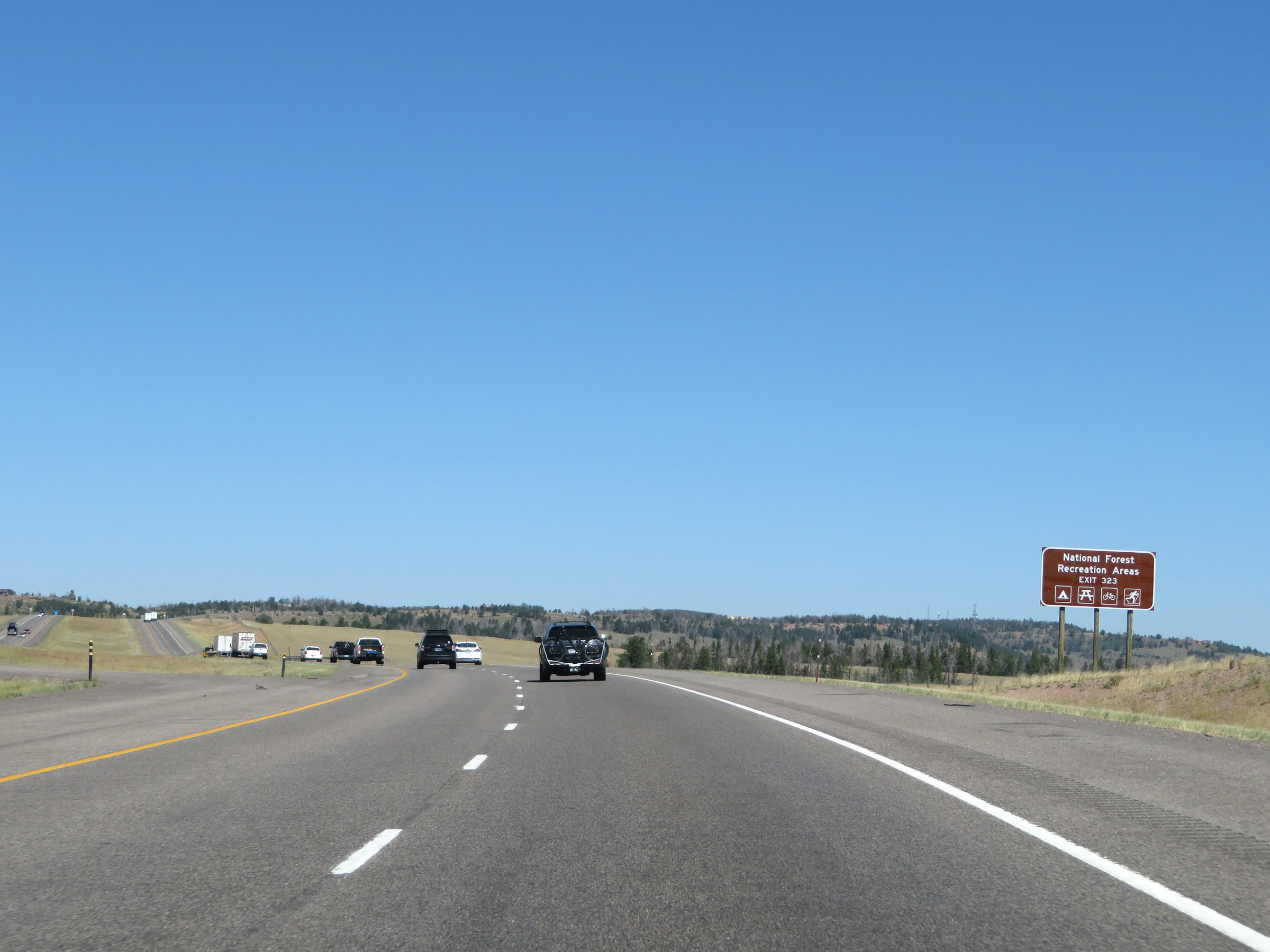 |
Take Exit 323 to the Medicine Bow National Forest Recreation Areas. (Photo taken 8/15/20). |
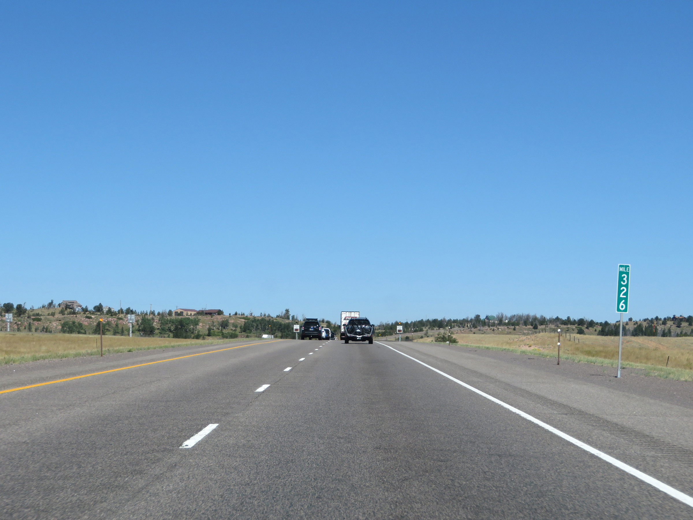 |
Interstate 80 West at mile marker 326. Three more miles to the summit. (Photo taken 8/15/20). |
 |
View on Interstate 80 West approaching the summit of Sherman Pass. We see several snow fences along I-80 at this point due to it being subject to severe winter weather. (Photo taken 8/15/20). |
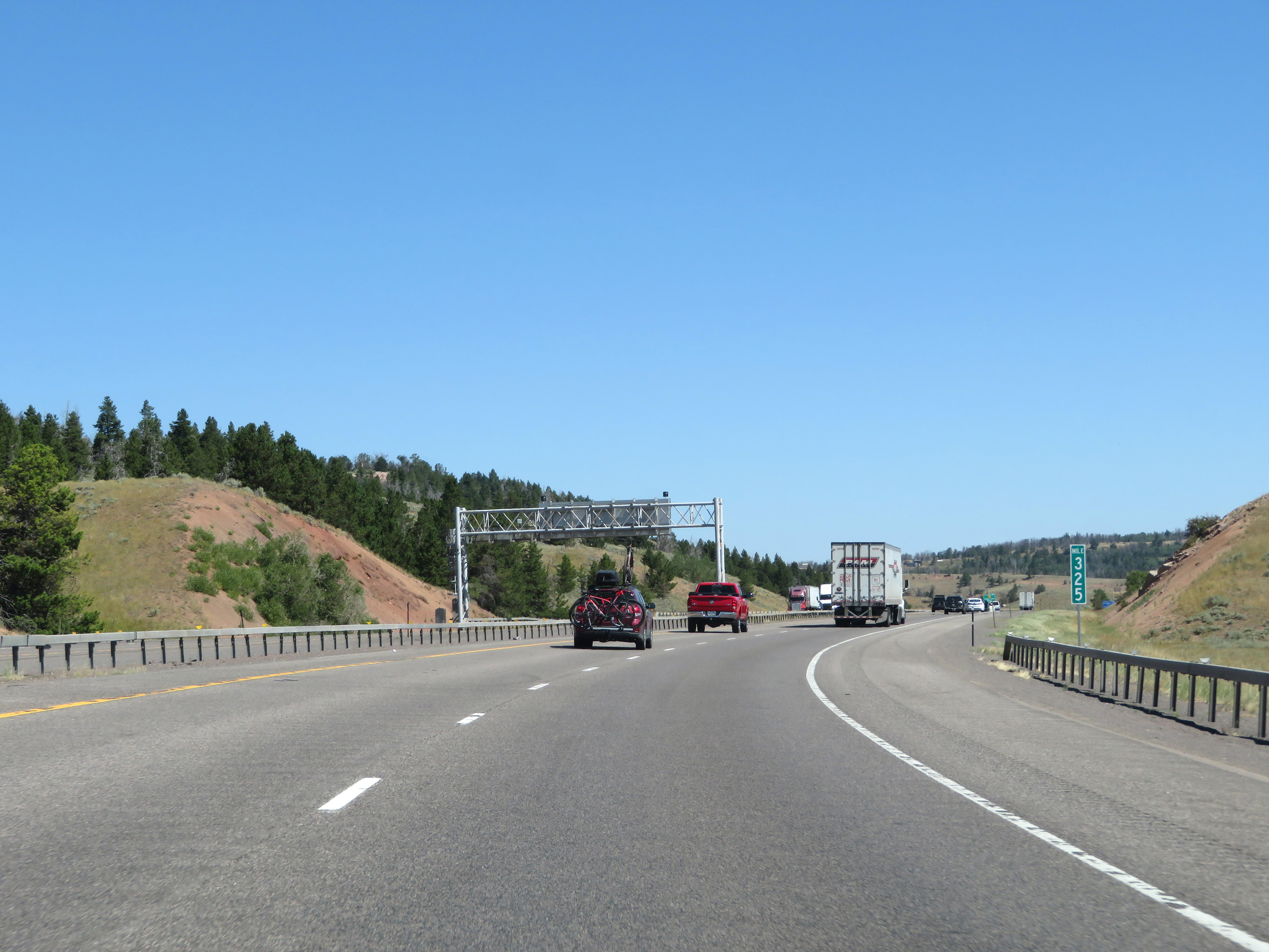 |
Interstate 80 West at mile marker 325. (Photo taken 8/15/20). |
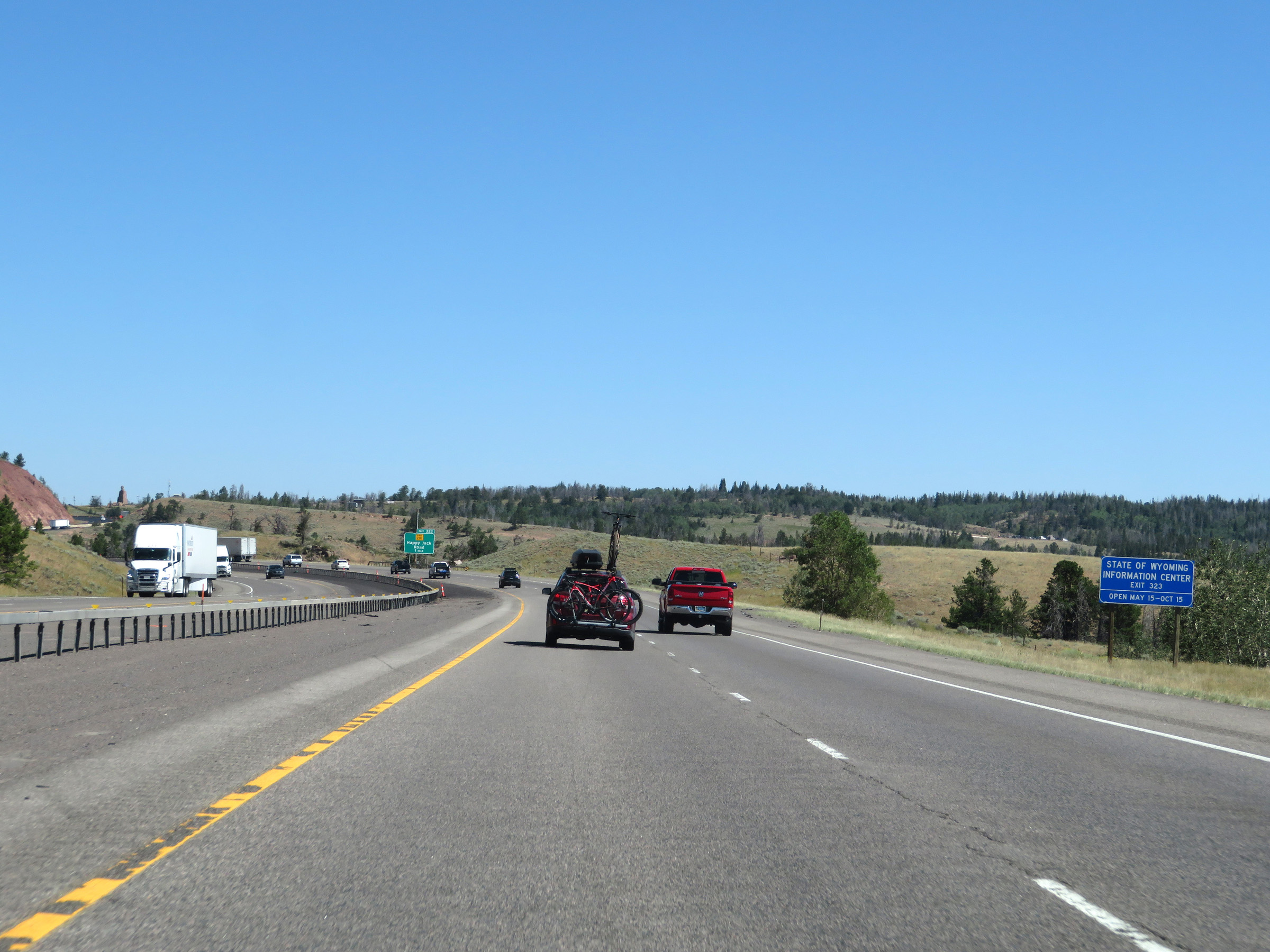 |
A State of Wyoming Information Center exists at the Rest Area off Exit 323. (Photo taken 8/15/20). |
 |
Interstate 80 West approaching Exit 323 - 1 mile. (Photo taken 8/15/20). |
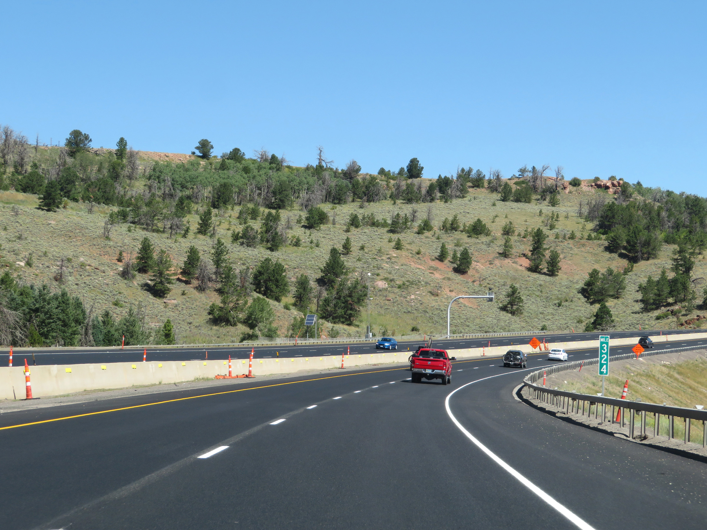 |
View on Interstate 80 West at mile marker 324, as it nears the summit of Sherman Pass. (Photo taken 8/15/20). |
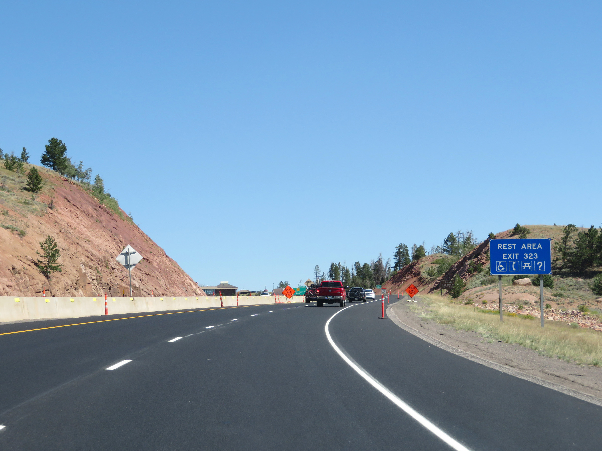 |
A Rest Area exists off Exit 323 ahead. (Photo taken 8/15/20). |
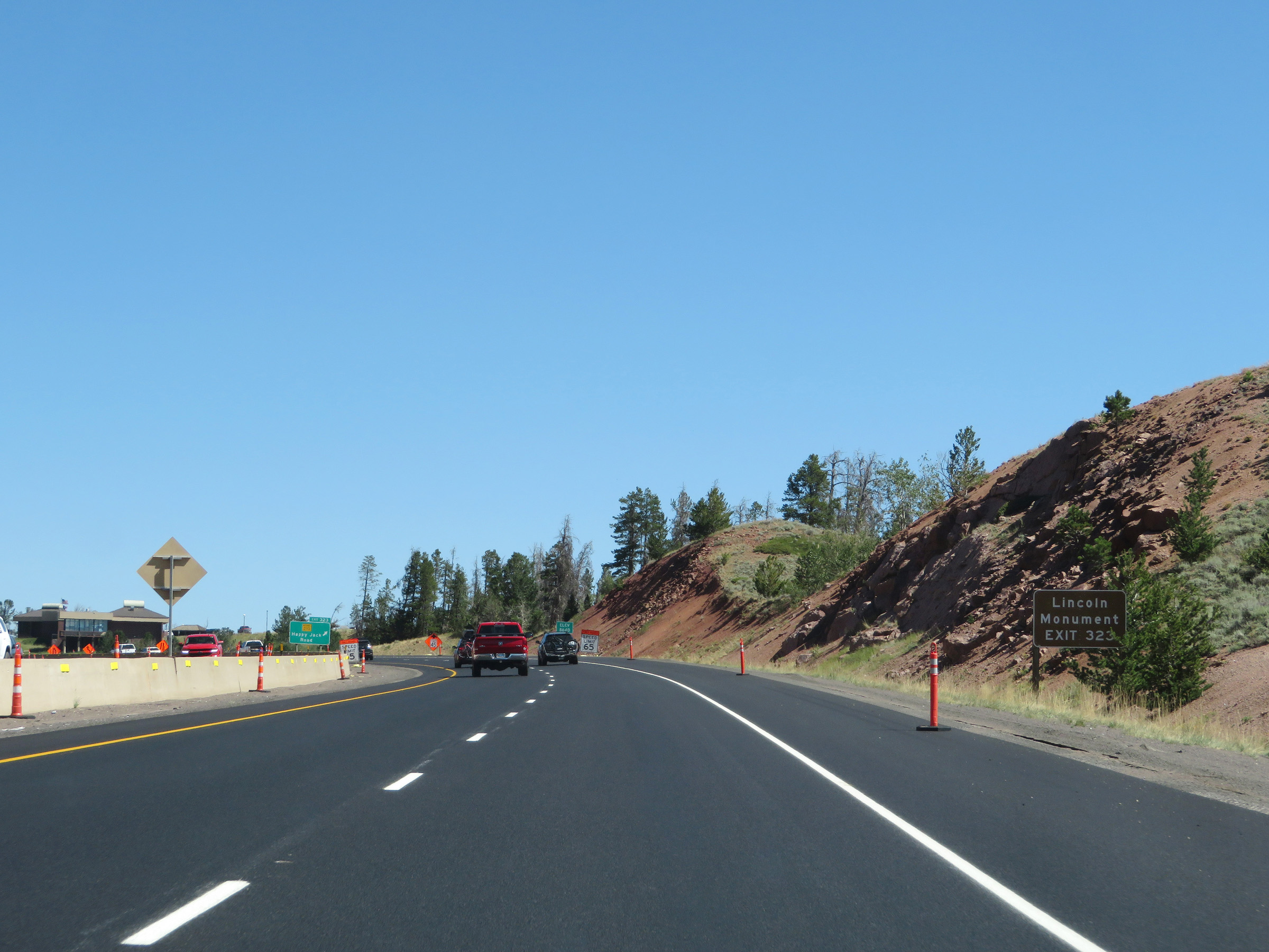 |
Take Exit 323 to the Lincoln Monument. (Photo taken 8/15/20). |
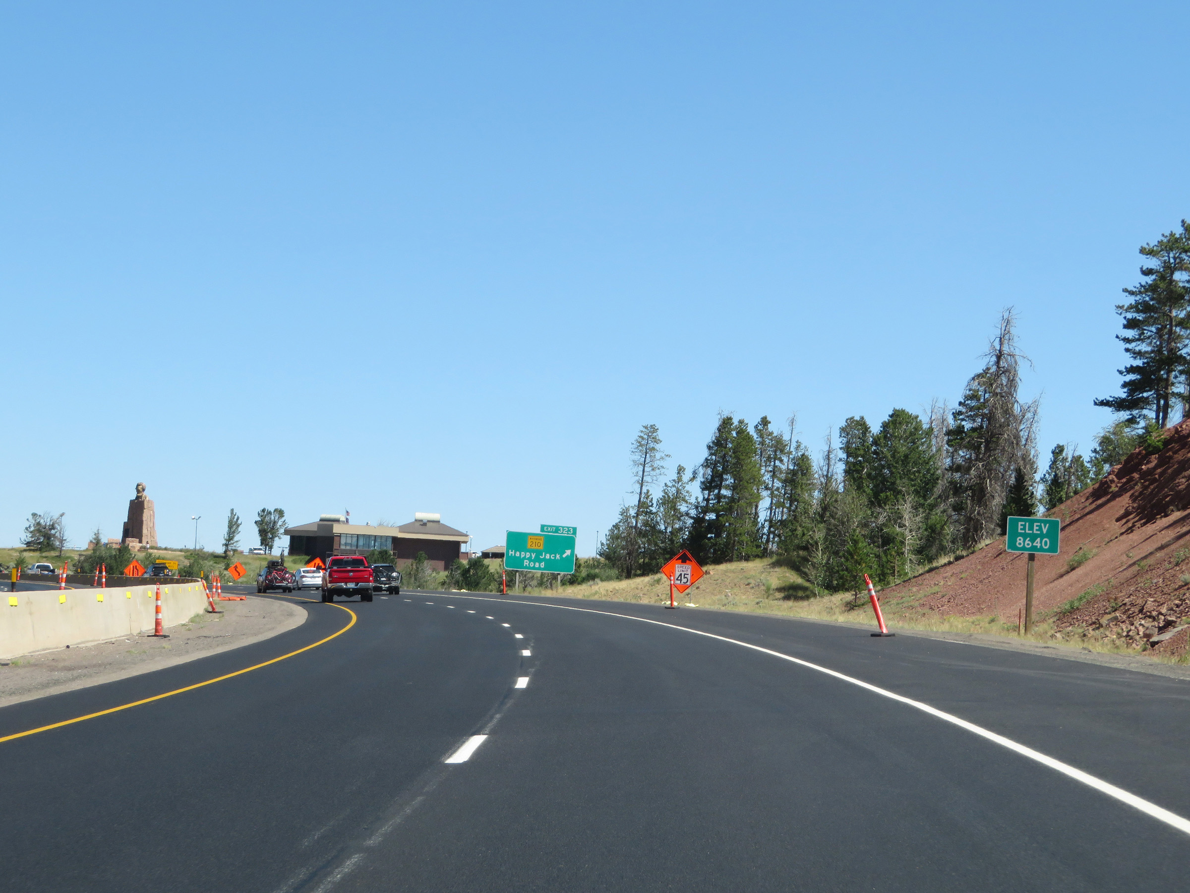 |
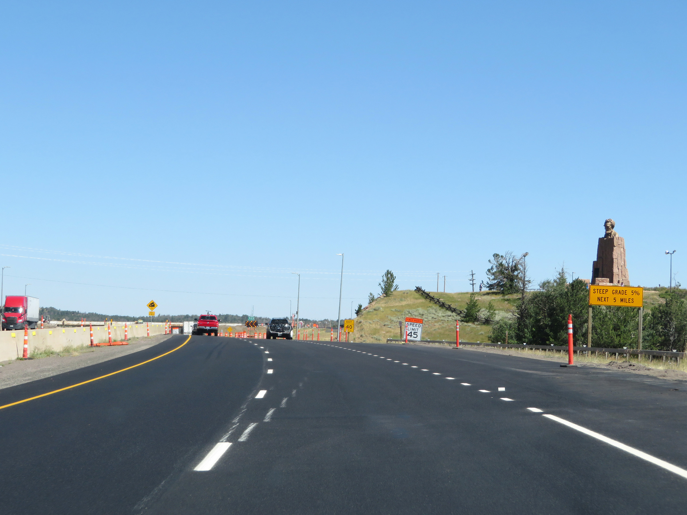
Just before Exit 323, Interstate 80 West reaches Sherman Summit at an elevation of 8,640 feet. This is the highest point on Interstate 80 in the country. Over the distance of about 35 miles, I-80 West went from about 6,000 feet in elevation in Cheyenne to 8,640 feet here at the summit of Sherman Pass. It was a slow, steady climb of over 2,600 feet. (Photo taken 8/15/20). |
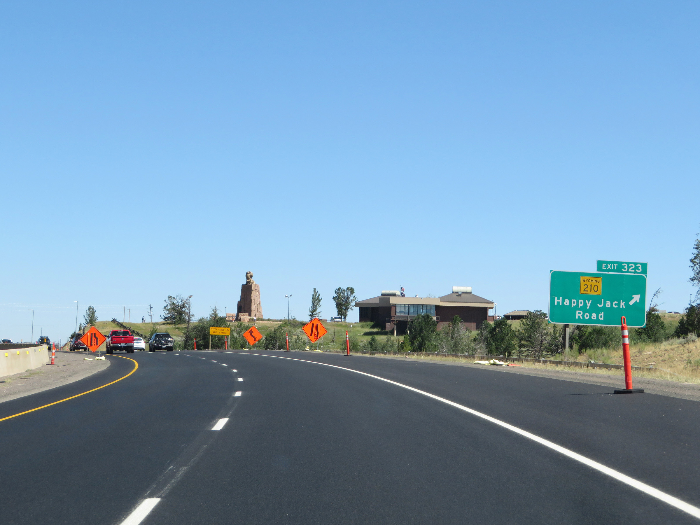 |
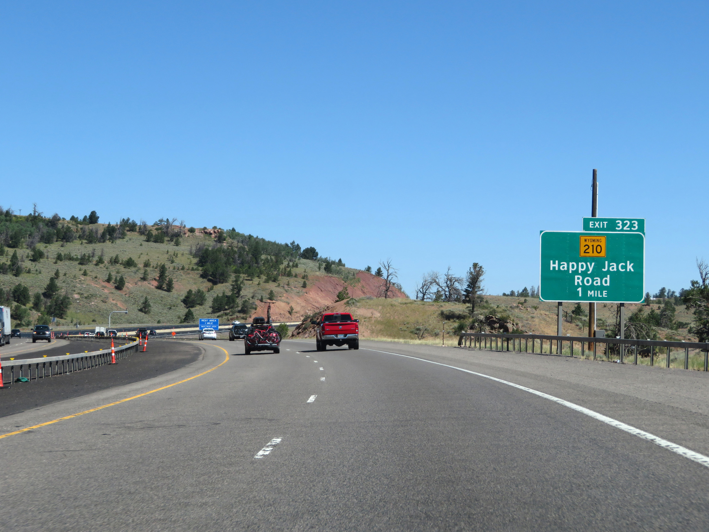
Interstate 80 West at Exit 323: WY 210 - Happy Jack Road (Photo taken 8/15/20). |
 |
At the ramp for Exit 323, we get a good view of the Lincoln Monument. (Photo taken 8/15/20). |
 |
While the climb to the summit of Sherman Pass on Interstate 80 West was very gradual, the descent into Laramie is quite shorter and steeper. This warning sign alerts trucks of a 5% downgrade ahead which will last for the next 5 miles. This descent of Sherman Pass is certainly no joke, especially in the winter months. (Photo taken 8/15/20). |
 |
View of the ramp for Exit 323. (Photo taken 8/15/20). |
 |
Interstate 80 West begins to descend Sherman Pass on its west side here, as it passes under WY 210 (Happy Jack Road). (Photo taken 8/15/20). |
 |
The variable speed limits continue as Interstate 80 West descends Sherman Pass. (Photo taken 8/15/20). |
 |
State-named Interstate 80 West reassurance shield. (Photo taken 8/15/20). |
 |
Mileage sign on Interstate 80 West as it begins to go down Sherman Pass. It's 9 miles to Laramie and 108 miles to Rawlins. (Photo taken 8/15/20). |
 |
View on Interstate 80 West as it traverses the downgrade. (Photo taken 8/15/20). |
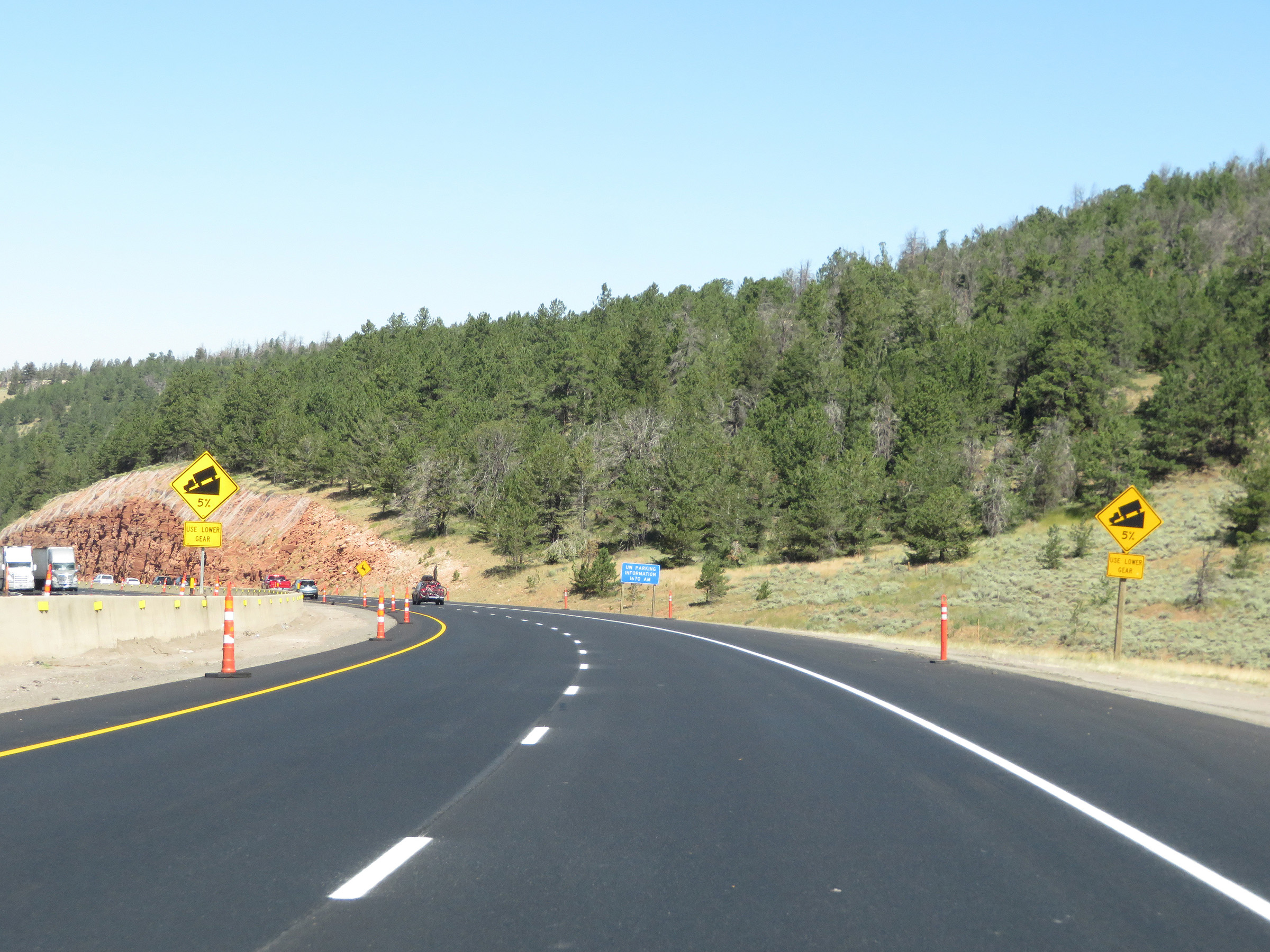 |
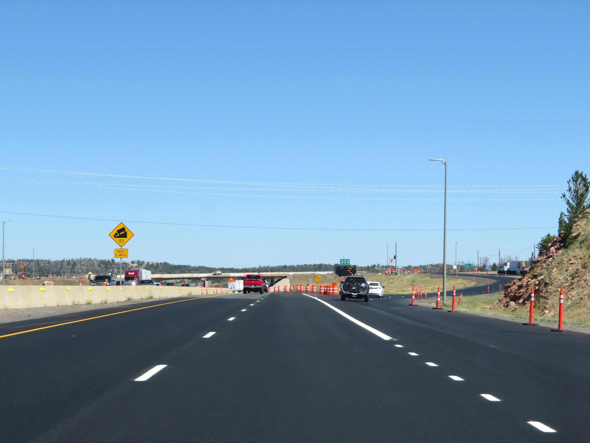
More warning signs showing the steepness of the grade as 5%. Trucks are urged to gear down for this long, steep downgrade. There is no break in the steepness the whole way down, so being in the proper gear is crucial to saving your brakes. (Photo taken 8/15/20). |
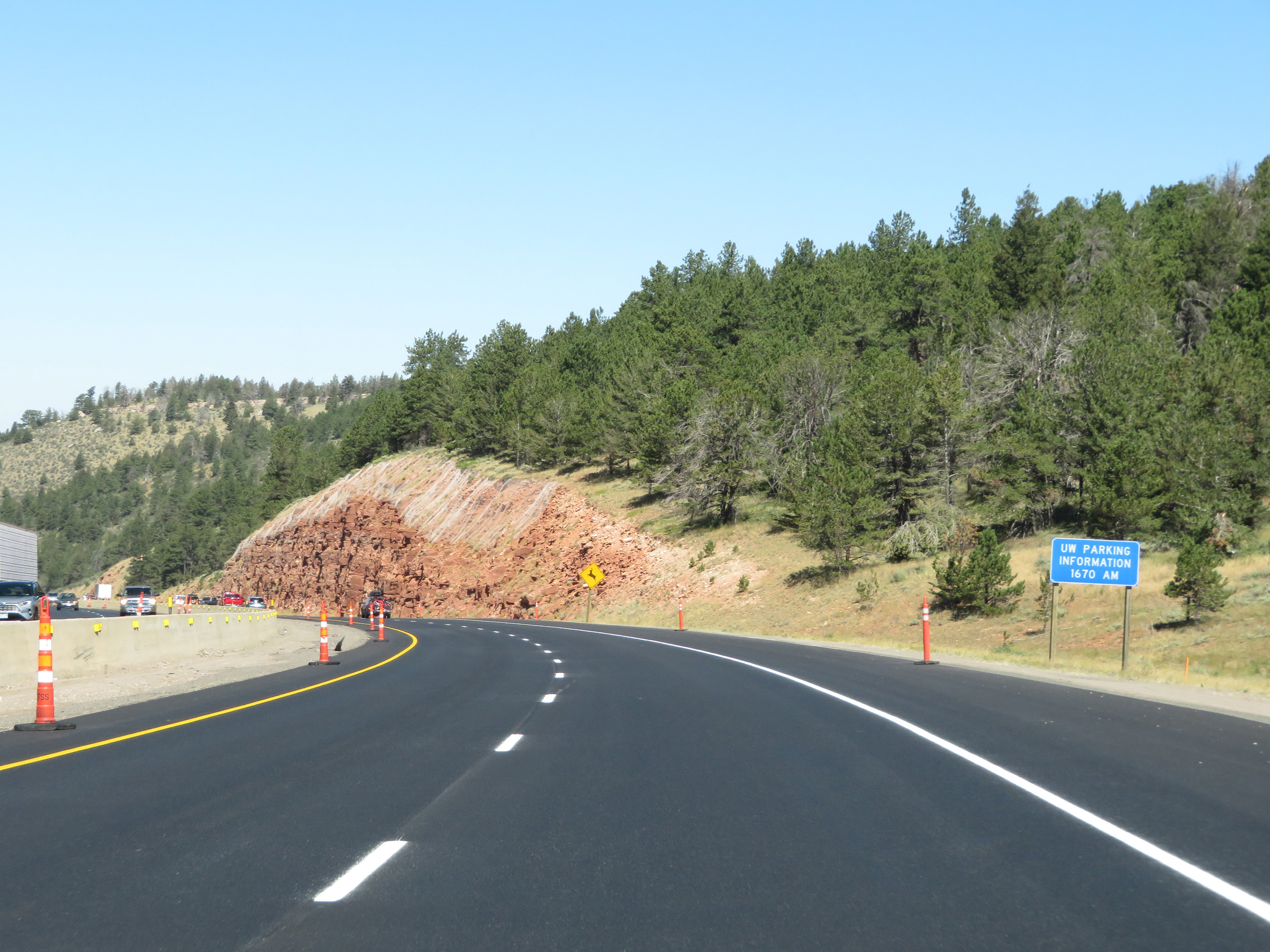 |
Tune your radio to 1670 AM for parking information at the University of Wyoming. (Photo taken 8/15/20). |
 |
View on Interstate 80 West as it continues down Sherman Pass. (Photo taken 8/15/20). |
 |
Interstate 80 West going down Sherman Pass. (Photo taken 8/15/20). |
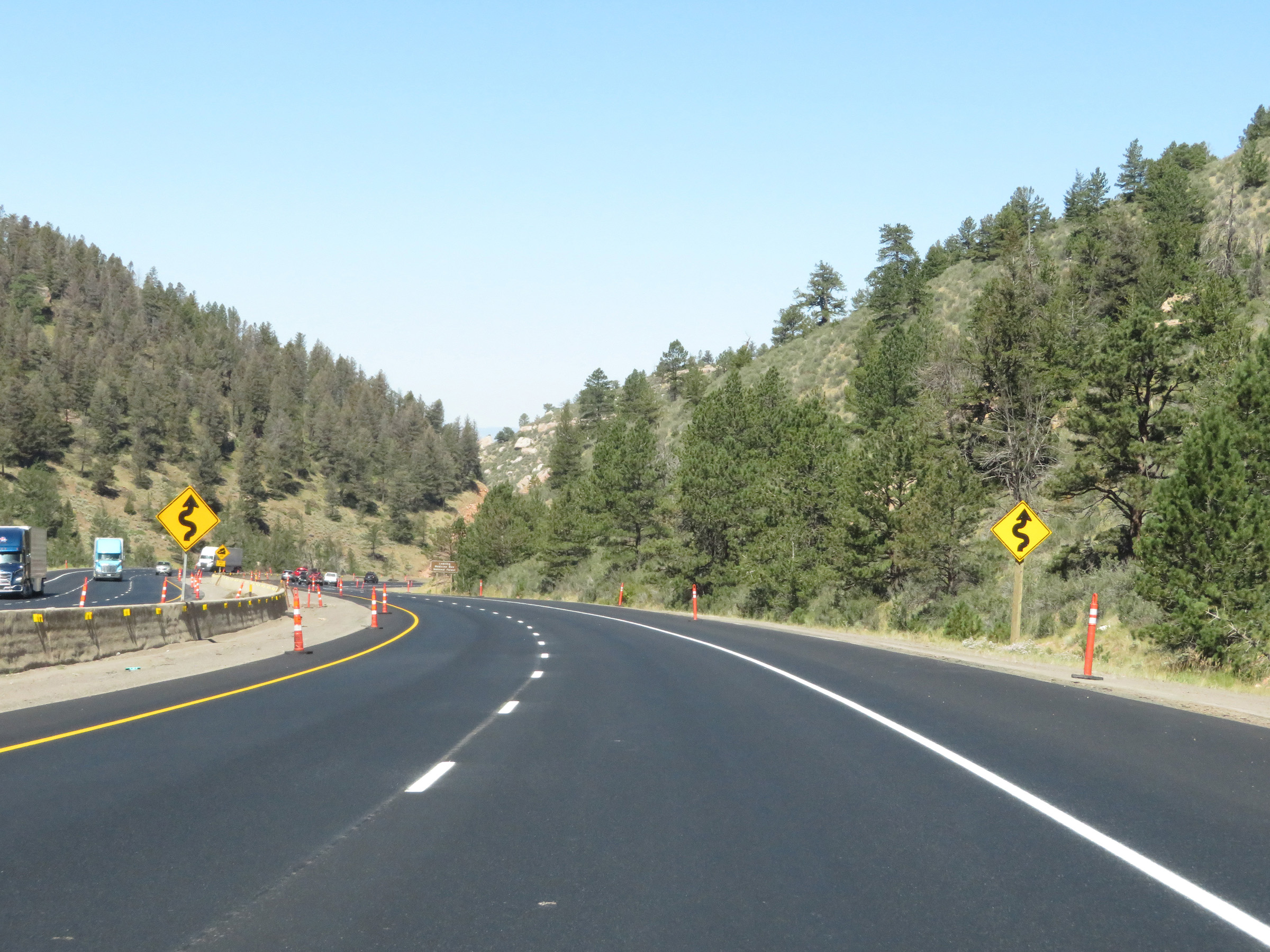 |
In addition to the steepness of the downgrade, Interstate 80 West will also traverse some winding curves ahead. (Photo taken 8/15/20). |
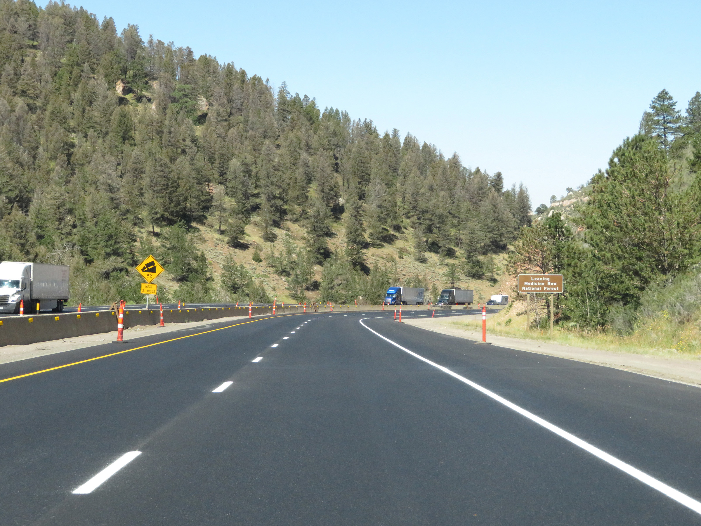 |
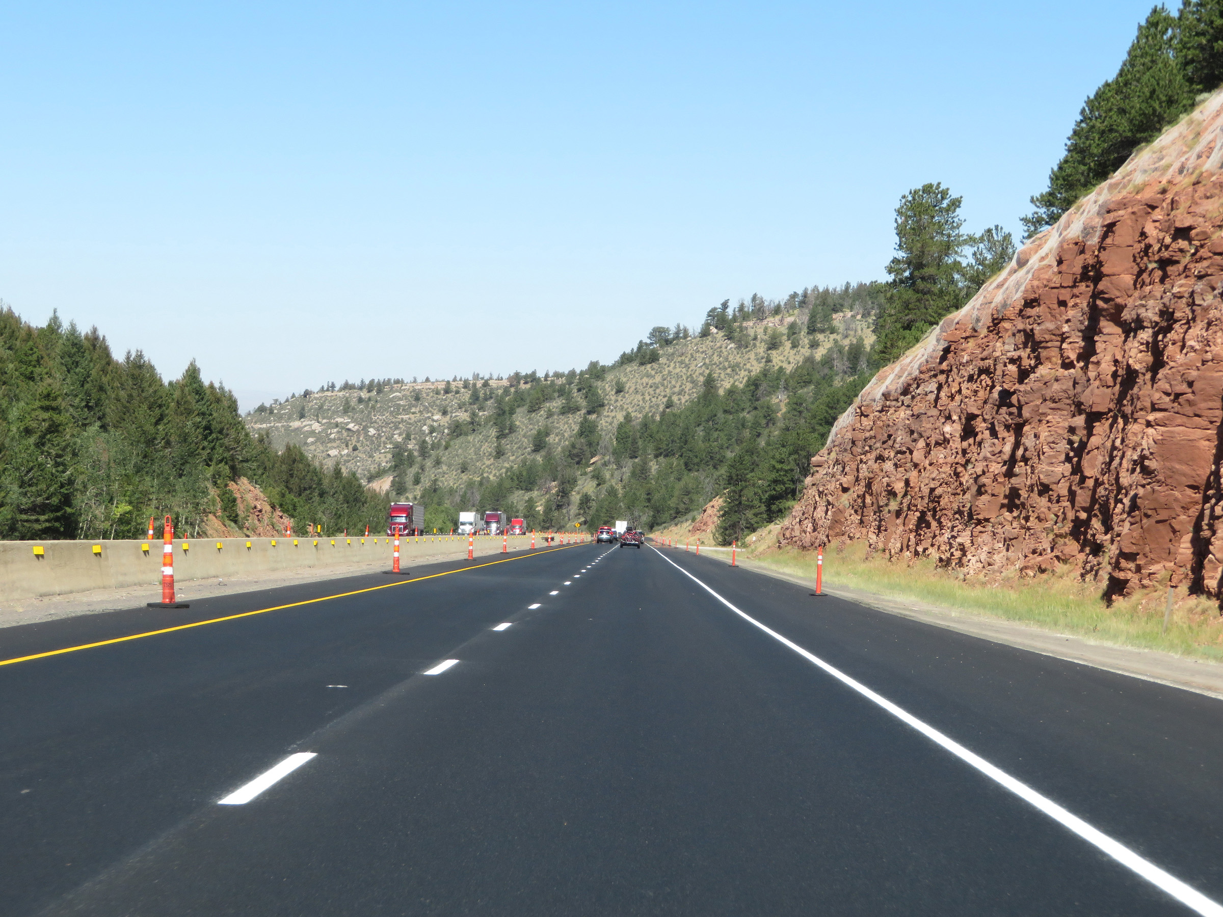
As Interstate 80 West leaves Medicine Bow National Forest on its way down Sherman Pass, this warning sign states that the 5% downgrade continues for 3 more miles. (Photo taken 8/15/20). |
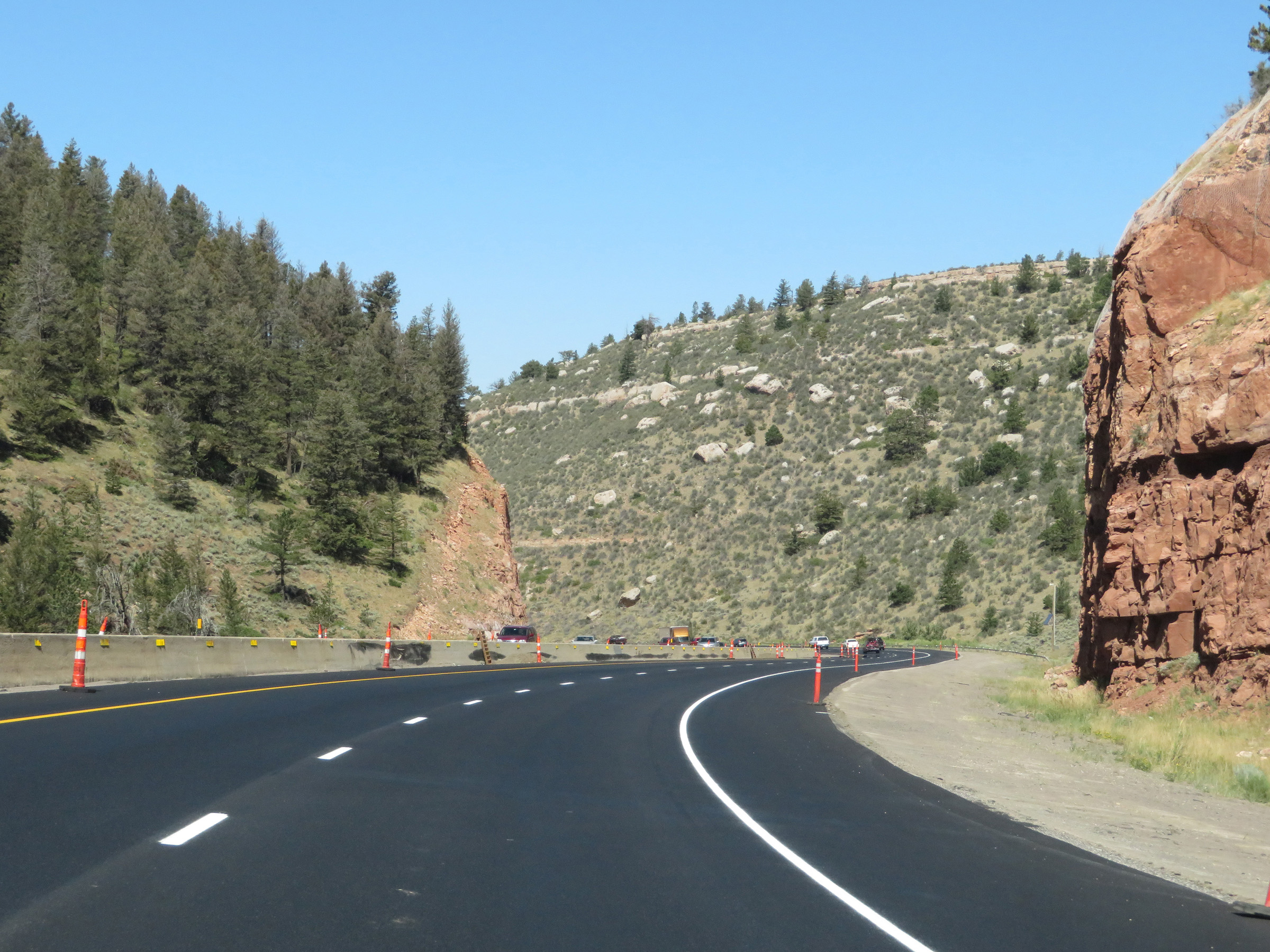 |
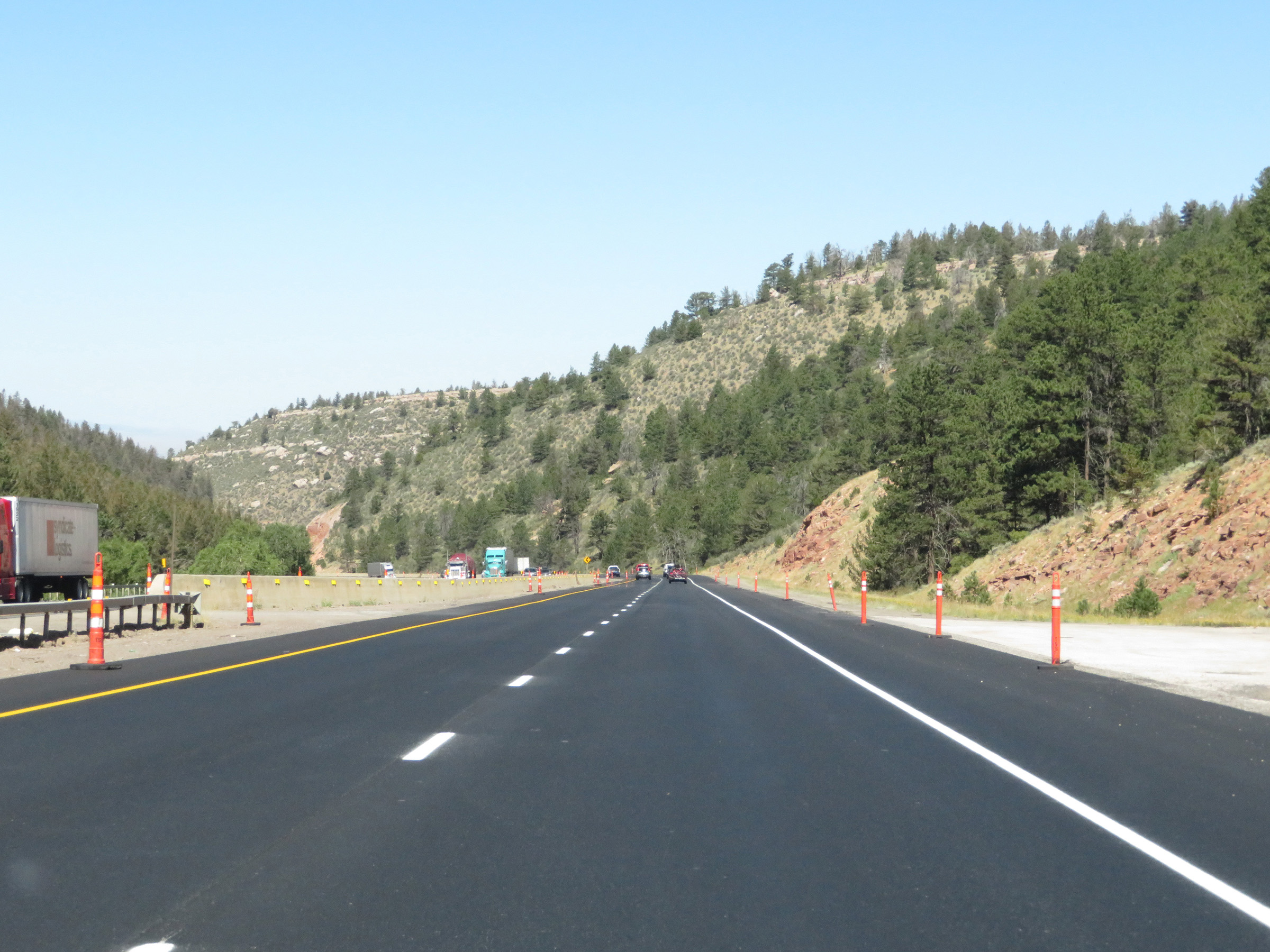
Another view on Interstate 80 West as it continues down the grade. Note the consistency of the steepness of the downgrade. (Photo taken 8/15/20). |
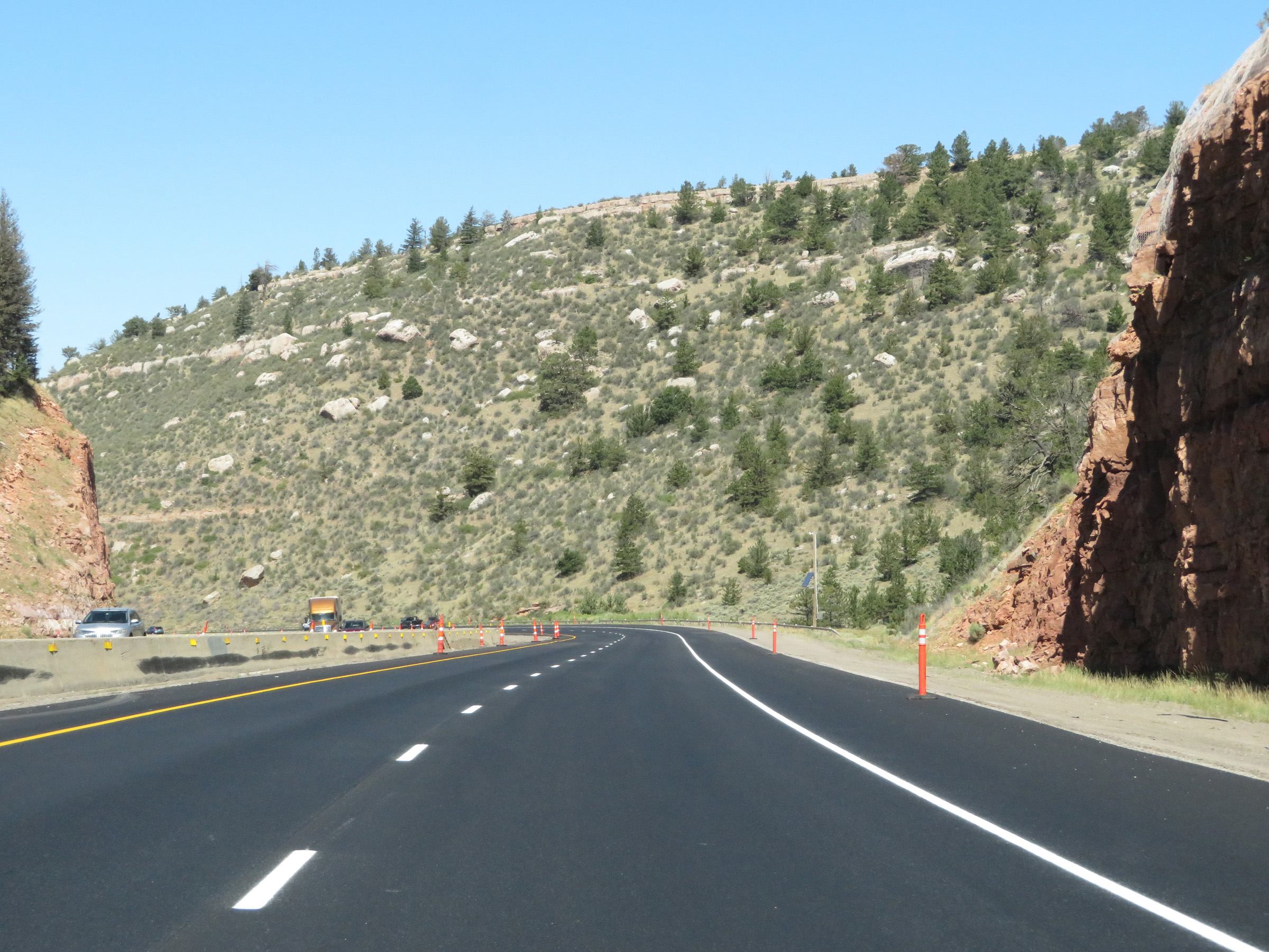 |
Interstate 80 West as it descends Sherman Pass. (Photo taken 8/15/20). |
 |
View on Interstate 80 West as it continues down the steep grade on the west side of Sherman Summit. (Photo taken 8/15/20). |
 |
Another view on Interstate 80 West going down Sherman Pass. (Photo taken 8/15/20). |
 |
Interstate 80 West continuing down Sherman Pass. (Photo taken 8/15/20). |
 |
The consistently steep 5% downgrade continues. (Photo taken 8/15/20). |
 |
More sharp curves ahead on Interstate 80 West. (Photo taken 8/15/20). |
 |
View on Interstate 80 West as it continues to traverse the steep downgrade of Sherman Pass. (Photo taken 8/15/20). |
 |
Interstate 80 West traversing the curve noted by the warning sign two photos ago. (Photo taken 8/15/20). |
 |
View on Interstate 80 West as it continues to traverse the steep downgrade of Sherman Pass. (Photo taken 8/15/20). |
 |
Interstate 80 West straightens out for a brief time here on its way down Sherman Pass, almost at the bottom. (Photo taken 8/15/20). |
 |
One final curve on Interstate 80 West as it traverses the steep downgrade of Sherman Pass. (Photo taken 8/15/20). |
 |
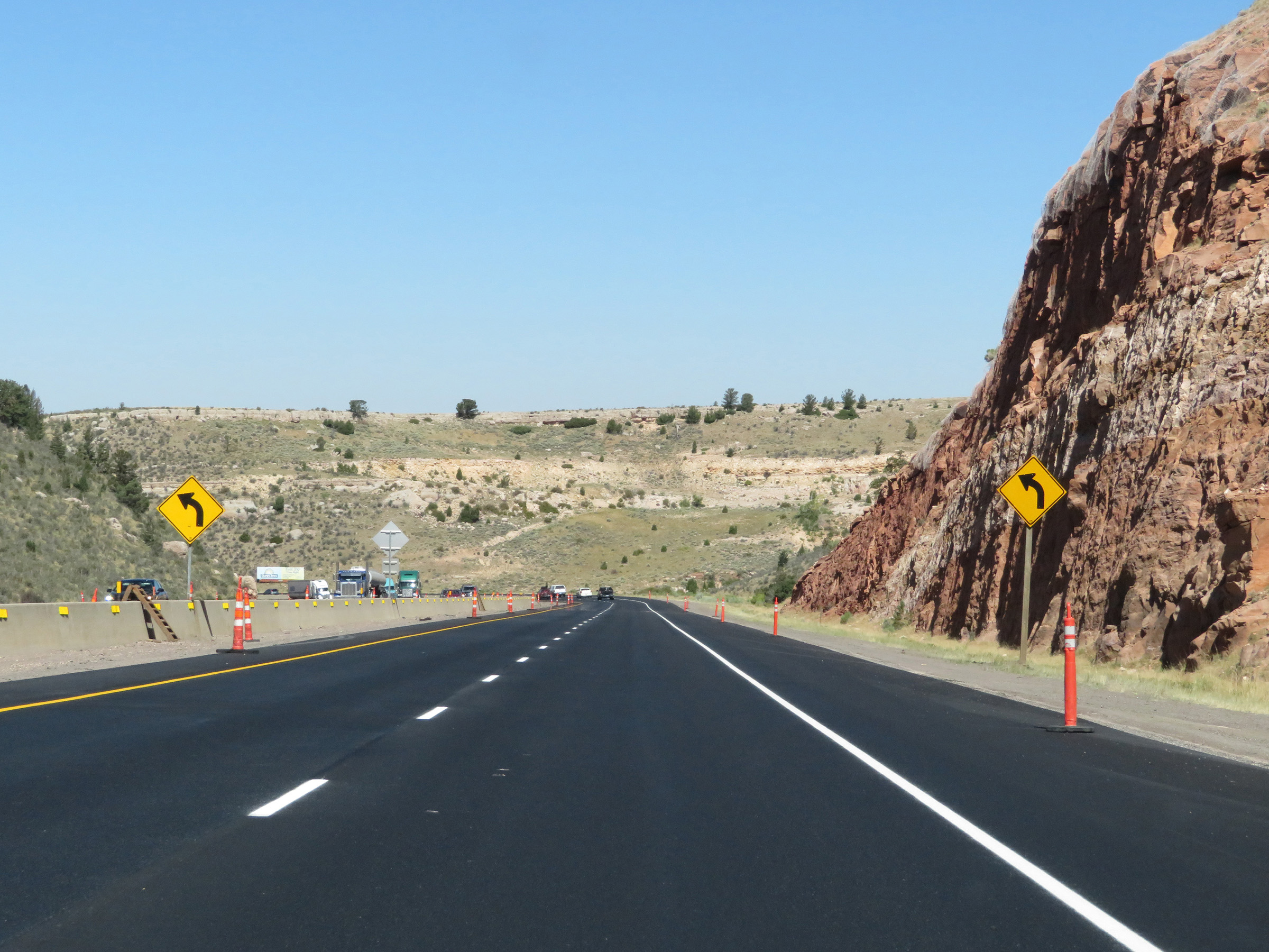
Interstate 80 West as the bottom of Sherman Pass comes into view approaching Laramie. (Photo taken 8/15/20). |
 |
The variable speed limits continue for a bit longer, to the bottom of Sherman Pass. (Photo taken 8/15/20). |
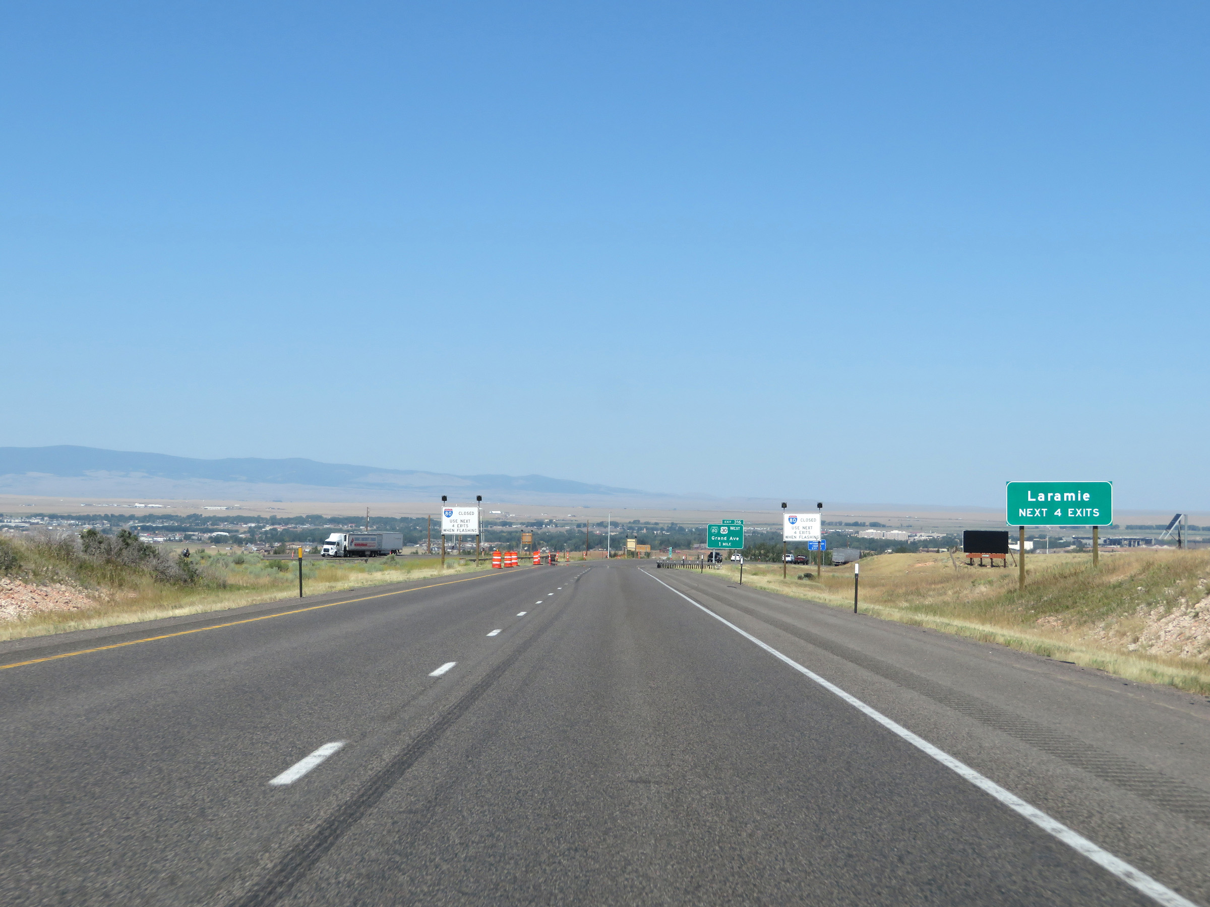 |
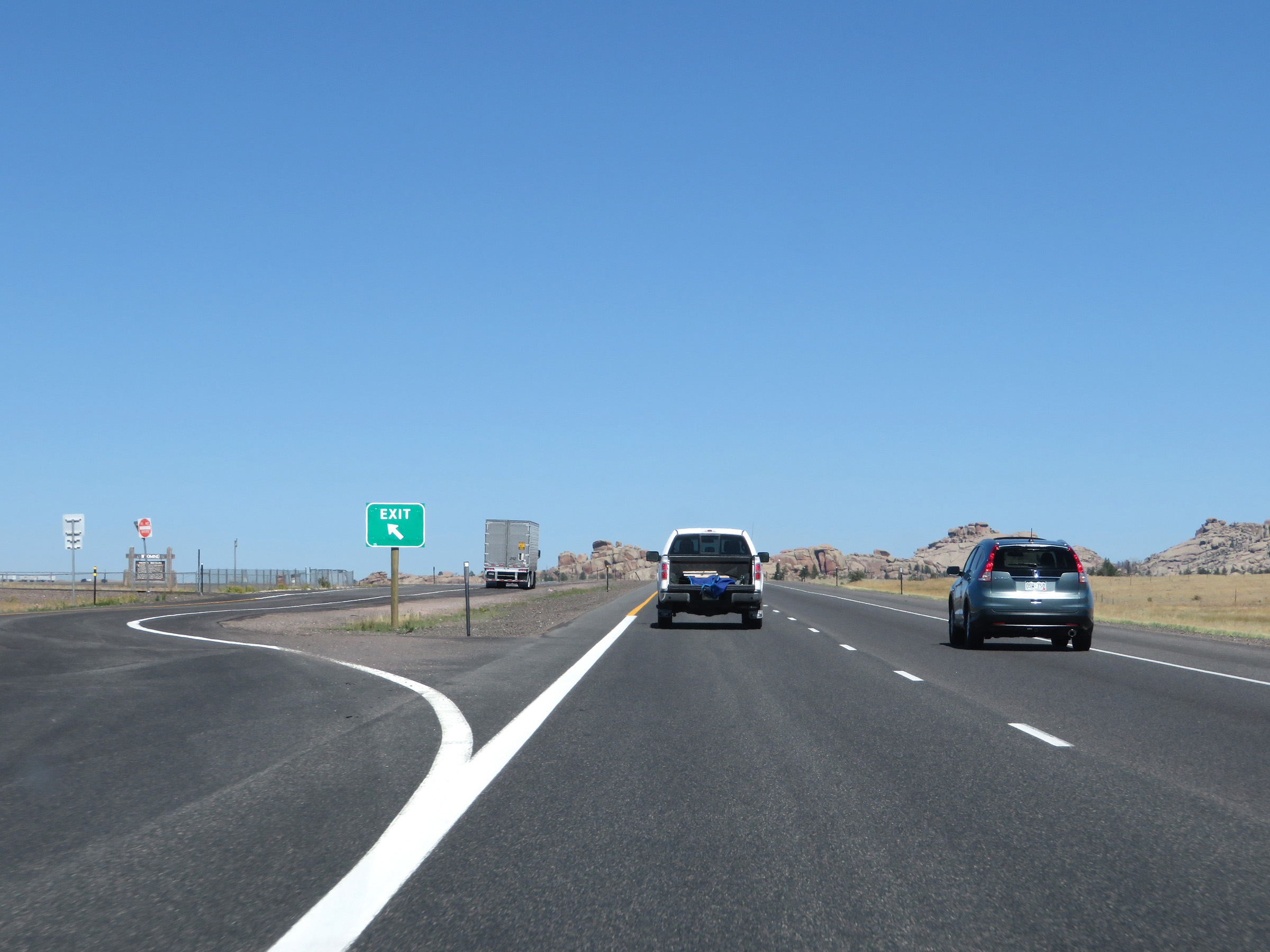
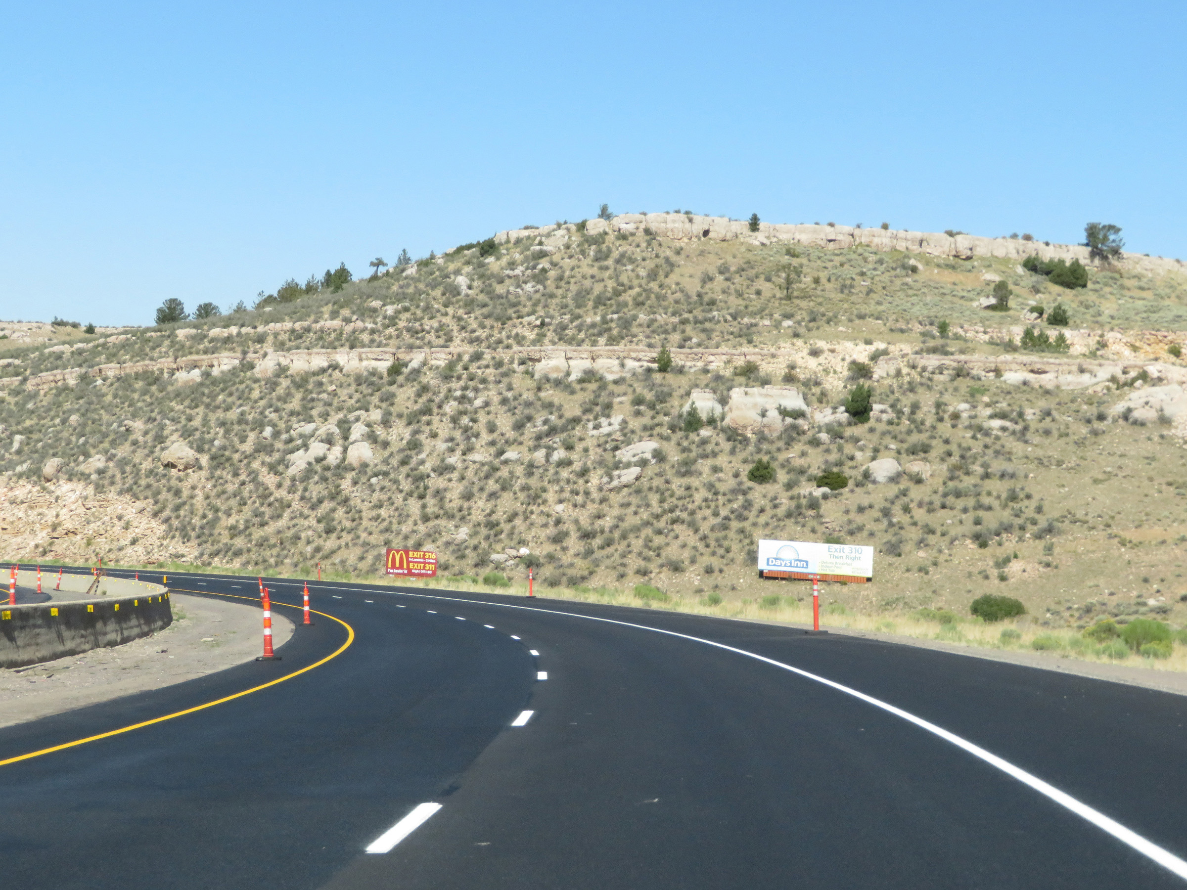
Take any of the next 4 exits to Laramie. (Photo taken 8/15/20). |
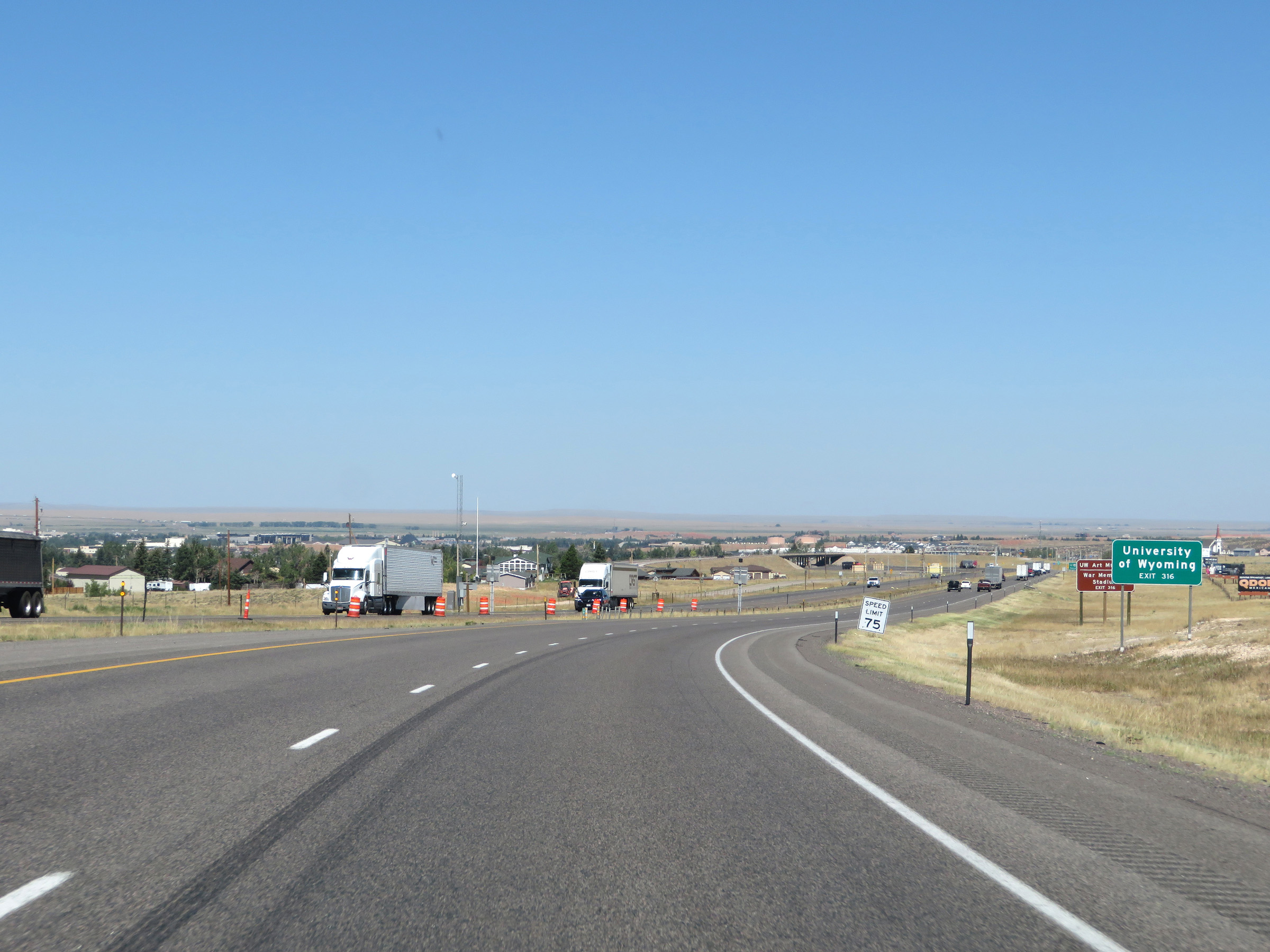 |
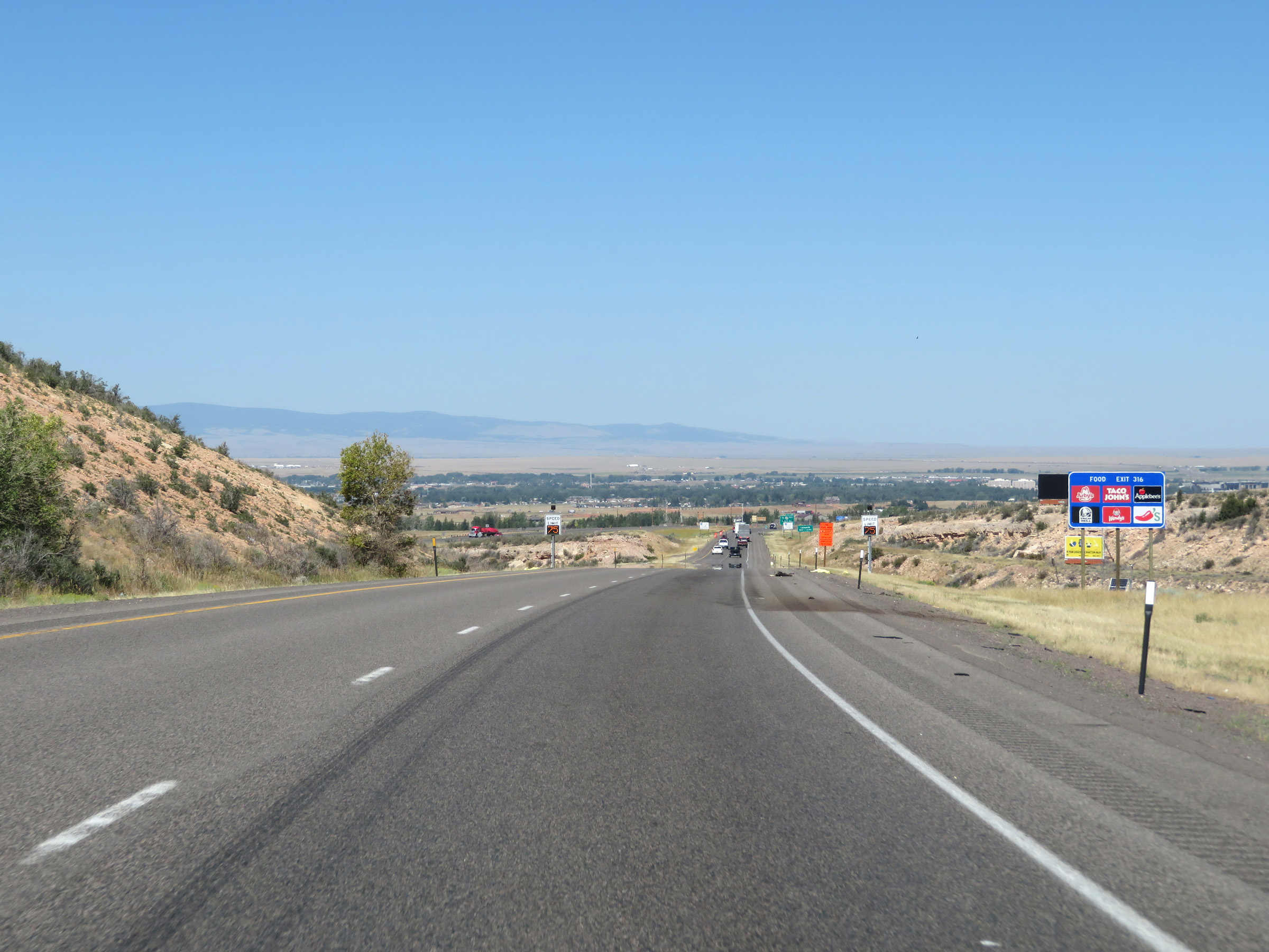
Take Exit 316 to the University of Wyoming. (Photo taken 8/15/20). |
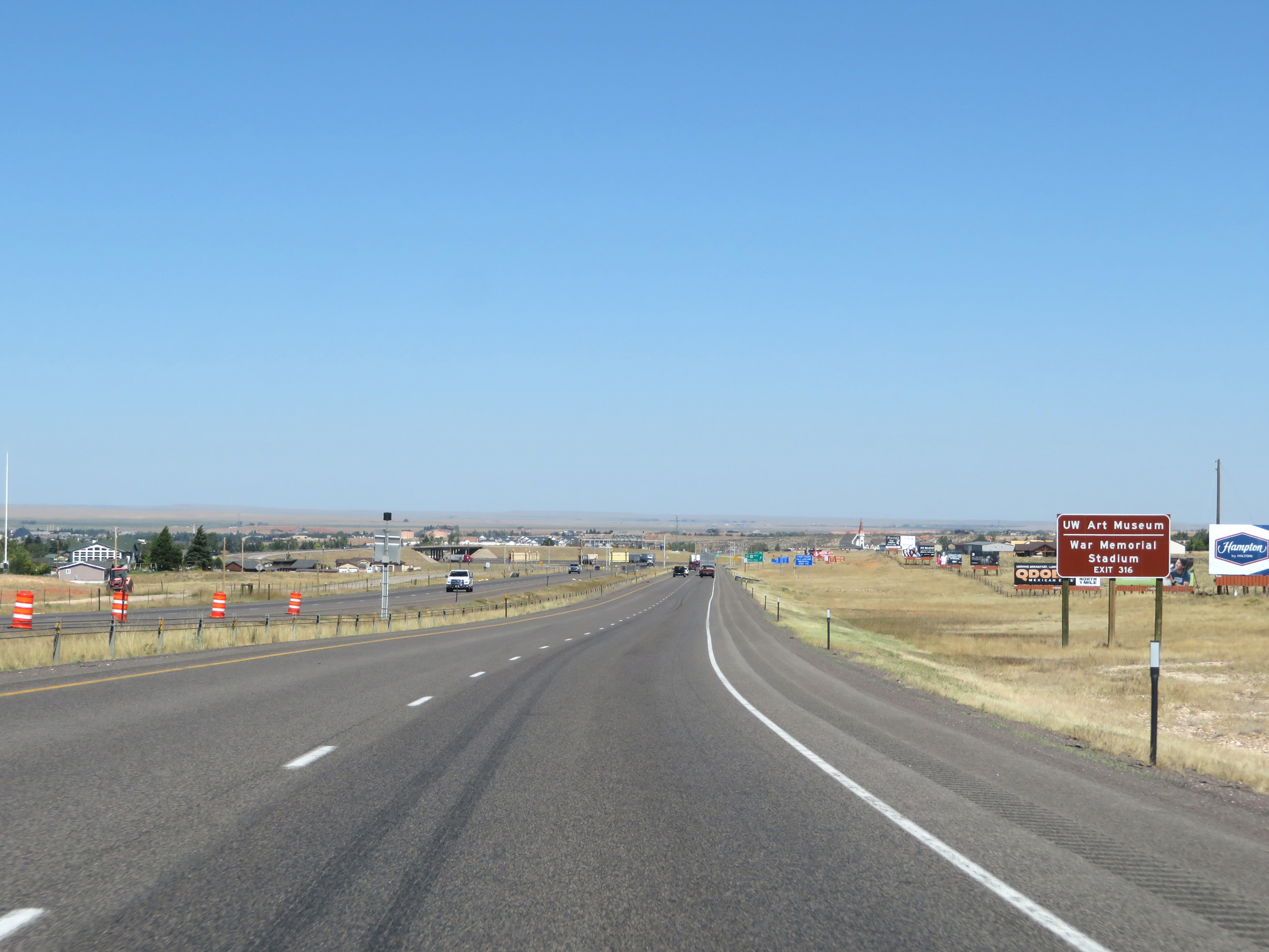 |
Also take Exit 316 to the University of Wyoming Art Museum and War Memorial Stadium. (Photo taken 8/15/20). |
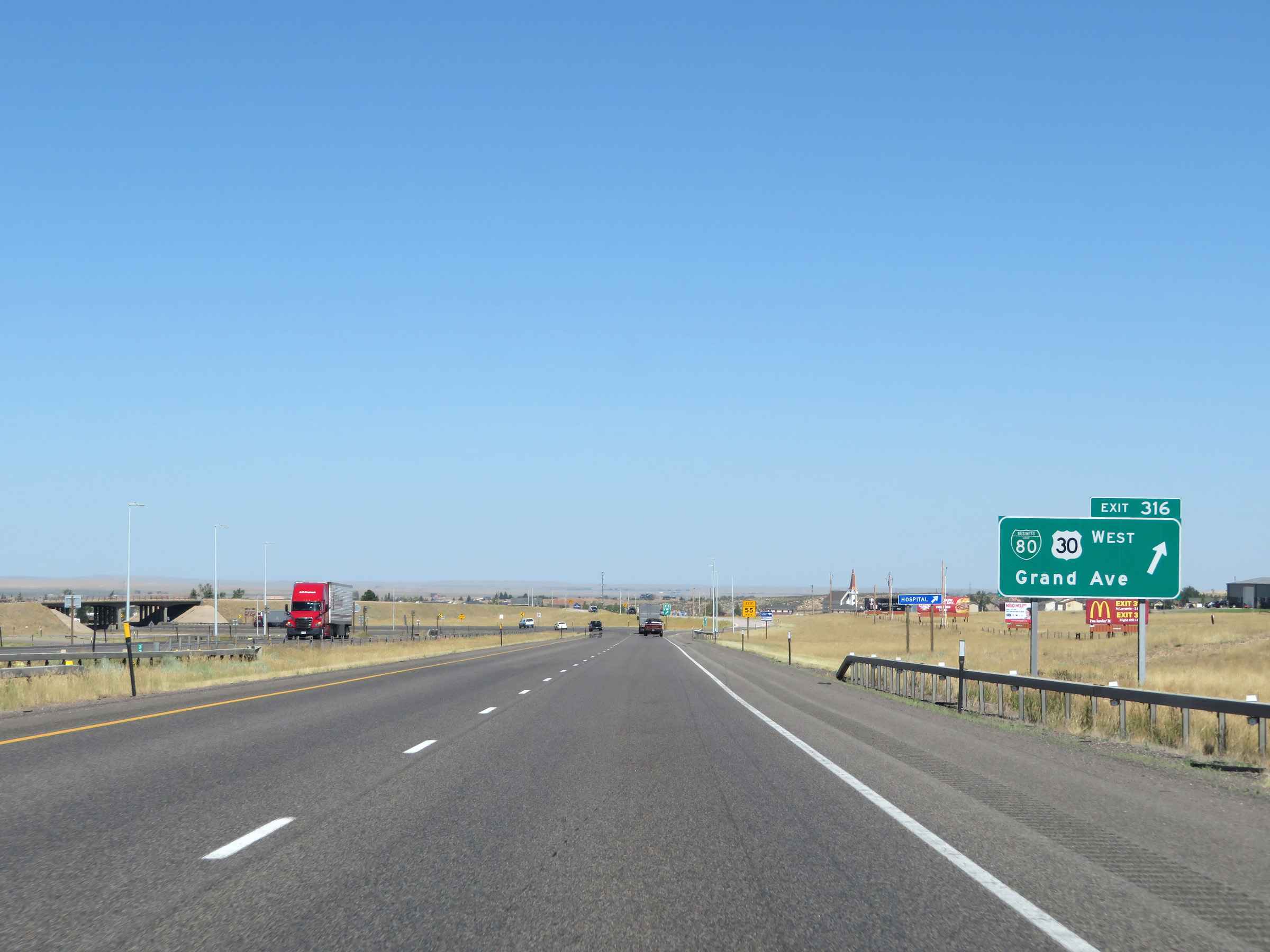 |
Interstate 80 West at Exit 316: Interstate 80 Business Loop West / US 30 West - Grand Ave (Photo taken 8/15/20). |
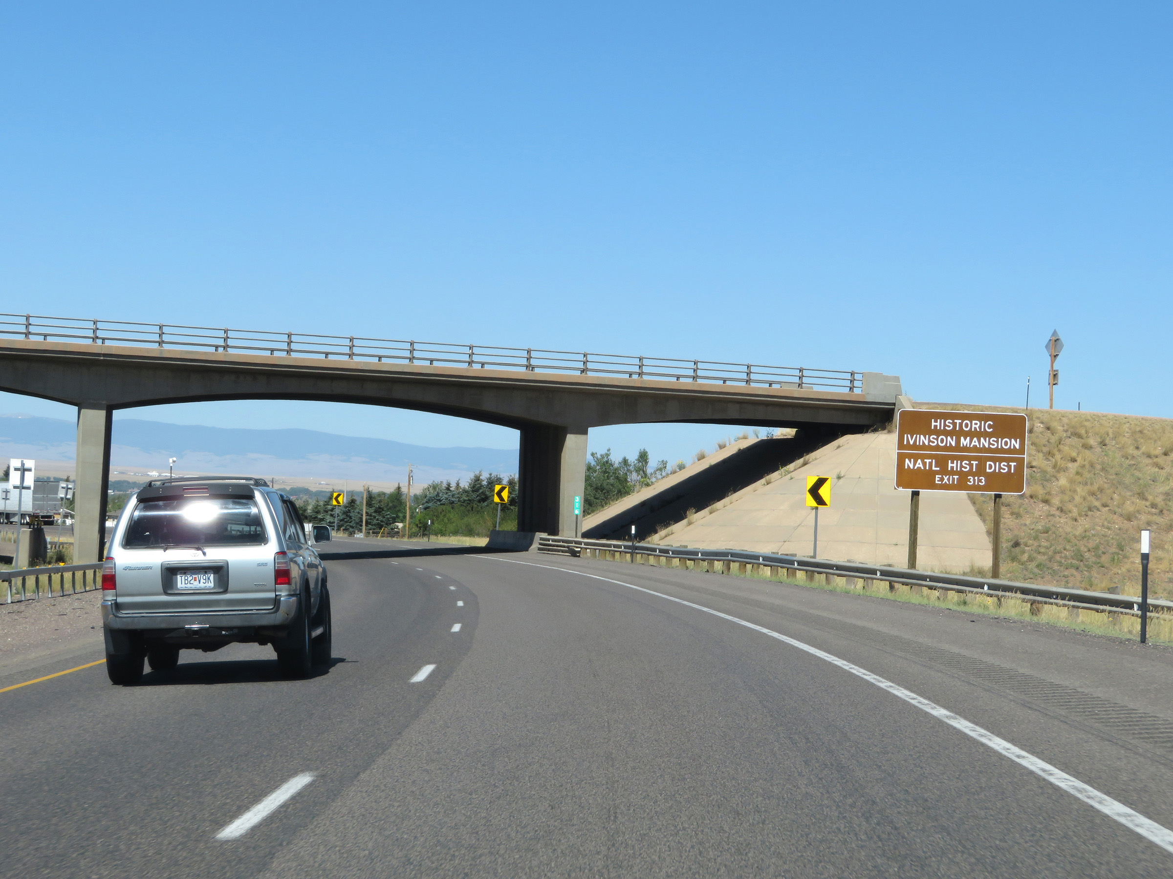 |
Take Exit 313 to the Historic Ivinson Mansion. (Photo taken 8/15/20). |
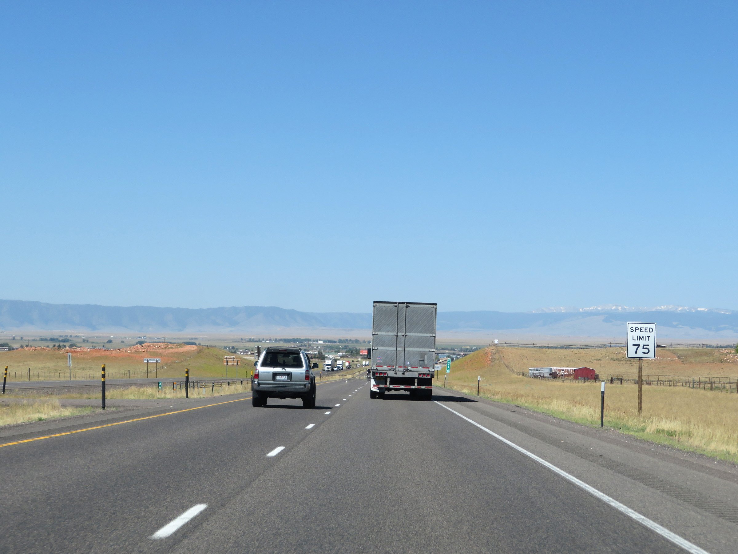 |
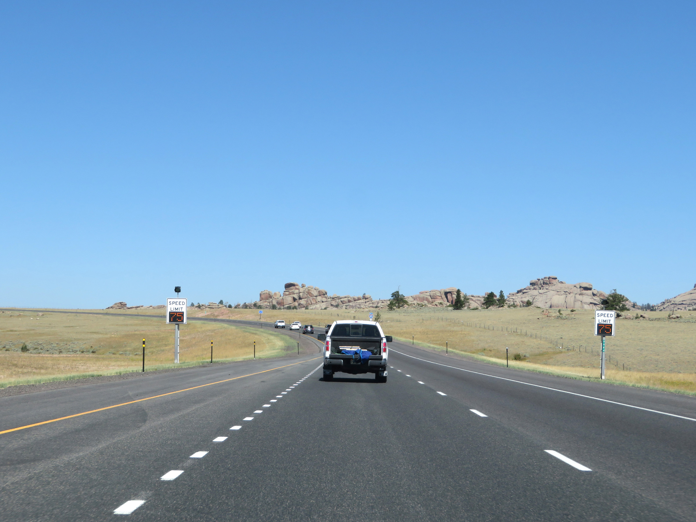
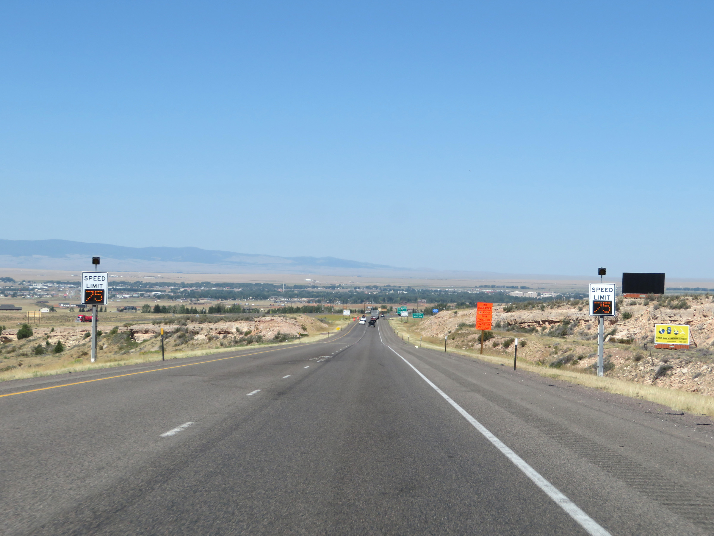
The variable speed limits come to an end in Laramie. The speed limit is 75 mph through the Laramie area. (Photo taken 8/15/20). |
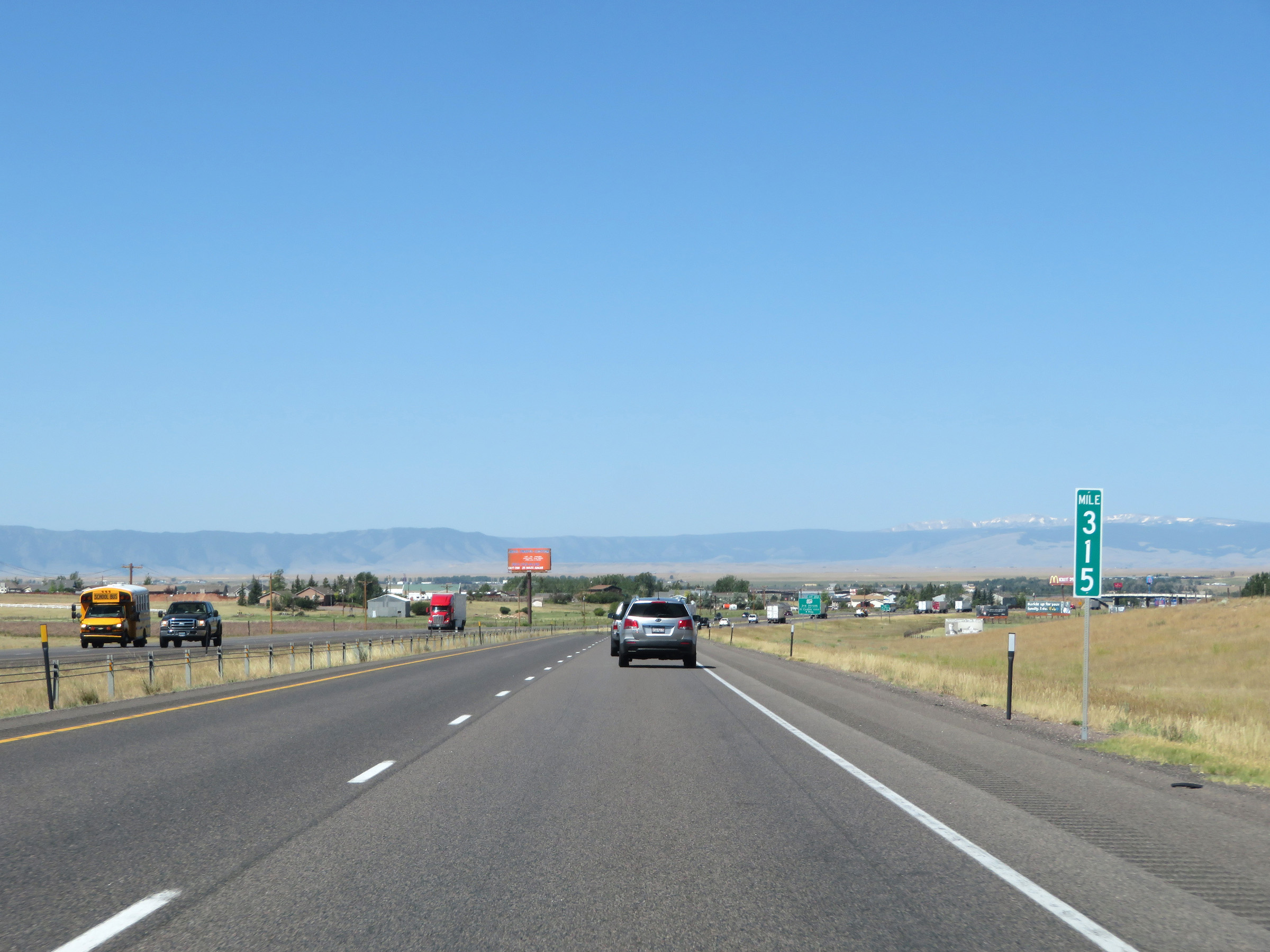 |
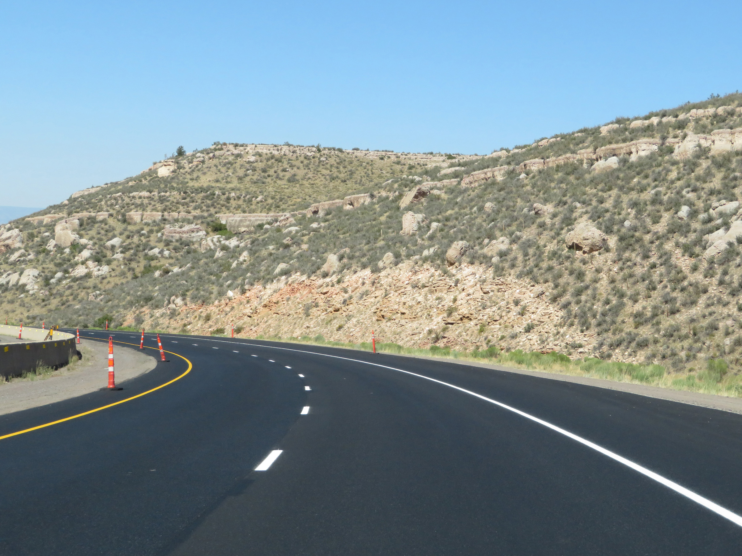
View on Interstate 80 West at mile marker 315. (Photo taken 8/15/20). |
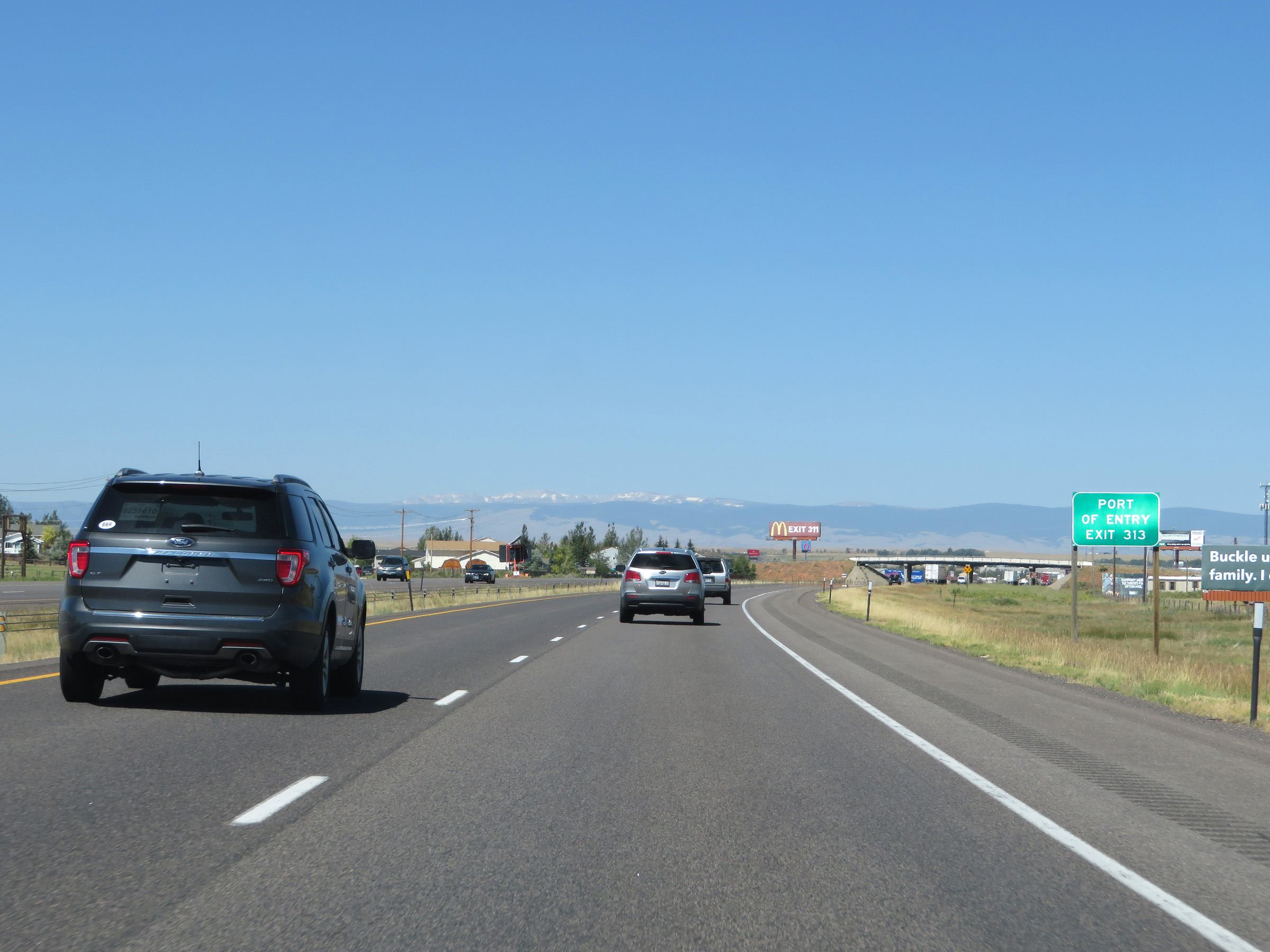 |
A Port of Entry exists on US 287 via Exit 313. (Photo taken 8/15/20). |
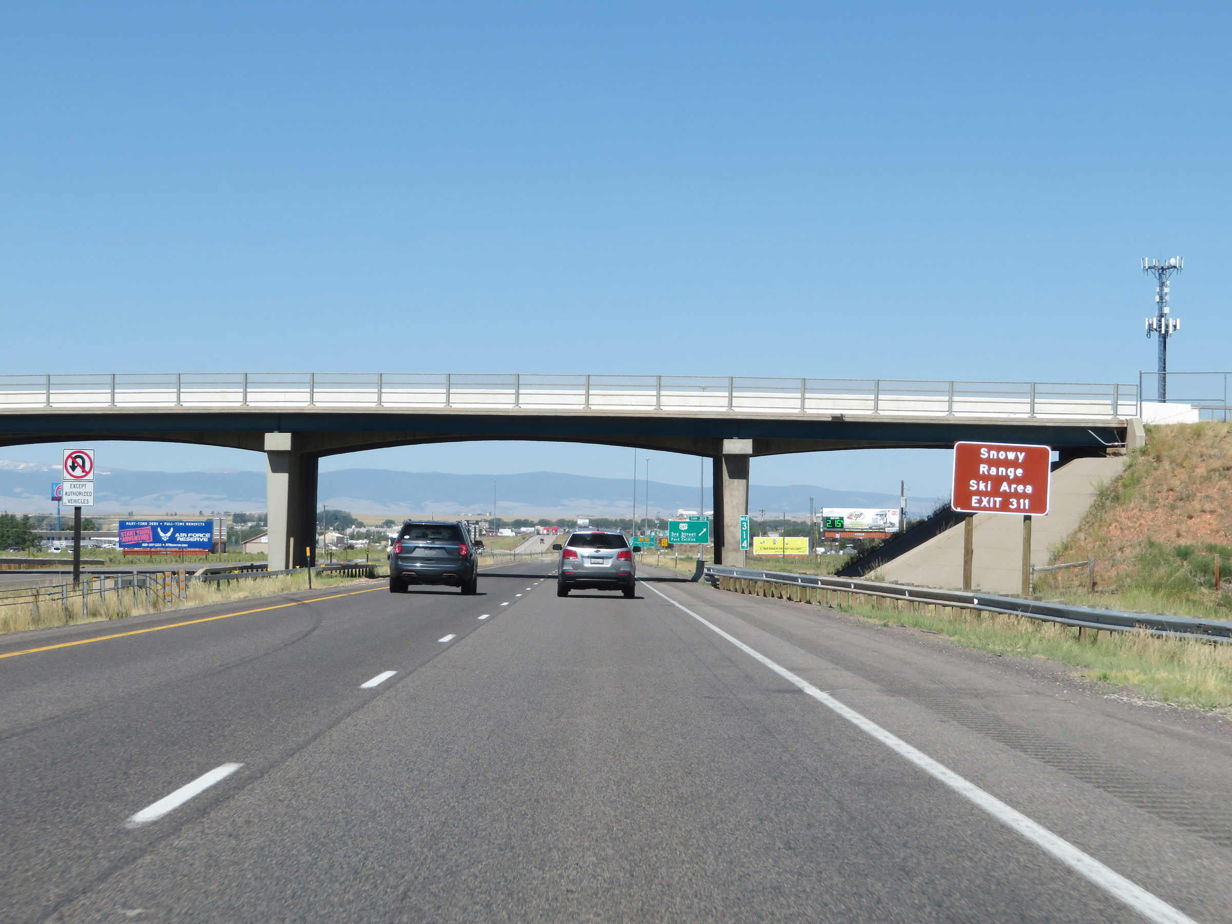 |
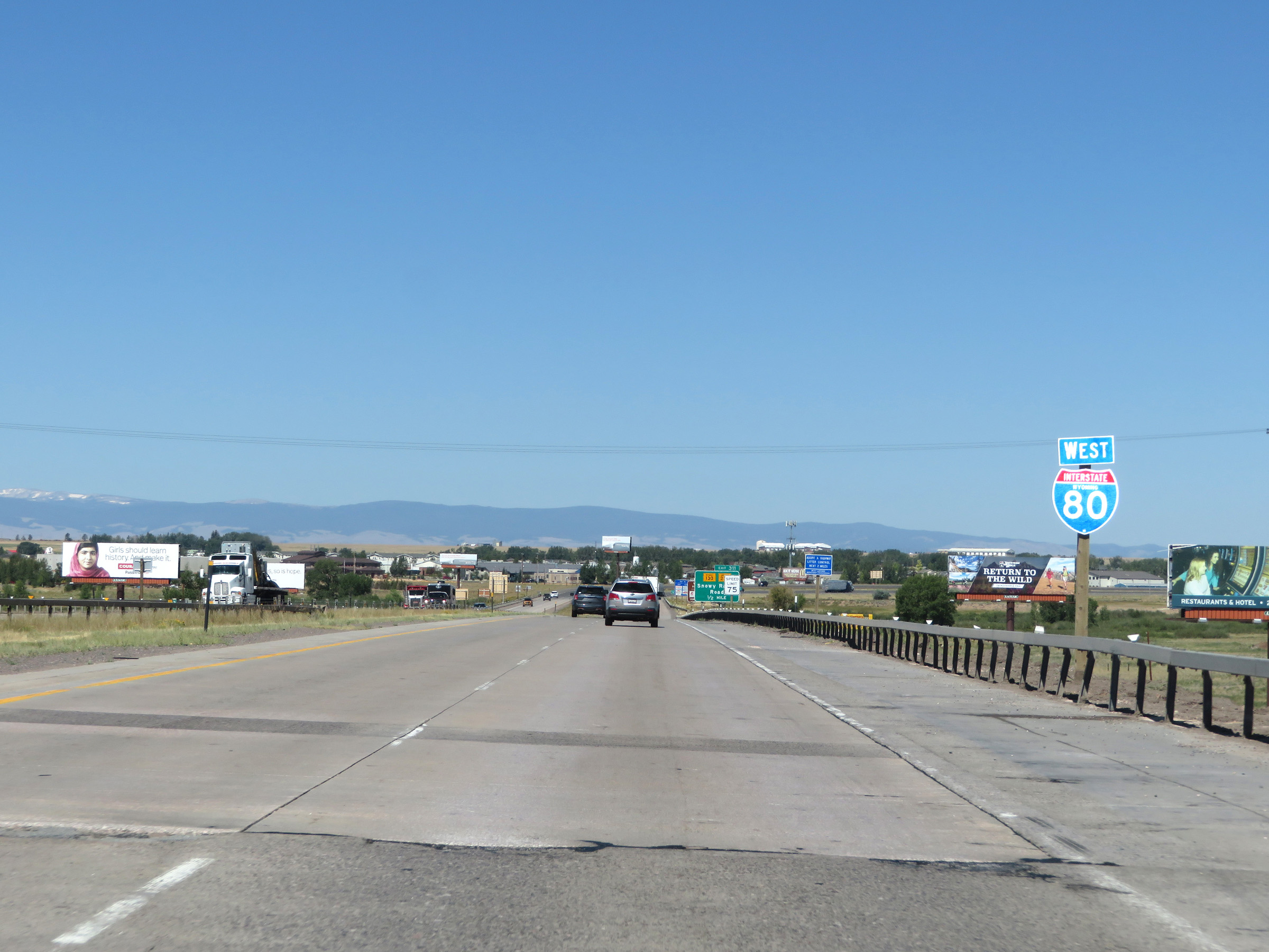
Take Exit 311 to Snowy Range Ski Area. (Photo taken 8/15/20). |
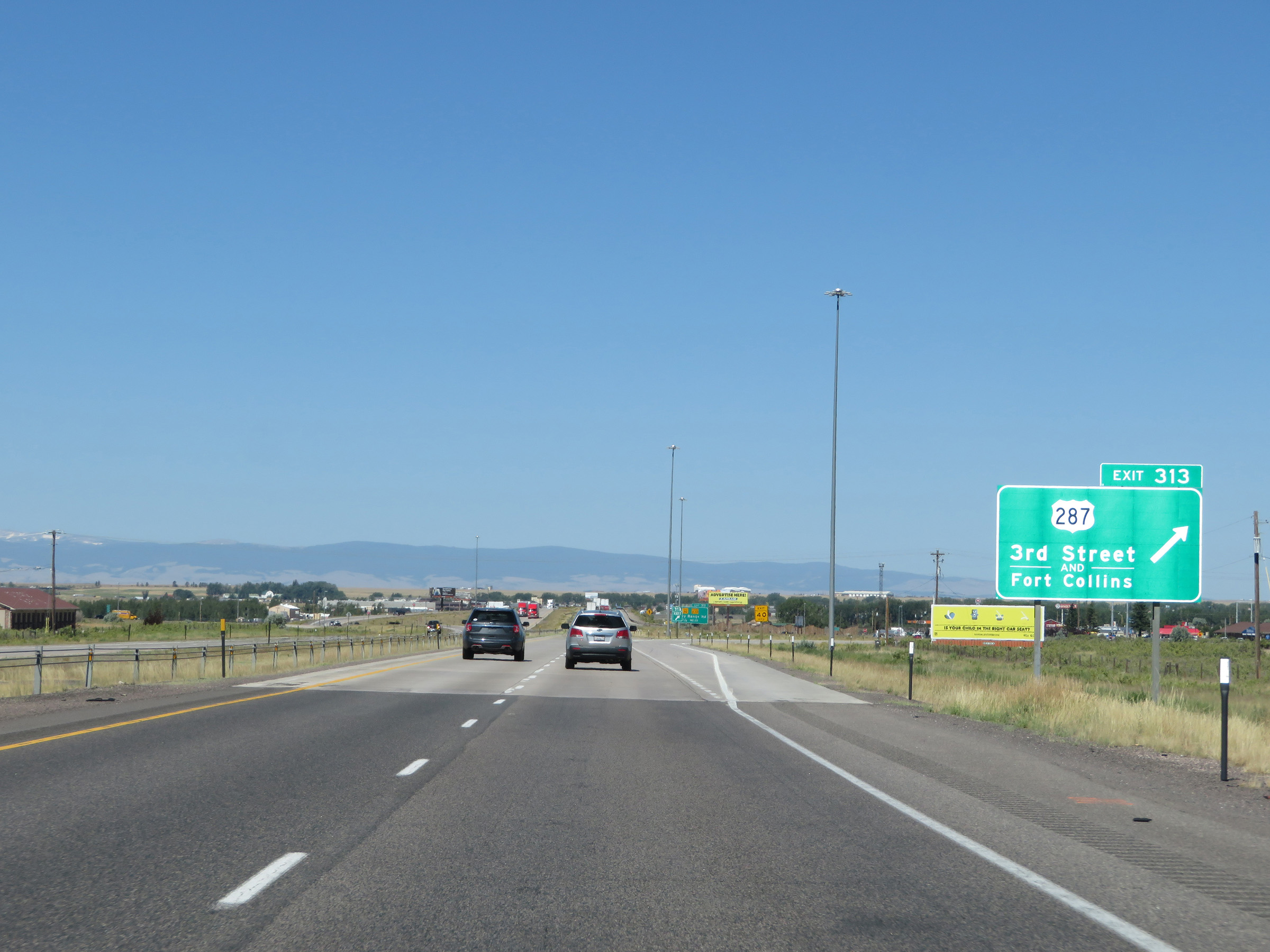 |
Interstate 80 West at Exit 313: US 287 - 3rd Street / Fort Collins (Photo taken 8/15/20). |
 |
State-named Interstate 80 West reassurance shield in Laramie. (Photo taken 8/15/20). |
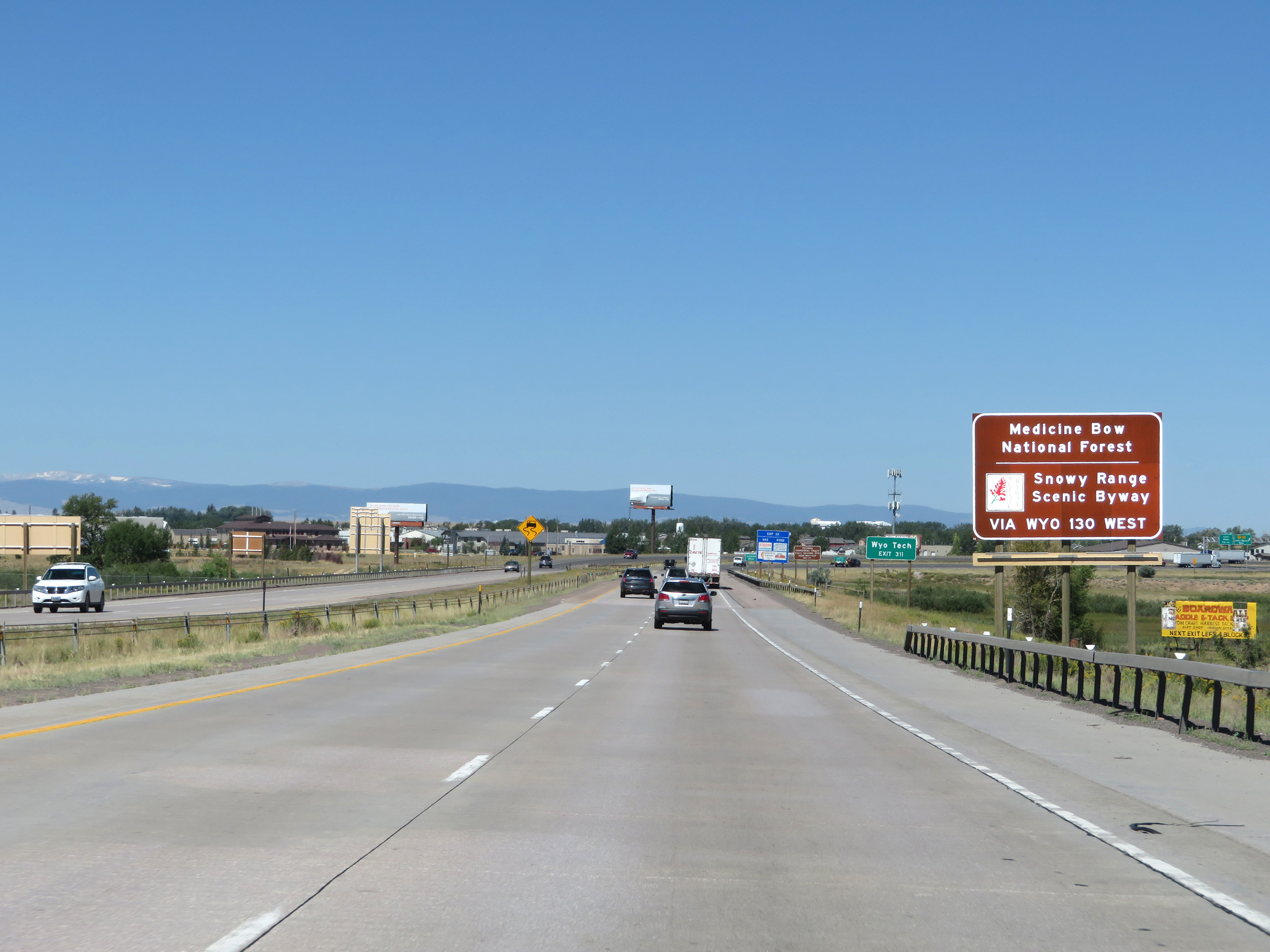 |
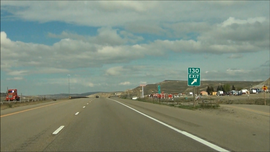
Take Exit 311 to Medicine Bow National Forest and Snowy Range Scenic Byway via WY 130 West. (Photo taken 8/15/20). |
 |
Also take Exit 311 to Wyoming Tech. (Photo taken 8/15/20). |
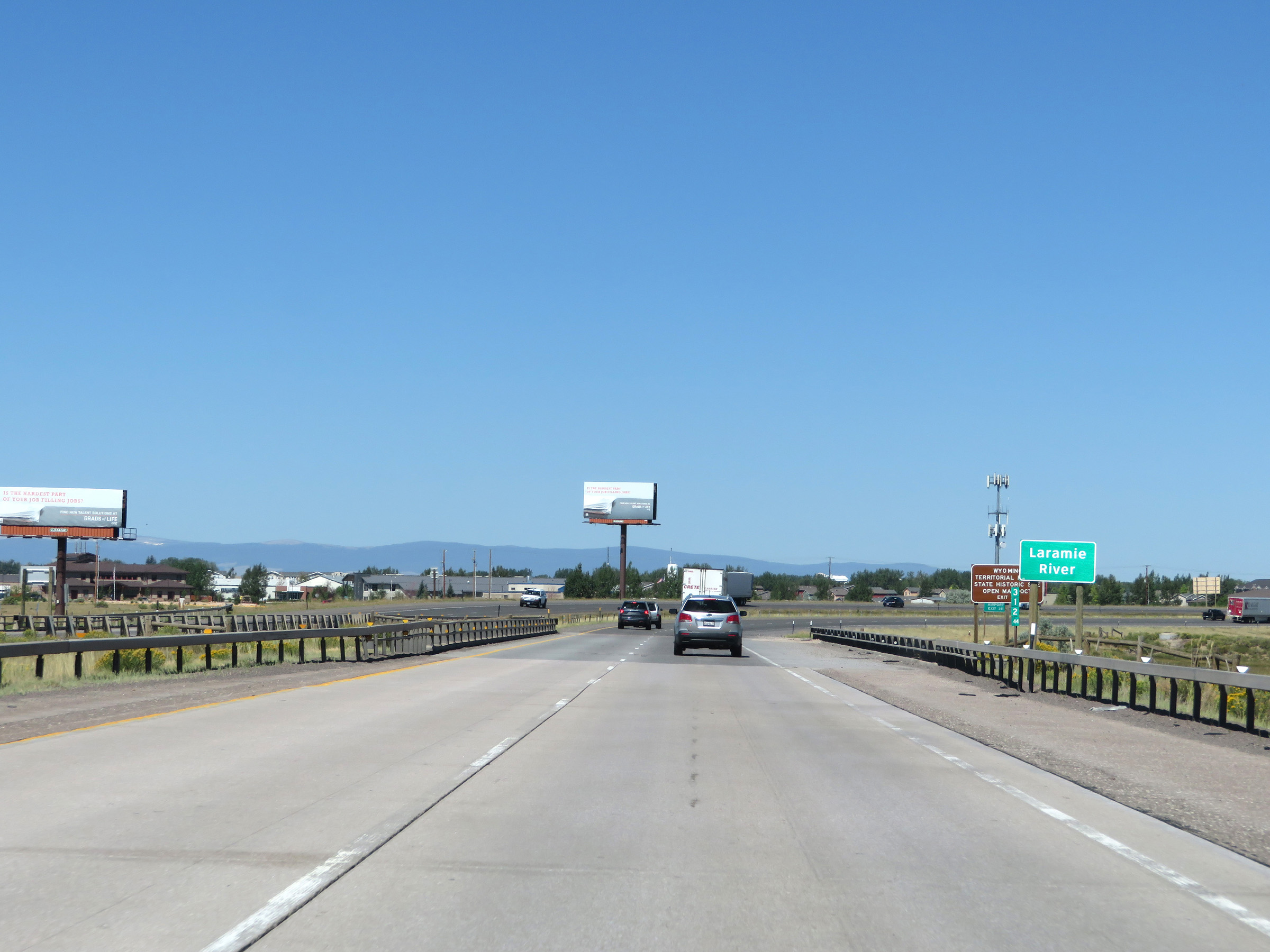 |
Interstate 80 West as it crosses the Laramie River. (Photo taken 8/15/20). |
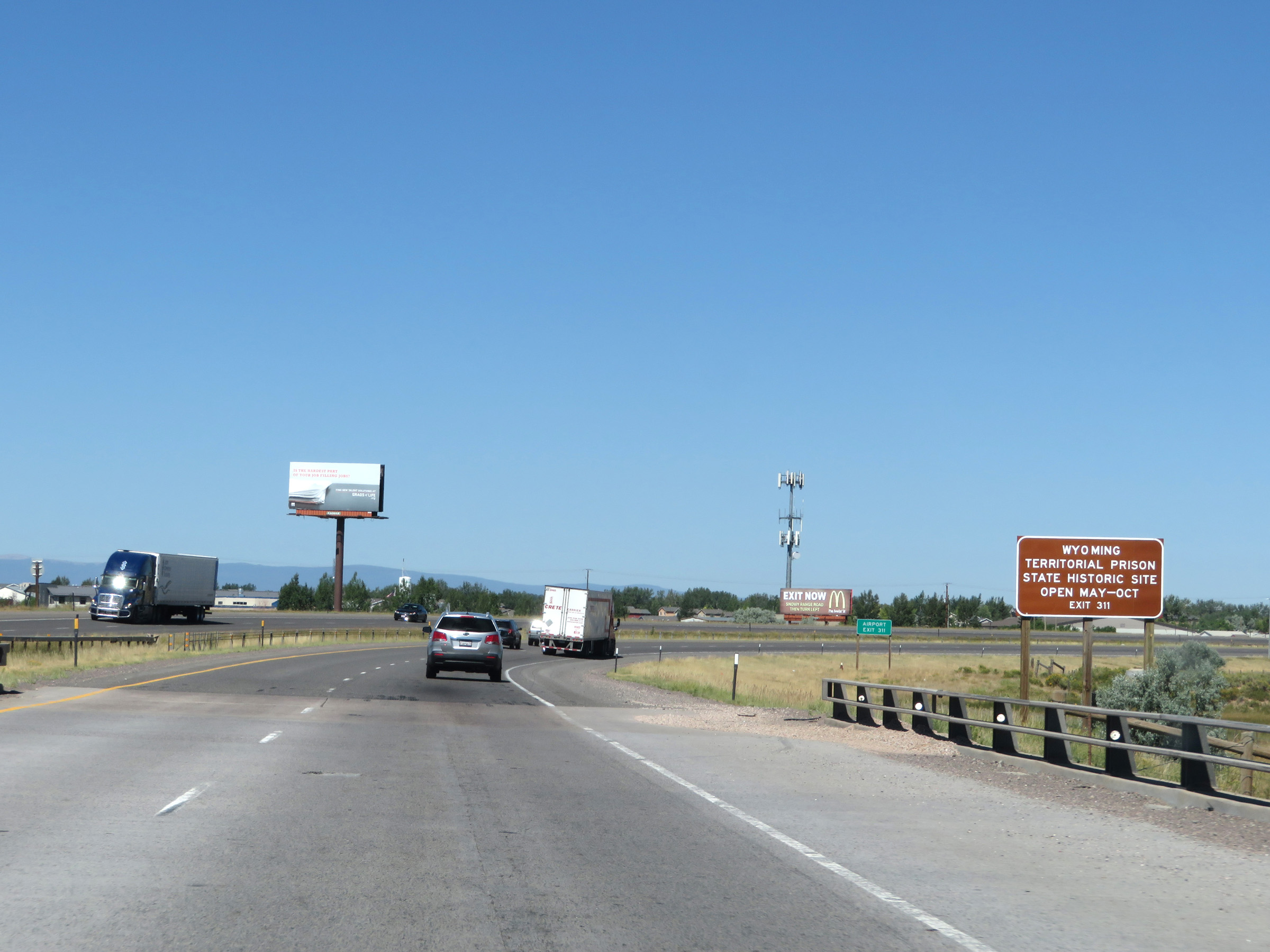 |
Take Exit 311 to Wyoming Territorial Prison State Historic Site as well. (Photo taken 8/15/20). |
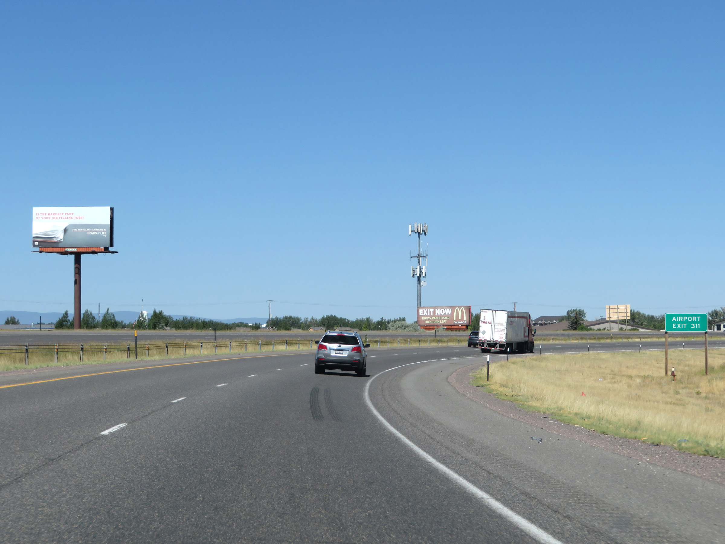 |
Also take Exit 311 to the Airport. (Photo taken 8/15/20). |
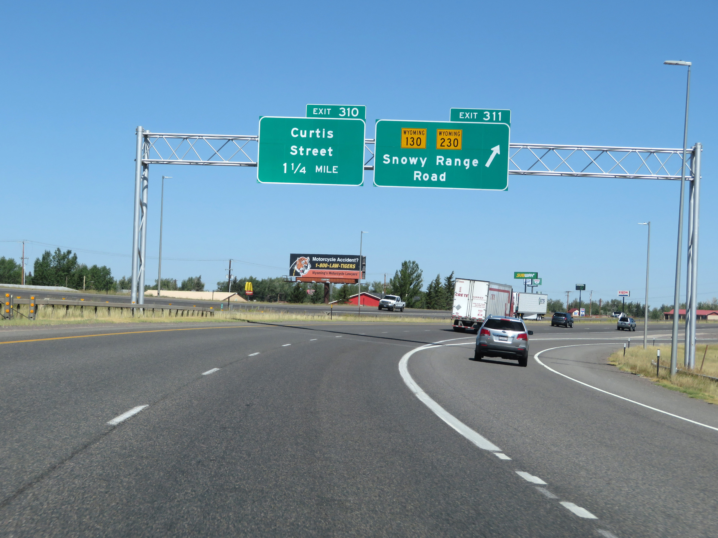 |
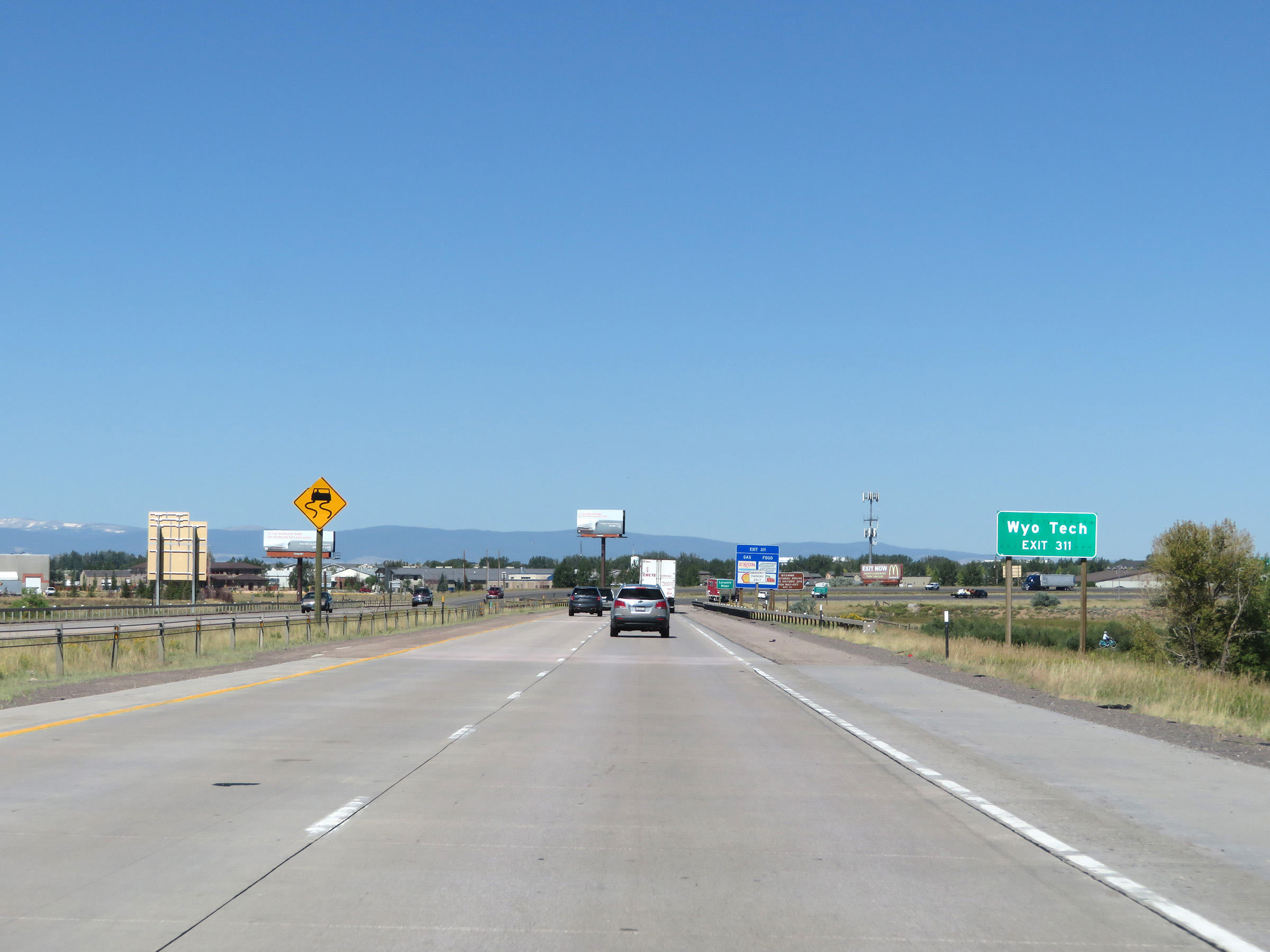
Interstate 80 West at Exit 311: WY 130 / WY 230 - Snowy Range Road (Photo taken 8/15/20). |
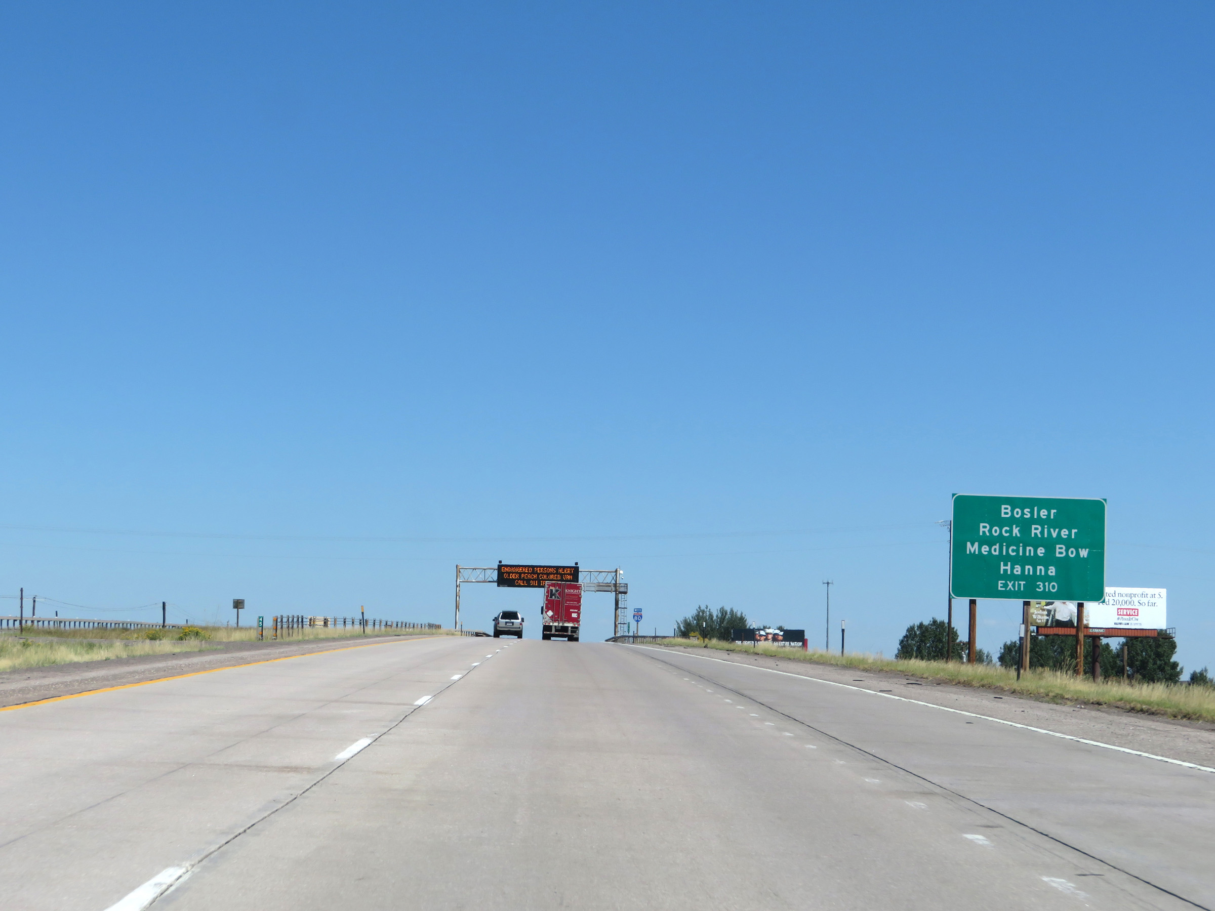 |
Take Exit 310 to Bosler, Rock River, Medicine Bow, and Hanna. (Photo taken 8/15/20). |
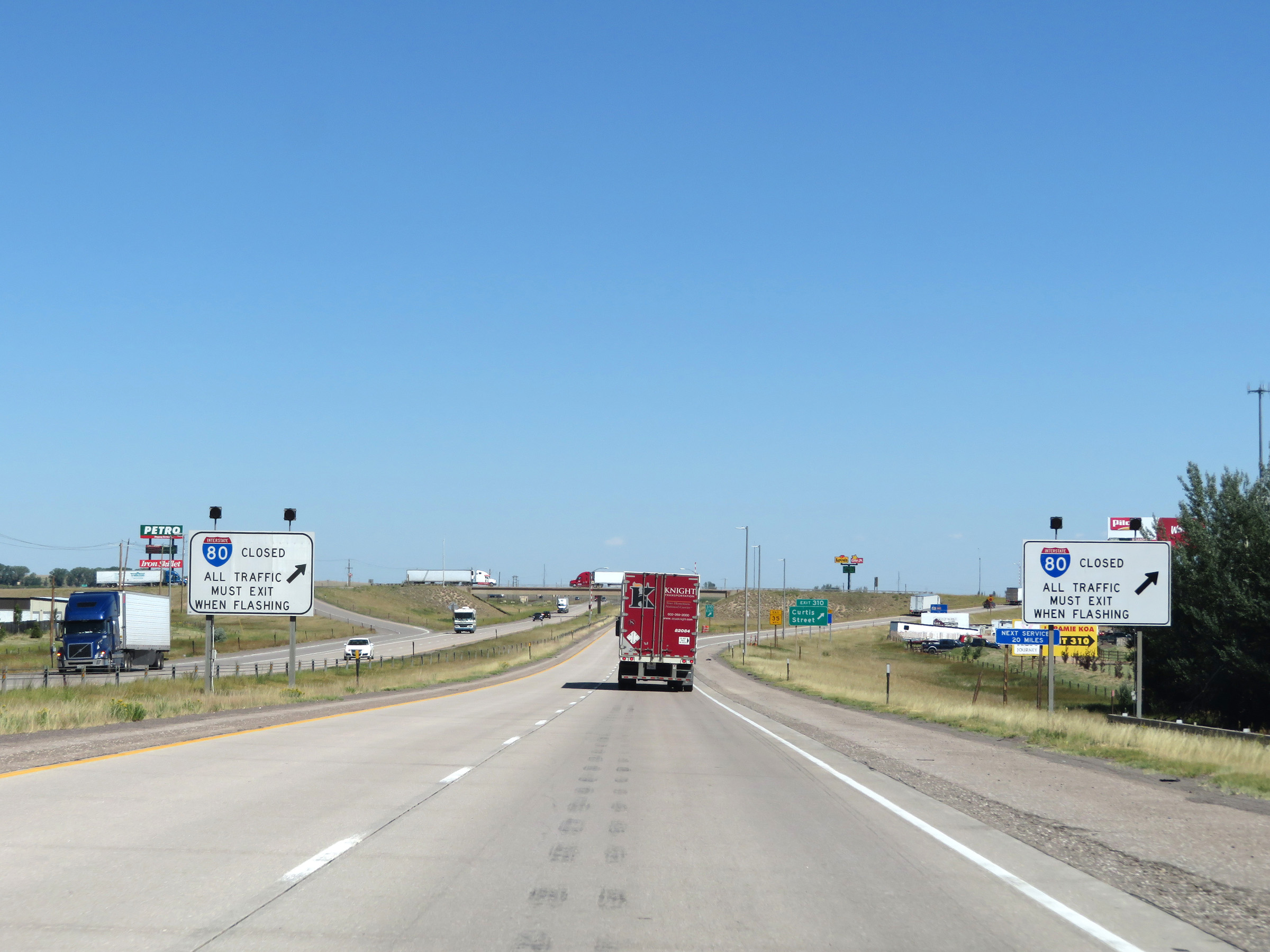 |
When the lights on this sign are flashing, Interstate 80 West is closed to the west of Laramie and all traffic must exit at Exit 310. (Photo taken 8/15/20). |
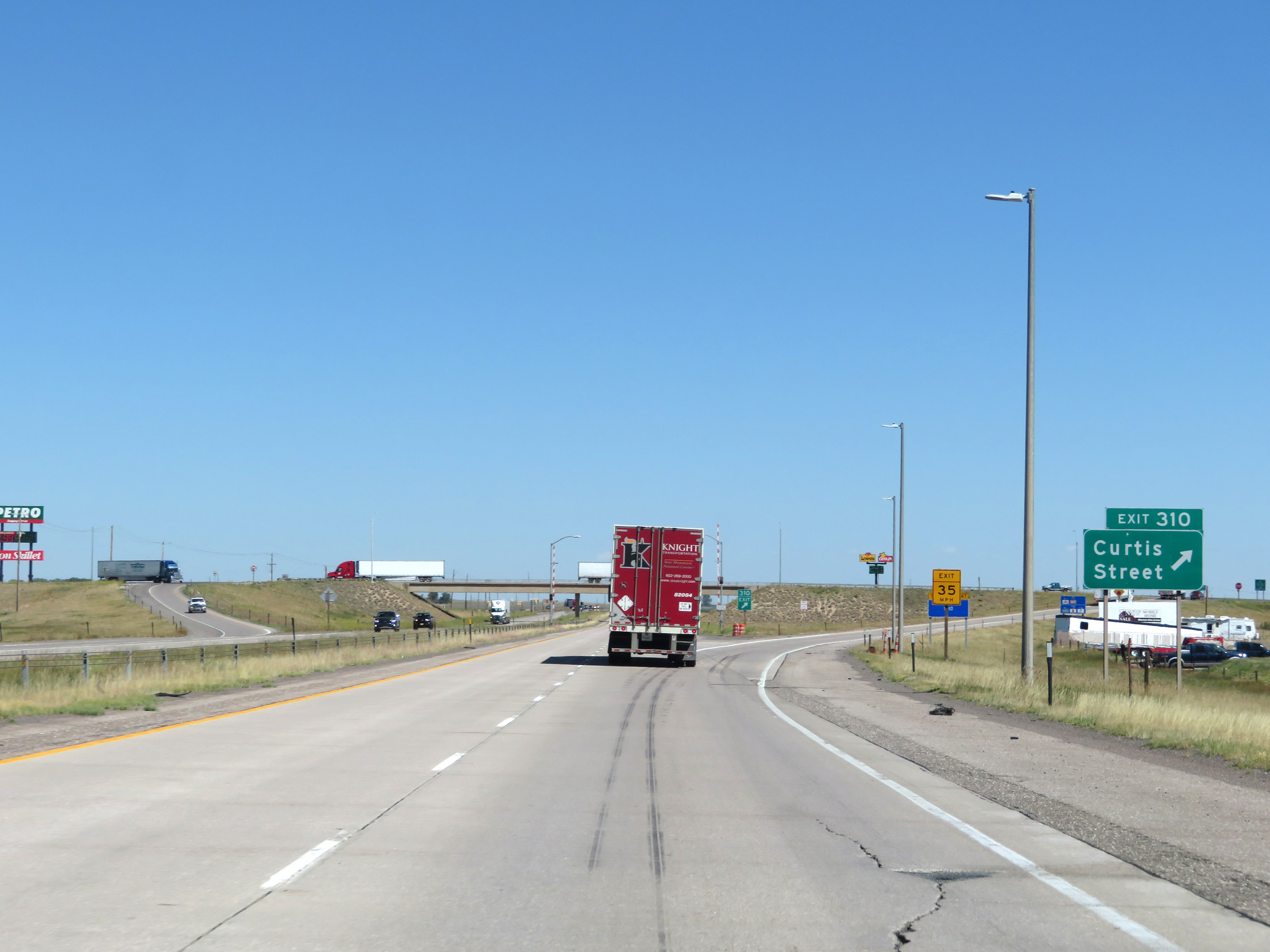 |
Interstate 80 West at Exit 310: Curtis Street (Photo taken 8/15/20). |
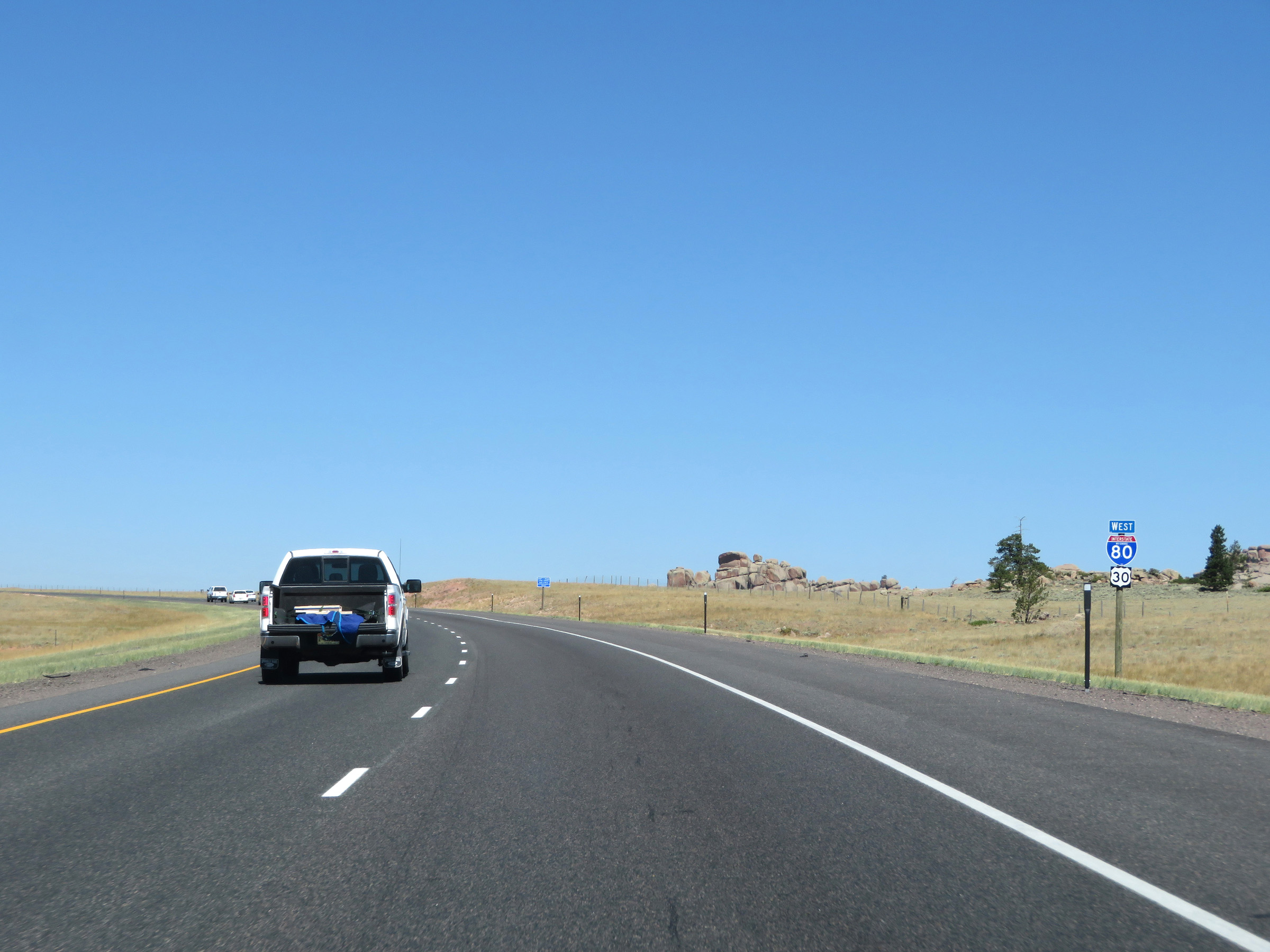
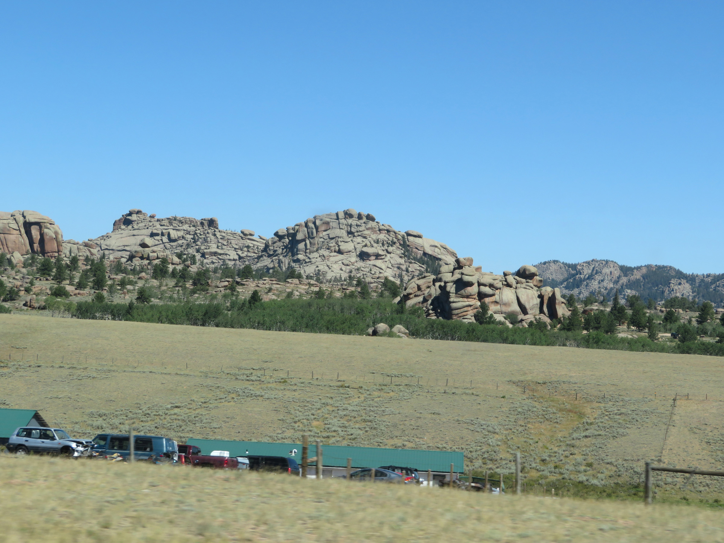
Section 4: Laramie (Exit 310) to Rawlins (Exit 214)
 |
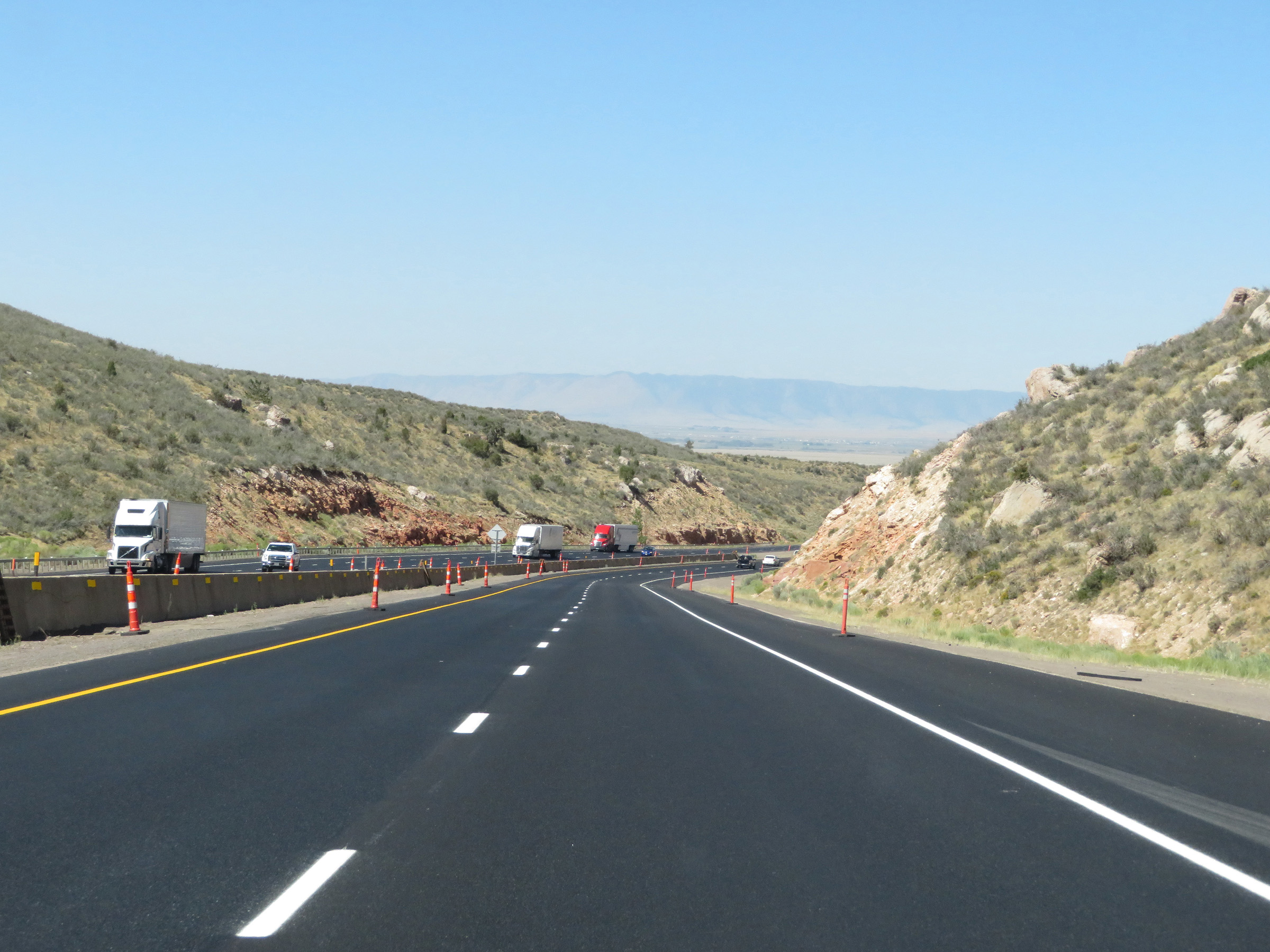
Interstate 80 West: Road view from mile marker 305. (Photo taken 5/19/13). |
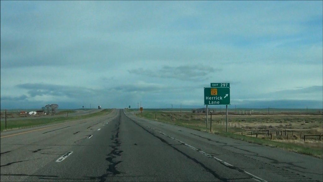 |
Interstate 80 West at Exit 297: WY 12 - Herrick Lane (Photo taken 5/19/13). |
 |
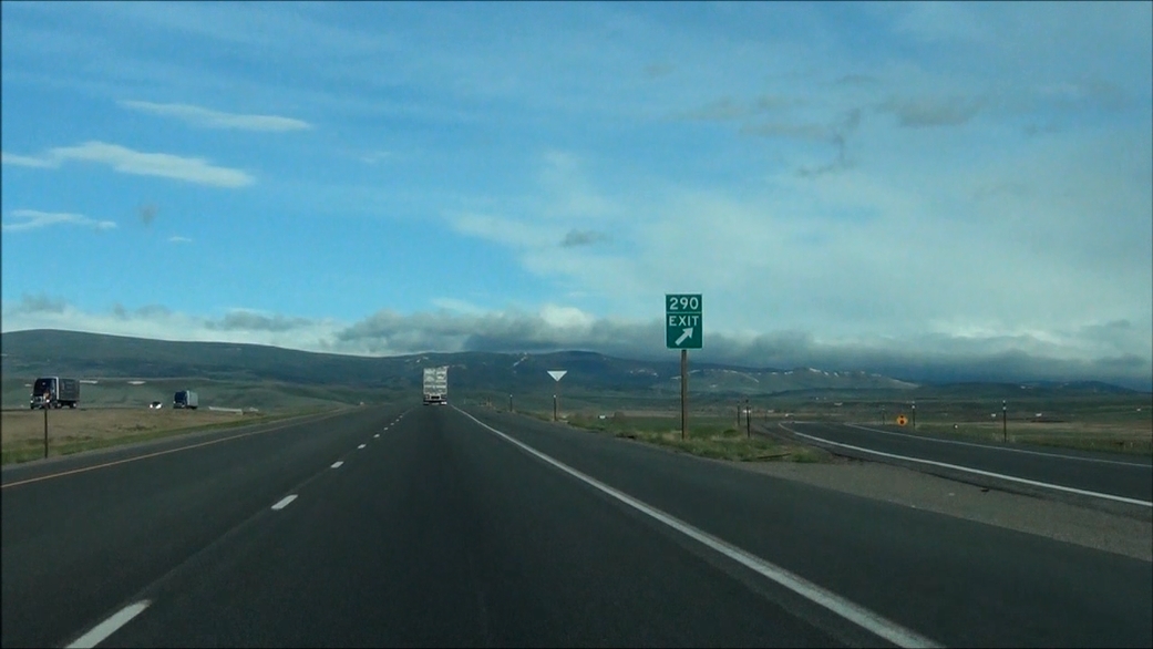
Interstate 80 West approaching Exit 290: Quealy Dome Rd - 1/4 mile. (Photo taken 5/19/13). |
 |
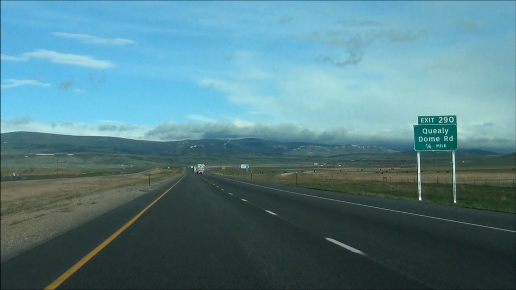
Interstate 80 West at Exit 290: Quealy Dome Rd (Photo taken 5/19/13). |
 |
Interstate 80 West: Road view from mile marker 285. (Photo taken 5/19/13). |
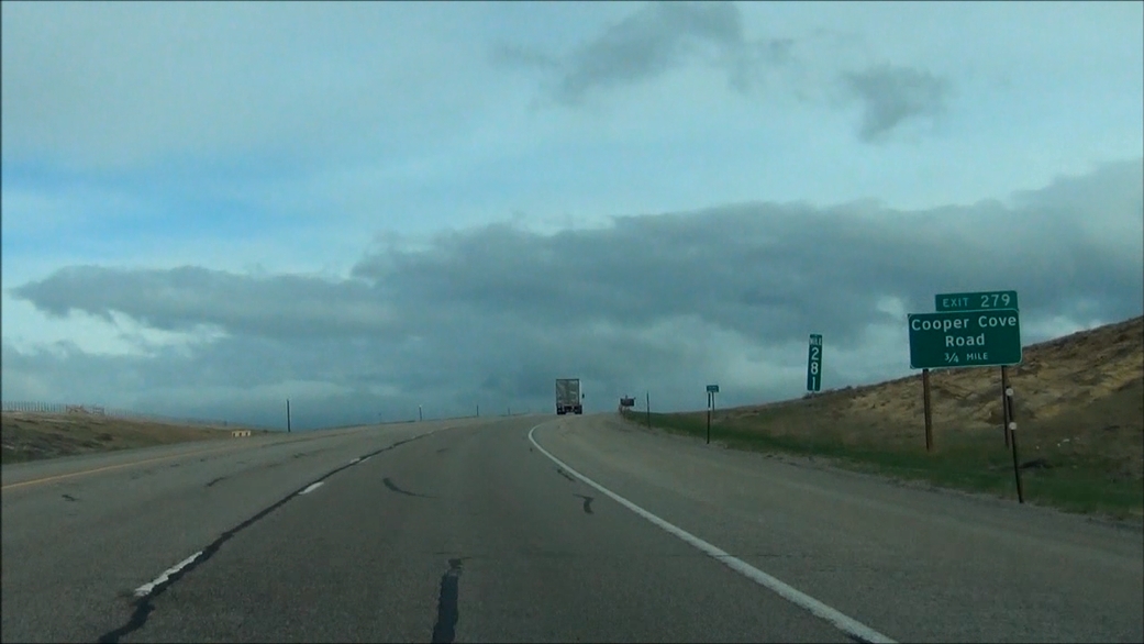 |
Interstate 80 West approaching Exit 279 - Cooper Cove Rd - 3/4 mile. (Photo taken 5/19/13). |
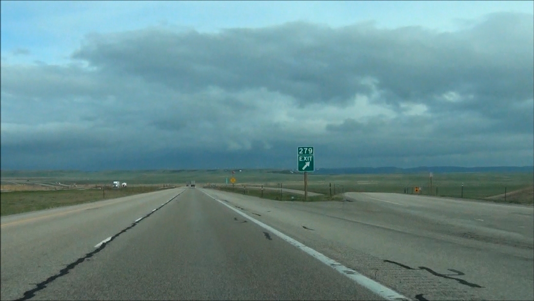 |
Interstate 80 West at Exit 279: Cooper Cove Rd (Photo taken 5/19/13). |
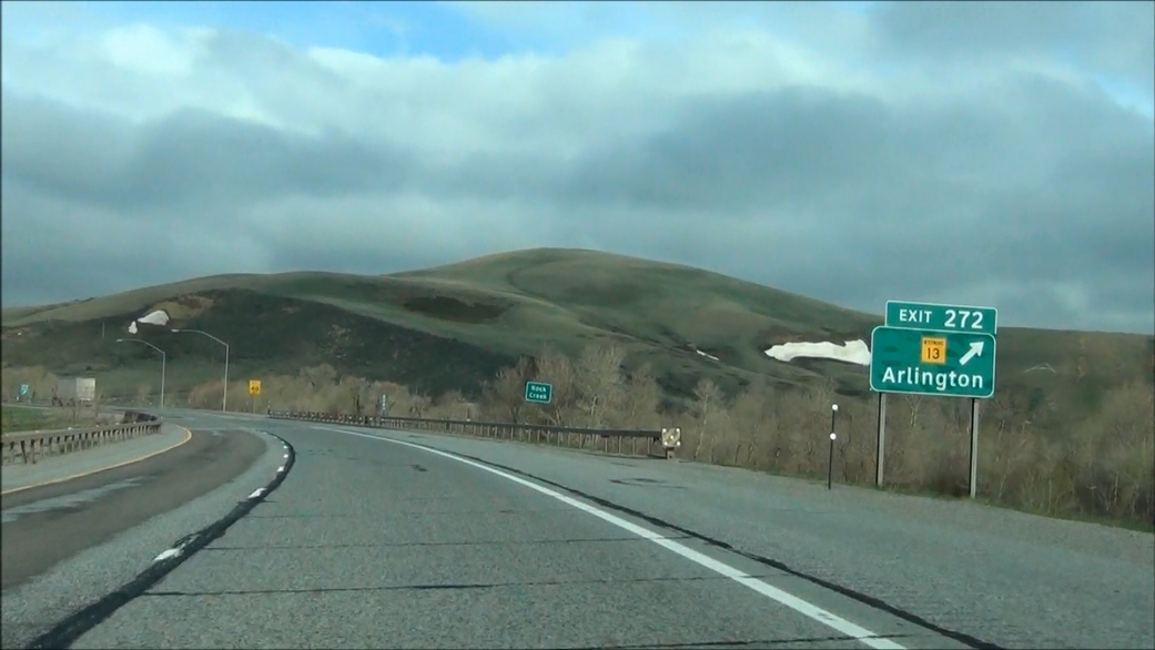 |
Interstate 80 West at Exit 272: WY 13 - Arlington (Photo taken 5/19/13). |
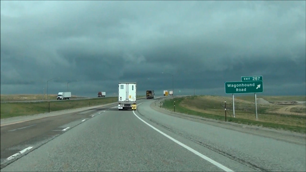 |
Interstate 80 West at Exit 267: Wagonhound Road (Photo taken 5/19/13). |
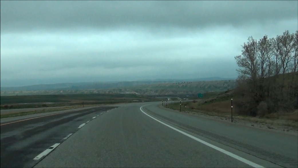 |
Interstate 80 West: Road view from near mile marker 262. (Photo taken 5/19/13). |
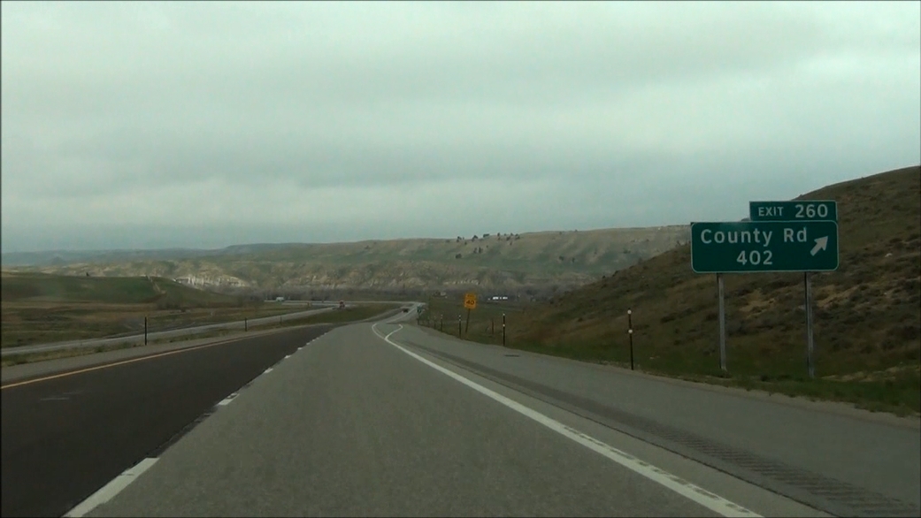 |
Interstate 80 West at Exit 260: County Rd 402 (Photo taken 5/19/13). |
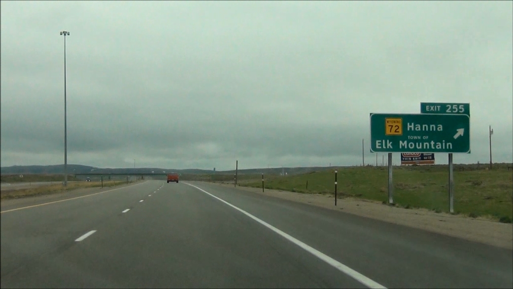 |
Interstate 80 West at Exit 255: WY 72 - Hanna / Elk Mountain (Photo taken 5/19/13). |
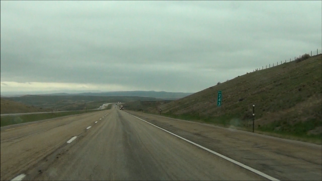 |
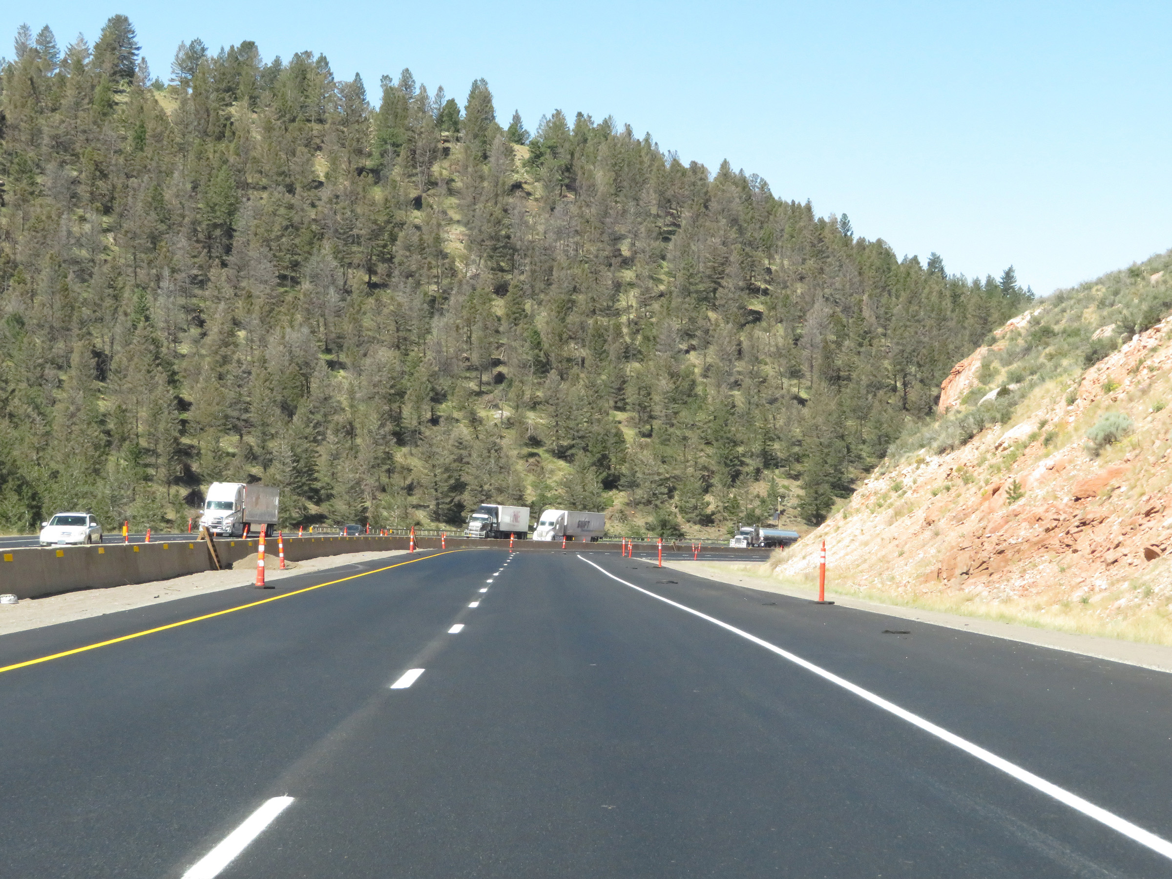
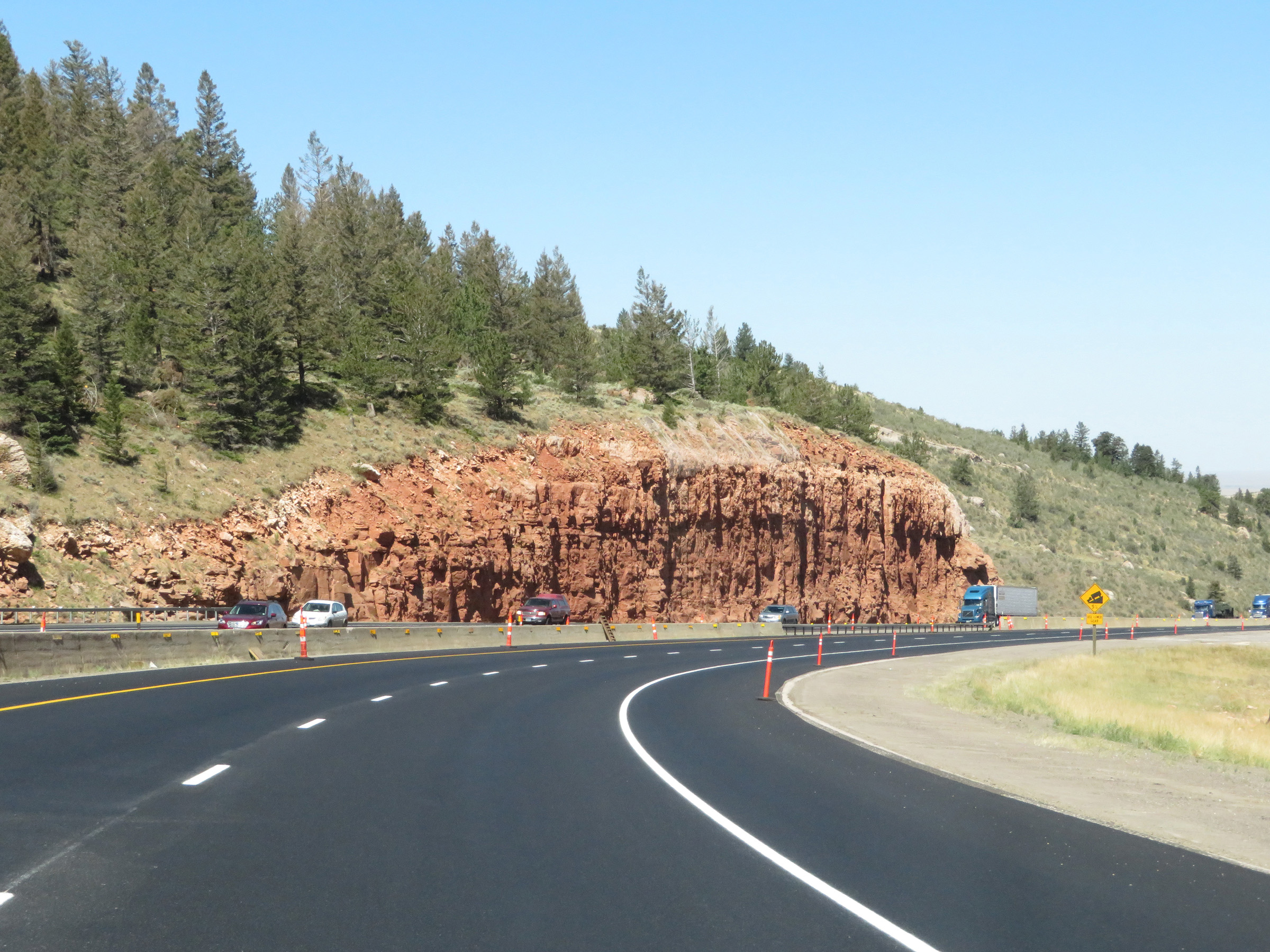
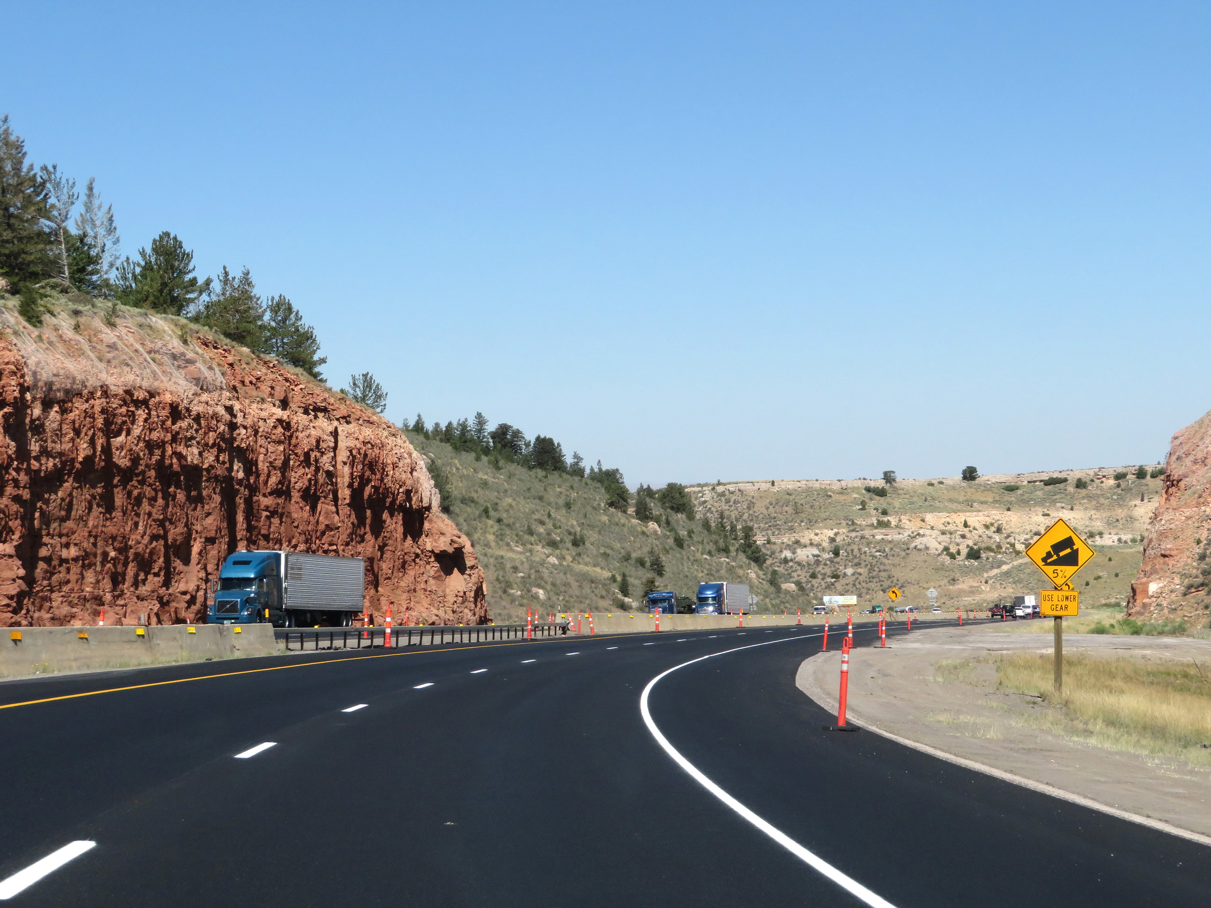
Interstate 80 West: Road view from mile marker 243. (Photo taken 5/19/13). |
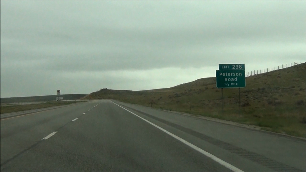 |
Interstate 80 West approaching Exit 238: Peterson Road - 1/4 mile. (Photo taken 5/19/13). |
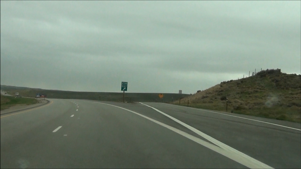 |
Interstate 80 West at Exit 238: Peterson Road (Photo taken 5/19/13). |
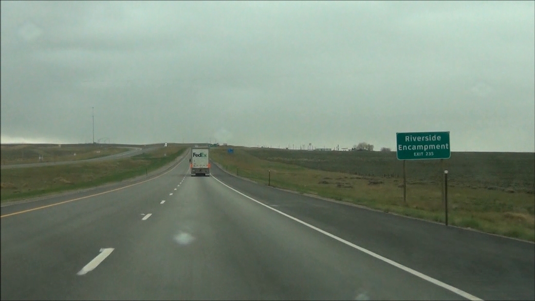 |
Take Exit 235 to Riverside Encampment. (Photo taken 5/19/13). |
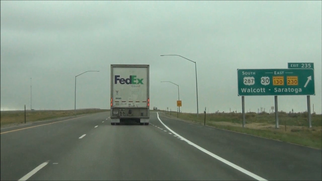 |
Interstate 80 West at Exit 235: US 287 South / US 30 East / WY 130 East / WY 230 East - Walcott / Saratoga (Photo taken 5/19/13). |
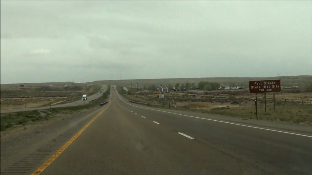 |
Take Exit 228 to Fort Steele State Historic Site. (Photo taken 5/19/13). |
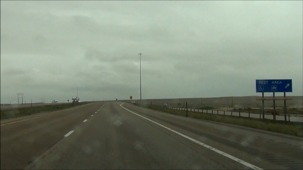 |
There is a Rest Area located off Exit 228. (Photo taken 5/19/13). |
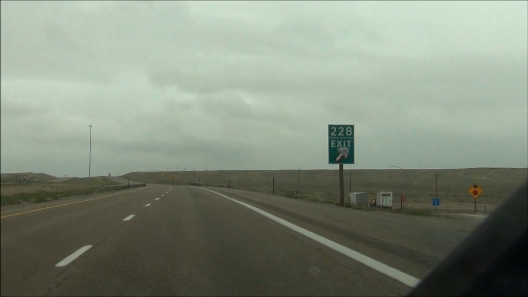 |
Interstate 80 West at Exit 228: Fort Steele Road (Photo taken 5/19/13). |
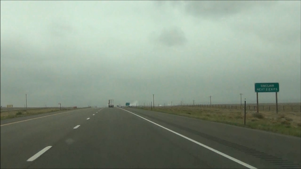 |
Take either of the next 2 exits to Sinclair. (Photo taken 5/19/13). |
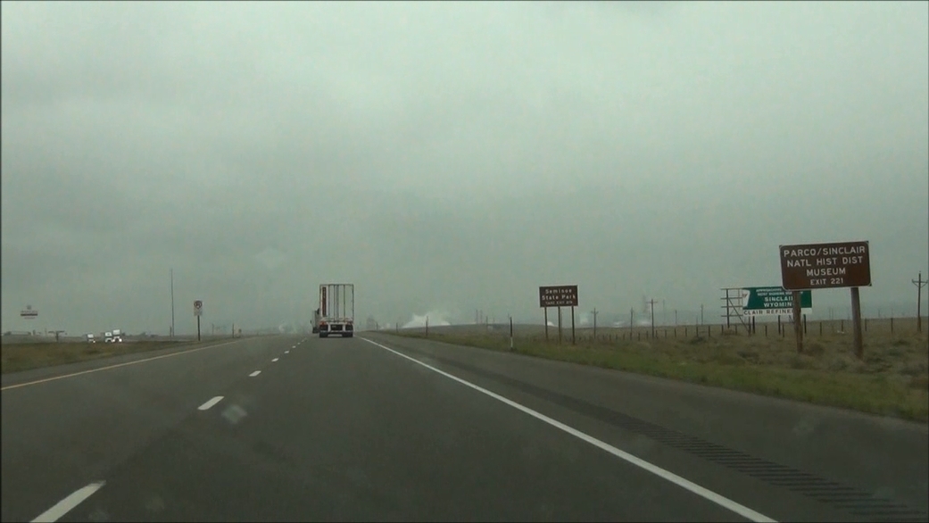 |
Take Exit 221 to Parco/Sinclair National Historic District and Museum. (Photo taken 5/19/13). |
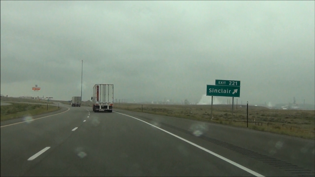 |
Interstate 80 West at Exit 221: Sinclair (Photo taken 5/19/13). |
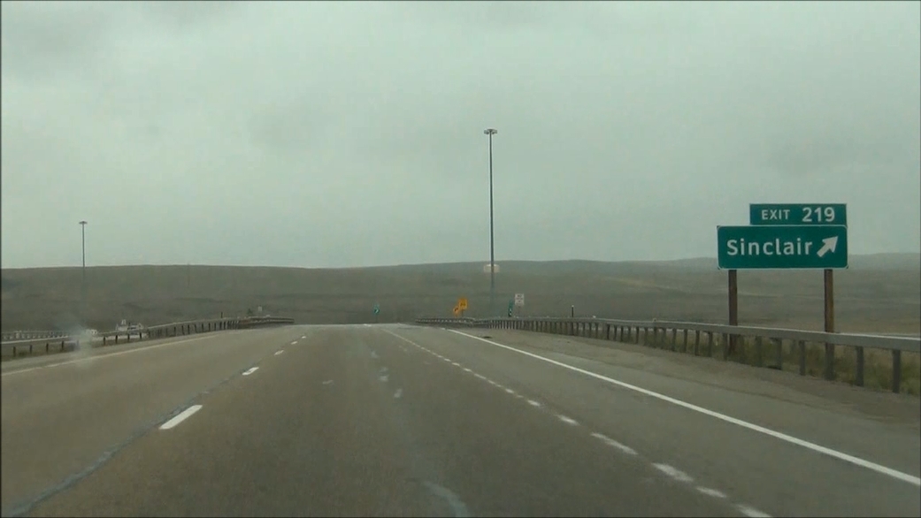 |
Interstate 80 West at Exit 219: Sinclair (Photo taken 5/19/13). |
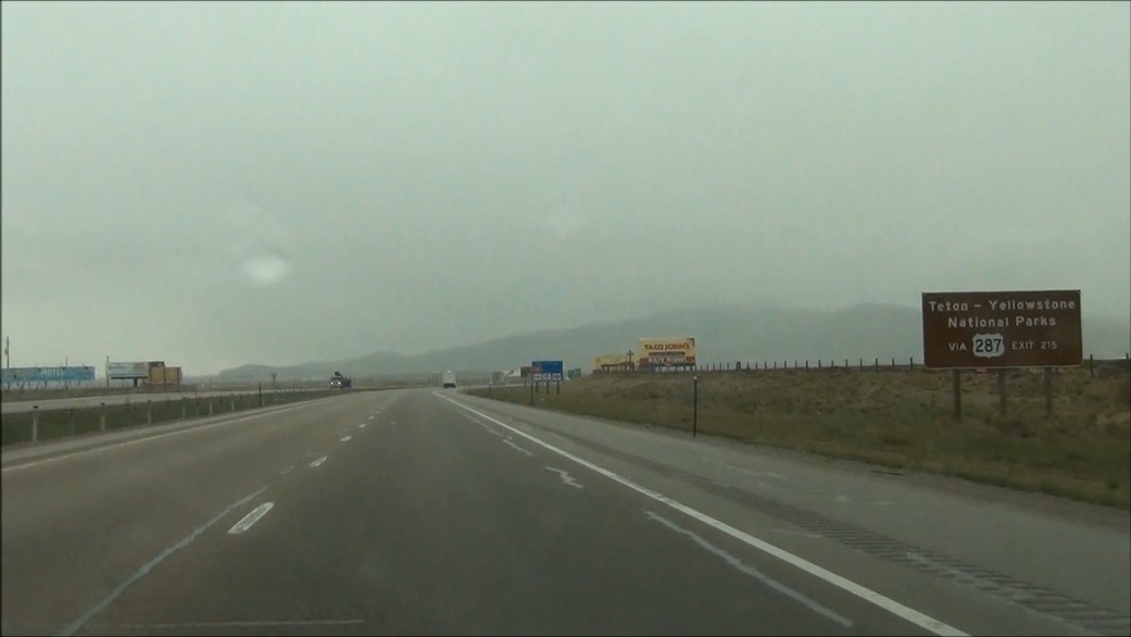 |
You can access Grand Teton and Yellowstone National Parks via US 287 at Exit 215. (Photo taken 5/19/13). |
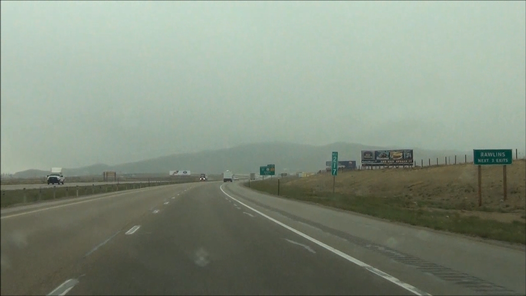 |
Take any of the next 3 exits to Rawlins. (Photo taken 5/19/13). |
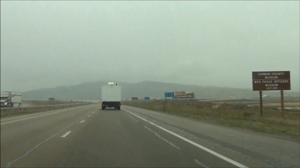 |
Take Exit 215 to Carbon County Museum and Wyoming Peace Officers Museum. (Photo taken 5/19/13). |
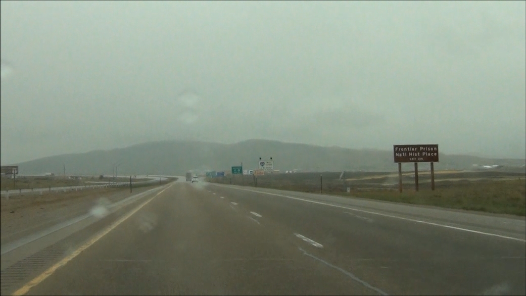 |
Also take Exit 215 to Frontier Prison National Historic Place. (Photo taken 5/19/13). |
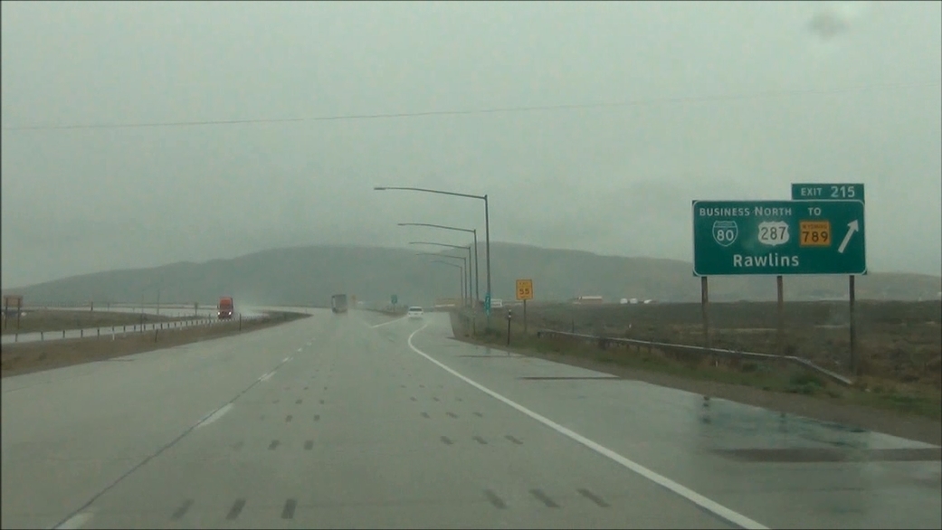 |
Interstate 80 West at Exit 215: Interstate 80 Business Loop / US 287 North / To WY 789 - Rawlins (Photo taken 5/19/13). |
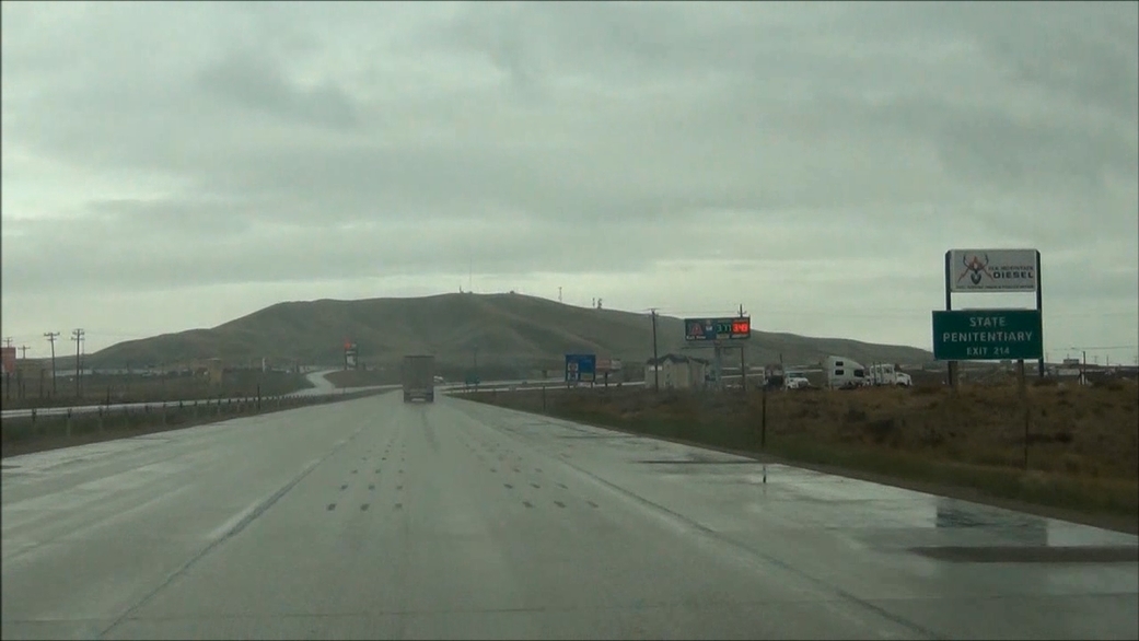 |
Take Exit 214 to the State Penitentiary. (Photo taken 5/19/13). |
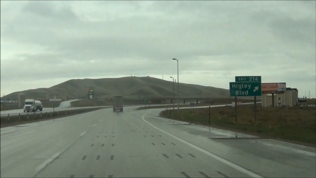 |
Interstate 80 West at Exit 214: Higley Blvd (Photo taken 5/19/13). |
Section 5: Rawlins (Exit 214) to Rock Springs (Exit 107)
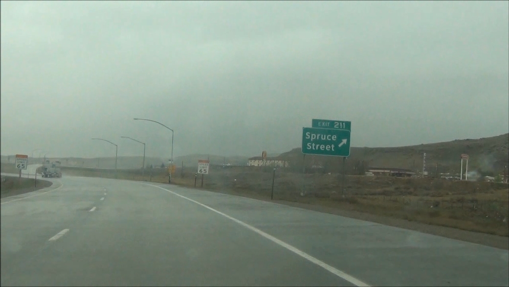 |
Interstate 80 West at Exit 211: Spruce Street (Photo taken 5/19/13). |
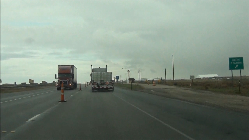 |
Interstate 80 West at the Weigh Station located at mile marker 211. (Photo taken 5/19/13). |
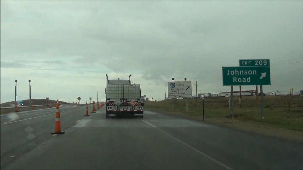 |
Interstate 80 West at Exit 209: Johnson Road (Photo taken 5/19/13). |
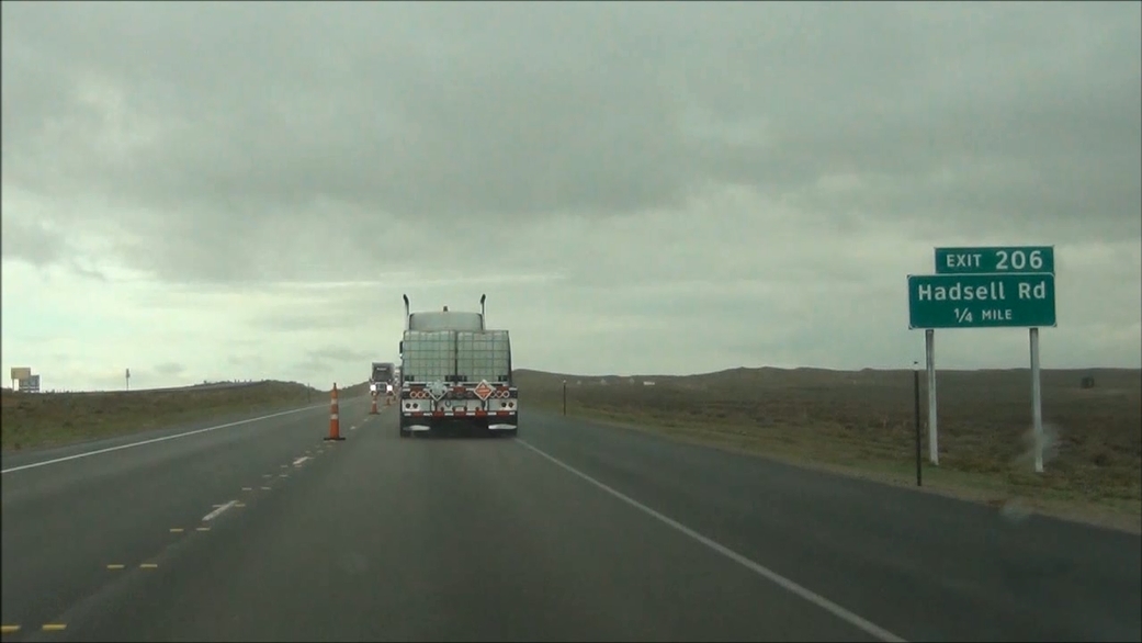 |
Interstate 80 West approaching Exit 206: Hadsell Rd - 1/4 mile. (Photo taken 5/19/13). |
 |
Interstate 80 West at Exit 206: Hadsell Rd (Photo taken 5/19/13). |
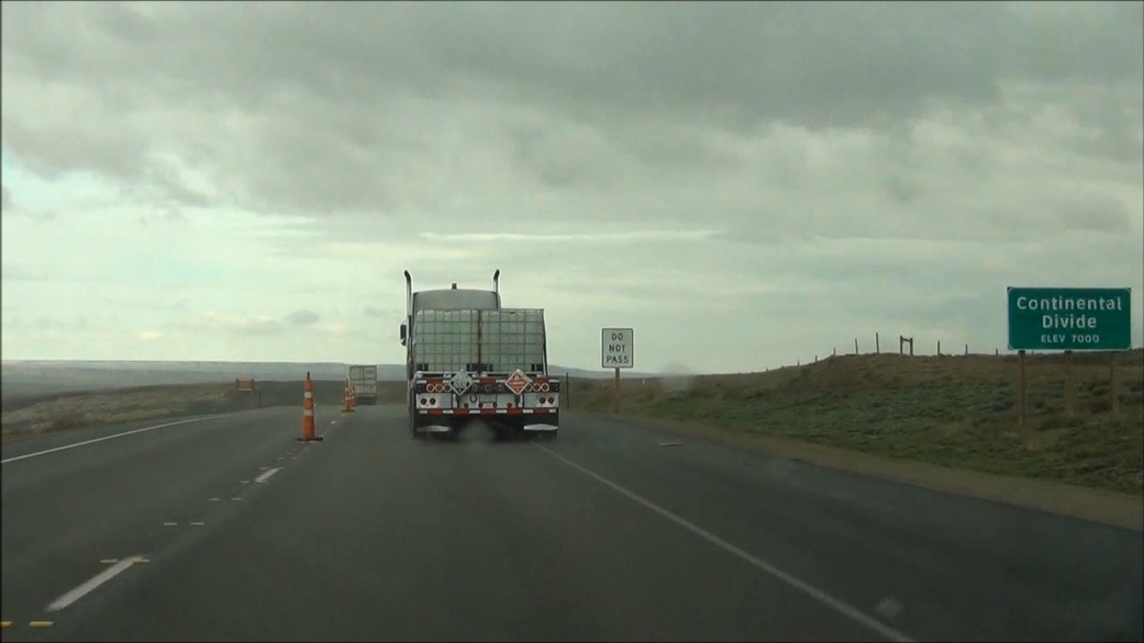 |
Interstate 80 West as it crosses the Continental Divide at an elevation of 7,000 feet, near mile marker 206. (Photo taken 5/19/13). |
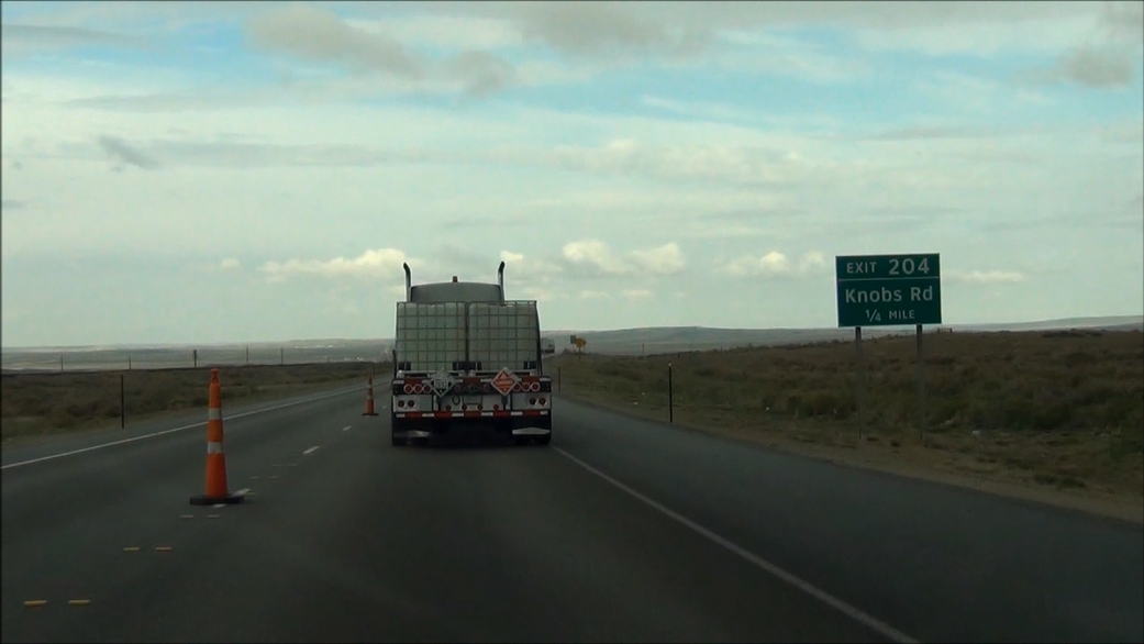 |
Interstate 80 West approaching Exit 204: Knobs Rd - 1/4 mile. (Photo taken 5/19/13). |
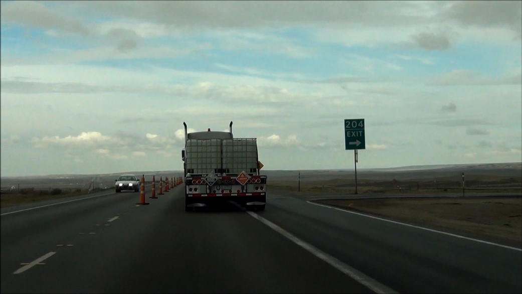 |
Interstate 80 West at Exit 204: Knobs Rd (Photo taken 5/19/13). |
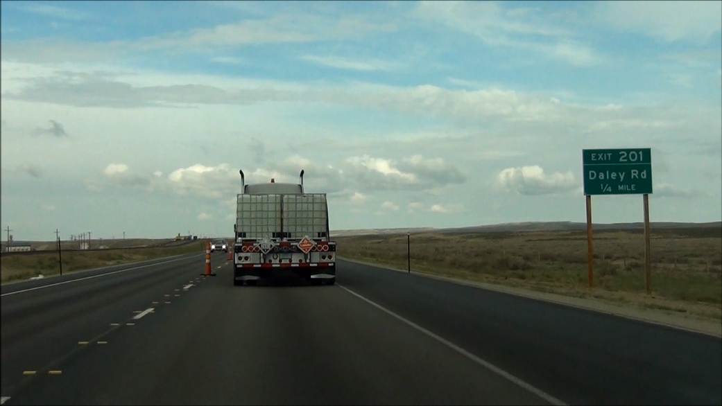 |
Interstate 80 West approaching Exit 201: Daley Rd - 1/4 mile. (Photo taken 5/19/13). |
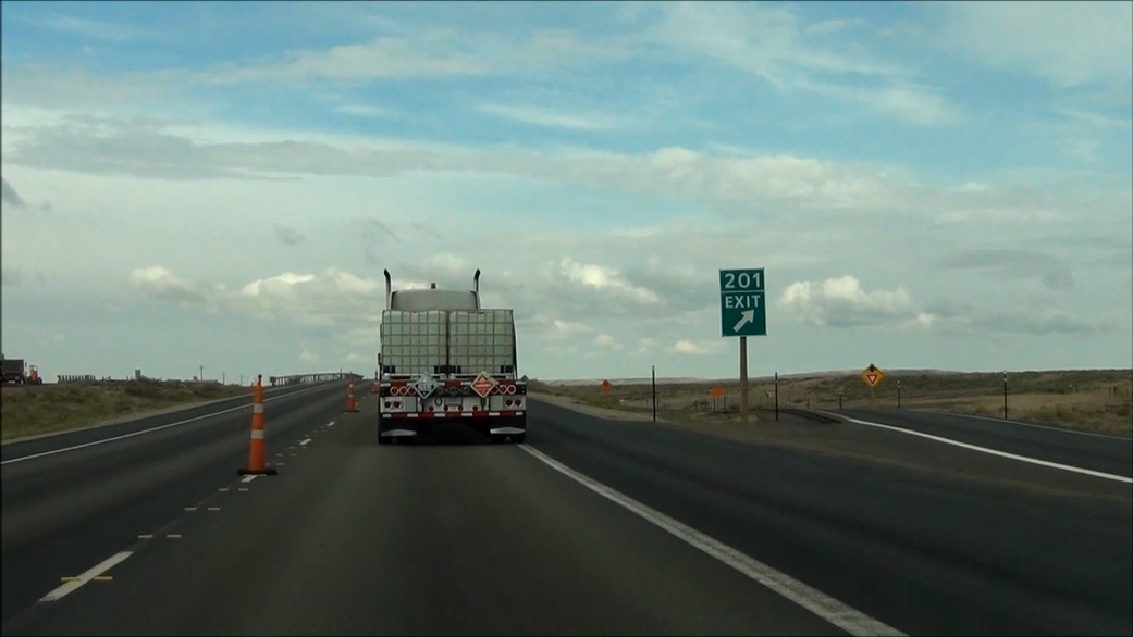 |
Interstate 80 West at Exit 201: Daley Rd (Photo taken 5/19/13). |
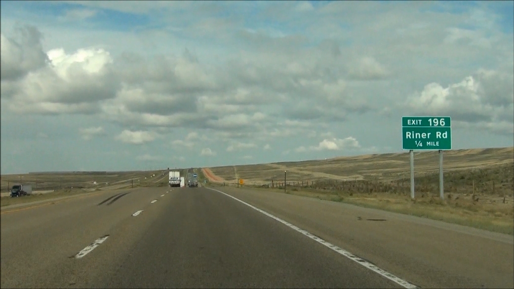 |
Interstate 80 West approaching Exit 196: Riner Rd - 1/4 mile. (Photo taken 5/19/13). |
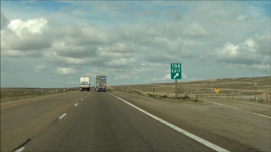 |
Interstate 80 West at Exit 196: Riner Rd (Photo taken 5/19/13). |
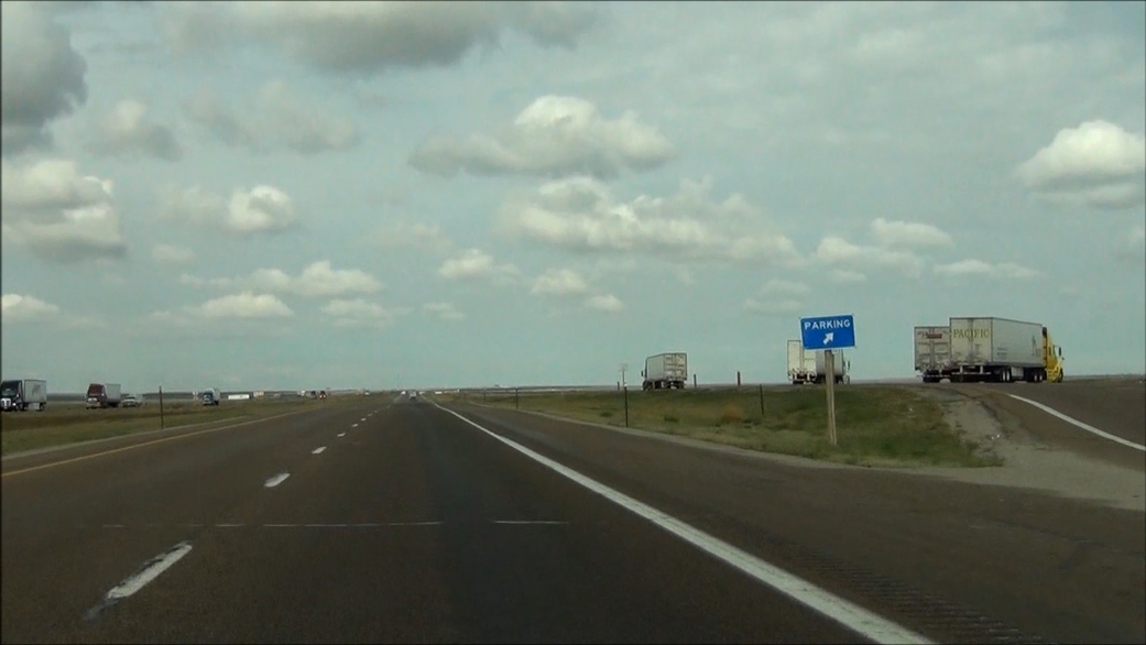 |
Interstate 80 West at the Parking Area located near mile marker 190. (Photo taken 5/19/13). |
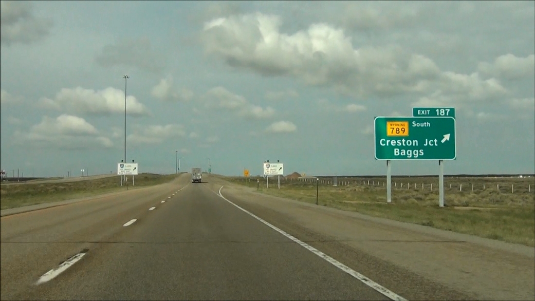 |
Interstate 80 West at Exit 187: WY 789 South - Creston Junction / Baggs (Photo taken 5/19/13). |
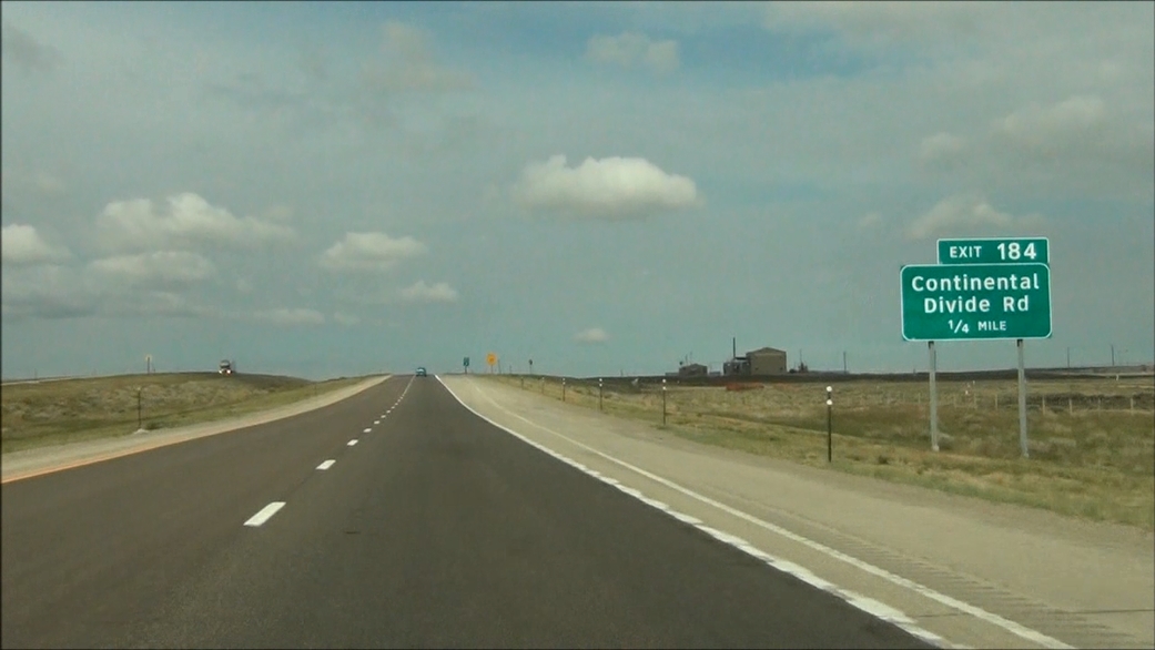 |
Interstate 80 West approaching Exit 184: Continental Divide Rd - 1/4 mile. (Photo taken 5/19/13). |
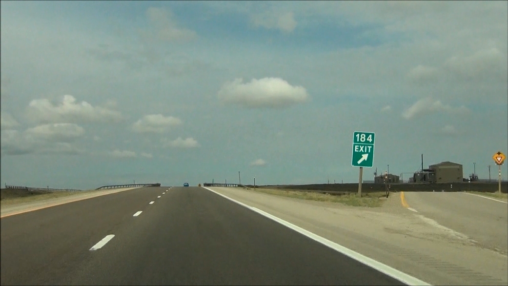 |
Interstate 80 West at Exit 184: Continental Divide Rd (Photo taken 5/19/13). |
 |
Interstate 80 West shield located near mile marker 184. (Photo taken 5/19/13). |
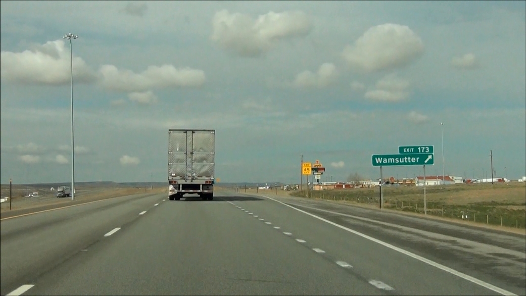 |
Interstate 80 West at Exit 173: Wamsutter (Photo taken 5/19/13). |
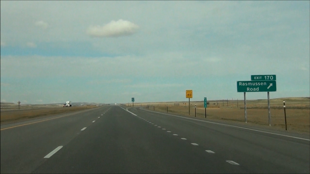 |
Interstate 80 West at Exit 170: Rasmussen Road (Photo taken 5/19/13). |
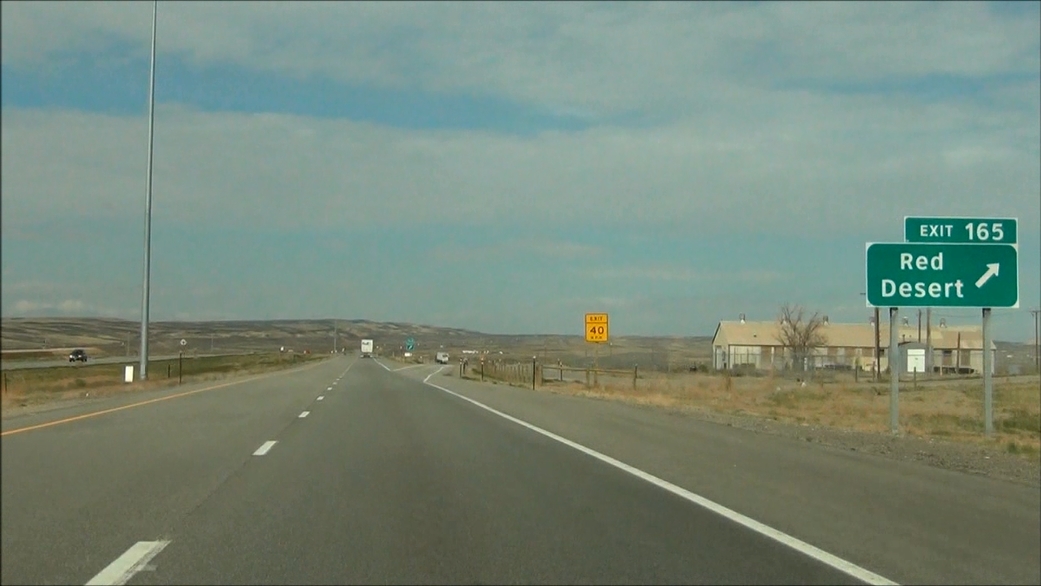 |
Interstate 80 West at Exit 165: Red Desert (Photo taken 5/19/13). |
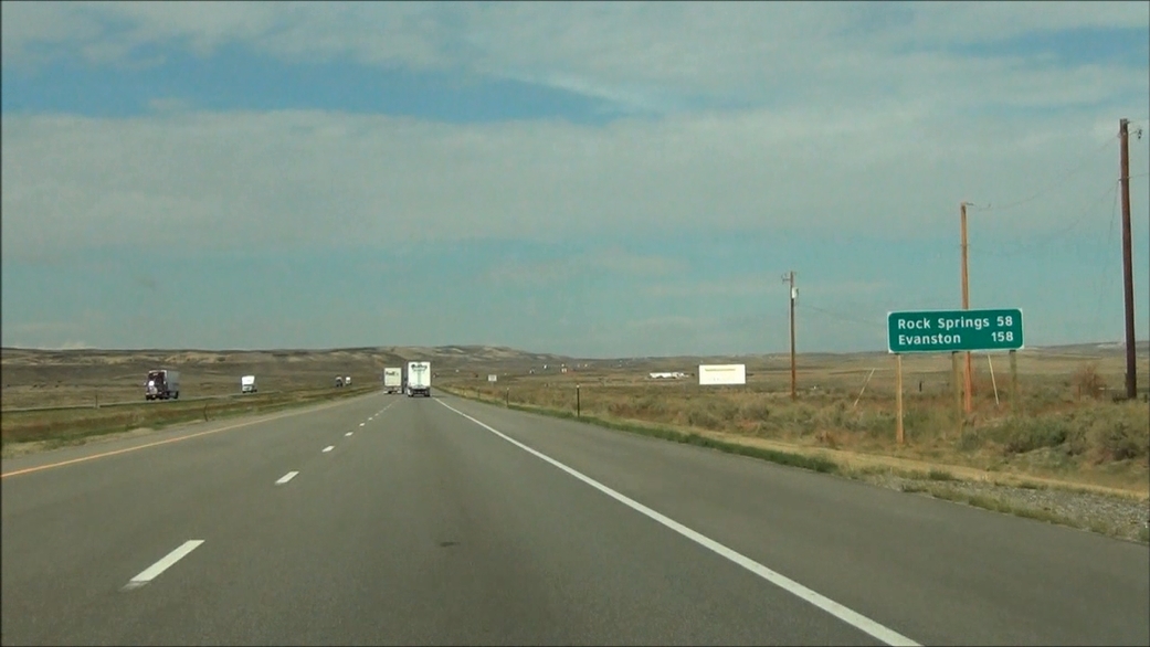 |
Mileage sign located near mile marker 165. It's 58 miles to Rock Springs and 158 miles to Evanston. (Photo taken 5/19/13). |
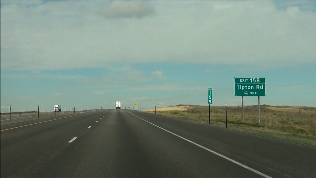 |
Interstate 80 West approaching Exit 158: Tipton Rd - 1/4 mile. (Photo taken 5/19/13). |
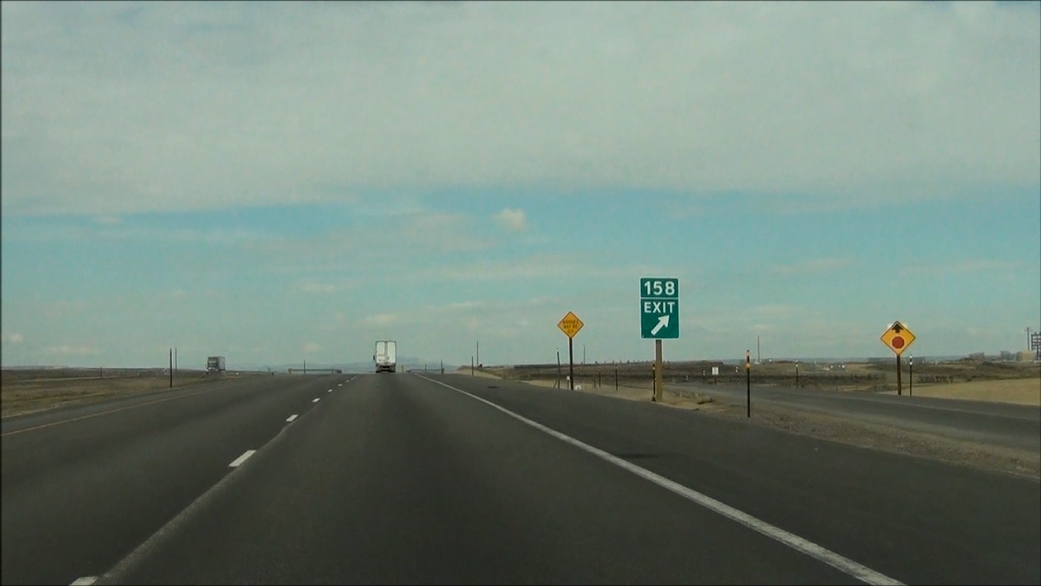 |
Interstate 80 West at Exit 158: Tipton Rd (Photo taken 5/19/13). |
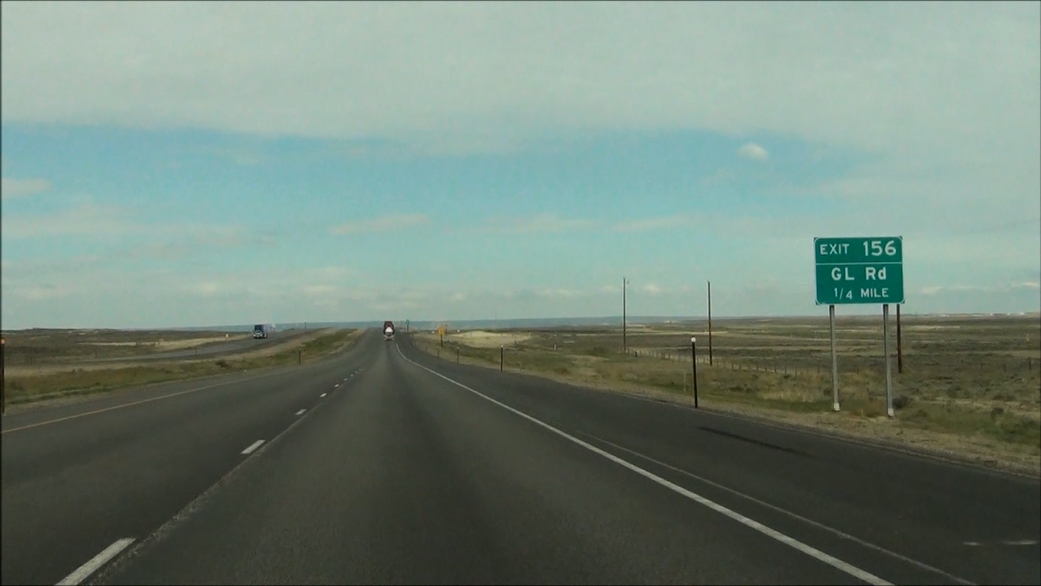 |
Interstate 80 West approaching Exit 156: GL Road - 1/4 mile. (Photo taken 5/19/13). |
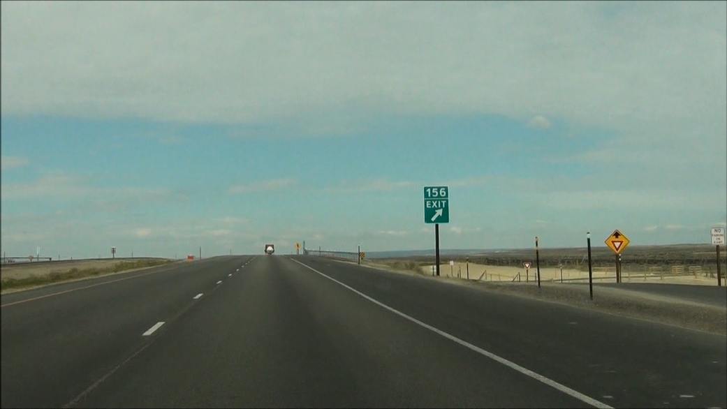 |
Interstate 80 West at Exit 156: GL Road (Photo taken 5/19/13). |
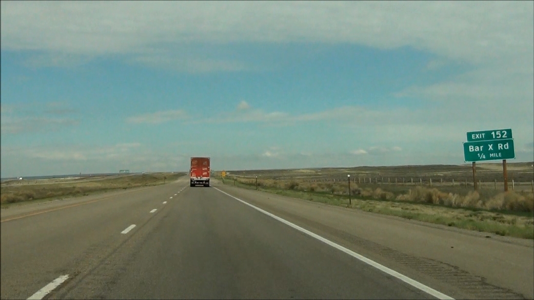 |
Interstate 80 West approaching Exit 152: Bar X Rd - 1/4 mile. (Photo taken 5/19/13). |
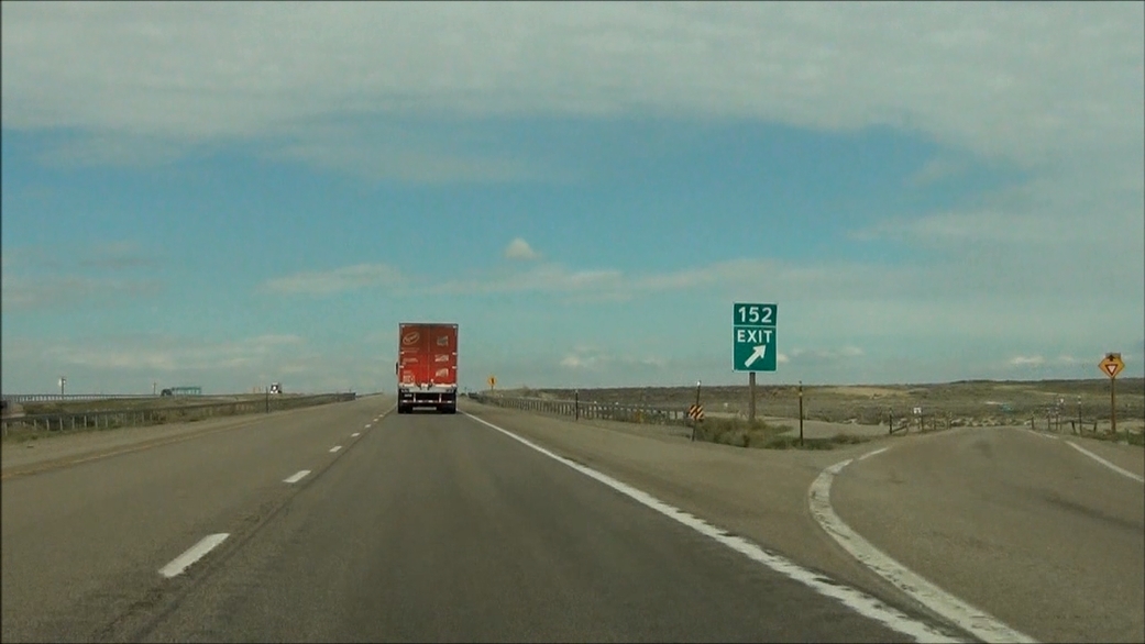 |
Interstate 80 West at Exit 152: Bar X Rd (Photo taken 5/19/13). |
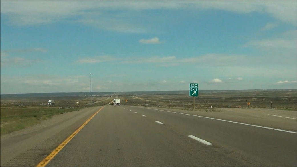
 |
Interstate 80 West approaching Exit 150: Table Rock Road - 1/4 mile. (Photo taken 5/19/13). |
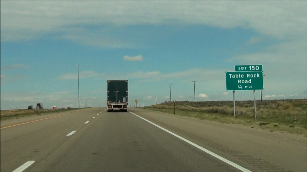
 |
Interstate 80 West at Exit 150: Table Rock Road (Photo taken 5/19/13). |
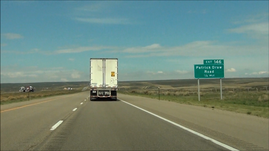 |
Interstate 80 West approaching Exit 146: Patrick Draw Road - 1/4 mile. (Photo taken 5/19/13). |
 |
Interstate 80 West at Exit 146: Patrick Draw Road (Photo taken 5/19/13). |
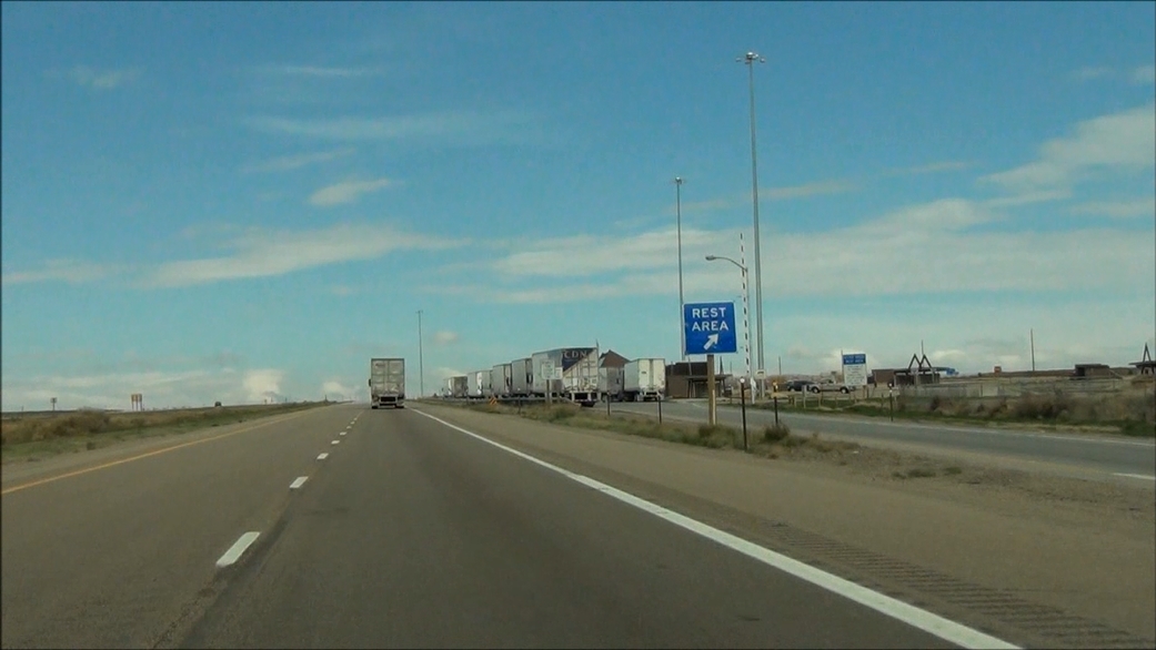 |
Interstate 80 West at the Rest Area located near mile marker 144. (Photo taken 5/19/13). |
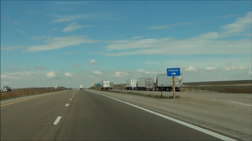 |
Interstate 80 West at the Parking Area located near mile marker 143. (Photo taken 5/19/13). |
 |
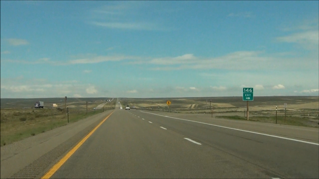
Interstate 80 West approaching Exit 142: Bitter Creek Road - 1/4 mile. (Photo taken 5/19/13). |
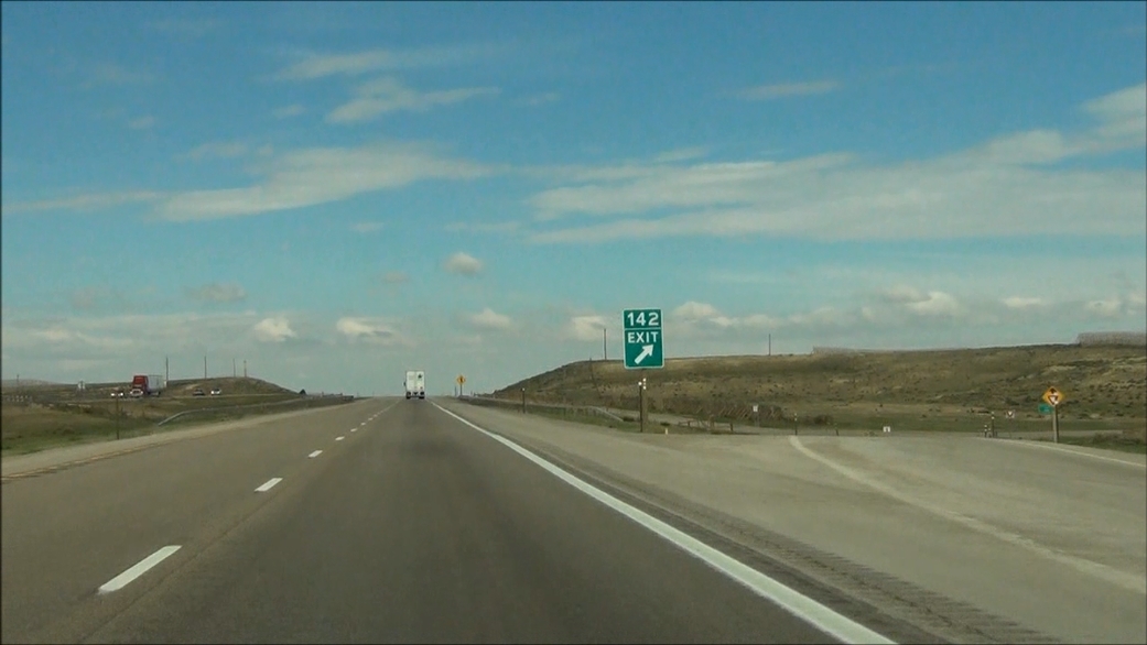 |
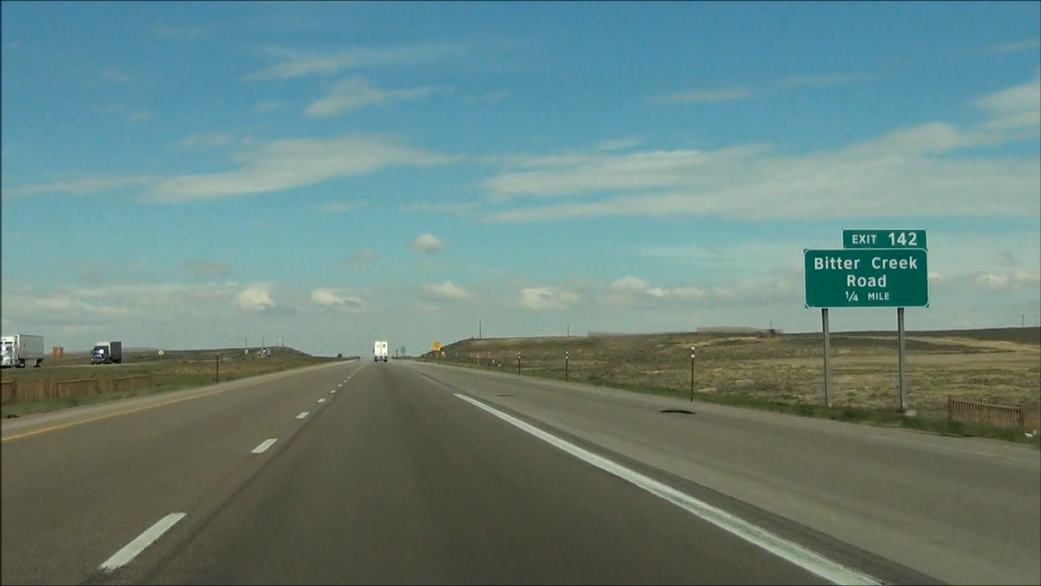
Interstate 80 West at Exit 142: Bitter Creek Road (Photo taken 5/19/13). |
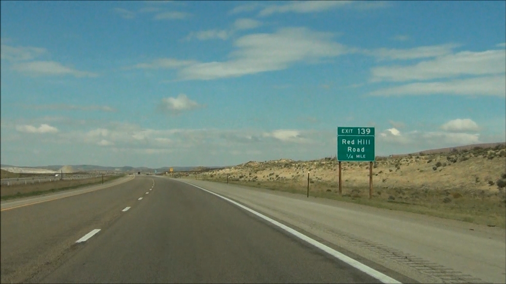 |
Interstate 80 West approaching Exit 139: Red Hill Road - 1/4 mile. (Photo taken 5/19/13). |
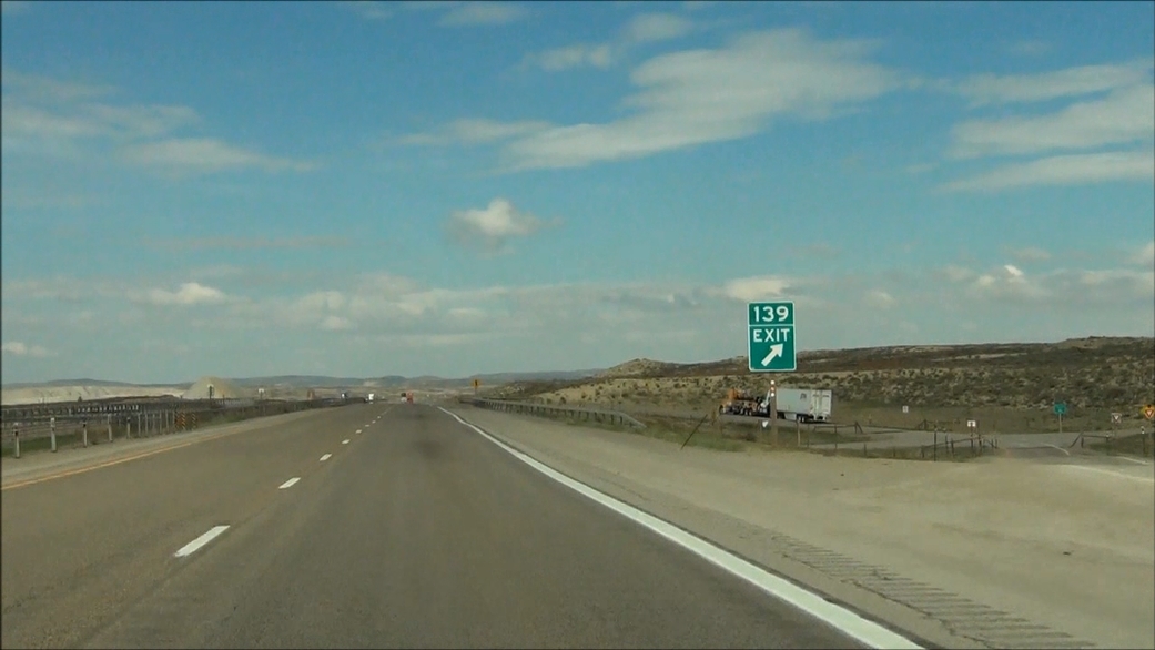 |
Interstate 80 West at Exit 139: Red Hill Road (Photo taken 5/19/13). |
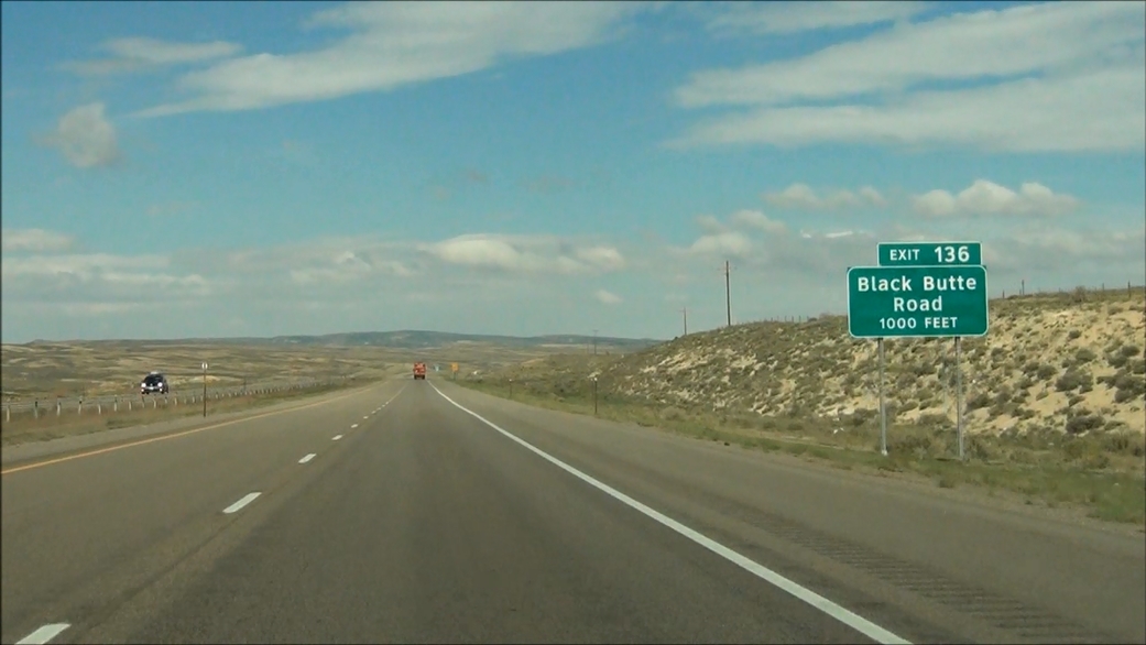 |
Interstate 80 West approaching Exit 136: Black Butte Road - 1000 feet. (Photo taken 5/19/13). |
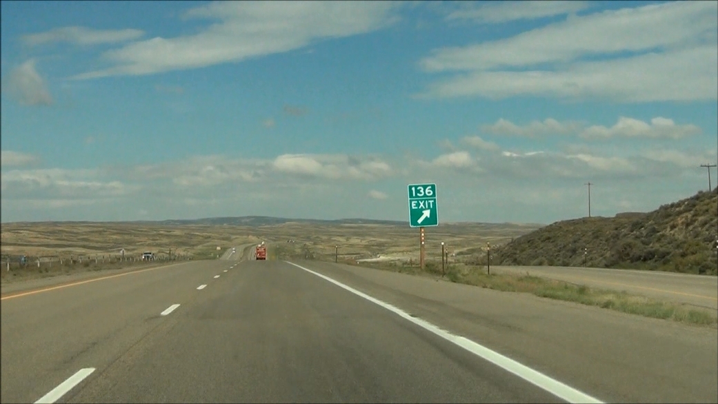 |
Interstate 80 West at Exit 136: Black Butte Road (Photo taken 5/19/13). |
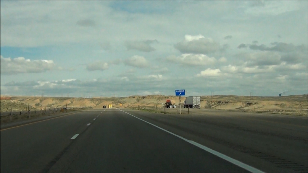 |
Interstate 80 West at the Parking Area located near mile marker 134. (Photo taken 5/19/13). |
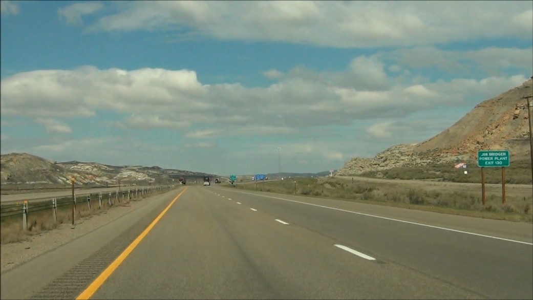 |
Take Exit 130 to Jim Bridger Power Plant. (Photo taken 5/19/13). |
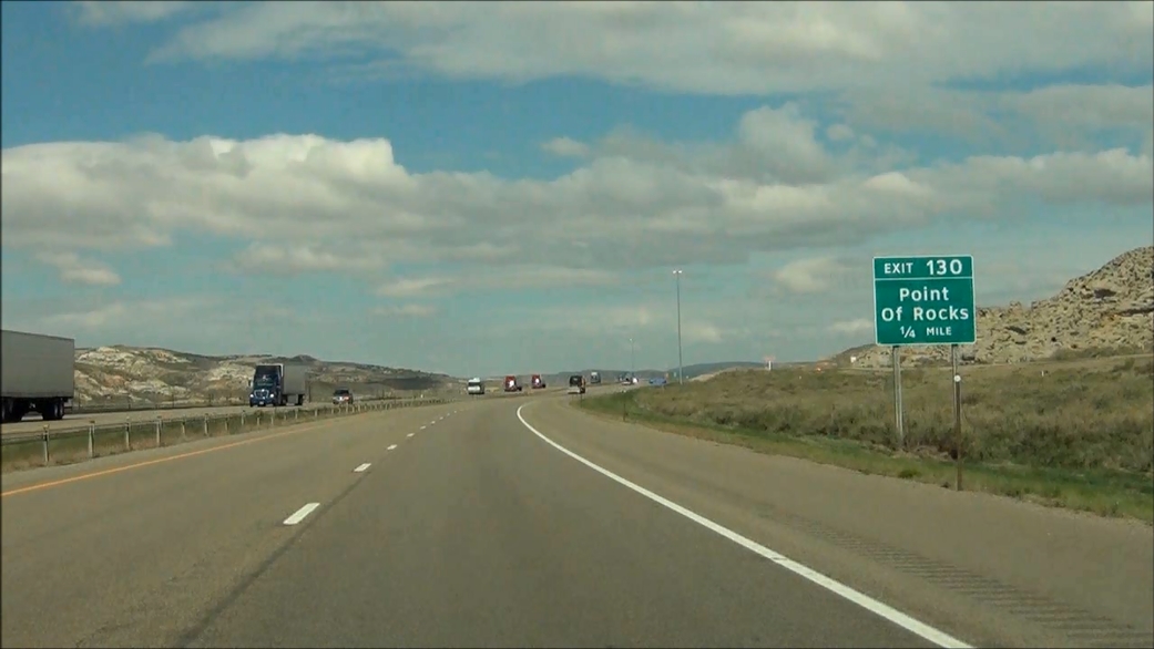 |
Interstate 80 West approaching Exit 130: Point Of Rocks - 1/4 mile. (Photo taken 5/19/13). |
 |
Interstate 80 West at Exit 130: Point Of Rocks (Photo taken 5/19/13). |
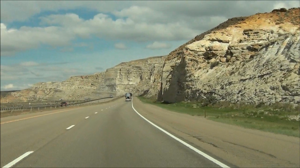 |
Interstate 80 West: Road view from near mile marker 129. (Photo taken 5/19/13). |
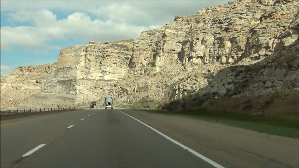 |
Interstate 80 West: Another road view from near mile marker 129. (Photo taken 5/19/13). |
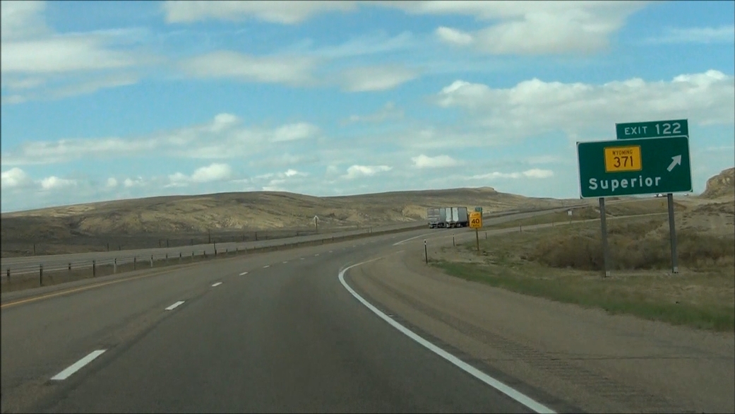 |
Interstate 80 West at Exit 122: WY 371 - Superior (Photo taken 5/19/13). |
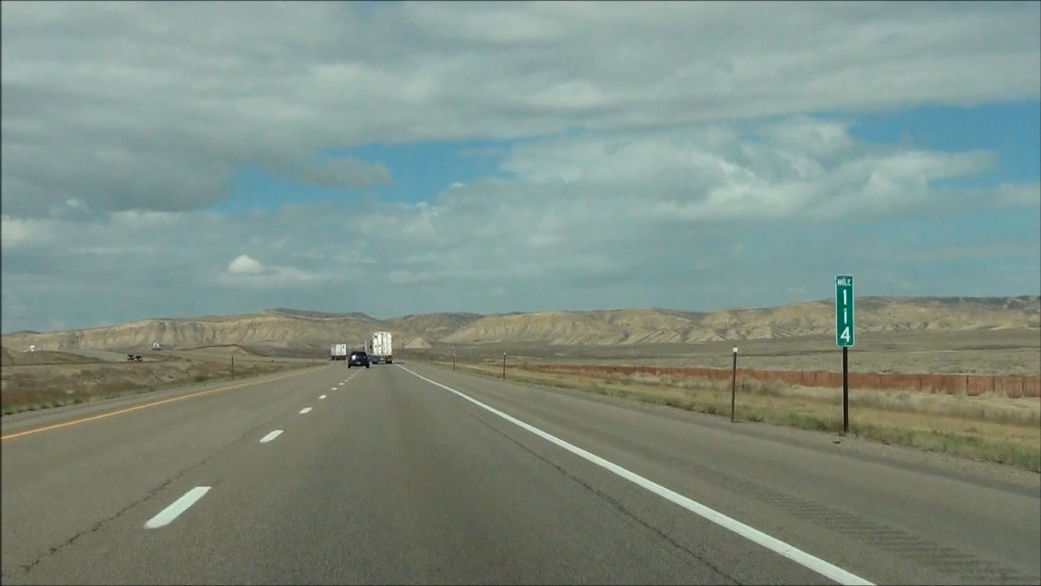 |
Interstate 80 West: Road view from mile marker 114. (Photo taken 5/19/13). |
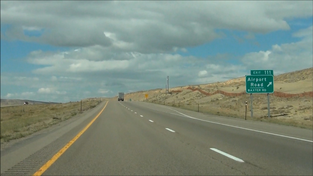 |
Interstate 80 West at Exit 111: Airport Road / Baxter Rd (Photo taken 5/19/13). |
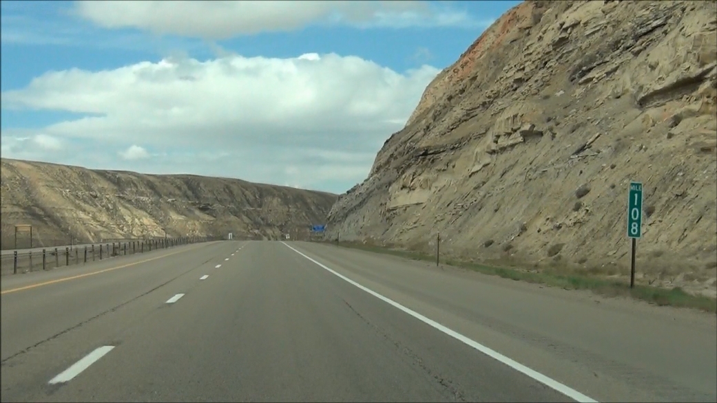 |
Interstate 80 West: Road view from mile marker 108. (Photo taken 5/19/13). |
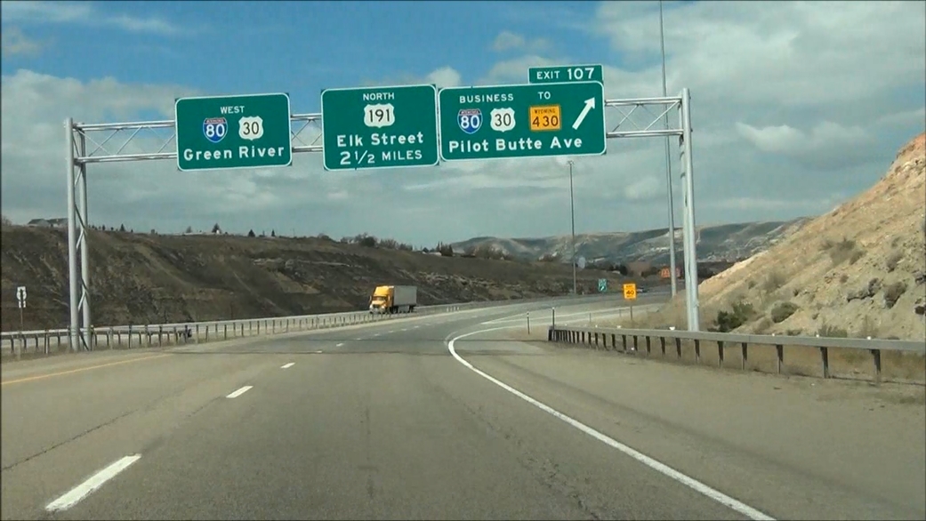 |
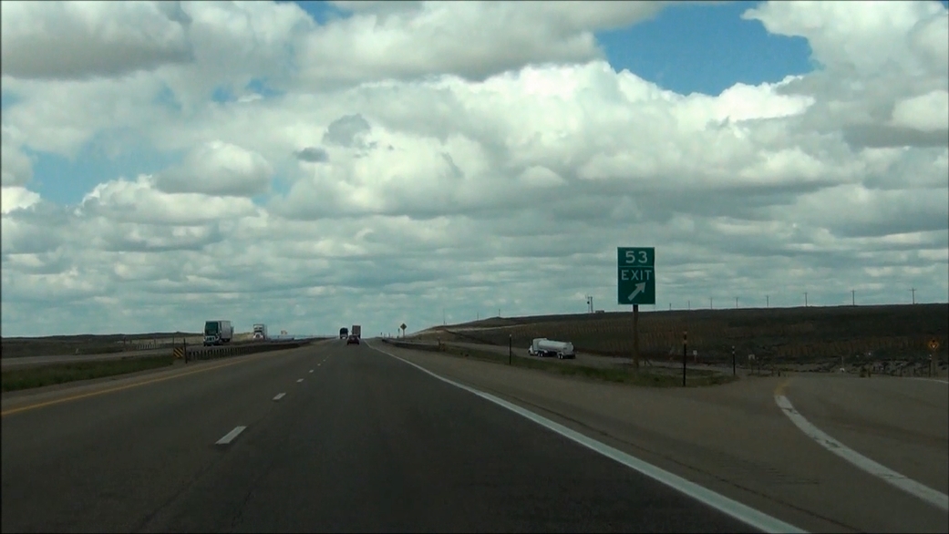
Interstate 80 West at Exit 107: Interstate 80 Business / US 30 Business / To WY 430 - Pilot Butte Ave. Did you catch the signage error here? (Photo taken 5/19/13). |
Section 6: Rock Springs (Exit 107) to Little America (Exit 68)
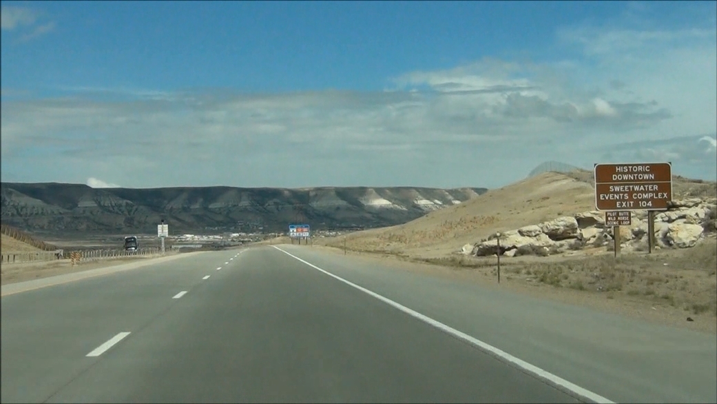 |
Take Exit 104 to Historic Downtown and Sweetwater Events Complex. (Photo taken 5/19/13). |
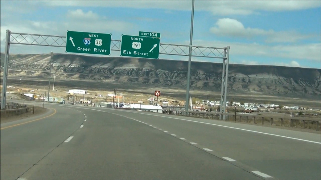 |
Interstate 80 West at Exit 104: US 191 North - Elk Street (Photo taken 5/19/13). |
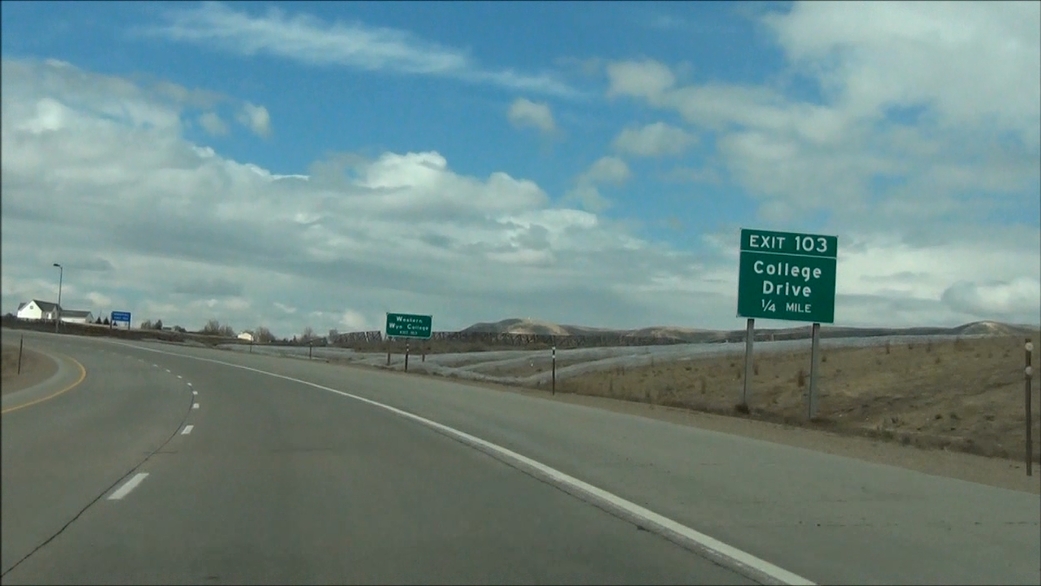 |
Interstate 80 West approaching Exit 103: College Drive - 1/4 mile. (Photo taken 5/19/13). |
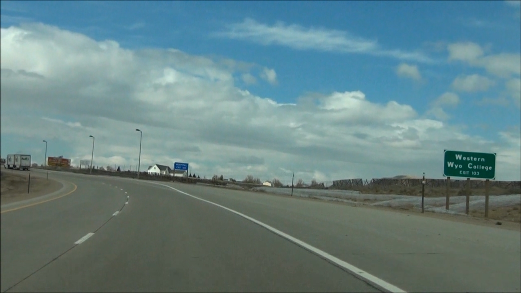 |
Take Exit 103 to Western Wyoming College. (Photo taken 5/19/13). |
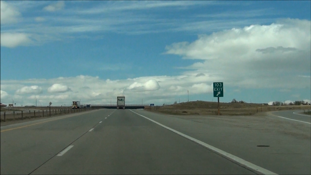 |
Interstate 80 West at Exit 103: College Drive (Photo taken 5/19/13). |
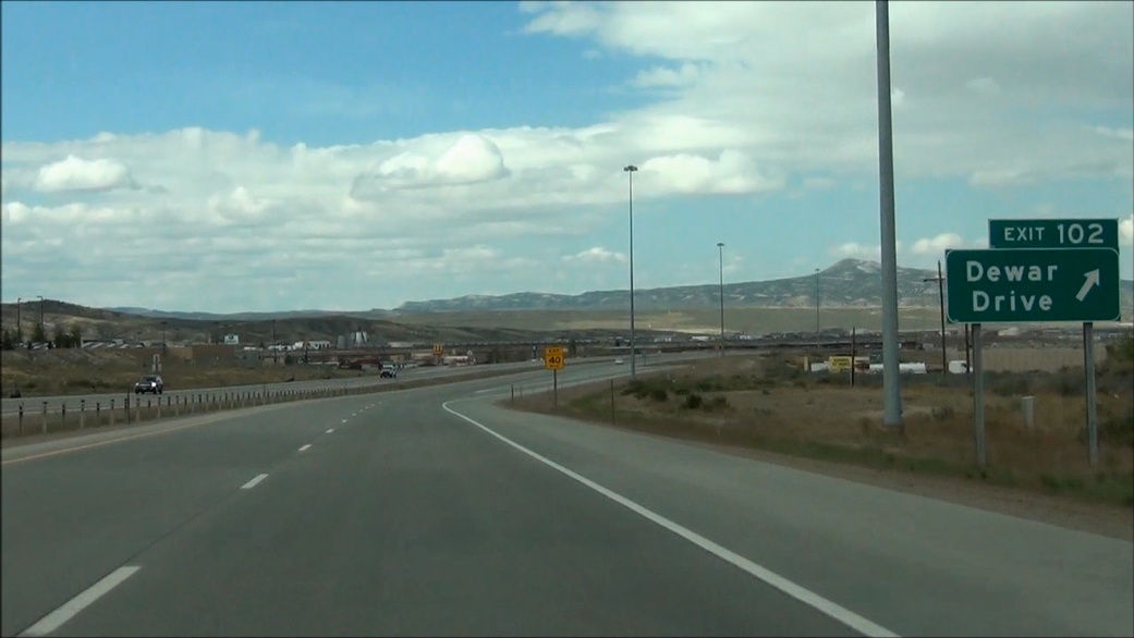 |
Interstate 80 West at Exit 102: Dewar Drive (Photo taken 5/19/13). |
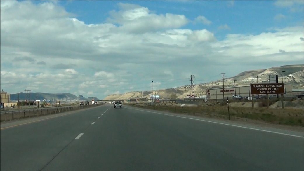 |
Take Exit 99 to Flaming Gorge Dam Visitor Center. (Photo taken 5/19/13). |
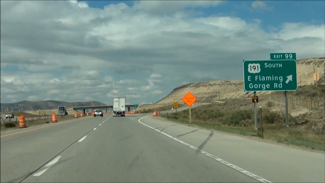 |
Interstate 80 West at Exit 99: US 191 South - E Flaming Gorge Rd (Photo taken 5/19/13). |
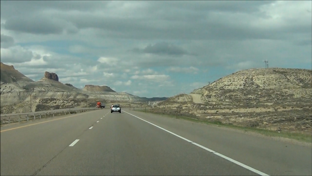 |
Interstate 80 West: Road view from near mile marker 95. (Photo taken 5/19/13). |
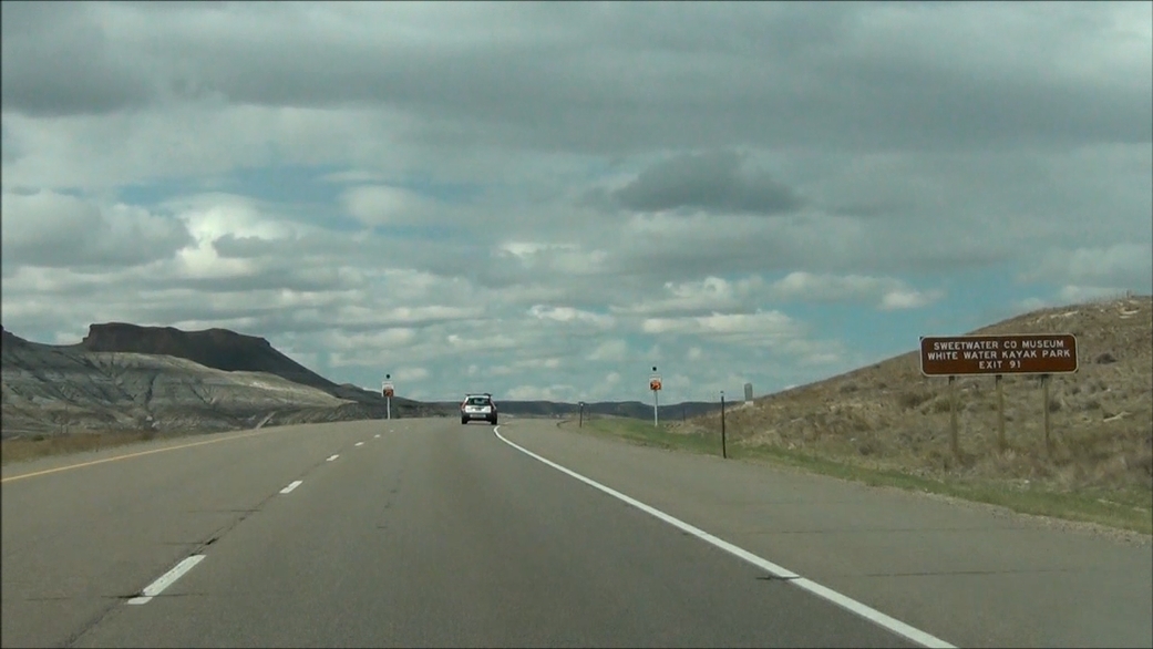 |
Take Exit 91 to Sweetwater County Museum and White Water Kayak Park. (Photo taken 5/19/13). |
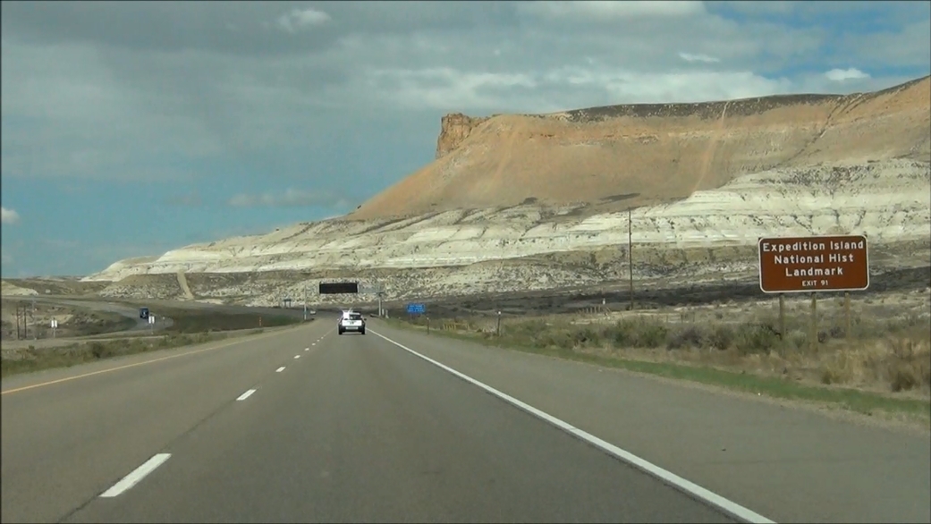 |
Also take Exit 91 to Expedition Island National Historic Landmark. (Photo taken 5/19/13). |
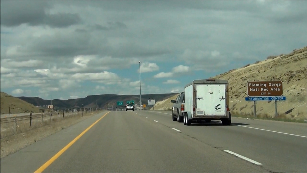 |
Take Exit 91 to Flaming Gorge National Recreational Area. (Photo taken 5/19/13). |
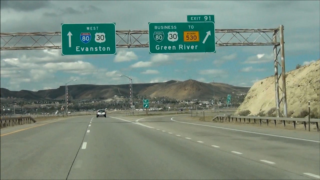 |
Interstate 80 West at Exit 91: Interstate 80 Business / US 30 Business / To WY 530 - Green River (Photo taken 5/19/13). |
 |
Interstate 80 West: Road view from near mile marker 90.5, as you prepare to enter the Green River tunnel. (Photo taken 5/19/13). |
 |
The speed limit drops to 65 mph as you prepare to enter the tunnel. Once again, this speed limit is variable. (Photo taken 5/19/13). |
 |
Entering the tunnel. (Photo taken 5/19/13). |
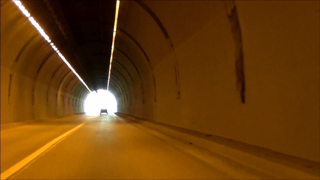 |
View from inside the tunnel. This tunnel is one of 3 located on Interstate 80 across the country. The others are in Nevada and California. (Photo taken 5/19/13). |
 |
Interstate 80 West: Road view from near mile marker 90, just on the west side of the tunnel. (Photo taken 5/19/13). |
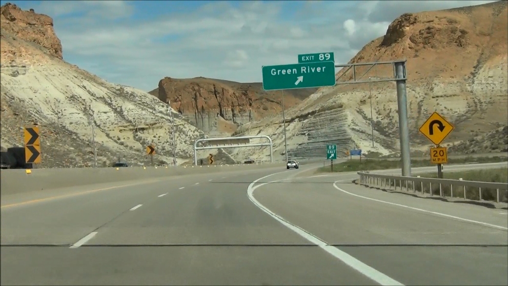 |
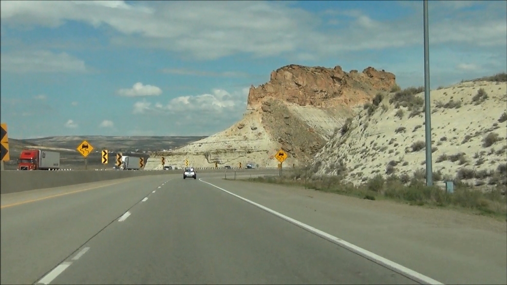
Interstate 80 West at Exit 89: Green River (Photo taken 5/19/13). |
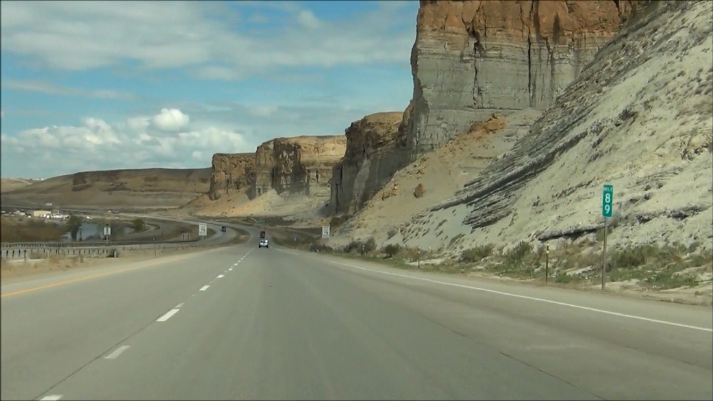 |
Interstate 80 West: Road view from mile marker 89. (Photo taken 5/19/13). |
 |
At the bottom of this grade, the standard speed limit of 75 mph resumes. (Photo taken 5/19/13). |
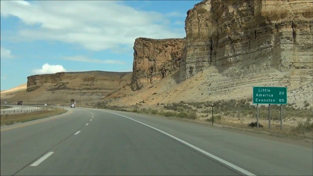 |
Mileage sign located near mile marker 88. It's 20 miles to Little America and 85 miles to Evanston. (Photo taken 5/19/13). |
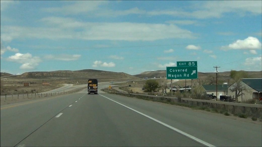 |
Interstate 80 West at Exit 85: Covered Wagon Rd (Photo taken 5/19/13). |
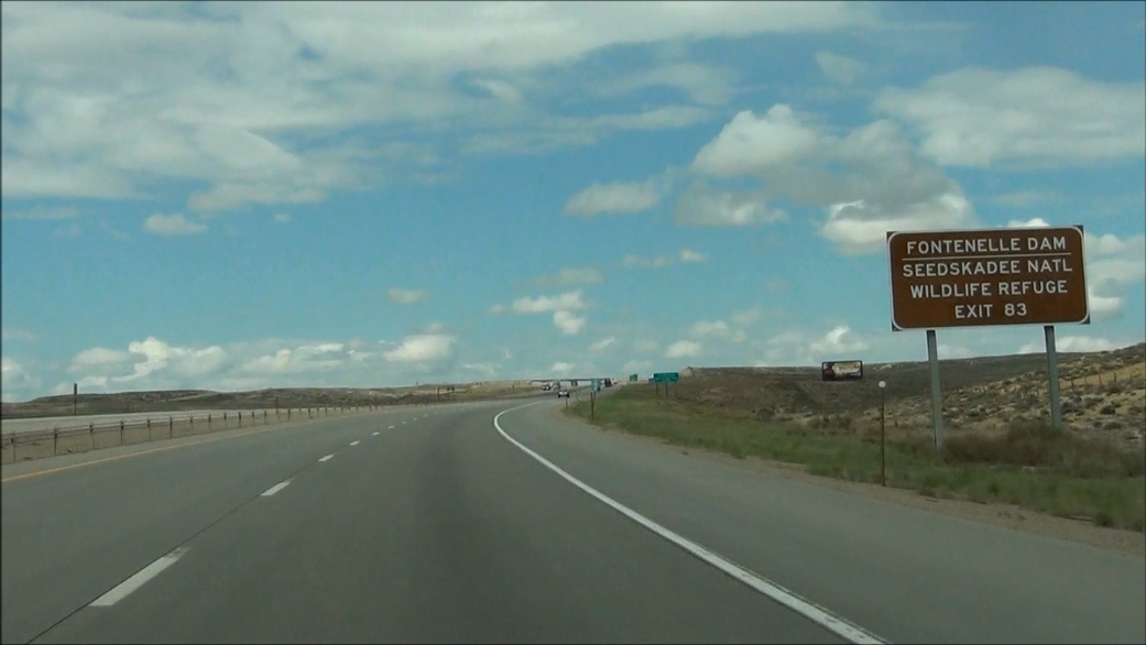 |
Take Exit 83 to Fontenelle Dam and Seedskadee National Wildlife Refuge. (Photo taken 5/19/13). |
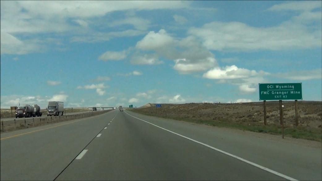 |
Also take Exit 83 to OCI Wyoming and FMC Granger Mine. (Photo taken 5/19/13). |
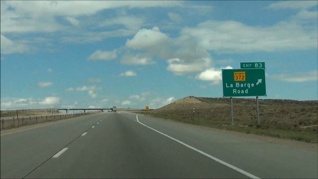 |
Interstate 80 West at Exit 83: WY 372 - La Barge Road (Photo taken 5/19/13). |
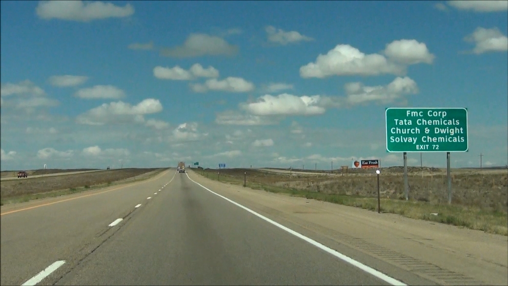 |
Take Exit 72 to FMC Corp, Tata Chemicals, Church & Dwight, and Solvay Chemicals. (Photo taken 5/19/13). |
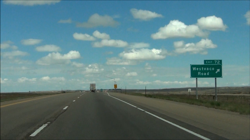 |
Interstate 80 West at Exit 72: Westvaco Road (Photo taken 5/19/13). |
 |
Interstate 80 West at the Parking Area located near mile marker 71. (Photo taken 5/19/13). |
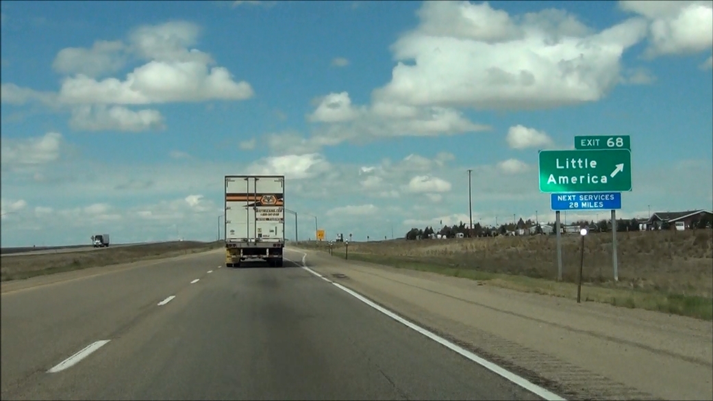 |
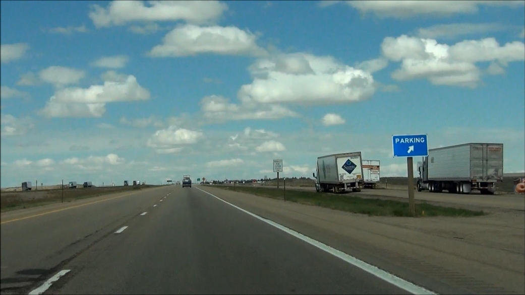
Interstate 80 West at Exit 68: Little America (Photo taken 5/19/13). |
Section 7: Little America (Exit 68) to Utah Border
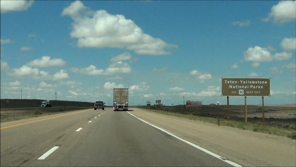 |
Take the next exit (Exit 66) to access Grand Teton and Yellowstone National Parks via US 30. (Photo taken 5/19/13). |
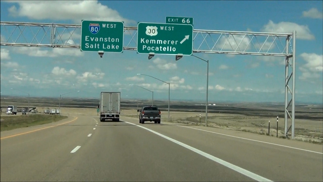 |
Interstate 80 West at Exit 66: US 30 West - Kemmerer / Pocatello (Photo taken 5/19/13). |
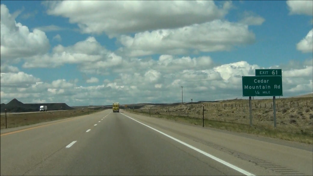 |
Interstate 80 West approaching Exit 61: Cedar Mountain Rd - 1/4 mile. (Photo taken 5/19/13). |
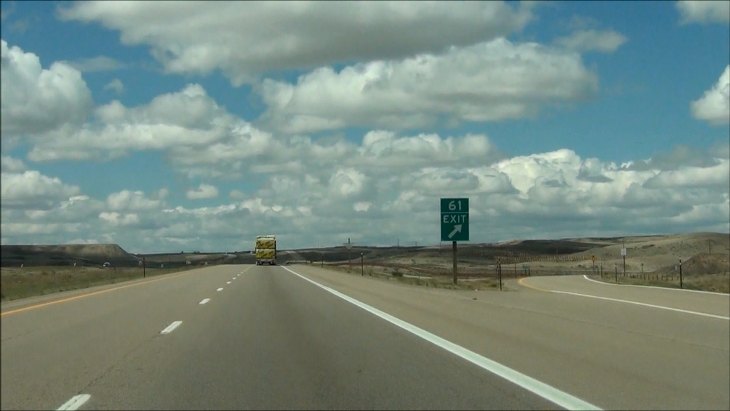 |
Interstate 80 West at Exit 61: Cedar Mountain Rd (Photo taken 5/19/13). |
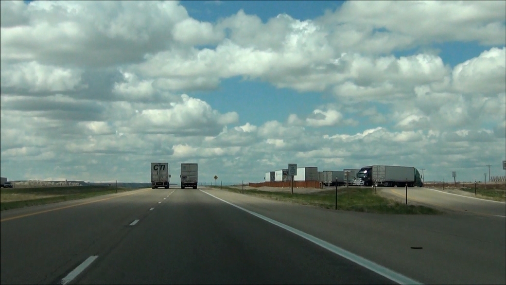 |
Interstate 80 West at the Parking Area located near mile marker 60. (Photo taken 5/19/13). |
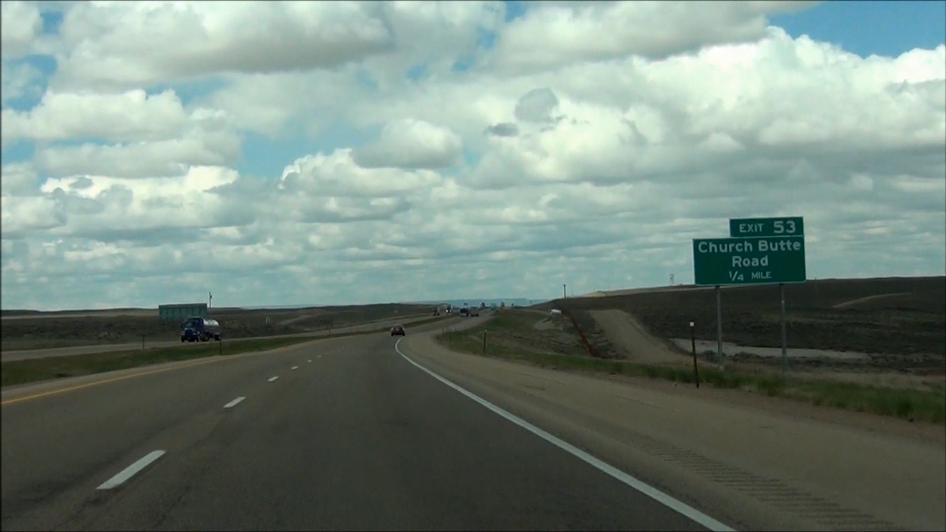 |
Interstate 80 West approaching Exit 53: Church Butte Road - 1/4 mile. (Photo taken 5/19/13). |
 |
Interstate 80 West at Exit 53: Church Butte Road (Photo taken 5/19/13). |
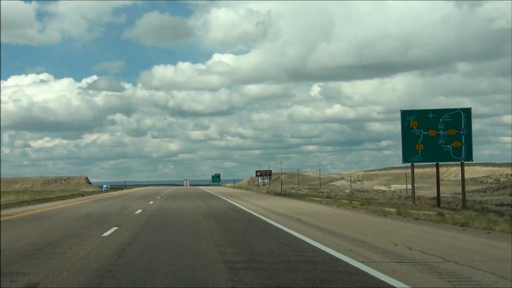 |
A very detailed sign located near mile marker 50, showing Interstate 80 Business Loop's route into Fort Bridger and Lyman, as well as the other state roads which connect to it. (Photo taken 5/19/13). |
 |
Interstate 80 West at the Parking Area located near mile marker 49. (Photo taken 5/19/13). |
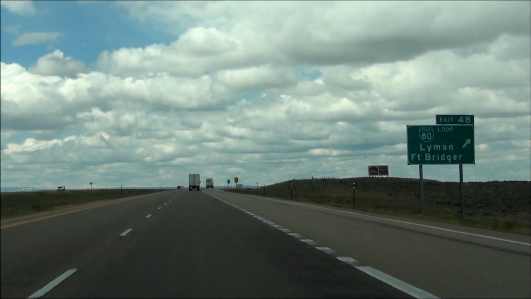 |
Interstate 80 West at Exit 48: Interstate 80 Business Loop - Lyman / Ft Bridger (Photo taken 5/19/13). |
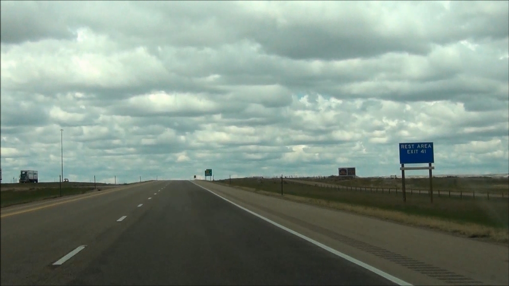 |
There is a Rest Area located off Exit 41. (Photo taken 5/19/13). |
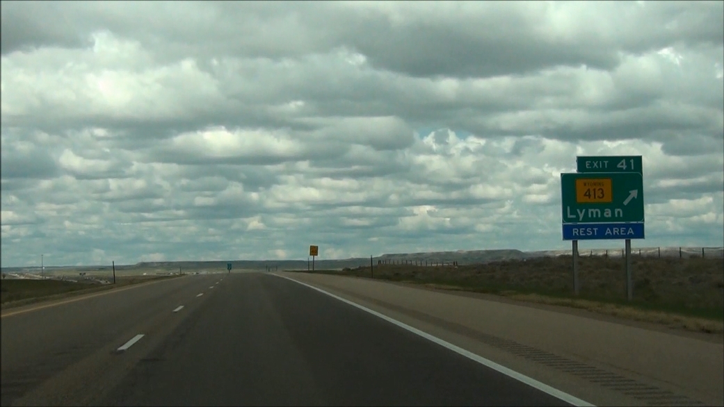 |
Interstate 80 West at Exit 41: WY 413 - Lyman / Rest Area (Photo taken 5/19/13). |
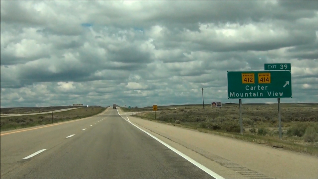 |
Interstate 80 West at Exit 39: WY 412 / WY 414 - Carter / Mountain View (Photo taken 5/19/13). |
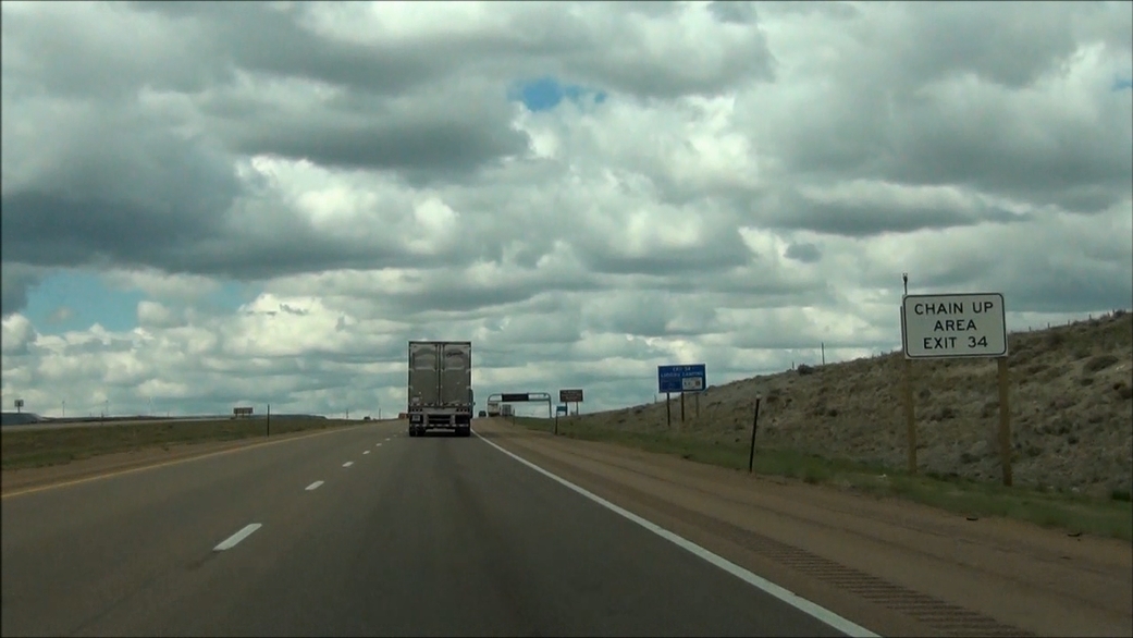 |
Take Exit 34 to the Chain Up Area. You're about to traverse three grades, known as the "Three Sisters", ahead and installing chains might be required for trucks to continue in the winter. However, if you need chains to continue, you don't need to continue as some truck drivers will tell you. (Photo taken 5/19/13). |
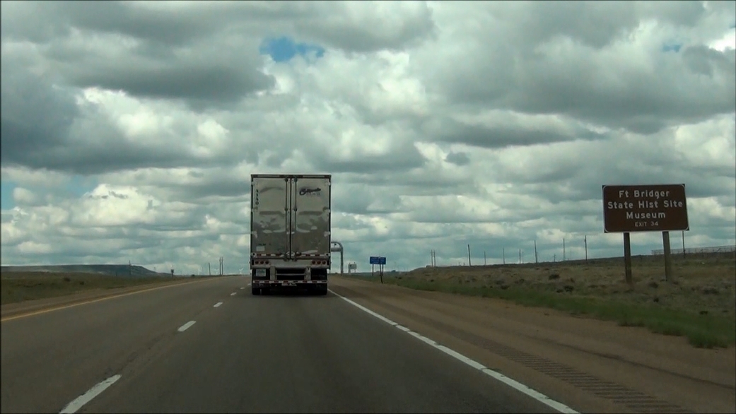 |
Take Exit 34 to Ft Bridger State Historic Site and Museum. (Photo taken 5/19/13). |
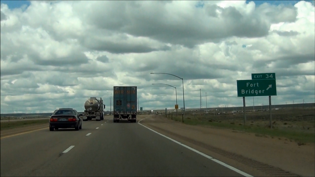 |
Interstate 80 West at Exit 34: Fort Bridger (Photo taken 5/19/13). |
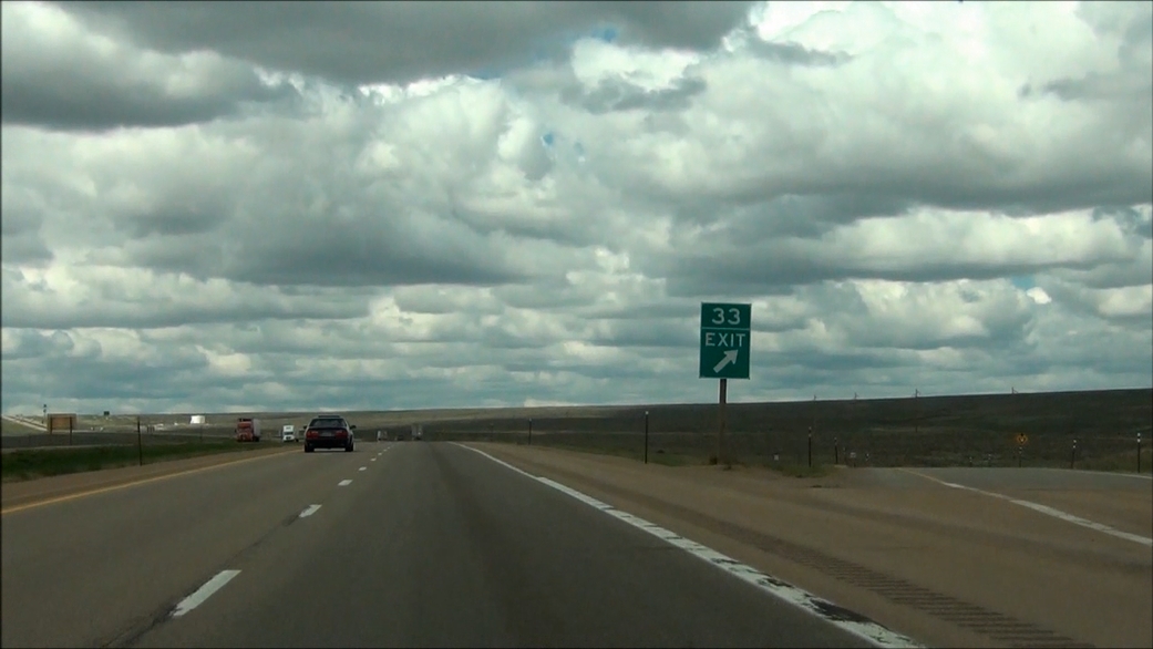 |
Interstate 80 West at Exit 33: Union Road (Photo taken 5/19/13). |
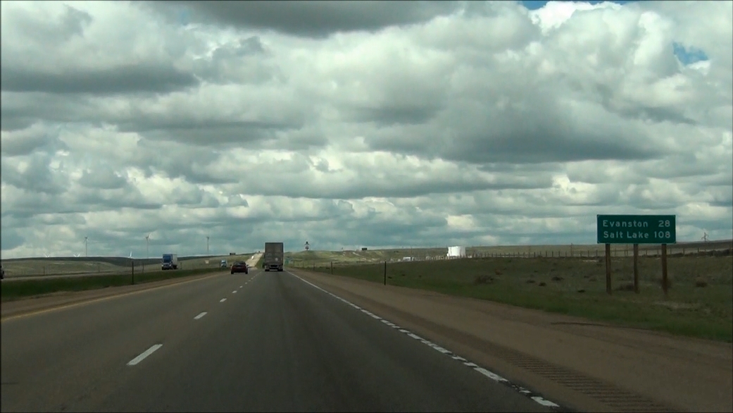 |
Mileage sign located near mile marker 32. It's 28 miles to Evanston and 108 miles to Salt Lake City. (Photo taken 5/19/13). |
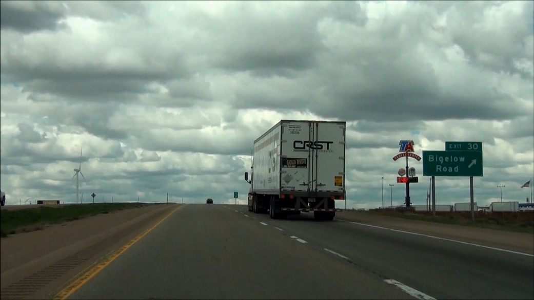 |
Interstate 80 West at Exit 30: Bigelow Road (Photo taken 5/19/13). |
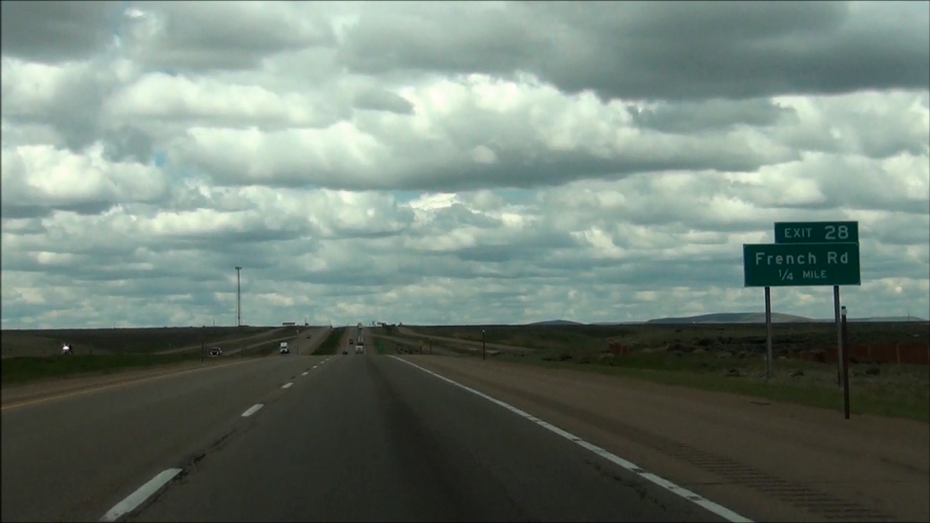 |
Interstate 80 West approaching Exit 28: French Rd - 1/4 mile. (Photo taken 5/19/13). |
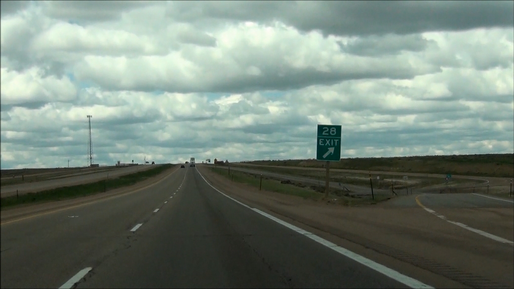 |
Interstate 80 West at Exit 28: French Rd (Photo taken 5/19/13). |
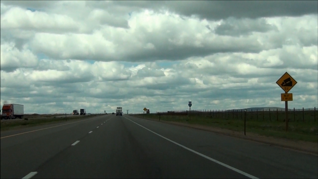 |
Interstate 80 West as you approach the first of three upcoming grades, or the first of the 'Three Sisters'. This first one is a 5% grade which lasts for the next 3 miles. (Photo taken 5/19/13). |
 |
Interstate 80 West at the Parking Area located near mile marker 28. (Photo taken 5/19/13). |
 |
As you start down the grade, variable speed limits make a return. Because conditions were normal at the time, the speed limit remained at 75 mph. (Photo taken 5/19/13). |
 |
Interstate 80 West: Road view from near mile marker 27. (Photo taken 5/19/13). |
 |
Interstate 80 West: Road view from mile marker 26, as you continue to go down. (Photo taken 5/19/13). |
 |
Interstate 80 West: Road view from mile marker 25, as you near the bottom of the first grade. (Photo taken 5/19/13). |
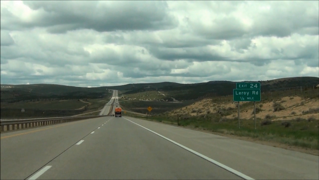 |
Interstate 80 West approaching Exit 24: Leroy Rd - 1/4 mile. (Photo taken 5/19/13). |
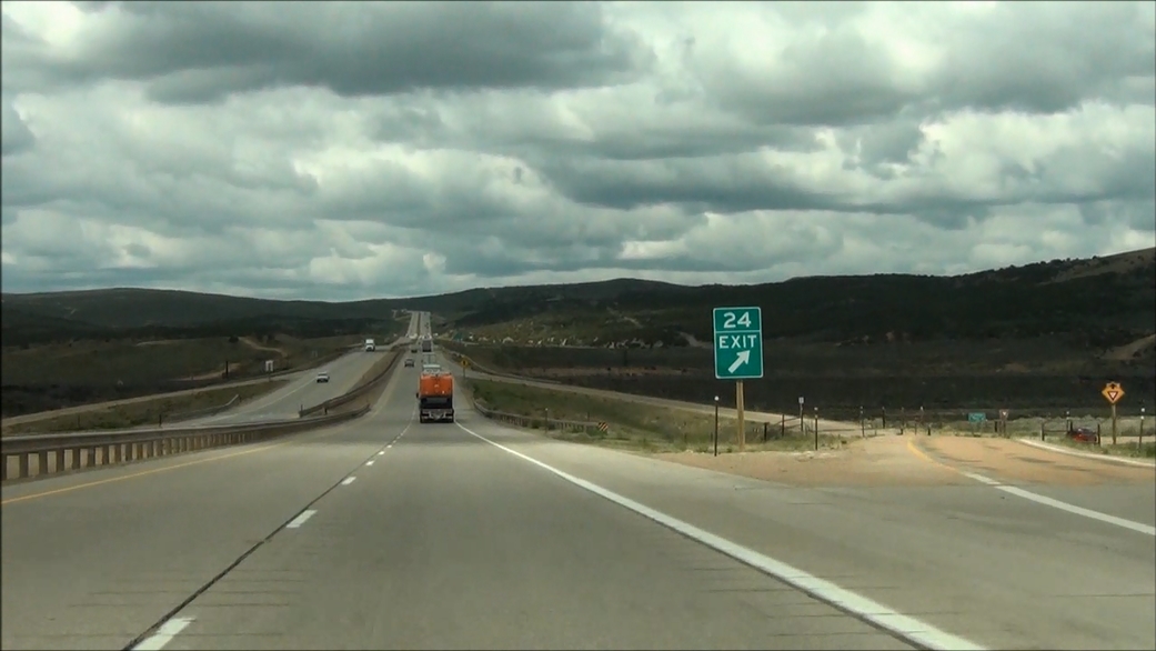 |
Interstate 80 West at Exit 24: Leroy Rd (Photo taken 5/19/13). |
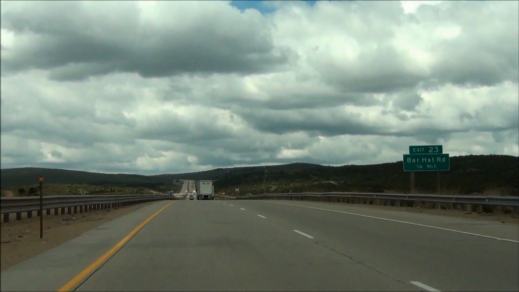 |
Interstate 80 West approaching Exit 23: Bar Hat Rd - 1/4 mile. (Photo taken 5/19/13). |
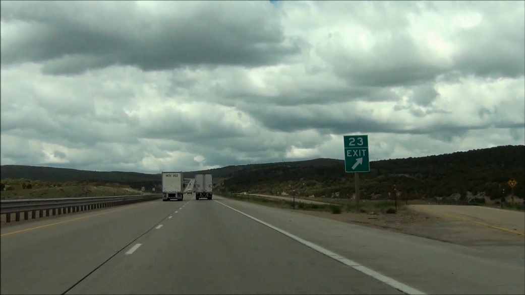 |
Interstate 80 West at Exit 23: Bar Hat Rd (Photo taken 5/19/13). |
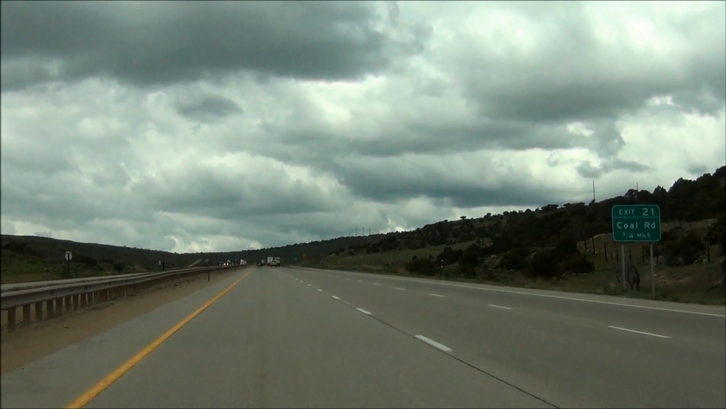 |
Interstate 80 West approaching Exit 21: Coal Rd - 1/4 mile. (Photo taken 5/19/13). |
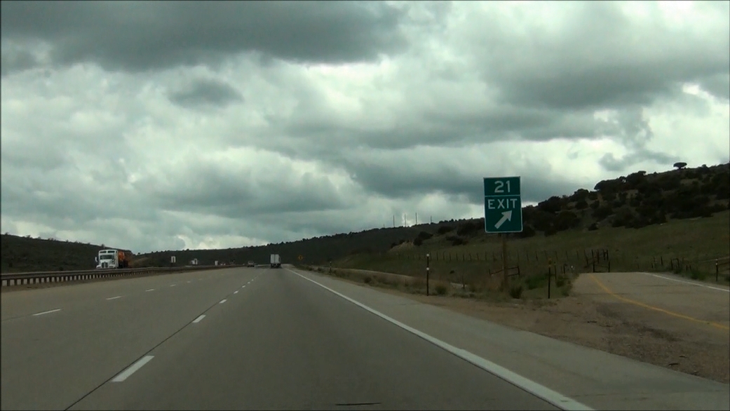 |
Interstate 80 West at Exit 21: Coal Rd. In case you haven't noticed, we've begun climbing the 2nd "sister". A third lane appears here for slower traffic during the climb. (Photo taken 5/19/13). |
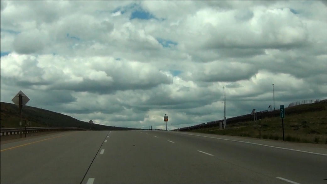 |
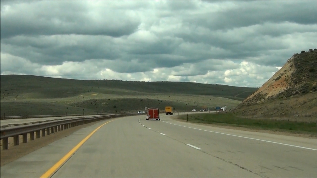
Interstate 80 West: Road view from mile marker 21, as the climb continues. (Photo taken 5/19/13). |
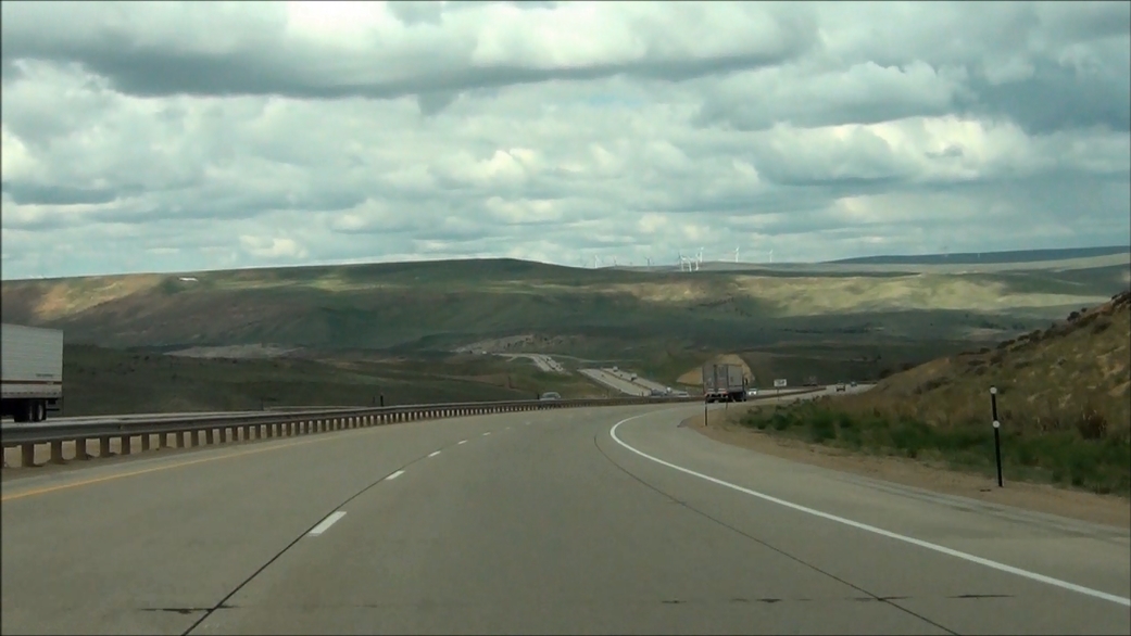 |
Interstate 80 West: Road view from near mile marker 20, as you begin your descent down the 2nd of three grades. (Photo taken 5/19/13). |
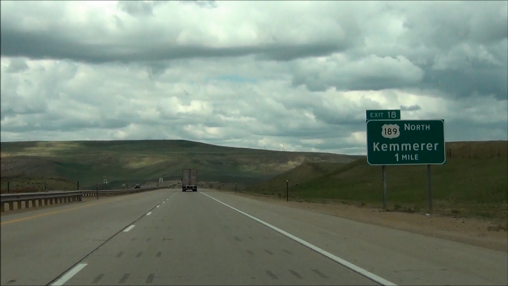 |
Interstate 80 West approaching Exit 18 - 1 mile. (Photo taken 5/19/13). |
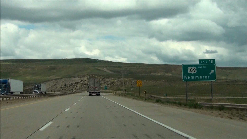 |
Interstate 80 West at Exit 18: US 189 North - Kemmerer (Photo taken 5/19/13). |
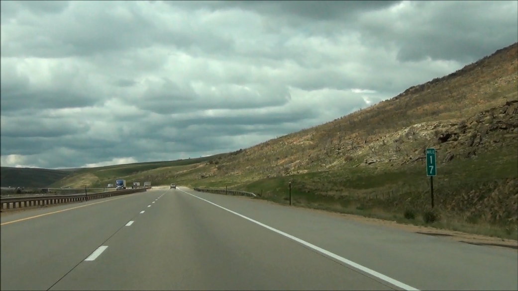 |
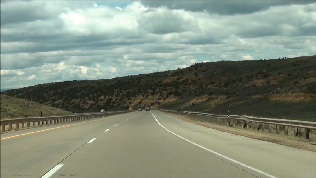
Interstate 80 West: Road view from mile marker 17, as you climb the final grade of the three. (Photo taken 5/19/13). |
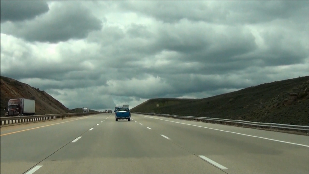 |
Interstate 80 West: Road view from near mile marker 15. Once again, a third lane is present for slower traffic during the ascent. (Photo taken 5/19/13). |
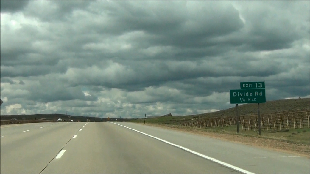 |
Interstate 80 West approaching Exit 13: Divide Rd - 1/4 mile. (Photo taken 5/19/13). |
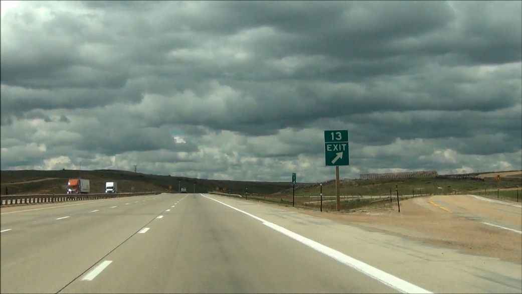 |
Interstate 80 West at Exit 13: Divide Rd (Photo taken 5/19/13). |
 |
Interstate 80 West: Road view from near mile marker 13, as you start down the third and final grade of the "Three Sisters". (Photo taken 5/19/13). |
 |
Near mile marker 12, you approach the bottom of the final grade. (Photo taken 5/19/13). |
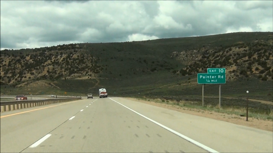 |
Interstate 80 West approaching Exit 10: Painter Rd - 1/4 mile. (Photo taken 5/19/13). |
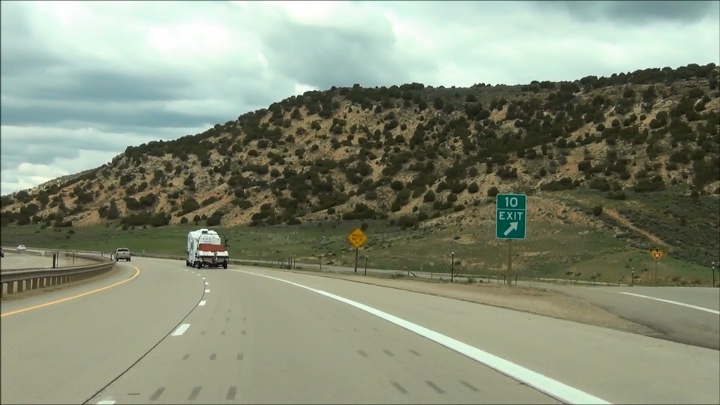 |
Interstate 80 West at Exit 10: Painter Rd (Photo taken 5/19/13). |
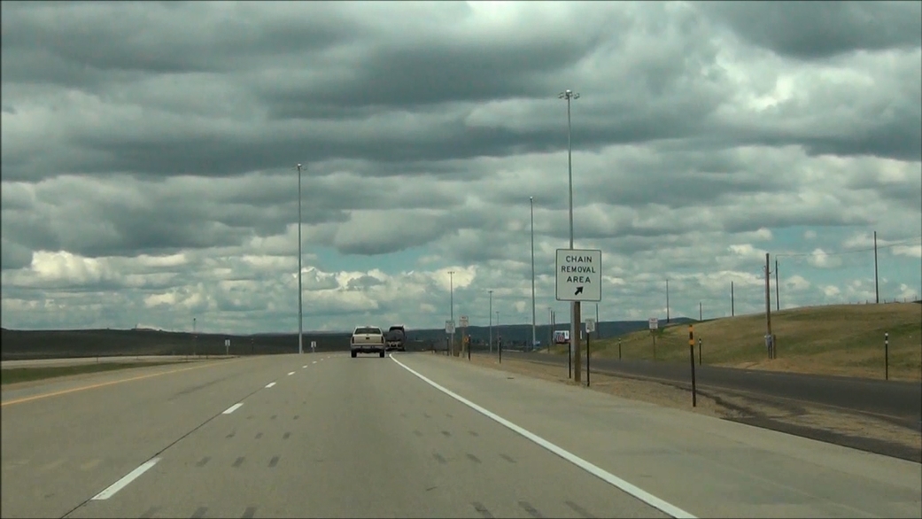 |
Interstate 80 West at the Chain Removal Area located near mile marker 9. (Photo taken 5/19/13). |
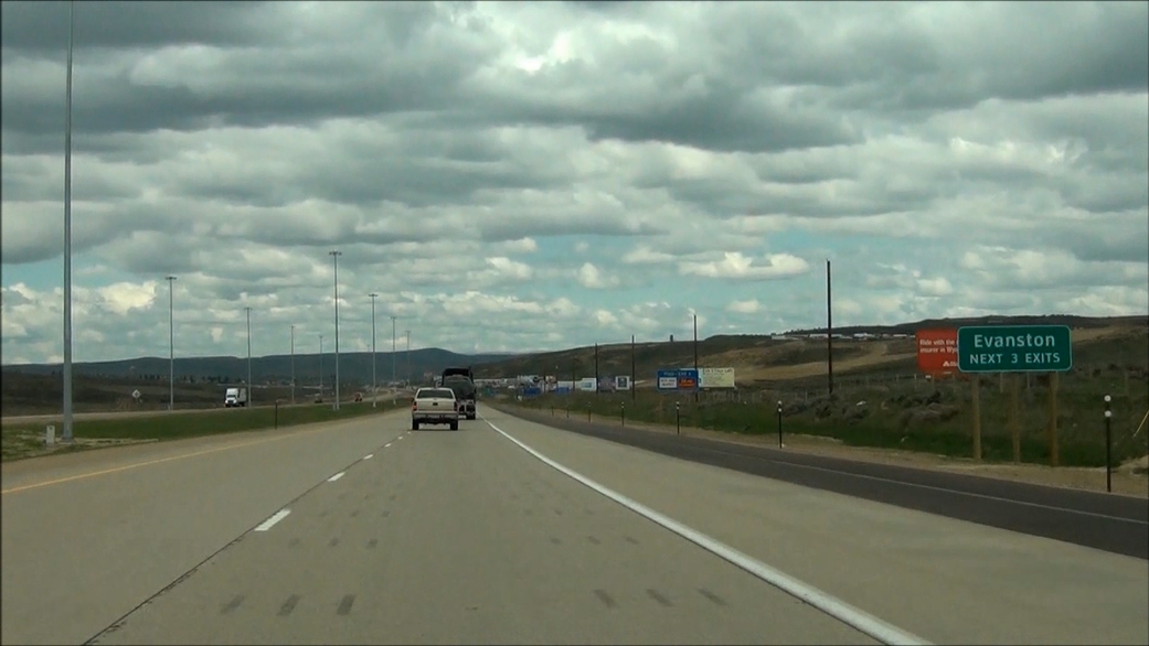 |
Take any of the next 3 exits to Evanston. (Photo taken 5/19/13). |
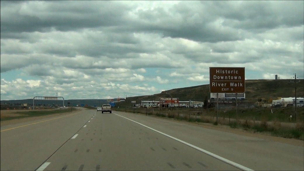 |
Take Exit 5 to Historic Downtown and River Walk. (Photo taken 5/19/13). |
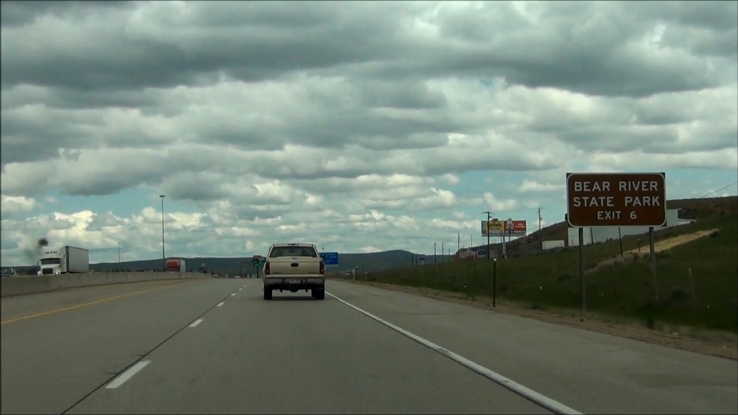 |
Take Exit 6 to Bear River State Park. (Photo taken 5/19/13). |
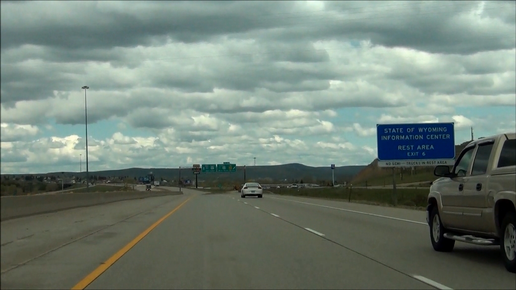 |
Also at Exit 6 is the Wyoming State Information Center and Rest Area. (Photo taken 5/19/13). |
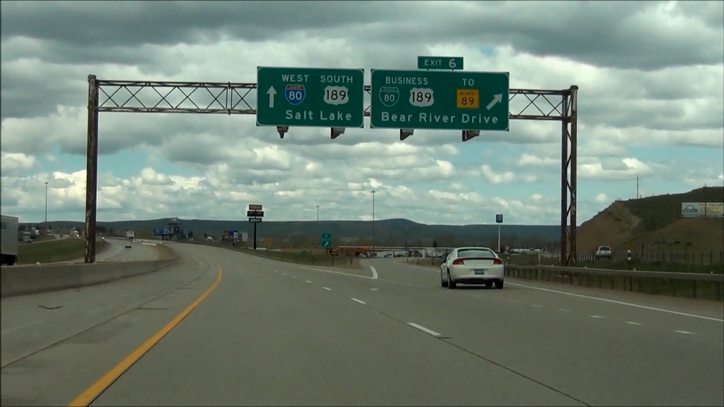 |
Interstate 80 West at Exit 6: Interstate 80 Business / US 189 Business / To WY 89 - Bear River Drive (Photo taken 5/19/13). |
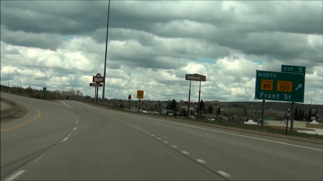 |
Interstate 80 West at Exit 5: WY 89 North / WY 150 - Front St (Photo taken 5/19/13). |
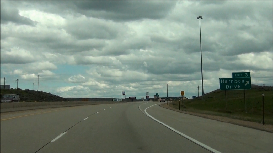 |
Interstate 80 West at Exit 3: Harrison Drive (Photo taken 5/19/13). |
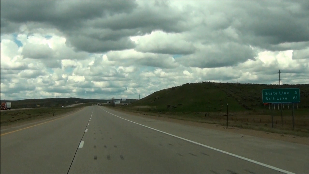 |
Mileage sign located near mile marker 3. It's 3 miles to the Utah state line and 81 miles to Salt Lake City. (Photo taken 5/19/13). |
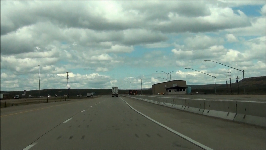 |
Interstate 80 West: Road view from near mile marker 0, as I-80 prepares to enter Utah. (Photo taken 5/19/13). |