Road Information |
||
 |
||
| Total Mileage in State: | 299 miles | |
| Eastern End: | At I-264/I-664, in Chesapeake | |
| Western End: | At West Virginia state line | |
| Mileage covered in Photos: | 187 miles | |
| Counties covered in Photos: | City of Richmond, Henrico, Goochland, Louisa, Fluvanna, Albemarle, Nelson, Augusta, Rockbridge, Alleghany | |
| Major Junctions in Photos: | I-95, in Richmond I-81, near Staunton I-81, near Lexington |
|
| Control Cities in Photos: | Richmond, Charlottesville, Covington | |
Westbound
- Section 1: Richmond (Exit 190) to Charlottesville (Exit 120)
- Section 2: Charlottesville (Exit 120) to Lexington (Exit 55)
- Section 3: Lexington (Exit 55) to West Virginia Border
Section 1: Richmond (Exit 190) to Charlottesville (Exit 120)
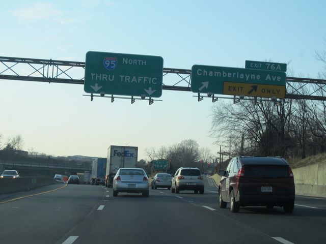 |
Interstate 64 West / Interstate 95 North at Exit 76A: Chamberlayne Ave (Photo taken 1/30/11). |
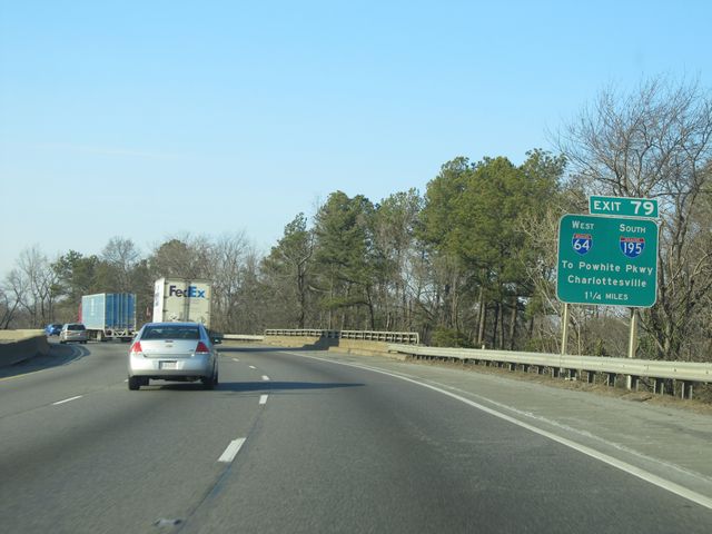 |
Interstate 64 West / Interstate 95 North approaching Exit 79 - 1 1/4 miles (Photo taken 1/30/11). |
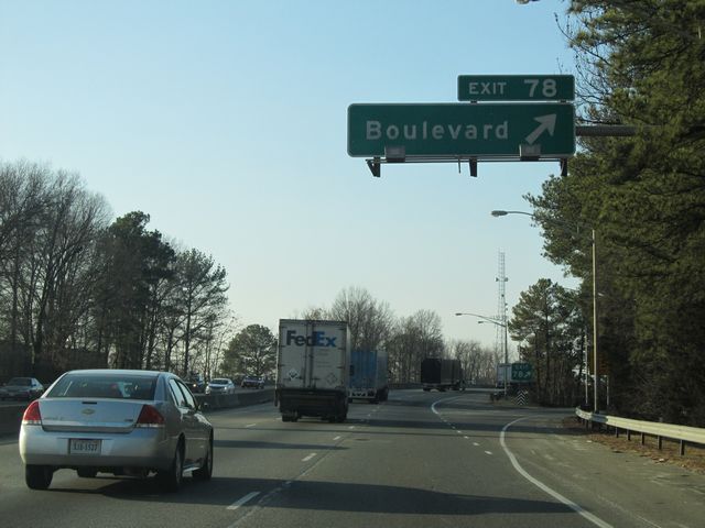 |
Interstate 64 West / Interstate 95 North at Exit 78: Boulevard (Photo taken 1/30/11). |
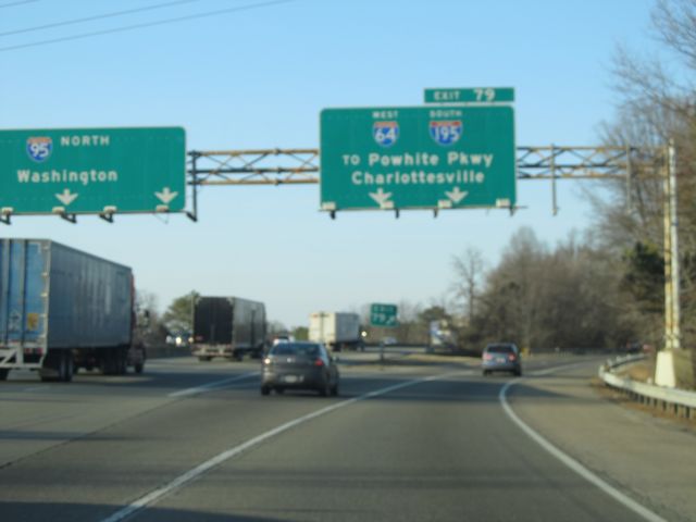 |
Interstate 64 West / Interstate 95 North at Exit 79: Interstate 64 West / Interstate 195 South - To Powhite Pkwy / Charlottesville (Photo taken 1/30/11). |
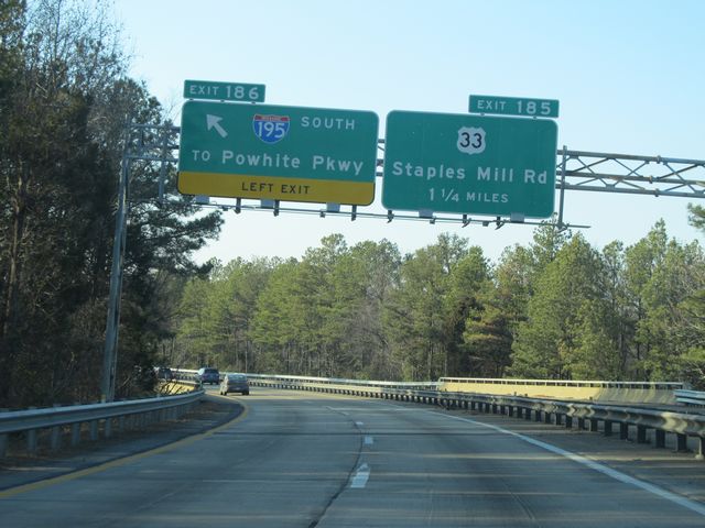 |
Interstate 64 West at Exit 186: Interstate 195 South - To Powhite Pkwy (Photo taken 1/30/11). |
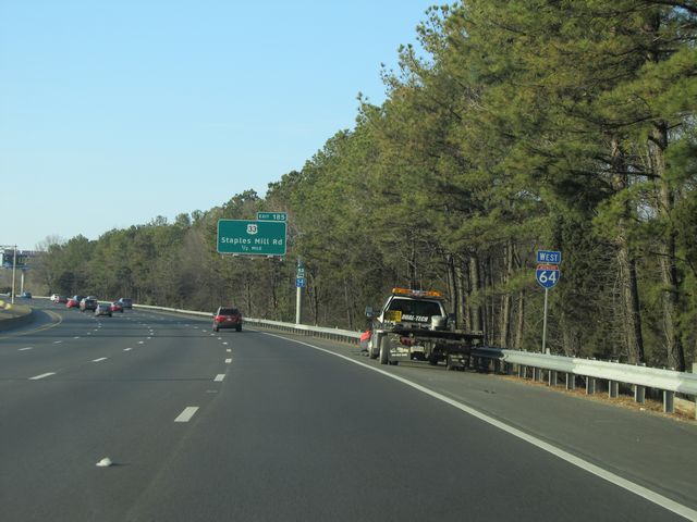 |
Interstate 64 West shield sign located near mile marker 185. (Photo taken 1/30/11). |
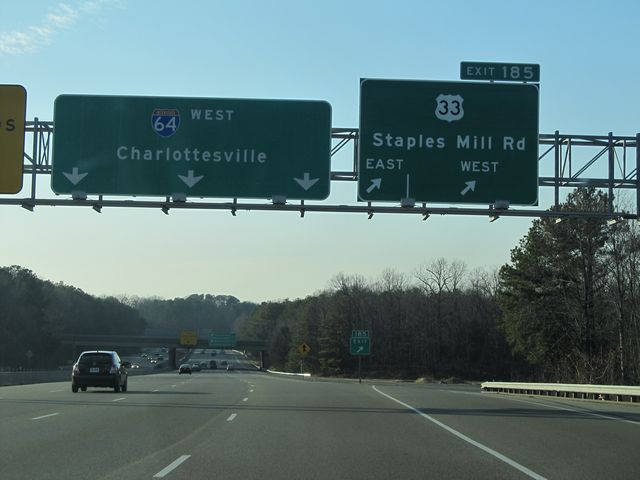 |
Interstate 64 West at Exit 185: US 33 - Staples Mill Rd (Photo taken 1/30/11). |
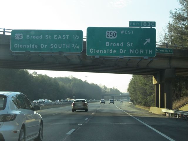 |
Interstate 64 West at Exit 183C: US 250 West - Broad St / Glenside Dr North (Photo taken 1/30/11). |
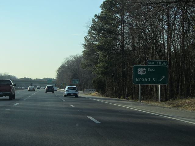 |
Interstate 64 West at Exit 183B: US 250 East - Broad St (Photo taken 1/30/11). |
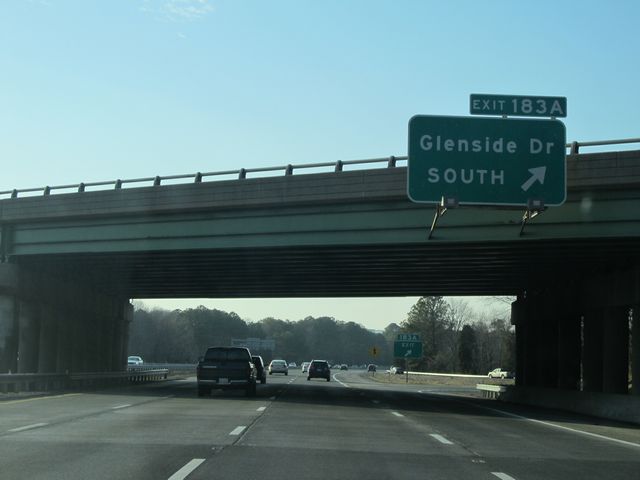 |
Interstate 64 West at Exit 183A: Glenside Dr South (Photo taken 1/30/11). |
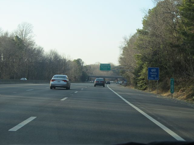 |
Interstate 64 West: Road view from mile marker 183. (Photo taken 1/30/11). |
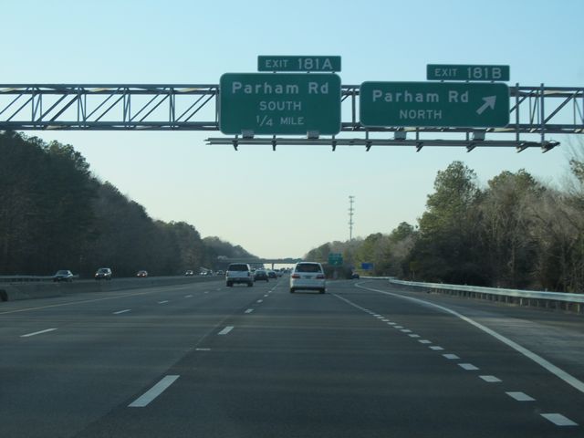 |
Interstate 64 West at Exit 181B: Parham Rd North (Photo taken 1/30/11). |
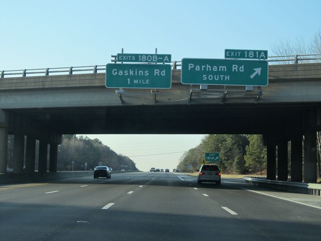 |
Interstate 64 West at Exit 181A: Parham Rd South (Photo taken 1/30/11). |
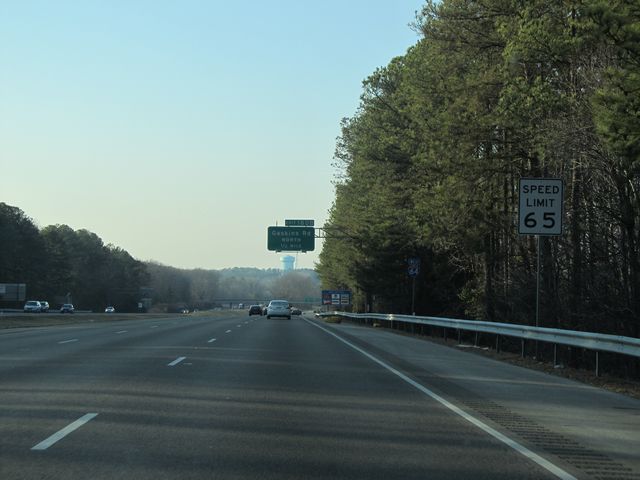 |
Speed limit sign located near mile marker 181. The speed limit begins is 65 mph on Interstate 64 Westbound until you get outside the Richmond area. (Photo taken 1/30/11). |
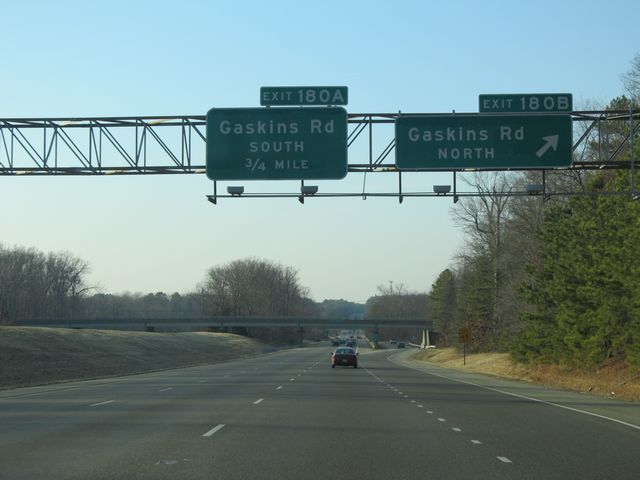 |
Interstate 64 West at Exit 180B: Gaskins Rd North (Photo taken 1/30/11). |
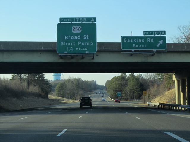 |
Interstate 64 West at Exit 180A: Gaskins Rd South (Photo taken 1/30/11). |
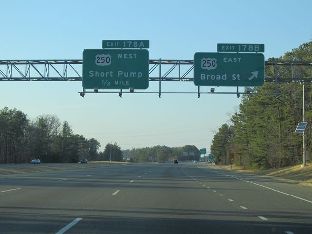 |
Interstate 64 West at Exit 178B: US 250 East - Broad St (Photo taken 1/30/11). |
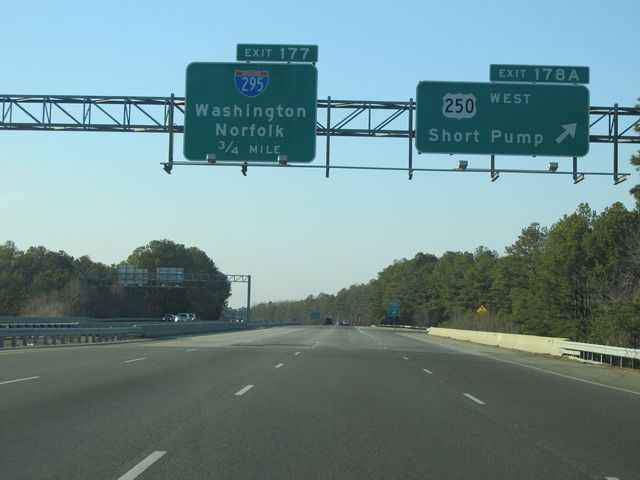 |
Interstate 64 West at Exit 178A: US 250 West - Short Pump (Photo taken 1/30/11). |
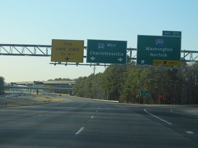 |
Interstate 64 West at Exit 177: Interstate 295 - Washington / Norfolk (Photo taken 1/30/11). |
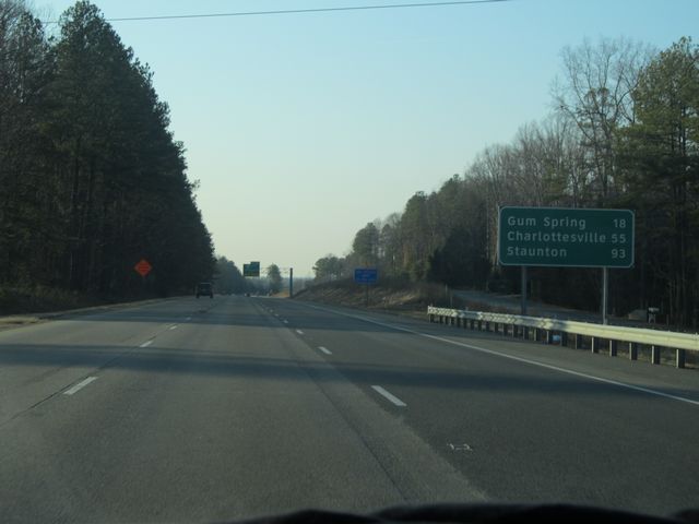 |
Mileage sign located near mile marker 176. From here, it's 18 miles to Gum Spring, 55 miles to Charlottesville, and 93 miles to Staunton. (Photo taken 1/30/11). |
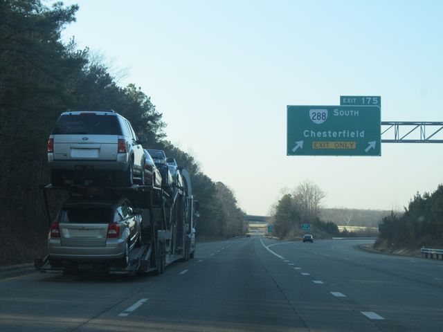 |
Interstate 64 West at Exit 175: VA 288 South - Chesterfield (Photo taken 1/30/11). |
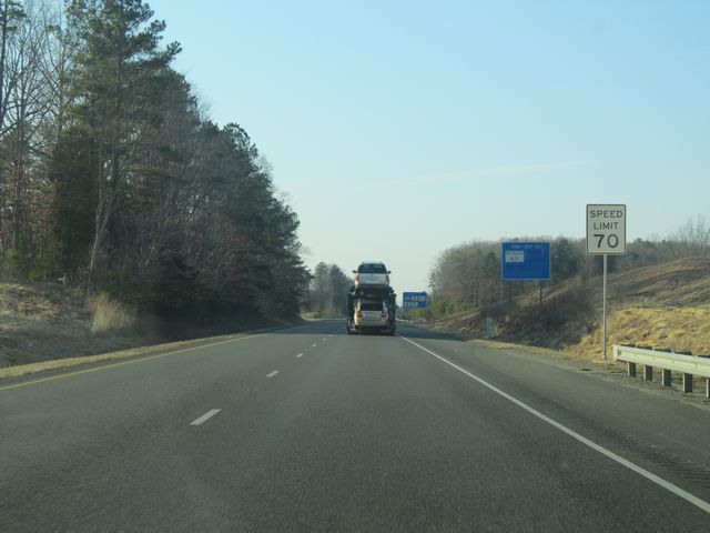 |
Near mile marker 175, the speed limit finally changes to 70 mph, which is the speed limit on most rural Virginia freeways as of 2010. (Photo taken 1/30/11). |
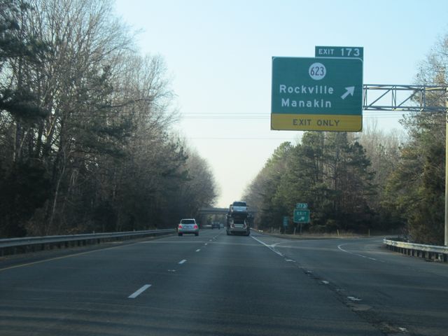 |
Interstate 64 West at Exit 173: SR 623 - Rockville / Manakin (Photo taken 1/30/11). |
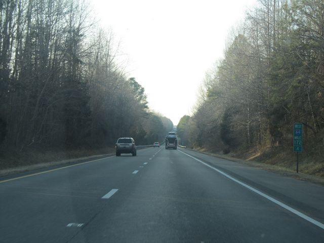 |
Interstate 64 West: Road view from mile marker 172.4. (Photo taken 1/30/11). |
 |
Interstate 64 West at the Rest Area near mile marker 169. (Photo taken 1/30/11). |
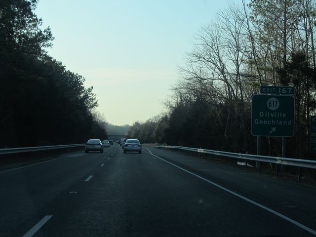 |
Interstate 64 West at Exit 167: SR 617 - Oilville / Goochland (Photo taken 1/30/11). |
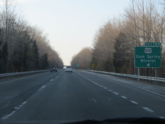 |
Interstate 64 West at Exit 159: US 522 - Gum Spring / Mineral (Photo taken 1/30/11). |
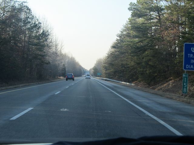 |
Interstate 64 West: Road view from mile marker 158. (Photo taken 1/30/11). |
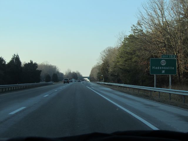 |
Interstate 64 West at Exit 152: SR 629 - Hadensville (Photo taken 1/30/11). |
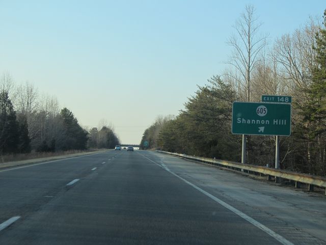 |
Interstate 64 West at Exit 148: SR 605 - Shannon Hill (Photo taken 1/30/11). |
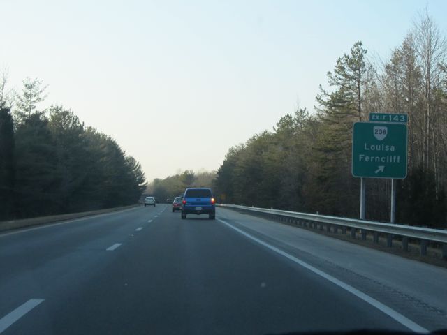 |
Interstate 64 West at Exit 143: VA 208 - Louisa / Ferncliff (Photo taken 1/30/11). |
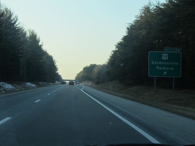 |
Interstate 64 West at Exit 136: US 15 - Gordonsville / Palmyra (Photo taken 1/30/11). |
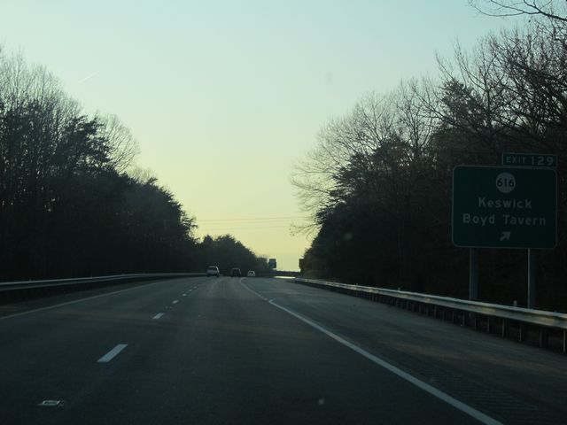 |
Interstate 64 West at Exit 129: SR 616 - Keswick / Boyd Tavern (Photo taken 1/30/11). |
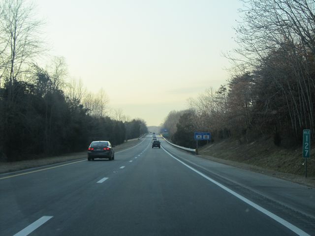 |
Interstate 64 West: Road view from mile marker 127. (Photo taken 1/30/11). |
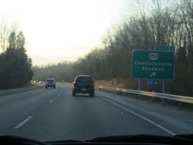 |
Interstate 64 West at Exit 124: US 250 - Charlottesville / Shadwell (Photo taken 1/30/11). |
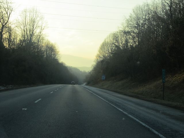 |
Interstate 64 West: Road view from mile marker 124. (Photo taken 1/30/11). |
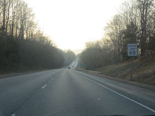 |
The speed limit drops down to 65 mph as you near Charlottesville. (Photo taken 1/30/11). |
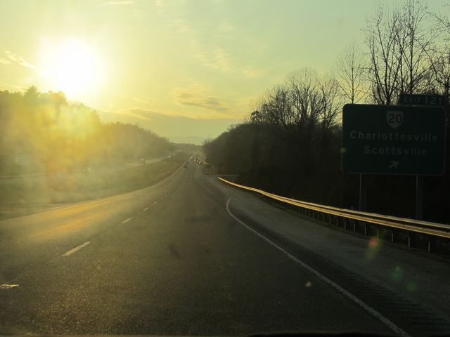 |
Interstate 64 West at Exit 121: VA 20 - Charlottesville / Scottsville (Photo taken 1/30/11). |
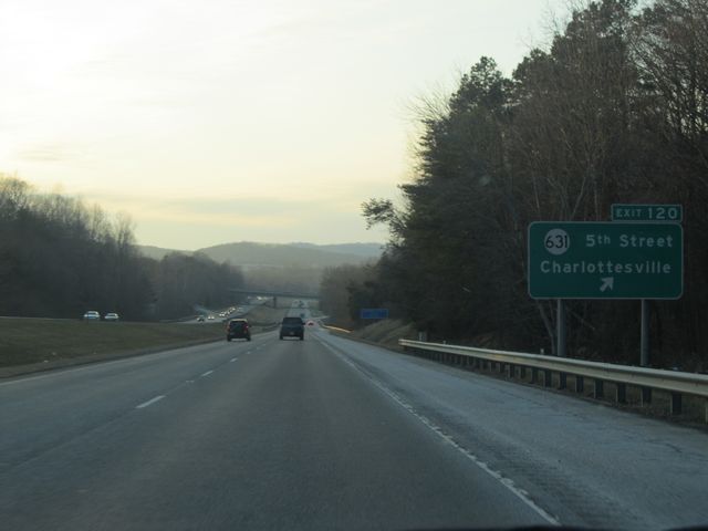 |
Interstate 64 West at Exit 120: SR 631 - 5th Street / Charlottesville (Photo taken 1/30/11). |
Section 2: Charlottesville (Exit 120) to Lexington (Exit 55)
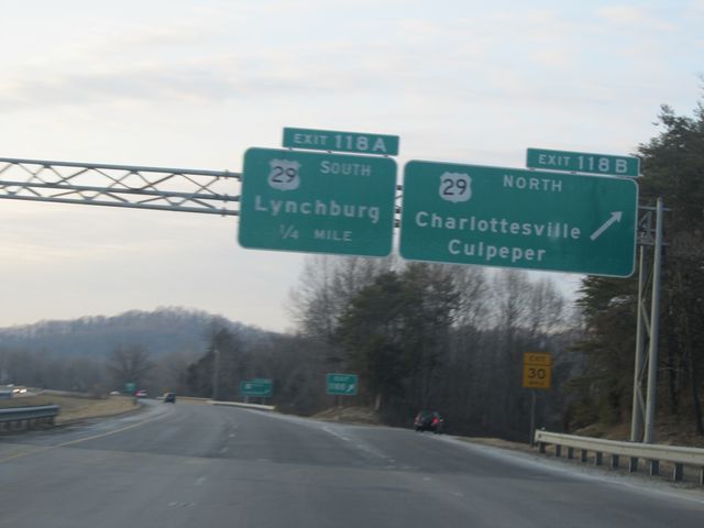 |
Interstate 64 West at Exit 118B: US 29 North - Charlottesville / Culpeper (Photo taken 1/30/11). |
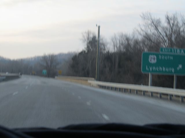 |
Interstate 64 West at Exit 118A: US 29 South - Lynchburg (Photo taken 1/30/11). |
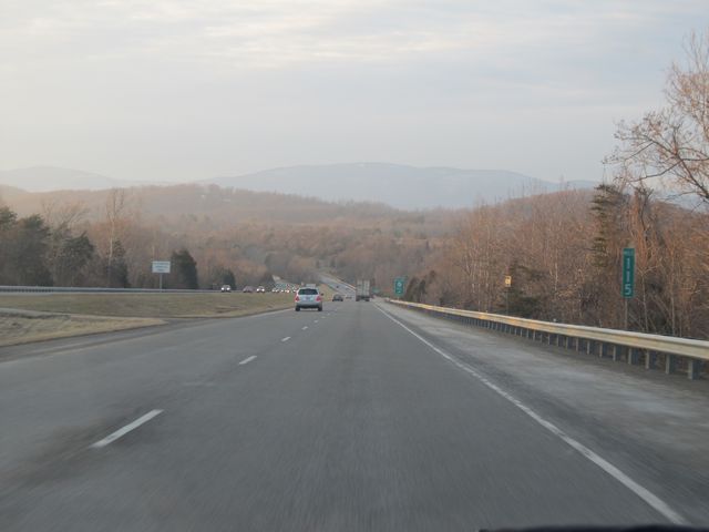 |
Interstate 64 West: Road view from mile marker 115. (Photo taken 1/30/11). |
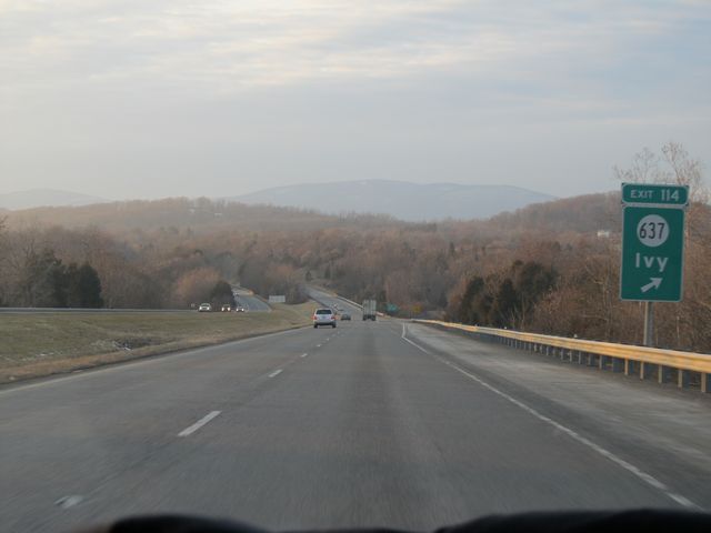 |
Interstate 64 West at Exit 114: SR 637 - Ivy (Photo taken 1/30/11). |
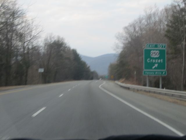 |
Interstate 64 West at Exit 107: US 250 - Crozet (Photo taken 1/30/11). |
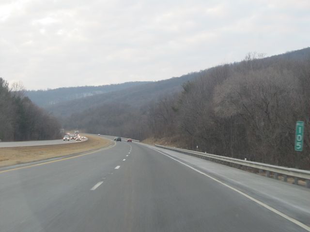 |
Interstate 64 West: Road view from mile marker 105. (Photo taken 1/30/11). |
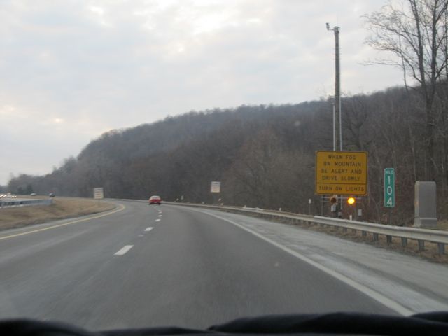 |
Interstate 64 West: Road view from mile marker 104, as I-64 West prepares to go over quite a large mountain. (Photo taken 1/30/11). |
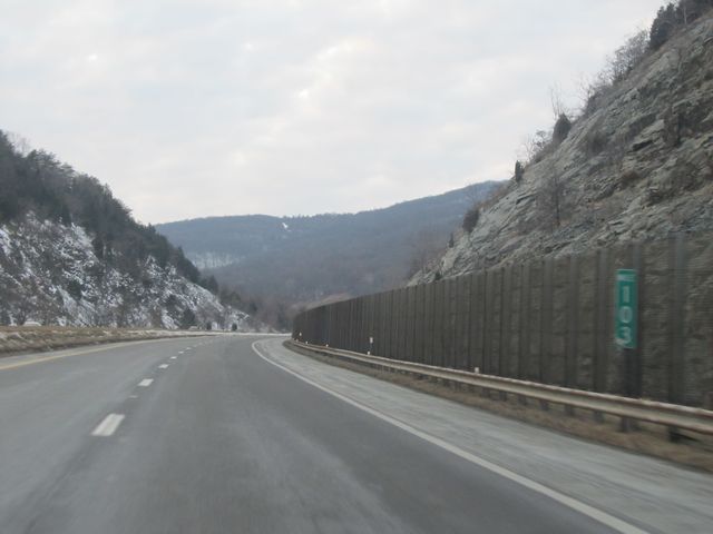 |
Interstate 64 West: Road view from mile marker 103. (Photo taken 1/30/11). |
 |
Take any of the next 3 exits to get to Waynesboro. (Photo taken 1/30/11). |
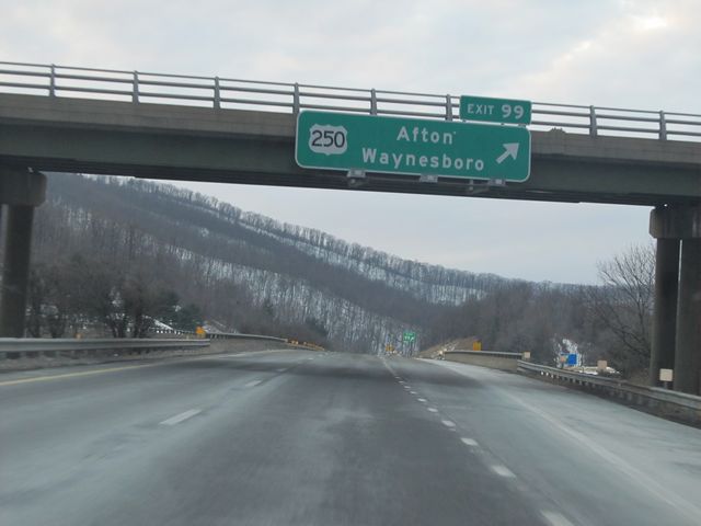 |
Interstate 64 West at Exit 99: US 250 - Afton / Waynesboro (Photo taken 1/30/11). |
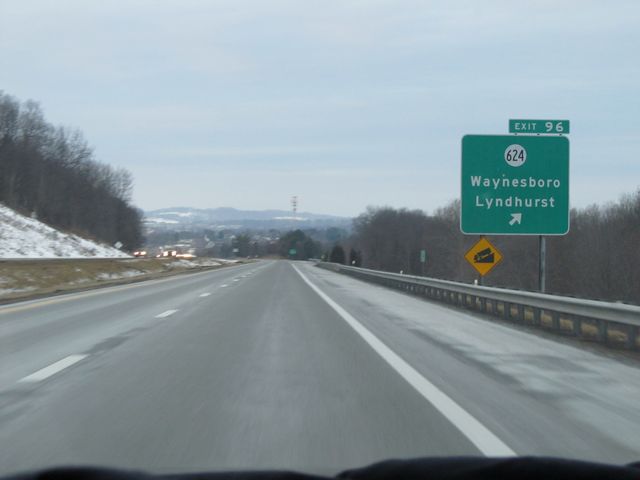 |
Interstate 64 West at Exit 96: SR 624 - Waynesboro / Lyndhurst (Photo taken 1/30/11). |
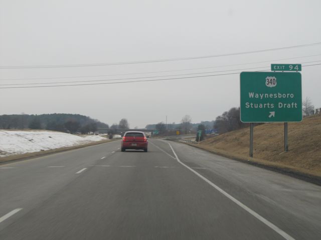 |
Interstate 64 West at Exit 94: US 340 - Waynesboro / Stuarts Draft (Photo taken 1/31/11). |
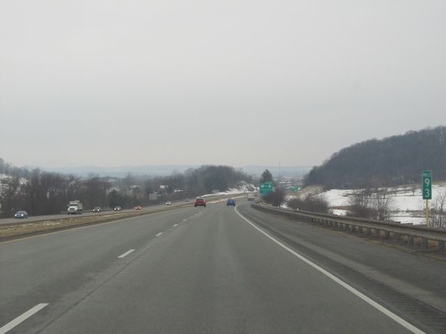 |
Interstate 64 West: Road view from mile marker 93. (Photo taken 1/31/11). |
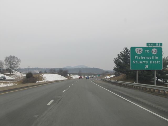 |
Interstate 64 West at Exit 91: VA 285 / To SR 608 - Fishersville / Stuarts Draft (Photo taken 1/31/11). |
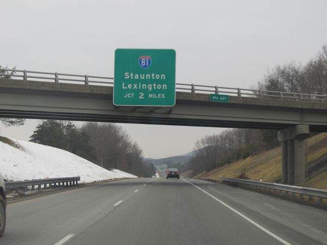 |
Interstate 64 West approaching the junction of Interstate 81 - 2 miles. Interstate 64 joins up with I-81 from Staunton to Lexington, where it once again branches off by itself. (Photo taken 1/31/11). |
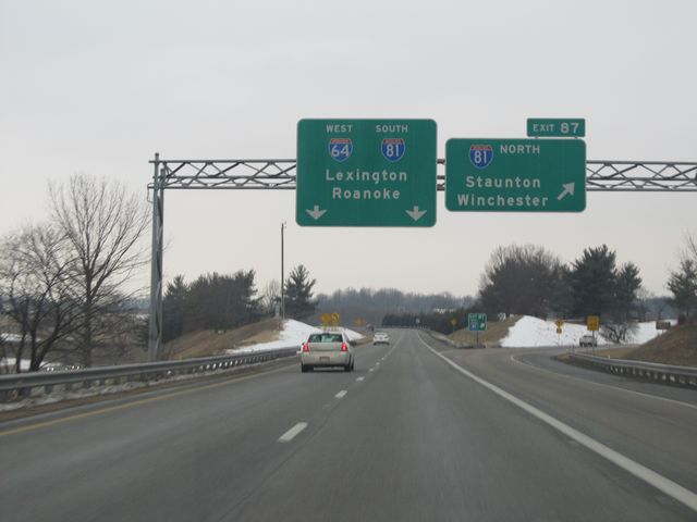 |
Interstate 64 West at Exit 87: Interstate 81 North - Staunton / Winchester (Photo taken 1/31/11). |
 |
Interstate 64 West / Interstate 81 South shield signs located near mile marker 221. During this stretch in which I-64 and I-81 run together, the mile markers are based on I-81's mileage. (Photo taken 1/31/11). |
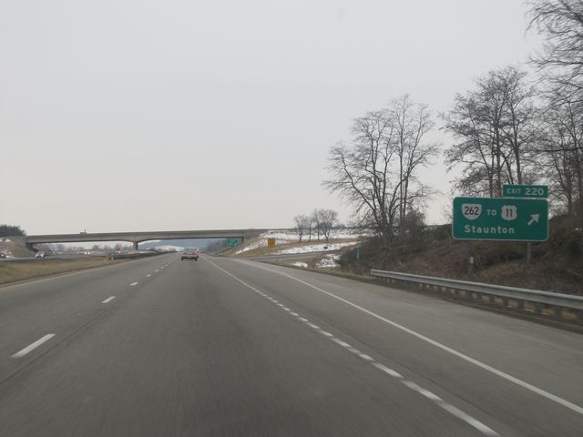 |
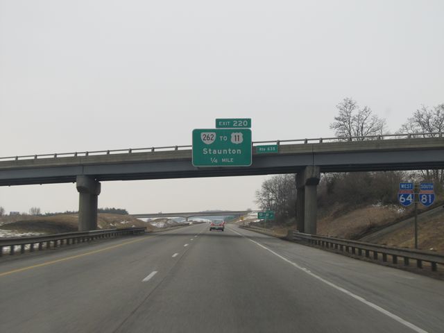
Interstate 64 West / Interstate 81 South at Exit 220: VA 262 / To US 11 - Staunton (Photo taken 1/31/11). |
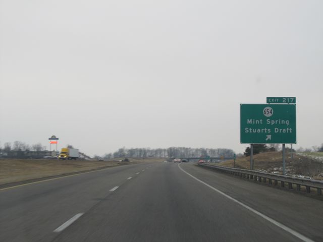 |
Interstate 64 West / Interstate 81 South at Exit 217: SR 654 - Mint Spring / Stuarts Draft (Photo taken 1/31/11). |
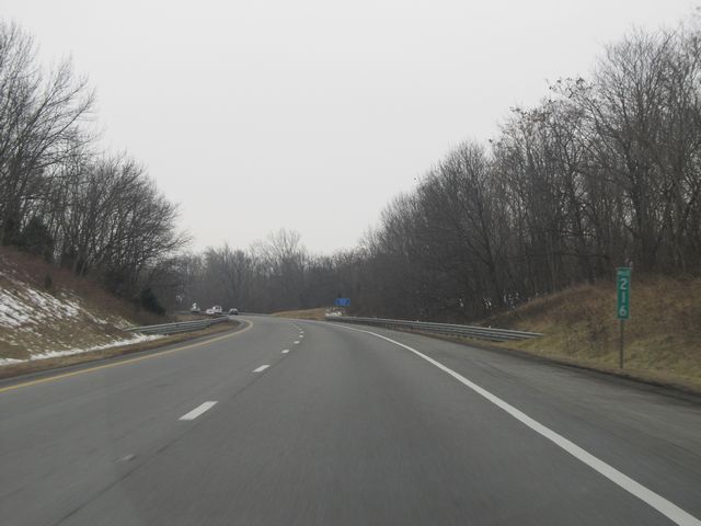 |
Interstate 64 West / Interstate 81 South: Road view from mile marker 216. (Photo taken 1/31/11). |
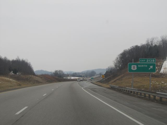 |
Interstate 64 West / Interstate 81 South at Exit 213B: US 11 North (Photo taken 1/31/11). |
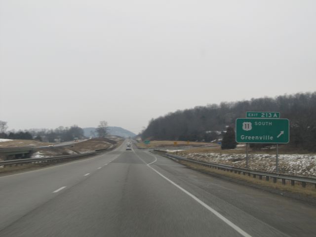 |
Interstate 64 West / Interstate 81 South at Exit 213A: US 11 South - Greenville (Photo taken 1/31/11). |
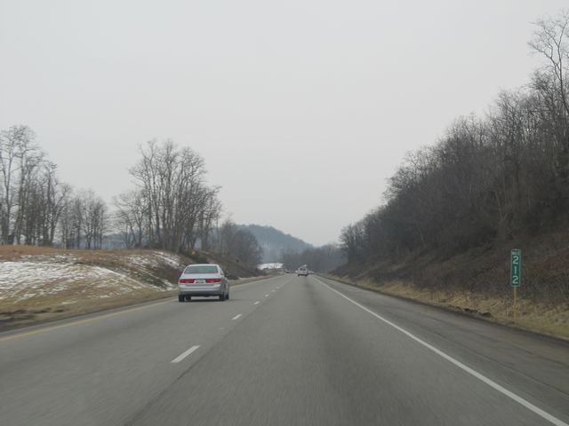 |
Interstate 64 West / Interstate 81 South: Road view from mile marker 212. (Photo taken 1/31/11). |
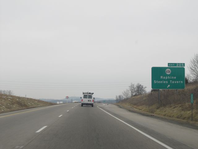 |
Interstate 64 West / Interstate 81 South at Exit 205: SR 606 - Raphine / Steeles Tavern (Photo taken 1/31/11). |
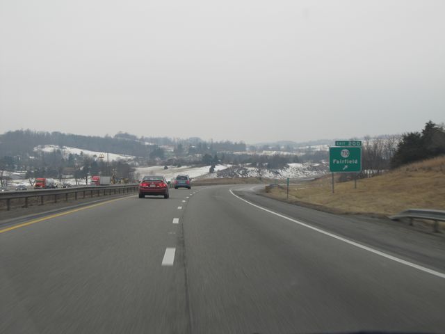 |
Interstate 64 West / Interstate 81 South at Exit 200: SR 710 - Fairfield (Photo taken 1/31/11). |
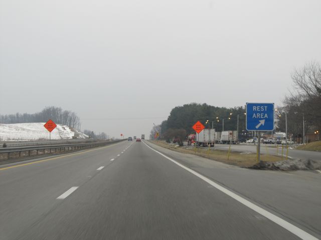 |
Interstate 64 West / Interstate 81 South at the Rest Area located near mile marker 199. (Photo taken 1/31/11). |
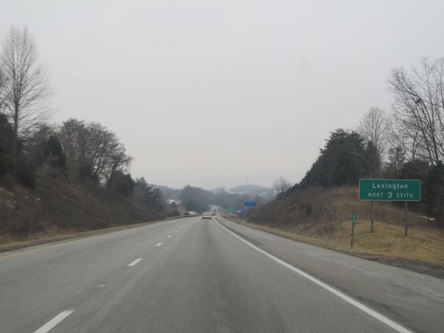 |
Use any of the next 3 exits to get to Lexington. (Photo taken 1/31/11). |
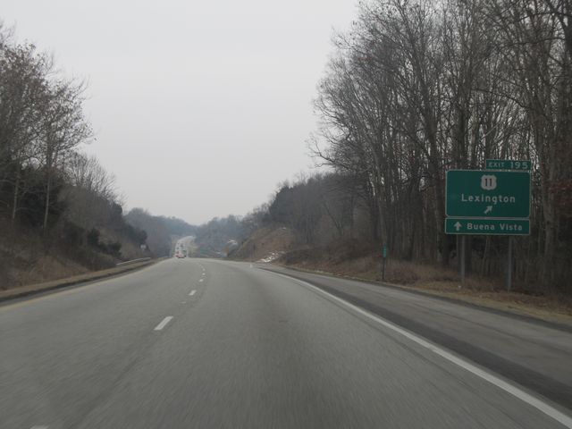 |
Interstate 64 West / Interstate 81 South at Exit 195: US 11 - Lexington (Photo taken 1/31/11). |
 |
Interstate 64 West / Interstate 81 South reassurance shields to the south of Exit 195. (Photo taken 5/26/18). |
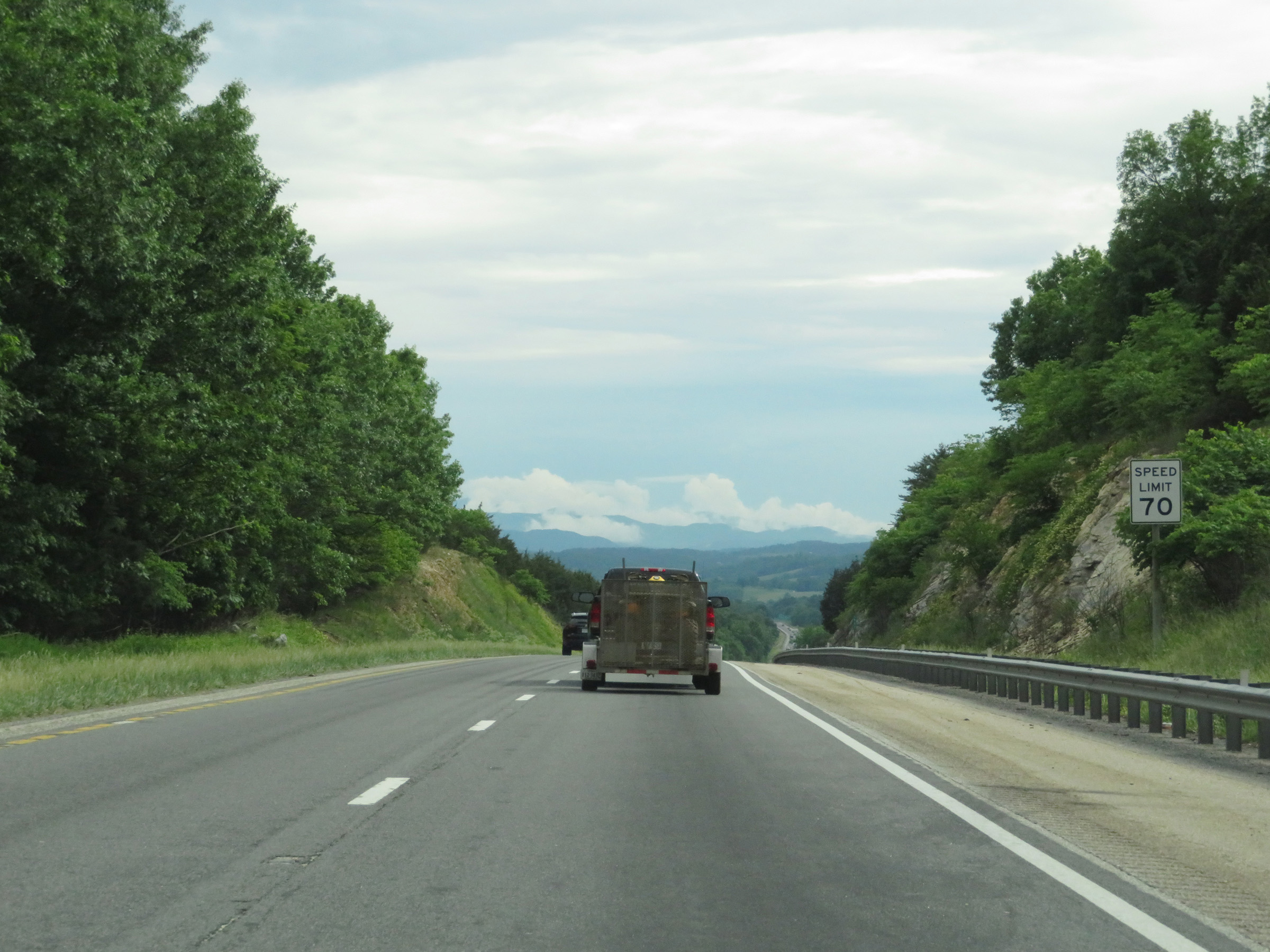 |
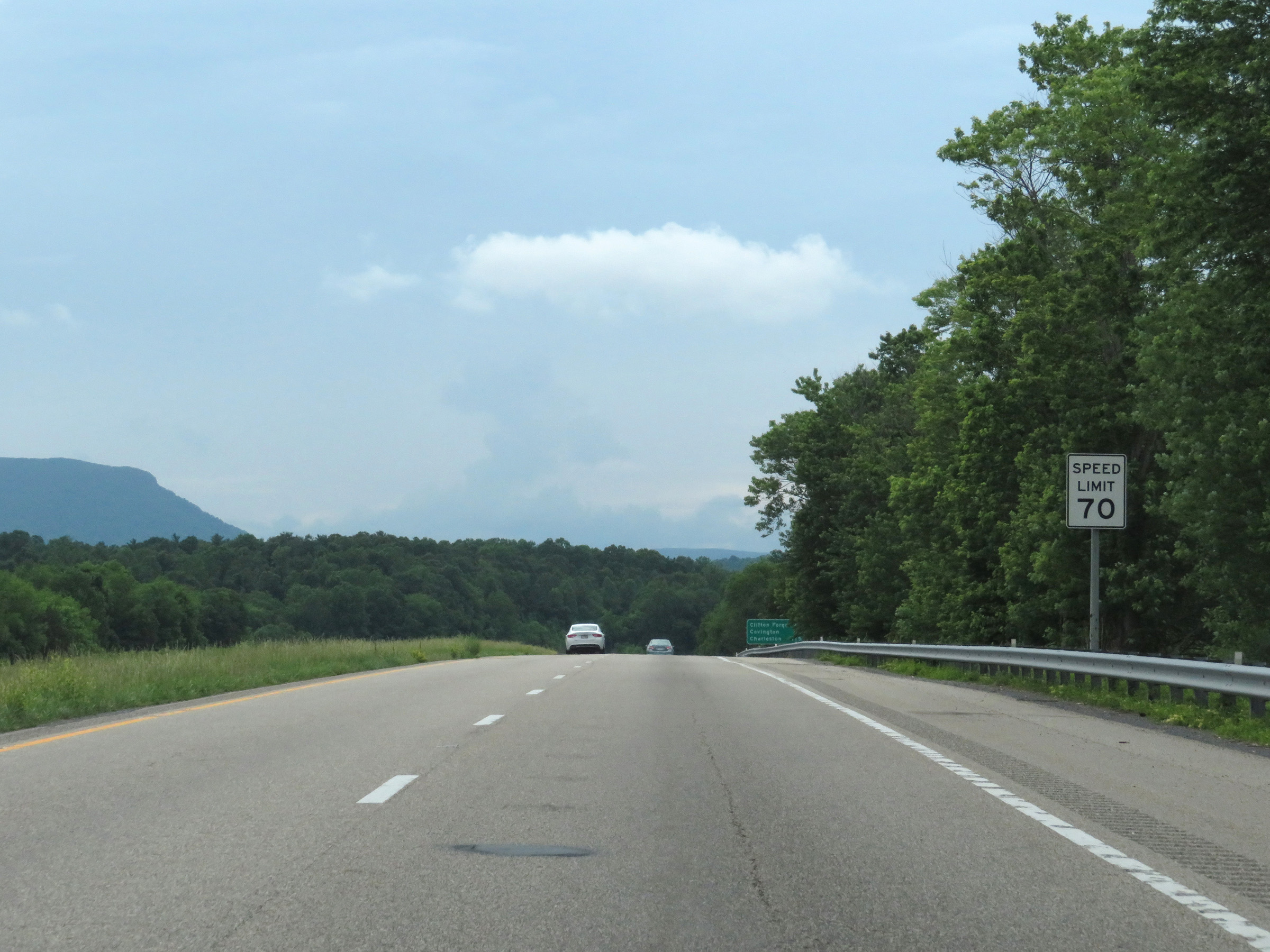
The speed limit on most rural Interstate highways in Virginia is 70 mph, as of 2010 when they increased it from 65 mph. (Photo taken 5/26/18). |
 |
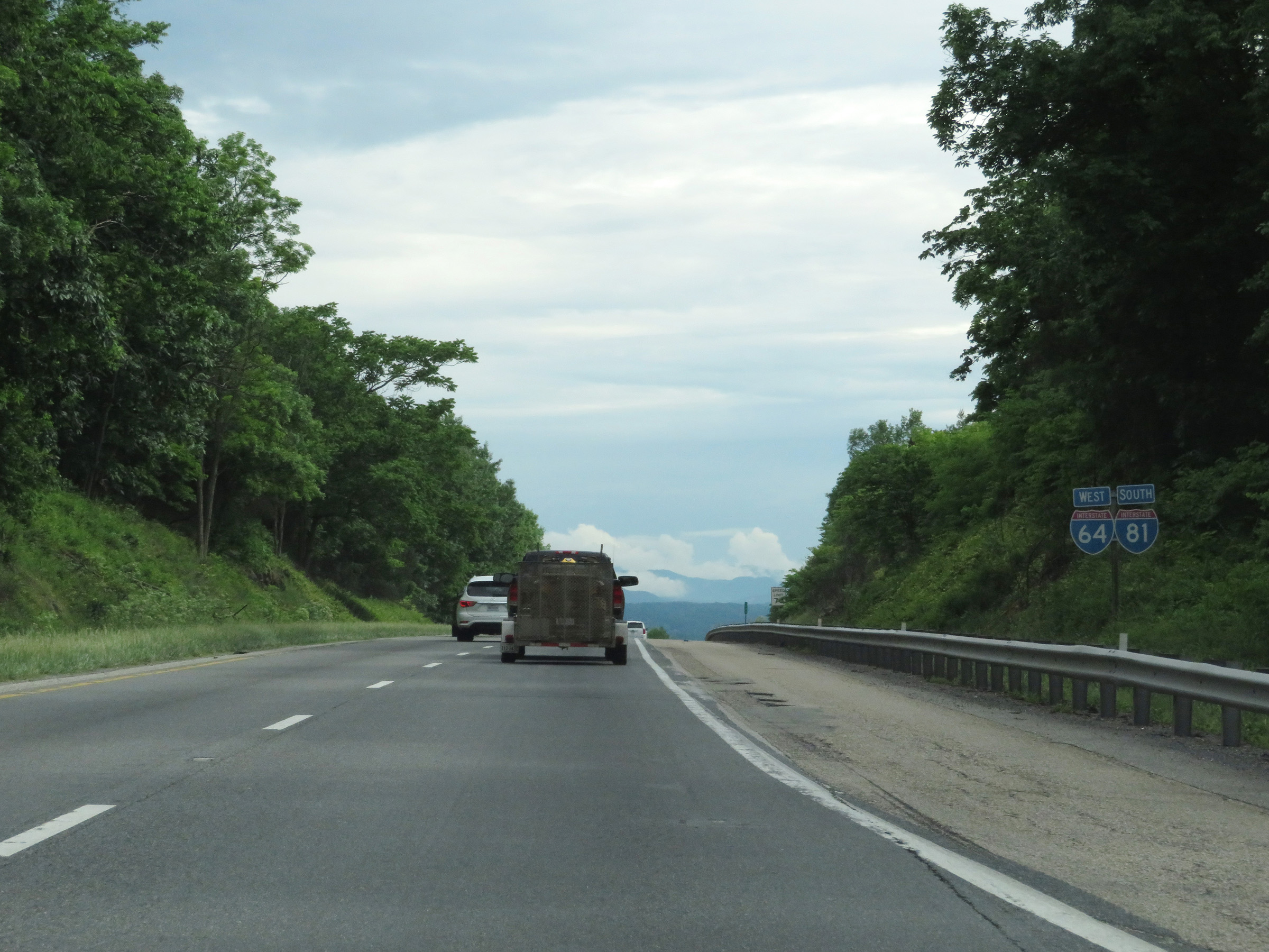
Interstate 64 West / Interstate 81 South at mile marker 193. (Photo taken 5/26/18). |
 |
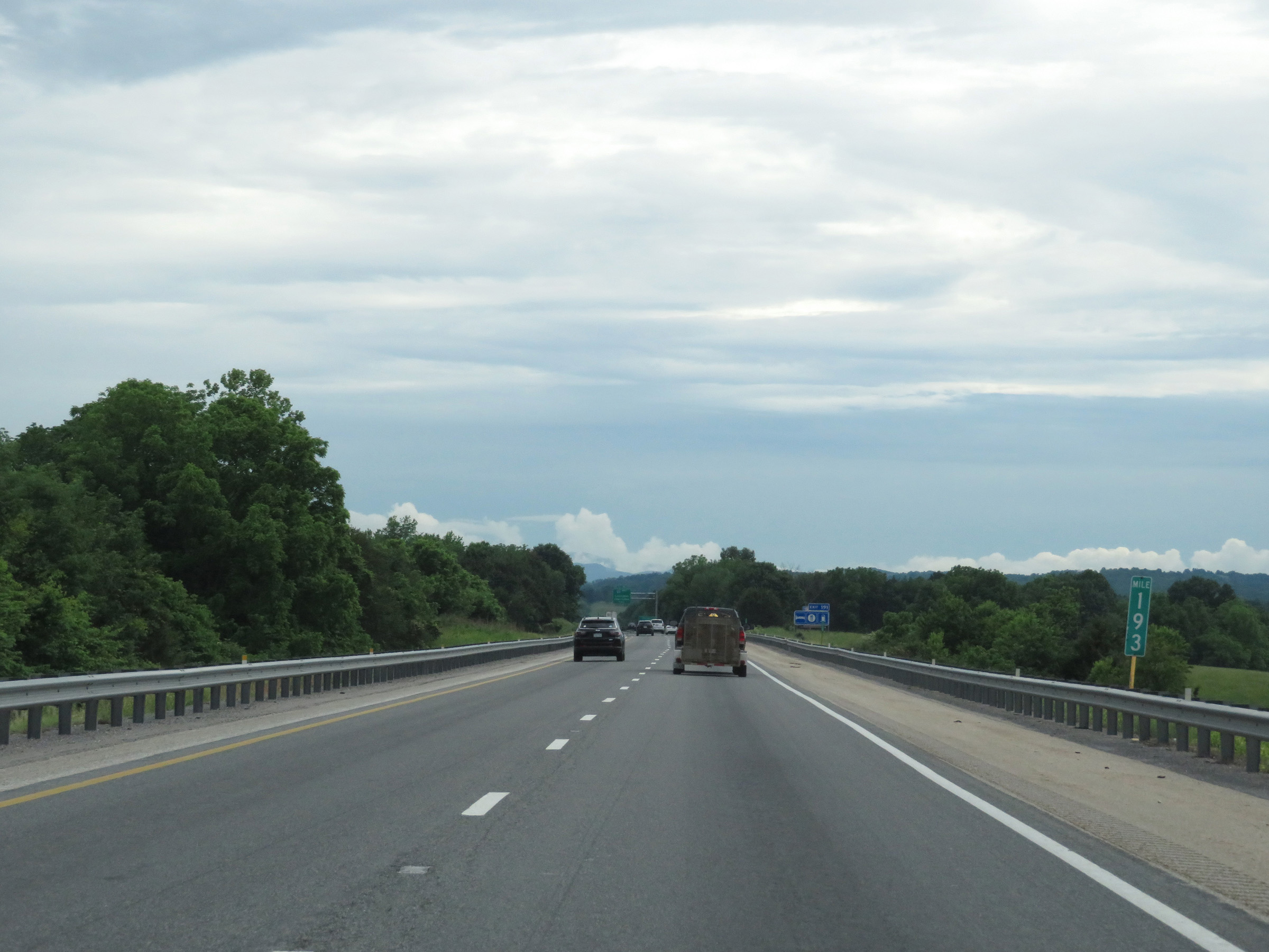
Interstate 64 West / Interstate 81 South approaching Exit 191, at which point I-64 will depart I-81 to the west - 1 mile. (Photo taken 5/26/18). |
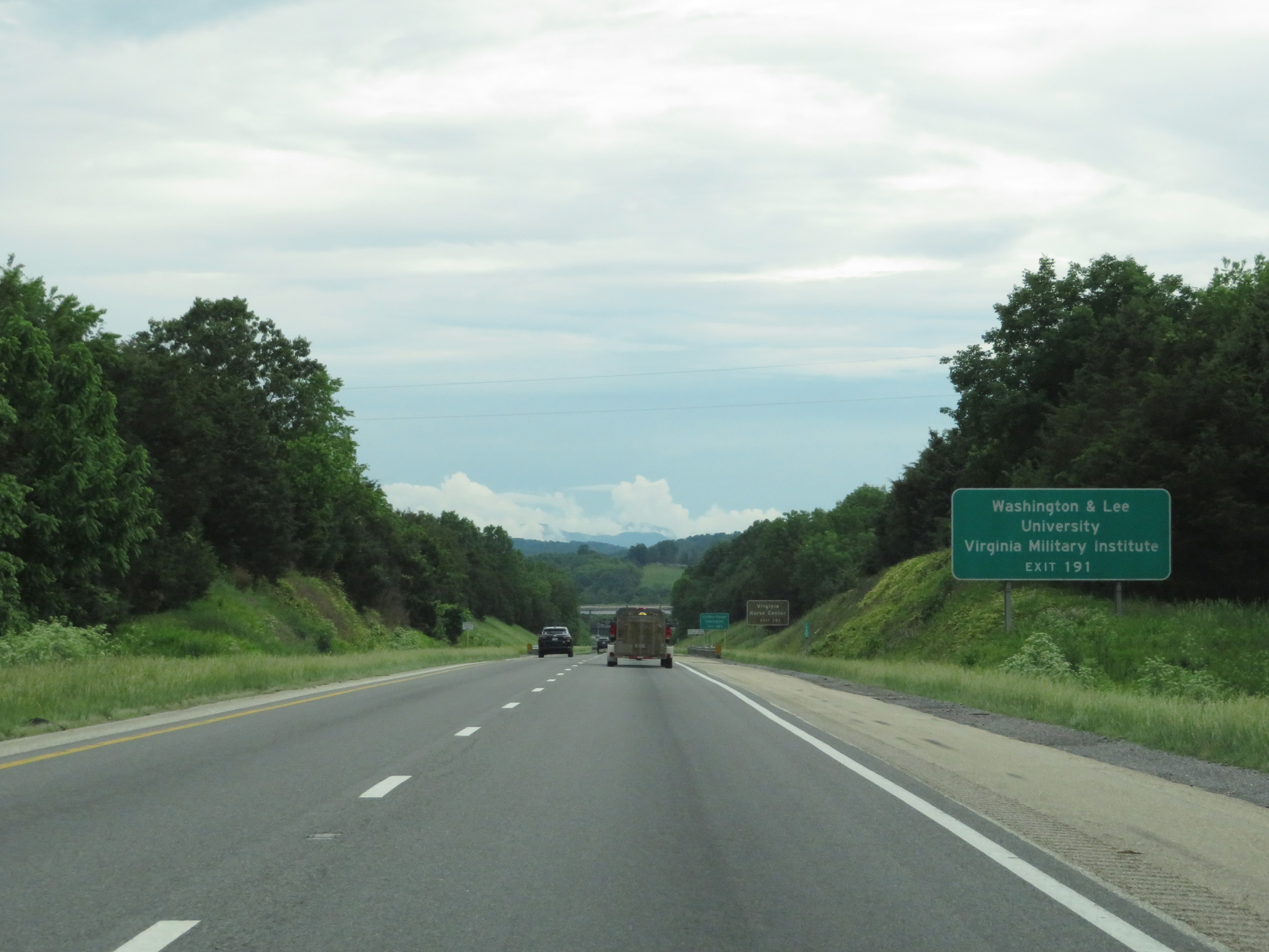 |
Take Exit 191 (Interstate 64 West) to Washington & Lee University and Virginia Military Institute. (Photo taken 5/26/18). |
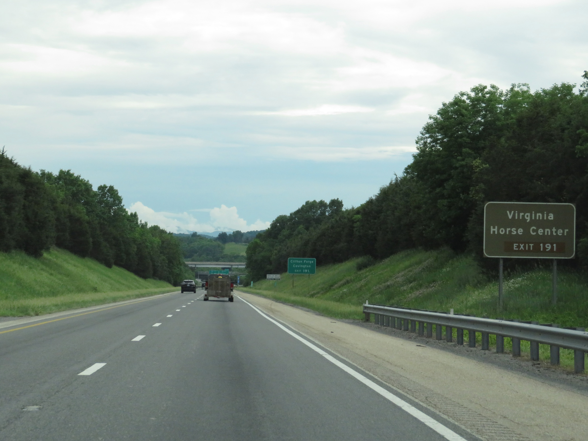 |
Also take Exit 191 and follow Interstate 64 West to Virginia Horse Center. (Photo taken 5/26/18). |
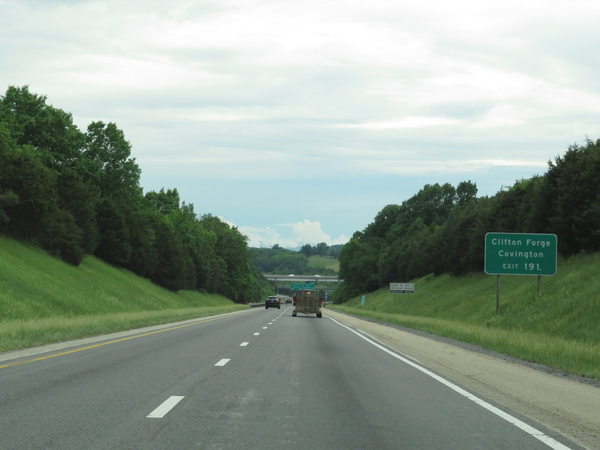 |
Follow Interstate 64 West via Exit 191 ahead to Clifton Forge and Covington. (Photo taken 5/26/18). |
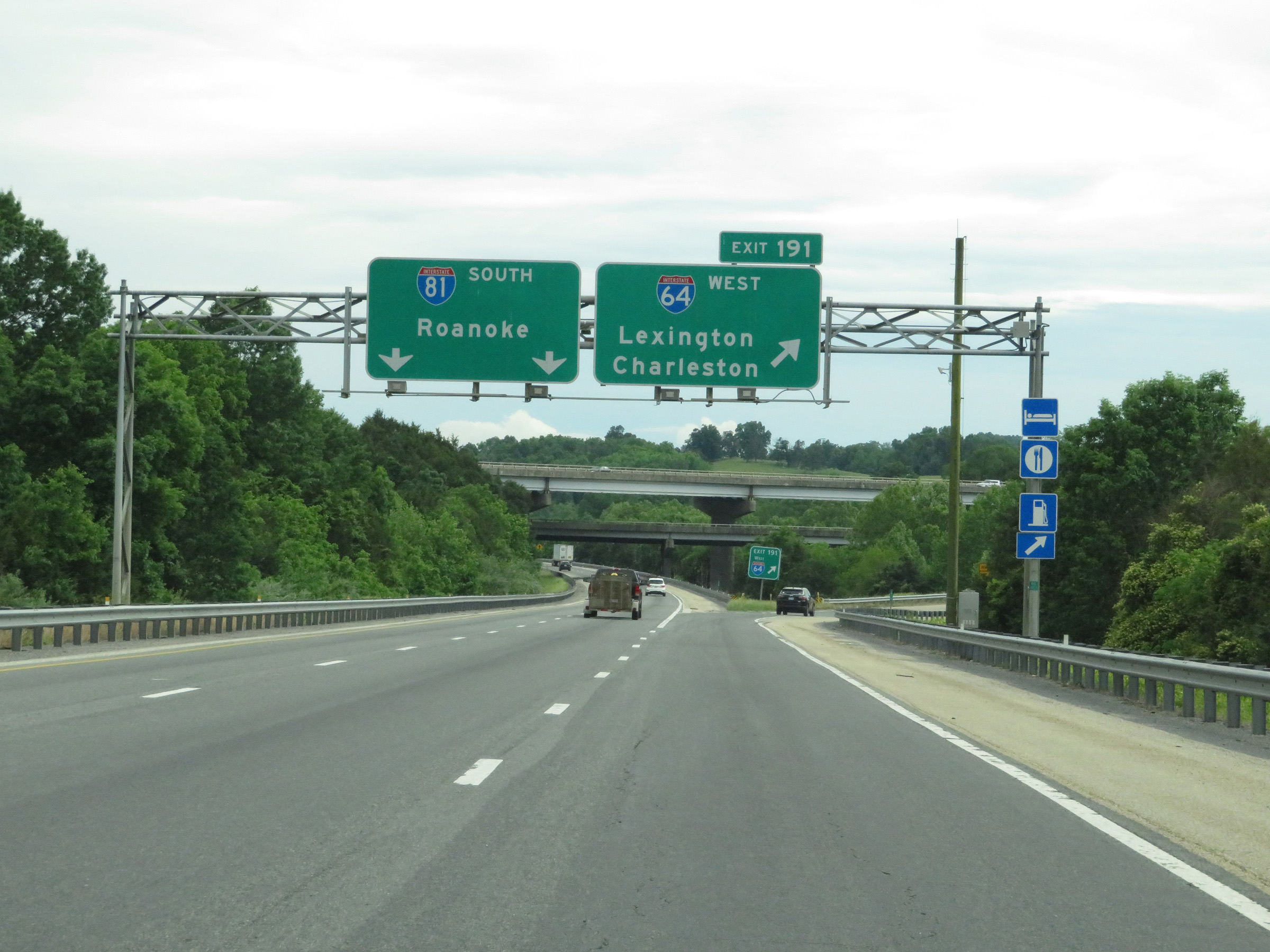 |
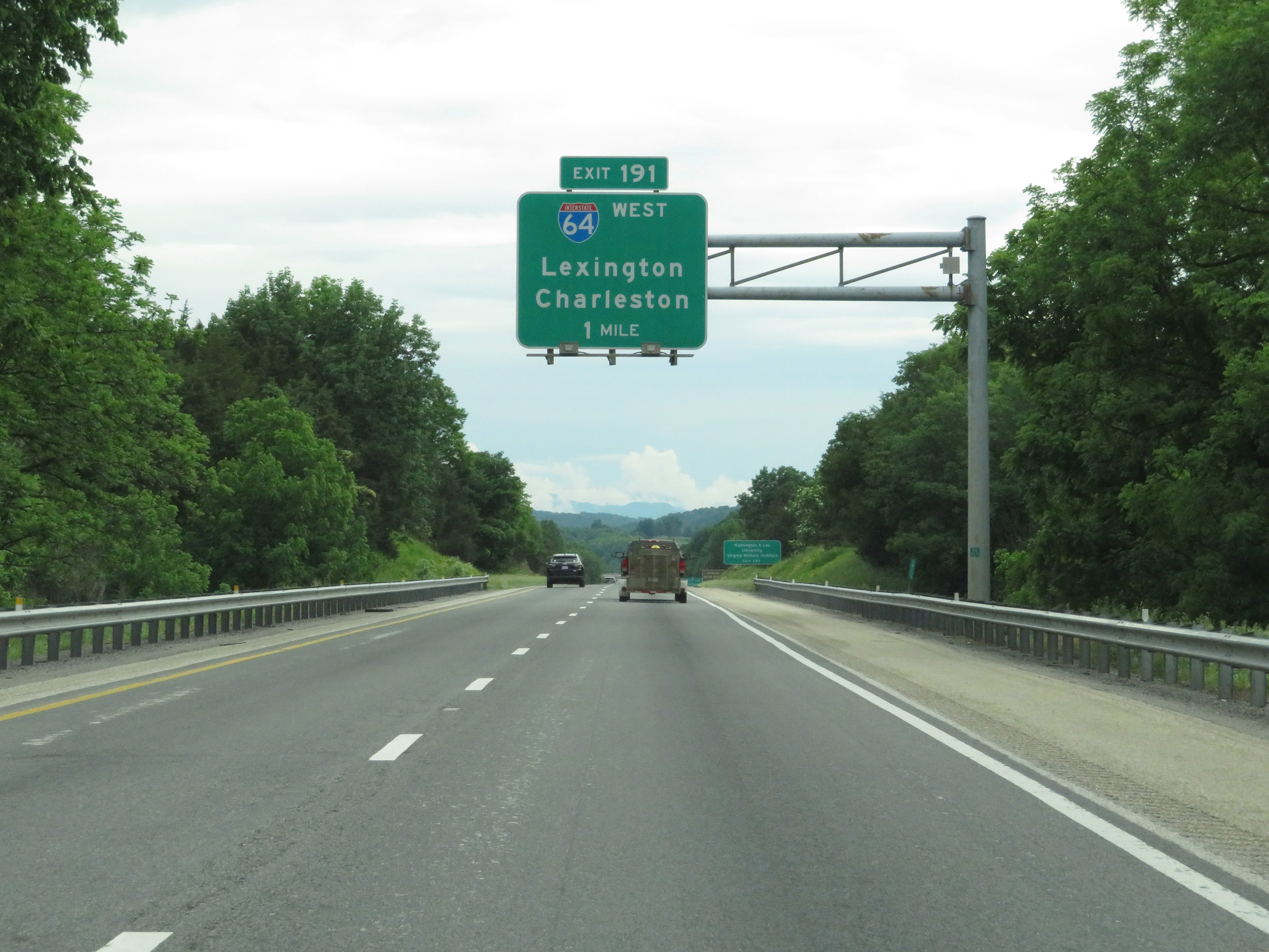
Interstate 64 West / Interstate 81 South at Exit 191: Interstate 64 West - Lexington / Charleston (Photo taken 5/26/18). |
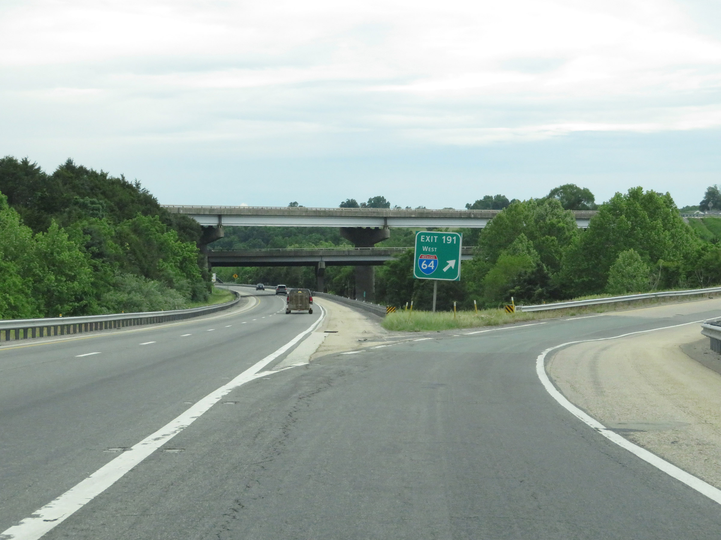 |
A closer view of the ramp and gore point signage for Exit 191, as Interstate 64 departs Interstate 81 South to head in a more westerly direction. (Photo taken 5/26/18). |
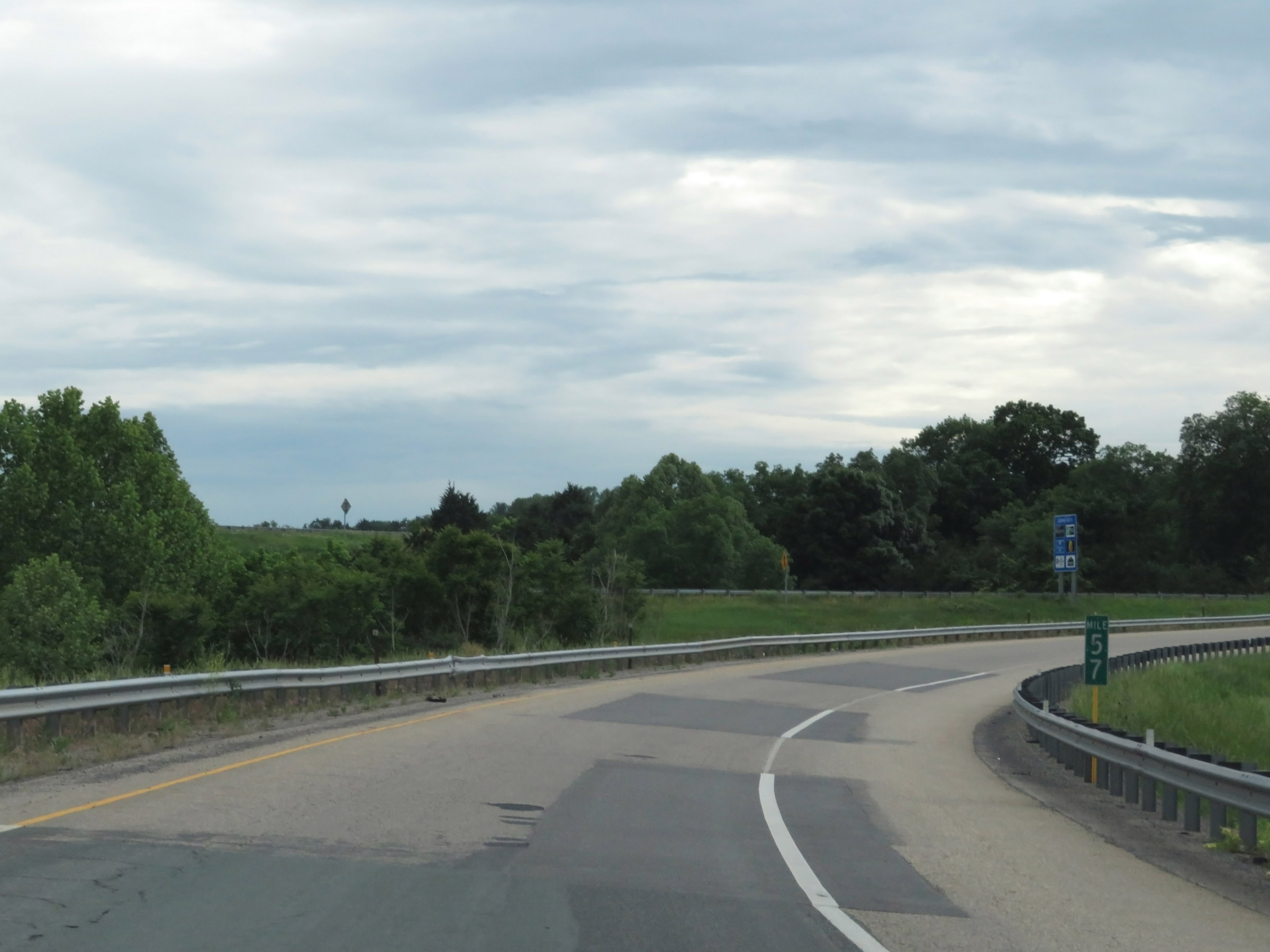 |
Interstate 64 West at mile marker 57, on the ramp from Interstate 81 as its mile markers and exit numbers return to being based on the total mileage of I-64. (Photo taken 5/26/18). |
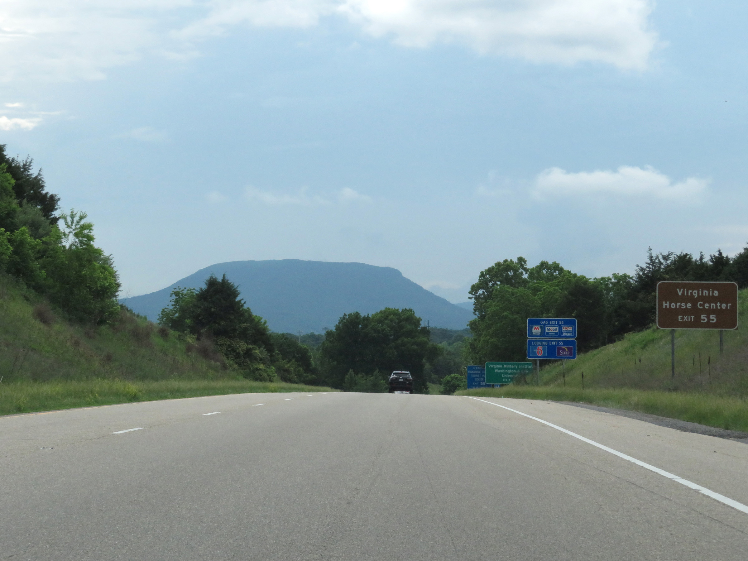 |
Take Exit 55 to Virginia Horse Center. (Photo taken 5/26/18). |
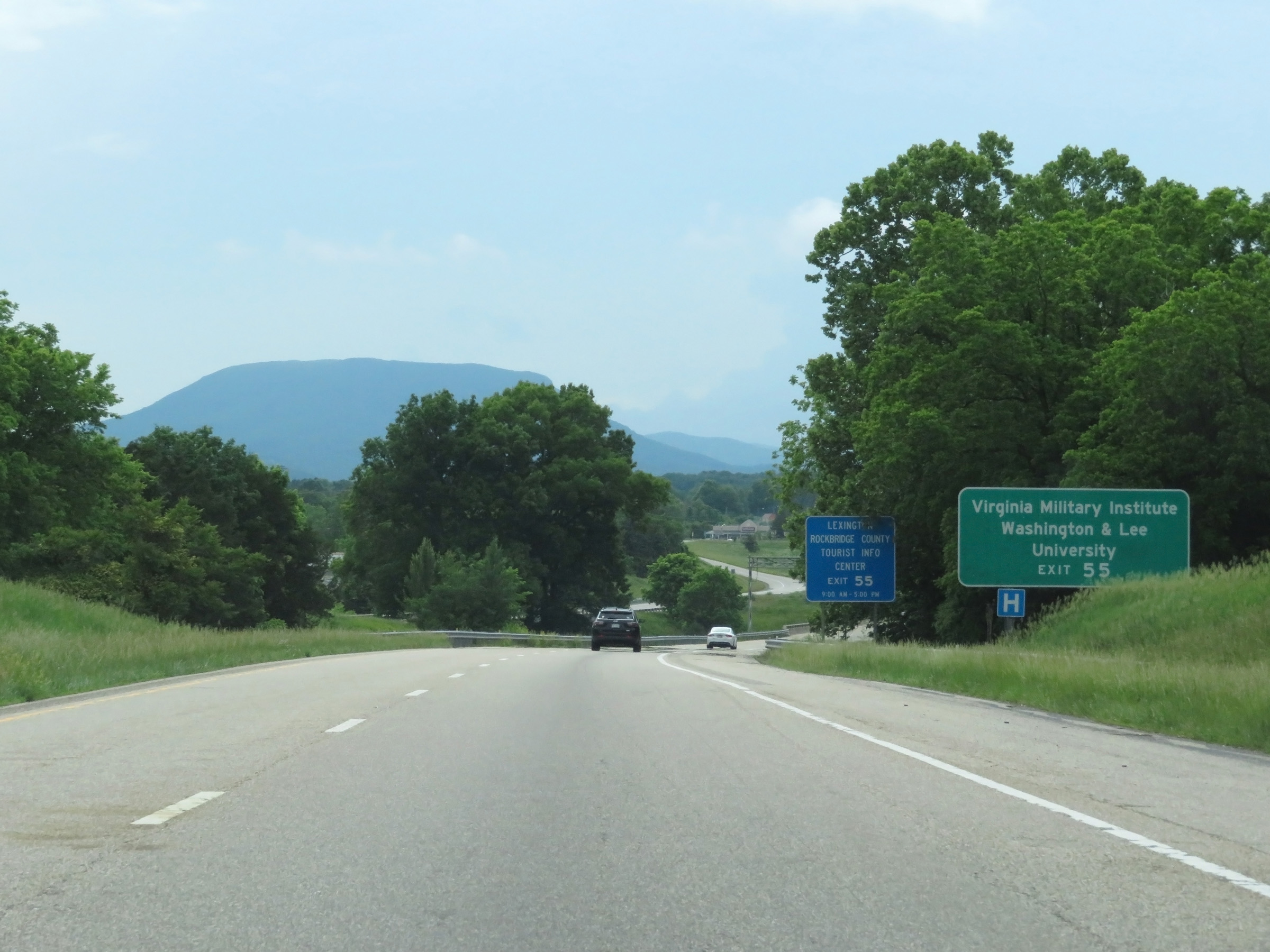 |
Also take Exit 55 to Virginia Military Institute and Washington & Lee University. (Photo taken 5/26/18). |
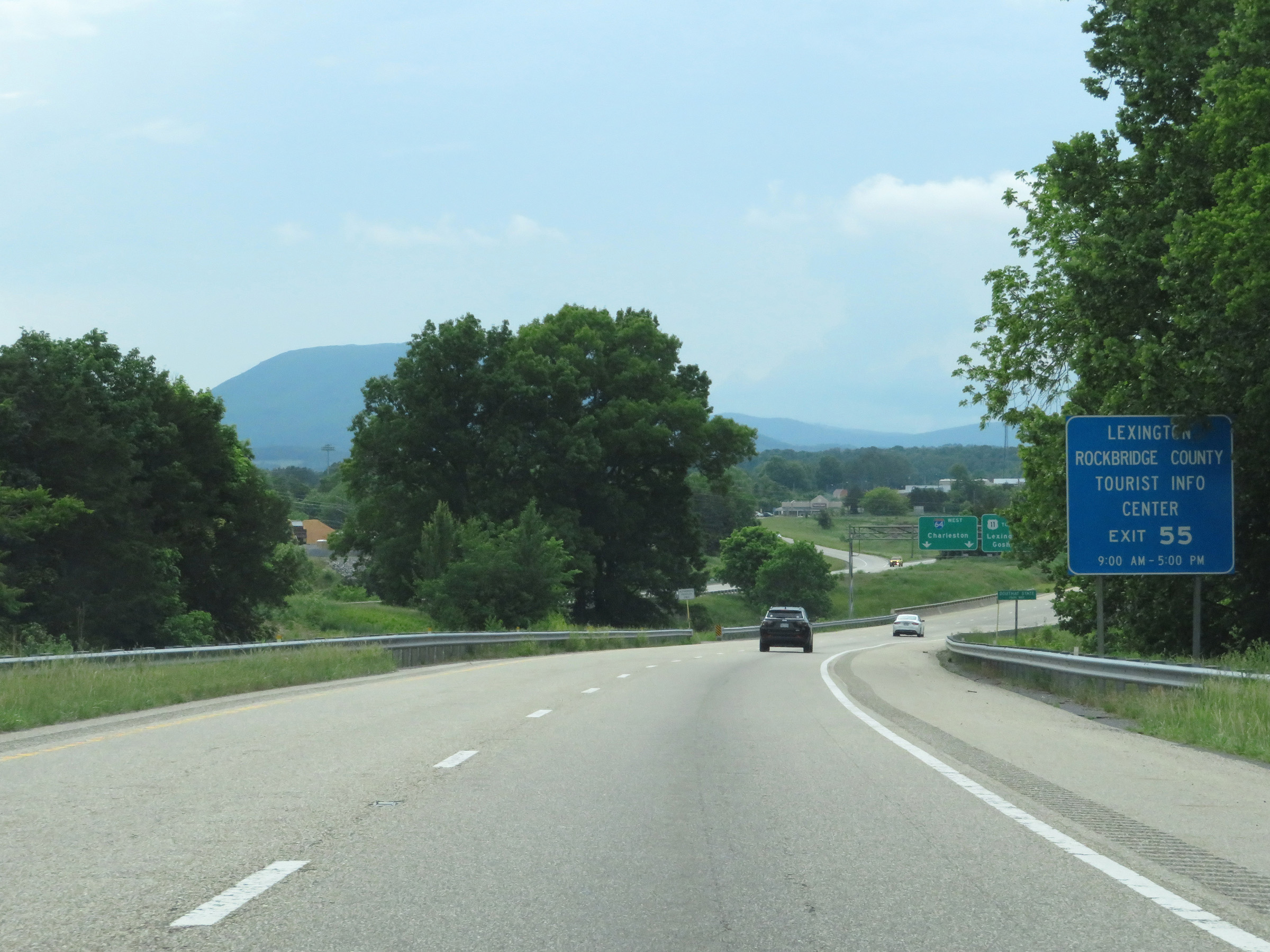 |
A Tourist Info Center for Lexington and Rockbridge County exists off Exit 55. (Photo taken 5/26/18). |
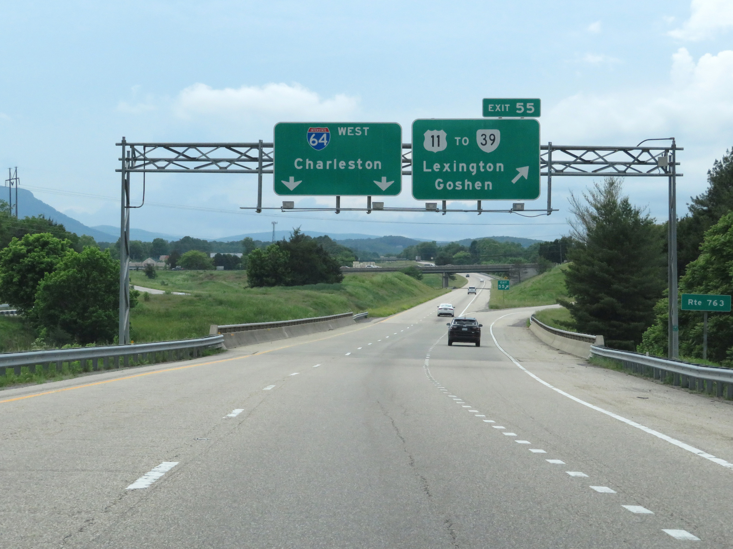 |
Interstate 64 West at Exit 55: US 11 / To VA 39 - Lexington / Goshen (Photo taken 5/26/18). |
Section 3: Lexington (Exit 55) to West Virginia Border
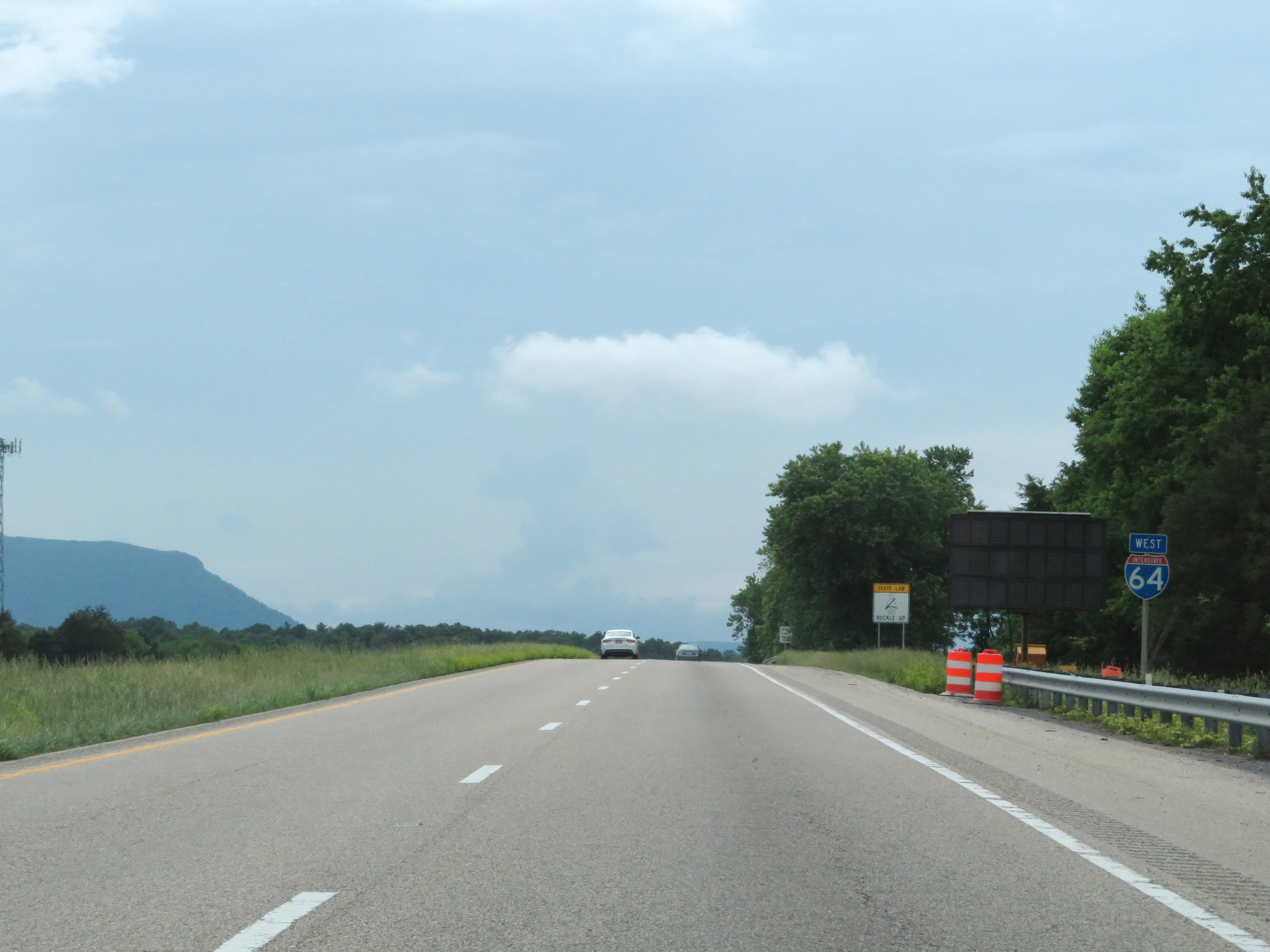 |
Interstate 64 West reassurance shield, to the west of Exit 55. (Photo taken 5/26/18). |
 |
The speed limit remains 70 mph on Interstate 64 West through the Lexington area. (Photo taken 5/26/18). |
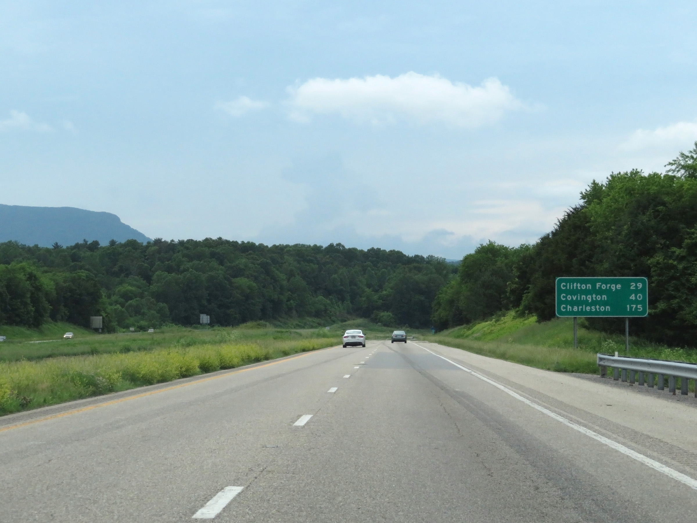 |
Mileage sign on Interstate 64 West. It's 29 miles to Clifton Forge, 40 miles to Covington, and 175 miles to Charleston. (Photo taken 5/26/18). |
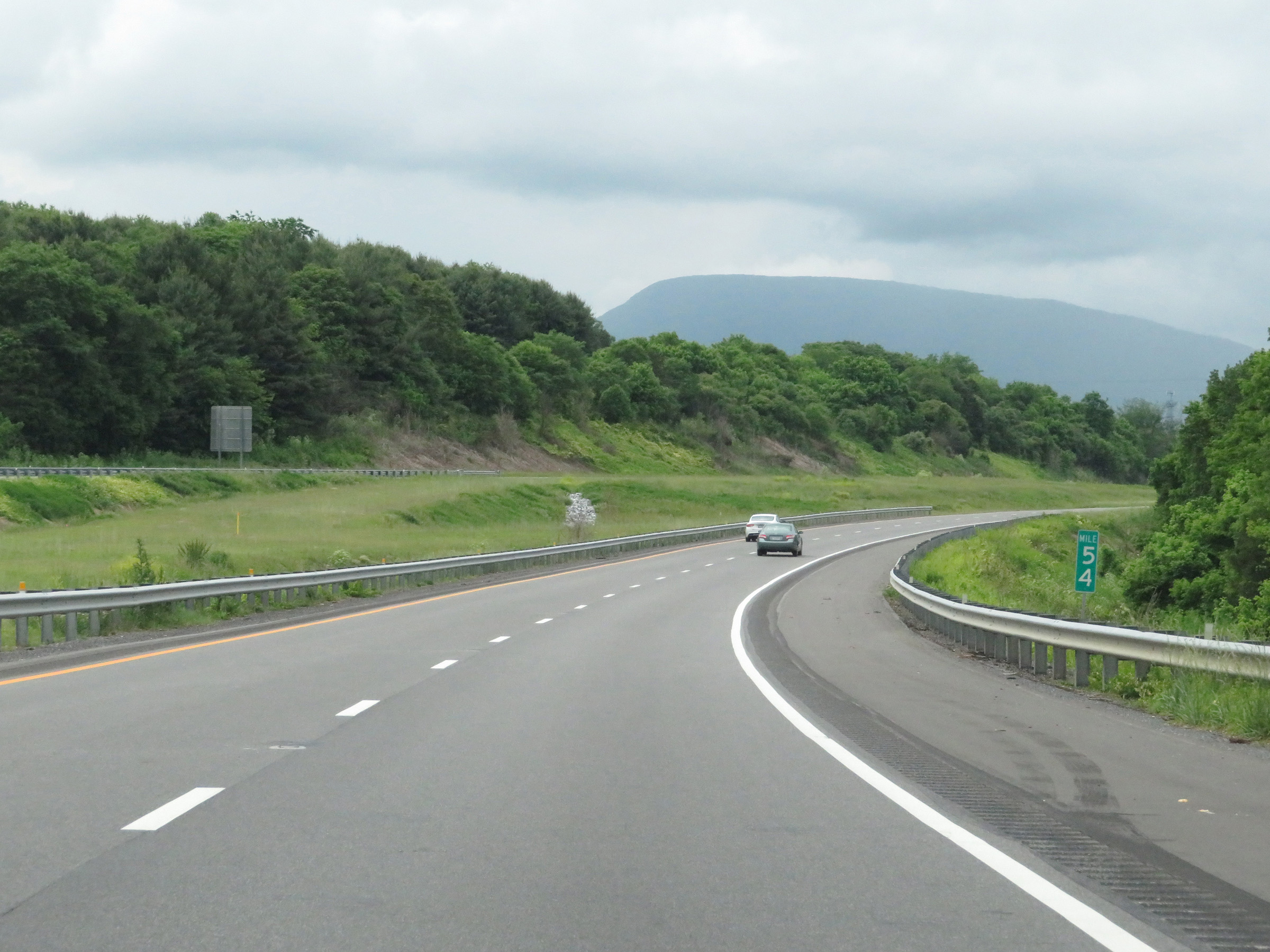 |
View on Interstate 64 West at mile marker 54. (Photo taken 5/26/18). |
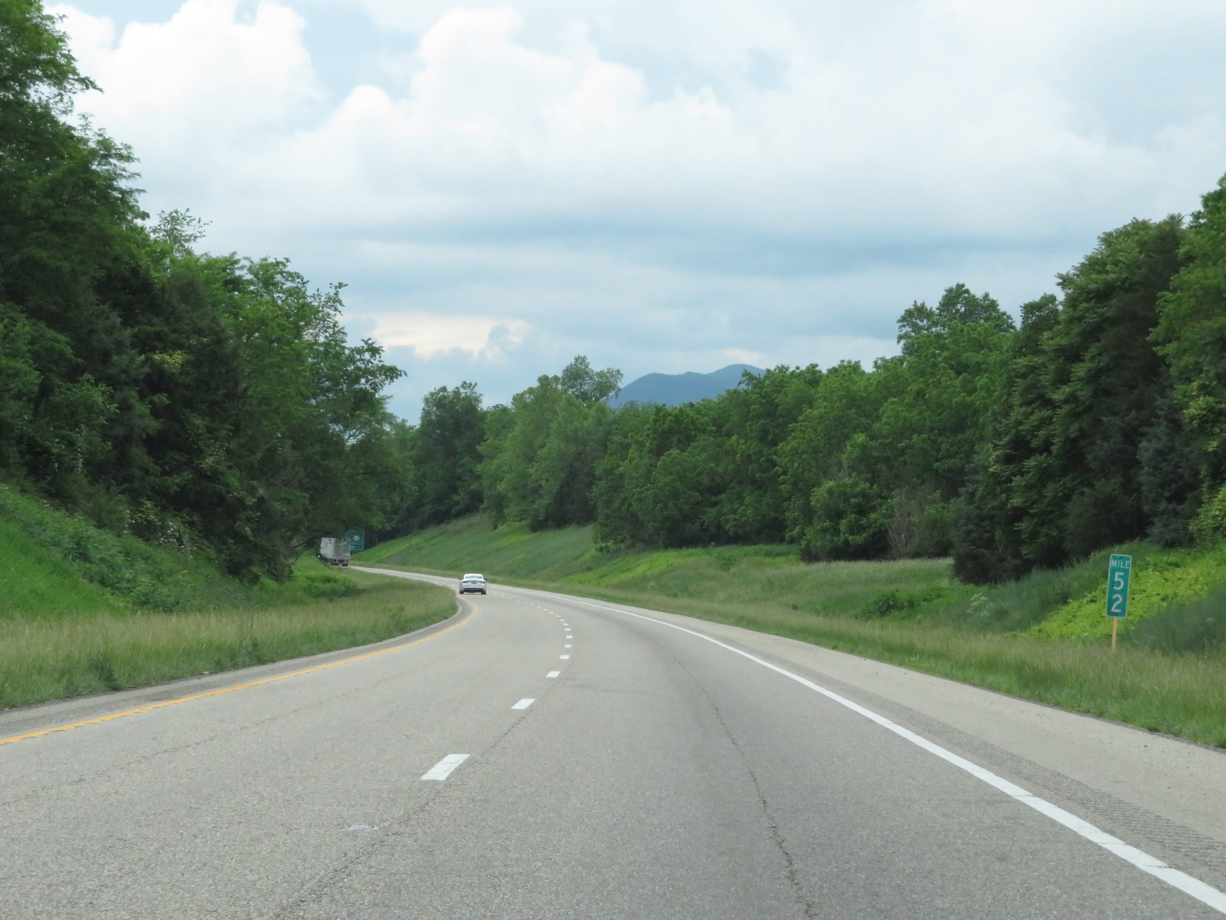 |
Interstate 64 West at mile marker 52. (Photo taken 5/26/18). |
 |
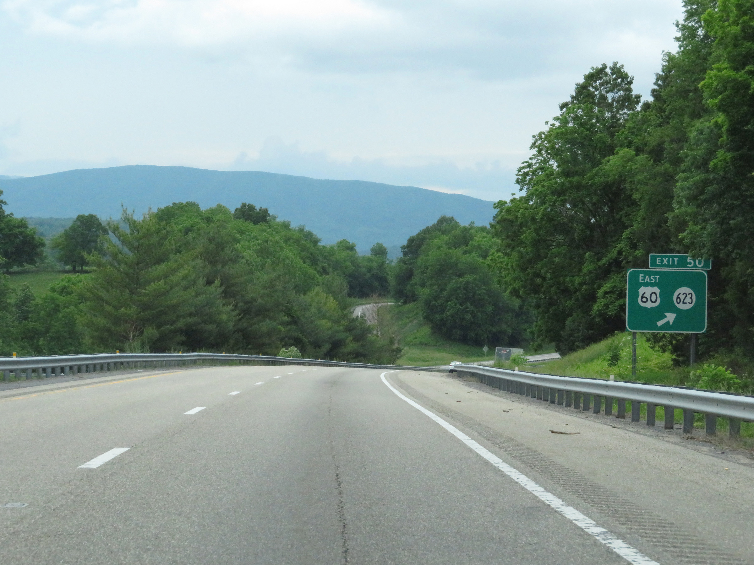
Interstate 64 West approaching Exit 50 - 1 mile. (Photo taken 5/26/18). |
 |
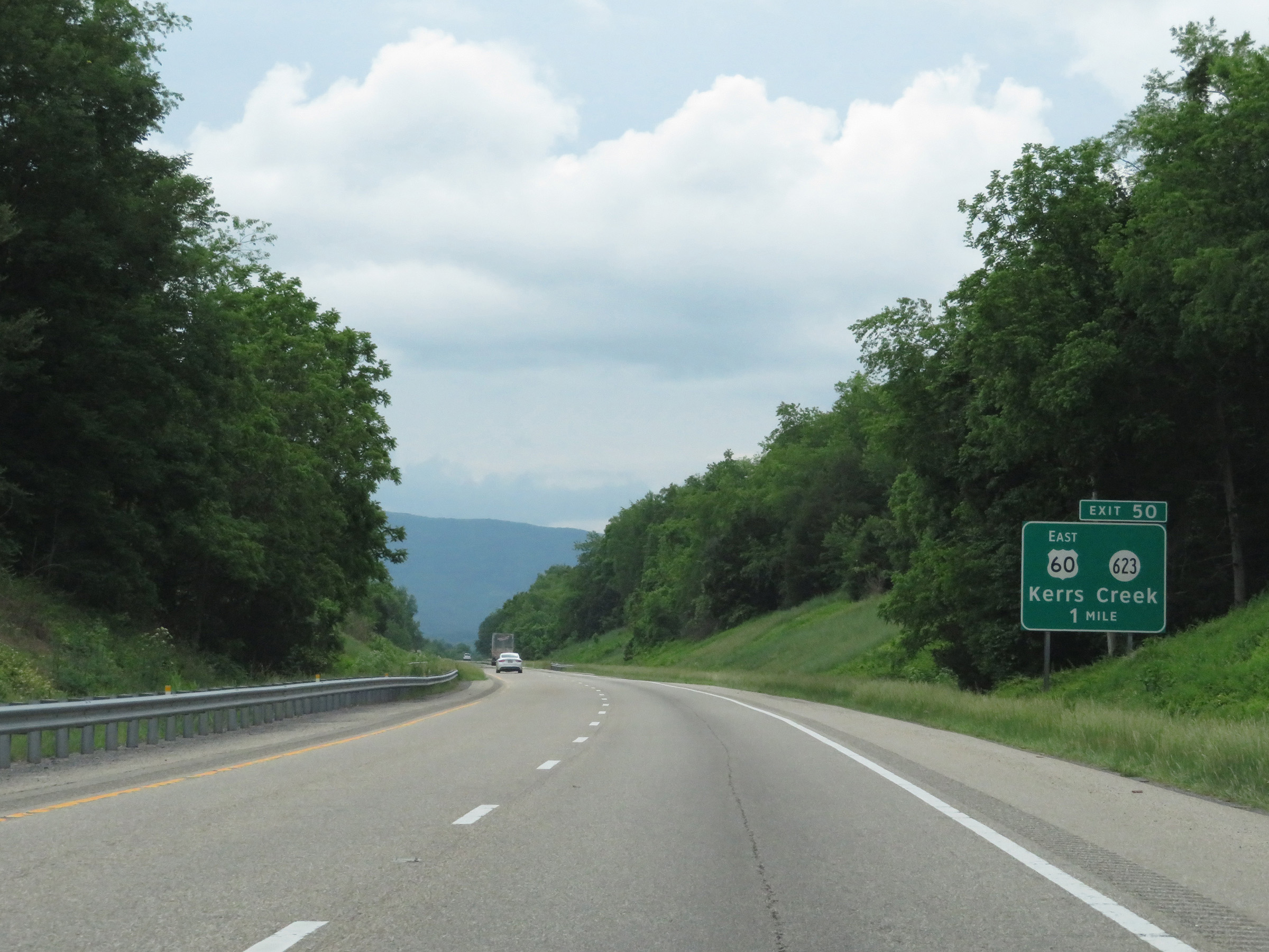
Interstate 64 West at Exit 50: US 60 East / SR 623 - Kerrs Creek (Photo taken 5/26/18). |
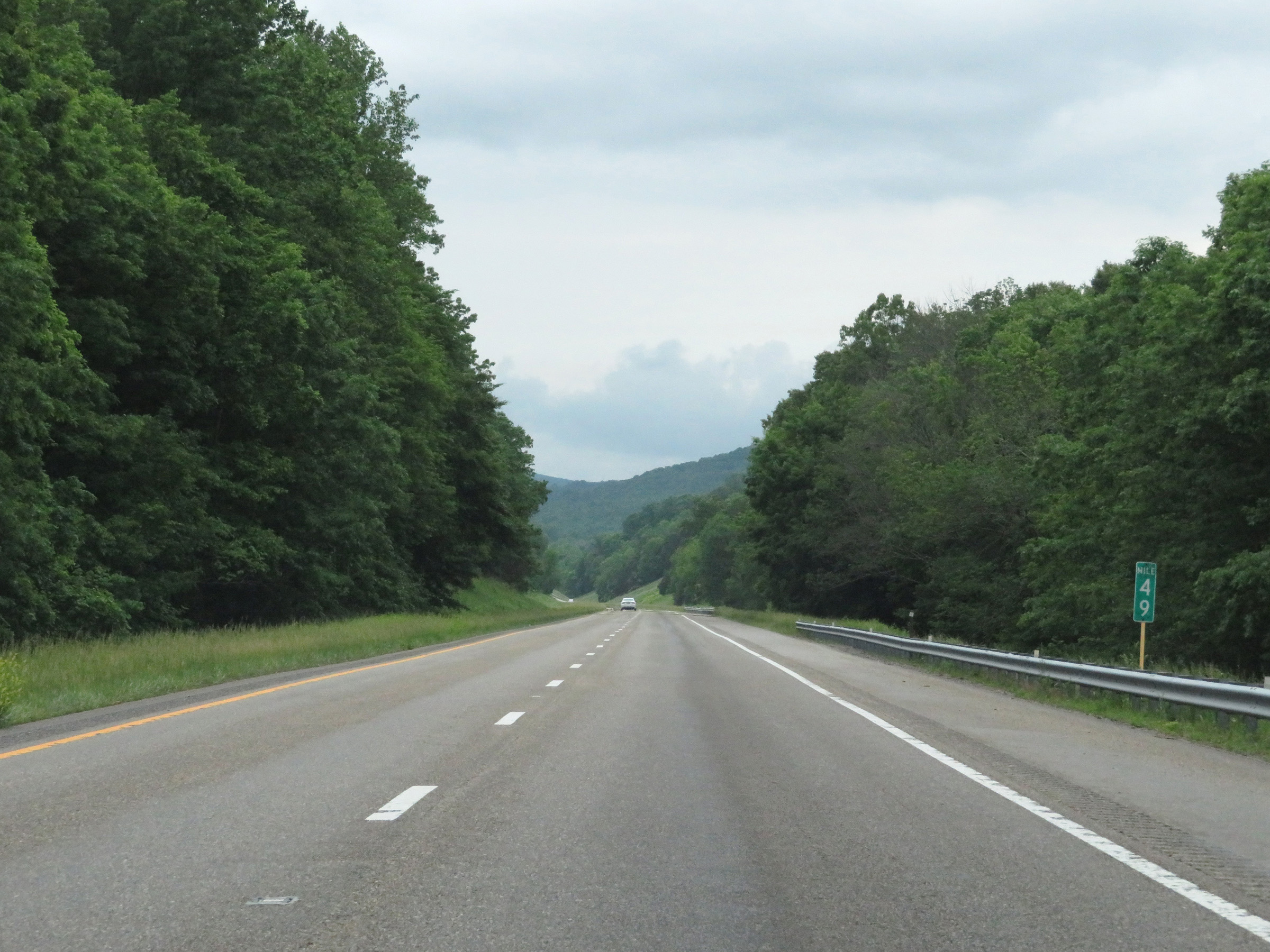 |
View on Interstate 64 West at mile marker 49. (Photo taken 5/26/18). |
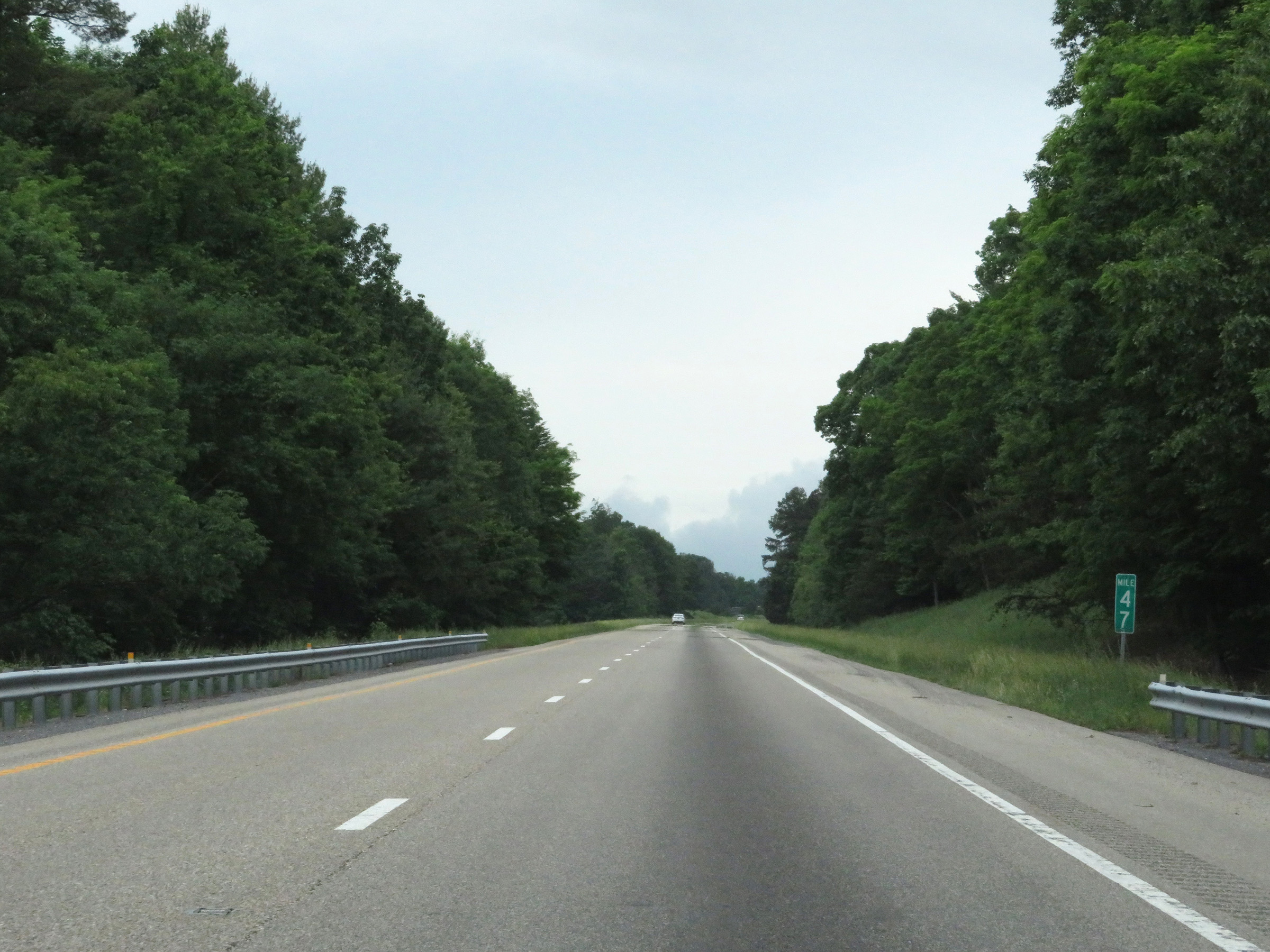 |
Mile marker 47 on Interstate 64 West in Rockbridge County. (Photo taken 5/26/18). |
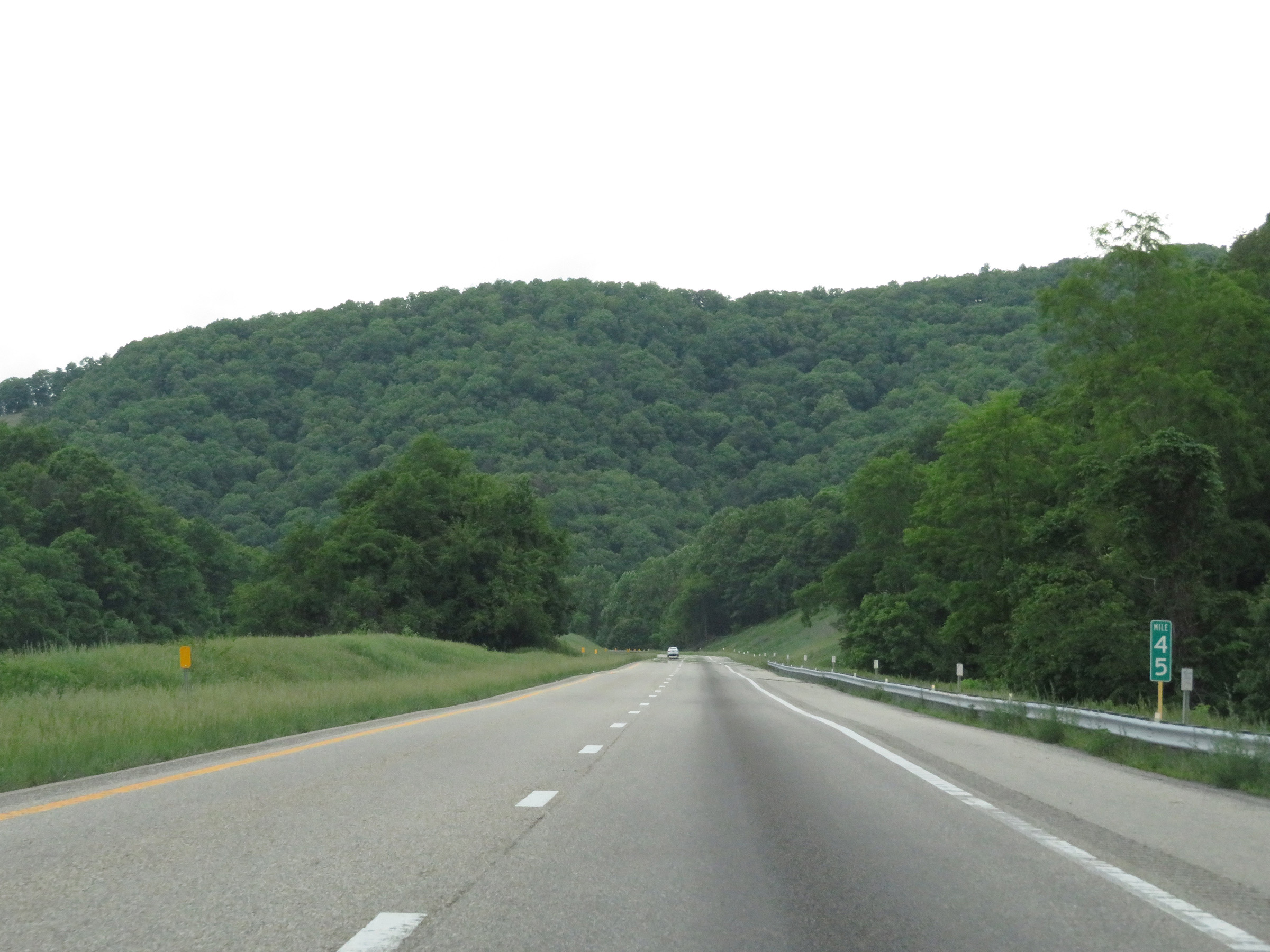 |
View on Interstate 64 West at mile marker 45. (Photo taken 5/26/18). |
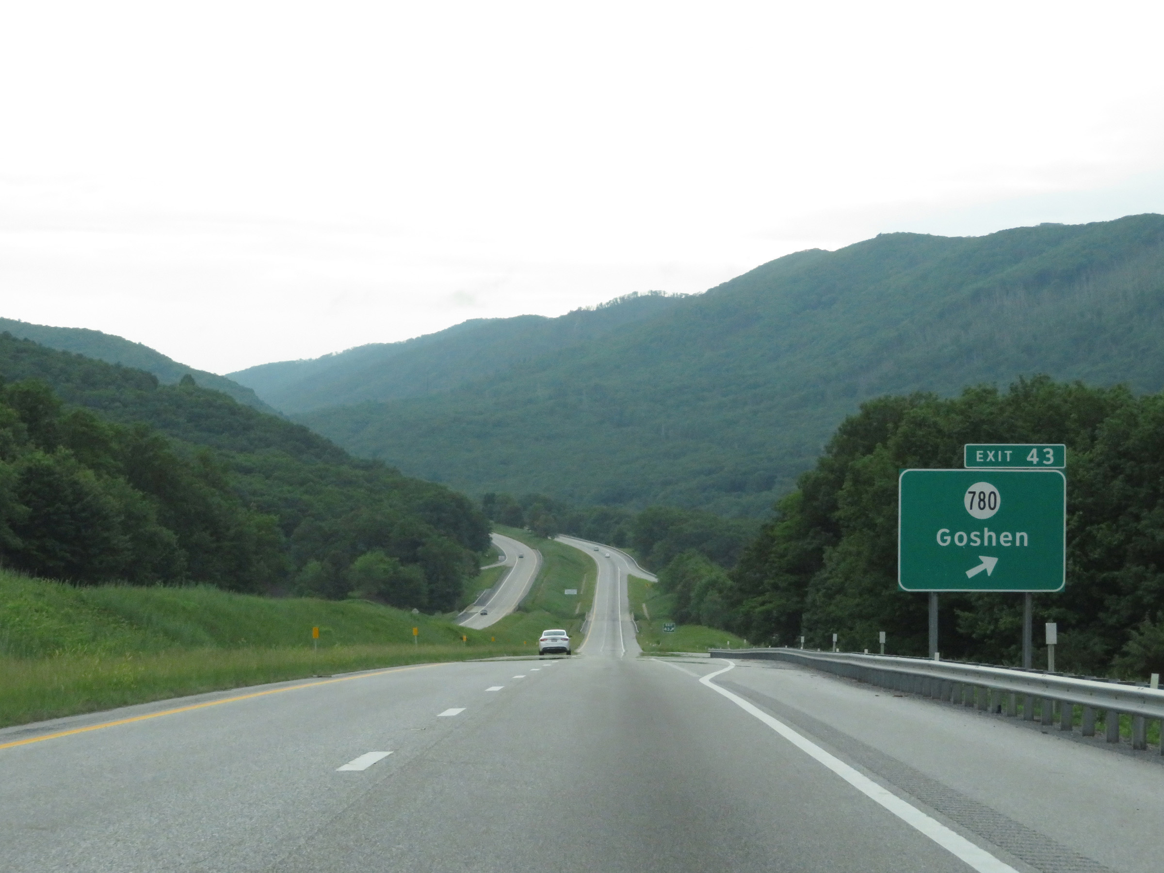 |
Interstate 64 West at Exit 43: SR 780 - Goshen (Photo taken 5/26/18). |
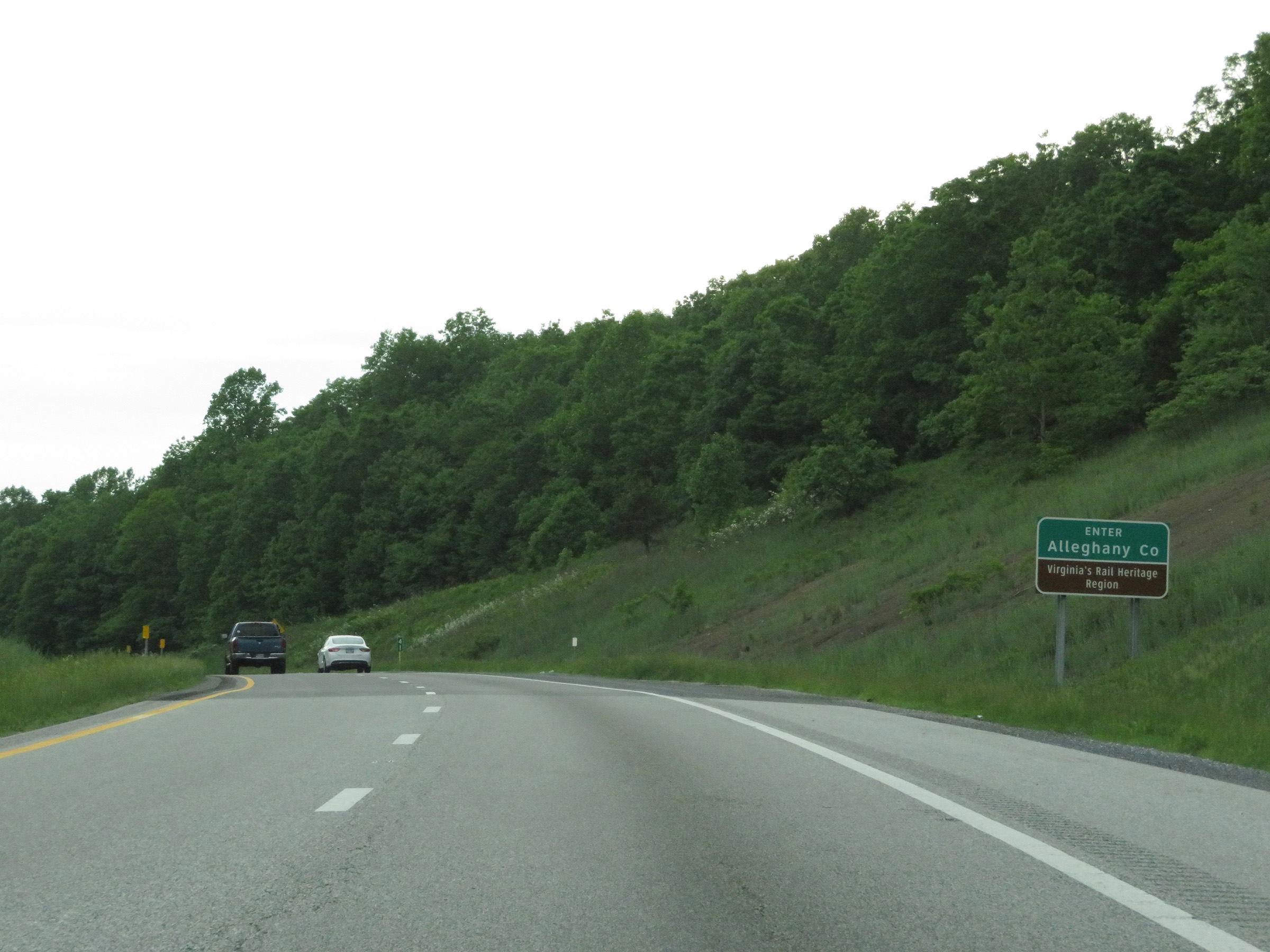 |
Interstate 64 West as it enters Alleghany County. (Photo taken 5/26/18). |
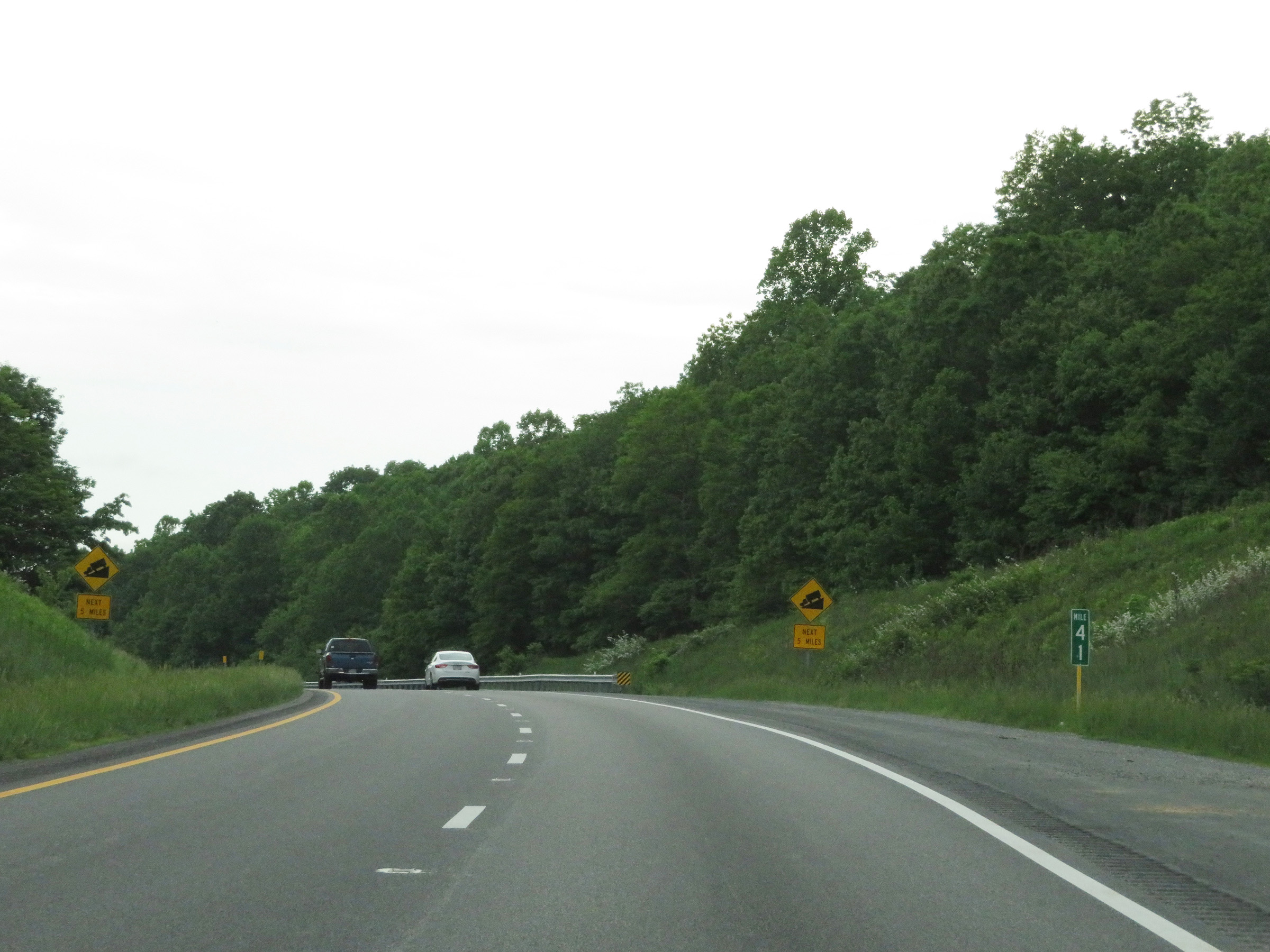 |
These warning signs at mile marker 41 alert motorists, and trucks in particular, that Interstate 64 West will traverse a steep downgrade for the next 5 miles and it starts just ahead. (Photo taken 5/26/18). |
 |
Interstate 64 West at mile marker 40, going down the aforementioned grade. (Photo taken 5/26/18). |
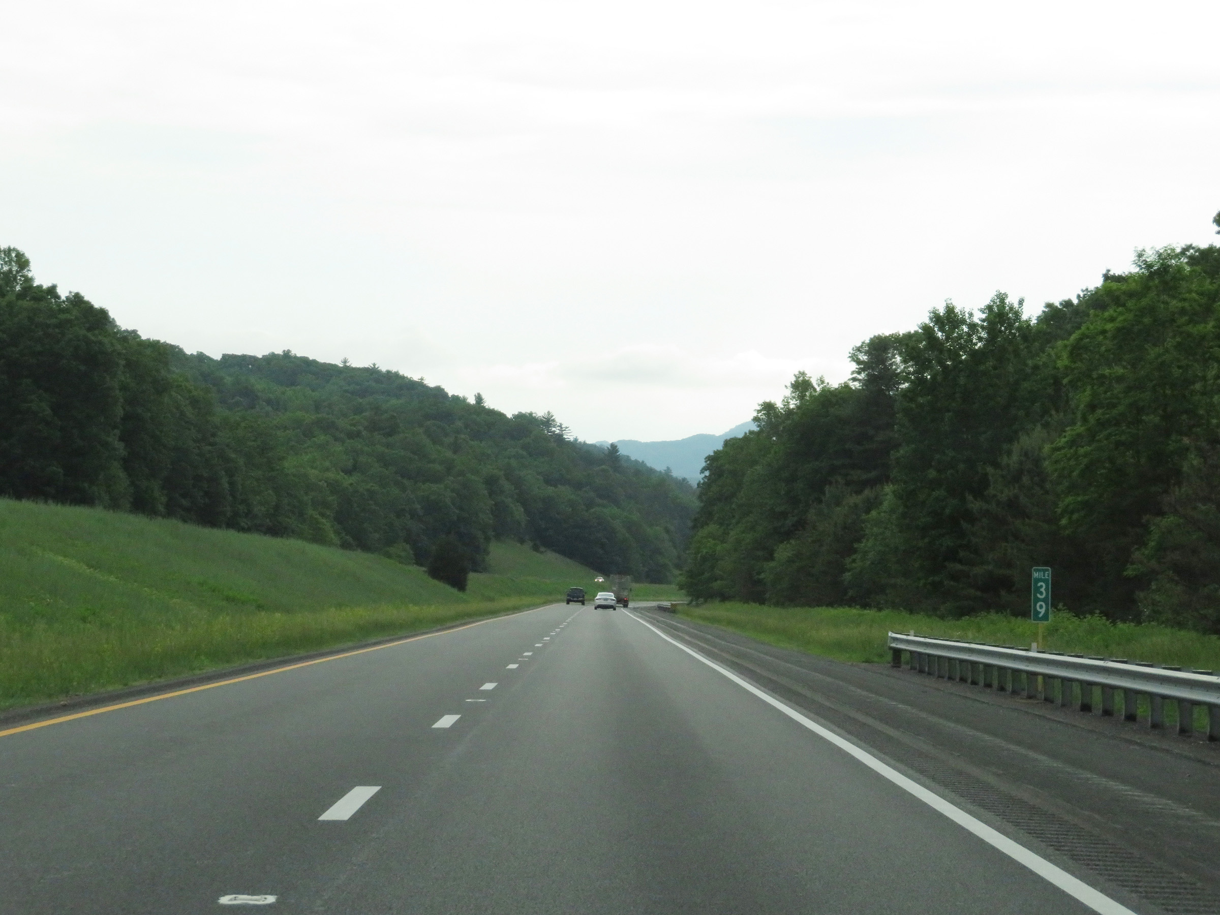 |
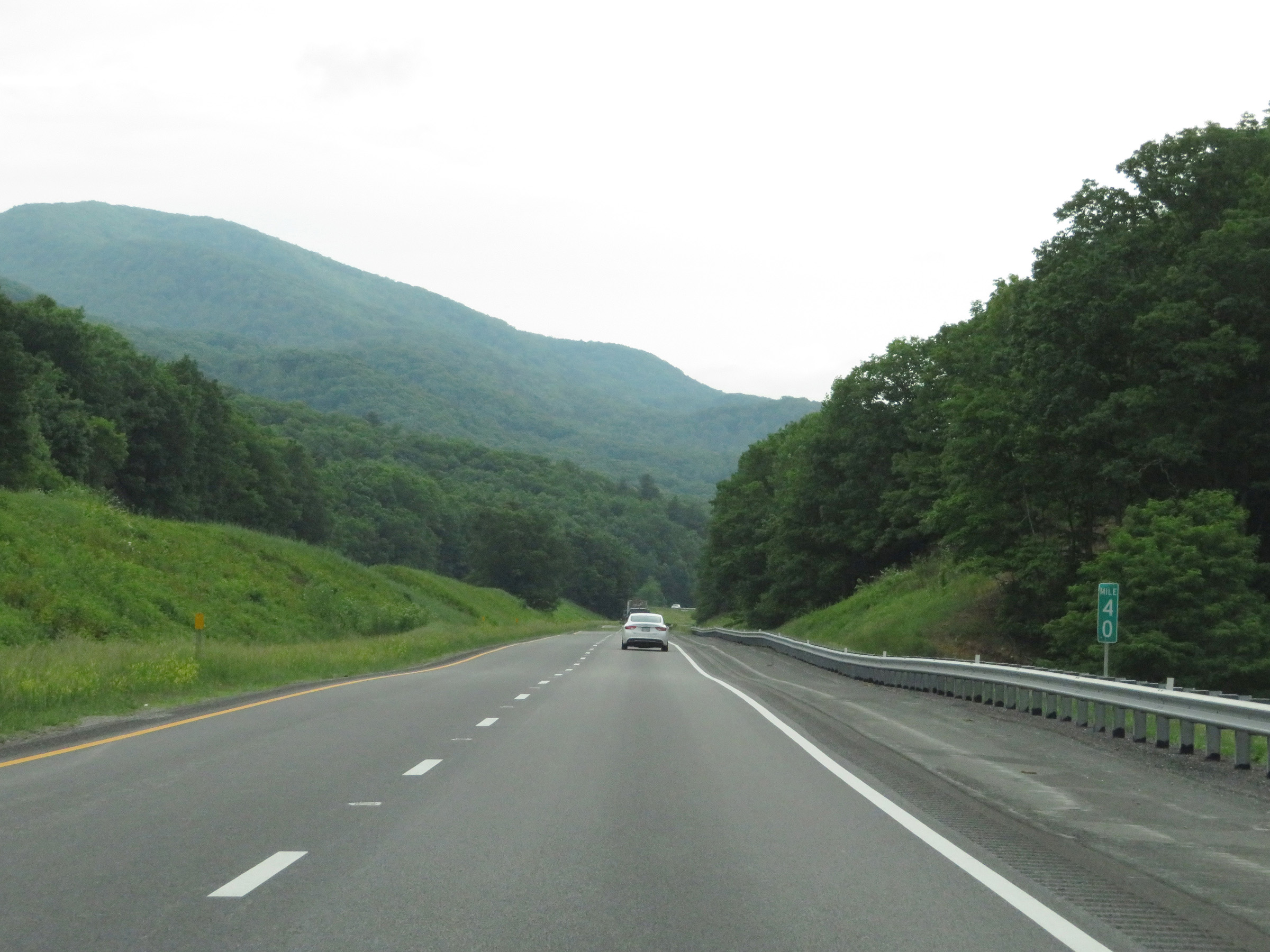
View on Interstate 64 West at mile marker 39, as it continues its descent. (Photo taken 5/26/18). |
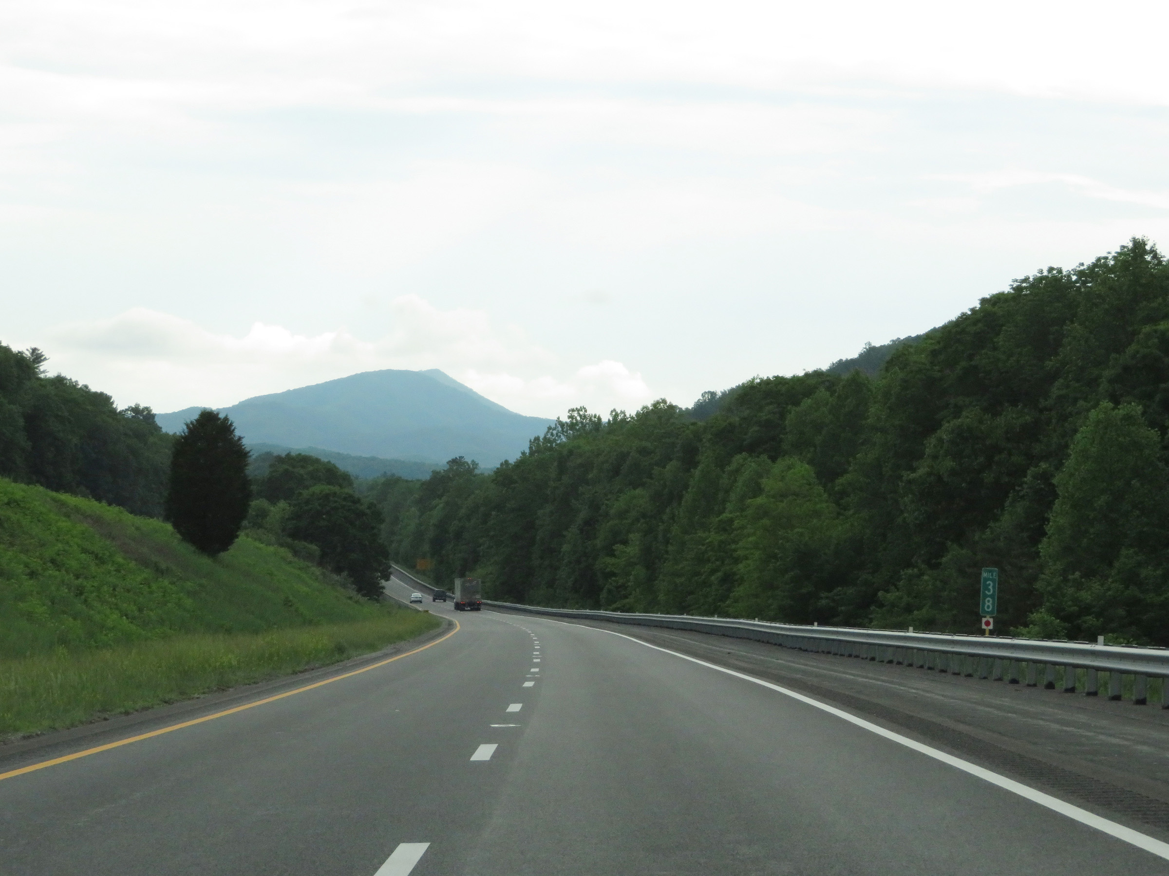 |
Mile marker 38 on Interstate 64 West in Alleghany County. (Photo taken 5/26/18). |
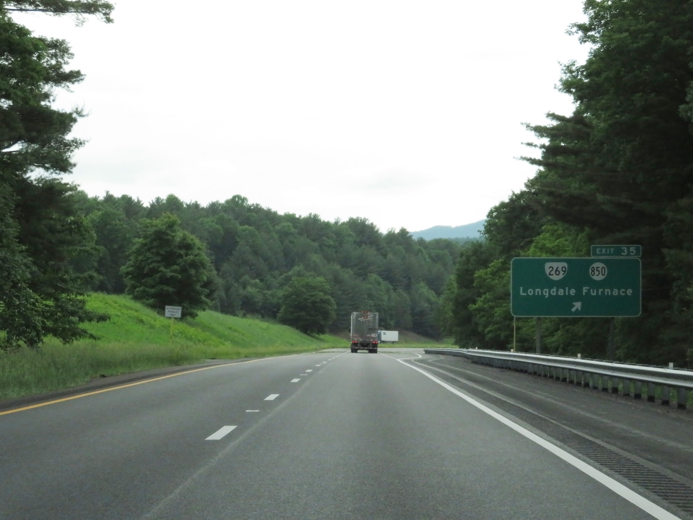 |
Interstate 64 West at Exit 35: VA 269 / SR 850 - Longdale Furnace (Photo taken 5/26/18). |
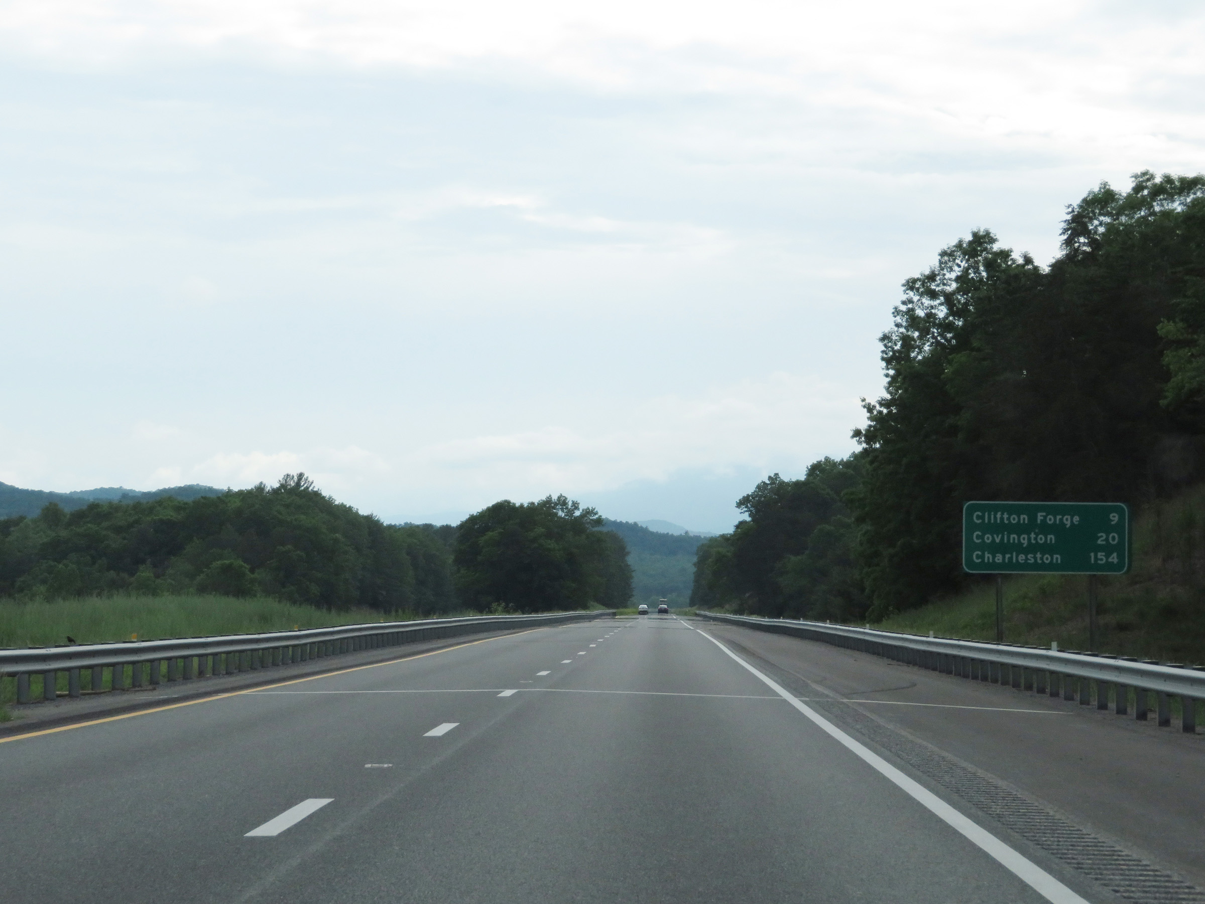 |
Another mileage sign on Interstate 64 West. It's 9 miles to Clifton Forge, 20 miles to Covington, and 154 miles to Charleston. (Photo taken 5/26/18). |
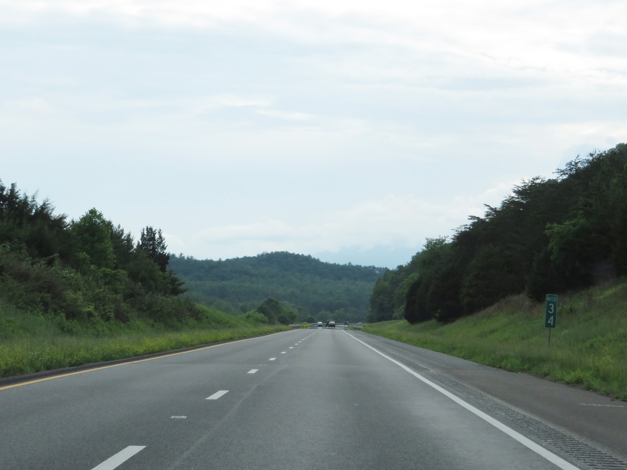 |
View on Interstate 64 West at mile marker 34 as it continues down the long, steep grade. (Photo taken 5/26/18). |
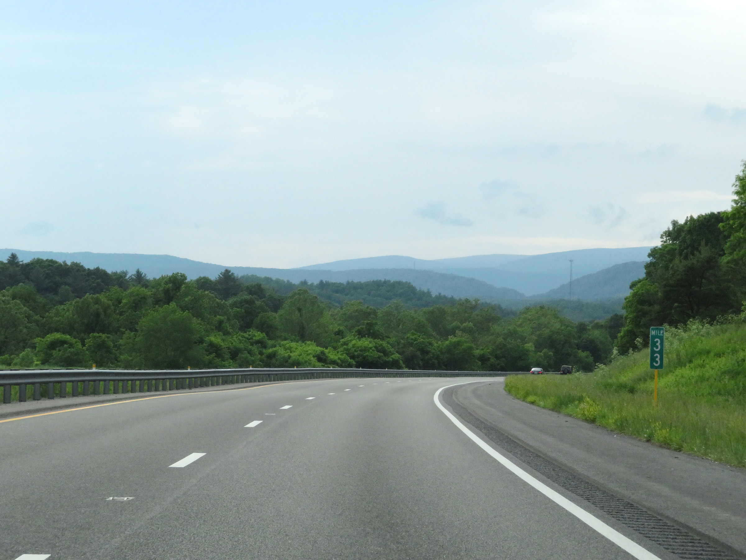 |
Interstate 64 West at mile marker 33. (Photo taken 5/26/18). |
 |
Mile marker 31 on Interstate 64 West in Alleghany County. (Photo taken 5/26/18). |
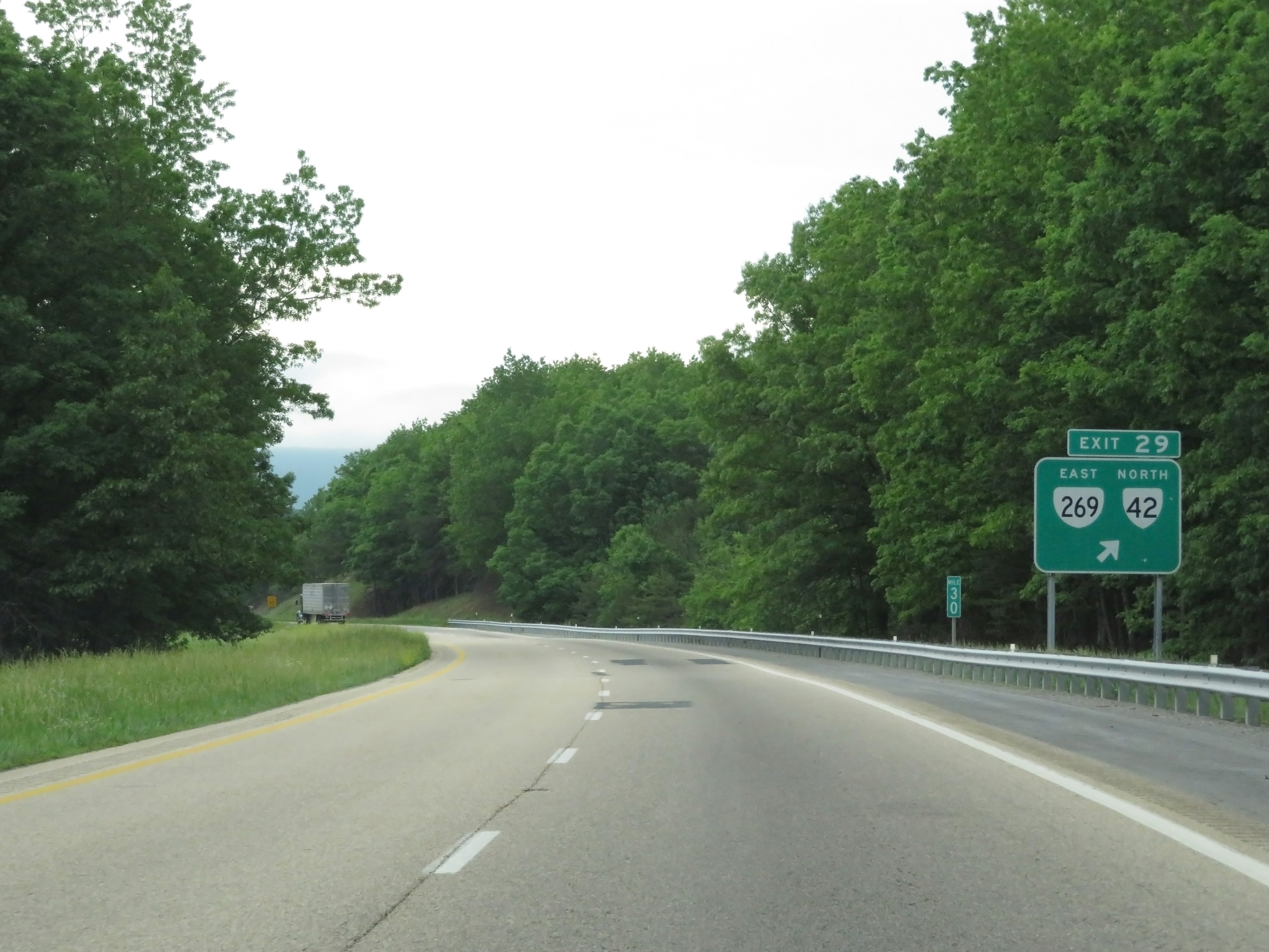 |
Interstate 64 West at Exit 29: VA 269 East / VA 42 North (Photo taken 5/26/18). |
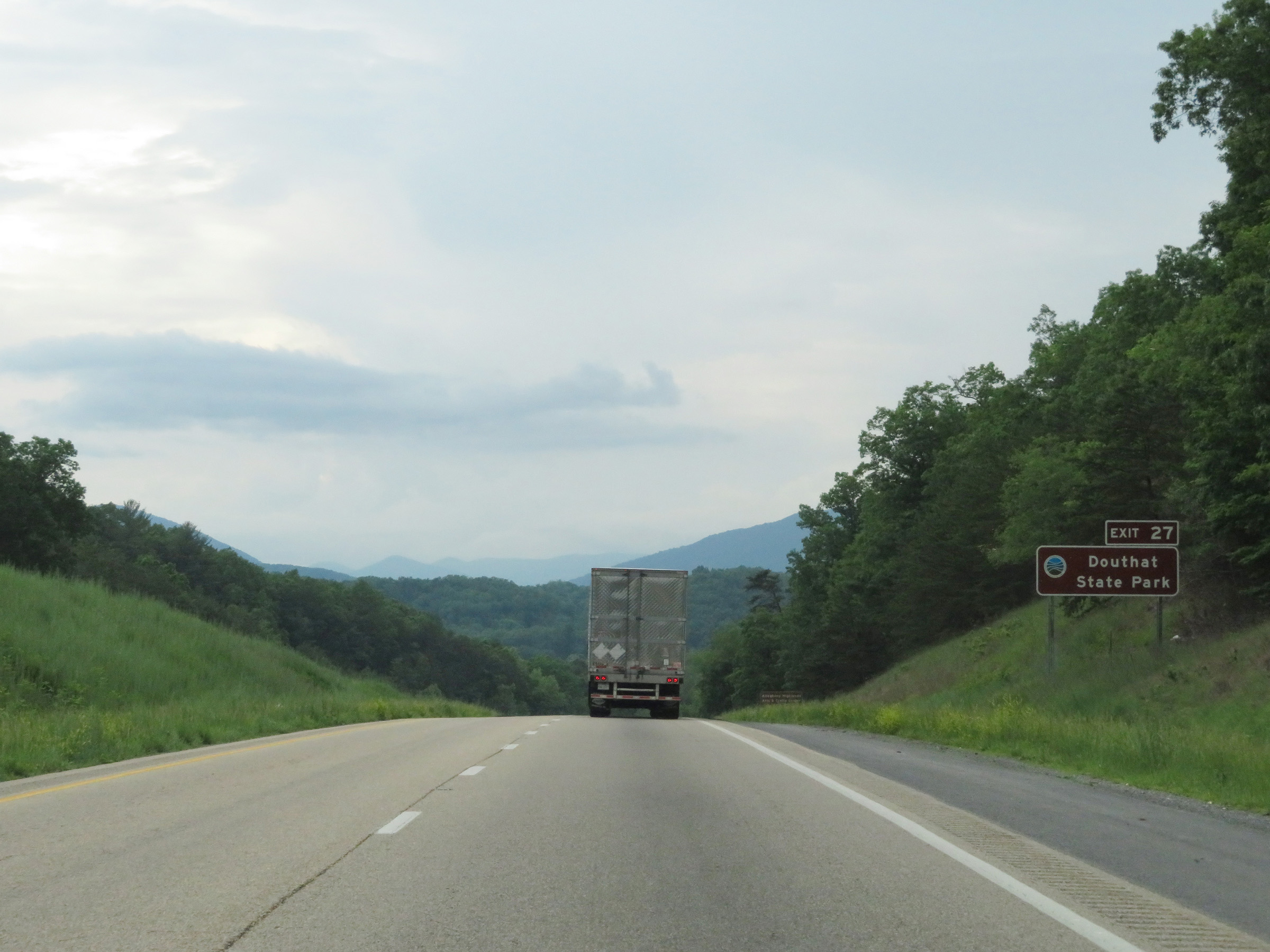 |
Take Exit 27 to Douthat State Park. (Photo taken 5/26/18). |
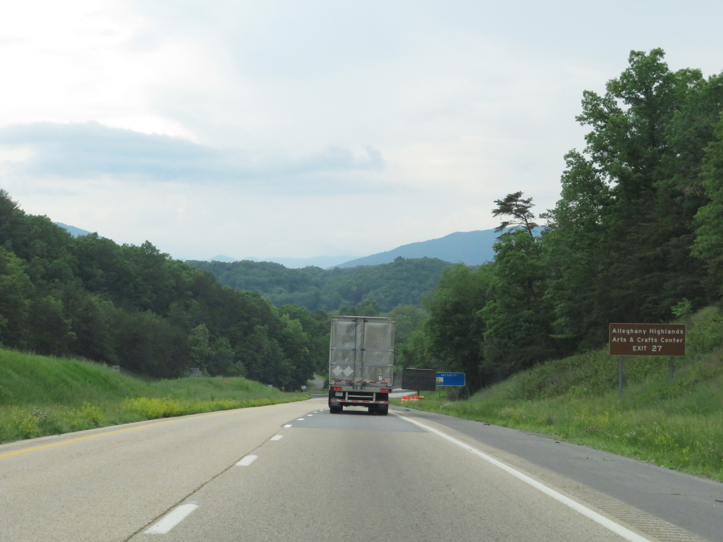 |
Also take Exit 27 to Alleghany Highlands Arts & Crafts Center. (Photo taken 5/26/18). |
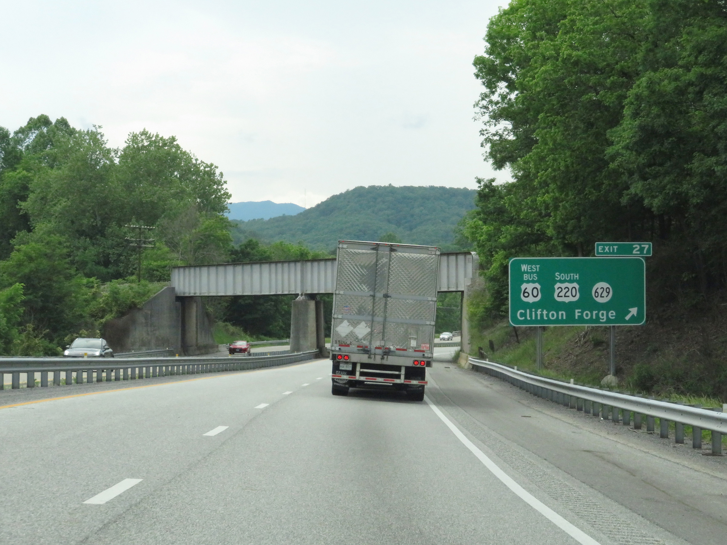 |
Interstate 64 West at Exit 27: US 220 South / US 60 Business West / SR 629 - Clifton Forge (Photo taken 5/26/18). |
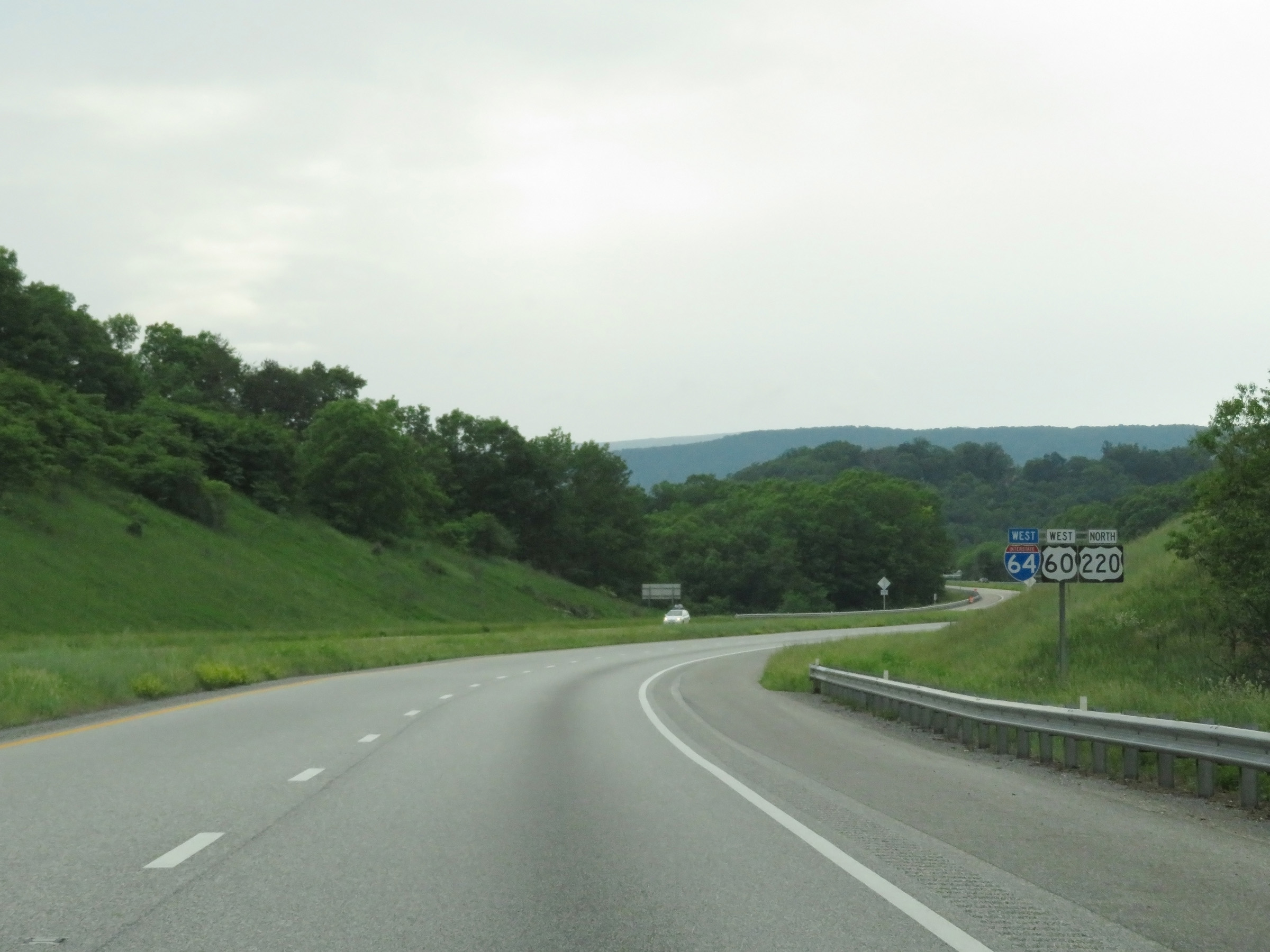 |
Another Interstate 64 West reassurance shield, as it is now running concurrently with US 60 West and US 220 North. (Photo taken 5/26/18). |
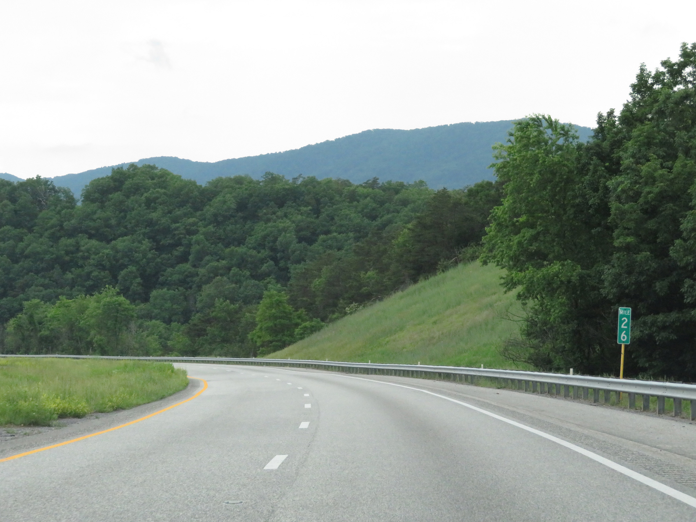 |
View on Interstate 64 West at mile marker 26. (Photo taken 5/26/18). |
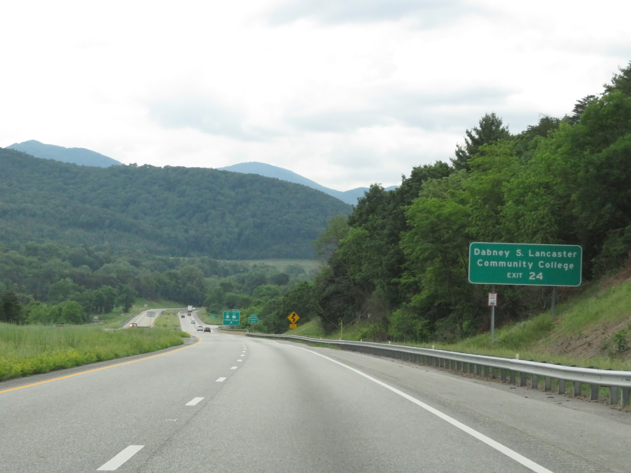 |
Take Exit 24 to Dabney S. Lancaster Community College. (Photo taken 5/26/18). |
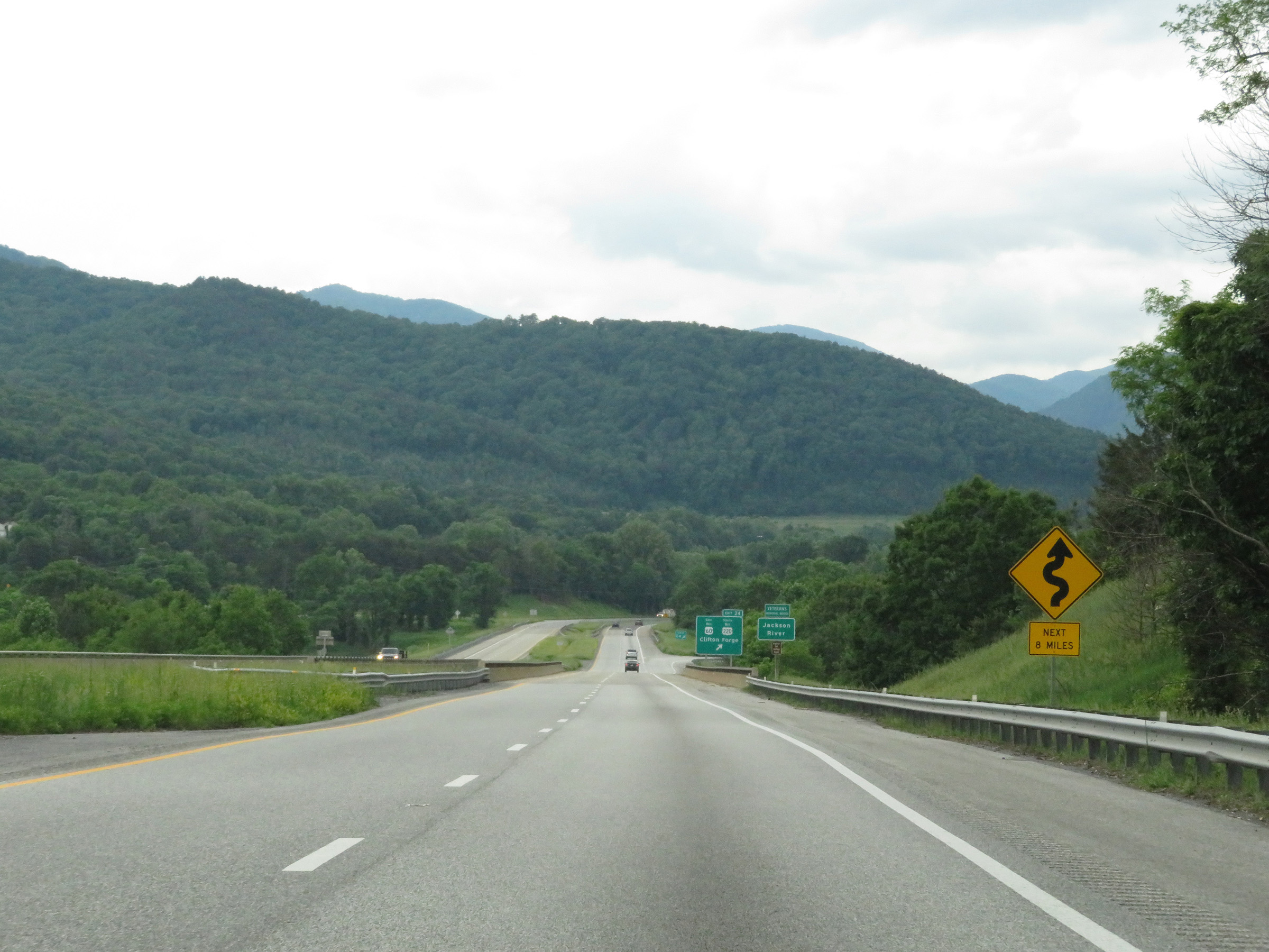 |
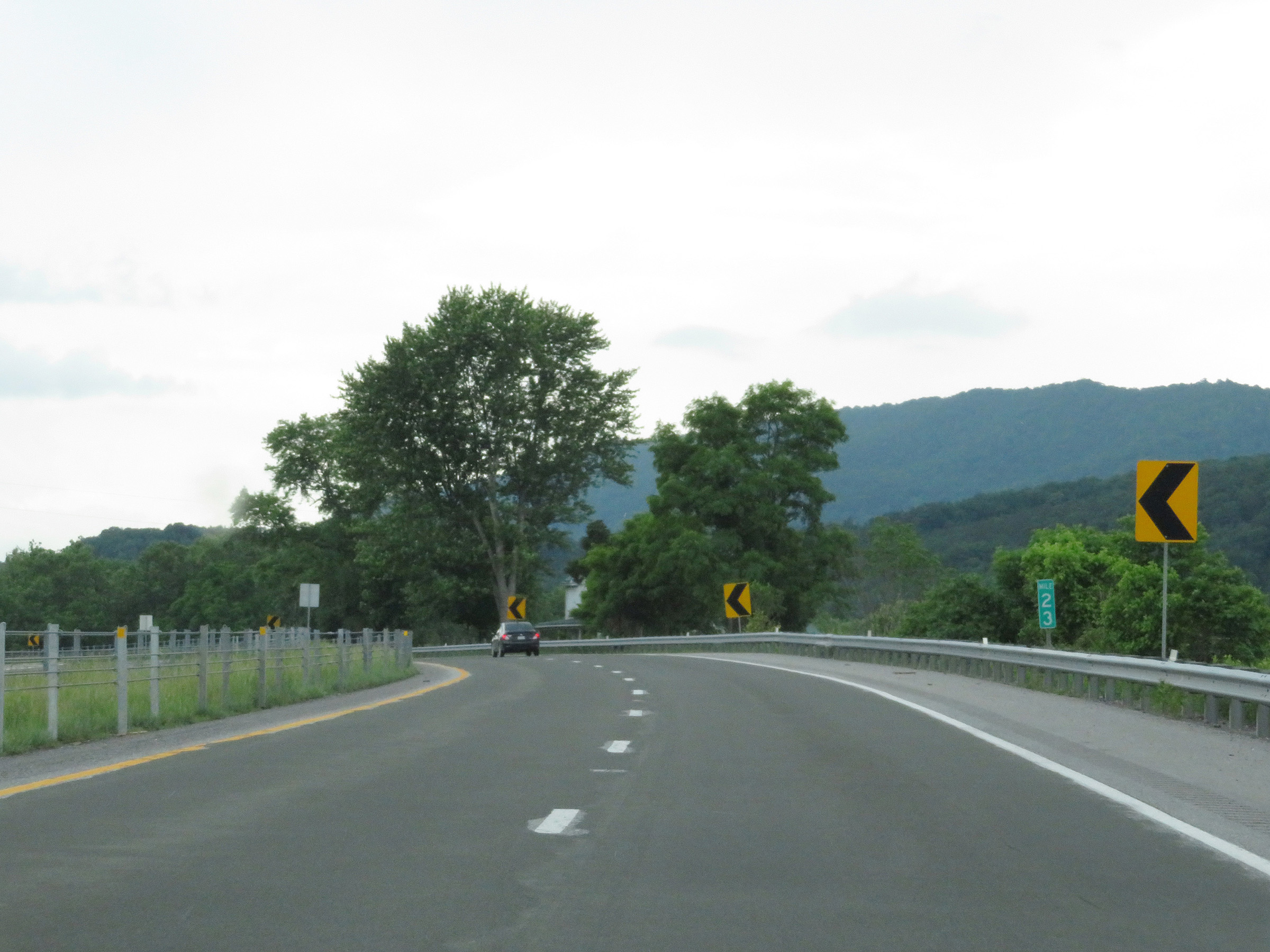
This sign warns that Interstate 64 West will traverse some winding curves ahead for the next 8 miles. (Photo taken 5/26/18). |
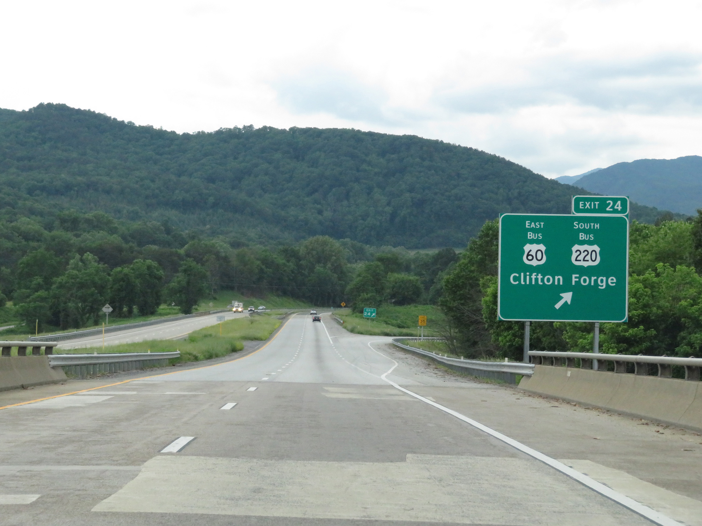 |
Interstate 64 West at Exit 24: US 60 Business East / US 220 Business South - Clifton Forge (Photo taken 5/26/18). |
 |
View on Interstate 64 West at mile marker 23 in Clifton Forge. (Photo taken 5/26/18). |
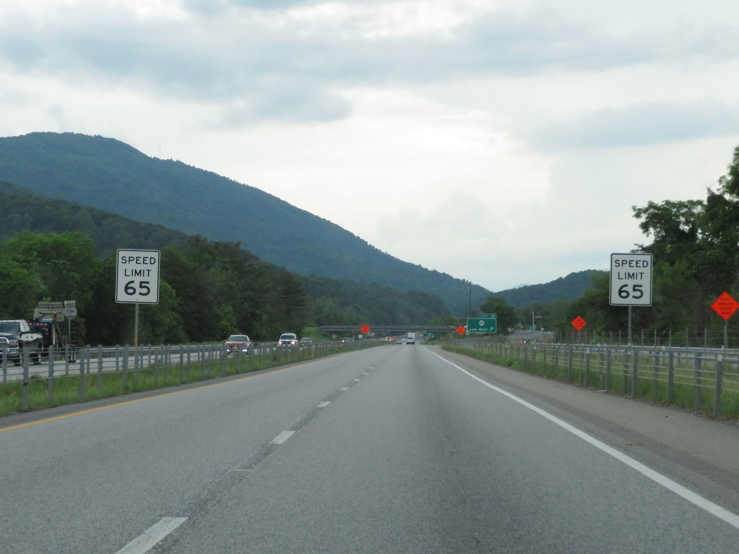 |
West of mile marker 23, the speed limit decreases to 65 mph for all traffic on Interstate 64 West near Clifton Forge. (Photo taken 5/26/18). |
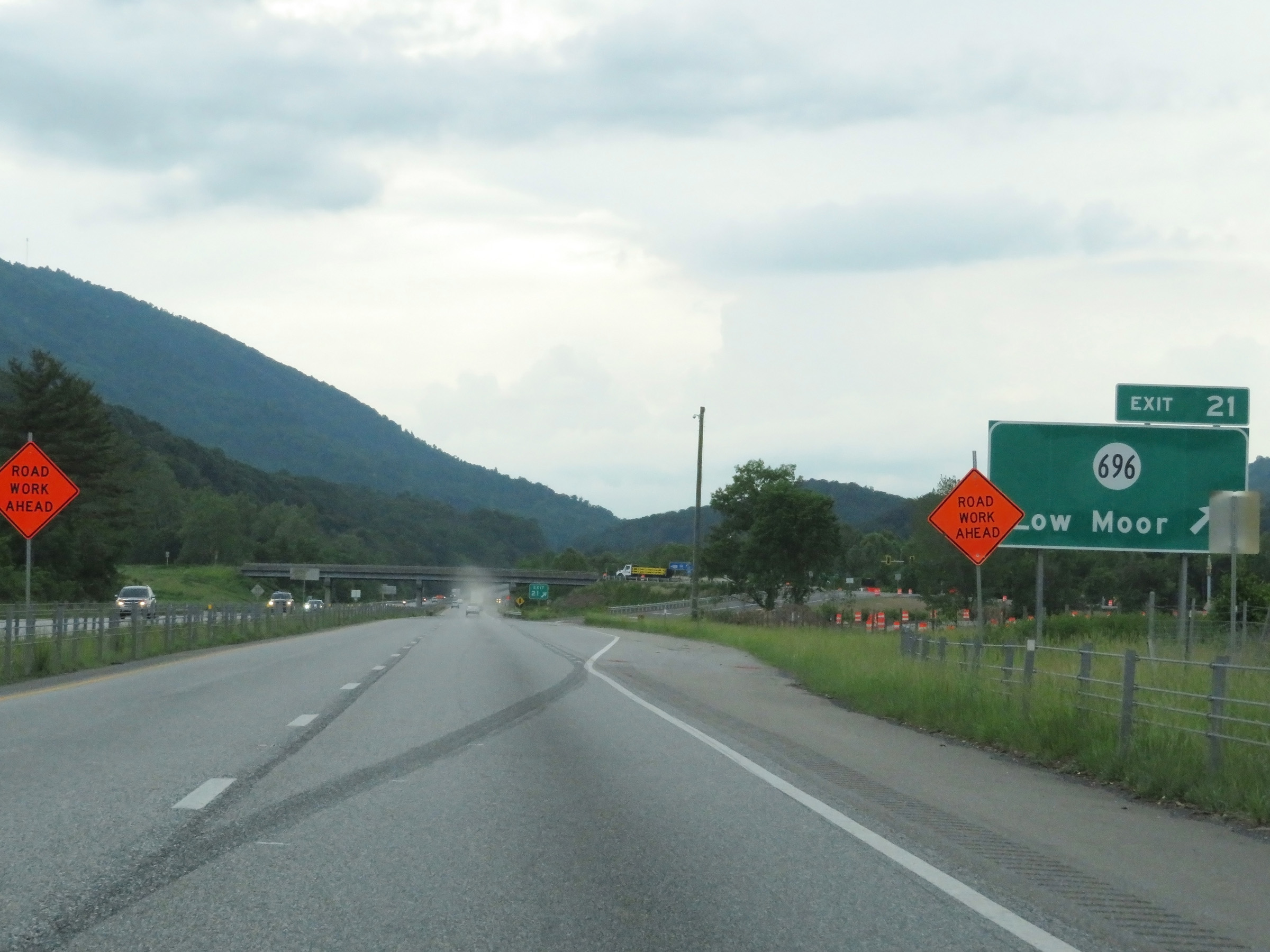 |
Interstate 64 West at Exit 21: SR 696 - Low Moor (Photo taken 5/26/18). |
 |
Another Interstate 64 West reassurance shield, as it continues to run concurrently with US 60 West / US 220 North. (Photo taken 5/26/18). |
 |
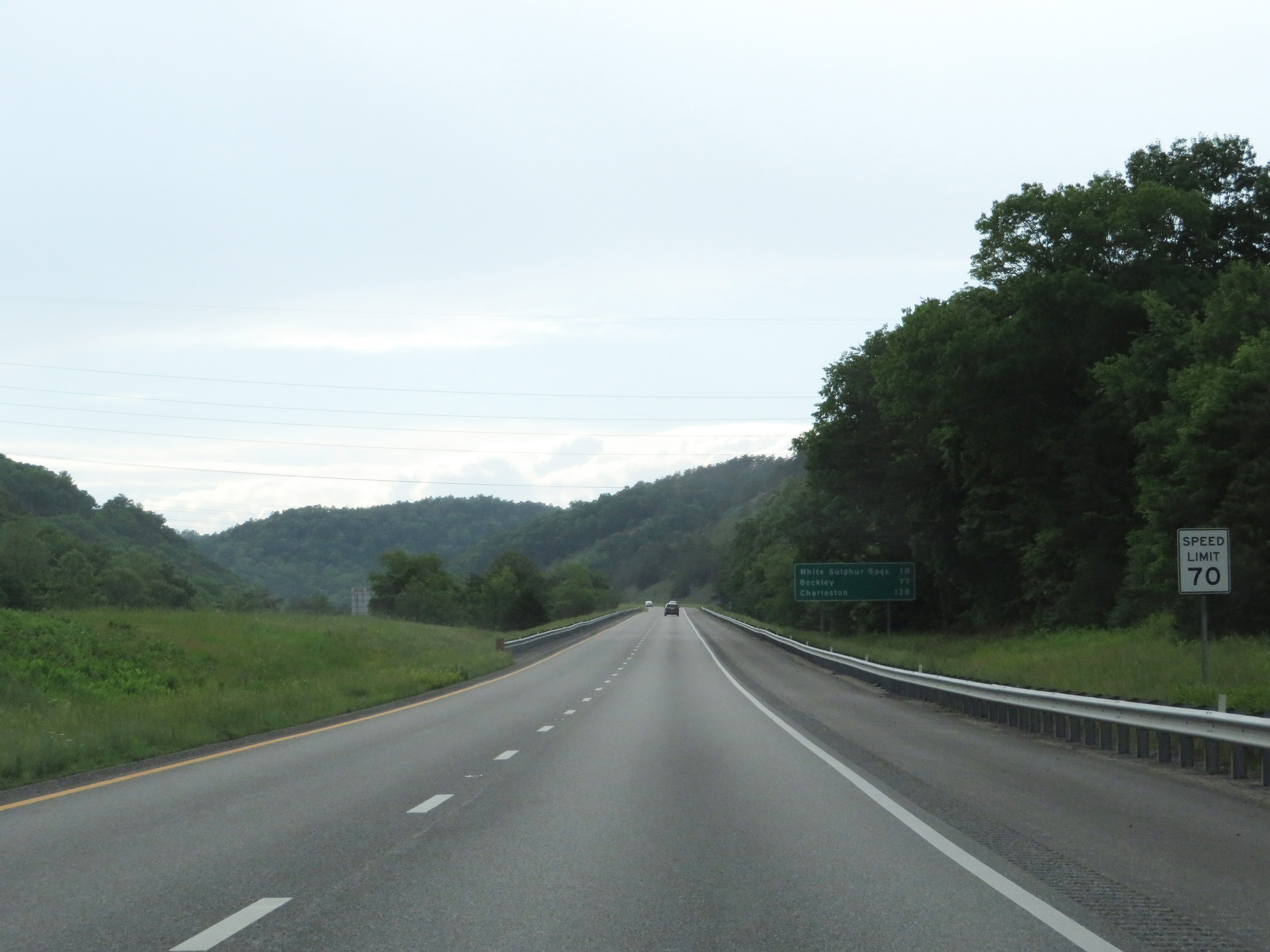
Mileage sign on Interstate 64 West in Clifton Forge. It's 6 miles to Covington, 24 miles to White Sulphur Springs, and 140 miles to Charleston. (Photo taken 5/26/18). |
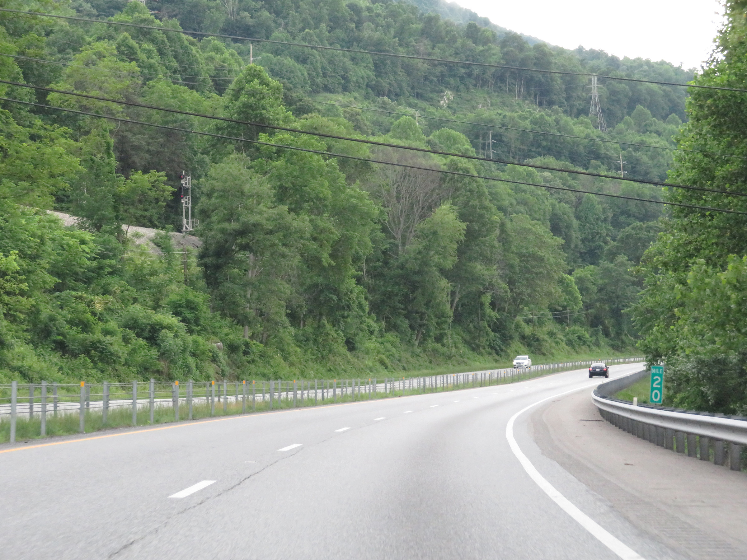 |
View on Interstate 64 West at mile marker 20. (Photo taken 5/26/18). |
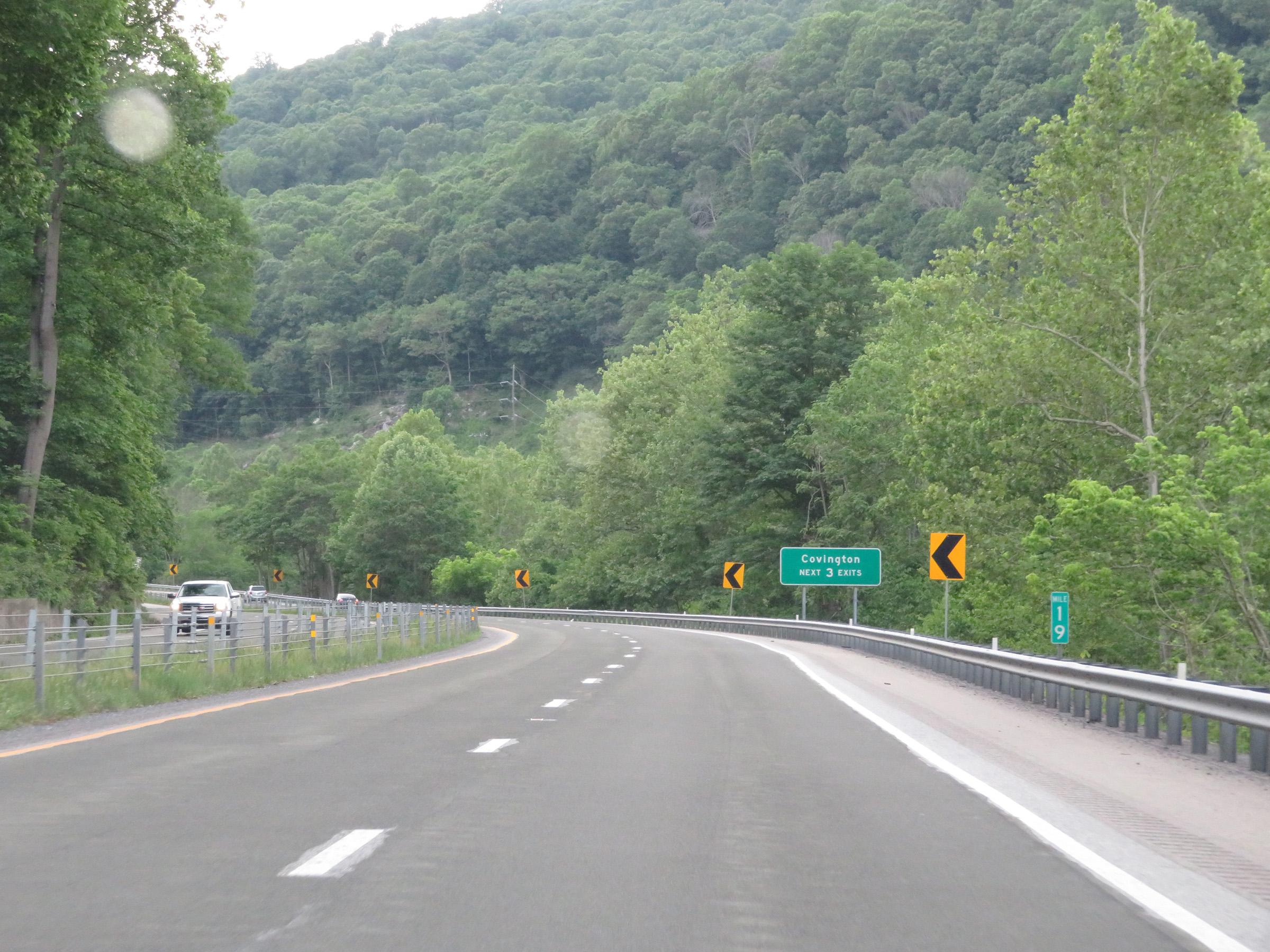 |
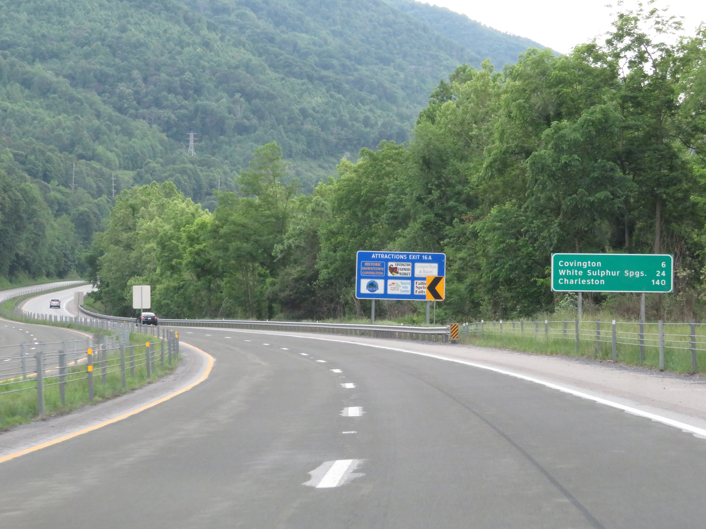
View on Interstate 64 West at mile marker 19. Take any of the next 3 exits to Covington. (Photo taken 5/26/18). |
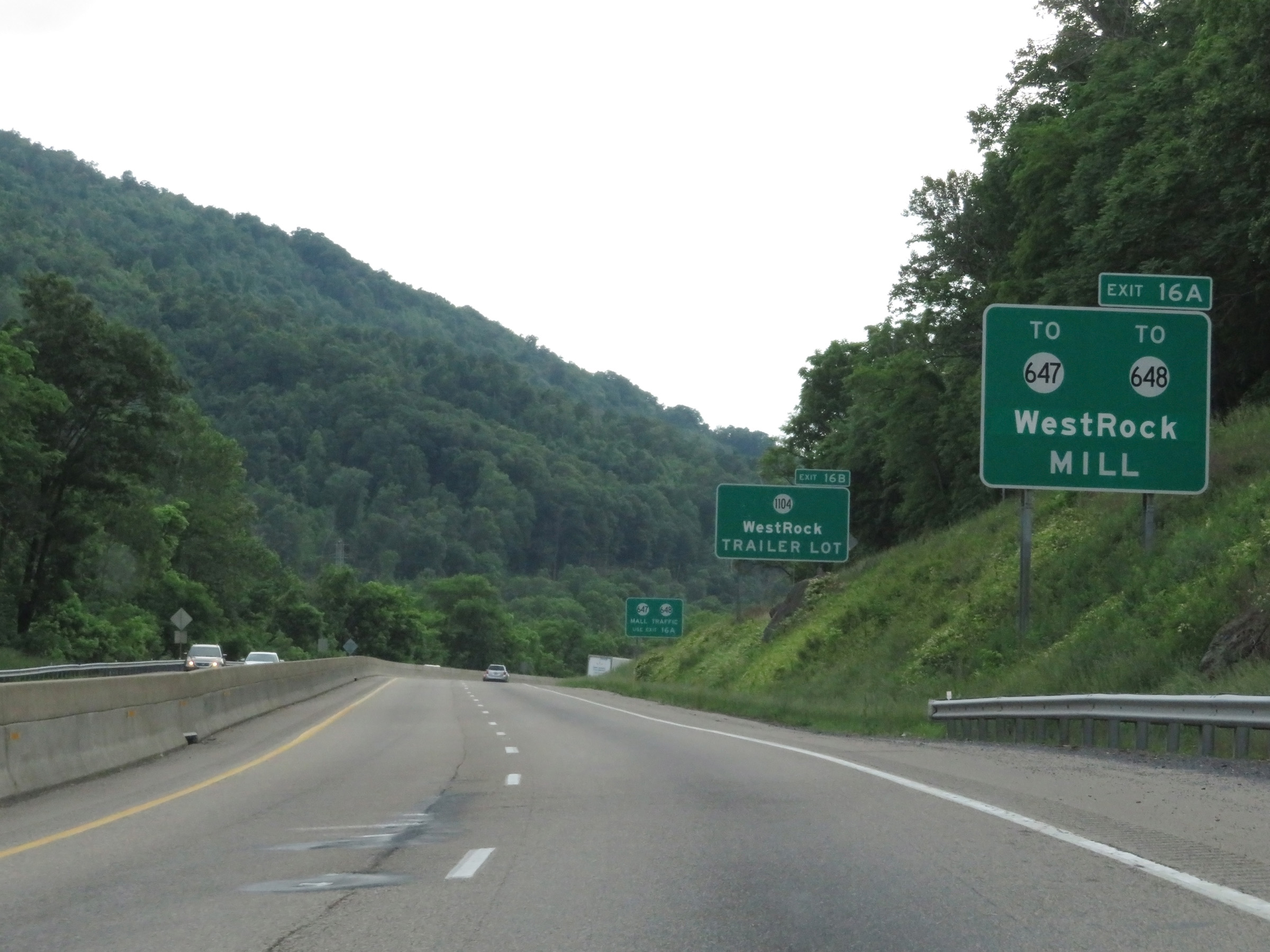 |
Take Exit 16A to SR 647 and SR 648 toward WestRock Mill. Take Exit 16B to SR 1104 toward the WestRock Trailer Lot. (Photo taken 5/26/18). |
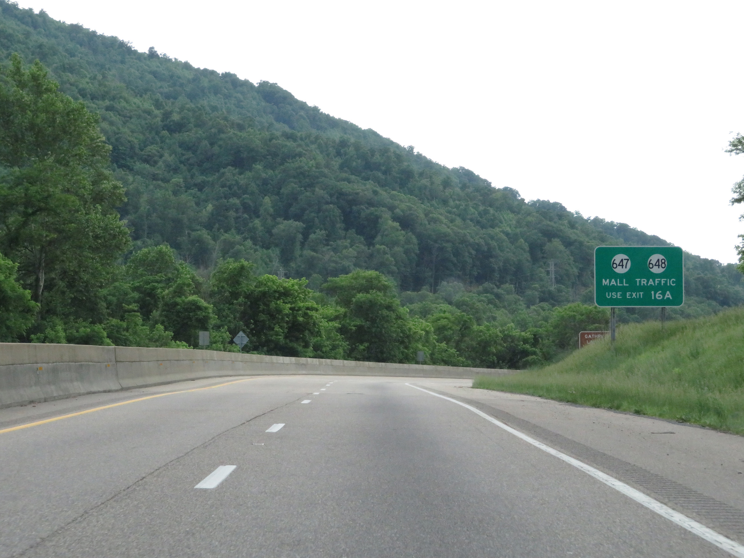 |
Traffic to the mall should use SR 647 / SR 648 via Exit 16A. (Photo taken 5/26/18). |
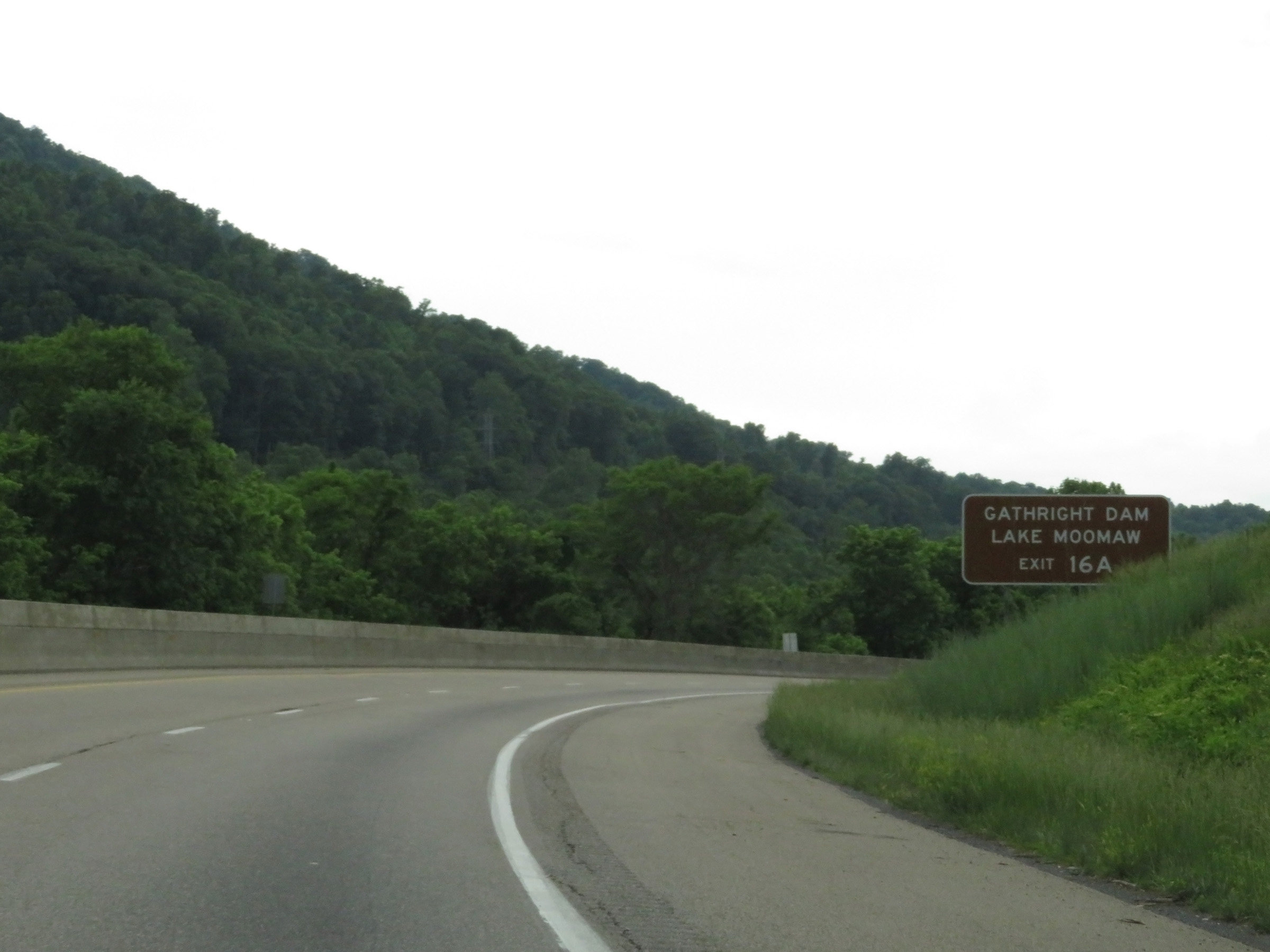 |
Take Exit 16A (US 60 West / US 220 North) to Gathright Dam and Lake Moomaw. (Photo taken 5/26/18). |
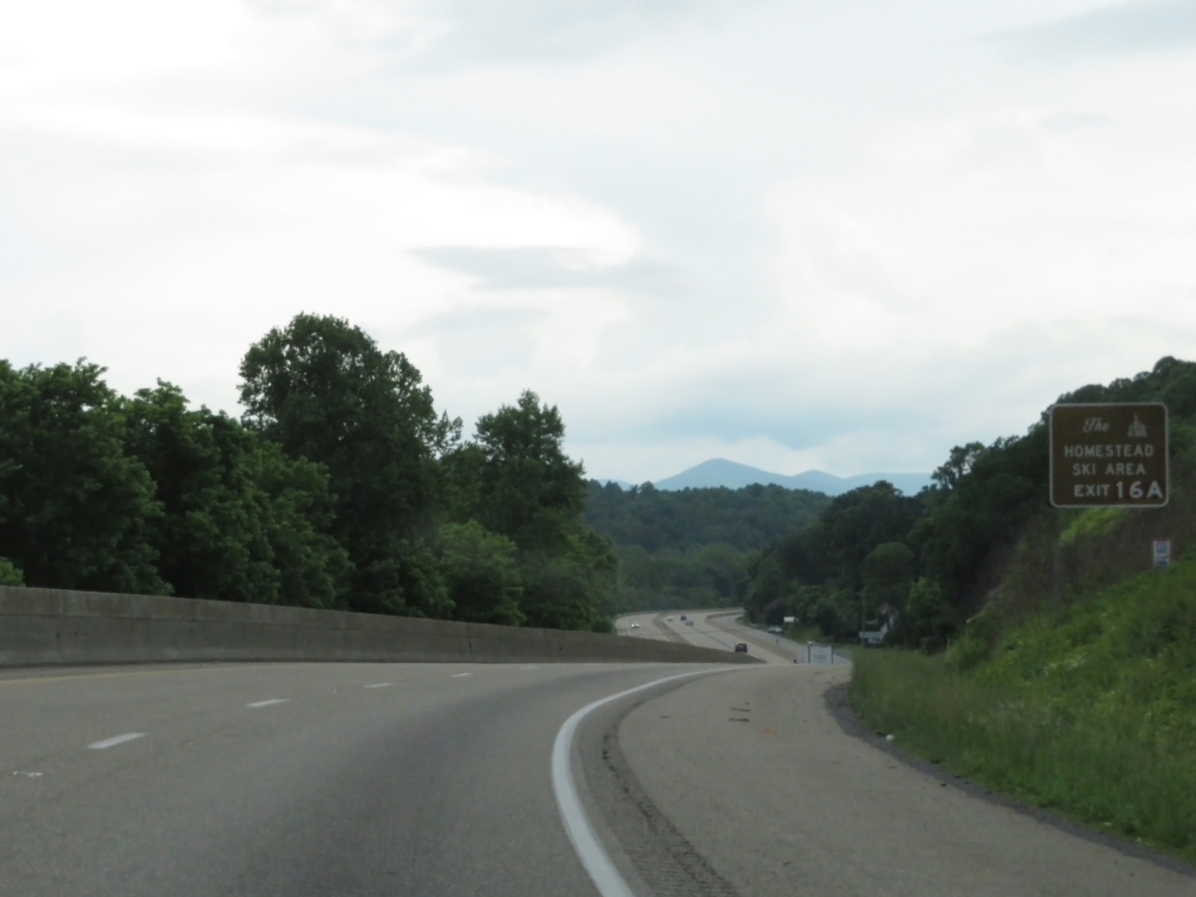 |
Also take Exit 16A to Homestead Ski Area. (Photo taken 5/26/18). |
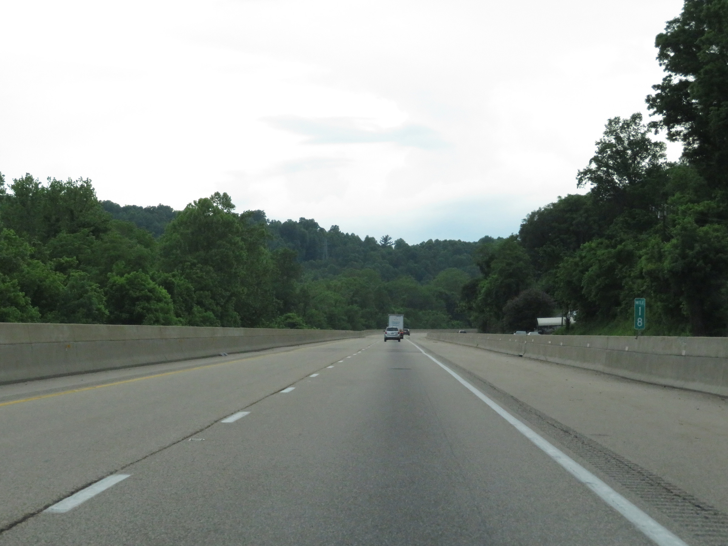 |
View on Interstate 64 West at mile marker 18 in Covington, as I-64 remains narrow and winds through the Appalachian Mountains. (Photo taken 5/26/18). |
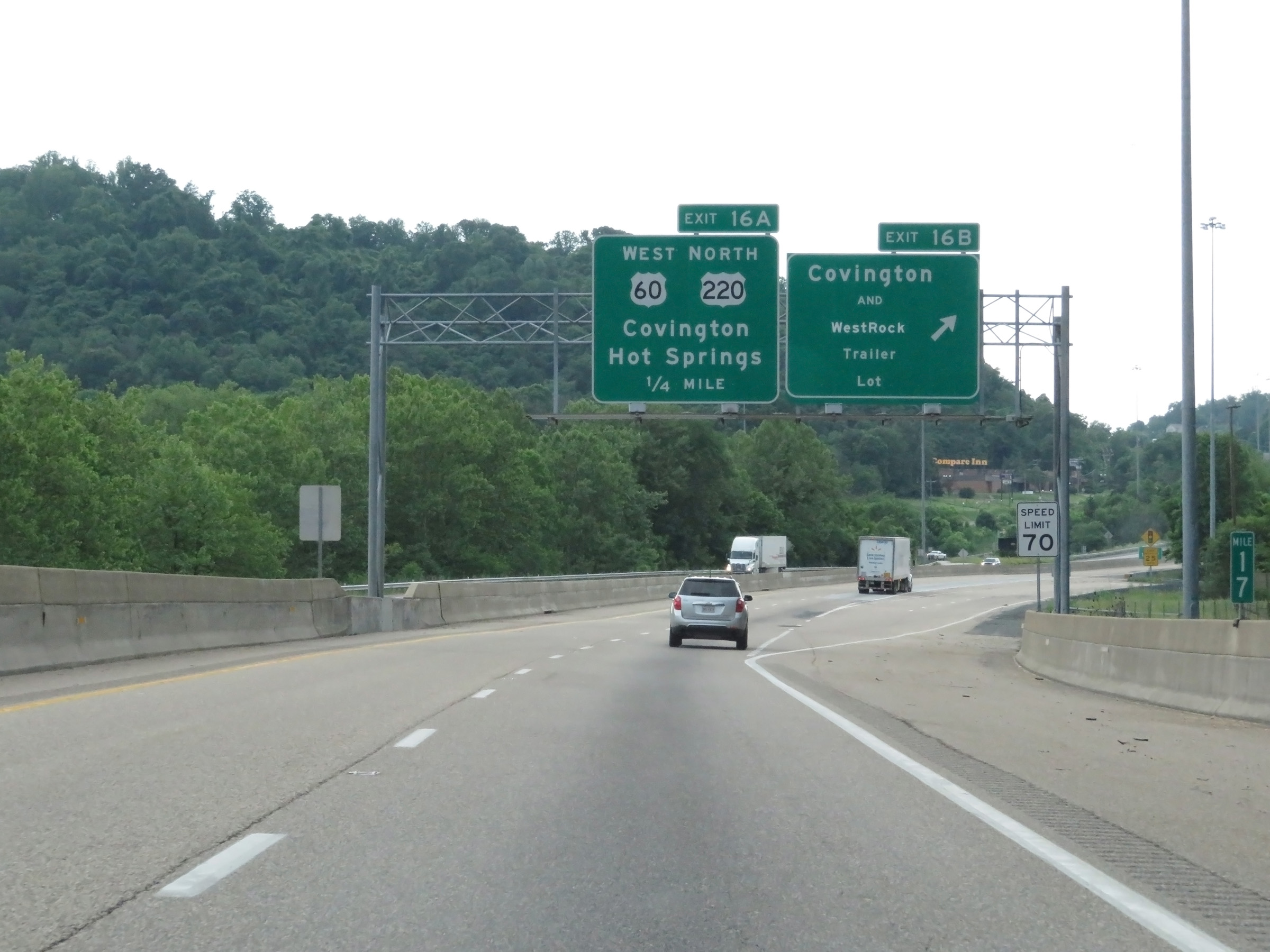 |
Interstate 64 West at Exit 16B: Covington / WestRock Trailer Lot. Also at this point, the speed limit increases to 70 mph once again. (Photo taken 5/26/18). |
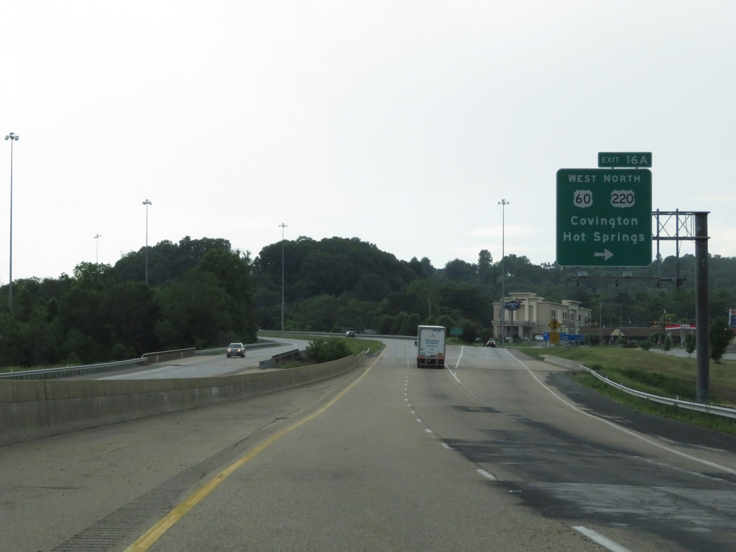 |
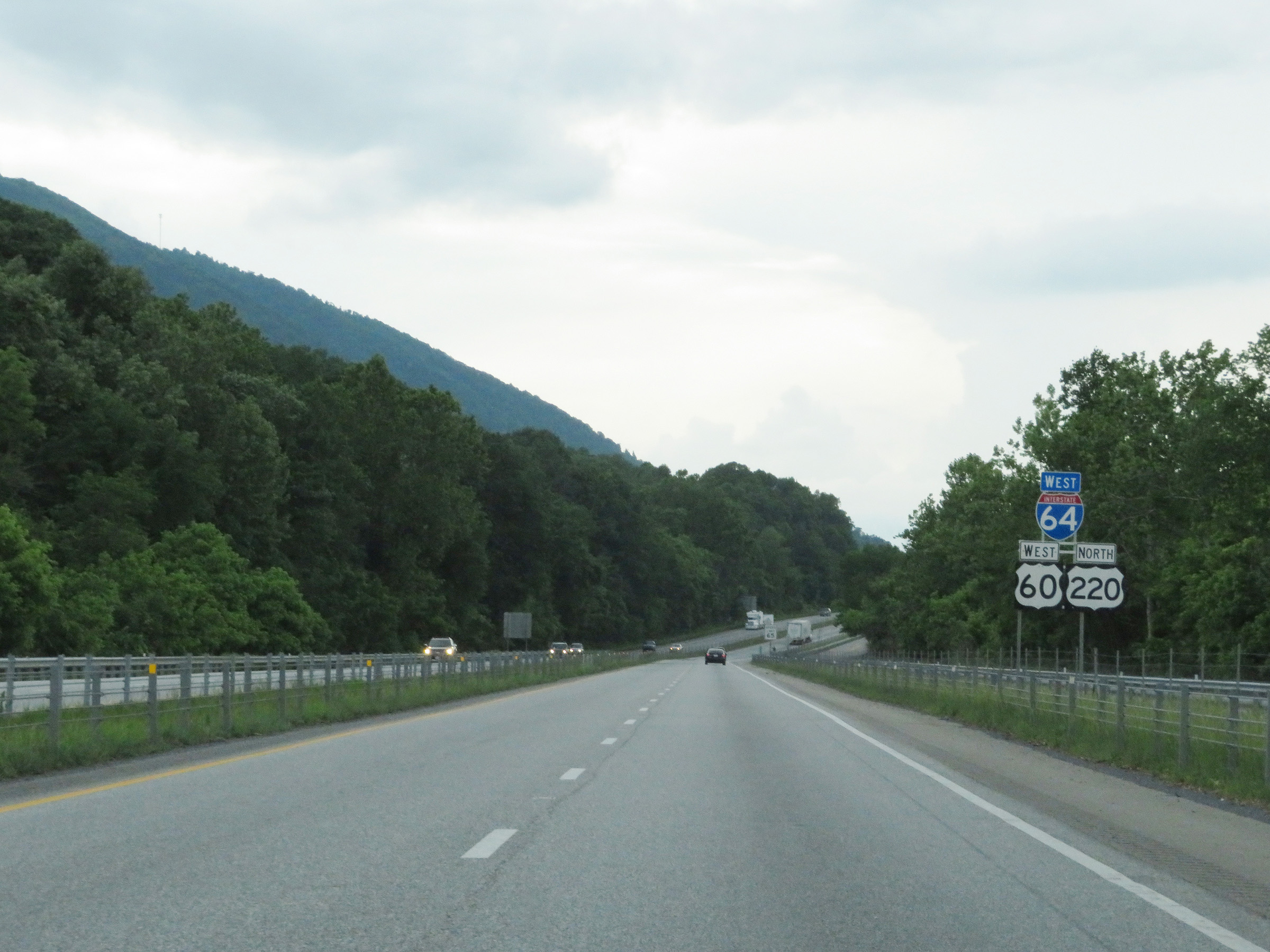
Interstate 64 West at Exit 16A: US 60 West / US 220 North - Covington / Hot Springs (Photo taken 5/26/18). |
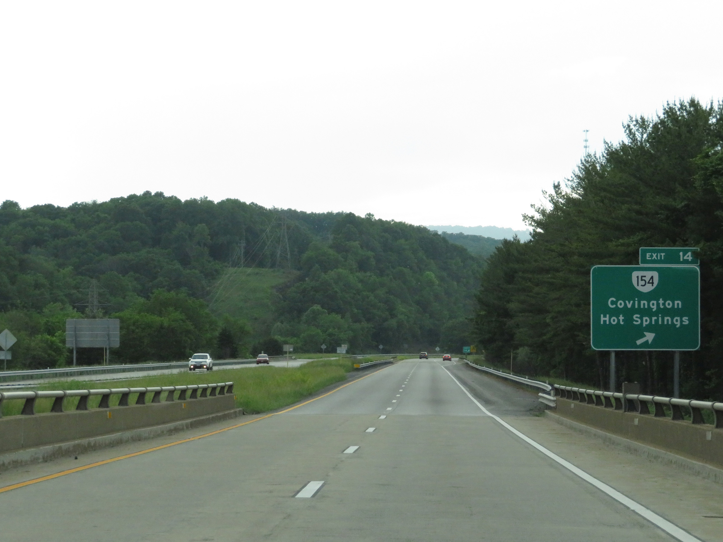 |
Interstate 64 West at Exit 14: VA 154 - Covington / Hot Springs (Photo taken 5/26/18). |
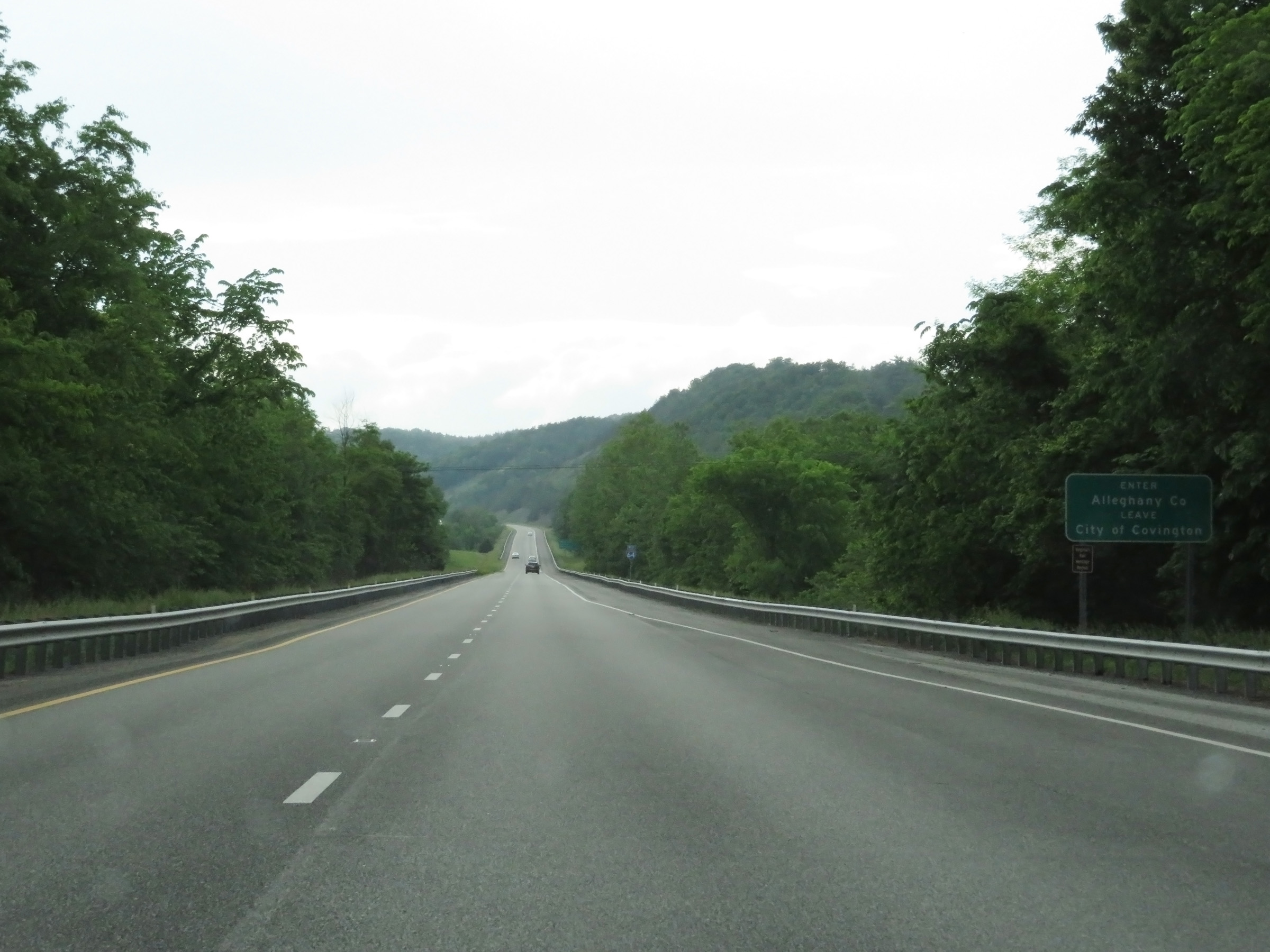 |
Interstate 64 West reenters Alleghany County at this point after leaving the City of Covington. (Photo taken 5/26/18). |
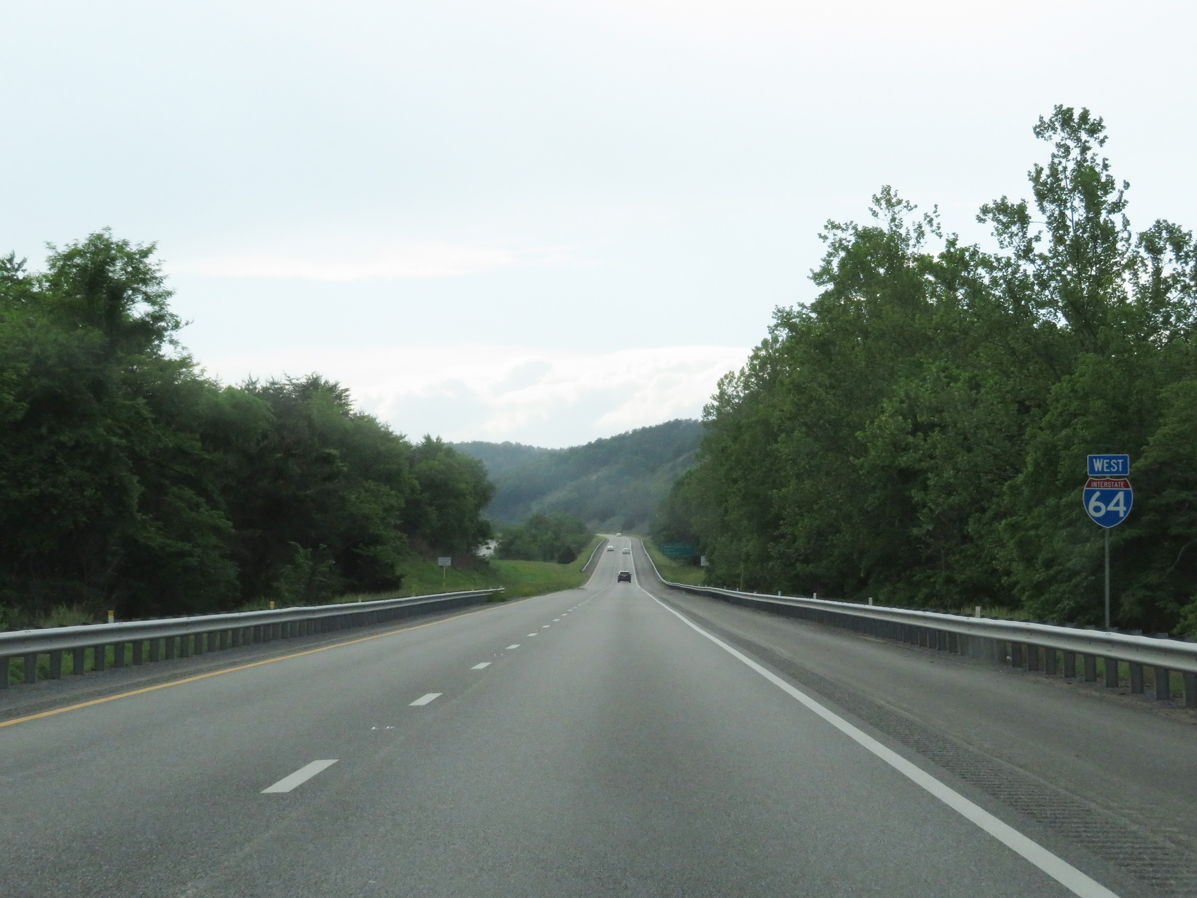 |
Interstate 64 West reassurance shield to the west of Covington. (Photo taken 5/26/18). |
 |
The speed limit remains 70 mph on Interstate 64 West. This is the standard speed limit on most rural Interstate highways in Virginia. (Photo taken 5/26/18). |
 |
View on Interstate 64 West at mile marker 13. (Photo taken 5/26/18). |
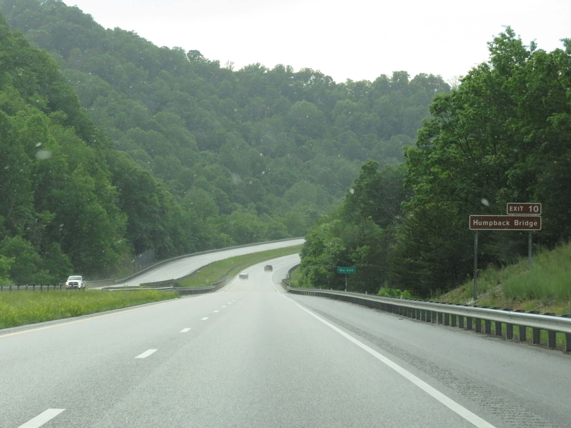 |
Take Exit 10 to Humpback Bridge. (Photo taken 5/26/18). |
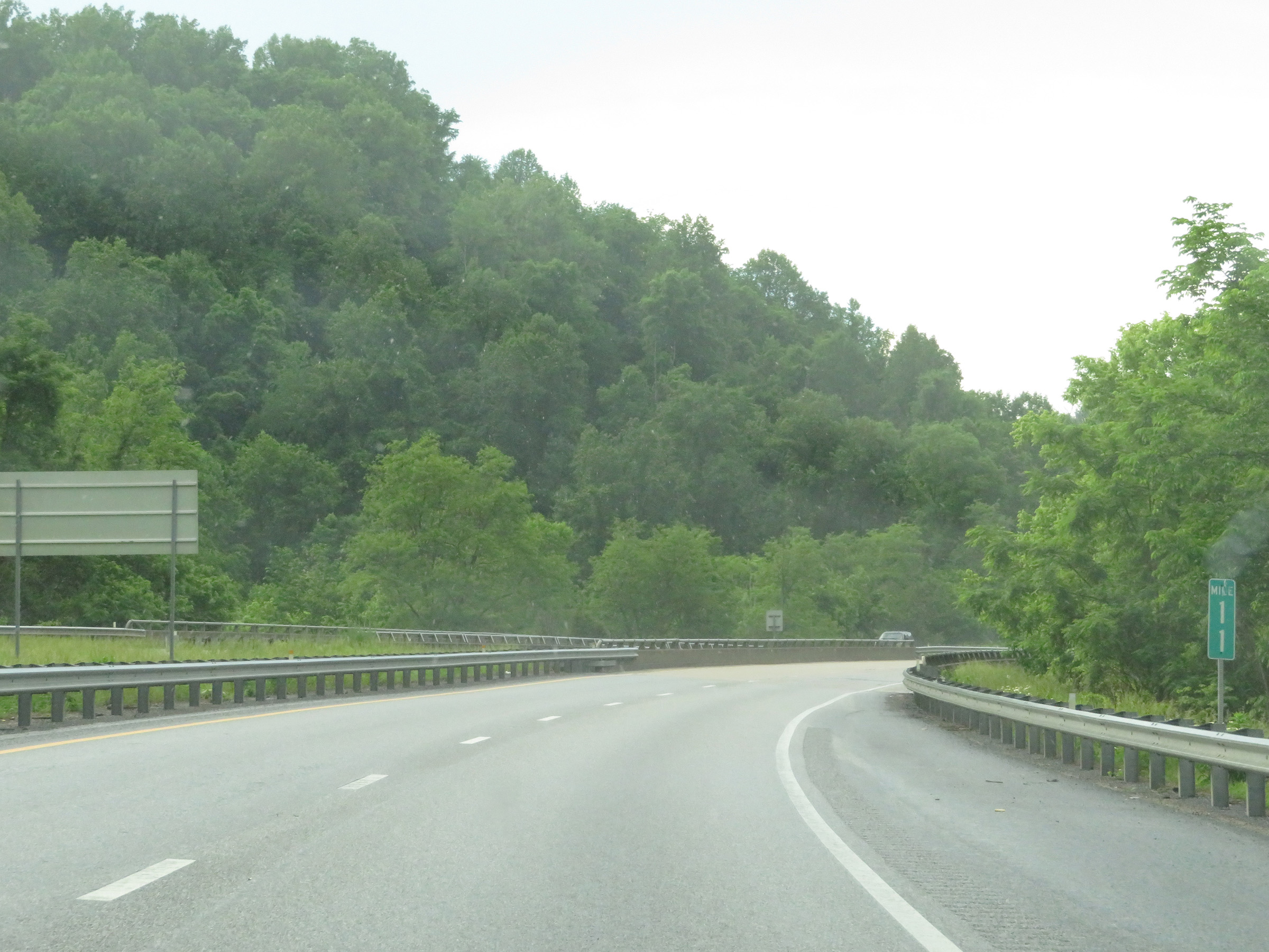 |
Mile marker 11 on Interstate 64 West in Alleghany County. (Photo taken 5/26/18). |
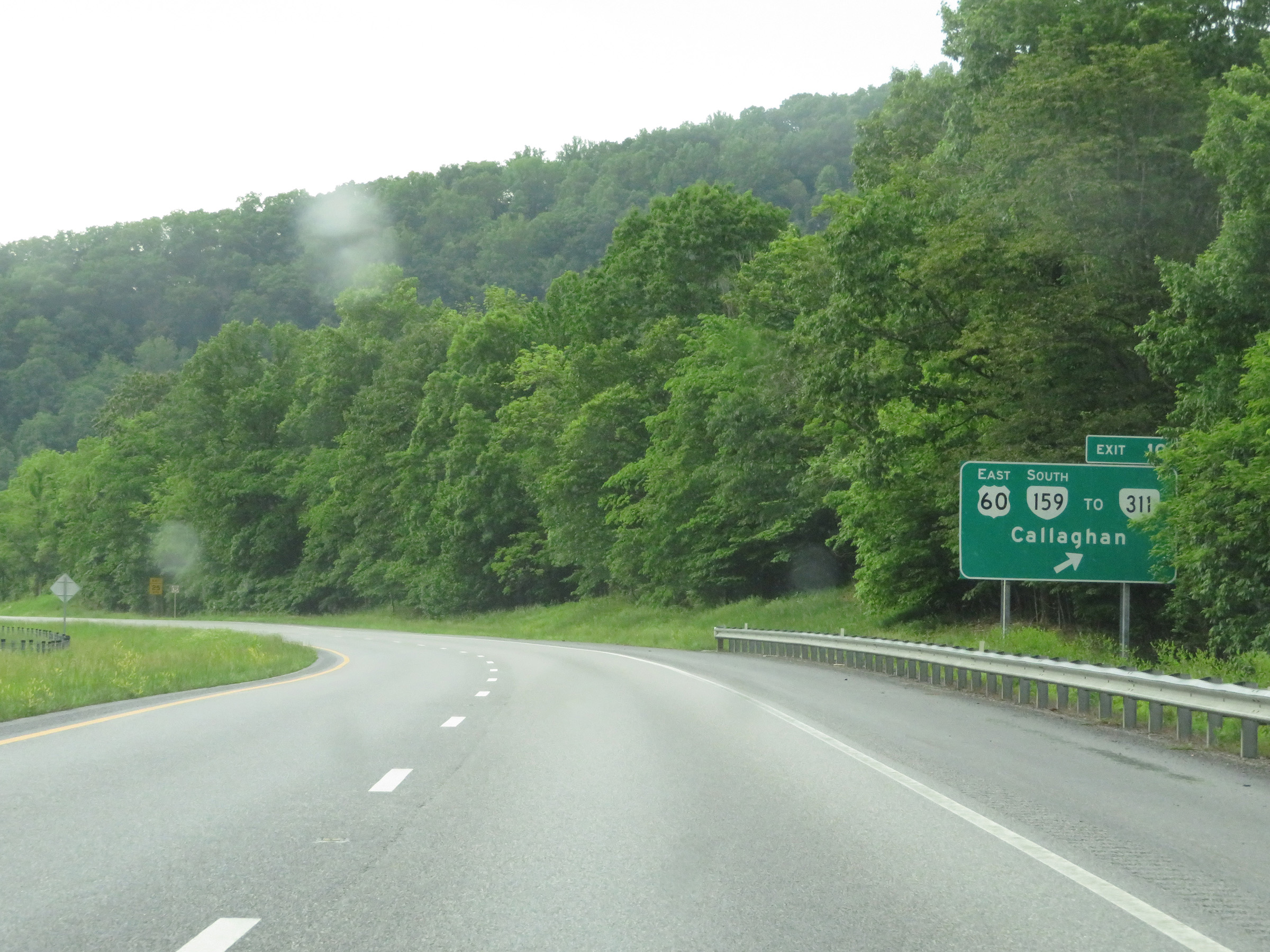 |
Interstate 64 West at Exit 10: US 60 East / VA 159 South / To VA 311 - Callaghan (Photo taken 5/26/18). |
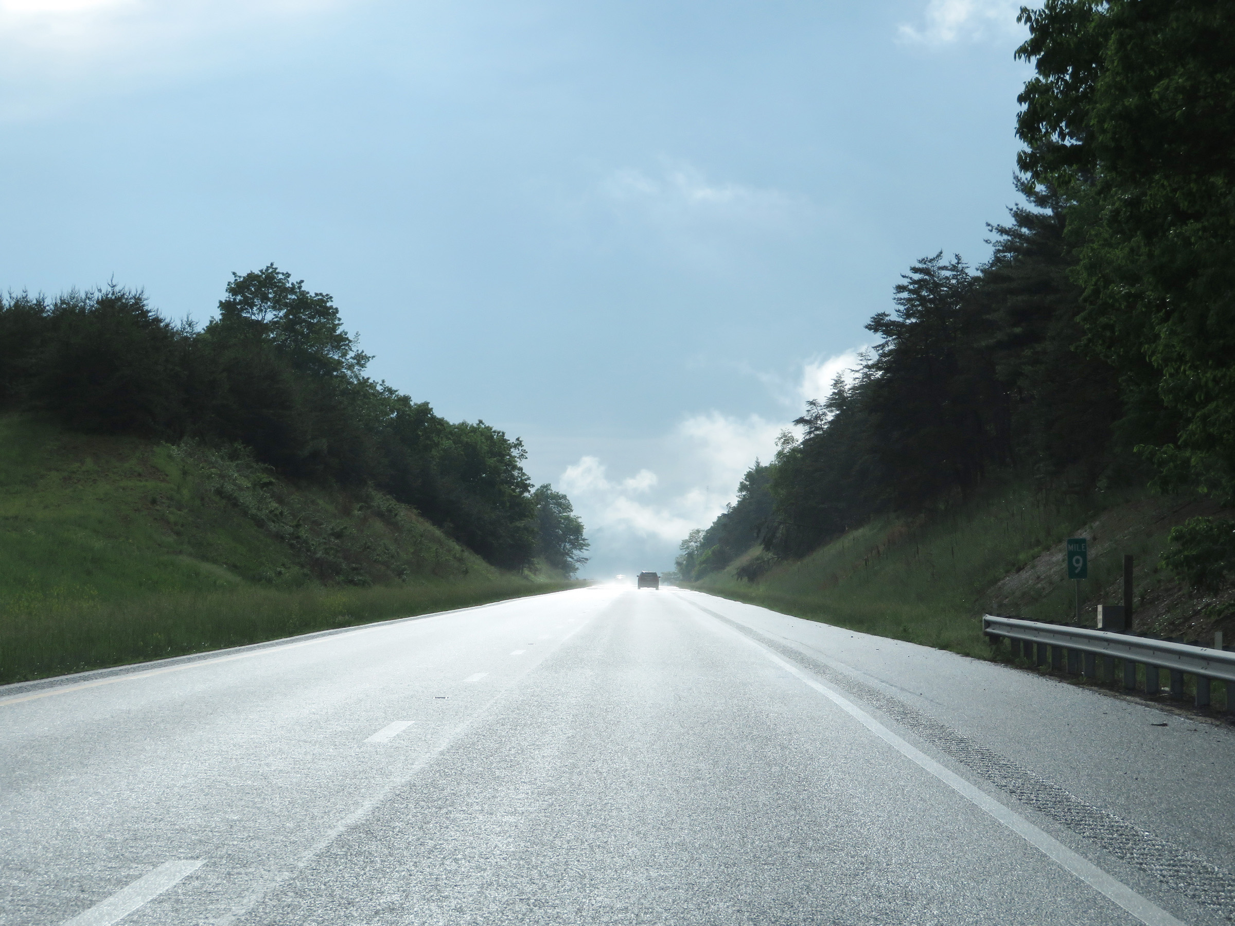 |
Interstate 64 West at mile marker 9. (Photo taken 5/26/18). |
 |
View on Interstate 64 West at mile marker 8. (Photo taken 5/26/18). |
 |
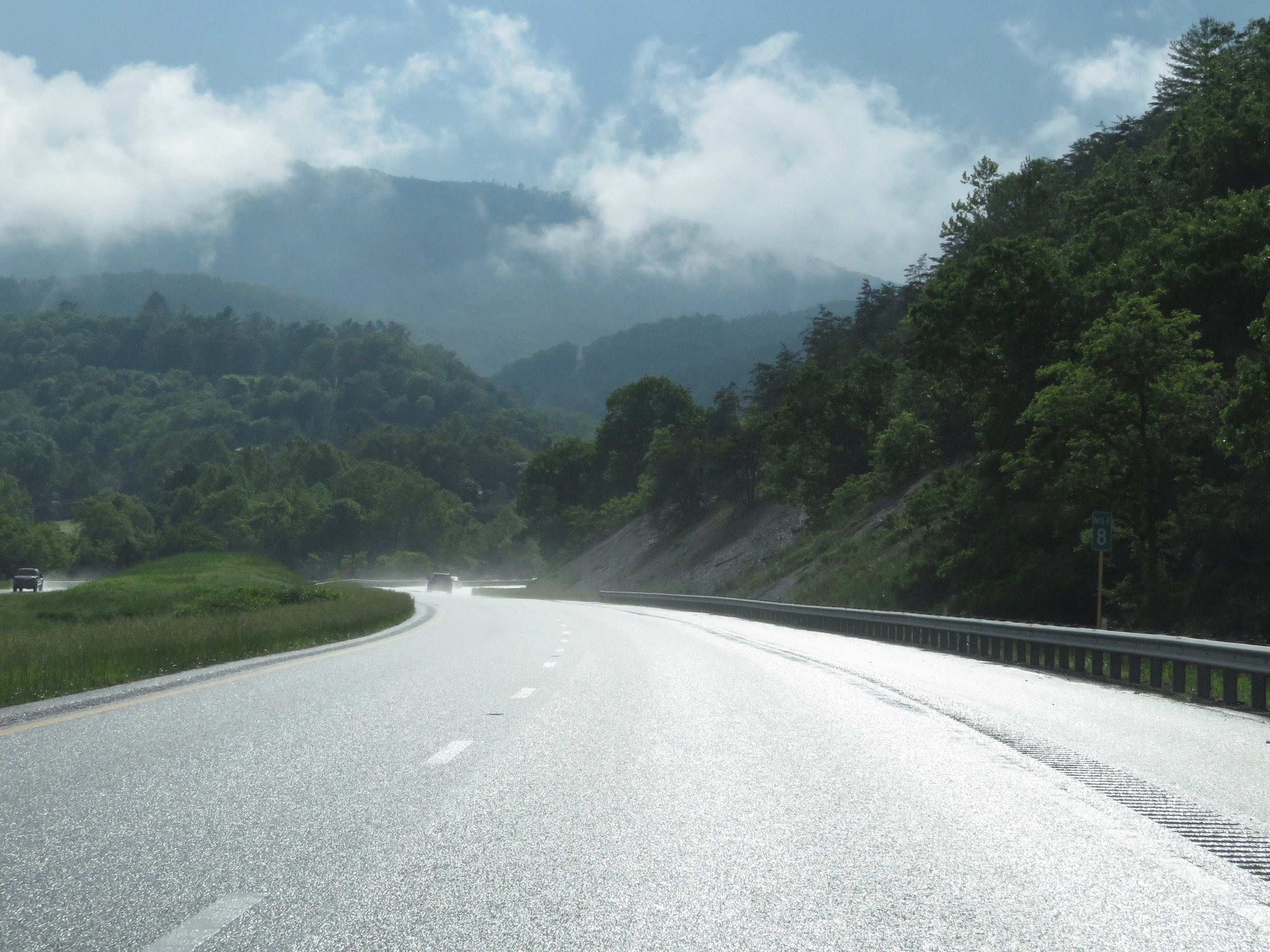
Mile marker 6 on Interstate 64 West in Alleghany County and the Appalachian Mountains. (Photo taken 5/26/18). |
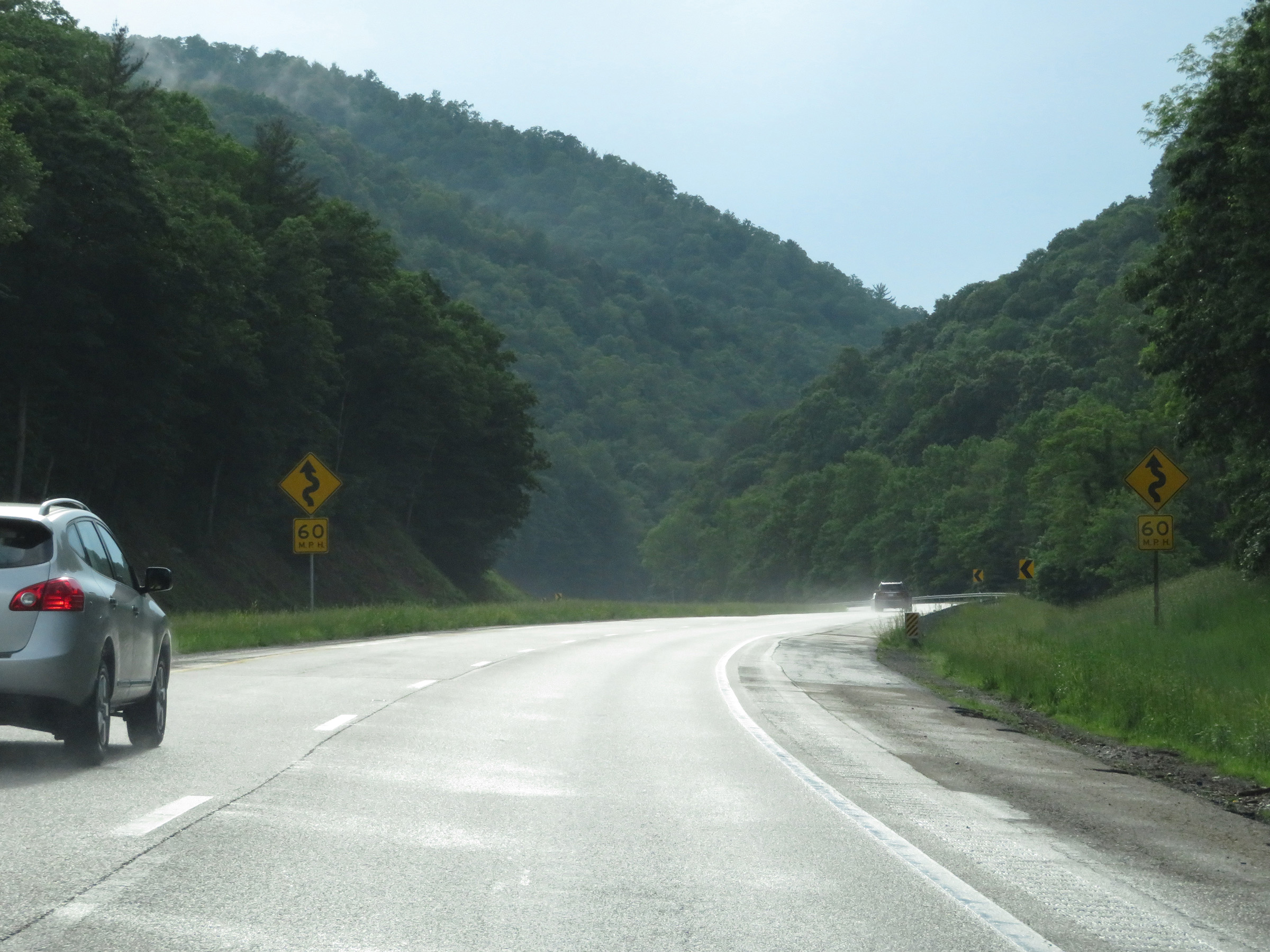 |
These signs warn of more winding curves ahead on Interstate 64 West. 60 mph is the recommended speed for the curves. (Photo taken 5/26/18). |
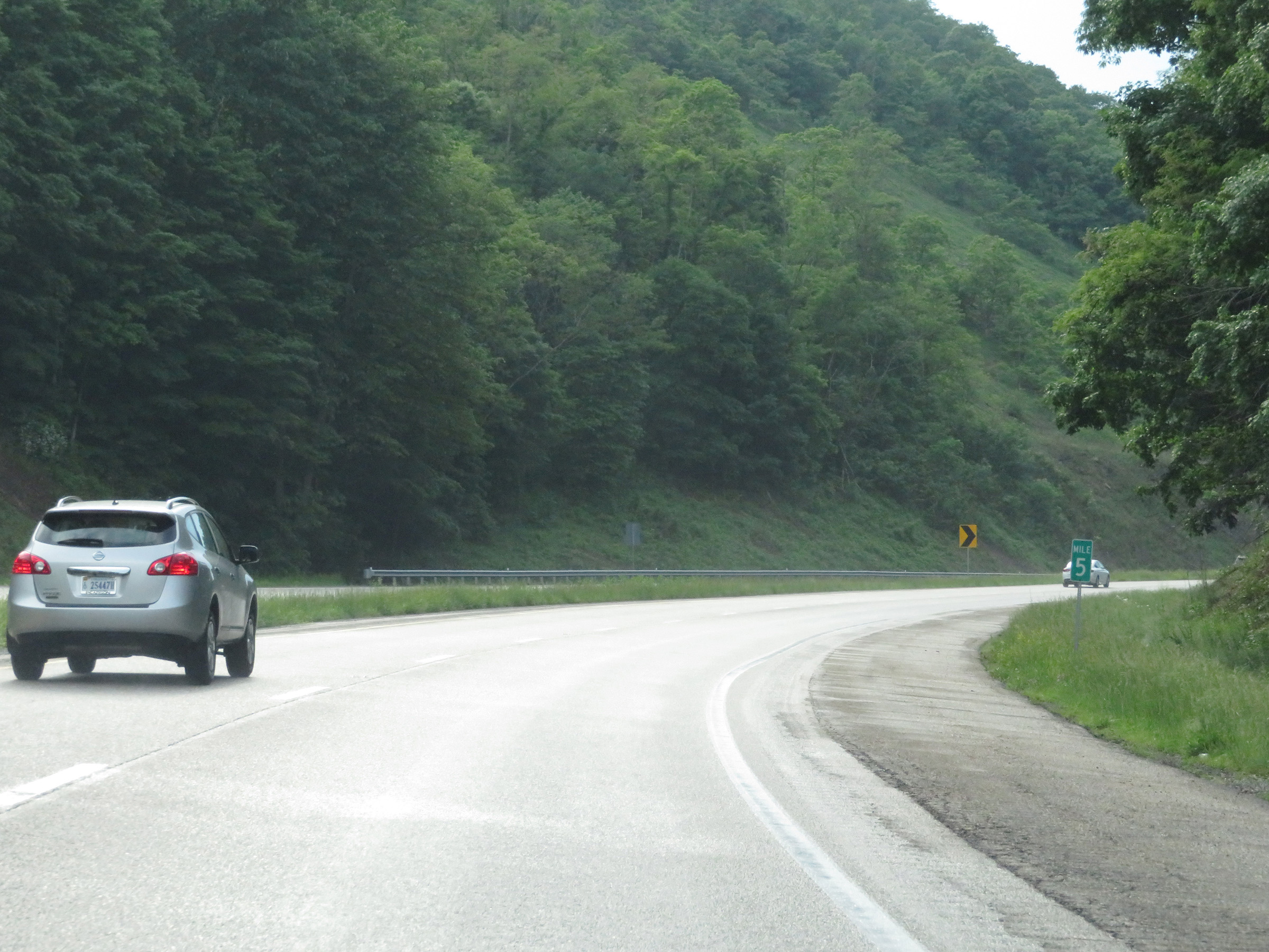 |
View on Interstate 64 West at mile marker 5. (Photo taken 5/26/18). |
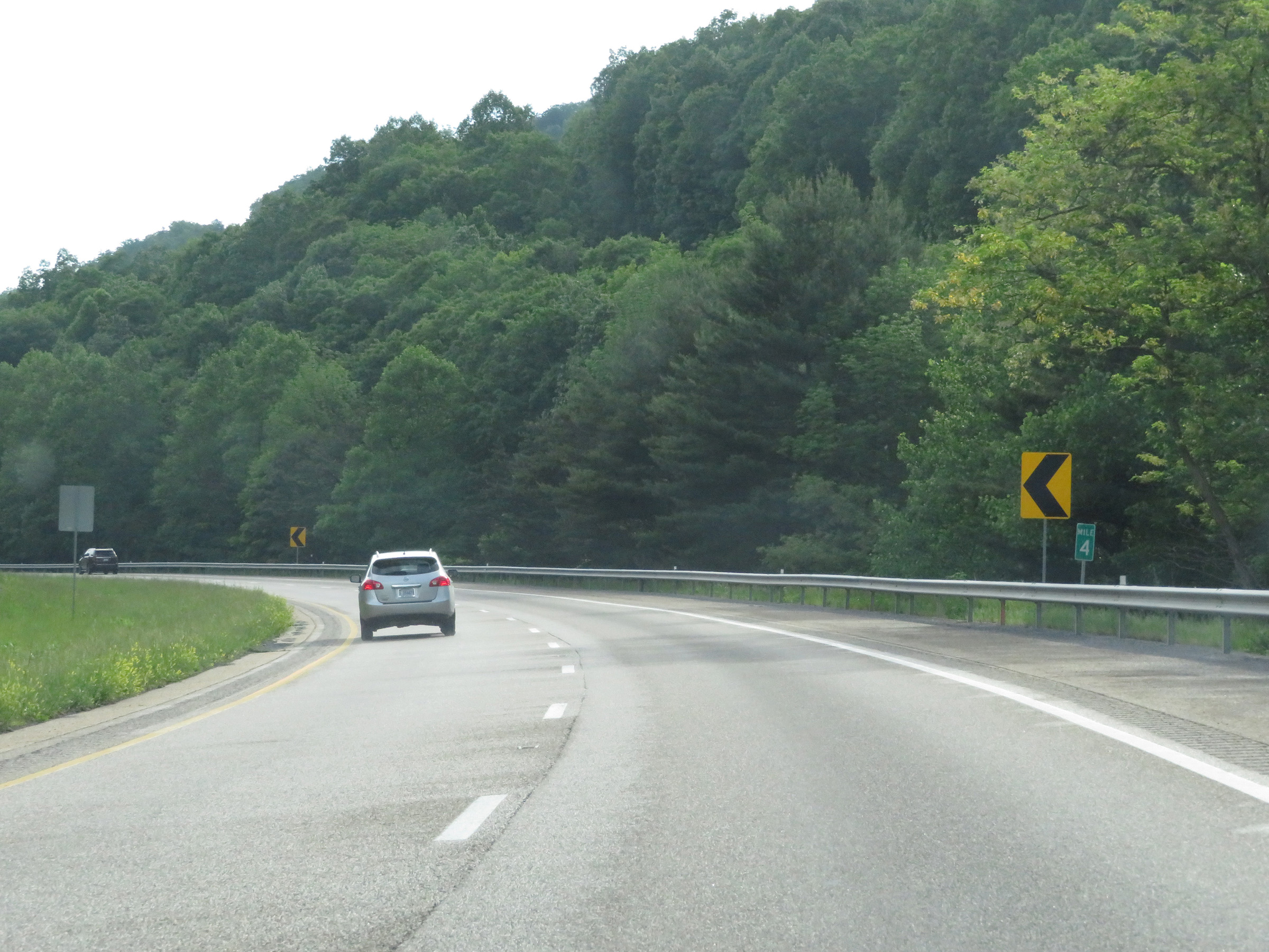 |
Interstate 64 West at mile marker 4. (Photo taken 5/26/18). |
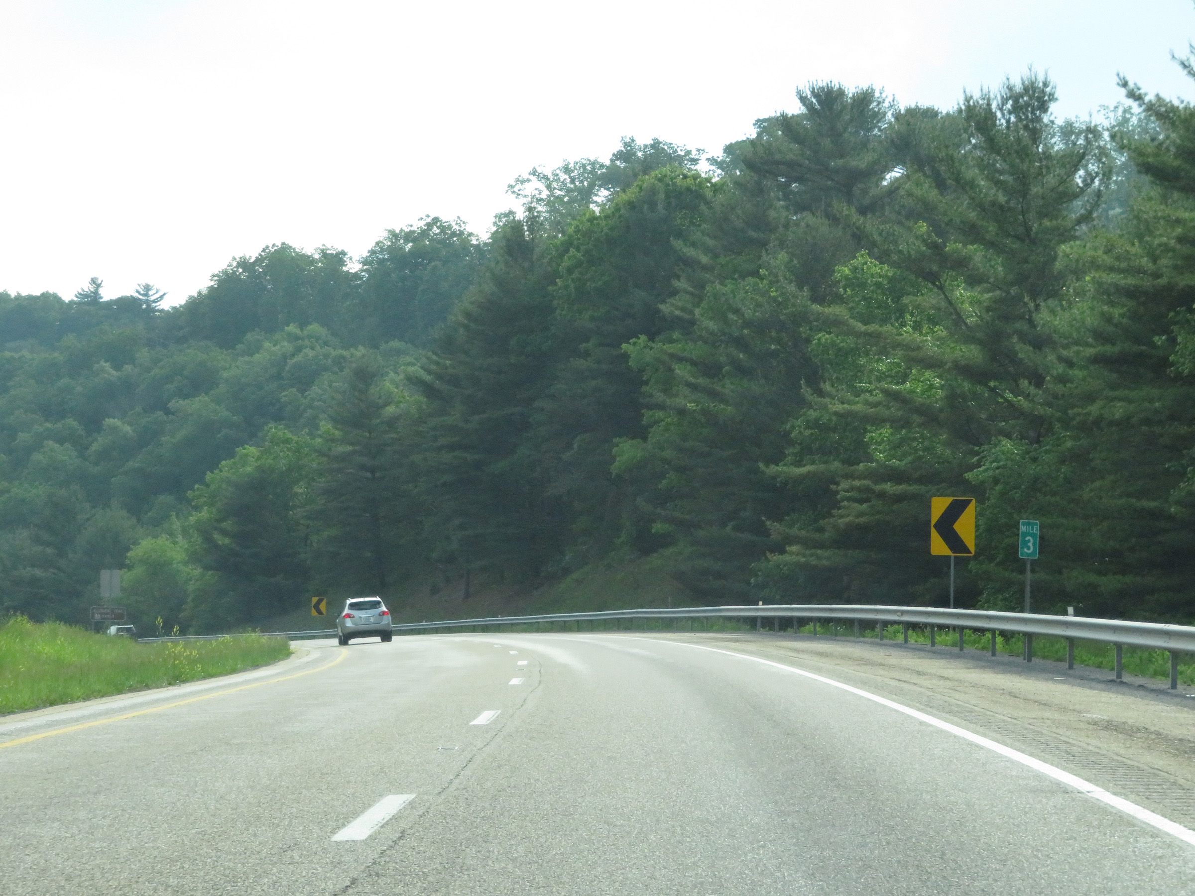 |
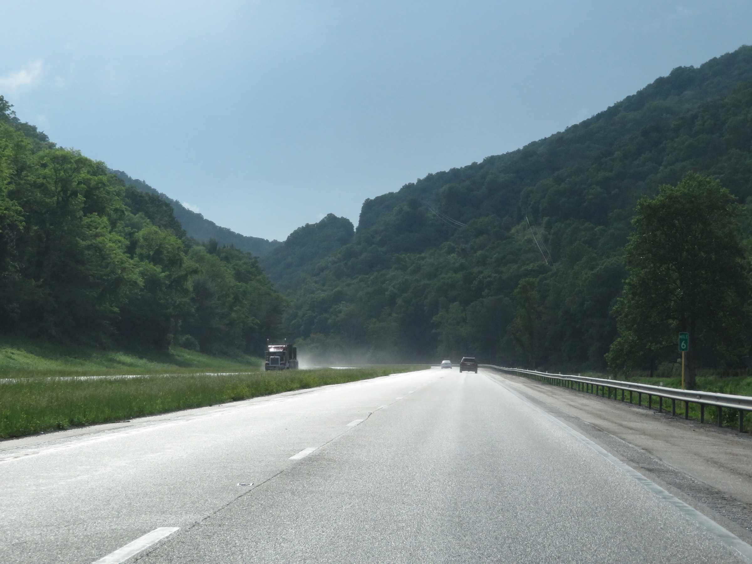
Mile marker 3 on Interstate 64 West in Alleghany County. (Photo taken 5/26/18). |
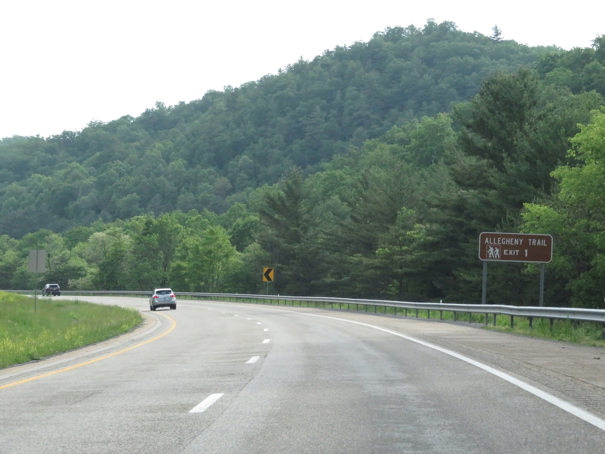 |
Take Exit 1 to the Alleghany Hiking Trail. (Photo taken 5/26/18). |
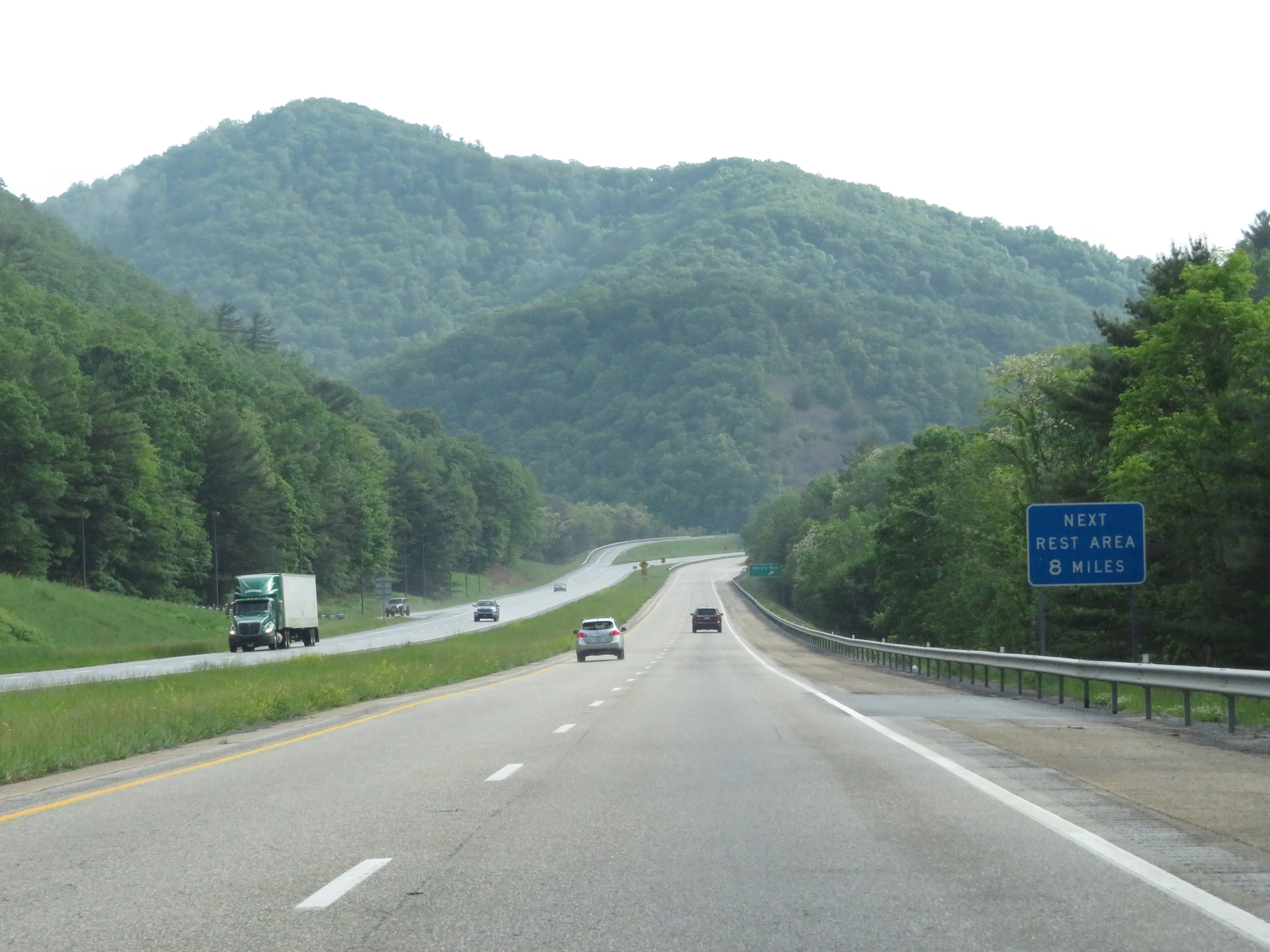 |
The next Rest Area heading west on Interstate 64 is 8 miles ahead in West Virginia. (Photo taken 5/26/18). |
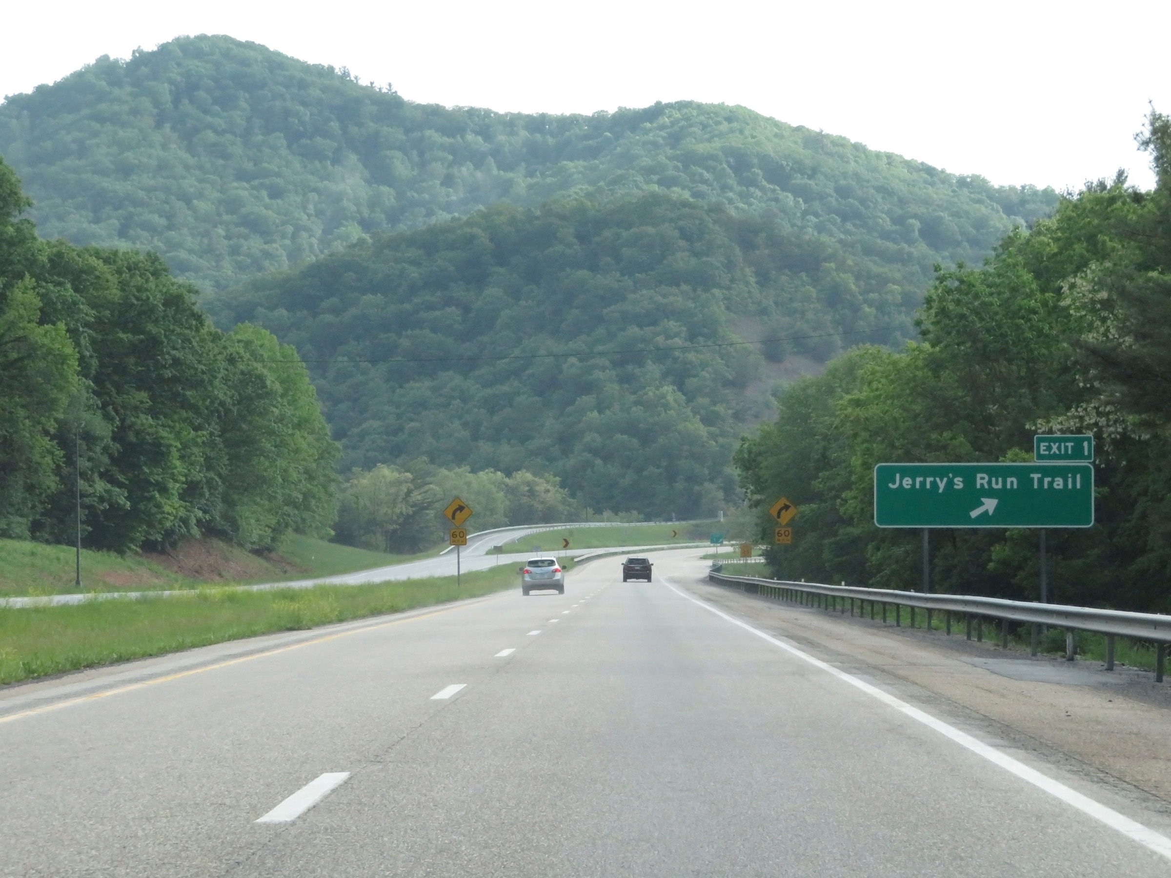 |
Interstate 64 West at Exit 1: Jerry's Run Trail (Photo taken 5/26/18). |
 |
Interstate 64 West at mile marker 1. (Photo taken 5/26/18). |
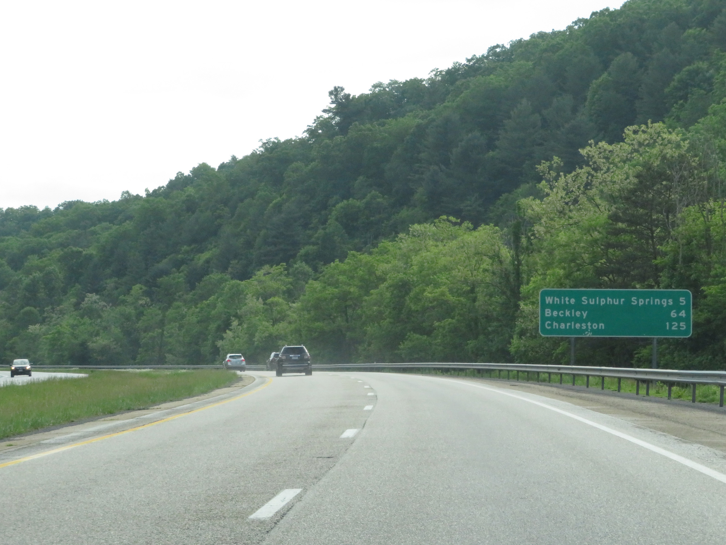 |
Mileage sign on Interstate 64 West nearing the West Virginia border. It's 5 miles to White Sulphur Springs, 64 miles to Beckley, and 125 miles to Charleston. (Photo taken 5/26/18). |
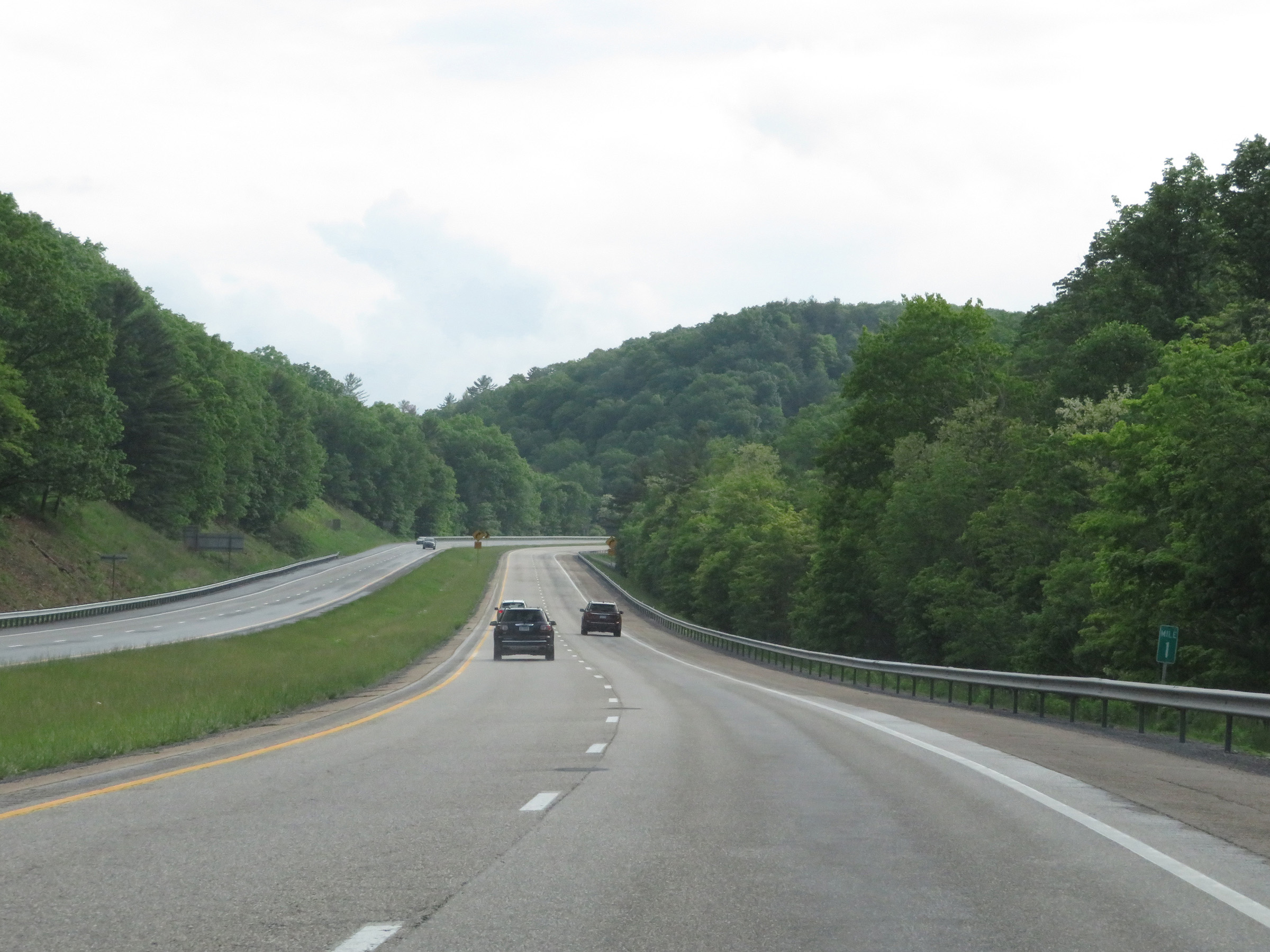 |
View on Interstate 64 West at mile marker 1. (Photo taken 5/26/18). |
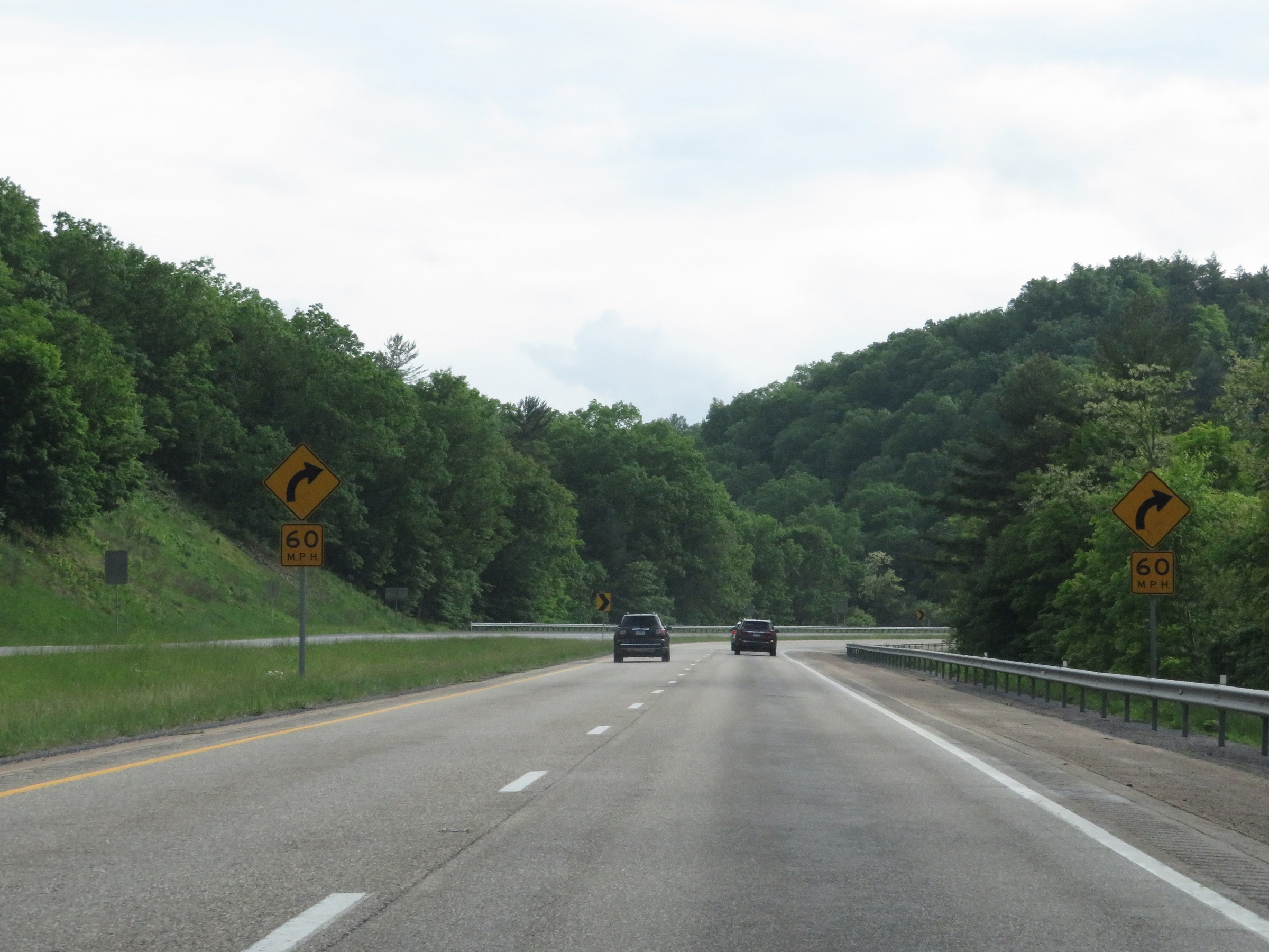 |
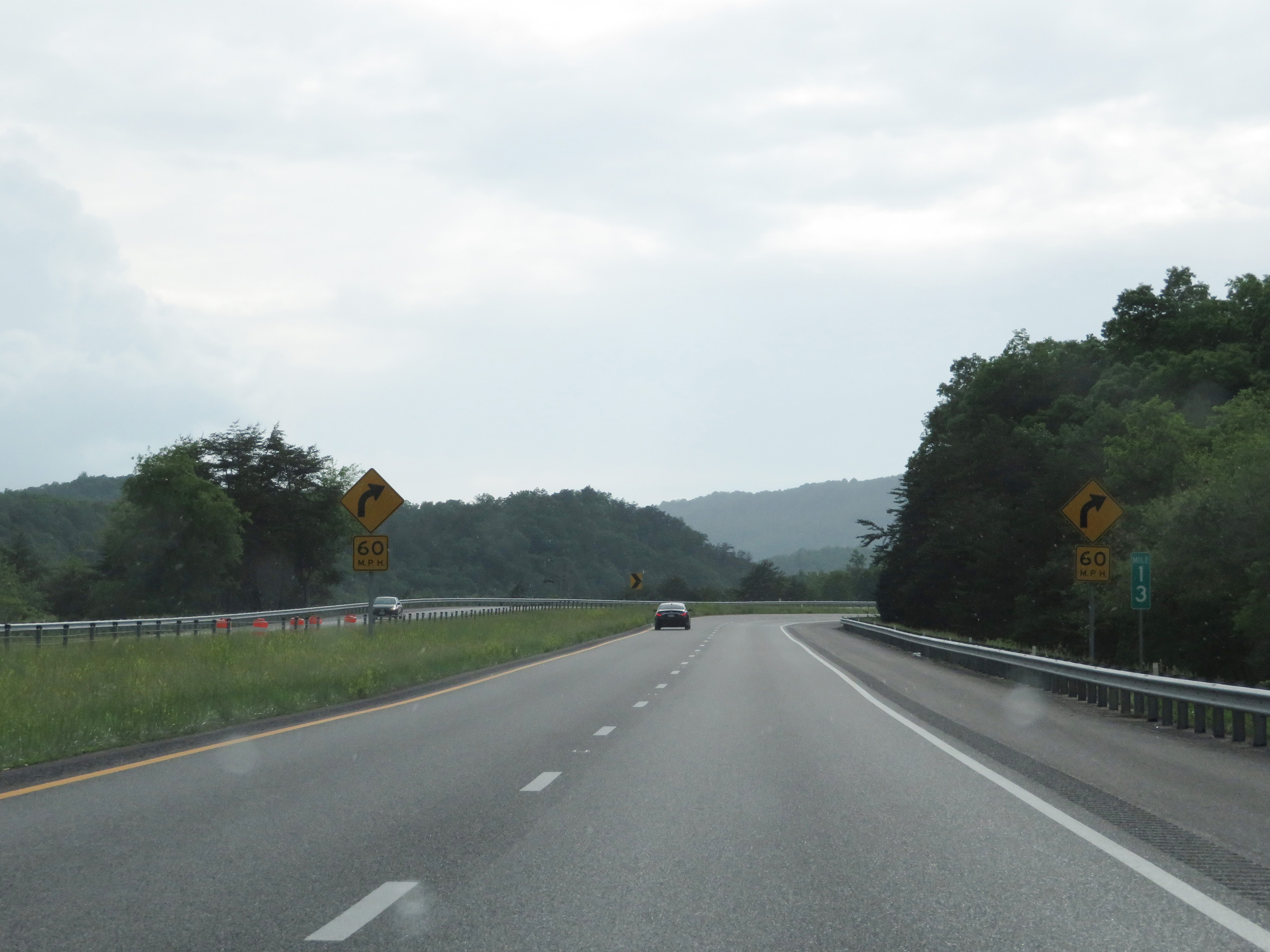
Another 60 mph curve exists ahead on Interstate 64 West as it approaches the West Virginia border. (Photo taken 5/26/18). |
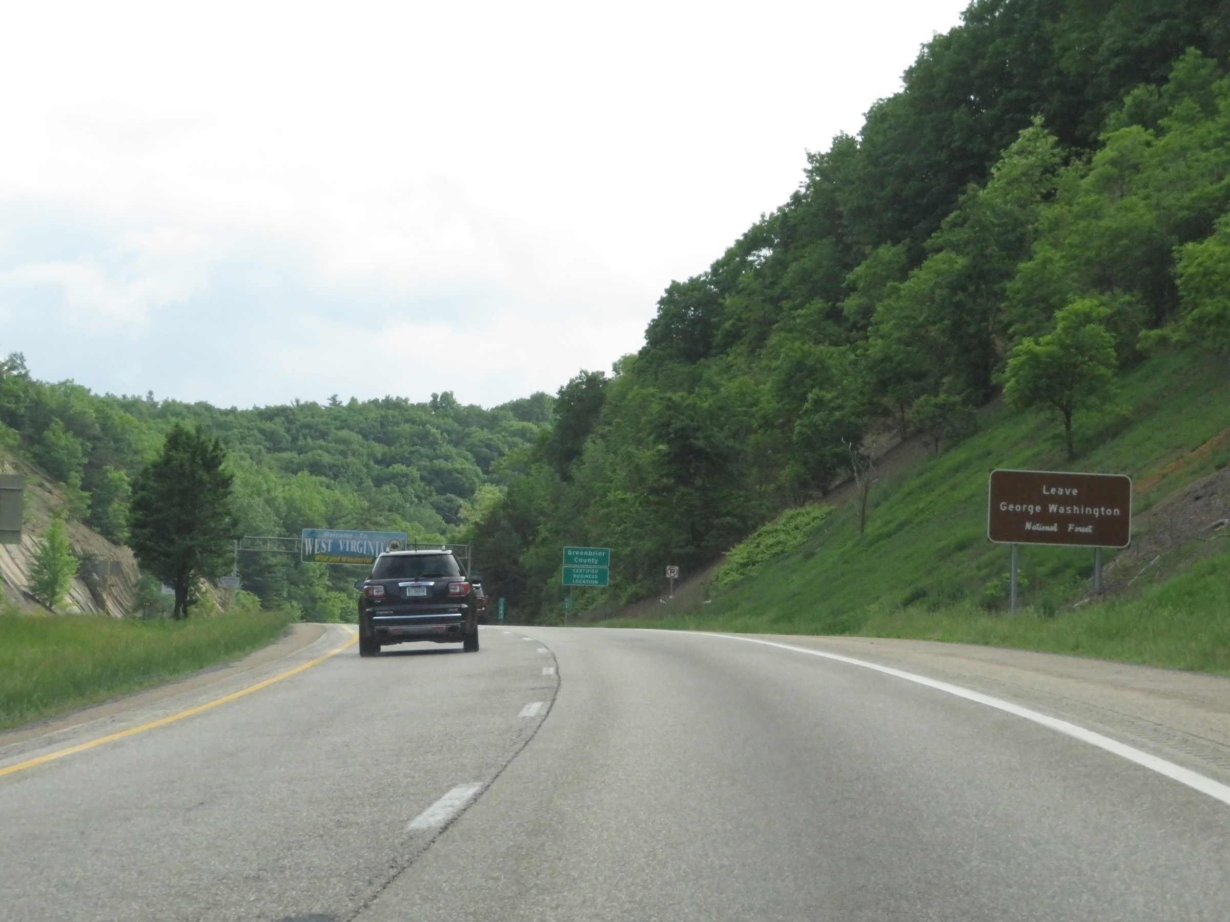 |
As Interstate 64 West leaves Virginia, it also leaves George Washington National Forest. (Photo taken 5/26/18). |
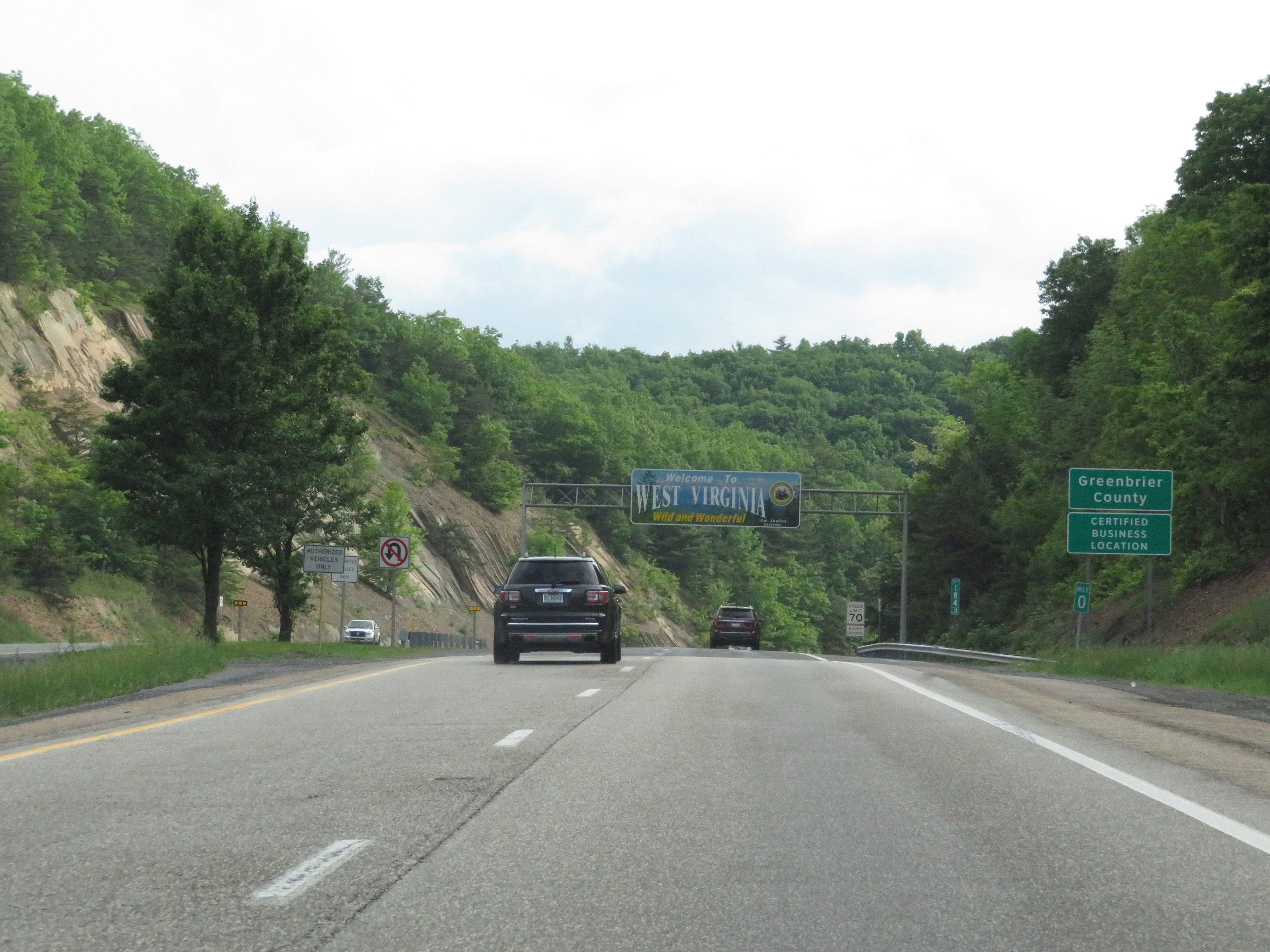 |
Interstate 64 West at mile marker 0, which marks the West Virginia state line. (Photo taken 5/26/18). |