Road Information |
||
 |
||
| Total Mileage in State: | 75 miles | |
| Northern End: | At Virginia state line | |
| Southern End: | At I-40, near Dandridge | |
| Mileage covered in Photos: | 75 miles | |
| Counties covered in Photos: | Sullivan, Washington, Greene, Hamblen, Jefferson | |
| Major Junctions in Photos: | I-26, near Kingsport I-40, near Dandridge |
|
| Control Cities in Photos: | Bristol, Kingsport, Morristown, Dandridge | |
Southbound
 |
Tennessee welcome sign as Interstate 81 South enters from Virginia. (Photo taken 9/5/12). |
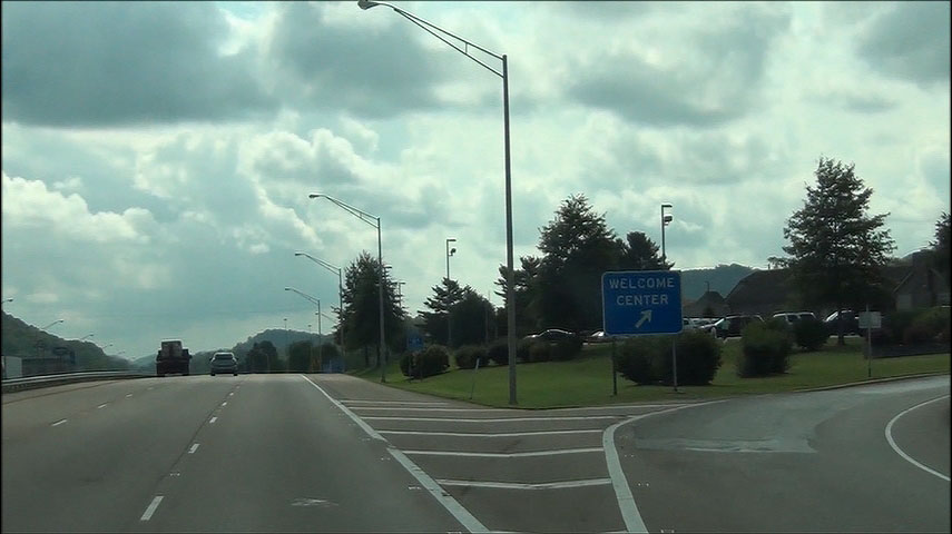 |
Interstate 81 South at the Tennessee Welcome Center / Rest Area immediately after crossing the border. (Photo taken 9/5/12). |
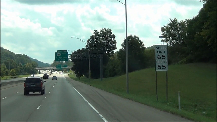 |
Speed limit sign located near mile marker 75. The speed limit starts out at 65 mph for cars and 55 mph for trucks. Certain counties in Tennessee have these "environmental" speed limits. (Photo taken 9/5/12). |
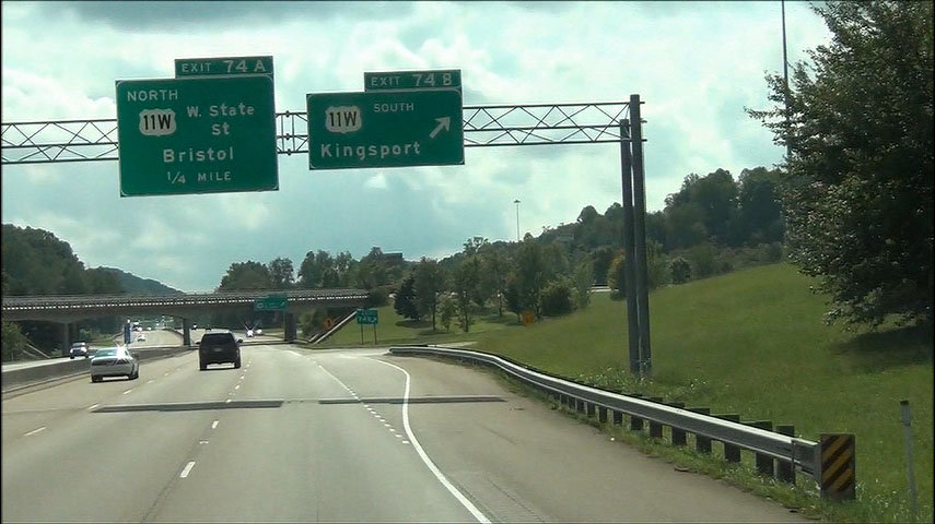 |
Interstate 81 South at Exit 74B: US 11W South - Kingsport (Photo taken 9/5/12). |
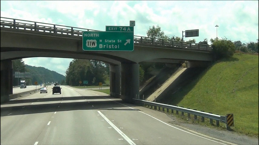 |
Interstate 81 South at Exit 74A: US 11W North - W State St / Bristol (Photo taken 9/5/12). |
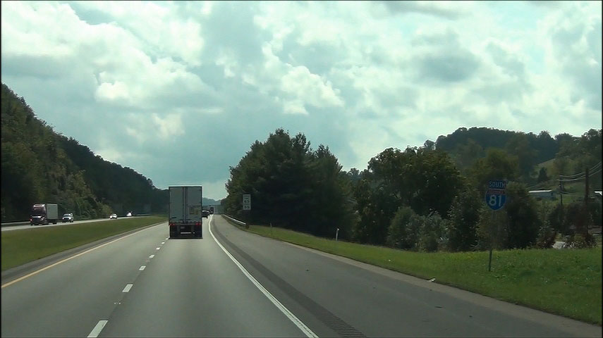 |
Interstate 81 South shield located near mile marker 73.5. (Photo taken 9/5/12). |
 |
Mileage sign located near mile marker 73. It's 13 miles to the Tri-Cities Airport and 31 miles to Johnson City. (Photo taken 9/5/12). |
 |
Use the next exit (Exit 69) to Bristol Motor Speedway. (Photo taken 9/5/12). |
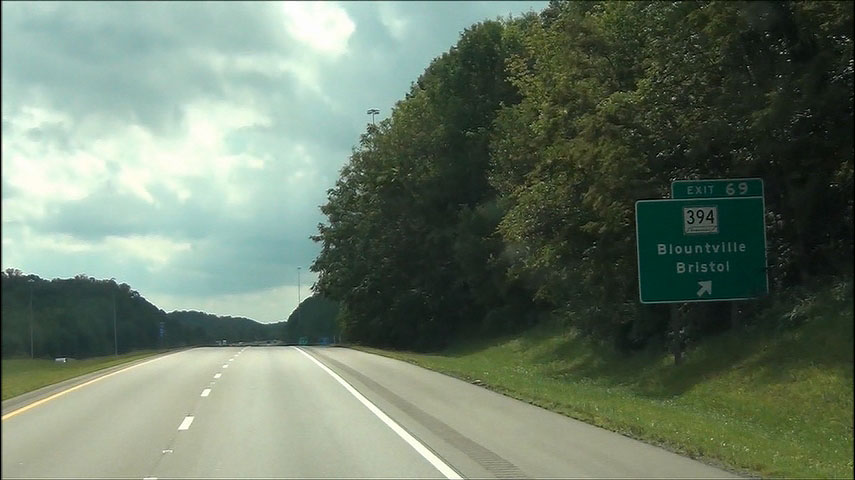 |
Interstate 81 South at Exit 69: TN 394 - Blountville / Bristol (Photo taken 9/5/12). |
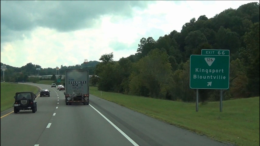 |
Interstate 81 South at Exit 66: TN 126 - Kingsport / Blountville (Photo taken 9/5/12). |
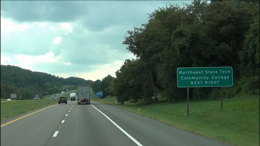 |
Use the next exit (Exit 63) to Northeast State Tech Community College. (Photo taken 9/5/12). |
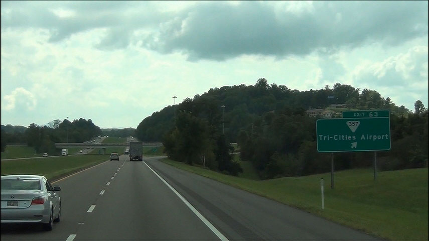 |
Interstate 81 South at Exit 63: TN 357 - Tri-Cities Airport (Photo taken 9/5/12). |
 |
Use Exit 59 to Warriors Path State Park. (Photo taken 9/5/12). |
 |
Interstate 81 South at Exit 59: TN 36 - Kingsport / Johnson City (Photo taken 9/5/12). |
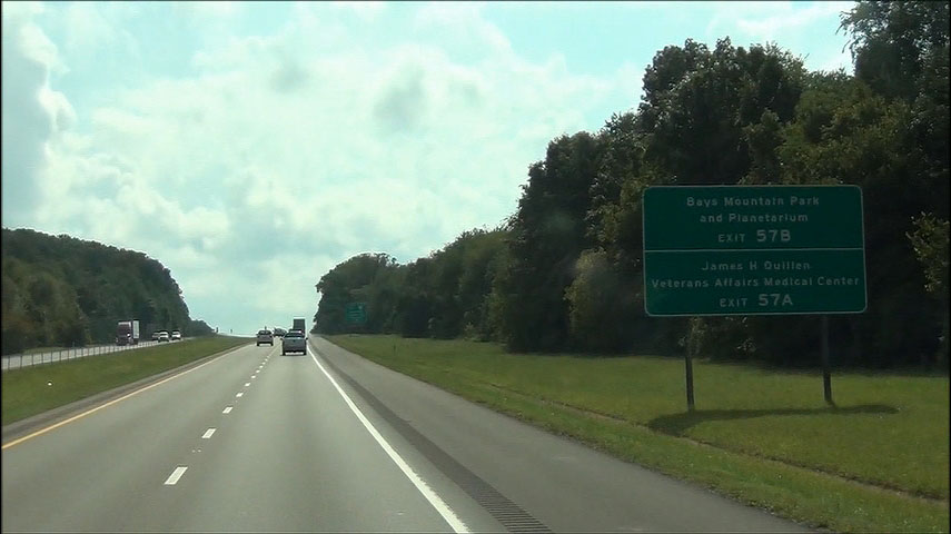 |
Use Exit 57B to Bays Mountain Park and Planetarium, and use Exit 57A to James H Quillen VA Medical Center. (Photo taken 9/5/12). |
 |
Interstate 81 South approaching Exits 57A-B - 1 mile. (Photo taken 9/5/12). |
 |
Use Exit 57A to Rocky Mount Historic Site and East Tennessee State University. (Photo taken 9/5/12). |
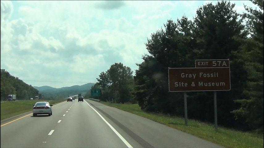 |
Also use Exit 57A to Gray Fossil Site & Museum. (Photo taken 9/5/12). |
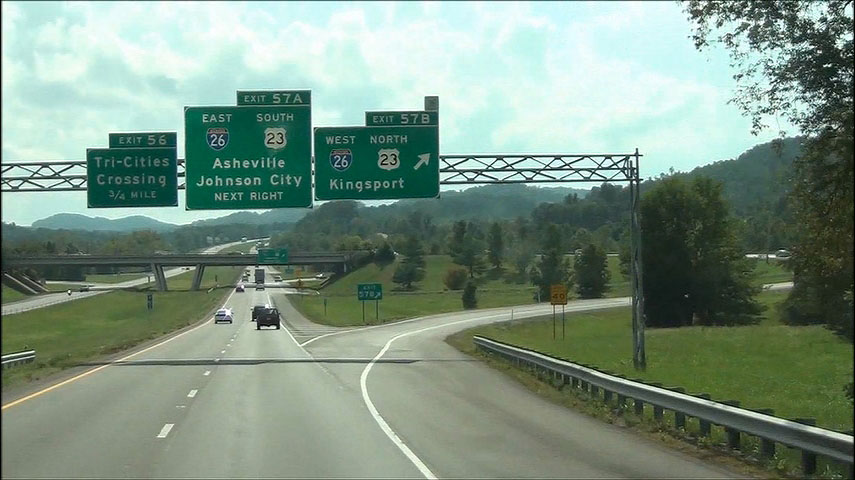 |
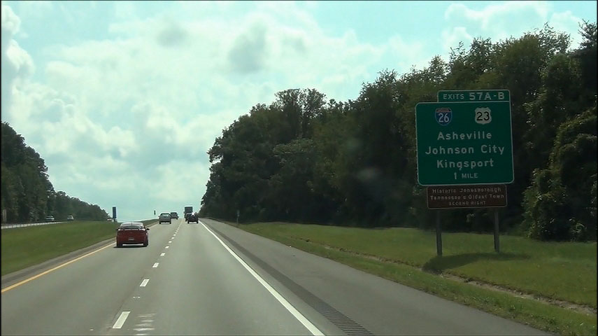
Interstate 81 South at Exit 57B: Interstate 26 West / US 23 North - Kingsport (Photo taken 9/5/12). |
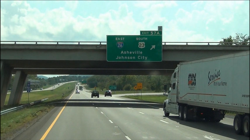 |
Interstate 81 South at Exit 57A: Interstate 26 East / US 23 South - Asheville / Johnson City (Photo taken 9/5/12). |
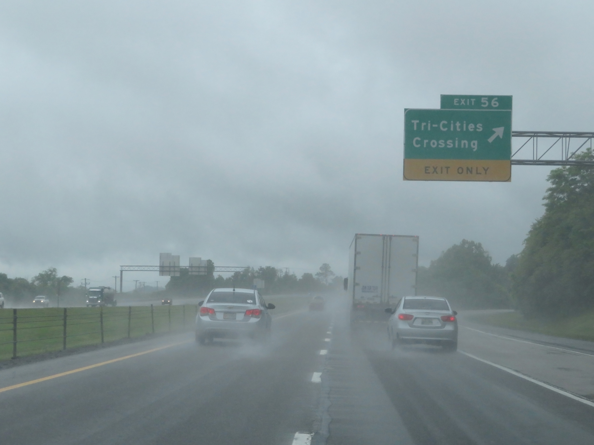 |
Interstate 81 South at Exit 56: Tri-Cities Crossing (Photo taken 5/26/18). |
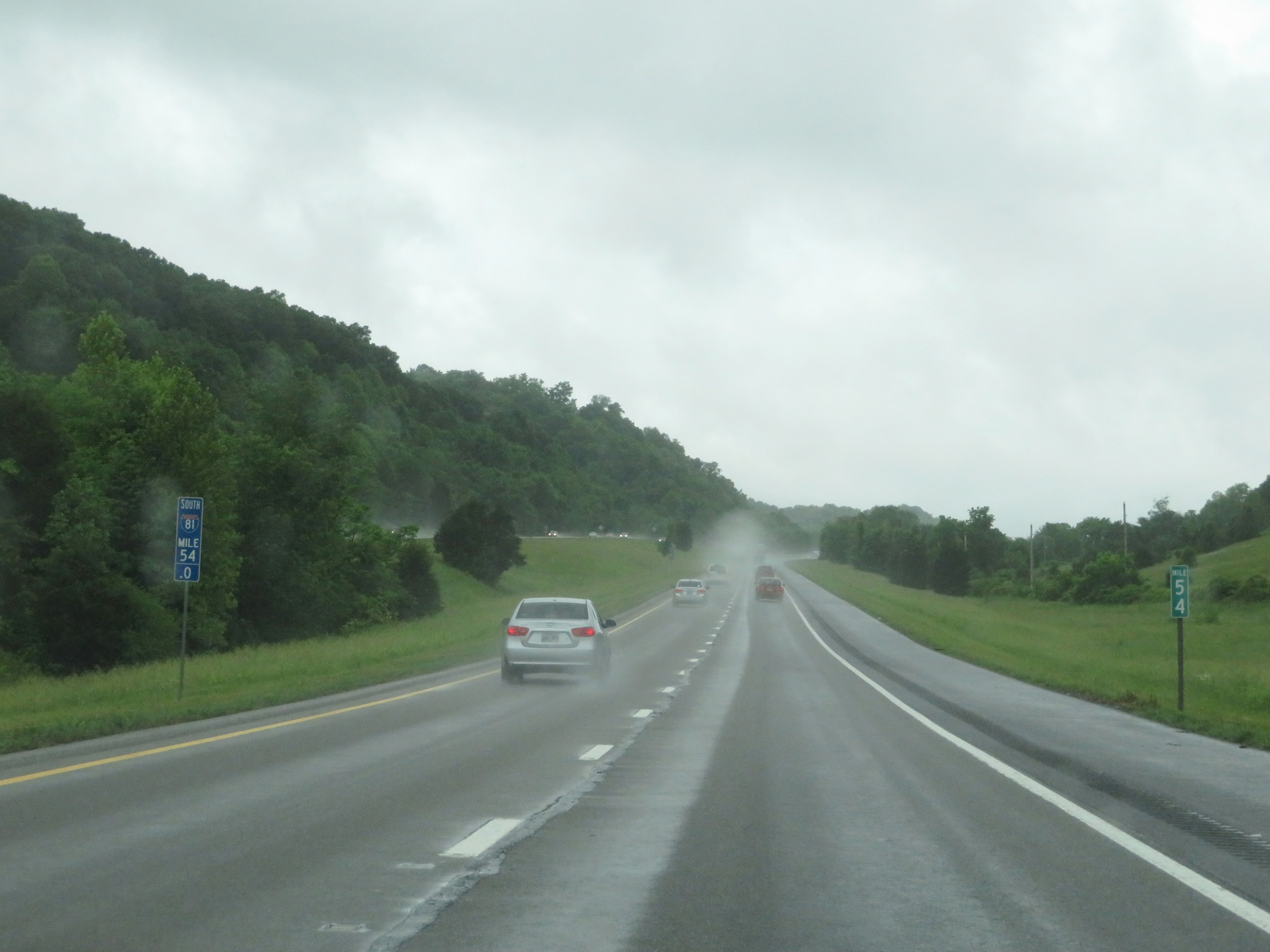 |
View on Interstate 81 South at mile marker 54. (Photo taken 5/26/18). |
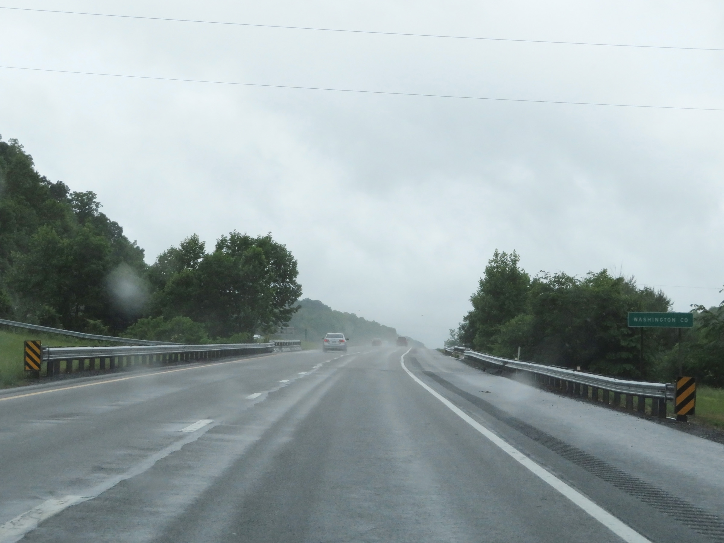 |
Interstate 81 South as it enters Washington County. (Photo taken 5/26/18). |
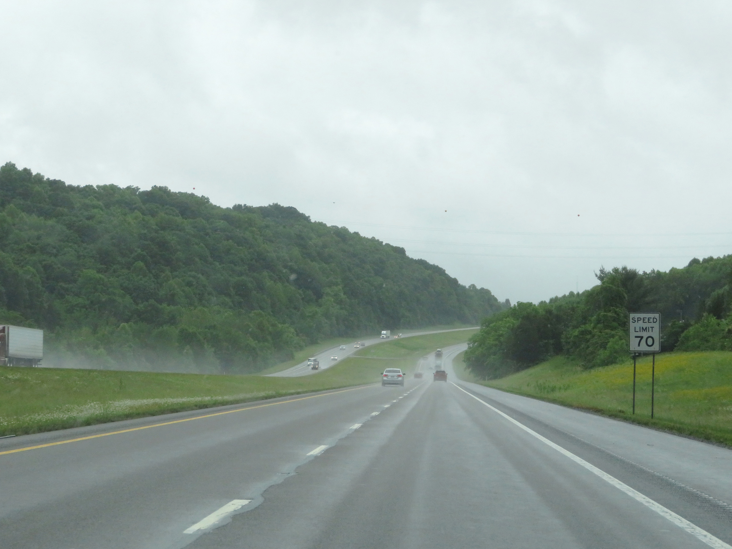 |
Upon entering Washington County, the speed limit increases to 70 mph for all traffic. (Photo taken 5/26/18). |
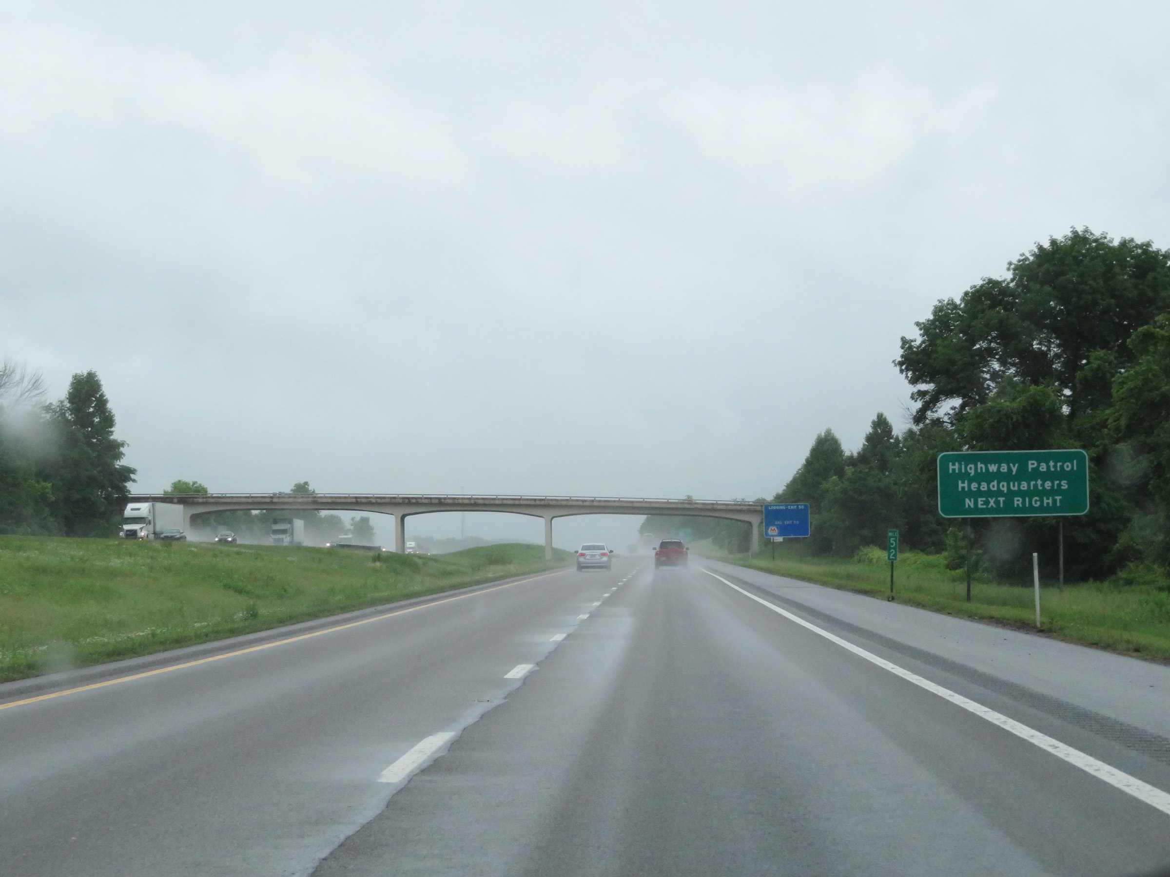 |
Take Exit 50 to the Highway Patrol Headquarters. (Photo taken 5/26/18). |
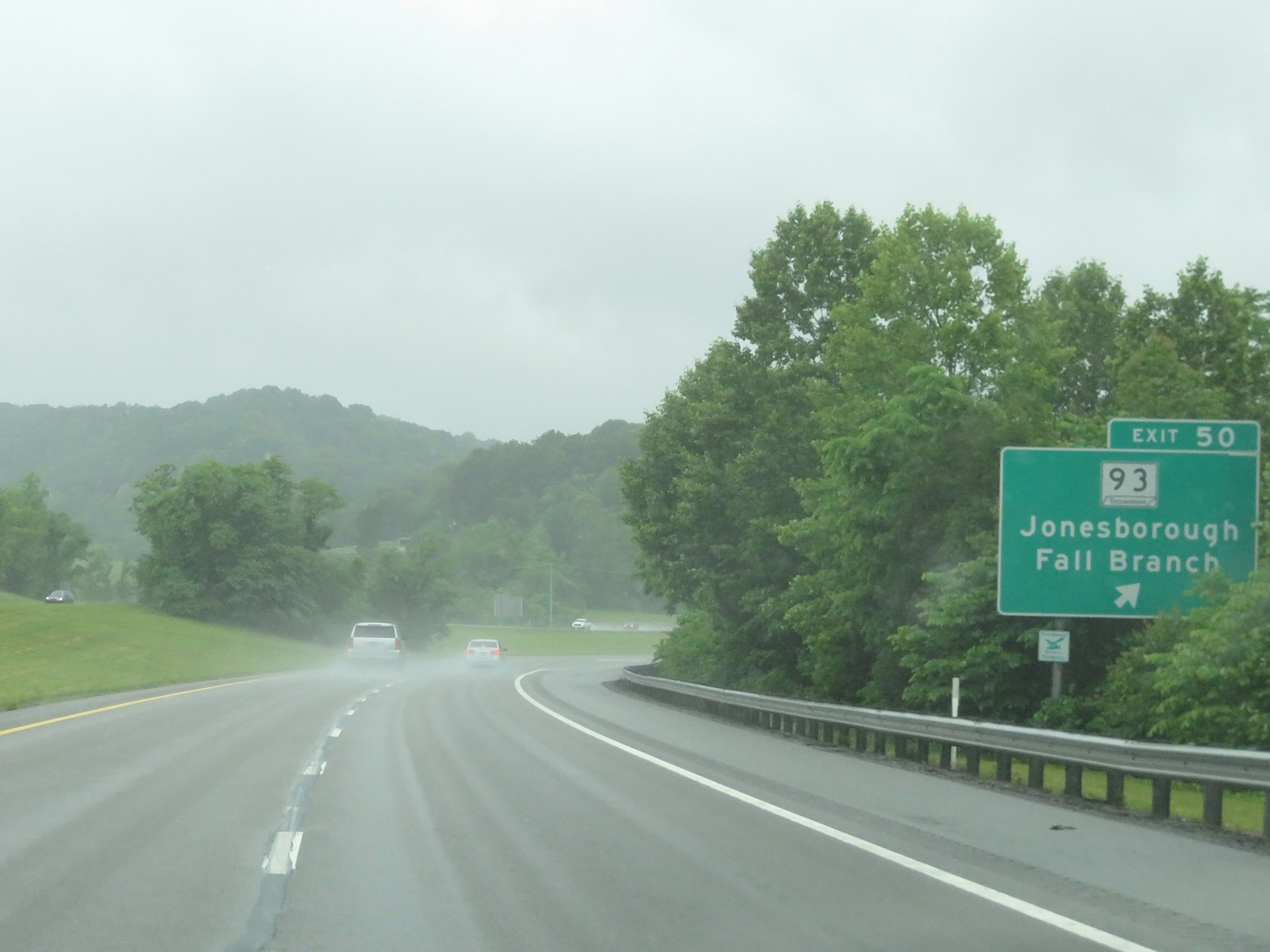 |
Interstate 81 South at Exit 50: TN 93 - Jonesborough / Fall Branch (Photo taken 5/26/18). |
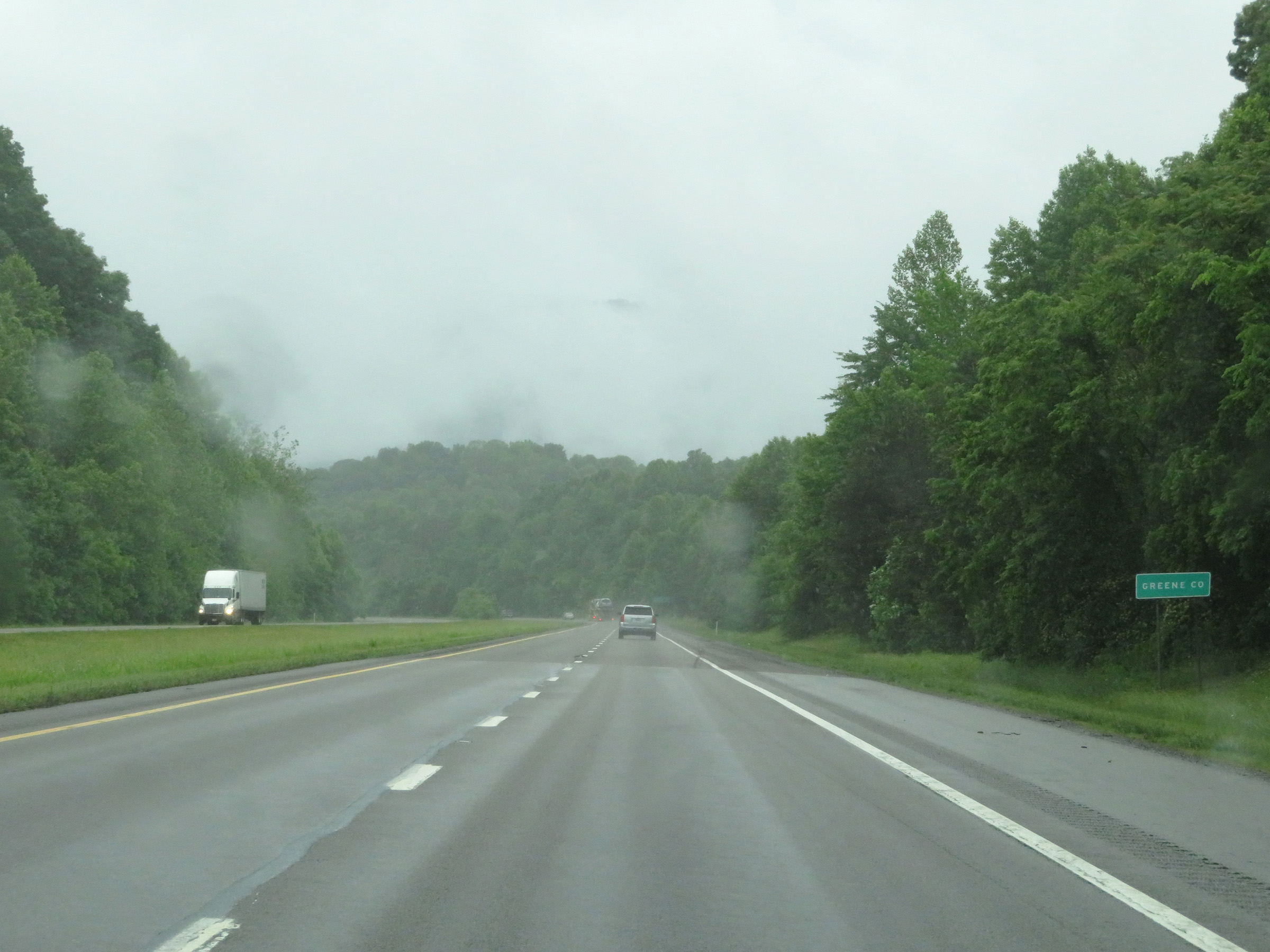 |
After a brief time in Washington County, Interstate 81 South enters Greene County. (Photo taken 5/26/18). |
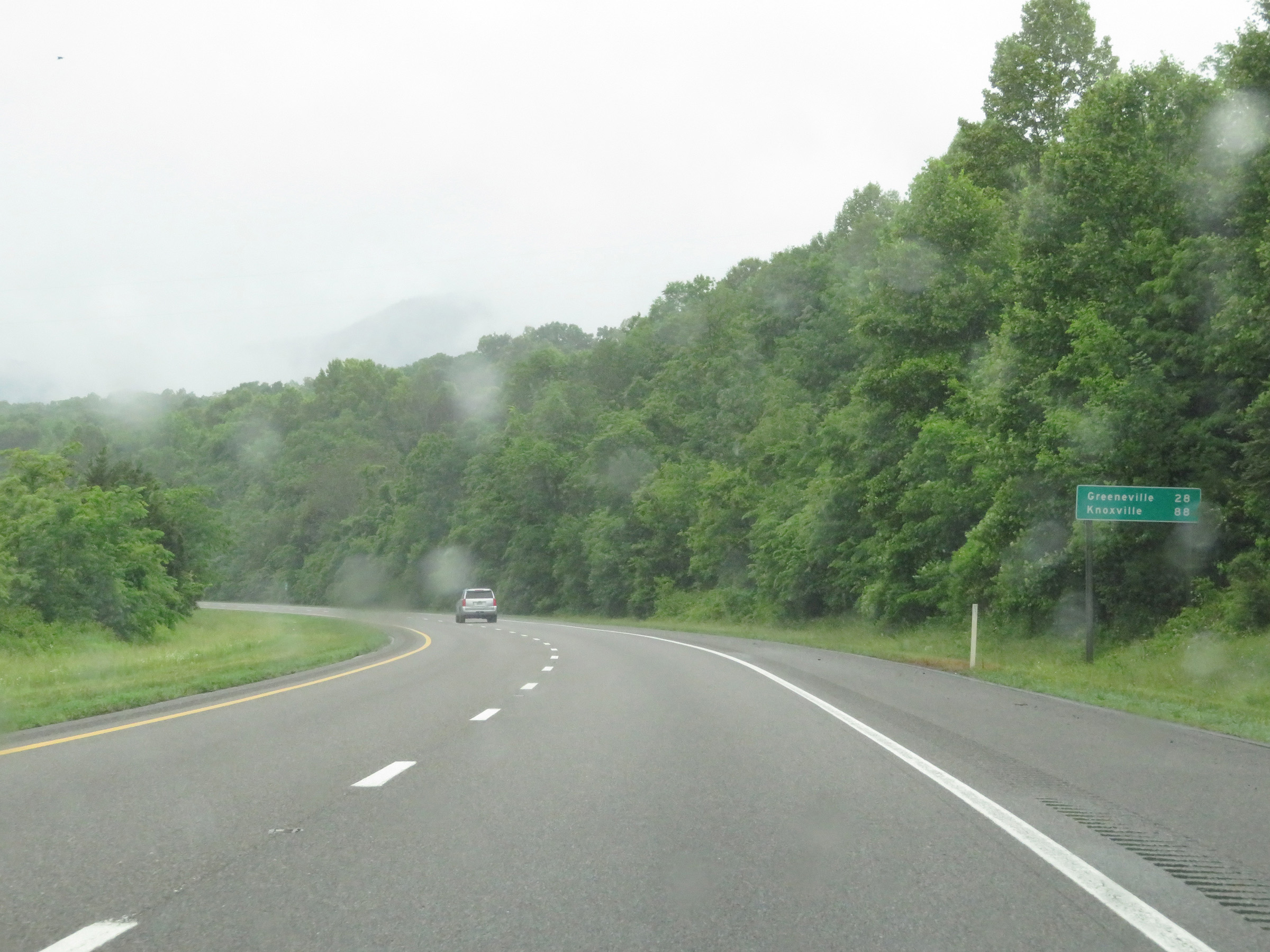 |
Mileage sign on Interstate 81 South. It's 28 miles to Greeneville and 88 miles to Knoxville. (Photo taken 5/26/18). |
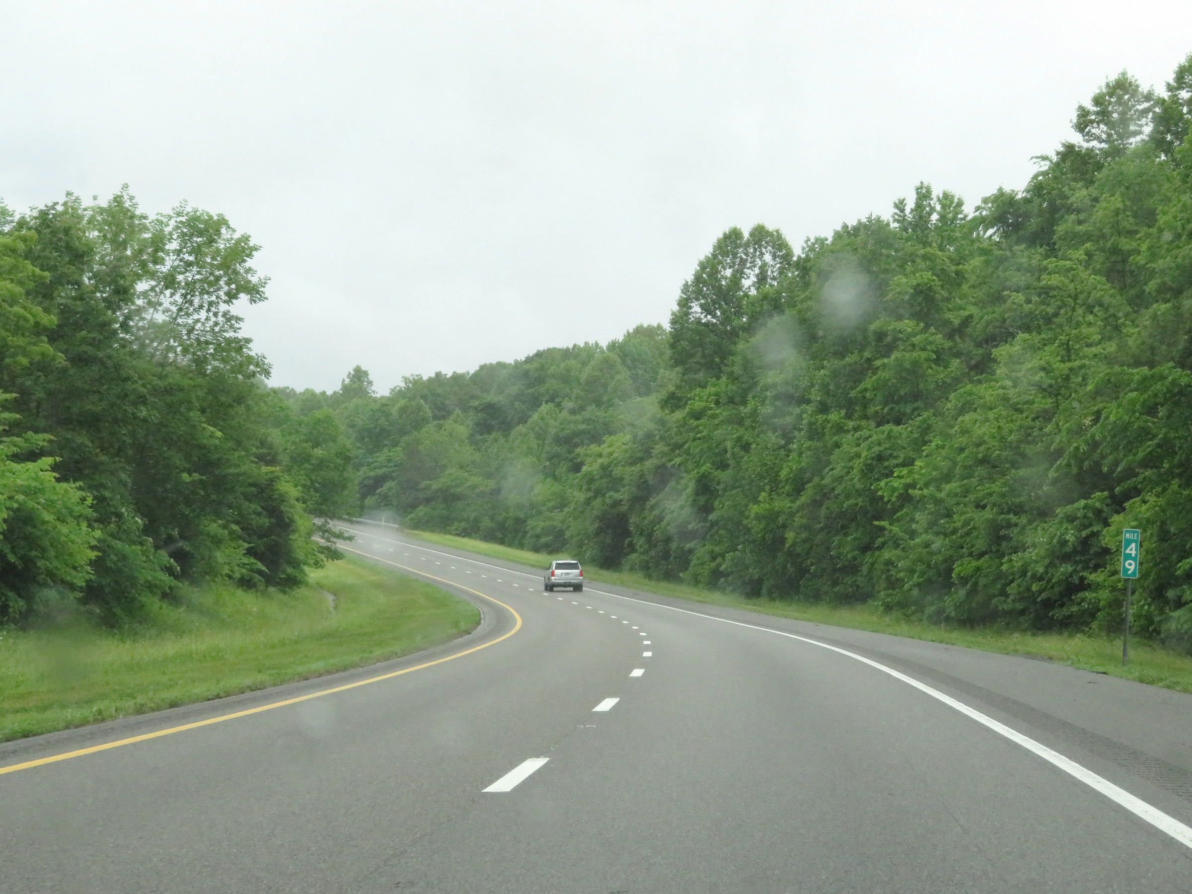 |
View on Interstate 81 South at mile marker 49. (Photo taken 5/26/18). |
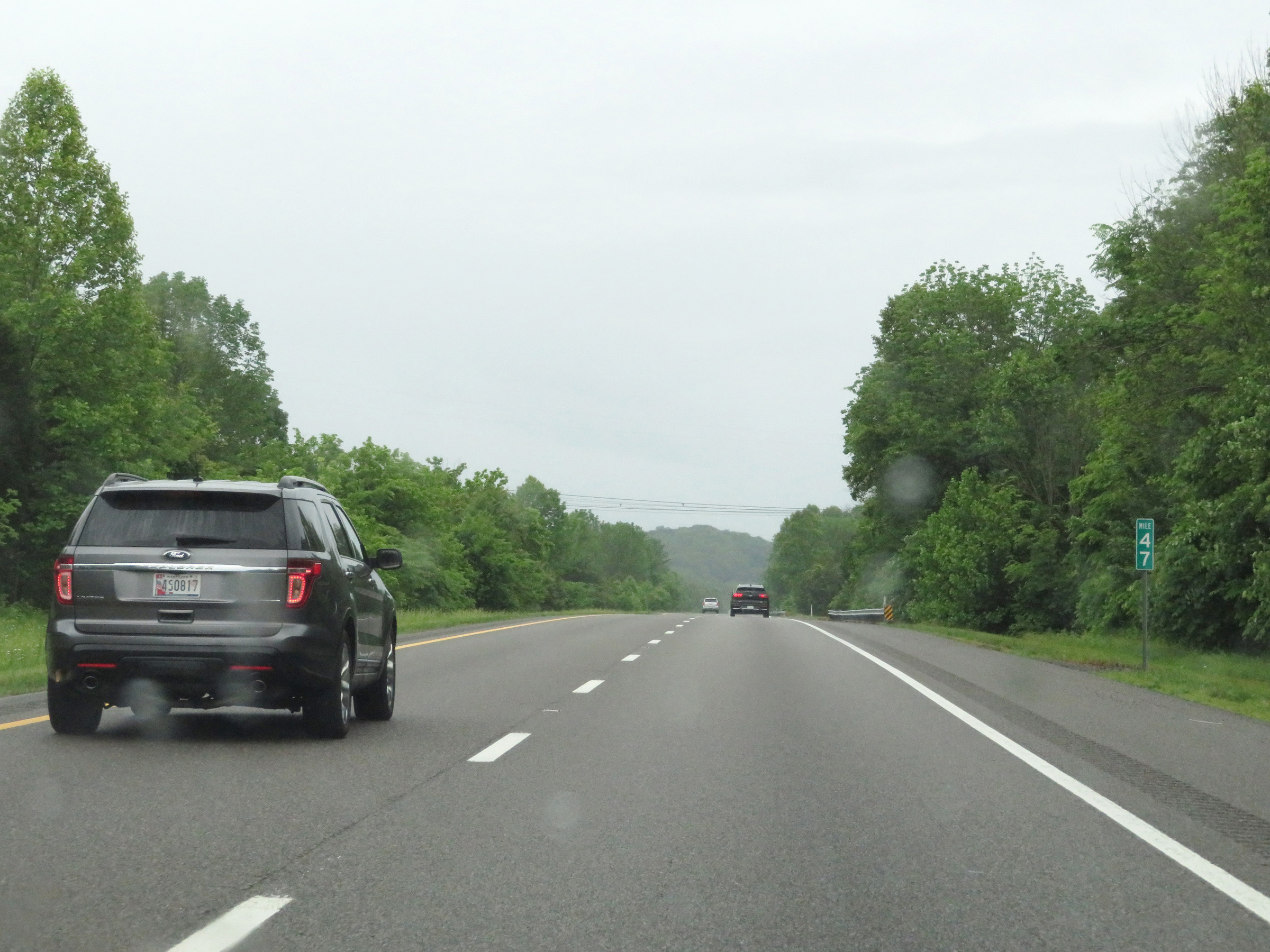 |
Interstate 81 South at mile marker 47. (Photo taken 5/26/18). |
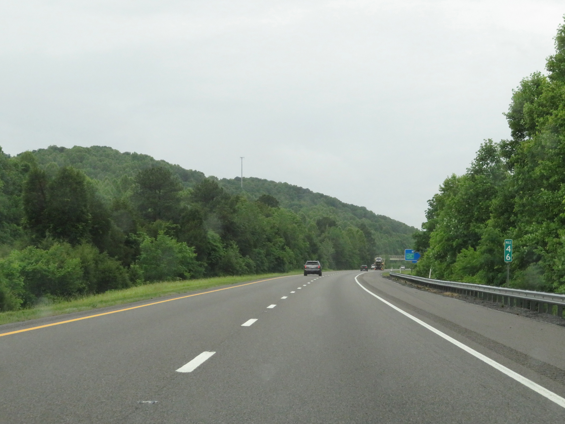 |
View on Interstate 81 South at mile marker 46. (Photo taken 5/26/18). |
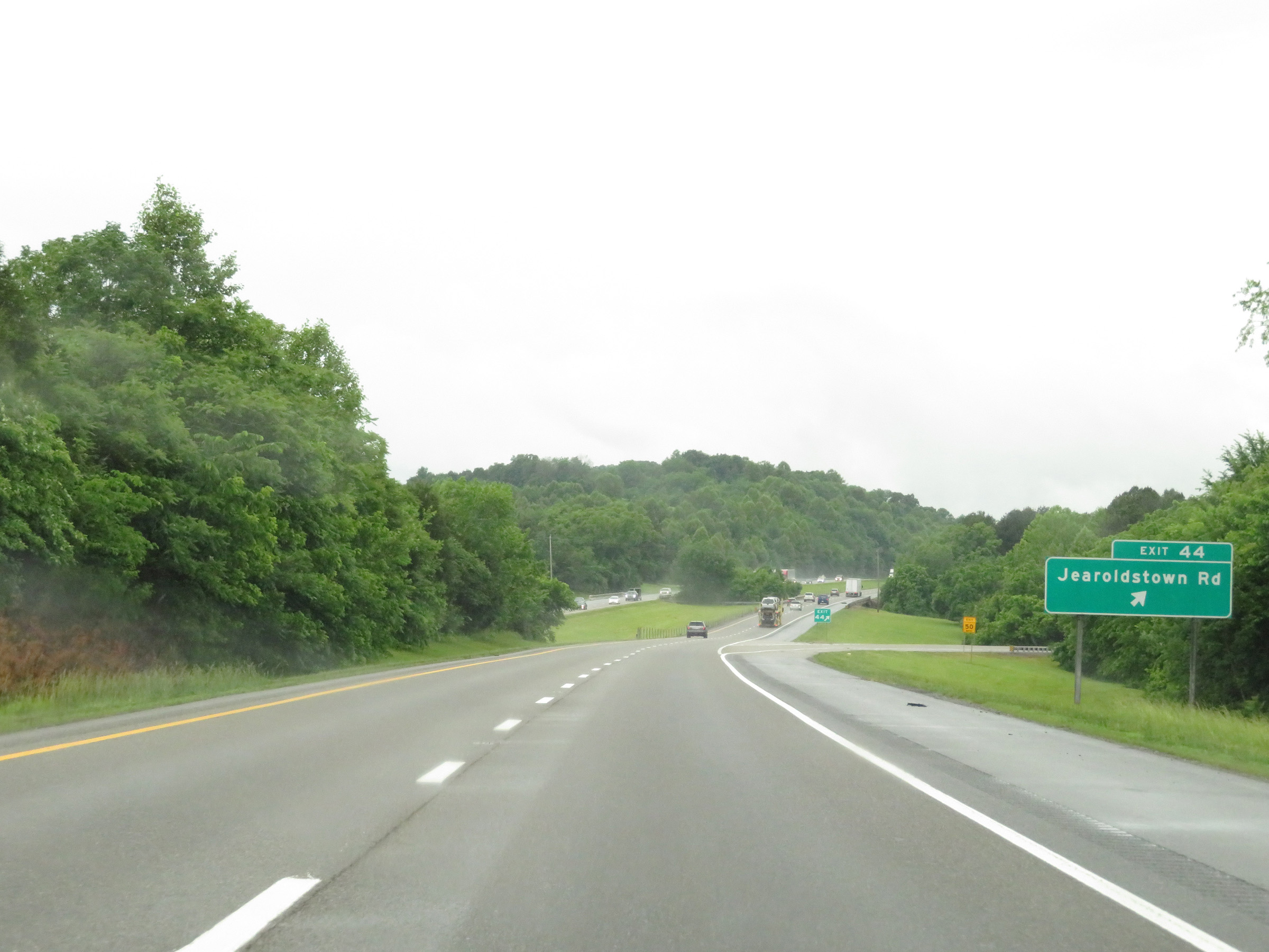 |
Interstate 81 South at Exit 44: Jearoldstown Rd (Photo taken 5/26/18). |
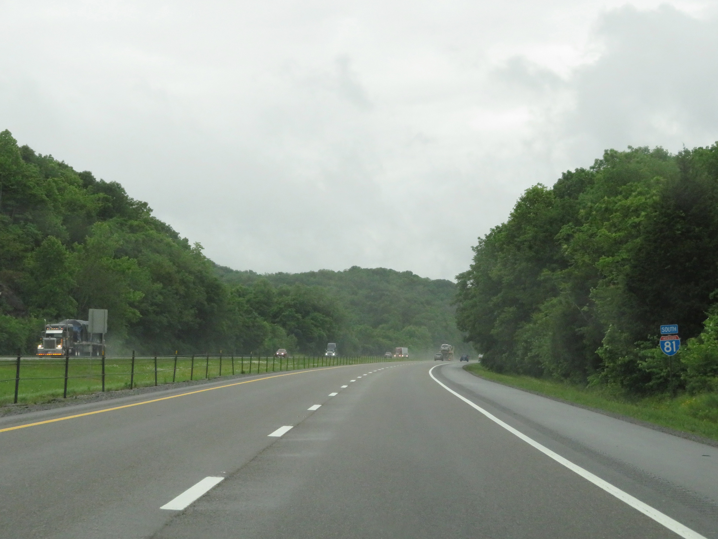 |
Interstate 81 South reassurance shield. (Photo taken 5/26/18). |
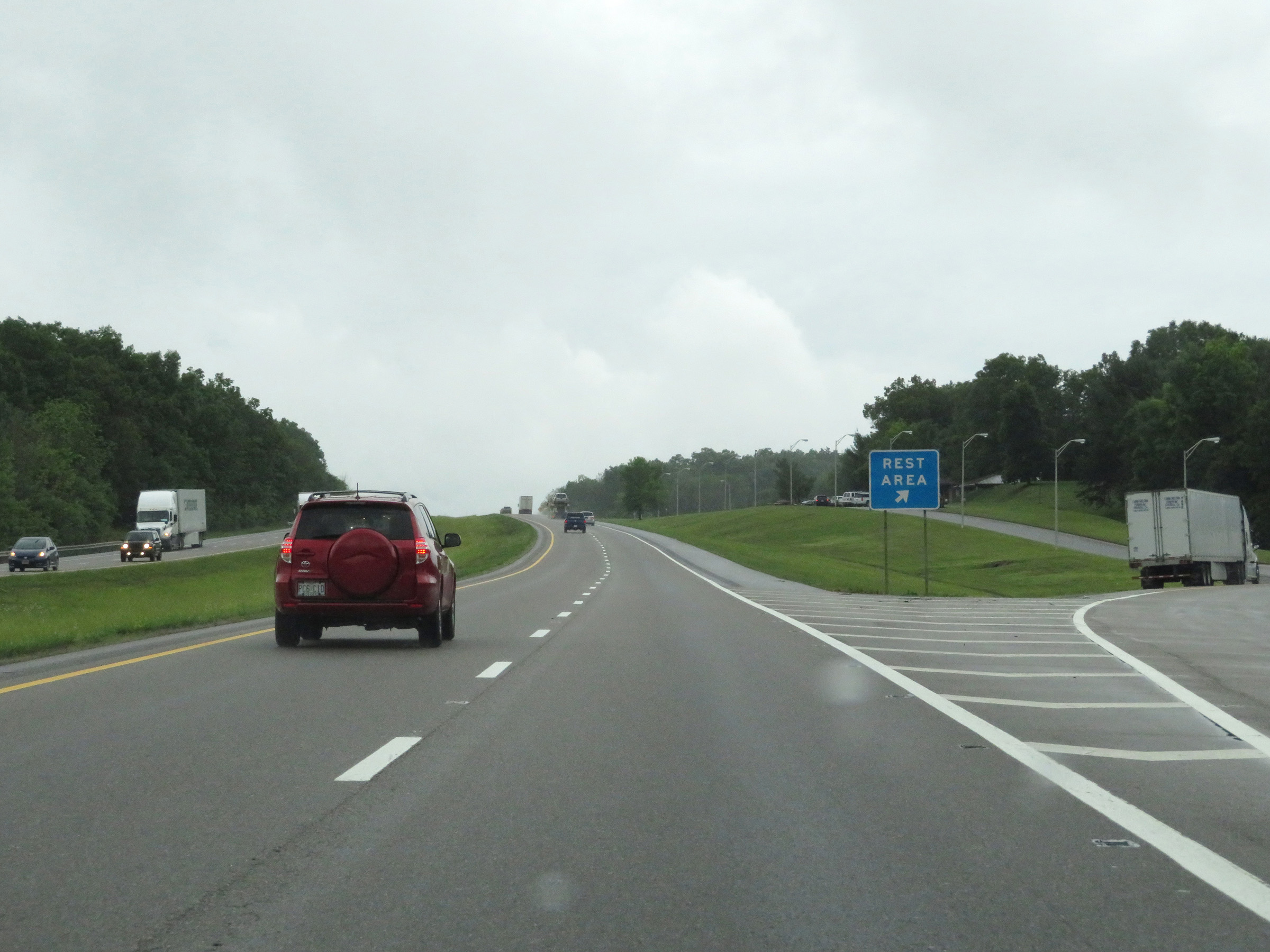 |
Rest Area on Interstate 81 South in Greene County. (Photo taken 5/26/18). |
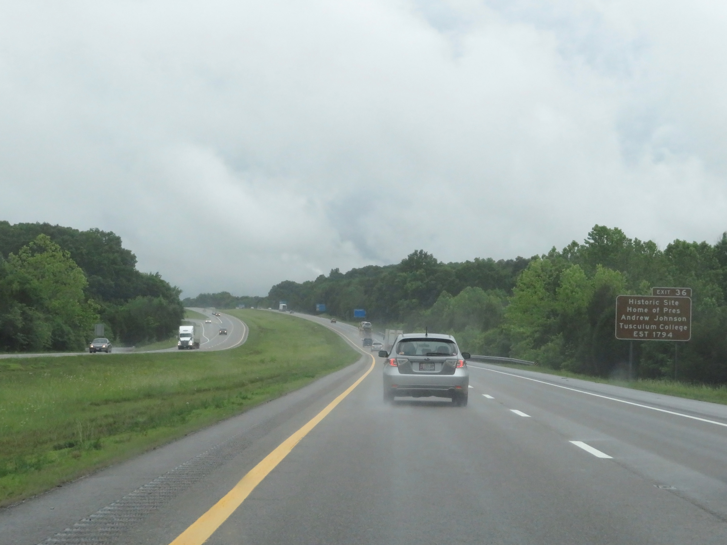 |
Take Exit 36 to the Home of President Andrew Johnson Historic Site and Tusculum College Historic Site. (Photo taken 5/26/18). |
 |
Interstate 81 South at mile marker 38. (Photo taken 5/26/18). |
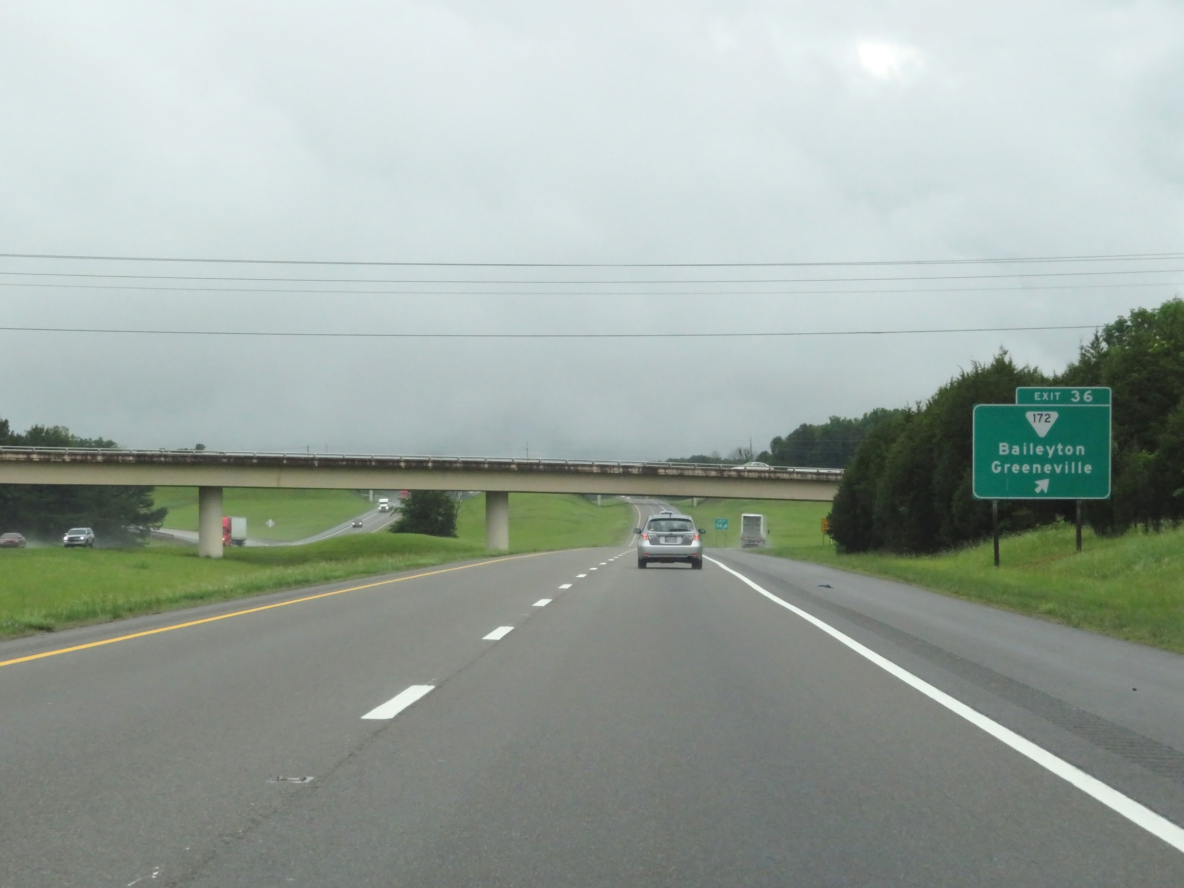 |
Interstate 81 South at Exit 36: SR 172 - Baileyton / Greeneville (Photo taken 5/26/18). |
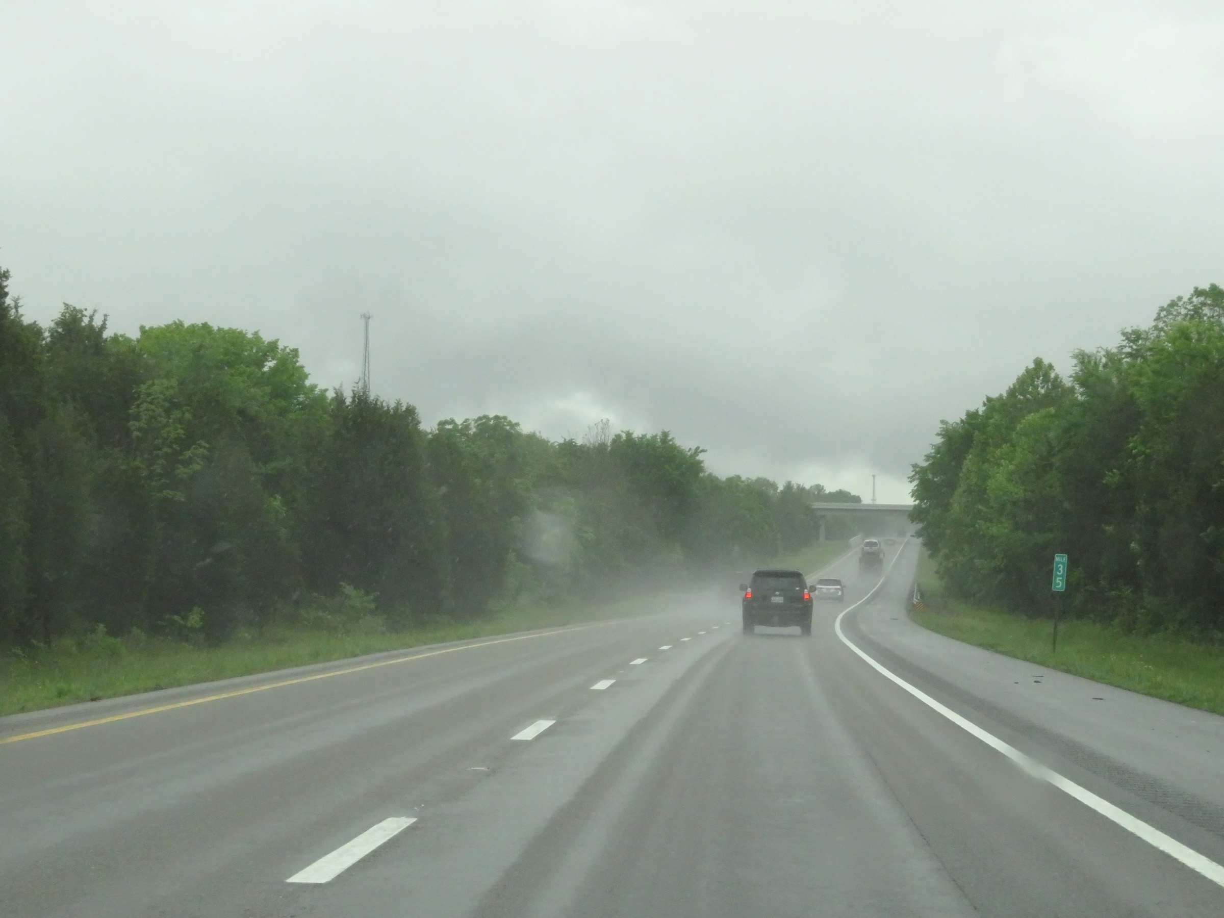 |
View on Interstate 81 South at mile marker 35. (Photo taken 5/26/18). |
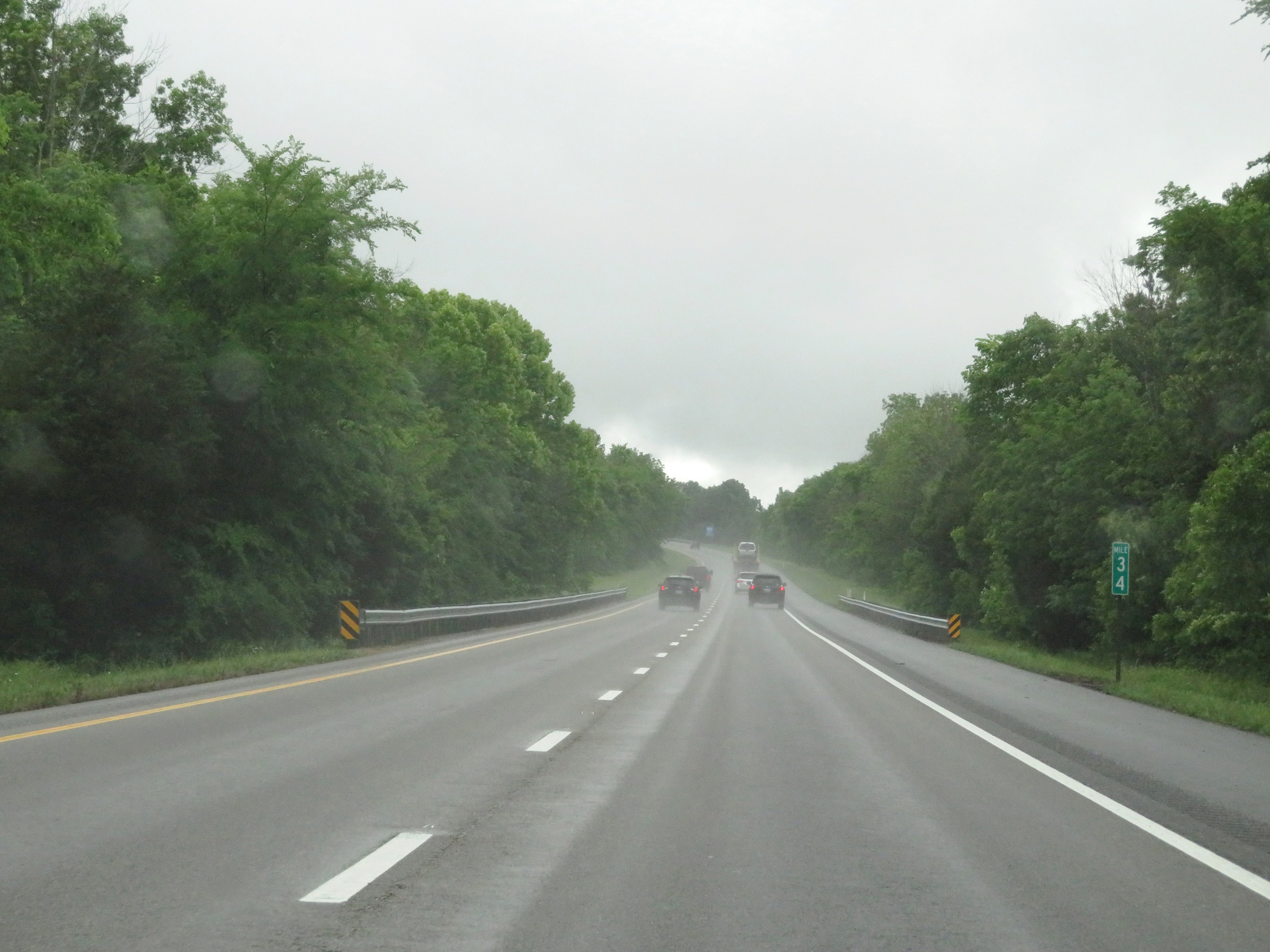 |
Mile marker 34 on Interstate 81 South in Greene County. (Photo taken 5/26/18). |
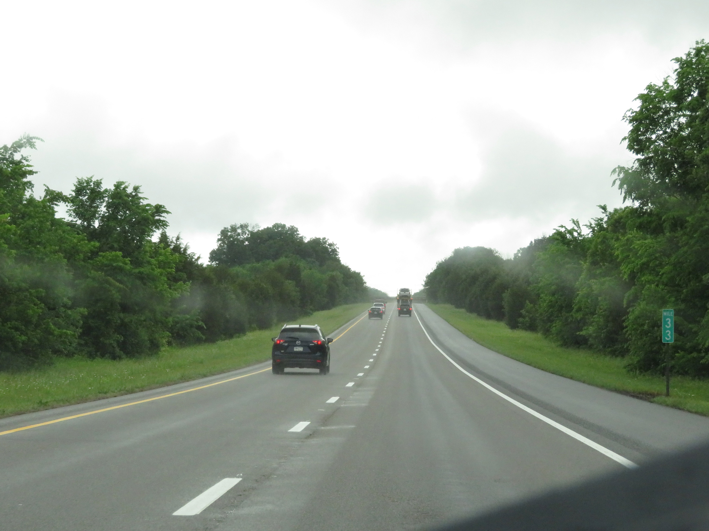 |
View on Interstate 81 South at mile marker 33. (Photo taken 5/26/18). |
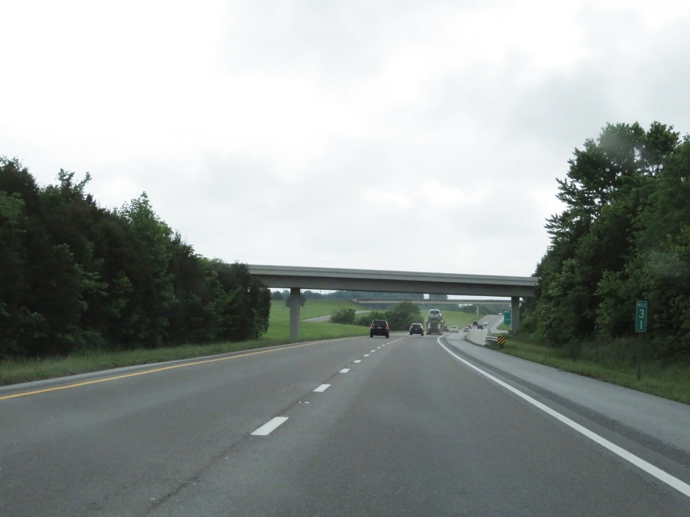 |
Interstate 81 South at mile marker 31. (Photo taken 5/26/18). |
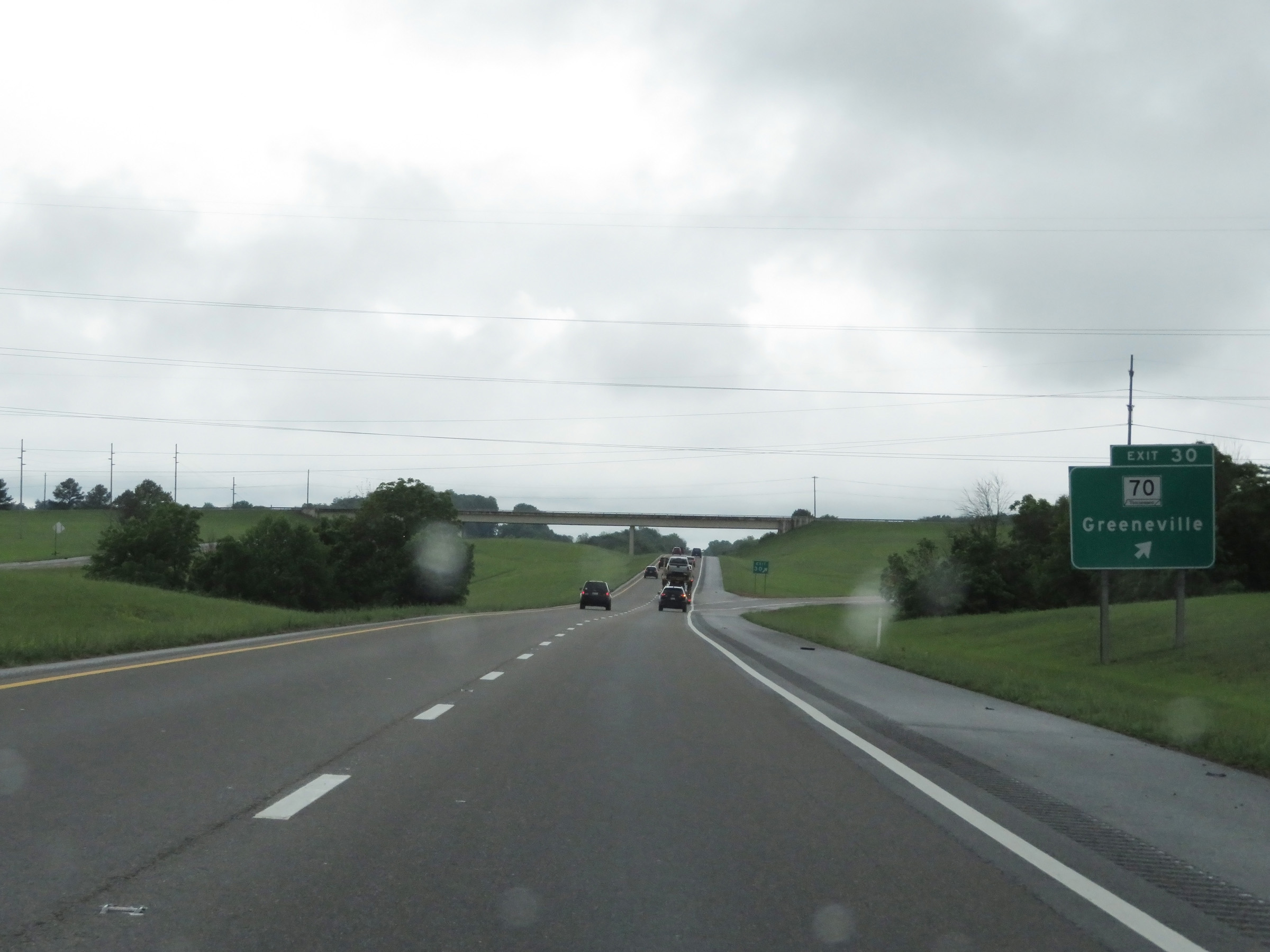 |
Interstate 81 South at Exit 30: TN 70 - Greeneville (Photo taken 5/26/18). |
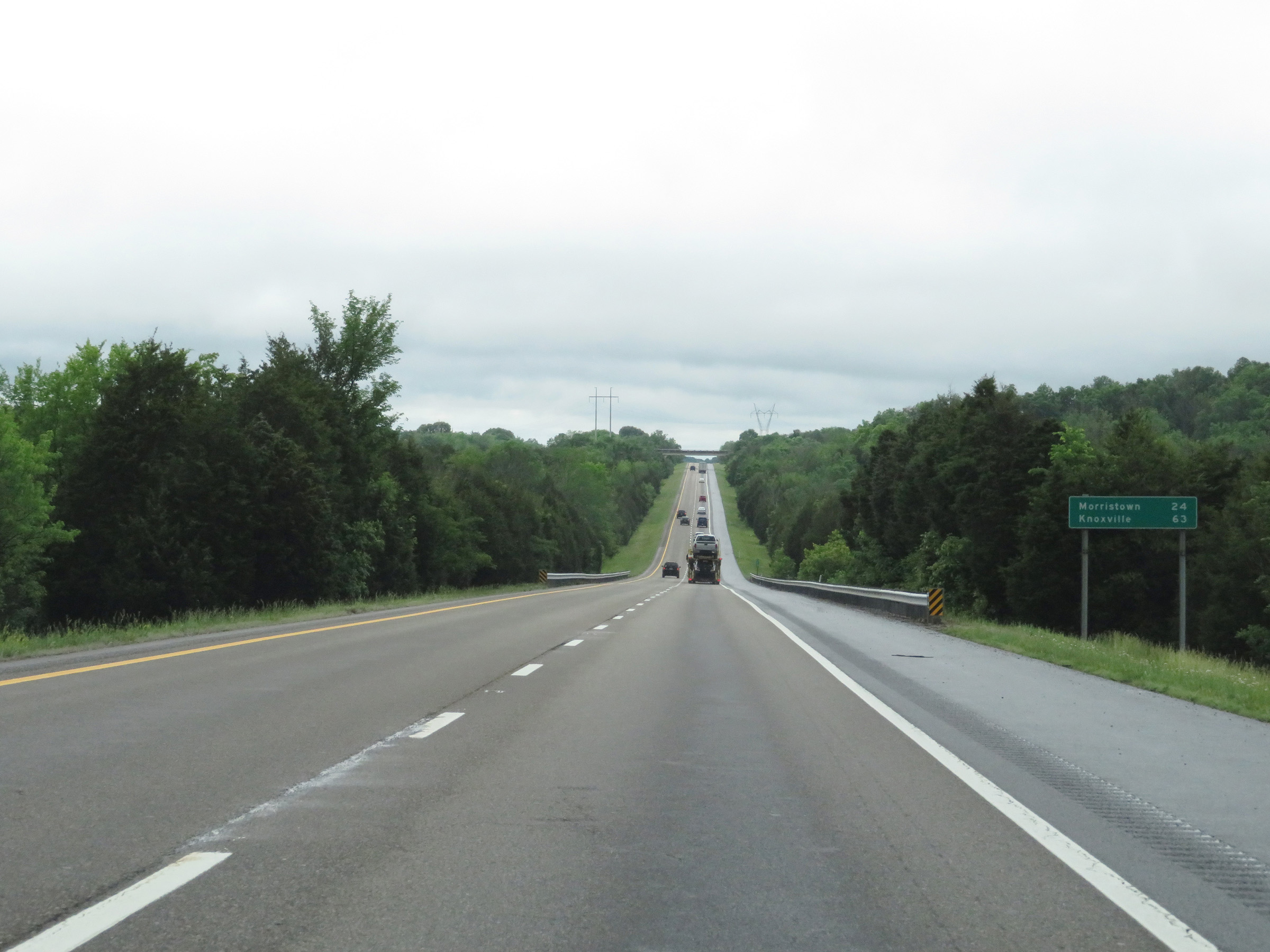 |
Another mileage sign on Interstate 81 South. It's 24 miles to Morristown and 63 miles to Knoxville. (Photo taken 5/26/18). |
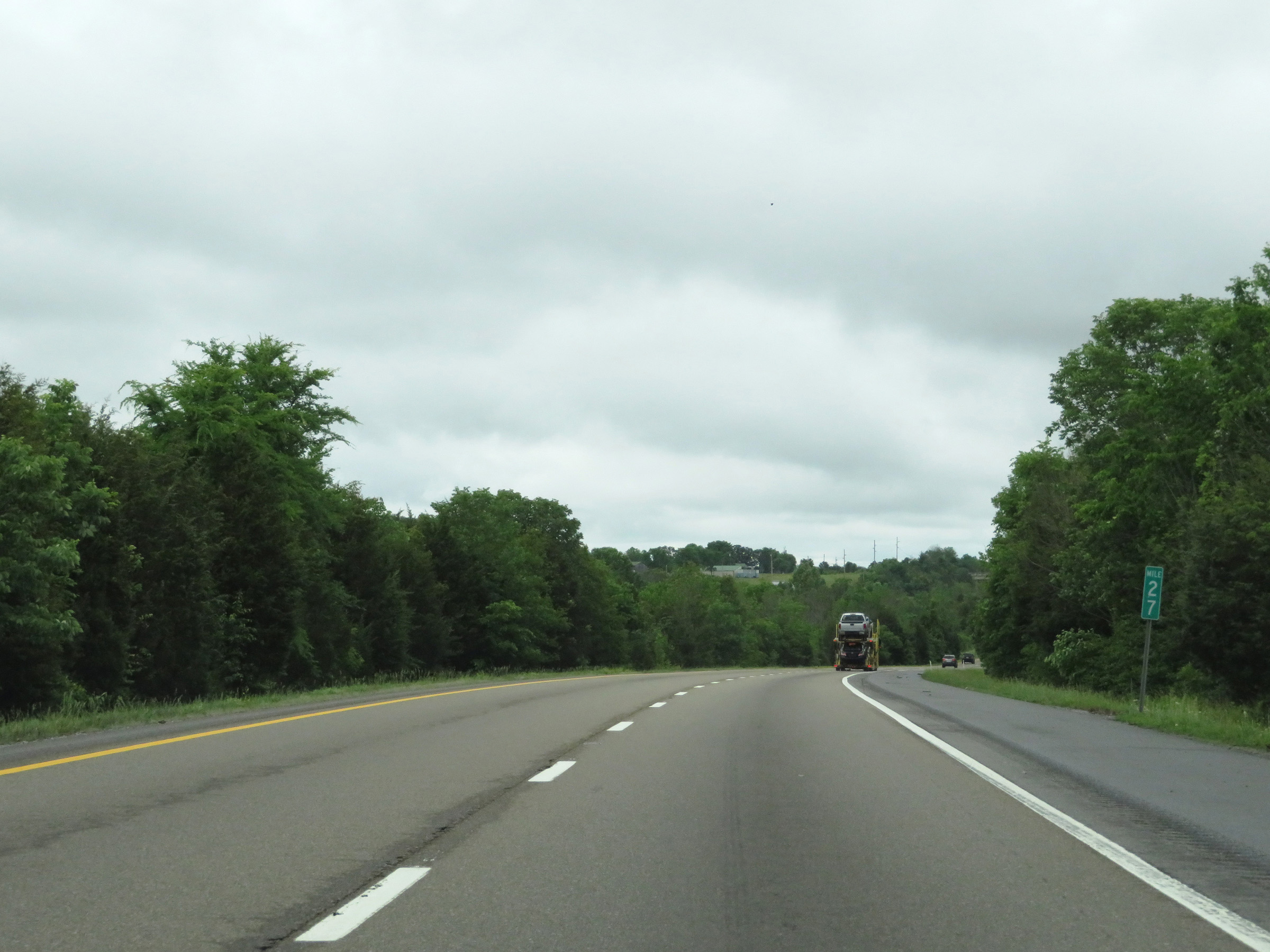 |
View on Interstate 81 South at mile marker 27. (Photo taken 5/26/18). |
 |
Take Exit 23 to Davy Crockett Boy Scout Camp. (Photo taken 5/26/18). |
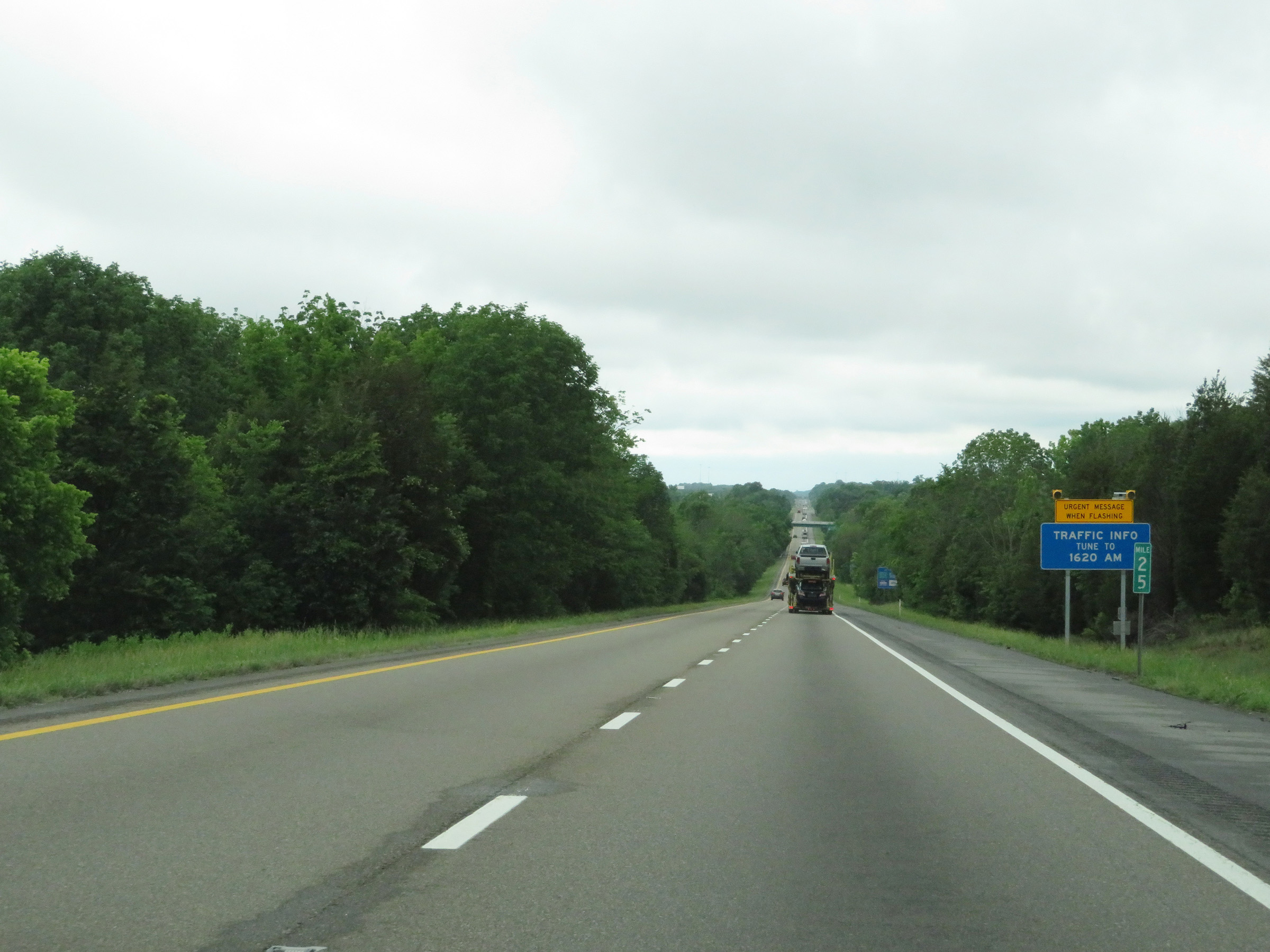 |
Interstate 81 South at mile marker 25. (Photo taken 5/26/18). |
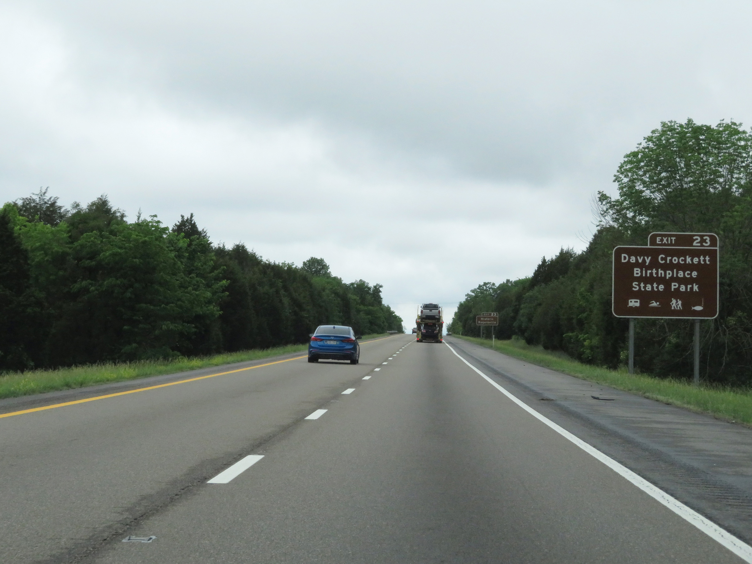 |
Also take Exit 23 to Davy Crockett Birthplace State Park. (Photo taken 5/26/18). |
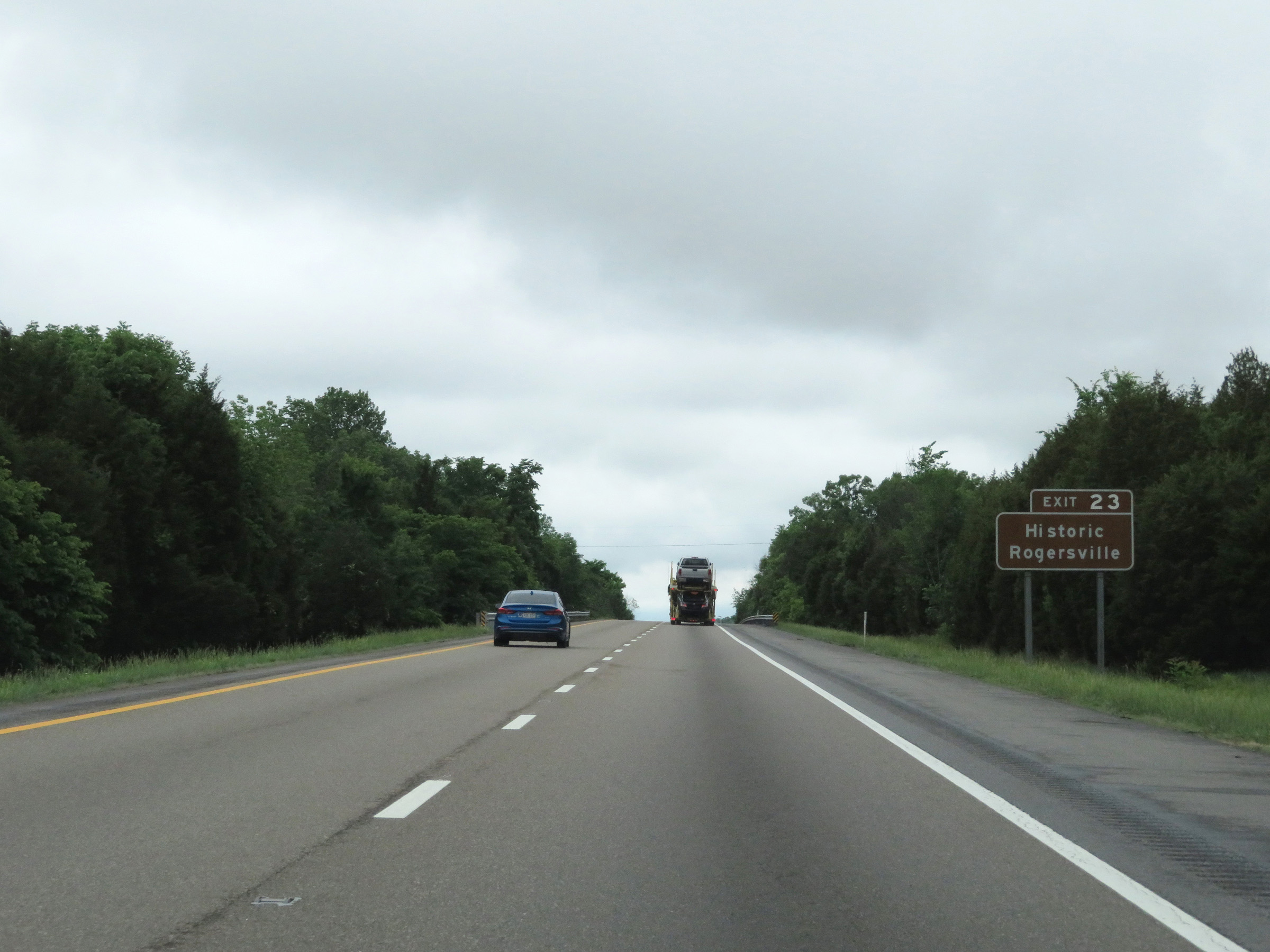 |
Take Exit 23 to Historic Rogersville as well. (Photo taken 5/26/18). |
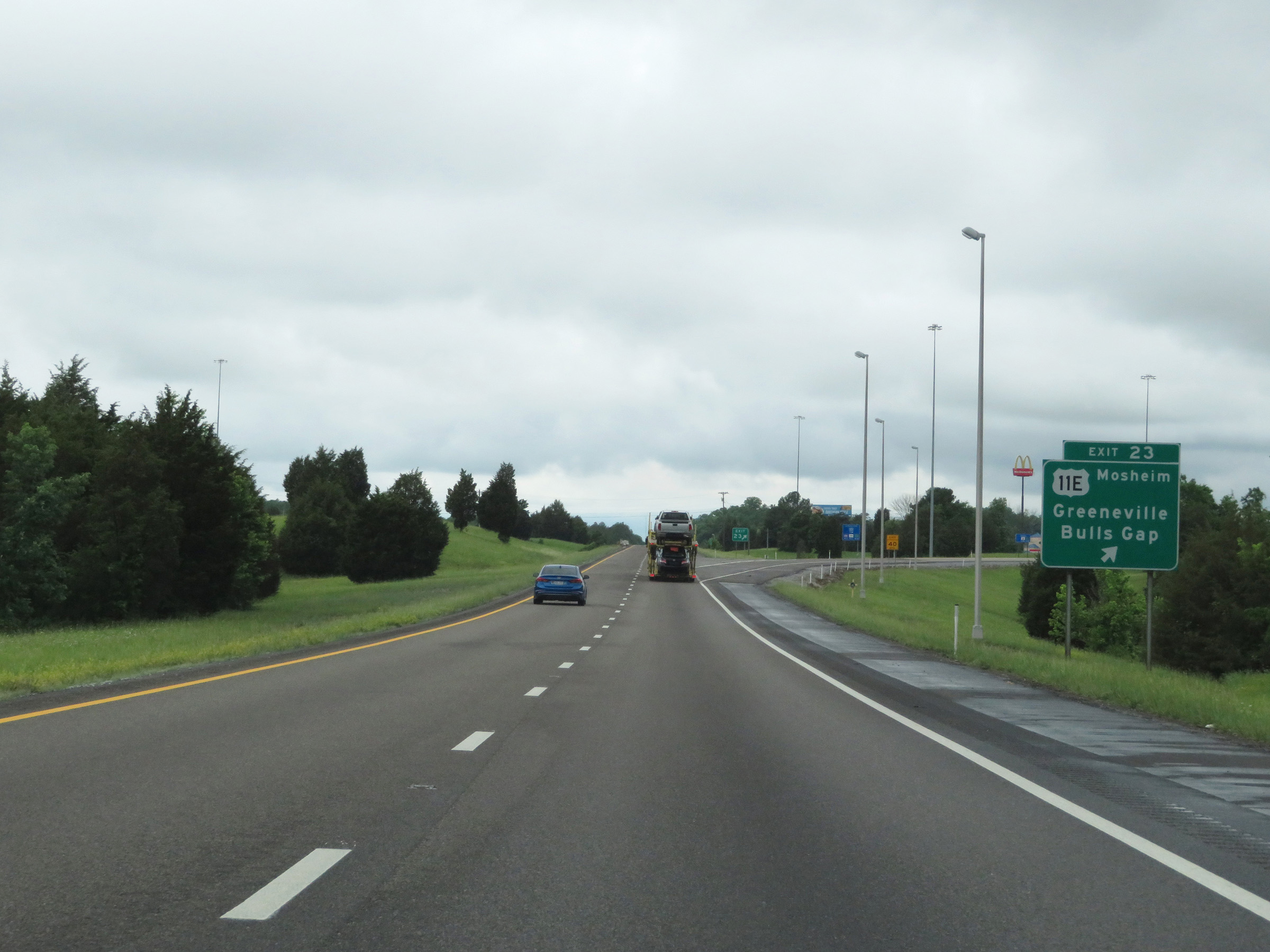 |
Interstate 81 South at Exit 23: US 11E - Mosheim / Greeneville / Bulls Gap (Photo taken 5/26/18). |
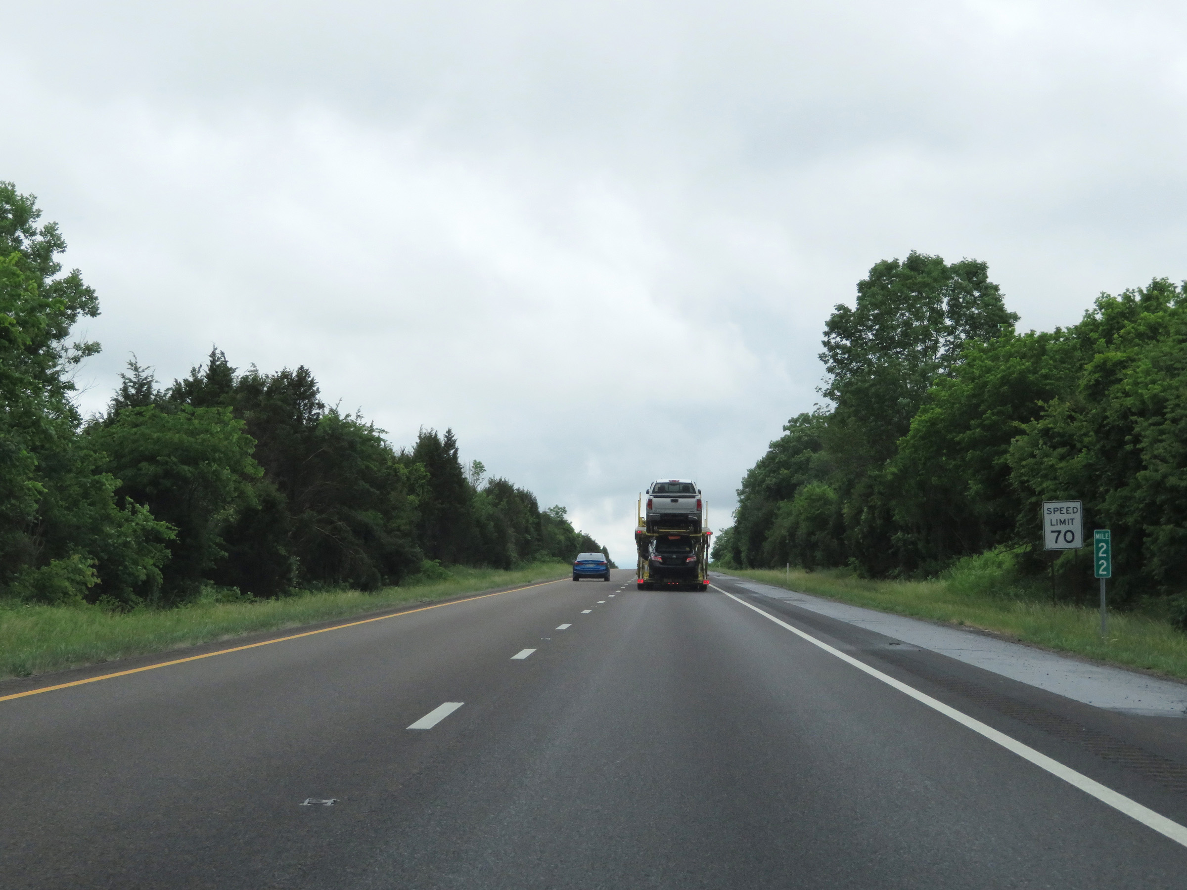 |
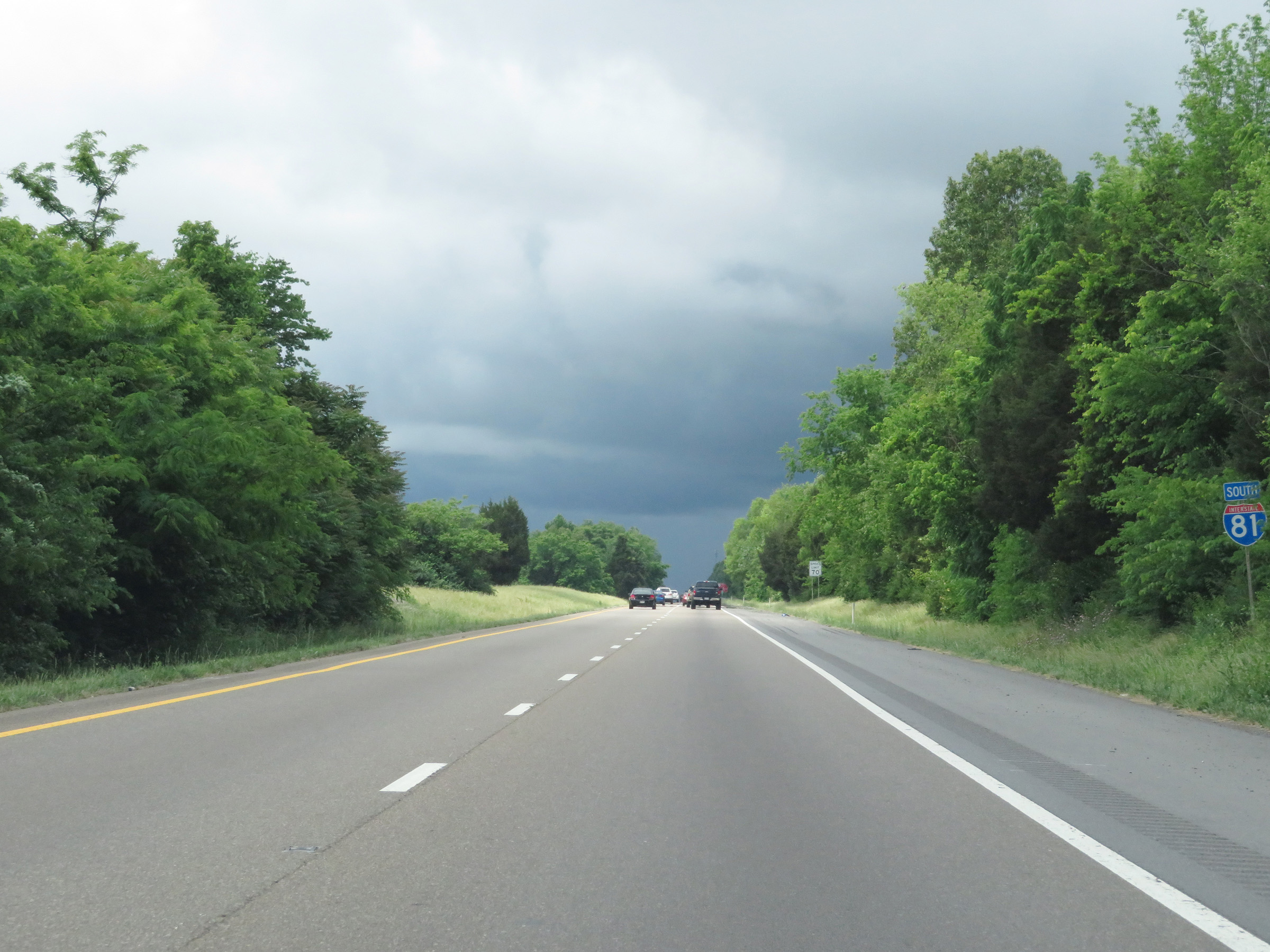
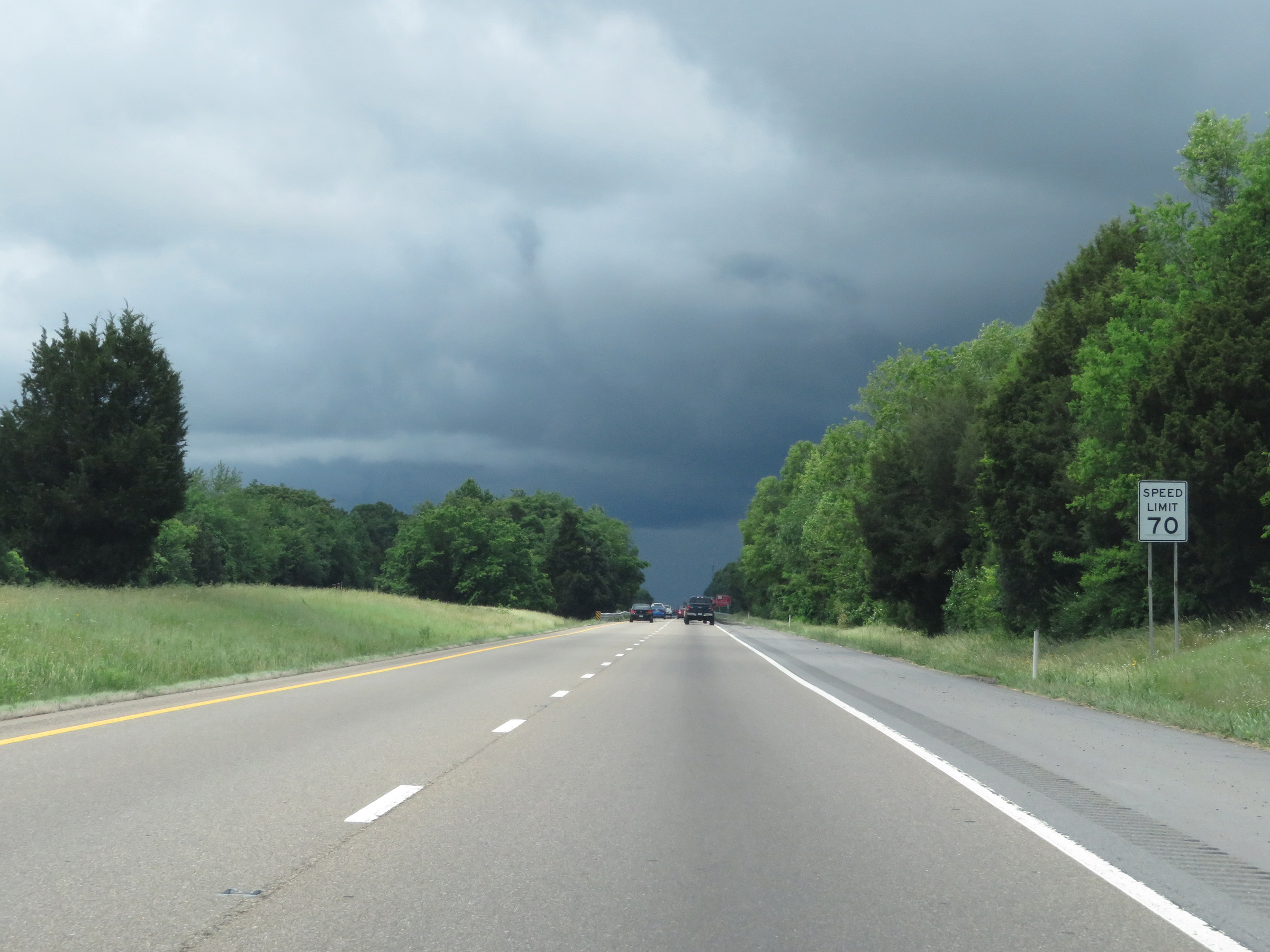
The speed limit remains 70 mph for all traffic on Interstate 81 South. (Photo taken 5/26/18). |
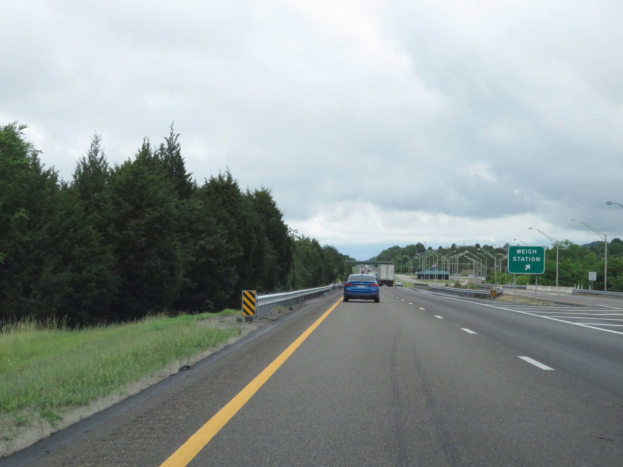 |
Weigh Station on Interstate 81 South in Greene County. (Photo taken 5/26/18). |
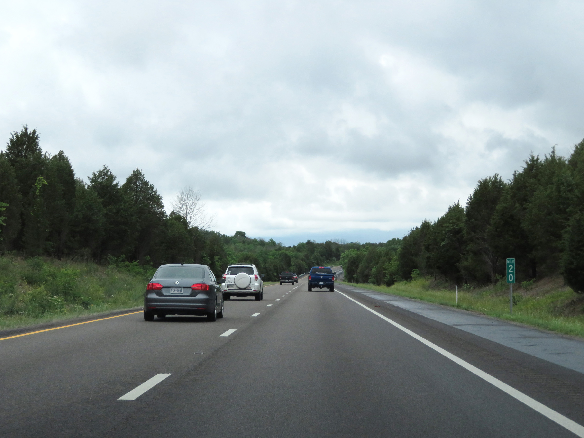 |
View on Interstate 81 South at mile marker 20. (Photo taken 5/26/18). |
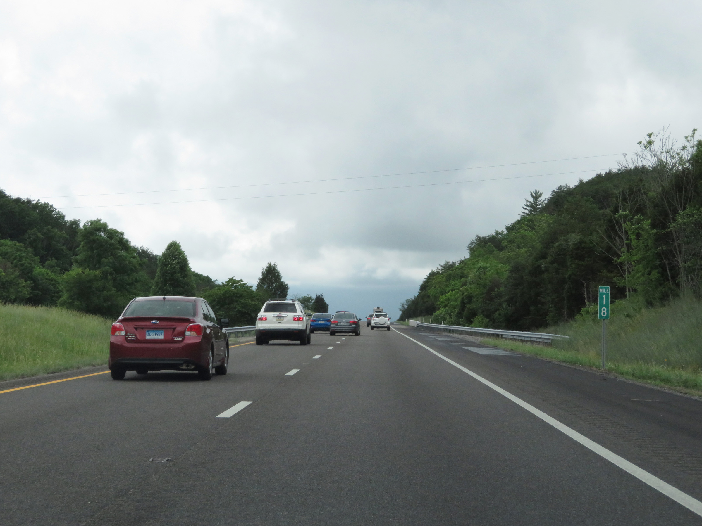 |
Interstate 81 South at mile marker 18. (Photo taken 5/26/18). |
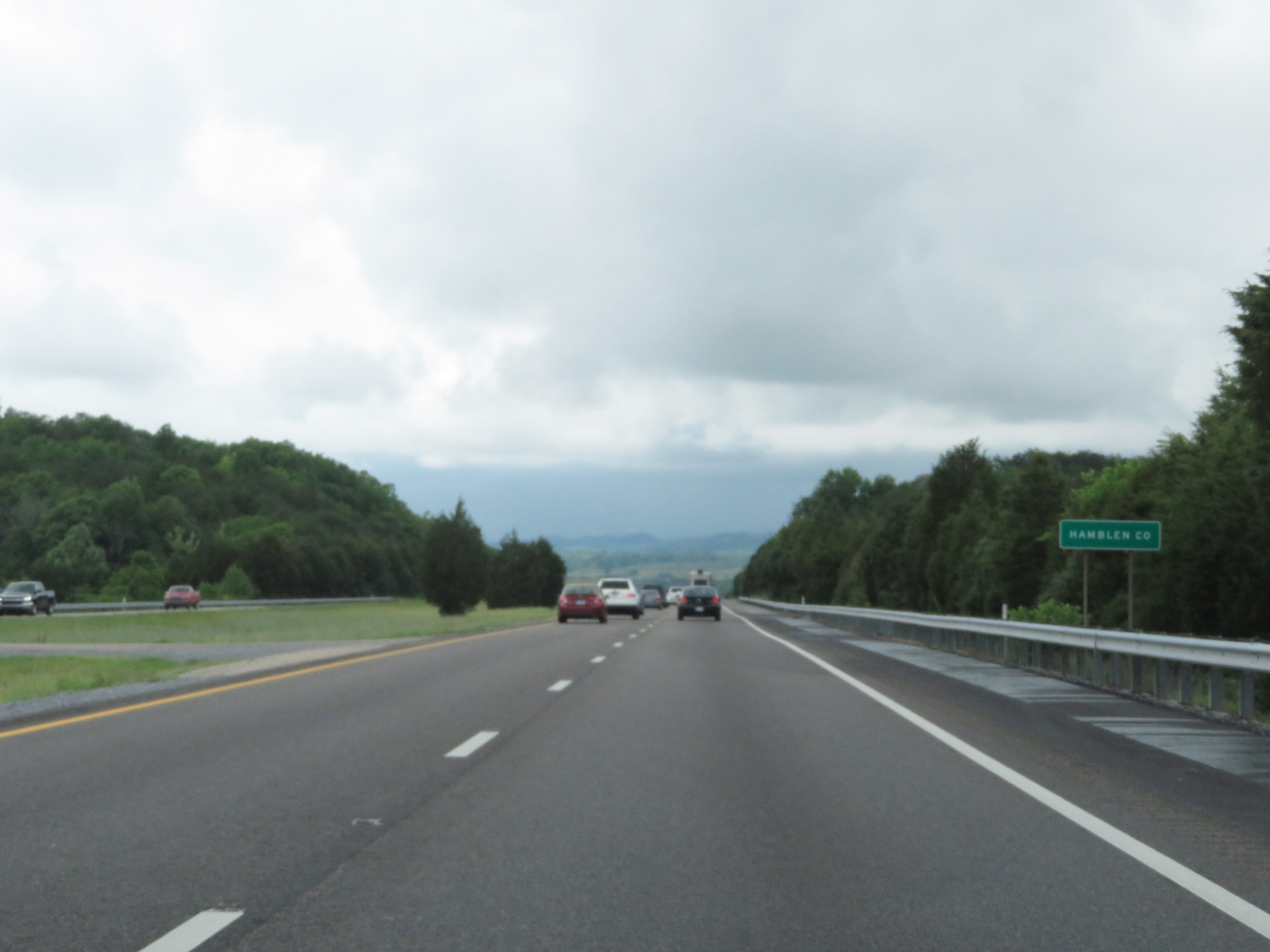 |
Entering Hamblen County on Interstate 81 South. (Photo taken 5/26/18). |
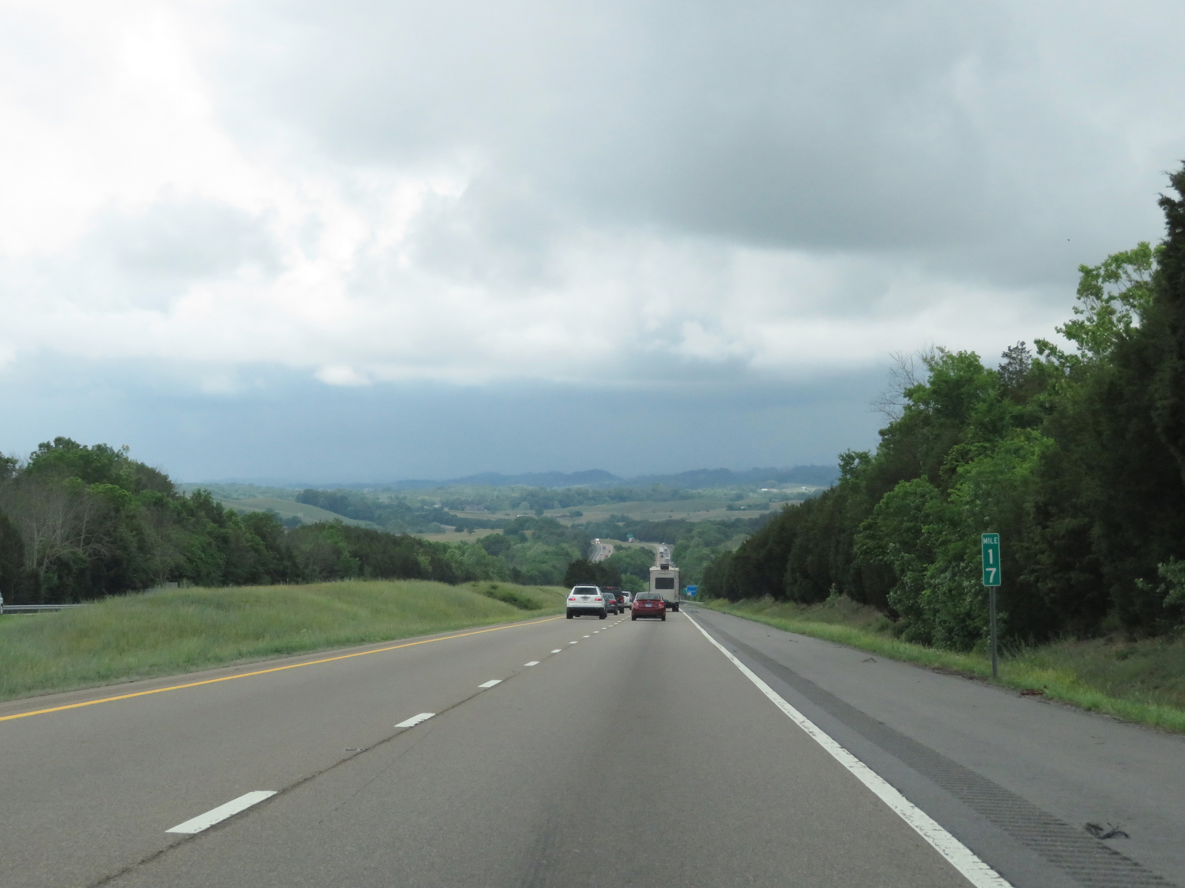 |
View on Interstate 81 South at mile marker 17. (Photo taken 5/26/18). |
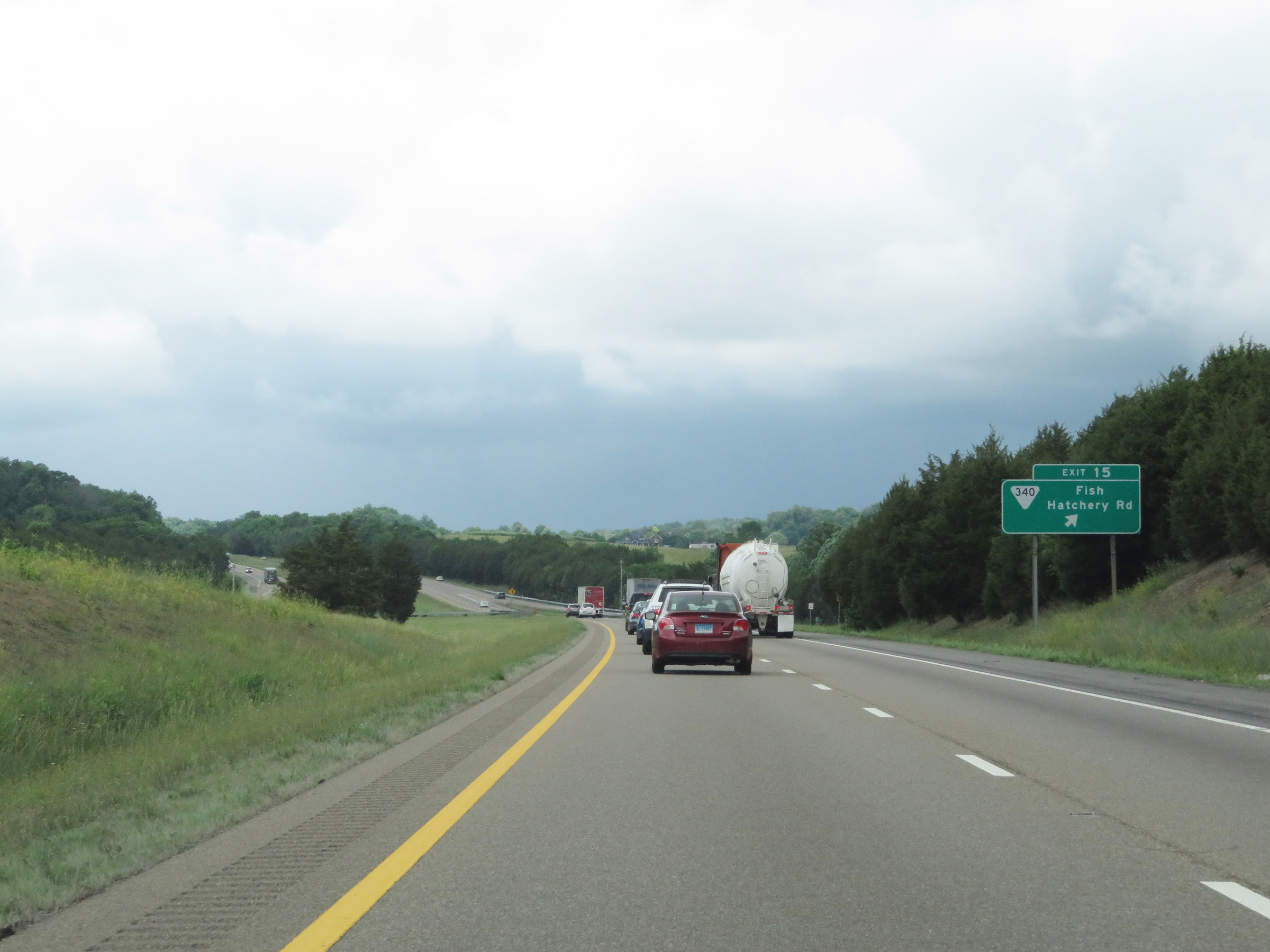 |
Interstate 81 South at Exit 15: SR 340 - Fish Hatchery Rd (Photo taken 5/26/18). |
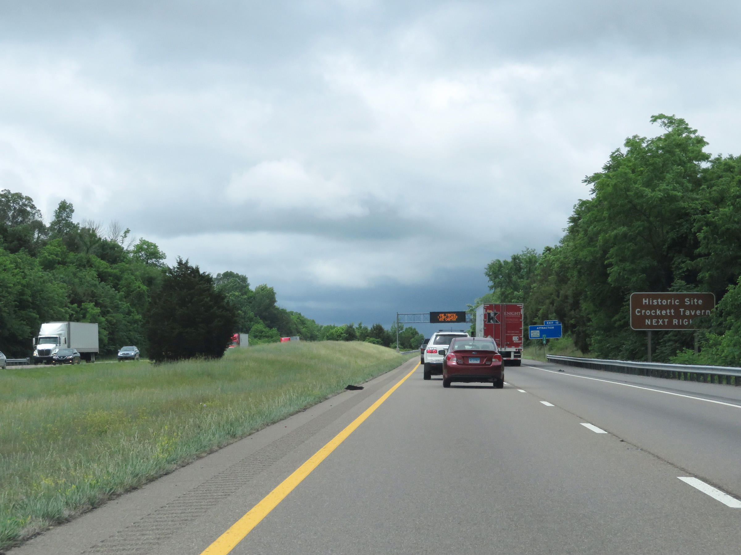 |
Take Exit 12 to Crockett Tavern Historic Site. (Photo taken 5/26/18). |
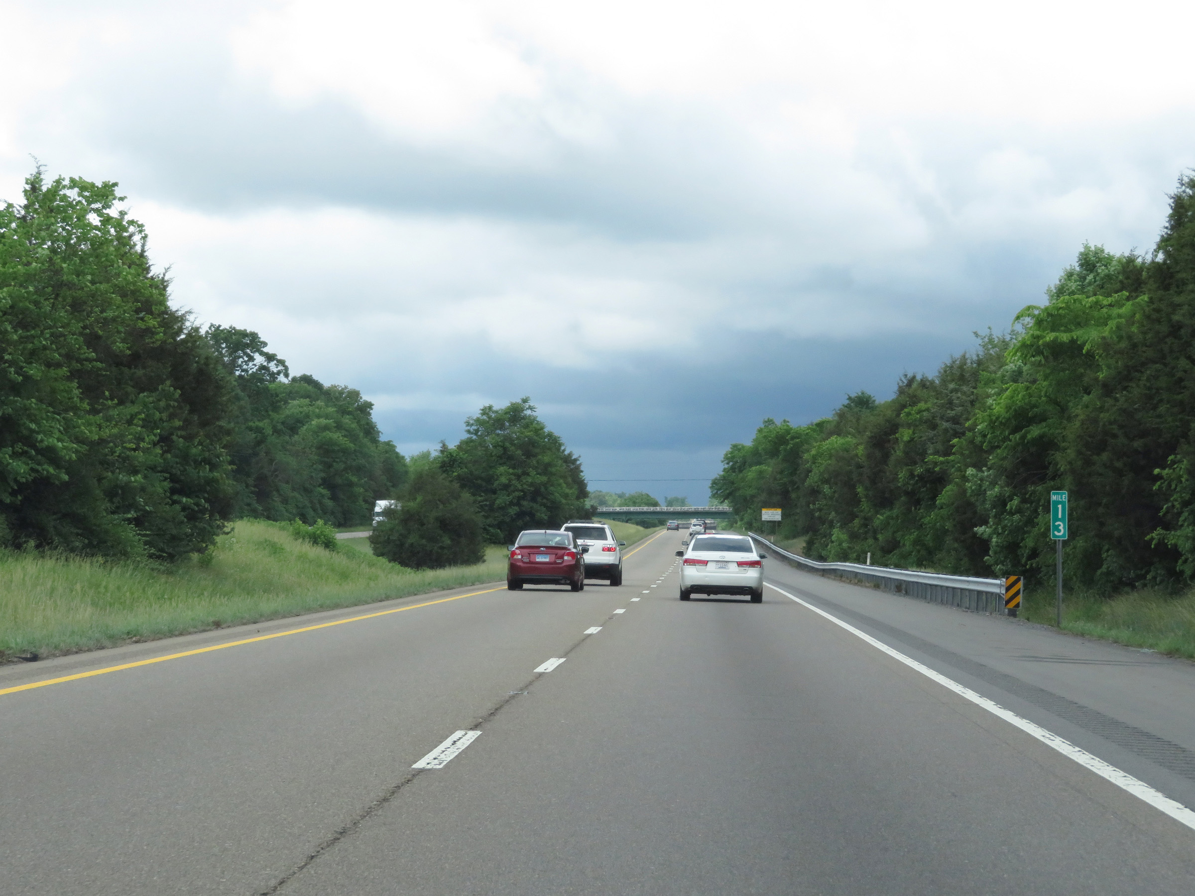 |
Interstate 81 South at mile marker 13. (Photo taken 5/26/18). |
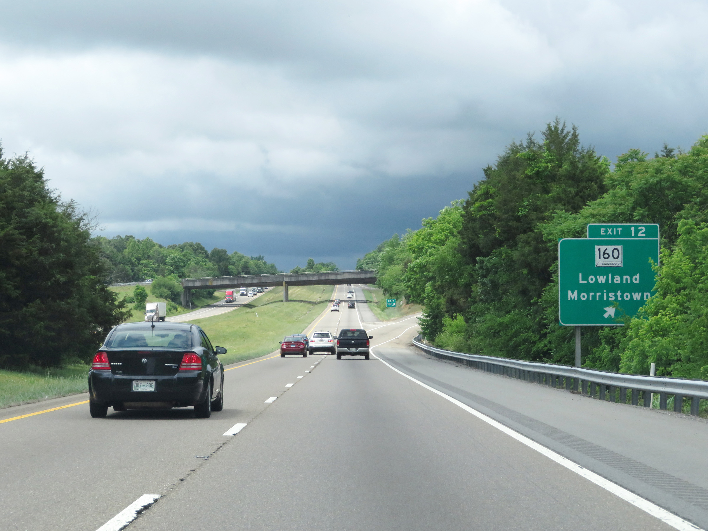 |
Interstate 81 South at Exit 12: TN 160 - Lowland / Morristown (Photo taken 5/26/18). |
 |
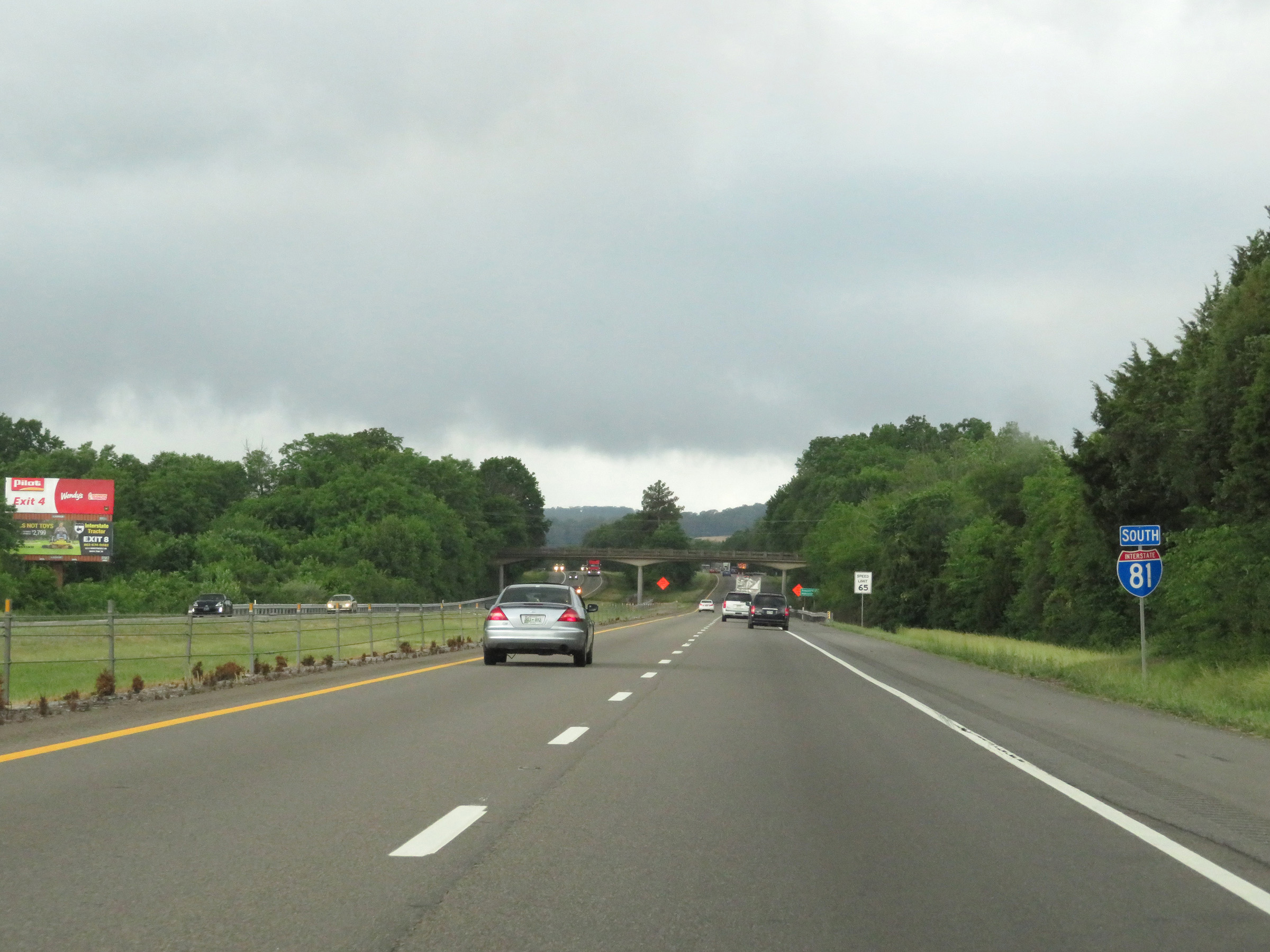
Another Interstate 81 South reassurance shield. (Photo taken 5/26/18). |
 |
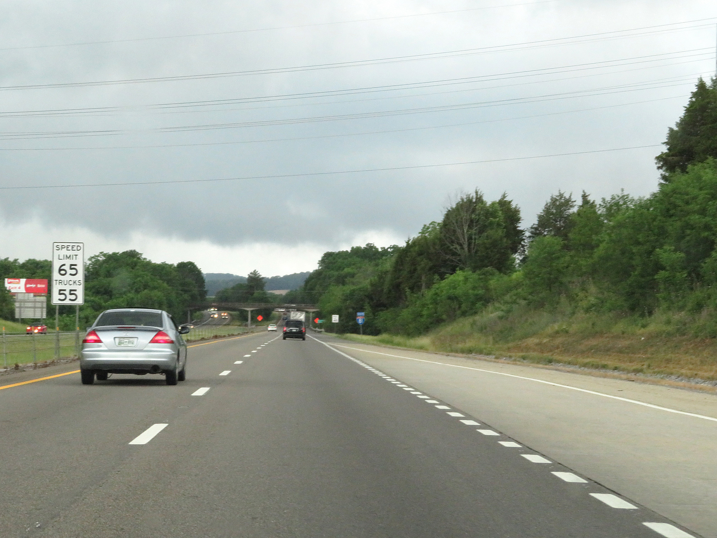
The speed limit remains 70 mph for all traffic on Interstate 81 South in Hamblen County. (Photo taken 5/26/18). |
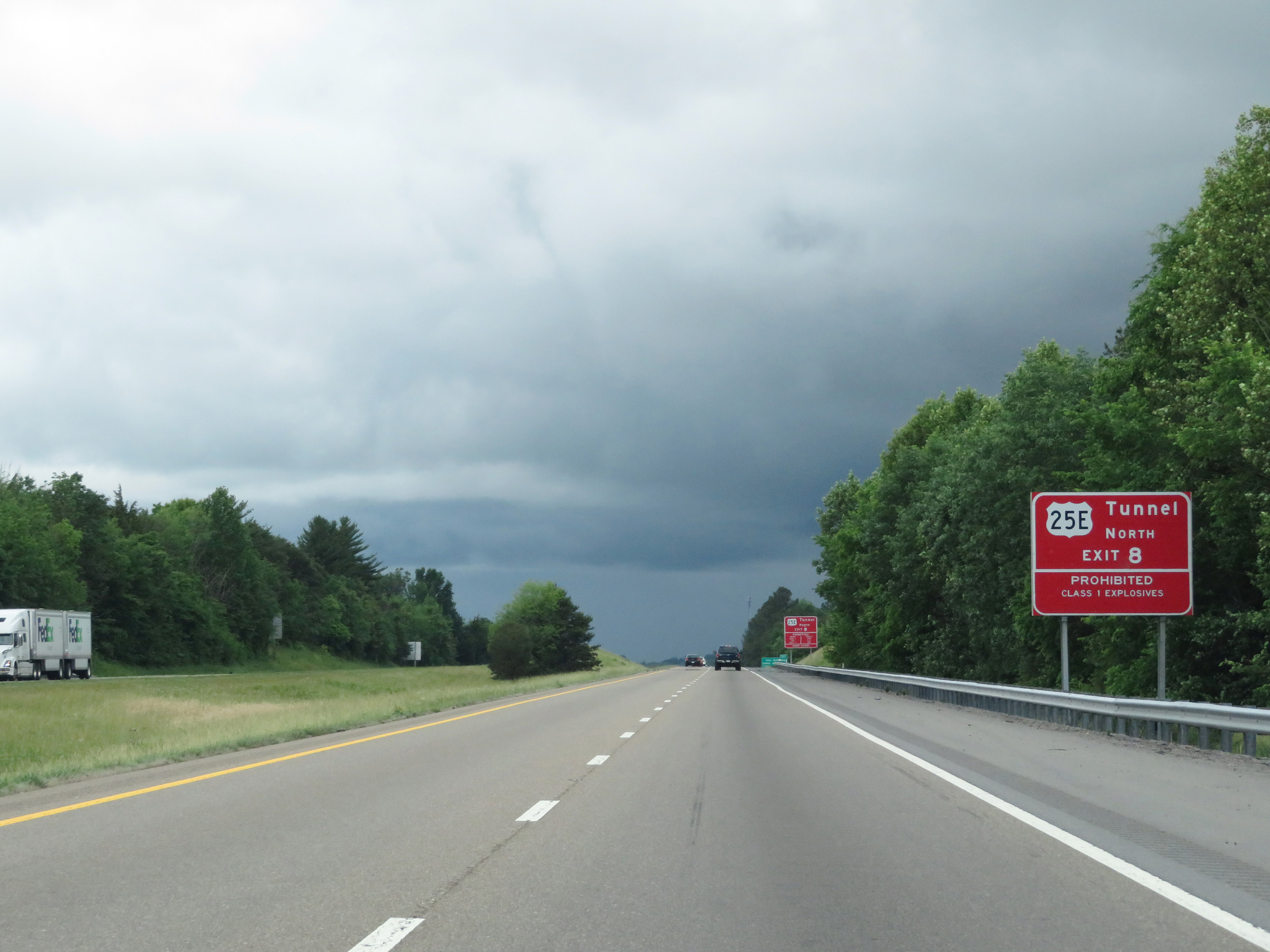 |
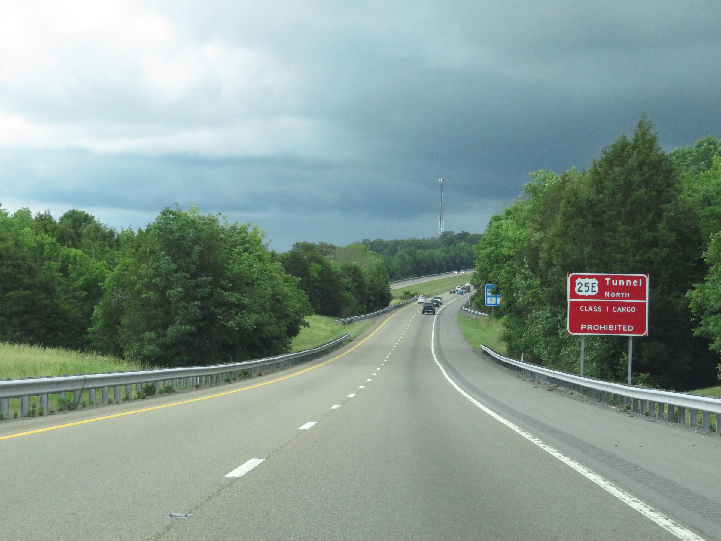
This sign warns that the tunnel on US 25E North via Exit 8 has hazardous materials restrictions in place. All class 1 cargo (explosives) are prohibited through the tunnel, which is at the Tennessee/Kentucky border. (Photo taken 5/26/18). |
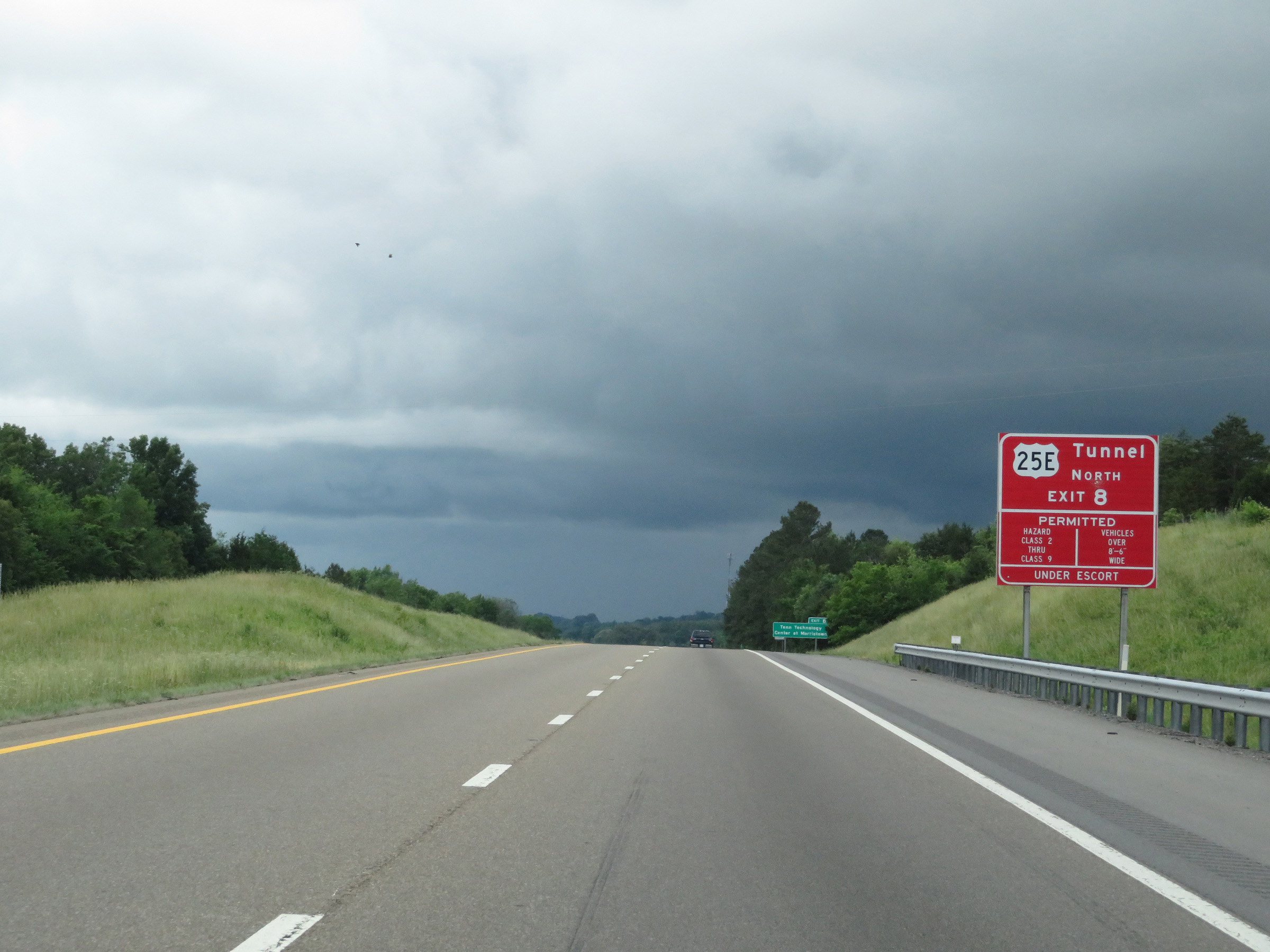 |
All other classes of hazardous materials are allowed through the tunnel under escort. Vehicles over 8'6" wide must also have an escort through the tunnel. (Photo taken 5/26/18). |
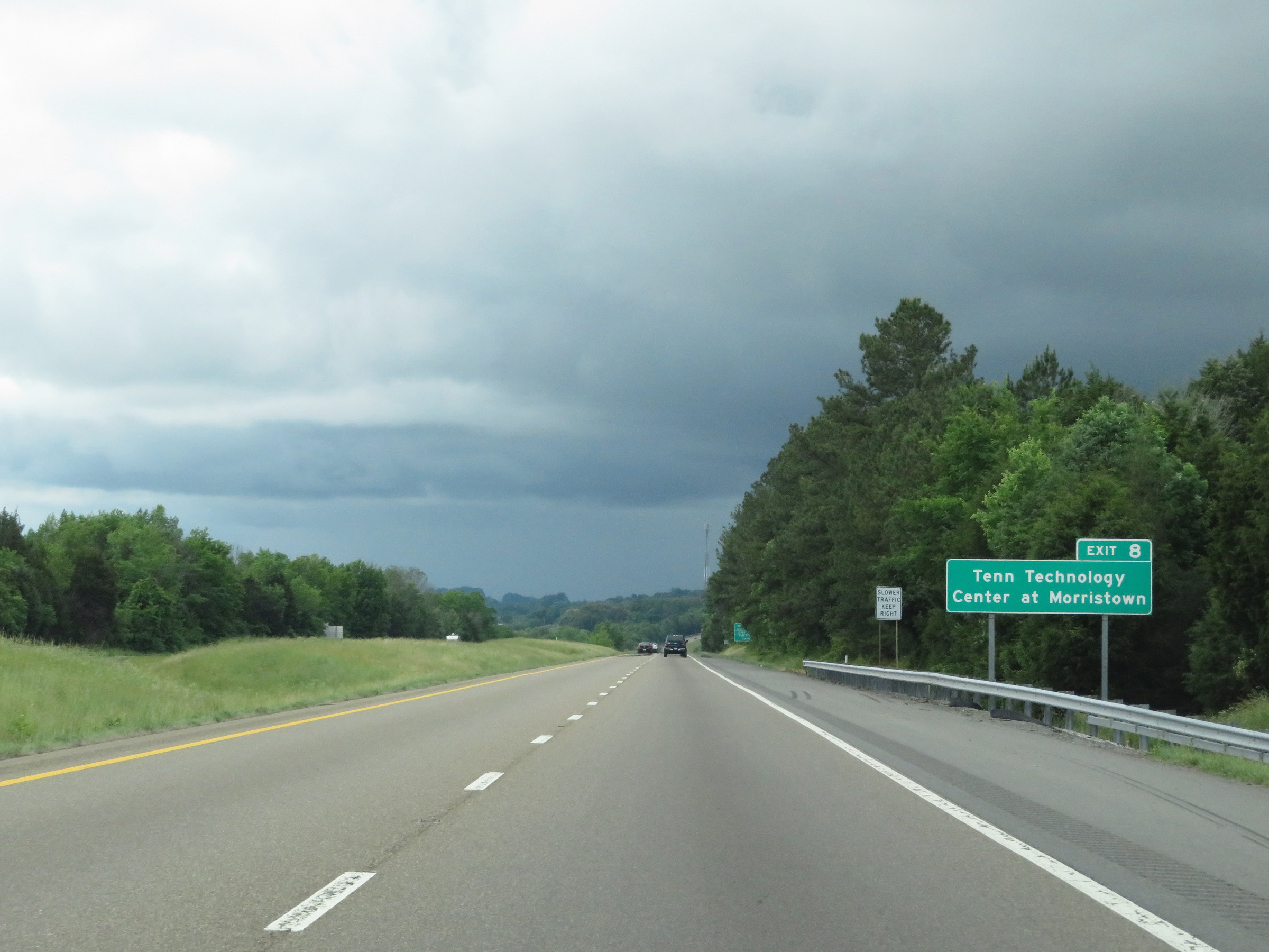 |
Take Exit 8 to Tennessee Technology Center at Morristown. (Photo taken 5/26/18). |
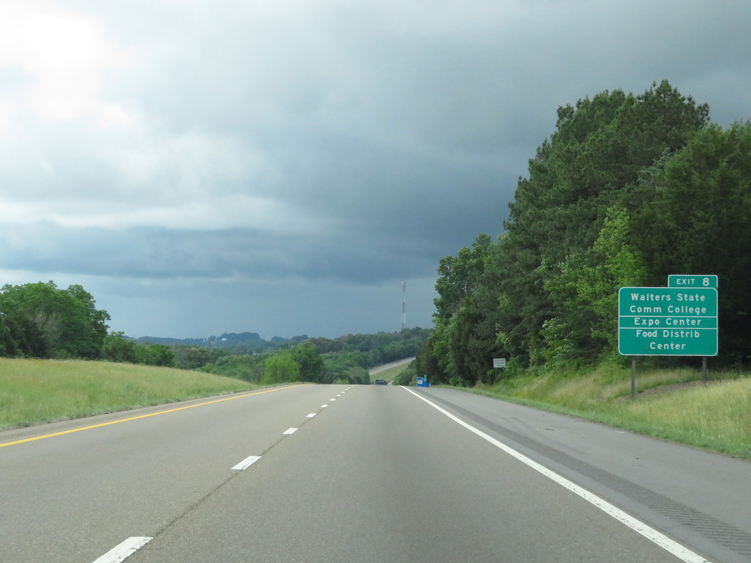 |
Also take Exit 8 to Walters State Community College, the Expo Center, and the Food Distribution Center. (Photo taken 5/26/18). |
 |
This sign approaching Exit 8 reminds truck drivers that all class 1 cargo (explosives) are prohibited in the tunnel on US 25E North at the Tennessee/Kentucky border. (Photo taken 5/26/18). |
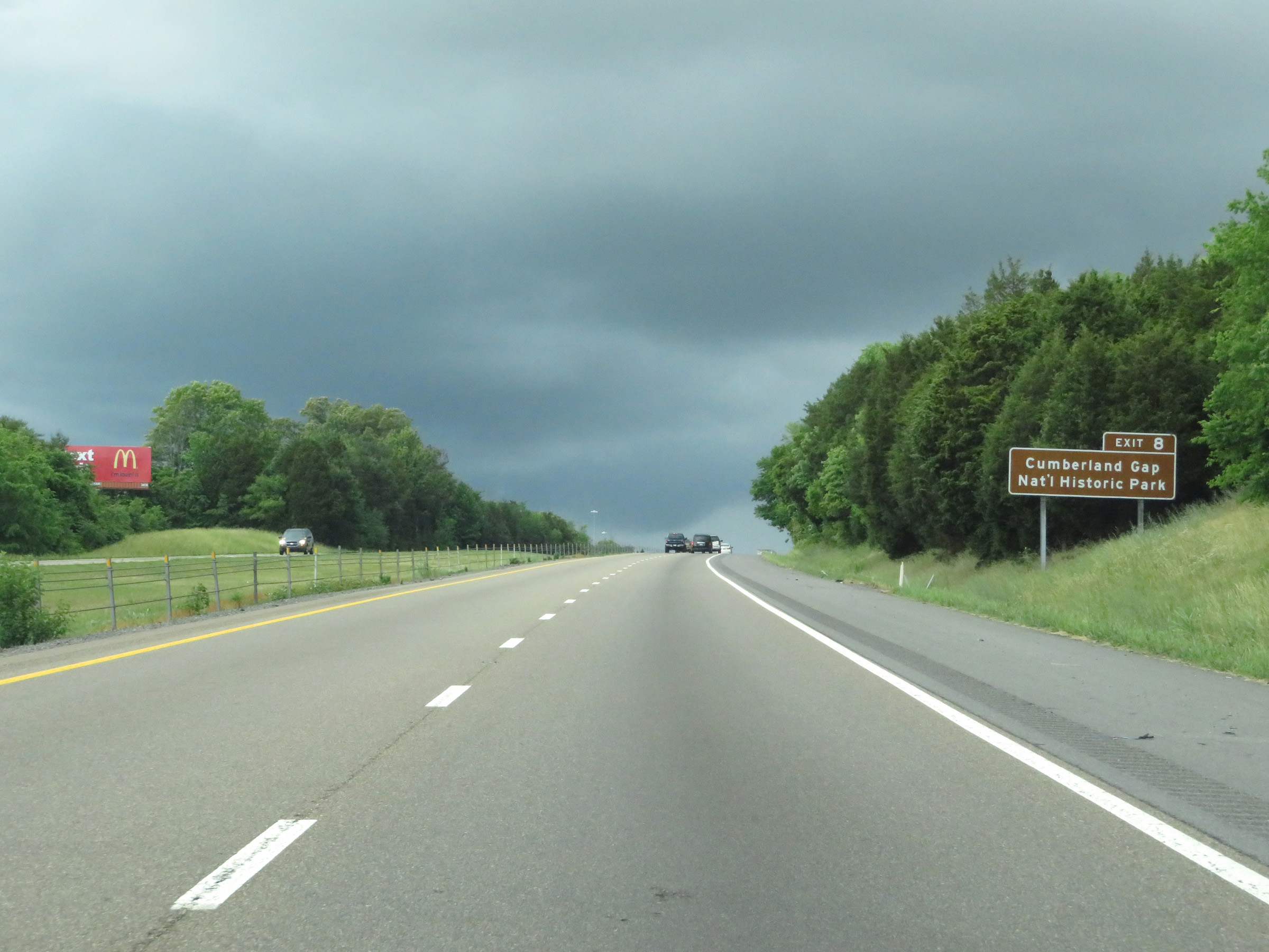 |
Take Exit 8 to Cumberland Gap National Historic Park as well. (Photo taken 5/26/18). |
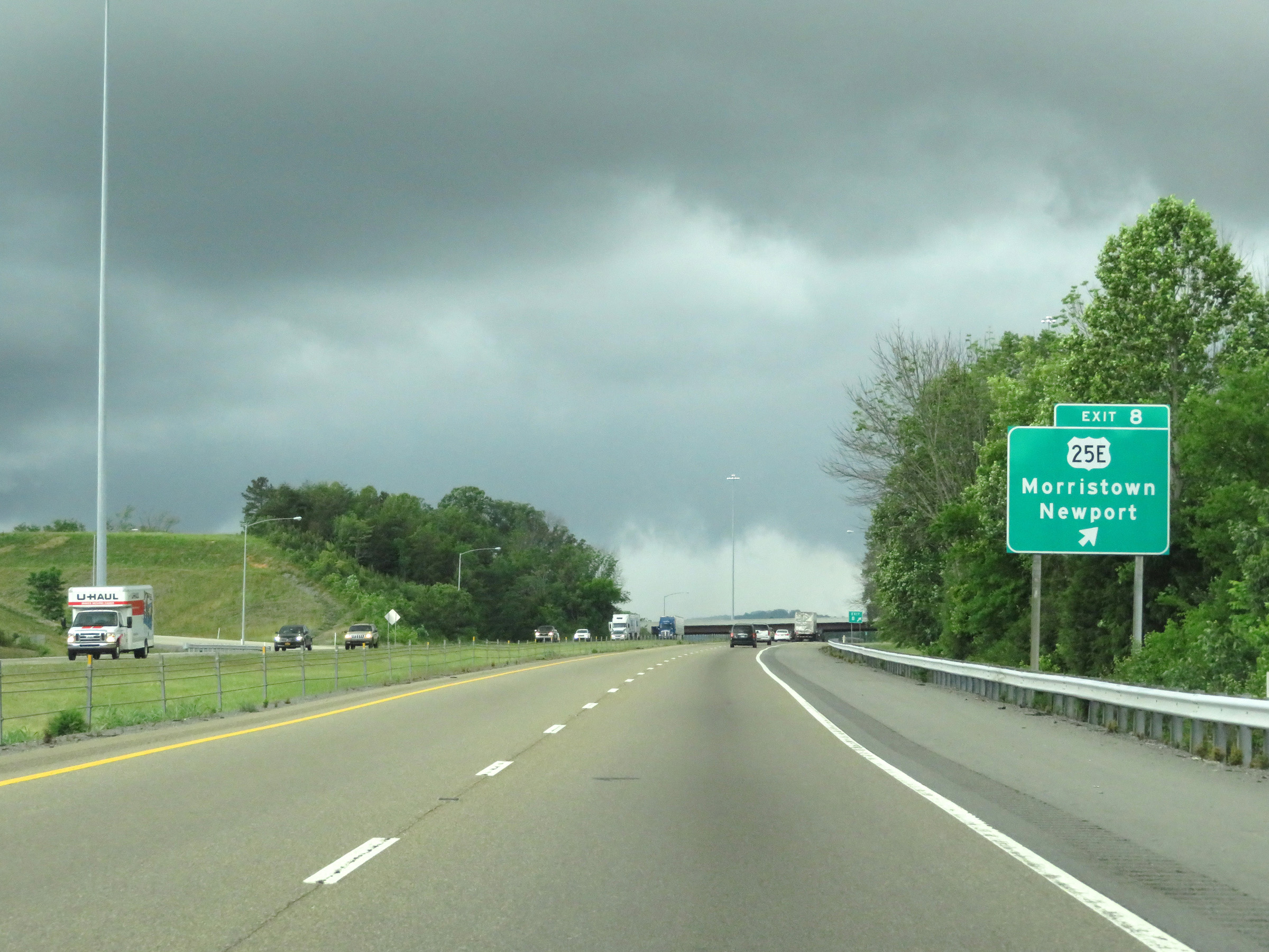 |
Interstate 81 South at Exit 8: US 25E - Morristown / Newport (Photo taken 5/26/18). |
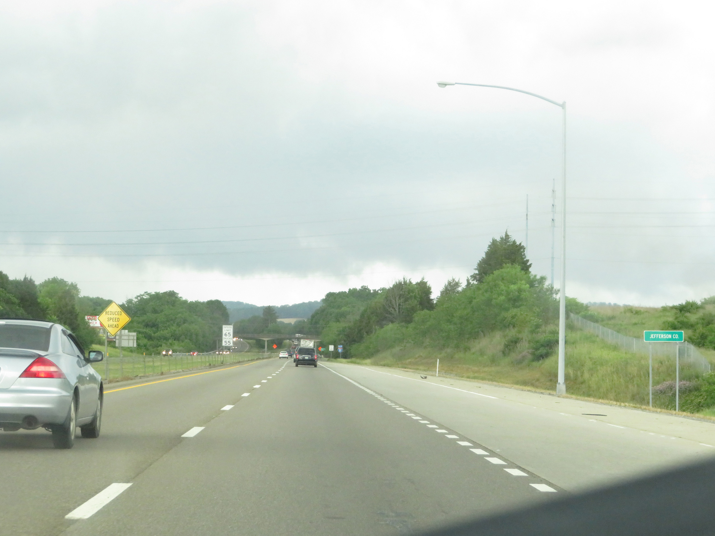 |
Just south of Exit 8, Interstate 81 South enters Jefferson County. (Photo taken 5/26/18). |
 |
Upon entering Jefferson County, the speed limits on Interstate 81 South are once again reduced to 65 mph for automobiles and 55 mph for trucks. (Photo taken 5/26/18). |
 |
Interstate 81 South reassurance shield. (Photo taken 5/26/18). |
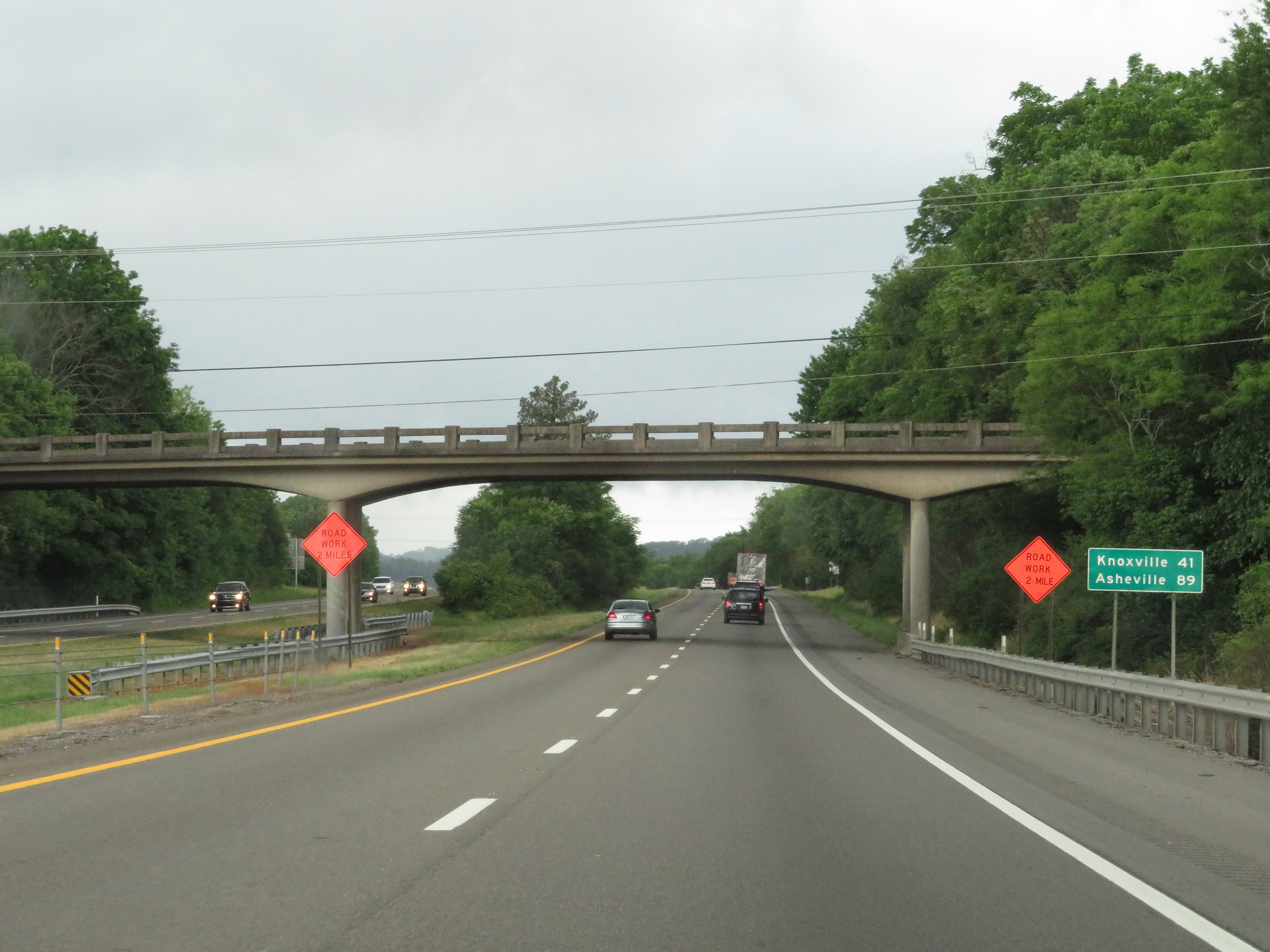 |
Mileage sign on Interstate 81 South. It's 41 miles to Knoxville and 89 miles to Asheville. (Photo taken 5/26/18). |
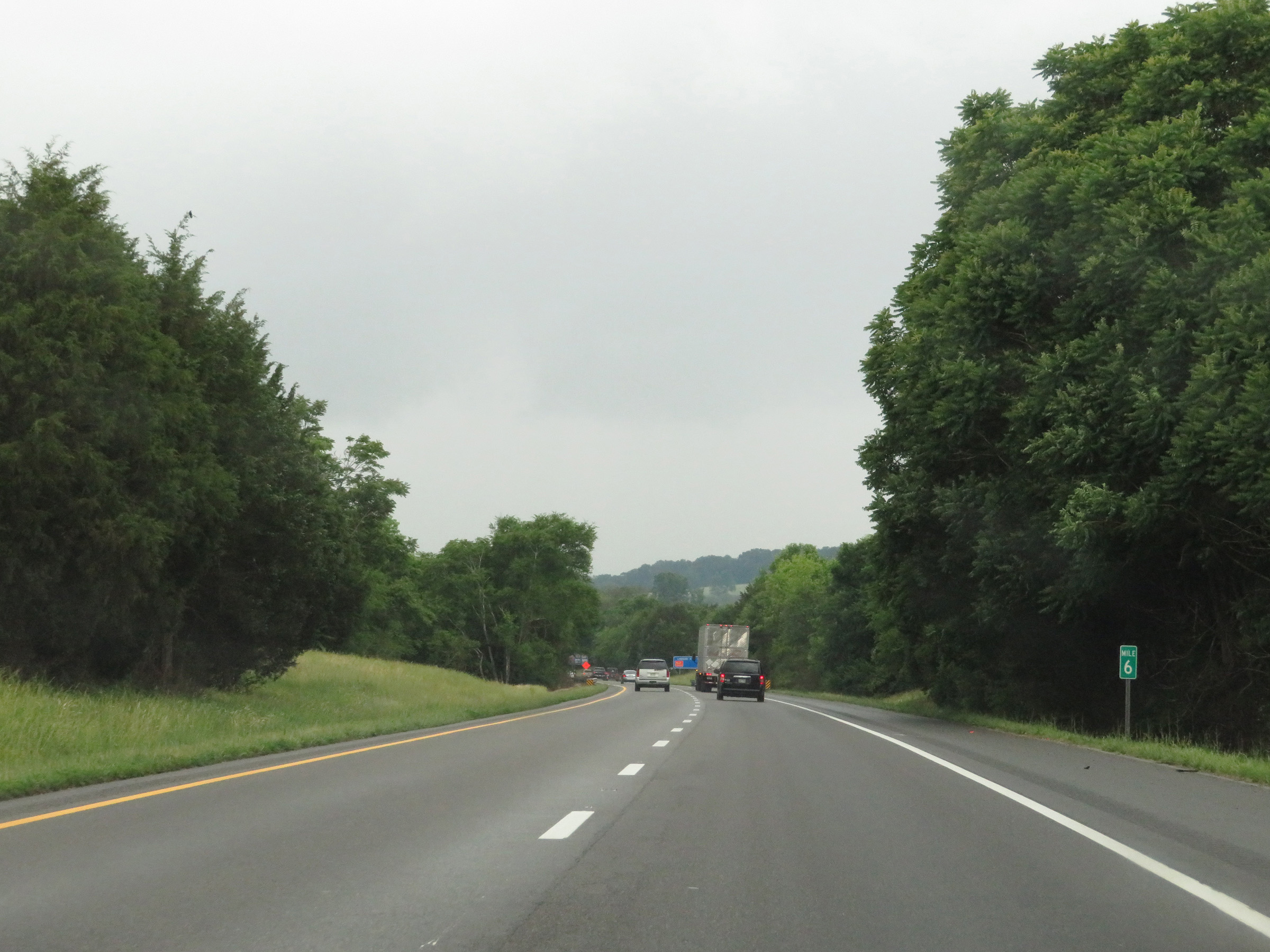 |
View on Interstate 81 South at mile marker 6. (Photo taken 5/26/18). |
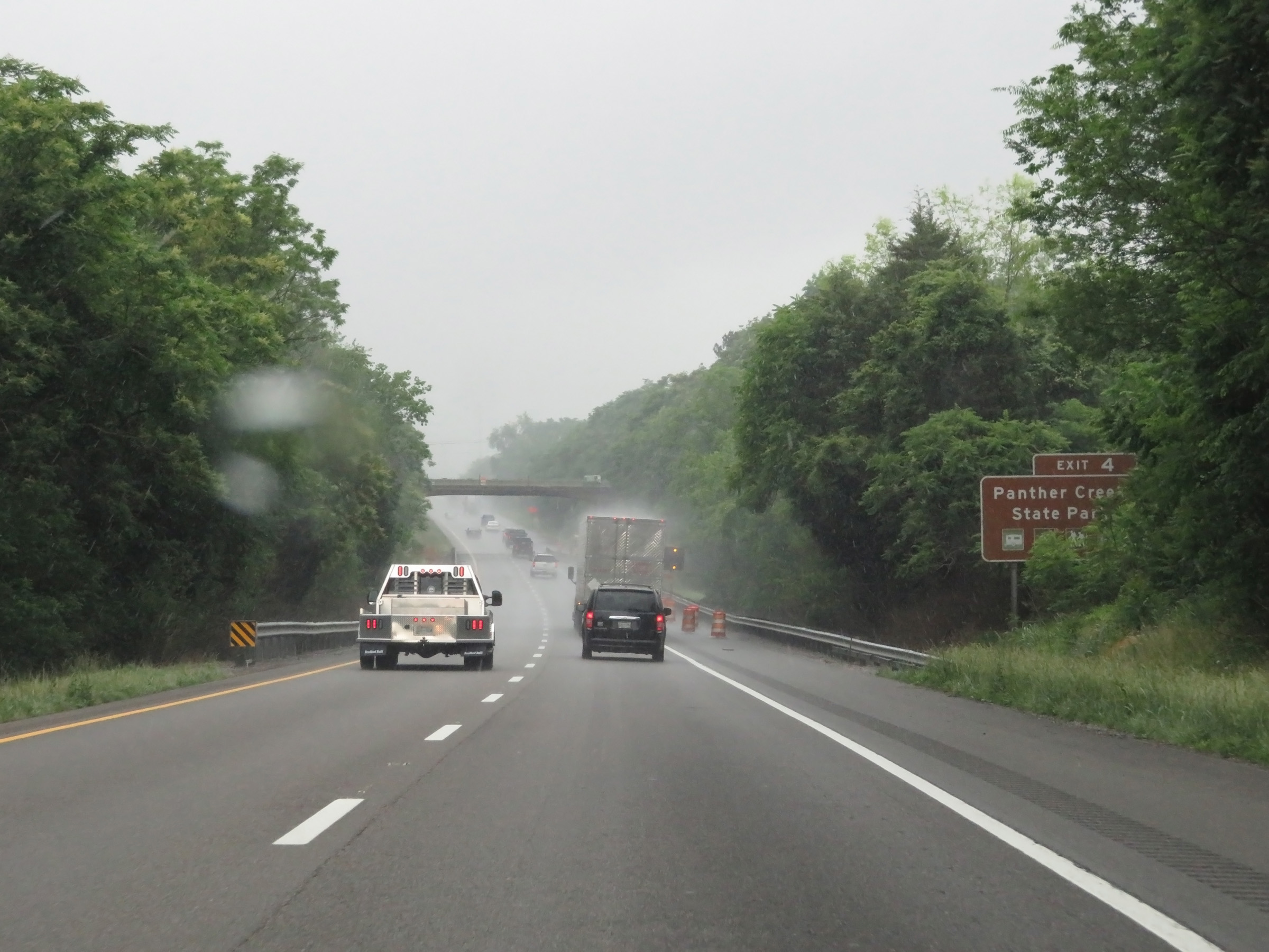 |
Take Exit 4 to Panther Creek State Park. (Photo taken 5/26/18). |
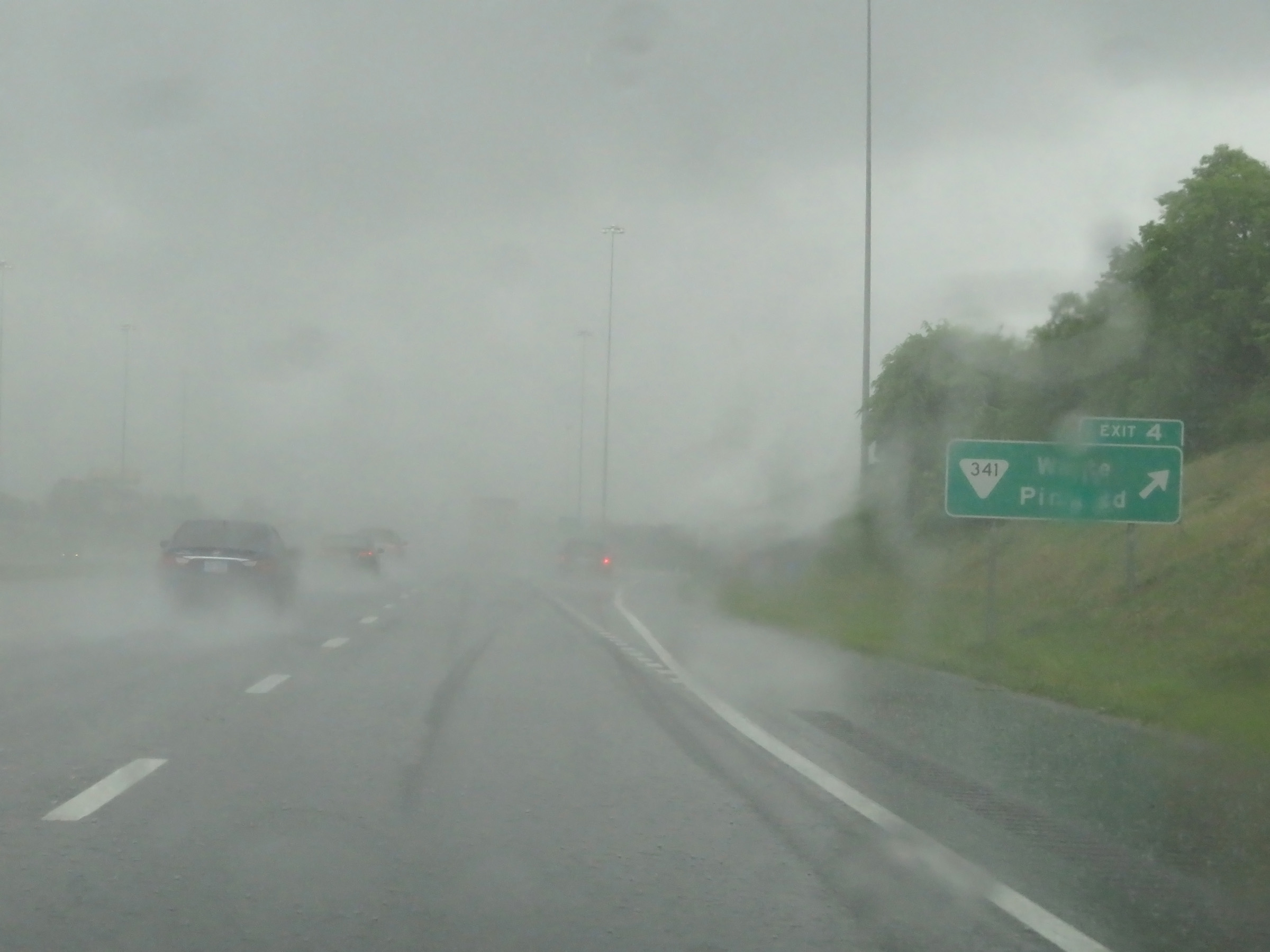 |
Interstate 81 South at Exit 4: SR 341 - White Pine Rd (Photo taken 5/26/18). |
 |
Rest Area on Interstate 81 South in Jefferson County. (Photo taken 5/26/18). |
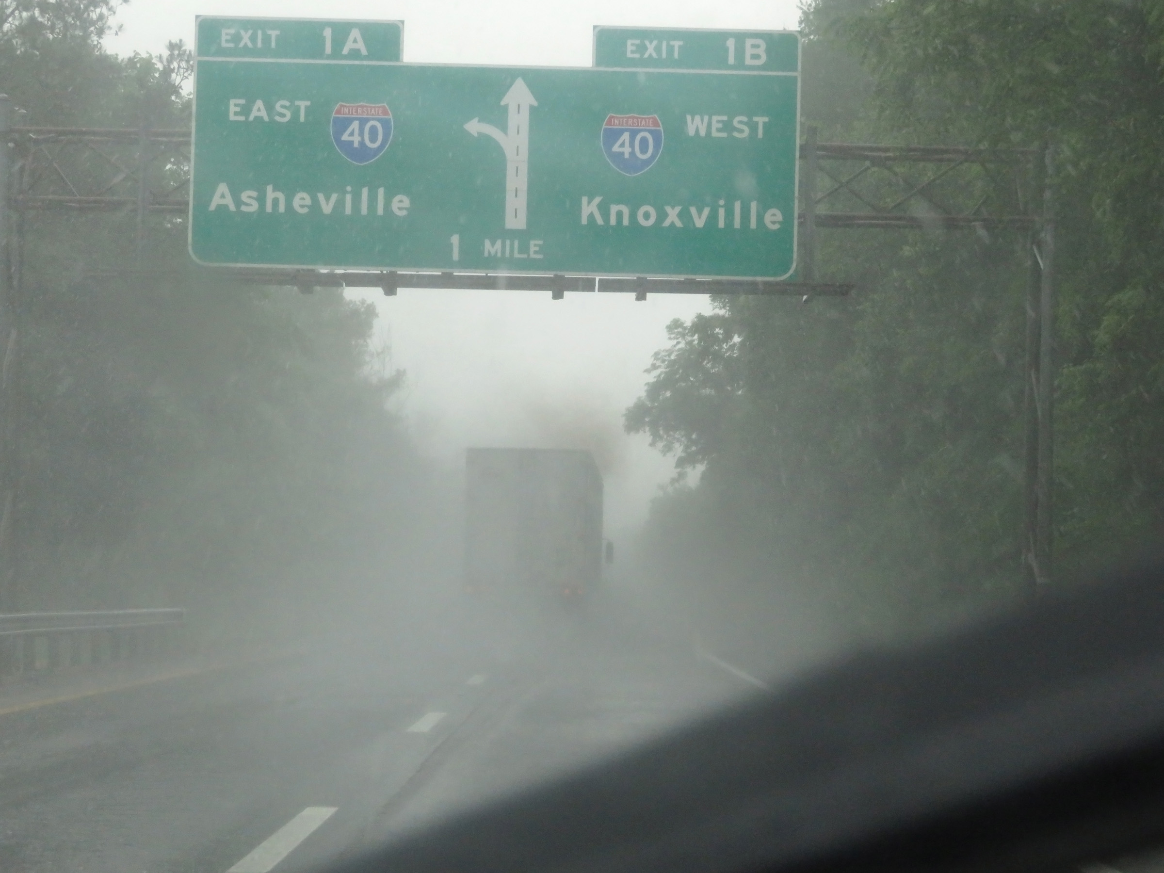 |
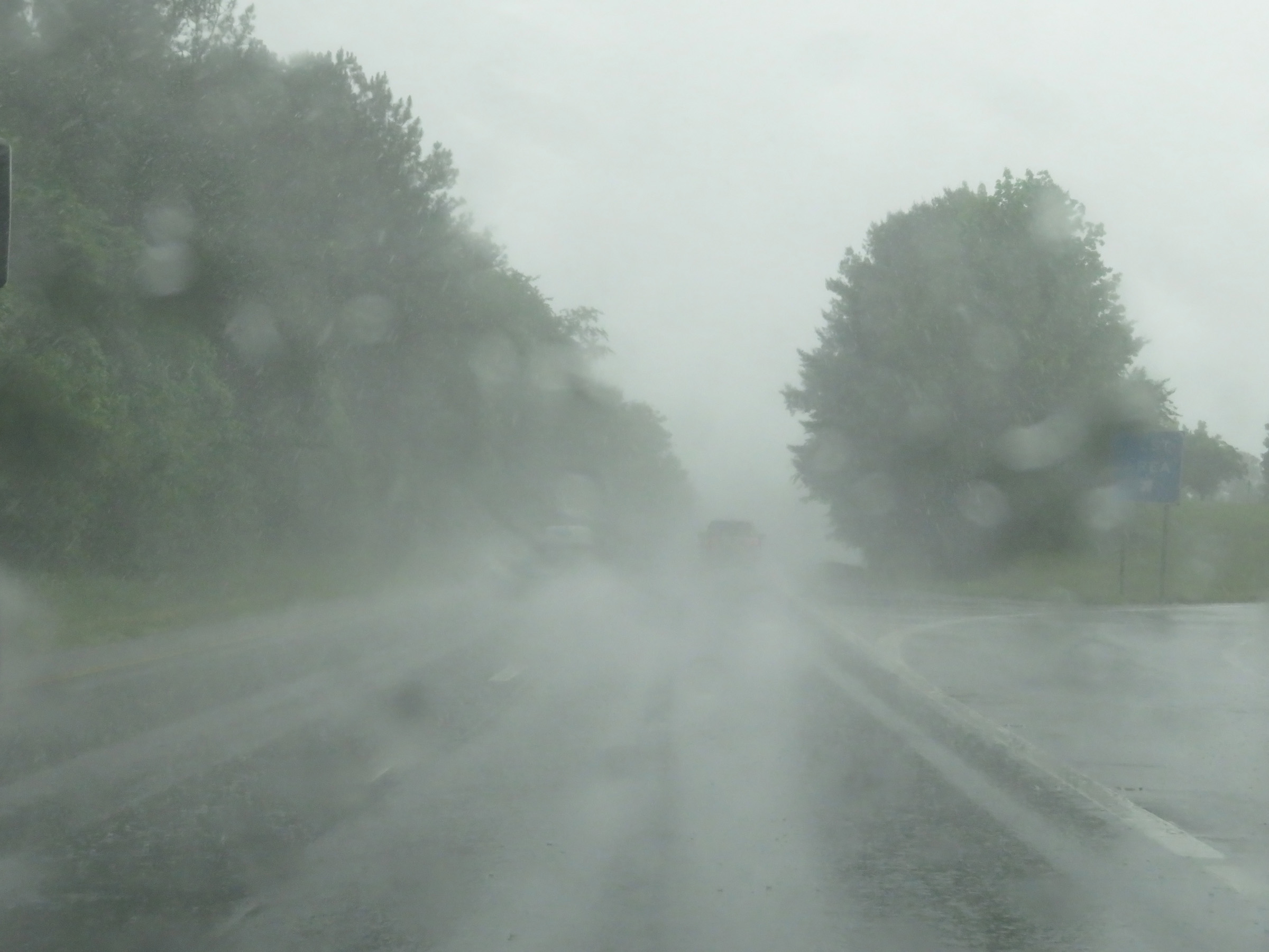
Interstate 81 South approaching its southern terminus at Exits 1B-A - 1 mile. (Photo taken 5/26/18). |
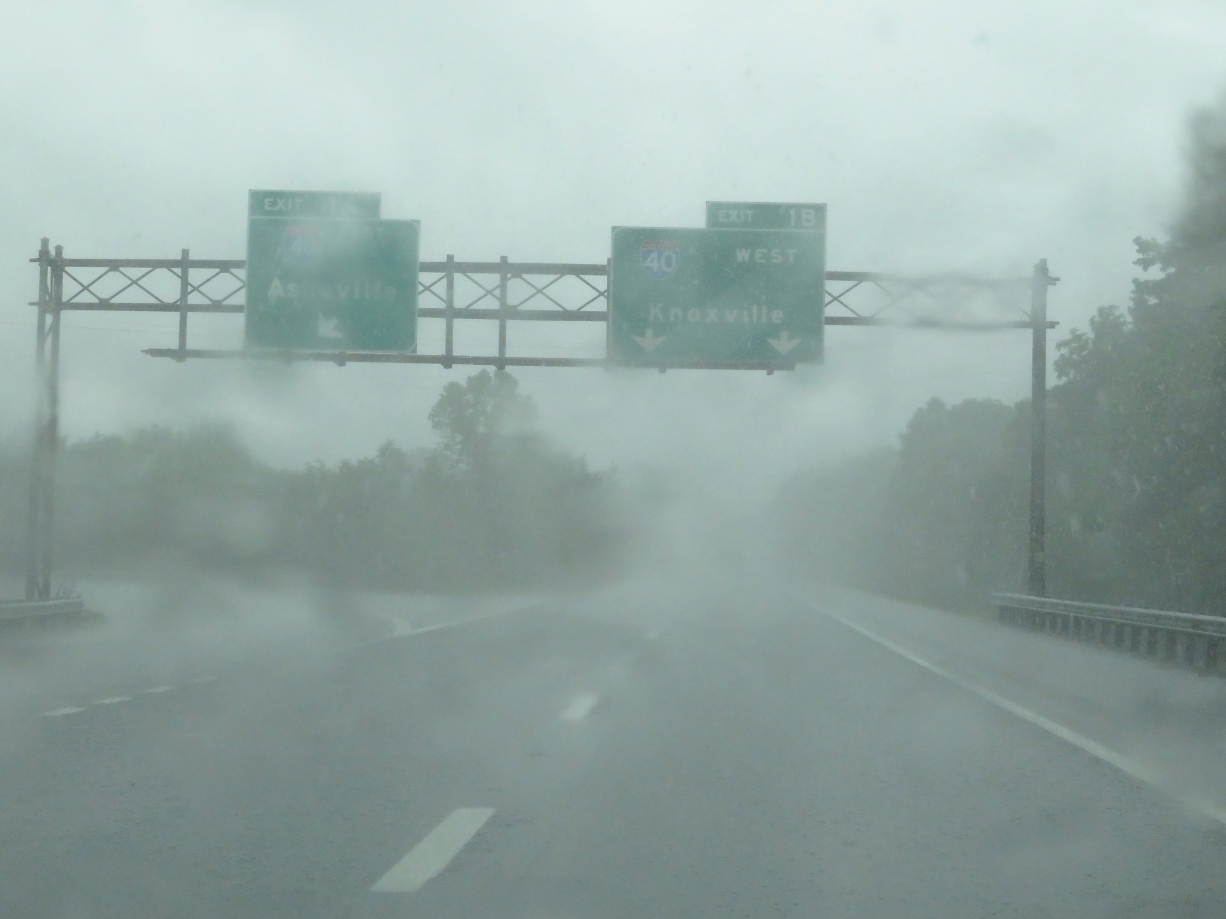 |
Interstate 81 South at Exit 1B: Interstate 40 West - Knoxville; Exit 1A: Interstate 40 East - Asheville (Photo taken 5/26/18). |
 |
As Interstate 81 reaches its southern terminus, its two southbound lanes become the ramp to Interstate 40 West via Exit 1B. (Photo taken 5/26/18). |
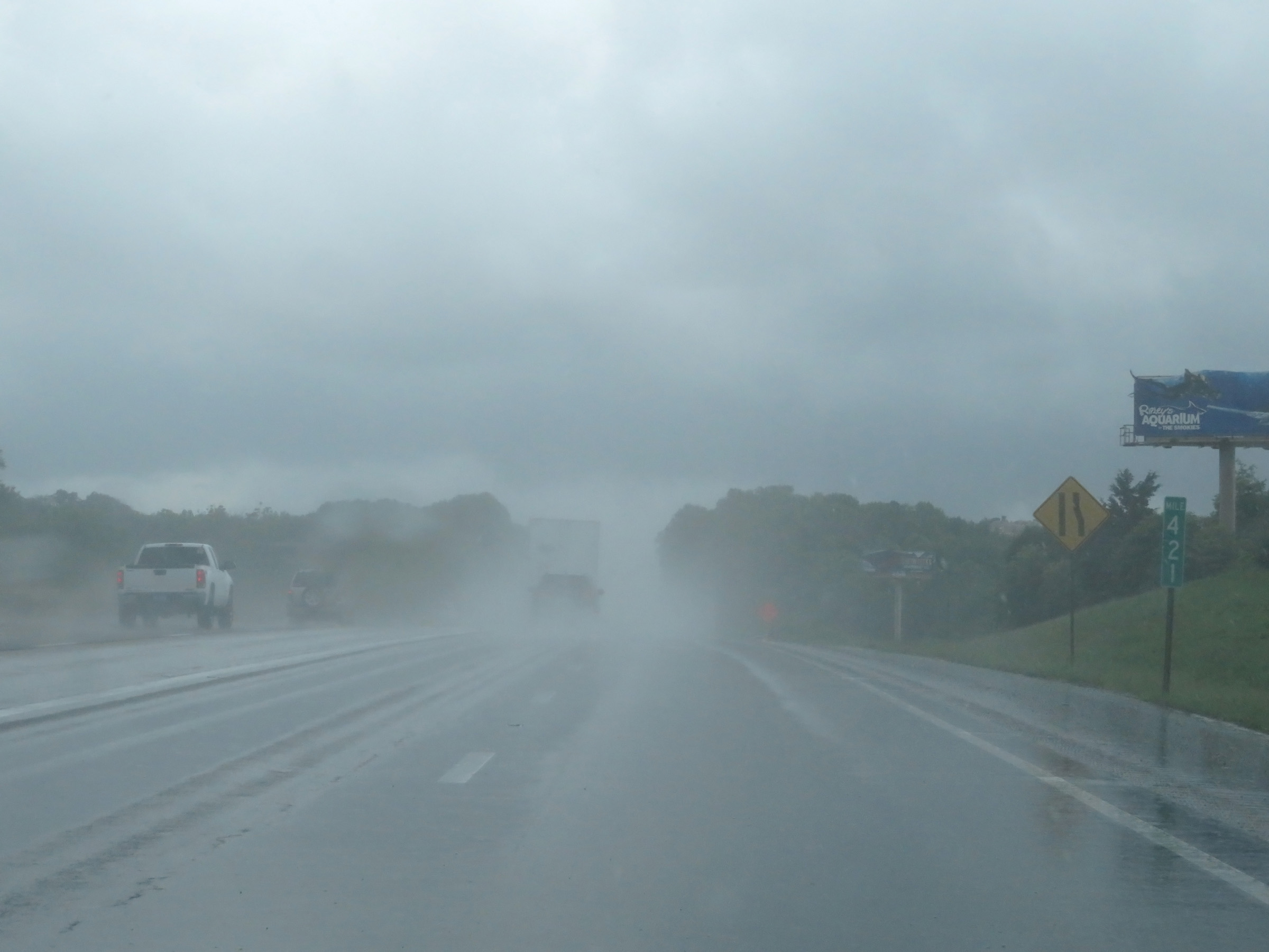 |
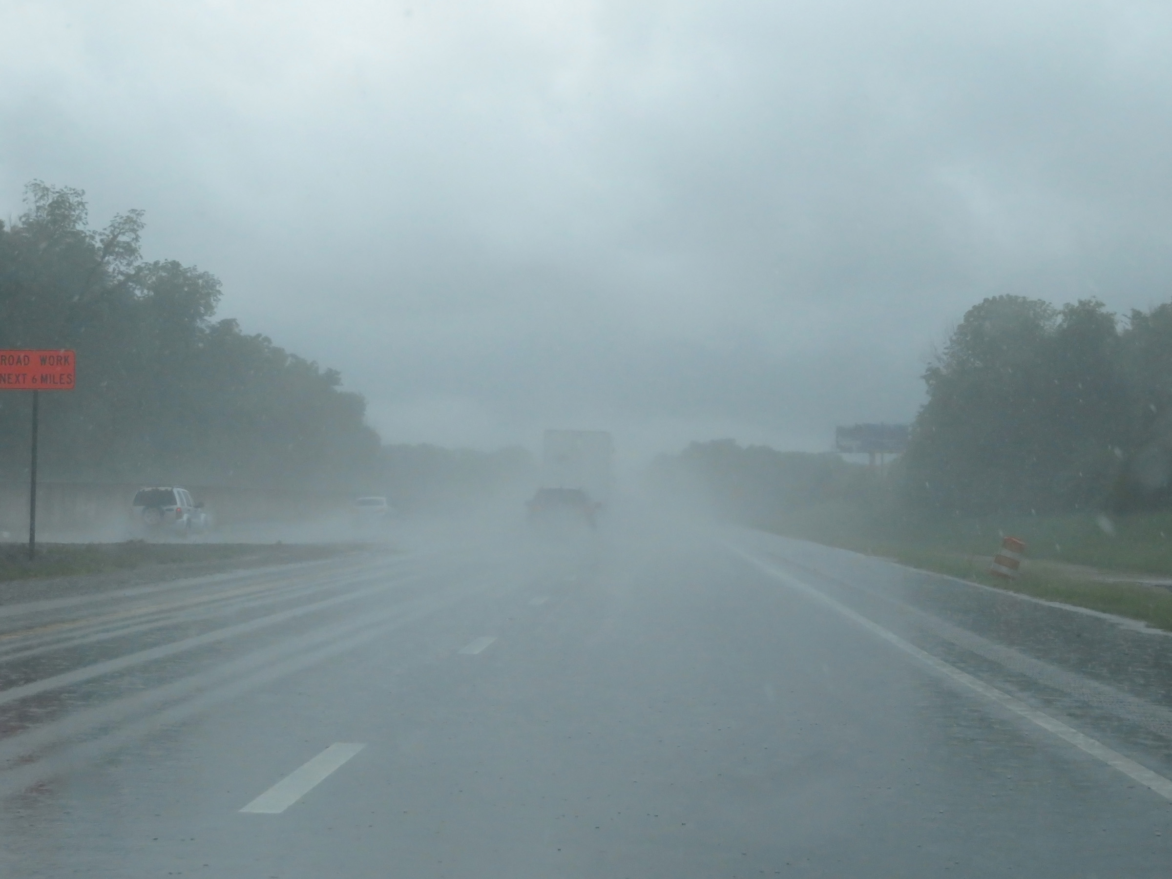
As Interstate 81 South ends, it merges into Interstate 40 West at mile marker 421. (Photo taken 5/26/18). |