Road Information |
||
 |
||
| Total Mileage in State: | 11.5 miles | |
| Northern End: | At I-90/CR 125, in Sioux Falls | |
| Southern End: | At I-29, in Tea | |
| Mileage covered in Photos: | 11.5 miles | |
| Counties covered in Photos: | Lincoln, Minnehaha | |
| Major Junctions in Photos: | I-90, in Sioux Falls | |
| Control Cities in Photos: | Tea, Sioux Falls | |
Northbound
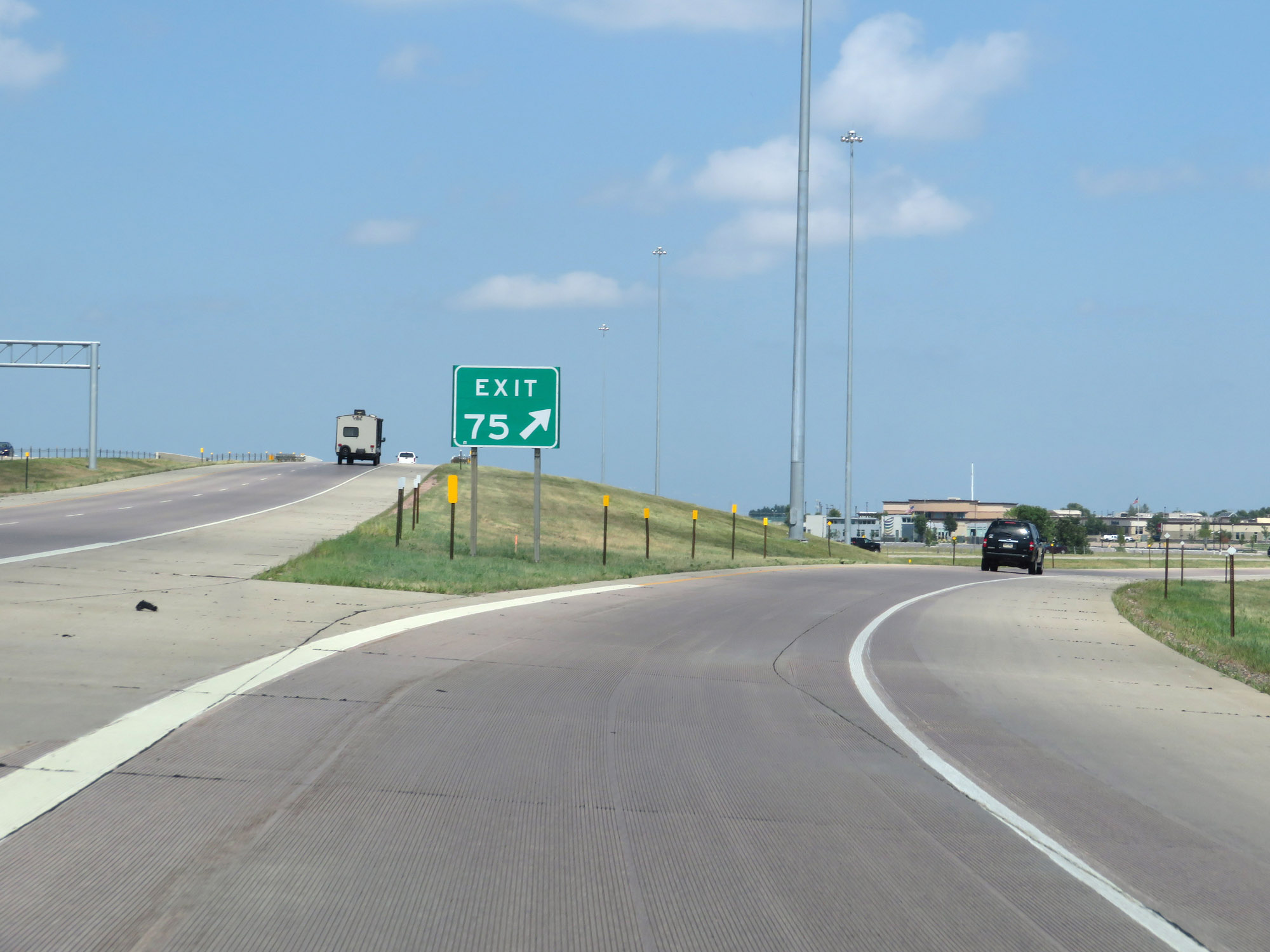 |
Merging onto Interstate 229 North from Interstate 29 North via Exit 75. (Photo taken 8/9/20). |
 |
Take any of the next 8 exits to Sioux Falls. (Photo taken 8/9/20). |
 |
Advance signage for Exit 1 as the ramps from Interstate 29 North and South come together to head eastbound as Interstate 229 North begins. (Photo taken 8/9/20). |
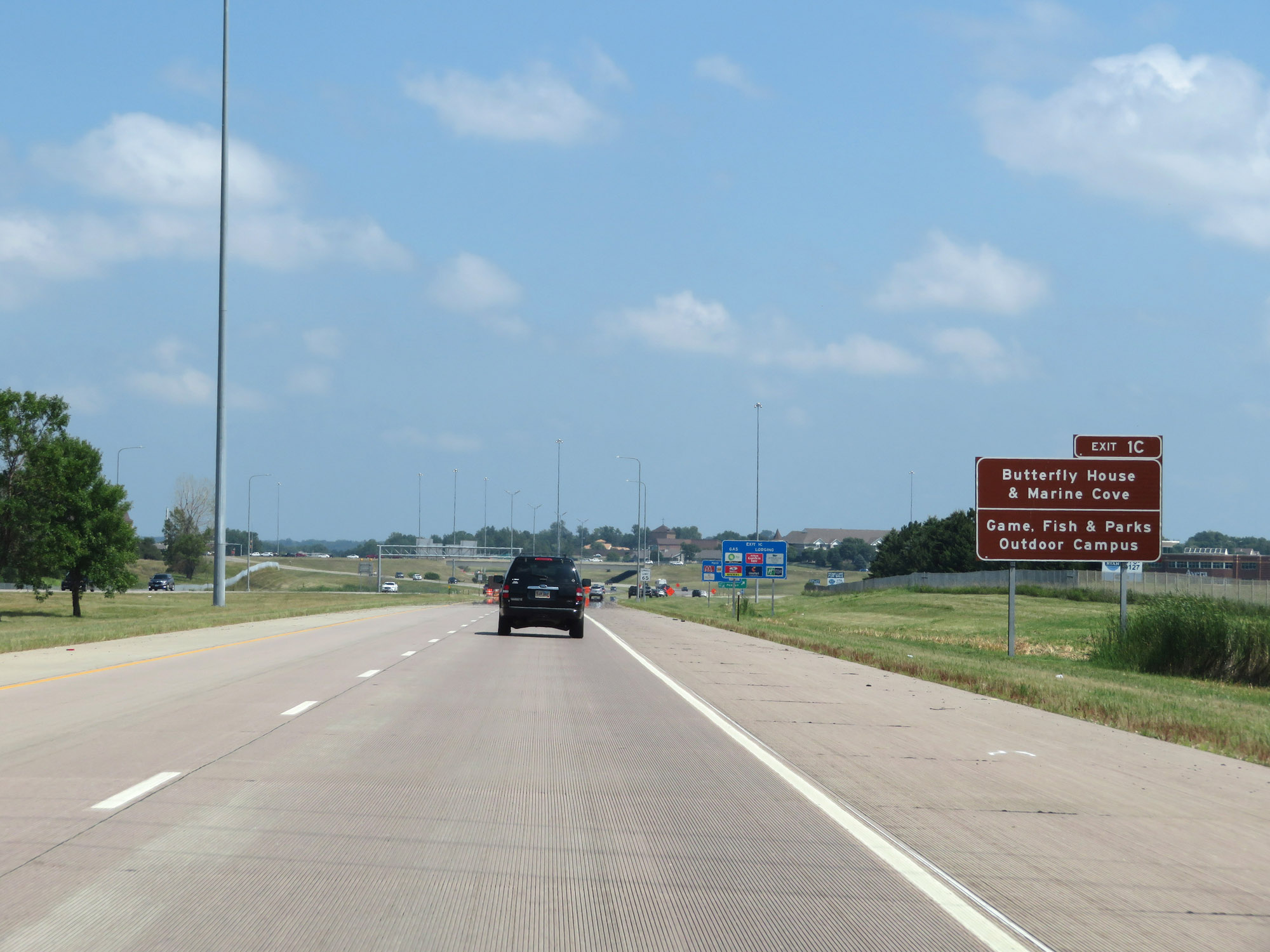 |
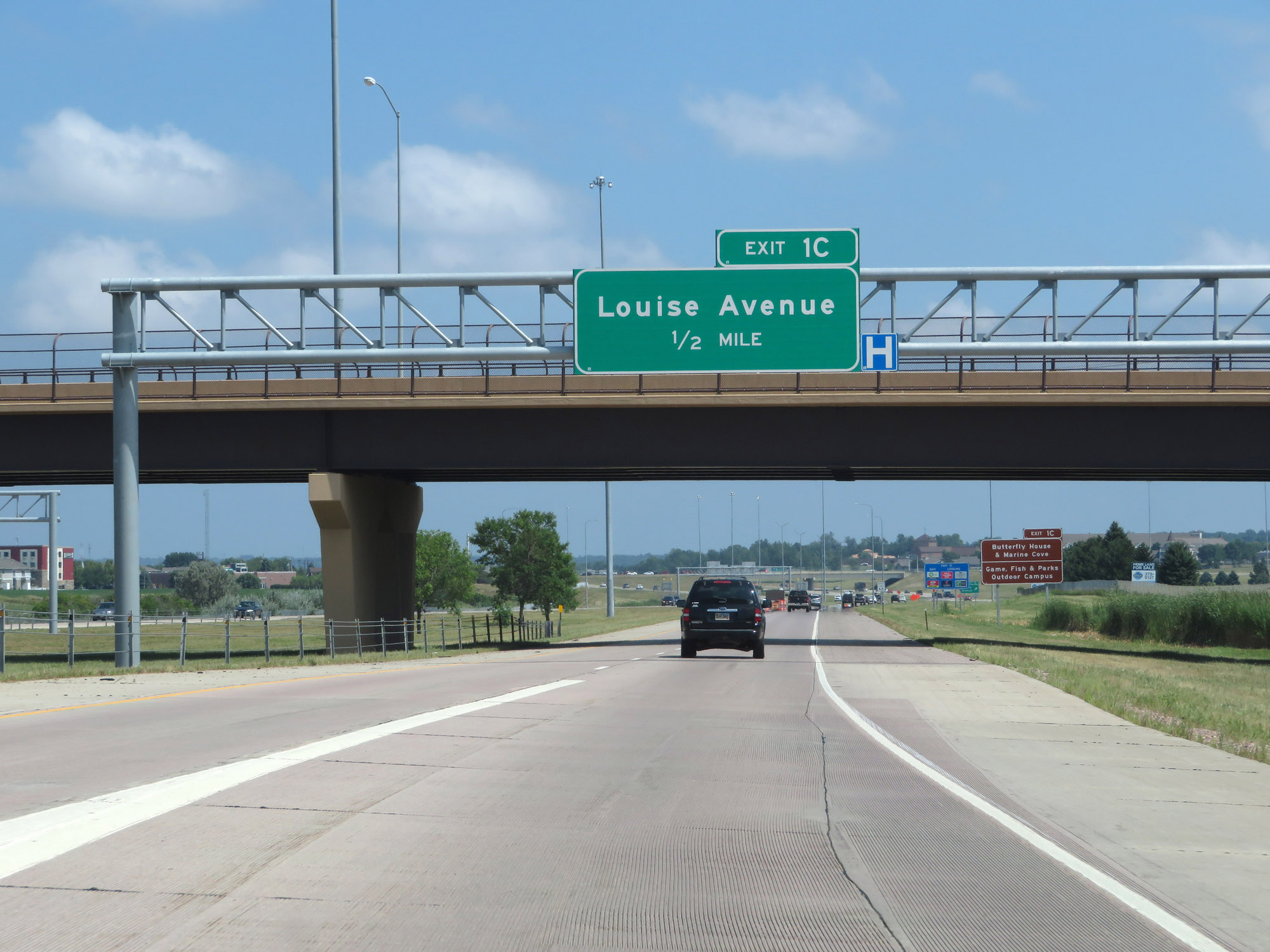
Take Exit 1C to the Butterfly House & Marine Cove as well as the Game, Fish, & Parks Outdoor Campus. (Photo taken 8/9/20). |
 |
The speed limit on Interstate 229 North starts out at 65 mph. (Photo taken 8/9/20). |
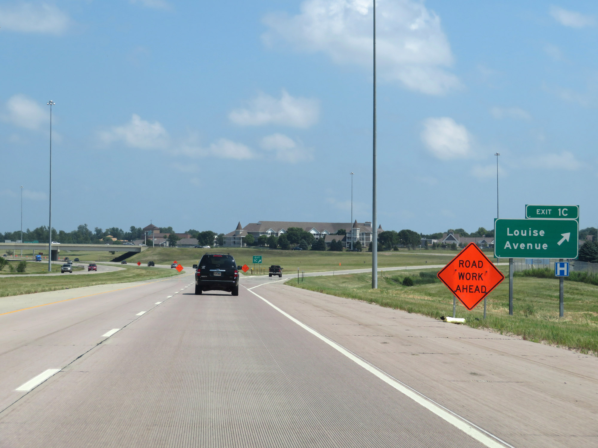 |
Interstate 229 North at Exit 1C: Louise Avenue (Photo taken 8/9/20). |
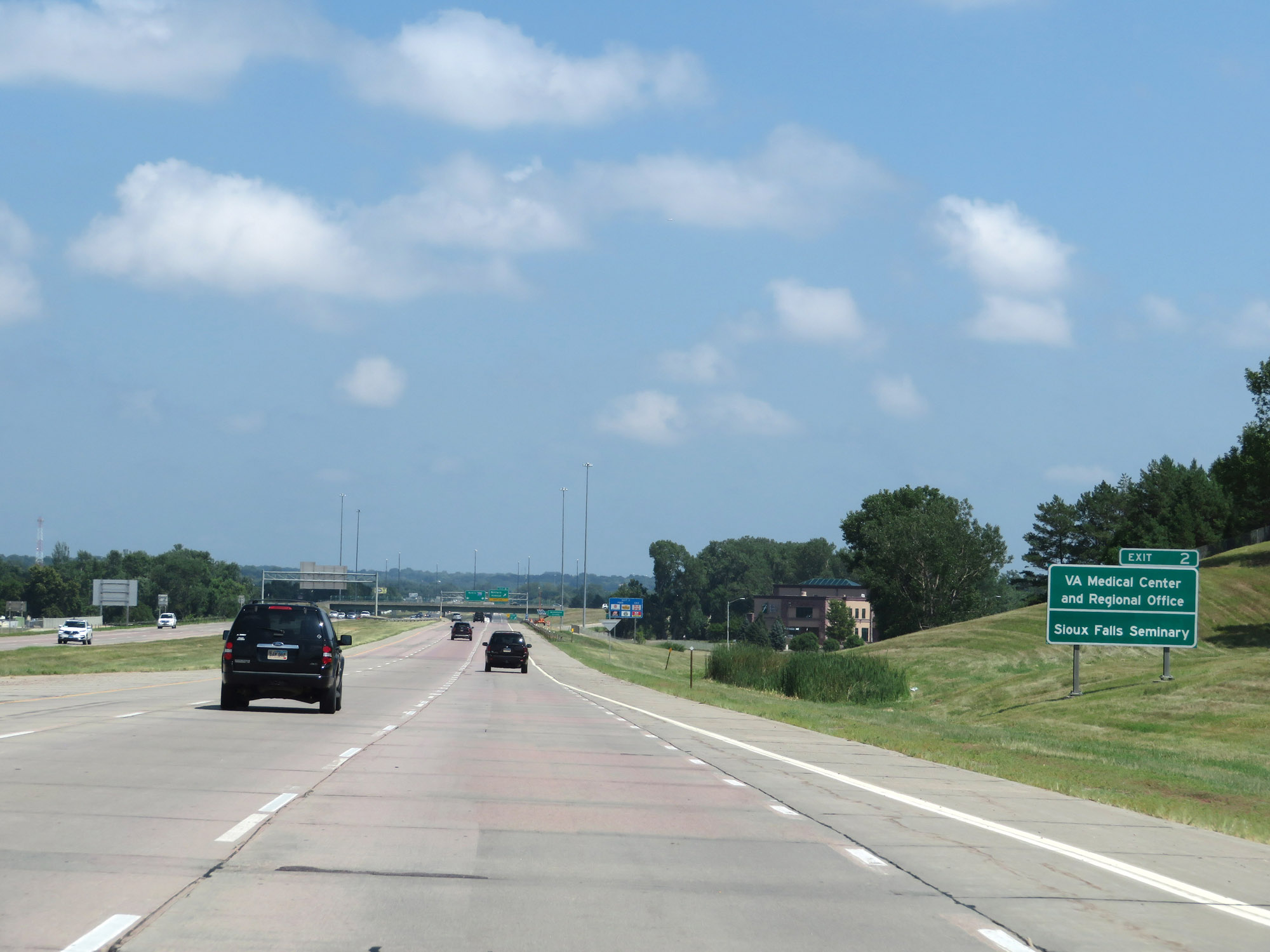 |
Take Exit 2 to the VA Medical Center and Regional Office as well as Sioux Falls Seminary. (Photo taken 8/9/20). |
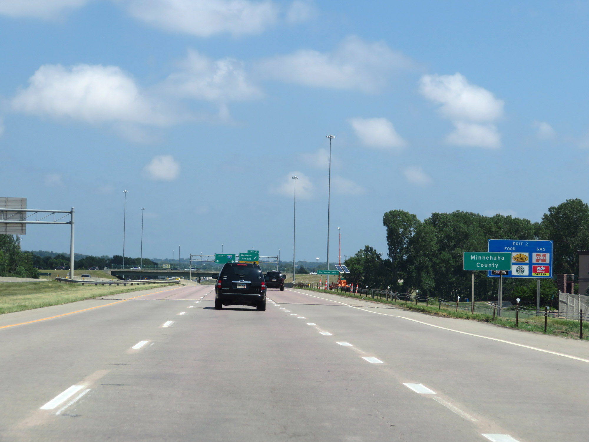 |
Approaching Exit 2, Interstate 229 North enters Minnehaha County. (Photo taken 8/9/20). |
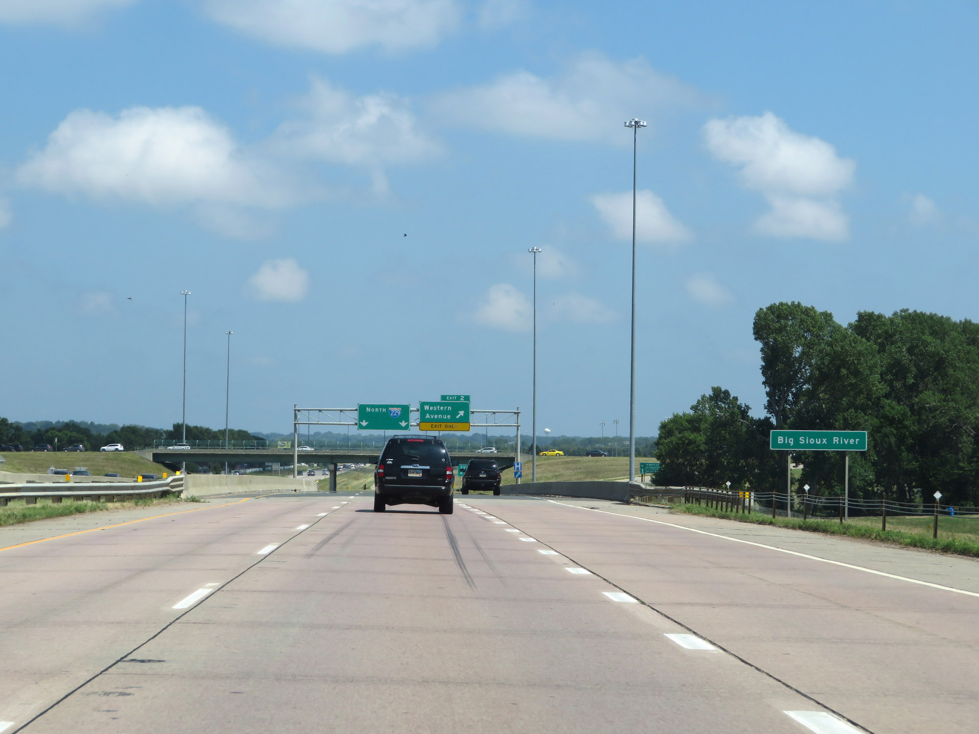 |
At Exit 2, Interstate 229 North crosses the Big Sioux River for the first time. (Photo taken 8/9/20). |
 |
Interstate 229 North at Exit 2: Western Avenue (Photo taken 8/9/20). |
 |
Interstate 229 North reassurance shield nearing Exit 3. (Photo taken 8/9/20). |
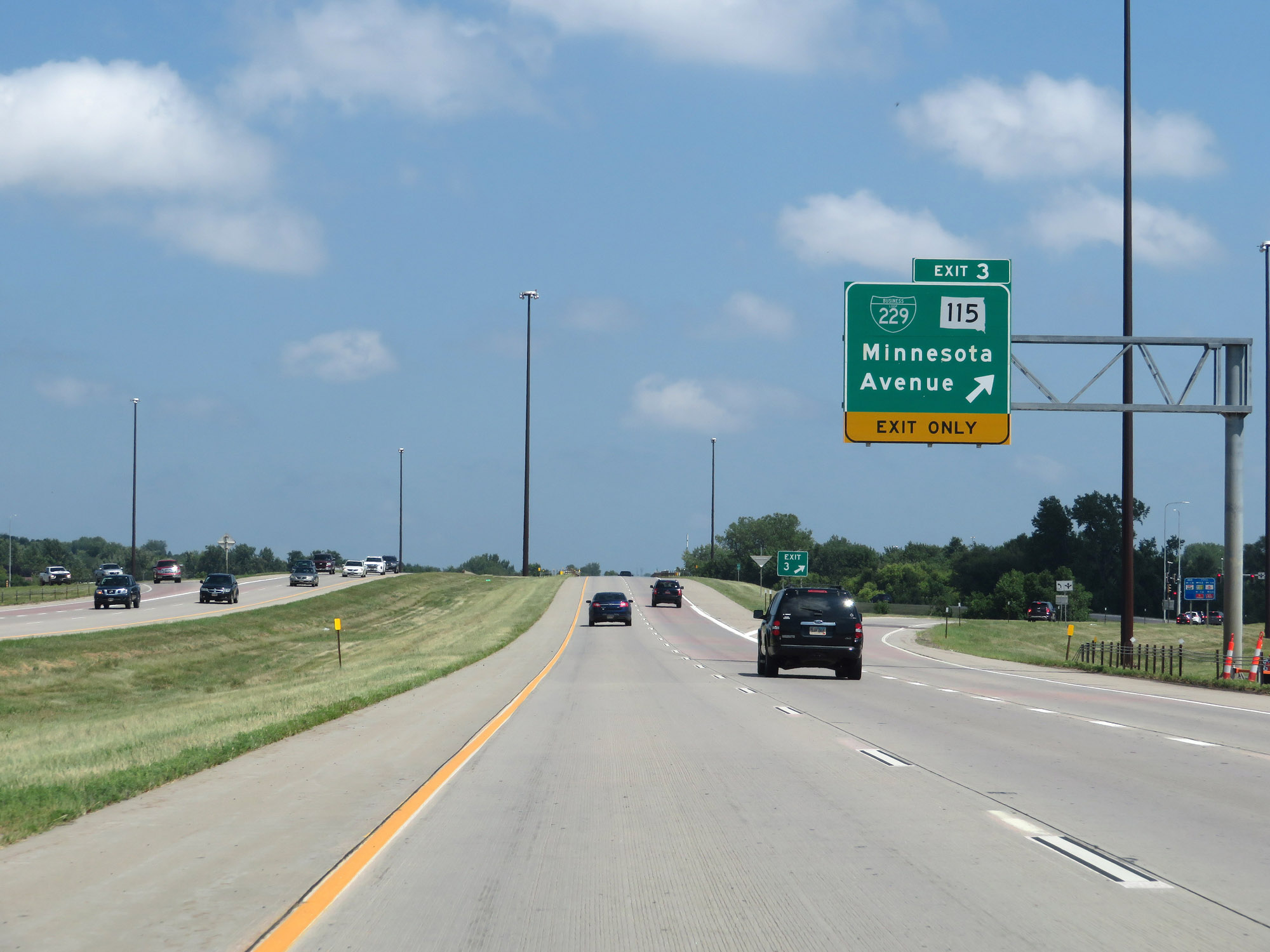 |
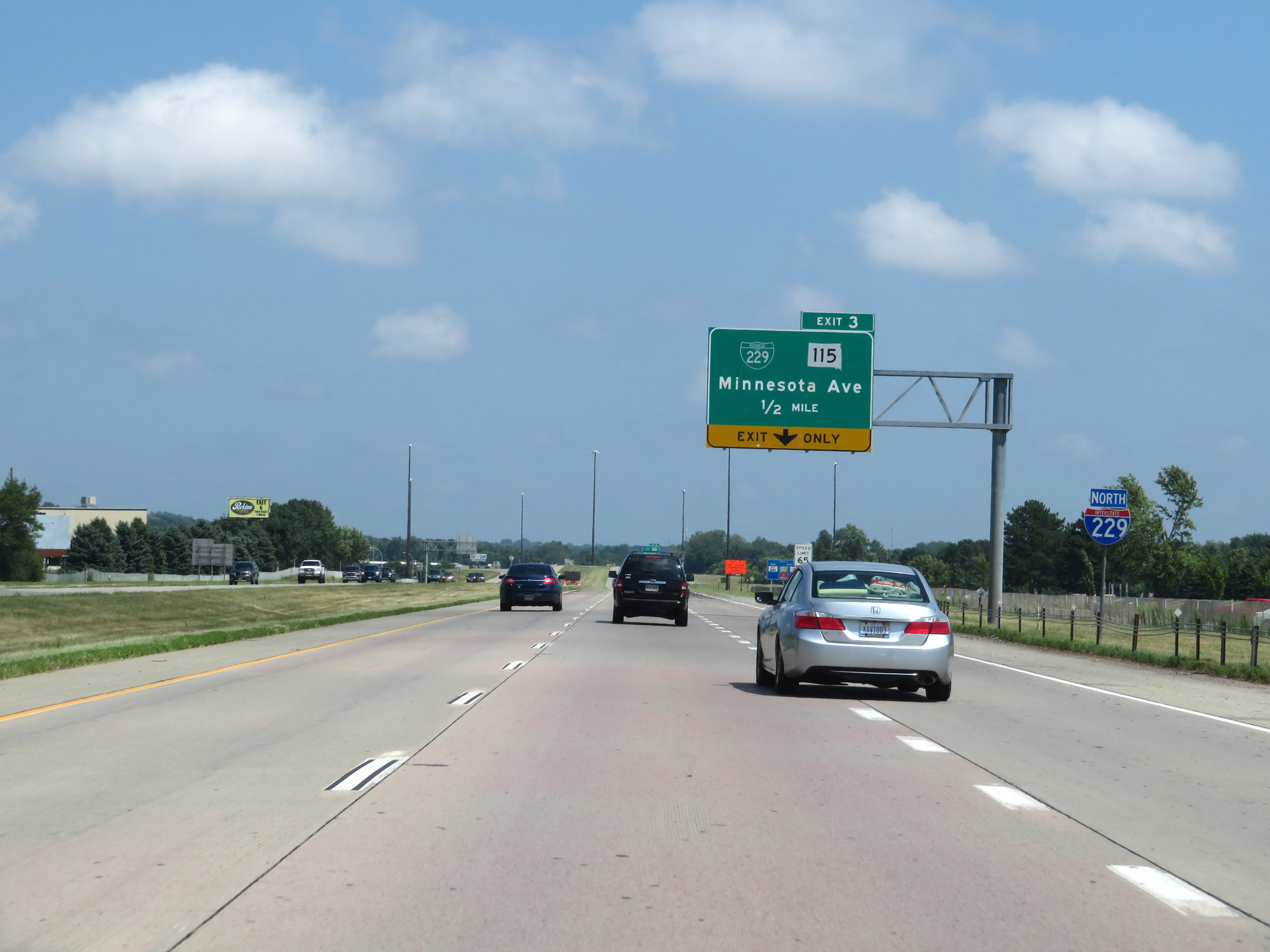
Interstate 229 North at Exit 3: Interstate 229 Business Loop / SD 115 - Minnesota Avenue (Photo taken 8/9/20). |
 |
Interstate 229 North at Exit 4: Cliff Avenue (Photo taken 8/9/20). |
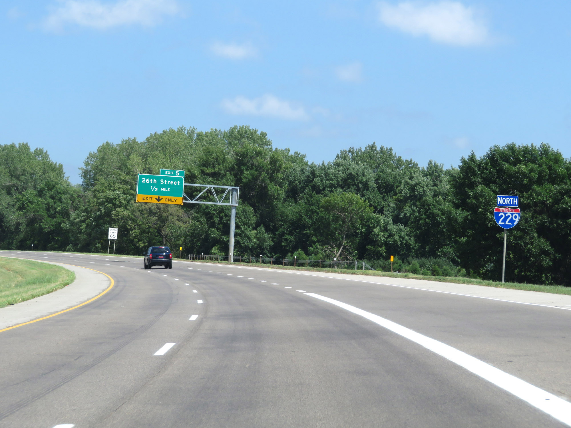 |
Another Interstate 229 North reassurance shield, as I-229 begins to curve to the north 1/2 mile from Exit 5. (Photo taken 8/9/20). |
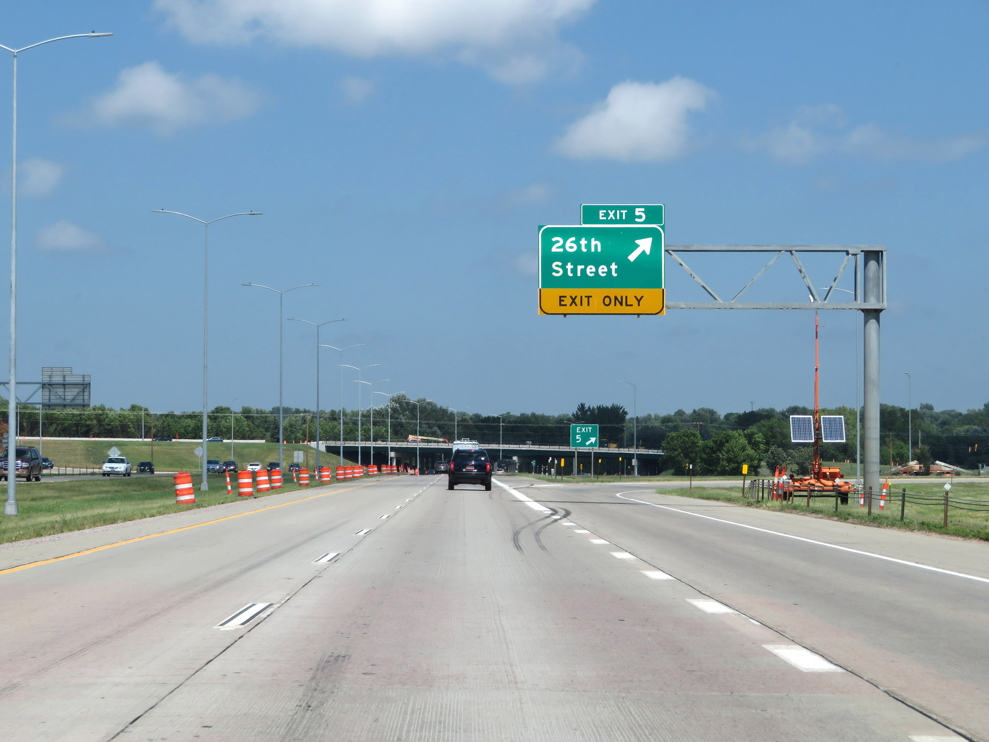 |
Interstate 229 North at Exit 5: 26th Street (Photo taken 8/9/20). |
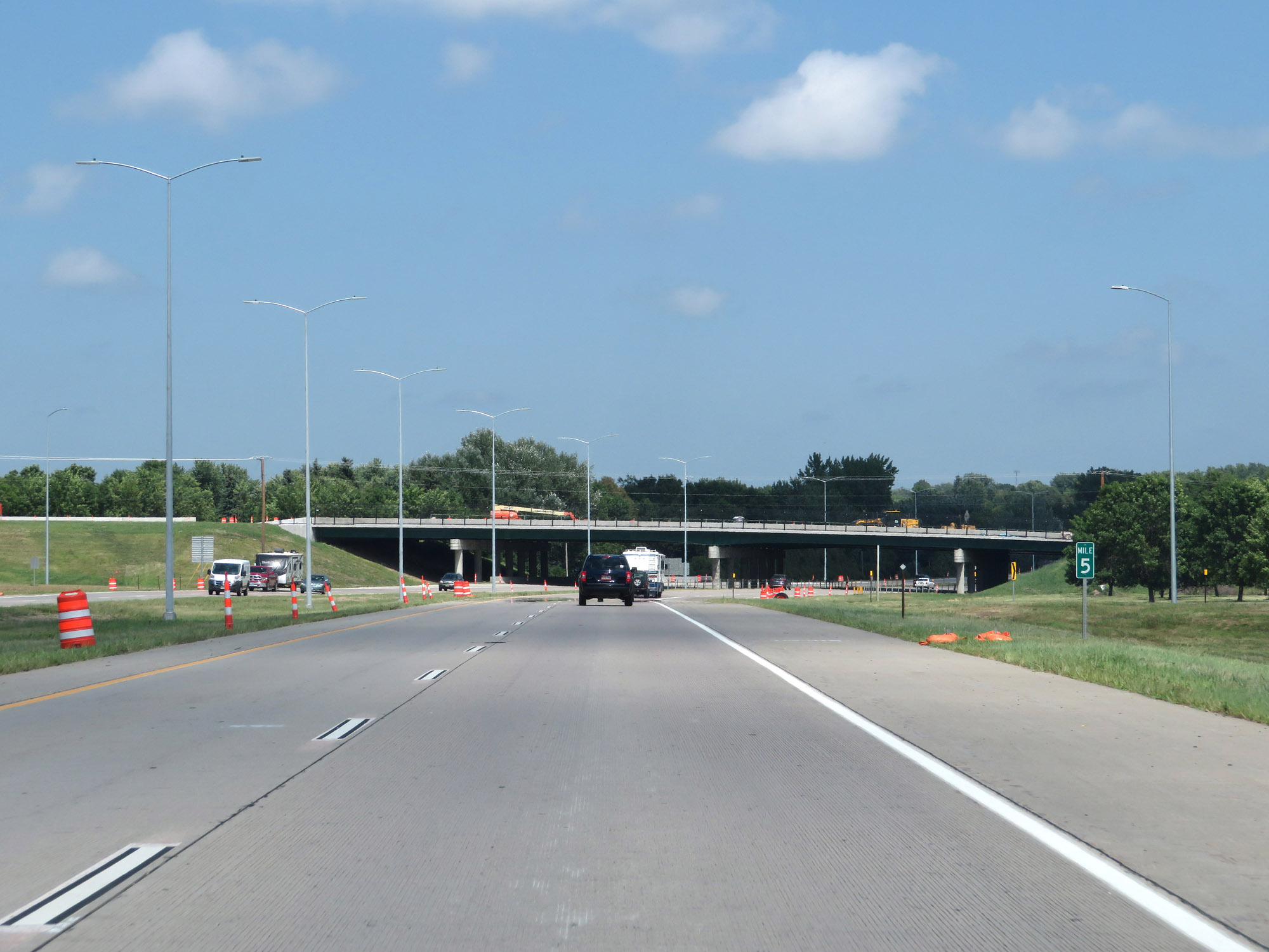 |
View on Interstate 229 North at mile marker 5. (Photo taken 8/9/20). |
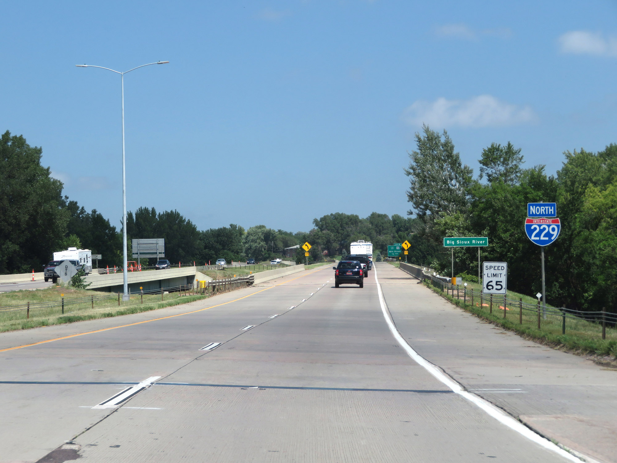 |
Interstate 229 North reassurance shield as it prepares to cross the Big Sioux River for the second time. (Photo taken 8/9/20). |
 |
View on Interstate 229 North as it finishes curving to the north, at the southeastern corner of the Sioux Falls area. (Photo taken 8/9/20). |
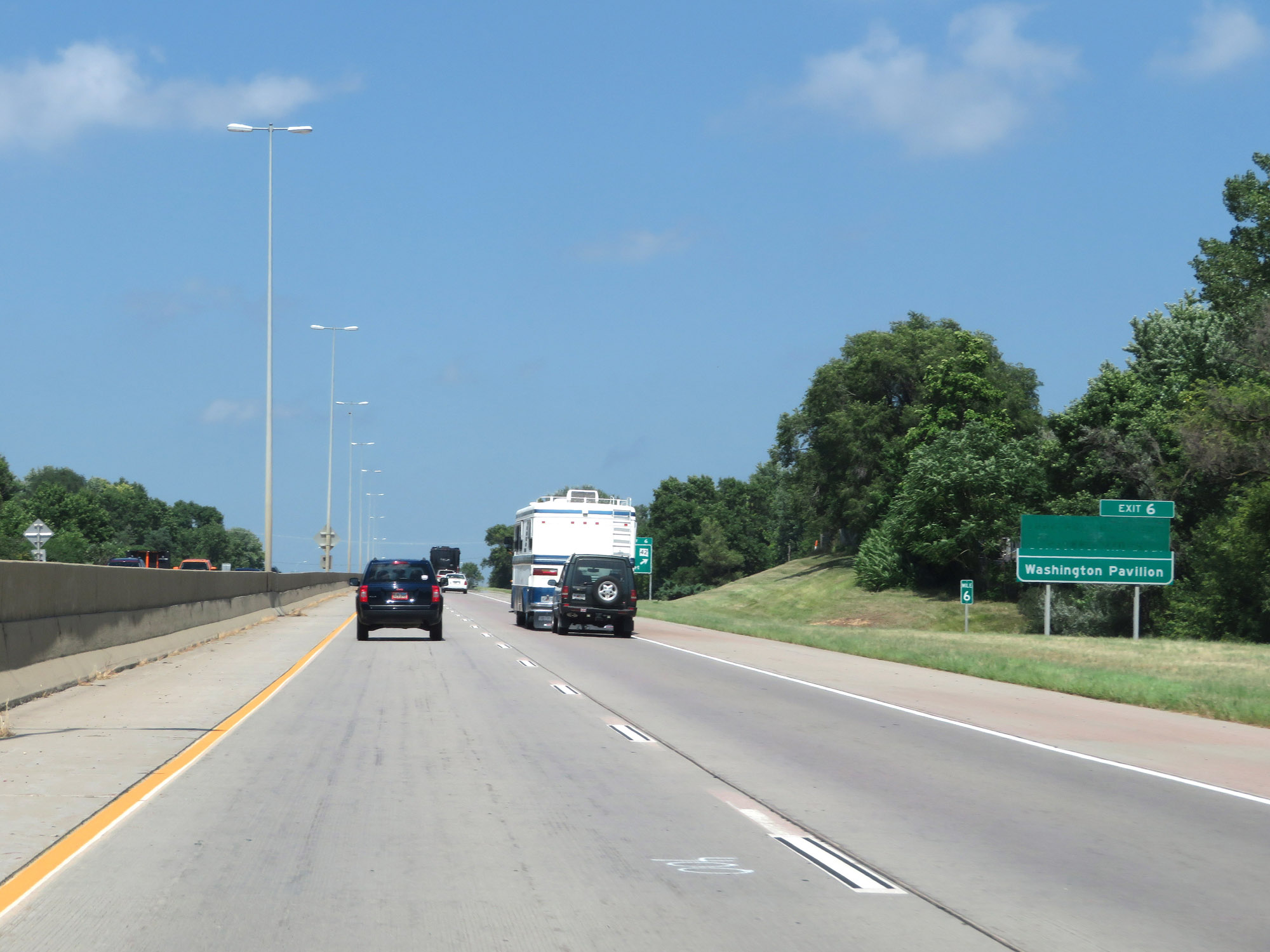 |
Take Exit 6 to Washington Pavilion. (Photo taken 8/9/20). |
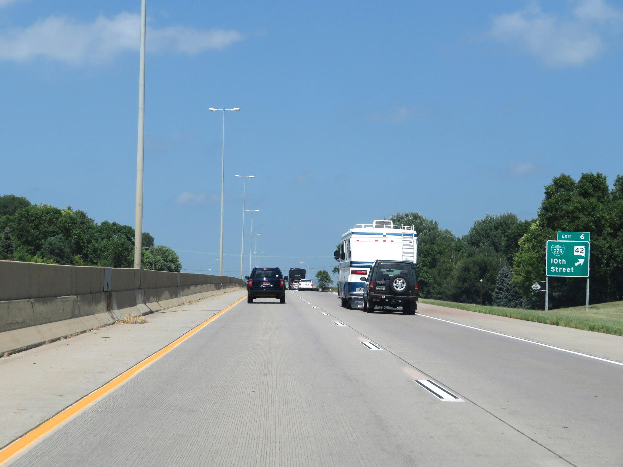 |
Interstate 229 North at Exit 6: Interstate 229 Business Loop / SD 42 - 10th Street (Photo taken 8/9/20). |
 |
View on Interstate 229 North at mile marker 7. (Photo taken 8/9/20). |
 |
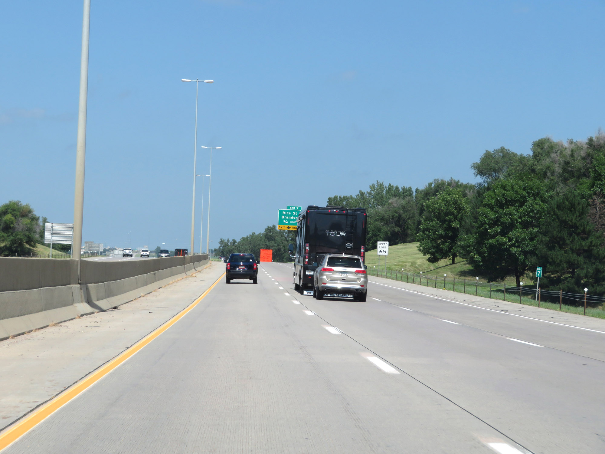
Interstate 229 North at Exit 7: Rice St / Brandon (Photo taken 8/9/20). |
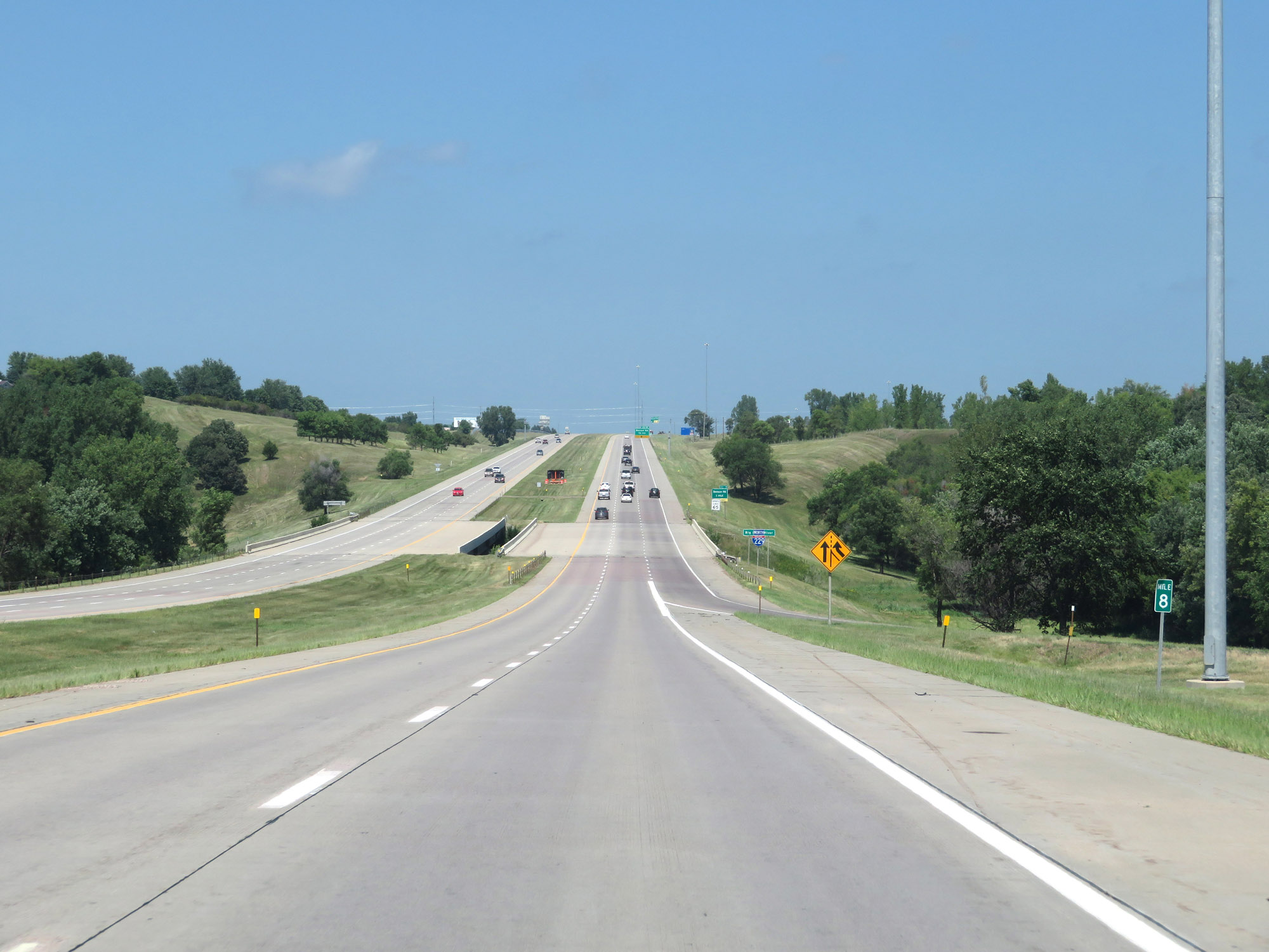 |
Interstate 229 North at mile marker 8. (Photo taken 8/9/20). |
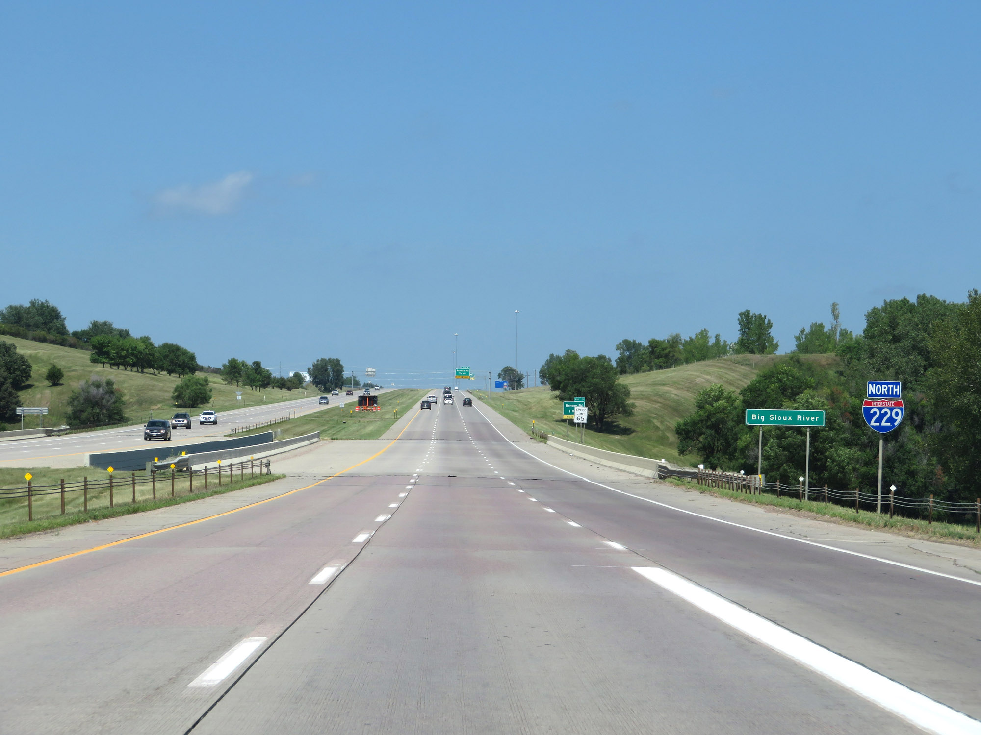 |
Another Interstate 229 North reassurance shield as it crosses the Big Sioux River for the third and final time. (Photo taken 8/9/20). |
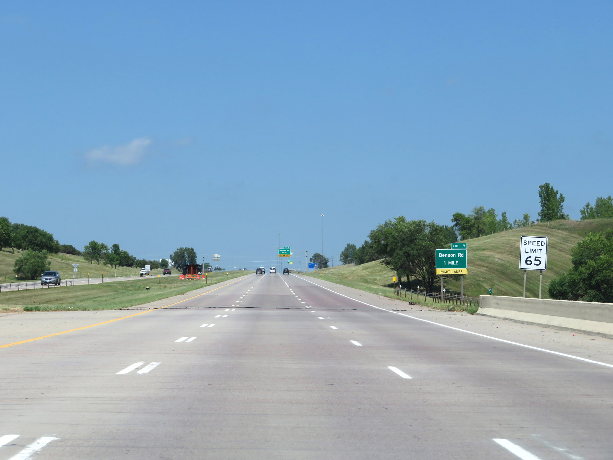 |
The speed limit remains 65 mph. (Photo taken 8/9/20). |
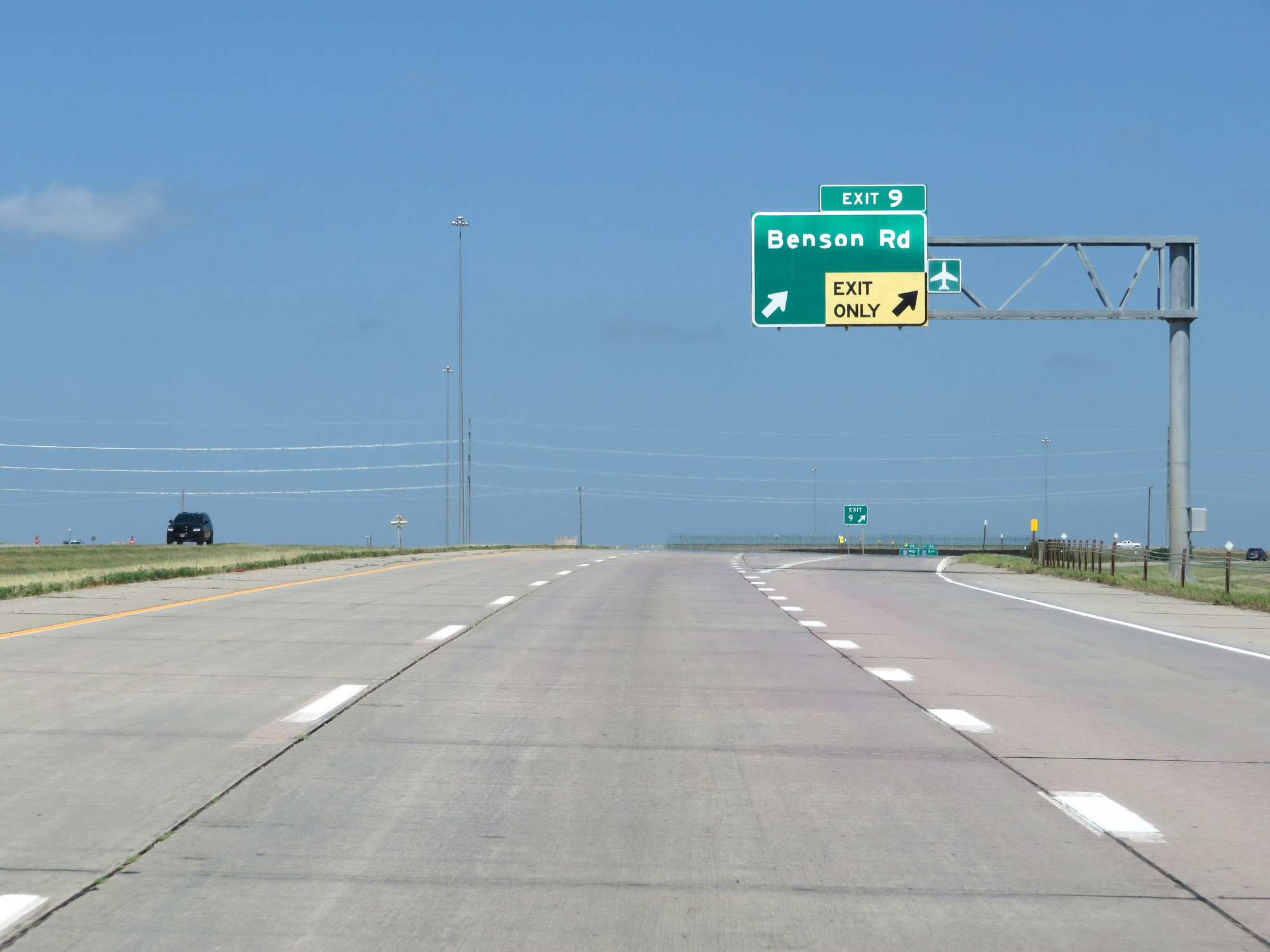 |
Interstate 229 North at Exit 9: Benson Rd (Photo taken 8/9/20). |
 |
Interstate 229 North approaching Exit 10A - 1 mile. (Photo taken 8/9/20). |
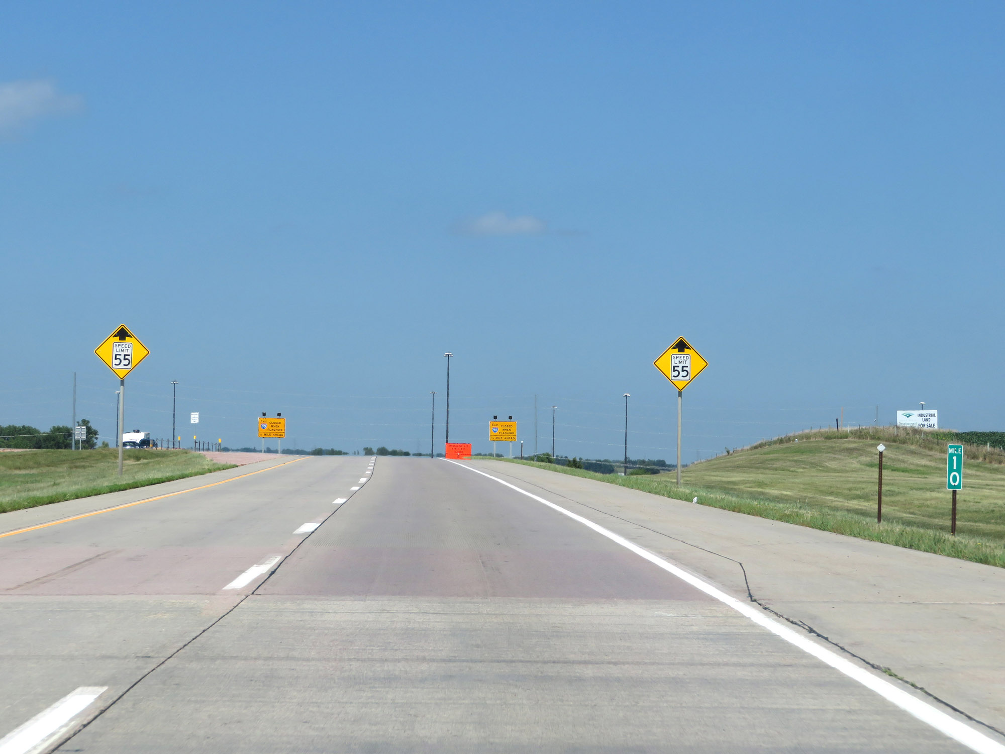 |
View on Interstate 229 North at mile marker 10. (Photo taken 8/9/20). |
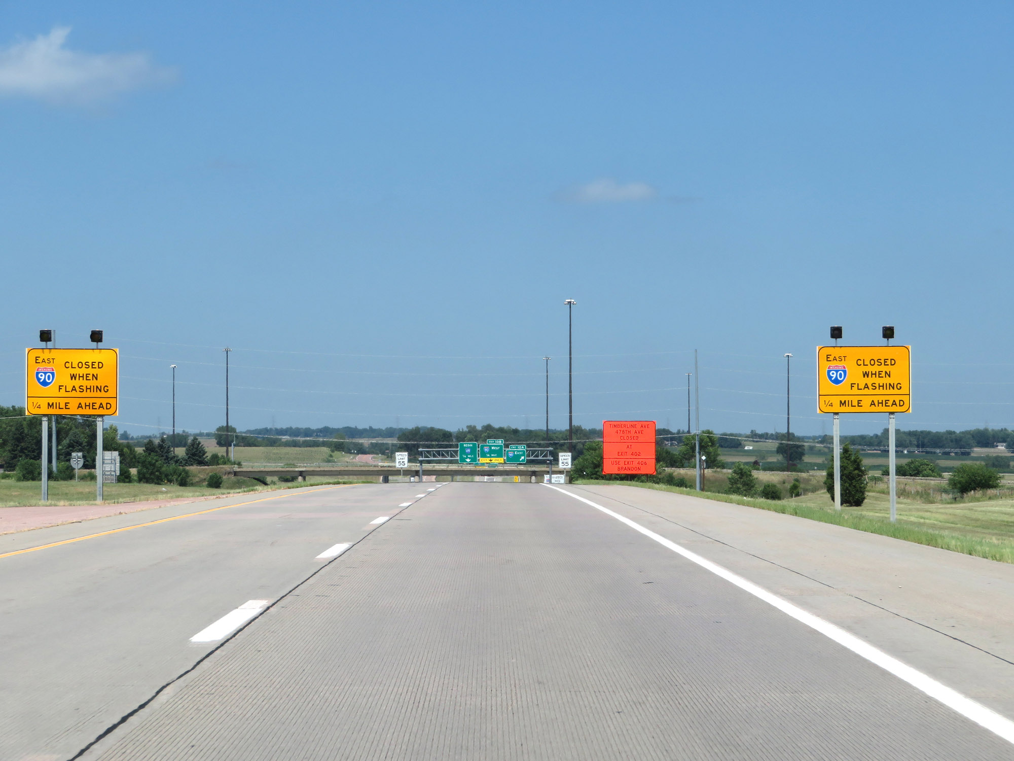 |
When the lights on these signs are flashing, Interstate 90 East (Exit 10A) is closed due to inclement weather conditions. (Photo taken 8/9/20). |
 |
As Interstate 229 North nears the junction of Interstate 90 and its northern terminus, the speed limit decreases to 55 mph. (Photo taken 8/9/20). |
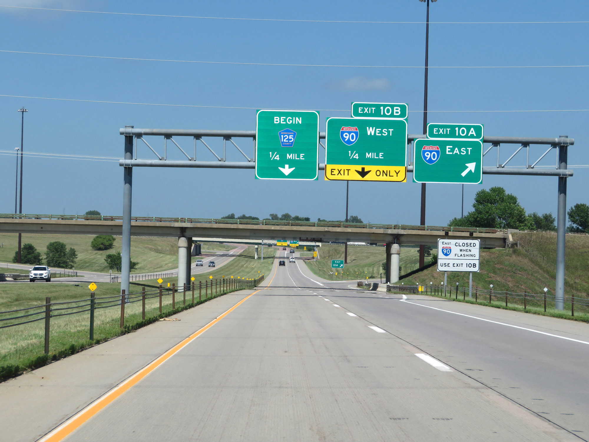 |
Interstate 229 North at Exit 10A: Interstate 90 East (Photo taken 8/9/20). |
 |
Interstate 229 North at Exit 10B: Interstate 90 West (Photo taken 8/9/20). |
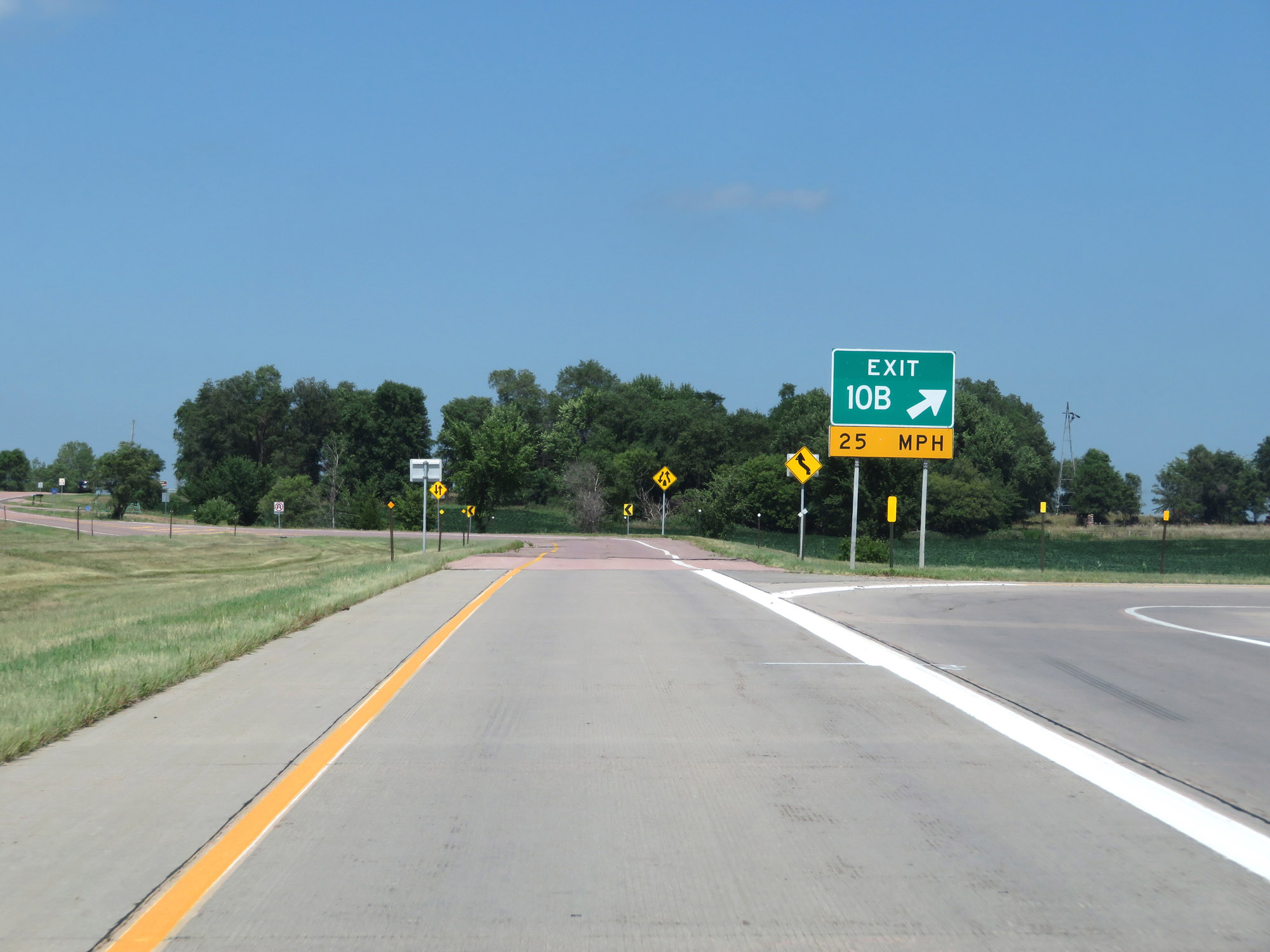 |
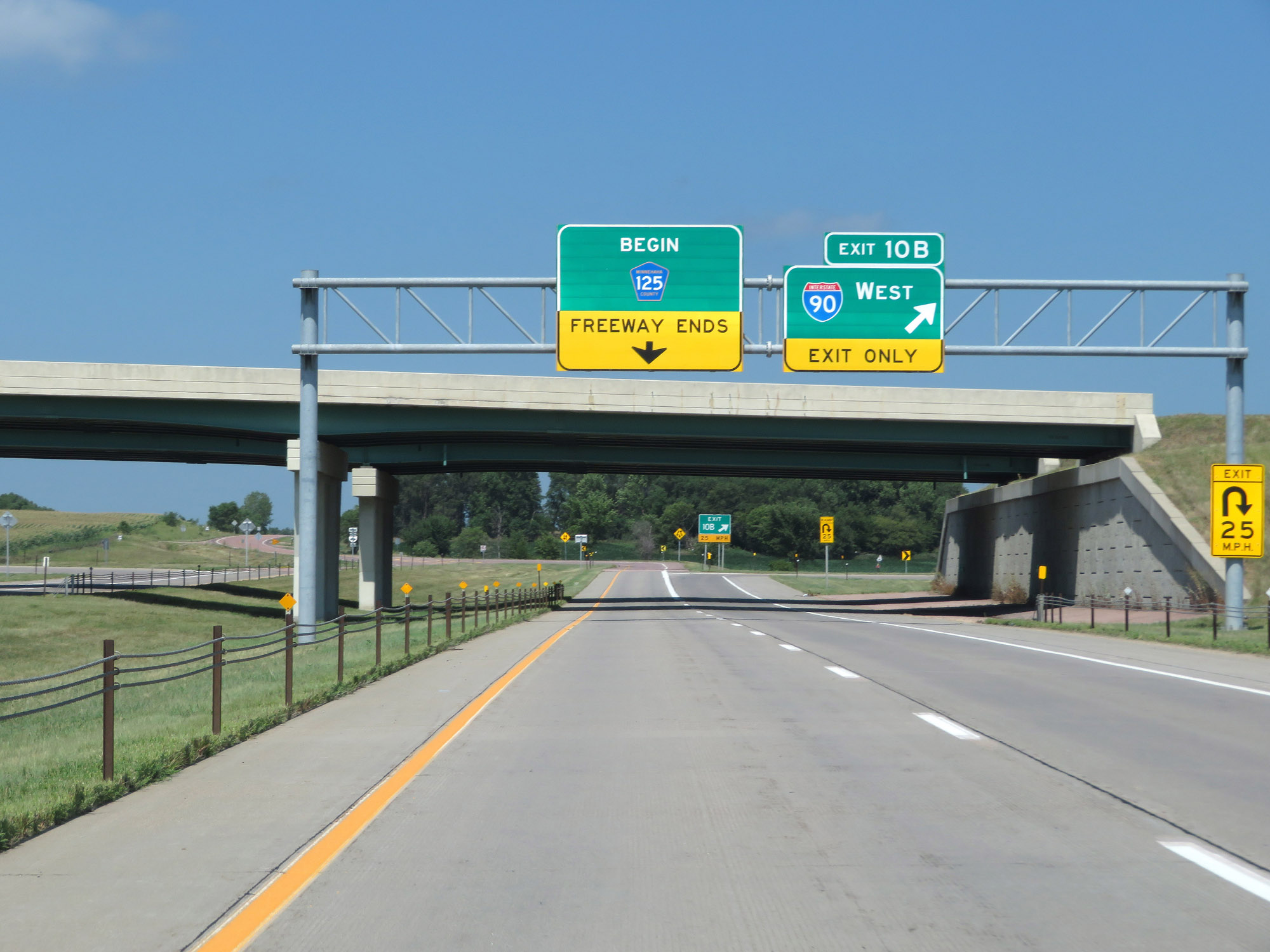
Gore point signage for Exit 10B as Interstate 229 North reaches its northern terminus and its left lane continues north onto CR 125. (Photo taken 8/9/20). |
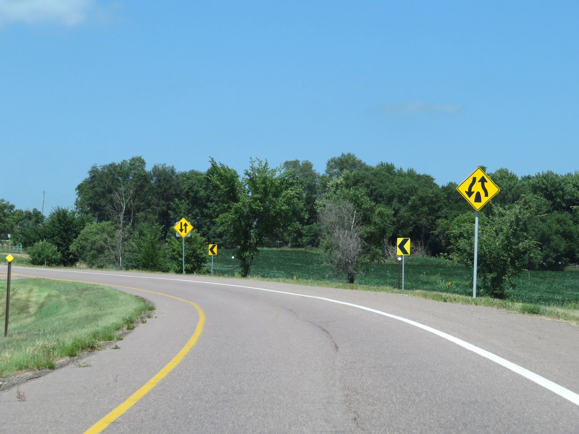 |
This sign warns that the divided highway ends at this point on the ramp to CR 125. (Photo taken 8/9/20). |
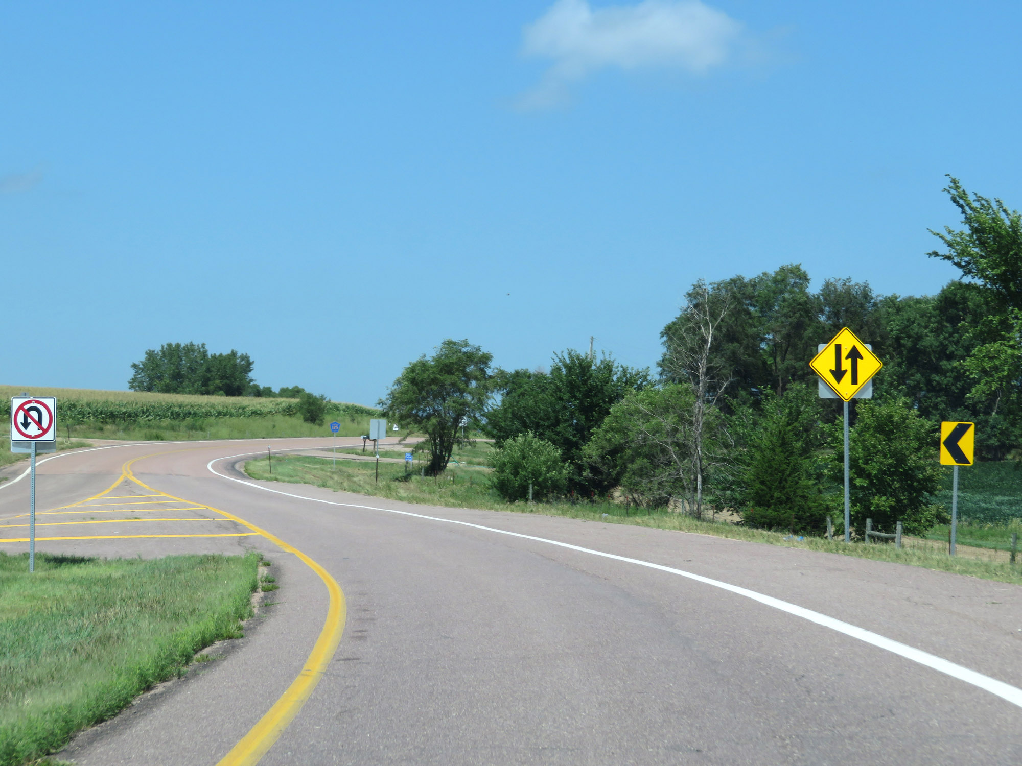 |
Two-way, non-divided traffic ahead on CR 125. (Photo taken 8/9/20). |
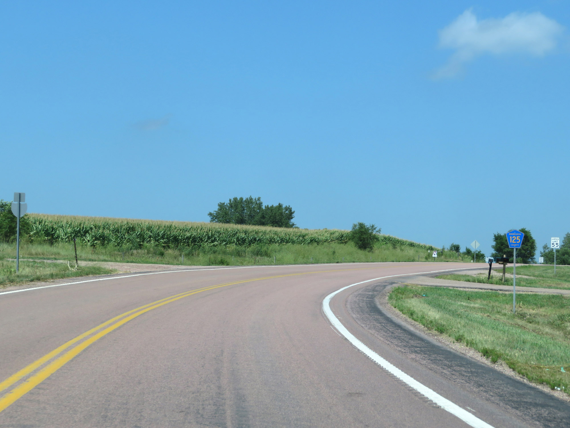 |
CR 125 reassurance marker at the northern terminus of Interstate 229. (Photo taken 8/9/20). |