Road Information |
||
 |
||
| Total Mileage in State: | 141 miles | |
| Eastern End: | At I-20 Business, in Florence | |
| Western End: | At Georgia state line | |
| Mileage covered in Photos: | 141 miles | |
| Counties covered in Photos: | Aiken, Lexington, Richland, Kershaw, Lee, Darlington, Florence | |
| Major Junctions in Photos: | I-520, in North Augusta I-26, in Columbia I-77, in Columbia I-95, in Florence |
|
| Control Cities in Photos: | Aiken, Lexington, Columbia, Florence | |
Eastbound
- Section 1: Georgia Border to Columbia (Exit 76)
- Section 2: Columbia (Exit 76) to Florence
Section 1: Georgia Border to Columbia (Exit 76)
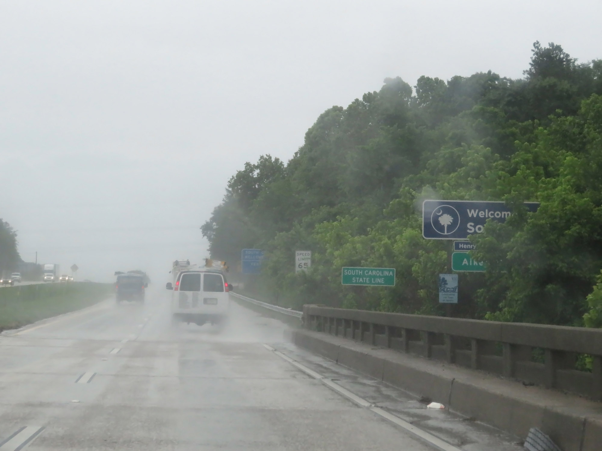 |
Entering South Carolina from Georgia on Interstate 20 East via crossing the Savannah River. (Photo taken 5/25/18). |
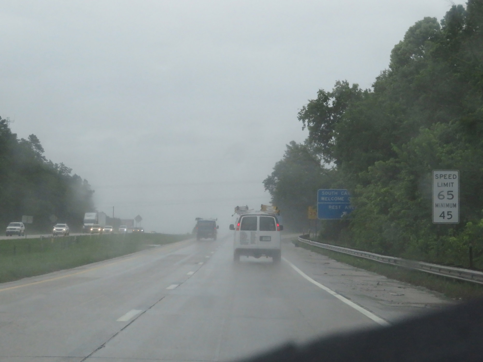 |
The speed limits start out at 65 mph maximum and 45 mph minimum in the North Augusta area on Interstate 20 East. (Photo taken 5/25/18). |
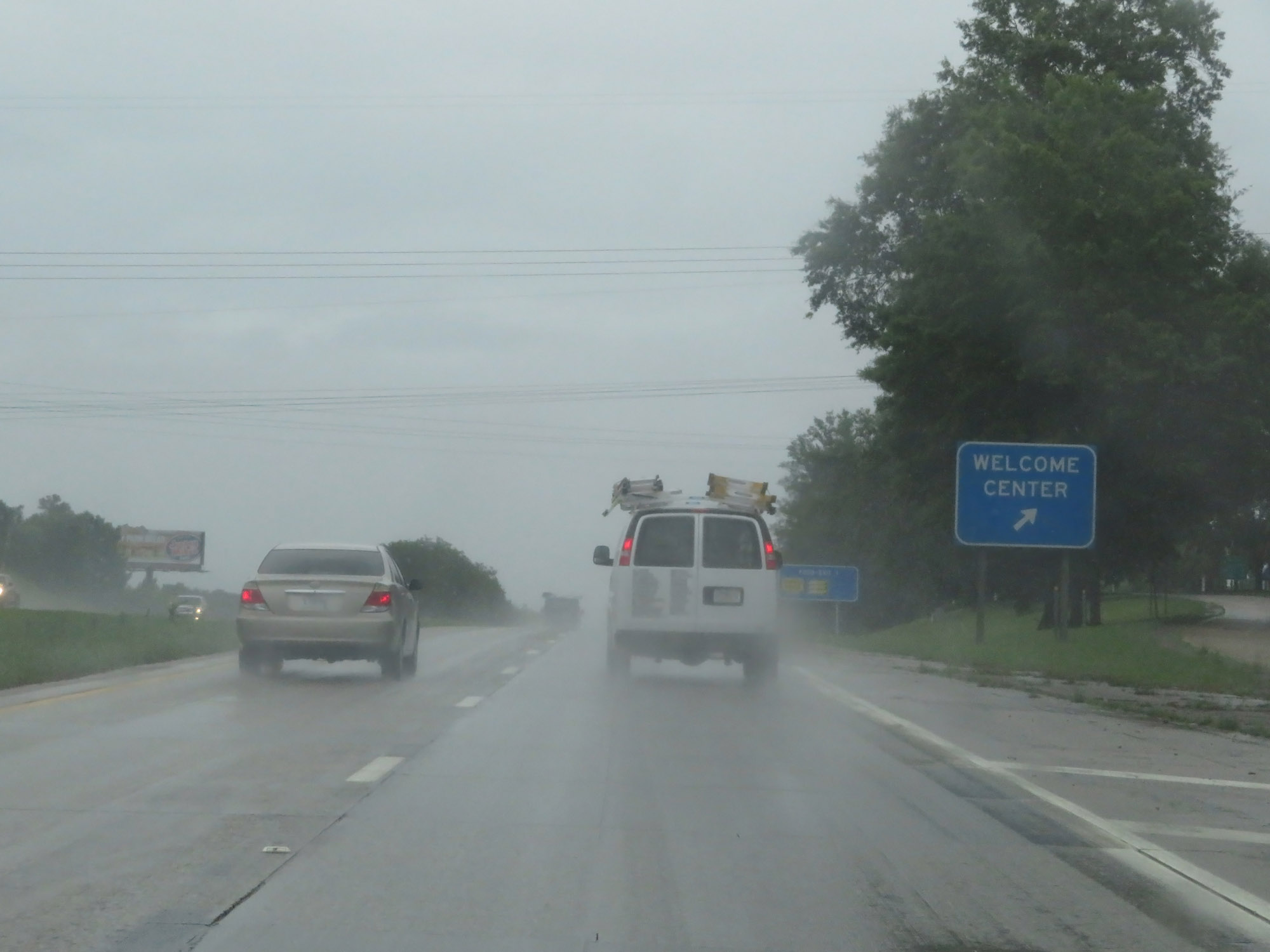 |
Rest Area / South Carolina Welcome Center on Interstate 20 East in North Augusta. (Photo taken 5/25/18). |
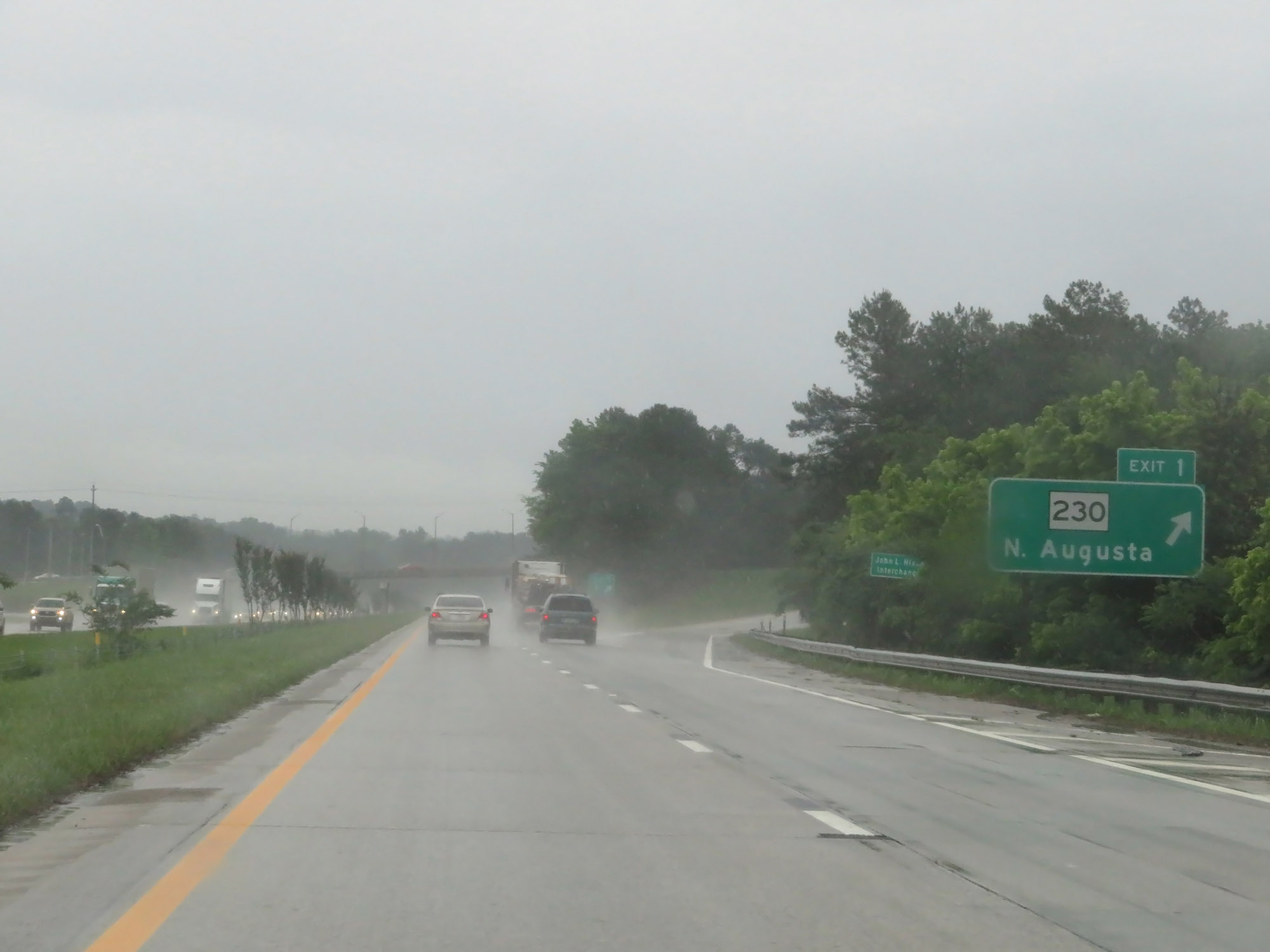 |
Interstate 20 East at Exit 1: SC 230 - North Augusta (Photo taken 5/25/18). |
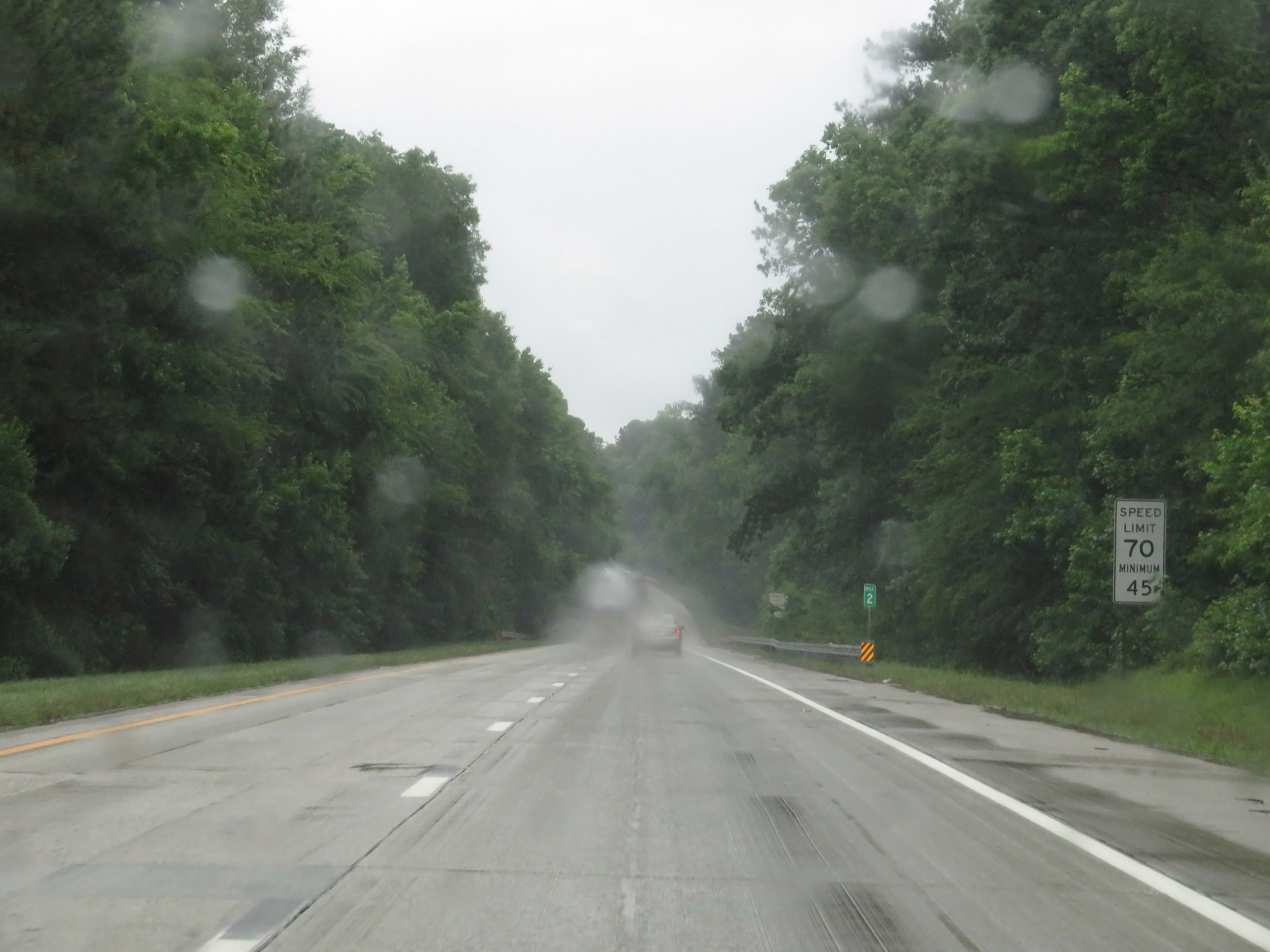 |
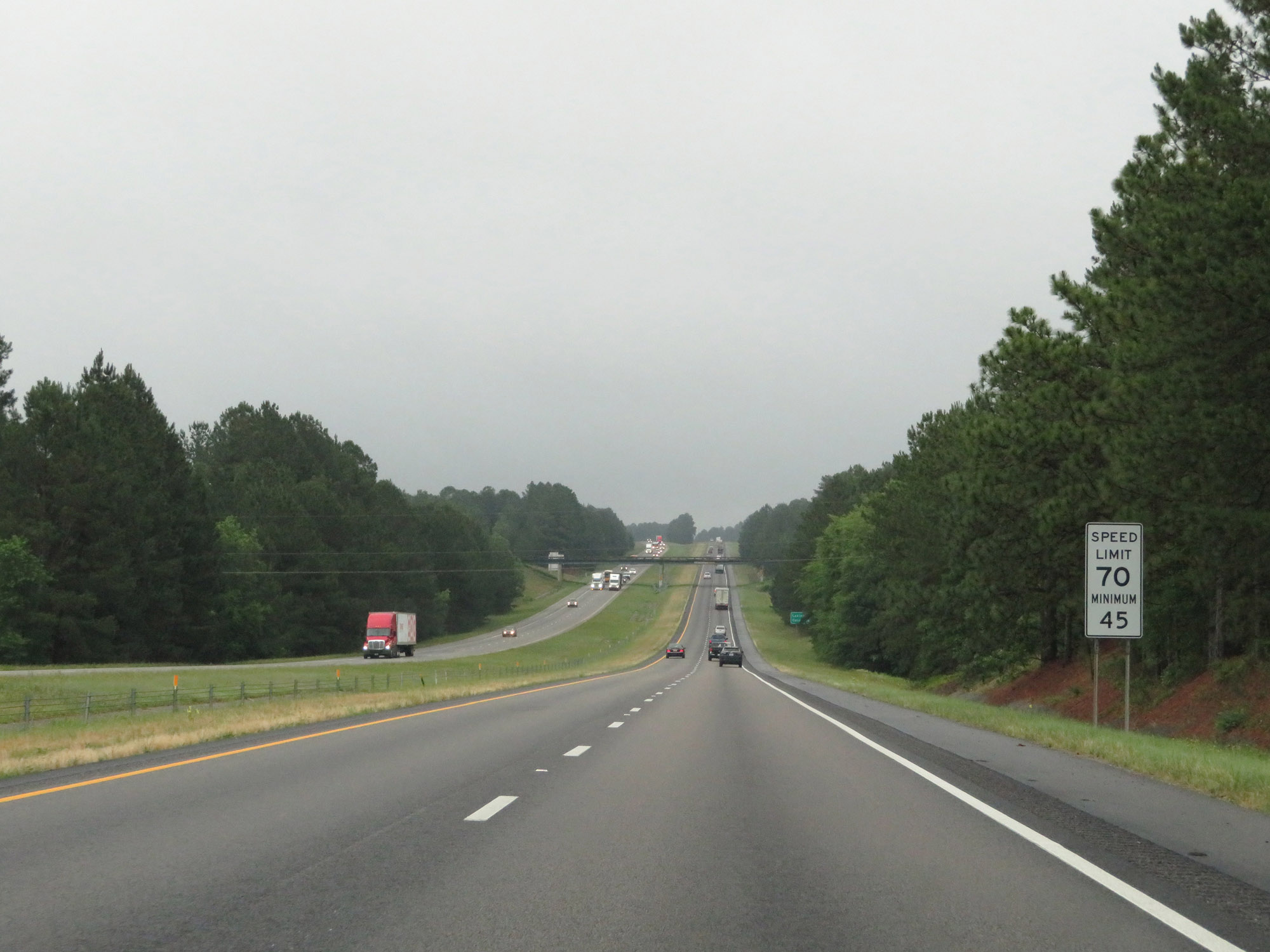
At mile marker 2, the maximum speed limit increases to 70 mph while the minimum remains 45 mph. These are the standard speed limits on most rural Interstate highways in South Carolina. (Photo taken 5/25/18). |
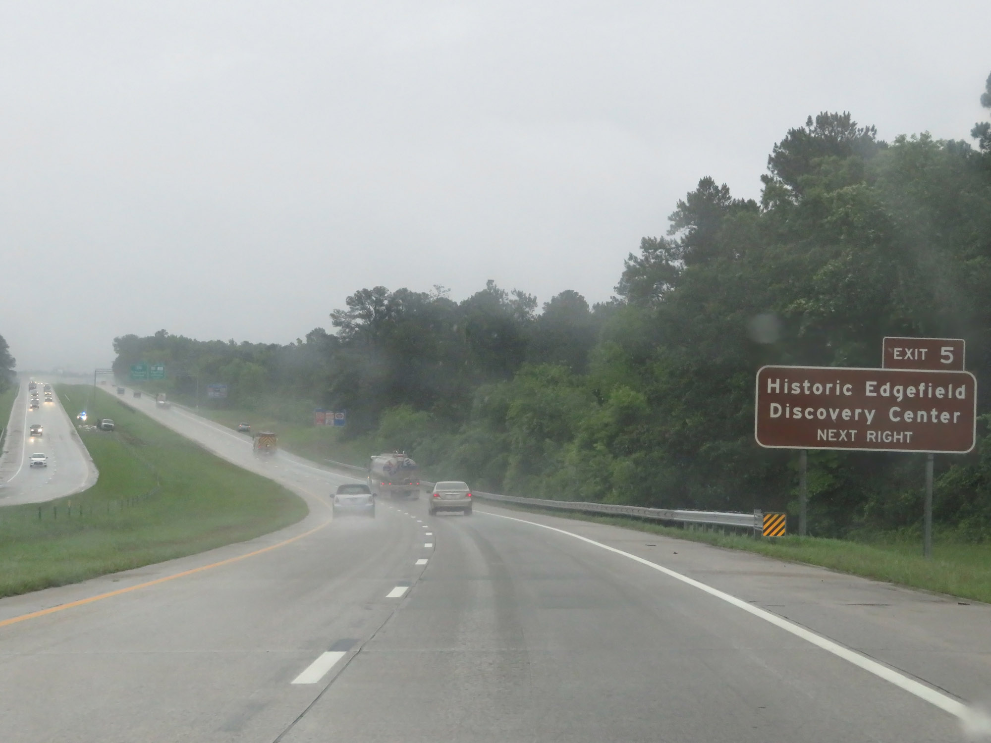 |
Take Exit 5 to Historic Edgefield Discovery Center. (Photo taken 5/25/18). |
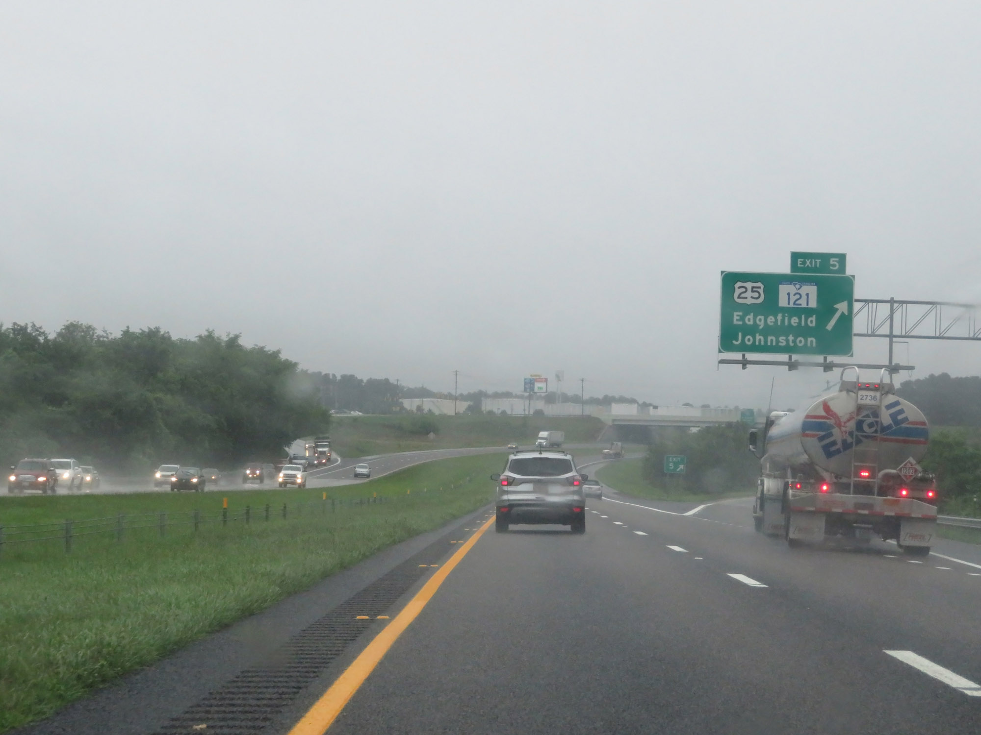 |
Interstate 20 East at Exit 5: US 25 / SC 121 - Edgefield / Johnston (Photo taken 5/25/18). |
 |
Interstate 20 East approaching Exit 6 - 1/4 mile. (Photo taken 5/25/18). |
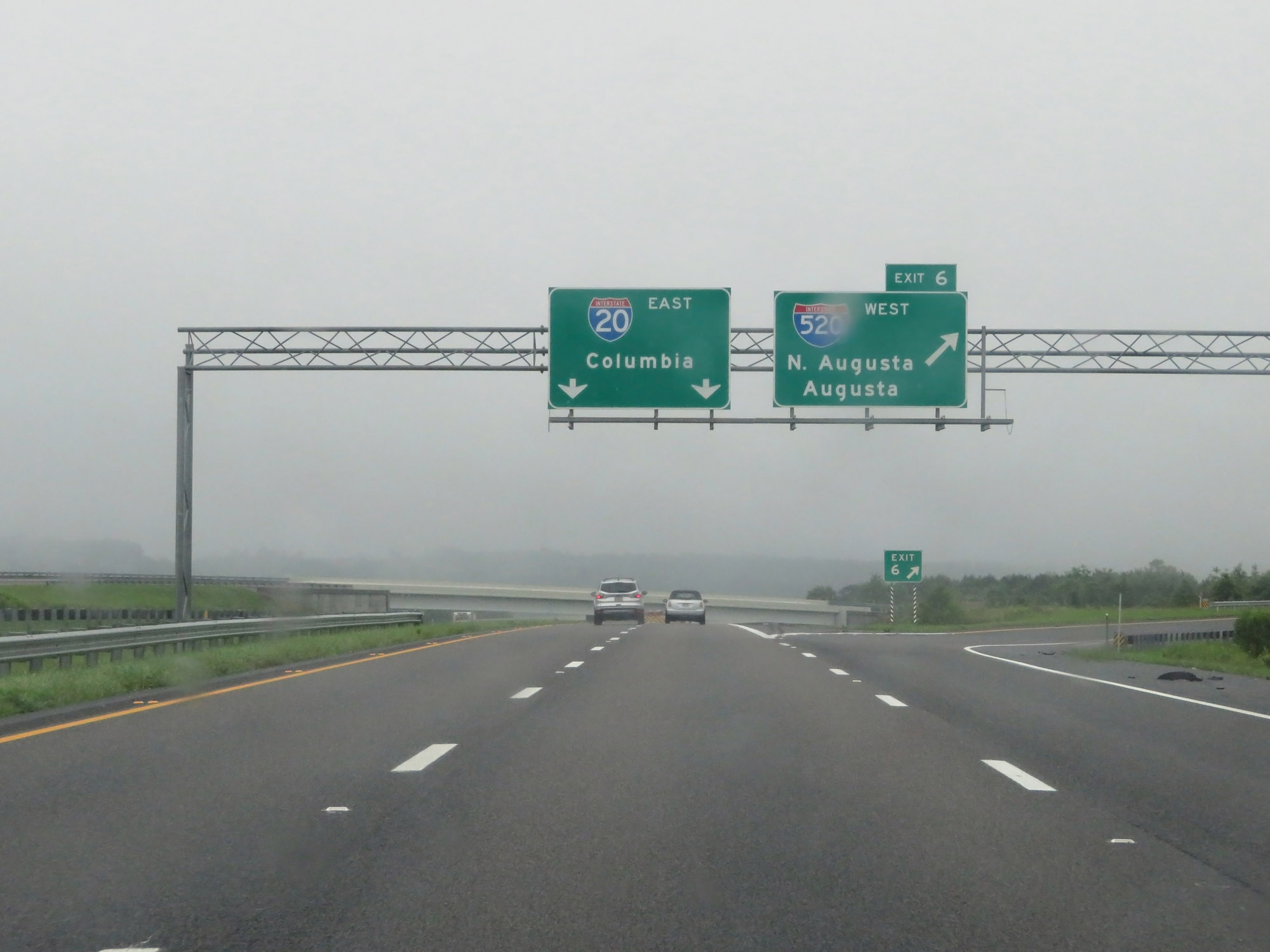 |
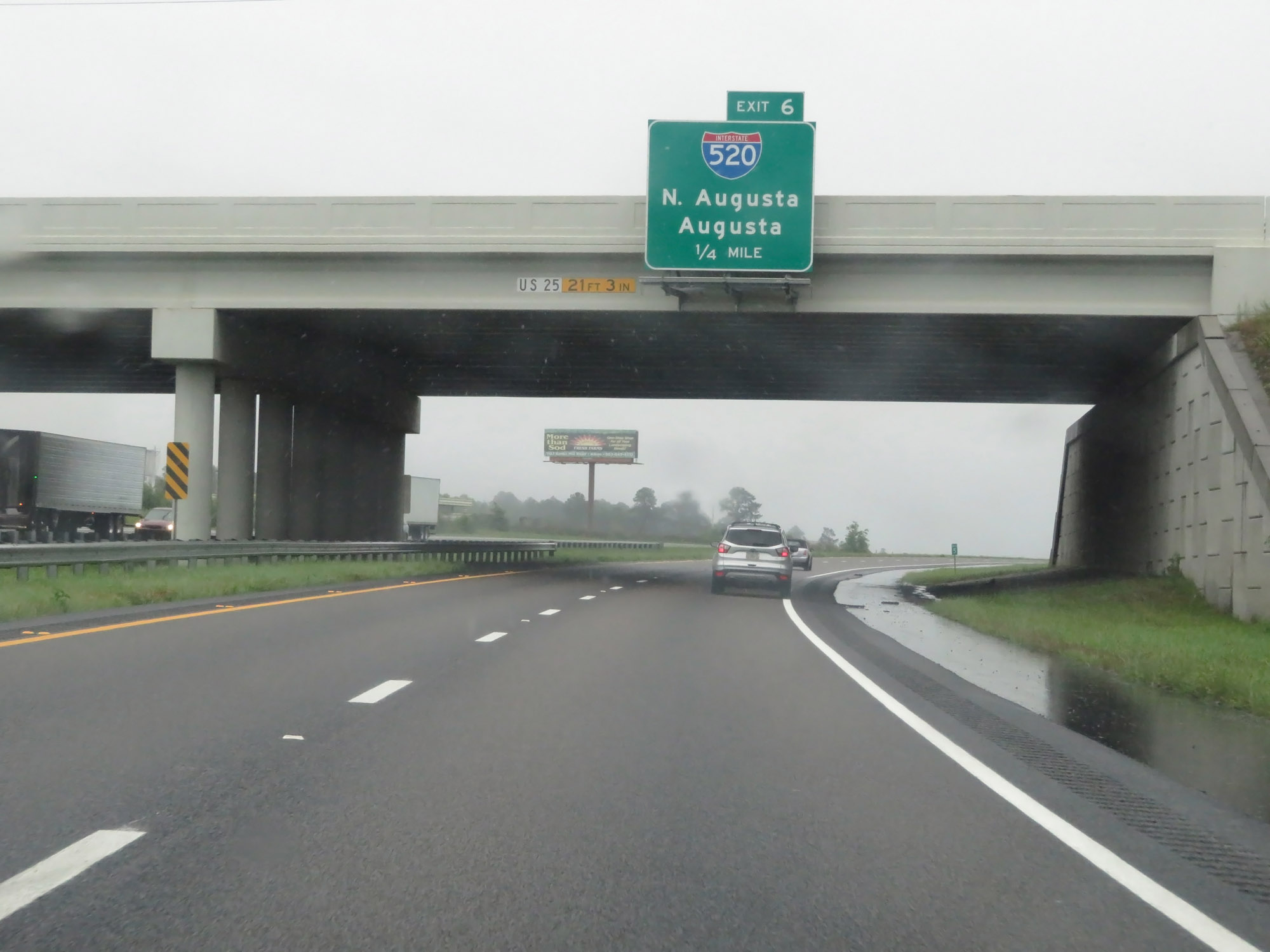
Interstate 20 East at Exit 6: Interstate 520 West - North Augusta / Augusta (Photo taken 5/25/18). |
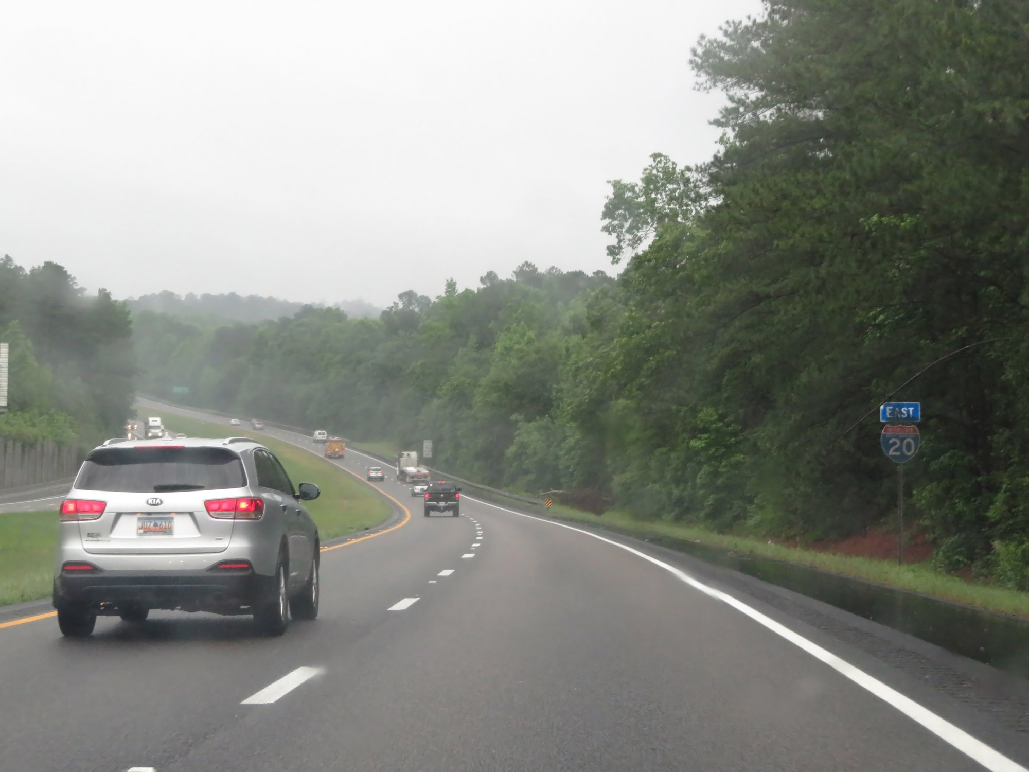 |
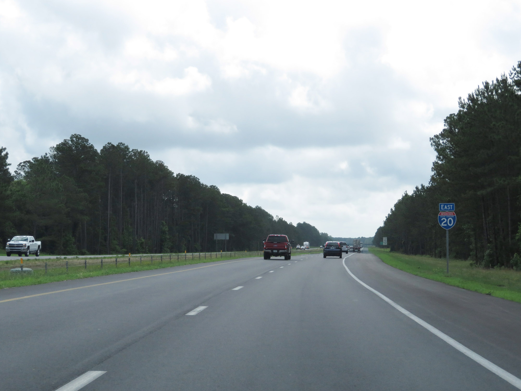
State-named Interstate 20 East reassurance shield. (Photo taken 5/25/18). |
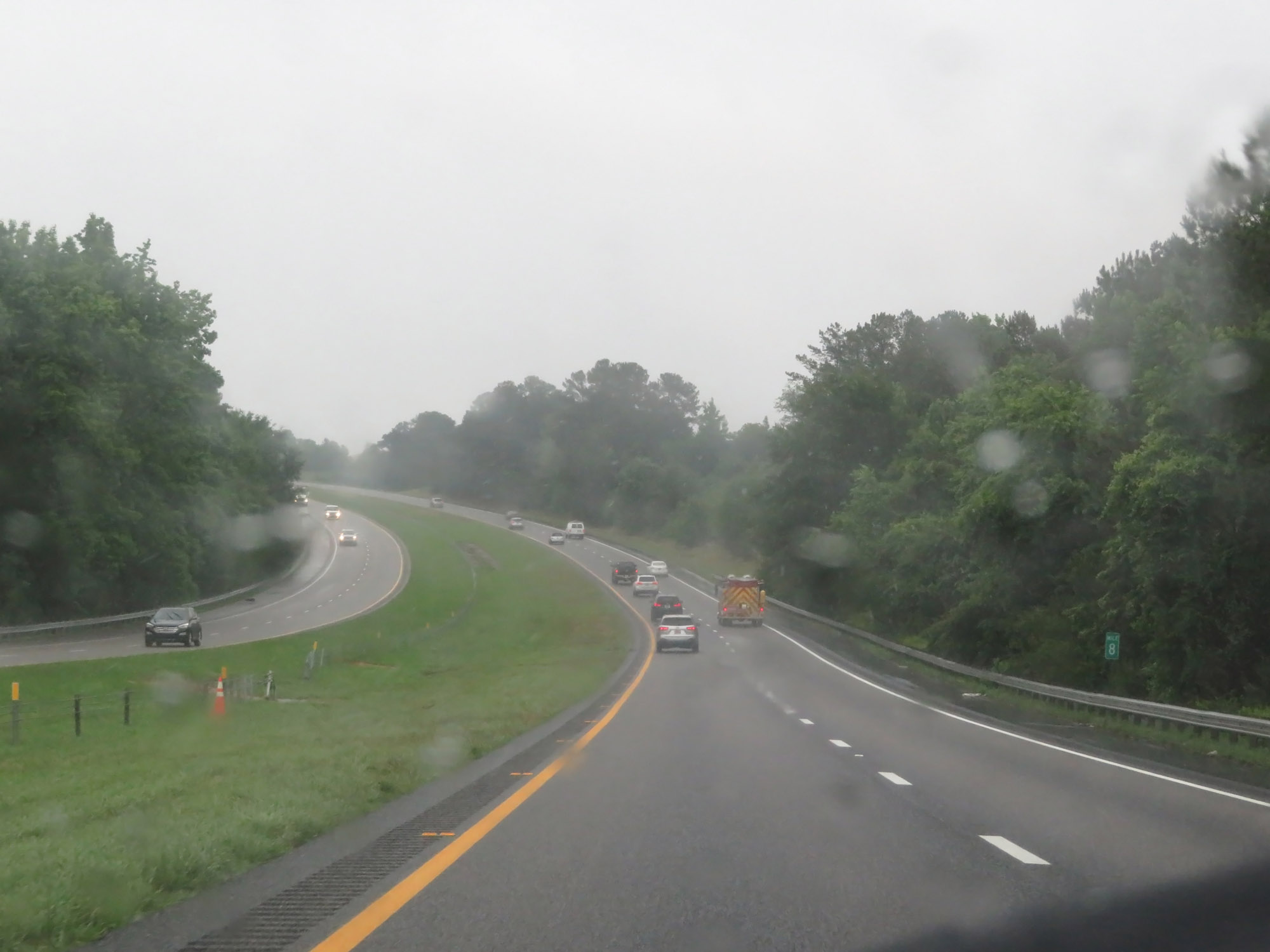 |
Interstate 20 East at mile marker 8. (Photo taken 5/25/18). |
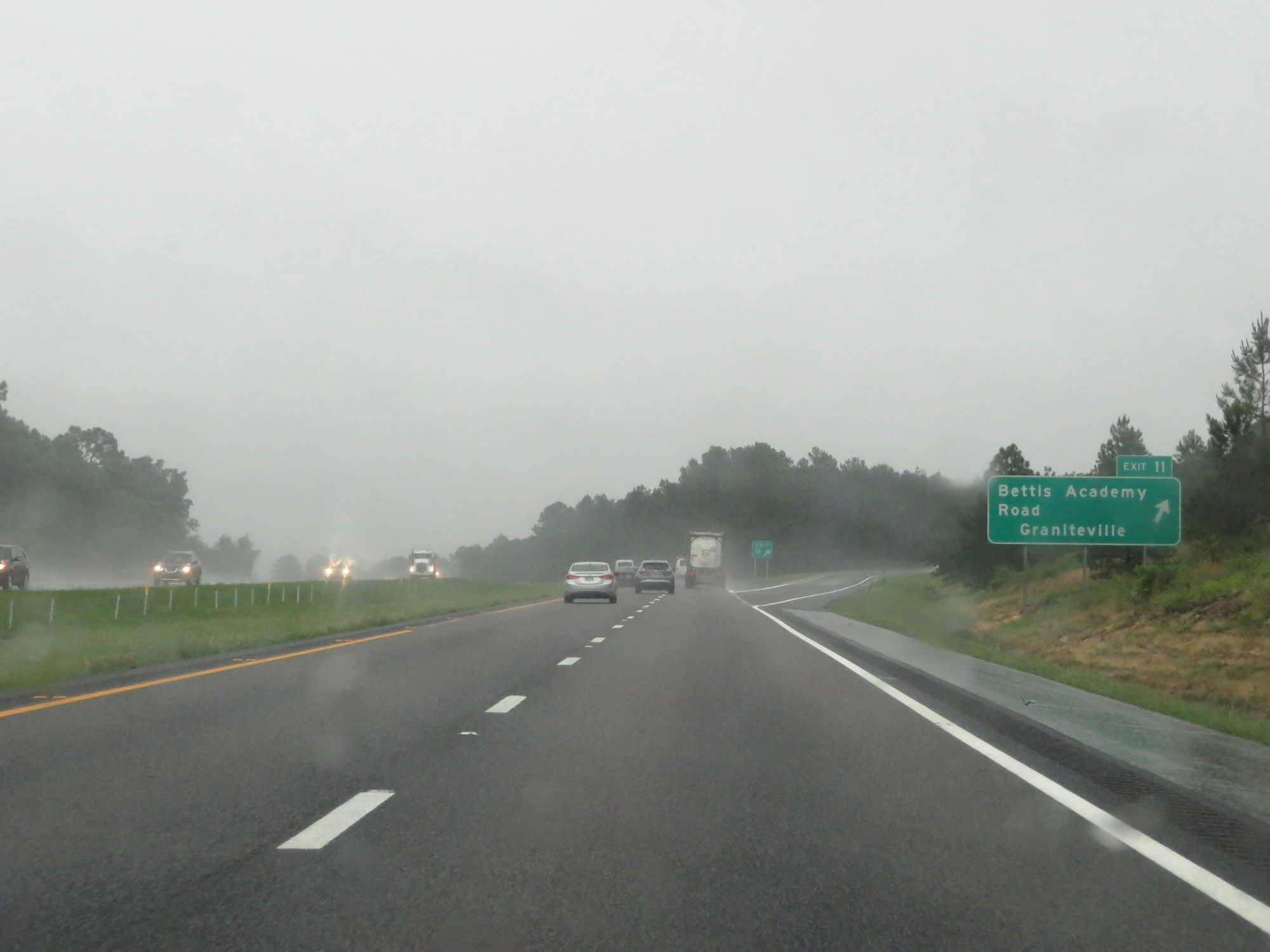 |
Interstate 20 East at Exit 11: Bettis Academy Road / Graniteville (Photo taken 5/25/18). |
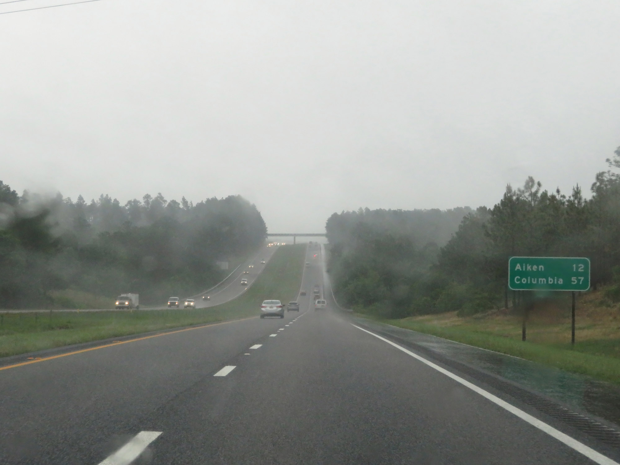 |
Mileage sign on Interstate 20 East. It's 12 miles to Aiken and 57 miles to Columbia. (Photo taken 5/25/18). |
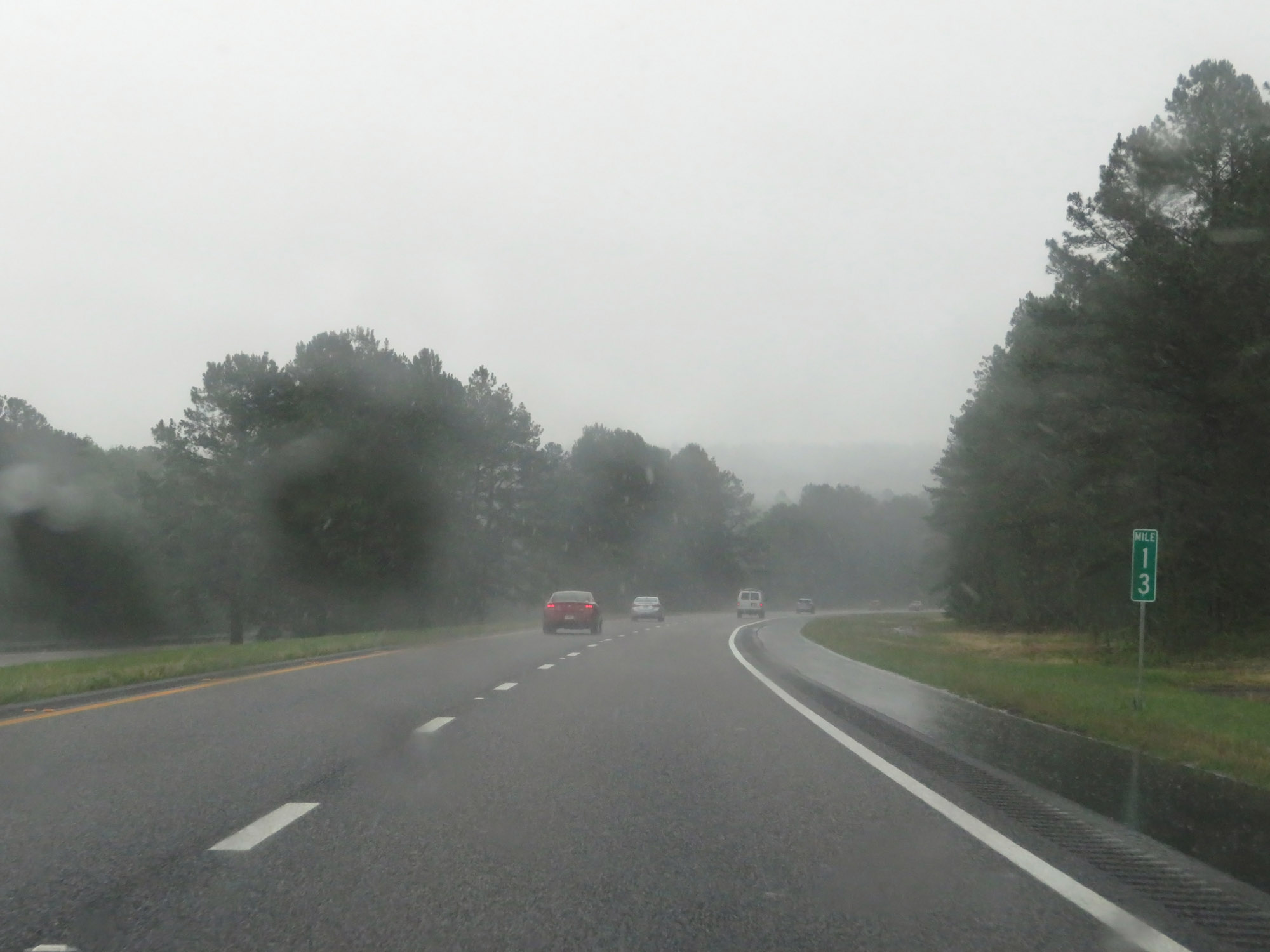 |
View on Interstate 20 East at mile marker 13. (Photo taken 5/25/18). |
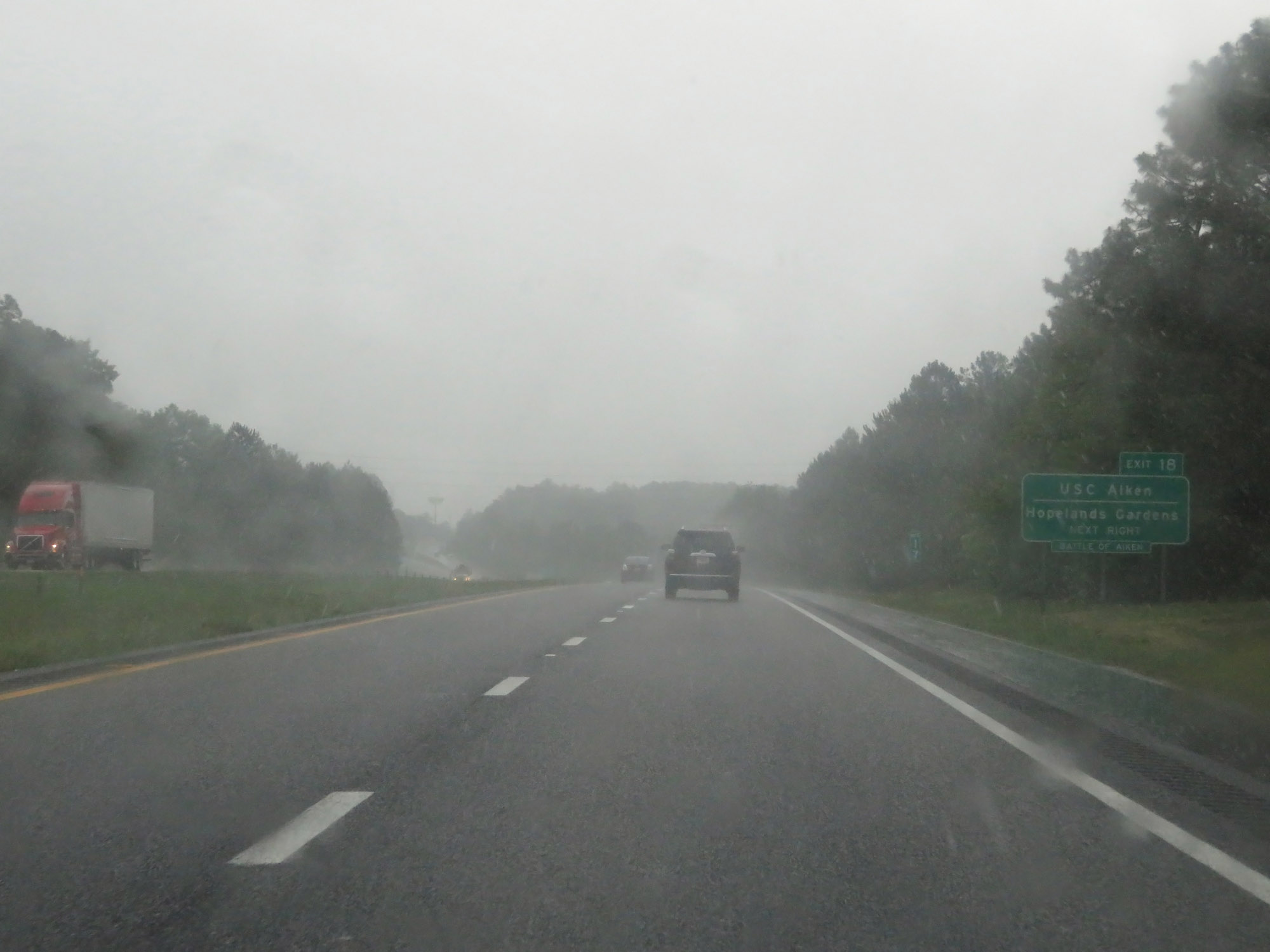 |
Take Exit 18 to USC Aiken and Hopelands Gardens. (Photo taken 5/25/18). |
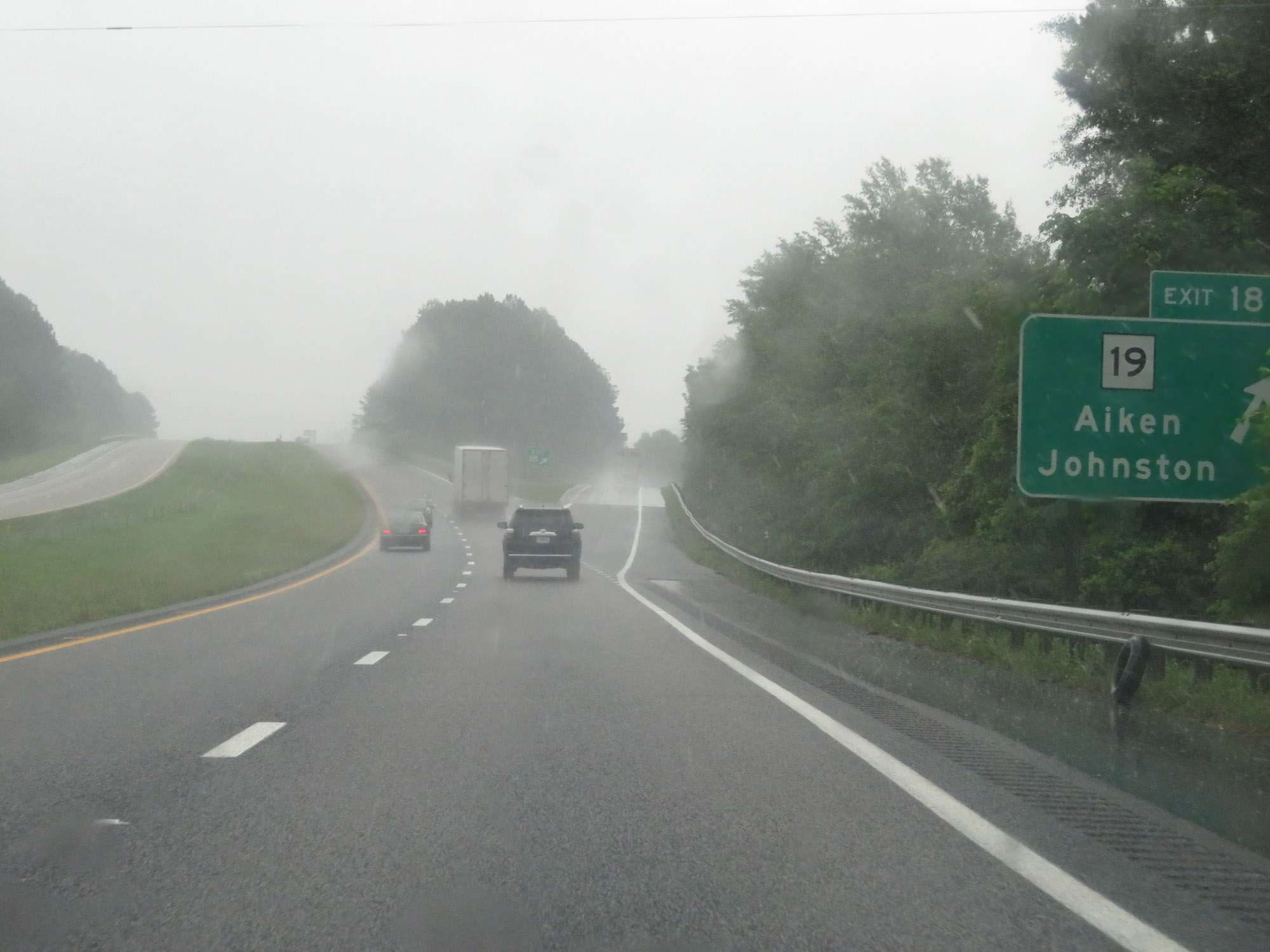 |
Interstate 20 East at Exit 18: SC 19 - Aiken / Johnston (Photo taken 5/25/18). |
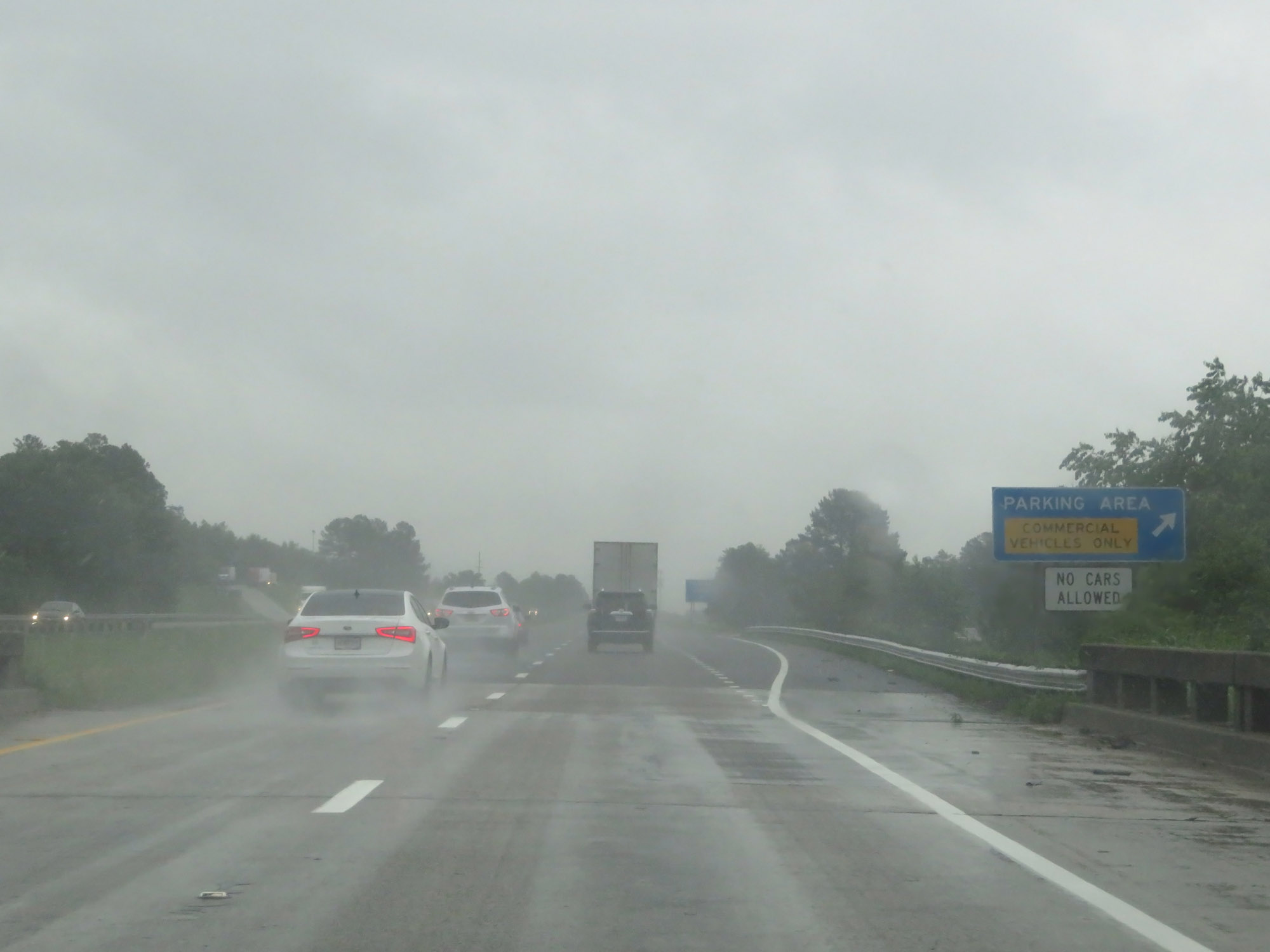 |
Truck Parking Area on Interstate 20 East in Aiken County. (Photo taken 5/25/18). |
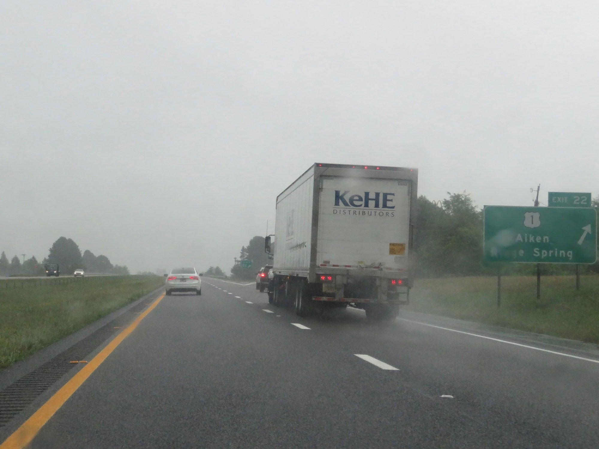 |
Interstate 20 East at Exit 22: US 1 - Aiken / Ridge Spring (Photo taken 5/25/18). |
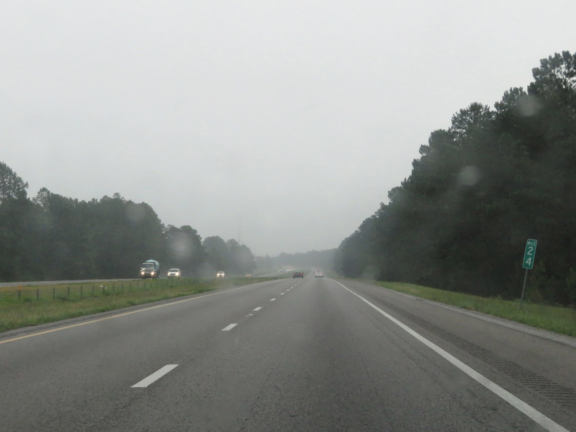 |
View on Interstate 20 East at mile marker 24. (Photo taken 5/25/18). |
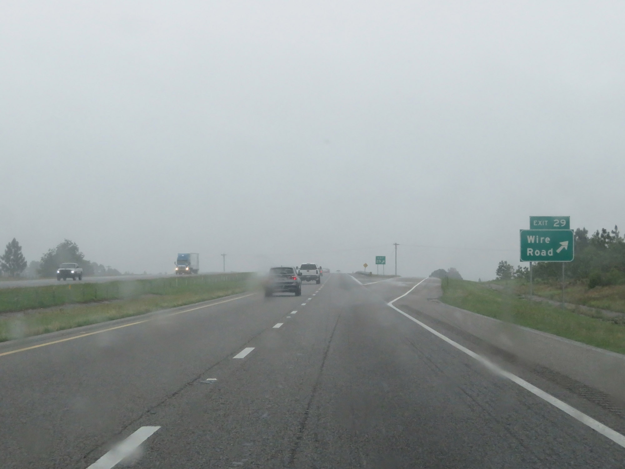 |
Interstate 20 East at Exit 29: Wire Road (Photo taken 5/25/18). |
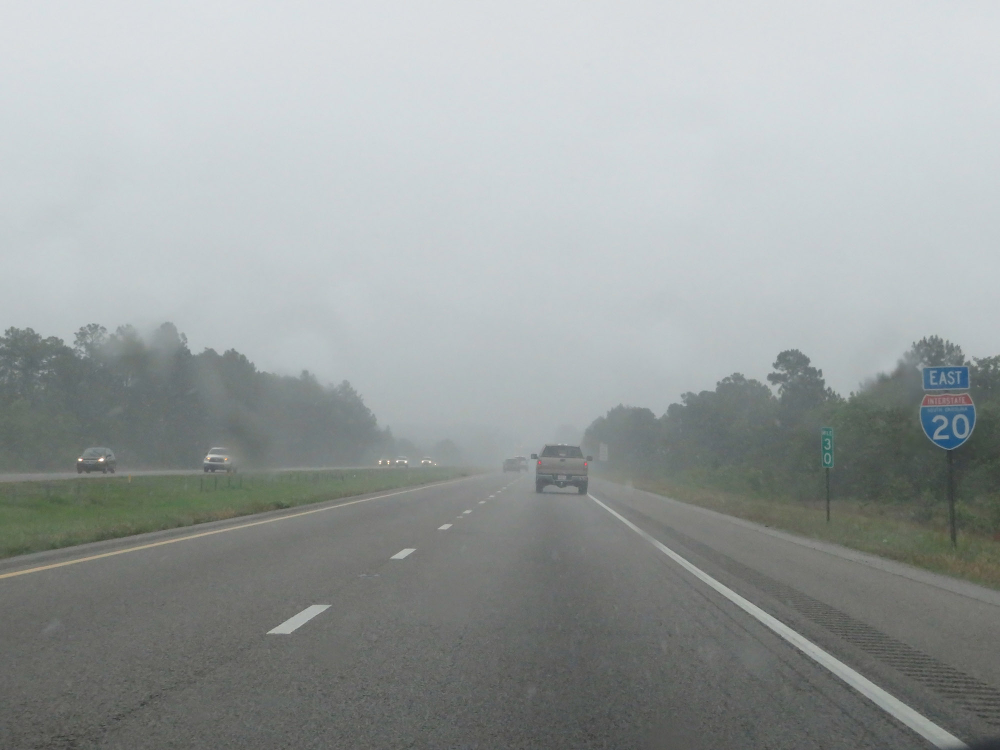 |
Another state-named Interstate 20 East reassurance shield at mile marker 30. (Photo taken 5/25/18). |
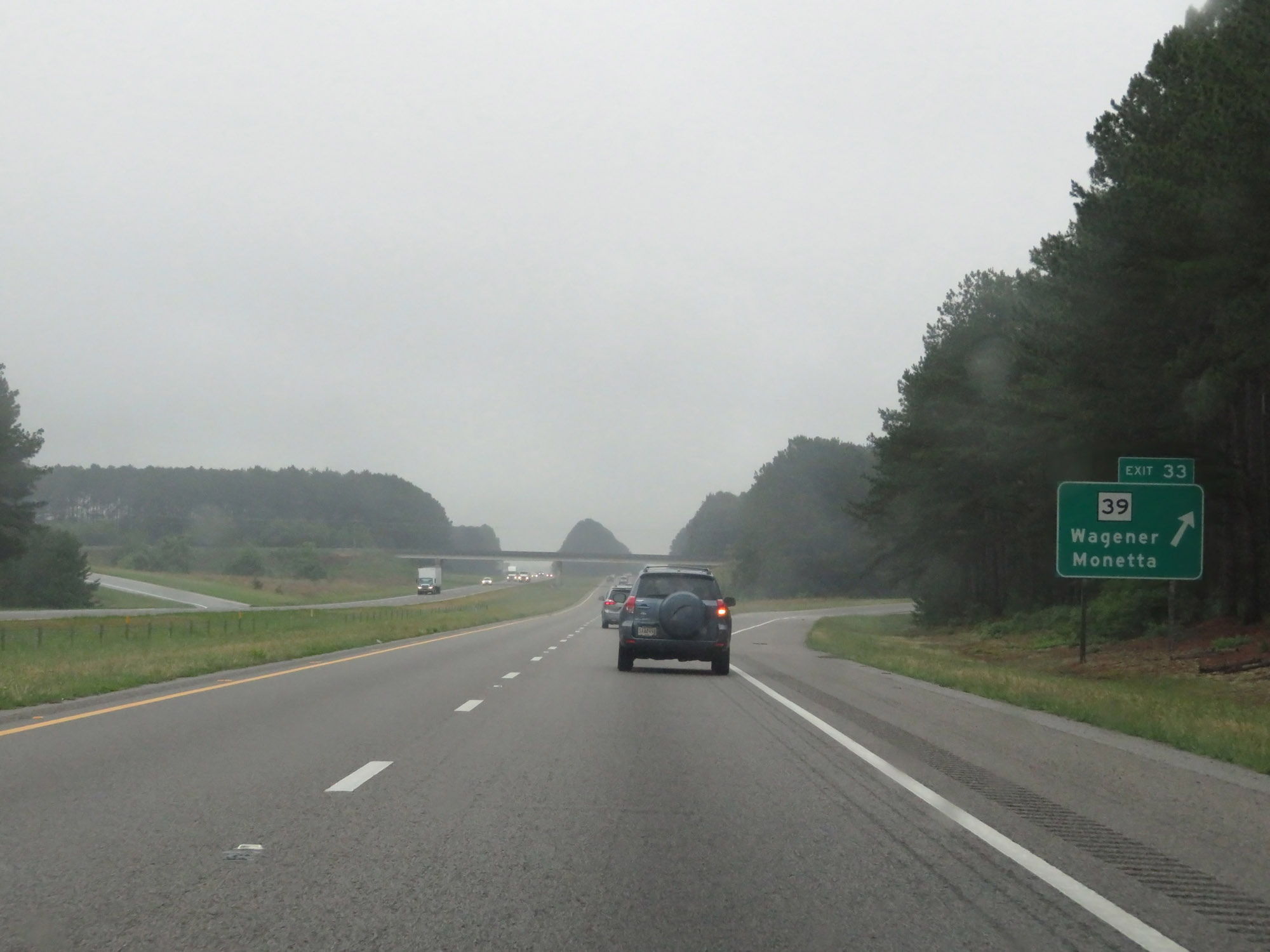 |
Interstate 20 East at Exit 33: SC 39 - Wagener / Monetta (Photo taken 5/25/18). |
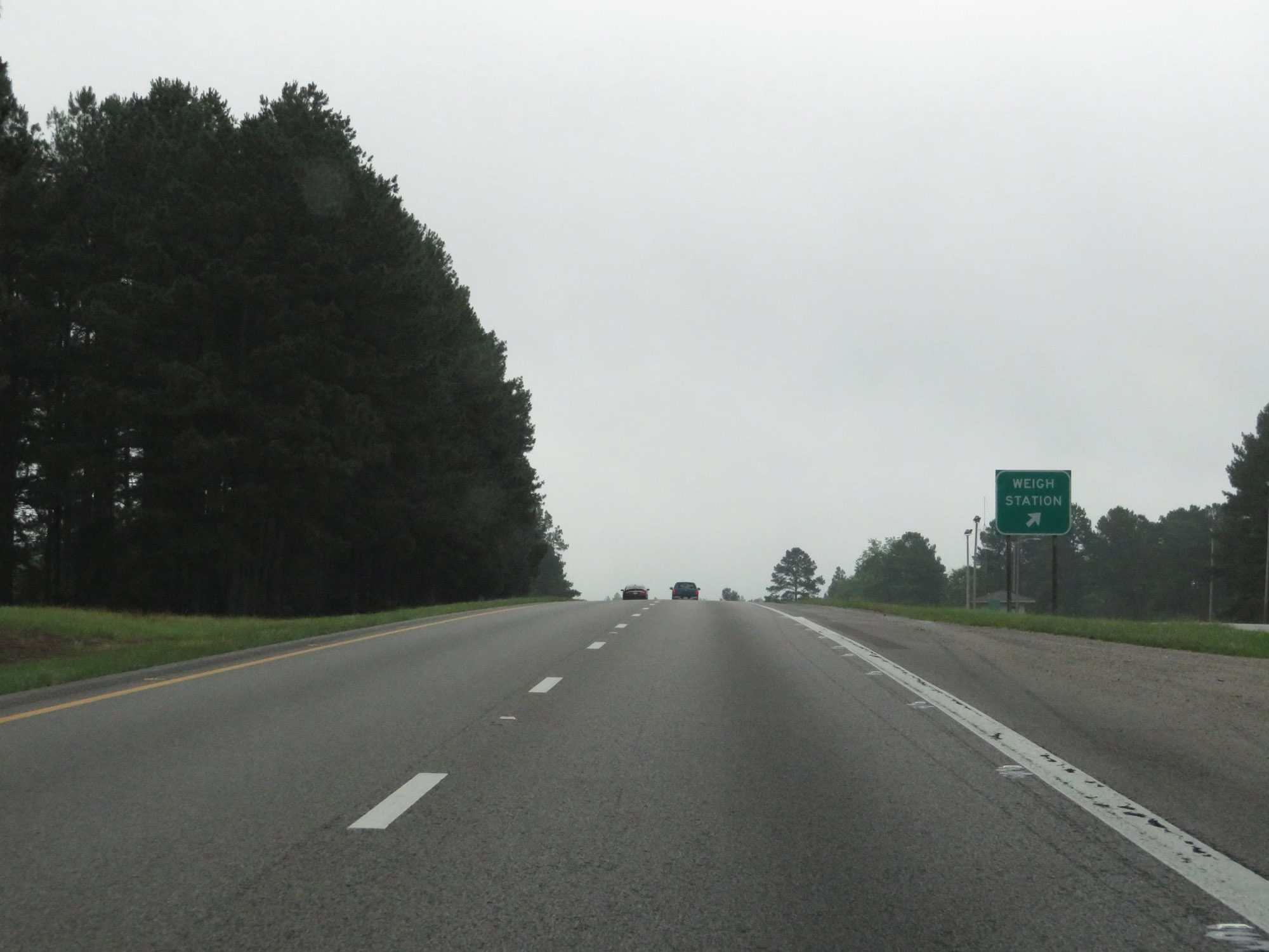 |
Weigh Station on Interstate 20 East in Aiken County. (Photo taken 5/25/18). |
 |
Entering Lexington County on Interstate 20 East. (Photo taken 5/25/18). |
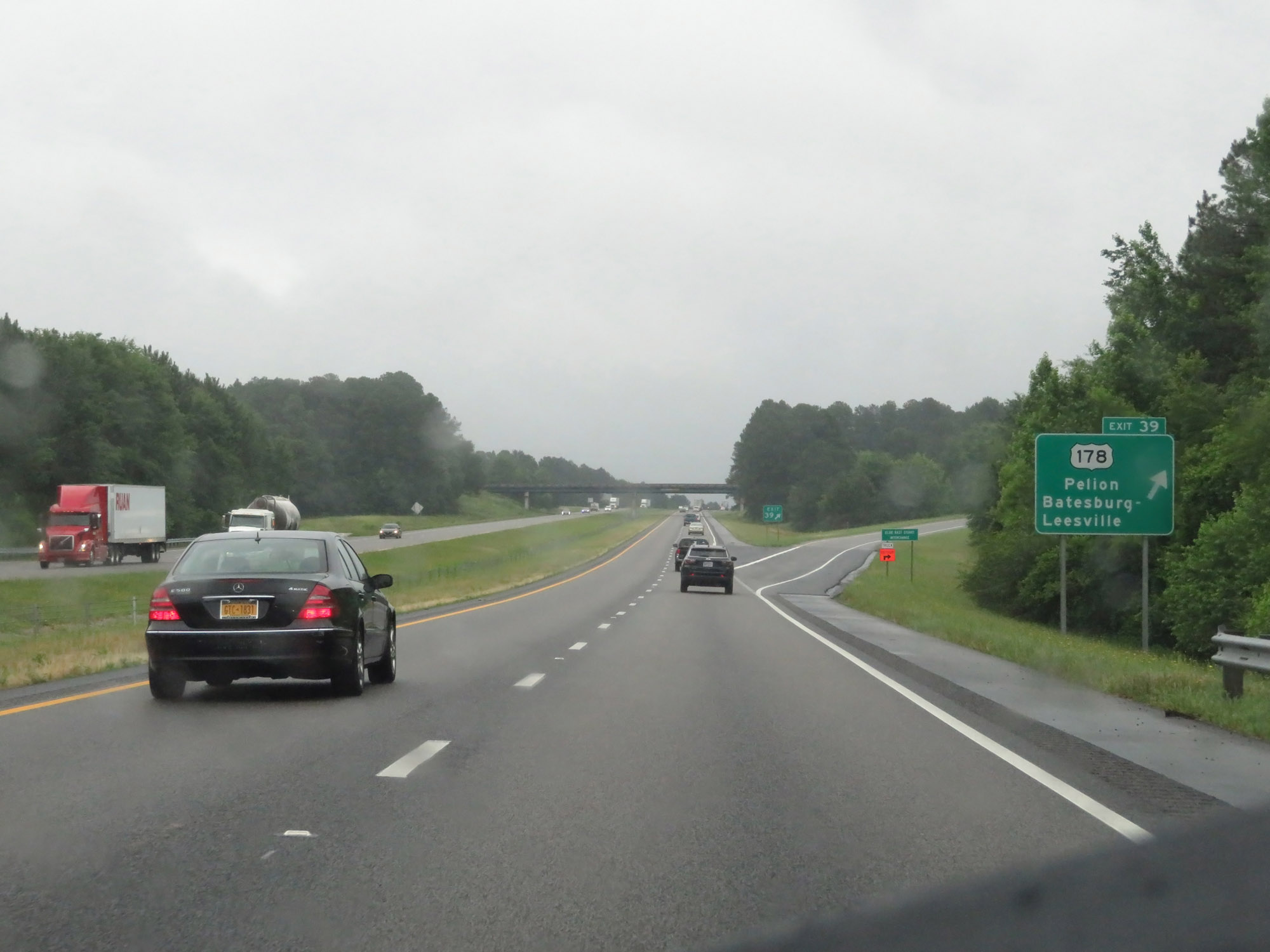 |
Interstate 20 East at Exit 39: US 178 - Pelion / Batesburg-Leesville (Photo taken 5/25/18). |
 |
The speed limits remain 70 mph maximum and 45 mph minimum. (Photo taken 5/25/18). |
 |
Mileage sign on Interstate 20 East. It's 17 miles to Lexington and 28 miles to Columbia. (Photo taken 5/25/18). |
 |
View on Interstate 20 East at mile marker 42. (Photo taken 5/25/18). |
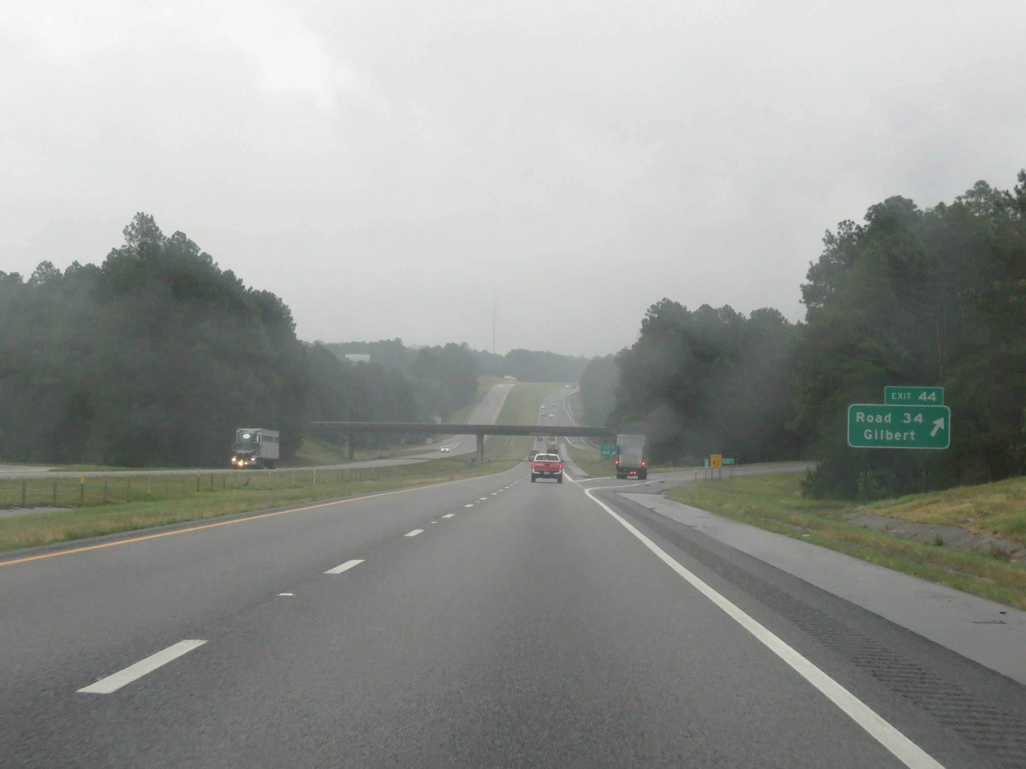 |
Interstate 20 East at Exit 44: Road 34 / Gilbert (Photo taken 5/25/18). |
 |
Interstate 20 East at mile marker 48. (Photo taken 5/25/18). |
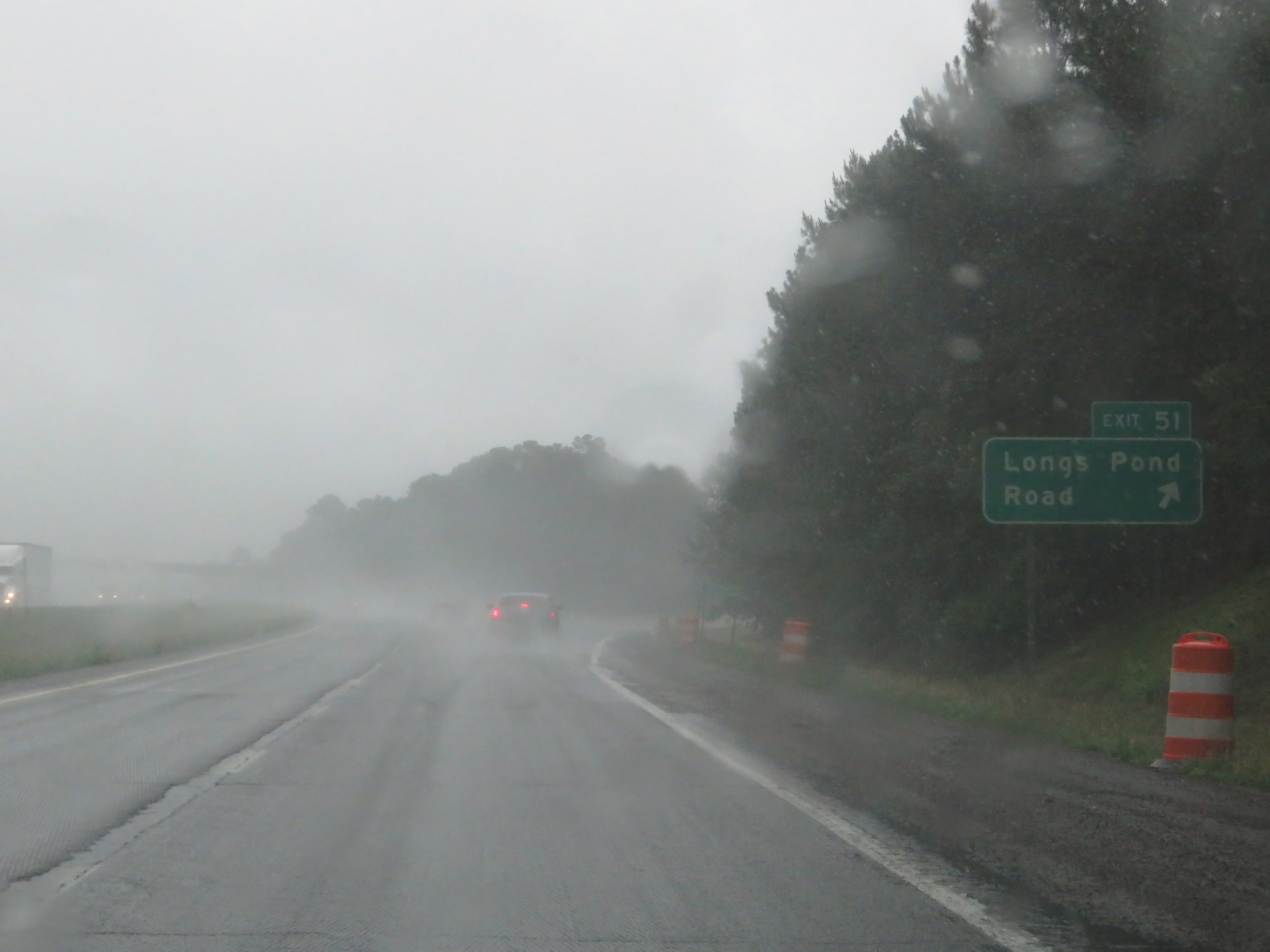 |
Interstate 20 East at Exit 51: Longs Pond Road (Photo taken 5/25/18). |
 |
View on Interstate 20 East at mile marker 53. (Photo taken 5/25/18). |
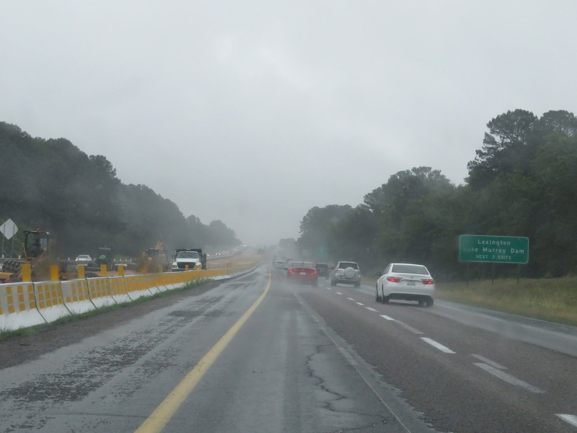 |
Take any of the next 3 exits to Lexington and Lake Murray Dam. (Photo taken 5/25/18). |
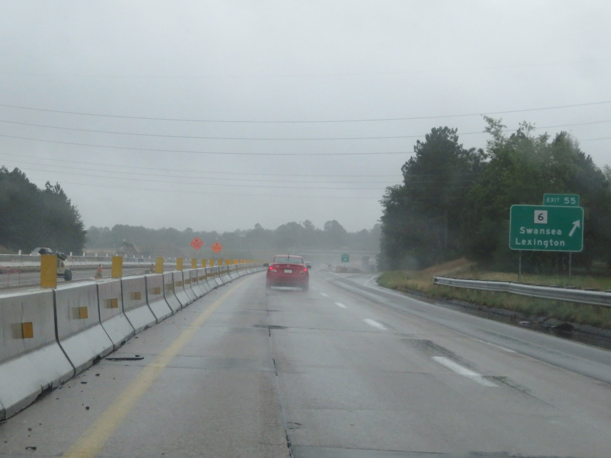 |
Interstate 20 East at Exit 55: SC 6 - Swansea / Lexington (Photo taken 5/25/18). |
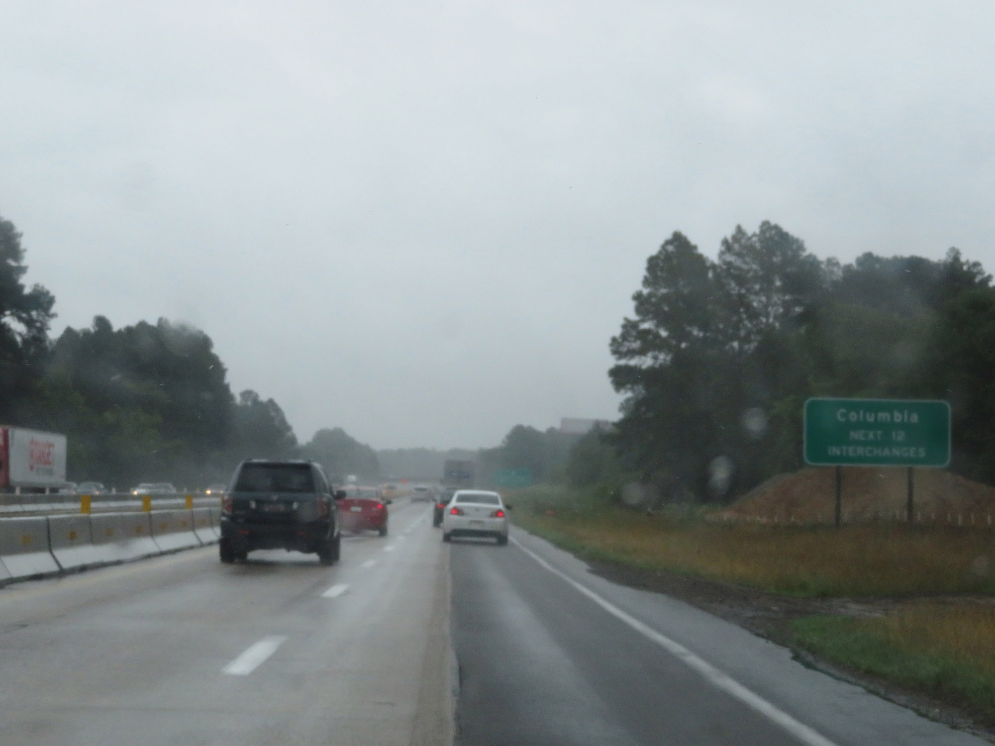 |
Take any of the next 12 exits to Columbia. (Photo taken 5/25/18). |
 |
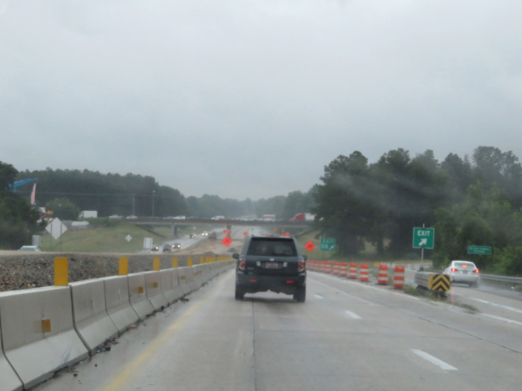
Interstate 20 East approaching Exit 58 - 1 mile. (Photo taken 5/25/18). |
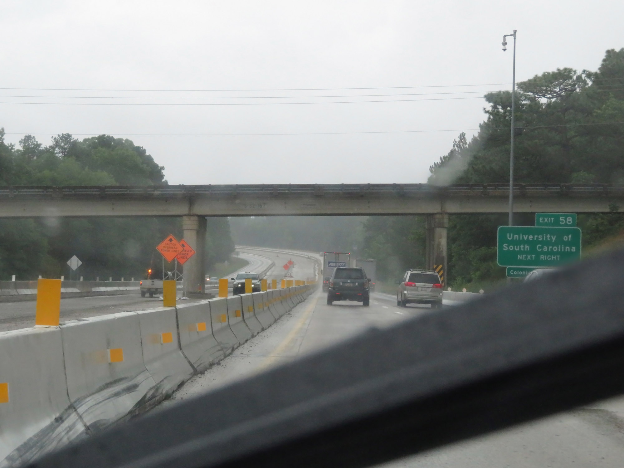 |
Take Exit 58 to the University of South Carolina. (Photo taken 5/25/18). |
 |
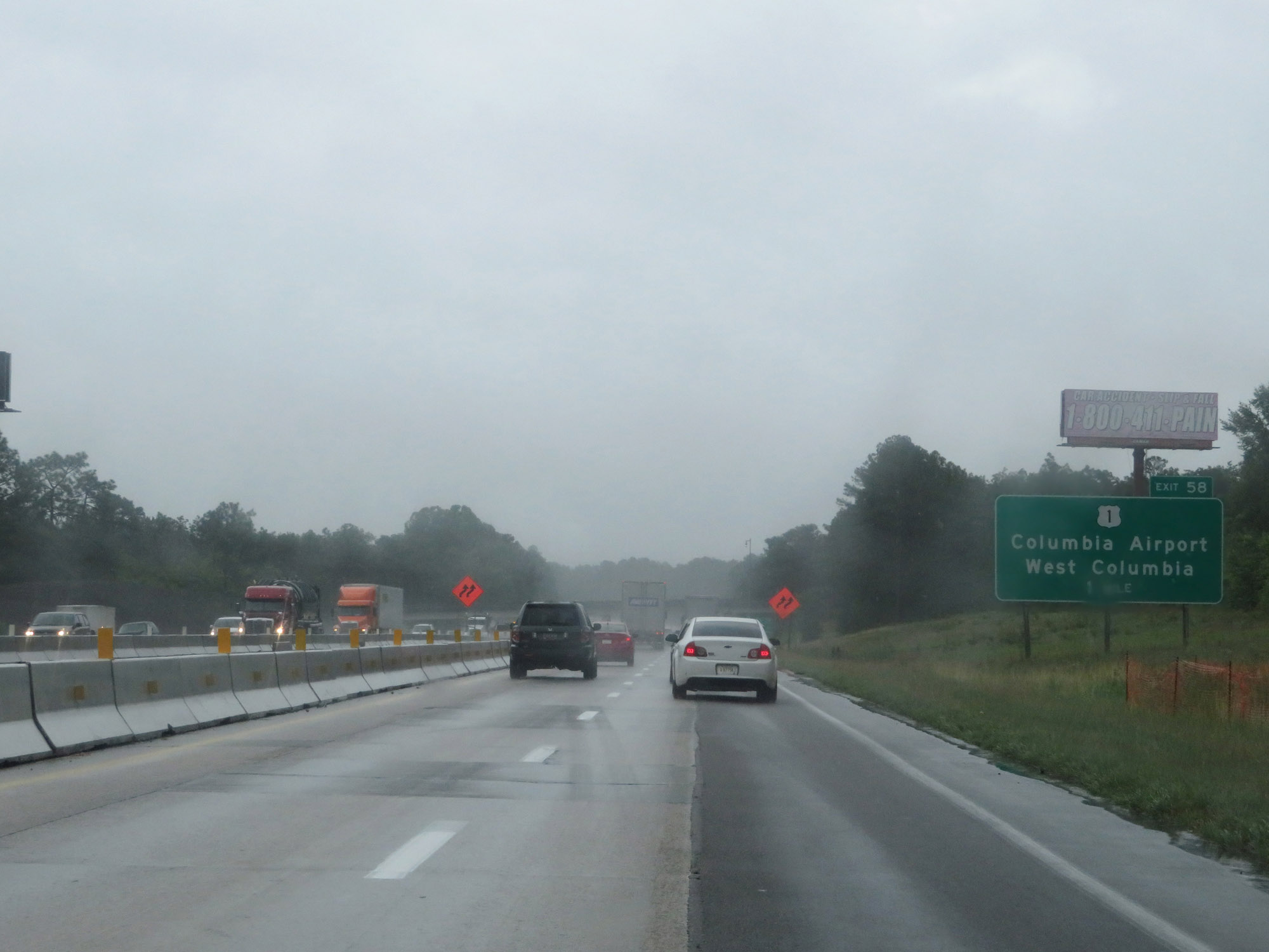
Interstate 20 East at Exit 58: US 1 - Columbia Airport / West Columbia (Photo taken 5/25/18). |
 |
State-named Interstate 20 East reassurance shield. (Photo taken 5/25/18). |
 |
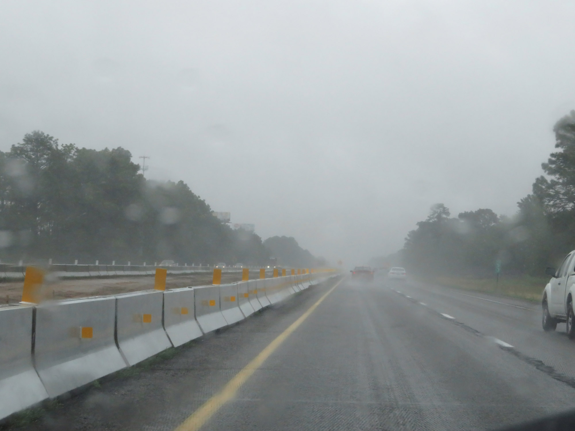
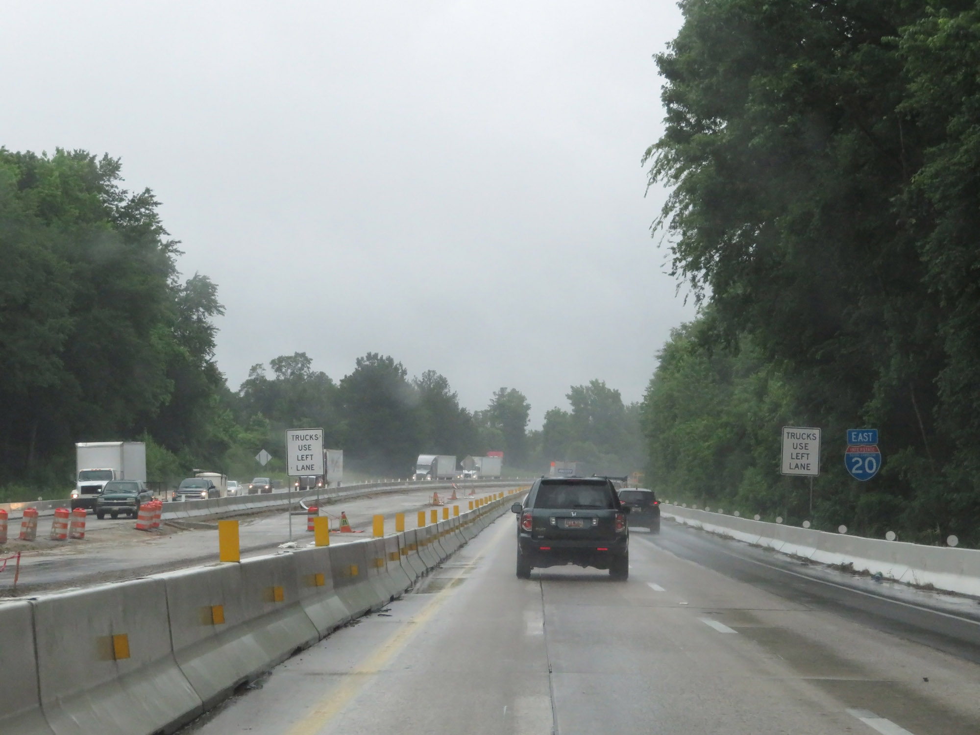
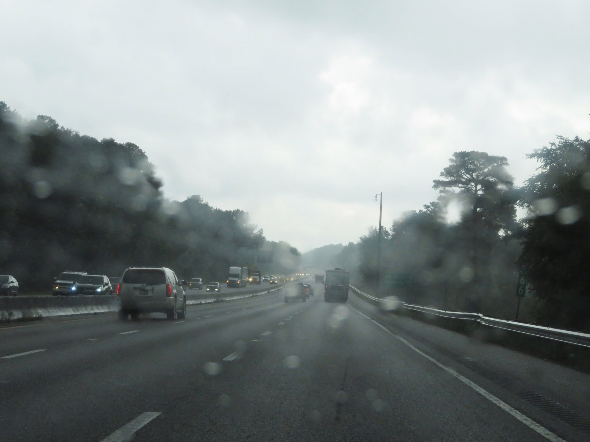
Nearing Columbia, Interstate 20 East gains an additional lane. As it does, this sign warns that trucks over 6 wheels are prohibited in the left lane. (Photo taken 5/25/18). |
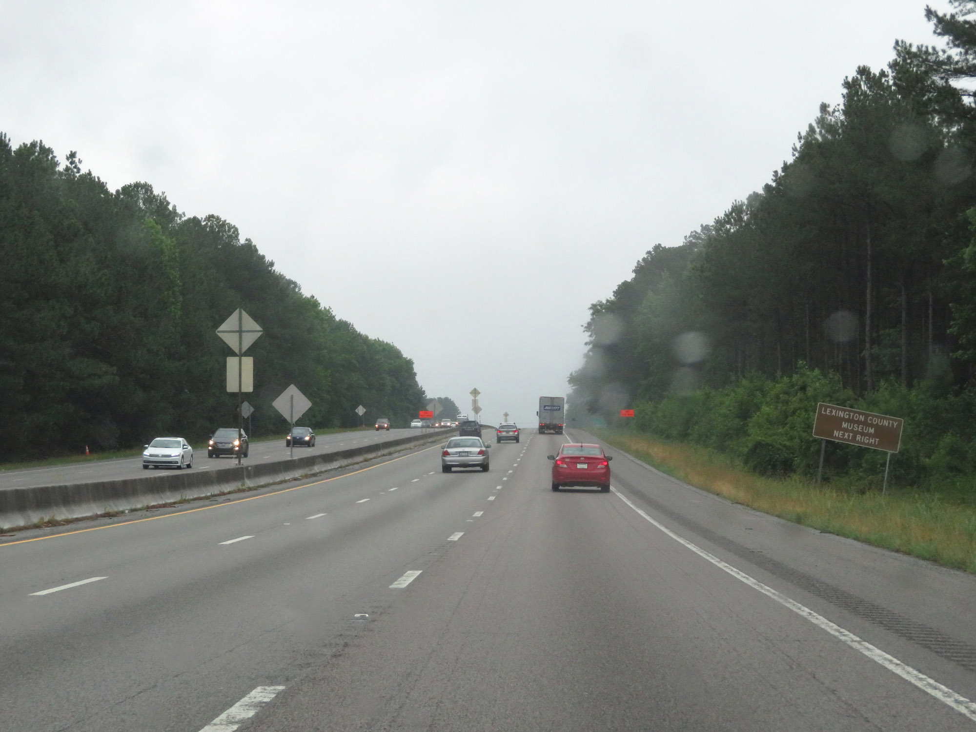 |
Take Exit 61 to the Lexington County Museum. (Photo taken 5/25/18). |
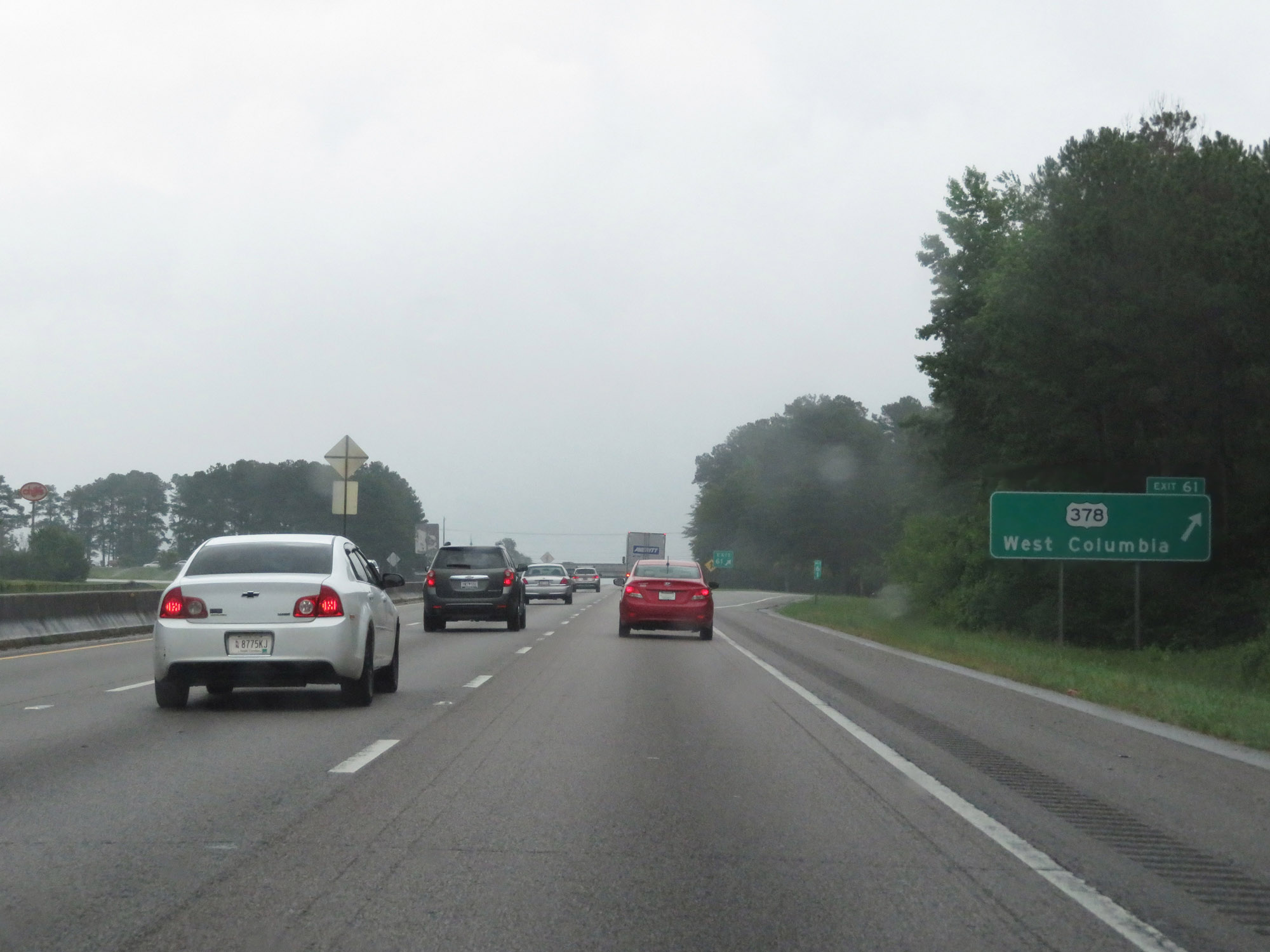 |
Interstate 20 East at Exit 61: US 378 - West Columbia (Photo taken 5/25/18). |
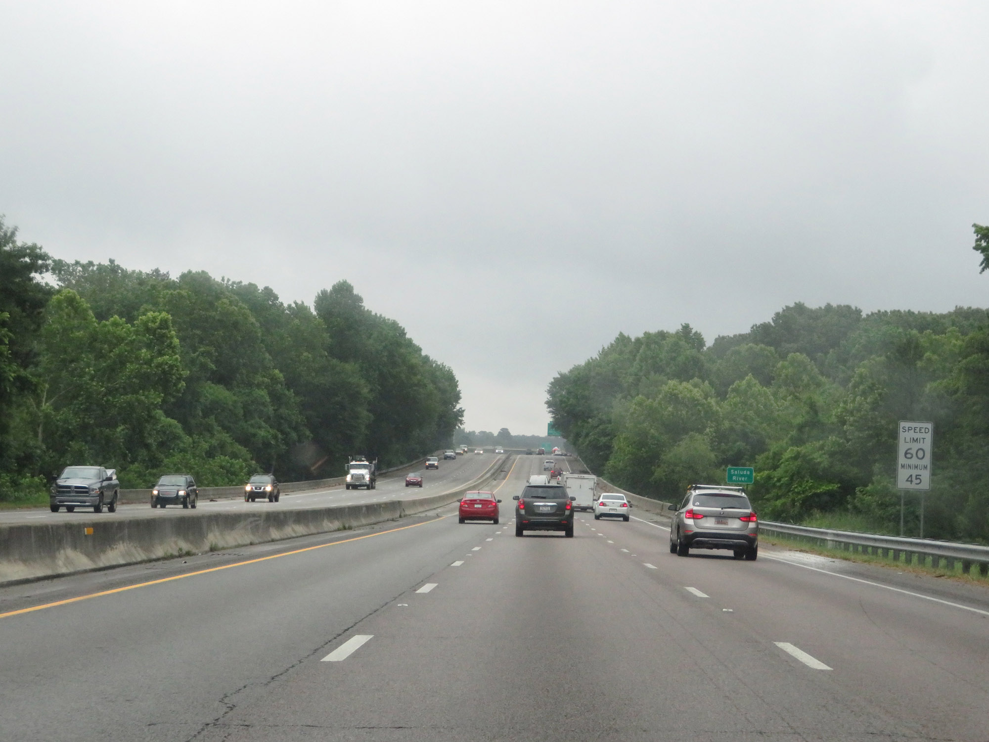 |
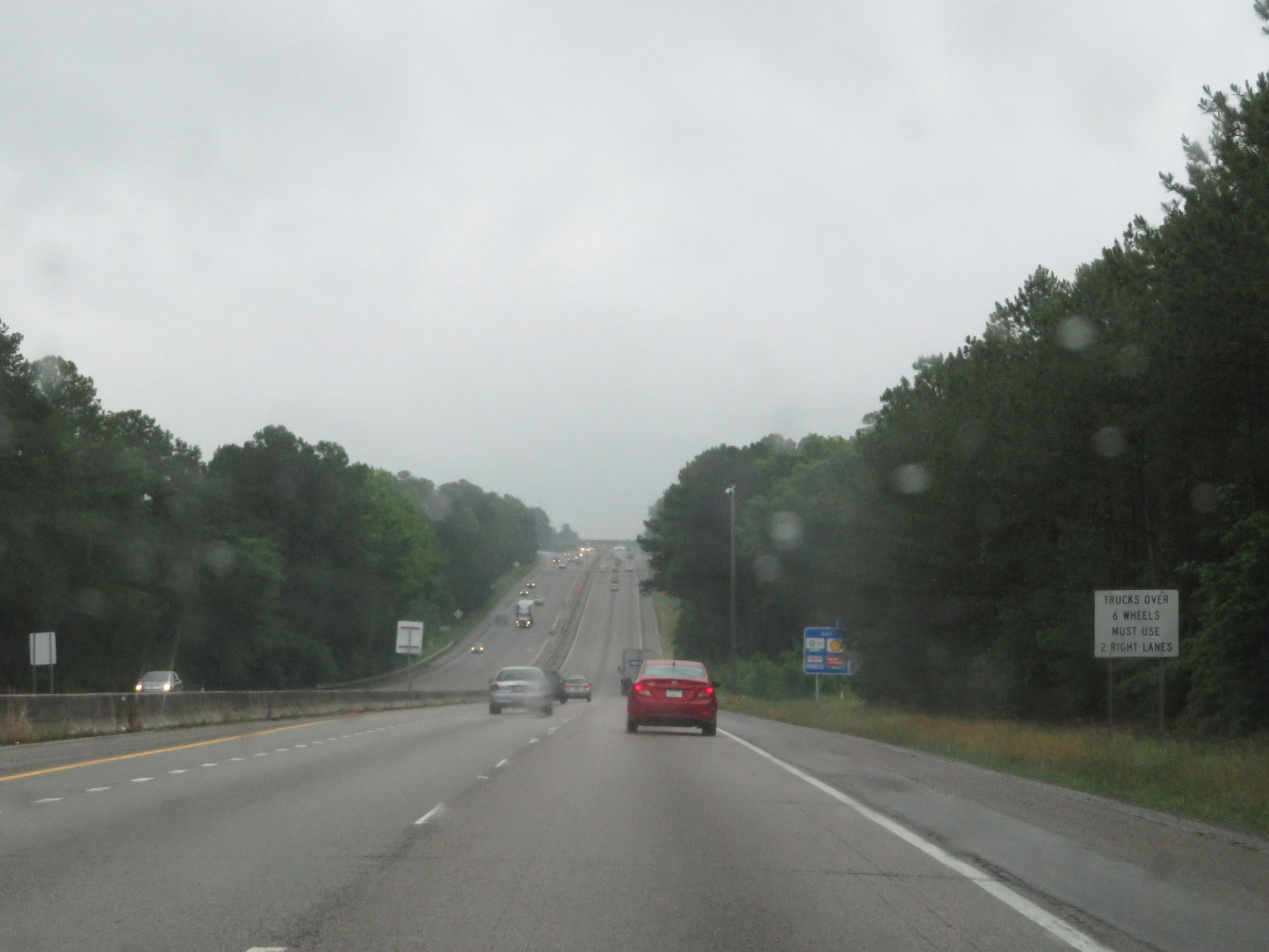
Entering the Columbia area, the maximum speed limit decreases to 60 mph. The minimum remains 45 mph. (Photo taken 5/25/18). |
 |
Interstate 20 East at Exit 63: Bush River Road (Photo taken 5/25/18). |
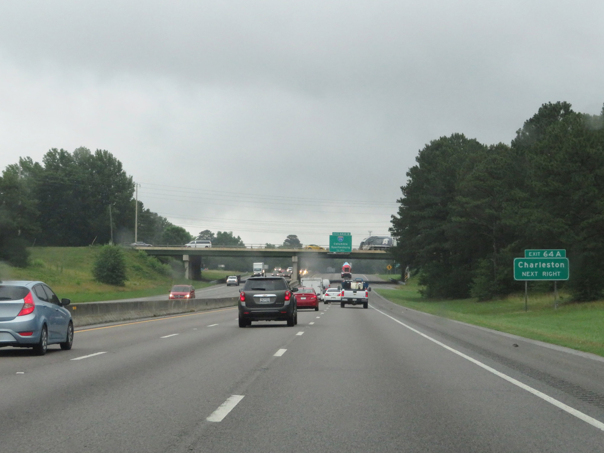 |
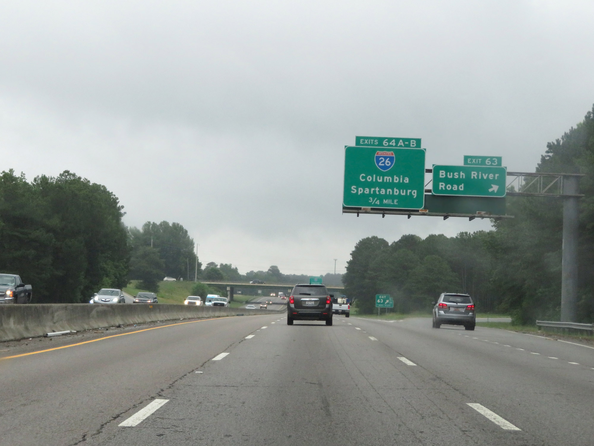
Take Exit 64A (Interstate 26 East) to Charleston. (Photo taken 5/25/18). |
 |
Interstate 20 East approaching Exits 64A-B - 1/2 mile. (Photo taken 5/25/18). |
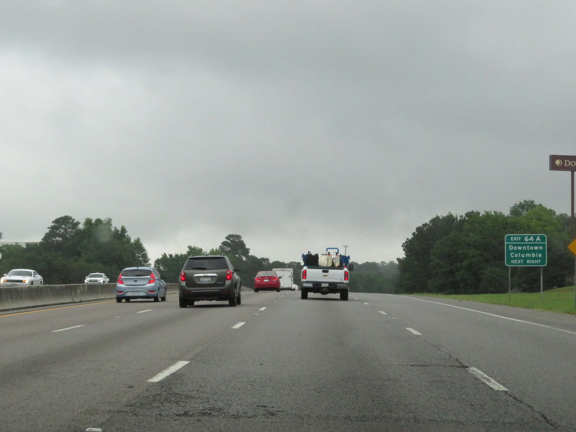 |
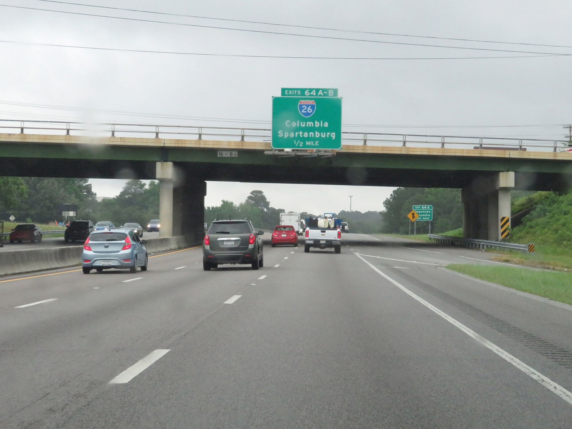
Take Exit 64A (Interstate 26 East) to Downtown Columbia. (Photo taken 5/25/18). |
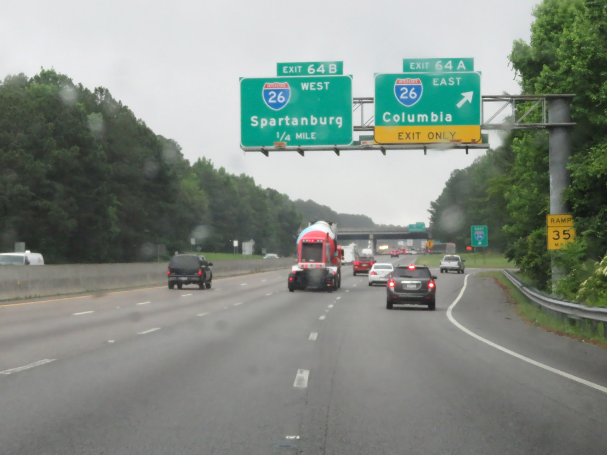 |
Interstate 20 East at Exit 64A: Interstate 26 East - Columbia (Photo taken 5/25/18). |
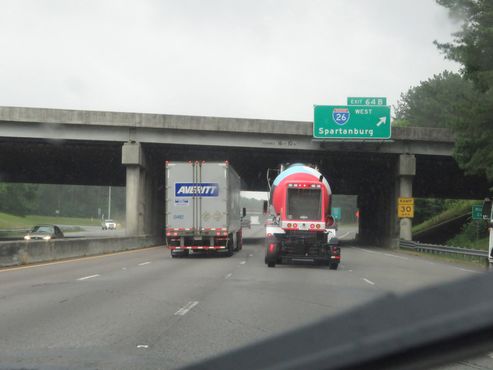 |
Interstate 20 East at Exit 64B: Interstate 26 West - Spartanburg. Also at this point, Interstate 20 East enters Richland County. (Photo taken 5/25/18). |
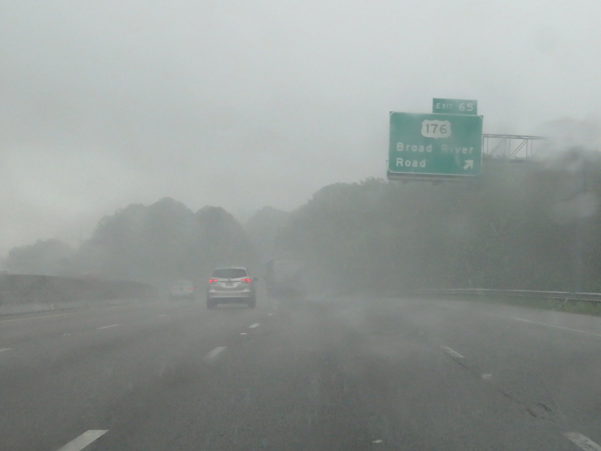 |
Interstate 20 East at Exit 65: US 176 - Broad River Road (Photo taken 5/25/18). |
 |
View on Interstate 20 East at mile marker 66. (Photo taken 5/25/18). |
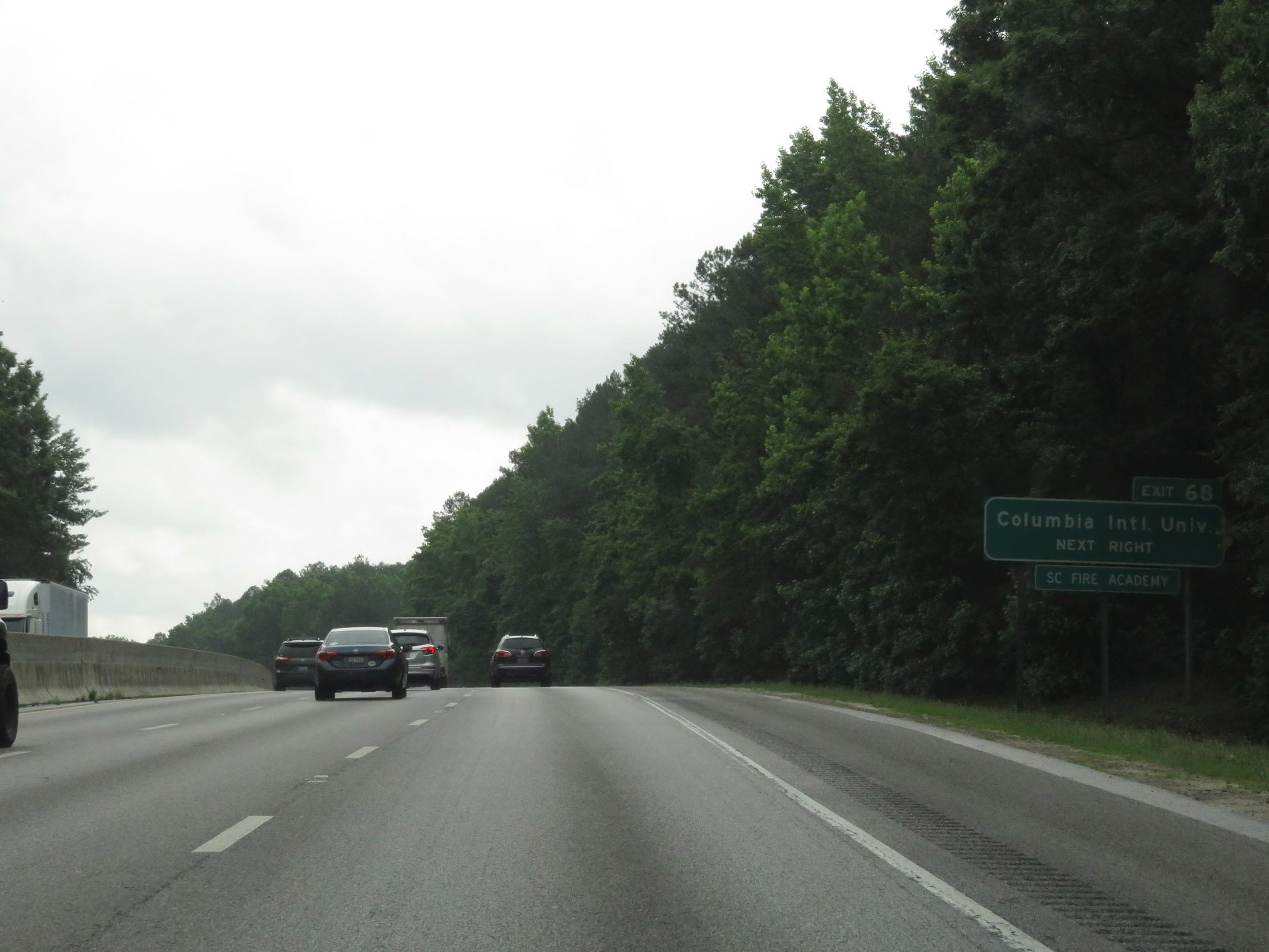 |
Take Exit 68 to Columbia International University and the South Carolina Fire Academy. (Photo taken 5/25/18). |
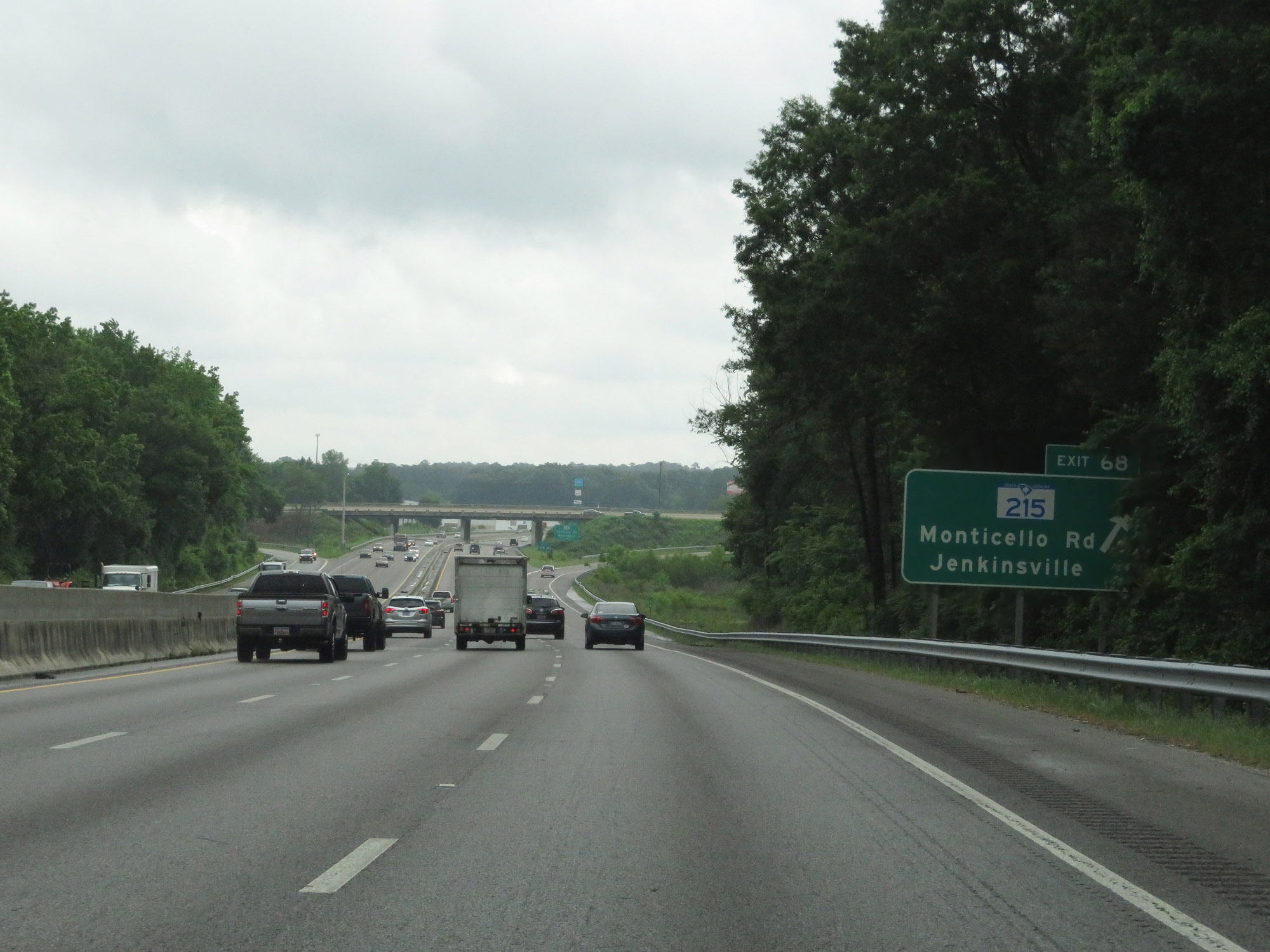 |
Interstate 20 East at Exit 68: SC 215 - Monticello Rd / Jenkinsville (Photo taken 5/25/18). |
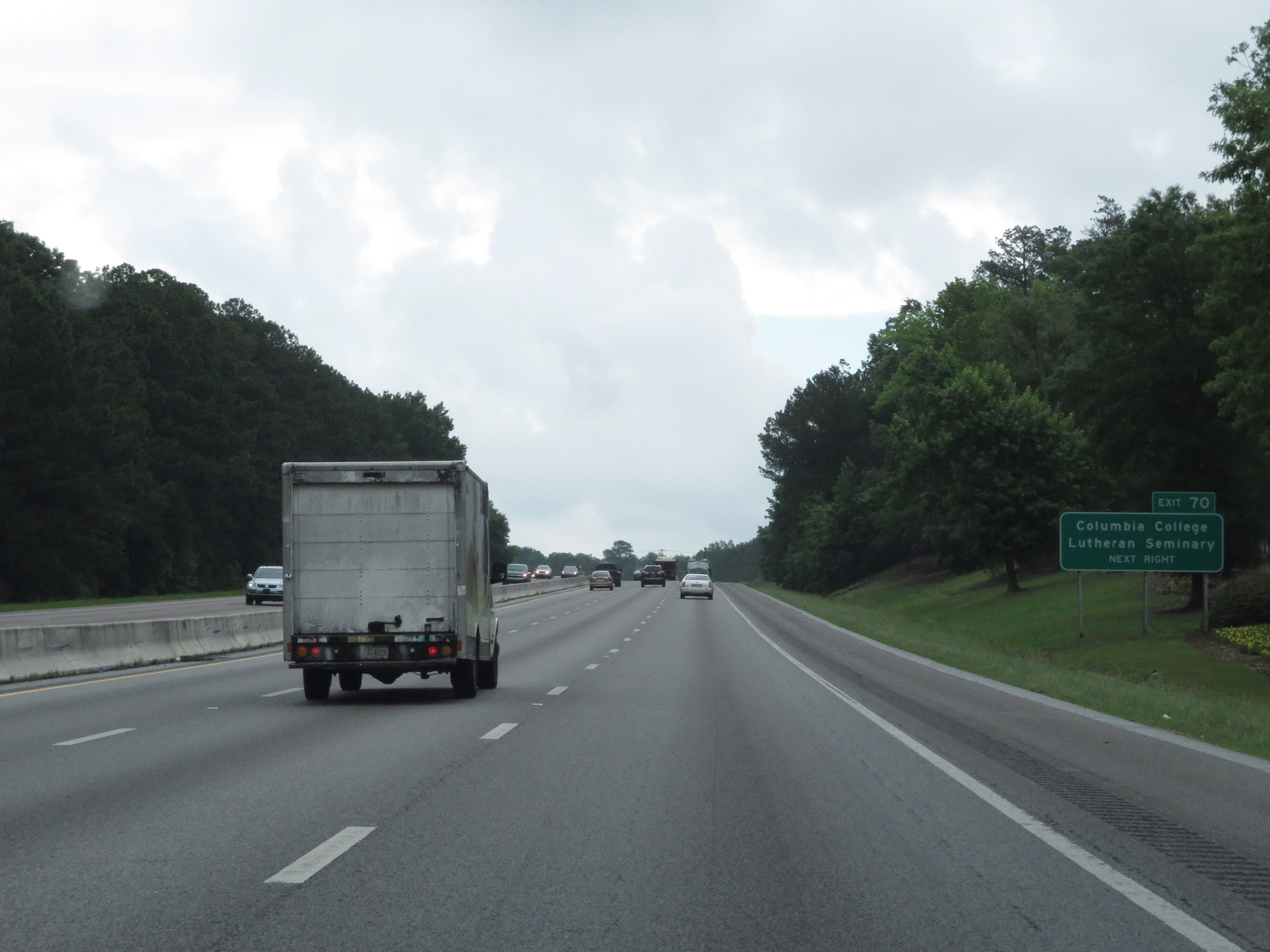 |
Take Exit 70 to Columbia College and the Lutheran Seminary. (Photo taken 5/25/18). |
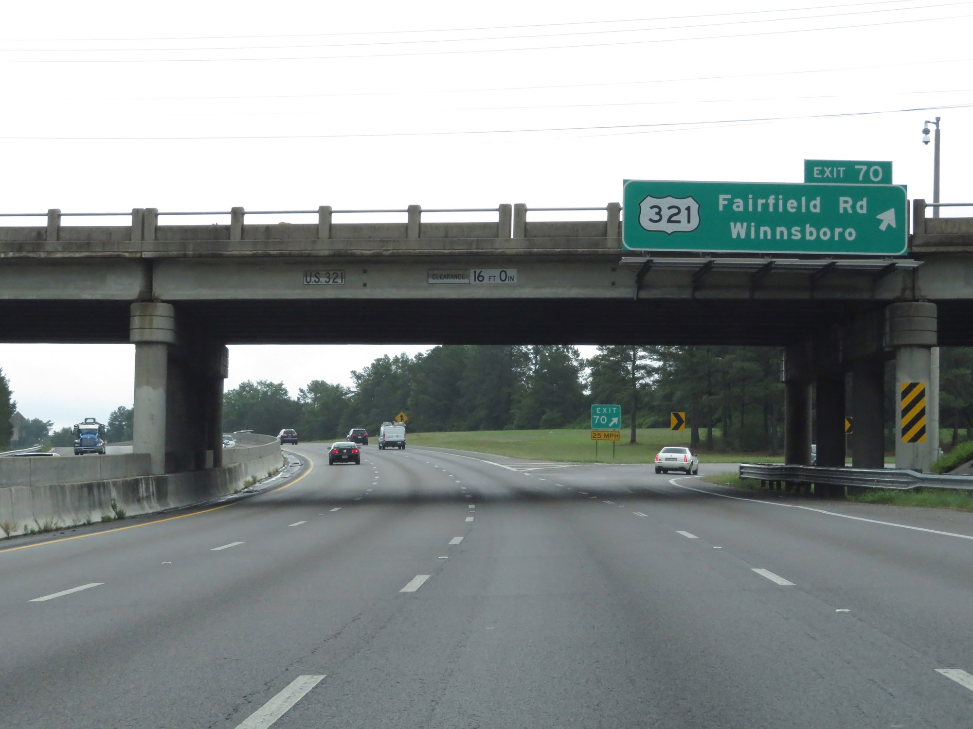 |
Interstate 20 East at Exit 70: US 321 - Fairfield Rd / Winnsboro (Photo taken 5/25/18). |
 |
Another state-named Interstate 20 East reassurance shield in Columbia. (Photo taken 5/25/18). |
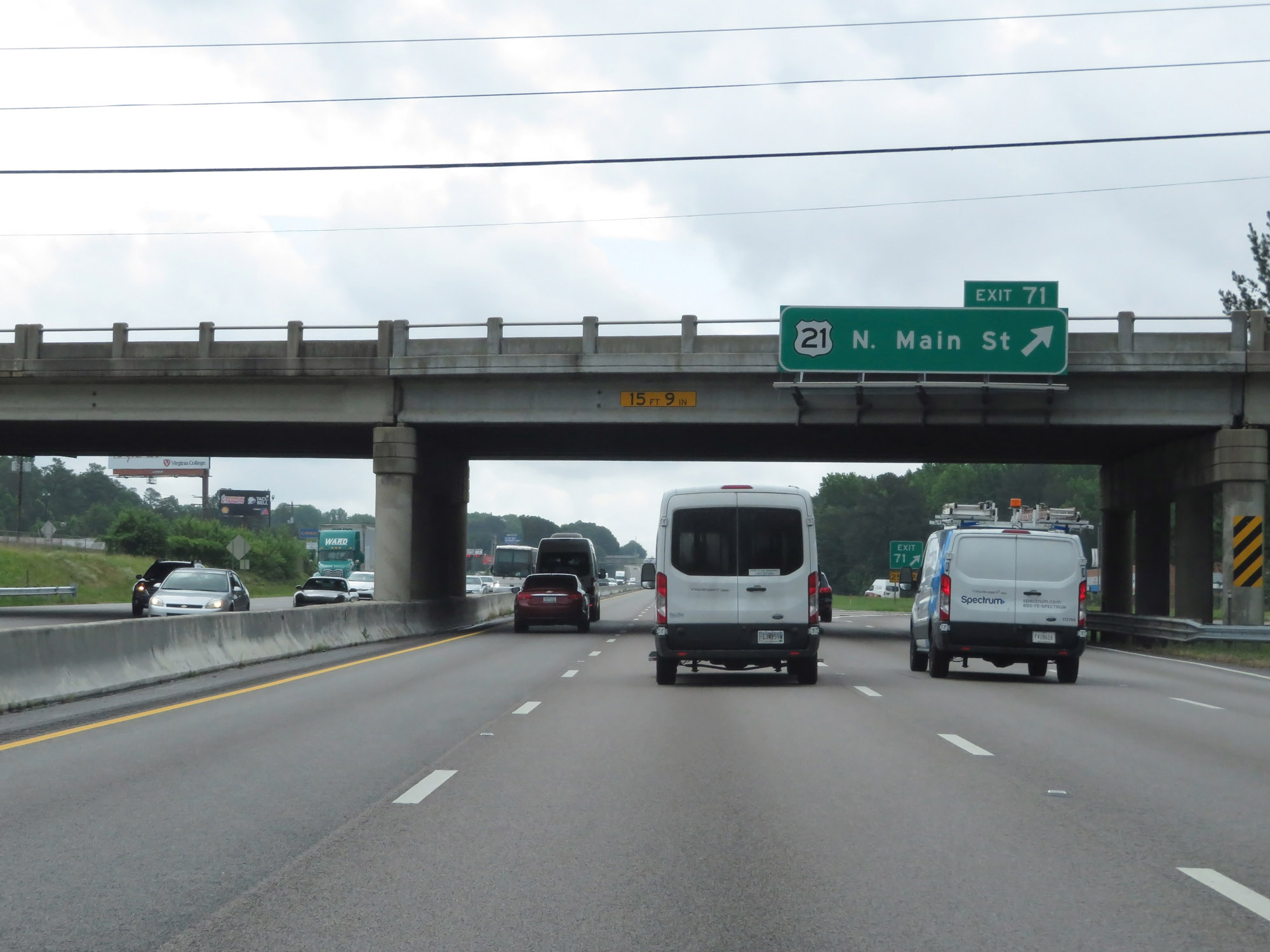 |
Interstate 20 East at Exit 71: US 21 - North Main St (Photo taken 5/25/18). |
 |
Interstate 20 East at Exit 72: SC 555 - Farrow Rd (Photo taken 5/25/18). |
 |
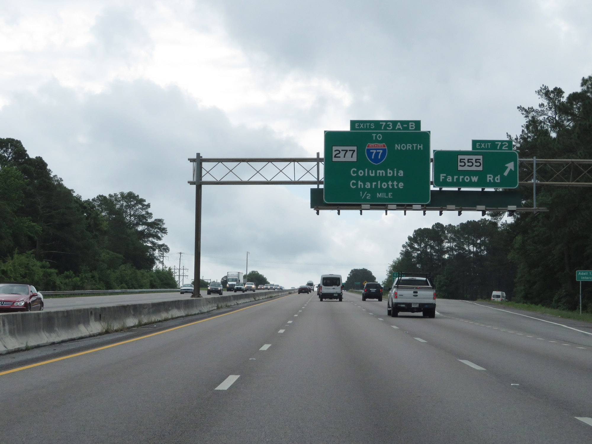
Interstate 20 East at Exit 73A: SC 277 South - Columbia (Photo taken 5/25/18). |
 |
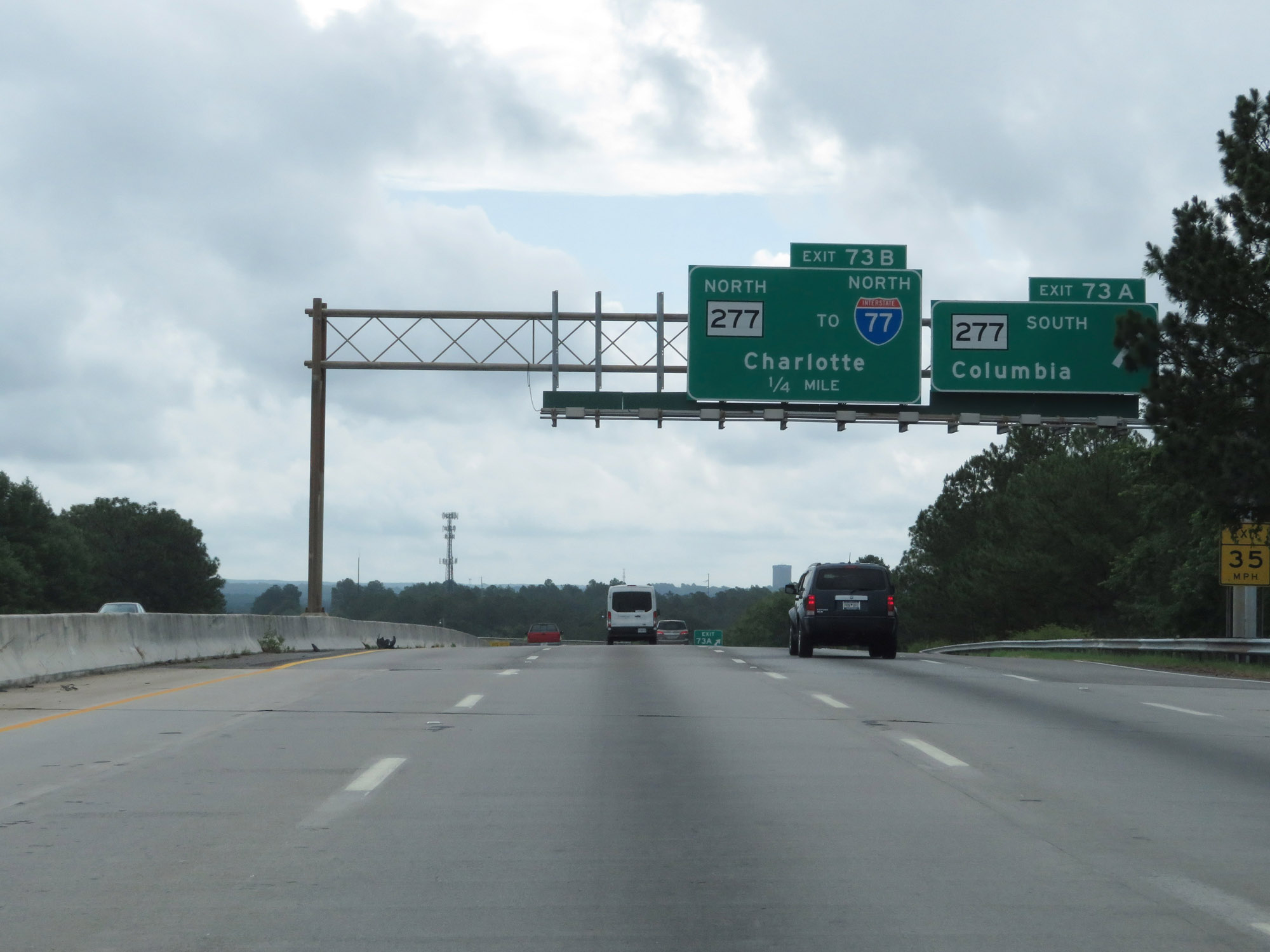
Interstate 20 East at Exit 73B: SC 277 North / To Interstate 77 North - Charlotte (Photo taken 5/25/18). |
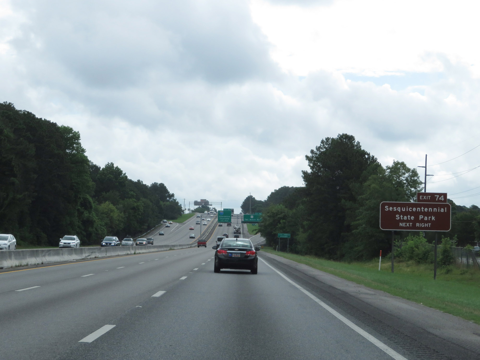 |
Take Exit 74 to Sesquicentennial State Park. (Photo taken 5/25/18). |
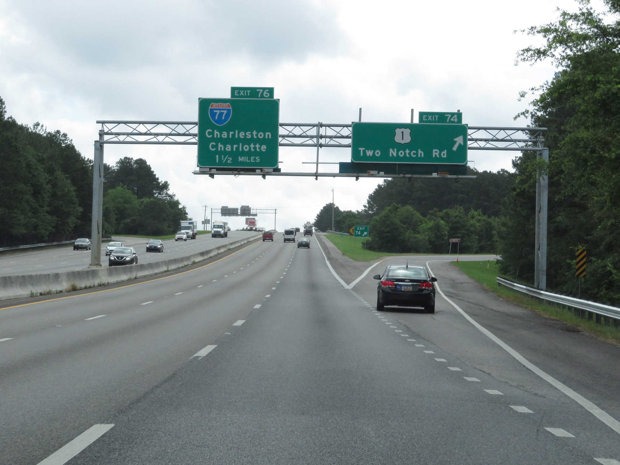 |
Interstate 20 East at Exit 74: US 1 - Two Notch Rd (Photo taken 5/25/18). |
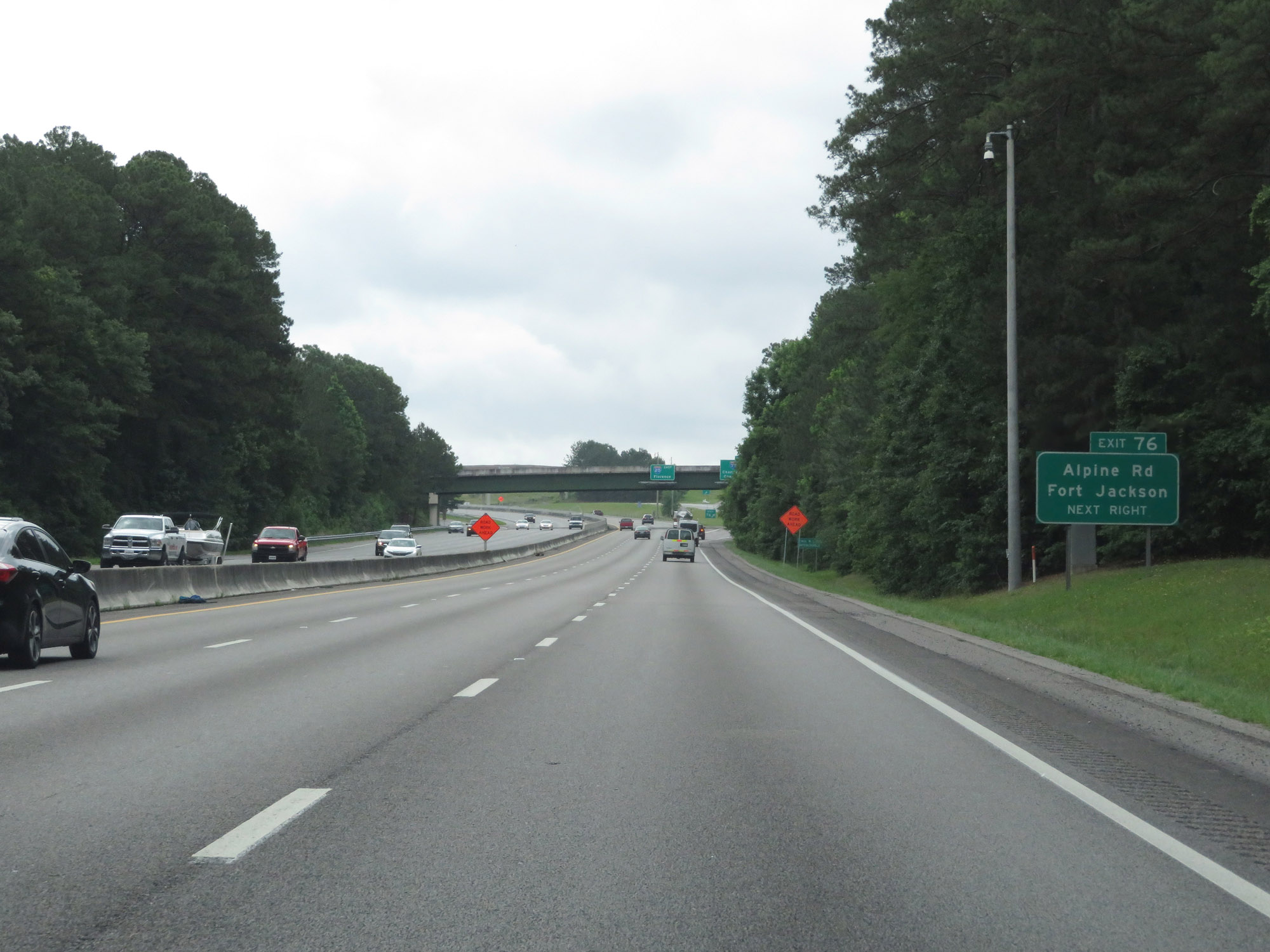 |
Take Exit 76 to Alpine Rd and Fort Jackson. (Photo taken 5/25/18). |
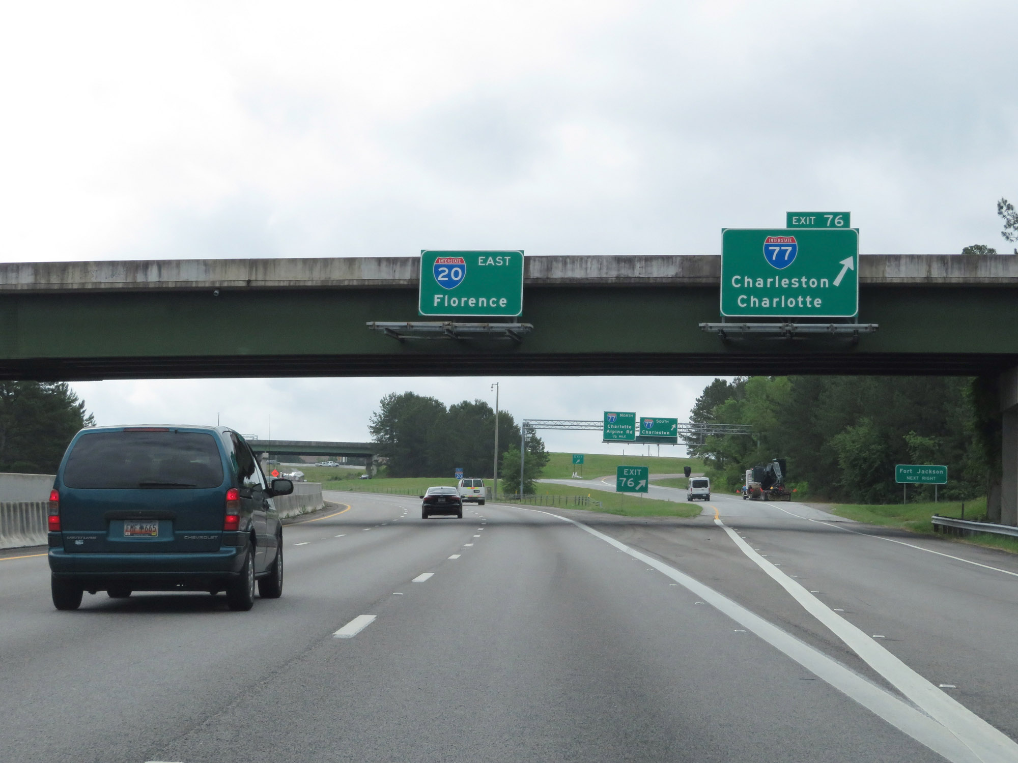 |
Interstate 20 East at Exit 76: Interstate 77 - Charleston / Charlotte (Photo taken 5/25/18). |
Section 2: Columbia (Exit 76) to Florence
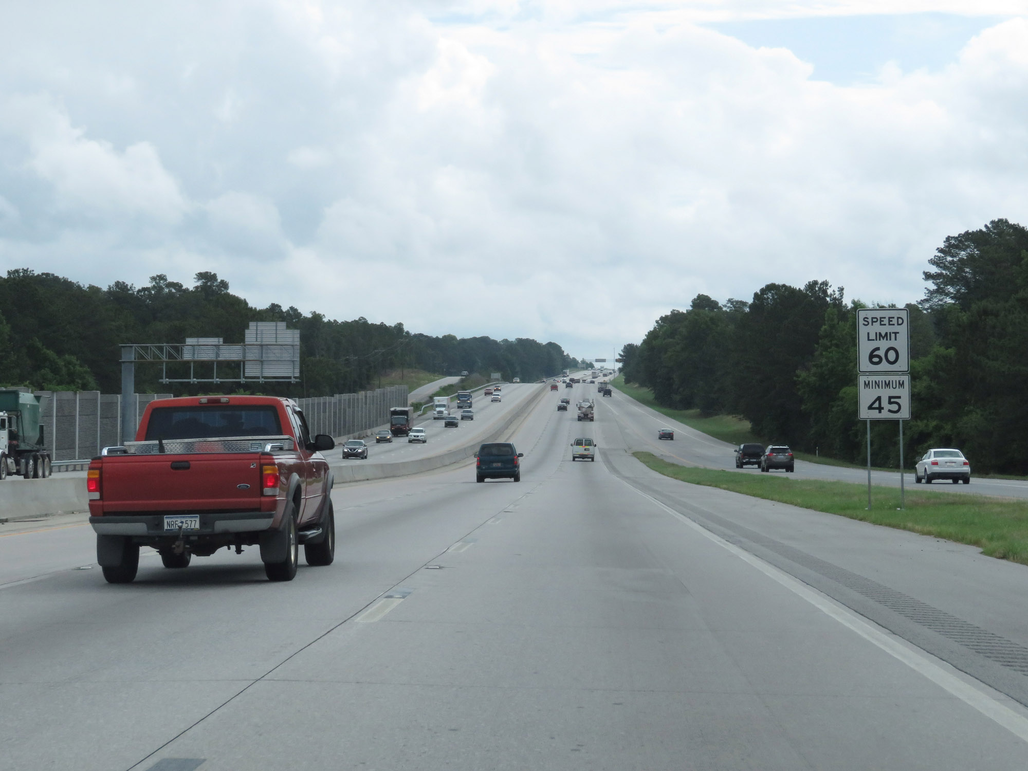 |
The speed limits remain 60 mph maximum and 45 mph minimum. (Photo taken 5/25/18). |
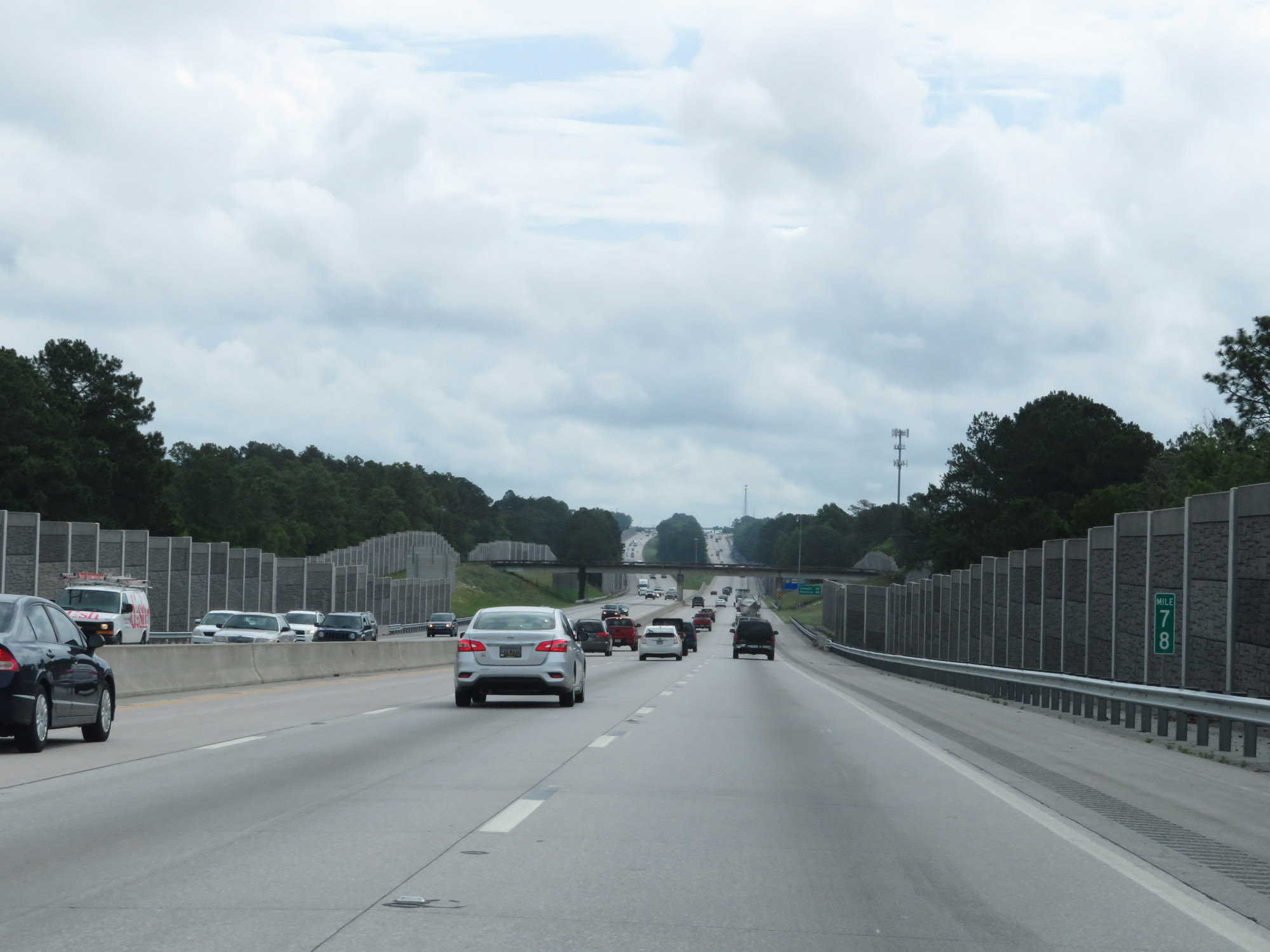 |
Interstate 20 East at mile marker 78. (Photo taken 5/25/18). |
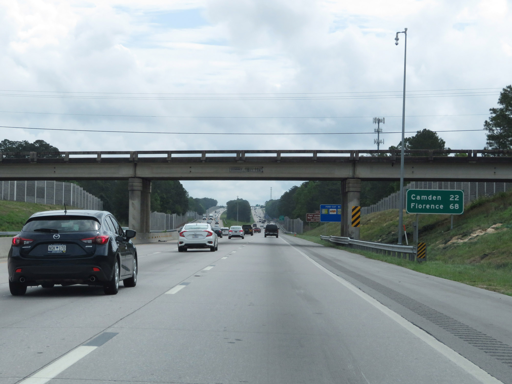 |
Mileage sign on Interstate 20 East. It's 22 miles to Camden and 68 miles to Florence. (Photo taken 5/25/18). |
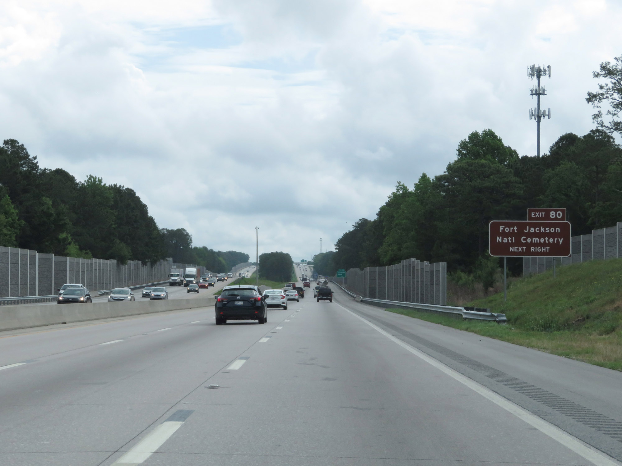 |
Take Exit 80 to Fort Jackson National Cemetery. (Photo taken 5/25/18). |
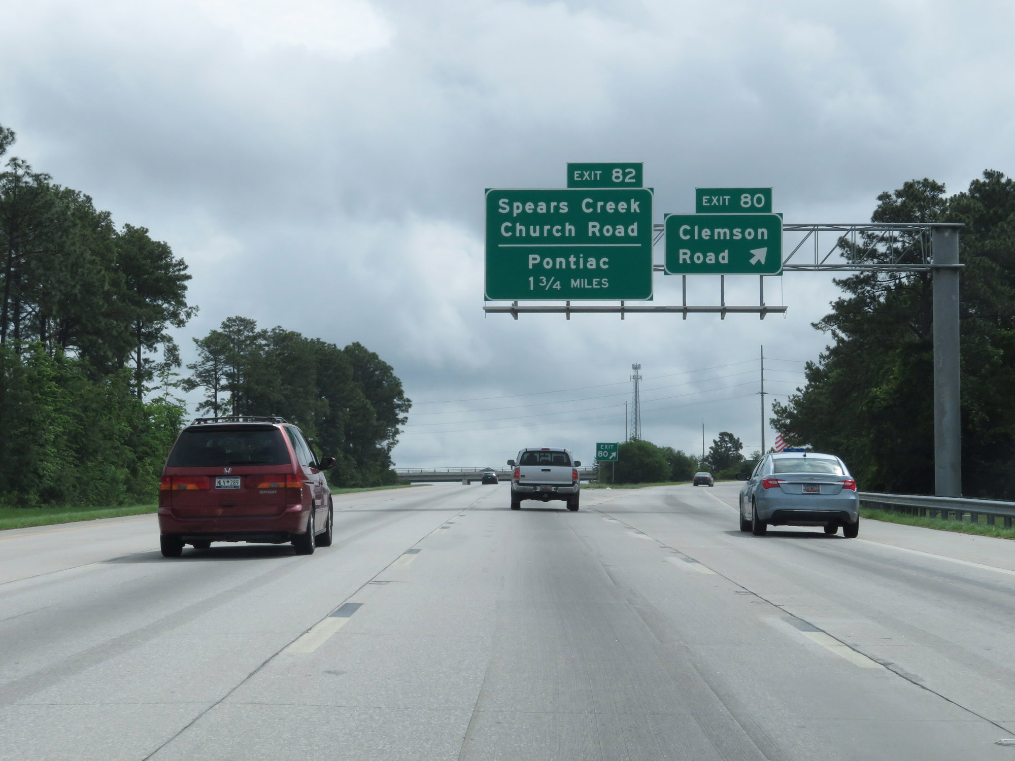 |
Interstate 20 East at Exit 80: Clemson Road (Photo taken 5/25/18). |
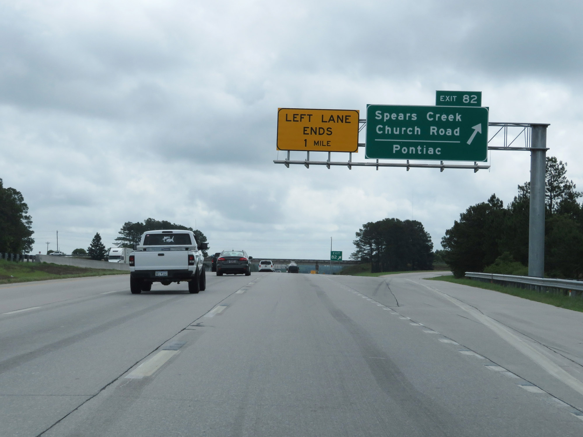 |
Interstate 20 East at Exit 82: Spears Creek Church Road / Pontiac (Photo taken 5/25/18). |
 |
State-named Interstate 20 East reassurance shield. (Photo taken 5/25/18). |
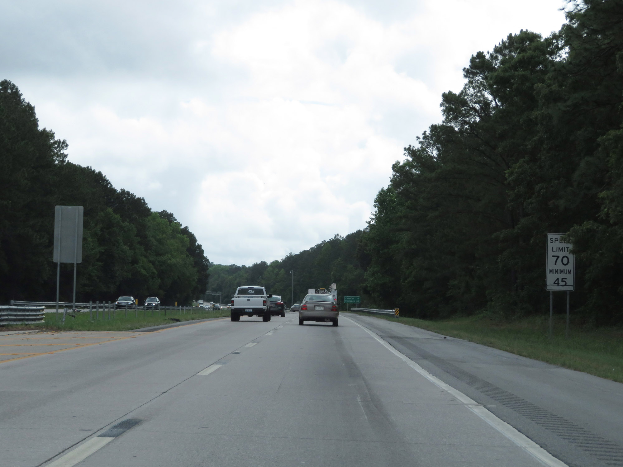 |
As Interstate 20 East prepares to leave Richland County, the maximum speed limit finally returns to 70 mph. (Photo taken 5/25/18). |
 |
Interstate 20 East as it enters Kershaw County. (Photo taken 5/25/18). |
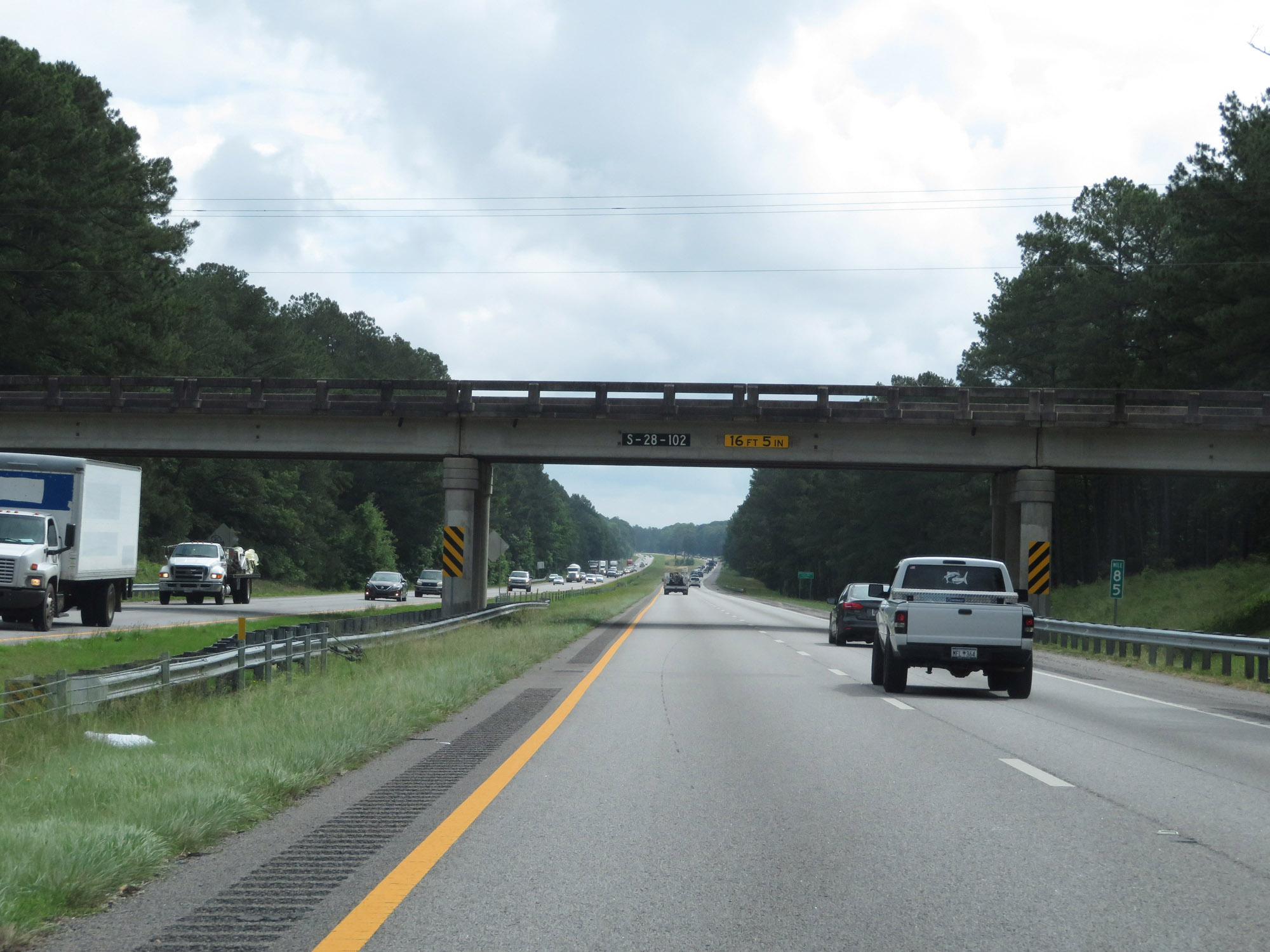 |
Interstate 20 East at mile marker 85. (Photo taken 5/25/18). |
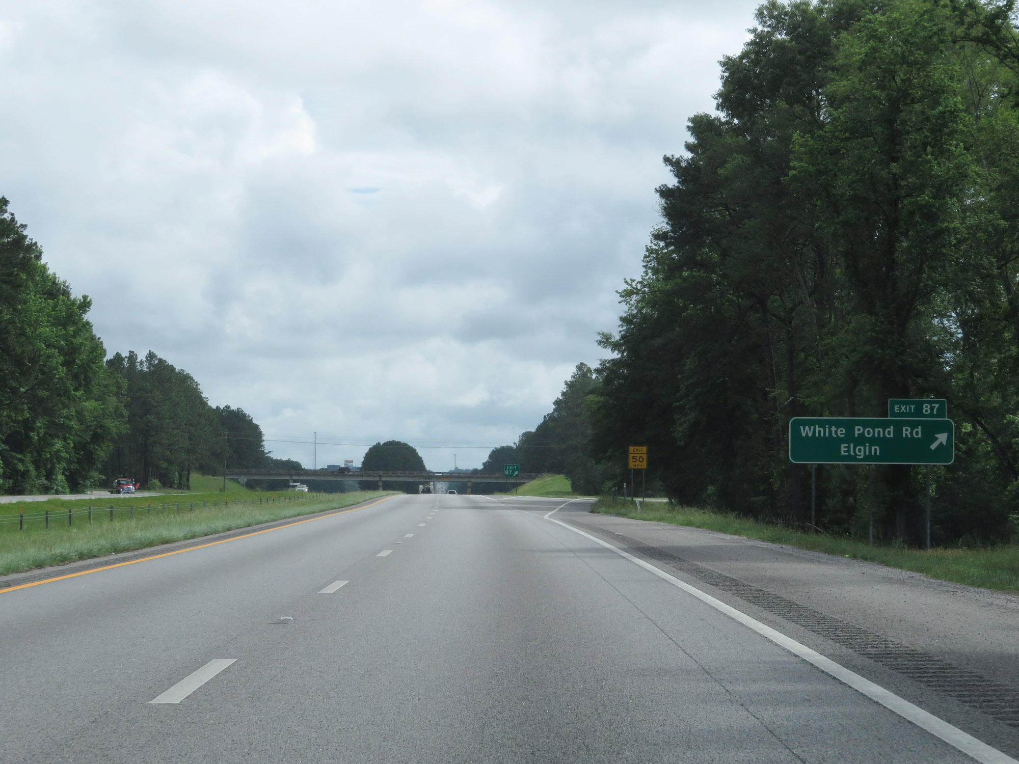 |
Interstate 20 East at Exit 87: White Pond Rd / Elgin (Photo taken 5/25/18). |
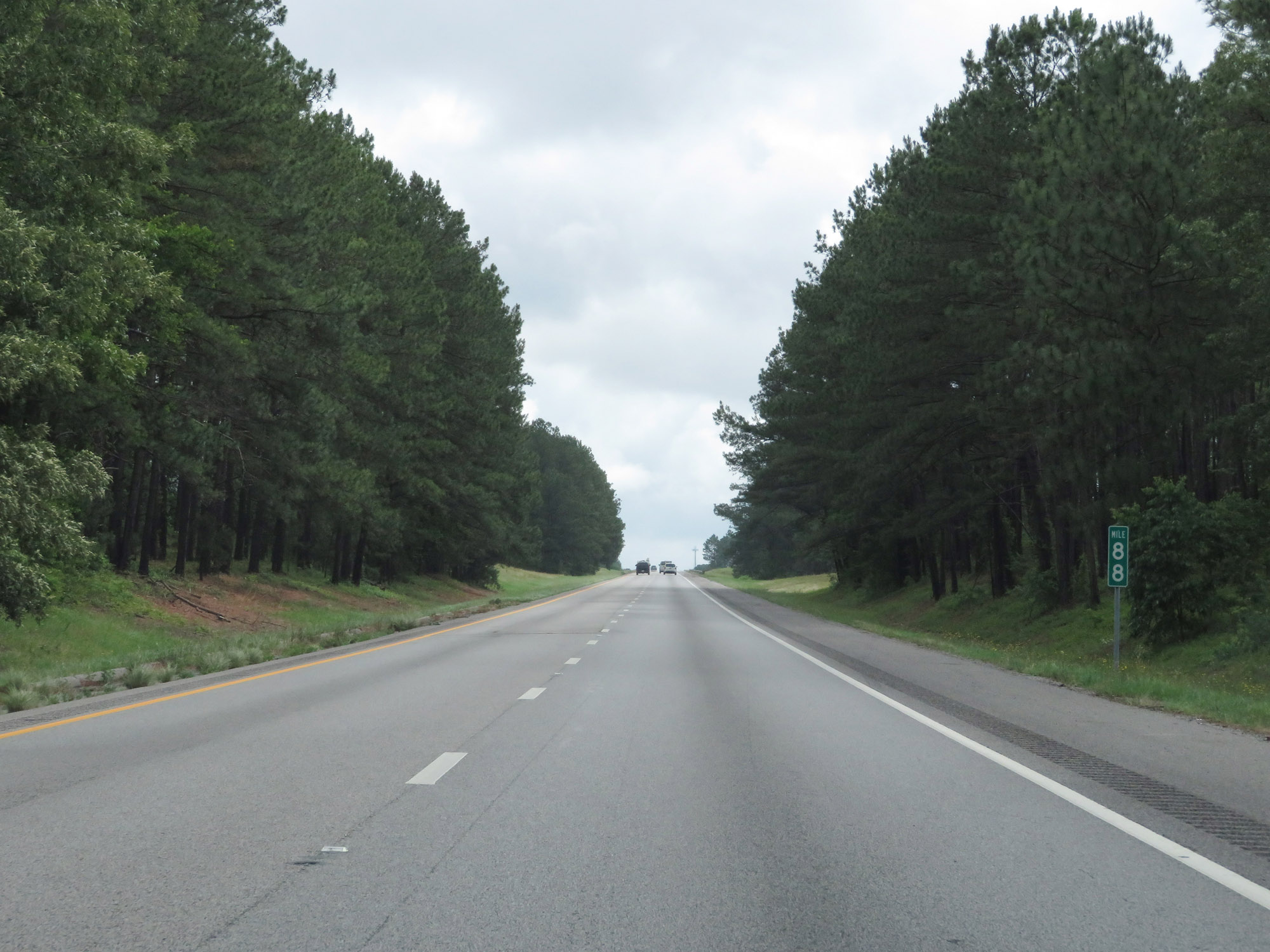 |
View on Interstate 20 East at mile marker 88. (Photo taken 5/25/18). |
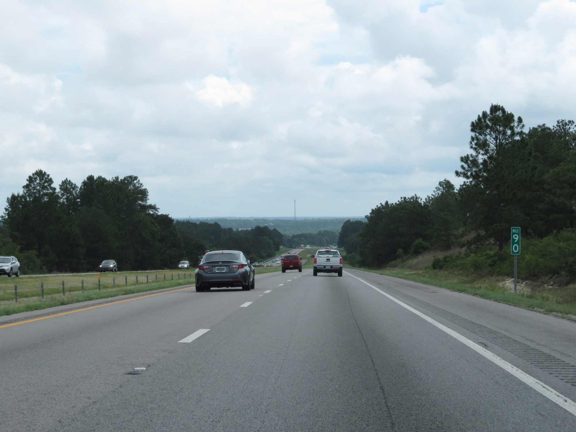 |
Interstate 20 East at mile marker 90. (Photo taken 5/25/18). |
 |
Interstate 20 East at Exit 92: US 601 - Lugoff / Camden (Photo taken 5/25/18). |
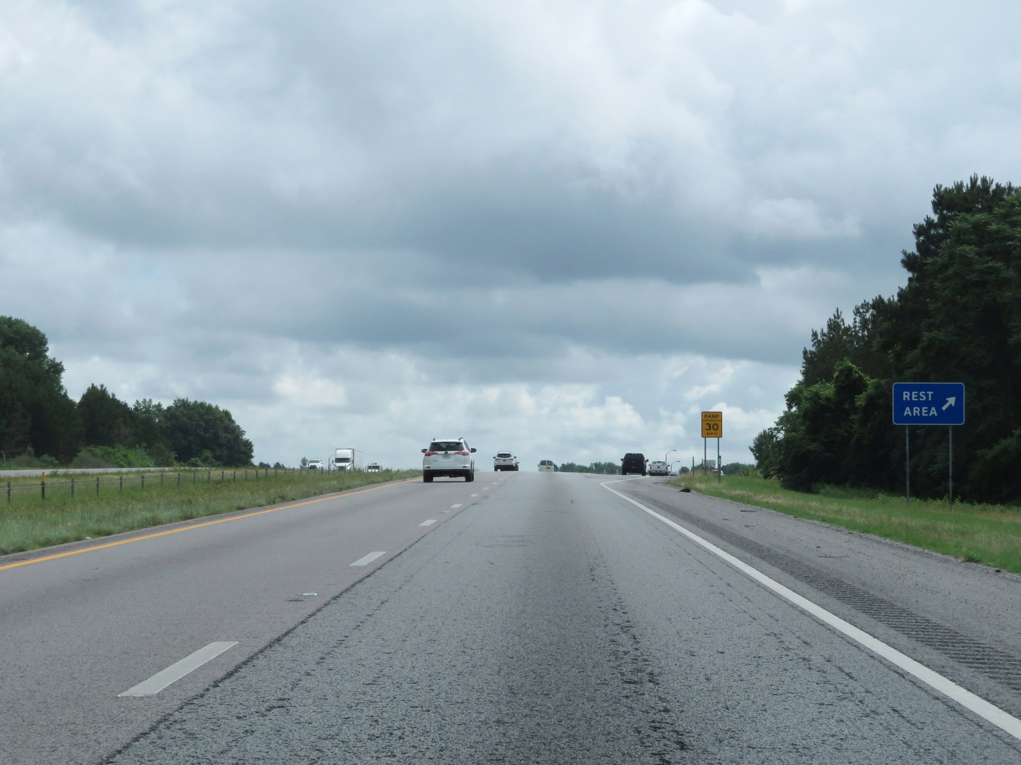 |
Rest Area on Interstate 20 East in Kershaw County. (Photo taken 5/25/18). |
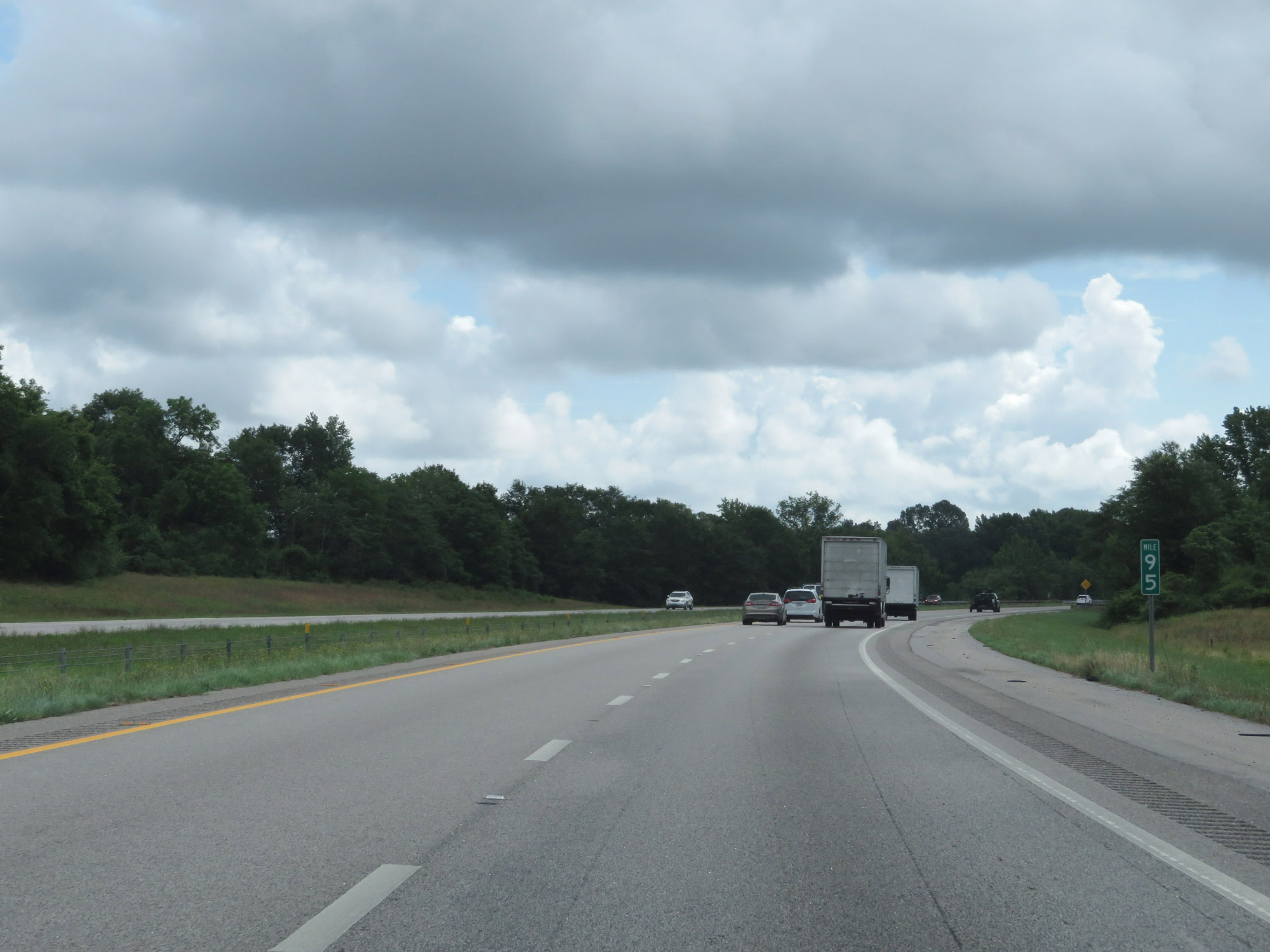 |
Interstate 20 East at mile marker 95. (Photo taken 5/25/18). |
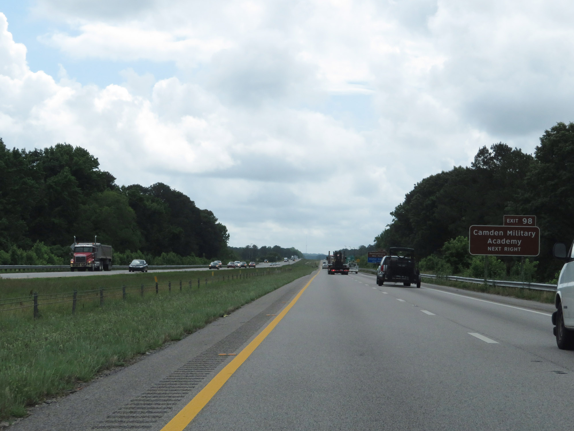 |
Take Exit 98 to Camden Military Academy. (Photo taken 5/25/18). |
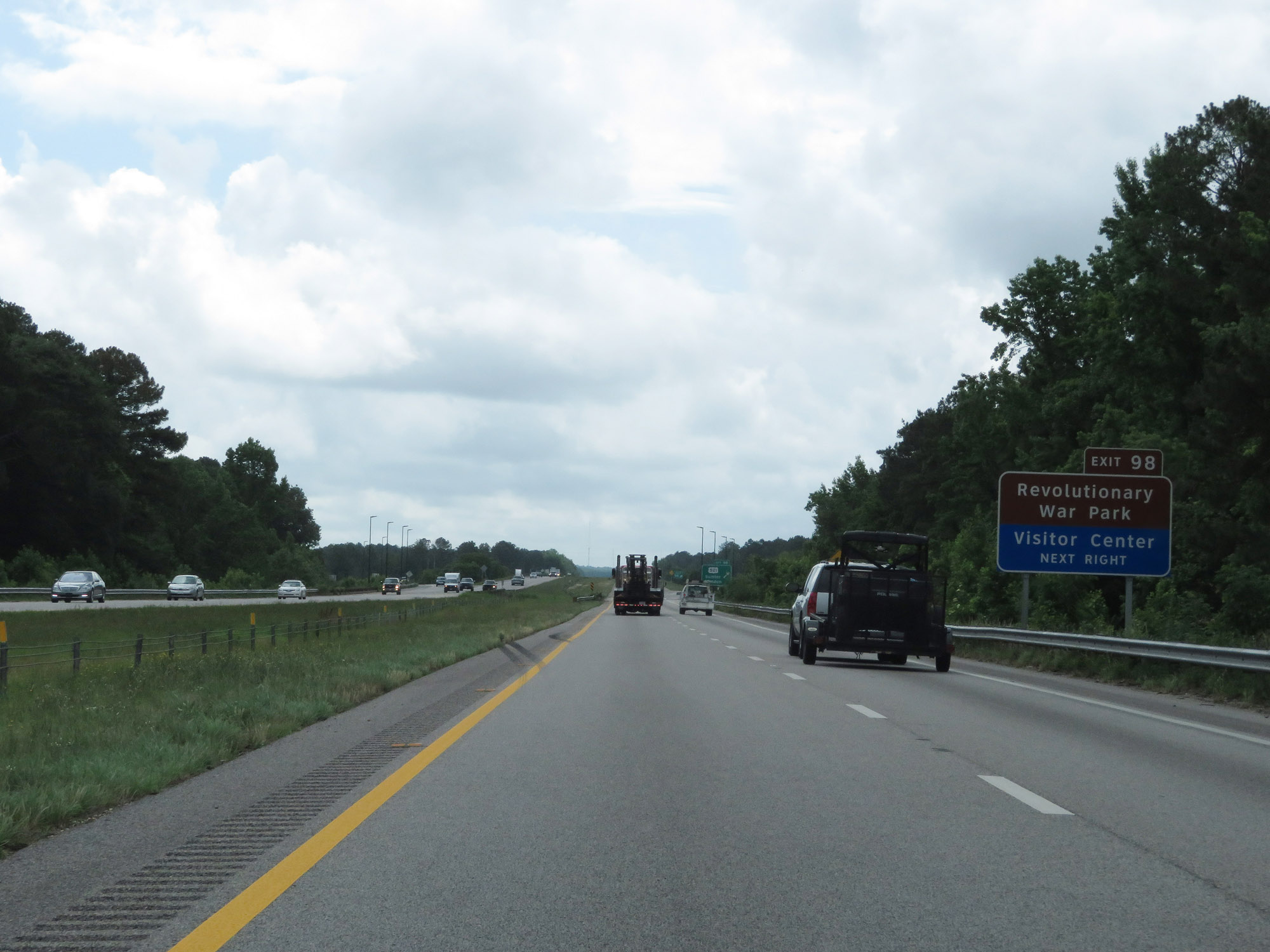 |
Also take Exit 98 to Revolutionary War Park and the Visitor Center. (Photo taken 5/25/18). |
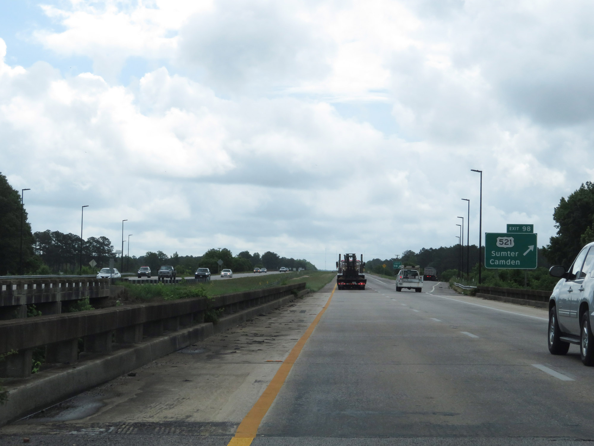 |
Interstate 20 East at Exit 98: US 521 - Sumter / Camden (Photo taken 5/25/18). |
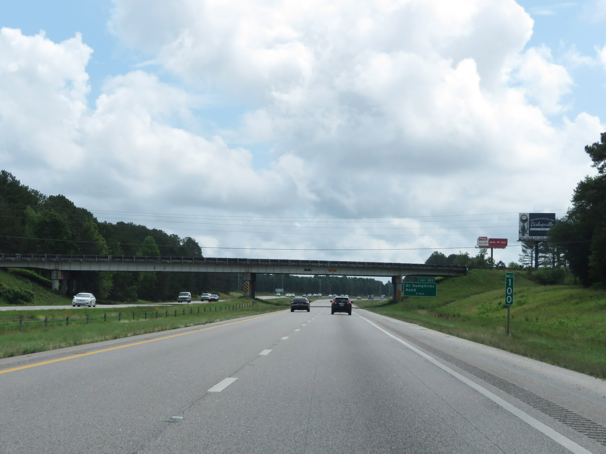 |
View on Interstate 20 East at mile marker 100. (Photo taken 5/25/18). |
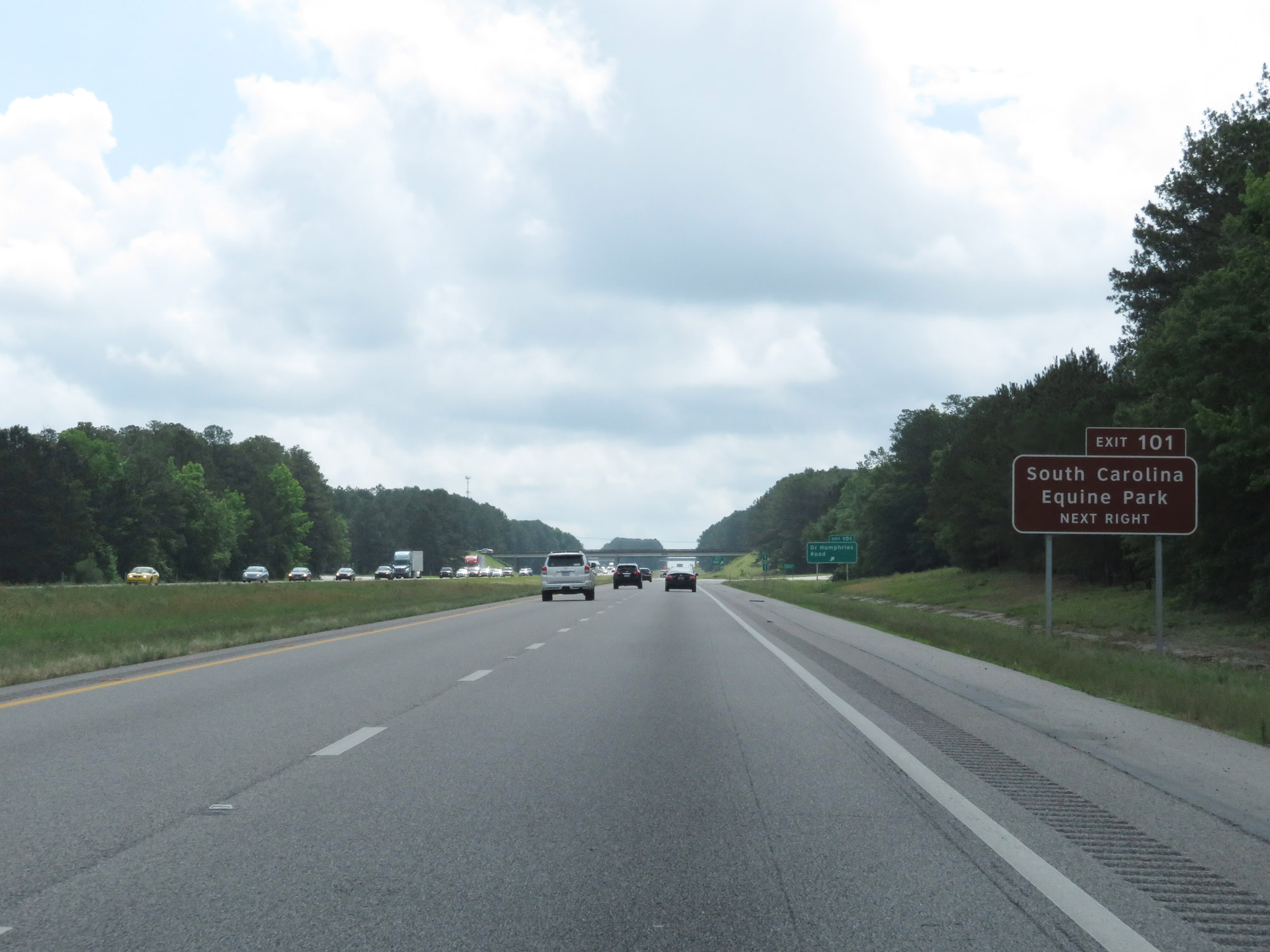 |
Take Exit 101 to South Carolina Equine Park. (Photo taken 5/25/18). |
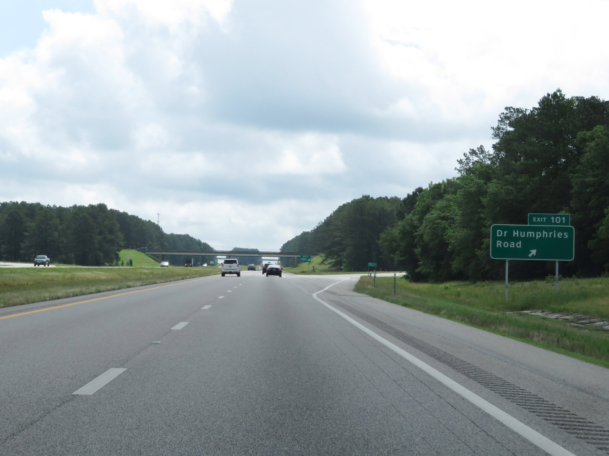 |
Interstate 20 East at Exit 101: Dr Humphries Road (Photo taken 5/25/18). |
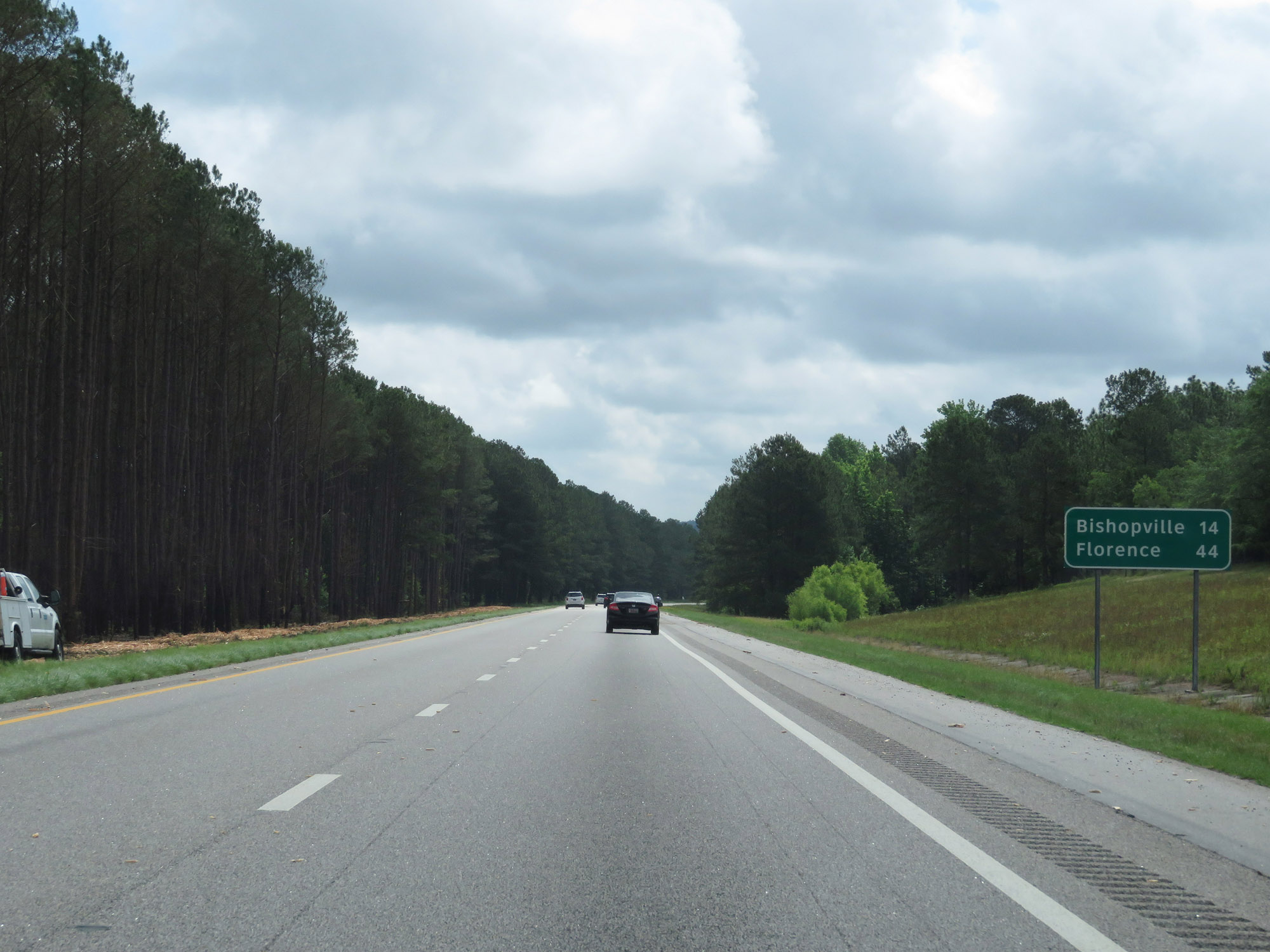 |
Mileage sign on Interstate 20 East. It's 14 miles to Bishopville and 44 miles to Florence. (Photo taken 5/25/18). |
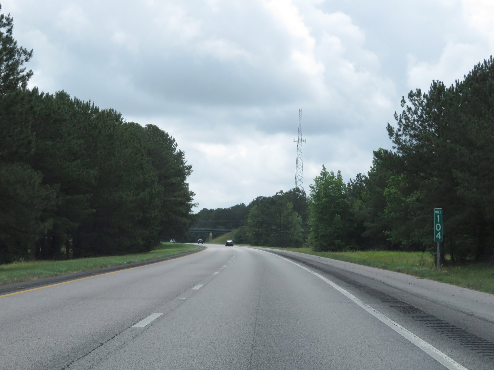 |
Interstate 20 East at mile marker 104. (Photo taken 5/25/18). |
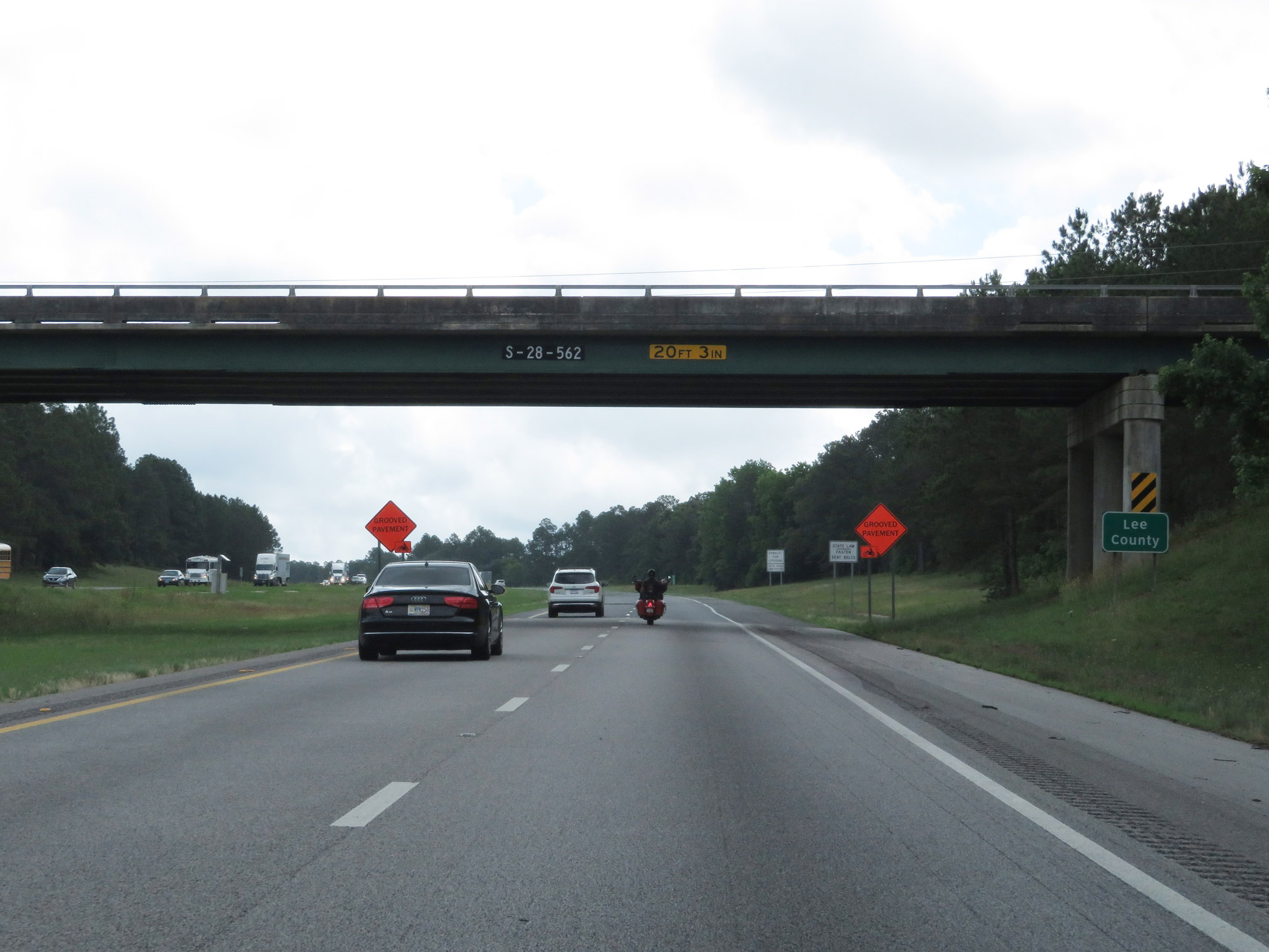 |
Interstate 20 East as it enters Lee County. (Photo taken 5/25/18). |
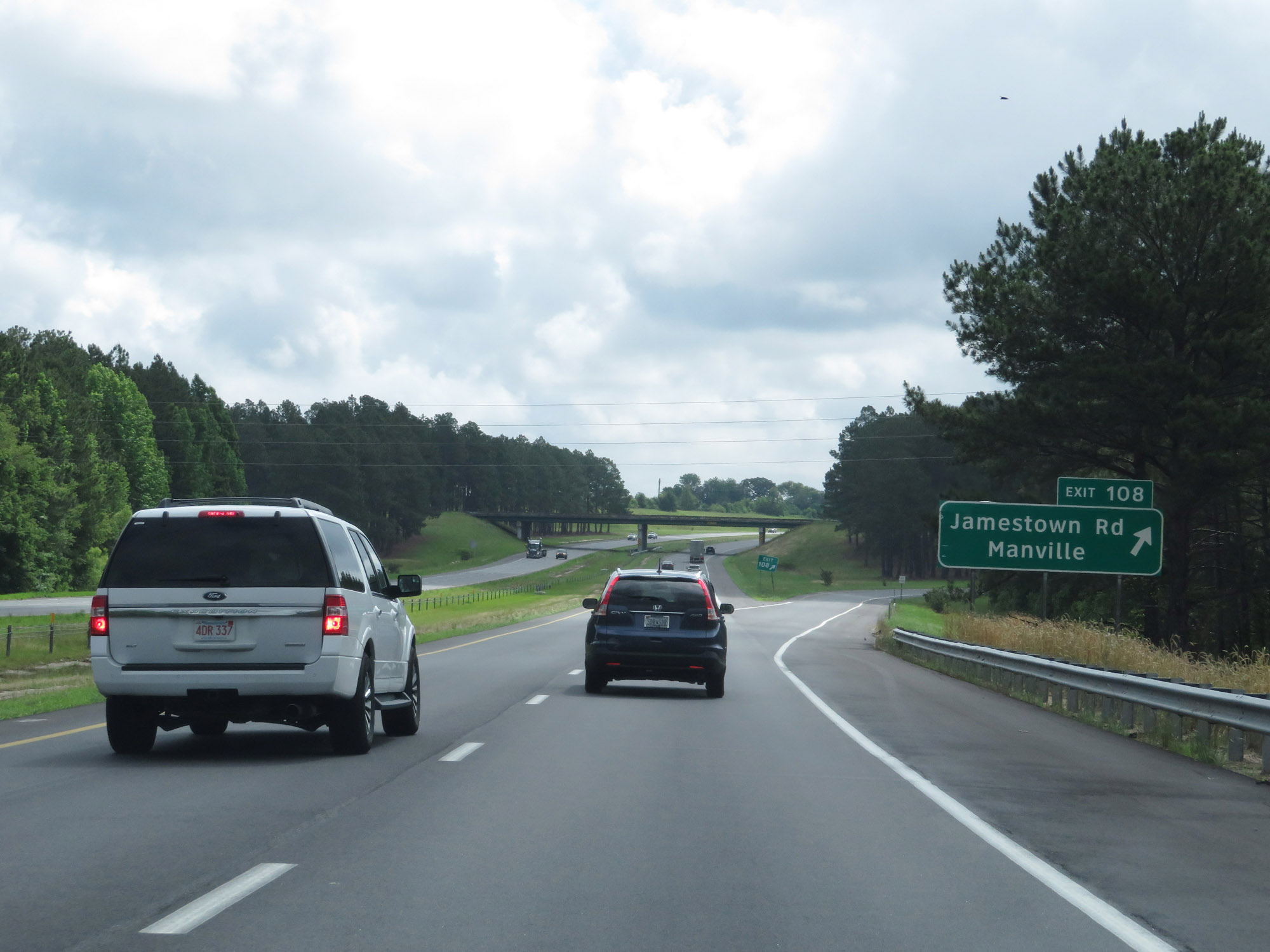 |
Interstate 20 East at Exit 108: Jamestown Rd / Manville (Photo taken 5/25/18). |
 |
State-named Interstate 20 East reassurance shield in Lee County. (Photo taken 5/25/18). |
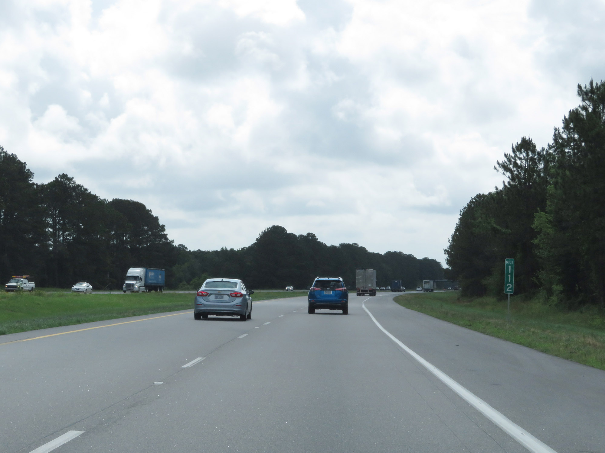 |
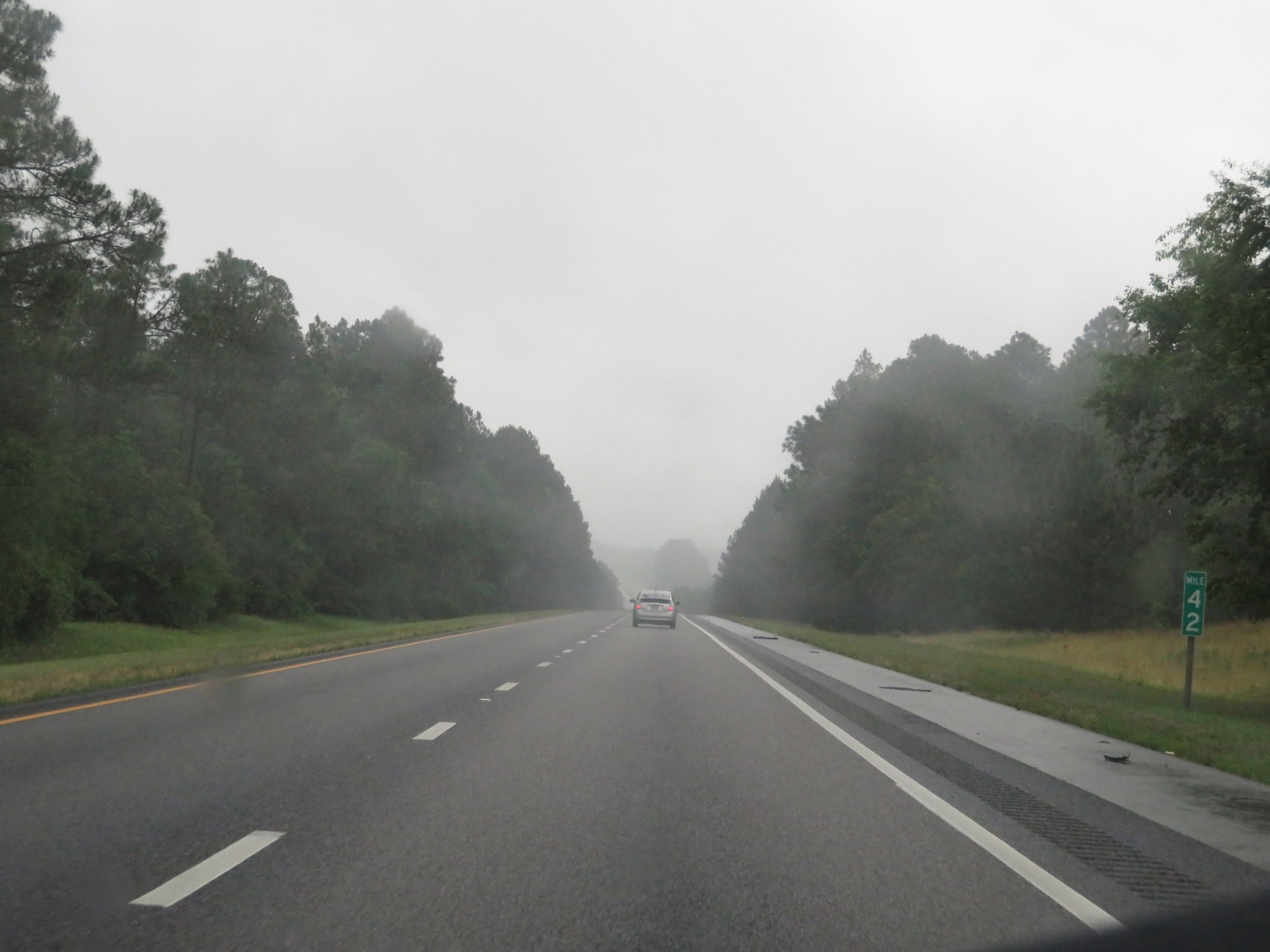
View on Interstate 20 East at mile marker 112. (Photo taken 5/25/18). |
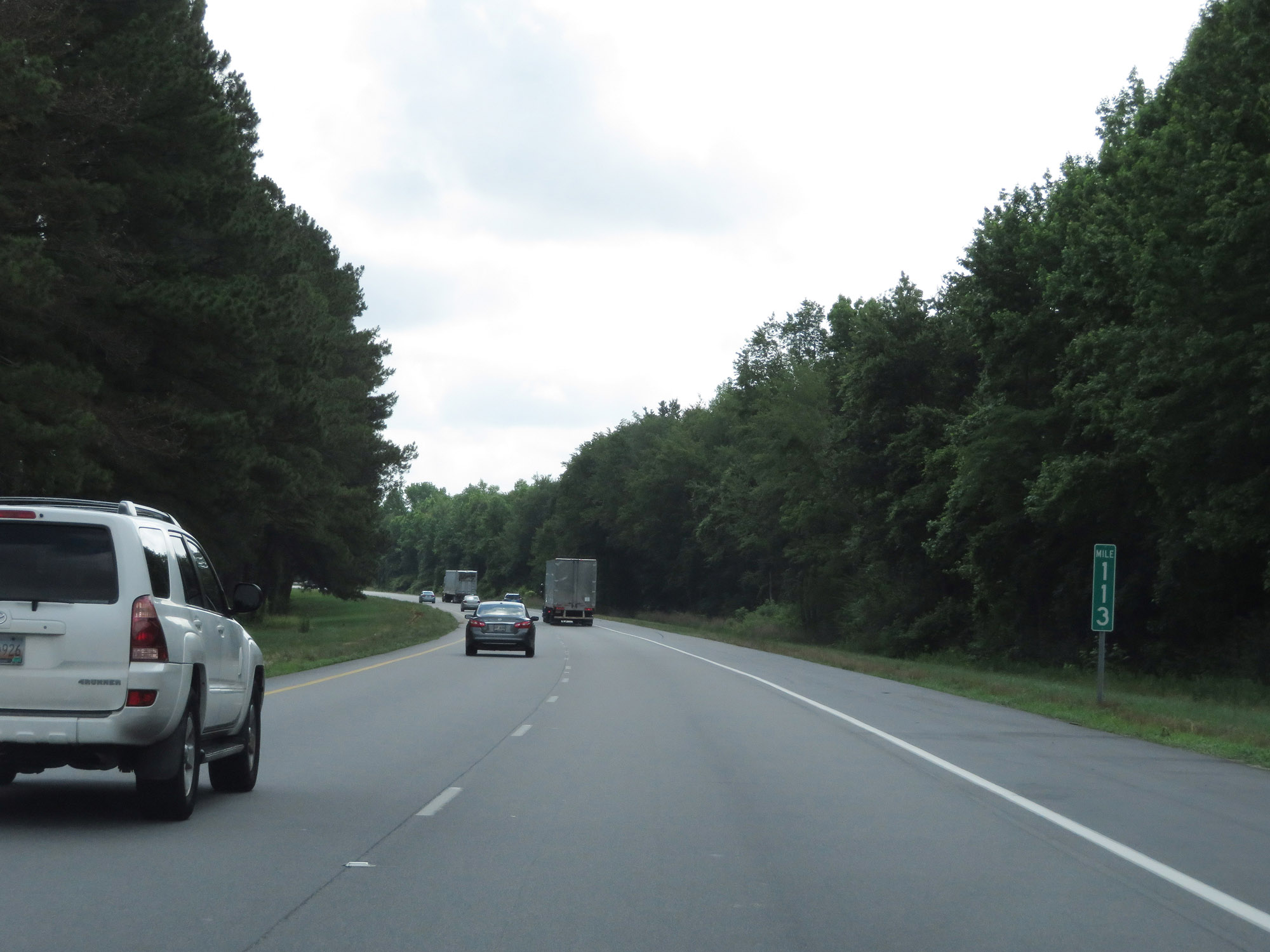 |
Interstate 20 East at mile marker 113. (Photo taken 5/25/18). |
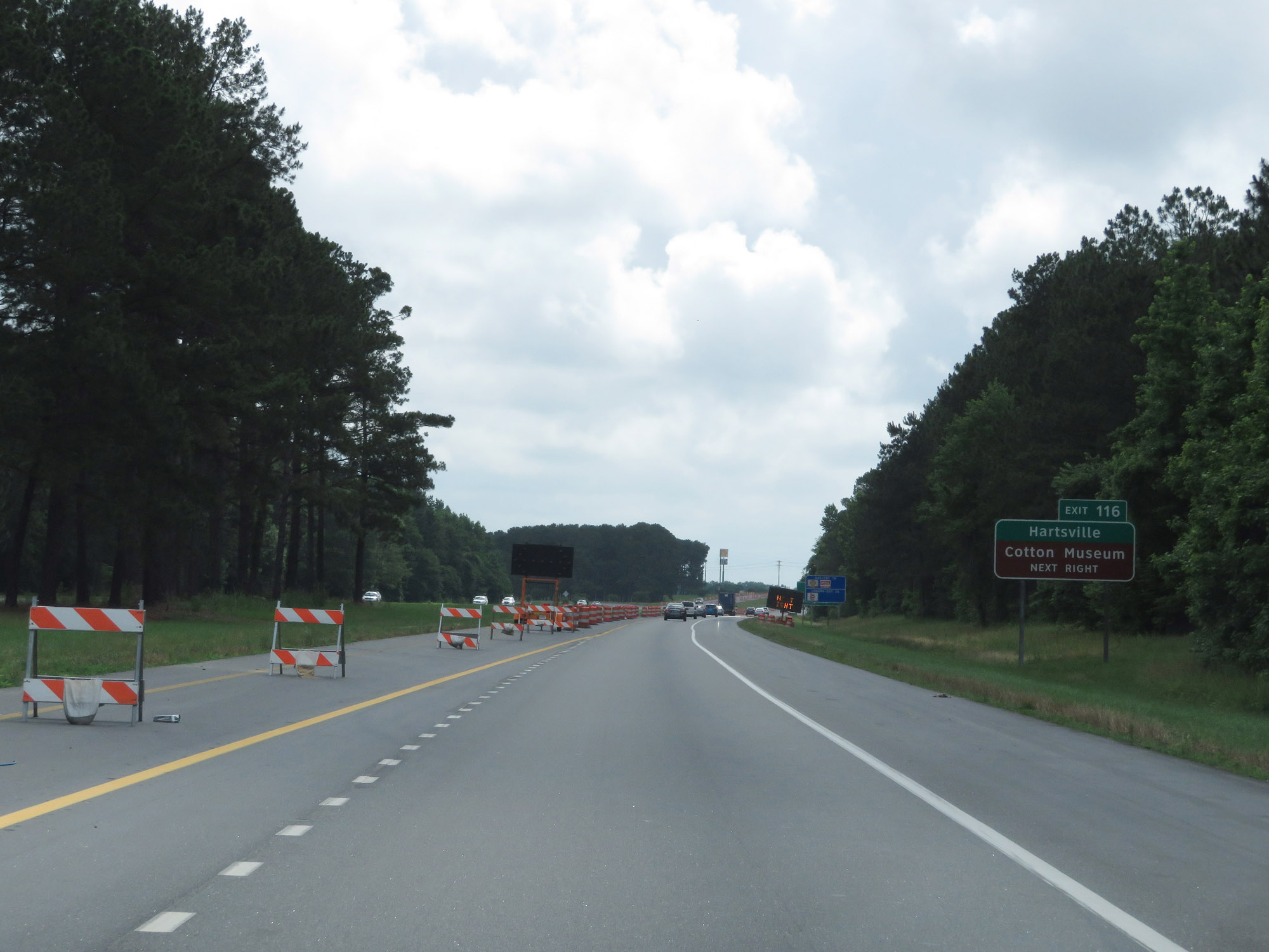 |
Take Exit 116 to Hartsville and the Cotton Museum. (Photo taken 5/25/18). |
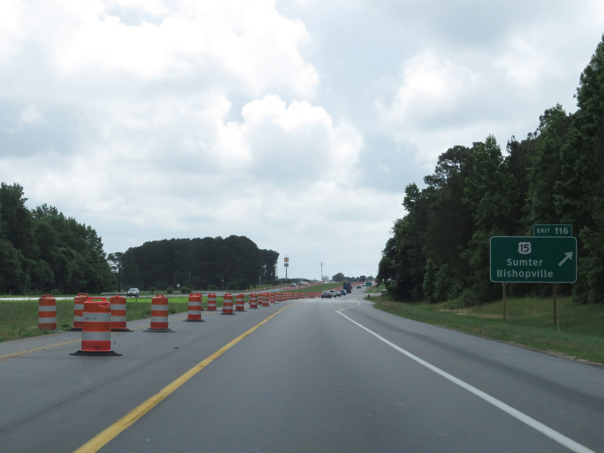 |
Interstate 20 East at Exit 116: US 15 - Sumter / Bishopville (Photo taken 5/25/18). |
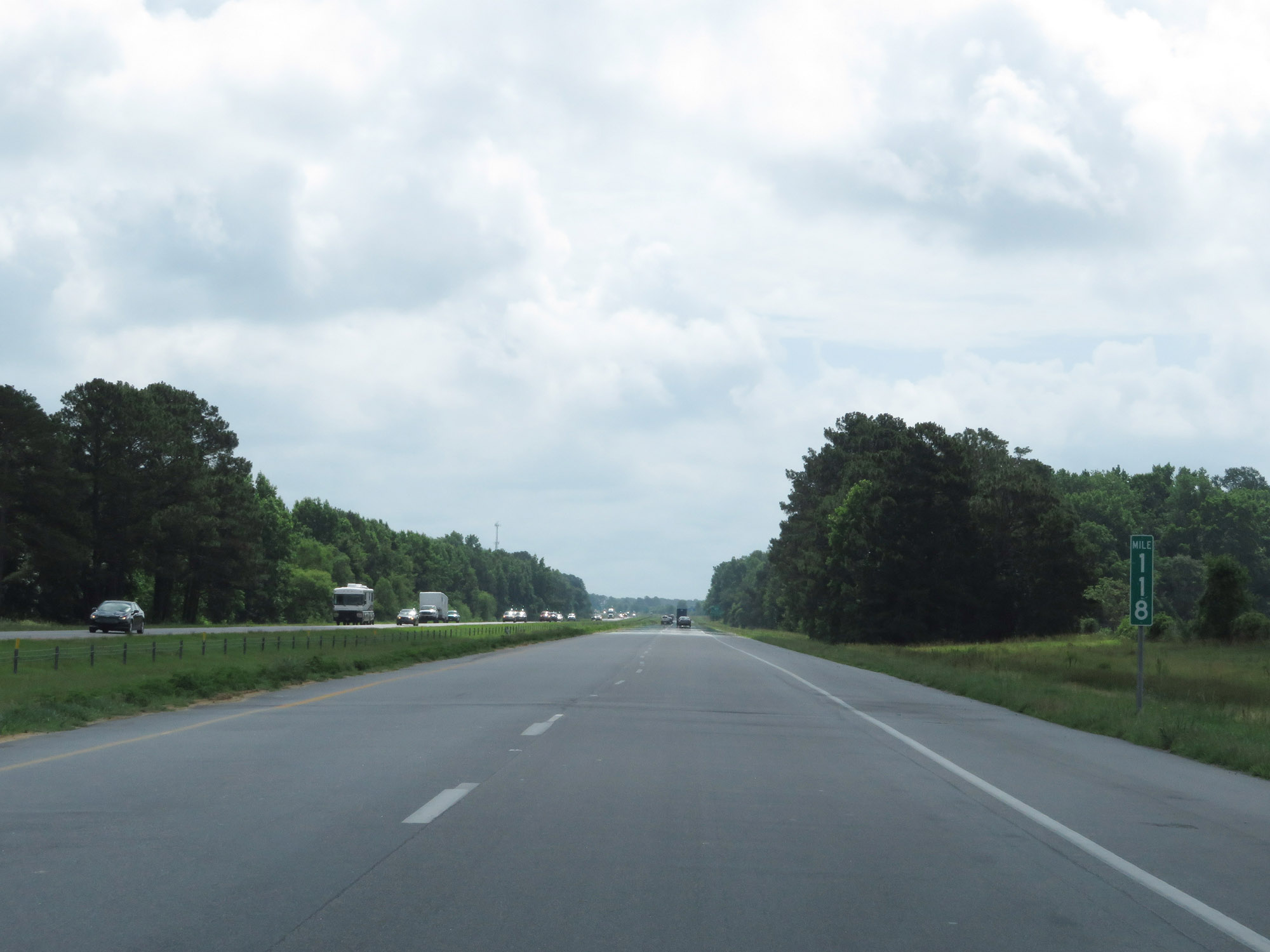 |
Interstate 20 East at mile marker 118. (Photo taken 5/25/18). |
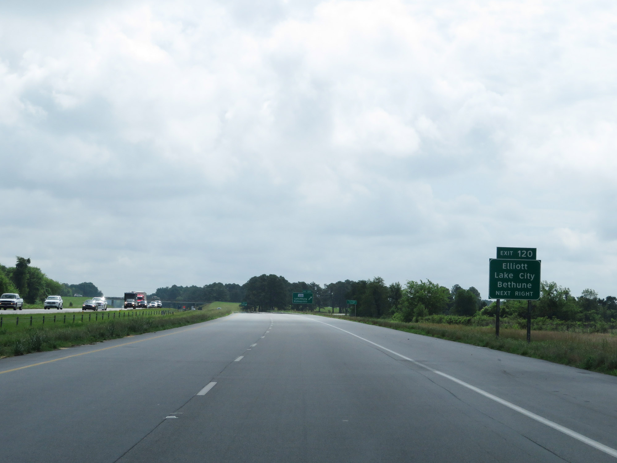 |
Take Exit 120 to Elliot, Lake City, and Bethune. (Photo taken 5/25/18). |
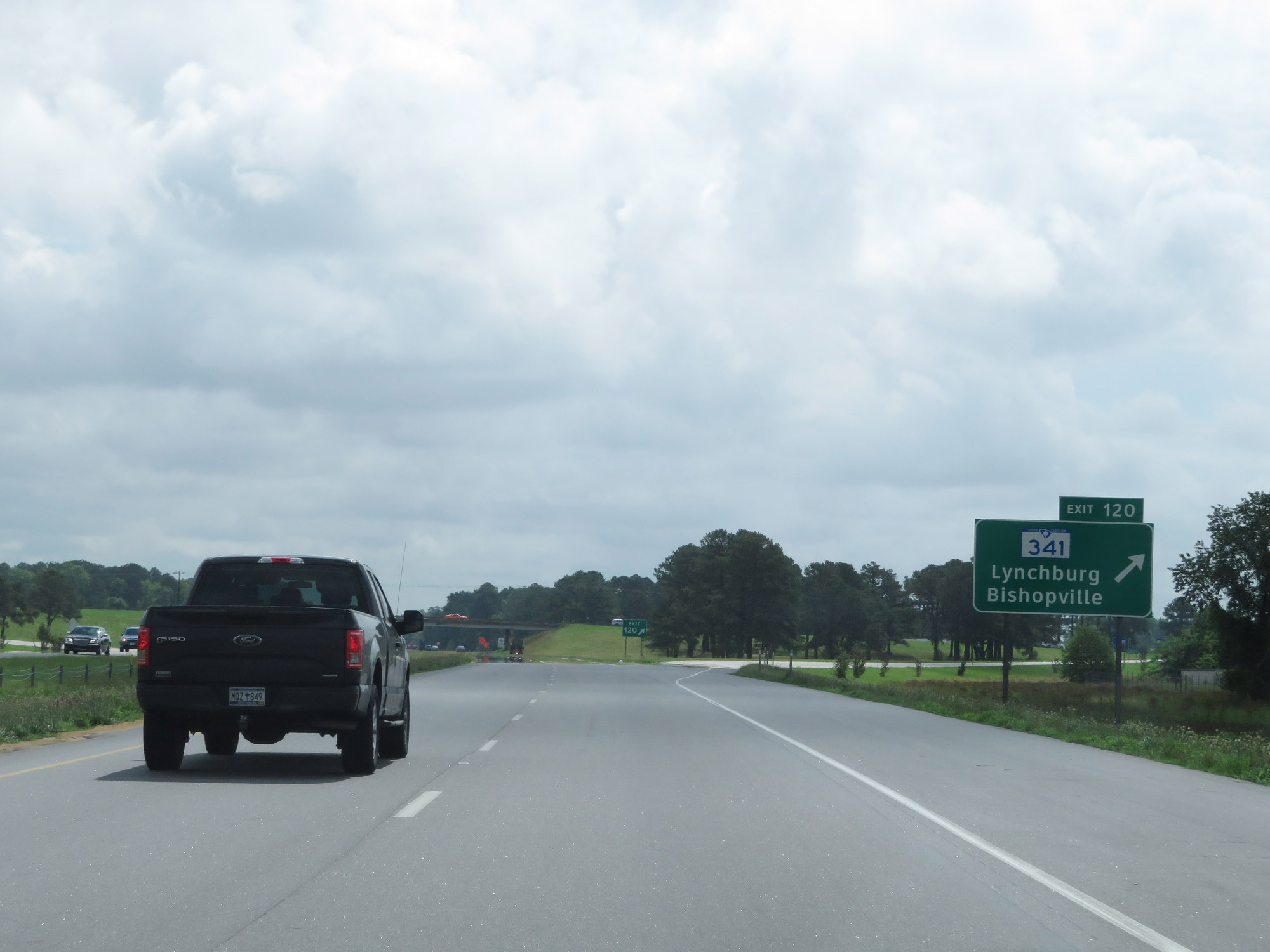 |
Interstate 20 East at Exit 120: SC 341 - Lynchburg / Bishopville (Photo taken 5/25/18). |
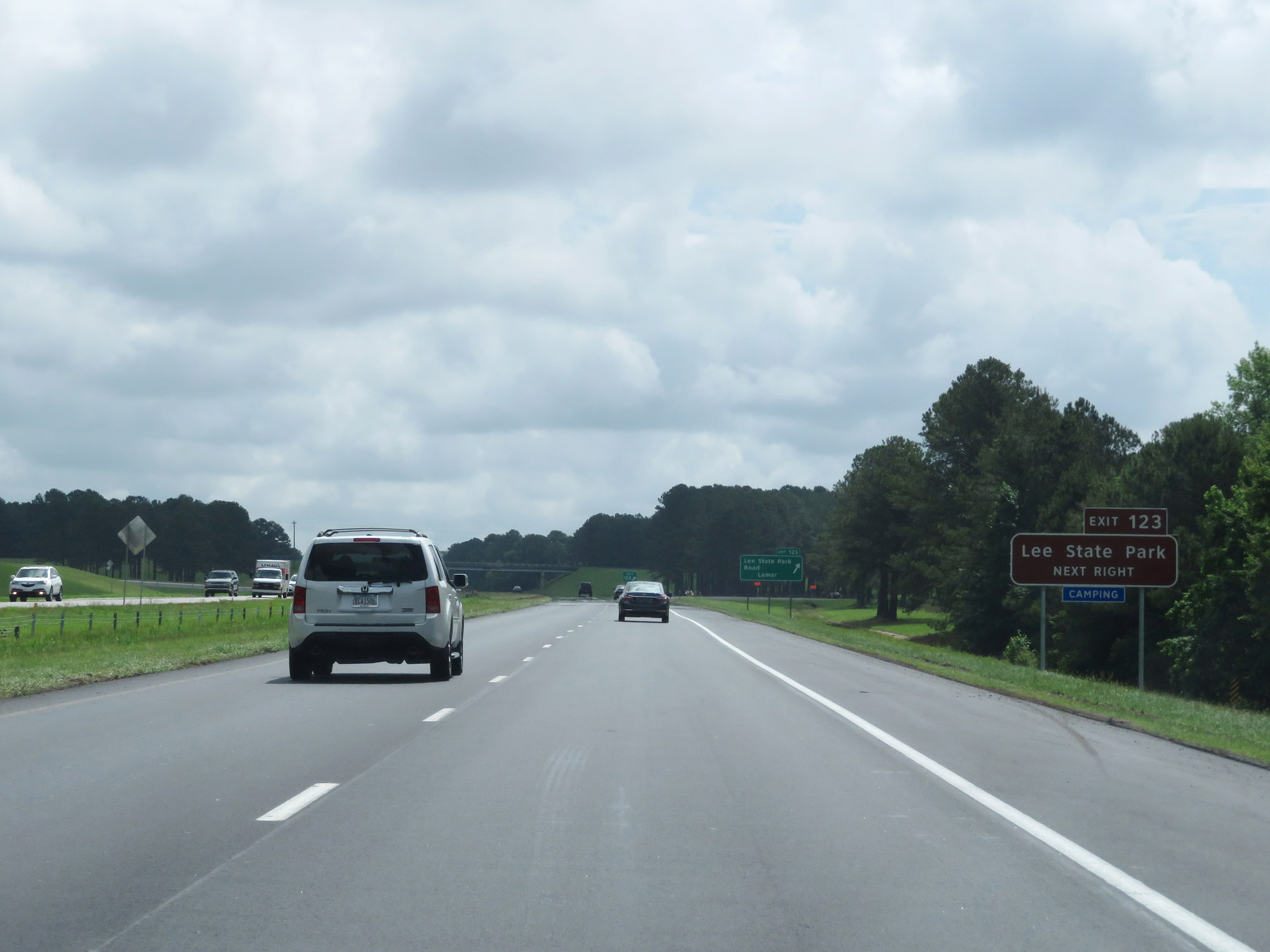 |
Take Exit 123 to Lee State Park. (Photo taken 5/25/18). |
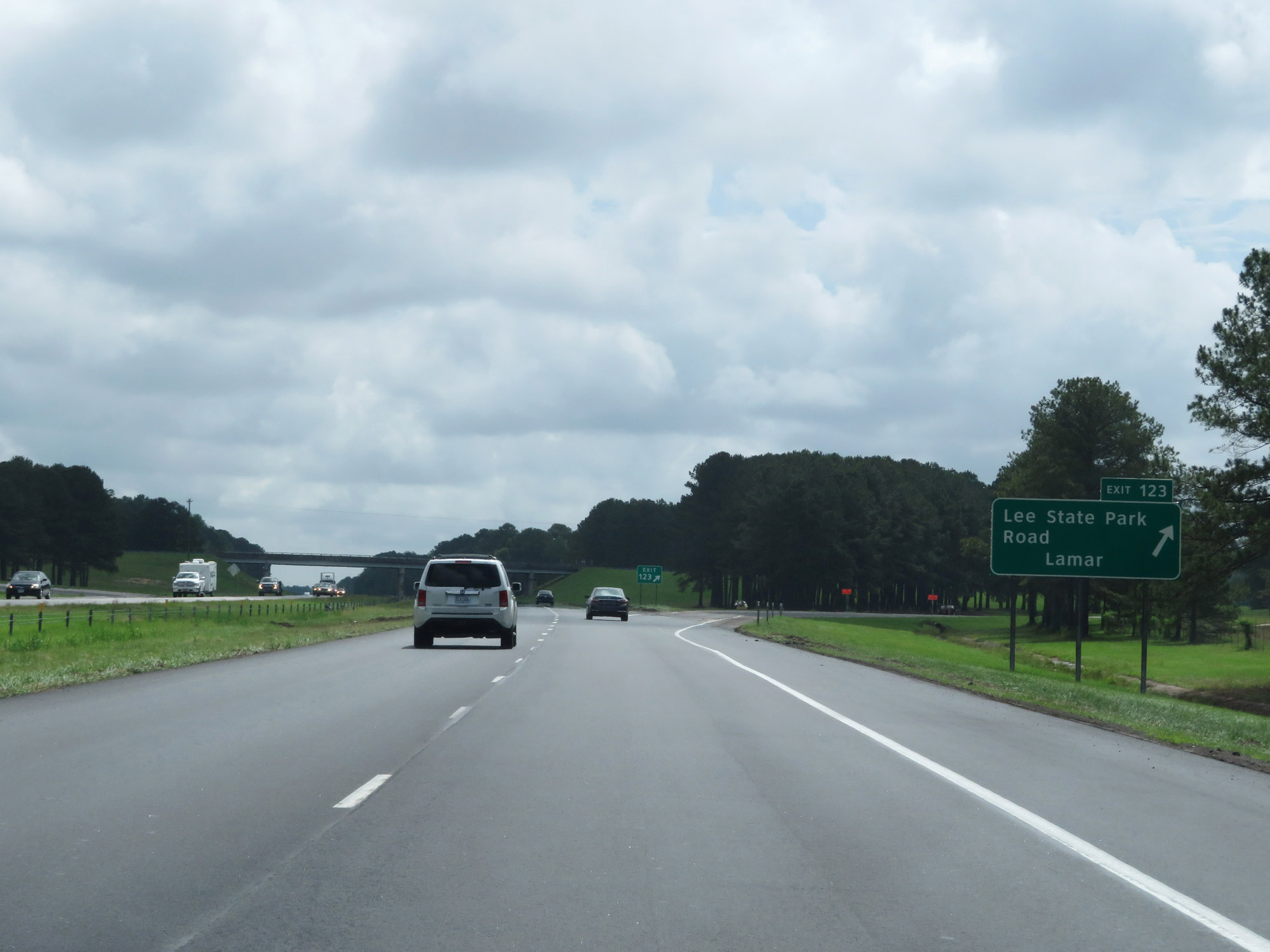 |
Interstate 20 East at Exit 123: Lee State Park Road / Lamar (Photo taken 5/25/18). |
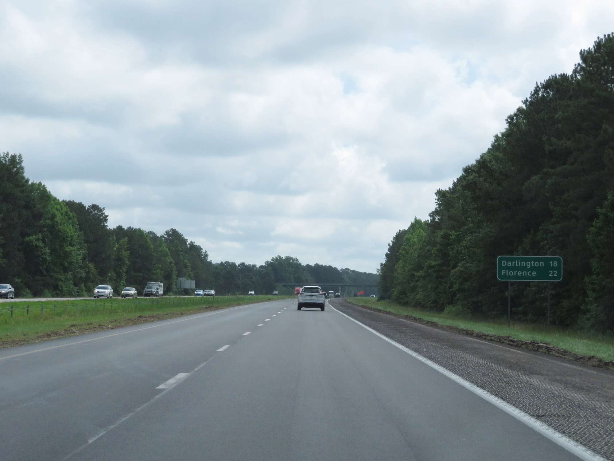 |
Mileage sign on Interstate 20 East. It's 18 miles to Darlington and 22 miles to Florence. (Photo taken 5/25/18). |
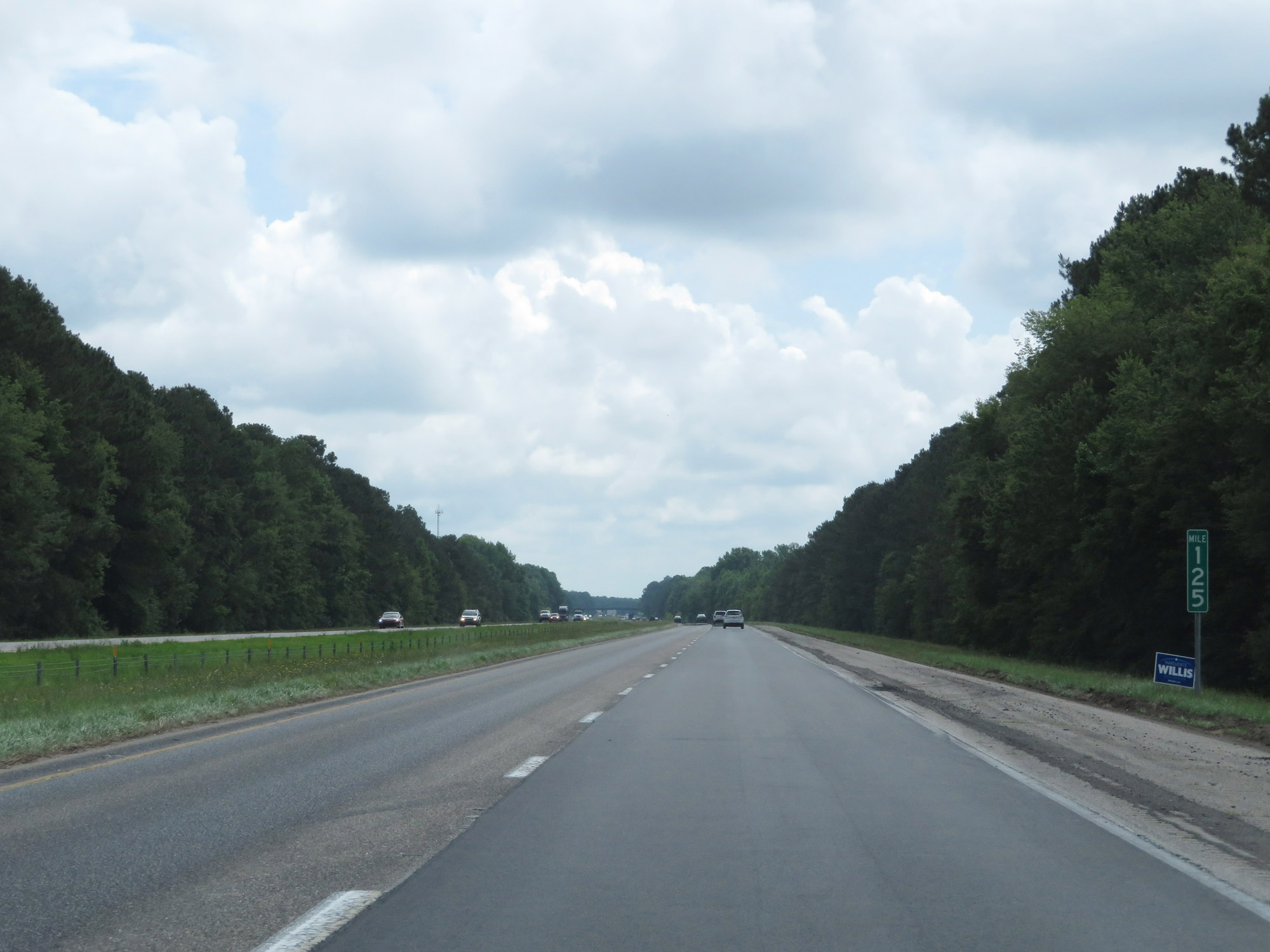 |
Interstate 20 East at mile marker 125. (Photo taken 5/25/18). |
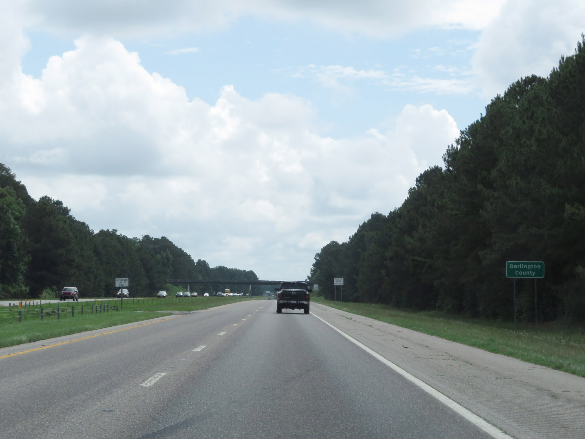 |
Entering Darlington County on Interstate 20 East. (Photo taken 5/25/18). |
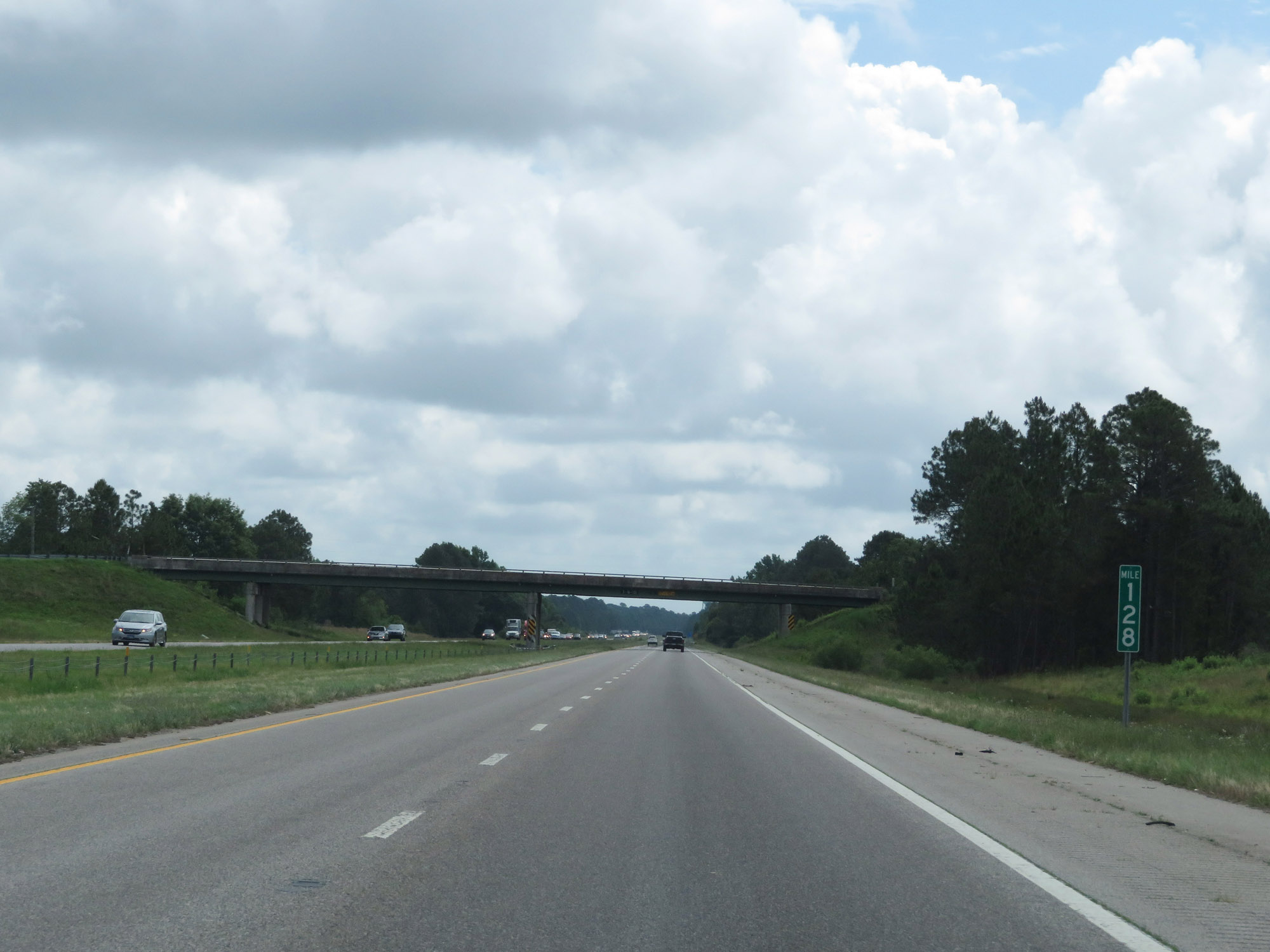 |
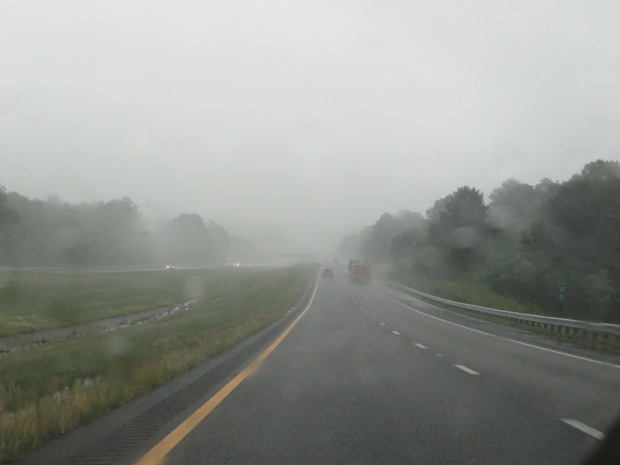
Interstate 20 East at mile marker 128. (Photo taken 5/25/18). |
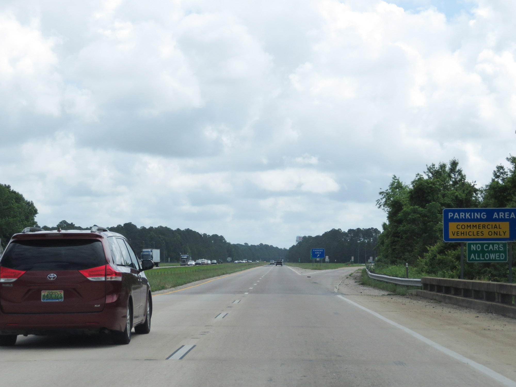 |
Truck Parking Area on Interstate 20 East in Darlington County. (Photo taken 5/25/18). |
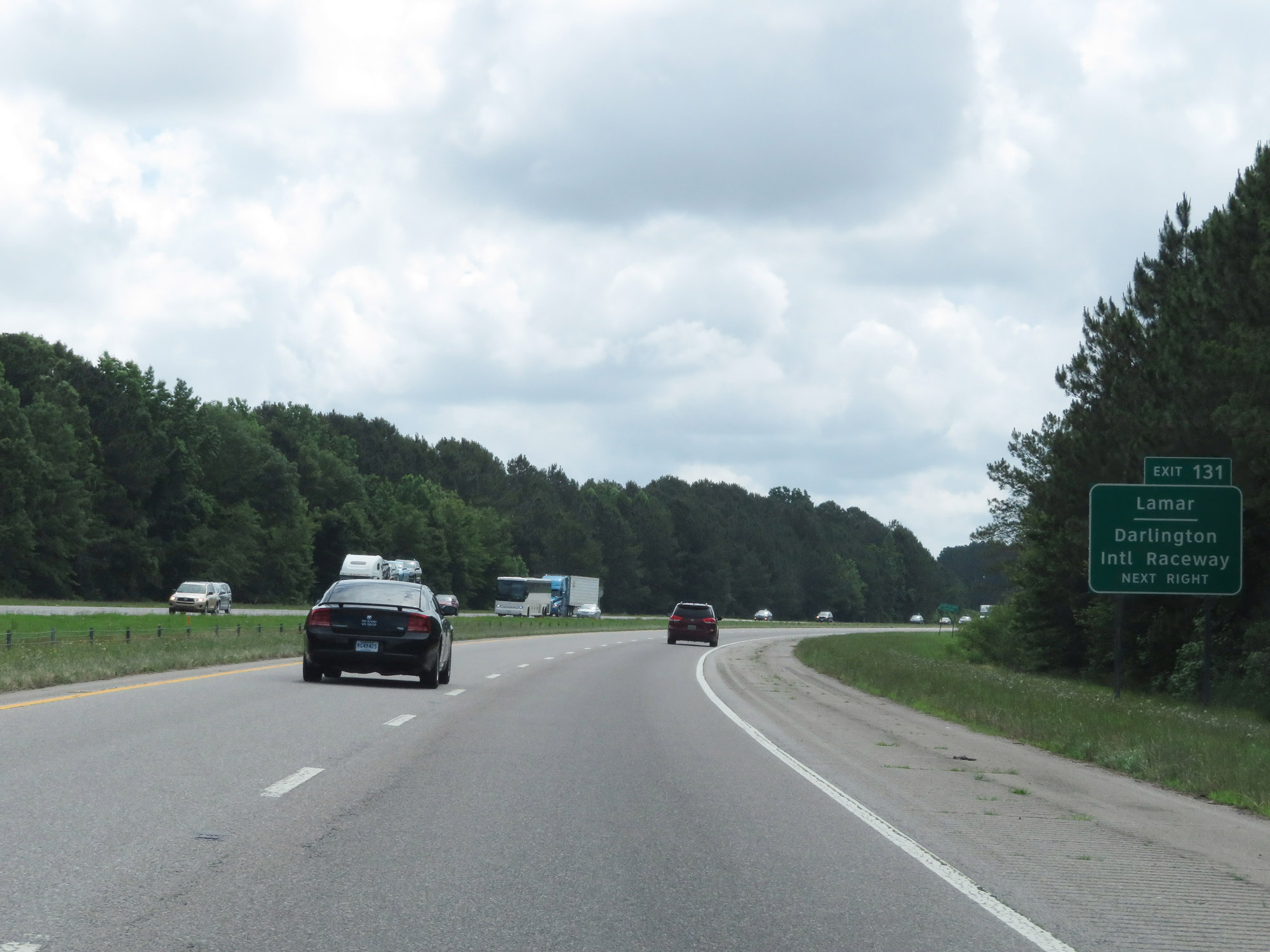 |
Take Exit 131 to Lamar and Darlington International Raceway. (Photo taken 5/25/18). |
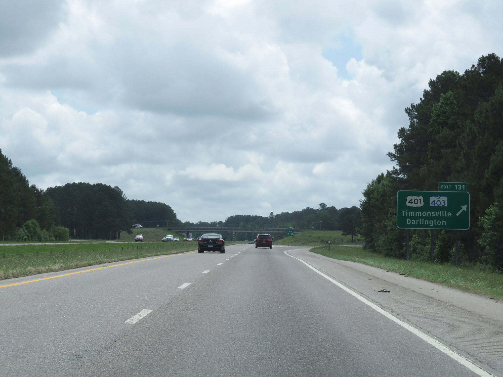 |
Interstate 20 East at Exit 131: US 401 / SC 403 - Timmonsville / Darlington (Photo taken 5/25/18). |
 |
View on Interstate 20 East at mile marker 133. (Photo taken 5/25/18). |
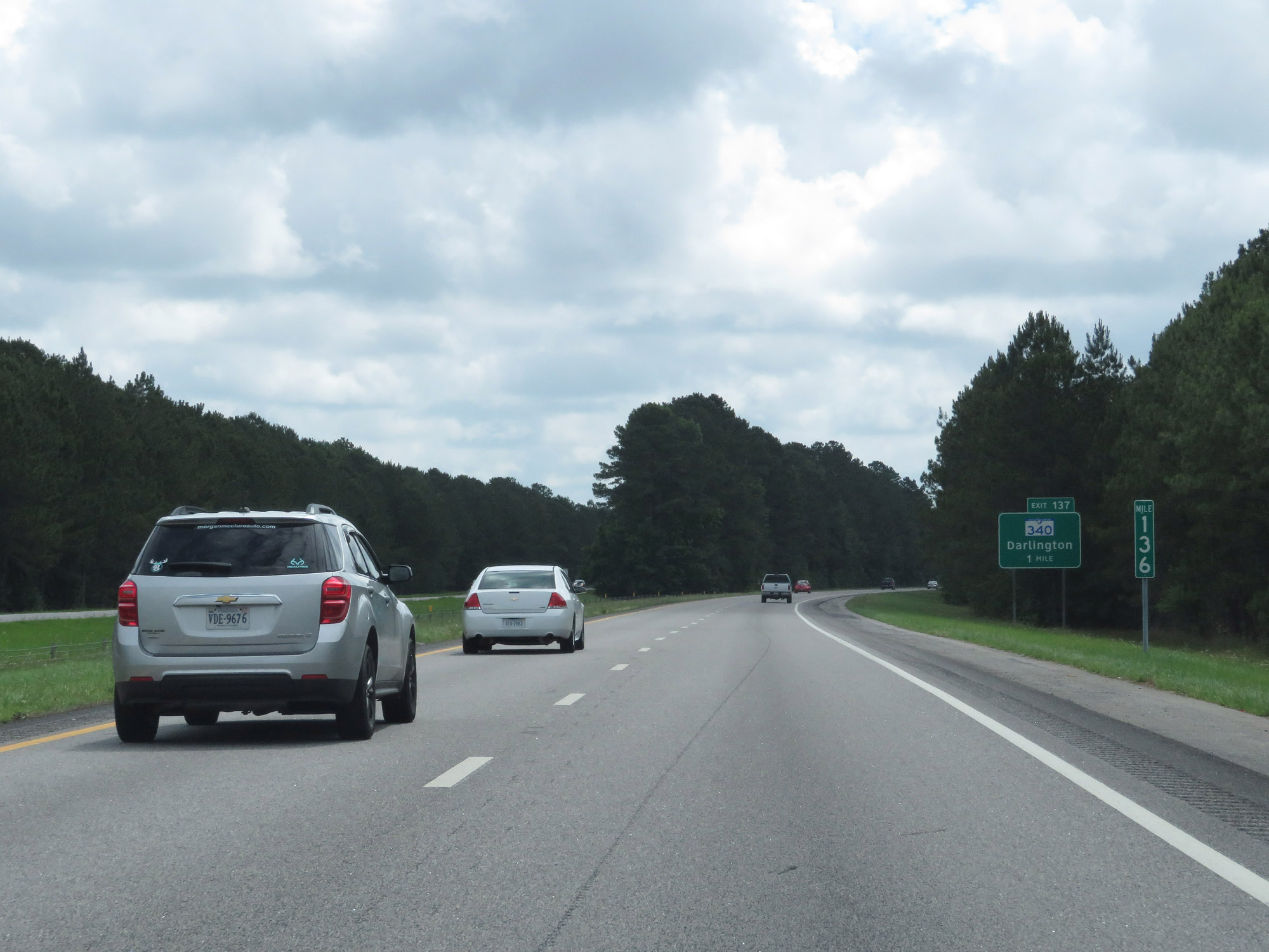 |
Interstate 20 East at mile marker 136. (Photo taken 5/25/18). |
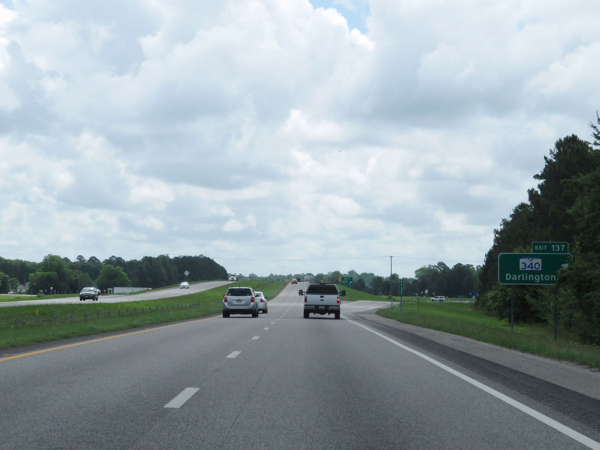 |
Interstate 20 East at Exit 137: SC 340 - Darlington (Photo taken 5/25/18). |
 |
Another state-named Interstate 20 East reassurance shield. (Photo taken 5/25/18). |
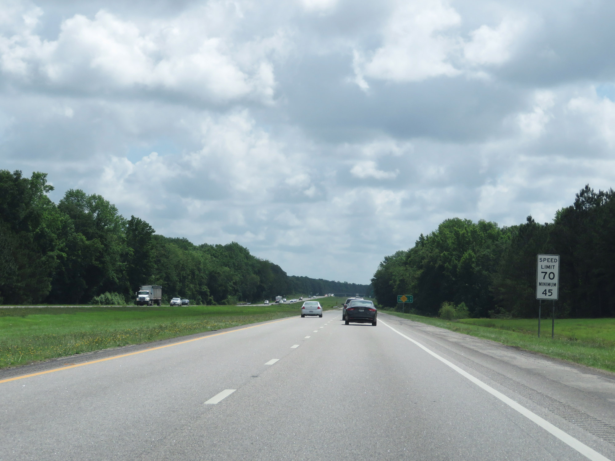 |
The speed limits remain 70 mph maximum and 45 mph minimum. (Photo taken 5/25/18). |
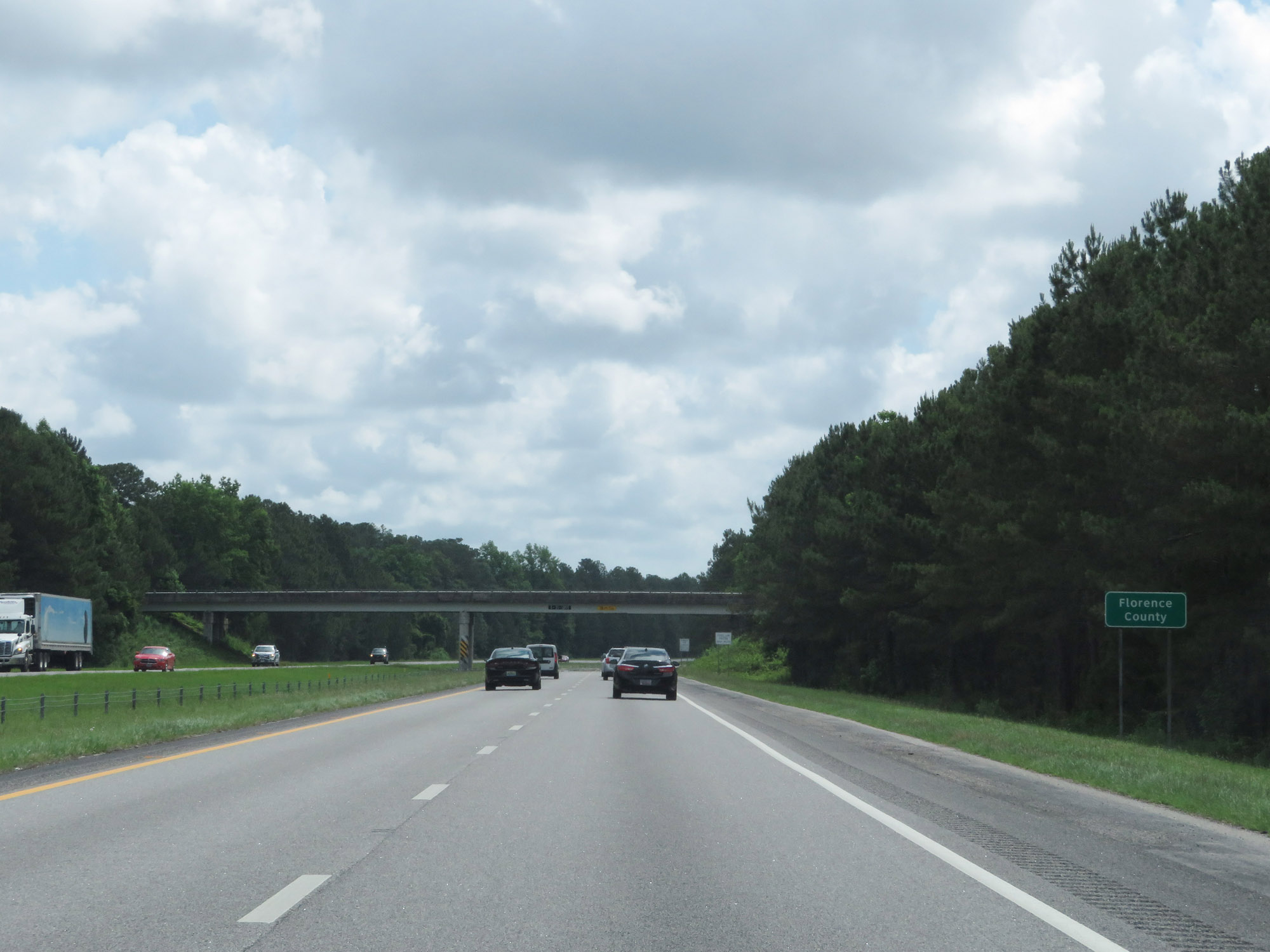 |
Interstate 20 East as it enters Florence County. (Photo taken 5/25/18). |
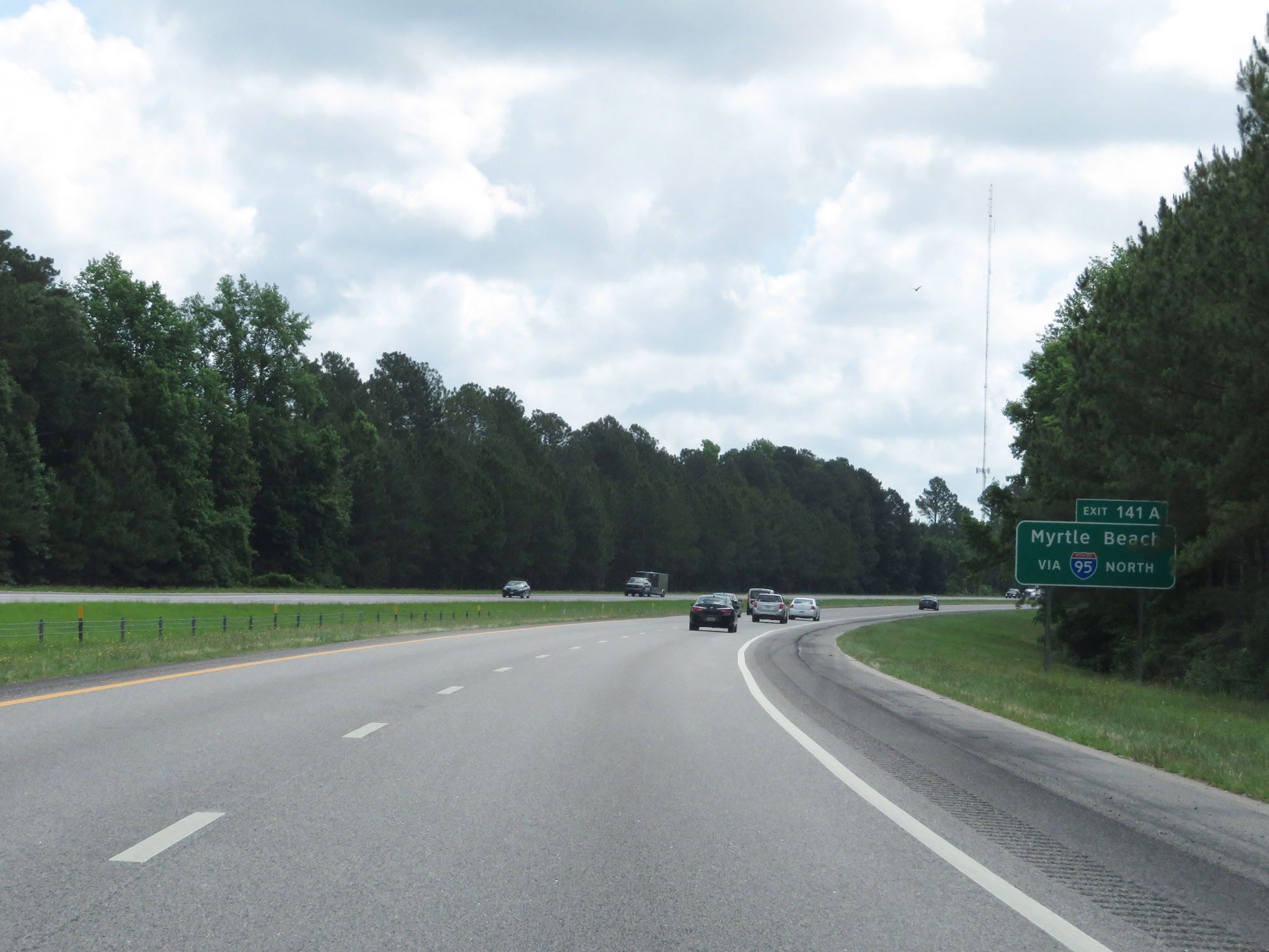 |
Take Exit 141A to Myrtle Beach via Interstate 95 North. (Photo taken 5/25/18). |
 |
Interstate 20 East approaching Exits 141A-B - 1 mile. (Photo taken 5/25/18). |
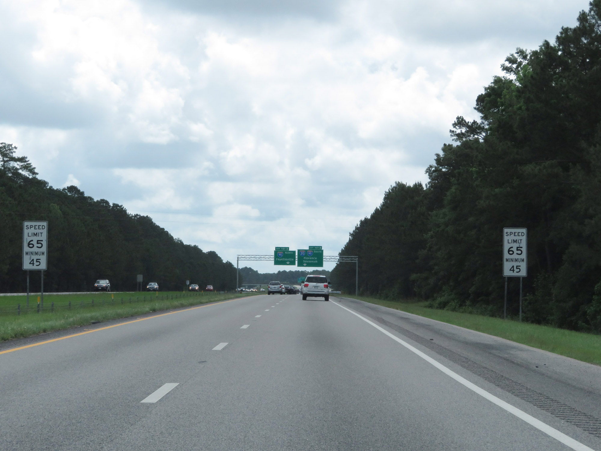 |
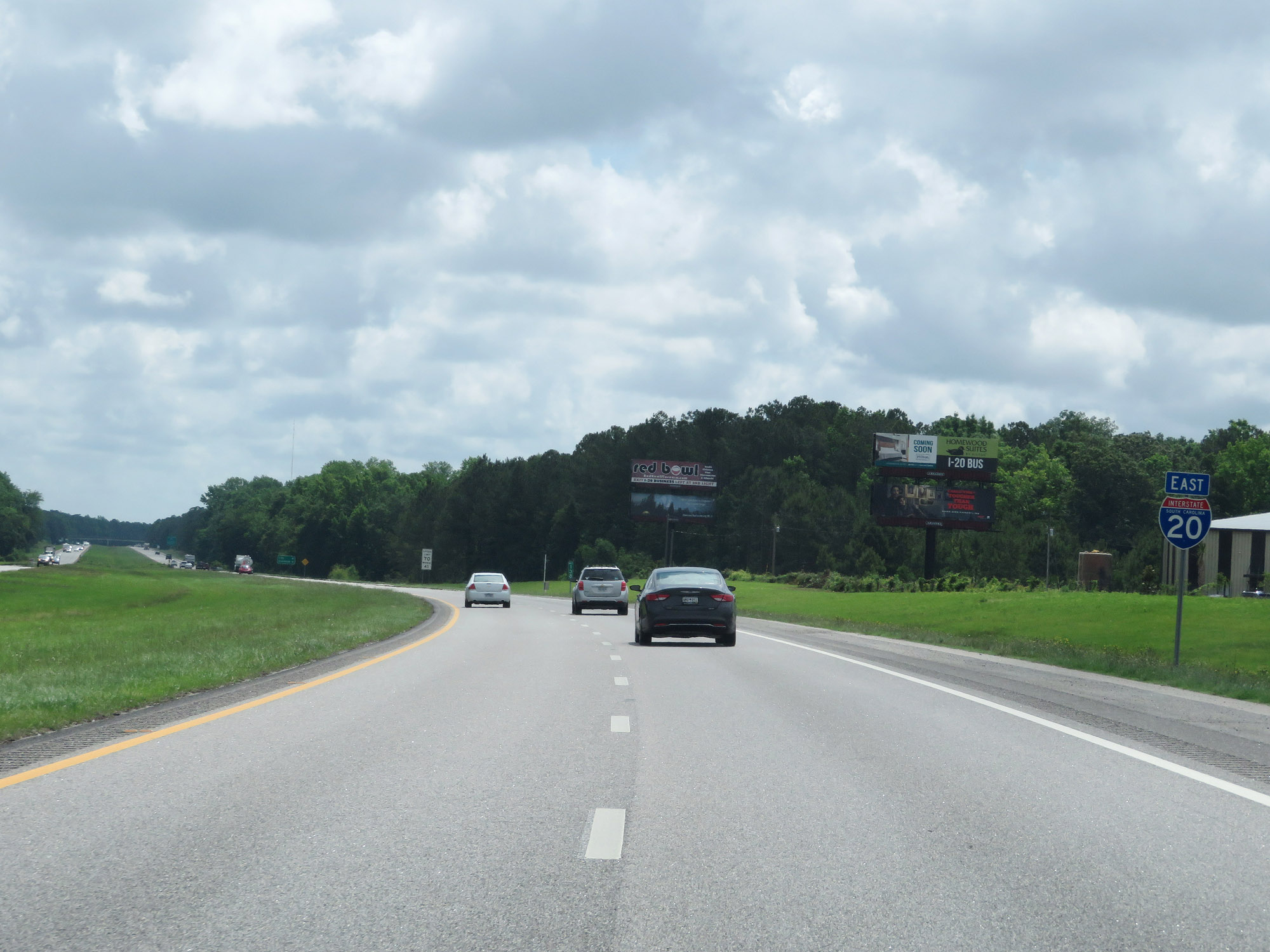
Approaching the junction of Interstate 95 and the eastern terminus of Interstate 20, the maximum speed limit is reduced to 65 mph. (Photo taken 5/25/18). |
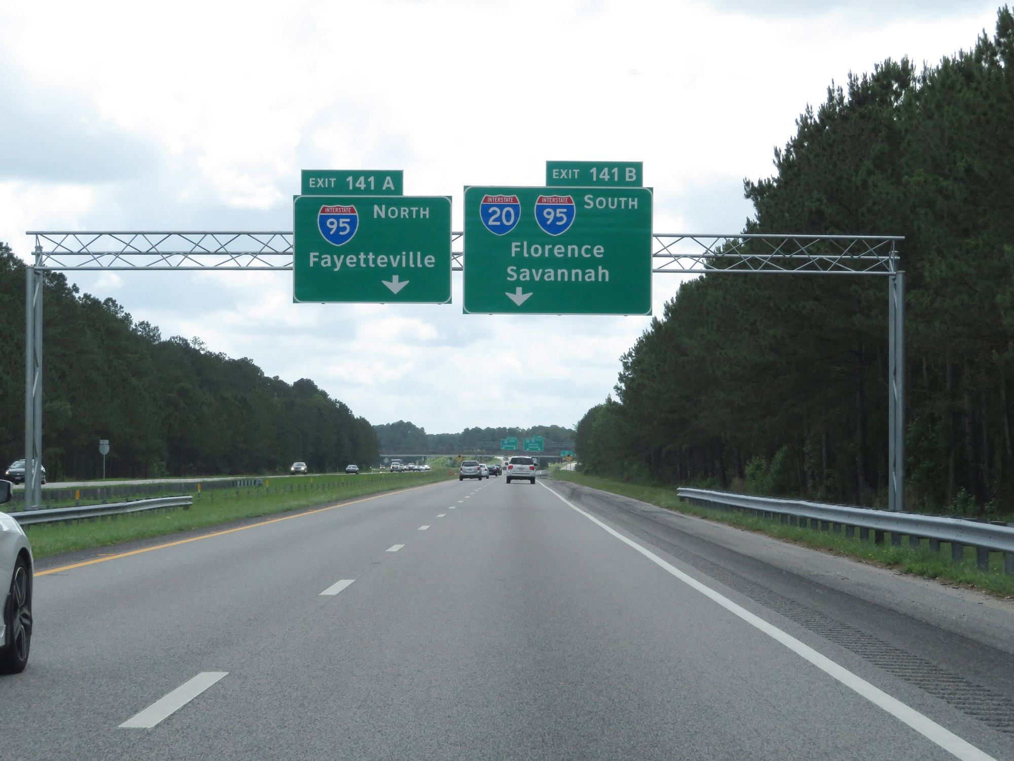 |
Keep left for Exit 141A and keep right for Exit 141B. (Photo taken 5/25/18). |
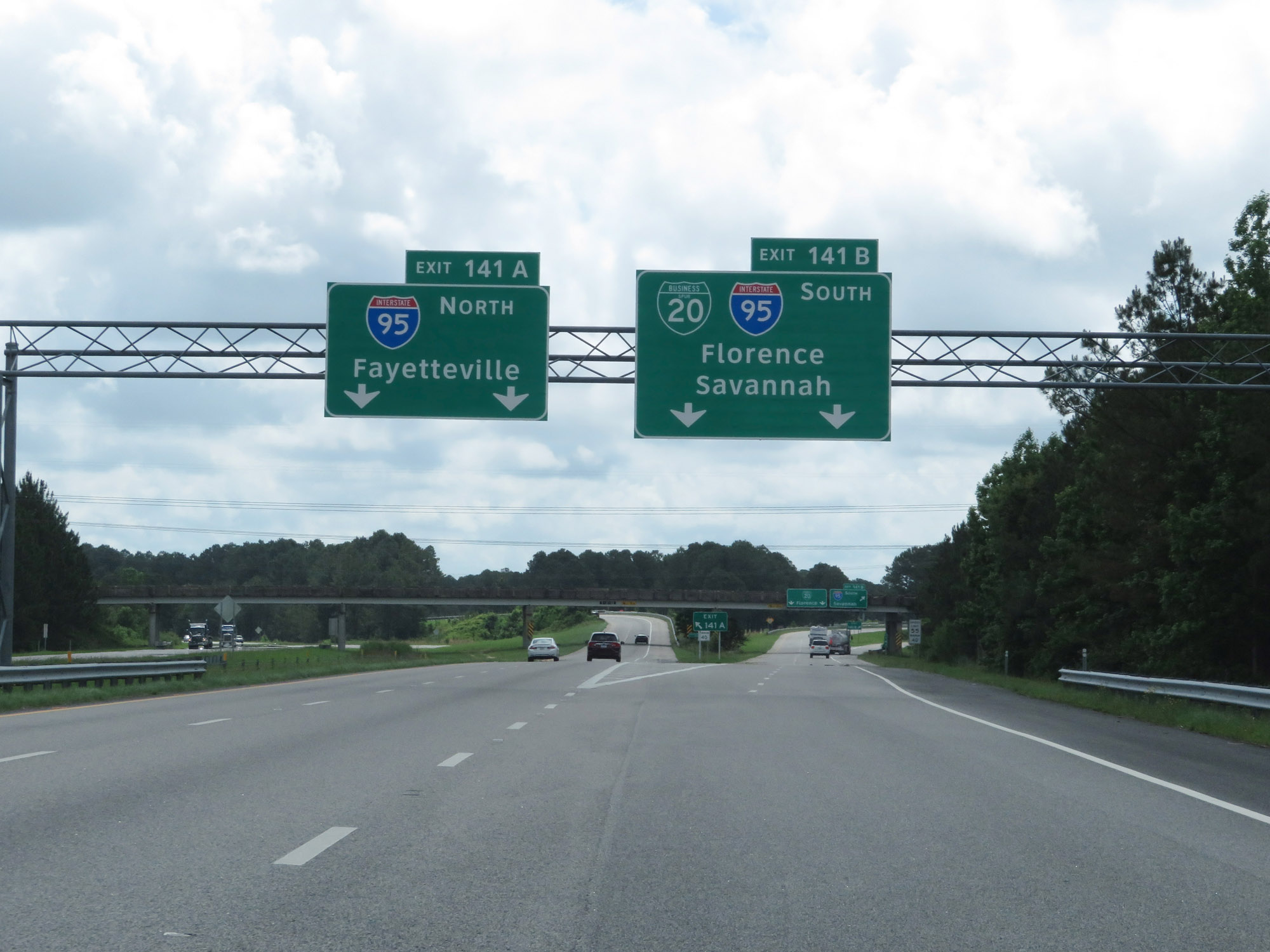 |
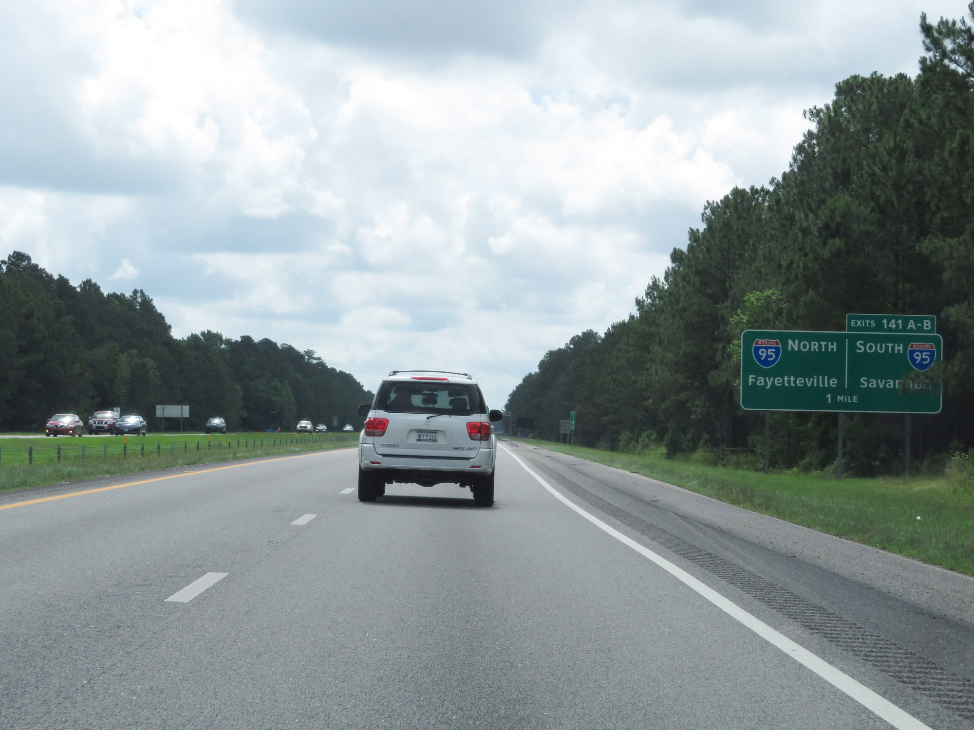
Interstate 20 East at Exit 141A: Interstate 95 North - Fayetteville (Photo taken 5/25/18). |
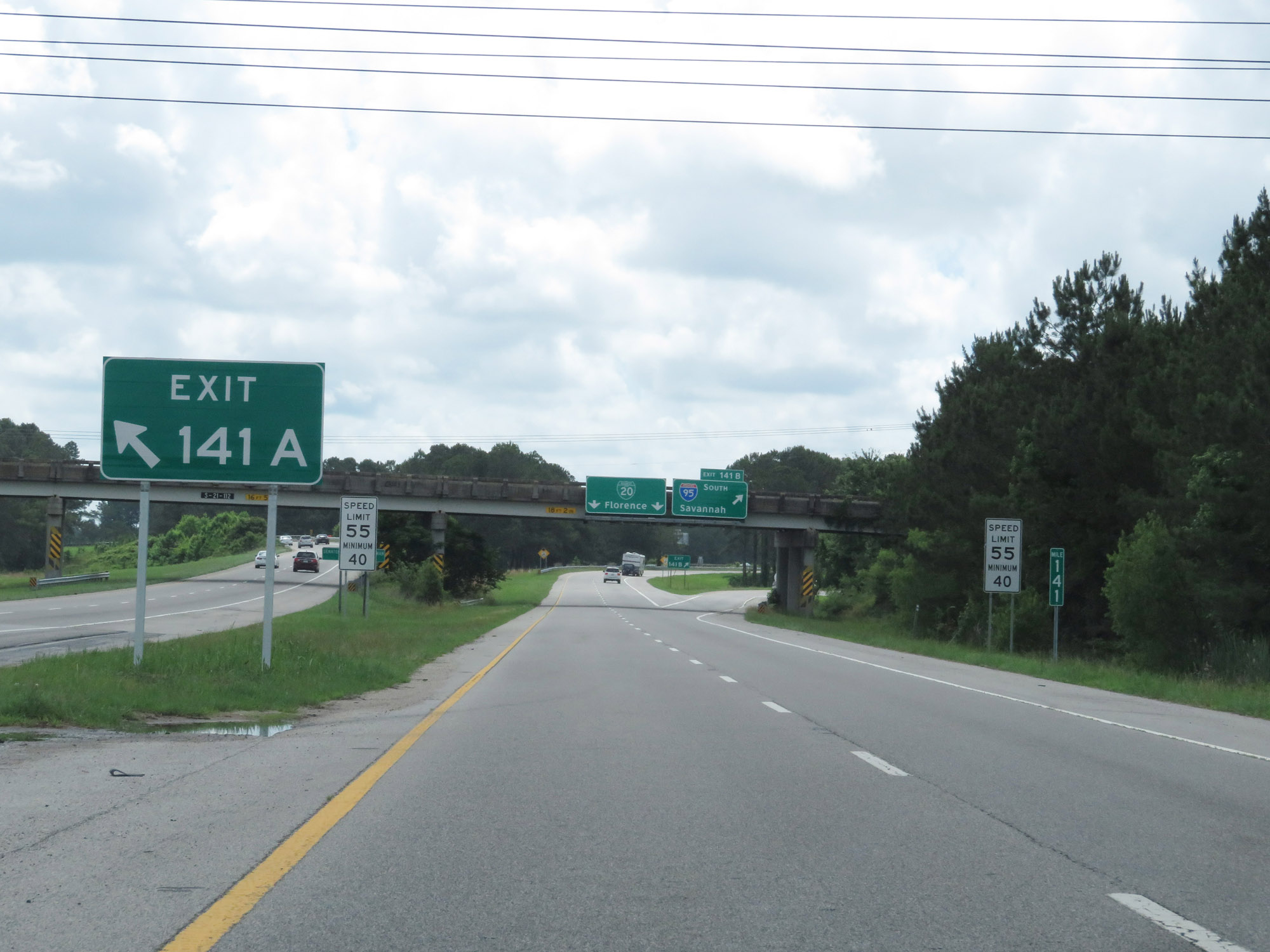 |
At mile marker 141, the maximum speed limit decreases to 55 mph and the minimum speed limit decreases to 40 mph. (Photo taken 5/25/18). |
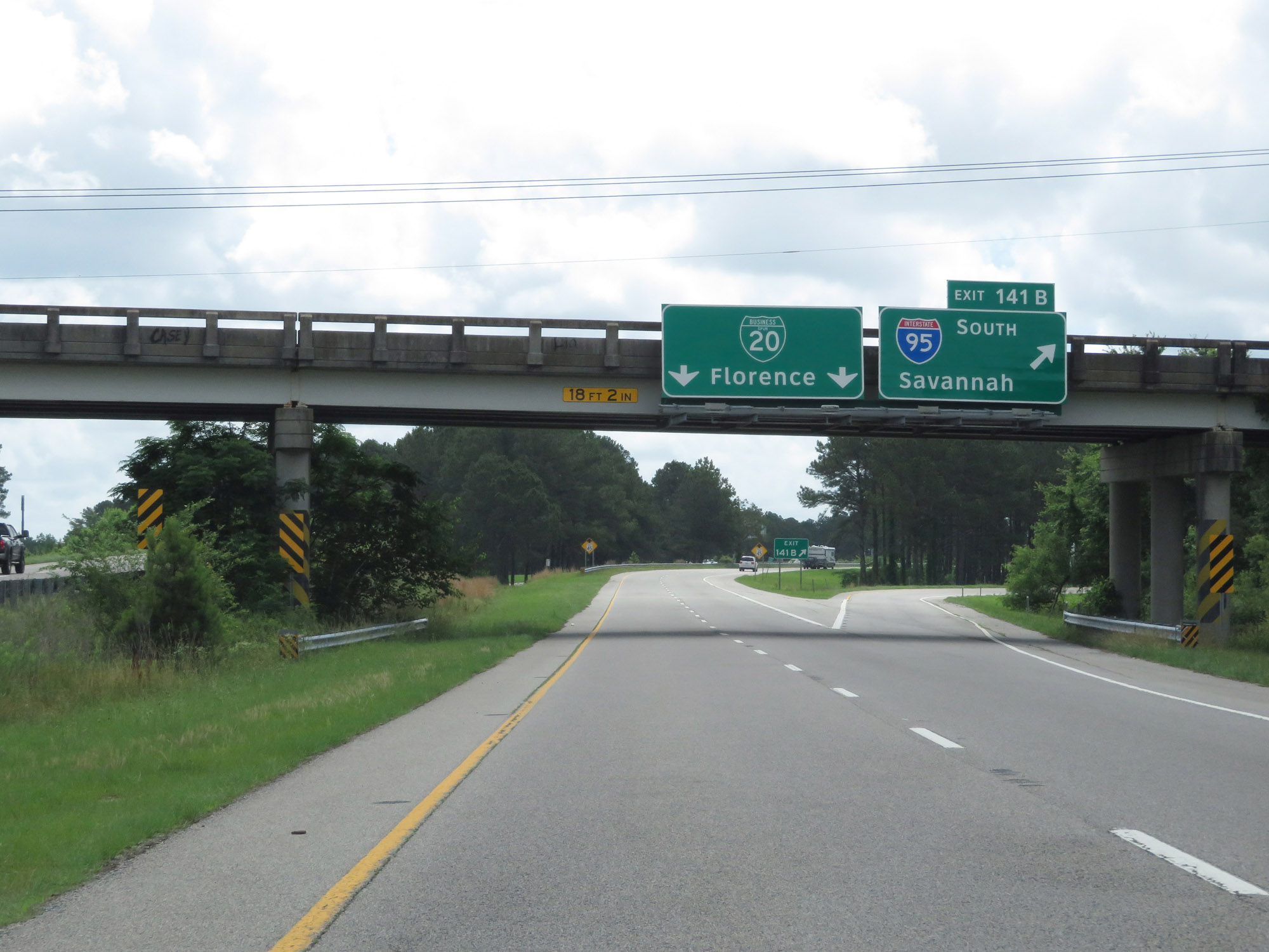 |
Interstate 20 East at Exit 141B: Interstate 95 South - Savannah (Photo taken 5/25/18). |
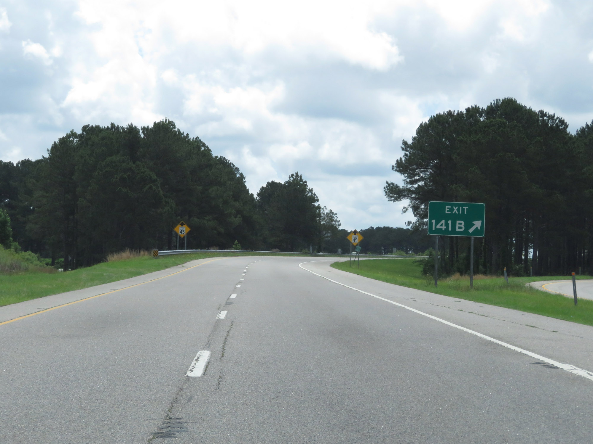 |
Gore point signage for Exit 141B. (Photo taken 5/25/18). |
 |
View on Interstate 20 East as it nears its national eastern terminus. (Photo taken 5/25/18). |
 |
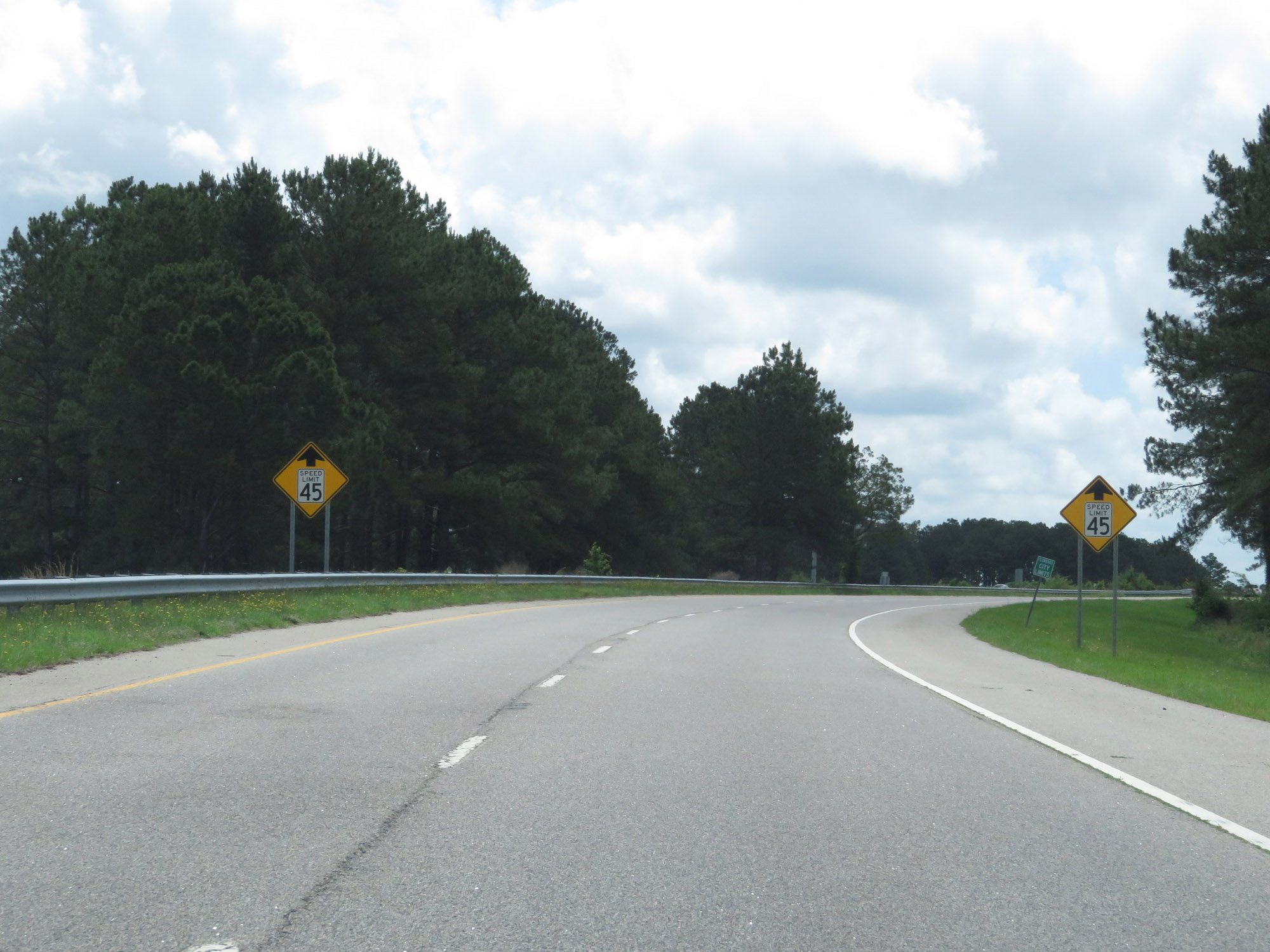
As Interstate 20 East ends and becomes Interstate 20 Business in Florence, the speed limit decreases to 45 mph. (Photo taken 5/25/18). |
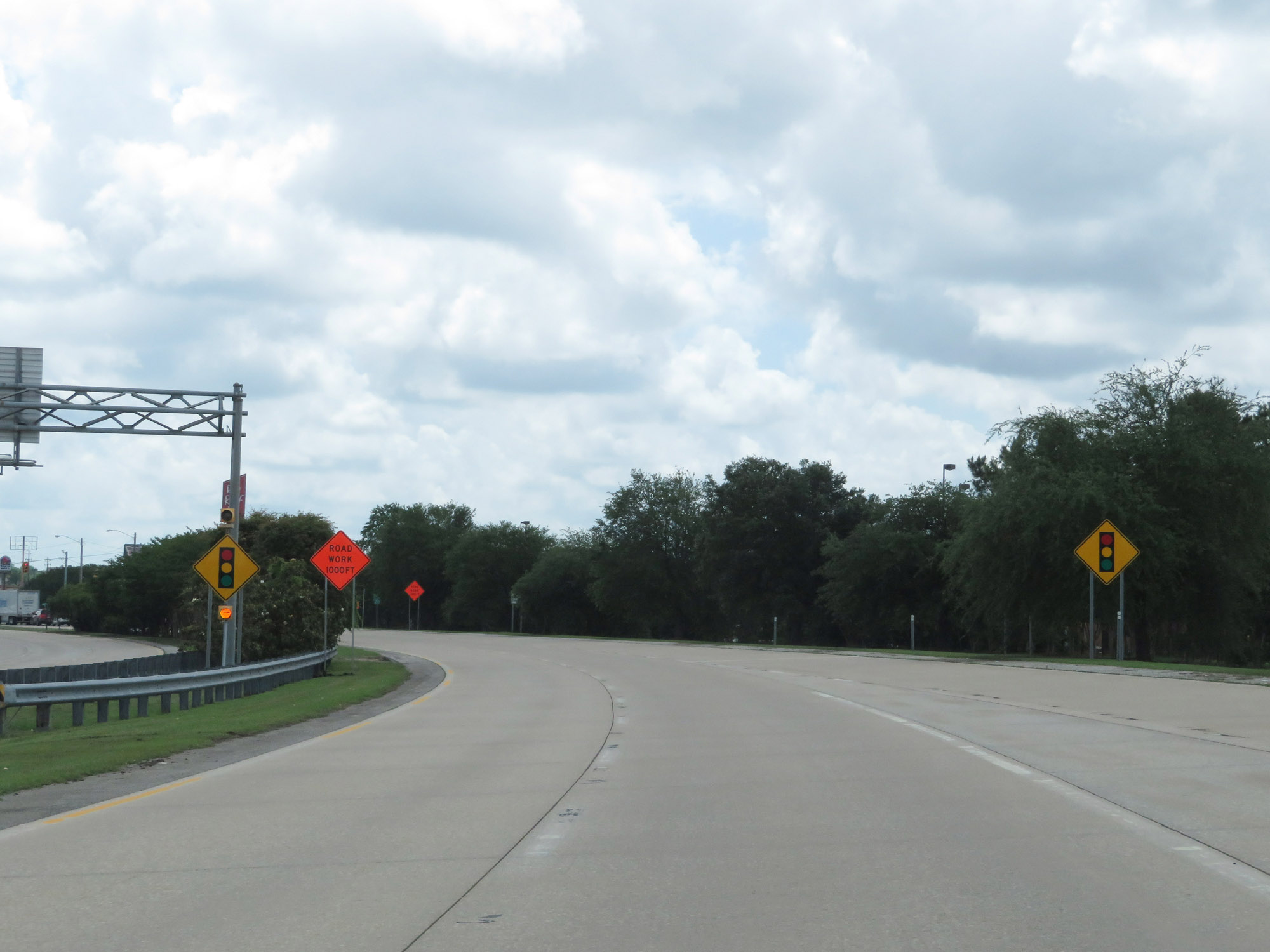 |
View on Interstate 20 Business approaching its first at-grade intersection ahead. (Photo taken 5/25/18). |
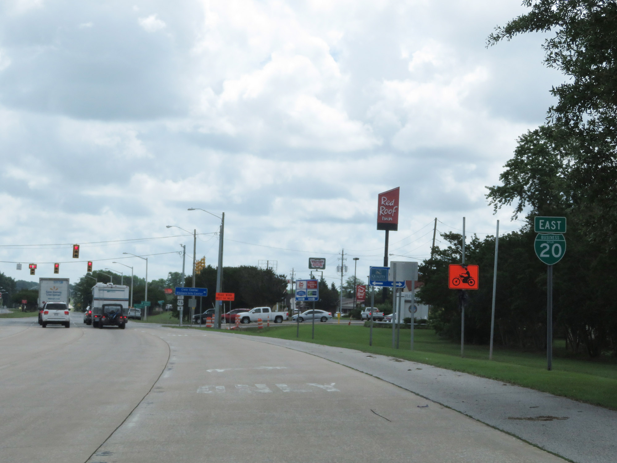 |
Interstate 20 Business East reassurance shield as Interstate 20 East terminates approaching an at-grade intersection with W Radio Dr at the signal ahead. (Photo taken 5/25/18). |