Road Information |
||
 |
||
| Total Mileage in State: | 85 miles | |
| Northern End: | At I-80/PA 26, near Bellefonte | |
| Southern End: | At US 220, in Bedford | |
| Mileage covered in Photos: | 85 miles | |
| Counties covered in Photos: | Bedford, Blair, Centre | |
| Major Junctions in Photos: | US 22, in Duncansville US 322, in State College I-80, near Bellefonte |
|
| Control Cities in Photos: | Bedford, Altoona, State College, Bellefonte | |
Northbound
 |
Interstate 99 shield sign located near mile marker 1, as you merge onto I-99 North from the PA Turnpike. (Photo taken 6/10/10). |
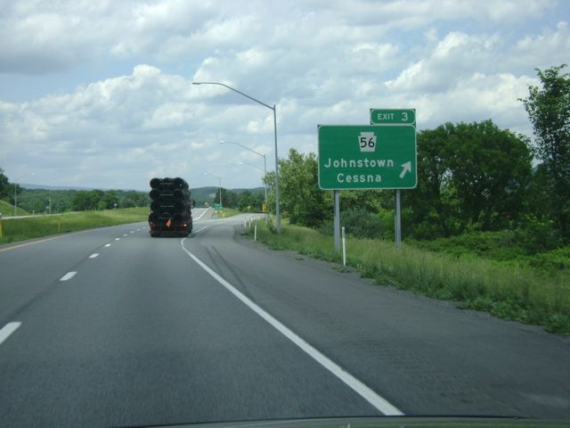 |
Interstate 99 North at Exit 3: PA 56 - Johnstown / Cessna (Photo taken 6/10/10). |
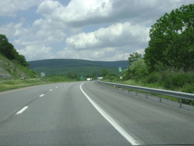 |
Interstate 99 North: Road view from mile marker 4. (Photo taken 6/10/10). |
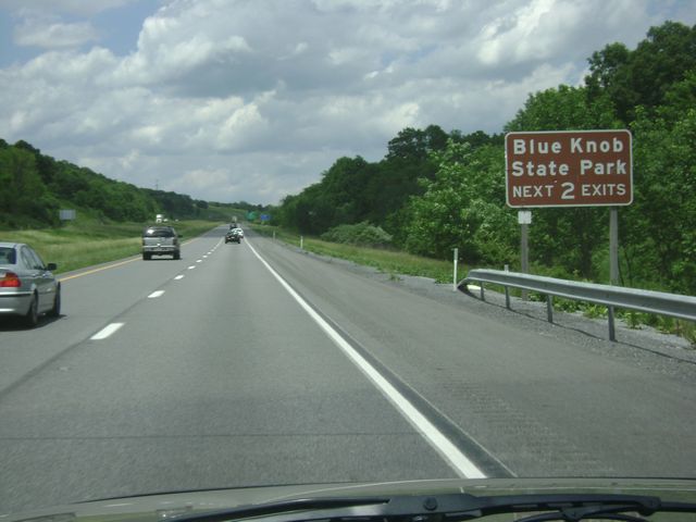 |
Either of the next 2 exits will get you to Blue Knob State Park. (Photo taken 6/10/10). |
 |
Interstate 99 North at Exit 7: PA 869 - St. Clairsville / Osterburg (Photo taken 6/10/10). |
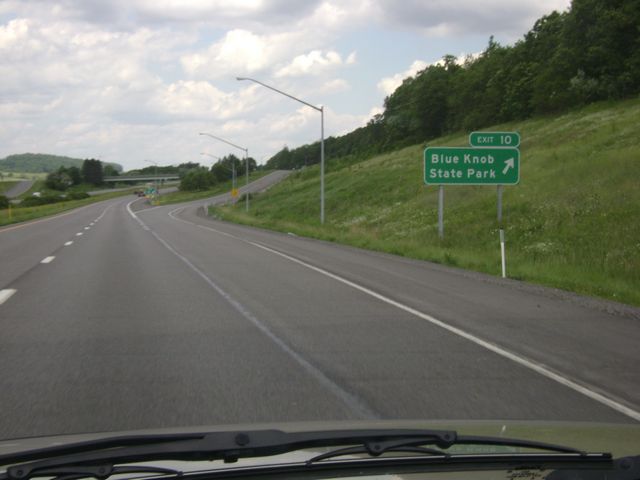 |
Interstate 99 North at Exit 10: Blue Knob State Park (Photo taken 6/10/10). |
 |
Interstate 99 North: Road view from mile marker 12. (Photo taken 6/10/10). |
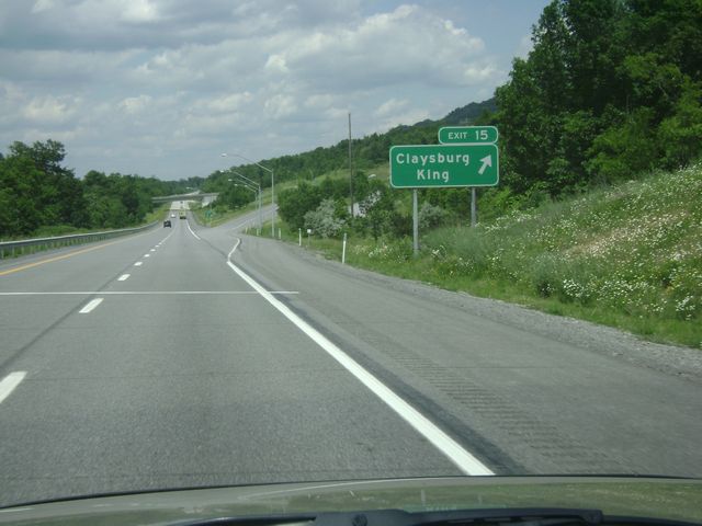 |
Interstate 99 North at Exit 15: Claysburg / King (Photo taken 6/10/10). |
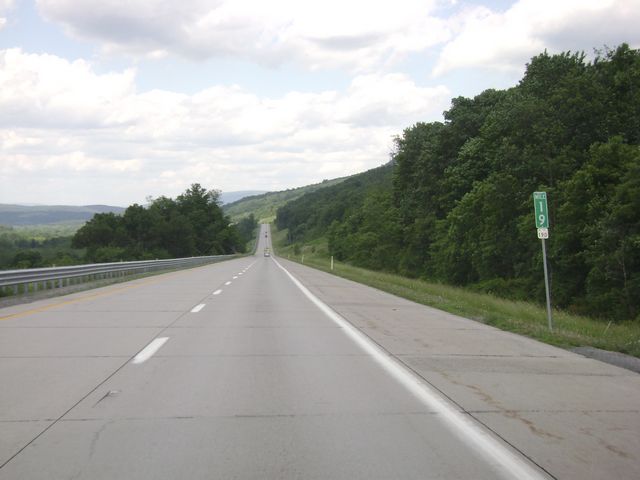 |
Interstate 99 North: Road view from mile marker 19. (Photo taken 6/10/10). |
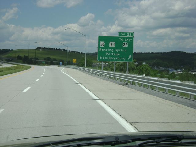 |
Interstate 99 North at Exit 23: PA 36 / PA 164 / To US 22 East - Roaring Spring / Portage / Hollidaysburg (Photo taken 6/10/10). |
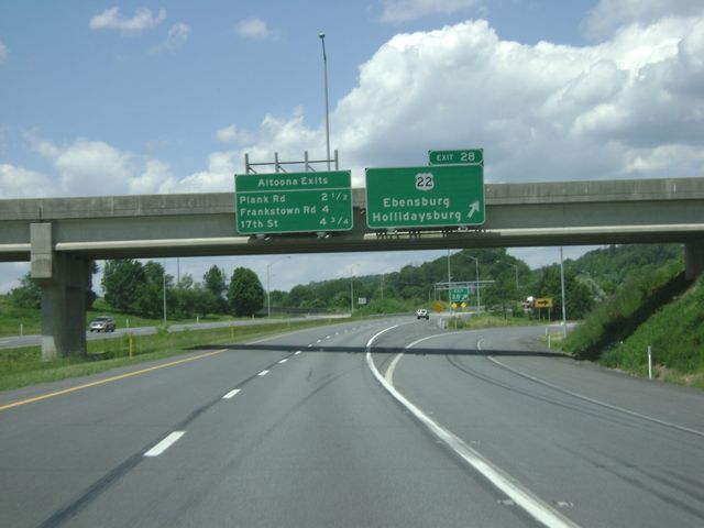 |
Interstate 99 North at Exit 28: US 22 - Ebensburg / Hollidaysburg (Photo taken 6/10/10). |
 |
Mileage sign listing the distances to the 3 different Altoona exits. (Photo taken 6/10/10). |
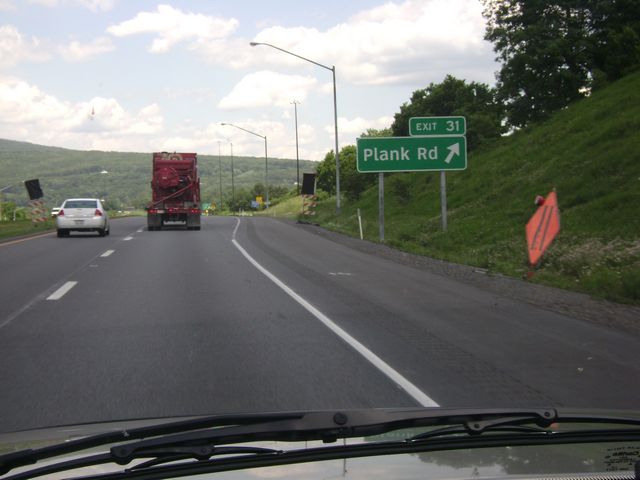 |
Interstate 99 North at Exit 31: Plank Rd (Photo taken 6/10/10). |
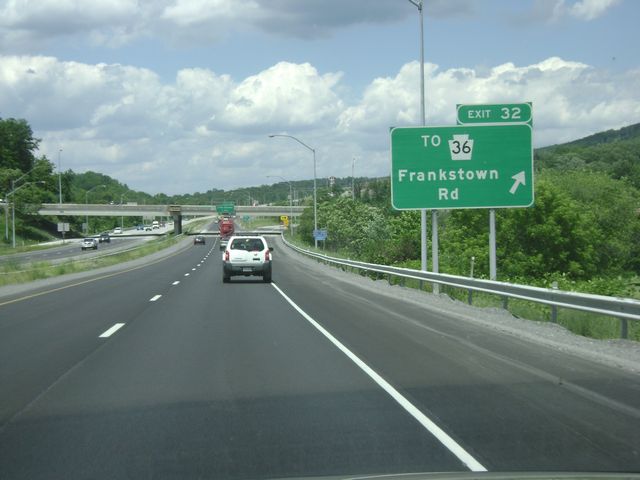 |
Interstate 99 North at Exit 32: To PA 36 - Frankstown Rd (Photo taken 6/10/10). |
 |
Interstate 99 North at Exit 33: 17th Street (Photo taken 6/10/10). |
 |
Mileage sign located near mile marker 34. It's 8 miles to Bellwood and 14 miles to Tyrone on I-99. (Photo taken 6/10/10). |
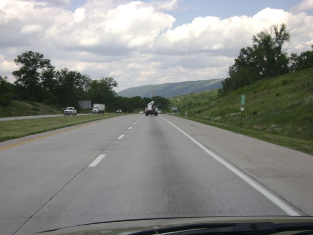 |
Interstate 99 North: Road view from mile marker 35. (Photo taken 6/10/10). |
 |
Interstate 99 North at Exit 39: PA 764 South - Pinecroft (Photo taken 6/10/10). |
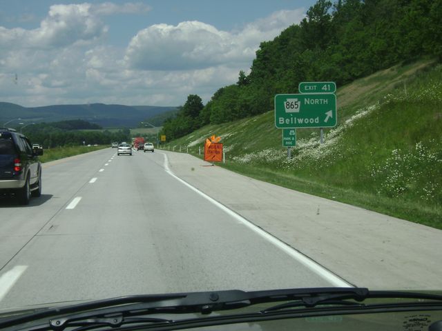 |
Interstate 99 North at Exit 41: PA 865 North - Bellwood (Photo taken 6/10/10). |
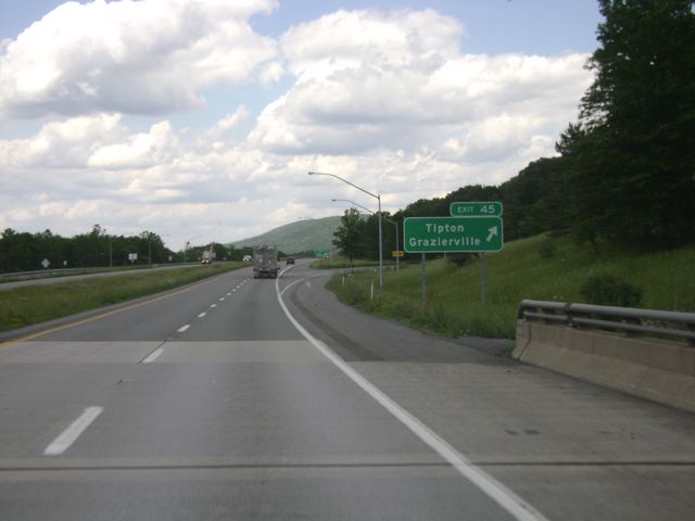 |
Interstate 99 North at Exit 45: Tipton / Grazierville (Photo taken 6/10/10). |
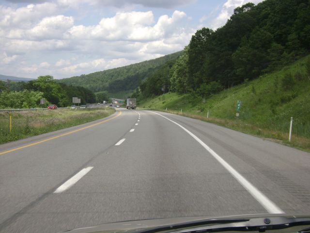 |
Interstate 99 North: Road view from mile marker 47. (Photo taken 6/10/10). |
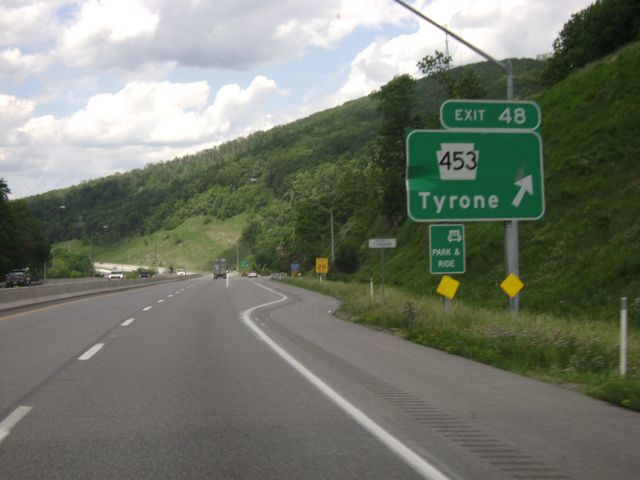 |
Interstate 99 North at Exit 48: PA 453 - Tyrone (Photo taken 6/10/10). |
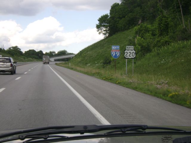 |
Interstate 99 North shield sign located near mile marker 49. (Photo taken 6/10/10). |
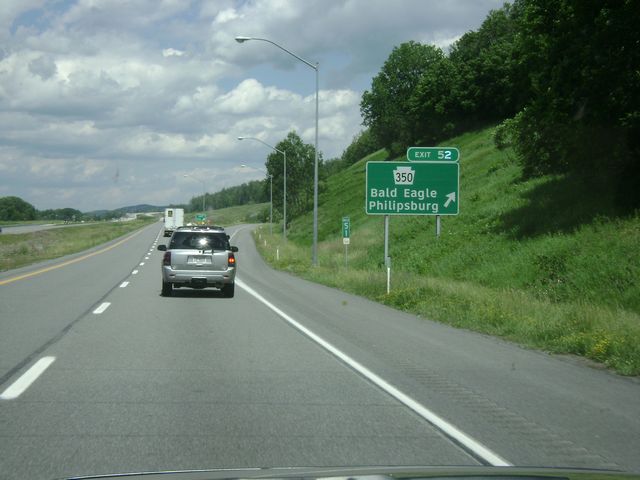 |
Interstate 99 North at Exit 52: PA 350 - Bald Eagle / Philipsburg. I-99 is relatively new from this point north. (Photo taken 6/10/10). |
 |
Mileage sign located near mile marker 53. Port Matilda is 8 miles ahead and State College is 23 miles ahead on I-99. (Photo taken 6/10/10). |
 |
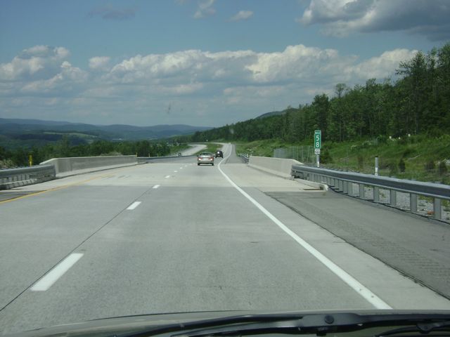
Interstate 99 North: Road view from near mile marker 56. (Photo taken 6/10/10). |
 |
Interstate 99 North: Another road view, with this one being from mile marker 58. (Photo taken 6/10/10). |
 |
Interstate 99 North at Exit 61: To US 322 West - Philipsburg / Port Matilda (Photo taken 6/10/10). |
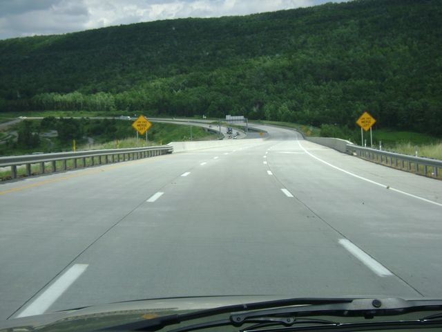 |
Interstate 99 North: Road view from near mile marker 63. (Photo taken 6/10/10). |
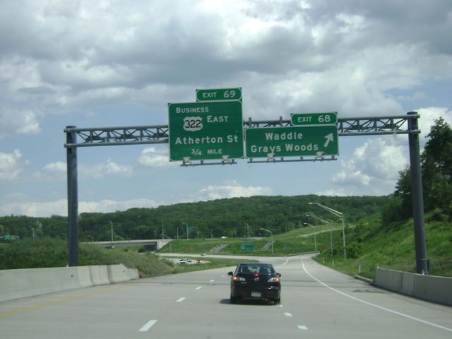 |
Interstate 99 North at Exit 68: Waddle / Grays Woods (Photo taken 6/10/10). |
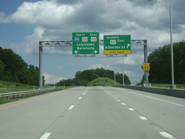 |
Interstate 99 North at Exit 69: US 322 East Business - Atherton St (Photo taken 6/10/10). |
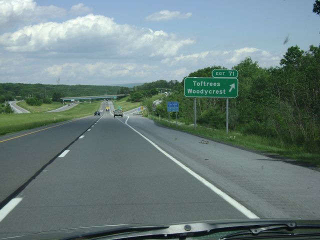 |
Interstate 99 North at Exit 71: Toftrees / Woodycrest (Photo taken 6/10/10). |
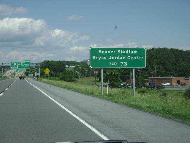 |
Use Exit 73 to get to Beaver Stadium and Bryce Jordan Center. (Photo taken 6/10/10). |
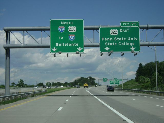 |
Interstate 99 North at Exit 73: US 322 East - Penn State University / State College (Photo taken 6/10/10). |
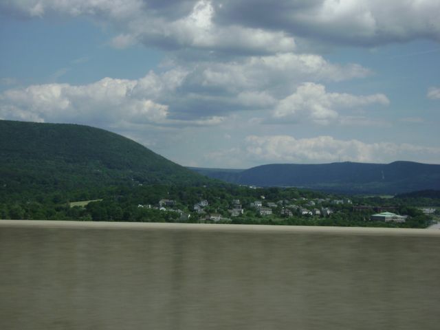 |
Interstate 99 North: View of Happy Valley from near mile marker 74. (Photo taken 6/10/10). |
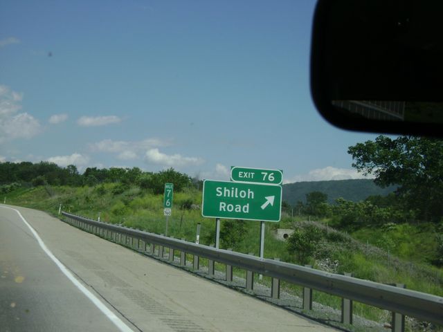 |
Interstate 99 North at Exit 76: Shiloh Road (Photo taken 6/10/10). |
 |
Interstate 99 North at Exit 78A: PA 150 South (Photo taken 6/10/10). |
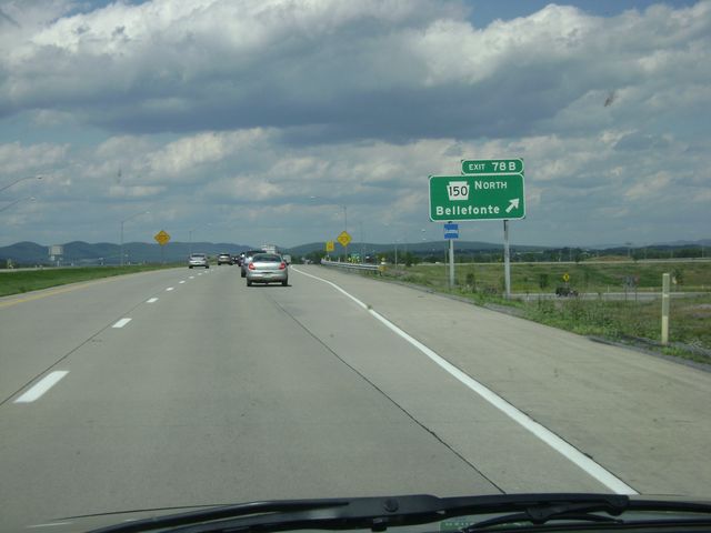 |
Interstate 99 North at Exit 78B: PA 150 North - Bellefonte (Photo taken 6/10/10). |
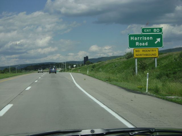 |
Interstate 99 North at Exit 80: Harrison Road. There is no re-entry to I-99 northbound from this interchange. (Photo taken 6/10/10). |
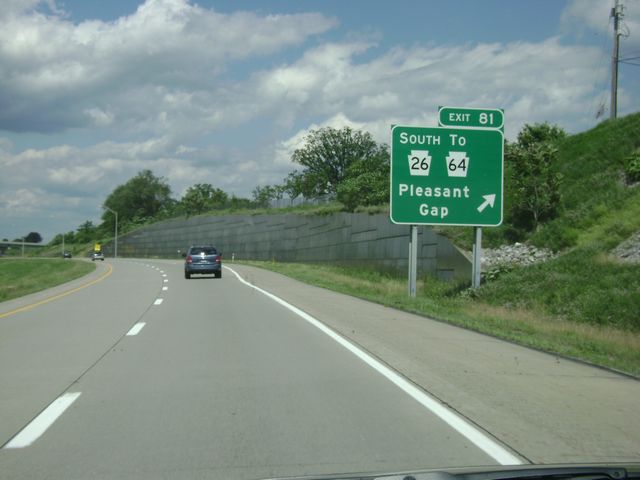 |
Interstate 99 North at Exit 81: PA 26 South / To PA 64 - Pleasant Gap (Photo taken 6/10/10). |
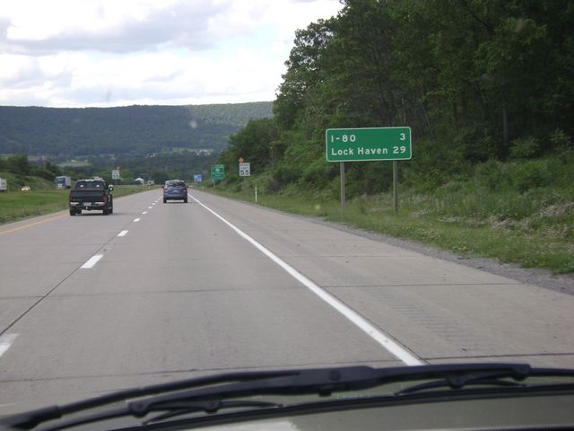 |
Mileage sign located near mile marker 82. It's 3 miles to the junction of Interstate 80, and it's 29 miles to Lock Haven via US 220 North. (Photo taken 6/10/10). |
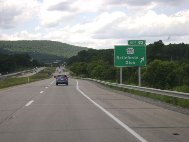 |
Interstate 99 North at Exit 83: PA 550 - Bellefonte / Zion (Photo taken 6/10/10). |
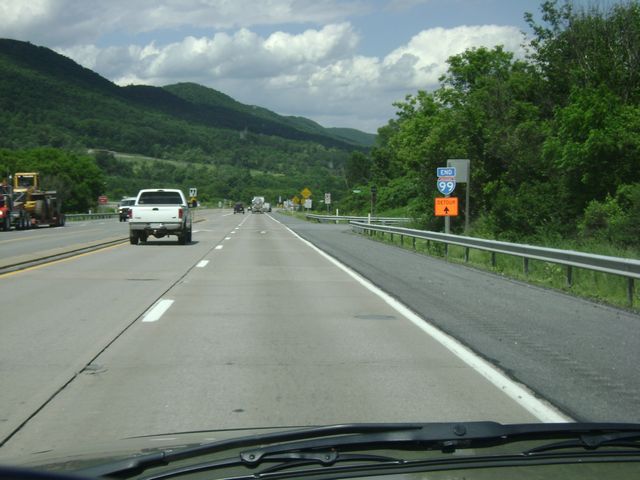 |
Interstate 99 North: Road view from I-99's northern terminus, as the sign indicates. The freeway ends and you will have to make a turn ahead to merge onto I-80. (Photo taken 6/10/10). |