Road Information |
||
 |
||
| Total Mileage in State: | 311 miles | |
| Eastern End: | At New Jersey state line | |
| Western End: | At Ohio state line | |
| Mileage covered in Photos: | 260 miles | |
| Counties covered in Photos: | Mercer, Venango, Butler, Clarion, Jefferson, Clearfield, Centre, Clinton, Union, Northumberland, Montour, Columbia, Luzerne | |
| Major Junctions in Photos: | I-376, near Hermitage I-79, near Mercer I-99/US 220, near Bellefonte I-180, in Milton I-81, near Hazelton |
|
| Control Cities in Photos: | Sharon, Mercer, Clarion, Brookville, DuBois, Clearfield, Bellefonte, Milton, Bloomsburg, Hazelton | |
Eastbound
- Section 1: Ohio Border to Snow Shoe (Exit 147)
- Section 2: Snow Shoe (Exit 147) to Milton (Exit 212A)
- Section 3: Milton (Exit 212A) to Hazleton (Exit 260B)
Section 1: Ohio Border to Snow Shoe (Exit 147)
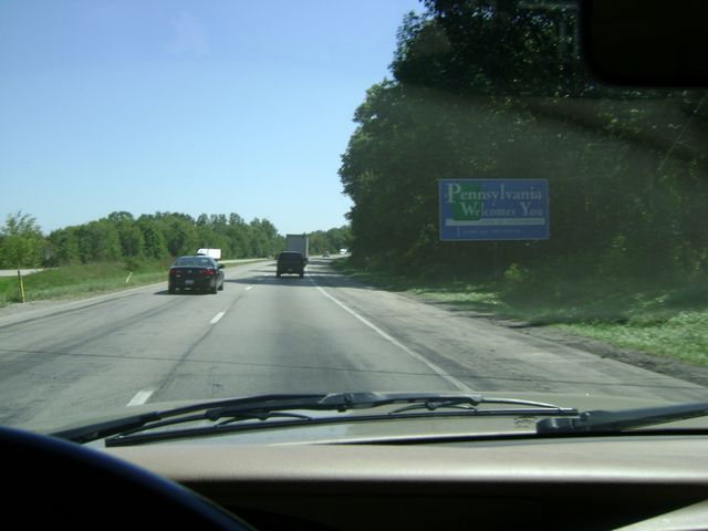 |
"Pennsylvania Welcomes You" sign on Interstate 80 East as it enters the Keystone state from Ohio. (Photo taken 8/28/10). |
 |
Interstate 80 East at Exit 4A: Interstate 376 East - New Castle (Photo taken 8/28/10). |
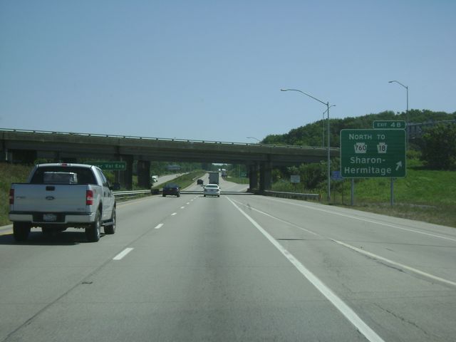 |
Interstate 80 East at Exit 4B: PA 760 North / To PA 18 - Sharon / Hermitage (Photo taken 8/28/10). |
 |
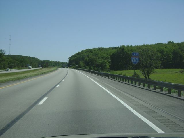
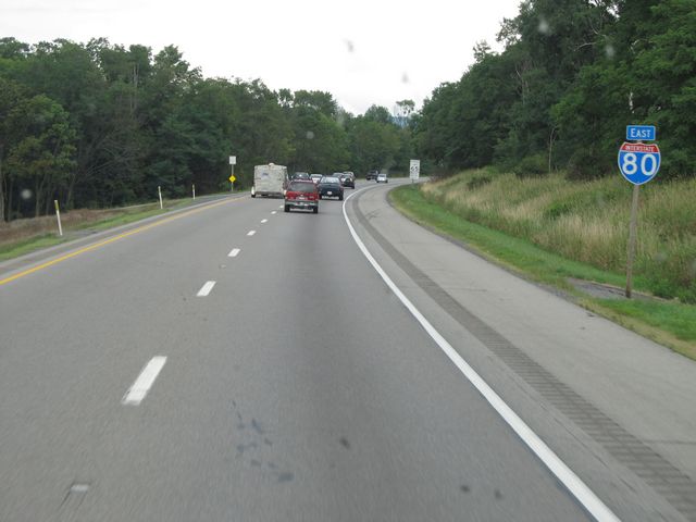
Interstate 80 East shield sign located near mile marker 5. (Photo taken 8/28/10). |
 |
Interstate 80 East: Road view from mile marker 6. (Photo taken 8/28/10). |
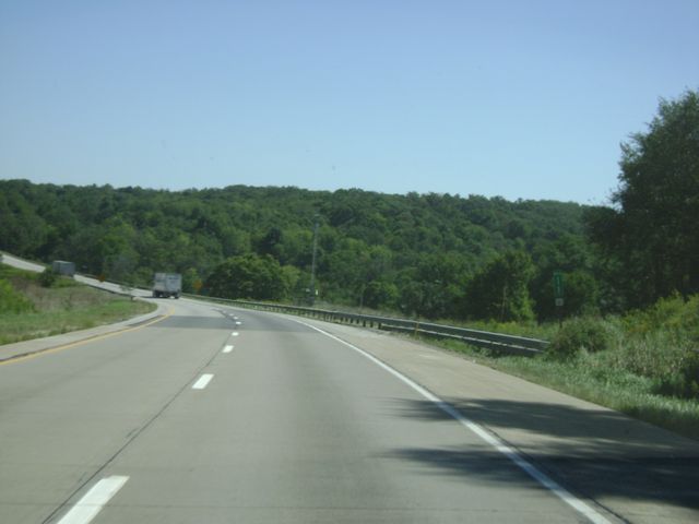 |
Interstate 80 East: Road view from mile marker 11. (Photo taken 8/28/10). |
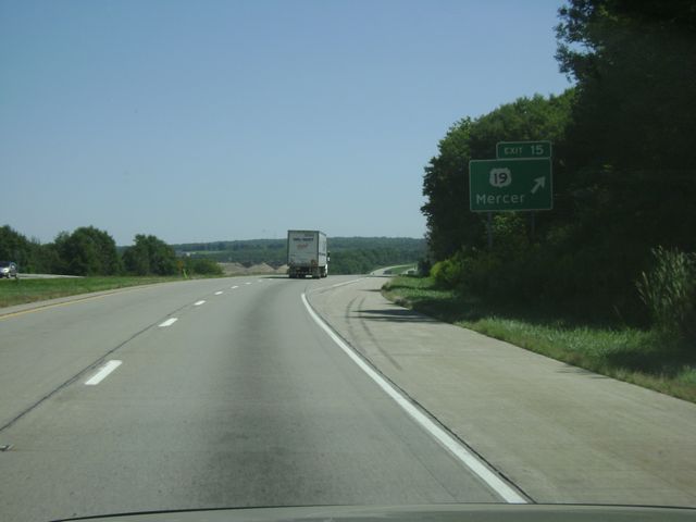 |
Interstate 80 East at Exit 15: US 19 - Mercer (Photo taken 8/28/10). |
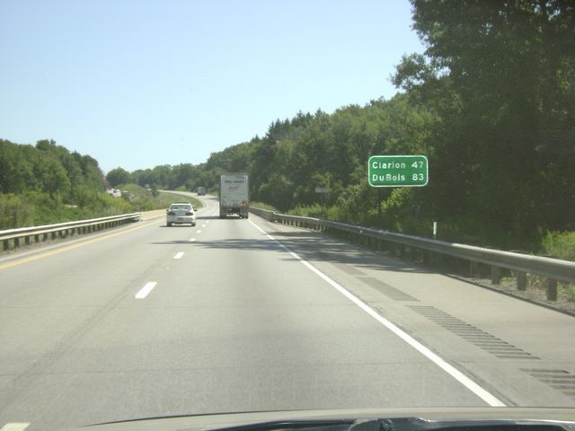 |
Mileage sign near mile marker 16. From this point, it's 47 miles to Clarion and 83 miles to DuBois on Interstate 80. (Photo taken 8/28/10). |
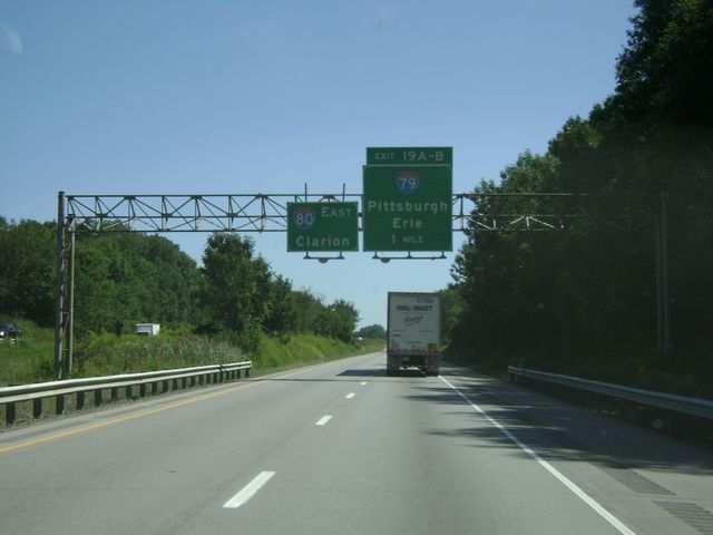 |
Interstate 80 East approaching Exits 19A-B - 1 mile. (Photo taken 8/28/10). |
 |
Interstate 80 East at Exit 19A: Interstate 79 South - Pittsburgh (Photo taken 8/28/10). |
 |
Interstate 80 East at Exit 19B: Interstate 79 North - Erie (Photo taken 8/28/10). |
 |
Mileage sign located near mile marker 20. It's 43 miles to Clarion and 79 miles to DuBois. (Photo taken 8/28/10). |
 |
Interstate 80 East: Road view from mile marker 21. (Photo taken 8/28/10). |
 |
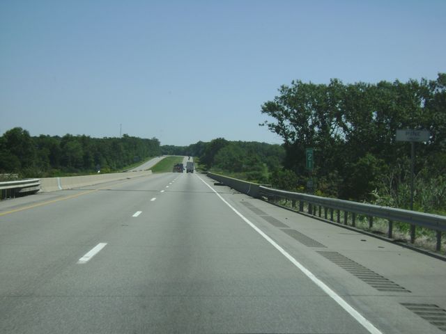
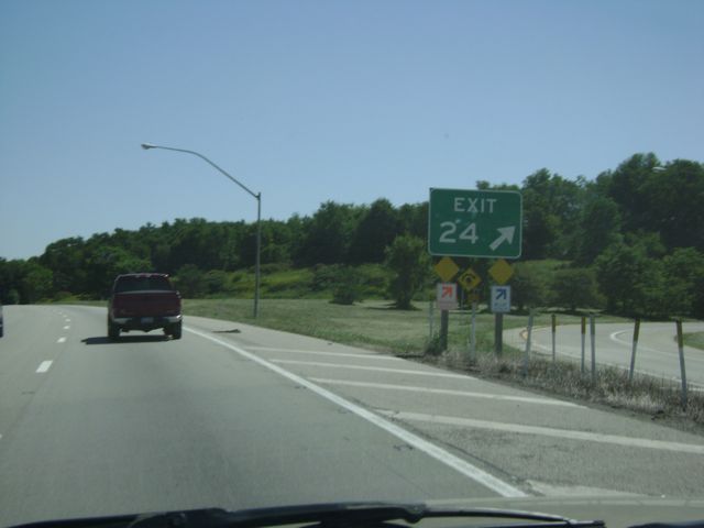
Interstate 80 East approaching Exit 24 - 1 mile. (Photo taken 8/28/10). |
 |
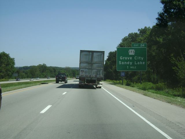
Interstate 80 East at Exit 24: PA 173 - Grove City / Sandy Lake. I missed the detailed exit sign here, so the actual exit sign itself was the next best thing. Sorry. (Photo taken 8/28/10). |
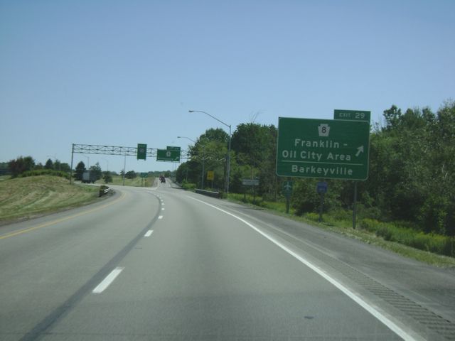 |
Interstate 80 East at Exit 29: PA 8 - Franklin/Oil City Area / Barkeyville (Photo taken 8/28/10). |
 |
Interstate 80 East assurance shield sign located near mile marker 29. (Photo taken 8/28/10). |
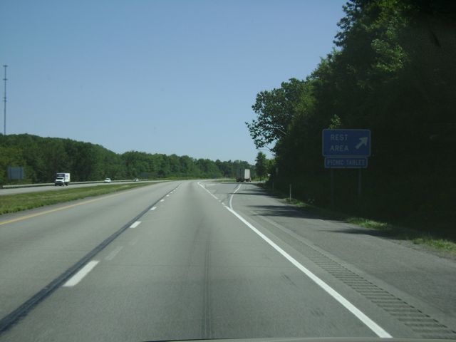 |
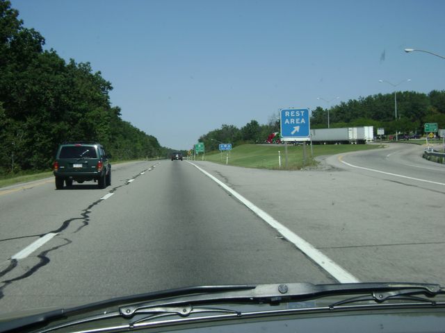
Interstate 80 East at the Rest Area near mile marker 30. (Photo taken 8/28/10). |
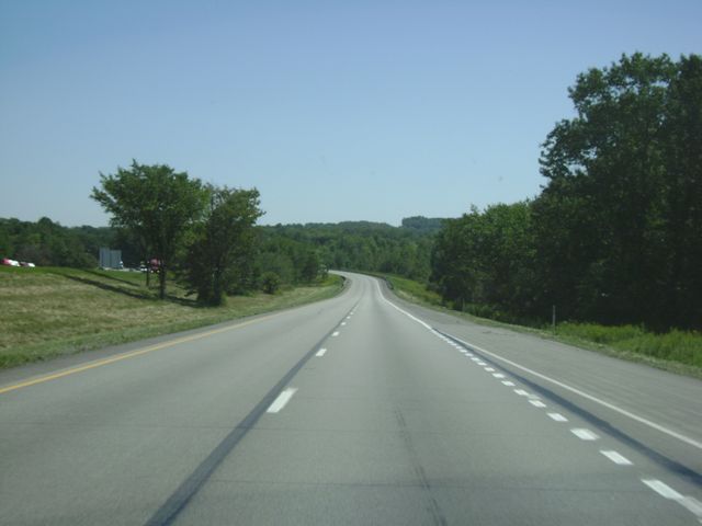 |
Interstate 80 East: Road view from near mile marker 31. (Photo taken 8/28/10). |
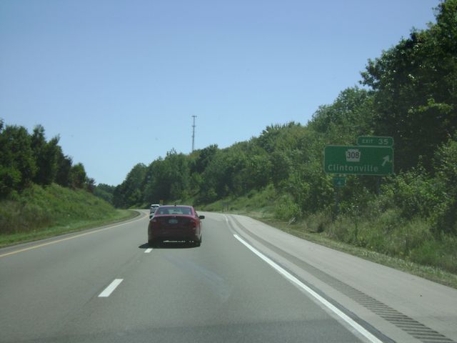 |
Interstate 80 East at Exit 35: PA 308 - Clintonville (Photo taken 8/28/10). |
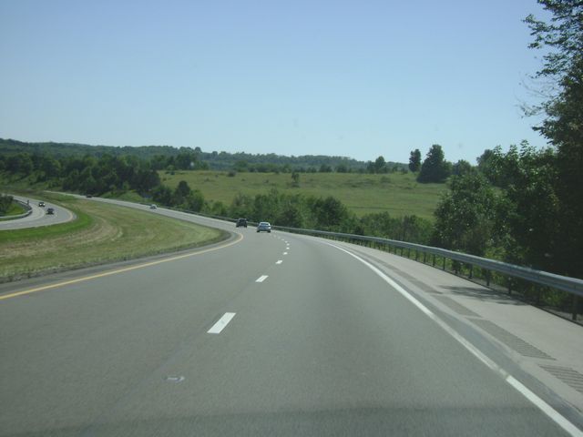 |
Interstate 80 East: Road view from near mile marker 40. (Photo taken 8/28/10). |
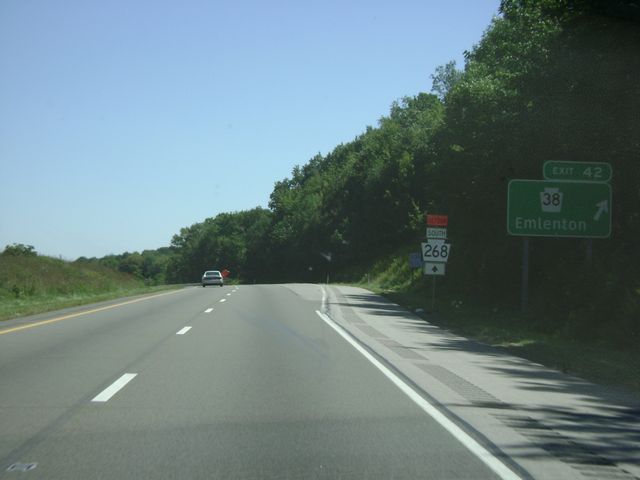 |
Interstate 80 East at Exit 42: PA 38 - Emlenton (Photo taken 8/28/10). |
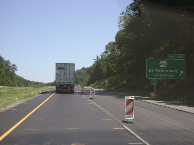 |
Interstate 80 East at Exit 45: PA 478 - St Petersburg / Emlenton (Photo taken 8/28/10). |
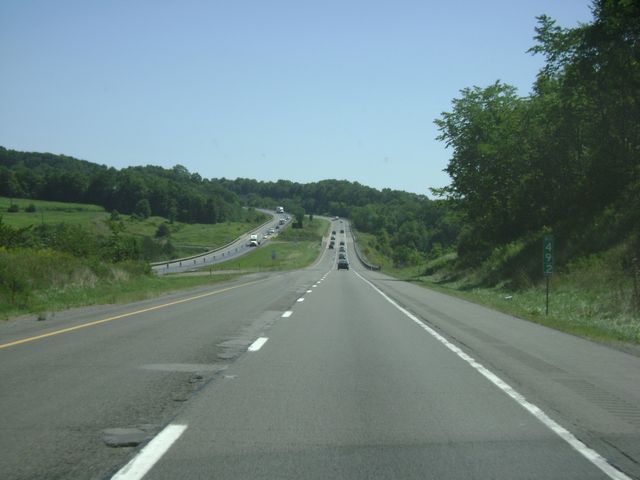 |
Interstate 80 East: Road view from mile marker 49. (Photo taken 8/28/10). |
 |
Interstate 80 East at Exit 53: To PA 338 - Knox (Photo taken 8/28/10). |
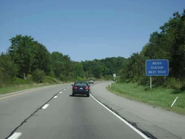 |
Interstate 80 East approaching the Weigh Station near mile marker 57. (Photo taken 8/28/10). |
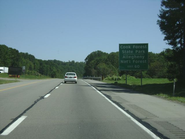 |
Use Exit 60 to get to Cook Forest State Park and the Allegheny National Forest. (Photo taken 8/28/10). |
 |
Interstate 80 East at Exit 60: PA 66 North - Shippenville (Photo taken 8/28/10). |
 |
Interstate 80 East at Exit 62: PA 68 - Clarion (Photo taken 8/28/10). |
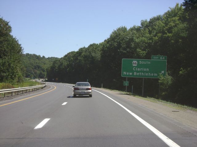 |
Interstate 80 East at Exit 64: PA 66 South - Clarion / New Bethlehem (Photo taken 8/28/10). |
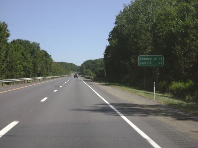 |
Mileage sign located near mile marker 65. From this point, Brookville is 13 miles ahead and DuBois is 33 miles ahead. (Photo taken 8/28/10). |
 |
Interstate 80 East: Road view from mile marker 68. (Photo taken 8/28/10). |
 |
Interstate 80 East at Exit 70: US 322 - Strattanville (Photo taken 8/28/10). |
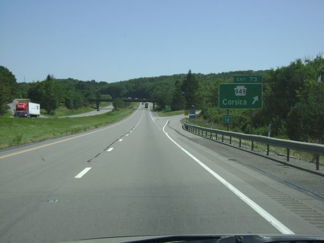 |
Interstate 80 East at Exit 73: PA 949 - Corsica (Photo taken 8/28/10). |
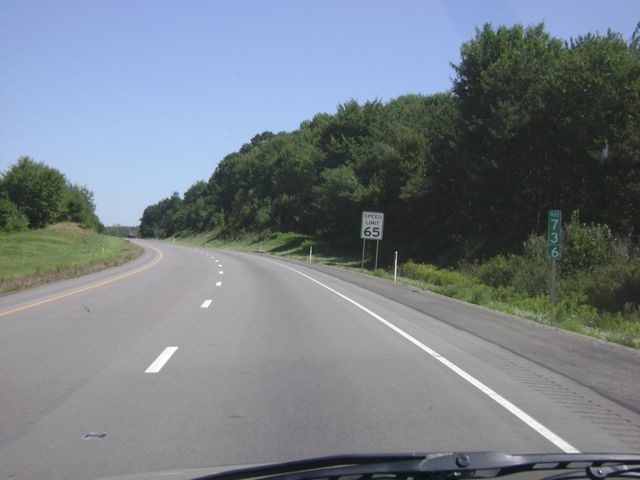 |
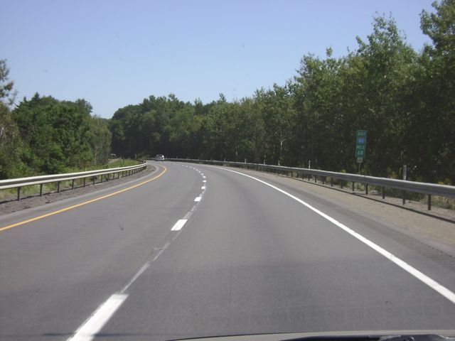
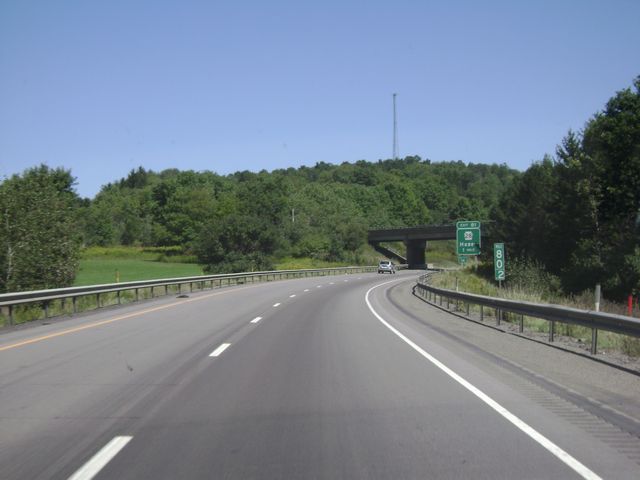
Interstate 80 East: Road view from mile marker 73. (Photo taken 8/28/10). |
 |
Interstate 80 East at Exit 78: PA 36 - Sigel / Brookville (Photo taken 8/28/10). |
 |
Interstate 80 East: Road view from mile marker 80. (Photo taken 8/28/10). |
 |
Interstate 80 East at Exit 81: PA 28 - Hazen (Photo taken 8/28/10). |
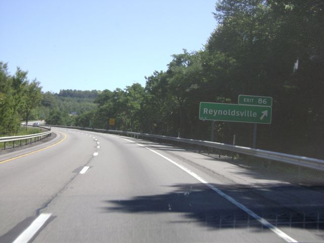 |
Interstate 80 East at Exit 86: Reynoldsville (Photo taken 8/28/10). |
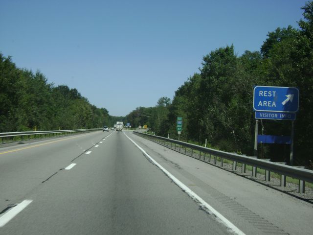 |
Interstate 80 East at the Rest Area near mile marker 87. (Photo taken 8/28/10). |
 |
Mileage sign located near mile marker 87. It's 10 miles to DuBois and 29 miles to Clearfield. (Photo taken 8/28/10). |
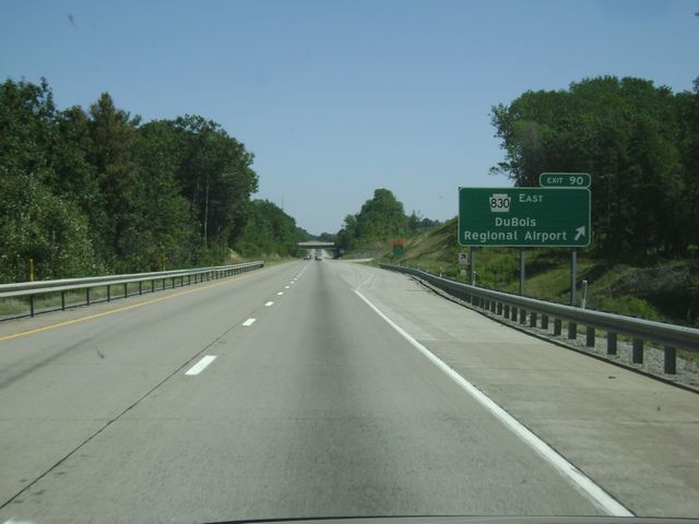 |
Interstate 80 East at Exit 90: PA 830 East - DuBois Regional Airport (Photo taken 8/28/10). |
 |
Interstate 80 East: Road view from mile marker 93. (Photo taken 8/28/10). |
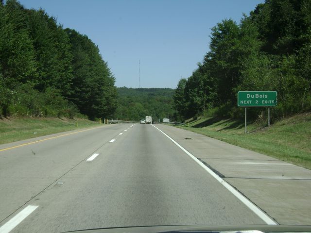 |
Take either of the next 2 exits to get to DuBois. (Photo taken 8/28/10). |
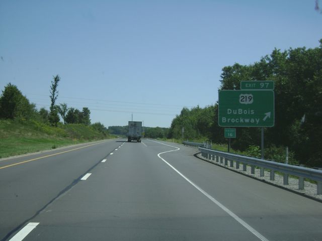 |
Interstate 80 East at Exit 97: US 219 - DuBois / Brockway (Photo taken 8/28/10). |
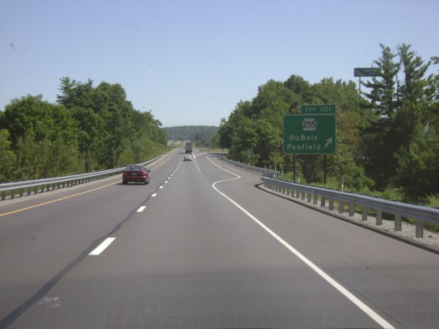 |
Interstate 80 East at Exit 101: PA 255 - DuBois / Penfield (Photo taken 8/28/10). |
 |
Sign near mile marker 106 indicating that you are now entering the Chesapeake Bay Watershed. (Photo taken 8/28/10). |
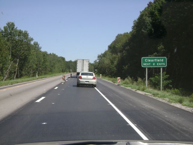 |
Take either of the next 2 exits to get to Clearfield. (Photo taken 8/28/10). |
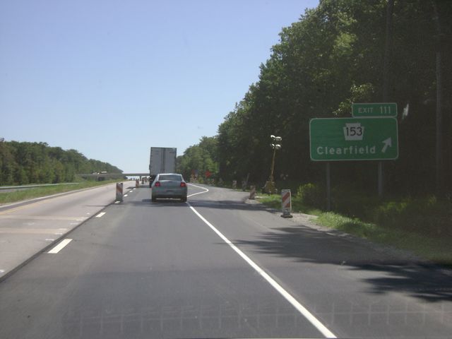 |
Interstate 80 East at Exit 111: PA 153 - Clearfield (Photo taken 8/28/10). |
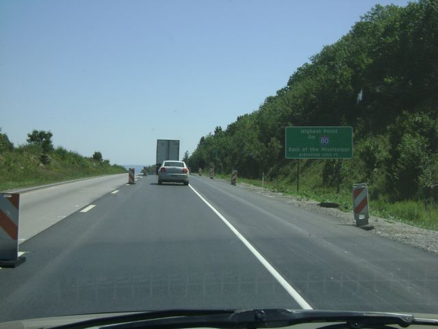 |
Sign near mile marker 112 which states that this point on Interstate 80 is the highest point on I-80 east of the Mississippi River. (Photo taken 8/28/10). |
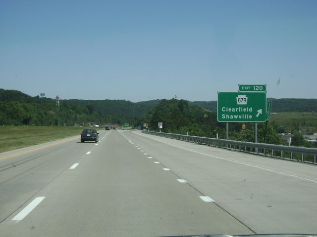 |
Interstate 80 East at Exit 120: PA 879 - Clearfield / Shawville (Photo taken 8/28/10). |
 |
Interstate 80 East: Road view from mile marker 120. (Photo taken 8/28/10). |
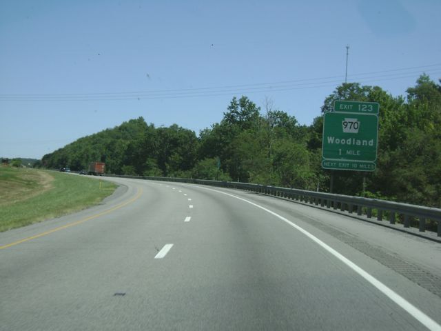 |
Interstate 80 East approaching Exit 123 - 1 mile. (Photo taken 8/28/10). |
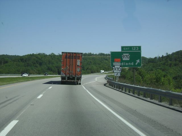 |
Interstate 80 East at Exit 123: PA 970 - Woodland (Photo taken 8/28/10). |
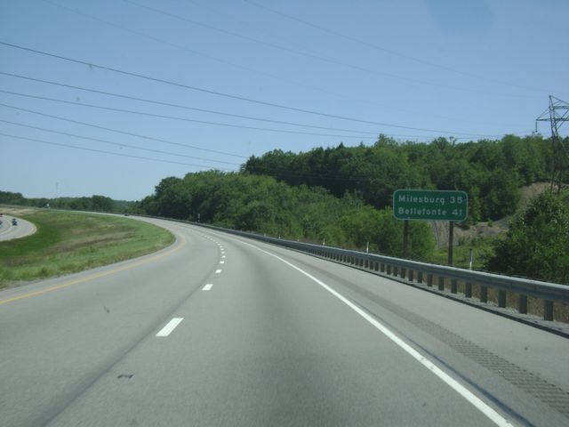 |
Mileage sign located near mile marker 124. It's 35 miles to Milesburg and 41 miles to Bellefonte. (Photo taken 8/28/10). |
 |
Interstate 80 East: Road view from mile marker 129. (Photo taken 8/28/10). |
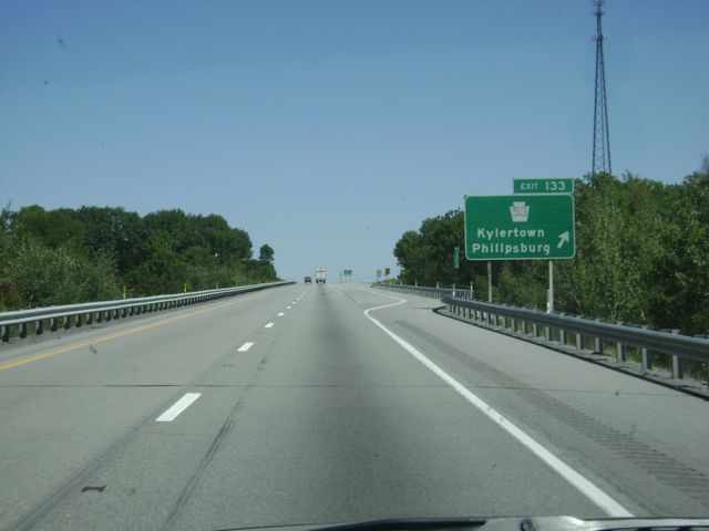 |
Interstate 80 East at Exit 133: PA 53 - Kylertown / Philipsburg (Photo taken 8/28/10). |
 |
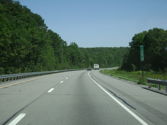
Interstate 80 East: Road view from mile marker 137. (Photo taken 8/28/10). |
 |
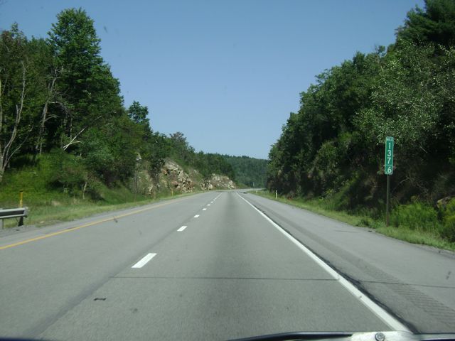
Interstate 80 East: Road view from mile marker 141. (Photo taken 8/28/10). |
 |
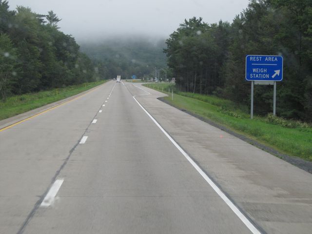
Interstate 80 East at the Rest Area near mile marker 146. (Photo taken 8/28/10). |
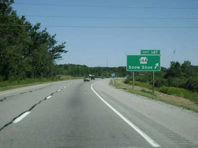 |
Interstate 80 East at Exit 147: PA 144 - Snow Shoe (Photo taken 8/28/10). |
Section 2: Snow Shoe (Exit 147) to Milton (Exit 212A)
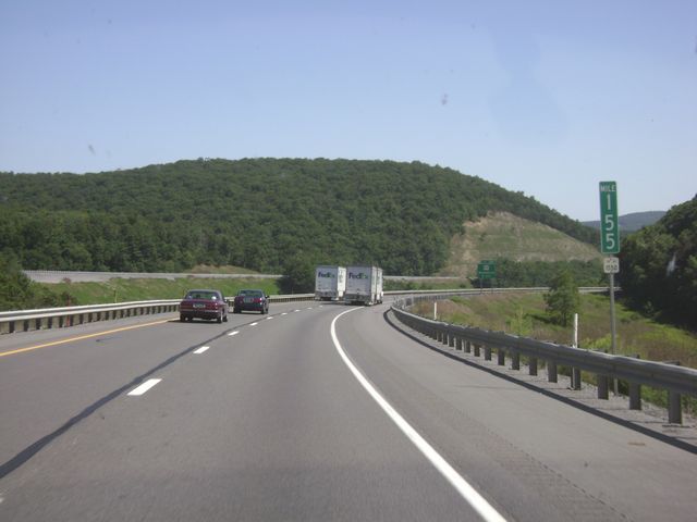 |
Interstate 80 East: Road view from mile marker 155, as I-80 makes a rather long and steep downgrade. (Photo taken 8/28/10). |
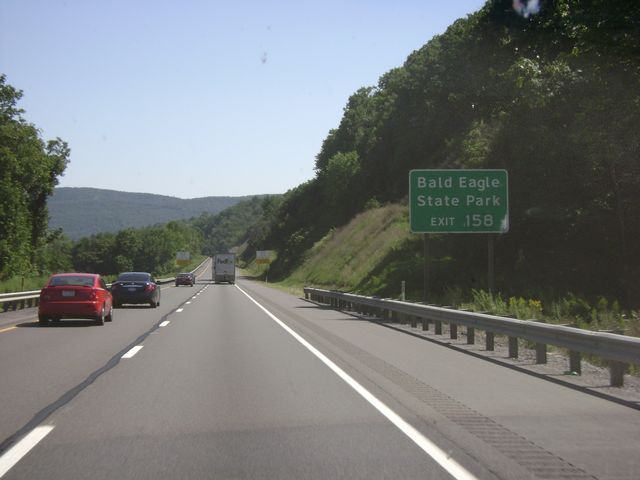 |
Take Exit 158 to get to Bald Eagle State Park. (Photo taken 8/28/10). |
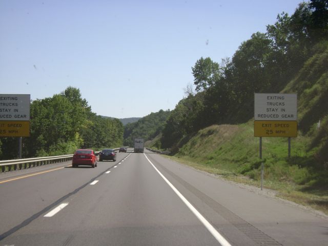 |
Warning signs near mile marker 156 warning truck drivers that they should remain in a lower gear if they are going to use Exit 158 due to the steep downgrade. (Photo taken 8/28/10). |
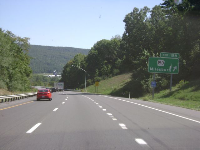 |
Interstate 80 East at Exit 158: PA 150 - Milesburg (Photo taken 8/28/10). |
 |
Use Exit 161 to get to State College and Penn State University. (Photo taken 8/28/10). |
 |
Interstate 80 East approaching Exit 161 - 1 mile. (Photo taken 8/28/10). |
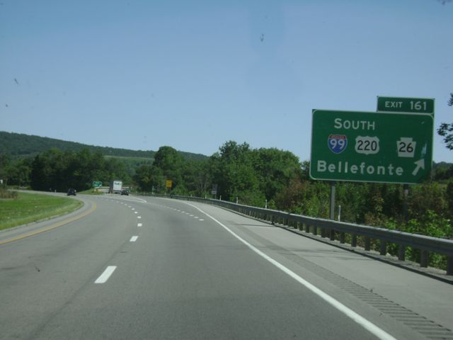 |
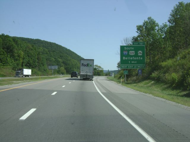
Interstate 80 East at Exit 161: Interstate 99 South / US 220 South / PA 26 - Bellefonte (Photo taken 8/28/10). |
 |
Mileage sign at mile marker 161. It's 25 miles to Lock Haven and 52 miles to Williamsport. (Photo taken 8/14/11). |
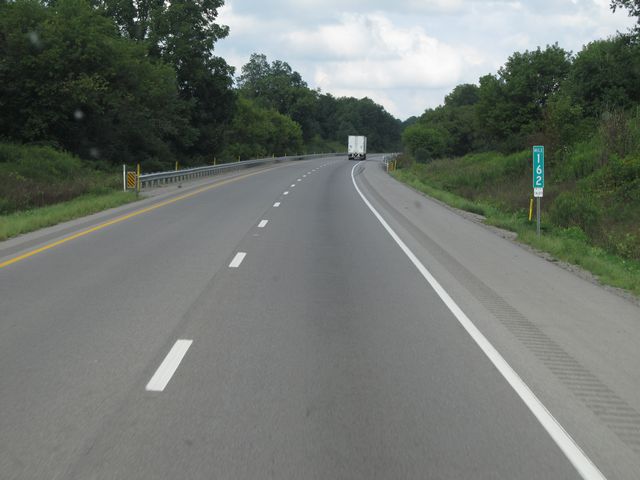 |
Interstate 80 East: Road view from mile marker 162. (Photo taken 8/14/11). |
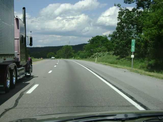 |
Interstate 80 East: Road view from mile marker 165. (Photo taken 8/14/11). |
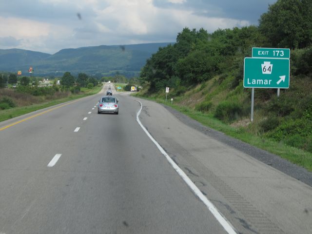 |
Interstate 80 East at Exit 173: PA 64 - Lamar (Photo taken 8/14/11). |
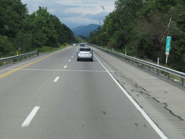 |
Interstate 80 East: Road view from mile marker 174. (Photo taken 8/14/11). |
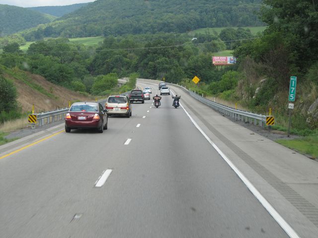 |
Interstate 80 East: Road view from mile marker 175. (Photo taken 8/14/11). |
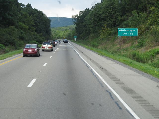 |
Use Exit 178 for Williamsport. (Photo taken 8/14/11). |
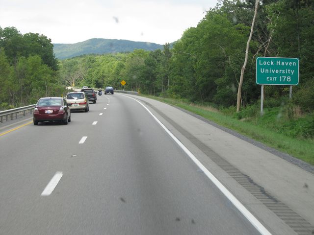 |
Take Exit 178 to get to Lock Haven University. (Photo taken 8/14/11). |
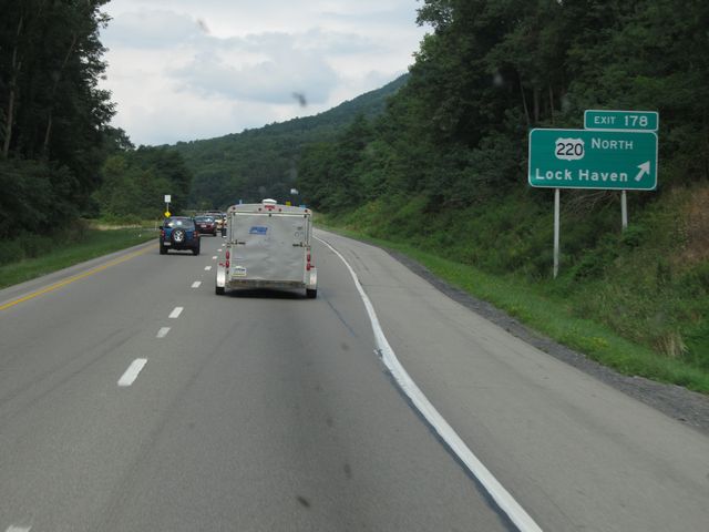 |
Interstate 80 East at Exit 178: US 220 North - Lock Haven (Photo taken 8/14/11). |
 |
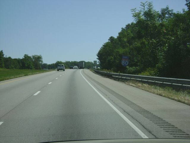
Interstate 80 East shield sign located near mile marker 178. (Photo taken 8/14/11). |
 |
Interstate 80 East: Road view from near mile marker 179.5. (Photo taken 8/14/11). |
 |
Interstate 80 East: Road view from mile marker 180. (Photo taken 8/14/11). |
 |
Interstate 80 East: Road view from mile marker 181. (Photo taken 8/14/11). |
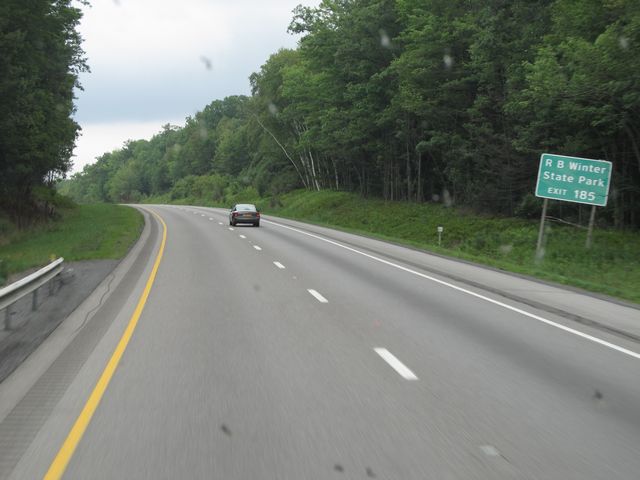 |
Use Exit 185 for RB Winter State Park. (Photo taken 8/14/11). |
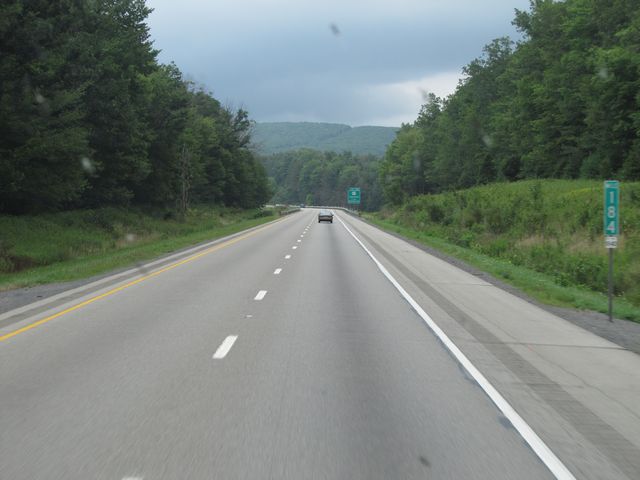 |
Interstate 80 East: Road view from mile marker 184. (Photo taken 8/14/11). |
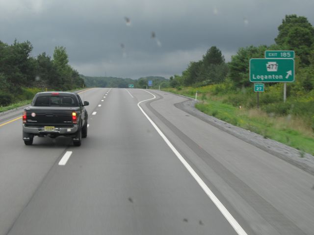 |
Interstate 80 East at Exit 185: PA 477 - Loganton (Photo taken 8/14/11). |
 |
Interstate 80 East: Road view from mile marker 186. (Photo taken 8/14/11). |
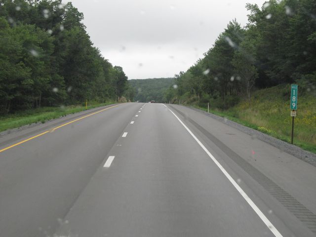 |
Interstate 80 East: Road view from mile marker 189. (Photo taken 8/14/11). |
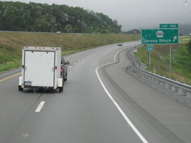 |
Interstate 80 East at Exit 192: PA 880 - Jersey Shore (Photo taken 8/14/11). |
 |
Interstate 80 East at the Rest Area / Weigh Station located near mile marker 194. (Photo taken 8/14/11). |
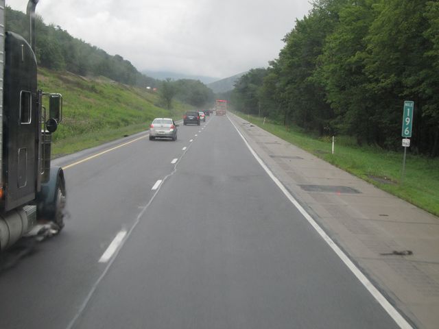 |
Interstate 80 East: Road view from mile marker 196. (Photo taken 8/14/11). |
 |
Interstate 80 East: Road view from mile marker 198. (Photo taken 8/14/11). |
 |
Interstate 80 East at Exit 199: Mile Run (Photo taken 8/14/11). |
 |
Interstate 80 East: Road view from mile marker 200. (Photo taken 8/14/11). |
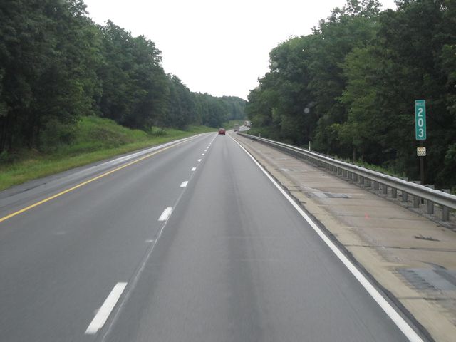 |
Interstate 80 East: Road view from mile marker 203. (Photo taken 8/14/11). |
 |
Interstate 80 East: Road view from mile marker 206. (Photo taken 8/14/11). |
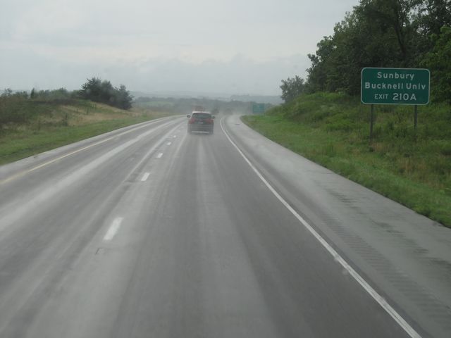 |
Use Exit 210A for Sunbury and Bucknell University. (Photo taken 8/14/11). |
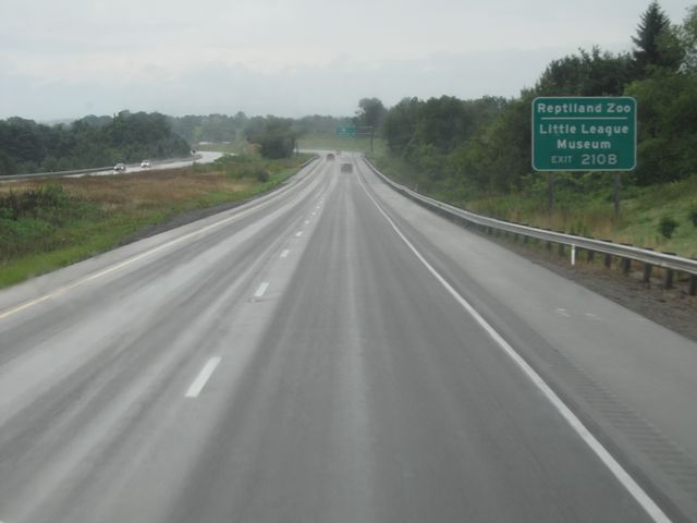 |
Use Exit 210B for the Reptiland Zoo and the Little League Museum. (Photo taken 8/14/11). |
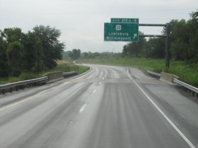 |
Interstate 80 East at Exits 210A-B: US 15 - Lewisburg / Williamsport (Photo taken 8/14/11). |
 |
Interstate 80 East approaching Exits 212A-B - 1 mile. (Photo taken 8/14/11). |
 |
Interstate 80 East at Exit 212A: PA 147 South - Milton (Photo taken 8/14/11). |
Section 3: Milton (Exit 212A) to Hazleton (Exit 260B)
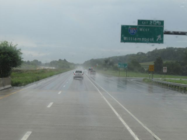 |
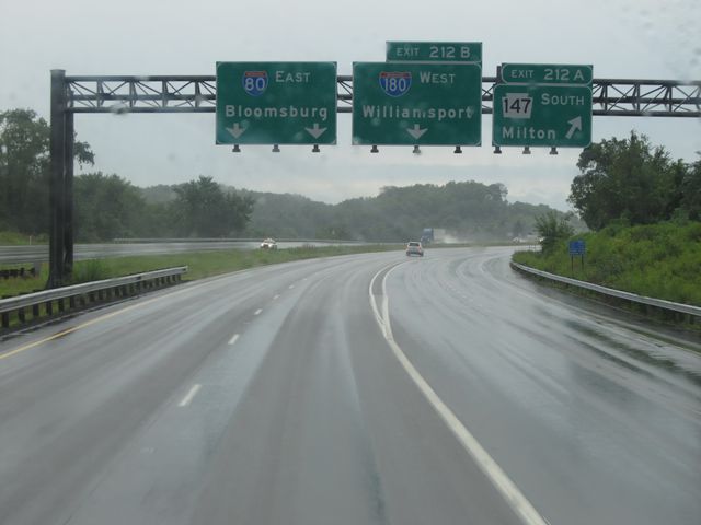
Interstate 80 East at Exit 212B: Interstate 180 West - Williamsport (Photo taken 8/14/11). |
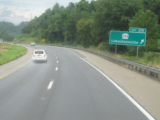 |
Interstate 80 East at Exit 215: PA 254 - Limestoneville (Photo taken 8/14/11). |
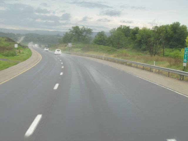 |
Interstate 80 East: Road view from mile marker 216. (Photo taken 8/14/11). |
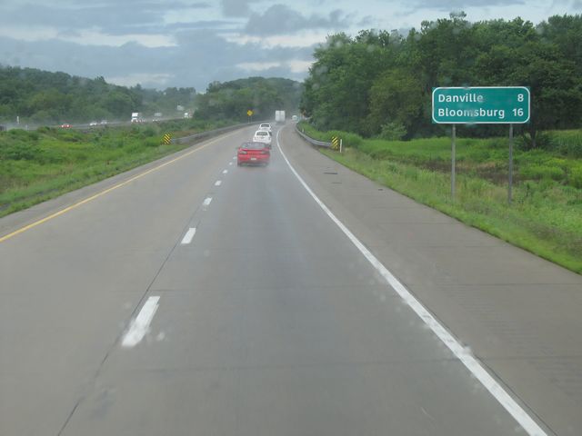 |
Mileage sign located near mile marker 217. From here, it's 8 miles to Danville and 16 miles to Bloomsburg. (Photo taken 8/14/11). |
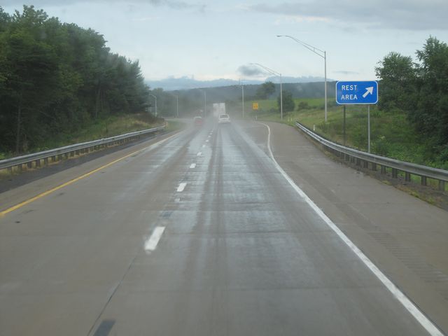 |
Interstate 80 East at the Rest Area located near mile marker 218.5. (Photo taken 8/14/11). |
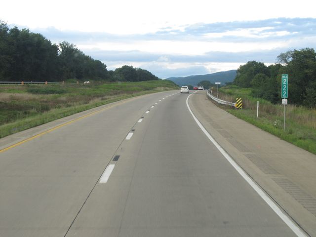 |
Interstate 80 East: Road view from mile marker 222. (Photo taken 8/14/11). |
 |
Use Exit 224 for Shamokin and Mt. Carmel. (Photo taken 8/14/11). |
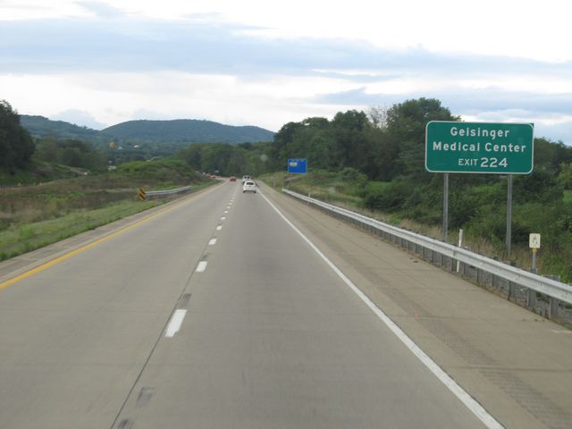 |
Also use Exit 224 to access Geisinger Medical Center. (Photo taken 8/14/11). |
 |
Interstate 80 East at Exit 224: PA 54 - Danville (Photo taken 8/14/11). |
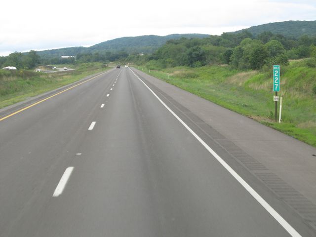 |
Interstate 80 East: Road view from mile marker 227. (Photo taken 8/14/11). |
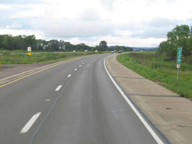 |
Interstate 80 East: Road view from mile marker 229. (Photo taken 8/14/11). |
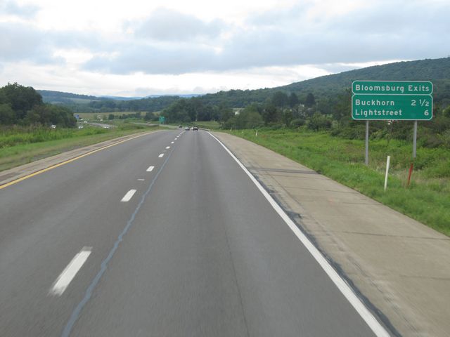 |
Sign near mile marker 230 listing the distances to the two upcoming Bloomsburg exits. (Photo taken 8/14/11). |
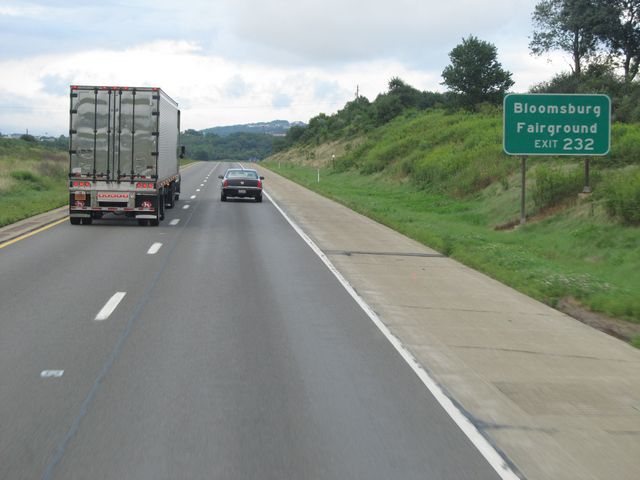 |
Take Exit 232 for the Bloomsburg Fairground. (Photo taken 8/14/11). |
 |
Interstate 80 East at Exit 232: PA 42 - Buckhorn (Photo taken 8/14/11). |
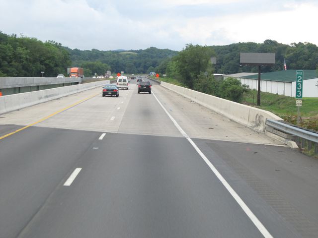 |
Interstate 80 East: Road view from mile marker 233. (Photo taken 8/14/11). |
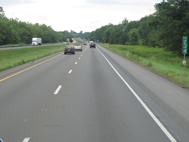 |
Interstate 80 East: Road view from mile marker 234. (Photo taken 8/14/11). |
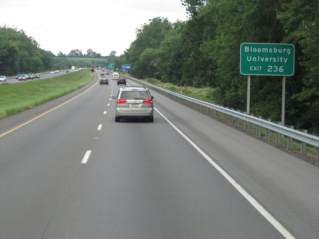 |
Use Exit 236 for Bloomsburg University. (Photo taken 8/14/11). |
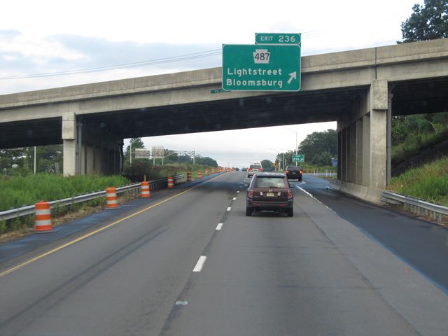 |
Interstate 80 East at Exit 236: PA 487 - Lightstreet / Bloomsburg (Photo taken 8/14/11). |
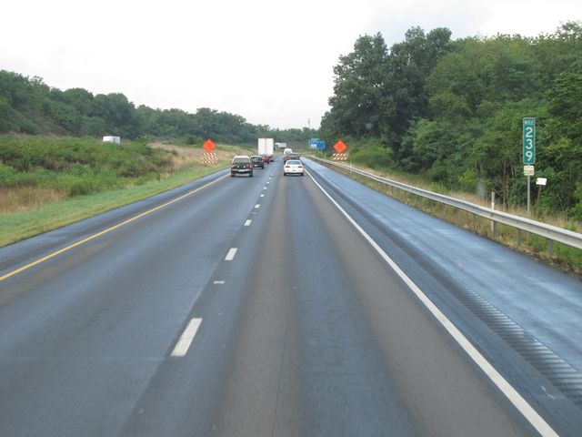 |
Interstate 80 East: Road view from mile marker 239. (Photo taken 8/14/11). |
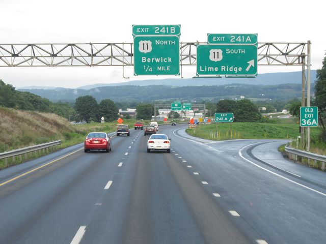 |
Interstate 80 East at Exit 241A: US 11 South - Lime Ridge (Photo taken 8/14/11). |
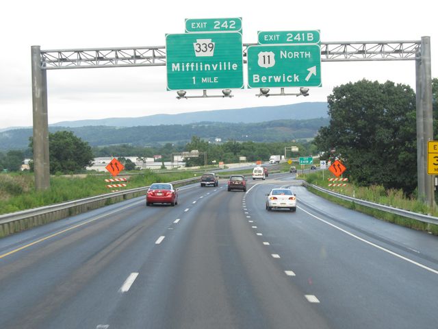 |
Interstate 80 East at Exit 241B: US 11 North - Berwick (Photo taken 8/14/11). |
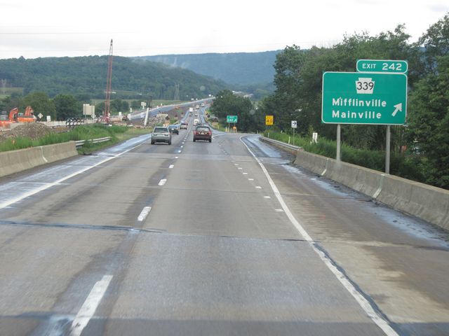 |
Interstate 80 East at Exit 242: PA 339 - Mifflinville / Mainville (Photo taken 8/14/11). |
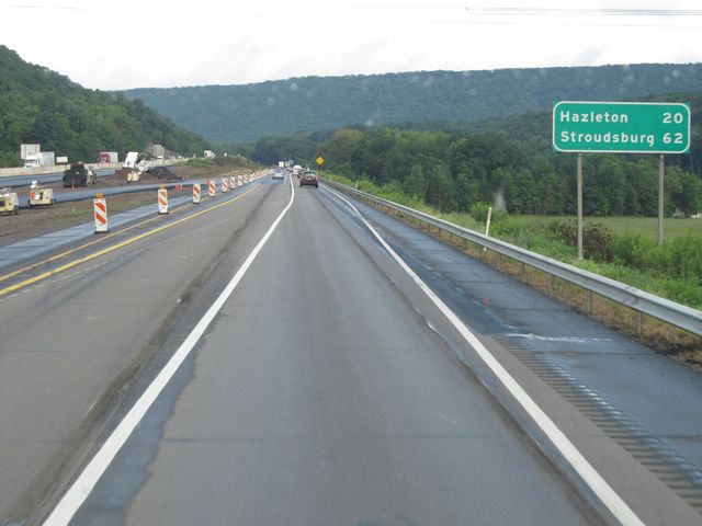 |
Mileage sign located near mile marker 243. Hazelton is 20 miles ahead, and it's 62 miles to Stroudsburg. (Photo taken 8/14/11). |
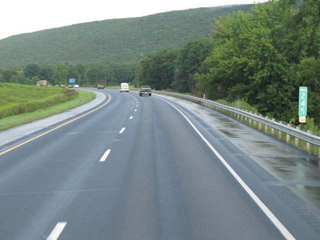 |
Interstate 80 East: Road view from mile marker 245. (Photo taken 8/14/11). |
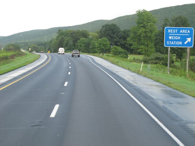 |
Interstate 80 East at the Rest Area / Weigh Station located near mile marker 245.5. (Photo taken 8/14/11). |
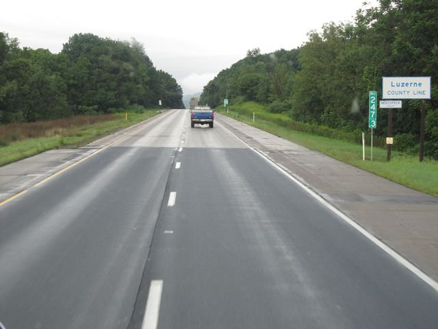 |
Interstate 80 East: Road view from mile marker 247.3, as it enters Luzerne County. (Photo taken 8/14/11). |
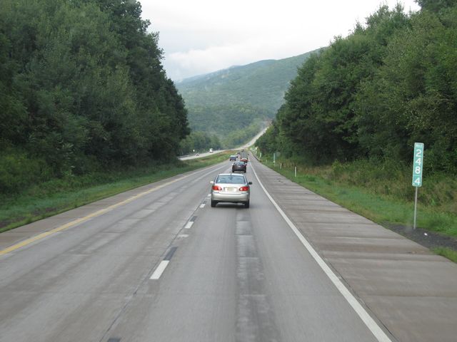 |
Interstate 80 East: Road view from mile marker 248.4. (Photo taken 8/14/11). |
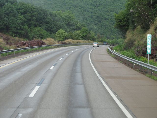 |
Interstate 80 East: Road view from mile marker 249.8, as I-80 curves to the south. (Photo taken 8/14/11). |
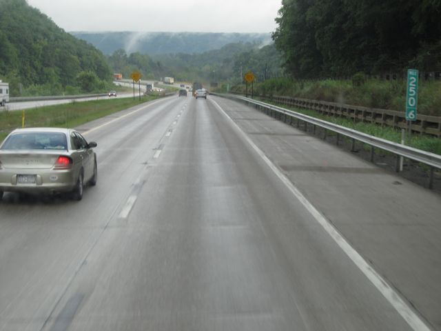 |
Interstate 80 East: Road view from mile marker 250.6, as the road briefly heads south to wind its way around the mountains to the east. (Photo taken 8/14/11). |
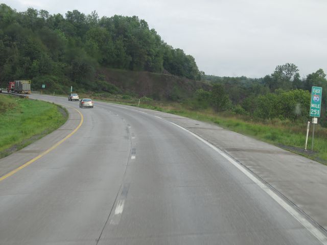 |
Interstate 80 East: Road view from mile marker 251, as it curves back to the east. (Photo taken 8/14/11). |
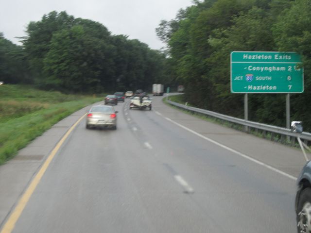 |
Sign near mile marker 252, listing the mileage to the different Hazelton exits. (Photo taken 8/14/11). |
 |
Interstate 80 East: Road view from mile marker 253.7. (Photo taken 8/14/11). |
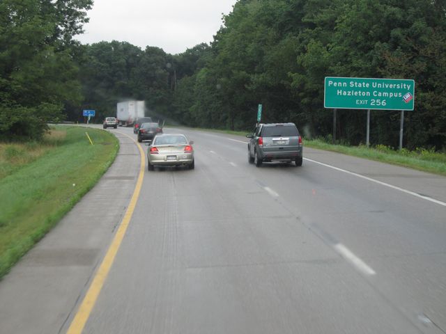 |
Use Exit 256 to get to Penn State University's Hazelton Branch Campus. (Photo taken 8/14/11). |
 |
Interstate 80 East approaching Exit 256 - 1 mile. (Photo taken 8/14/11). |
 |
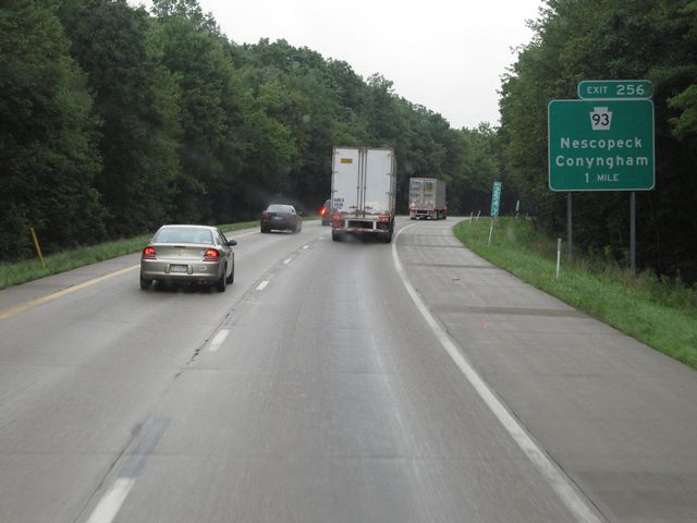
Interstate 80 East at Exit 256: PA 93 - Nescopeck / Conyngham (Photo taken 8/14/11). |
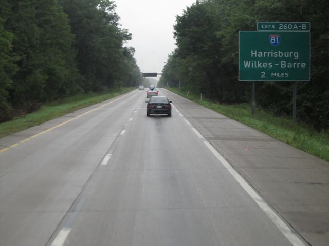 |
Interstate 80 East approaching Exits 260A-B - 2 miles. (Photo taken 8/14/11). |
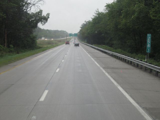 |
Interstate 80 East: Road view from mile marker 258.1. (Photo taken 8/14/11). |
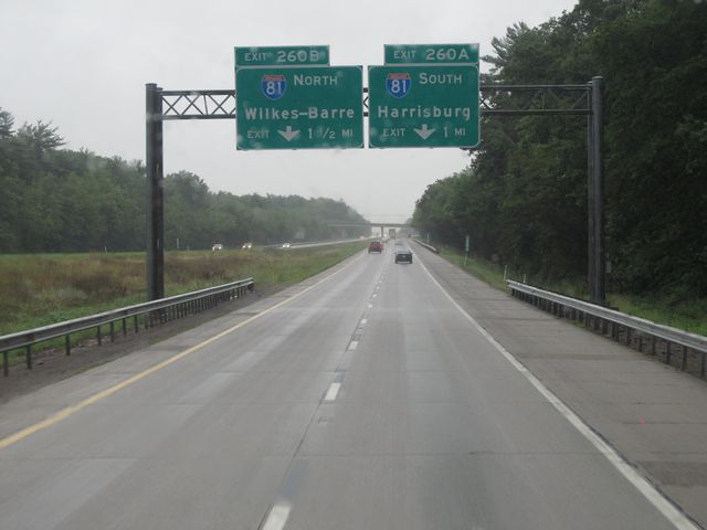 |
Interstate 80 East approaching Exit 260A - 1 mile on the right, and Exit 260B - 1 1/2 miles on the left. (Photo taken 8/14/11). |
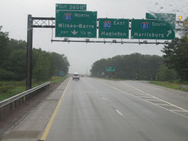 |
Interstate 80 East at Exit 260A: Interstate 81 South - Harrisburg (Photo taken 8/14/11). |
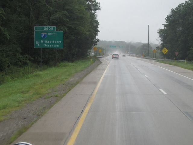 |
Interstate 80 East at Exit 260B: Interstate 81 North - Wilkes-Barre / Scranton (Photo taken 8/14/11). |