Road Information |
||
 |
||
| Total Mileage in State: | 183 miles | |
| Northern End: | At Bayfront Pkwy, in Erie | |
| Southern End: | At West Virginia state line | |
| Mileage covered in Photos: | 183 miles | |
| Counties covered in Photos: | Greene, Washington, Allegheny, Butler, Lawrence, Mercer, Crawford, Erie | |
| Major Junctions in Photos: | I-70, in Washington I-376, near Carnegie I-76 (PA Turnpike), in Warrendale I-80, near Mercer I-90, in McKean |
|
| Control Cities in Photos: | Washington, Carnegie, Franklin, Park, Warrendale, Cranberry Twp, Mercer, Meadville, Erie | |
Northbound
- Section 1: West Virginia Border to Robinson Twp (Exit 59B)
- Section 2: Robinson Twp (Exit 59B) to Franklin Park (Exit 73)
- Section 3: Franklin Park (Exit 73) to Mercer (Exit 116A)
- Section 4: Mercer (Exit 116A) to Erie
Section 1: West Virginia Border to Robinson Twp (Exit 59B)
 |
Pennsylvania welcome sign as Interstate 79 North enters the Keystone State from West Virginia. (Photo taken 7/25/13). |
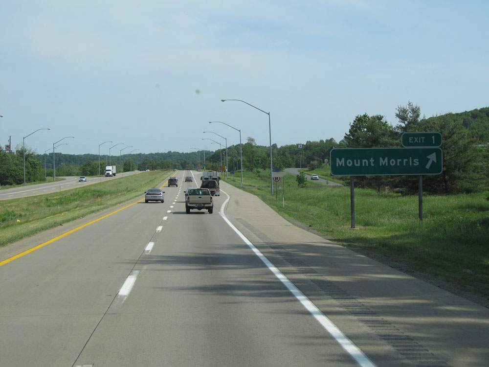 |
Interstate 79 North at Exit 1: Mount Morris (Photo taken 7/25/13). |
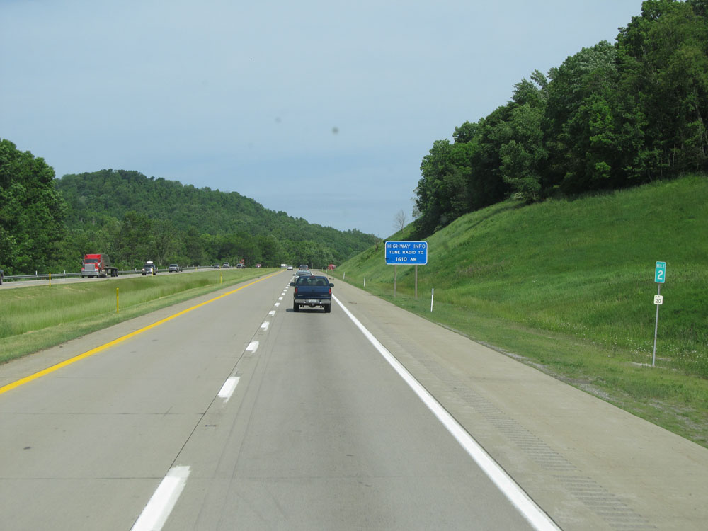 |
Interstate 79 North at mile marker 2. (Photo taken 7/25/13). |
 |
Interstate 79 North at the Welcome Center / Rest Area / Weigh Station located near mile marker 6. (Photo taken 7/25/13). |
 |
Interstate 79 North at Exit 7: Kirby / Garards Fort (Photo taken 7/25/13). |
 |
Interstate 79 North assurance shield north of Exit 7. (Photo taken 7/25/13). |
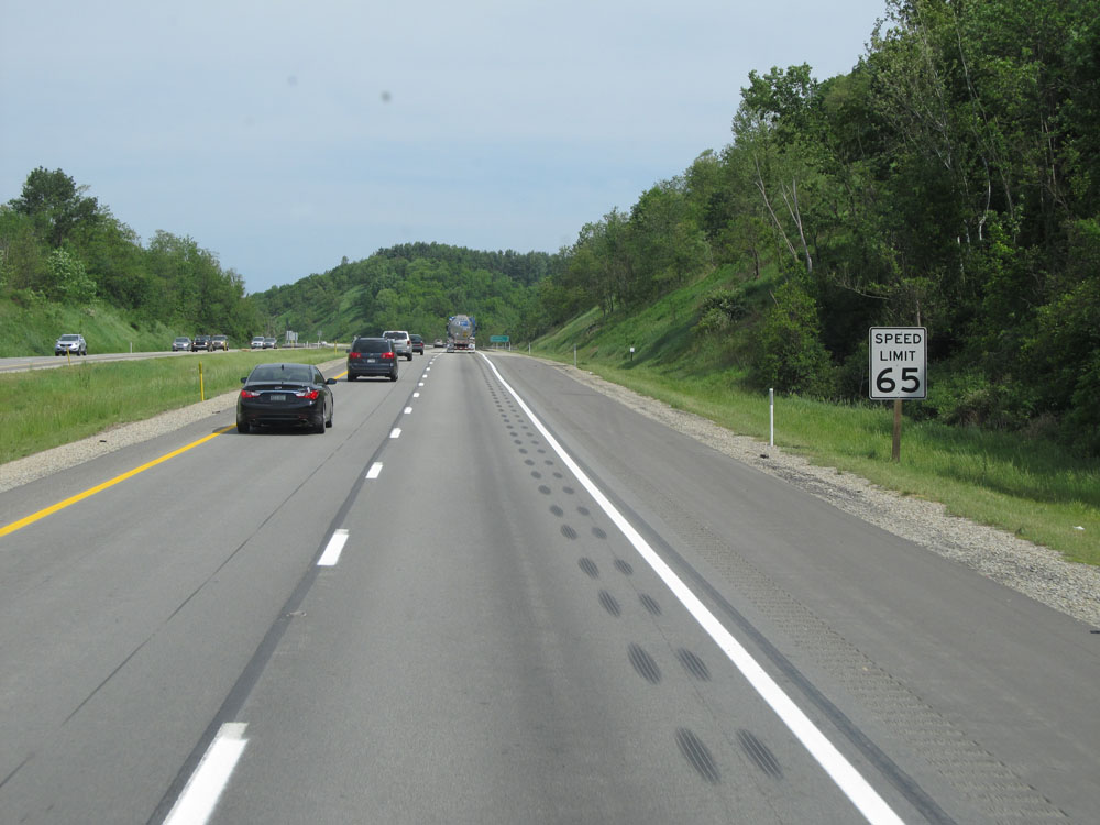 |
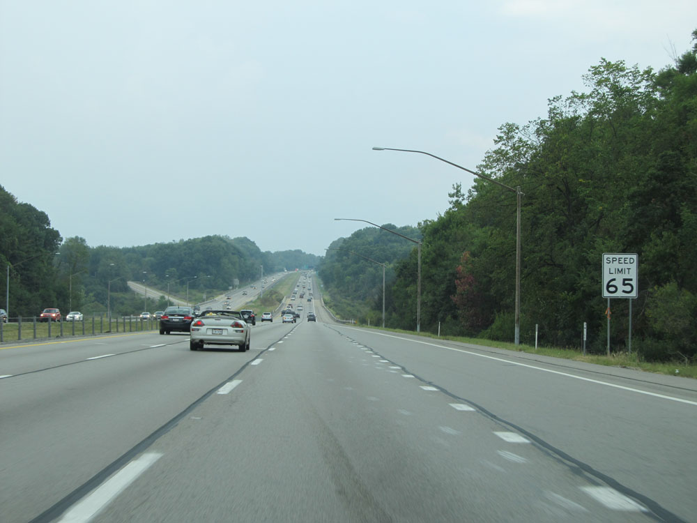
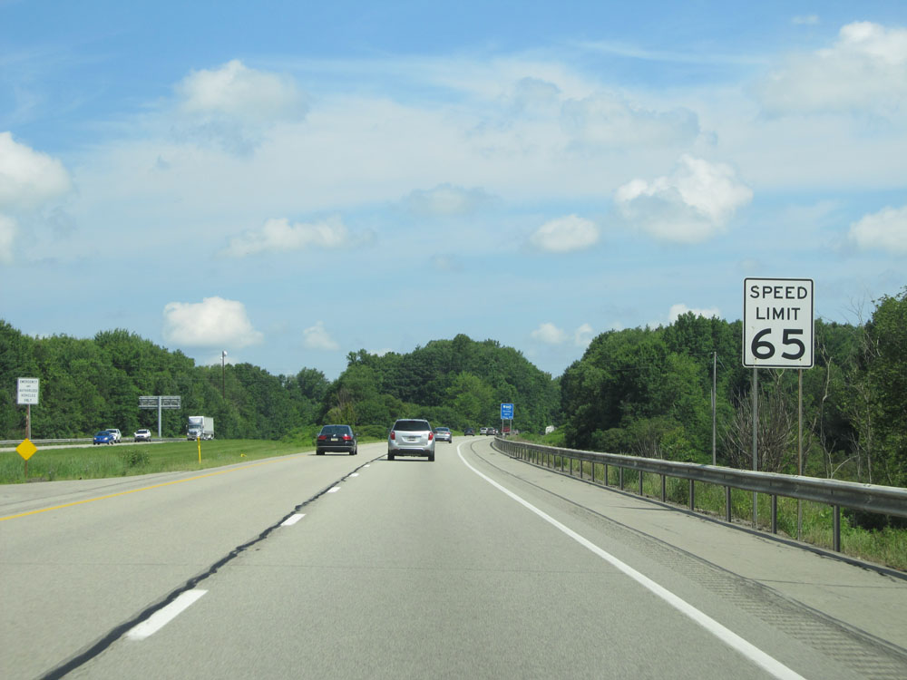
The speed limit starts out at 65 mph on Interstate 79 North, which is standard on most rural Interstates in Pennsylvania. (Photo taken 7/25/13). |
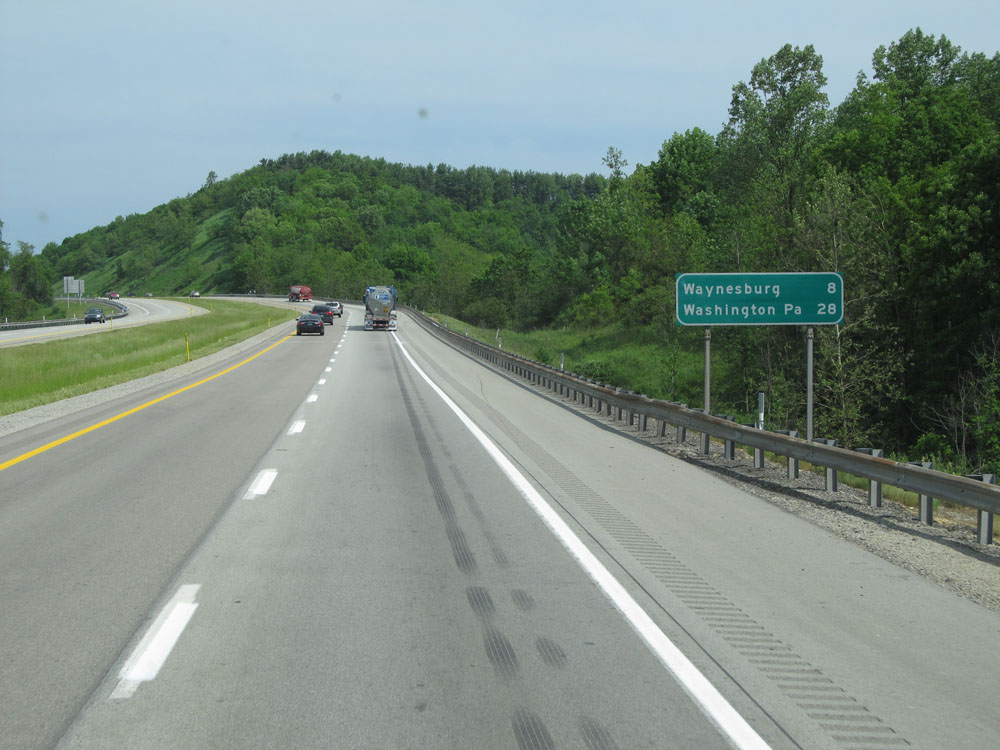 |
Mileage/distance sign on Interstate 79 North. It's 8 miles to Waynesburg and 28 miles to Washington, PA. (Photo taken 7/25/13). |
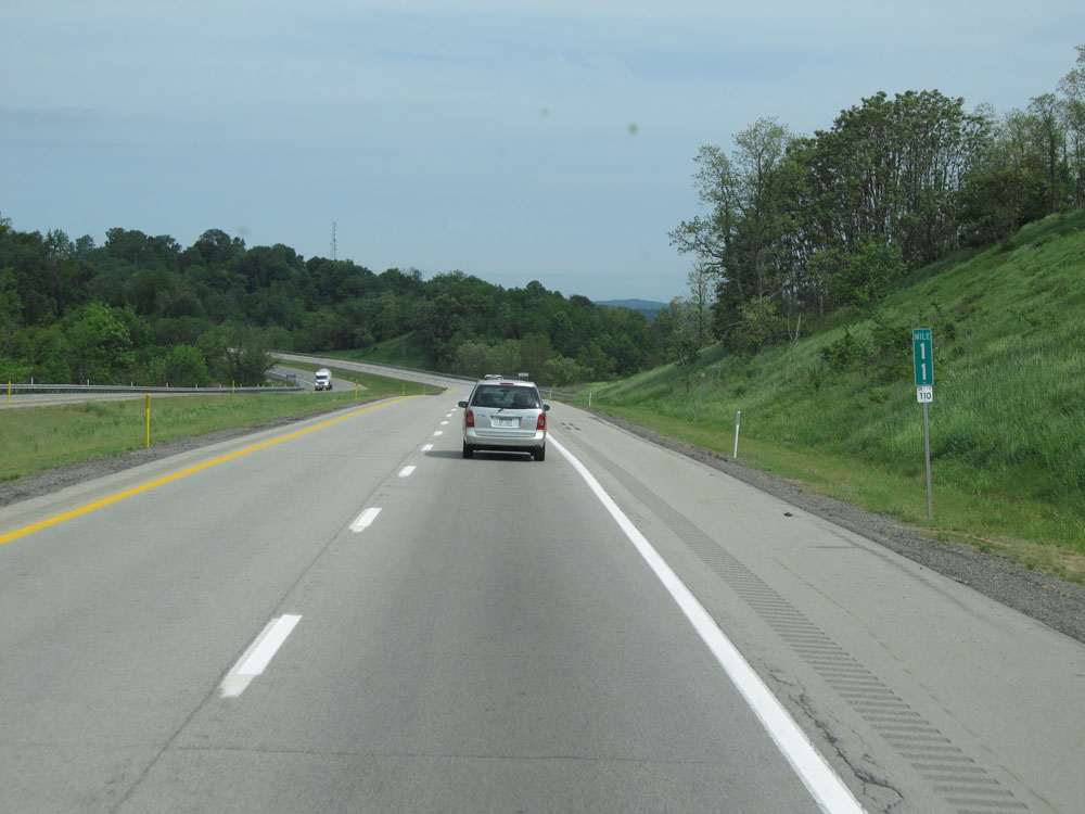 |
Interstate 79 North at mile marker 11. (Photo taken 7/25/13). |
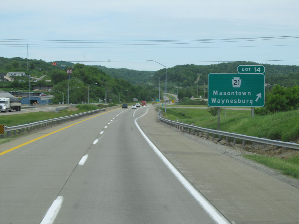 |
Interstate 79 North at Exit 14: PA 21 - Masontown / Waynesburg (Photo taken 7/25/13). |
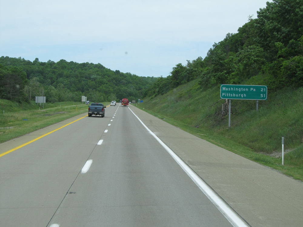 |
Mileage sign north of Exit 14. It's 21 miles to Washington, PA and 51 miles to Pittsburgh. (Photo taken 7/25/13). |
 |
Interstate 79 North at mile marker 16. (Photo taken 7/25/13). |
 |
Interstate 79 North at Exit 19: PA 221 / To US 19 - Ruff Creek / Jefferson (Photo taken 7/25/13). |
 |
Interstate 79 North at mile marker 22. (Photo taken 7/25/13). |
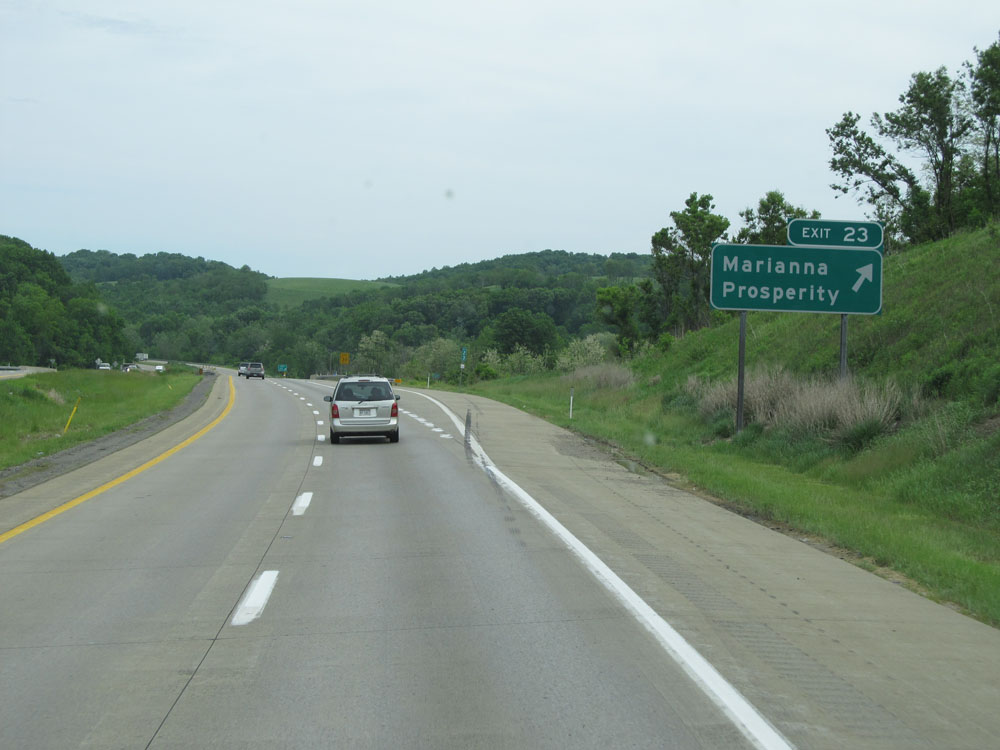 |
Interstate 79 North at Exit 23: Marianna / Prosperity (Photo taken 7/25/13). |
 |
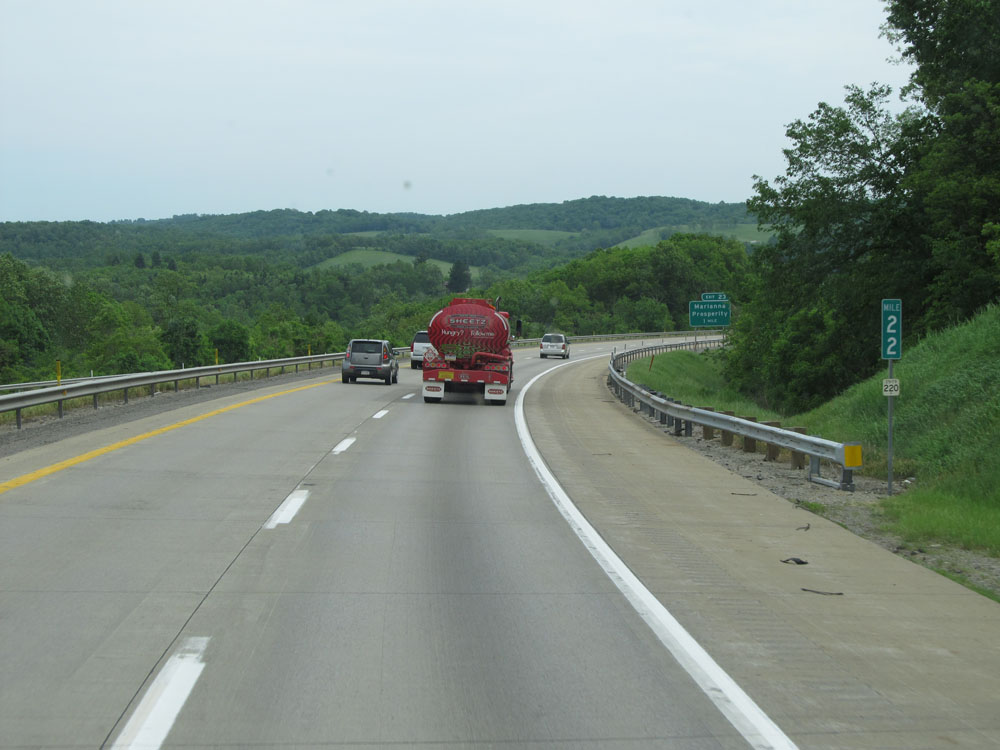
Interstate 79 North at mile marker 26. (Photo taken 7/25/13). |
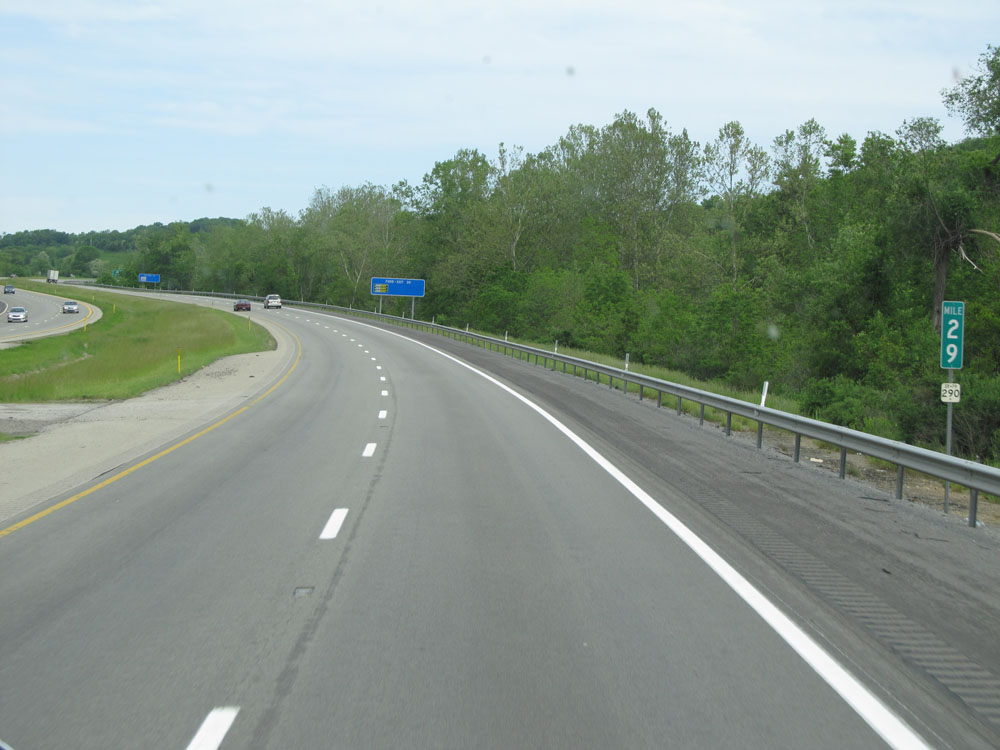 |
Interstate 79 North at mile marker 29. (Photo taken 7/25/13). |
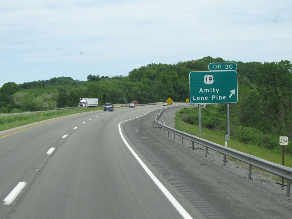 |
Interstate 79 North at Exit 30: US 19 - Amity / Lone Pine (Photo taken 7/25/13). |
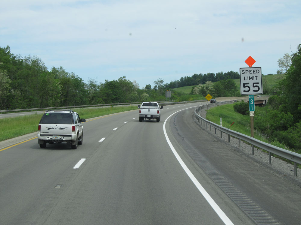 |
At mile marker 31, the speed limit decreases to 55 mph as we near the interchange of Interstate 70. (Photo taken 7/25/13). |
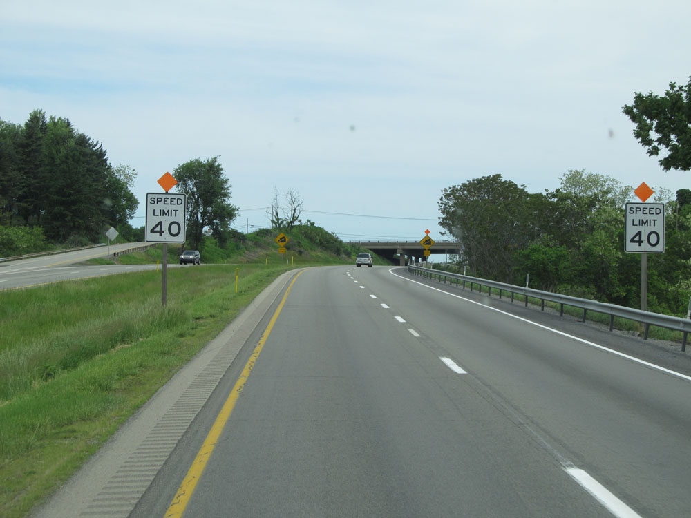 |
A little further ahead, the speed limit decreases to 40 mph in preparation to go down a steep grade with the junction of Interstate 70 at the bottom of it. Note that since this photo was taken, this interchange has been rebuilt. (Photo taken 7/25/13). |
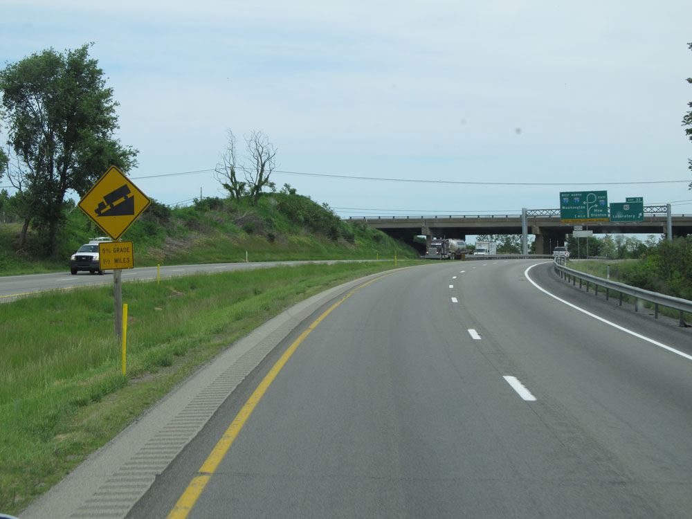 |
This warning sign alerts trucks that a 5% grade lies ahead, which lasts for 1 1/2 miles. At the bottom is the junction of Interstate 70. At the time this photo was taken, this poorly designed interchange contained a sharp curve at the bottom of it. (Photo taken 7/25/13). |
 |
Interstate 79 North at Exit 33: US 40 - Laboratory (Photo taken 7/25/13). |
 |
Starting down the grade, these overhead signs show that you should be in the left lane to remain on Interstate 79 North via Interstate 70 West. (Photo taken 7/25/13). |
 |
This overhead sign shows the old design of the interchange, with a sharp right curve at the bottom of the grade to remain on Interstate 79 North. (Photo taken 7/25/13). |
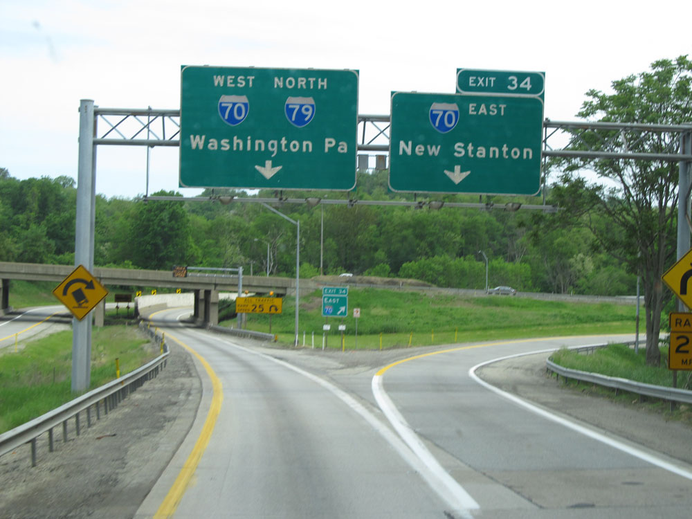 |
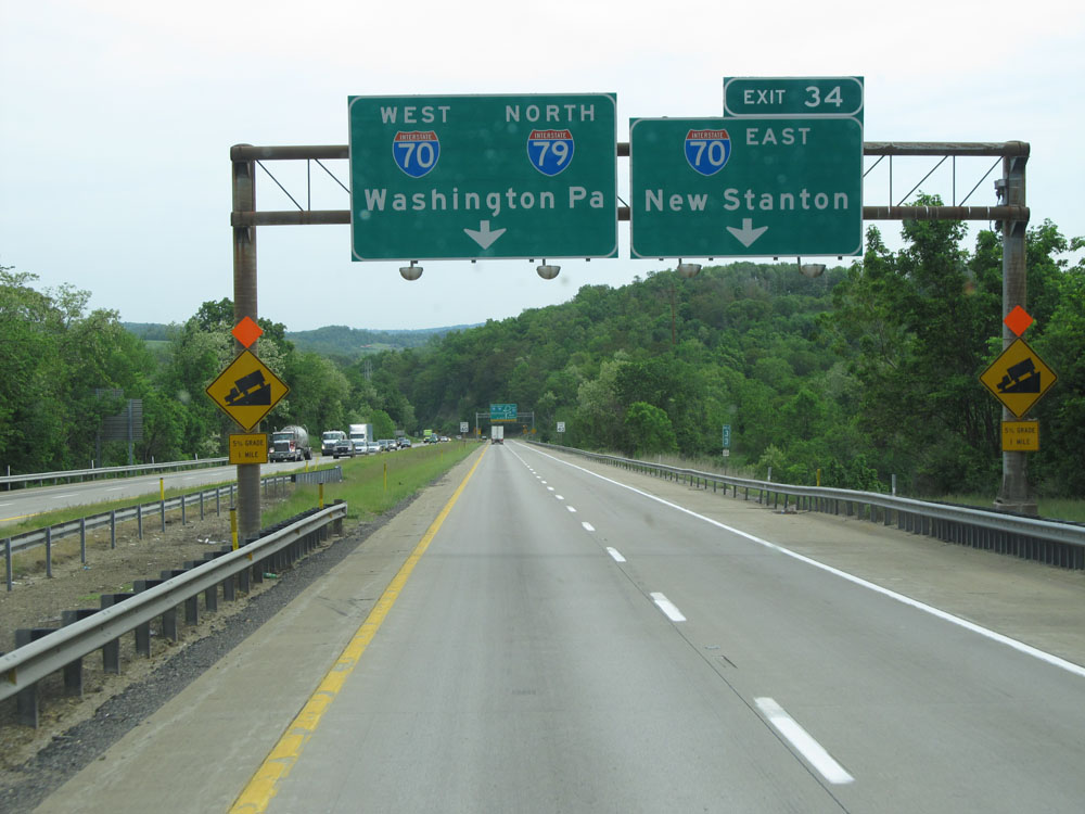
Interstate 79 North at Exit 34: Interstate 70 East - New Stanton (Photo taken 7/25/13). |
 |
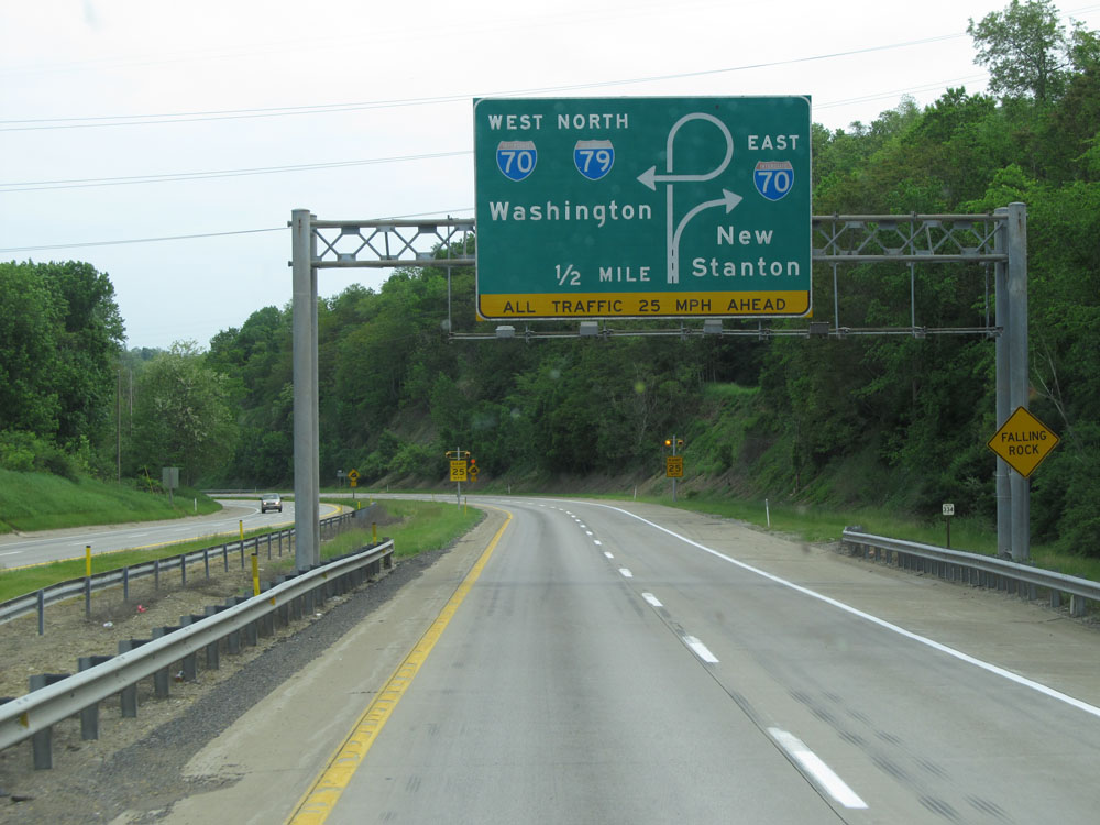
Here we see the infamous 25 mph curve of the old interchange. The new interchange was built to eliminate this sharp curve, keeping I-79's traffic elevated over I-70 and feeding it into I-70 with a mild curve to the left. (Photo taken 7/25/13). |
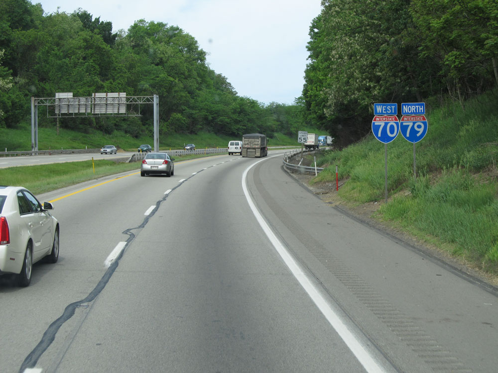 |
Dual Interstate 79 North / Interstate 70 West assurance shields. This concurrency lasts roughly 4 miles before I-79 departs to the north via Exit 18 on I-70. (Photo taken 7/25/13). |
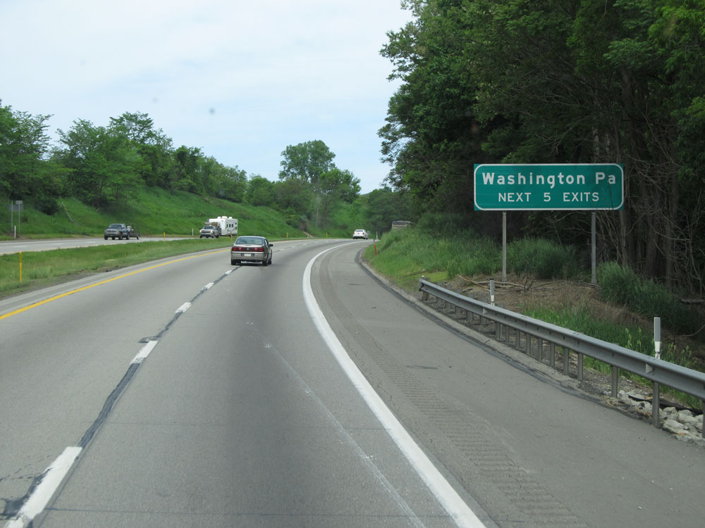 |
Take any of the next 5 exits to Washington, PA. (Photo taken 7/25/13). |
 |
This sign lists the distances to the three upcoming exits to Washington. (Photo taken 7/25/13). |
 |
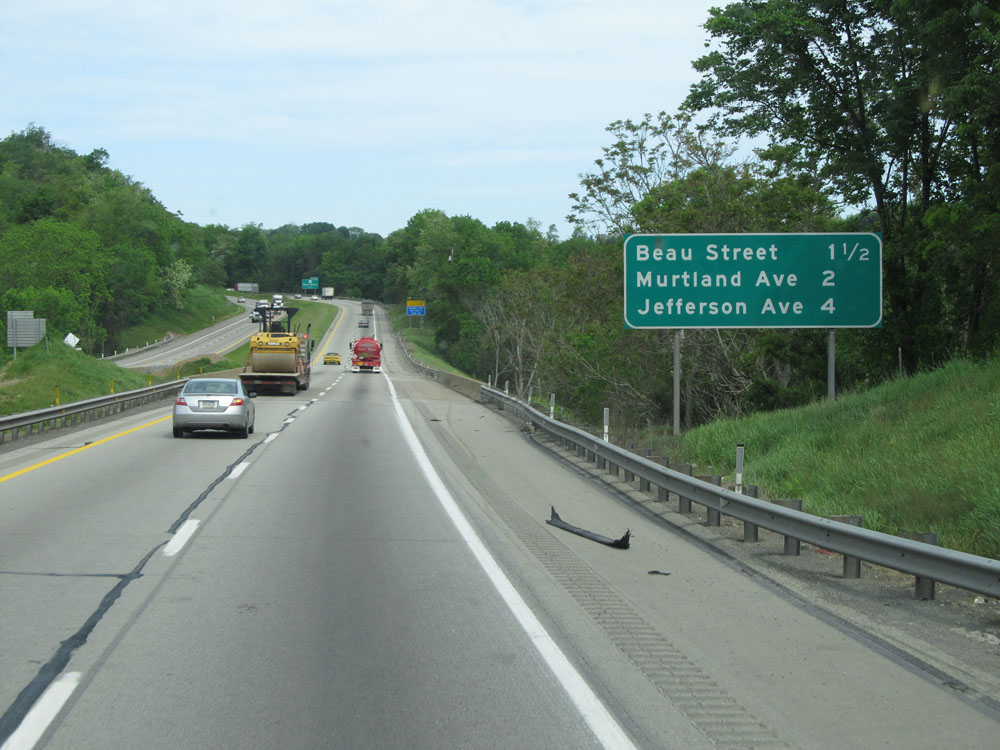
Interstate 79 North / Interstate 70 West at Exit 20: PA 136 - Beau Street. As you can see from the exit number, I-70's mileage takes precedence during this duplex. (Photo taken 7/25/13). |
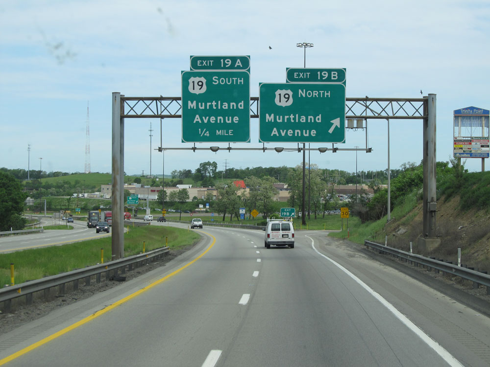 |
Interstate 79 North / Interstate 70 West at Exit 19B: US 19 North - Murtland Avenue (Photo taken 7/25/13). |
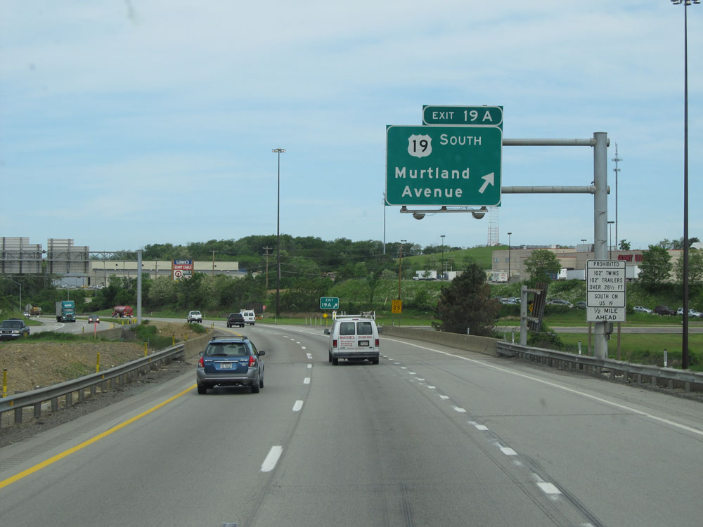 |
Interstate 79 North / Interstate 70 West at Exit 19A: US 19 South - Murtland Avenue (Photo taken 7/25/13). |
 |
Interstate 79 North / Interstate 70 West approaching Exit 18 - 1/2 mile. (Photo taken 7/25/13). |
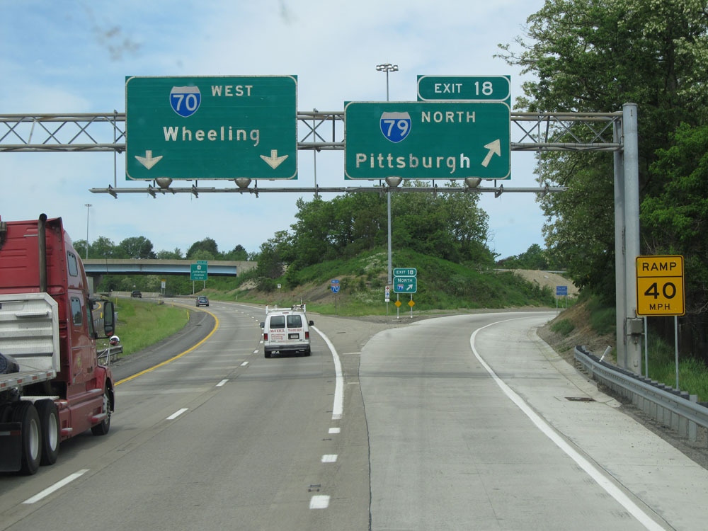 |
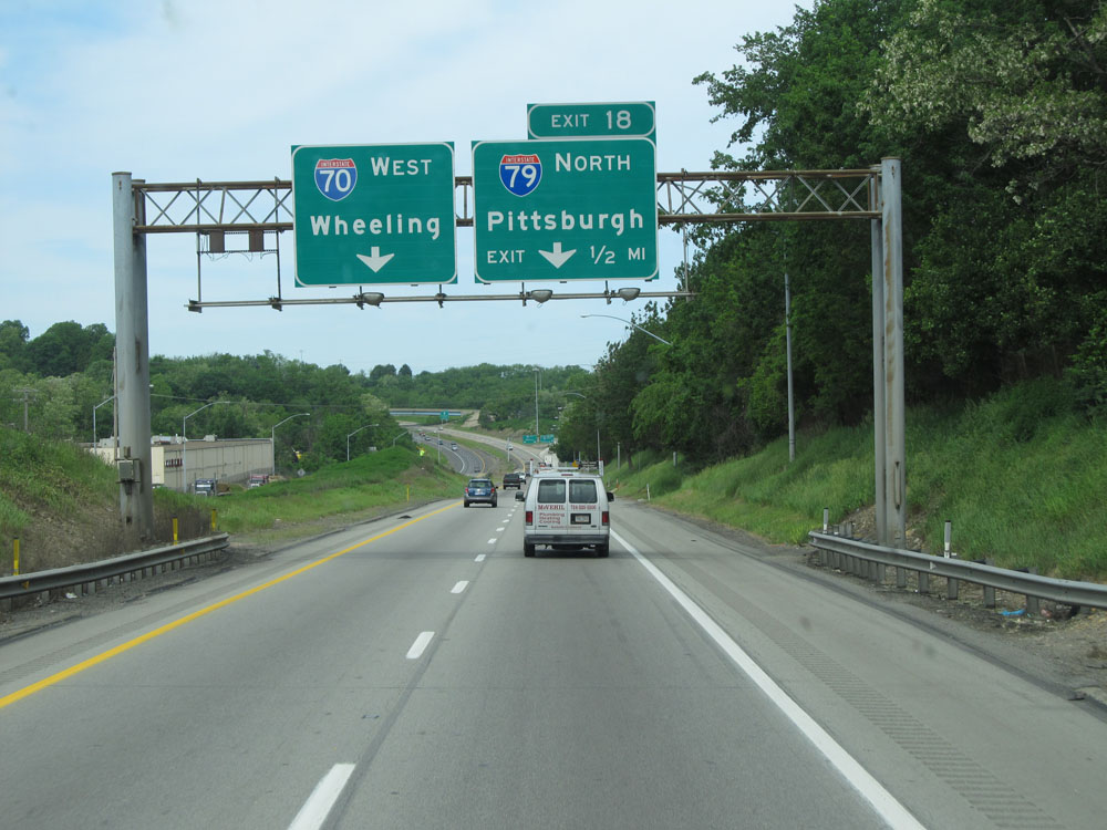
Interstate 79 North / Interstate 70 West at Exit 18: Interstate 79 North - Pittsburgh (Photo taken 7/25/13). |
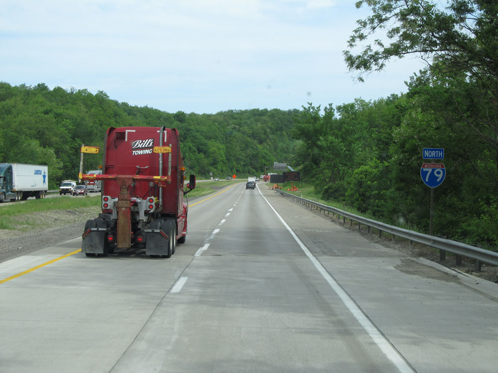 |
Standalone Interstate 79 North assurance shield just north of the end of its concurrency with Interstate 70. (Photo taken 7/25/13). |
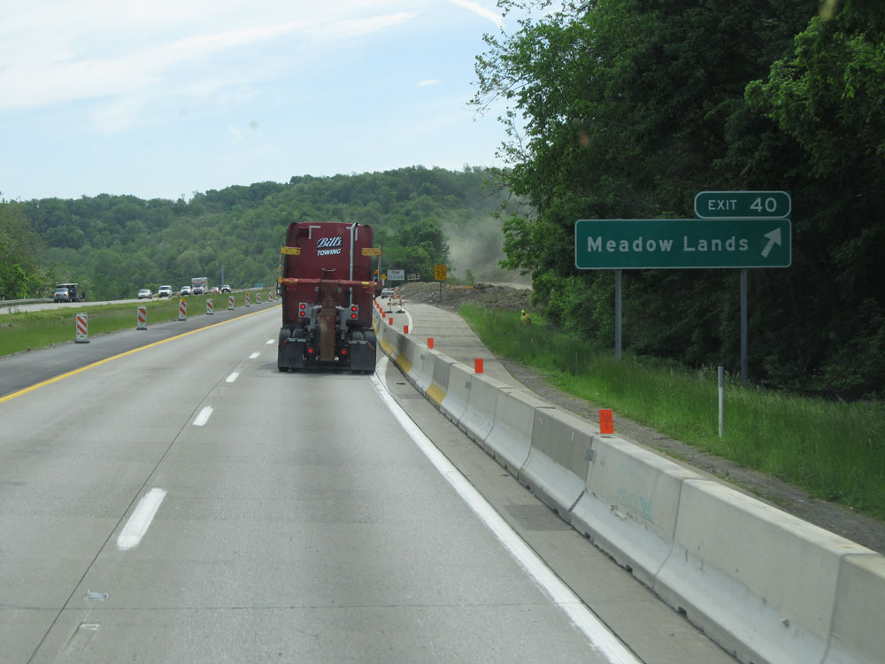 |
Interstate 79 North at Exit 40: Meadow Lands (Photo taken 7/25/13). |
 |
Interstate 79 North at Exit 41: Race Track Road (Photo taken 7/25/13). |
 |
Interstate 79 North at Exit 43: PA 519 - Houston / Eighty Four (Photo taken 7/25/13). |
 |
Interstate 79 North at mile marker 43. (Photo taken 7/25/13). |
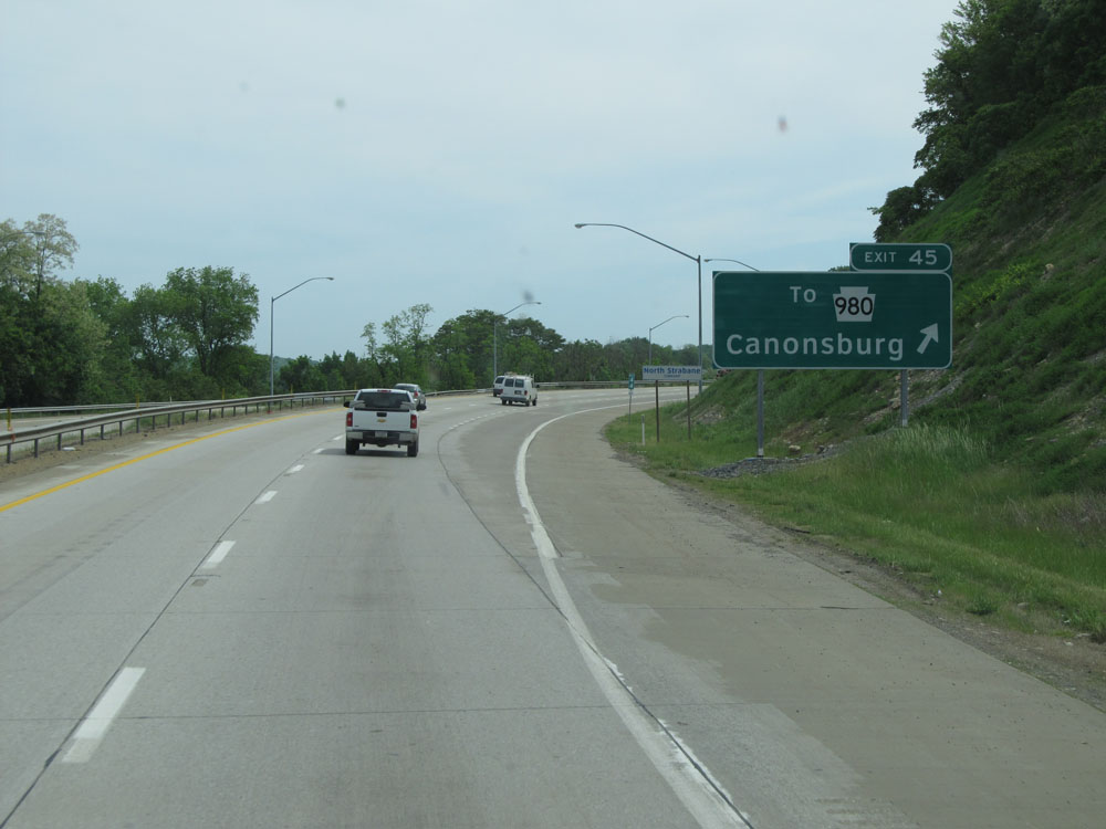 |
Interstate 79 North at Exit 45: To PA 980 - Canonsburg (Photo taken 7/25/13). |
 |
Mileage sign north of Exit 45. It's 8 miles to Bridgeville and 21 miles to Pittsburgh. (Photo taken 7/25/13). |
 |
Interstate 79 North at Exit 48: Southpointe / Hendersonville (Photo taken 7/25/13). |
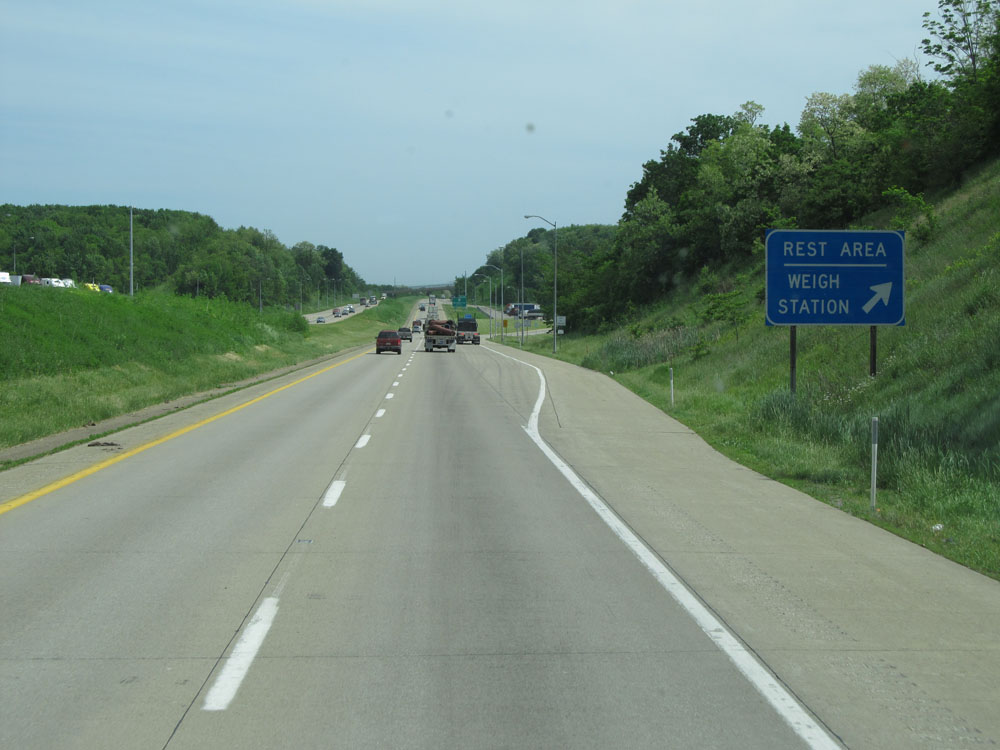 |
Interstate 79 North at the Rest Area / Weigh Station located near mile marker 50. (Photo taken 7/25/13). |
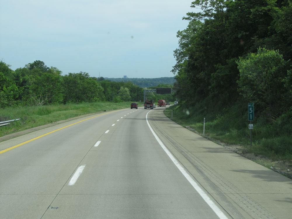 |
Interstate 79 North at mile marker 51. (Photo taken 7/25/13). |
 |
Interstate 79 North at Exit 54: PA 50 - Bridgeville (Photo taken 7/25/13). |
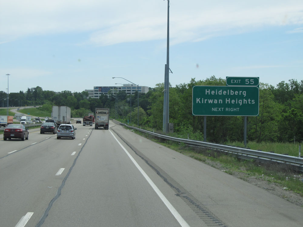 |
Interstate 79 North at Exit 55: Heidelberg / Kirwan Heights (Photo taken 7/25/13). |
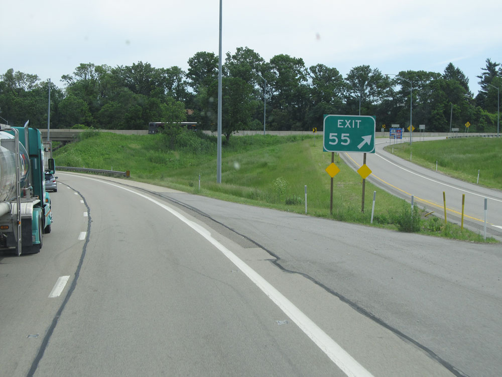 |
A closer view of the off ramp for Exit 55. (Photo taken 7/25/13). |
 |
Interstate 79 North at Exit 57: Carnegie (Photo taken 7/25/13). |
 |
Interstate 79 North approaching Exit 59A - 1 mile. (Photo taken 7/25/13). |
 |
Interstate 79 North at mile marker 57. (Photo taken 7/25/13). |
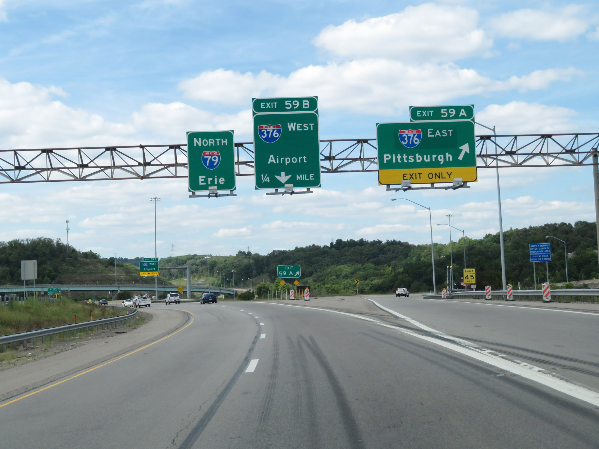 |
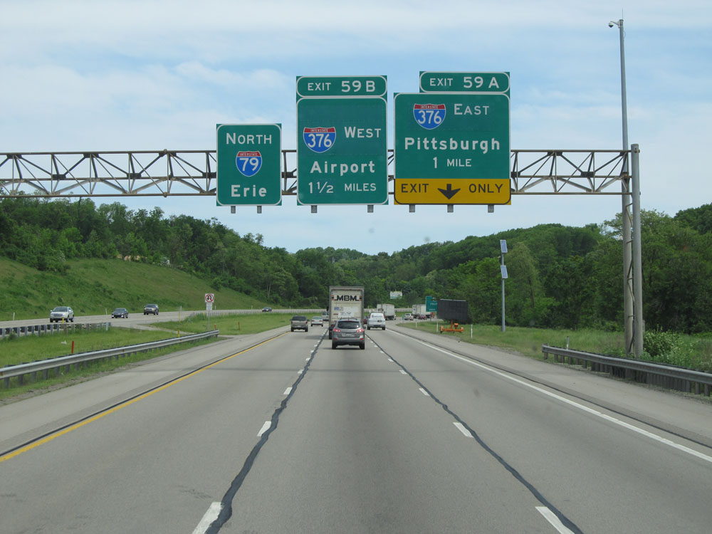
Interstate 79 North at Exit 59A: Interstate 376 East - Pittsburgh (Photo taken 8/23/16). |
 |
Interstate 79 North at Exit 59B: Interstate 376 West - Airport (Photo taken 8/23/16). |
Section 2: Robinson Twp (Exit 59B) to Franklin Park (Exit 73)
 |
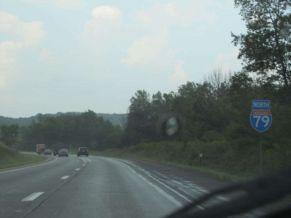
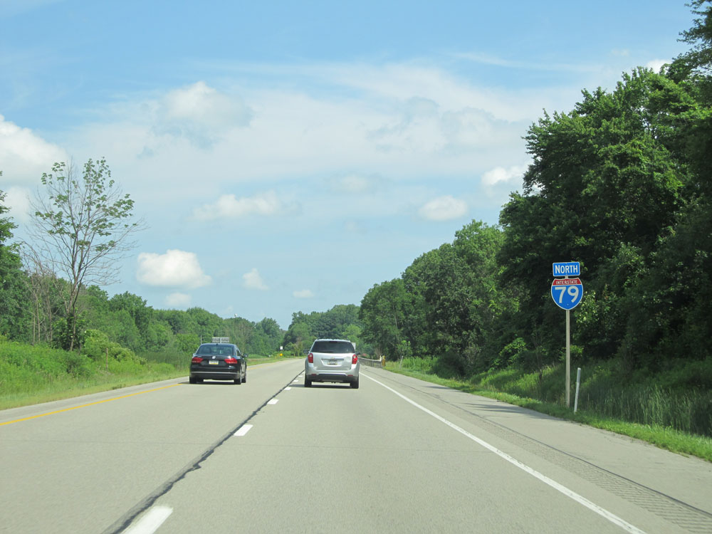
Interstate 79 North reassurance shield. (Photo taken 8/23/16). |
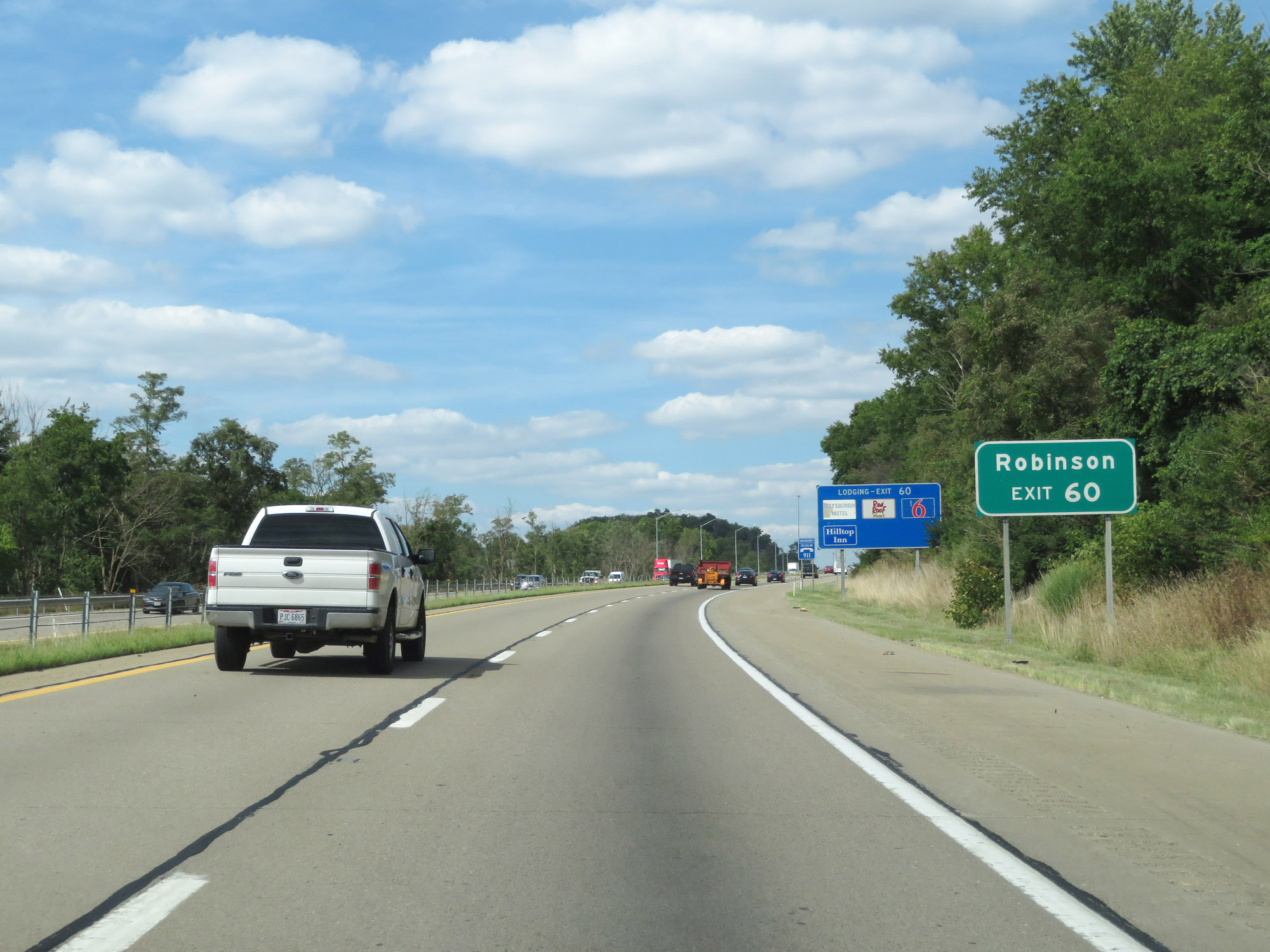 |
Take Exit 60 to Robinson. (Photo taken 8/23/16). |
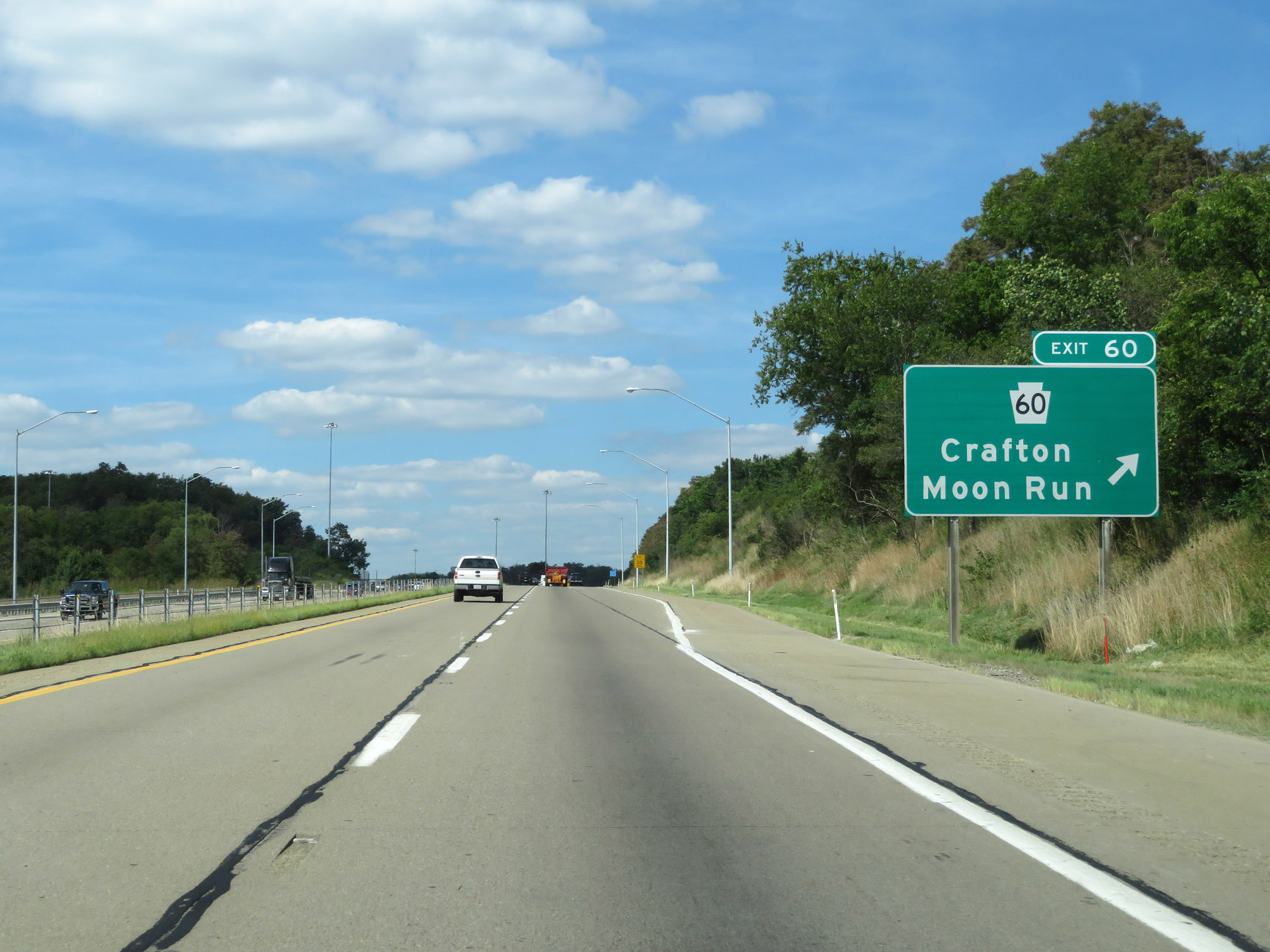 |
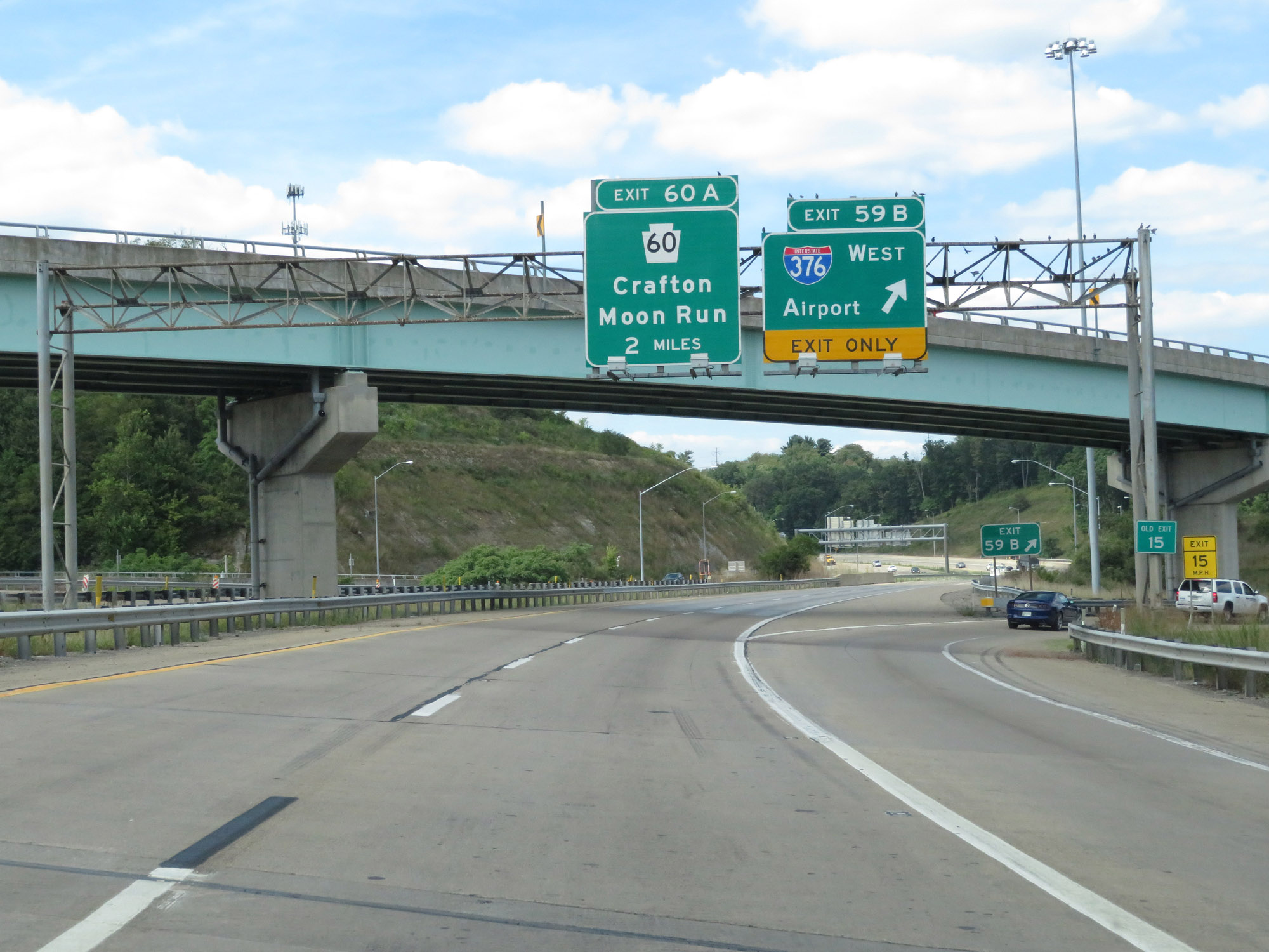
Interstate 79 North at Exit 60: PA 60 - Crafton / Moon Run (Photo taken 8/23/16). |
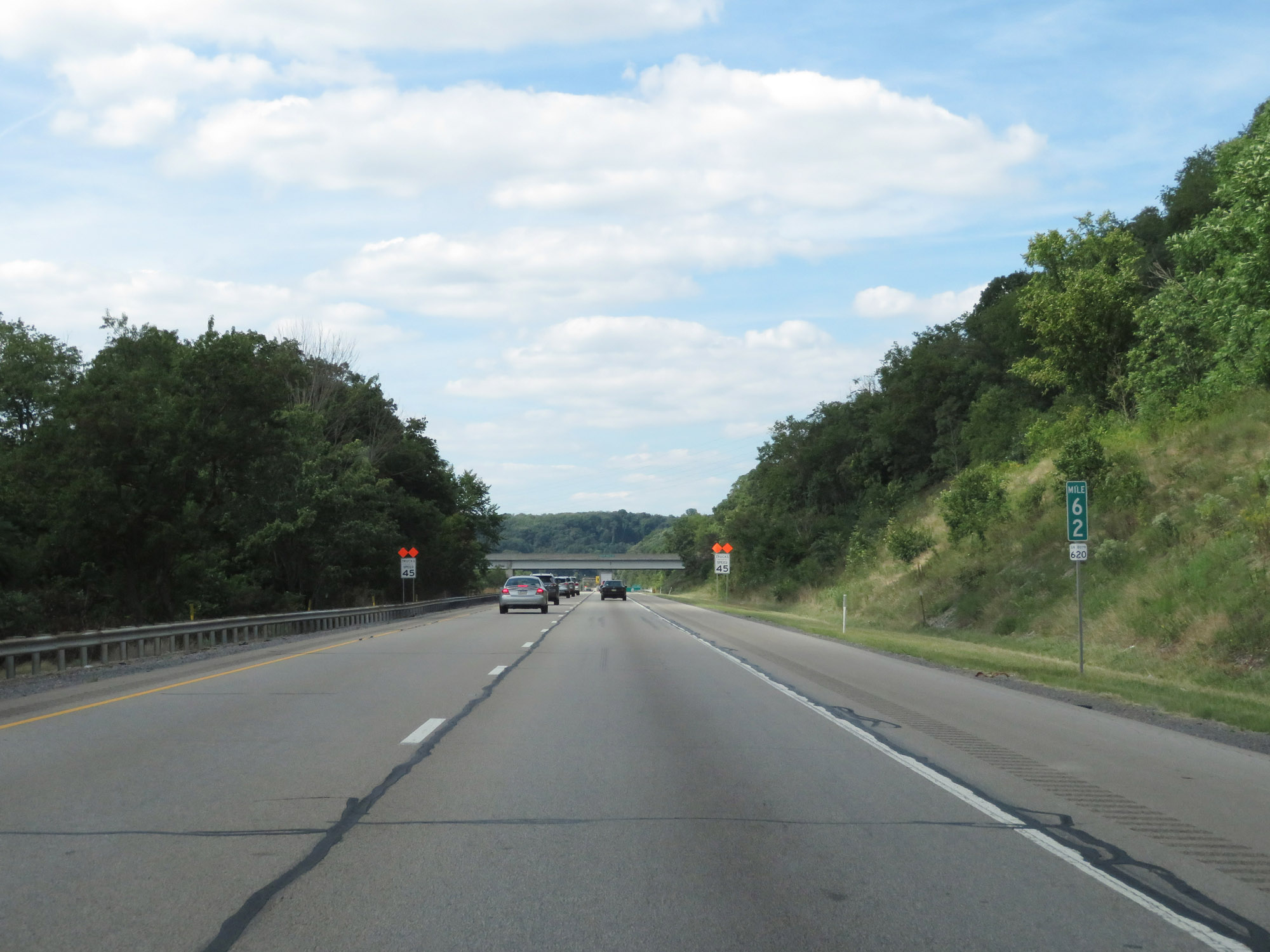 |
View on Interstate 79 North at mile marker 62. (Photo taken 8/23/16). |
 |
Just north of mile marker 62, the truck speed limit is reduced to 45 mph. We'll see why that is just ahead. (Photo taken 8/23/16). |
 |
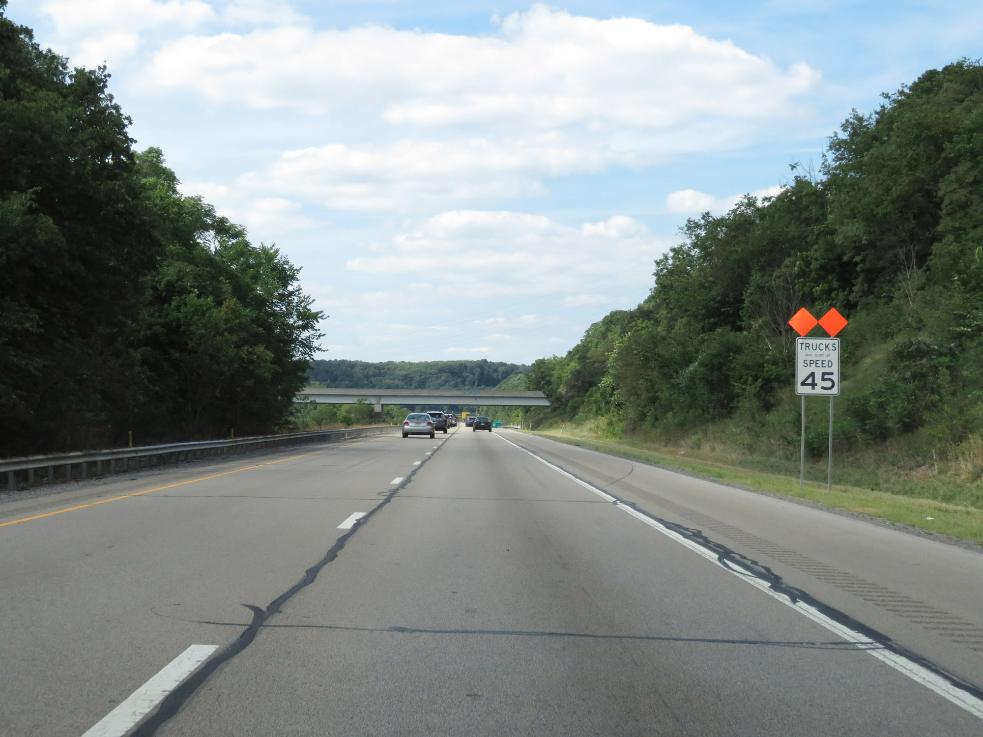
As this sign warns, Interstate 79 North is abount to traverse some sharp curves ahead. Thus, trucks should be advised of the rollover hazard. (Photo taken 8/23/16). |
 |
This sign specifies that Interstate 79 North will traverse 3 sharp curves ahead. Therefore, the truck speed limit is reduced to 45 mph. (Photo taken 8/23/16). |
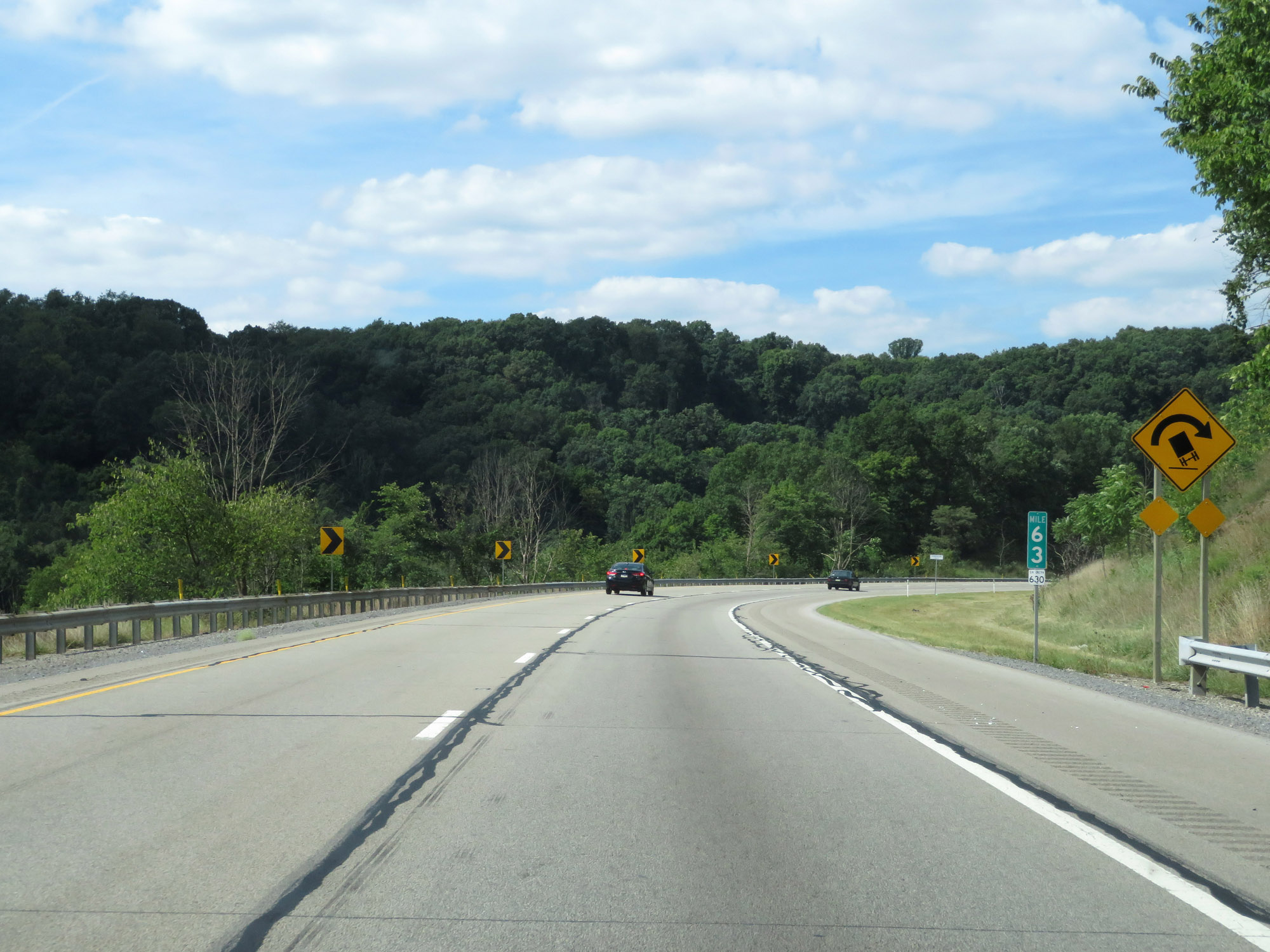 |
Interstate 79 North at mile marker 63, as it enters the first of the three sharp curves. (Photo taken 8/23/16). |
 |
View on Interstate 79 North in the first of three curves. (Photo taken 8/23/16). |
 |
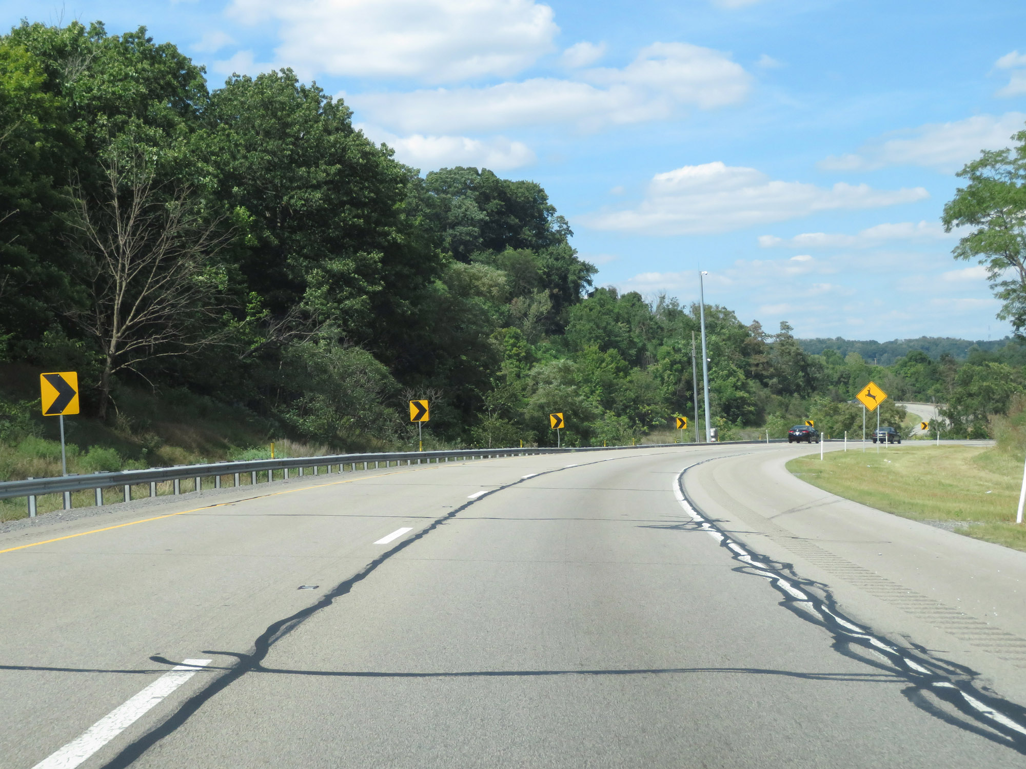
Interstate 79 North as it enters the second of three sharp curves. (Photo taken 8/23/16). |
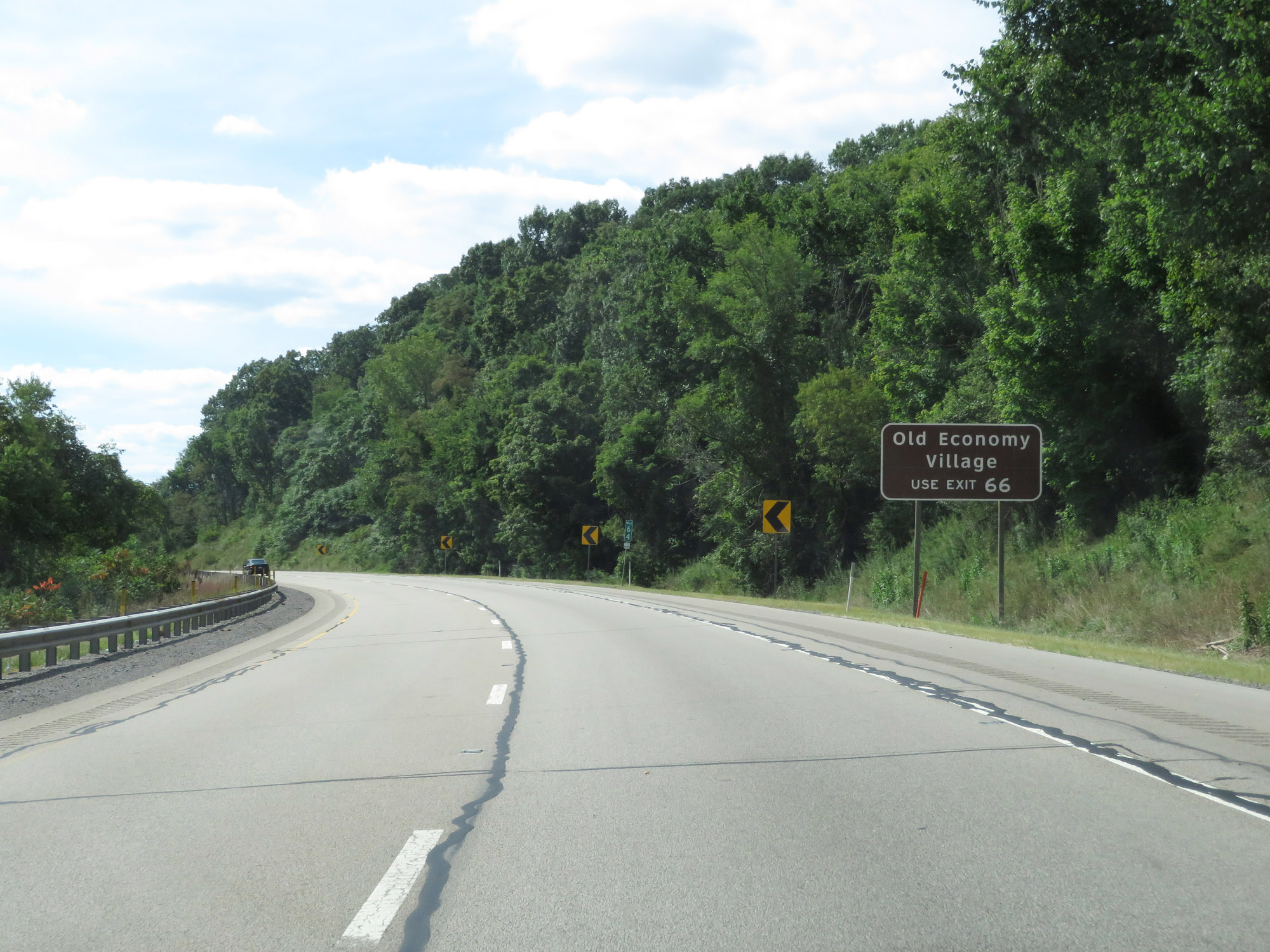 |
Take Exit 66 to Old Economy Village. (Photo taken 8/23/16). |
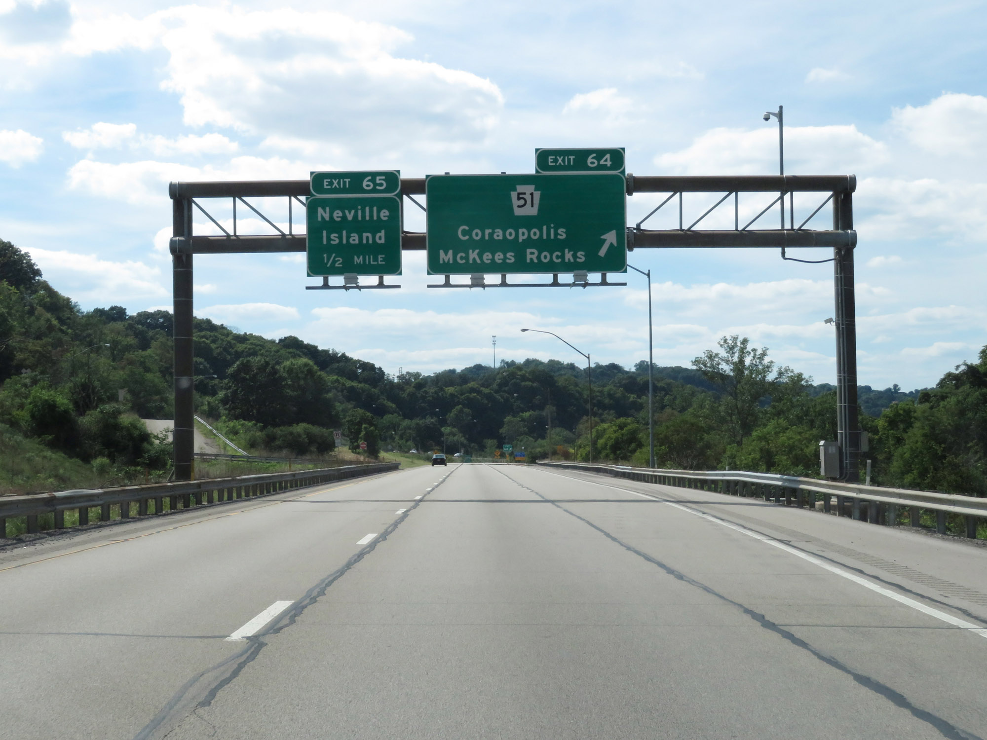 |
Interstate 79 North at Exit 64: PA 51 - Coraopolis / McKees Rocks (Photo taken 8/23/16). |
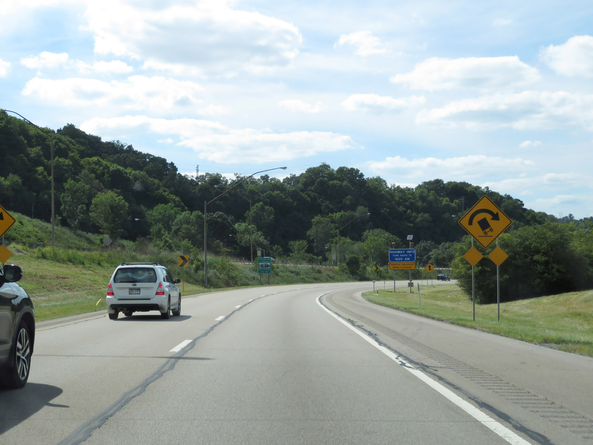 |
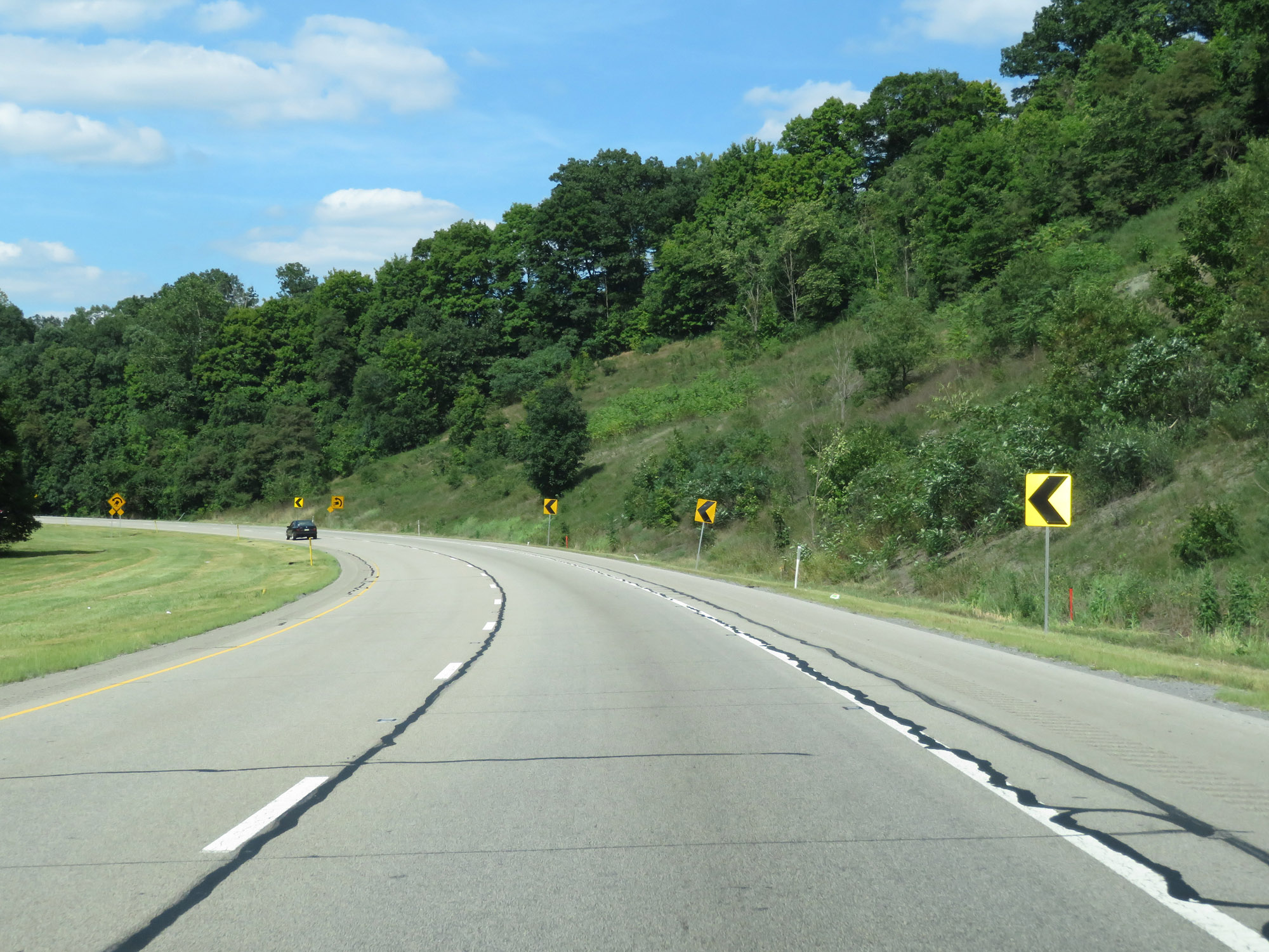
View on Interstate 79 North as it prepares to enter the final sharp curves mentioned previously. (Photo taken 8/23/16). |
 |
Interstate 79 North at Exit 65: Neville Island (Photo taken 8/23/16). |
 |
North of Exit 65, the 45 mph truck speed limit comes to an end as do the sharp curves. (Photo taken 8/23/16). |
 |
State-named Interstate 79 North reassurance shield. (Photo taken 8/23/16). |
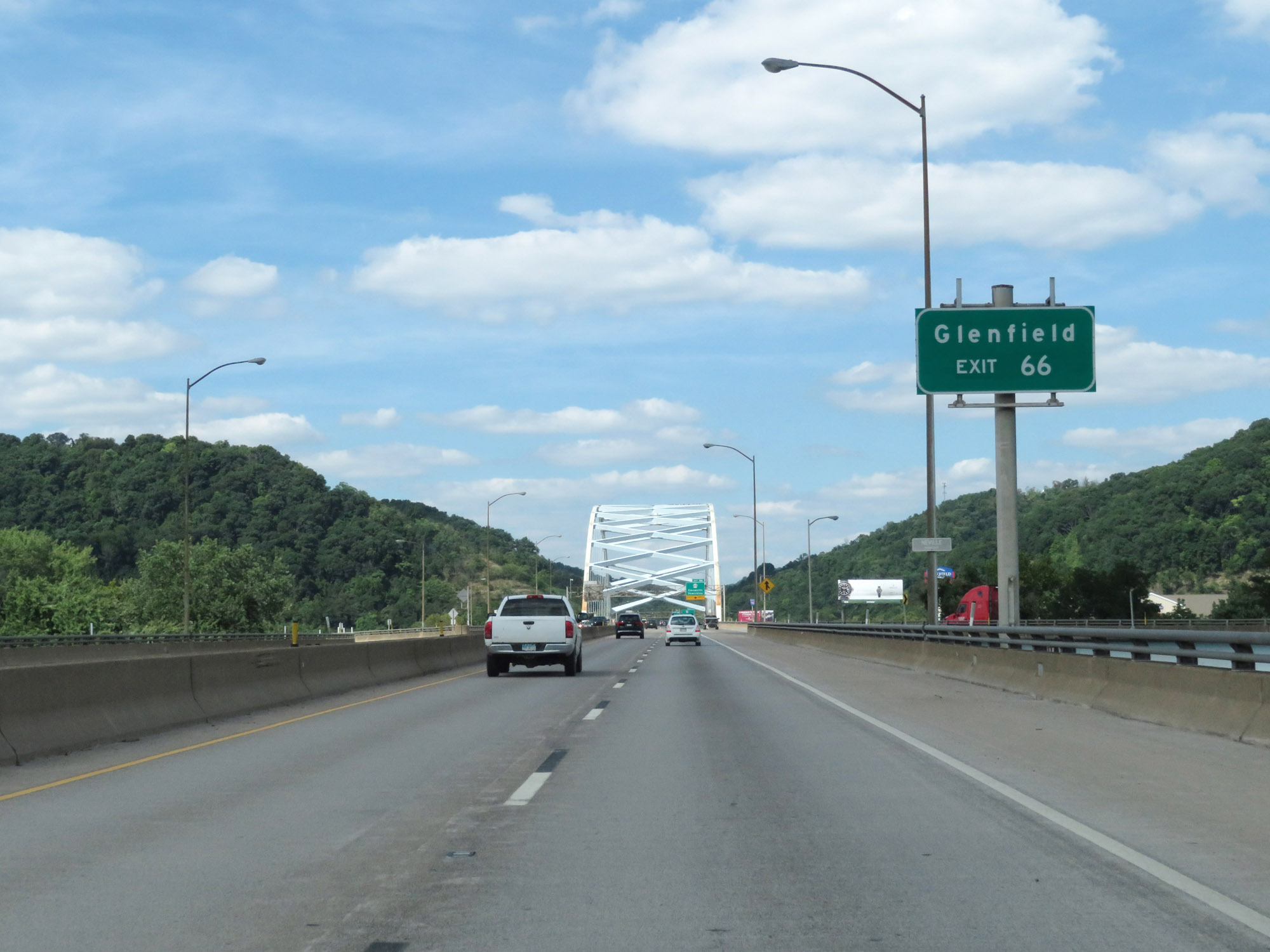 |
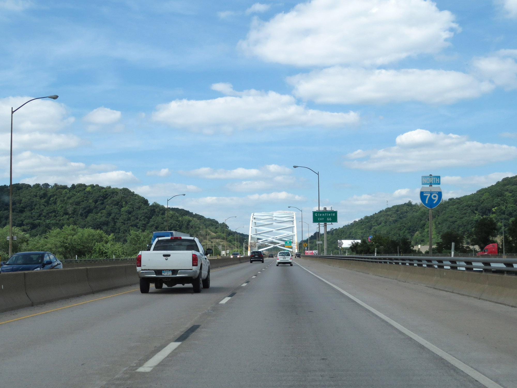
Take Exit 66 to Glenfield. (Photo taken 8/23/16). |
 |
View on Interstate 79 North as it crosses the Ohio River just before Exit 66. (Photo taken 8/23/16). |
 |
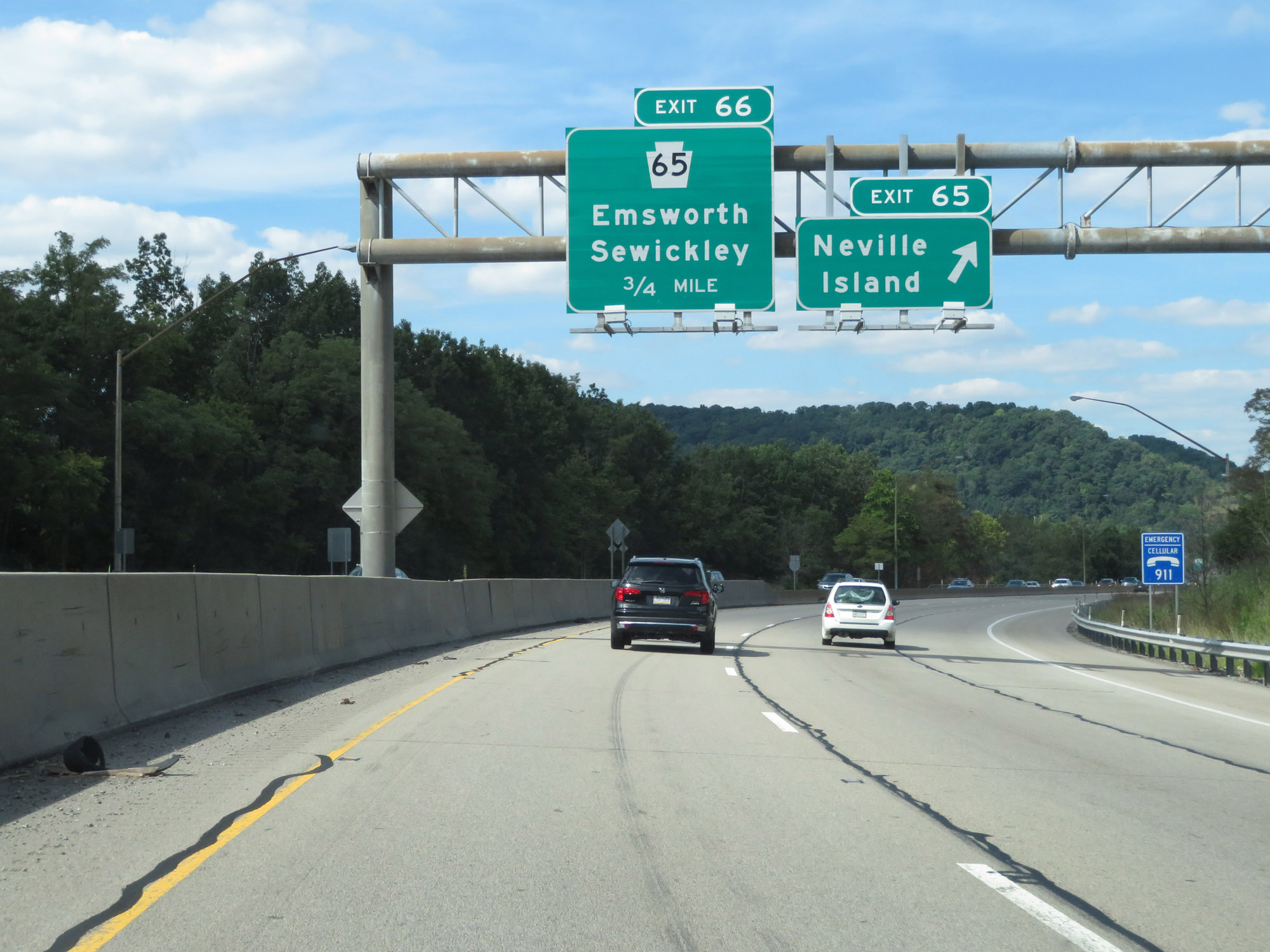
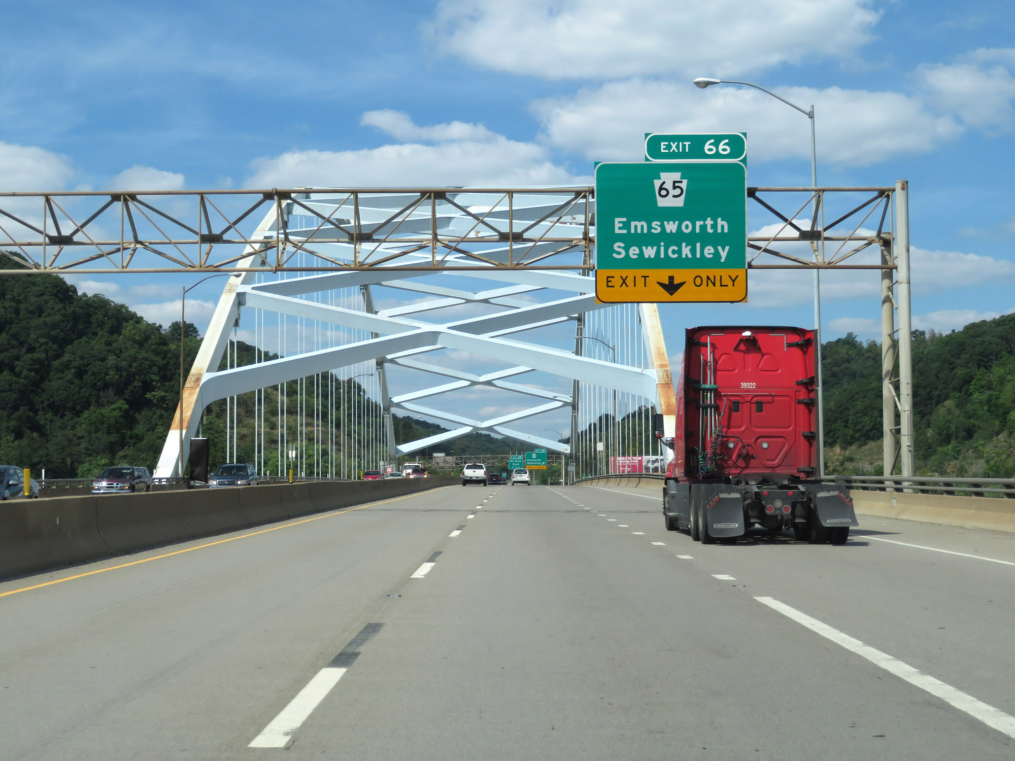
Interstate 79 North at Exit 66: PA 65 - Emsworth / Sewickley (Photo taken 8/23/16). |
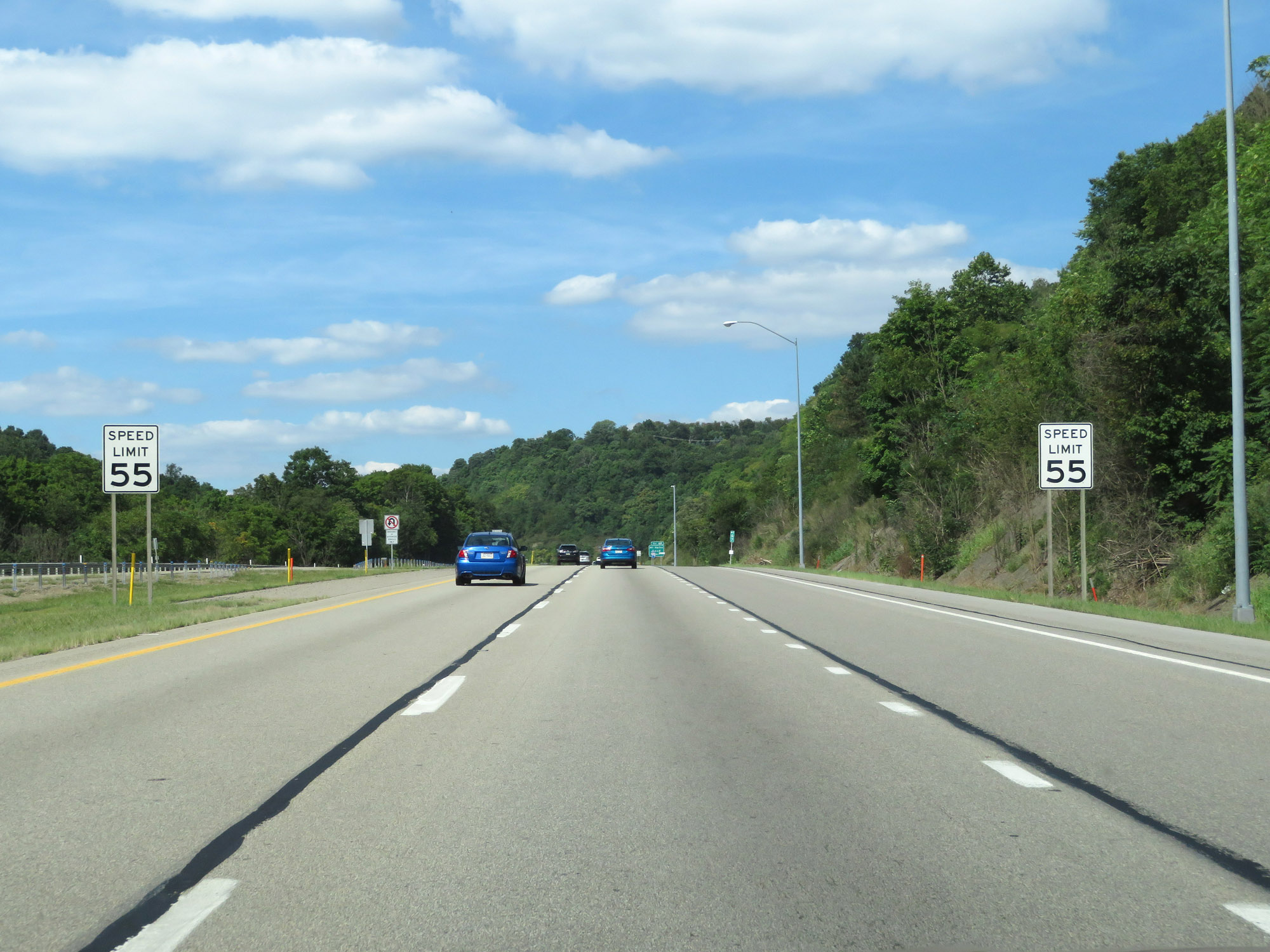 |
The speed limit remains 55 mph for all traffic. (Photo taken 8/23/16). |
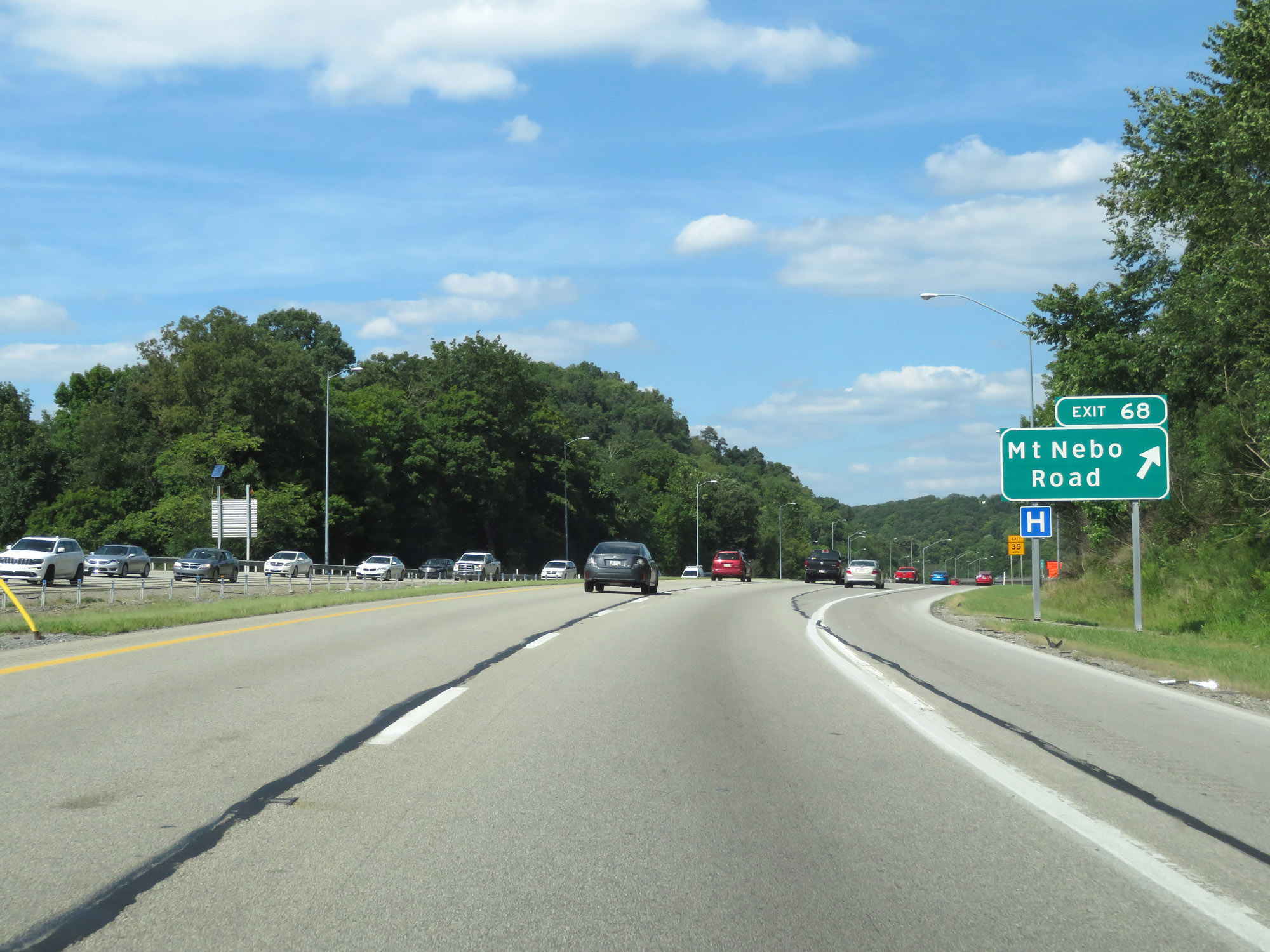 |
Interstate 79 North at Exit 68: Mt Nebo Road (Photo taken 8/23/16). |
 |
Interstate 79 North at mile marker 69. (Photo taken 8/23/16). |
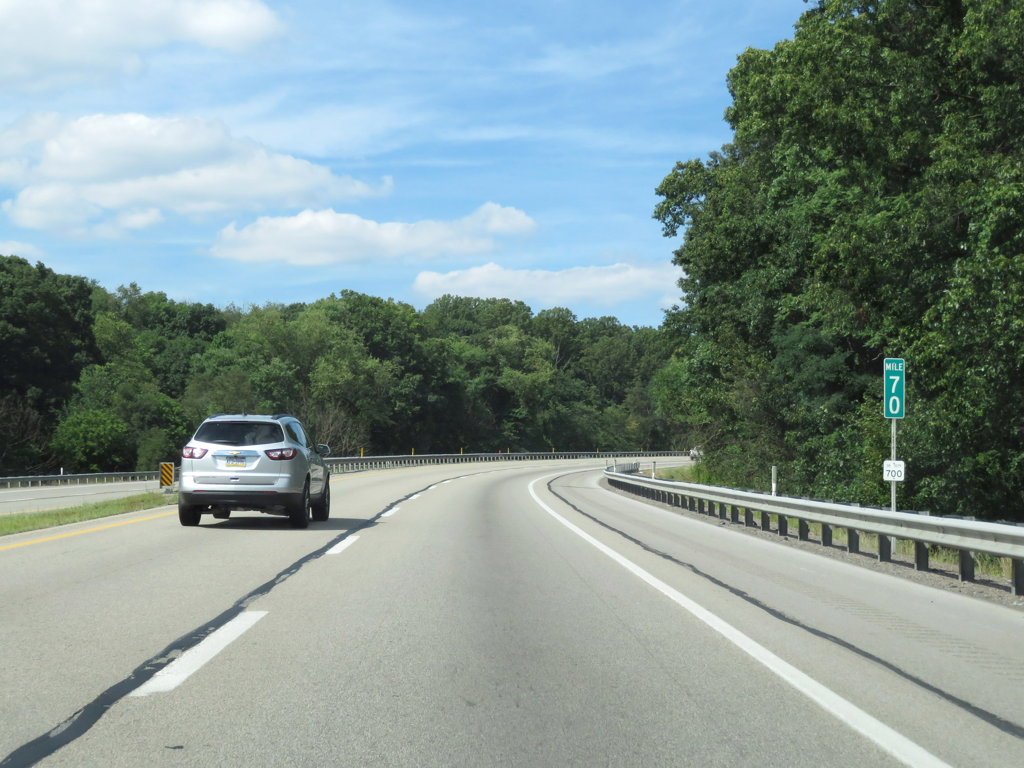 |
View on Interstate 79 North at mile marker 70. (Photo taken 8/23/16). |
 |
View on Interstate 79 North as traffic from Interstate 279 North merges into it on the right. (Photo taken 8/23/16). |
 |
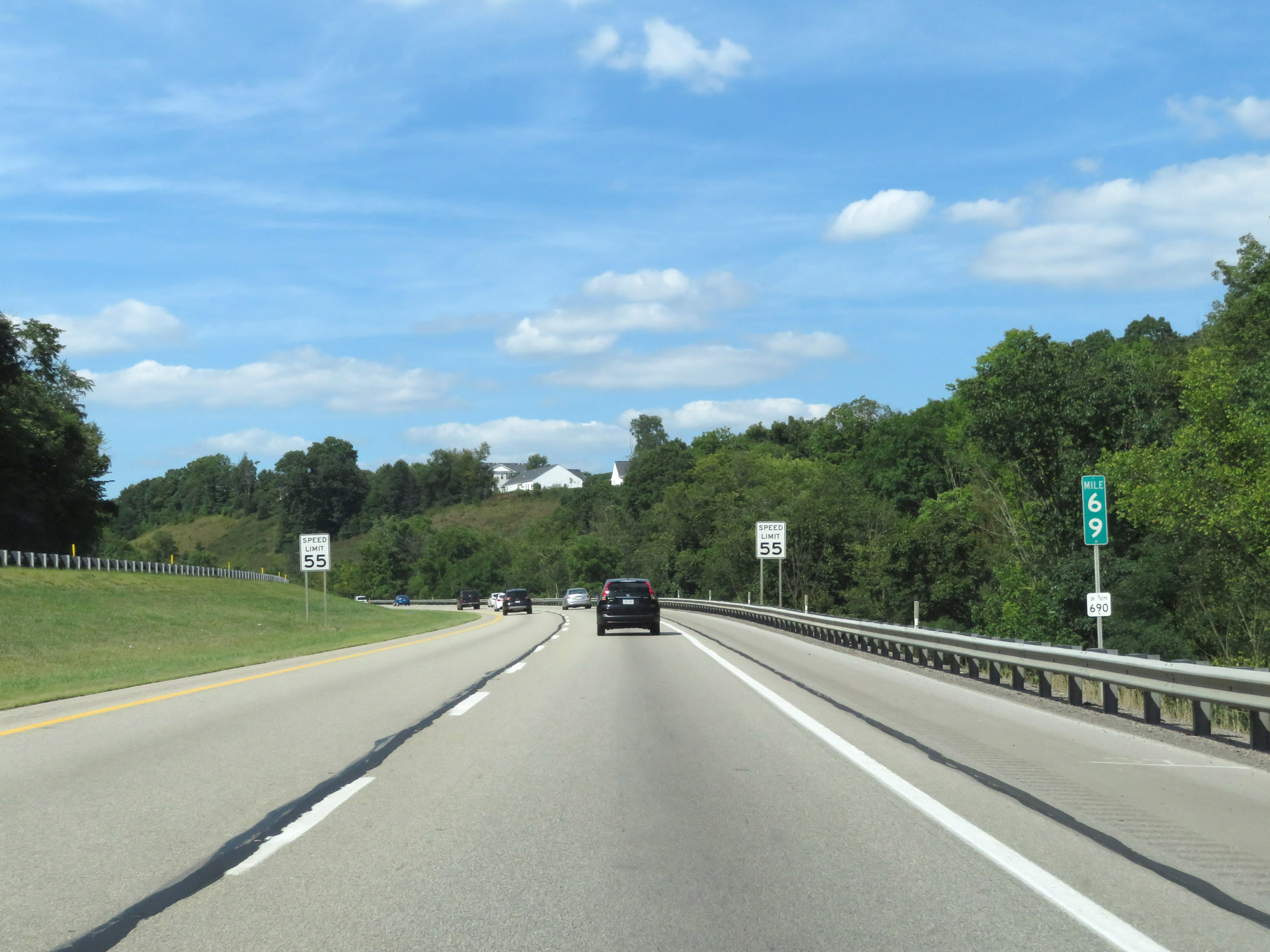
Speed limit sign near mile marker 72. Speed Limit - 55 mph. (Photo taken 9/5/15). |
 |
Interstate 79 North assurance shield near mile marker 72. (Photo taken 9/5/15). |
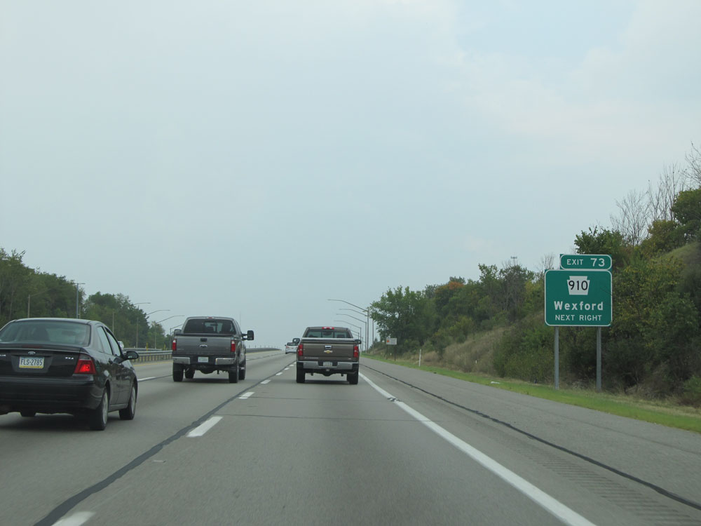 |
Interstate 79 North at Exit 73: PA 910 - Wexford (Photo taken 9/5/15). |
Section 3: Franklin Park (Exit 73) to Mercer (Exit 116A)
 |
A closer view of the off ramp for Exit 73. (Photo taken 9/5/15). |
 |
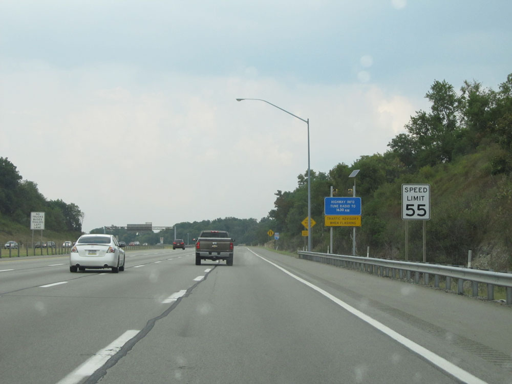
Just north of Exit 73, the speed limit finally increases to 65 mph. (Photo taken 9/5/15). |
 |
Interstate 79 North at mile marker 74. (Photo taken 9/5/15). |
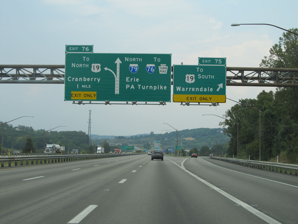 |
Interstate 79 North at Exit 75: To US 19 South - Warrendale (Photo taken 9/5/15). |
 |
This sign lists the distances to the two upcoming exits to Cranberry Twp. (Photo taken 9/5/15). |
 |
Take Exit 78 to Seven Fields. (Photo taken 9/5/15). |
 |
Interstate 79 North at Exit 76: US 19 North - Cranberry (Photo taken 9/5/15). |
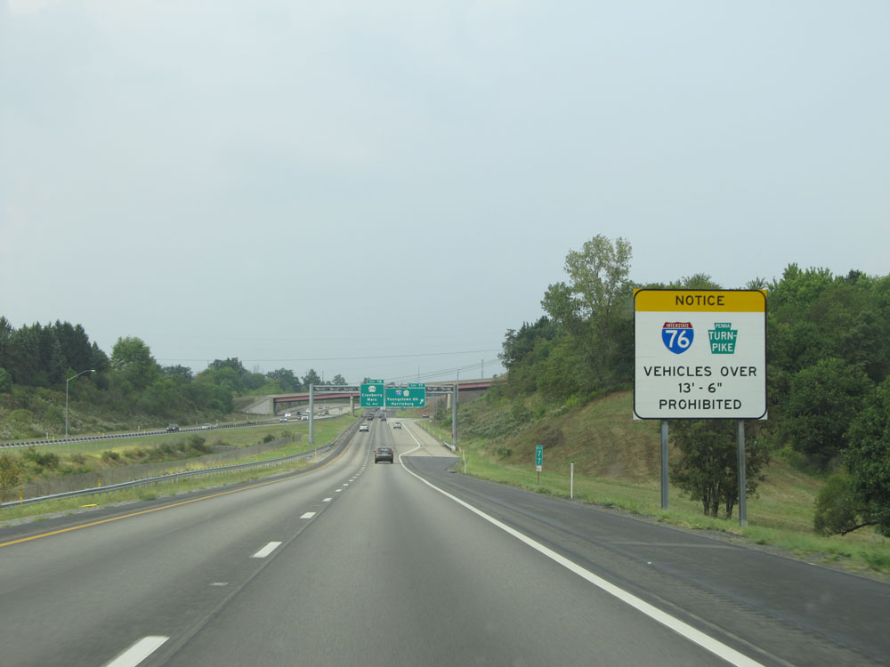 |
Approaching the PA Turnpike interchange, this sign warns that vehicles over 13'6" in height are prohibited on Interstate 76 (PA Turnpike). (Photo taken 9/5/15). |
 |
Interstate 79 North at Exit 77: Interstate 76 / PA Turnpike - Youngstown, OH / Harrisburg (Photo taken 9/5/15). |
 |
Interstate 79 North as it enters Butler County. (Photo taken 9/5/15). |
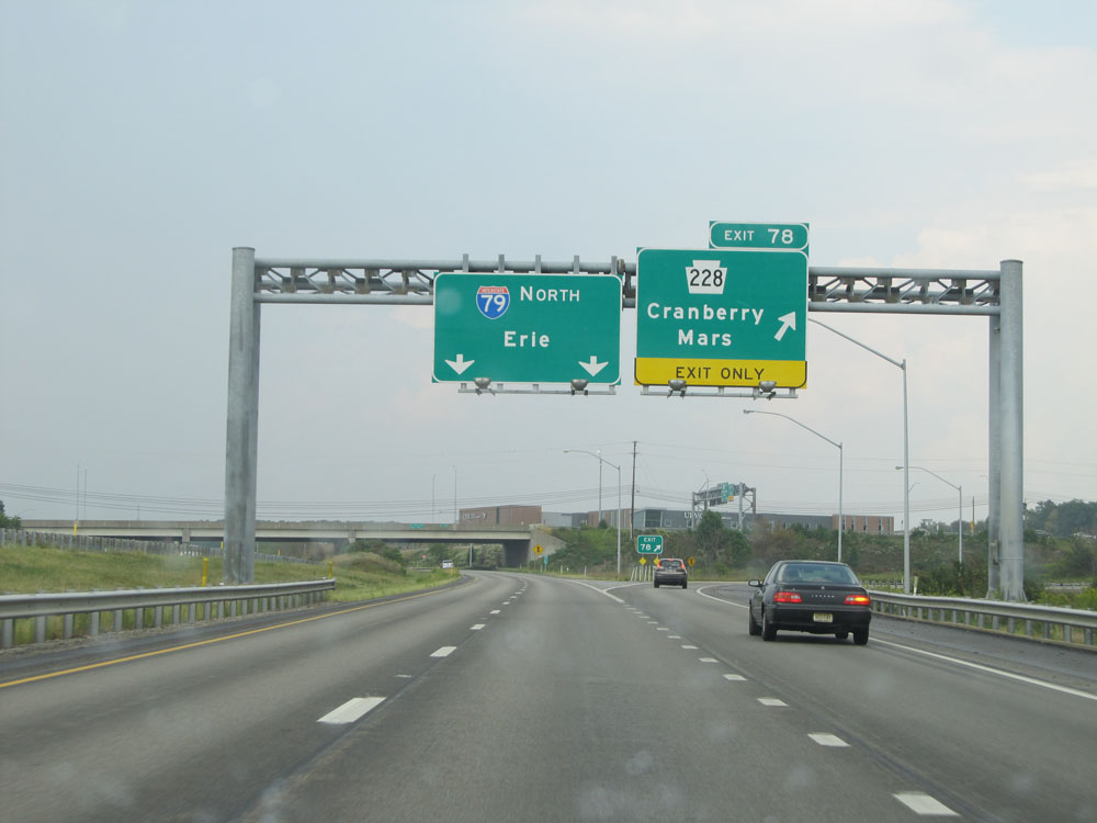 |
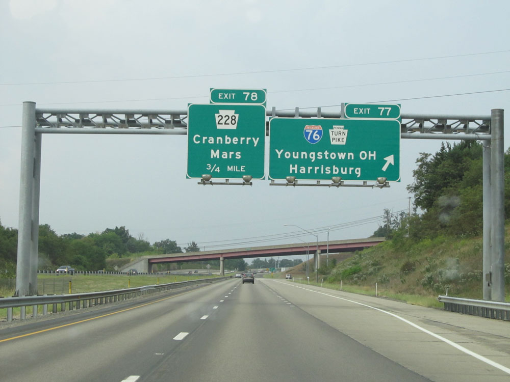
Interstate 79 North at Exit 78: PA 228 - Cranberry / Mars (Photo taken 9/5/15). |
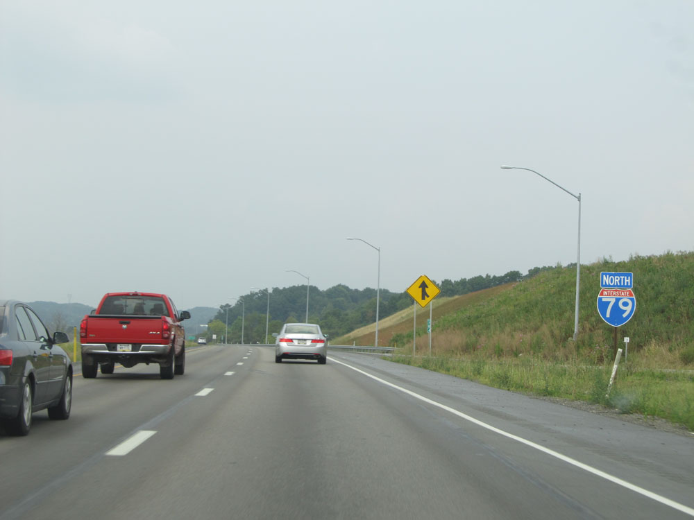 |
Interstate 79 North assurance shield just beyond Exit 78. (Photo taken 9/5/15). |
 |
Interstate 79 North at mile marker 79. (Photo taken 9/5/15). |
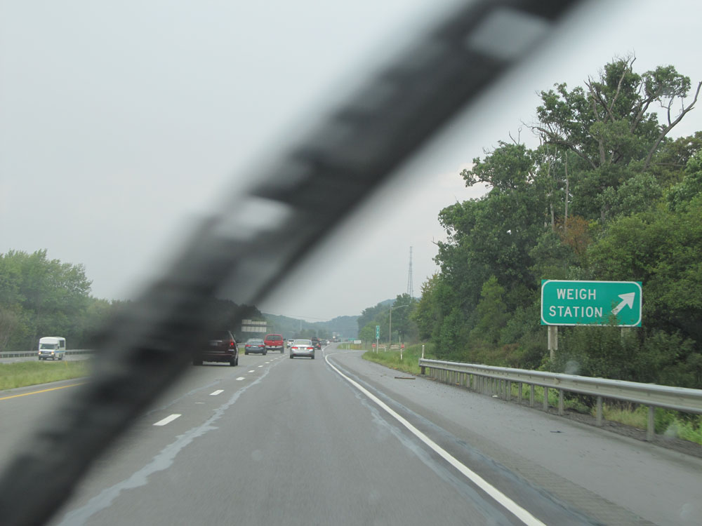 |
Interstate 79 North at the Weigh Station located at mile marker 79.8. (Photo taken 9/5/15). |
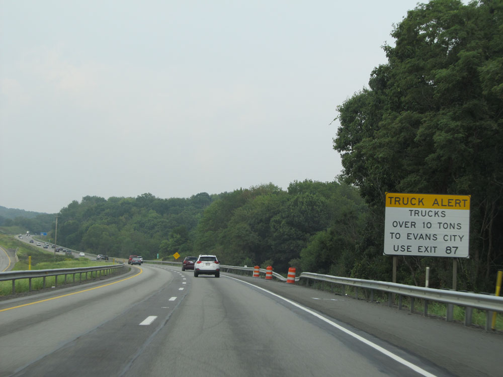 |
This sign warns that all trucks over 10 tons headed to Evans City should use Exit 87, NOT Exit 83. (Photo taken 9/5/15). |
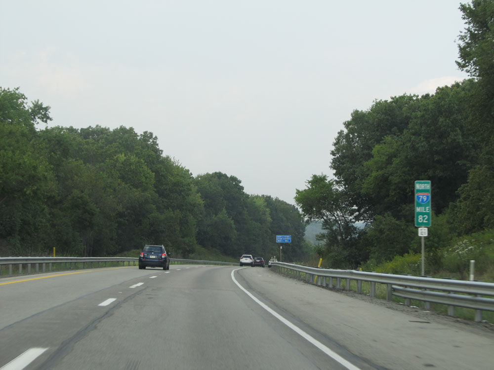 |
Interstate 79 North at mile marker 82. (Photo taken 9/5/15). |
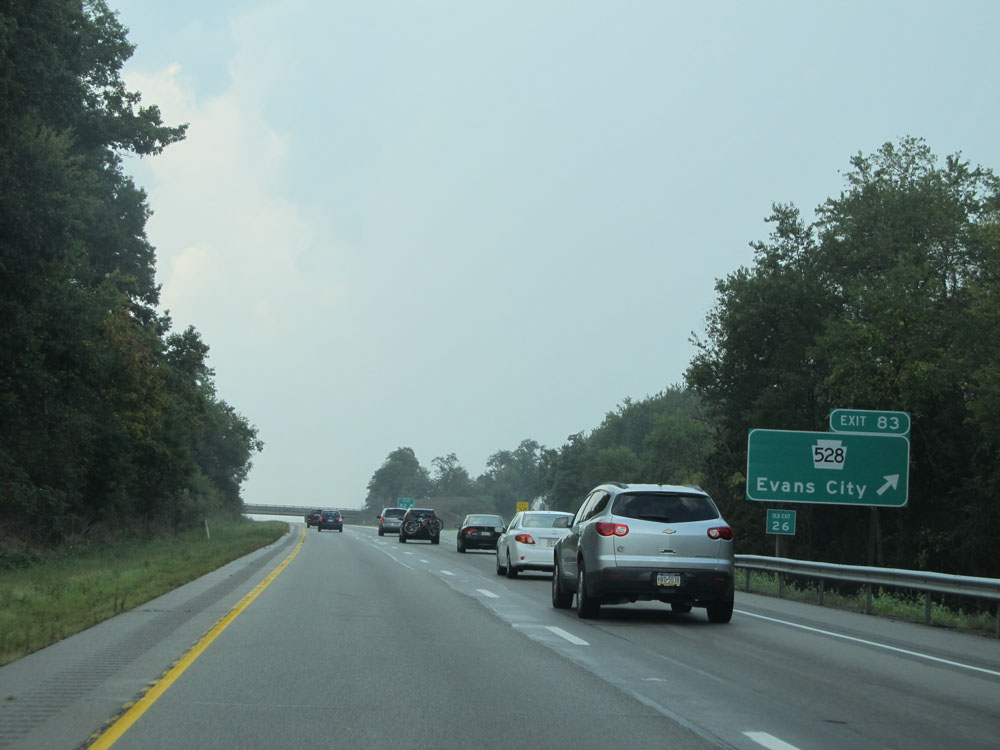 |
Interstate 79 North at Exit 83: PA 528 - Evans City (Photo taken 9/5/15). |
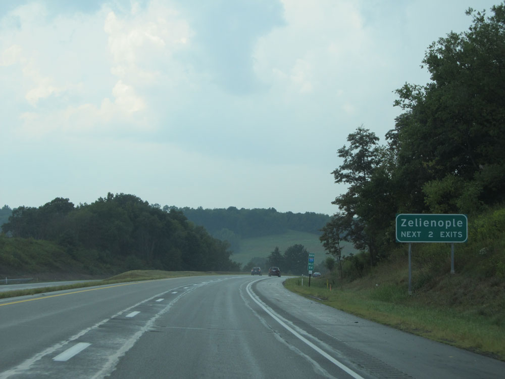 |
Take either of the next two exits to Zelienople. (Photo taken 9/5/15). |
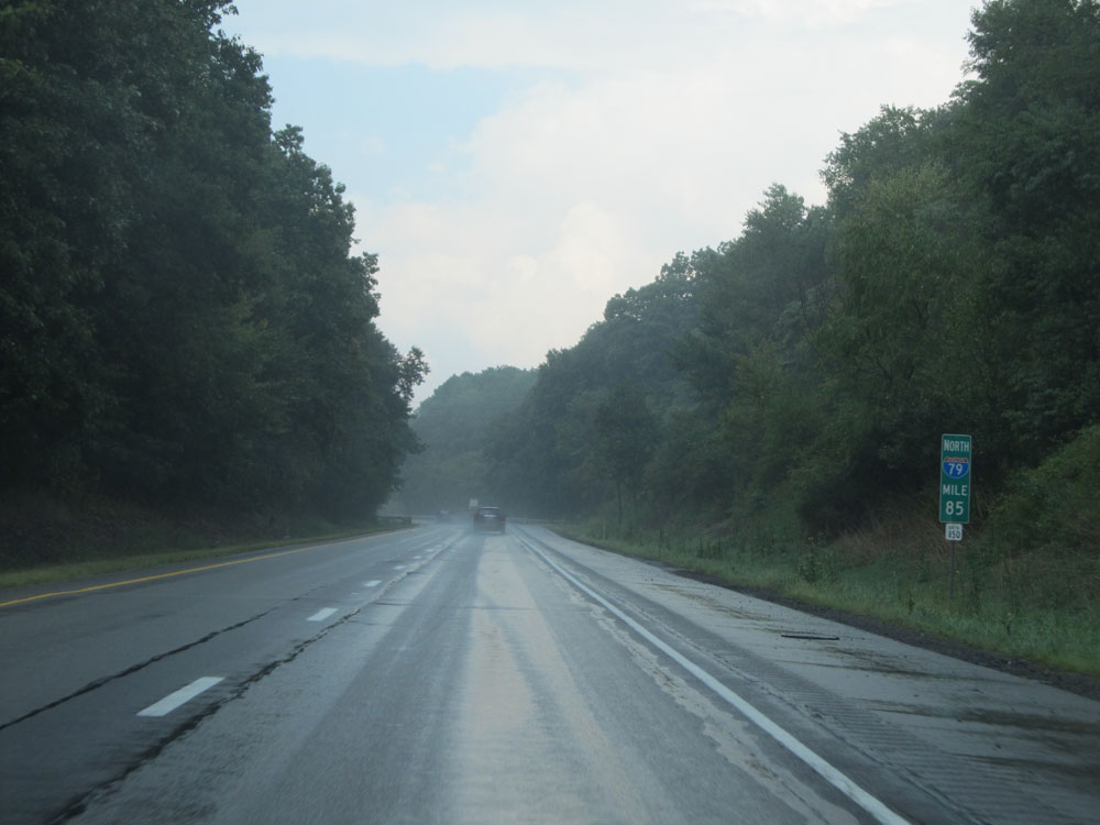 |
Interstate 79 North: Road view from mile marker 85. (Photo taken 9/5/15). |
 |
Take Exit 87 to Harmony Historic District. (Photo taken 9/5/15). |
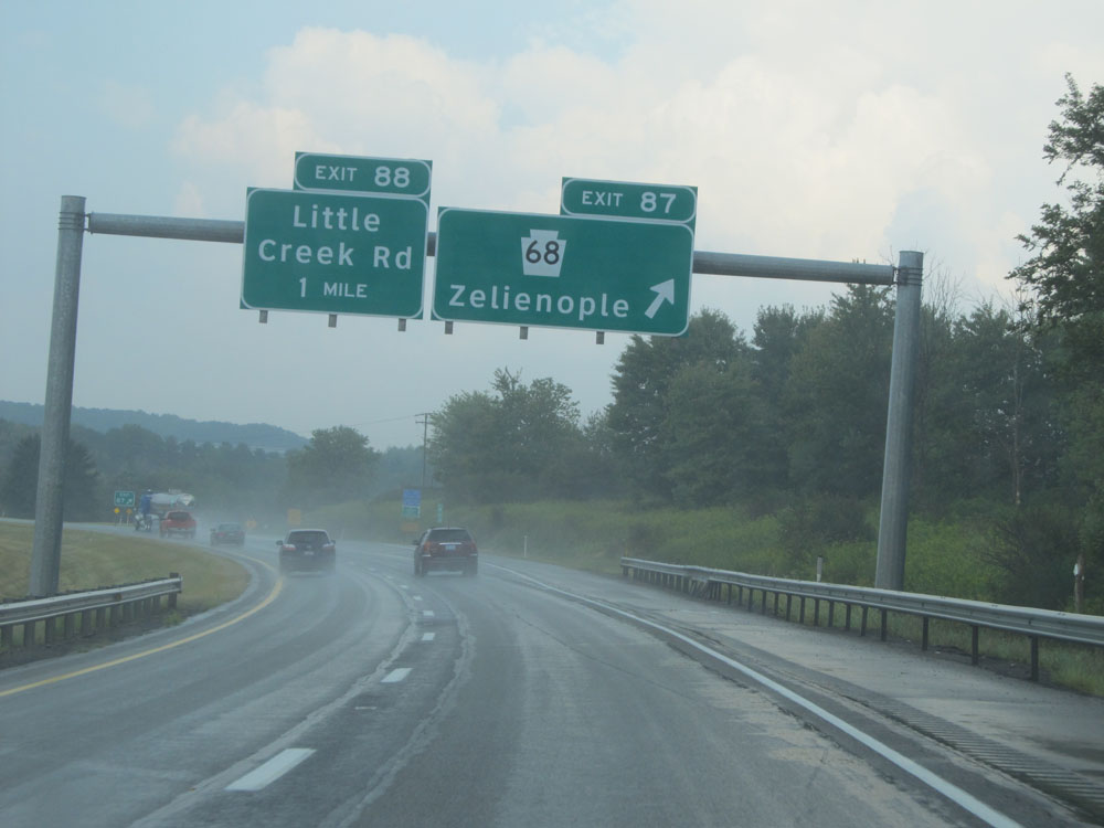 |
Interstate 79 North at Exit 87: PA 68 - Zelienople (Photo taken 9/5/15). |
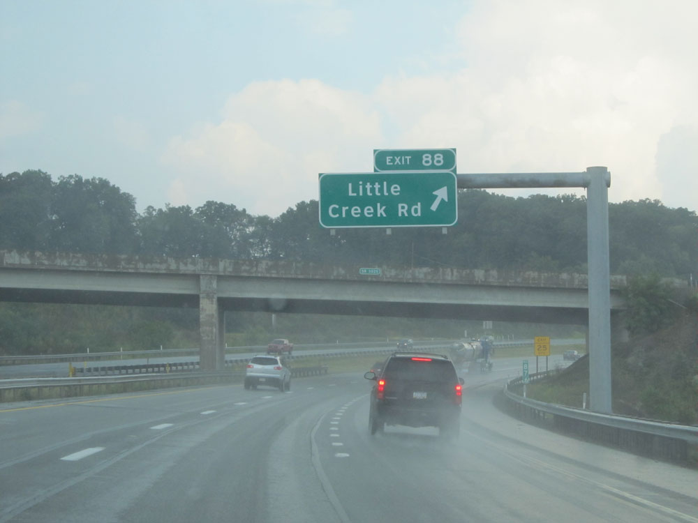 |
Interstate 79 North at Exit 88: Little Creek Rd (Photo taken 9/5/15). |
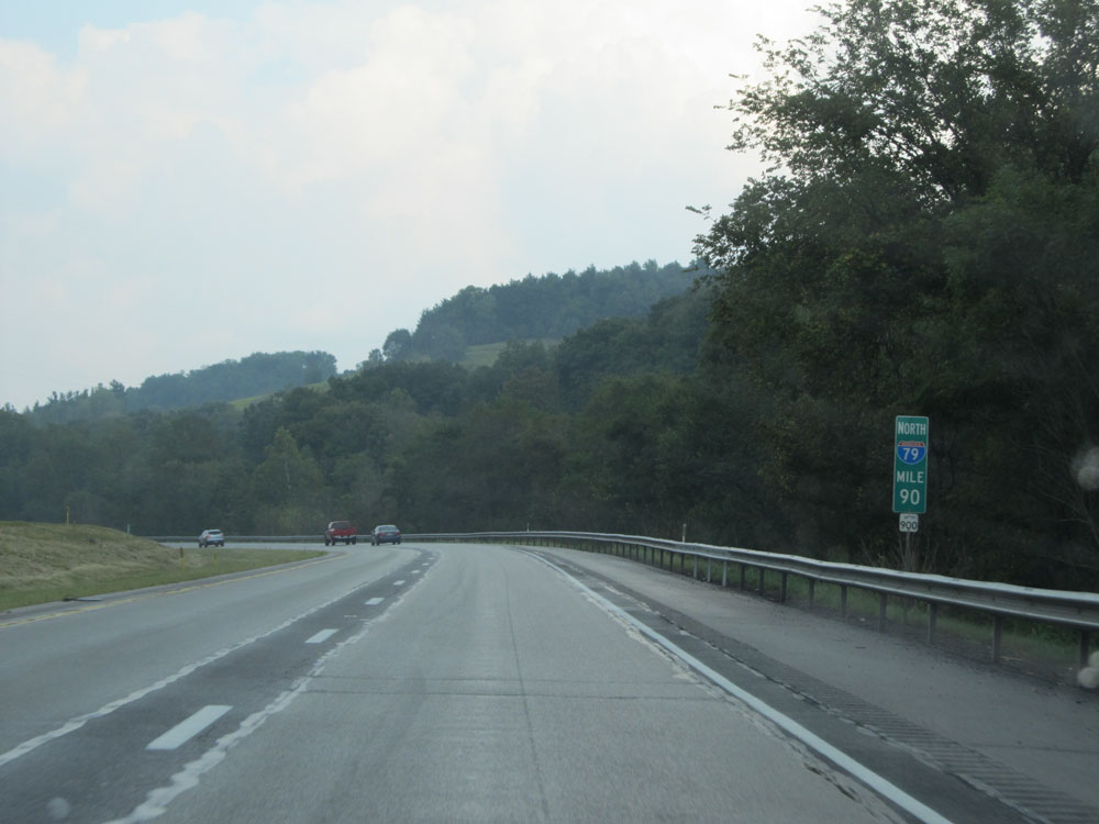 |
Interstate 79 North at mile marker 90. (Photo taken 9/5/15). |
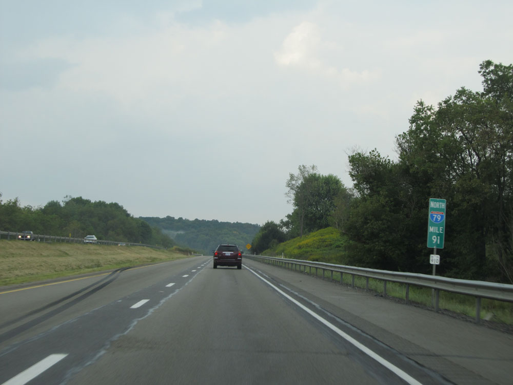 |
Interstate 79 North at mile marker 91. (Photo taken 9/5/15). |
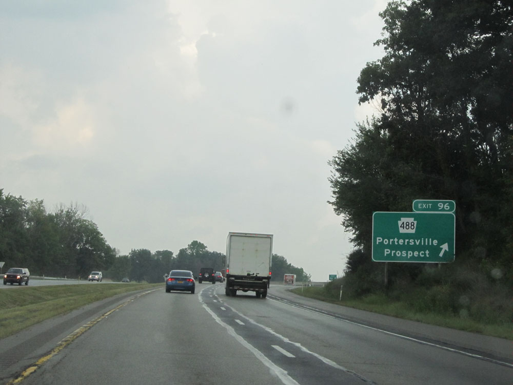 |
Interstate 79 North at Exit 96: PA 488 - Portersville / Prospect (Photo taken 9/5/15). |
 |
A close-up view of an Interstate 79 North assurance shield just north of Exit 96. (Photo taken 9/5/15). |
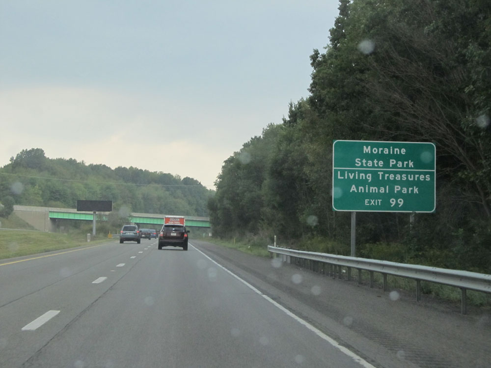 |
Take Exit 99 to Moraine State Park and Living Treasures Animal Park. (Photo taken 9/5/15). |
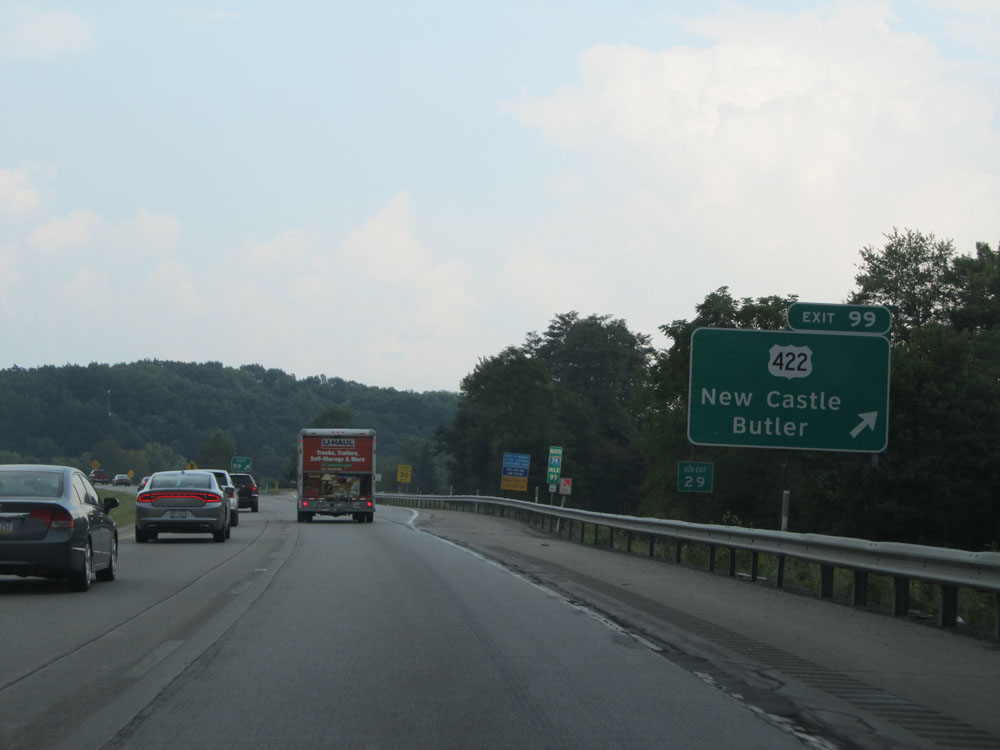 |
Interstate 79 North at Exit 99: US 422 - New Castle / Butler (Photo taken 9/5/15). |
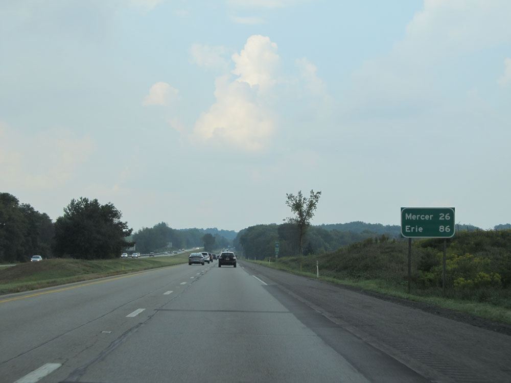 |
Mileage sign north of Exit 99. It's 26 miles to Mercer and 86 miles to Erie. (Photo taken 9/5/15). |
 |
Interstate 79 North at mile marker 101. (Photo taken 9/5/15). |
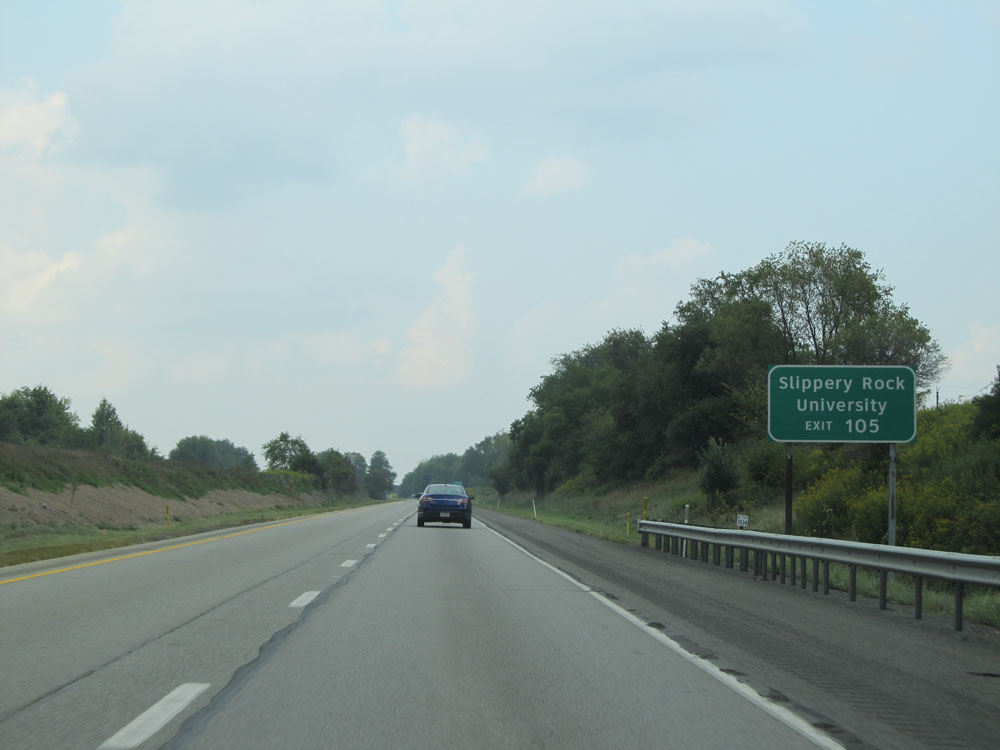 |
Take Exit 105 to Slippery Rock University. (Photo taken 9/5/15). |
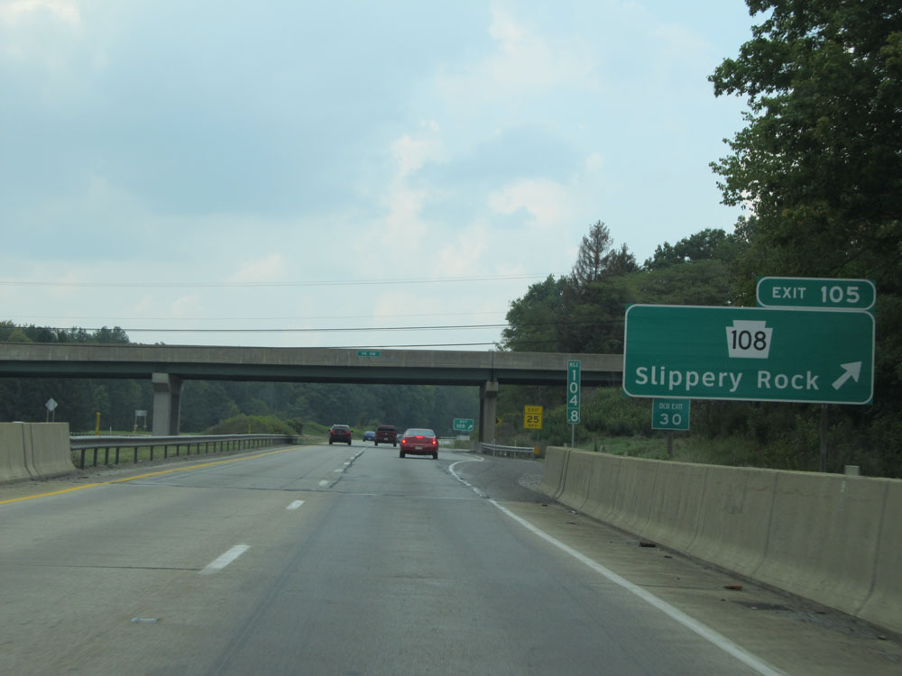 |
Interstate 79 North at Exit 105: PA 108 - Slippery Rock (Photo taken 9/5/15). |
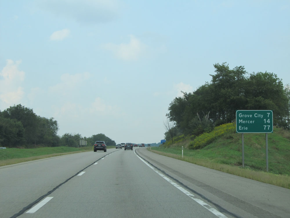 |
Another mileage sign on Interstate 79 North. It's 7 miles to Grove City, 14 miles to Mercer, and 77 miles to Erie. (Photo taken 9/5/15). |
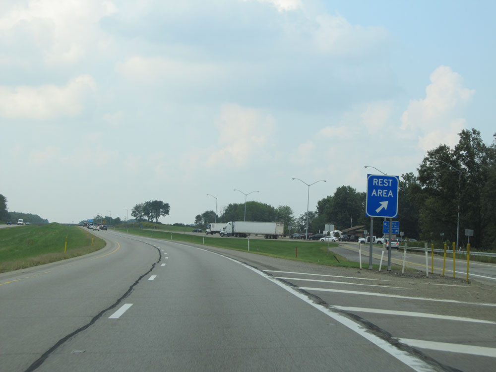 |
Interstate 79 North at the Rest Area / Weigh Station located near mile marker 107. (Photo taken 9/5/15). |
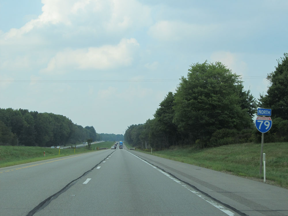 |
Another Interstate 79 North assurance shield. (Photo taken 9/5/15). |
 |
Interstate 79 North at mile marker 108. (Photo taken 9/5/15). |
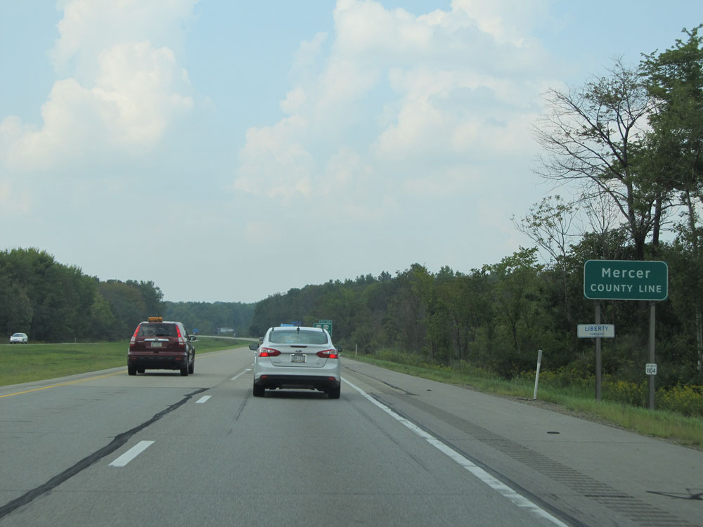 |
Interstate 79 North as it enters Mercer County. (Photo taken 9/5/15). |
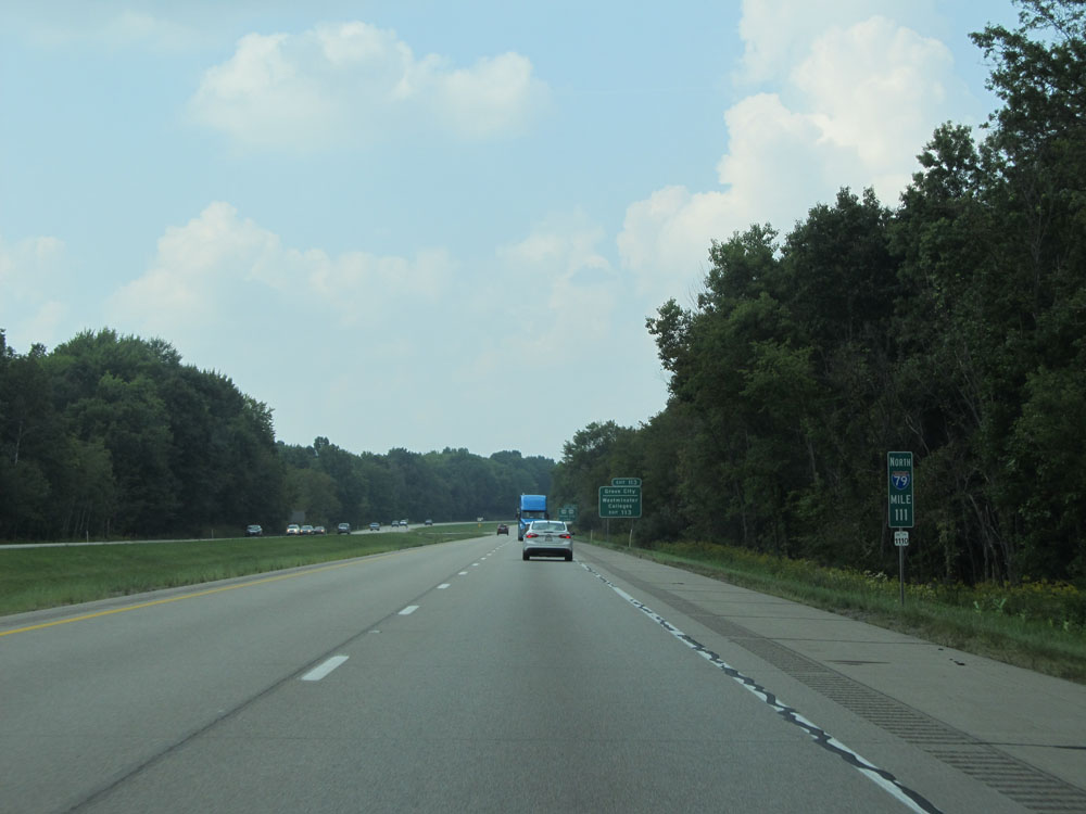 |
Interstate 79 North at mile marker 111. (Photo taken 9/5/15). |
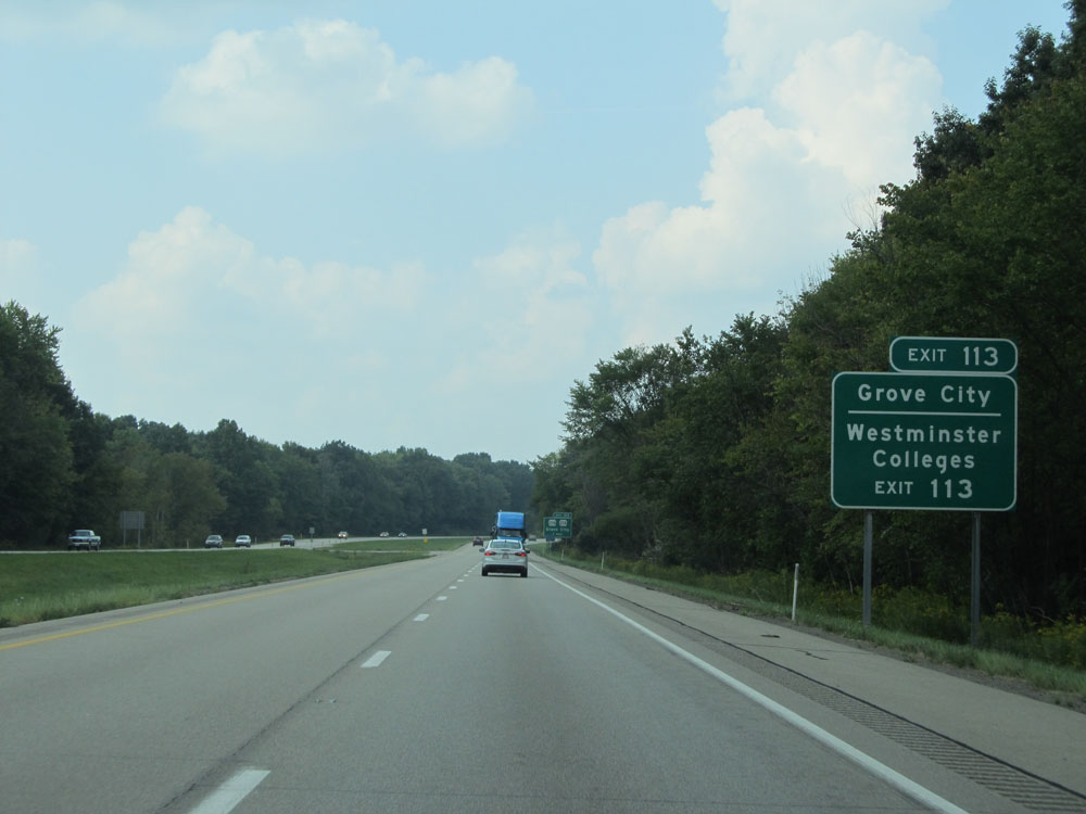 |
Take Exit 113 to Grove City College and Westminster College. (Photo taken 9/5/15). |
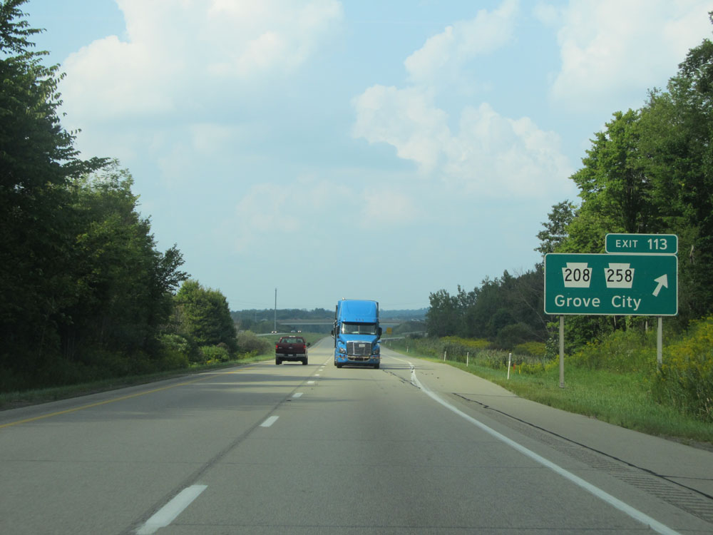 |
Interstate 79 North at Exit 113: PA 208 / PA 258 - Grove City (Photo taken 9/5/15). |
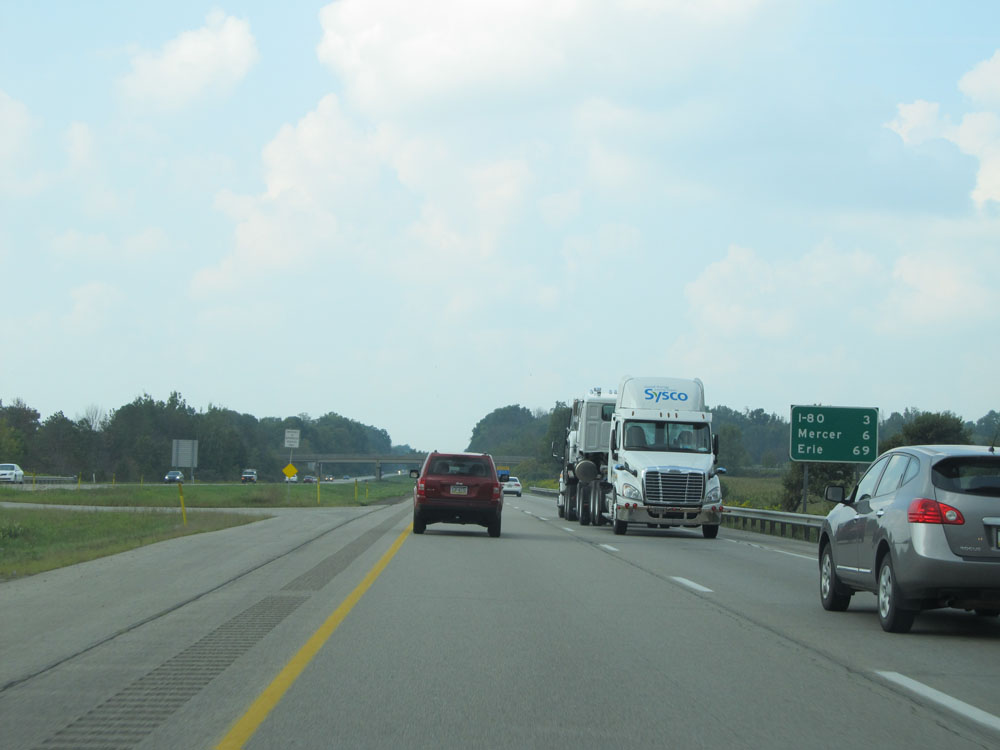 |
Mileage sign north of Exit 113. It's 3 miles to the junction of Interstate 80, 6 miles to Mercer, and 69 miles to Erie. (Photo taken 9/5/15). |
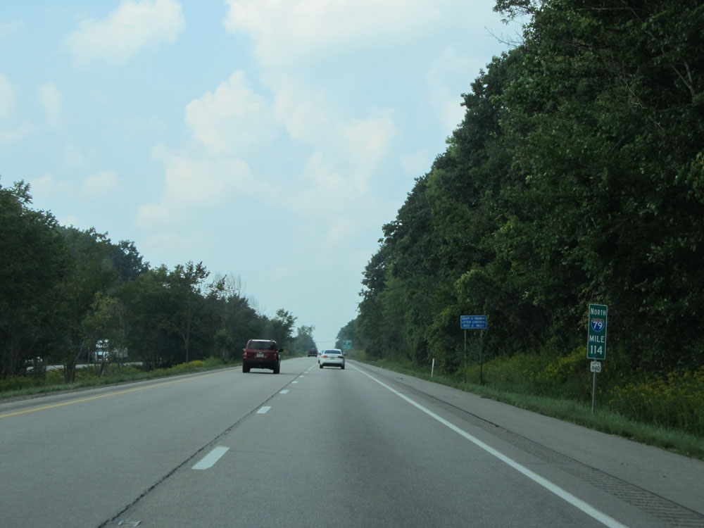 |
Interstate 79 North at mile marker 114. (Photo taken 9/5/15). |
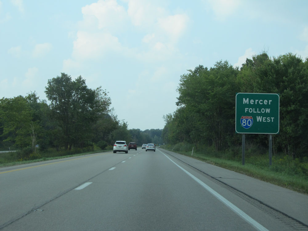 |
Follow Interstate 80 West to get to Mercer. (Photo taken 9/5/15). |
 |
Interstate 79 North approaching Exits 116A-B - 1 mile. (Photo taken 9/5/15). |
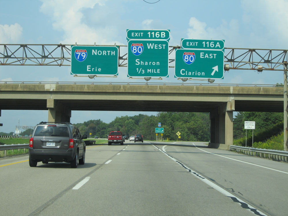 |
Interstate 79 North at Exit 116A: Interstate 80 East - Clarion (Photo taken 9/5/15). |
Section 4: Mercer (Exit 116A) to Erie
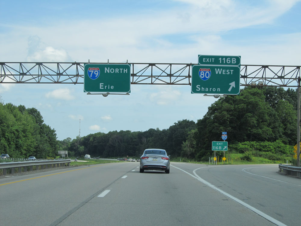 |
Interstate 79 North at Exit 116B: Interstate 80 West - Sharon (Photo taken 7/3/15). |
 |
Interstate 79 North assurance shield north of the interchange with Interstate 80. (Photo taken 7/3/15). |
 |
Speed limit assurance sign north of Exit 116. Speed Limit - 65 mph. (Photo taken 7/3/15). |
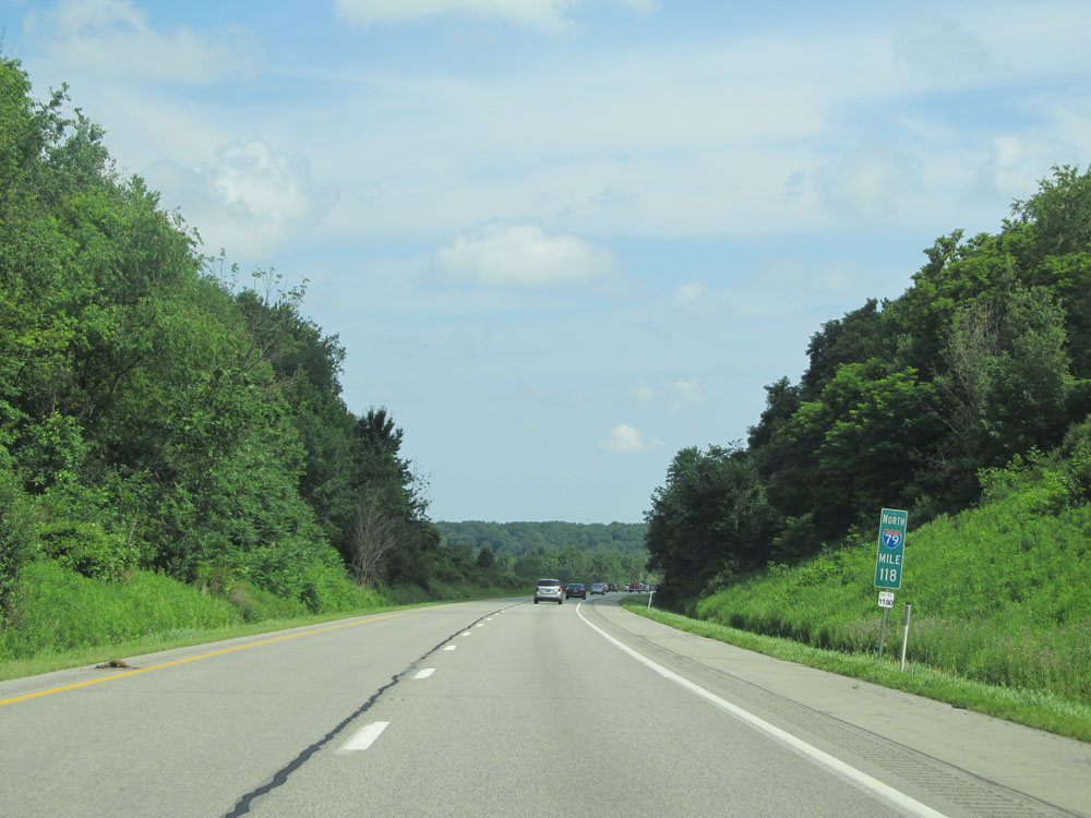 |
Interstate 79 North at mile marker 118. (Photo taken 7/3/15). |
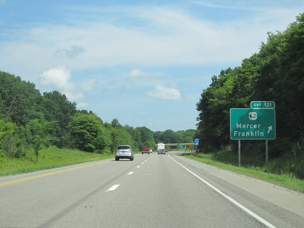 |
Interstate 79 North at Exit 122: US 62 - Mercer / Franklin (Photo taken 7/3/15). |
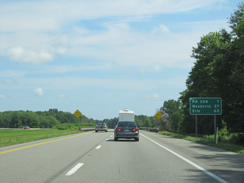 |
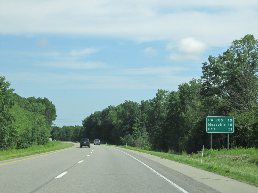
Mileage sign north of Exit 122. It's 7 miles to the junction of PA 358 (the next exit), 27 miles to Meadville, and 60 miles to Erie. (Photo taken 7/3/15). |
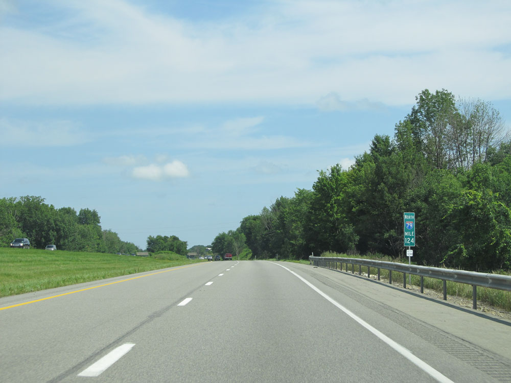 |
Interstate 79 North at mile marker 124. (Photo taken 7/3/15). |
 |
Interstate 79 North at mile marker 127. (Photo taken 7/3/15). |
 |
Take Exit 130 to Thiel College. (Photo taken 7/3/15). |
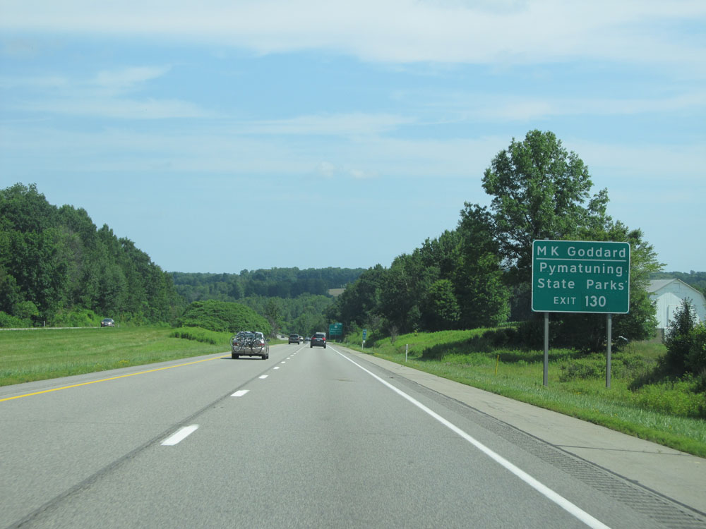 |
Also take Exit 130 to M.K. Goddard State Park and Pymatuning State Park. (Photo taken 7/3/15). |
 |
Interstate 79 North approaching Exit 130 - 1 mile. (Photo taken 7/3/15). |
 |
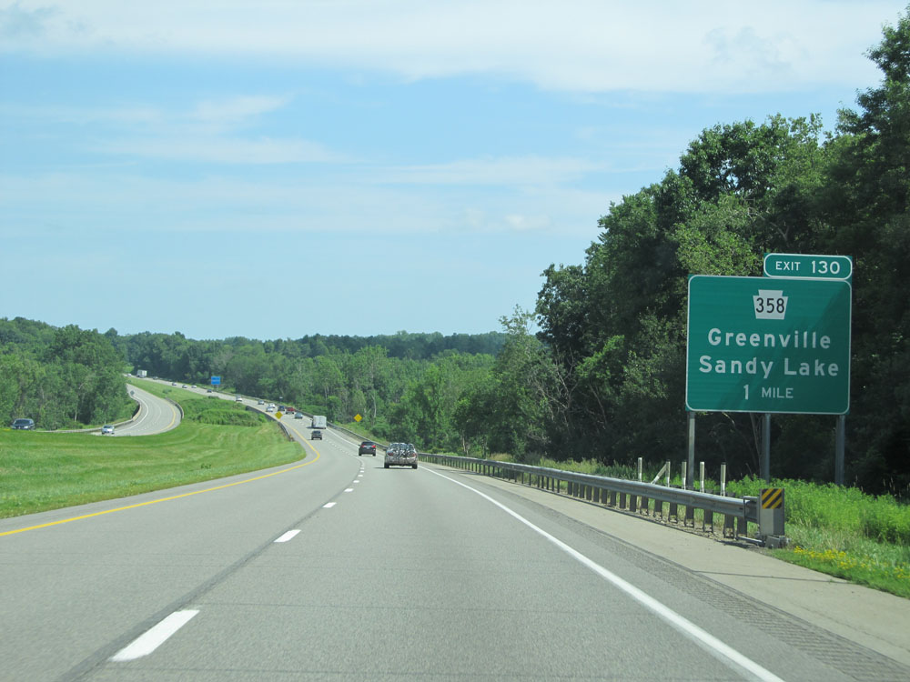
Interstate 79 North at Exit 130: PA 358 - Greenville / Sandy Lake (Photo taken 7/3/15). |
 |
Mileage sign north of Exit 130. It's 10 miles to the junction of PA 285 (the next exit), 18 miles to Meadville, and 51 miles to Erie. (Photo taken 7/3/15). |
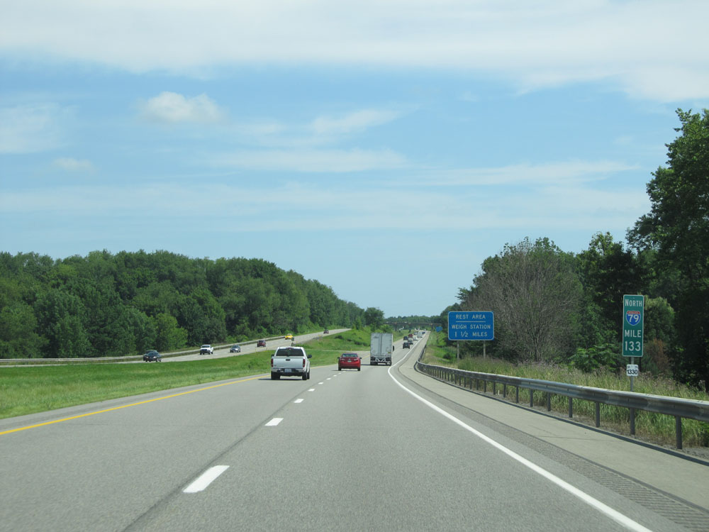 |
Interstate 79 North at mile marker 133. (Photo taken 7/3/15). |
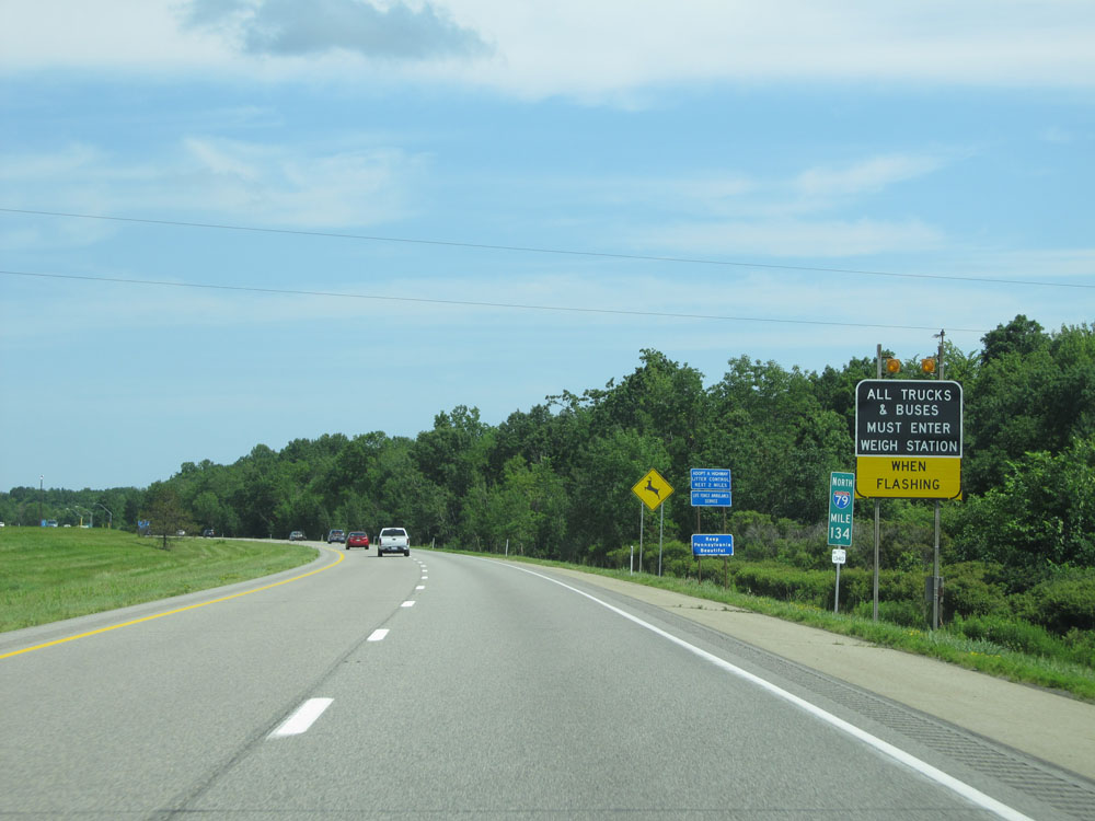 |
Like most Rest Areas in PA, a Weigh Station also exits at the one ahead. When the lights on this sign are flashing, all trucks must enter the Rest Area / Weigh station. (Photo taken 7/3/15). |
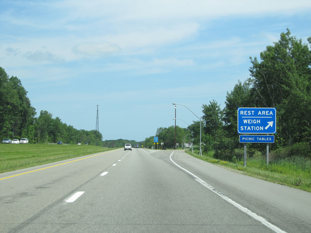 |
Interstate 79 North at the Rest Area / Weigh Station located near mile marker 134.5. (Photo taken 7/3/15). |
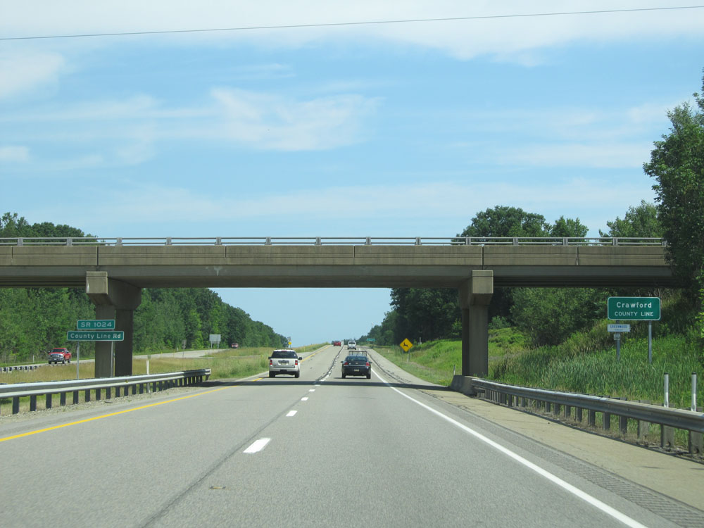 |
Interstate 79 North as it enters Crawford County. (Photo taken 7/3/15). |
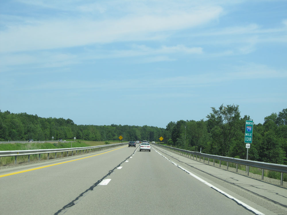 |
Interstate 79 North at mile marker 138. (Photo taken 7/3/15). |
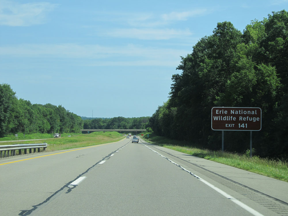 |
Take Exit 141 to Erie National Wildlife Refuge. (Photo taken 7/3/15). |
 |
Interstate 79 North at Exit 141: PA 285 - Geneva / Cochranton (Photo taken 7/3/15). |
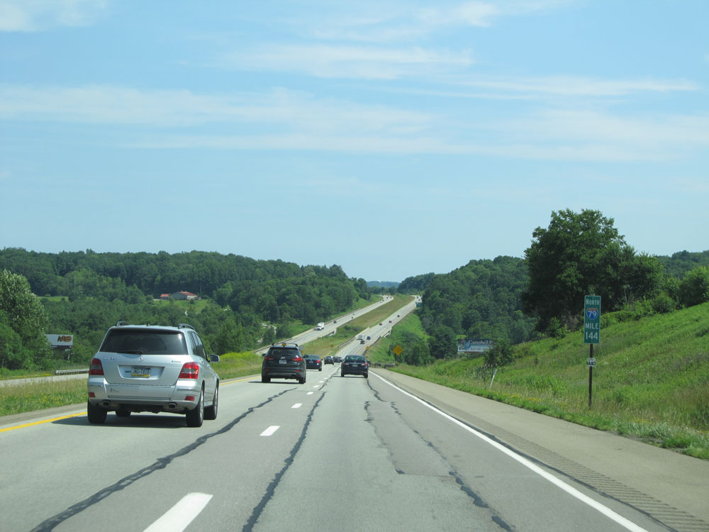 |
Interstate 79 North at mile marker 144. (Photo taken 7/3/15). |
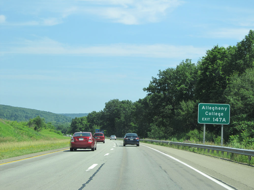 |
Take Exit 147A to Allegheny College. (Photo taken 7/3/15). |
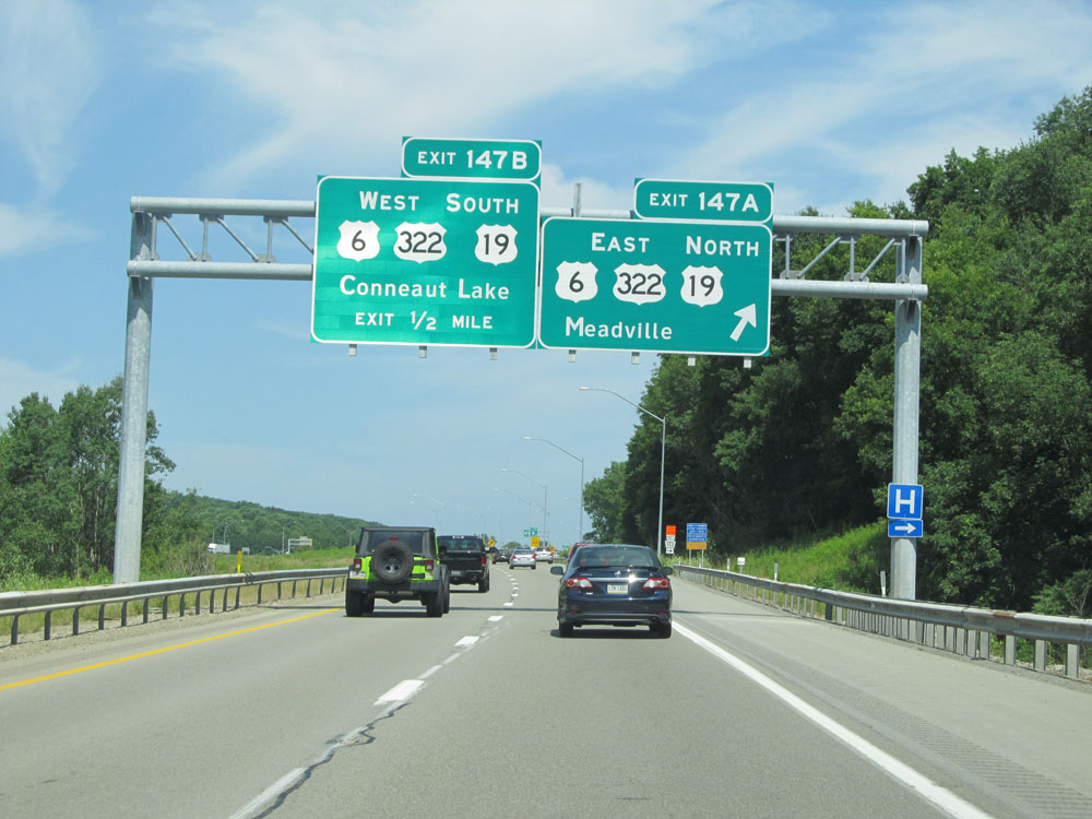 |
Interstate 79 North at Exit 147A: US 6 East / US 322 East / US 19 North - Meadville (Photo taken 7/3/15). |
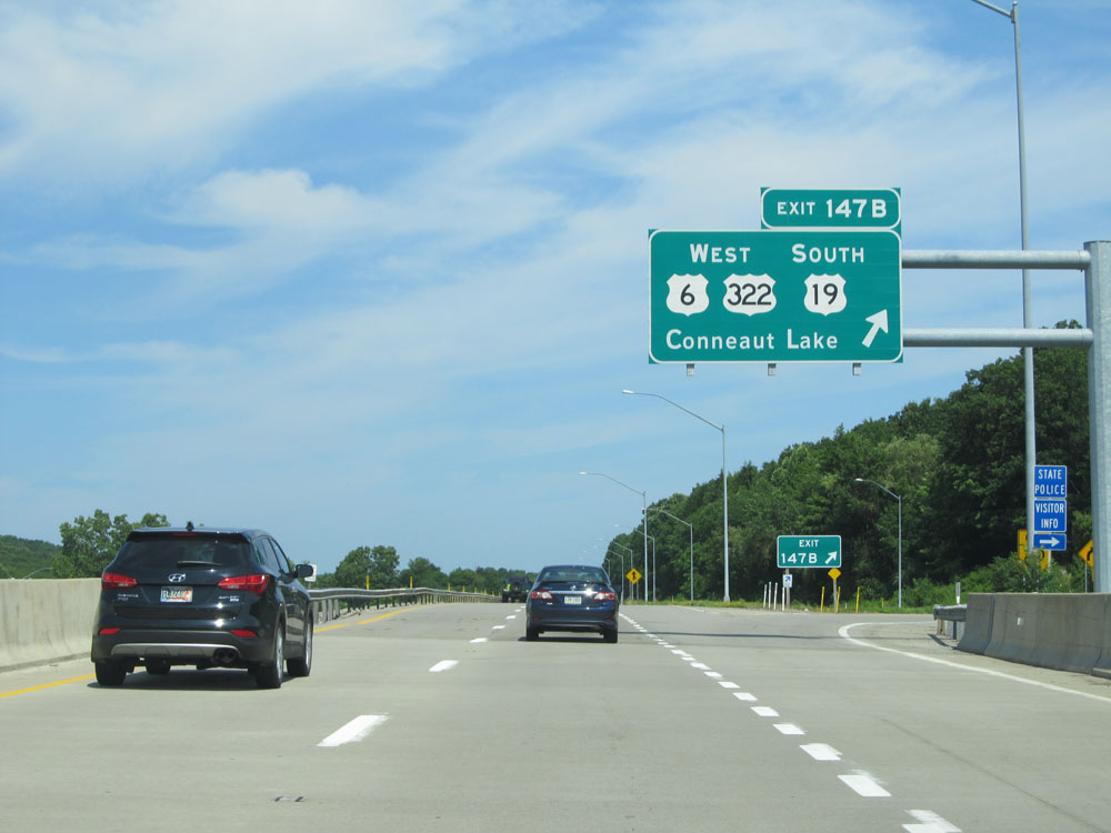 |
Interstate 79 North at Exit 147B: US 6 West / US 322 West / US 19 South - Conneaut Lake (Photo taken 7/3/15). |
 |
Interstate 79 North at mile marker 150. (Photo taken 7/3/15). |
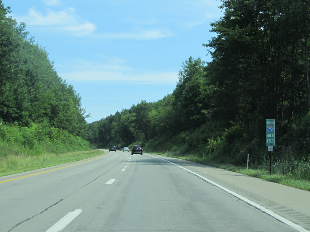 |
Interstate 79 North at mile marker 153. (Photo taken 7/3/15). |
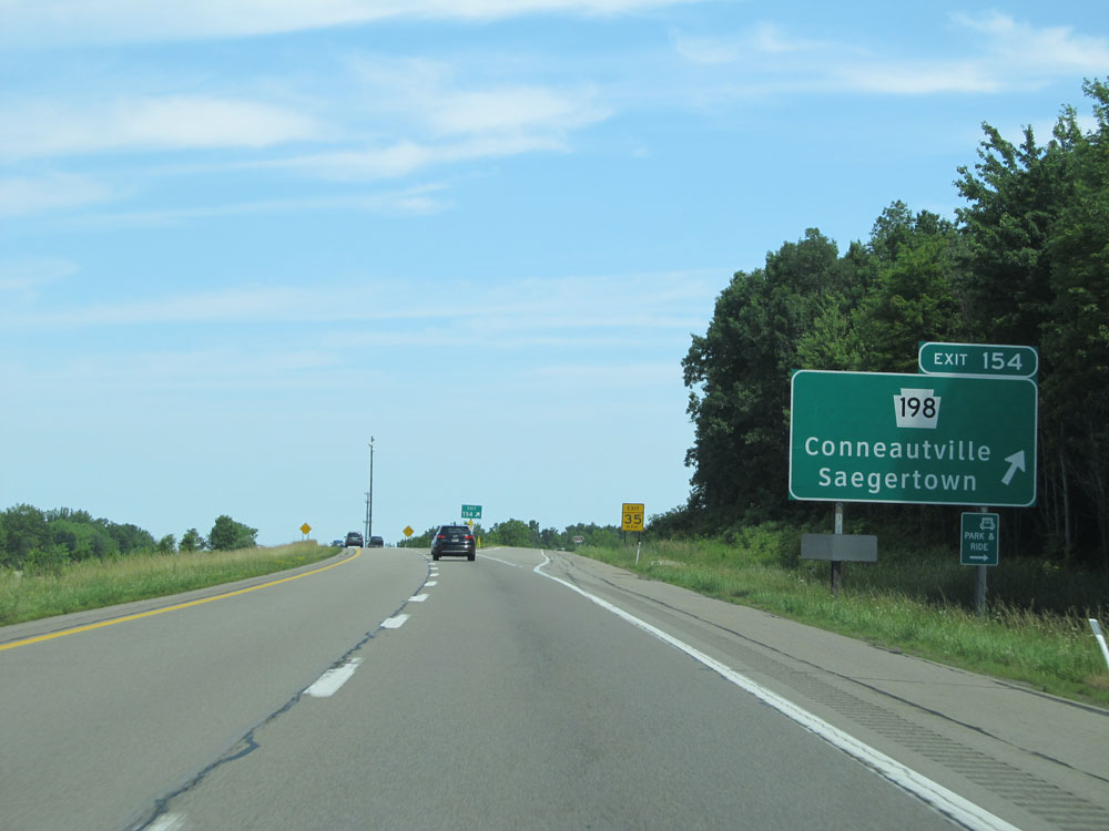 |
Interstate 79 North at Exit 154: PA 198 - Conneautville / Saegertown (Photo taken 7/3/15). |
 |
Mileage sign north of Exit 154. It's 10 miles to the junction of US 6N (the next exit) and 27 miles to Erie. (Photo taken 7/3/15). |
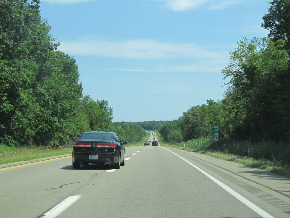 |
Interstate 79 North: Road view from mile marker 158. (Photo taken 7/3/15). |
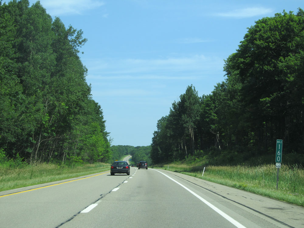 |
Interstate 79 North at mile marker 160. (Photo taken 7/3/15). |
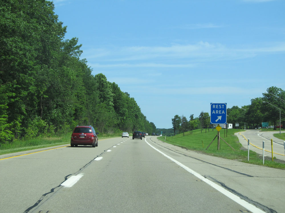 |
Interstate 79 North at the Rest Area located at mile marker 163. (Photo taken 7/3/15). |
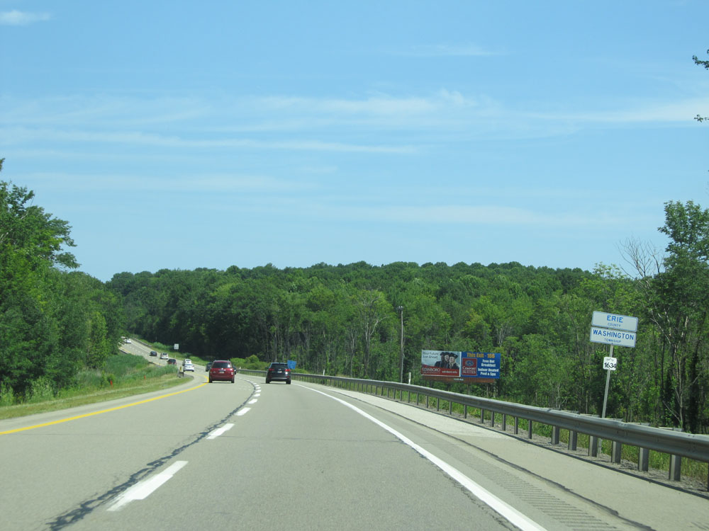 |
Interstate 79 North entering Erie County. (Photo taken 7/3/15). |
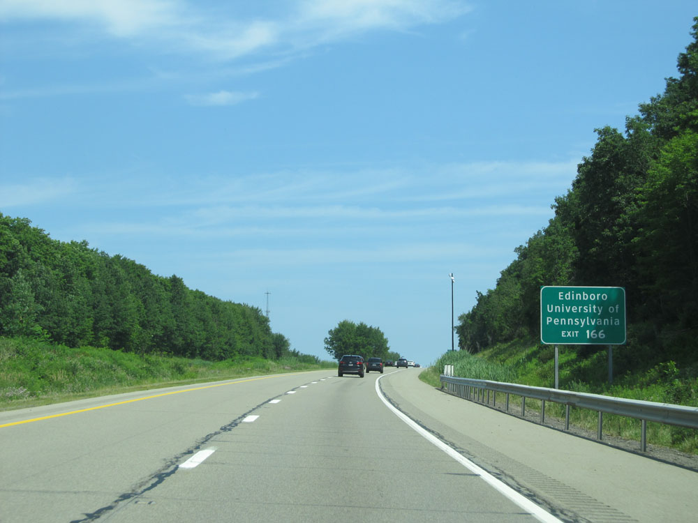 |
Take Exit 166 to Edinboro University of Pennsylvania. (Photo taken 7/3/15). |
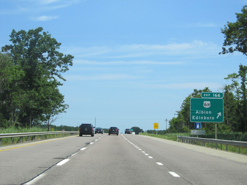 |
Interstate 79 North at Exit 166: US 6N - Albion / Edinboro (Photo taken 7/3/15). |
 |
Mileage sign north of Exit 166. It's 7 miles to McKean and 15 miles to Erie. (Photo taken 7/3/15). |
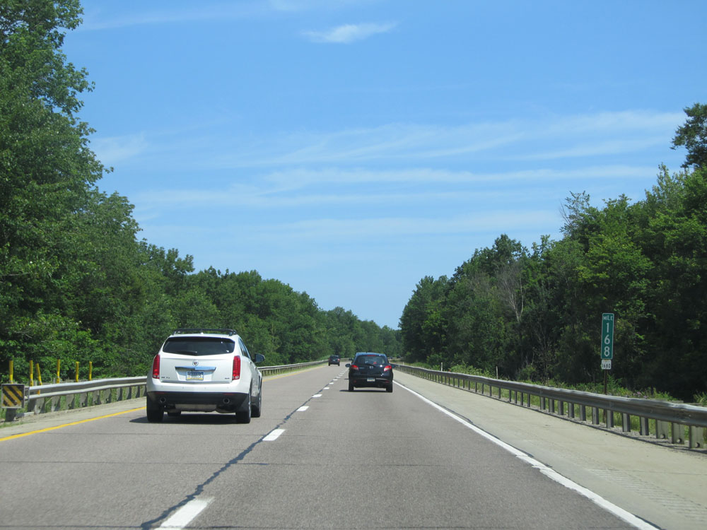 |
Interstate 79 North at mile marker 168. (Photo taken 7/3/15). |
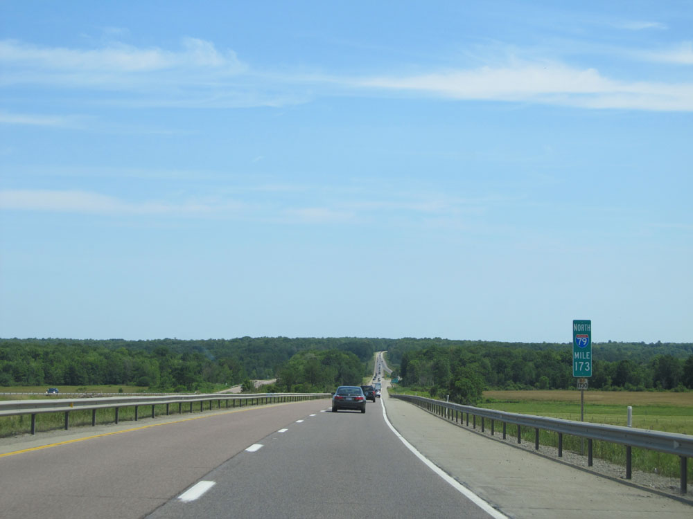 |
Interstate 79 North at mile marker 173. (Photo taken 7/3/15). |
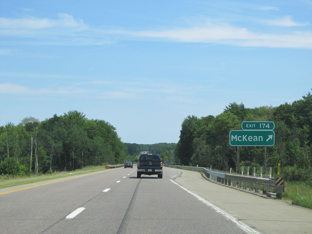 |
Interstate 79 North at Exit 174: McKean (Photo taken 7/3/15). |
 |
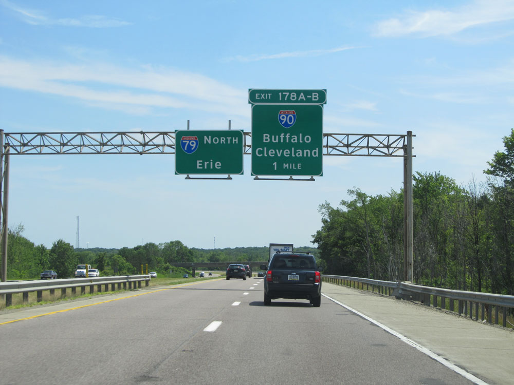
This sign lists the different exit numbers to Erie via Interstate 79 North and Interstate 90 East. (Photo taken 7/3/15). |
 |
Interstate 79 North approaching Exits 178A-B - 1 mile. (Photo taken 7/3/15). |
 |
Interstate 79 North at Exit 178A: Interstate 90 East - Buffalo (Photo taken 7/3/15). |
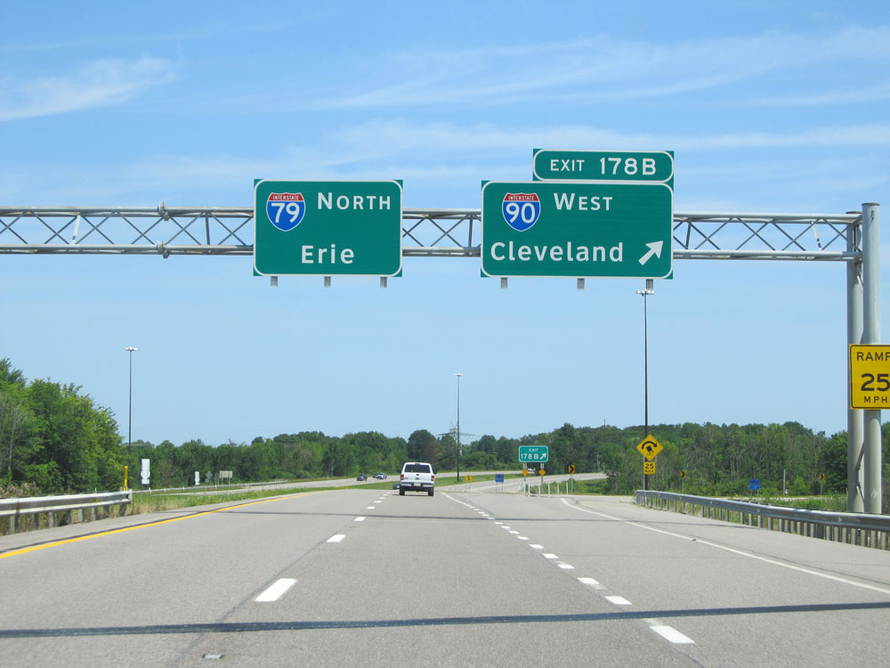 |
Interstate 79 North at Exit 178B: Interstate 90 West - Cleveland (Photo taken 7/3/15). |
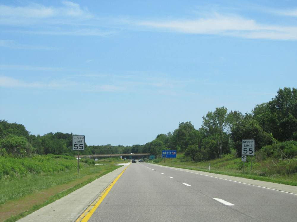 |
Just north of Exit 178B, the speed limit decreases to 55 mph on Interstate 79 North as we enter the Erie area. (Photo taken 7/3/15). |
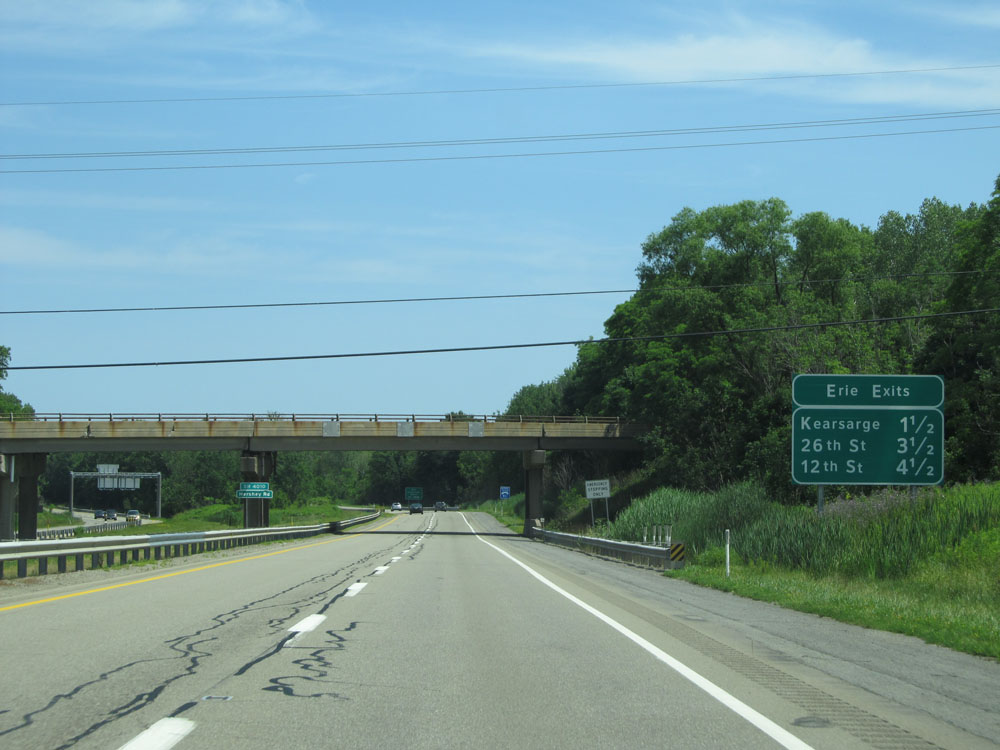 |
This sign lists the distances to the three upcoming exits to Erie on Interstate 79 North. (Photo taken 7/3/15). |
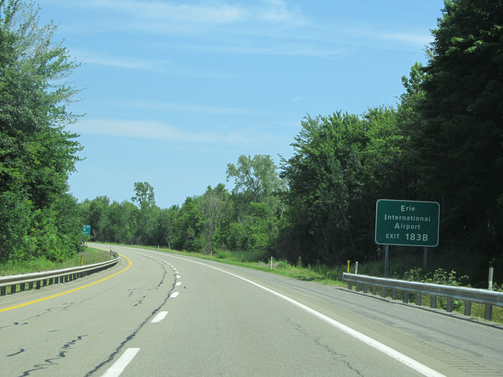 |
Take Exit 183B to Erie International Airport. (Photo taken 7/3/15). |
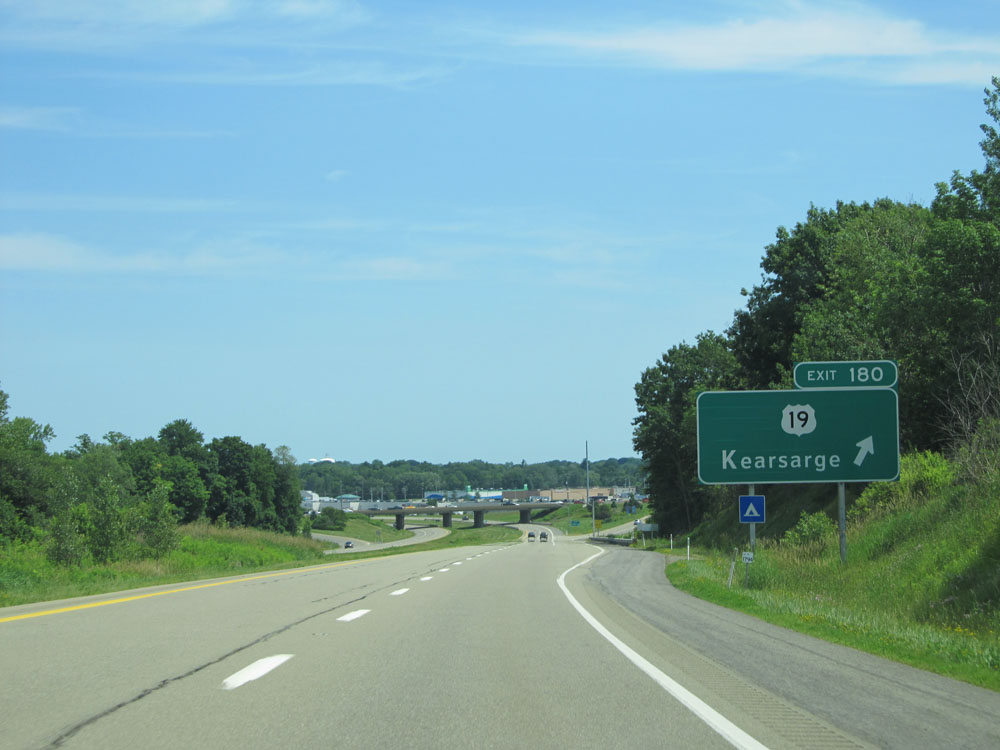 |
Interstate 79 North at Exit 180: US 19 - Kearsarge (Photo taken 7/3/15). |
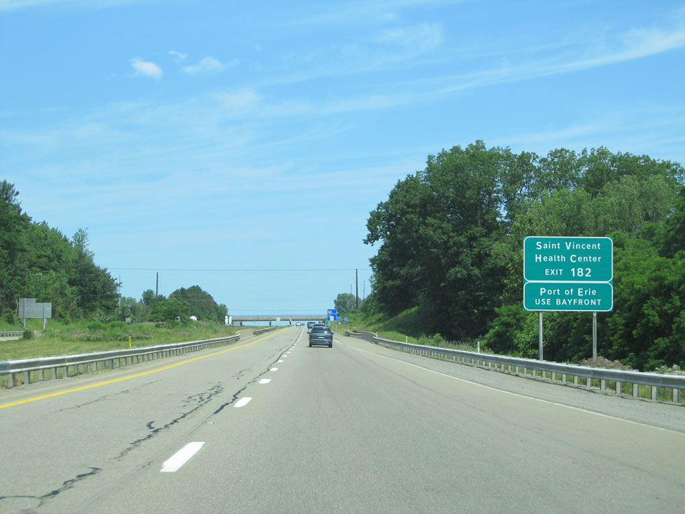 |
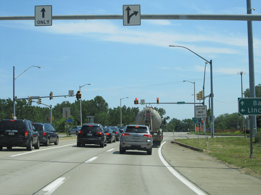
Take Exit 182 to Saint Vincent Health Center. Stay straight ahead to the northern terminus of Interstate 79 at Bayfront Parkway to Port of Erie. (Photo taken 7/3/15). |
 |
Take Exit 183B to Presque Isle State Park and Waldameer Park. (Photo taken 7/3/15). |
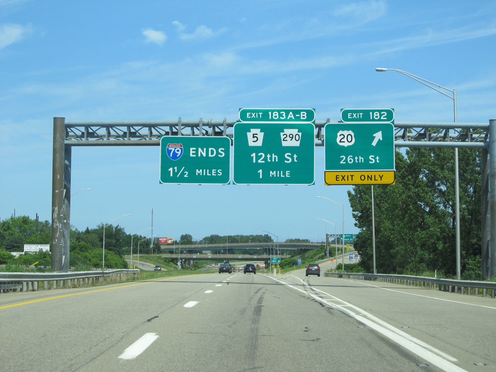 |
Interstate 79 North at Exit 182: US 20 - 26th St (Photo taken 7/3/15). |
 |
Use the left lane ahead to UPMC Hamot Medical Center and Gannon University. (Photo taken 7/3/15). |
 |
Approaching Exit 183A, the speed limit decreases to 50 mph. (Photo taken 7/3/15). |
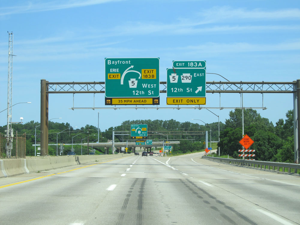 |
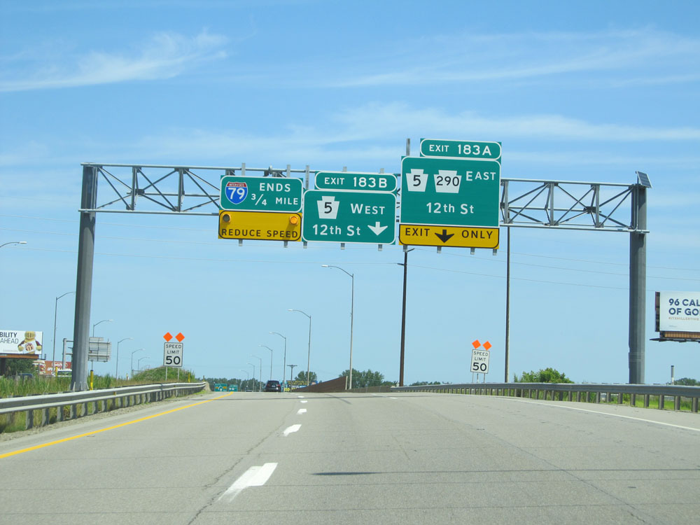
Interstate 79 North at Exit 183A: PA 5 East / PA 290 East - 12th St (Photo taken 7/3/15). |
 |
Interstate 79 North approaching Exit 183B. (Photo taken 7/3/15). |
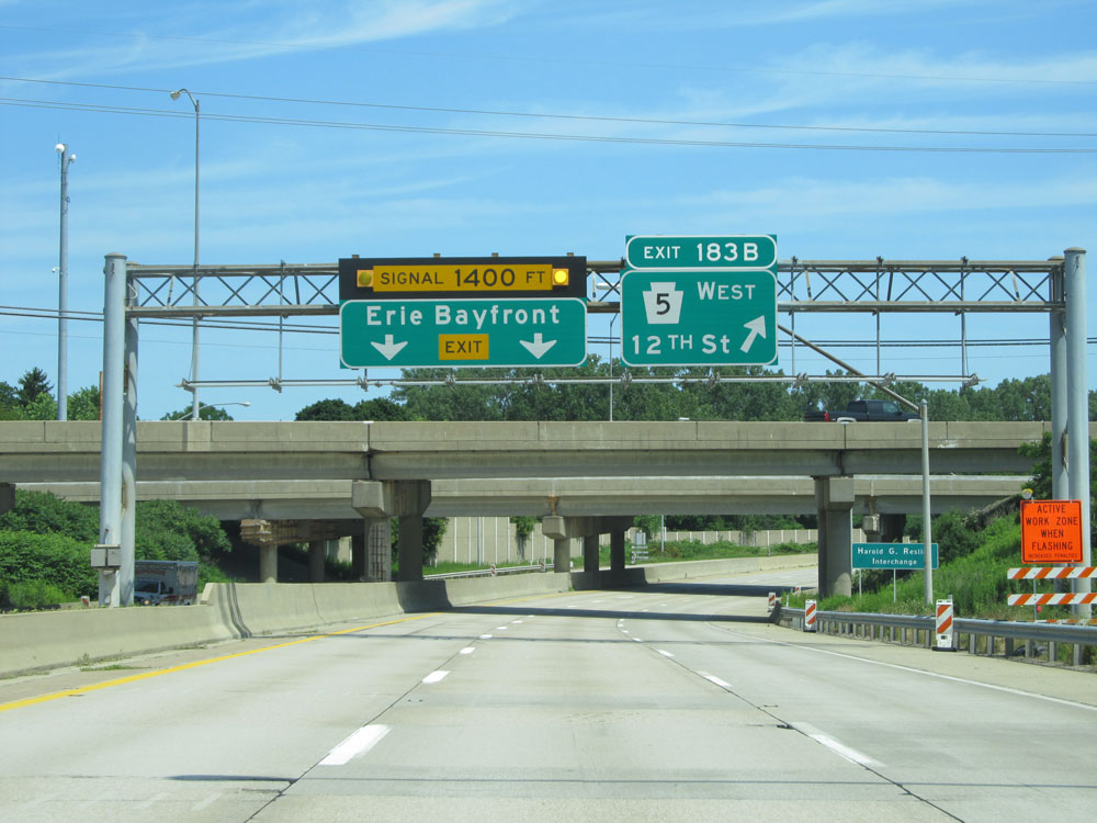 |
Interstate 79 North at Exit 183B: PA 5 West - 12th St (Photo taken 7/3/15). |
 |
Interstate 79 North at its northern terminus, at Bayfront Parkway in Erie. (Photo taken 7/3/15). |