Road Information |
||
 |
||
| Total Mileage in State: | 56 miles | |
| Eastern/Southern End: | At Kentucky state line | |
| Western End: | At Indiana state line | |
| Mileage covered in Photos: | 56 miles | |
| Counties covered in Photos: | Hamilton, Clermont, Hamilton | |
| Major Junctions in Photos: | I-74, near Miamitown I-75, in Sharonville I-71, in Montgomery |
|
| Control Cities in Photos: | Sharonville, Montgomery, Cincinnati | |
Inner Loop
- Section 1: Indiana Border to Sharonville (Exit 43B)
- Section 2: Sharonville (Exit 43B) to Kentucky Border
Section 1: Indiana Border to Sharonville (Exit 43B)
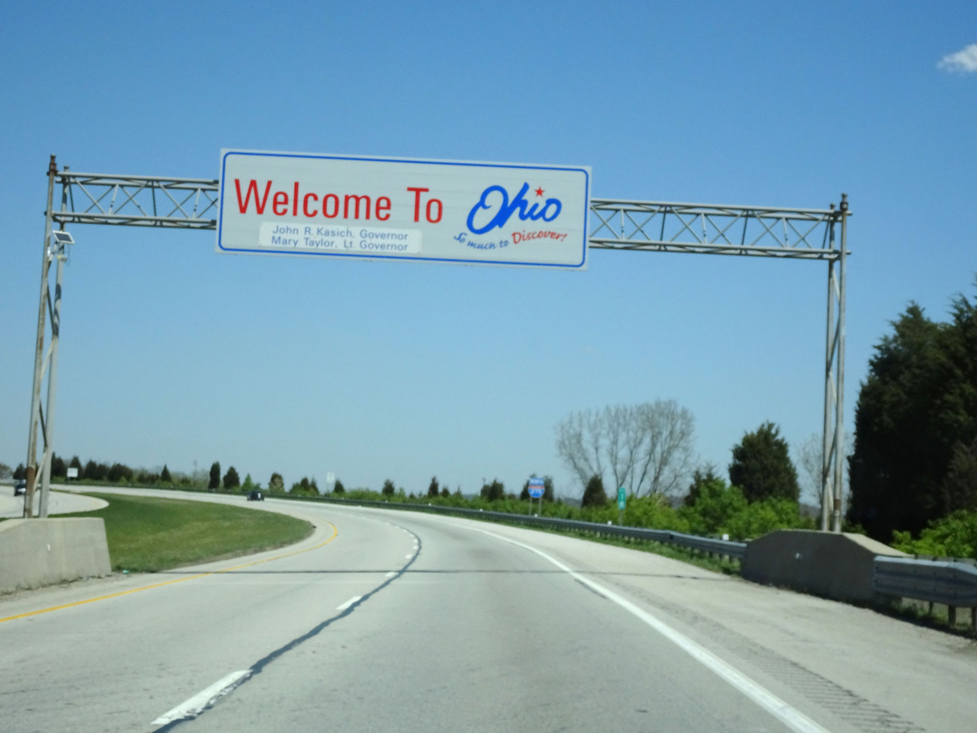 |
Ohio welcome sign as Interstate 275 Inner Loop (North) enters the Buckeye State from Indiana. (Photo take 4/16/16). |
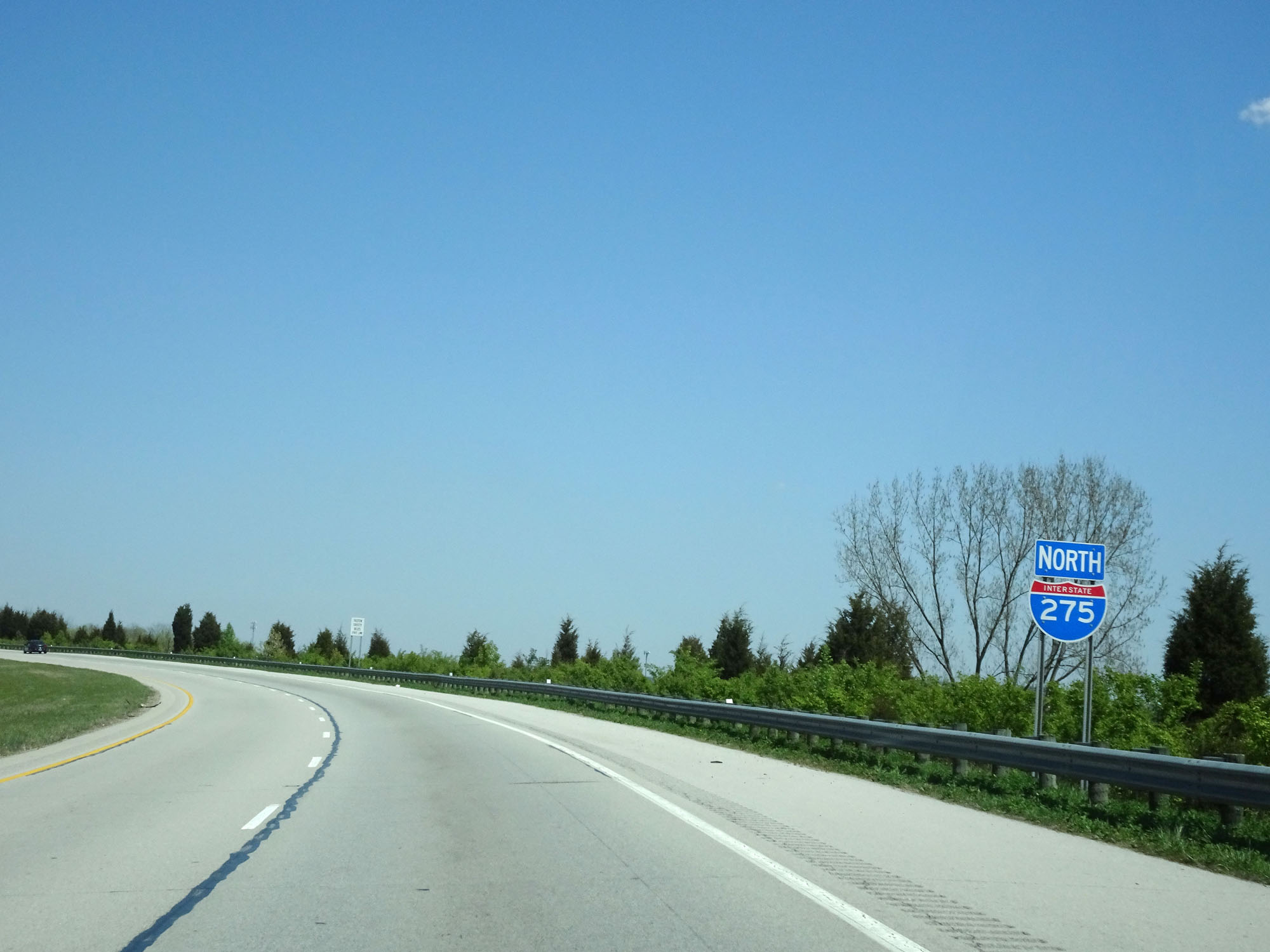 |
Interstate 275 North reassurance shield. (Photo take 4/16/16). |
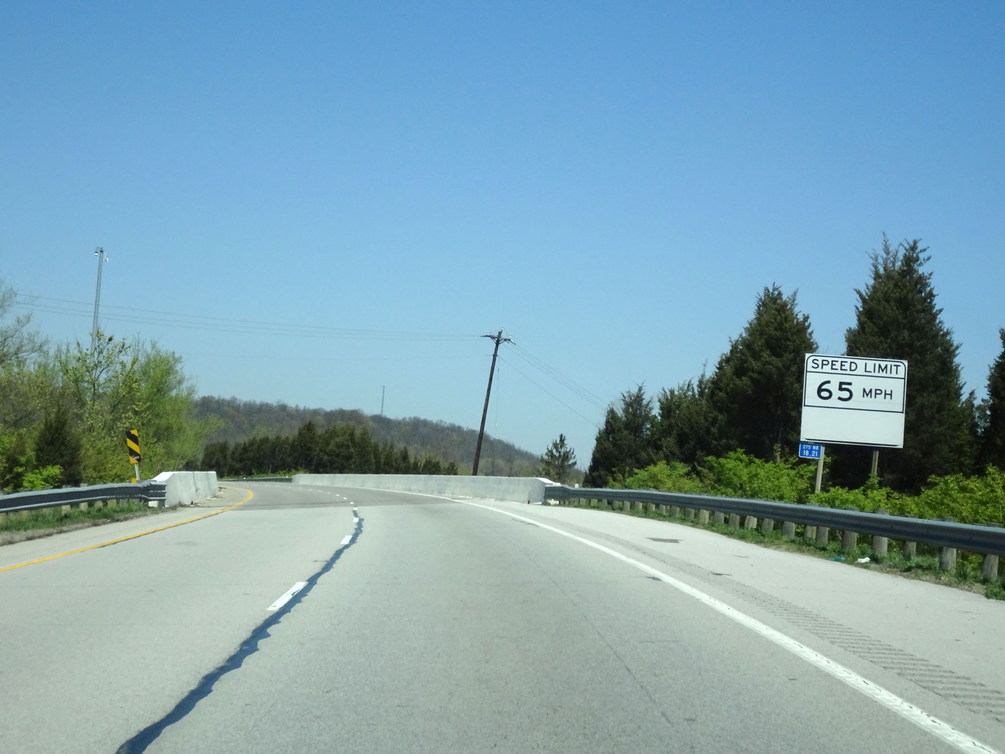 |
Ohio-style speed limit sign on Interstate 275 Inner Loop (North). The speed limit on I-275 starts out at 65 mph. (Photo take 4/16/16). |
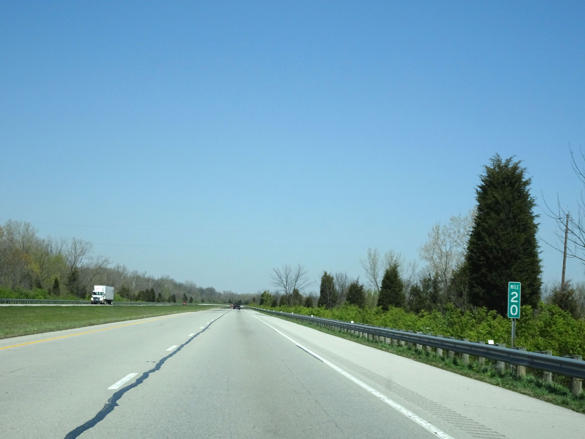 |
Interstate 275 Inner Loop (North) at mile marker 20. (Photo take 4/16/16). |
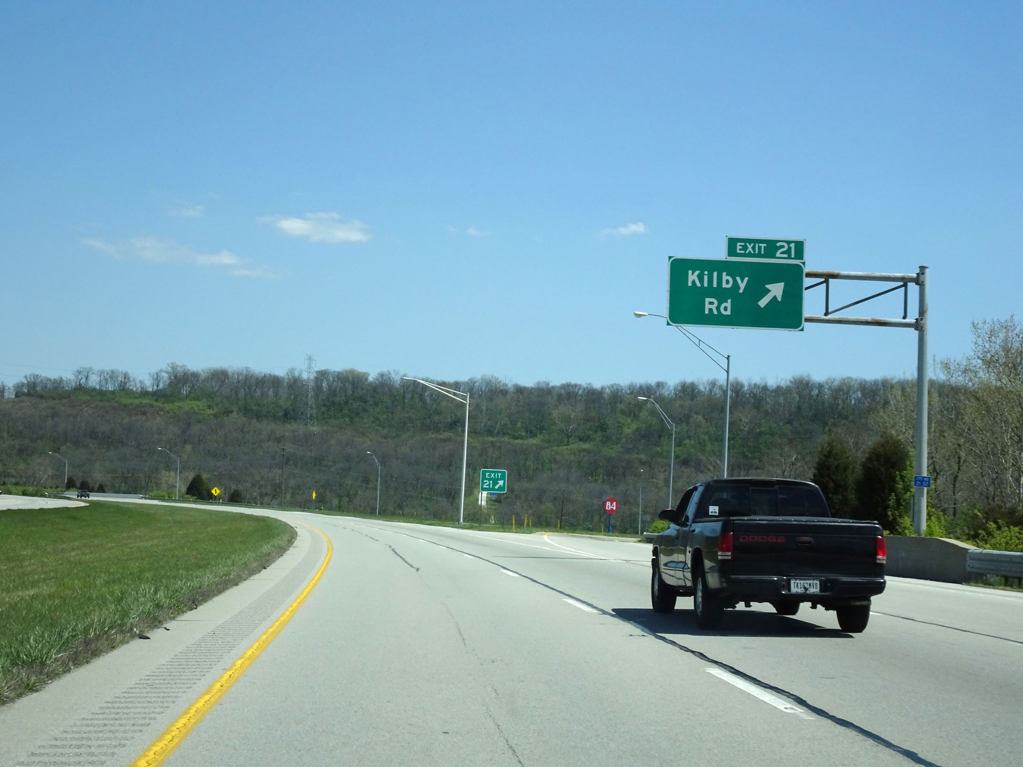 |
Interstate 275 Inner Loop (North) at Exit 21: Kilby Rd (Photo take 4/16/16). |
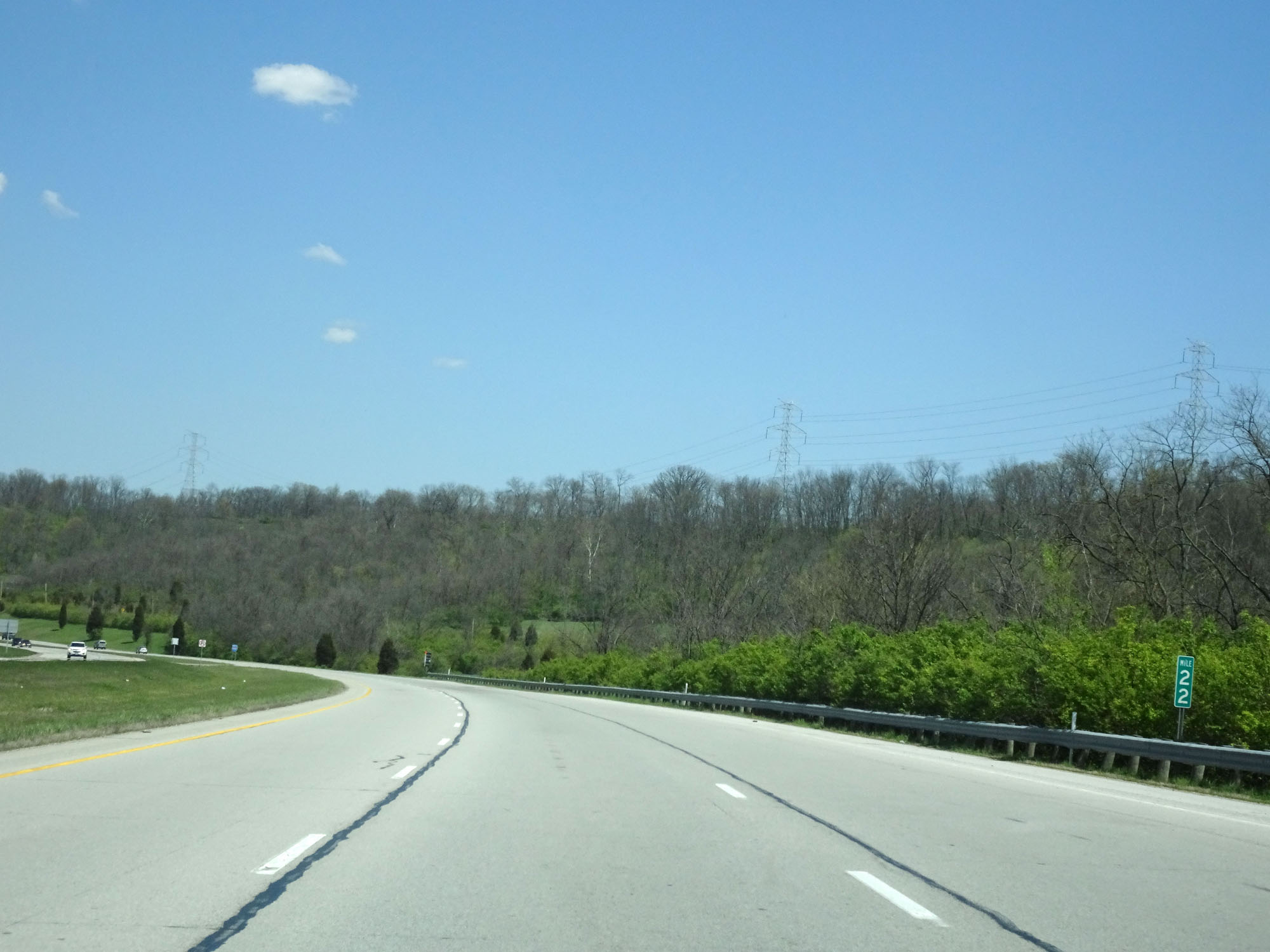 |
Interstate 275 Inner Loop (North) at mile marker 22. (Photo take 4/16/16). |
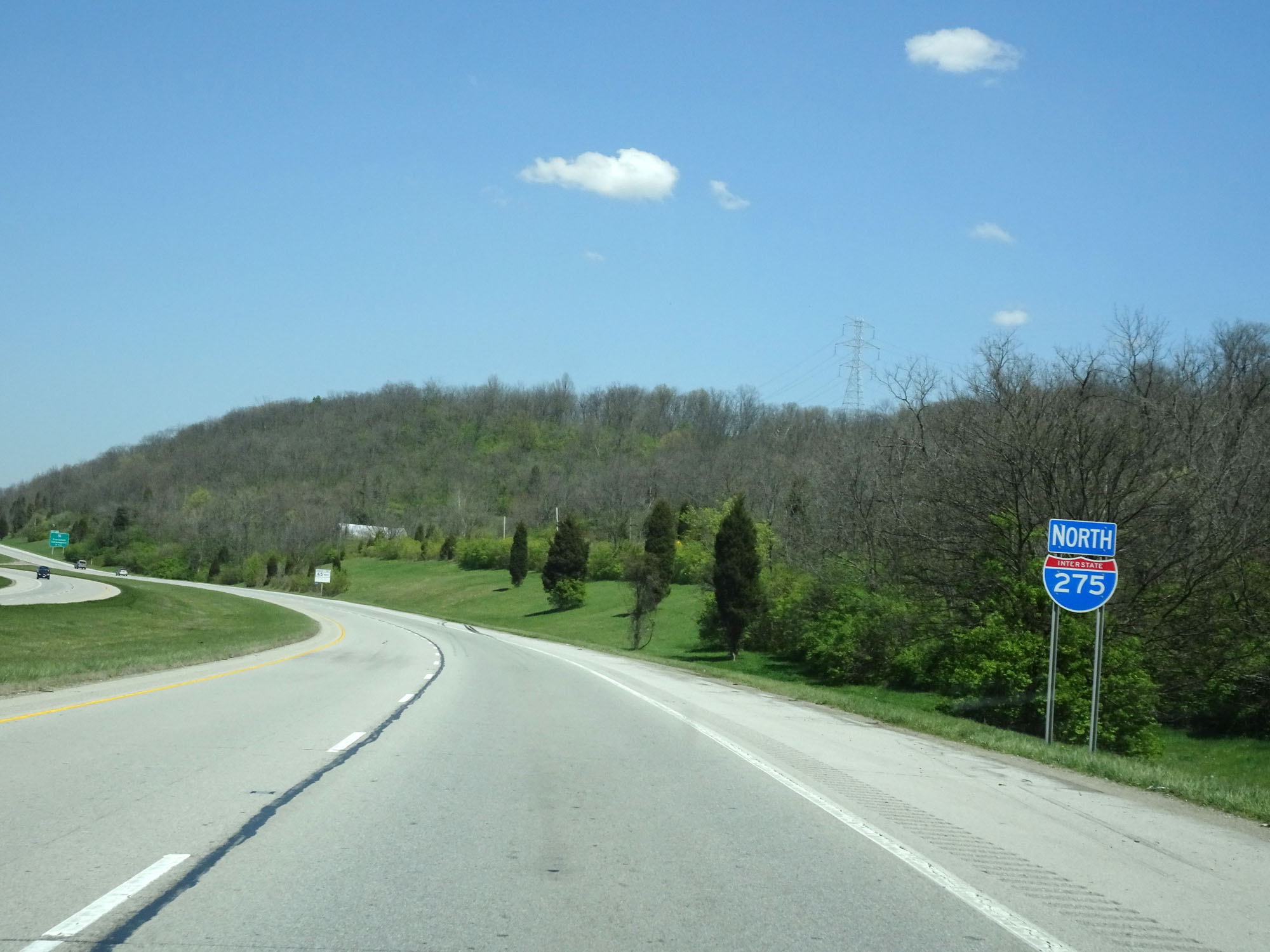 |
Another Interstate 275 North reassurance shield. (Photo take 4/16/16). |
 |
The speed limit remains 65 mph for all traffic. (Photo take 4/16/16). |
 |
Interstate 275 Inner Loop (North) at mile marker 23. (Photo take 4/16/16). |
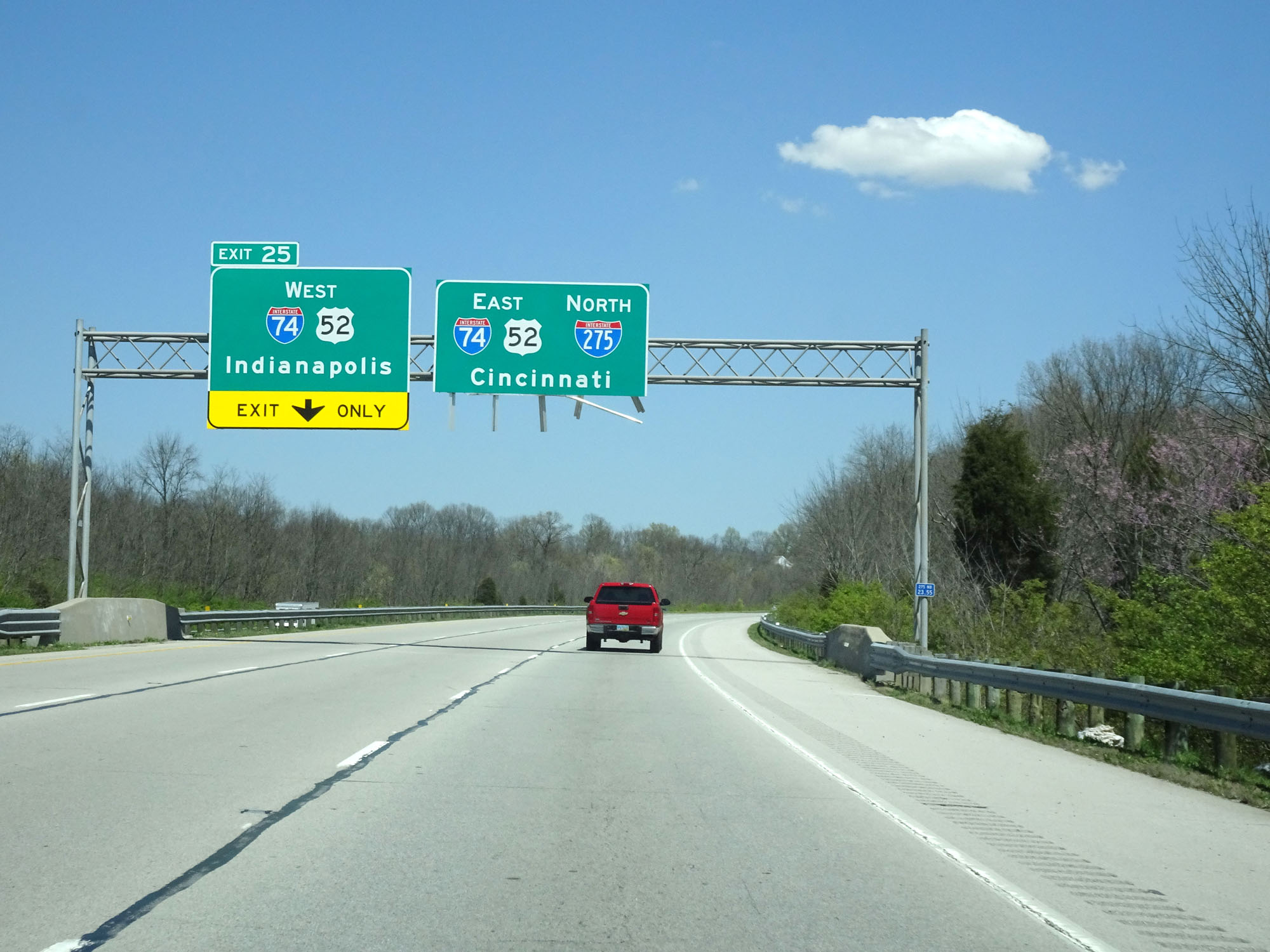 |
Approaching Exit 25, this guide sign shows that traffic for Interstate 74 West toward Indianapolis should get in the left lane. (Photo take 4/16/16). |
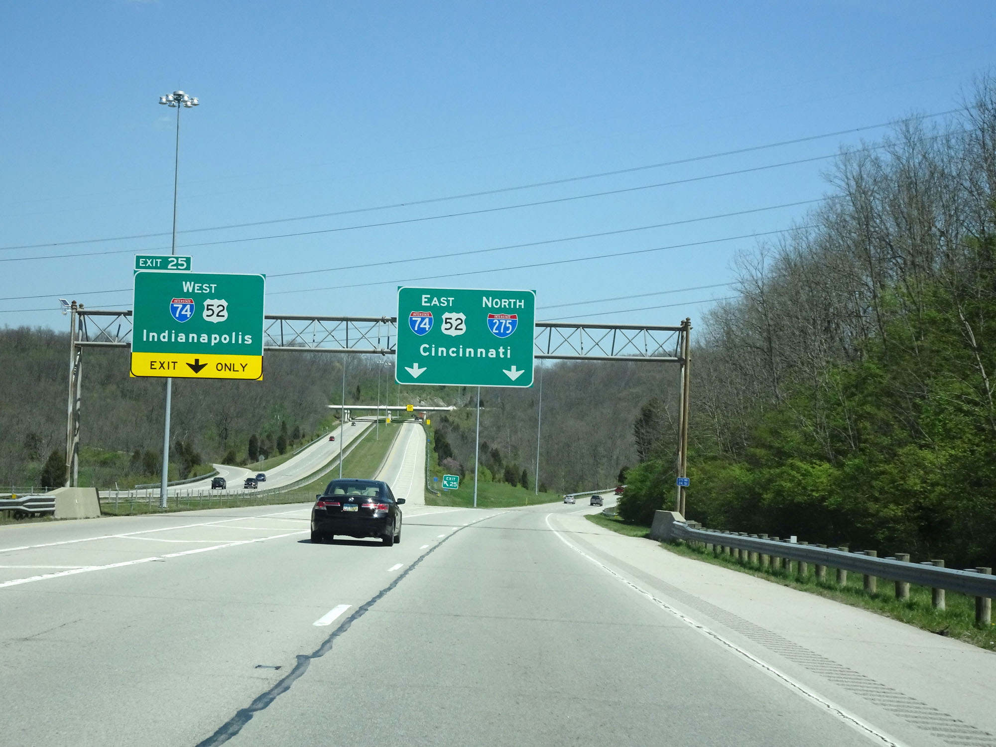 |
Interstate 275 Inner Loop (North) at Exit 25: Interstate 74 West / US 52 West - Indianapolis (Photo take 4/16/16). |
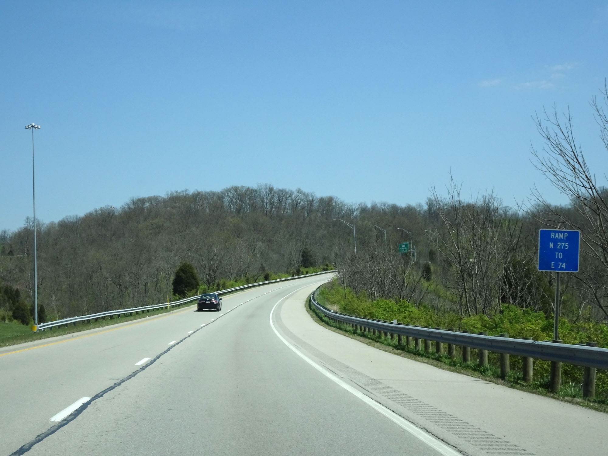 |
View on Interstate 275 Inner Loop (North) as it prepares to join up with Interstate 74 East ahead for a 4-mile concurrency, which is implied by this sign on the ramp. (Photo take 4/16/16). |
 |
Interstate 275 Inner Loop (North) at mile marker 25. (Photo take 4/16/16). |
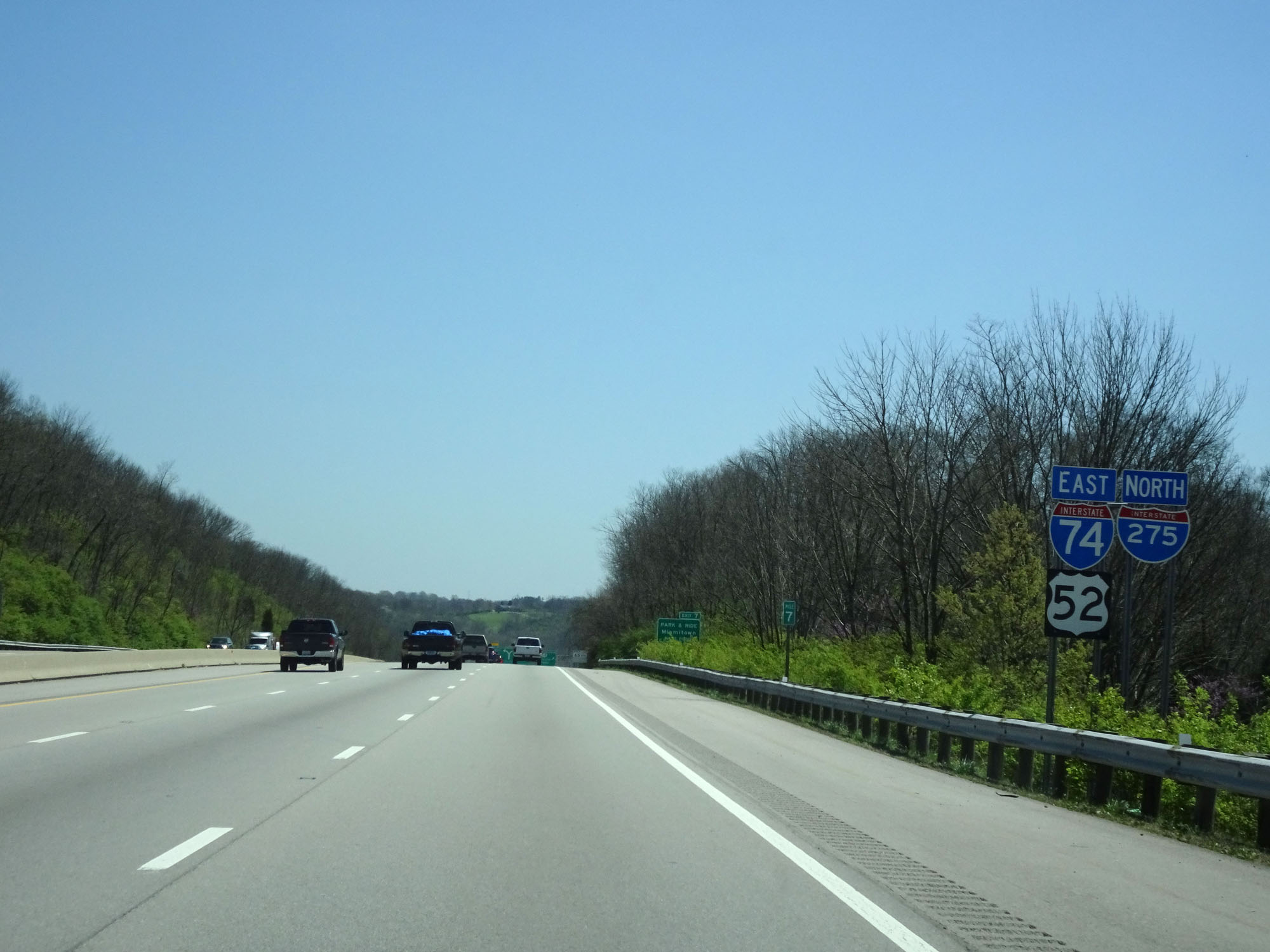 |
Interstate 275 North / Interstate 74 East reassurance shields at mile marker 7. During this concurrency, the mileage and exit numbers are based off I-74. (Photo take 4/16/16). |
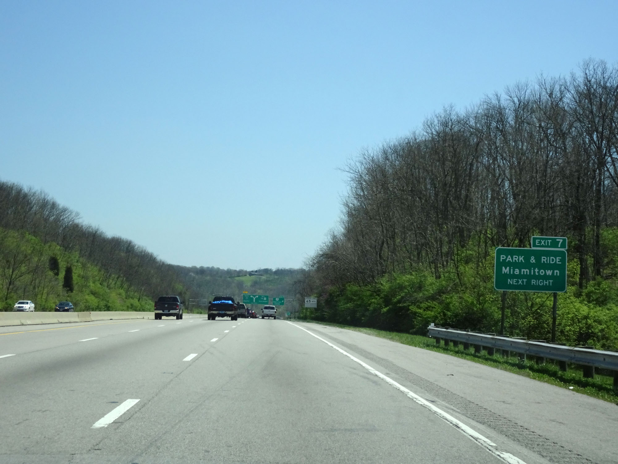 |
Take Exit 7 to Miamitown Park & Ride lot. (Photo take 4/16/16). |
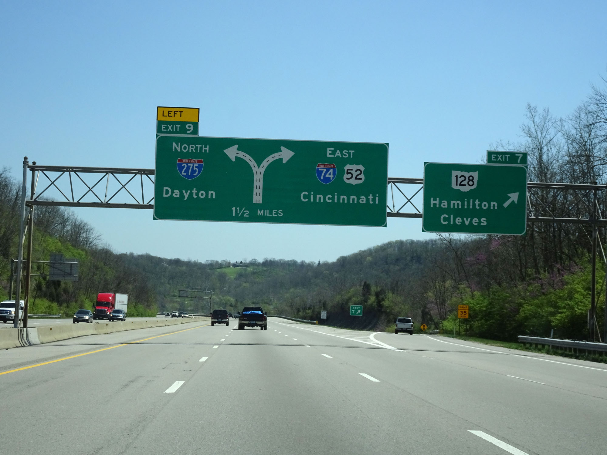 |
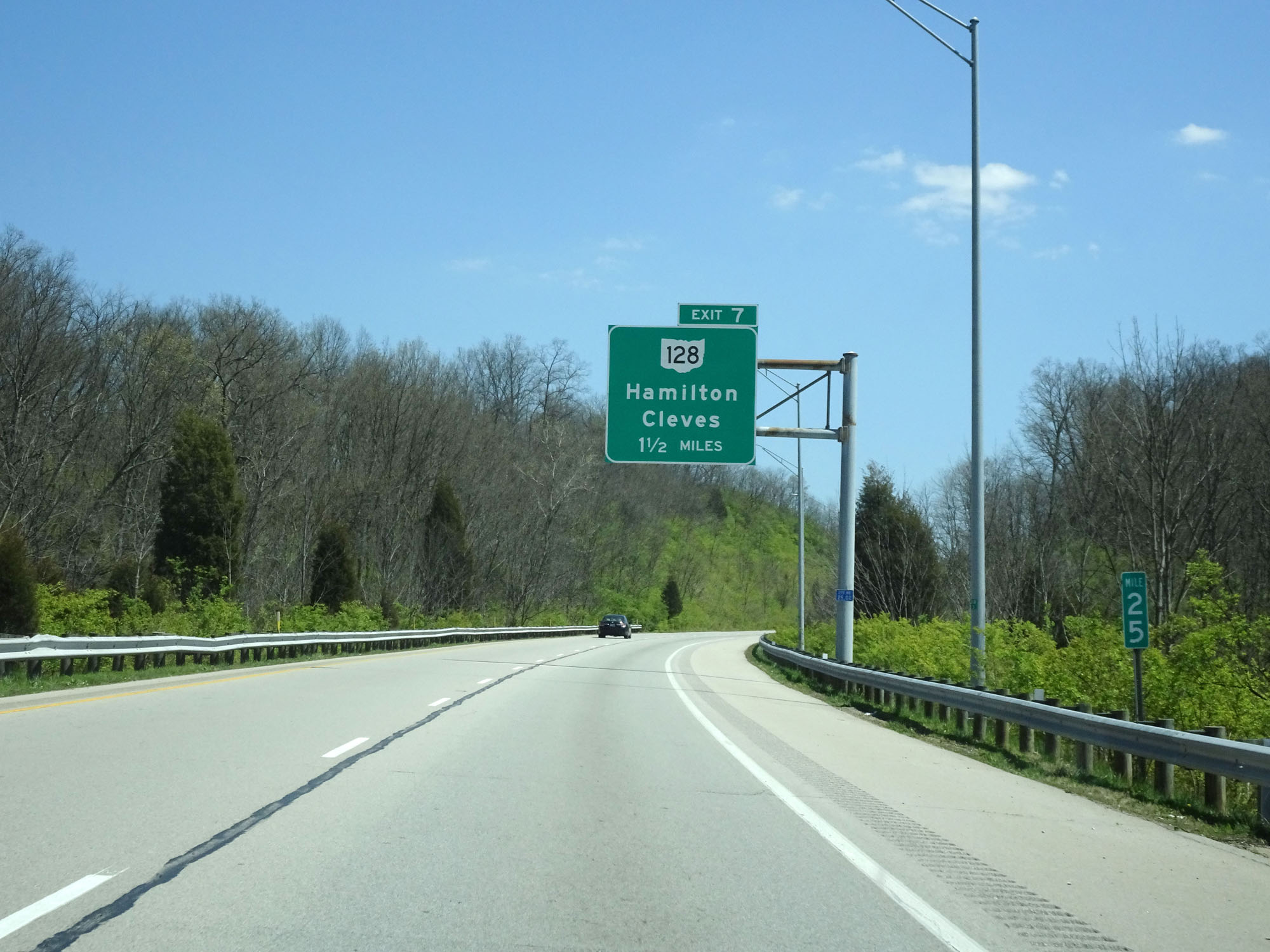
Interstate 275 Inner Loop (North) / Interstate 74 East at Exit 7: OH 128 - Hamilton / Cleves (Photo take 4/16/16). |
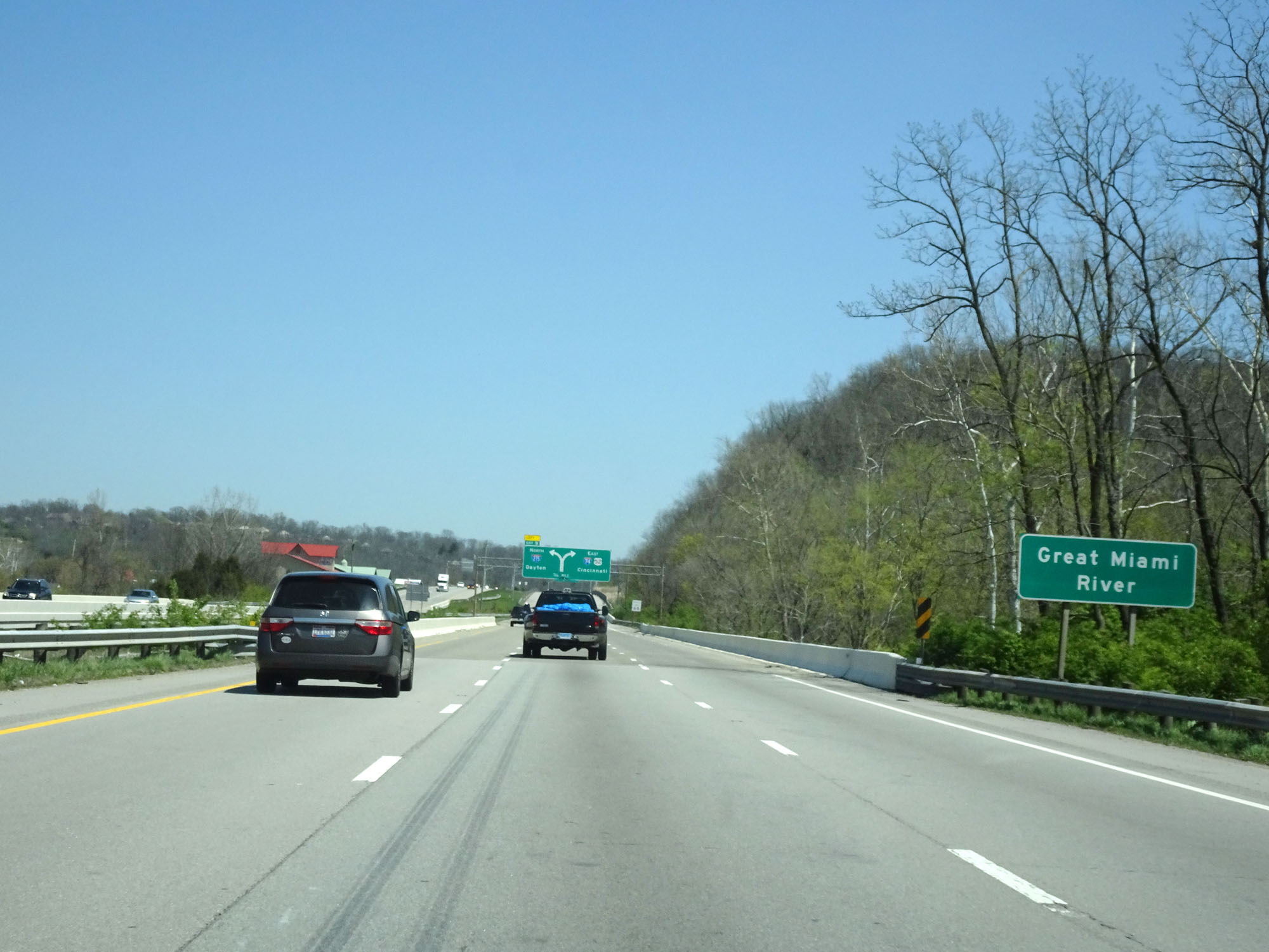 |
Interstate 275 Inner Loop (North) / Interstate 74 East crossing the Great Miami River. (Photo take 4/16/16). |
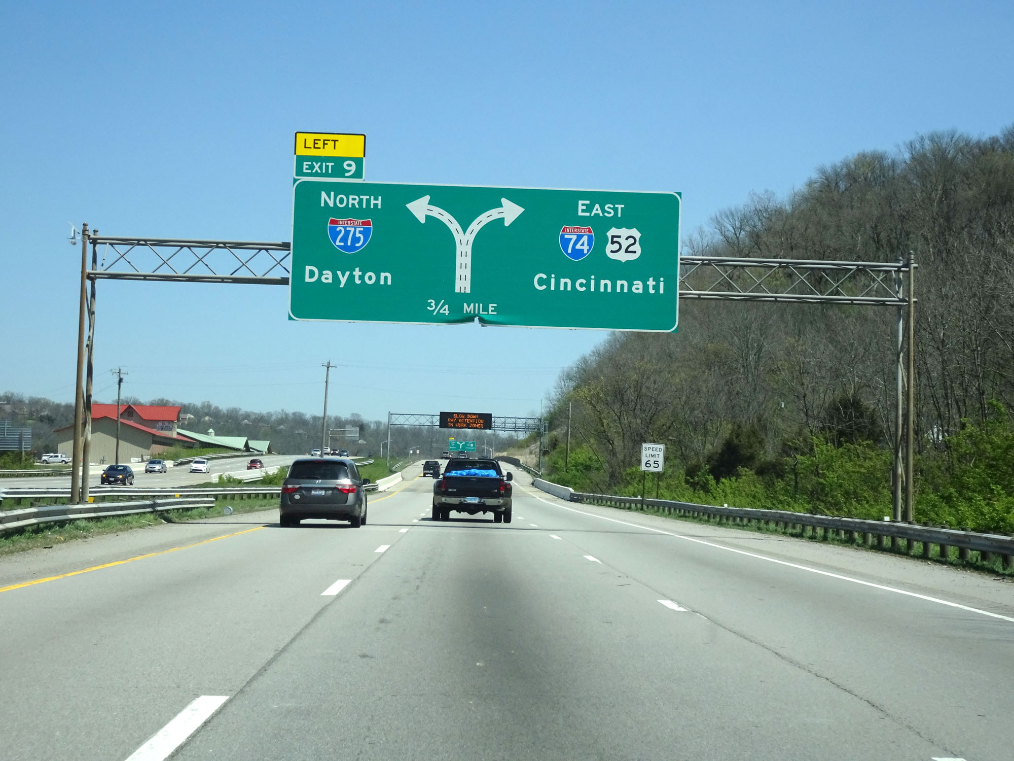 |
Approaching Exit 9, which is the departure of Interstate 74, this sign shows that Interstate 275 Inner Loop (North) thru traffic should keep to the left. (Photo take 4/16/16). |
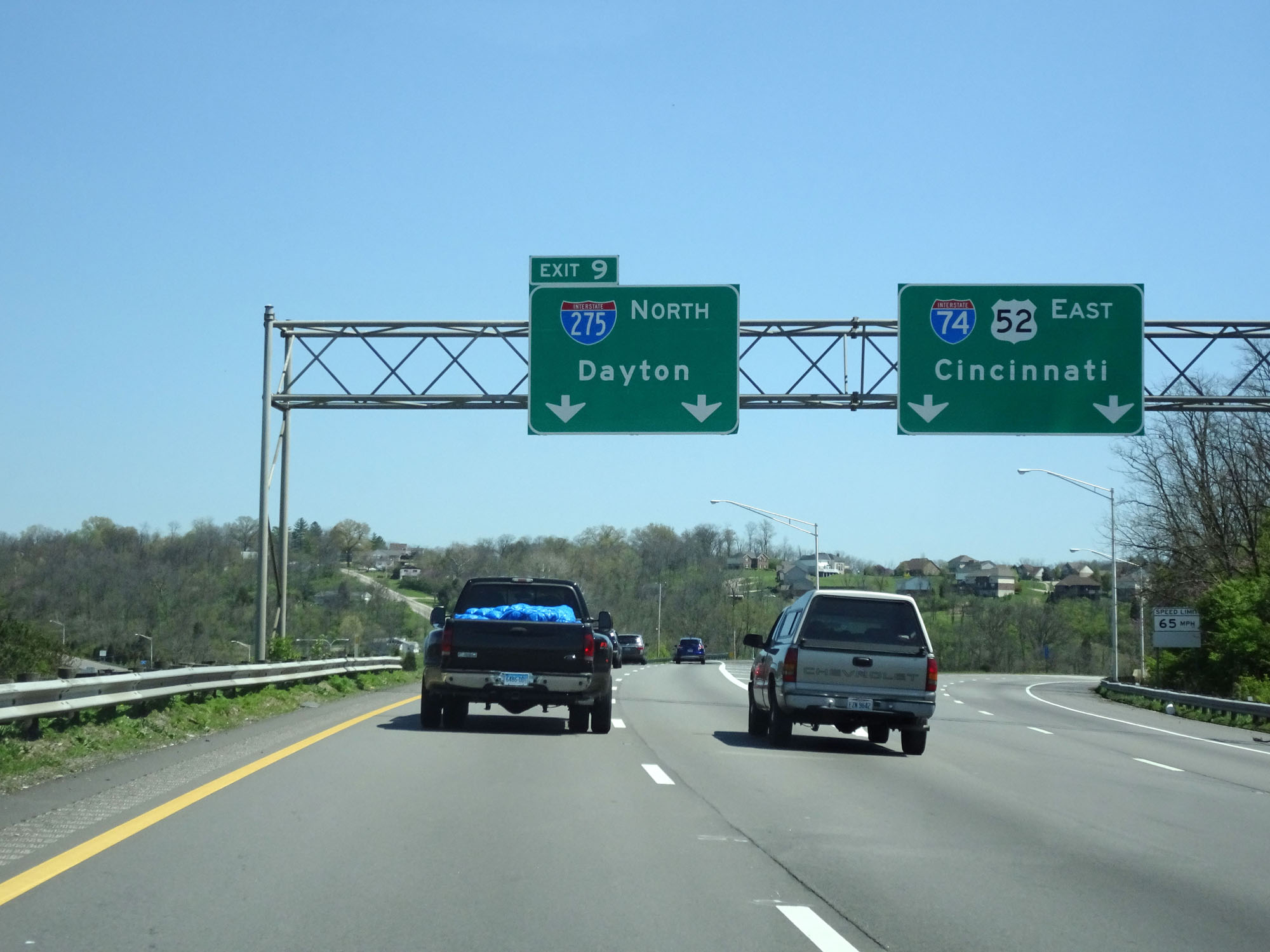 |
Interstate 275 Inner Loop (North) / Interstate 74 East at Exit 9: Interstate 275 North - Dayton (Photo take 4/16/16). |
 |
Interstate 275 Inner Loop (North) at mile marker 28.8. (Photo take 4/16/16). |
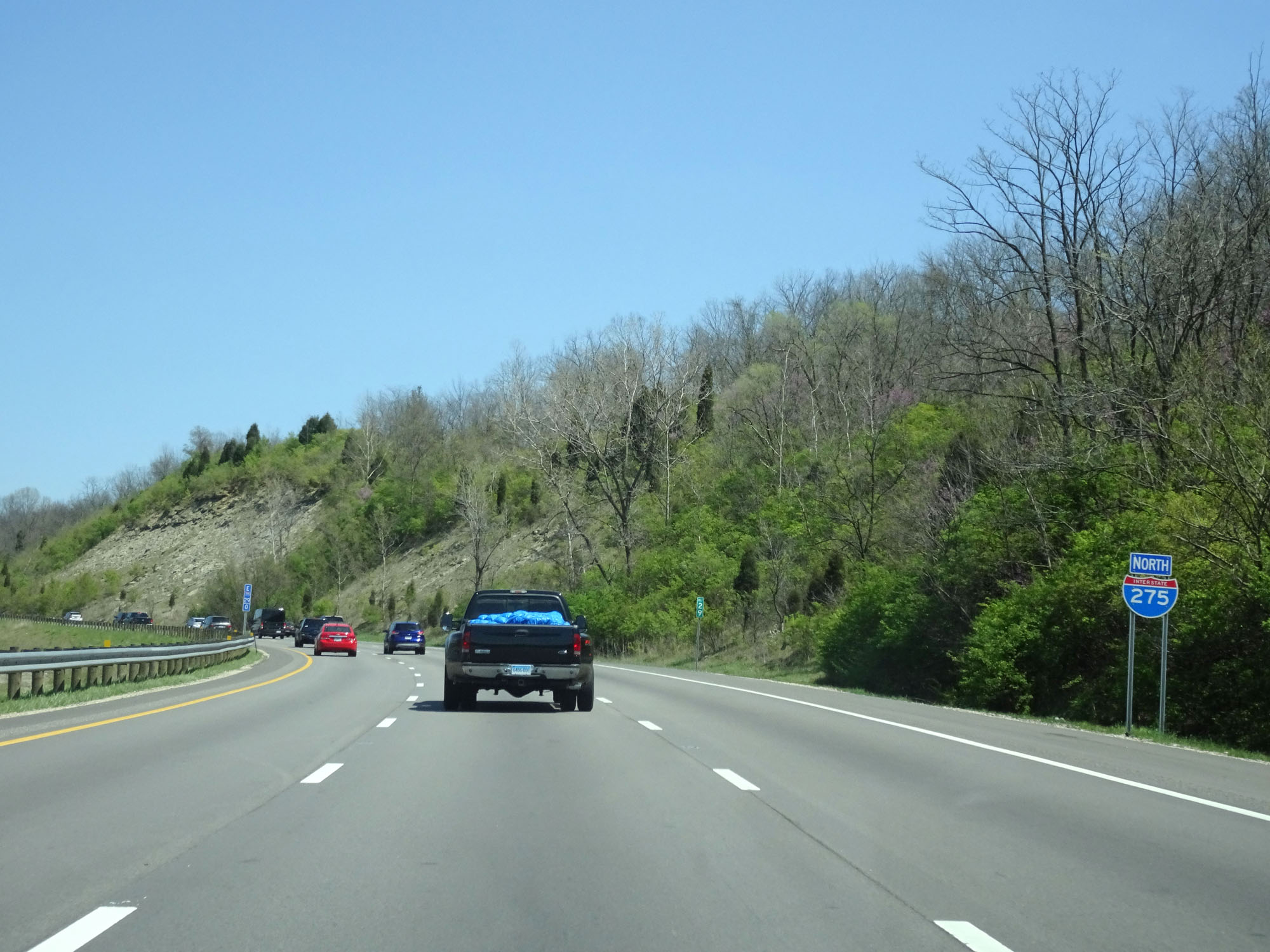 |
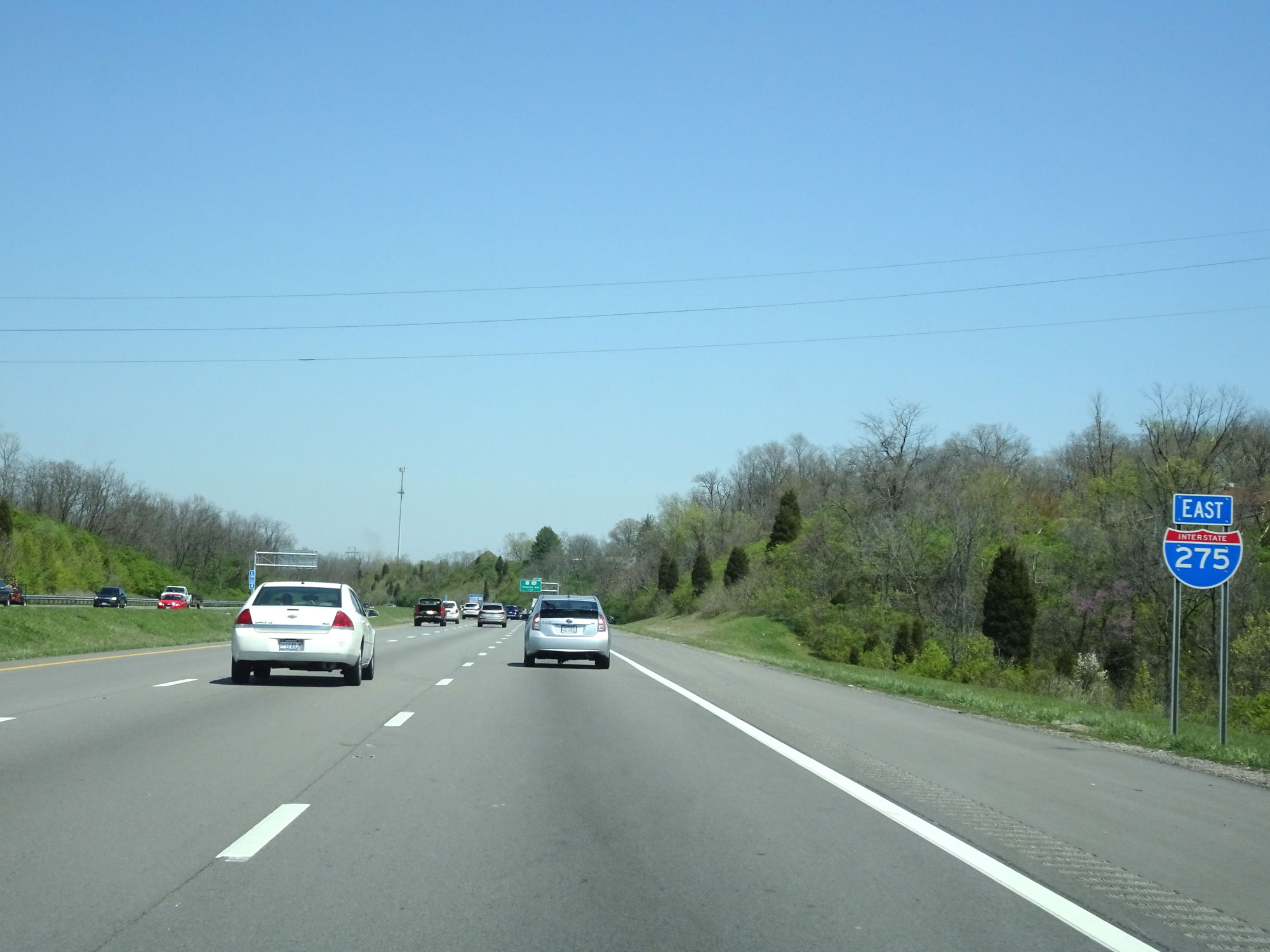
Standalone Interstate 275 North reassurance shield after the departure of Interstate 74. (Photo take 4/16/16). |
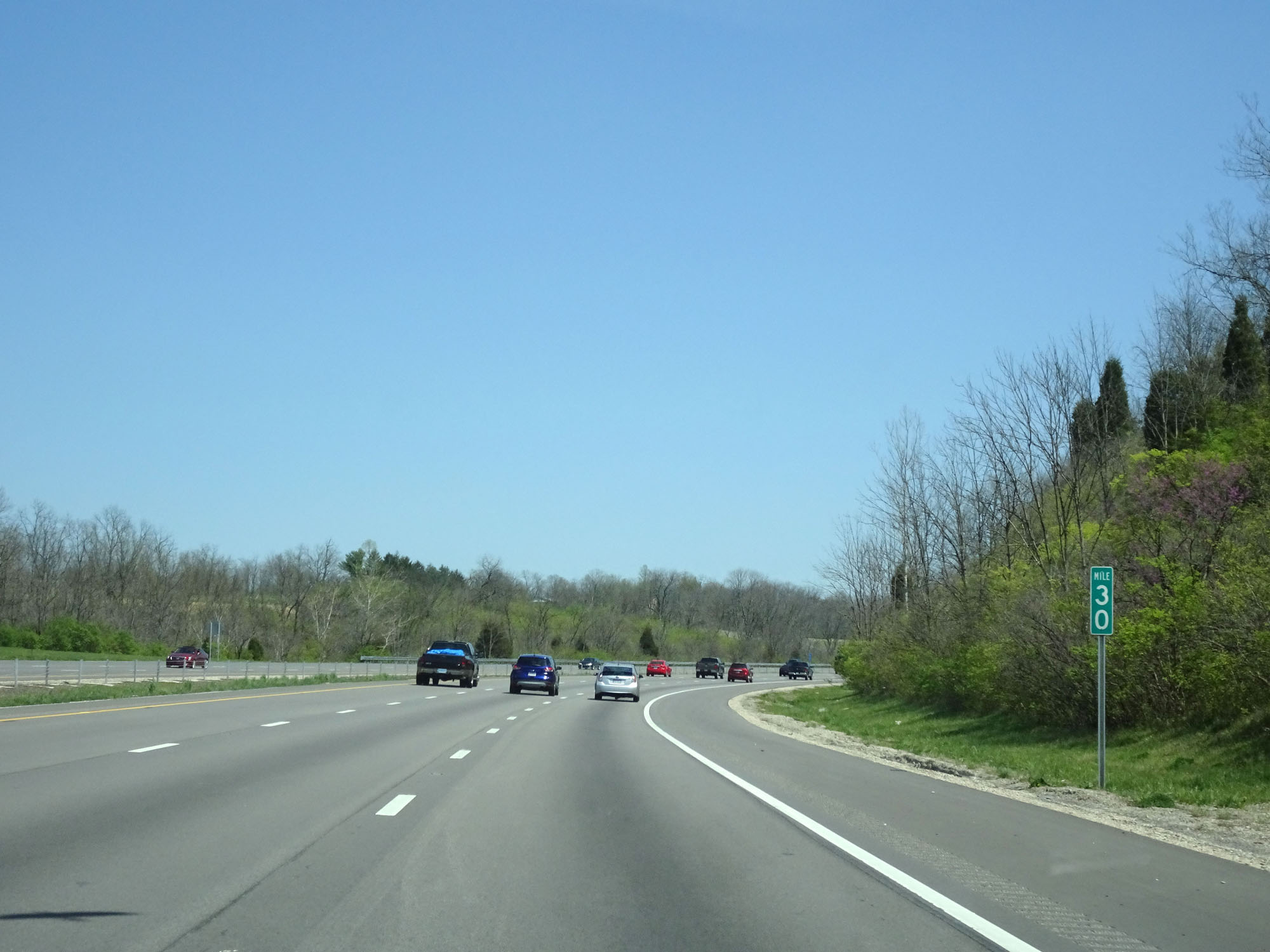 |
Interstate 275 Inner Loop (North) at mile marker 30. (Photo take 4/16/16). |
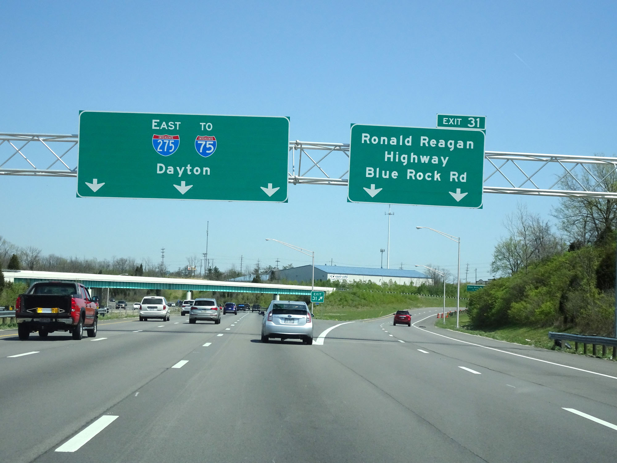 |
Interstate 275 Inner Loop (East) at Exit 31: Ronald Reagan Highway / Blue Rock Rd (Photo take 4/16/16). |
 |
Interstate 275 East reassurance shield. (Photo take 4/16/16). |
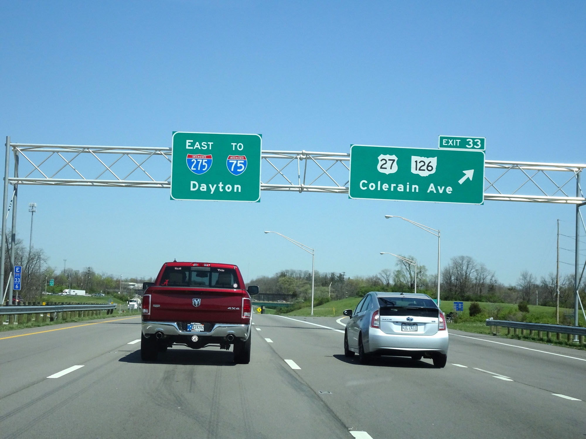 |
Interstate 275 Inner Loop (East) at Exit 33: US 27 / OH 126 - Colerain Ave (Photo take 4/16/16). |
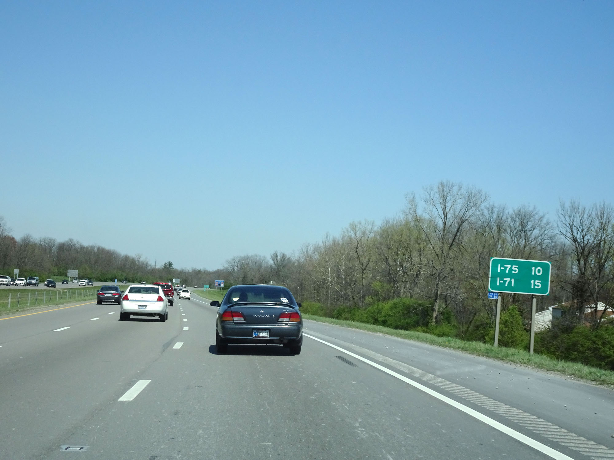 |
Mileage sign on Interstate 275 Inner Loop (East). It's 10 miles to the junction of Interstate 75 and 15 miles to the junction of Interstate 71. (Photo take 4/16/16). |
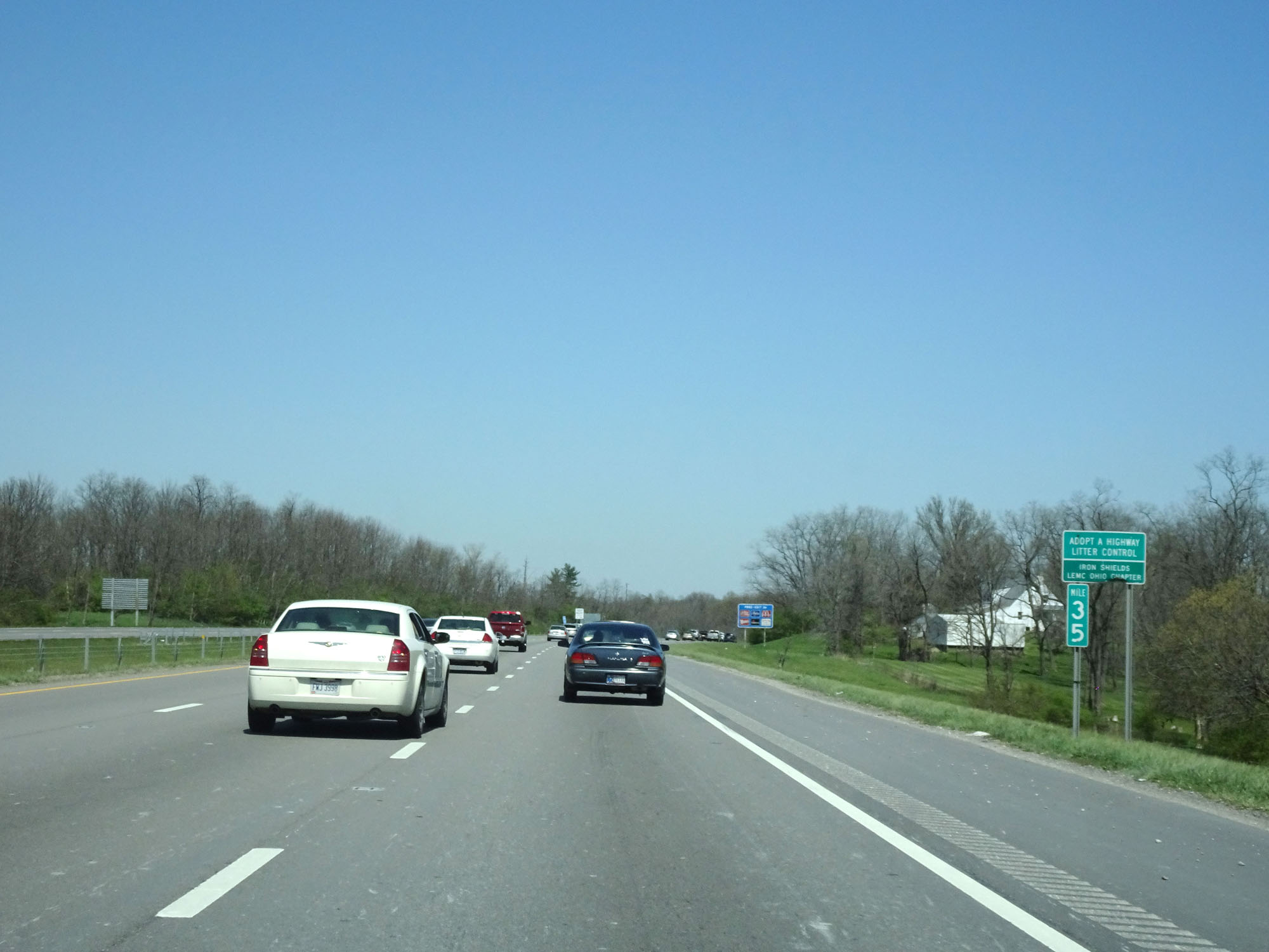 |
Interstate 275 Inner Loop (East) at mile marker 35. (Photo take 4/16/16). |
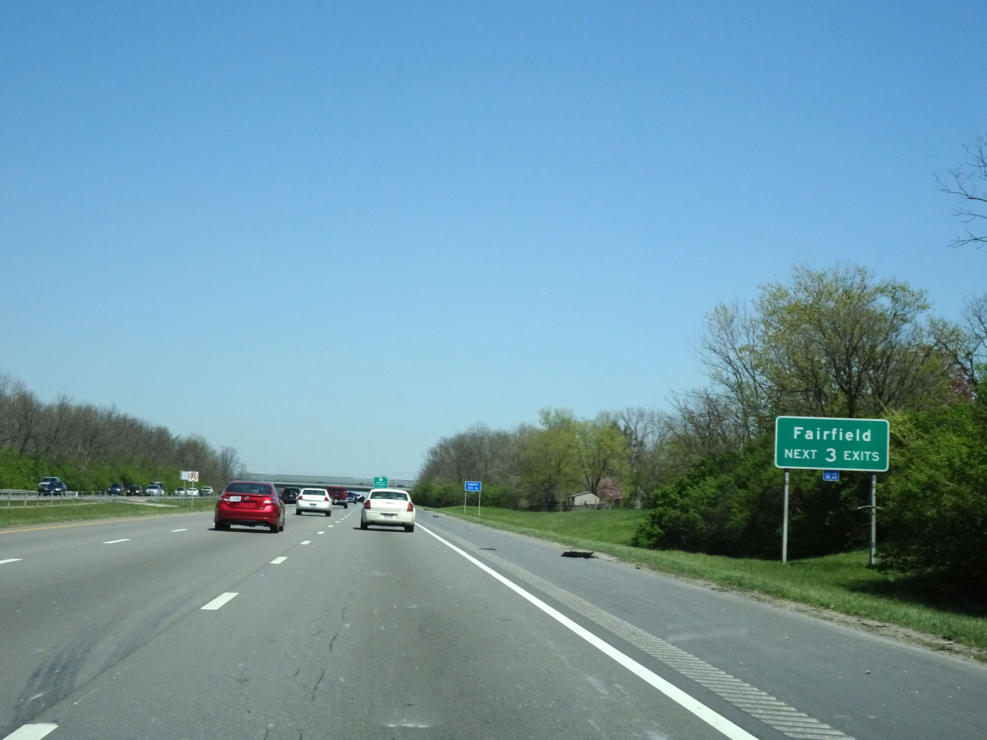 |
Take any of the next 3 exits to Fairfield. (Photo take 4/16/16). |
 |
Interstate 275 Inner Loop (East) at Exit 36: US 127 - Hamilton / Mt Healthy (Photo take 4/16/16). |
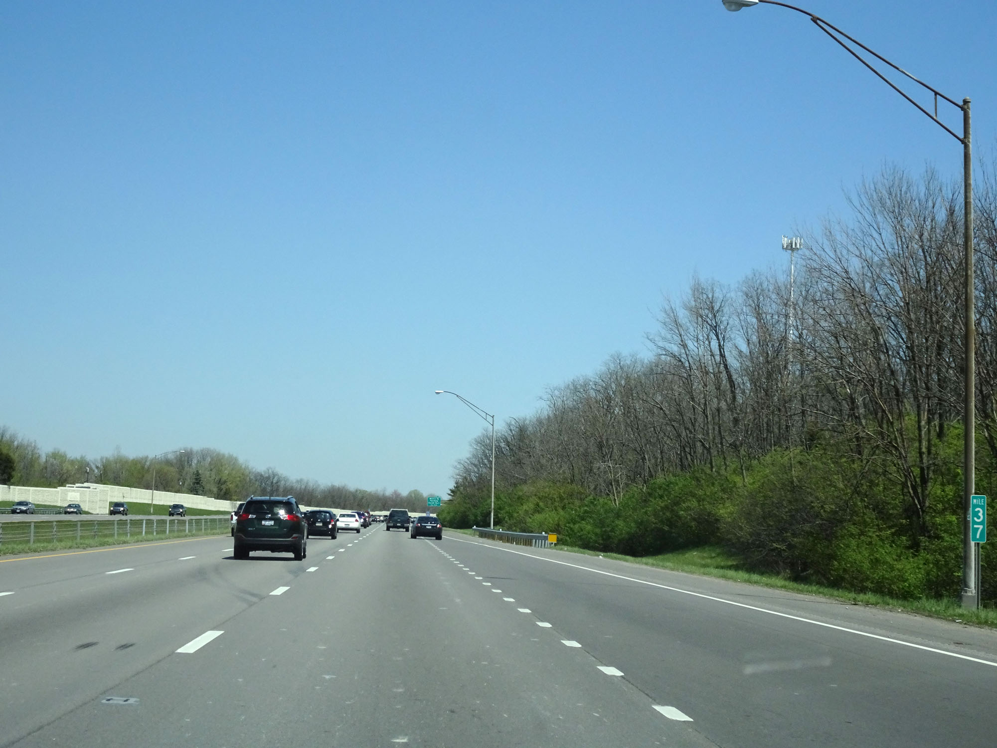 |
Interstate 275 Inner Loop (East) at mile marker 37. (Photo take 4/16/16). |
 |
Another Interstate 275 East reassurance shield. (Photo take 4/16/16). |
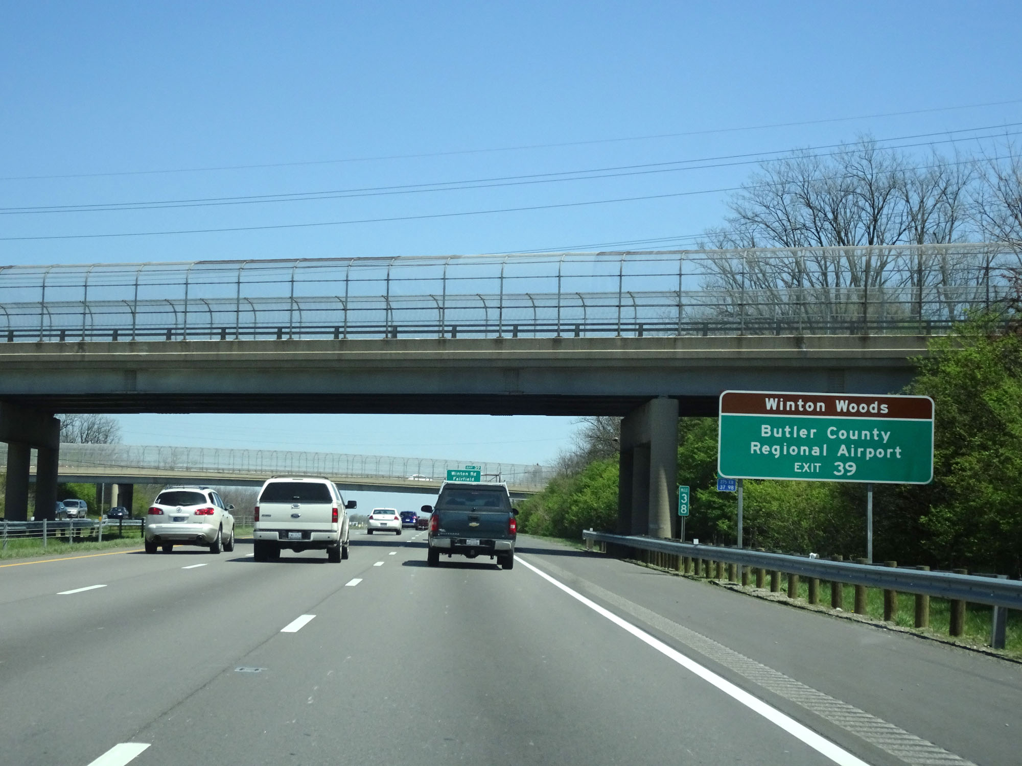 |
Take Exit 39 to Winton Woods and Butler County Regional Airport. (Photo take 4/16/16). |
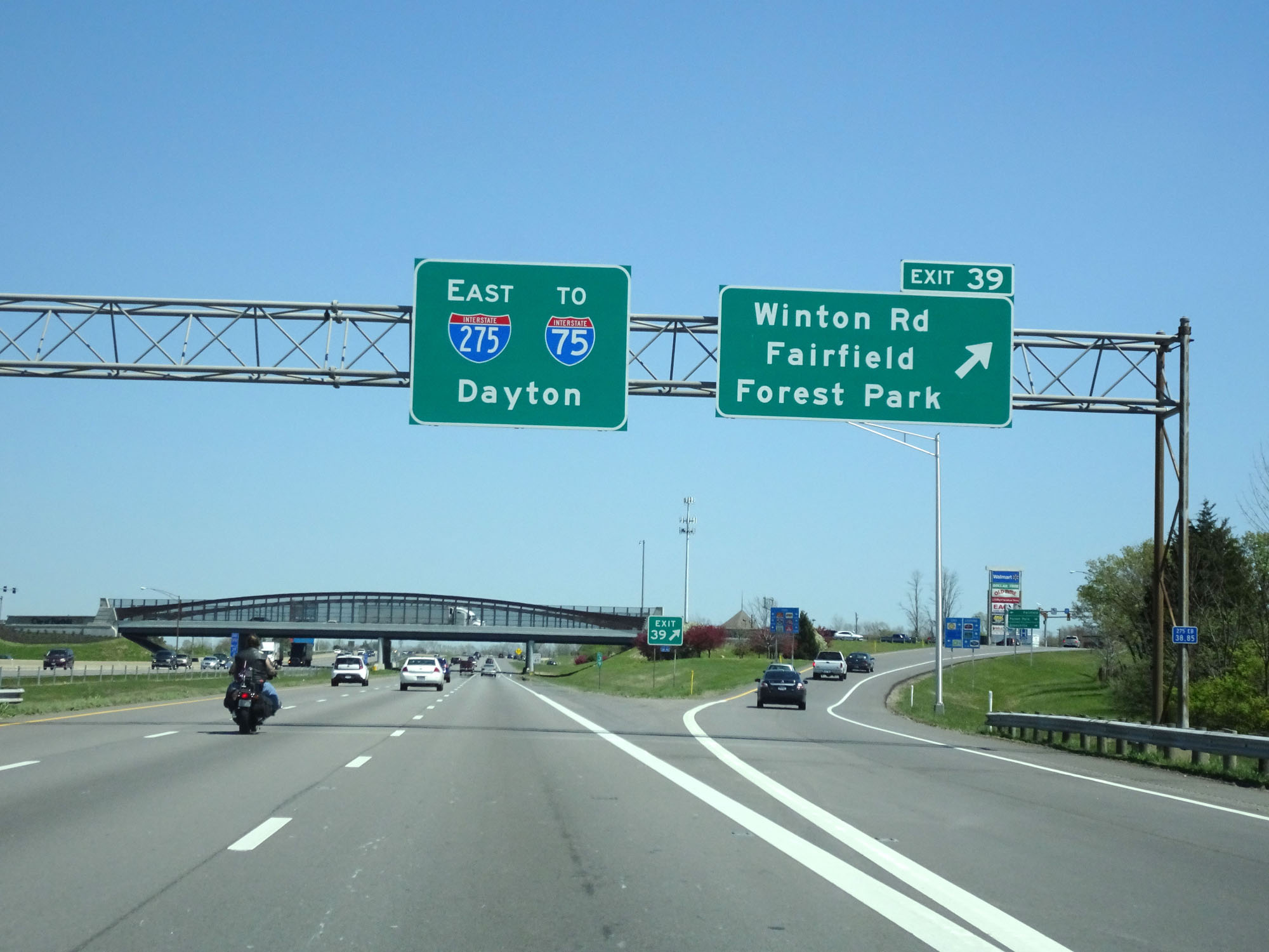 |
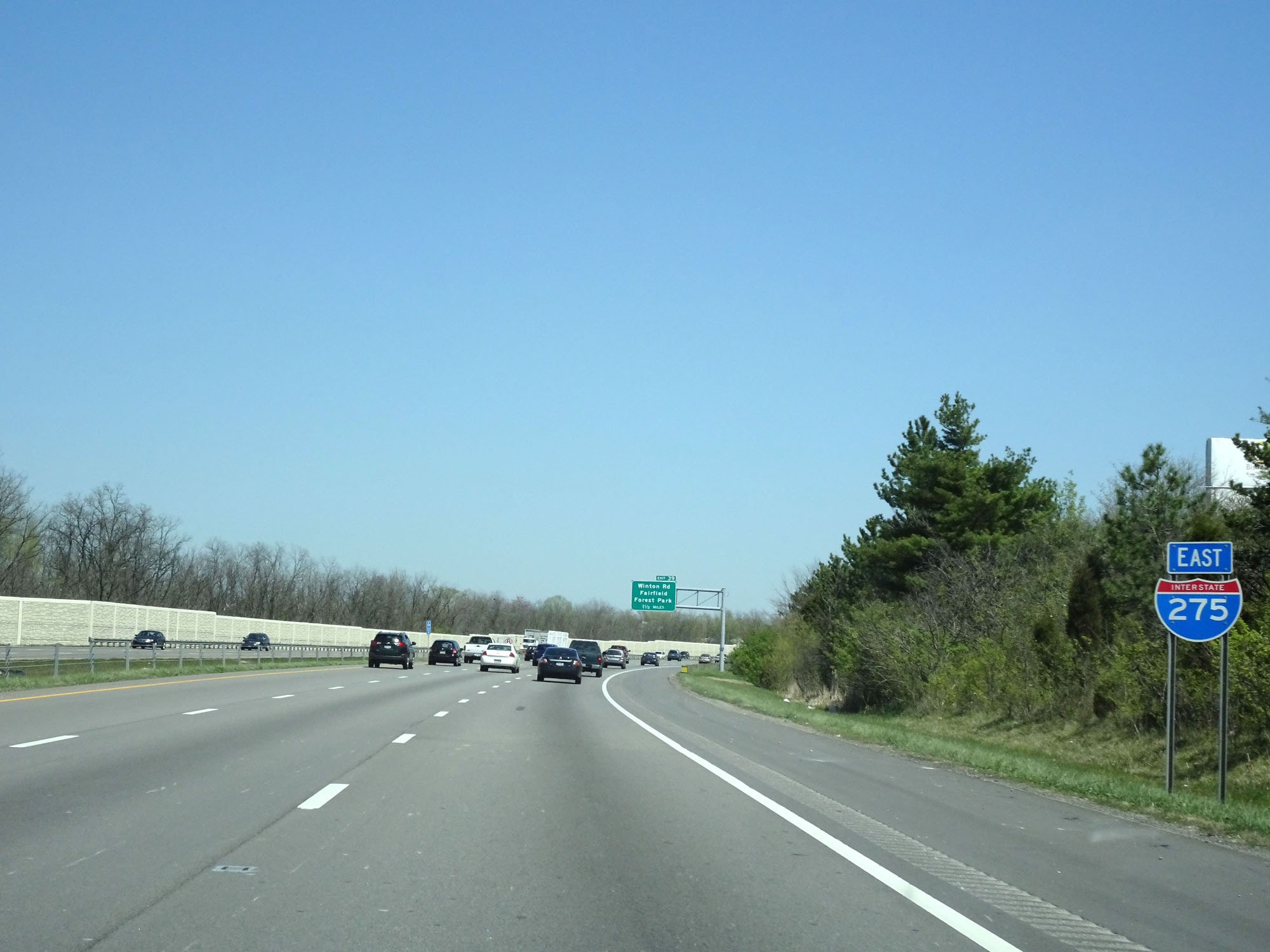
Interstate 275 Inner Loop (East) at Exit 39: Winton Rd / Fairfield / Forest Park (Photo take 4/16/16). |
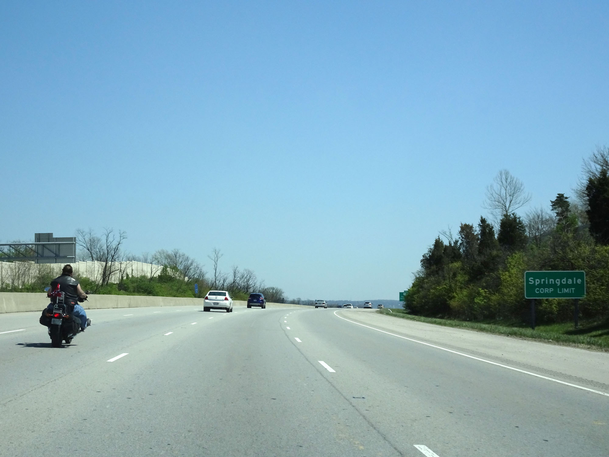 |
Interstate 275 Inner Loop (East) entering the Springdale corporate limits. (Photo take 4/16/16). |
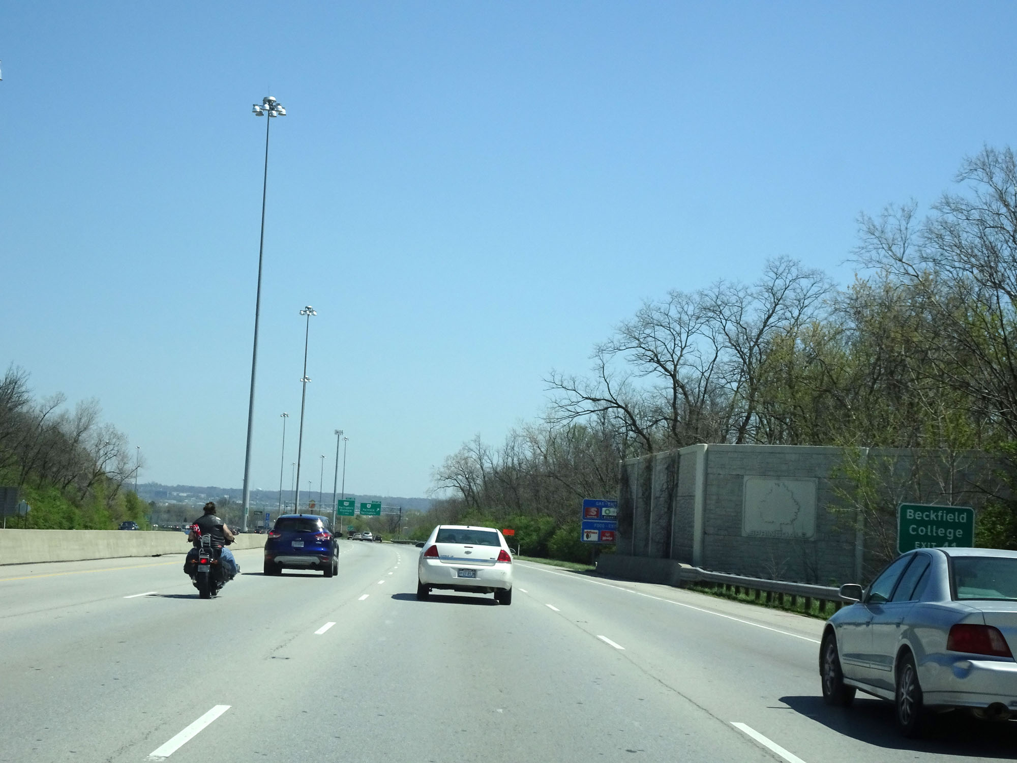 |
Take Exit 41 to Beckfield College. (Photo take 4/16/16). |
 |
Interstate 275 Inner Loop (East) at Exit 41: OH 4 - Fairfield / Springdale (Photo take 4/16/16). |
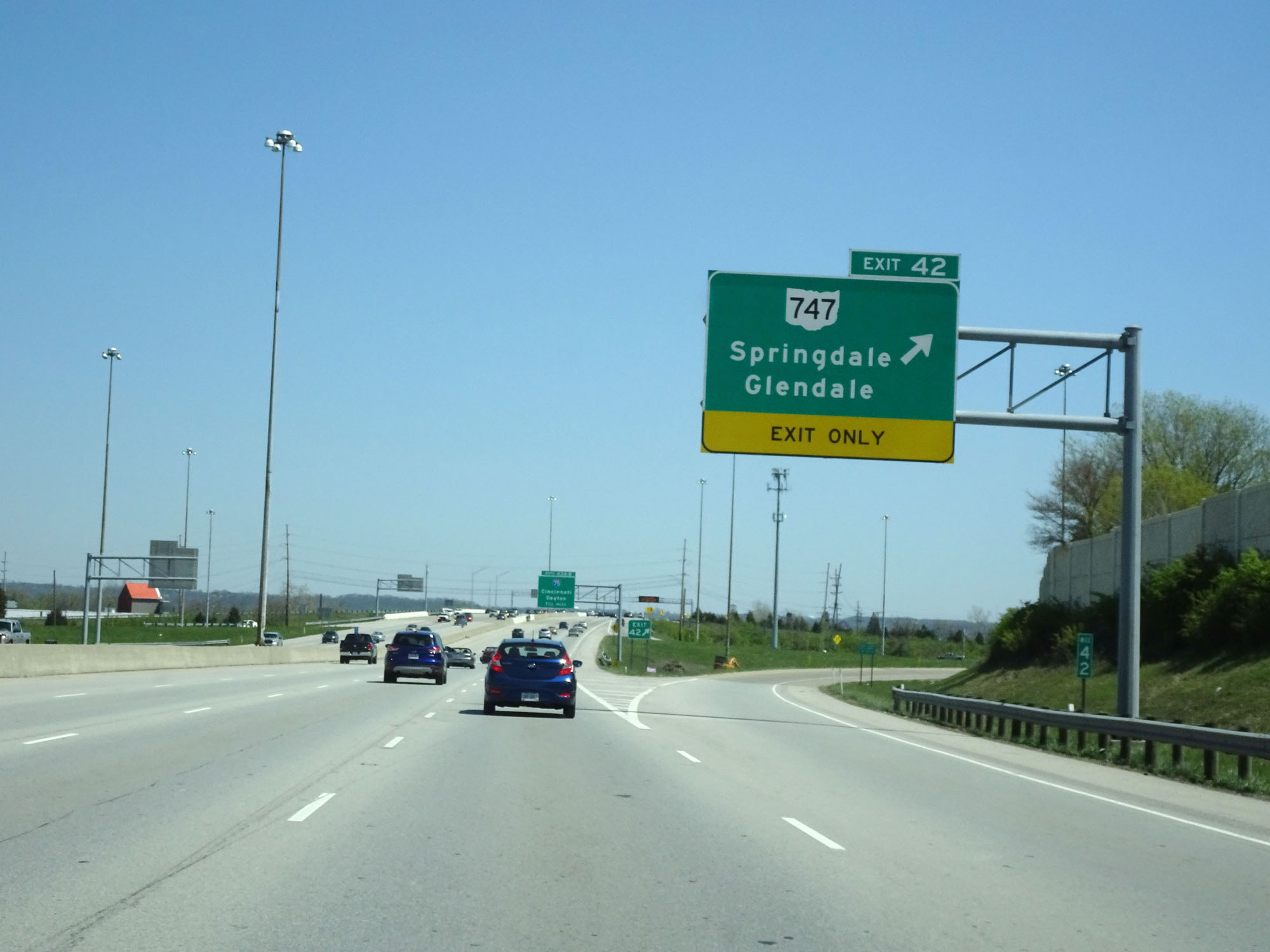 |
Interstate 275 Inner Loop (East) at Exit 42: OH 747 - Springdale / Glendale (Photo take 4/16/16). |
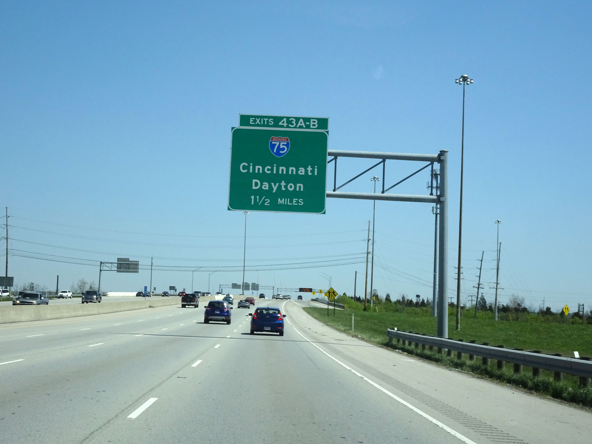 |
Interstate 275 Inner Loop (East) approaching Exits 43A-B - 1 1/2 miles. (Photo take 4/16/16). |
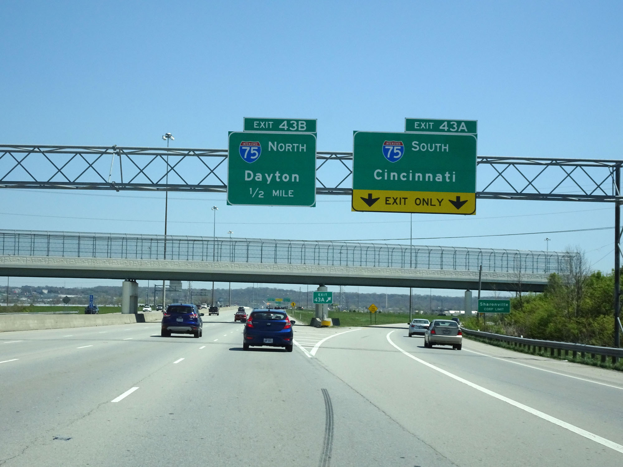 |
Interstate 275 Inner Loop (East) at Exit 43A: Interstate 75 South - Cincinnati (Photo take 4/16/16). |
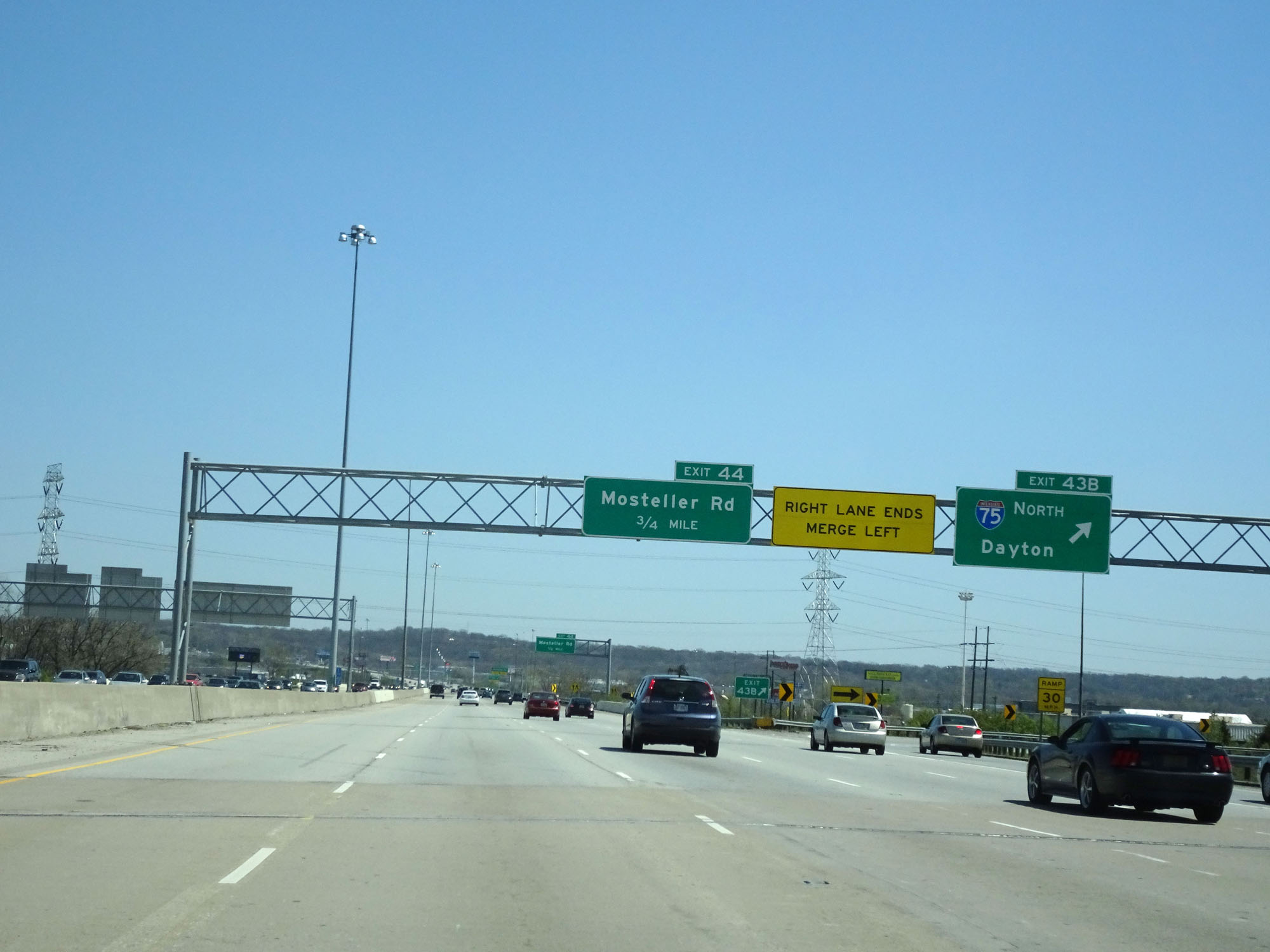 |
Interstate 275 Inner Loop (East) at Exit 43B: Interstate 75 North - Dayton |
Section 2: Sharonville (Exit 43B) to Kentucky Border
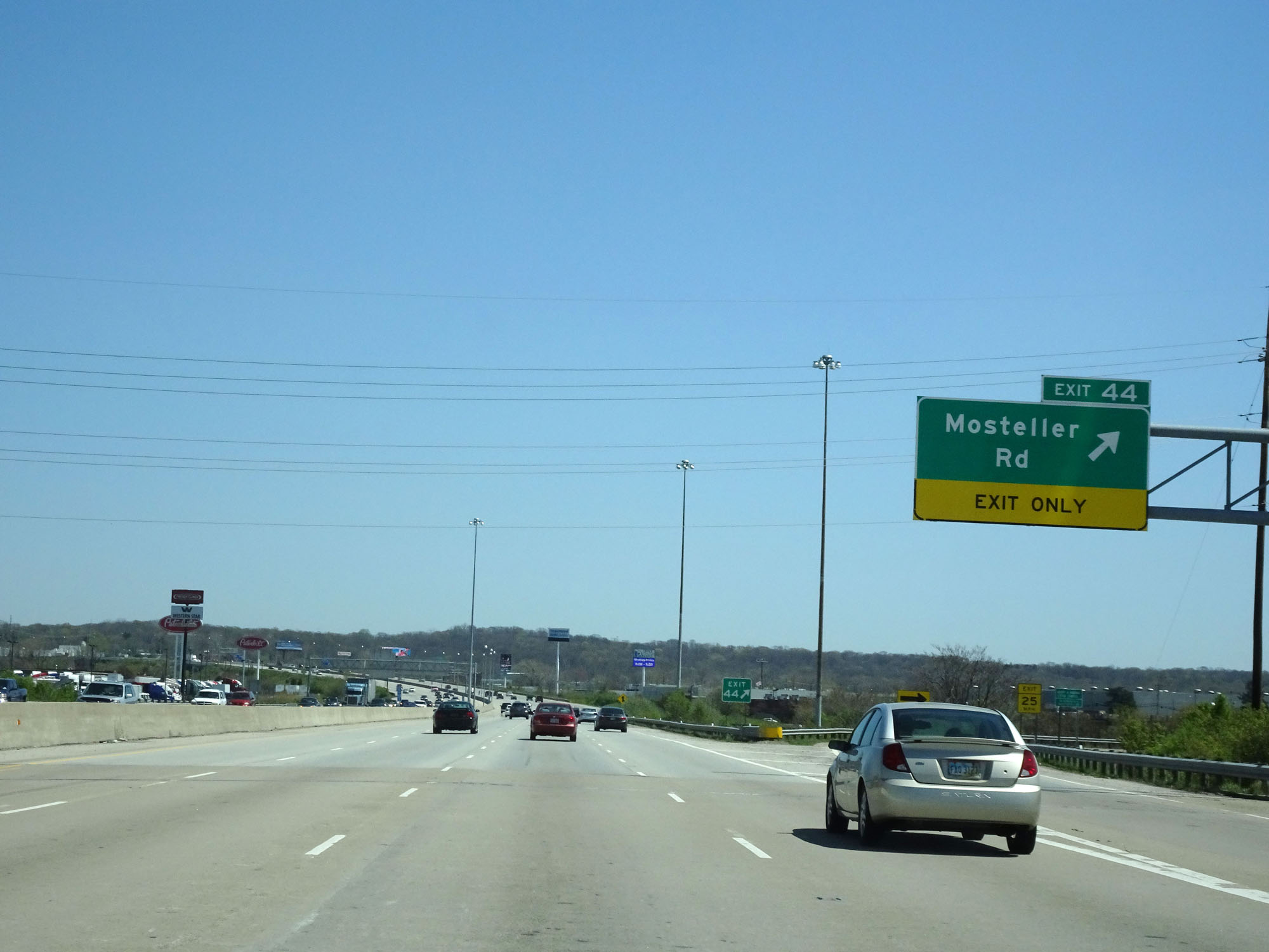 |
Interstate 275 Inner Loop (East) at Exit 44: Mosteller Rd (Photo taken 4/16/16). |
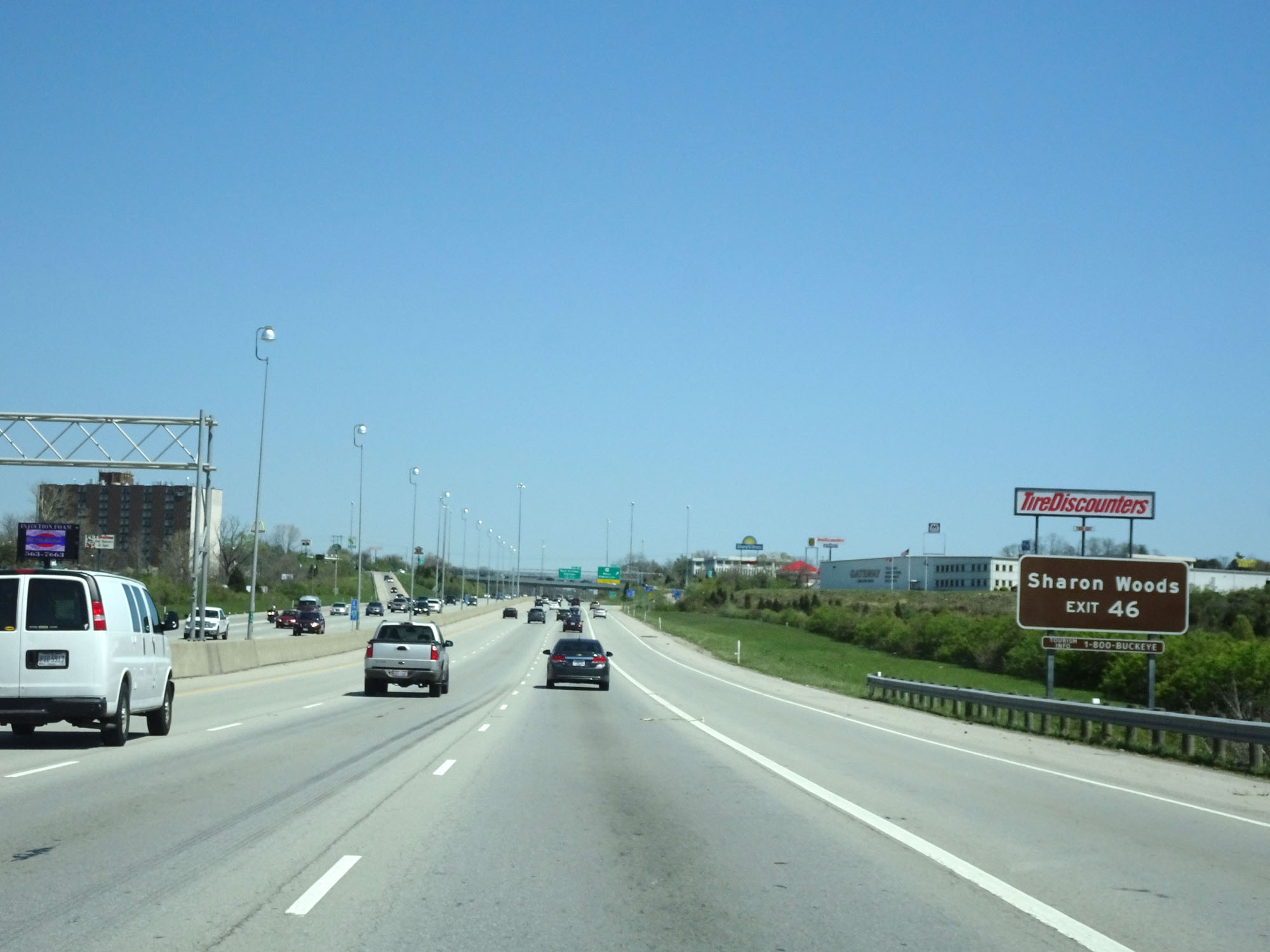 |
Take Exit 46 to Sharon Woods. (Photo taken 4/16/16). |
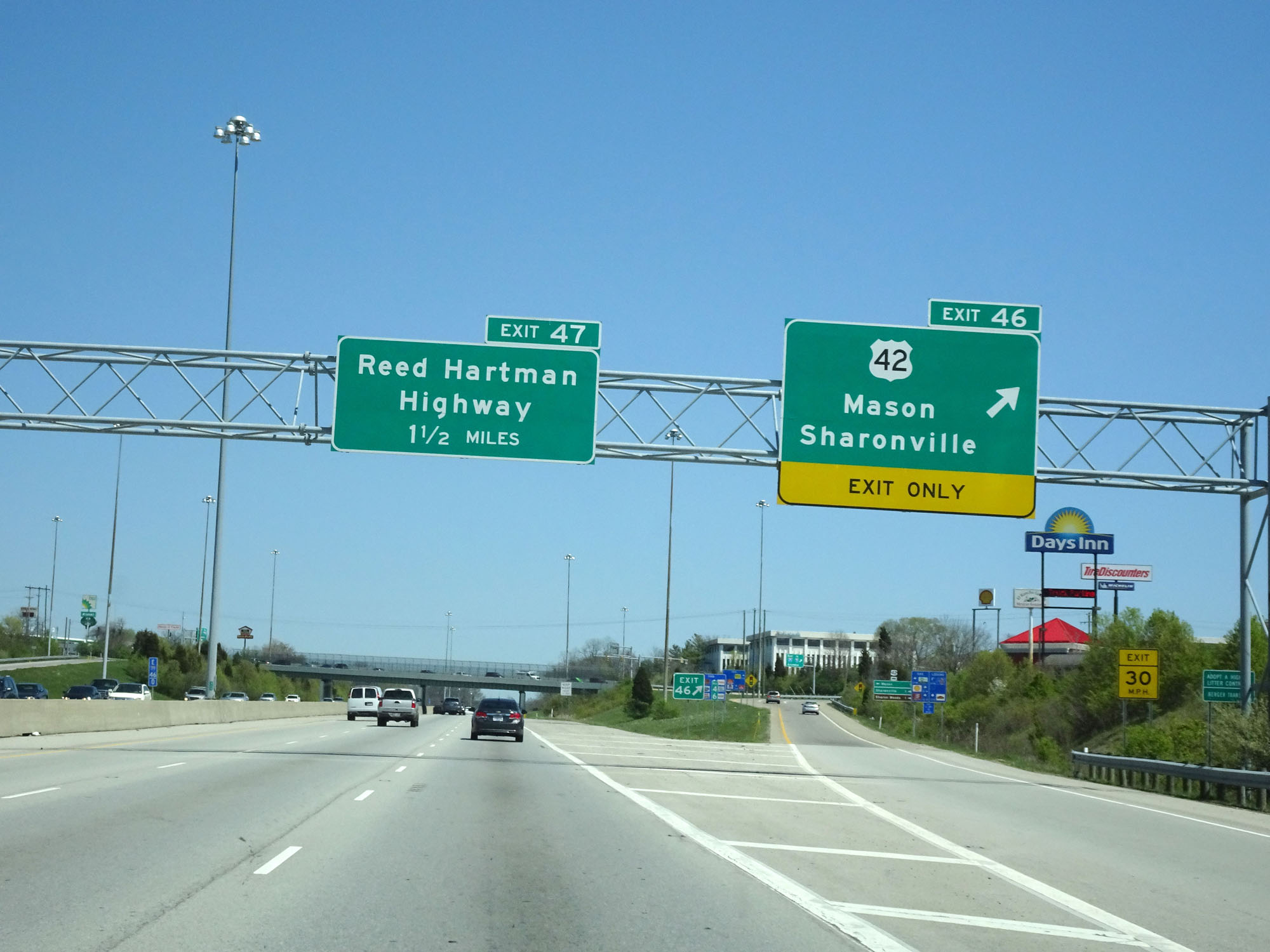 |
Interstate 275 Inner Loop (East) at Exit 46: US 42 - Mason / Sharonville (Photo taken 4/16/16). |
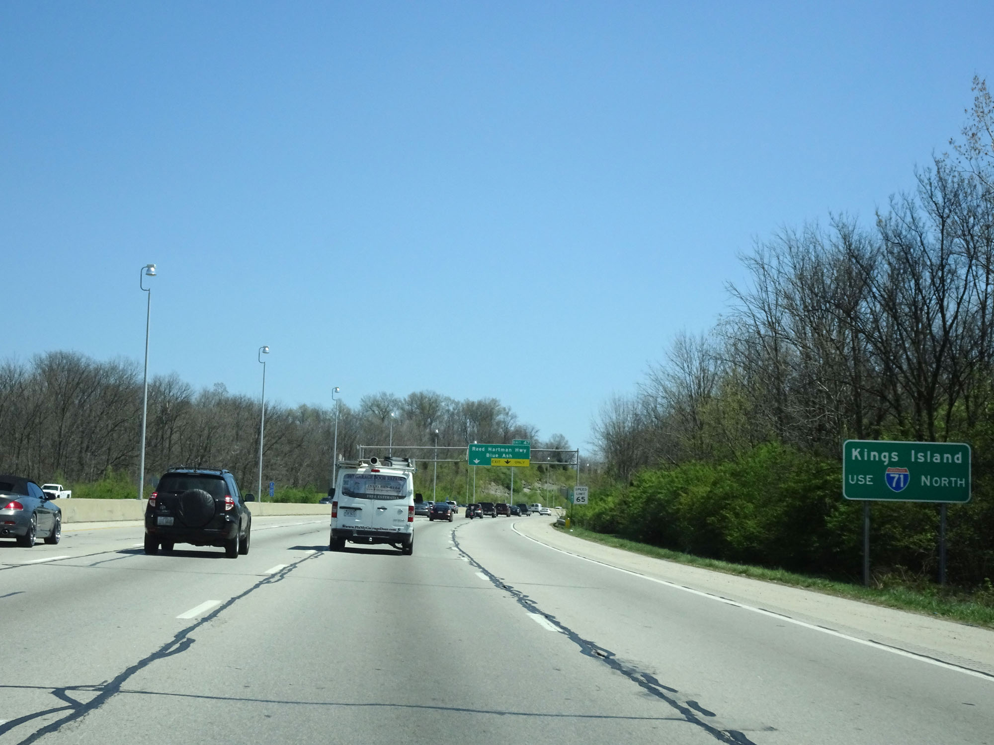 |
Traffic headed to Kings Island should follow Interstate 71 North. (Photo taken 4/16/16). |
 |
Interstate 275 Inner Loop (East) at Exit 47: Reed Hartman Hwy / Blue Ash (Photo taken 4/16/16). |
 |
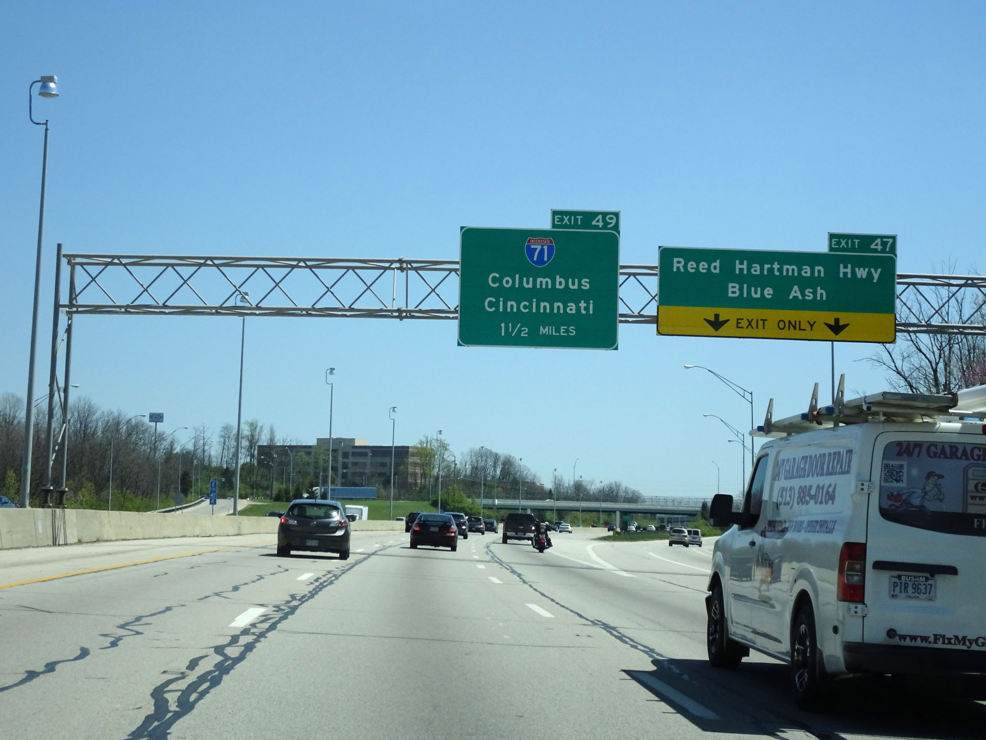
Interstate 275 Inner Loop (East) approaching Exit 49. (Photo taken 4/16/16). |
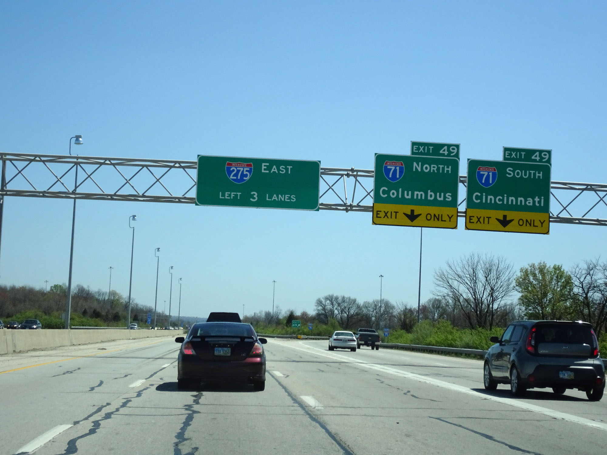 |
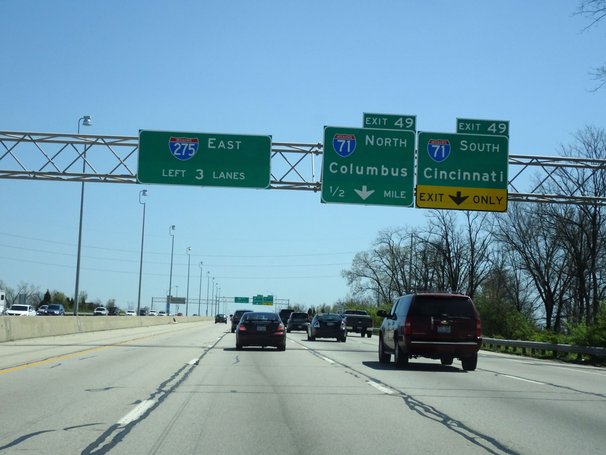
Interstate 275 Inner Loop (East) at Exit 49: Interstate 71 - Columbus / Cincinnati (Photo taken 4/16/16). |
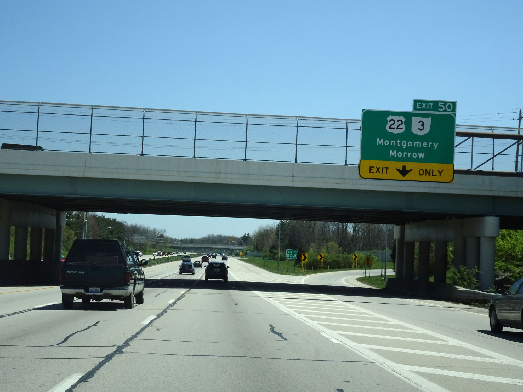 |
Interstate 275 Inner Loop (East) at Exit 50: US 22 / OH 3 - Montgomery / Morrow (Photo taken 4/16/16). |
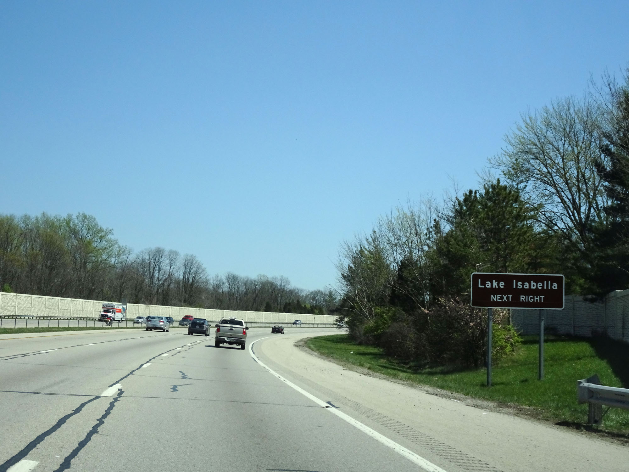 |
Take Exit 52 to Lake Isabella. (Photo taken 4/16/16). |
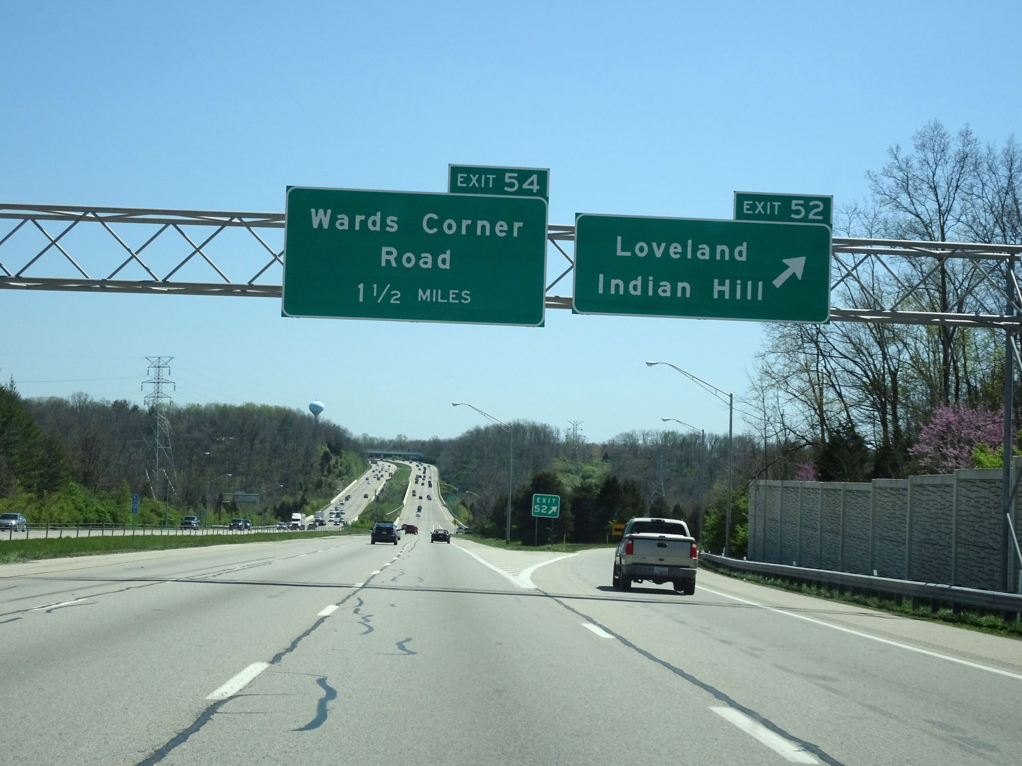 |
Interstate 275 Inner Loop (East) at Exit 52: Loveland / Indian Hill (Photo taken 4/16/16). |
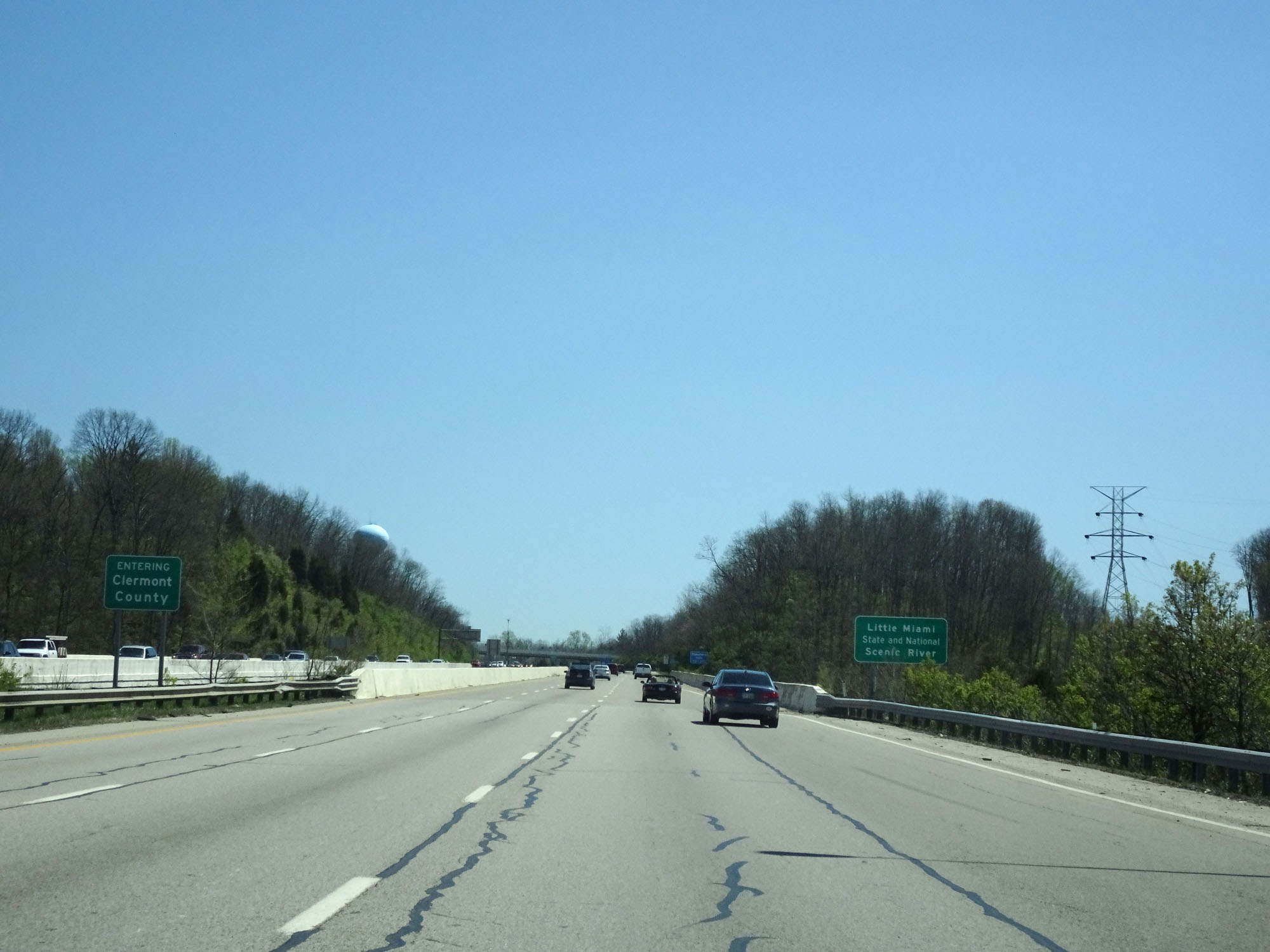 |
Entering Clermont County on Interstate 275 Inner Loop (East). (Photo taken 4/16/16). |
 |
Interstate 275 East reassurance shield. (Photo taken 4/16/16). |
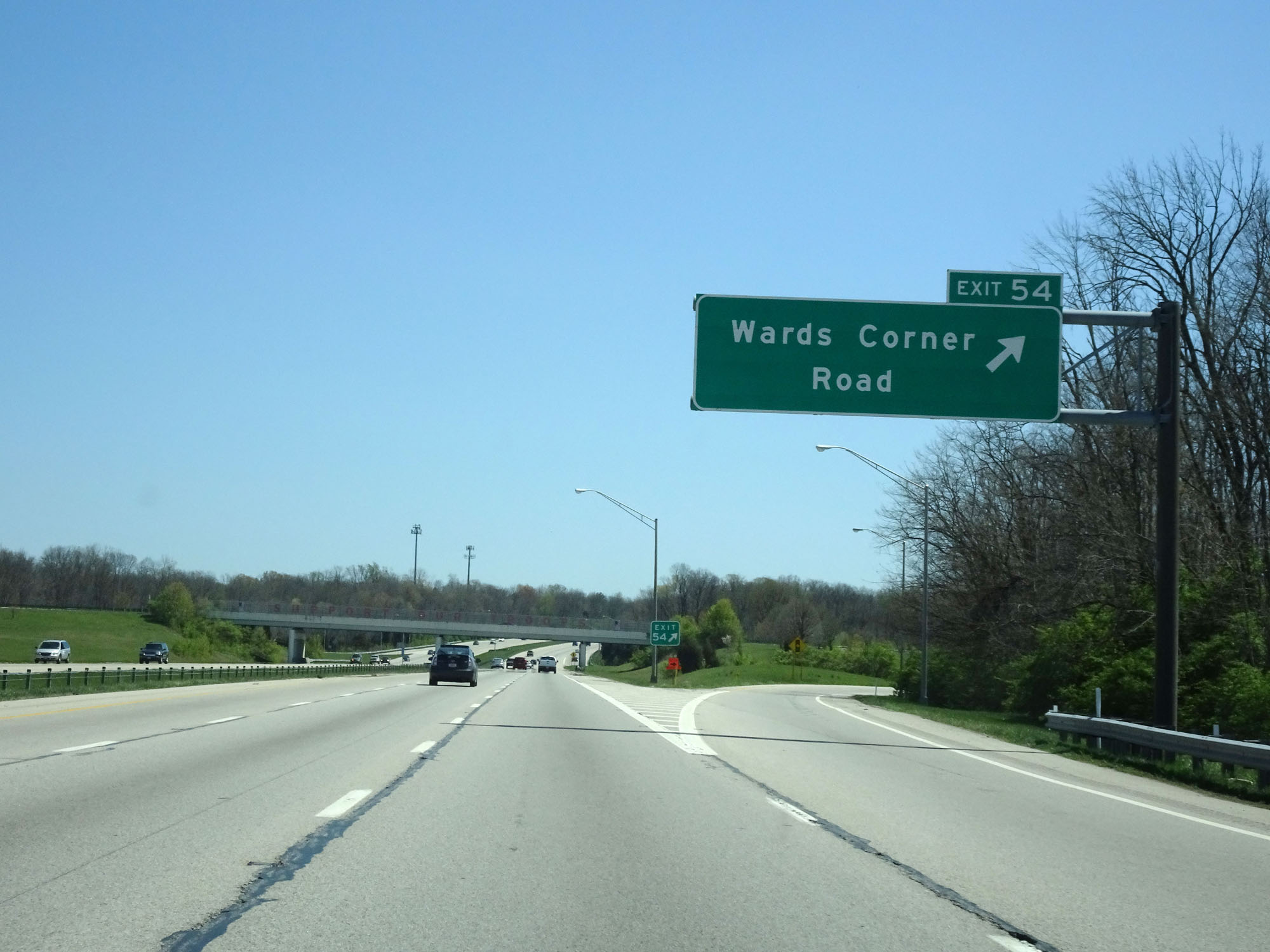 |
Interstate 275 Inner Loop (East) at Exit 54: Wards Corner Road (Photo taken 4/16/16). |
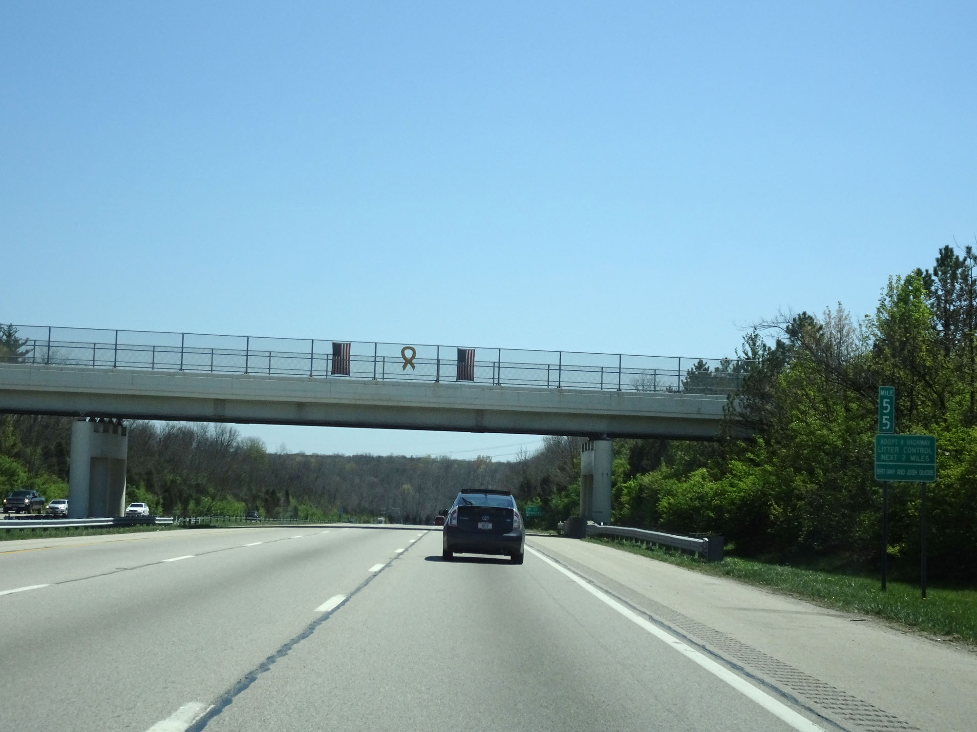 |
Interstate 275 Inner Loop (East) at mile marker 55. (Photo taken 4/16/16). |
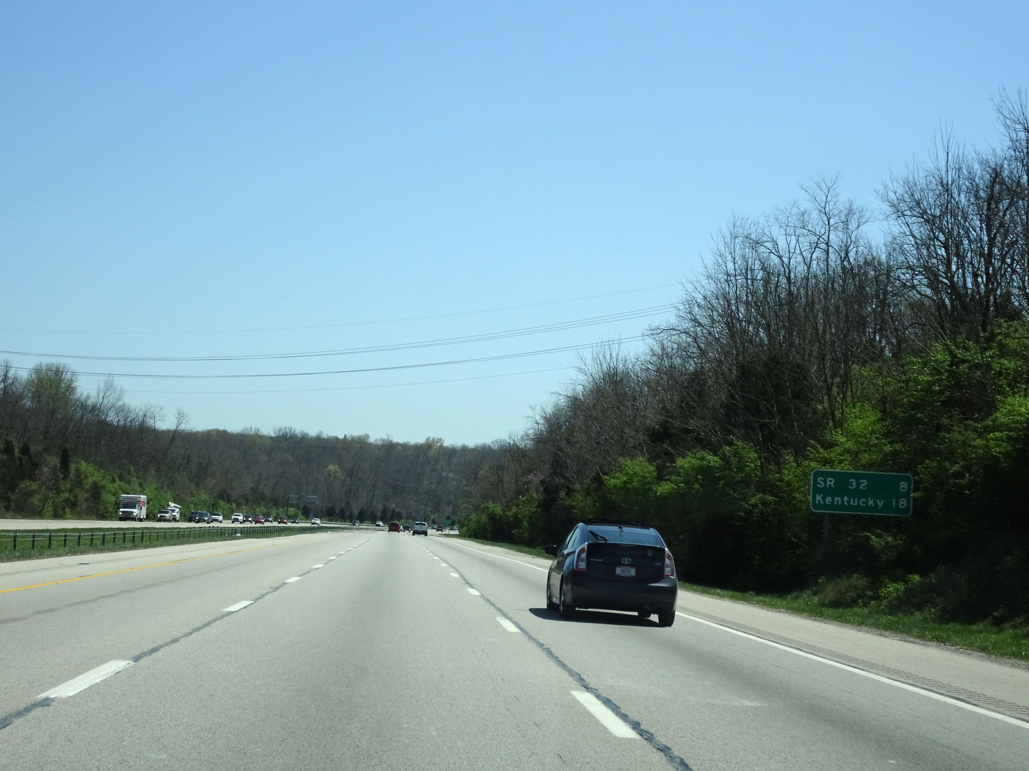 |
Mileage sign on Interstate 275 Inner Loop (East). It's 8 miles to the junction of OH 32 and 18 miles to the Kentucky border. (Photo taken 4/16/16). |
 |
Interstate 275 Inner Loop (East) at Exit 57: OH 28 - Blanchester / Milford (Photo taken 4/16/16). |
 |
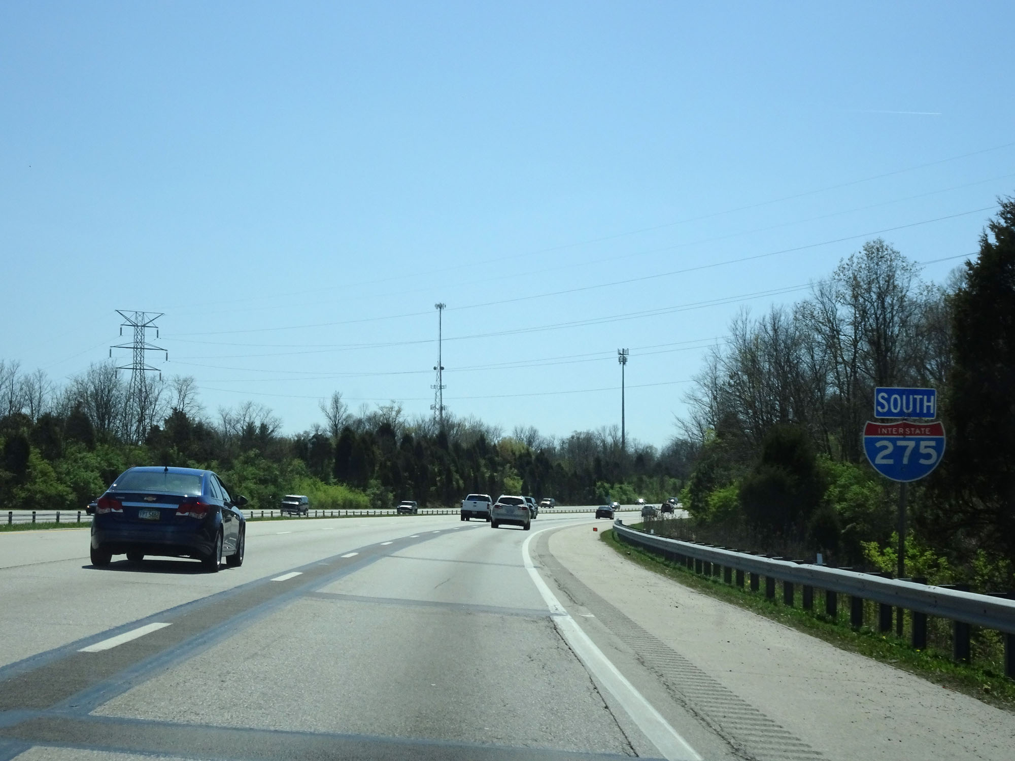
Beyond Exit 57, Interstate 275 Inner Loop is signed southbound as seen here with this reassurance shield. (Photo taken 4/16/16). |
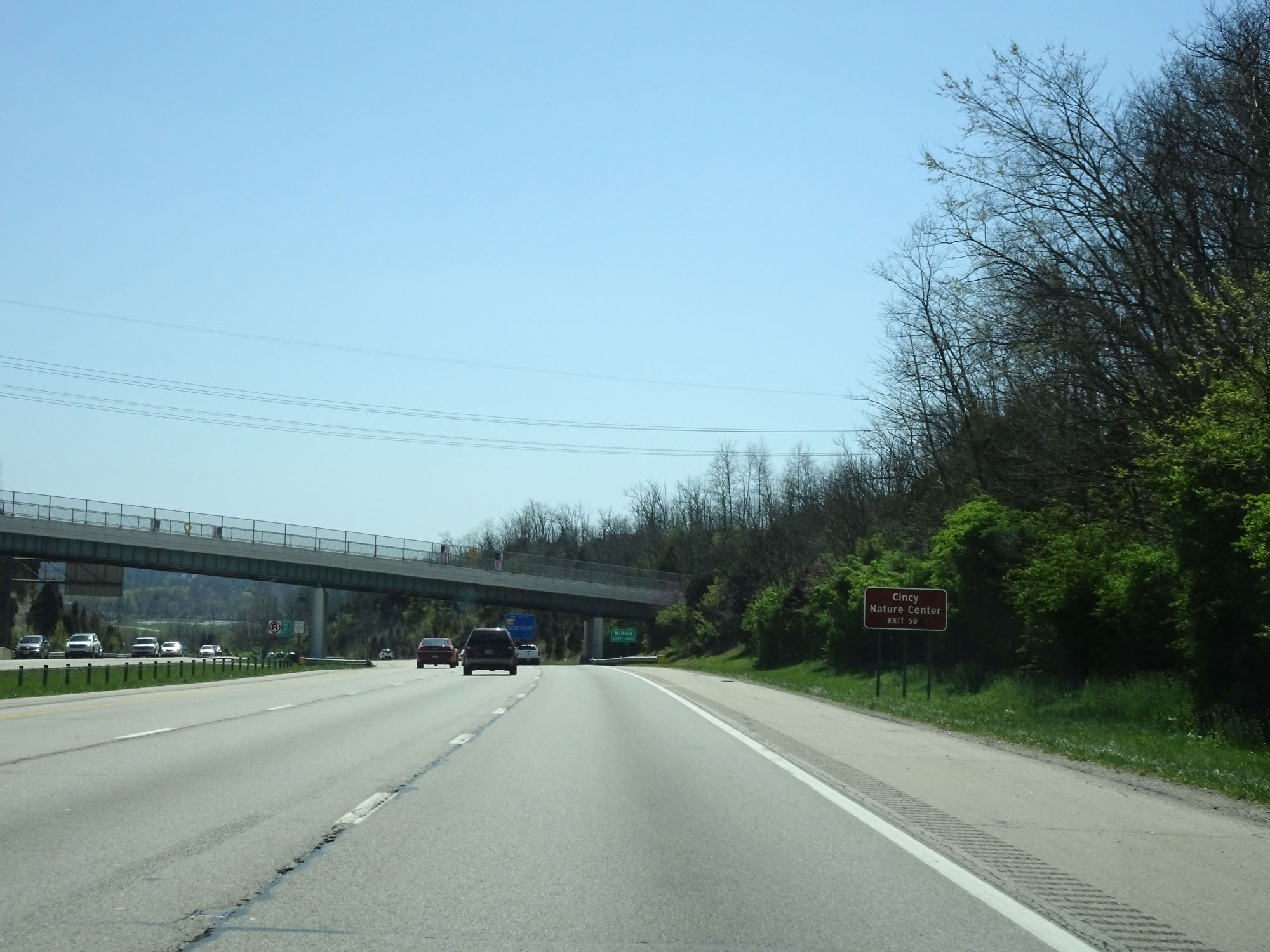 |
Take Exit 59 to Cincy Nature Center. (Photo taken 4/16/16). |
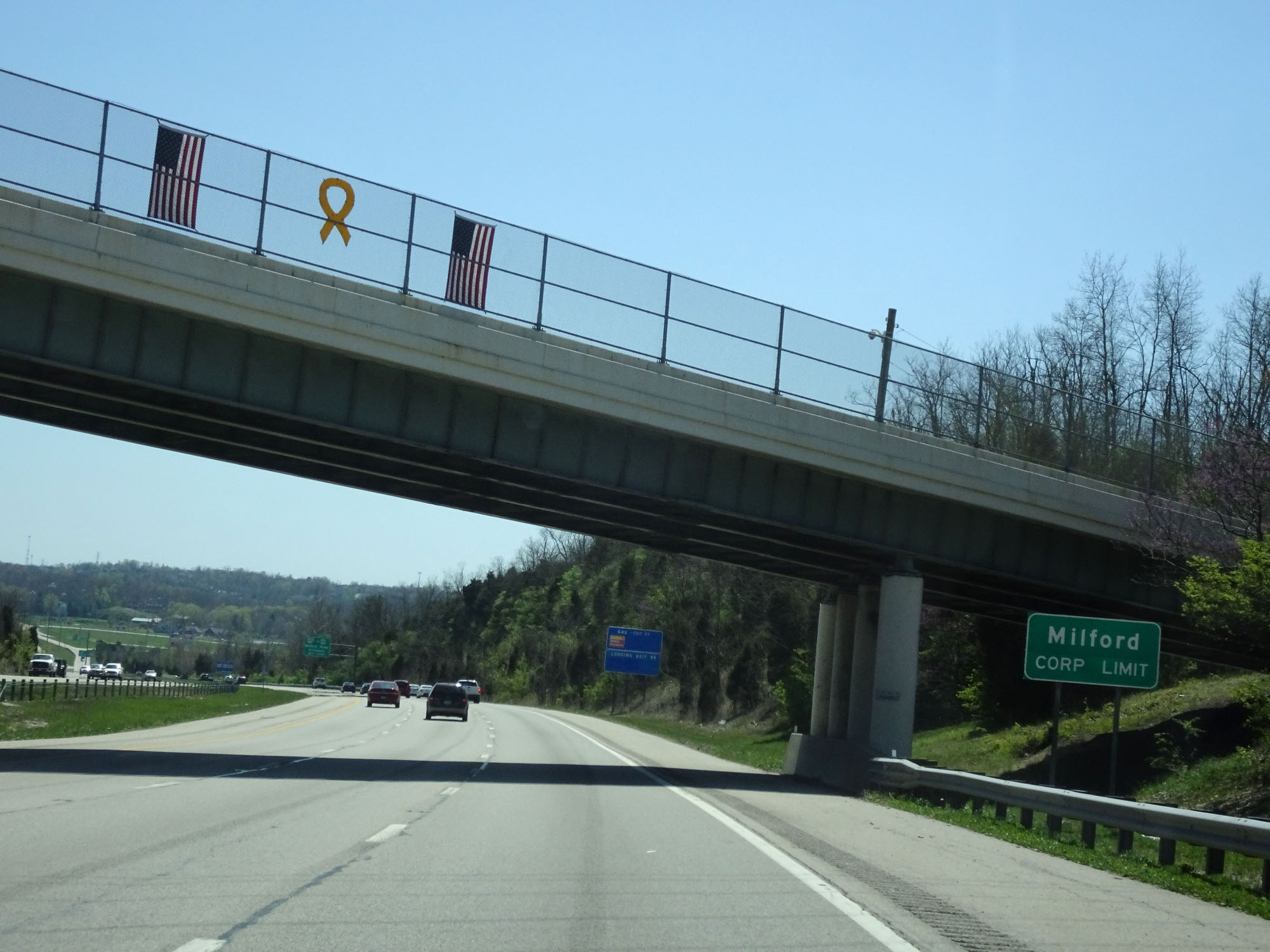 |
Interstate 275 Inner Loop (South) entering the Milford corporate limit. (Photo taken 4/16/16). |
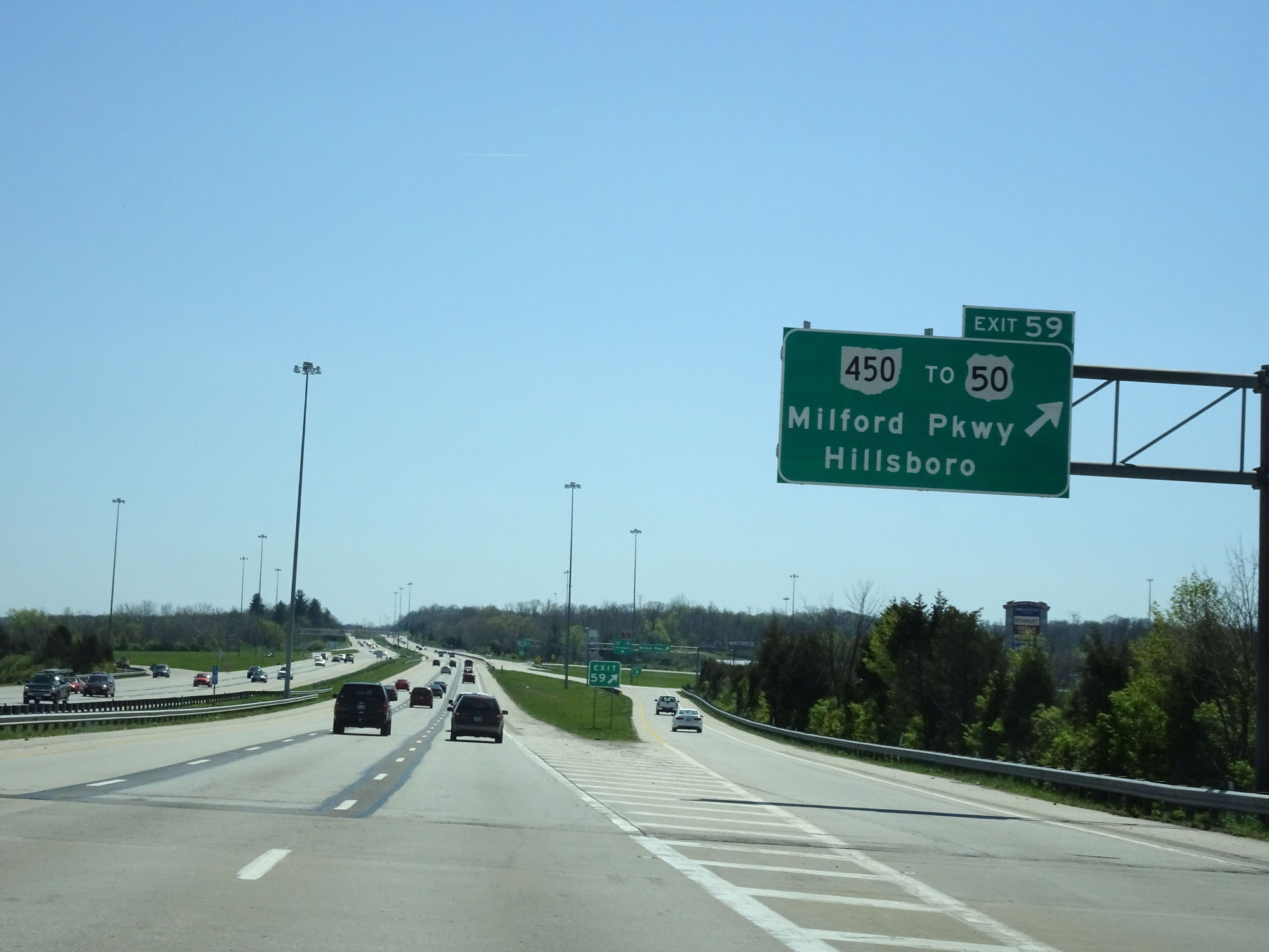 |
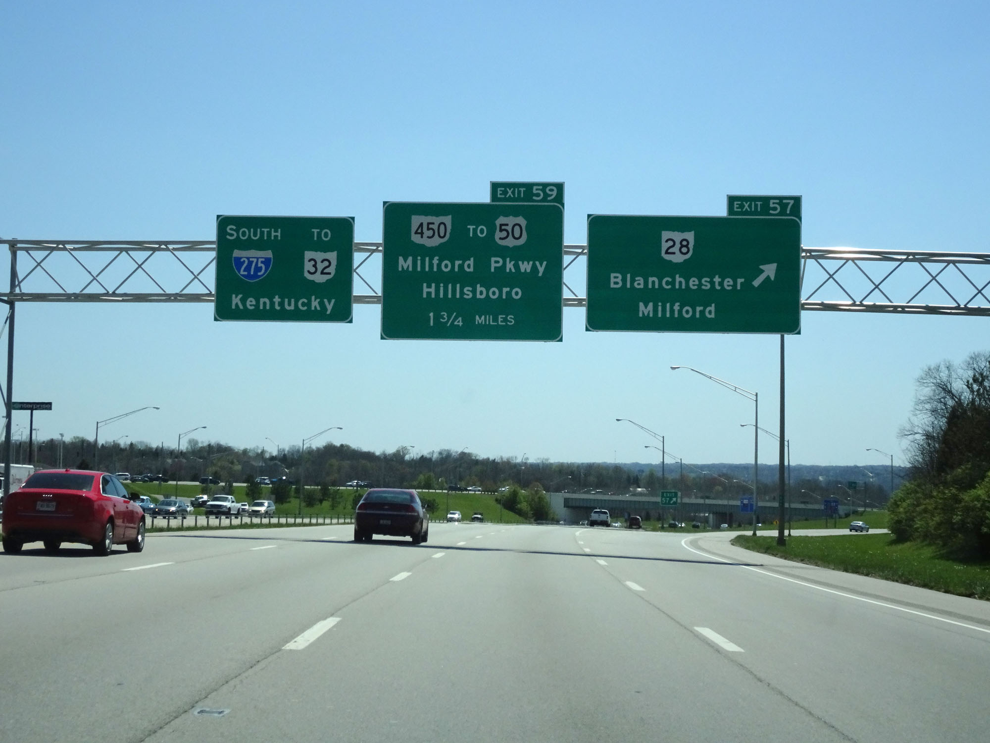
Interstate 275 Inner Loop (South) at Exit 59: OH 450 / To US 50 - Milford Pkwy / Hillsboro (Photo taken 4/16/16). |
 |
Another Interstate 275 South reassurance shield. (Photo taken 4/16/16). |
 |
Interstate 275 Inner Loop (South) at mile marker 61. (Photo taken 4/16/16). |
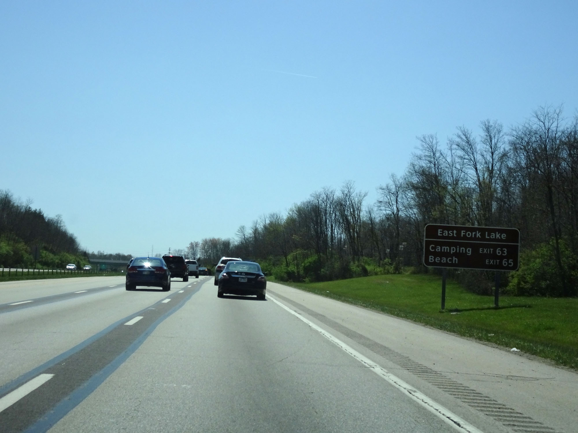 |
Take Exit 63 to the camping areas for East Fork Lake. Take Exit 65 to the lake's beach area. (Photo taken 4/16/16). |
 |
Take Exits 63A-B to Clermont County Airport. (Photo taken 4/16/16). |
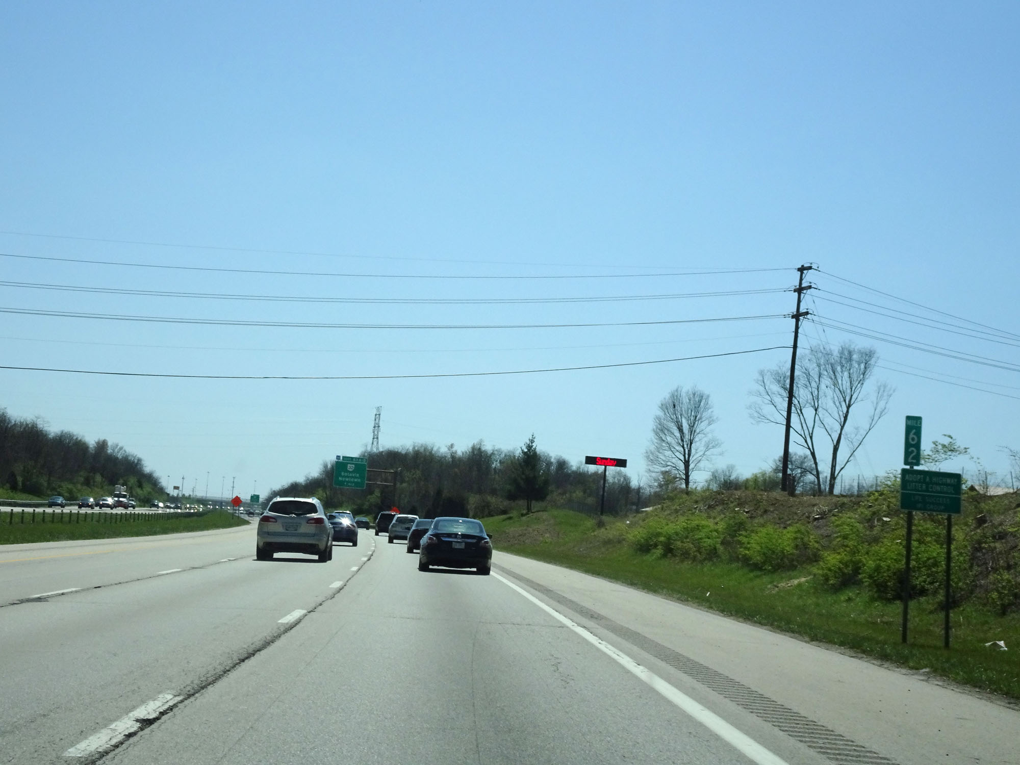 |
Interstate 275 Inner Loop (South) at mile marker 62. (Photo taken 4/16/16). |
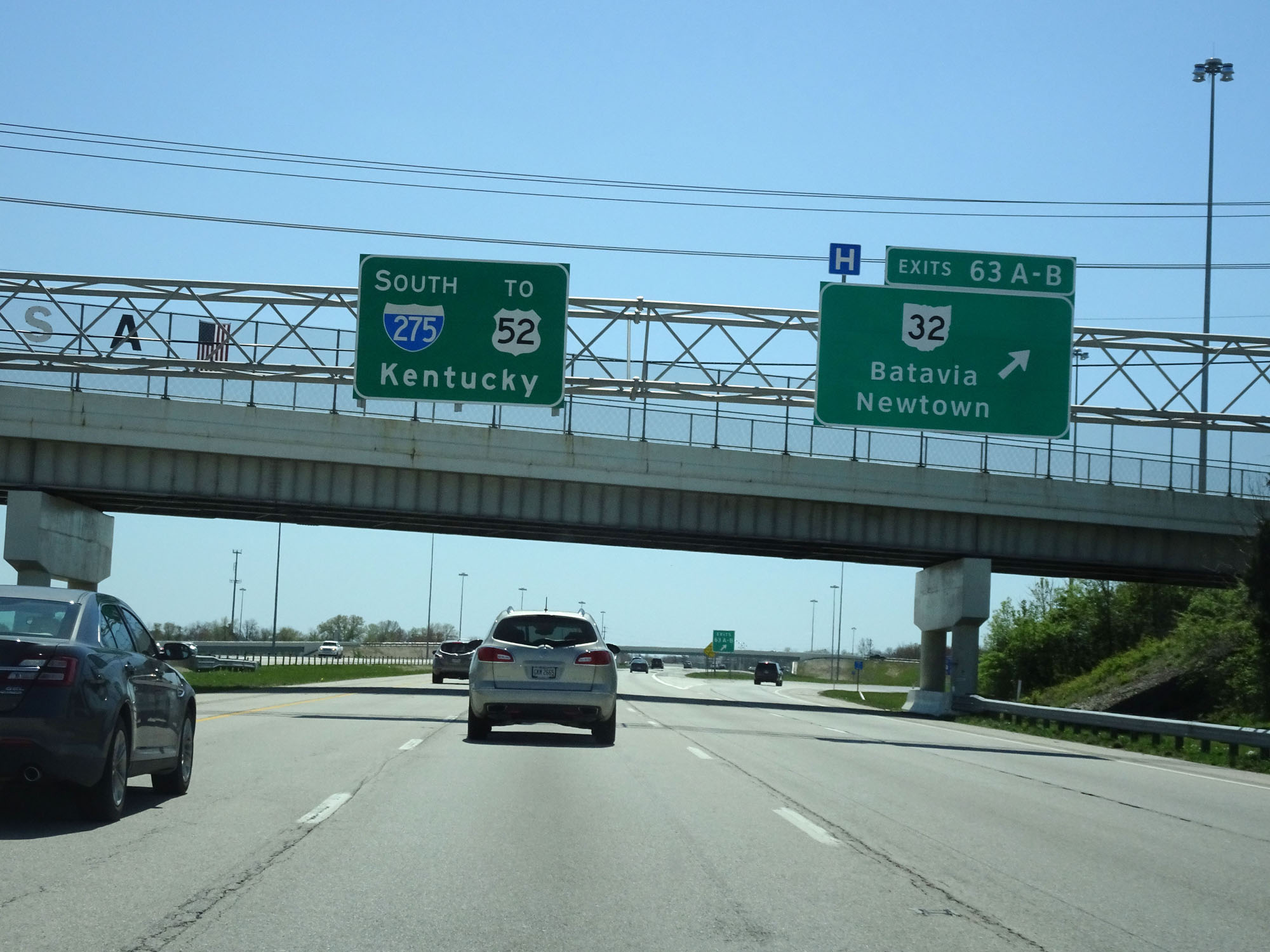 |
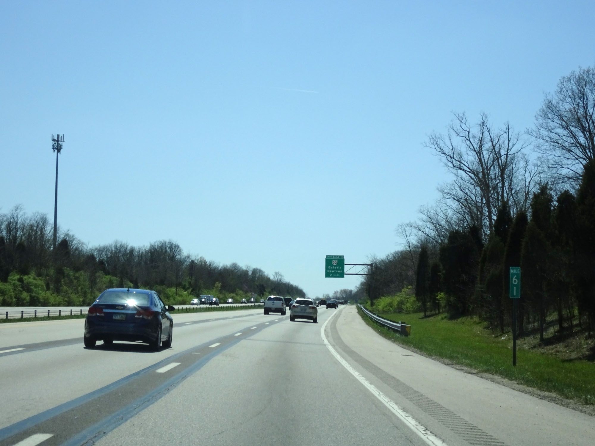
Interstate 275 Inner Loop (South) at Exits 63A-B: OH 32 - Batavia / Newtown (Photo taken 4/16/16). |
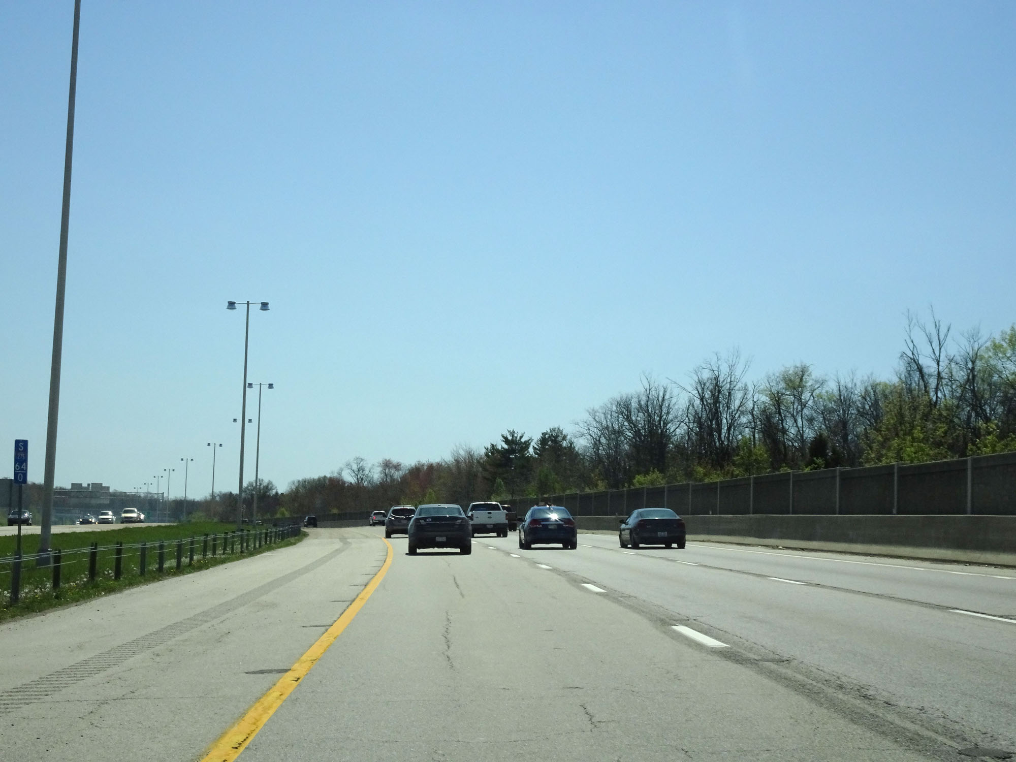 |
Interstate 275 Inner Loop (South) at mile marker 64. (Photo taken 4/16/16). |
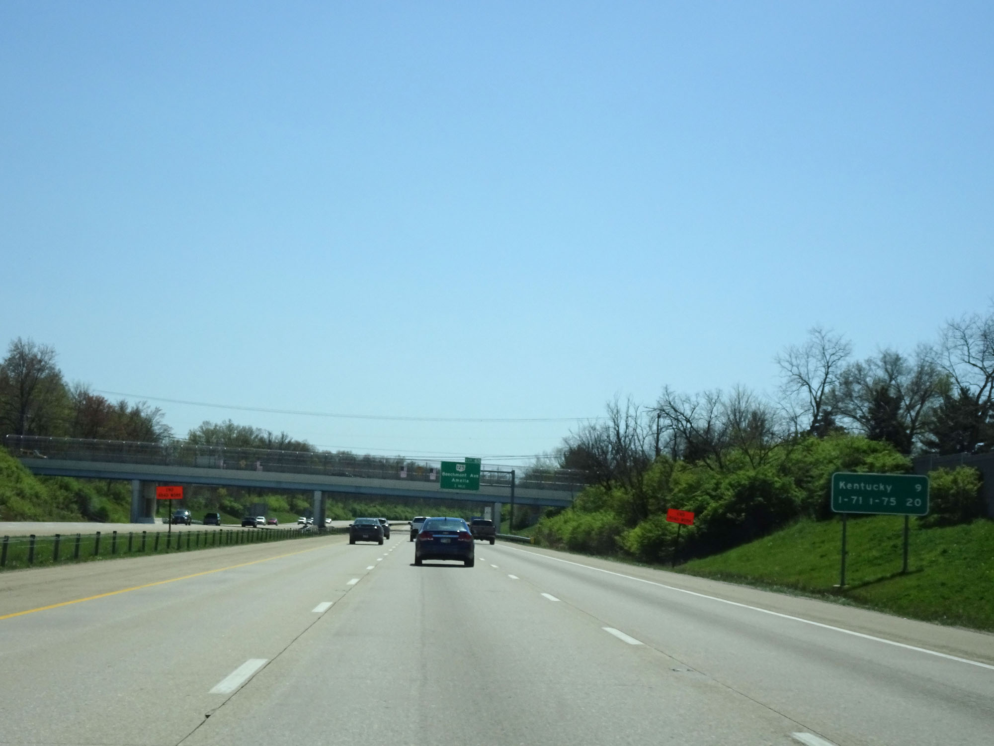 |
The Kentucky border at the Ohio River now lies 9 miles ahead. (Photo taken 4/16/16). |
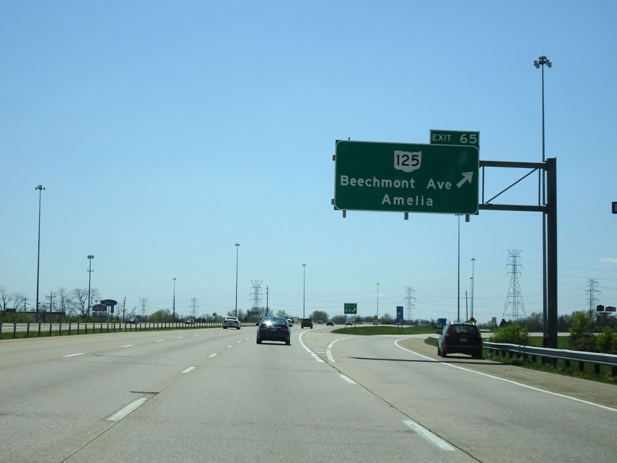 |
Interstate 275 Inner Loop (South) at Exit 65: OH 125 - Beechmont Ave / Amelia (Photo taken 4/16/16). |
 |
Interstate 275 Inner Loop (South) at mile marker 66. (Photo taken 4/16/16). |
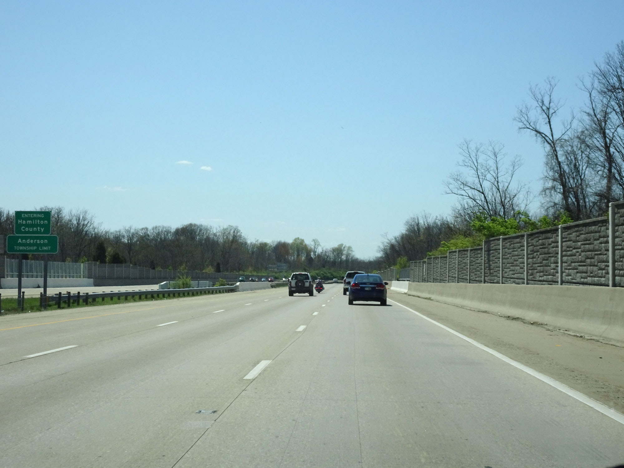 |
Entering Hamilton County once again on Interstate 275 Inner Loop (South). (Photo taken 4/16/16). |
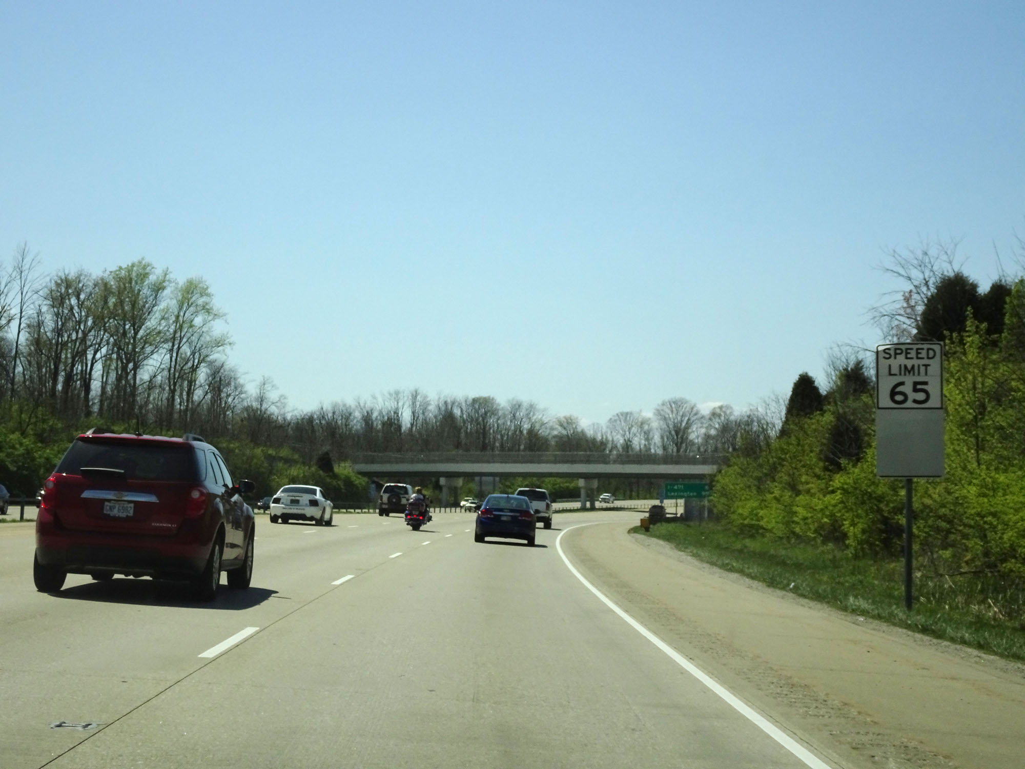 |
The speed limit remains 65 mph. (Photo taken 4/16/16). |
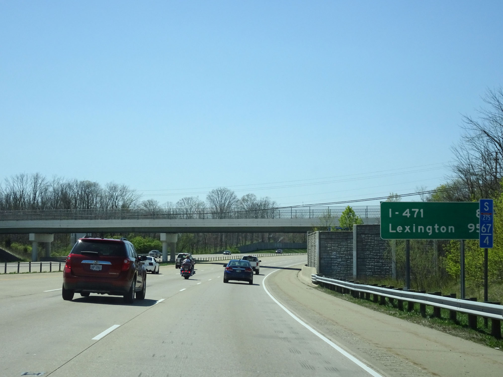 |
Mileage sign at mile marker 67.4. It's 8 miles to the junction of Interstate 471 and 95 miles to Lexington. (Photo taken 4/16/16). |
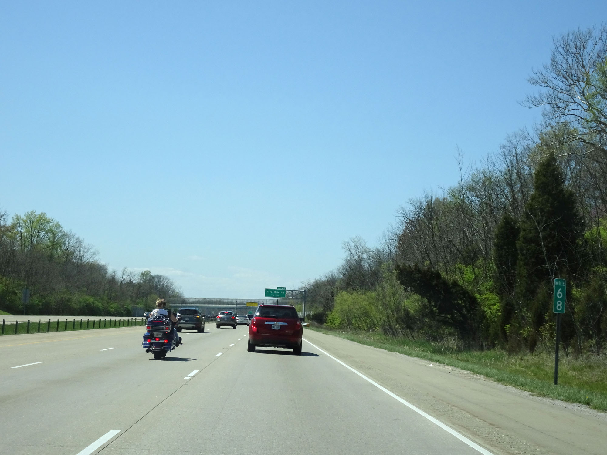 |
Interstate 275 Inner Loop (South) at mile marker 68. (Photo taken 4/16/16). |
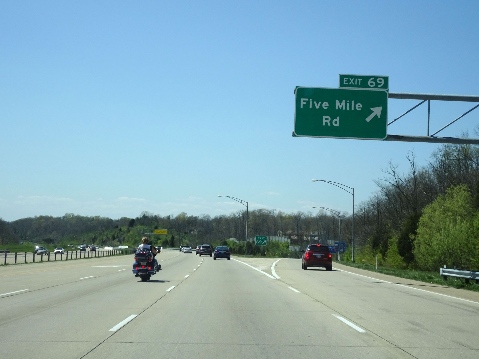 |
Interstate 275 Inner Loop (South) at Exit 69: Five Mile Rd (Photo taken 4/16/16). |
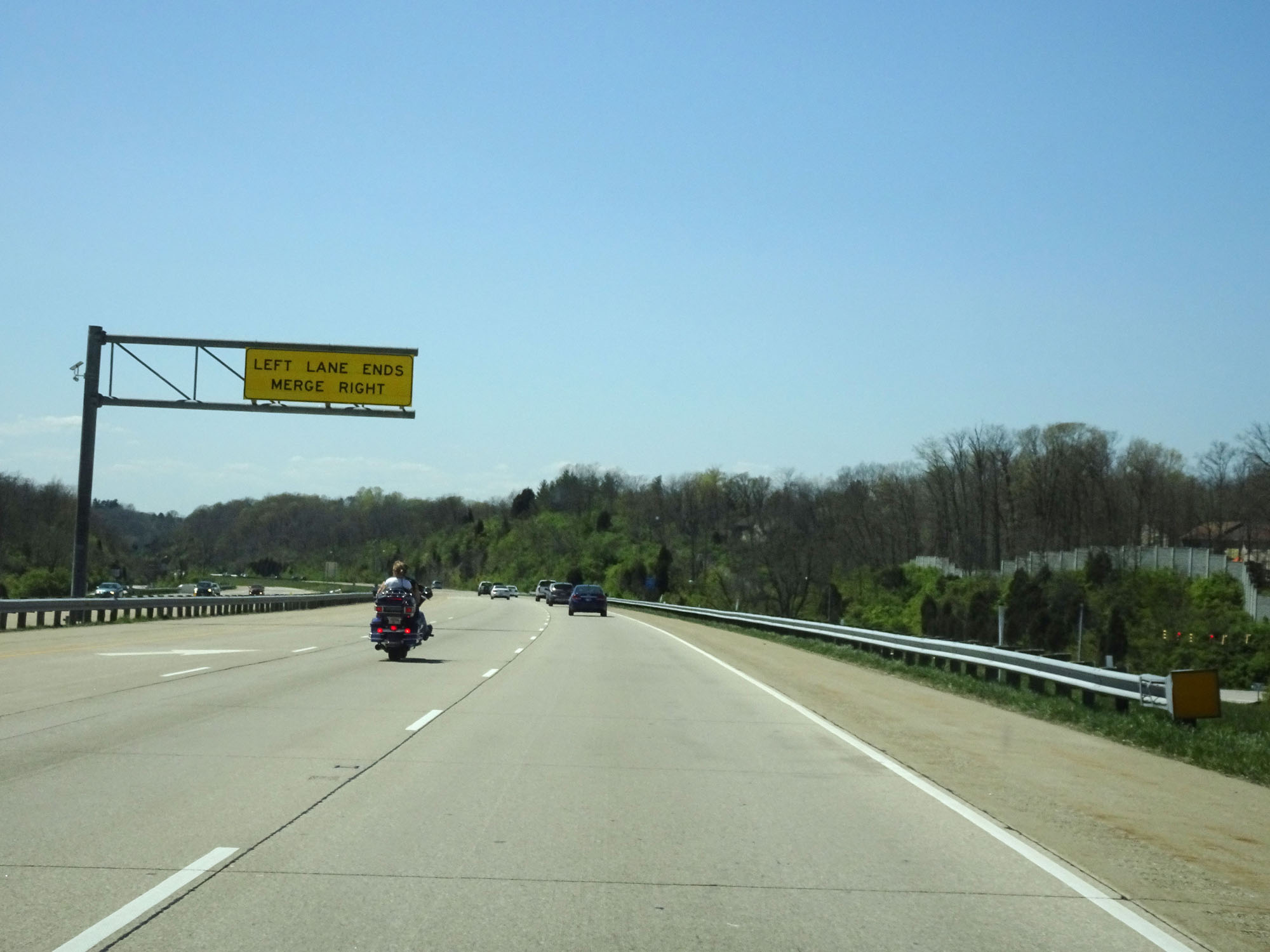 |
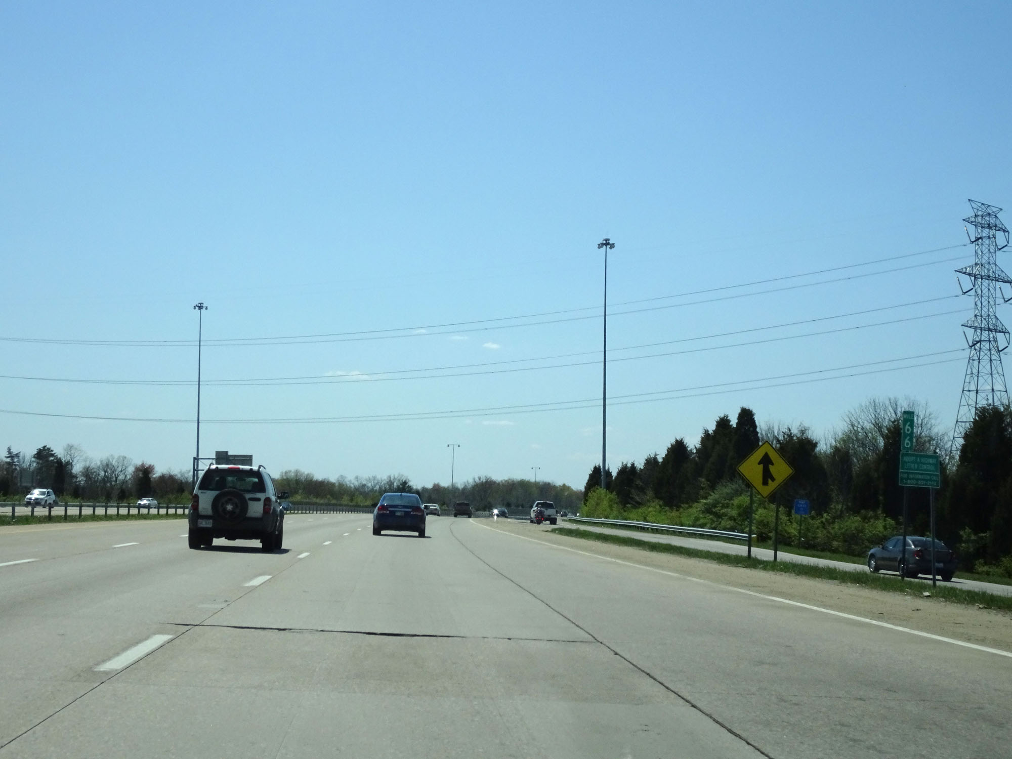
South of Exit 69, the leftmost lane prepares to end and Interstate 275 will maintain 2 lanes in each direction the rest of the way to the Kentucky border. (Photo taken 4/16/16). |
 |
Interstate 275 Inner Loop (South) at mile marker 69. (Photo taken 4/16/16). |
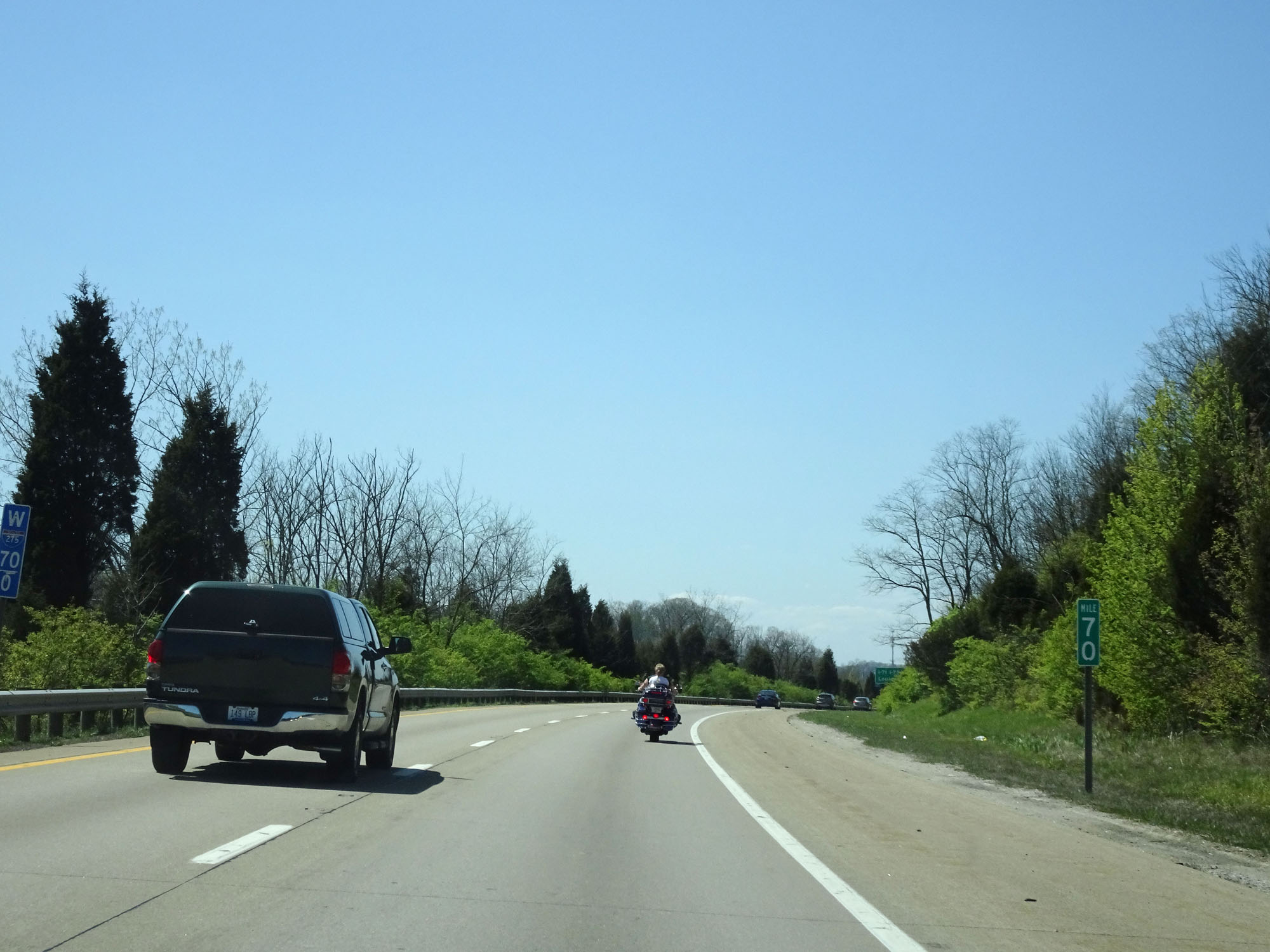 |
Interstate 275 Inner Loop (South) at mile marker 70. (Photo taken 4/16/16). |
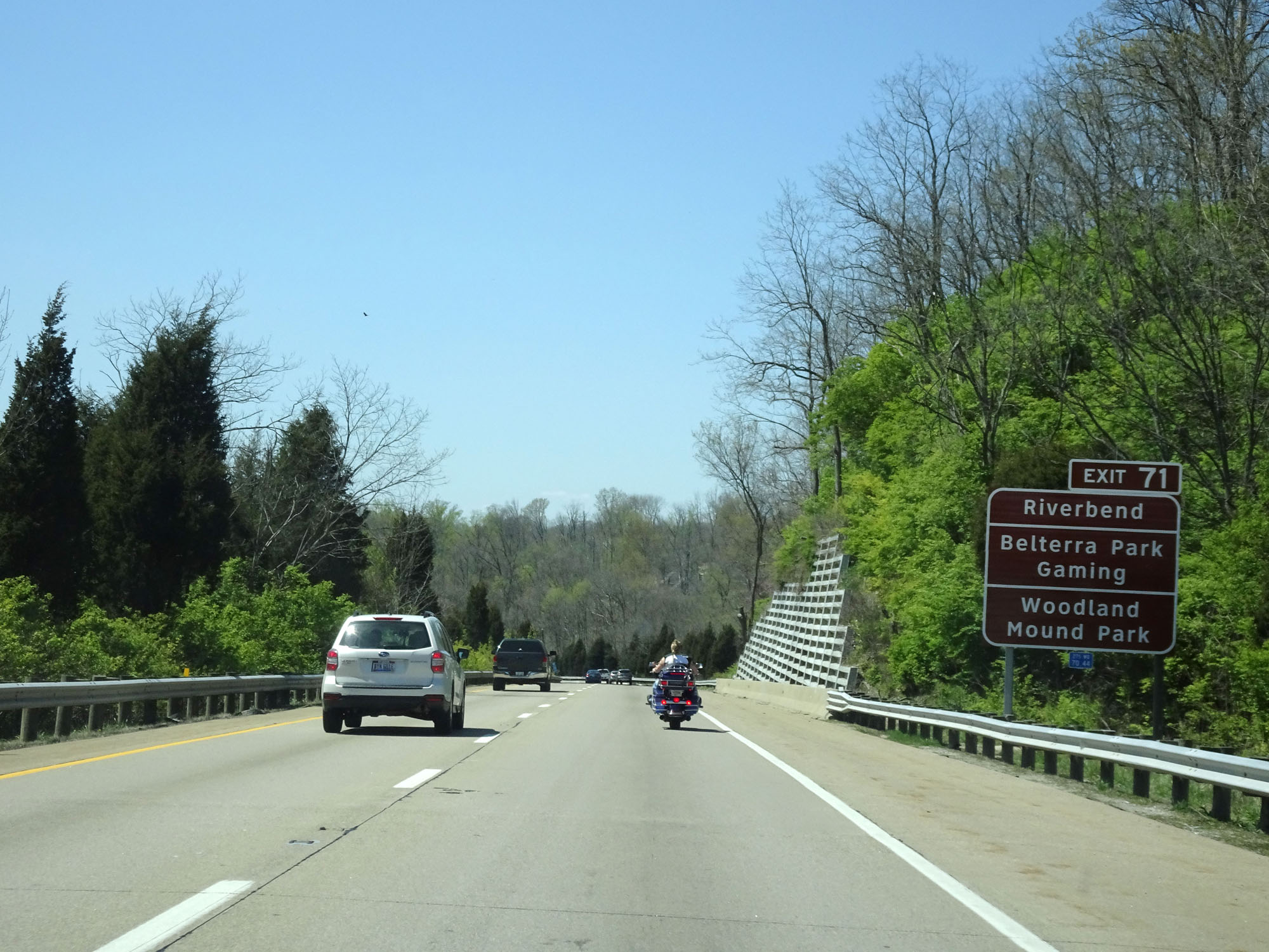 |
Take Exit 71 to Riverbend, Belterra Park Gaming, and Woodland Mound Park. (Photo taken 4/16/16). |
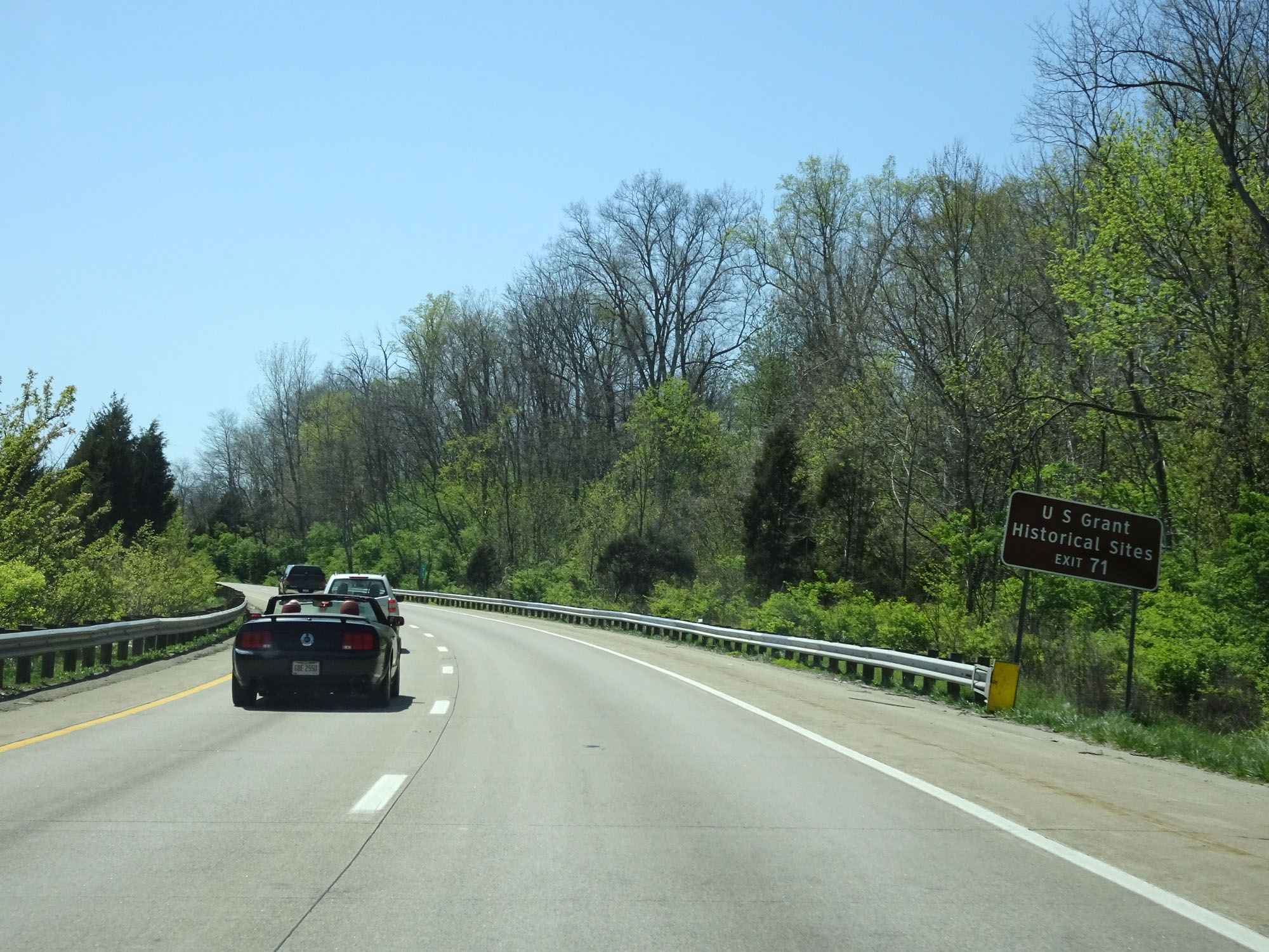 |
Also take Exit 71 to the Ulysses S. Grant Historical Sites. (Photo taken 4/16/16). |
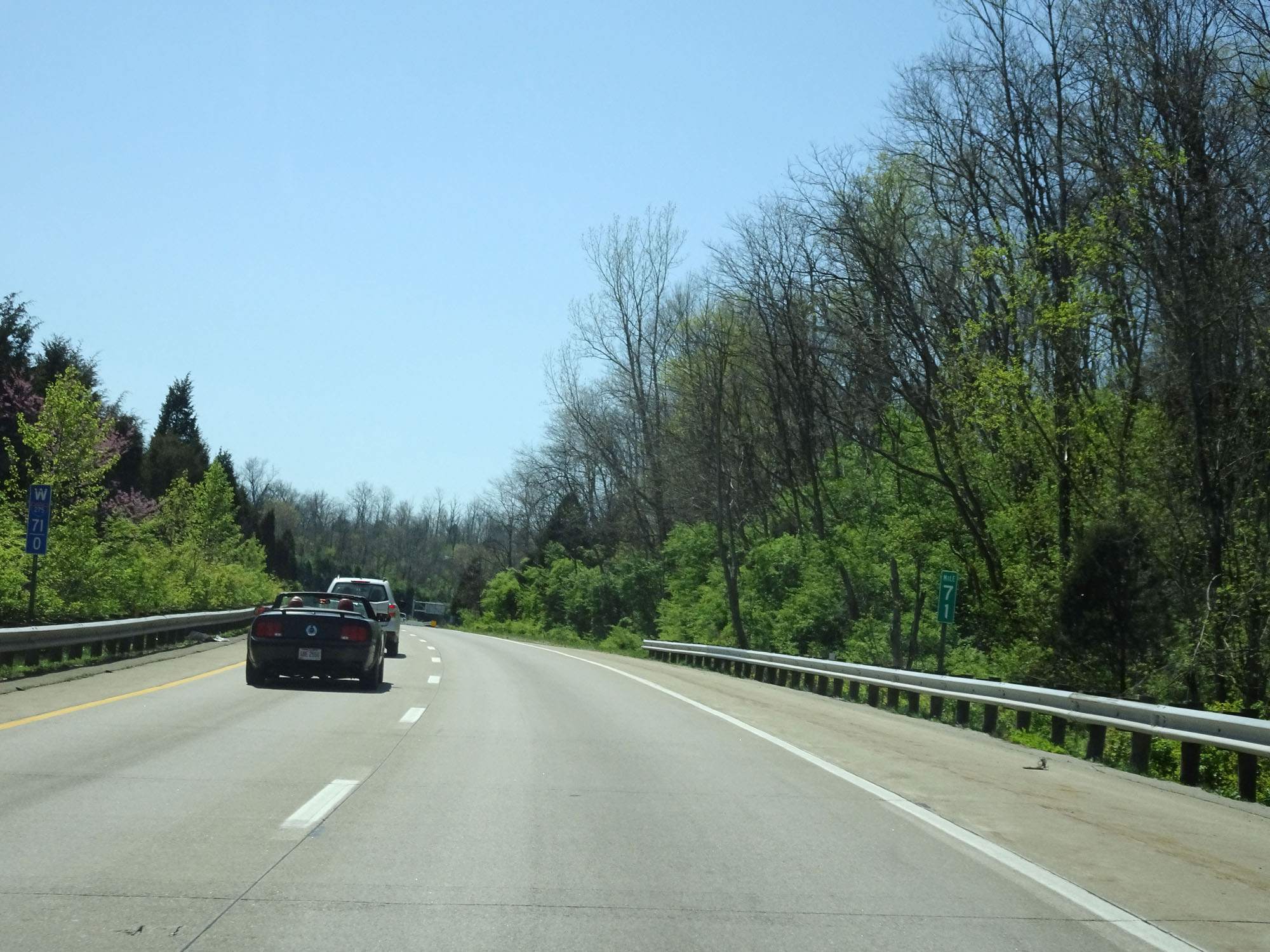 |
Interstate 275 Inner Loop (South) at mile marker 71. (Photo taken 4/16/16). |
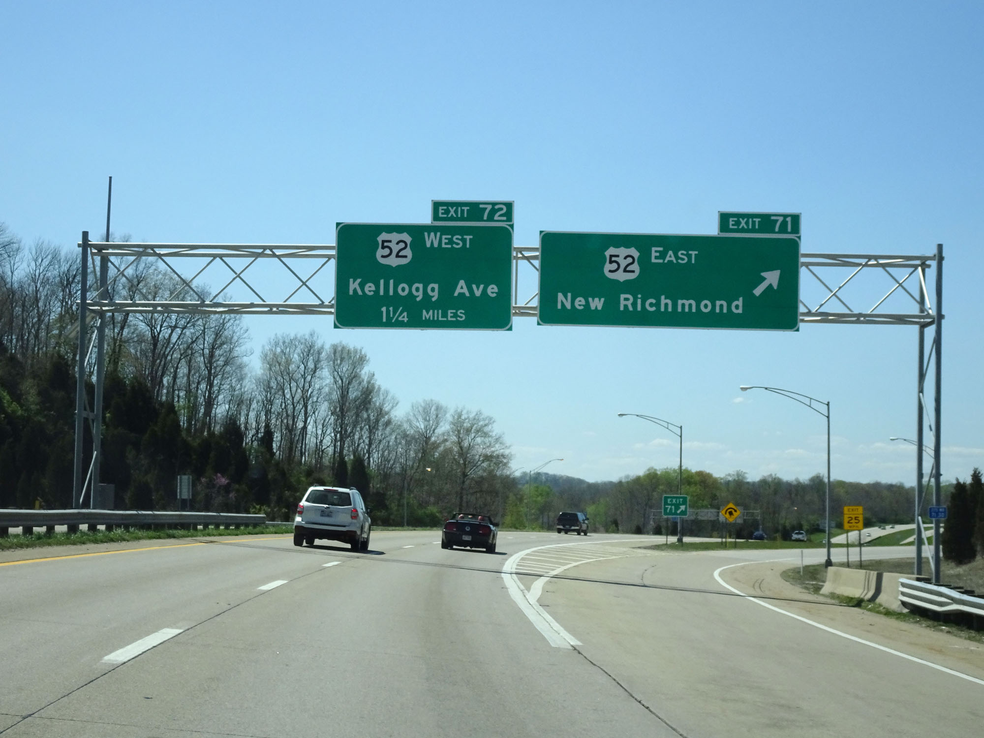 |
Interstate 275 Inner Loop (South) at Exit 71: US 52 East - New Richmond (Photo taken 4/16/16). |
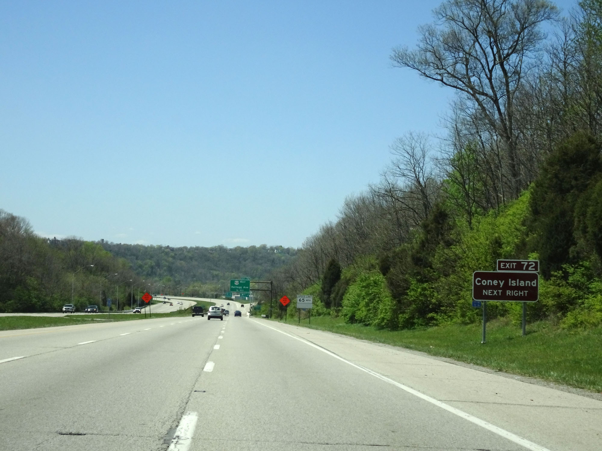 |
Take Exit 72 to Coney Island. (Photo taken 4/16/16). |
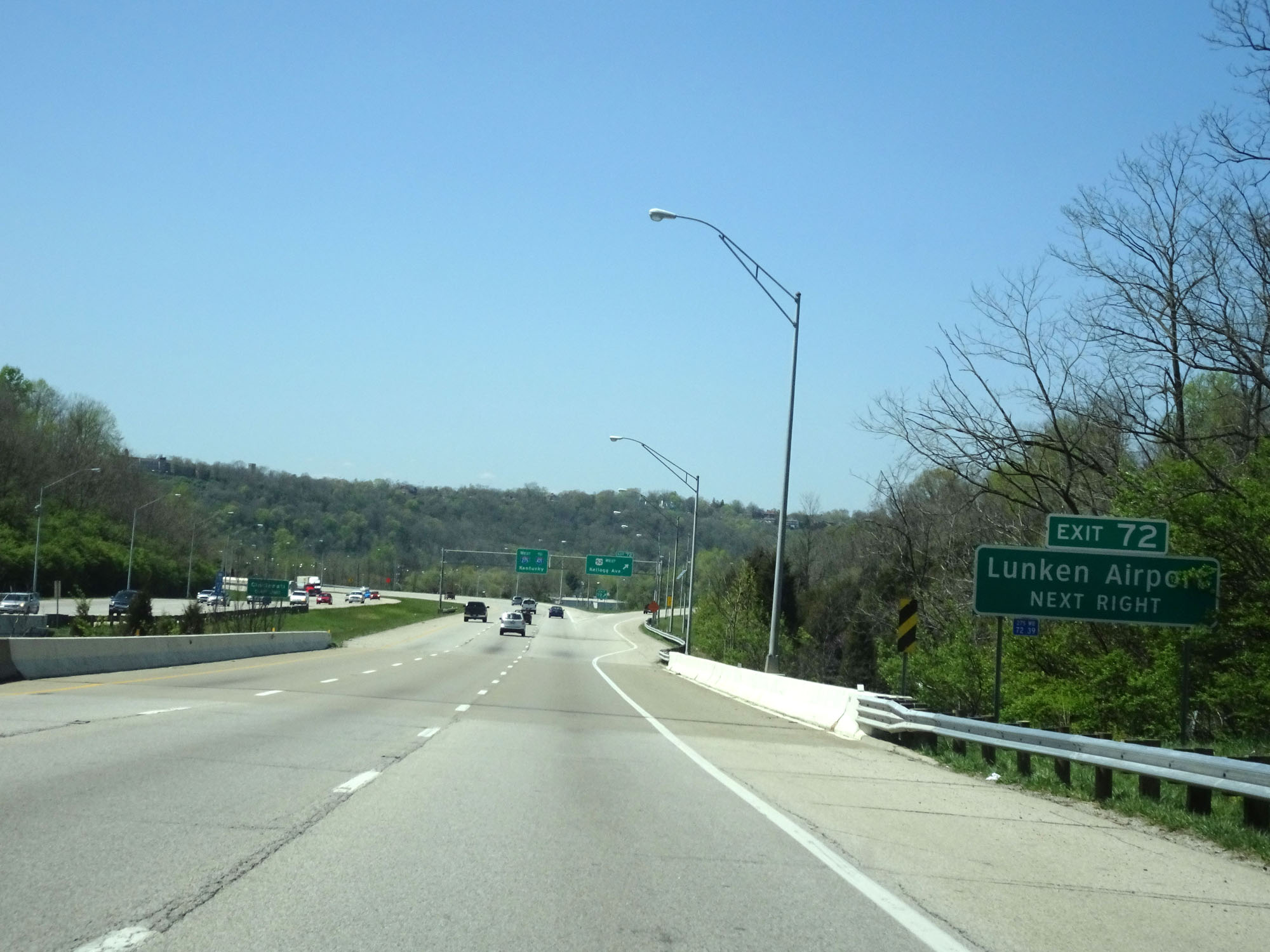 |
Also take Exit 72 to Lunken Airport. (Photo taken 4/16/16). |
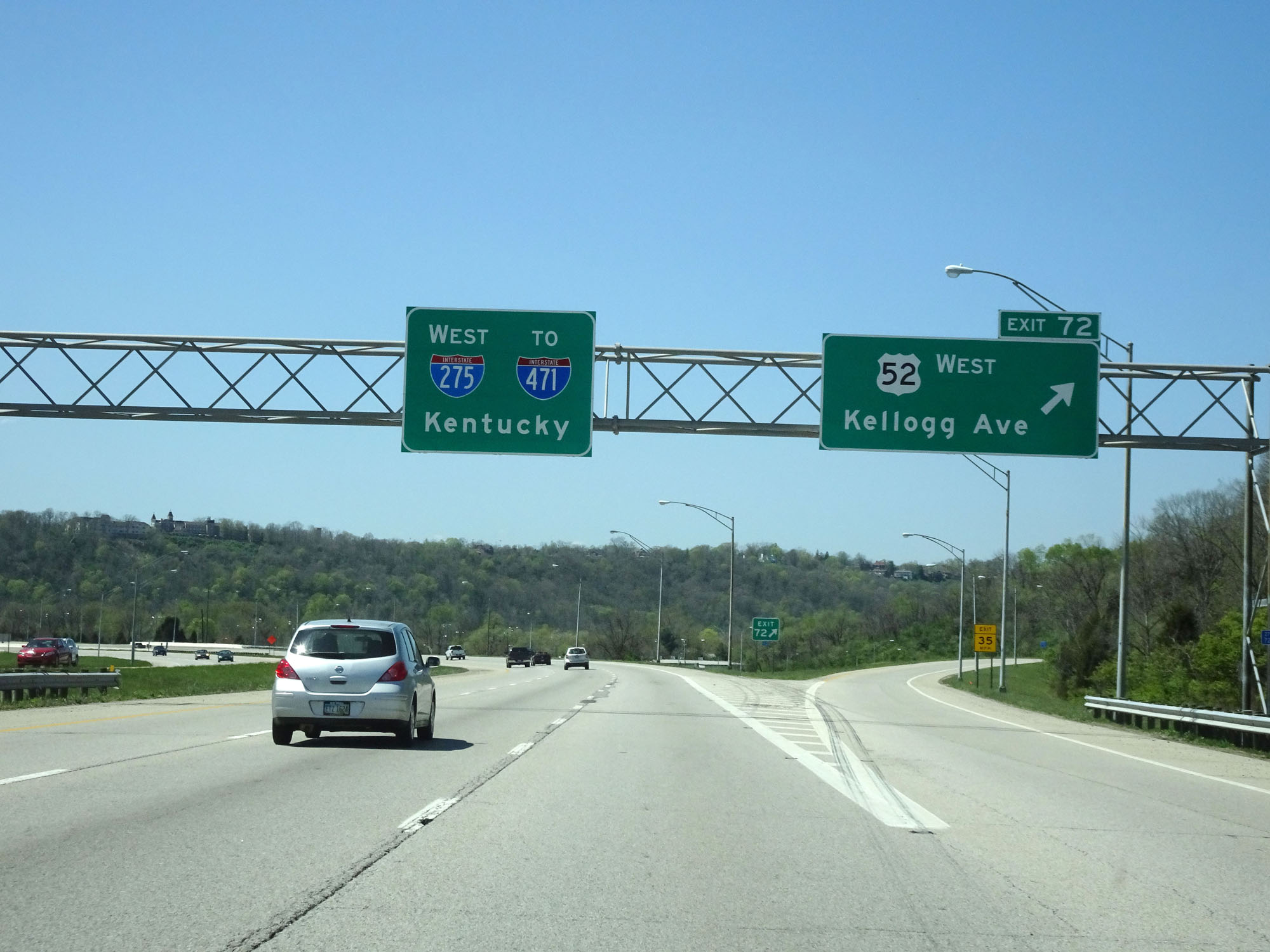 |
Interstate 275 Inner Loop (South) at Exit 72: US 52 West - Kellogg Ave (Photo taken 4/16/16). |
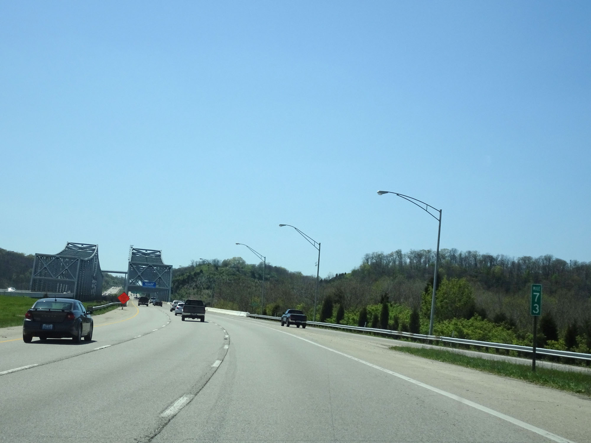 |
Interstate 275 Inner Loop (South) at mile marker 73, as the Combs-Hehl Bridge over the Ohio River comes into view ahead. (Photo taken 4/16/16). |
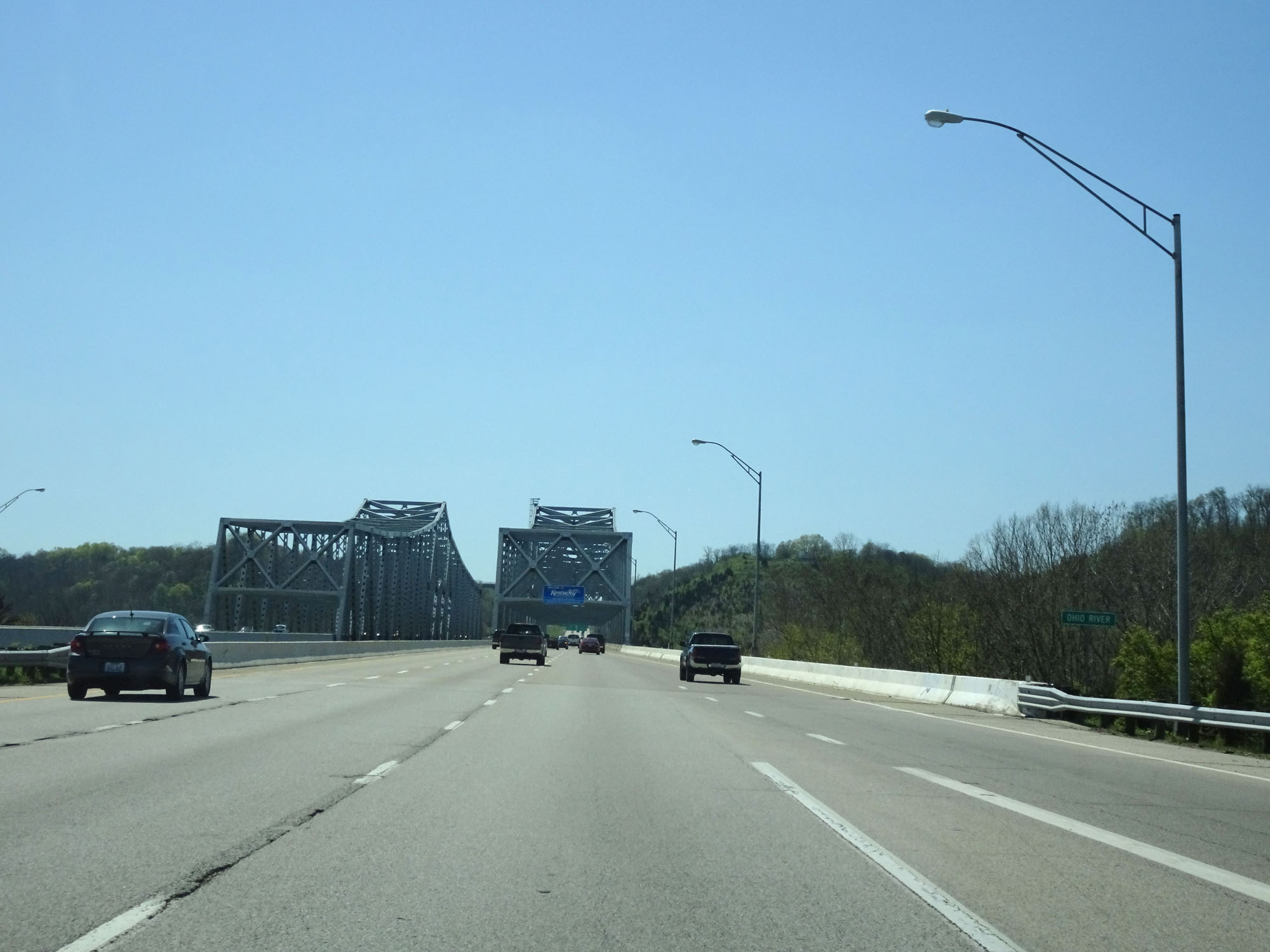 |
Interstate 275 Inner Loop (South) as it prepares to cross the Combs-Hehl Bridge over the Ohio River into Kentucky. (Photo taken 4/16/16). |