Road Information |
||
 |
||
| Total Mileage in State: | 410 miles | |
| Eastern End: | At Utah state line | |
| Western End: | At California state line | |
| Mileage covered in Photos: | 410 miles | |
| Counties covered in Photos: | Washoe, Storey, Lyon, Churchill, Pershing, Humboldt, Lander, Eureka, Elko | |
| Major Junctions in Photos: | I-580/US 395, in Reno US 93, in Wells |
|
| Control Cities in Photos: | Reno, Sparks, Fernley, Lovelock, Winnemucca, Battle Mountain, Carlin, Elko, Wells, West Wendover | |
Eastbound
- Section 1: California Border to Fernley (Exit 48)
- Section 2: Fernley (Exit 48) to Winnemucca (Exit 176)
- Section 3: Winnemucca (Exit 176) to Carlin (Exit 280)
- Section 4: Carlin (Exit 280) to Wells (Exit 352)
- Section 5: Wells (Exit 352) to Utah Border
Section 1: California Border to Fernley (Exit 48)
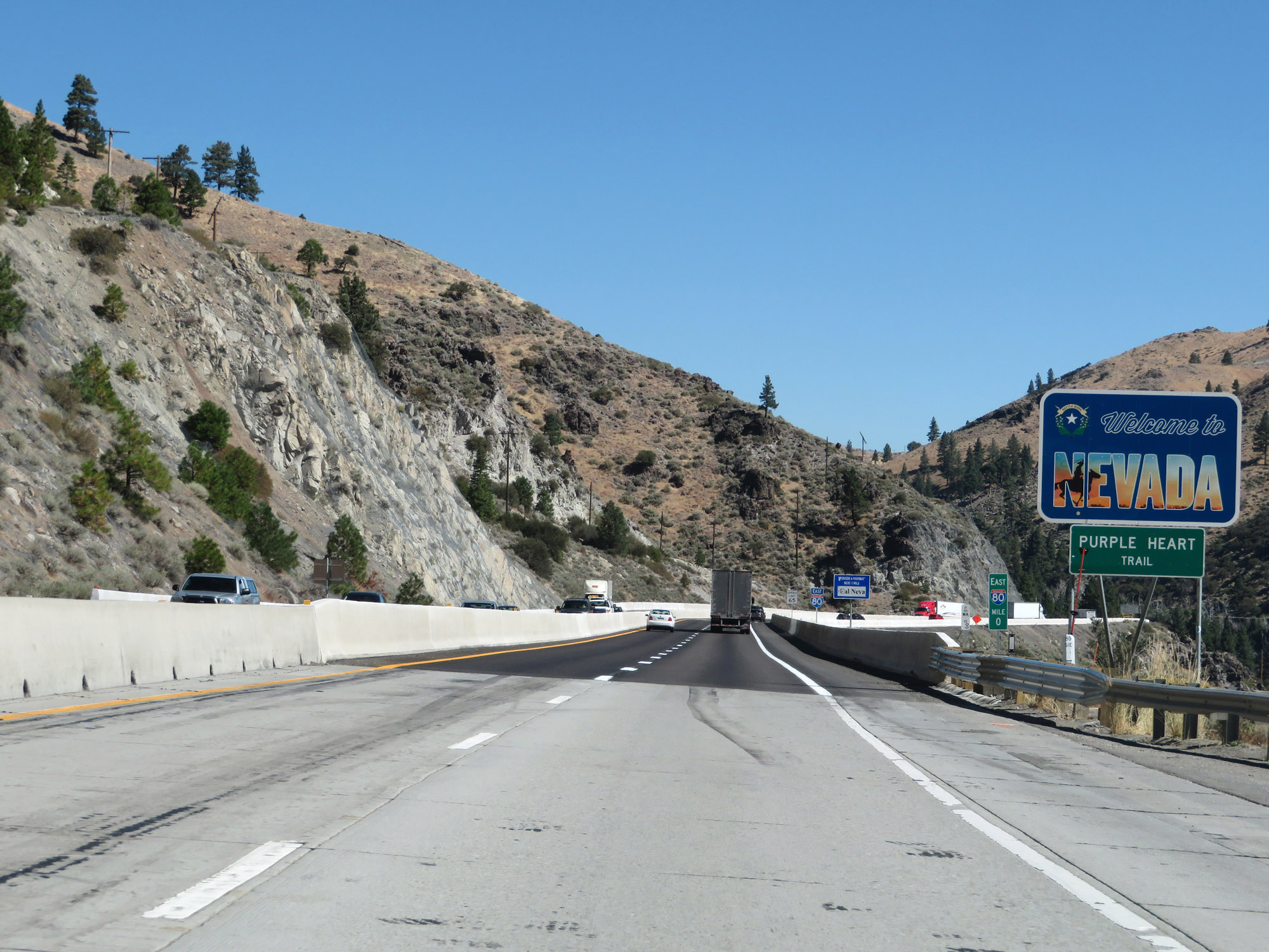 |
Nevada welcome sign as Interstate 80 East enters the Silver State from California. (Photo taken 9/24/19). |
 |
Interstate 80 East reassurance shield. (Photo taken 9/24/19). |
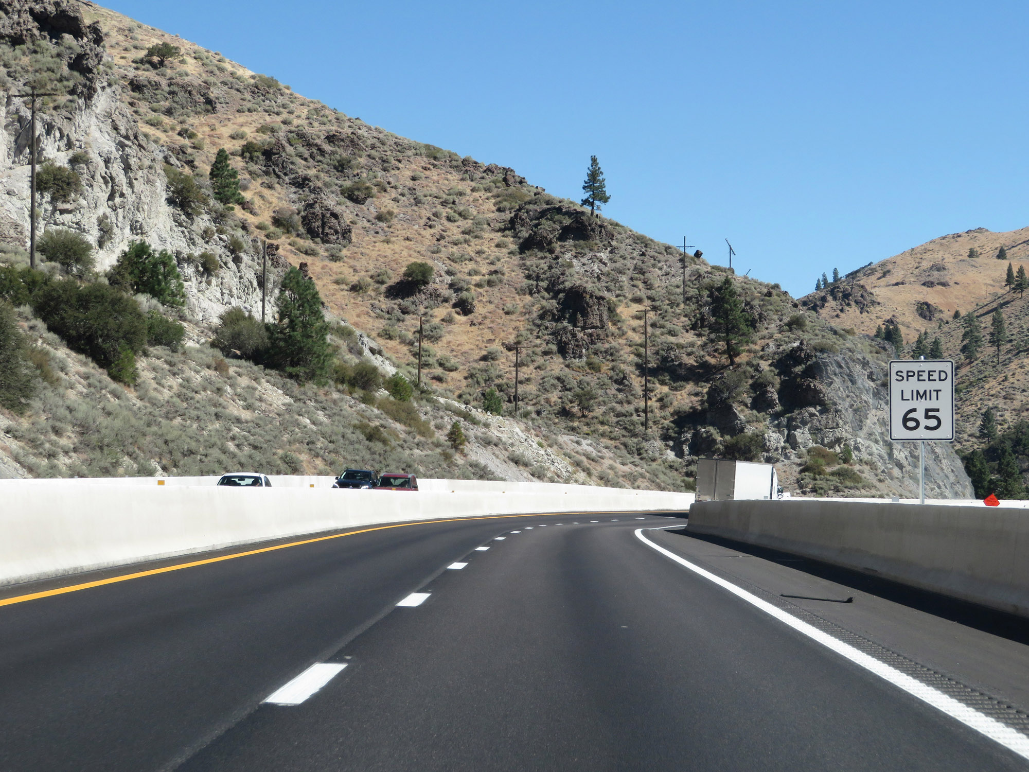 |
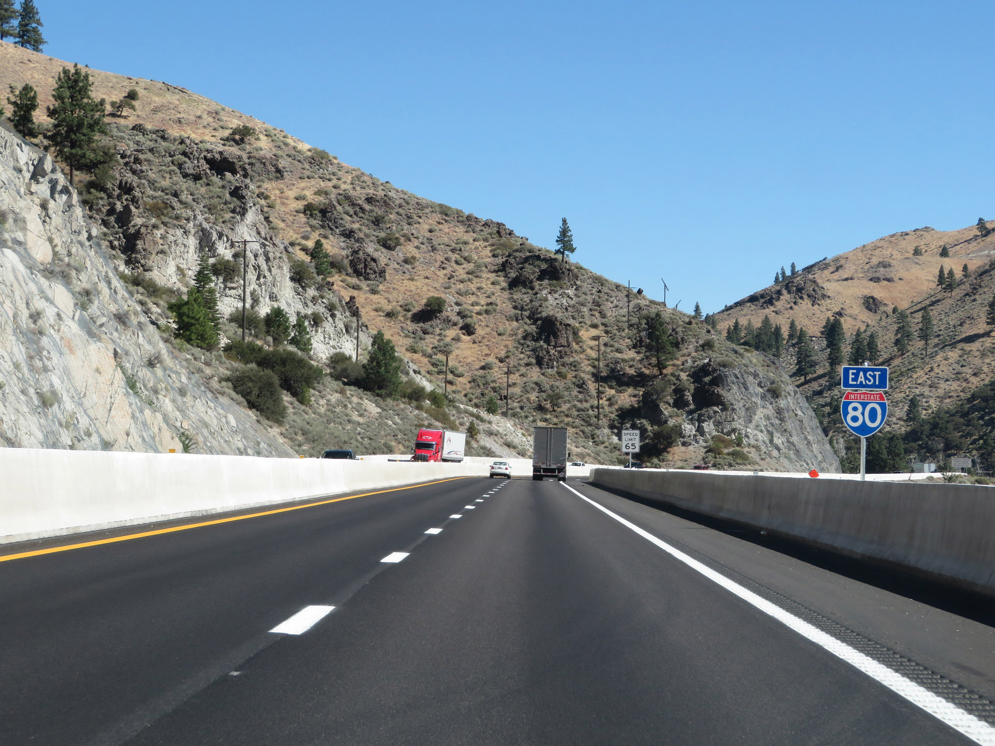
The speed limit on Interstate 80 East in Nevada starts out at 65 mph. It will remain 65 mph until just west of Sparks. (Photo taken 9/24/19). |
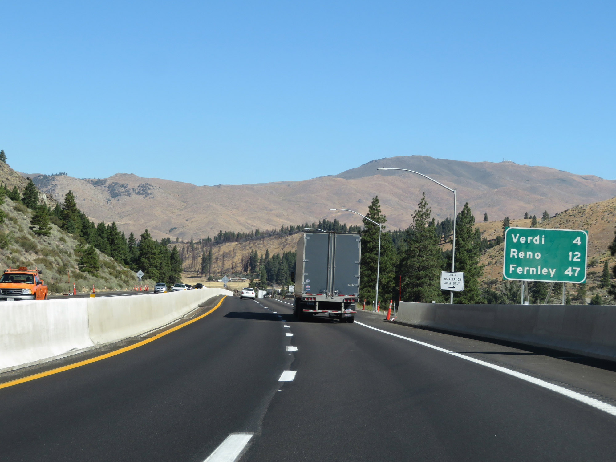 |
Mileage sign on Interstate 80 East. It's 4 miles to Verdi, 12 miles to Reno, and 47 miles to Fernley. (Photo taken 9/24/19). |
 |
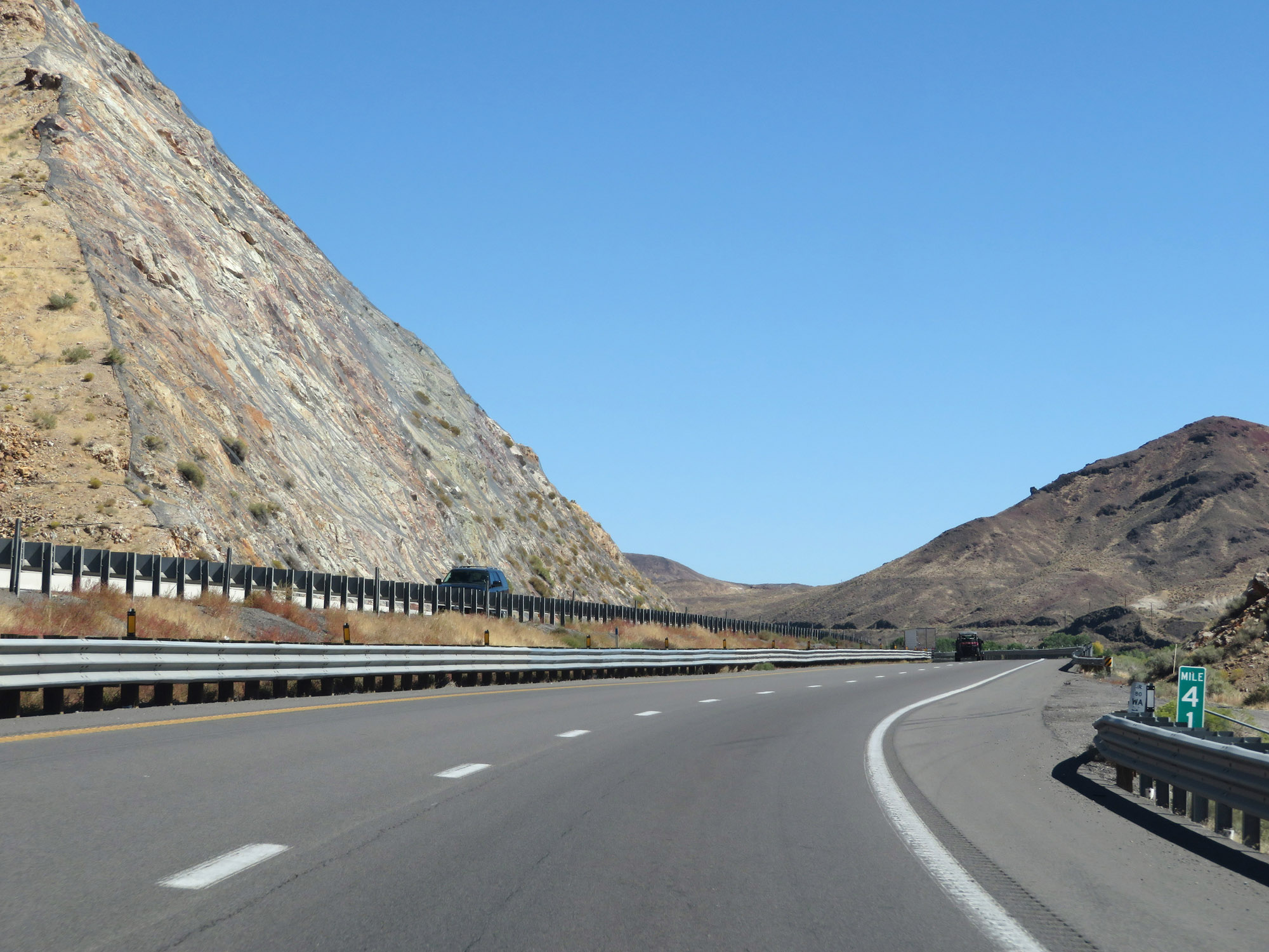
Interstate 80 East at mile marker 1. (Photo taken 9/24/19). |
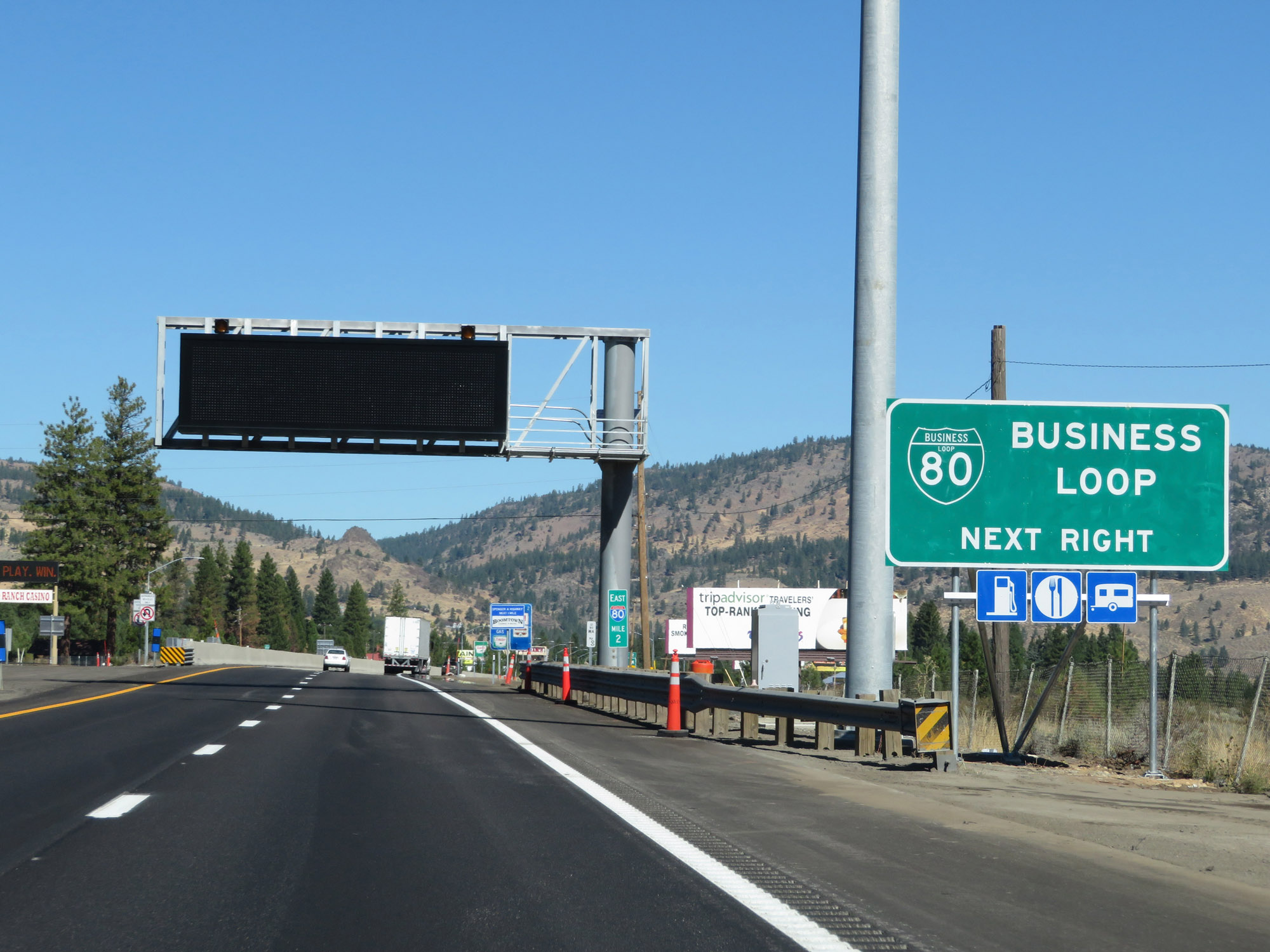 |
Take Exit 2 to Interstate 80 Business Loop. (Photo taken 9/24/19). |
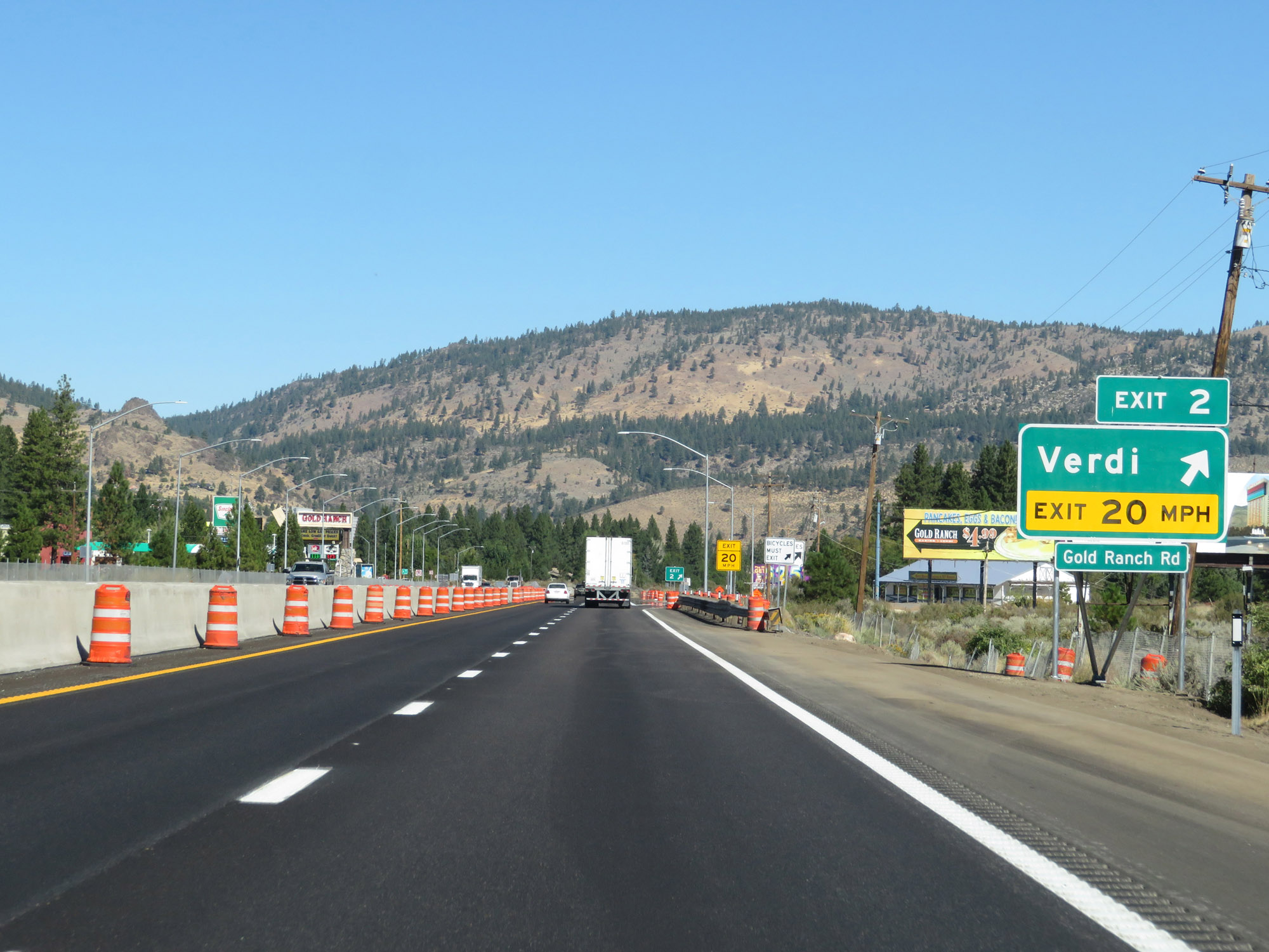 |
Interstate 80 East at Exit 2: Verdi / Gold Ranch Rd (Photo taken 9/24/19). |
 |
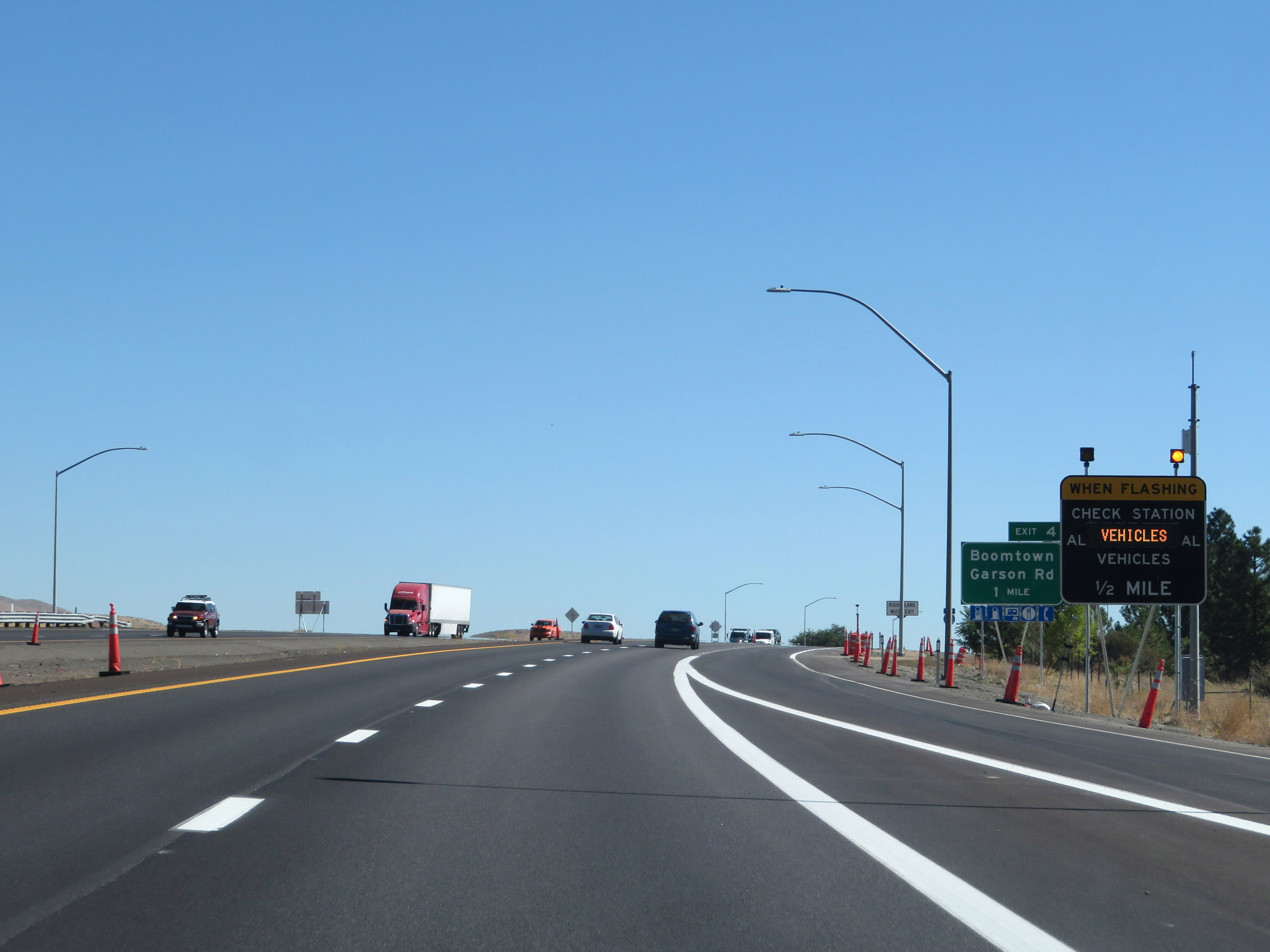
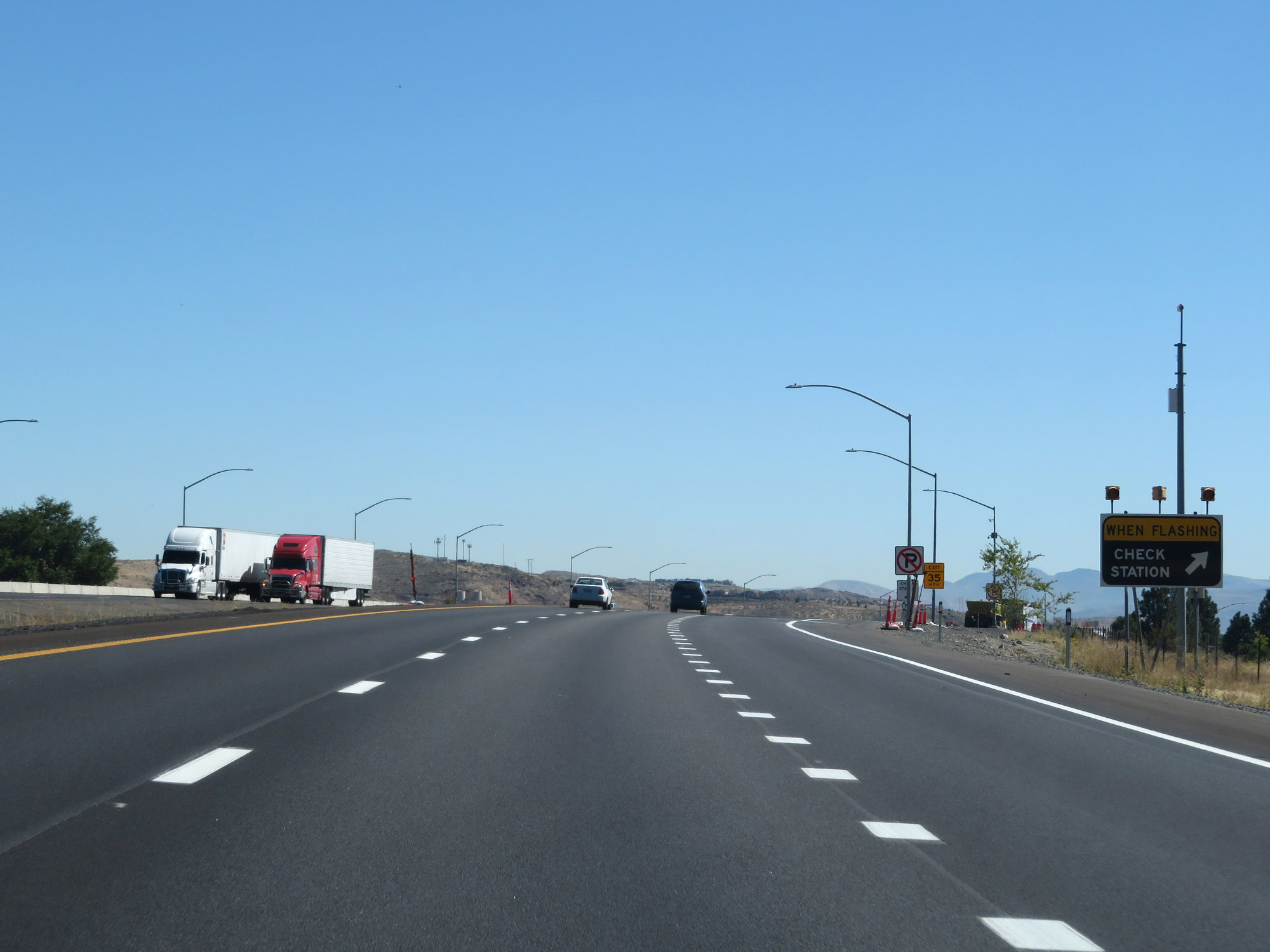
When the lights on this sign are flashing, all commercial vehicles must enter the Check Station 1 mile ahead. (Photo taken 9/24/19). |
 |
State-named Interstate 80 East reassurance shield at mile marker 3. (Photo taken 9/24/19). |
 |
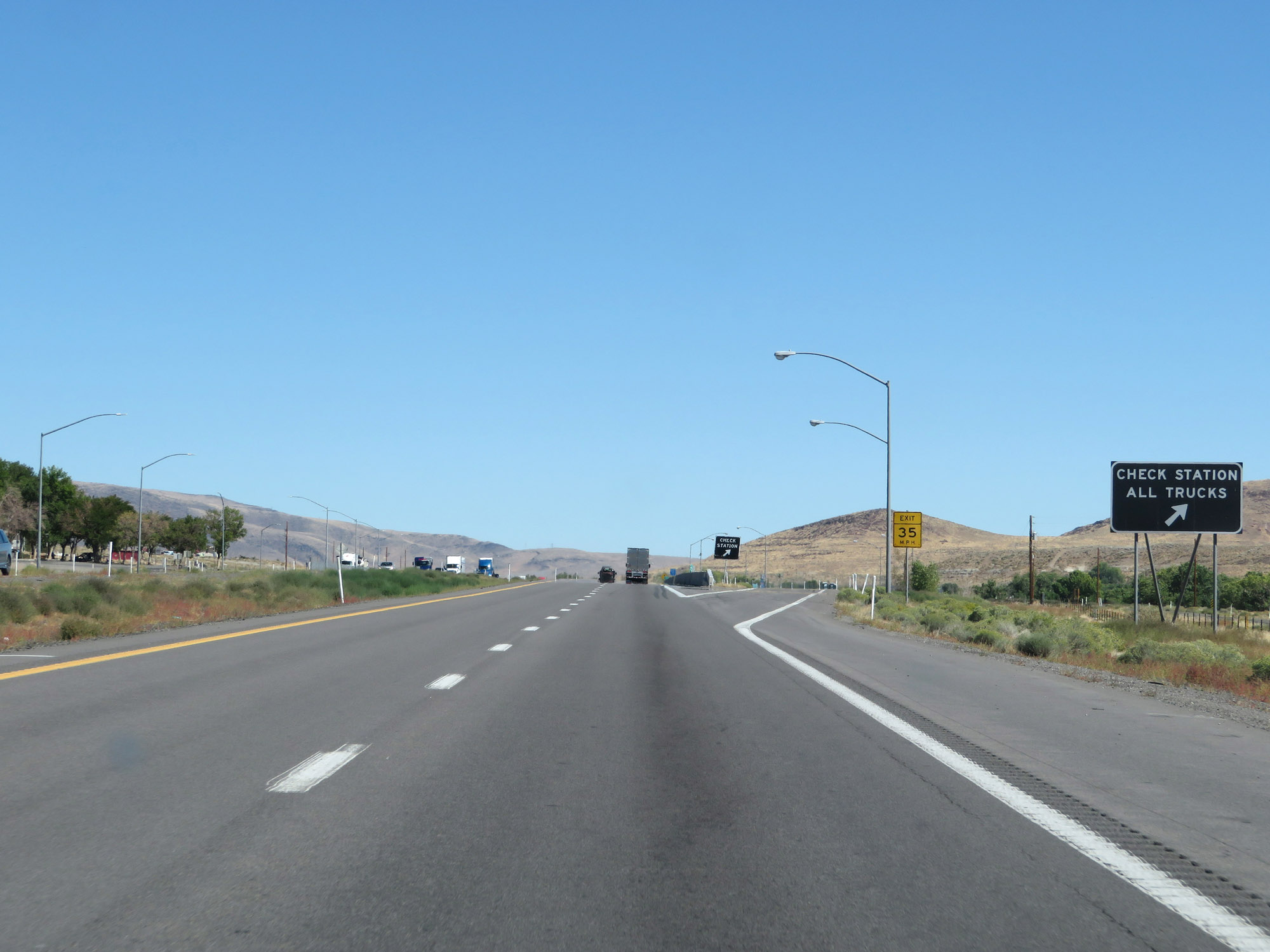
Interstate 80 East approaching the Check Station - 1/2 mile. (Photo taken 9/24/19). |
 |
Check Station on Interstate 80 East in Washoe County, just before Exit 4. (Photo taken 9/24/19). |
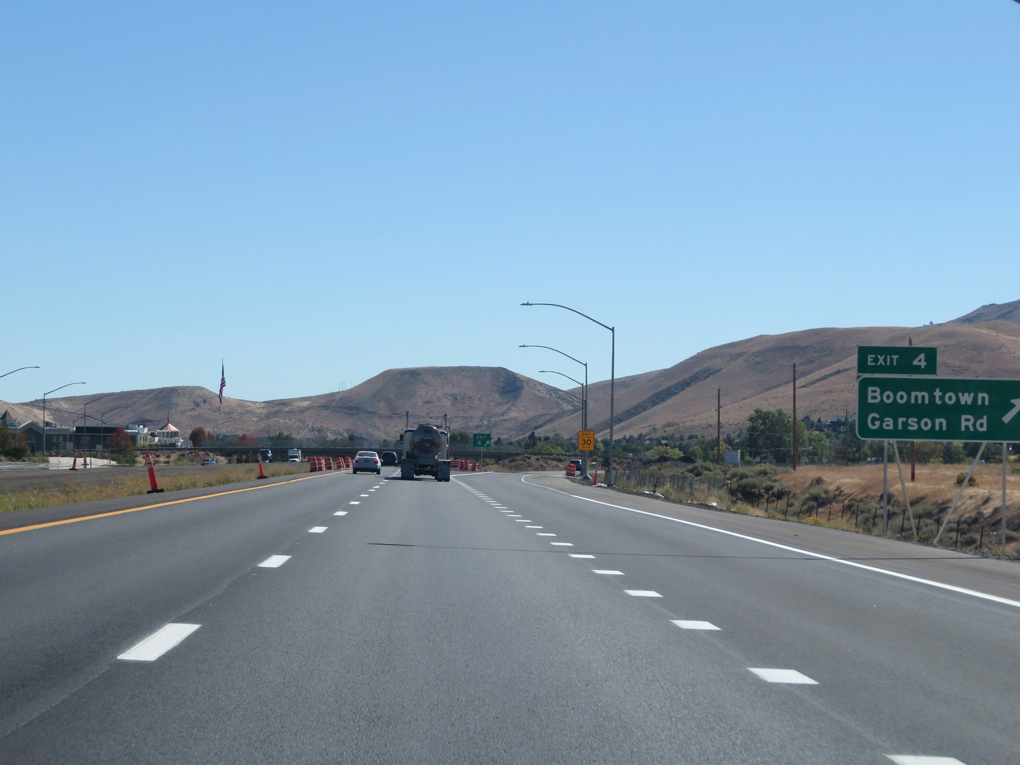 |
Interstate 80 East at Exit 4: Boomtown / Garson Rd (Photo taken 9/24/19). |
 |
Interstate 80 East approaching a Truck Parking / Chain-Up Area in Washoe County - 1 mile. (Photo taken 9/24/19). |
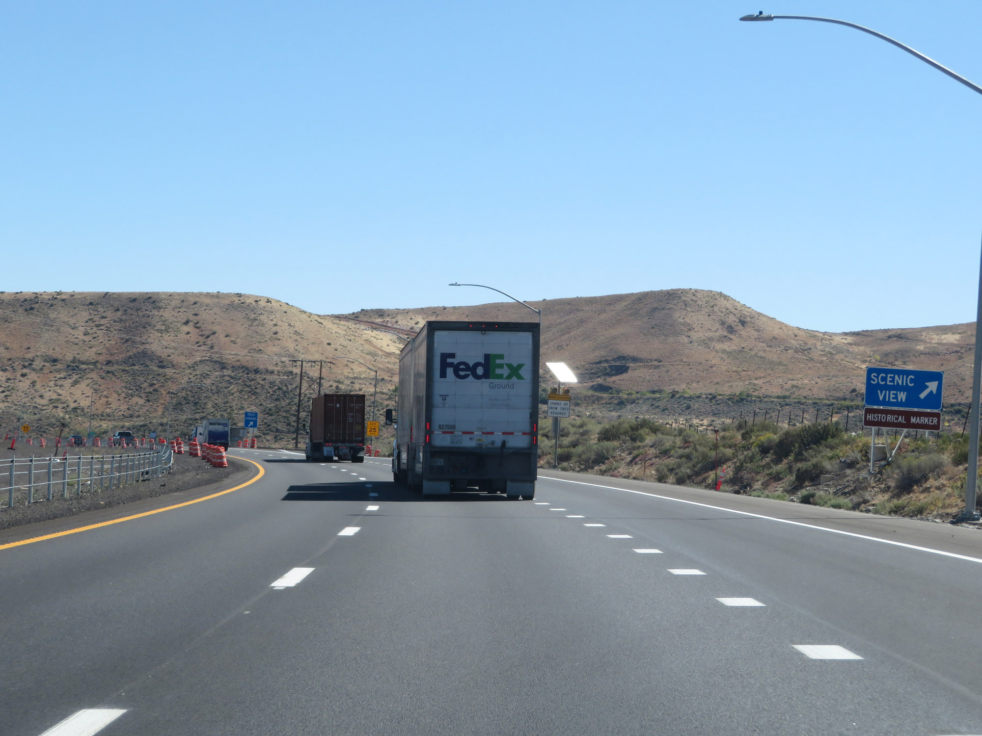 |
Scenic View Area on Interstate 80 East in Washoe County. (Photo taken 9/24/19). |
 |
Truck Parking Area / Chain-Up Area on Interstate 80 East in Washoe County. (Photo taken 9/24/19). |
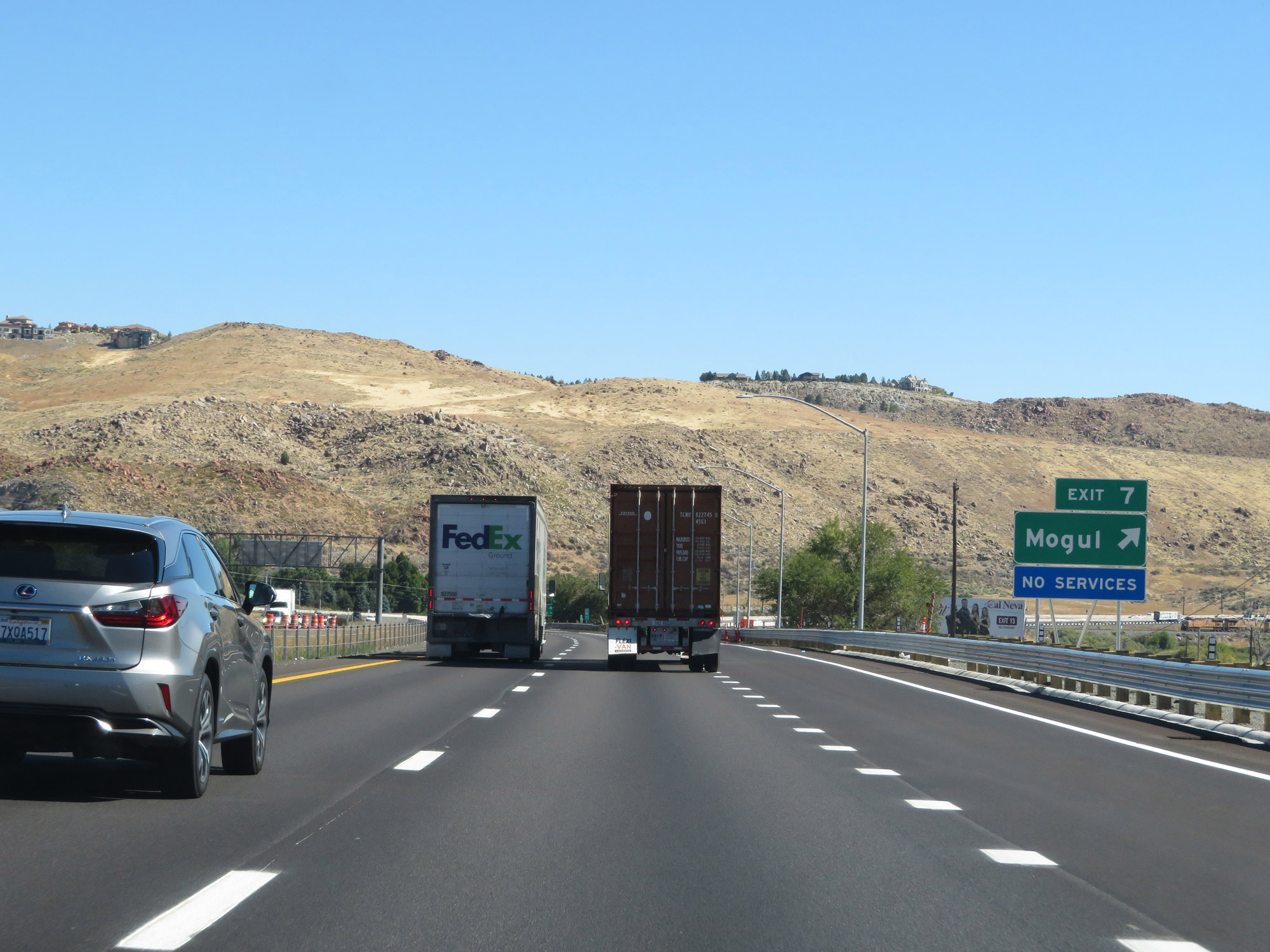 |
Interstate 80 East at Exit 7: Mogul (Photo taken 9/24/19). |
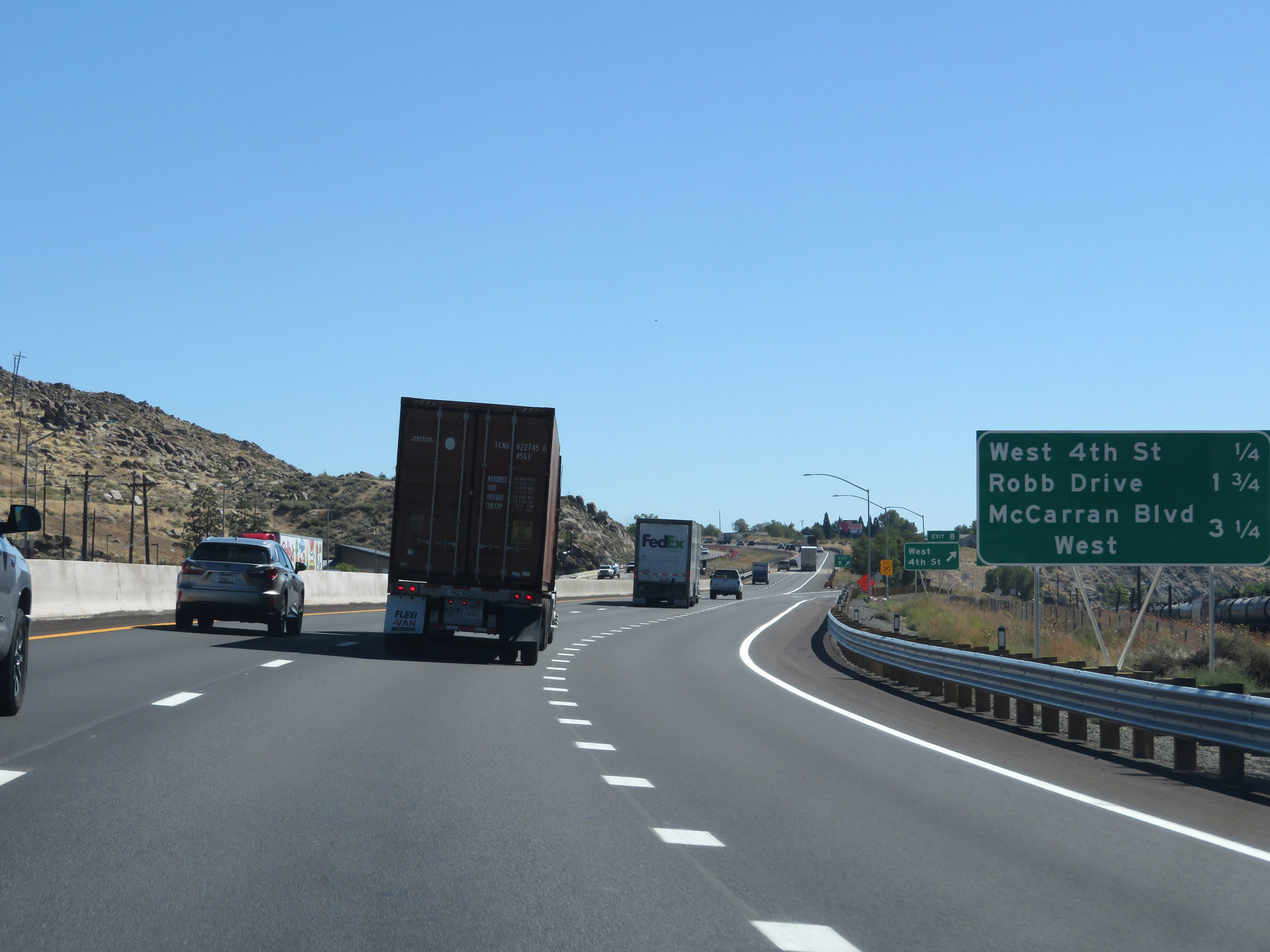 |
Mileage sign listing the distances to the three upcoming Reno exits. (Photo taken 9/24/19). |
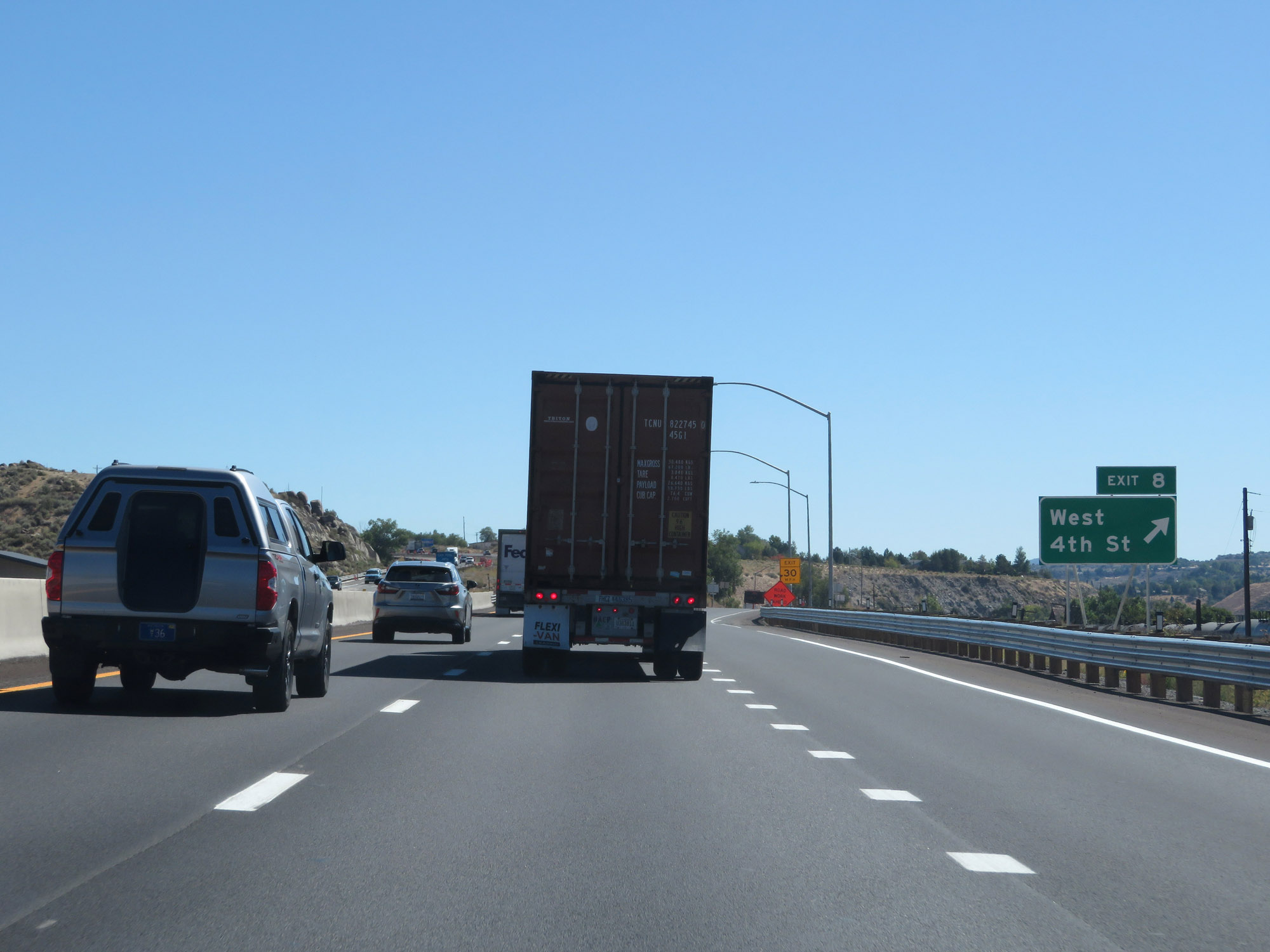 |
Interstate 80 East at Exit 8: West 4th St (Photo taken 9/24/19). |
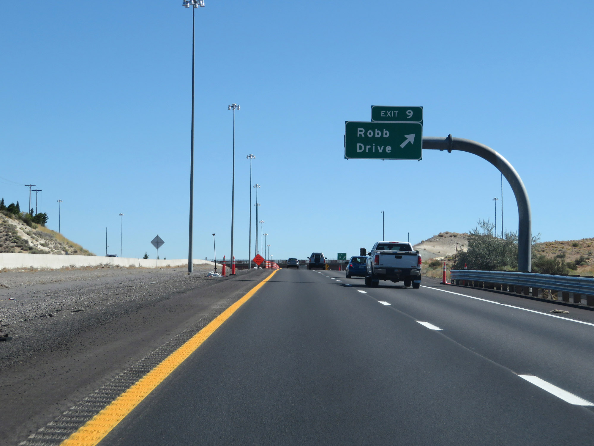 |
Interstate 80 East at Exit 9: Robb Drive (Photo taken 9/24/19). |
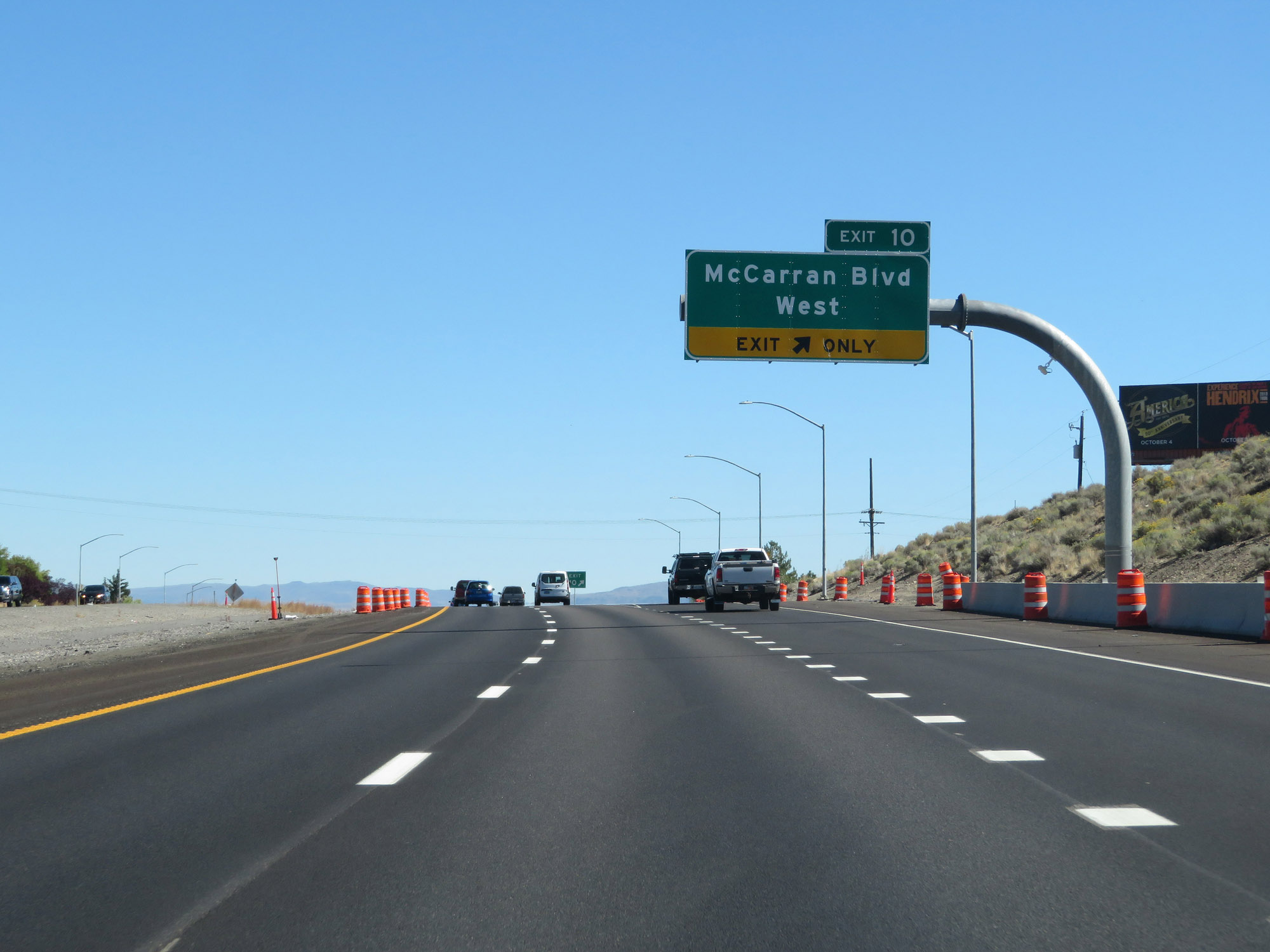 |
Interstate 80 East at Exit 10: McCarran Blvd West (Photo taken 9/24/19). |
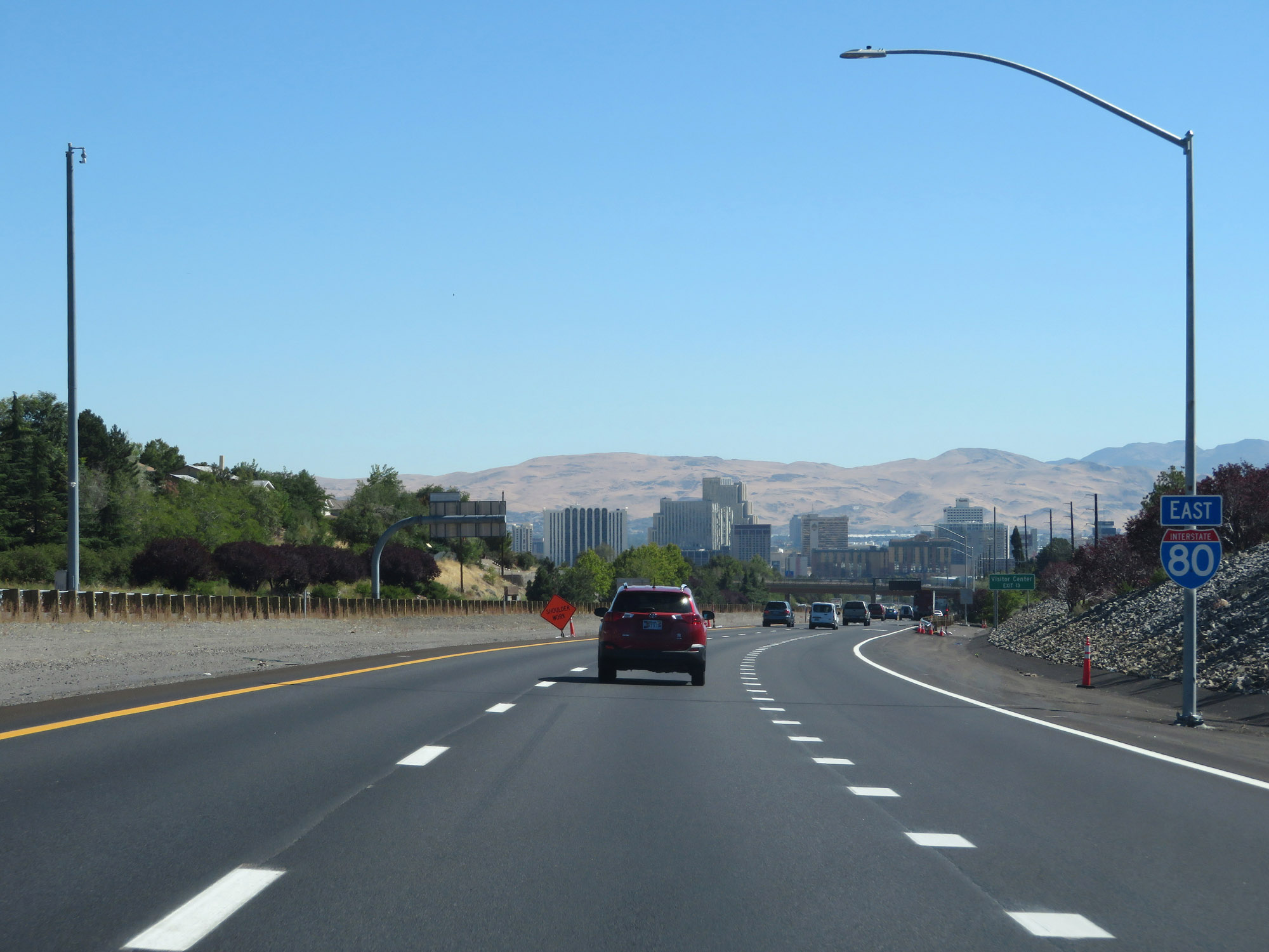 |
Interstate 80 East reassurance shield as downtown Reno comes into view. (Photo taken 9/24/19). |
 |
Take Exit 13 to the Reno-Sparks Visitor Center. (Photo taken 9/24/19). |
 |
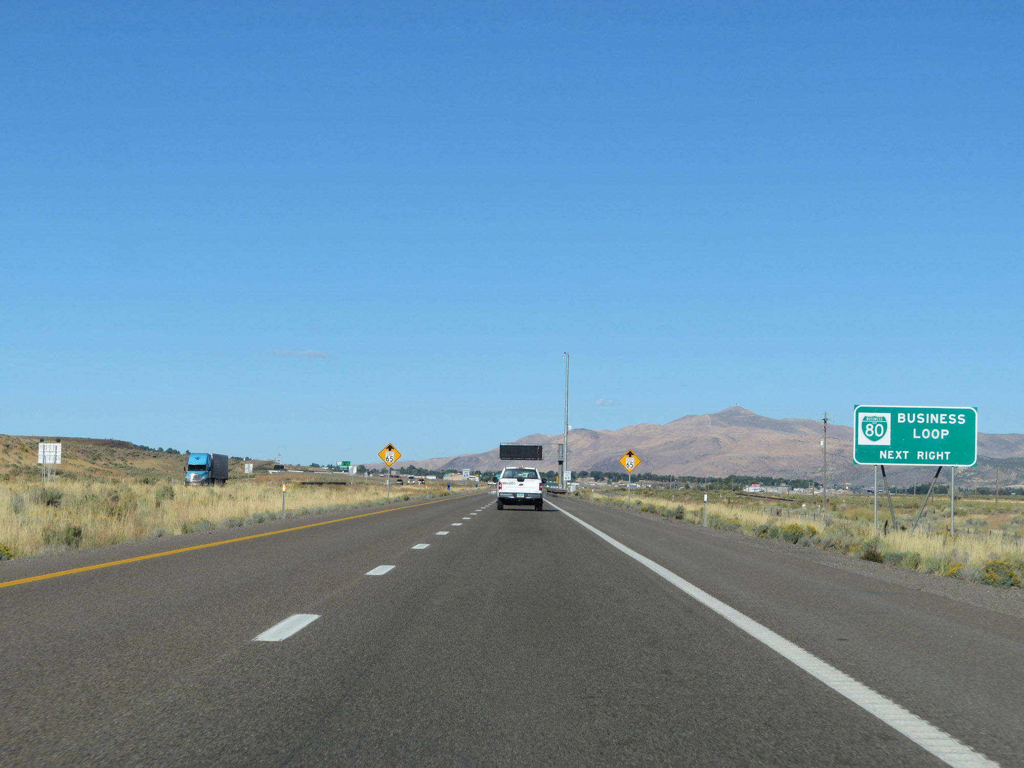
Take Exit 12 to Interstate 80 Business Loop. Nice sign error. (Photo taken 9/24/19). |
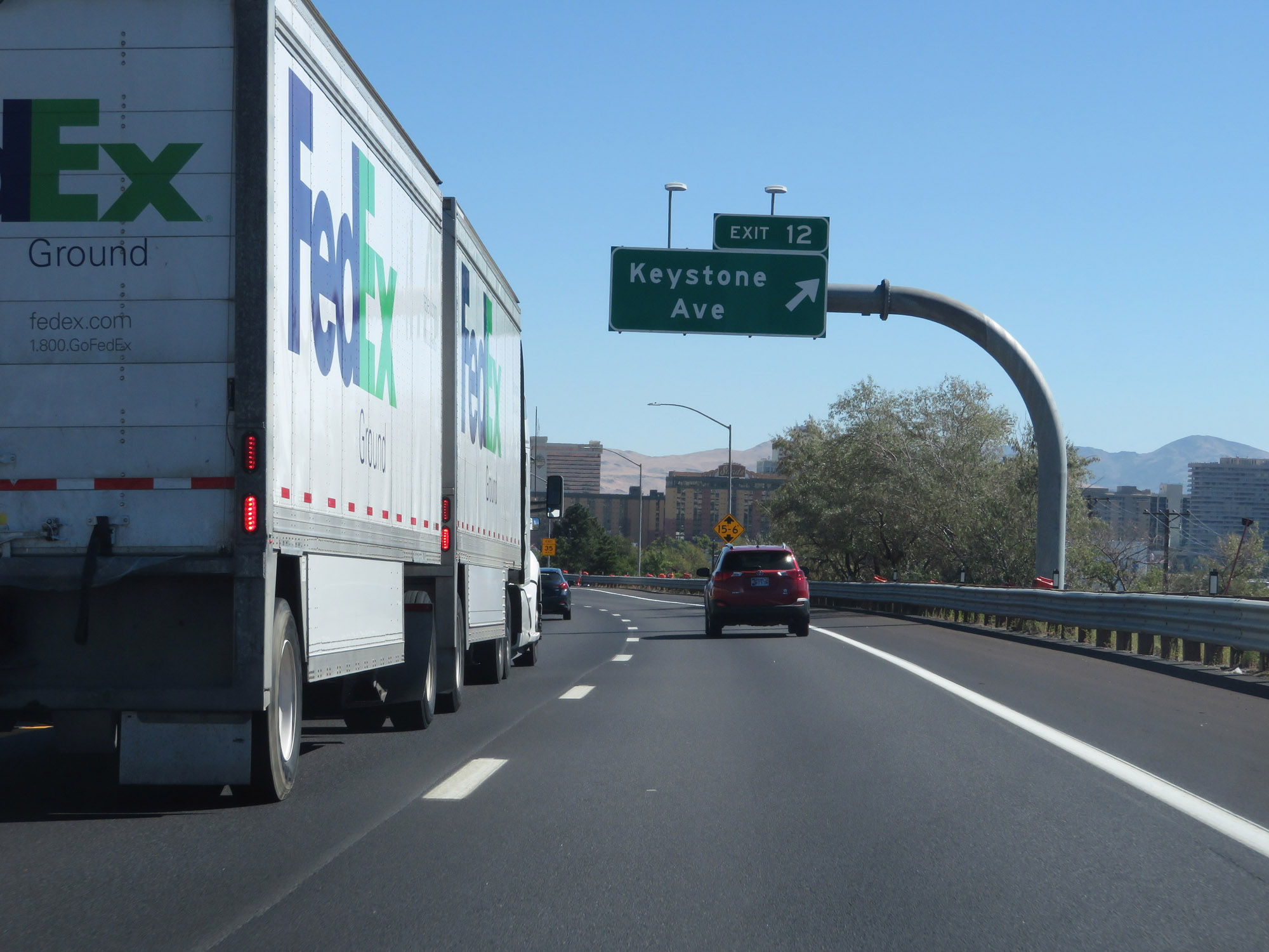 |
Interstate 80 East at Exit 12: Keystone Ave (Photo taken 9/24/19). |
 |
Take Exit 13 to University of Nevada-Reno School of Medicine, Mackay Stadium, and Lawlor Event Center. (Photo taken 9/24/19). |
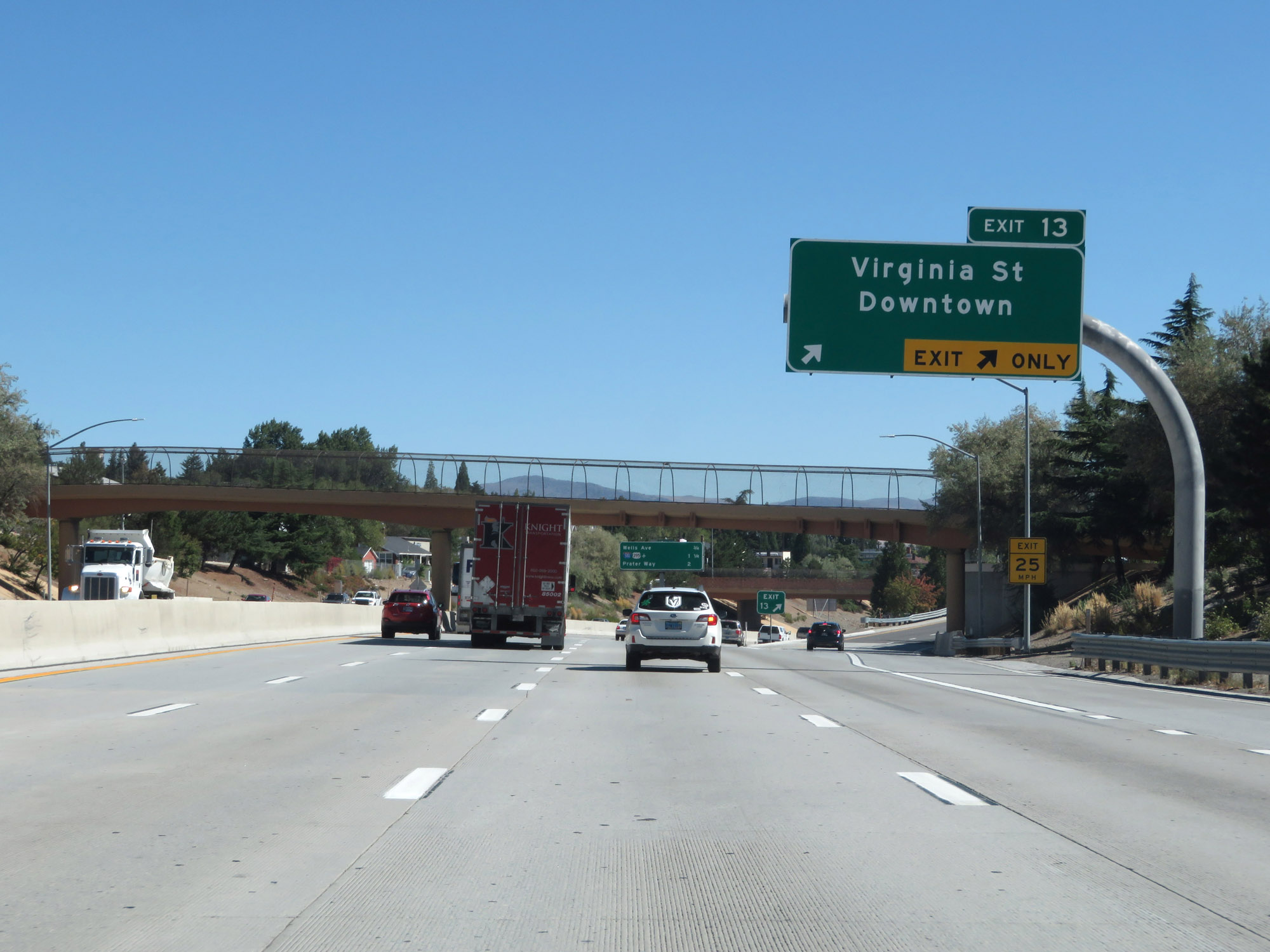 |
Interstate 80 East at Exit 13: Virginia St / Downtown (Photo taken 9/24/19). |
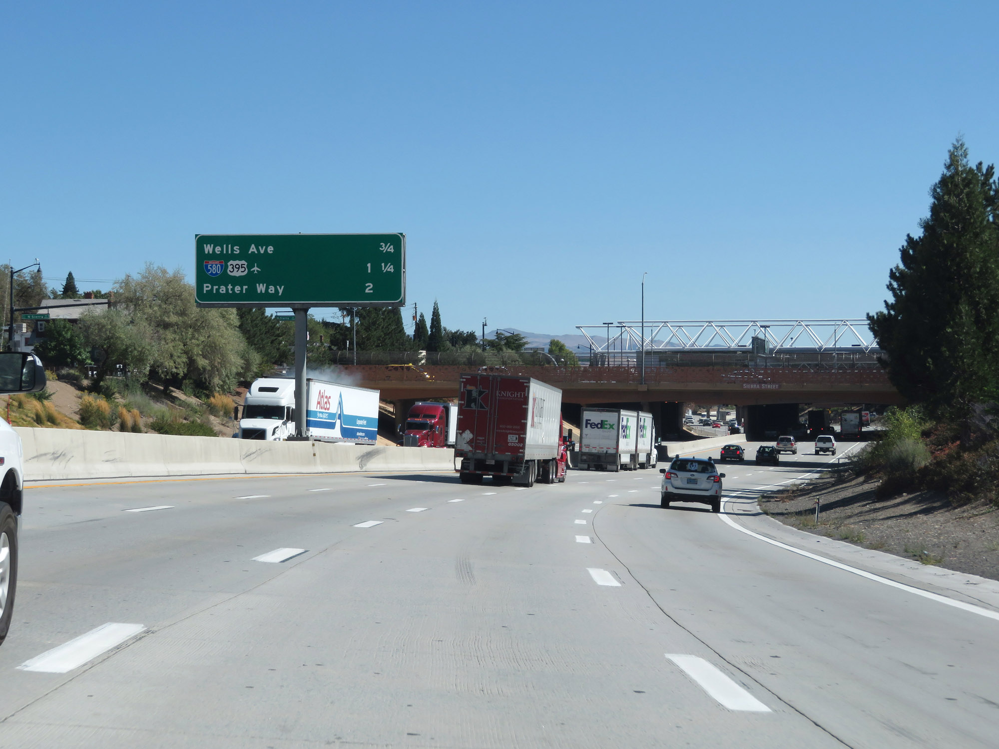 |
Overhead mileage sign listing the distances to the three upcoming Reno exits. (Photo taken 9/24/19). |
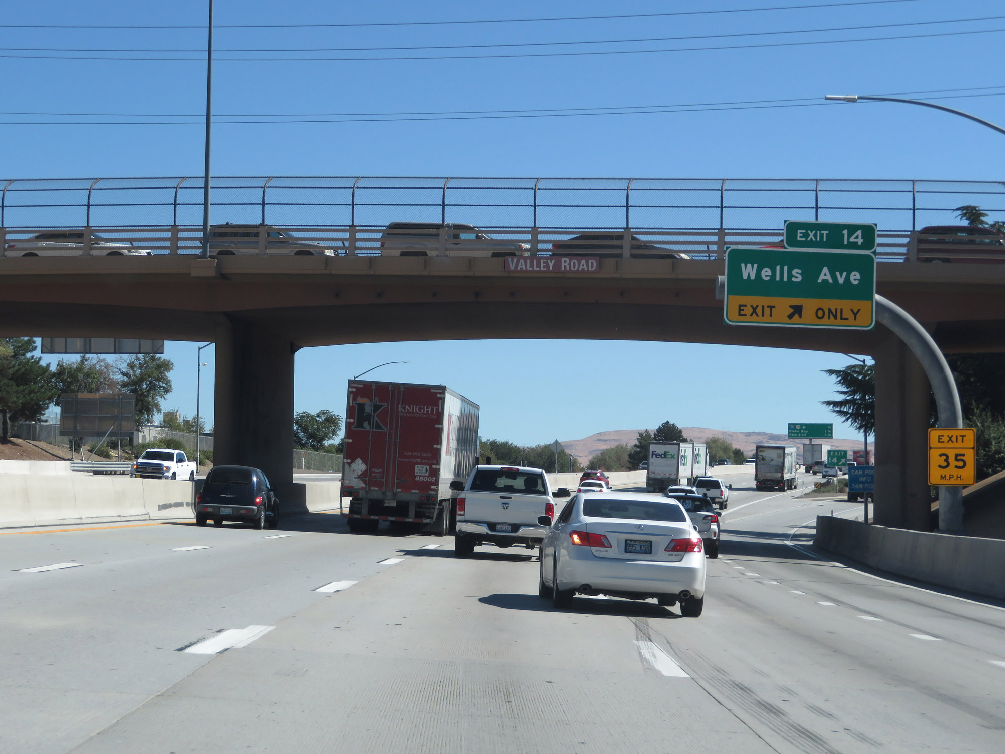 |
Interstate 80 East at Exit 14: Wells Ave (Photo taken 9/24/19). |
 |
Interstate 80 East approaching Exit 15. (Photo taken 9/24/19). |
 |
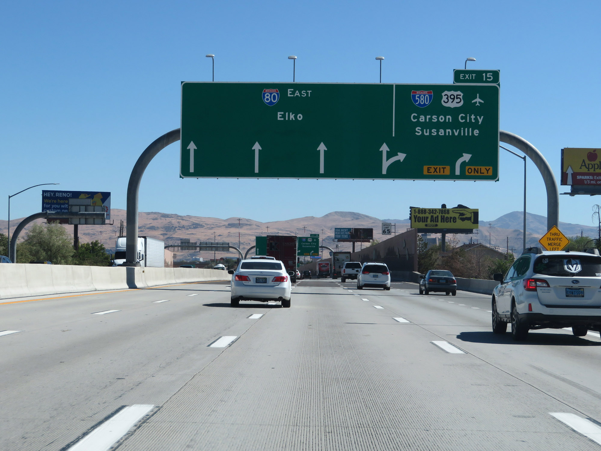
Interstate 80 East at Exit 15: Interstate 580 / US 395 - Carson City / Susanville (Photo taken 9/24/19). |
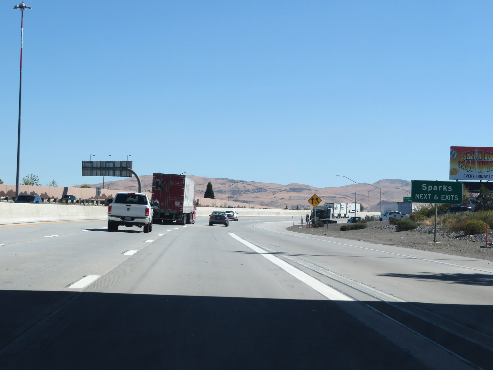 |
Take any of the next 6 exits to Sparks. (Photo taken 9/24/19). |
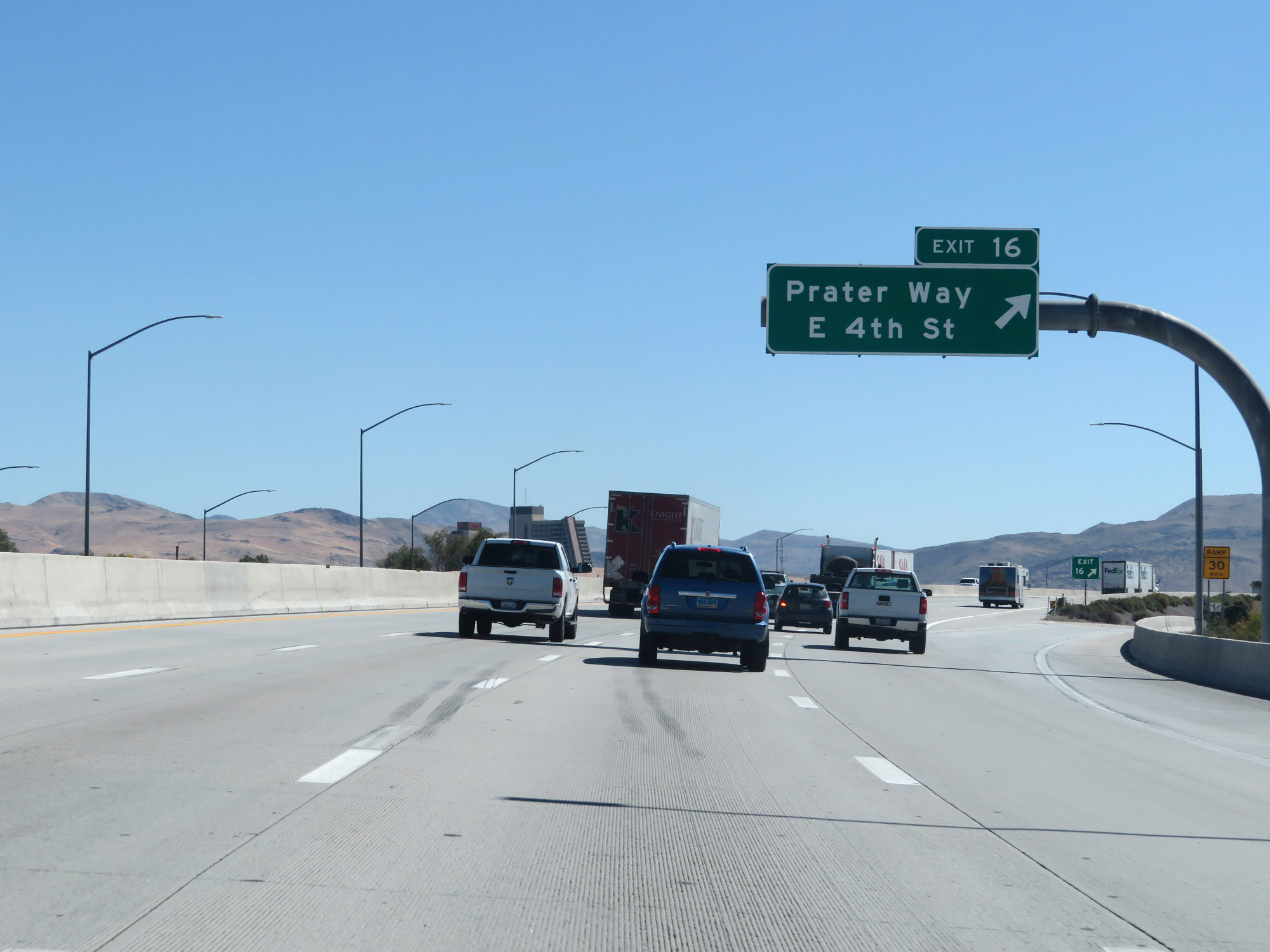 |
Interstate 80 East at Exit 16: Prater Way / E 4th St (Photo taken 9/24/19). |
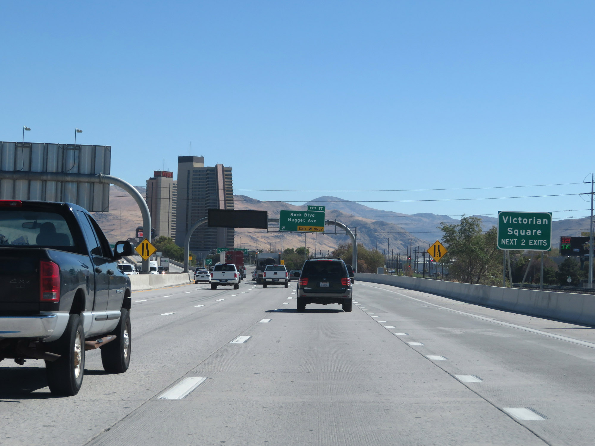 |
Take either of the next 2 exits to Victorian Square. (Photo taken 9/24/19). |
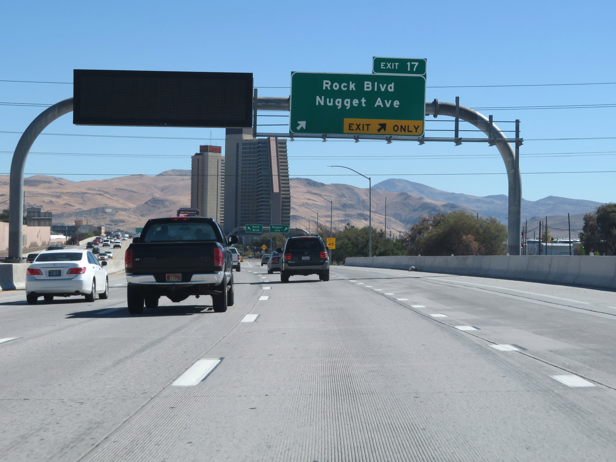 |
Interstate 80 East at Exit 17: Rock Blvd / Nugget Ave (Photo taken 9/24/19). |
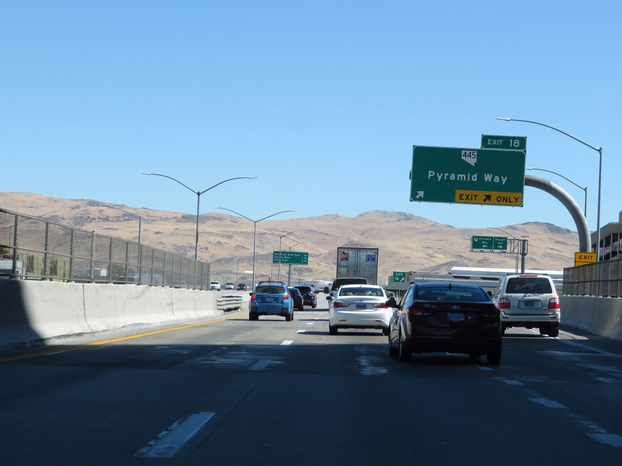 |
Interstate 80 East at Exit 18: NV 445 - Pyramid Way (Photo taken 9/24/19). |
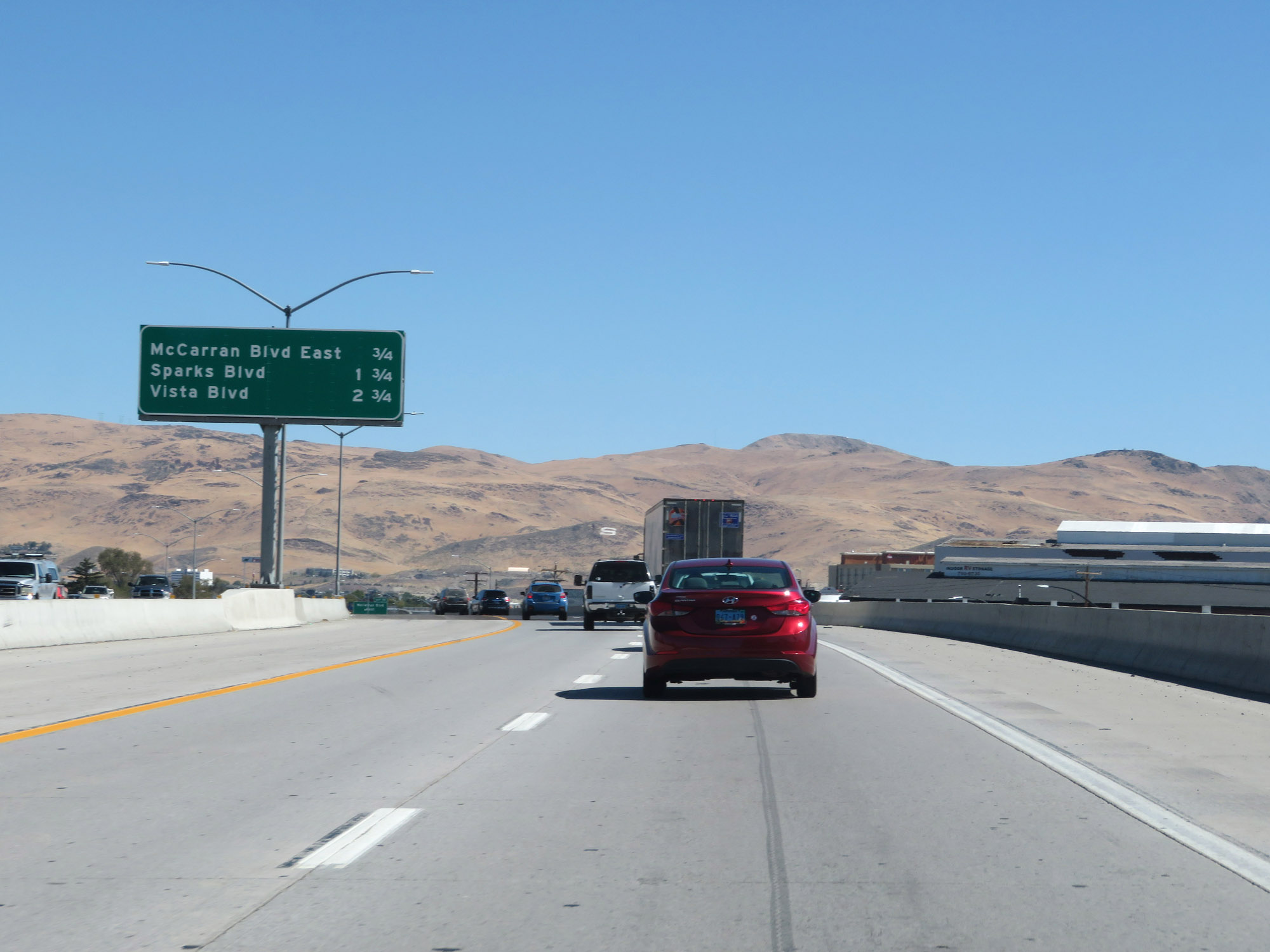 |
Overhead mileage sign listing the distances to the three upcoming Sparks exits. (Photo taken 9/24/19). |
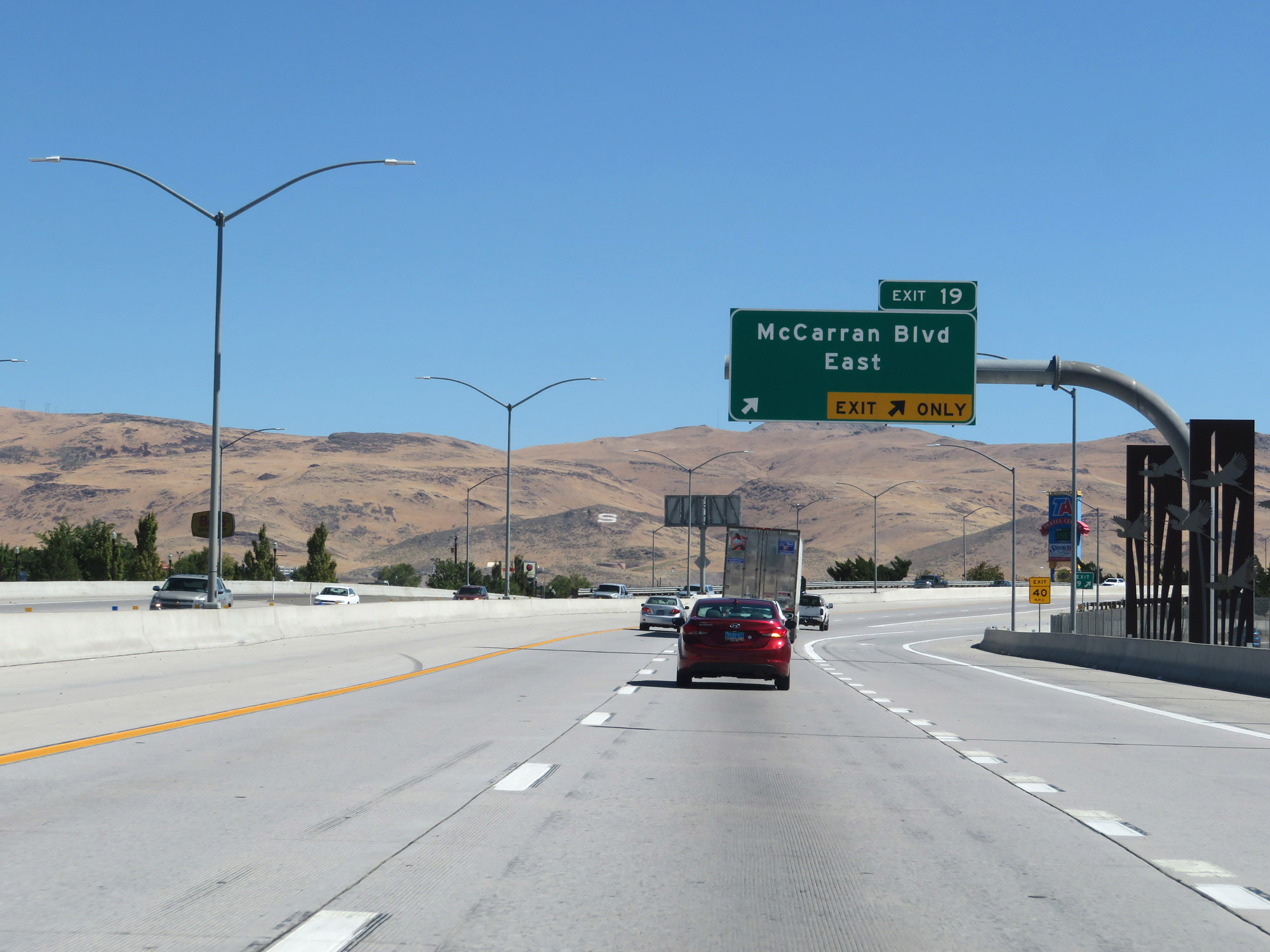 |
Interstate 80 East at Exit 19: McCarran Blvd East (Photo taken 9/24/19). |
 |
Another Interstate 80 East reassurance shield. (Photo taken 9/24/19). |
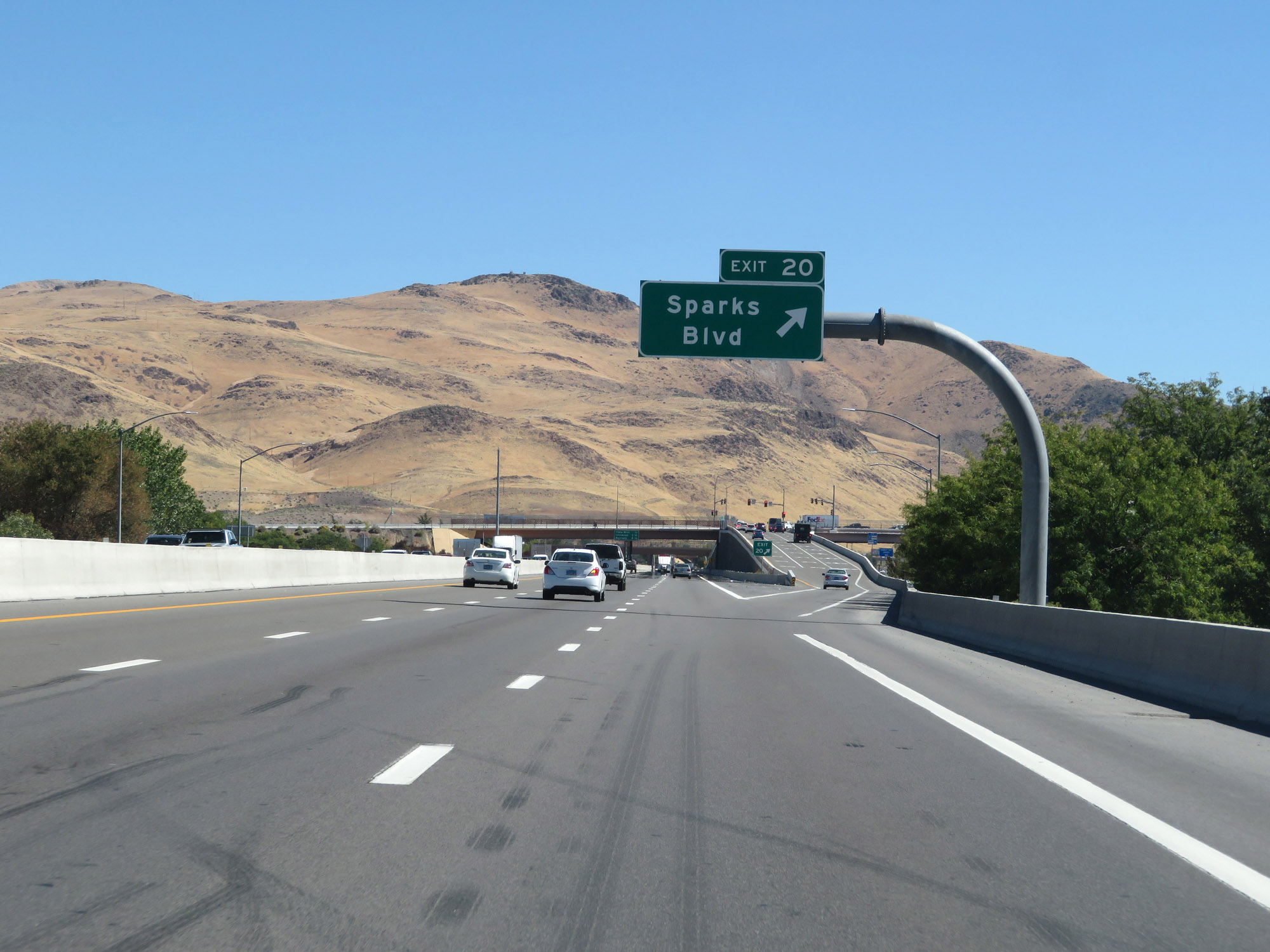 |
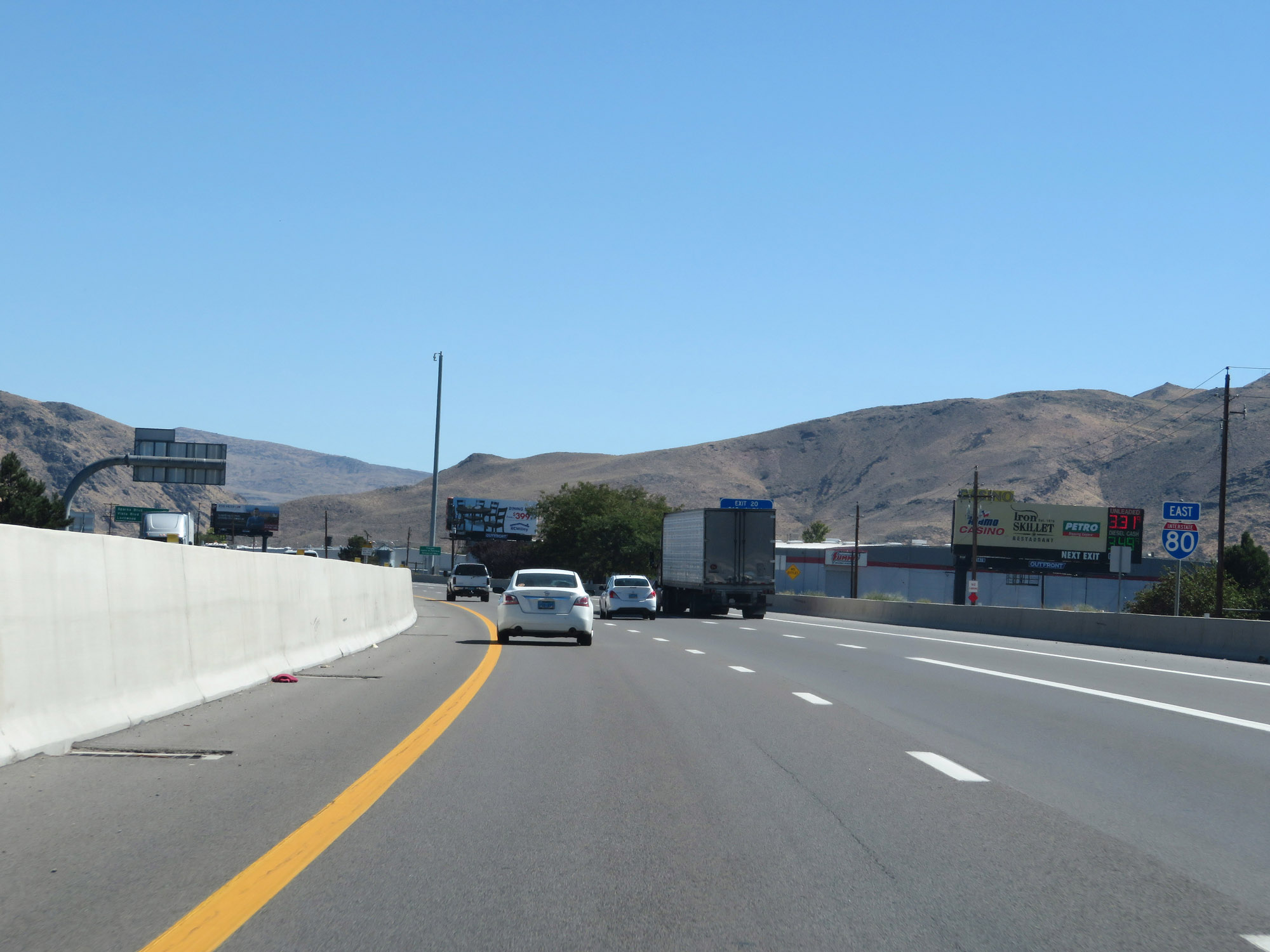
Interstate 80 East at Exit 20: Sparks Blvd (Photo taken 9/24/19). |
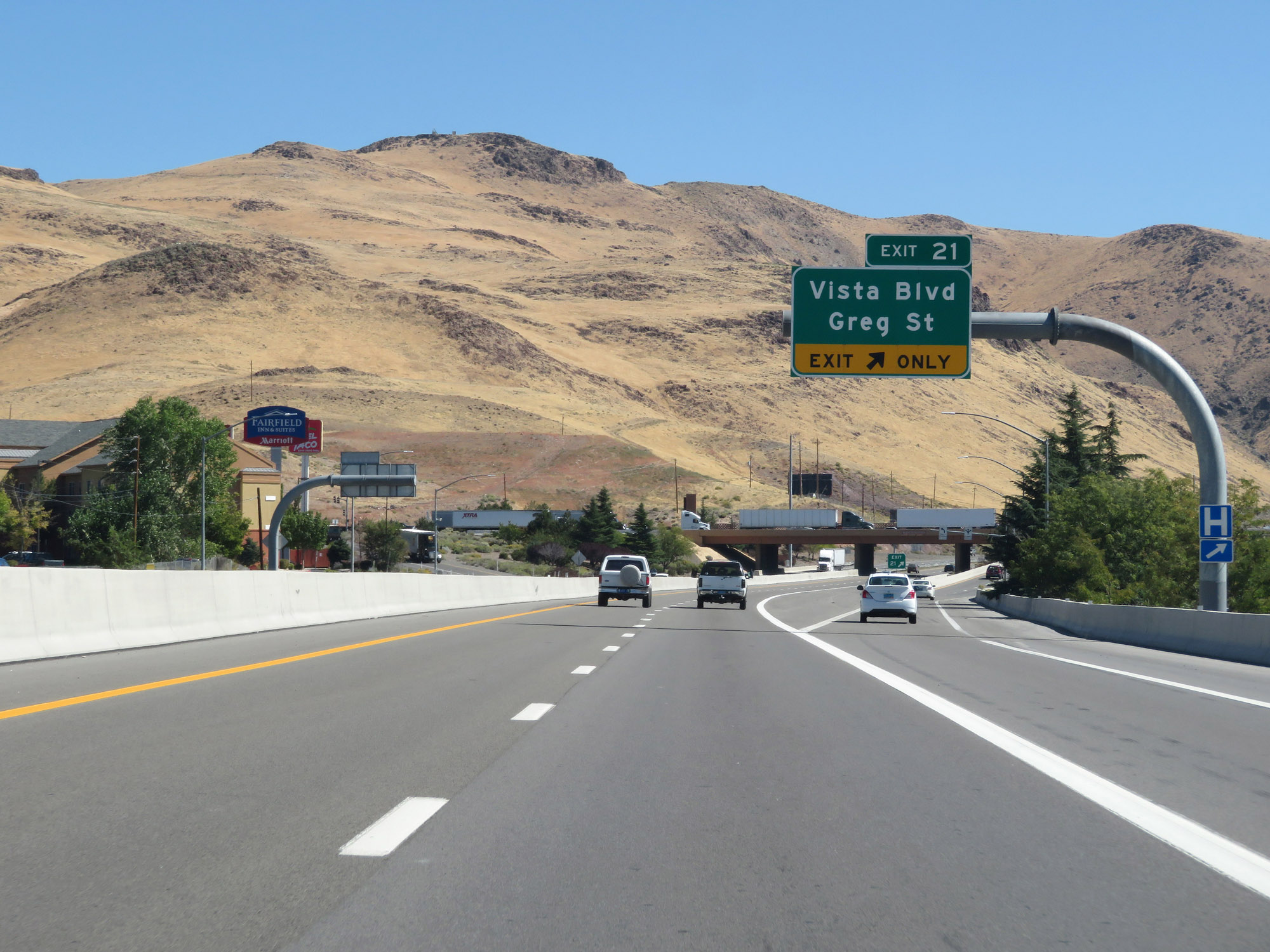 |
Interstate 80 East at Exit 21: Vista Blvd / Greg St (Photo taken 9/24/19). |
 |
At mile marker 20, Interstate 80 East is reduced to two lanes. (Photo taken 9/24/19). |
 |
Mileage sign on Interstate 80 East. It's 27 miles to Wadsworth, 29 miles to Fernley, and 284 miles to Elko. (Photo taken 9/24/19). |
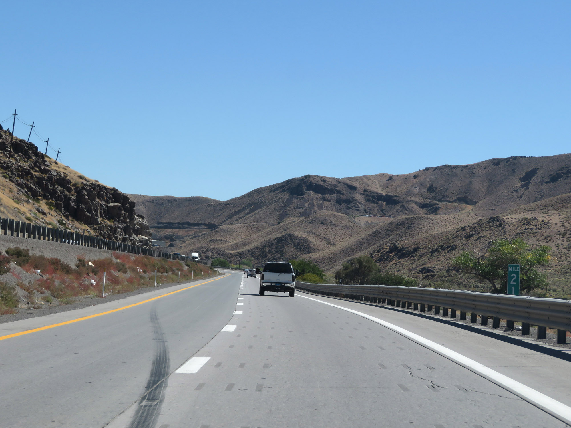 |
Interstate 80 East at mile marker 21. (Photo taken 9/24/19). |
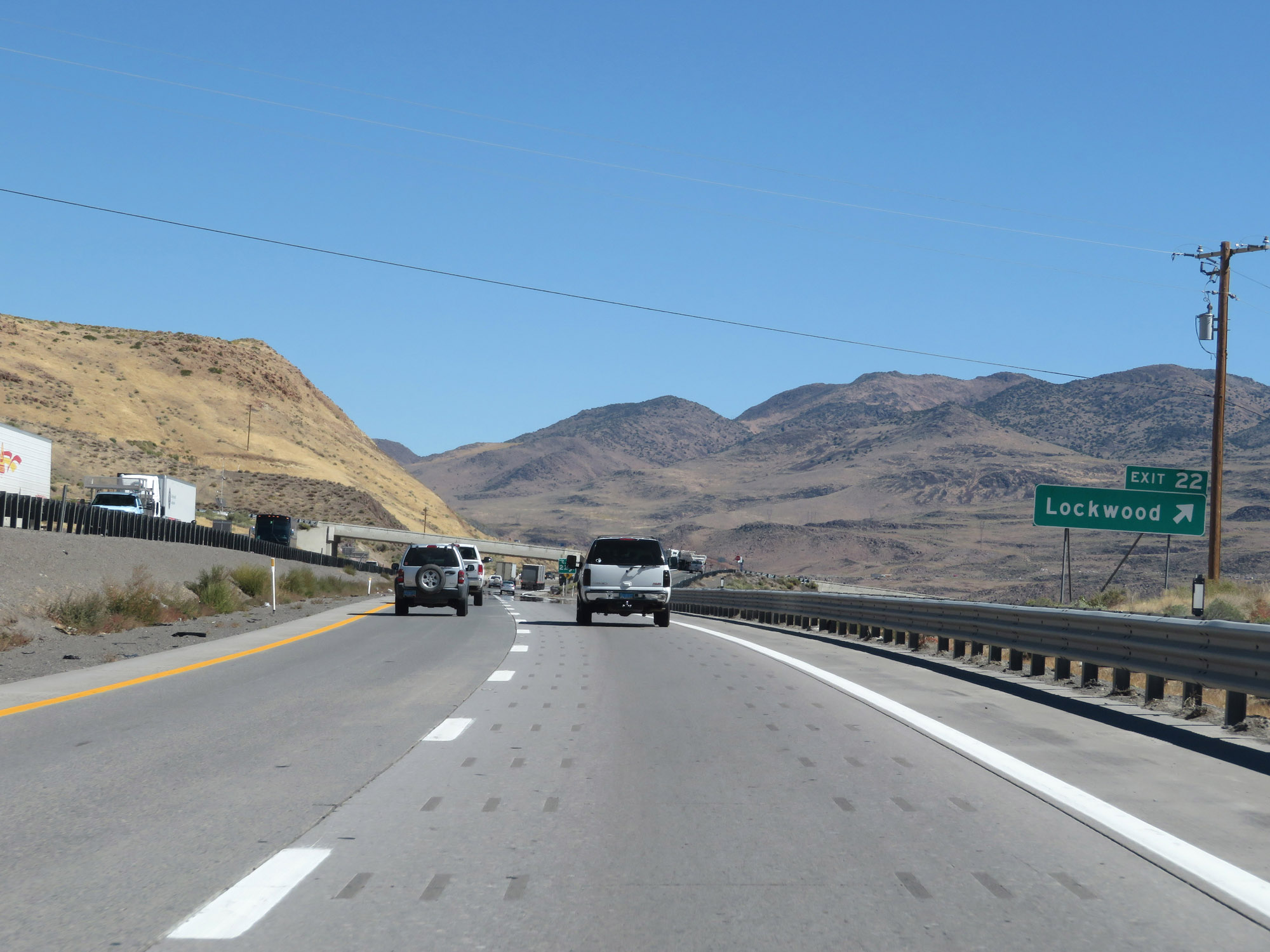 |
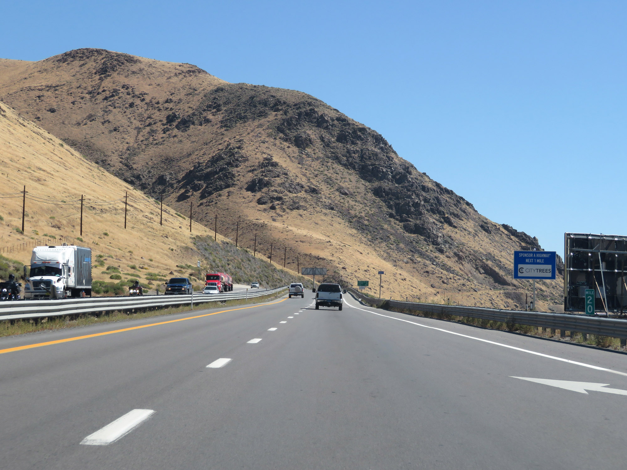
Interstate 80 East at Exit 22: Lockwood (Photo taken 9/24/19). |
 |
State-named Interstate 80 East reassurance shield. (Photo taken 9/24/19). |
 |
Interstate 80 East at Exit 23: Mustang (Photo taken 9/24/19). |
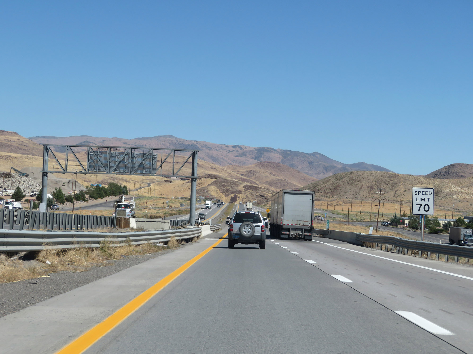 |
At mile marker 24, the speed limit increases to 70 mph. (Photo taken 9/24/19). |
 |
Chain-Up Area on Interstate 80 East. (Photo taken 9/24/19). |
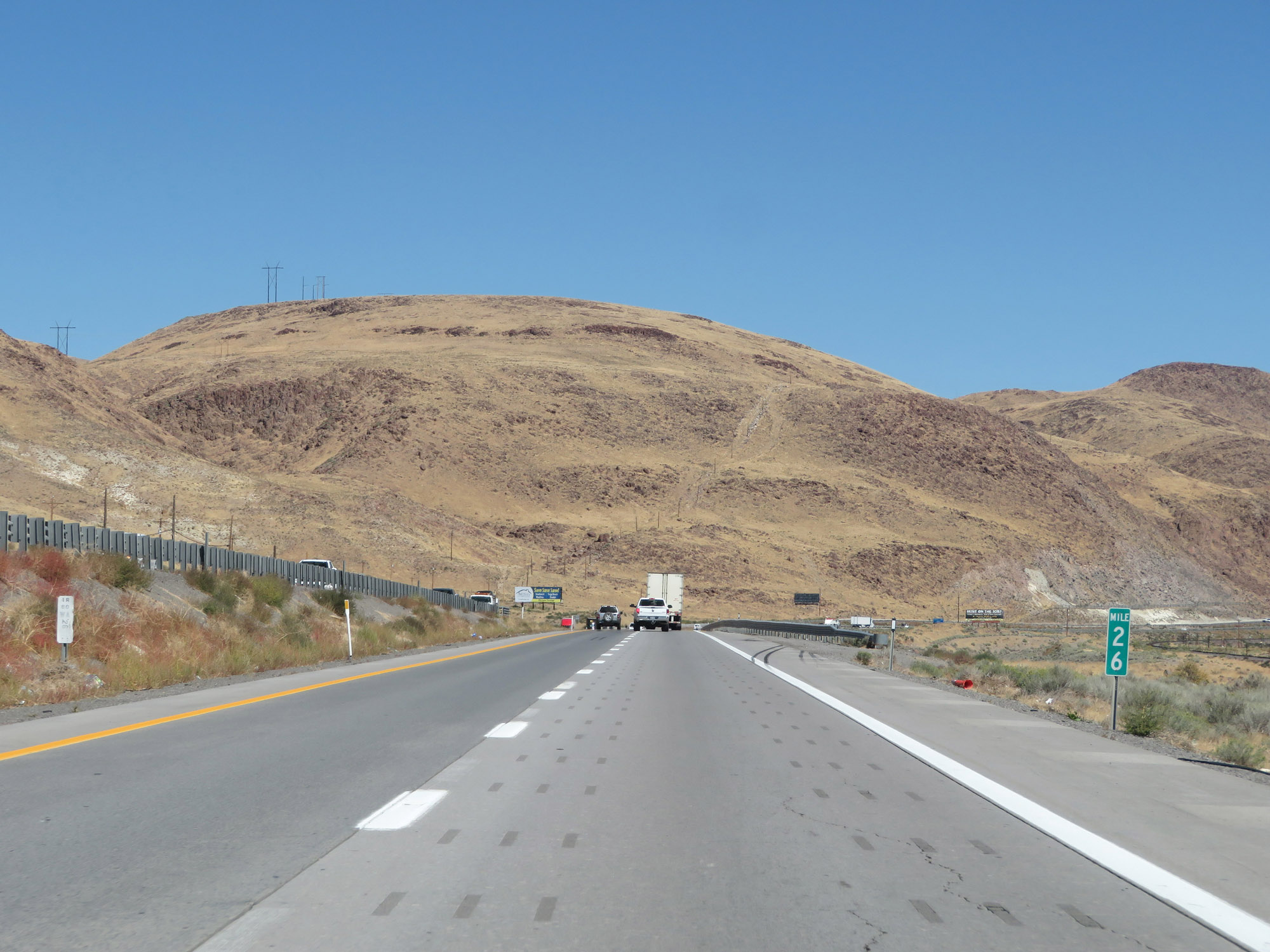 |
View on Interstate 80 East at mile marker 26. (Photo taken 9/24/19). |
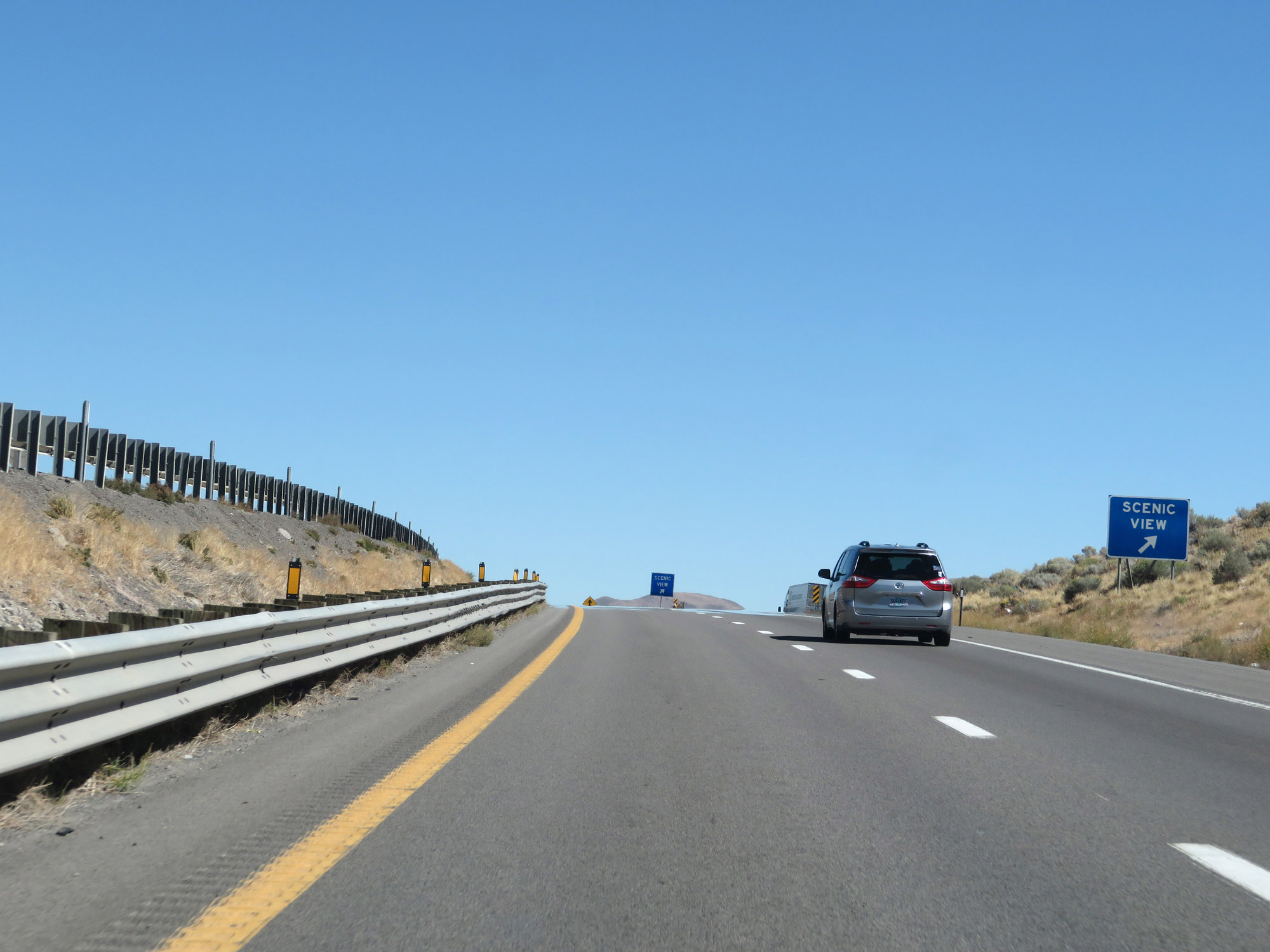 |
Another Scenic View Area on Interstate 80 East in Washoe County. (Photo taken 9/24/19). |
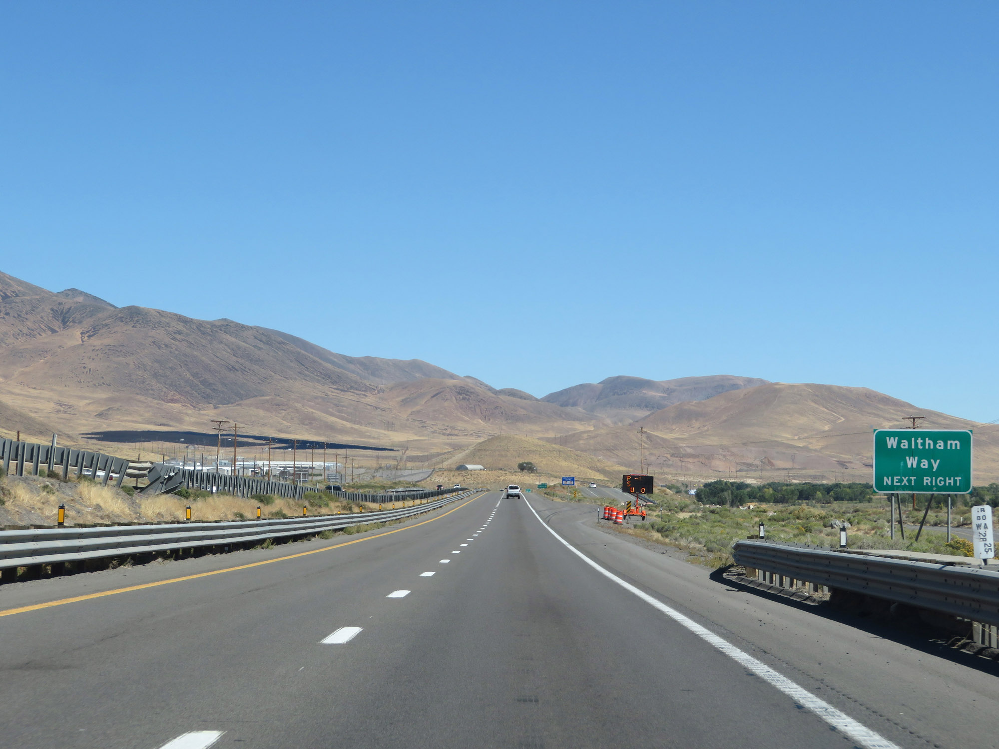 |
Take Exit 28 to Waltham Way. (Photo taken 9/24/19). |
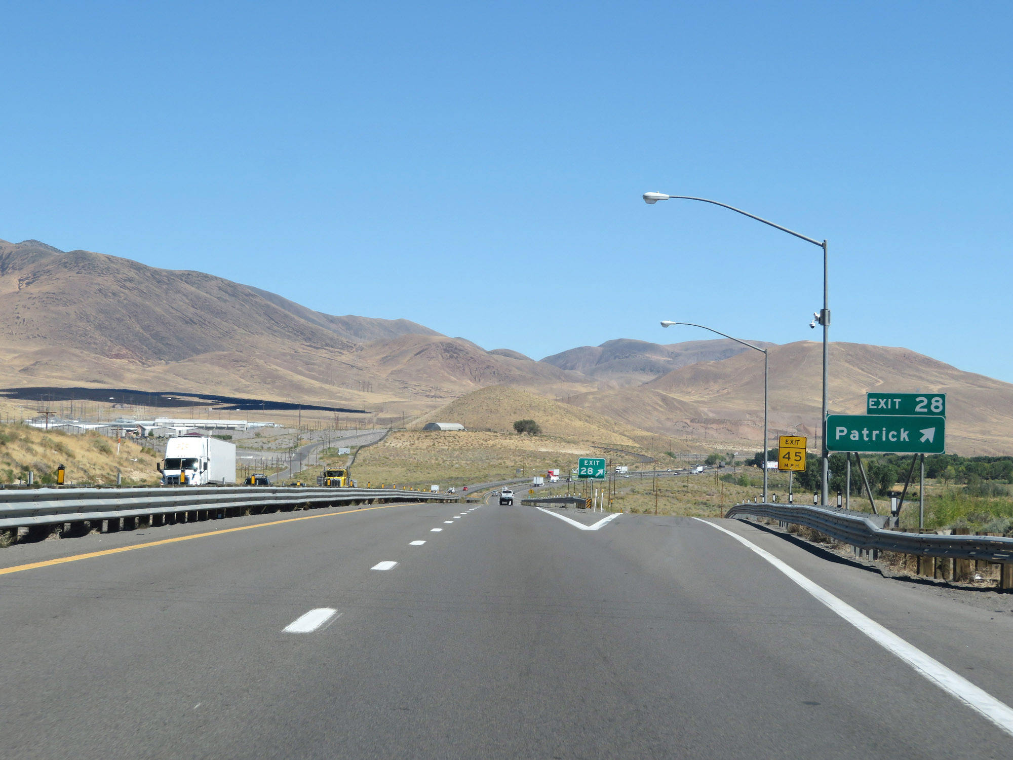 |
Interstate 80 East at Exit 28: Patrick (Photo taken 9/24/19). |
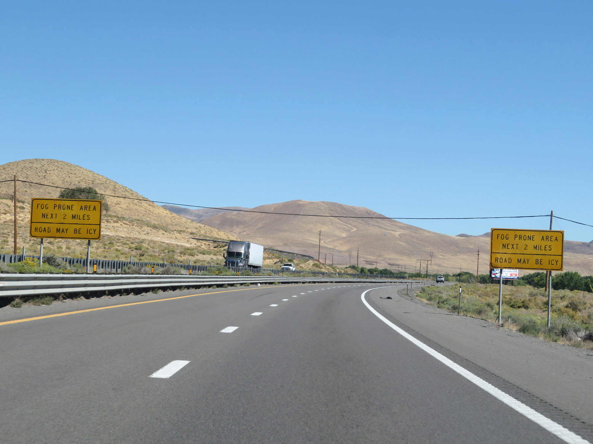 |
These signs warn that for the next 2 miles, Interstate 80 East will pass through a fog prone area. (Photo taken 9/24/19). |
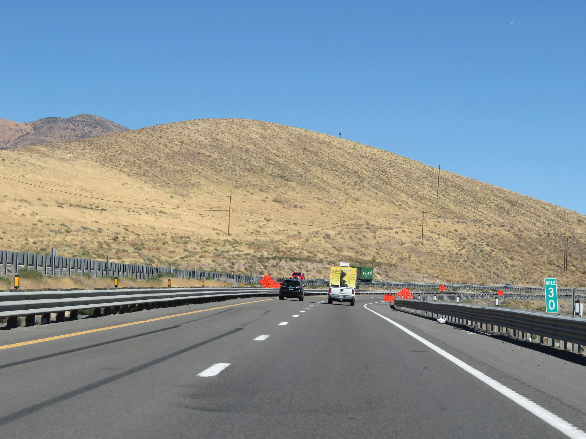 |
Interstate 80 East at Exit 30. (Photo taken 9/24/19). |
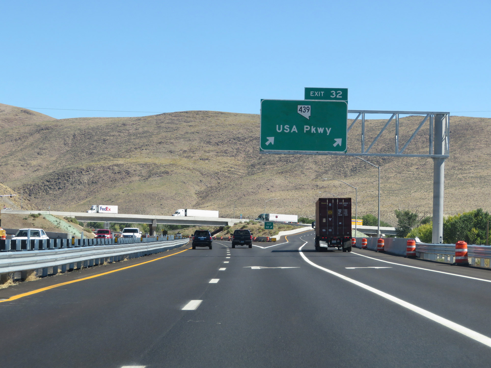 |
Interstate 80 East at Exit 23: NV 439 - USA Pkwy (Photo taken 9/24/19). |
 |
The speed limit remains 70 mph. (Photo taken 9/24/19). |
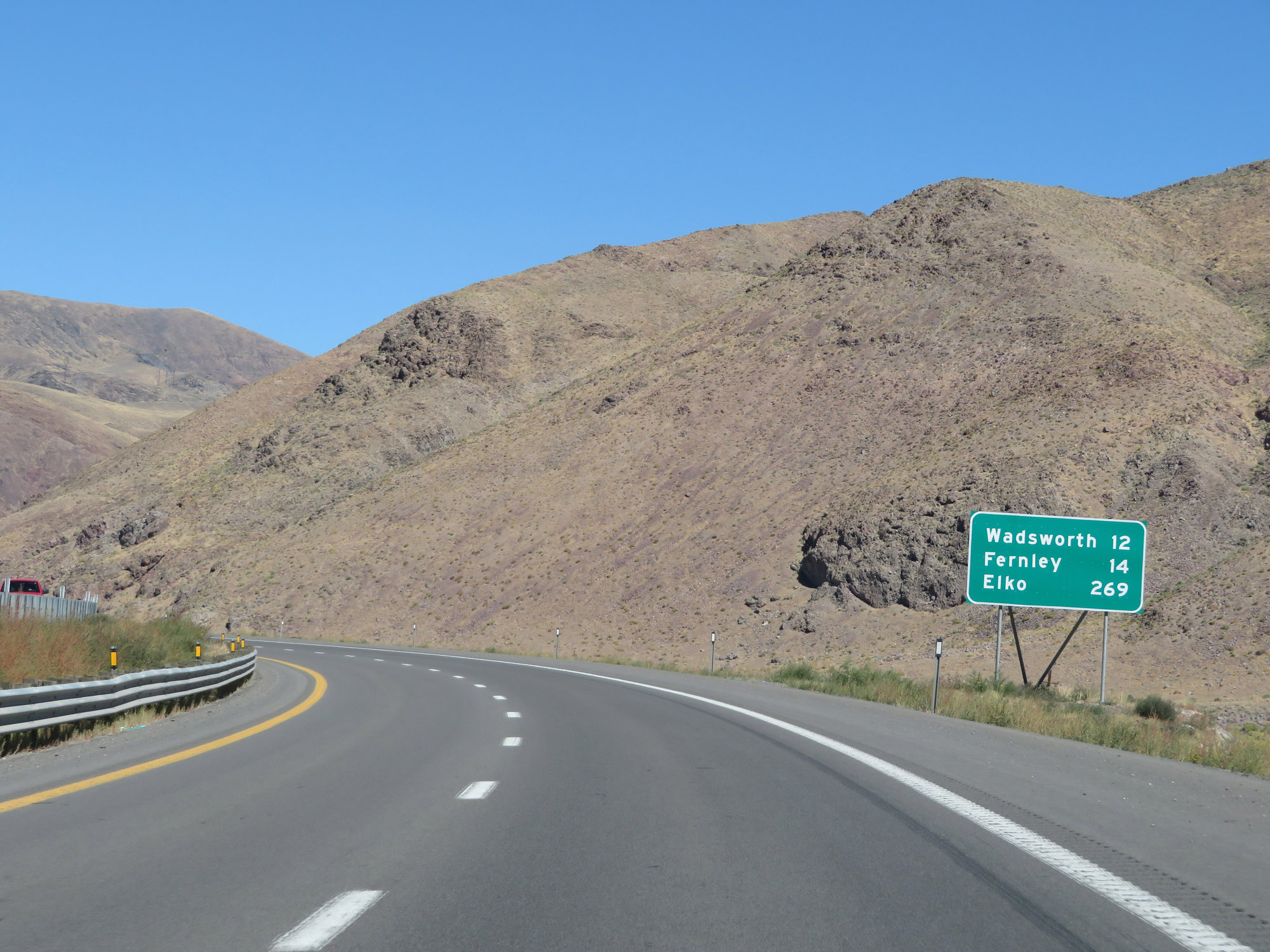 |
Mileage sign on Interstate 80 East. It's 12 miles to Wadsworth, 14 miles to Fernley, and 269 miles to Elko. (Photo taken 9/24/19). |
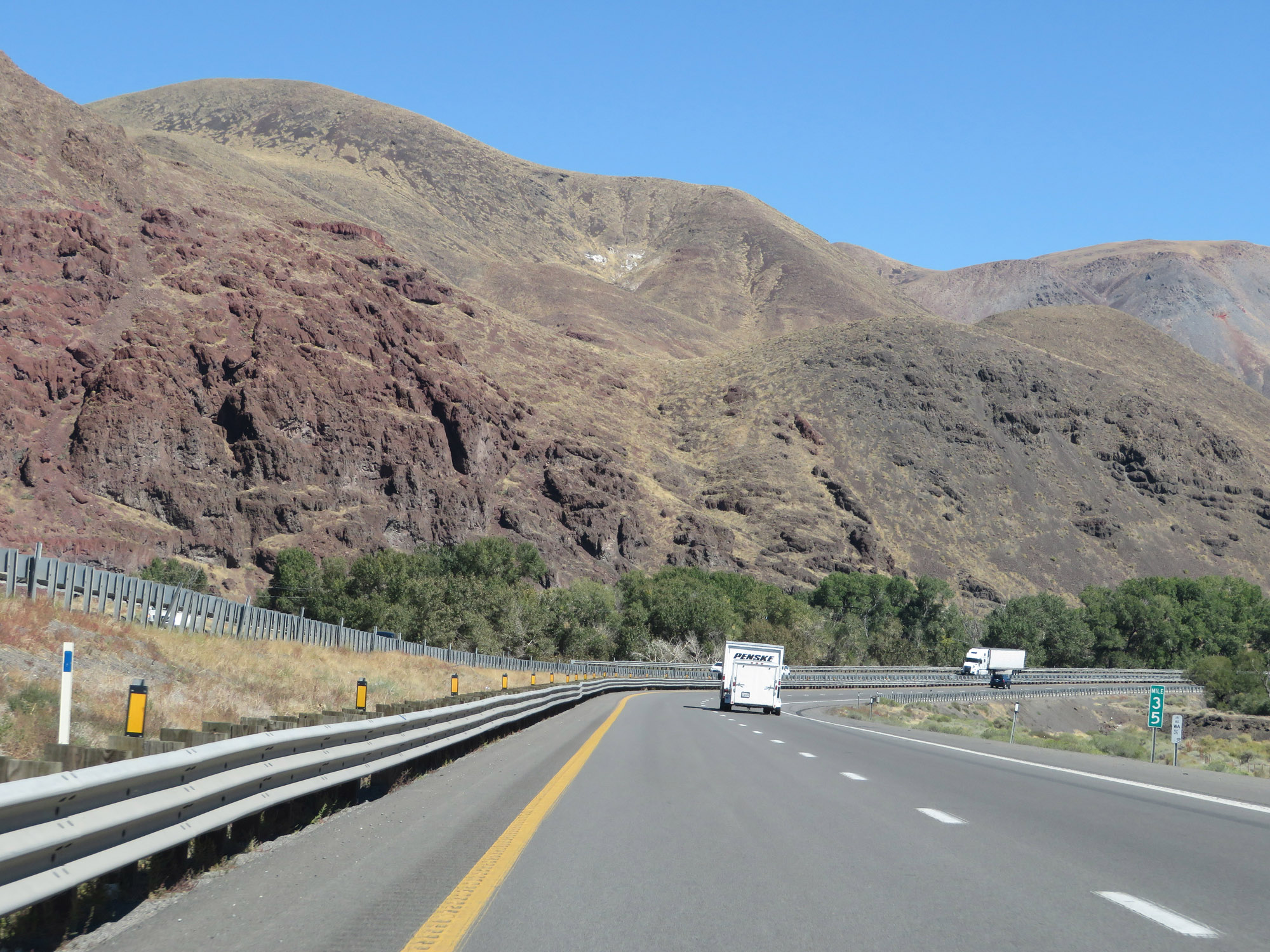 |
Interstate 80 East at mile marker 35. (Photo taken 9/24/19). |
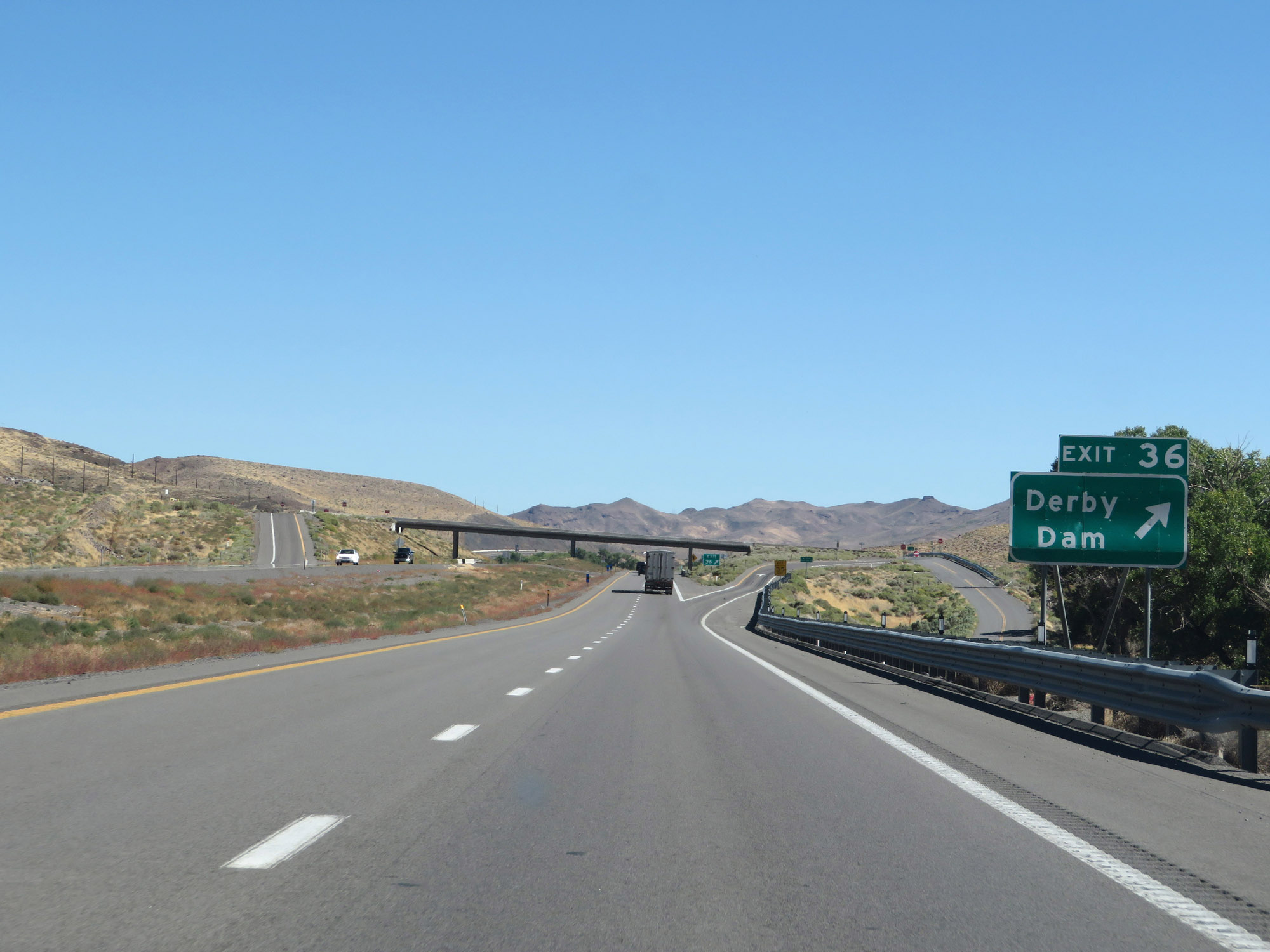 |
Interstate 80 East at Exit 36: Derby Dam (Photo taken 9/24/19). |
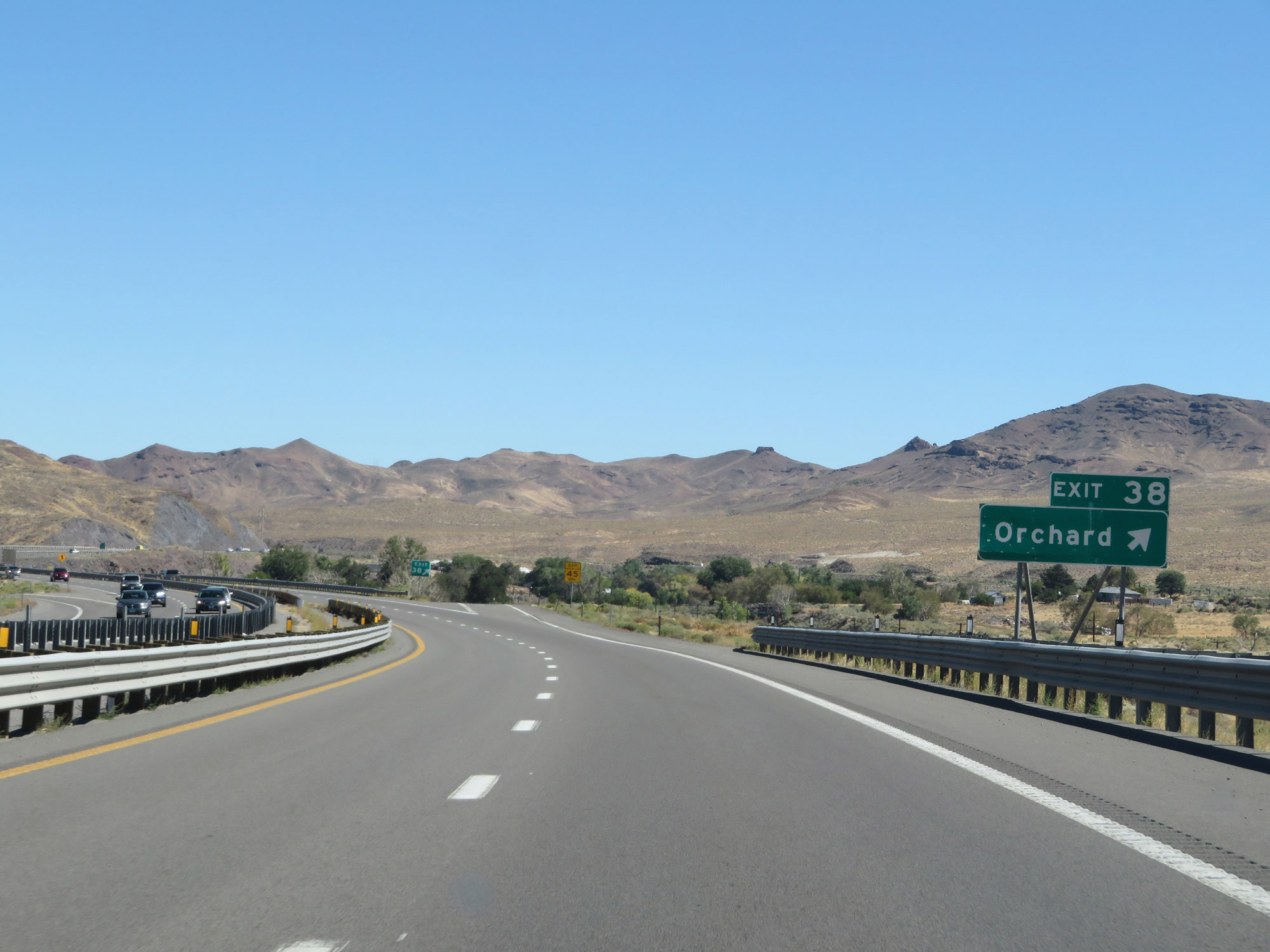 |
Interstate 80 East at Exit 38: Orchard (Photo taken 9/24/19). |
 |
Interstate 80 East at Exit 40: Painted Rock (Photo taken 9/24/19). |
 |
View on Interstate 80 East at mile marker 41. (Photo taken 9/24/19). |
 |
Another Check Station on Interstate 80 East in Washoe County. (Photo taken 9/24/19). |
 |
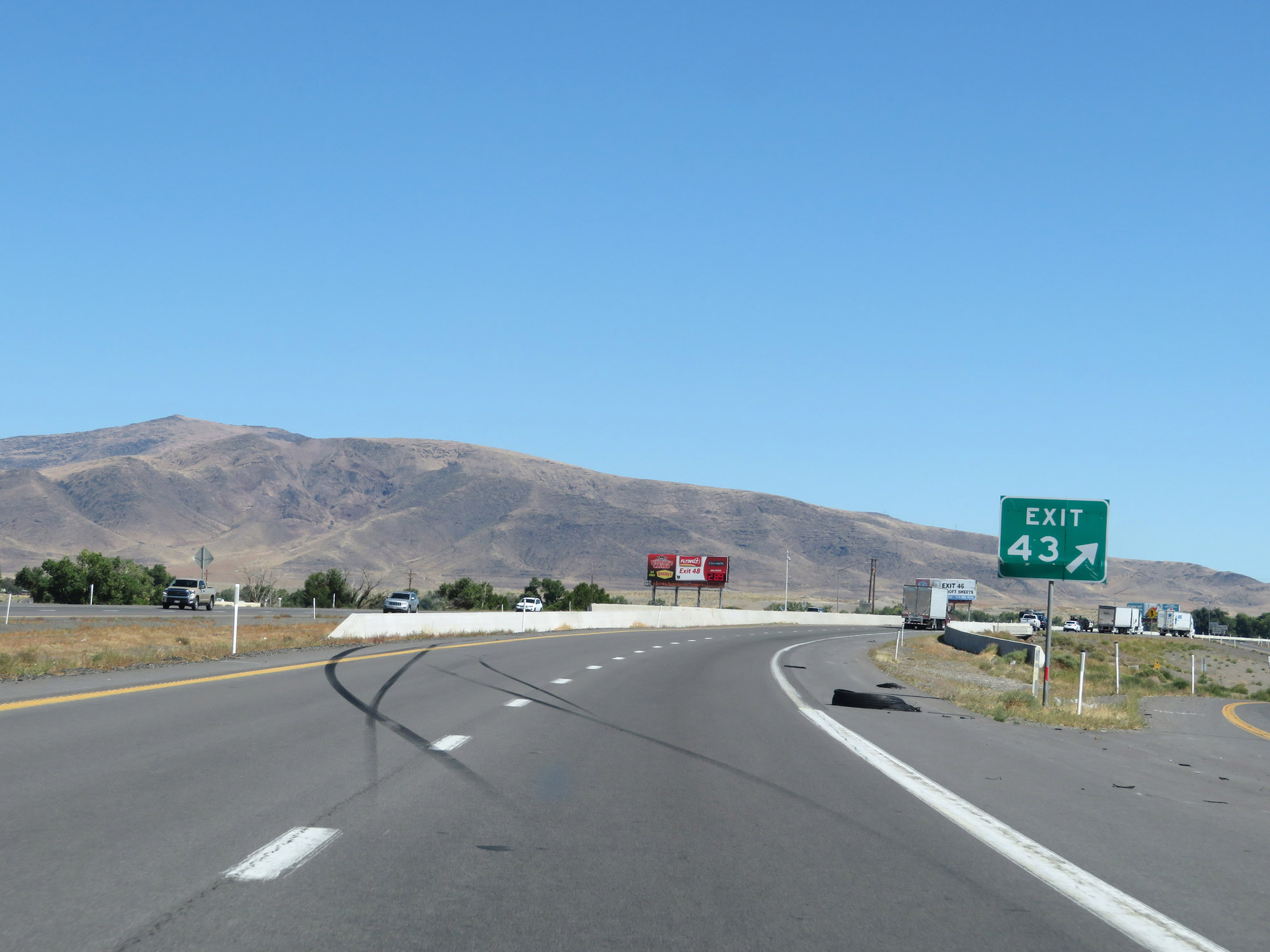
Interstate 80 East approaching Exit 43 - 1 mile. (Photo taken 9/24/19). |
 |
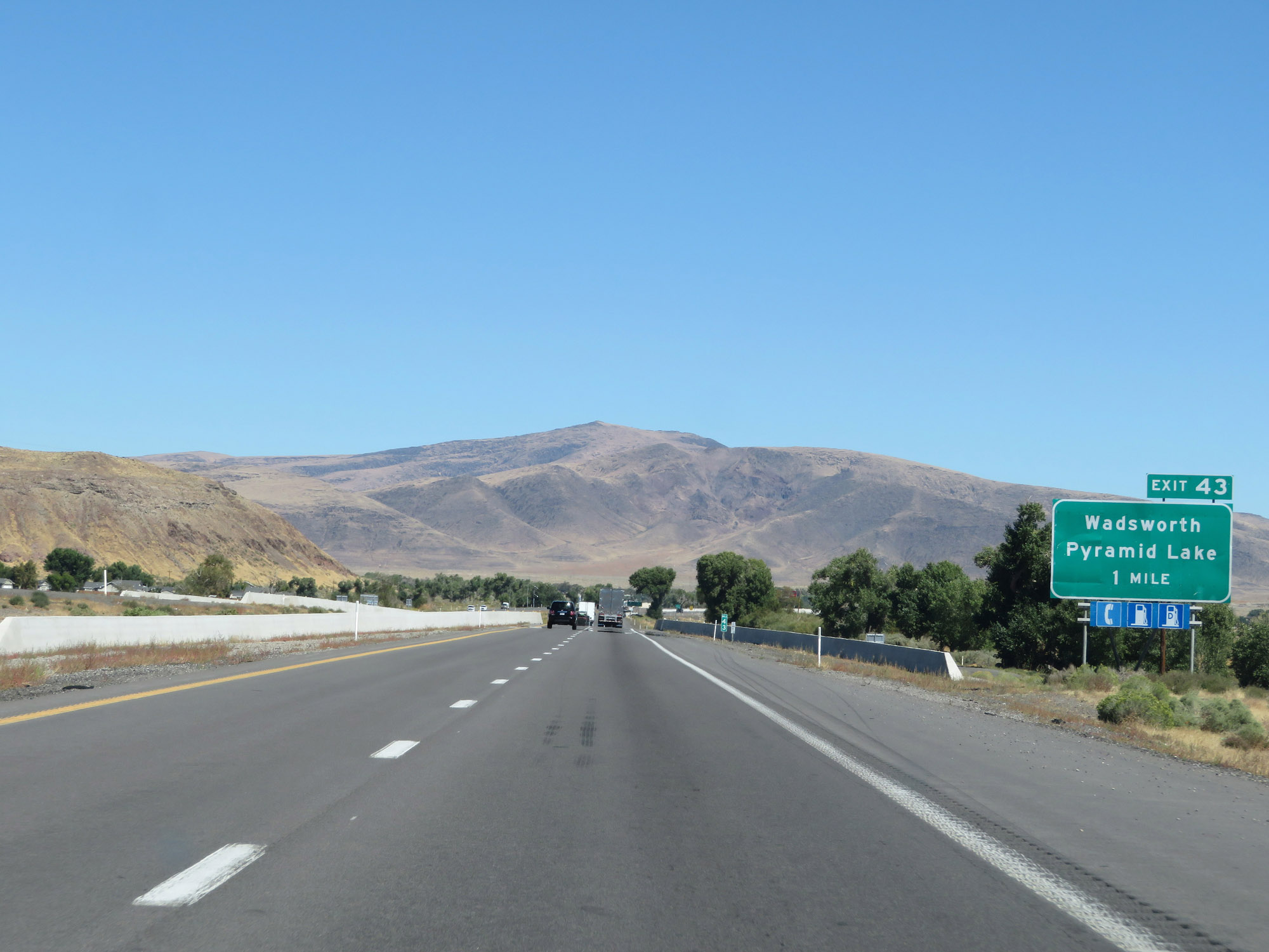
Interstate 80 East at Exit 43: Wadsworth / Pyramid Lake (Photo taken 9/24/19). |
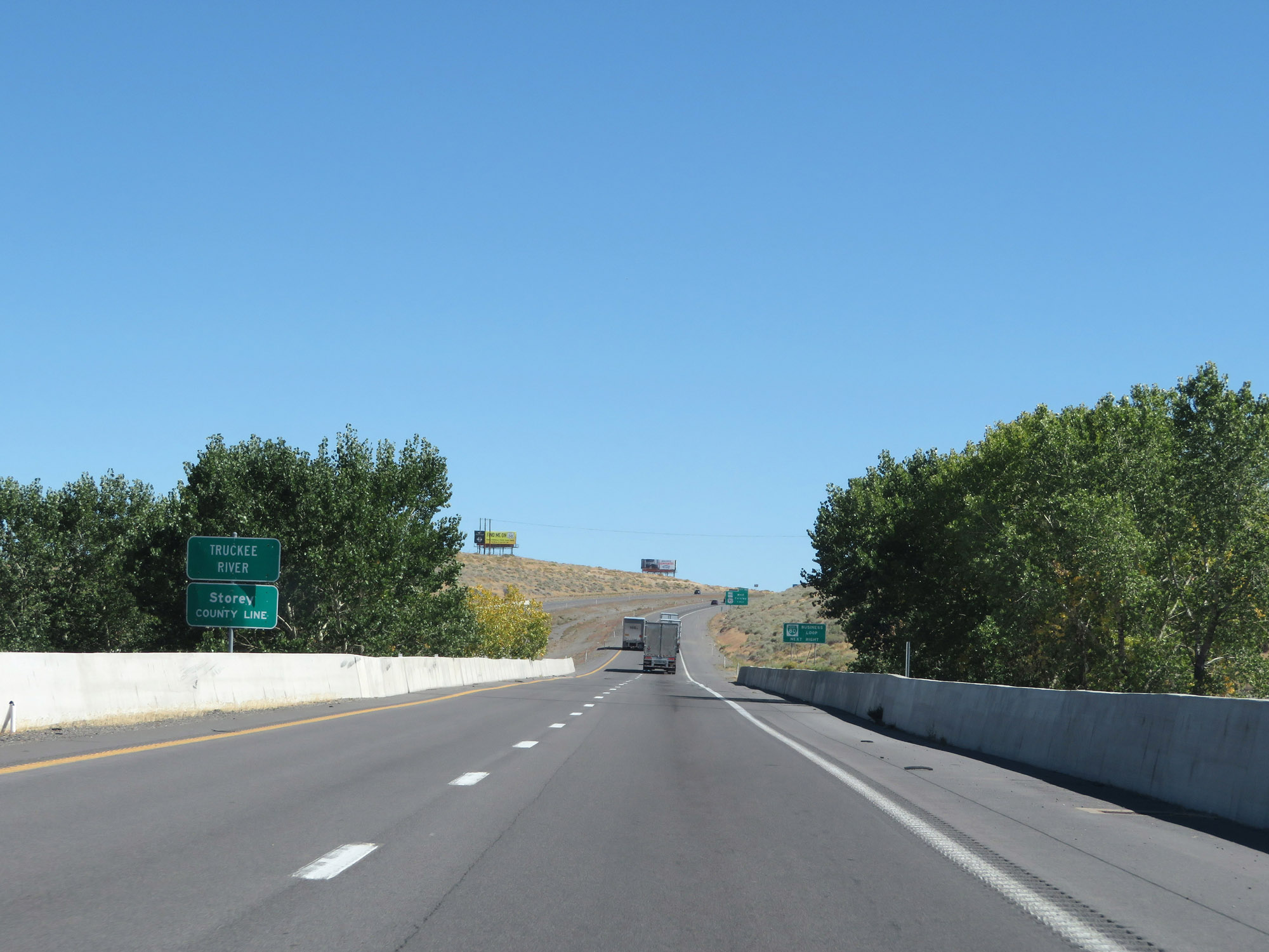 |
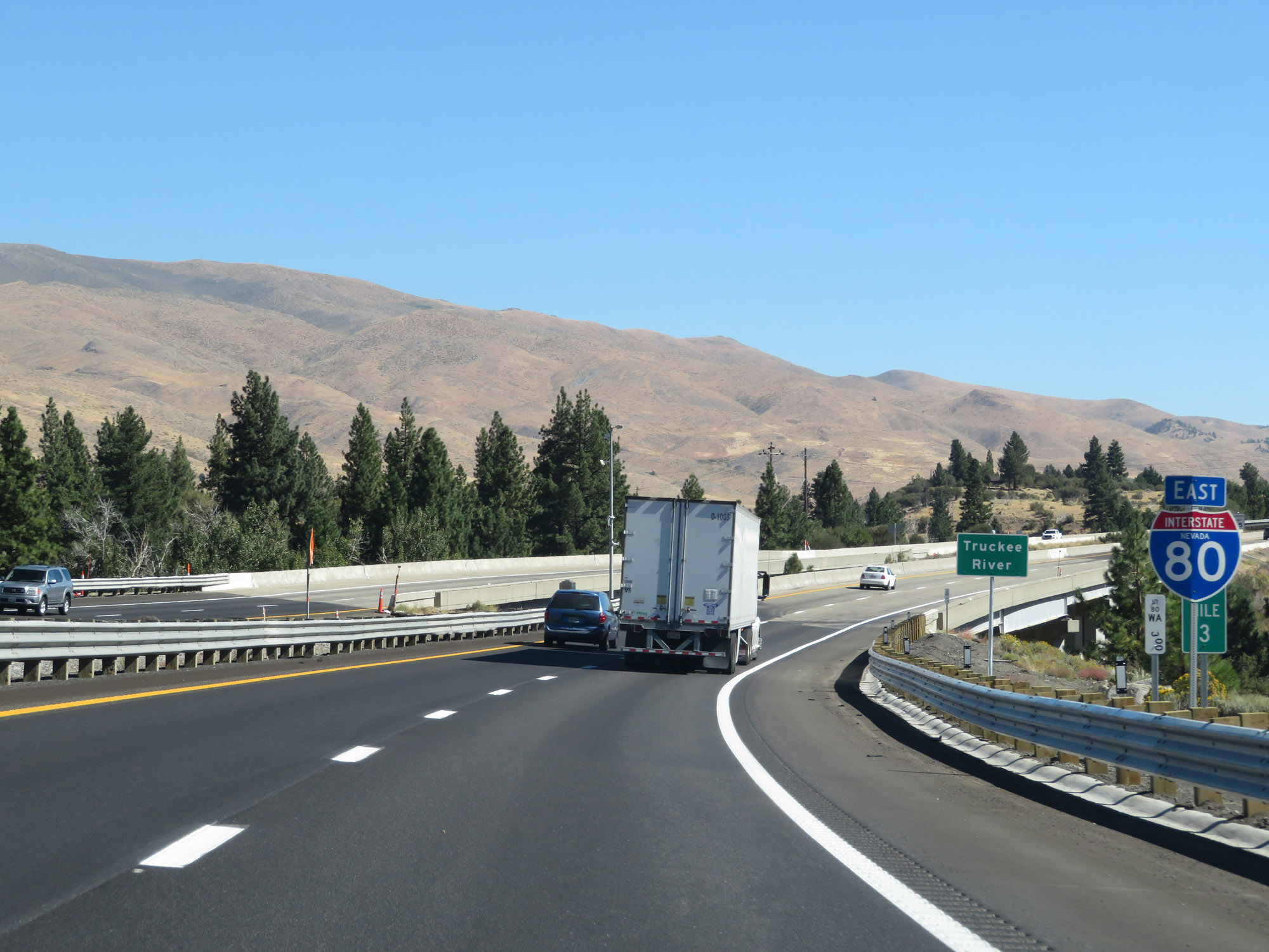
Interstate 80 East as it enters Storey County via crossing the Truckee River. (Photo taken 9/24/19). |
 |
Take Exit 46 to Interstate 80 Business Loop. (Photo taken 9/24/19). |
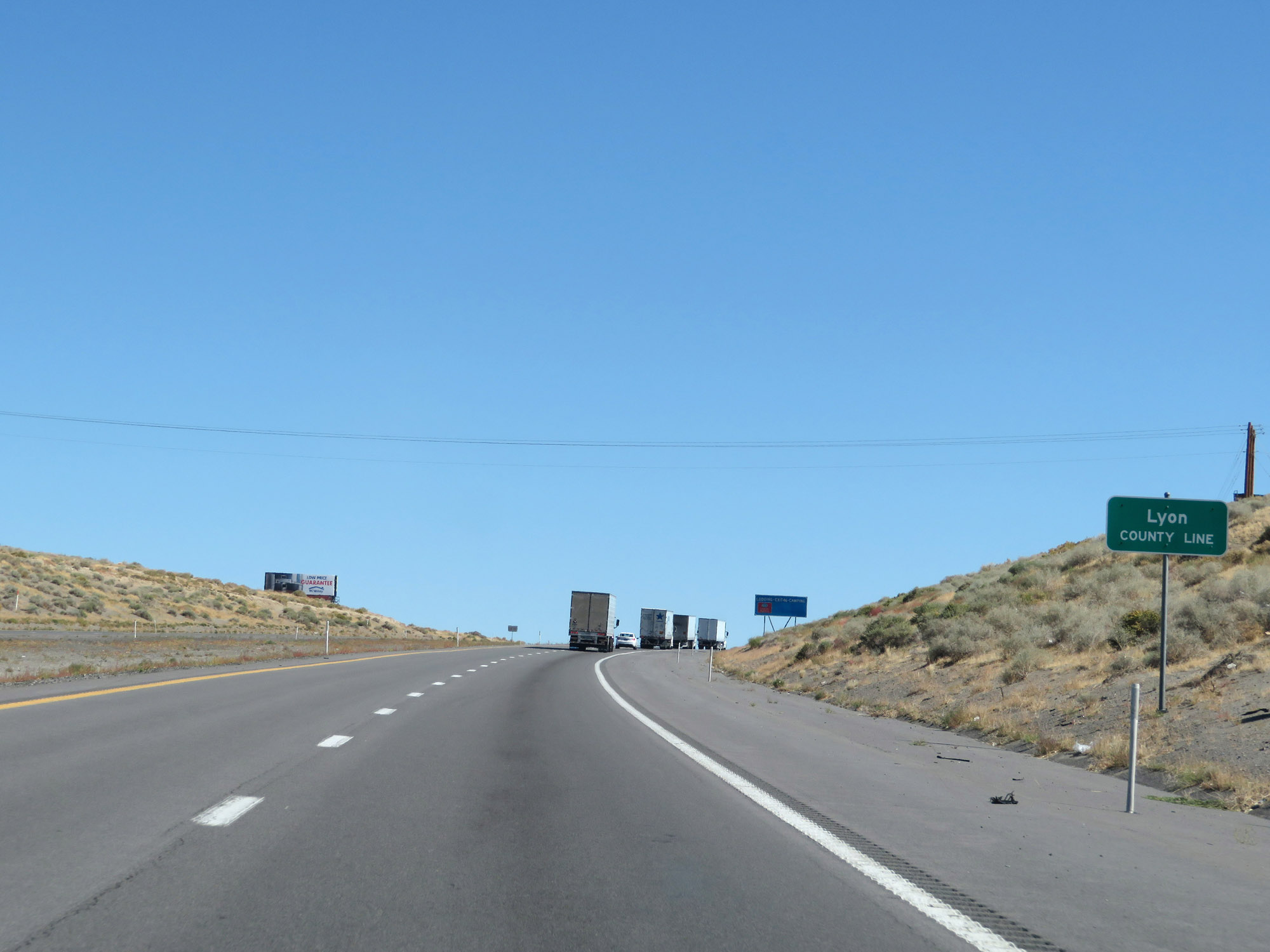 |
After its short stint in Storey County, Interstate 80 East enters Lyon County as it approaches Exit 46. (Photo taken 9/24/19). |
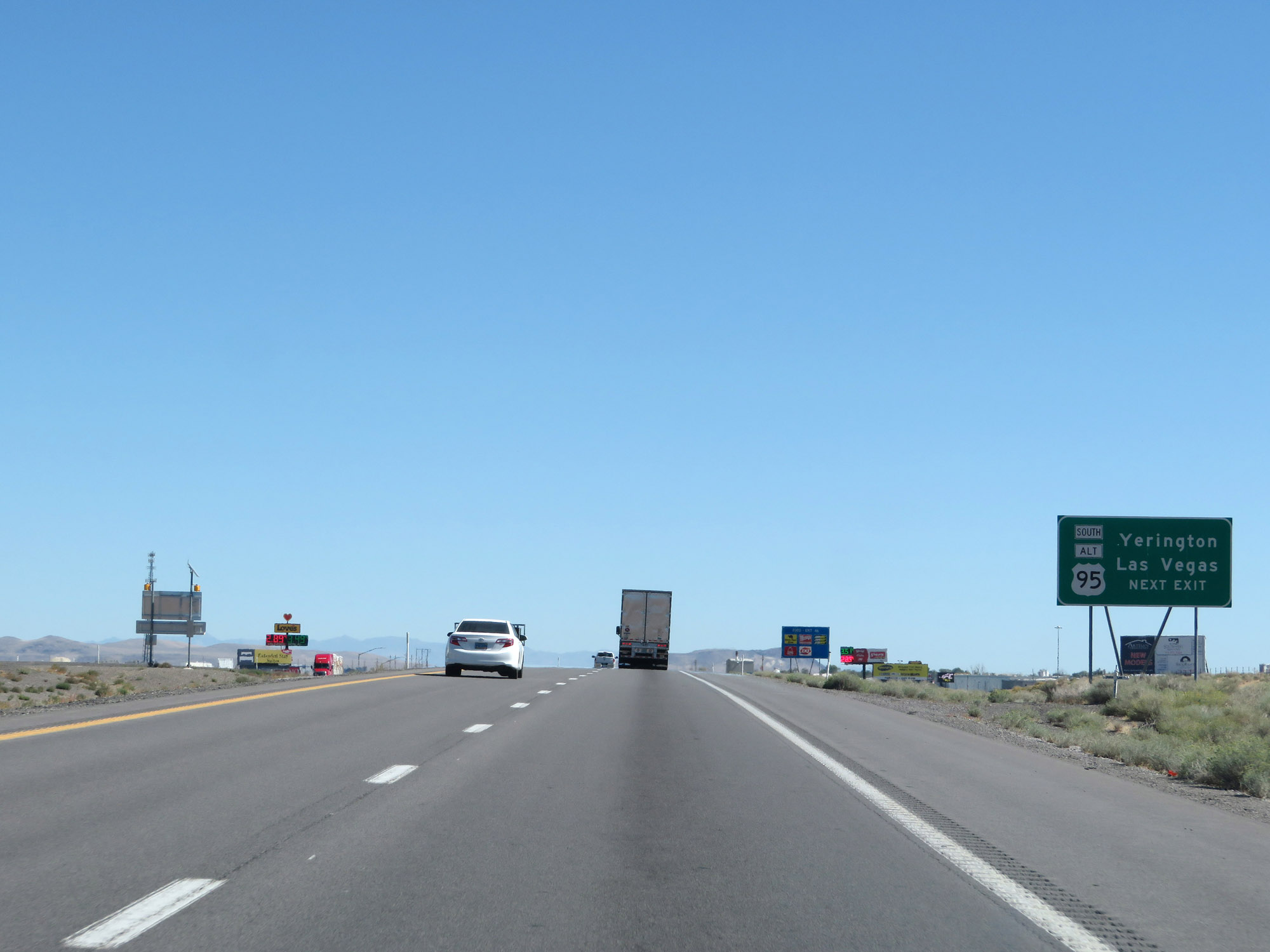 |
Take Exit 46 to Yerington and Las Vegas. (Photo taken 9/24/19). |
 |
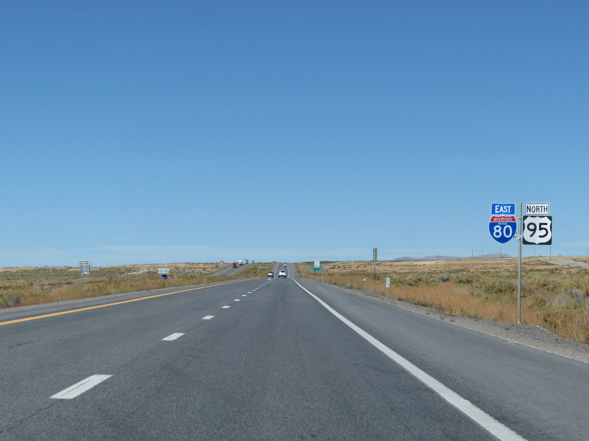
Interstate 80 East at Exit 46: US 95 Alternate South - West Fernley (Photo taken 9/24/19). |
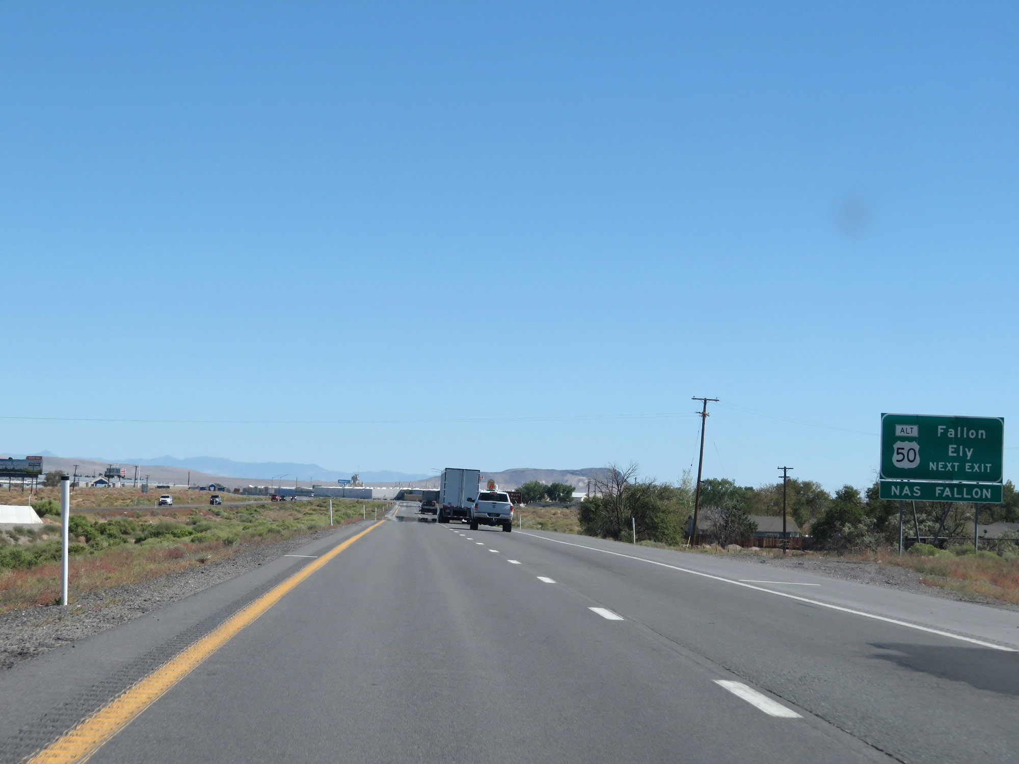 |
Take Exit 48 to Fallon and Ely, as well as NAS Fallon. (Photo taken 9/24/19). |
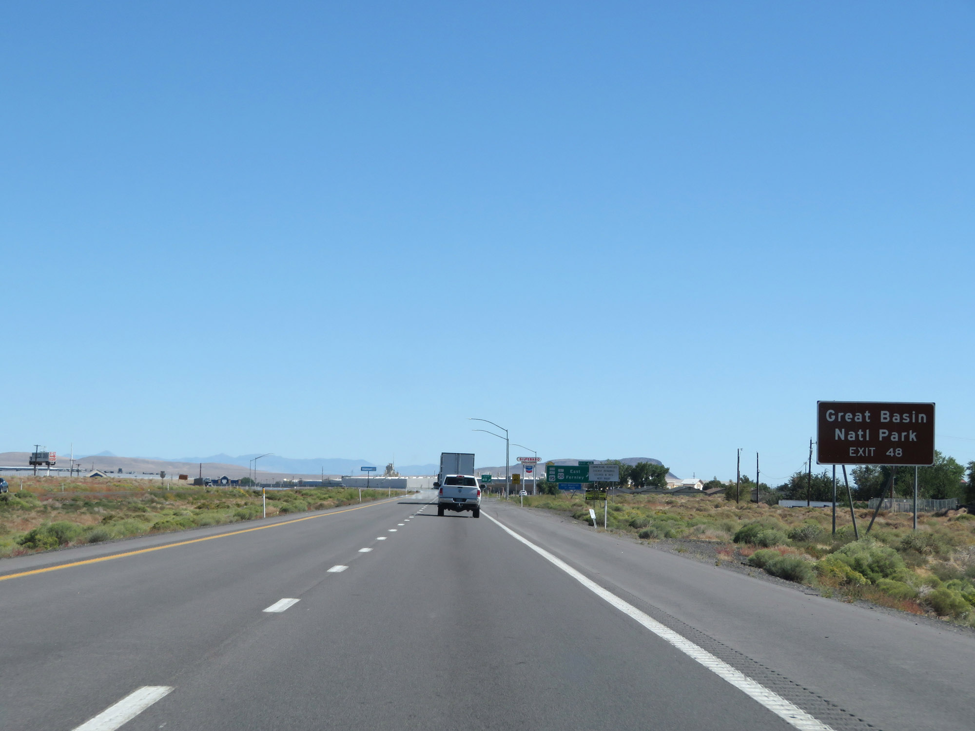 |
Also take Exit 48 to Great Basin National Park. (Photo taken 9/24/19). |
 |
Interstate 80 East at Exit 48: US 95 Alternate South / To US 50 Alternate - East Fernley (Photo taken 9/24/19). |
Section 2: Fernley (Exit 48) to Winnemucca (Exit 176)
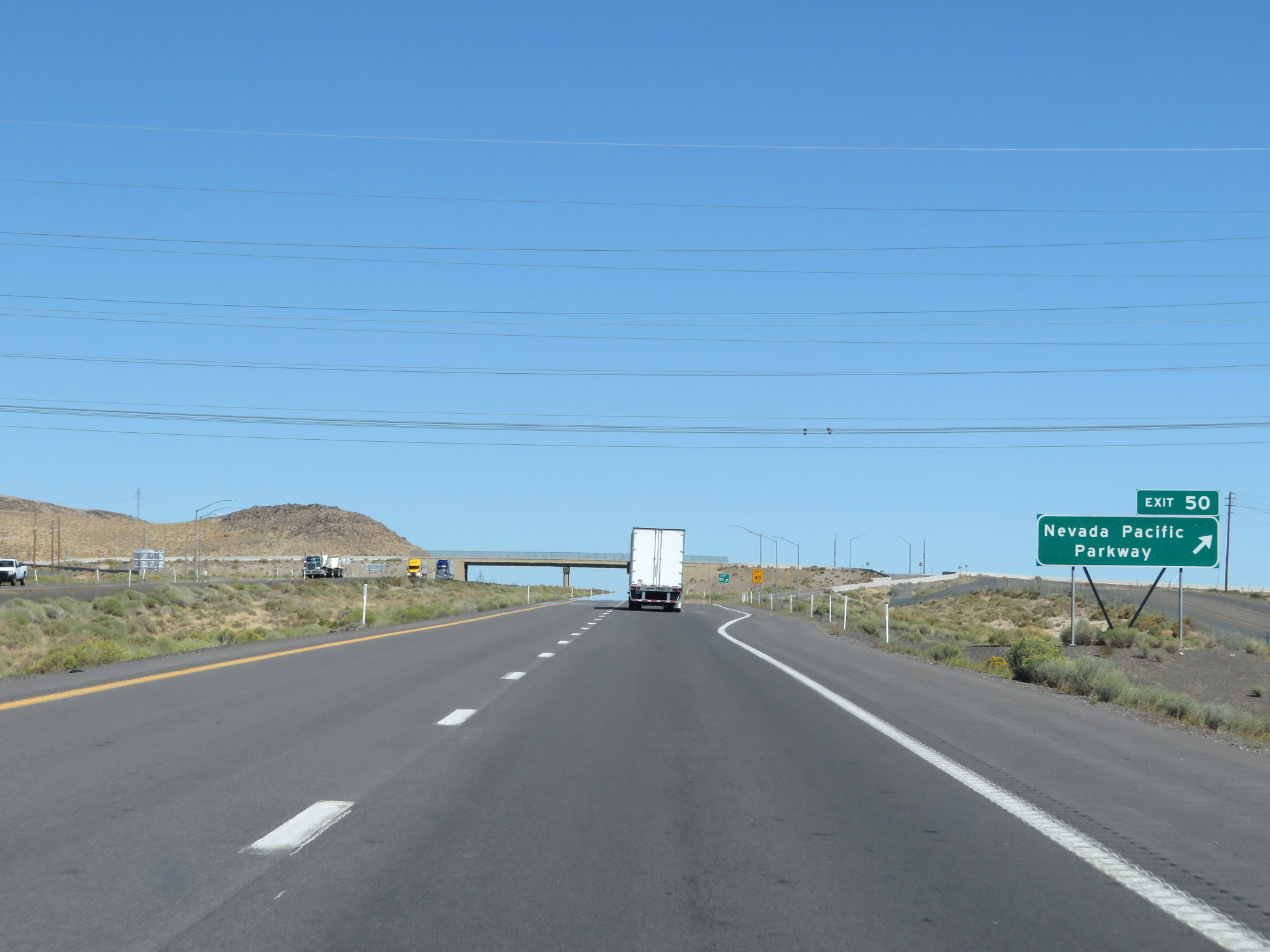 |
Interstate 80 East at Exit 50: Nevada Pacific Parkway (Photo taken 9/24/19). |
 |
Another state-named Interstate 80 East reassurance shield. (Photo taken 9/24/19). |
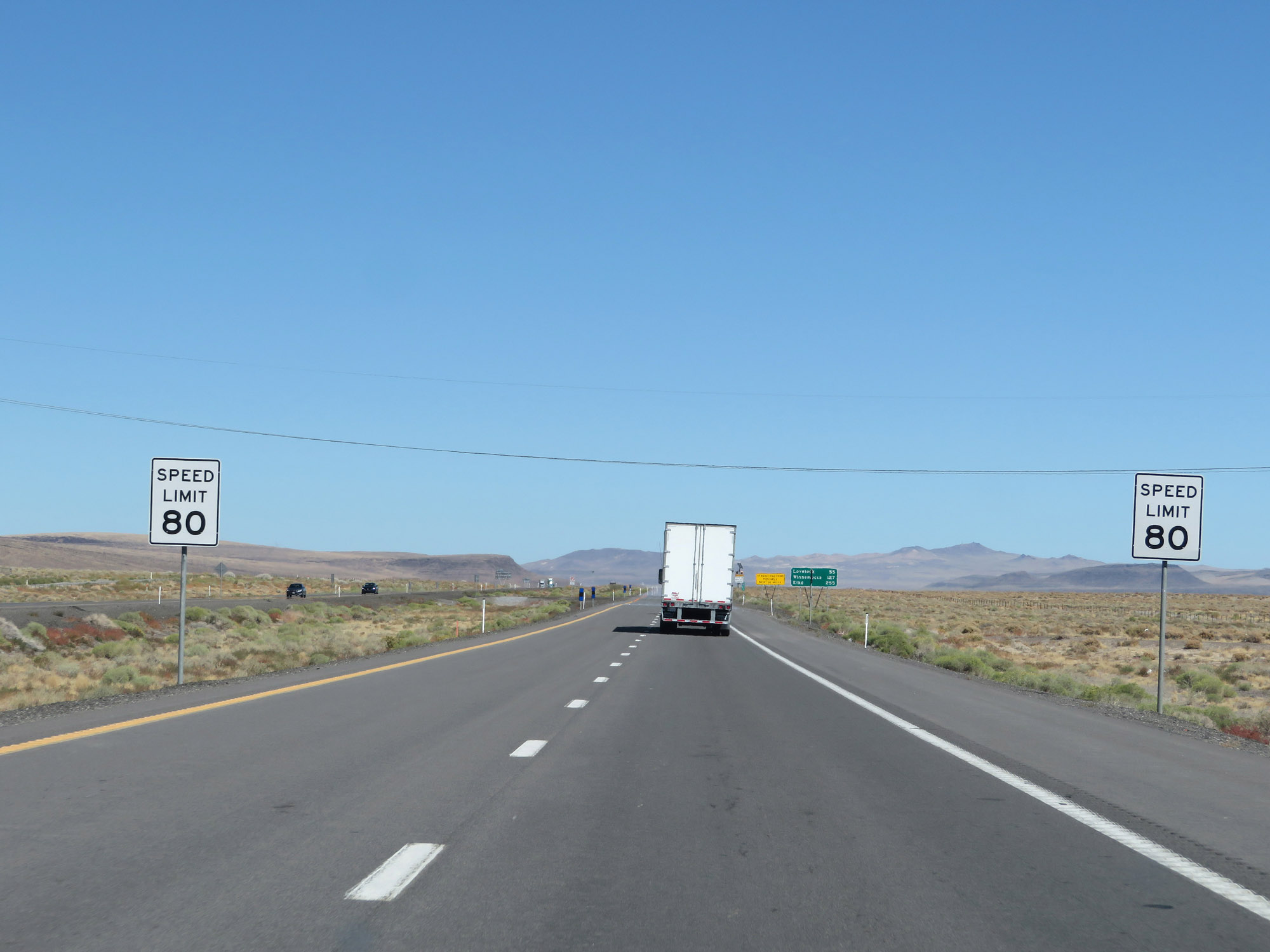 |
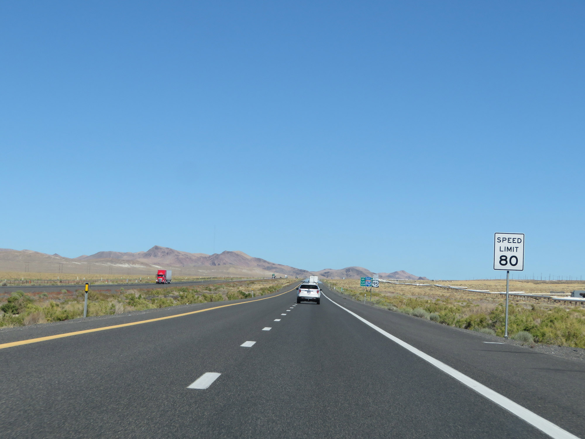
Beyond Exit 50, the speed limit on Interstate 80 East increases to 80 mph. Much of I-80 in Nevada east of this point is posted at 80 mph. However, the speed limit does decrease as it passes through some towns and on some mountain passes, as you'll see. (Photo taken 9/24/19). |
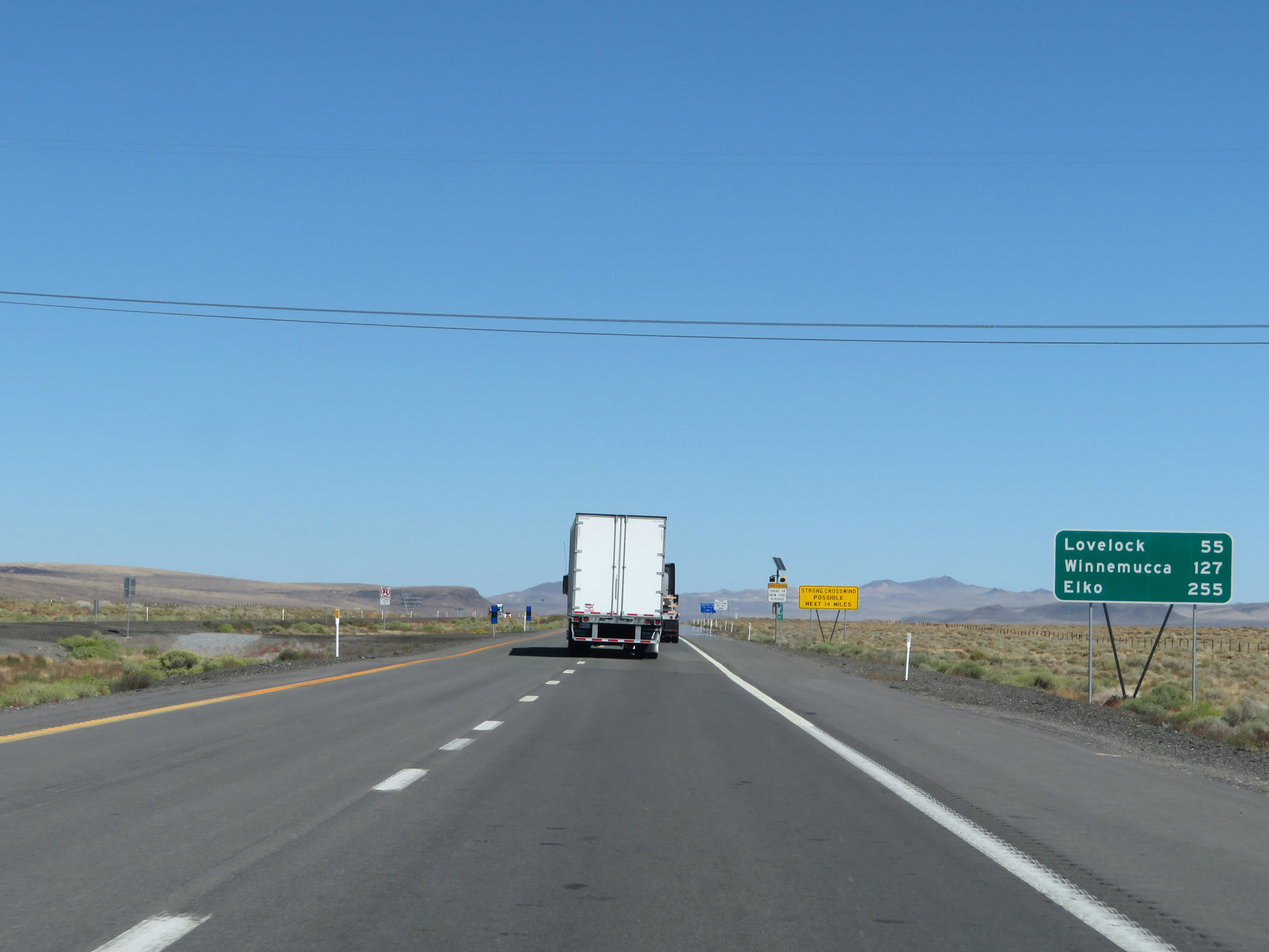 |
Mileage sign on Interstate 80 East. It's 55 miles to Lovelock, 127 miles to Winnemucca, and 255 miles to Elko. (Photo taken 9/24/19). |
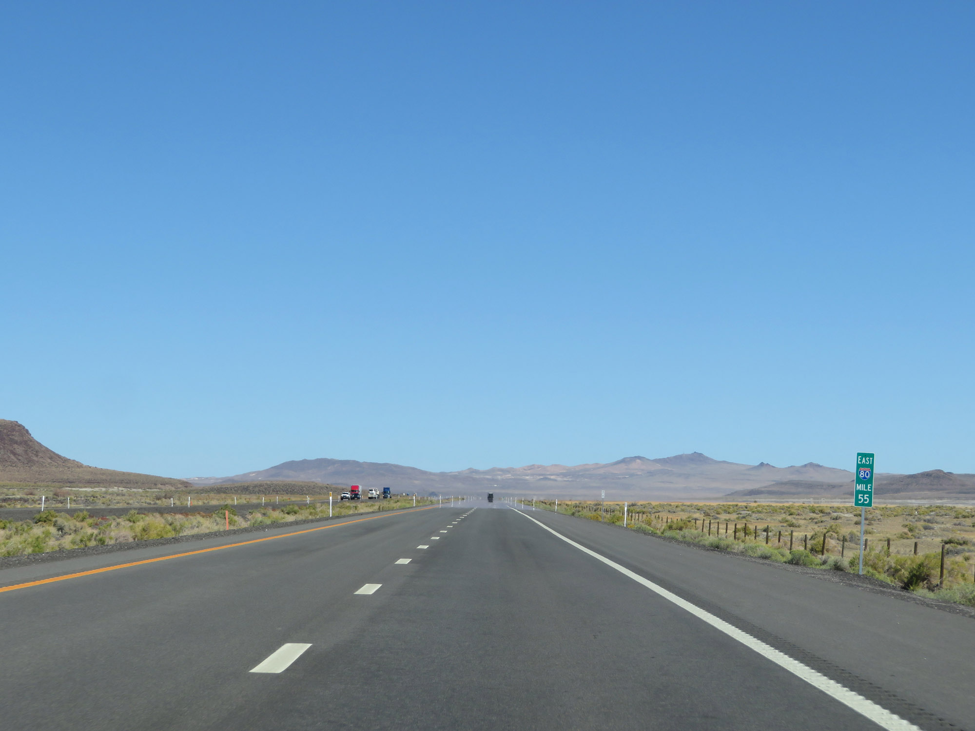 |
View on Interstate 80 East at mile marker 55. (Photo taken 9/24/19). |
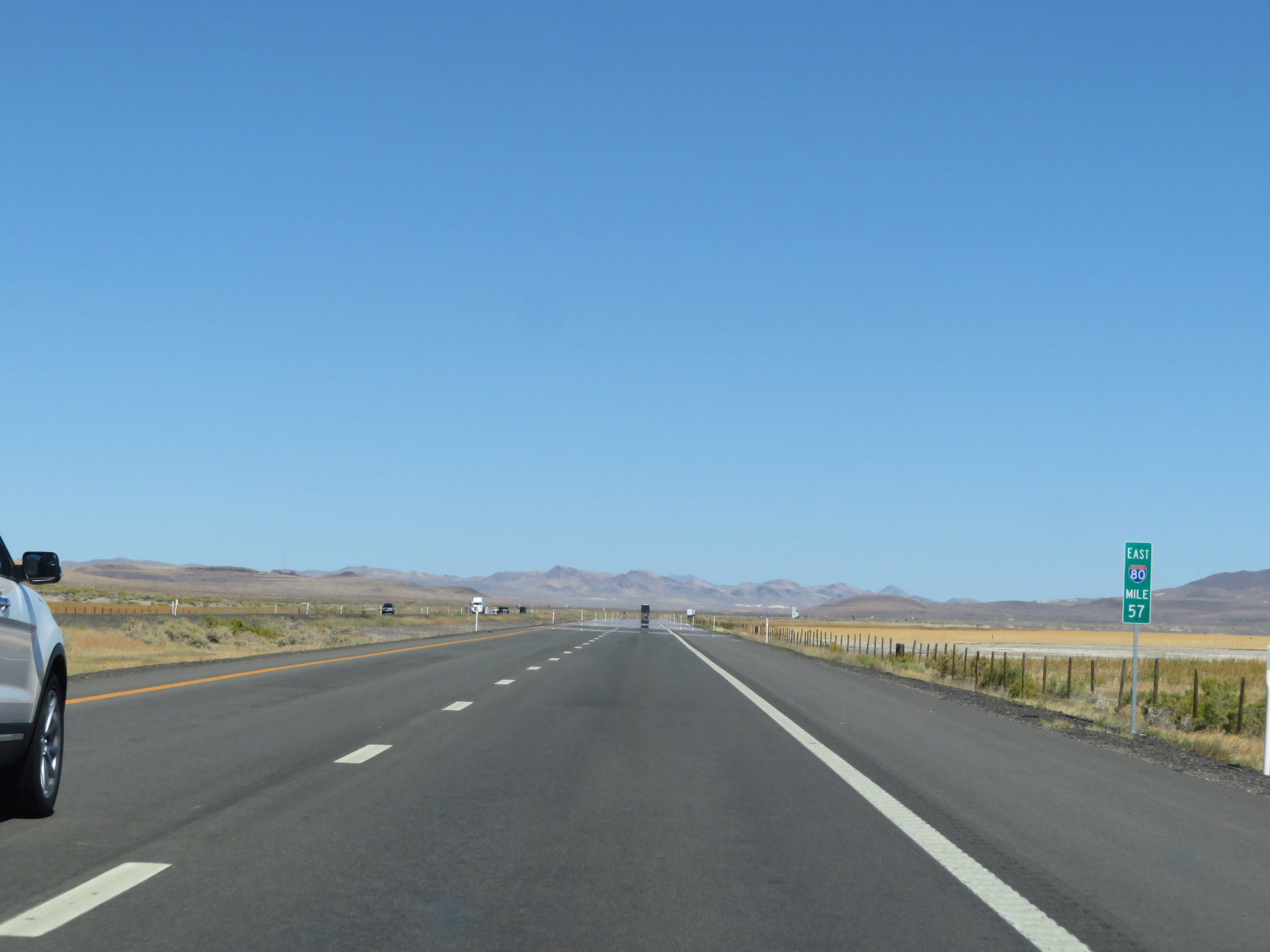 |
Interstate 80 East at mile marker 57. (Photo taken 9/24/19). |
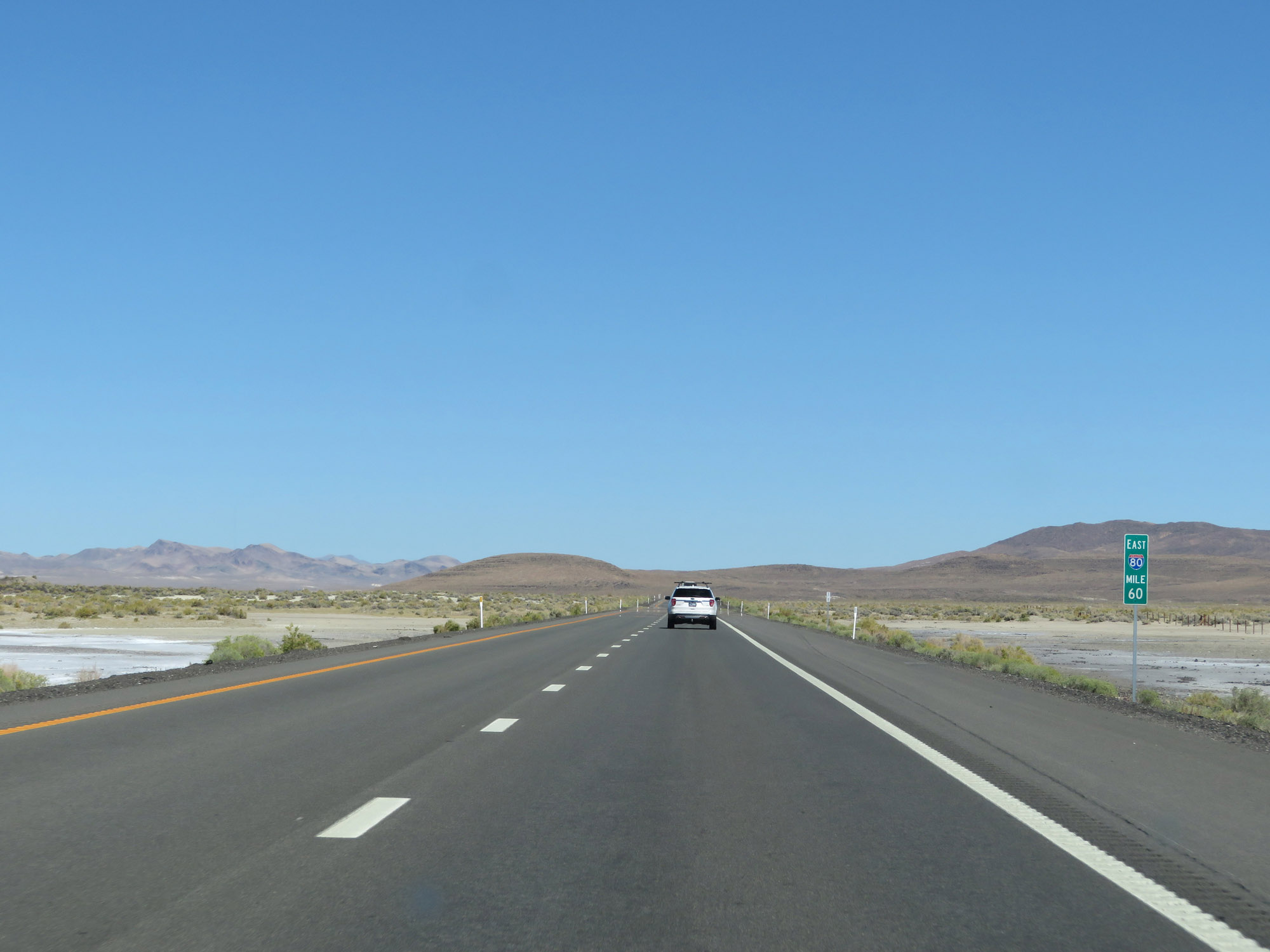 |
Interstate 80 East at mile marker 60. (Photo taken 9/24/19). |
 |
Entering Churchill County on Interstate 80 East at mile marker 61. (Photo taken 9/24/19). |
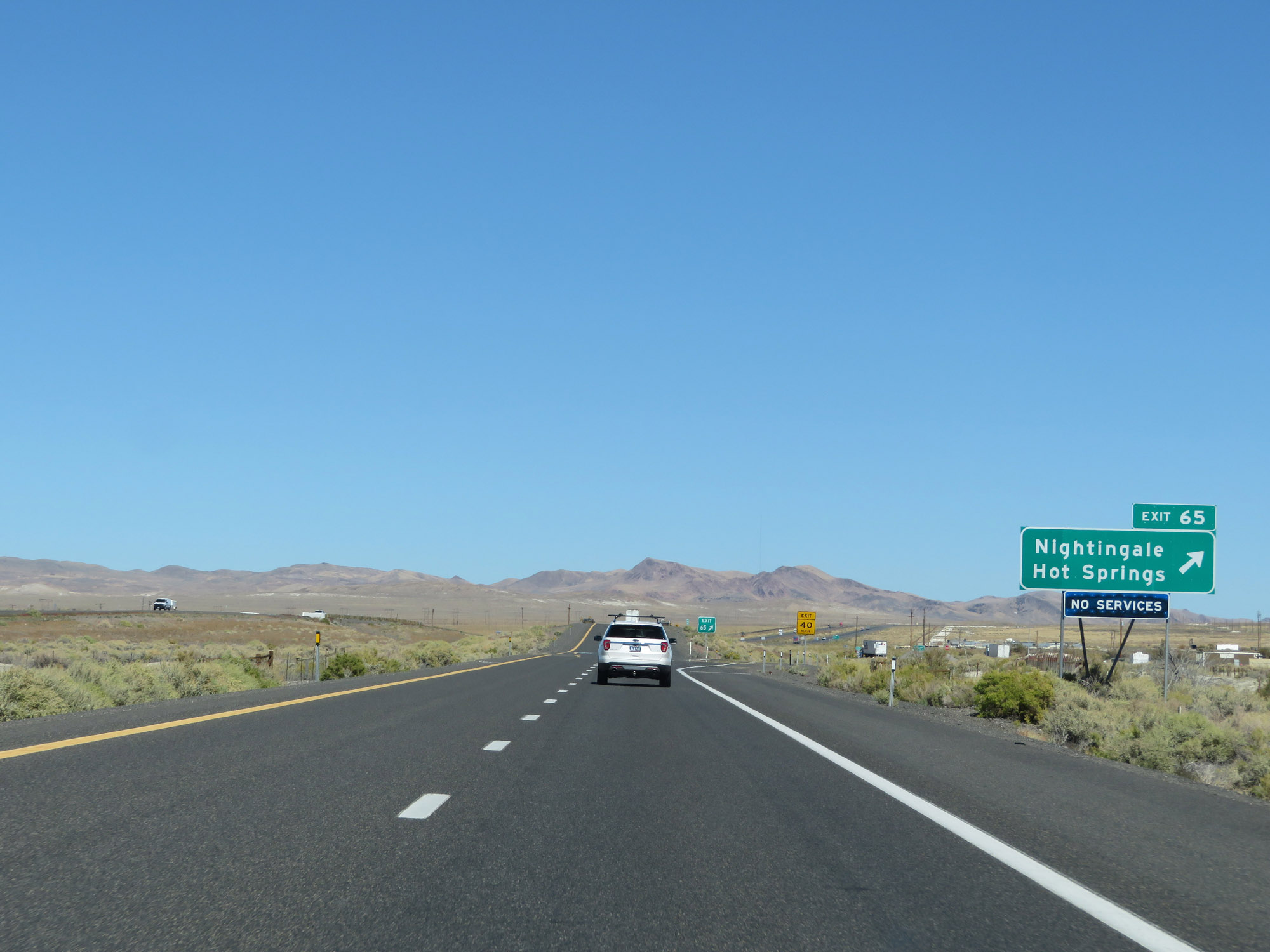 |
Interstate 80 East at Exit 65: Nightingale Hot Springs (Photo taken 9/24/19). |
 |
The speed limit remains 80 mph. (Photo taken 9/24/19). |
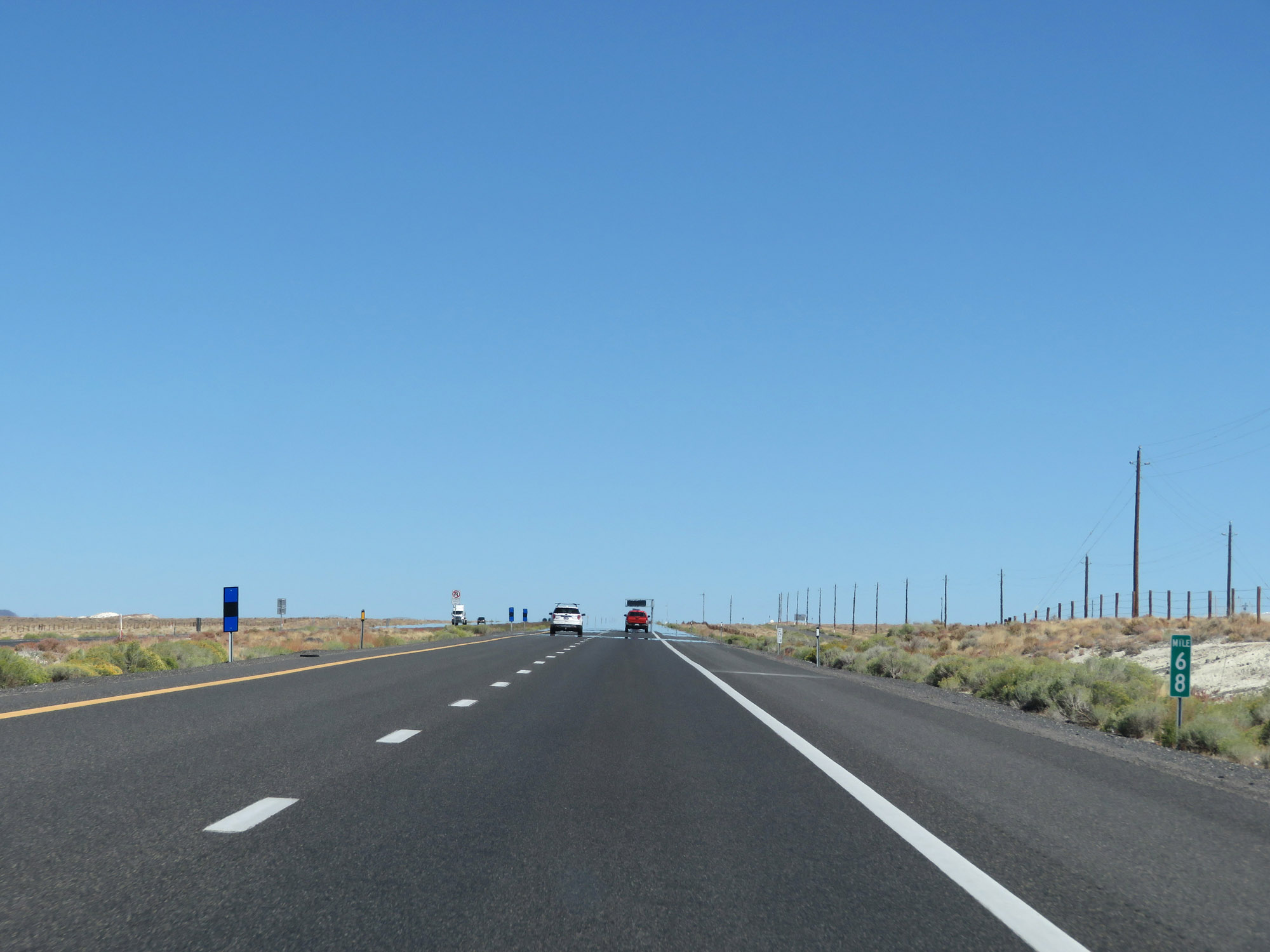 |
Interstate 80 East at mile marker 68. (Photo taken 9/24/19). |
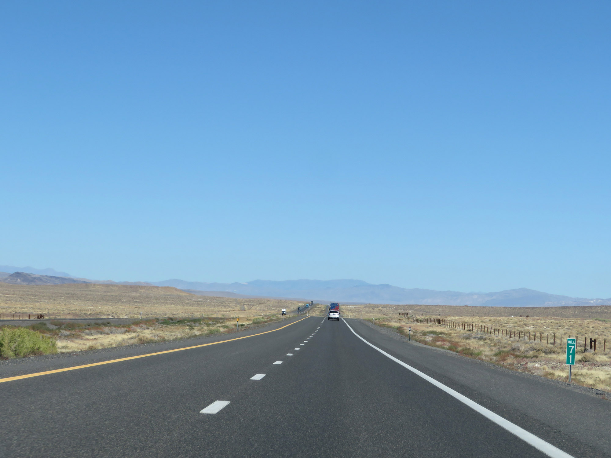 |
View on Interstate 80 East at mile marker 71. (Photo taken 9/24/19). |
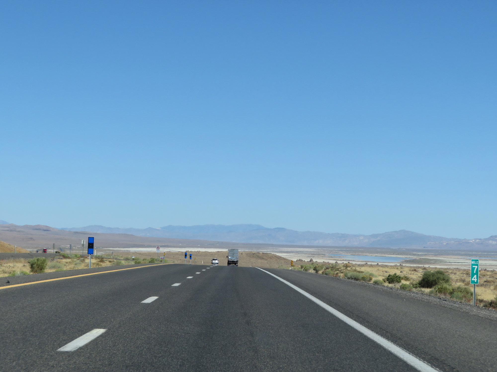 |
Interstate 80 East at mile marker 74. (Photo taken 9/24/19). |
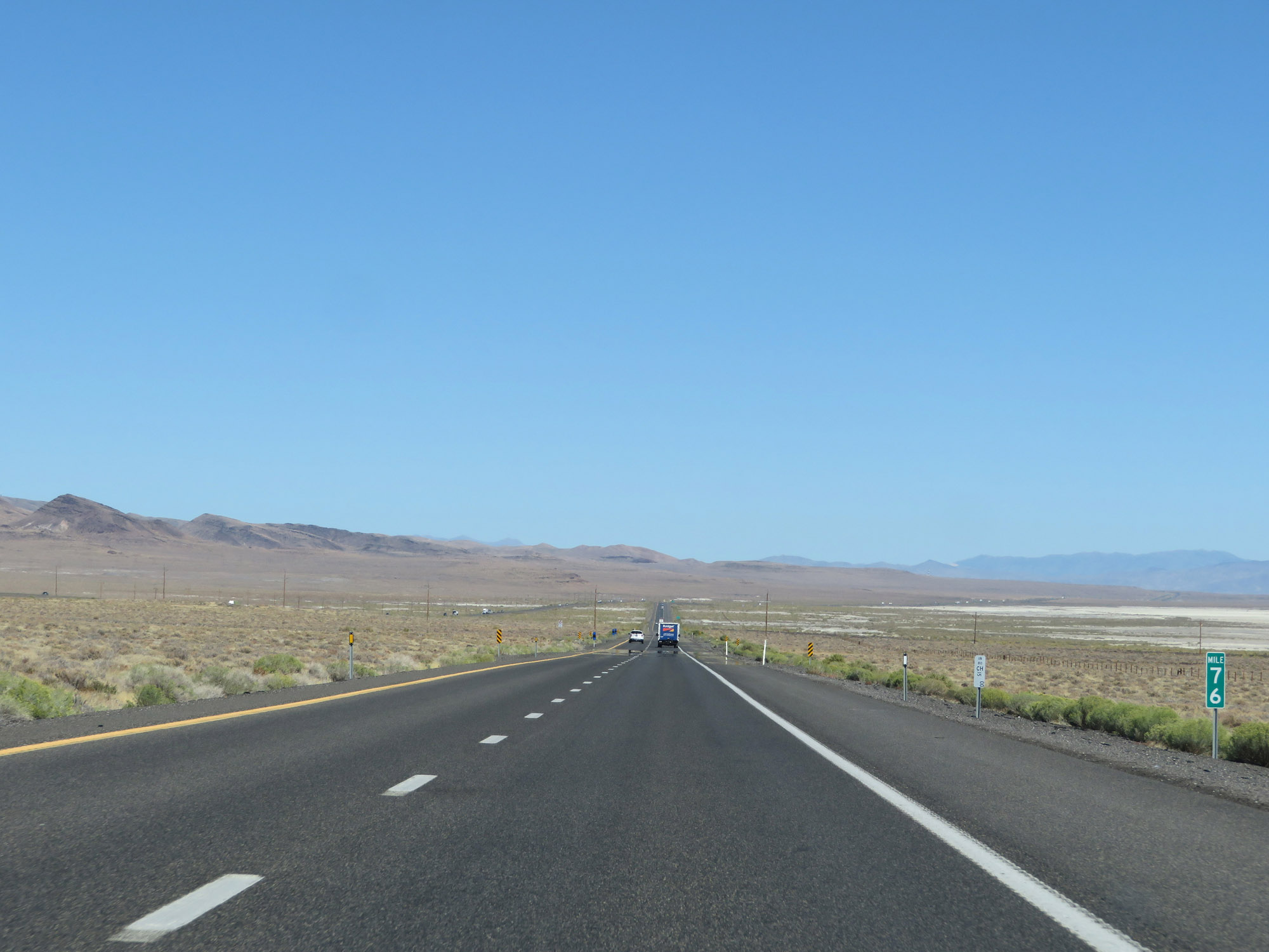 |
View on Interstate 80 East at mile marker 76. (Photo taken 9/24/19). |
 |
Interstate 80 East at Exit 78: Jessup (Photo taken 9/24/19). |
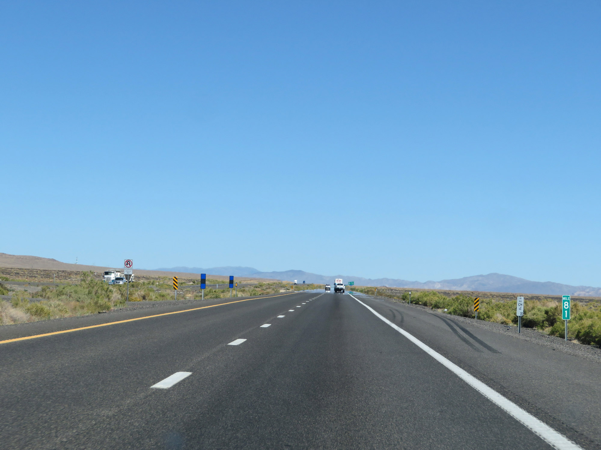 |
Interstate 80 East at mile marker 81. (Photo taken 9/24/19). |
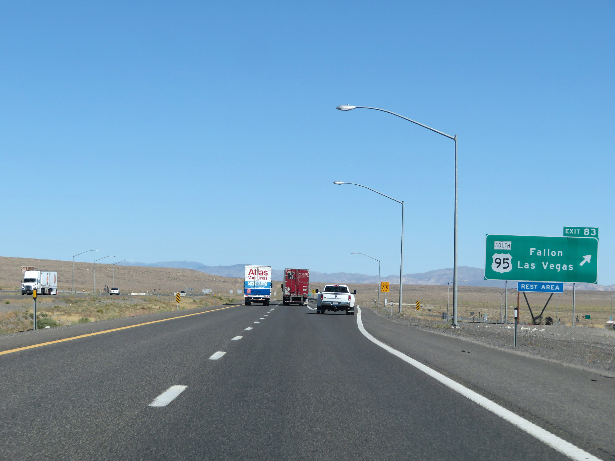 |
Interstate 80 East at Exit 83: US 95 South - Fallon / Las Vegas / Rest Area (Photo taken 9/24/19). |
 |
View on Interstate 80 East at mile marker 87. As you can see so far, I-80 in Nevada spends a lot of time in flat terrain with the mountains visibile off in the distance. However, there will be three main mountain passes during its 410-mile duration in which I-80 makes some steep climbs and descents. More on that later. (Photo taken 9/24/19). |
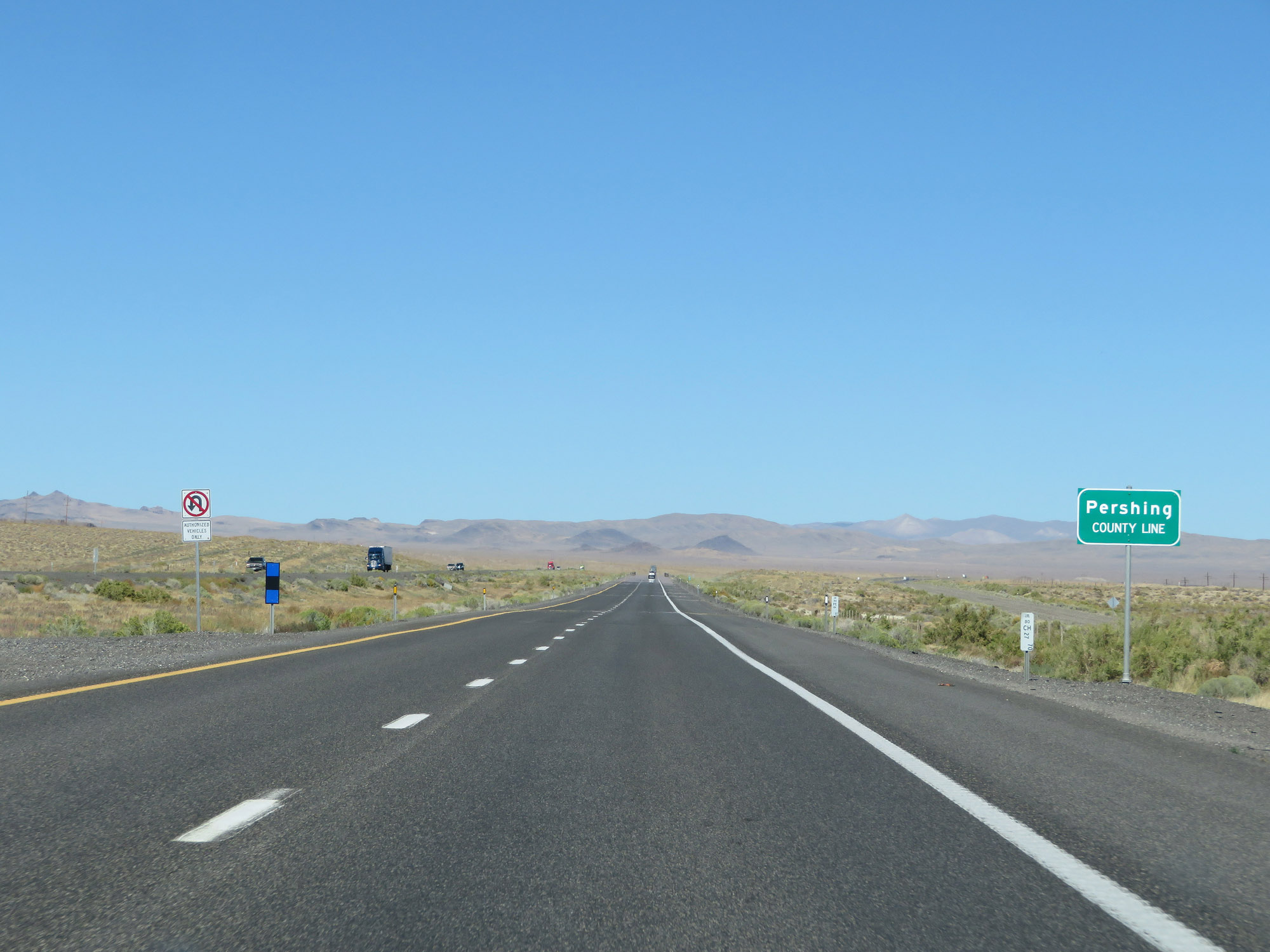 |
Interstate 80 East as it enters Pershing County. (Photo taken 9/24/19). |
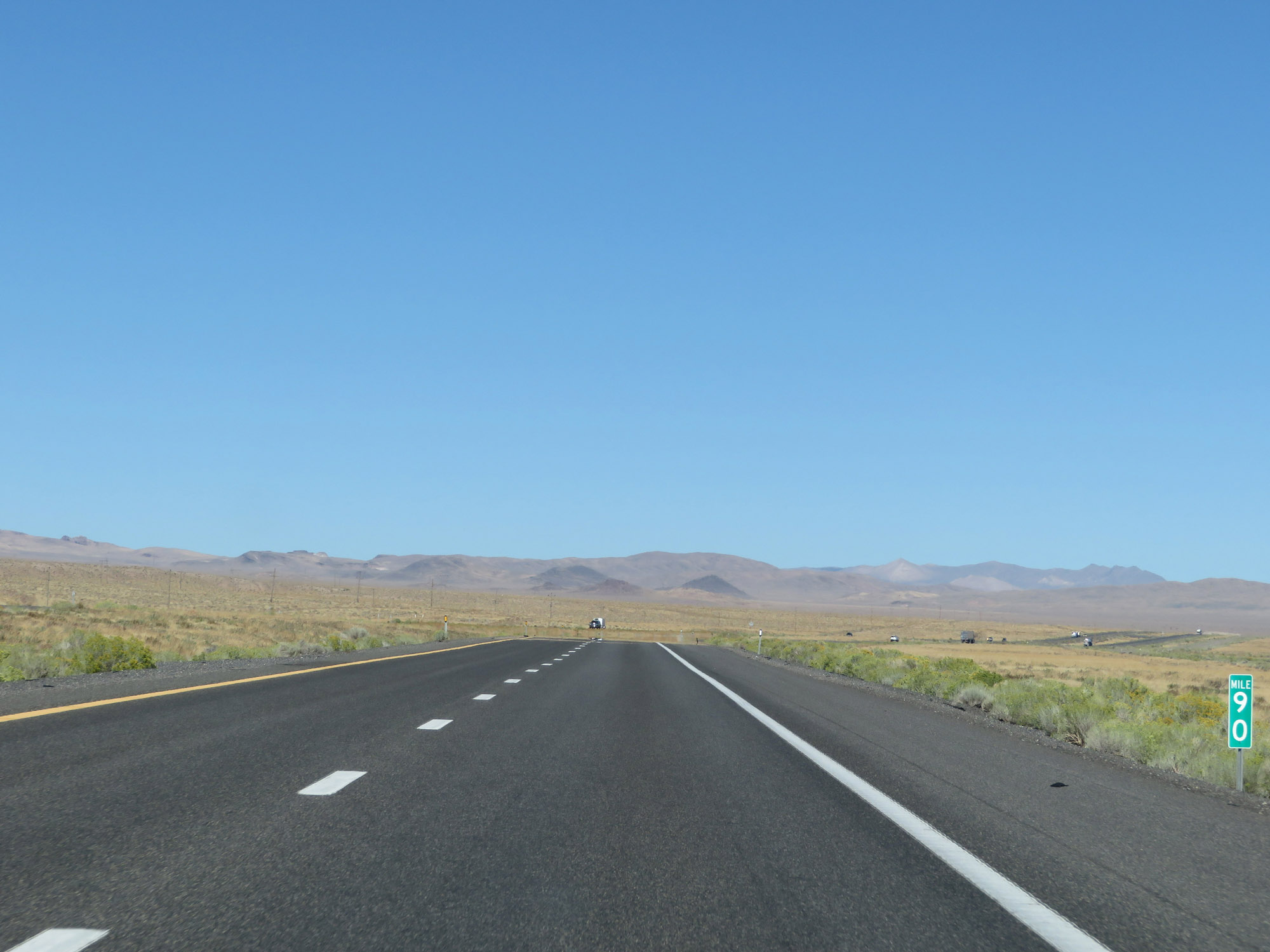 |
View on Interstate 80 East at mile marker 90. (Photo taken 9/24/19). |
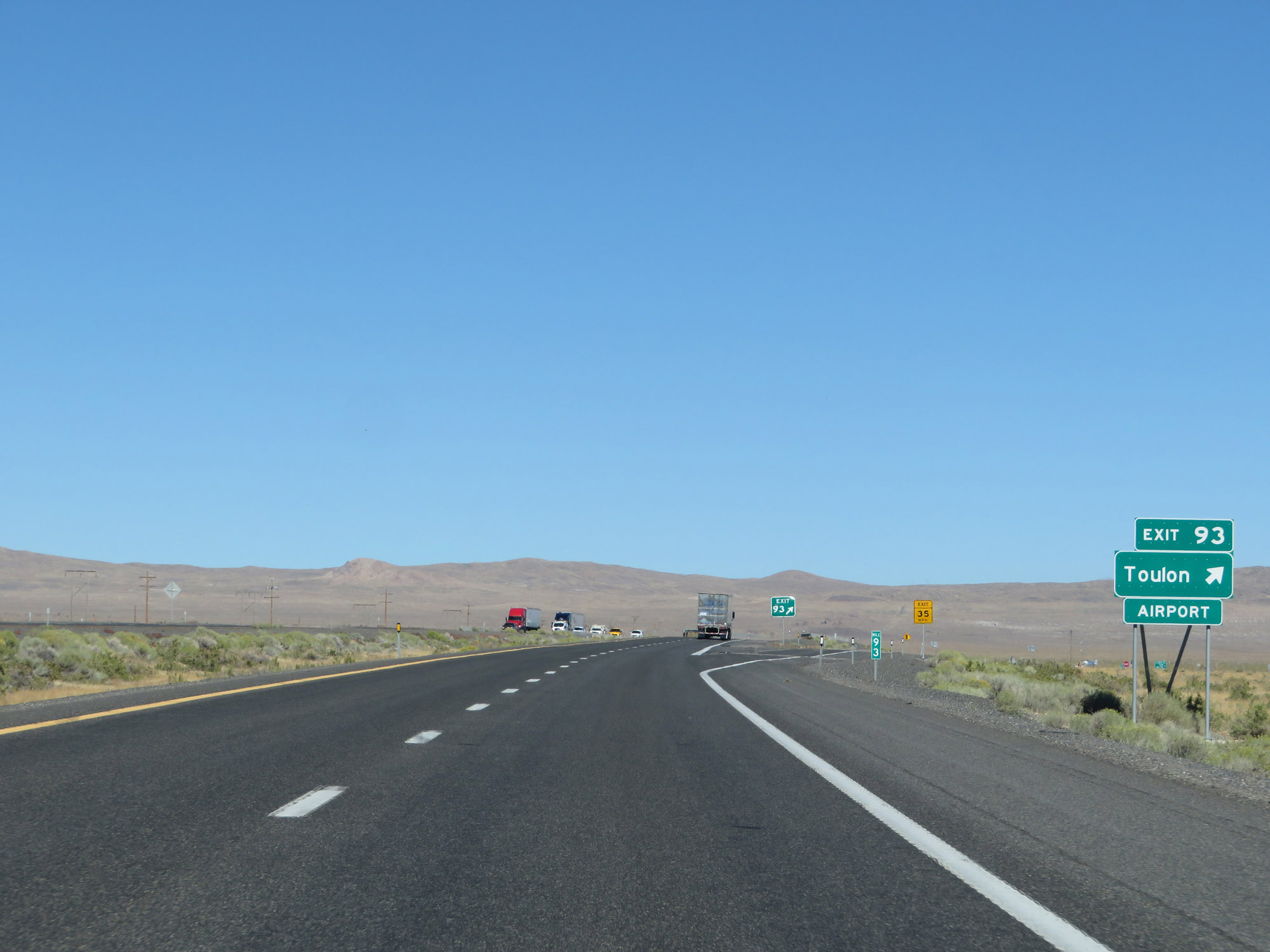 |
Interstate 80 East at Exit 93: Toulon (Photo taken 9/24/19). |
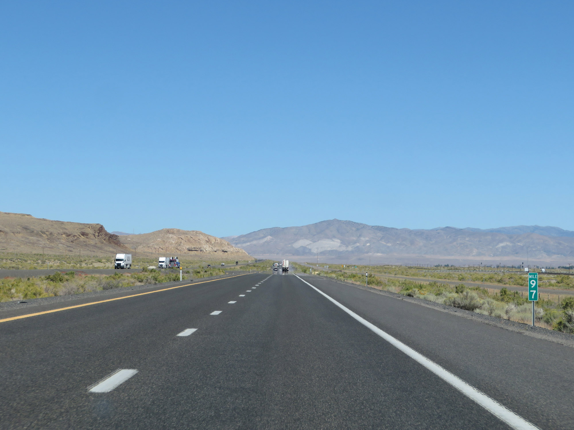 |
Interstate 80 East at mile marker 97. (Photo taken 9/24/19). |
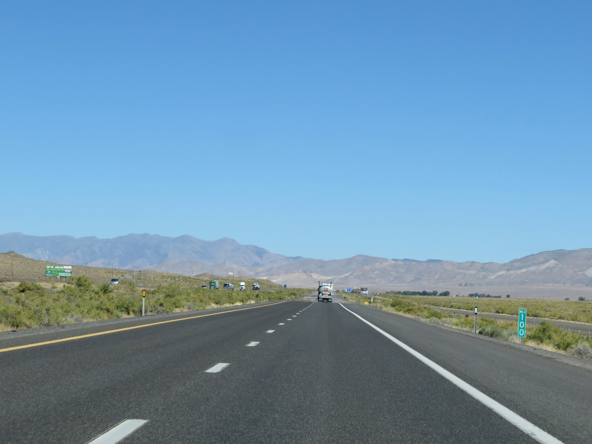 |
View on Interstate 80 East at mile marker 100. (Photo taken 9/24/19). |
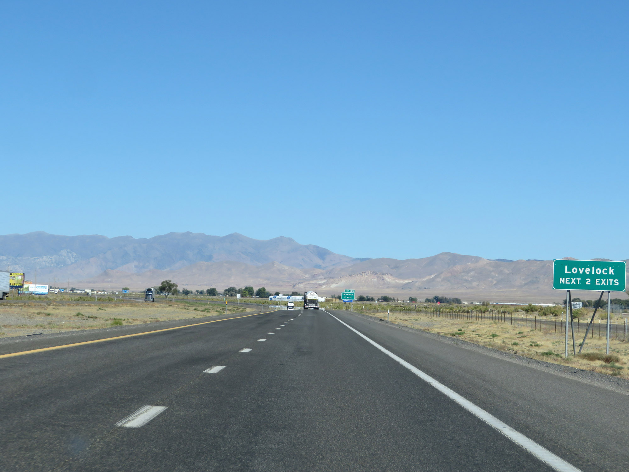 |
Take either of the next 2 exits to Lovelock. (Photo taken 9/24/19). |
 |
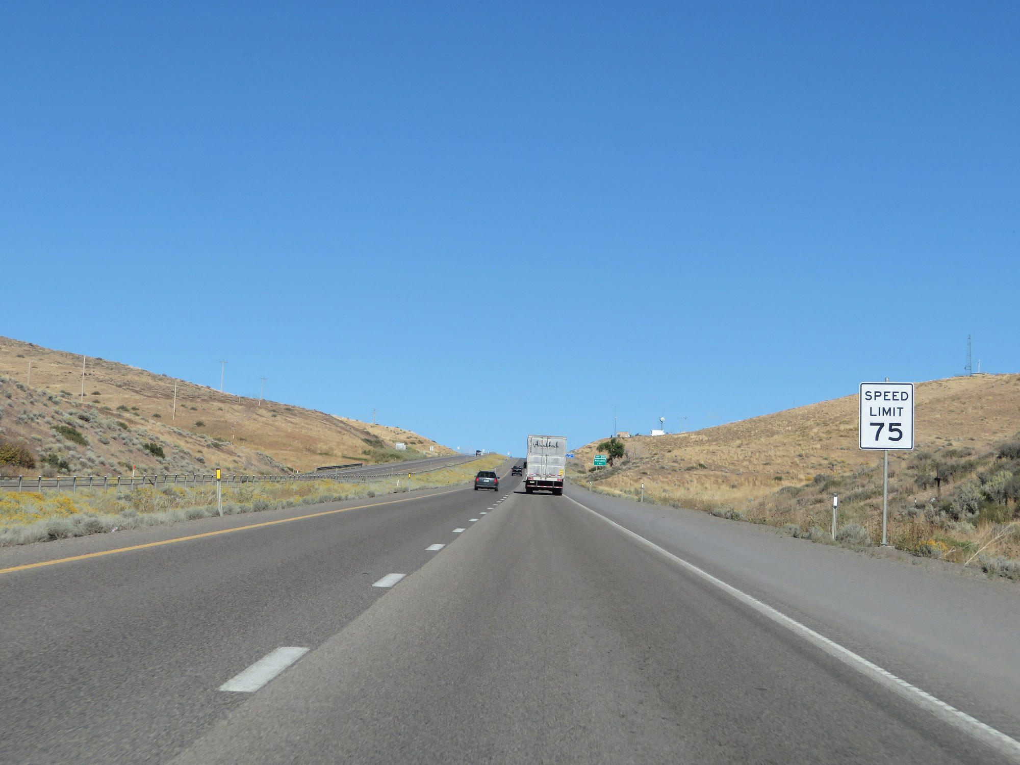
Approaching the town of Lovelock, the speed limit decreases to 75 mph on Interstate 80 East. (Photo taken 9/24/19). |
 |
Interstate 80 East at mile marker 103. (Photo taken 9/24/19). |
 |
Take Exit 105 to Interstate 80 Businesss Loop. (Photo taken 9/24/19). |
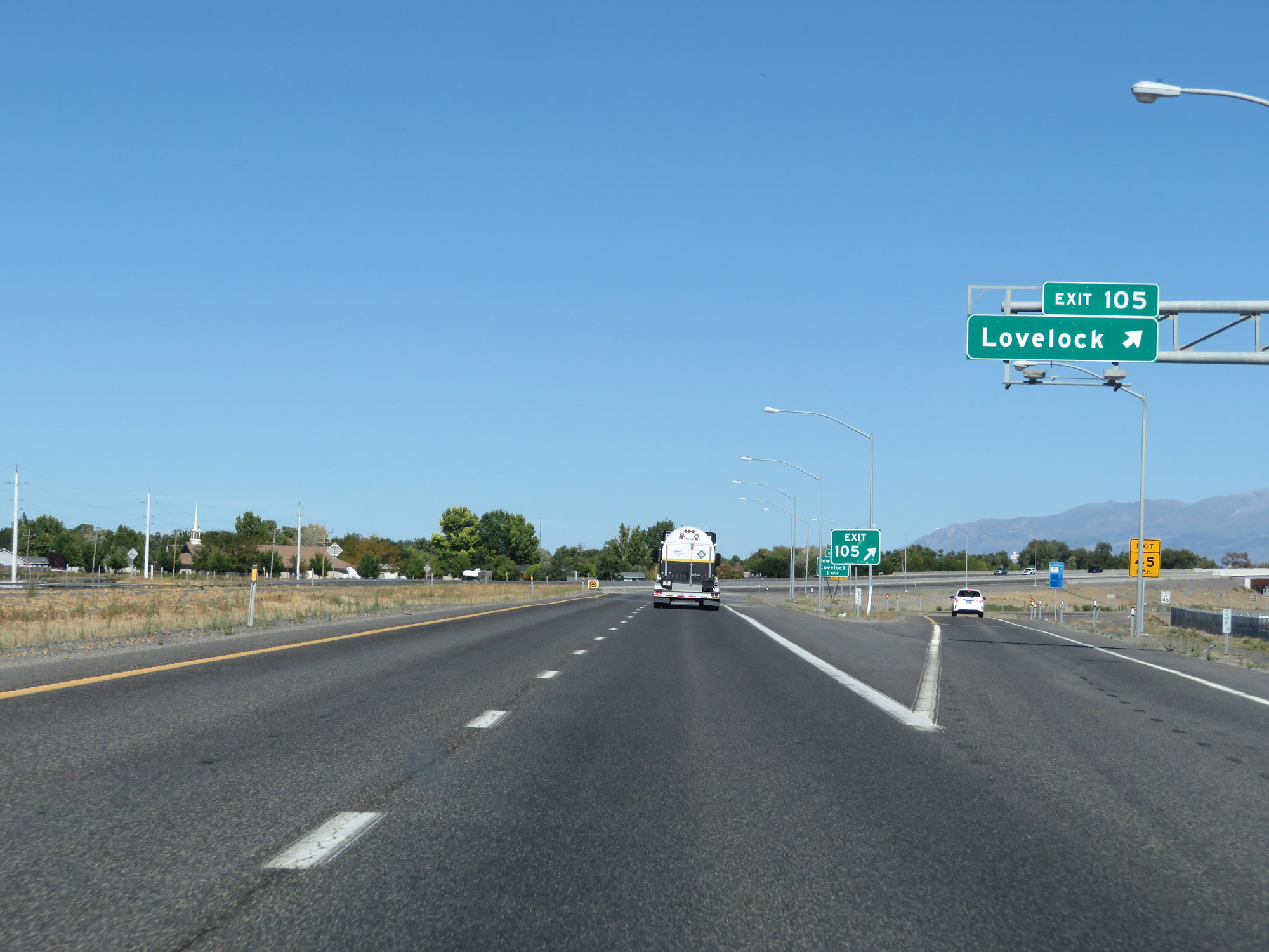 |
Interstate 80 East at Exit 105: Lovelock (Photo taken 9/24/19). |
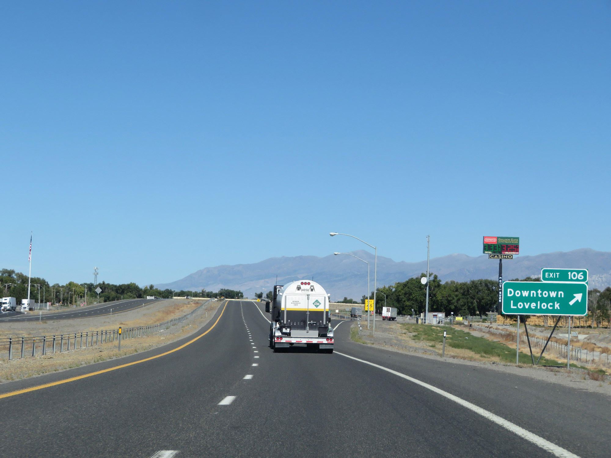 |
Interstate 80 East at Exit 106: Downtown Lovelock (Photo taken 9/24/19). |
 |
Interstate 80 East reassurance shield leaving Lovelock. (Photo taken 9/24/19). |
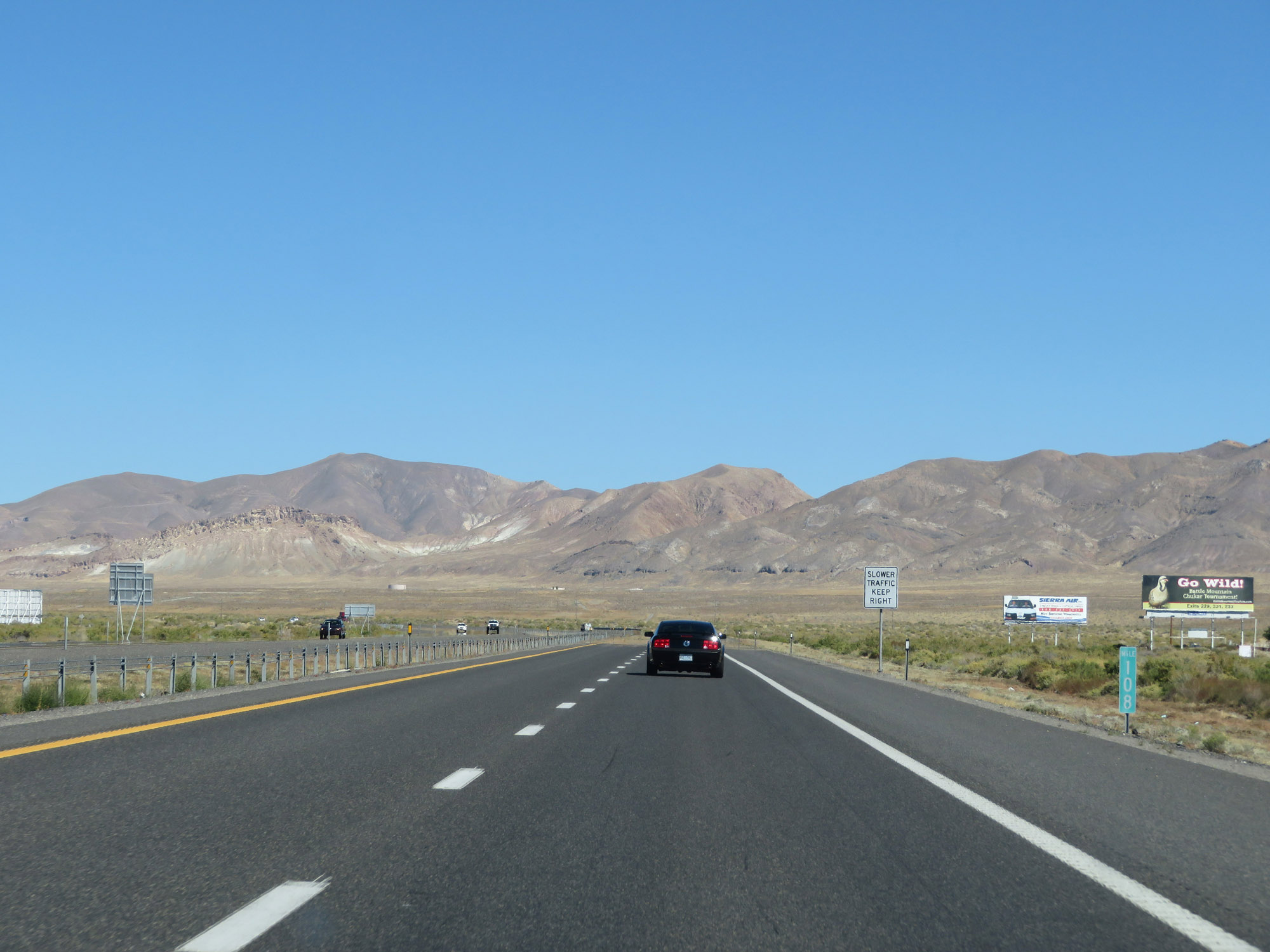 |
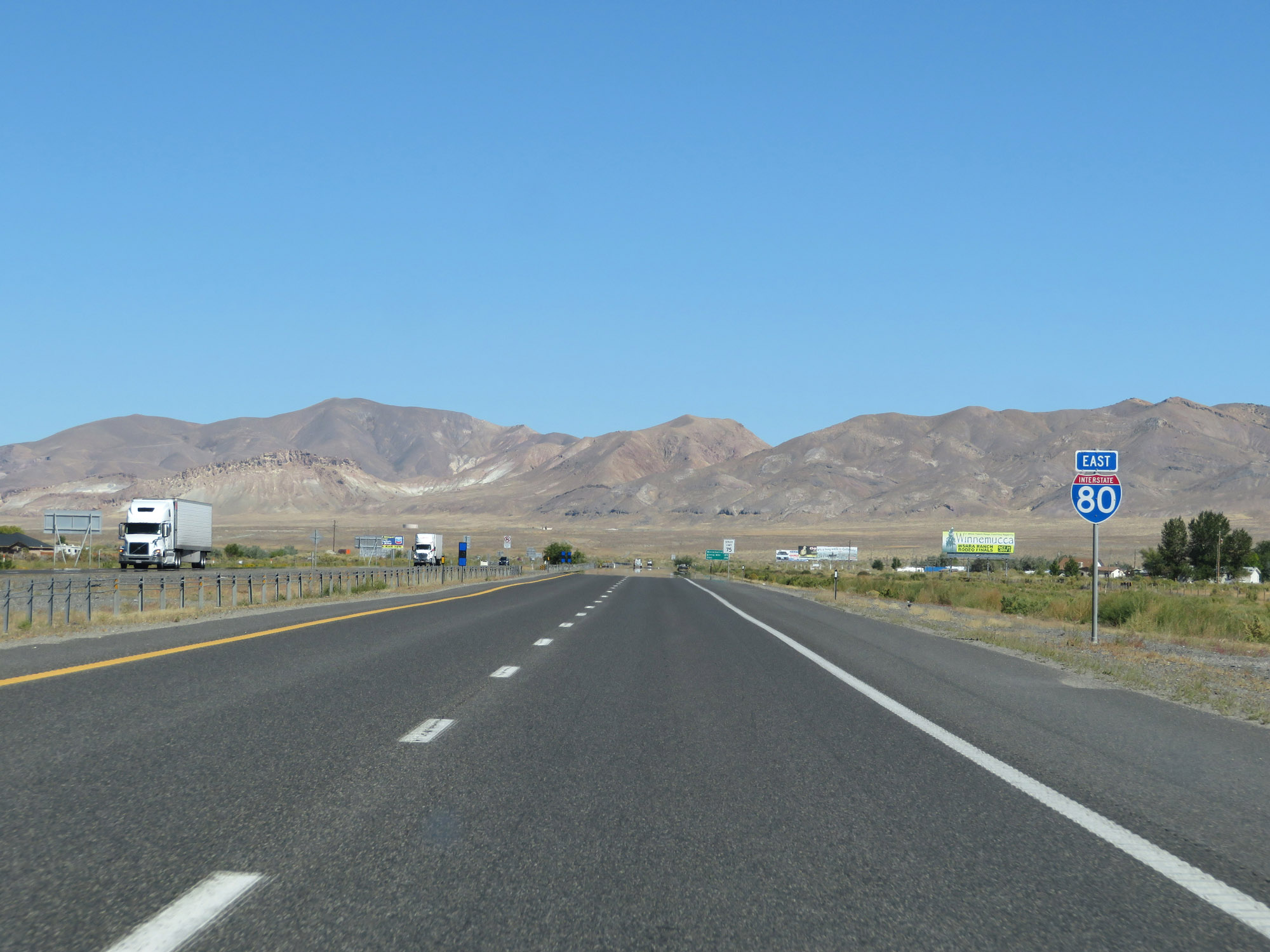
View on Interstate 80 East at mile marker 108. (Photo taken 9/24/19). |
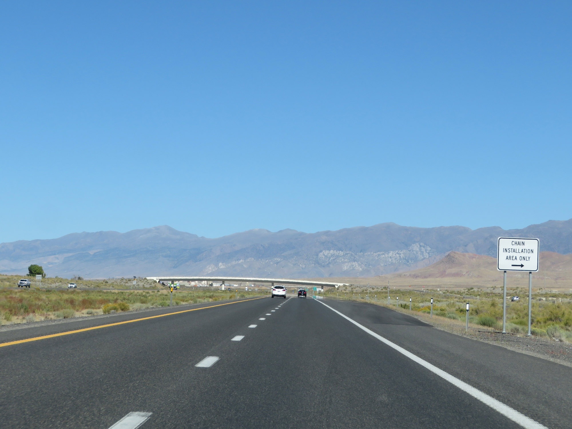 |
One of several Chain Installation Areas on Interstate 80 East in Nevada. There are three primary mountain passes I-80 traverses in Nevada, and chain restrictions are not uncommon from Fall to Spring. (Photo taken 9/24/19). |
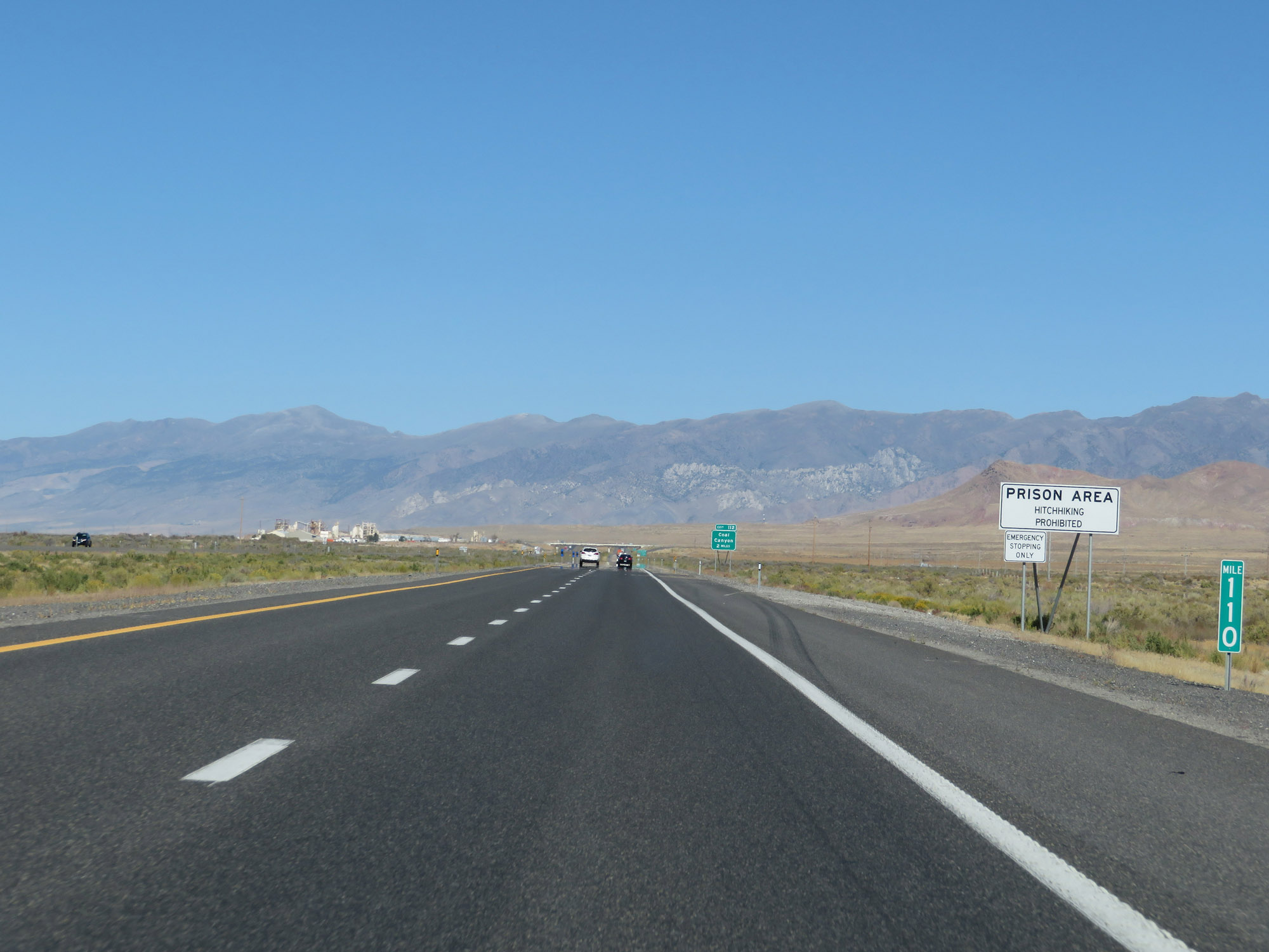 |
Interstate 80 East at mile marker 110, which is in a Prison Area. Hitchhiking is prohibited in the area, and you would be truly careless to pick up a hitchhiker in the area to begin with. (Photo taken 9/24/19). |
 |
As the last photo implies, take Exit 112 to the Correction Center. (Photo taken 9/24/19). |
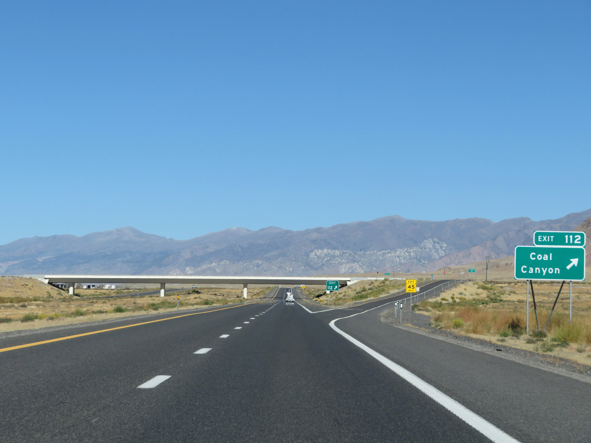 |
Interstate 80 East at Exit 112: Coal Canyon (Photo taken 9/24/19). |
 |
East of Exit 112, the speed limit increases to 80 mph once again. (Photo taken 9/24/19). |
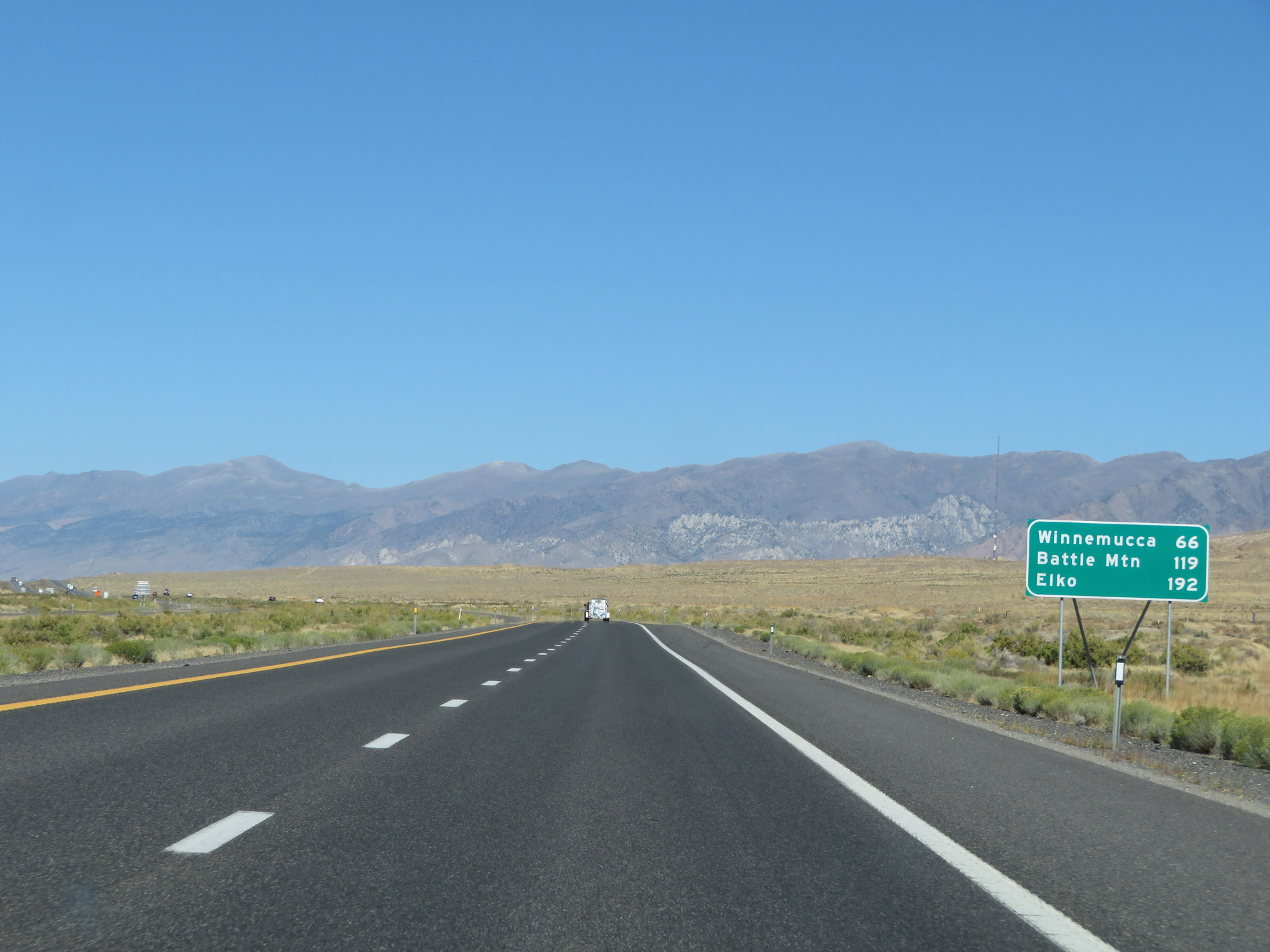 |
Mileage sign on Interstate 80 East. It's 66 miles to Winnemucca, 119 miles to Battle Mountain, and 192 miles to Elko. (Photo taken 9/24/19). |
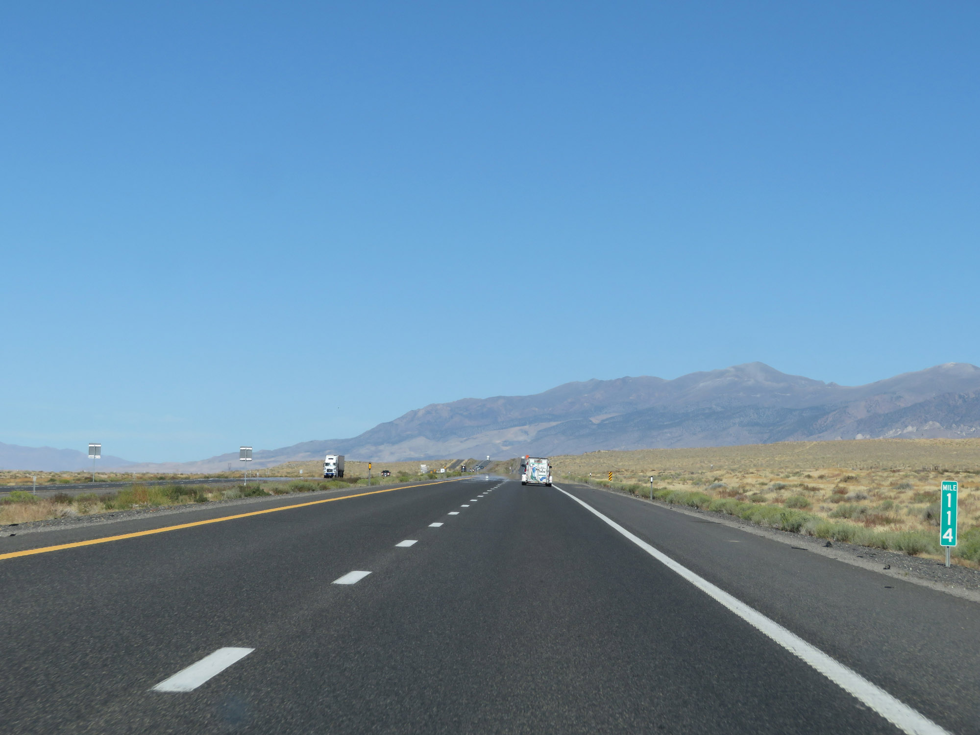 |
View on Interstate 80 East at mile marker 114. (Photo taken 9/24/19). |
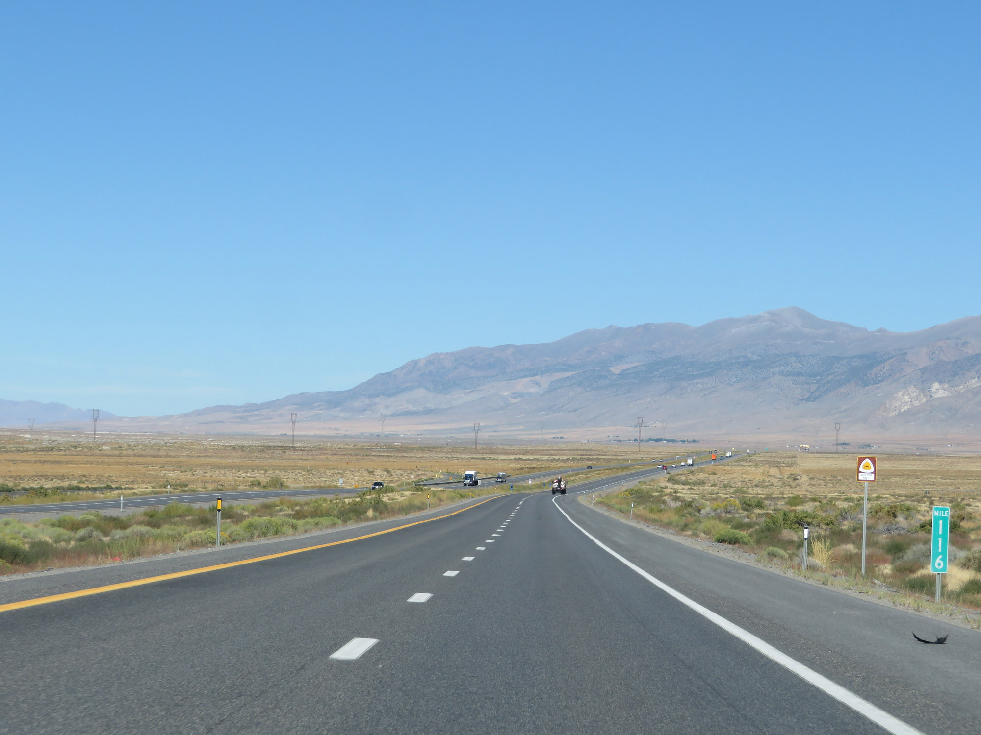 |
Interstate 80 East at mile marker 116. (Photo taken 9/24/19). |
 |
Interstate 80 East at Exit 119: Oreana / Rochester (Photo taken 9/24/19). |
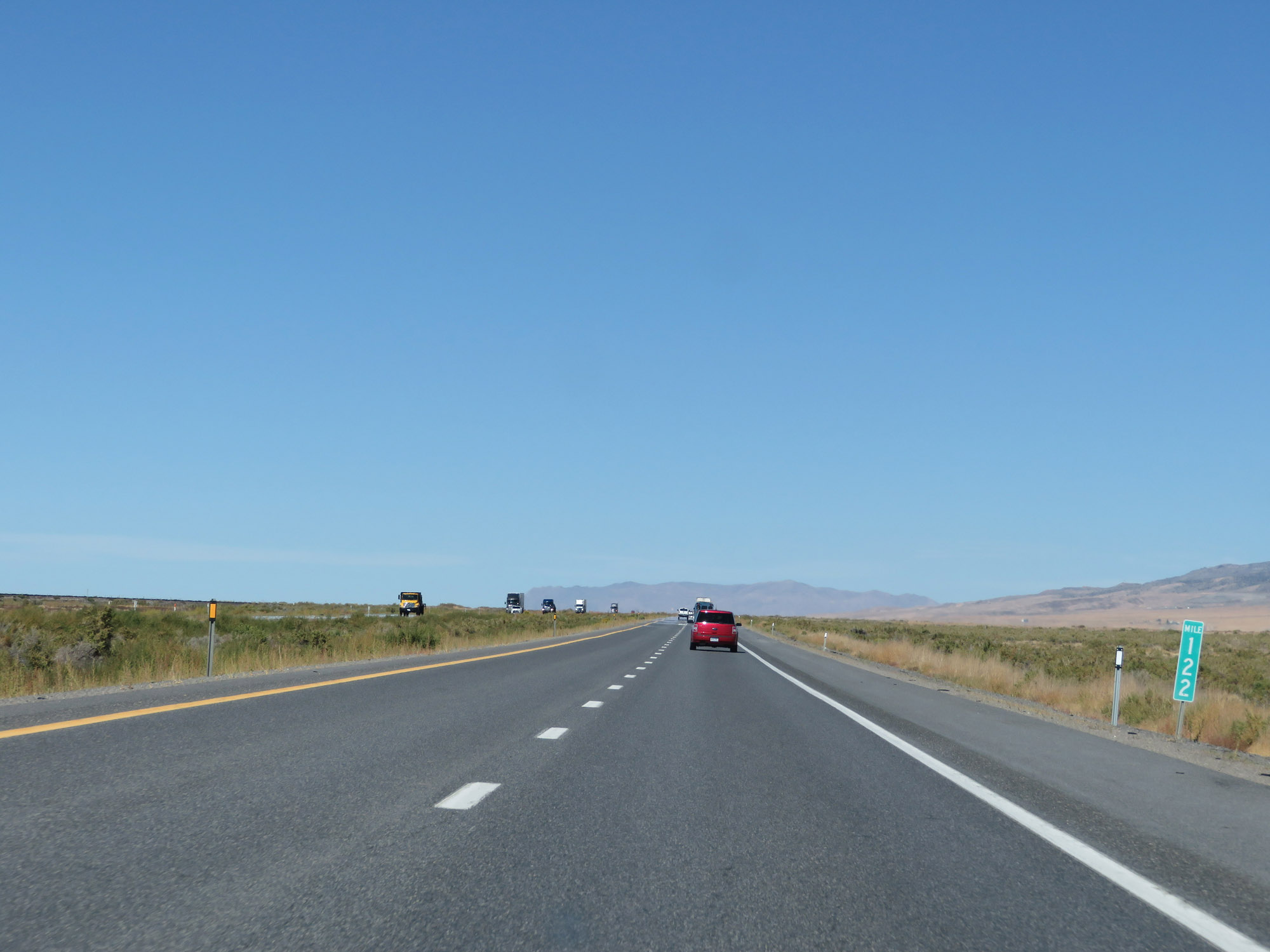 |
View on Interstate 80 East at mile marker 122. (Photo taken 9/24/19). |
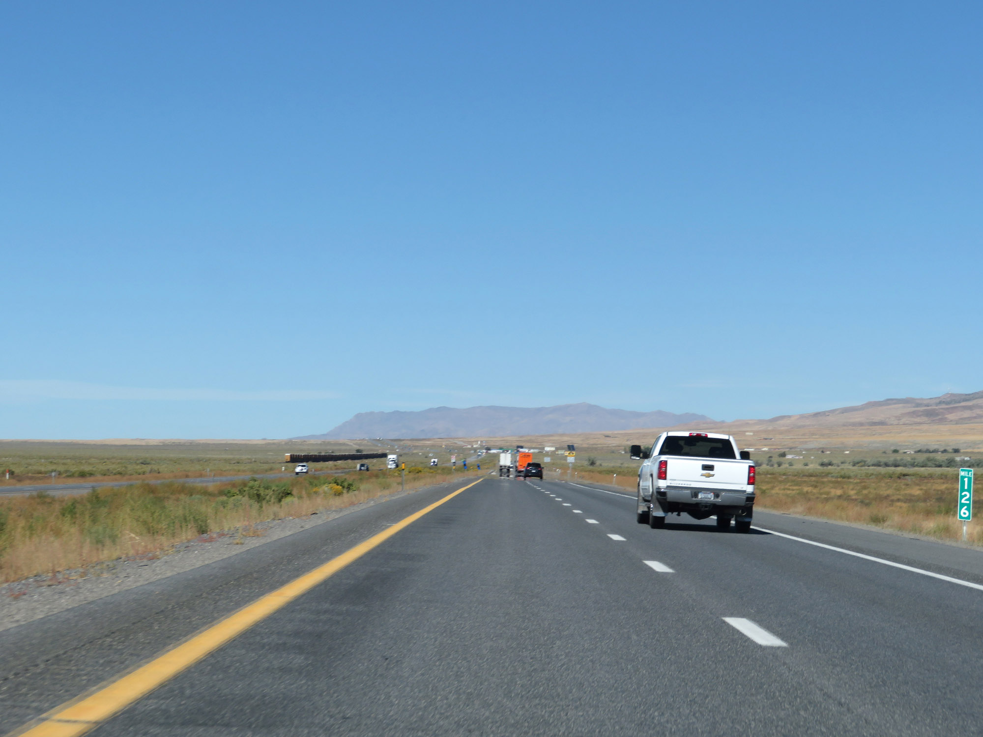 |
Interstate 80 East at mile marker 126. (Photo taken 9/24/19). |
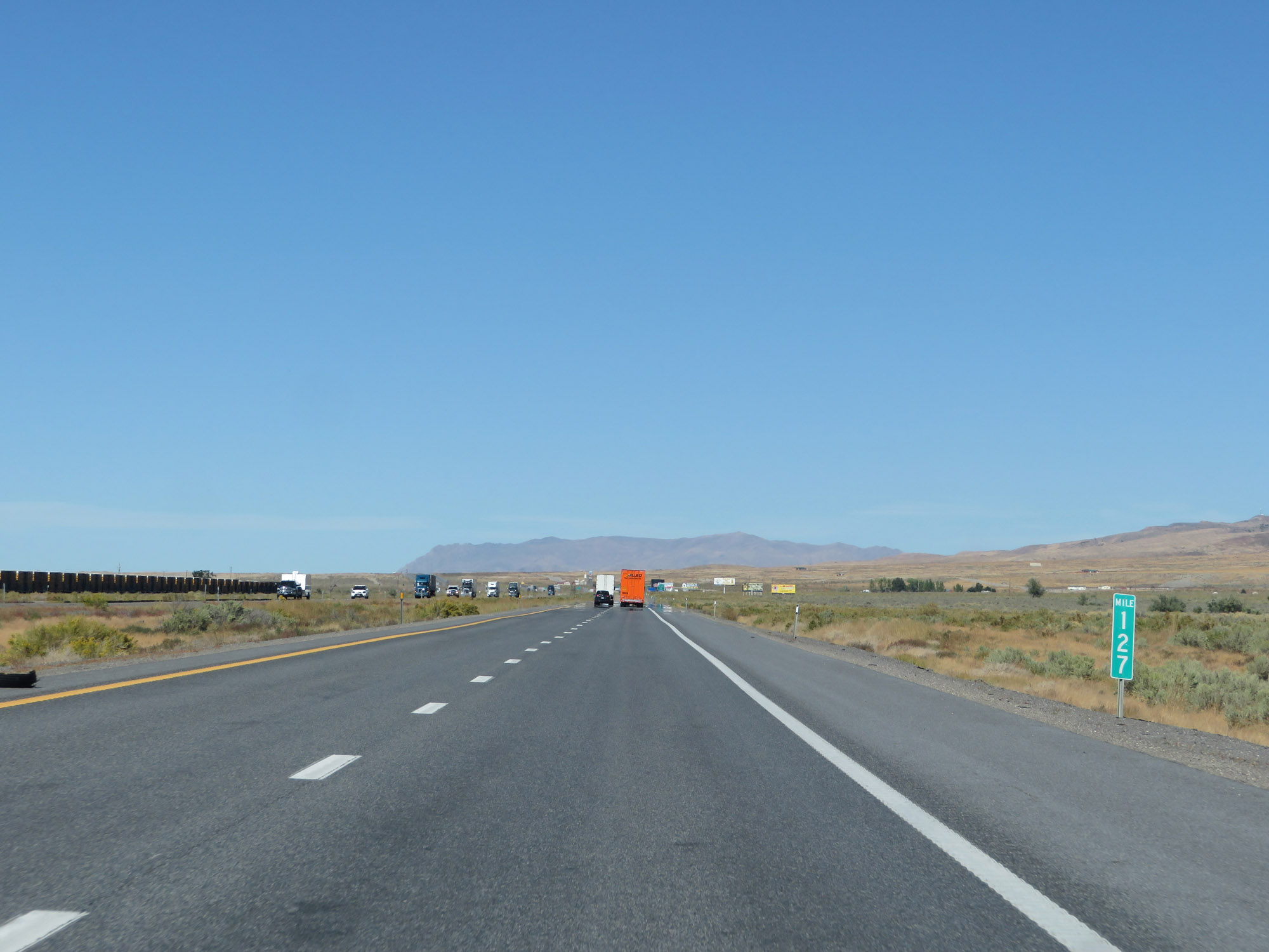 |
Interstate 80 East at mile marker 127. (Photo taken 9/24/19). |
 |
Take Exit 129 to Rye Patch State Recreational Area. (Photo taken 9/24/19). |
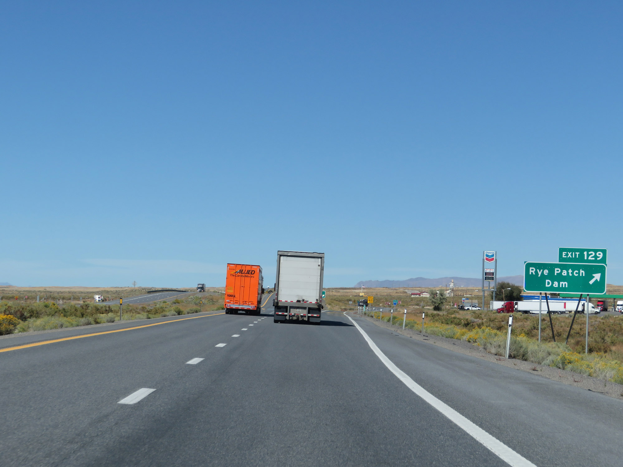 |
Interstate 80 East at Exit 129: Rye Patch Dam (Photo taken 9/24/19). |
 |
Another state-named Interstate 80 East reassurance shield. (Photo taken 9/24/19). |
 |
Interstate 80 East at mile marker 132. (Photo taken 9/24/19). |
 |
View on Interstate 80 East at mile marker 135. (Photo taken 9/24/19). |
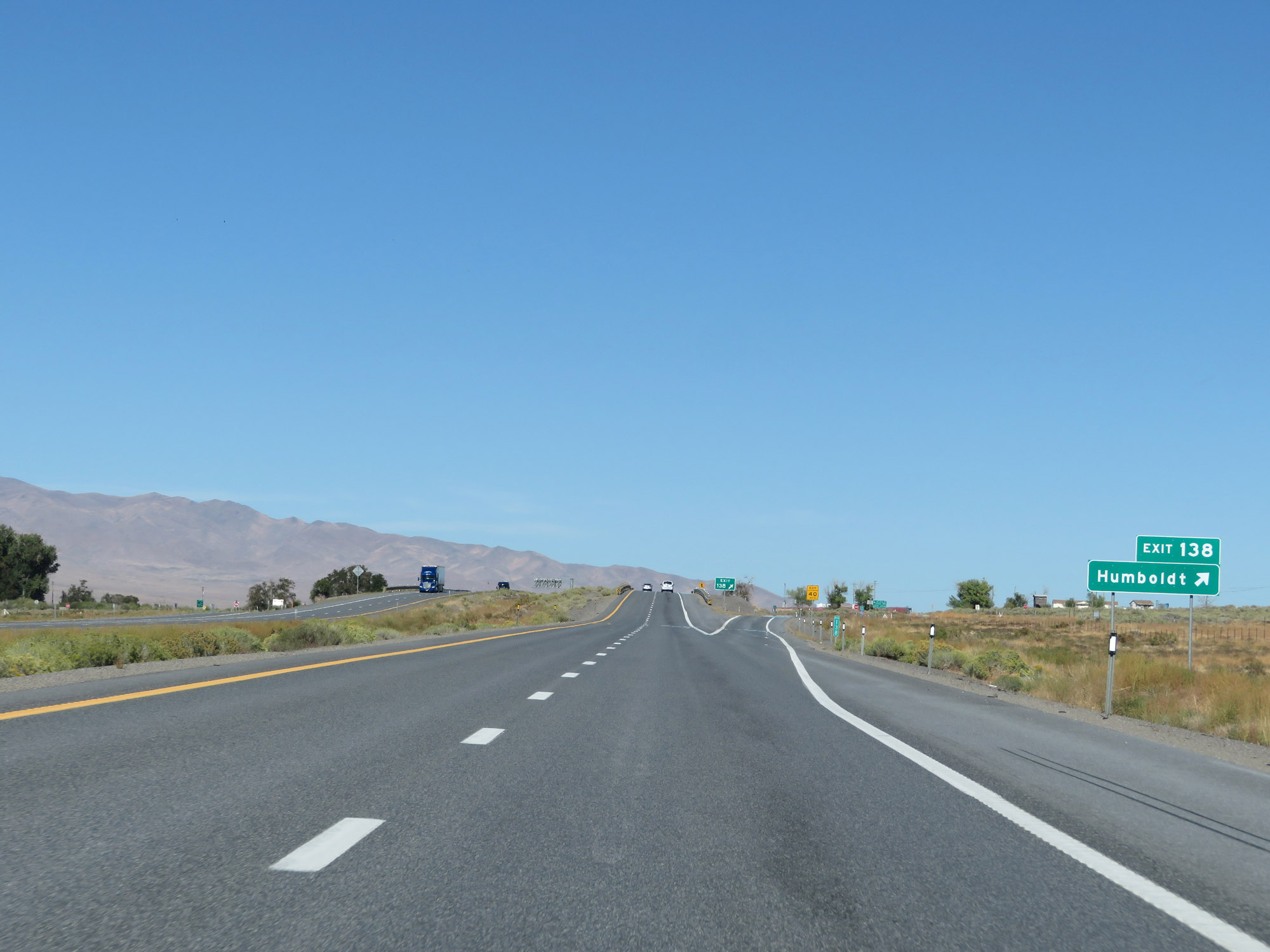 |
Interstate 80 East at Exit 138: Humboldt (Photo taken 9/24/19). |
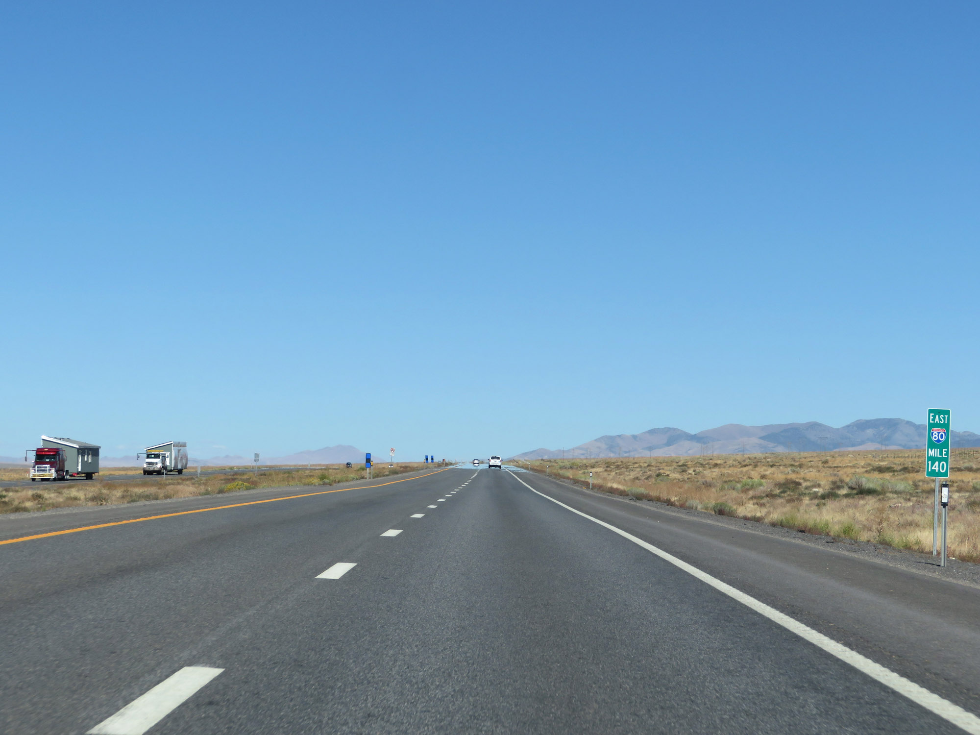 |
View on Interstate 80 East at mile marker 140. (Photo taken 9/24/19). |
 |
Interstate 80 East at mile marker 143. (Photo taken 9/24/19). |
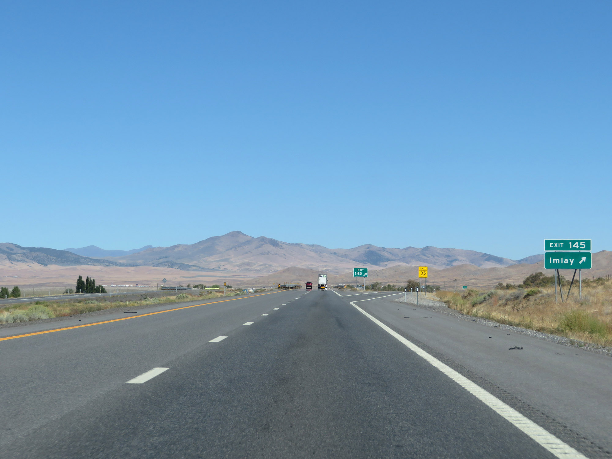 |
Interstate 80 East at Exit 145: Imlay (Photo taken 9/24/19). |
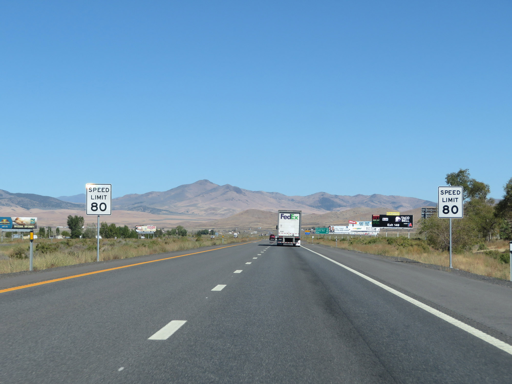 |
The speed limit remains 80 mph for all traffic. (Photo taken 9/24/19). |
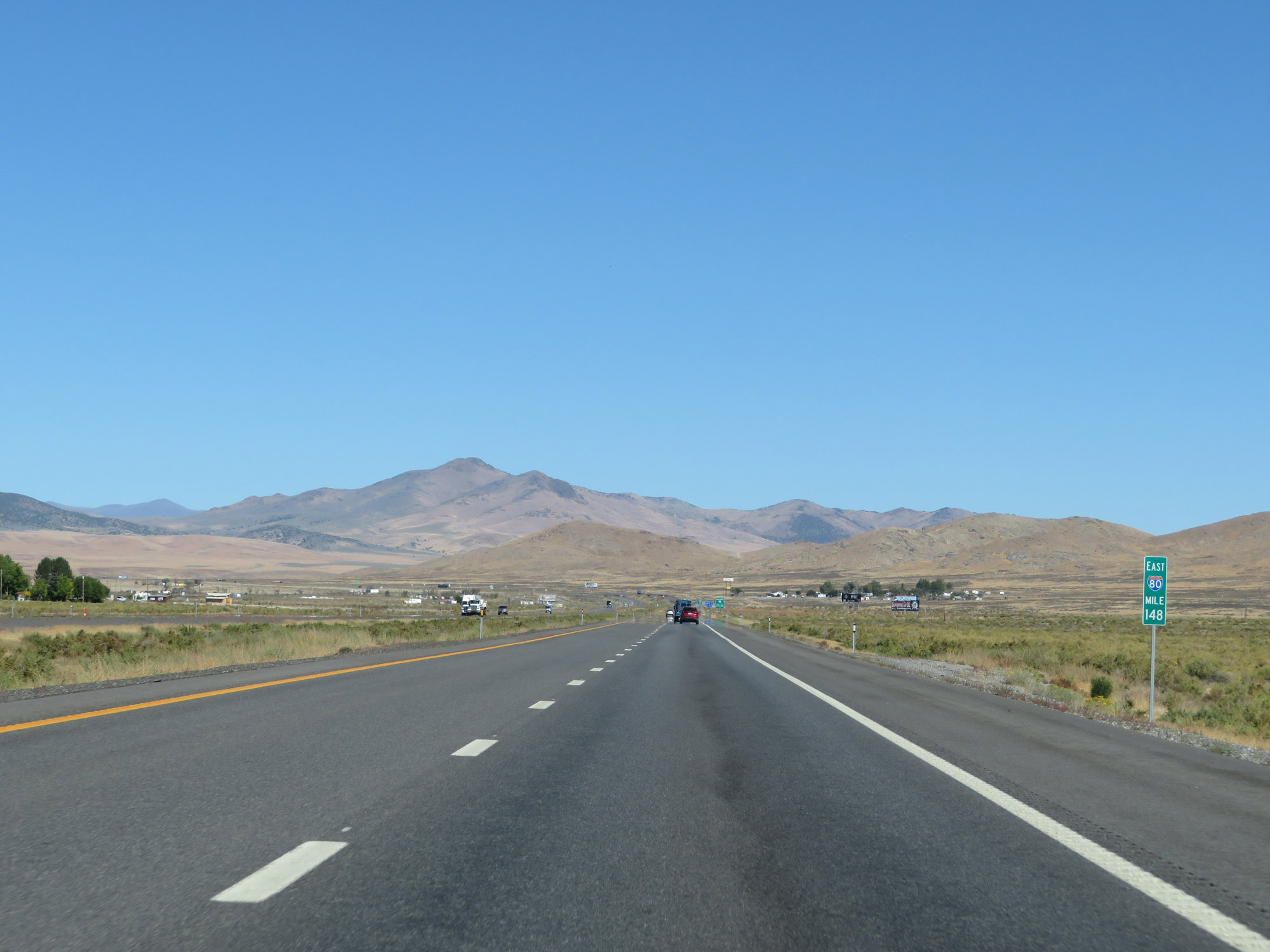 |
Interstate 80 East at mile marker 148. (Photo taken 9/24/19). |
 |
Interstate 80 East at Exit 149: NV 400 - Mill City / Unionville (Photo taken 9/24/19). |
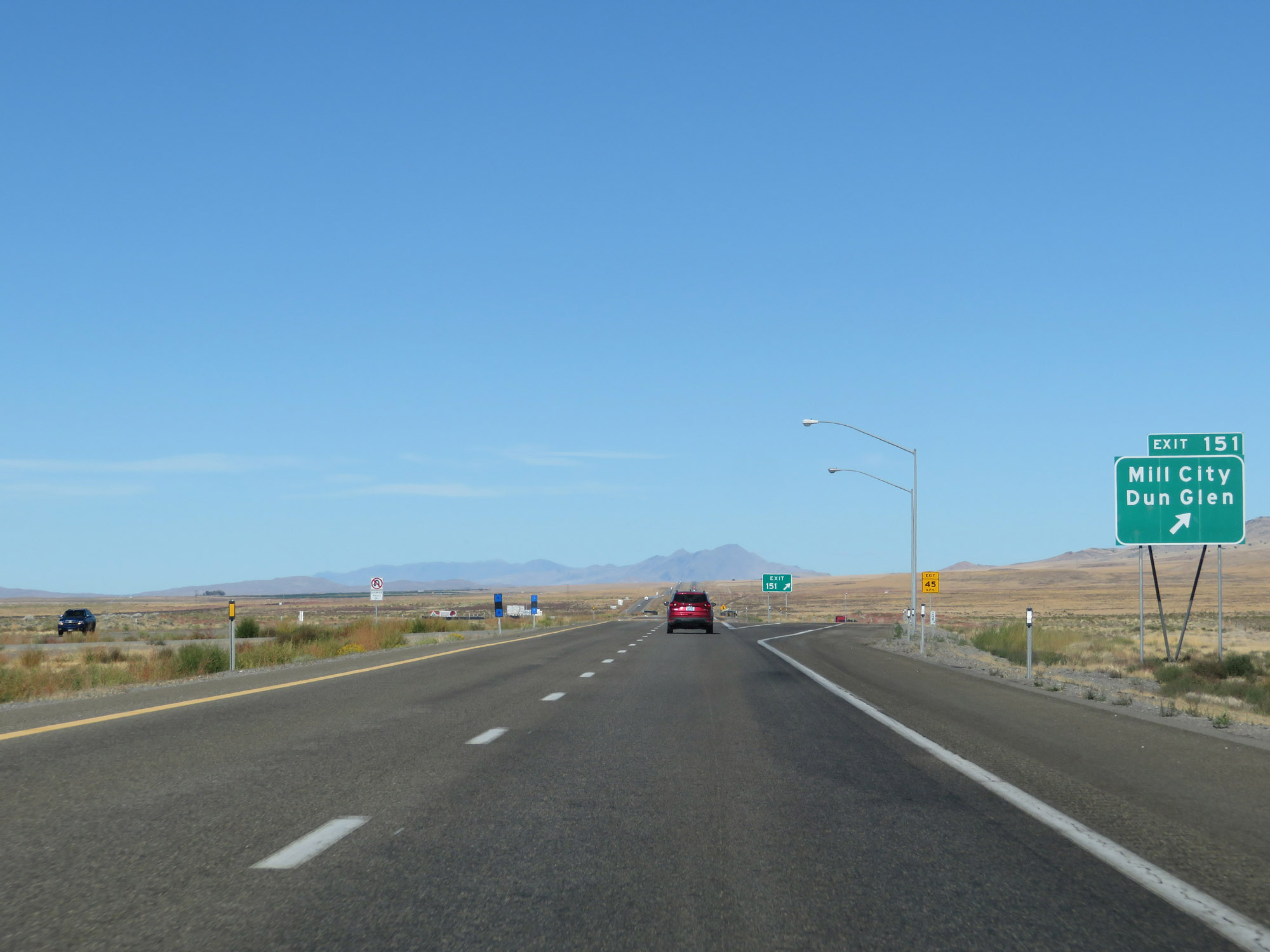 |
Interstate 80 East at Exit 151: Mill City / Dun Glen (Photo taken 9/24/19). |
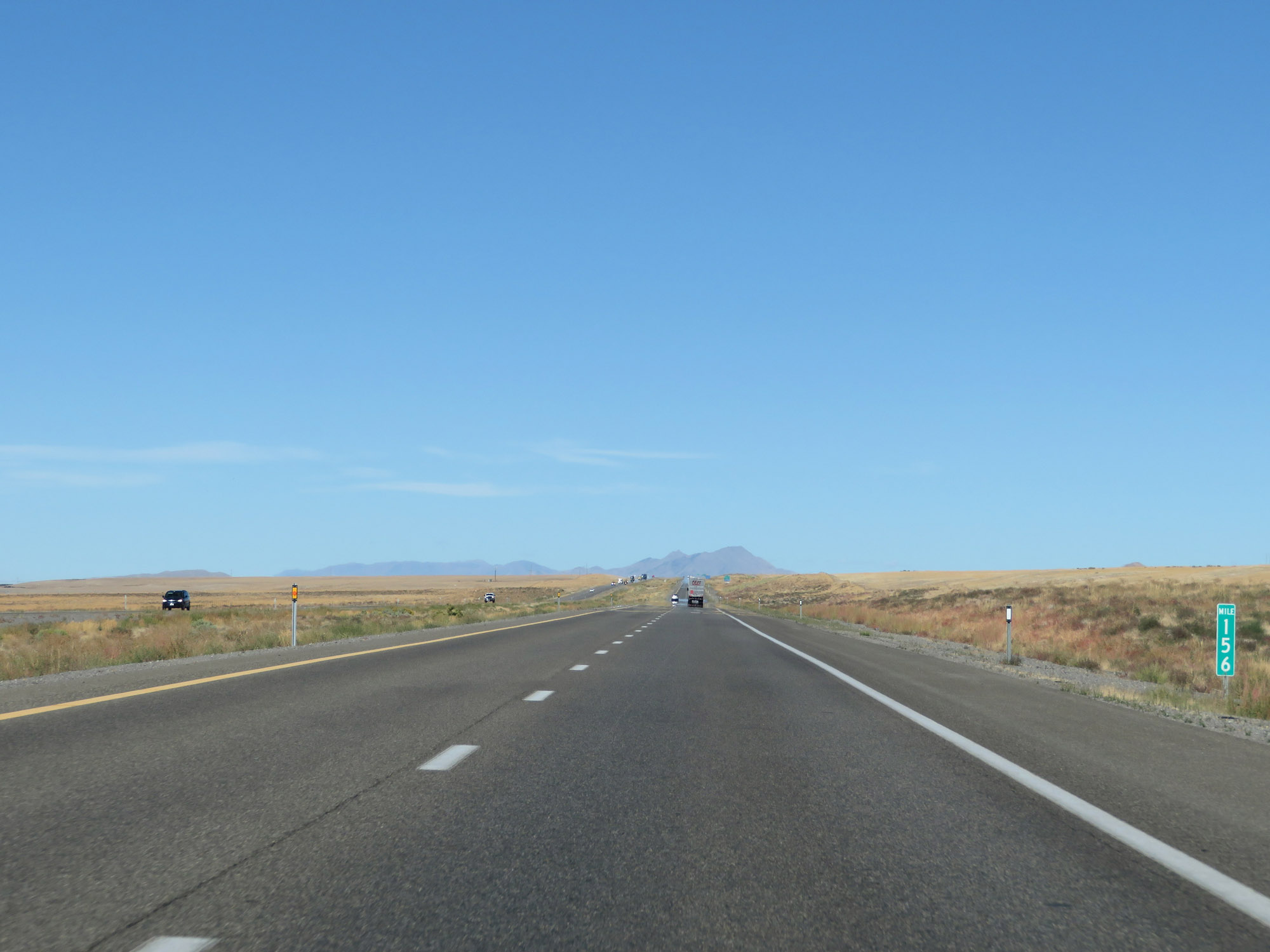 |
View on Interstate 80 East at mile marker 156. (Photo taken 9/24/19). |
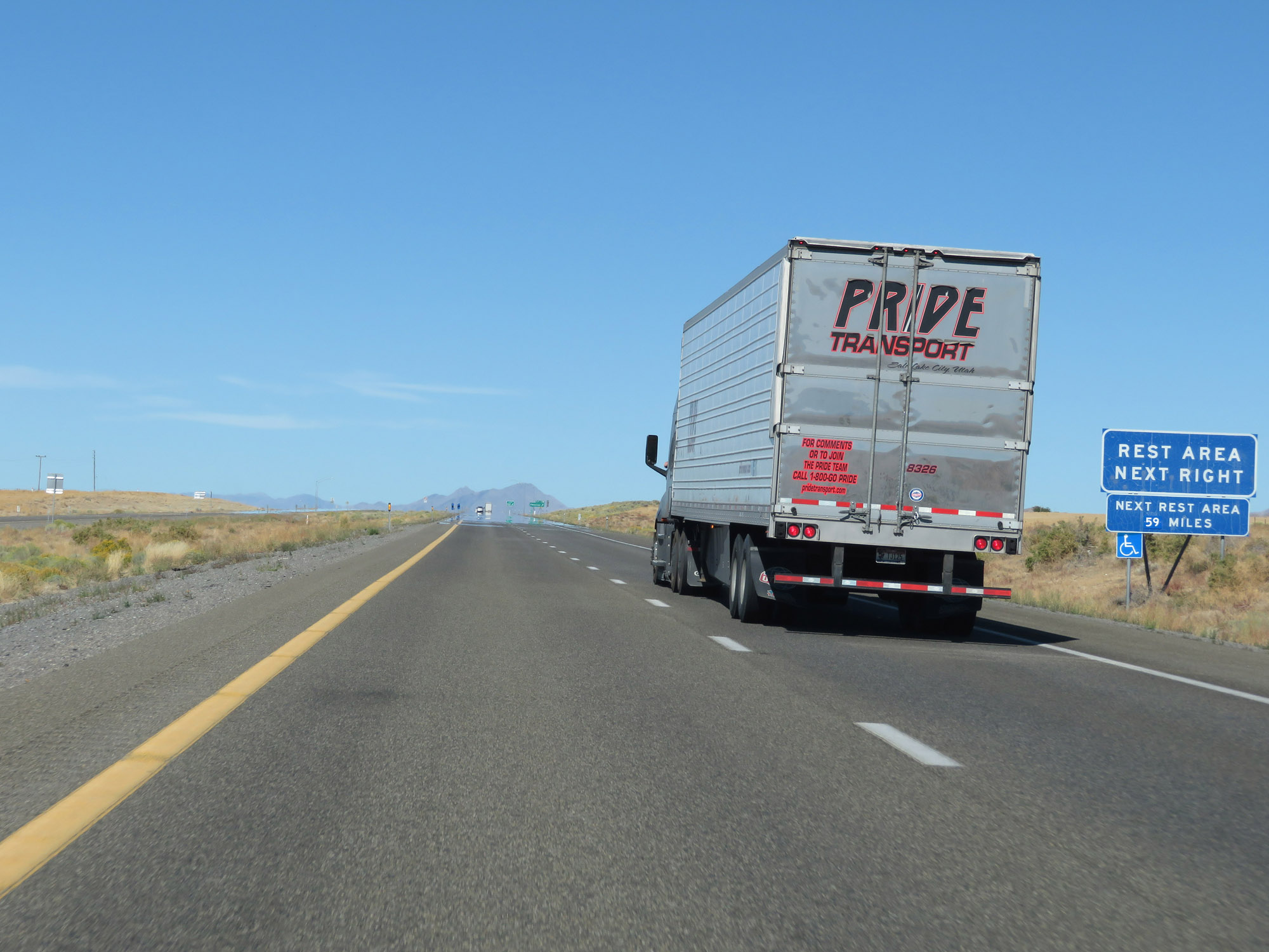 |
A Rest Area exists off Exit 158. (Photo taken 9/24/19). |
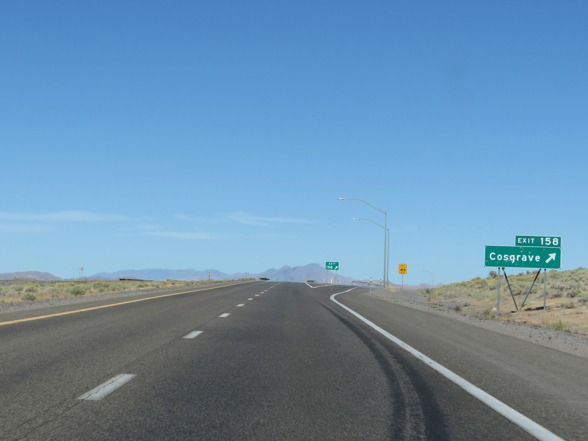 |
Interstate 80 East at Exit 158: Cosgrave (Photo taken 9/24/19). |
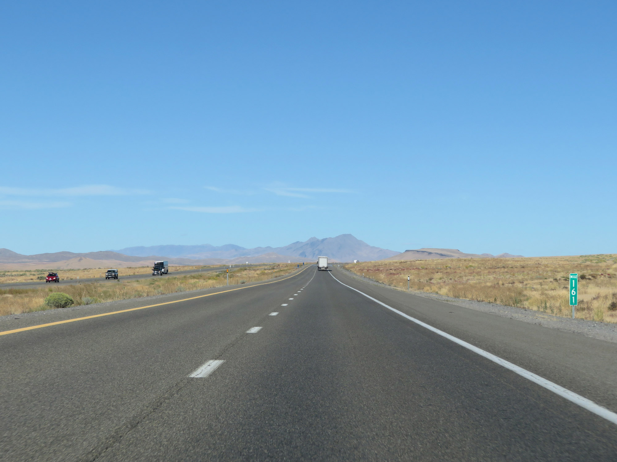 |
View on Interstate 80 East at mile marker 161. (Photo taken 9/24/19). |
 |
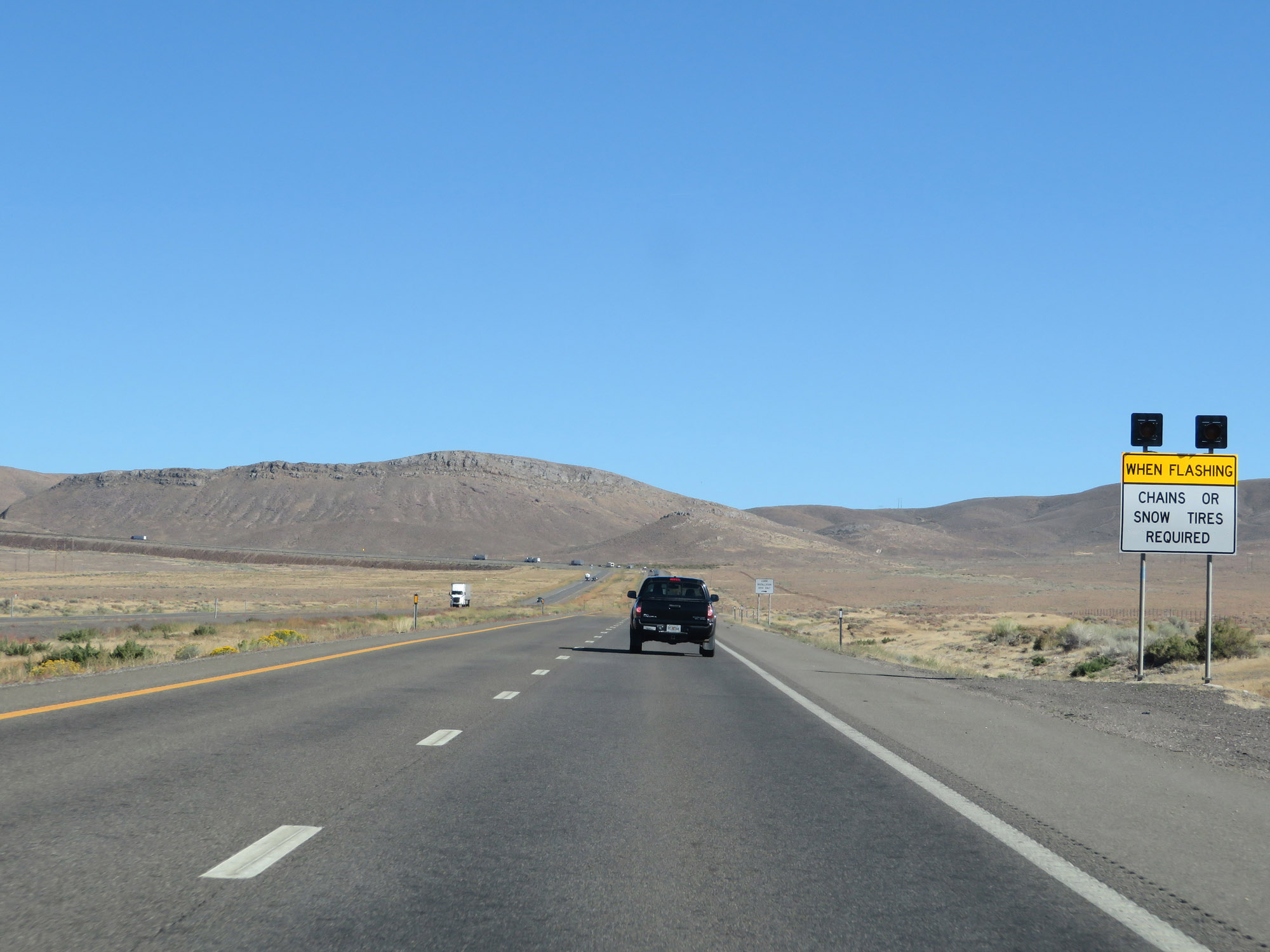
When the lights on this sign are flashing, chains or snow tires are required to continue beyond this point. (Photo taken 9/24/19). |
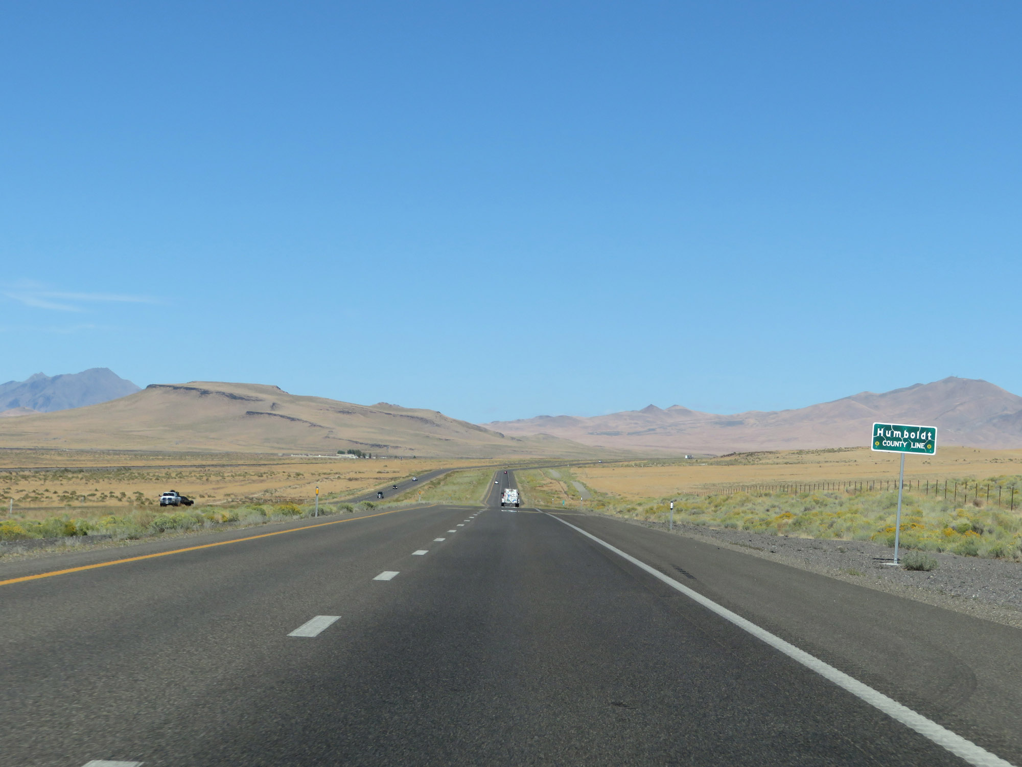 |
Interstate 80 East as it enters Humboldt County. (Photo taken 9/24/19). |
 |
Interstate 80 East at mile marker 165. (Photo taken 9/24/19). |
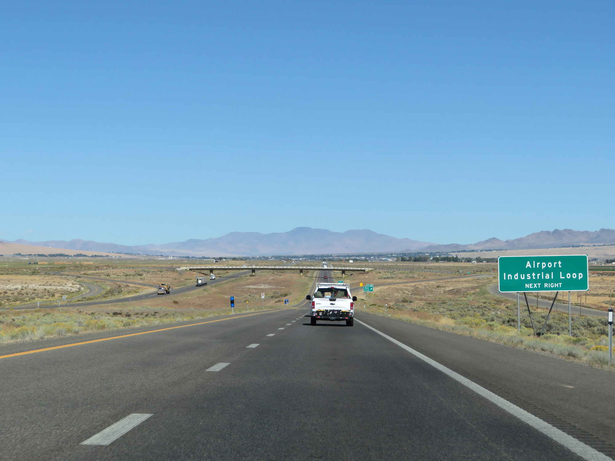 |
Take Exit 168 to the Airport and Industrial Loop. (Photo taken 9/24/19). |
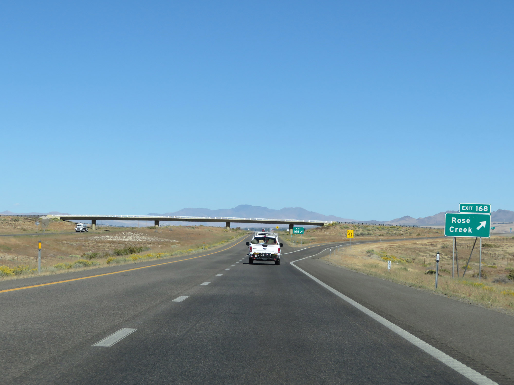 |
Interstate 80 East at Exit 168: Rose Creek (Photo taken 9/24/19). |
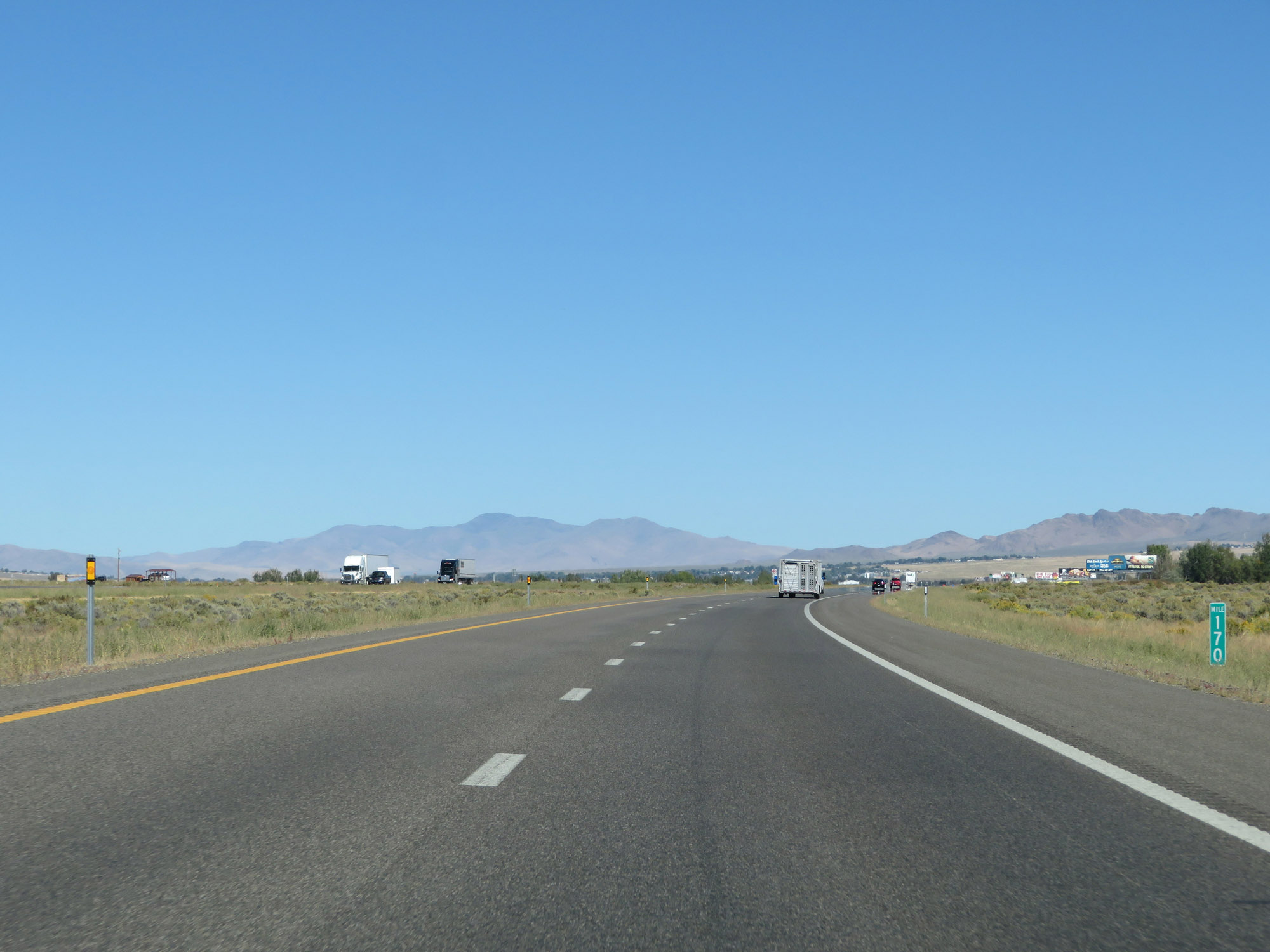 |
View on Interstate 80 East at mile marker 170. (Photo taken 9/24/19). |
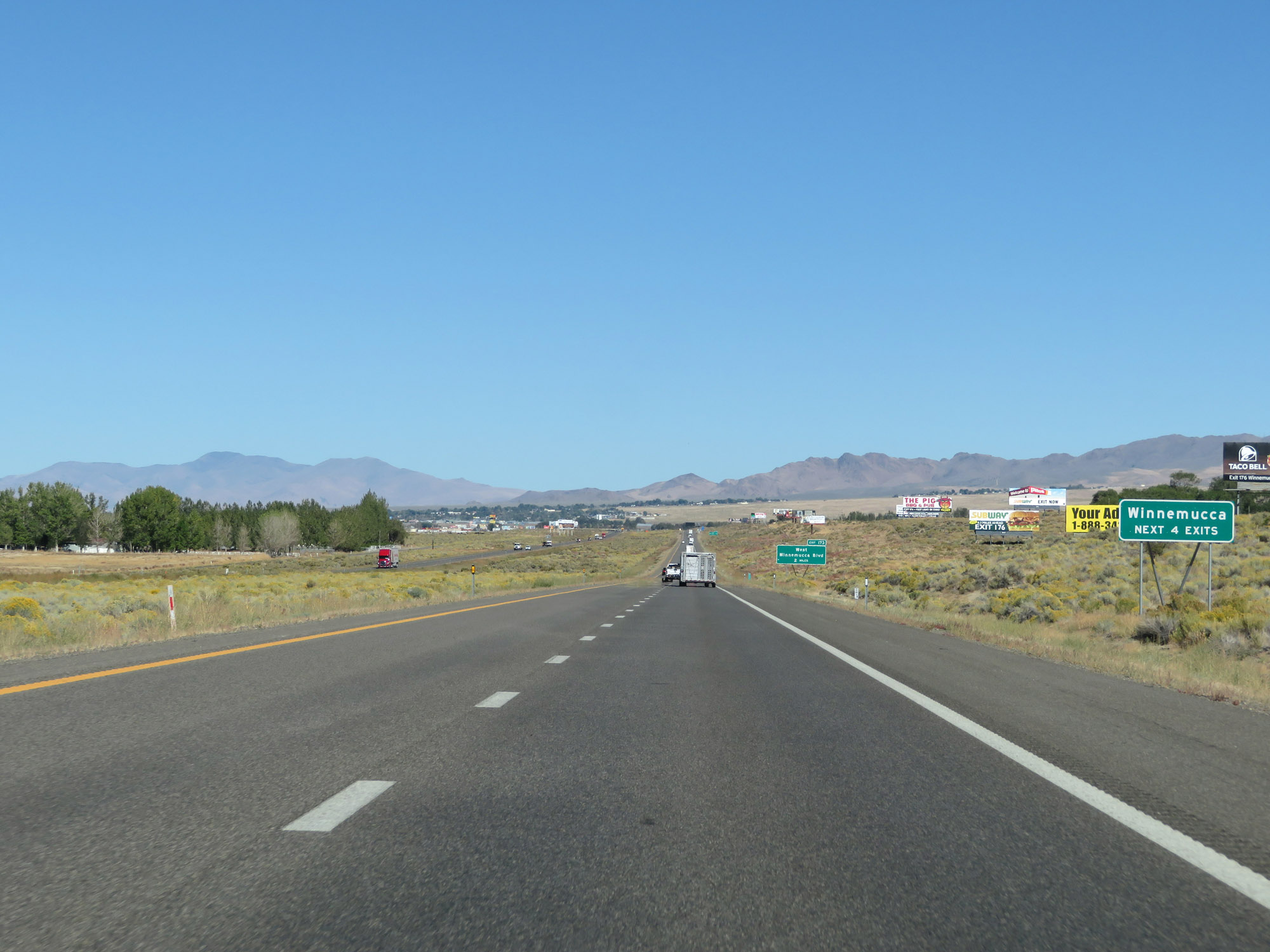 |
Take any of the next 4 exits to Winnemucca. (Photo taken 9/24/19). |
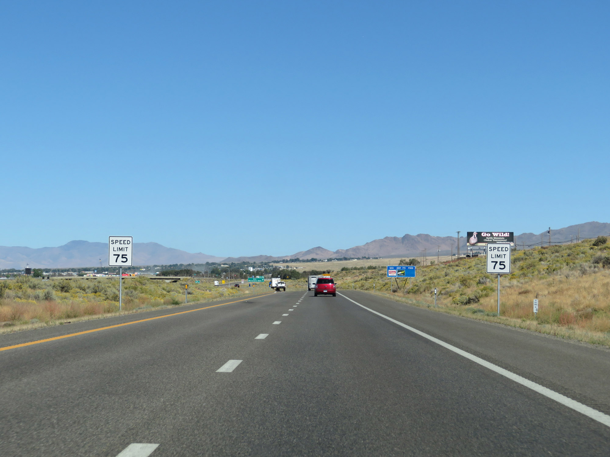 |
Approaching the Winnemucca area, the speed limit decreases to 75 mph. (Photo taken 9/24/19). |
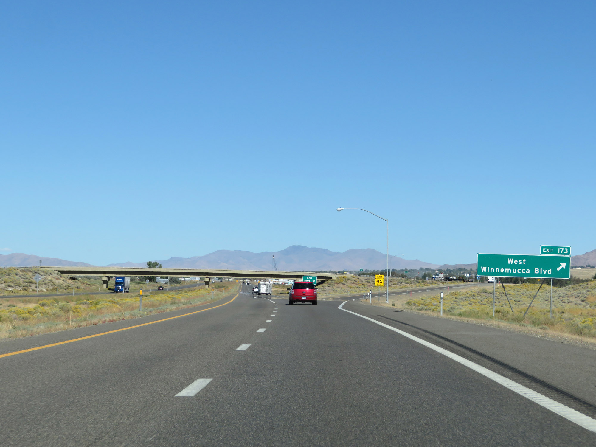 |
Interstate 80 East at Exit 173: West Winnemucca Blvd (Photo taken 9/24/19). |
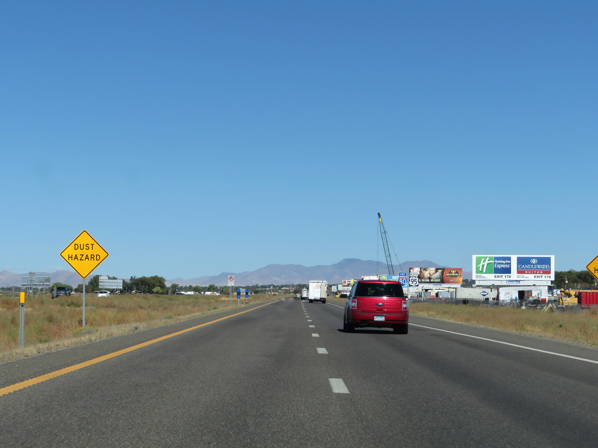 |
These signs in Winnemucca warn of the potential danger of blowing dust. (Photo taken 9/24/19). |
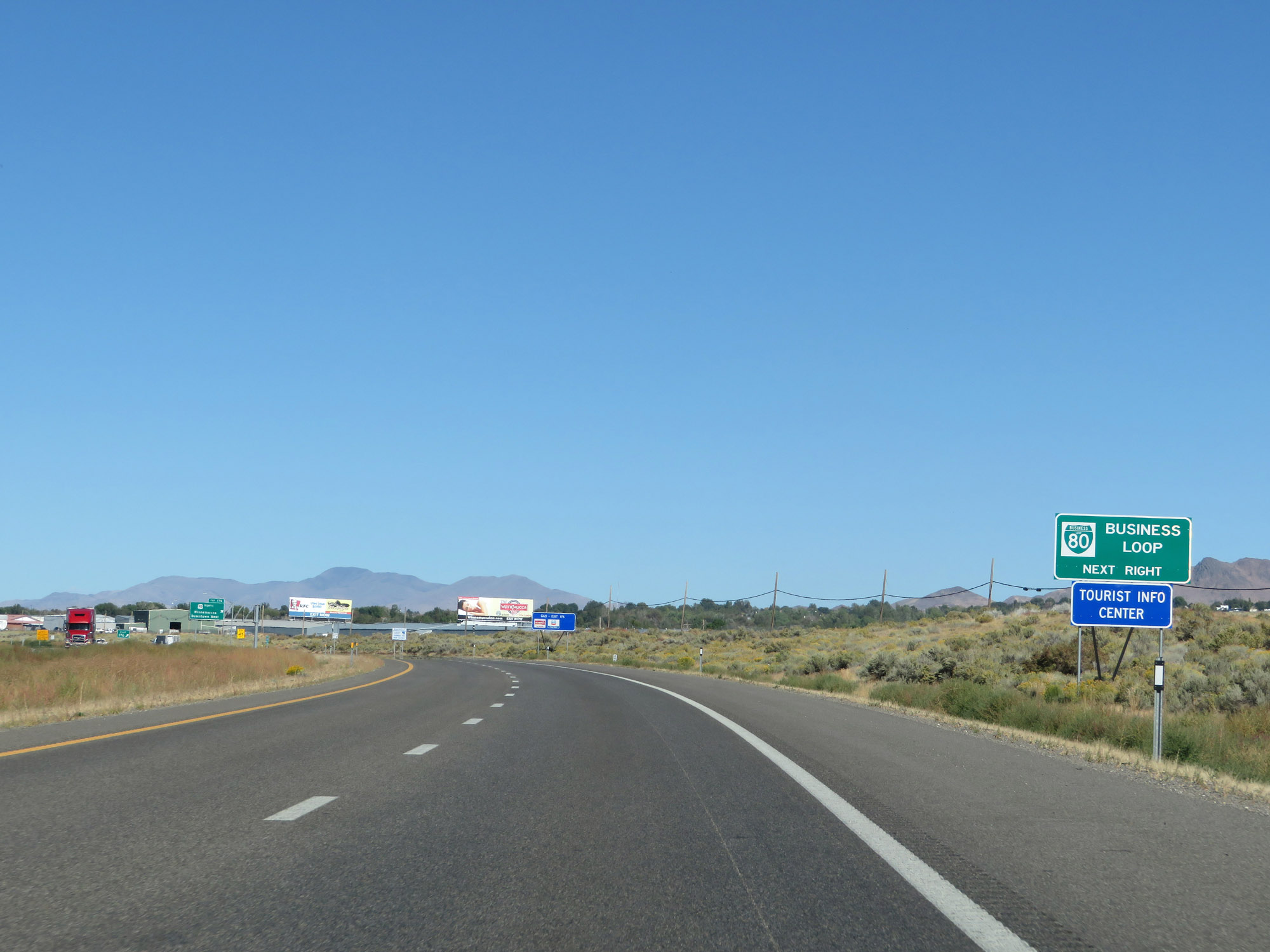 |
Take Exit 176 to Interstate 80 Business Loop and the Tourist Info Center. (Photo taken 9/24/19). |
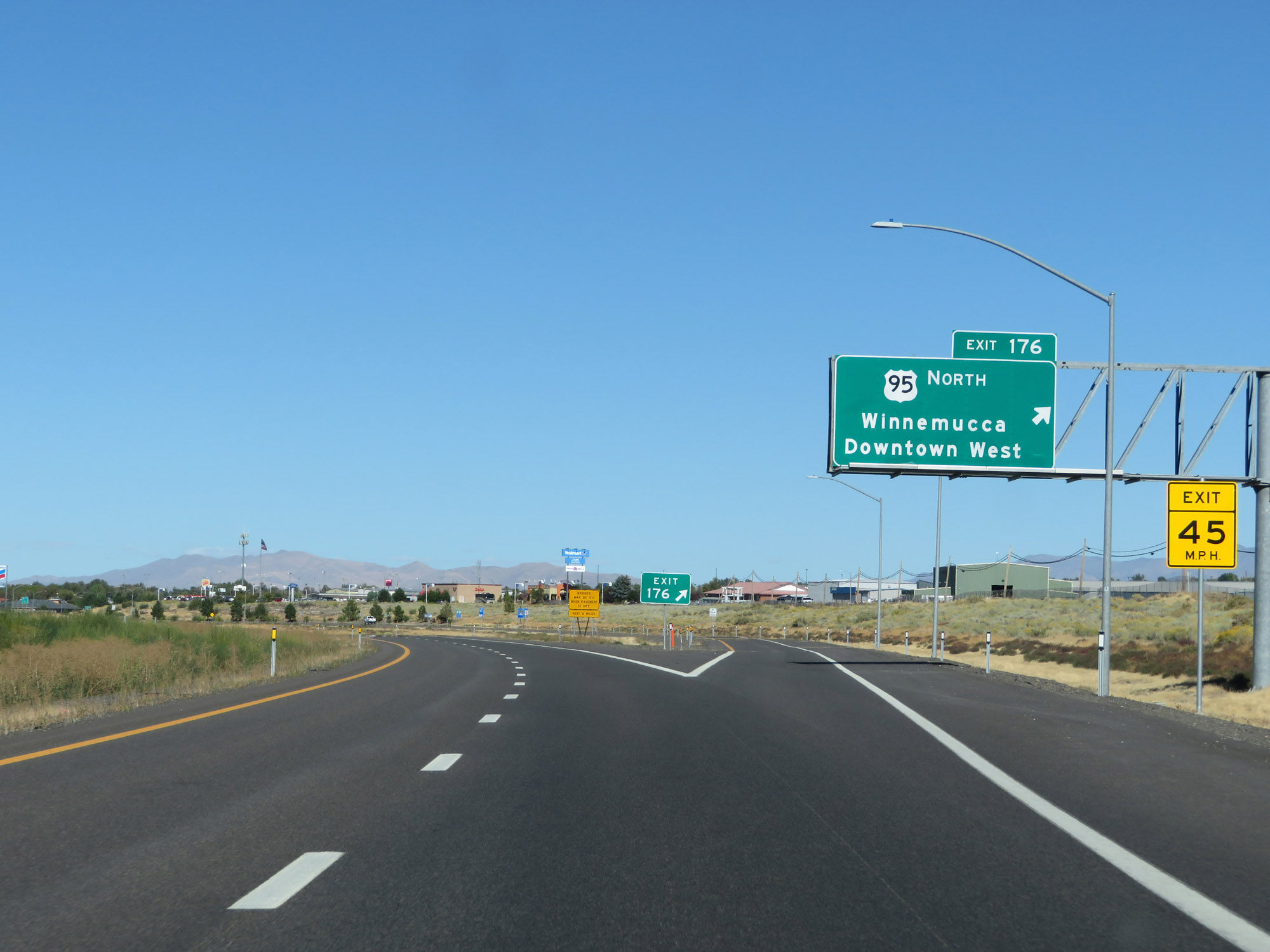 |
Interstate 80 East at Exit 176: US 95 North - Winnemucca Downtown West (Photo taken 9/24/19). |
Section 3: Winnemucca (Exit 176) to Carlin (Exit 280)
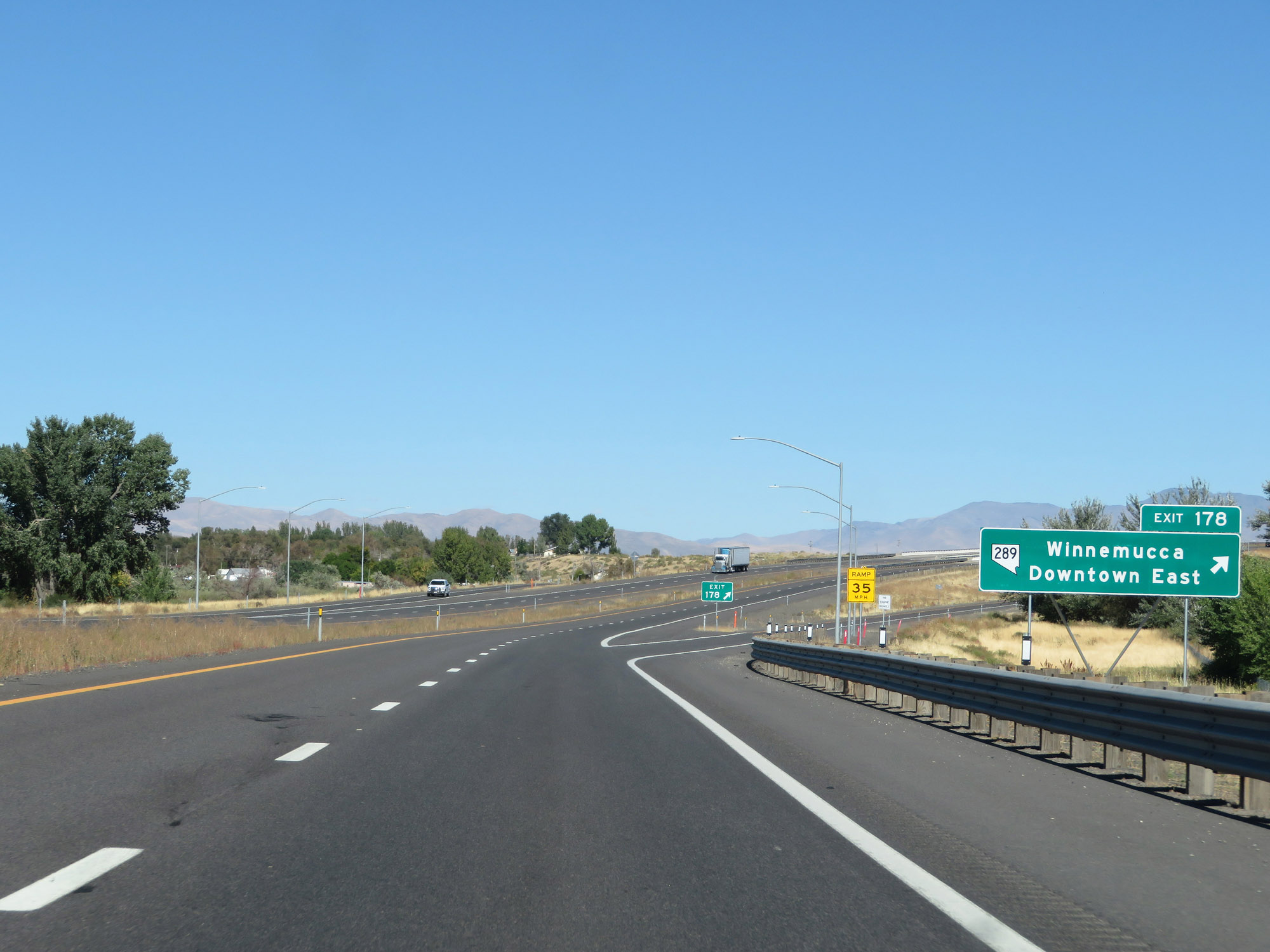 |
Interstate 80 East at Exit 178: NV 289 - Winnemucca Downtown East (Photo taken 9/24/19). |
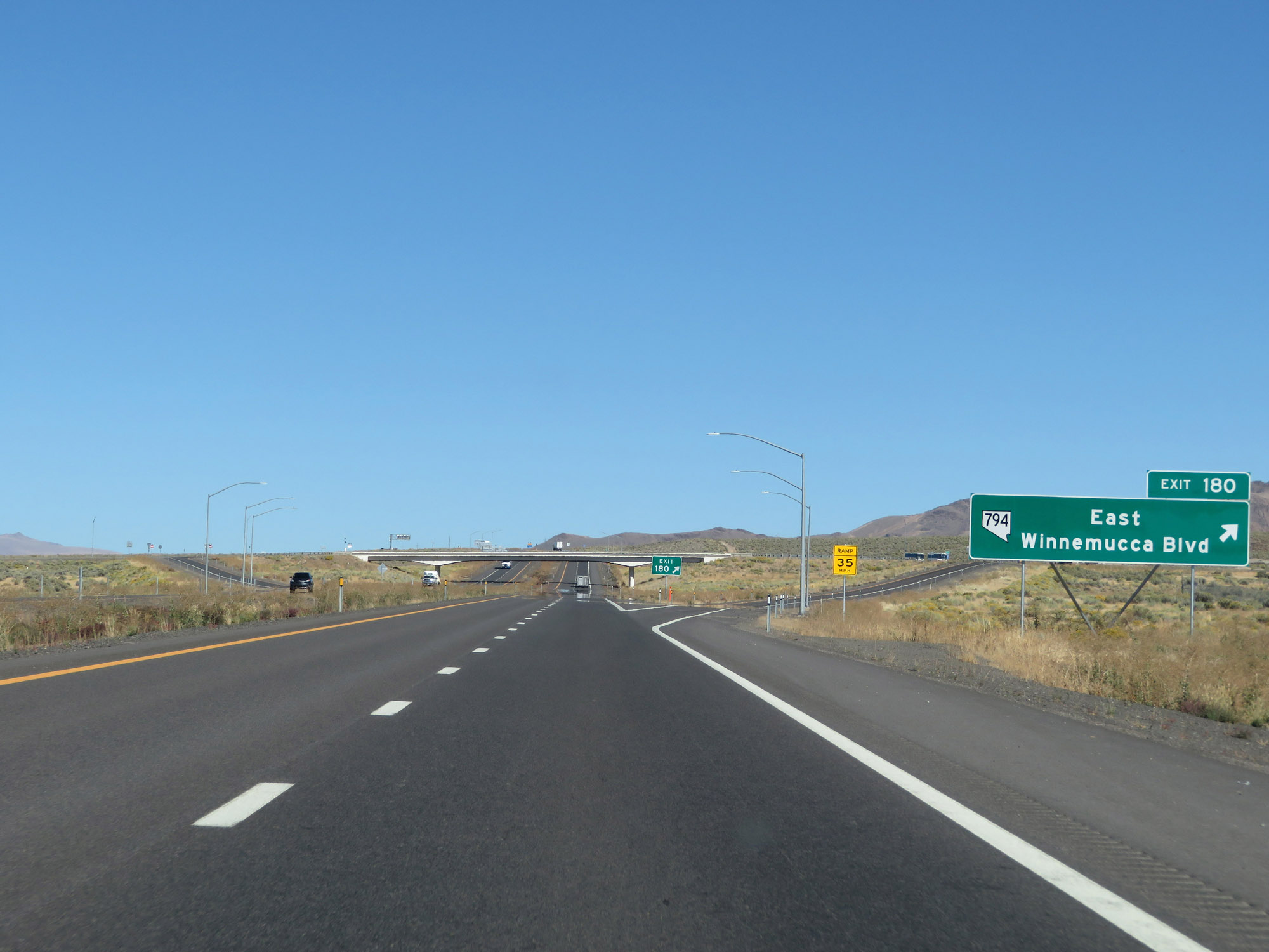 |
Interstate 80 East at Exit 180: NV 794 - East Winnemucca Blvd (Photo taken 9/24/19). |
 |
View on Interstate 80 East at mile marker 182, as it leaves Winnemucca. (Photo taken 9/24/19). |
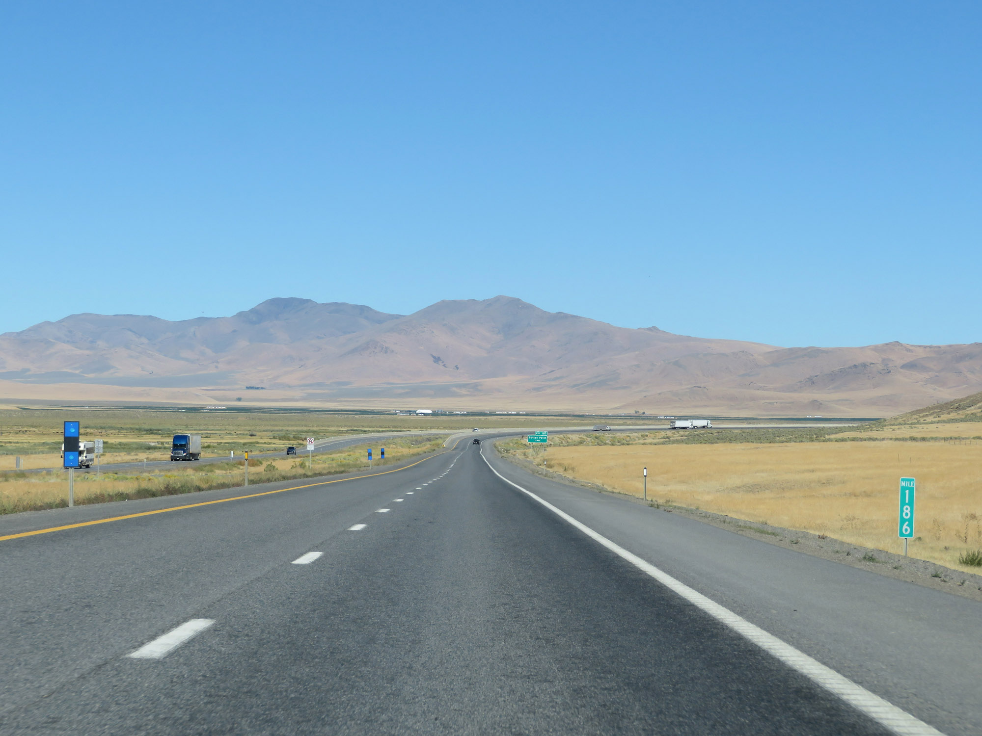 |
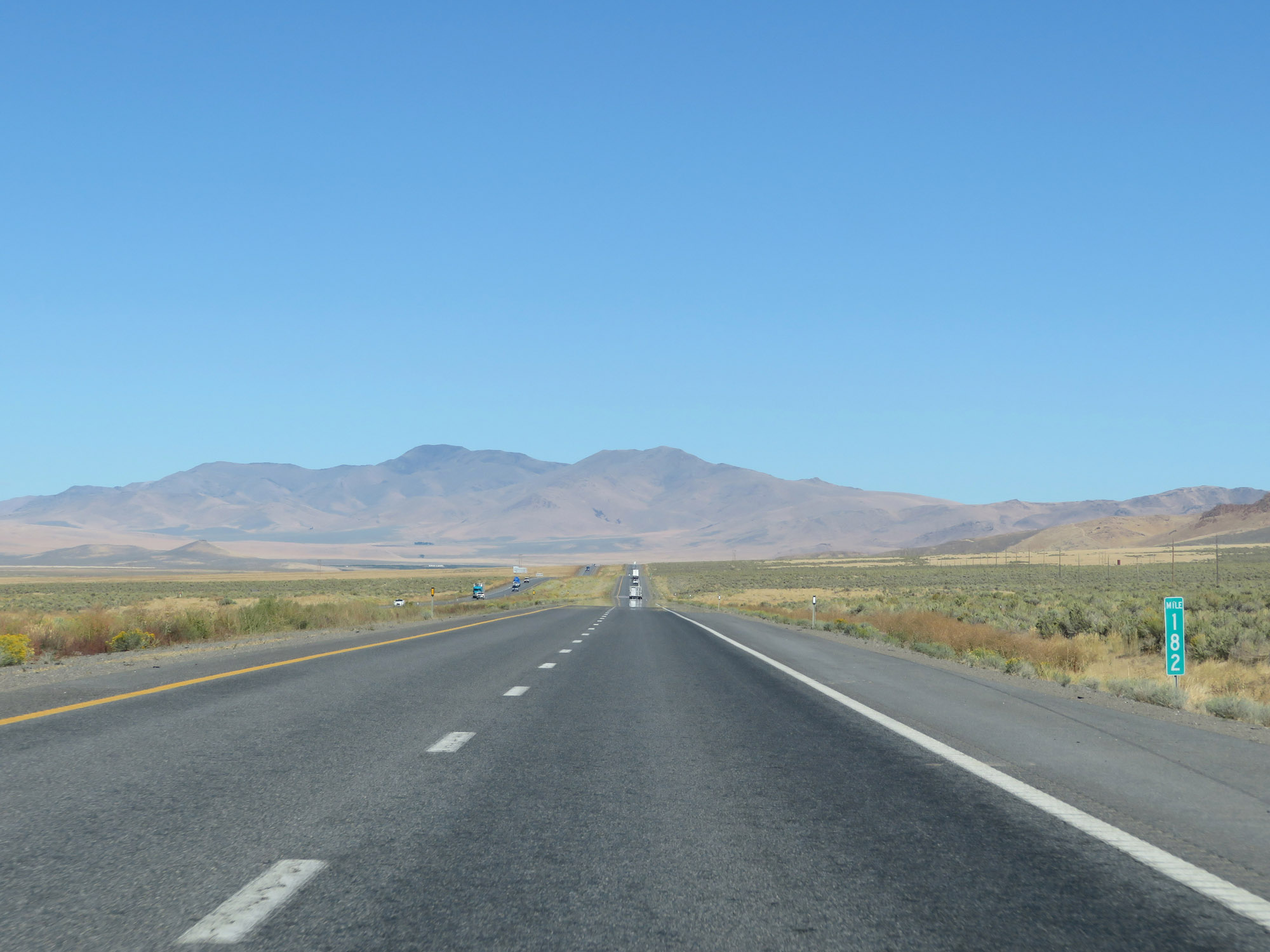
Interstate 80 East at mile marker 186. (Photo taken 9/24/19). |
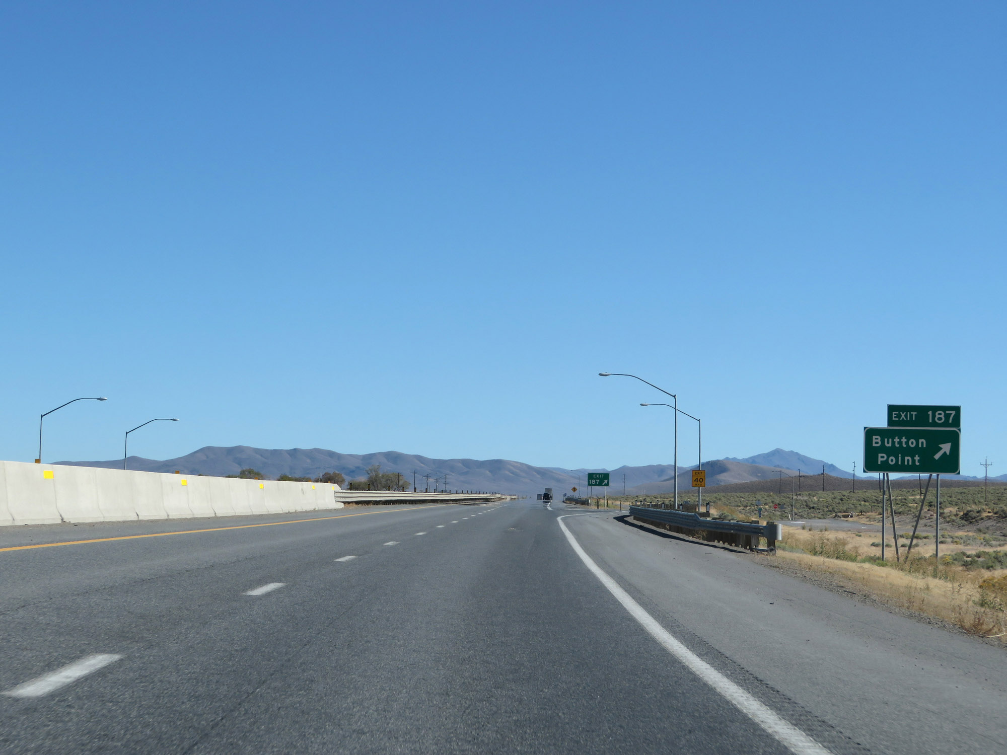 |
Interstate 80 East at Exit 187: Button Point (Photo taken 9/24/19). |
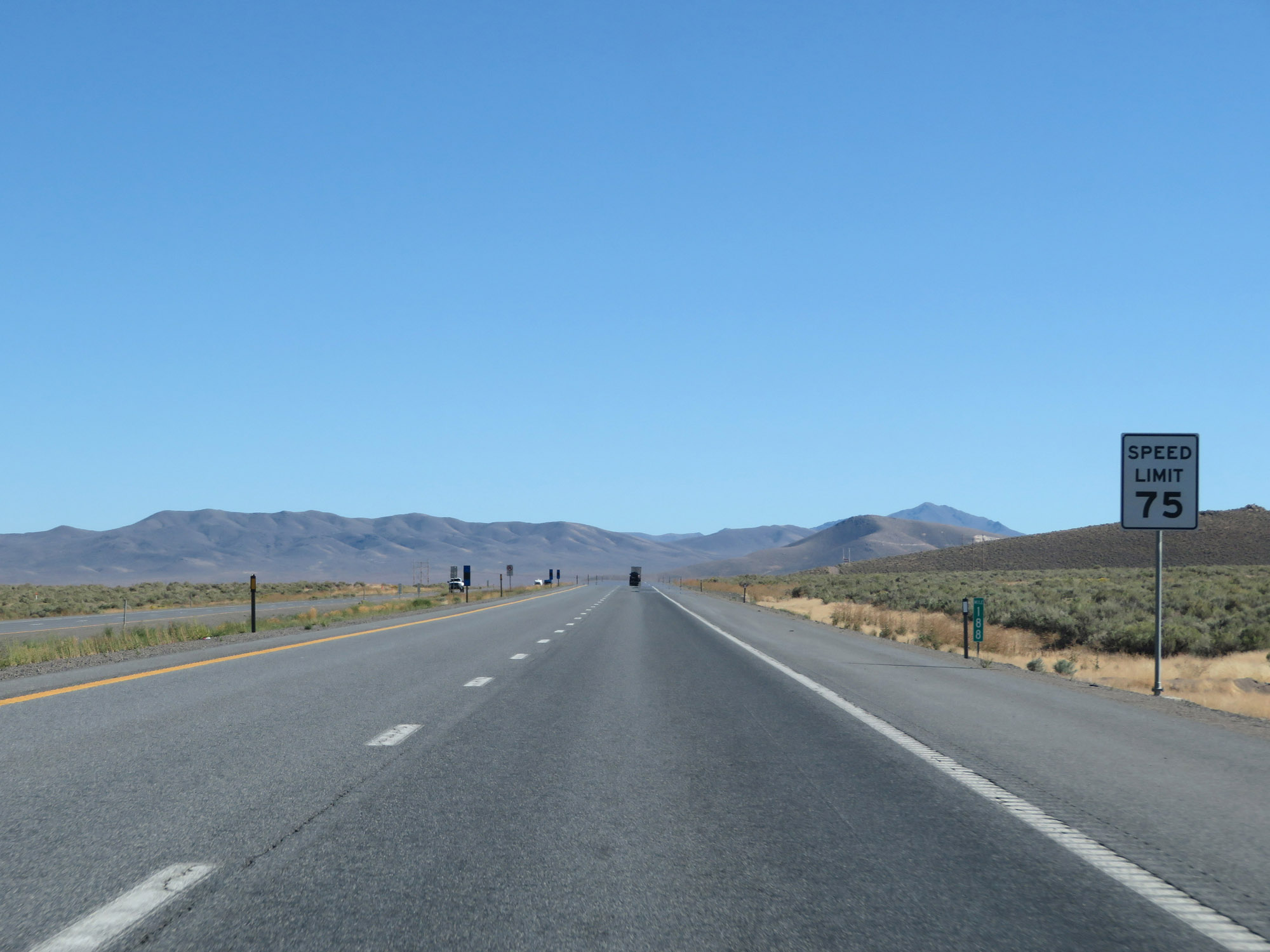 |
At mile marker 188, the speed limit remains 75 mph. It will stay at 75 mph until Interstate 80 East makes it to the other side of Golconda Pass, which is about 12 miles ahead. (Photo taken 9/24/19). |
 |
Interstate 80 East at mile marker 189. (Photo taken 9/24/19). |
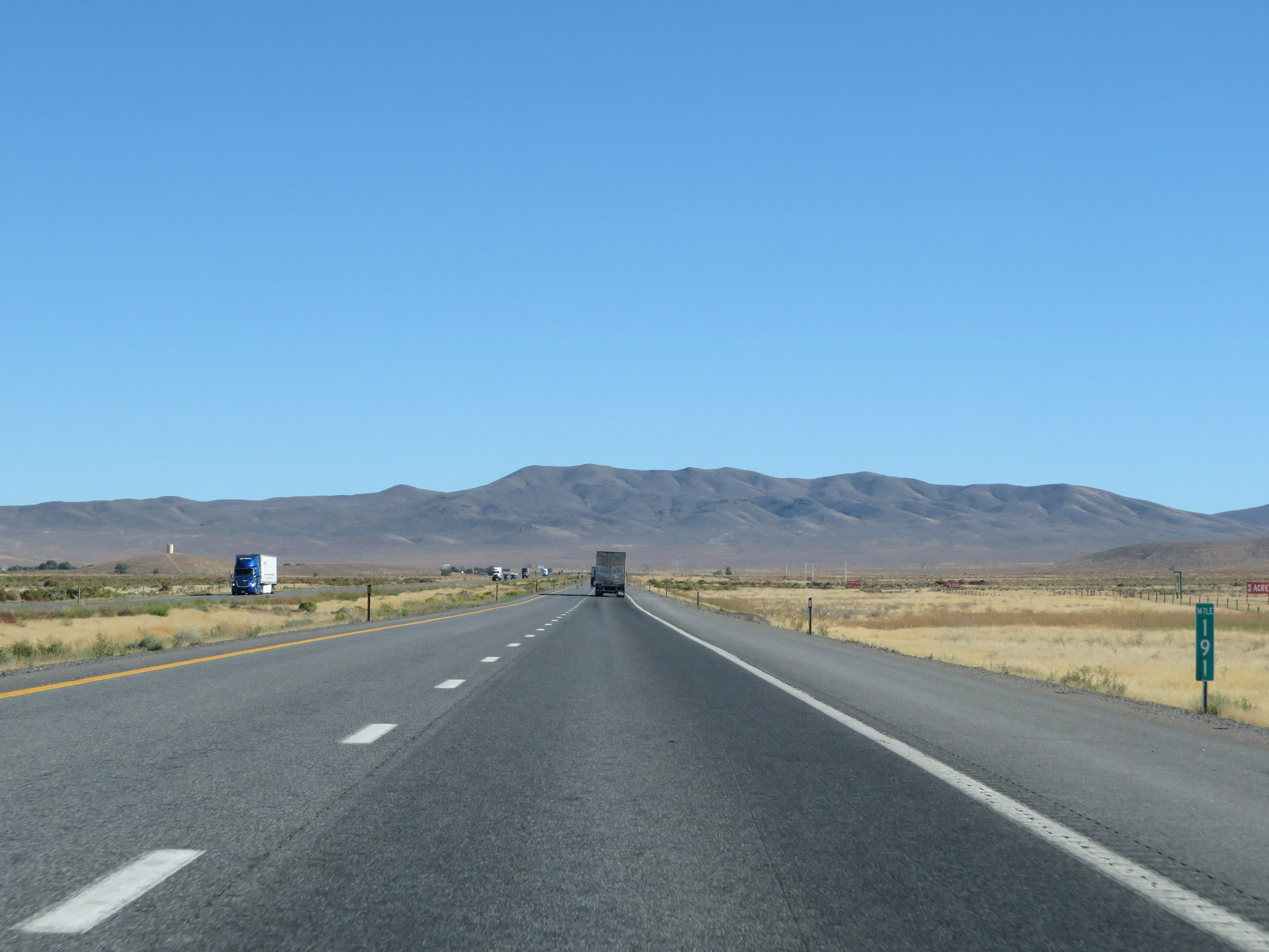 |
View on Interstate 80 East at mile marker 191. (Photo taken 9/24/19). |
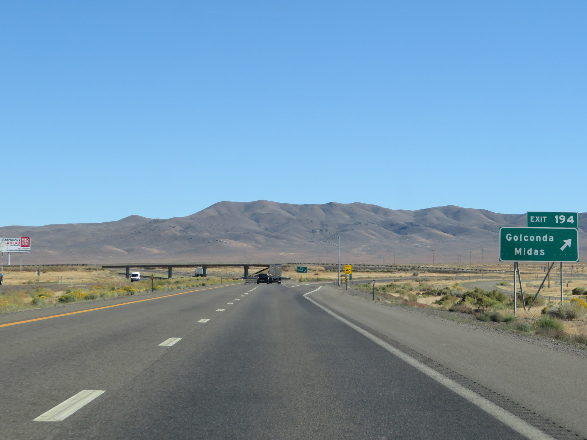 |
Interstate 80 East at Exit 194: Golconda / Midas (Photo taken 9/24/19). |
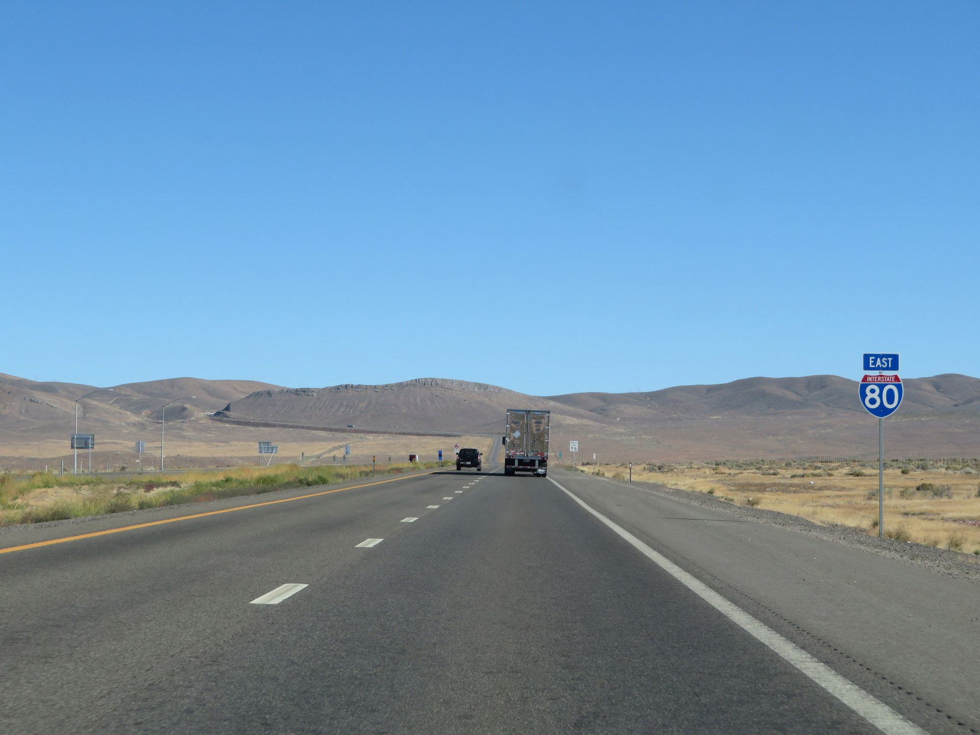 |
Interstate 80 East reassurance shield as we get our first good look at Golconda Pass straight ahead, which will be the first of three major mountain passes we'll traverse on I-80 East in Nevada. (Photo taken 9/24/19). |
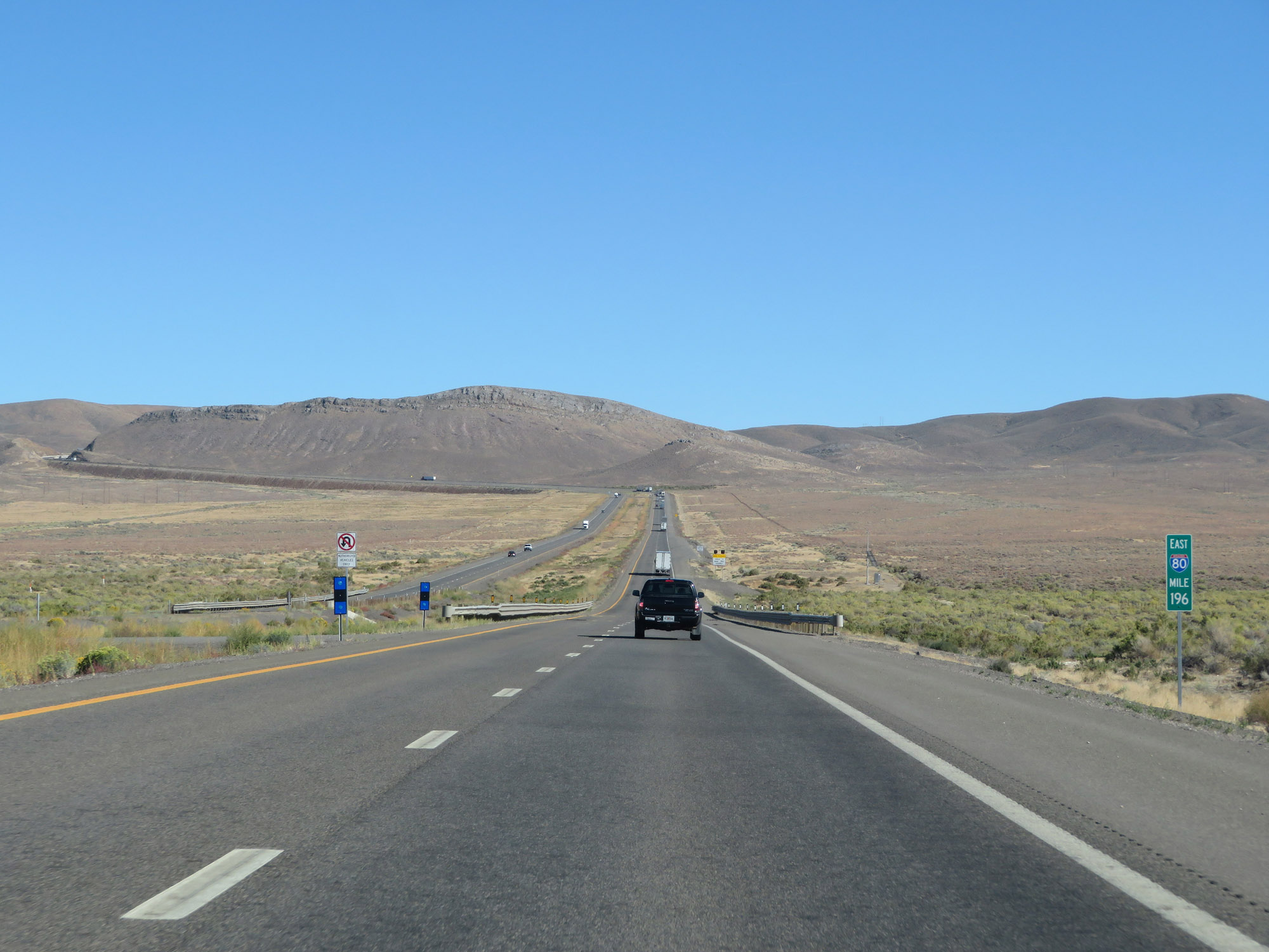 |
View on Interstate 80 East at mile marker 196. (Photo taken 9/24/19). |
 |
When the lights on this sign are flashing, chains or snow tires are required to proceed over Golconda Pass. (Photo taken 9/24/19). |
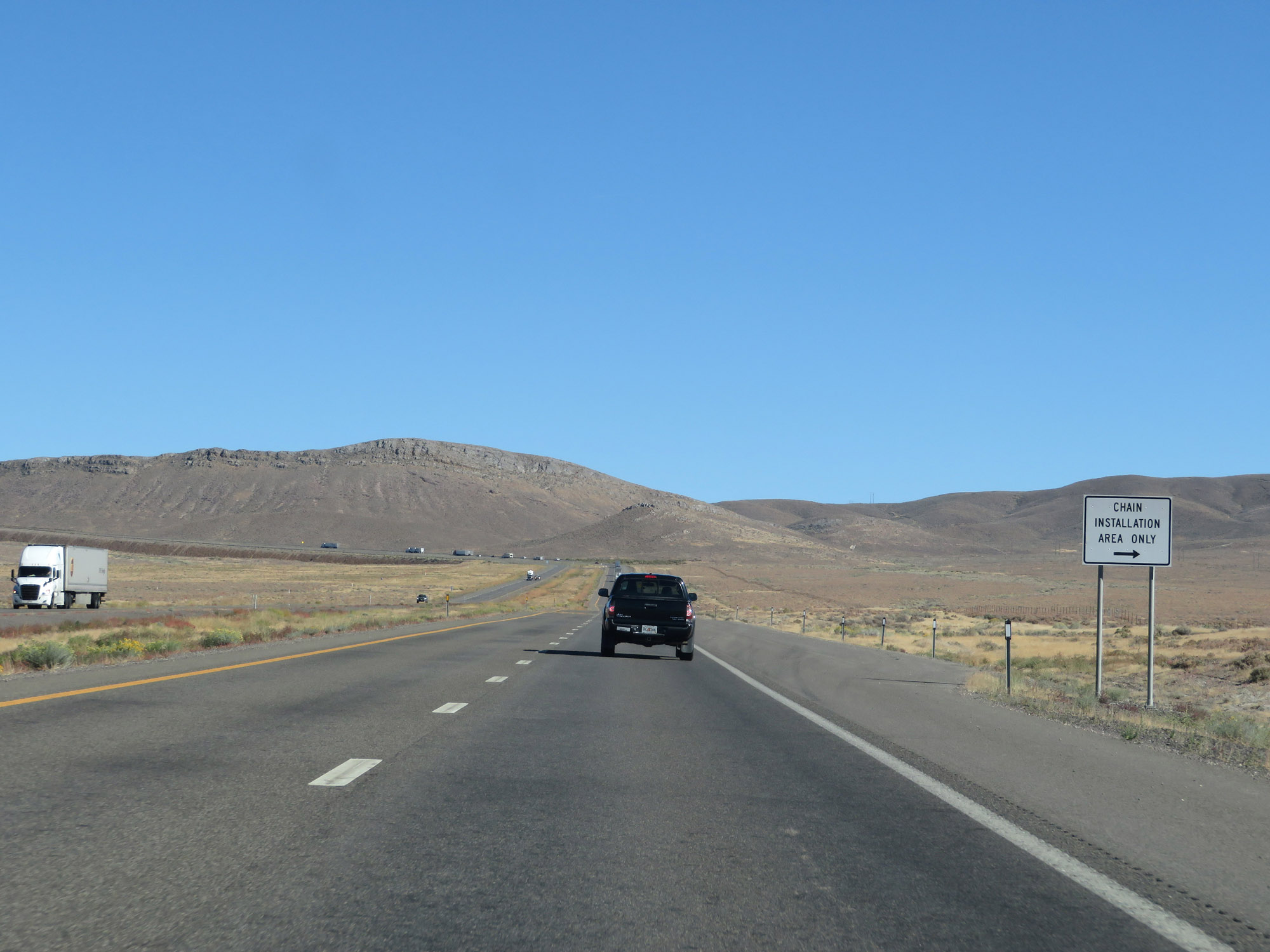 |
This is the final Chain Installation Area before we start to climb Golconda Pass ahead. (Photo taken 9/24/19). |
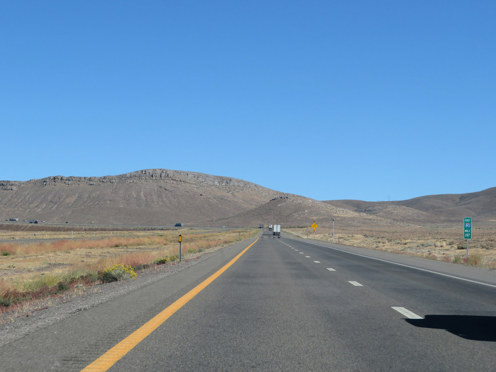 |
Interstate 80 East at mile marker 197. (Photo taken 9/24/19). |
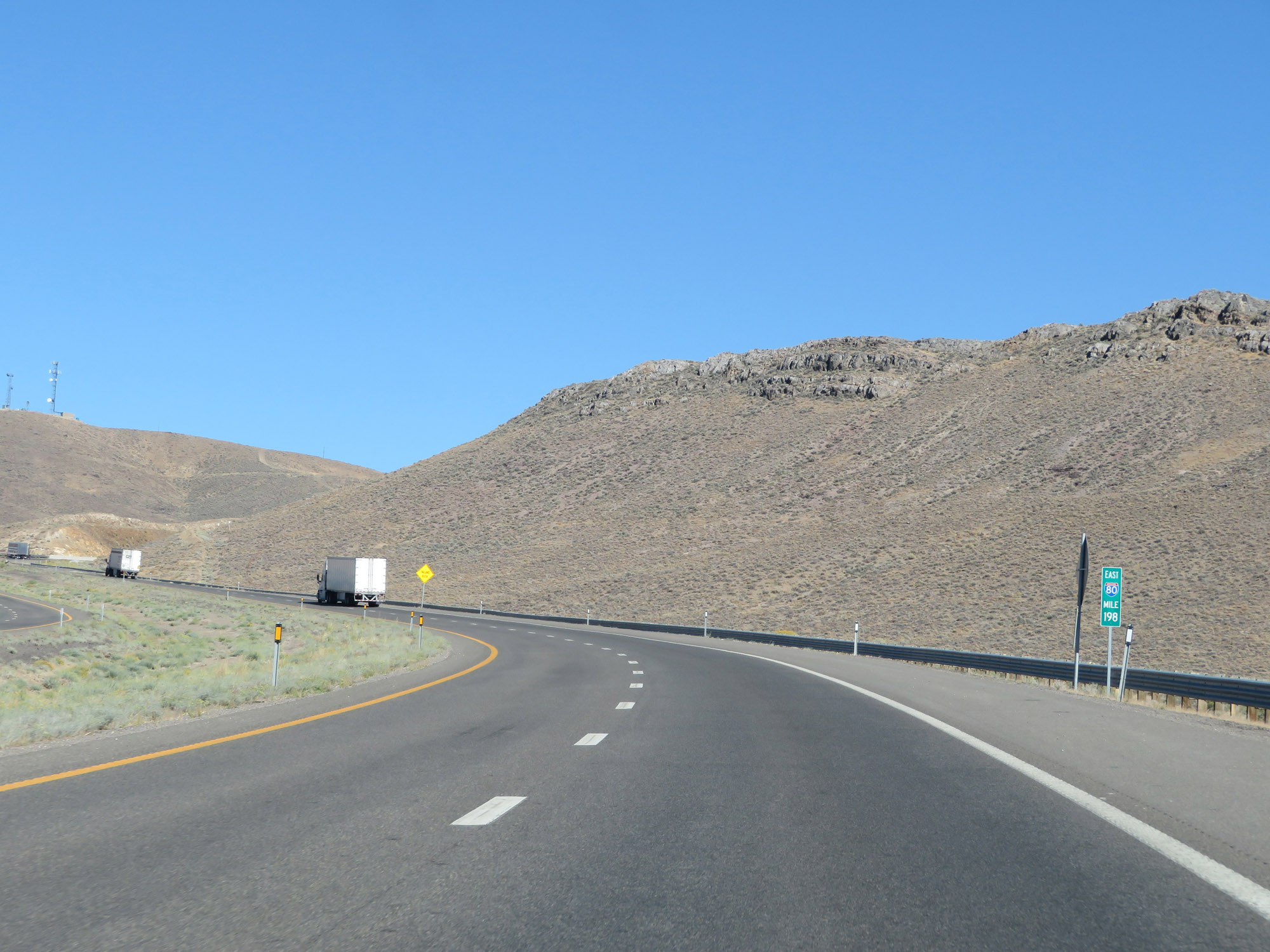 |
At mile marker 198, Interstate 80 East begins to climb Golconda Pass. (Photo taken 9/24/19). |
 |
View on Interstate 80 East as it climbs Golconda Pass. (Photo taken 9/24/19). |
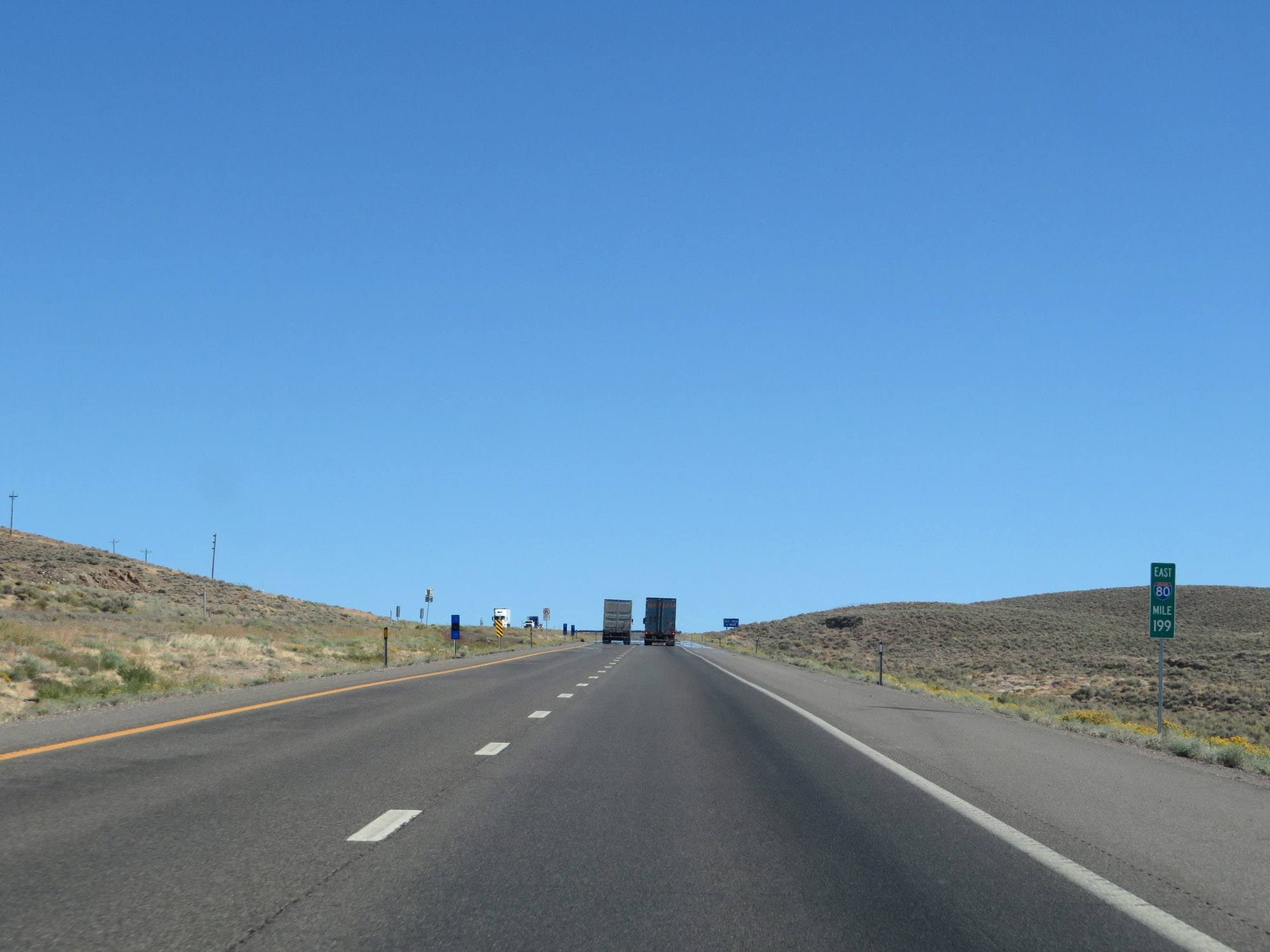 |
Interstate 80 East at mile marker 199. (Photo taken 9/24/19). |
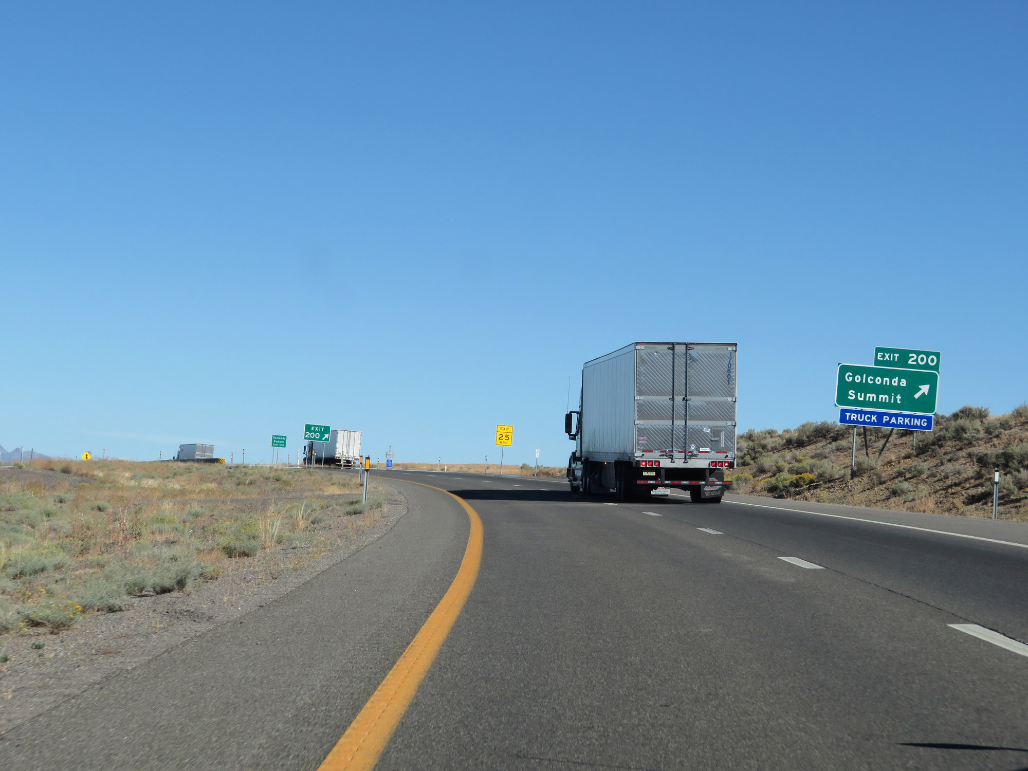 |
Interstate 80 East at Exit 200: Golconda Summit / Truck Parking (Photo taken 9/24/19). |
 |
Interstate 80 East reassurance shield as it begins to head down the east side of Golconda Summit. (Photo taken 9/24/19). |
 |
The speed limit remains 75 mph until the bottom of Golconda Summit. (Photo taken 9/24/19). |
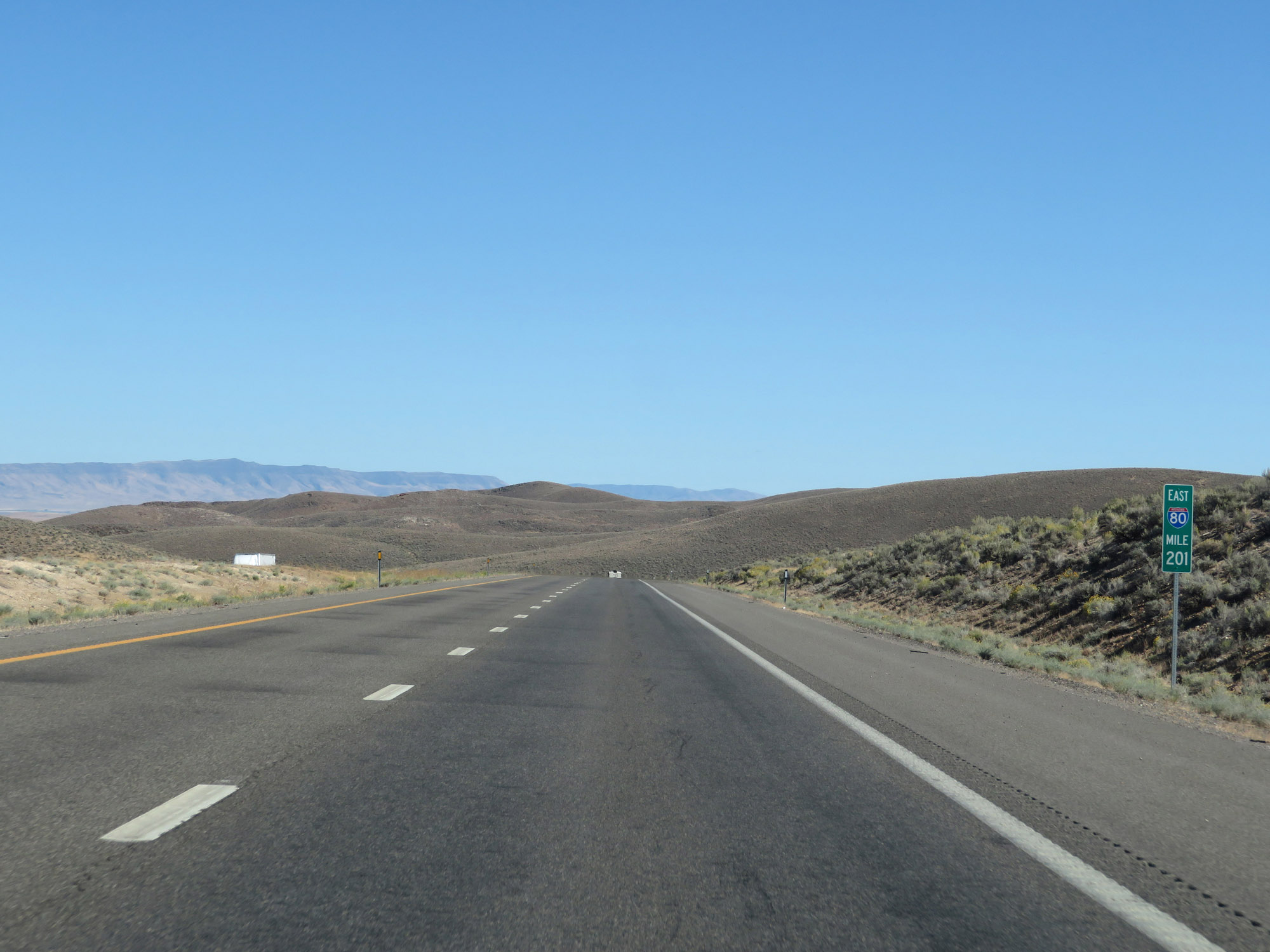 |
Interstate 80 East at mile marker 201, continuing down the grade. (Photo taken 9/24/19). |
 |
Interstate 80 East at Exit 203: Iron Point (Photo taken 9/24/19). |
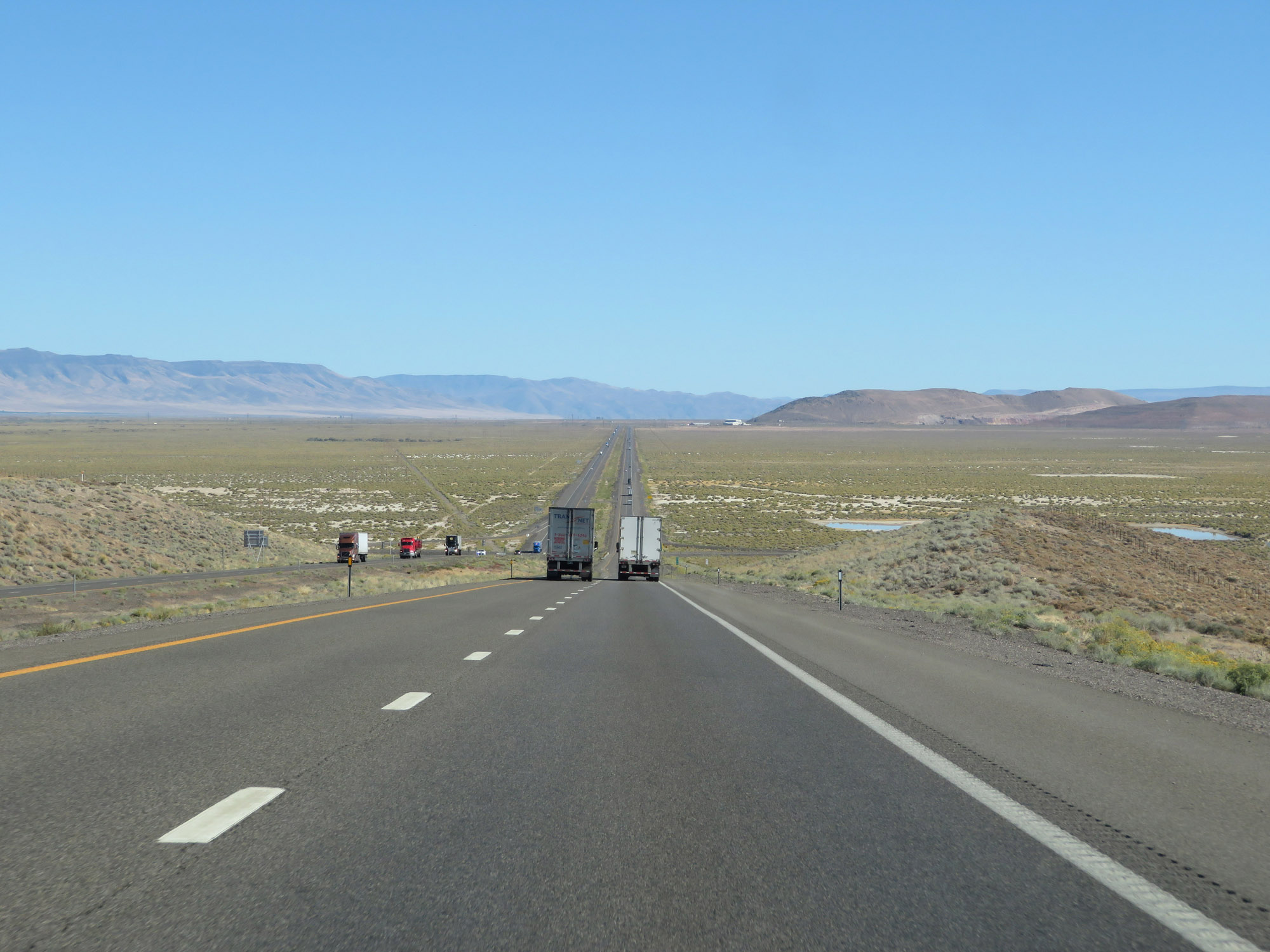 |
View on Interstate 80 East as the bottom of Golconda Summit comes into view. (Photo taken 9/24/19). |
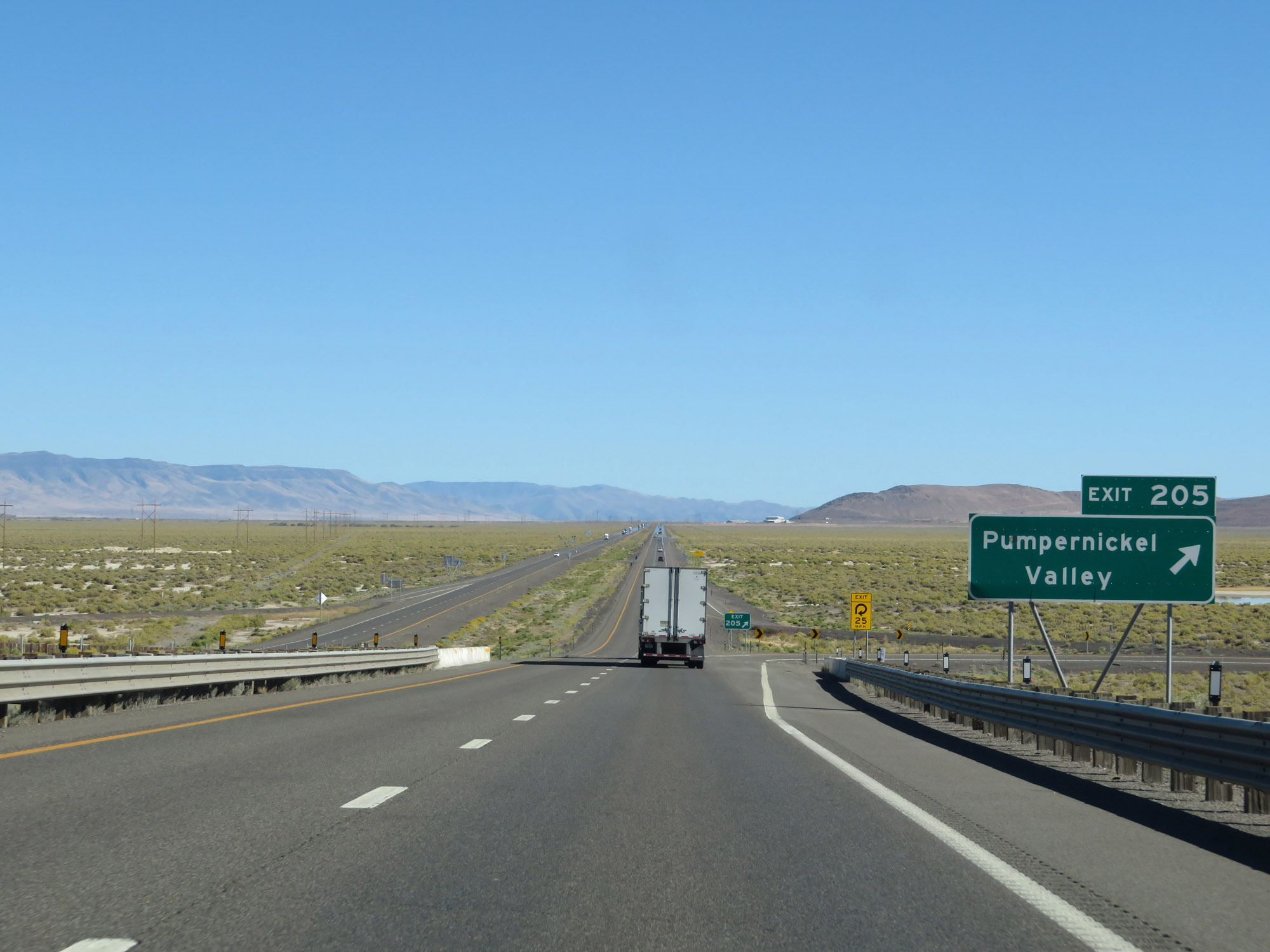 |
Interstate 80 East at Exit 205: Pumpernickel Valley (Photo taken 9/24/19). |
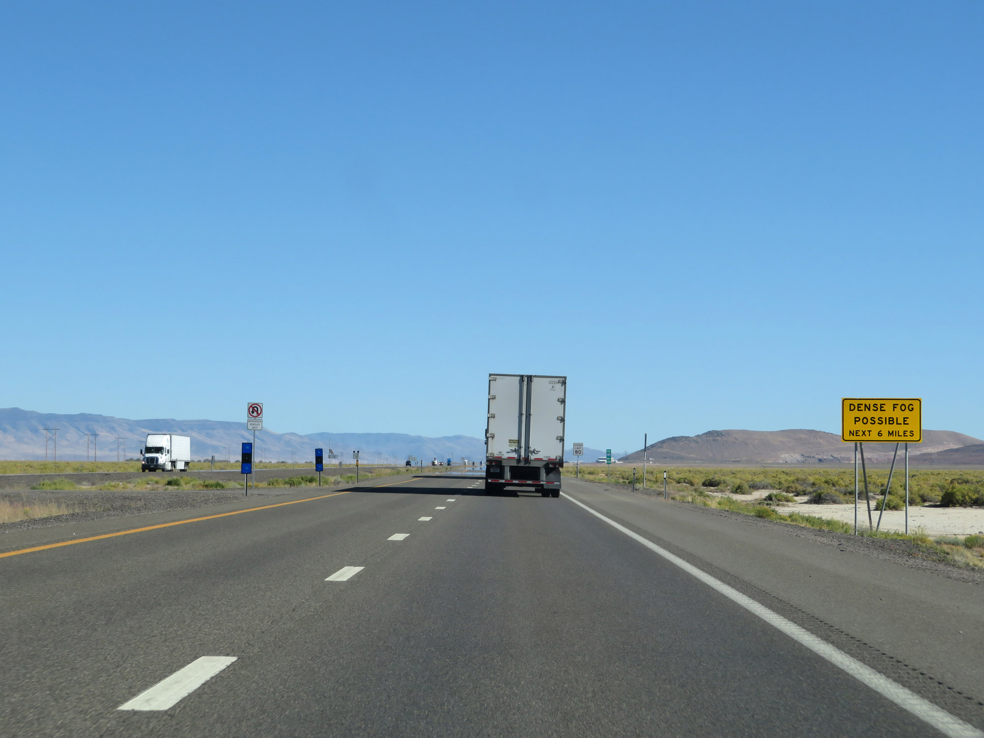 |
This sign warns that dense fog is possible for the next 6 miles on Interstate 80 East at the base of the mountain. (Photo taken 9/24/19). |
 |
Now at the bottom of Golconda Summit, the speed limit increases to 80 mph once again. (Photo taken 9/24/19). |
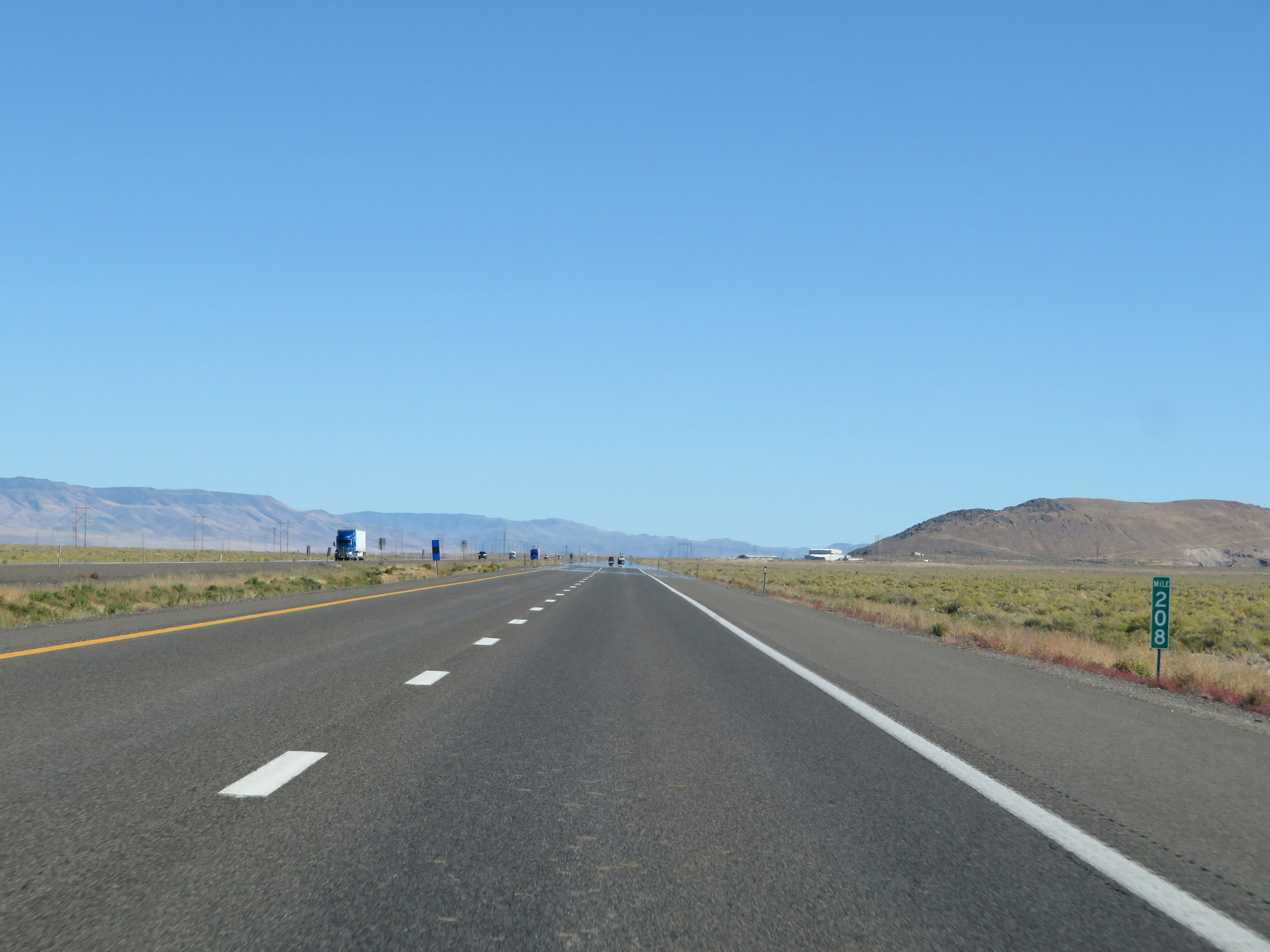 |
Interstate 80 East at mile marker 208. (Photo taken 9/24/19). |
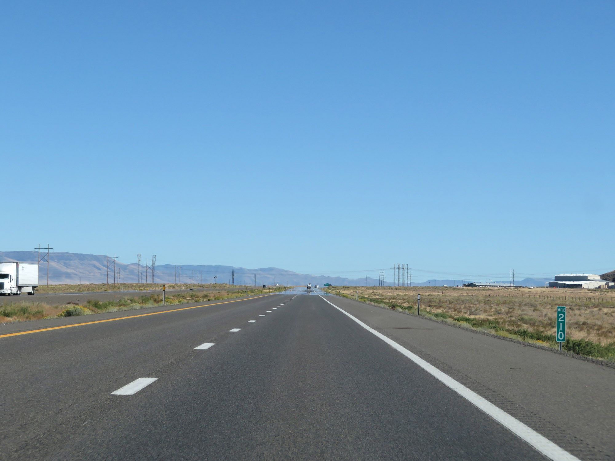 |
View on Interstate 80 East at mile marker 210. (Photo taken 9/24/19). |
 |
Take Exit 212 to North Valmy Power Plant. (Photo taken 9/24/19). |
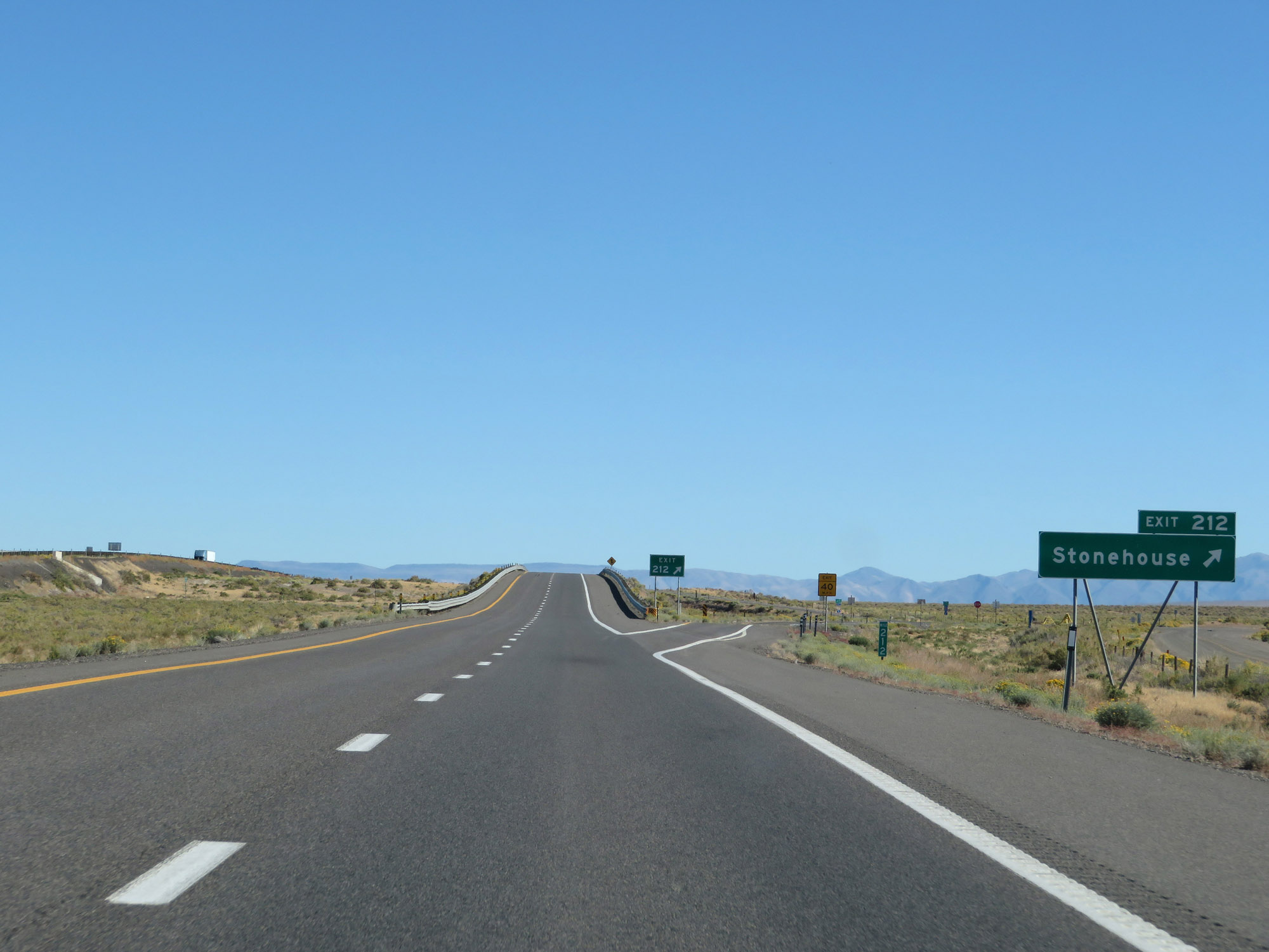 |
Interstate 80 East at Exit 212: Stonehouse (Photo taken 9/24/19). |
 |
Another state-named Interstate 80 East reassurance shield. (Photo taken 9/24/19). |
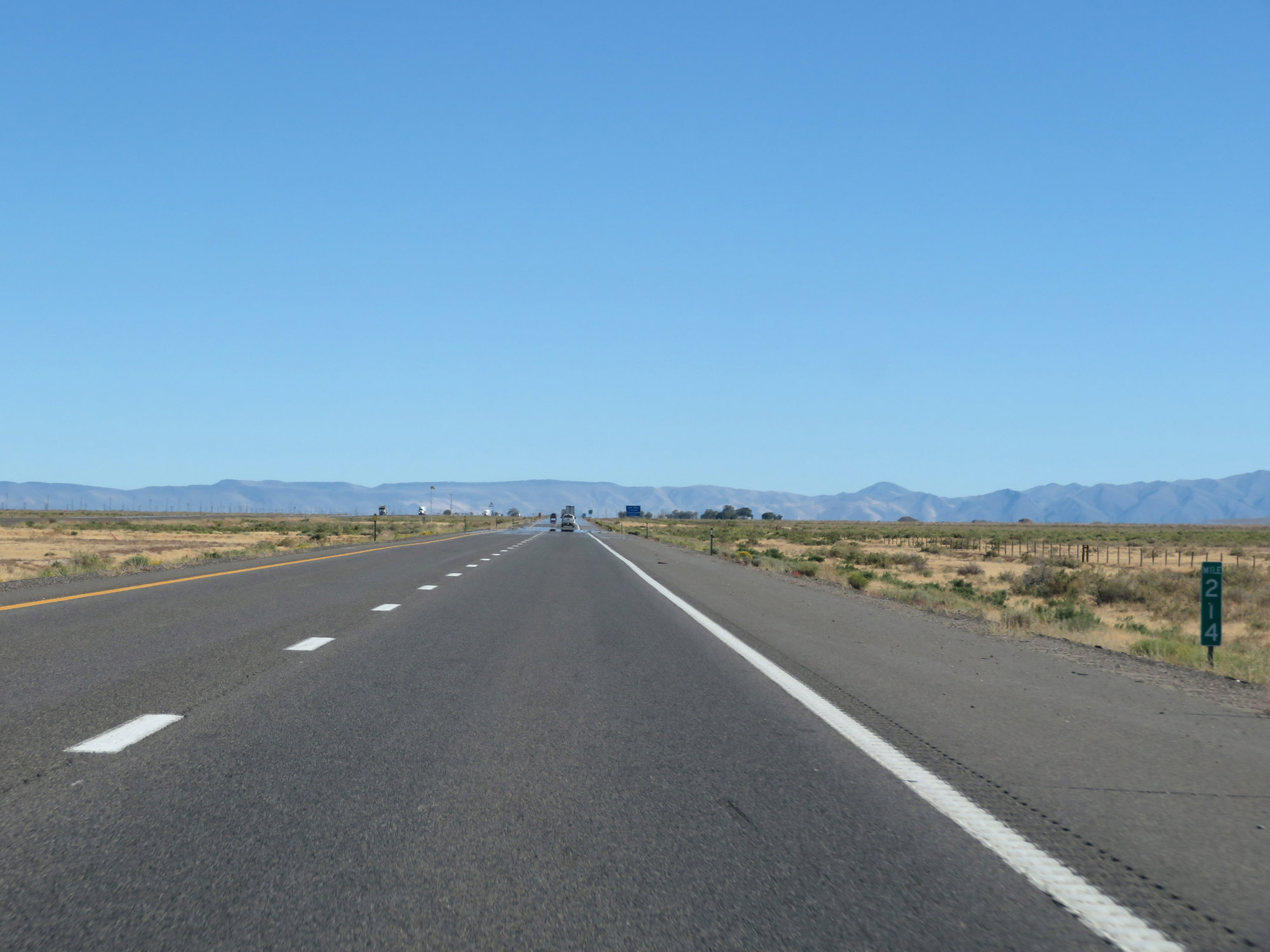 |
View on Interstate 80 East at mile marker 214. (Photo taken 9/24/19). |
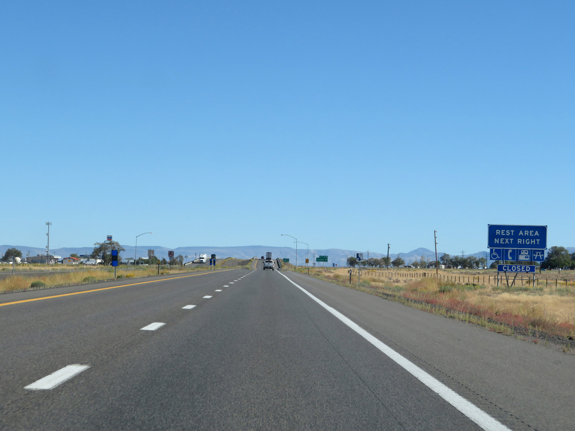 |
A Rest Area exists off Exit 216. (Photo taken 9/24/19). |
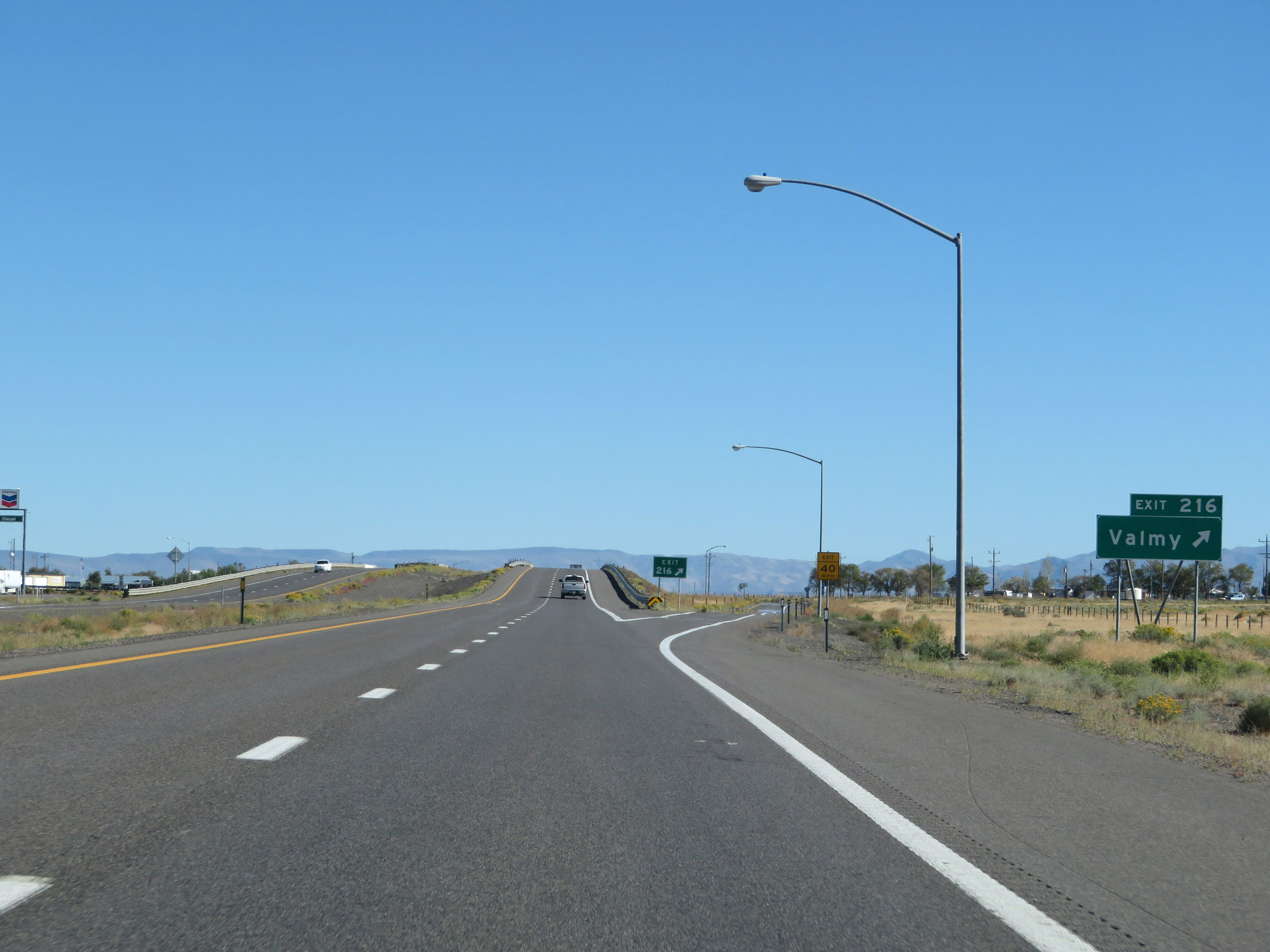 |
Interstate 80 East at Exit 216: Valmy (Photo taken 9/24/19). |
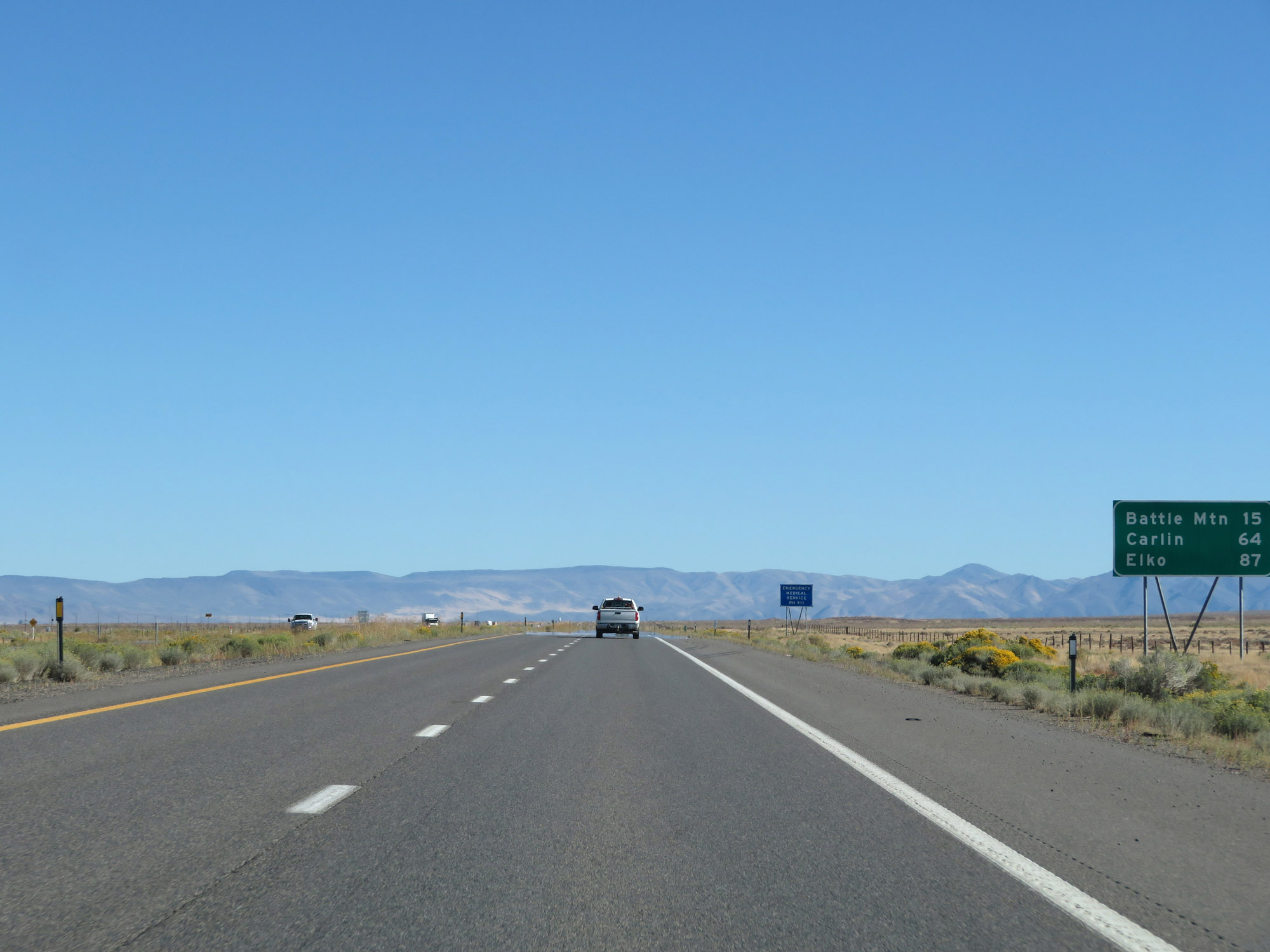 |
Mileage sign on Interstate 80 East. It's 15 miles to Battle Mountain, 64 miles to Carlin, and 87 miles to Elko. (Photo taken 9/24/19). |
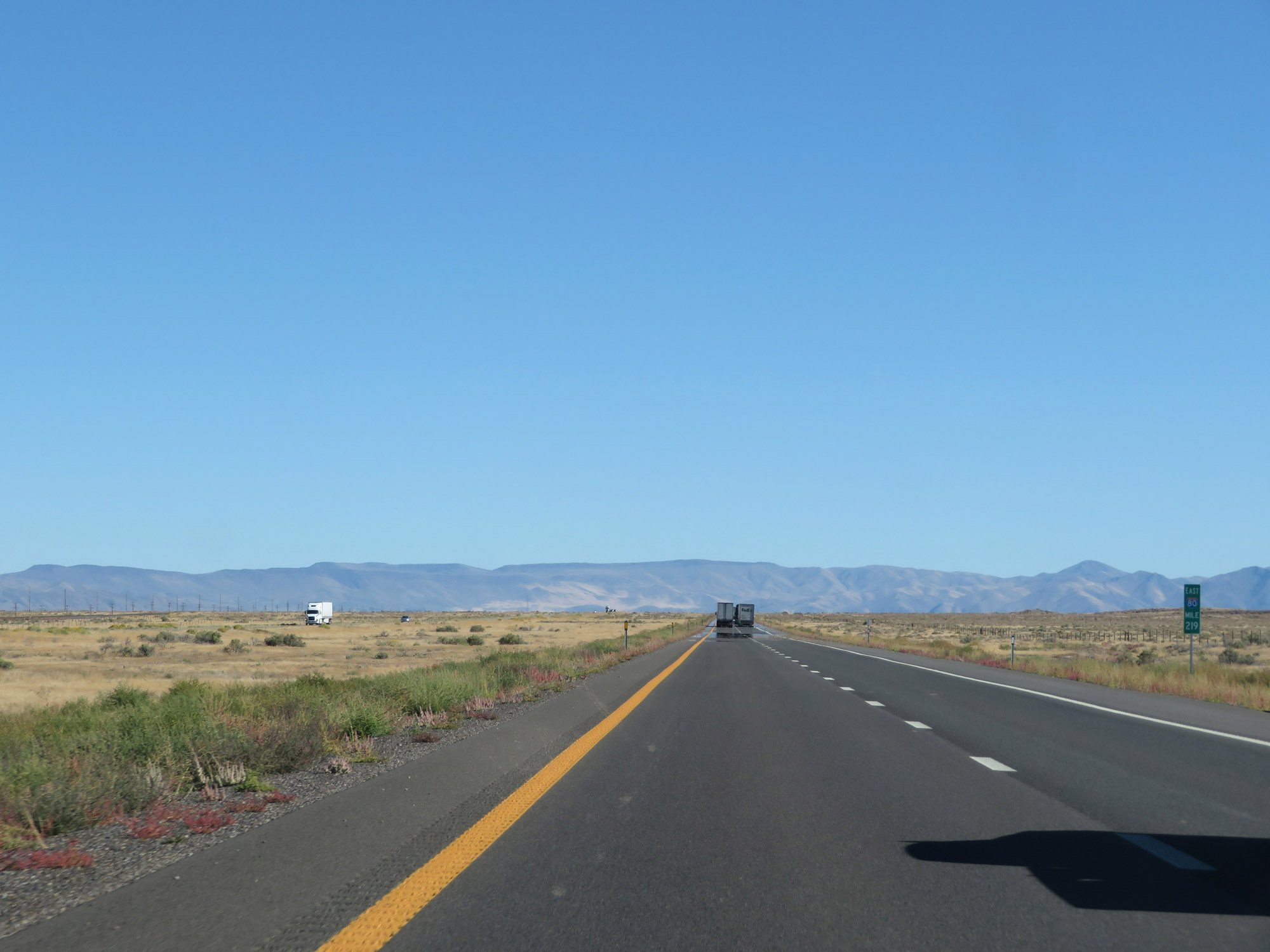 |
Interstate 80 East at mile marker 219. (Photo taken 9/24/19). |
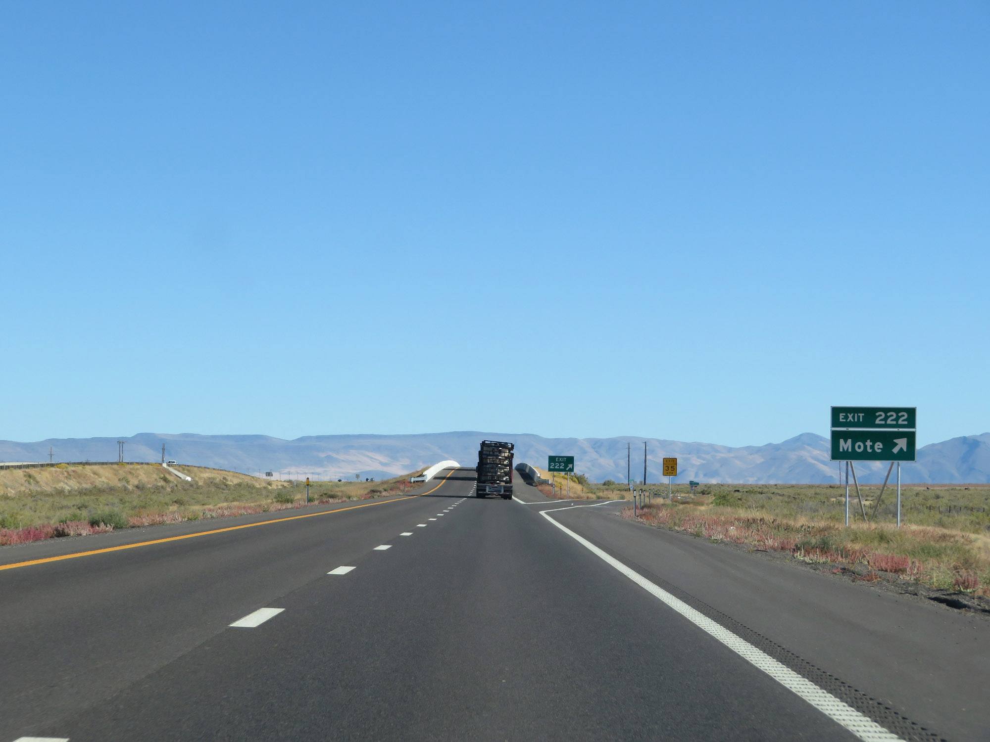 |
Interstate 80 East at Exit 222: Mote (Photo taken 9/24/19). |
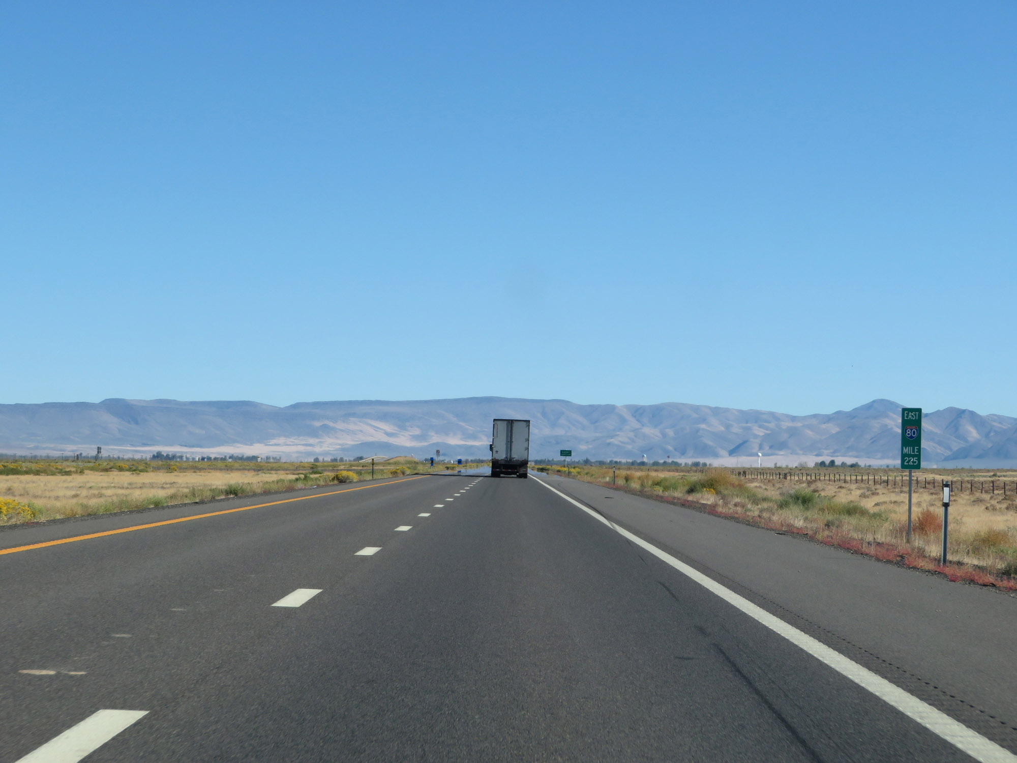 |
View on Interstate 80 East at mile marker 225. (Photo taken 9/24/19). |
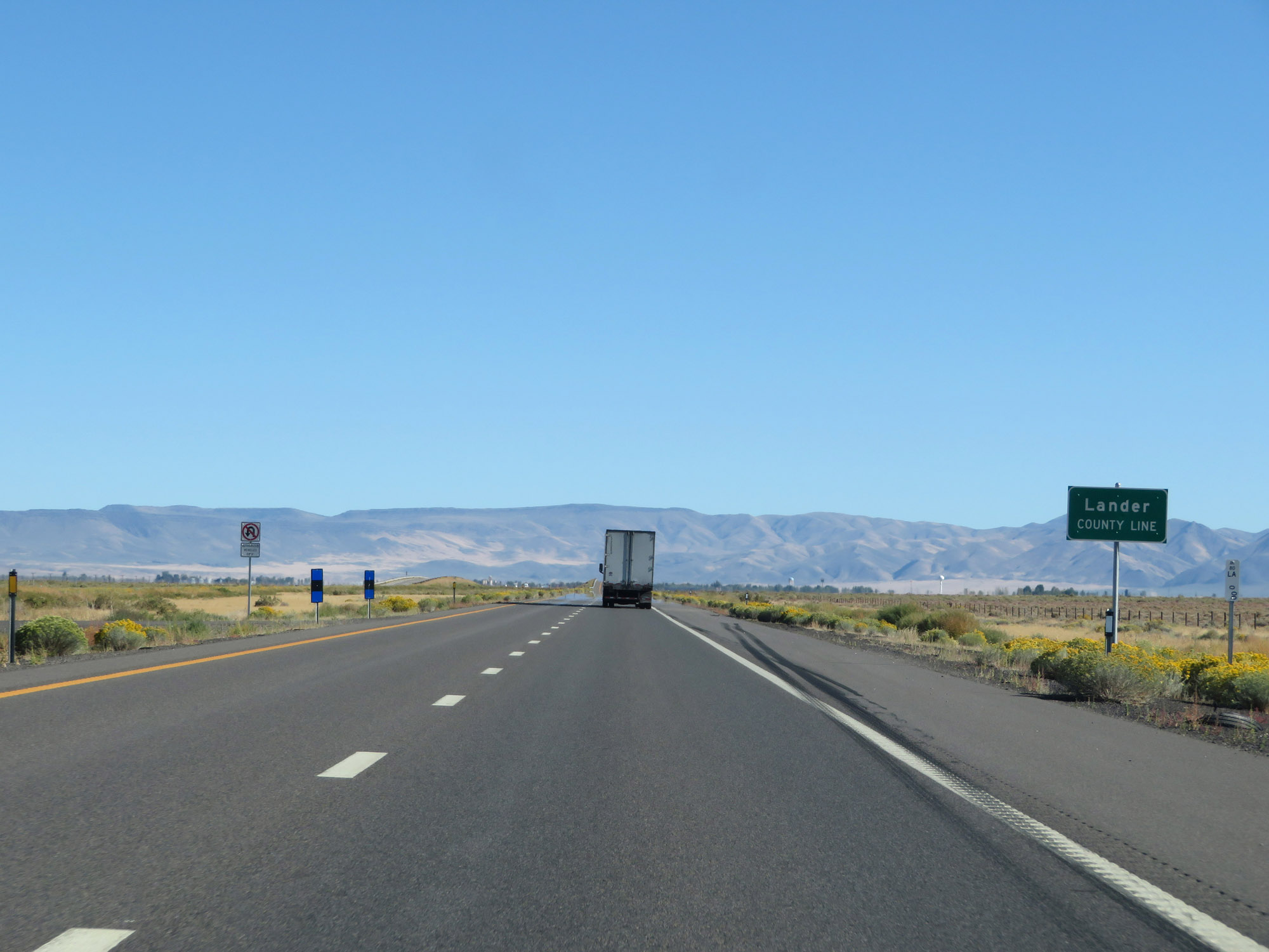 |
Interstate 80 East as it enters Lander County. (Photo taken 9/24/19). |
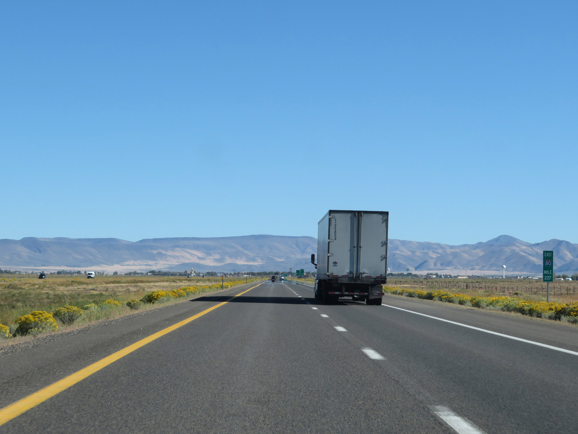 |
Interstate 80 East at mile marker 227. (Photo taken 9/24/19). |
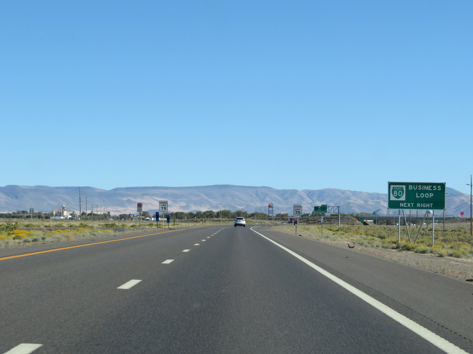 |
Take Exit 229 to Interstate 80 Business Loop. (Photo taken 9/24/19). |
 |
Entering the Battle Mountain area, the speed limit decreases to 75 mph. (Photo taken 9/24/19). |
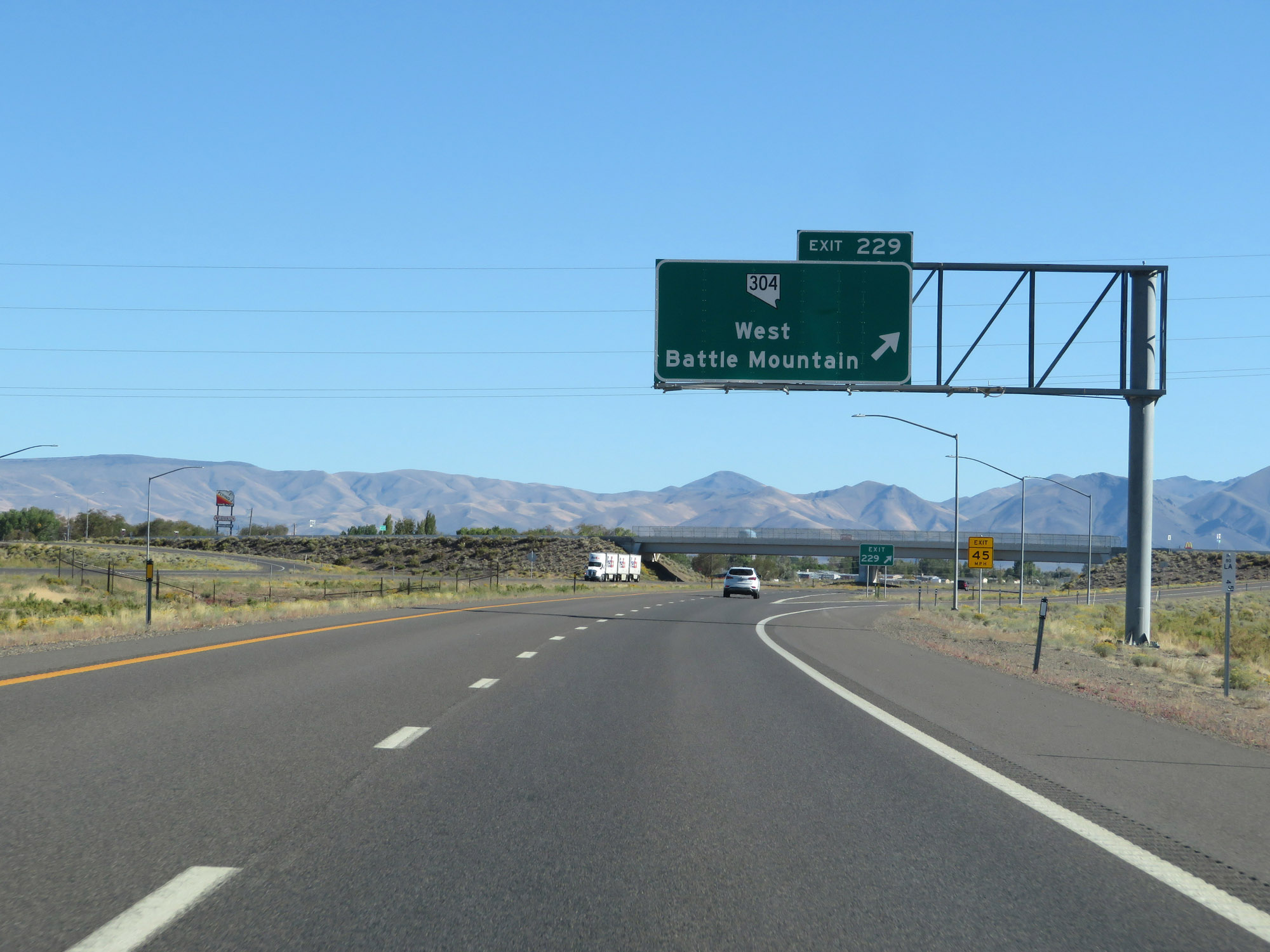 |
Interstate 80 East at Exit 229: NV 304 - West Battle Mountain (Photo taken 9/24/19). |
 |
Take Exit 231 to Austin. (Photo taken 9/24/19). |
 |
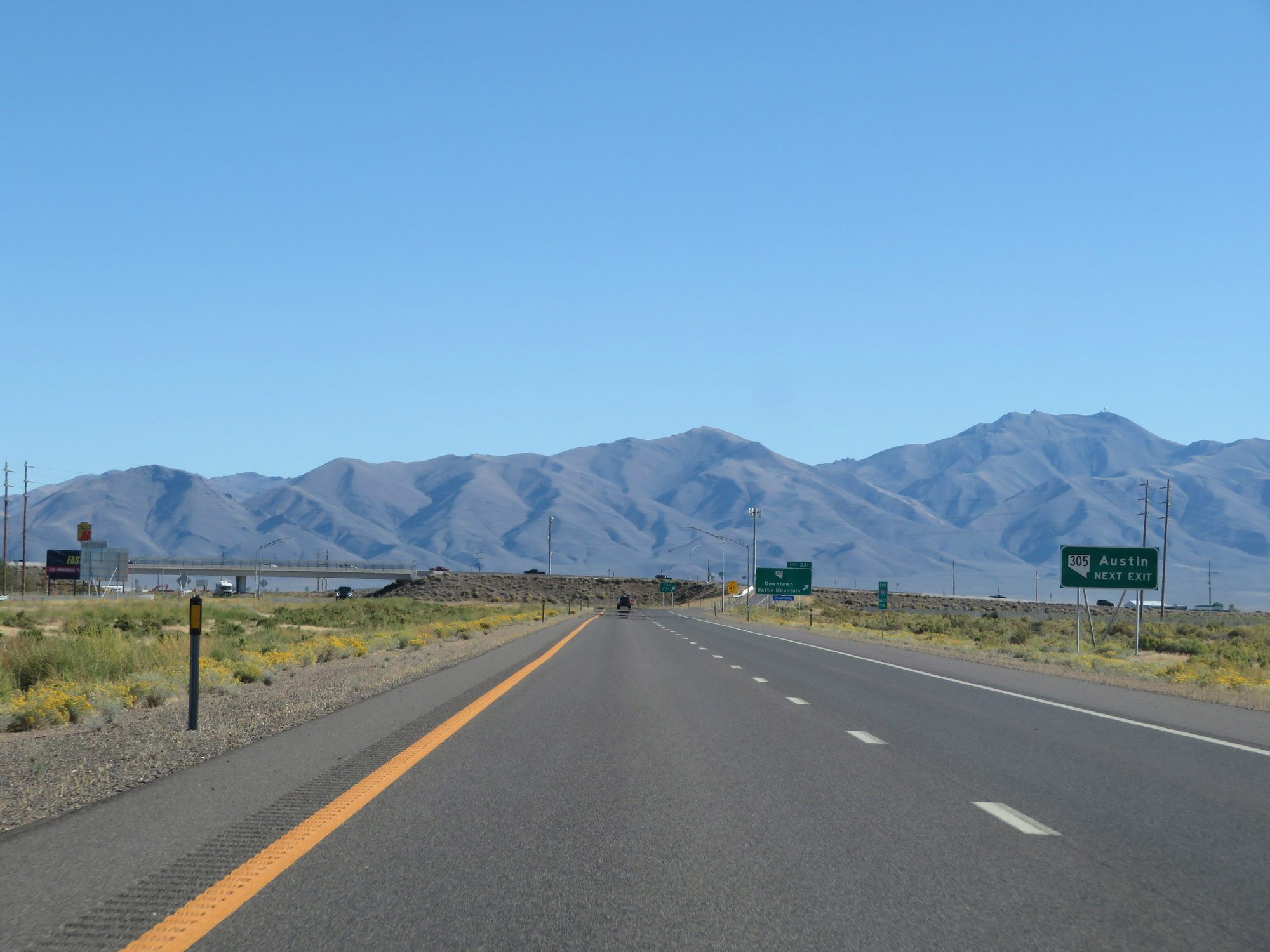
Interstate 80 East at Exit 231: NV 305 - Downtown Battle Mountain (Photo taken 9/24/19). |
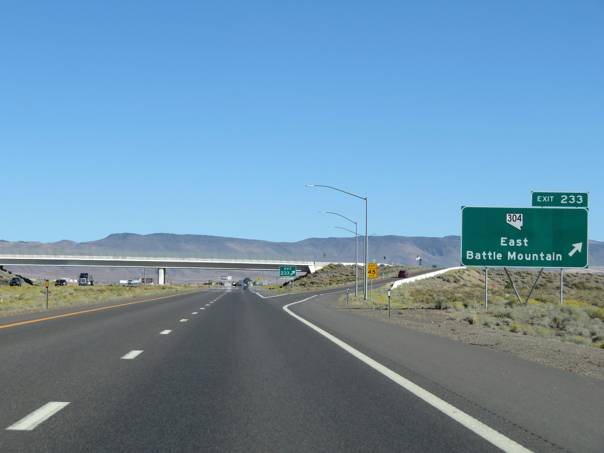 |
Interstate 80 East at Exit 233: NV 304 - East Battle Mountain (Photo taken 9/24/19). |
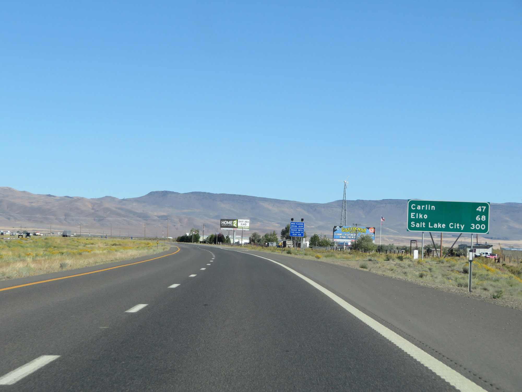 |
Mileage sign leaving Battle Mountain on Interstate 80 East. It's 47 miles to Carlin, 68 miles to Elko, and 300 miles to Salt Lake City. (Photo taken 9/24/19). |
 |
View on Interstate 80 East at mile marker 236. (Photo taken 9/24/19). |
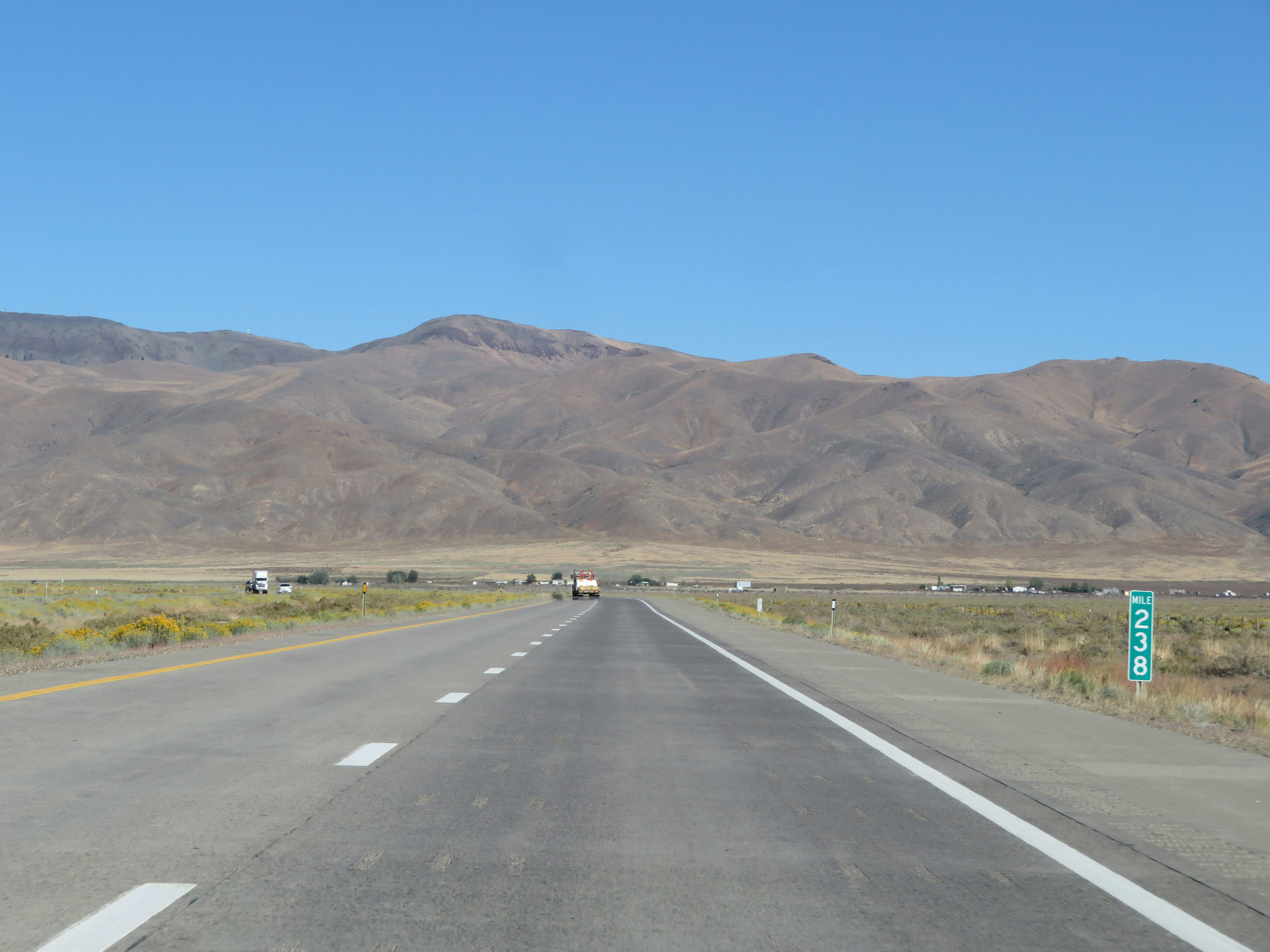 |
Interstate 80 East at mile marker 238. (Photo taken 9/24/19). |
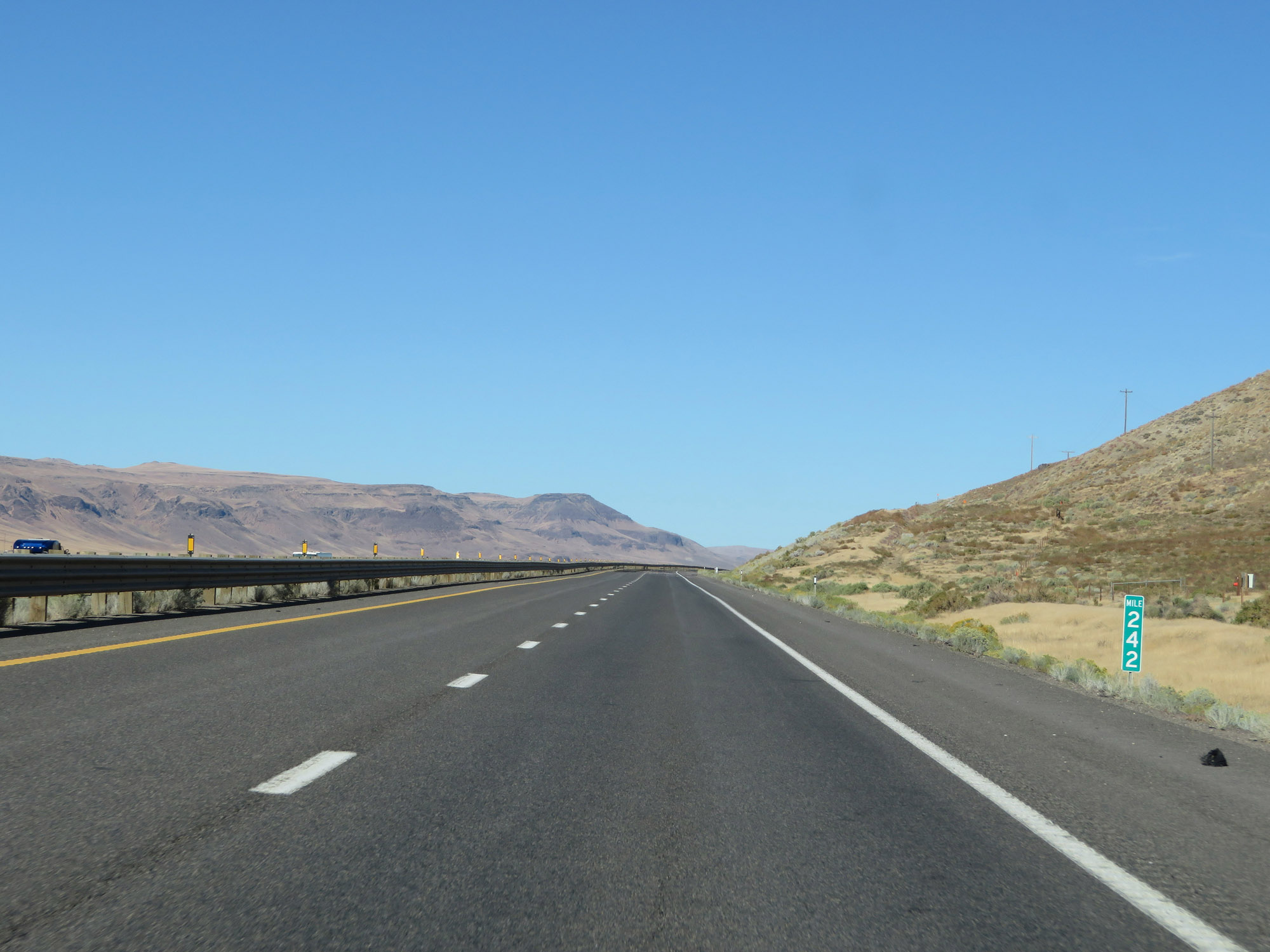 |
Interstate 80 East at mile marker 242. (Photo taken 9/24/19). |
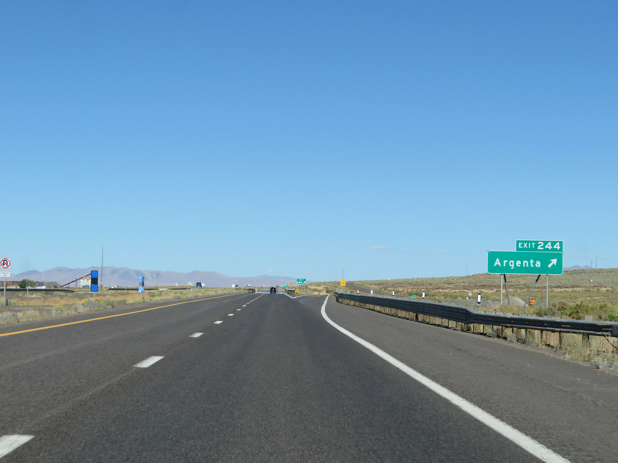 |
Interstate 80 East at Exit 244: Argenta (Photo taken 9/24/19). |
 |
View on Interstate 80 East at mile marker 246. (Photo taken 9/24/19). |
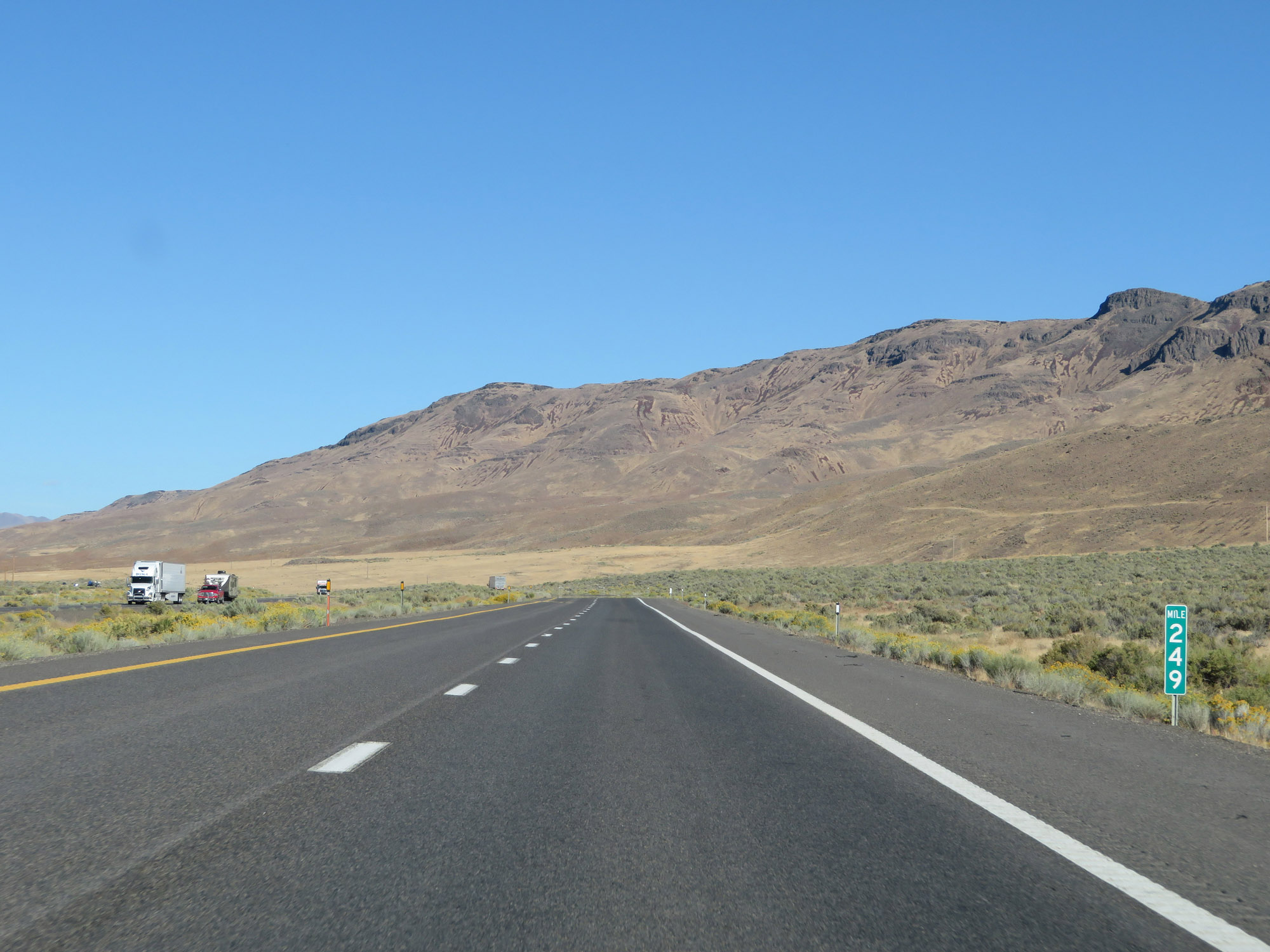 |
View on Interstate 80 East at mile marker 249. (Photo taken 9/24/19). |
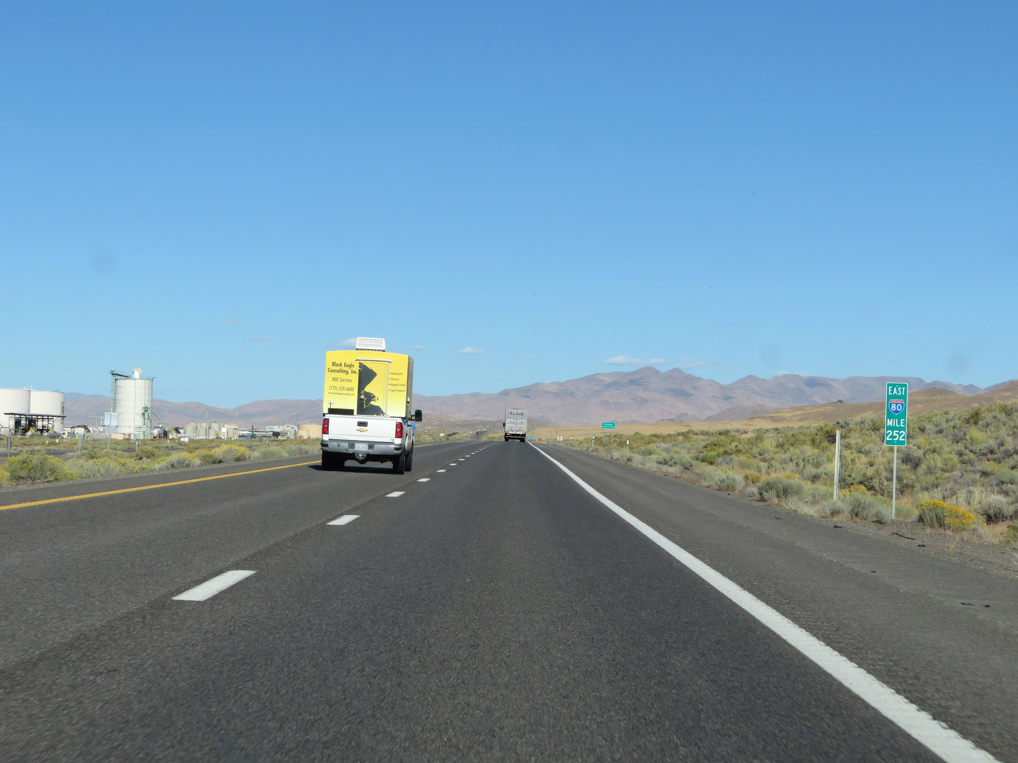 |
Interstate 80 East at mile marker 252. (Photo taken 9/24/19). |
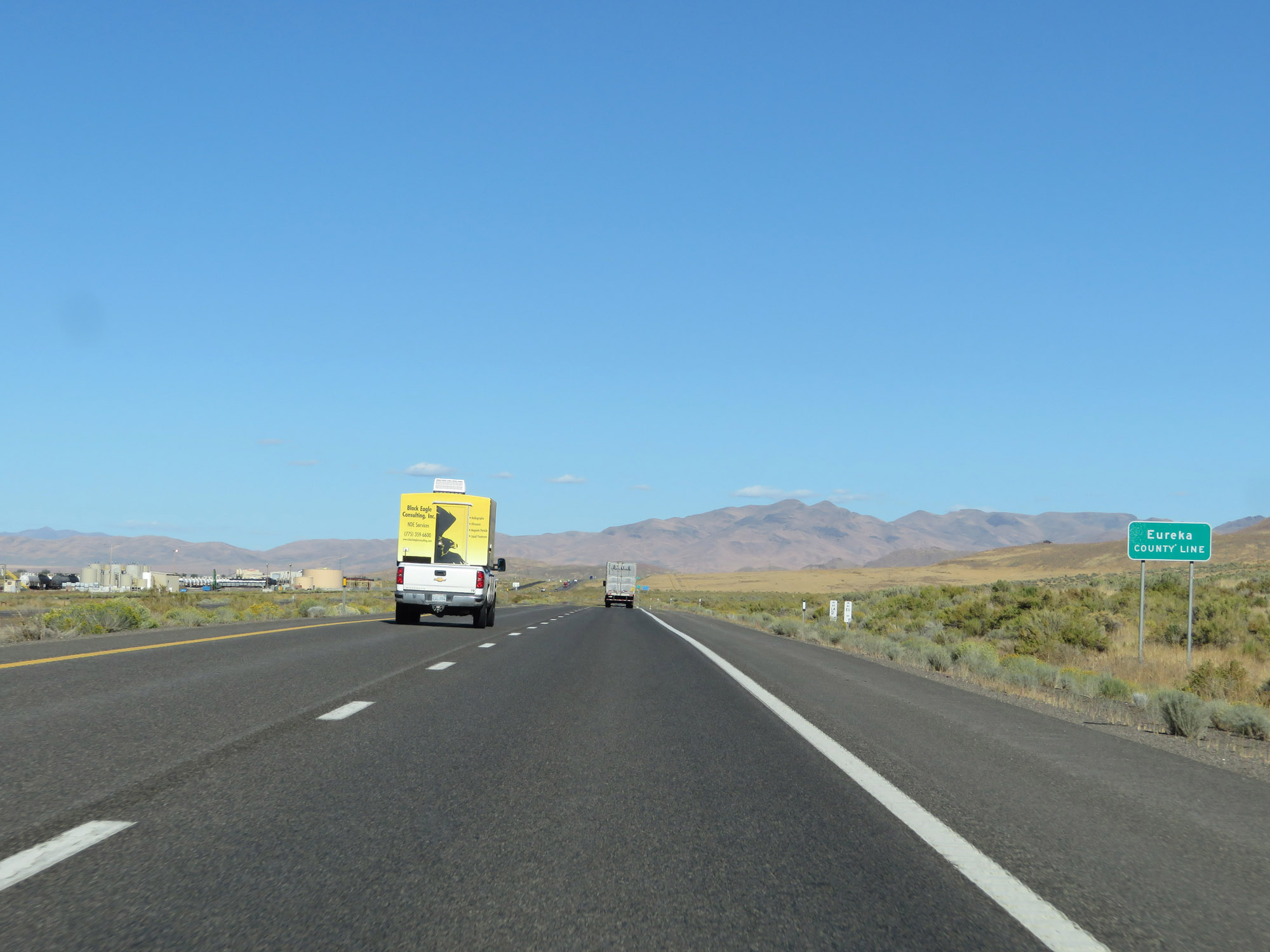 |
Entering Eureka County on Interstate 80 East. (Photo taken 9/24/19). |
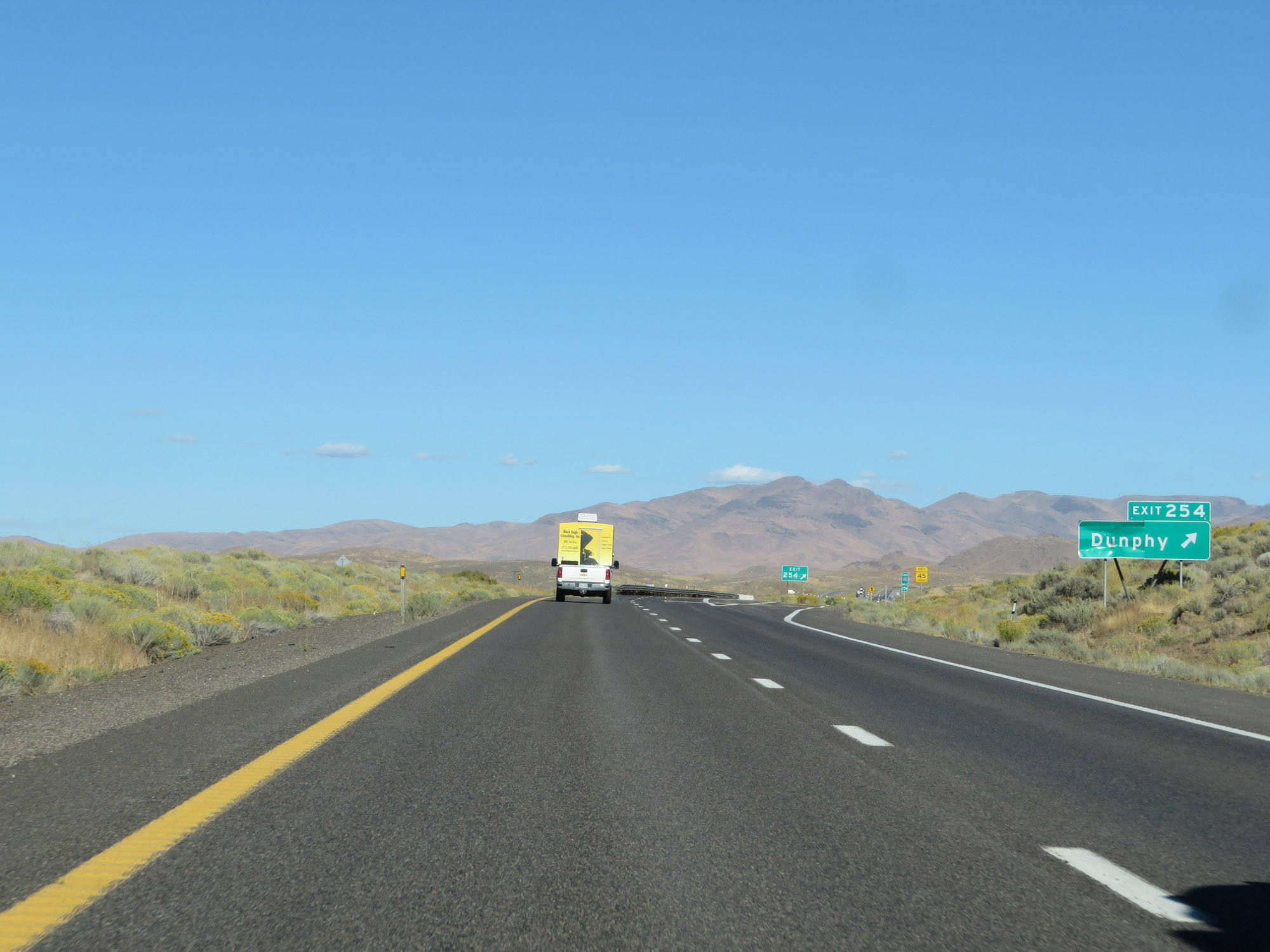 |
Interstate 80 East at Exit 254: Dunphy (Photo taken 9/24/19). |
 |
View on Interstate 80 East at mile marker 256. (Photo taken 9/24/19). |
 |
Rest Area on Interstate 80 East in Eureka County. (Photo taken 9/24/19). |
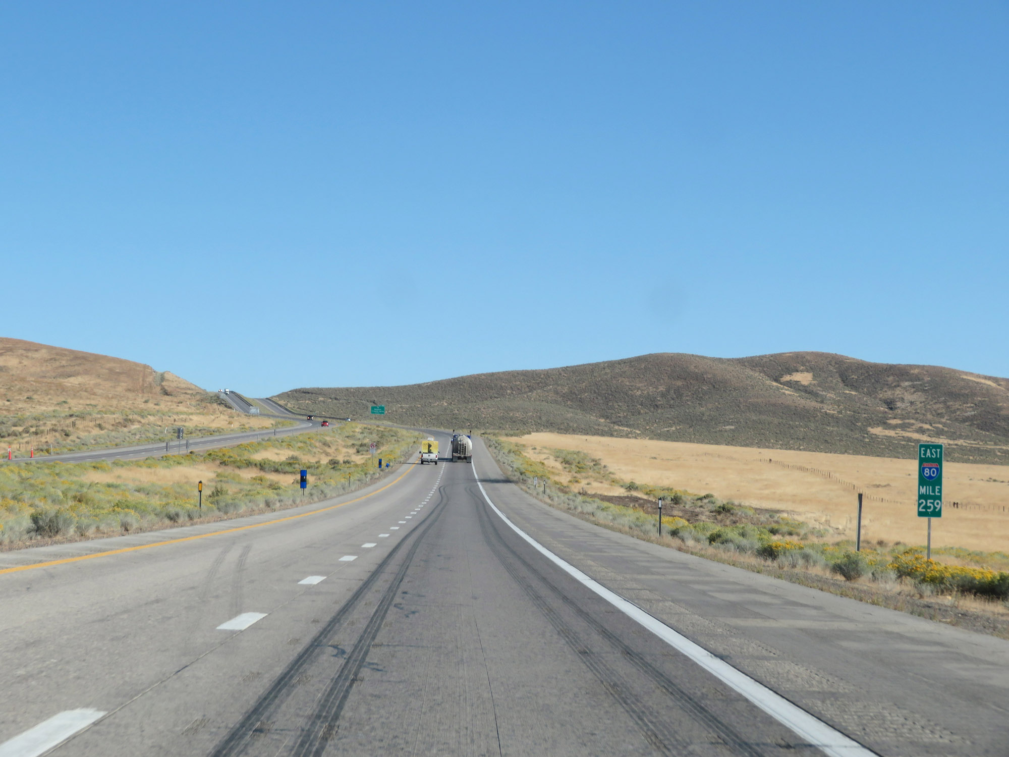 |
Interstate 80 East at mile marker 259. (Photo taken 9/24/19). |
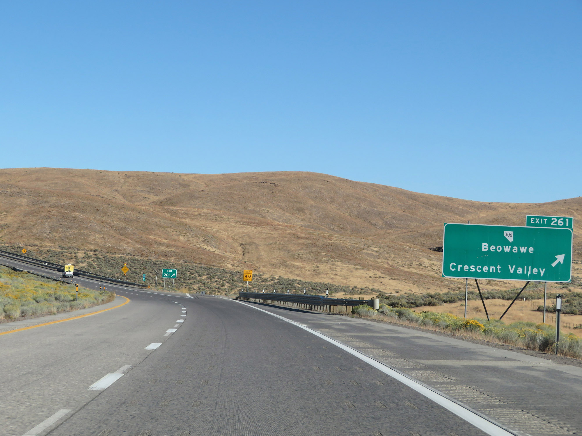 |
Interstate 80 East at Exit 261: NV 306 - Beowawe / Crescent Valley (Photo taken 9/24/19). |
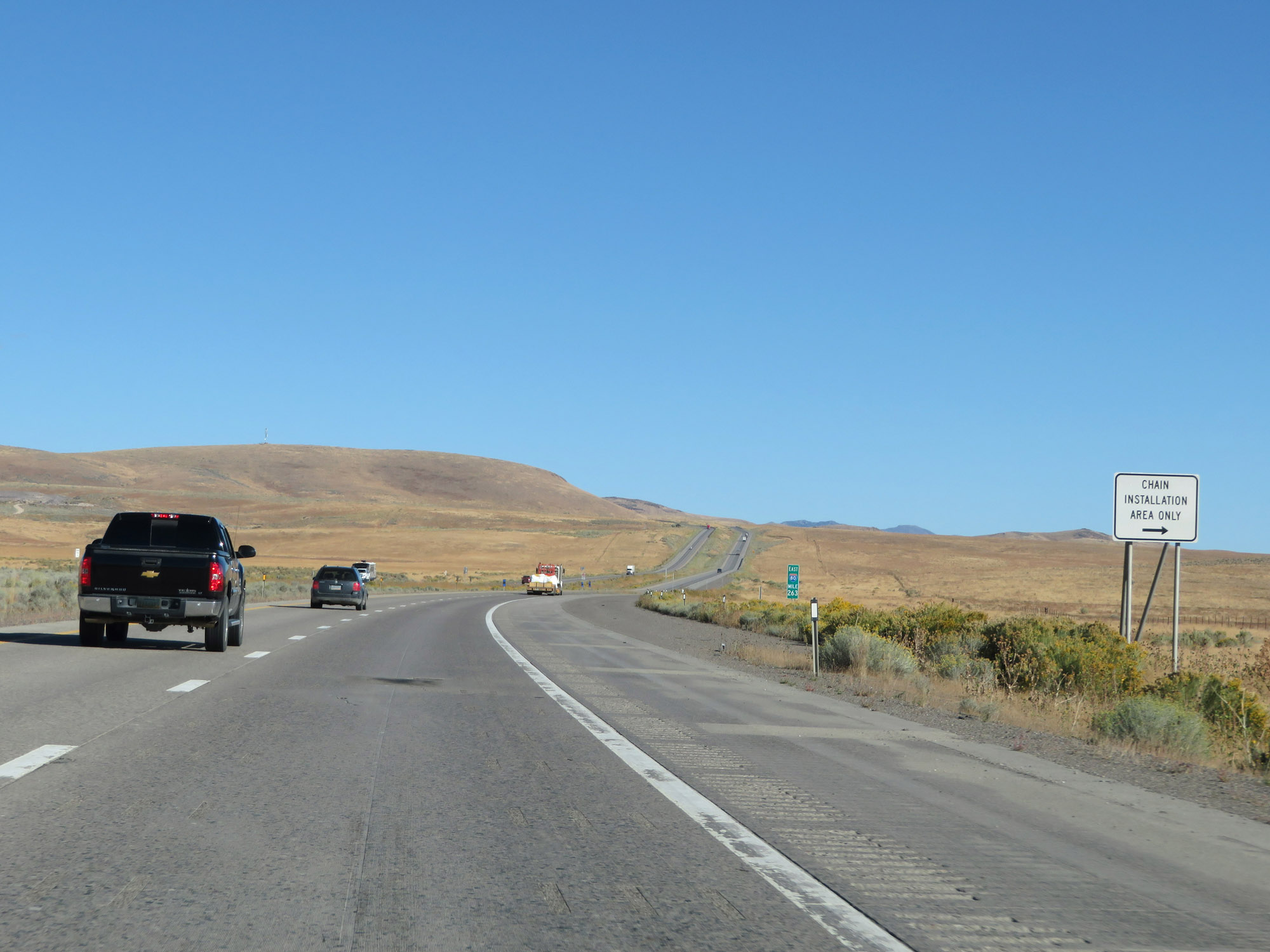 |
Chain Installation Area on Interstate 80 East at mile marker 263 as it nears the second mountain pass heading east, which will be Emigrant Pass. (Photo taken 9/24/19). |
 |
Interstate 80 East at mile marker 264. (Photo taken 9/24/19). |
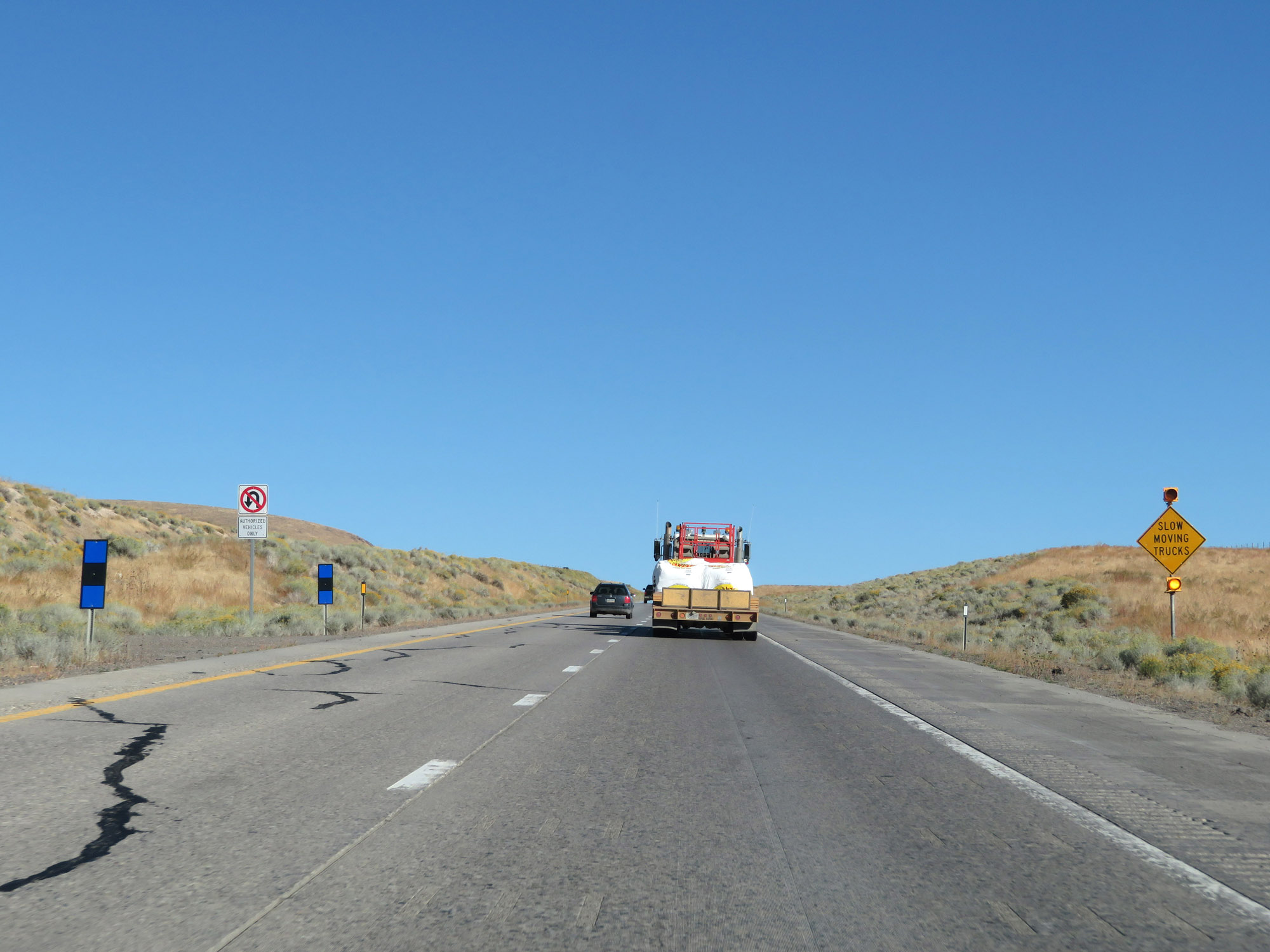 |
Starting over Emigrant Pass, this sign warns motorists to watch for slow moving trucks. (Photo taken 9/24/19). |
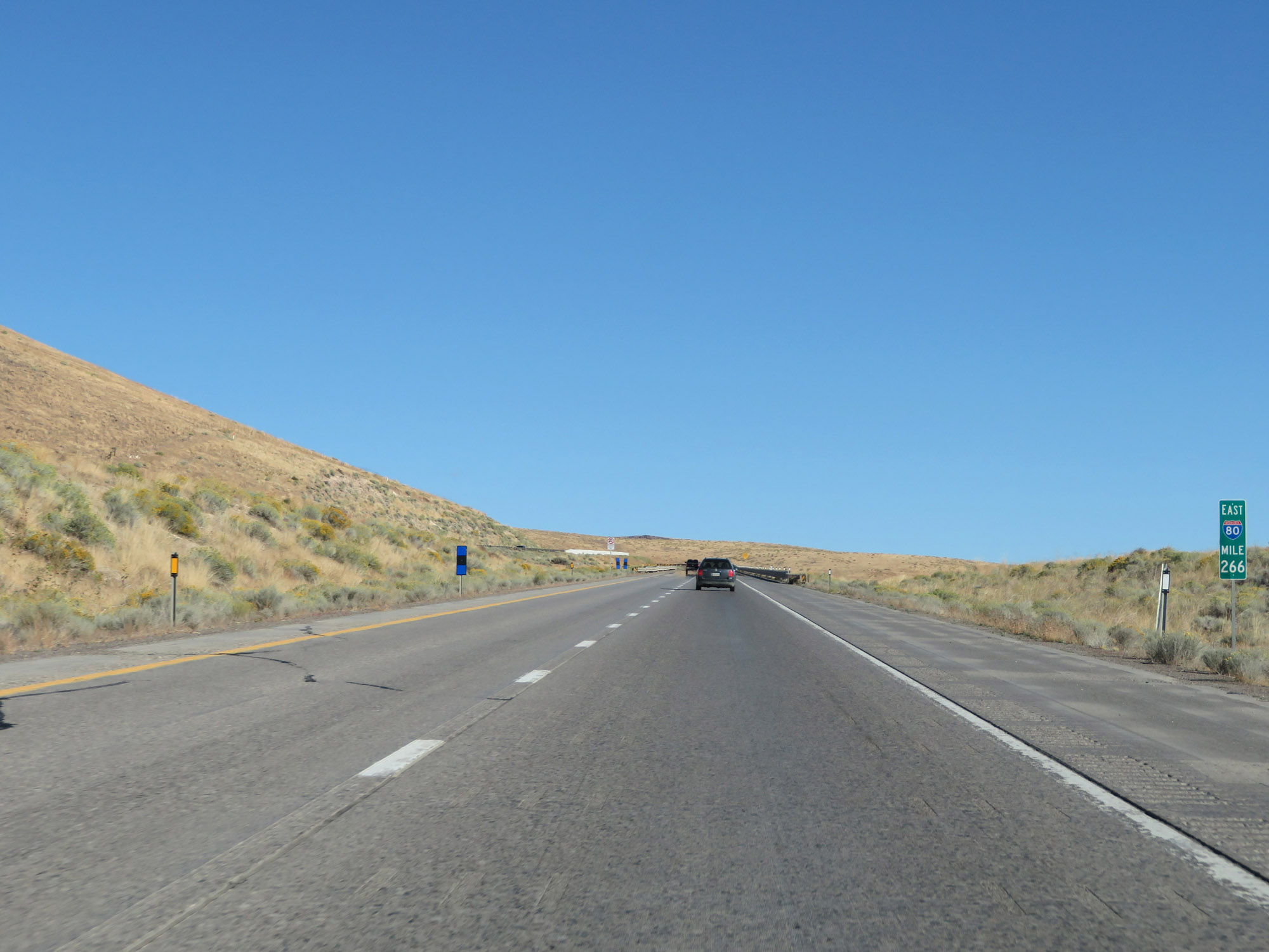 |
View on Interstate 80 East at mile marker 266 on Emigrant Pass. (Photo taken 9/24/19). |
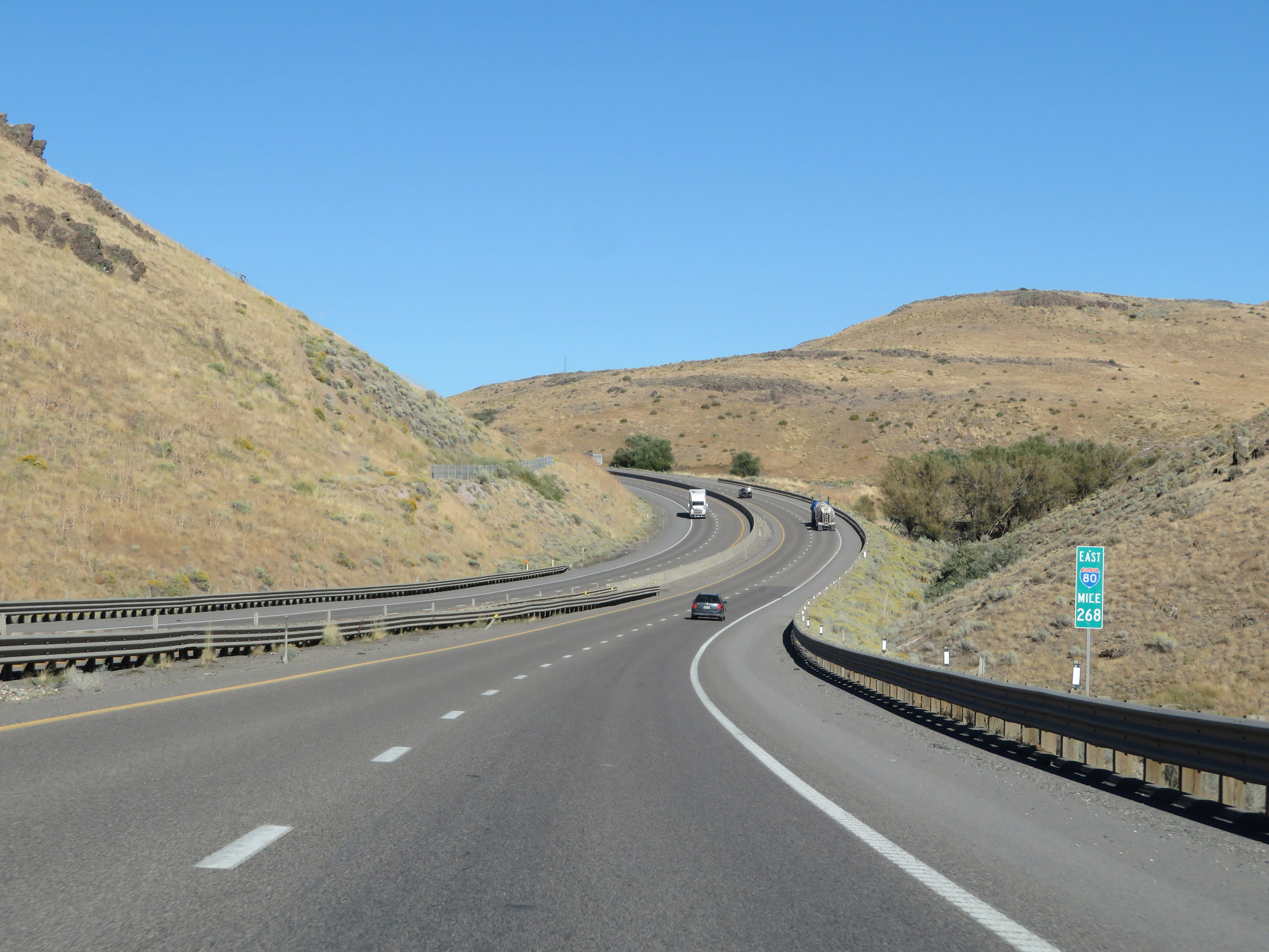 |
Interstate 80 East at mile marker 268. (Photo taken 9/24/19). |
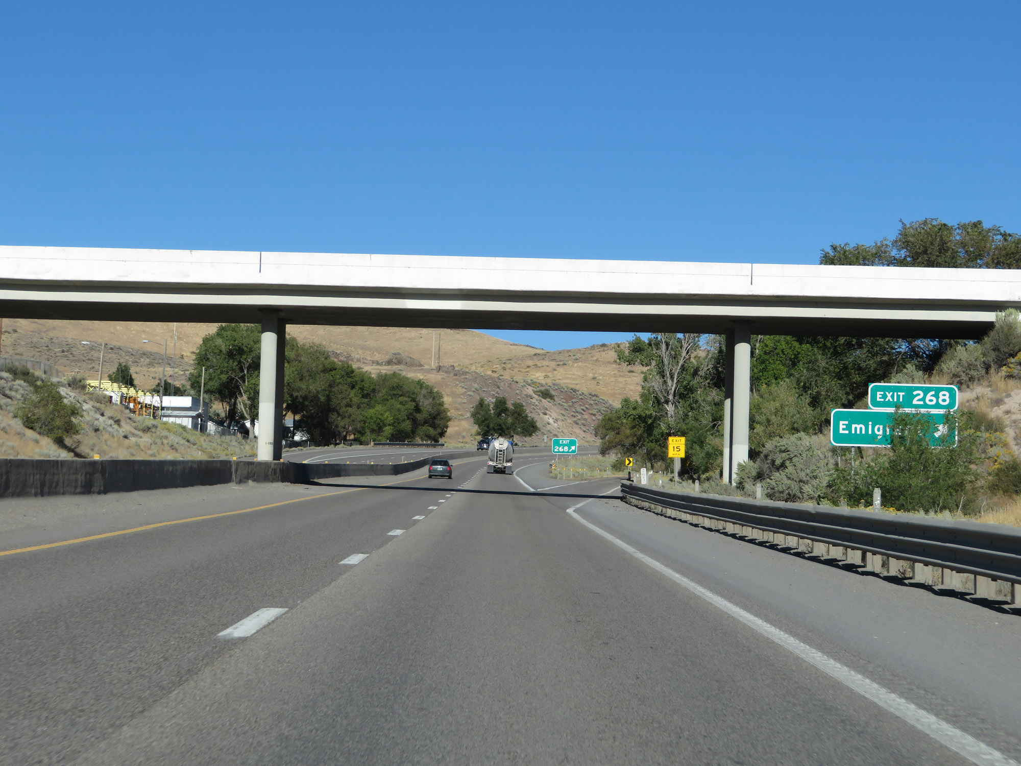 |
Interstate 80 East at Exit 268: Emigrant (Photo taken 9/24/19). |
 |
The speed limit remains 75 mph over Emigrant Pass. (Photo taken 9/24/19). |
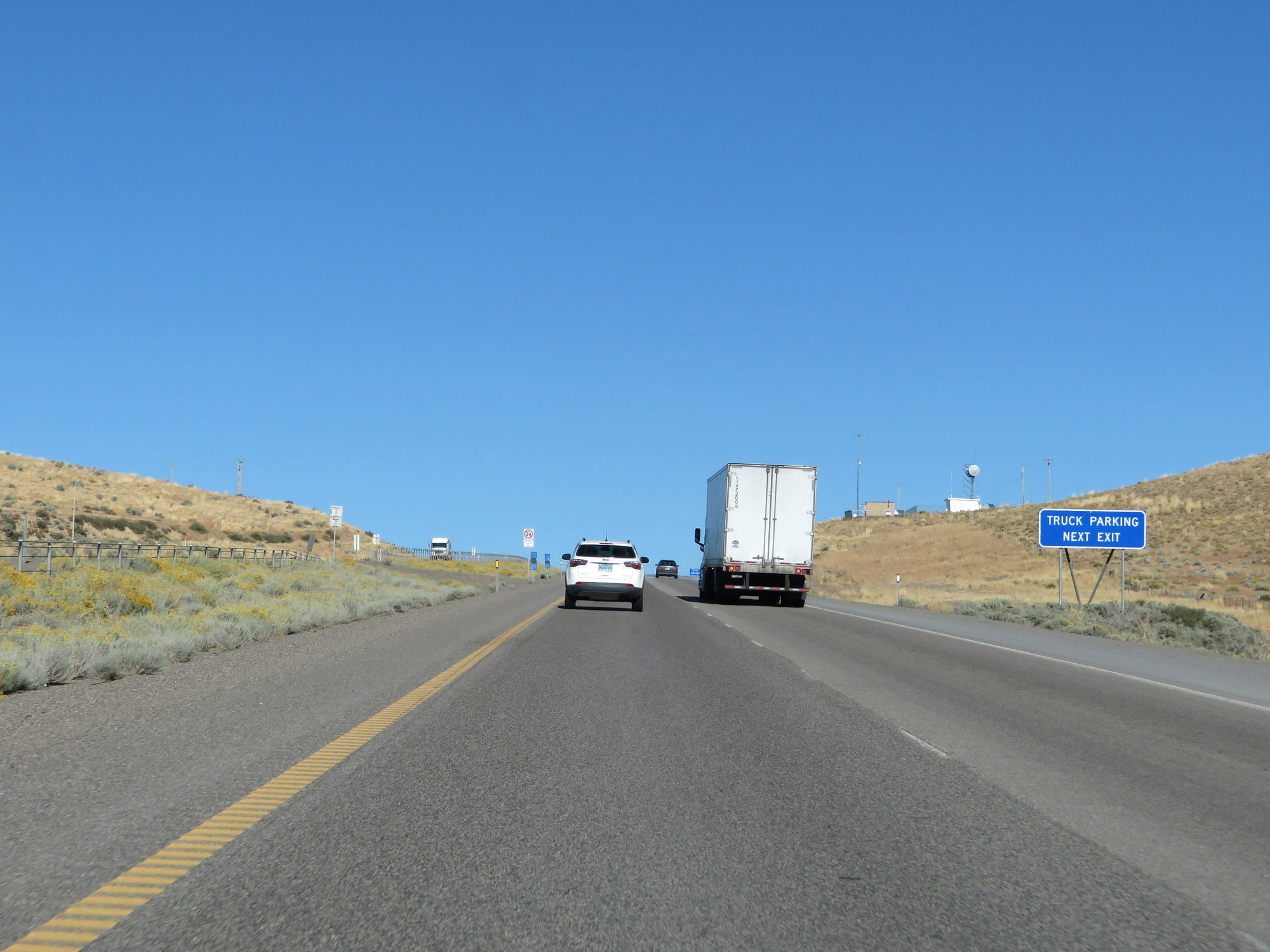 |
A Truck Parking Area exists just ahead at the summit of Emigrant Pass. (Photo taken 9/24/19). |
 |
Truck Parking Area at the summit of Emigrant Pass. (Photo taken 9/24/19). |
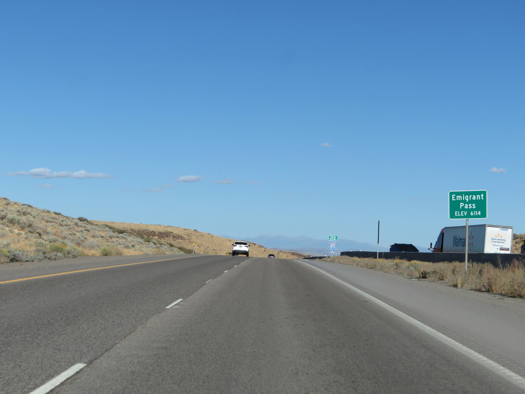 |
Interstate 80 East as it reaches the summit of Emigrant Pass at an elevation of 6,114 feet. (Photo taken 9/24/19). |
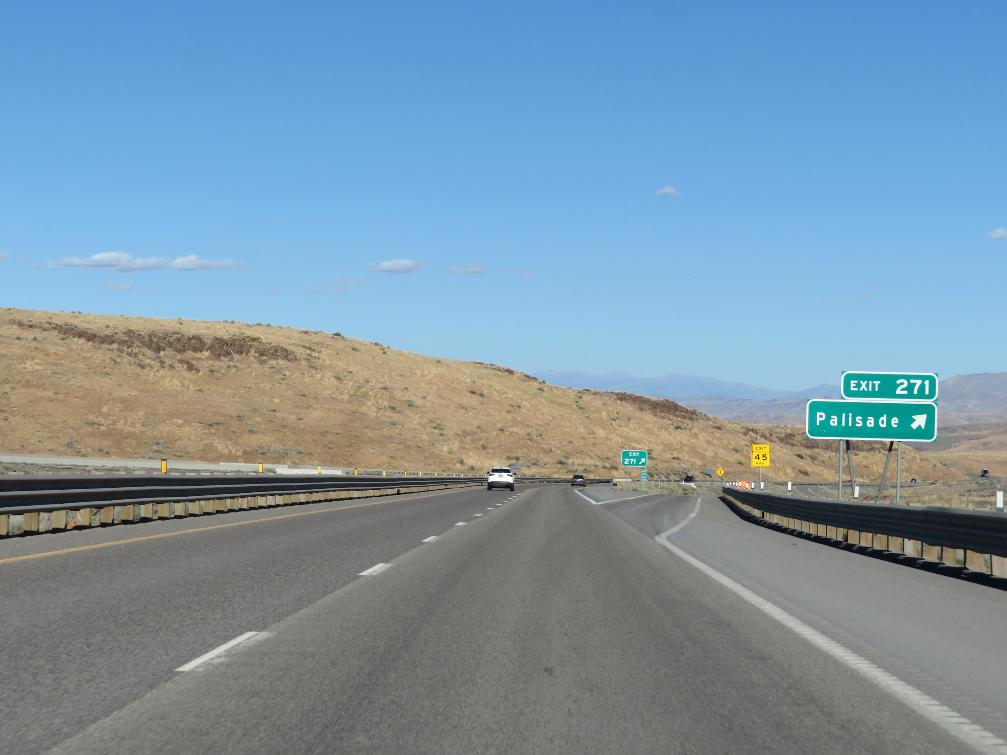 |
Interstate 80 East at Exit 271: Palisade (Photo taken 9/24/19). |
 |
Interstate 80 East reassurance shield as it starts down the east side of Emigrant Pass. (Photo taken 9/24/19). |
 |
View on Interstate 80 East at mile marker 272, continuing down Emigrant Pass. (Photo taken 9/24/19). |
 |
Interstate 80 East at mile marker 273 on Emigrant Pass, continuing down the steep grade. (Photo taken 9/24/19). |
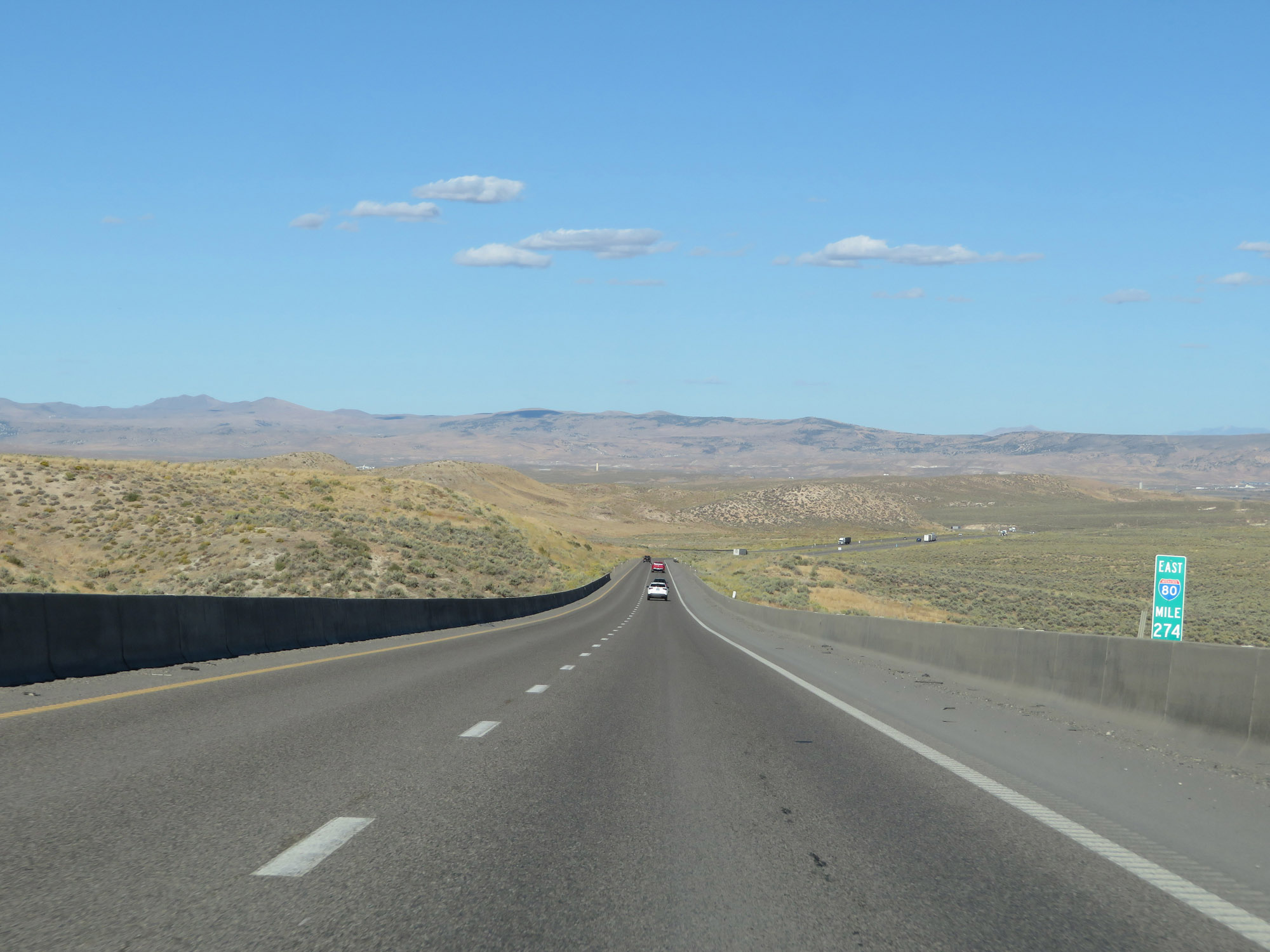 |
View on Interstate 80 East at mile marker 274. (Photo taken 9/24/19). |
 |
Chain Removal Area on Interstate 80 East at mile marker 275, as it reaches the bottom of Emigrant Pass. (Photo taken 9/24/19). |
 |
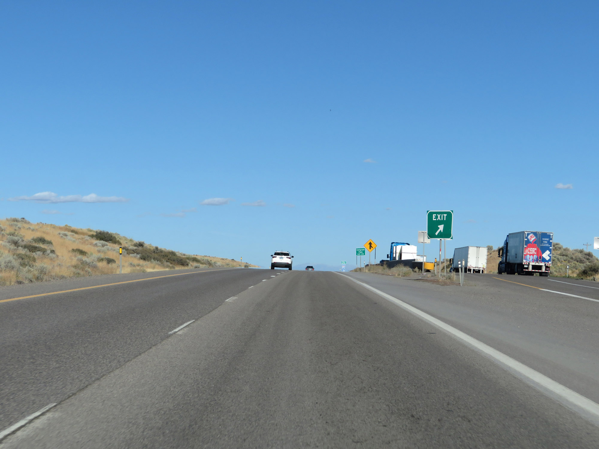
Take any of the next 3 exits to Carlin. (Photo taken 9/24/19). |
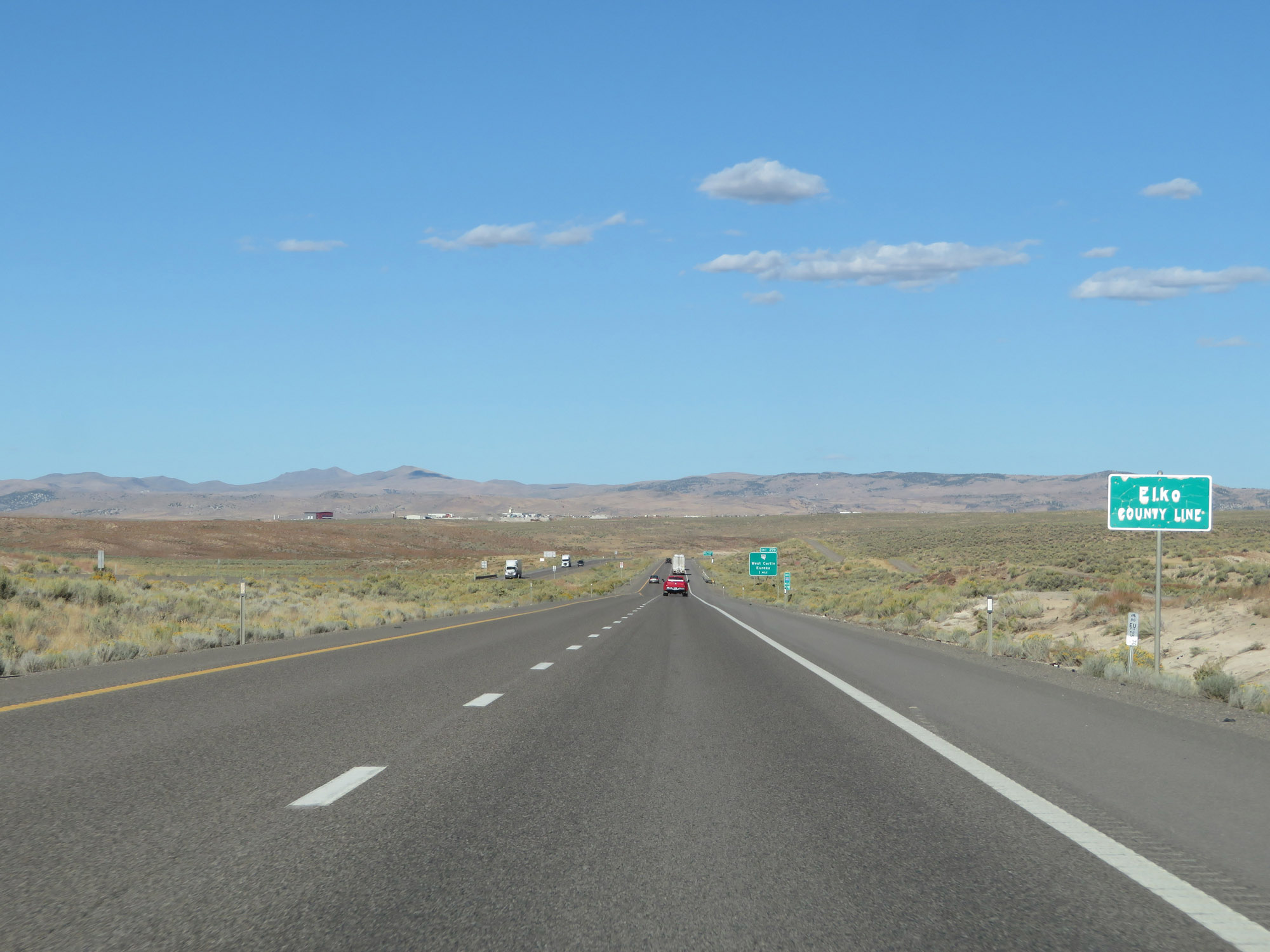 |
Interstate 80 East as it enters Elko County. (Photo taken 9/24/19). |
 |
Interstate 80 East approaching Exit 279 - 1 mile. (Photo taken 9/24/19). |
 |
Take Exit 279 to Interstate 80 Business Loop. (Photo taken 9/24/19). |
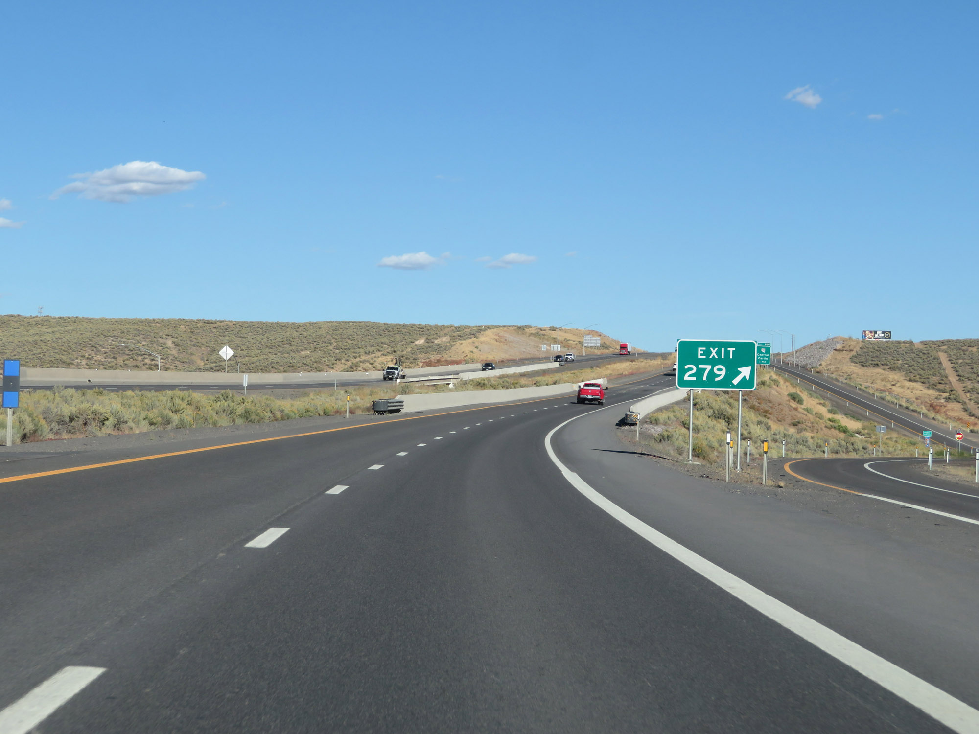 |
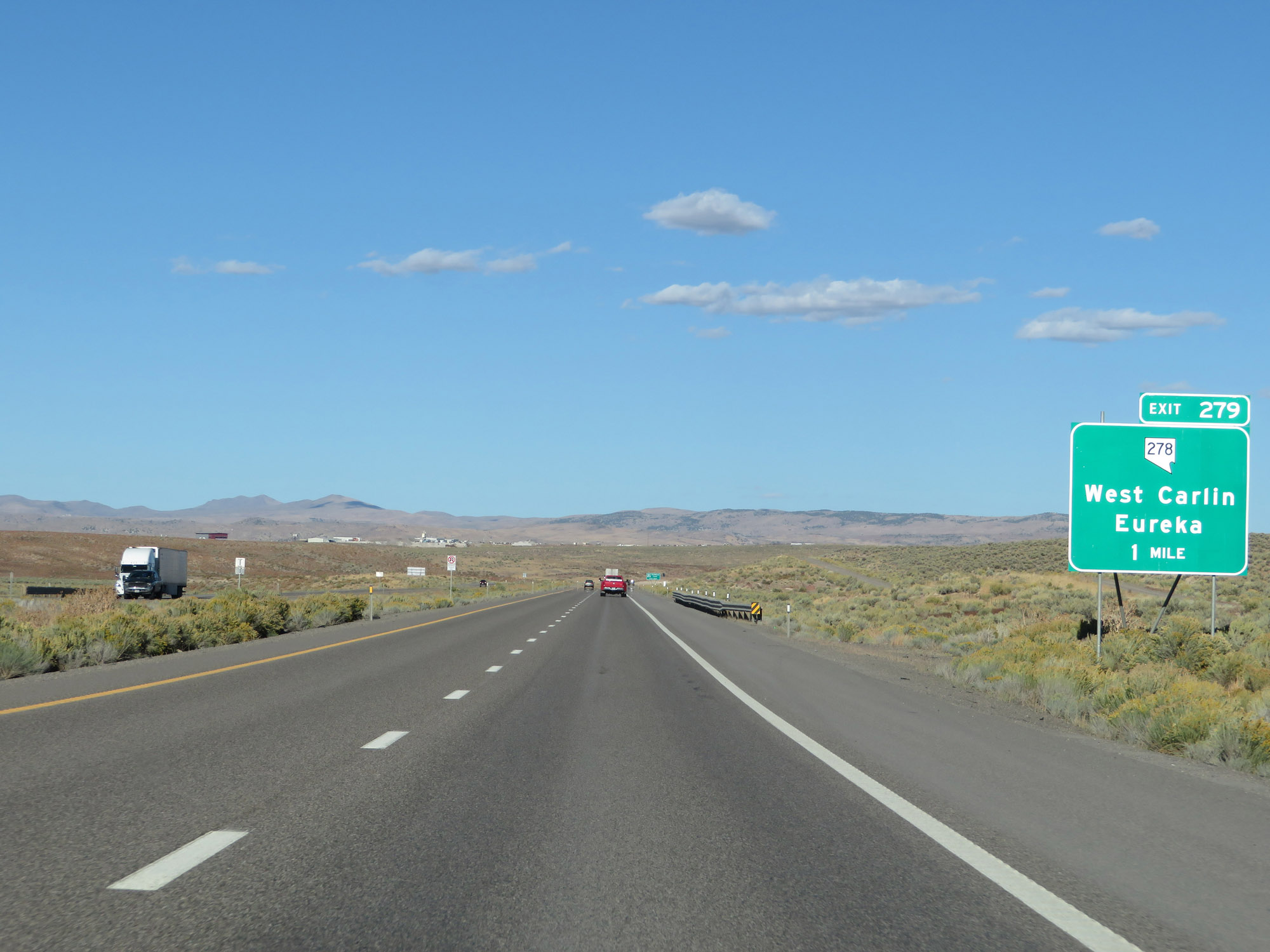
Interstate 80 East at Exit 279: NV 278 - West Carlin / Eureka (Photo taken 9/24/19). |
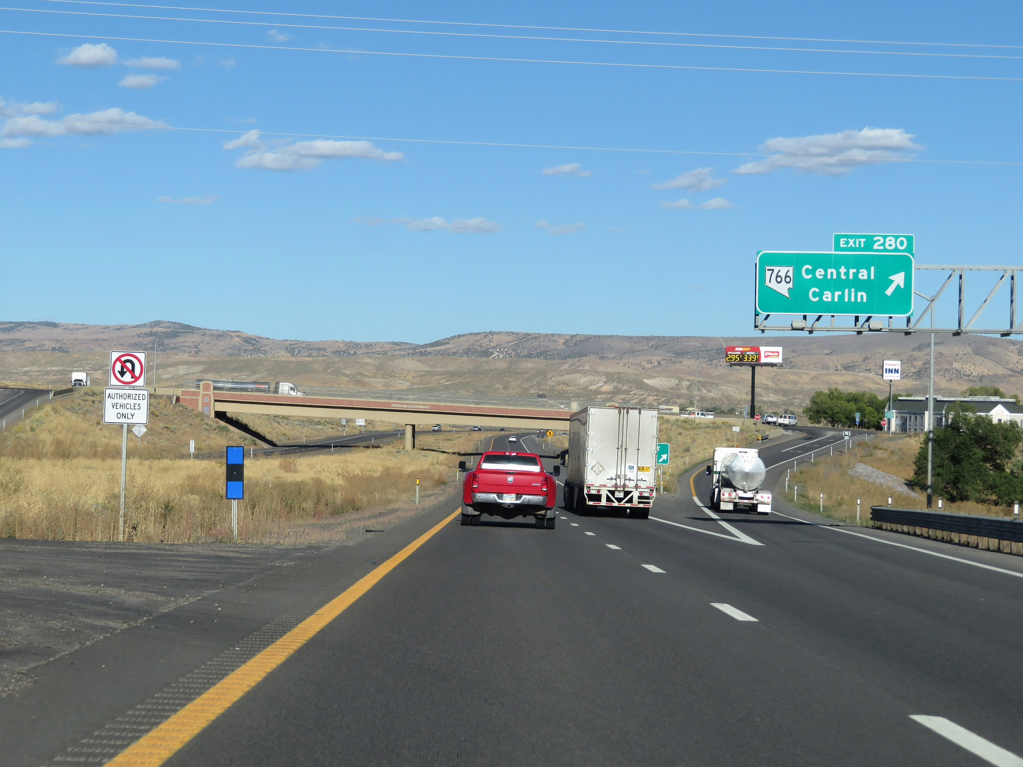 |
Interstate 80 East at Exit 280: NV 766 - Central Carlin (Photo taken 9/24/19). |
Section 4: Carlin (Exit 280) to Wells (Exit 352)
 |
The speed limit remains 75 mph through Carlin. (Photo taken 9/24/19). |
 |
Take Exit 282 to the Nevada National Guard. (Photo taken 9/24/19). |
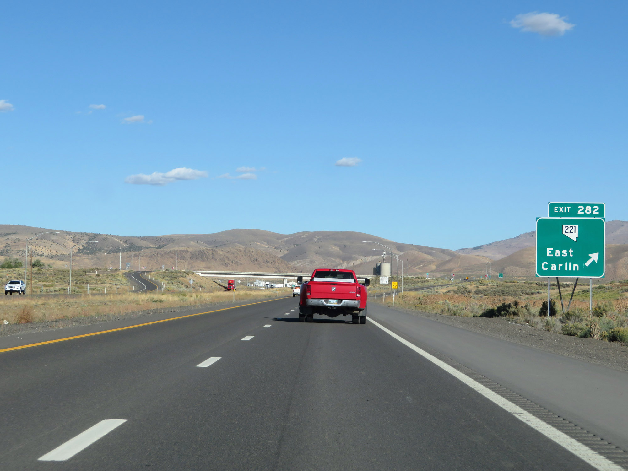 |
Interstate 80 East at Exit 282: NV 221 - East Carlin (Photo taken 9/24/19). |
 |
Interstate 80 East reassurance shield leaving Carlin. (Photo taken 9/24/19). |
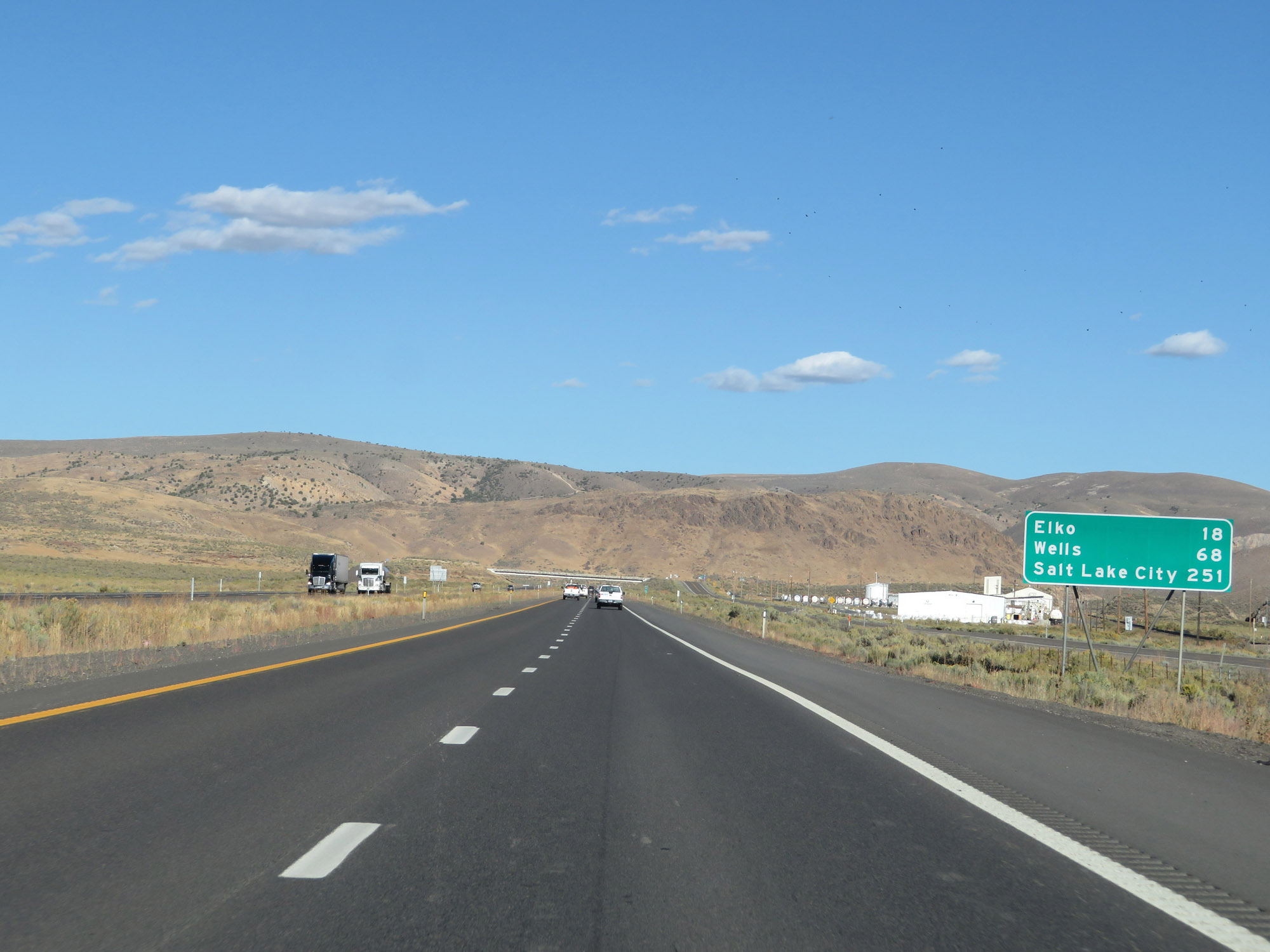 |
Mileage sign on Interstate 80 East. It's 18 miles to Elko, 68 miles to Wells, and 251 miles to Salt Lake City. (Photo taken 9/24/19). |
 |
View on Interstate 80 East at mile marker 284. (Photo taken 9/24/19). |
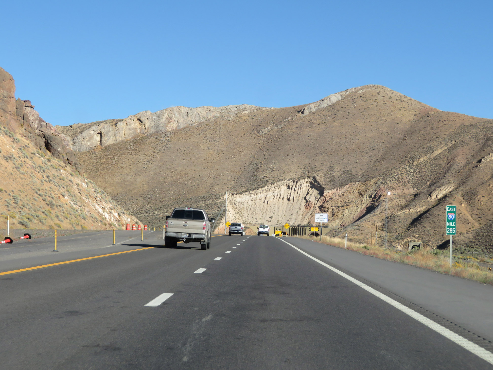 |
Interstate 80 East at mile marker 285, as it approaches the Carlin Tunnel. (Photo taken 9/24/19). |
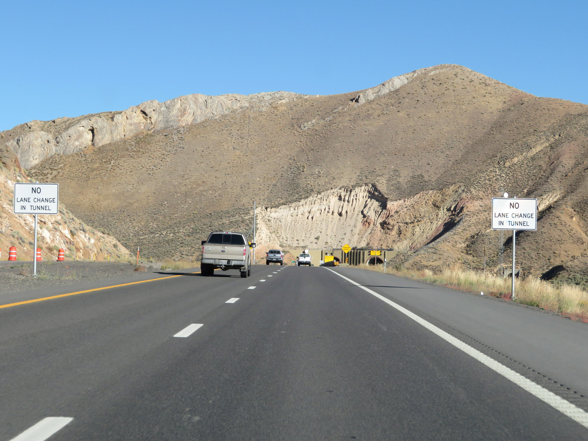 |
As these signs warn, lane changes are prohibited inside the Carlin Tunnel. (Photo taken 9/24/19). |
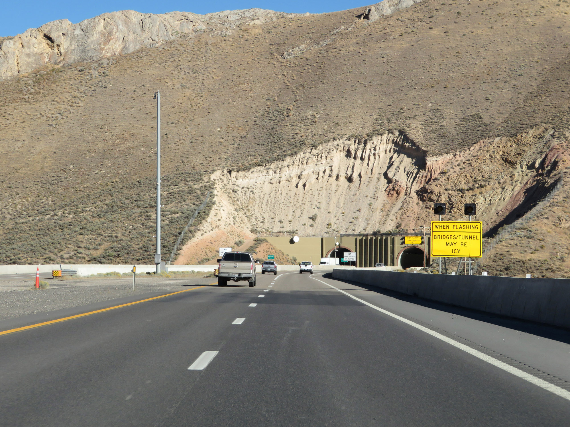 |
When the lights on this sign are flashing, ice may exist inside the tunnel. (Photo taken 9/24/19). |
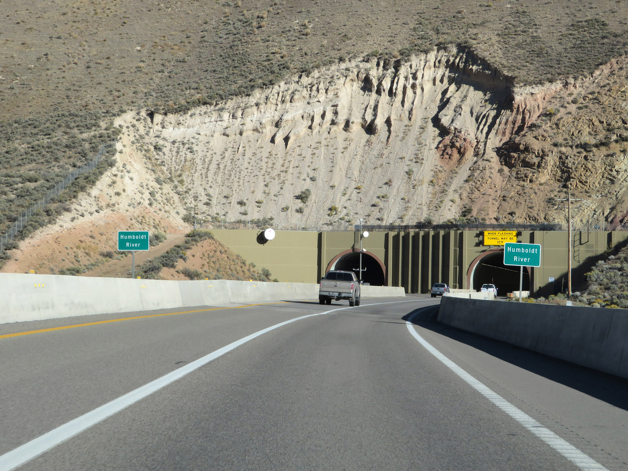 |
Interstate 80 East crosses the Humboldt River just before entering the Carlin Tunnel. (Photo taken 9/24/19). |
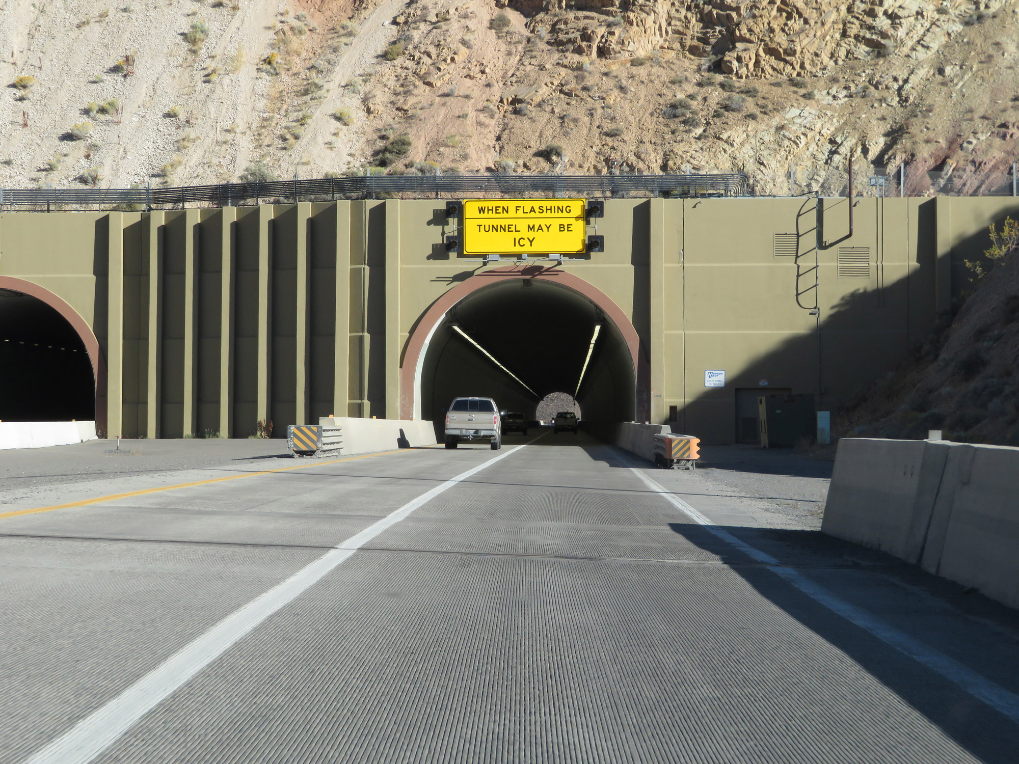 |
Interstate 80 East as it prepares to enter the Carlin Tunnel. (Photo taken 9/24/19). |
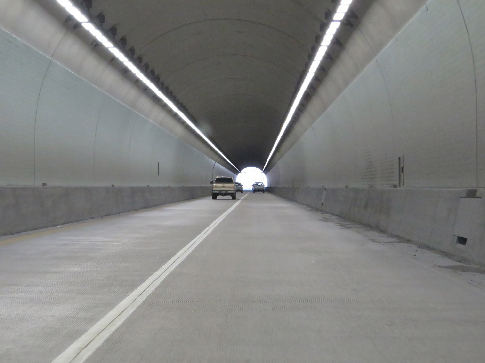 |
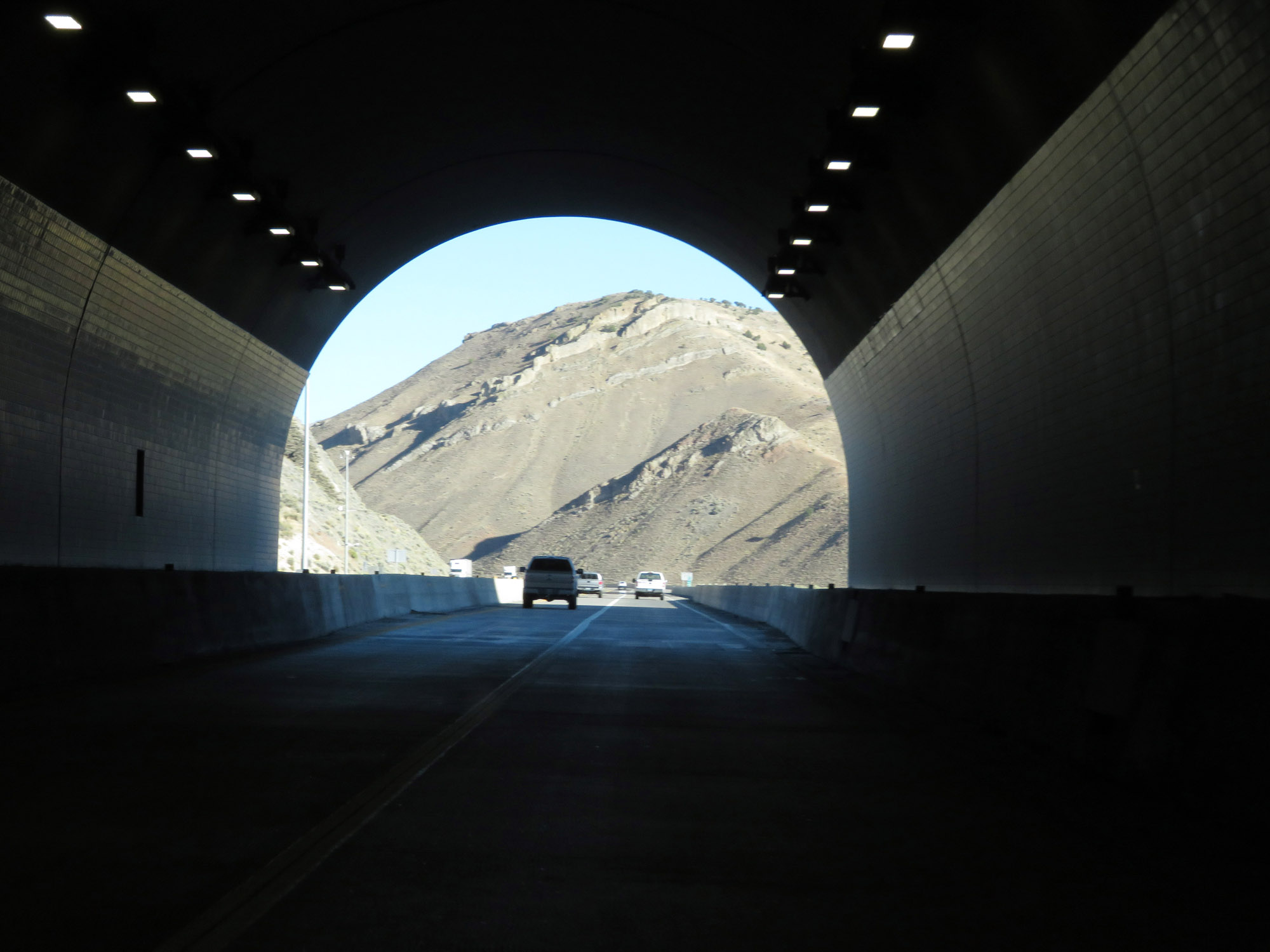
View on Interstate 80 East inside the Carlin Tunnel. (Photo taken 9/24/19). |
 |
Interstate 80 East as it leaves the Carlin Tunnel. (Photo taken 9/24/19). |
 |
View on Interstate 80 East at mile marker 286. (Photo taken 9/24/19). |
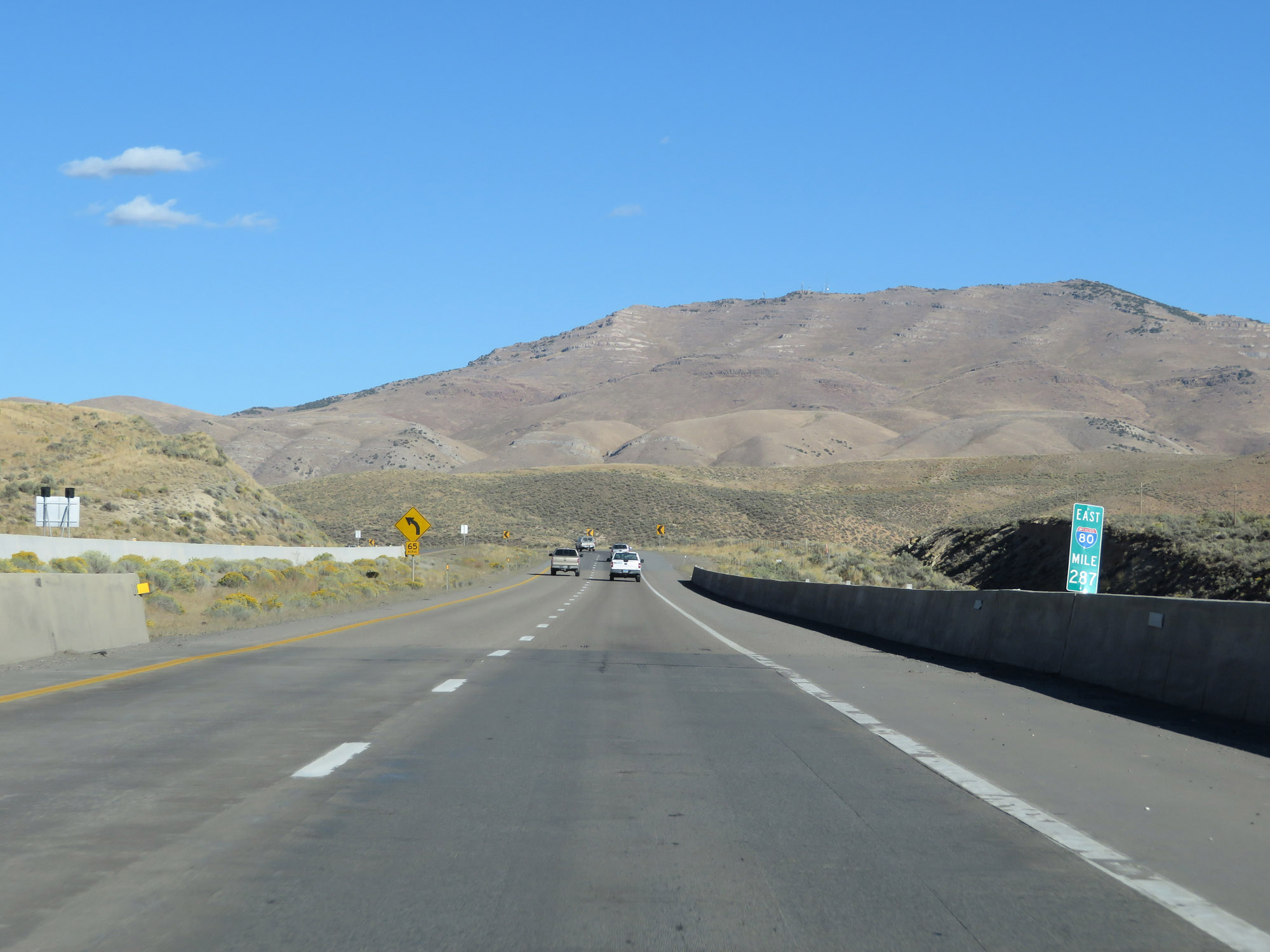 |
Interstate 80 East at mile marker 287. (Photo taken 9/24/19). |
 |
Interstate 80 East at mile marker 290. (Photo taken 9/24/19). |
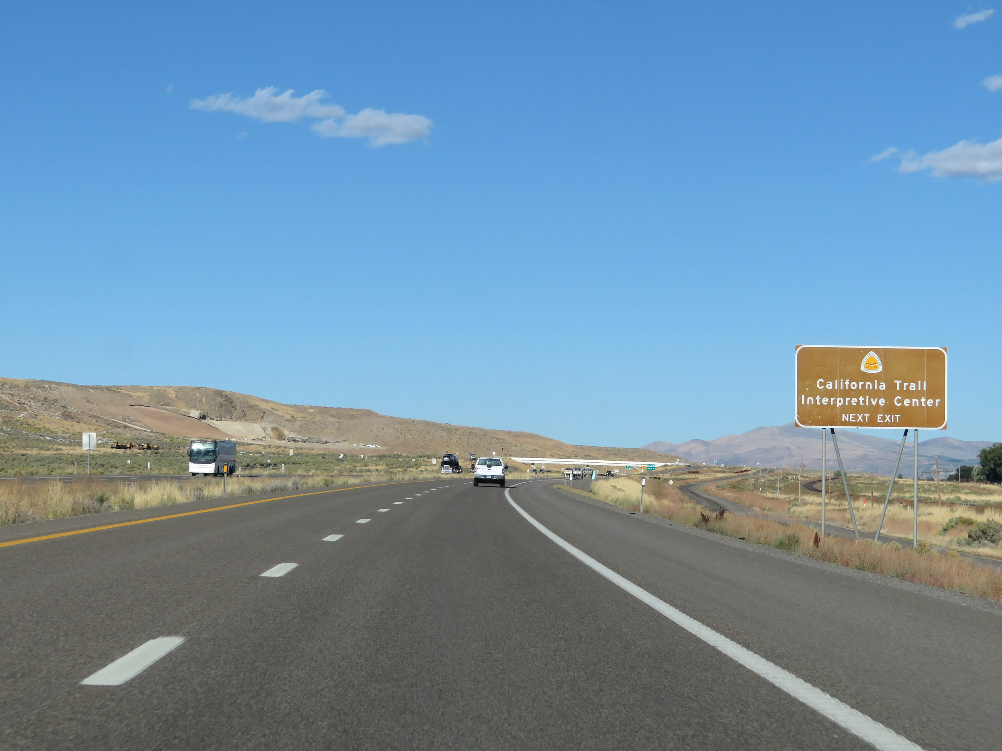 |
Take Exit 292 to the California Trail Interpretive Center. (Photo taken 9/24/19). |
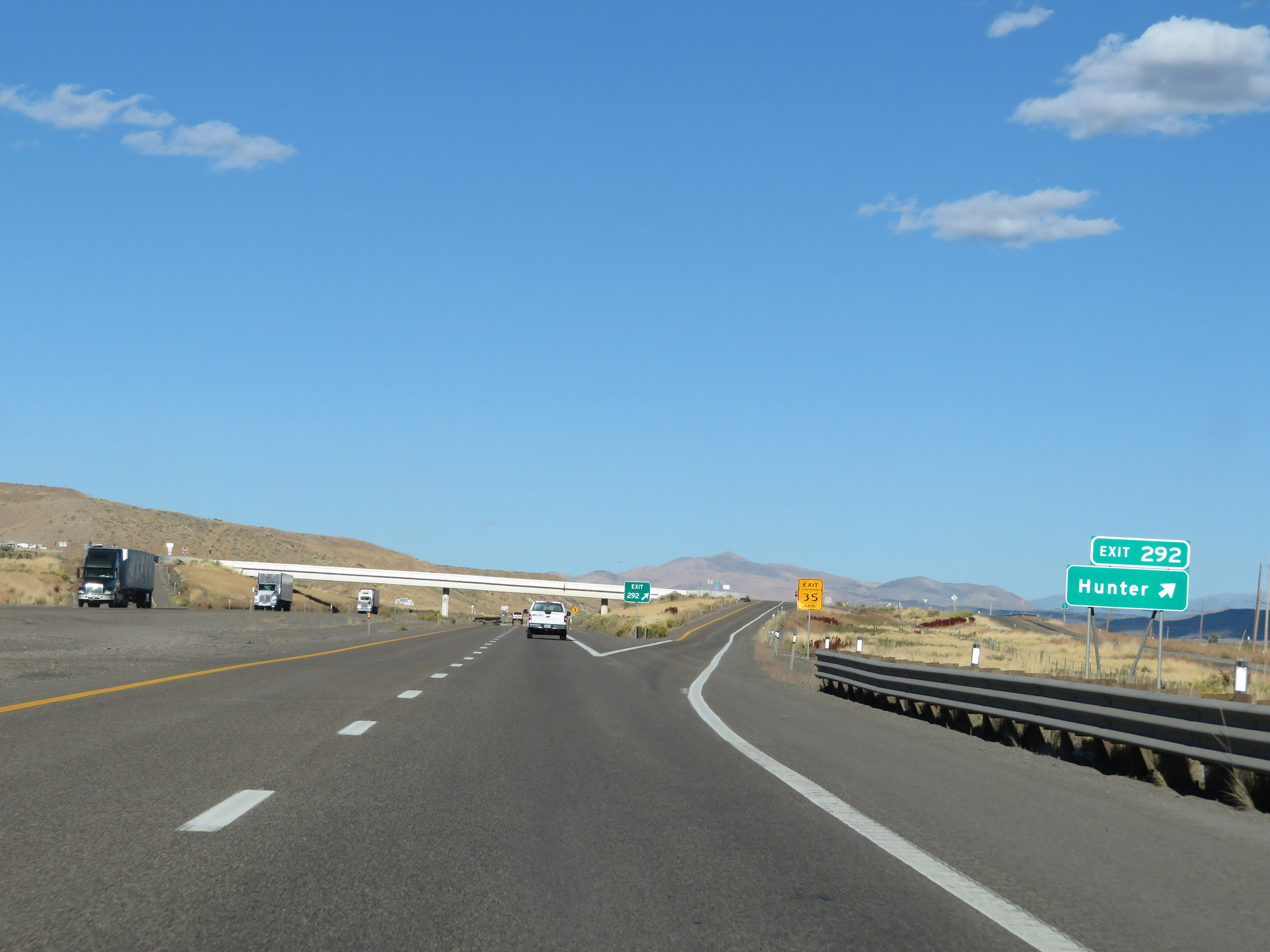 |
Interstate 80 East at Exit 292: Hunter (Photo taken 9/24/19). |
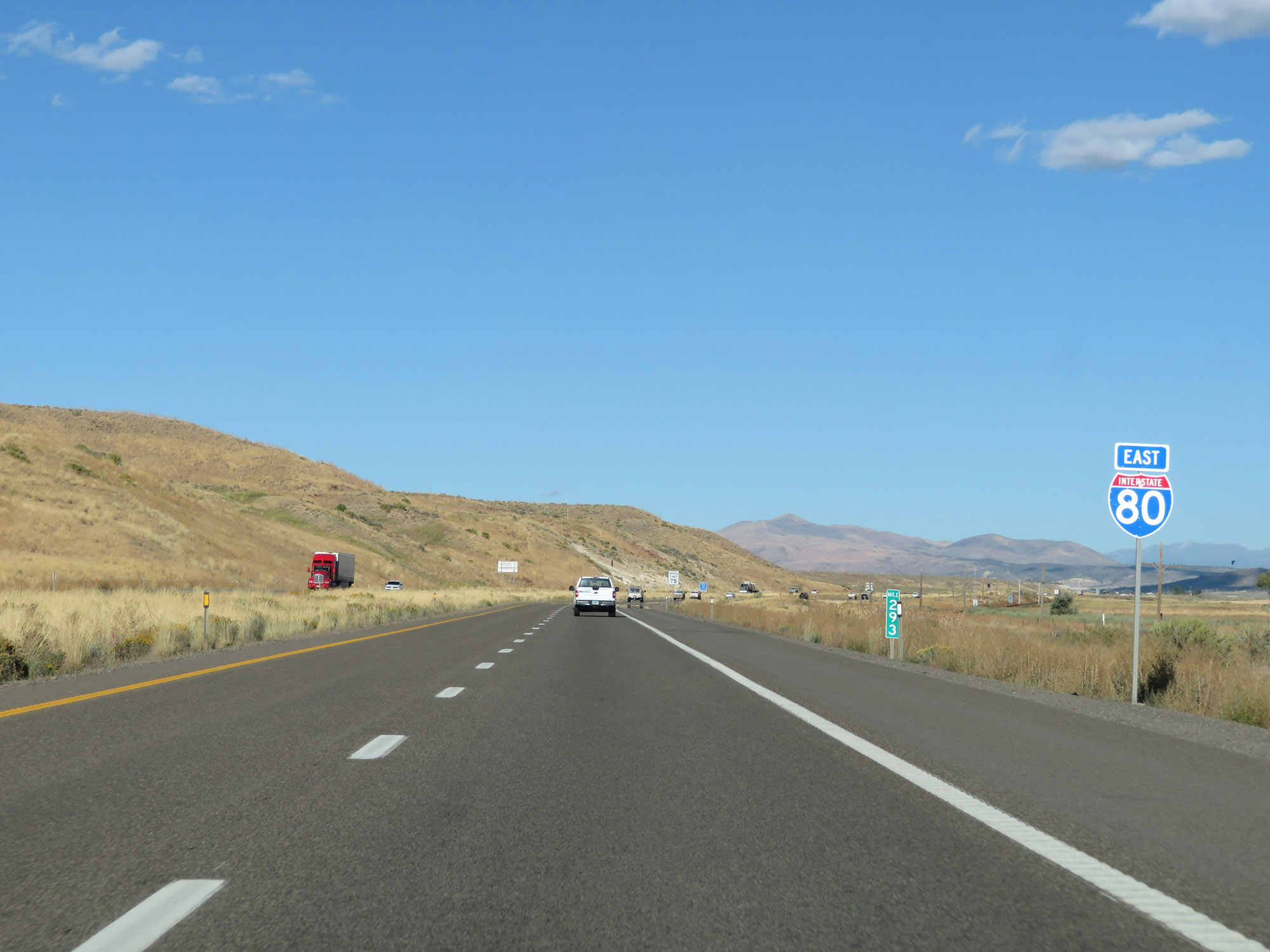 |
Interstate 80 East reassurance shield at mile marker 293. (Photo taken 9/24/19). |
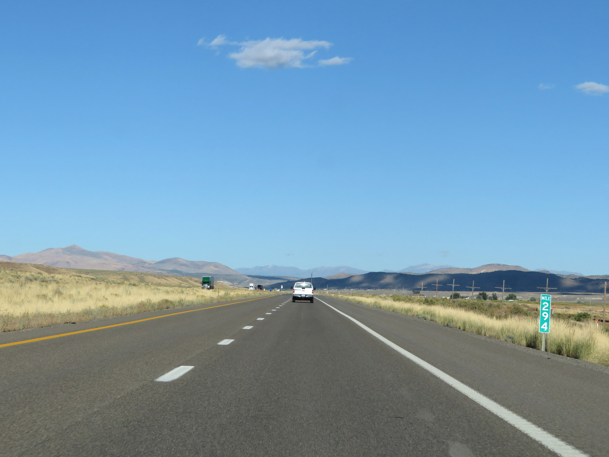 |
View on Interstate 80 East at mile marker 294. (Photo taken 9/24/19). |
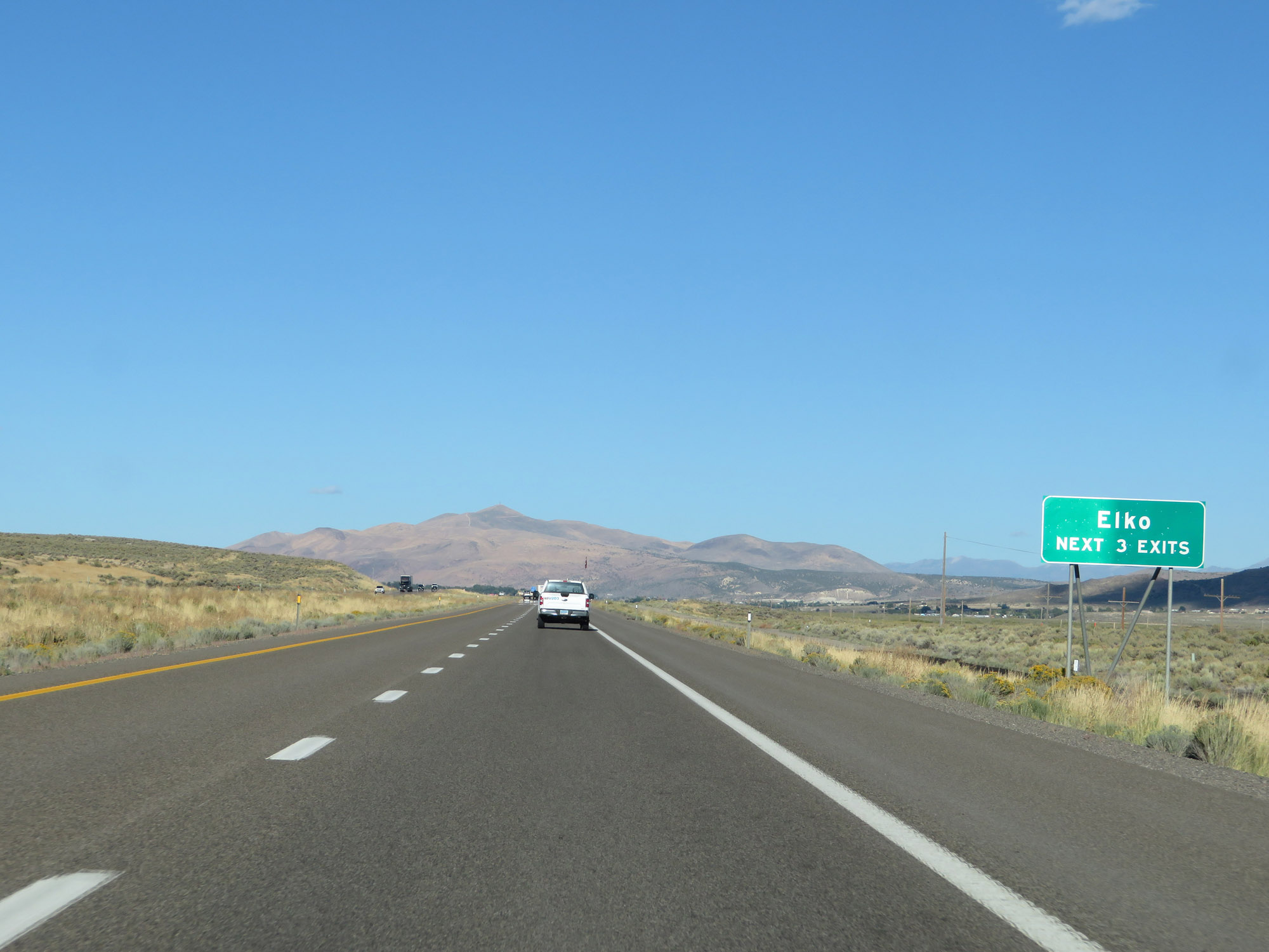 |
Take any of the next 3 exits to Elko. (Photo taken 9/24/19). |
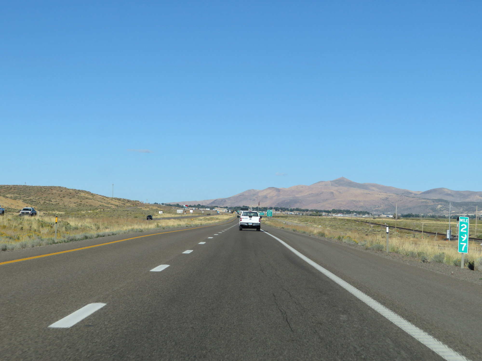 |
Interstate 80 East at mile marker 297. (Photo taken 9/24/19). |
 |
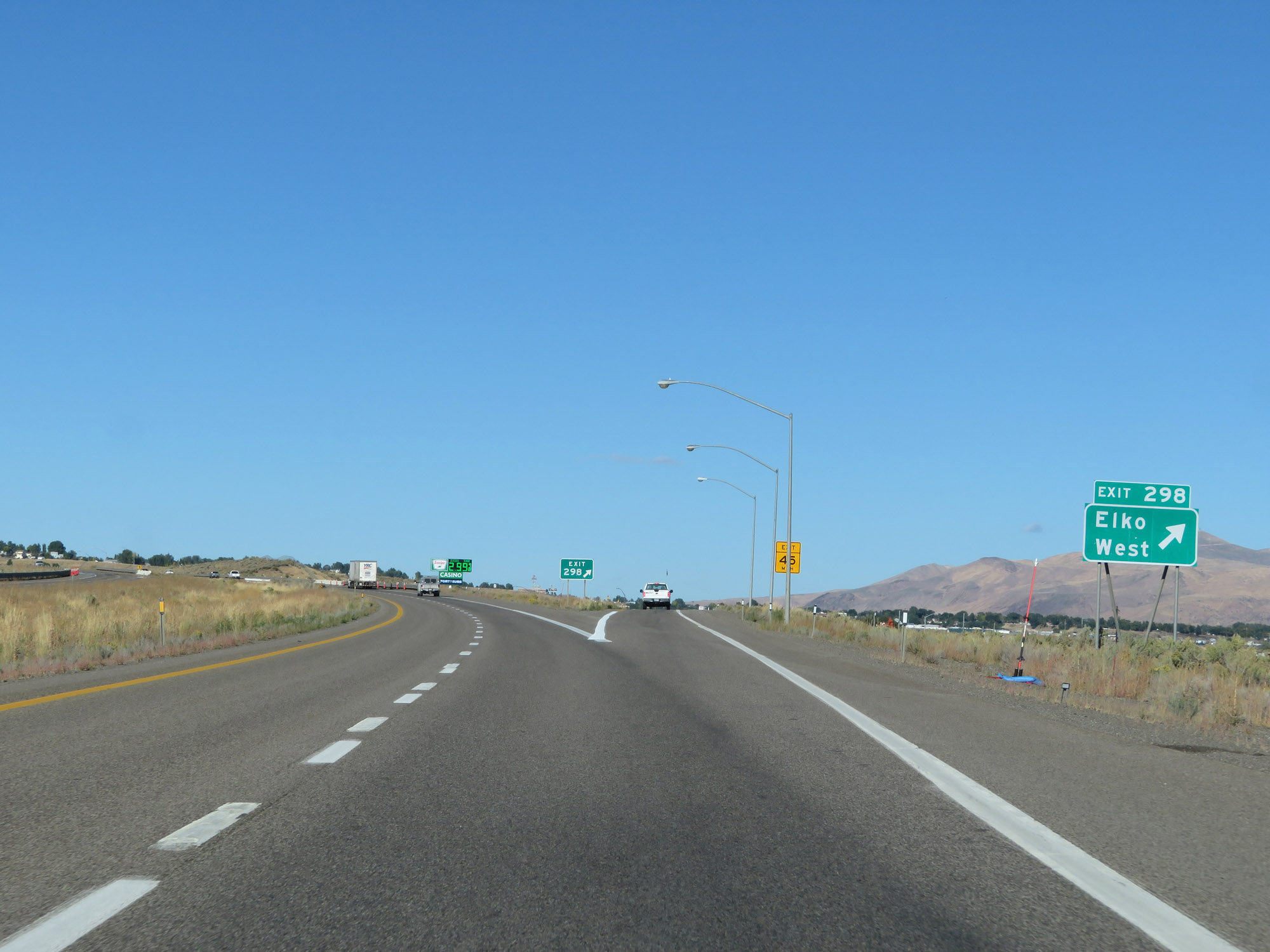
Take Exit 298 to Interstate 80 Business Loop. (Photo taken 9/24/19). |
 |
The speed limit decreases to 65 mph as Interstate 80 East enters the Elko area. (Photo taken 9/24/19). |
 |
Interstate 80 East at Exit 298: Elko West (Photo taken 9/24/19). |
 |
Interstate 80 East at mile marker 300. (Photo taken 9/24/19). |
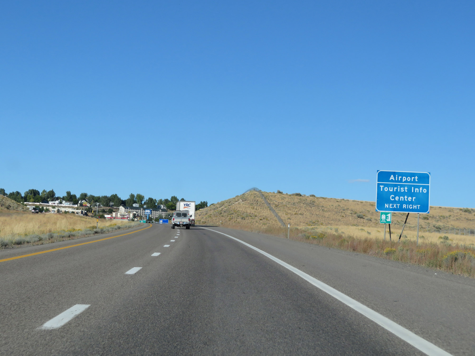 |
Take Exit 301 to the Airport and Tourist Info Center. (Photo taken 9/24/19). |
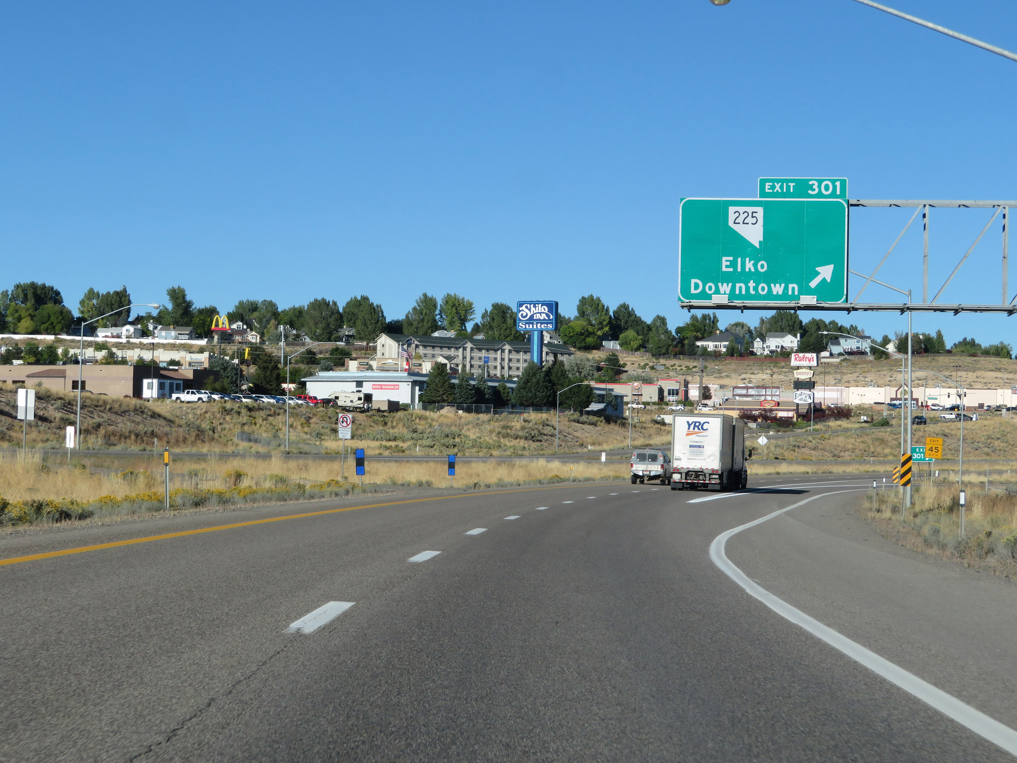 |
Interstate 80 East at Exit 301: NV 225 - Elko Downtown (Photo taken 9/24/19). |
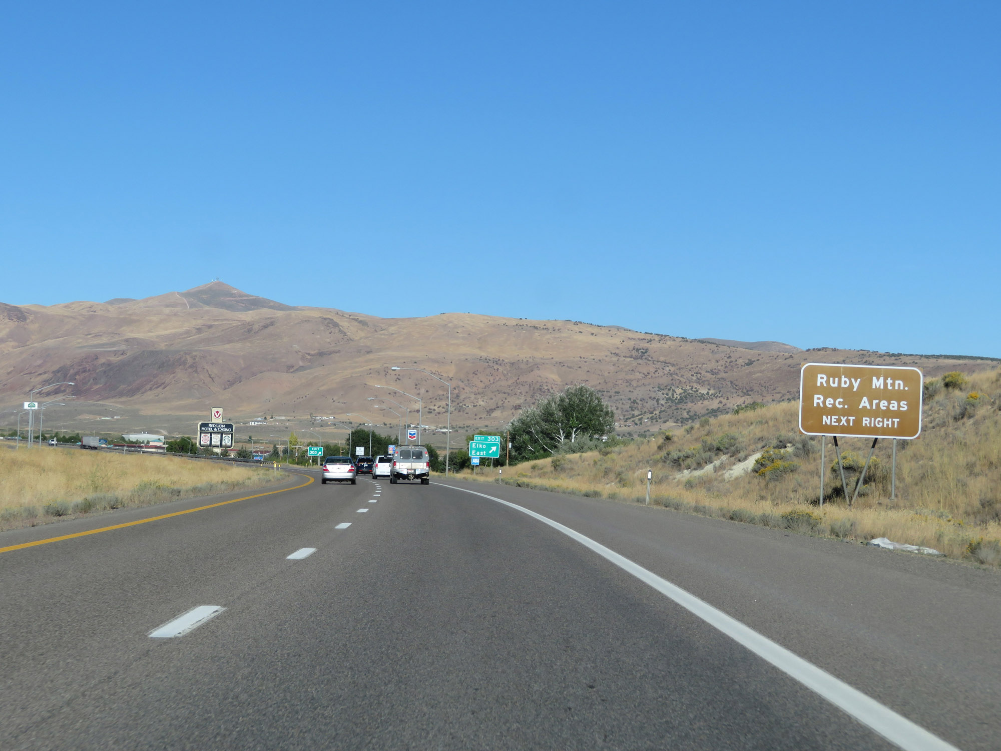 |
Take Exit 303 to Ruby Mountain Recreational Areas. (Photo taken 9/24/19). |
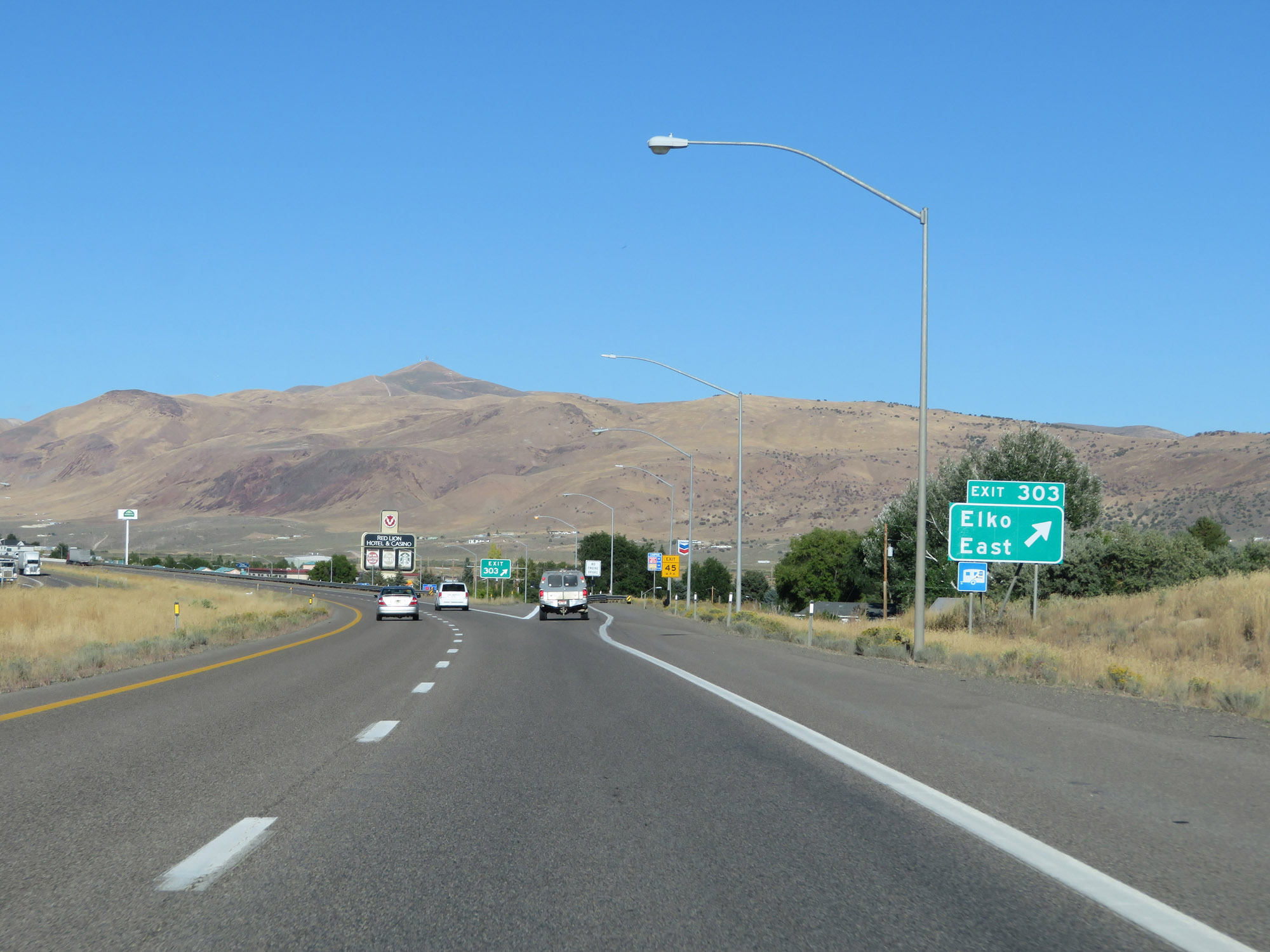 |
Interstate 80 East at Exit 303: Elko East (Photo taken 9/24/19). |
 |
East of Exit 303, the speed limit increases to 80 mph once again. (Photo taken 9/24/19). |
 |
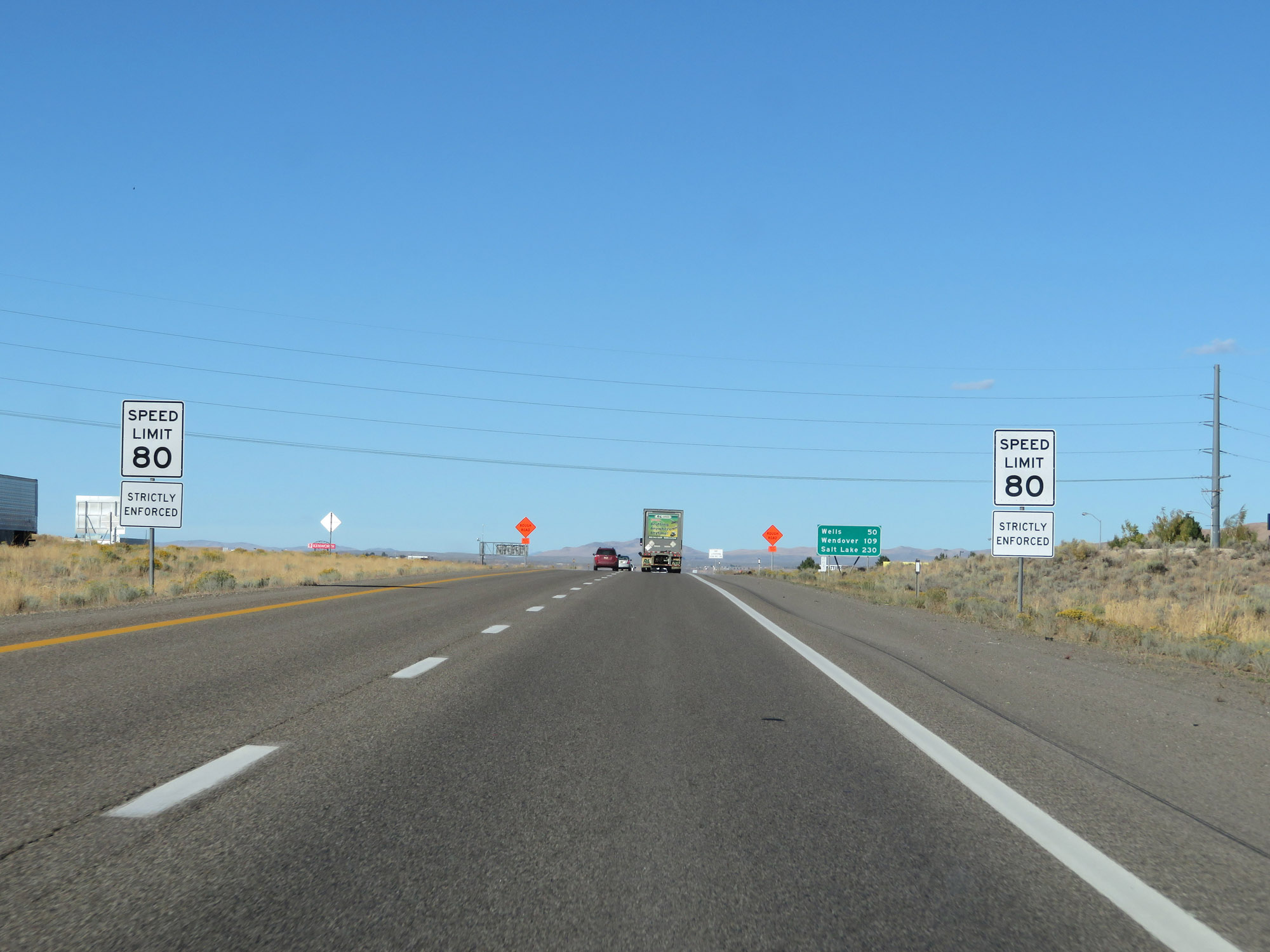
Mileage sign on Interstate 80 East. It's 50 miles to Wells, 109 miles to Wendover, and 230 miles to Salt Lake City. (Photo taken 9/24/19). |
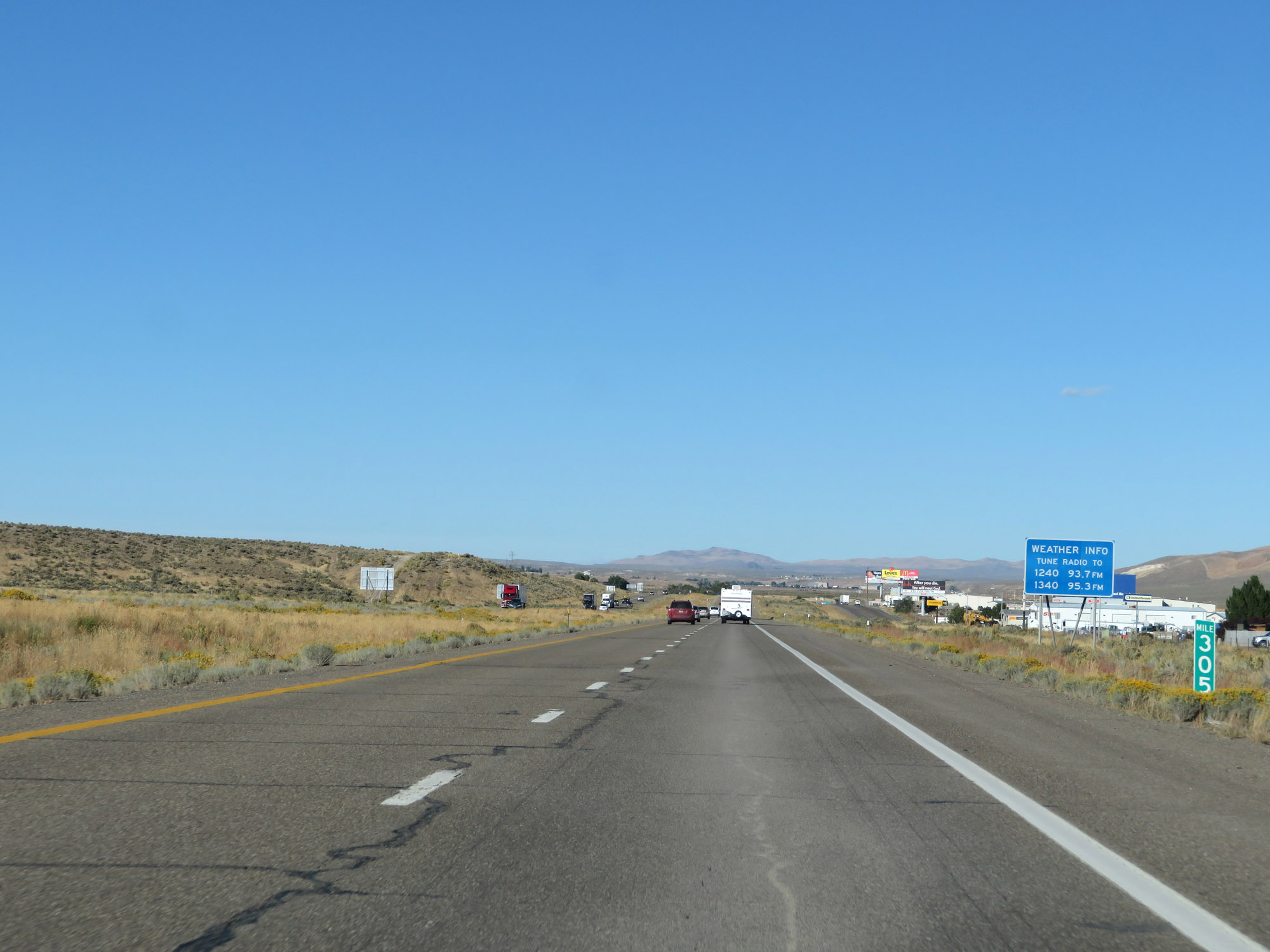 |
View on Interstate 80 East at mile marker 305. (Photo taken 9/24/19). |
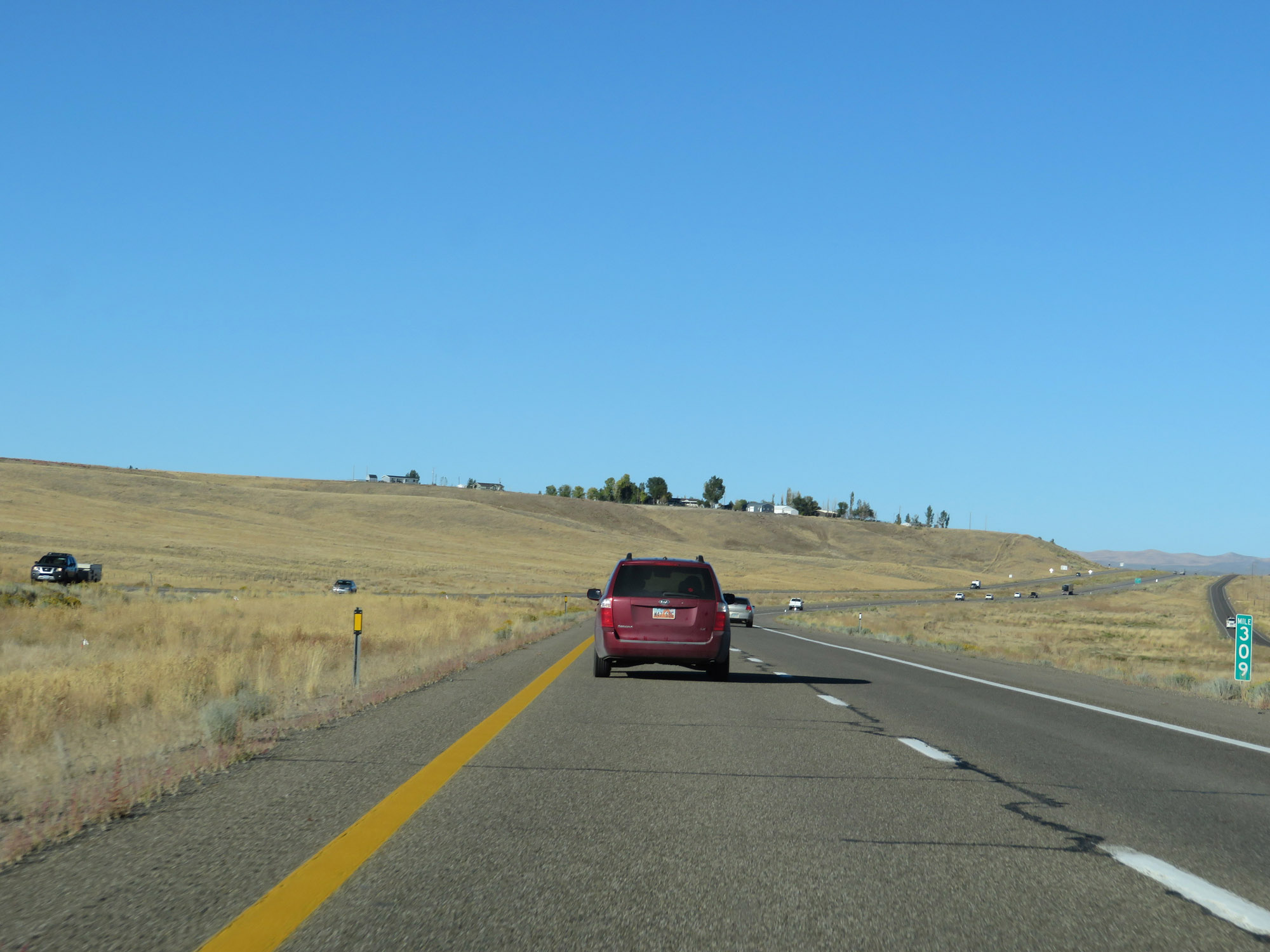 |
Interstate 80 East at mile marker 309. (Photo taken 9/24/19). |
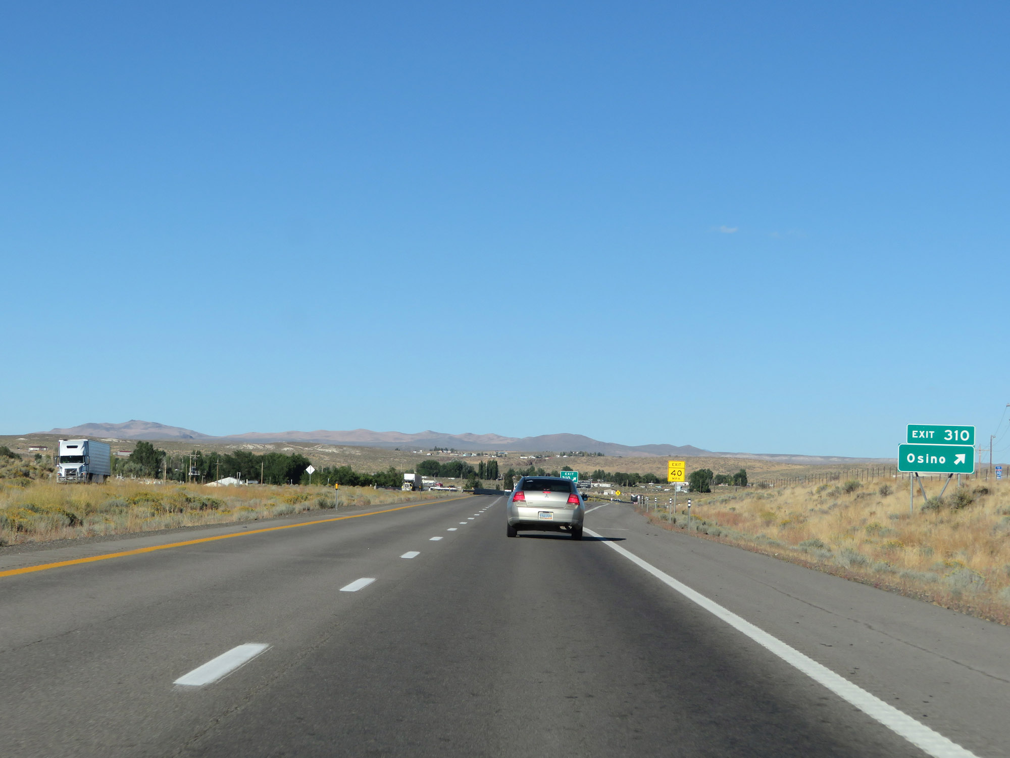 |
Interstate 80 East at Exit 310: Osino (Photo taken 9/24/19). |
 |
Check Station on Interstate 80 East in Elko County. (Photo taken 9/24/19). |
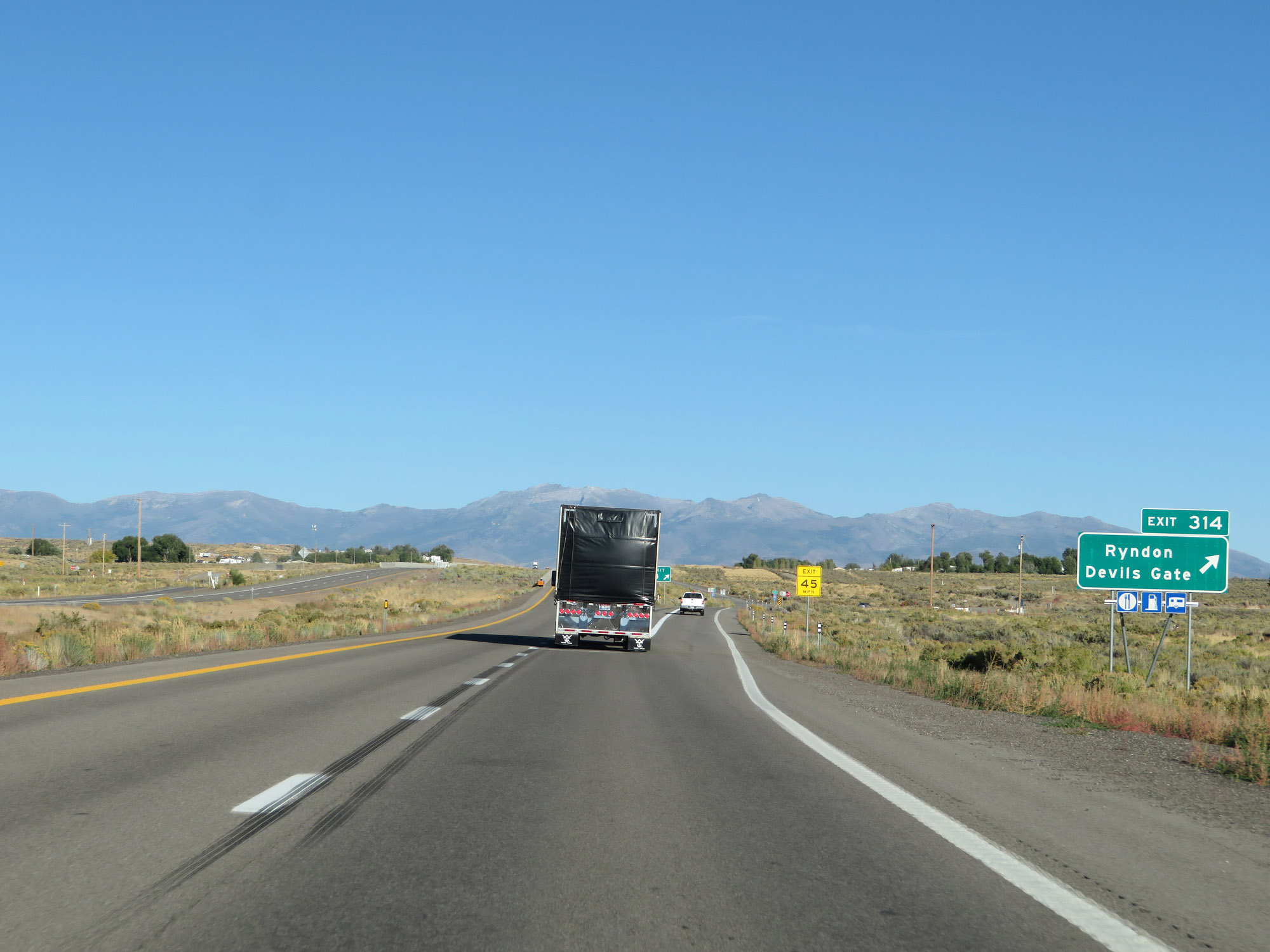 |
Interstate 80 East at Exit 314: Ryndon / Devils Gate (Photo taken 9/24/19). |
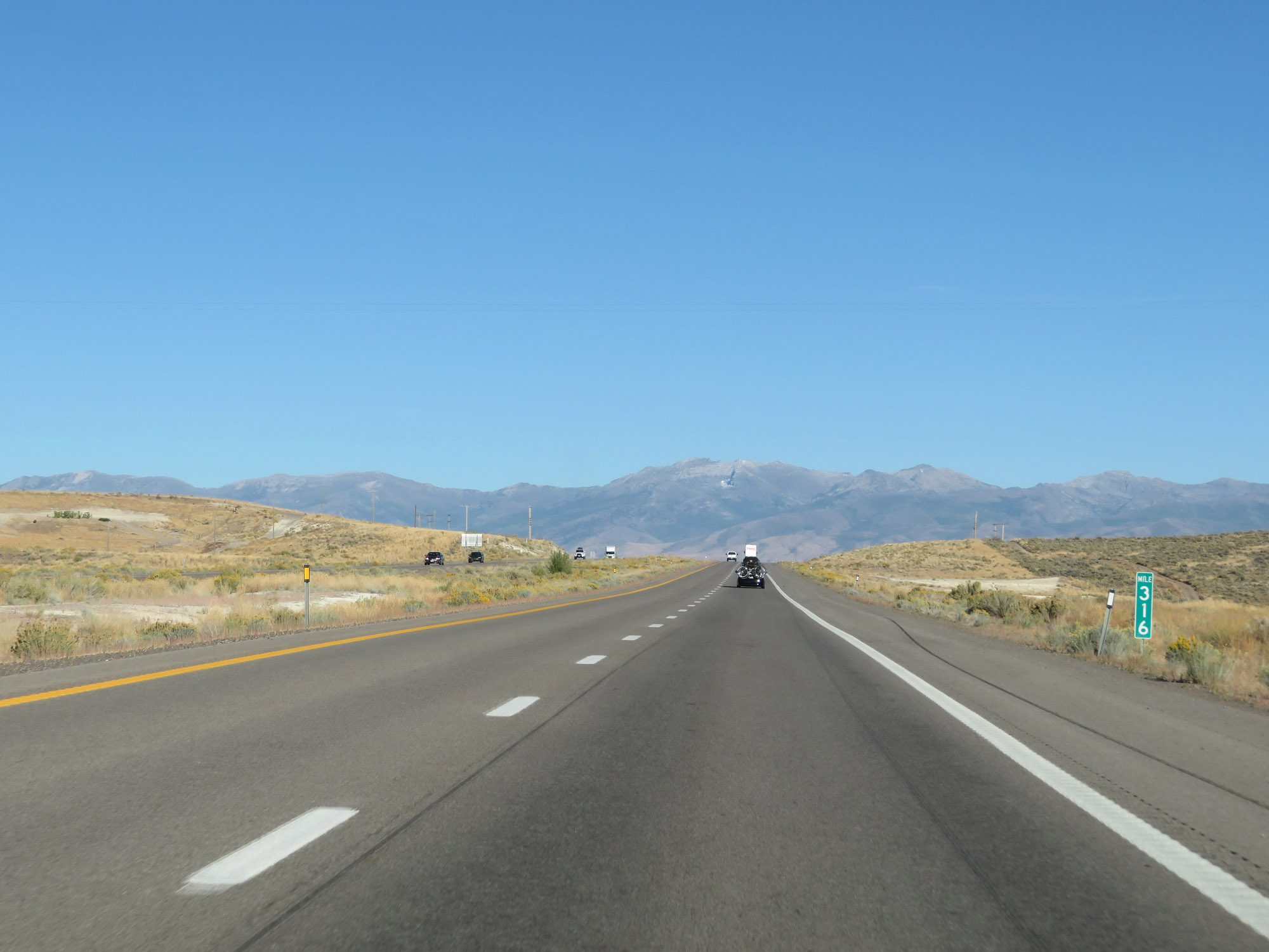 |
View on Interstate 80 East at mile marker 316. (Photo taken 9/24/19). |
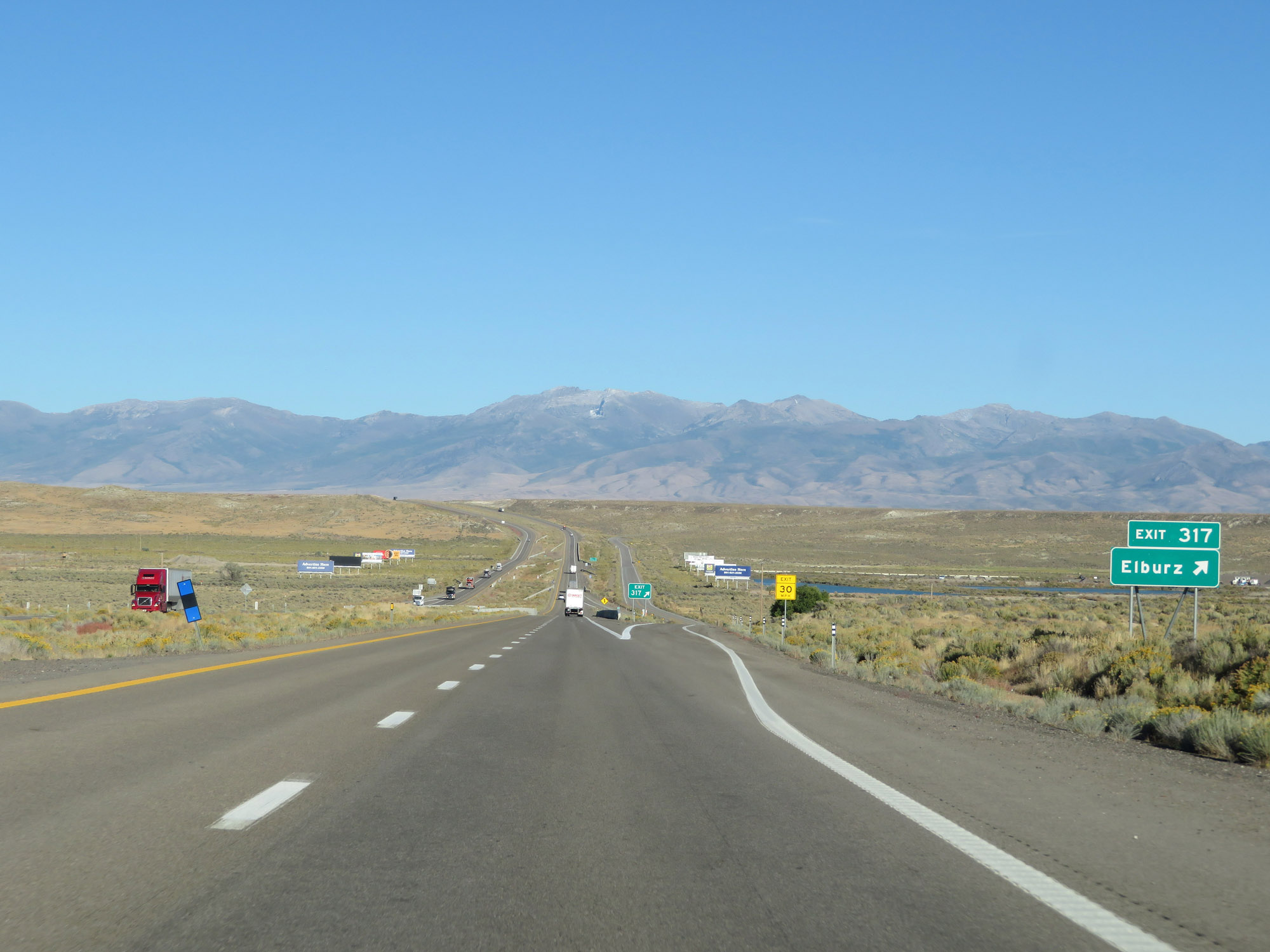 |
Interstate 80 East at Exit 317: Elburz (Photo taken 9/24/19). |
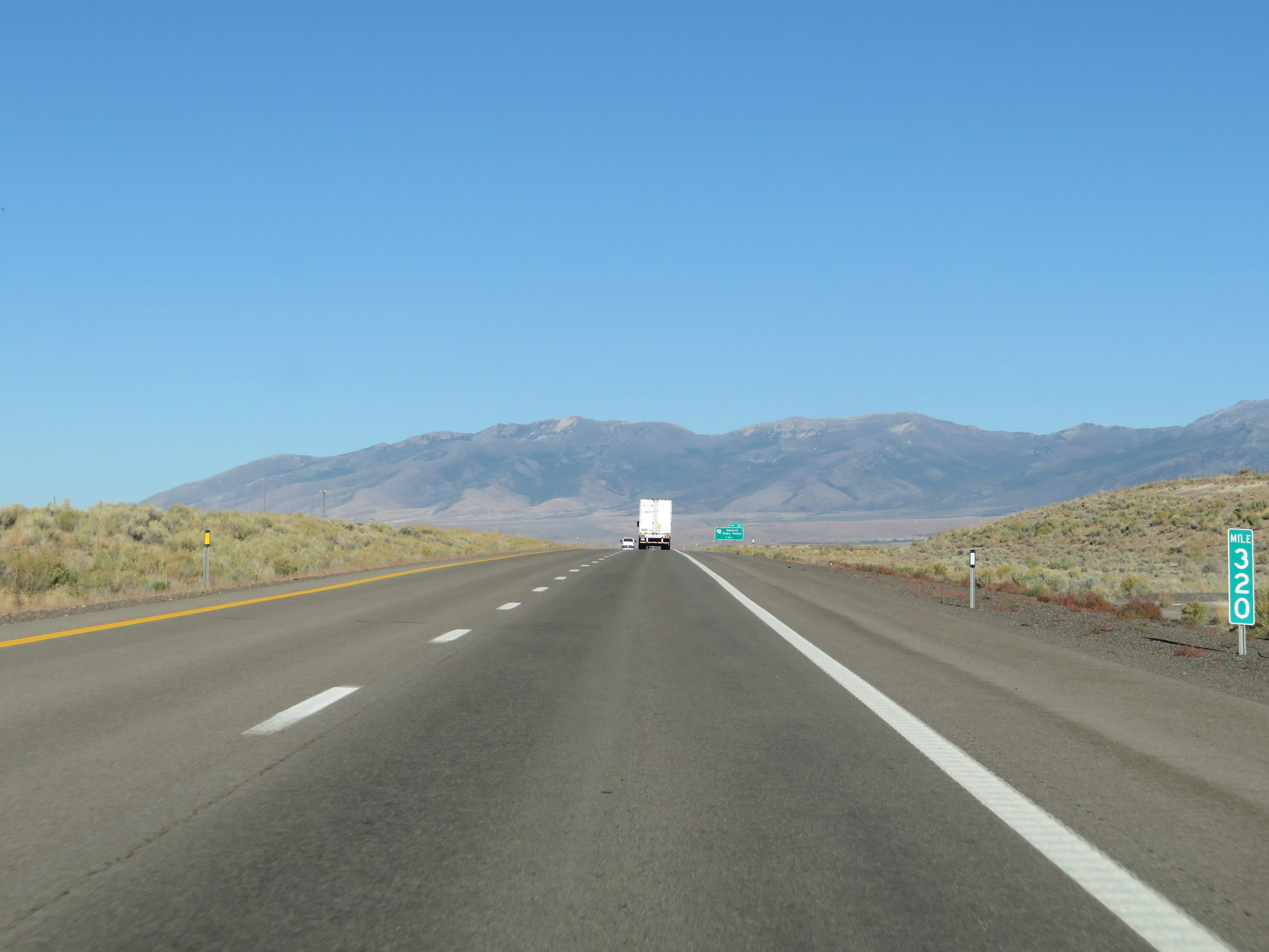 |
Interstate 80 East at mile marker 320. (Photo taken 9/24/19). |
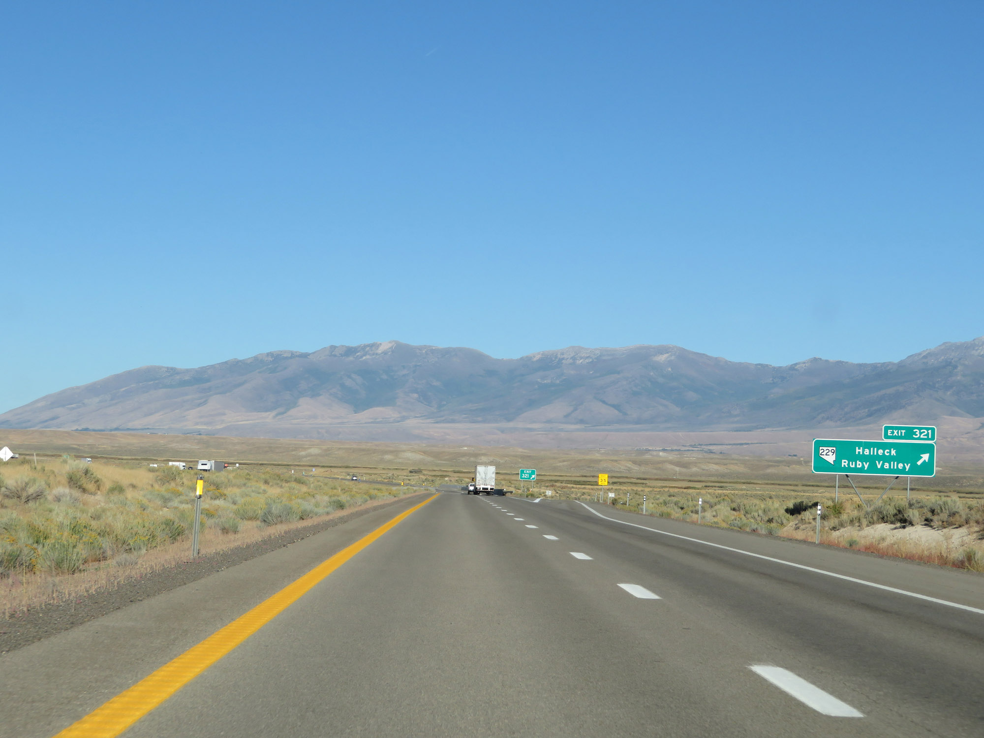 |
Interstate 80 East at Exit 321: NV 229 - Halleck / Ruby Valley (Photo taken 9/24/19). |
 |
The speed limit remains 80 mph. (Photo taken 9/24/19). |
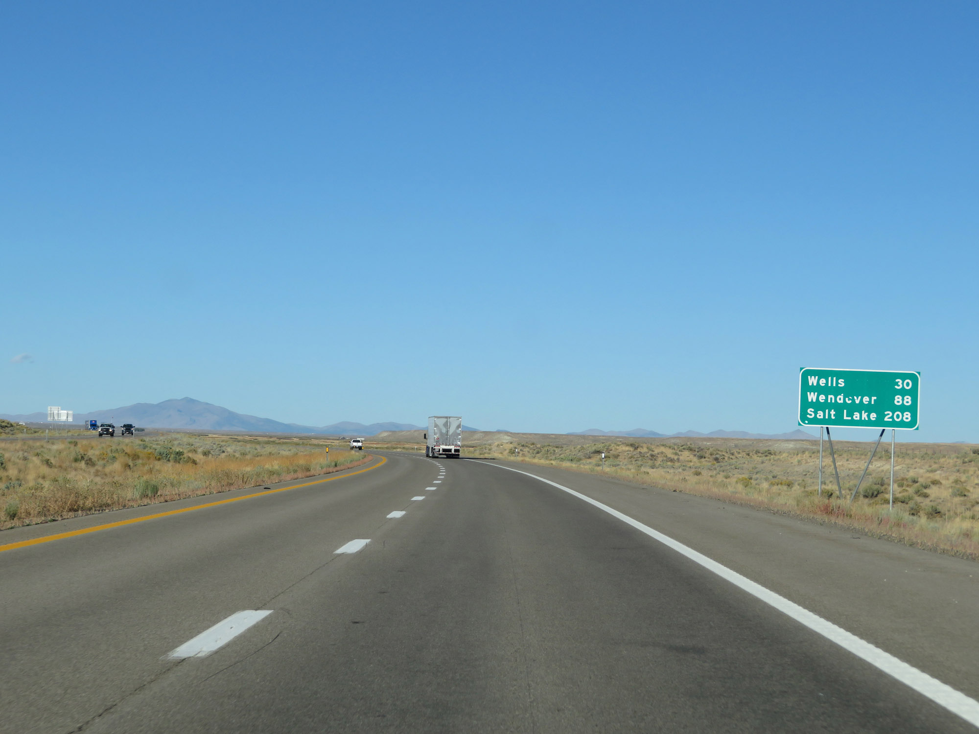 |
Mileage sign on Interstate 80 East. It's 30 miles to Wells, 88 miles to Wendover, and 208 miles to Salt Lake City. (Photo taken 9/24/19). |
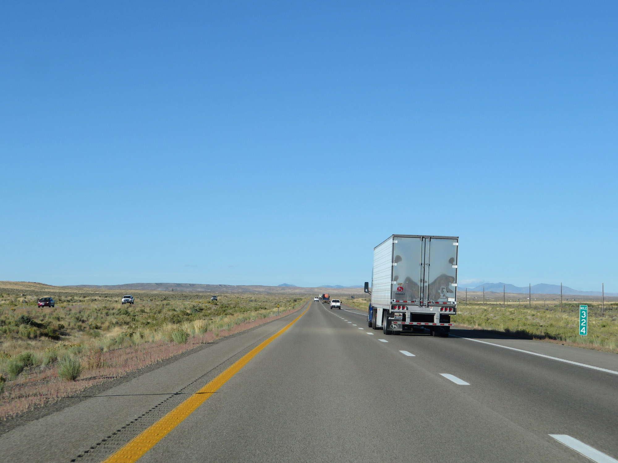 |
Interstate 80 East at mile marker 324. (Photo taken 9/24/19). |
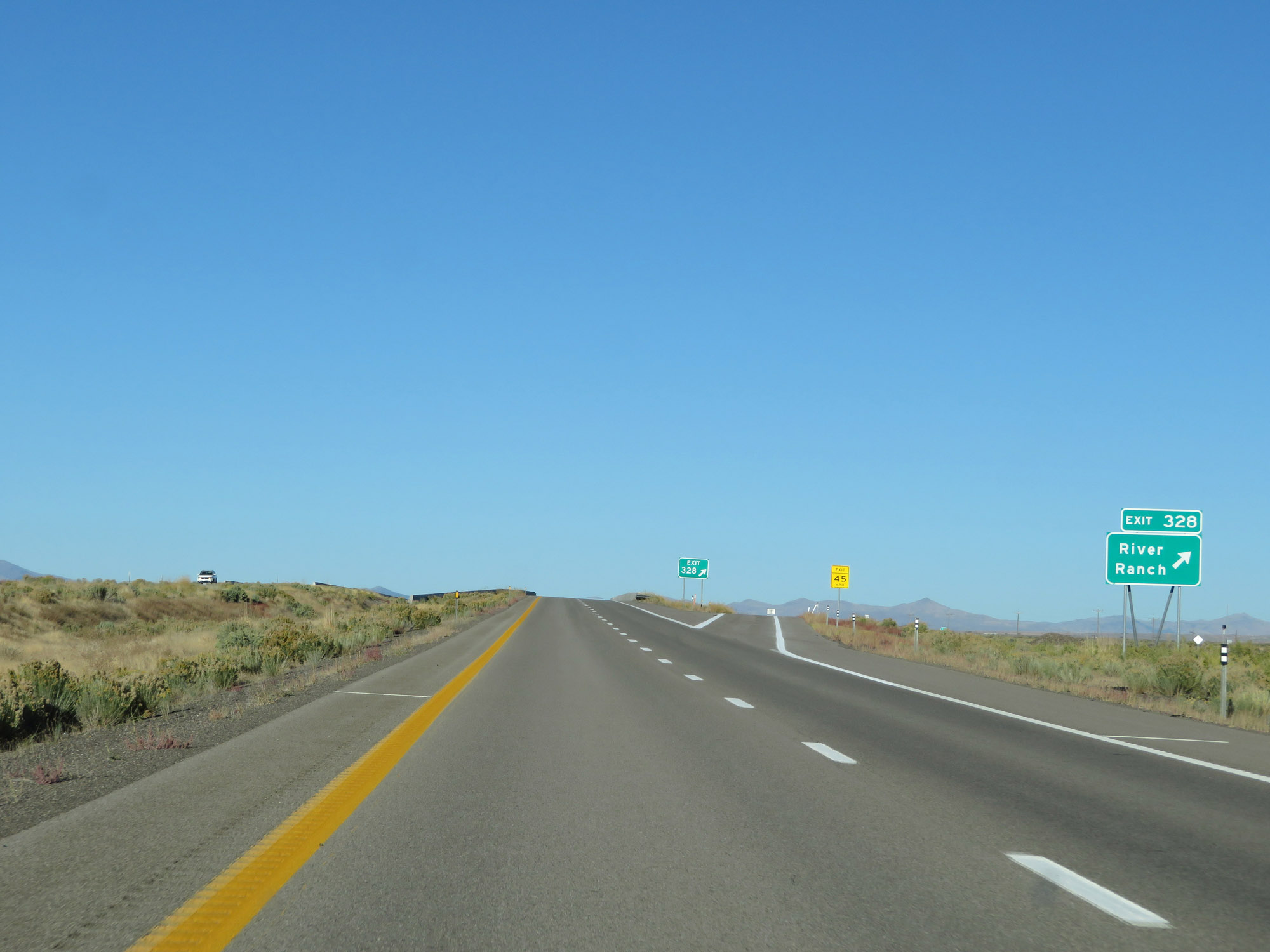 |
Interstate 80 East at Exit 328: River Ranch (Photo taken 9/24/19). |
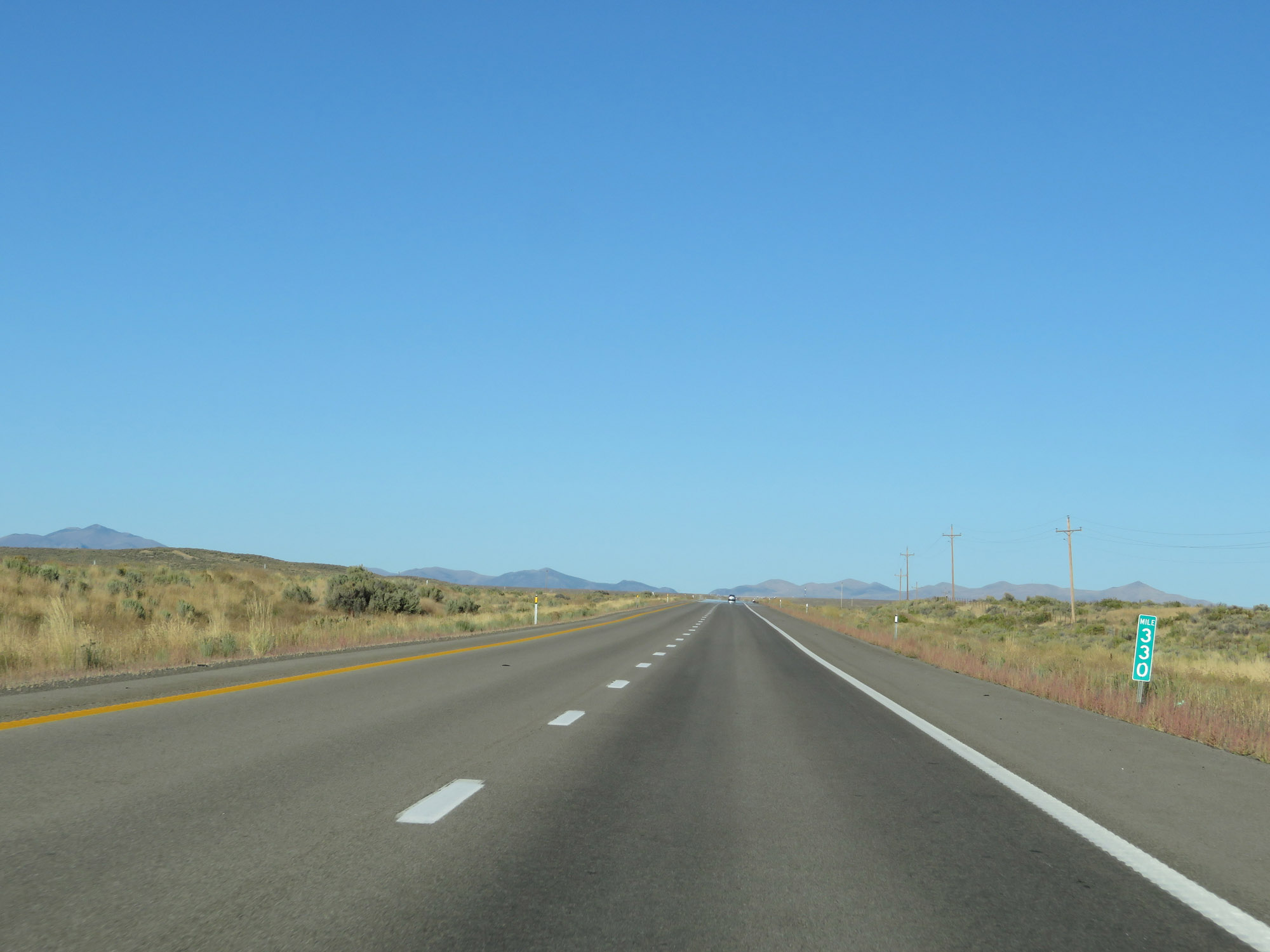 |
View on Interstate 80 East at mile marker 330. (Photo taken 9/24/19). |
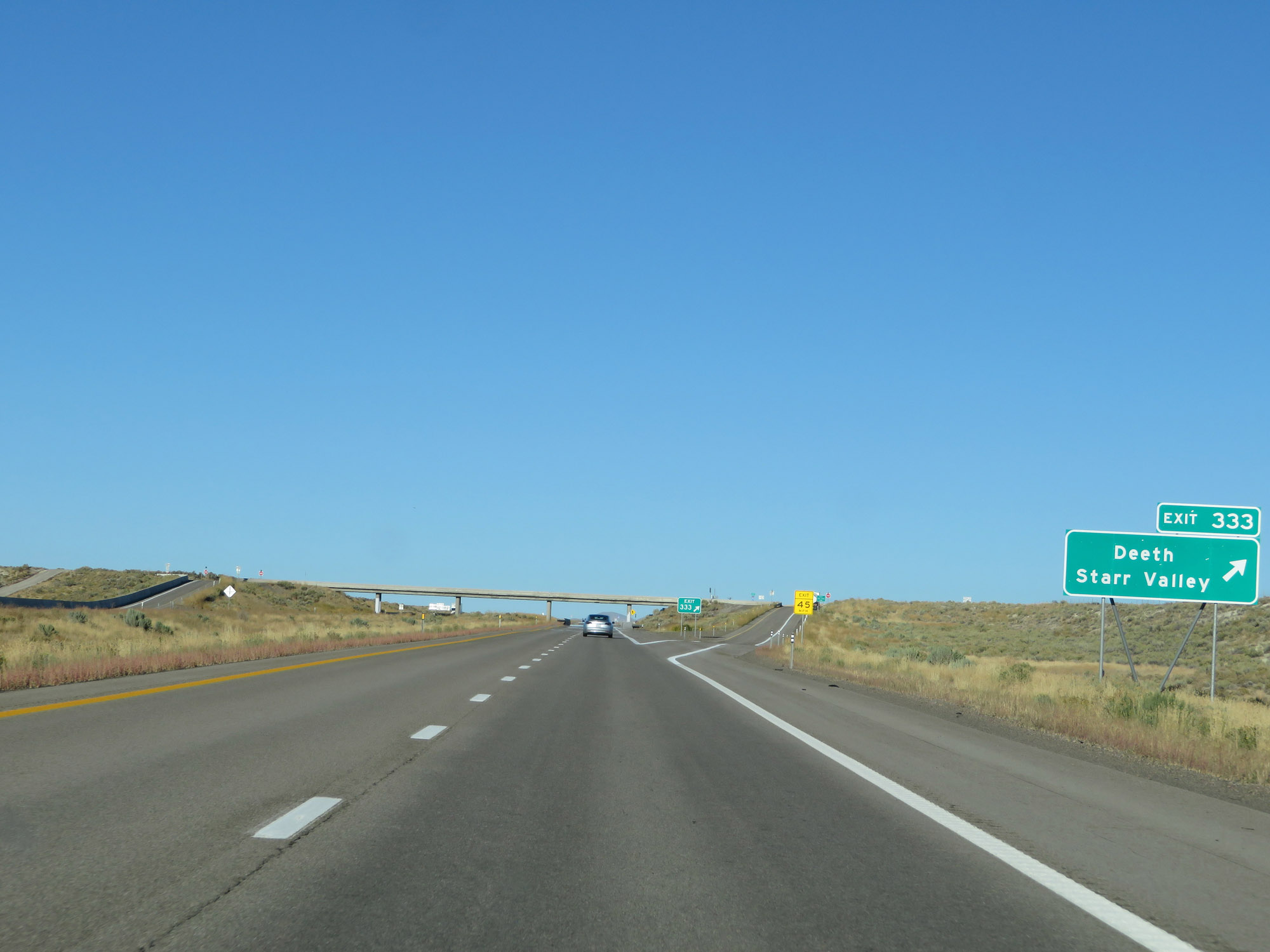 |
Interstate 80 East at Exit 333: Deeth / Starr Valley (Photo taken 9/24/19). |
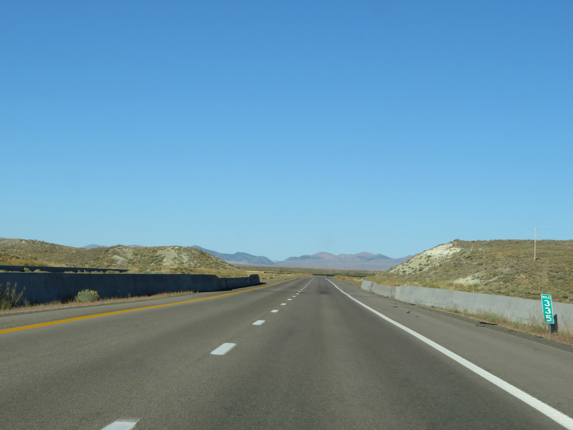 |
Interstate 80 East at mile marker 335. (Photo taken 9/24/19). |
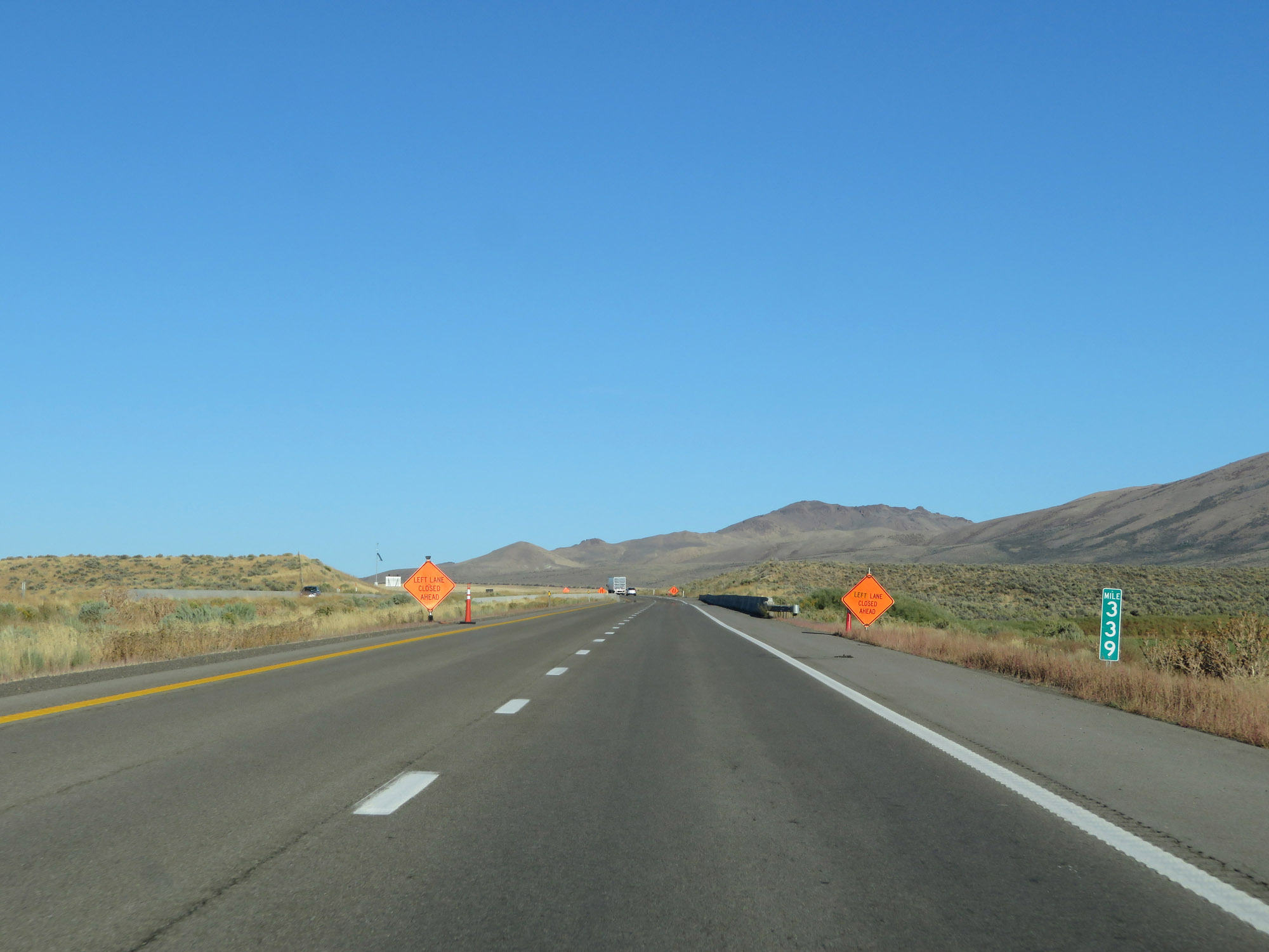 |
View on Interstate 80 East at mile marker 339. (Photo taken 9/24/19). |
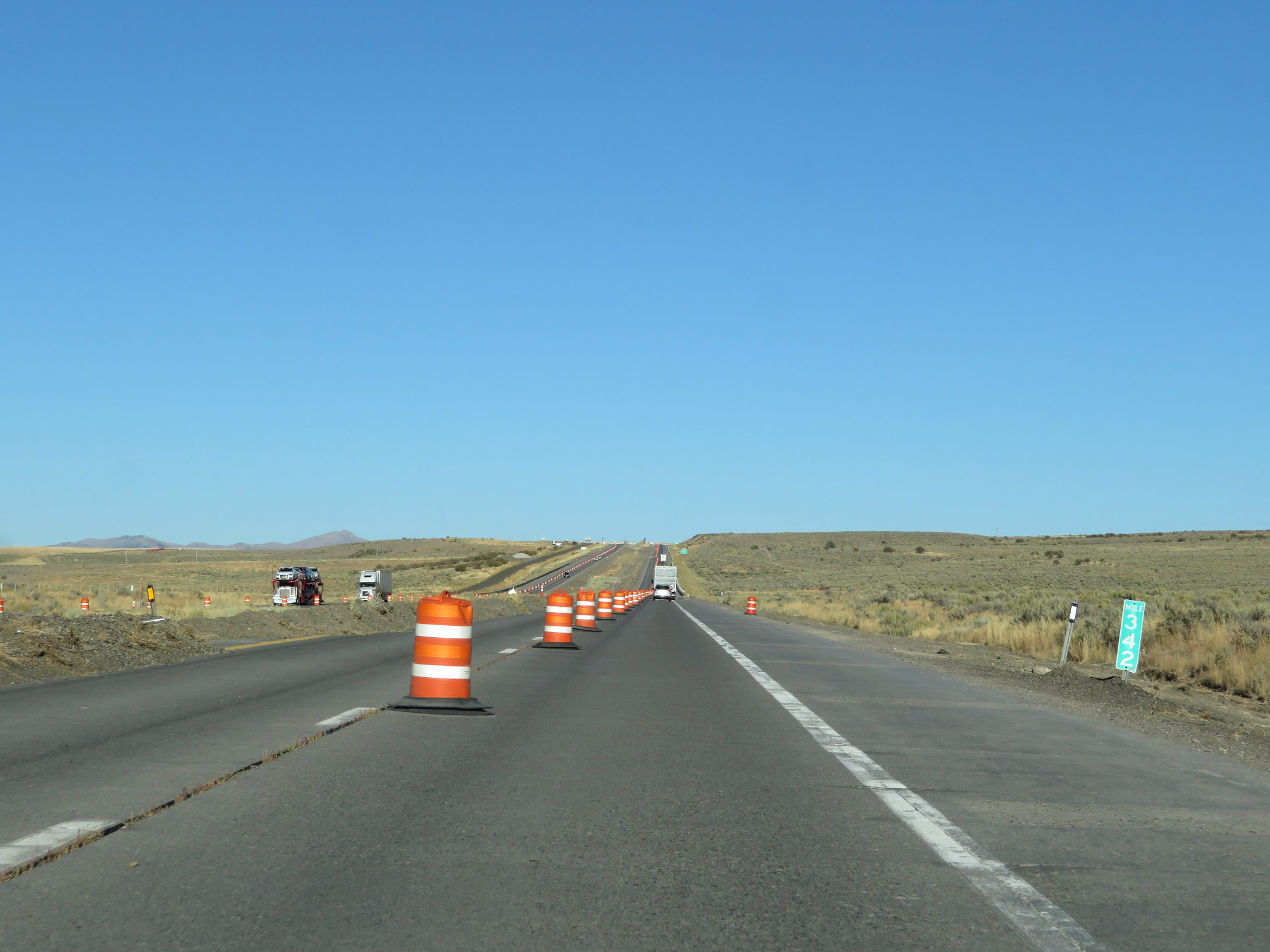 |
Interstate 80 East at mile marker 342. (Photo taken 9/24/19). |
 |
Interstate 80 East at Exit 343: Welcome / Starr Valley (Photo taken 9/24/19). |
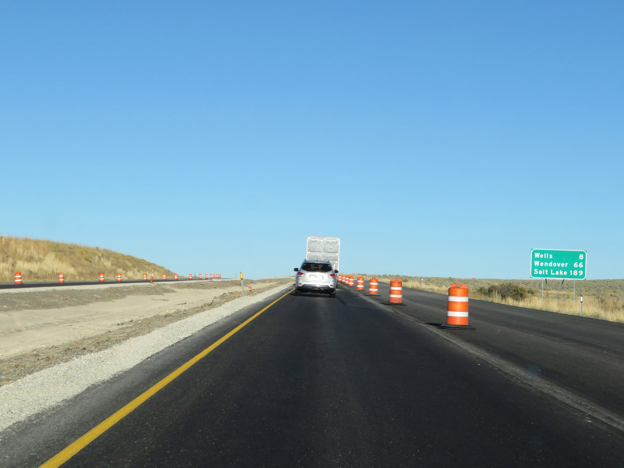 |
Mileage sign on Interstate 80 East. It's 8 miles to Wells, 66 miles to Wendover, and 189 miles to Salt Lake City. (Photo taken 9/24/19). |
 |
View on Interstate 80 East at mile marker 346. (Photo taken 9/24/19). |
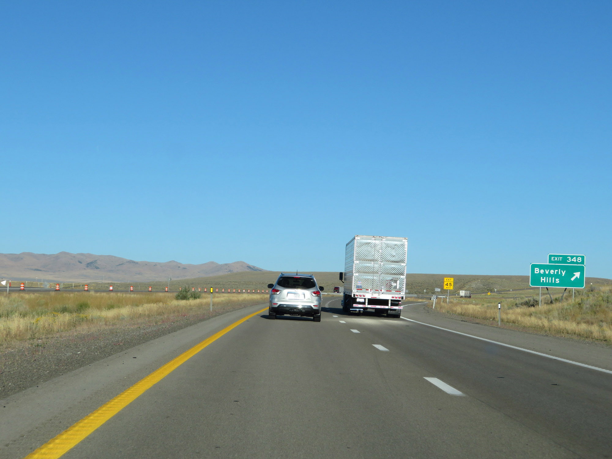 |
Interstate 80 East at Exit 348: Beverly Hills (Photo taken 9/24/19). |
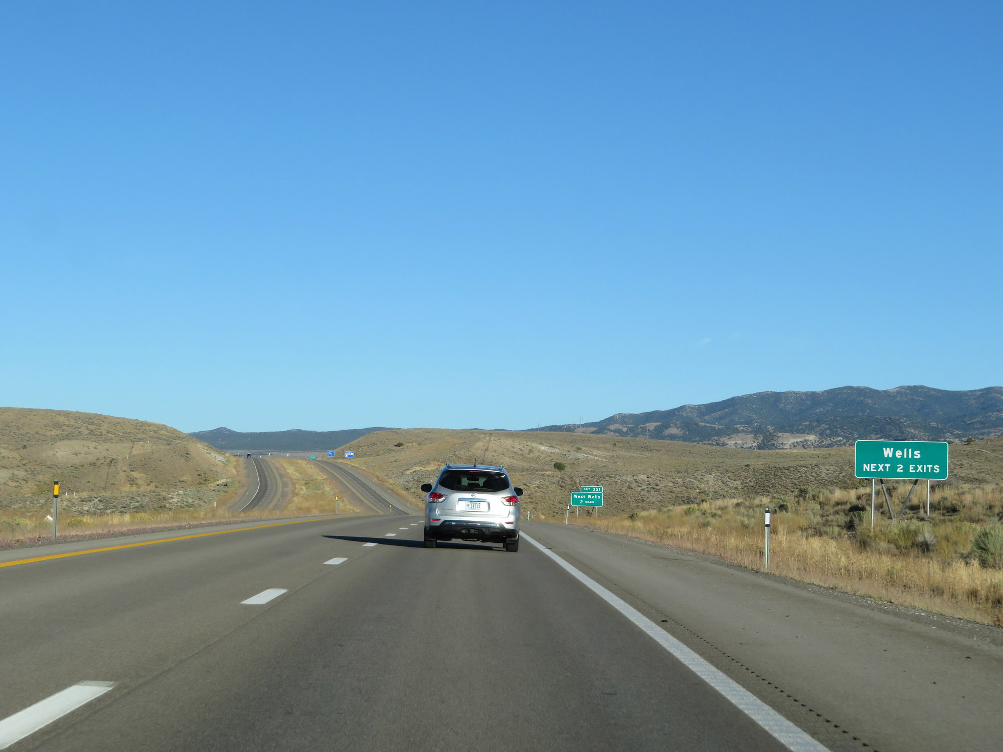 |
Take either of the next 2 exits to Wells. (Photo taken 9/24/19). |
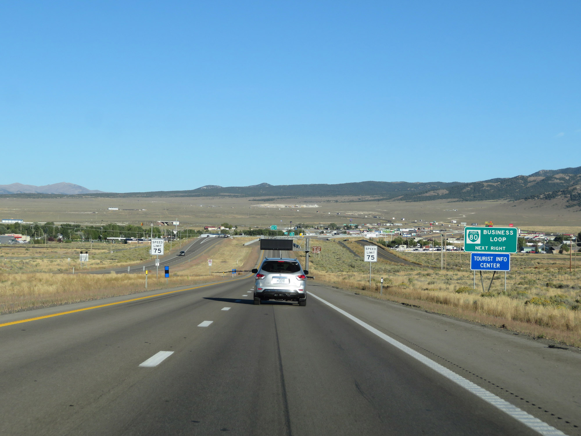 |
Take Exit 351 to Interstate 80 Business Loop. (Photo taken 9/24/19). |
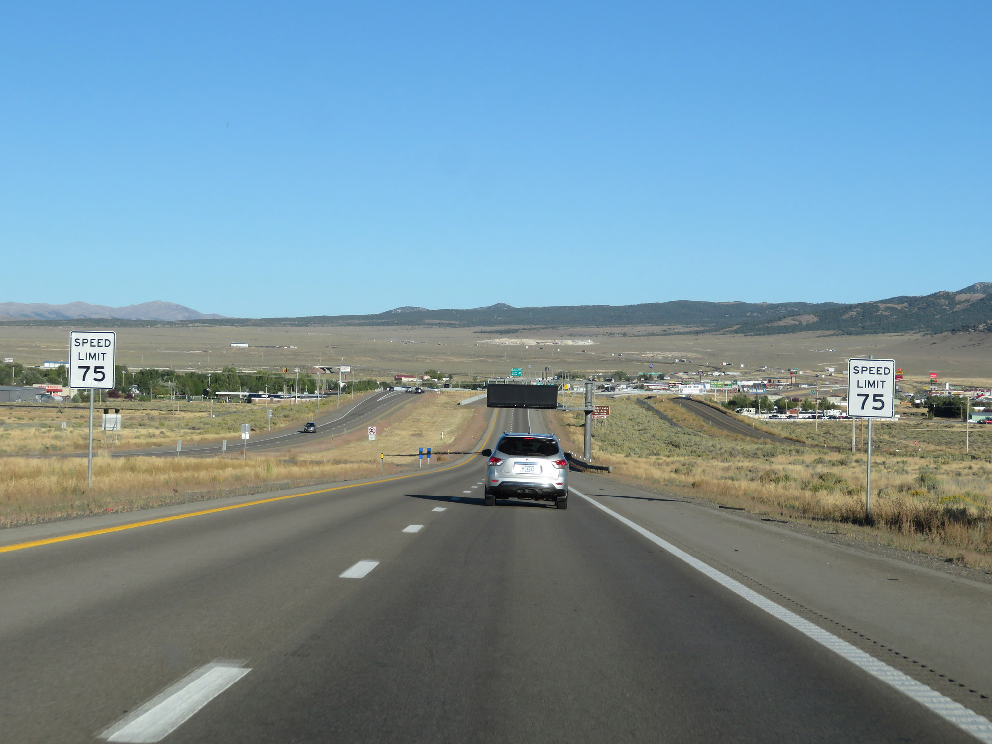 |
Entering the Wells area, the speed limit decreases to 75 mph on Interstate 80 East. (Photo taken 9/24/19). |
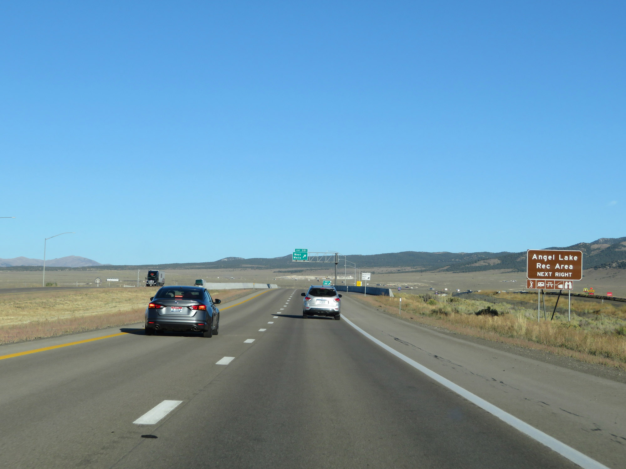 |
Take Exit 351 to Angel Lake Recreation Area. (Photo taken 9/24/19). |
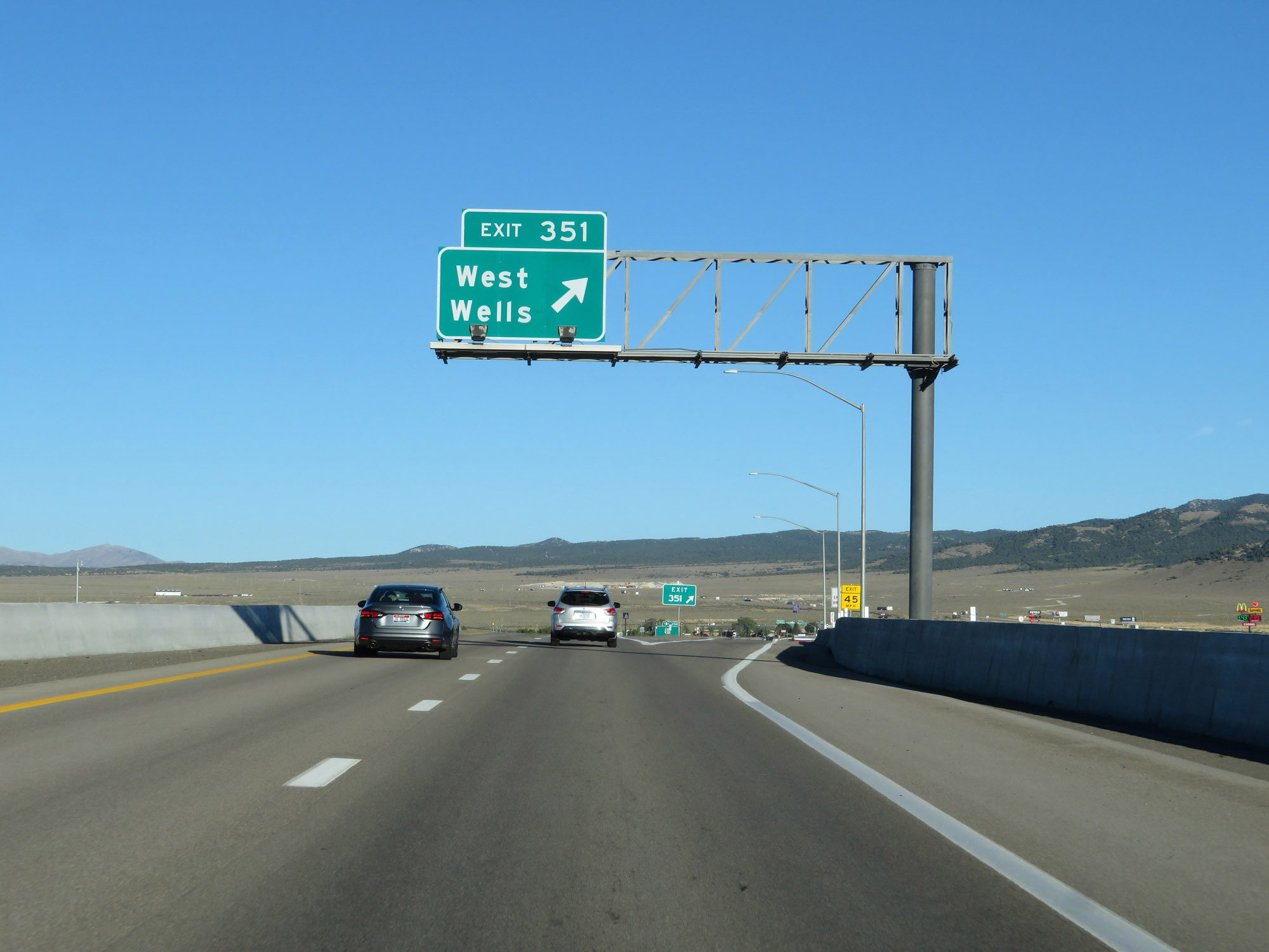 |
Interstate 80 East at Exit 351: West Wells (Photo taken 9/24/19). |
 |
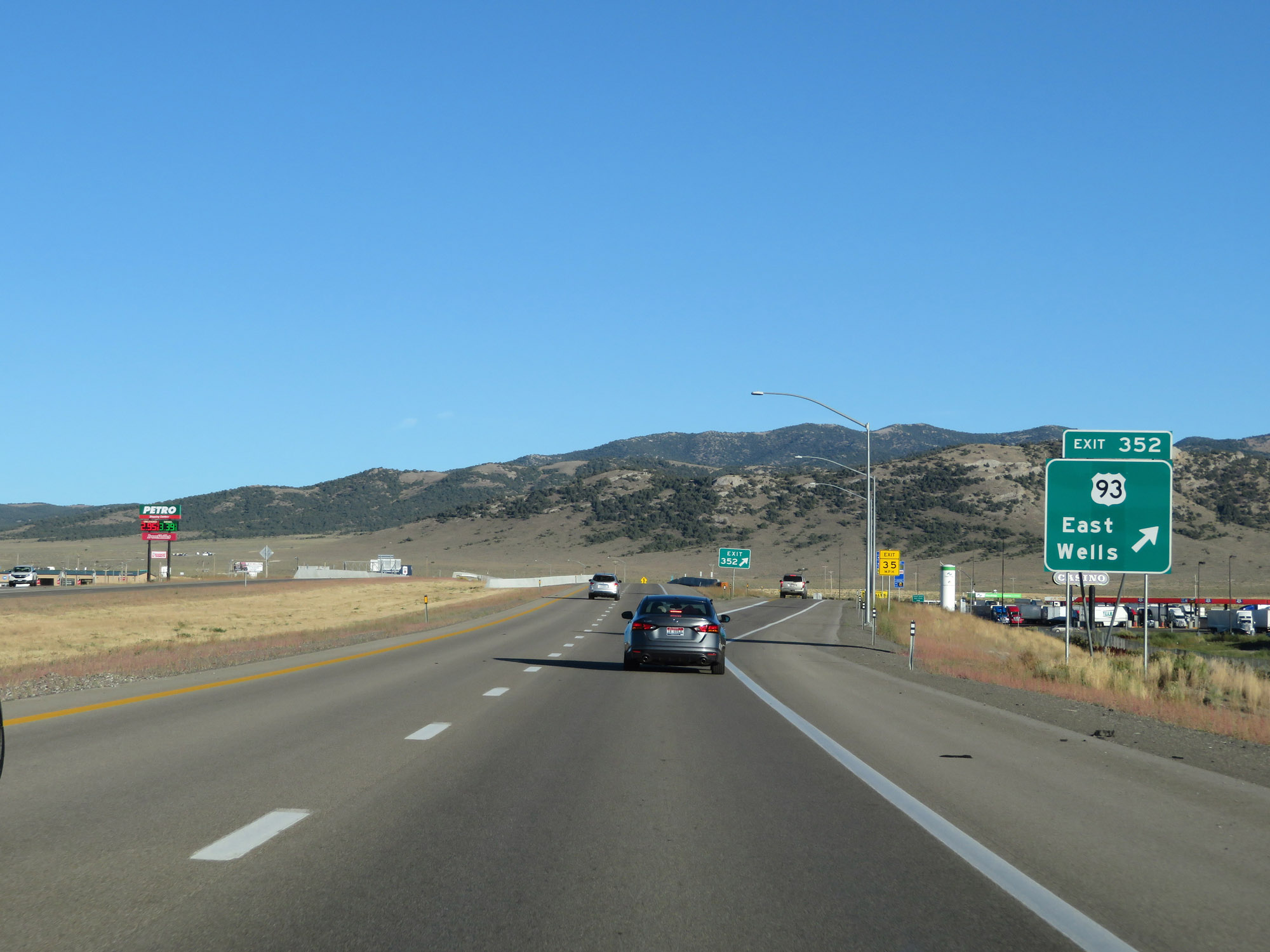
Interstate 80 East approaching Exit 352 - 3/4 mile. (Photo taken 9/24/19). |
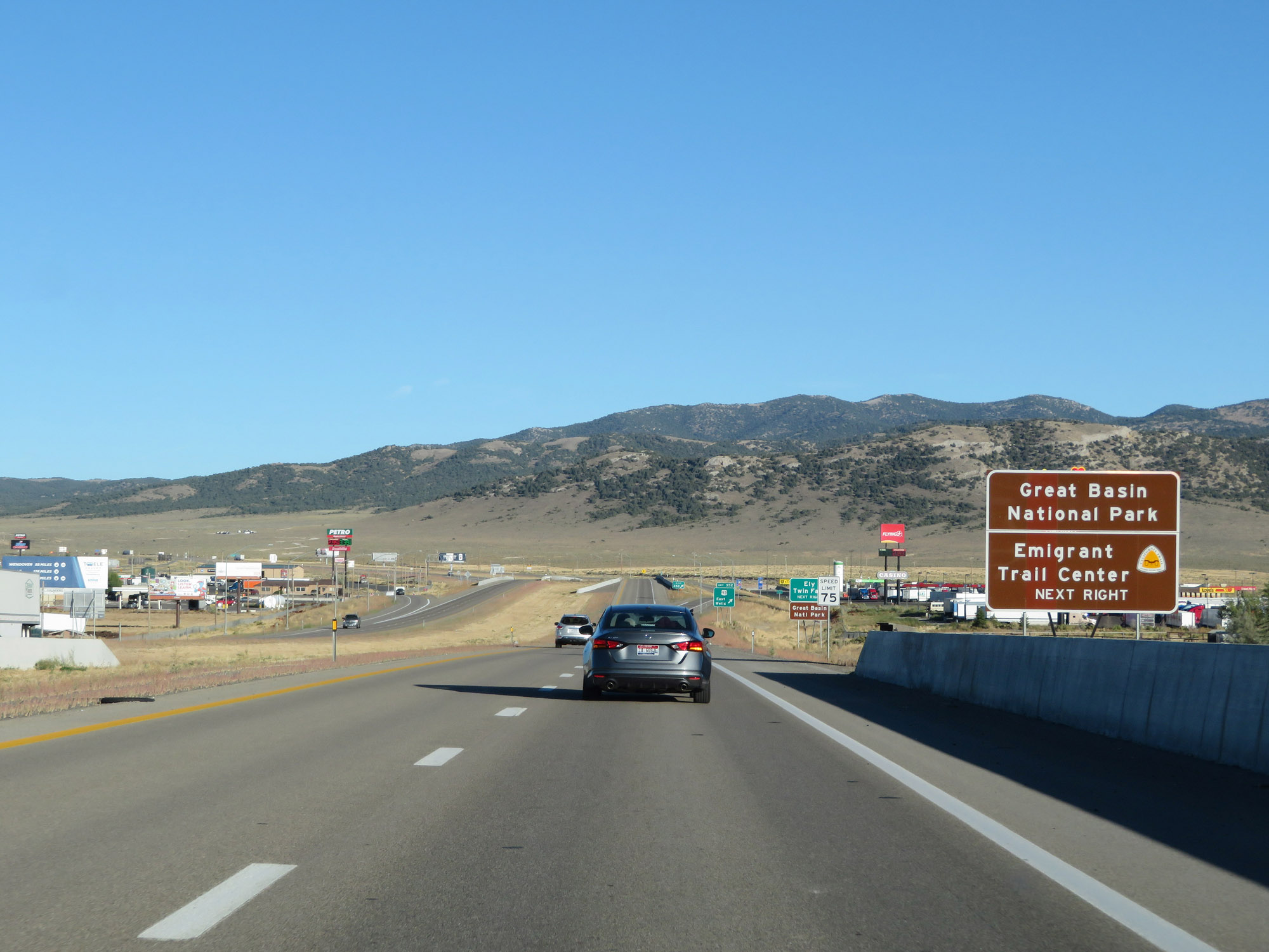 |
Take Exit 352 to Great Basin National Park and Emigrant Trail Center. (Photo taken 9/24/19). |
 |
Also take Exit 352 to Ely and Twin Falls. (Photo taken 9/24/19). |
 |
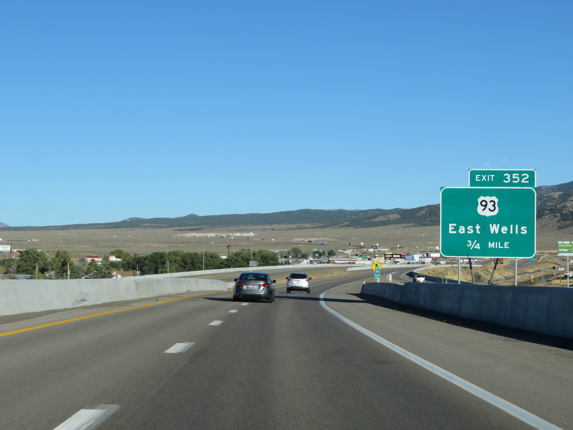
Interstate 80 East at Exit 352: US 93 - East Wells (Photo taken 9/24/19). |
Section 5: Wells (Exit 352) to Utah Border
 |
Interstate 80 East reassurance shield leaving Wells. (Photo taken 9/24/19). |
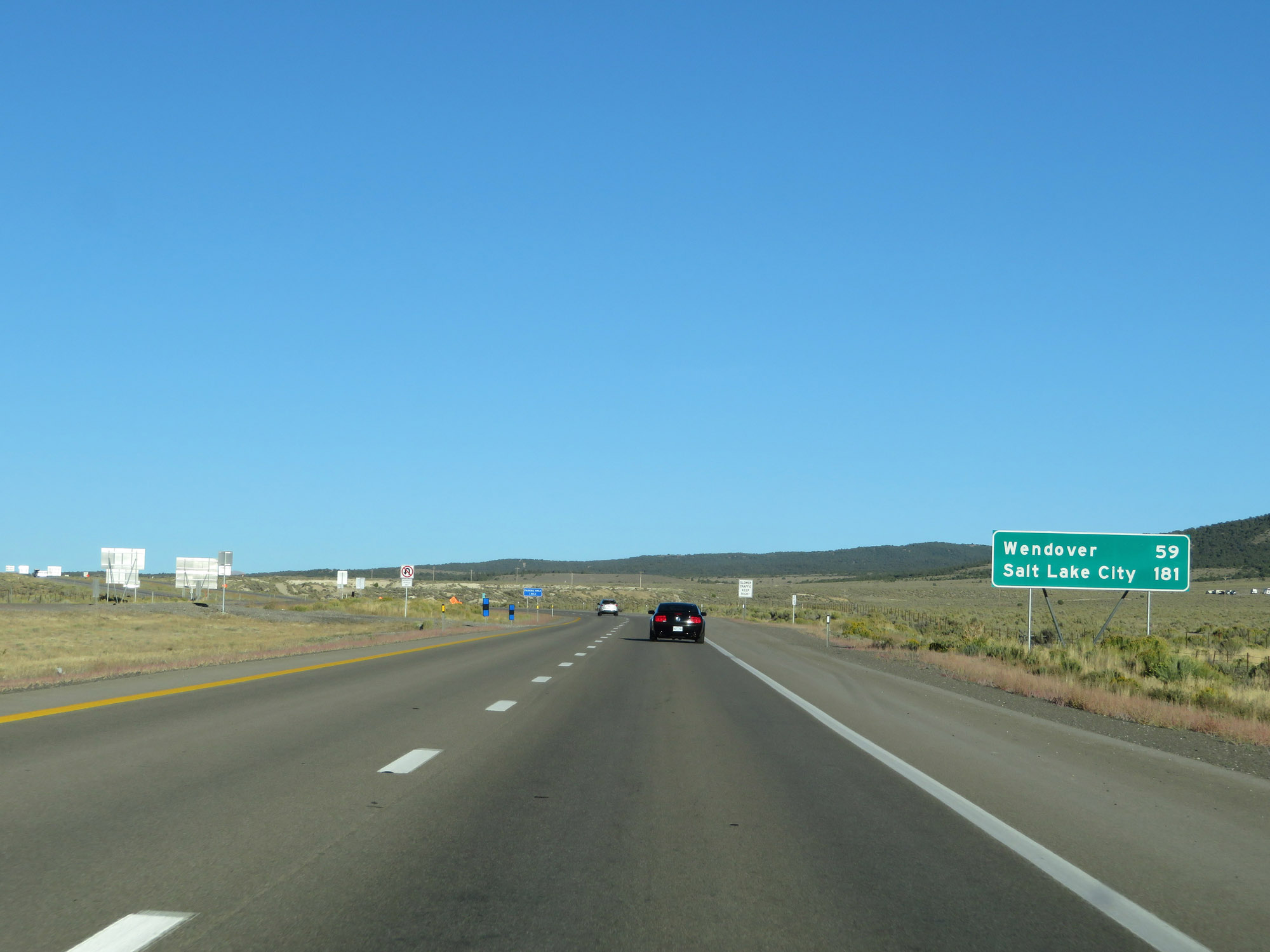 |
Mileage sign on Interstate 80 East. It's 59 miles to Wendover and 181 miles to Salt Lake City. (Photo taken 9/24/19). |
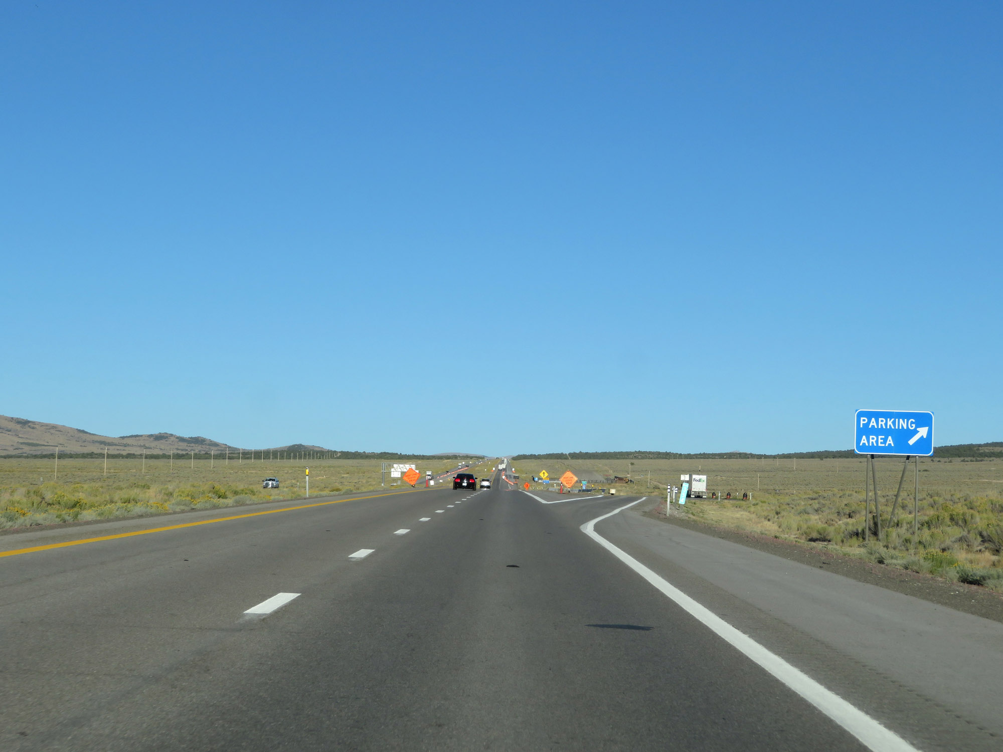 |
Parking Area on Interstate 80 East at mile marker 354 in Elko County. (Photo taken 9/24/19). |
 |
Interstate 80 East at mile marker 355. (Photo taken 9/24/19). |
 |
View on Interstate 80 East at mile marker 357. (Photo taken 9/24/19). |
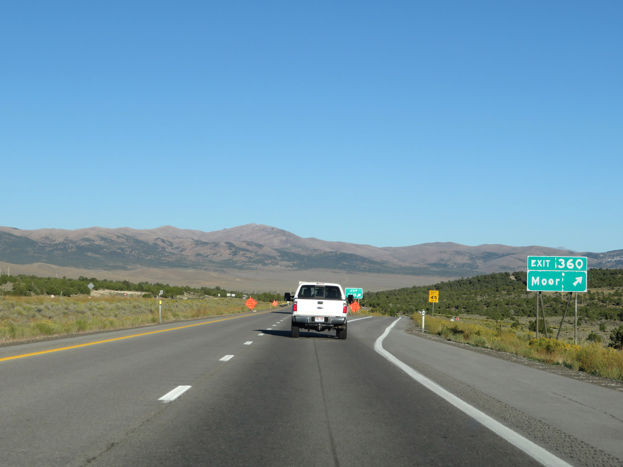 |
Interstate 80 East at Exit 360: Moor (Photo taken 9/24/19). |
 |
View on Interstate 80 East. (Photo taken 9/24/19). |
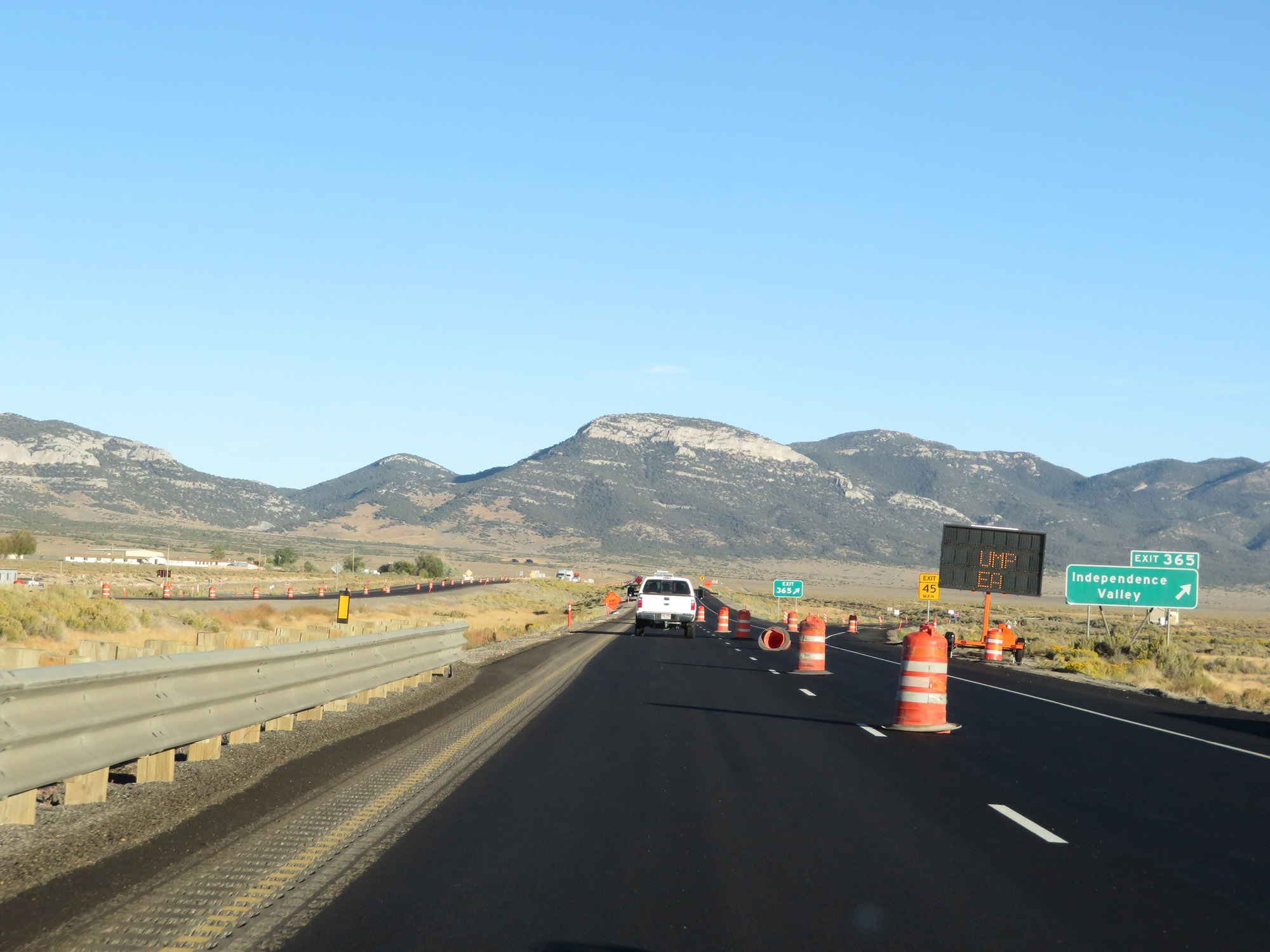 |
Interstate 80 East at Exit 365: Independence Valley (Photo taken 9/24/19). |
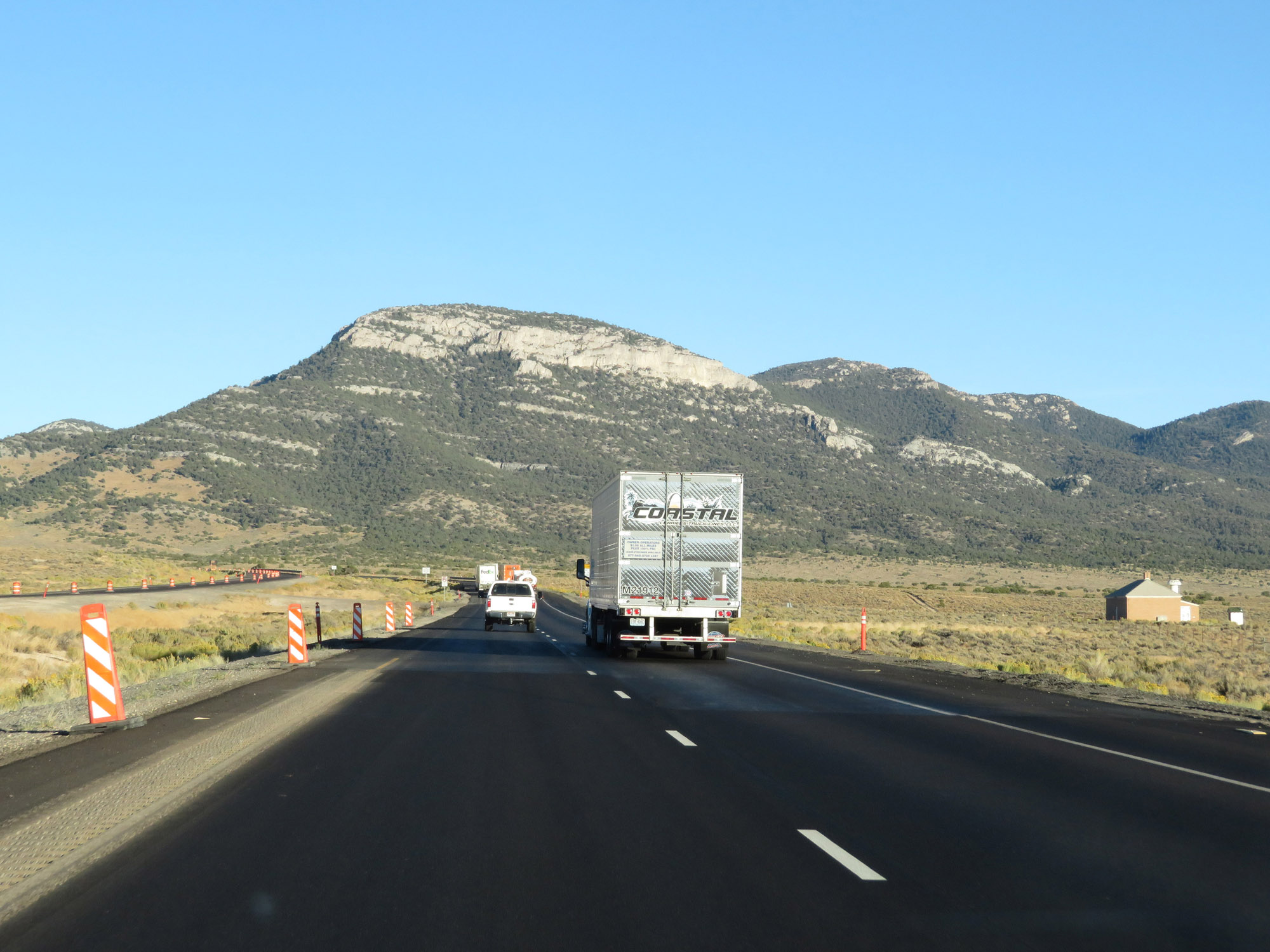 |
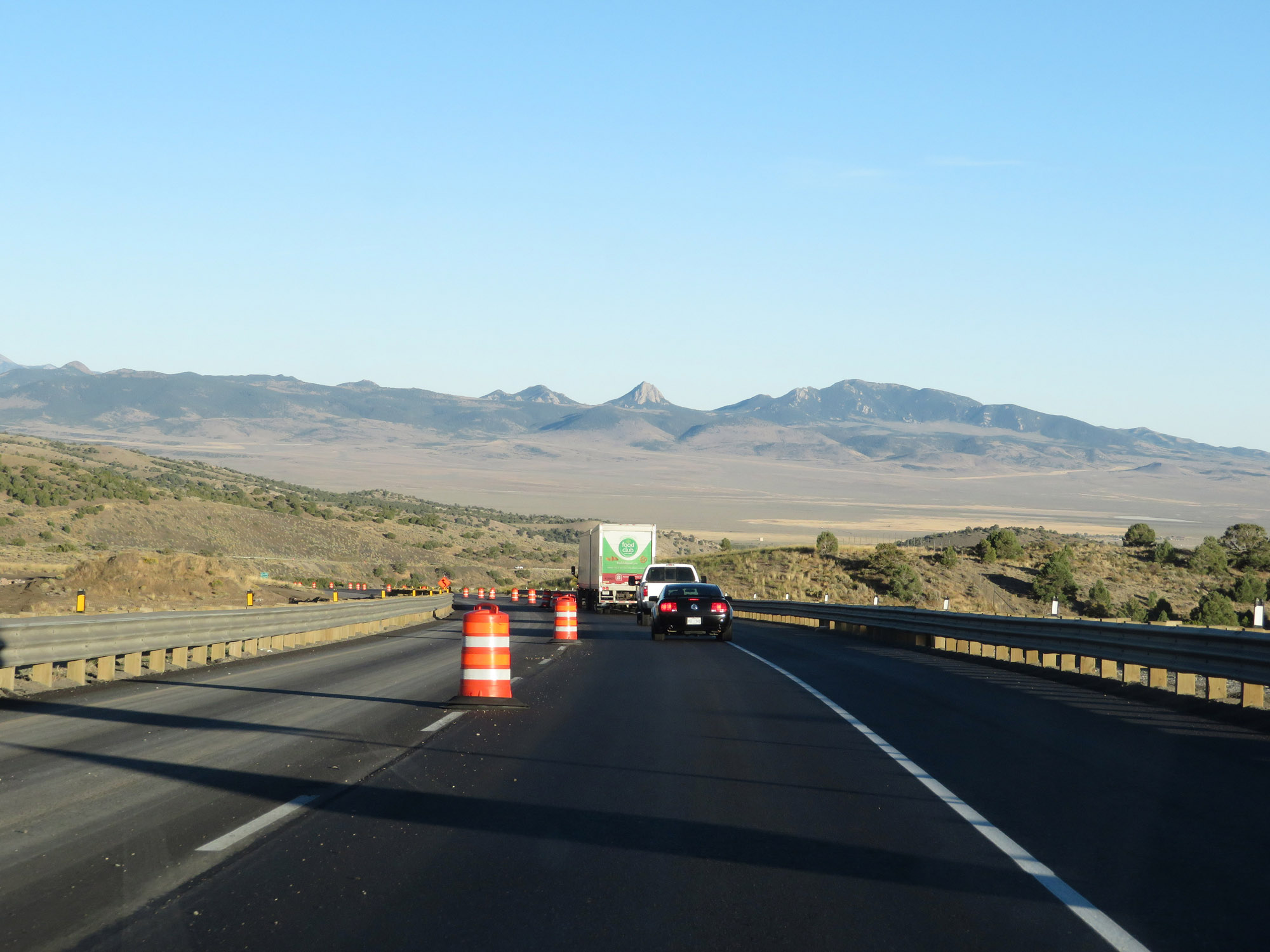
Another view on Interstate 80 East, nearing the Pequop Mountains. (Photo taken 9/24/19). |
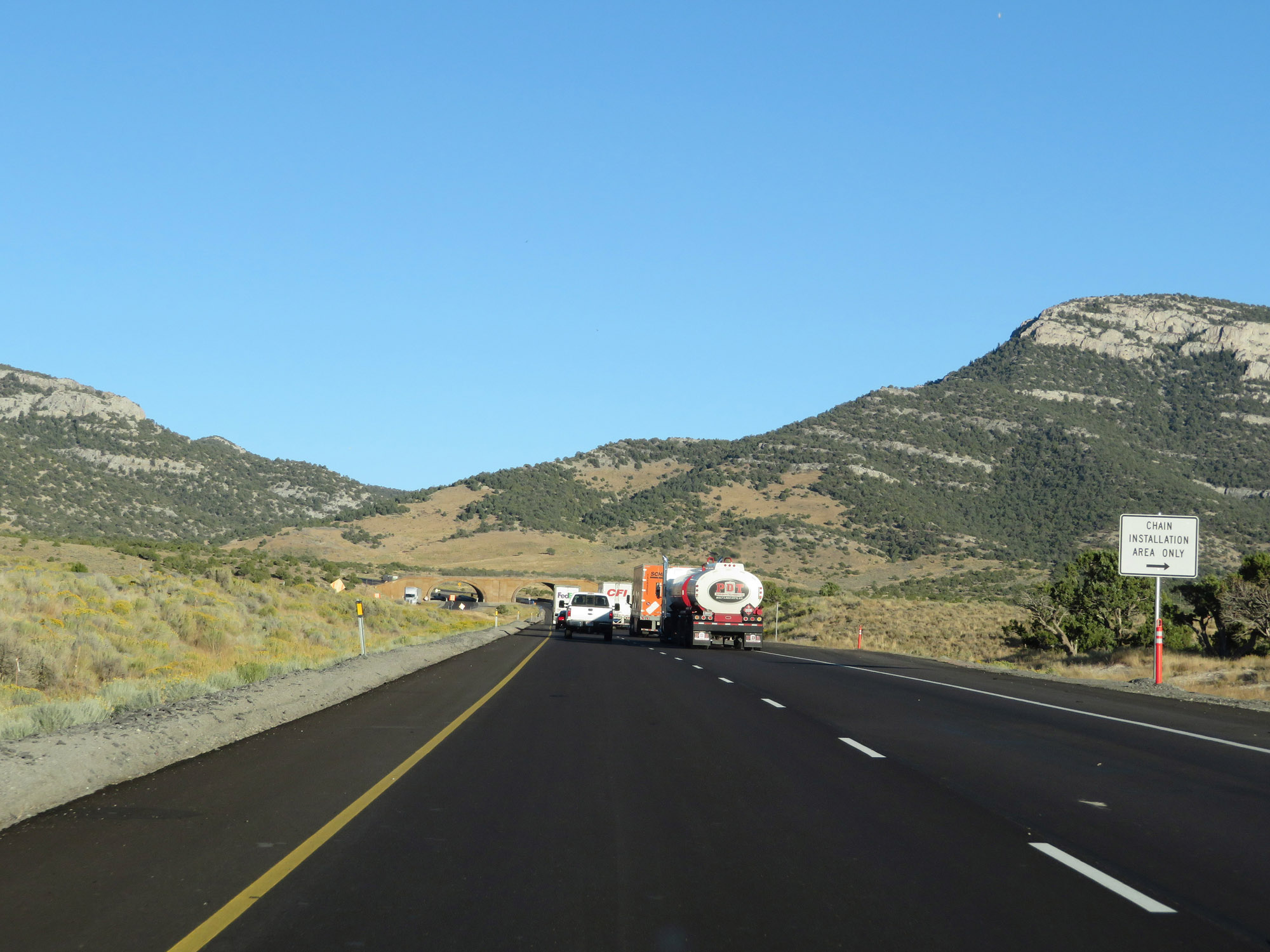 |
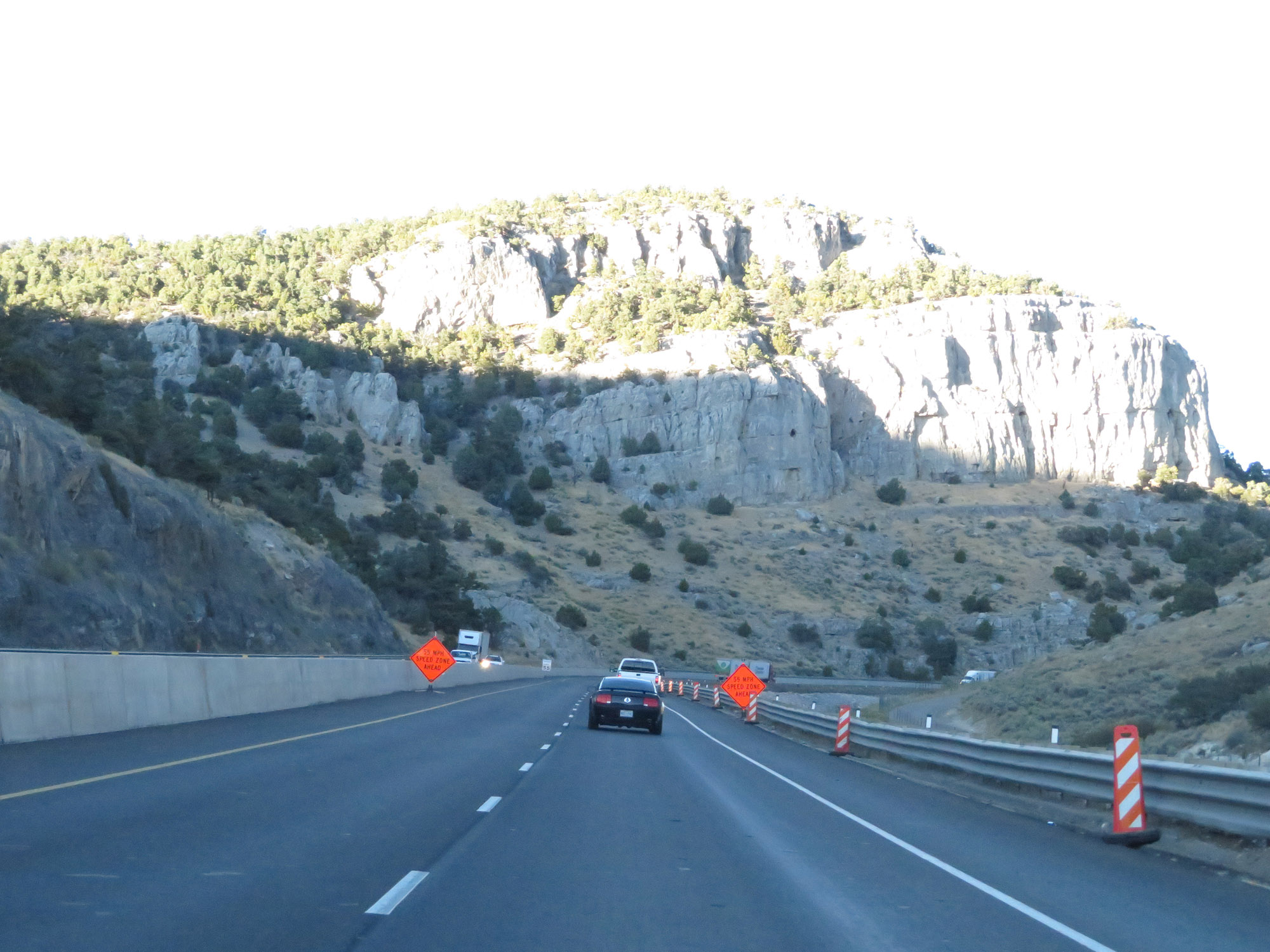
Chain Installation Area on Interstate 80 East just before it begins to climb the Pequop Mountains in eastern Nevada. (Photo taken 9/24/19). |
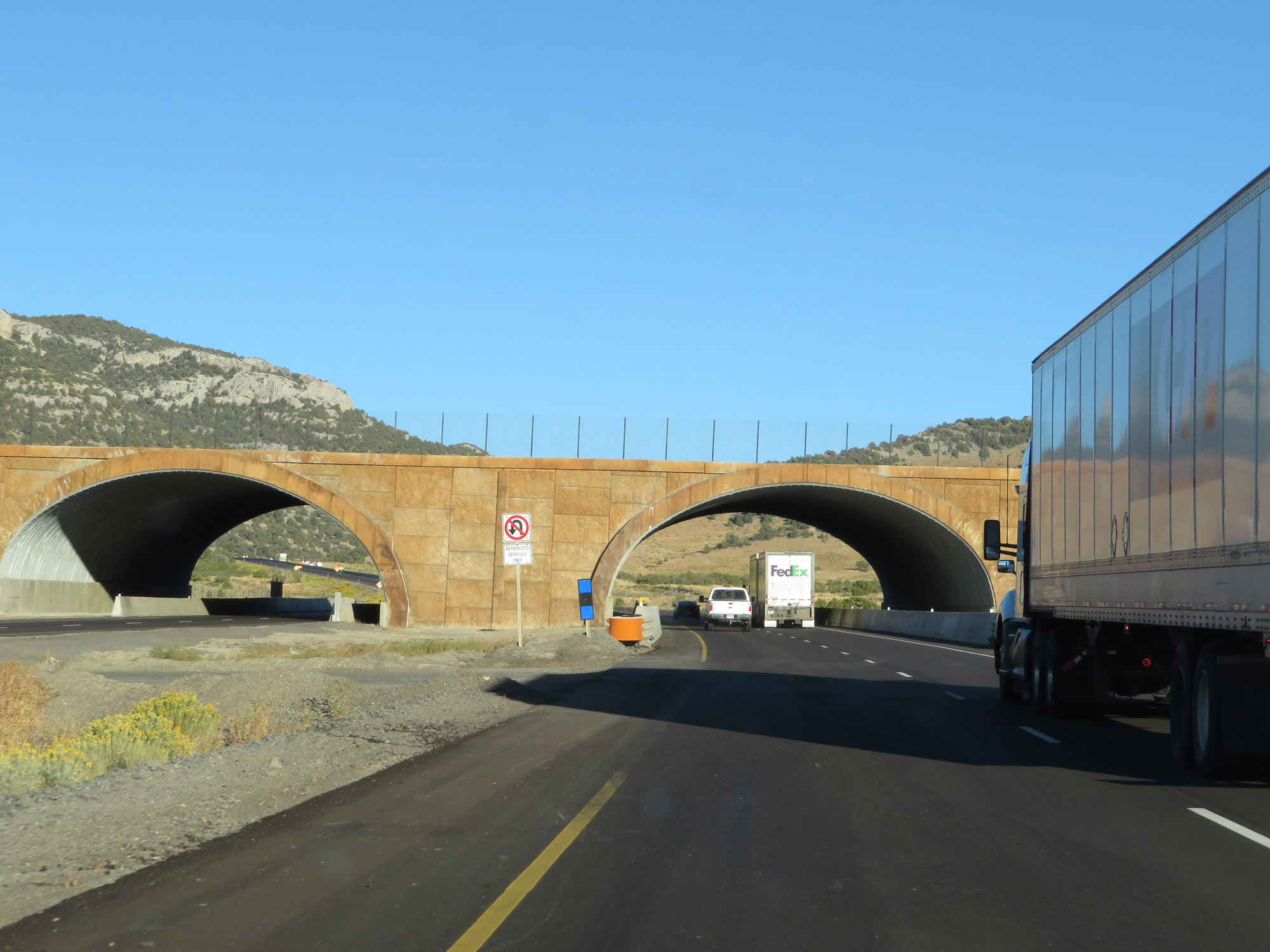 |
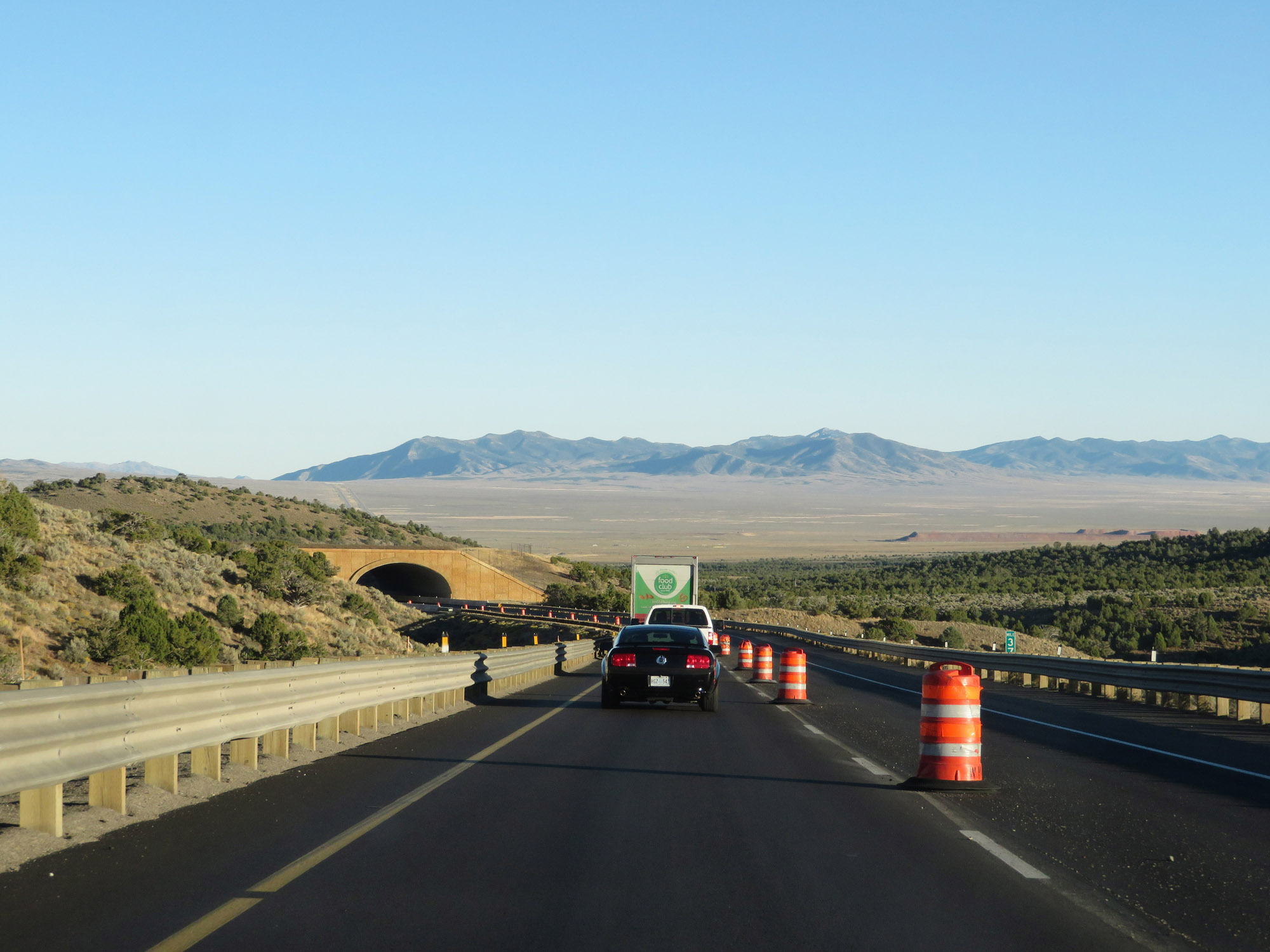
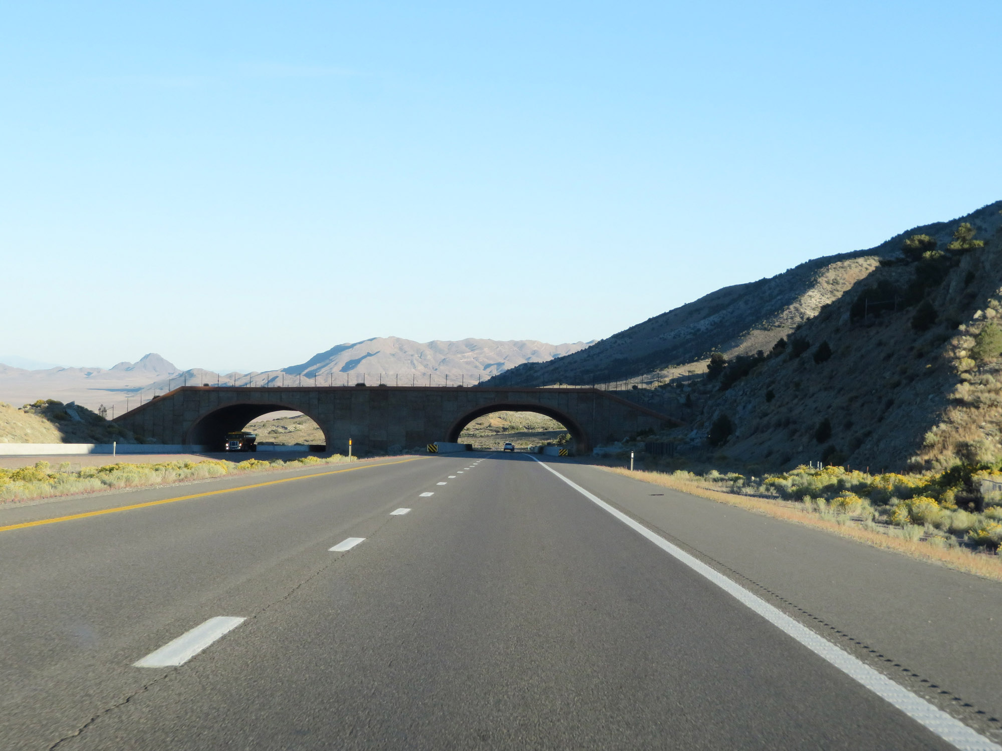
Interstate 80 East passes through three short tunnels, the first of which is seen here, as it traverses the Pequop Mountains and Silver Zone Pass (which lies ahead). (Photo taken 9/24/19). |
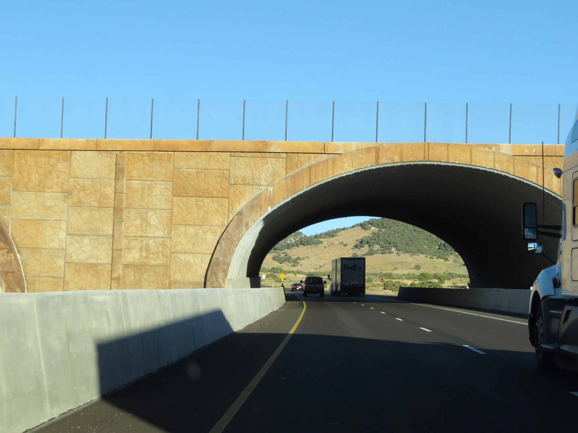 |
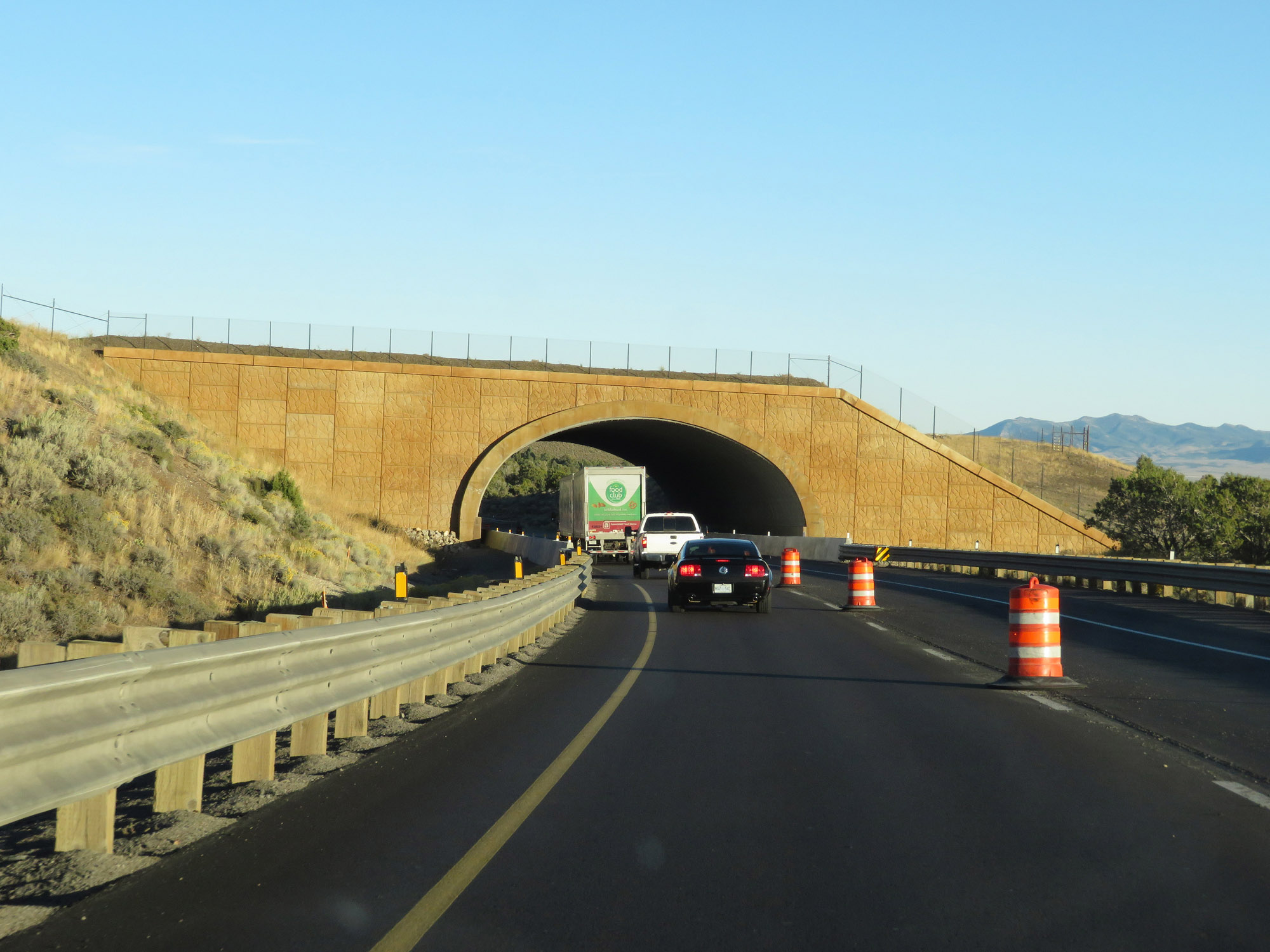
A closer view of the first short tunnel, climbing the Pequop Mountains. (Photo taken 9/24/19). |
 |
View on Interstate 80 East at mile marker 370. (Photo taken 9/24/19). |
 |
Interstate 80 East at mile marker 371. (Photo taken 9/24/19). |
 |
View on Interstate 80 East in the heart of the Pequop Mountains. (Photo taken 9/24/19). |
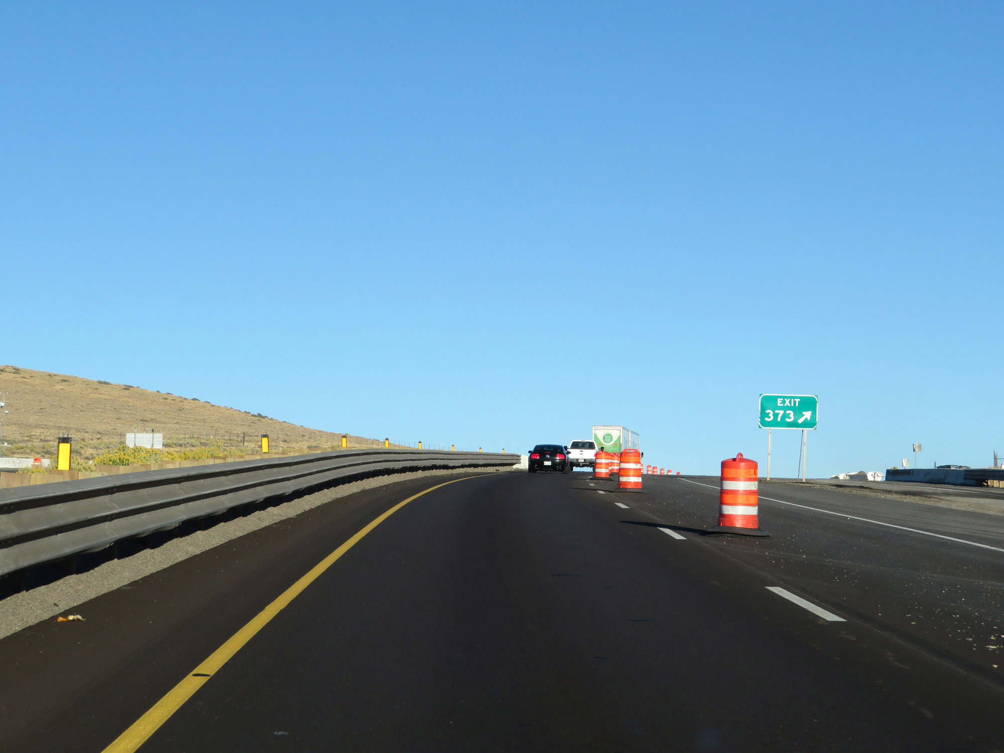 |
Interstate 80 East at Exit 373: Pequop Summit (Photo taken 9/24/19). |
 |
Beyond Exit 373, Interstate 80 East starts down a long steep grade from Pequop Summit. (Photo taken 9/24/19). |
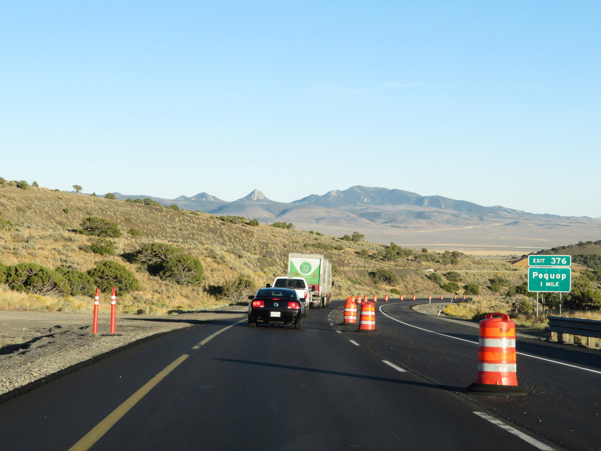 |
Interstate 80 East approaching Exit 376 - 1 mile. (Photo taken 9/24/19). |
 |
Interstate 80 East at mile marker 375, as the second short tunnel in the Pequop Mountains comes into view. (Photo taken 9/24/19). |
 |
A closer view of the second short tunnel, as Interstate 80 East continues down the long, steep grade. (Photo taken 9/24/19). |
 |
Interstate 80 East at Exit 376: Pequop (Photo taken 9/24/19). |
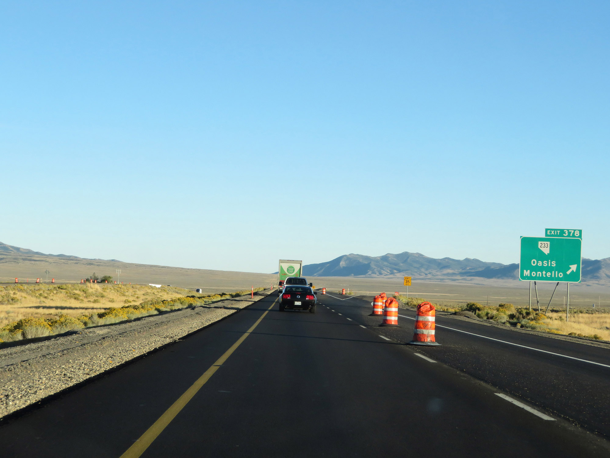 |
Interstate 80 East at Exit 378: NV 233 - Oasis / Montello (Photo taken 9/24/19). |
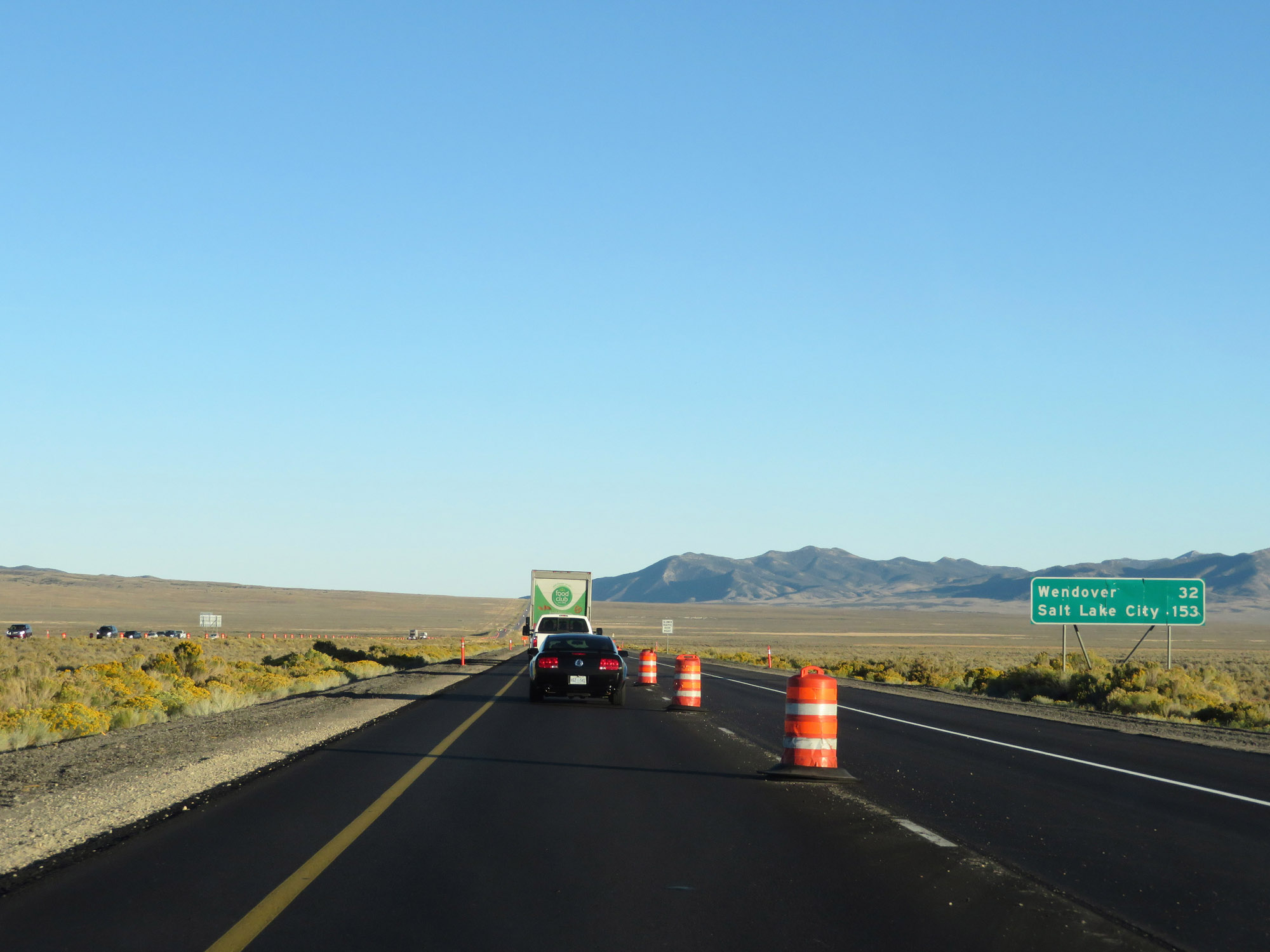 |
Another mileage sign on Interstate 80 East. It's 32 miles to Wendover and 153 miles to Salt Lake City. (Photo taken 9/24/19). |
 |
View on Interstate 80 East at mile marker 381. (Photo taken 9/24/19). |
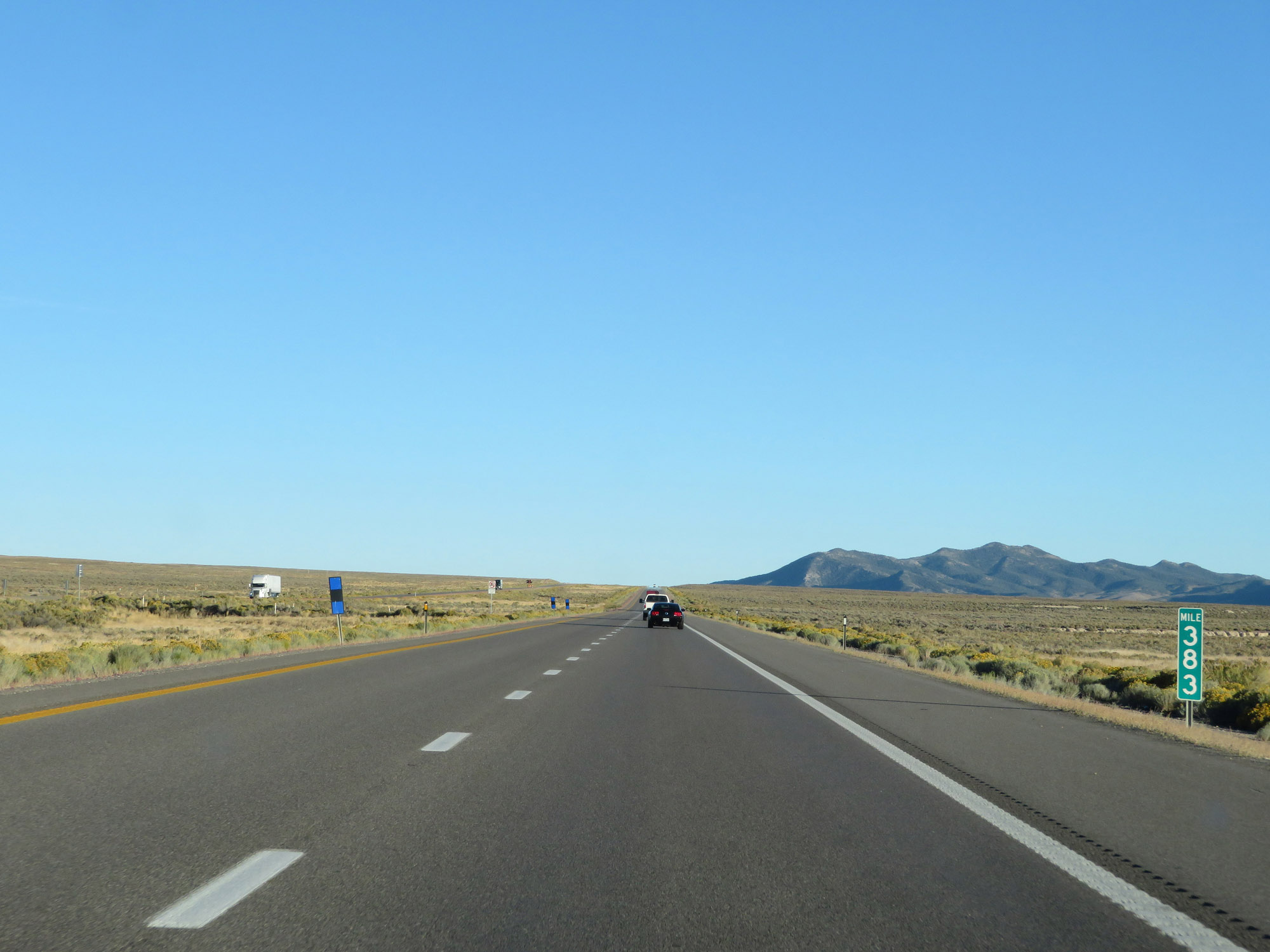 |
Interstate 80 East at mile marker 383. (Photo taken 9/24/19). |
 |
Interstate 80 East at mile marker 386. (Photo taken 9/24/19). |
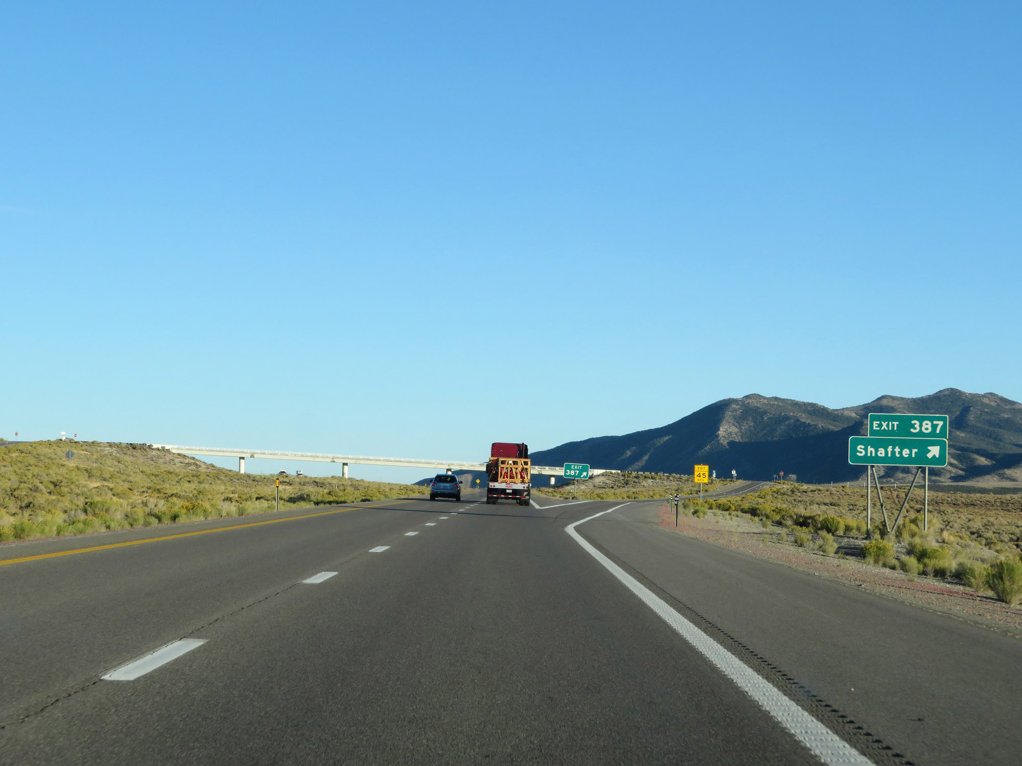 |
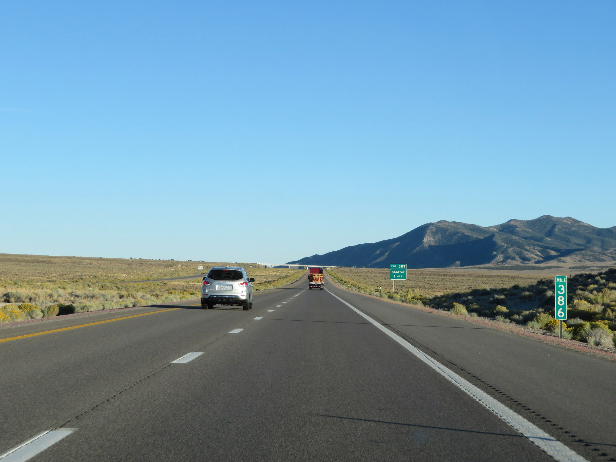
Interstate 80 East at Exit 387: Shafter (Photo taken 9/24/19). |
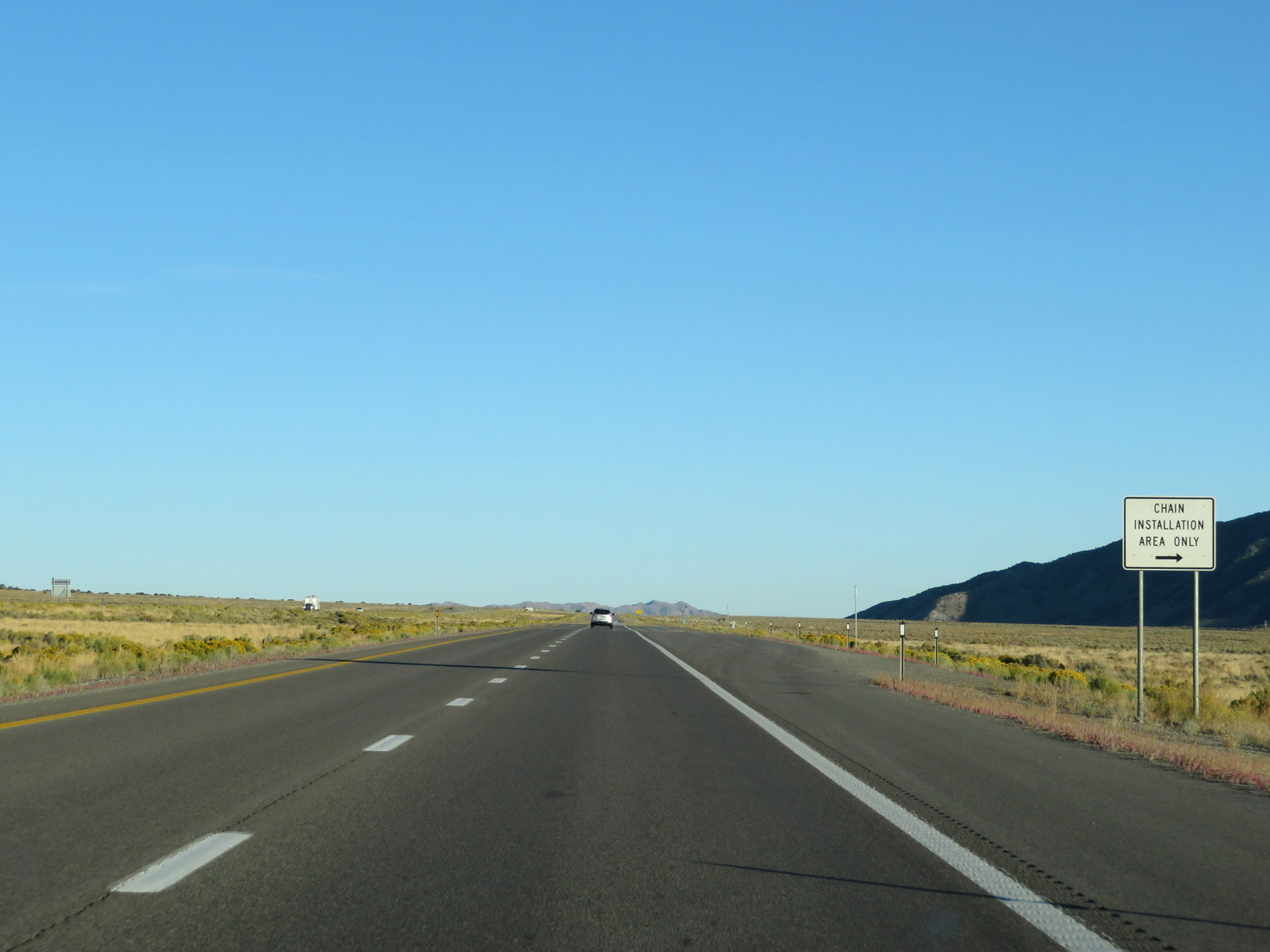 |
Another Chain Installation Area on Interstate 80 East. (Photo taken 9/24/19). |
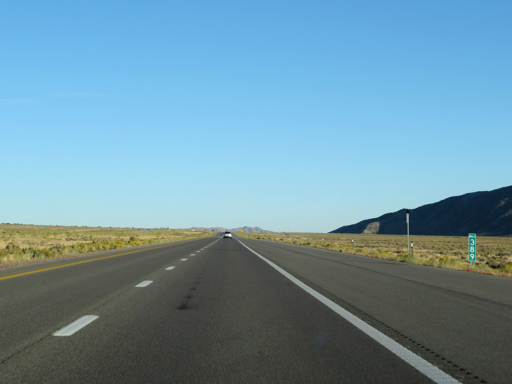 |
View on Interstate 80 East at mile marker 389. (Photo taken 9/24/19). |
 |
Interstate 80 East as it reaches the summit of Silver Zone Pass, at an elevation of 5,940 feet. (Photo taken 9/24/19). |
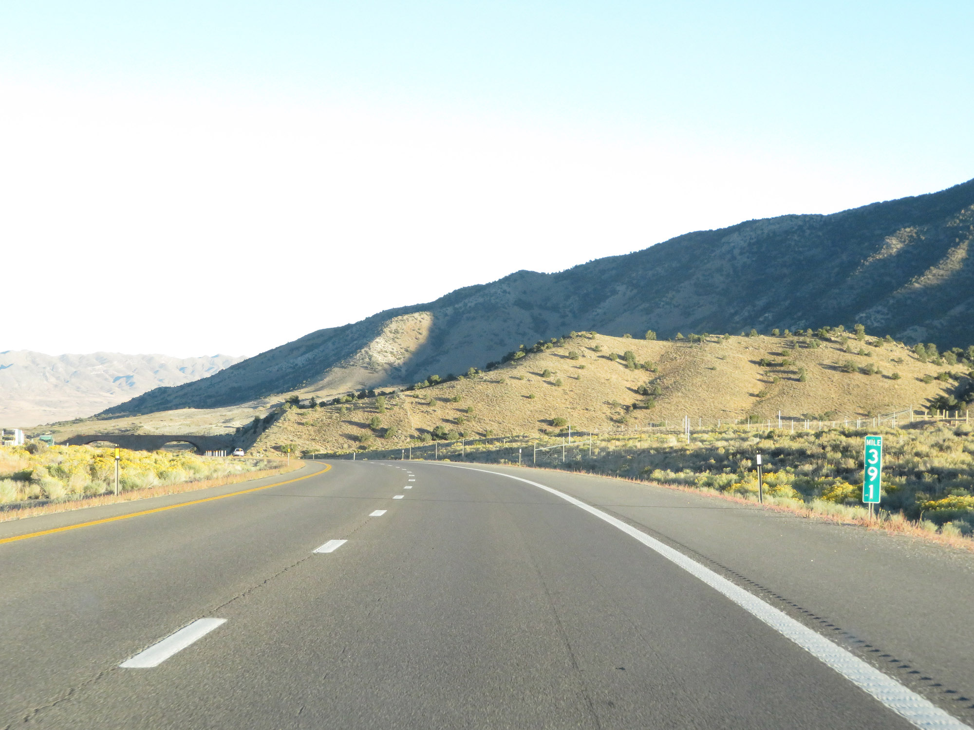 |
View on Interstate 80 East at mile marker 391. (Photo taken 9/24/19). |
 |
One final short tunnel on Interstate 80 East near mile marker 392, heading down Silver Zone Pass. (Photo taken 9/24/19). |
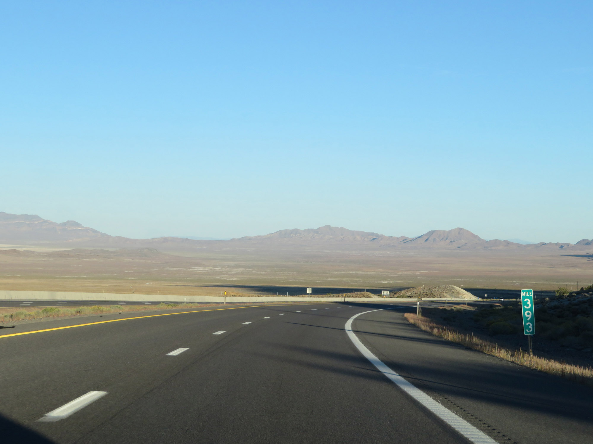 |
Interstate 80 East at mile marker 393. (Photo taken 9/24/19). |
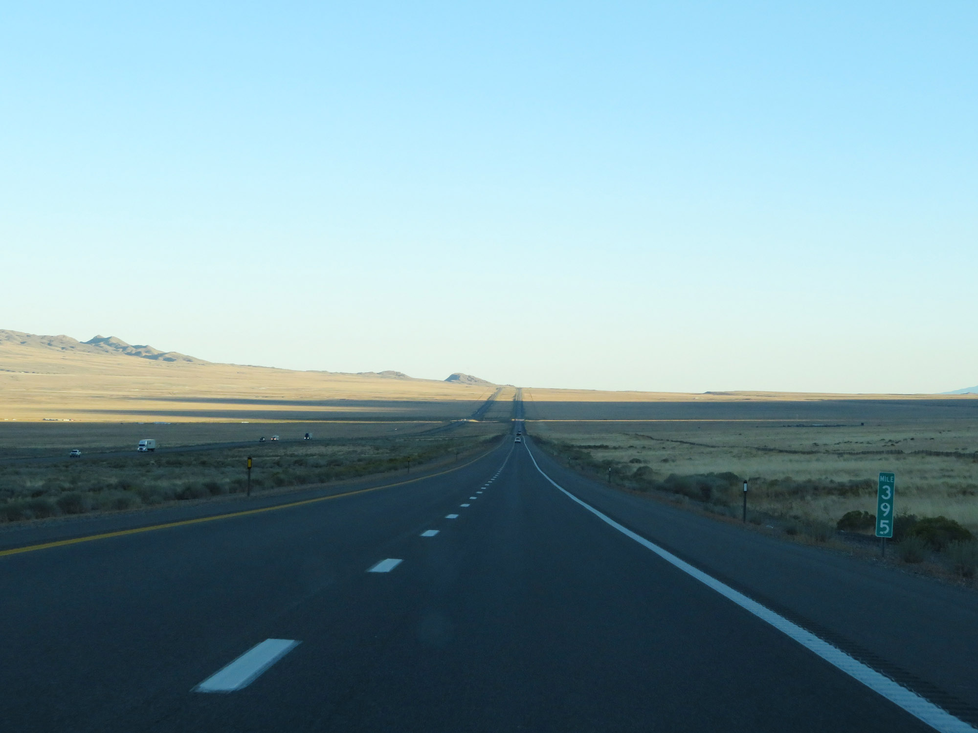 |
View on Interstate 80 East at mile marker 395. (Photo taken 9/24/19). |
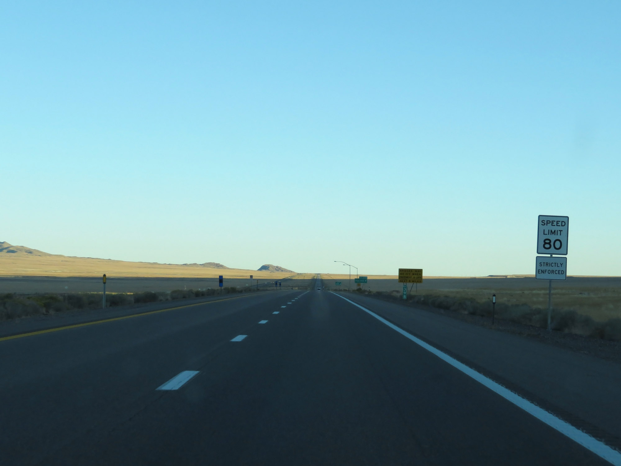 |
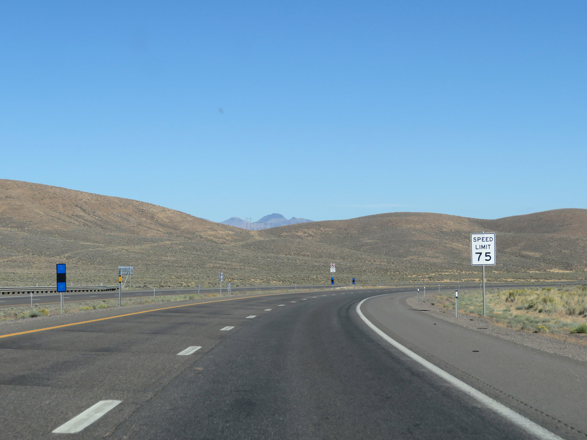
At mile marker 398, the speed limit increases to 80 mph once again. (Photo taken 9/24/19). |
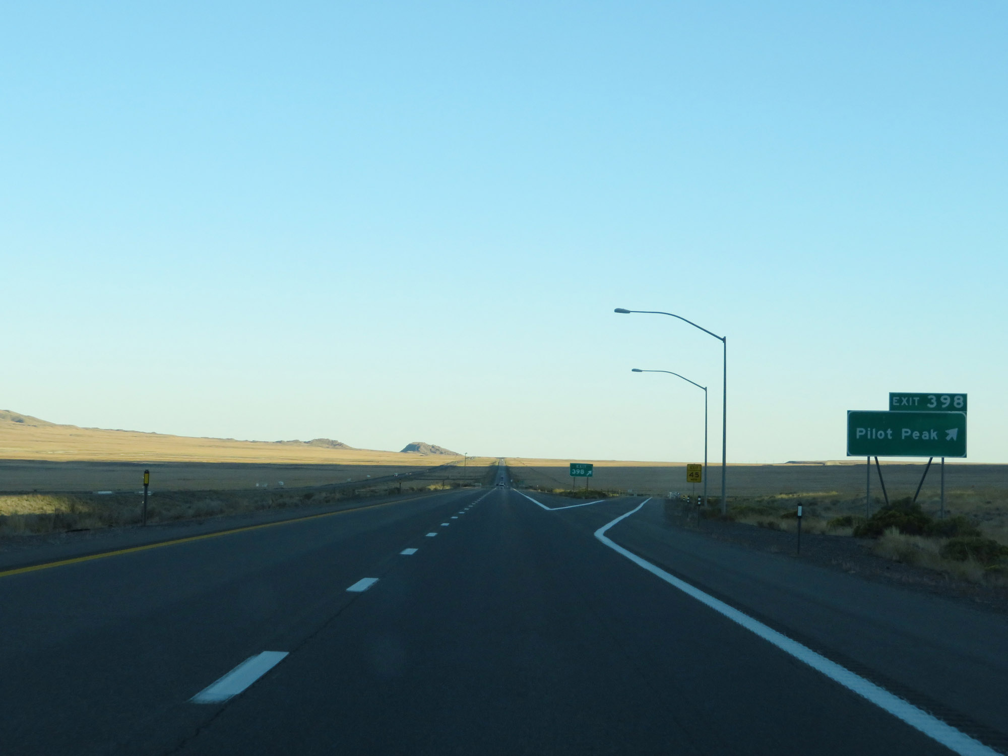 |
Interstate 80 East at Exit 398: Pilot Peak (Photo taken 9/24/19). |
 |
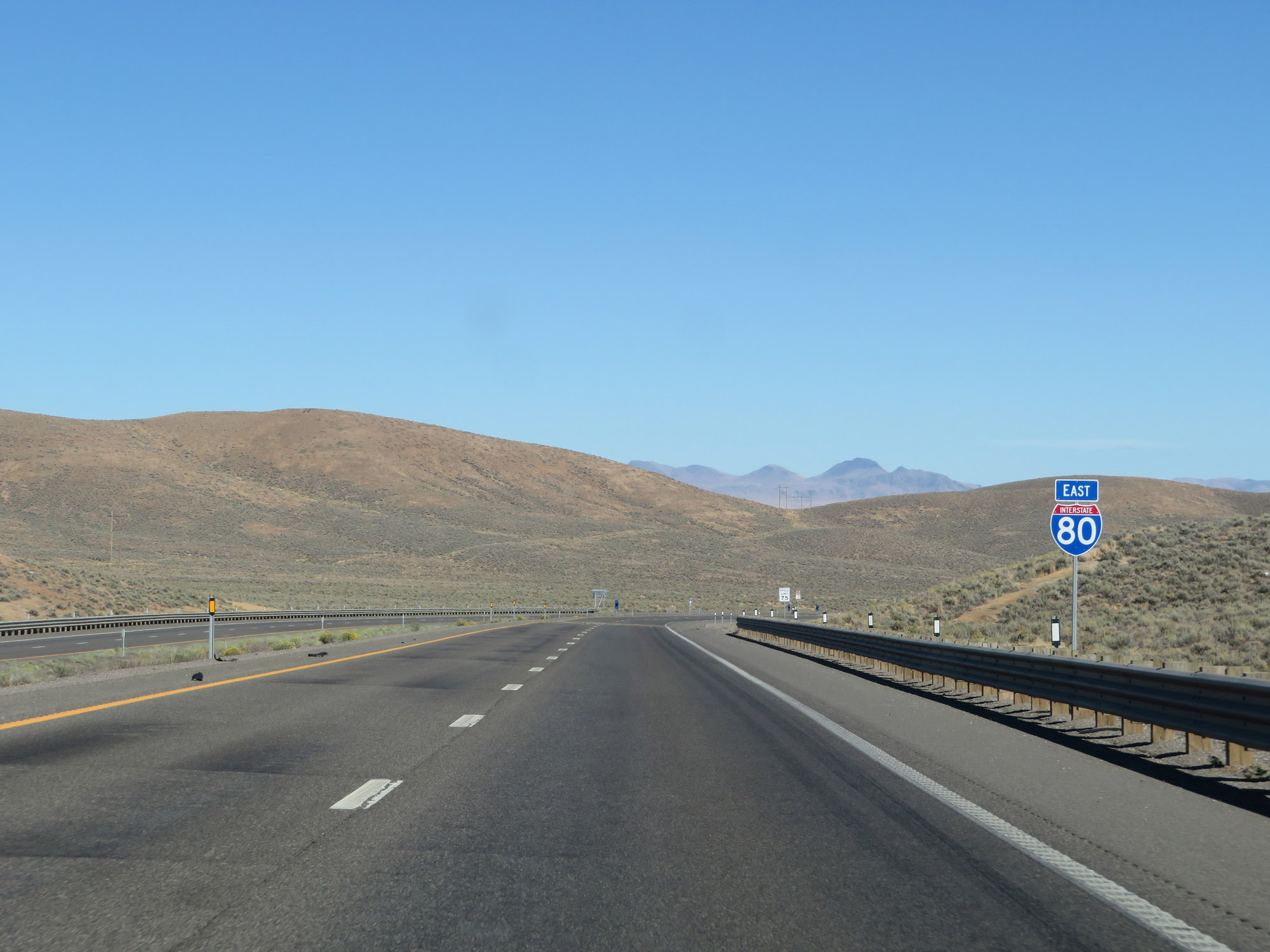
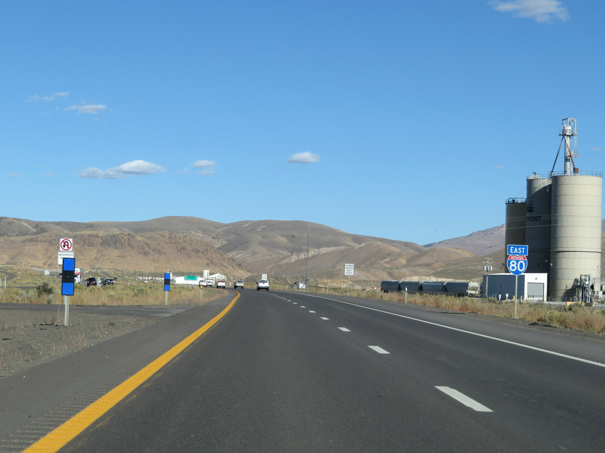
Another state-named Interstate 80 East reassurance shield. (Photo taken 9/24/19). |
 |
Interstate 80 East at mile marker 400. (Photo taken 9/24/19). |
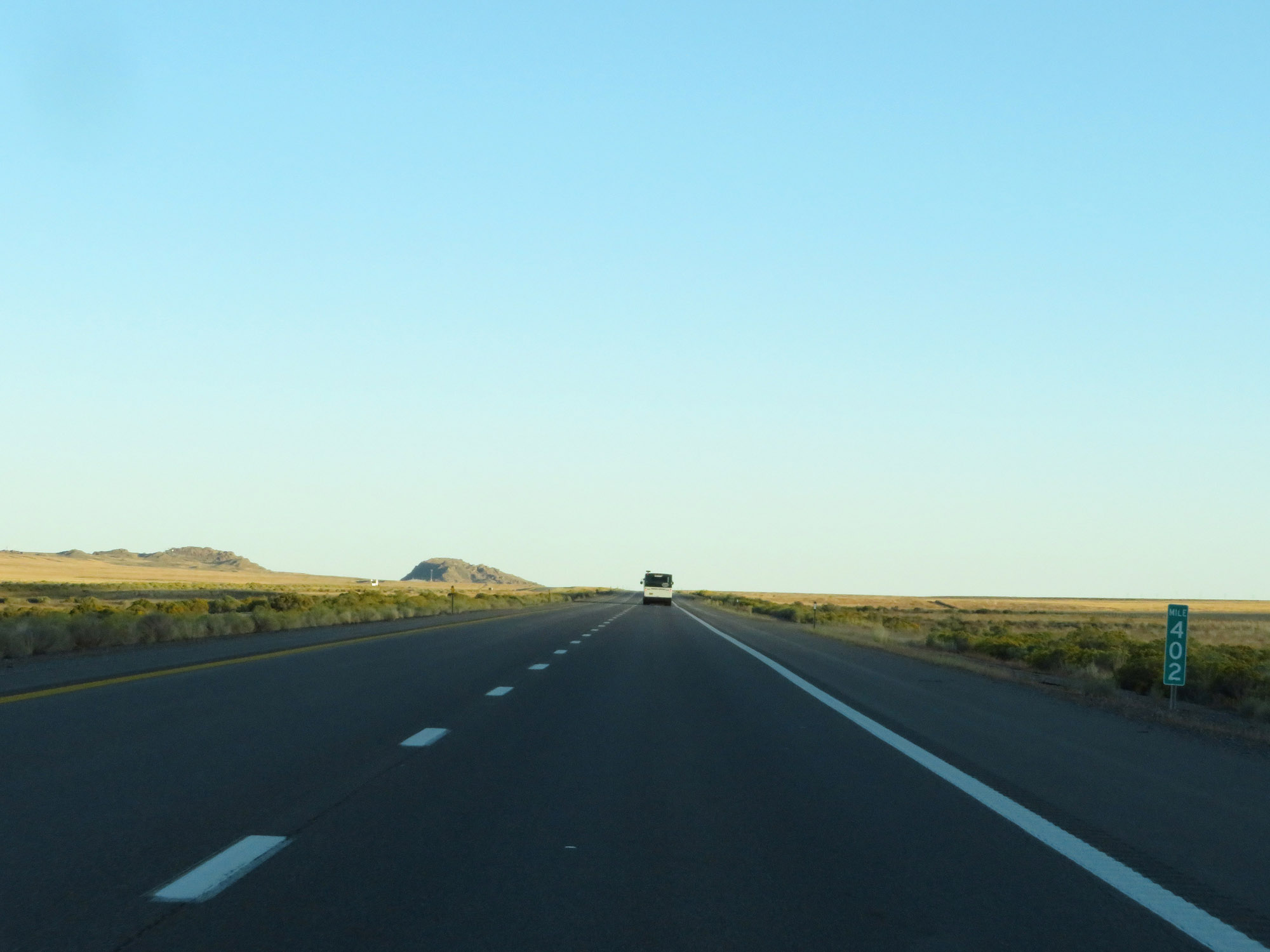 |
View on Interstate 80 East at mile marker 402. (Photo taken 9/24/19). |
 |
Interstate 80 East at mile marker 404. (Photo taken 9/24/19). |
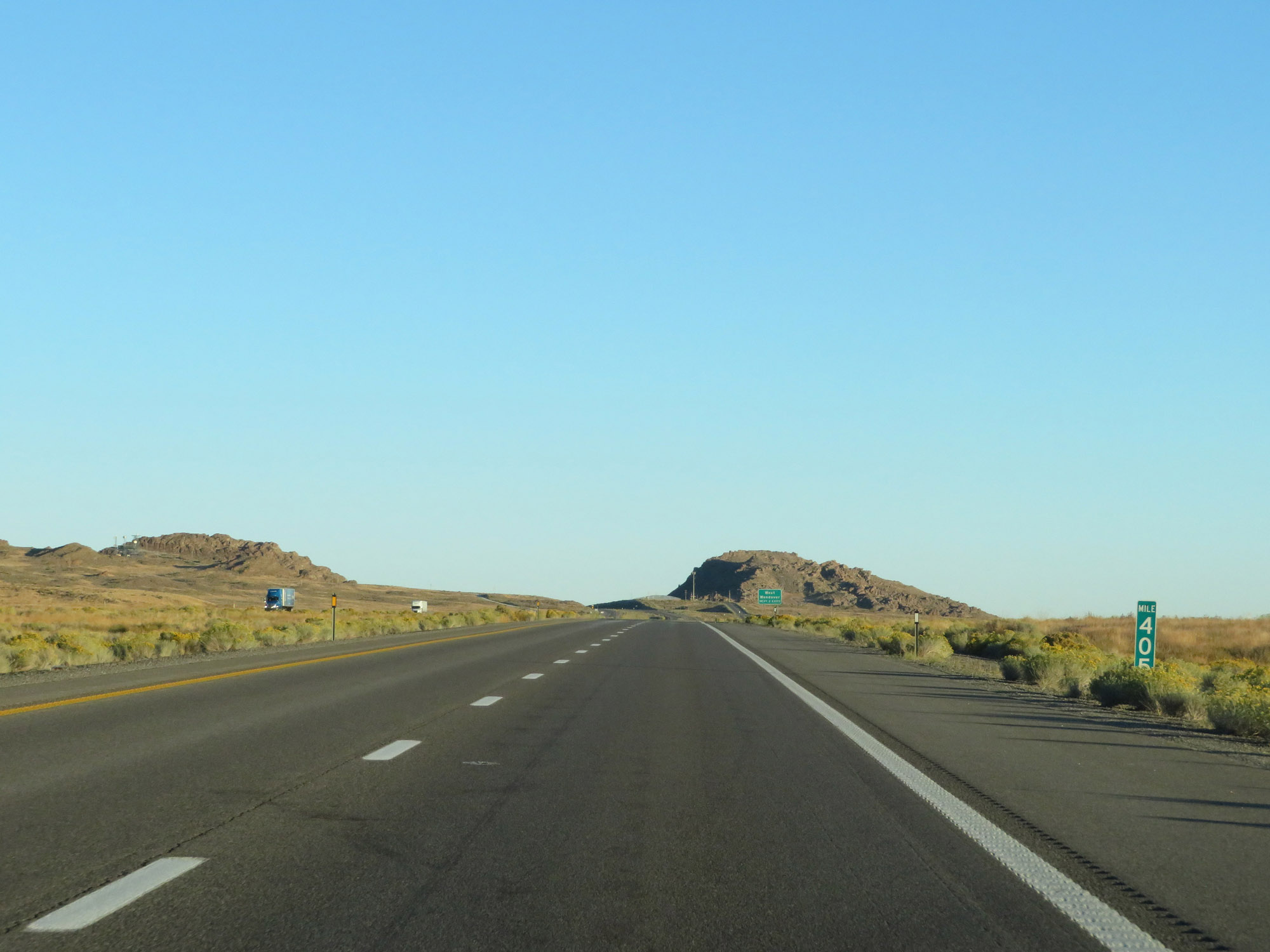 |
Interstate 80 East at mile marker 405. (Photo taken 9/24/19). |
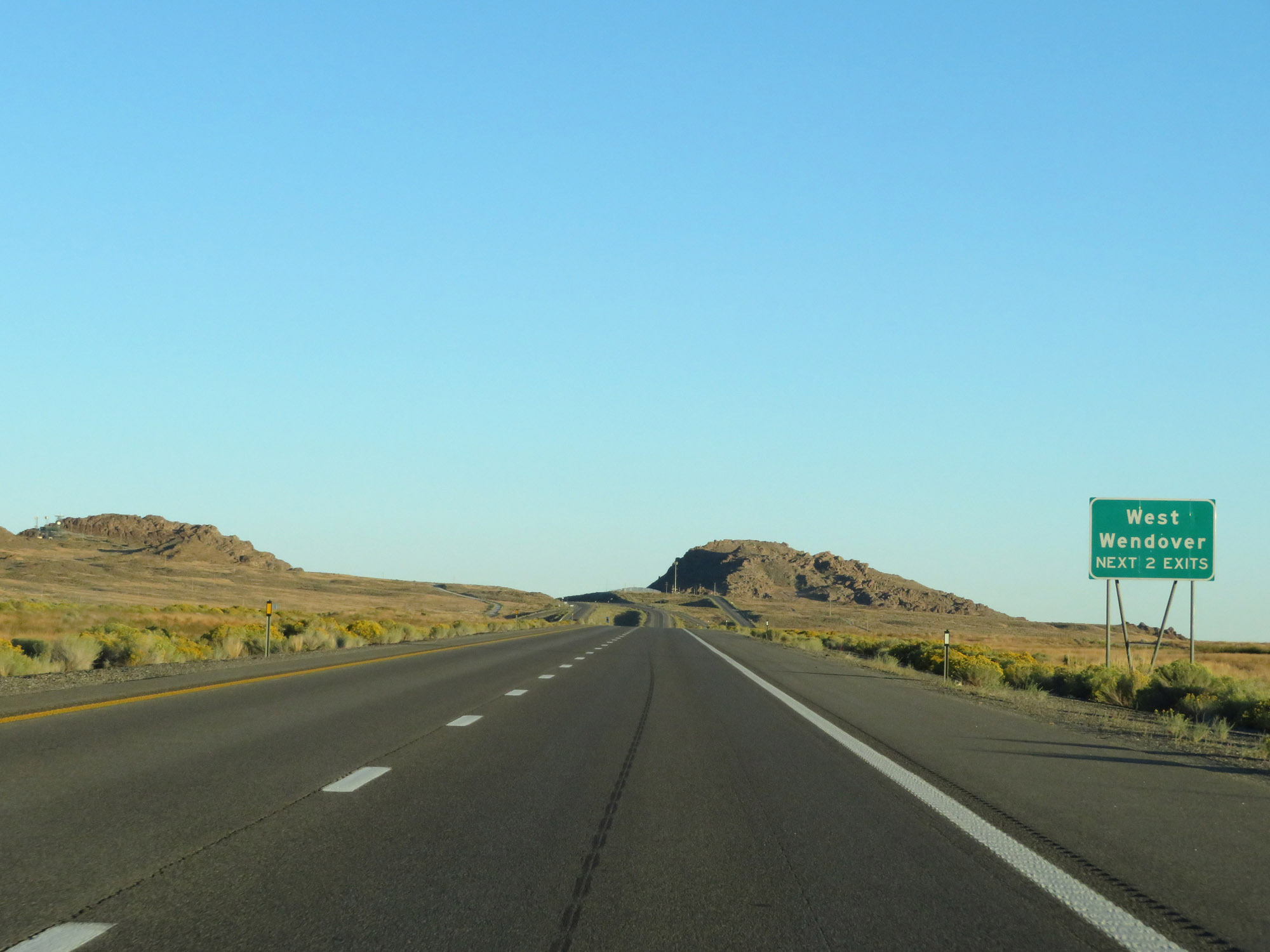 |
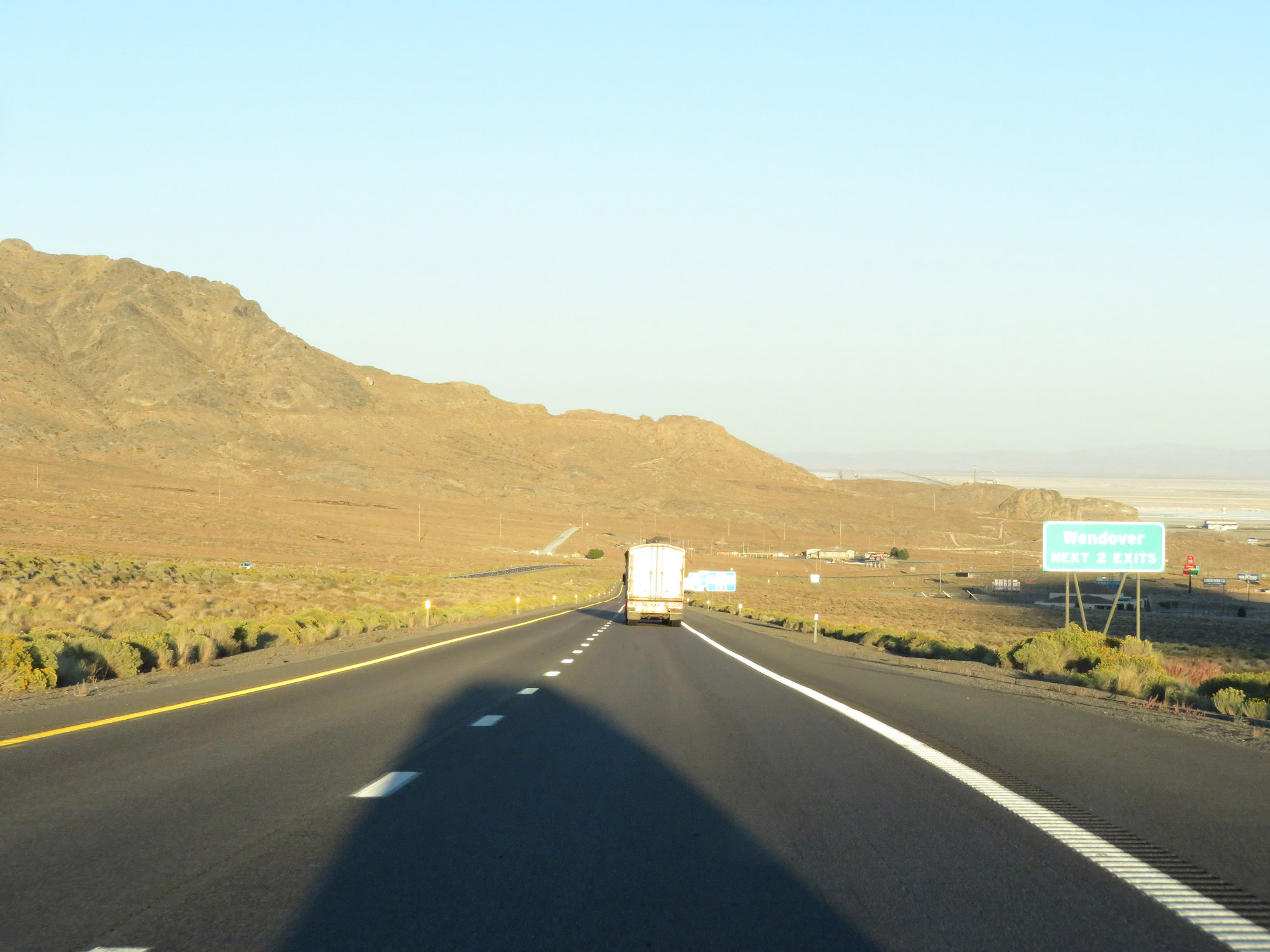
Take either of the next 2 exits to West Wendover. (Photo taken 9/24/19). |
 |
Interstate 80 East at Exit 407: Ola (Photo taken 9/24/19). |
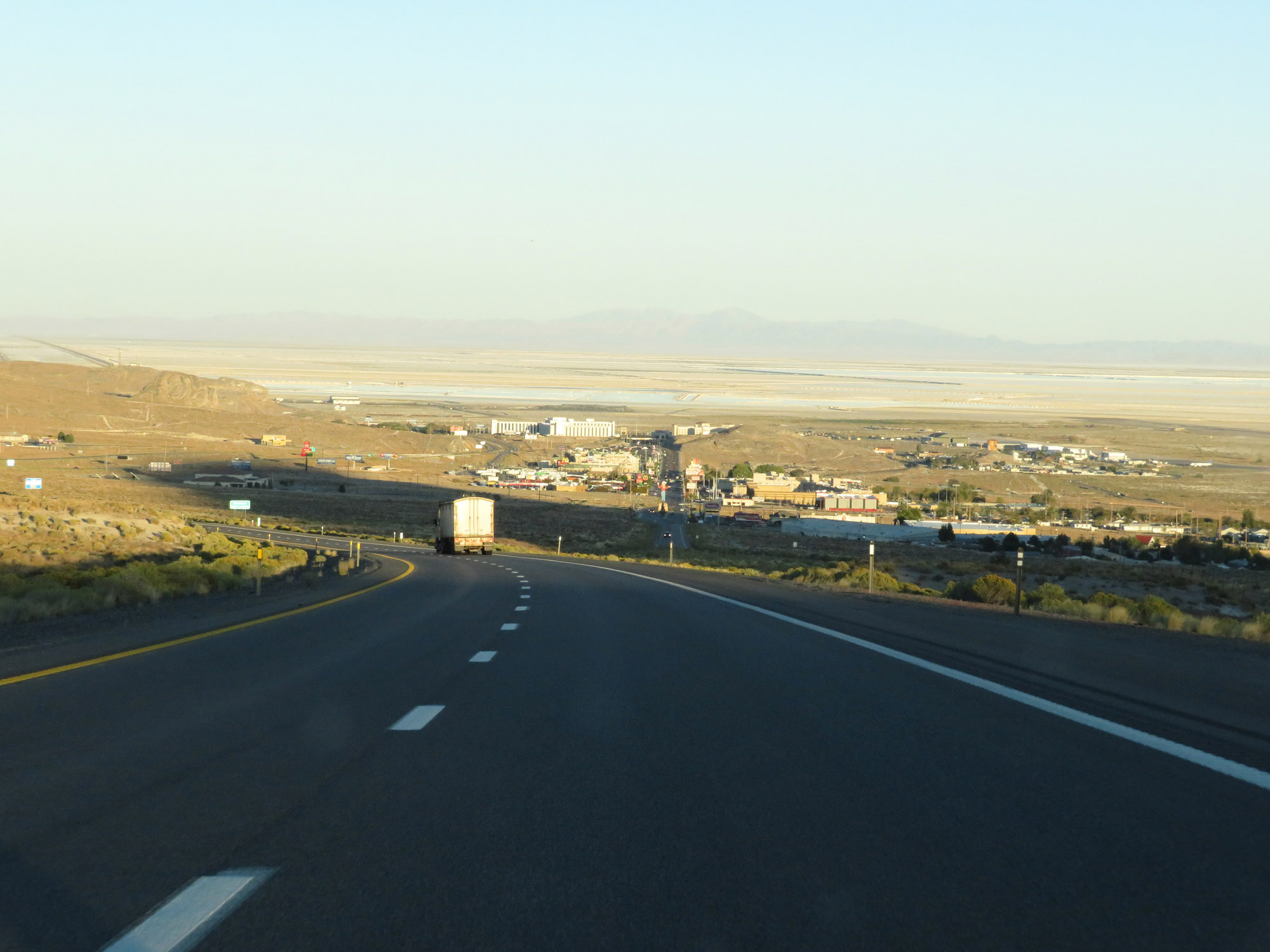 |
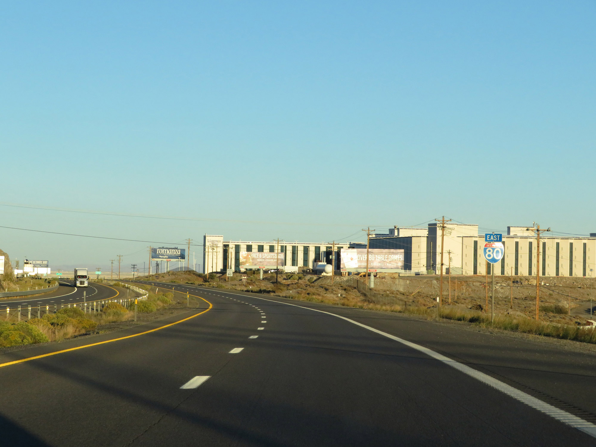
View on Interstate 80 East as the towns of West Wendover, NV and Wendover, UT come into view. (Photo taken 9/24/19). |
 |
Take either of the next 2 exits to Wendover. (Photo taken 9/24/19). |
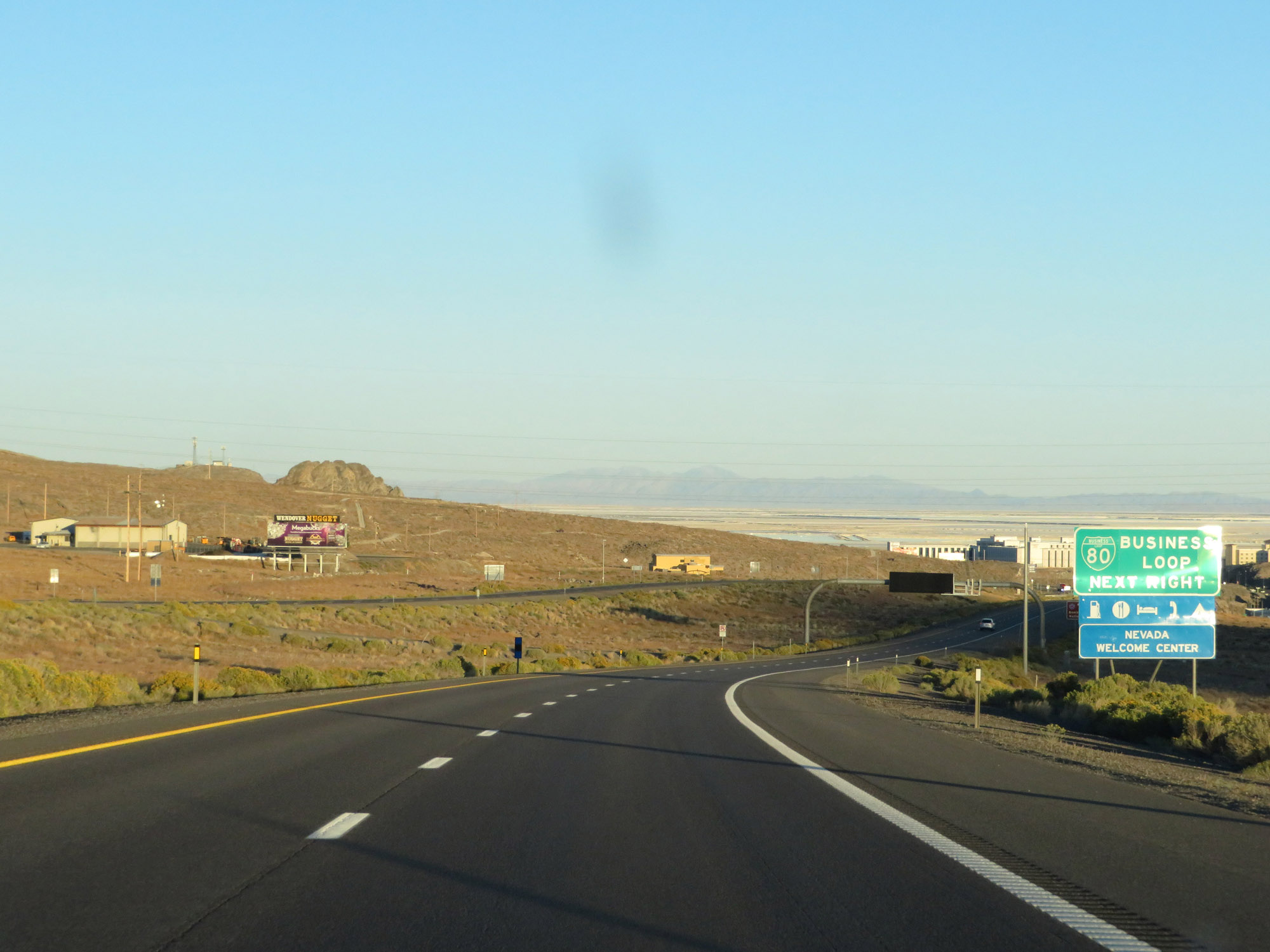 |
Take Exit 410 to Interstate 80 Business Loop. (Photo taken 9/24/19). |
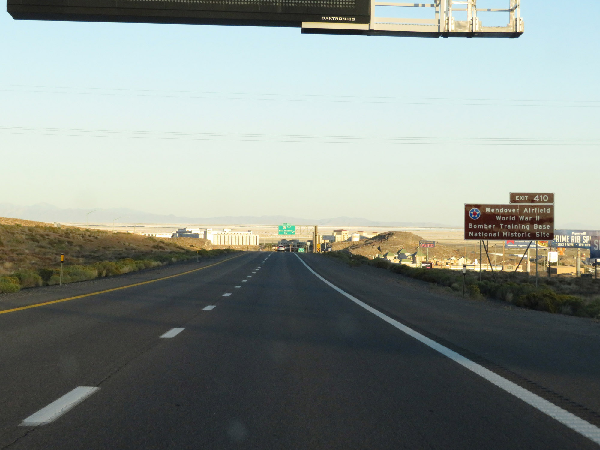 |
Also take Exit 410 to Wendover Airfield World War II Bomber Training Base National Historic Site. (Photo taken 9/24/19). |
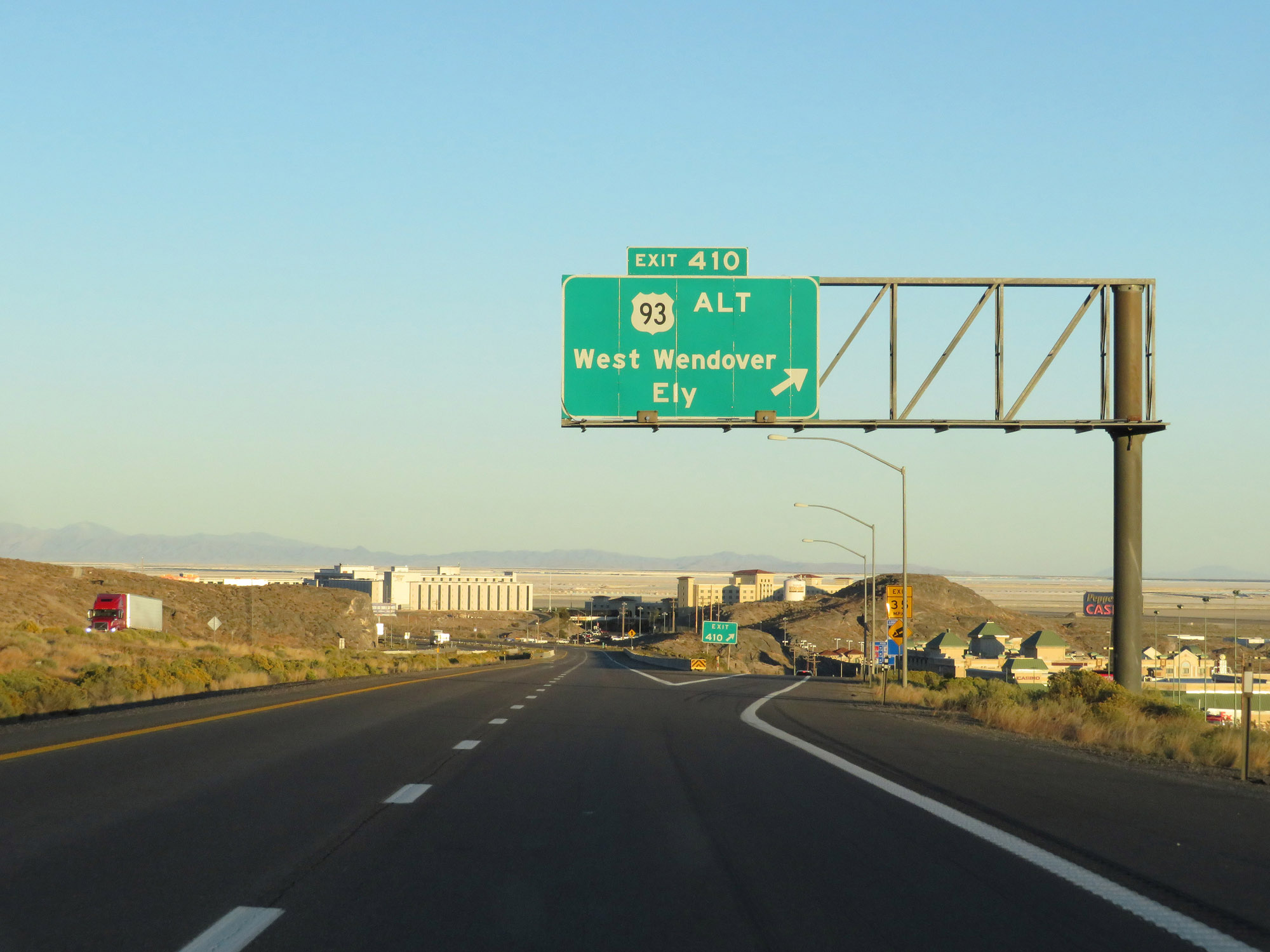 |
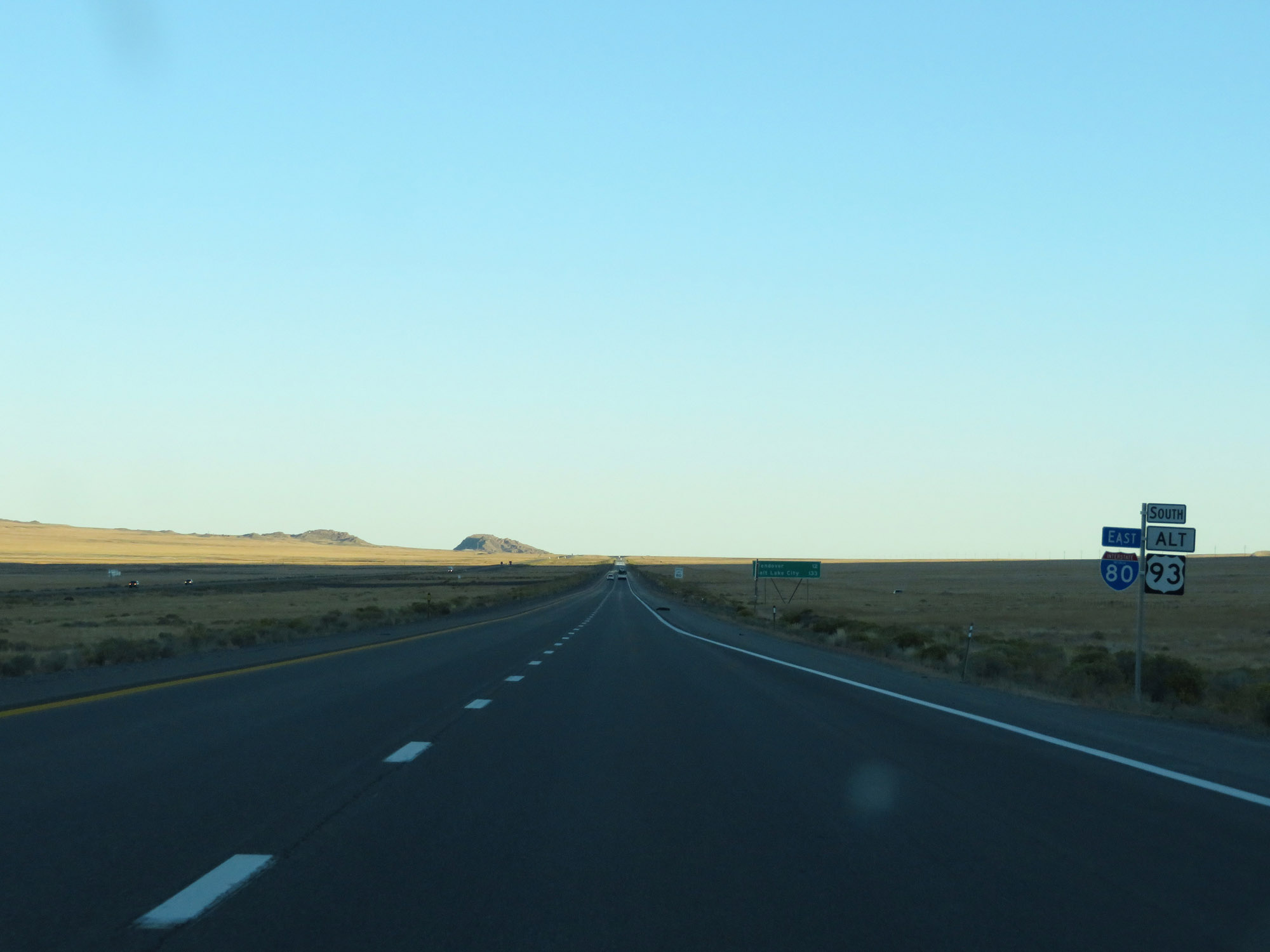
Interstate 80 East at Exit 410: US 93 Alternate - West Wendover / Ely (Photo taken 9/24/19). |
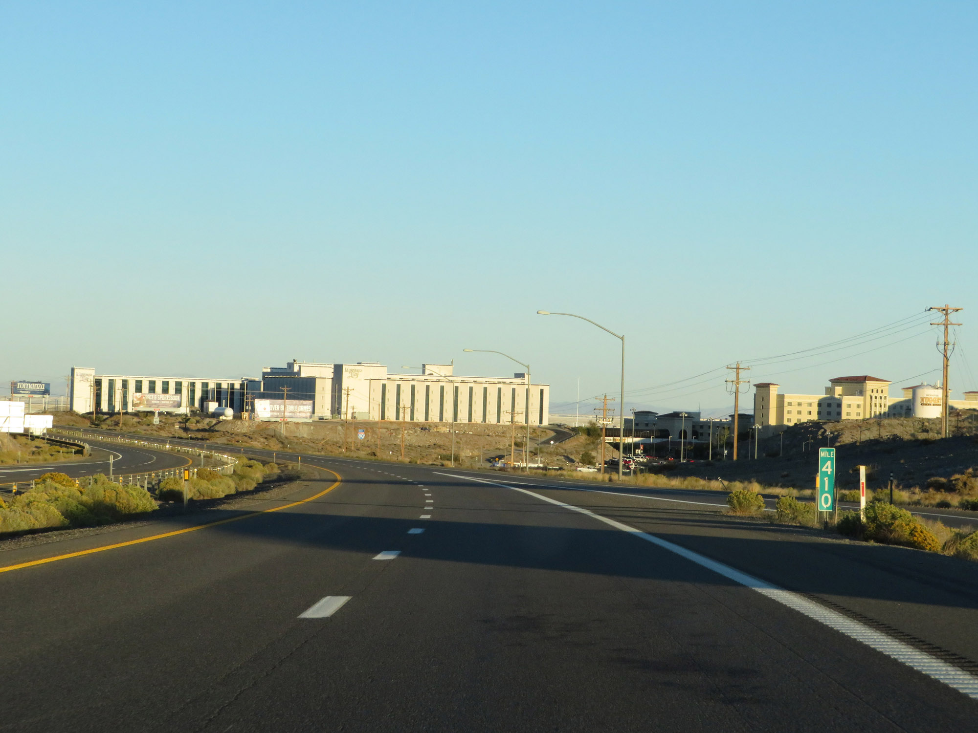 |
View on Interstate 80 East at mile marker 410, as it prepares to enter Utah. (Photo taken 9/24/19). |
 |
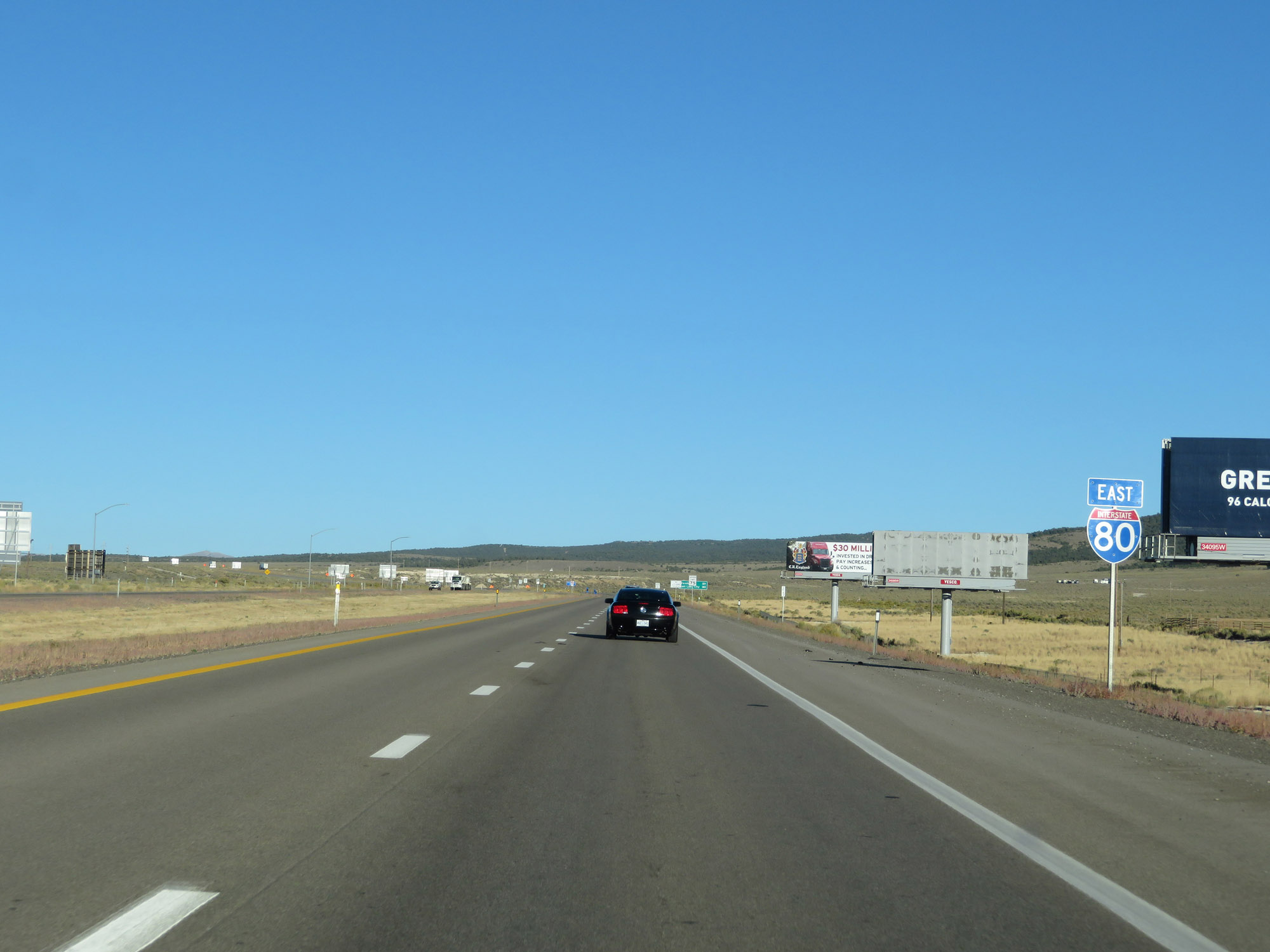
One final Interstate 80 East reassurance shield in Nevada. (Photo taken 9/24/19). |
 |
The speed limit remains 80 mph as Interstate 80 nears the Utah state line. (Photo taken 9/24/19). |