Road Information |
||
 |
||
| Total Mileage in State: | 455 miles | |
| Eastern End: | At Iowa state line | |
| Western End: | At Wyoming state line | |
| Mileage covered in Photos: | 353 miles | |
| Counties covered in Photos: | Deuel, Keith, Lincoln, Dawson, Buffalo, Hall, Hamilton, York, Seward, Lancaster, Cass, Sarpy, Douglas | |
| Major Junctions in Photos: | US 83, in North Platte US 81, in York I-180, in Lincoln I-680, in Omaha I-480/US 75, in Omaha |
|
| Control Cities in Photos: | Ogallala, North Platte, Kearney, Grand Island, York, Lincoln, Omaha | |
Eastbound
- Section 1: Big Springs (Exit 102) to Gothenburg (Exit 211)
- Section 2: Gothenburg (Exit 211) to Grand Island (Exit 314)
- Section 3: Grand Island (Exit 314) to Waverly (Exit 409)
- Section 4: Waverly (Exit 409) to Iowa Border
Section 1: Big Springs (Exit 102) to Gothenburg (Exit 211)
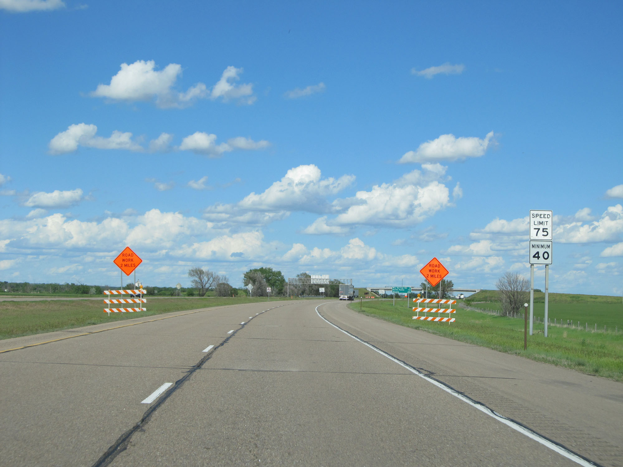 |
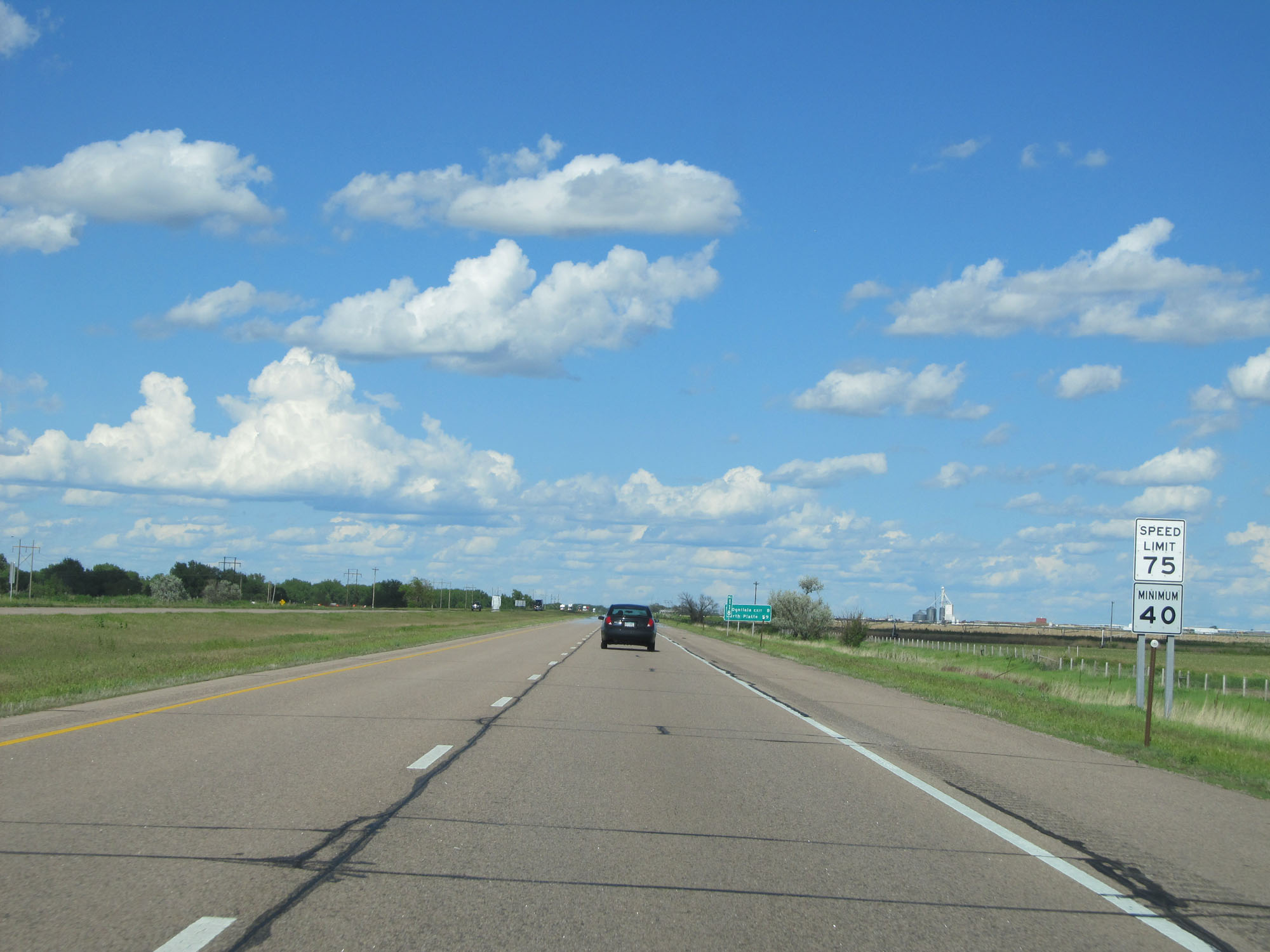
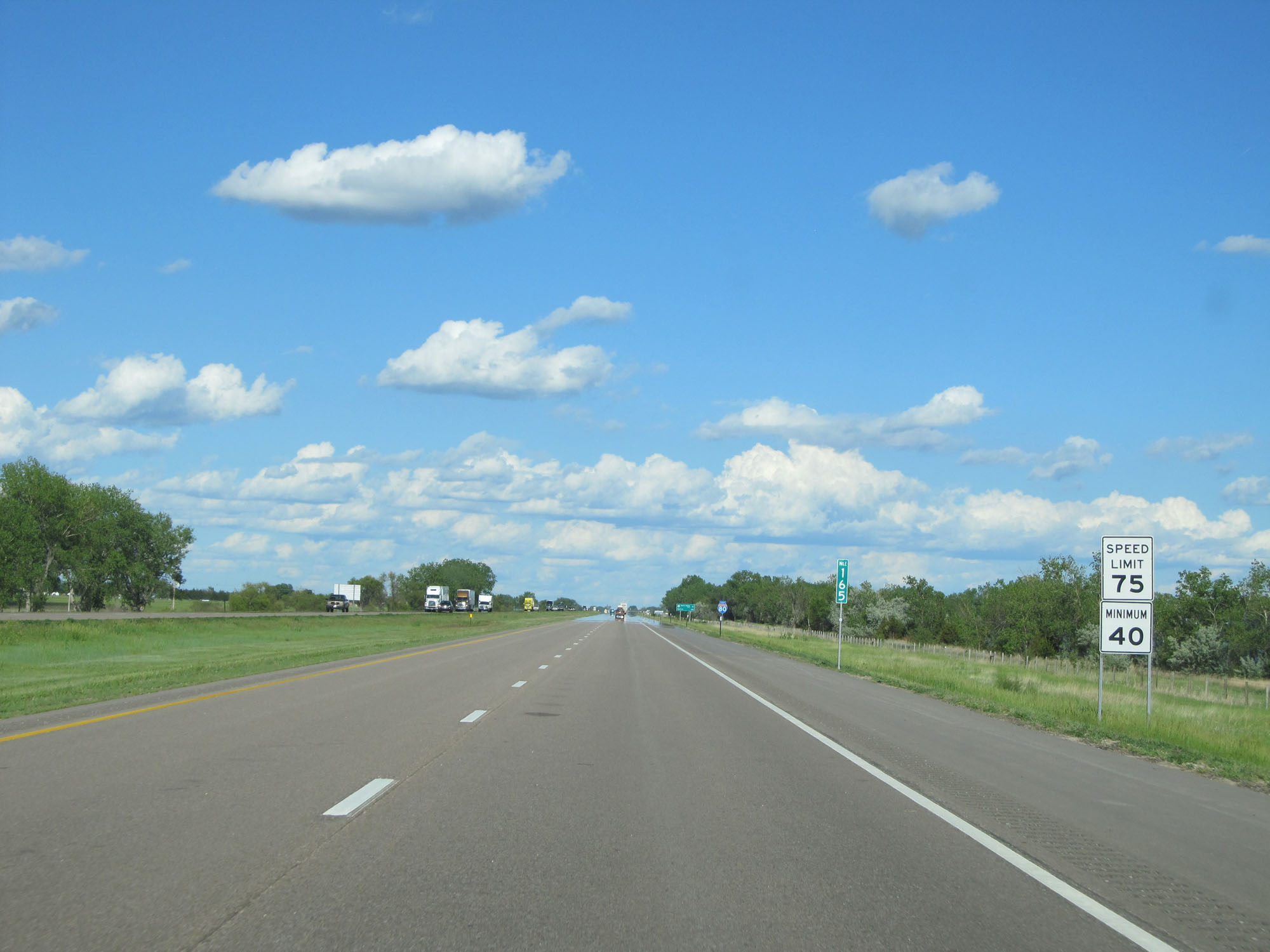
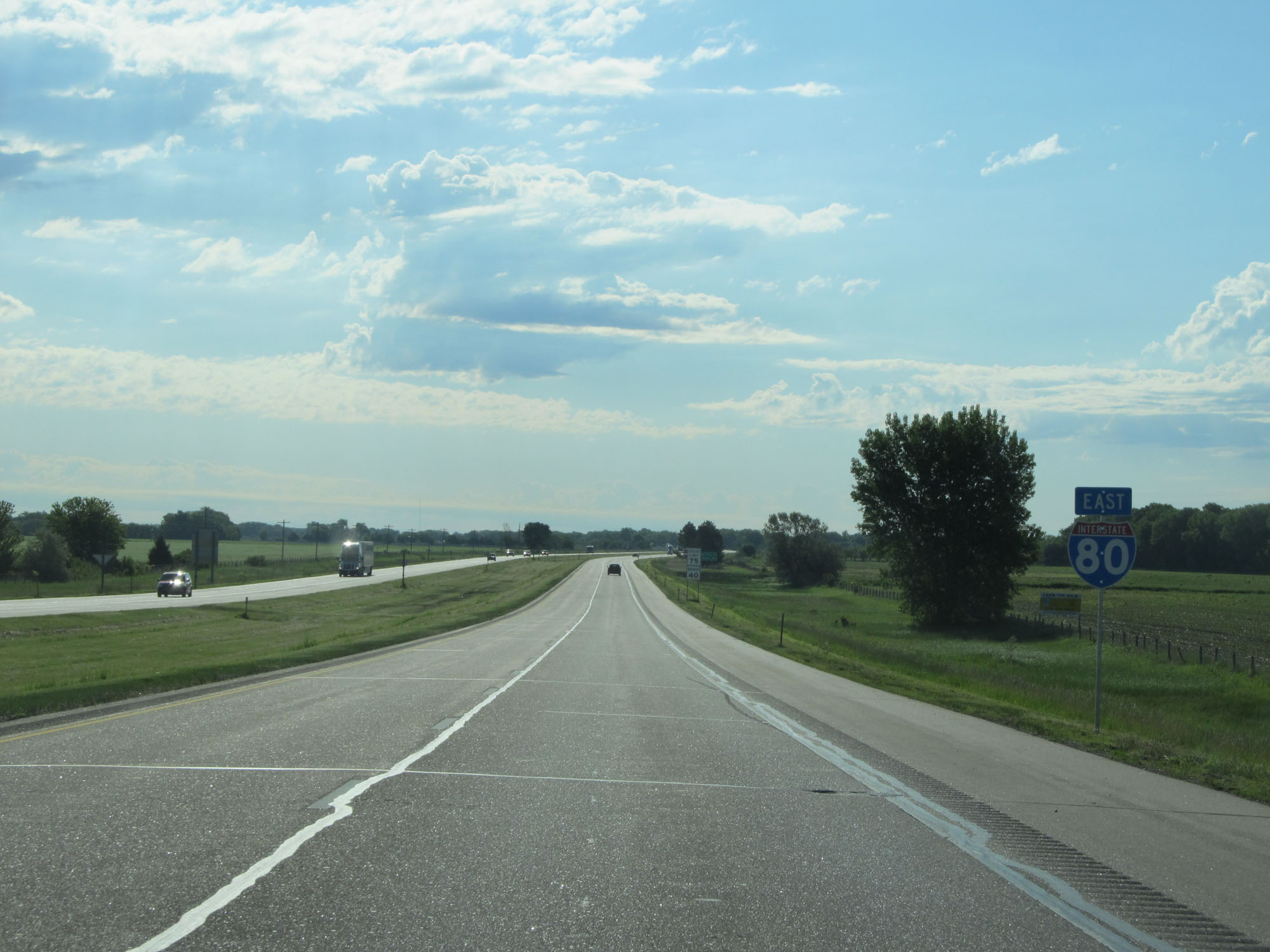
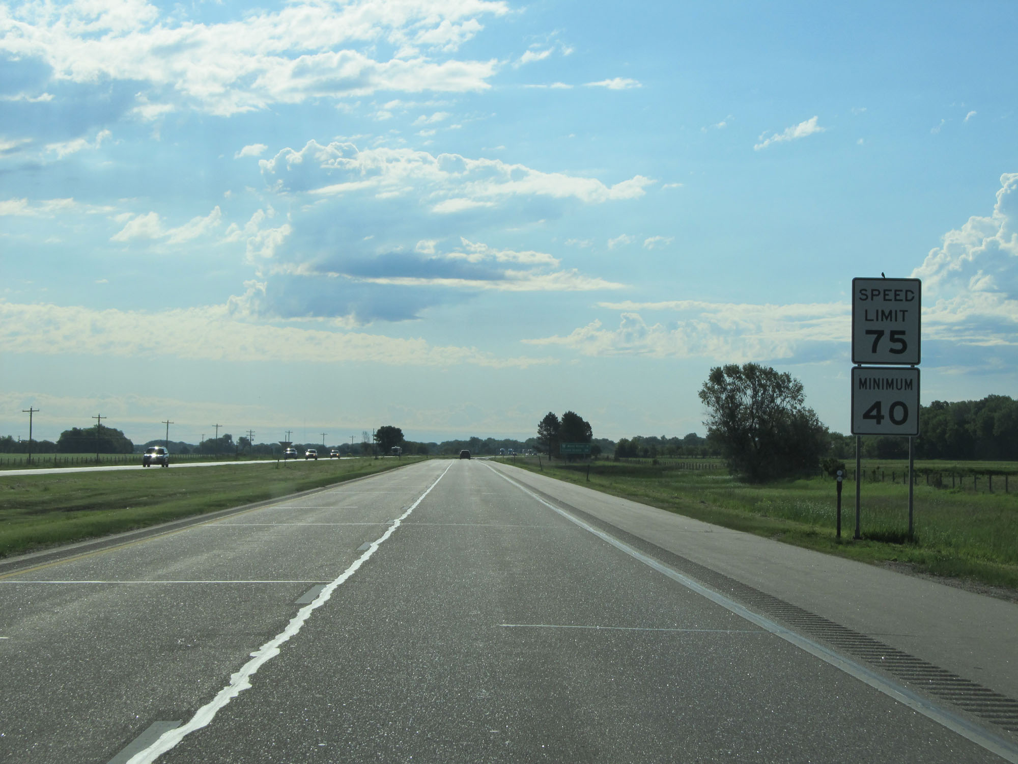
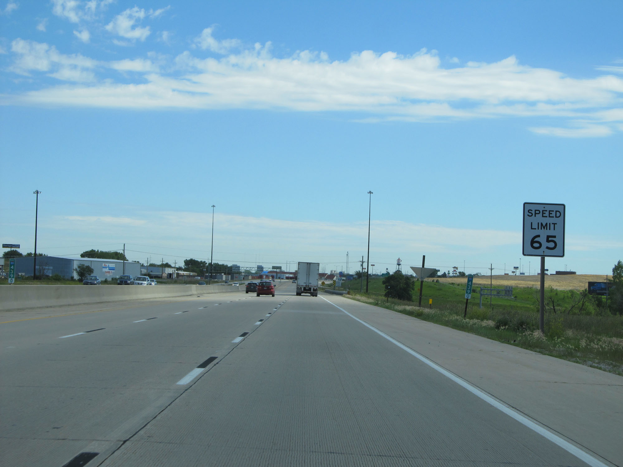
Speed limit signs on Interstate 80 East. The speed limit on the rural stretches of Interstate 80 in Nebraska is 75 mph and the minimum speed limit is 40 mph. (Photo taken 5/28/16). |
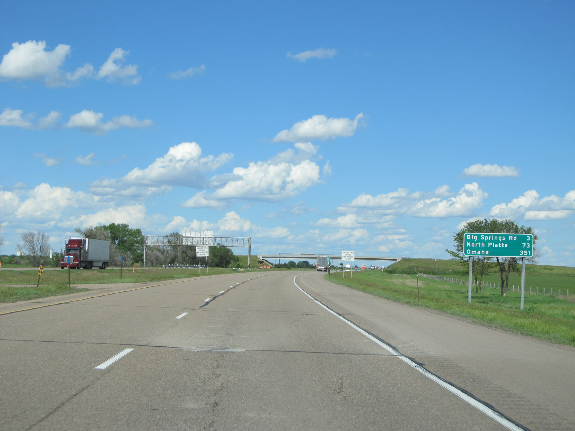 |
Mileage sign on Interstate 80 East. It's 3 miles to Big Springs Rd, 73 miles to North Platte, and 351 miles to Omaha. (Photo taken 5/28/16). |
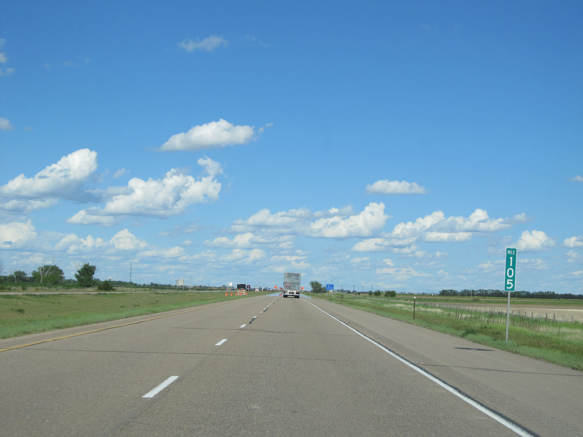 |
Interstate 80 East at mile marker 105. (Photo taken 5/28/16). |
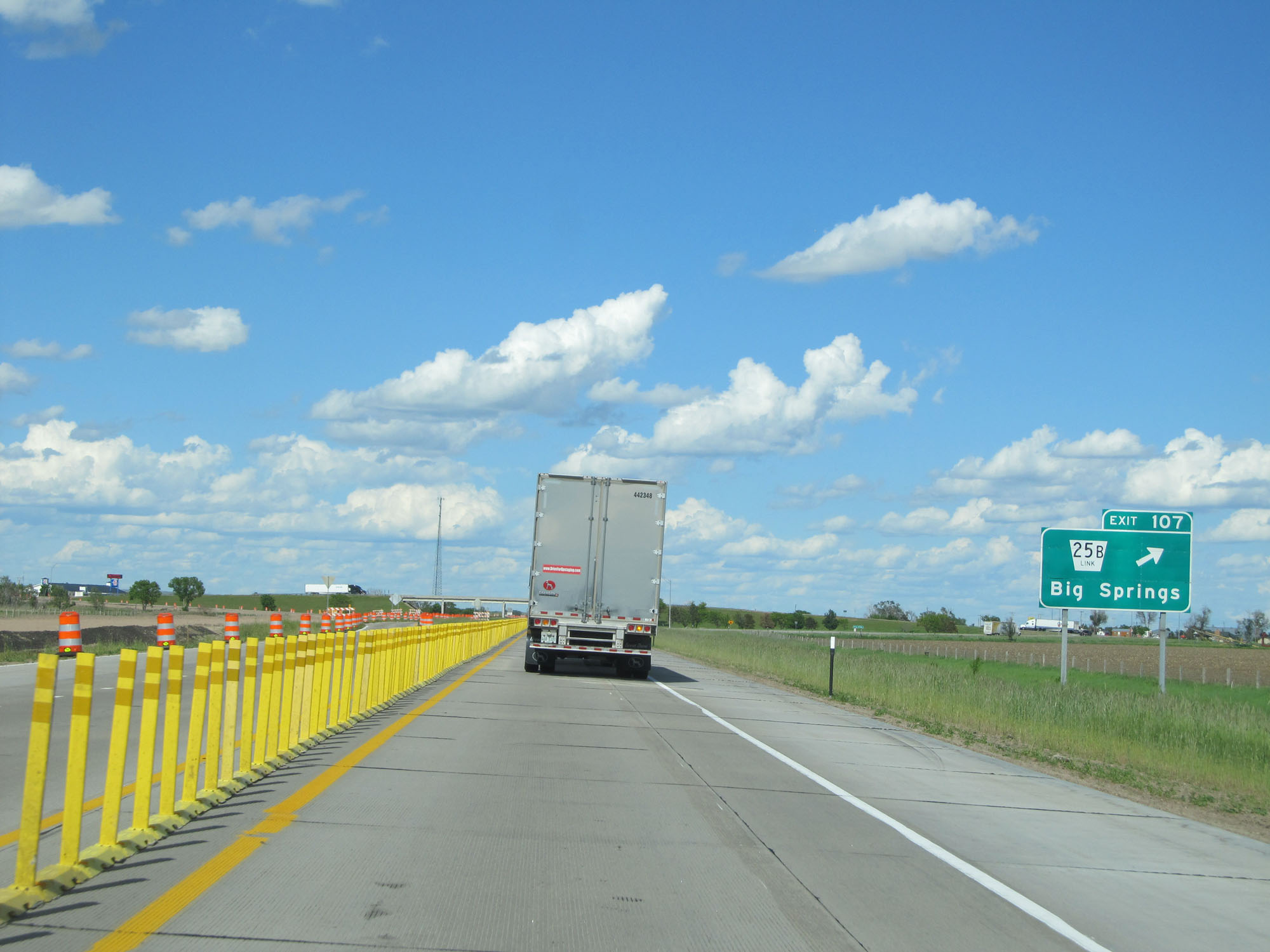 |
Interstate 80 East at Exit 107: Nebraska Link 25B - Big Springs (Photo taken 5/28/16). |
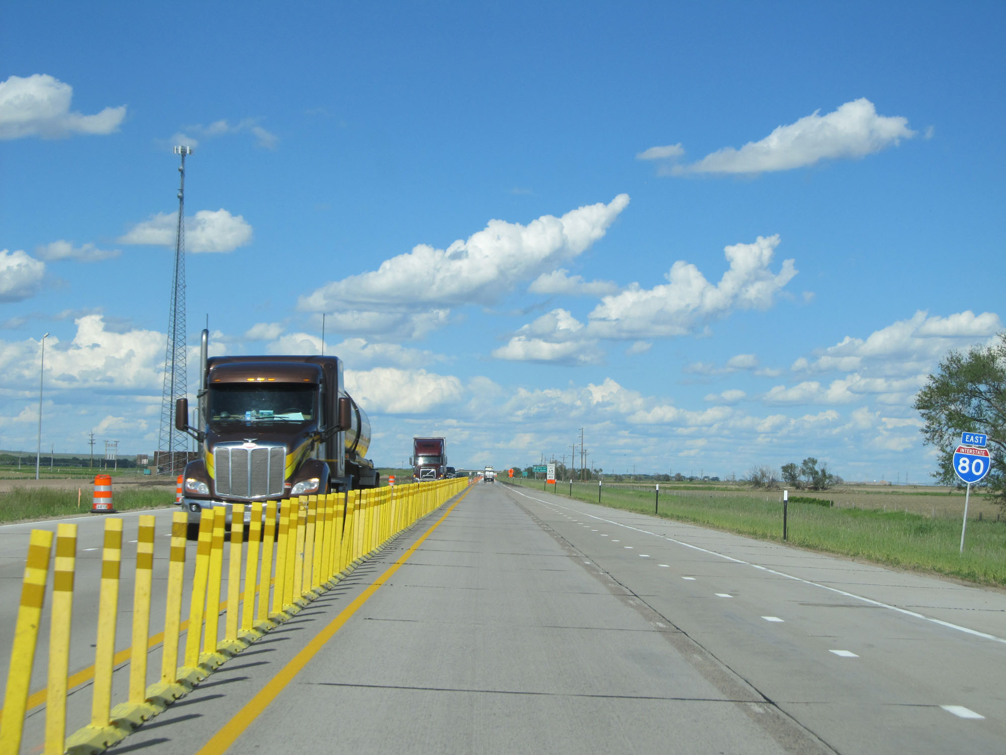 |
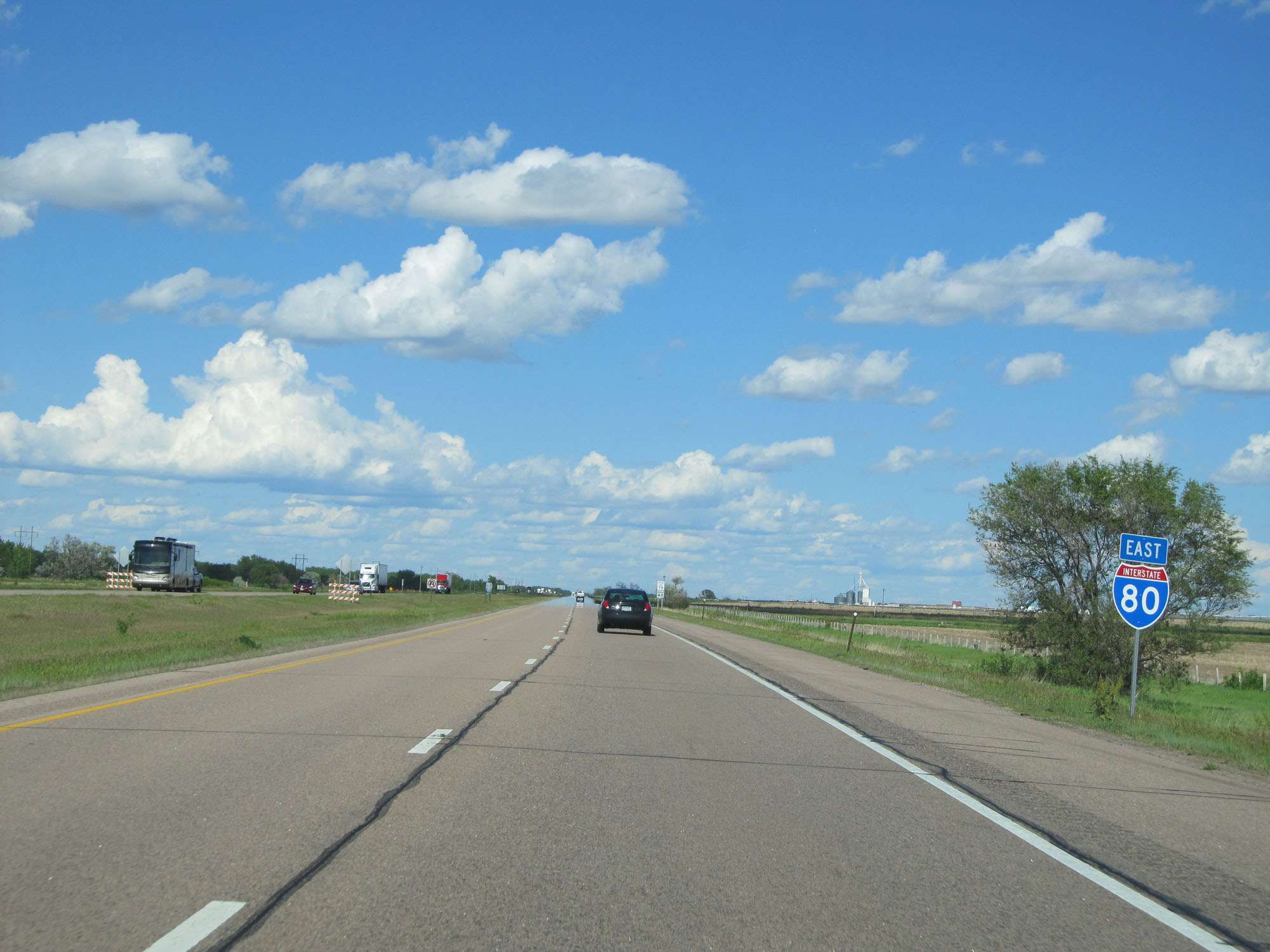
Interstate 80 East reassurance shield. (Photo taken 5/28/16). |
 |
Interstate 80 East entering Keith County. (Photo taken 5/28/16). |
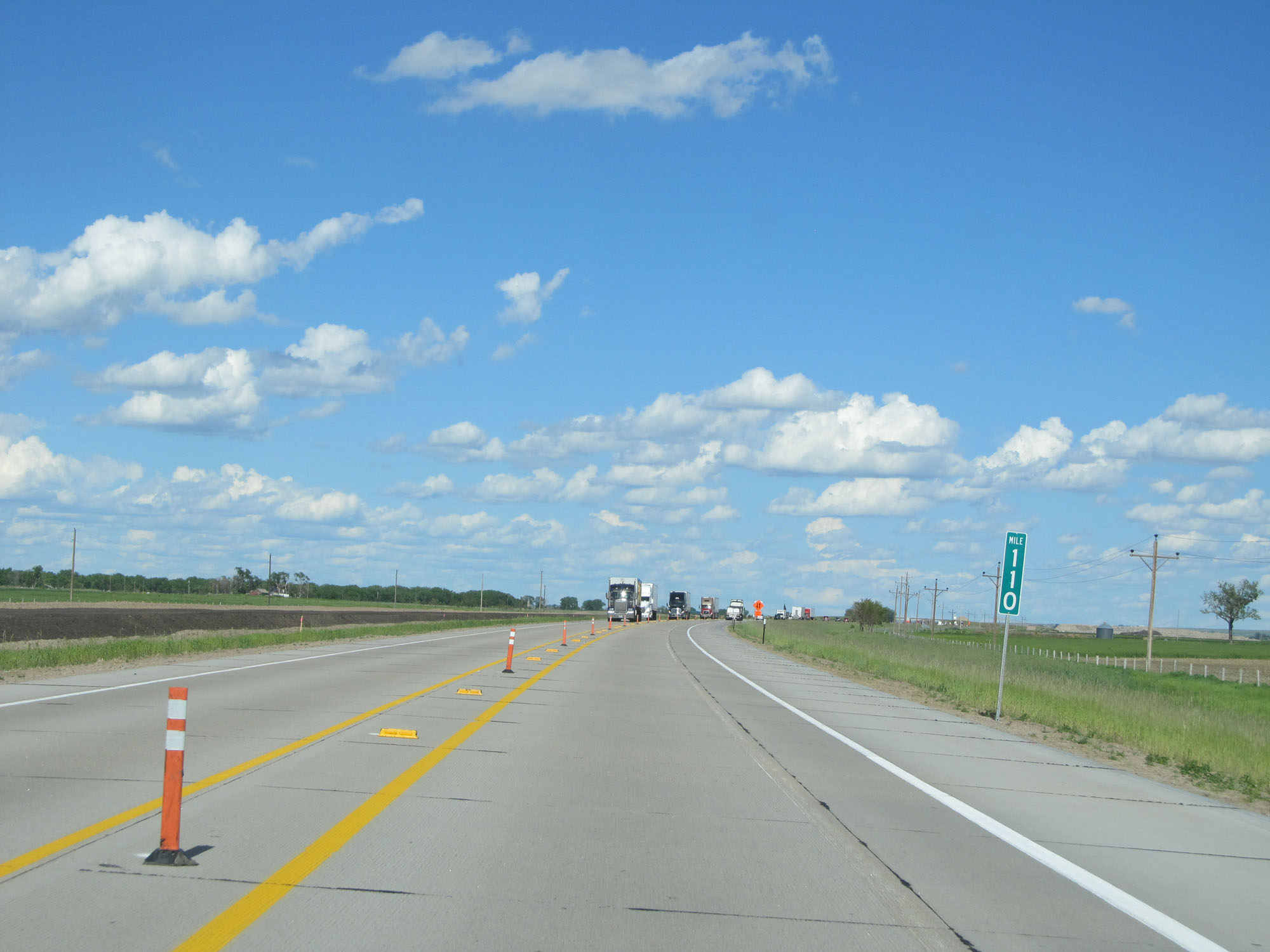 |
Interstate 80 East at mile marker 110. (Photo taken 5/28/16). |
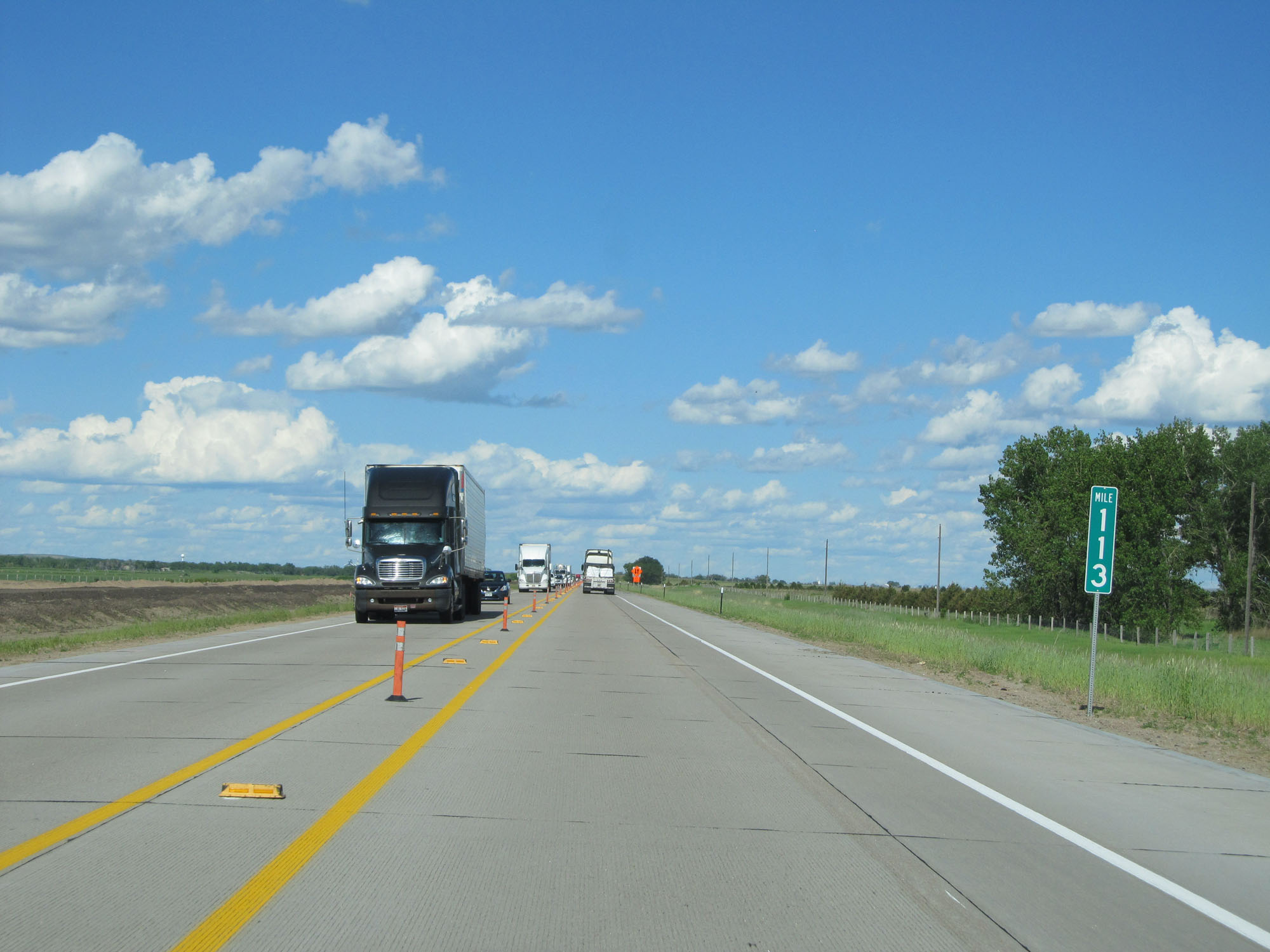 |
Interstate 80 East at mile marker 113. (Photo taken 5/28/16). |
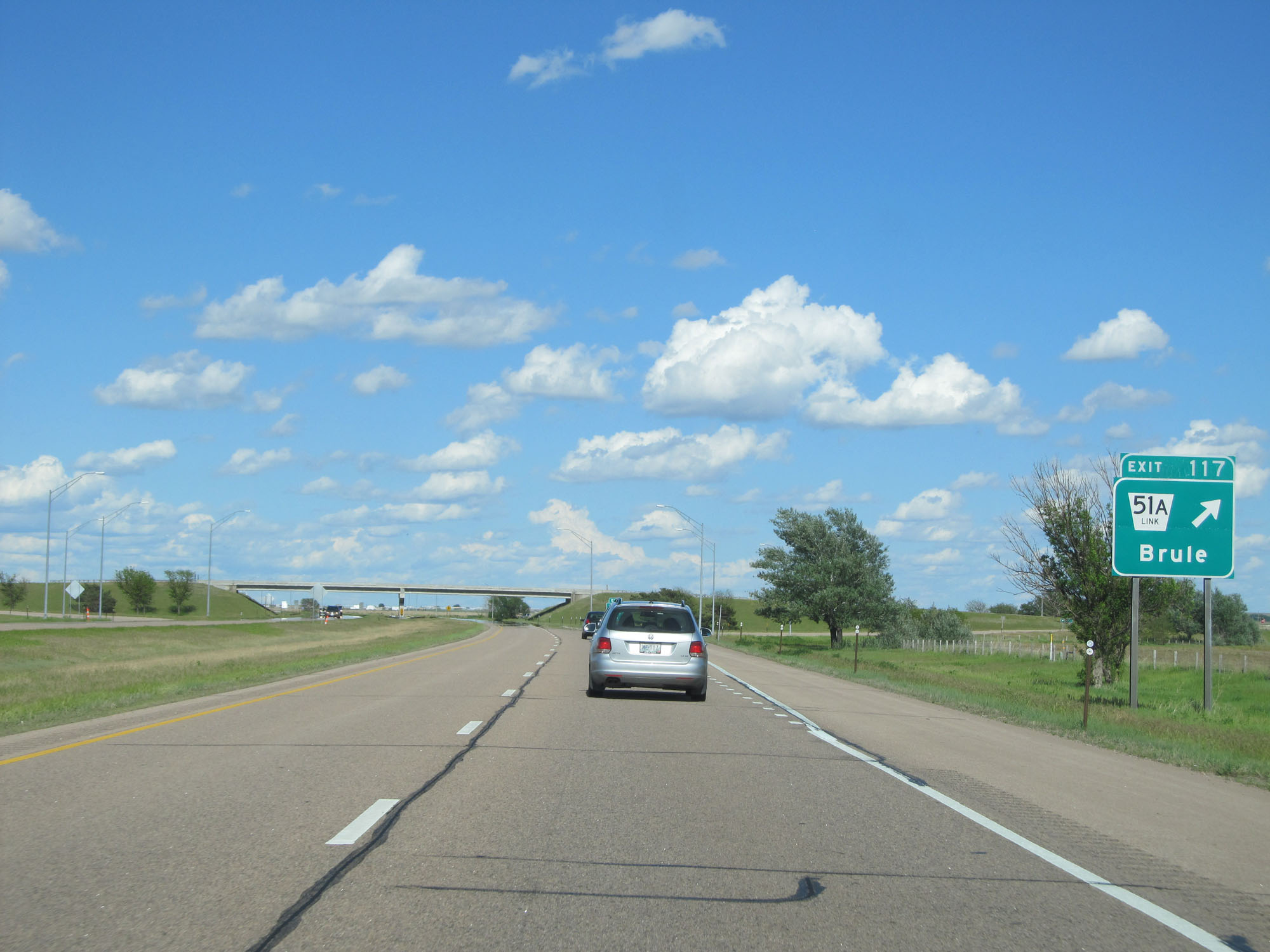 |
Interstate 80 East at Exit 117: Nebraska Link 51A - Brule (Photo taken 5/28/16). |
 |
Interstate 80 East reassurance shield. (Photo taken 5/28/16). |
 |
The speed limits remain 75 mph maximum and 40 mph minimum. (Photo taken 5/28/16). |
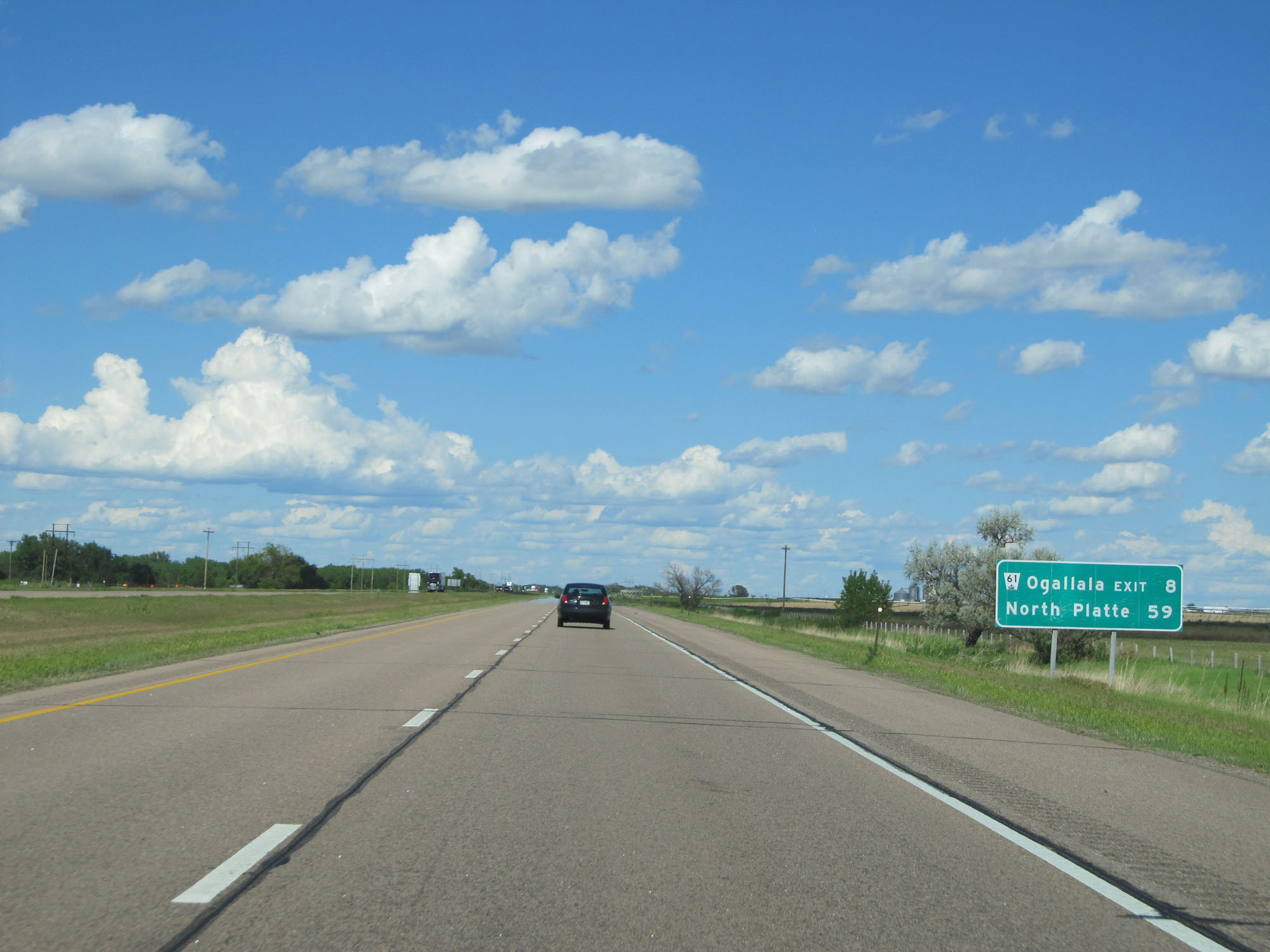 |
Mileage sign on Interstate 80 East. It's 8 miles to the next exit and 59 miles to North Platte. (Photo taken 5/28/16). |
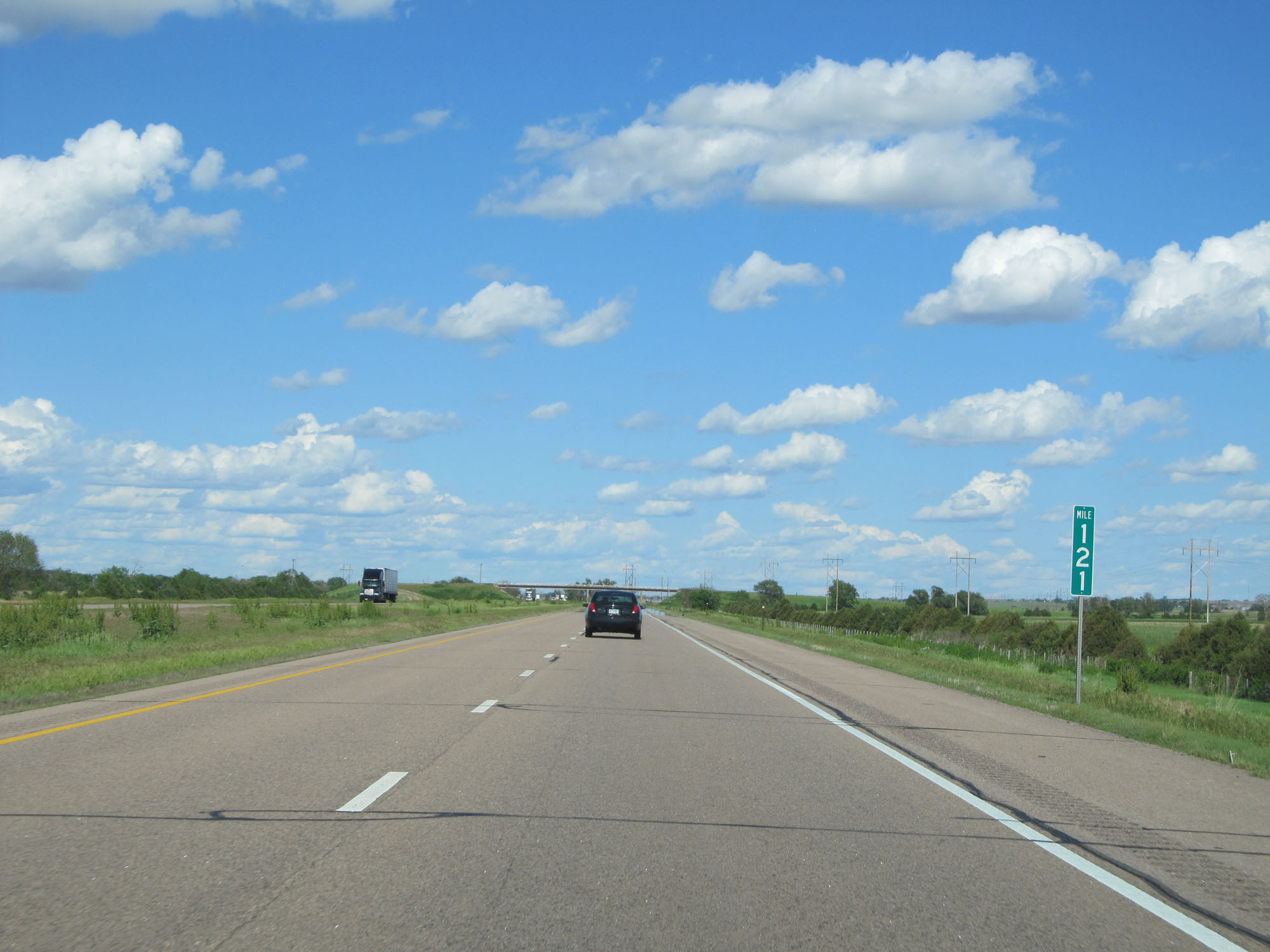 |
Interstate 80 East at mile marker 121. (Photo taken 5/28/16). |
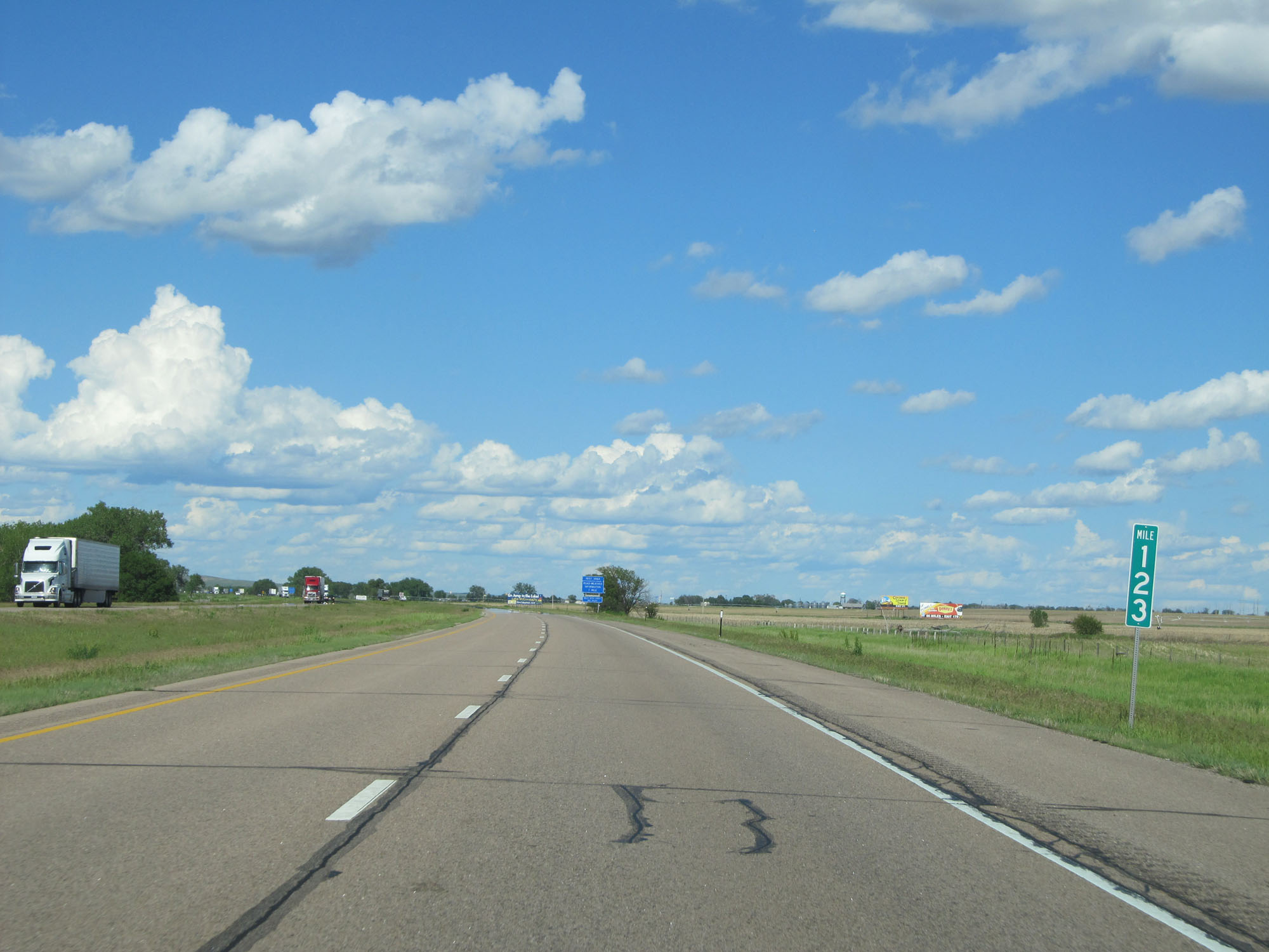 |
Interstate 80 East at mile marker 123. (Photo taken 5/28/16). |
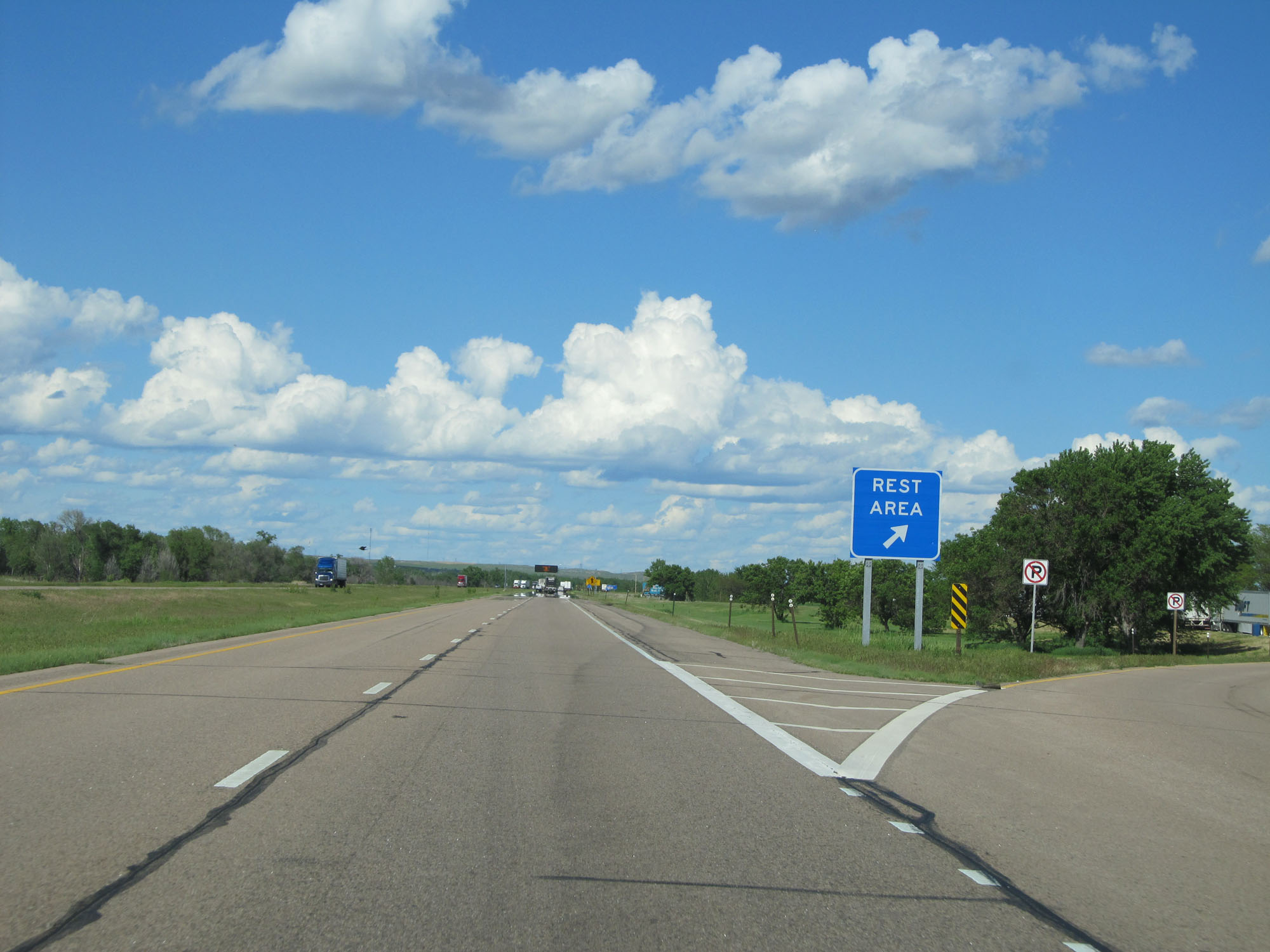 |
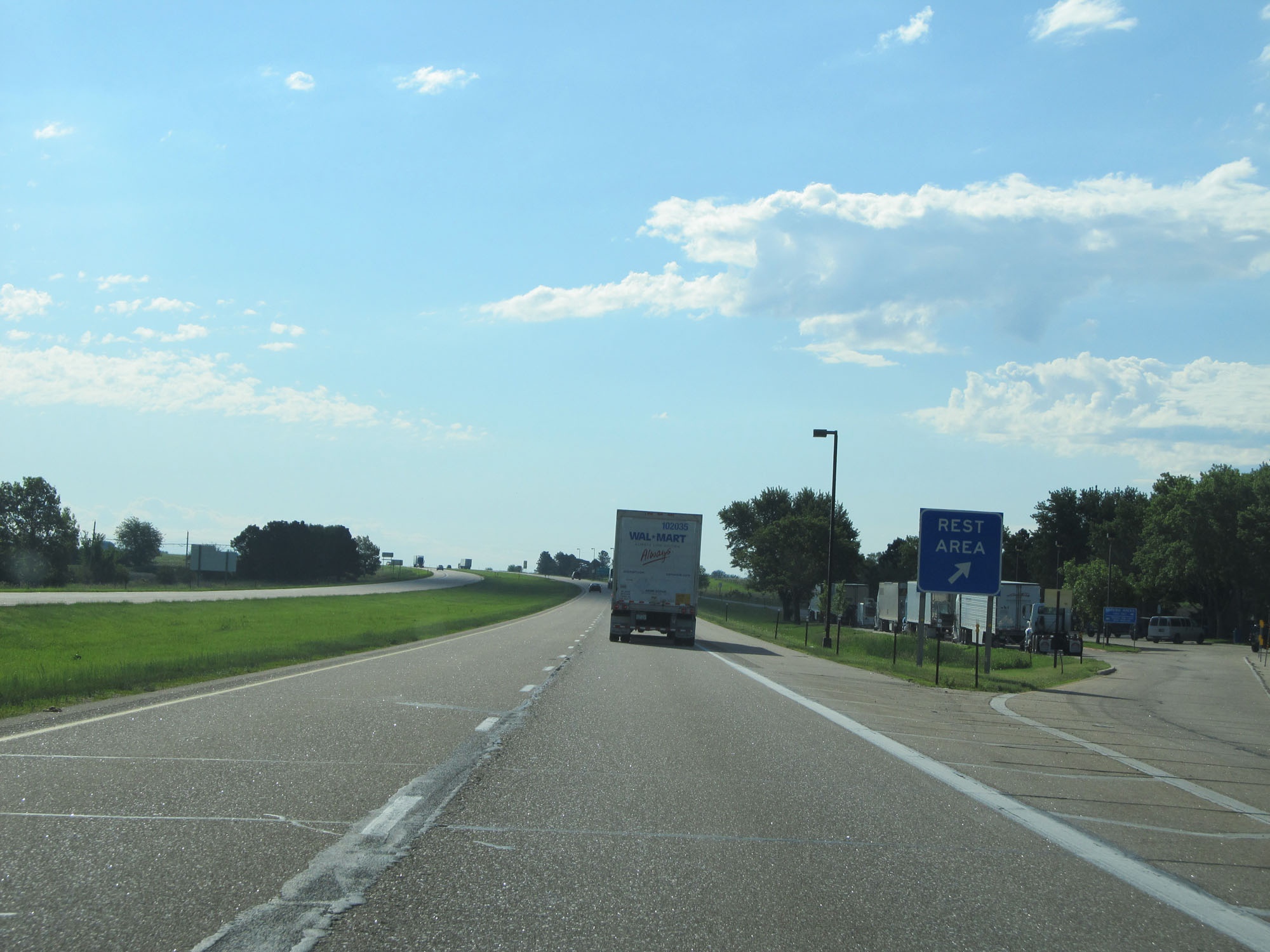
Rest Area on Interstate 80 East in Keith County. (Photo taken 5/28/16). |
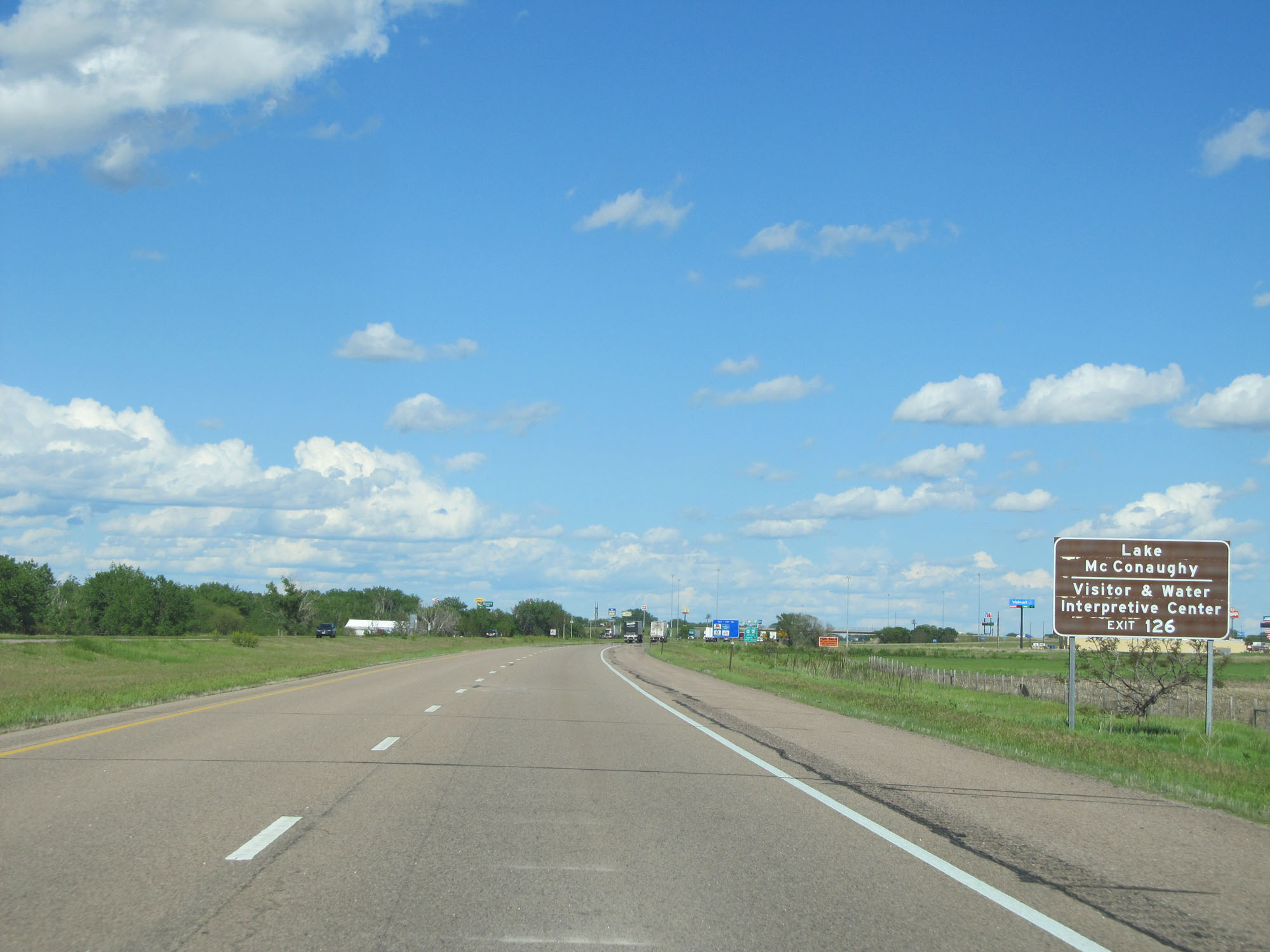 |
Take Exit 126 to Lake McConaughy and the Visitor & Water Interpretive Center. (Photo taken 5/28/16). |
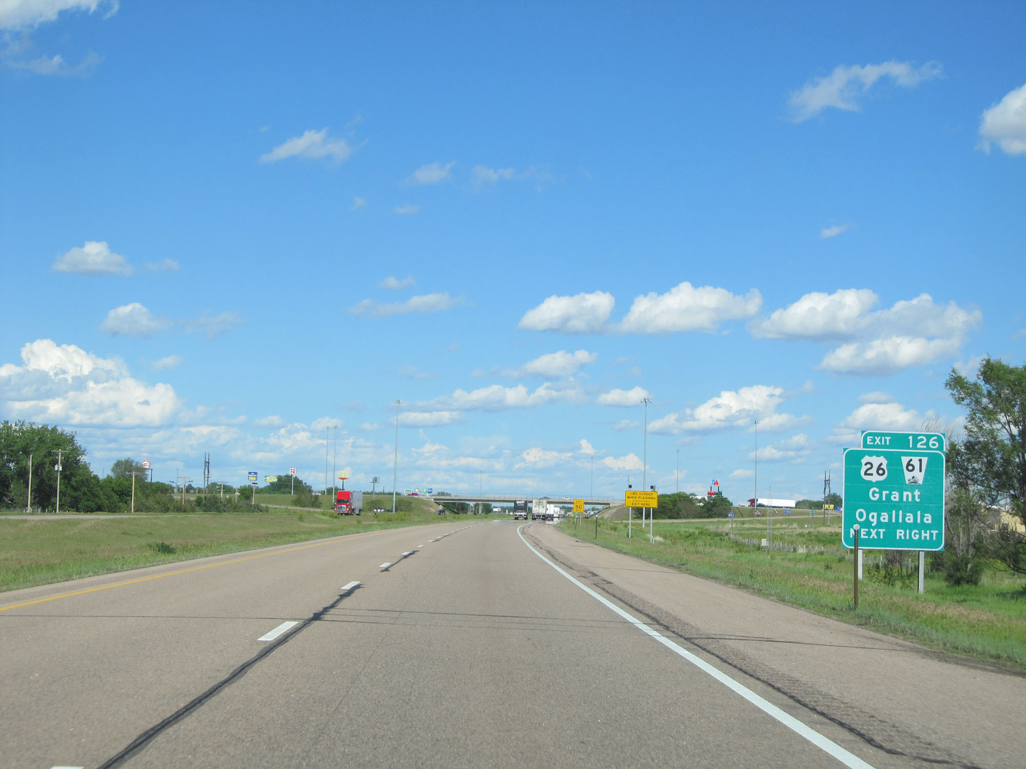 |
Interstate 80 East at Exit 126: US 26 / NE 61 - Grant / Ogallala (Photo taken 5/28/16). |
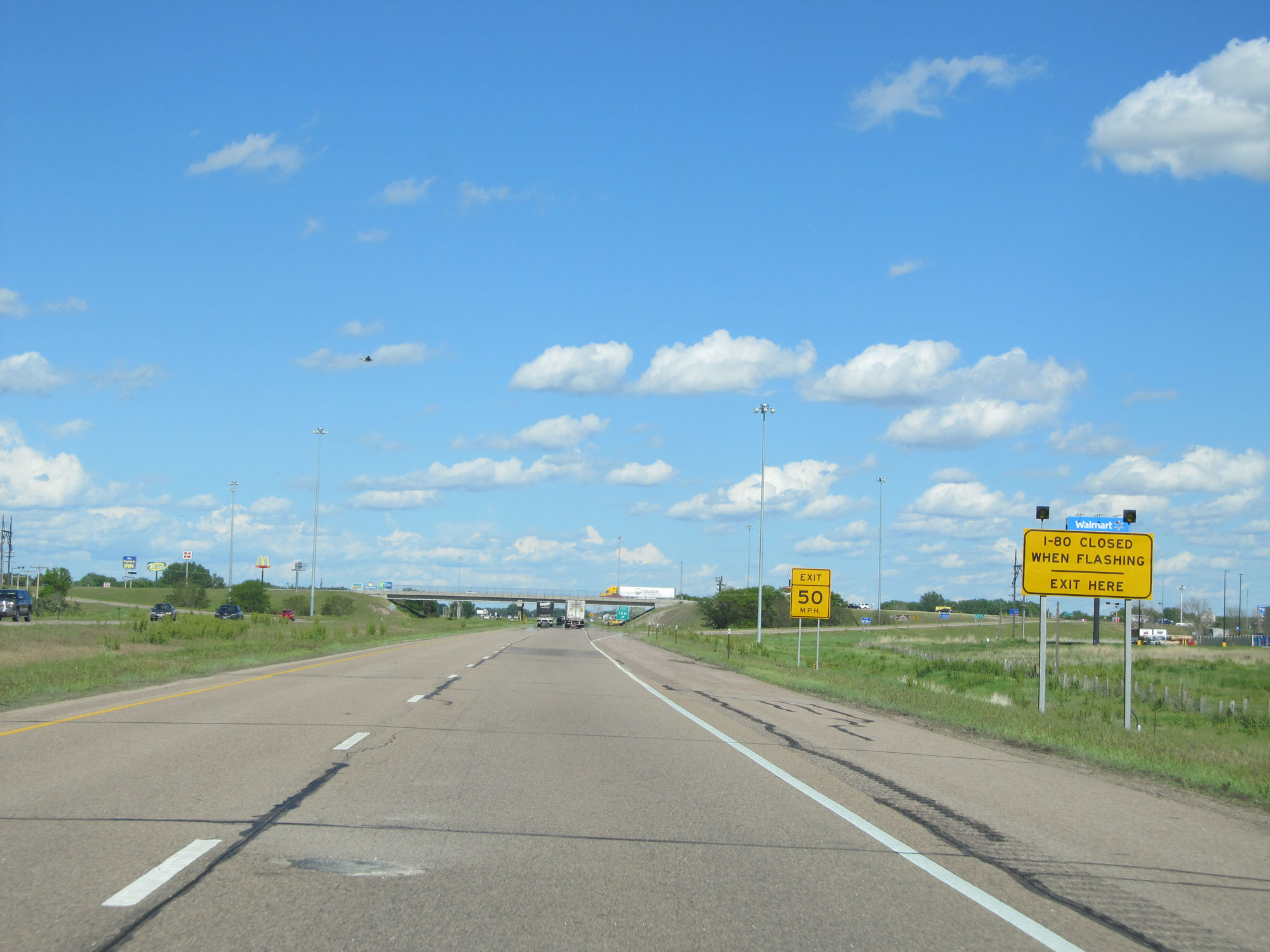 |
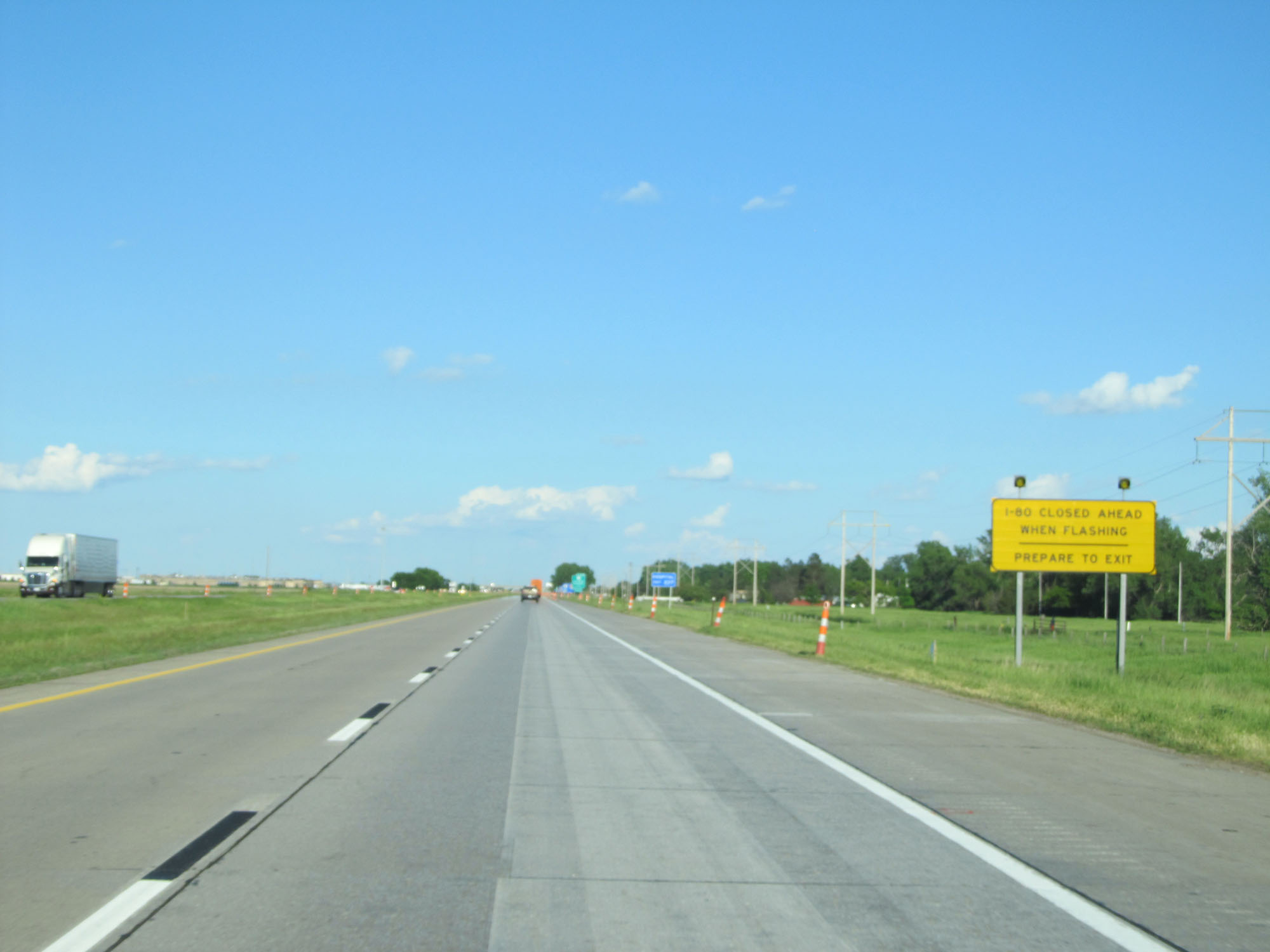
When the lights on this sign are flashing, I-80 is closed ahead and all traffic must exit here. (Photo taken 5/28/16). |
 |
Another Interstate 80 East reassurance shield. (Photo taken 5/28/16). |
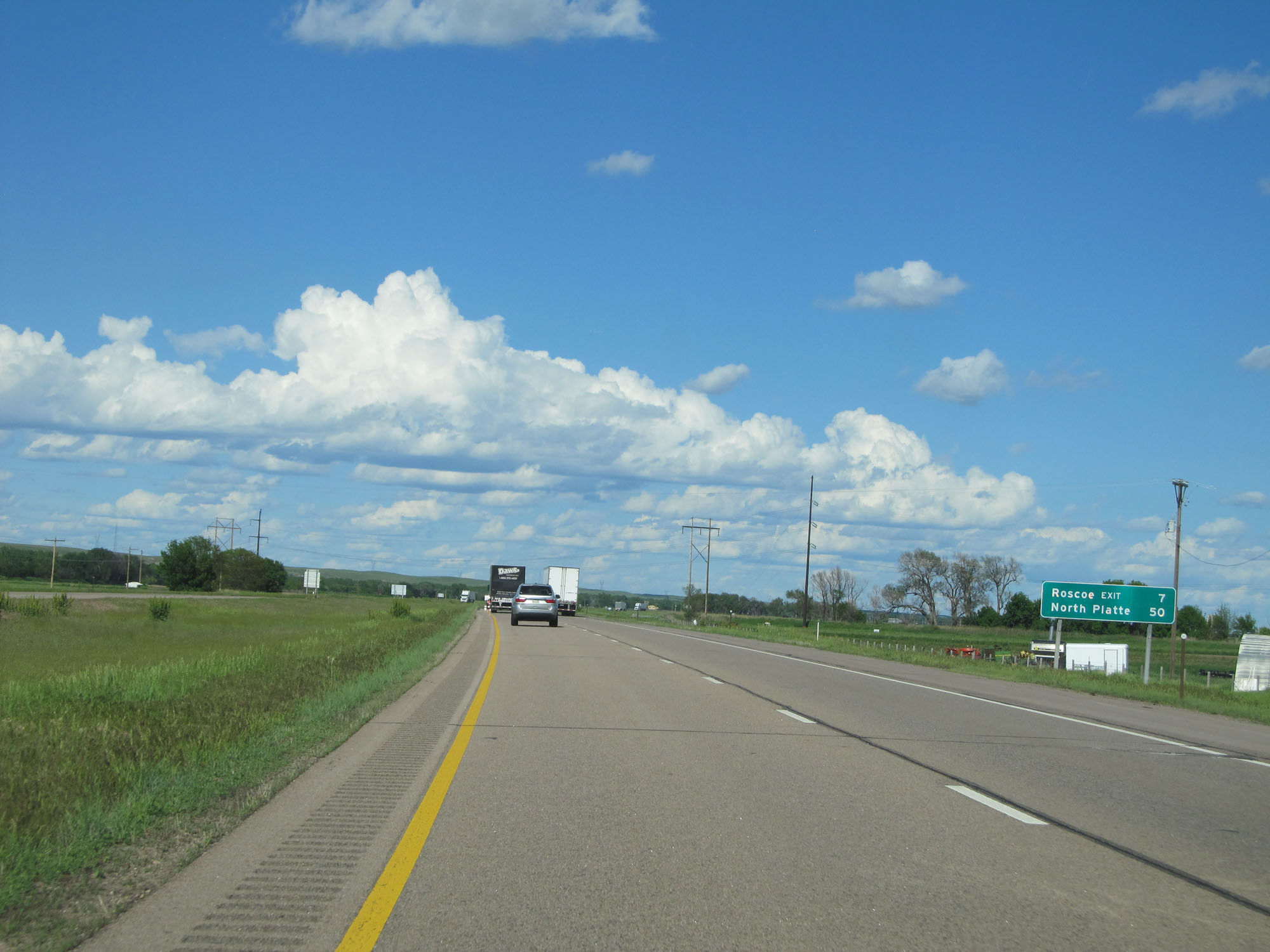 |
Mileage sign on Interstate 80 East. It's 7 miles to the next exit (Roscoe) and 50 miles to North Platte. (Photo taken 5/28/16). |
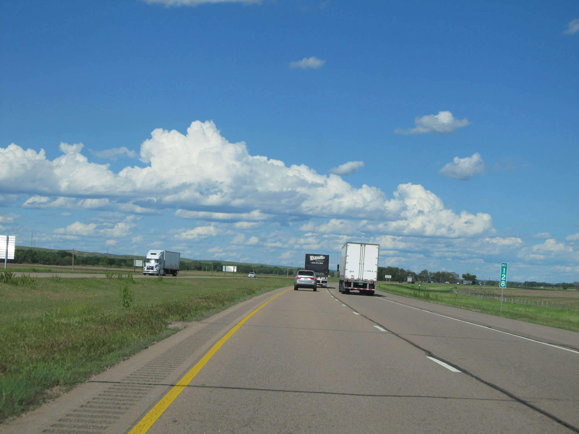 |
Interstate 80 East at mile marker 128. (Photo taken 5/28/16). |
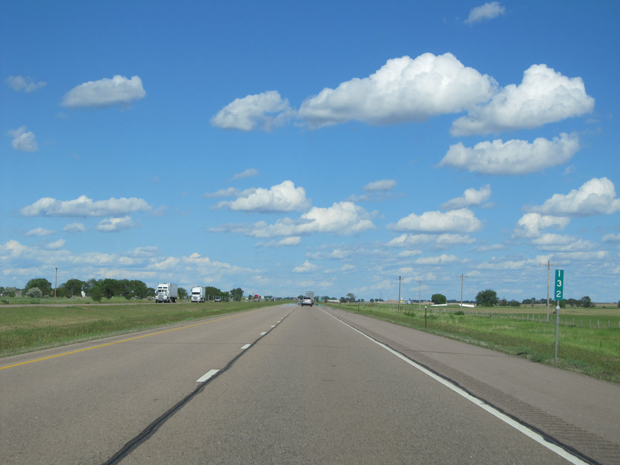 |
Interstate 80 East at mile marker 132. (Photo taken 5/28/16). |
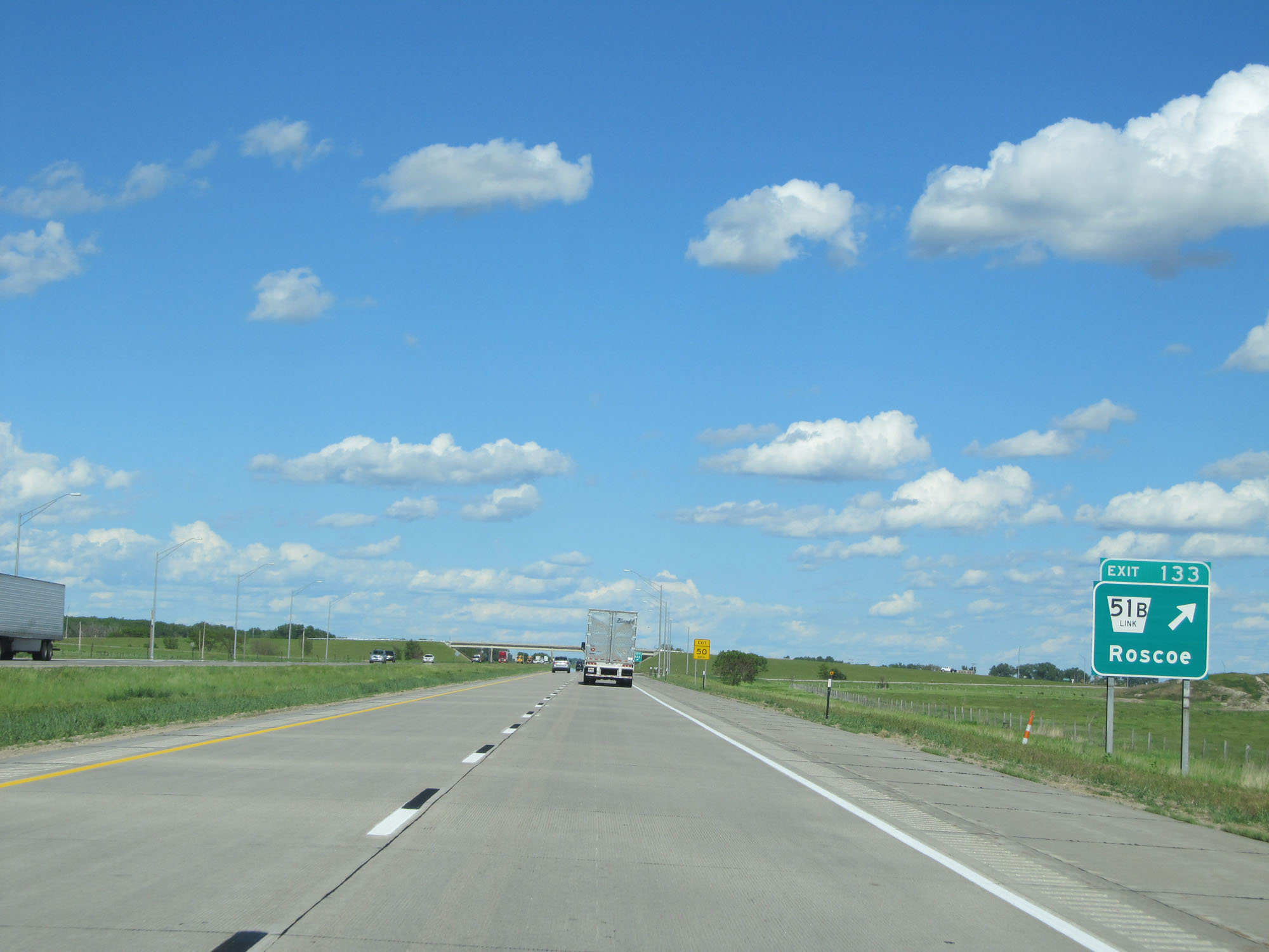 |
Interstate 80 East at Exit 133: Nebraska Link 51B - Roscoe (Photo taken 5/28/16). |
 |
Mileage sign on Interstate 80 East. The next exit is 10 miles ahead while it's 43 miles to North Platte. (Photo taken 5/28/16). |
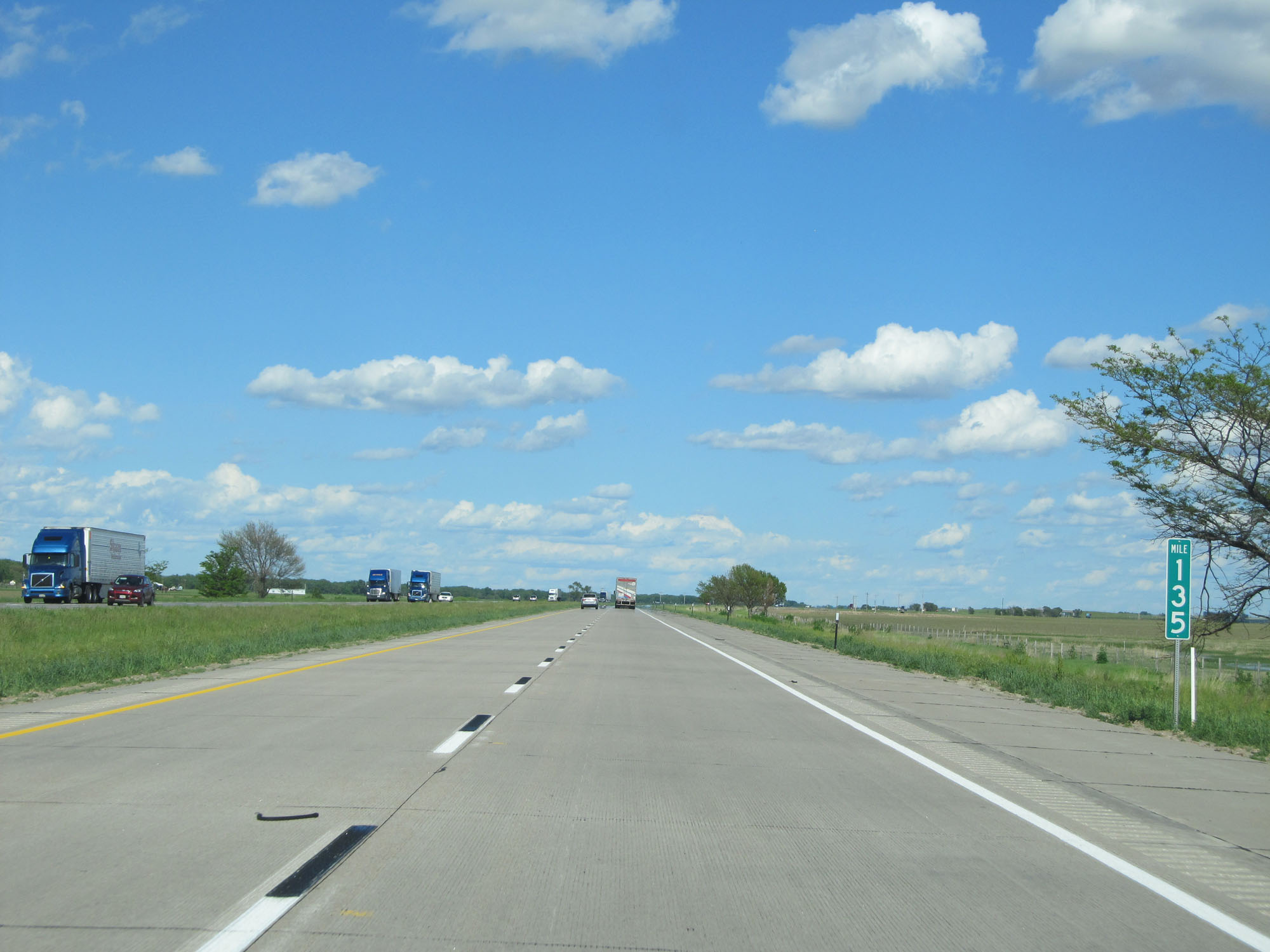 |
Interstate 80 East at mile marker 135. (Photo taken 5/28/16). |
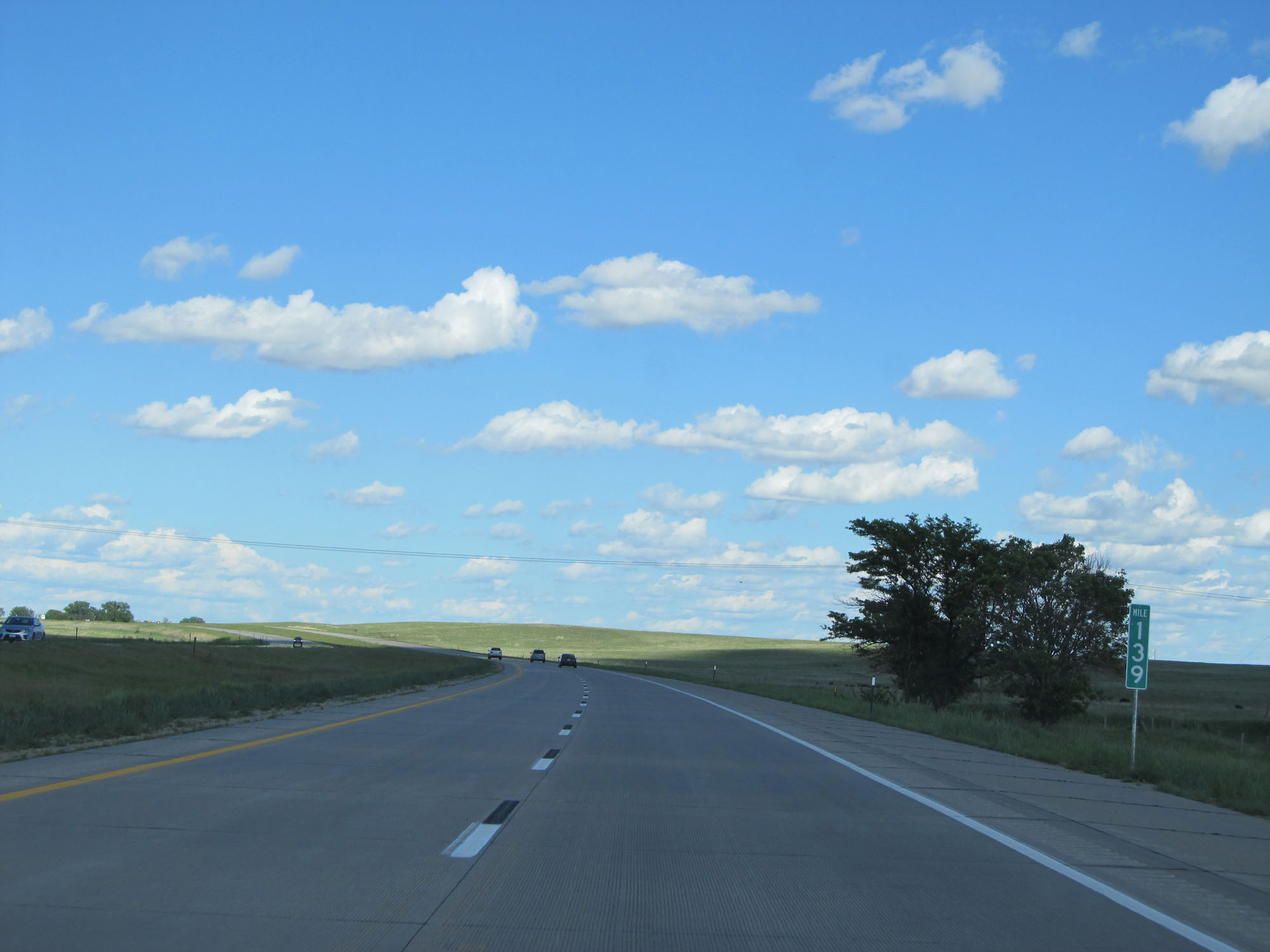 |
Interstate 80 East at mile marker 139. (Photo taken 5/28/16). |
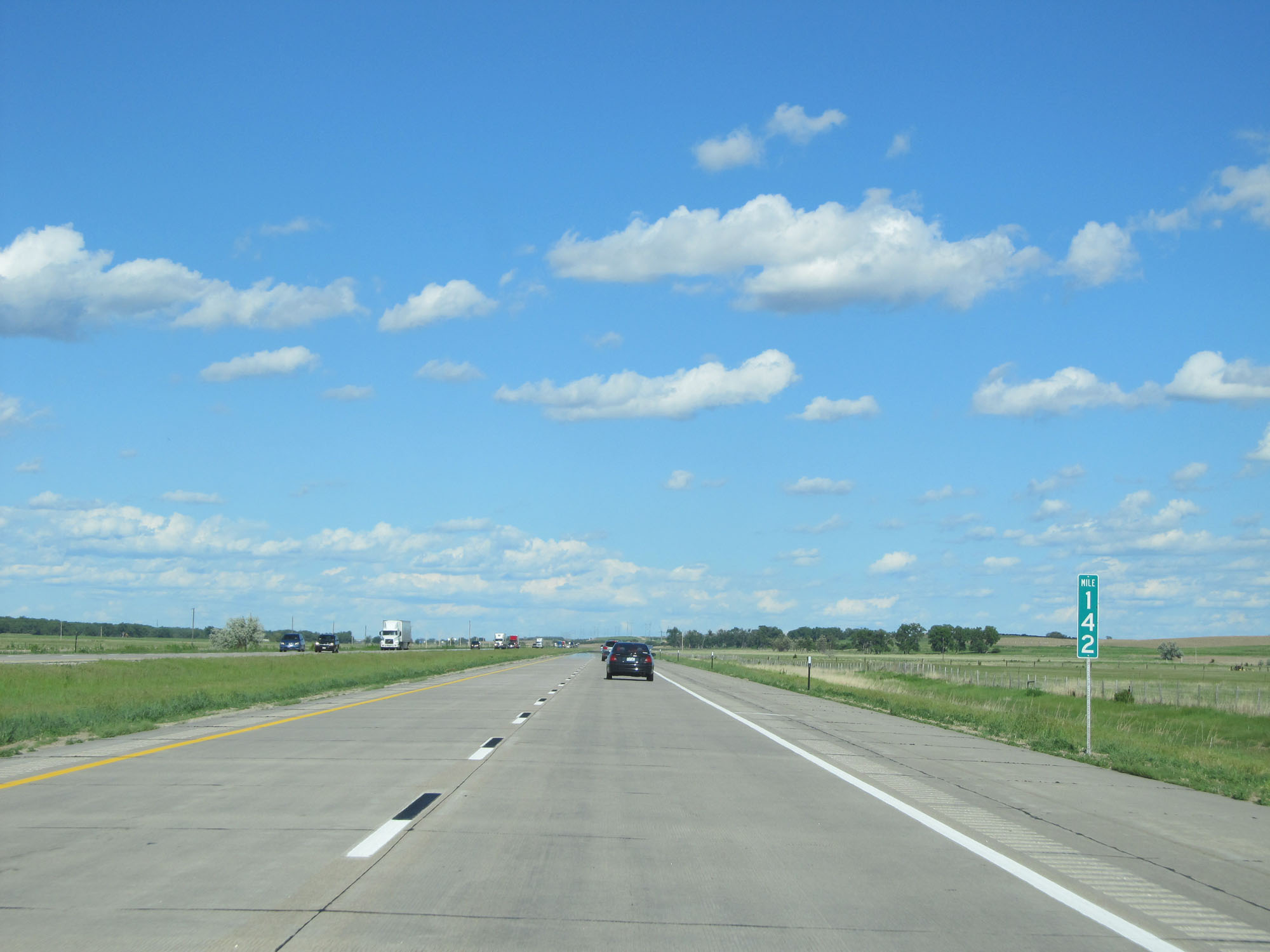 |
Interstate 80 East at mile marker 142. (Photo taken 5/28/16). |
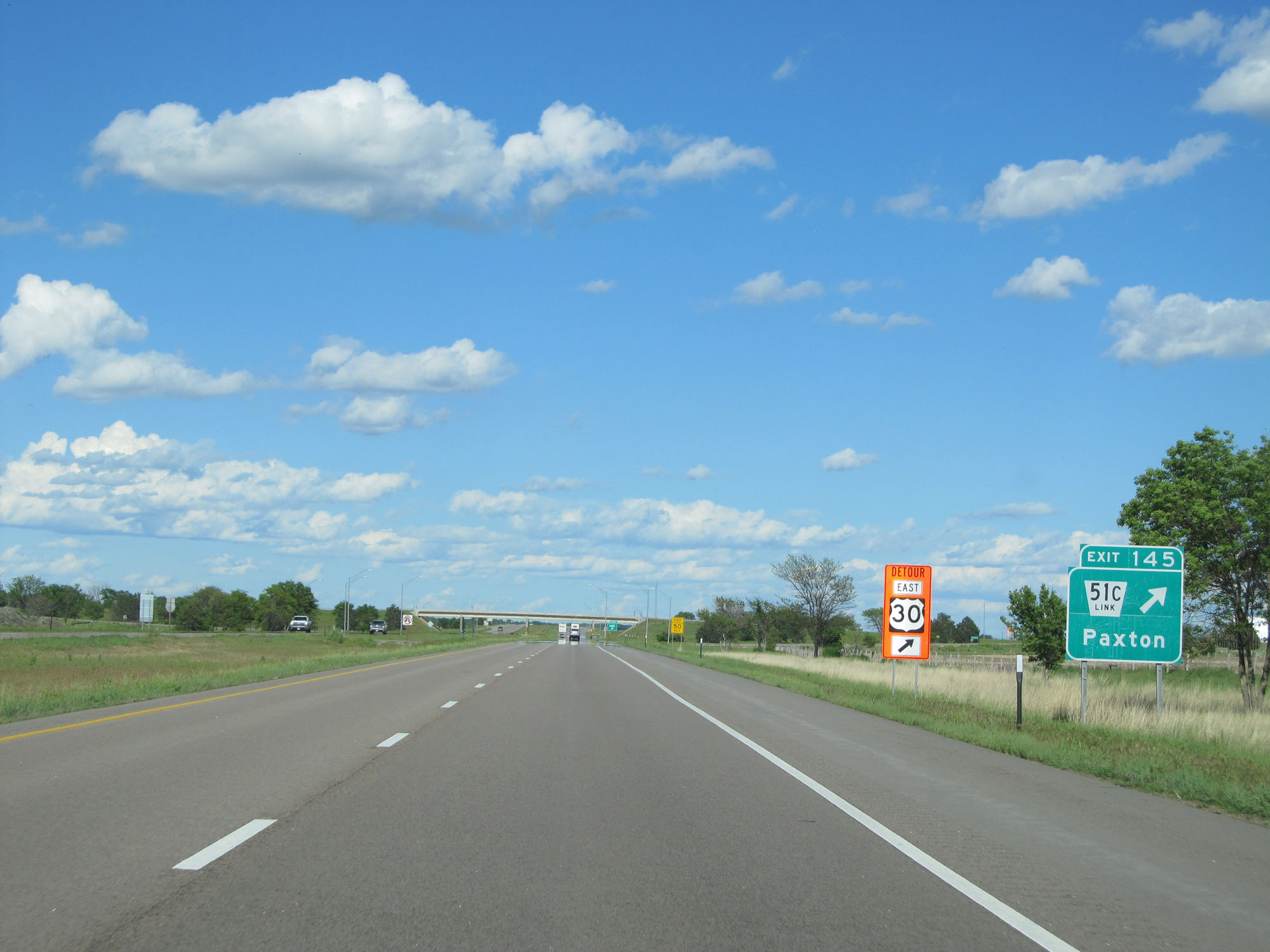 |
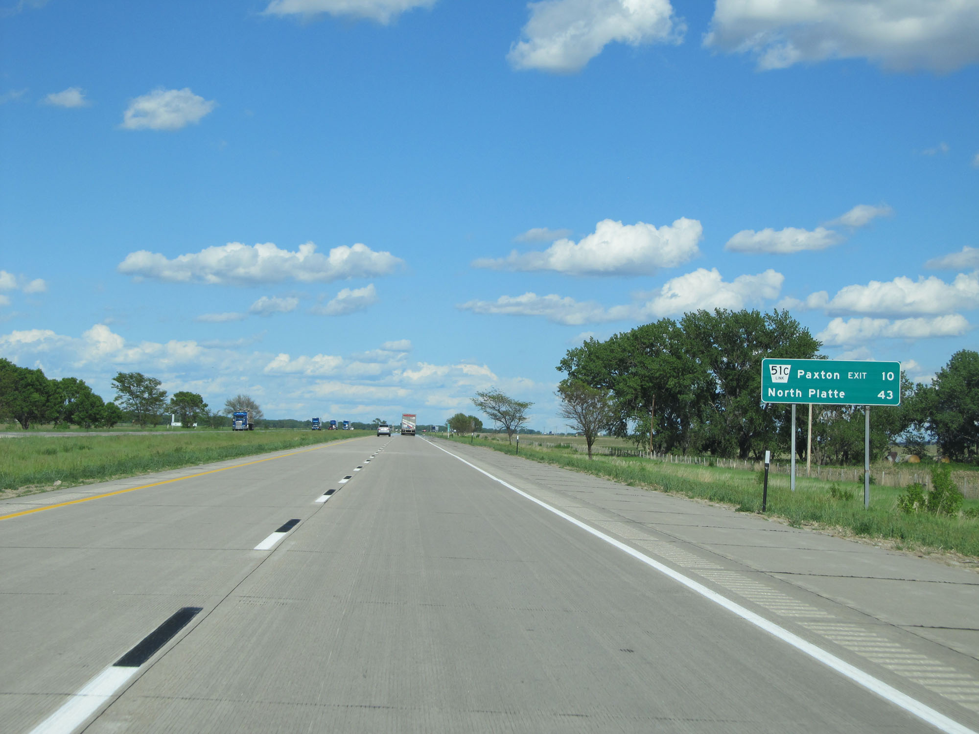
Interstate 80 East at Exit 145: Nebraska Link 51C - Paxton (Photo taken 5/28/16). |
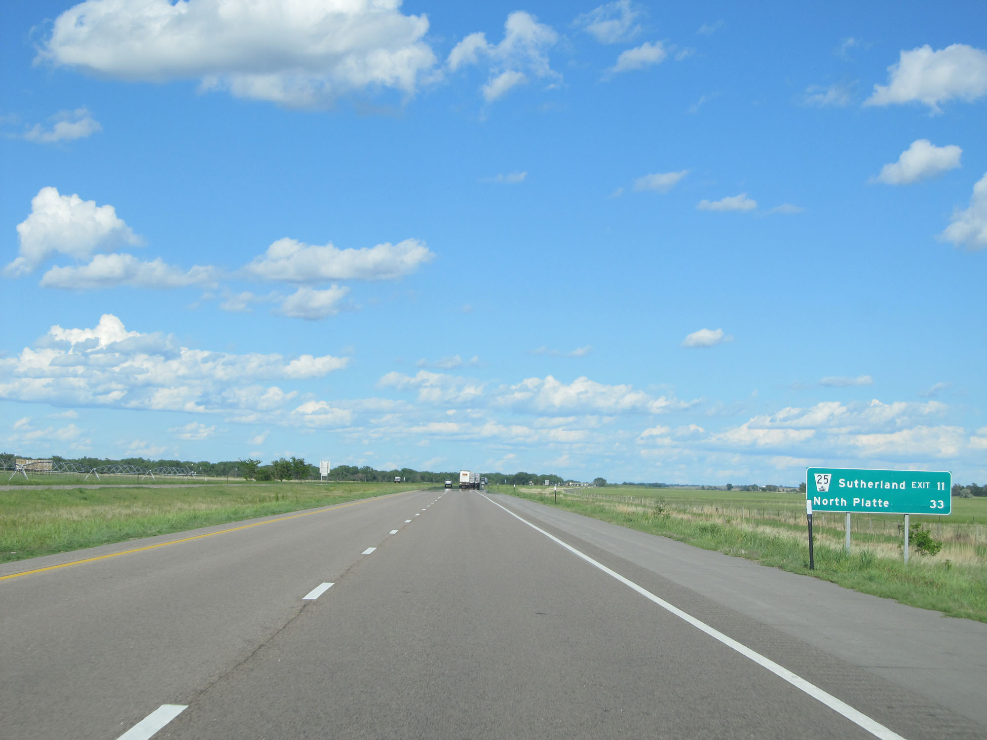 |
Mileage sign on Interstate 80 East. It's 11 miles to Sutherland and 33 miles to North Platte. (Photo taken 5/28/16). |
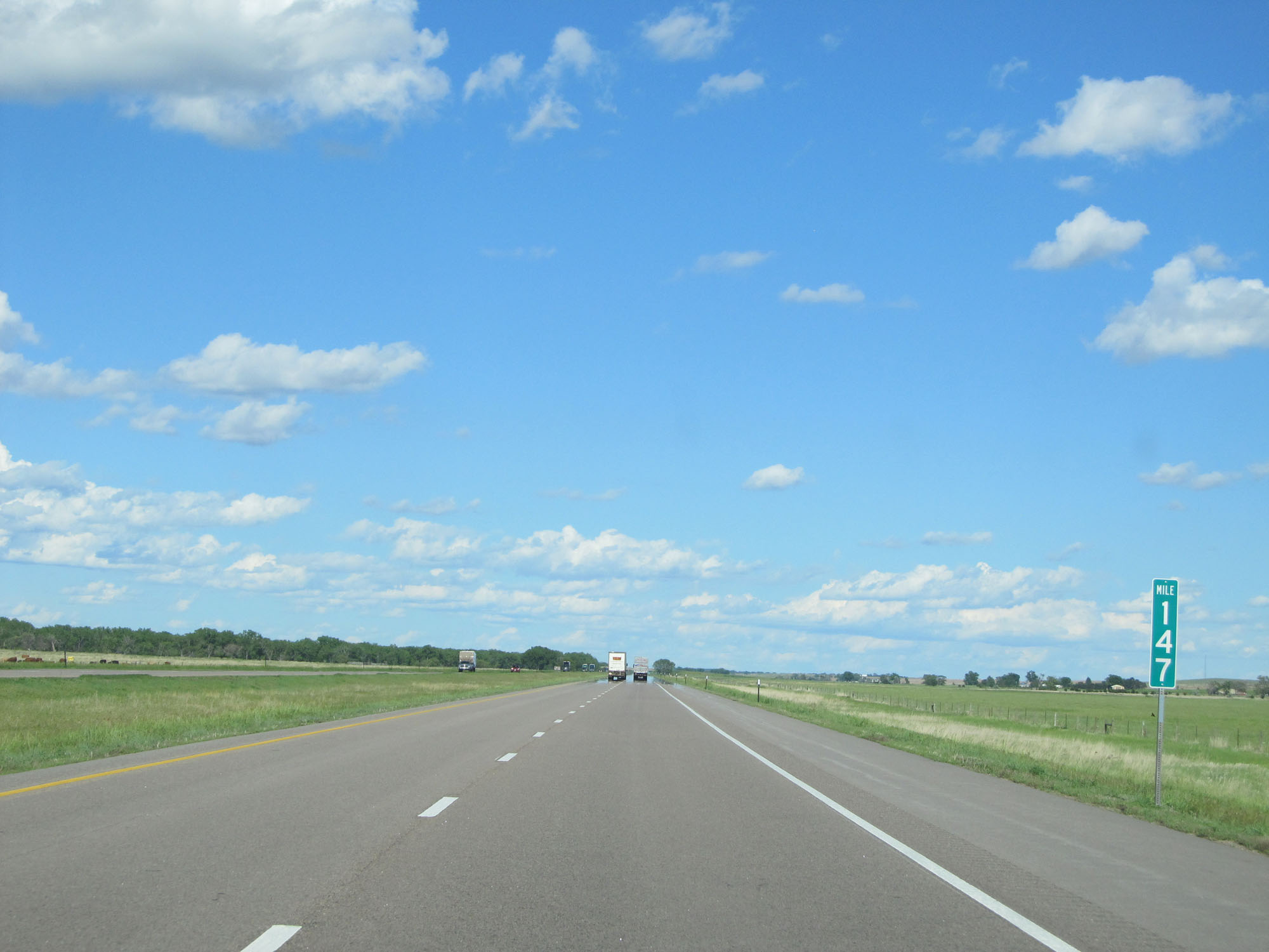 |
Interstate 80 East at mile marker 147. (Photo taken 5/28/16). |
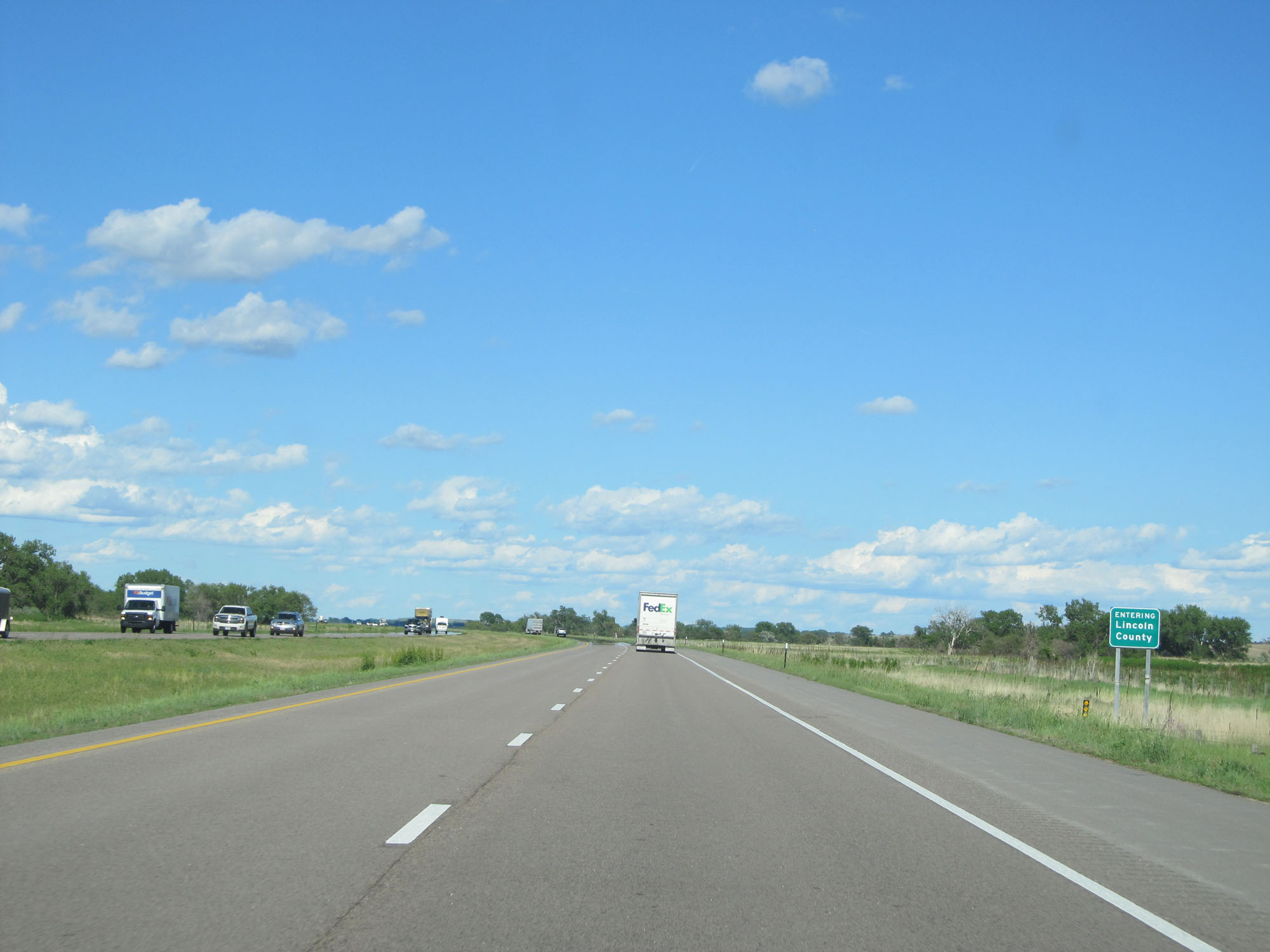 |
Interstate 80 East entering Lincoln County. (Photo taken 5/28/16). |
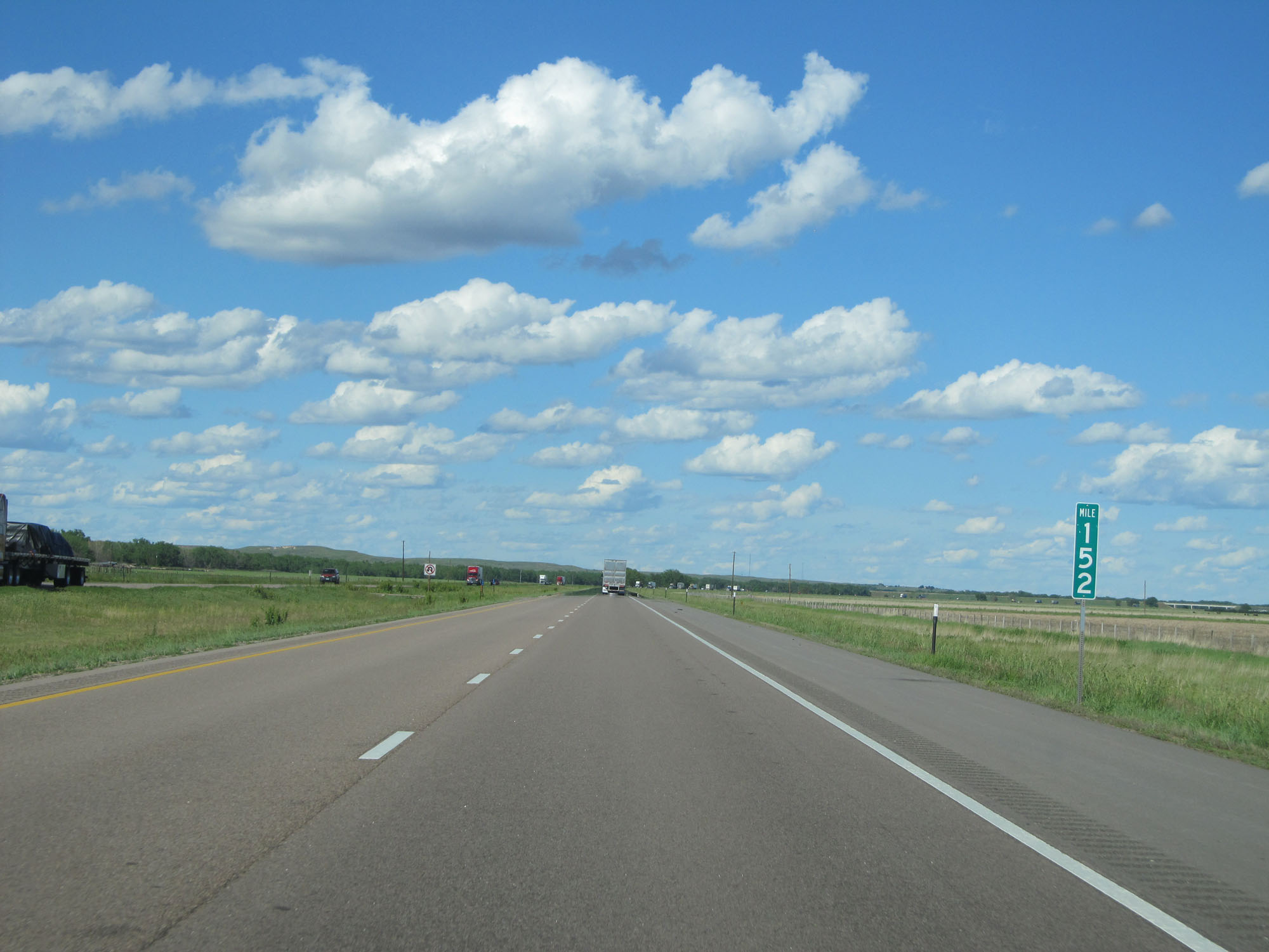 |
Interstate 80 East at mile marker 152. (Photo taken 5/28/16). |
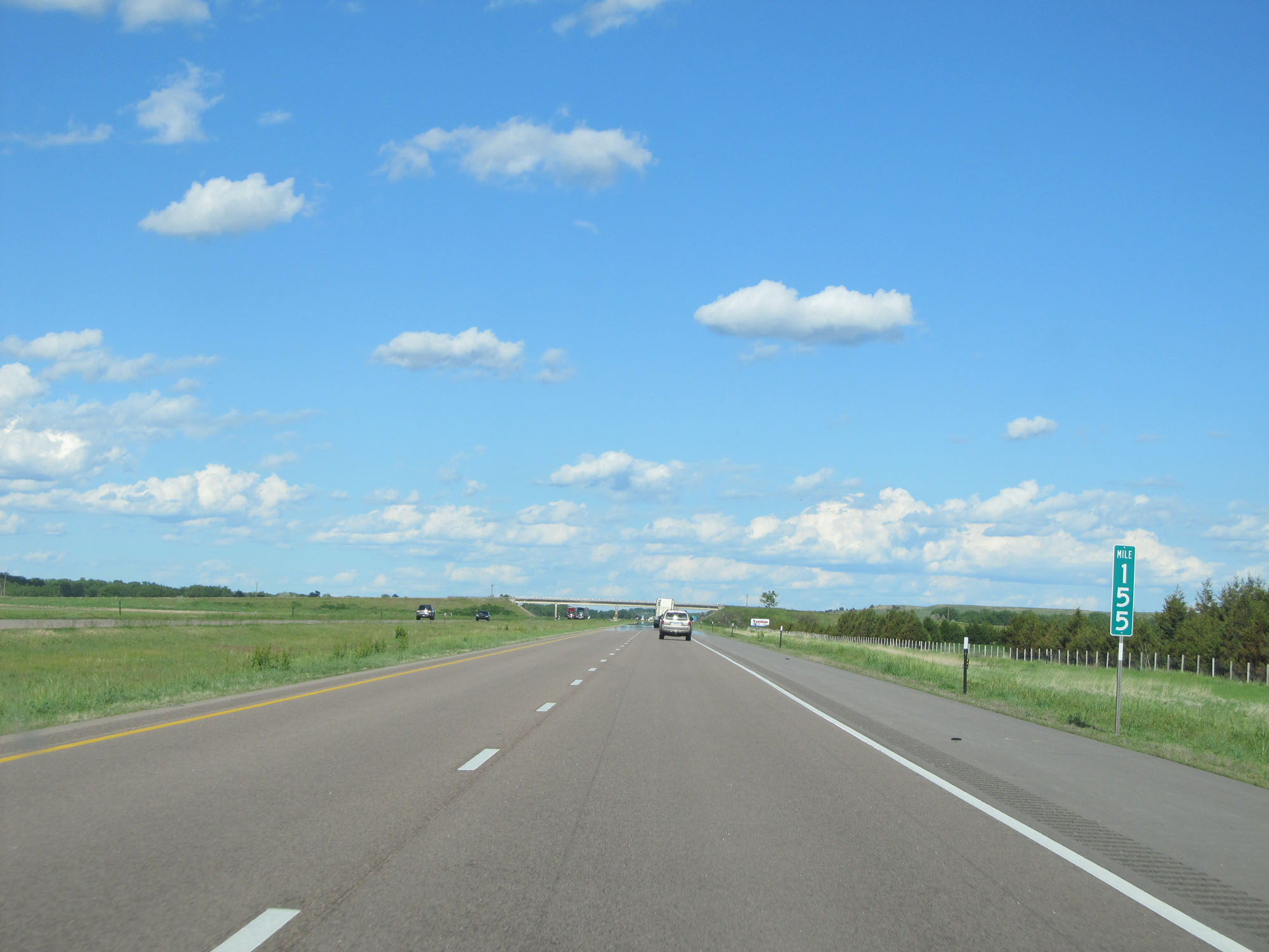 |
Interstate 80 East at mile marker 155. (Photo taken 5/28/16). |
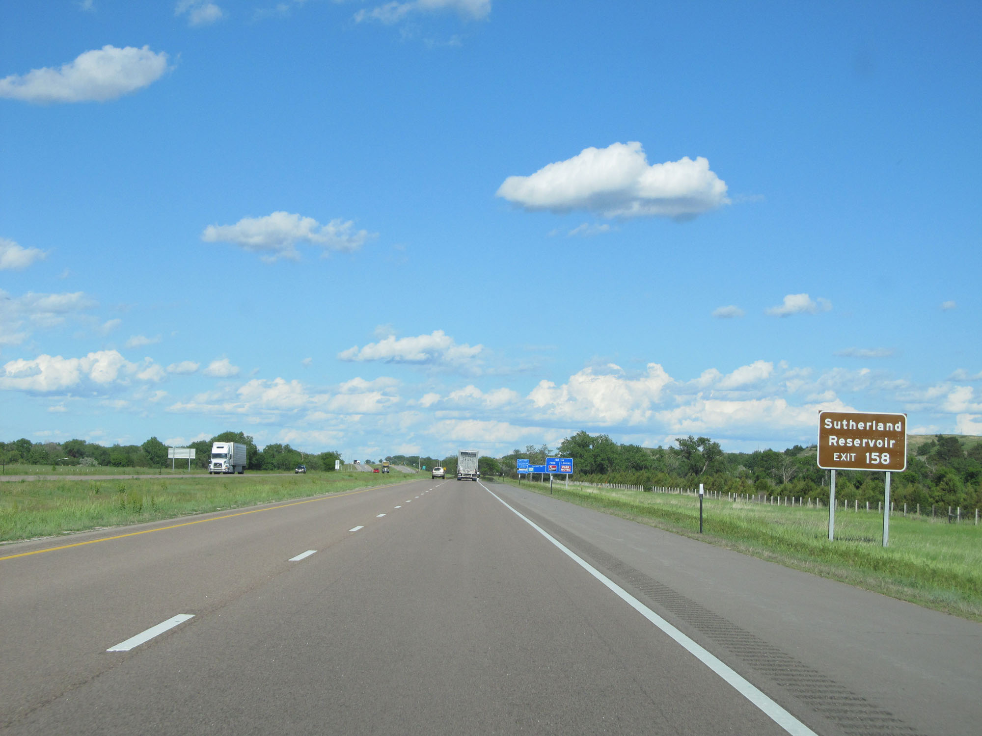 |
Take Exit 158 to Sutherland Reservoir. (Photo taken 5/28/16). |
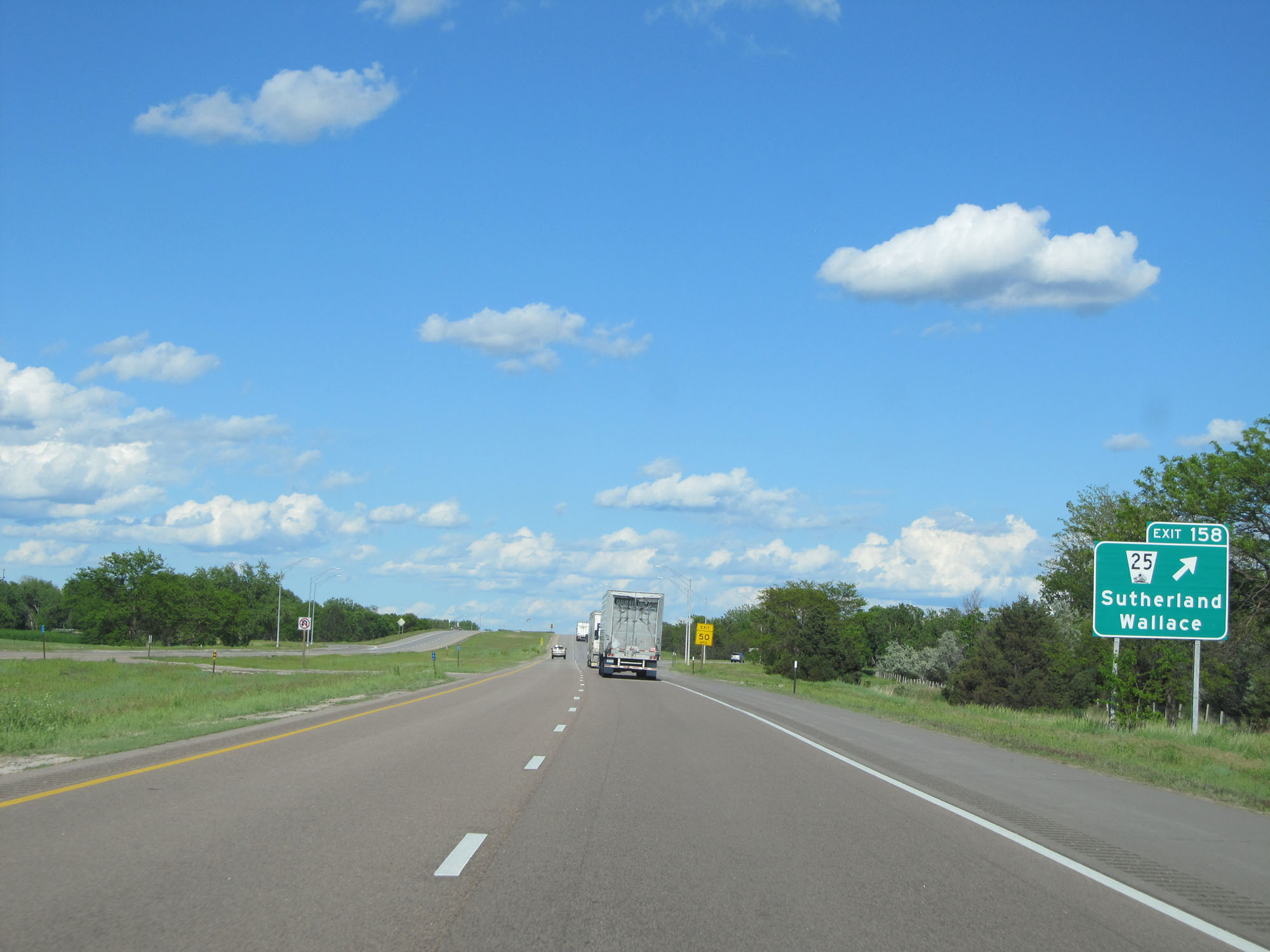 |
Interstate 80 East at Exit 158: NE 25 - Sutherland / Wallace (Photo taken 5/28/16). |
 |
Mileage sign on Interstate 80 East. It's 6 miles to Hershey and 21 miles to North Platte. (Photo taken 5/28/16). |
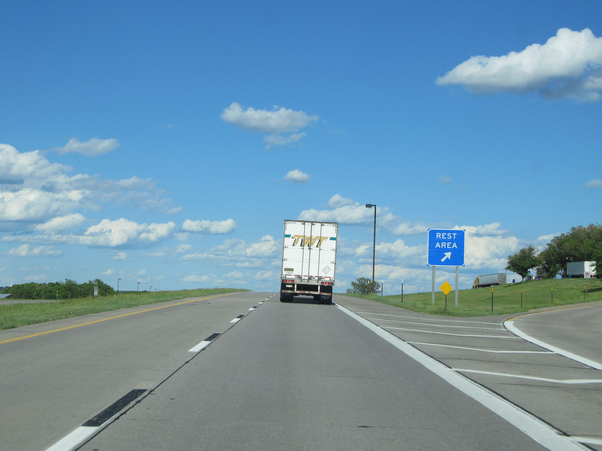 |
Rest Area on Interstate 80 East in Lincoln County. (Photo taken 5/28/16). |
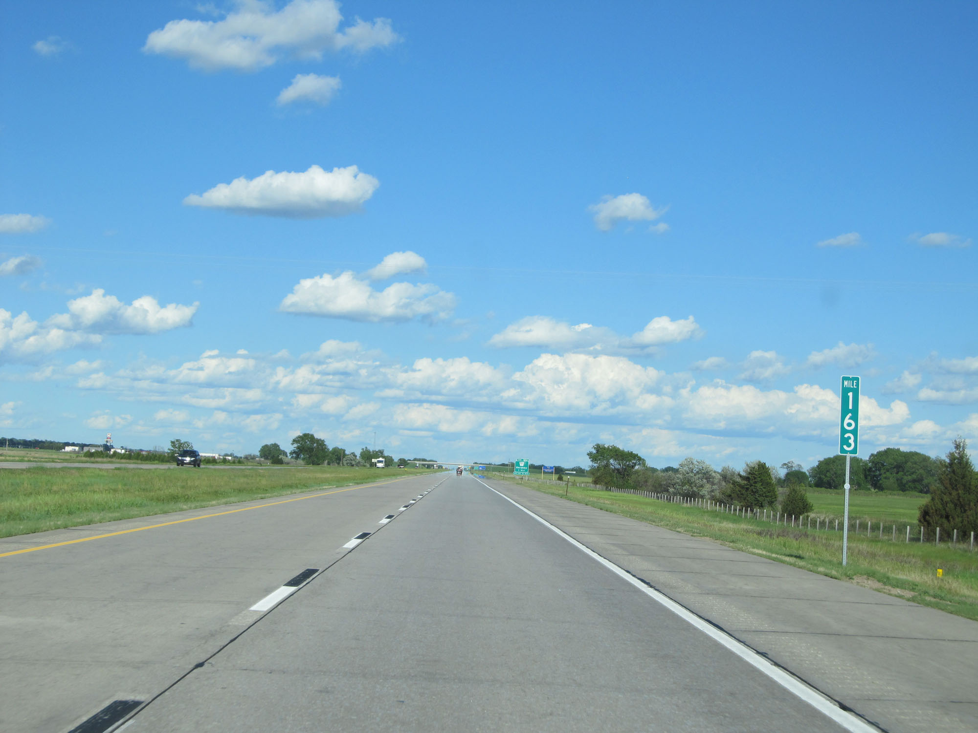 |
Interstate 80 East at mile marker 163. (Photo taken 5/28/16). |
 |
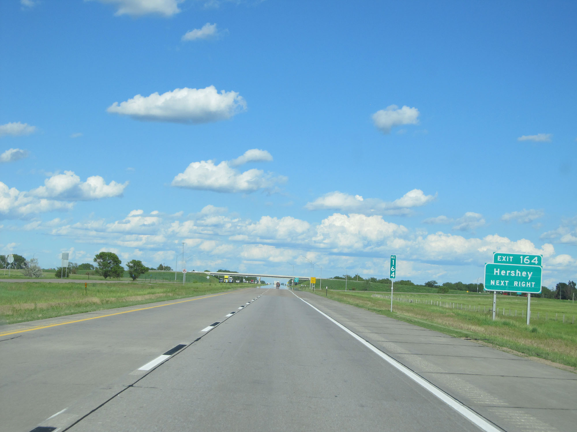
Interstate 80 East approaching Exit 164 - 1 mile. (Photo taken 5/28/16). |
 |
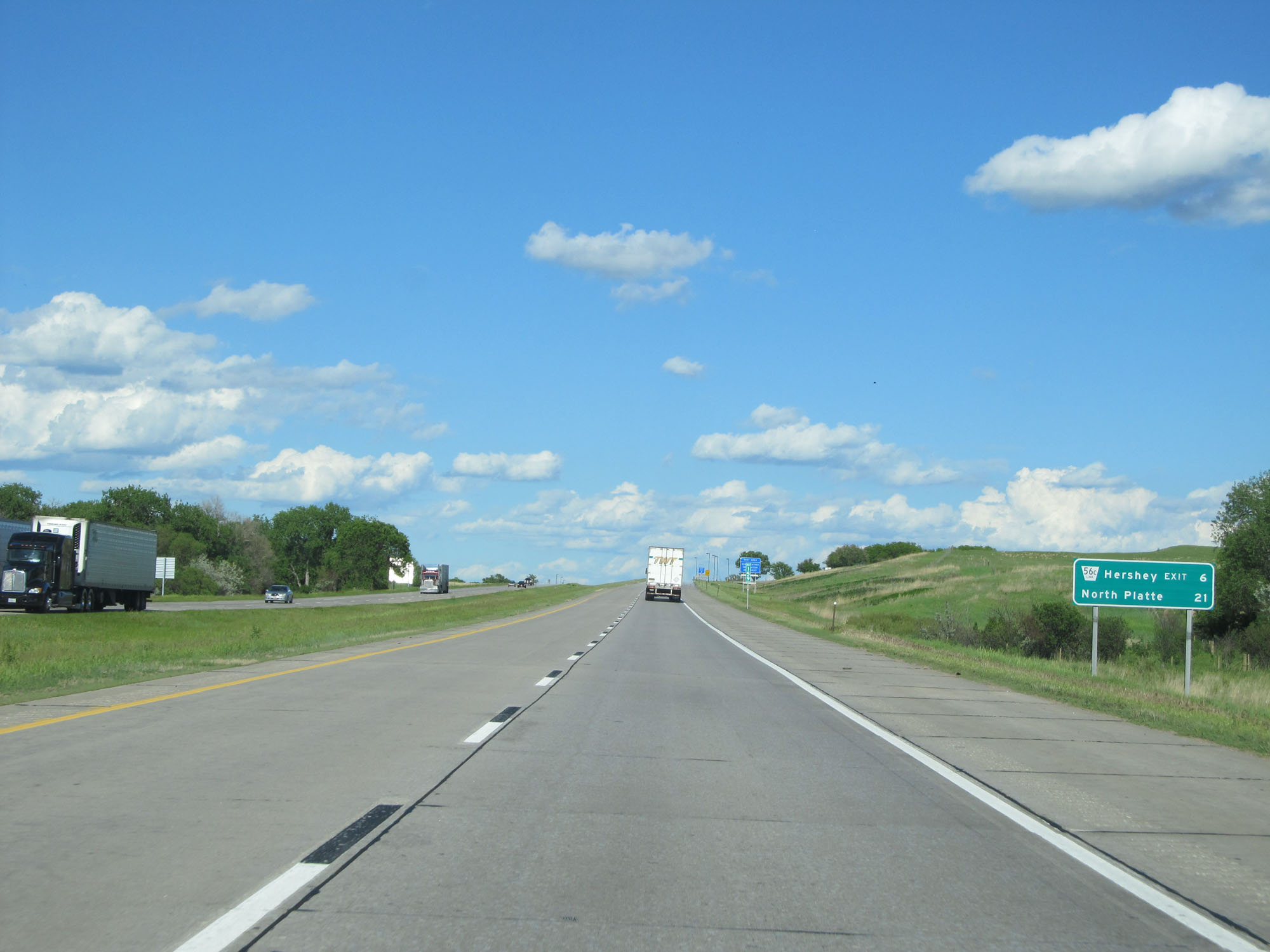
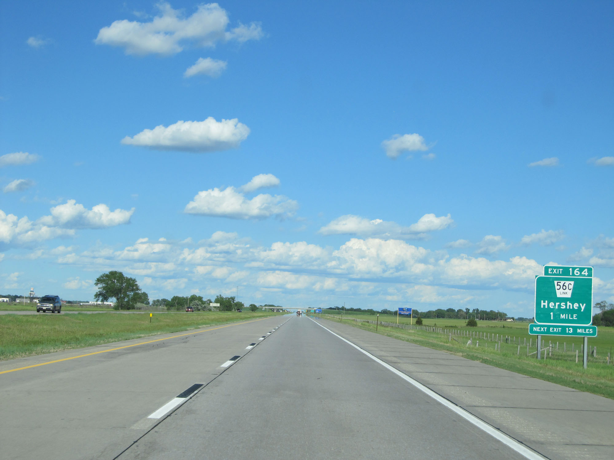
Interstate 80 East at Exit 164: Nebraska Link 56C - Hershey (Photo taken 5/28/16). |
 |
The speed limits remain 75 mph maximum and 40 mph minimum. (Photo taken 5/28/16). |
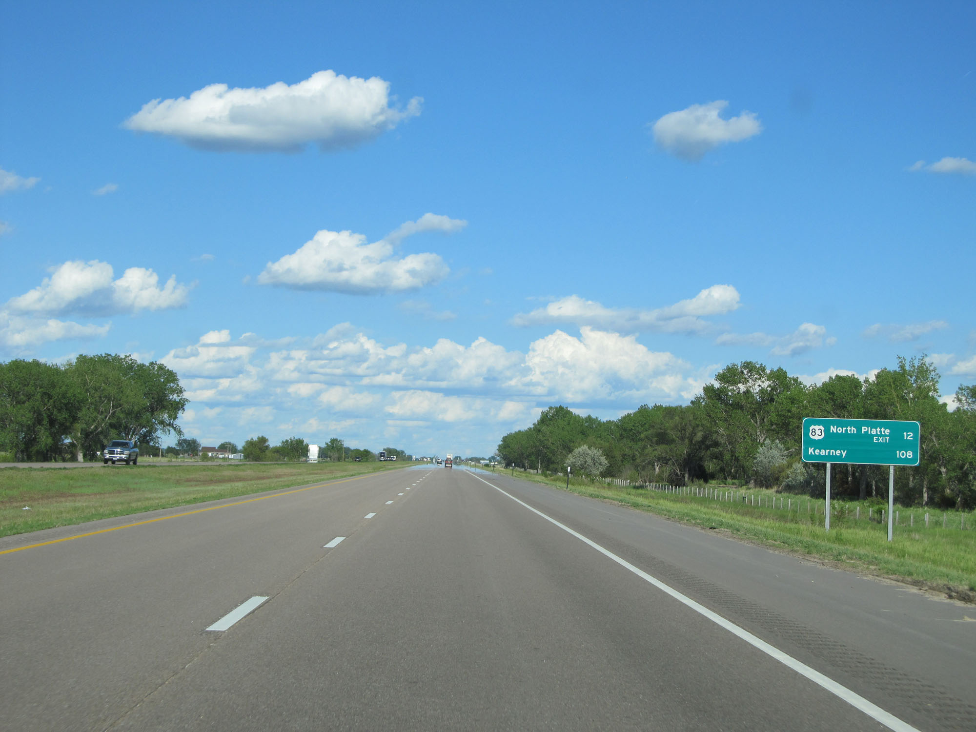 |
Mileage sign on Interstate 80 East. It's 12 miles to the junction of US 83 in North Platte and 108 miles to Kearney. (Photo taken 5/28/16). |
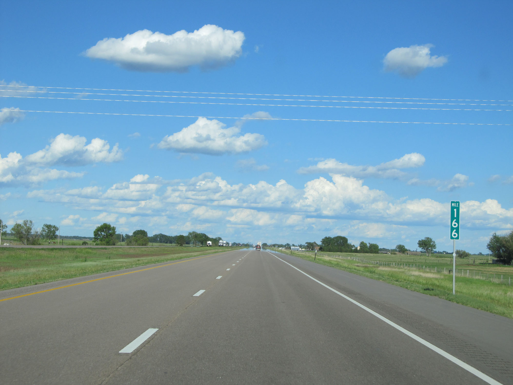 |
Interstate 80 East at mile marker 166. (Photo taken 5/28/16). |
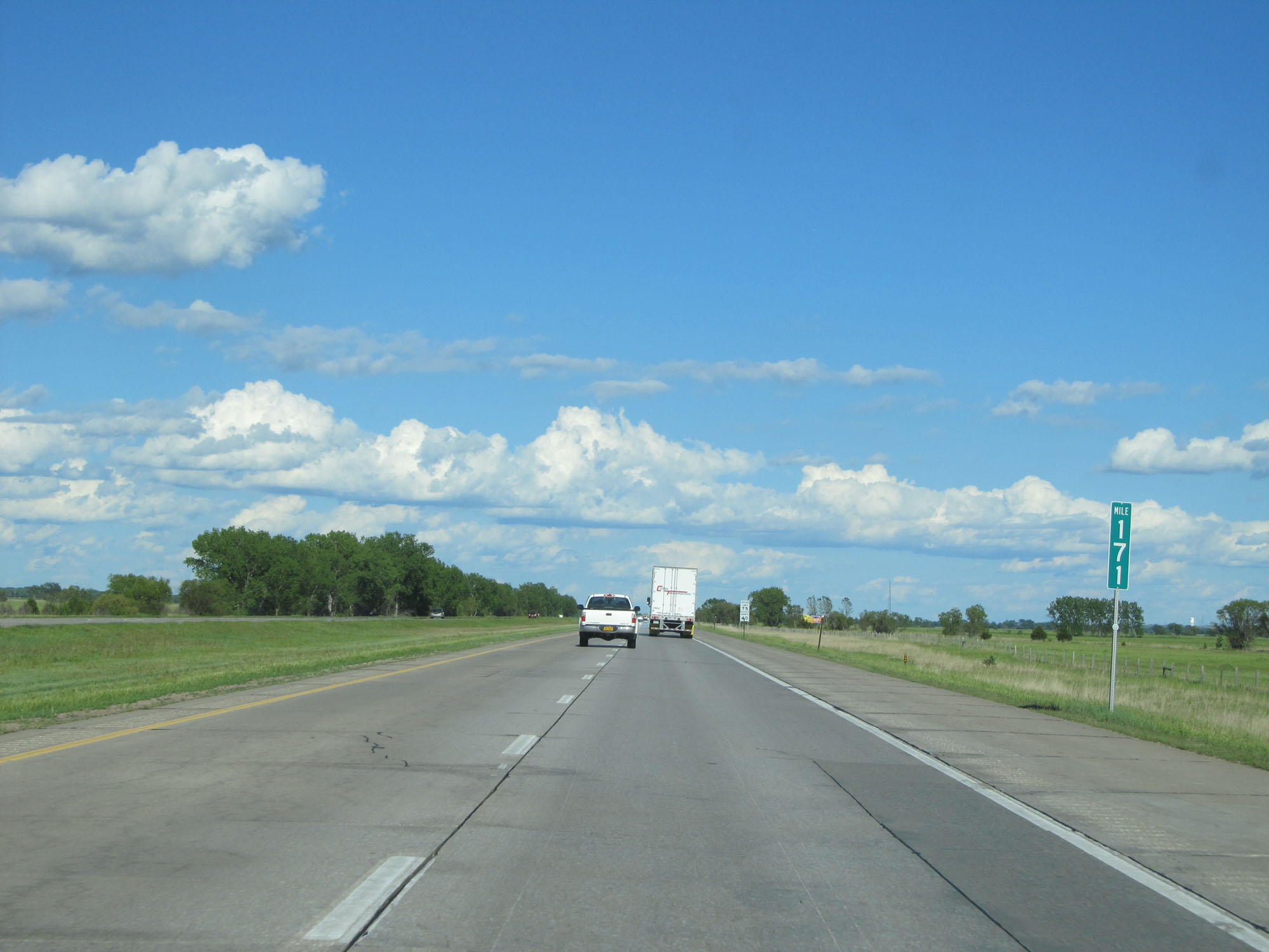 |
Interstate 80 East at mile marker 171. (Photo taken 5/28/16). |
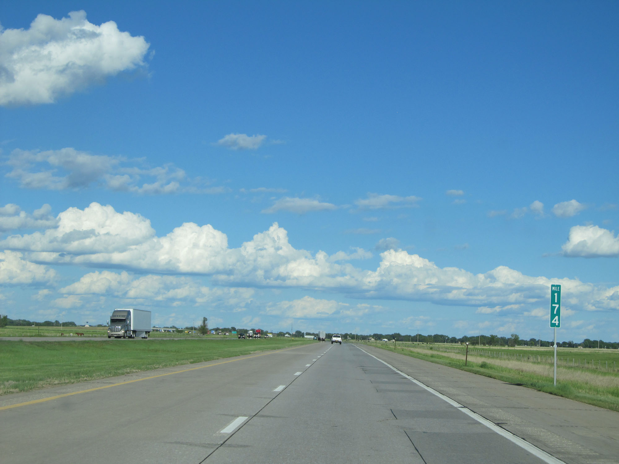 |
Interstate 80 East at mile marker 174. (Photo taken 5/28/16). |
 |
Sign listing the distances to the two upcoming North Platte exits. (Photo taken 5/28/16). |
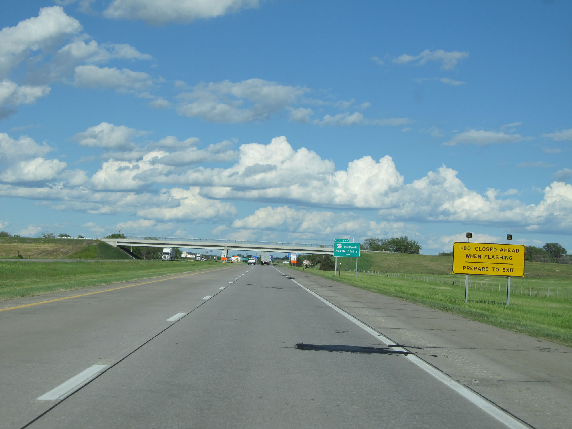 |
When the lights on this sign are flashing, Interstate 80 is closed ahead and all traffic must use the next exit. (Photo taken 5/28/16). |
 |
Interstate 80 East approaching Exit 177 - 1 mile. (Photo taken 5/28/16). |
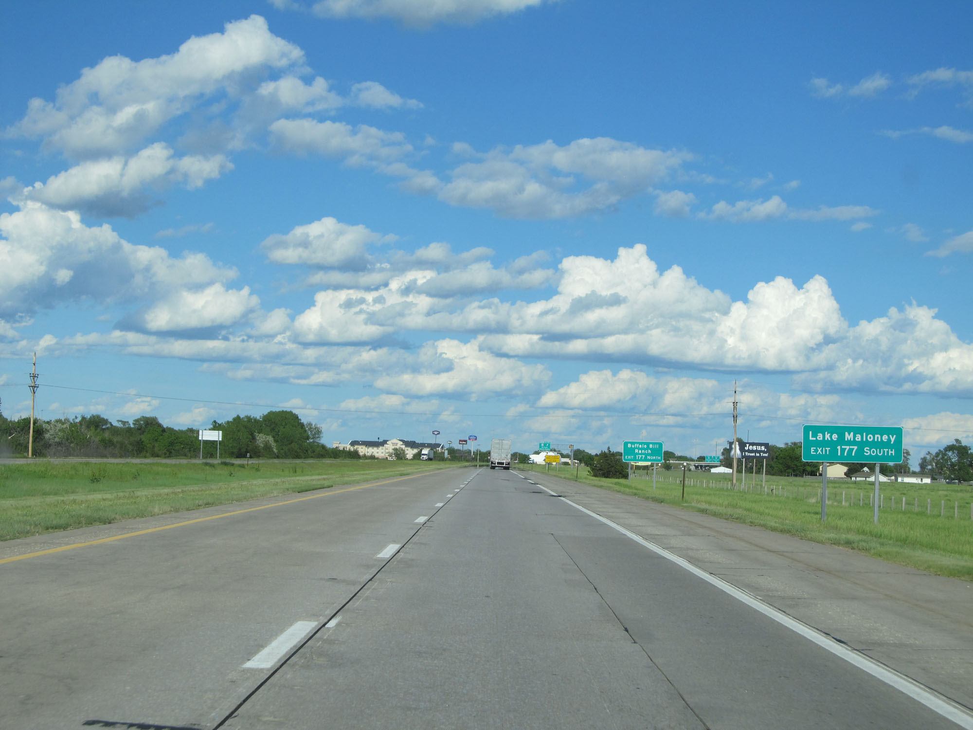 |
Take Exit 177 to Lake Maloney via US 83 South. (Photo taken 5/28/16). |
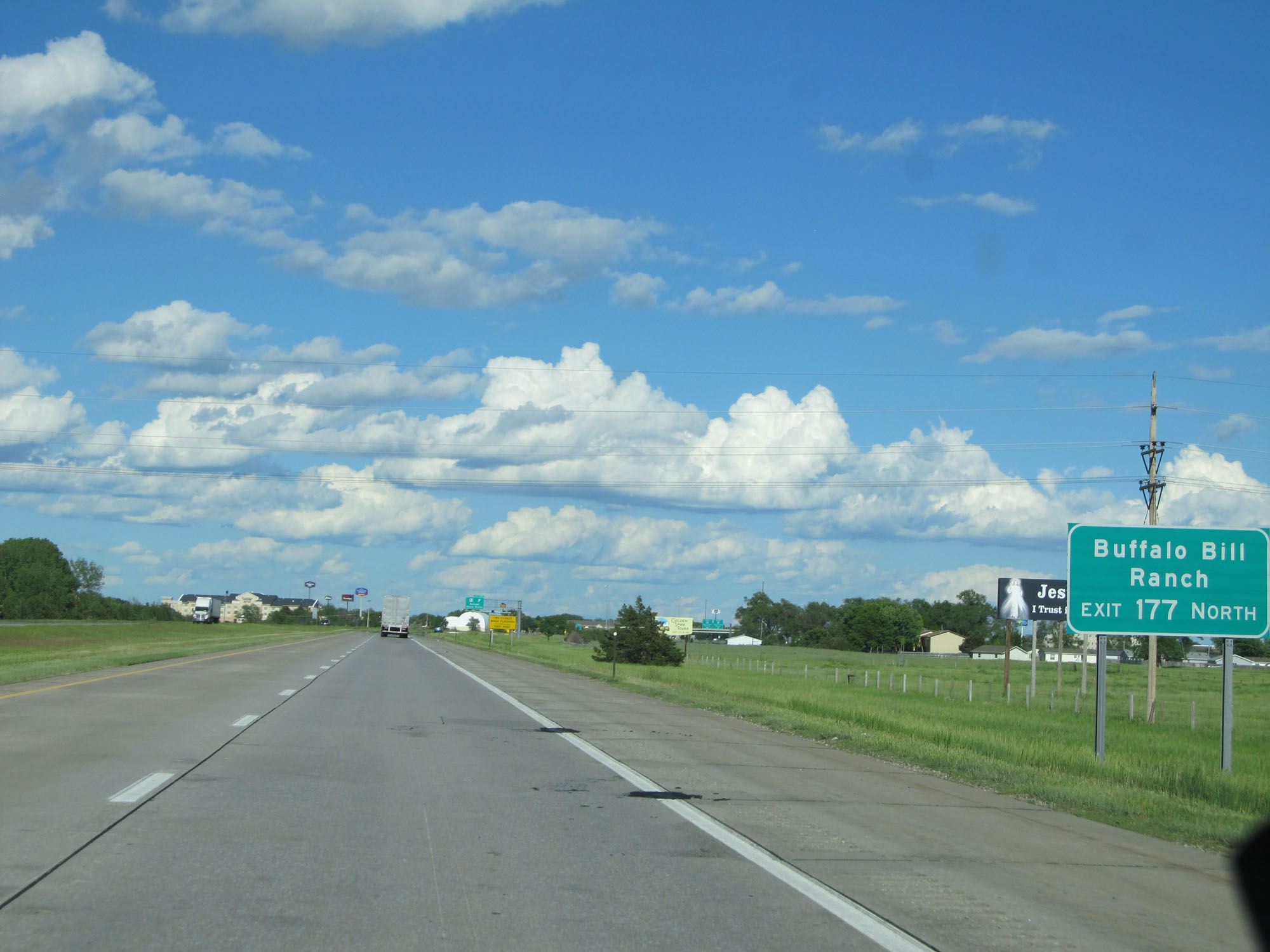 |
Take Exit 177 to Buffalo Bill Ranch via US 83 North. (Photo taken 5/28/16). |
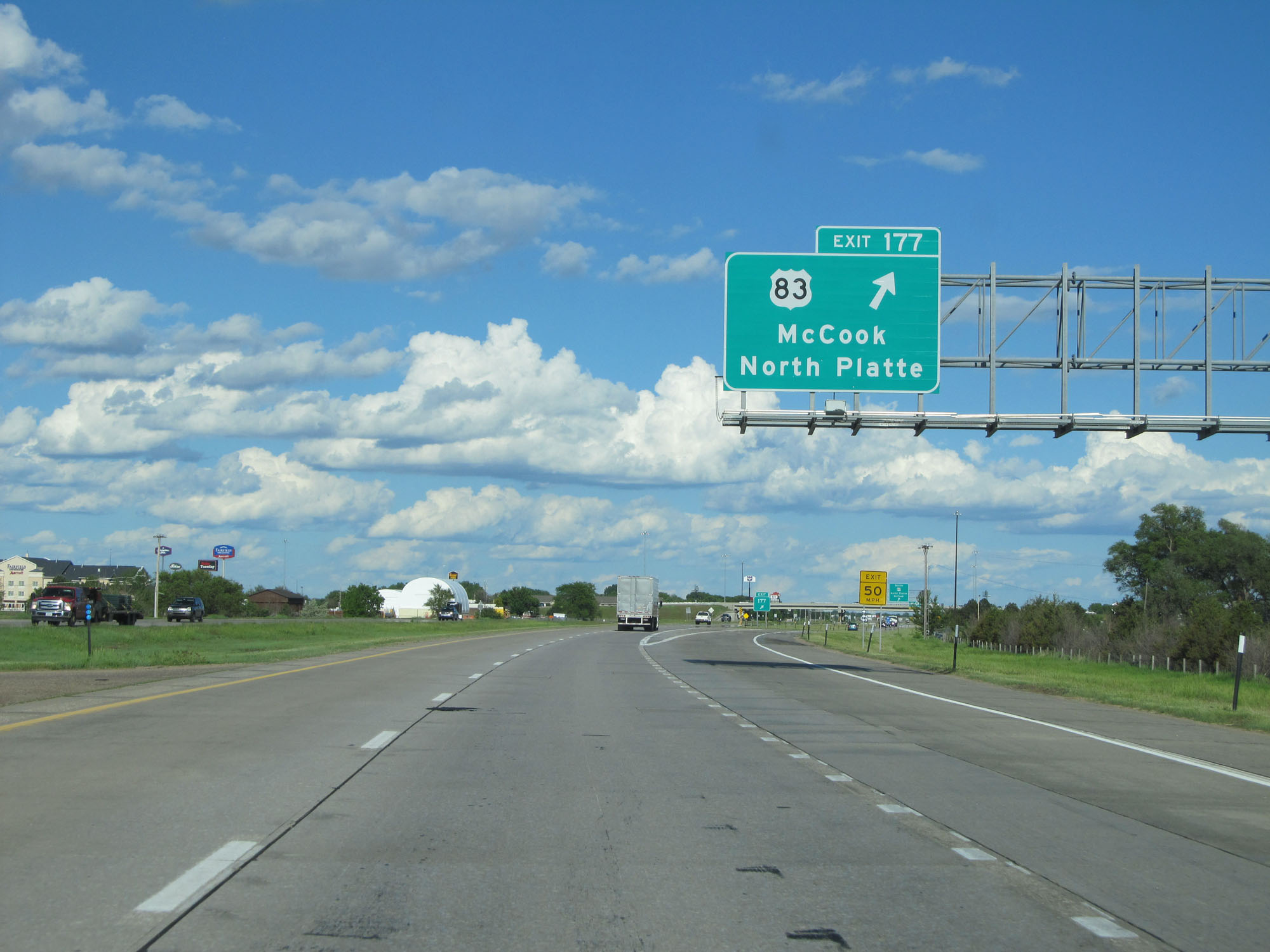 |
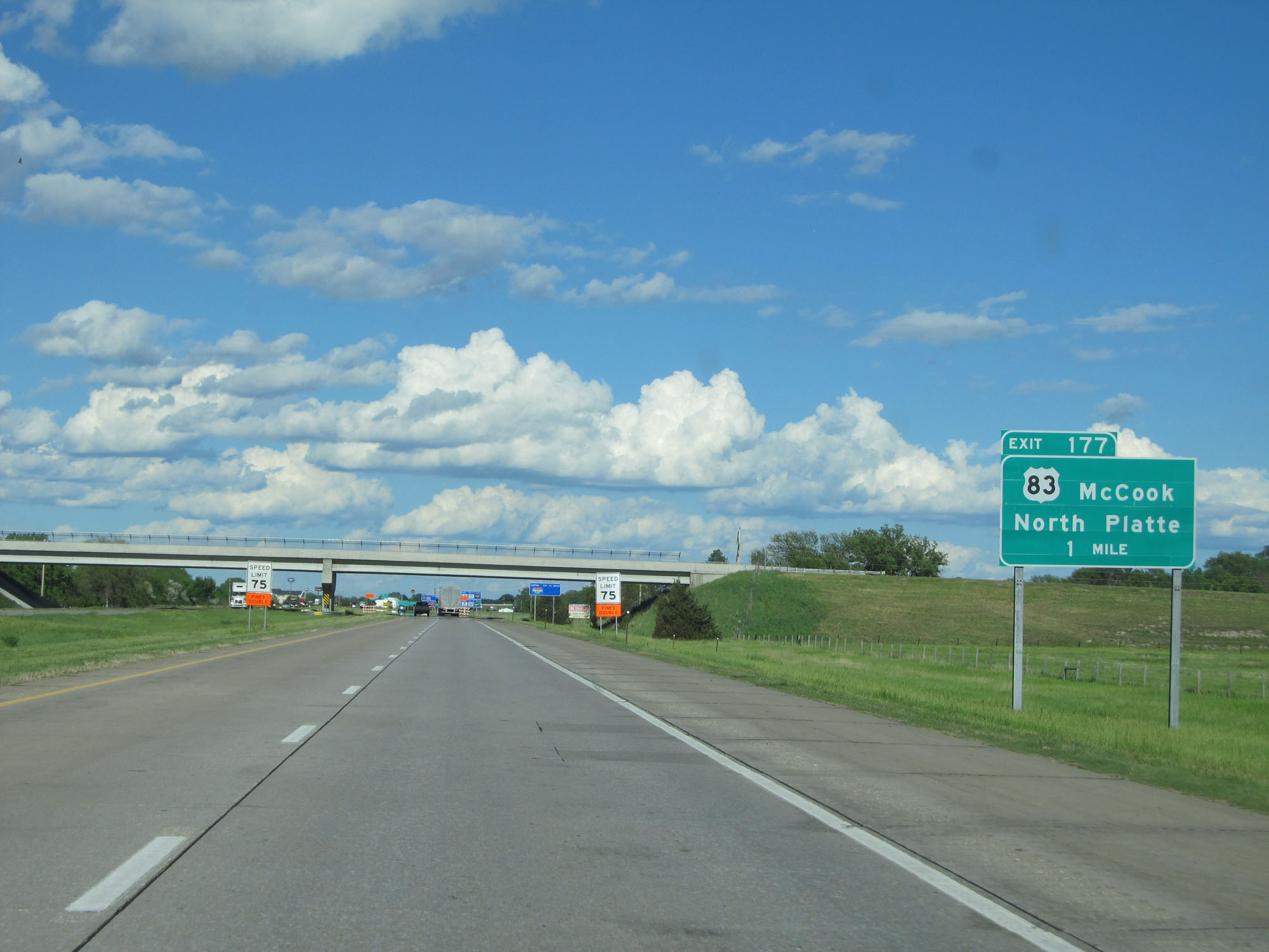
Interstate 80 East at Exit 177: US 32 - McCook / North Platte (Photo taken 5/28/16). |
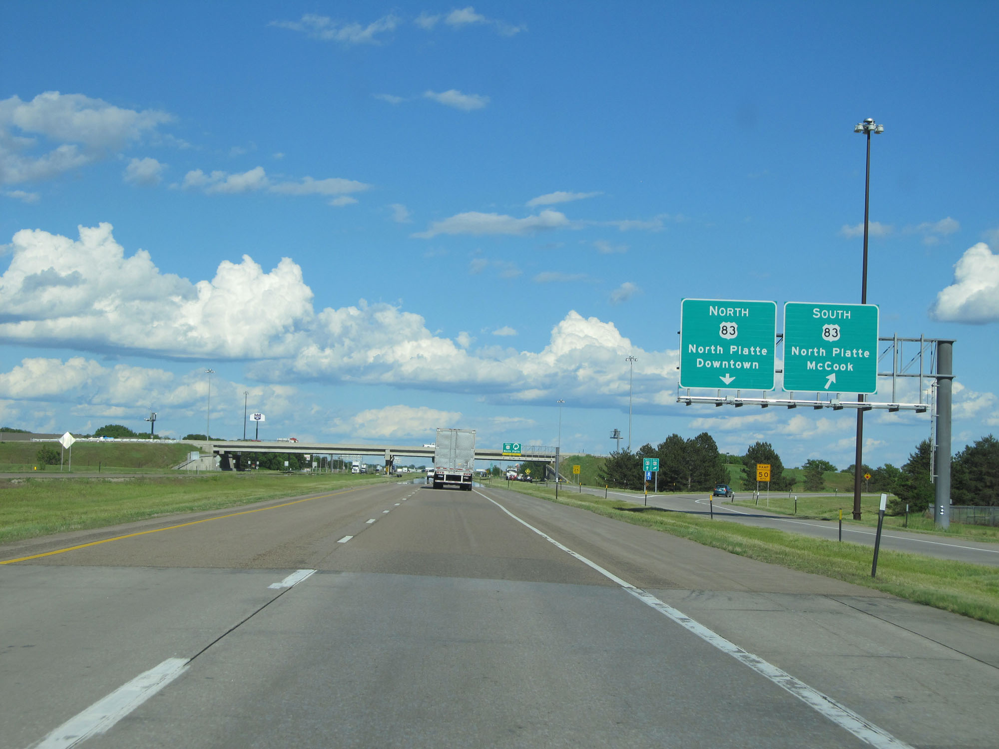 |
View of the ramp for US 83 South. (Photo taken 5/28/16). |
 |
View of the ramp to US 83 North. (Photo taken 5/28/16). |
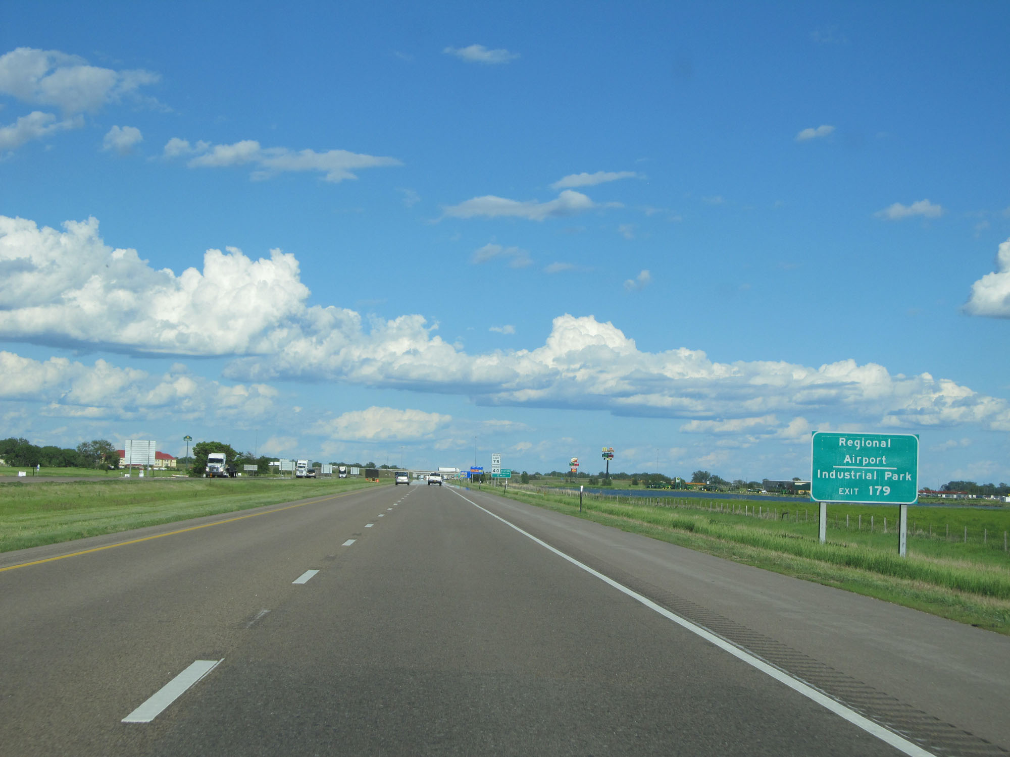 |
Take Exit 179 to the Regional Airport and Industrial Park. (Photo taken 5/28/16). |
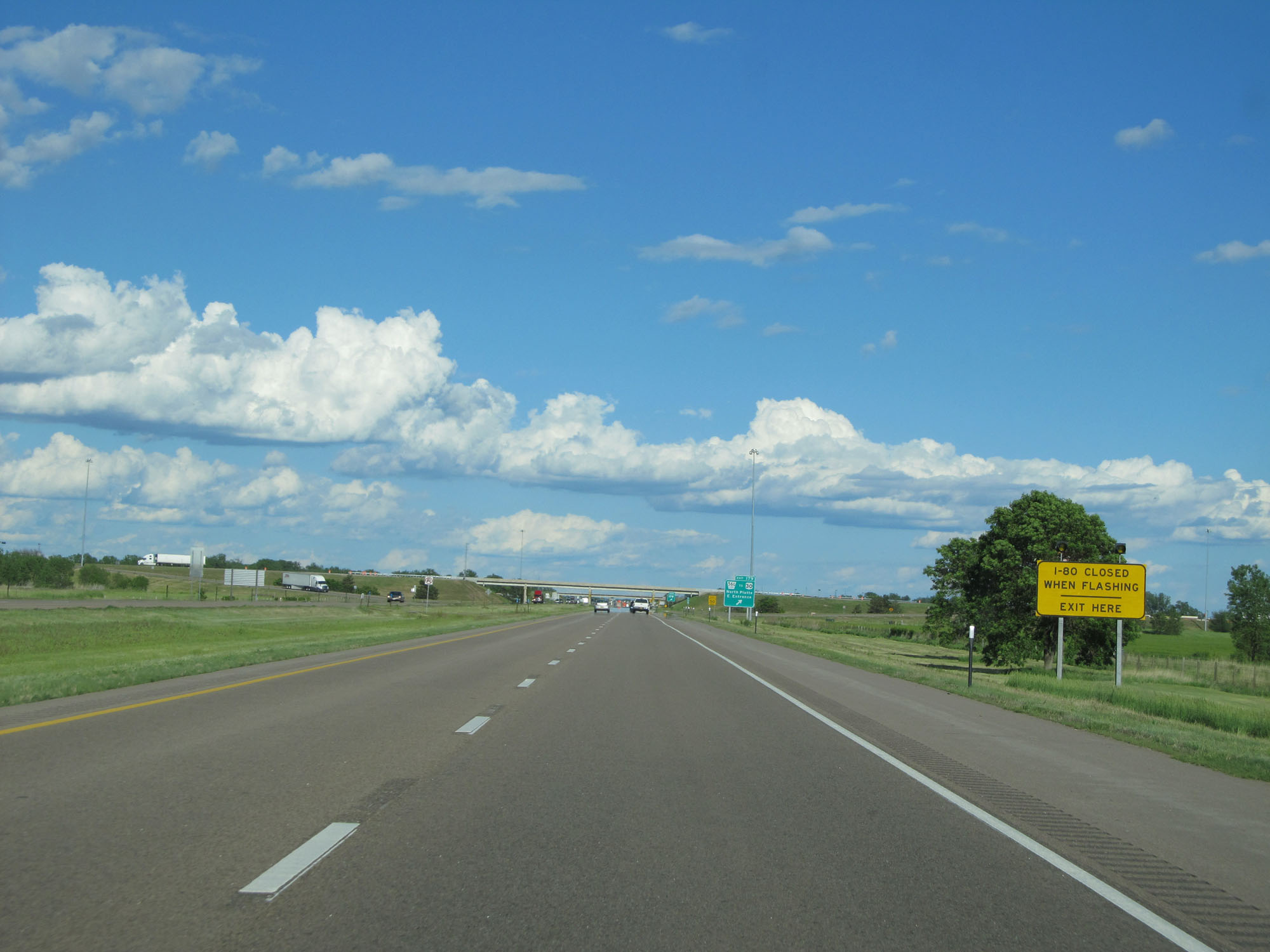 |
Another sign whose lights will be flashing when I-80 is closed ahead. All traffic must get off at Exit 179 if that is the case. (Photo taken 5/28/16). |
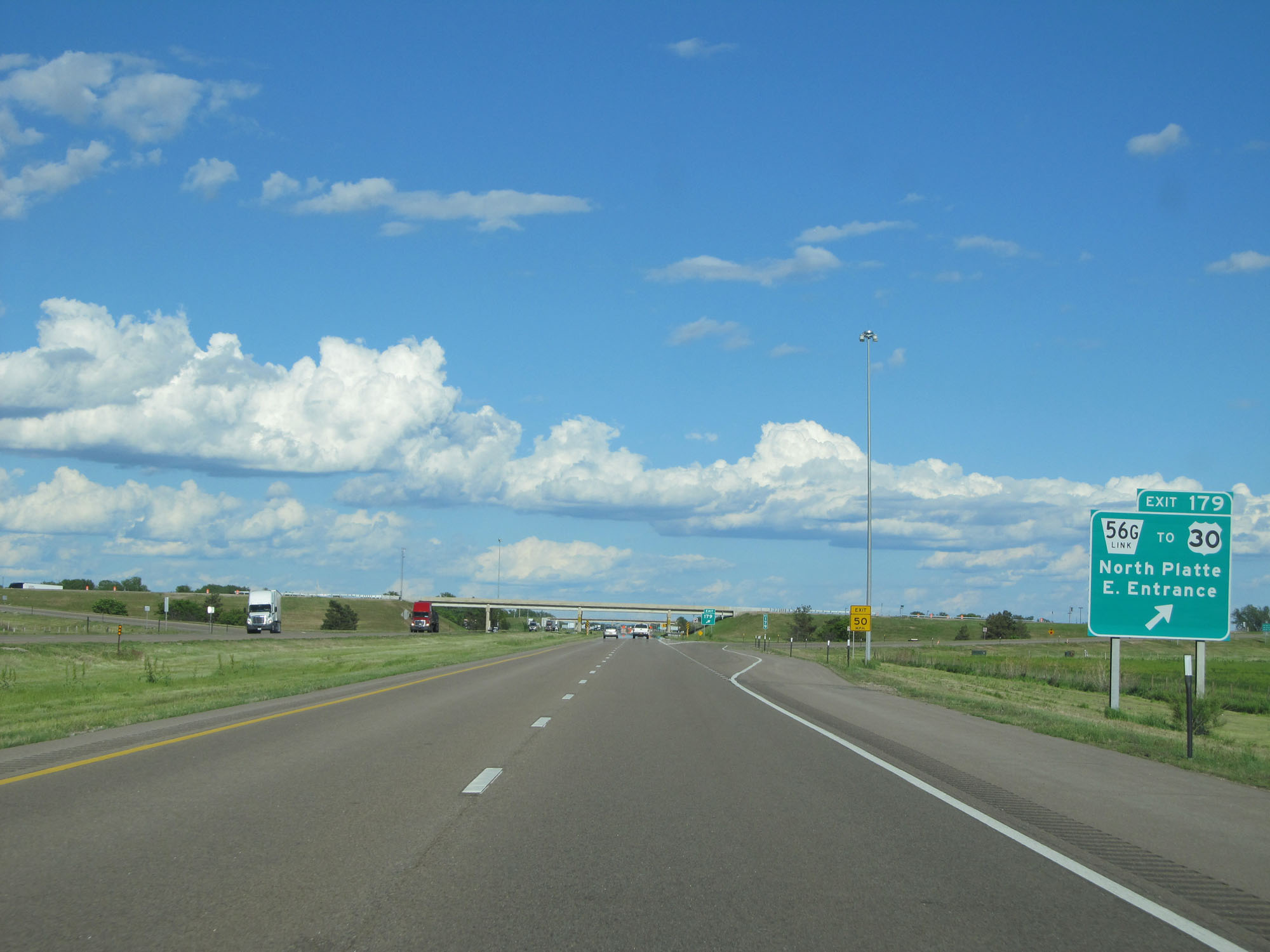 |
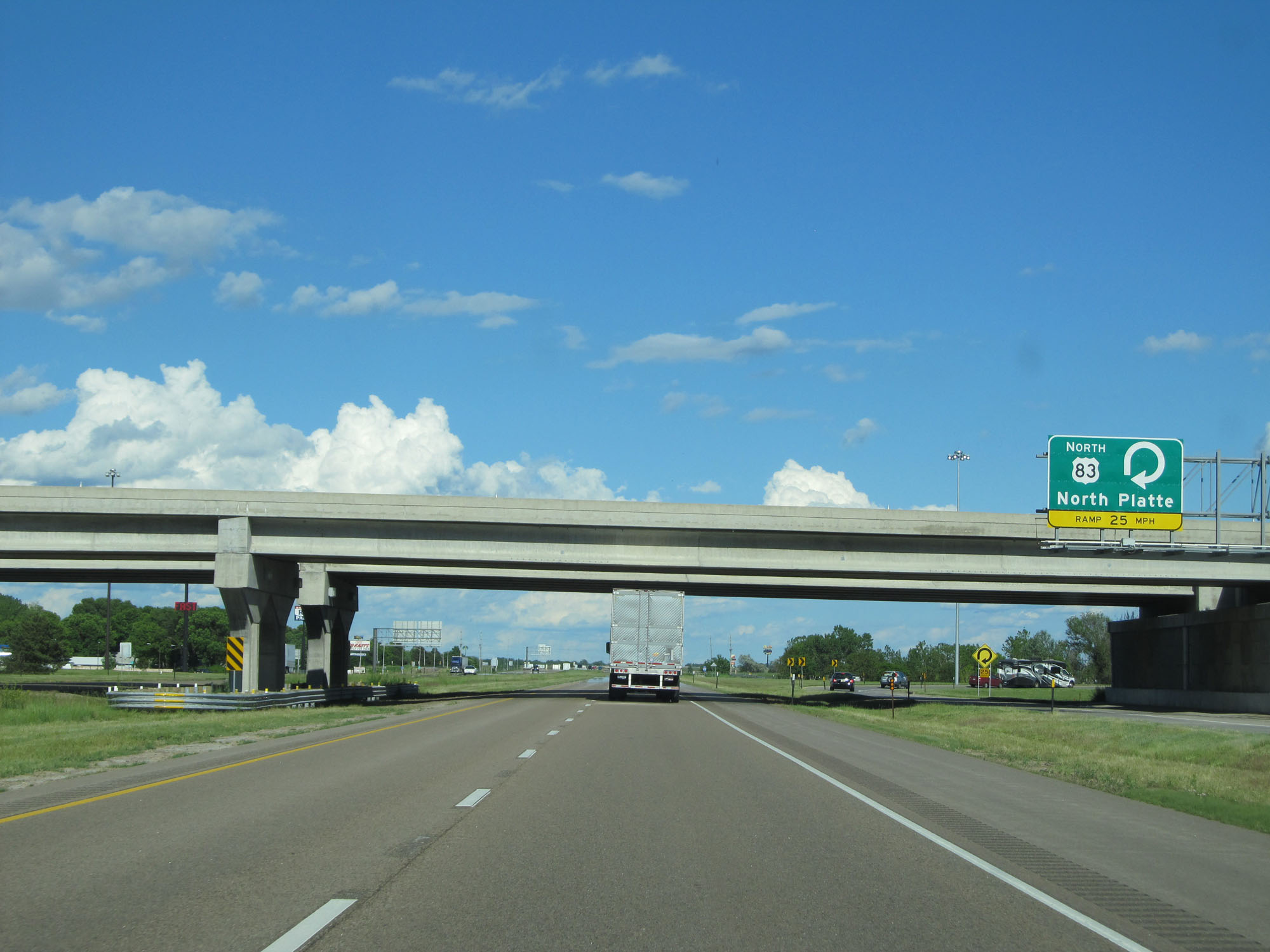
Interstate 80 East at Exit 179: Nebraska Link 56G / To US 30 - North Platte East Entrance (Photo taken 5/28/16). |
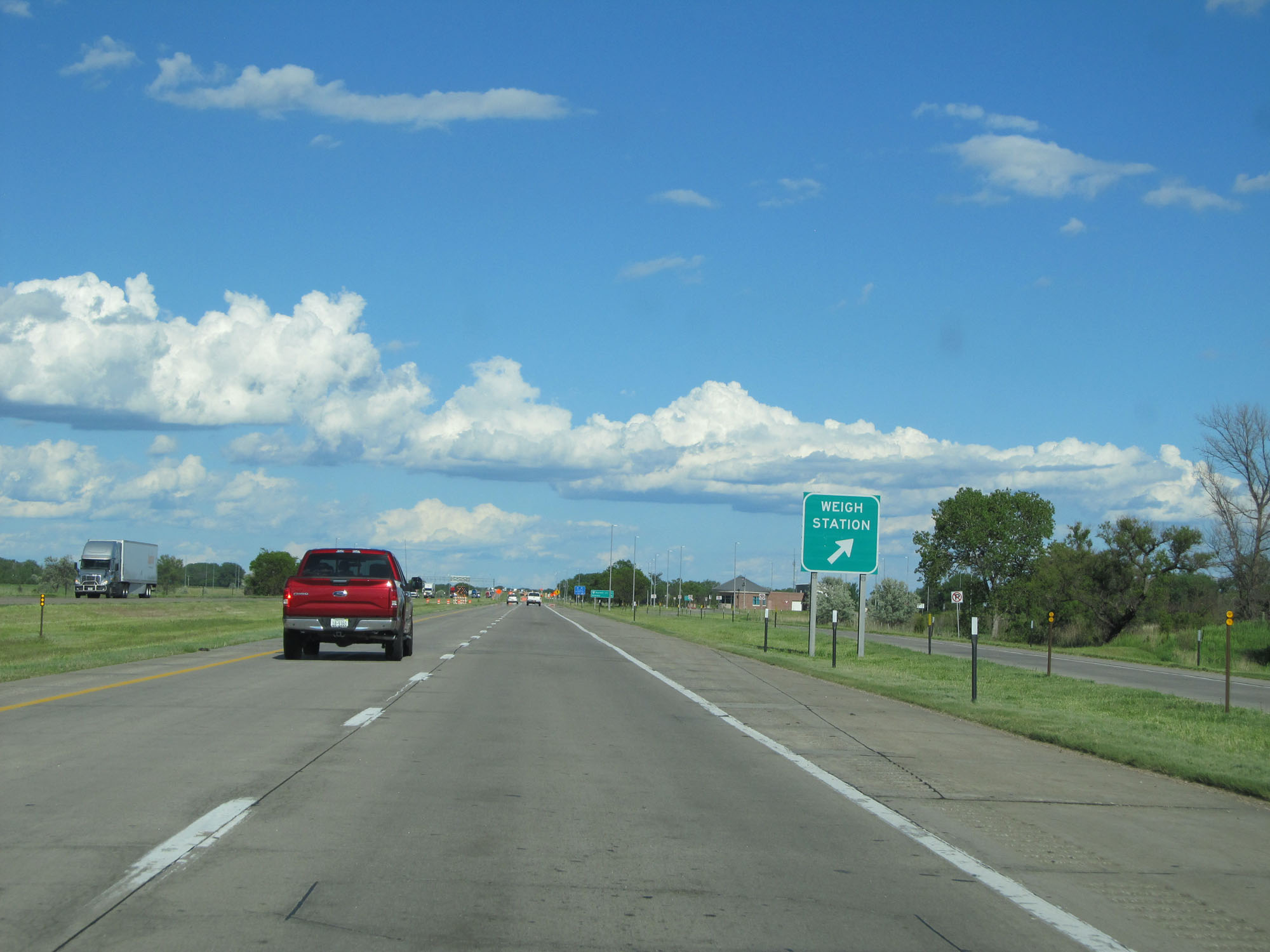 |
Weigh Station on Interstate 80 East in North Platte. (Photo taken 5/28/16). |
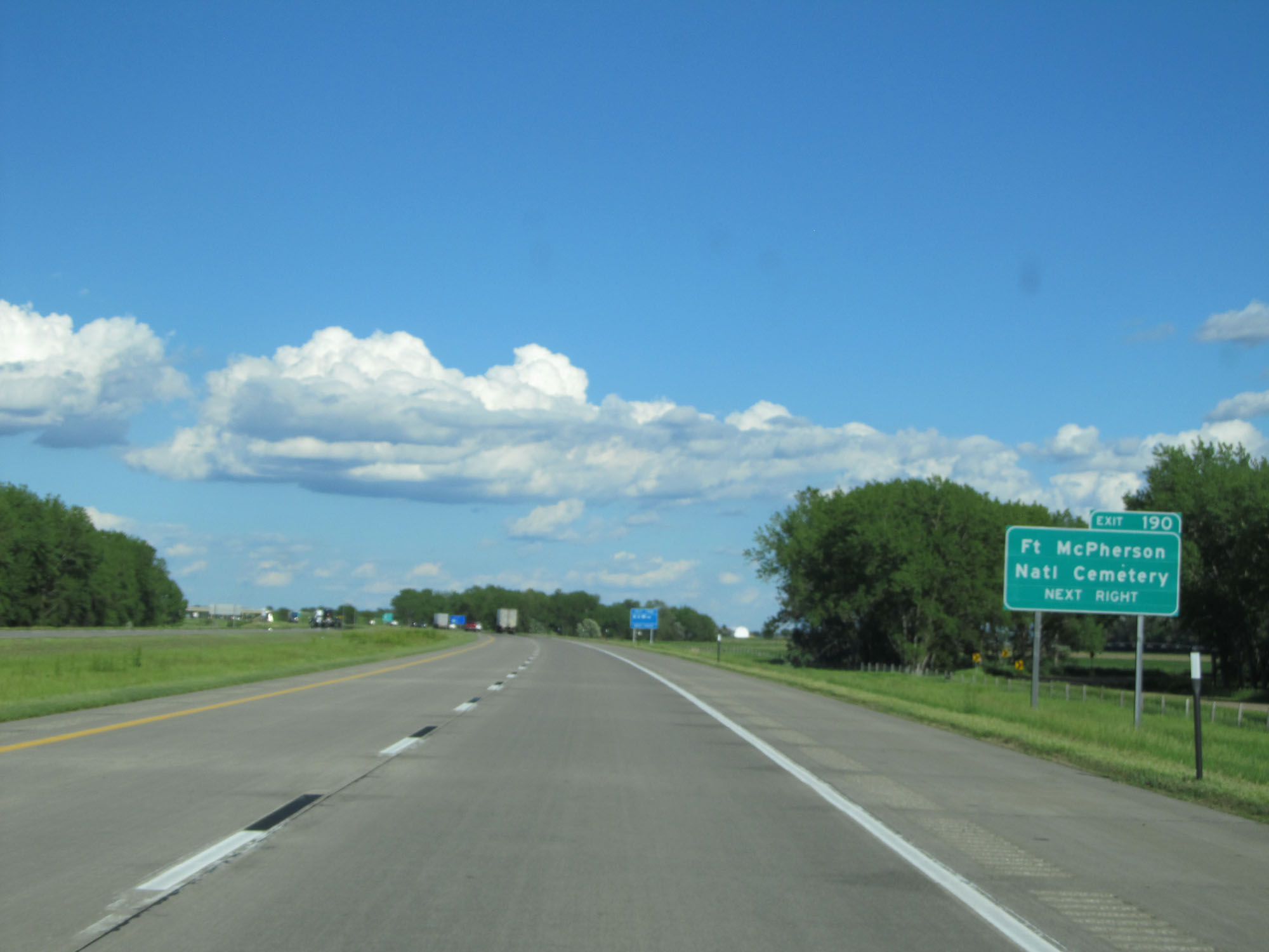 |
Take Exit 190 to Ft McPherson National Cemetery. (Photo taken 5/28/16). |
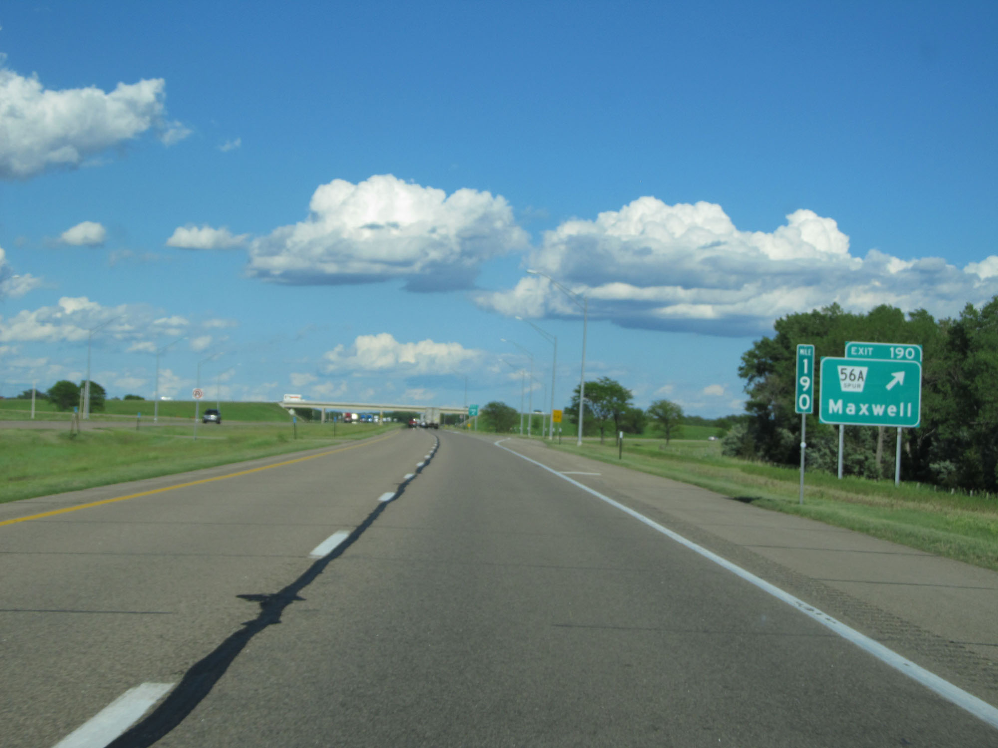 |
Interstate 80 East at Exit 190: Nebraska Spur 56A - Maxwell (Photo taken 5/28/16). |
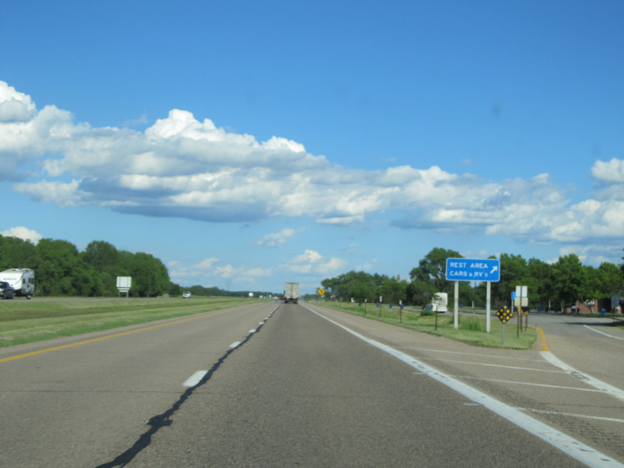 |
Rest Area on Interstate 80 East in Lincoln County. (Photo taken 5/28/16). |
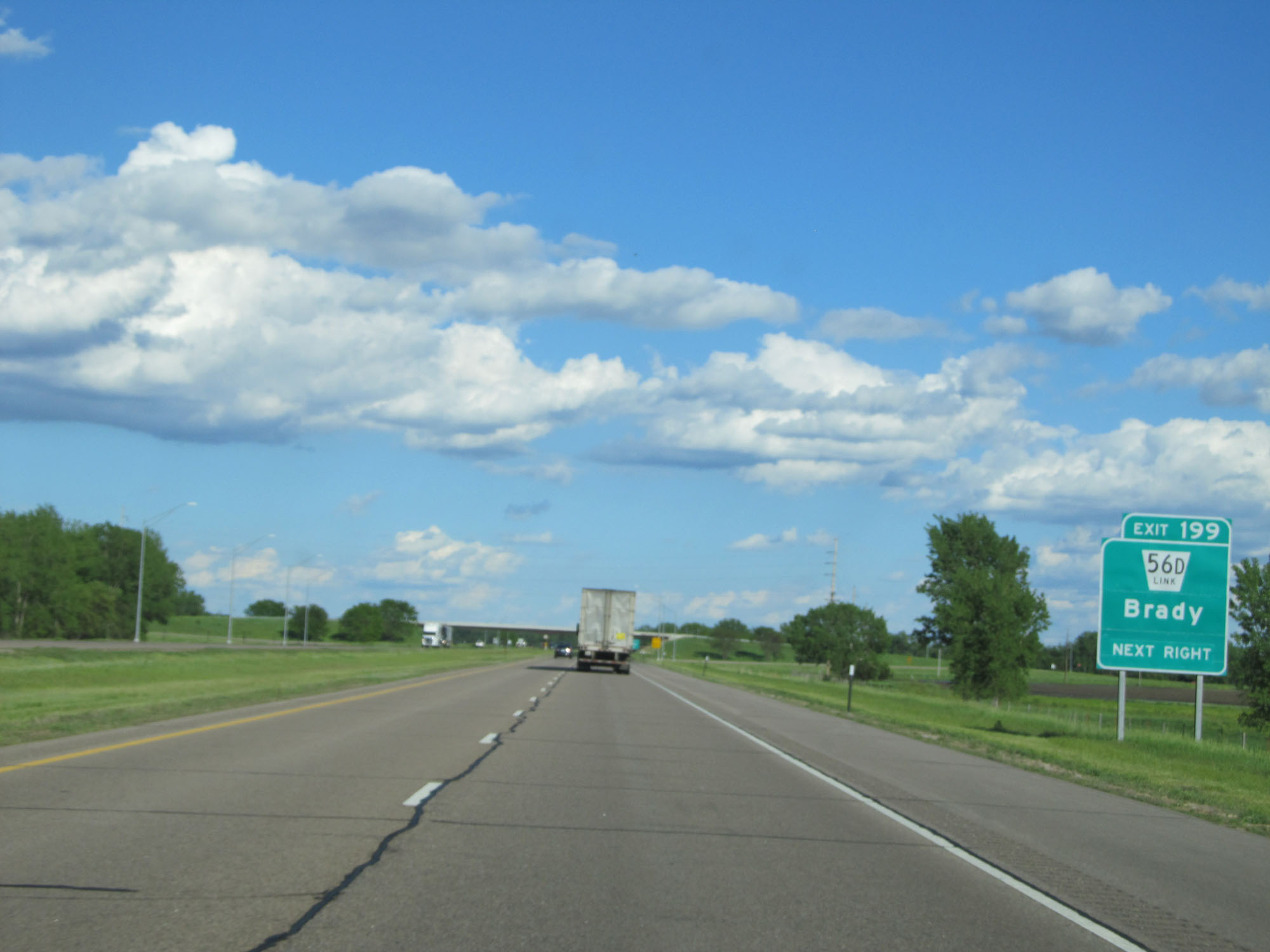 |
Interstate 80 East at Exit 199: Nebraska Link 56D - Brady (Photo taken 5/28/16). |
 |
Mileage sign on Interstate 80 East. It's 12 miles to Gothenburg and 73 miles to Kearney. (Photo taken 5/28/16). |
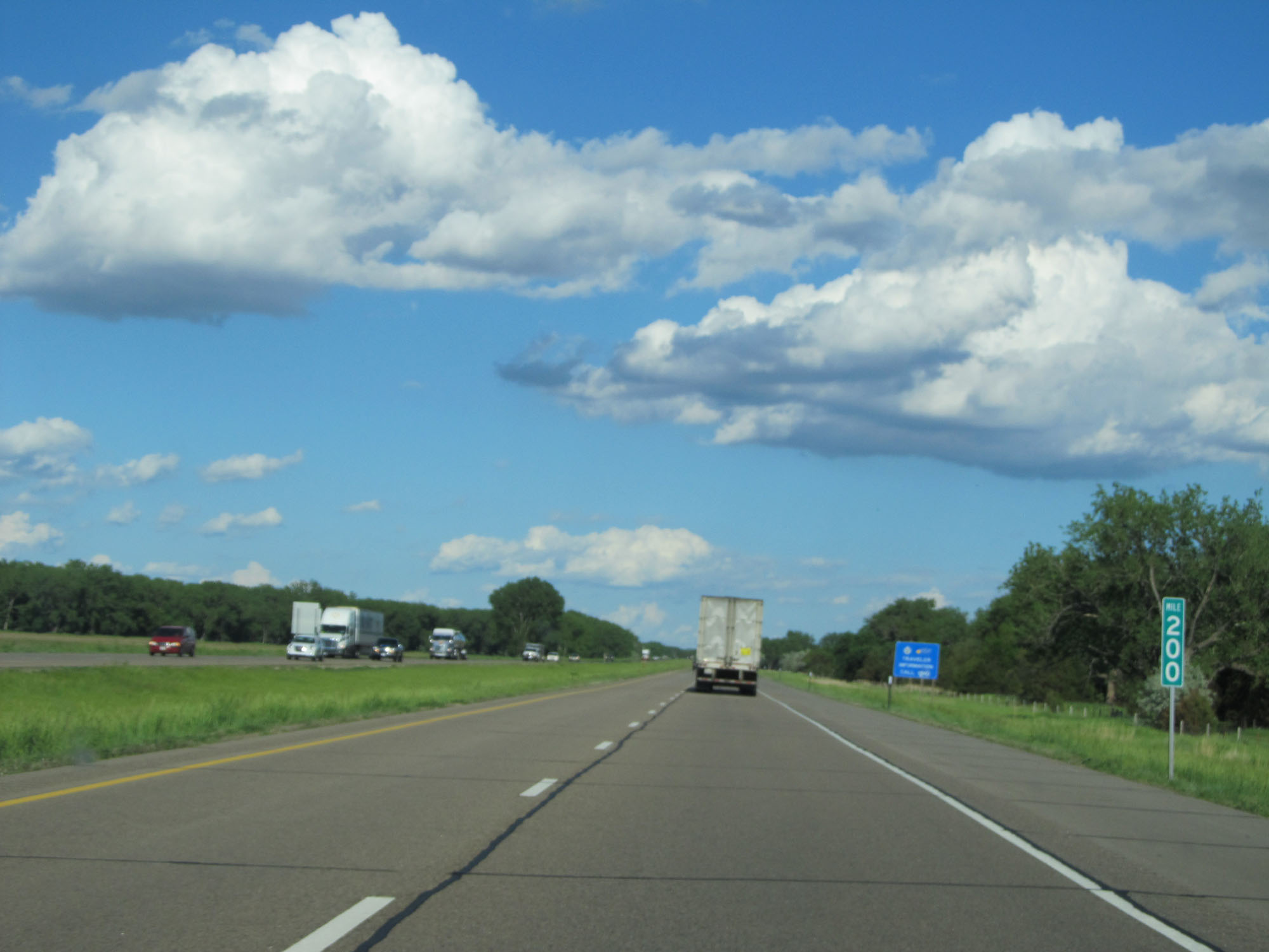 |
Interstate 80 East at mile marker 200. (Photo taken 5/28/16). |
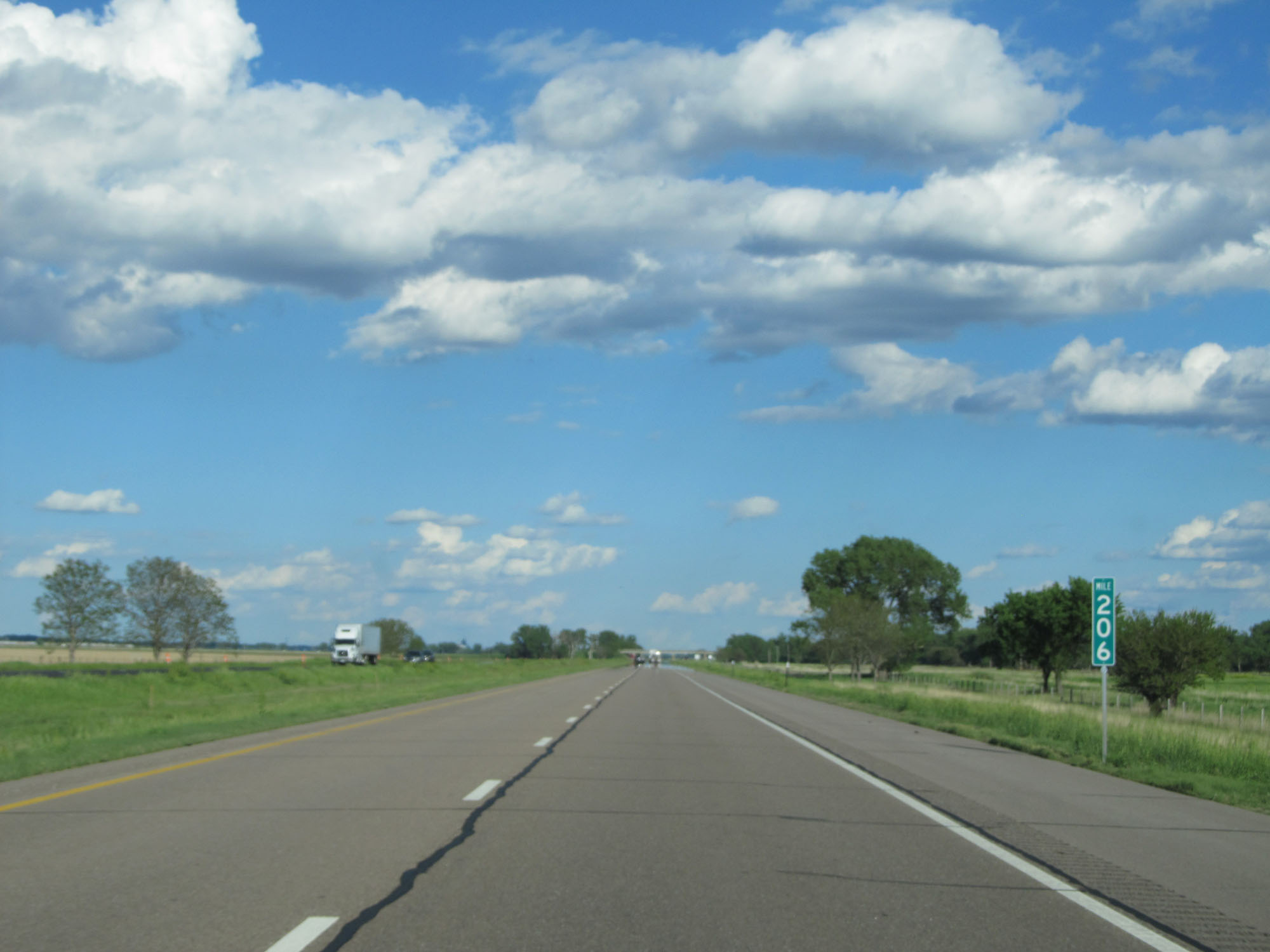 |
Interstate 80 East at mile marker 206. (Photo taken 5/28/16). |
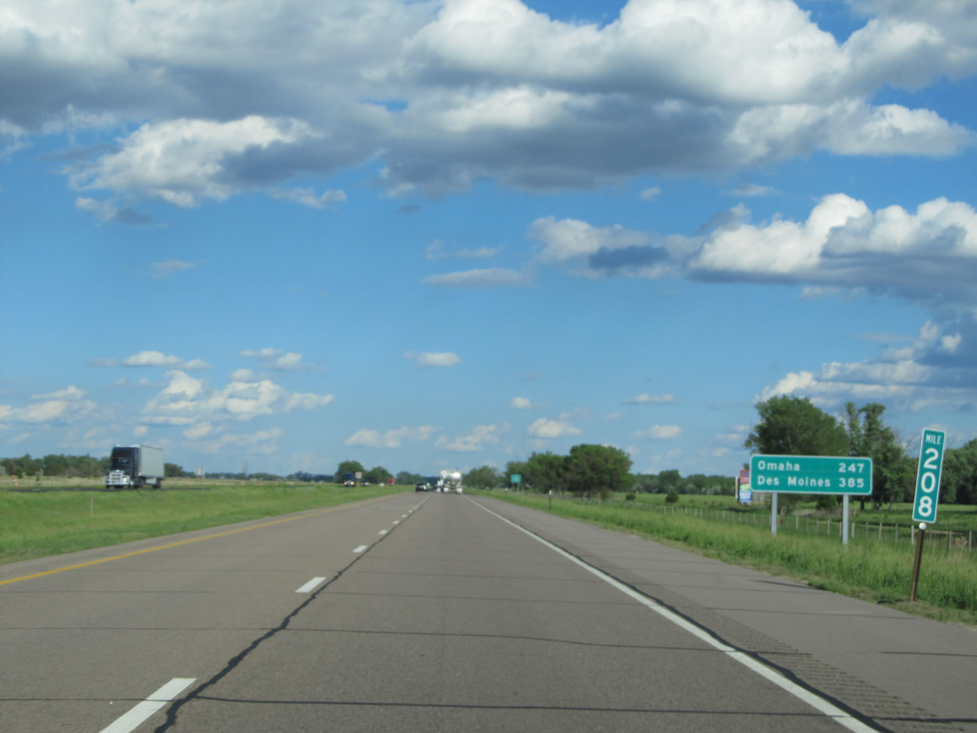 |
Mileage sign on Interstate 80 East at mile marker 208. It's 247 miles to Omaha and 385 miles to Des Moines. (Photo taken 5/28/16). |
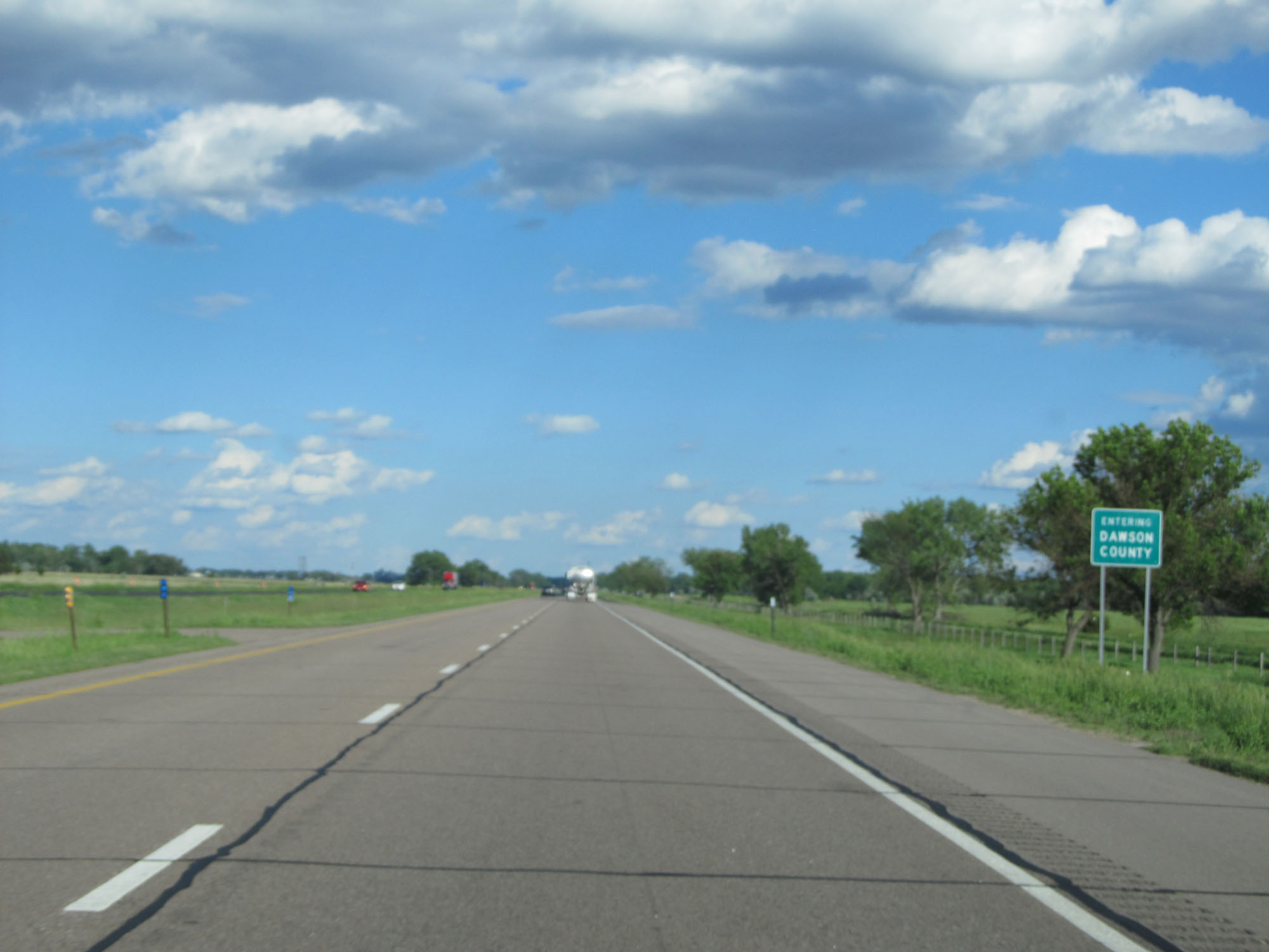 |
Interstate 80 East entering Dawson County. (Photo taken 5/28/16). |
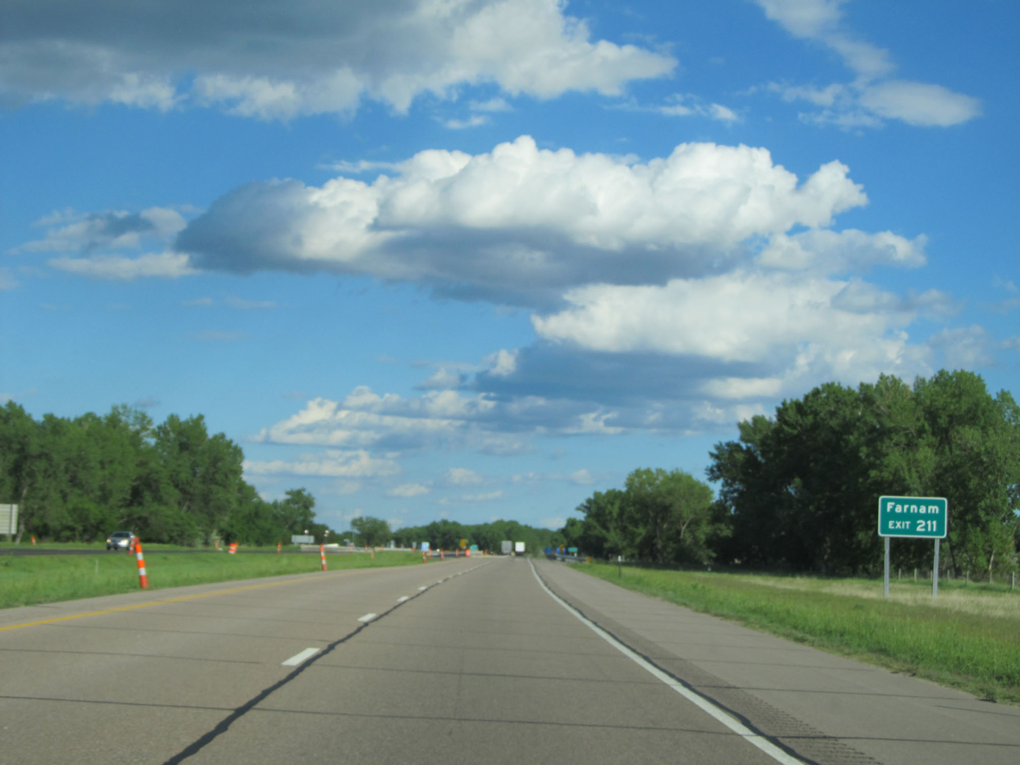 |
Take Exit 211 to Farnam. (Photo taken 5/28/16). |
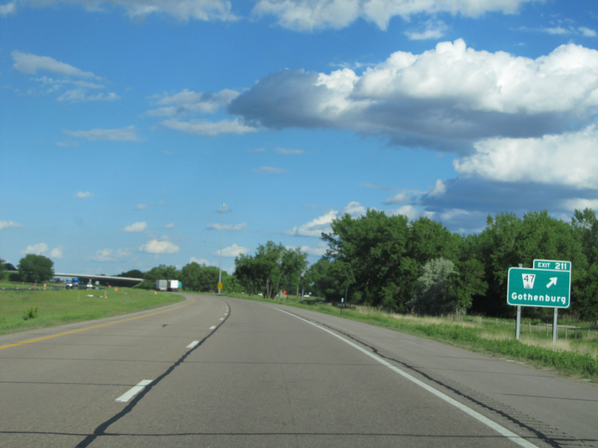 |
Interstate 80 East at Exit 211: NE 47 - Gothenburg (Photo taken 5/28/16). |
Section 2: Gothenburg (Exit 211) to Grand Island (Exit 314)
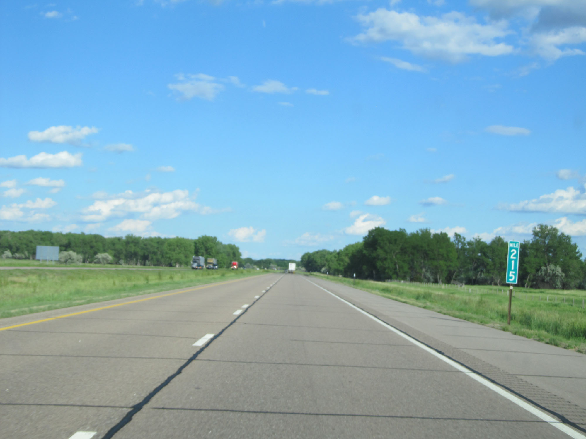 |
Interstate 80 East at mile marker 215. (Photo taken 5/28/16). |
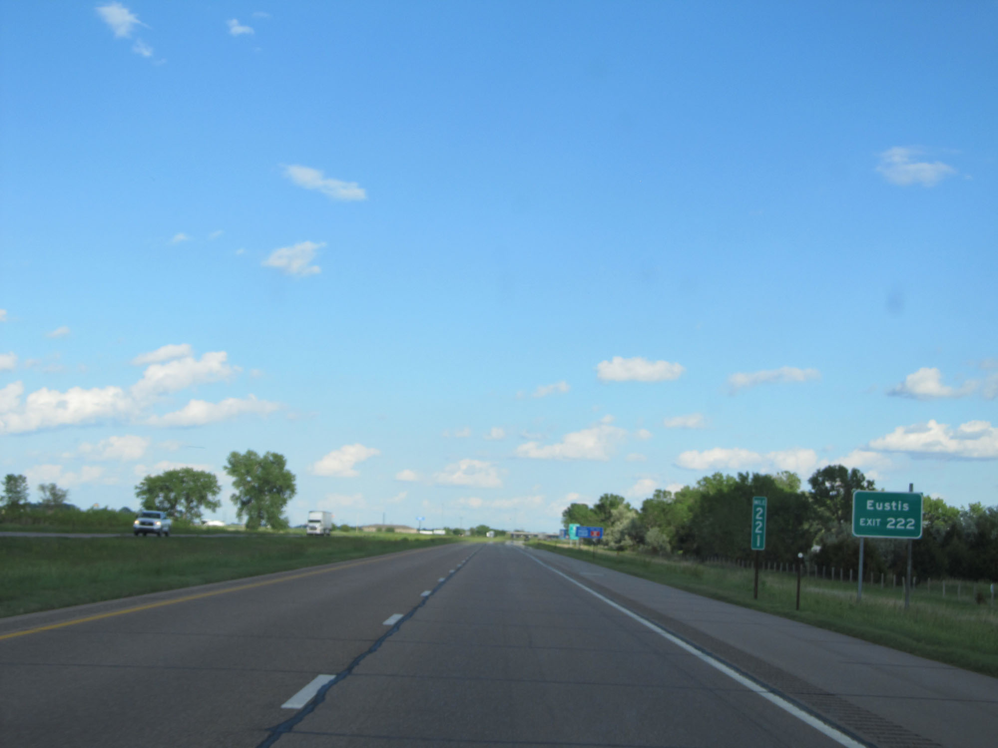 |
Take Exit 222 to Eustis. (Photo taken 5/28/16). |
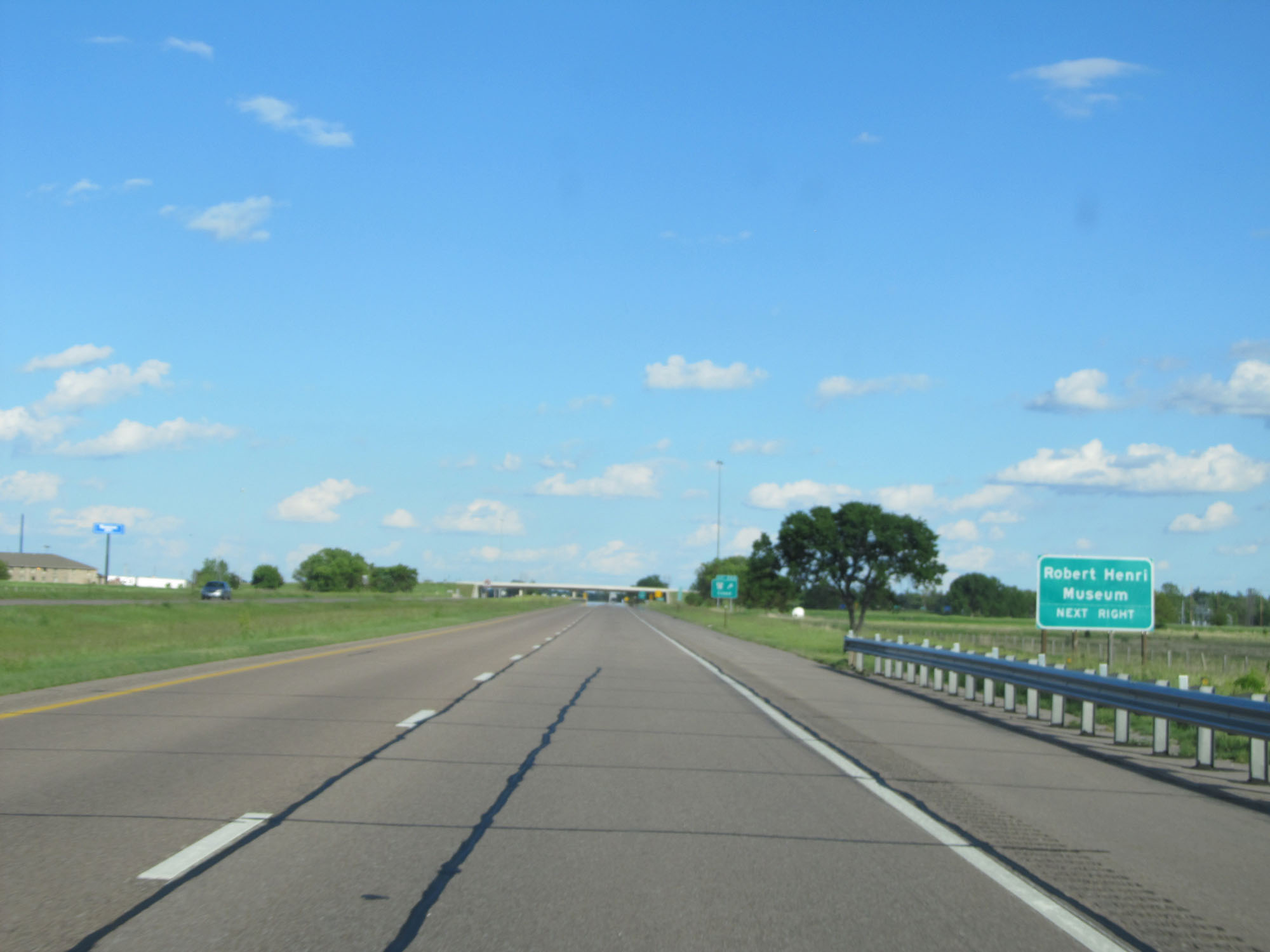 |
Also take Exit 222 to Robert Henri Museum. (Photo taken 5/28/16). |
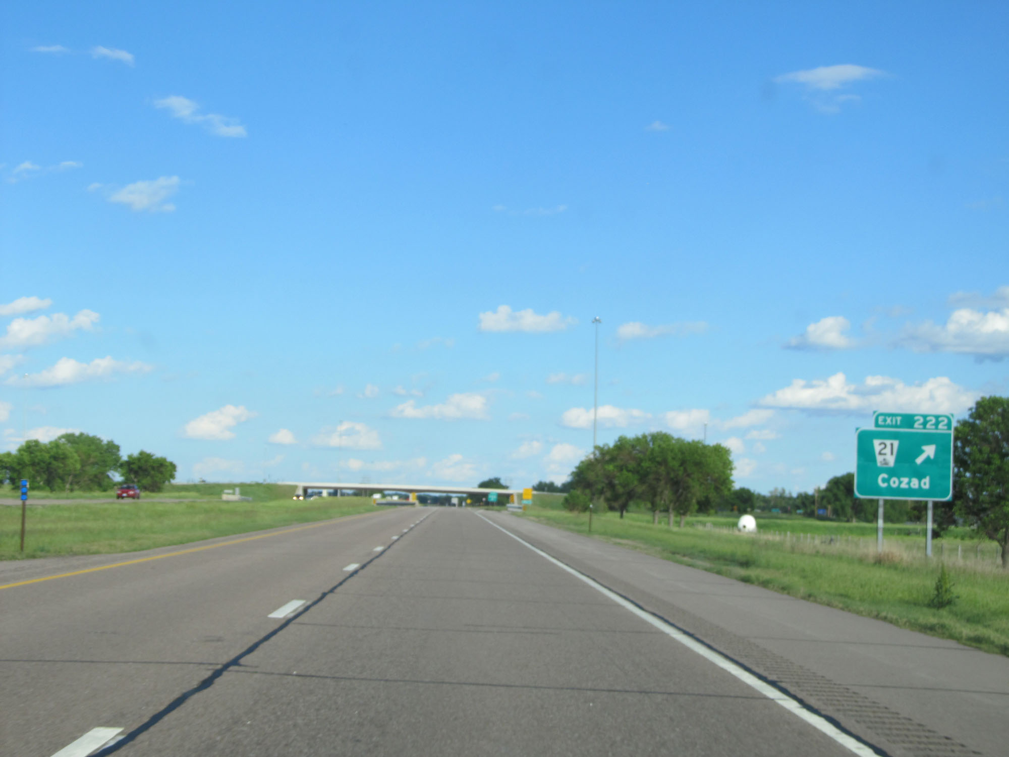 |
Interstate 80 East at Exit 222: NE 21 - Cozad (Photo taken 5/28/16). |
 |
Mileage sign on Interstate 80 East. It's 8 miles to Darr Rd and 51 miles to Kearney. (Photo taken 5/28/16). |
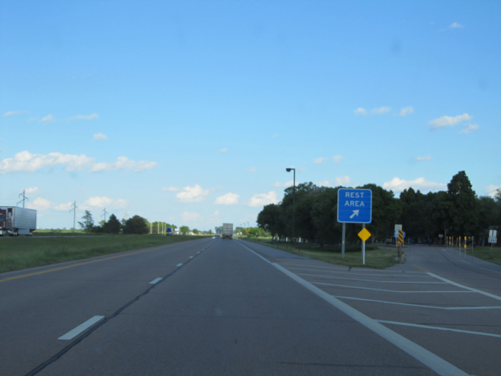 |
Rest Area on Interstate 80 East in Dawson County. (Photo taken 5/28/16). |
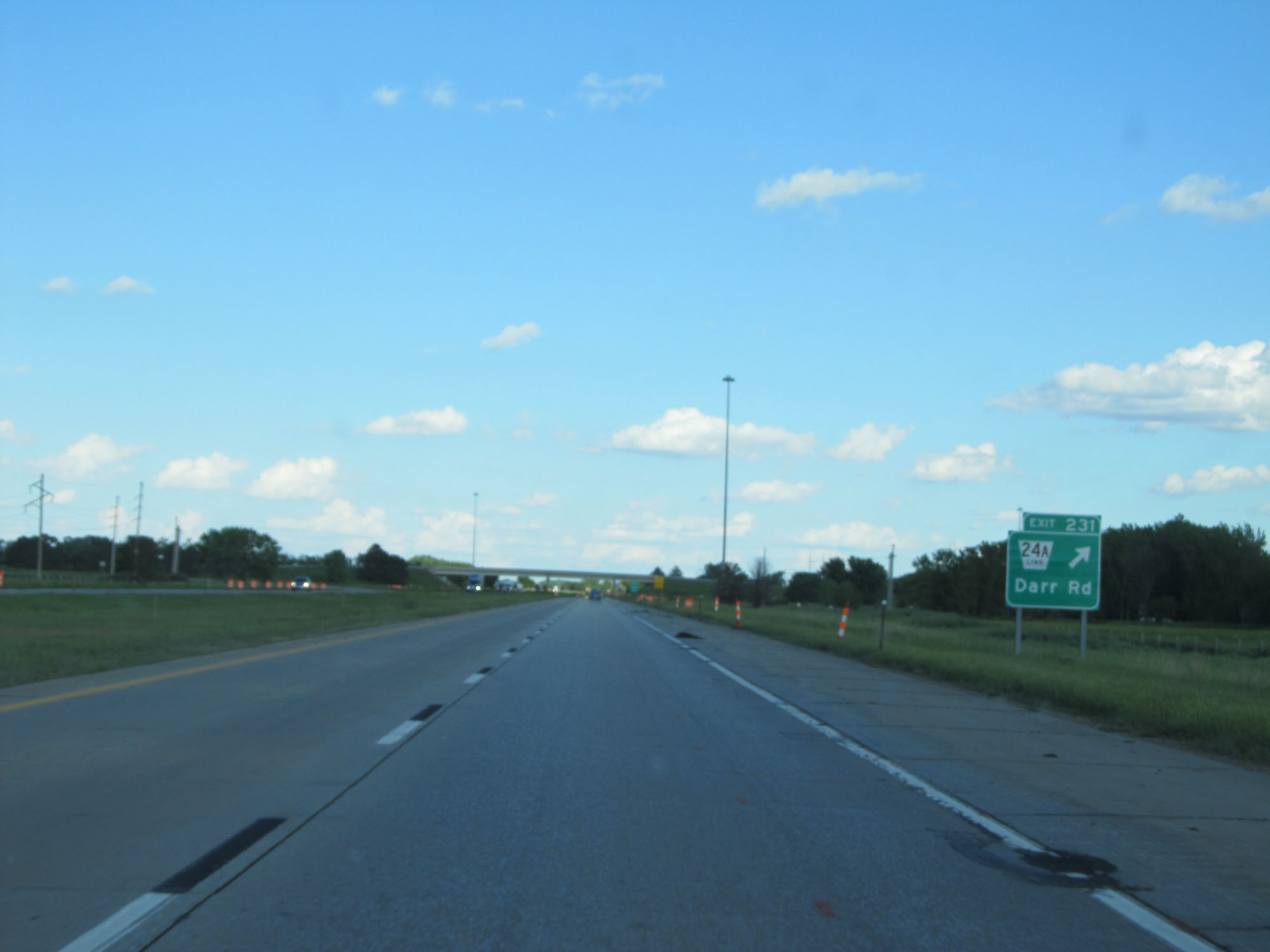 |
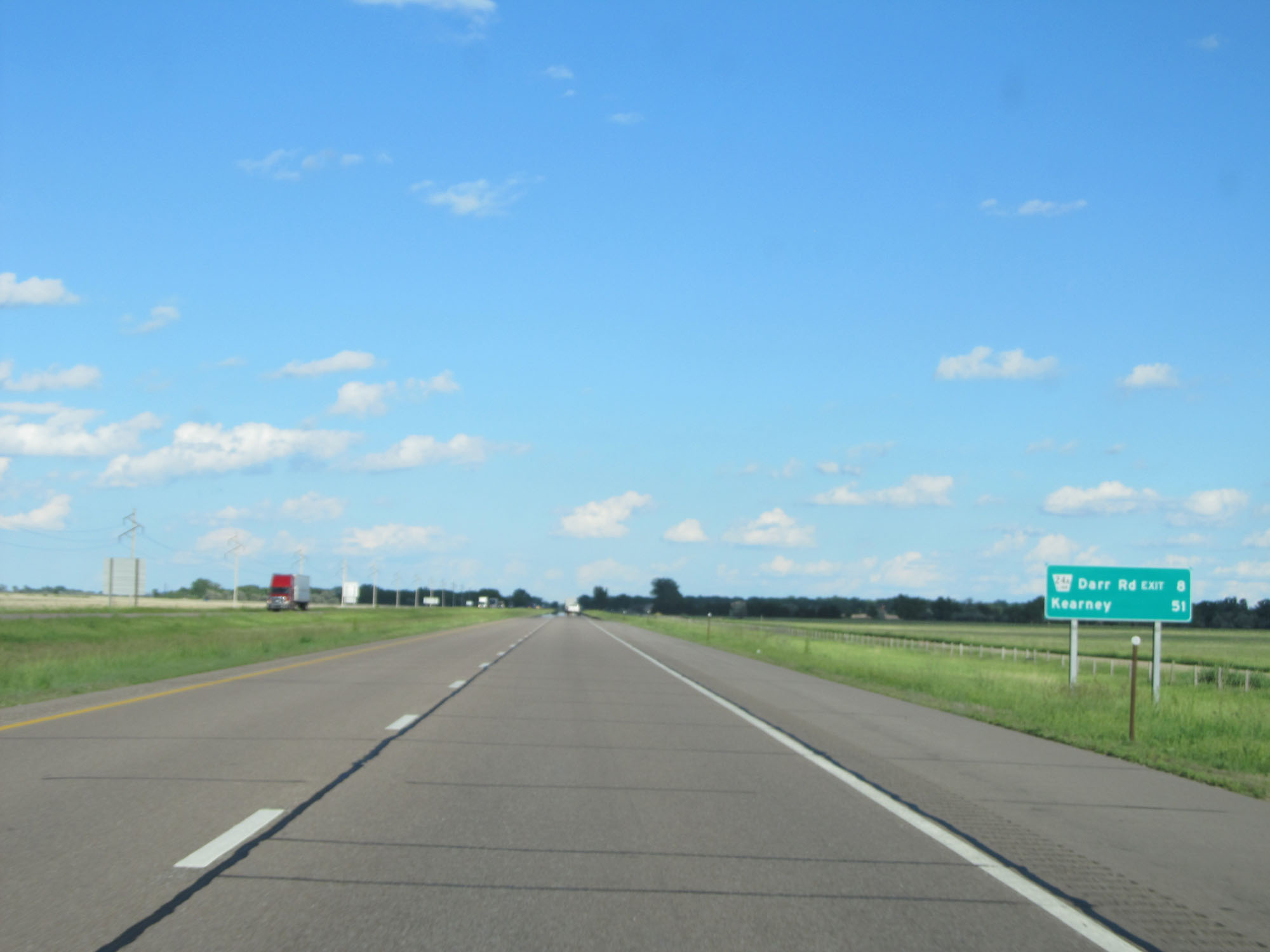
Interstate 80 East at Exit 231: Nebraska Link 24A - Darr Rd (Photo taken 5/28/16). |
 |
Mileage sign on Interstate 80 East. It's 5 miles to the junction of US 283 and 43 miles to Kearney. (Photo taken 5/28/16). |
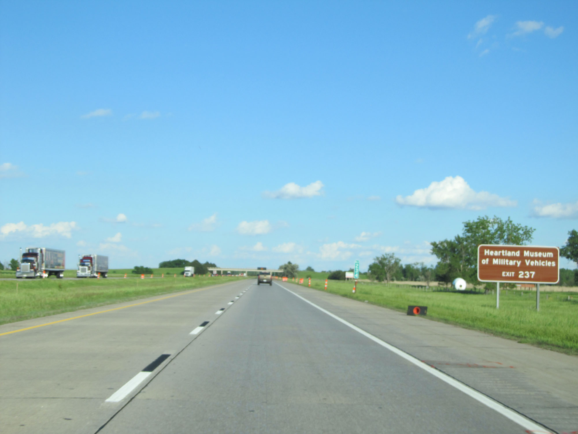 |
Take Exit 237 to Heartland Museum of Military Vehicles. (Photo taken 5/28/16). |
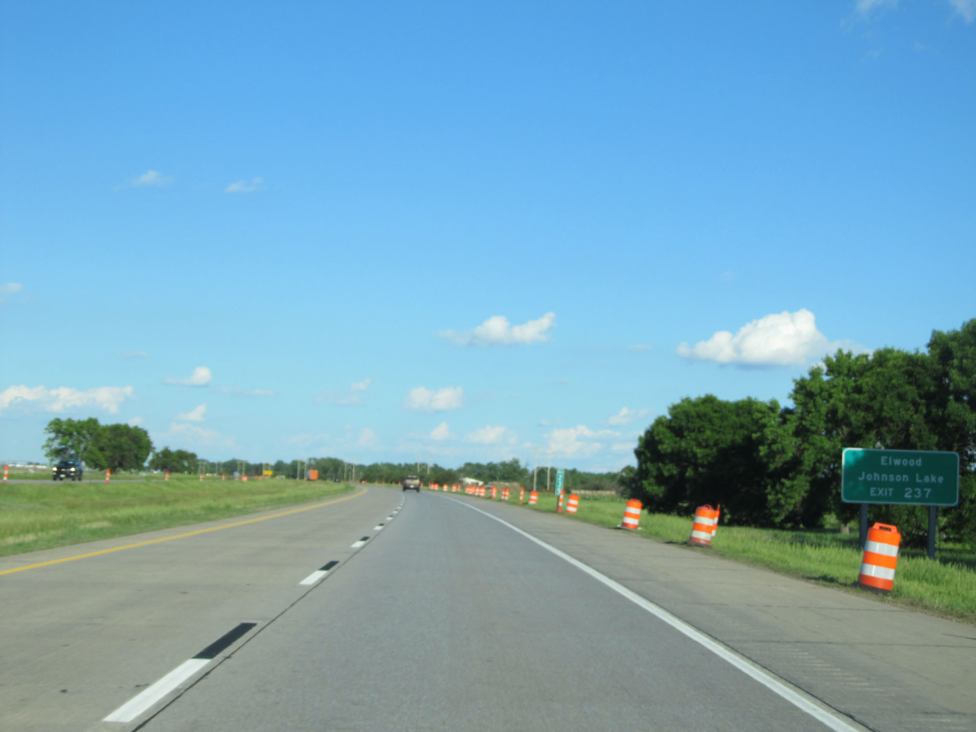 |
Also take Exit 237 to Elwood and Johnson Lake. (Photo taken 5/28/16). |
 |
When the lights on this sign are flashing, Interstate 80 is closed ahead and all traffic must use Exit 237. (Photo taken 5/28/16). |
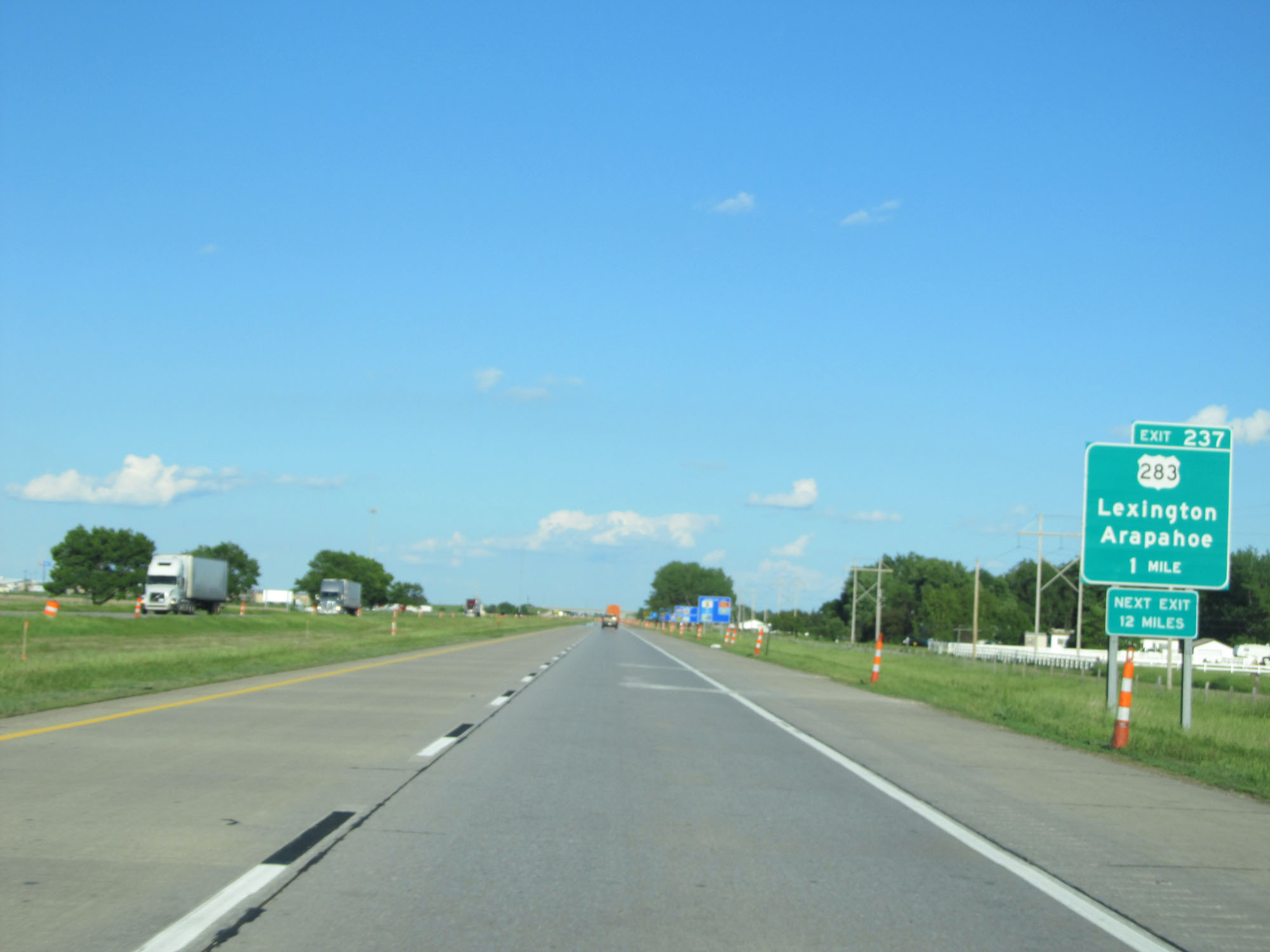 |
Interstate 80 East approaching Exit 237 - 1 mile. (Photo taken 5/28/16). |
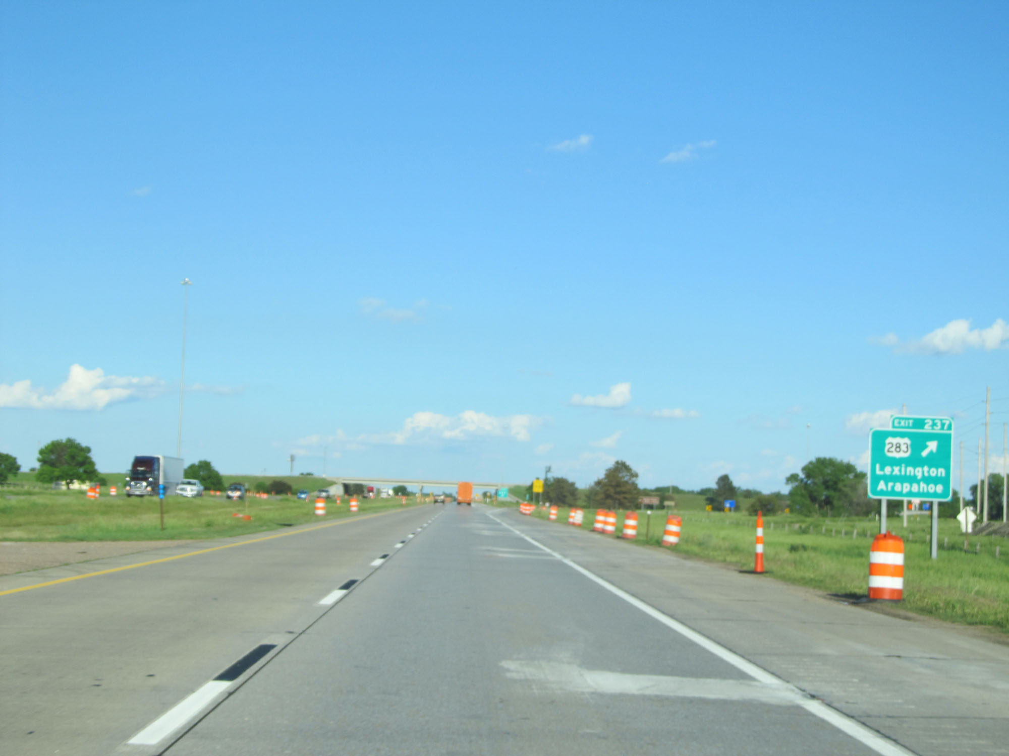 |
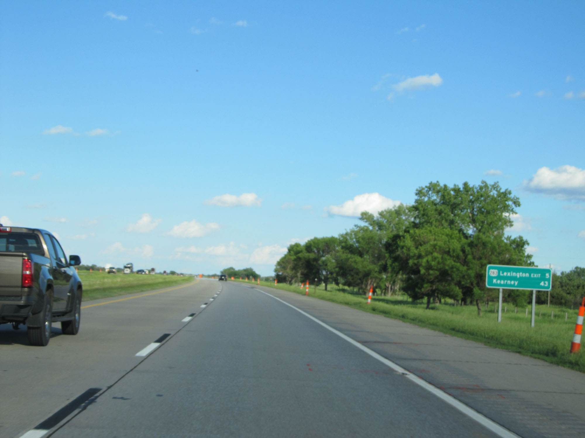
Interstate 80 East at Exit 237: US 283 - Lexington / Arapahoe (Photo taken 5/28/16). |
 |
Interstate 80 East at mile marker 241. (Photo taken 5/28/16). |
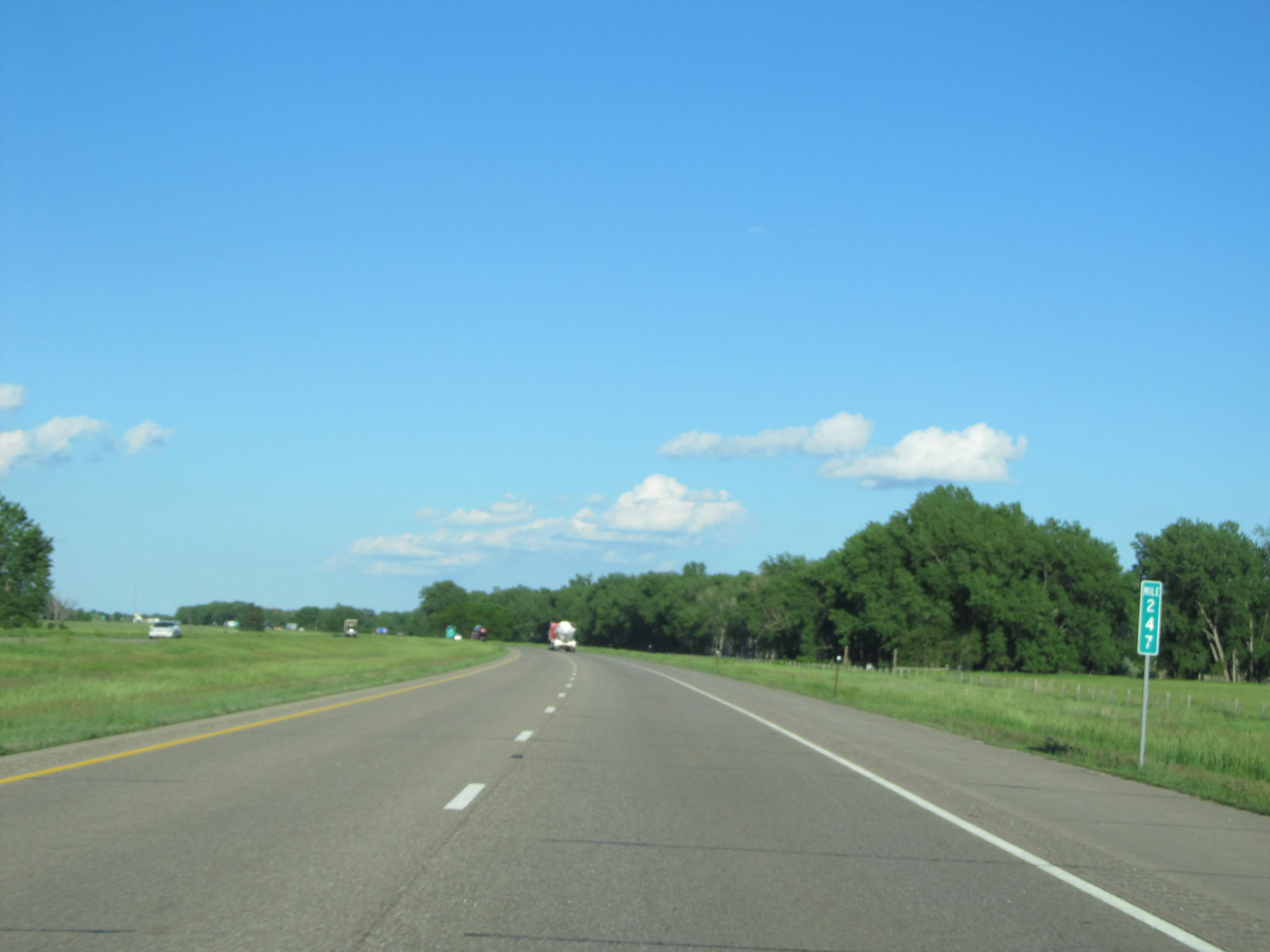 |
Interstate 80 East at mile marker 247. (Photo taken 5/28/16). |
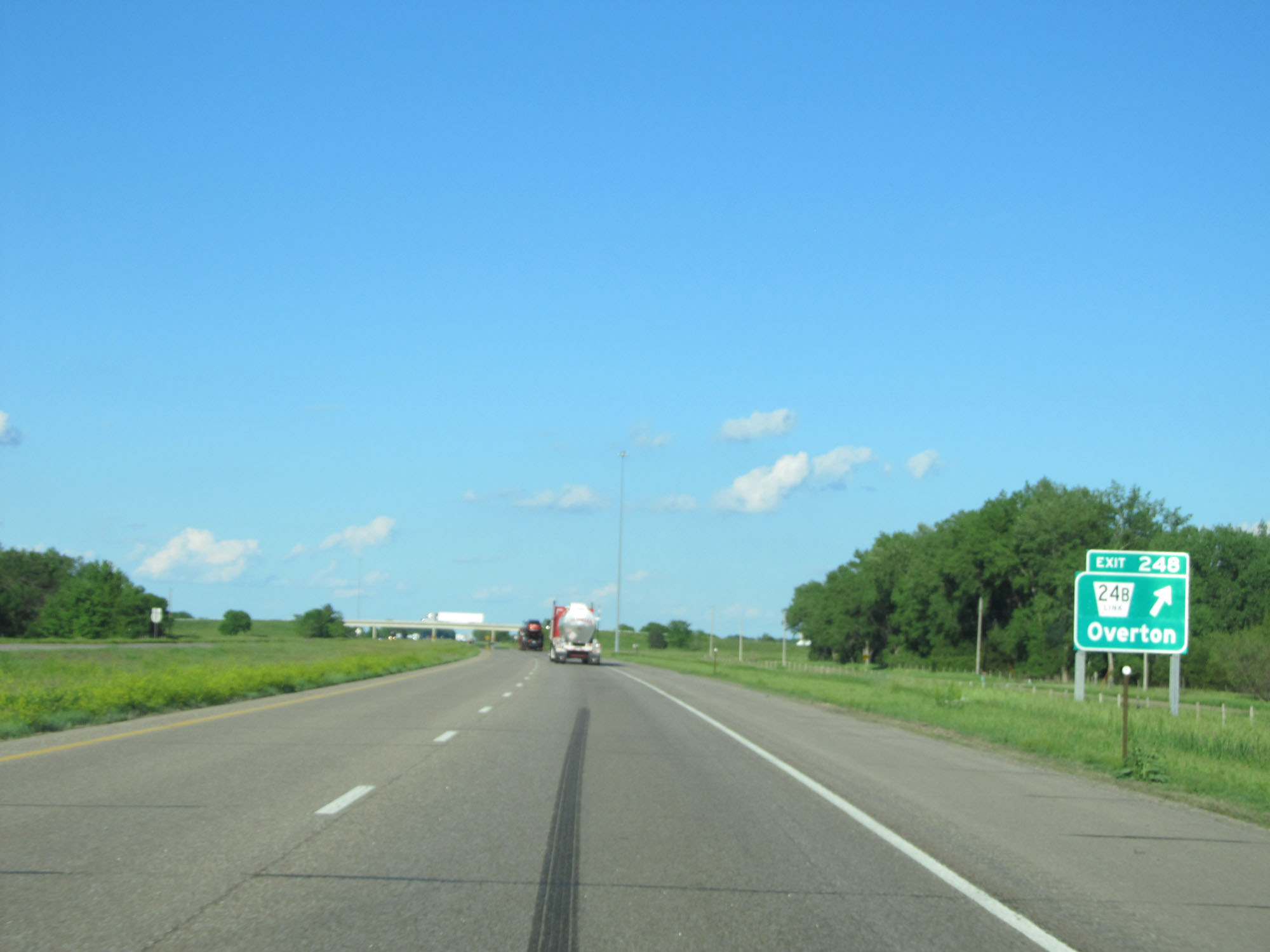 |
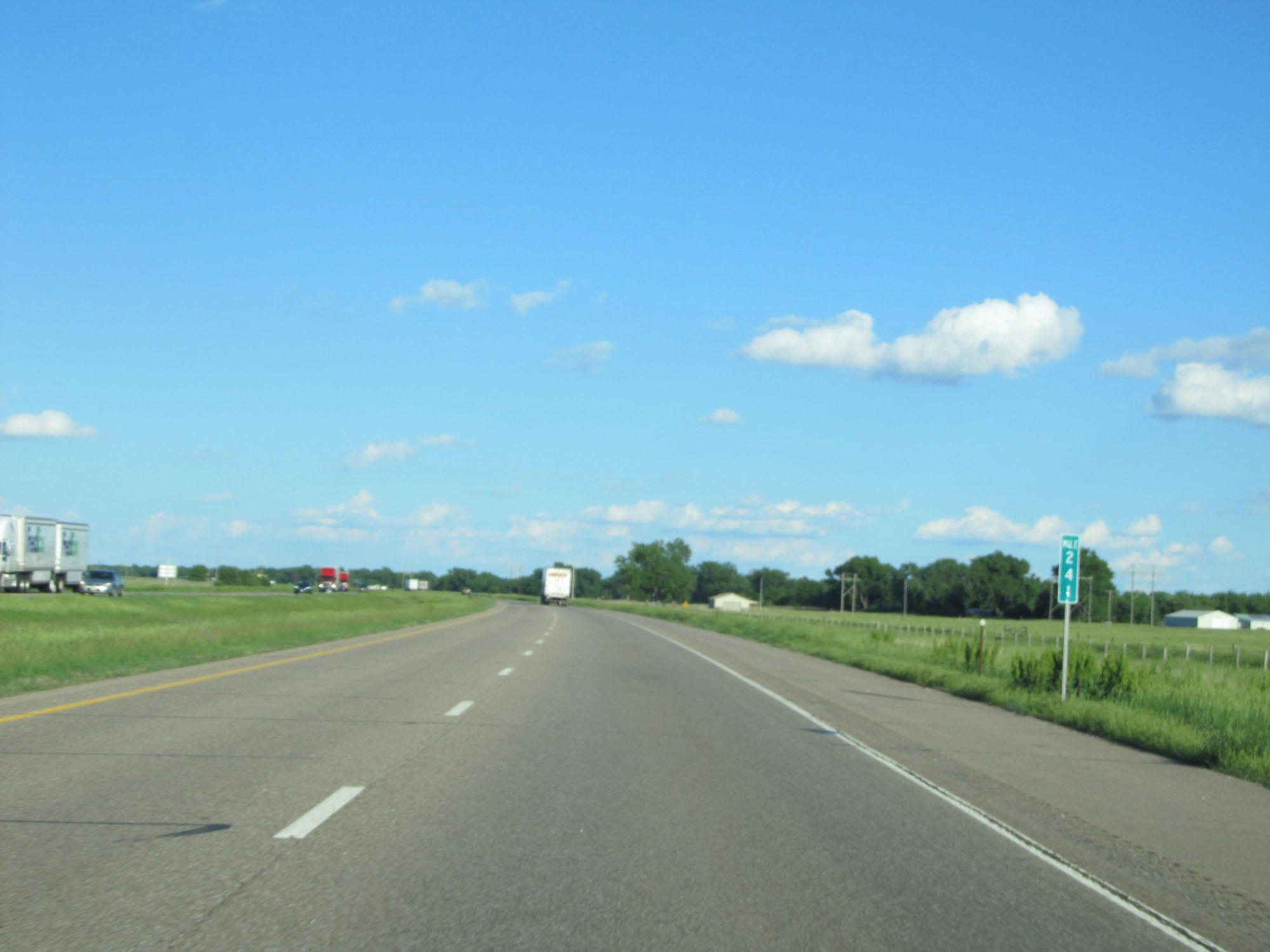
Interstate 80 East at Exit 248: Nebraska Link 24B - Overton (Photo taken 5/28/16). |
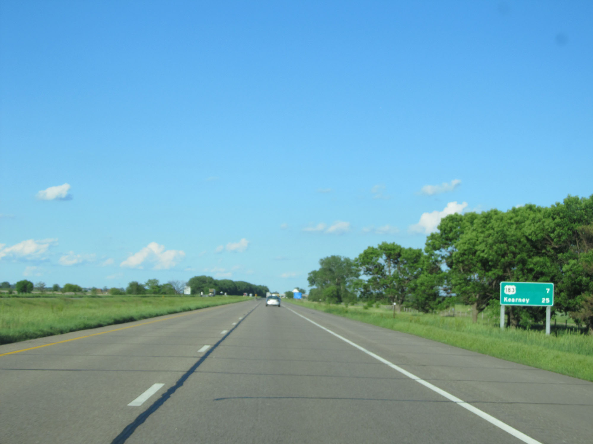 |
Mileage sign on Interstate 80 East. It's 7 miles to the junction of US 183 and 25 miles to Kearney. (Photo taken 5/28/16). |
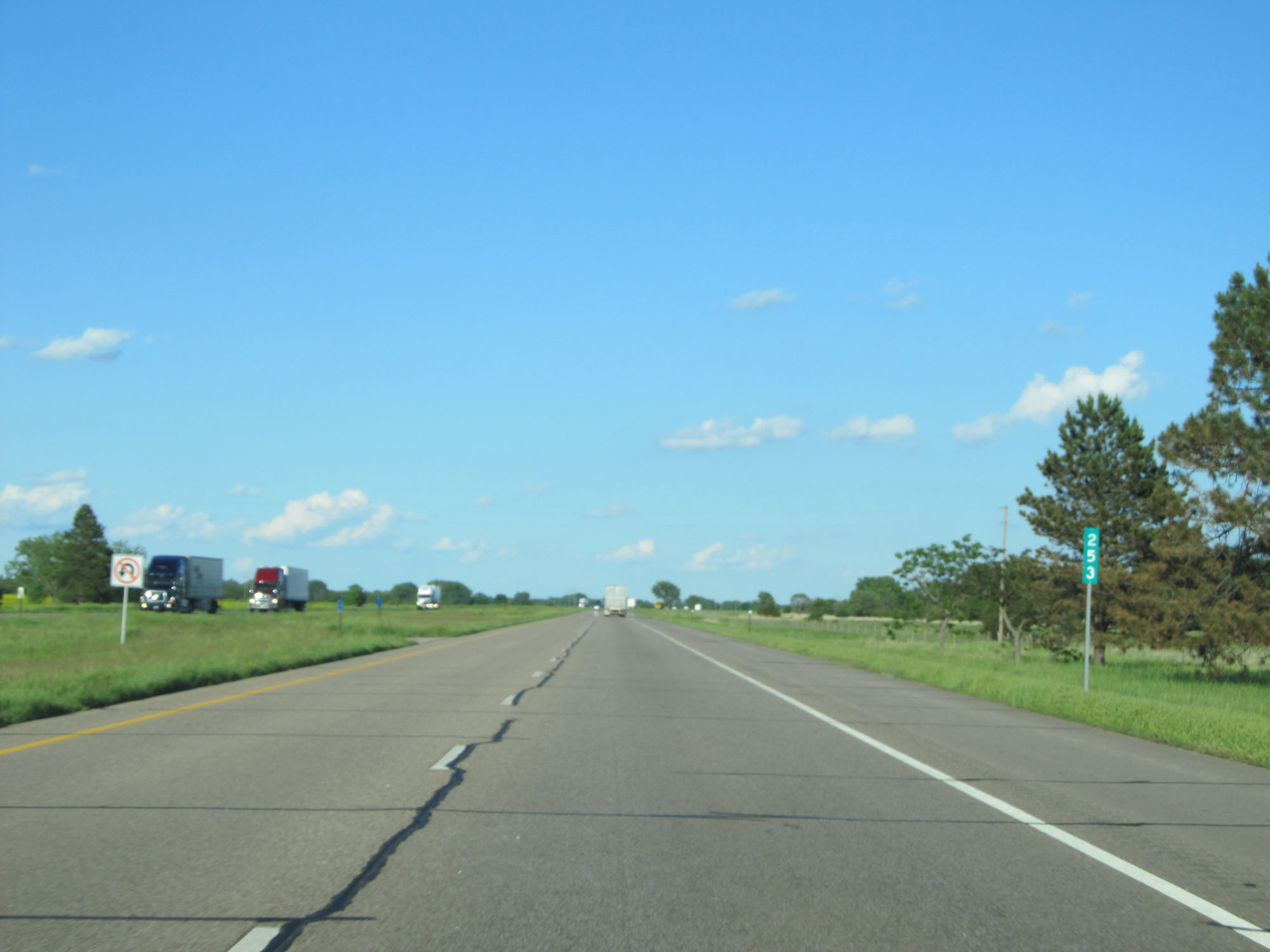 |
Interstate 80 East at mile marker 253. (Photo taken 5/28/16). |
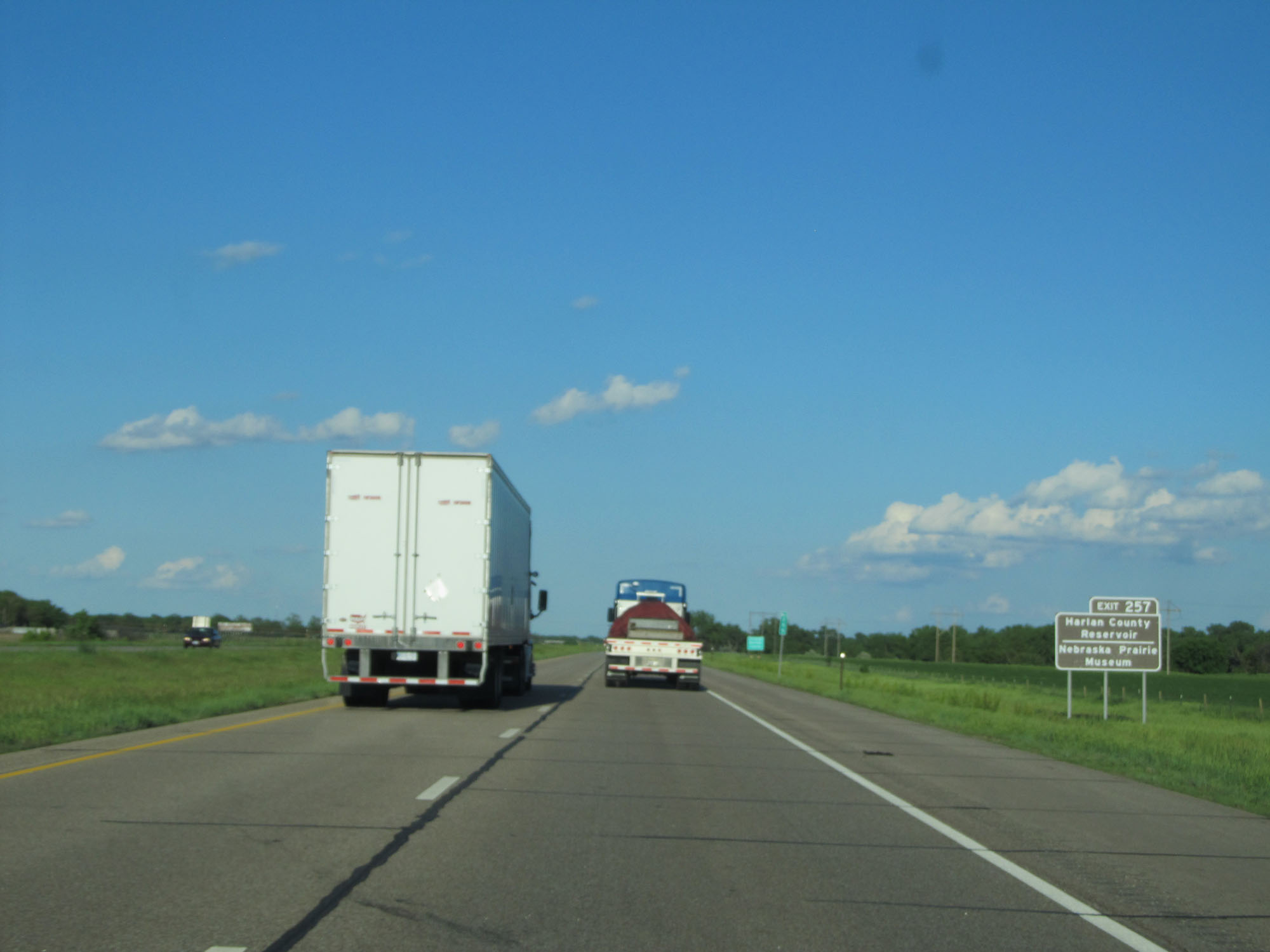 |
Take Exit 257 to Harlan County Reservoir and Nebraska Prairie Museum. (Photo taken 5/28/16). |
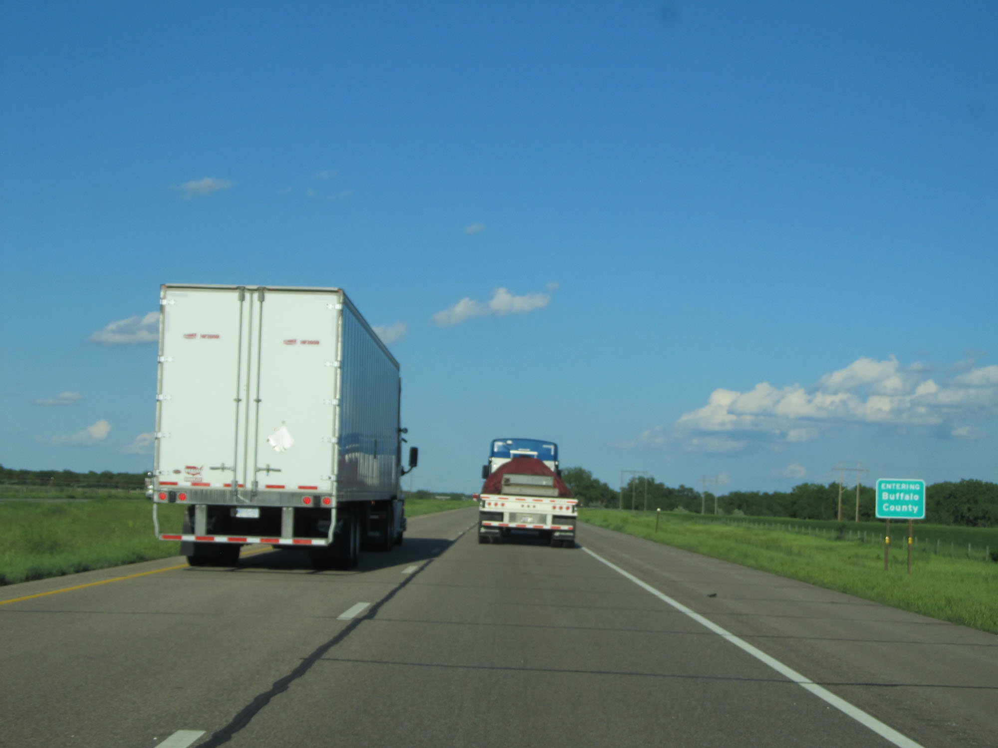 |
Interstate 80 East entering Buffalo County. (Photo taken 5/28/16). |
 |
Interstate 80 East approaching Exit 257 - 1 mile. (Photo taken 5/28/16). |
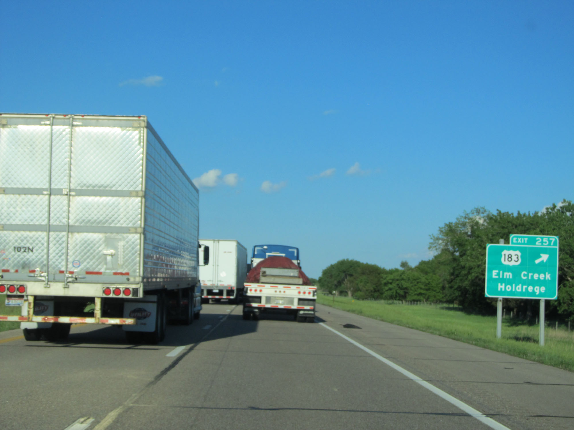 |
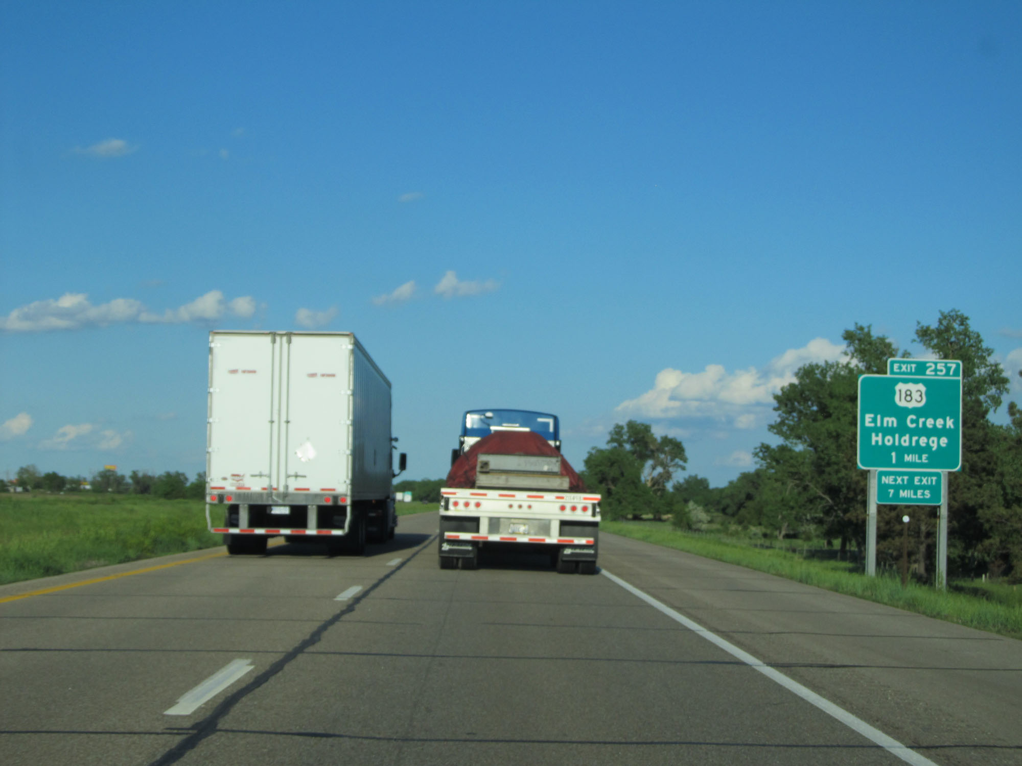
Interstate 80 East at Exit 257: US 182 - Elm Creek / Holdrege (Photo taken 5/28/16). |
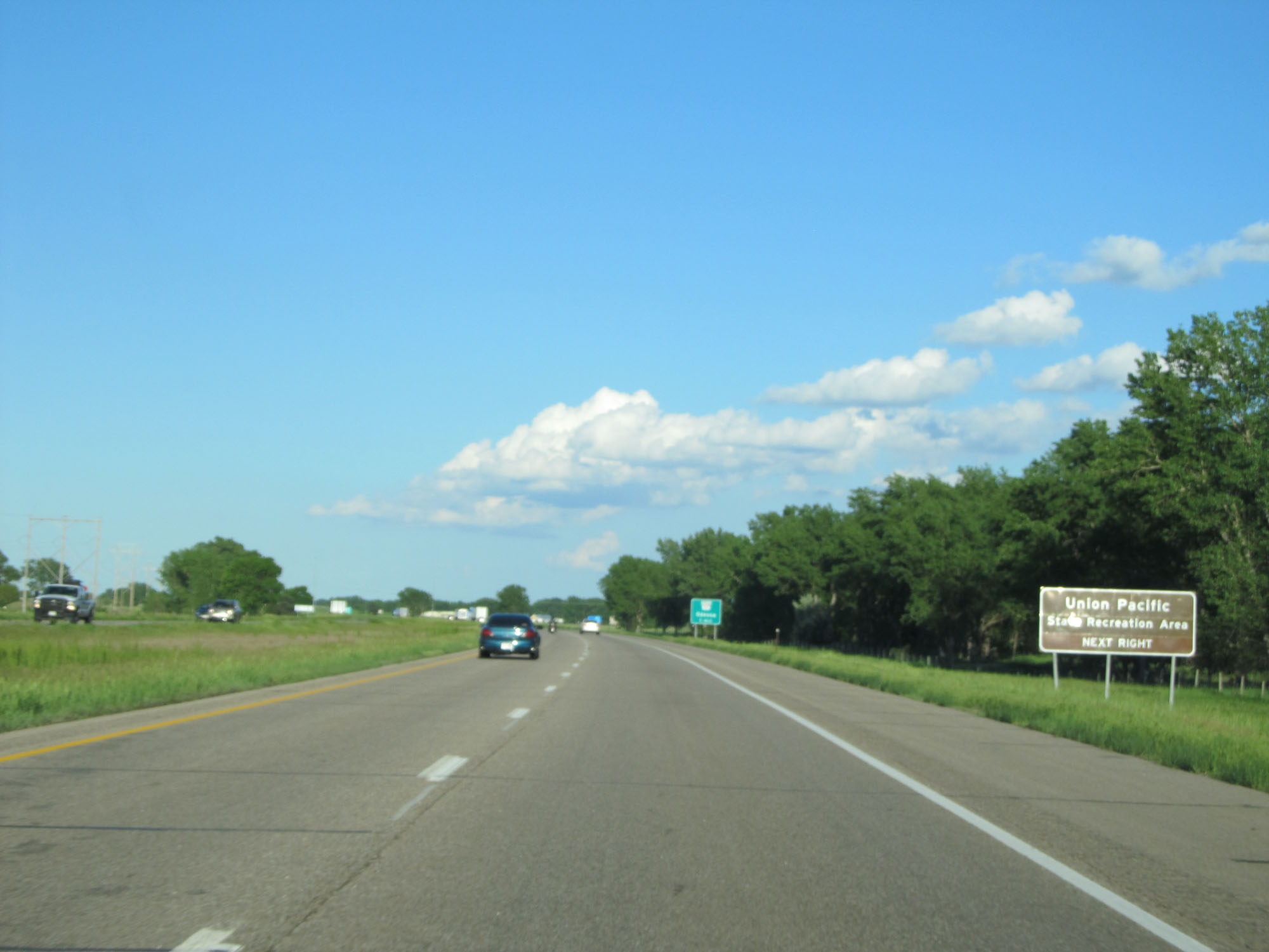 |
Take Exit 263 to Union Pacific State Recreation Area. (Photo taken 5/28/16). |
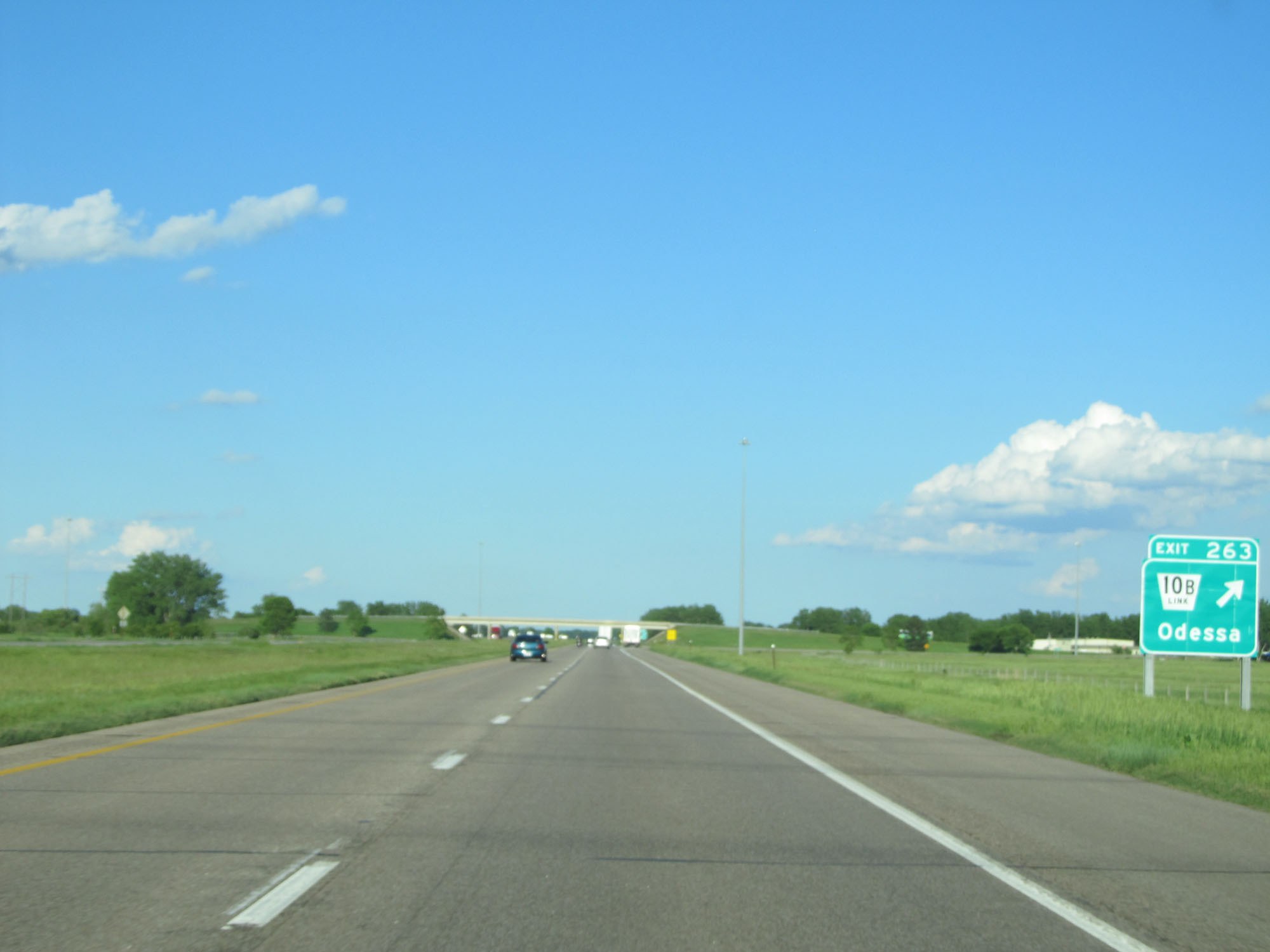 |
Interstate 80 East at Exit 263: Nebraska Link 10B - Odessa (Photo taken 5/28/16). |
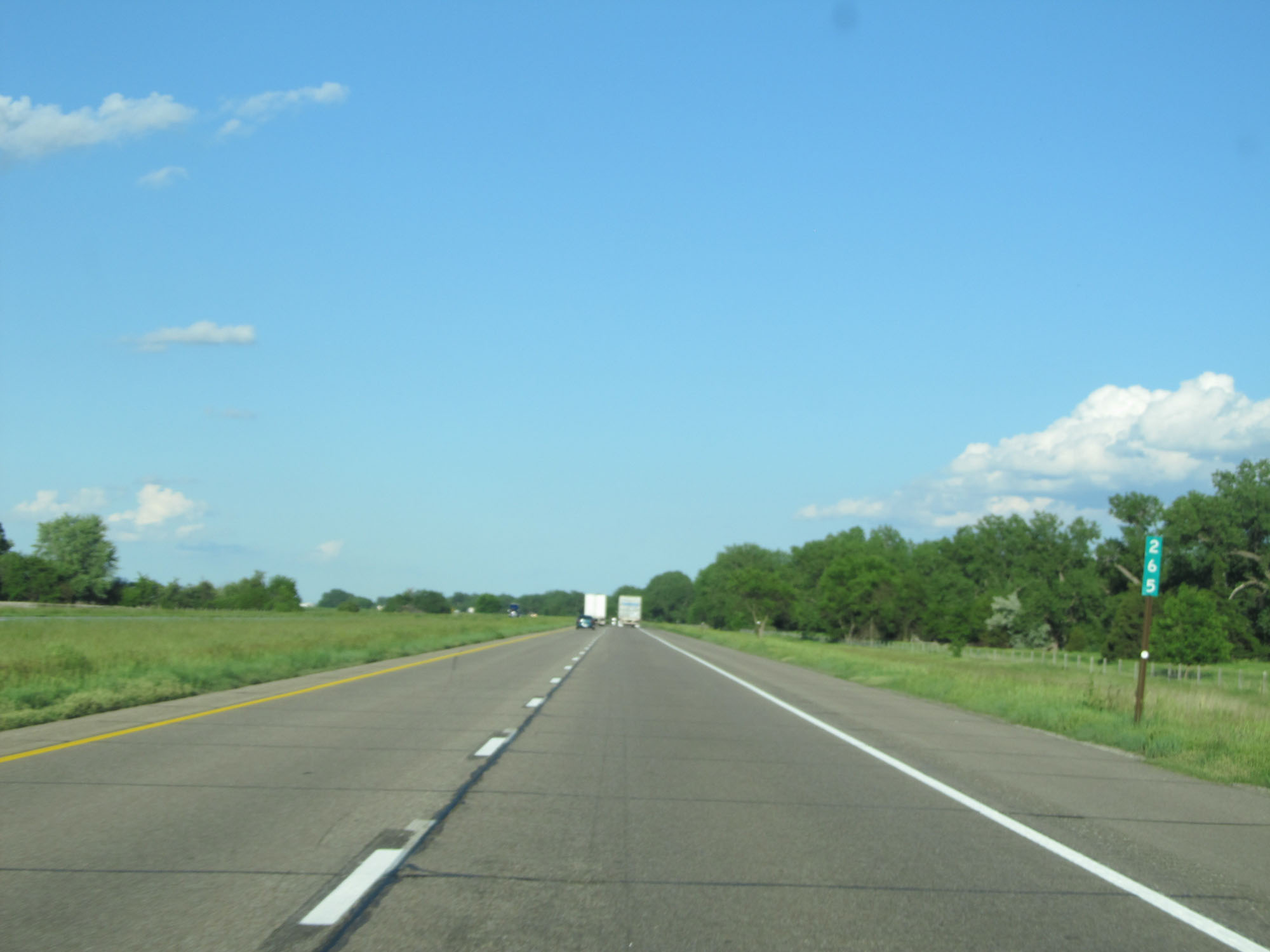 |
Interstate 80 East at mile marker 265. (Photo taken 5/28/16). |
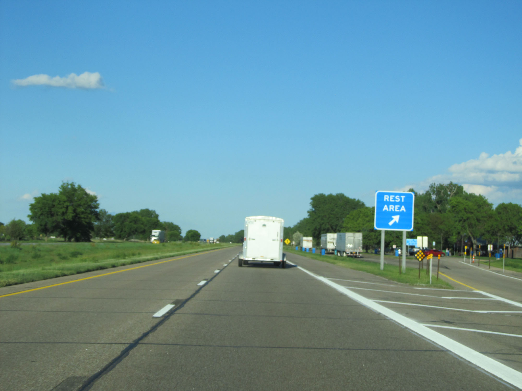 |
Interstate 80 East at the Rest Area in Buffalo County. (Photo taken 5/28/16). |
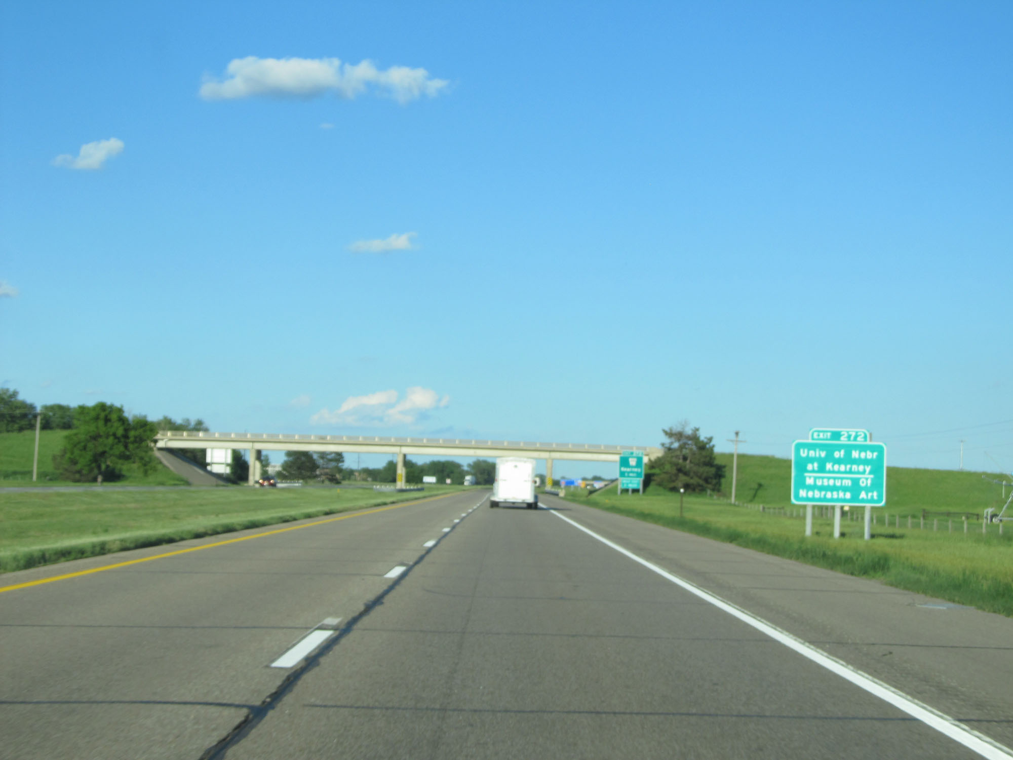 |
Take Exit 272 to the University of Nebraska at Kearney and the Museum of Nebraska Art. (Photo taken 5/28/16). |
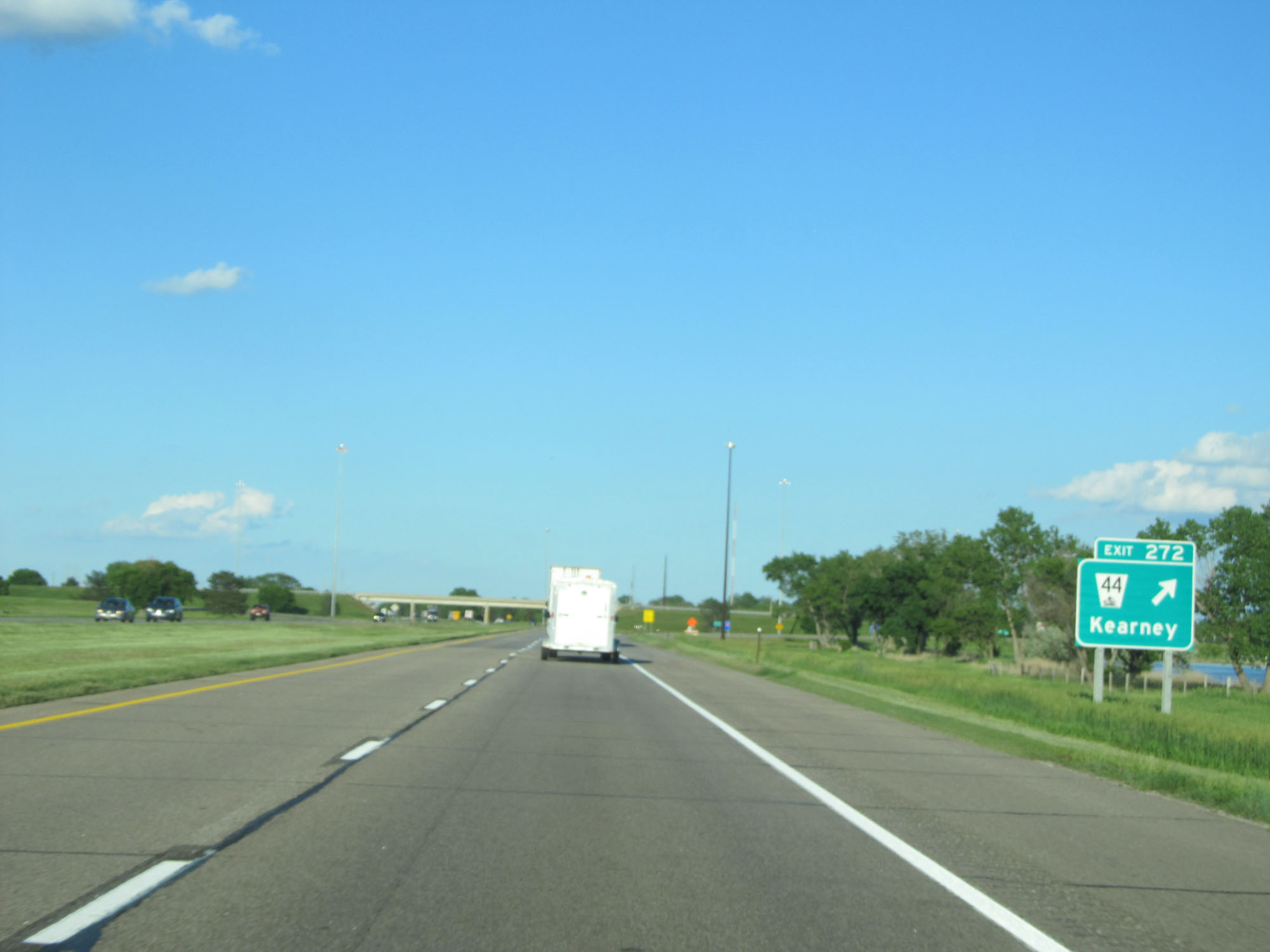 |
Interstate 80 East at Exit 272: NE 44 - Kearney (Photo taken 5/28/16). |
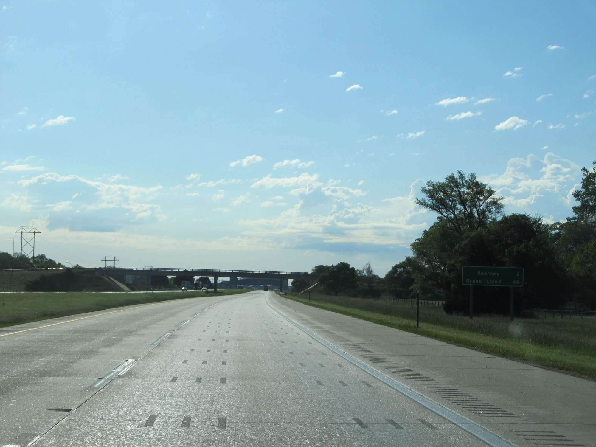 |
Mileage sign on Interstate 80 East. It's 2 miles to Kearney and 47 miles to Grand Island. (Photo taken 5/29/16). |
 |
Interstate 80 East at mile marker 274. (Photo taken 5/29/16). |
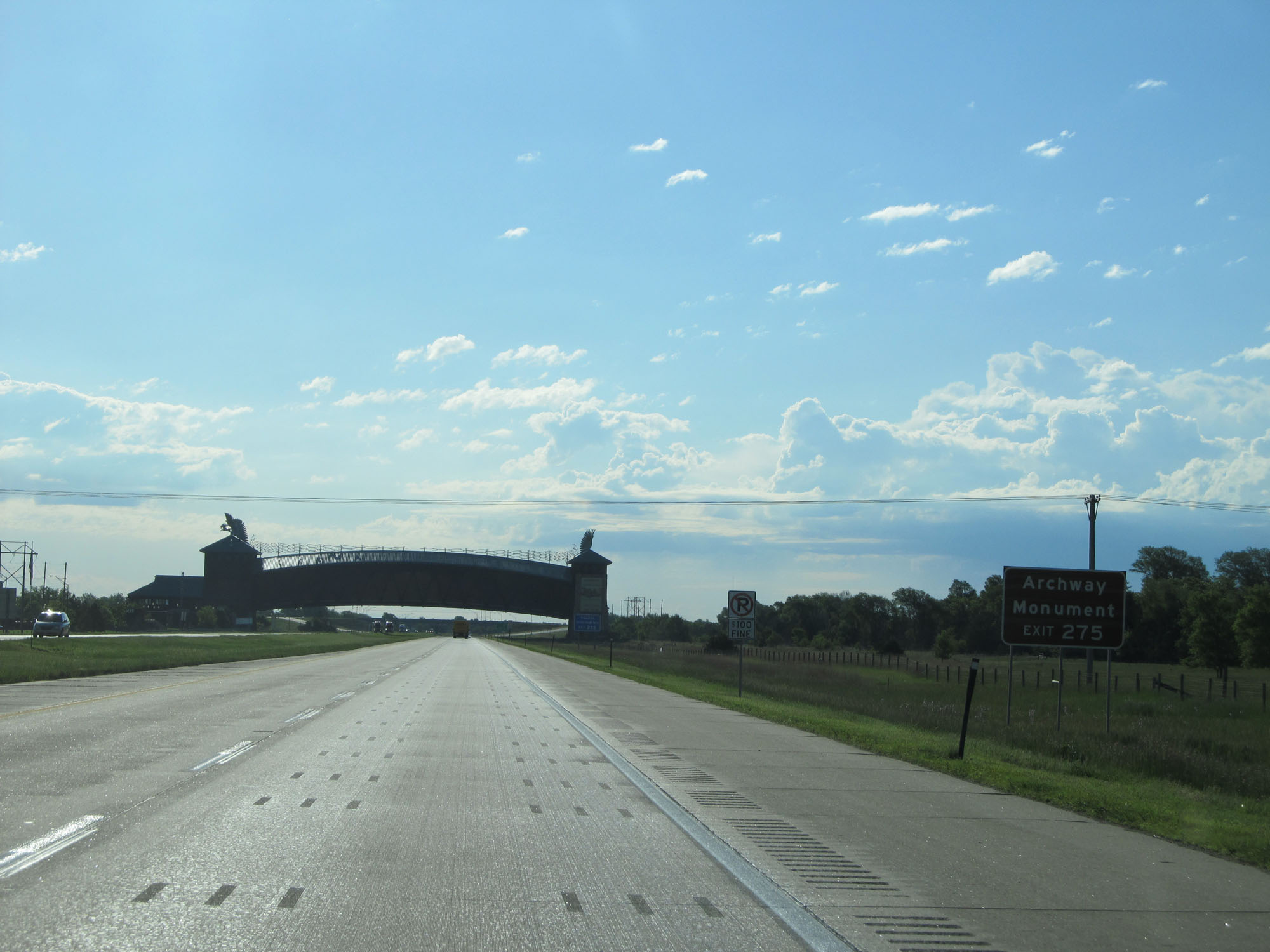 |
Take Exit 275 to the Archway Monument. (Photo taken 5/29/16). |
 |
Take Exit 275 to Tourist Information as well. Also noteworthy approaching the Archway Monument ahead is the No Parking signs on the shoulder. (Photo taken 5/29/16). |
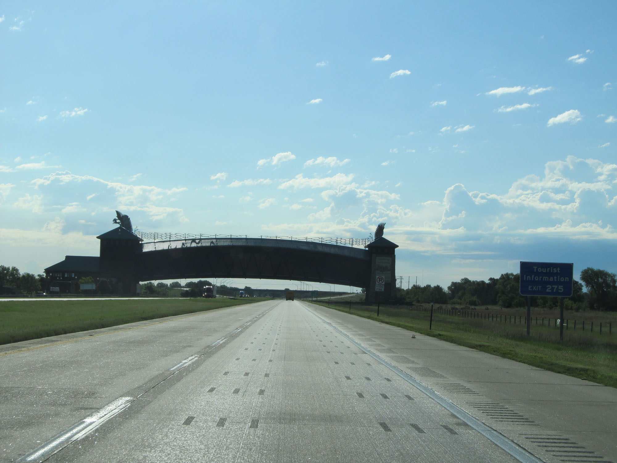
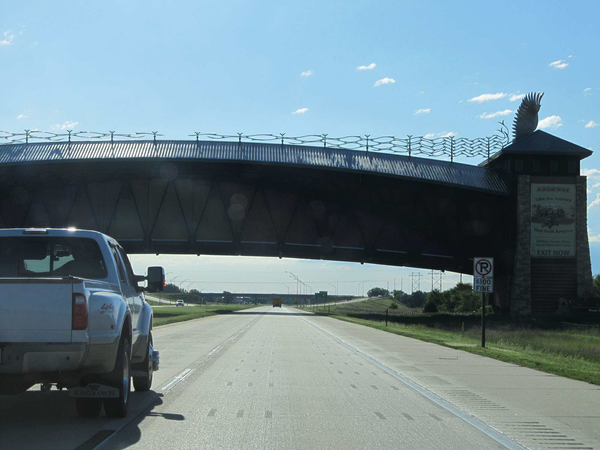 |
Interstate 80 East as it passes under the Archway Monument in Kearney. You will be fined $100 for parking on the shoulder here to snap some photos. (Photo taken 5/29/16). |
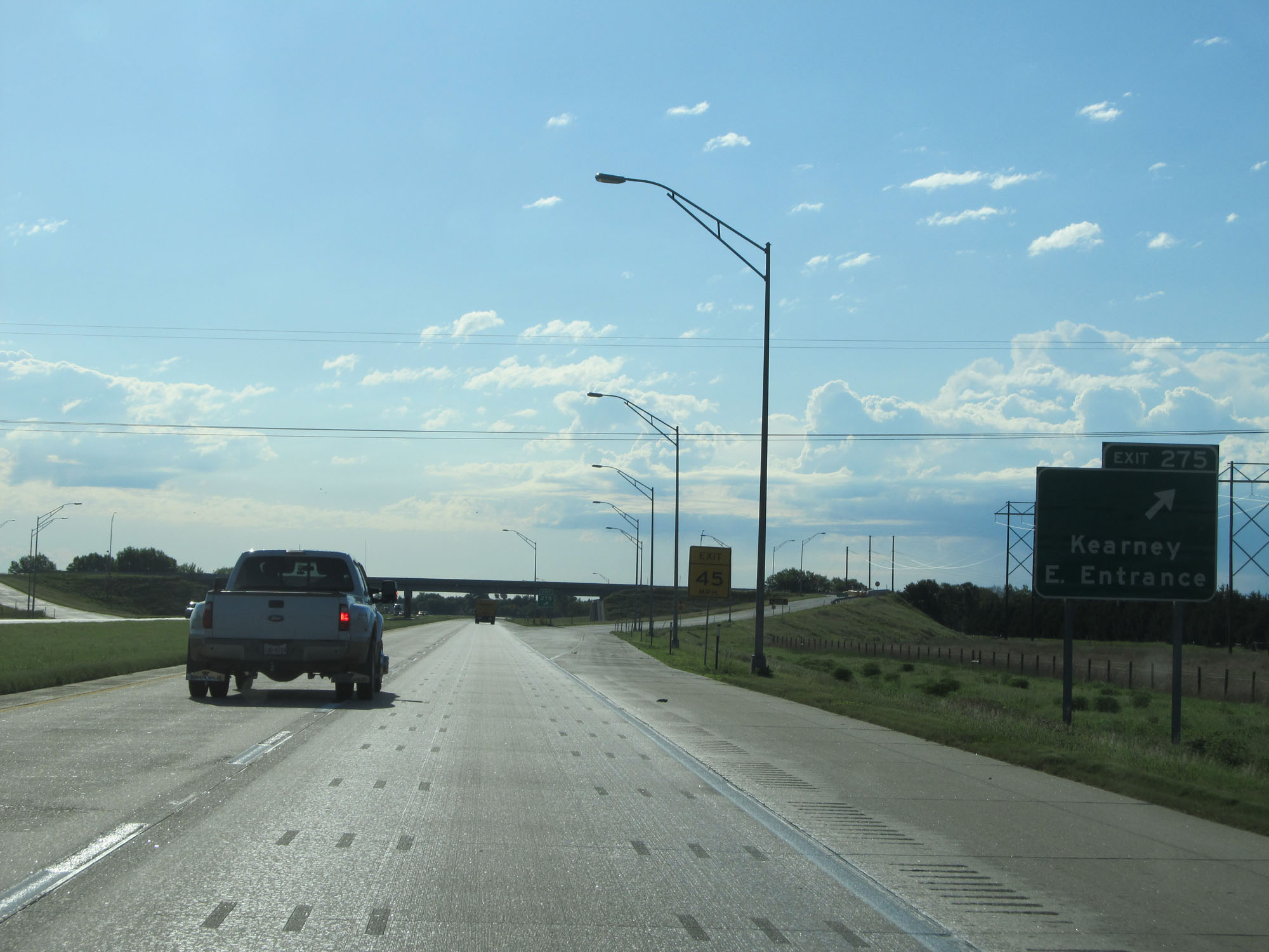 |
Interstate 80 East at Exit 275: Kearney East Entrance (Photo taken 5/29/16). |
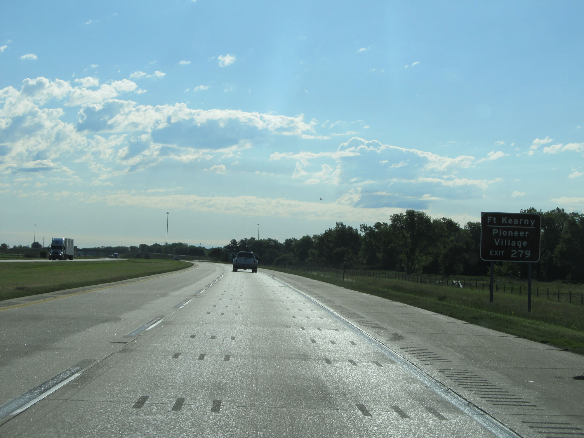 |
Take Exit 279 to Fort Kearney and Pioneer Village. (Photo taken 5/29/16). |
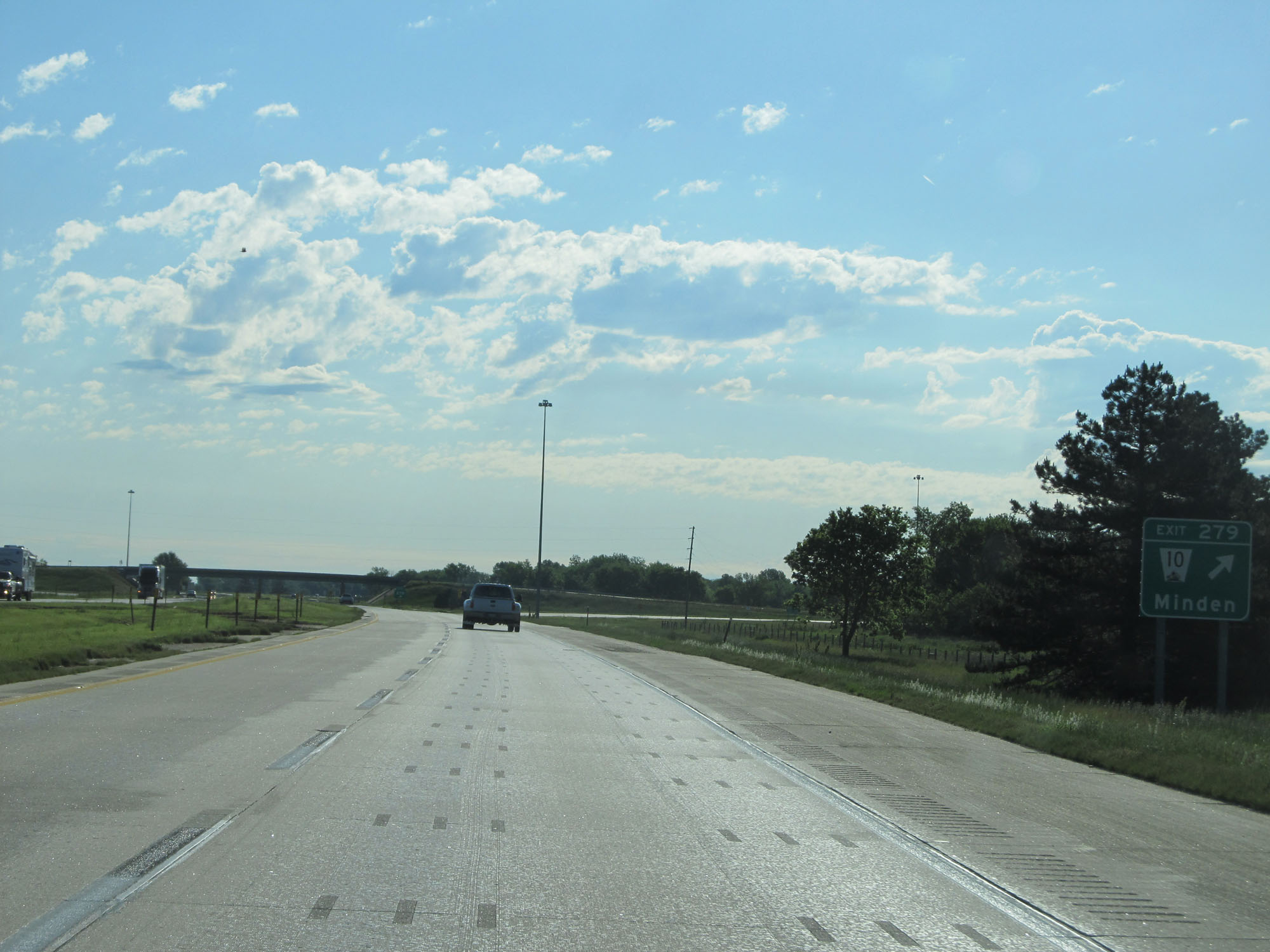 |
Interstate 80 East at Exit 279: NE 10 - Minden (Photo taken 5/29/16). |
 |
Mileage sign on Interstate 80 East. It's 5 miles to Gibbon and 39 miles to Grand Island. (Photo taken 5/29/16). |
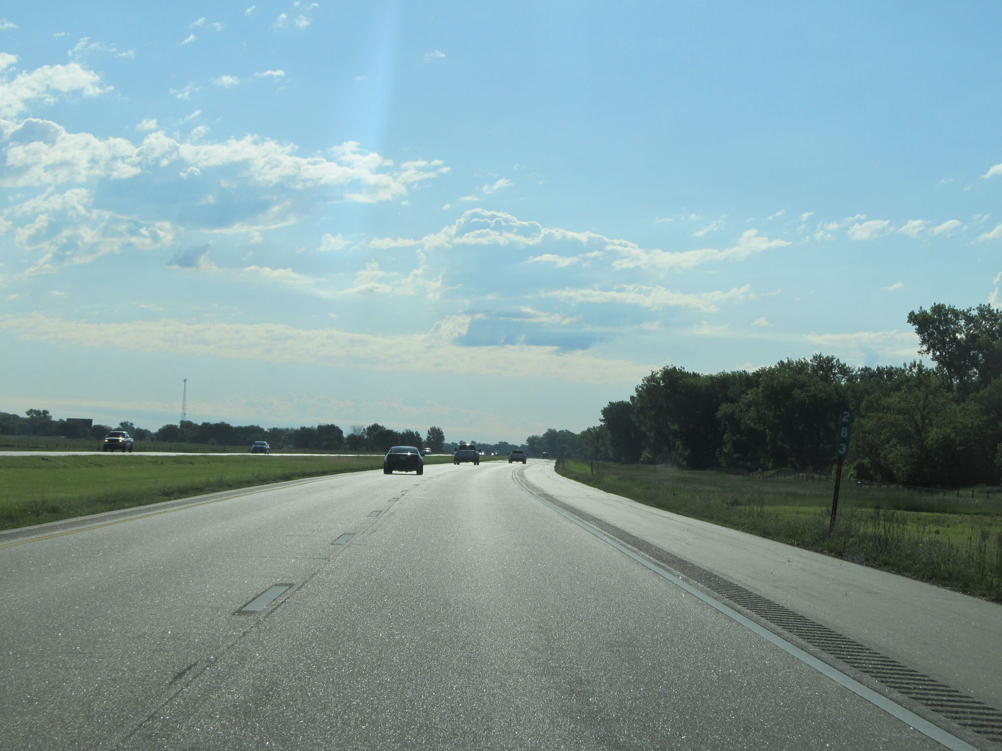 |
Interstate 80 East at mile marker 283. (Photo taken 5/29/16). |
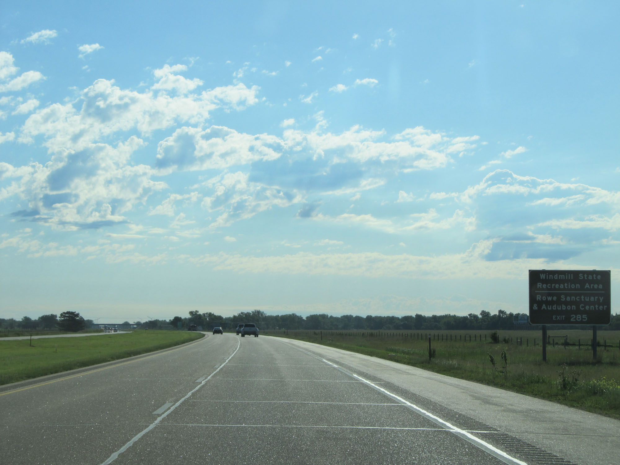 |
Take Exit 285 to Windmill State Recreation Area and Rowe Sanctuary & Audubon Center. (Photo taken 5/29/16). |
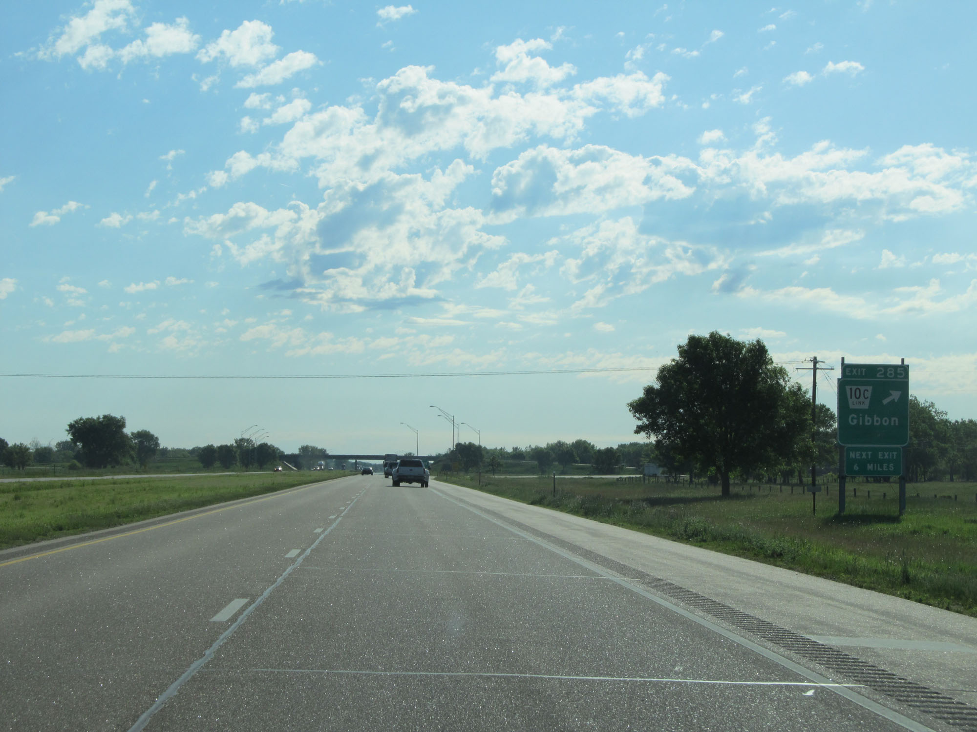 |
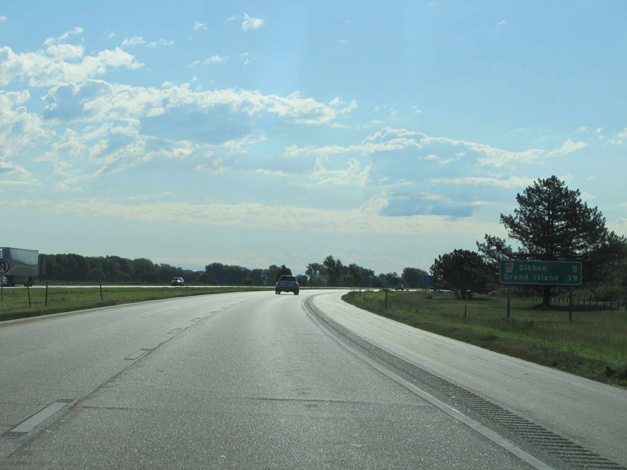
Interstate 80 East at Exit 285: Nebraska Link 10C - Gibbon (Photo taken 5/29/16). |
 |
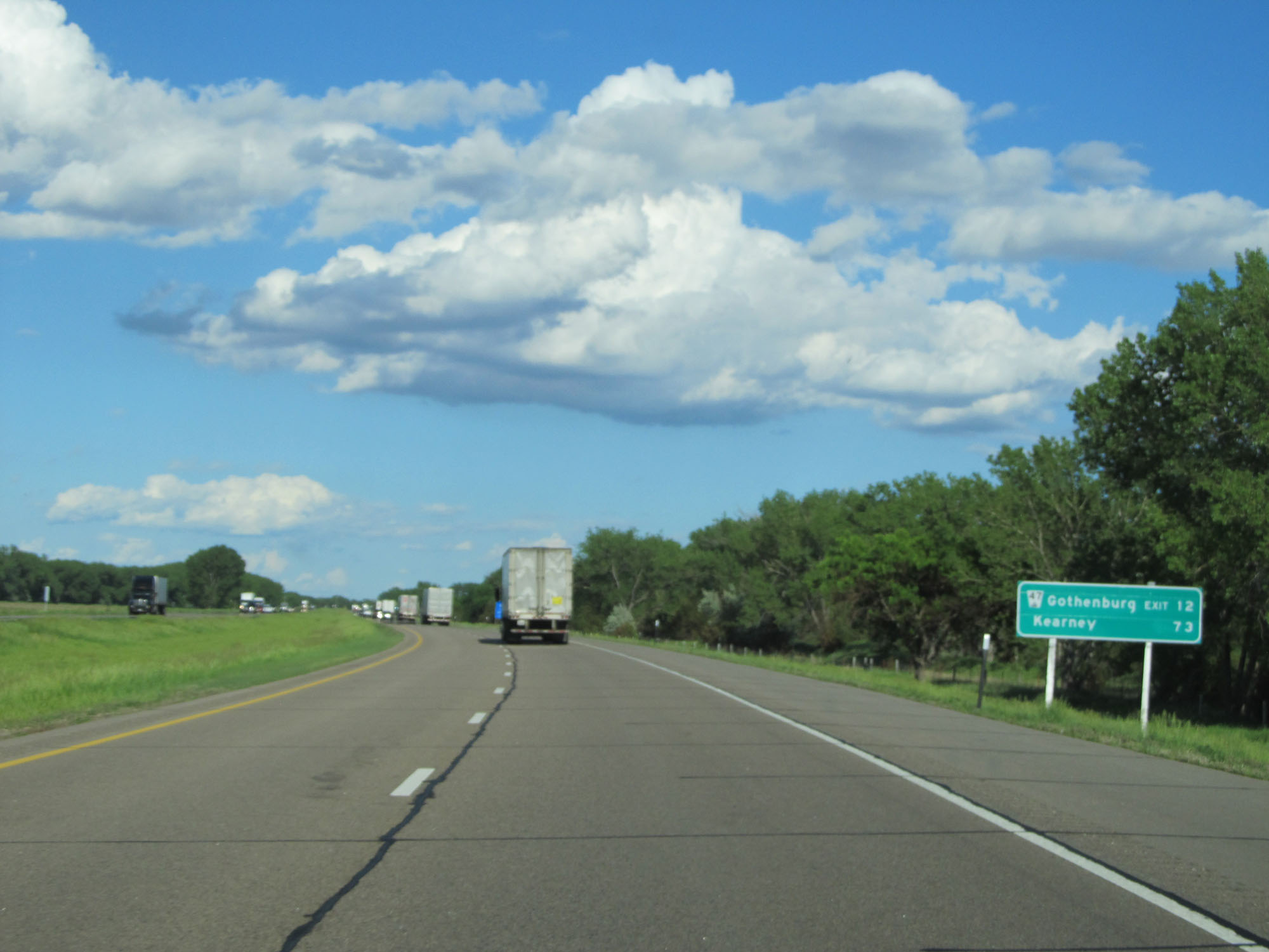
Interstate 80 East at Exit 291: Nebraska Link 10D - Shelton / Kenesaw (Photo taken 5/29/16). |
 |
Interstate 80 East reassurance shield. (Photo taken 5/29/16). |
 |
The speed limits remain 75 mph maximum and 40 mph minimum. (Photo taken 5/29/16). |
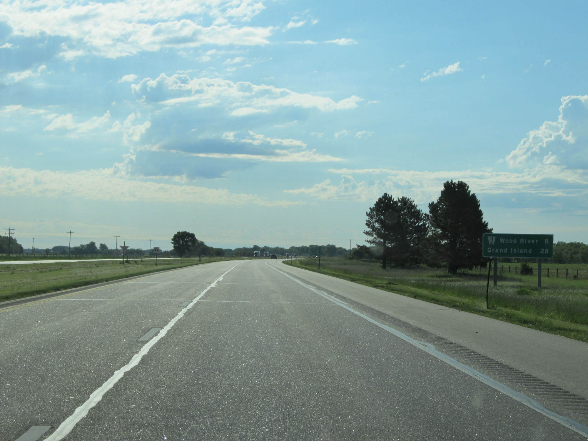 |
Mileage sign on Interstate 80 East. It's 8 miles to Wood River and 28 miles to Grand Island. (Photo taken 5/29/16). |
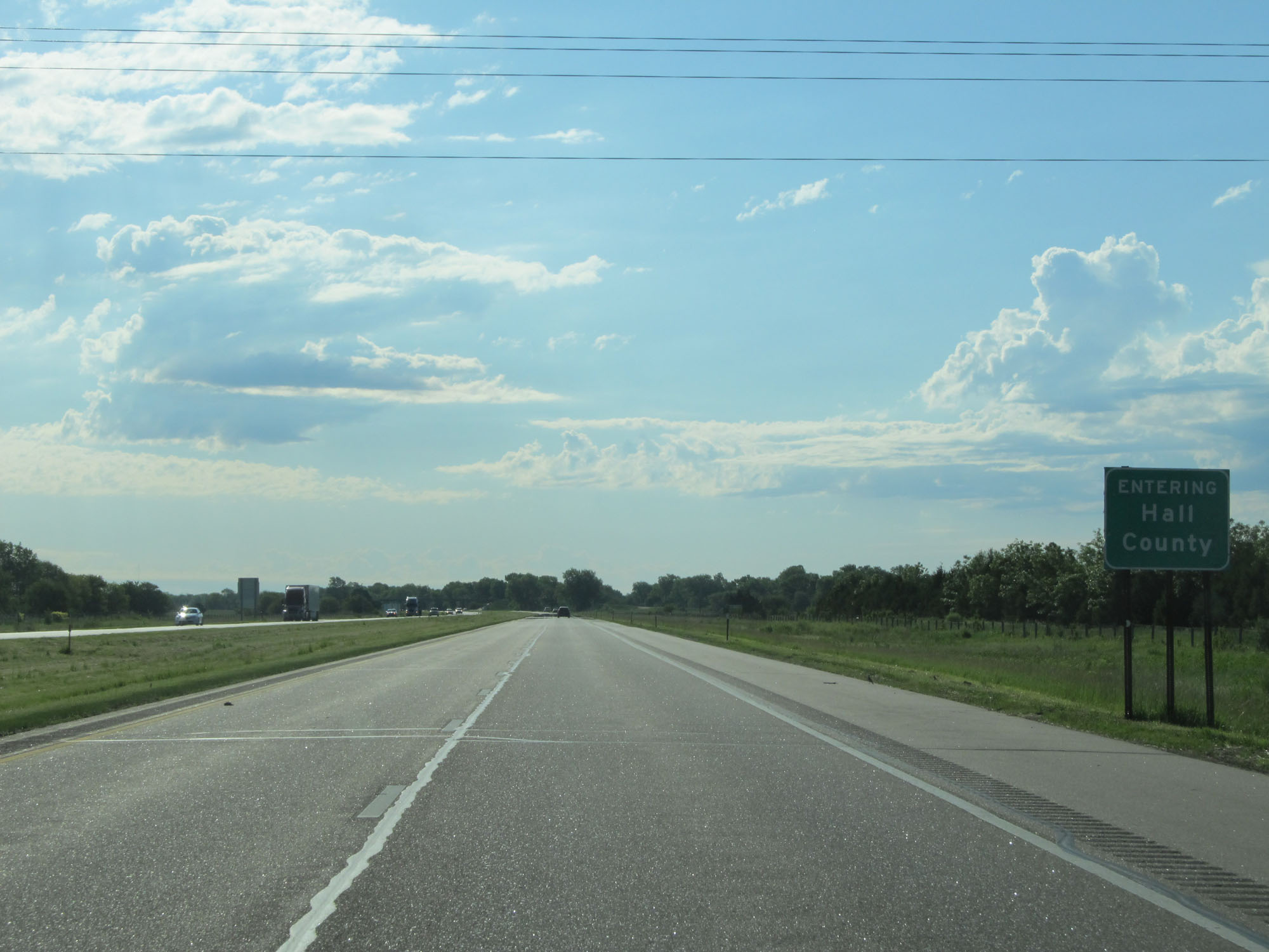 |
Interstate 80 East entering Hall County. (Photo taken 5/29/16). |
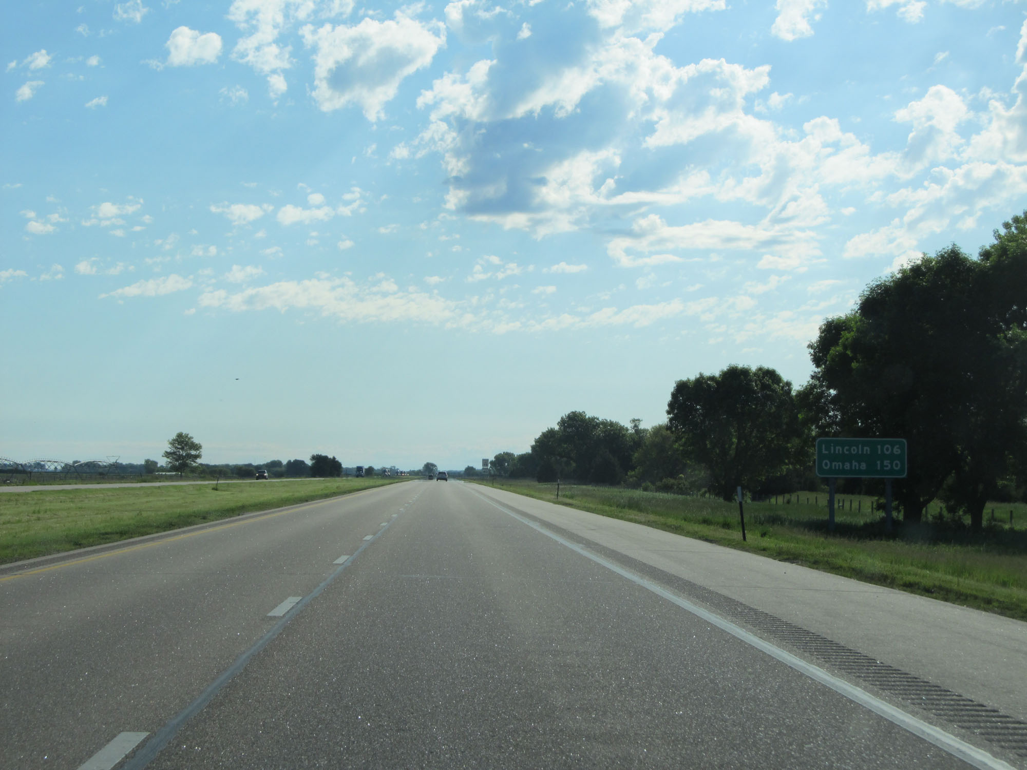 |
Mileage sign on Interstate 80 East. It's 106 miles to Lincoln and 150 miles to Omaha. (Photo taken 5/29/16). |
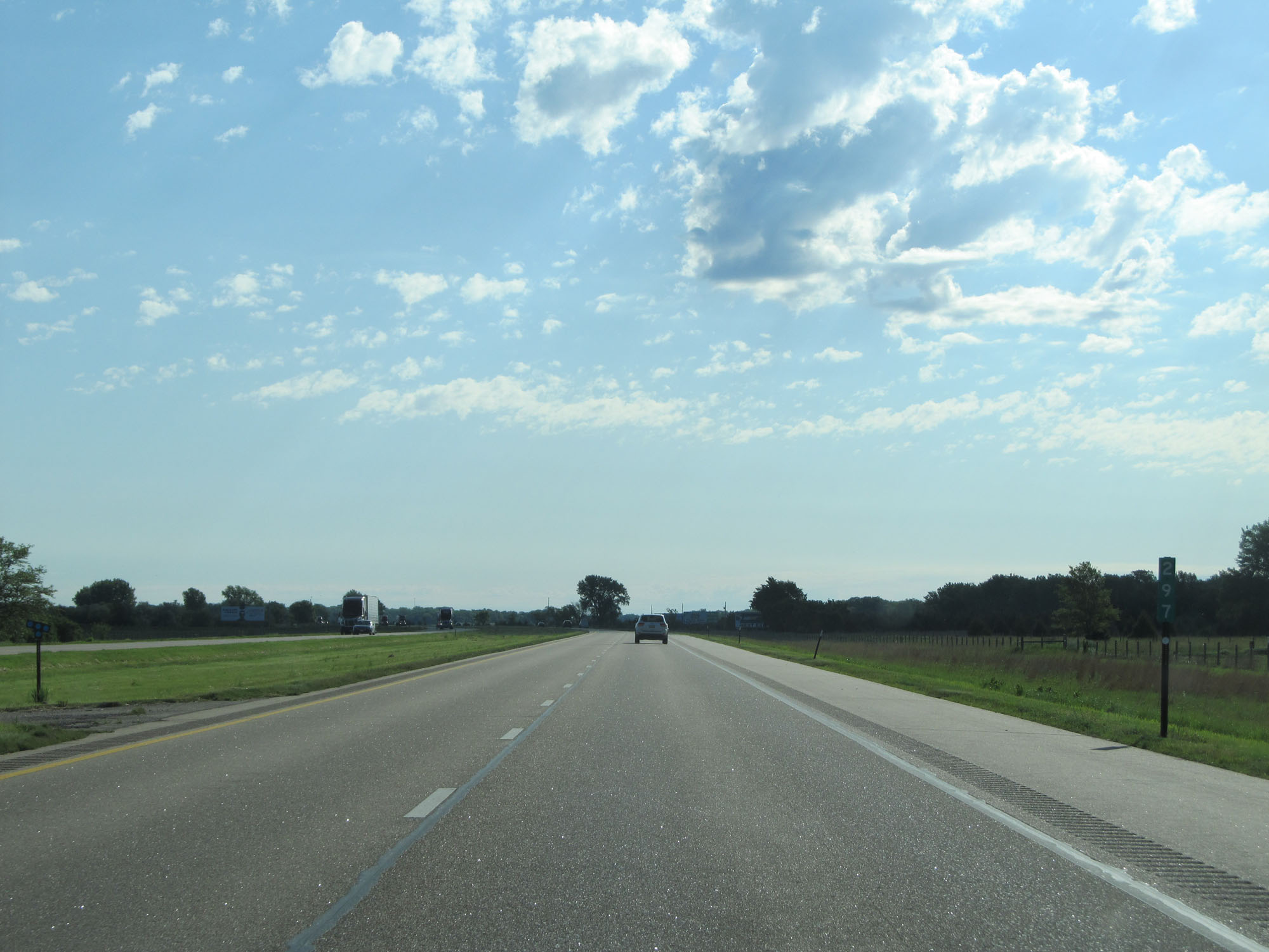 |
Interstate 80 East at mile marker 297. (Photo taken 5/29/16). |
 |
Take Exit 300 to Cheyenne State Recreation Area. (Photo taken 5/29/16). |
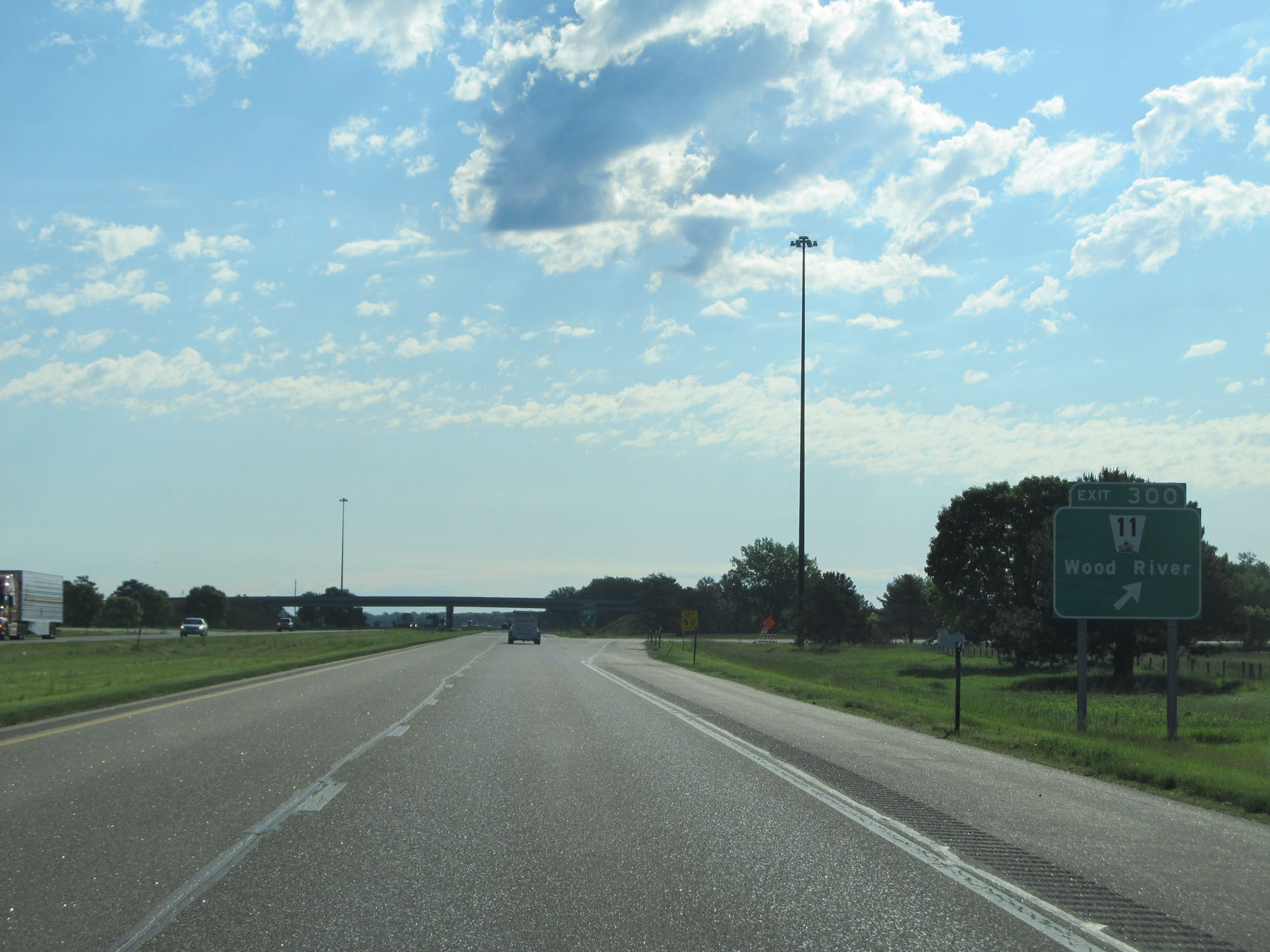 |
Interstate 80 East at Exit 300: NE 11 - Wood River (Photo taken 5/29/16). |
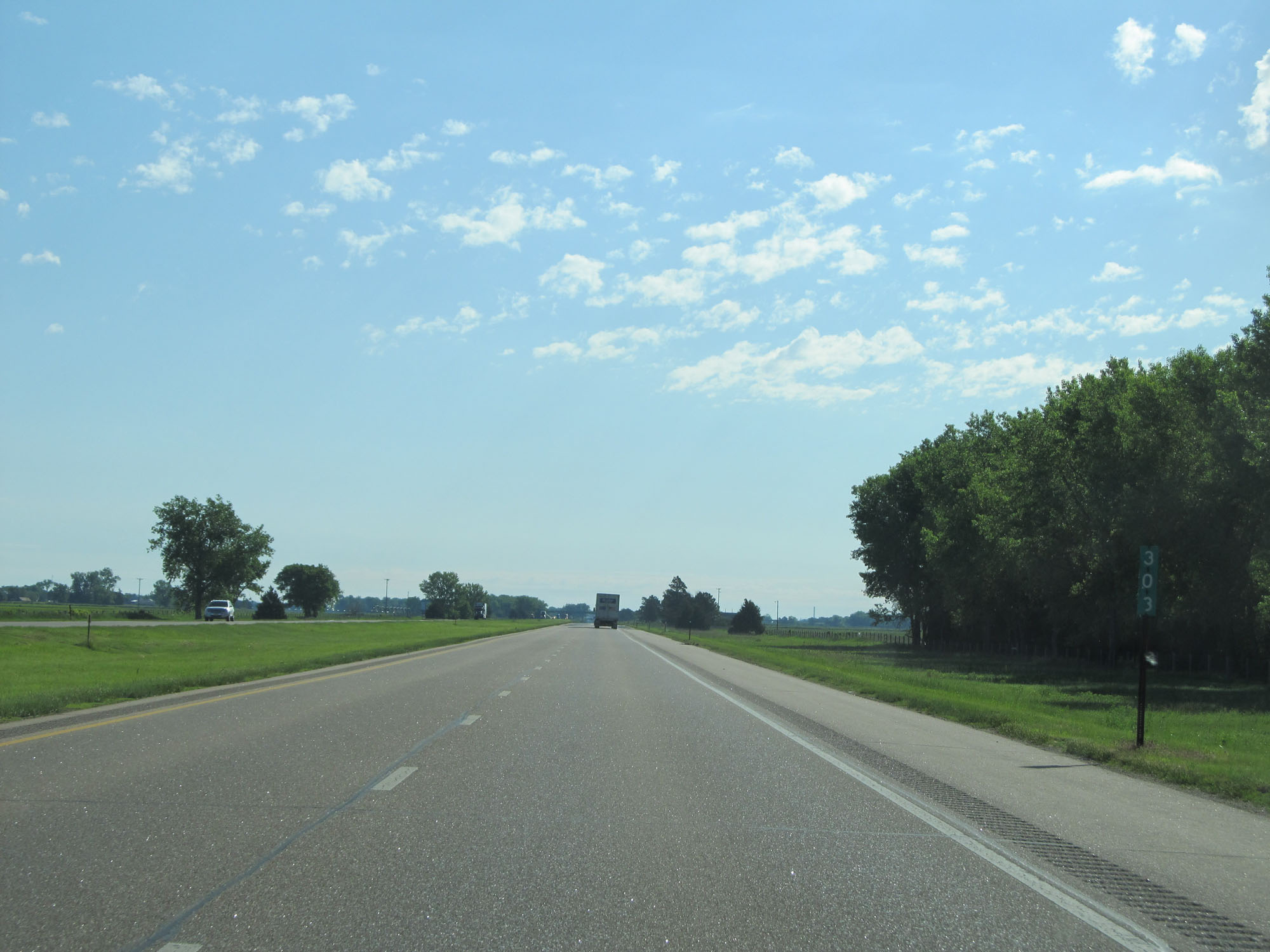 |
Interstate 80 East at mile marker 303. (Photo taken 5/29/16). |
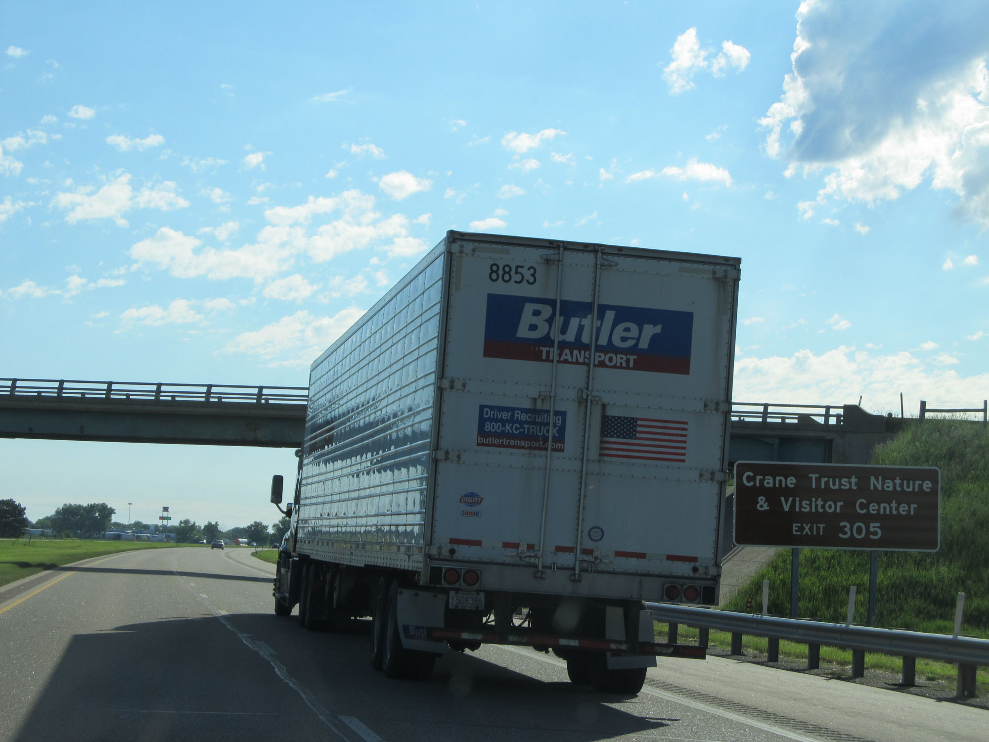 |
Take Exit 305 to Crane Trust Nature & Visitor Center. (Photo taken 5/29/16). |
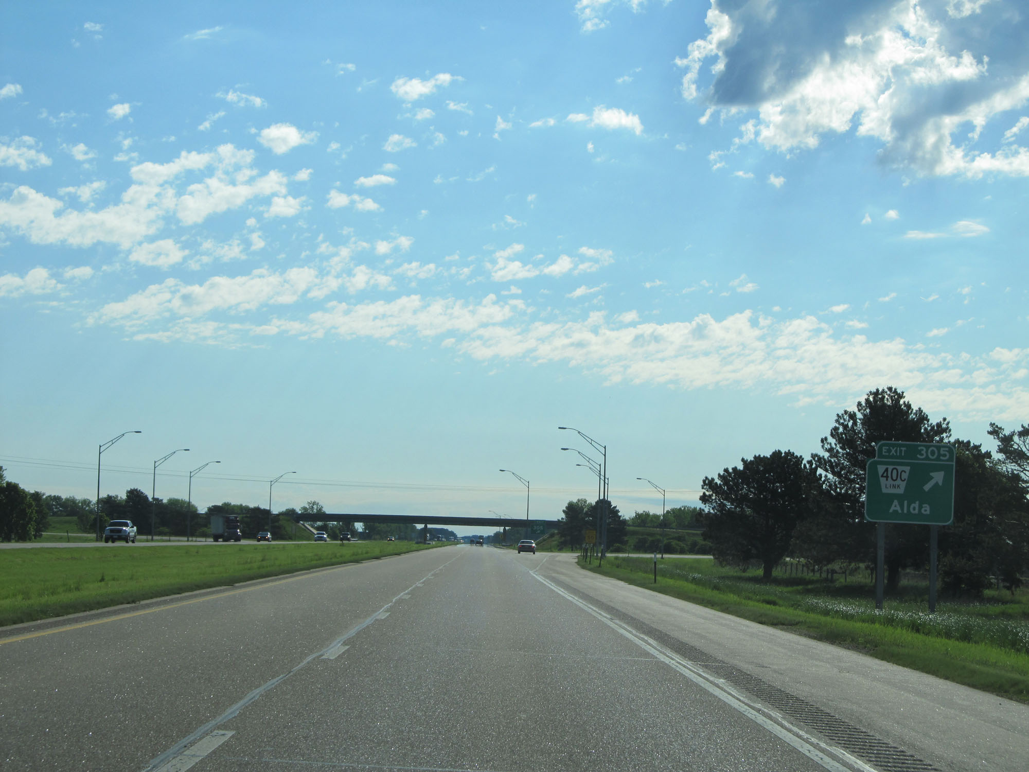 |
Interstate 80 East at Exit 305: Nebraska Link 40C - Alda (Photo taken 5/29/16). |
 |
Sign listing the distances to the two upcoming exits to Grand Island. (Photo taken 5/29/16). |
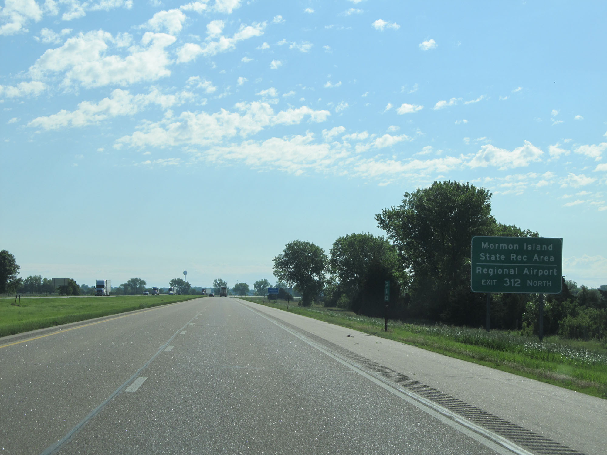 |
Take Exit 312 to Mormon Island State Recreation Area and the Regional Airport. (Photo taken 5/29/16). |
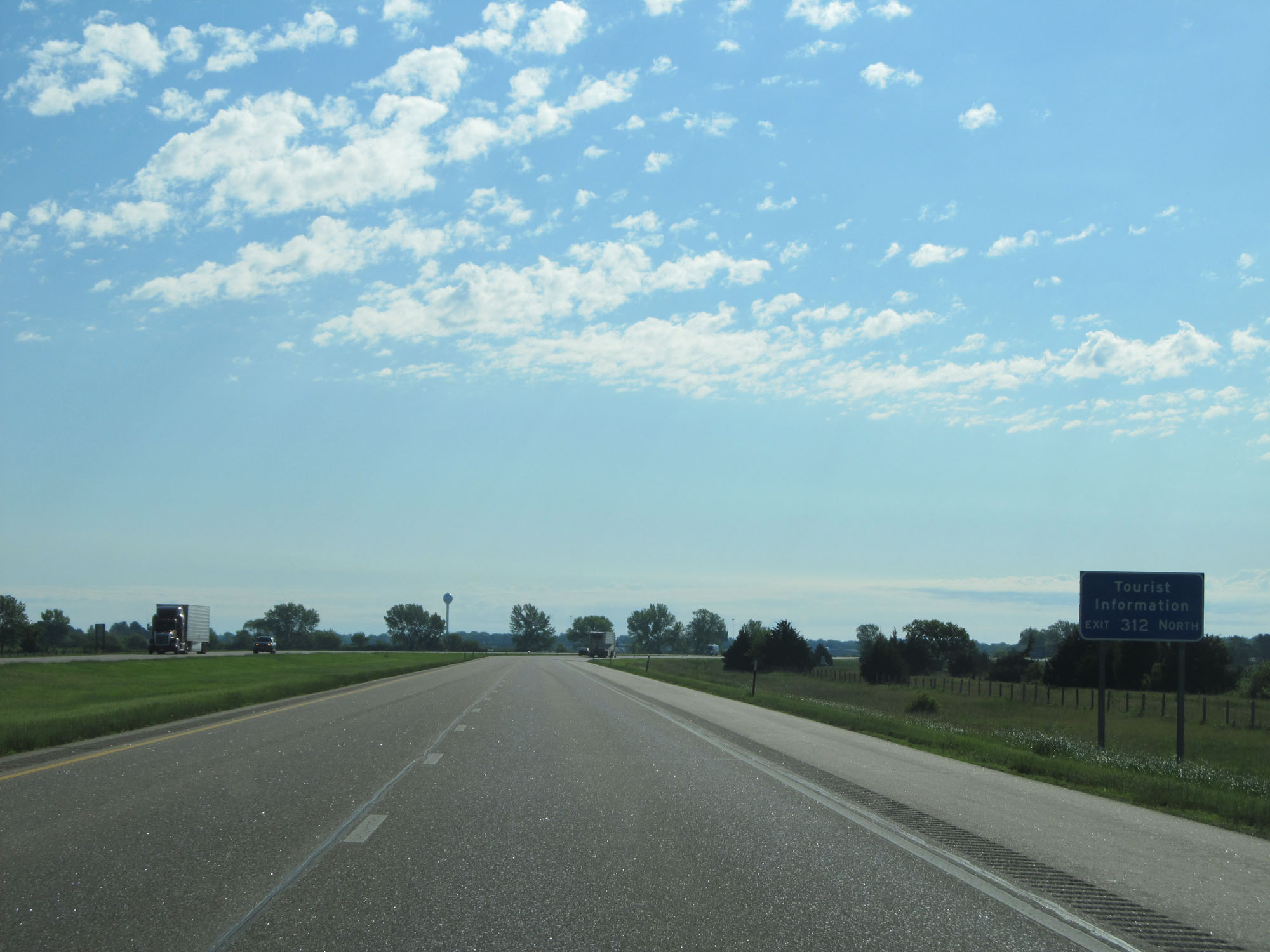 |
Tourist Information is also available at Exit 312. (Photo taken 5/29/16). |
 |
Interstate 80 East approaching Exit 312 - 1 mile. (Photo taken 5/29/16). |
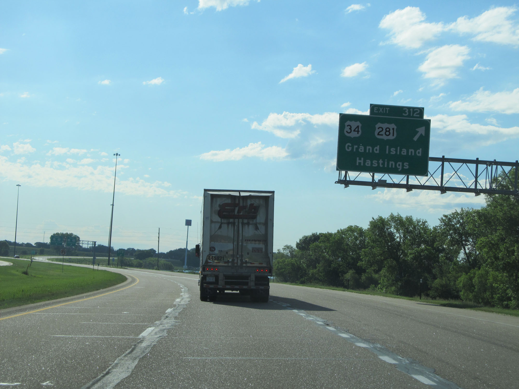 |
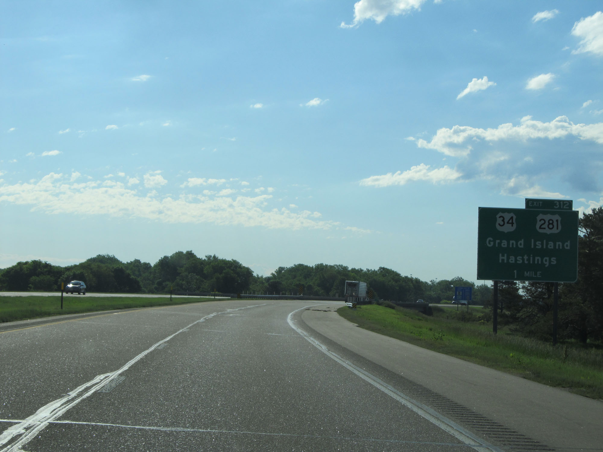
Interstate 80 East at Exit 312: US 34 / US 281 - Grand Island / Hastings (Photo taken 5/29/16). |
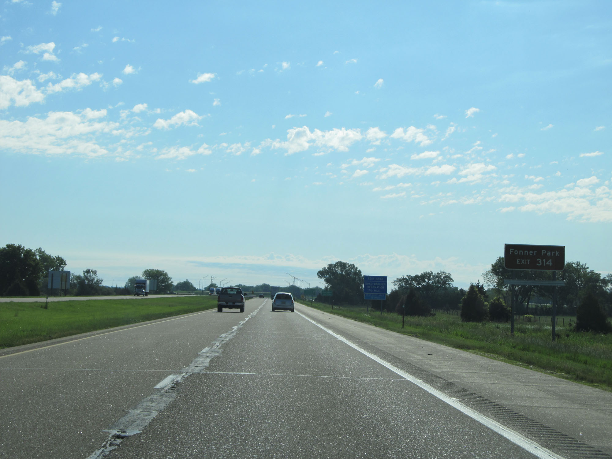 |
Take Exit 314 to Fonner Park. (Photo taken 5/29/16). |
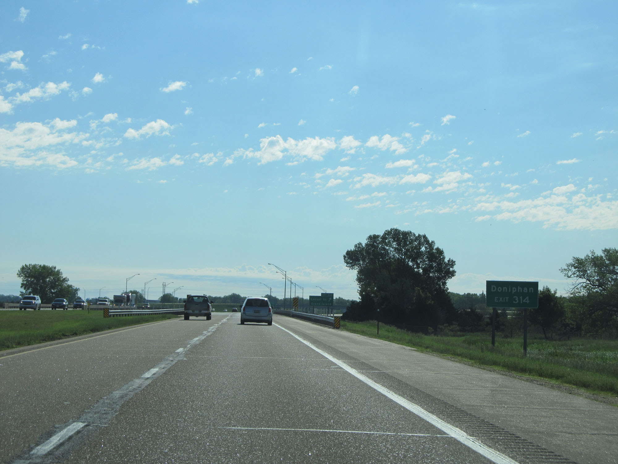 |
Also take Exit 314 to Doniphan. (Photo taken 5/29/16). |
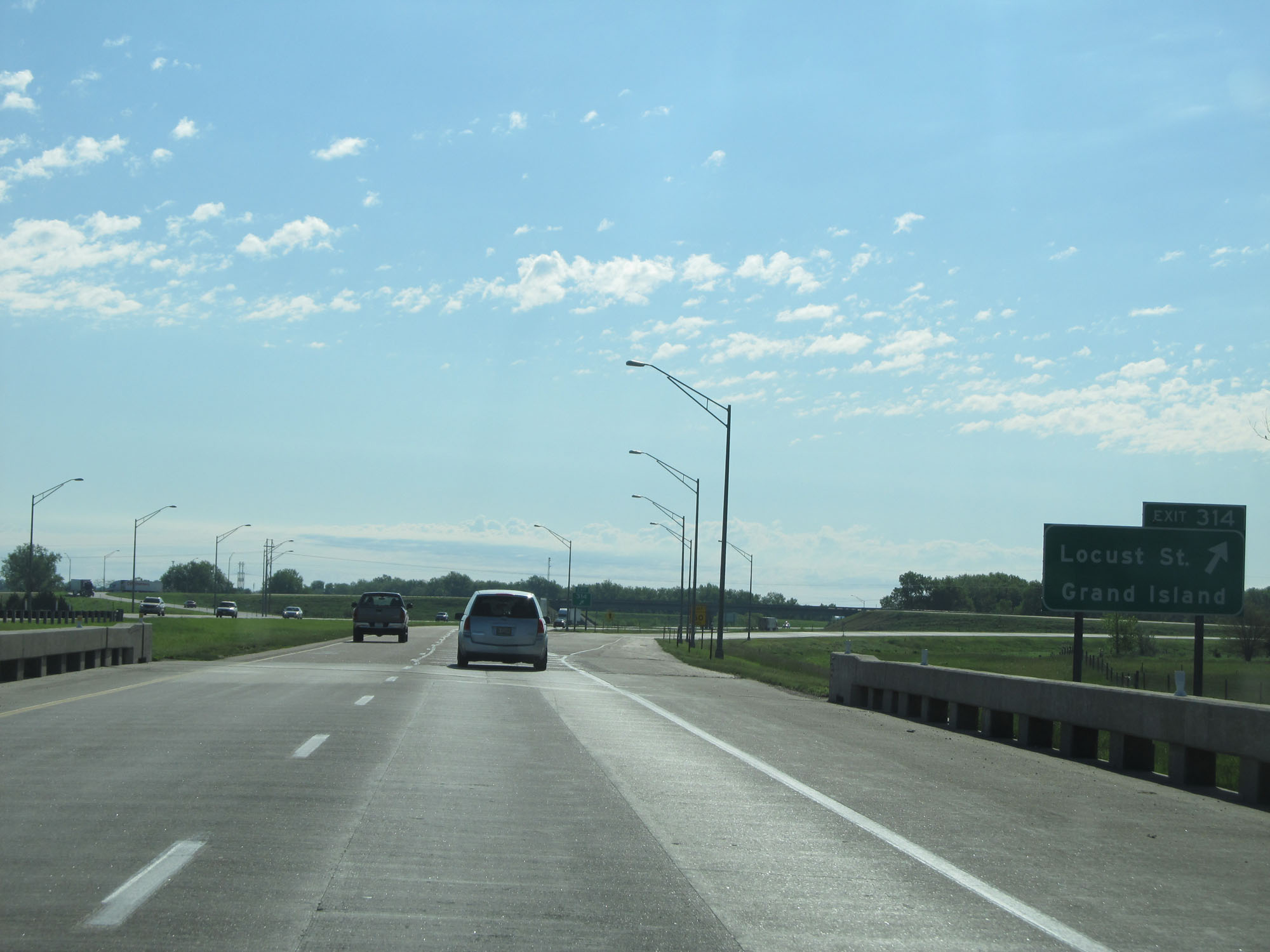 |
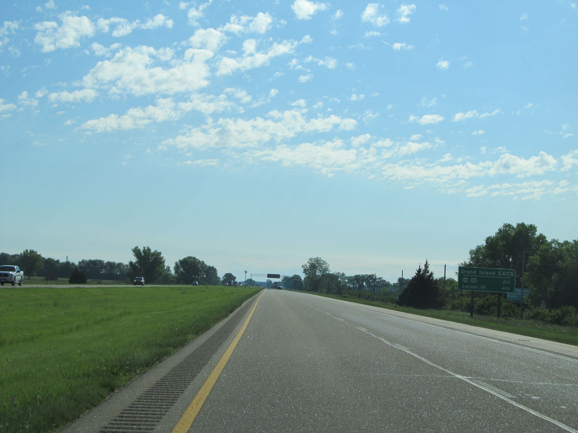
Interstate 80 East at Exit 314: Locust St / Grand Island (Photo taken 5/29/16). |
Section 3: Grand Island (Exit 314) to Waverly (Exit 409)
 |
Rest Area on Interstate 80 East in Hall County. (Photo taken 5/29/16). |
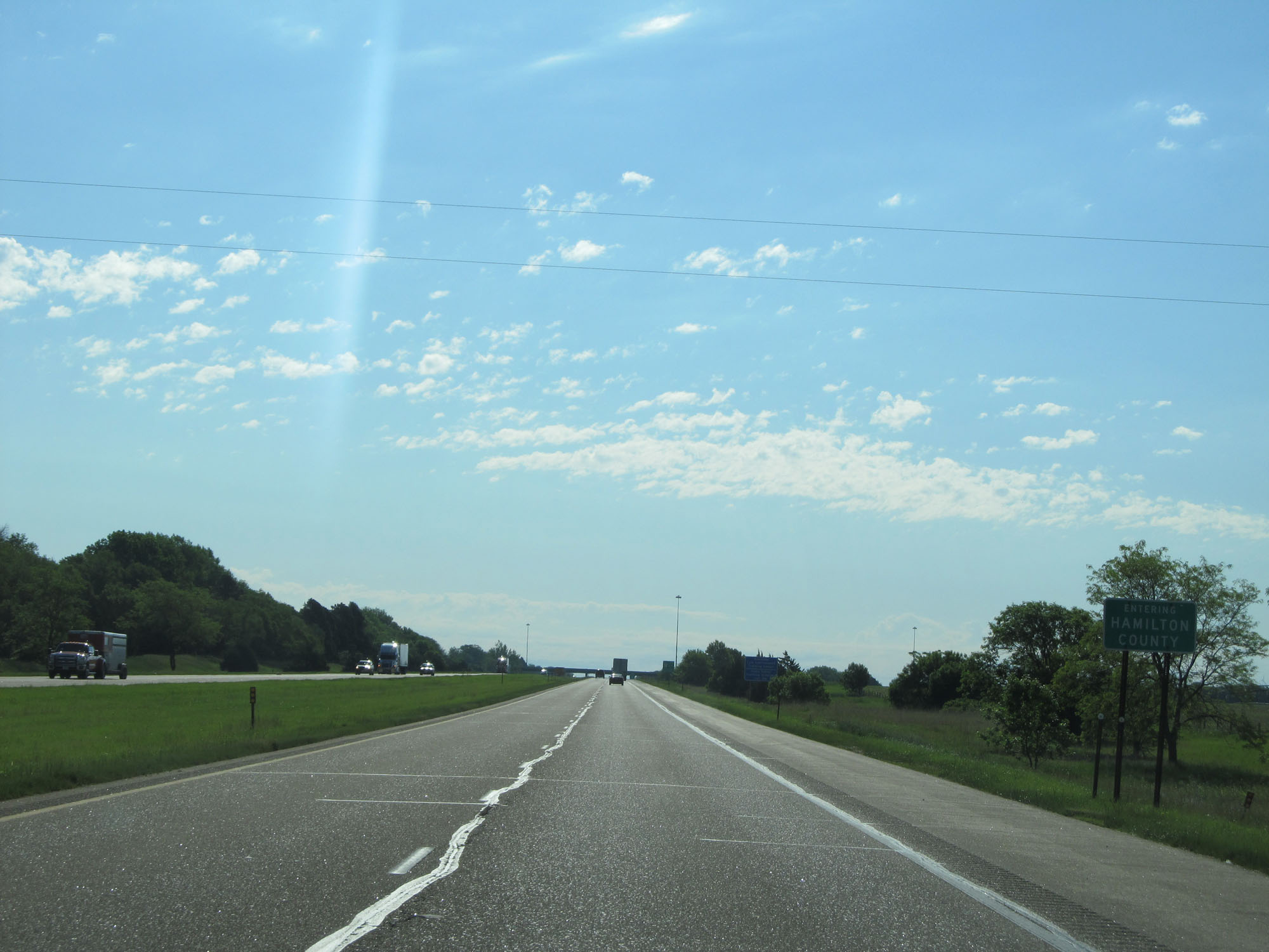 |
Interstate 80 East entering Hamilton County. (Photo taken 5/29/16). |
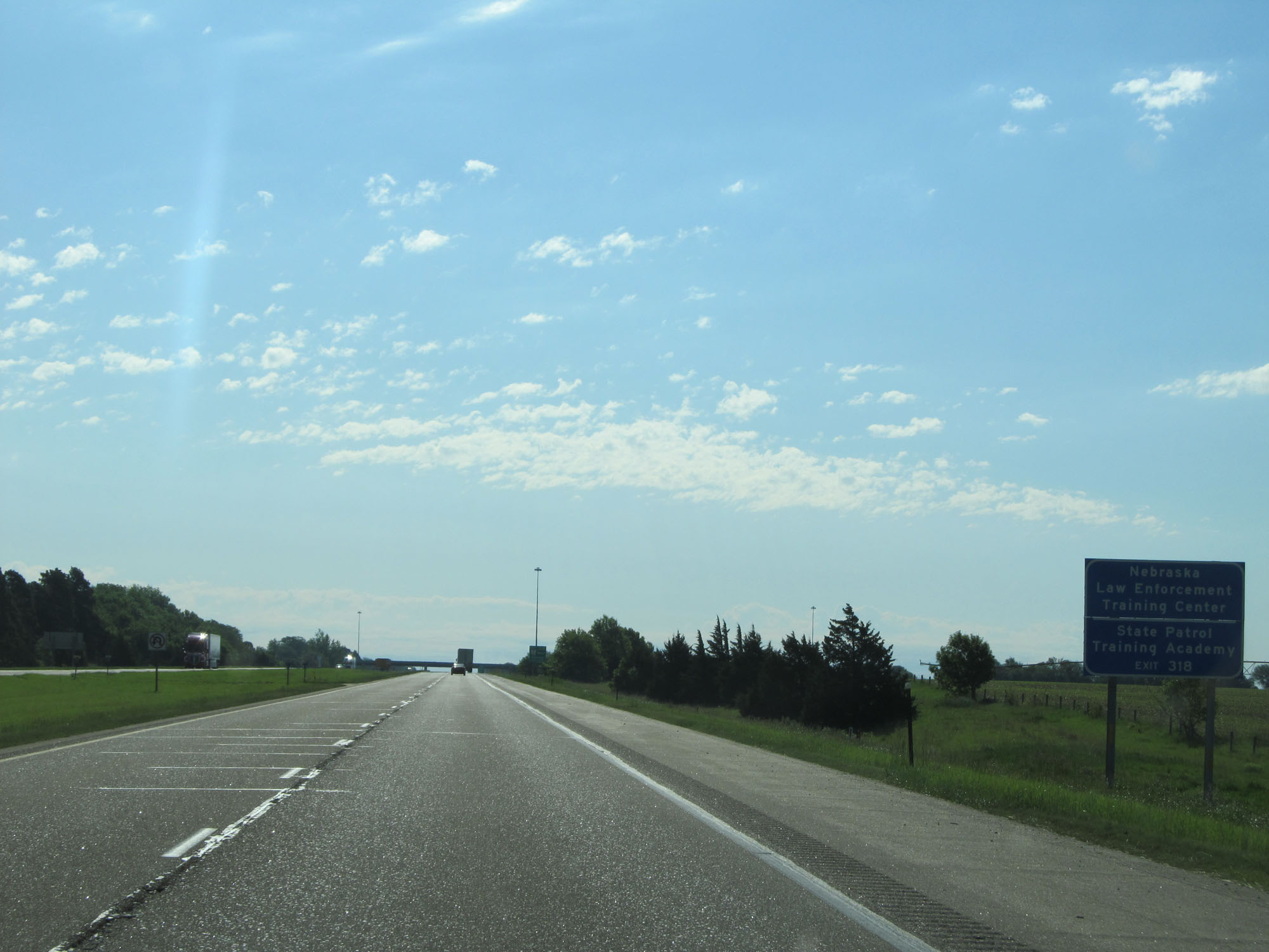 |
Take Exit 318 to the Nebraska Law Enforcement Training Center and State Patrol Training Academy. (Photo taken 5/29/16). |
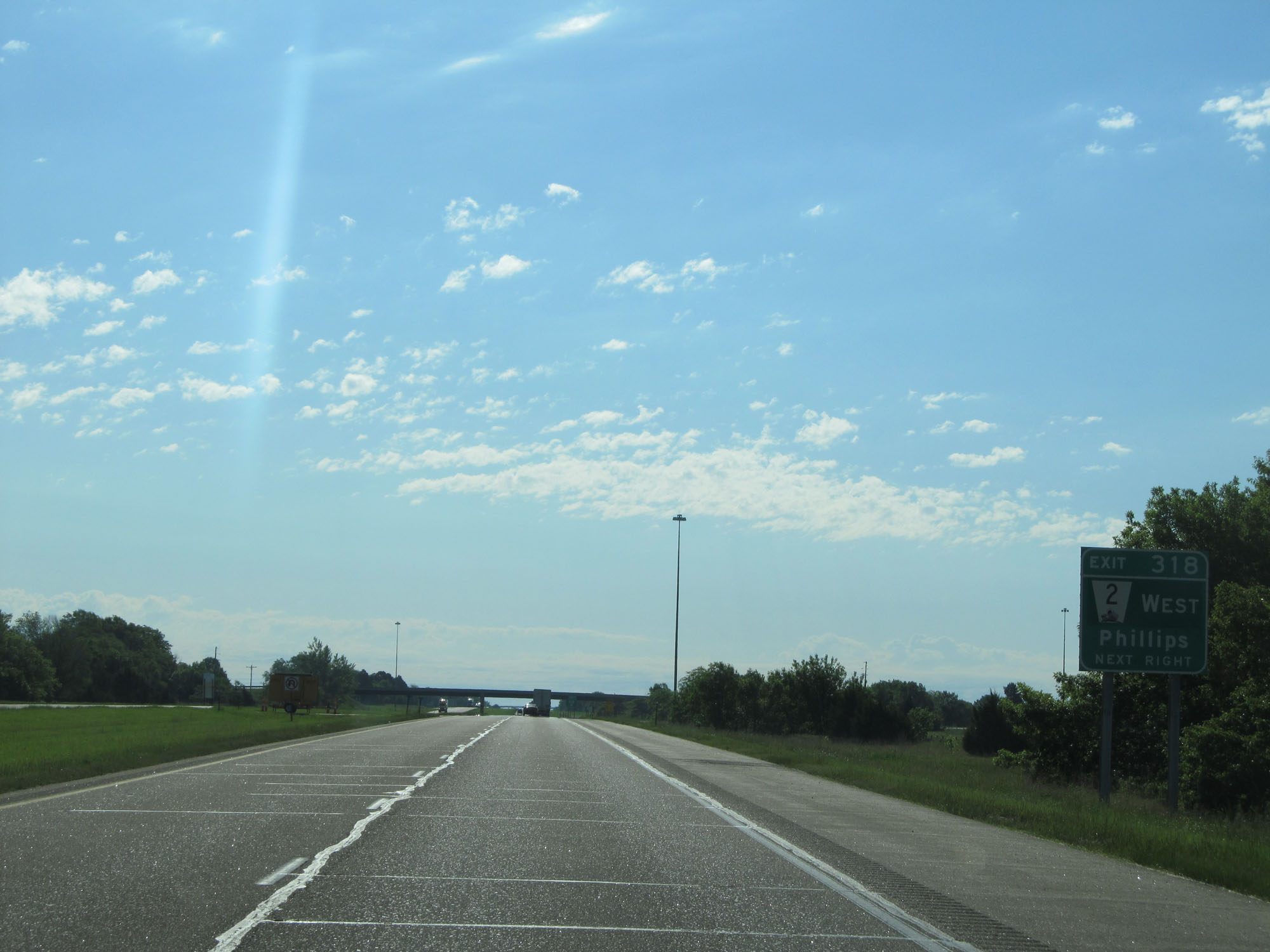 |
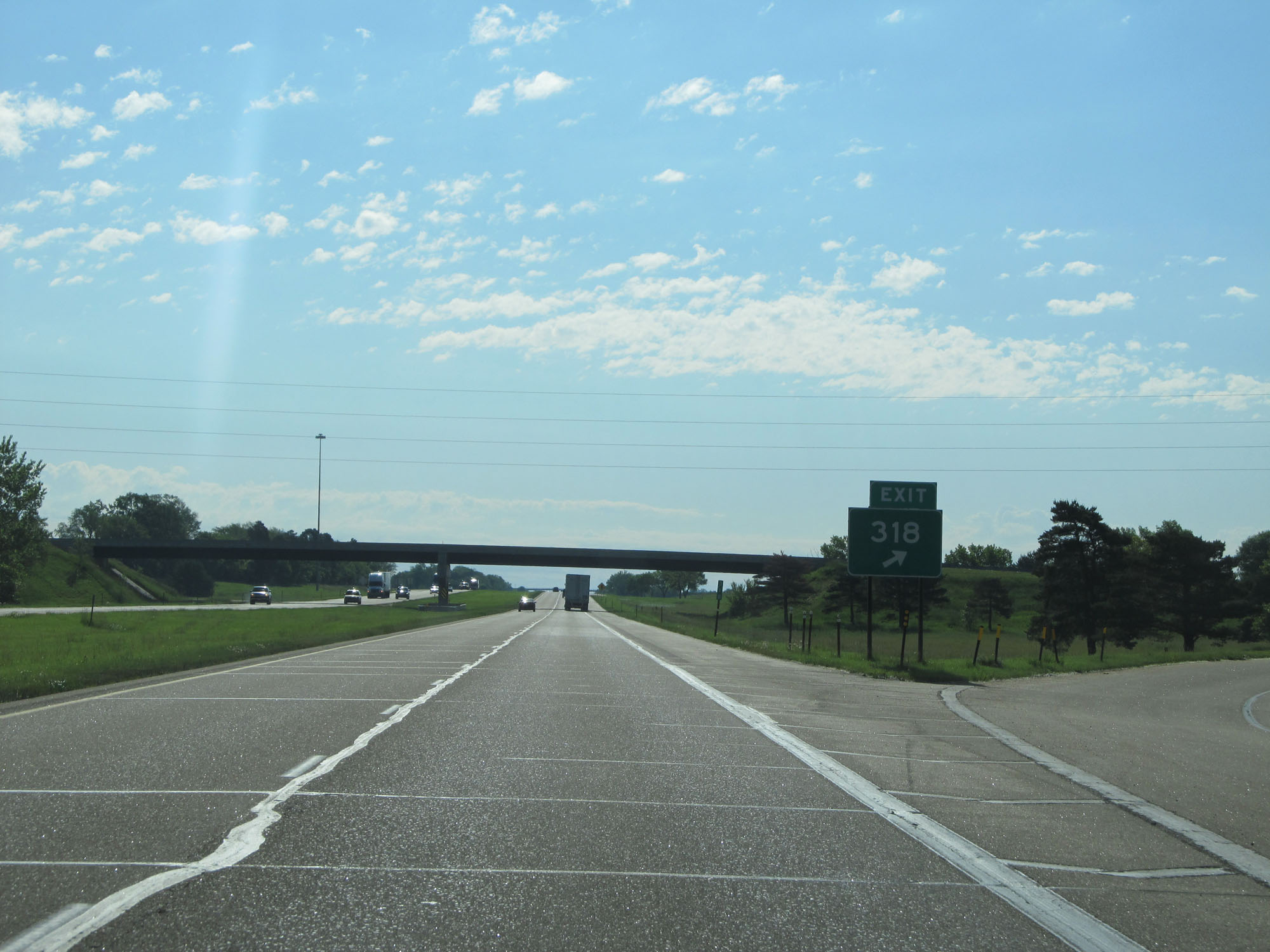
Interstate 80 East at Exit 318: NE 2 West - Phillips (Photo taken 5/29/16). |
 |
Gore point signage for Exit 318. (Photo taken 5/29/16). |
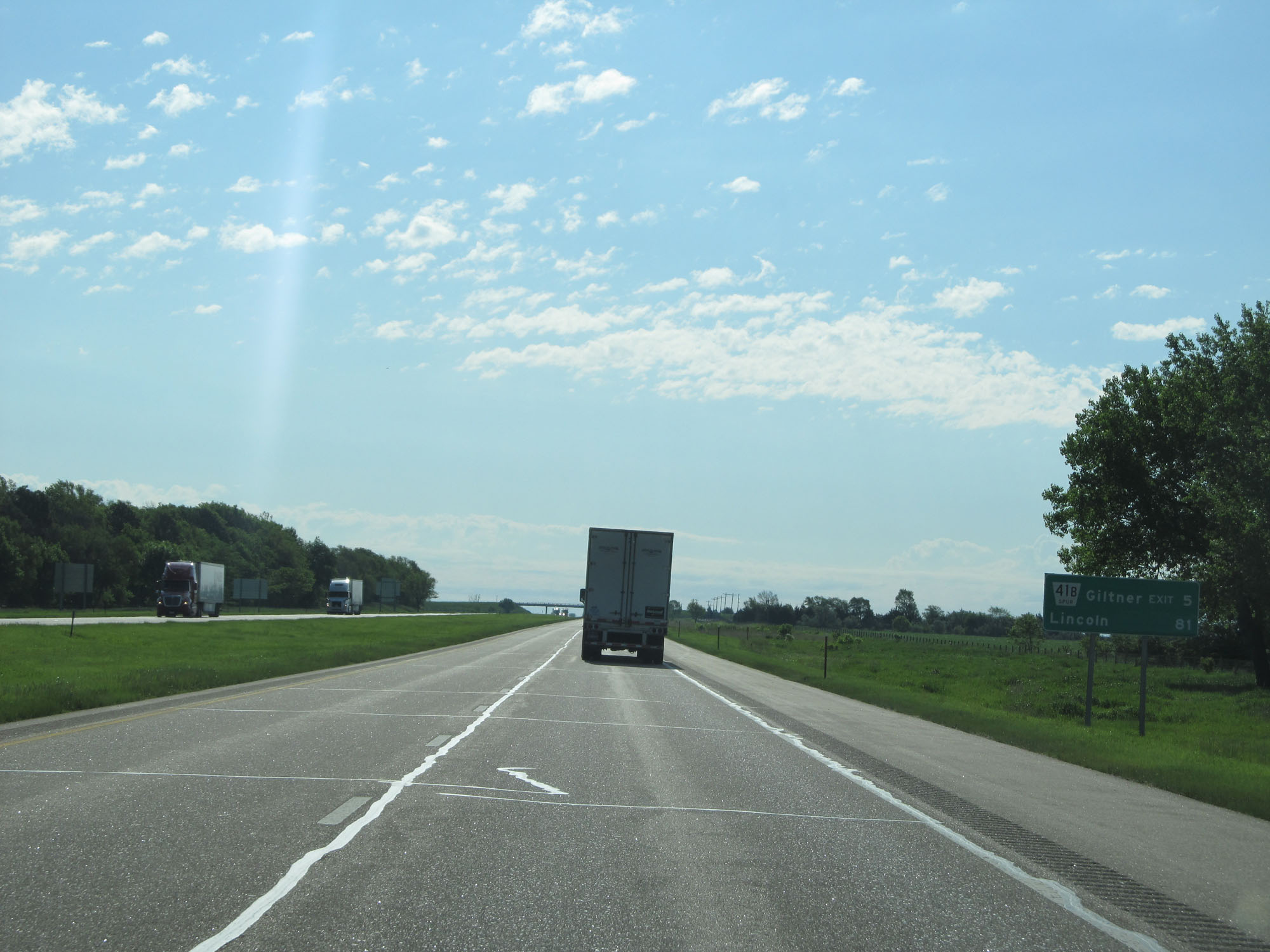 |
Mileage sign on Interstate 80 East. It's 5 miles to Giltner and 81 miles to Lincoln. (Photo taken 5/29/16). |
 |
Interstate 80 East at Exit 324: Nebraska Spur 41B - Giltner (Photo taken 5/29/16). |
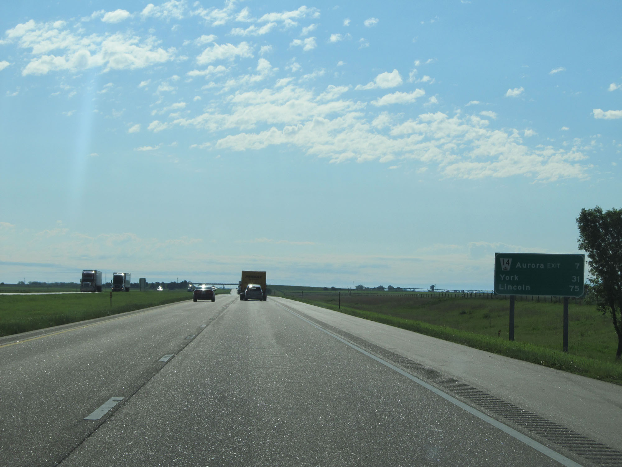 |
Another mileage sign on Interstate 80 East. It's 7 miles to Aurora, 31 miles to York, and 75 miles to Lincoln. (Photo taken 5/29/16). |
 |
Interstate 80 East at mile marker 327. (Photo taken 5/29/16). |
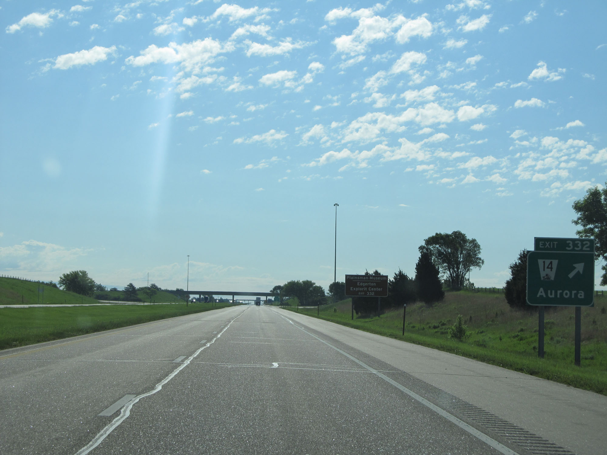 |
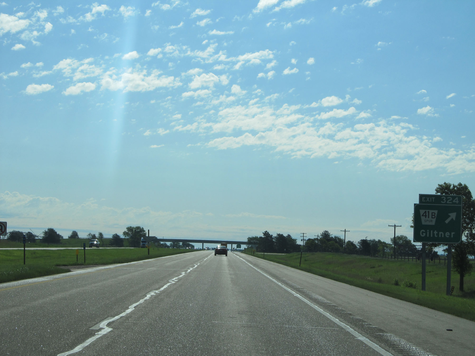
Interstate 80 East at Exit 332: NE 14 - Aurora (Photo taken 5/29/16). |
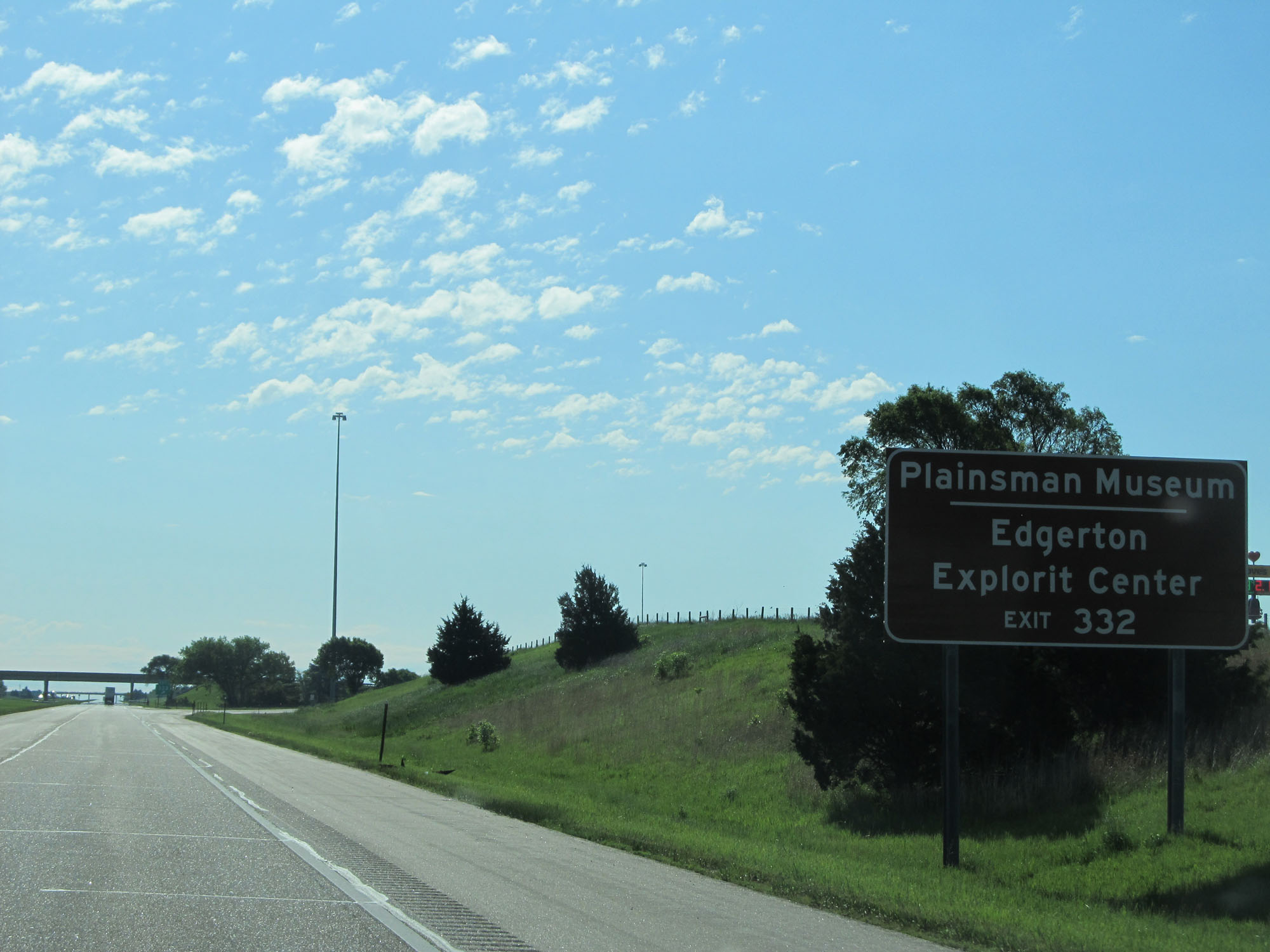 |
Take Exit 332 to the Plainsman Museum and Edgerton Explorit Center. (Photo taken 5/29/16). |
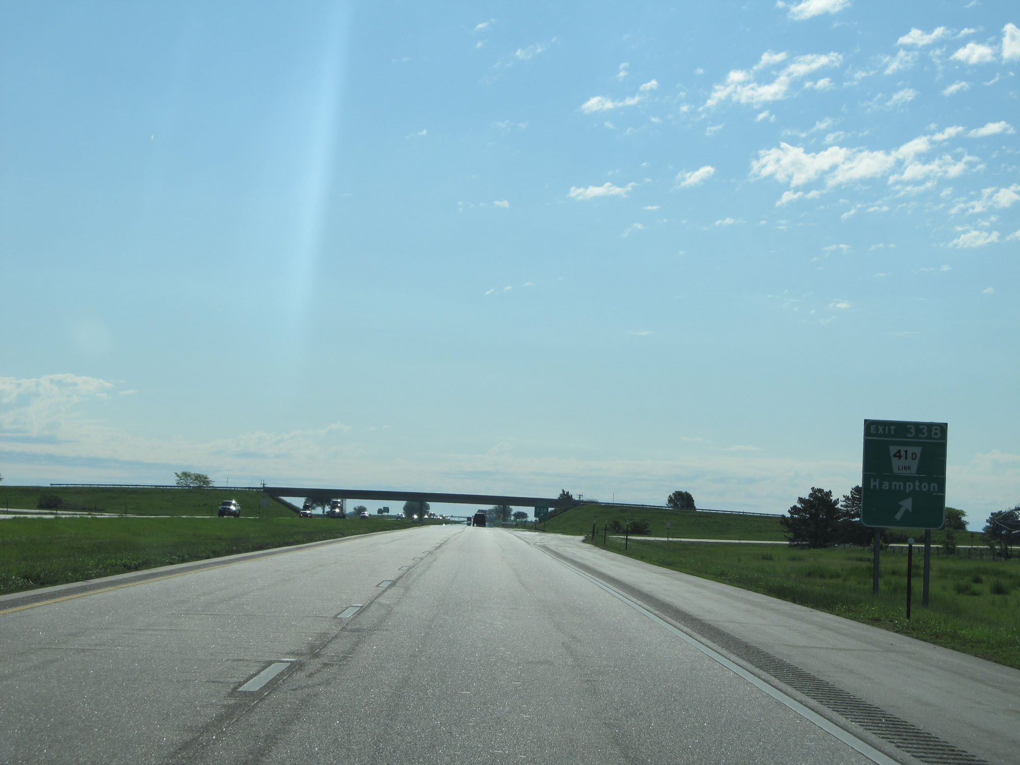 |
Interstate 80 East at Exit 338: Nebraska Link 41D - Hampton (Photo taken 5/29/16). |
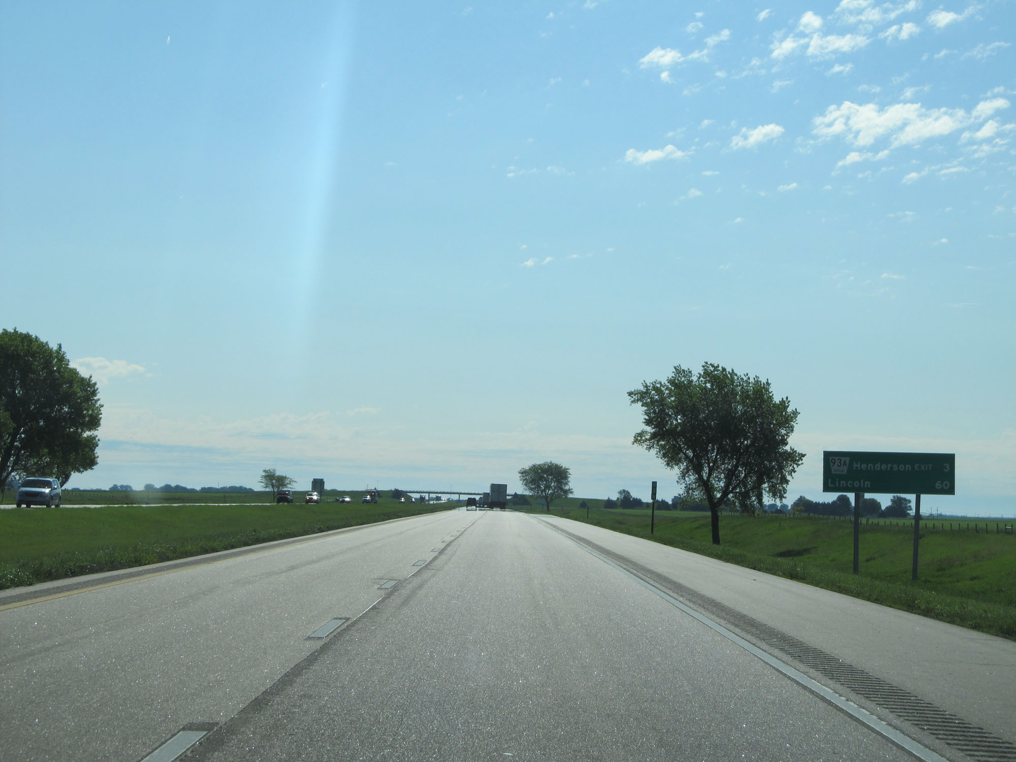 |
Mileage sign on Interstate 80 East. It's 3 miles to Henderson and 60 miles to Lincoln. (Photo taken 5/29/16). |
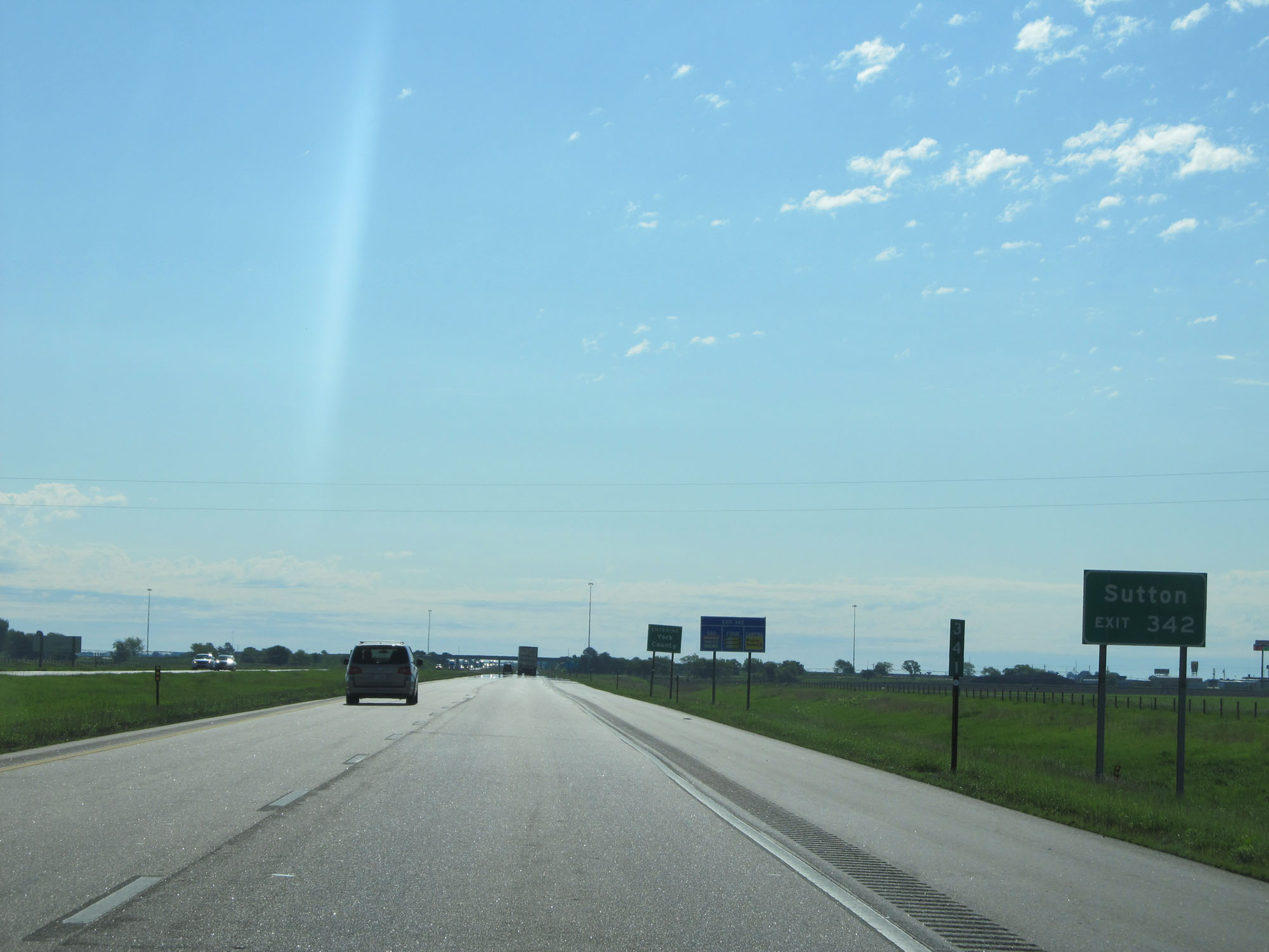 |
Take Exit 342 to Sutton. (Photo taken 5/29/16). |
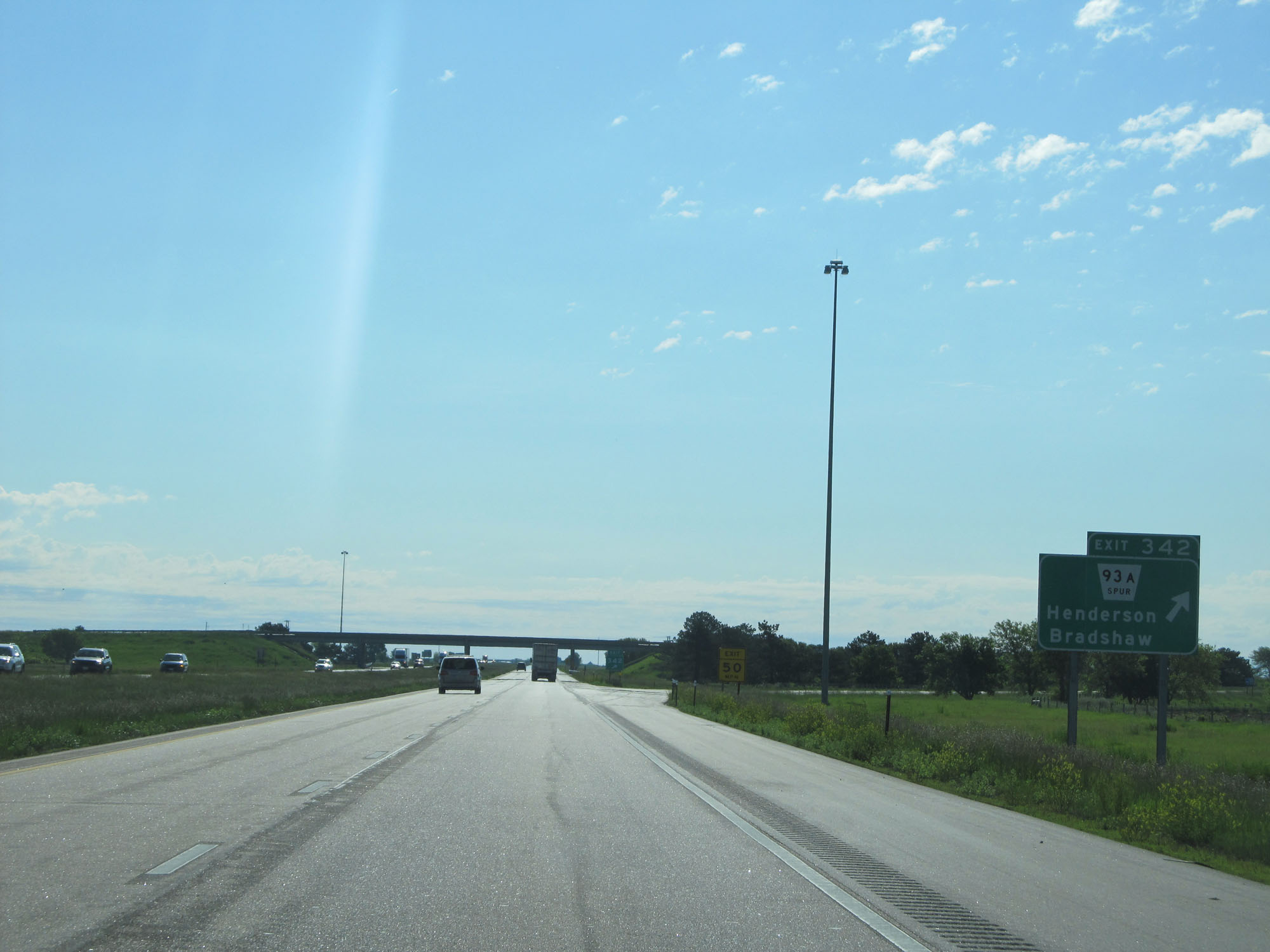 |
Interstate 80 East at Exit 342: Nebraska Spur 93A - Henderson / Bradshaw (Photo taken 5/29/16). |
 |
Interstate 80 East reassurance shield. (Photo taken 5/29/16). |
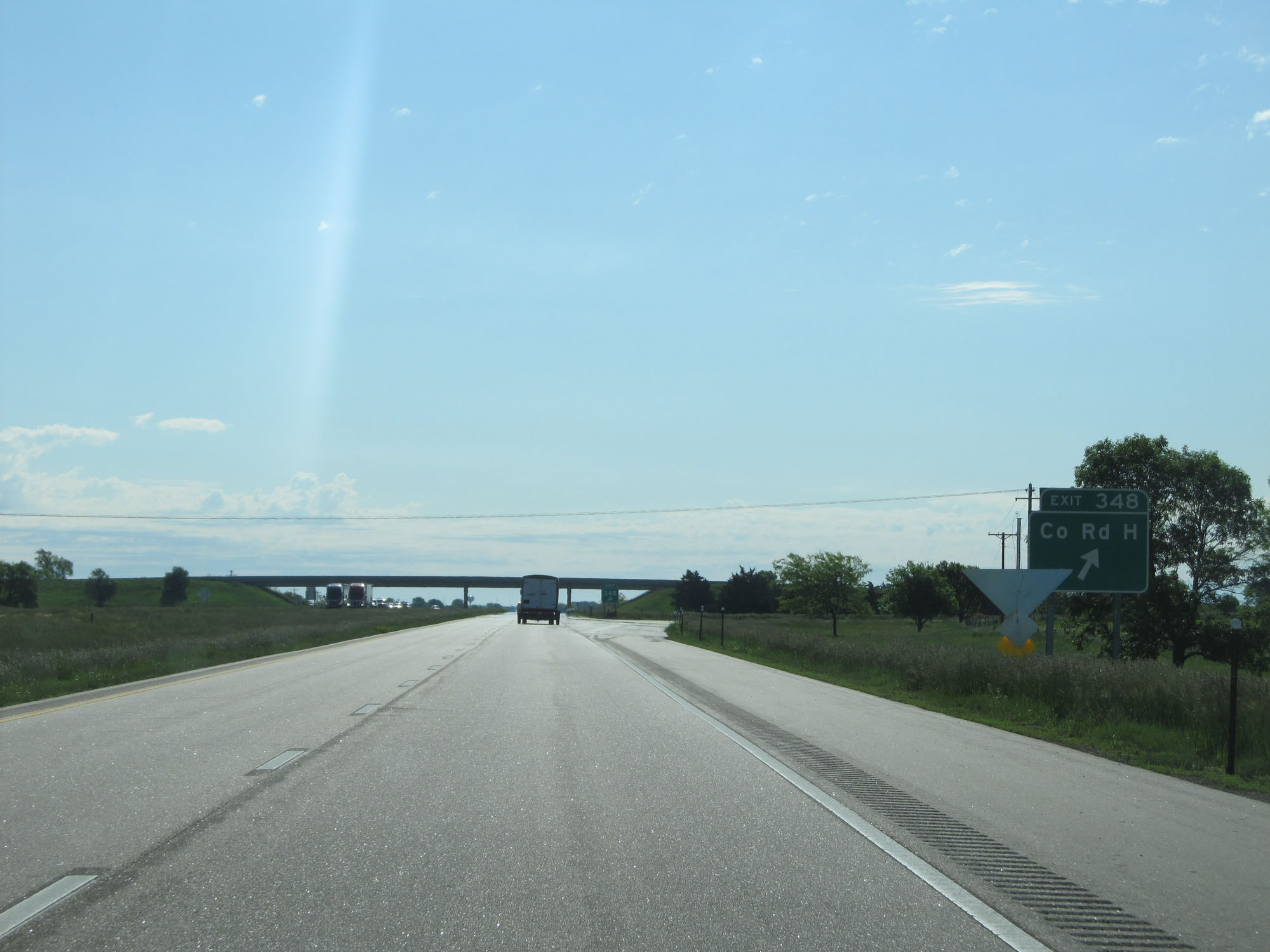 |
Interstate 80 East at Exit 348: County Rd H (Photo taken 5/29/16). |
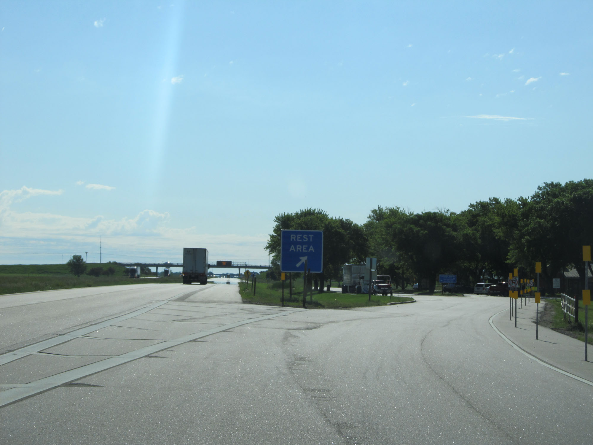 |
Interstate 80 East at the Rest Area in York County. (Photo taken 5/29/16). |
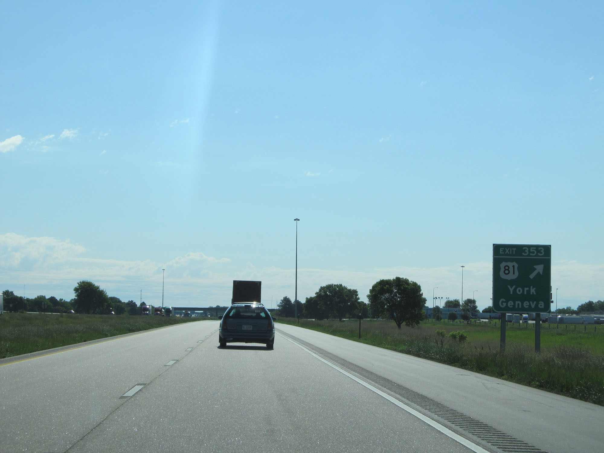 |
Interstate 80 East at Exit 353: US 81 - York / Geneva (Photo taken 5/29/16). |
 |
Mileage sign at mile marker 354. It's 6 miles to Waco and 44 miles to Lincoln. (Photo taken 5/29/16). |
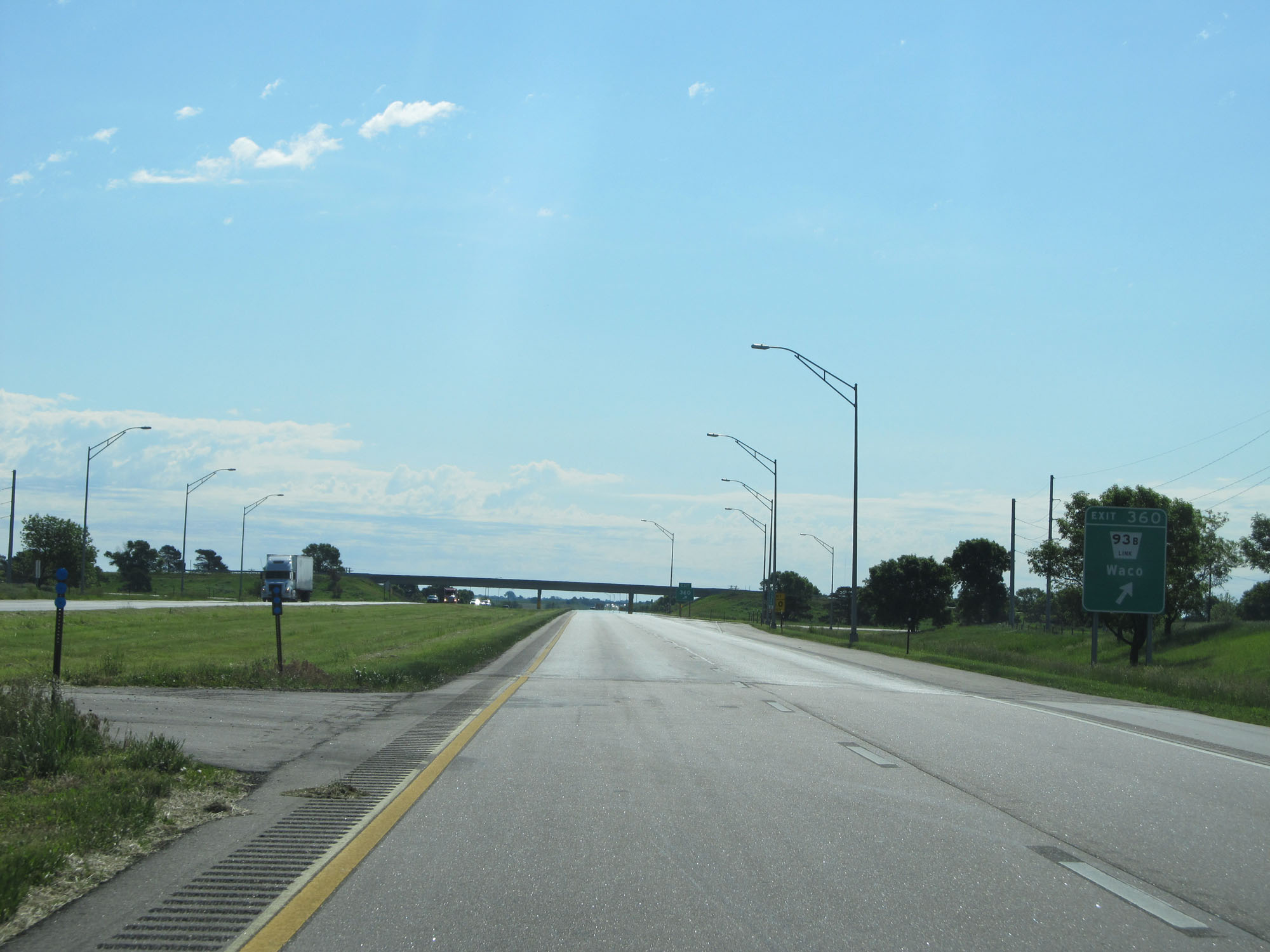 |
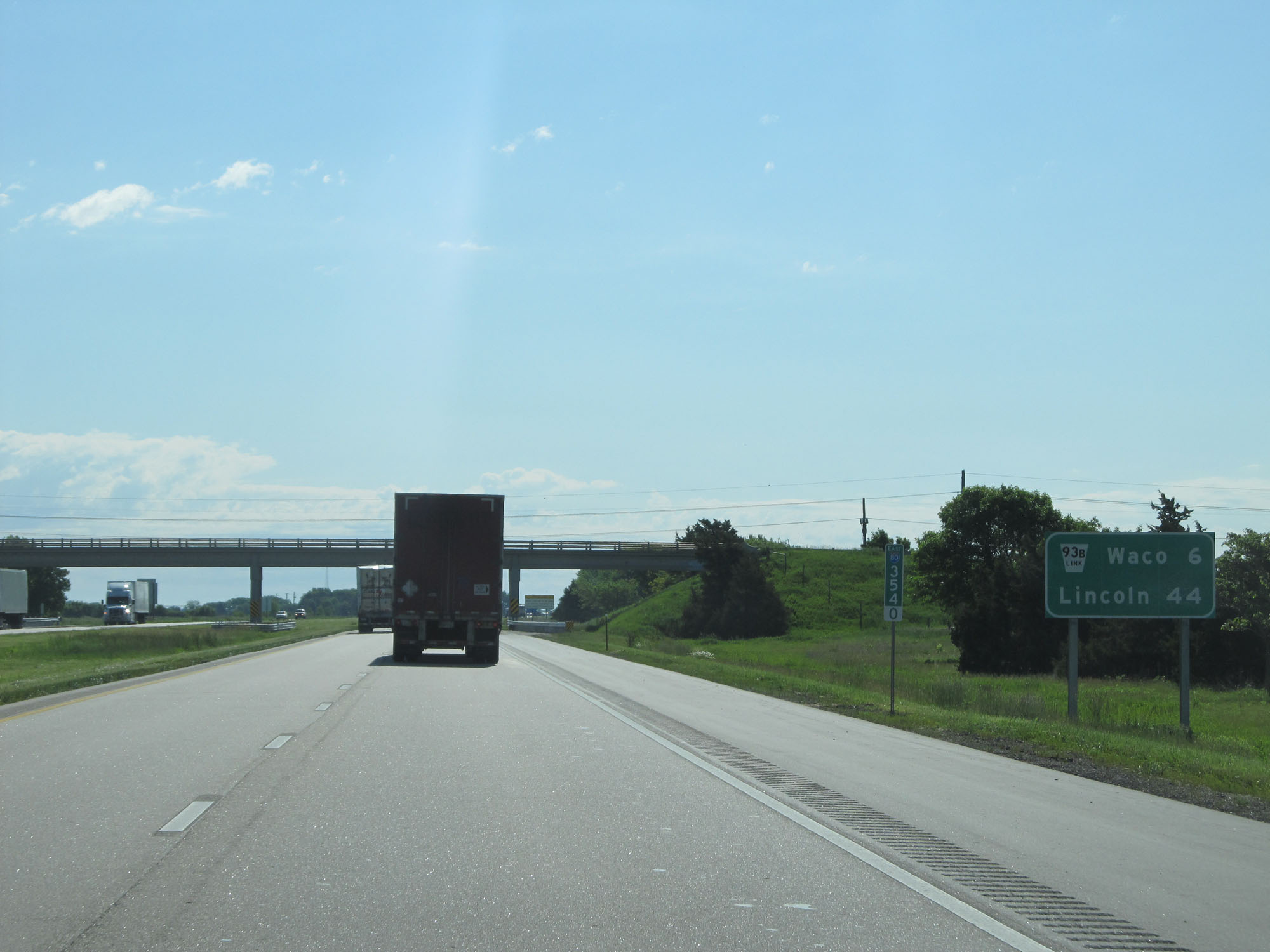
Interstate 80 East at Exit 360: Nebraska Link 93B - Waco (Photo taken 5/29/16). |
 |
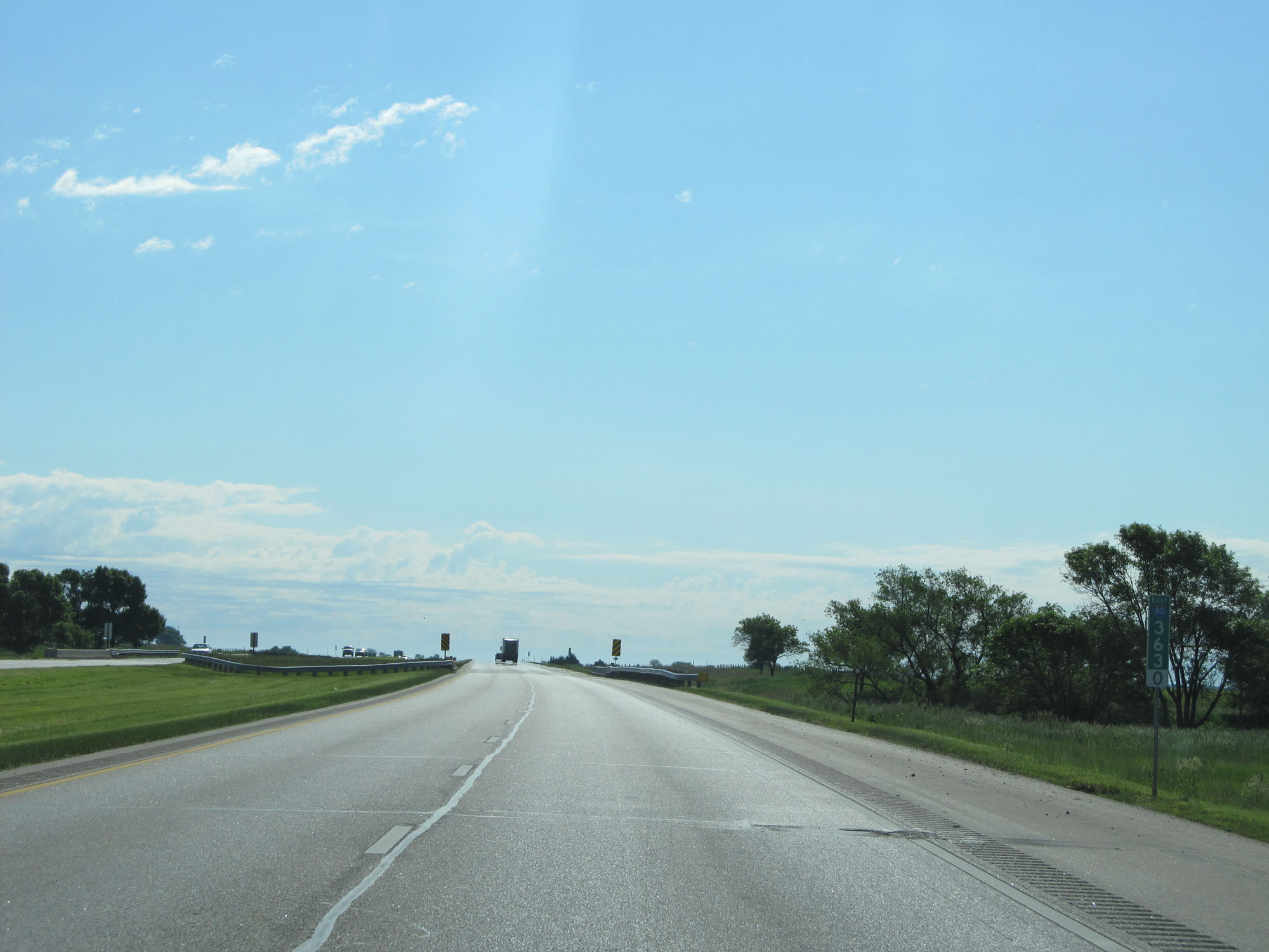
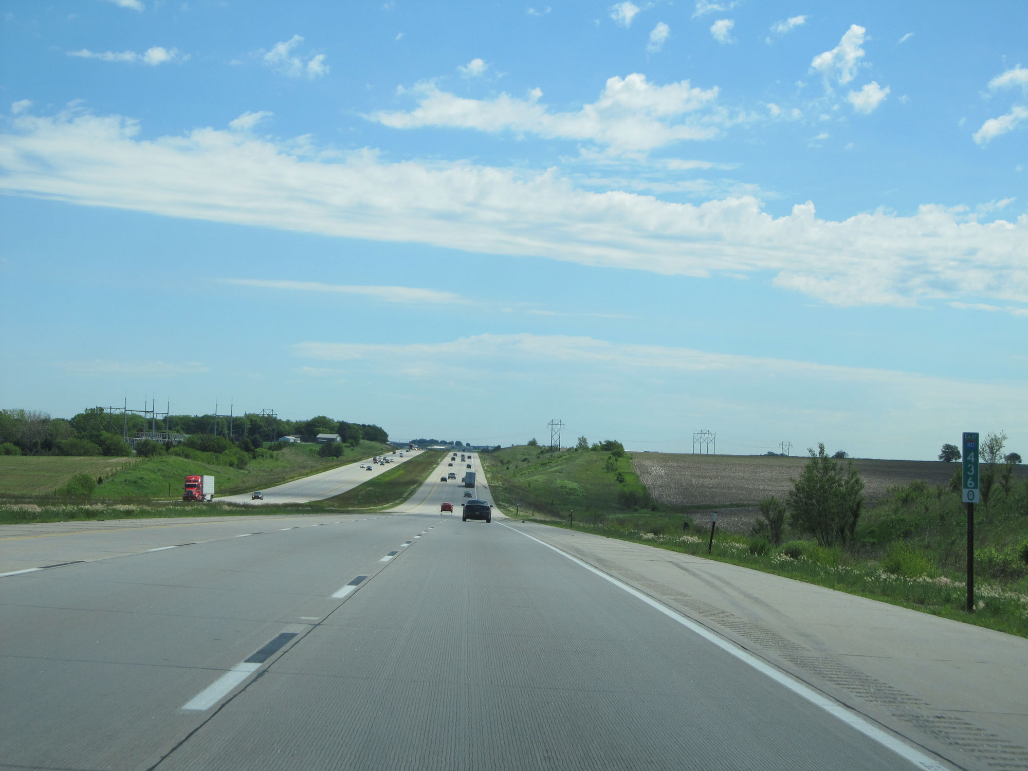
Mileage sign at mile marker 361. It's 5 miles to Utica and 93 miles to Omaha. (Photo taken 5/29/16). |
 |
Interstate 80 East at mile marker 363. (Photo taken 5/29/16). |
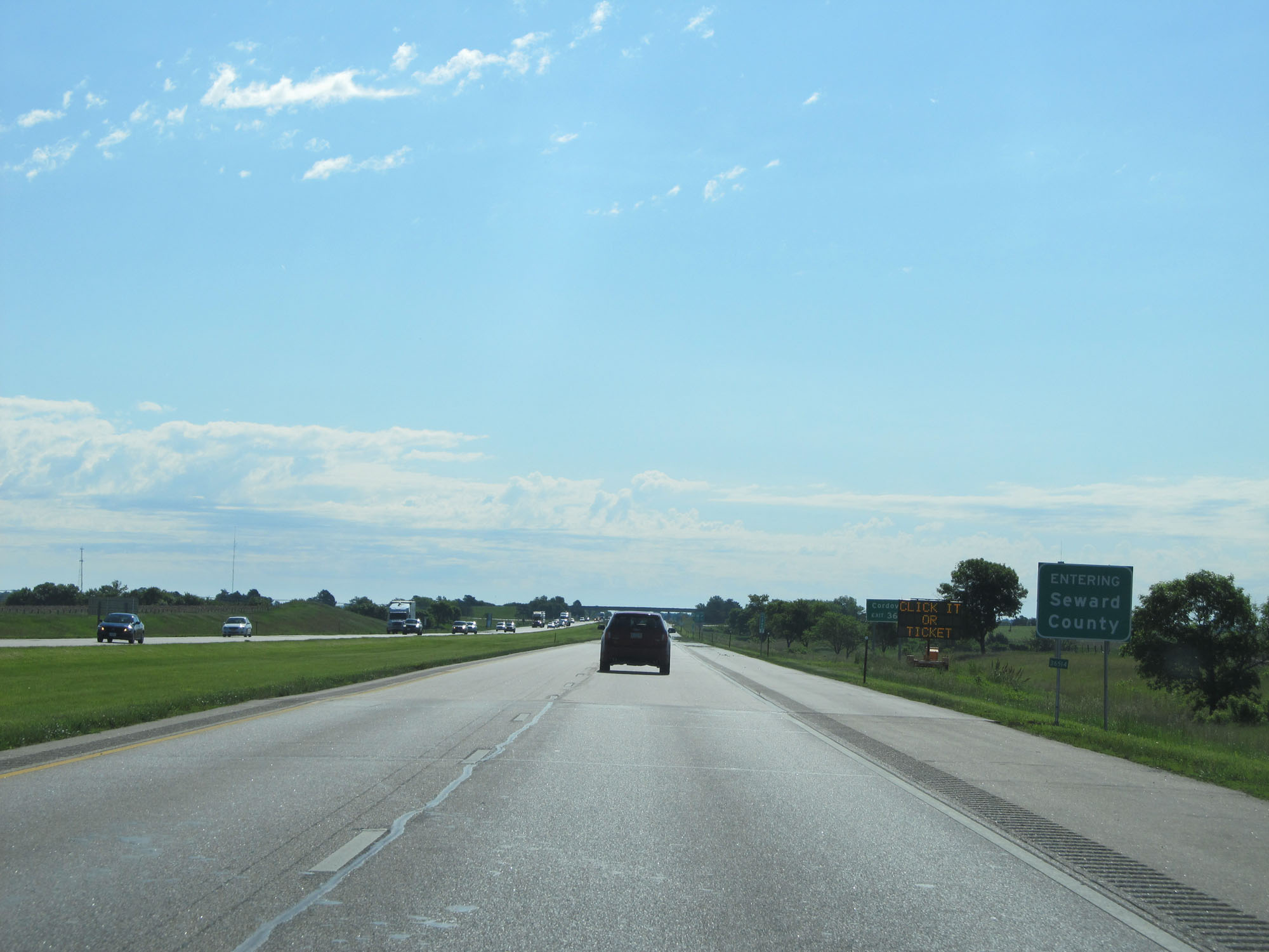 |
Interstate 80 East entering Seward County. (Photo taken 5/29/16). |
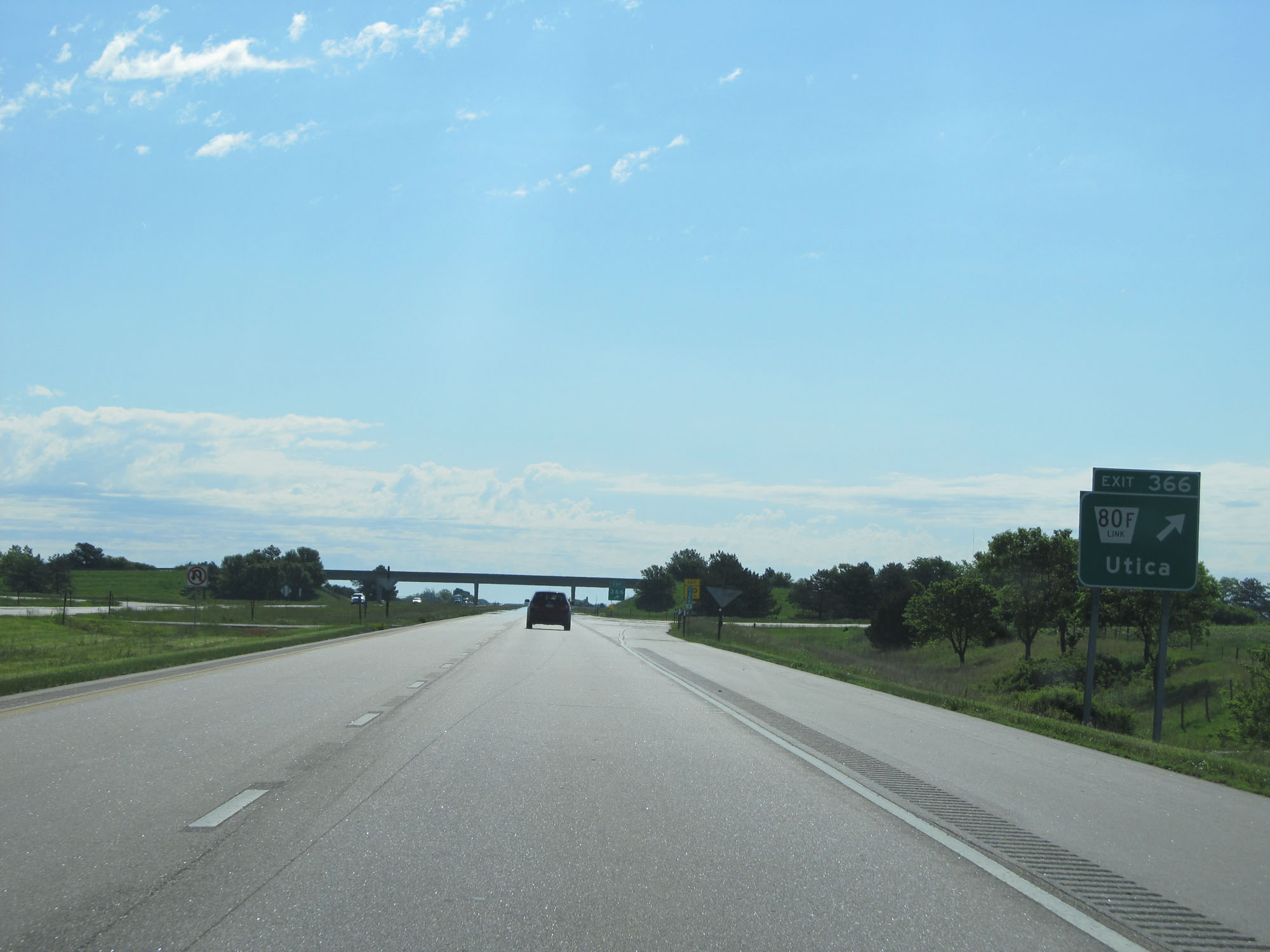 |
Interstate 80 East at Exit 366: Nebraska Link 80F - Utica (Photo taken 5/29/16). |
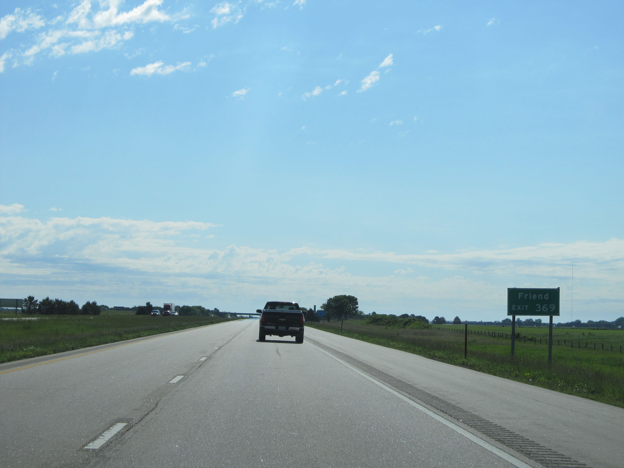 |
Take Exit 369 to Friend. (Photo taken 5/29/16). |
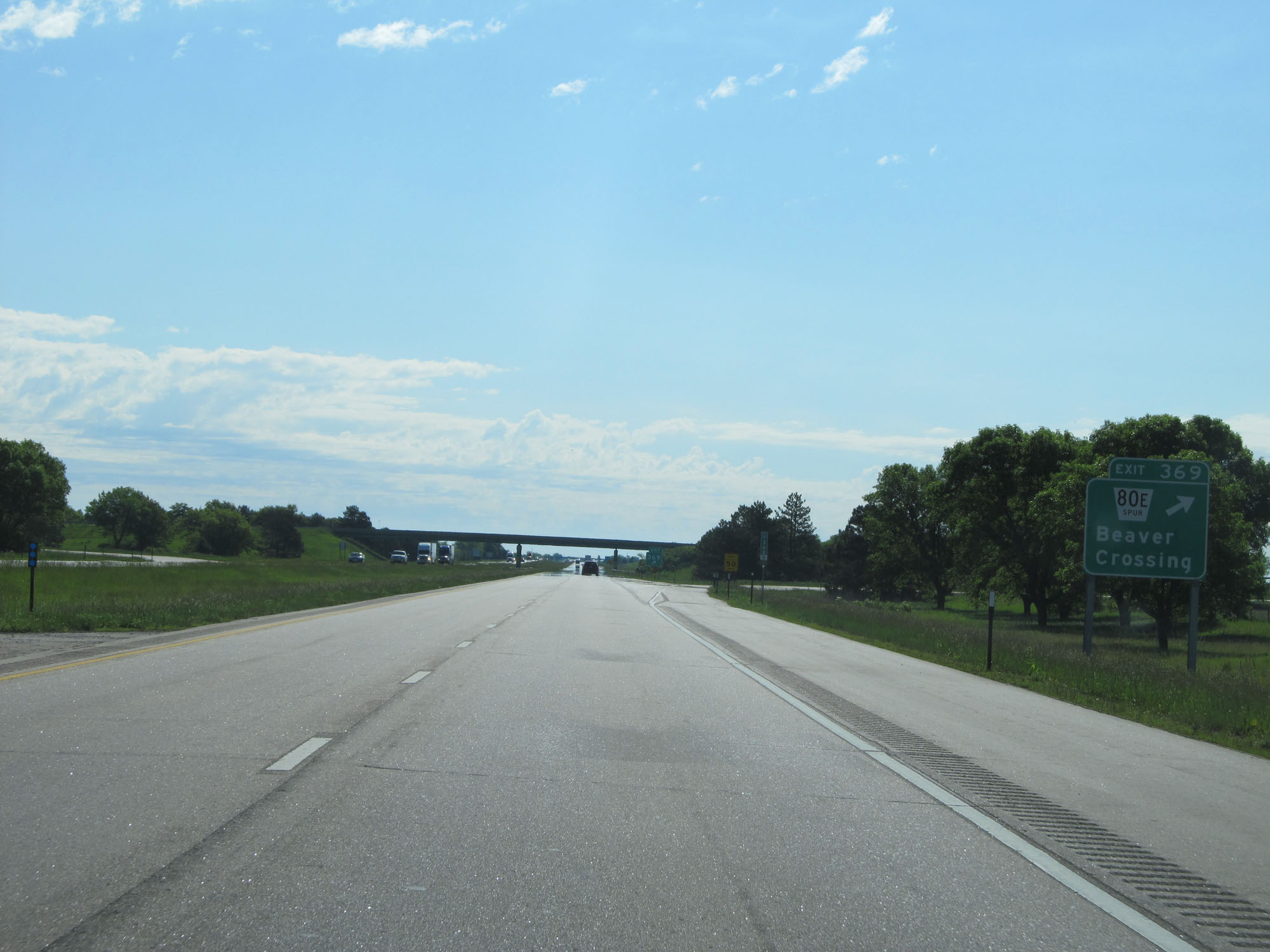 |
Interstate 80 East at Exit 369: Nebraska Spur 80E - Beaver Crossing (Photo taken 5/29/16). |
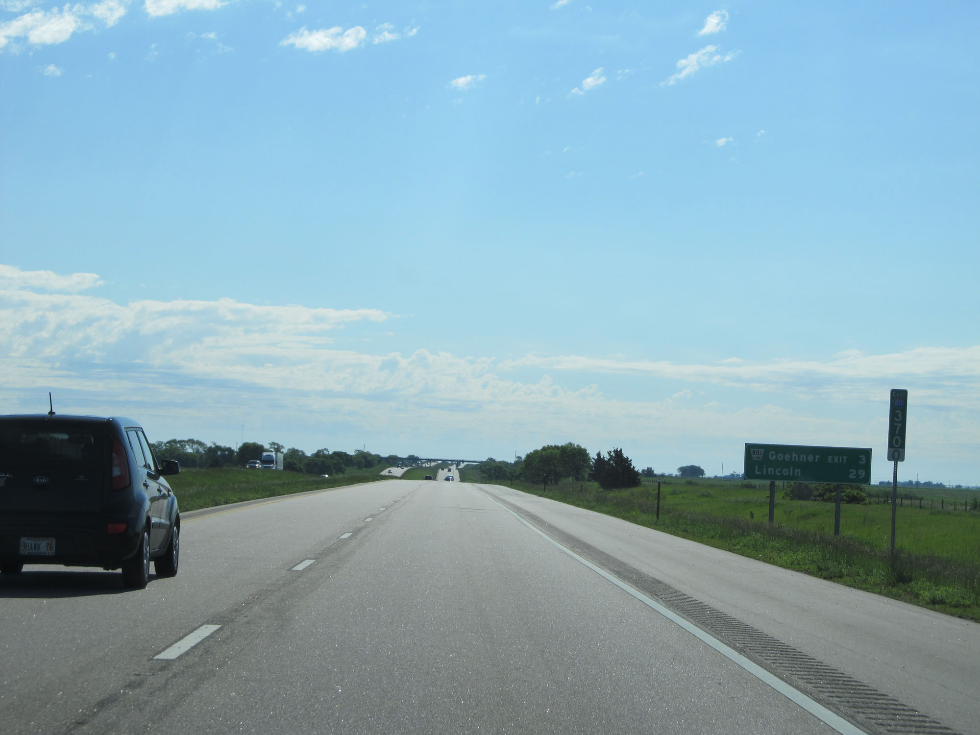 |
Lincoln now lies just 29 miles ahead. (Photo taken 5/29/16). |
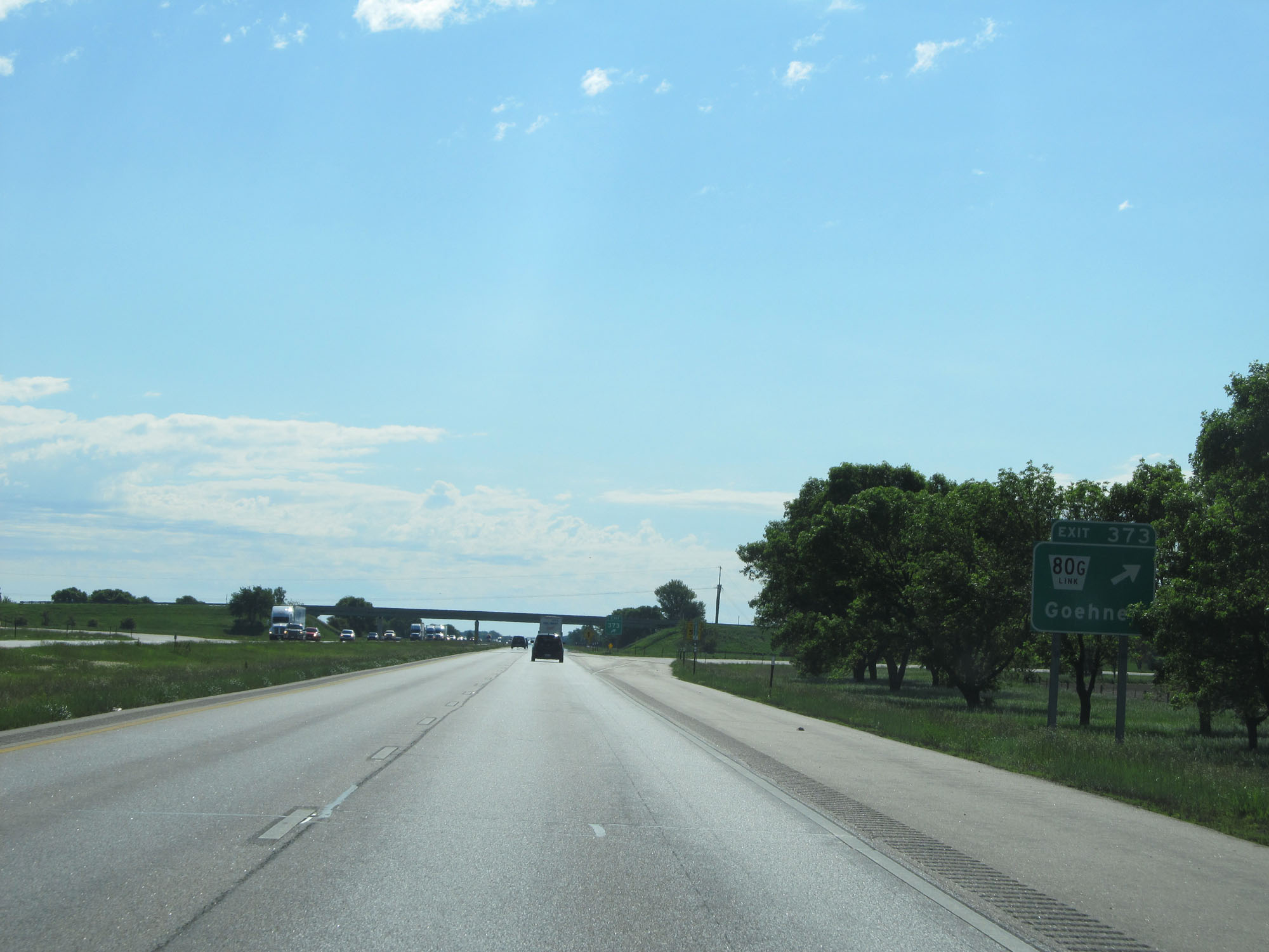 |
Interstate 80 East at Exit 373: Nebraska Link 80G - Goehner (Photo taken 5/29/16). |
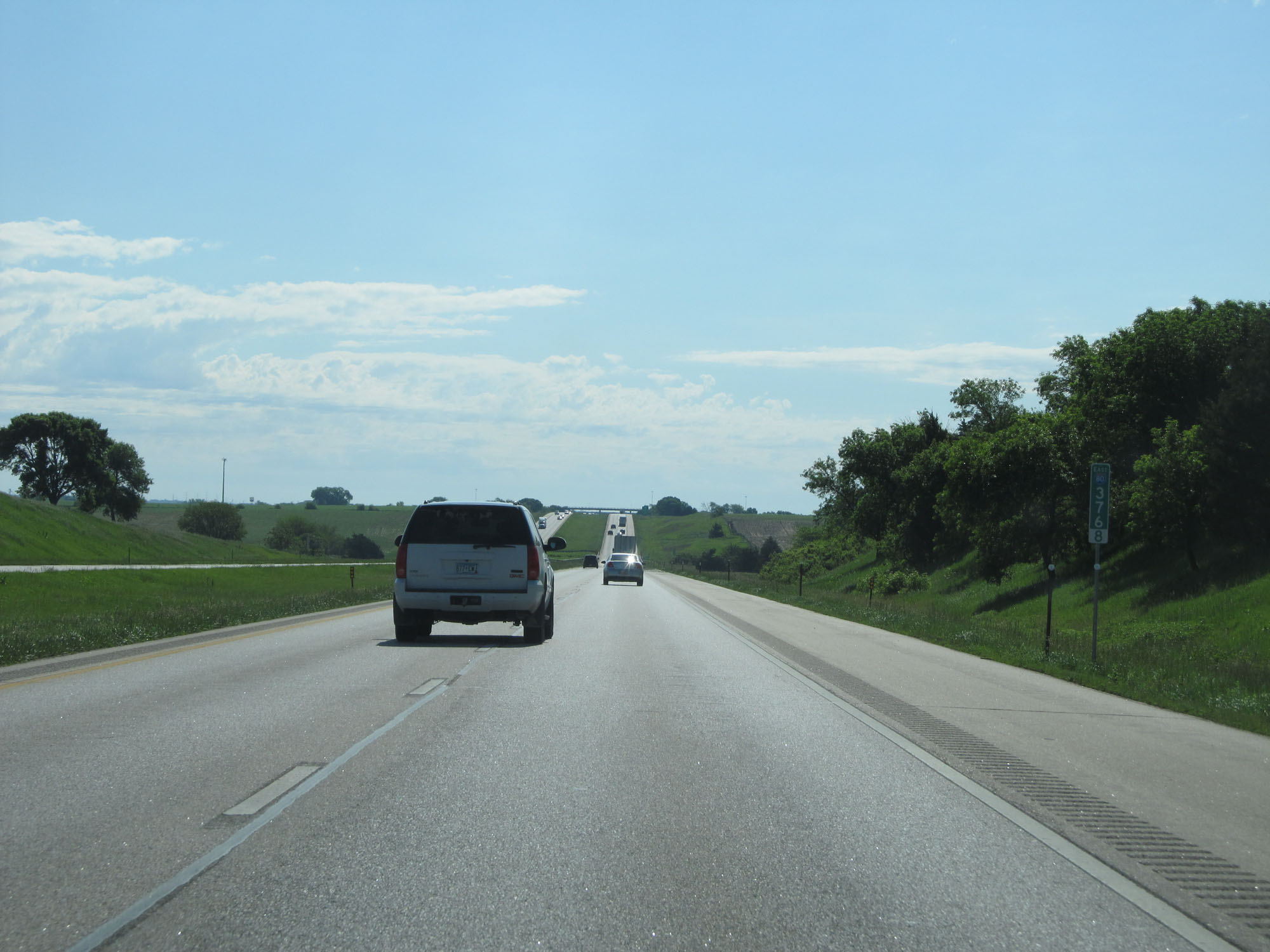 |
Interstate 80 East at mile marker 376.8. (Photo taken 5/29/16). |
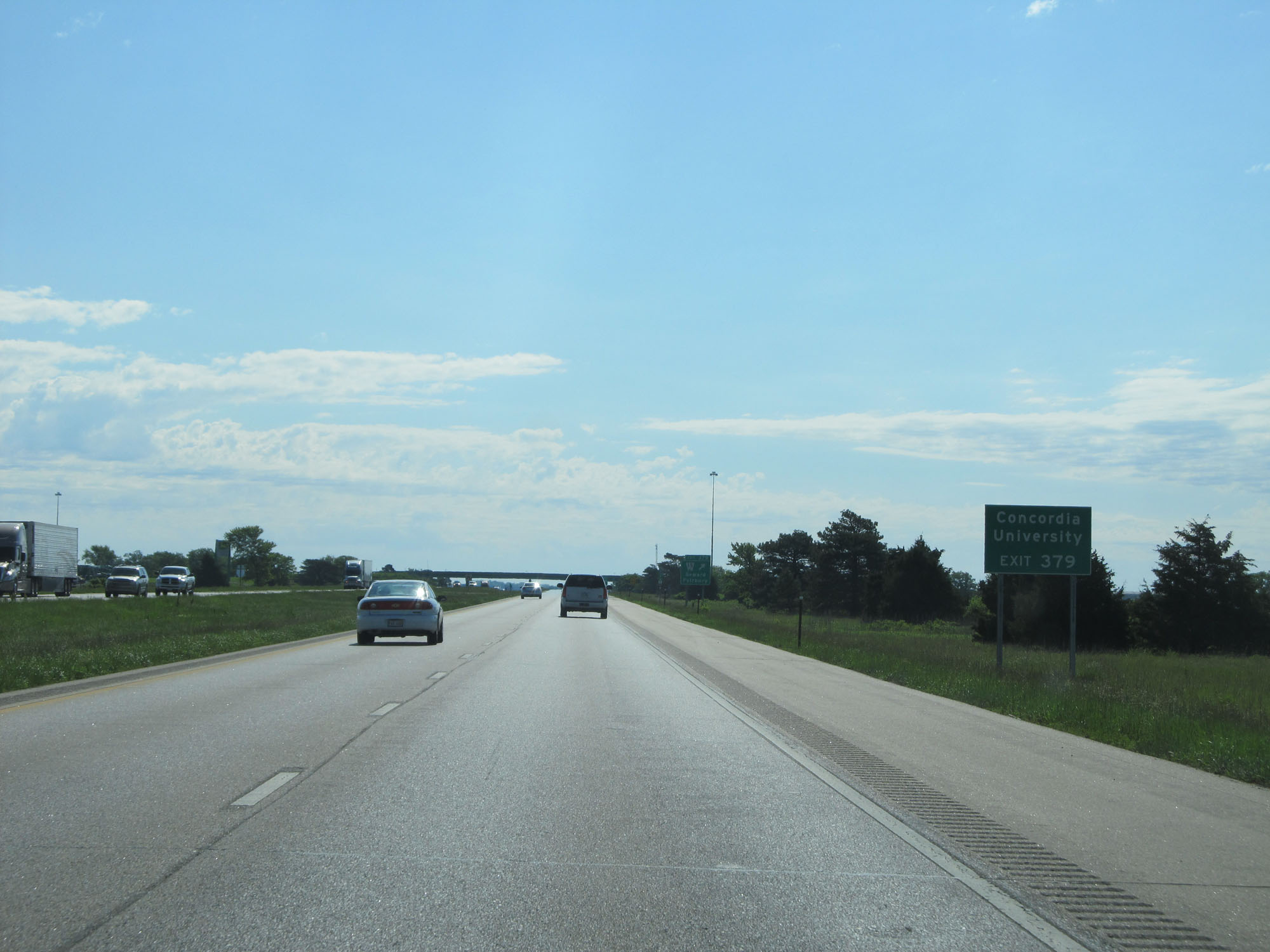 |
Take Exit 379 to Concordia University. (Photo taken 5/29/16). |
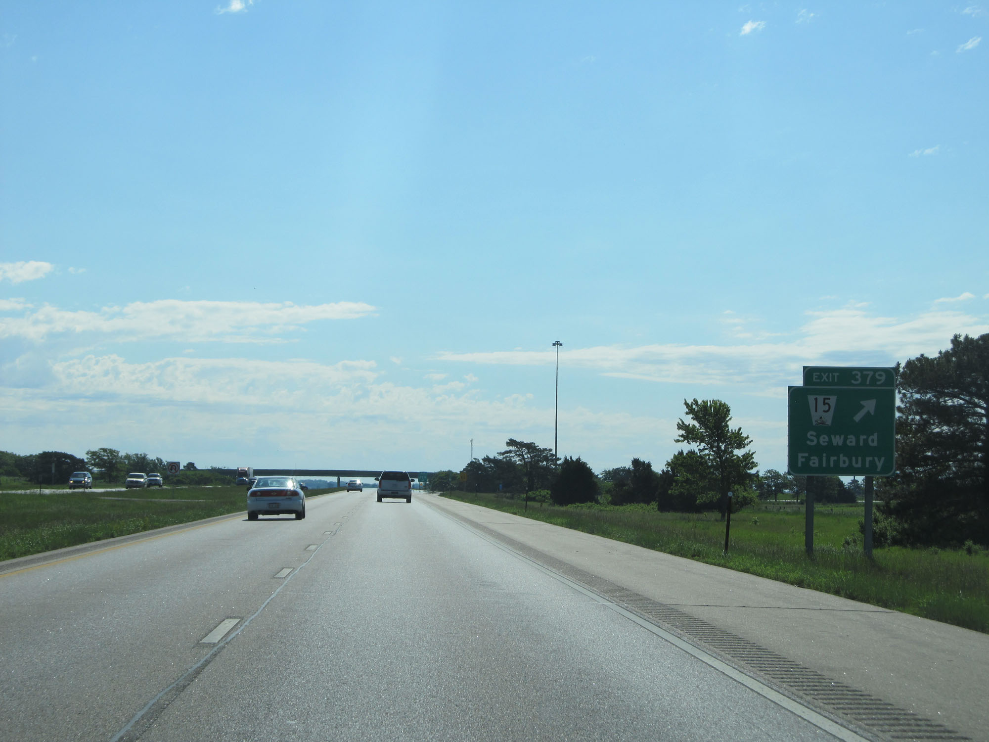 |
Interstate 80 East at Exit 379: NE 15 - Seward / Fairbury (Photo taken 5/29/16). |
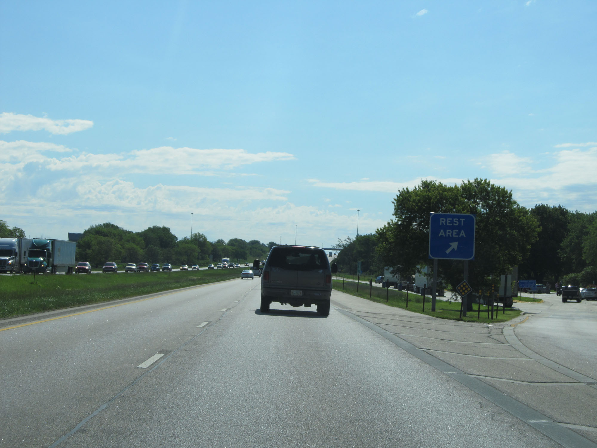 |
Rest Area on Interstate 80 East in Seward County. (Photo taken 5/29/16). |
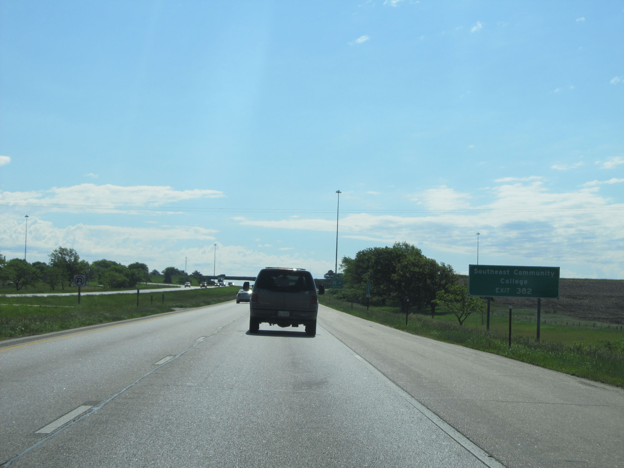 |
Take Exit 382 to Southeast Community College. (Photo taken 5/29/16). |
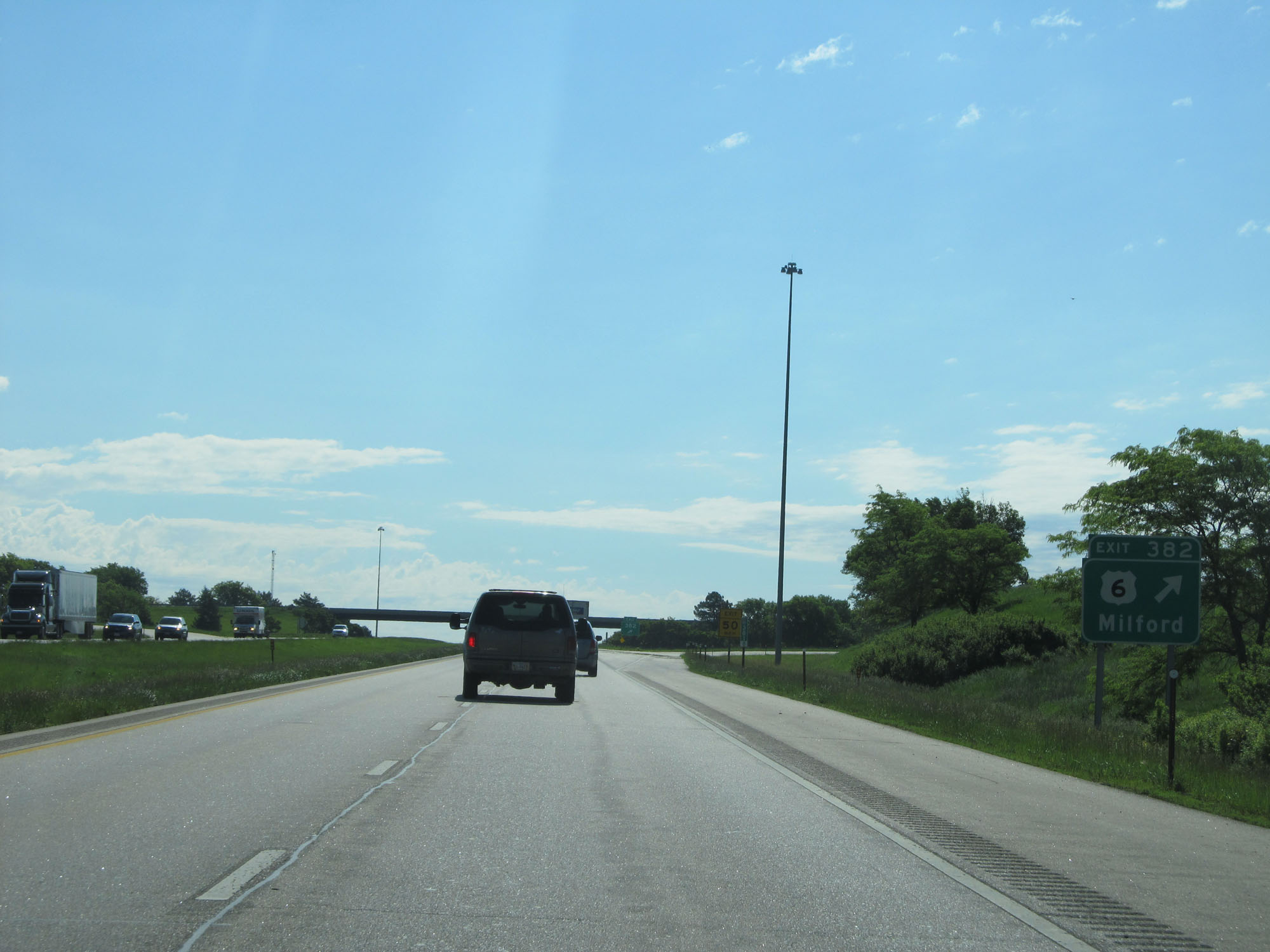 |
Interstate 80 East at Exit 382: US 6 - Milford (Photo taken 5/29/16). |
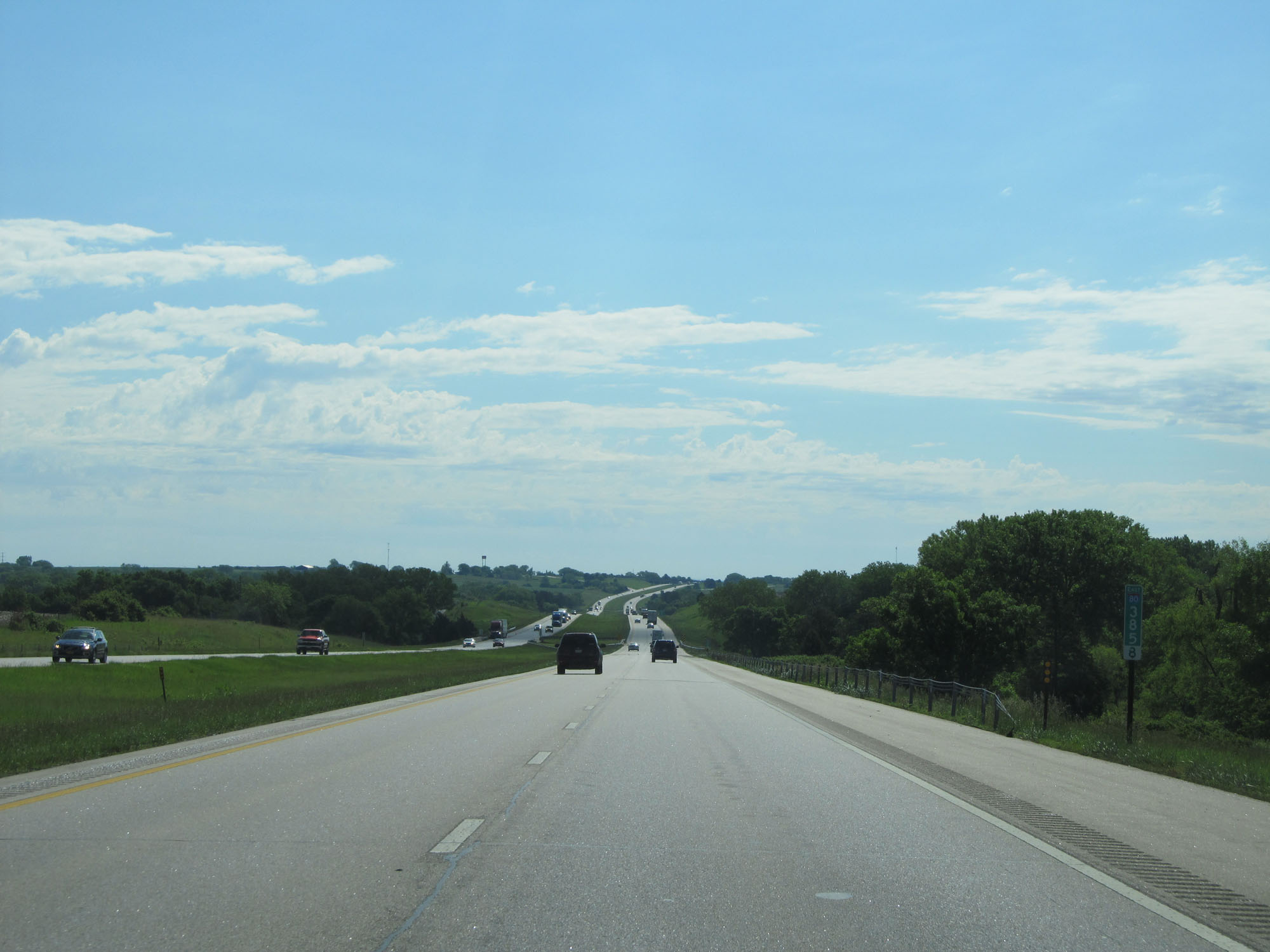 |
Interstate 80 East at mile marker 385.8. (Photo taken 5/29/16). |
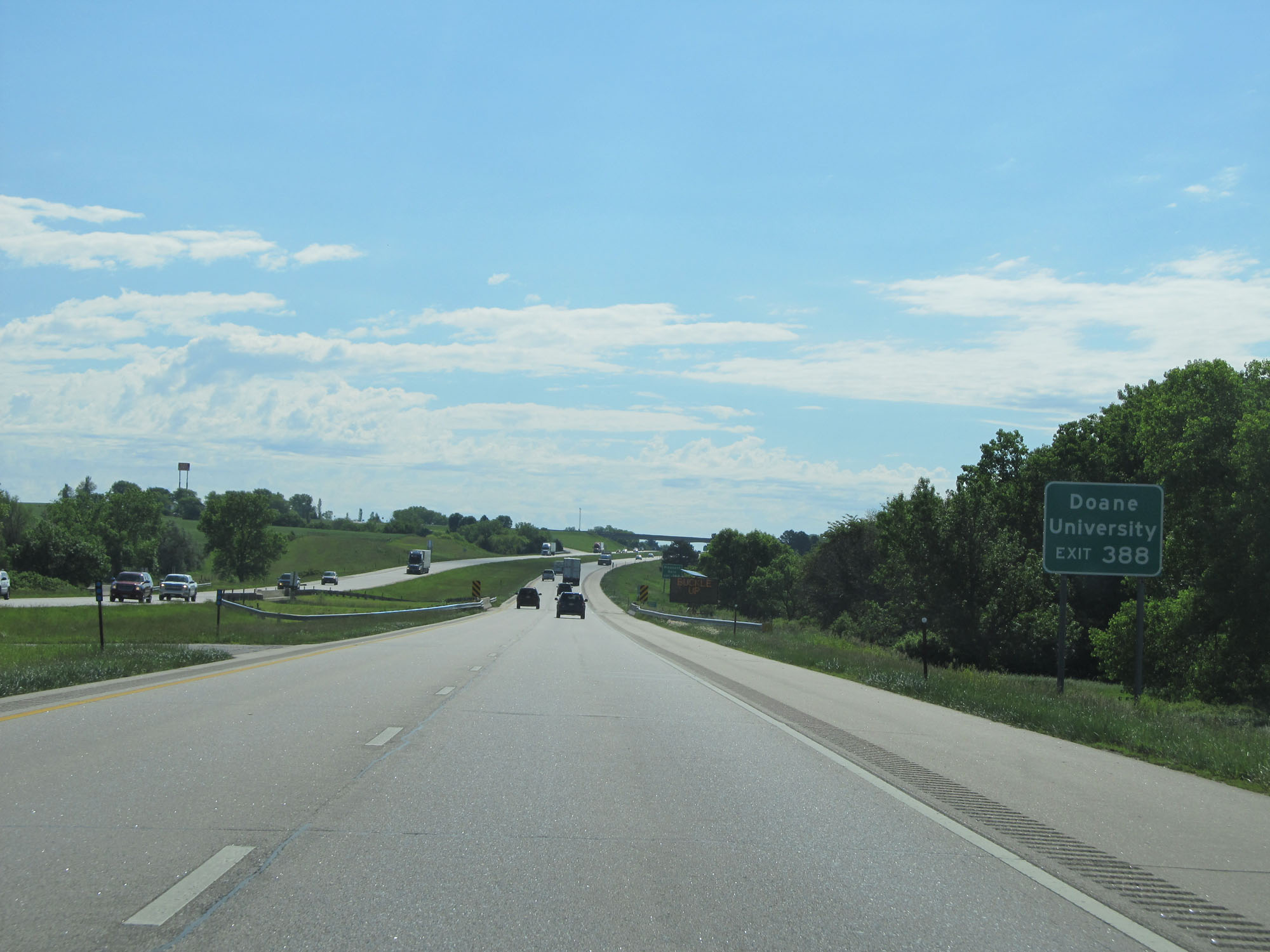 |
Take Exit 388 to Doane University. (Photo taken 5/29/16). |
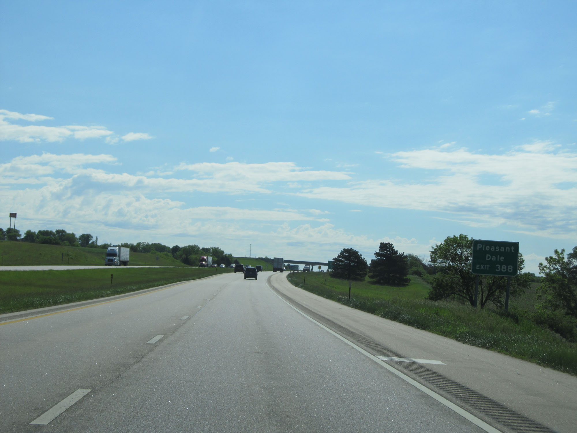 |
Also take Exit 388 to Pleasant Dale. (Photo taken 5/29/16). |
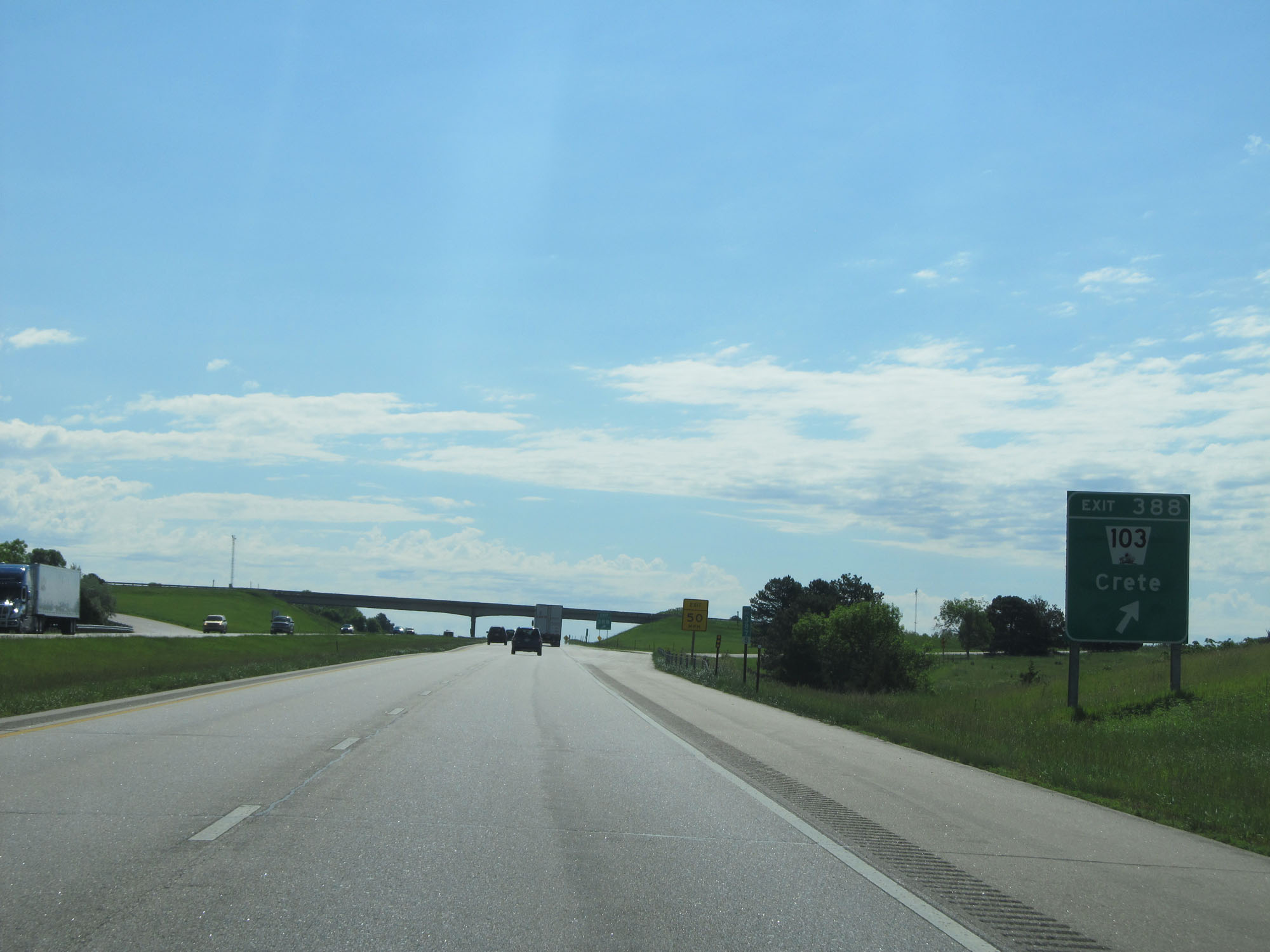 |
Interstate 80 East at Exit 388: NE 103 - Crete (Photo taken 5/29/16). |
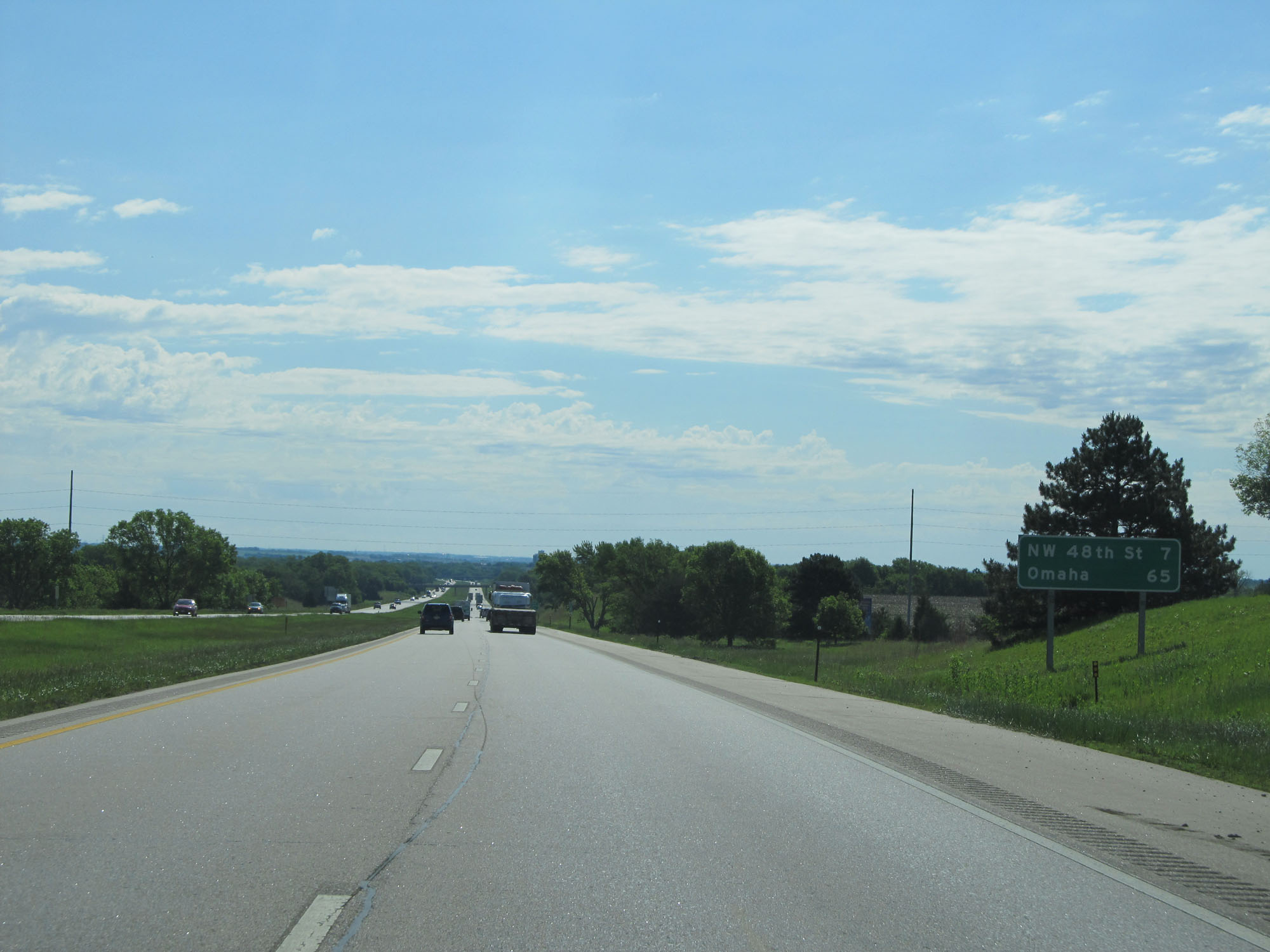 |
Mileage sign on Interstate 80 East. It's 7 miles to NW 48th St in Lincoln and 65 miles to Omaha. (Photo taken 5/29/16). |
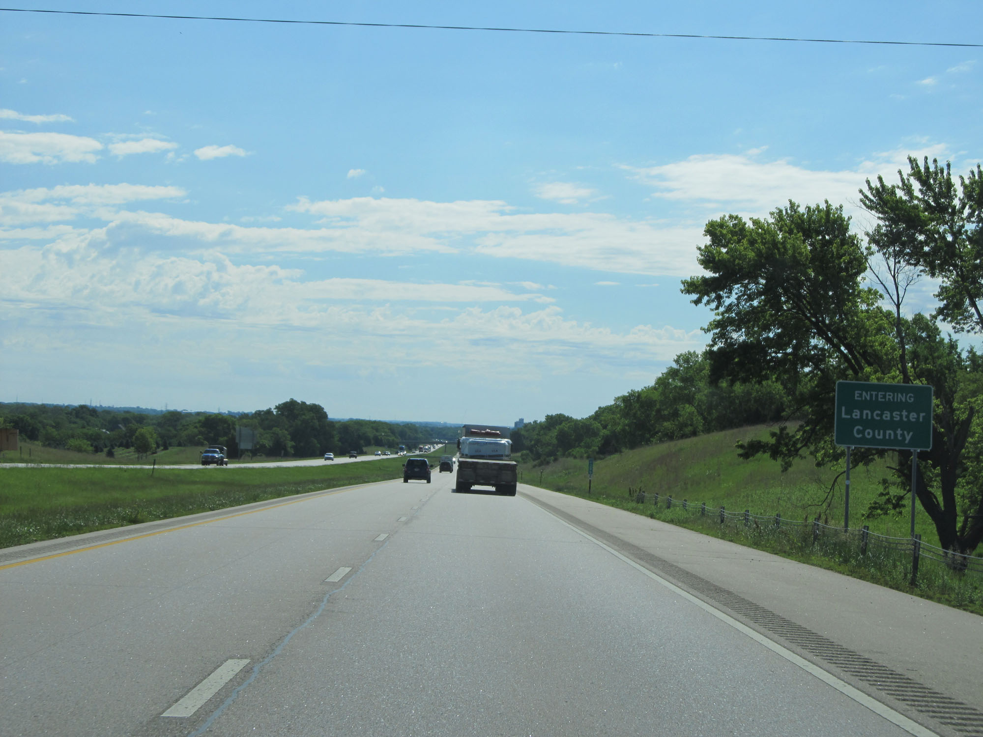 |
Interstate 80 East entering Lancaster County. (Photo taken 5/29/16). |
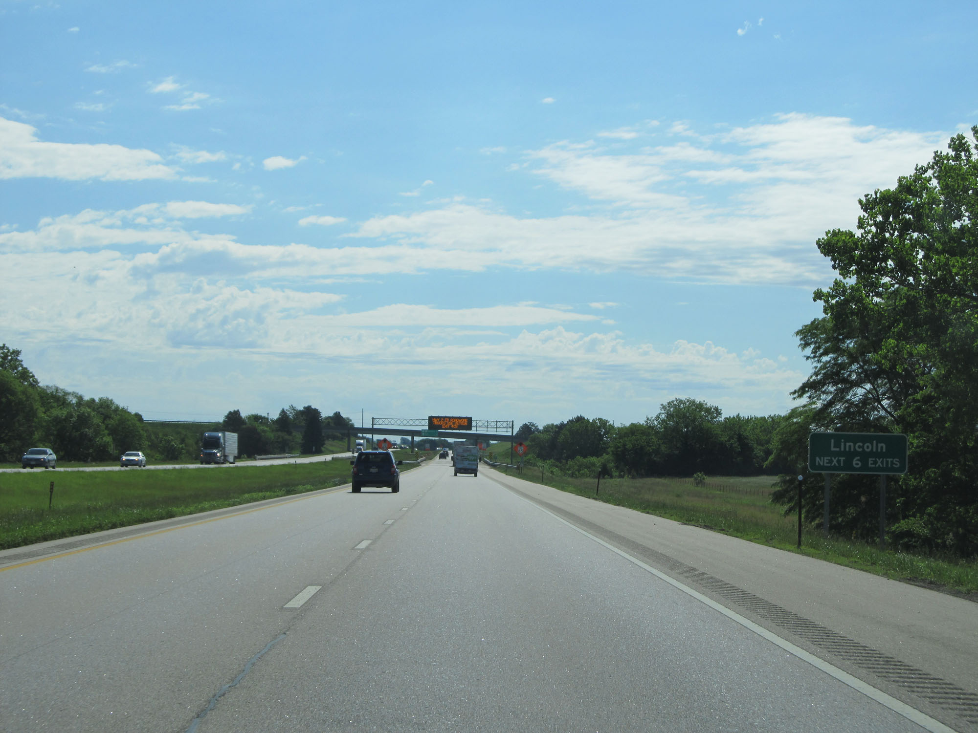 |
Take any of the next 6 exits to Lincoln. (Photo taken 5/29/16). |
 |
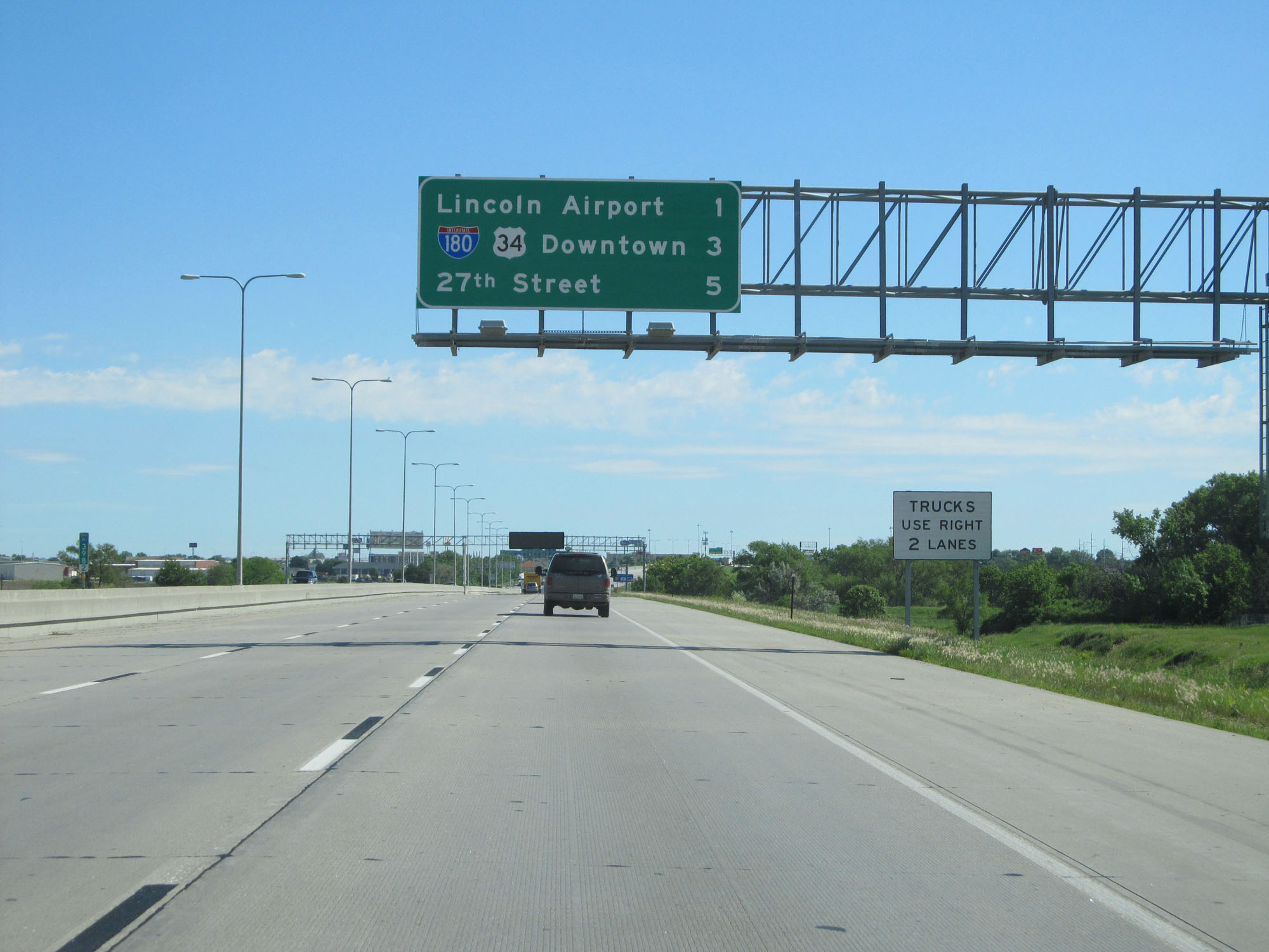
Overhead mileage sign listing the distances to the two upcoming Lincoln exits. (Photo taken 5/29/16). |
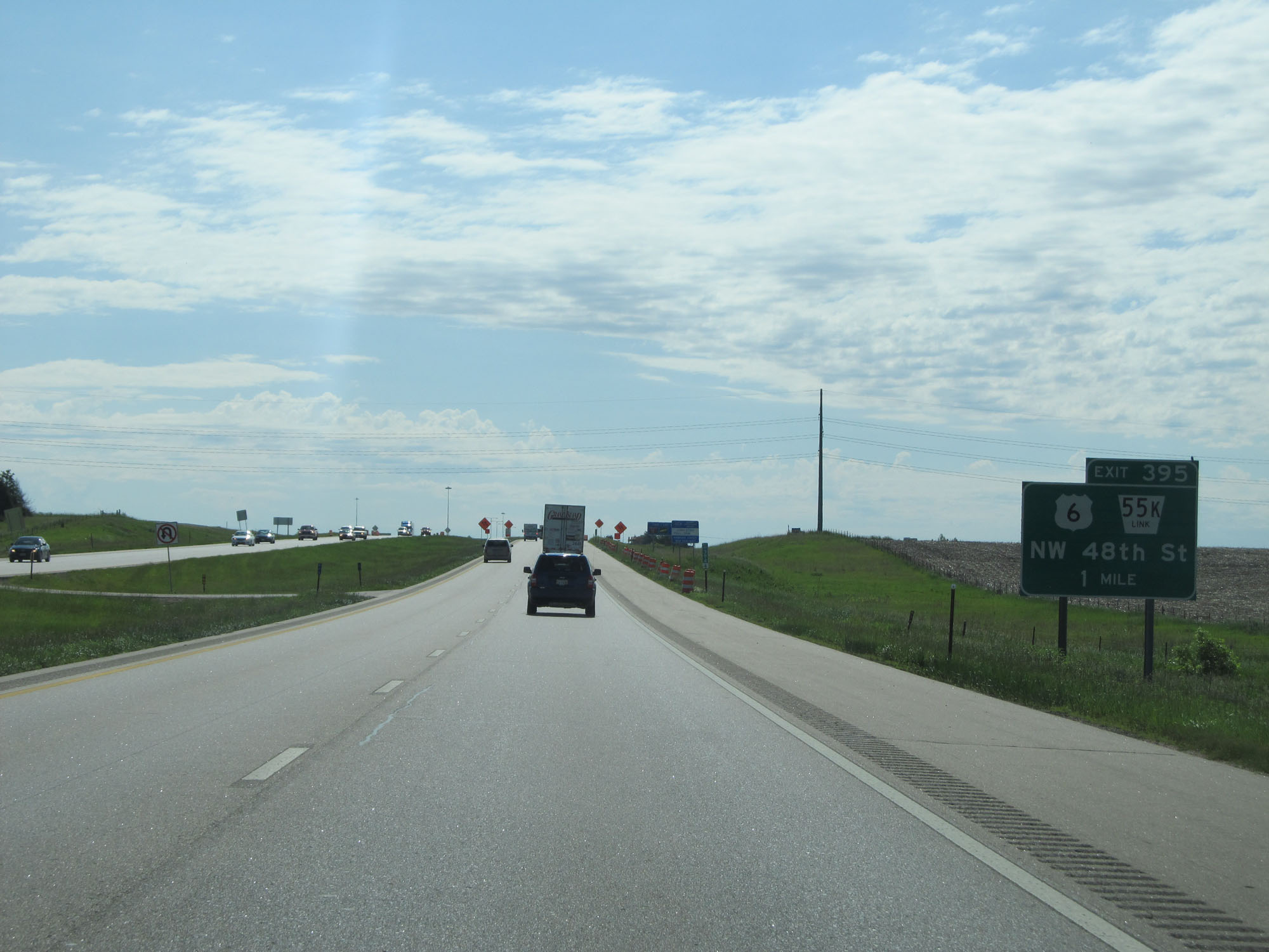 |
Interstate 80 East approaching Exit 395 - 1 mile. (Photo taken 5/29/16). |
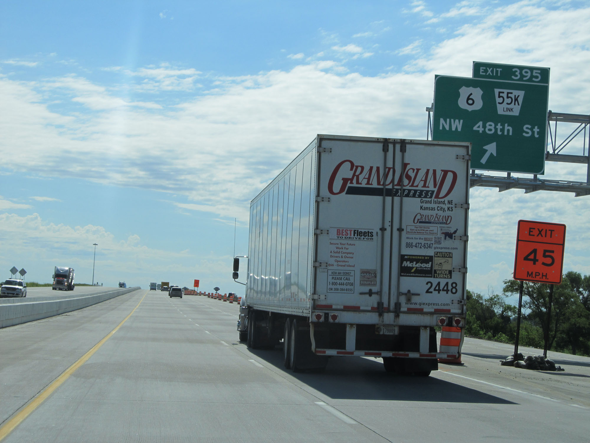 |
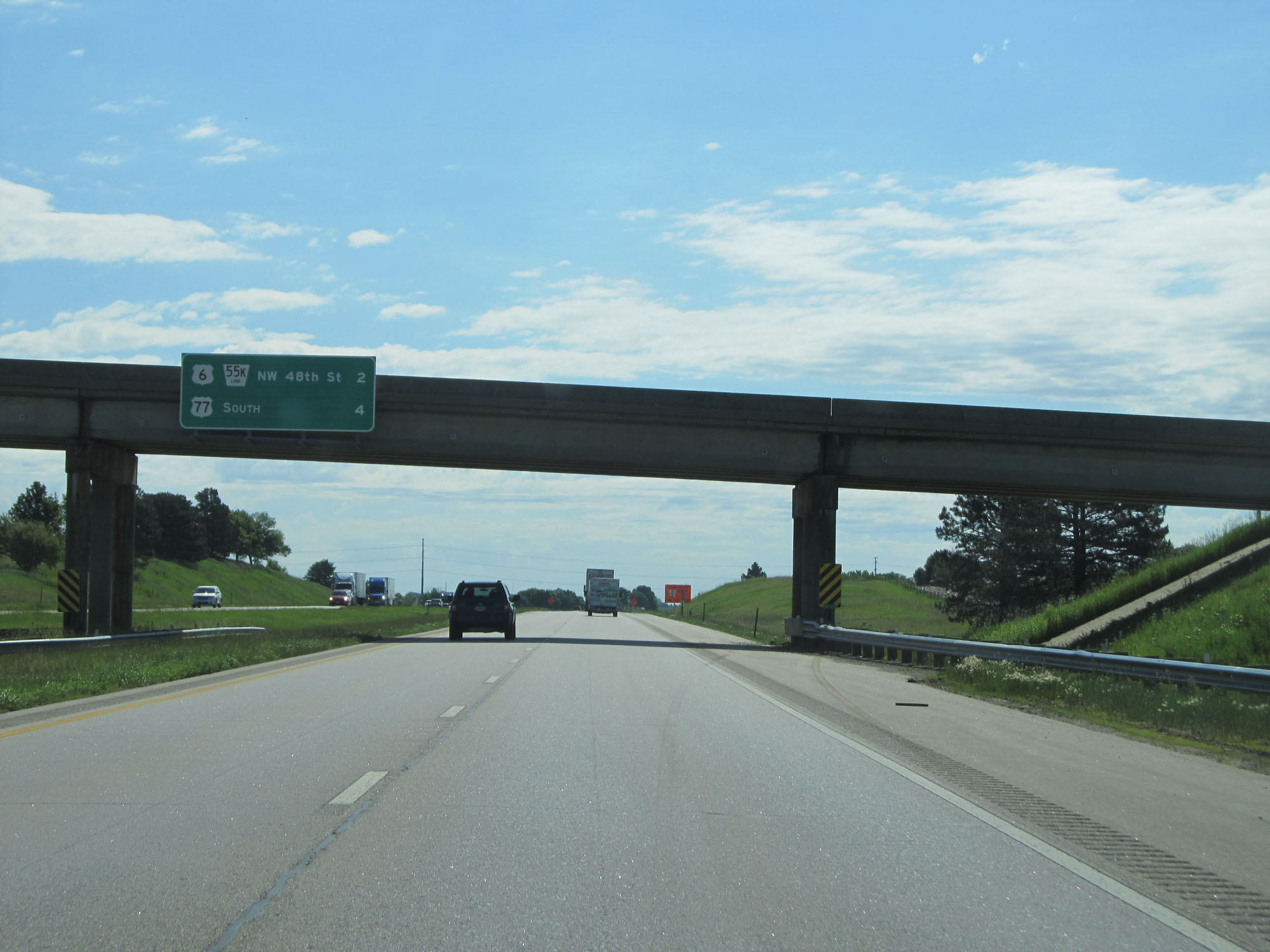
Interstate 80 East at Exit 395: US 6 / Nebraska Link 55K - NW 48th St (Photo taken 5/29/16). |
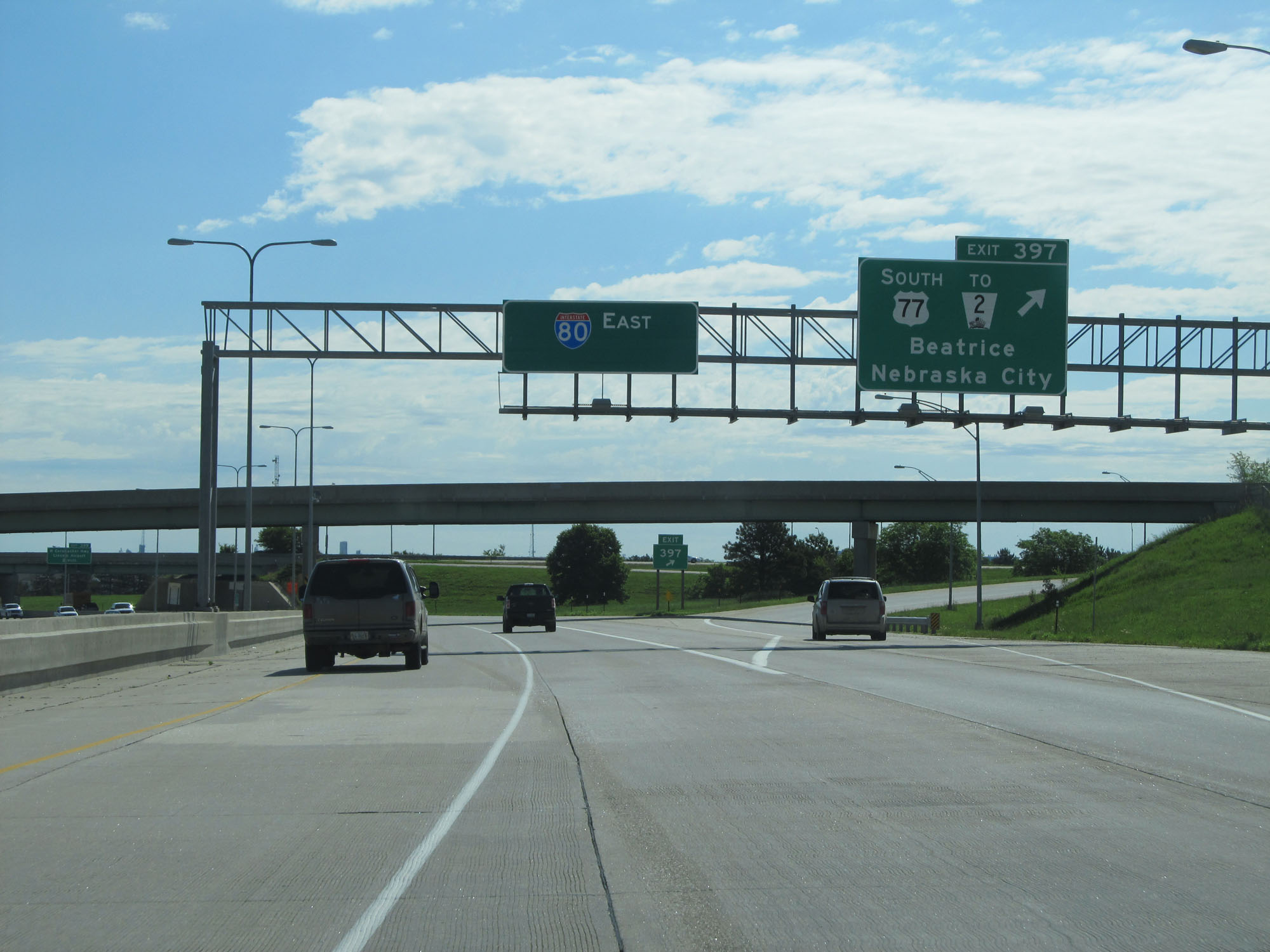 |
Interstate 80 East at Exit 397: US 77 South / To NE 2 - Beatrice / Nebraska City (Photo taken 5/29/16). |
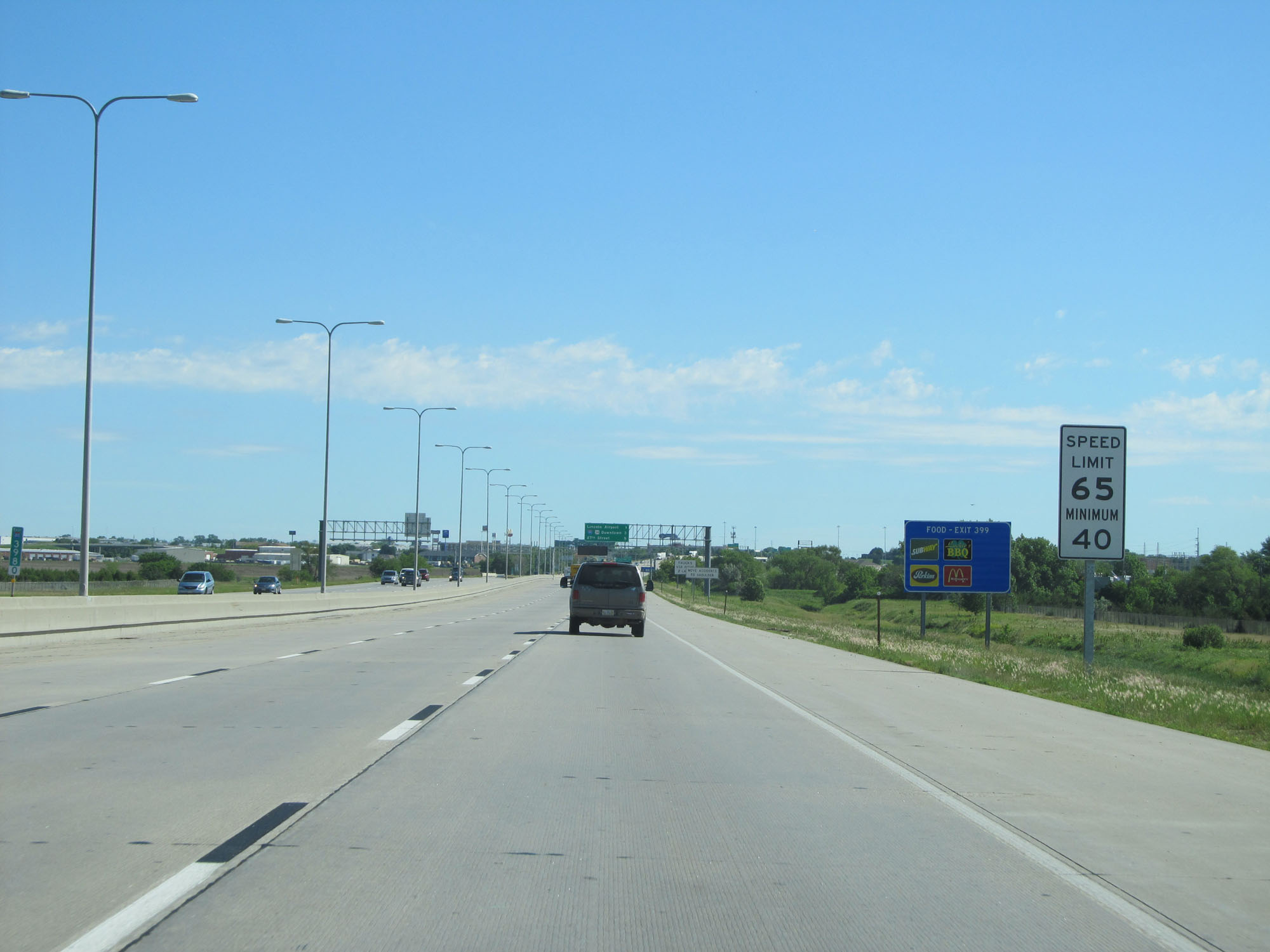 |
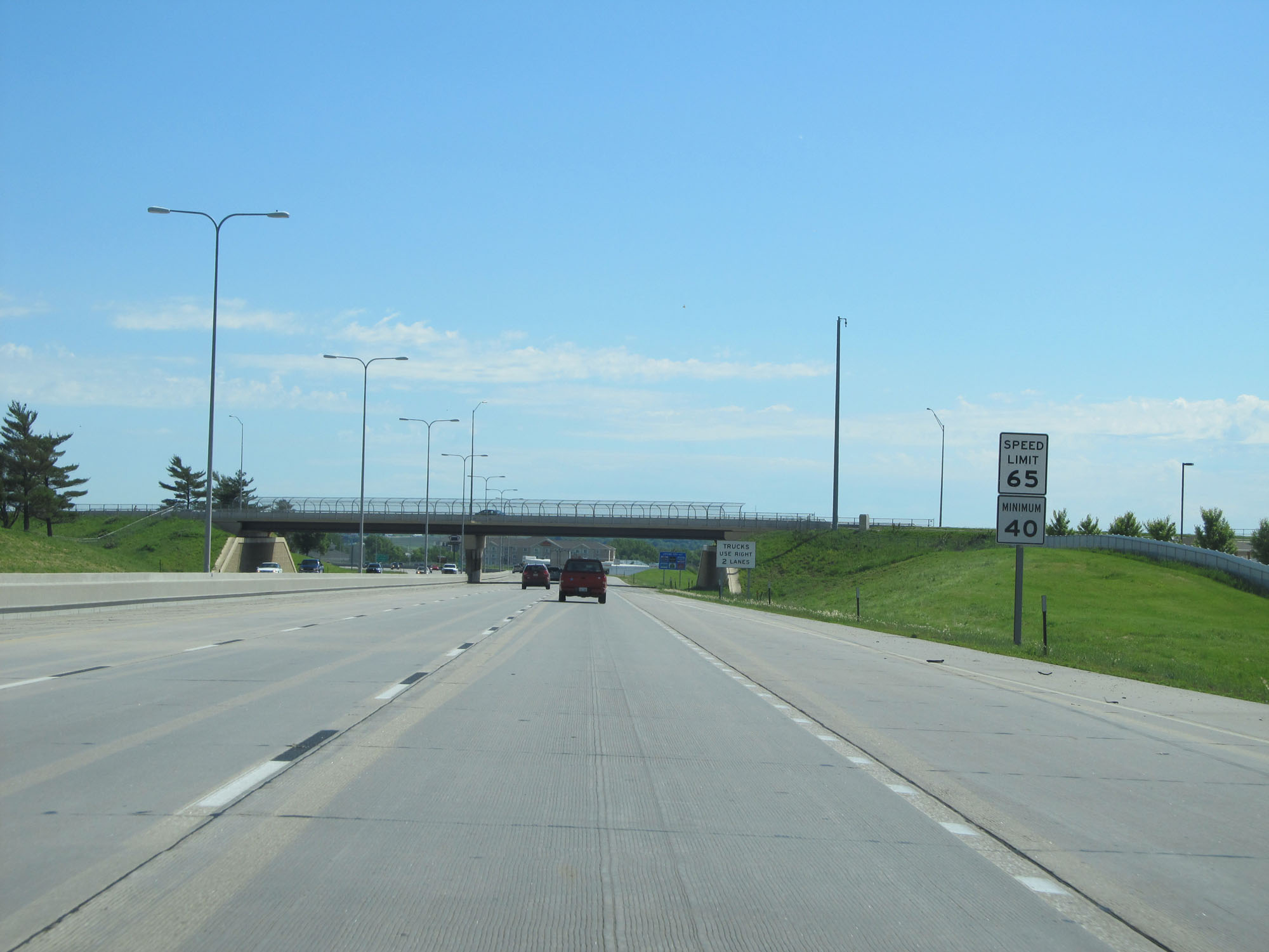
Entering the Lincoln area, the speed limit decreases to 65 mph. The minimum speed limit remains 40 mph. (Photo taken 5/29/16). |
 |
Overhead mileage sign listing the distances to the three upcoming exits to Lincoln. (Photo taken 5/29/16). |
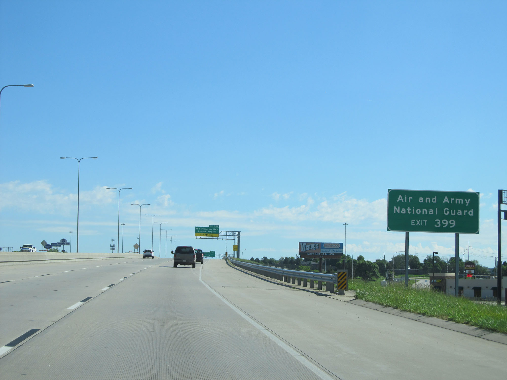 |
Take Exit 399 to the Air and Army National Guard. (Photo taken 5/29/16). |
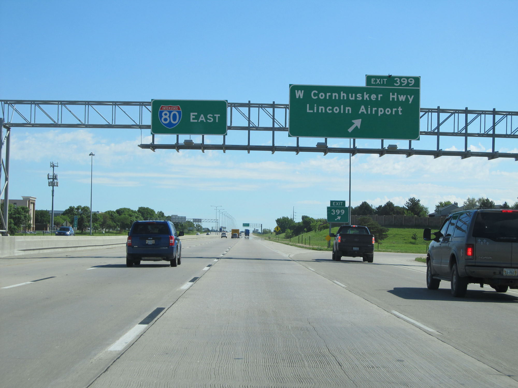 |
Interstate 80 East at Exit 399: W Cornhusker Hwy / Lincoln Airport (Photo taken 5/29/16). |
 |
Interstate 80 East approaching the junction of Interstate 180 - 1 mile. (Photo taken 5/29/16). |
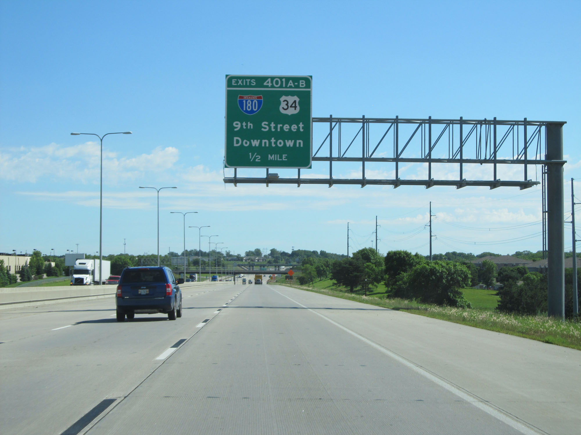 |
Interstate 80 East approaching Exits 401A-B - 1/2 mile. (Photo taken 5/29/16). |
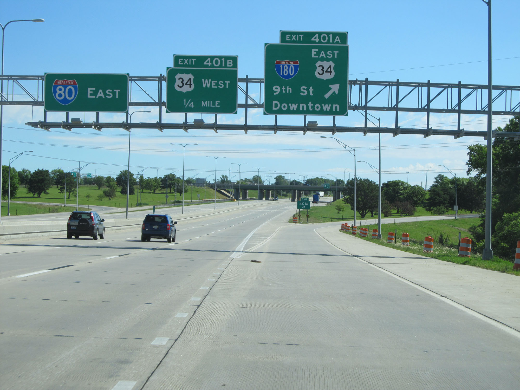 |
Interstate 80 East at Exit 401A: Interstate 180 / US 34 East - 9th St / Downtown (Photo taken 5/29/16). |
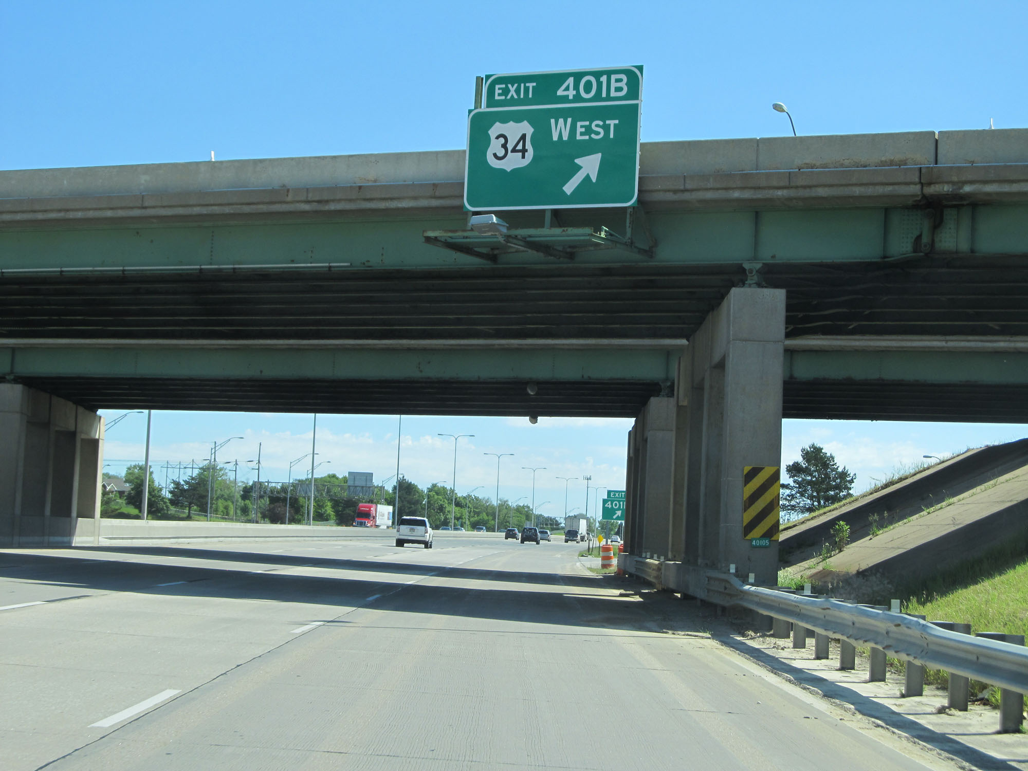 |
Interstate 80 East at Exit 401B: US 34 West (Photo taken 5/29/16). |
 |
The speed limits remain 65 mph maximum and 40 mph minimum. (Photo taken 5/29/16). |
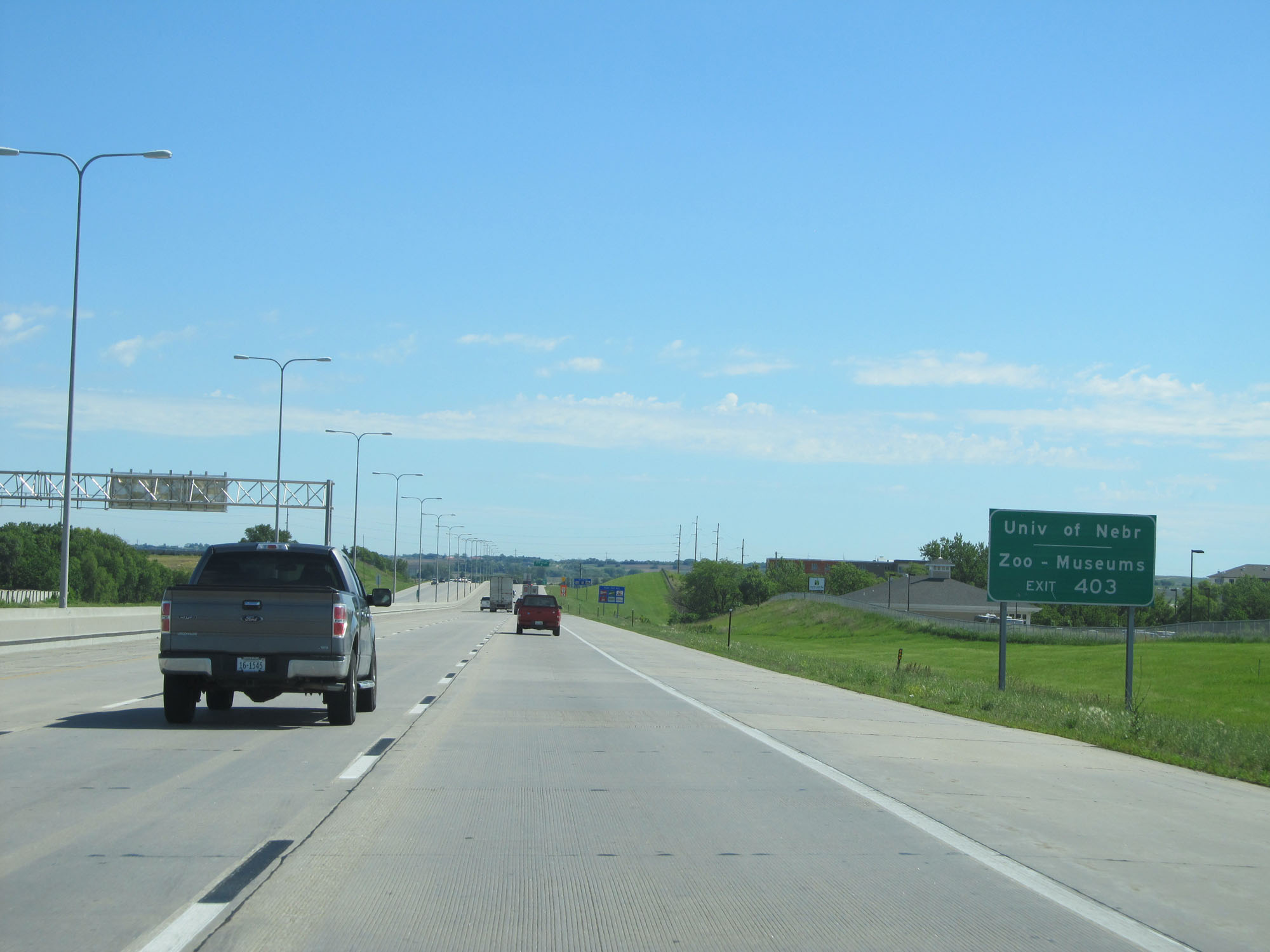 |
Take Exit 403 to the University of Nebraska and the Zoo/Museums. (Photo taken 5/29/16). |
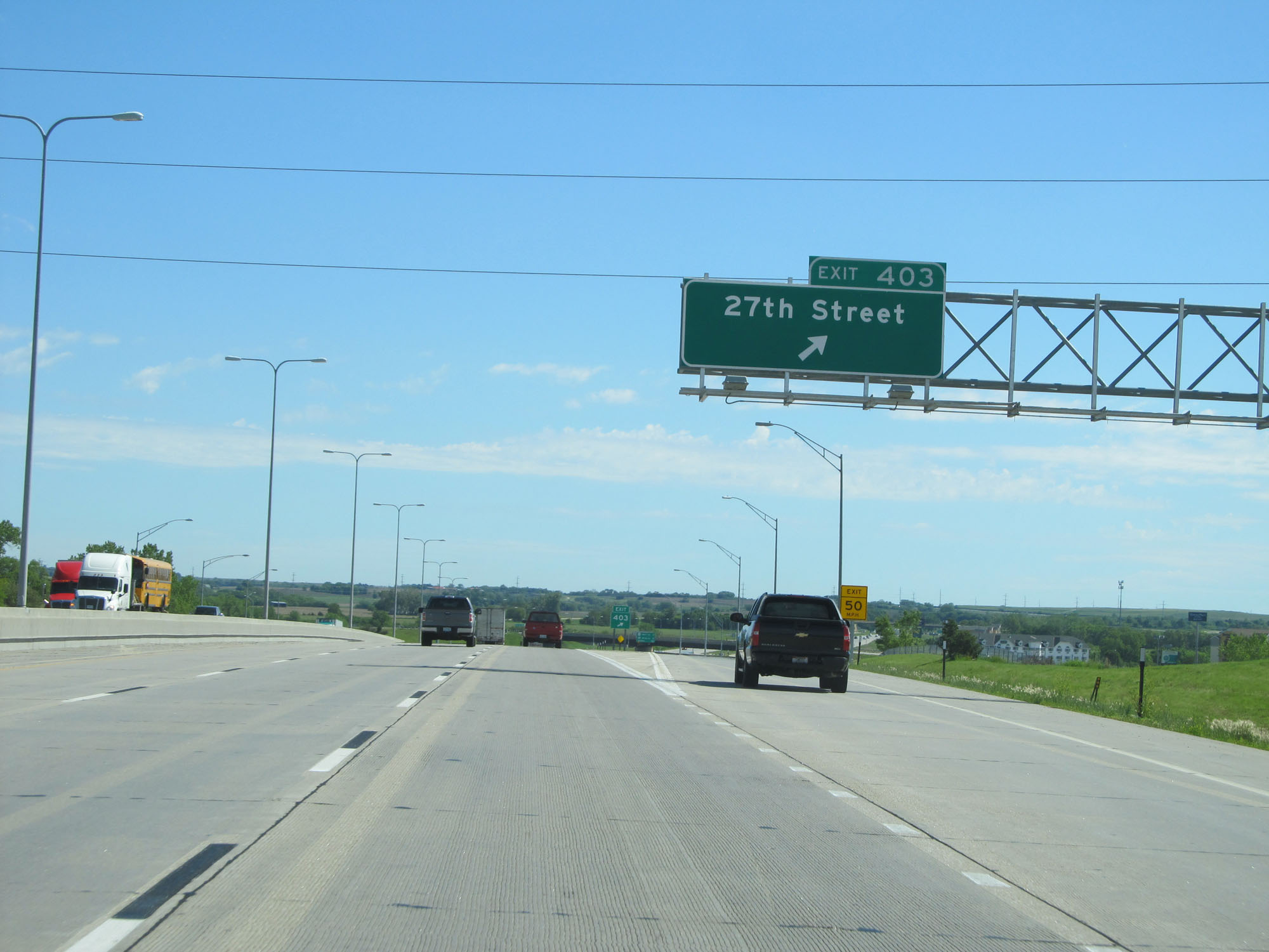 |
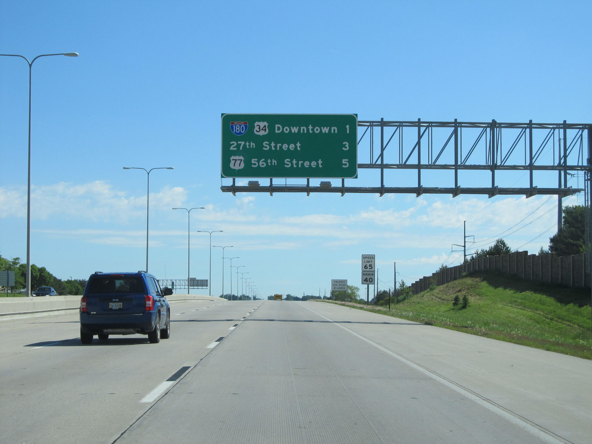
Interstate 80 East at Exit 403: 27th Street (Photo taken 5/29/16). |
 |
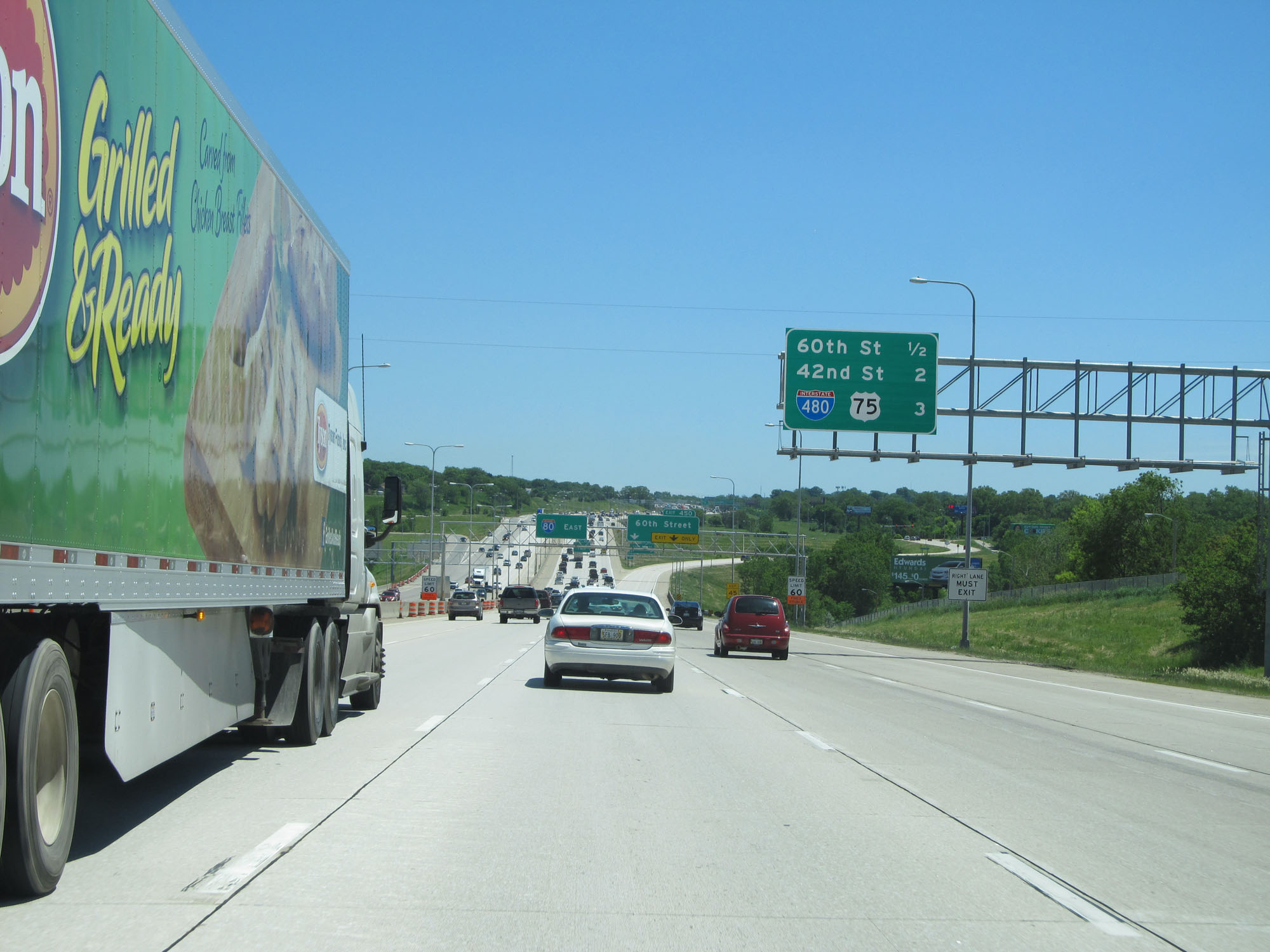
Overhead mileage sign on Interstate 80 East. It's 2 miles to the junction of US 77, 6 miles to the junction of US 6, and 52 miles to Omaha. (Photo taken 5/29/16). |
 |
Interstate 80 East at mile marker 404. (Photo taken 5/29/16). |
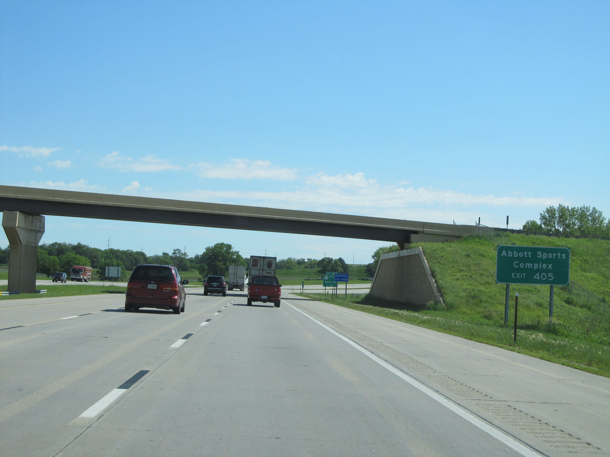 |
Take Exit 405 to Abbott Sports Complex. (Photo taken 5/29/16). |
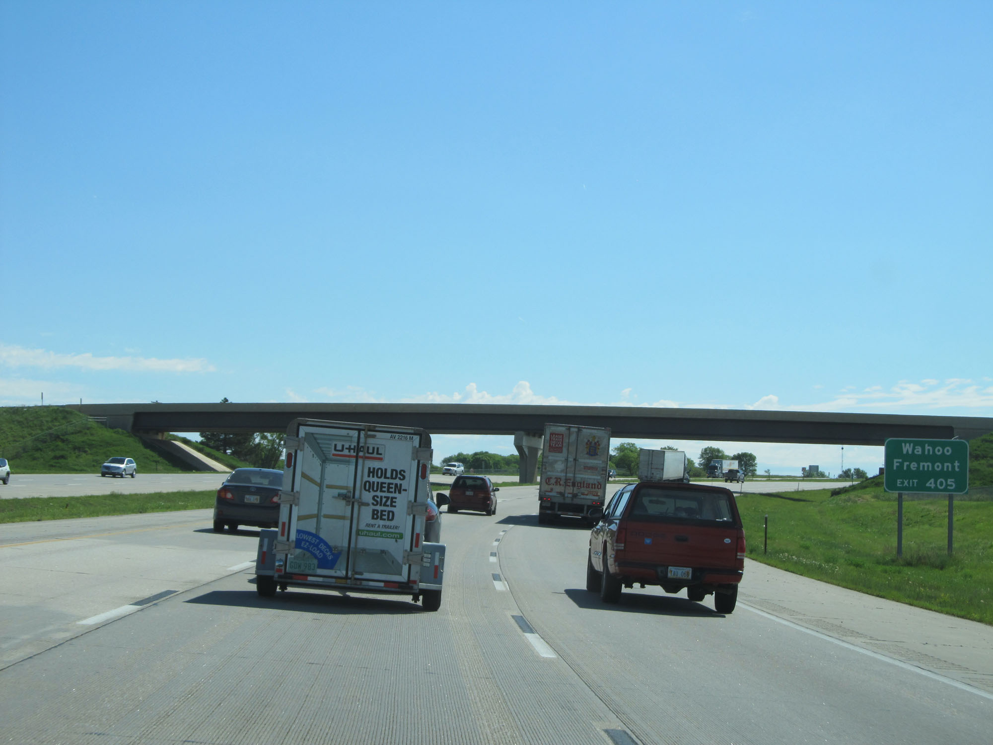 |
Also take Exit 405 to Wahoo and Fremont. (Photo taken 5/29/16). |
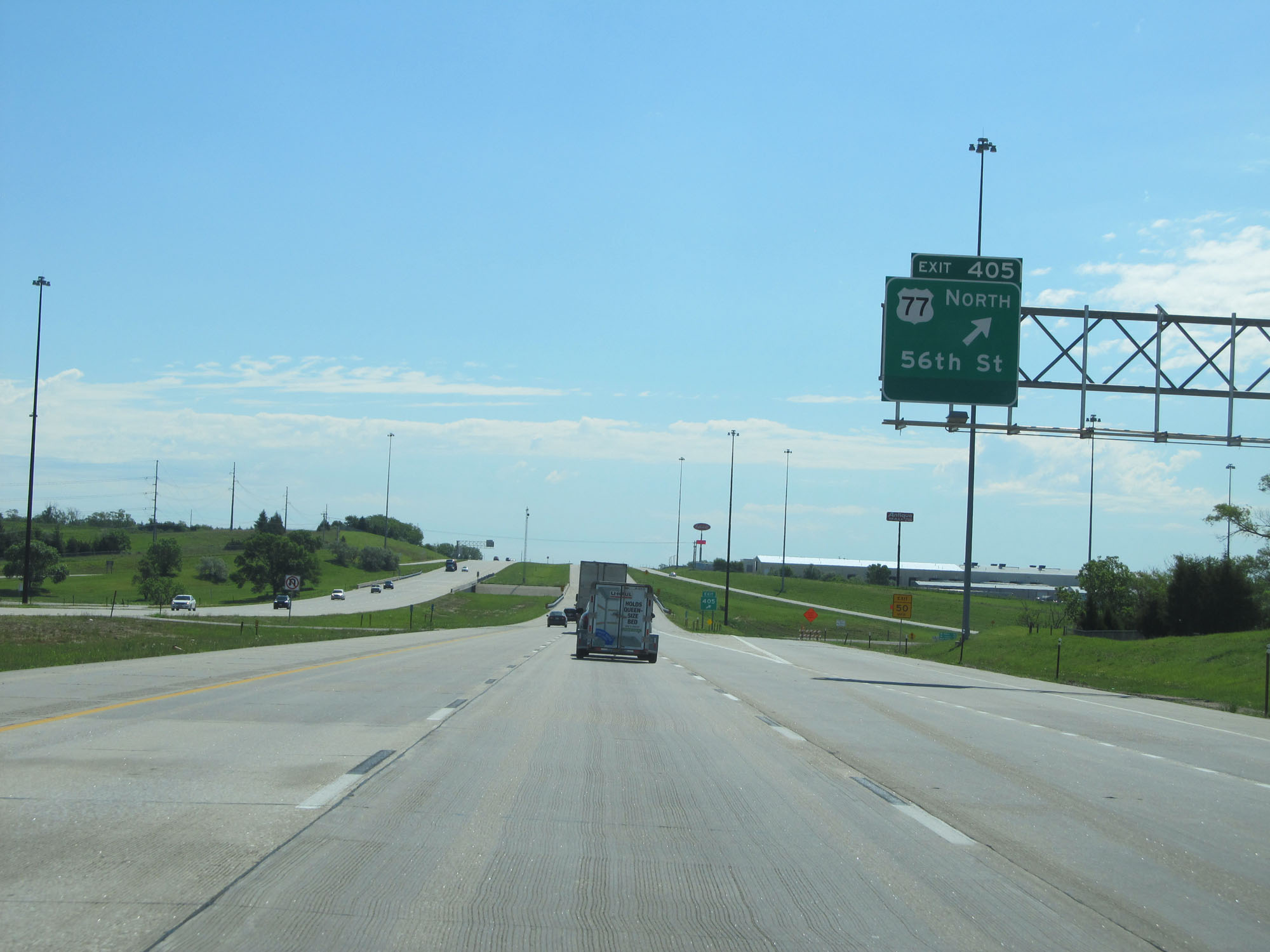 |
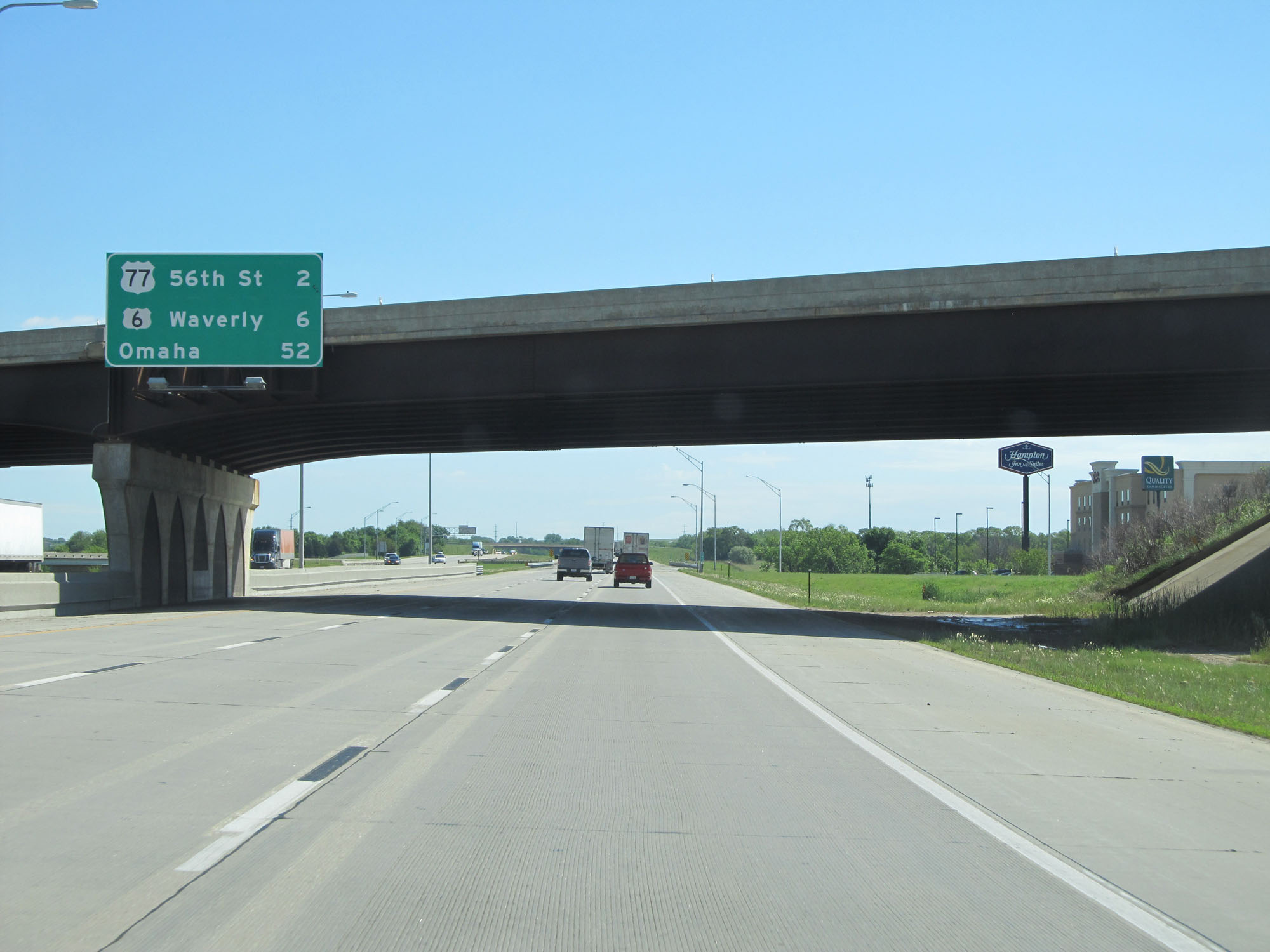
Interstate 80 East at Exit 405: US 77 North - 56th St (Photo taken 5/29/16). |
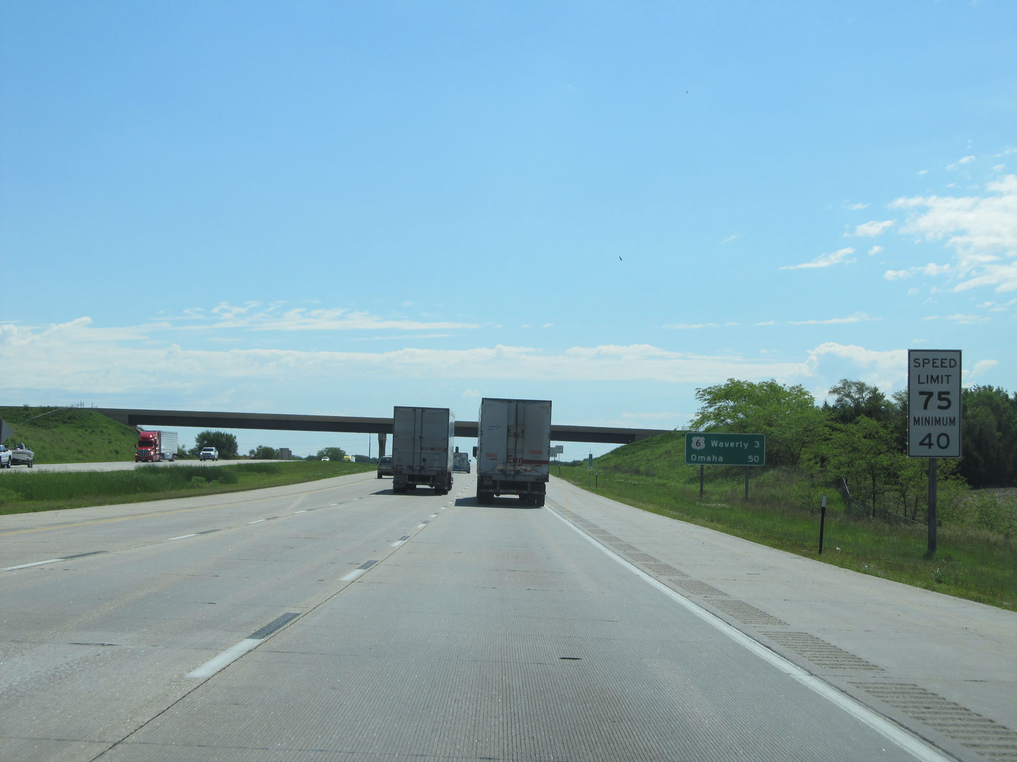 |
West of Exit 405, the standard rural speed limit of 75 mph resumes while the minimum speed limit remains 40 mph. (Photo taken 5/29/16). |
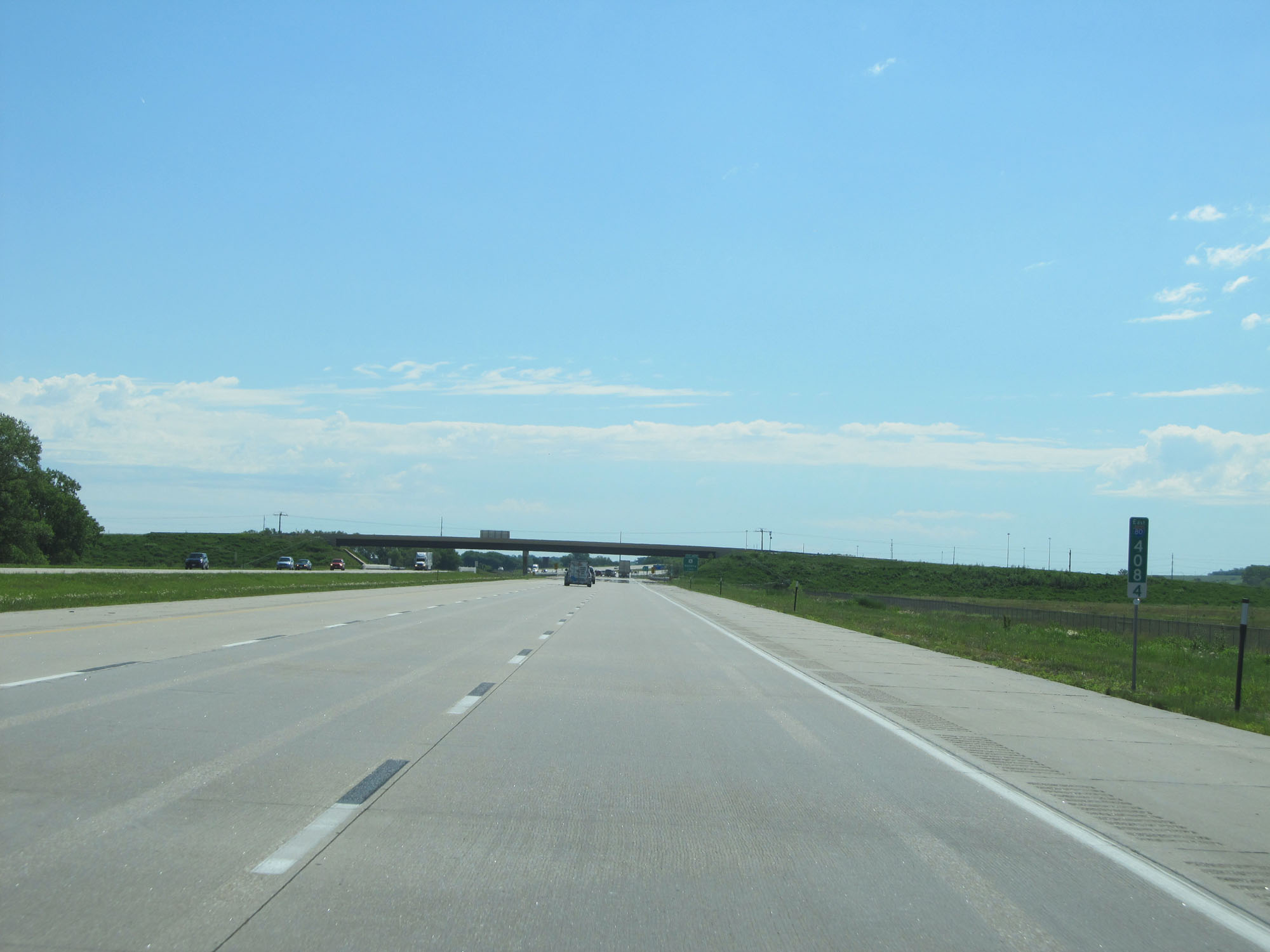 |
Interstate 80 East at mile marker 408.4. (Photo taken 5/29/16). |
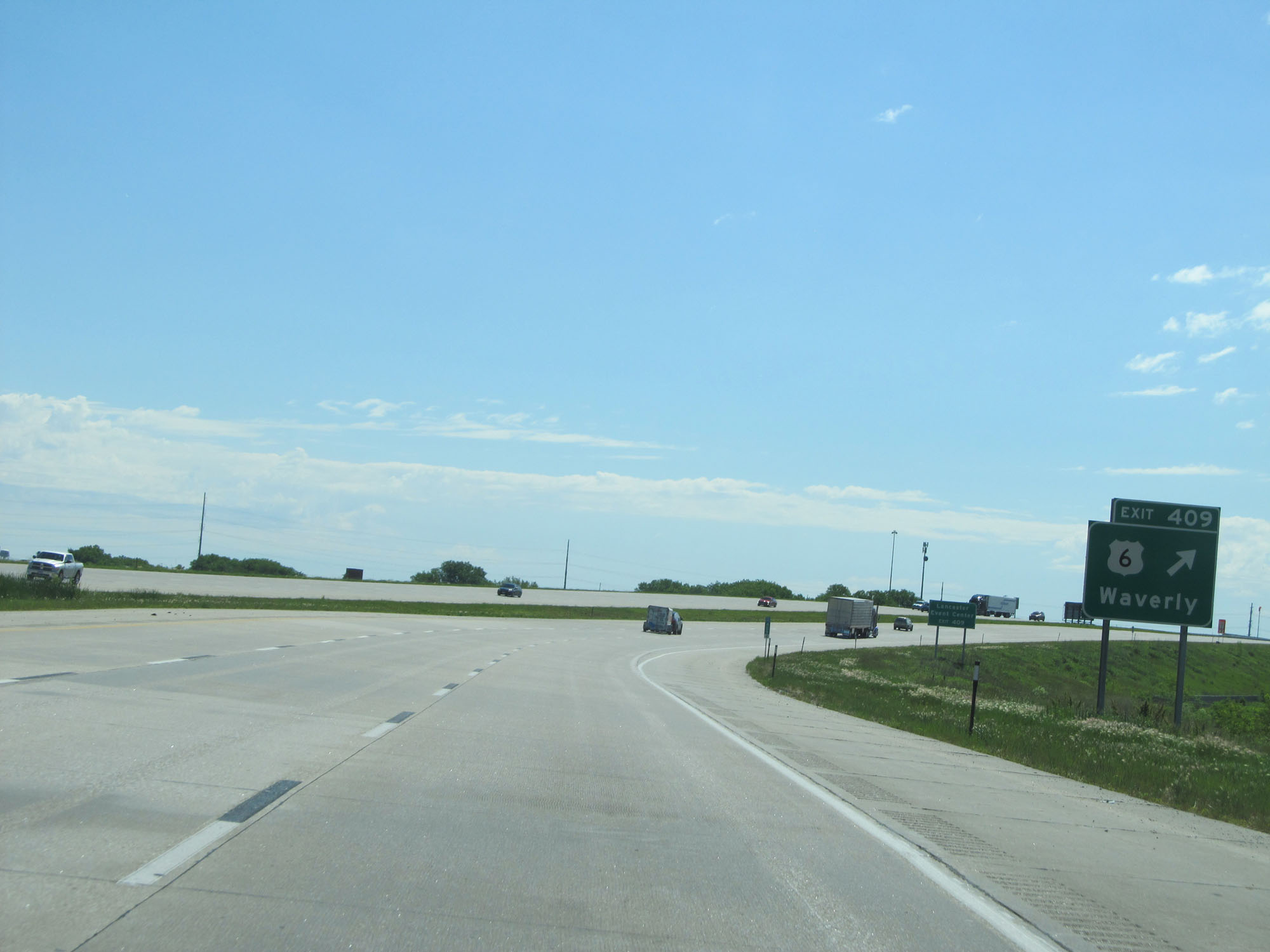 |
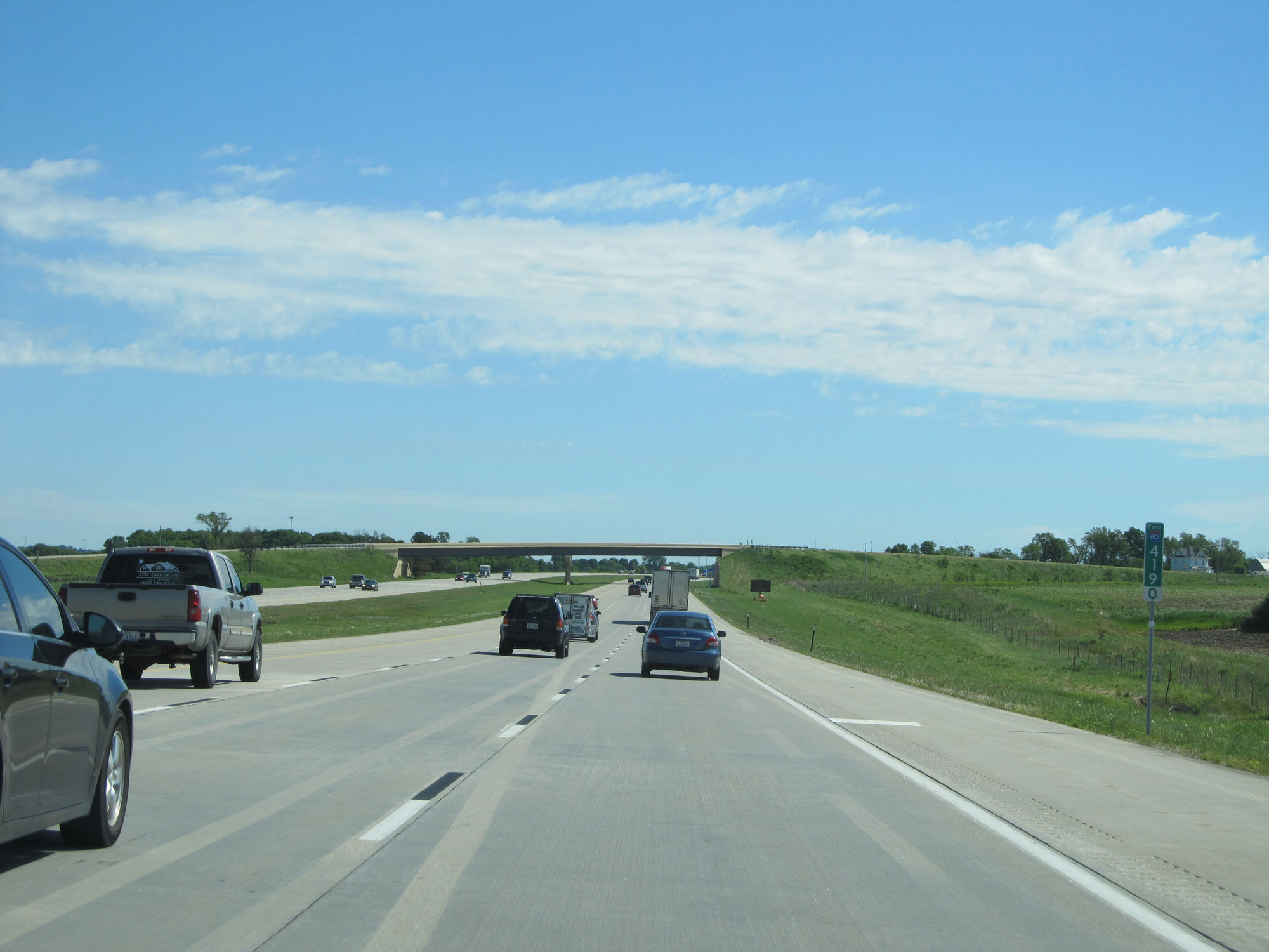
Interstate 80 East at Exit 409: US 6 - Waverly (Photo taken 5/29/16). |
Section 4: Waverly (Exit 409) to Iowa Border
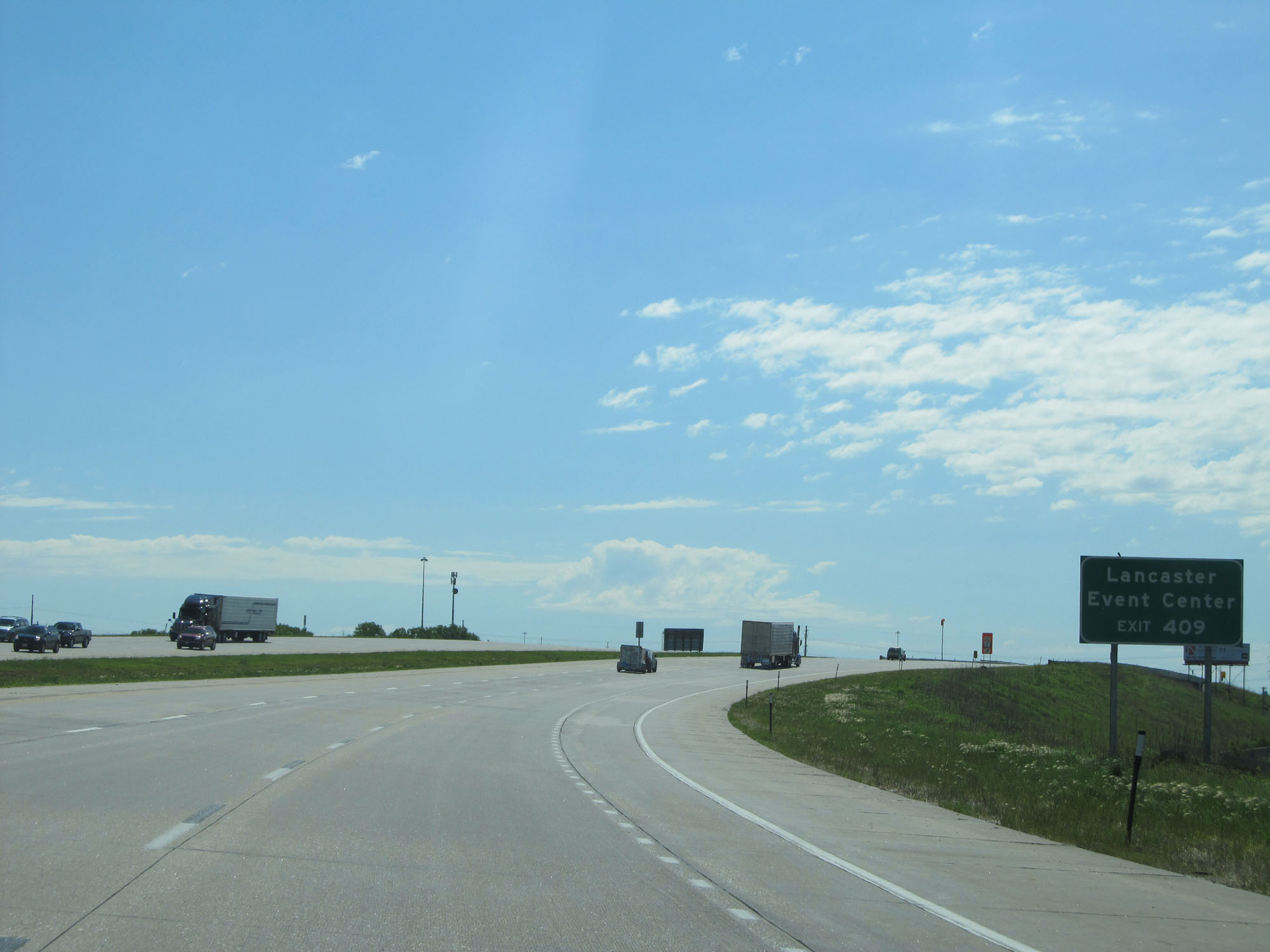 |
Take Exit 409 to Lancaster Event Center. (Photo taken 5/29/16). |
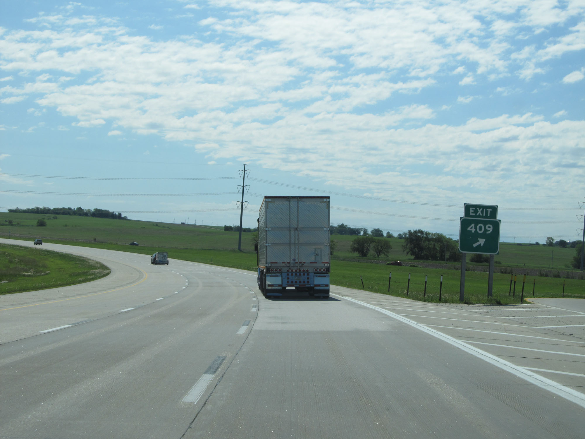 |
Gore point signage for Exit 409. (Photo taken 5/29/16). |
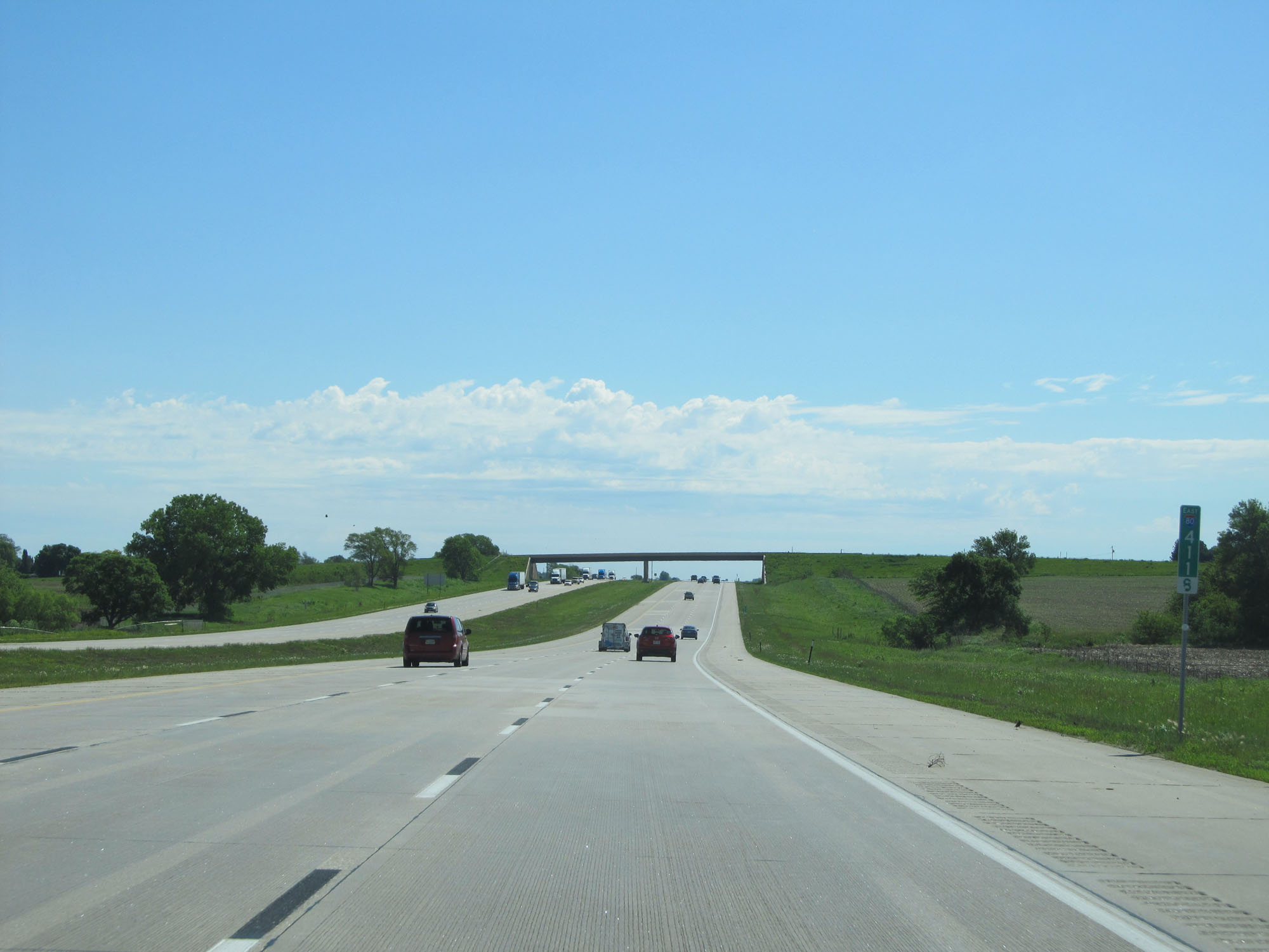 |
Interstate 80 East at mile marker 411.8. (Photo taken 5/29/16). |
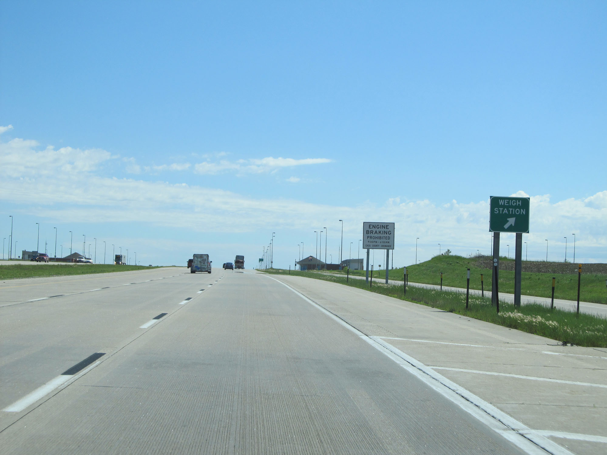 |
Interstate 80 East at the Weigh Station on the Lancaster-Cass County line. (Photo taken 5/29/16). |
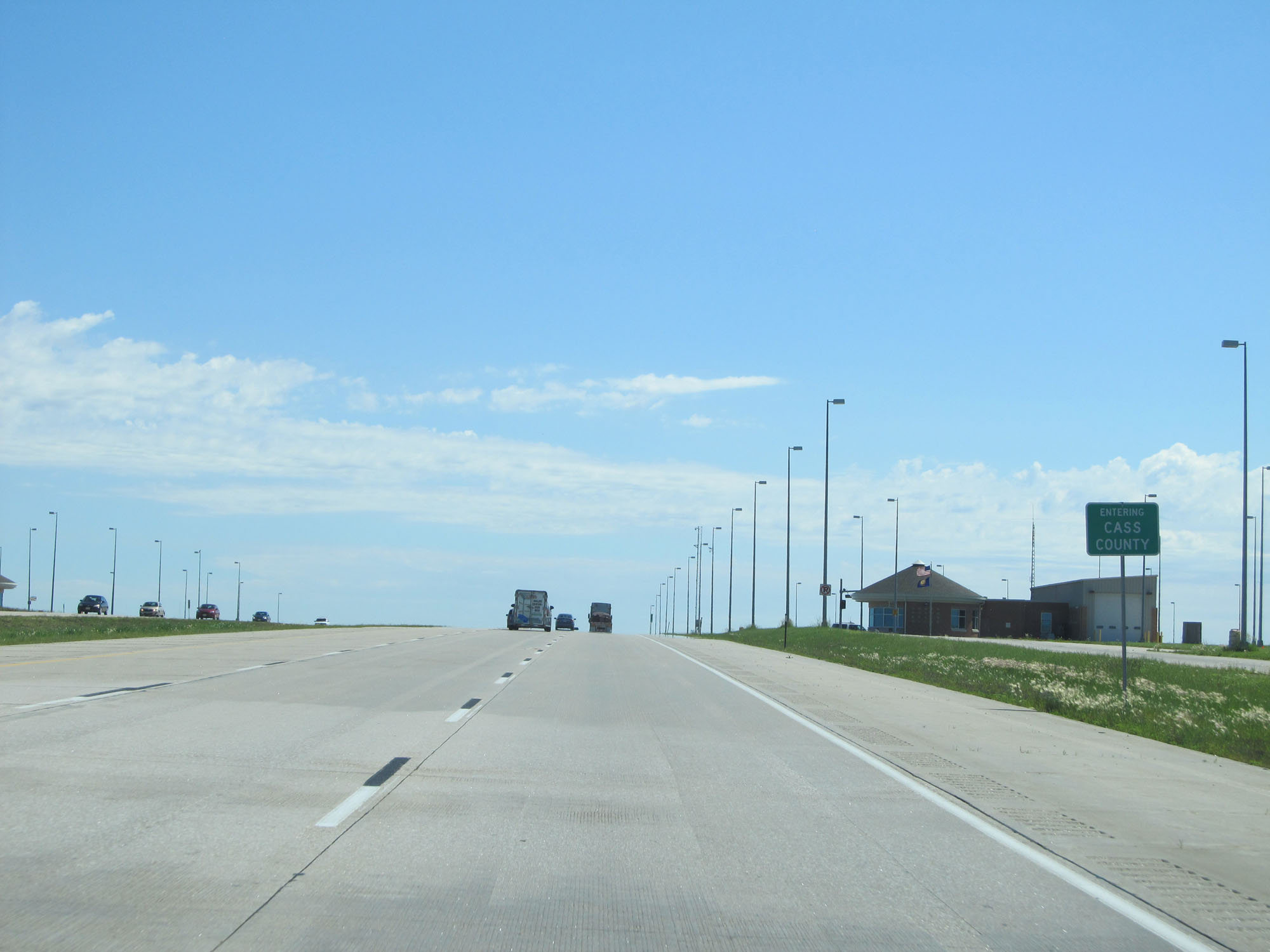 |
Interstate 80 East entering Cass County. (Photo taken 5/29/16). |
 |
Interstate 80 East at mile marker 419. (Photo taken 5/29/16). |
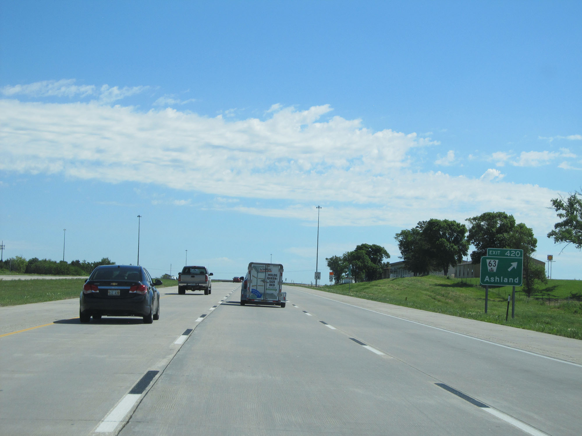 |
Interstate 80 East at Exit 420: NE 63 - Ashland (Photo taken 5/29/16). |
 |
Interstate 80 East reassurance shield. (Photo taken 5/29/16). |
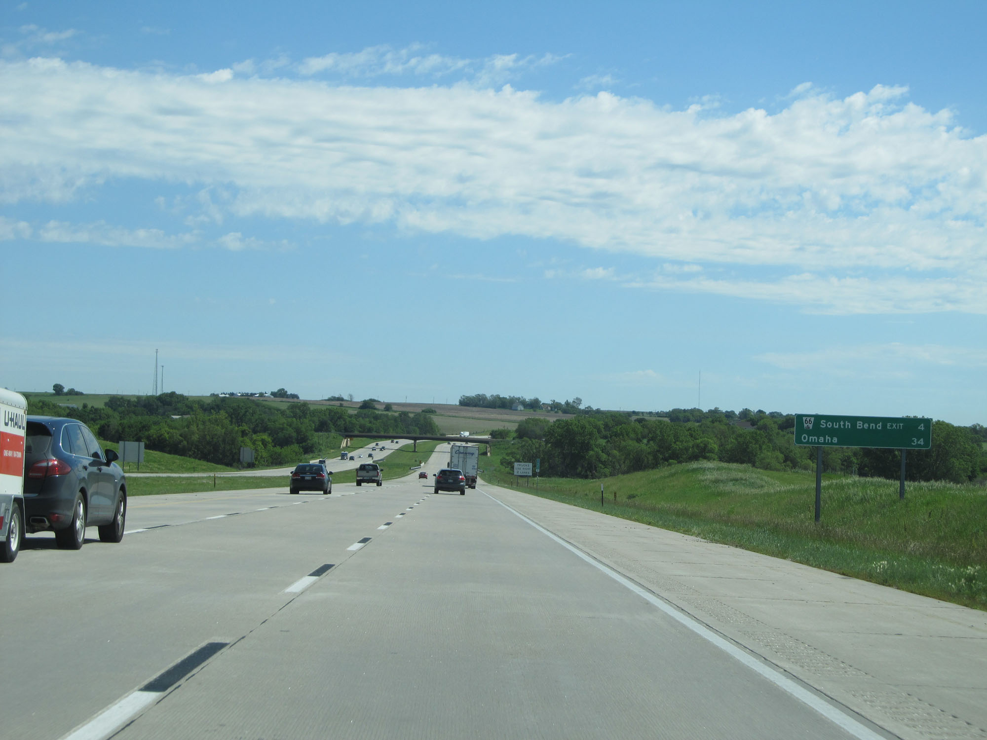 |
Mileage sign on Interstate 80 East. It's 4 miles to South Bend and 34 miles to Omaha. (Photo taken 5/29/16). |
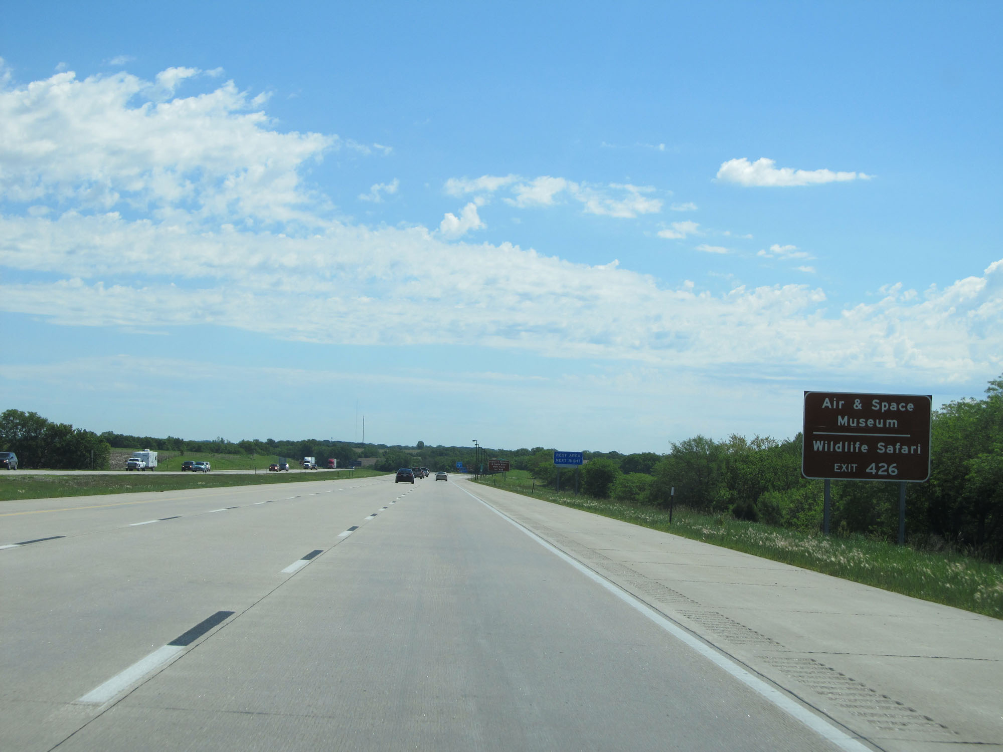 |
Take Exit 426 to the Air & Space Museum as well as Wildlife Safari. (Photo taken 5/29/16). |
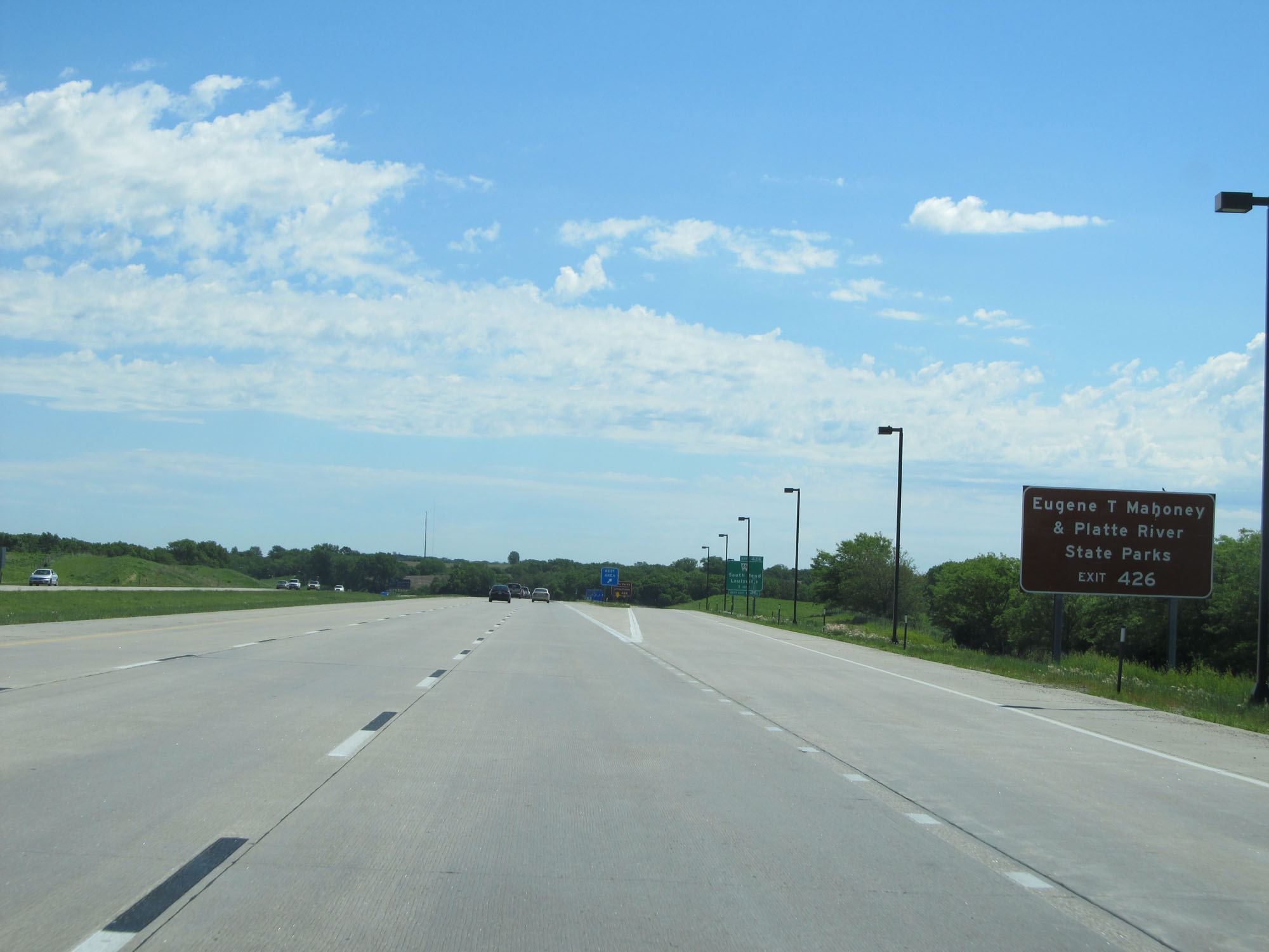 |
Also take Exit 426 to Eugene T. Mahoney & Platte River State Parks. (Photo taken 5/29/16). |
 |
Interstate 80 East at the Rest Area in Cass County. (Photo taken 5/29/16). |
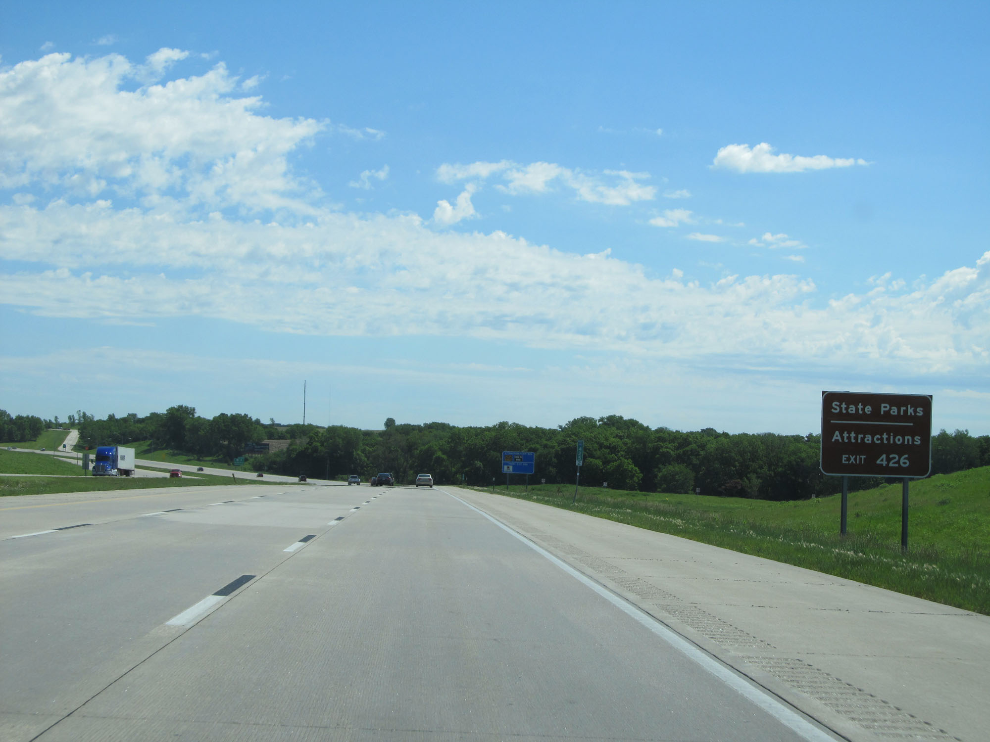 |
Again, take Exit 426 to the State Parks and Attractions stated on previous signage. (Photo taken 5/29/16). |
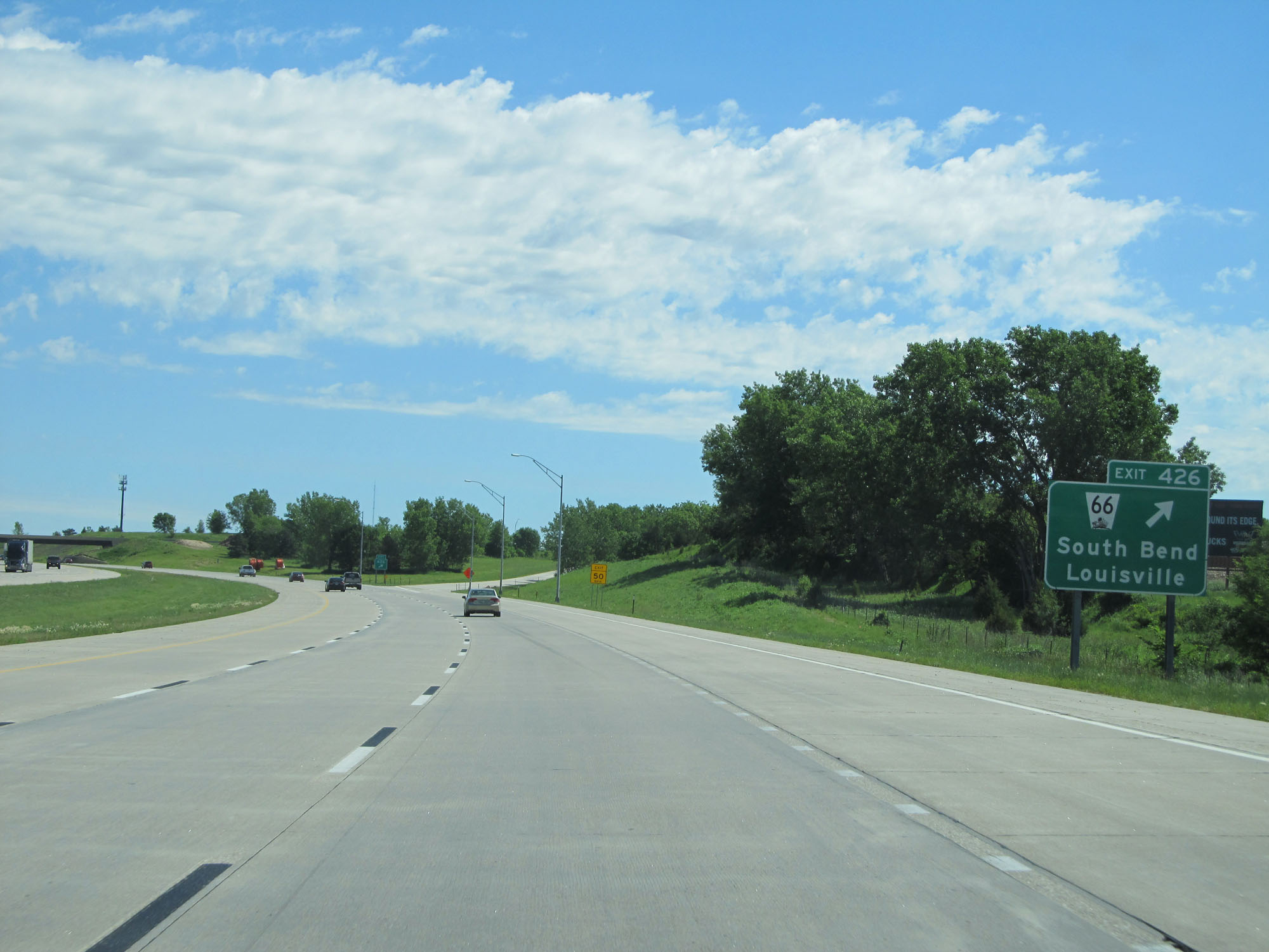 |
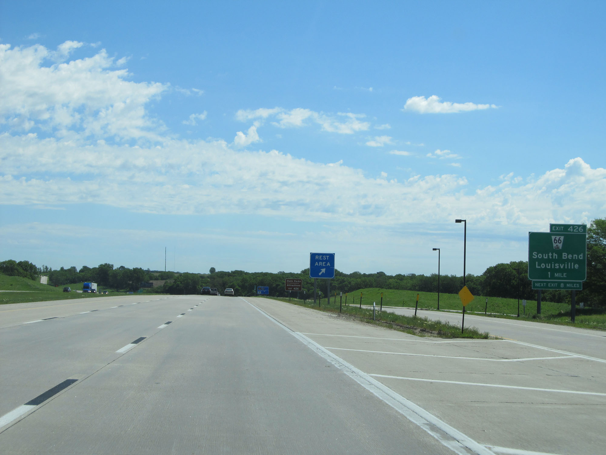
Interstate 80 East at Exit 426: NE 66 - South Bend / Louisville (Photo taken 5/29/16). |
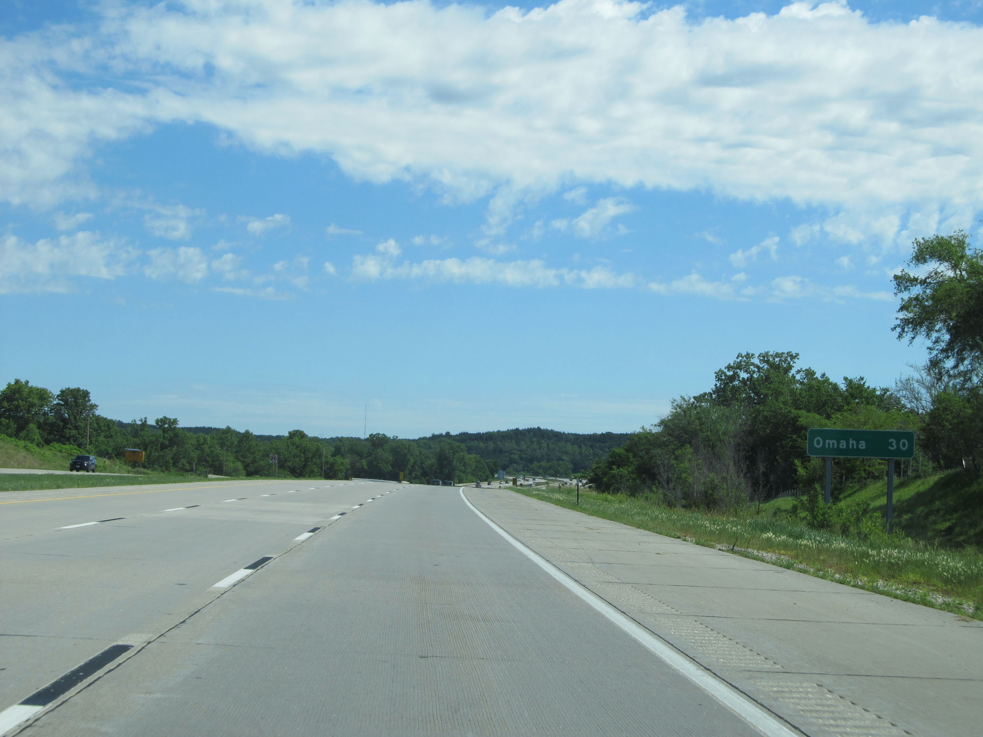 |
Omaha is now 30 miles ahead. (Photo taken 5/29/16). |
 |
Interstate 80 East at mile marker 427. (Photo taken 5/29/16). |
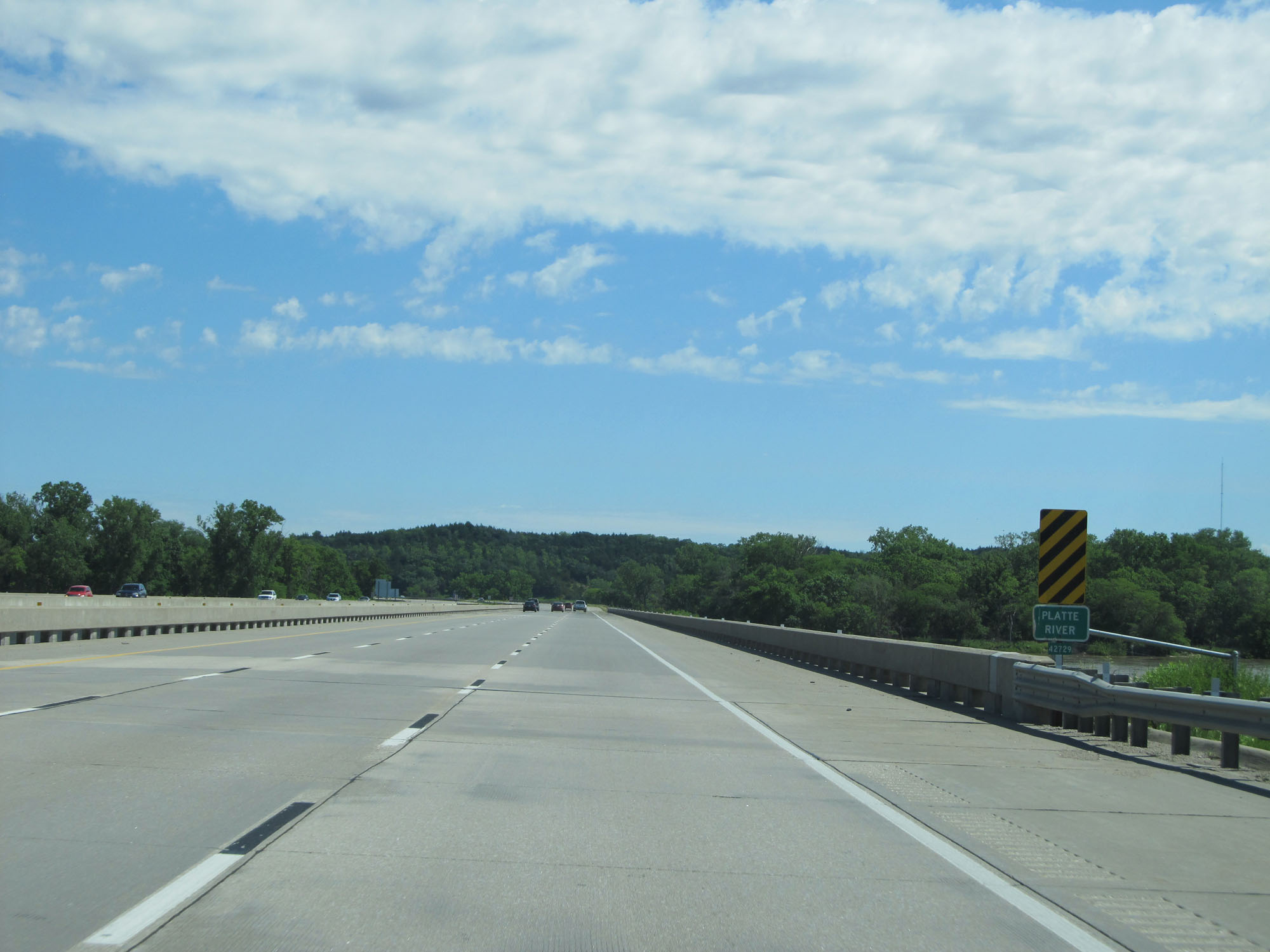 |
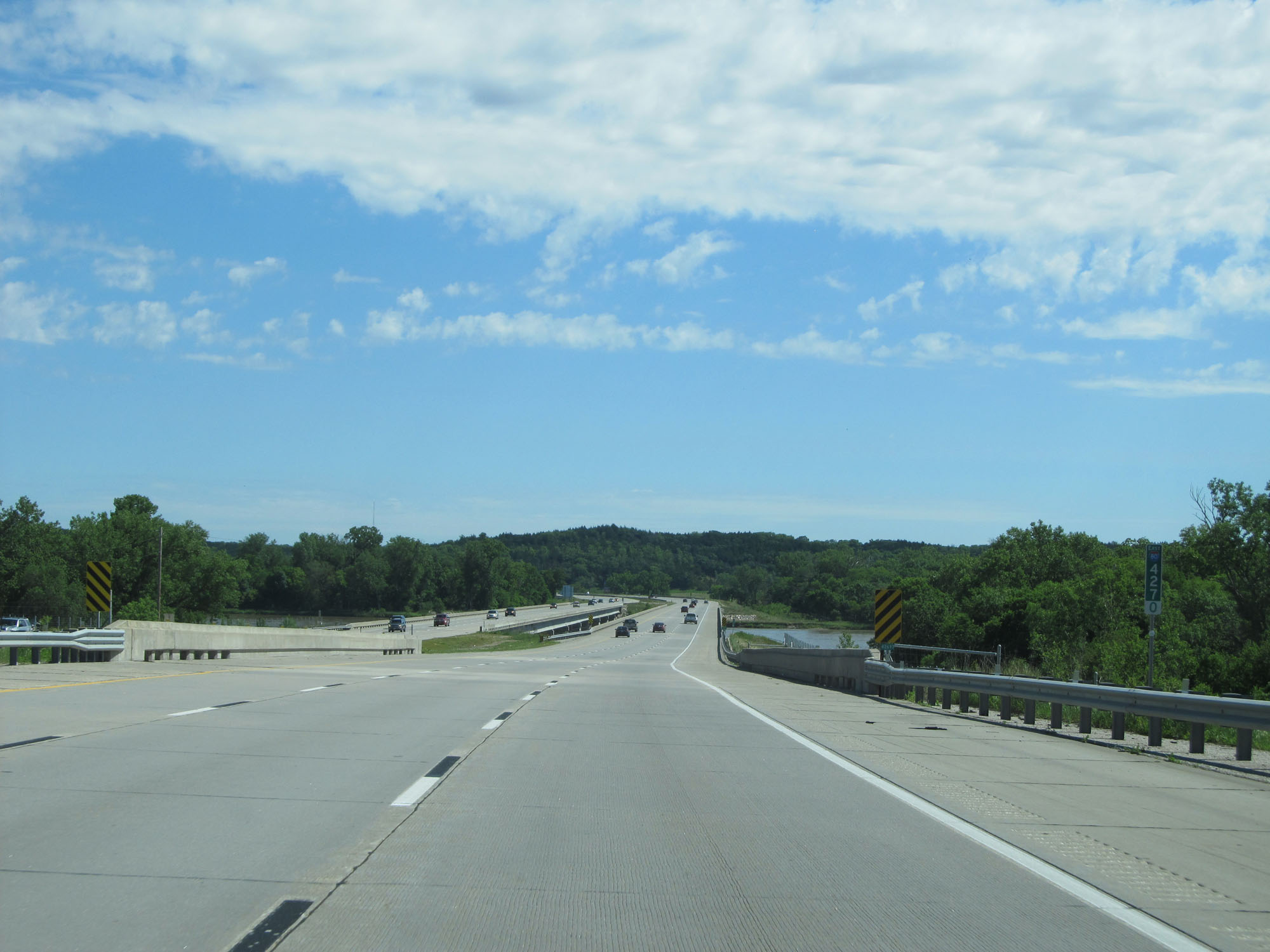
Interstate 80 East as it crosses the Platte River. (Photo taken 5/29/16). |
 |
Interstate 80 East at mile marker 430. (Photo taken 5/29/16). |
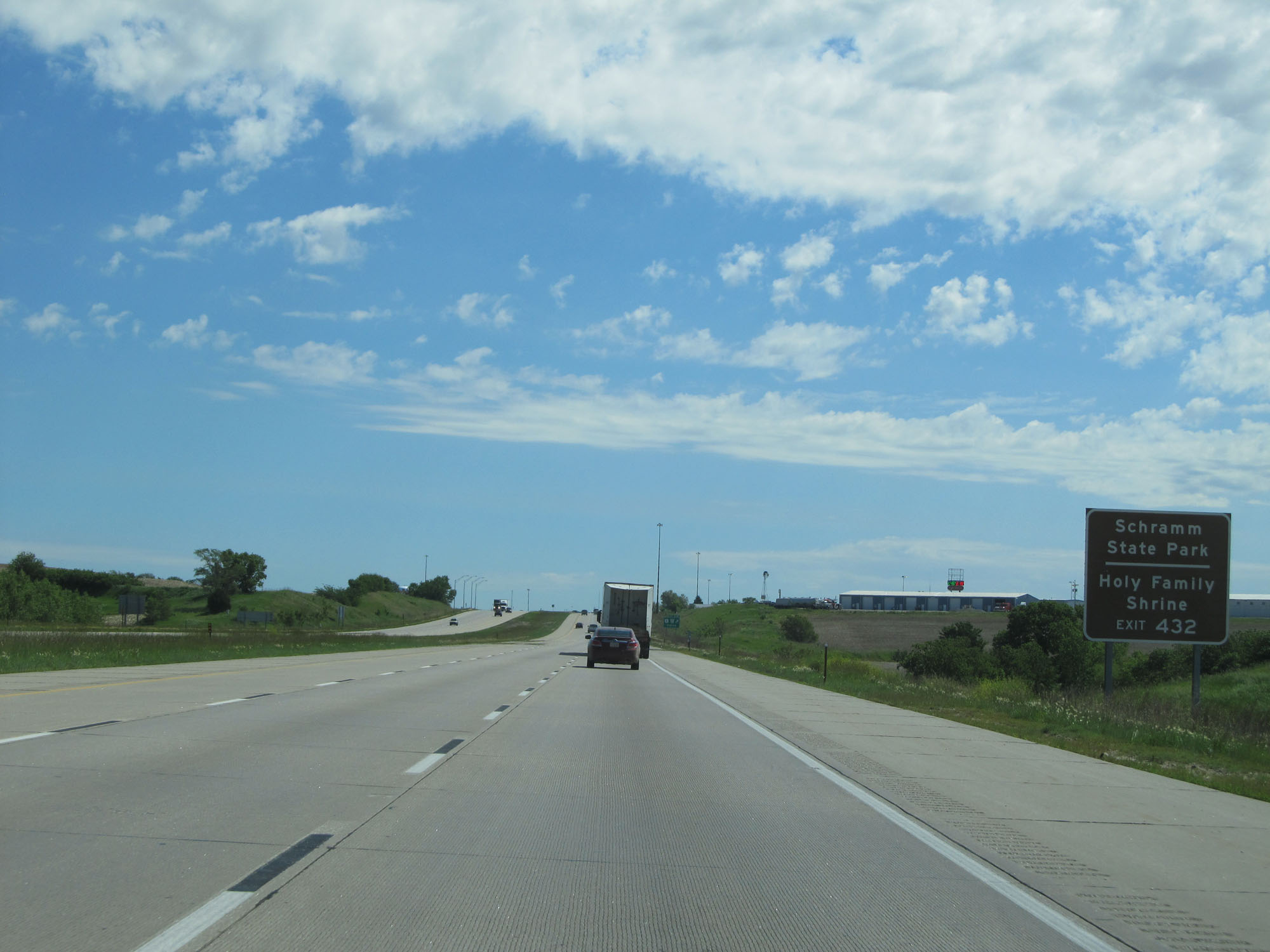 |
Take Exit 432 to Schramm State Park and Holy Family Shrine. (Photo taken 5/29/16). |
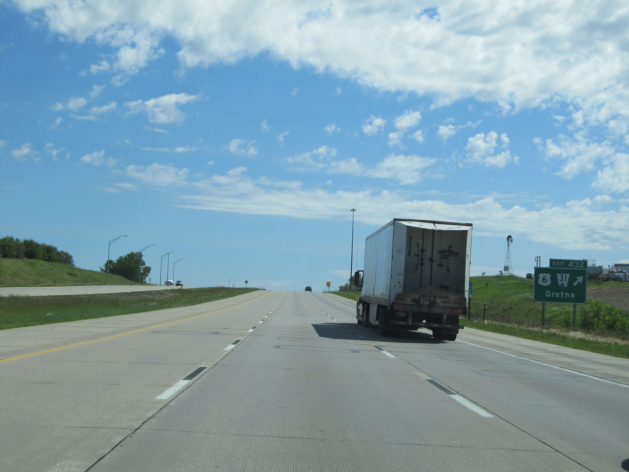 |
Interstate 80 East at Exit 432: US 6 / NE 31 - Gretna (Photo taken 5/29/16). |
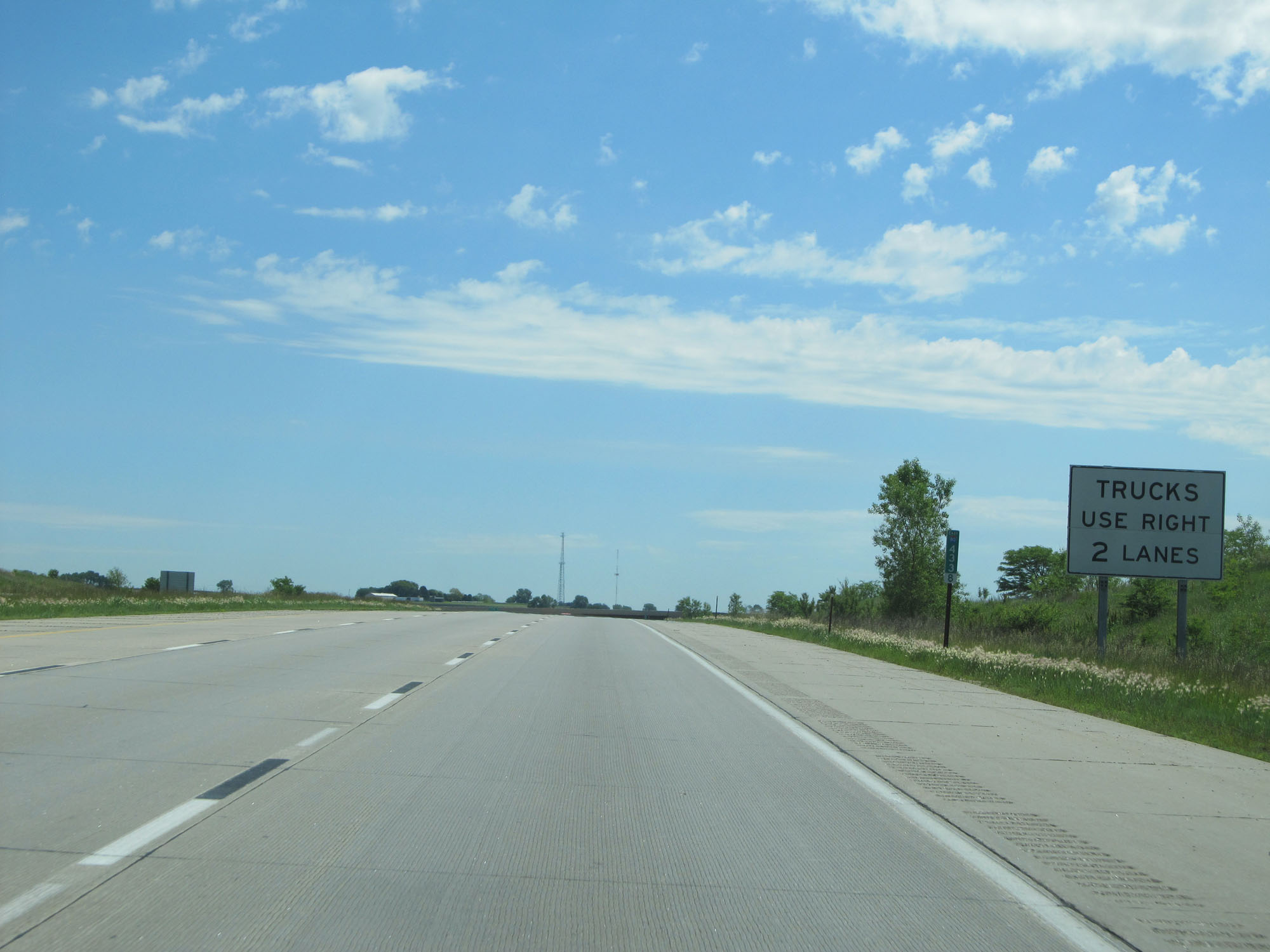 |
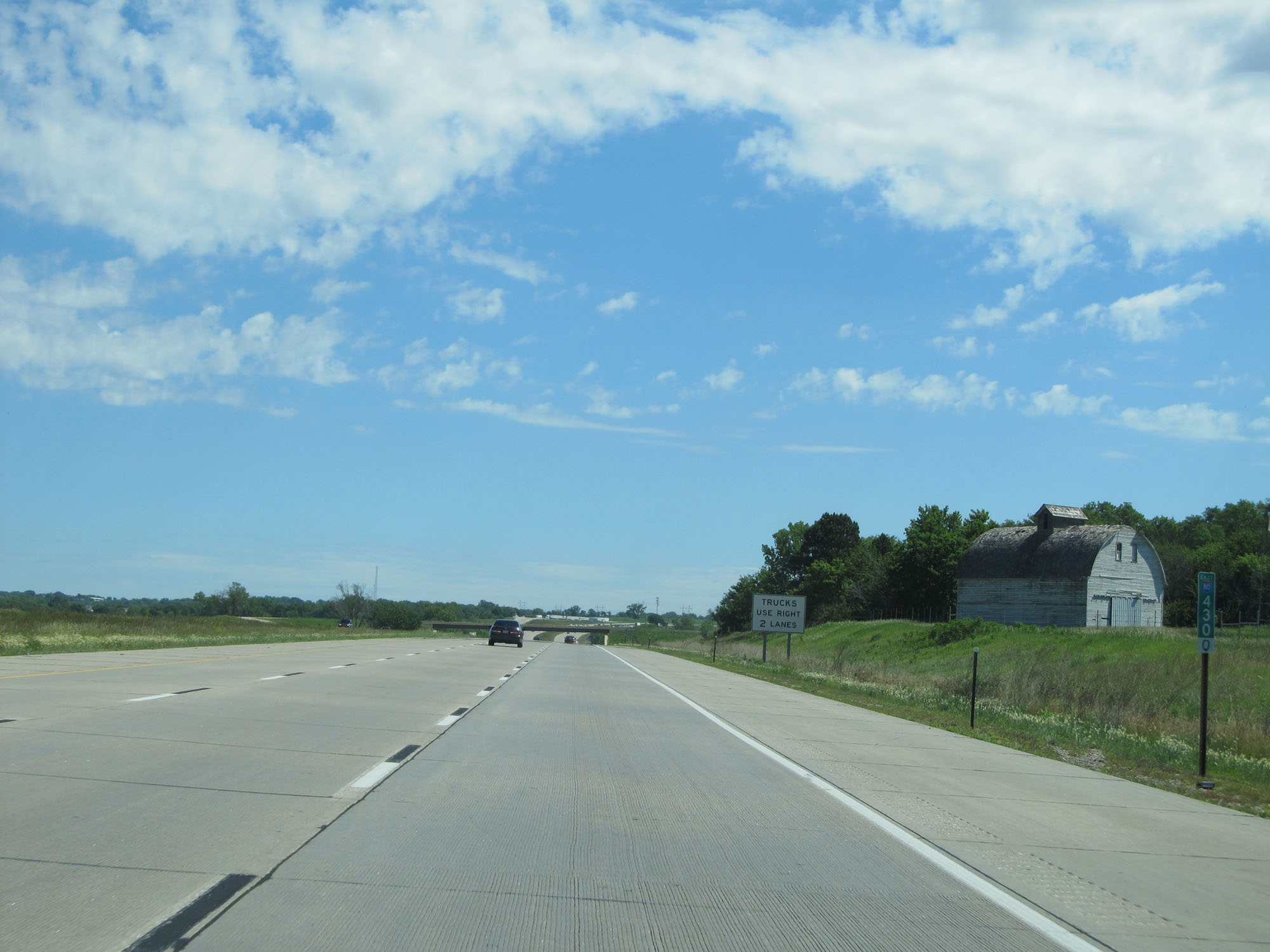
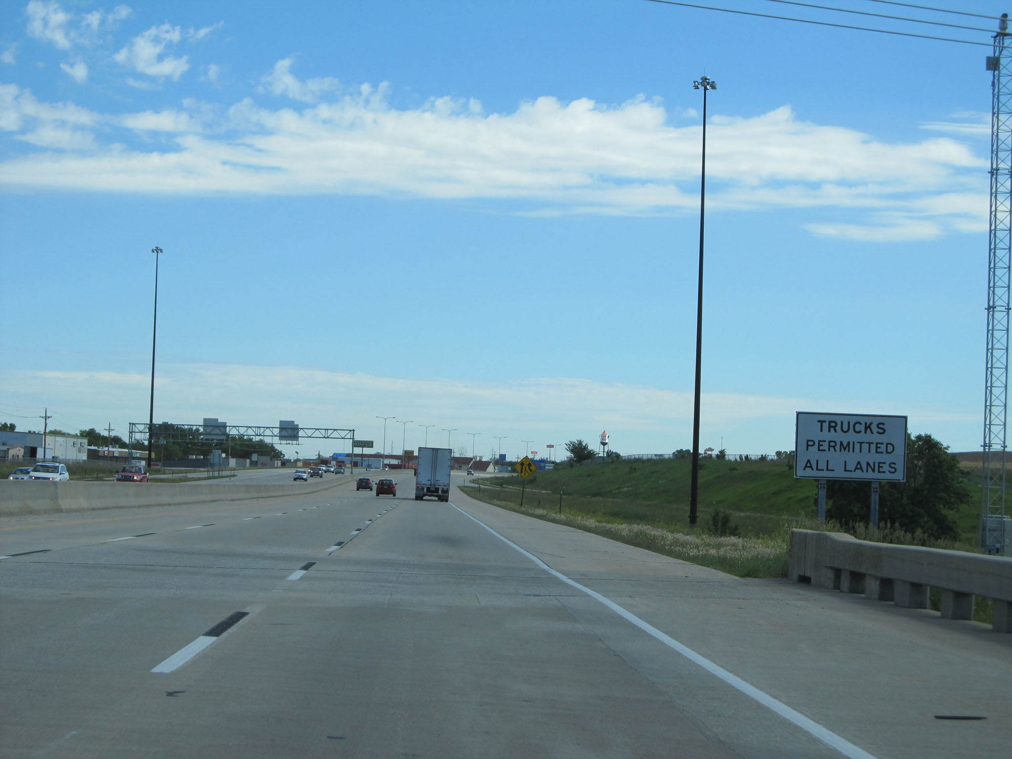
Trucks are restricted to the two rightmost lanes on this stretch of Interstate 80 between Omaha and Lincoln. (Photo taken 5/29/16). |
 |
Interstate 80 East at mile marker 436. (Photo taken 5/29/16). |
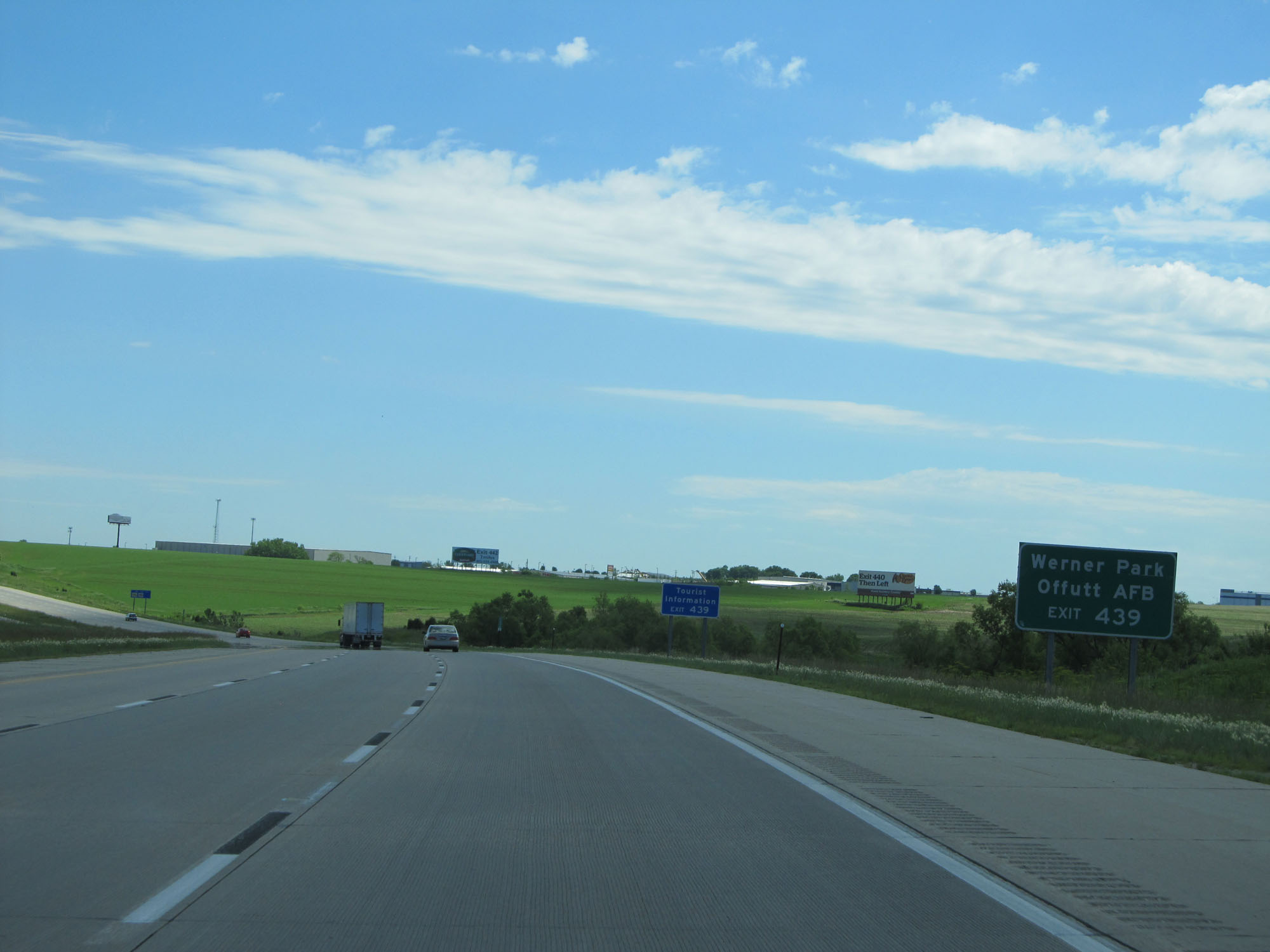 |
Take Exit 439 to Werner Park and Offutt AFB. (Photo taken 5/29/16). |
 |
Interstate 80 East at Exit 439: NE 370 - Papillion / Bellevue (Photo taken 5/29/16). |
 |
At mile marker 439, the speed limit decreases to 65 mph as you near the outskirts of Omaha. (Photo taken 5/29/16). |
 |
At this point, trucks are now permitted in all lanes as there are some left exits coming up eventually. (Photo taken 5/29/16). |
 |
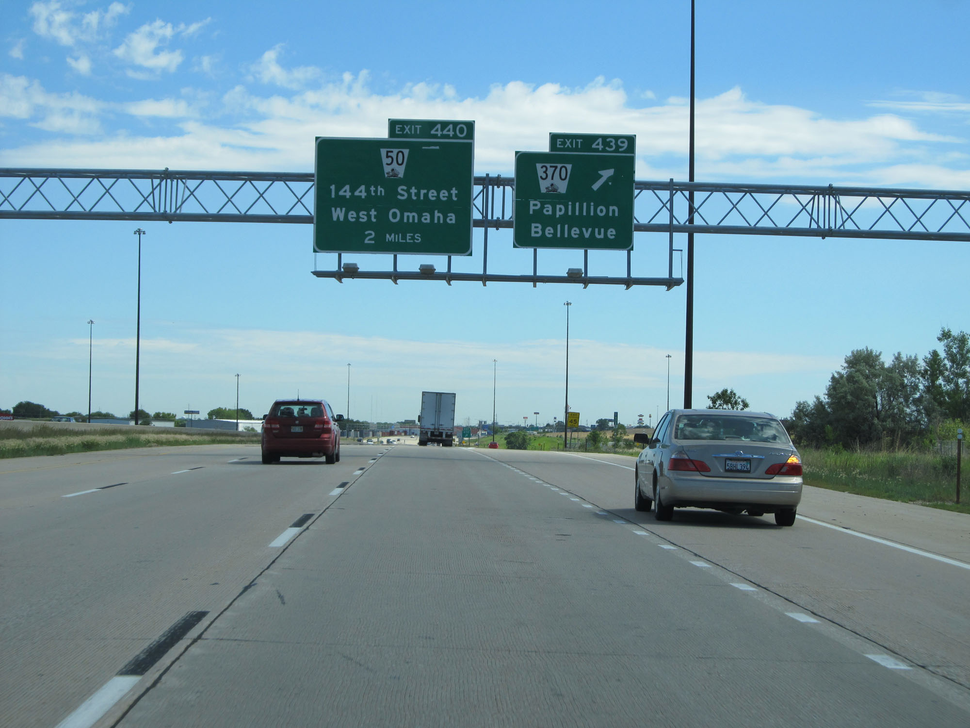
Interstate 80 East at Exit 440: NE 50 - 144th Street / West Omaha (Photo taken 5/29/16). |
 |
Overhead mileage sign listing the distances to the three upcoming interchanges on the west end of Omaha. (Photo taken 5/29/16). |
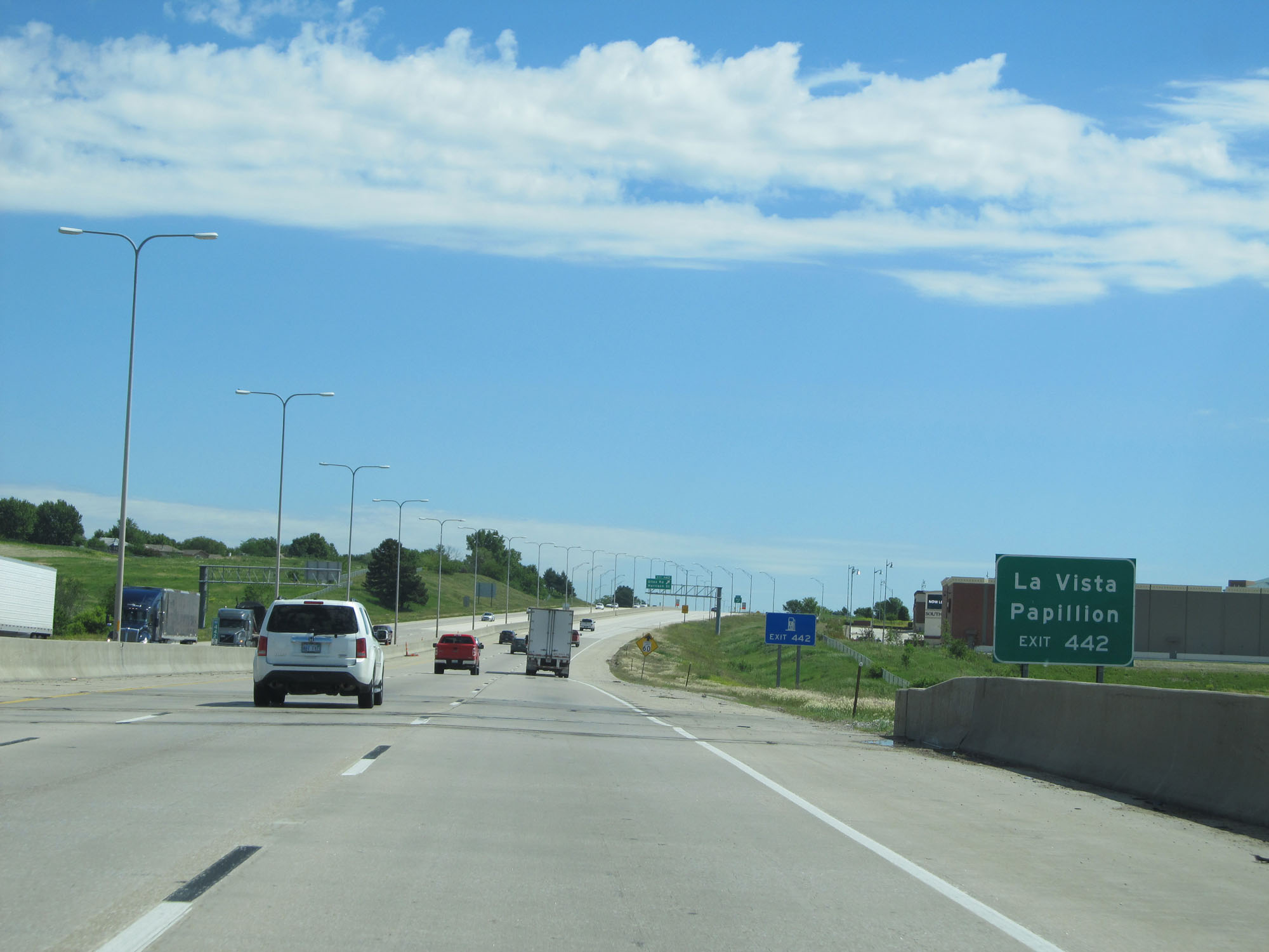 |
Take Exit 442 to La Vista and Papillion. (Photo taken 5/29/16). |
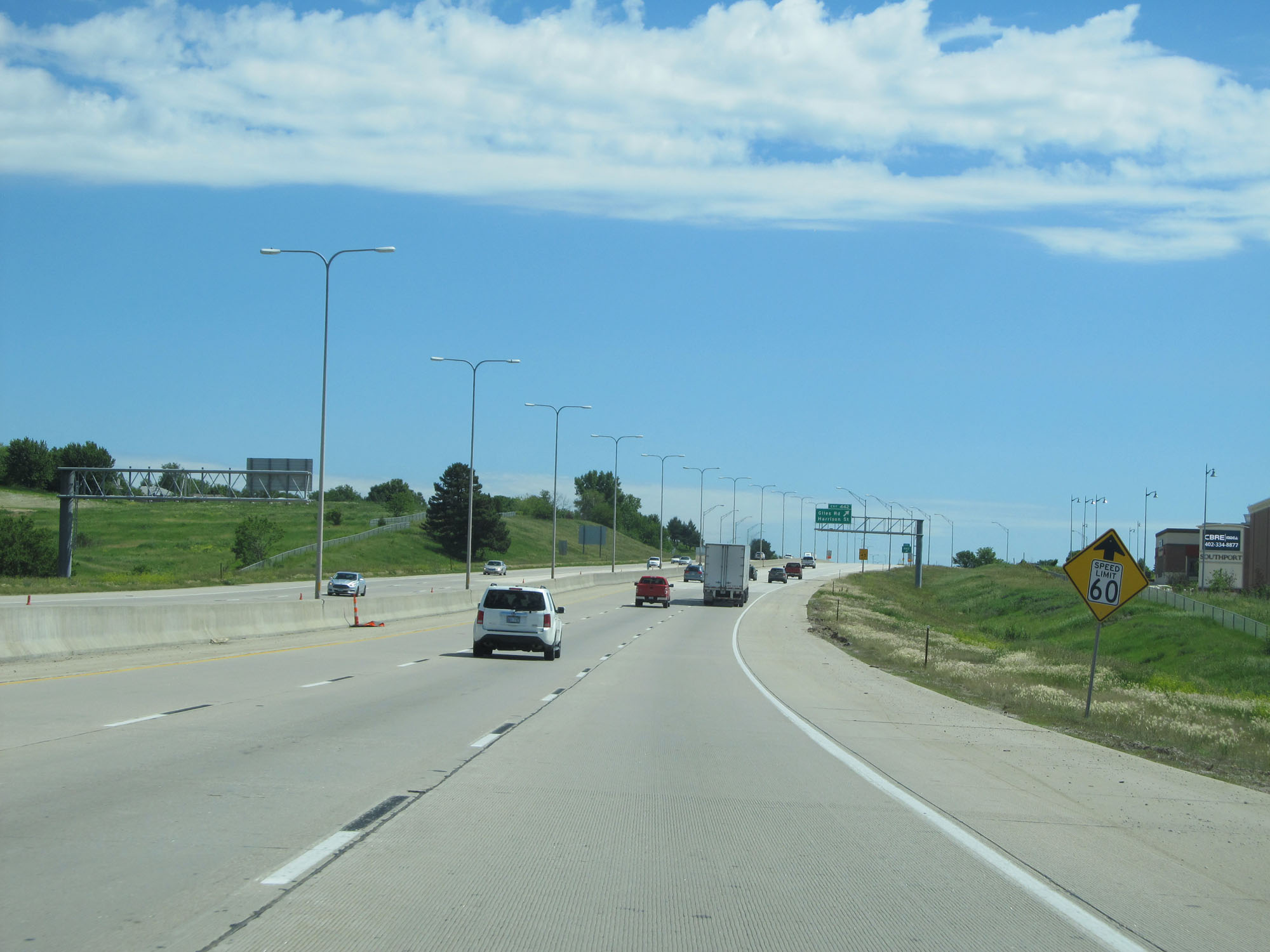 |
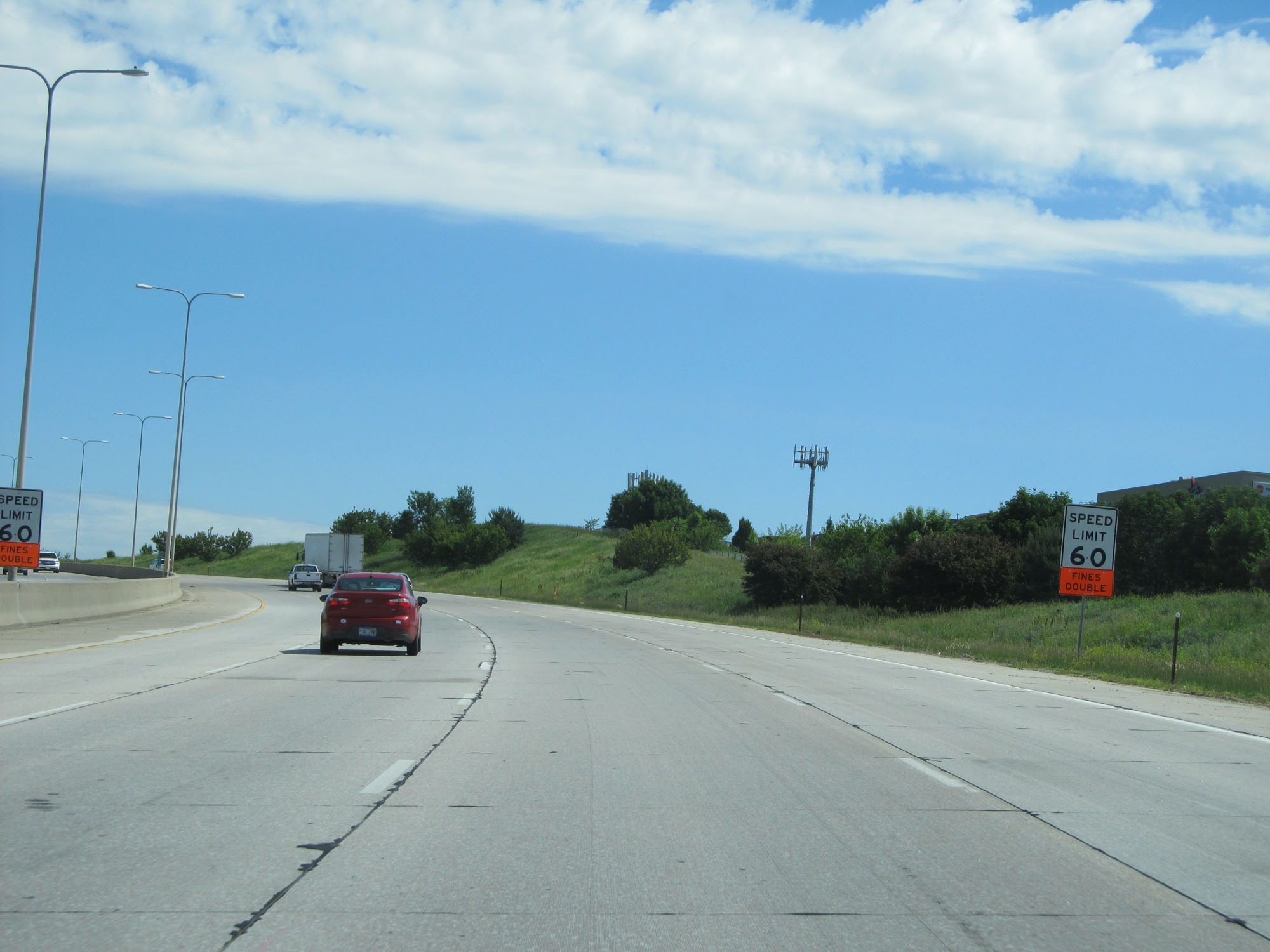
The speed limit is reduced further to 60 mph ahead. (Photo taken 5/29/16). |
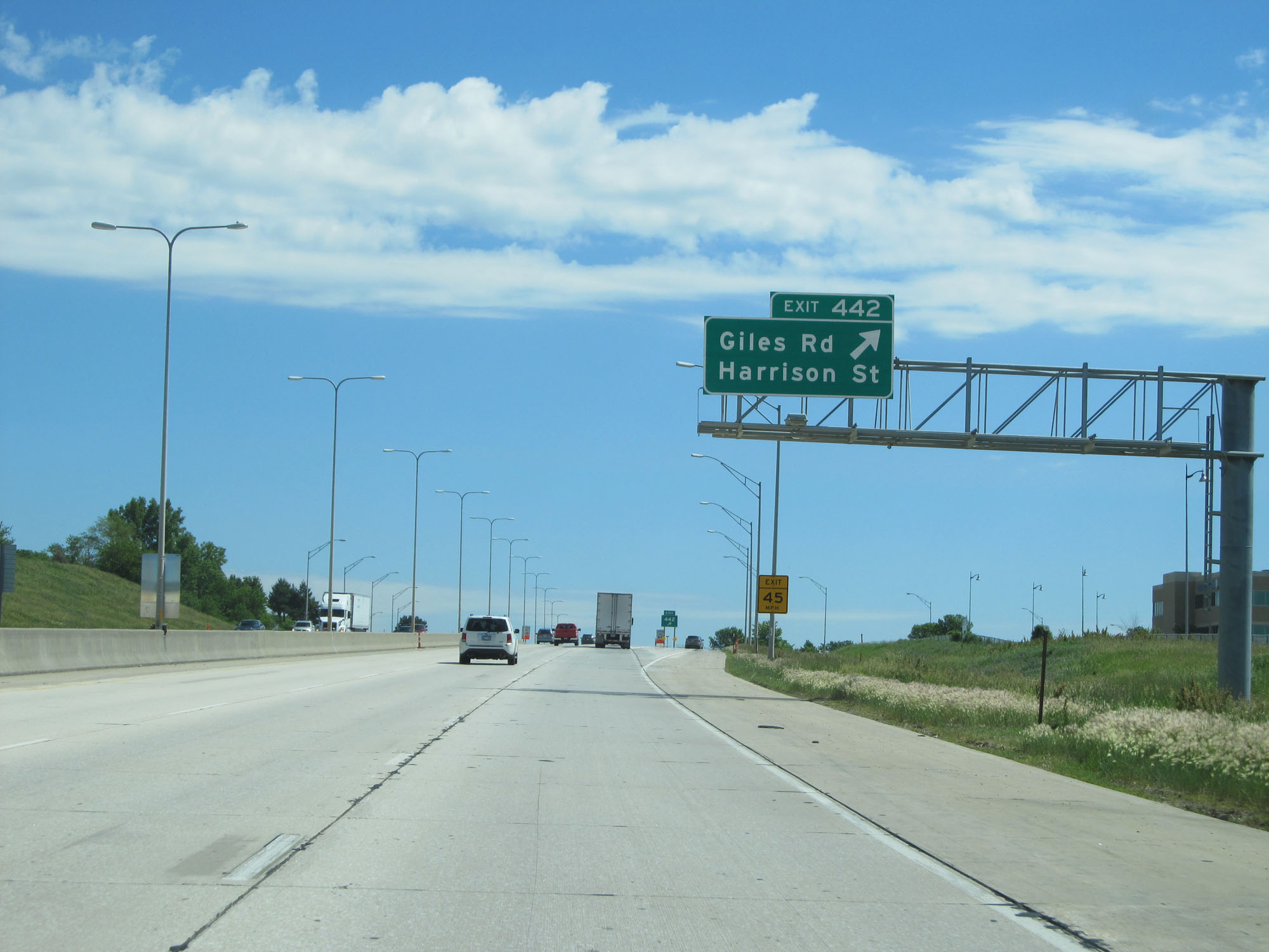 |
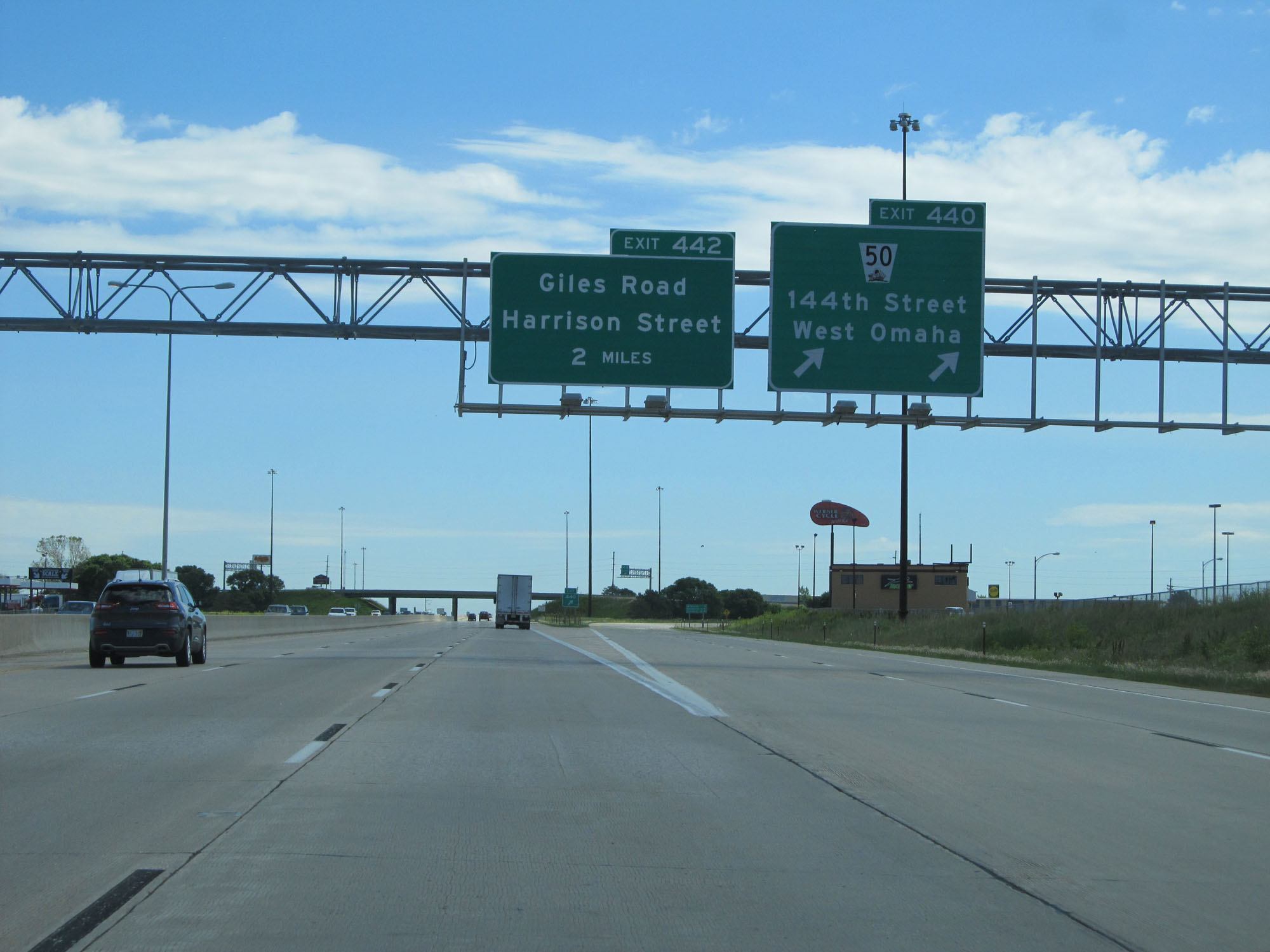
Interstate 80 East at Exit 442: Giles Rd / Harrison St (Photo taken 5/29/16). |
 |
The junction of Interstate 680 is 3 miles ahead as this overhead mileage sign reads. (Photo taken 5/29/16). |
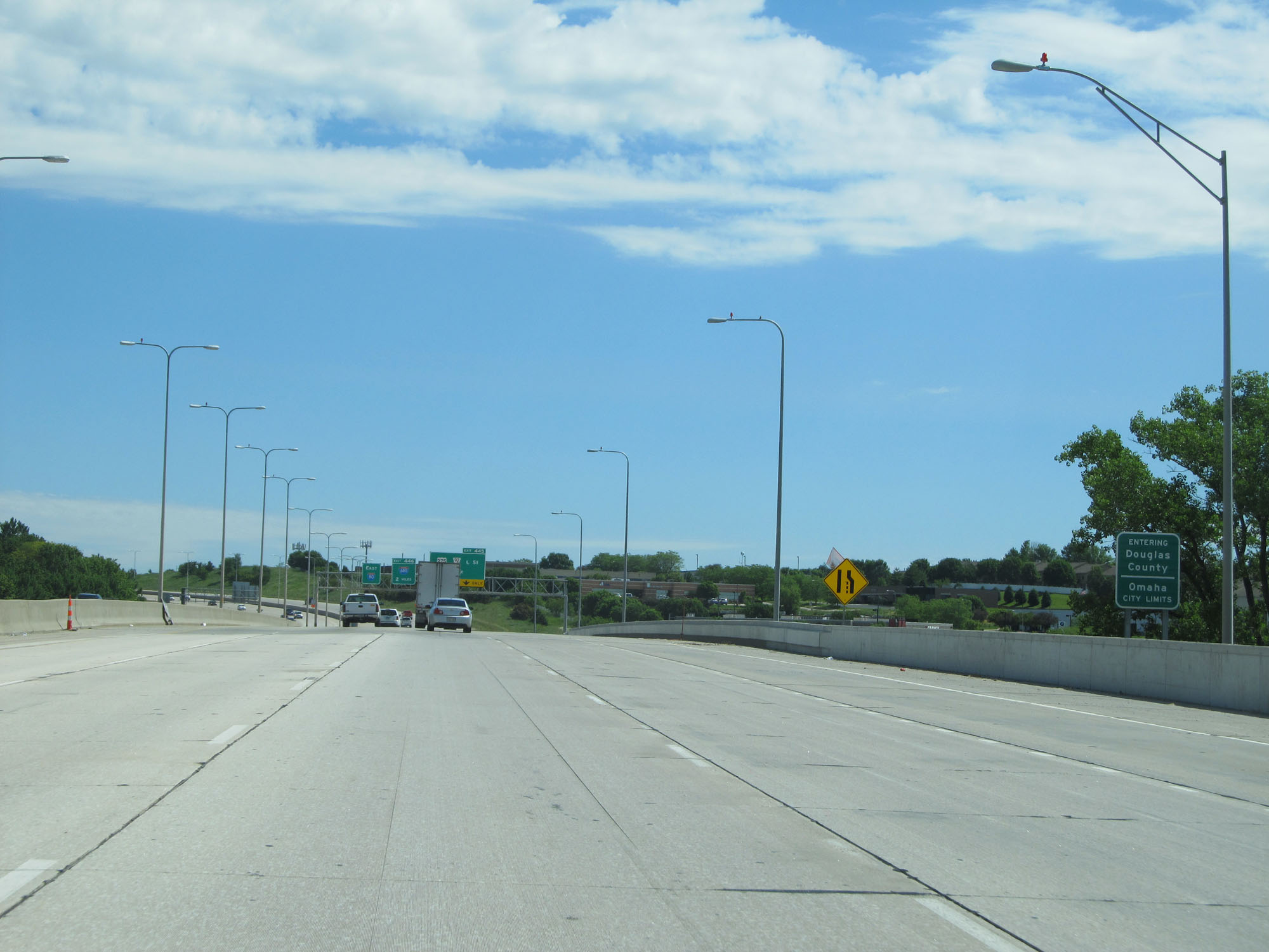 |
Interstate 80 East as it enters Douglas County and the Omaha city limits. (Photo taken 5/29/16). |
 |
The speed limit remains 60 mph for the rest of Interstate 80's duration in Nebraska. (Photo taken 5/29/16). |
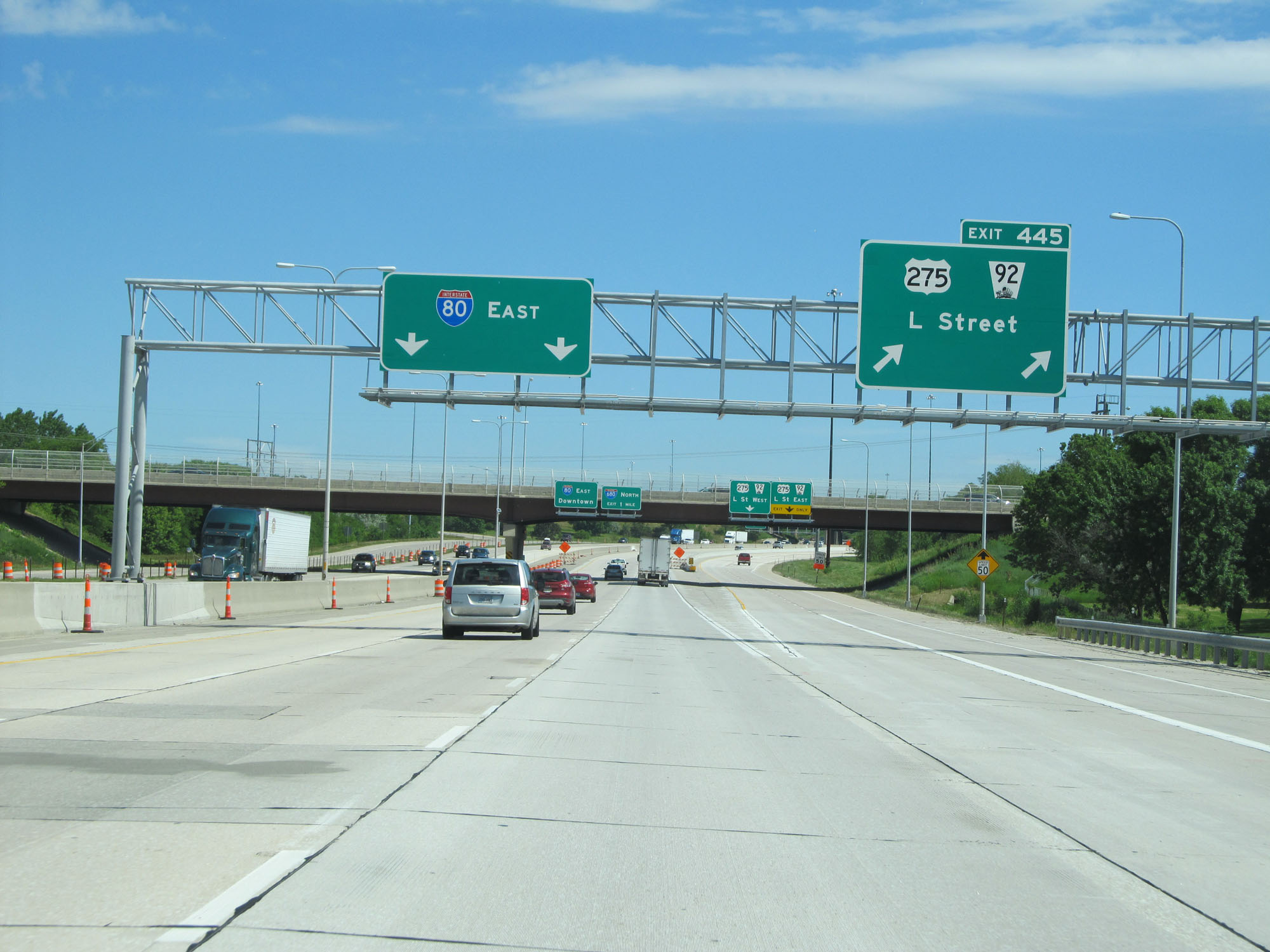 |
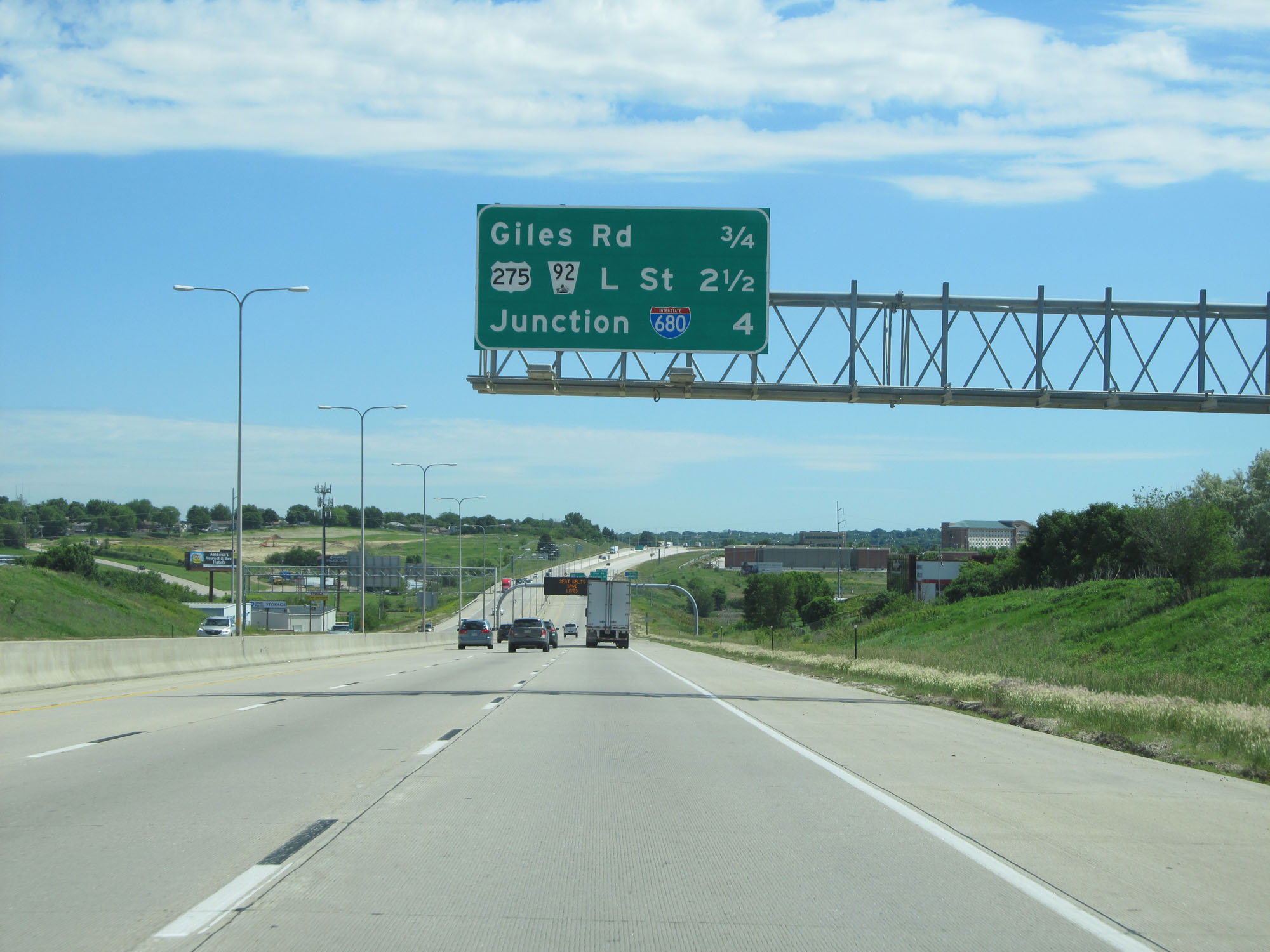
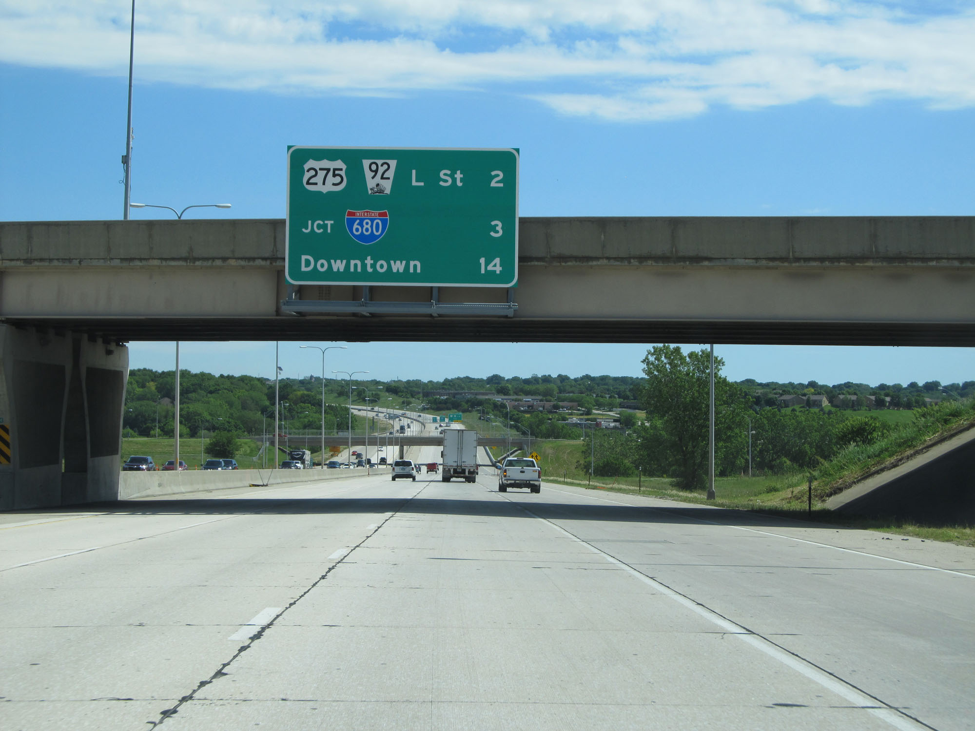
Interstate 80 East at Exit 445: US 275 / NE 92 - L Street (Photo taken 5/29/16). |
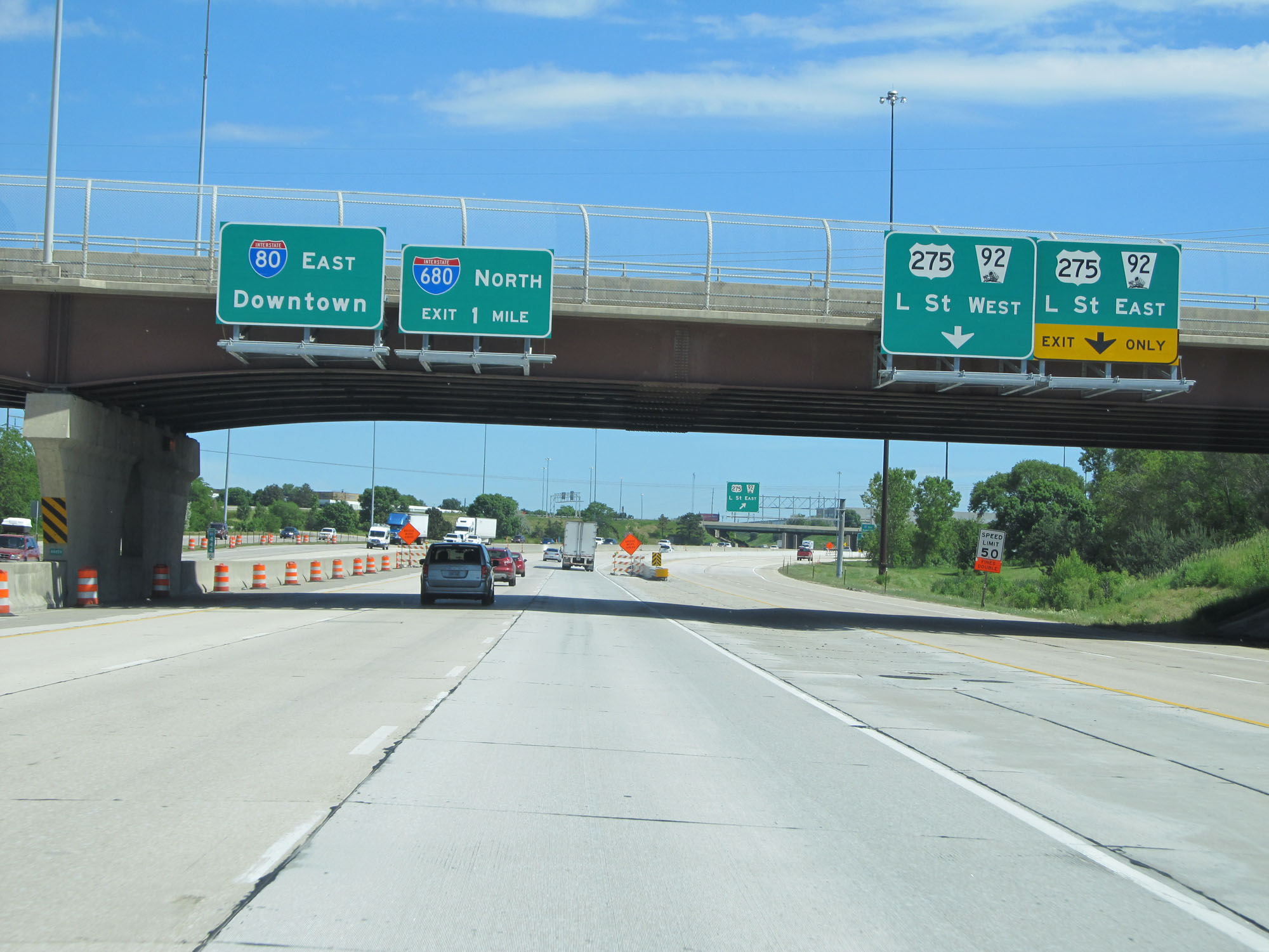 |
Interstate 80 East approaching the junction of Interstate 680 - 1 mile. (Photo taken 5/29/16). |
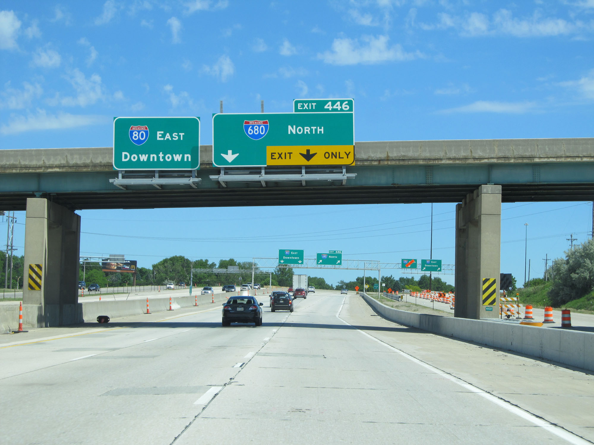 |
Keep to the left to remain on Interstate 80 East, as the rightmost lane is an exit only lane for Interstate 680 North. (Photo taken 5/29/16). |
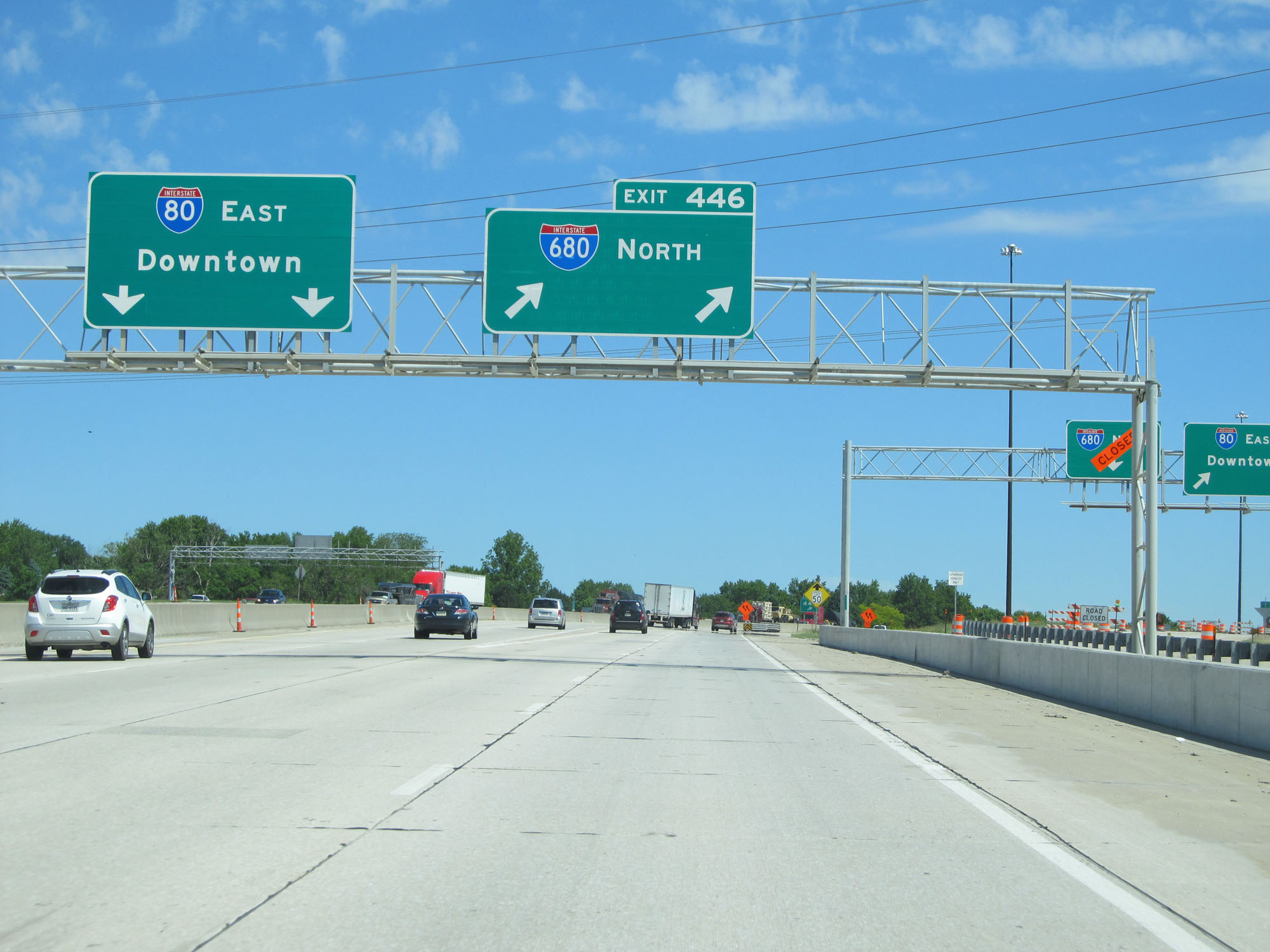 |
Interstate 80 East at Exit 446: Interstate 680 North (Photo taken 5/29/16). |
 |
Overhead mileage sign listing the three upcoming exits to Omaha. (Photo taken 5/29/16). |
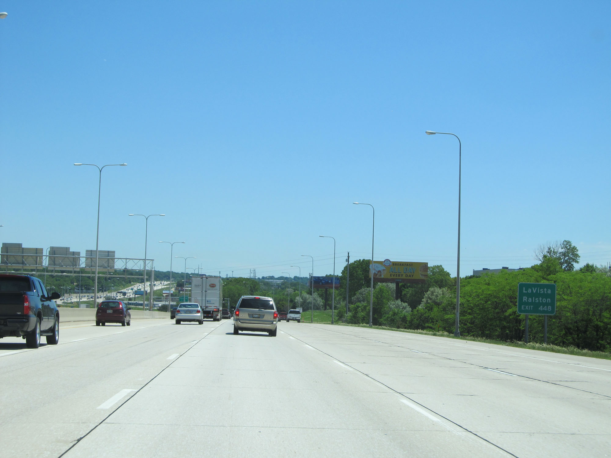 |
Take Exit 448 to La Vista and Ralston. (Photo taken 5/29/16). |
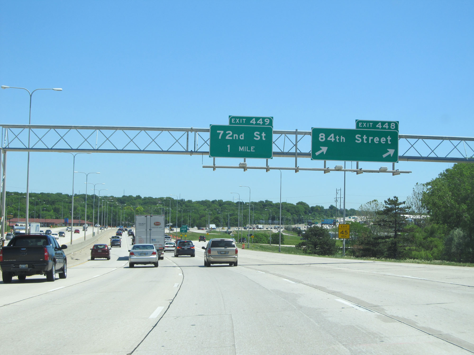 |
Interstate 80 East at Exit 448: 84th Street (Photo taken 5/29/16). |
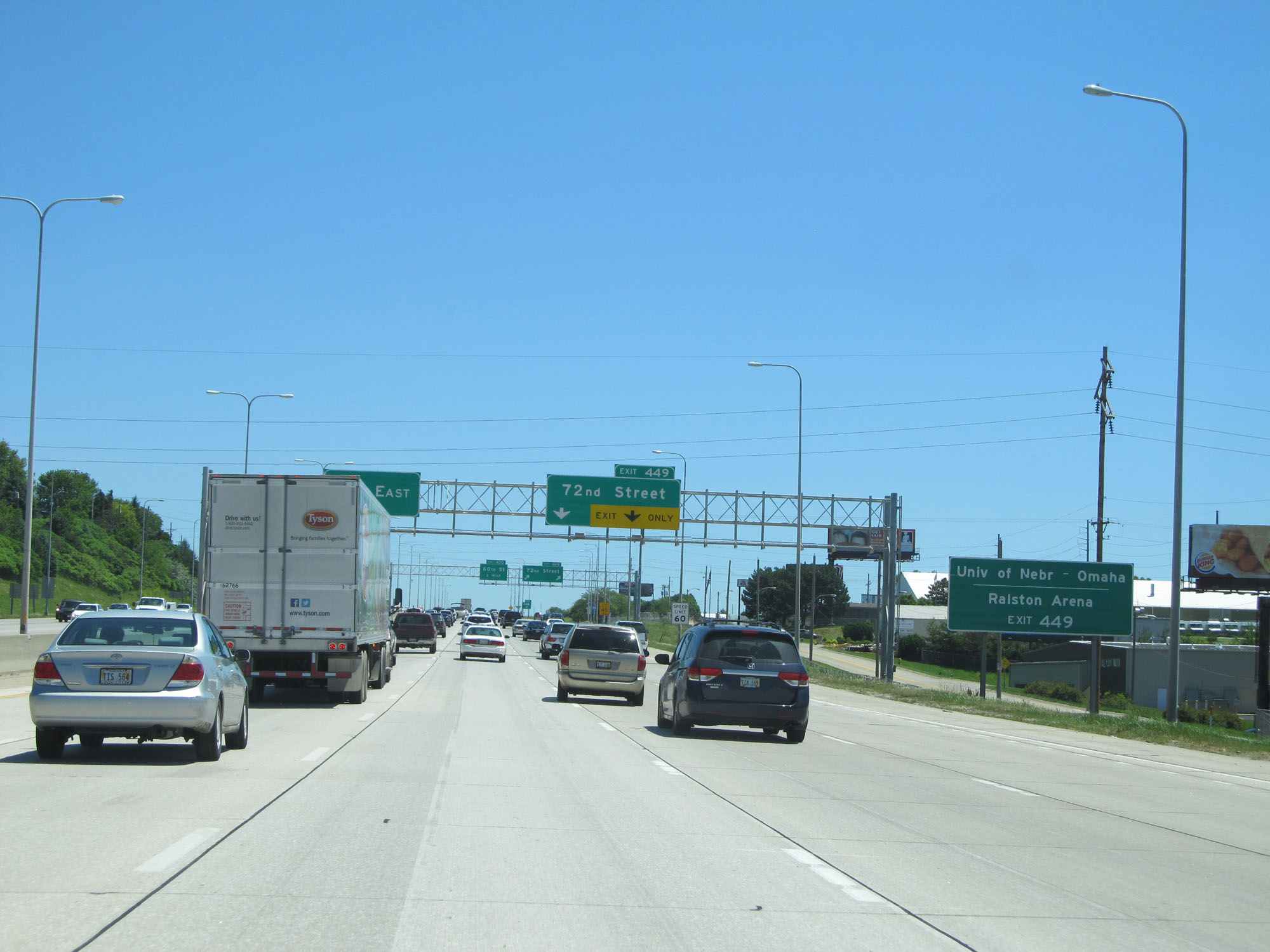 |
Take Exit 449 to the University of Nebraska at Omaha and Ralston Arena. (Photo taken 5/29/16). |
 |
Interstate 80 East at Exit 449: 72nd Street (Photo taken 5/29/16). |
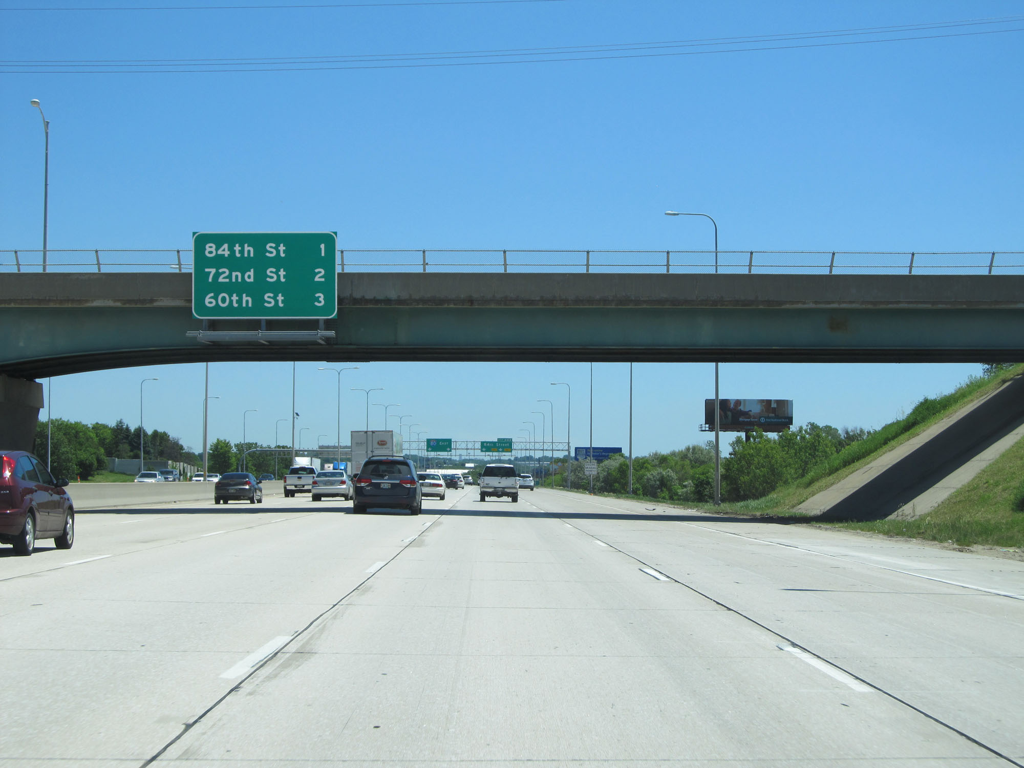
 |
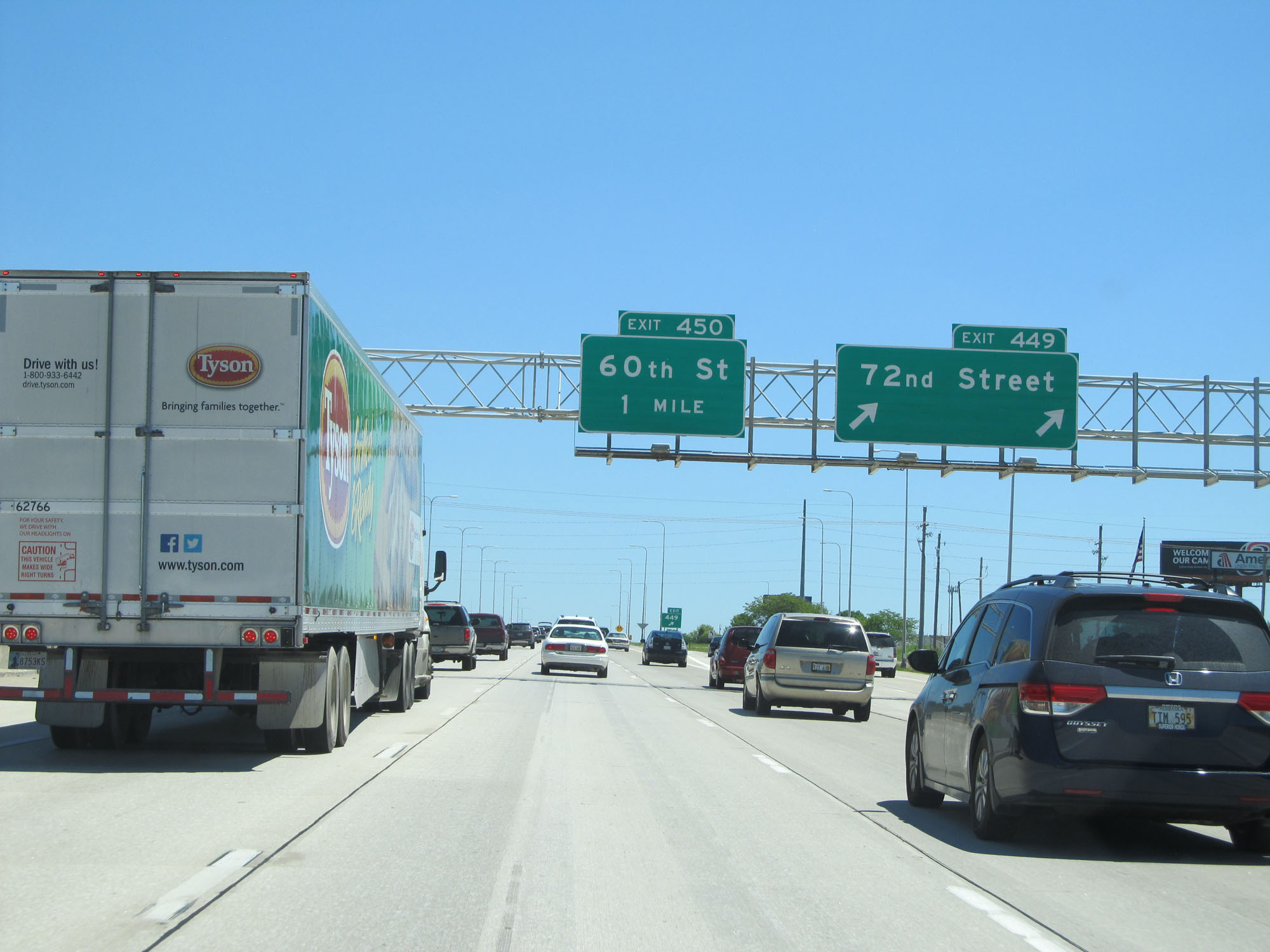
Overhead mileage sign listing the distances to the three upcoming Omaha exits. (Photo taken 5/29/16). |
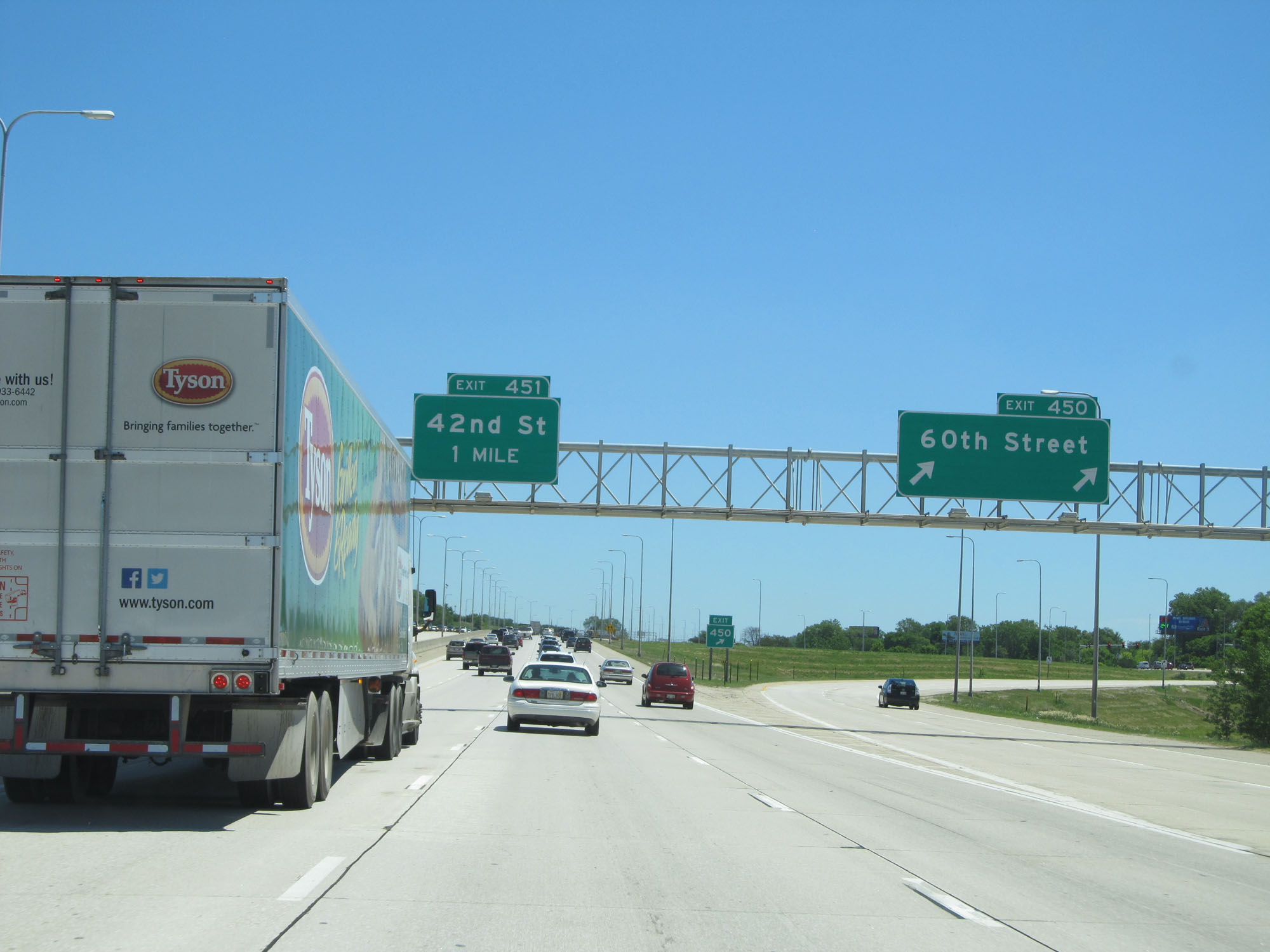 |
Interstate 80 East at Exit 450: 60th Street (Photo taken 5/29/16). |
 |
The junction of Interstate 480 is now 2 miles ahead as this overhead mileage sign reads. (Photo taken 5/29/16). |
 |
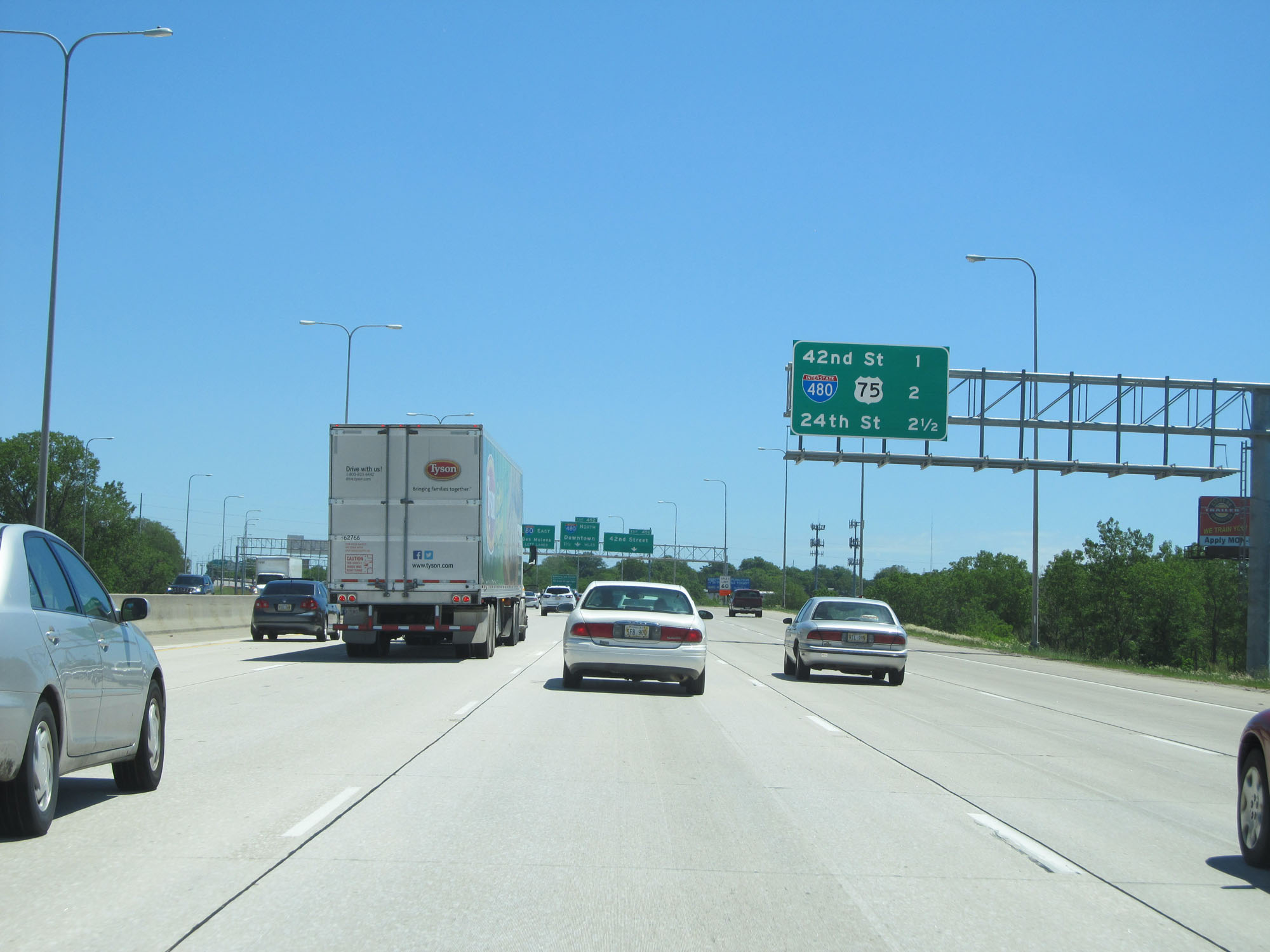
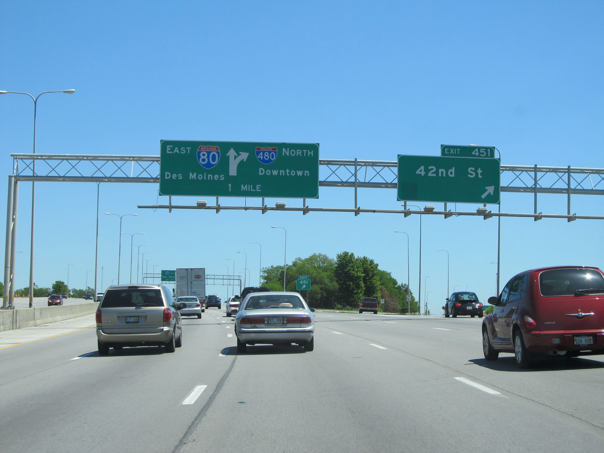
Interstate 80 East at Exit 451: 42nd Street (Photo taken 5/29/16). |
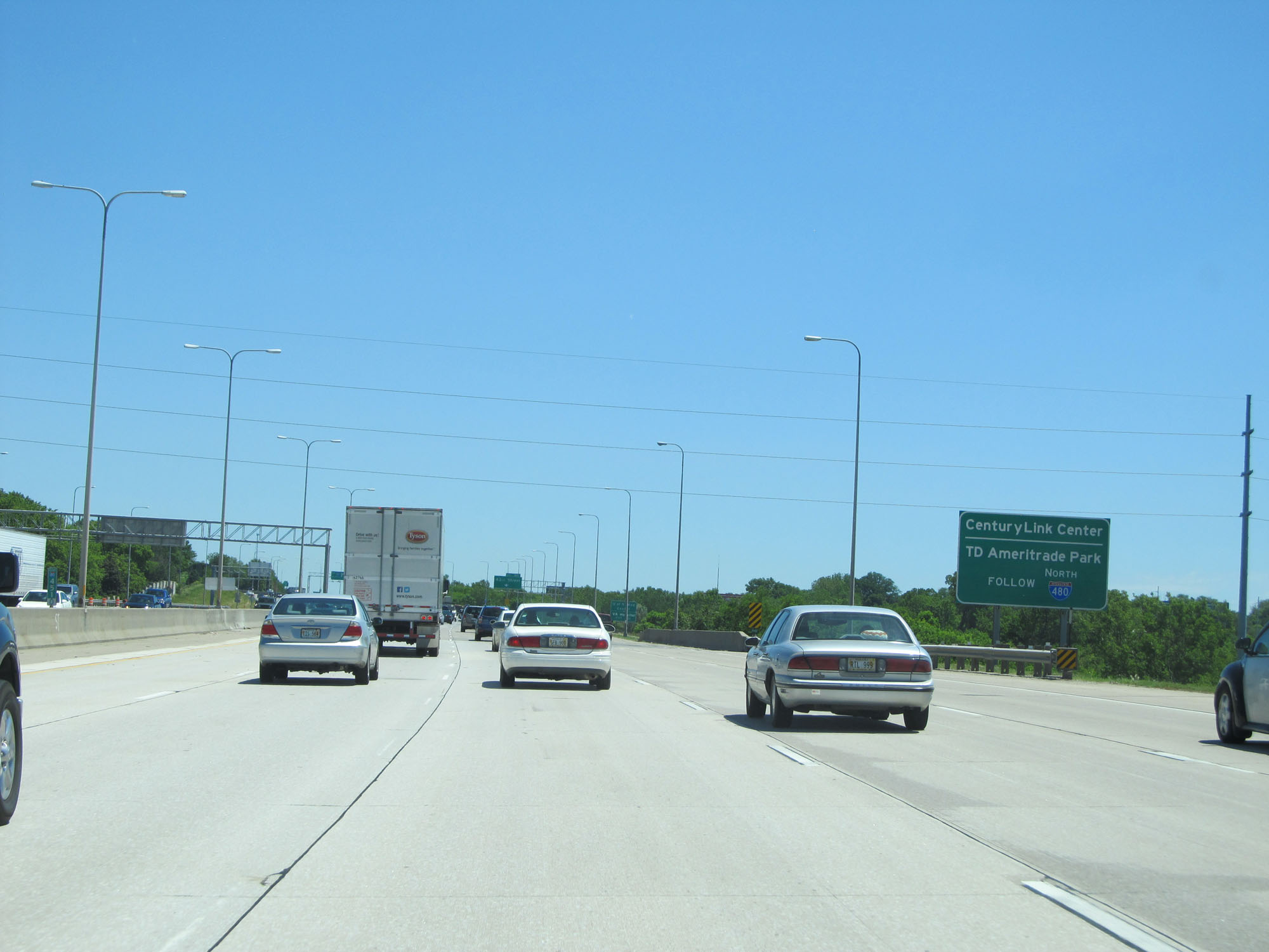 |
Follow Interstate 480 North via Exit 452 to CenturyLink Center and TD Ameritrade Park. (Photo taken 5/29/16). |
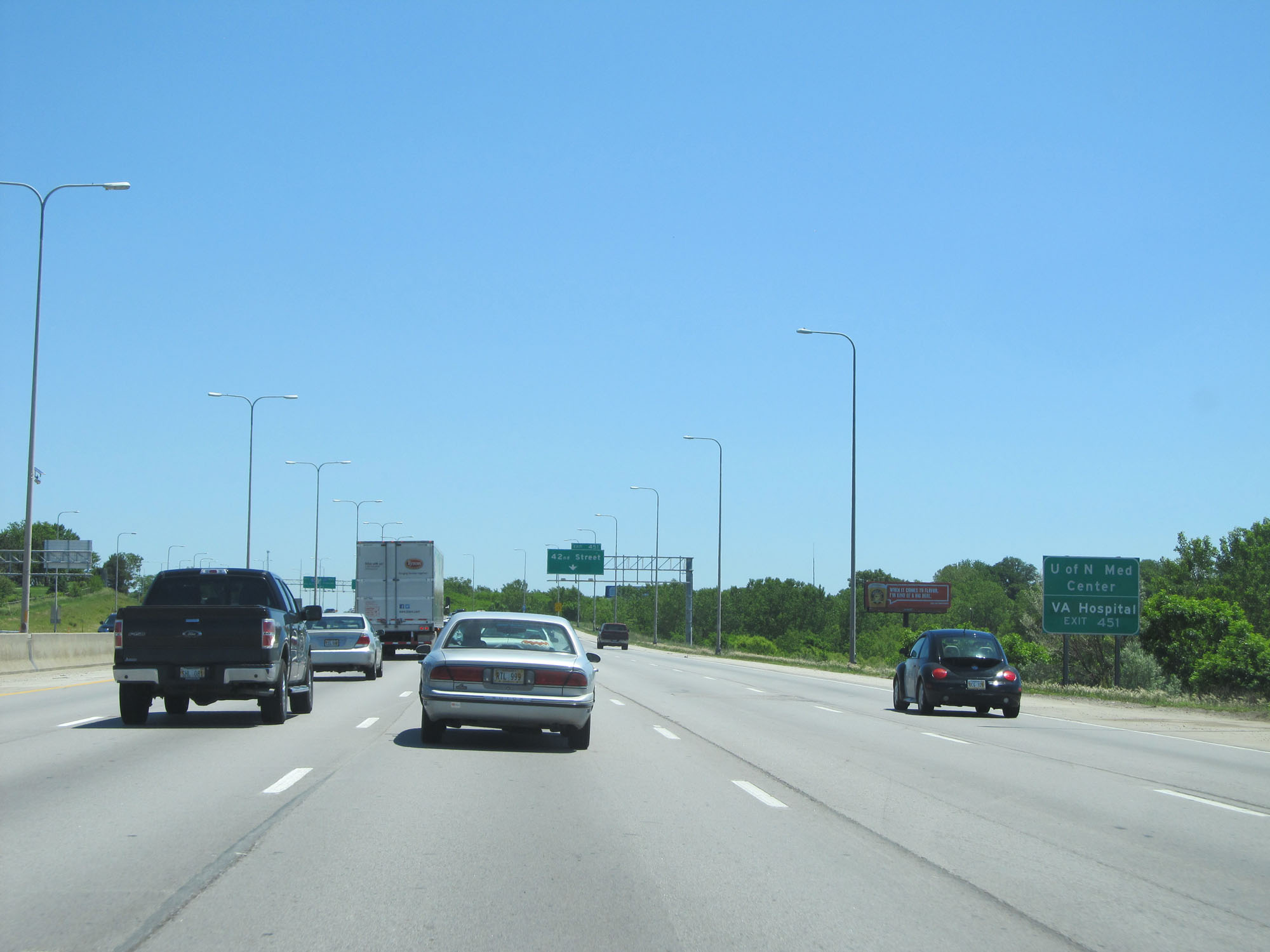 |
Take Exit 451 to the University of Nebraska Medical Center and the VA Hospital. (Photo taken 5/29/16). |
 |
Interstate 80 East at Exit 451: 42nd St (Photo taken 5/29/16). |
 |
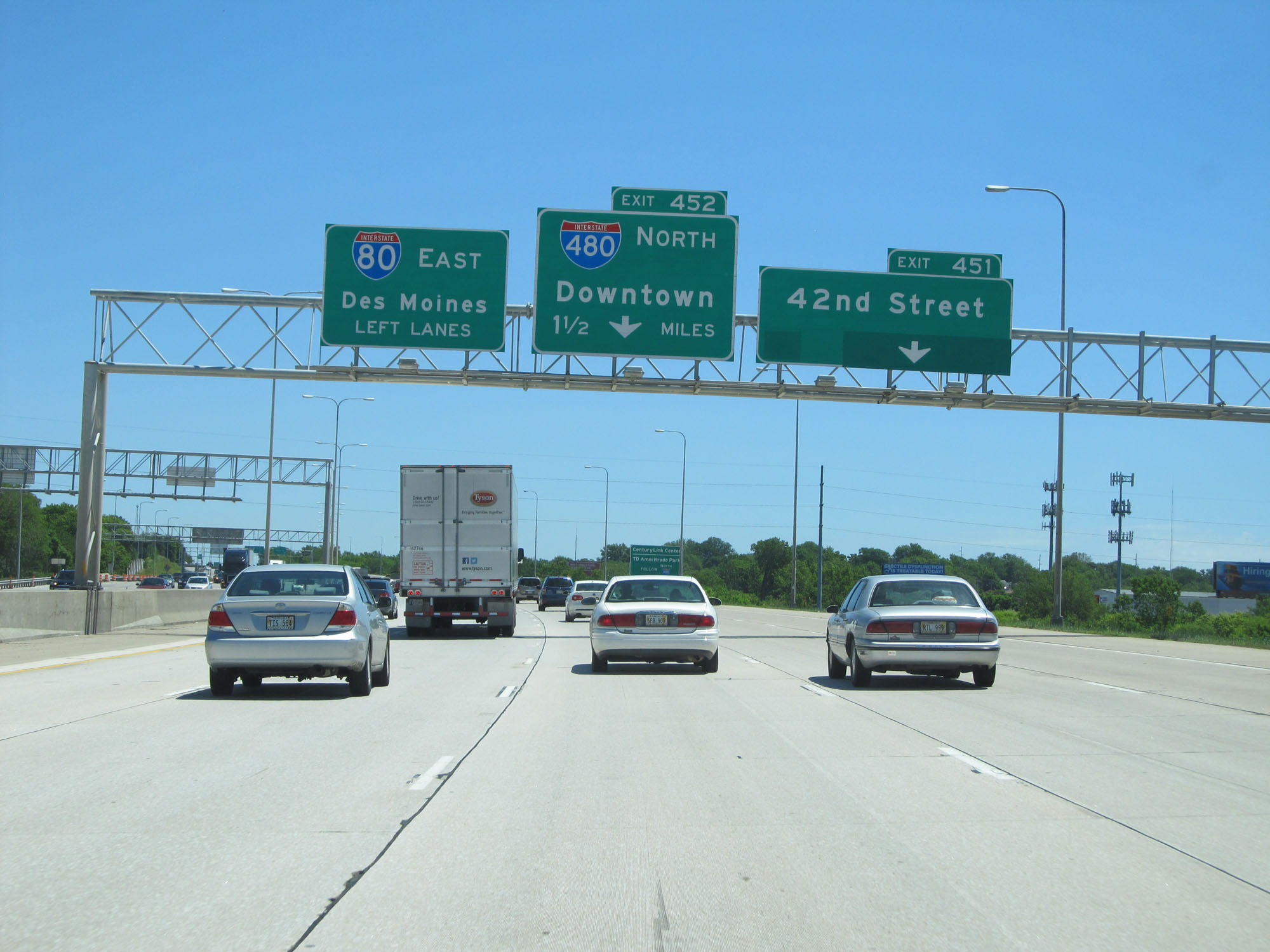
Interstate 80 East approaching Exit 452 - 3/4 mile. (Photo taken 5/29/16). |
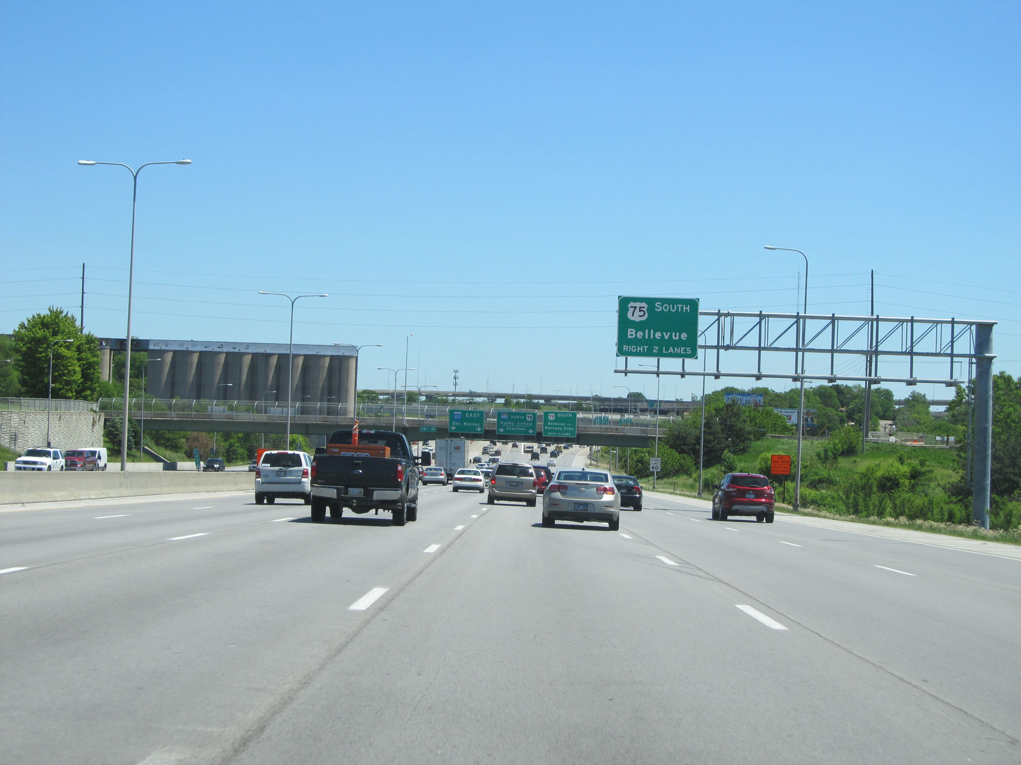 |
Stay in the two rightmost lanes for US 75 South toward Bellevue. (Photo taken 5/29/16). |
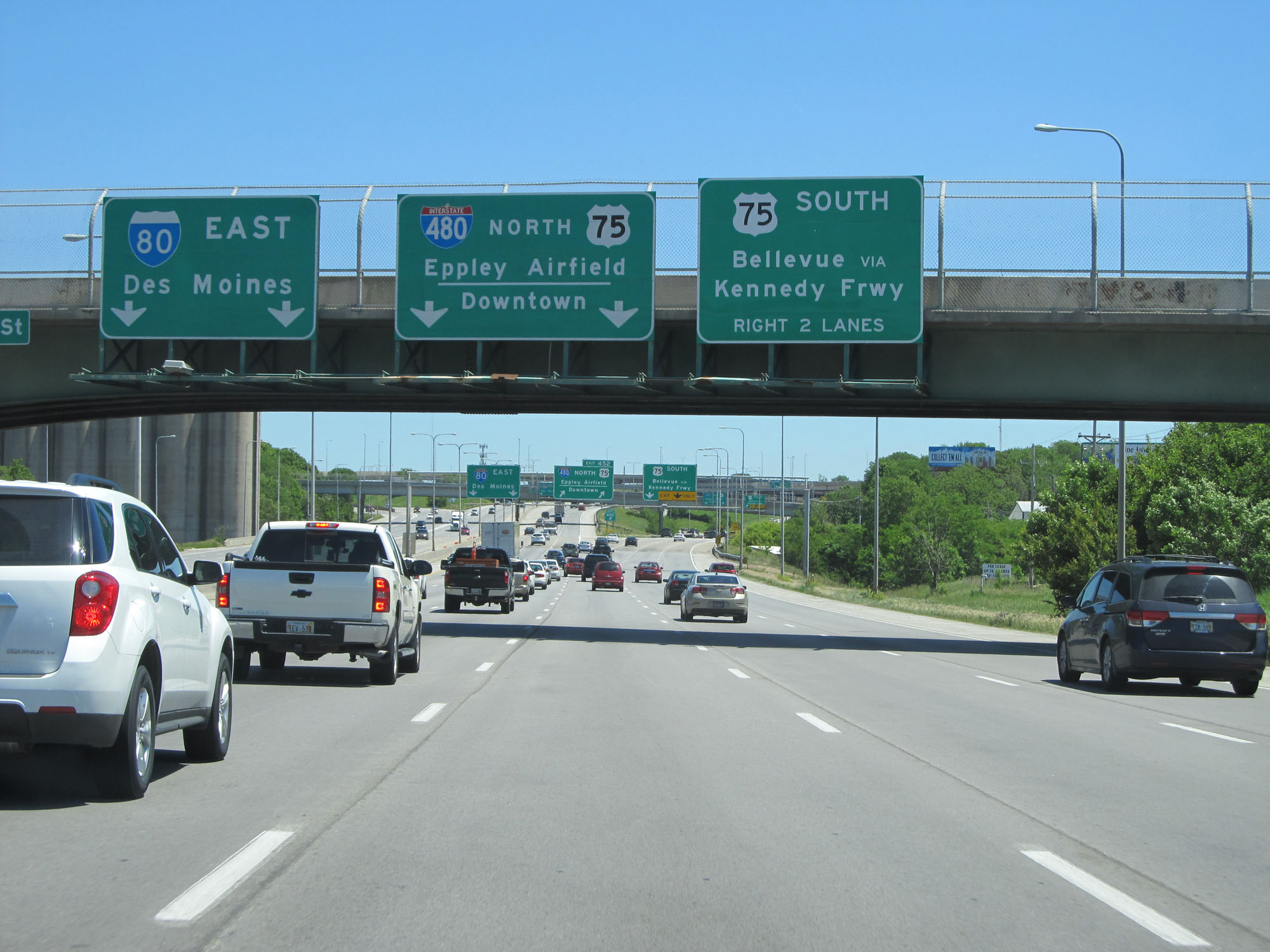 |
Stay in the two middle lanes for Interstate 480 North and US 75 North. (Photo taken 5/29/16). |
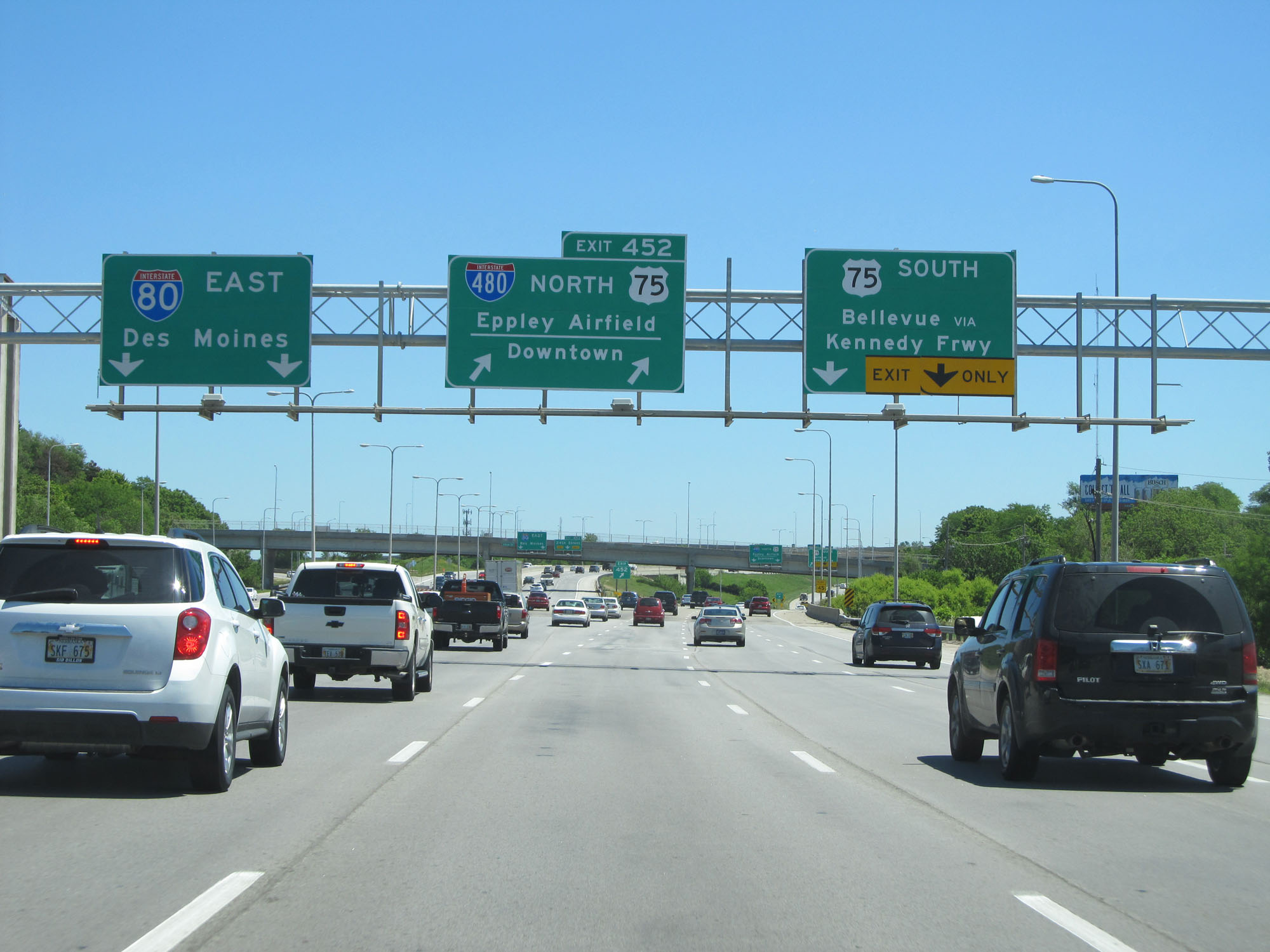 |
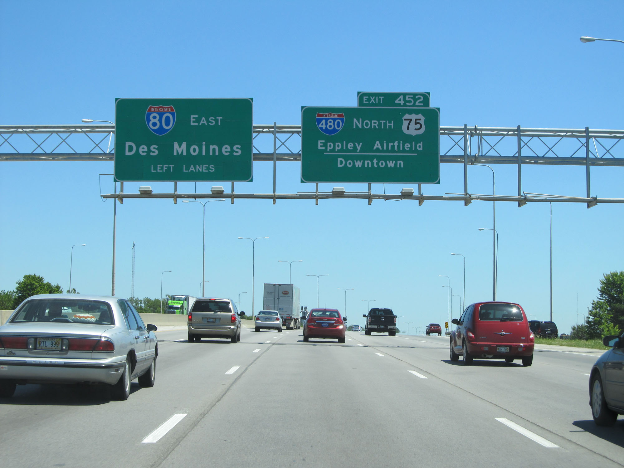
Interstate 80 East at Exit 452: Interstate 480 North / US 75 North - Eppley Airfield / Downtown (Photo taken 5/29/16). |
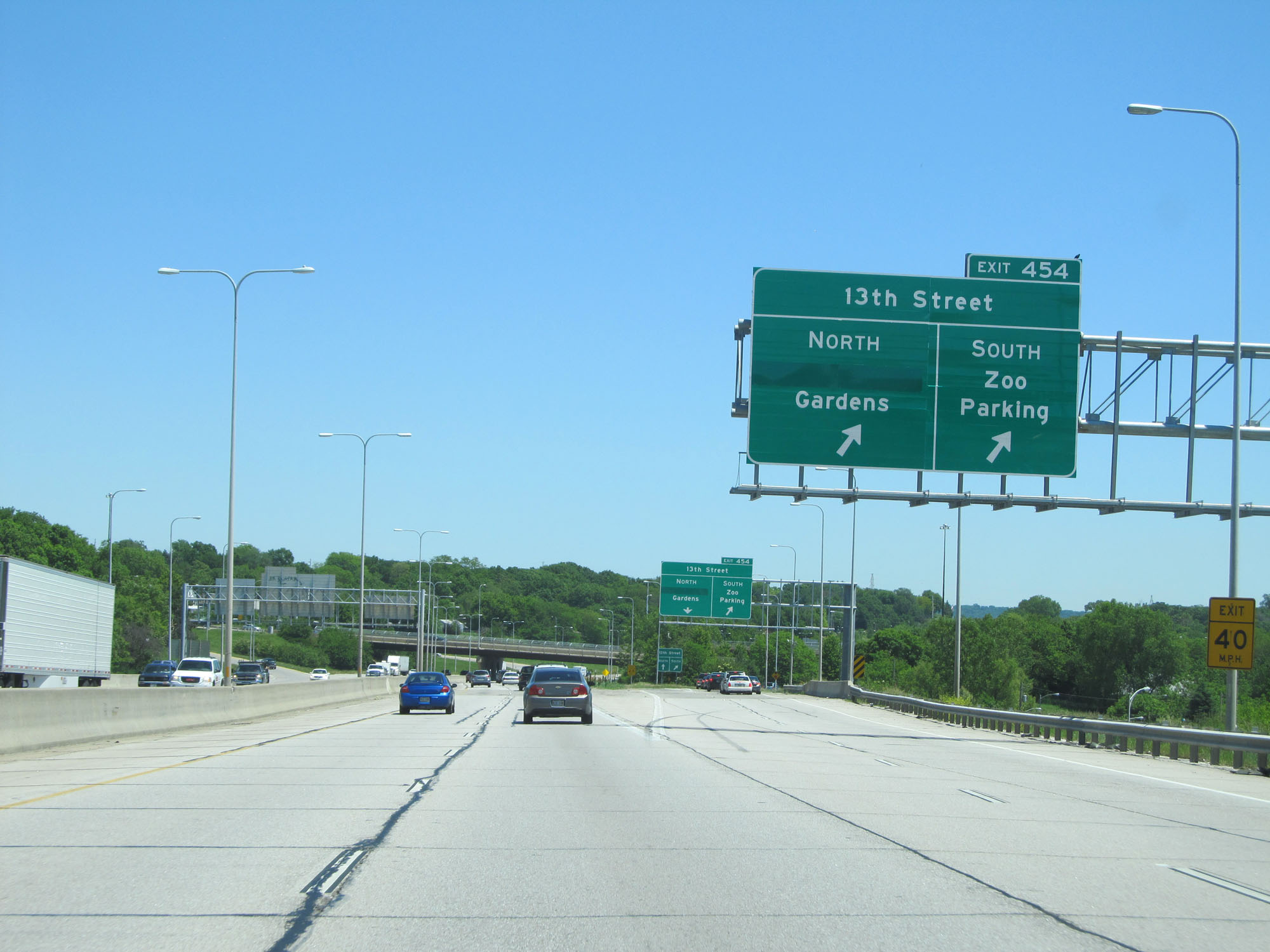 |
Interstate 80 East at Exit 454: 13th Street - Gardens / Zoo Parking (Photo taken 5/29/16). |
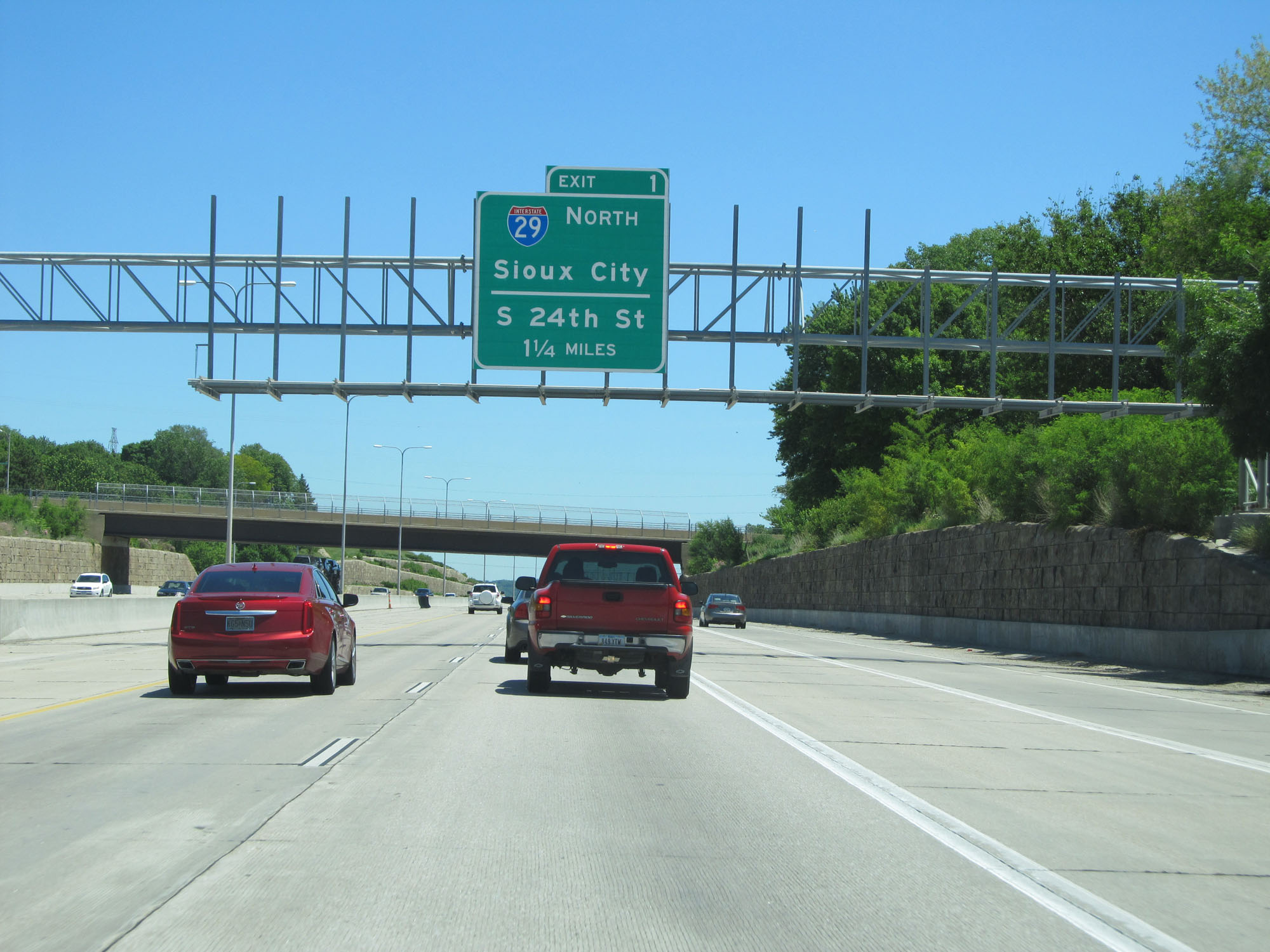 |
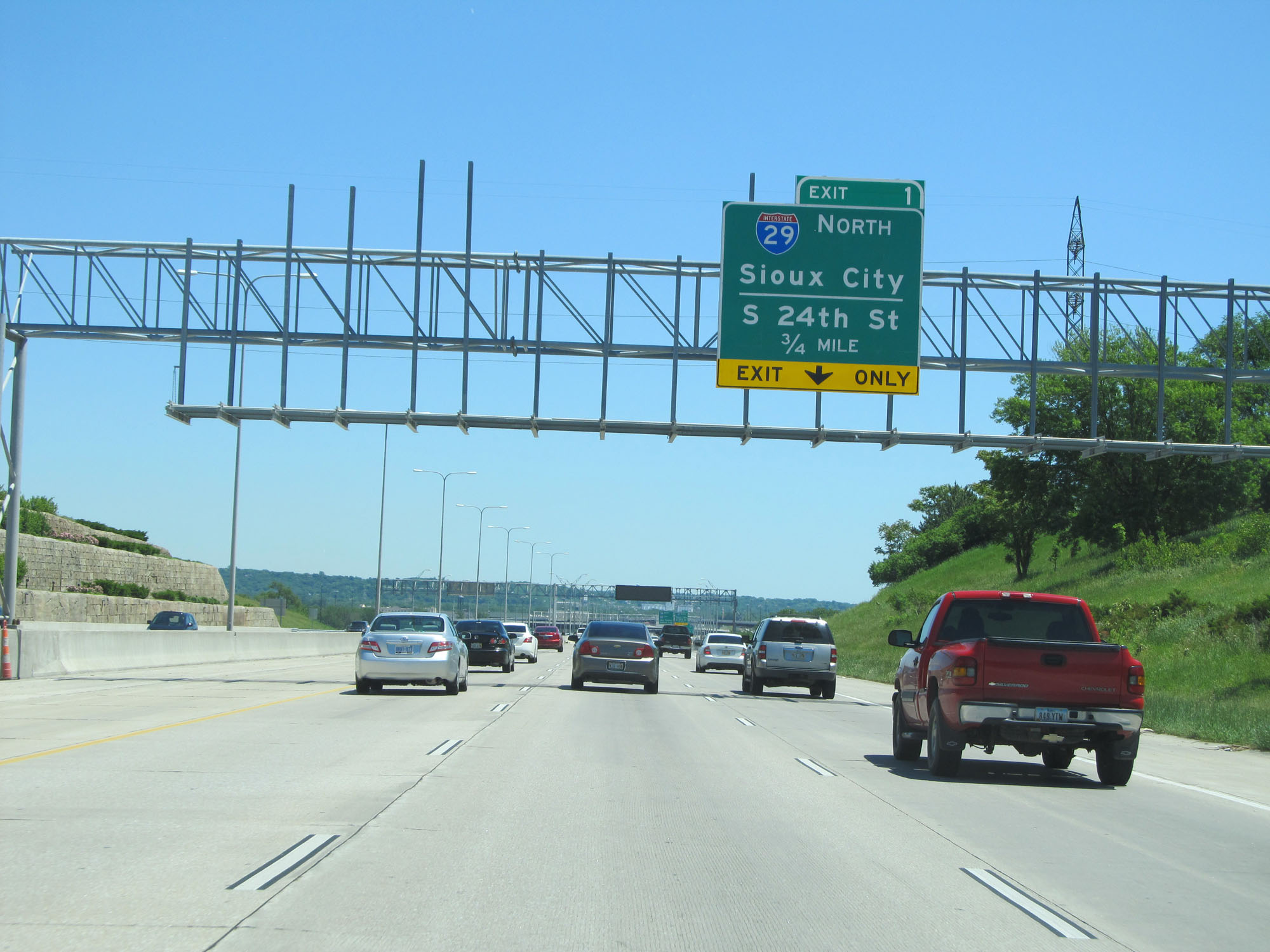
Interstate 80 East approaching Exit 1 in Iowa - 1 1/4 miles. (Photo taken 5/29/16). |
 |
Keep to the right across the Missouri River into Iowa for Exit 1. (Photo taken 5/29/16). |
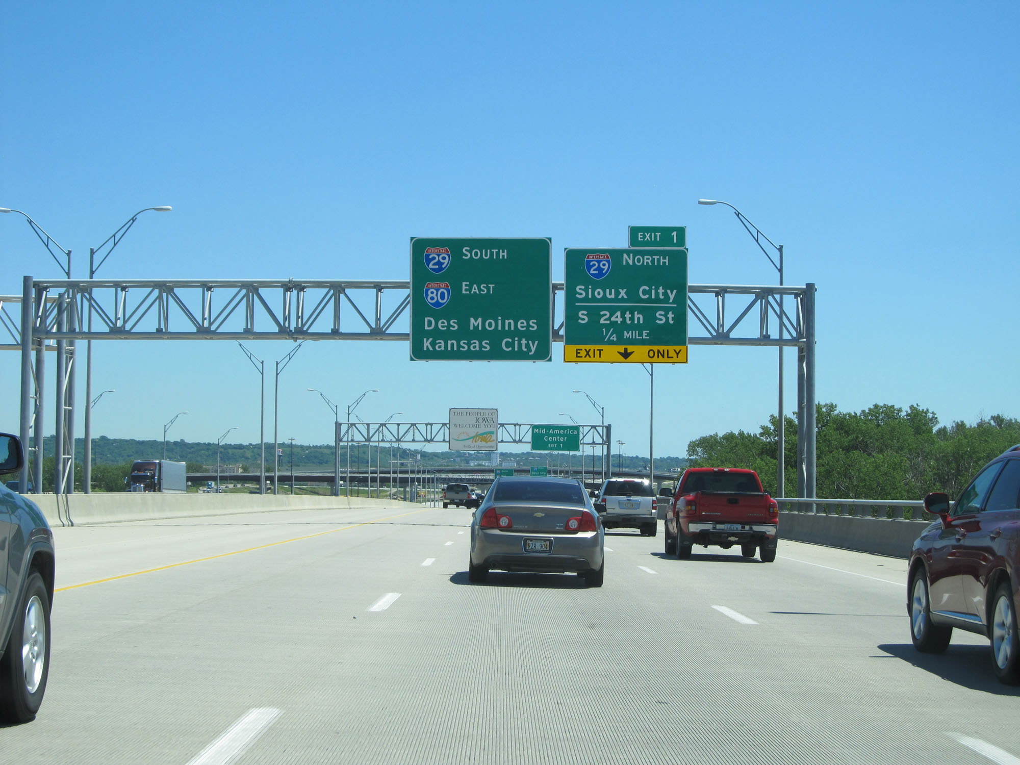 |
Interstate 80 East as it crosses the Missouri River and into Iowa. (Photo taken 5/29/16). |