Road Information |
||
 |
||
| Total Mileage in State: | 77 miles | |
| Eastern End: | At Alabama state line | |
| Western End: | At Louisiana state line | |
| Mileage covered in Photos: | 77 miles | |
| Counties covered in Photos: | Jackson, Harrison, Hancock | |
| Major Junctions in Photos: | I-110, in Biloxi US 49, in Gulfport |
|
| Control Cities in Photos: | Pascagoula, Biloxi, Gulfport | |
Westbound
- Section 1: Alabama Border to Biloxi (Exit 44)
- Section 2: Biloxi (Exit 44) to Louisiana Border
Section 1: Alabama Border to Biloxi (Exit 44)
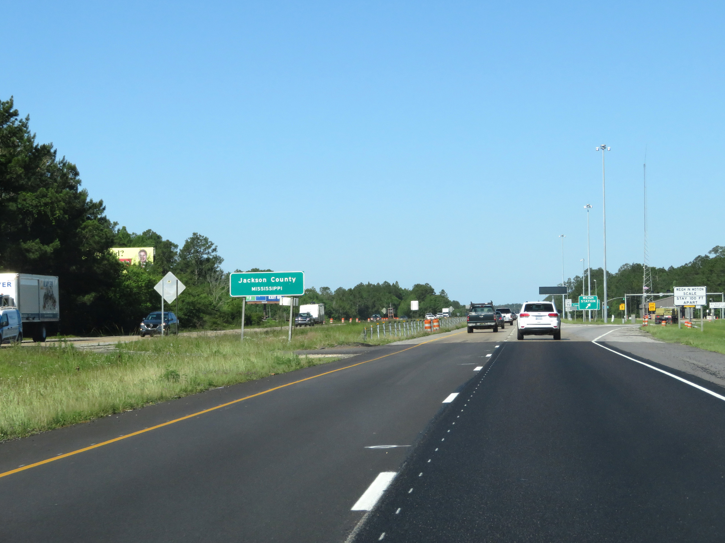 |
Interstate 10 West as it enters Mississippi (and Jackson County) from Alabama. (Photo taken 5/26/17). |
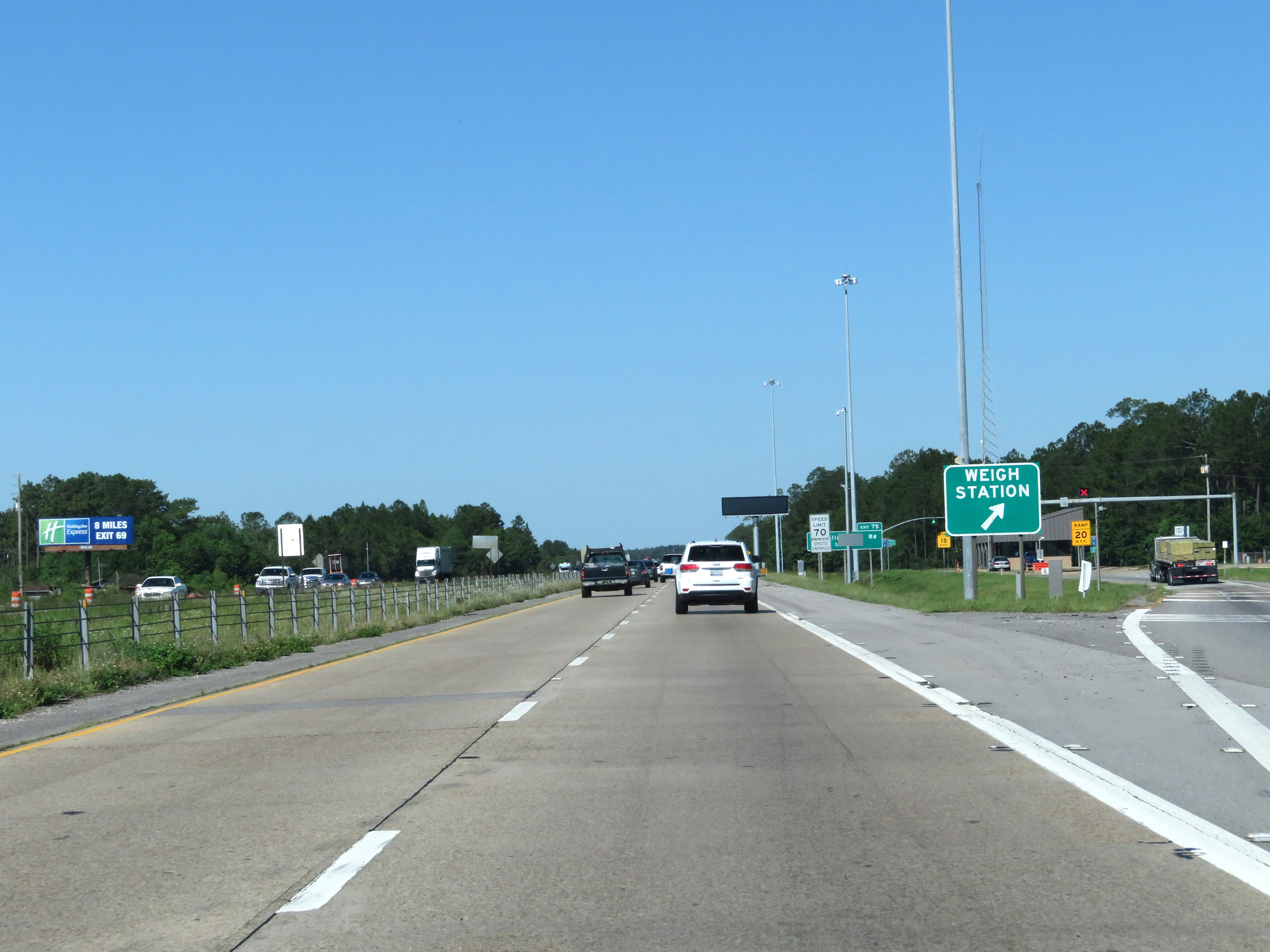 |
Weigh Station on Interstate 10 West in Jackson County upon crossing the state line into Mississippi. (Photo taken 5/26/17). |
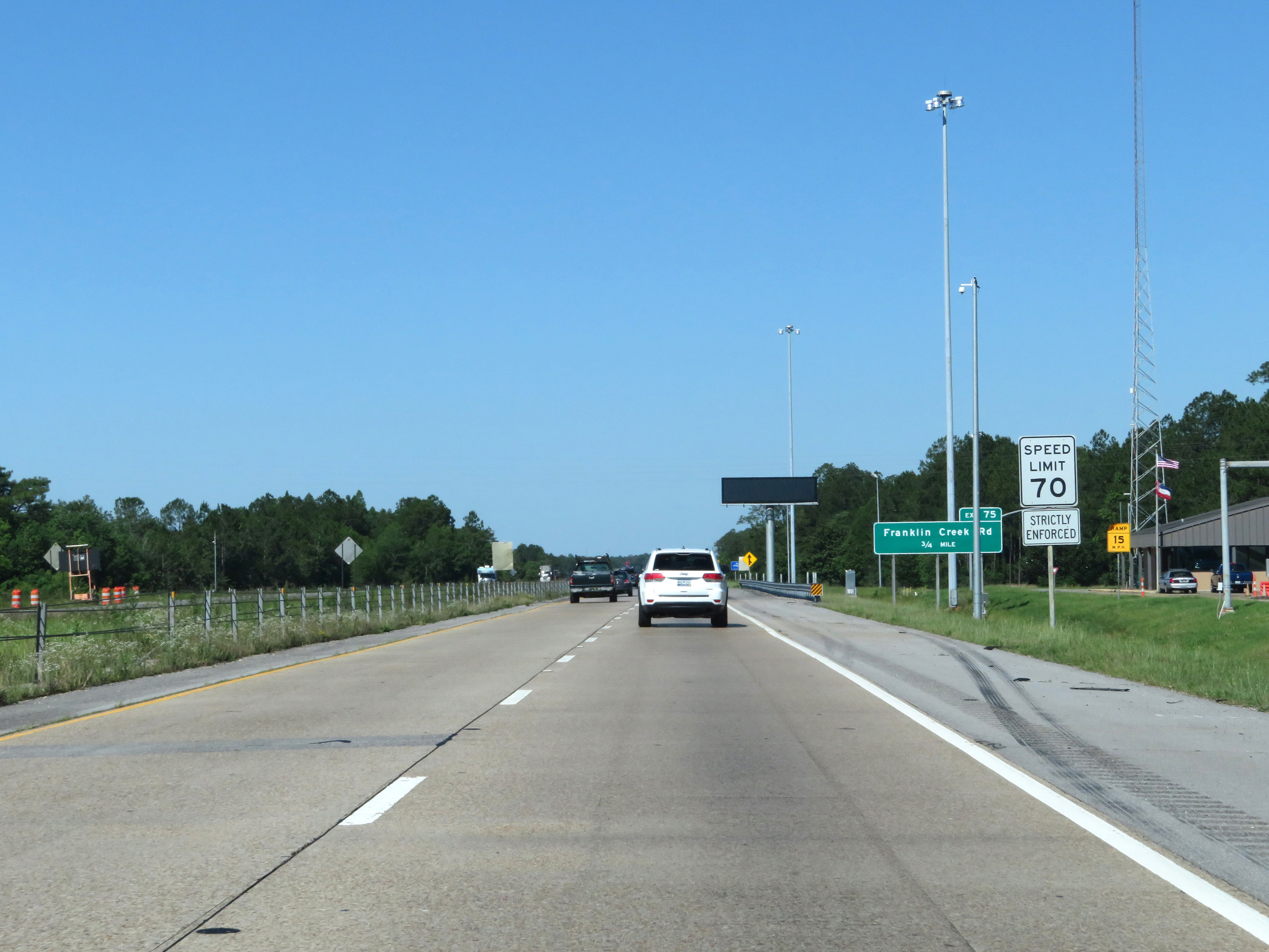 |
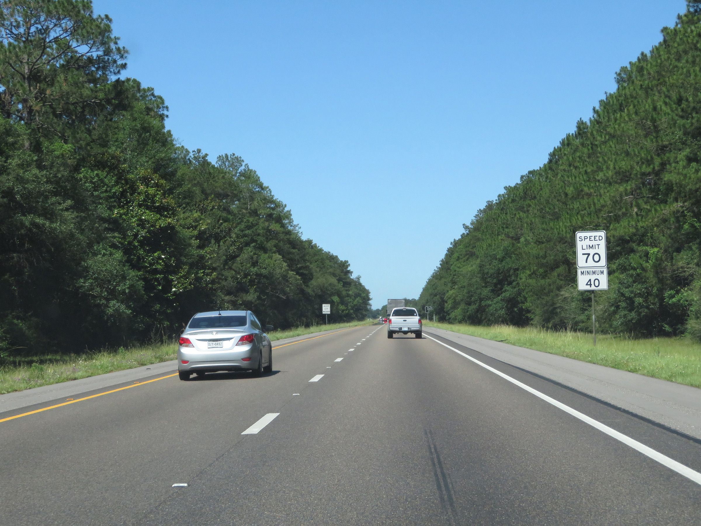
The maximum speed limit starts out at 70 mph on Interstate 10 West. (Photo taken 5/26/17). |
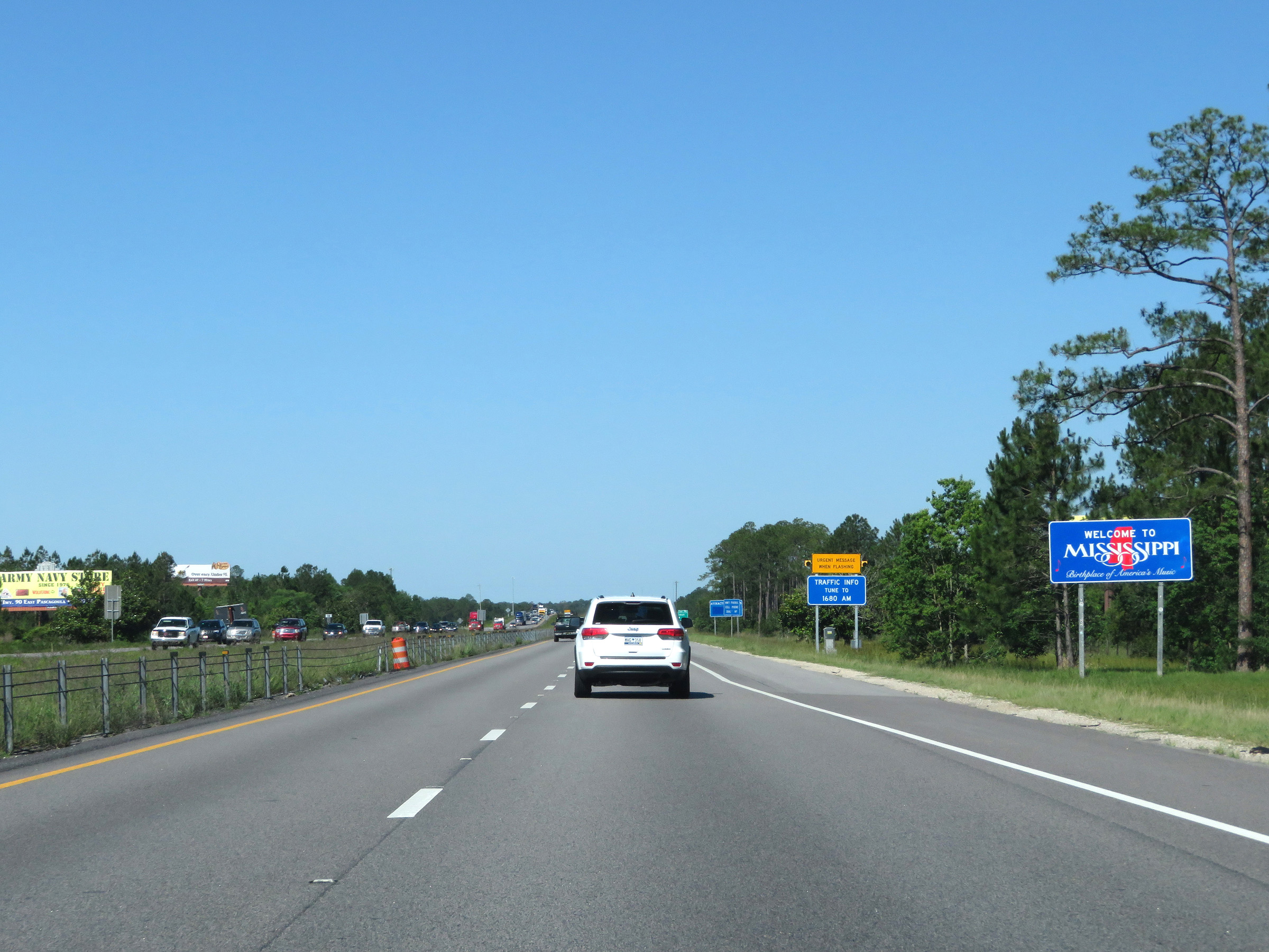 |
Mississippi welcome sign on Interstate 10 West. (Photo taken 5/26/17). |
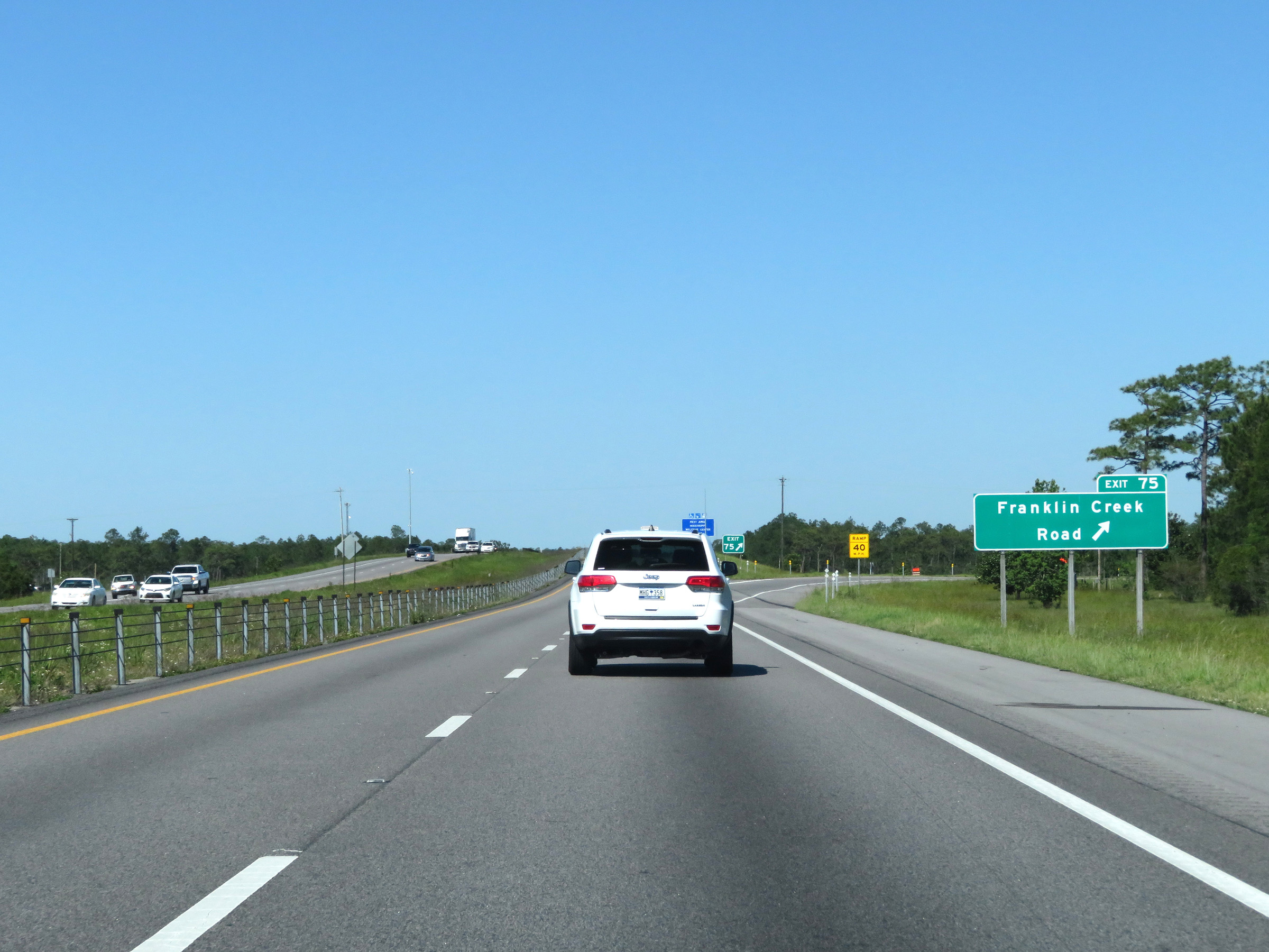 |
Interstate 10 West at Exit 75: Franklin Creek Road (Photo taken 5/26/17). |
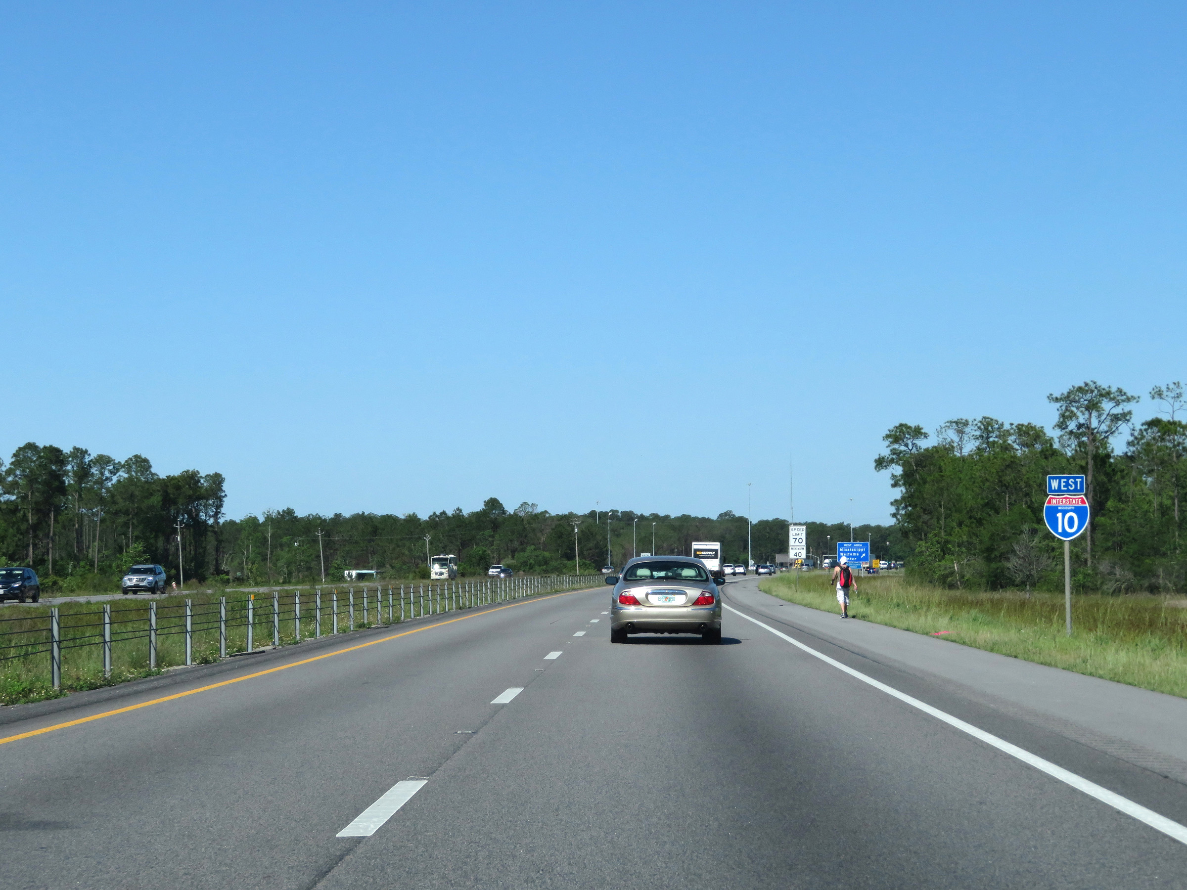 |
State-named Interstate 10 West reassurance shield. (Photo taken 5/26/17). |
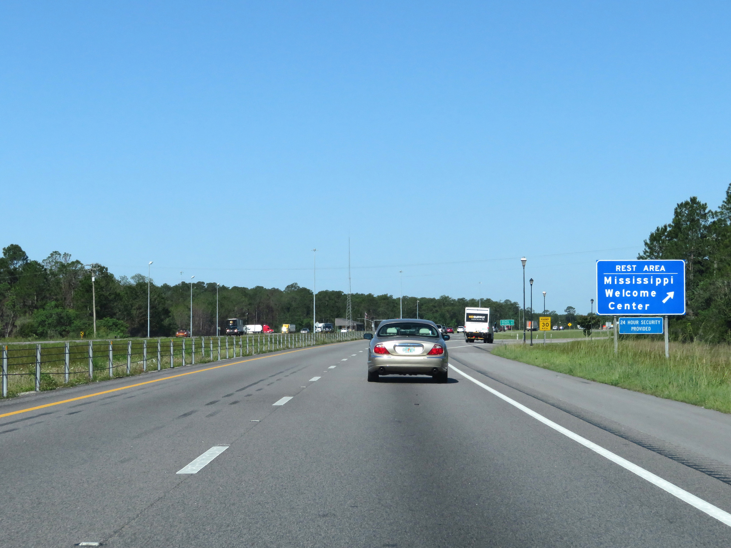 |
Mississippi Welcome Center / Rest Area on Interstate 10 West in Jackson County. (Photo taken 5/26/17). |
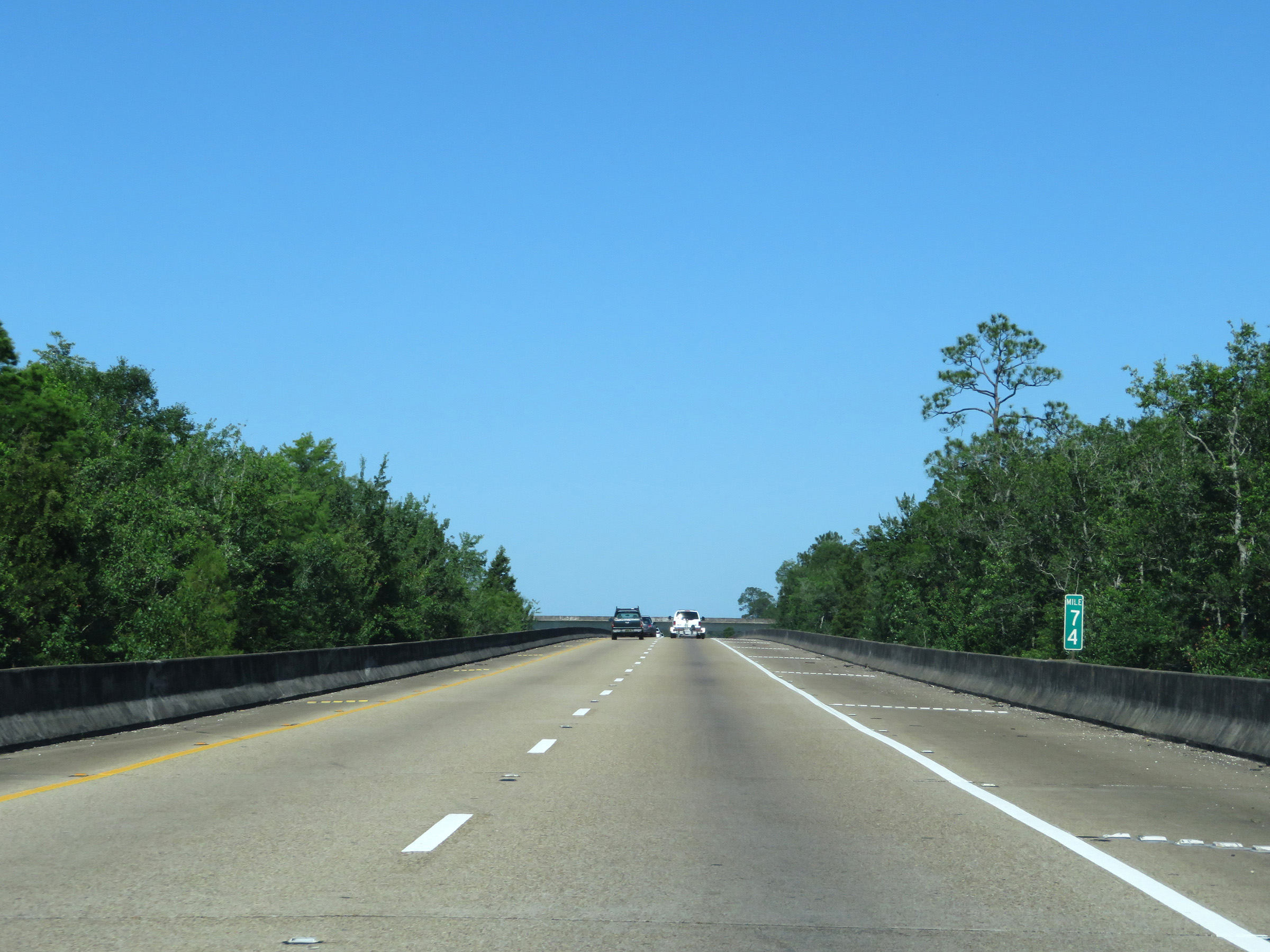 |
View on Interstate 10 West at mile marker 74. (Photo taken 5/26/17). |
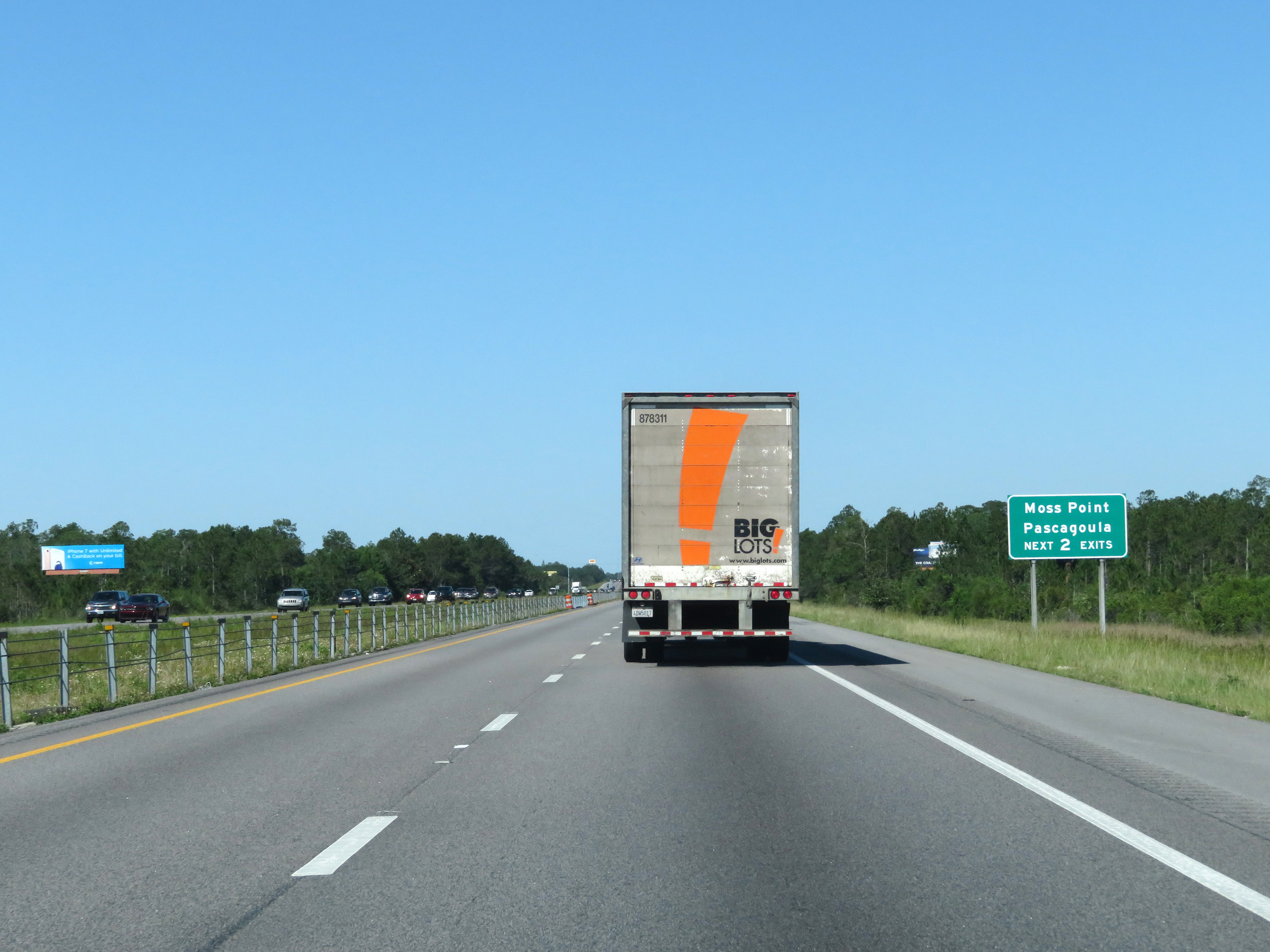 |
Take either of the next 2 exits to Moss Point and Pascagoula. (Photo taken 5/26/17). |
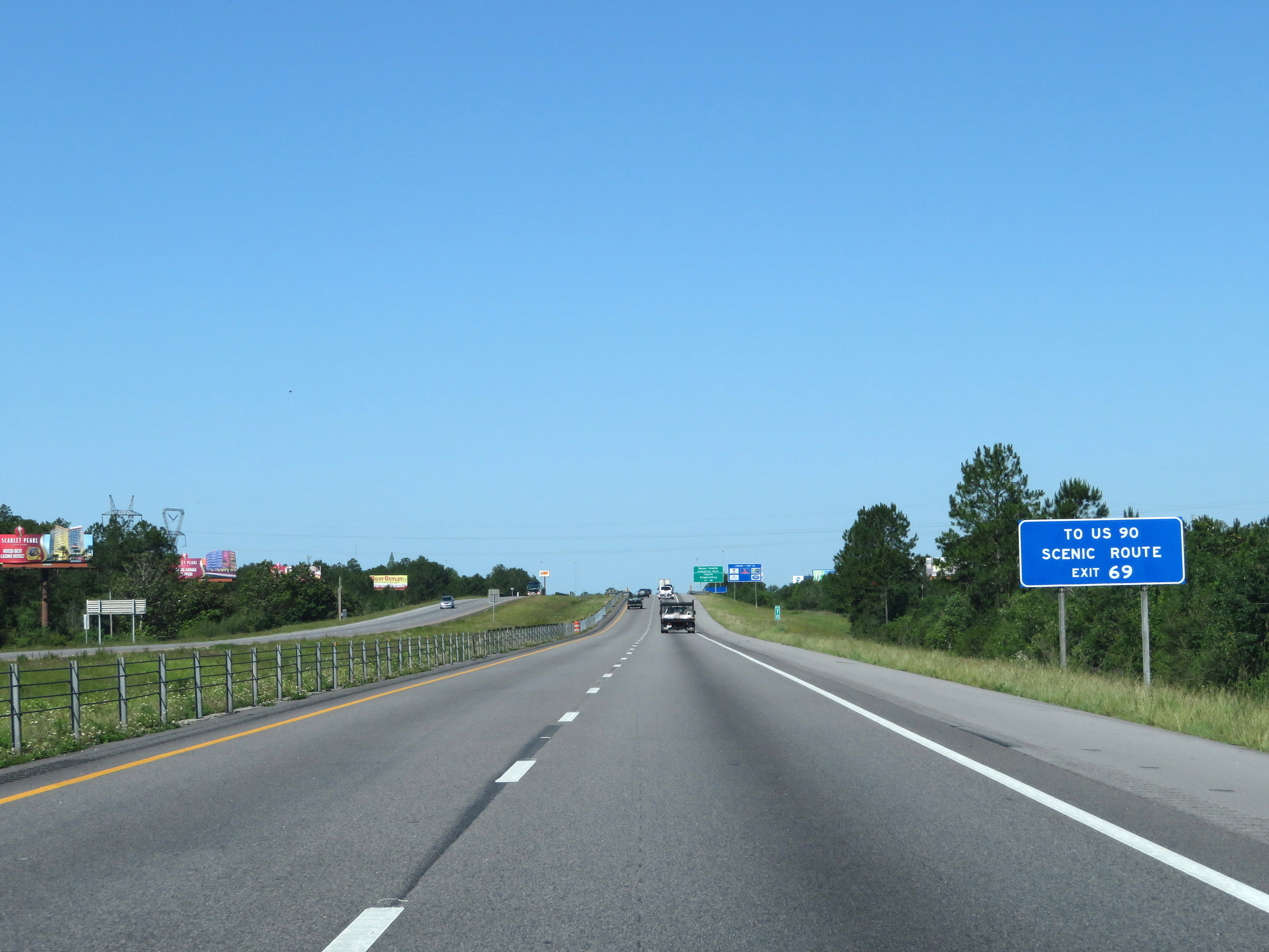 |
Take Exit 69 to get to US 90. (Photo taken 5/26/17). |
 |
Also take Exit 69 to Bayou Casotte Industrial Park and Ingalls Shipbuilding. (Photo taken 5/26/17). |
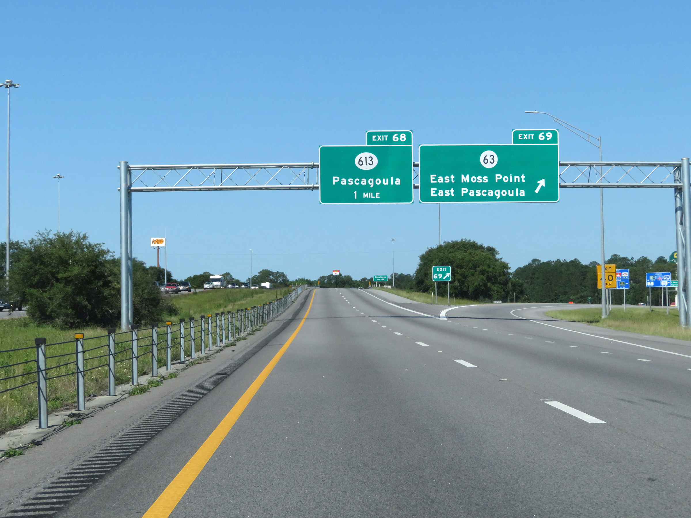 |
Interstate 10 West at Exit 69: MS 63 - East Moss Point / East Pascagoula (Photo taken 5/26/17). |
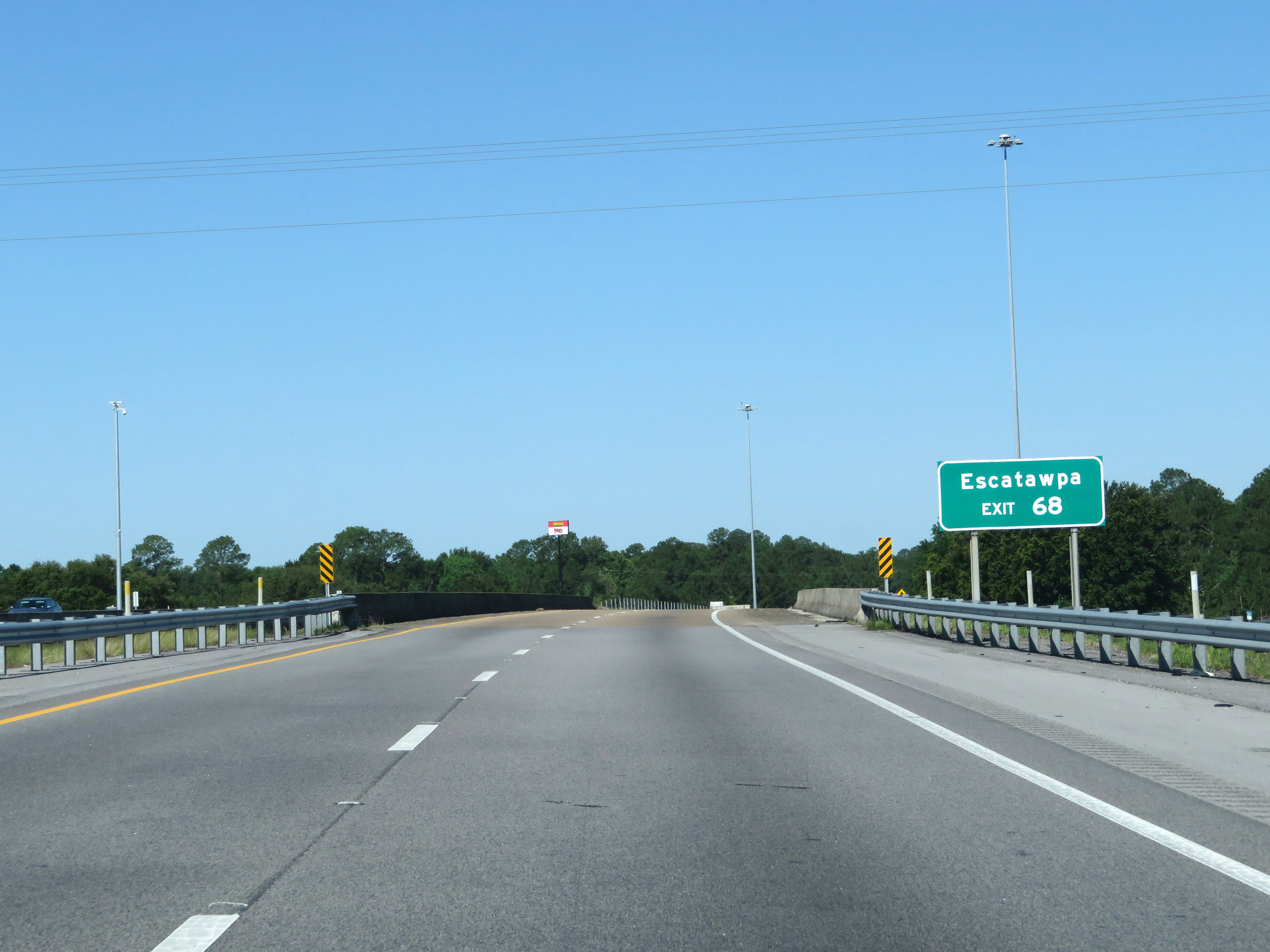 |
Take Exit 68 to Escatawpa. (Photo taken 5/26/17). |
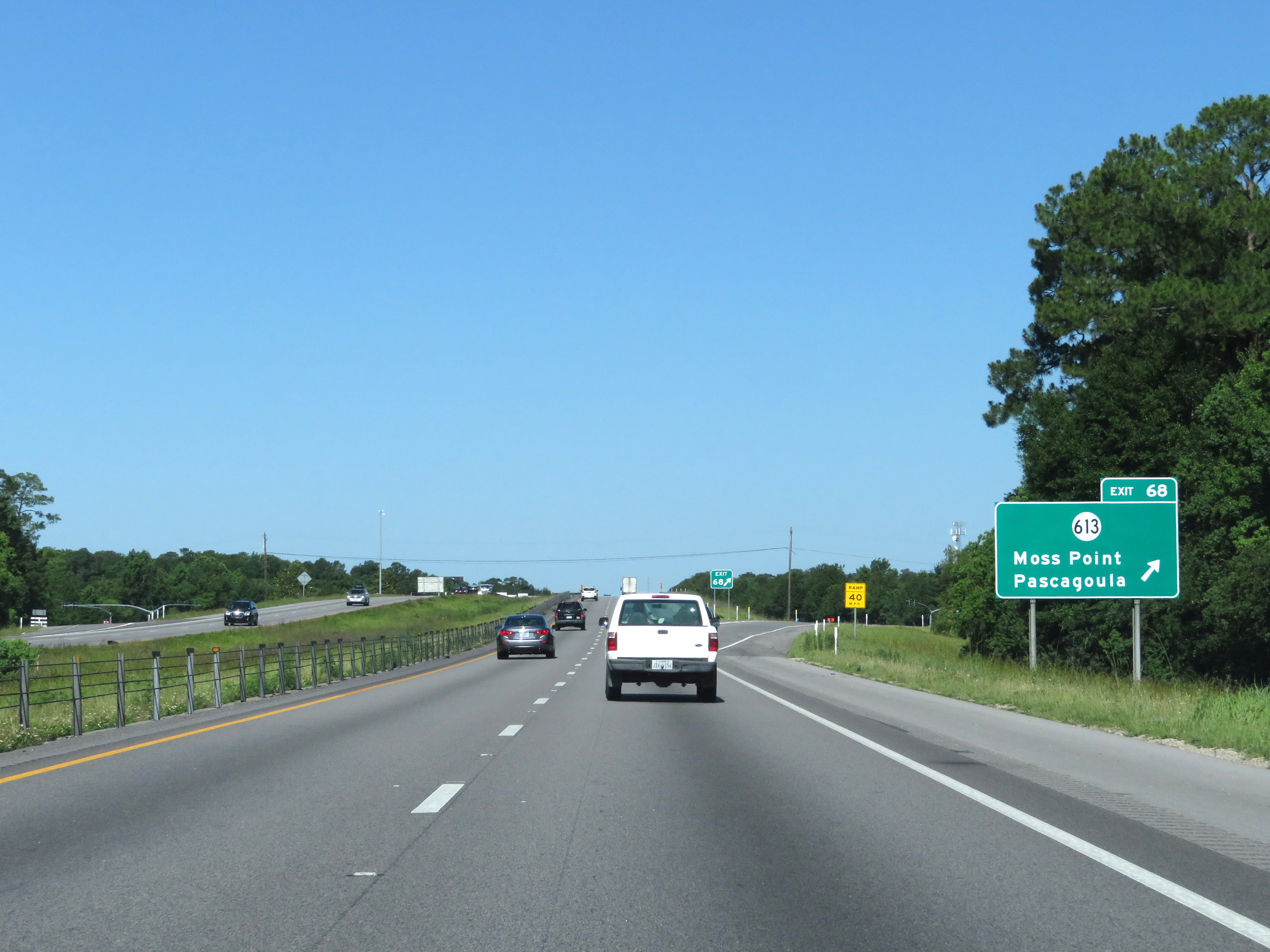 |
Interstate 10 West at Exit 68: MS 613 - Moss Point / Pascagoula (Photo taken 5/26/17). |
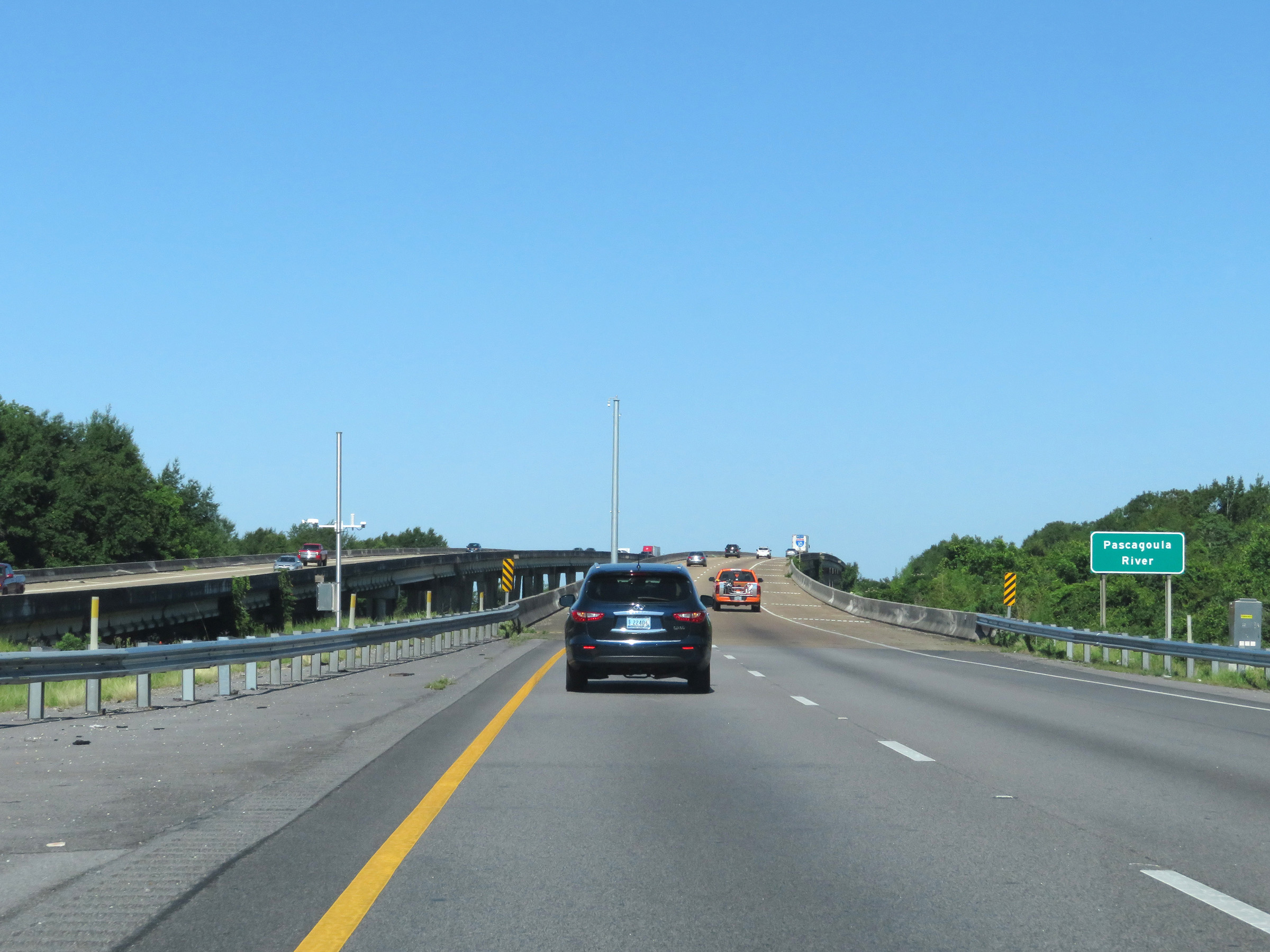 |
Interstate 10 West as it prepares to cross the Pascagoula River. (Photo taken 5/26/17). |
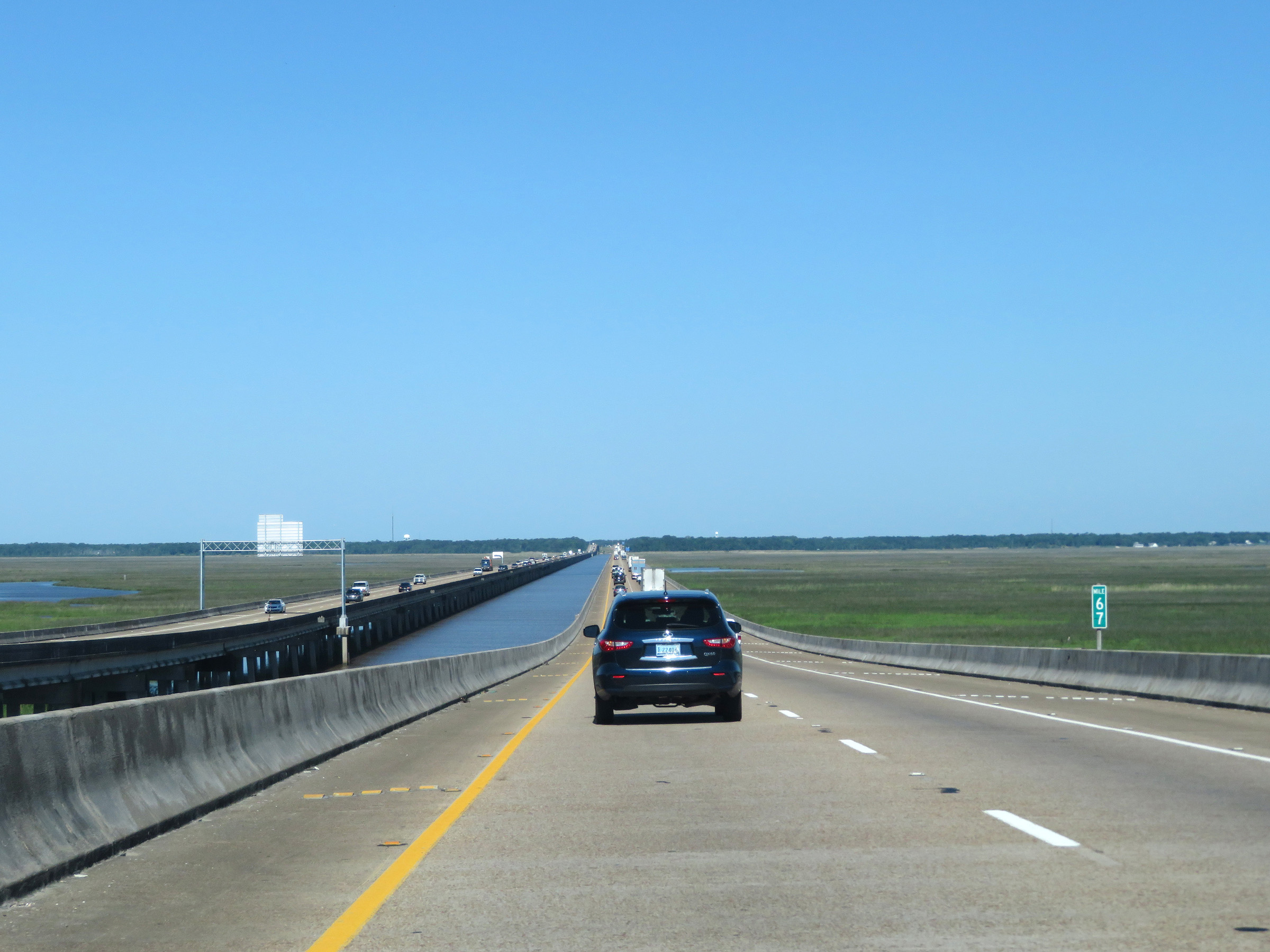 |
Interstate 10 West at mile marker 67. (Photo taken 5/26/17). |
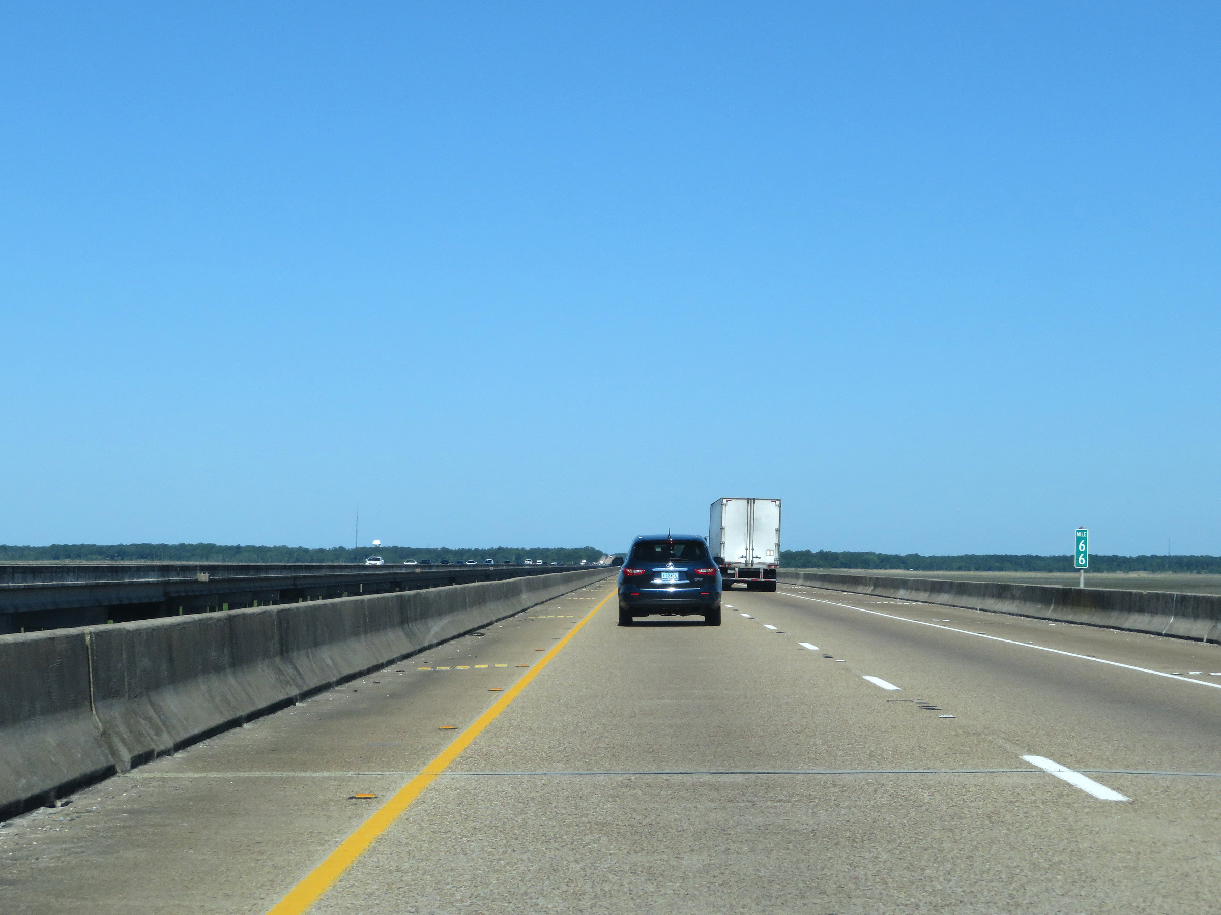 |
Mile marker 66 on Interstate 10 West in Jackson County. (Photo taken 5/26/17). |
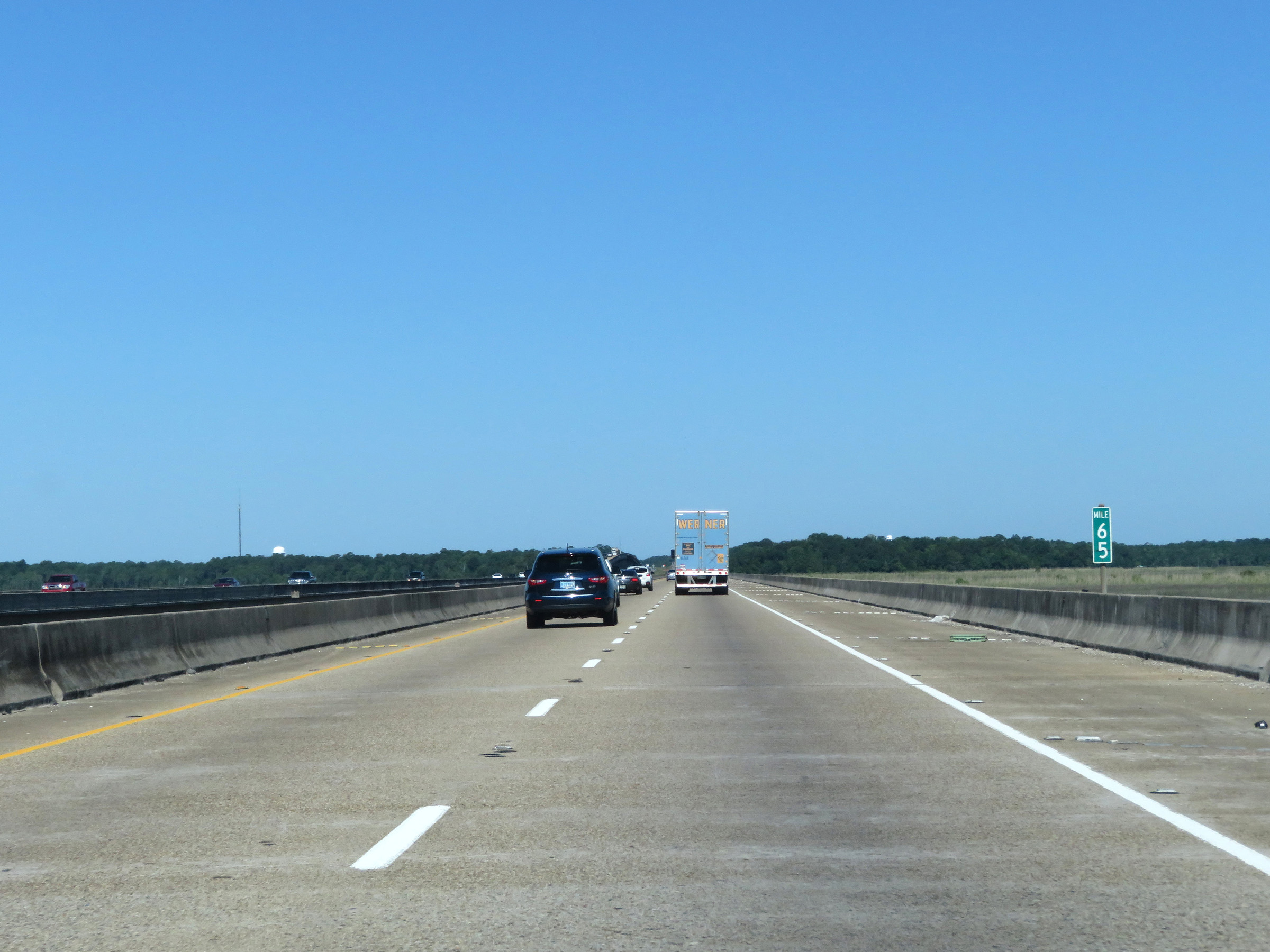 |
View on Interstate 10 West at mile marker 65. (Photo taken 5/26/17). |
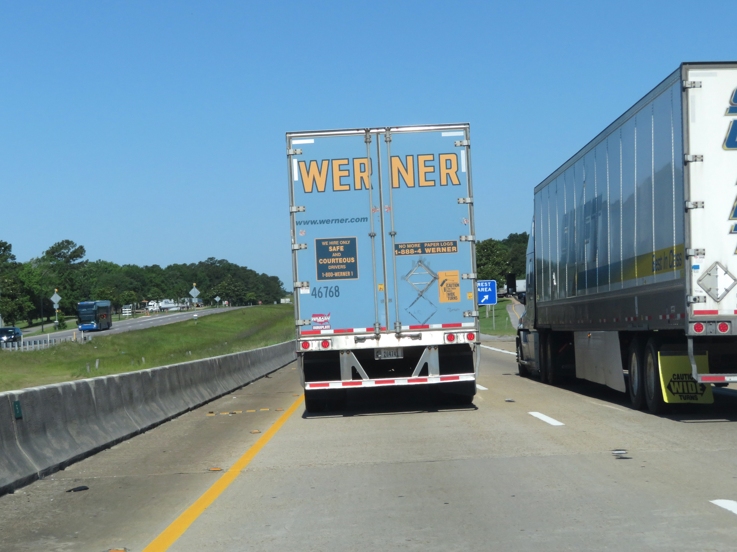 |
Another Rest Area on Interstate 10 West in Jackson County. (Photo taken 5/26/17). |
 |
Take either of the next 2 exits to Gautier. (Photo taken 5/26/17). |
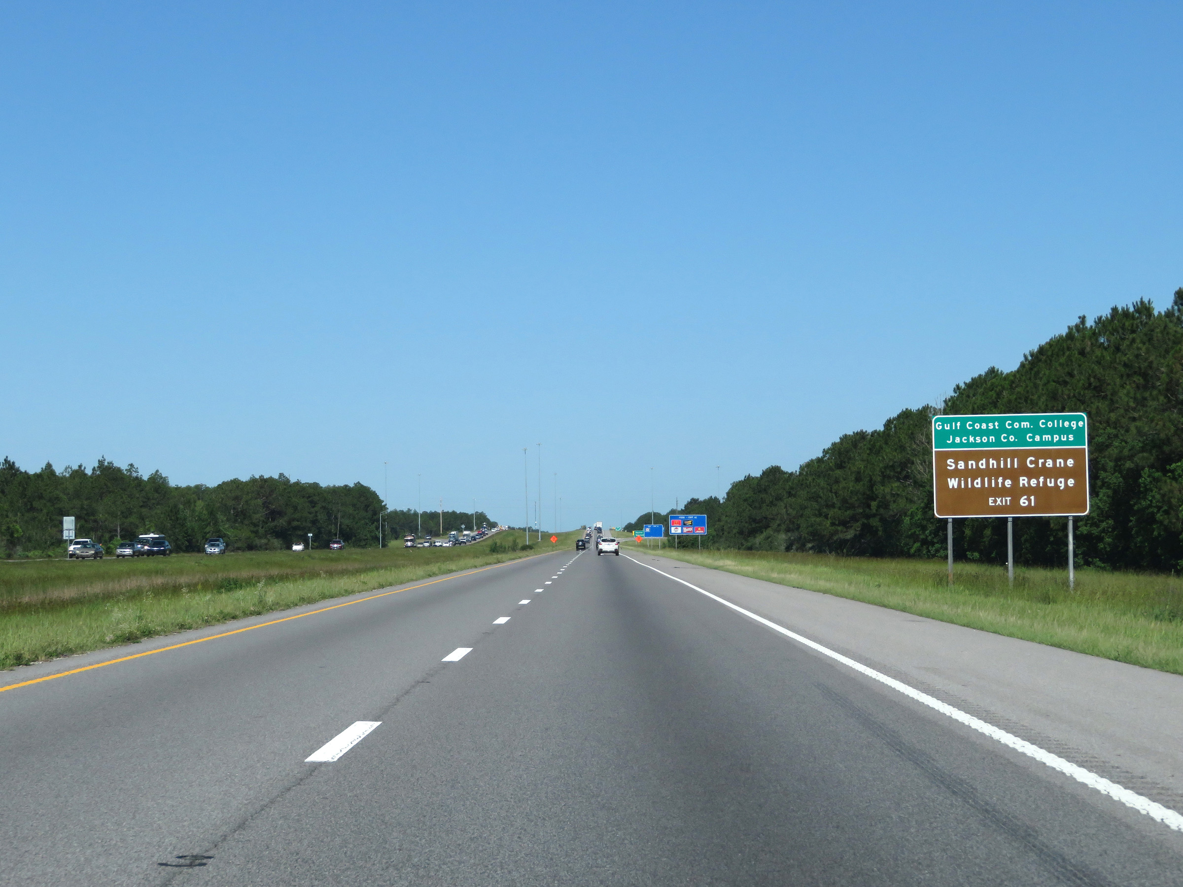 |
Take Exit 61 to Gulf Coast Community College Jackson County Campus and Sandhill Crane Wildlife Refuge. (Photo taken 5/26/17). |
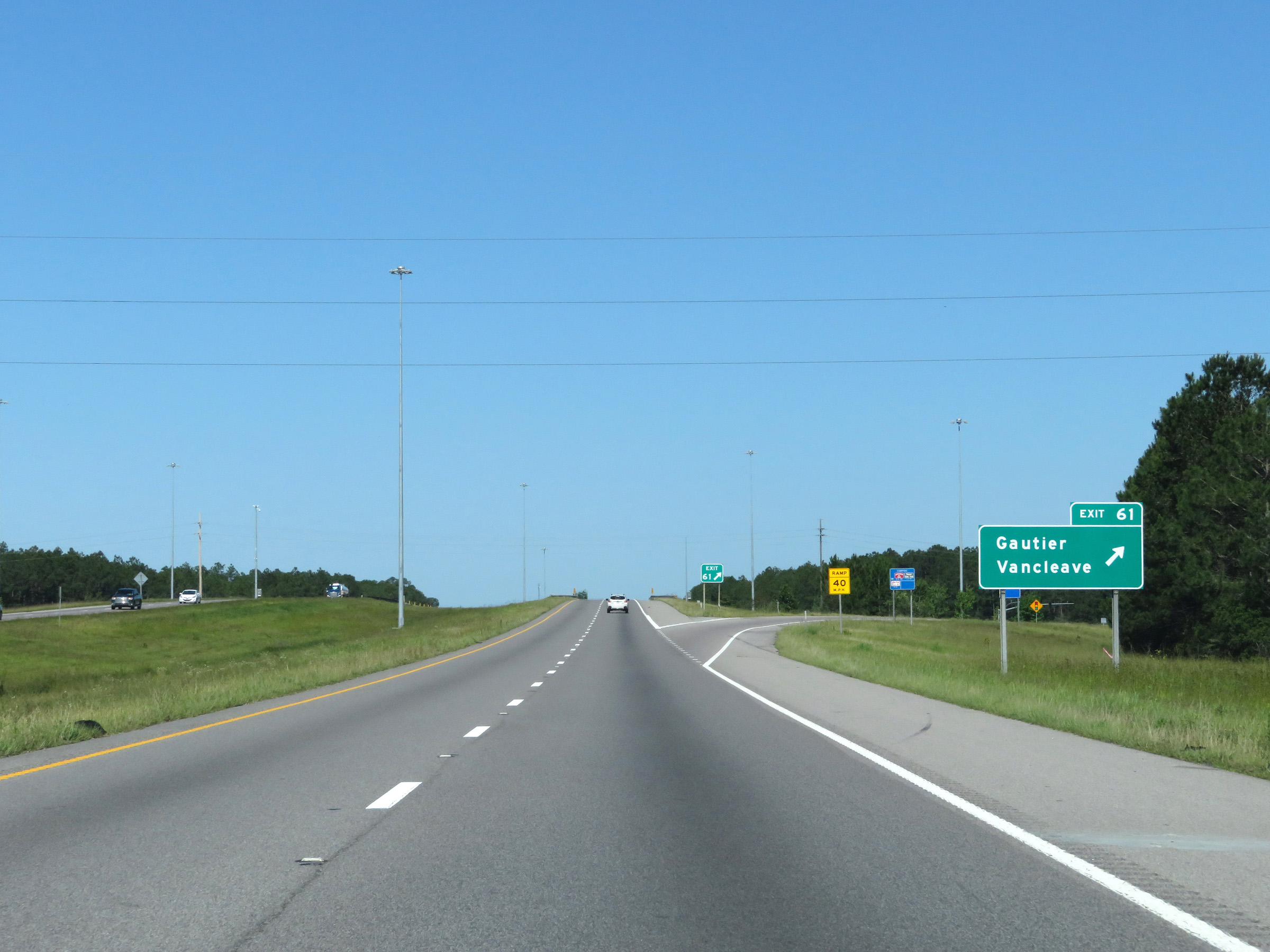 |
Interstate 10 West at Exit 61: Gautier / Vancleave (Photo taken 5/26/17). |
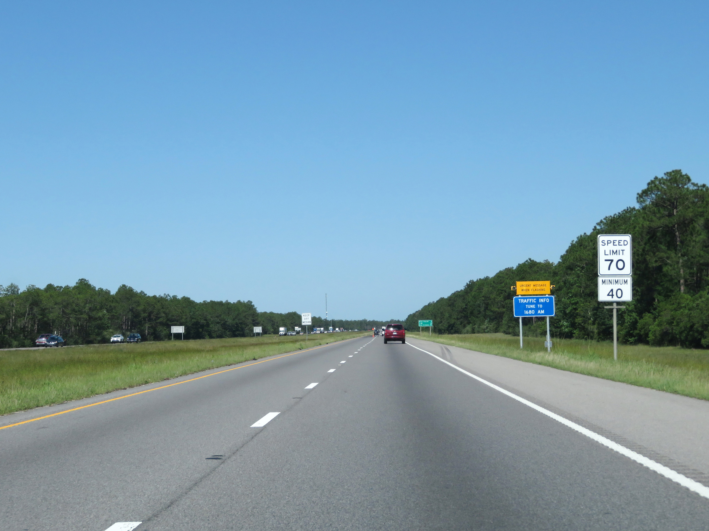 |
The maximum speed limit remains 70 mph, while the minimum speed limit is 40 mph. These are the standard speed limits on most rural Interstate highways in Mississippi. (Photo taken 5/26/17). |
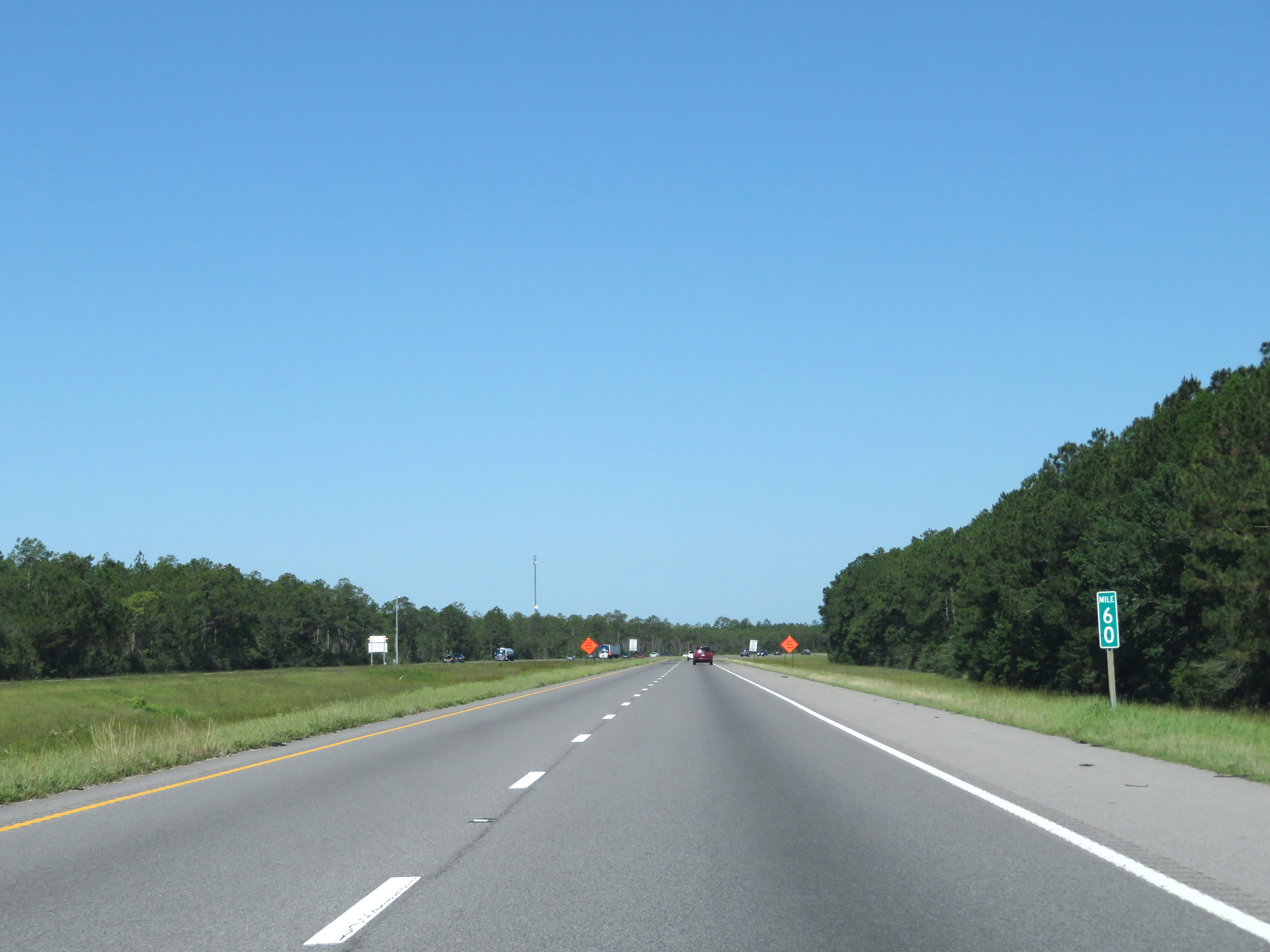 |
View on Interstate 10 West at mile marker 60. (Photo taken 5/26/17). |
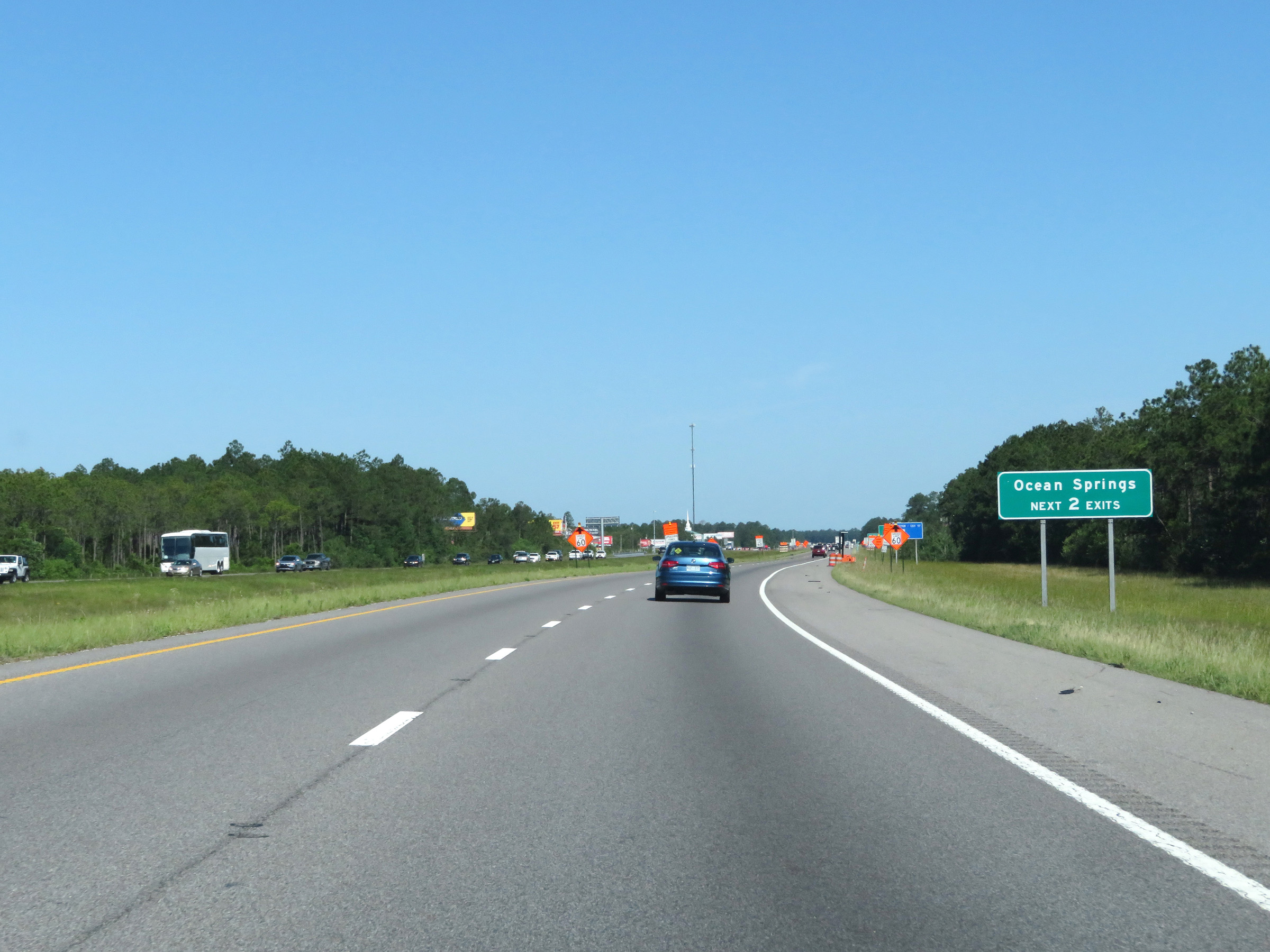 |
Take either of the next 2 exits to Ocean Springs. (Photo taken 5/26/17). |
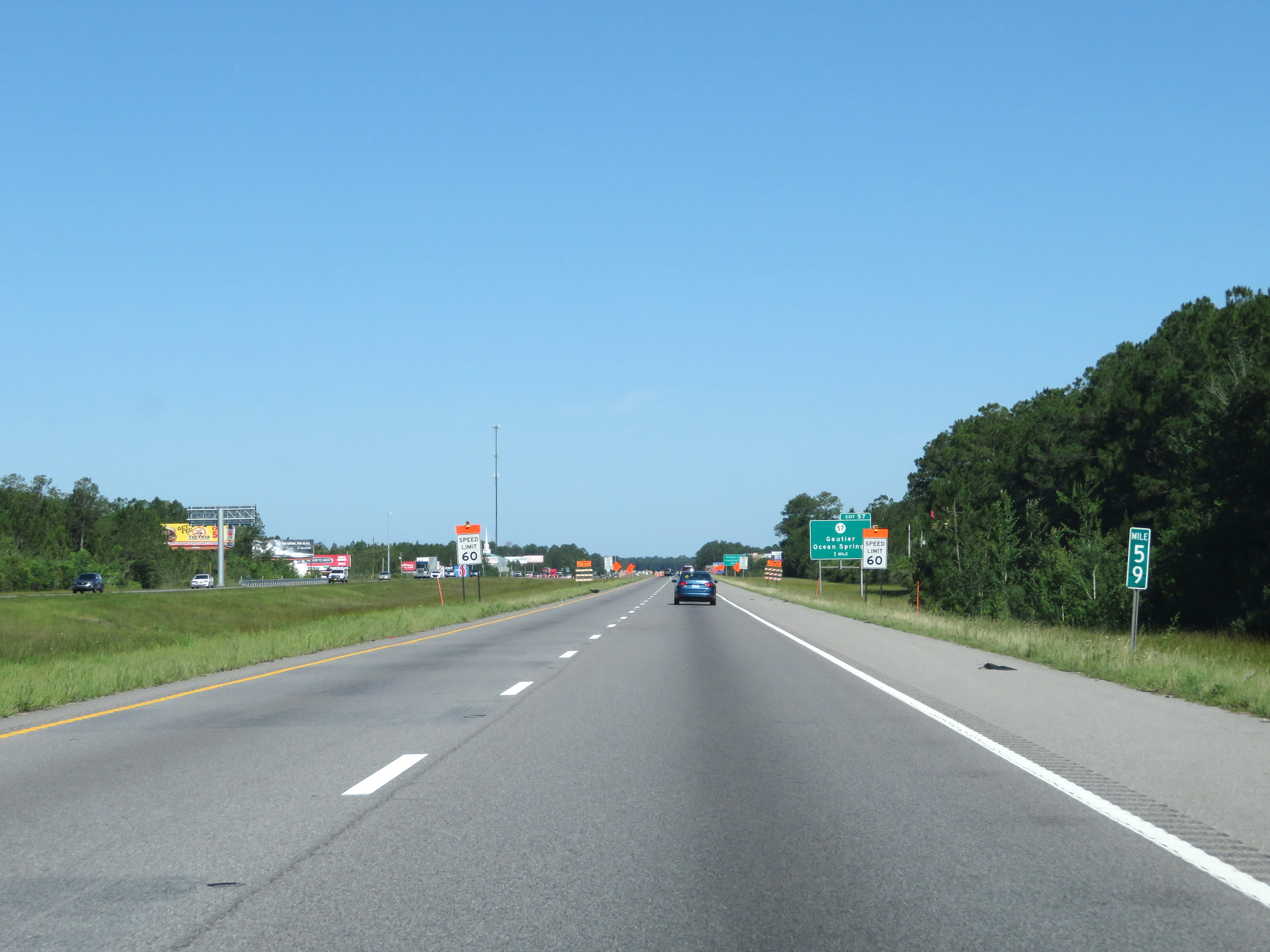 |
Interstate 10 West at mile marker 59. (Photo taken 5/26/17). |
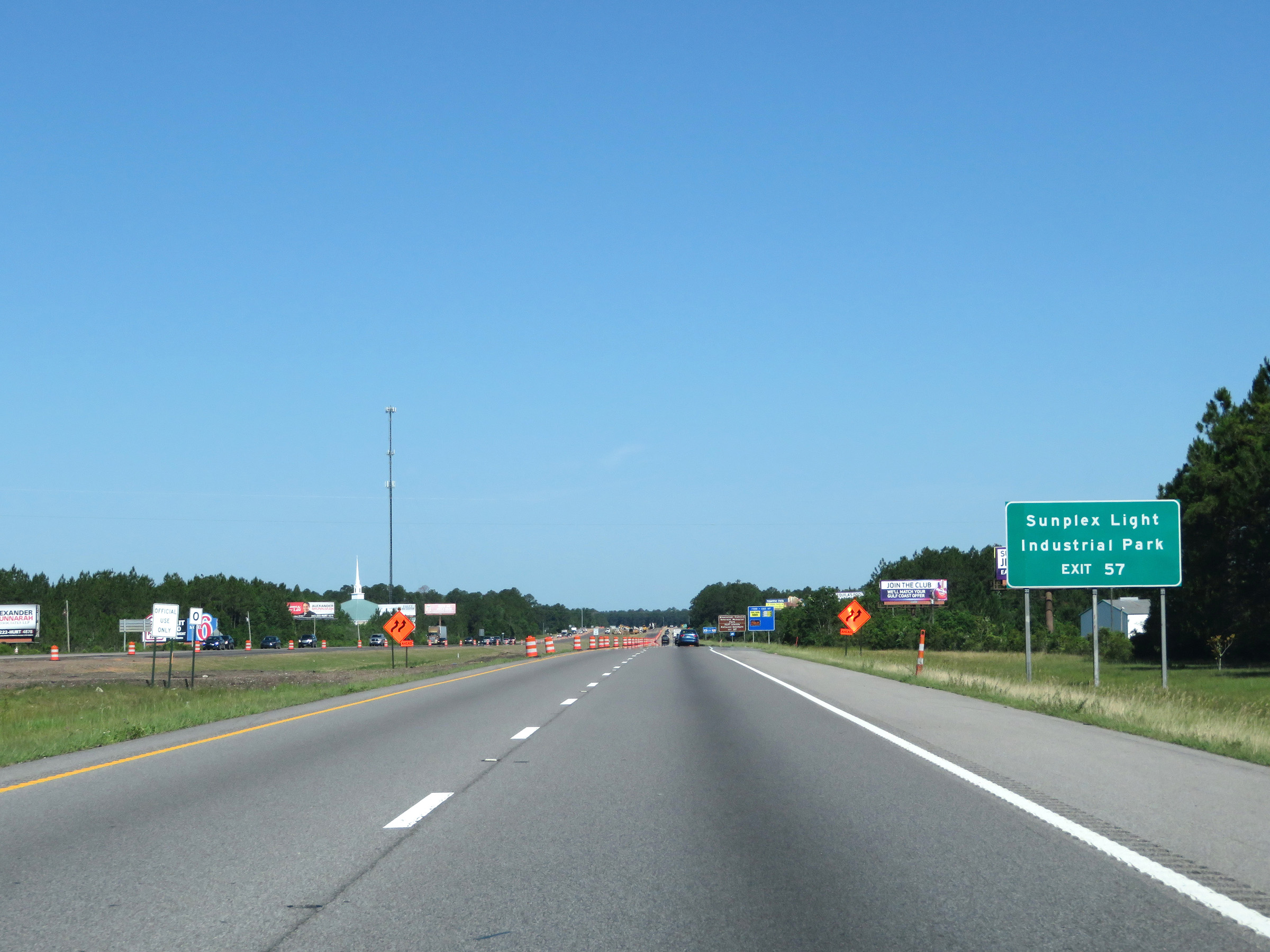 |
Take Exit 57 to Sunplex Light Industrial Park. (Photo taken 5/26/17). |
 |
Also take Exit 57 to Mississippi Vietnam Veterans Memorial Park and Gulf Islands National Seashore. (Photo taken 5/26/17). |
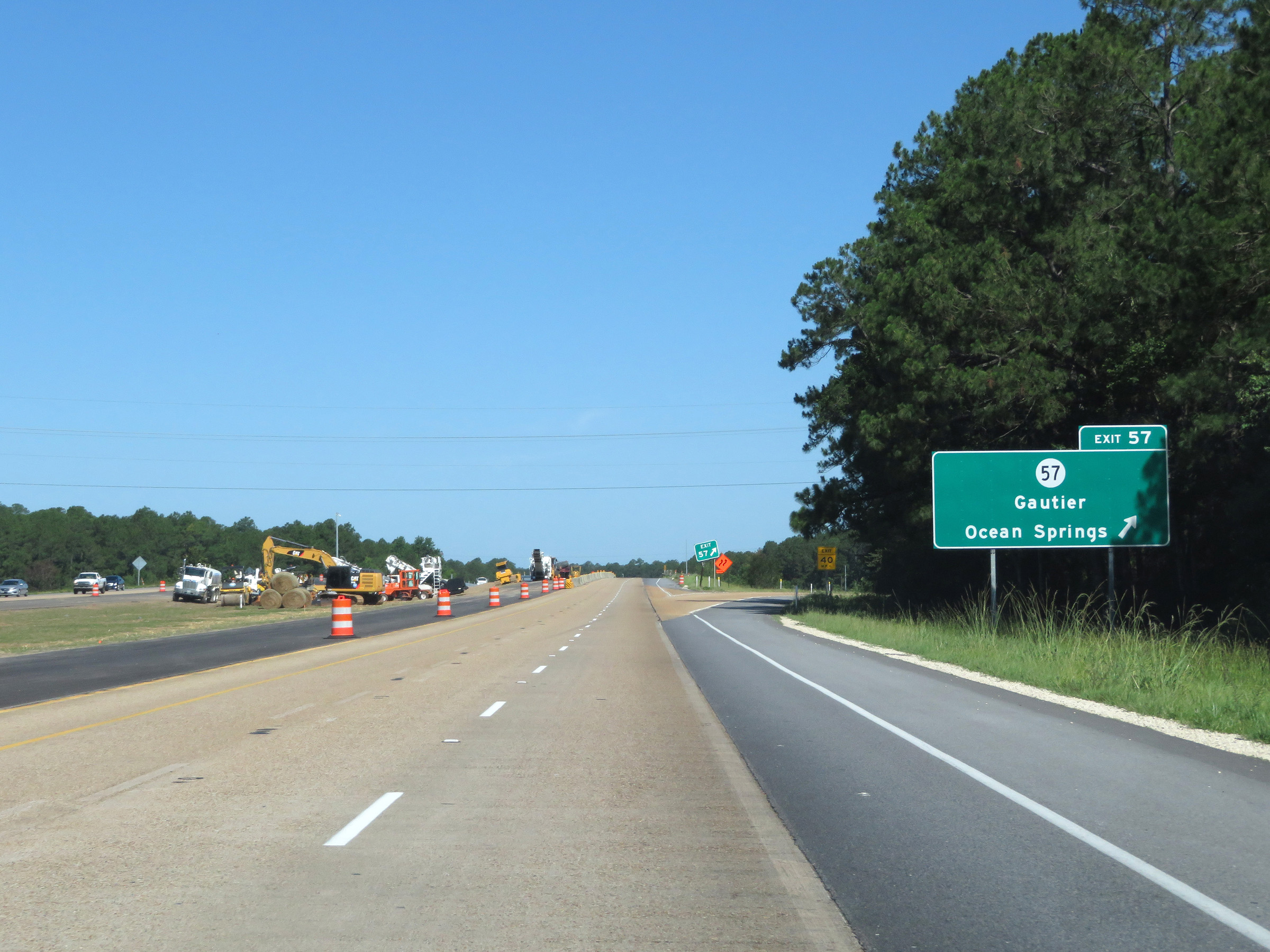 |
Interstate 10 West at Exit 57: MS 57 - Gautier / Ocean Springs (Photo taken 5/26/17). |
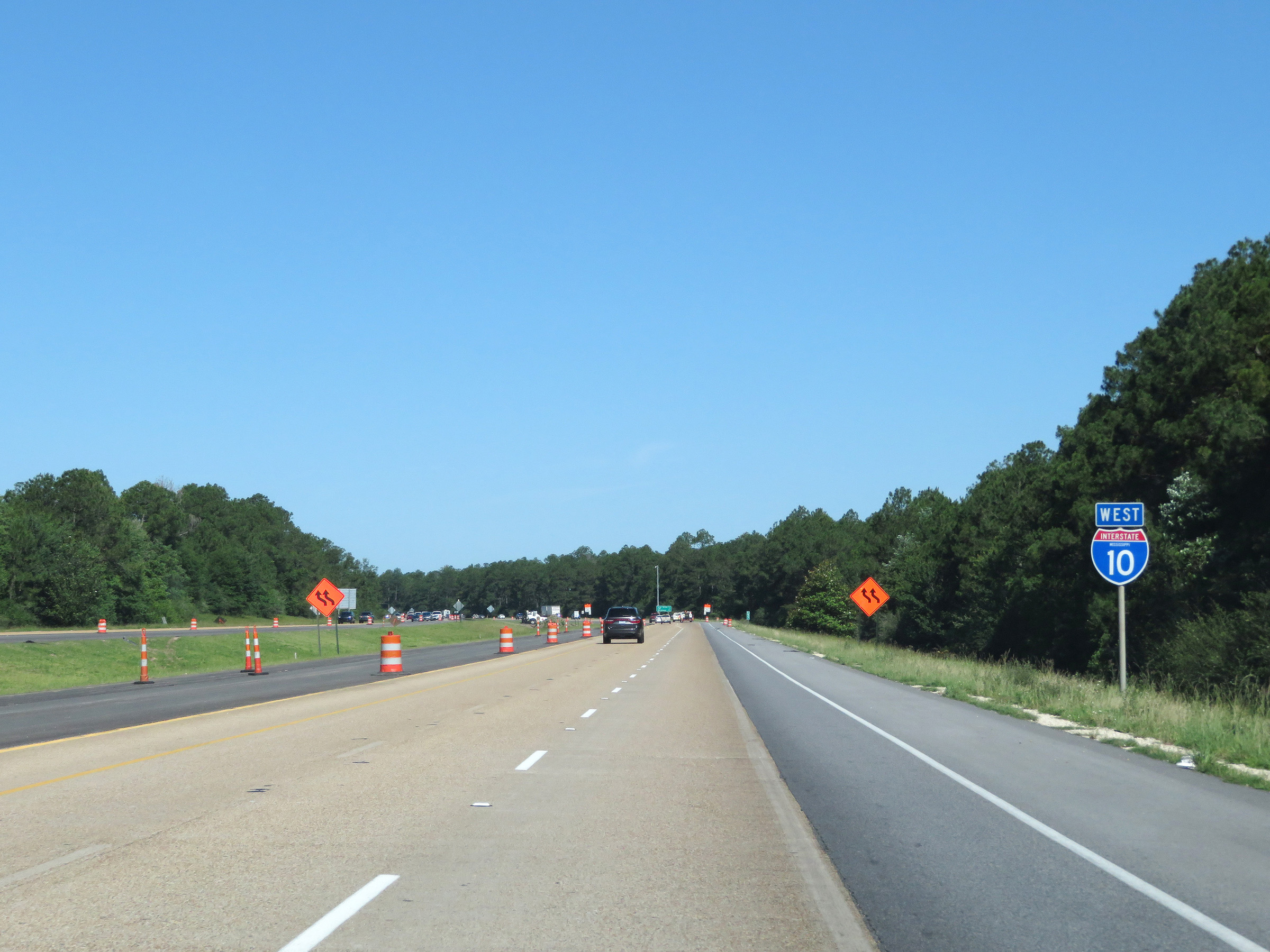 |
State-named Interstate 10 West reassurance shield. (Photo taken 5/26/17). |
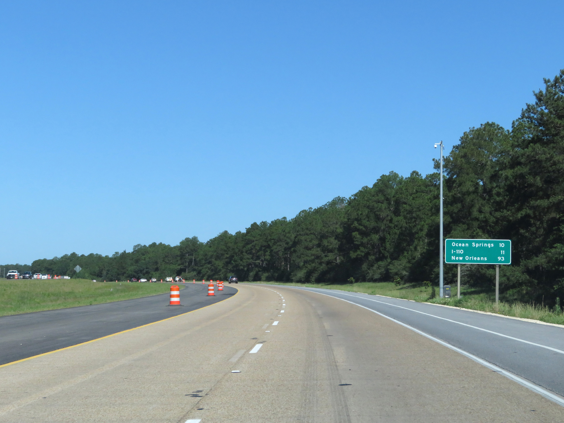 |
Mileage sign on Interstate 10 West. It's 10 miles to Ocean Springs, 11 miles to the junction of Interstate 110, and 93 miles to New Orleans. (Photo taken 5/26/17). |
 |
View on Interstate 10 West at mile marker 56. (Photo taken 5/26/17). |
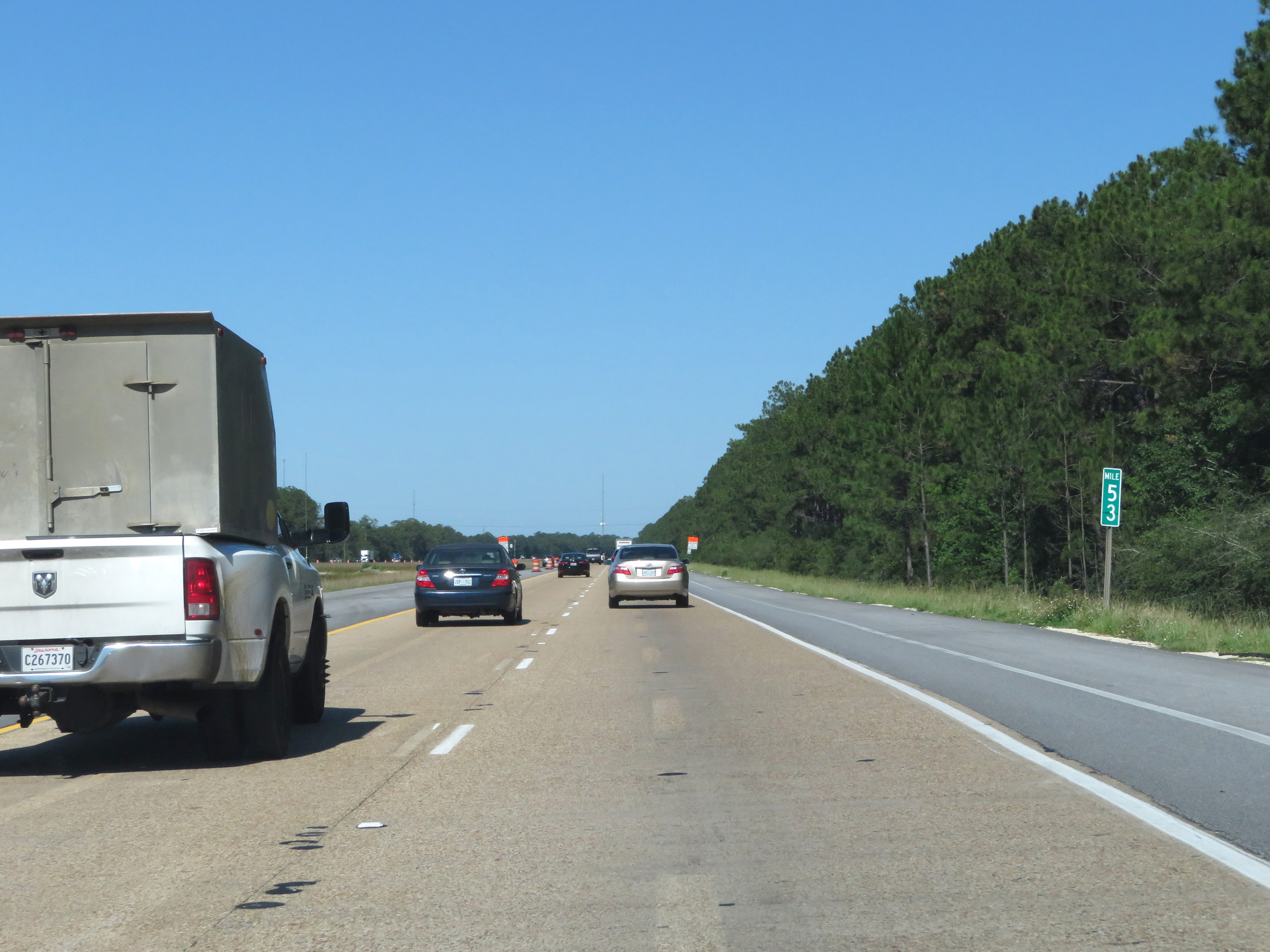 |
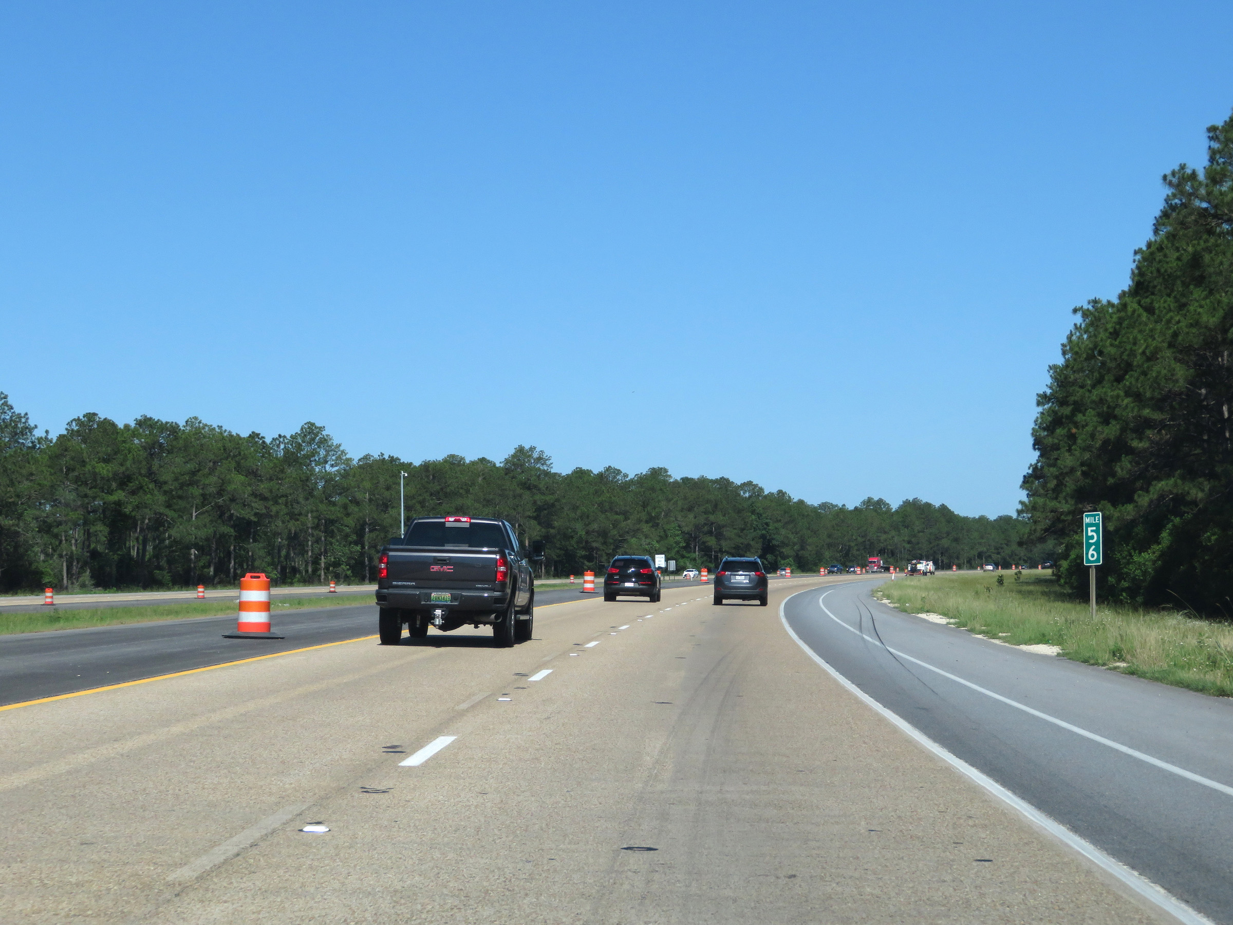
Mile marker 53 on Interstate 10 West in Jackson County. (Photo taken 5/26/17). |
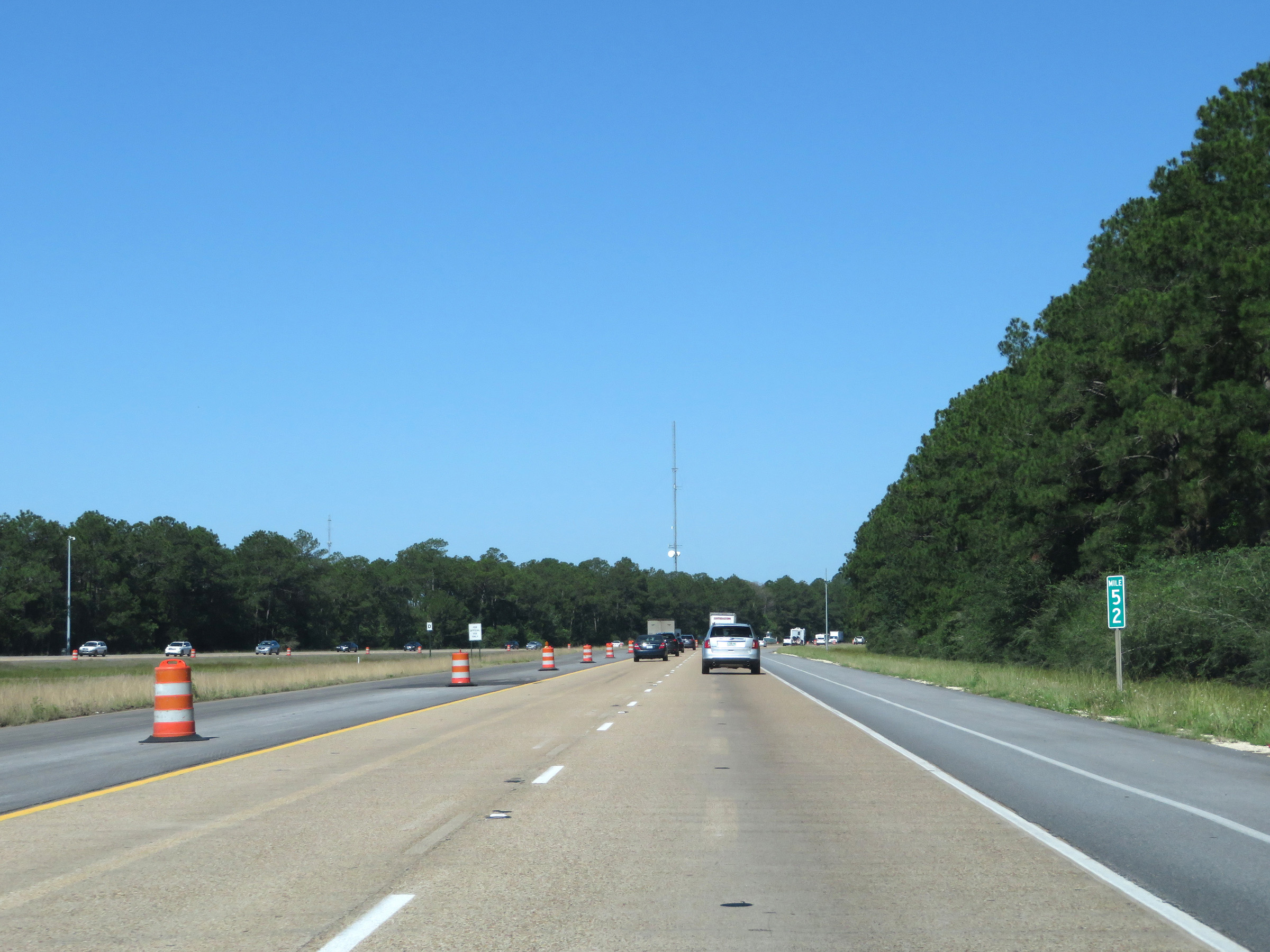 |
Interstate 10 West at mile marker 52. (Photo taken 5/26/17). |
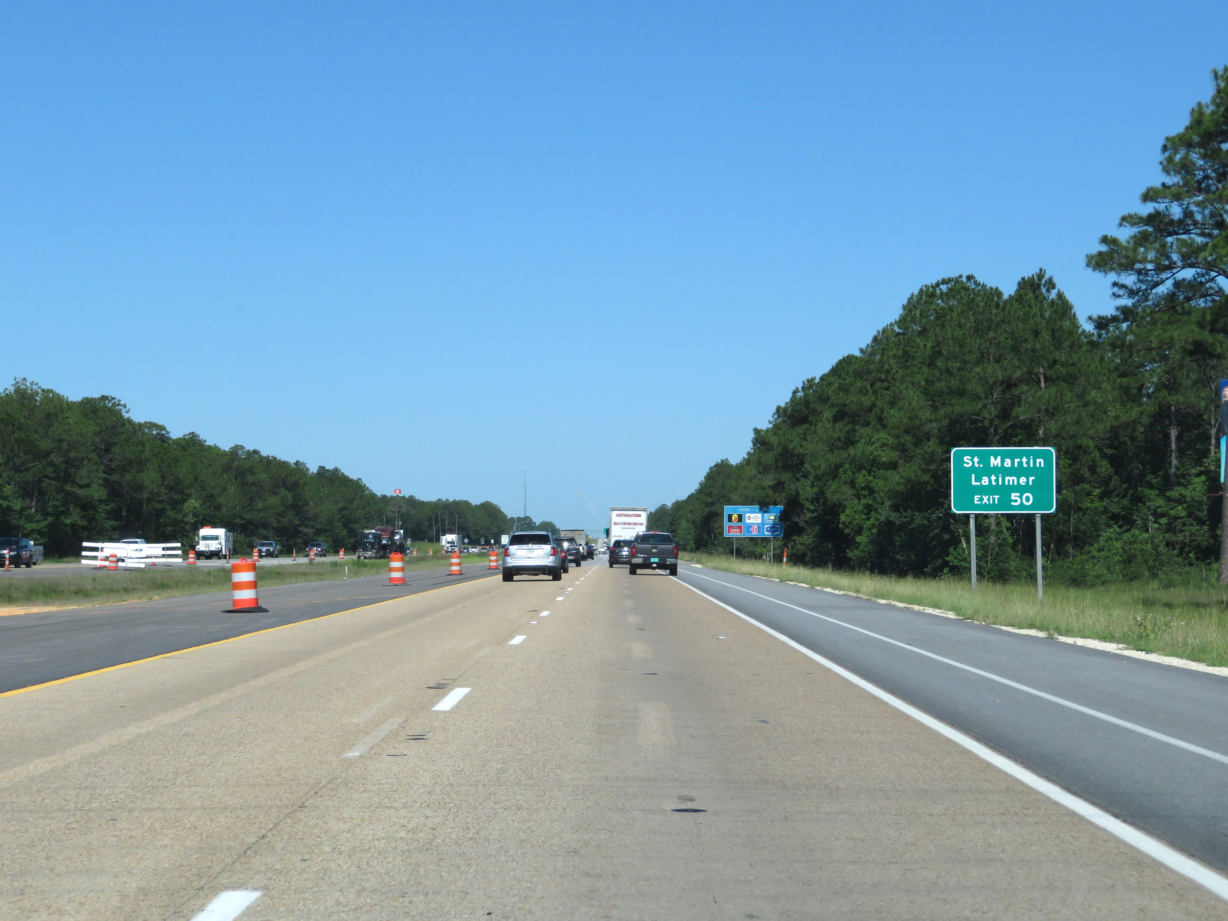 |
Take Exit 50 to St. Martin and Latimer. (Photo taken 5/26/17). |
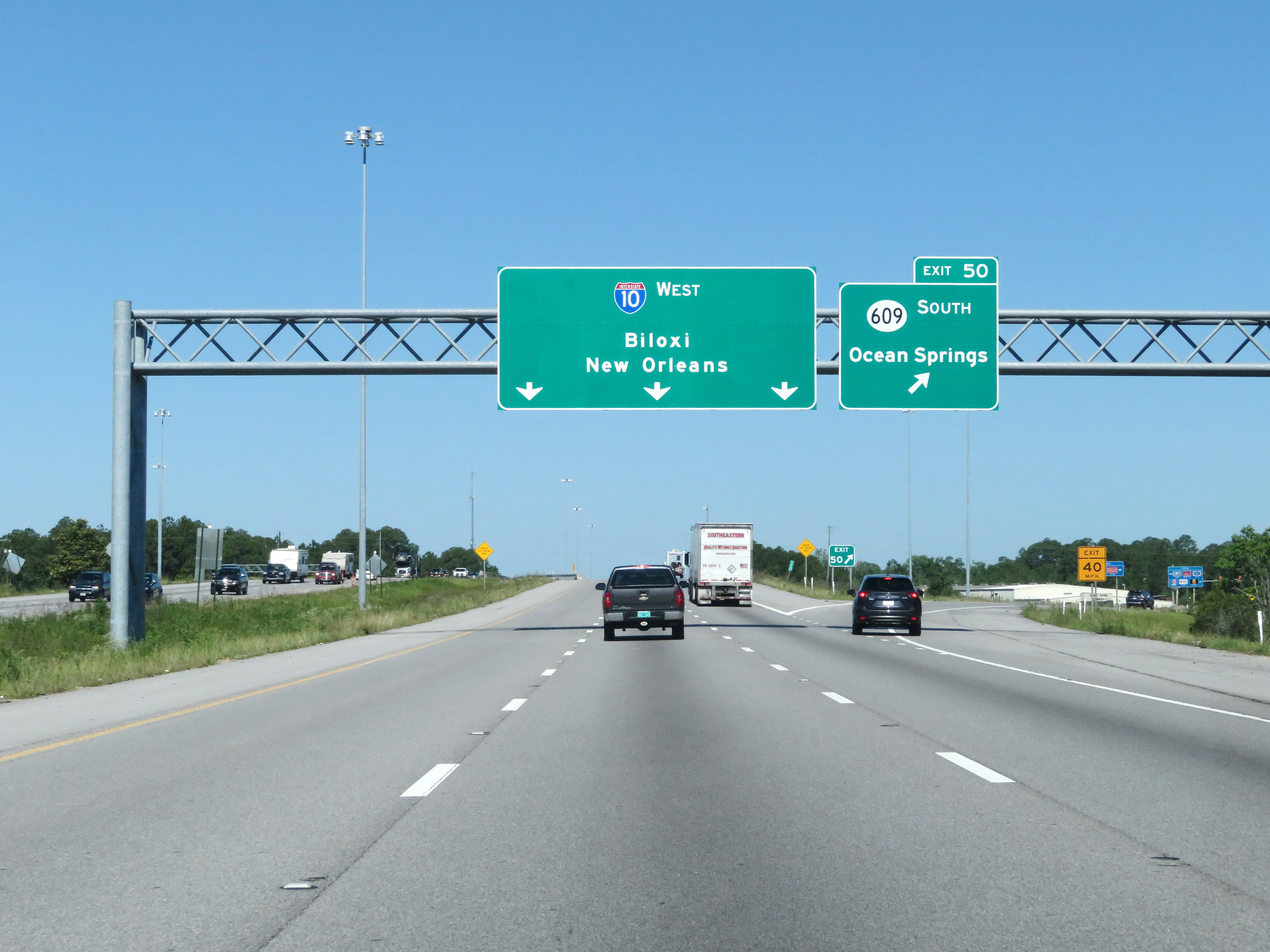 |
Interstate 10 West at Exit 50: MS 609 South - Ocean Springs (Photo taken 5/26/17). |
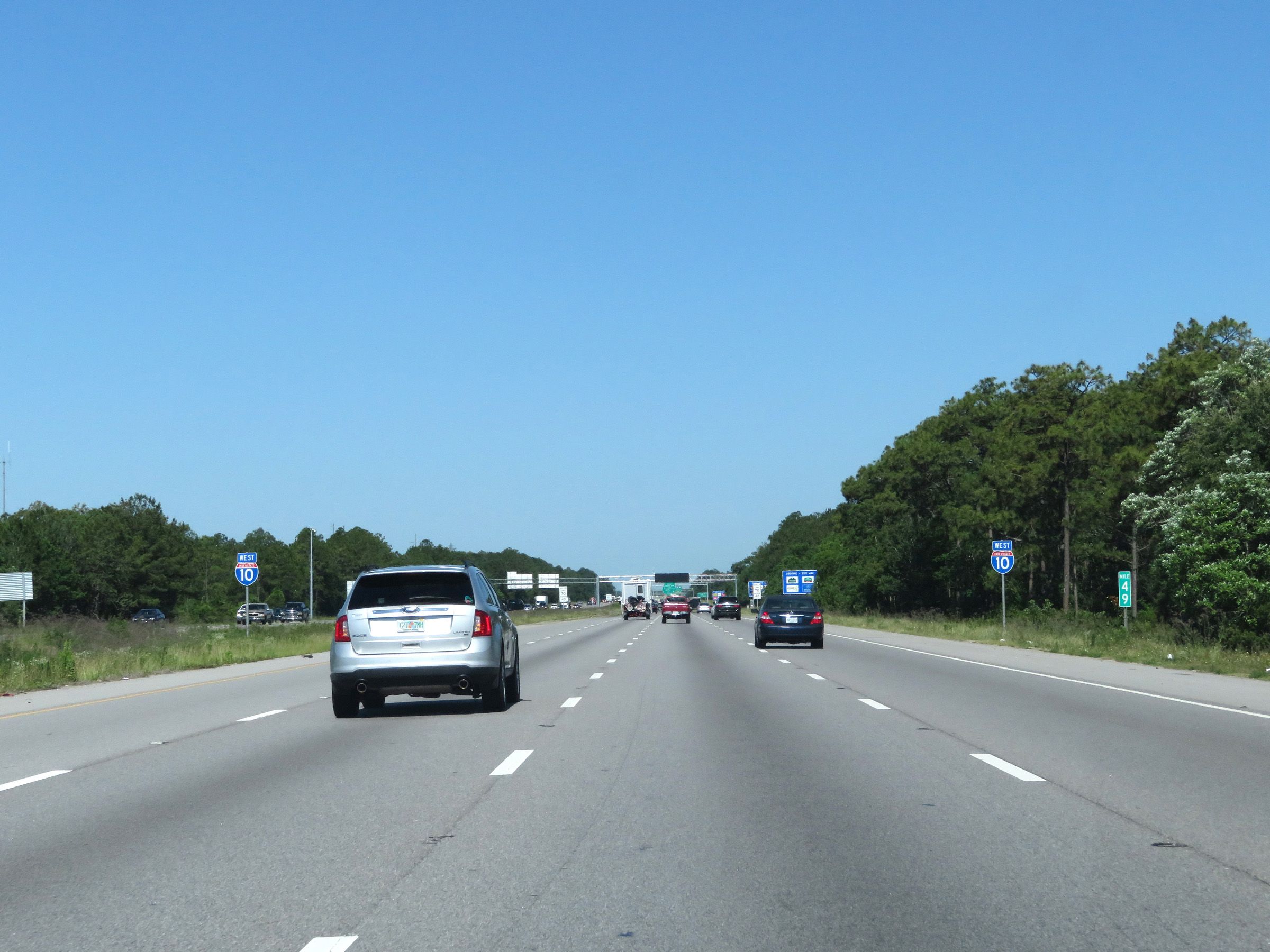 |
View on Interstate 10 West at mile marker 49. (Photo taken 5/26/17). |
 |
Interstate 10 West approaching Exits 46D-C-B - 1 mile. (Photo taken 5/26/17). |
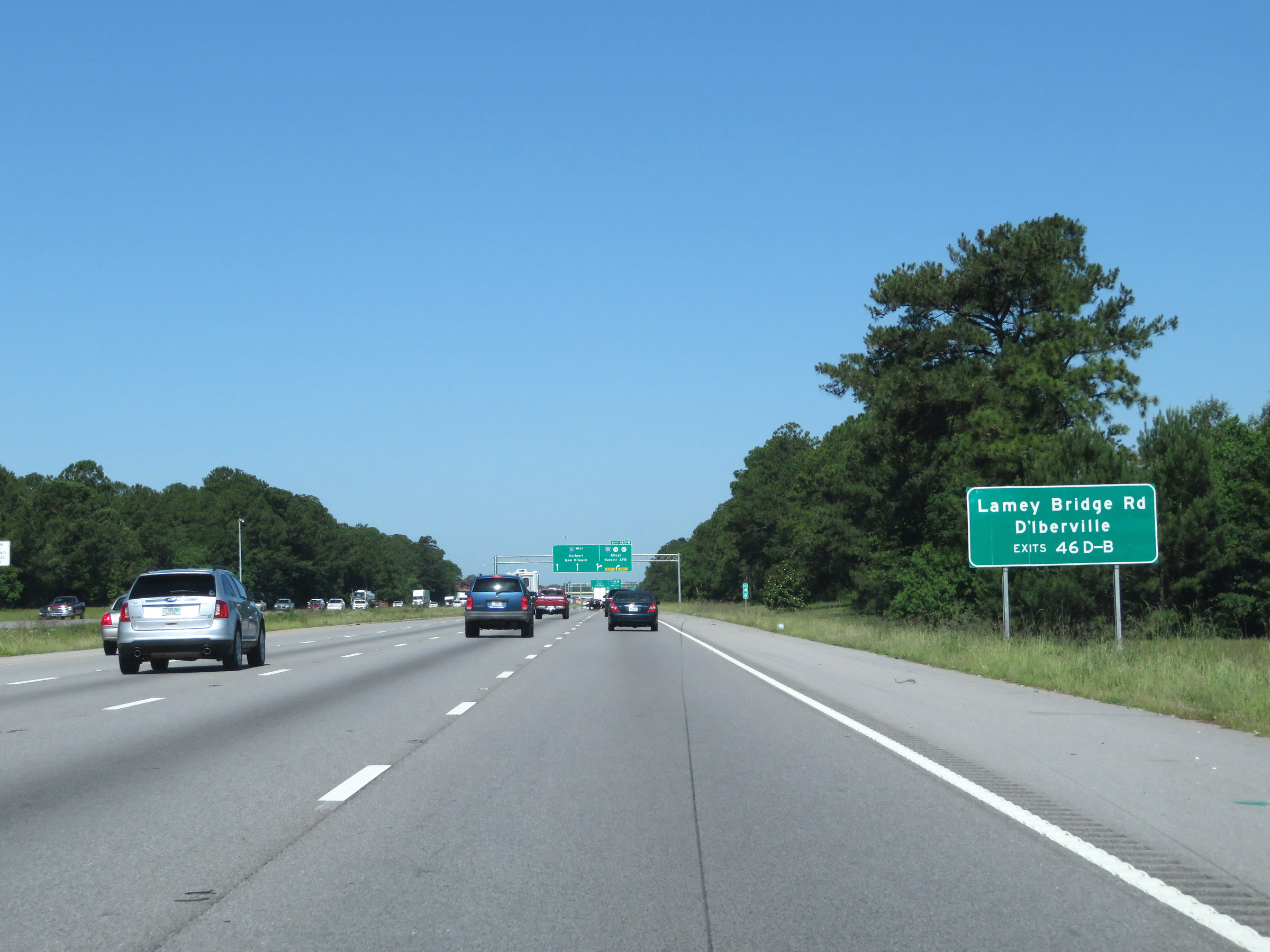 |
Take Exits 46D-C-B to Lamey Bridge Rd and D'Iberville. (Photo taken 5/26/17). |
 |
Take Exit 46B (Interstate 110 South) to the Beaches and Casinos. (Photo taken 5/26/17). |
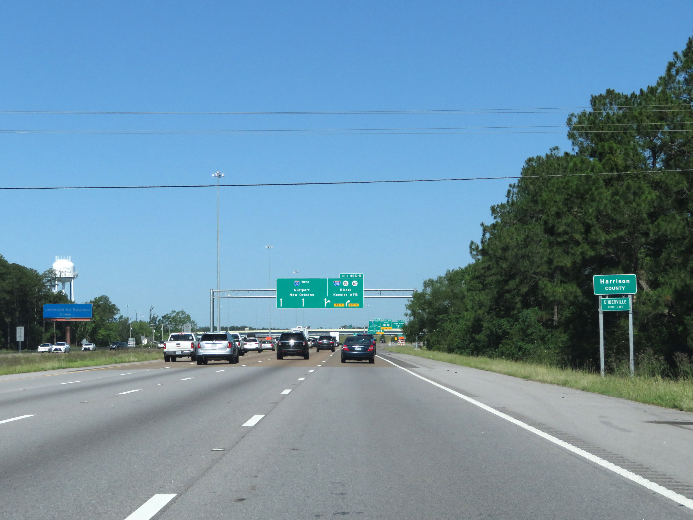 |
Just before the junction of Interstate 110, Interstate 10 West enters Harrison County. (Photo taken 5/26/17). |
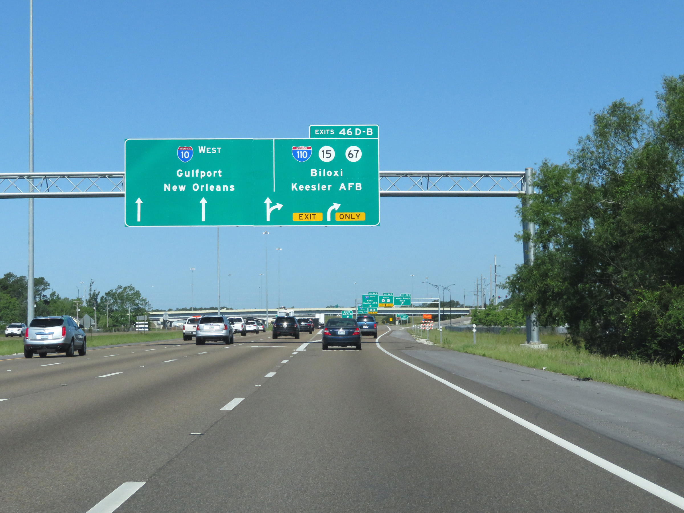 |
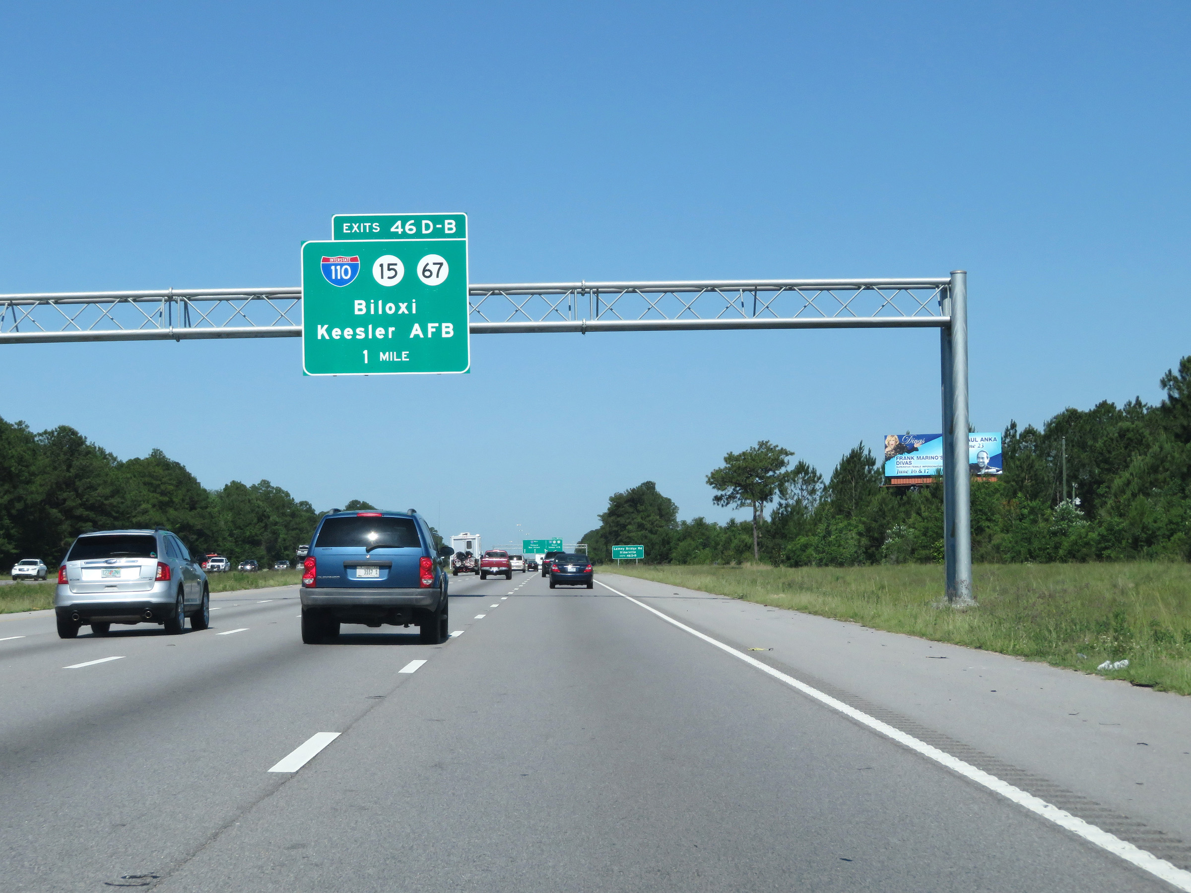
Interstate 10 West at Exits 46D-C-B: Interstate 110 / MS 15 / MS 67 - Biloxi / Keesler AFB (Photo taken 5/26/17). |
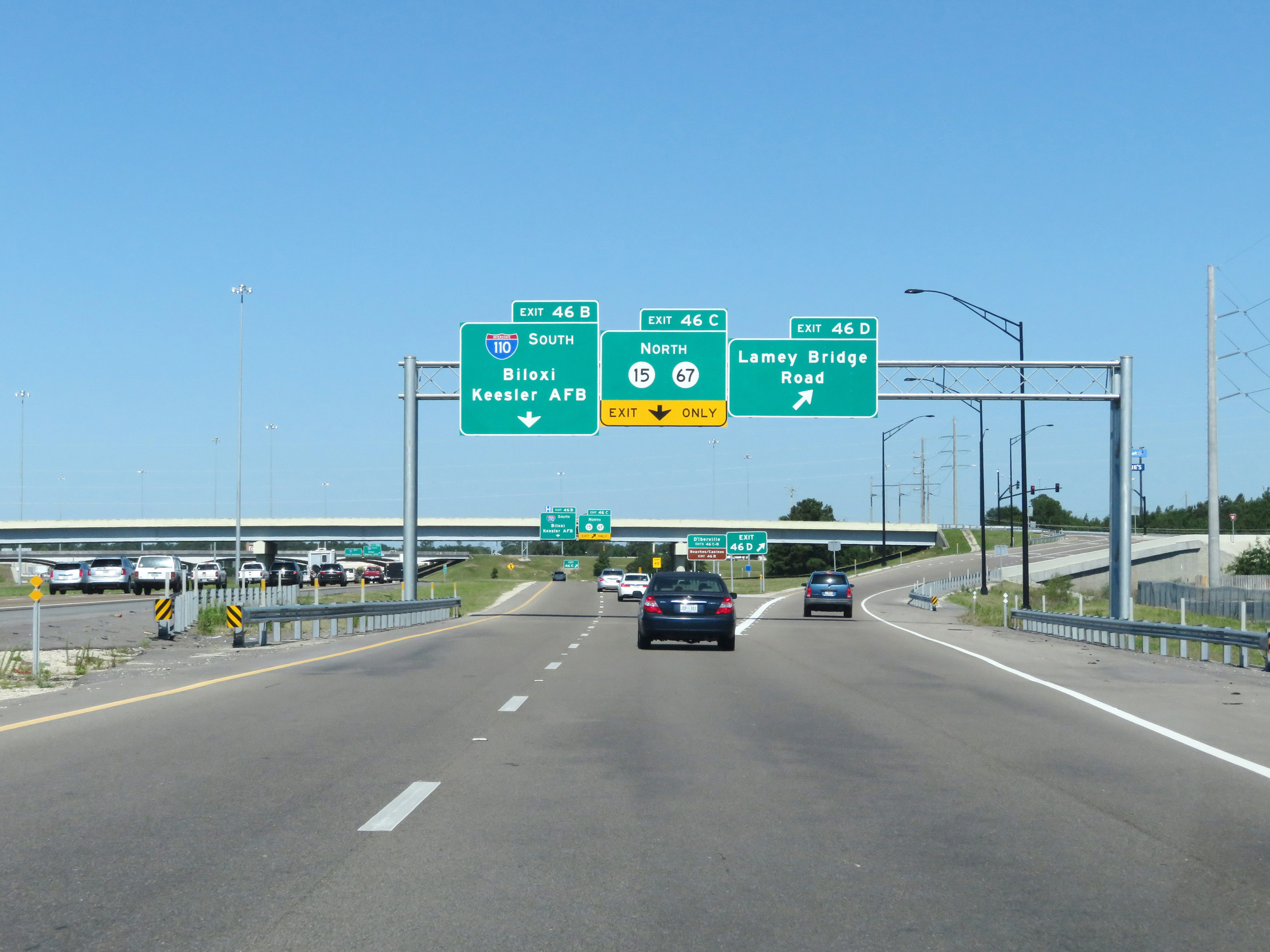 |
The exit in the previous photo dumps traffic onto a collector and distributor road which provides access to the individual Exits 46D, 46C, and 46B. Interstate 10 West at Exit 46D: Lamey Bridge Road (Photo taken 5/26/17). |
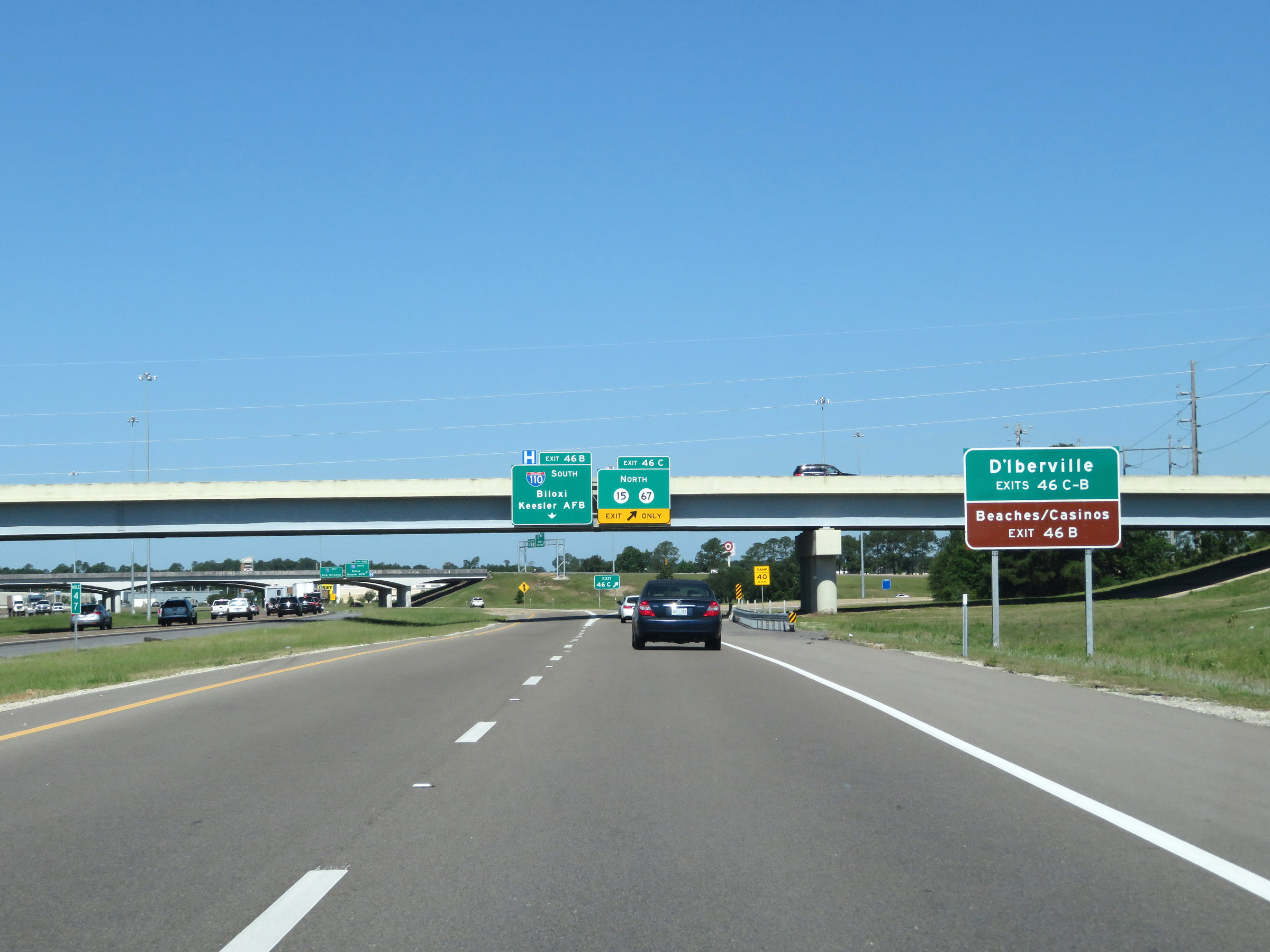 |
Take either Exit 46C or 46B to D'Iberville. Again, take Exit 46B (Interstate 110 South) to the Beaches and Casinos. (Photo taken 5/26/17). |
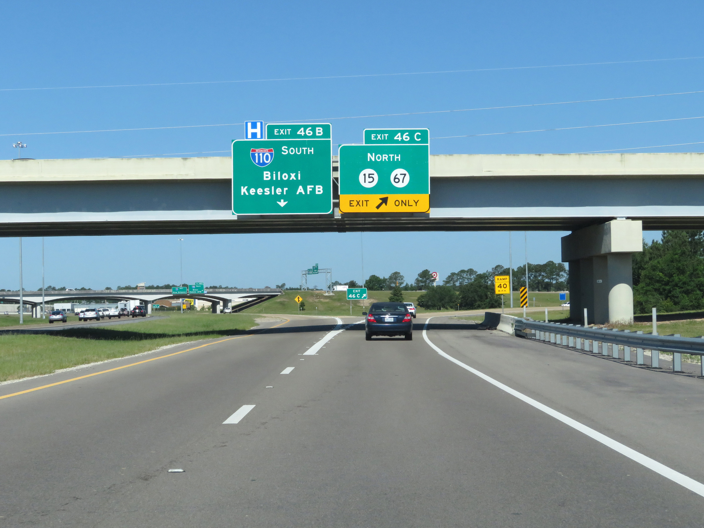 |
Interstate 10 West at Exit 46C: MS 15 North / MS 67 North (Photo taken 5/26/17). |
 |
Take Exit 44 to Beauvoir and The Jefferson Davis Home. (Photo taken 5/26/17). |
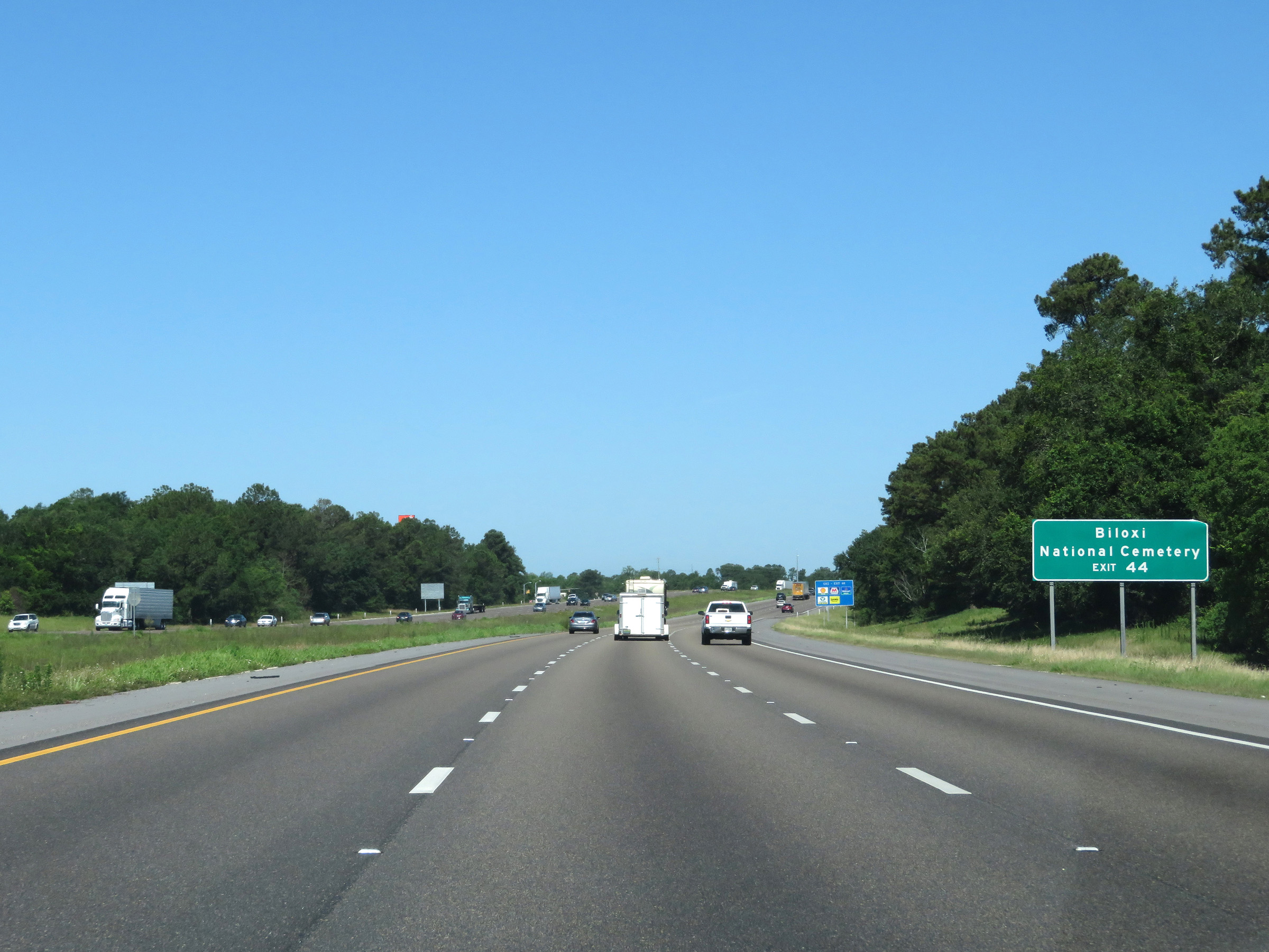 |
Also take Exit 44 to Biloxi National Cemetery. (Photo taken 5/26/17). |
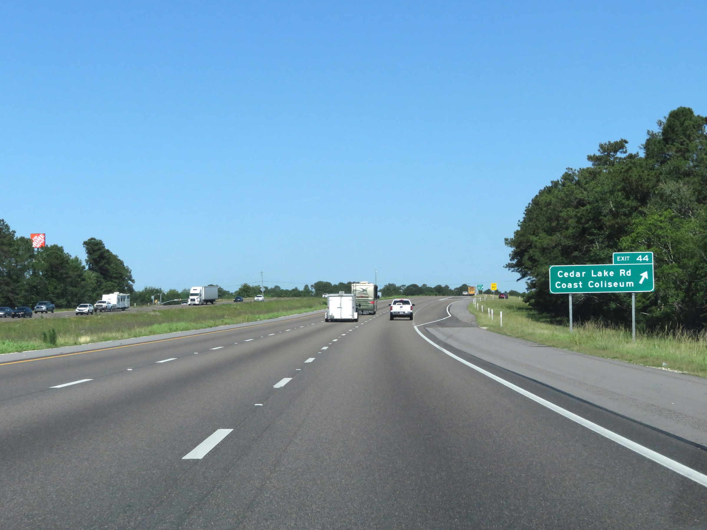 |
Interstate 10 West at Exit 44: Cedar Lake Rd / Coast Coliseum (Photo taken 5/26/17). |
Section 2: Biloxi (Exit 44) to Louisiana Border
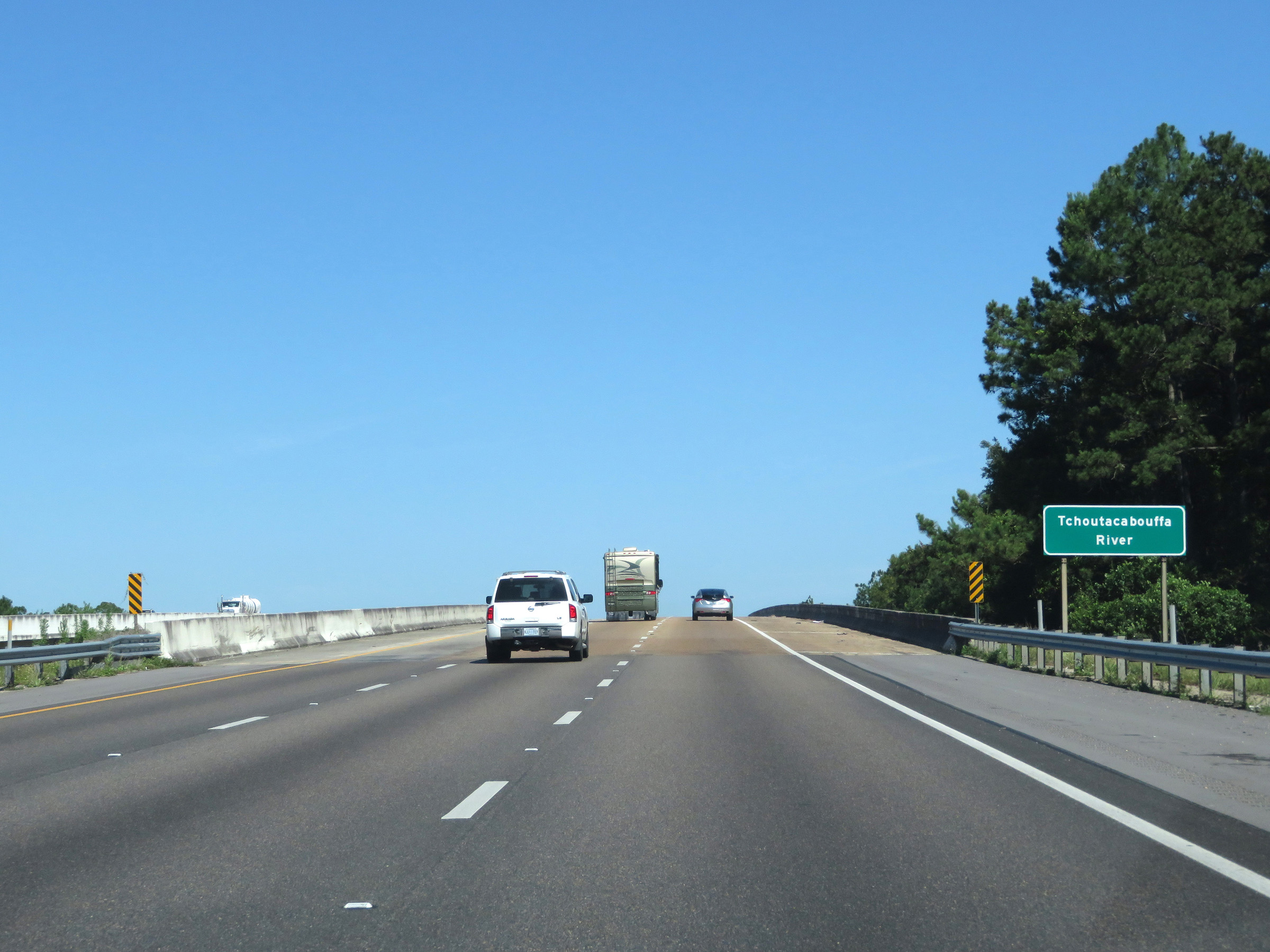 |
Interstate 10 West as it prepares to cross the Tchoutacabouffa River. (Photo taken 5/26/17). |
 |
Mile marker 43 on Interstate 10 West in Harrison County. (Photo taken 5/26/17). |
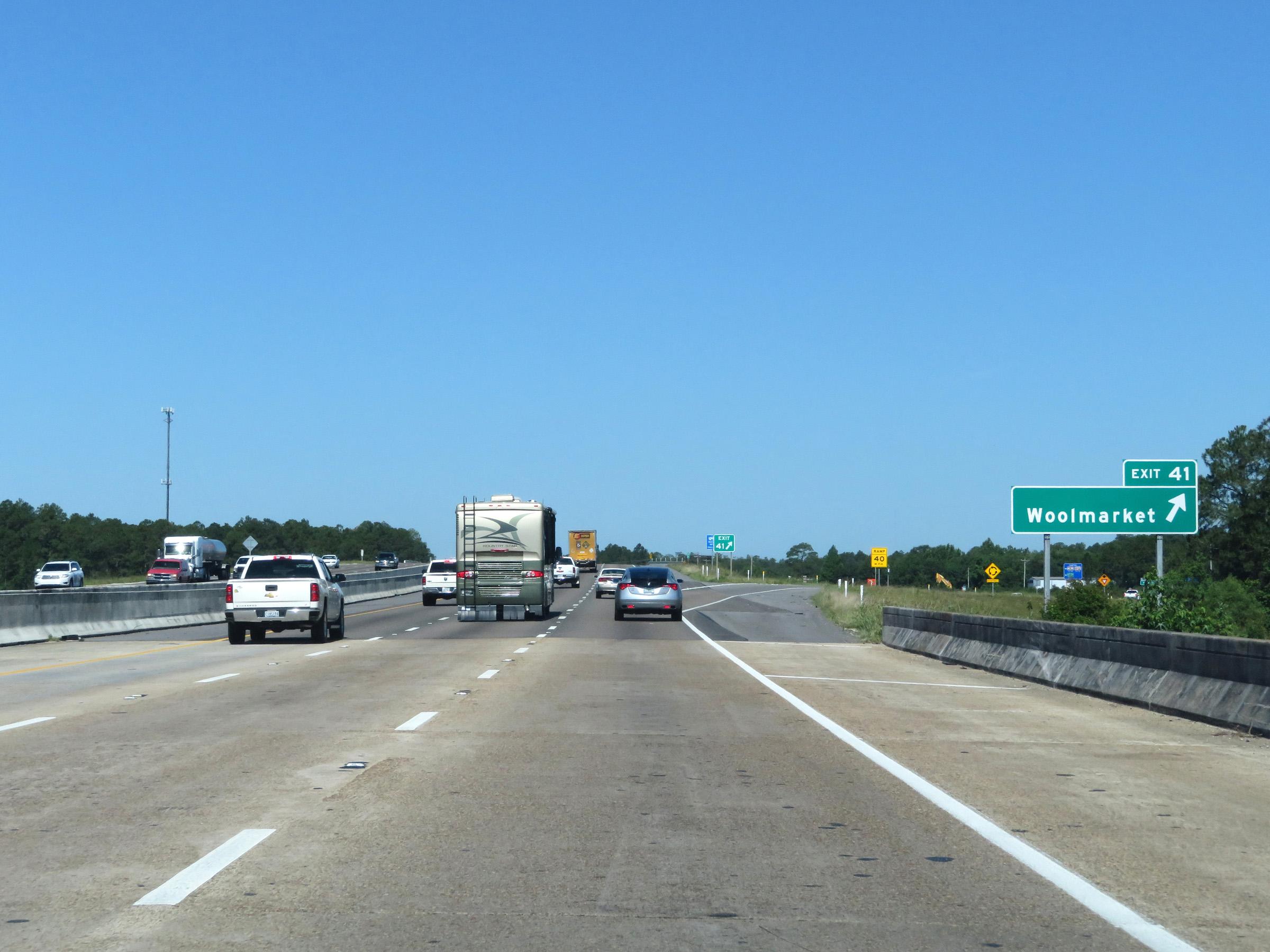 |
Interstate 10 West at Exit 41: Woolmarket (Photo taken 5/26/17). |
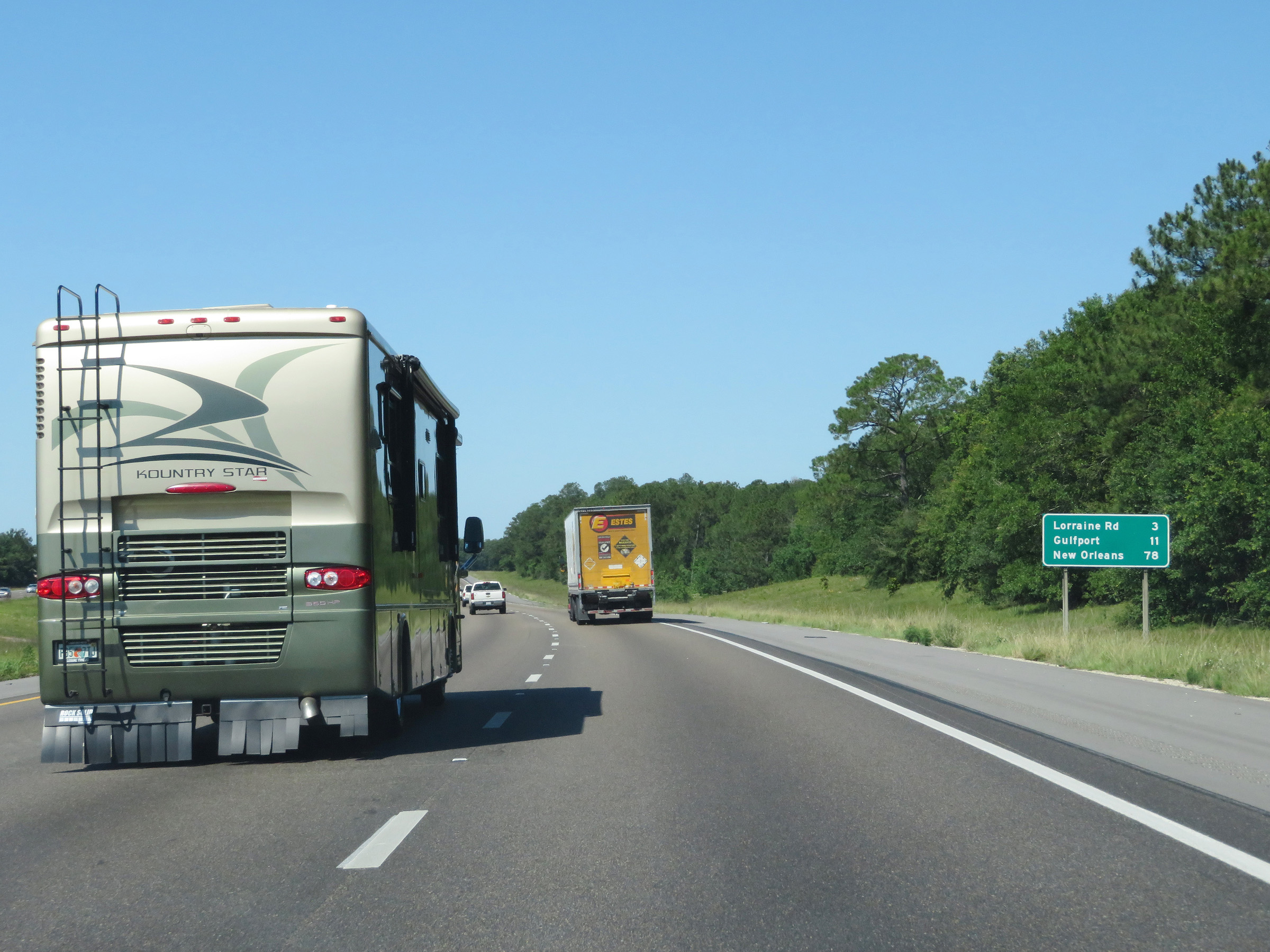 |
Another mileage sign on Interstate 10 West. It's 3 miles to the junction of Lorraine Rd, 11 miles to Gulfport, and 78 miles to New Orleans. (Photo taken 5/26/17). |
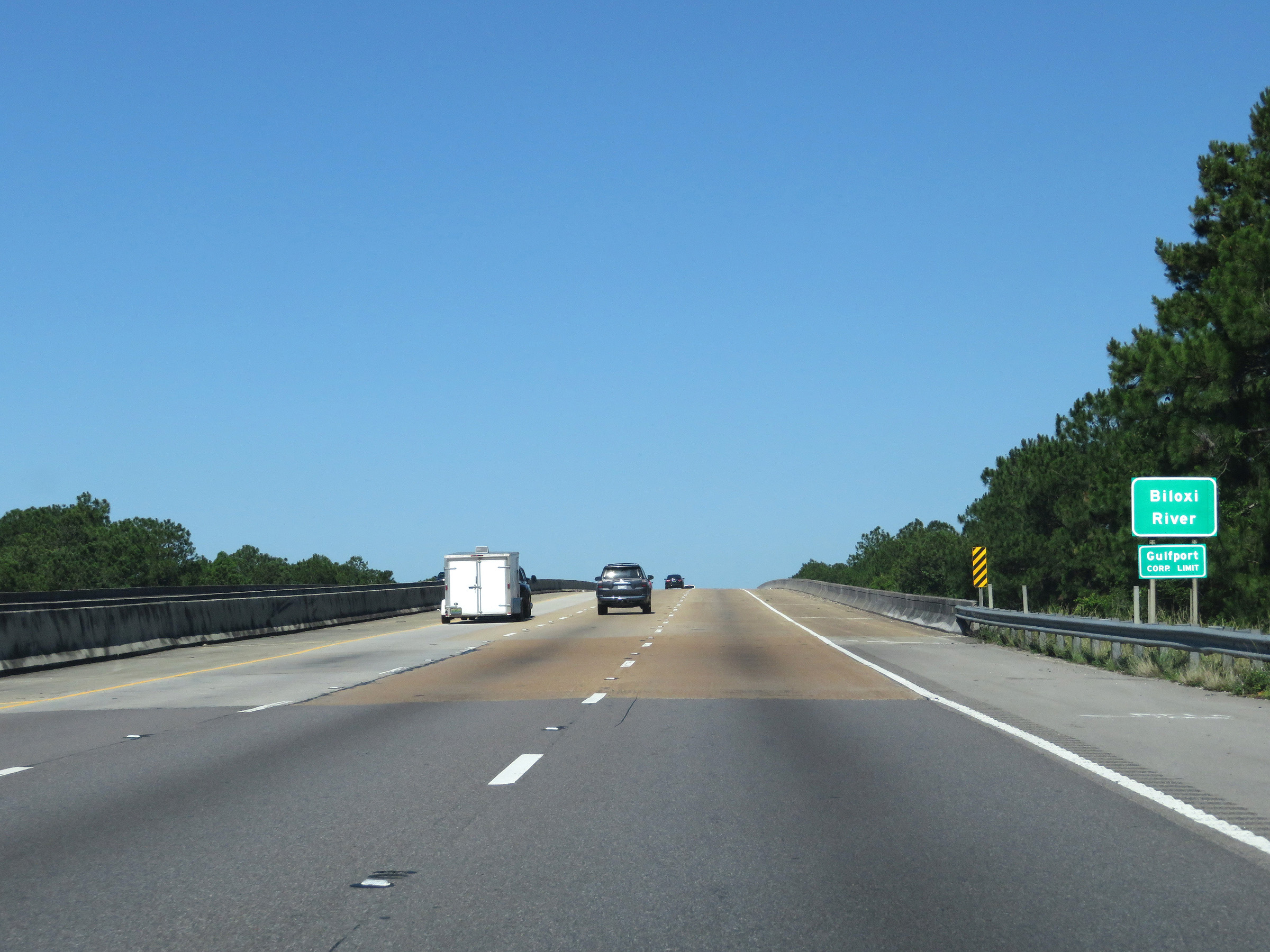 |
View on Interstate 10 West as it starts to cross the Biloxi River. (Photo taken 5/26/17). |
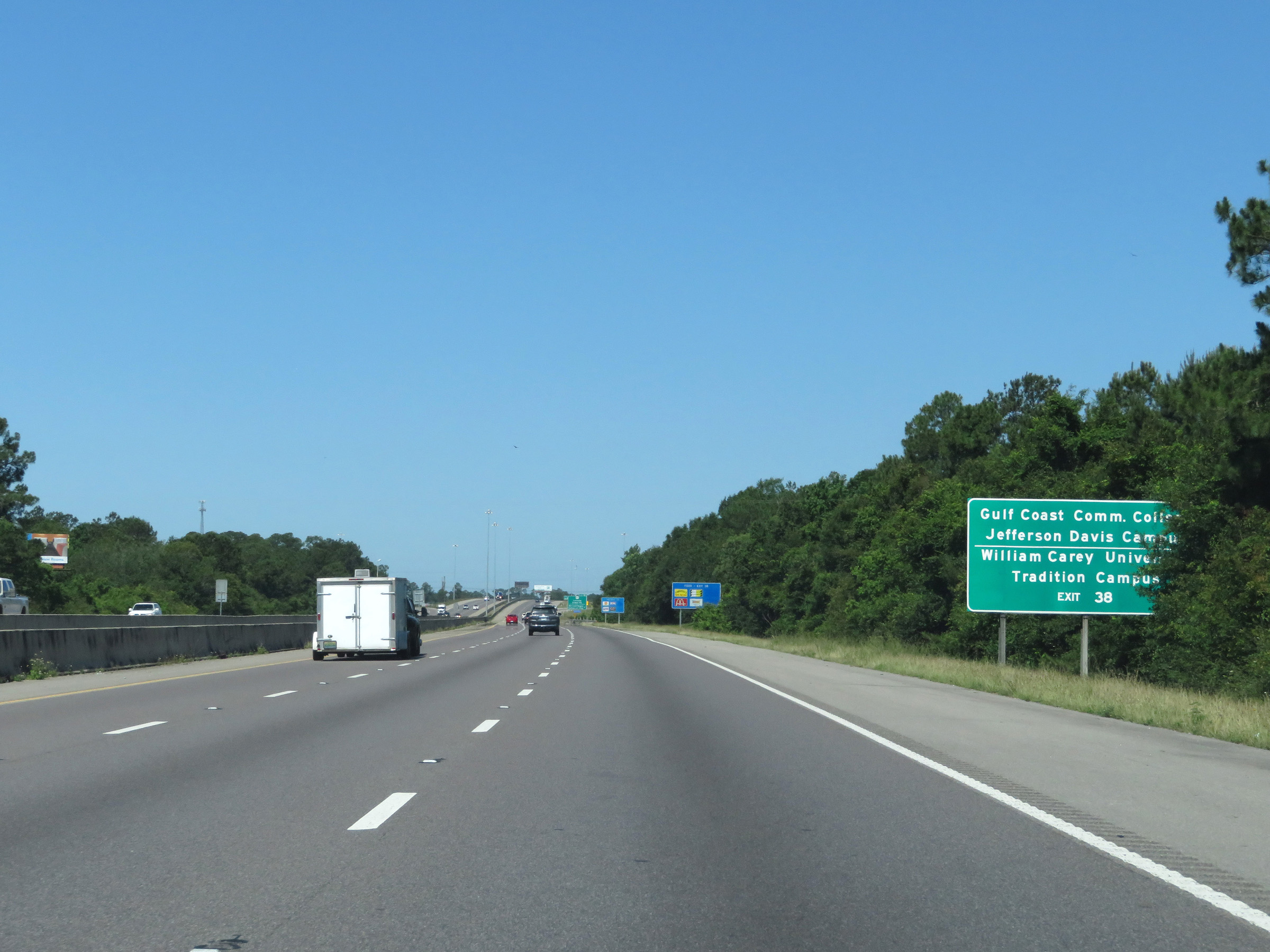 |
Take Exit 38 to Gulf Coast Community College Jefferson Davis Campus and William Carey University Tradition Campus. (Photo taken 5/26/17). |
 |
Interstate 10 West at Exit 38: MS 605 - Lorraine-Cowan Rd / Bernard Bayou Industrial District (Photo taken 5/26/17). |
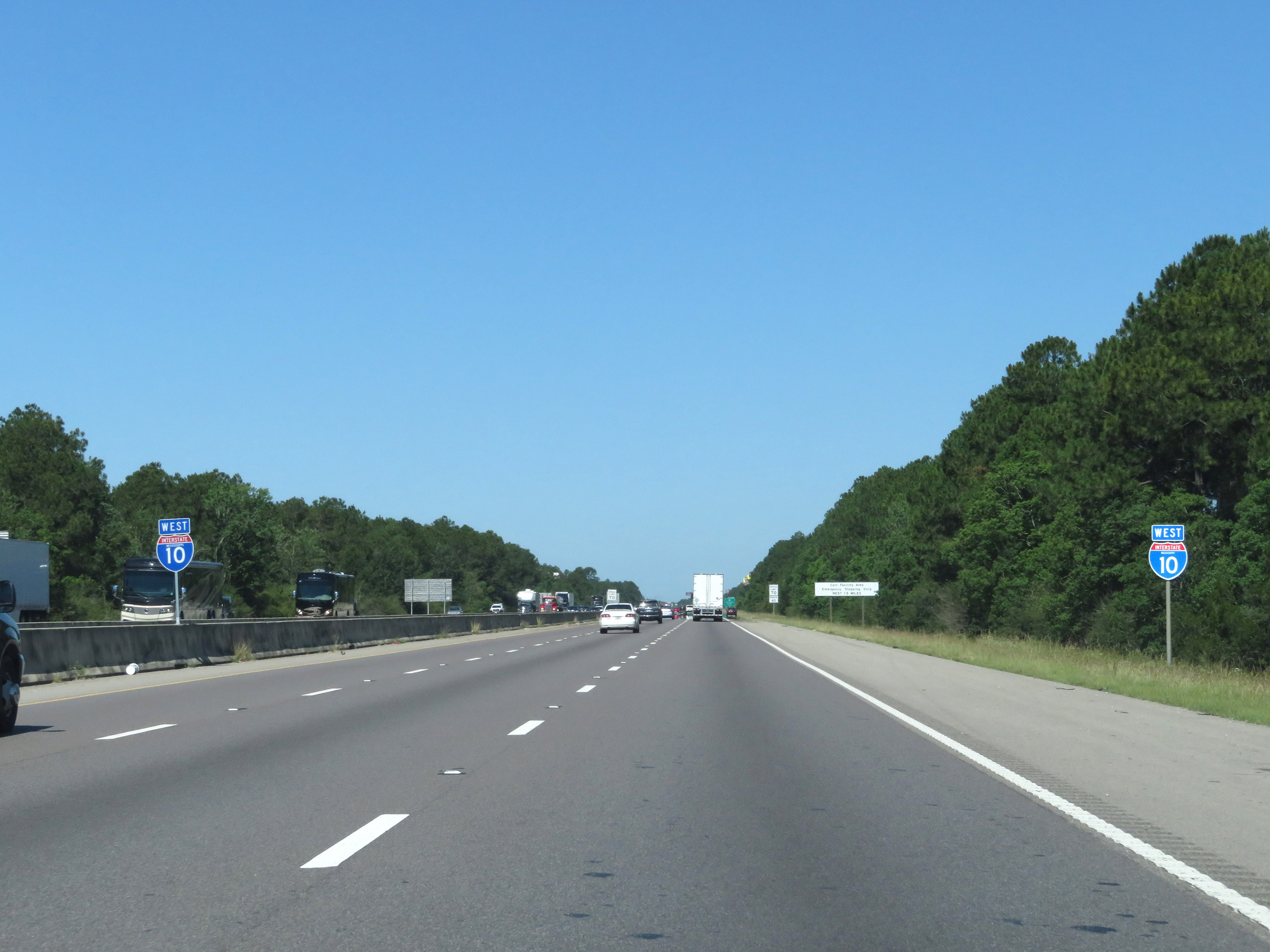 |
More state-named Interstate 10 West reassurance shields. (Photo taken 5/26/17). |
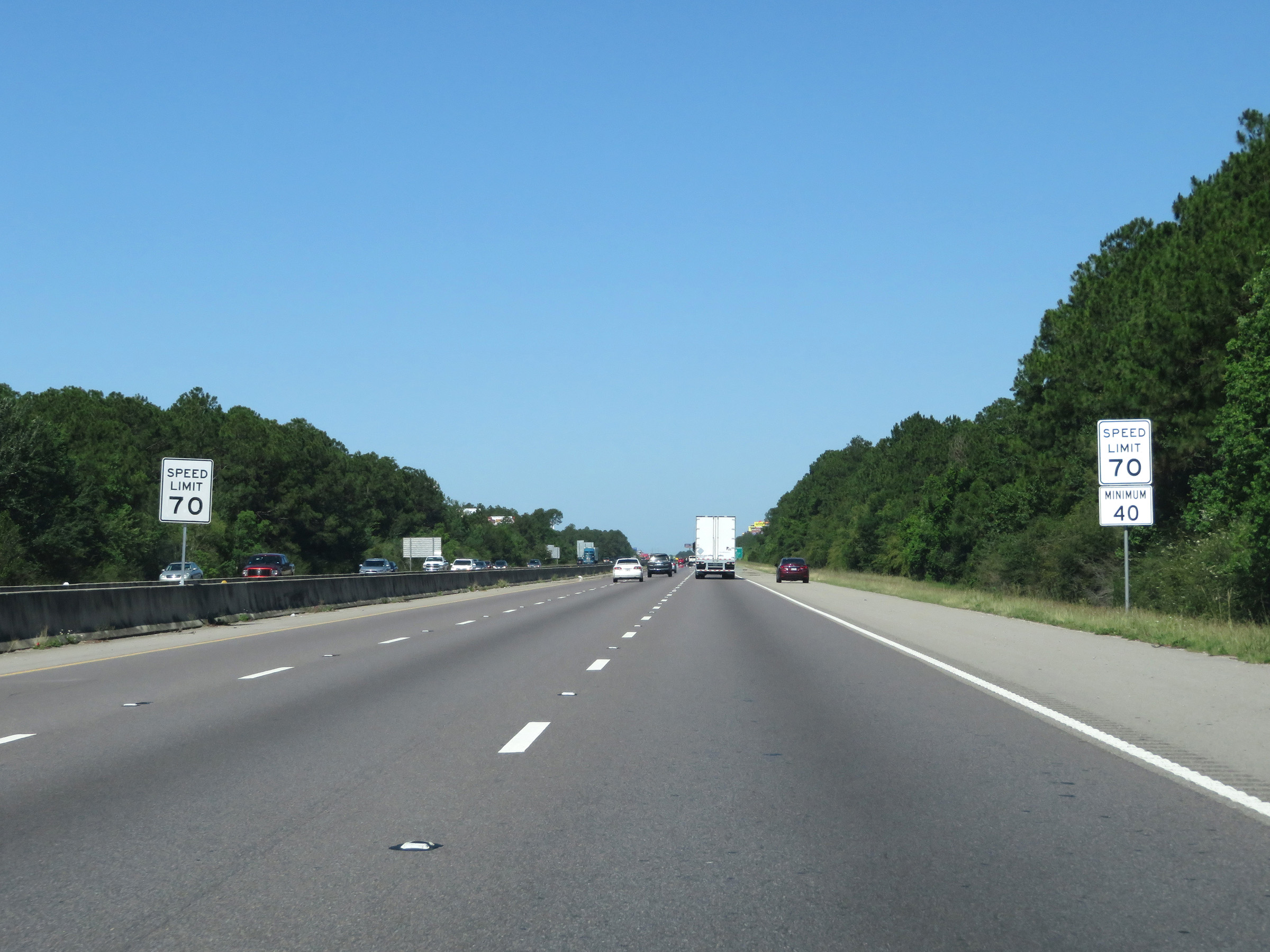 |
The speed limits remain 70 mph maximum and 40 mph minimum. (Photo taken 5/26/17). |
 |
Take Exit 34A to the Scenic US 90. (Photo taken 5/26/17). |
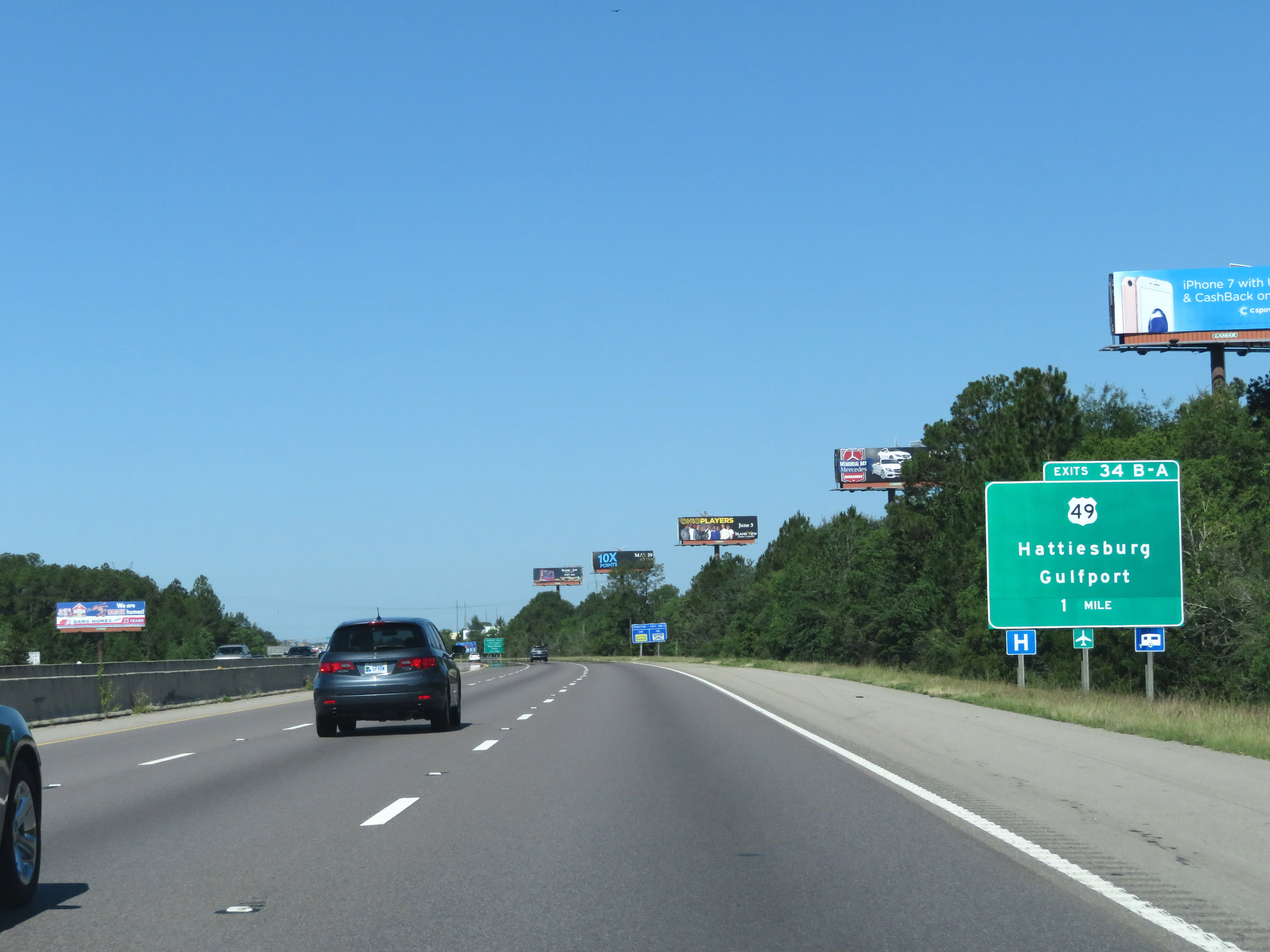 |
Interstate 10 West approaching Exits 34B-A - 1 mile. (Photo taken 5/26/17). |
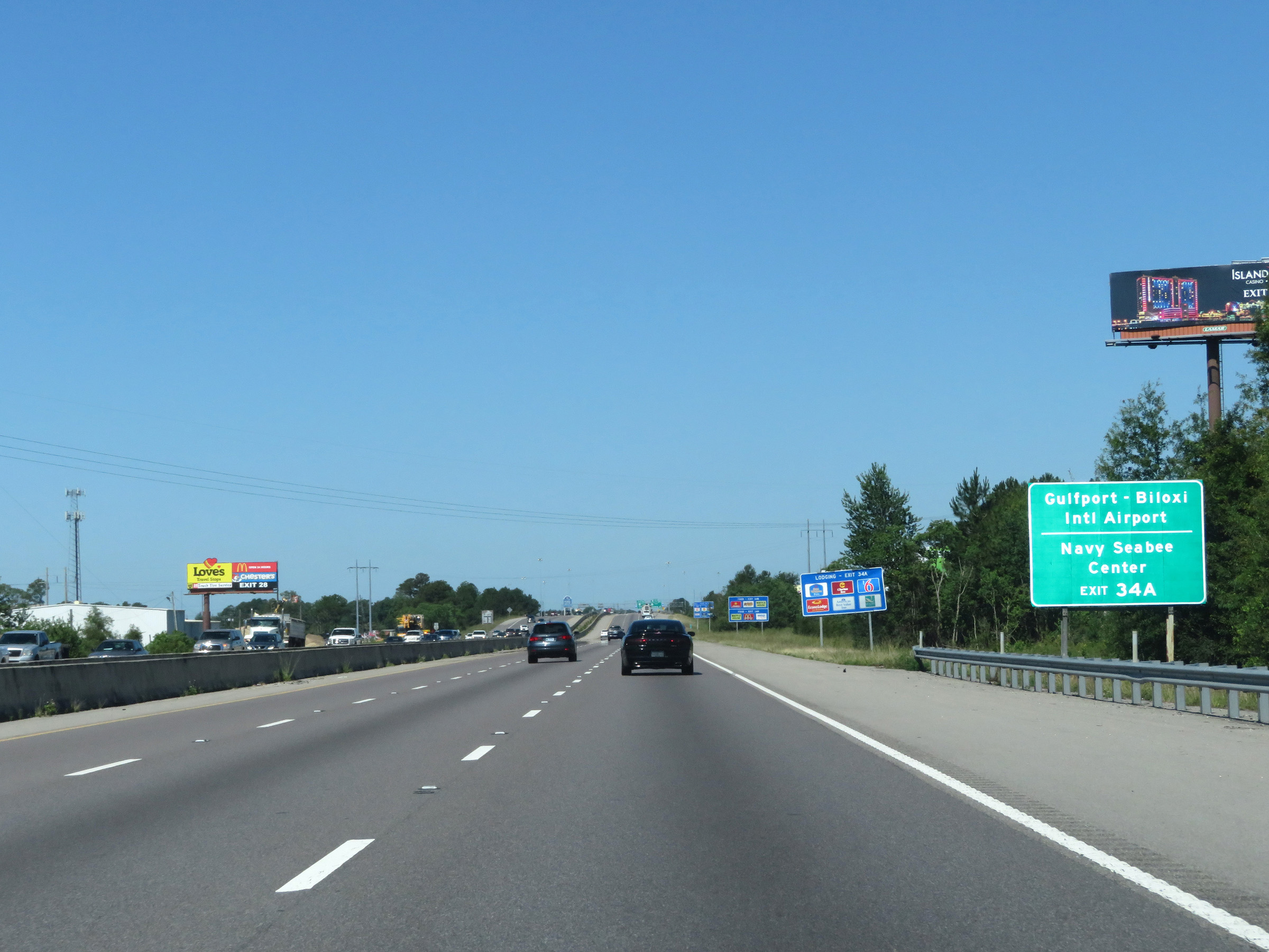 |
Also take Exit 34A to Gulfport-Biloxi International Airport and the Navy Seabee Center. (Photo taken 5/26/17). |
 |
Interstate 10 West at Exit 34B: US 49 North - Hattiesburg (Photo taken 5/26/17). |
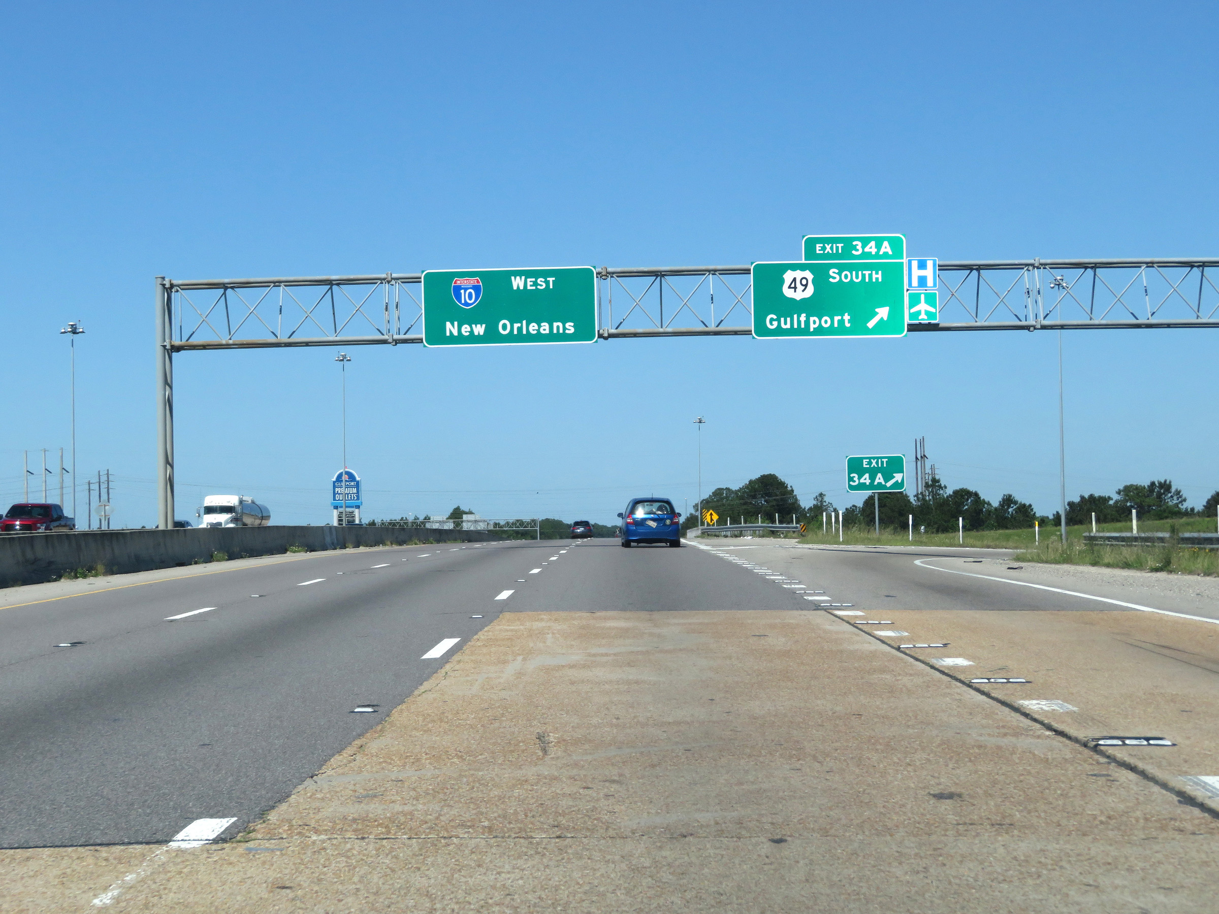 |
Interstate 10 East at Exit 34A: US 49 South - Gulfport (Photo taken 5/26/17). |
 |
View on Interstate 10 West at mile marker 33. (Photo taken 5/26/17). |
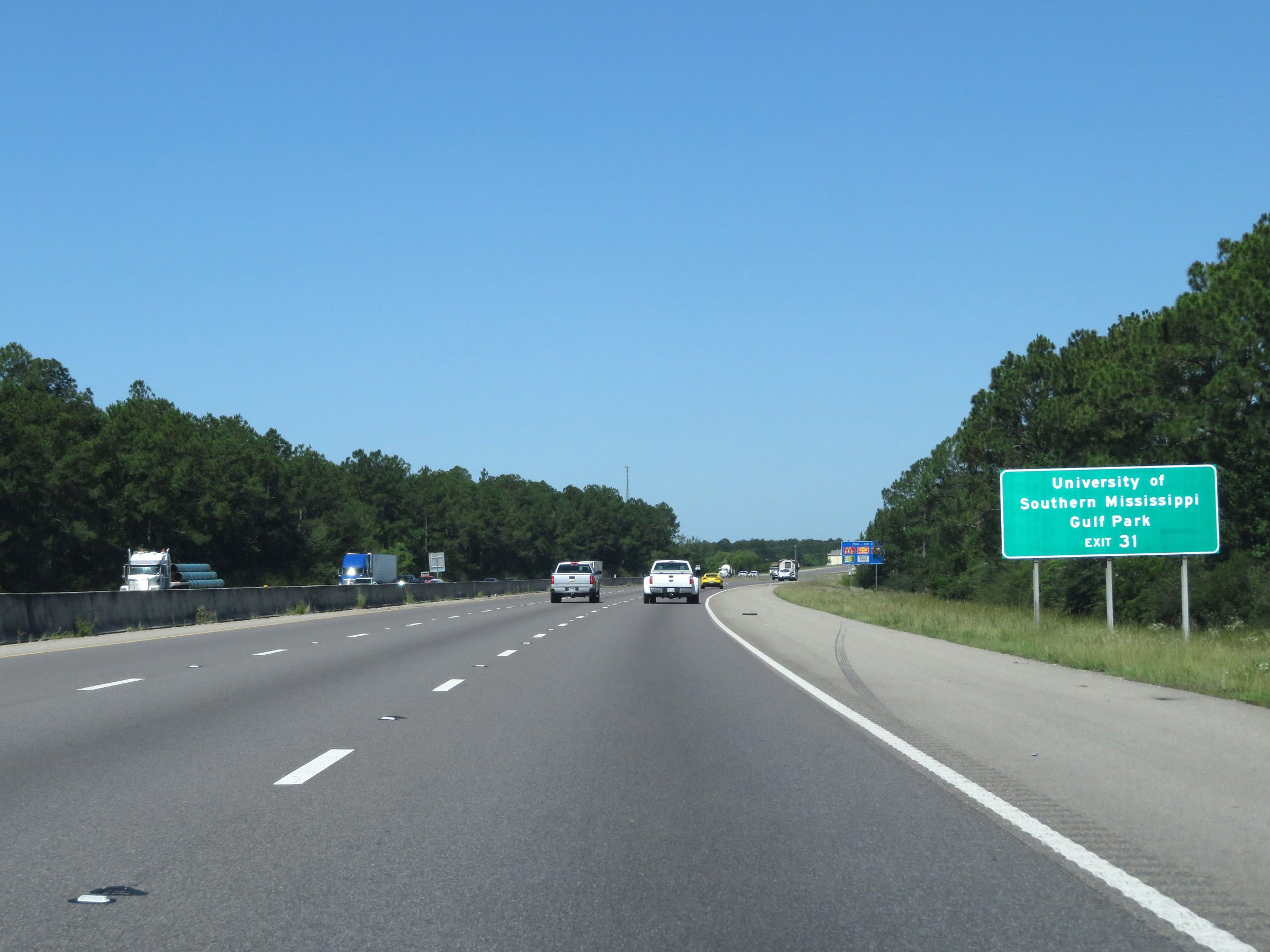 |
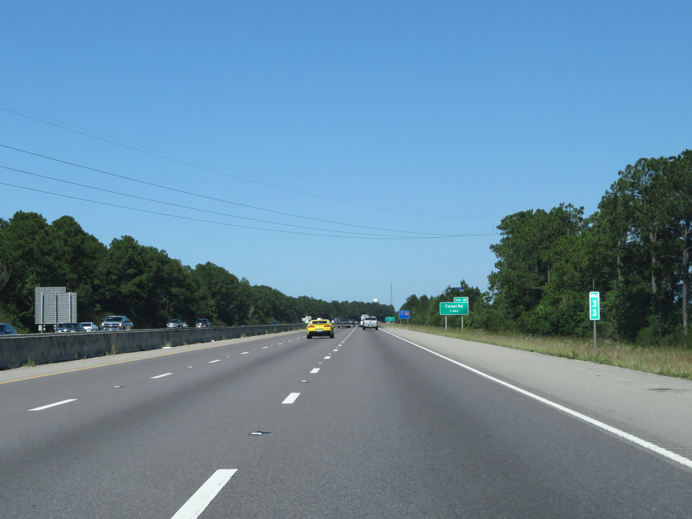
Take Exit 31 to the University of Southern Mississippi Gulf Park. (Photo taken 5/26/17). |
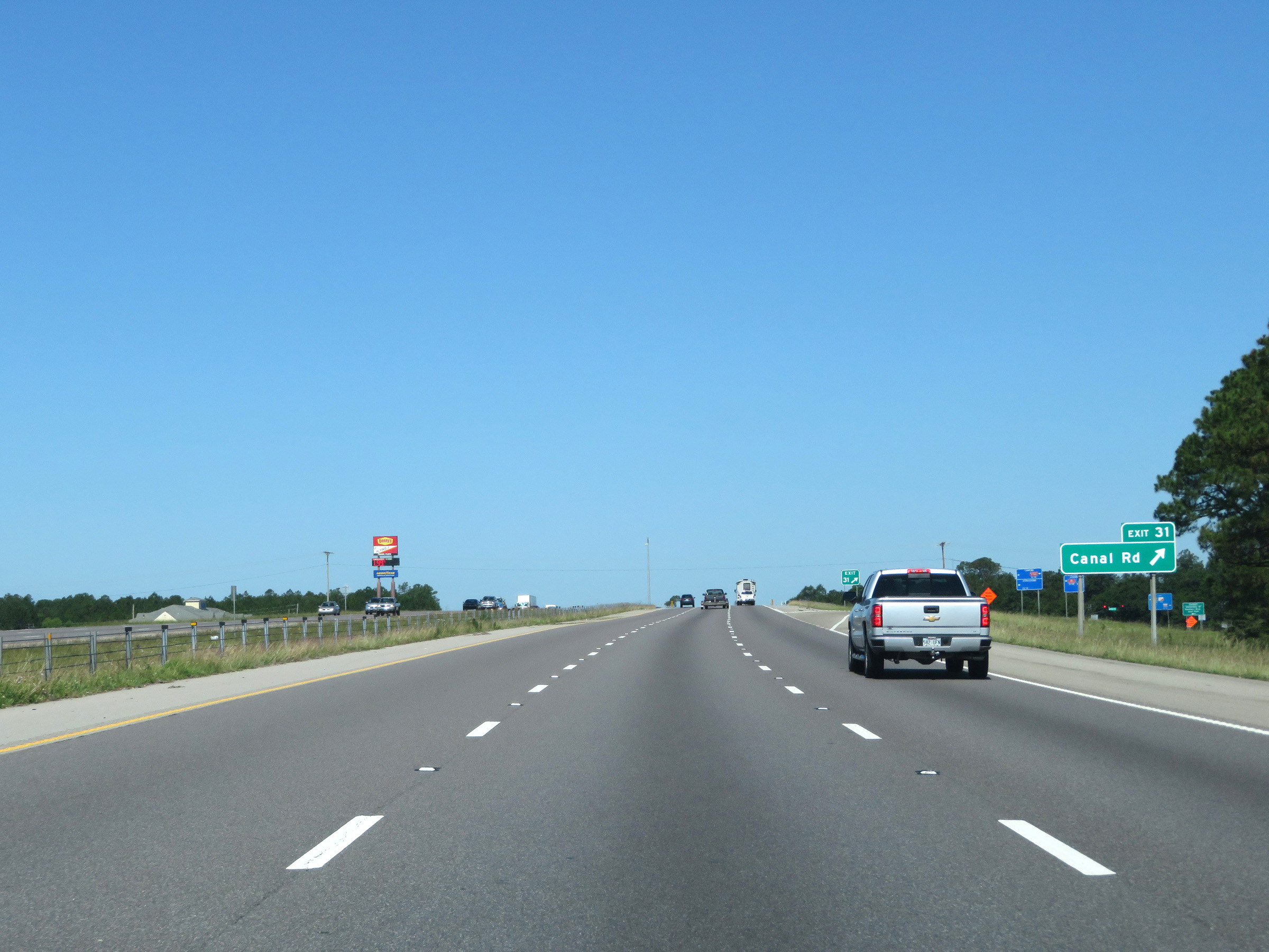 |
Interstate 10 West at Exit 31: Canal St (Photo taken 5/26/17). |
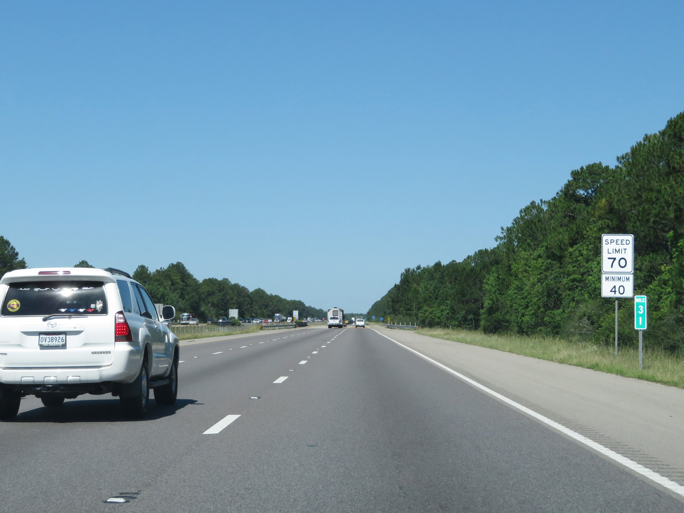 |
Another set of speed limit signs at mile marker 31. The speed limits remain 70 mph maximum and 40 mph minimum. (Photo taken 5/26/17). |
 |
After carrying three thru lanes for the past several miles, these signs warn that the right lane will come to an end 1 mile ahead. (Photo taken 5/26/17). |
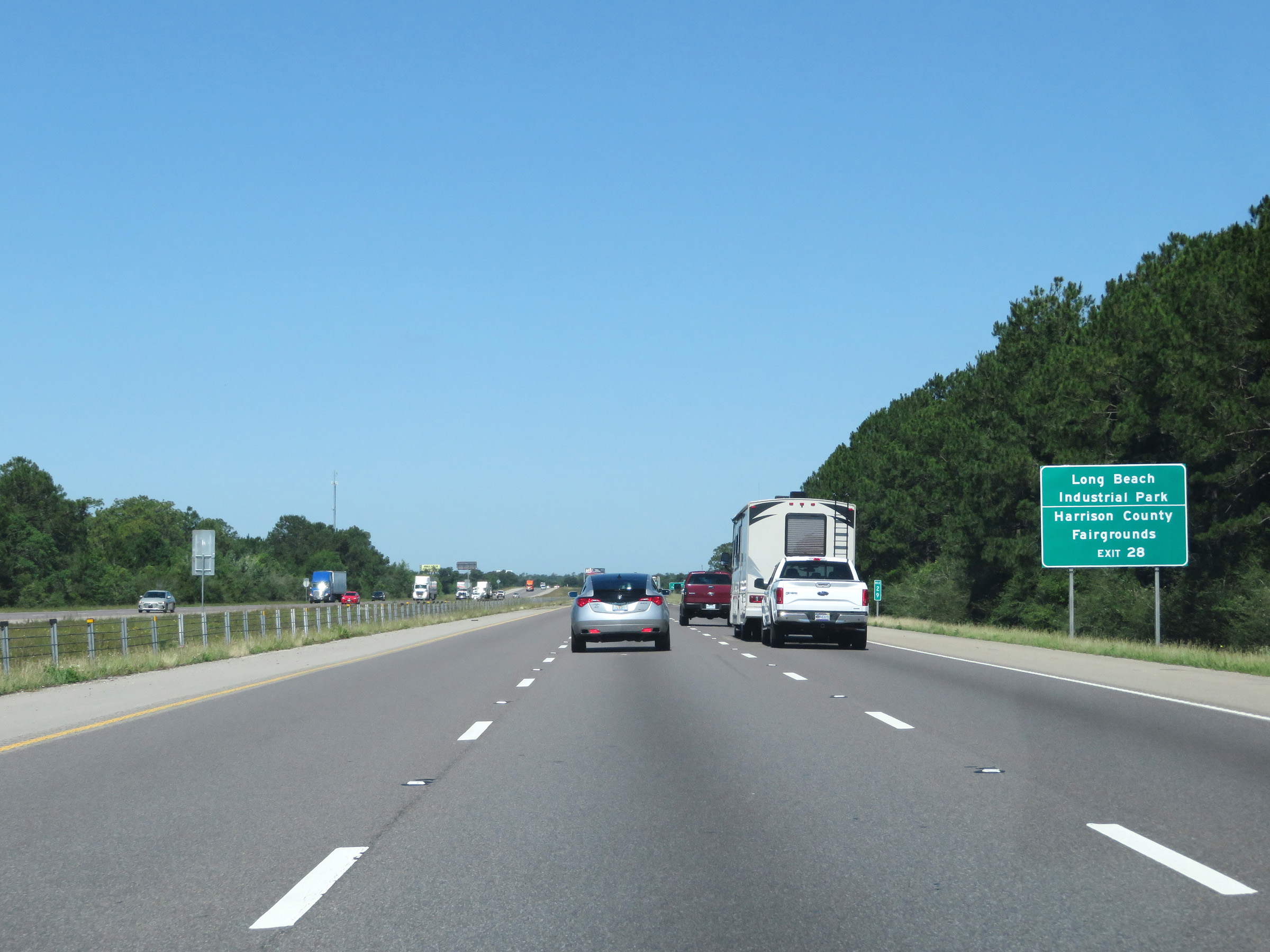 |
Take Exit 28 to Long Beach Industrial Park and the Harrison County Fairgrounds. (Photo taken 5/26/17). |
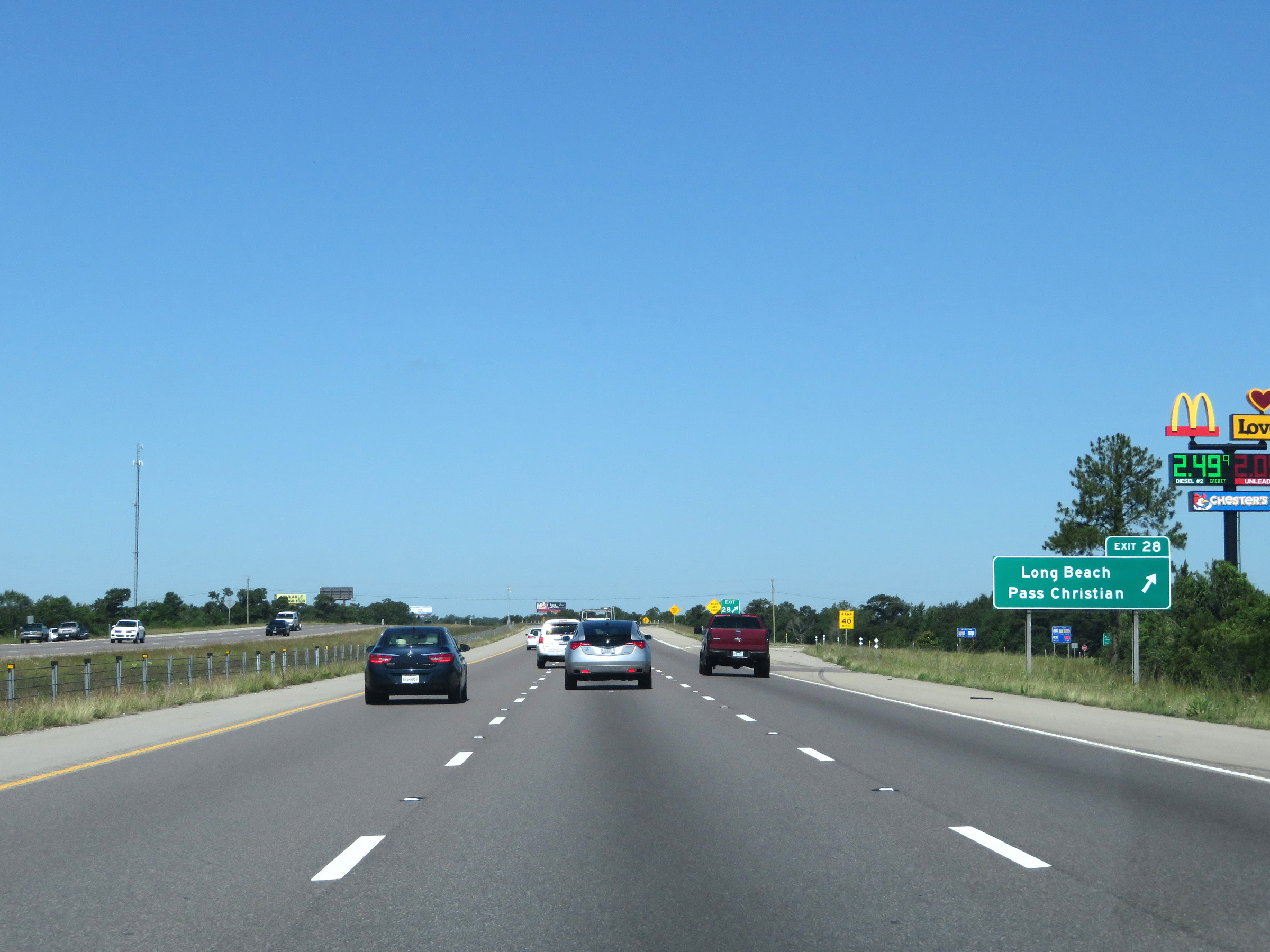 |
Interstate 10 West at Exit 28: Long Beach / Pass Christian (Photo taken 5/26/17). |
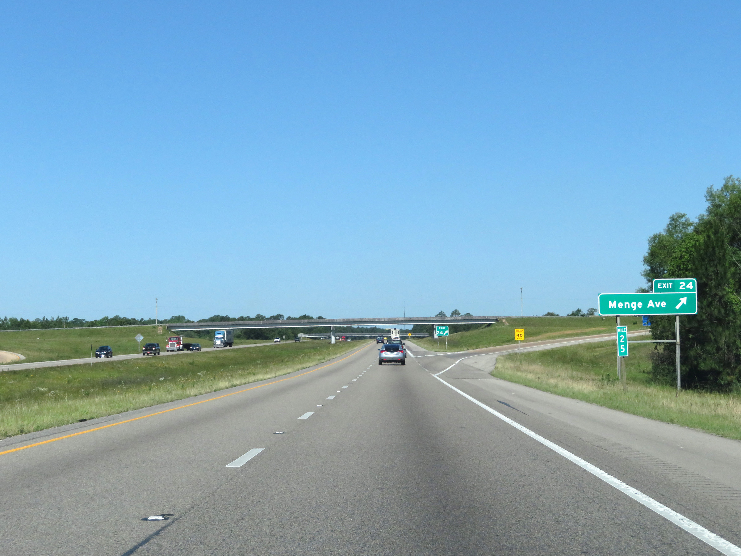 |
Interstate 10 West at Exit 24: Menge Ave (Photo taken 5/26/17). |
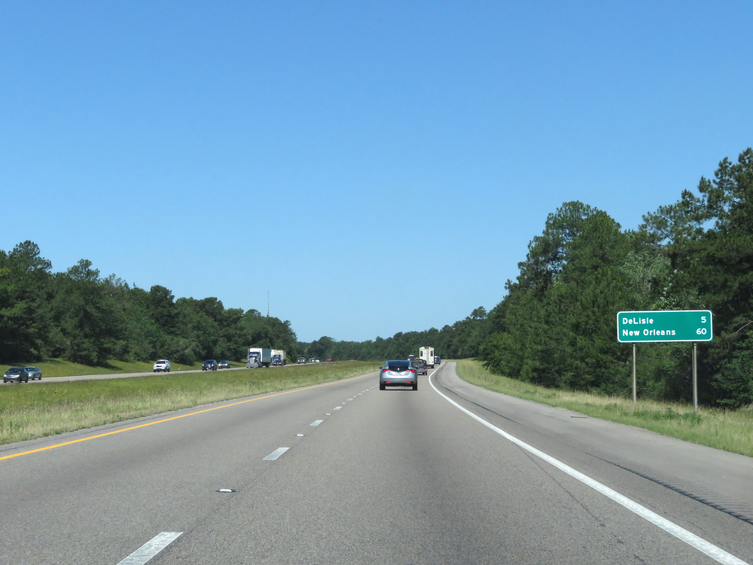 |
Mileage sign on Interstate 10 West. It's 5 miles to DeLisle and 60 miles to New Orleans. (Photo taken 5/26/17). |
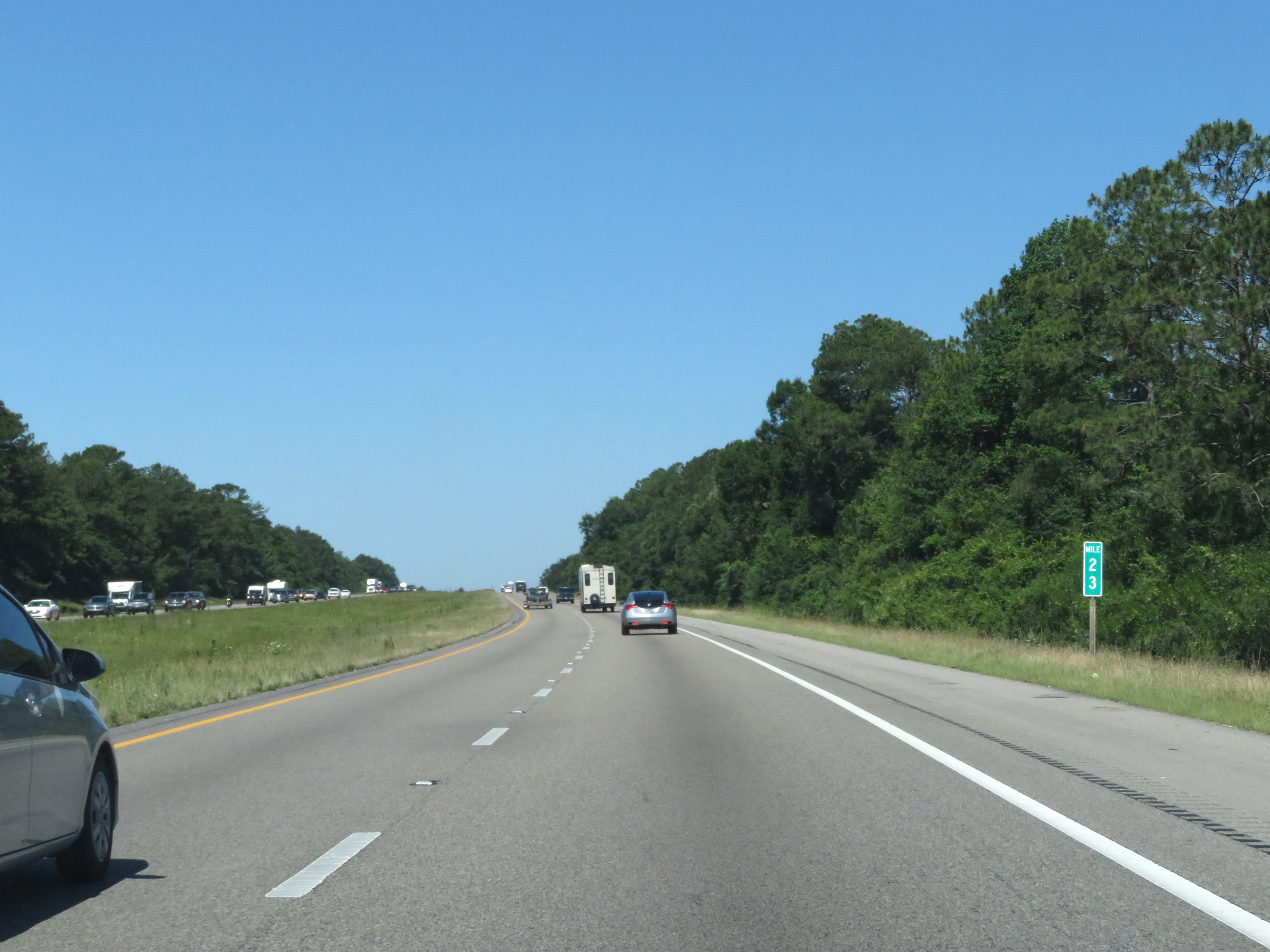 |
View on Interstate 10 West at mile marker 23. (Photo taken 5/26/17). |
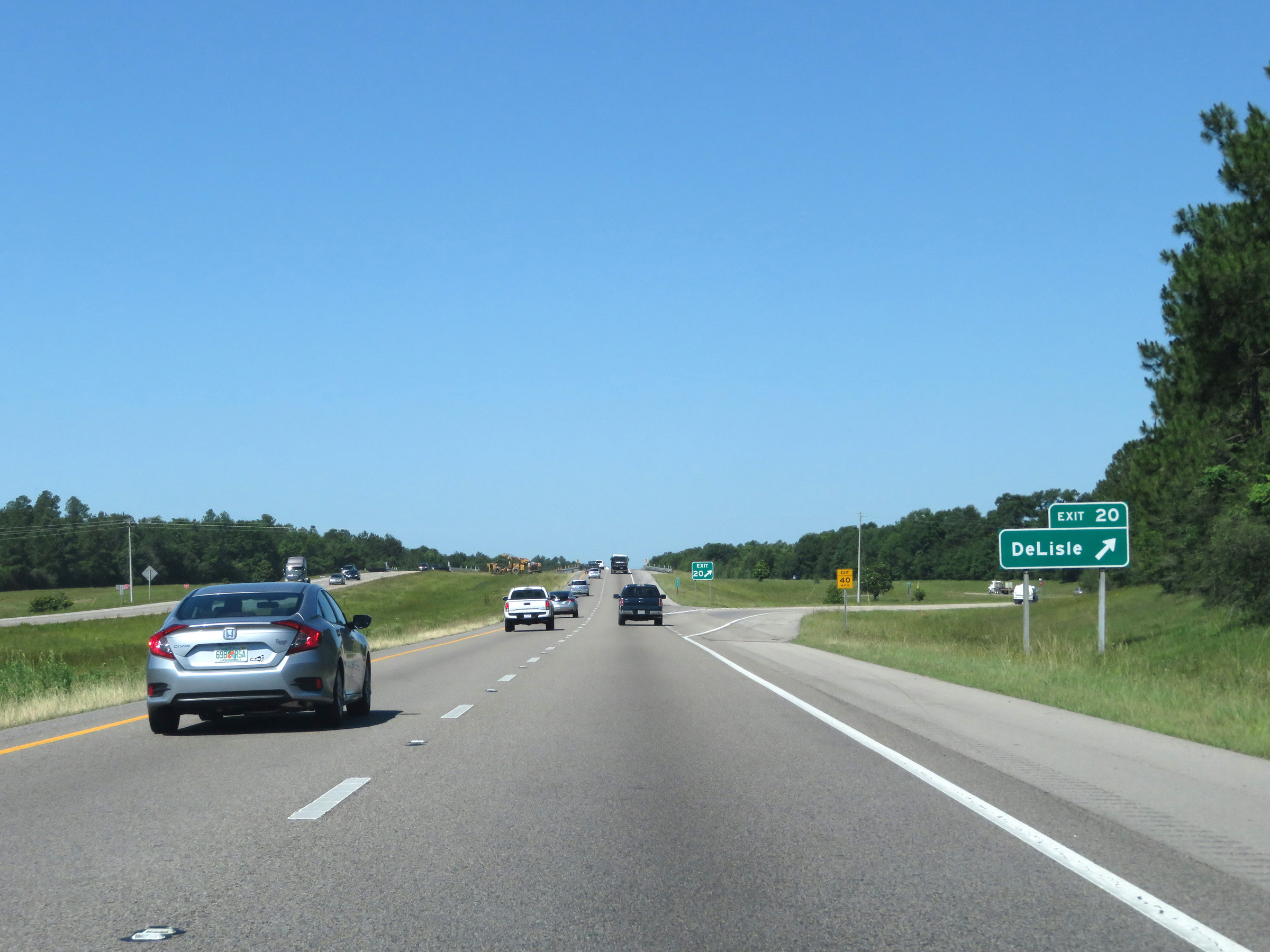 |
Interstate 10 West at Exit 20: DeLisle (Photo taken 5/26/17). |
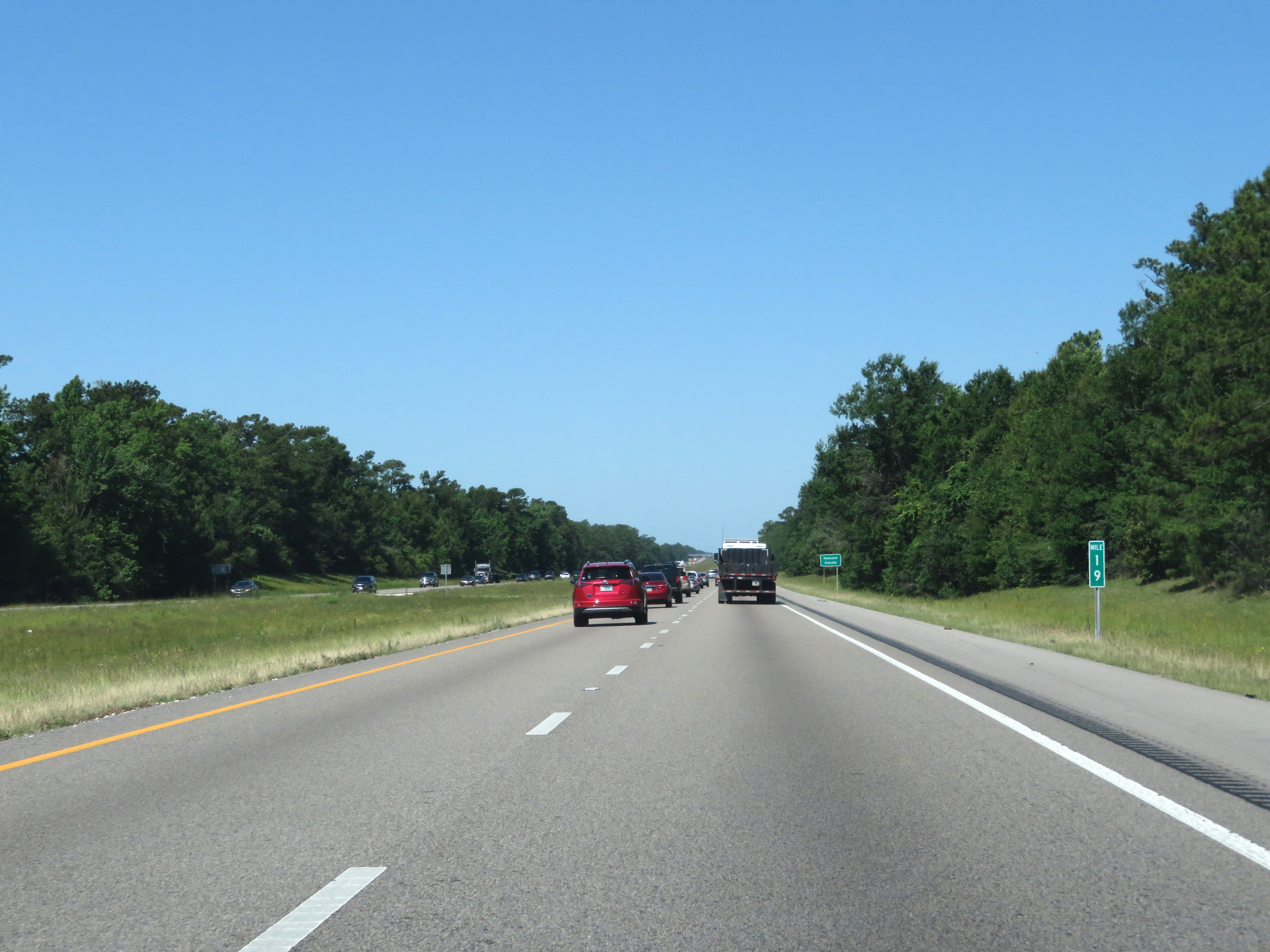 |
Mile marker 19 on Interstate 10 West in Harrison County. (Photo taken 5/26/17). |
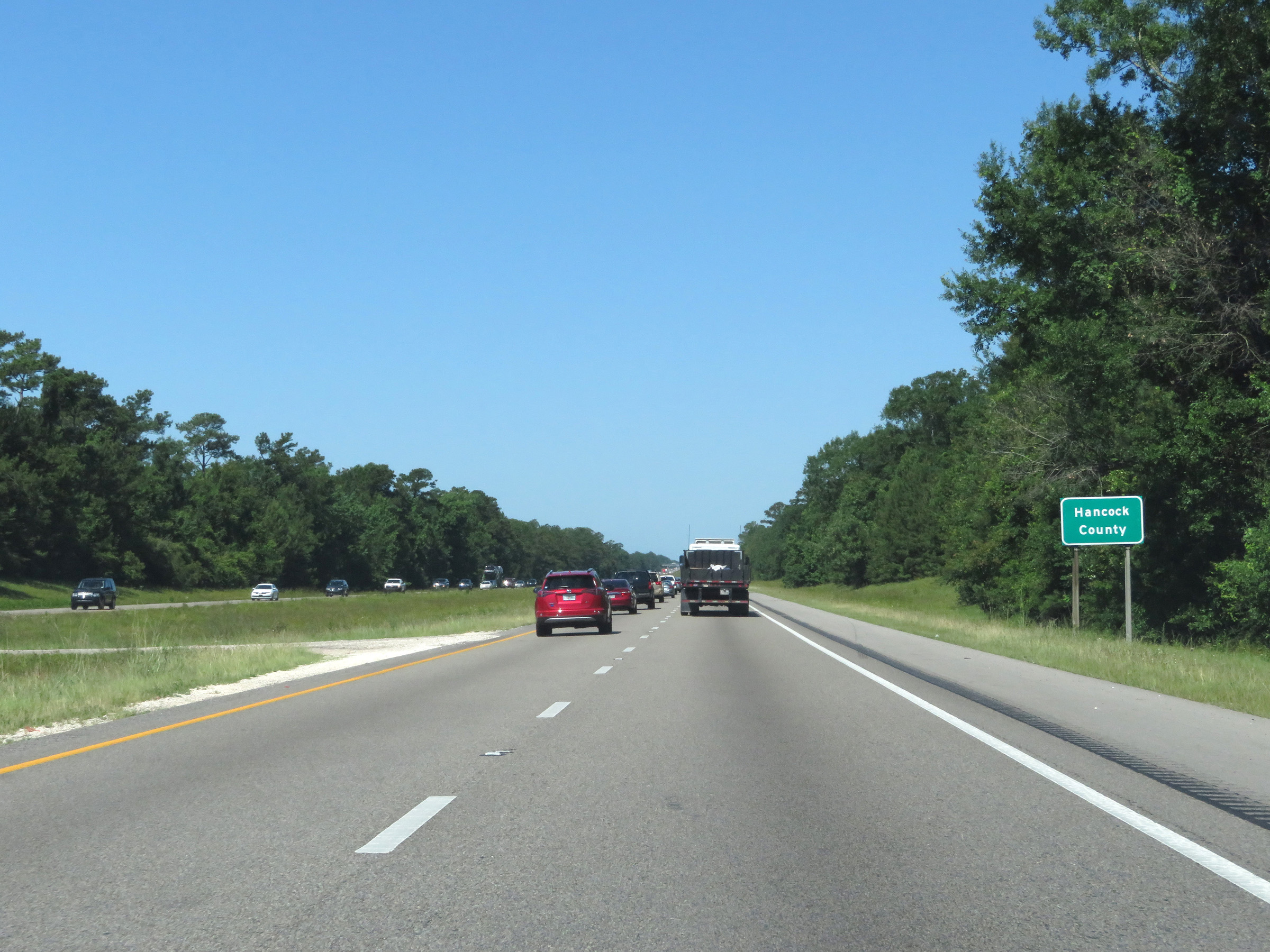 |
Interstate 10 West as it enters Hancock County. (Photo taken 5/26/17). |
 |
Interstate 10 West at Exit 16: Diamondhead (Photo taken 5/26/17). |
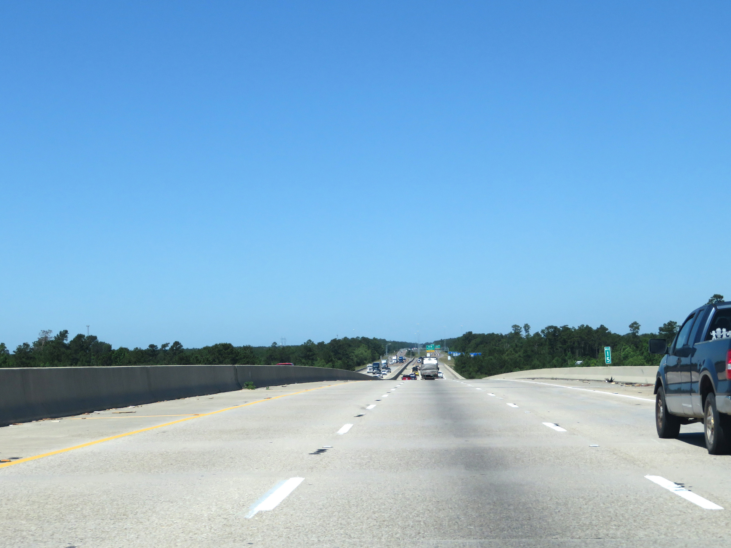 |
View on Interstate 10 West at mile marker 15. (Photo taken 5/26/17). |
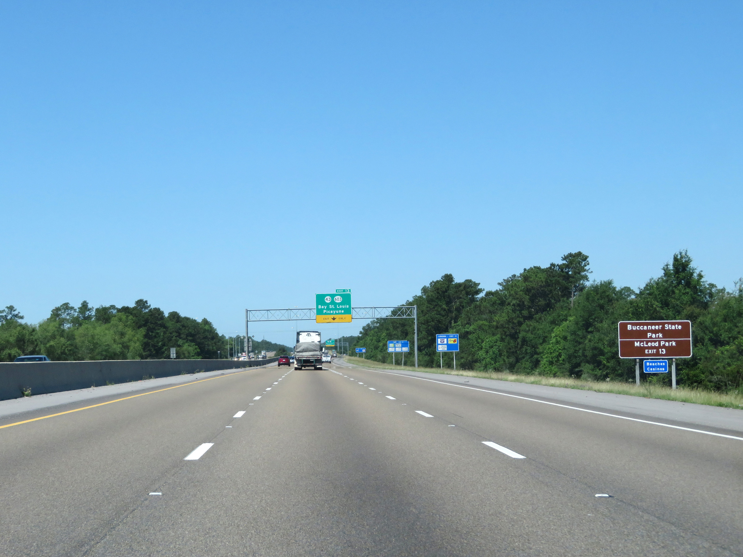 |
Take Exit 13 to Buccaneer State Park and McLeod Park. (Photo taken 5/26/17). |
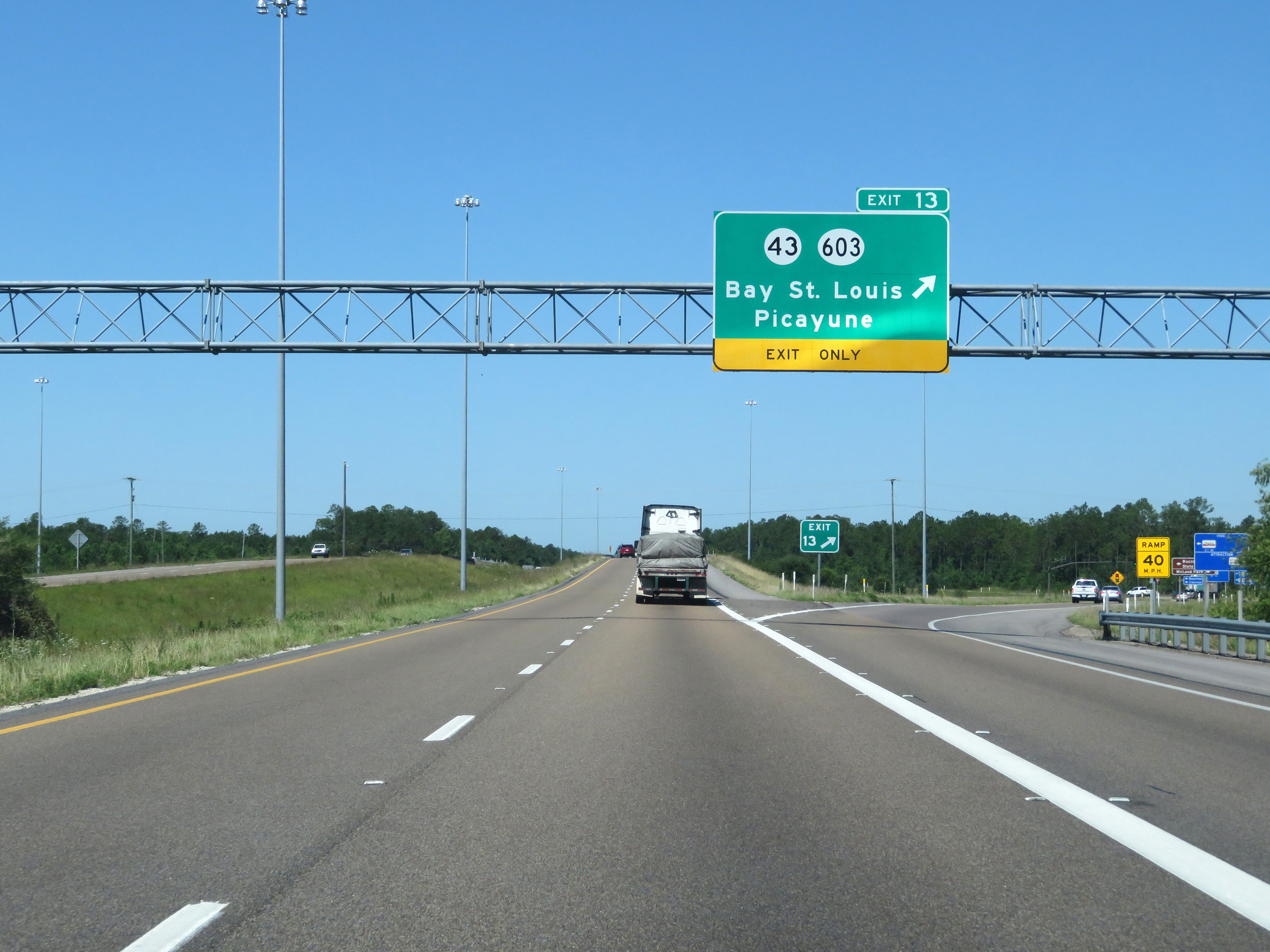 |
Interstate 10 West at Exit 13: MS 43 / MS 603 - Bay St. Louis / Picayune (Photo taken 5/26/17). |
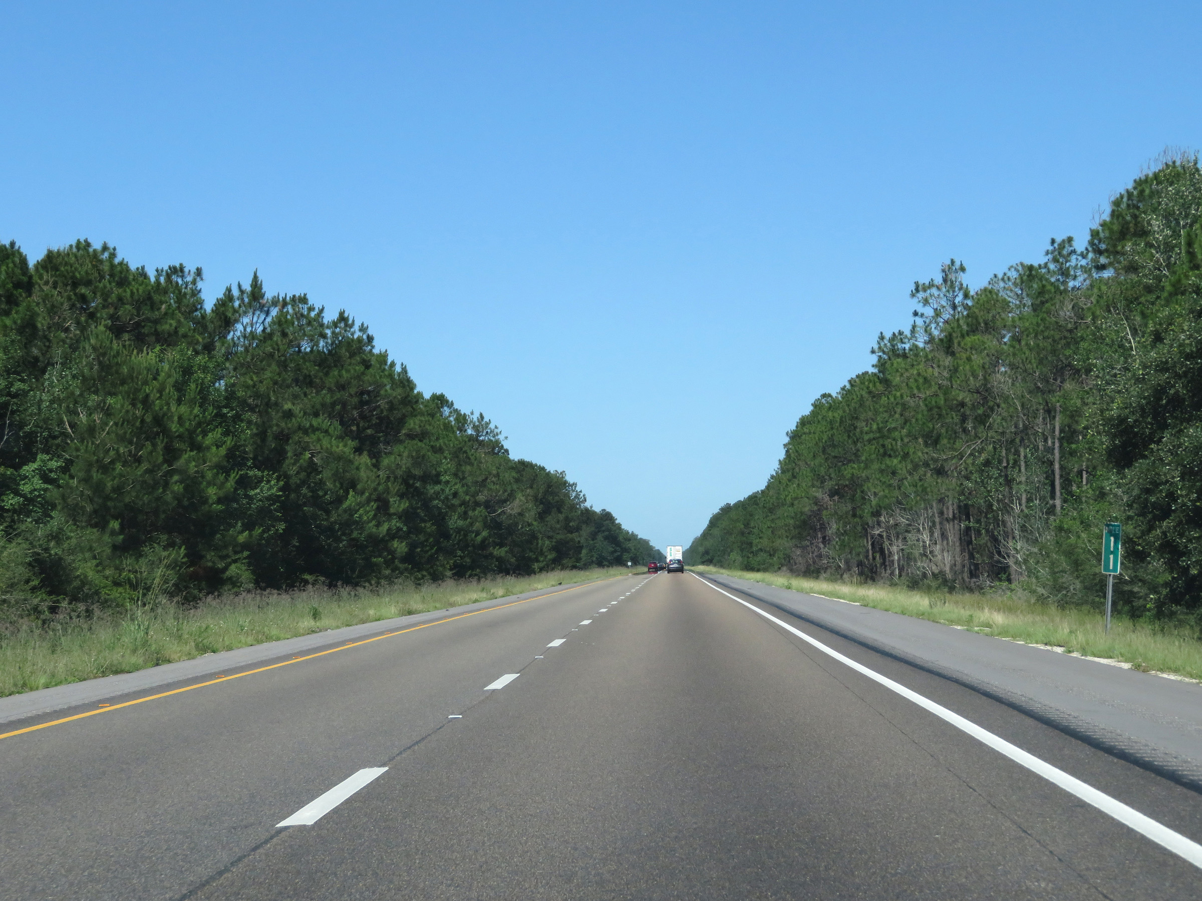 |
View on Interstate 10 West at mile marker 11. (Photo taken 5/26/17). |
 |
Interstate 10 West at mile marker 10. (Photo taken 5/26/17). |
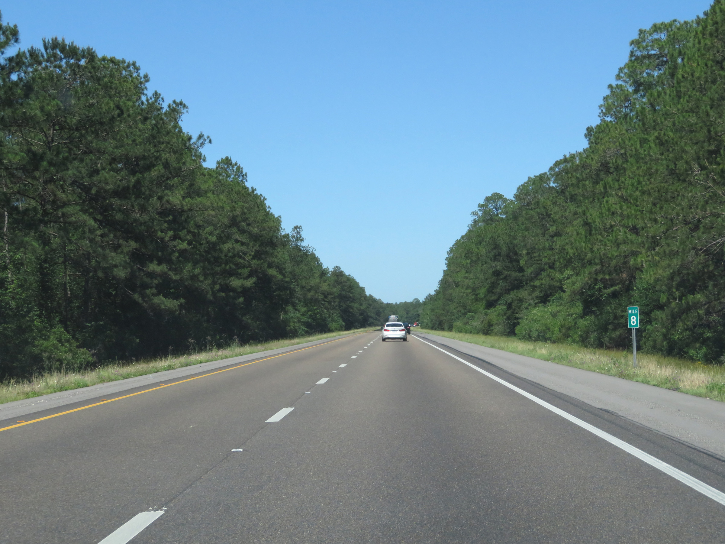 |
Mile marker 8 on Interstate 10 West in Hancock County. (Photo taken 5/26/17). |
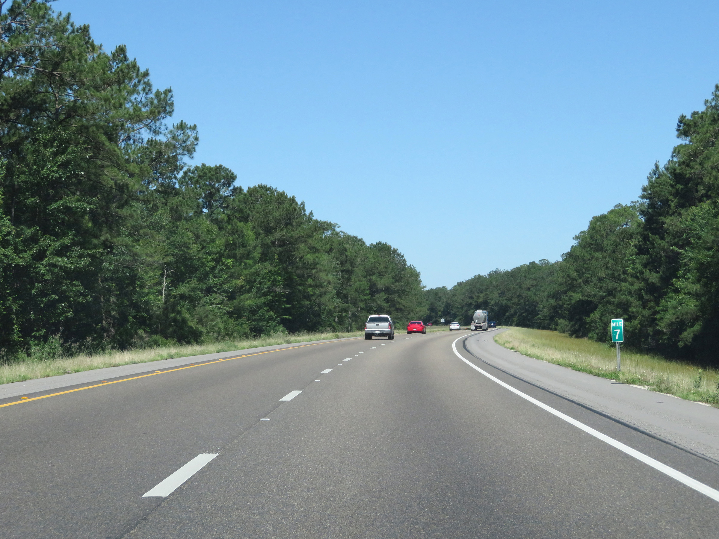 |
View on Interstate 10 West at mile marker 7. (Photo taken 5/26/17). |
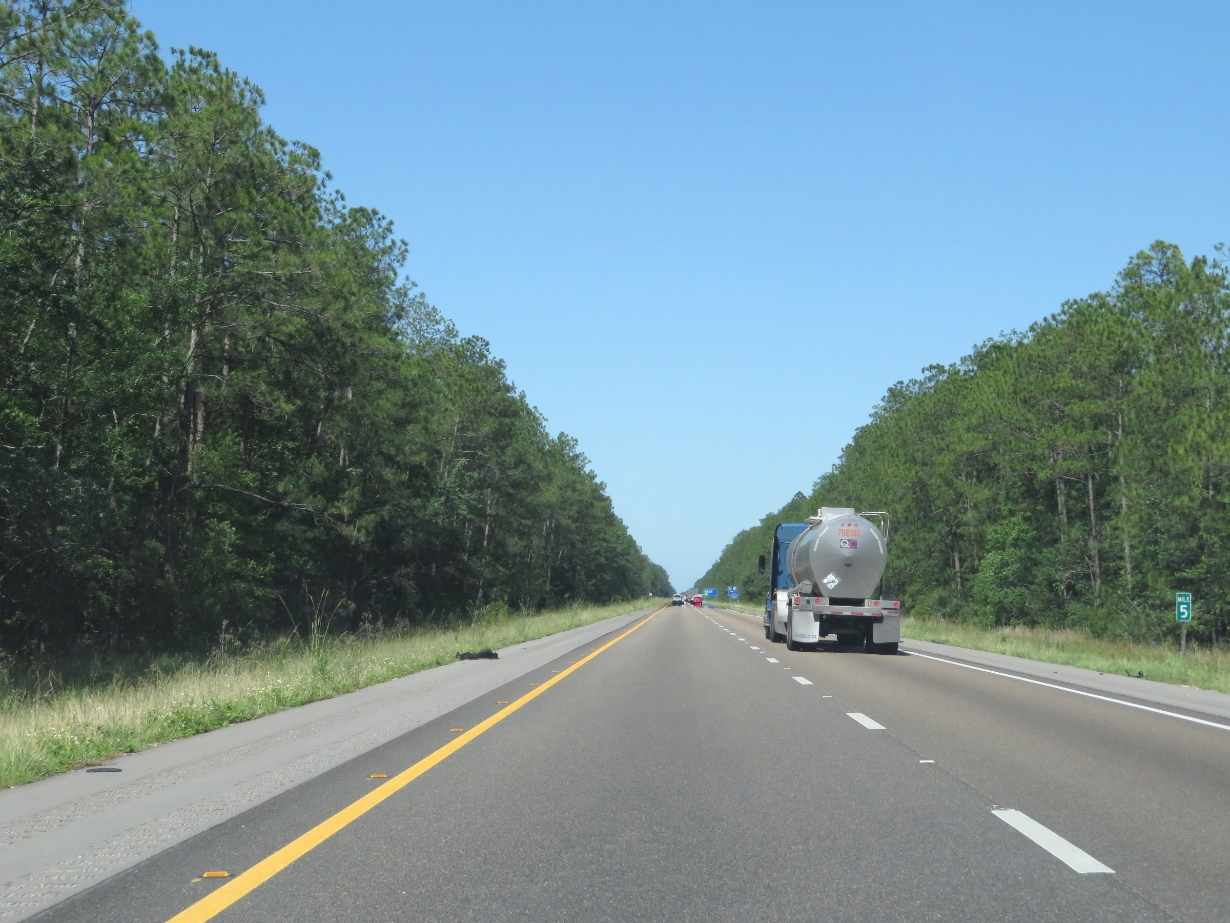 |
Interstate 10 West at mile marker 5. (Photo taken 5/26/17). |
 |
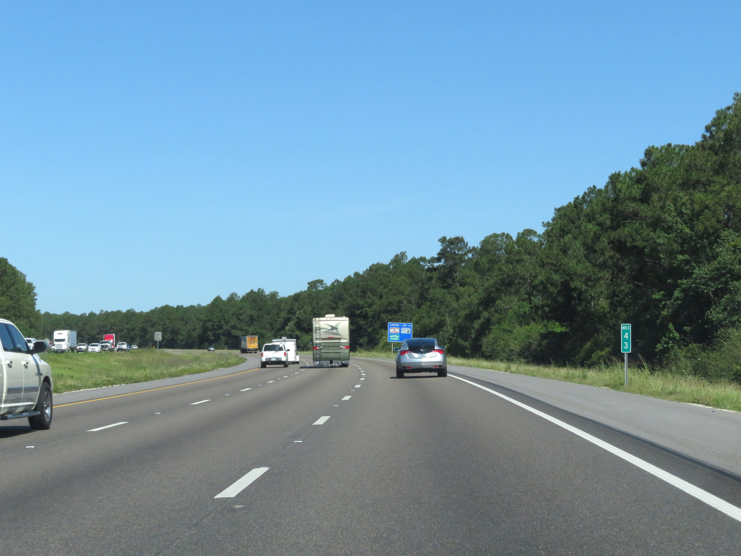
View on Interstate 10 West at mile marker 4. (Photo taken 5/26/17). |
 |
Take Exit 2 to the Naval Meteorology and Oceanography Command Headquarters. (Photo taken 5/26/17). |
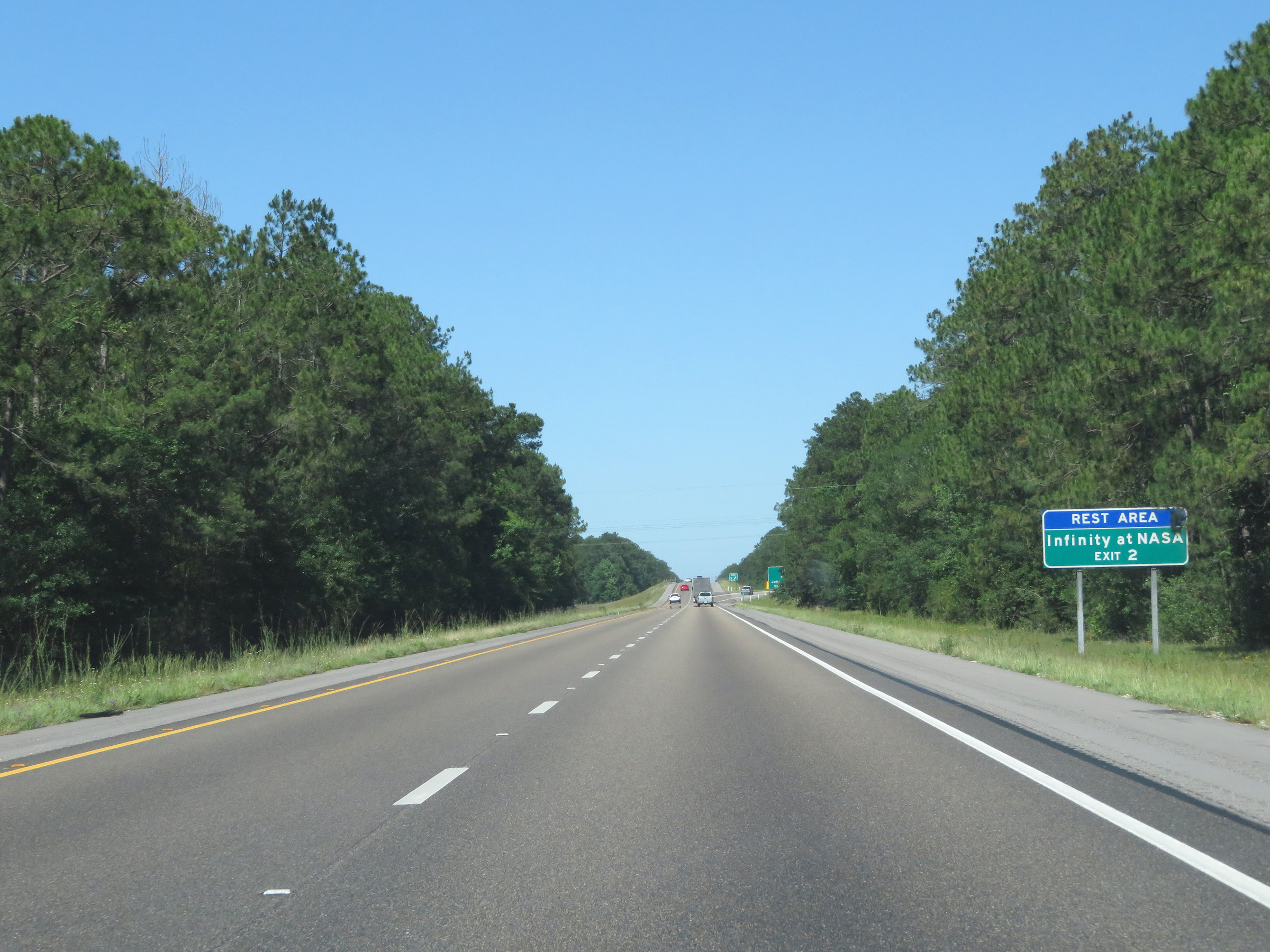 |
Also take Exit 2 to a Rest Area and Infinity at NASA. (Photo taken 5/26/17). |
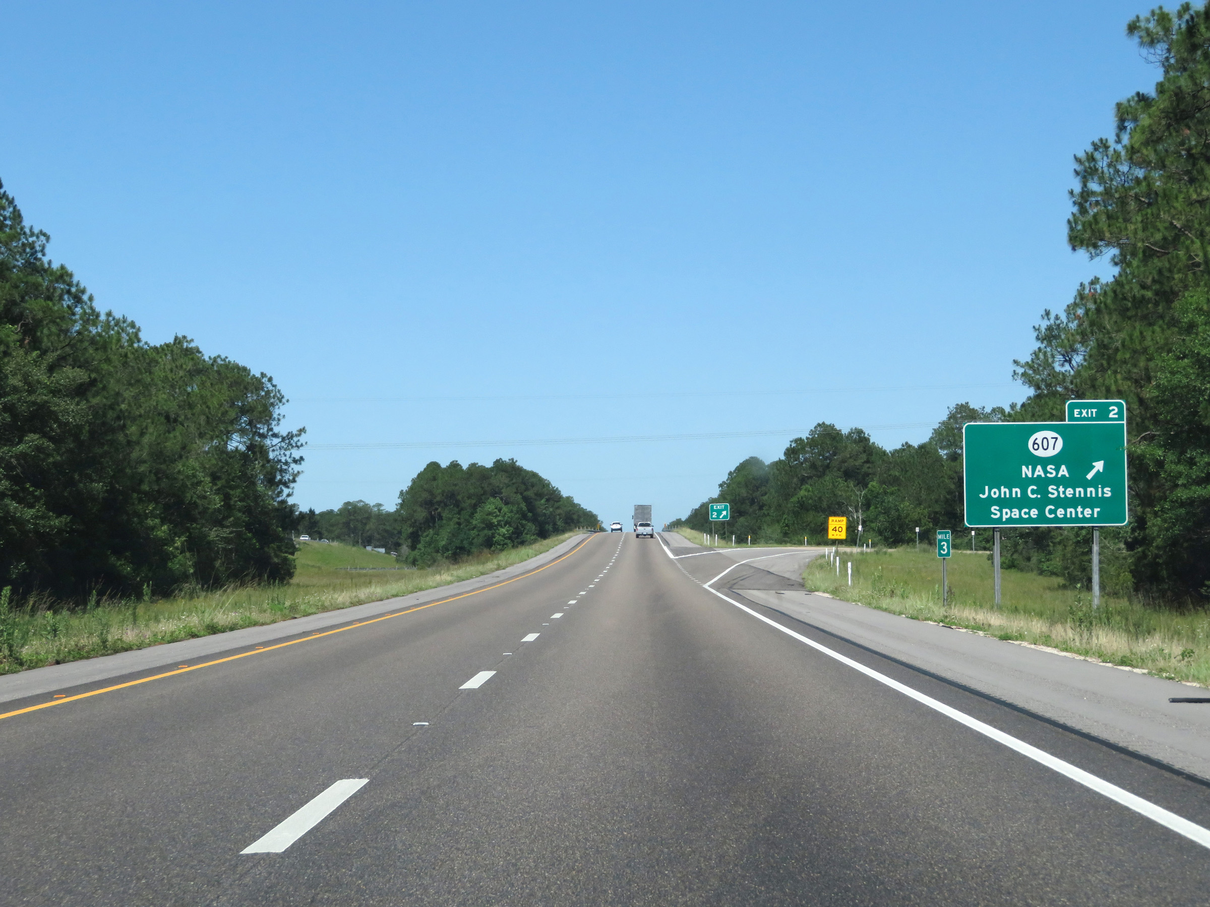 |
Interstate 10 West at Exit 2: MS 607 - NASA John C. Stennis Space Center (Photo taken 5/26/17). |
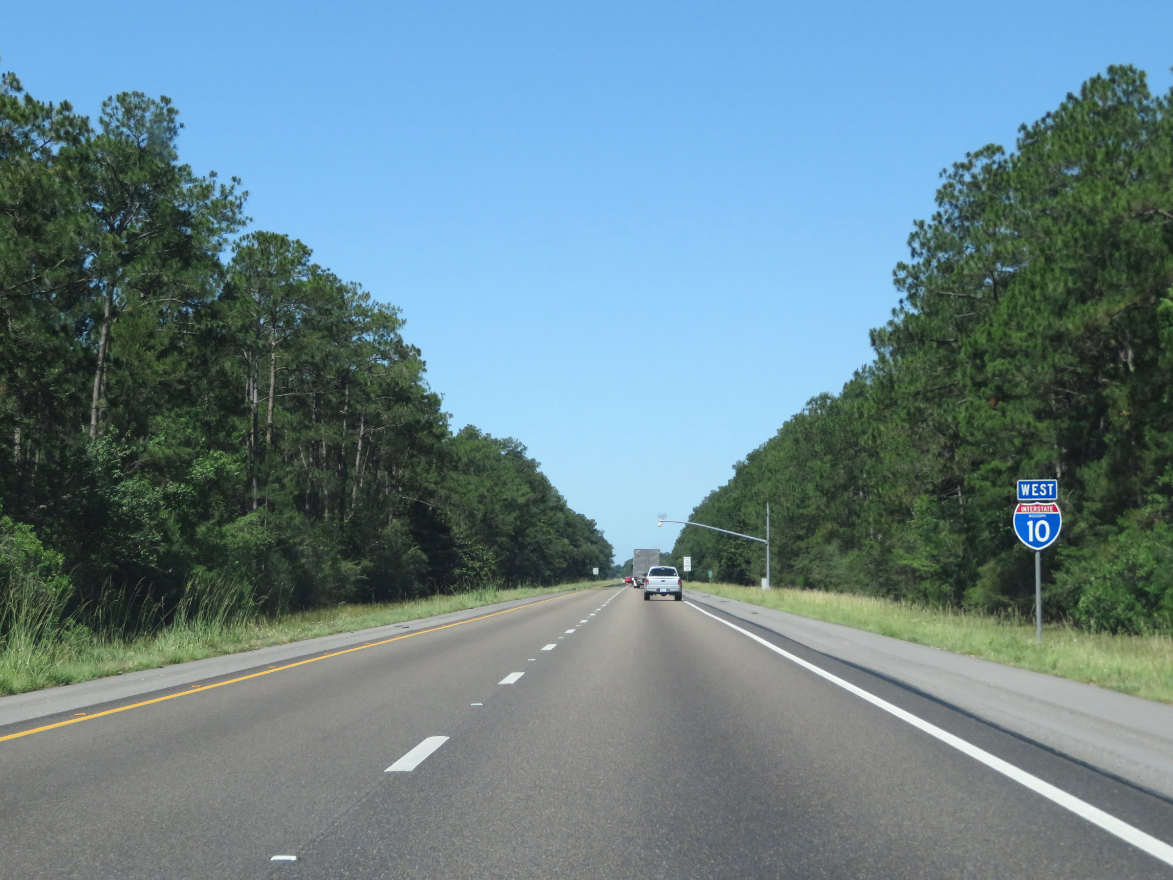 |
One final state-named Interstate 10 West reassurance shield. (Photo taken 5/26/17). |
 |
The speed limits remain 70 mph maximum and 40 mph minimum. (Photo taken 5/26/17). |
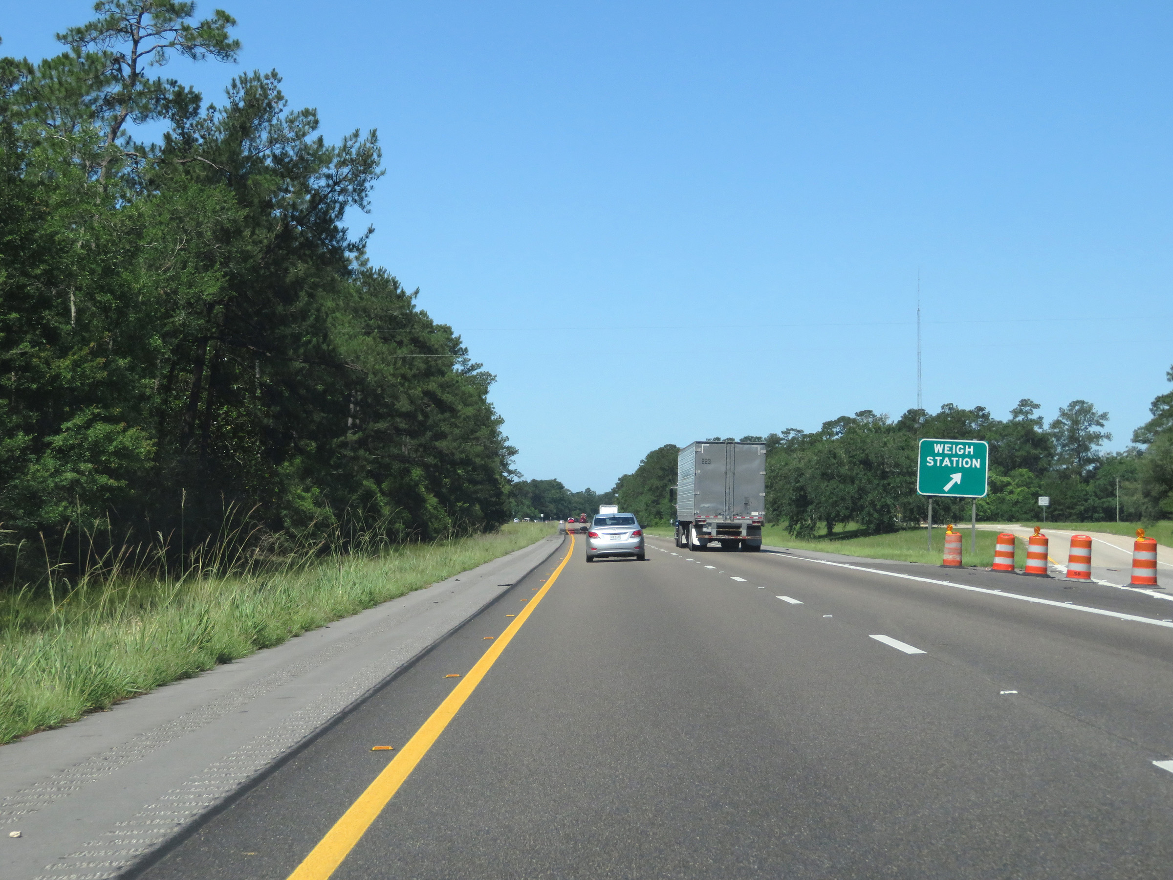 |
Weigh Station on Interstate 10 West in Hancock County. (Photo taken 5/26/17). |
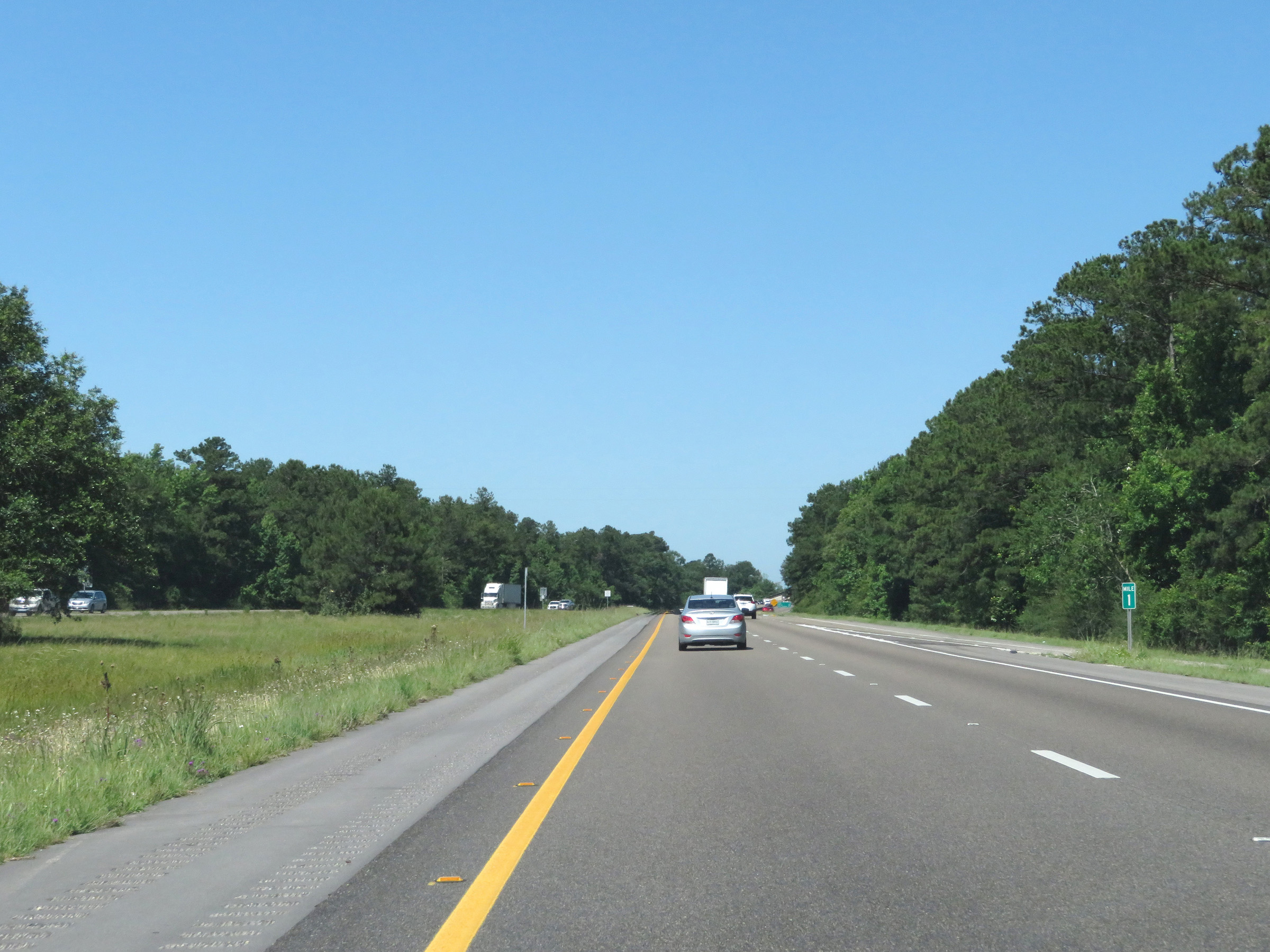 |
View on Interstate 10 West at mile marker 1. (Photo taken 5/26/17). |
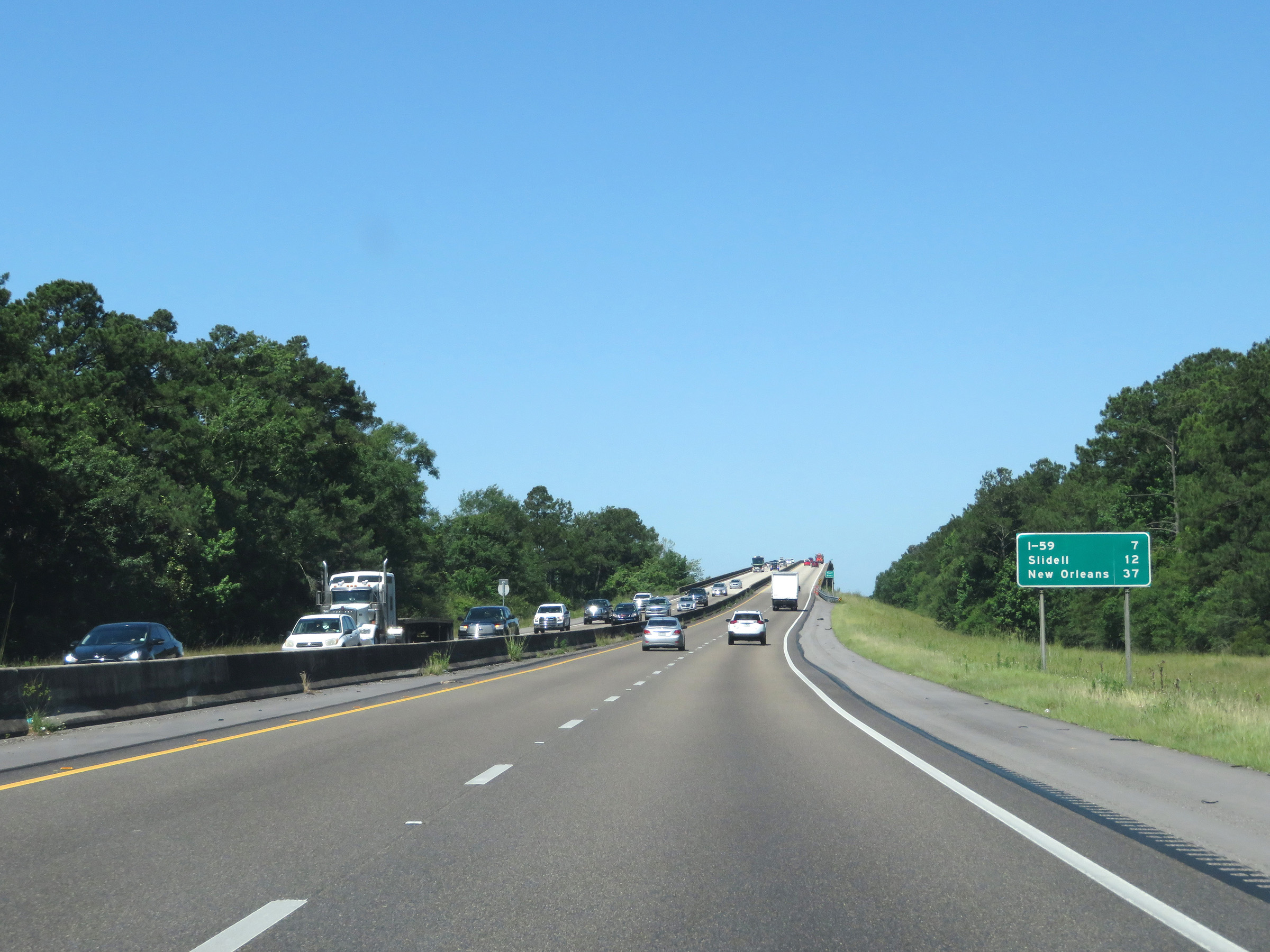 |
Mileage sign on Interstate 10 West as it approaches the Louisiana border. It's 7 miles to the junction of Interstate 59, 12 miles to Slidell, and 37 miles to New Orleans. (Photo taken 5/26/17). |
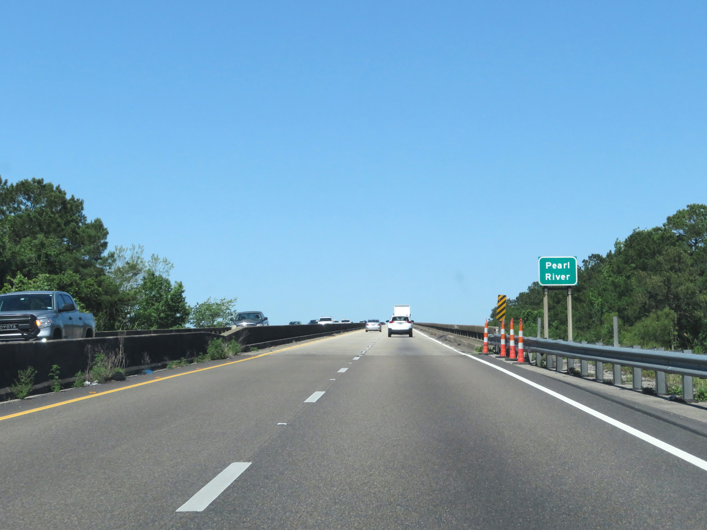 |
Interstate 10 West as it prepares to start across the Pearl River, which will mark the state line between Mississippi and Louisiana. (Photo taken 5/26/17). |
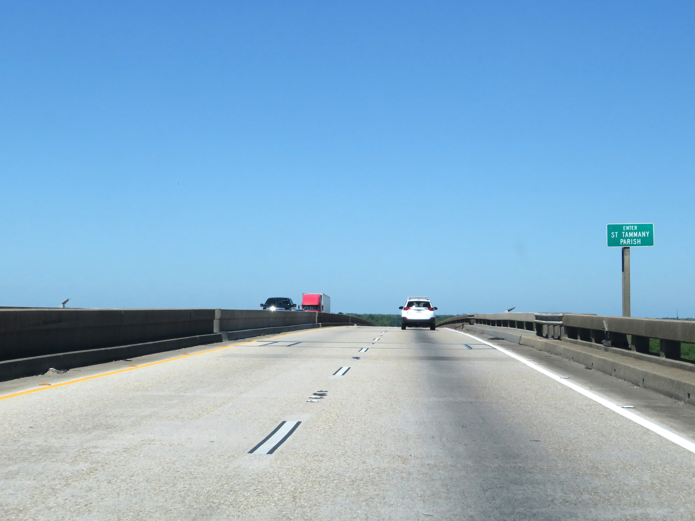 |
Halfway across the bridge, Interstate 10 West enters Louisiana and St. Tammany Parish. Photo taken 5/26/17). |